
Why do we go where we go? It’s a dilemma for many of us. As nice as the many different regions of Europe are, it was time for something different. We had been avoiding the South Pacific for a long time, but a good deal on airfare to New Zealand that started in our home airport in Georgia was too good to pass up so we packed the neck pillows and booked that excruciatingly long 22-hour flight. In economy, no less – yikes!
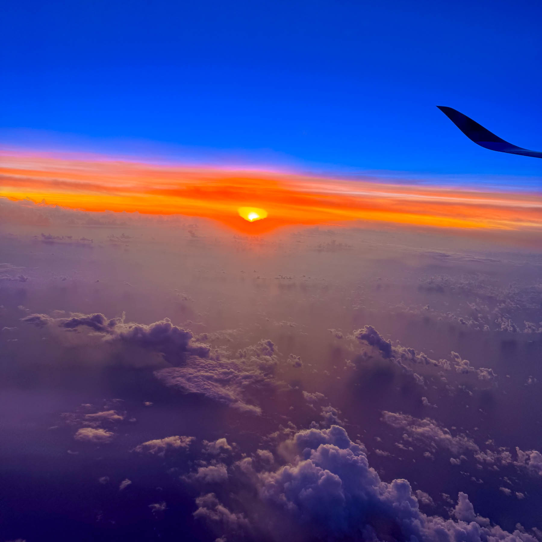
Our early morning landing timed perfectly with a beautiful sunrise. We weren’t particularly keen on seeing Auckland, but we needed a low-key destination to recover from the jetlag and learn how to drive on the left-hand side of the road again, without immediately being thrust into city traffic. Somewhere along the line Waiheke Island popped onto our radar, and after a little research we determined that it would be a perfect and interesting spot for us to recoup, before returning to Auckland and starting our nine-day road trip around the North Island.
The Auckland Airport was easily manageable and after a good cup of coffee in the main terminal we proceeded to the Ride Share area which was only a short walk away, to meet our driver we booked through Uber New Zealand for the 30-minute trip from the airport to the ferry terminal. Didi Rider is also a popular rideshare option. If you have a larger group and a little more time there is the Super Shuttle which offers low, fixed rates to points across Auckland.
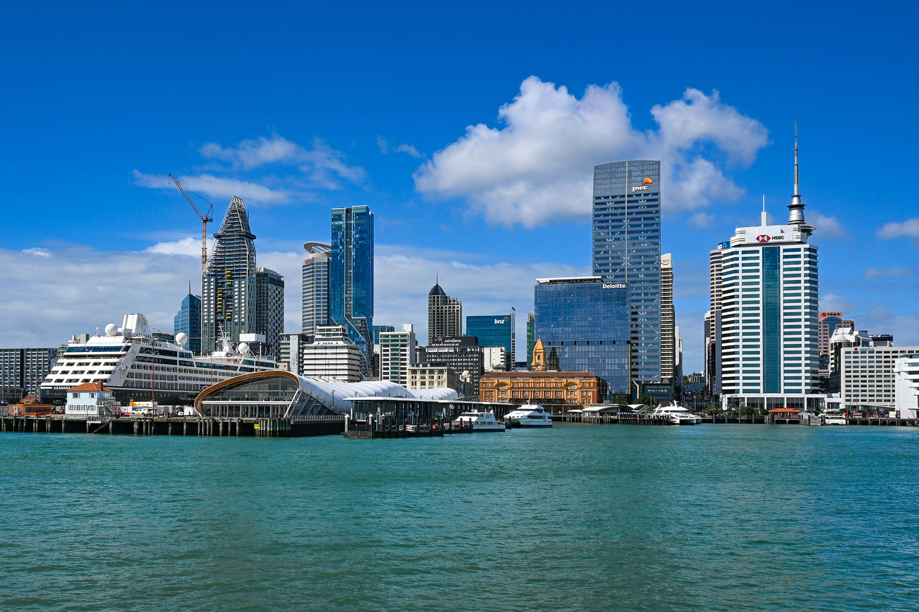
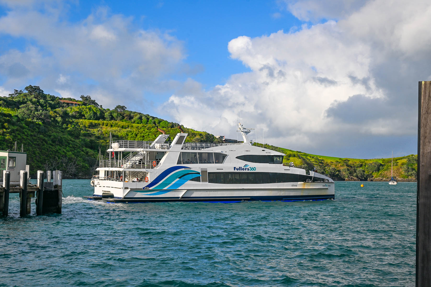
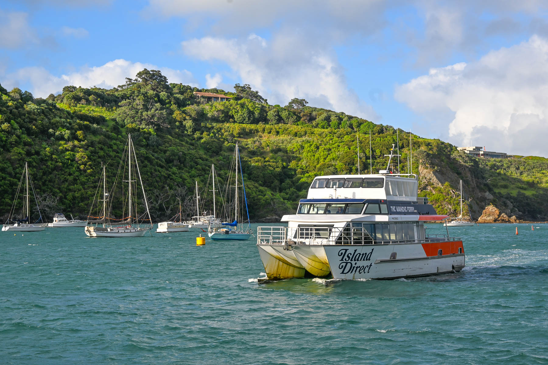
Landing on a Friday in mid-February, it was still the summer season down under. We weren’t sure how busy the afternoon ferry would be, ahead of the weekend. Fortunately, before leaving the states, we booked the 1:00PM Fullers360 Ferry departing from the Auckland Downtown Ferry Terminal on Quay Street; no last-minute walk-ons were allowed to board, as the time slot was fully booked. Island Direct also offers a ferry service from Pier 13 at the downtown terminal. The 21.5 km (13.4 mi) crossing takes about 40-minutes to reach the Matiatia Wharf landing on Waiheke Island. Folks wanting to take a vehicle to the island need to use the SeaLink car ferry, which departs from Half Moon Bay in East Auckland or the Hamer Street Ferry Terminal in downtown Auckland and docks at Kennedy Point on Waiheke.
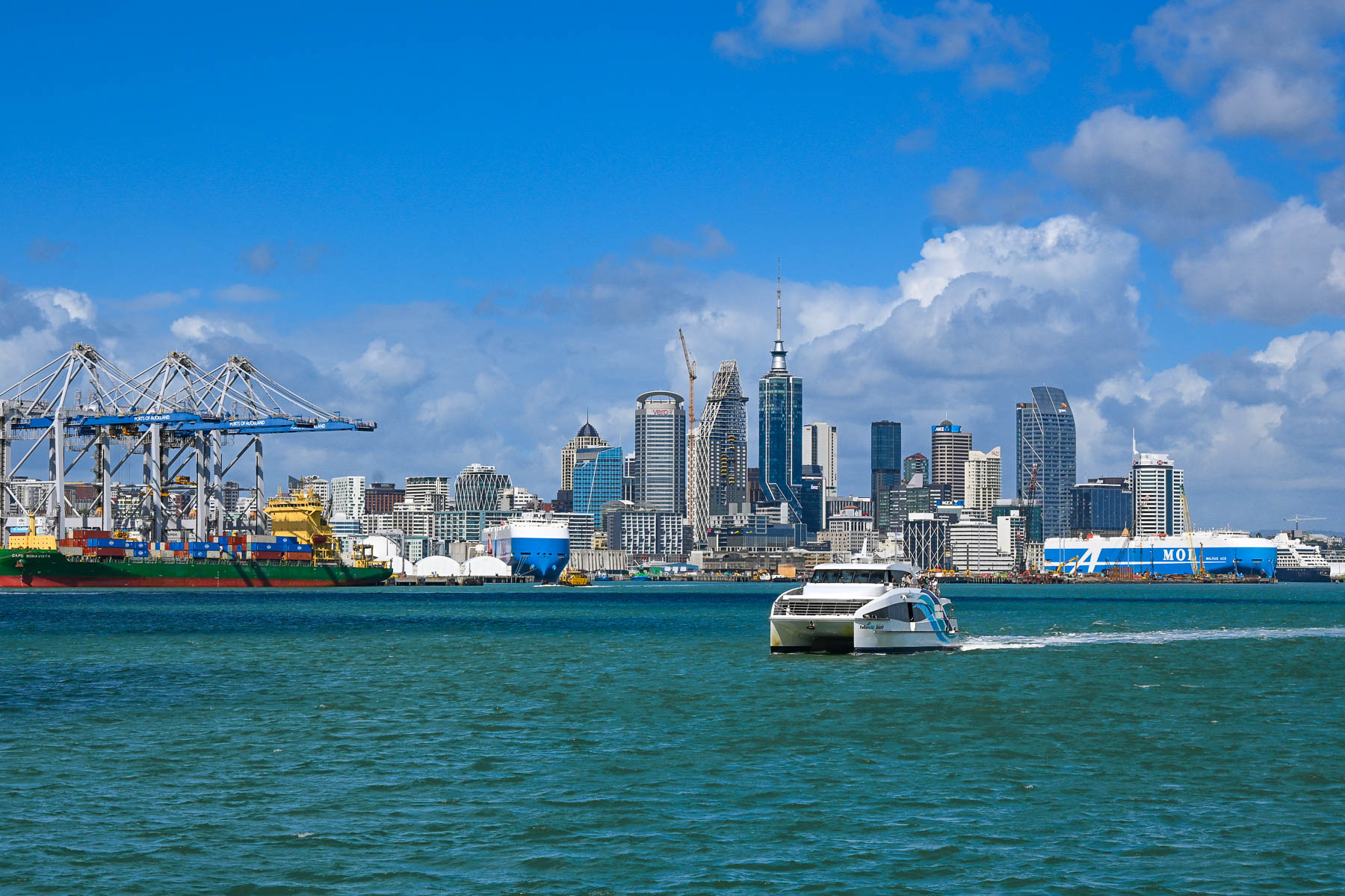
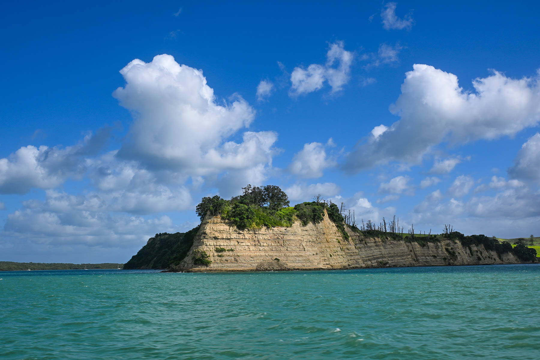
The view of Auckland’s skyline was stunning as we headed across the harbor and Hauraki Gulf. Thousands of sailboat masts dotted the seascape and rocked with the waves. Sailing is a popular activity in Auckland and about 18,000 sailboats call the “City of Sails,” their home port. The Hauraki Gulf is a huge body of water with over 50 islands, of which Waiheke is the second largest with a land mass of 9200 very hilly hectares (22,734 acres). Surprisingly, Waiheke is the most populated of the island chain with nearly 9400 permanent residents, some of whom commute daily to Auckland for work, and about an additional 3,400 folks have holiday homes on it. It’s said to be more densely populated than the North and South Islands, but from our experience it felt almost uninhabited, as most of the homes across the island were well hidden in the island’s forested hillsides. And local tourism had pretty much stopped with the reopening of the schools at the end of the summer break several weeks earlier.
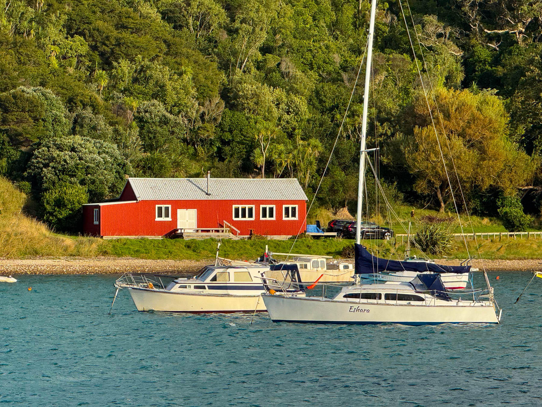
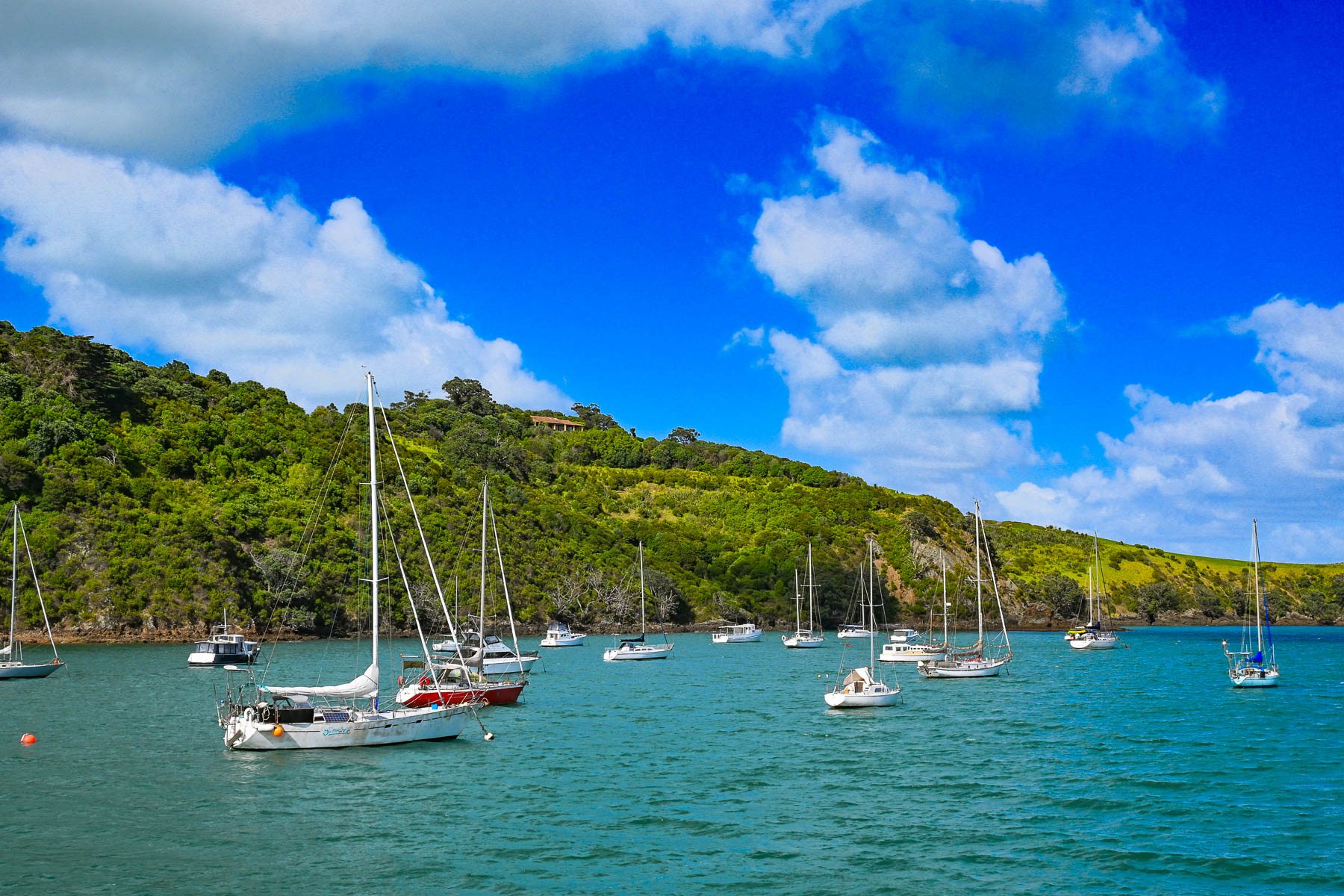
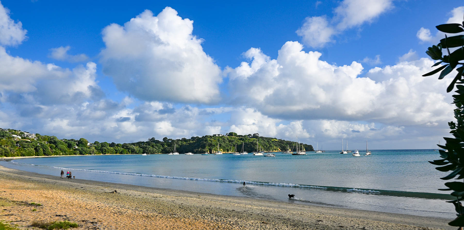
Boats anchored in Matiatia Bay bobbed up and down with the small waves that a strong wind had kicked up. Fair weather clouds scurried across the sky. The small harbor was reminiscent of coastal Maine with a red fisherman’s shack along the waterfront. On the wharf we picked up the key to a compact older car from Waiheke Car Rental, a subsidiary of Mint Car Rental, through which we also reserved a vehicle at Auckland Airport for the later part of our trip around the North Island.
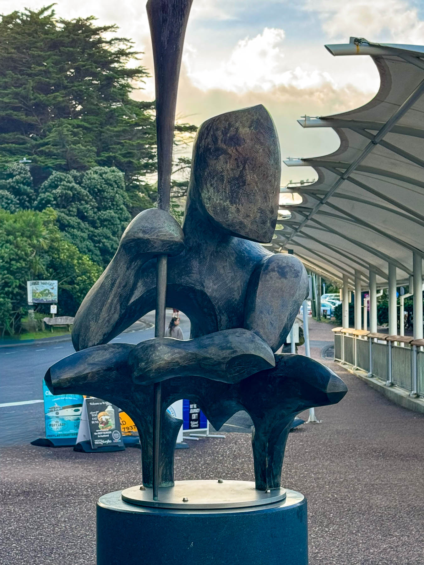
Outside the ferry terminal was a Māori influenced sculpture by island artist Chris Bailey called Te Werowero. The statue is intended to act as a guardian of the island and challenges visitors to respect the environment and local way of life, wāhi tapu. It was a bit of a trek through a dusty parking lot to find the car: the air-conditioning worked so we were good to go, but I have to admit that I did open the wrong side of the car and was surprised there was no steering wheel in front of me, and that I’d be manually shifting with my left hand. With our mantra, “stay left!” and a “you’ve got this,” pep talk we set out. Luckily, there was hardly any traffic, and our lodging was only a short, five-minute drive away. We followed Ocean View Road, the main street which passes through Oneroa, Waiheke’s largest village, that has a small cluster of restaurants and shops along the street.
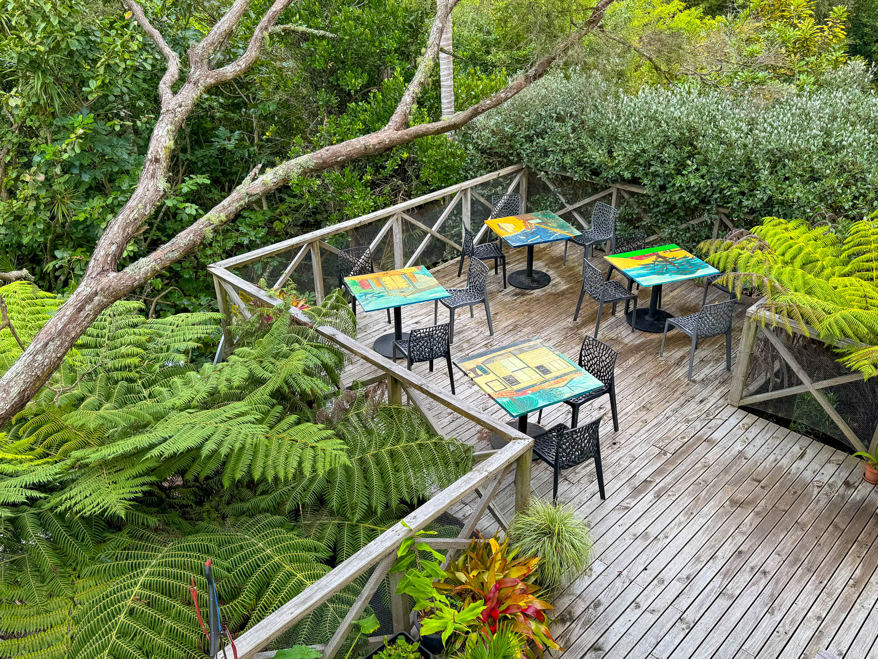
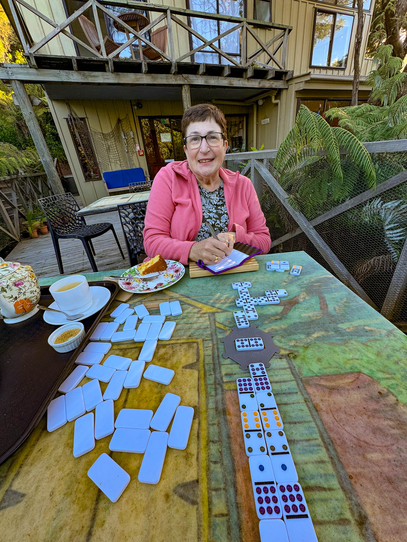
Our base for three nights was the laid back Punga Lodge where we enjoyed the sumptuous breakfasts and afternoon tea prepared by Diane and Rob, on the deck overlooking an old growth grove of native punga ferns filled with lovely song birds. Our hosts are a delightful couple whose company and conversations we enjoyed, and contributed greatly to our wonderful experiences on the island.
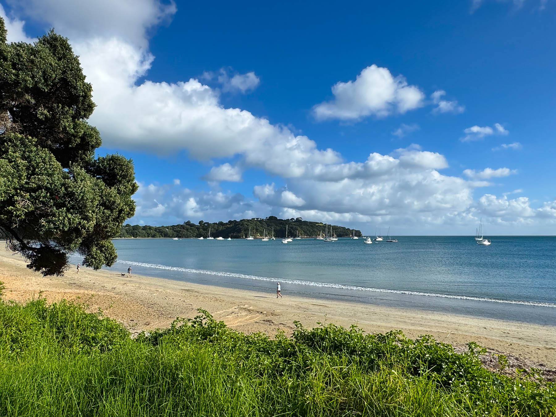
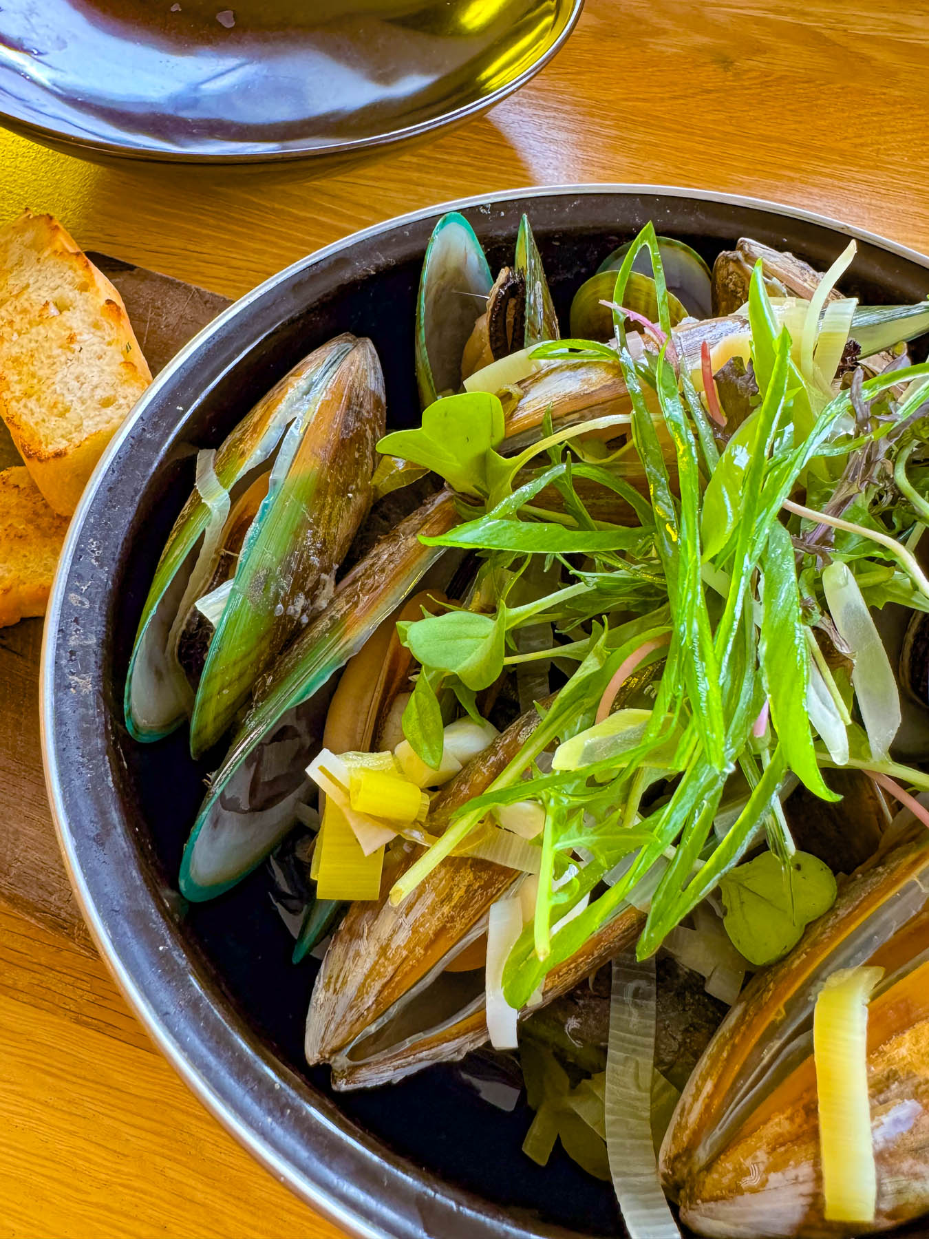
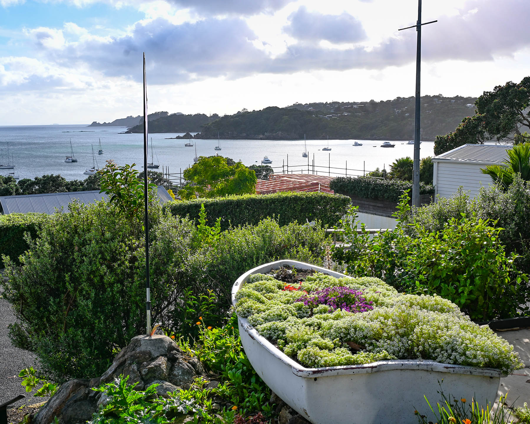
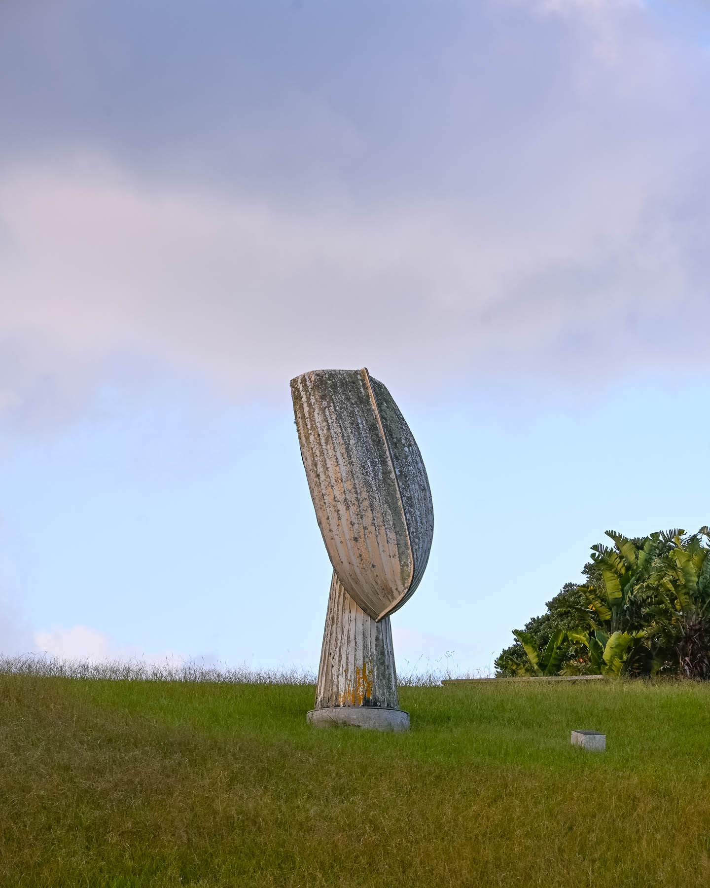
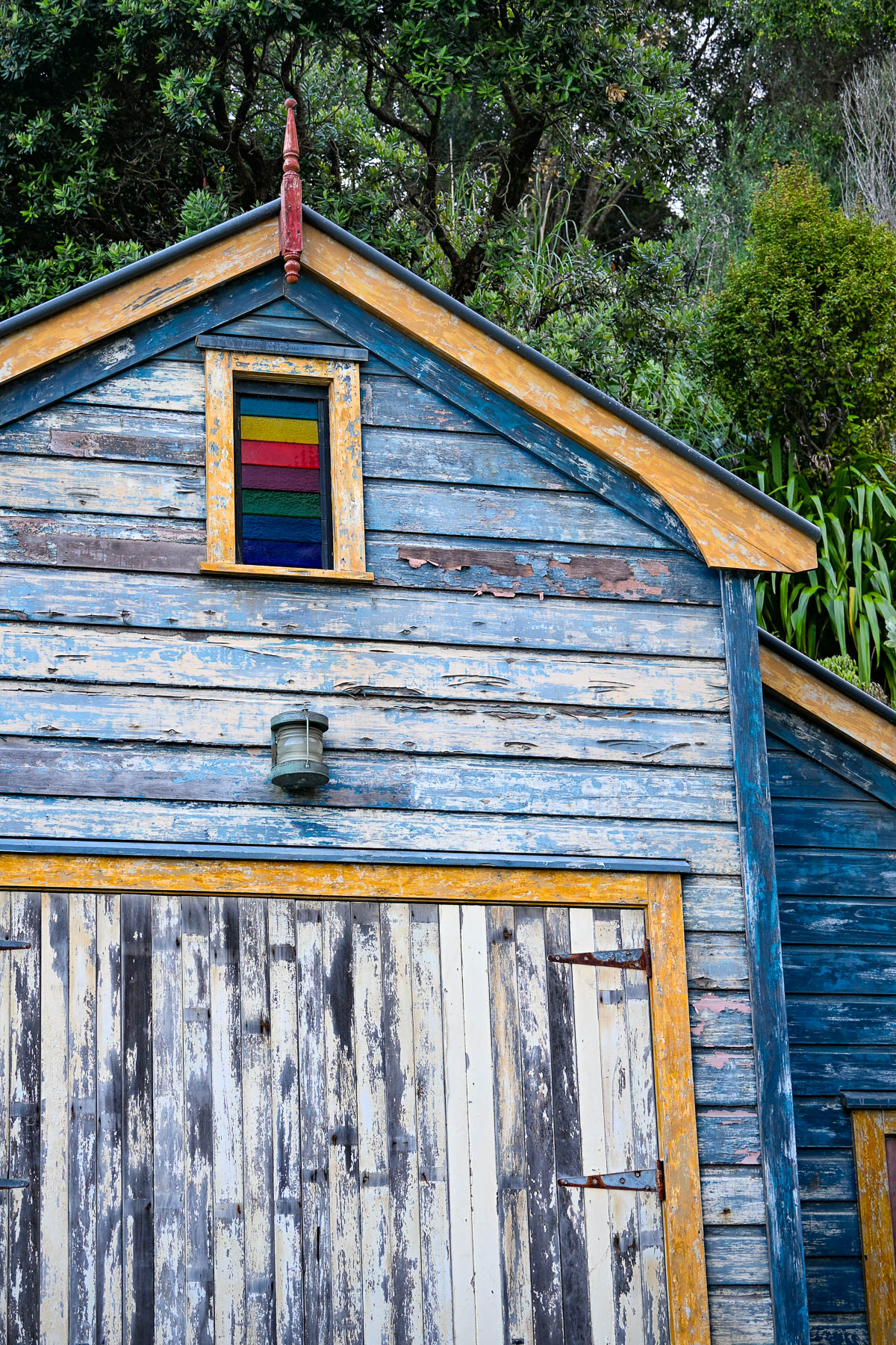
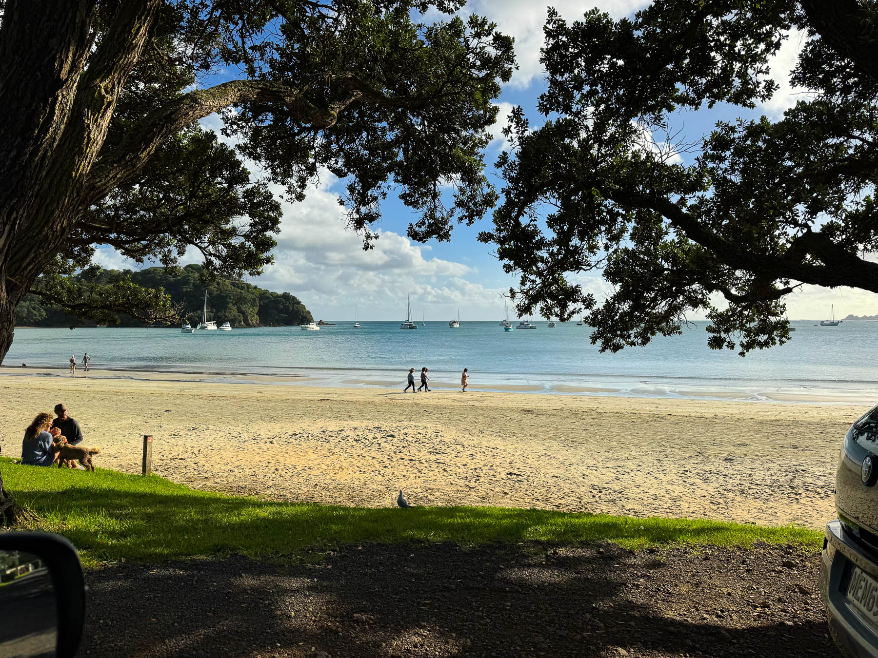
After settling in we headed to Big Oneroa Beach for a walk along the fish hook shaped coastline, before strolling through the village to have dinner at Obee’s, which has a nice view of the bay from its terrace. The local Waiheke mussels we ordered were delicious.
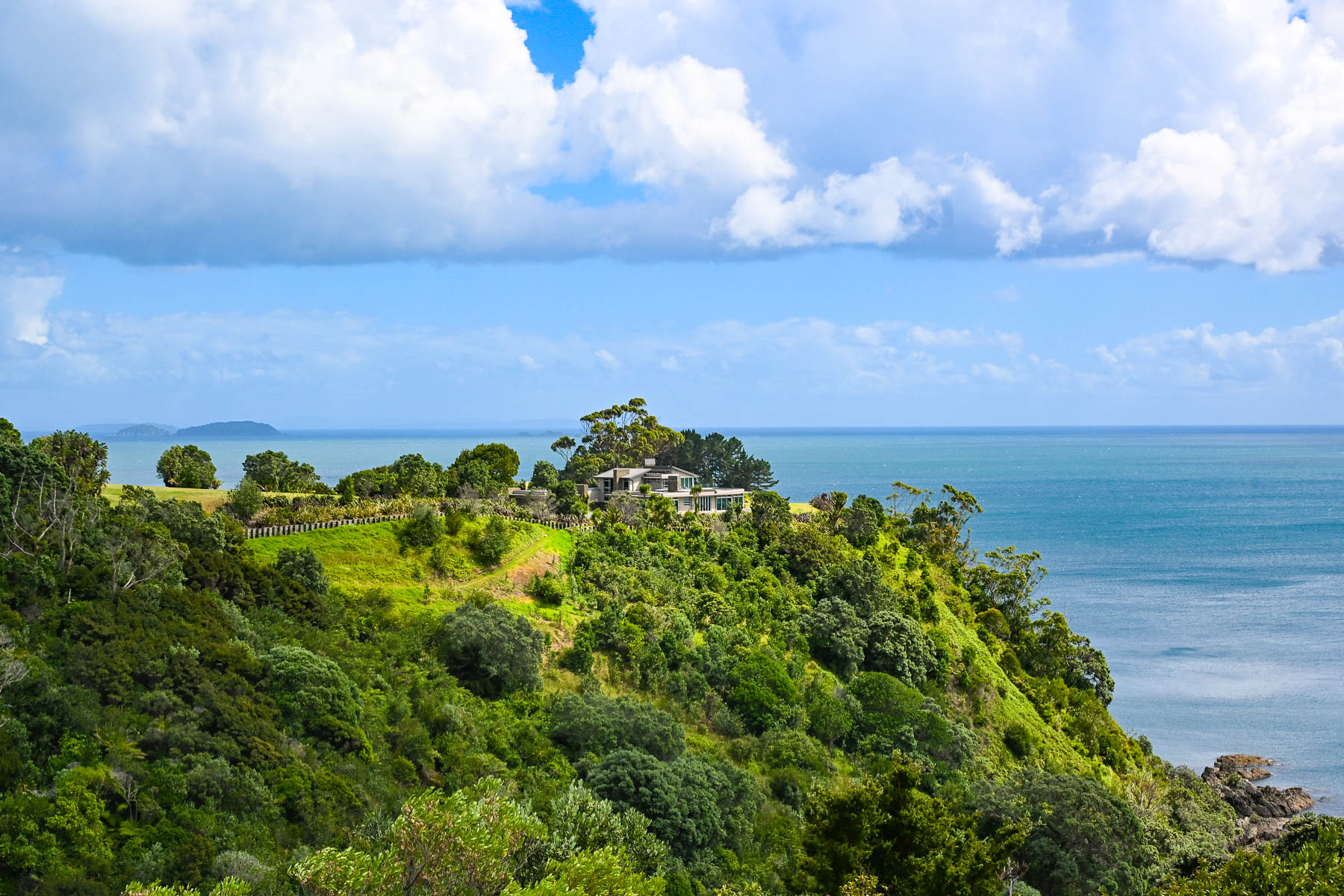
Decades ago, Waiheke Island was a counterculture haven with over 100 artists calling the island home. Gentrification soon followed but growth was limited due to the island’s lack of a public water utility infrastructure, which necessitates most of the households, restaurants, and hotels on the island to sustain themselves with roof collected rainwater funneled into large water cisterns. Some of the larger estate homes and farms on the island have chosen to drill expensive wells. During droughts folks can buy water from local tanker trucks that pump water from the island’s deep aquifer, and the local council operates emergency drinking stations where residents can fill 20-litre containers.
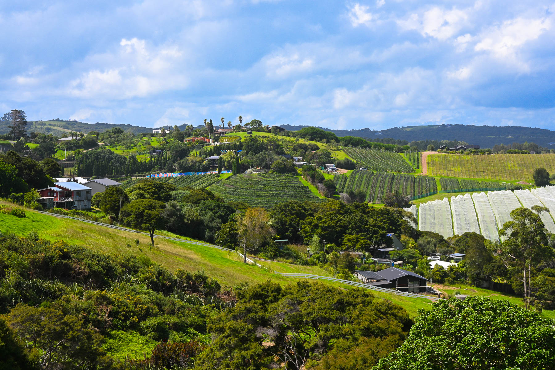
Wines from the first vineyard on the island in the early 1980’s were a success and more winemakers followed, drawn to the island’s Mediterranean microclimates and hilly volcanic landscape which affords an array of terroirs. The island is perfect for growing the red grapes for Syrah, Merlot, Cabernet Sauvignon, and Malbec. Along with plantings of the white grapes for Chardonnay, Pinot Gris, Viognier & Sauvignon Blanc.
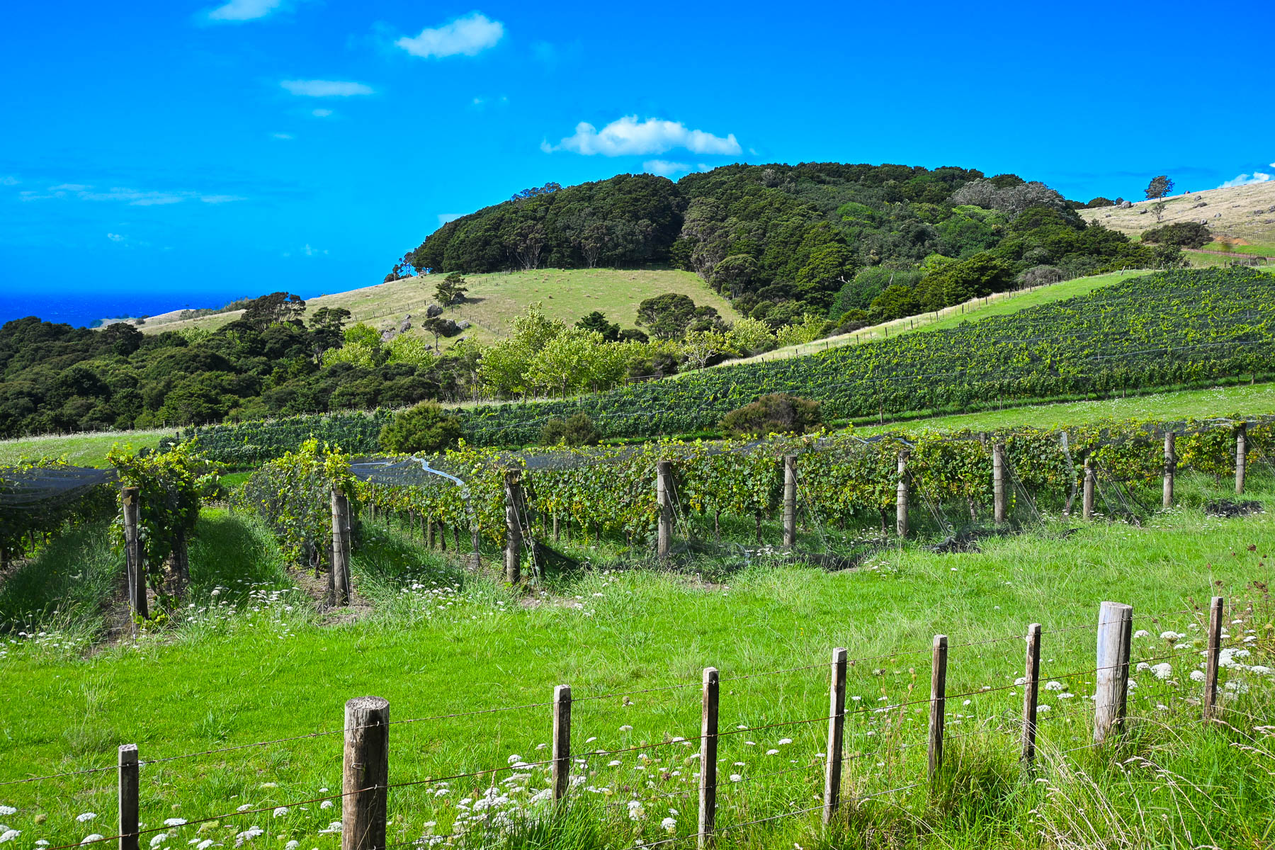
Today there are over thirty boutique wineries of various sizes with slightly more than 250 hectares (618 acres) of vineyards across the island. Over the years many of the vineyards have produced award winning vintages which have put Waiheke Island on the map as a destination for wine connoisseurs, much like Sonoma Valley in California or the Bordeaux region in France. And on the island, there is small infrastructure in place to support the popular tours of the vineyards for folks visiting the island from the Auckland mainland just for the day that starts and ends at the Matiatia Wharf ferry terminal. For a formal tour with a guide try the Waiheke Island Wine Tour or for a self-directed tour try Western Explorer: Waiheke Island Hop-on Hop-off Bus Tour. The Waiheke Bus Company also offers a local service with five routes that starts from the ferry landing and covers the most populated western side of the island, passing some of the wineries along the way. The Waiheke Wine Growers Association also has a nice interactive map that shows the location of all the wineries across the island.
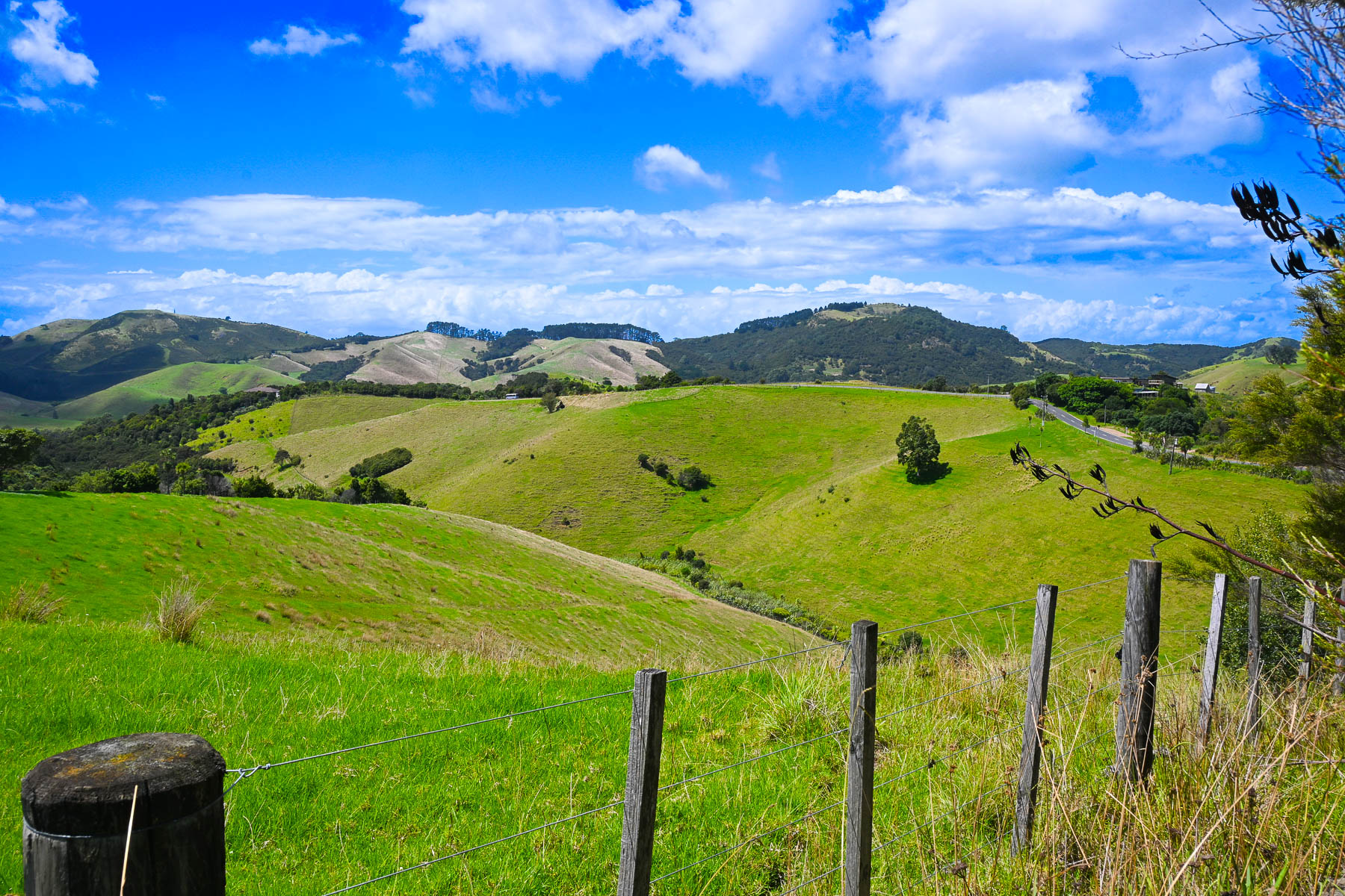
There are not really any centrally developed shopping areas on the island, aside from the short strip of stores along the road in Oneroa, where multiple restaurants, a small grocer and a liquor store can be found. While the only supermarket is a Woolworths in Ostend, centrally located village on the island. Instead, small cafes and art galleries can be found unexpectedly at random crossroads anywhere across the island.
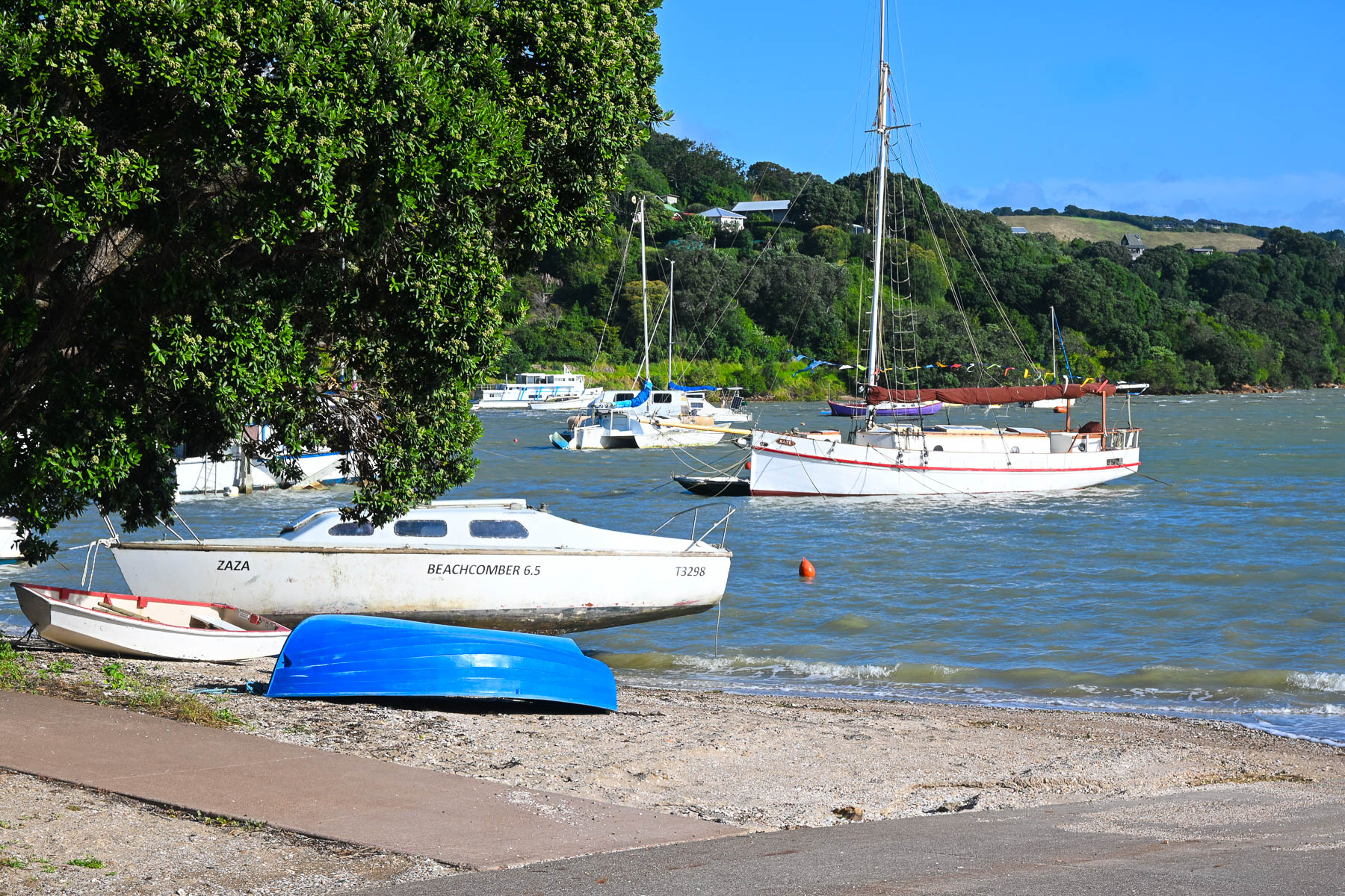
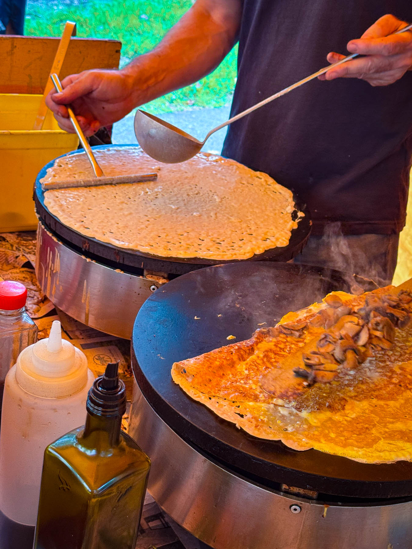
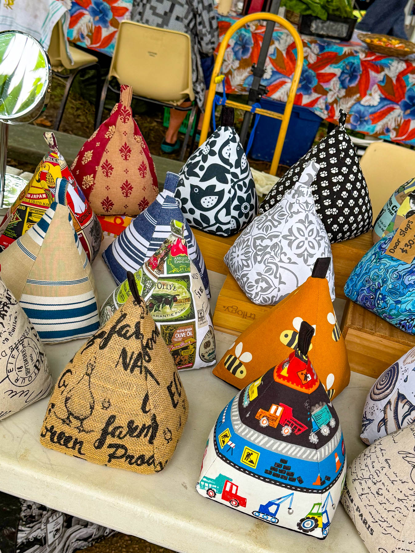
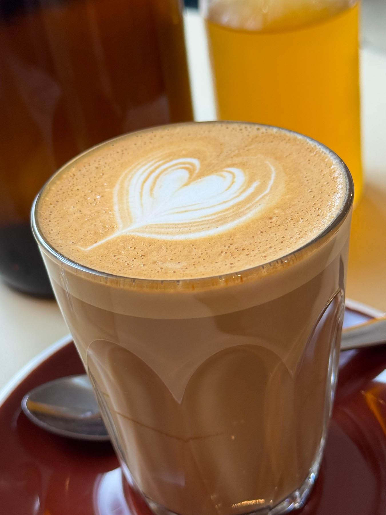
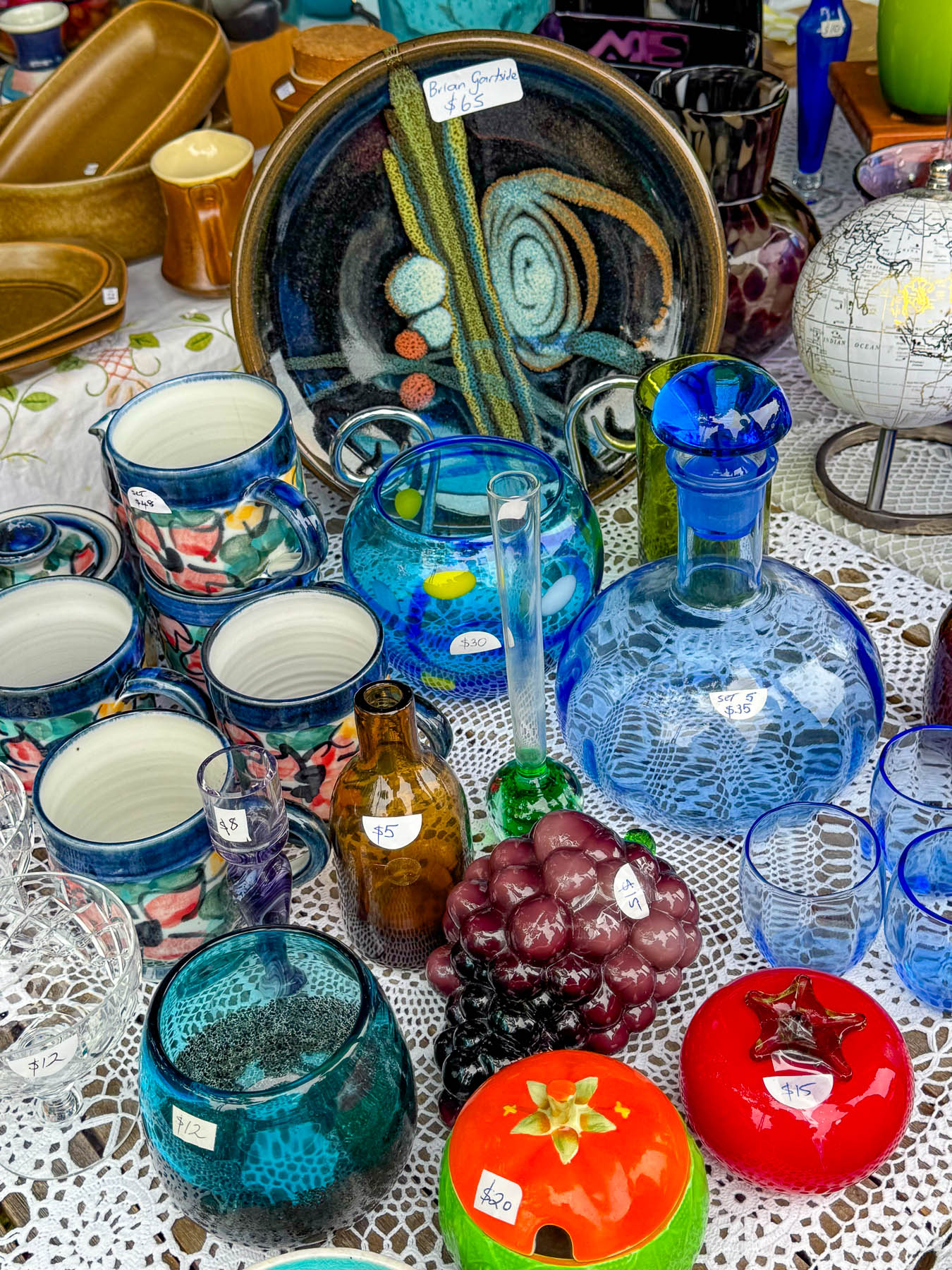
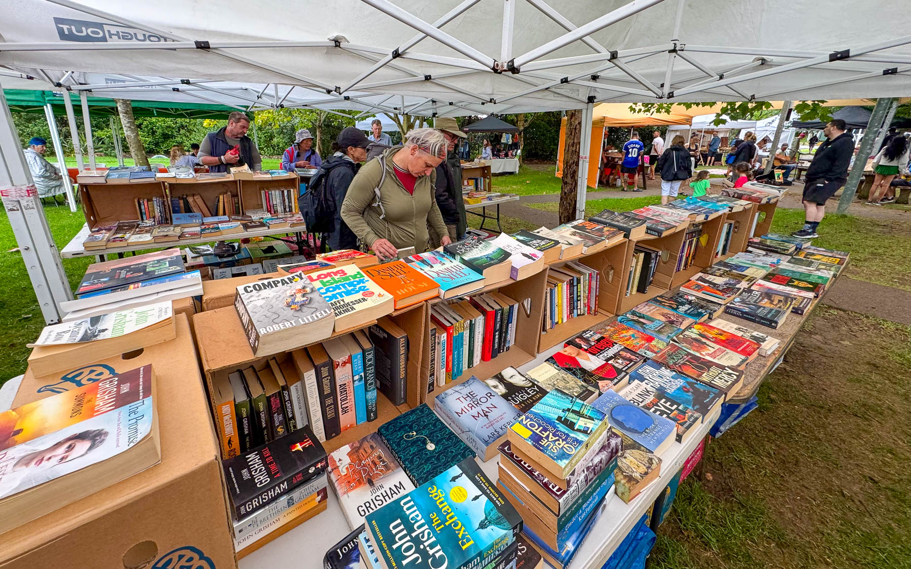
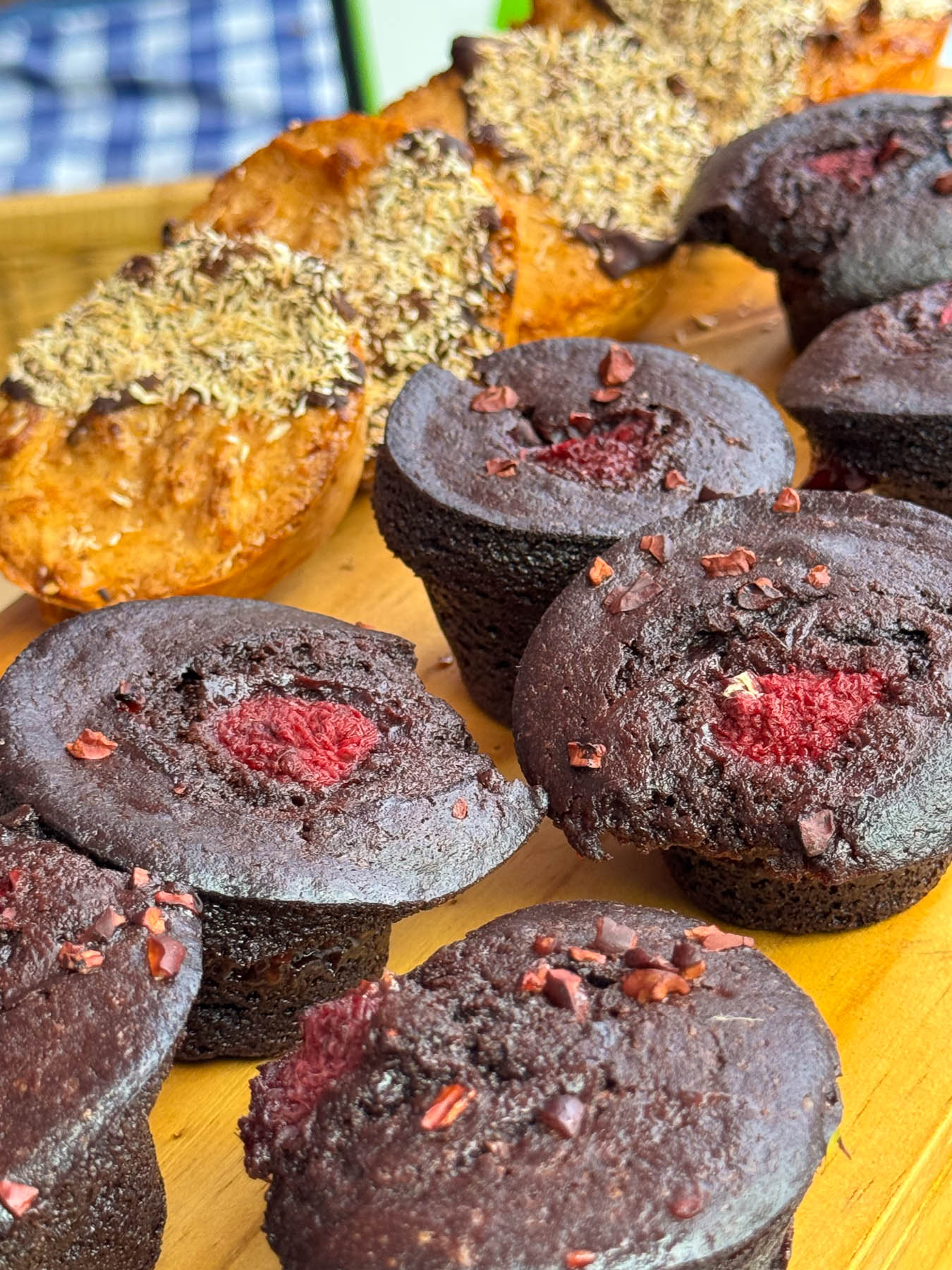
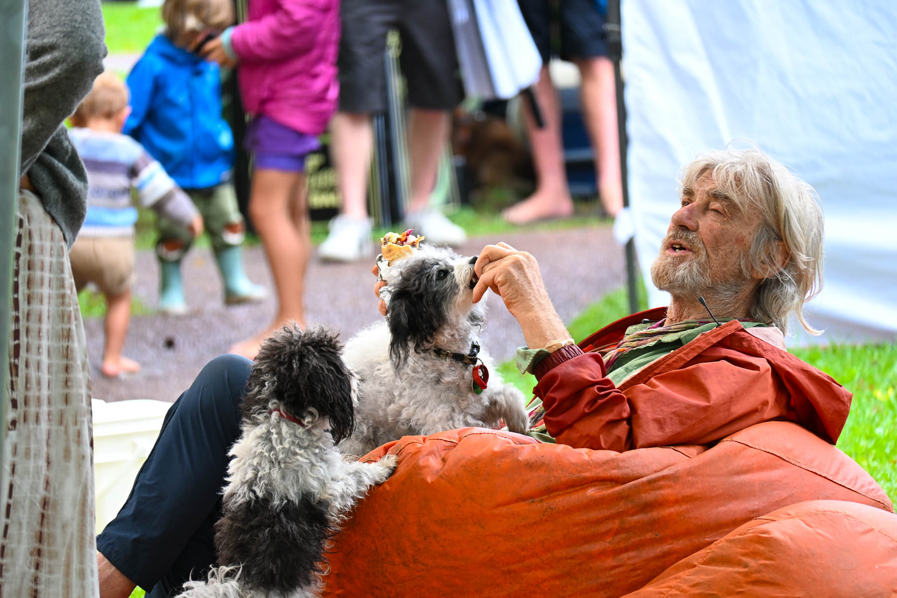
The next morning, we crossed the causeway over Putaki Bay and stopped to photograph some boats which were beached along the shoreline for repairs as we headed to the Waiheke Ostend Market. It’s the island’s year-round Saturday only farmers market, that is open from 8AM-1PM. Part social club and marketplace it is a spot where folks catch up with friends and island news while relaxing on bean bag cushions as they listen to a local band. It was not a particularly large event, but there were several stalls for coffee, breads, pastries and crepes, along with vendors selling books, ceramics, clothing, jewelry, and antiques. A downpour sent us into Take a Bite, Café & Pastries across the street for another cup of coffee as we waited out the rain. Everything in their display case looked delicious.
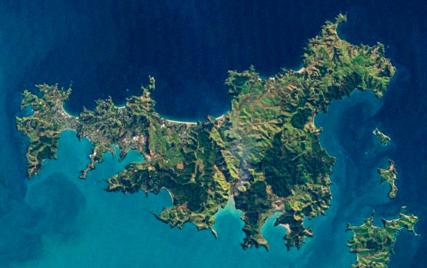
Afterwards we set out to explore some of the island’s northern beaches. The island is only 19.3 km (12.0 mi) long and varies in width from a narrow .64km (.4mi) at Oneroa near the western end the island to 9.65 km (6 mi) wide on eastern side of the island or “The Far End,” as islanders like to call it. An aerial view of the island reveals a squiggly 134 km (83 mi) coastline with multiple coves and 25 miles of sandy beaches.
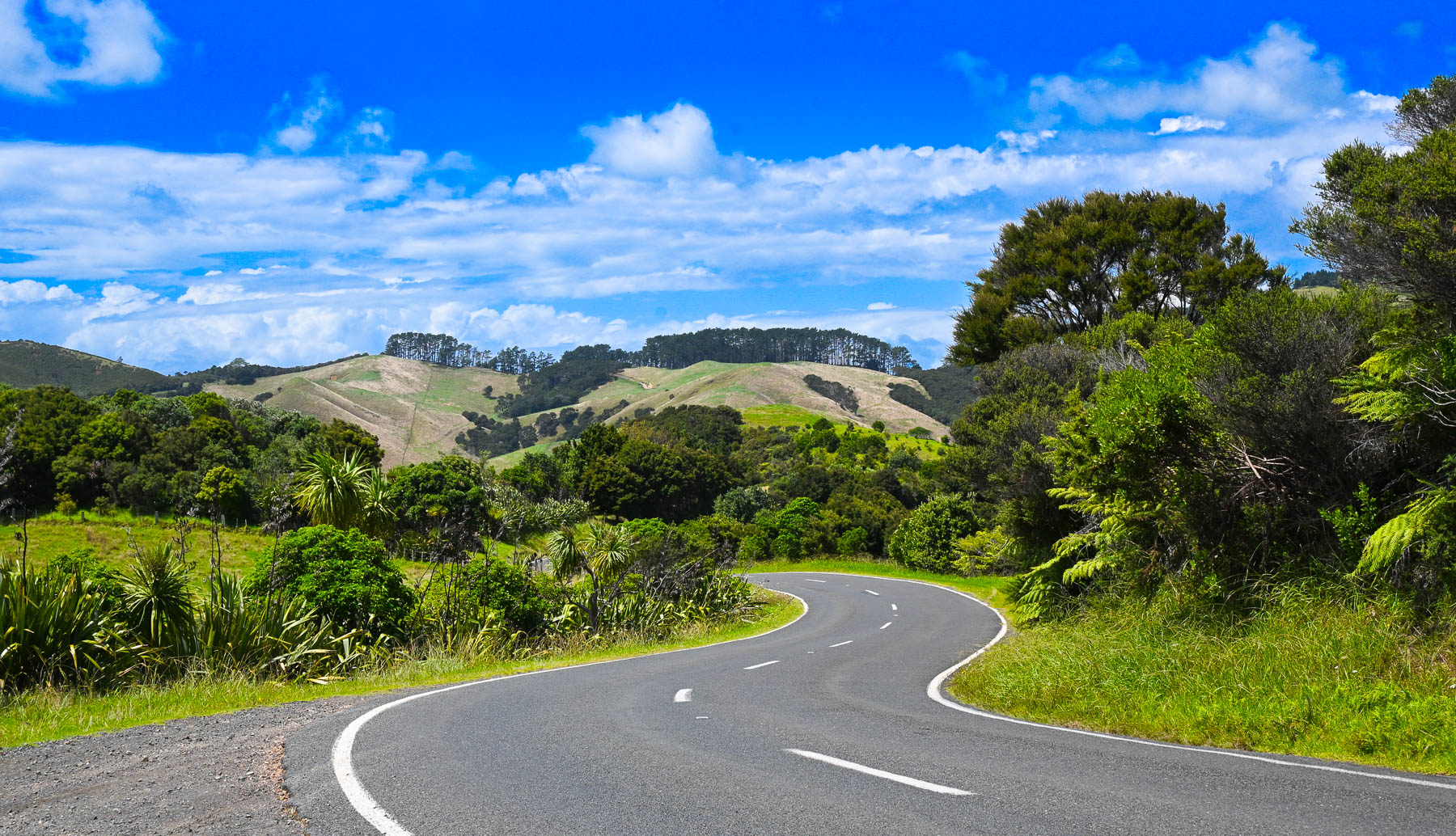
Though it’s a slight exaggeration, there’s not a straight road anywhere on the hilly island, so it took a while to get between points on the serpentine roads. Sudden rain squalls occasionally interrupted our wandering, on an otherwise mostly sunny day. The views of the countryside were beautiful, but often the roads were too narrow to stop safely to take photographs. Wild fig trees full with ripe figs grew along the roadsides.
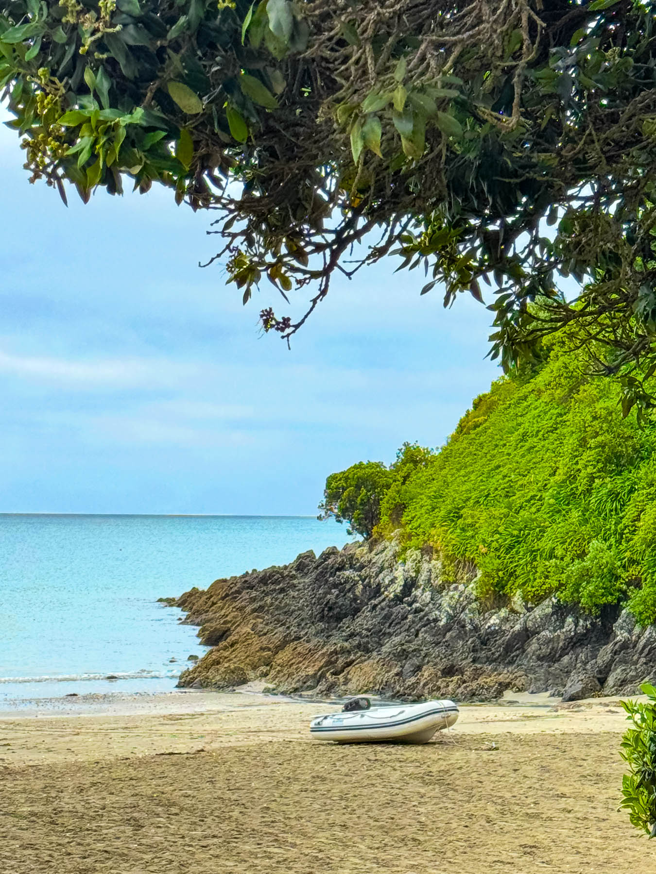
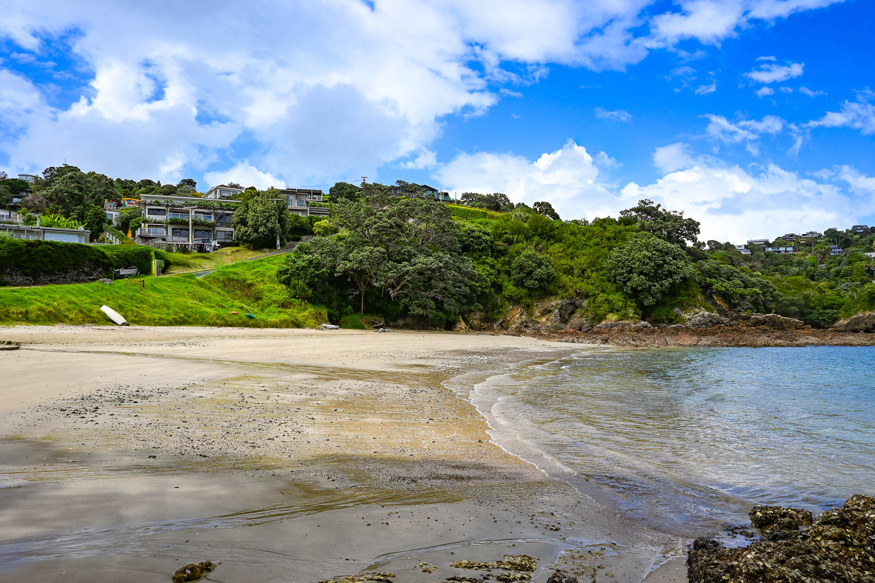
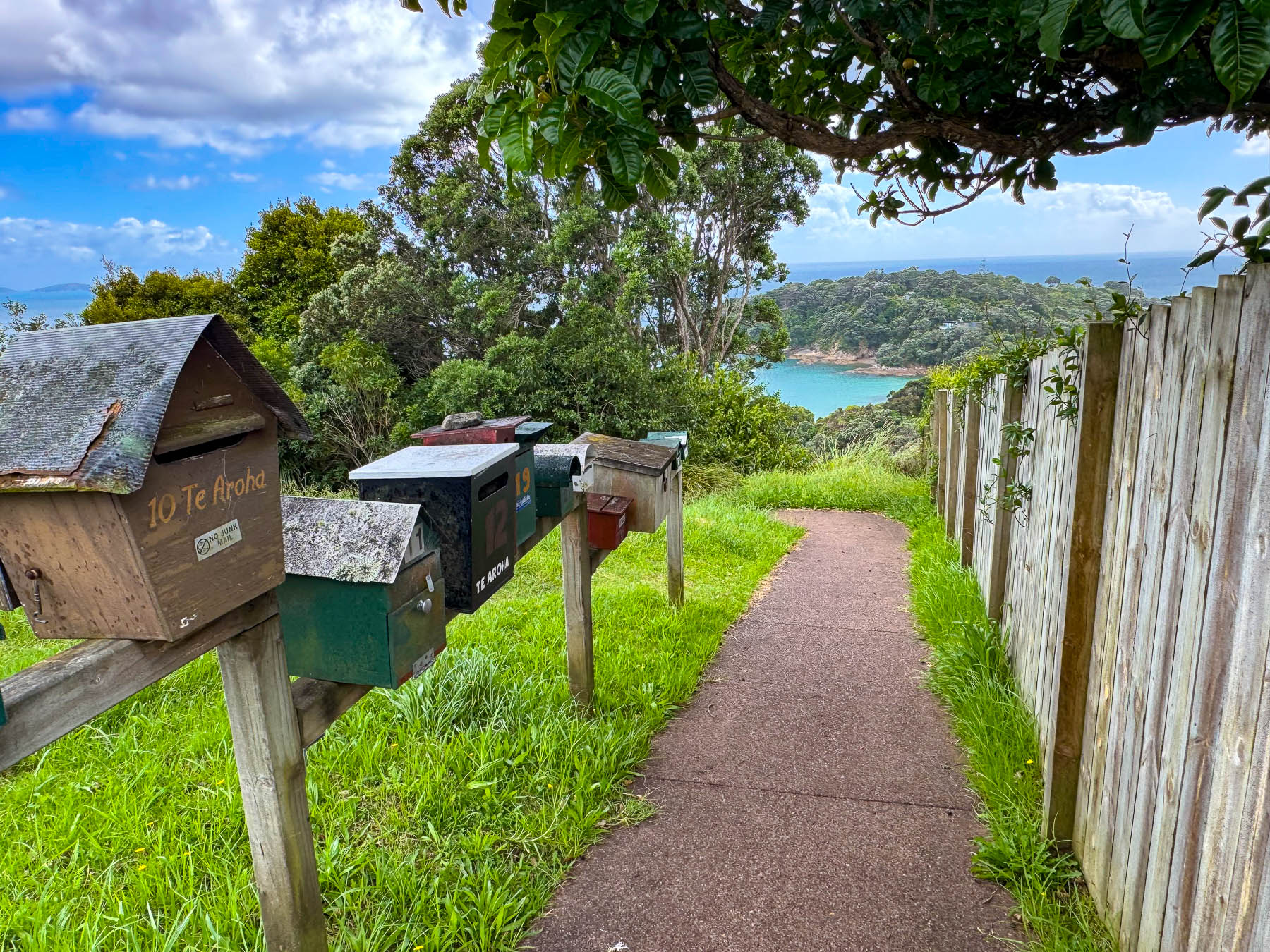
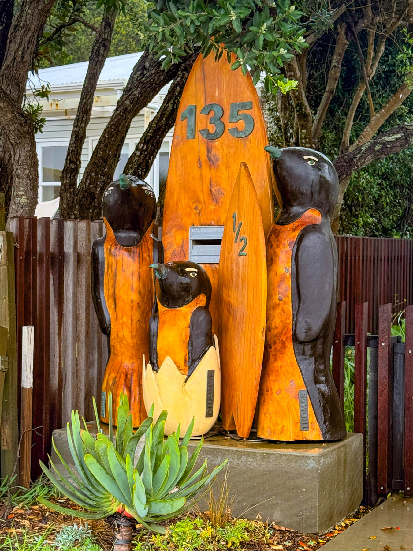
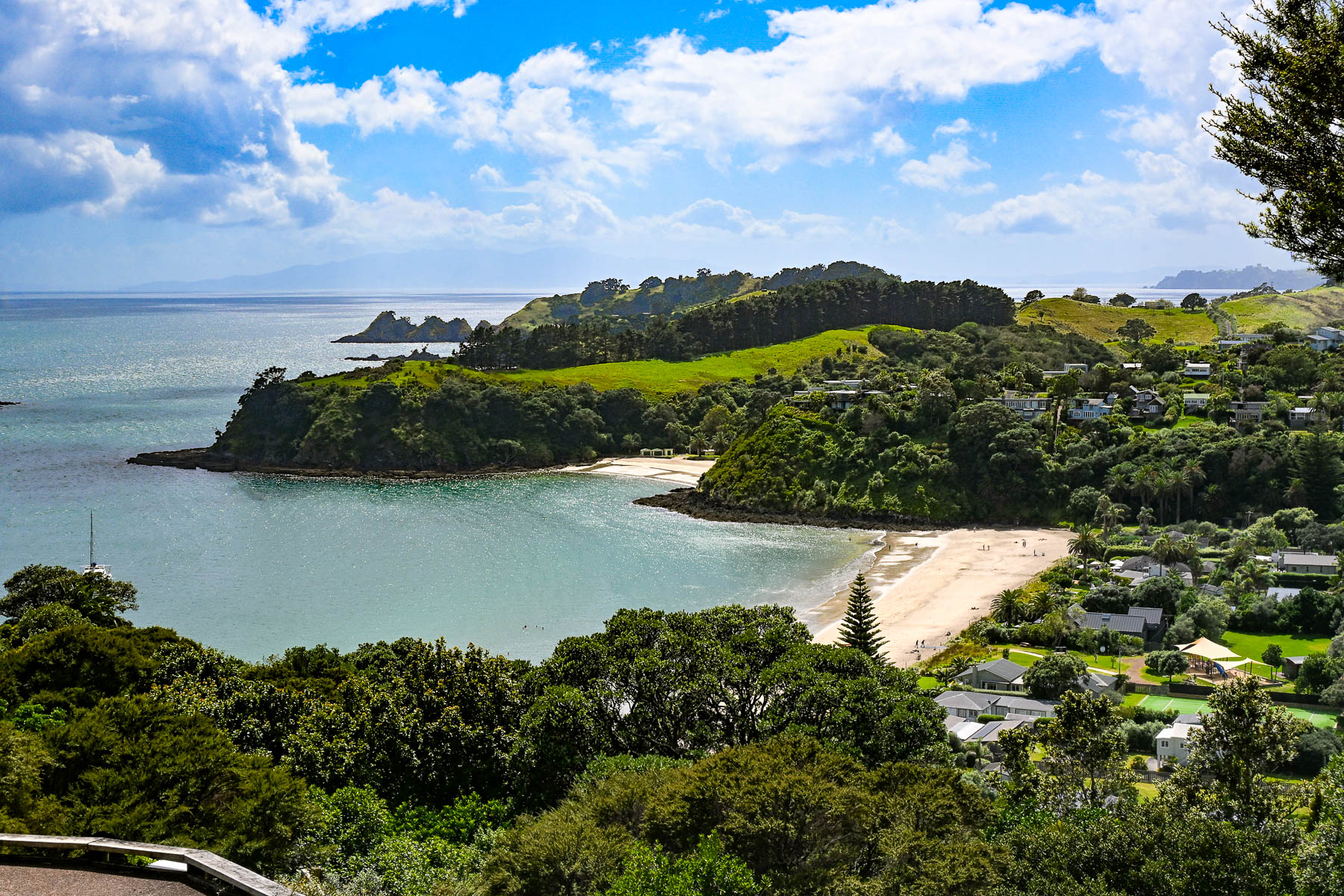
Our first destination was Sandy Bay Beach, a small swatch of sand surrounded by volcanic rocks, a with boat ramp. Continuing along the Great Barrier Road, we stopped at the top of a steep driveway that afforded a good view of Palm Beach and the north coast receding in the distance. Reaching the beach, we watched two sailors launch their dinghy from the shore and row across the calm water to their anchored yacht. A block back from the beach was the restaurant Arcadia, where we enjoyed a very nice mid-afternoon lunch.
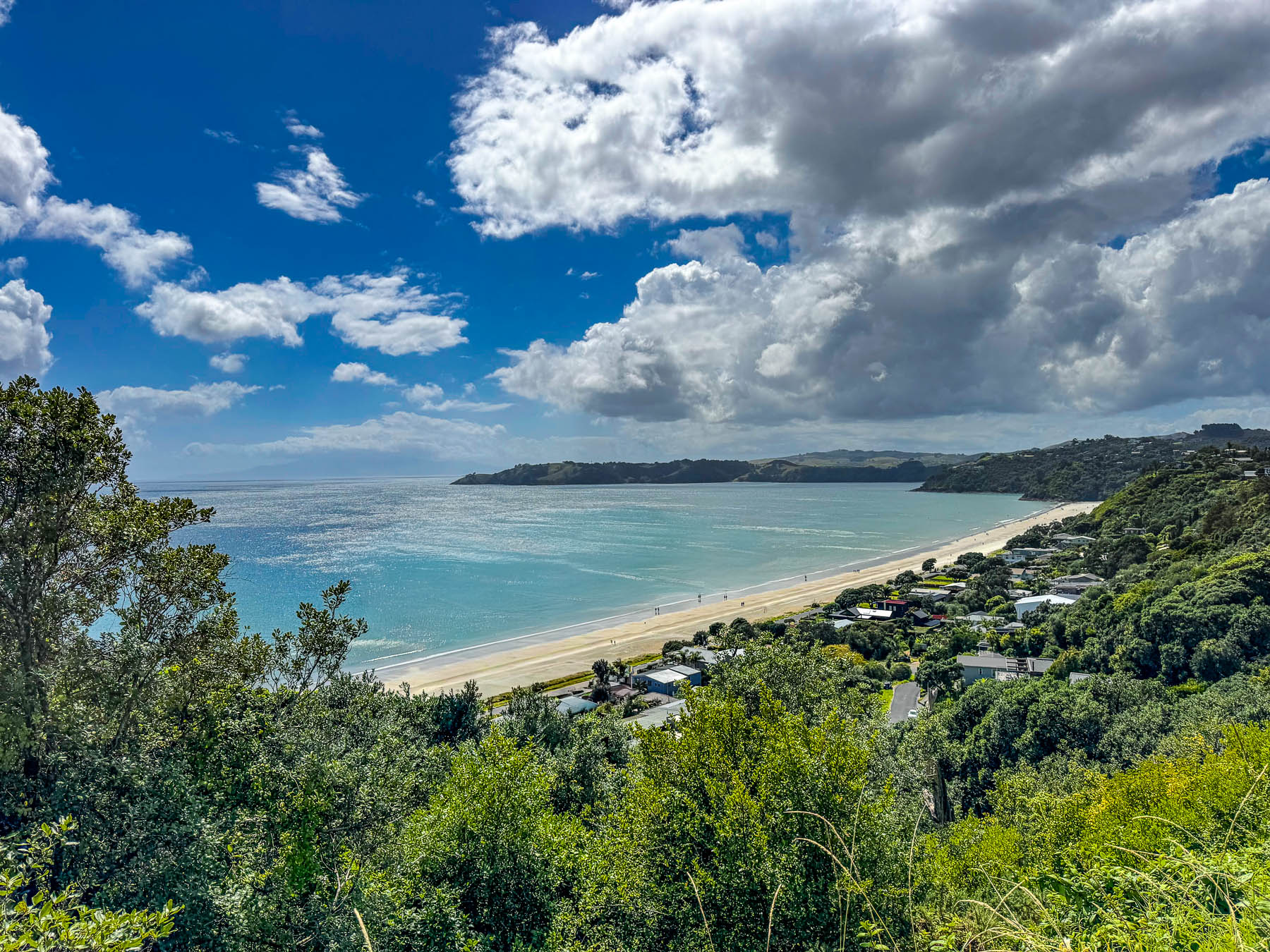
By the time we reached Onetangi Beach later that afternoon the weather had committed itself to be brilliantly sunny. Stretching for about 2 km (1.25 mi) along the coast it’s the island’s longest and widest beach, with shell free sand that is perfect for the annual sandcastle building contest. It’s also a popular beach to arrange a guided horseback ride with the local stable Waiheke Waiheke HorseWorx.
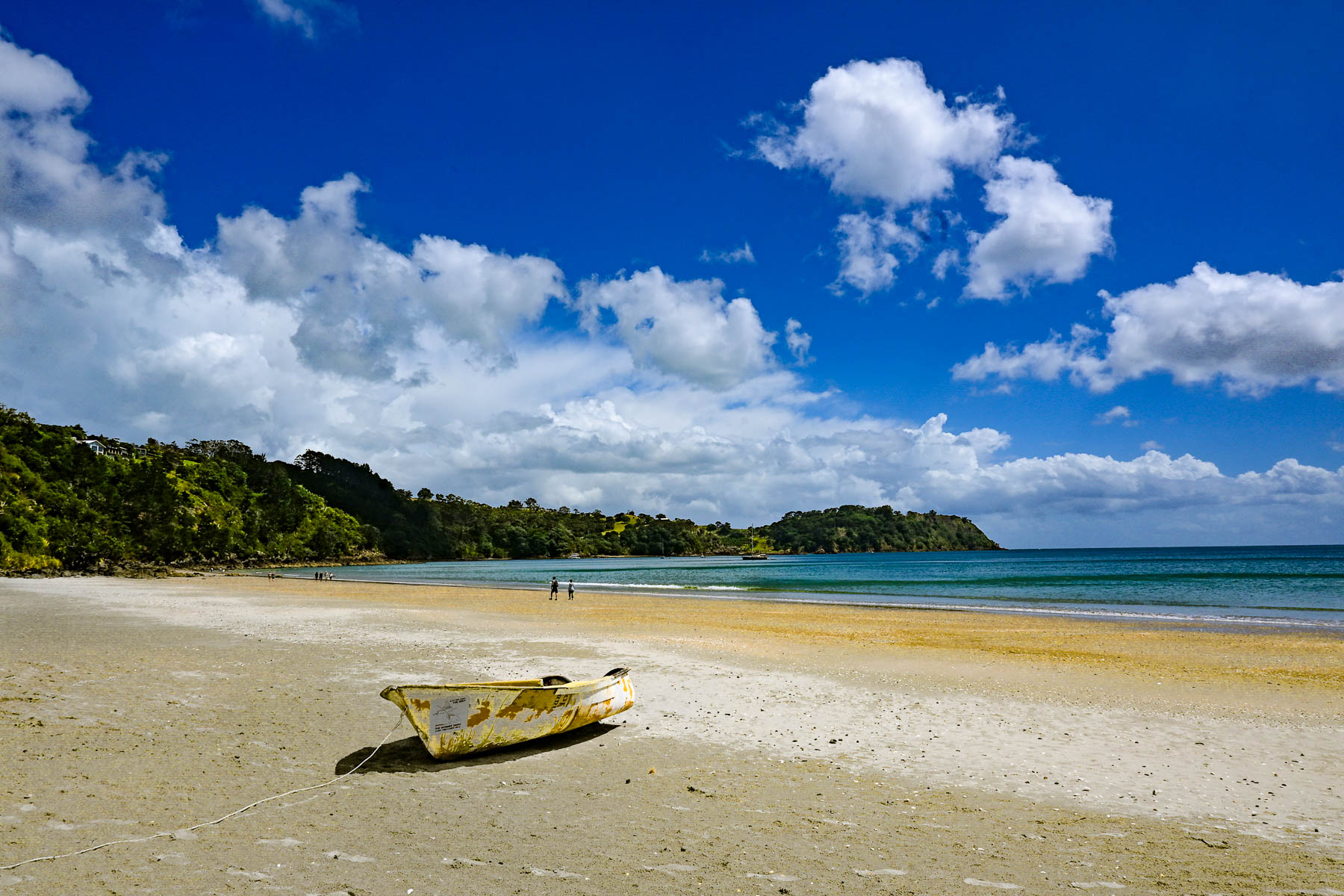
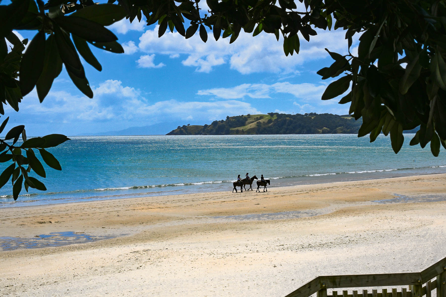
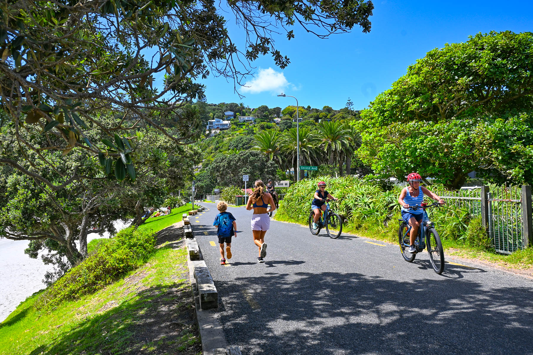
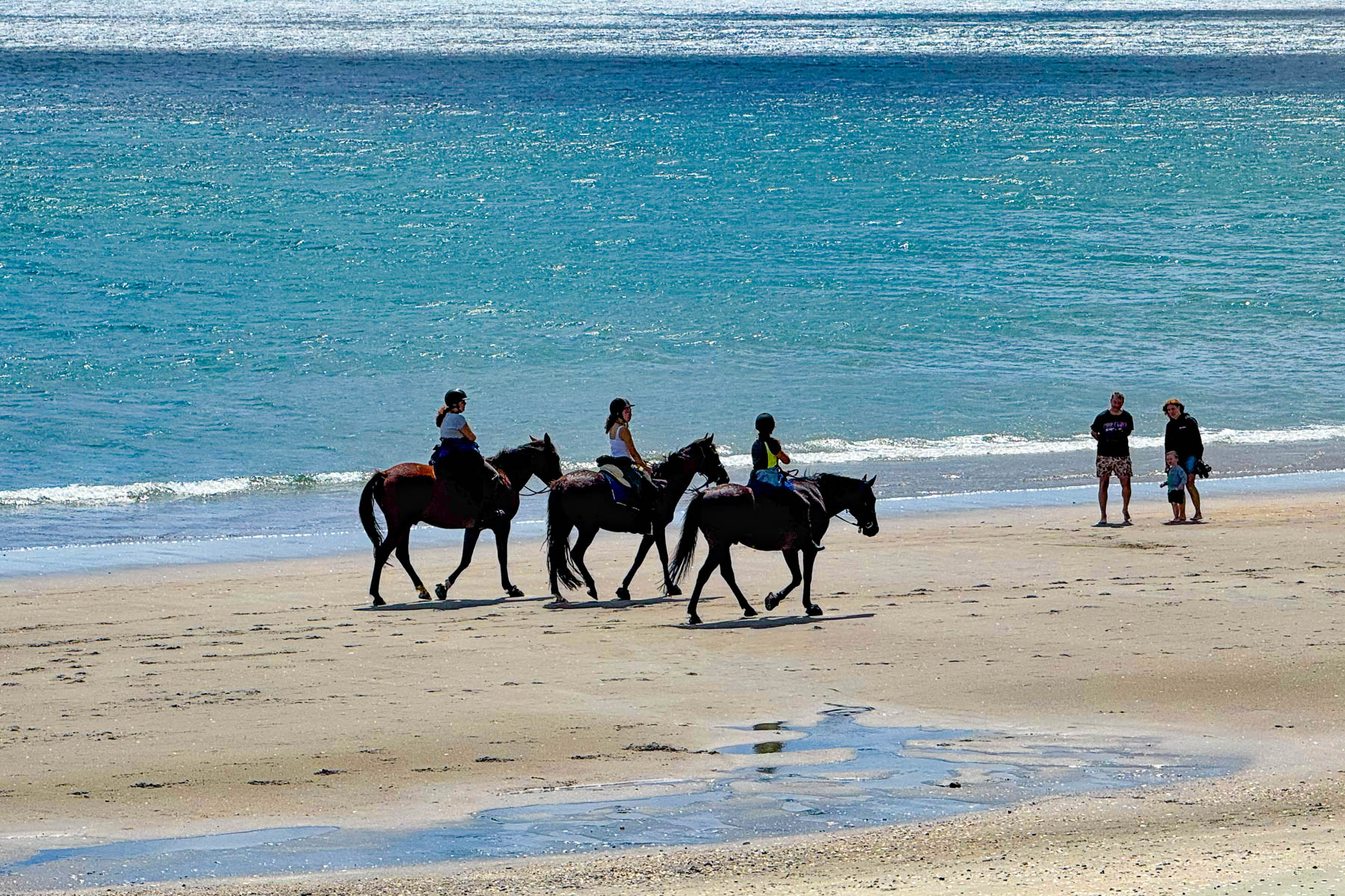
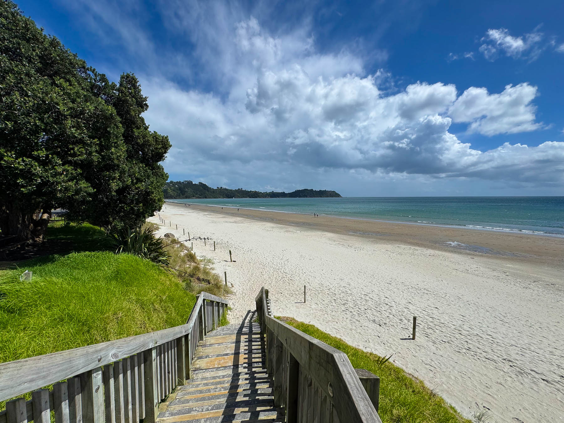
A narrow road with limited parking paralleled the shady shoreline. Across the road from the water were several restaurants with outdoor terraces that were very busy with customers. On a hill high above the beach is the restaurant Casita Miro; it’s a festive place with great tapas style cuisine and nice panoramic views, that was highly recommended. Alas, it was a missed opportunity, which we unfortunately didn’t get a chance to dine at.
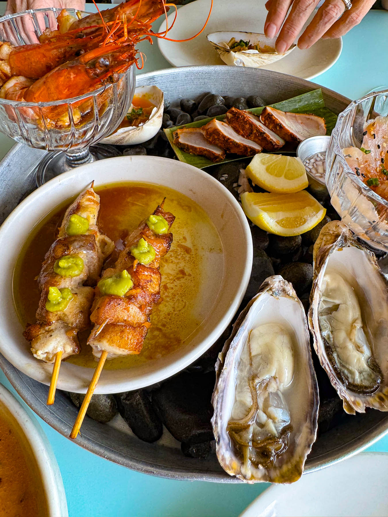
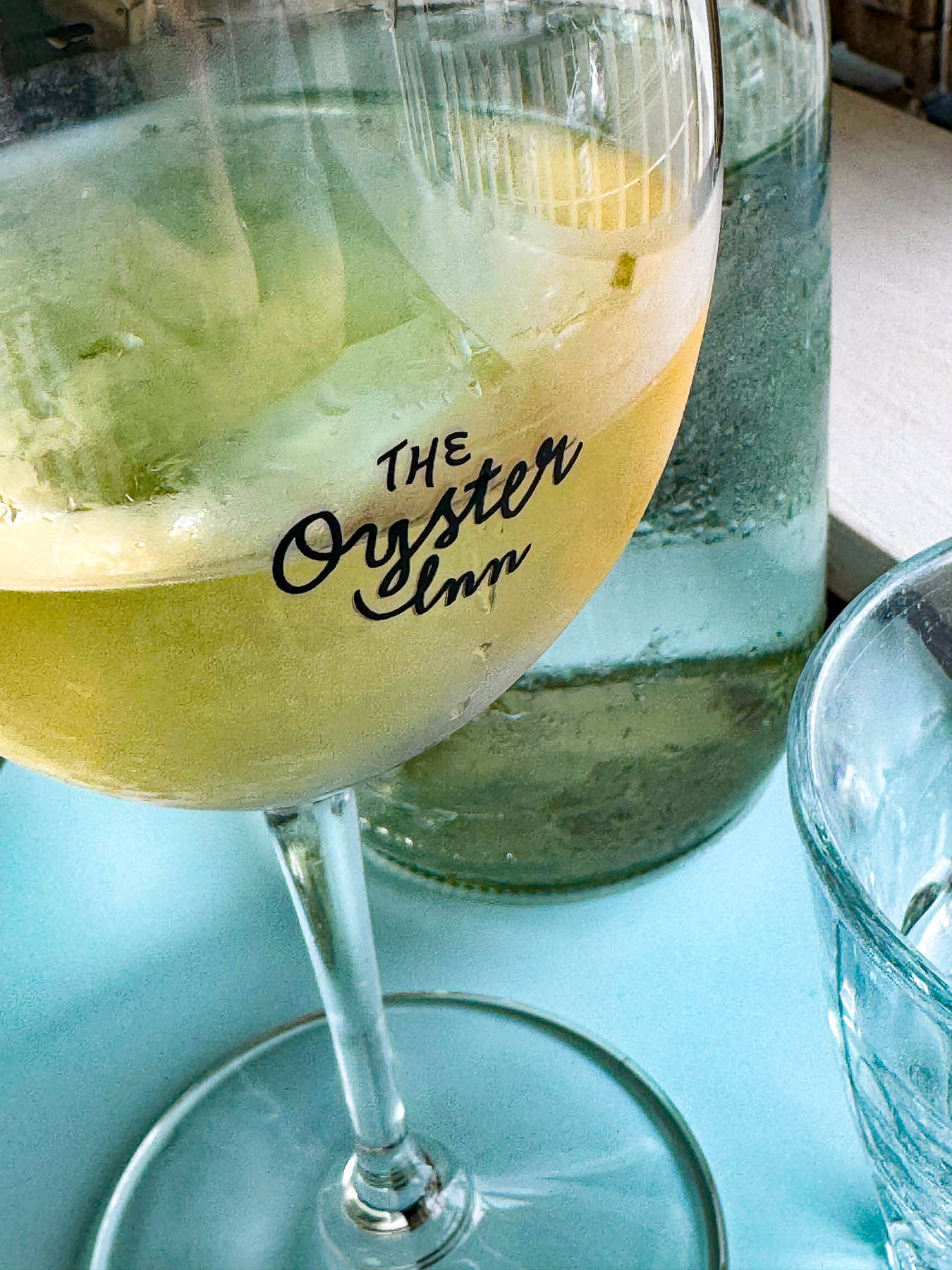
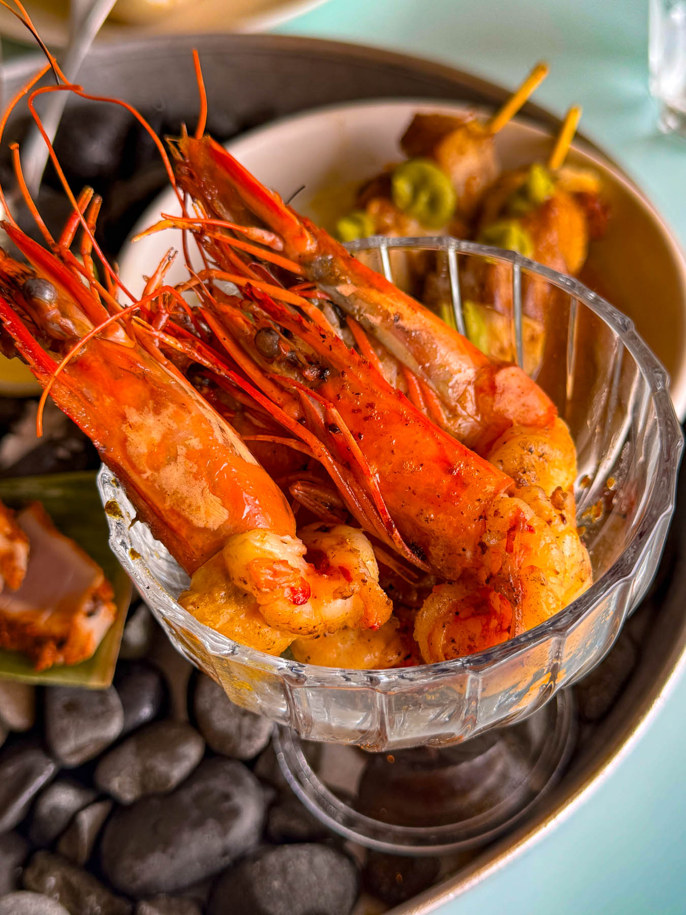
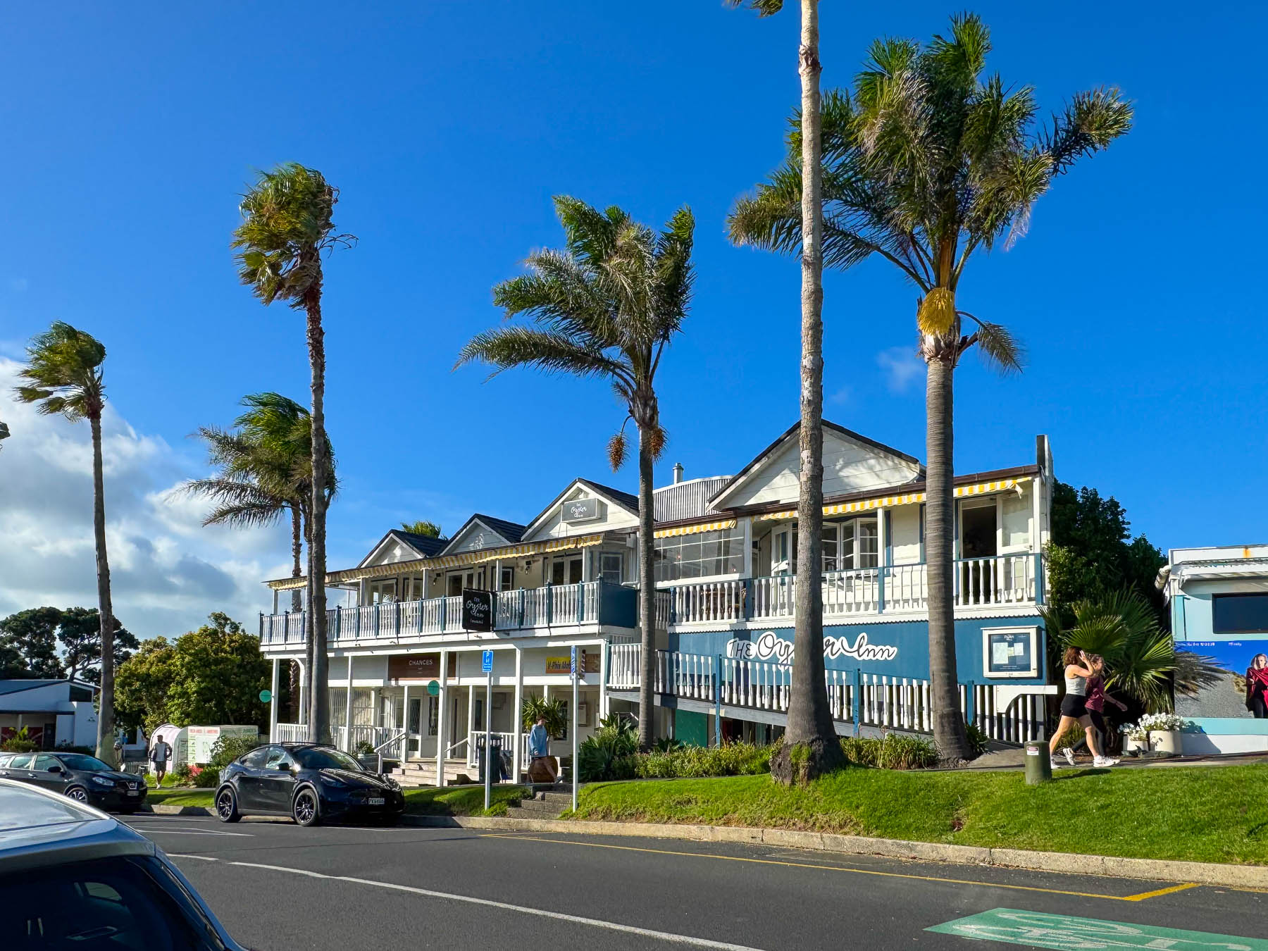
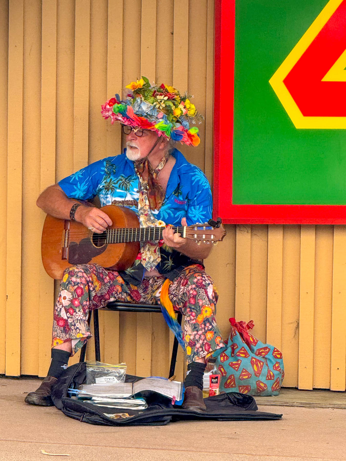
Later, back in Oneroa we celebrated Valentine’s Day with a seafood platter and local white wine on the veranda at The Oyster Inn, which is co-owned by the New Zealand celebrity chef Josh Emett and his wife. Emett notably trained with Gordon Ramsay and was a judge on Master Chef New Zealand. As the restaurant’s name suggests, local Te Matuku oysters raised in the pristine waters of the Te Matuku Marine Reserve at the southeast corner of Waiheke Island in the Hauraki Gulf are a prime feature on the menu. While we dined, we could hear the guitar of a valiant busker performing across the road, keeping his old hippie days alive.
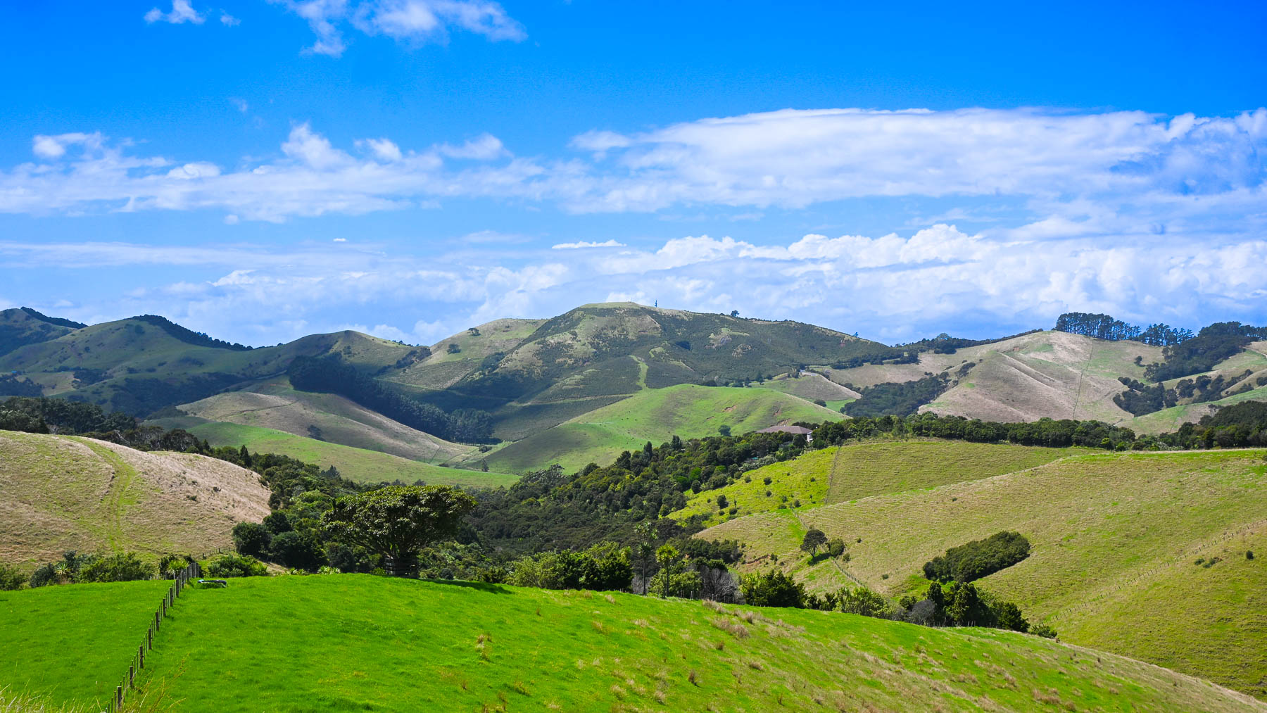
The next morning, after another one of Diane’s fabulous breakfasts we headed out to explore the eastern part of the island, with two wineries – the Jasper Ridge Estate and Man O’ War Vineyards. The later was a recommendation by a friend of ours from the states who had recently returned to the South Island to care for her aging mother, and enjoys vacationing on Waiheke.
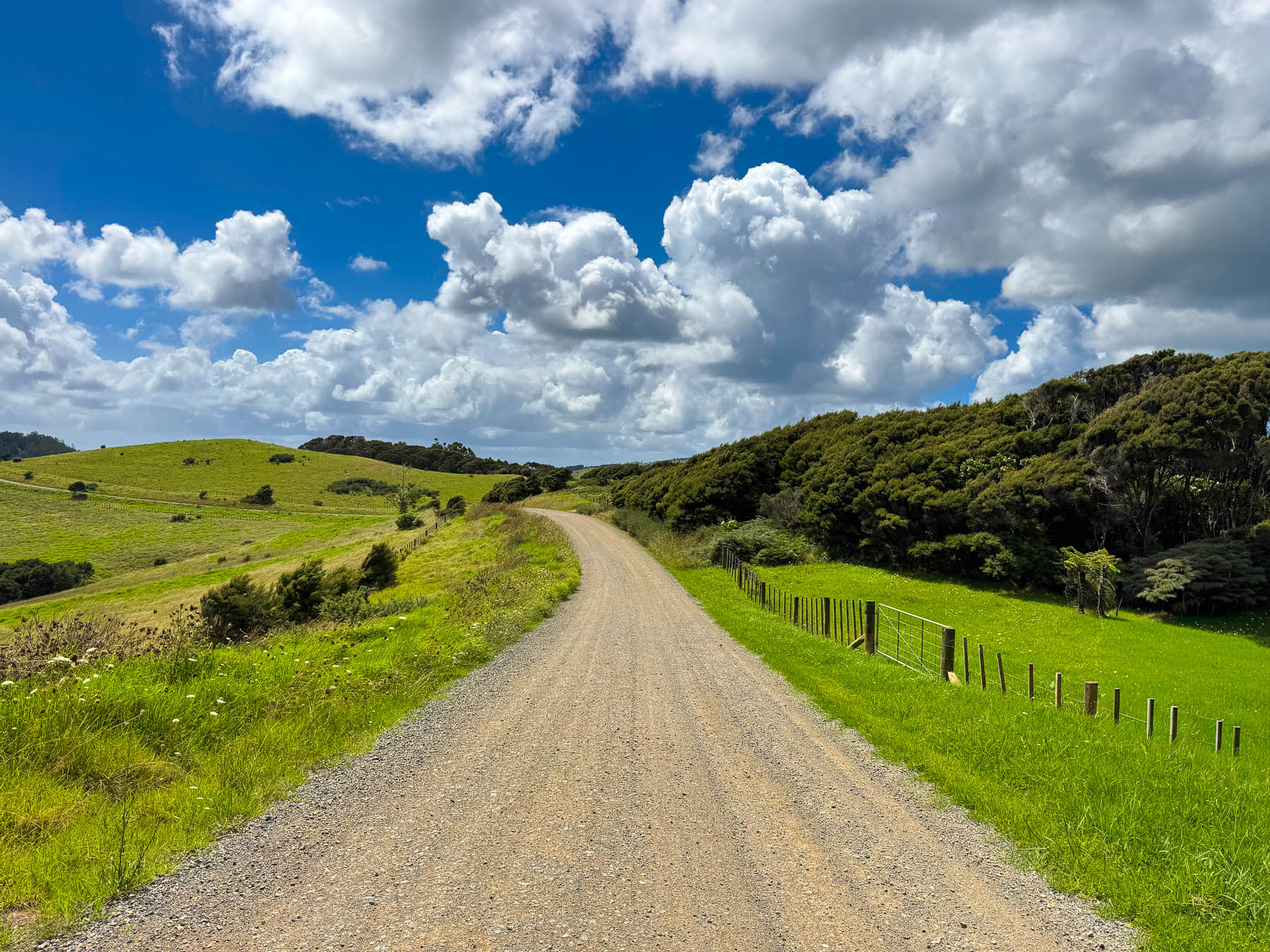
It was a gorgeous ride through rolling grasslands dotted with sheep, stream crossings over narrow one lane bridges, tunnels of tall mamaku fern trees, and our first kiwi crossing caution sign, warning of the nocturnal flightless birds that were reintroduced to the island in 2025. We never spotted one. Turning off Orapiu Road onto Cowes Bay Road we were suddenly on a gravel tract.
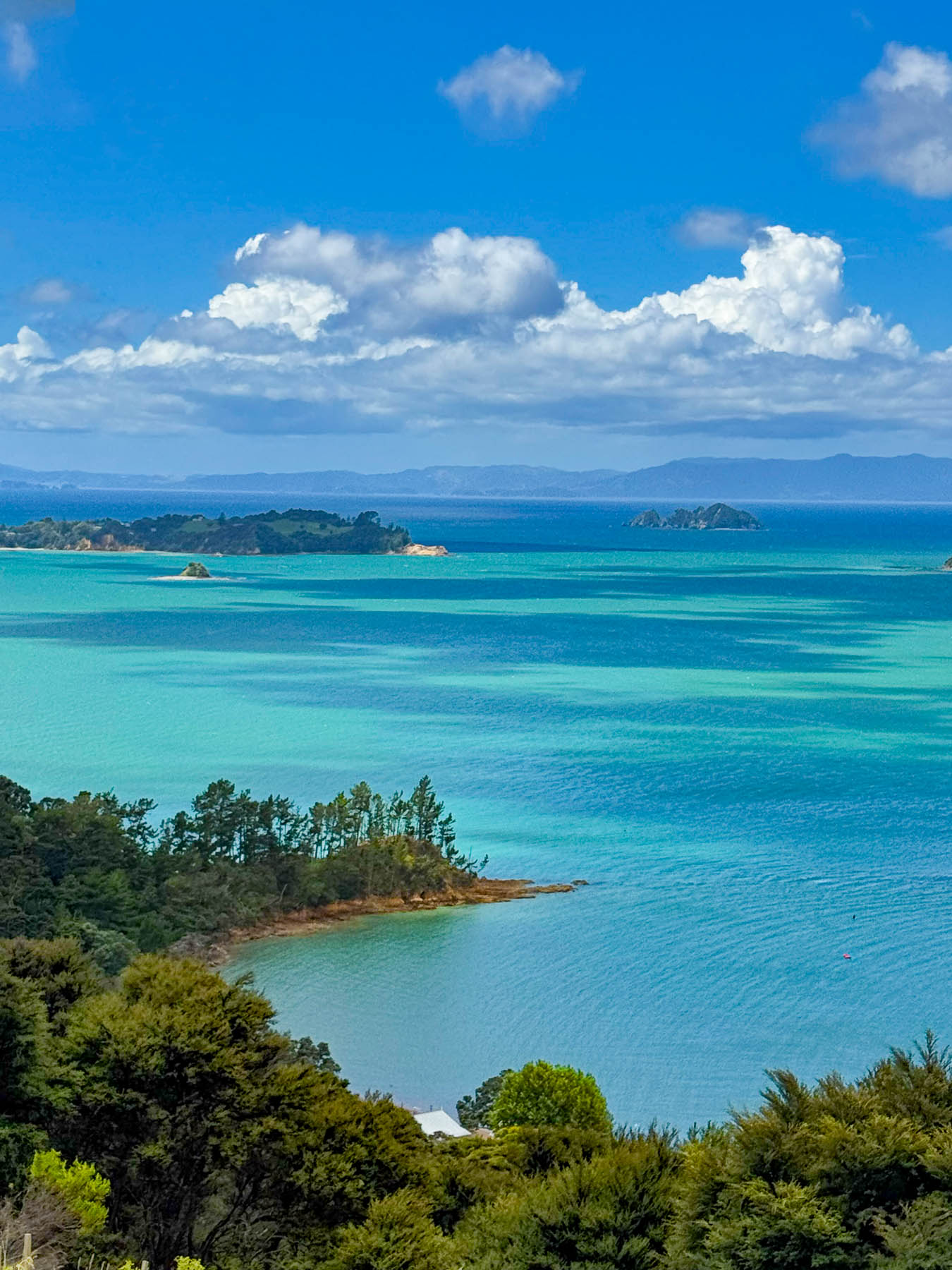
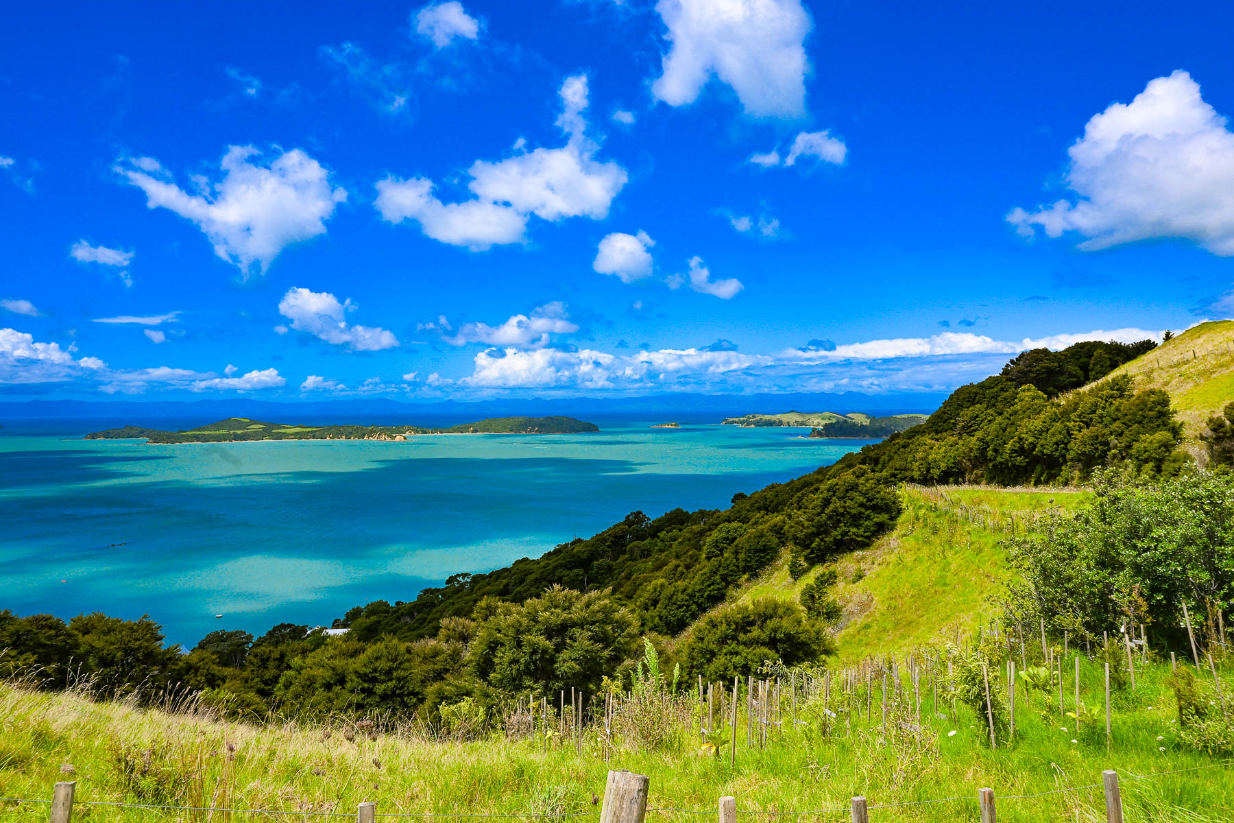
The island has a total road network of approximately 100, mostly paved miles, however a high percentage of them are compacted gravel, especially on the way to the Stony Batter Historic Reserve on the rugged north-eastern tip of the island. As the road rose the view transformed into a majestic panorama of land, sky and sea. To the east the Coromandel Peninsula, 55 km (34 mi) away, was a barely visible stroke of grey on the horizon.
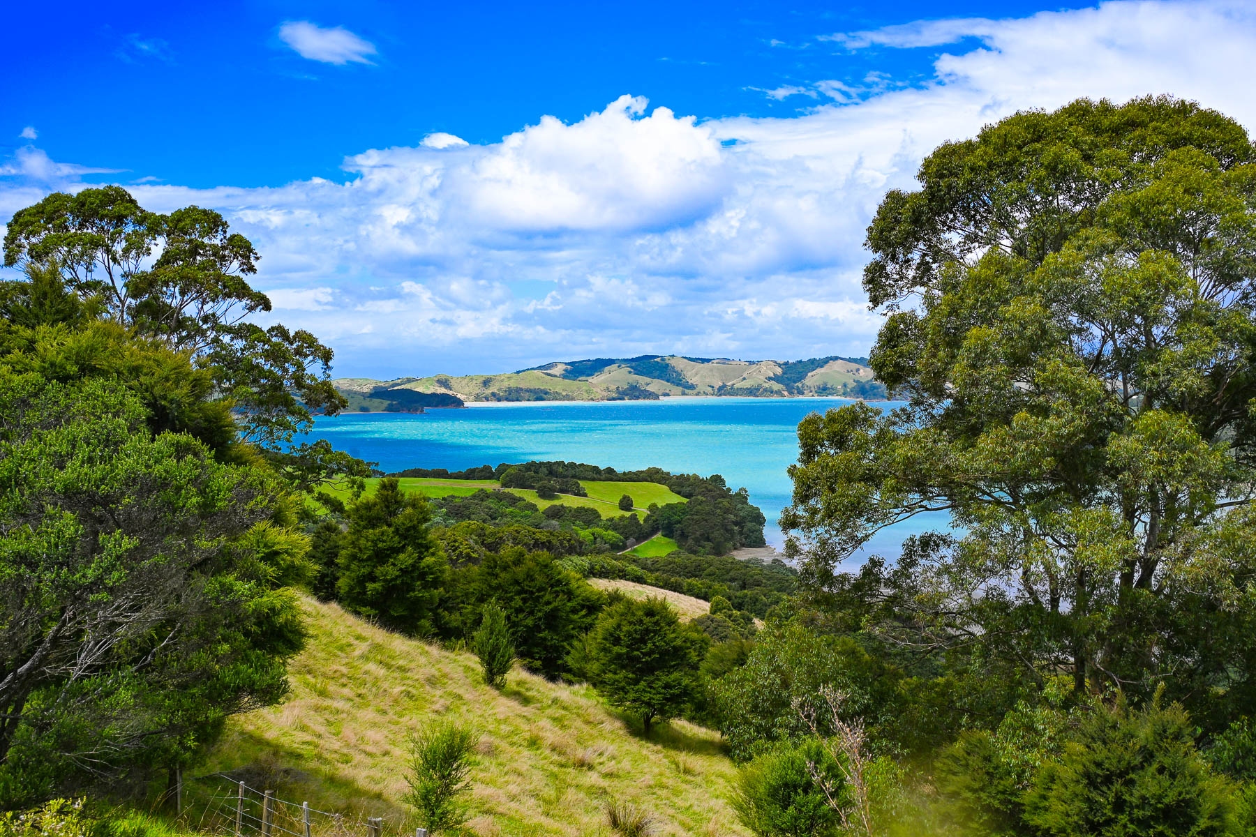
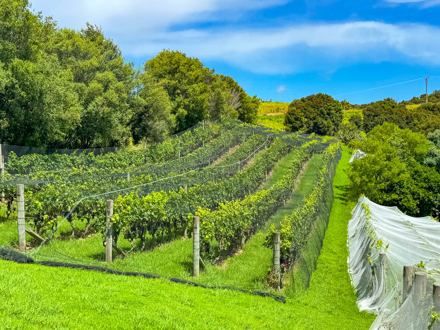
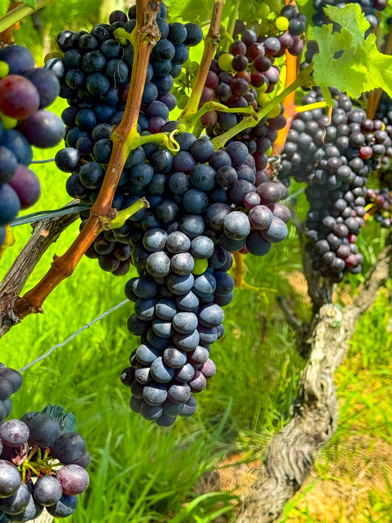
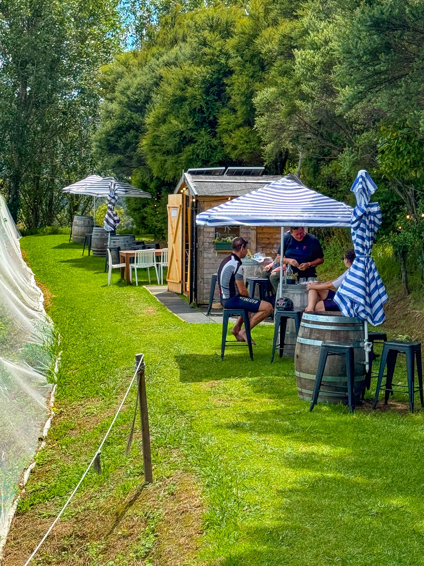
At the entrance to the Jasper Ridge Winery the views of the seascape were extraordinary. Owned and operated by David Bishop and Derek Ireland, Jasper Ridge is one of Waiheke’s smallest wineries, with 4000 Syrah vines planted on one hectare (2.5 acres), where they craft very small, limited-edition wines. But they have earned a lot of prestige, having won awards with their first vintage in 2023 for their Single Vineyard Syrah, and 2025 for their Rosé and Pinot Gris. A rain shower forced us to take shelter briefly under the umbrellaed picnic tables overlooking the rows of grapevines covered with netting to keep the birds away from the grapes almost ready to be picked later that week.
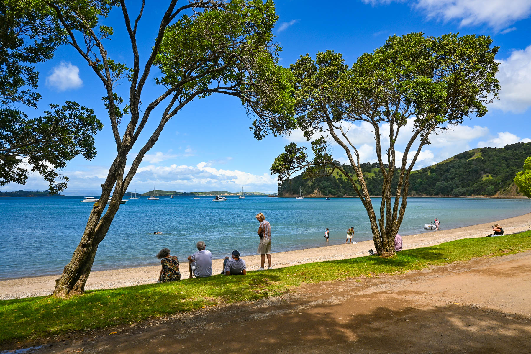
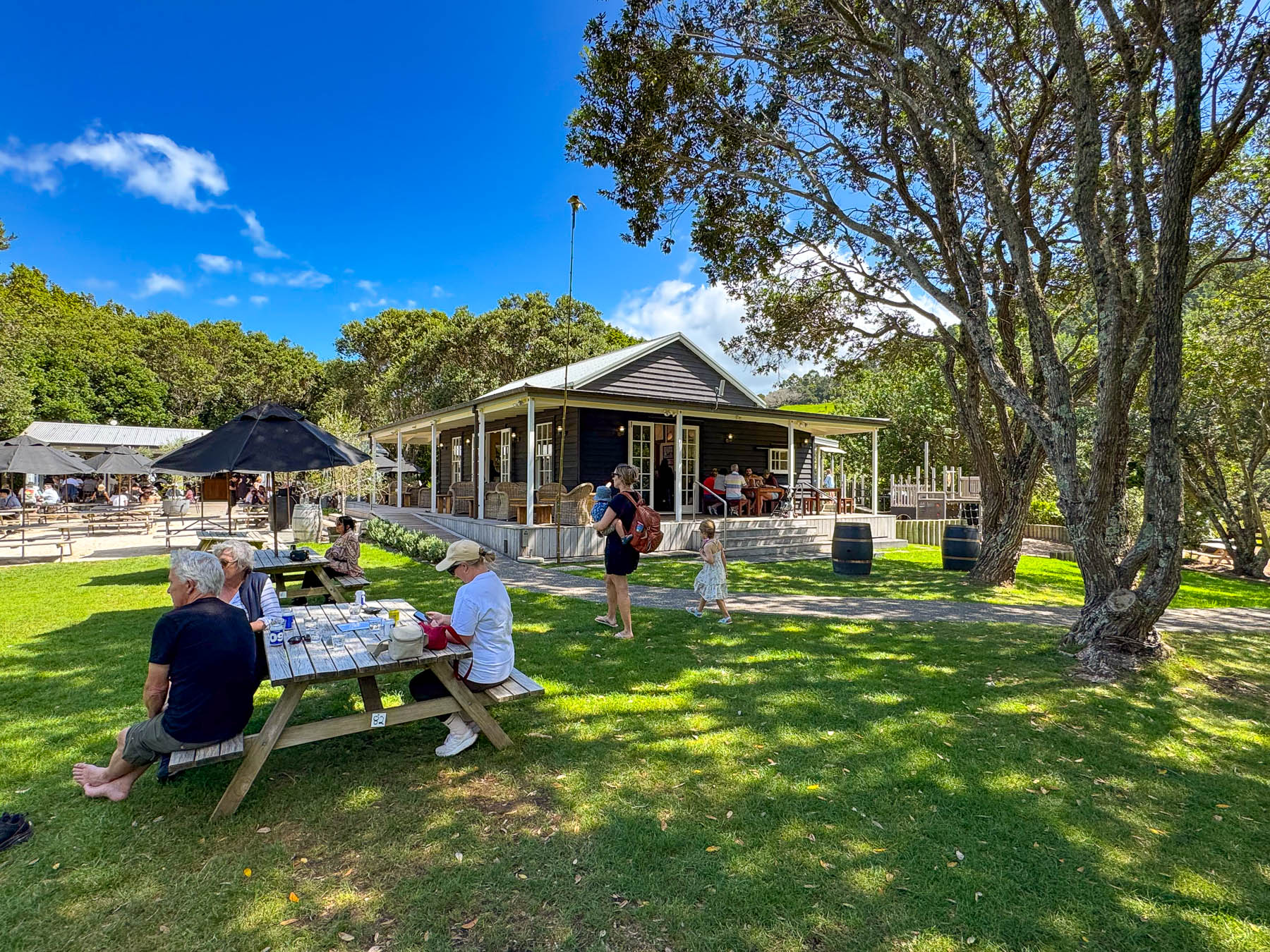
Continuing on the road, we passed through a forest of tall Kauri trees, then dipped into a dry wash strewn with boulders and timbers carried down the steep hillside in a recent flashflood. Reaching the Man O’ War Vineyards, the road leveled out and the view opened to the beach along Man O’ War Bay with folks swimming, and boaters motoring small dinghies ashore to visit the winery. The winery really is a destination venue, offering wine tours, fine and casual dining, and a kid’s playground. It even has a small white chapel for weddings as well as an adventure sports center that offers ziplining through the forested hillside above the winery, and into the forever happily after for the newlyweds. It’s a big, popular fun spot to visit, and the setting on the bay was quite pretty.
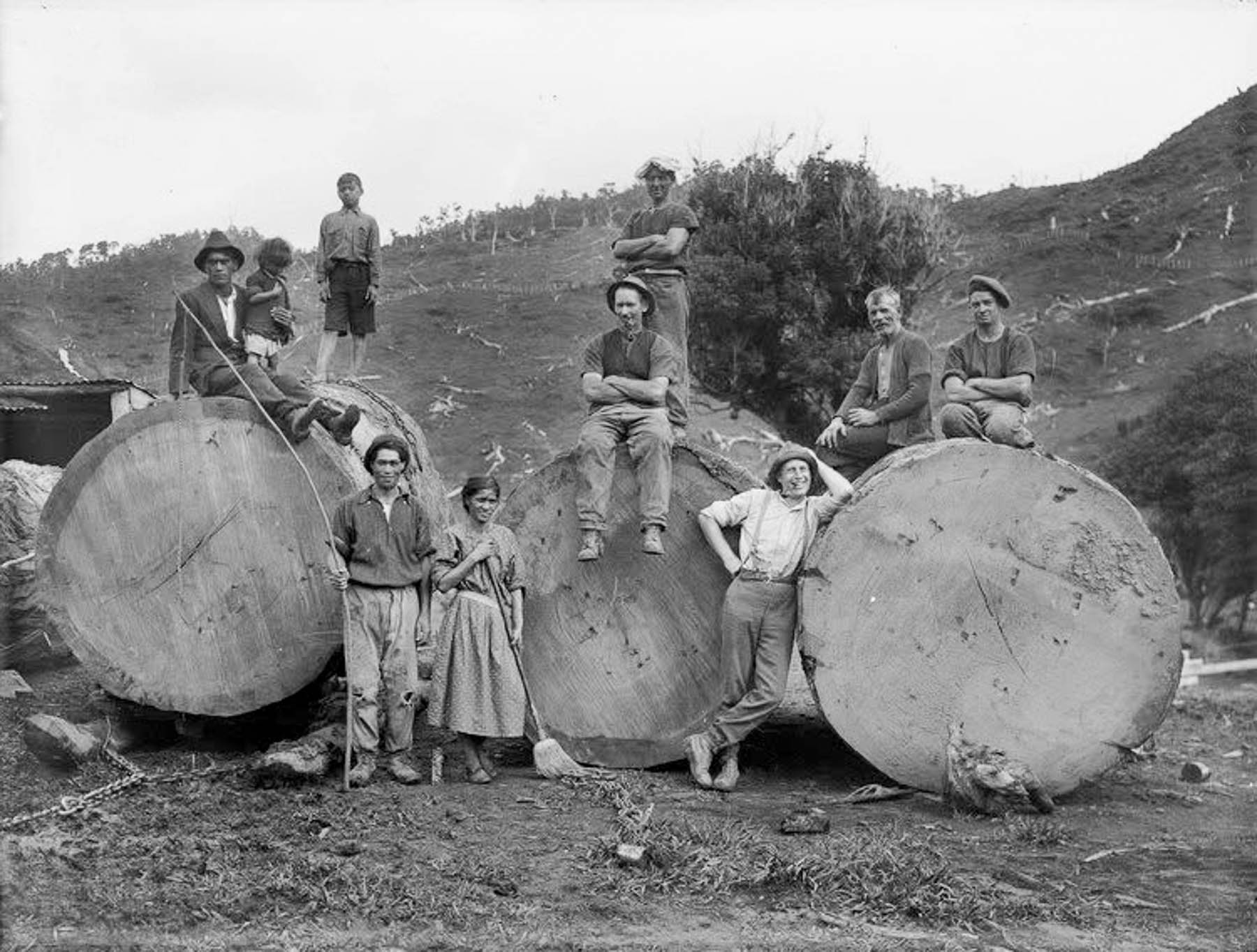
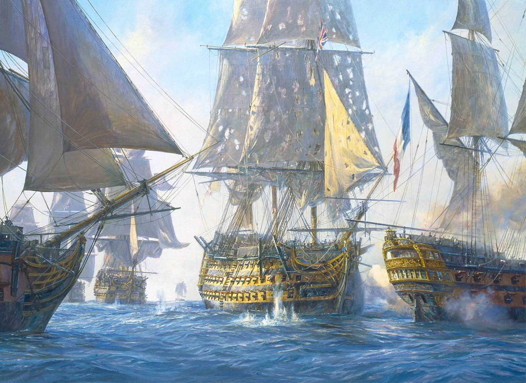
The tall straight Kauri trees, which can live for thousands of years, were noted for the strength of their wood in colony’s early shipping journals, and by the early 1800s Waiheke’s hillsides were being deforested and the wood exported to England to be used as masts for the Royal Navy’s “Man O’ War” warships, which is how the name Man O’ War was bestowed upon the bay. A favorite legend suggests that the masts of Lord Nelson’s flagship, HMS Victory, were made from kauri trees taken from hills of Waiheke Island.
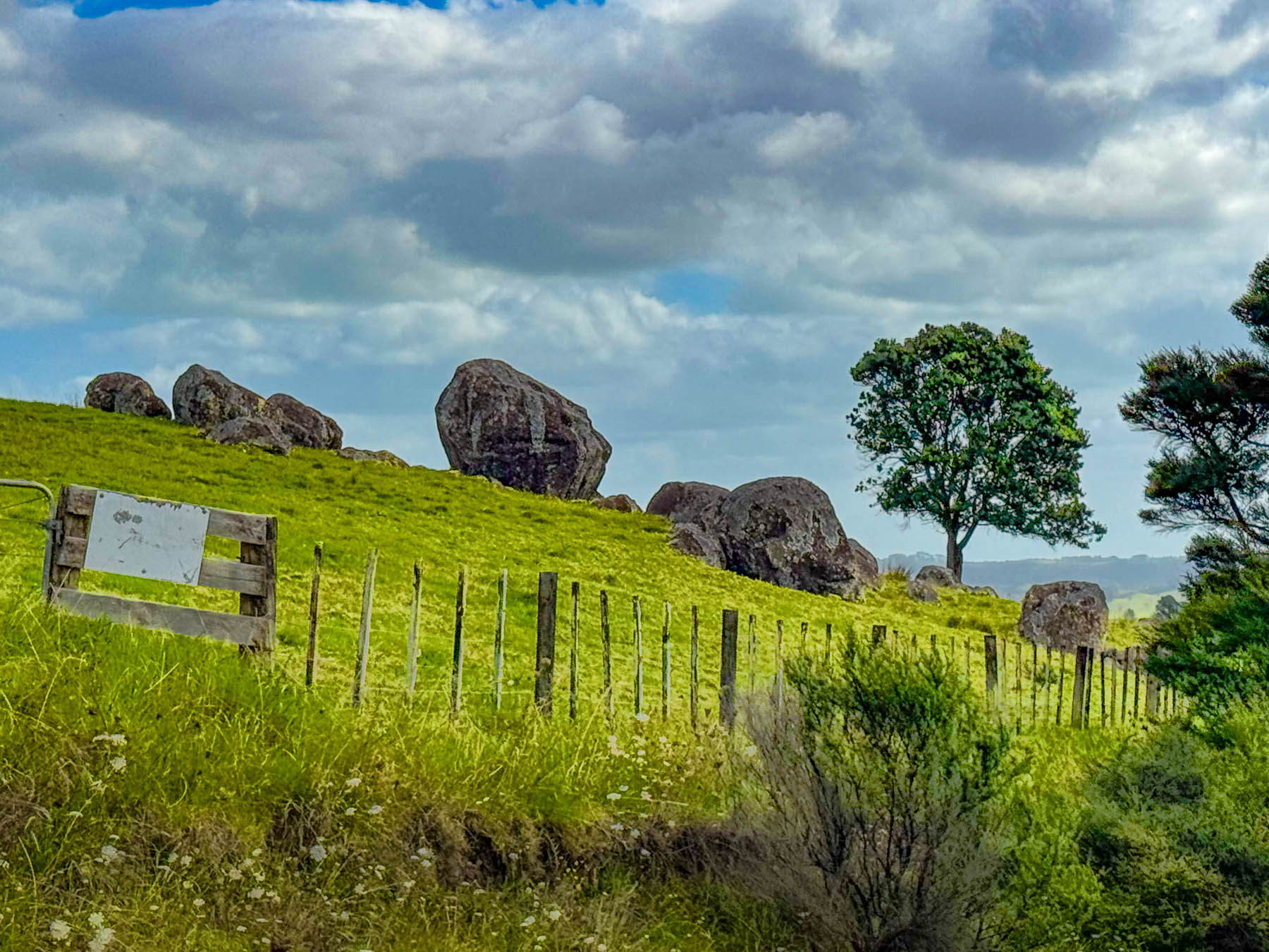
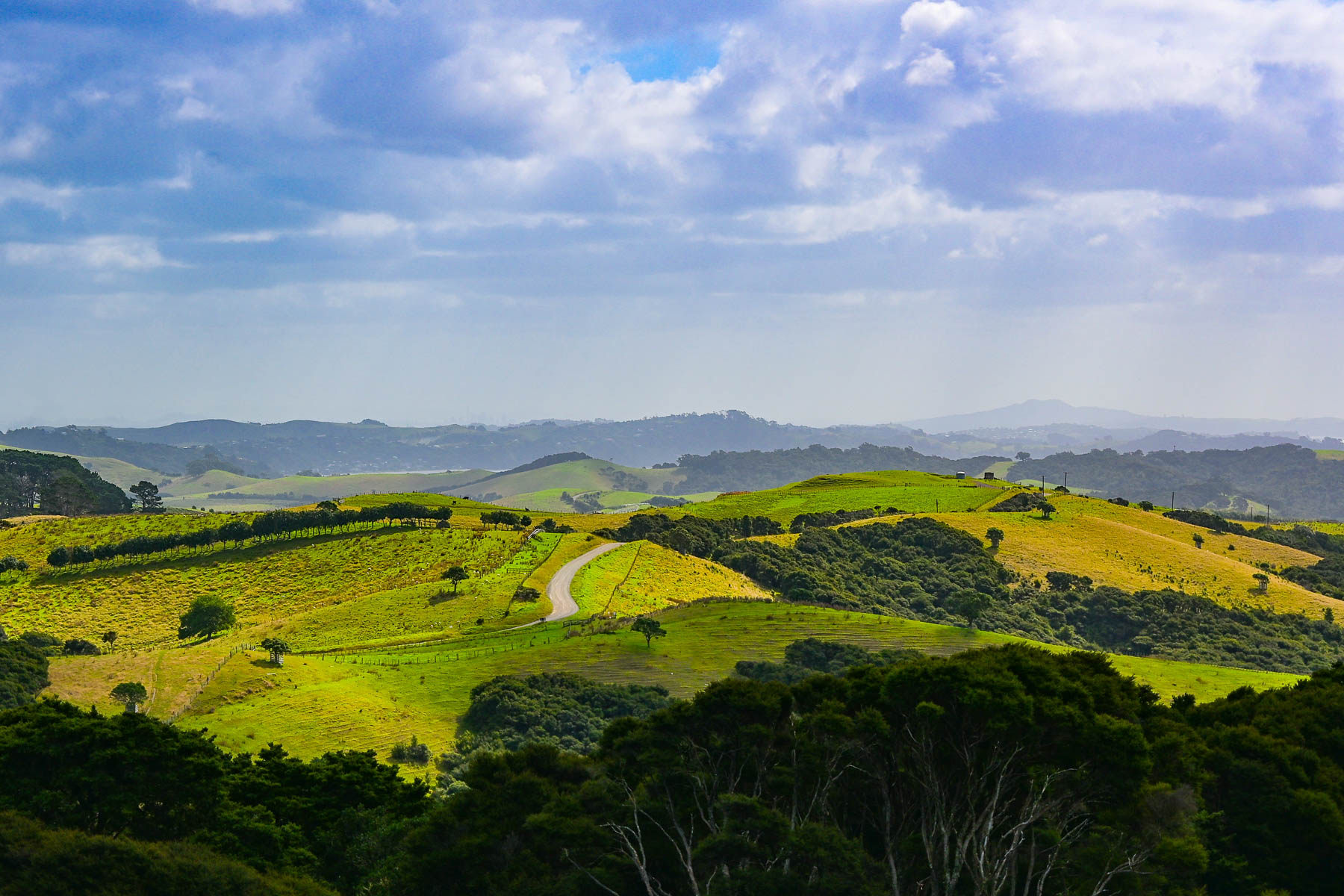
Continuing on we headed to the Stony Batter Historic Reserve. It was once a World War II coastal defense installation to protect Auckland from potential Japanese naval attacks, and features three massive concrete gun emplacements. There was also an interesting boulder field we hoped to walk through. But we didn’t realize before hand that the parking was pretty far away as the access road to the site was gated, and required a longer walk and more time than we wanted to commit to. But there was one hillside next to the road that gave a feeling for what the larger site would have looked like.
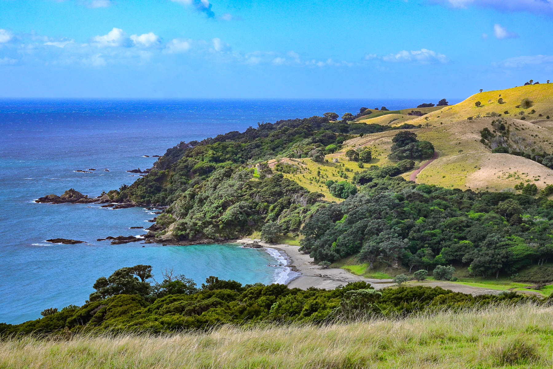
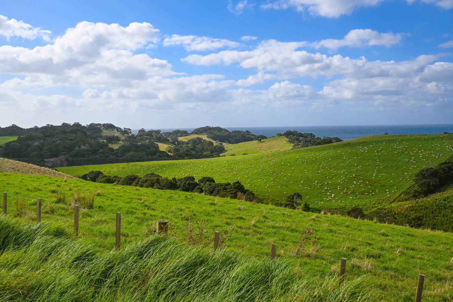
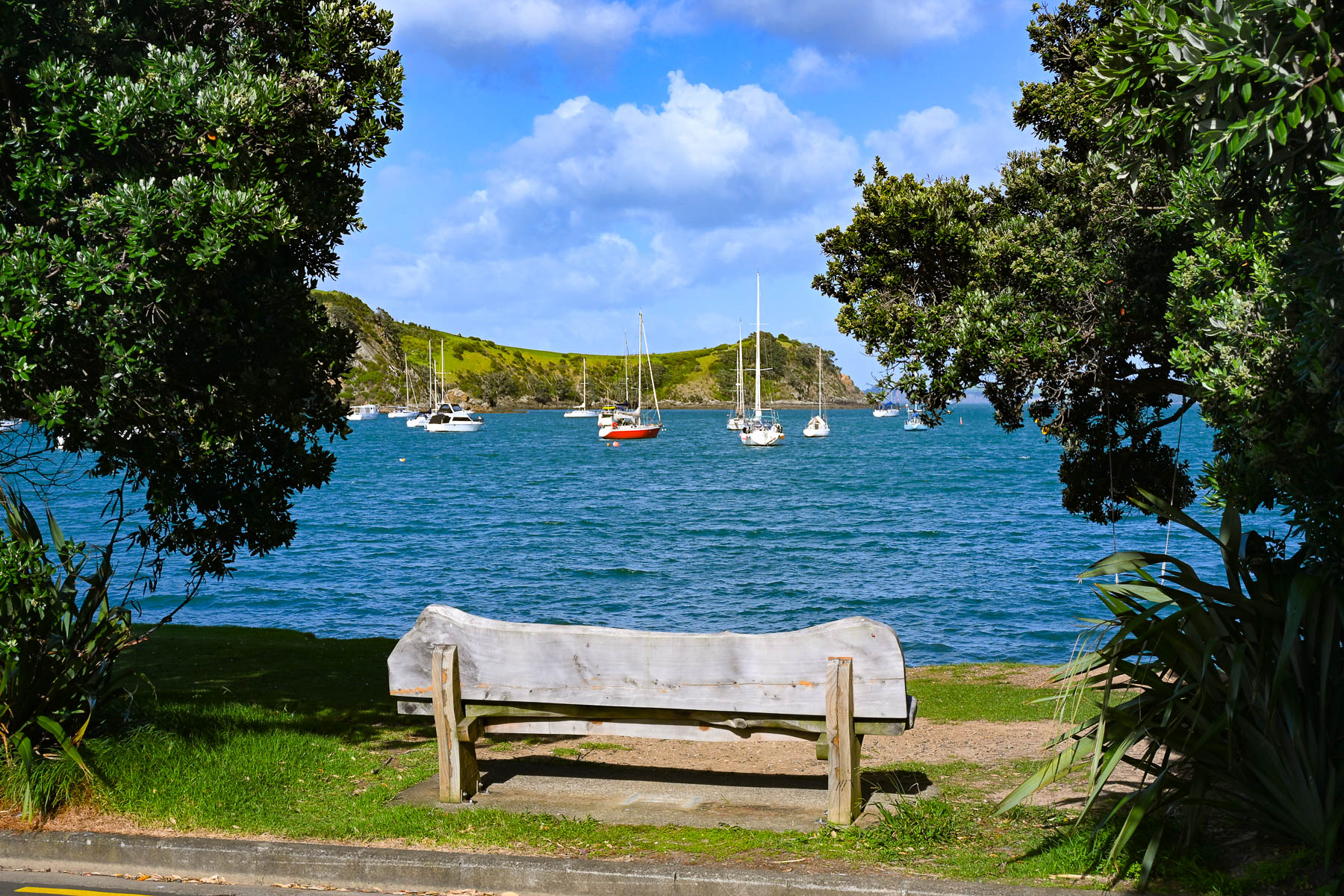
Nevertheless, the views of vineyards and sheep-covered hills surrounding us were beautiful as we coursed back towards Oneroa with a plume of dust trailing behind us as we drove down Man O’ War Bay Road. Cresting a hill, we stopped at a lone bench along the road, seemingly in the middle of nowhere. But it did have a distant view of Cactus Bay Beach, a remote curve of sand only accessible by boat or kayak, that many “Waihekeans consider the perfect beach and, with nearby Garden Cove, a romantic place for picnicking.” Unfortunately, its land access has been blocked off by a private landowner. All the more to make it a special place, that requires more effort, to visit.
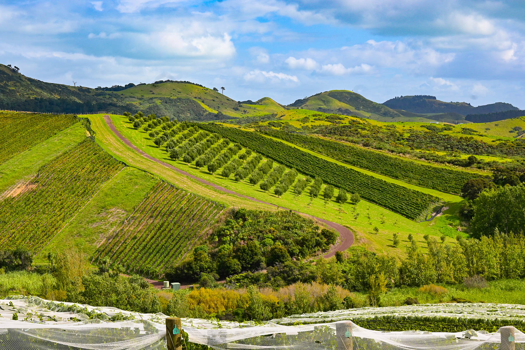
Our scenic drive that day reconfirmed our expectations of what lay ahead for the next part of our journey – that we were truly in an exceptionally beautiful part of the world. The next morning, we headed back to Auckland Airport for a different rental car to start our nine-day road trip to Cape Reinga Lighthouse, the farthest point north on the mainland, Hamilton, and the Coromandel Peninsula before flying south to Wellington.
Though we only drove 110 km (68mi) over the weekend, Waiheke Island was the most gorgeous place to learn how to drive on the left.
Stay left!
Till next time,
Craig and Donna


Beautiful! Great trip and presentation!
LikeLike