Road Tripping Around New Zealand: Part 1 – Waiheke Island: Oysters, Wine and Seascapes or Learning How to Drive on the Left

Why do we go where we go? It’s a dilemma for many of us. As nice as the many different regions of Europe are, it was time for something different. We had been avoiding the South Pacific for a long time, but a good deal on airfare to New Zealand that started in our home airport in Georgia was too good to pass up so we packed the neck pillows and booked that excruciatingly long 22-hour flight. In economy, no less – yikes!
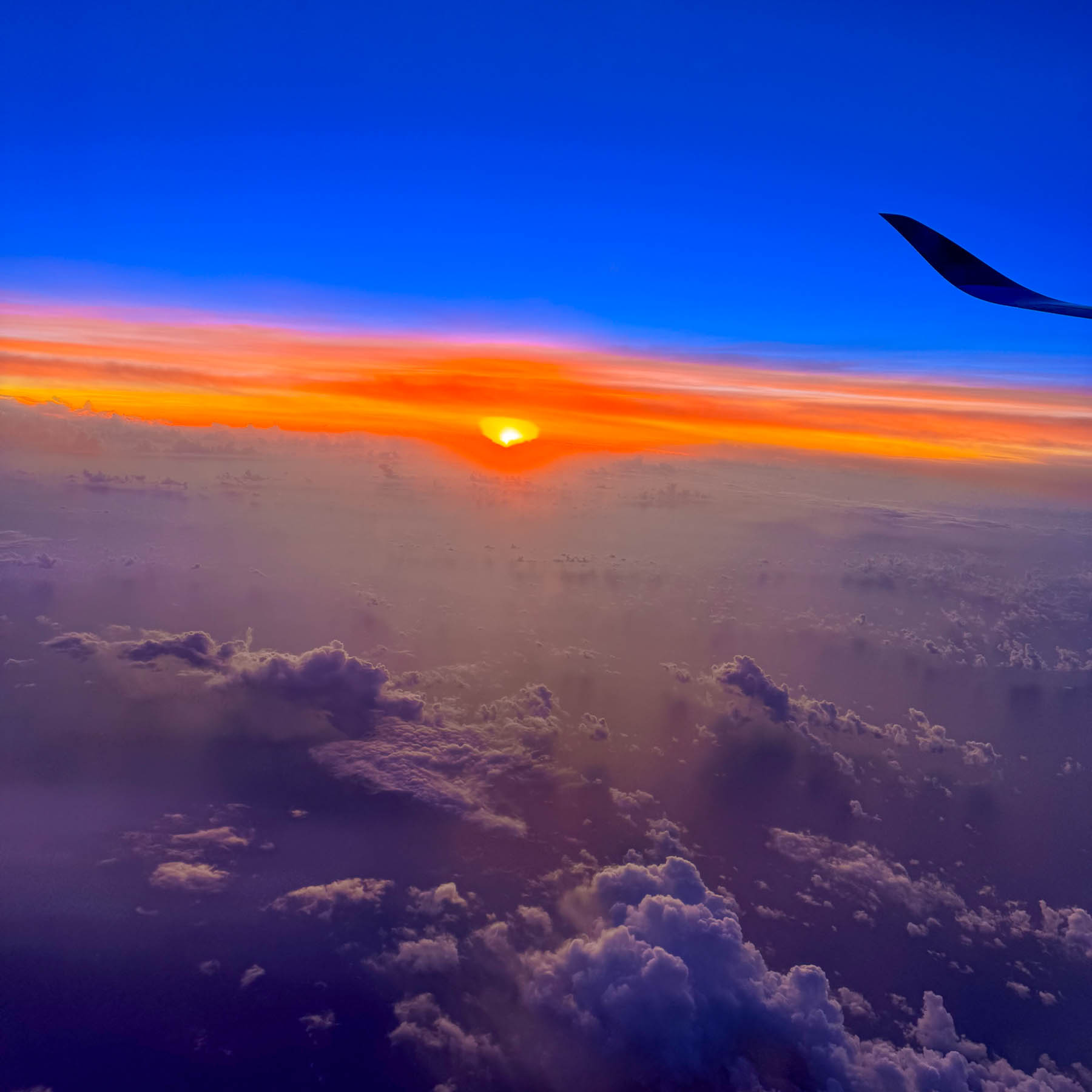
Our early morning landing timed perfectly with a beautiful sunrise. We weren’t particularly keen on seeing Auckland, but we needed a low-key destination to recover from the jetlag and learn how to drive on the left-hand side of the road again, without immediately being thrust into city traffic. Somewhere along the line Waiheke Island popped onto our radar, and after a little research we determined that it would be a perfect and interesting spot for us to recoup, before returning to Auckland and starting our nine-day road trip around the North Island.
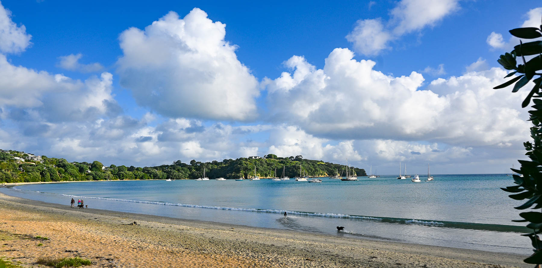
The Auckland Airport was easily manageable and after a good cup of coffee in the main terminal we proceeded to the Ride Share area which was only a short walk away, to meet our driver we booked through Uber New Zealand for the 30-minute trip from the airport to the ferry terminal. Didi Rider is also a popular rideshare option. If you have a larger group and a little more time there is the Super Shuttle which offers low, fixed rates to points across Auckland.
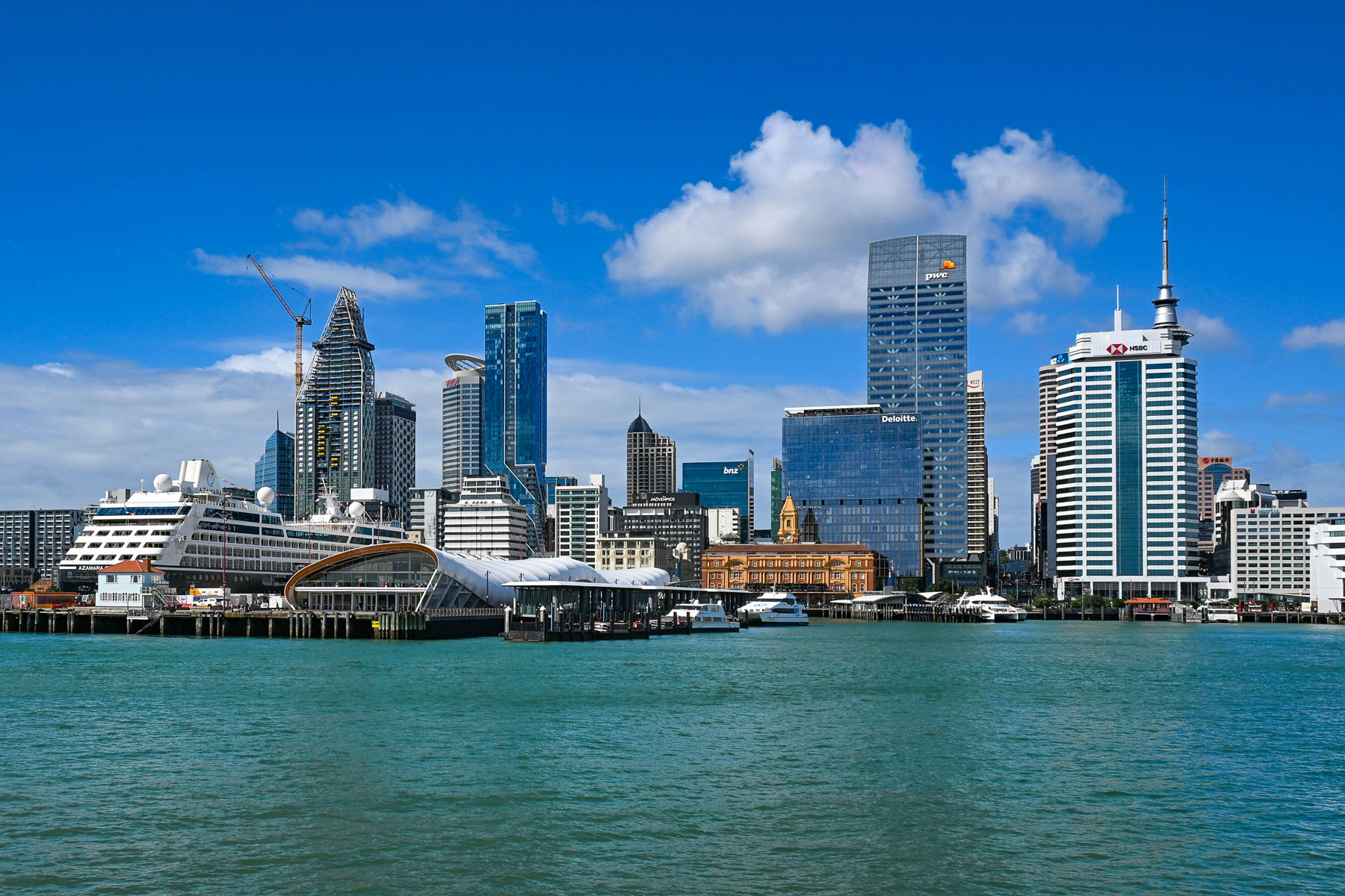
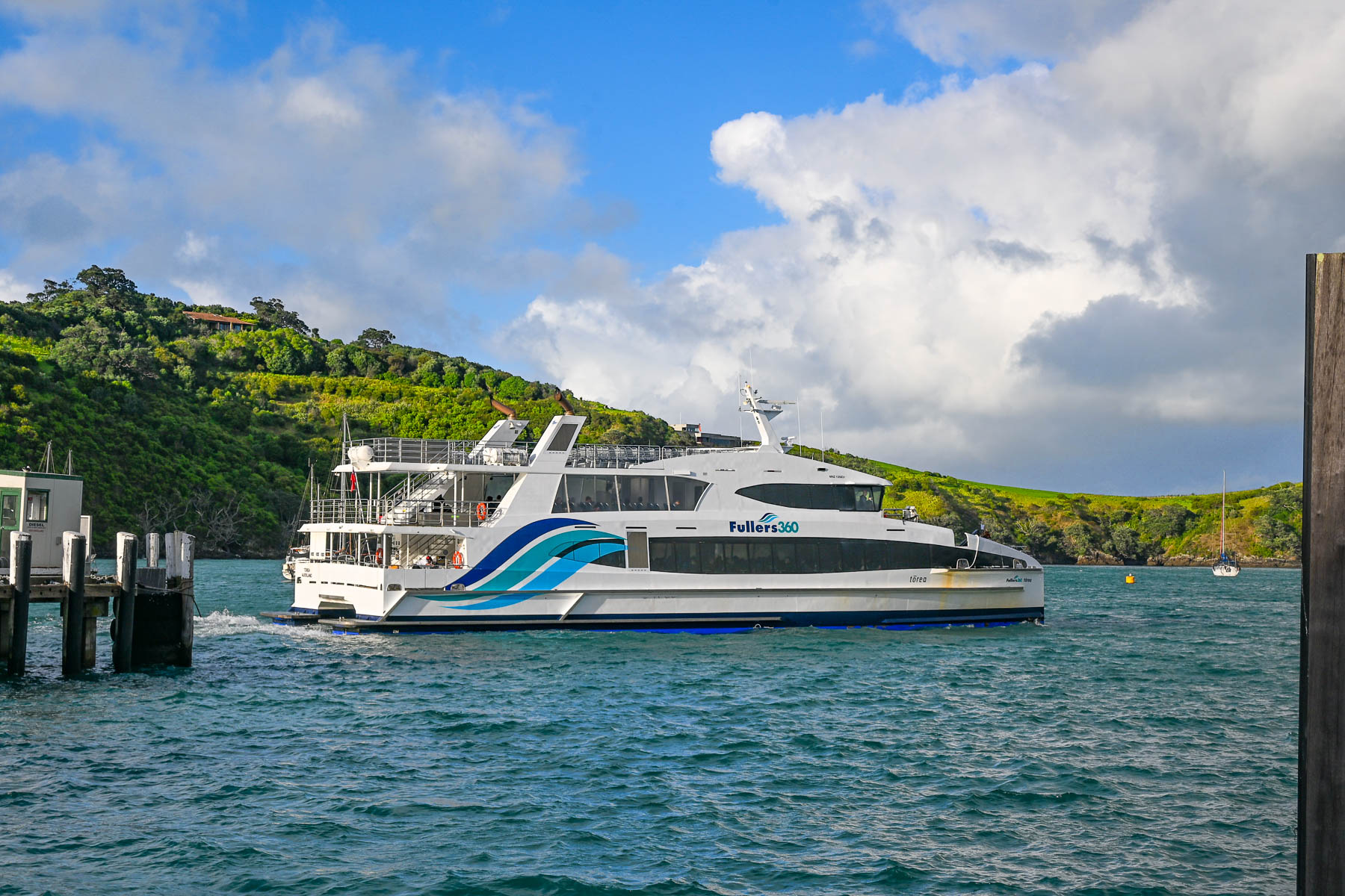
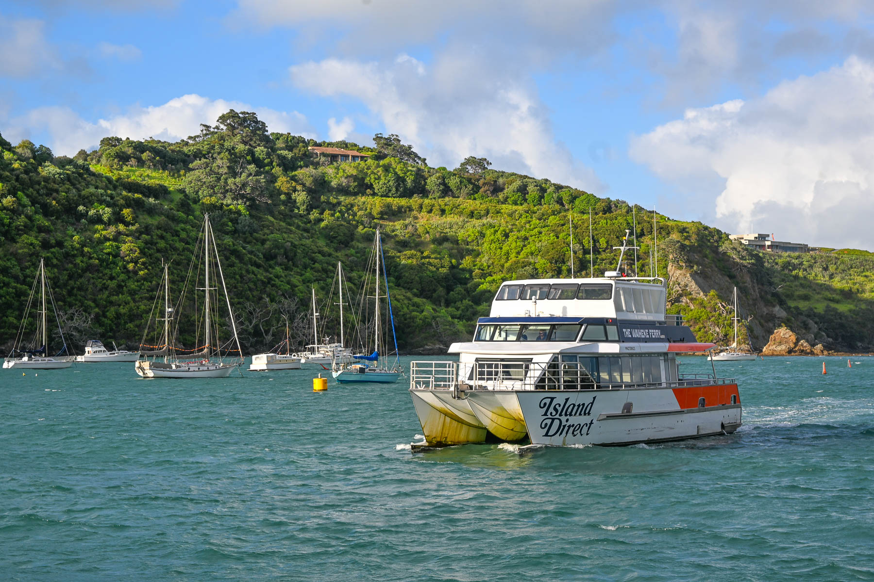
Landing on a Friday in mid-February, it was still the summer season down under. We weren’t sure how busy the afternoon ferry would be, ahead of the weekend. Fortunately, before leaving the states, we booked the 1:00PM Fullers360 Ferry departing from the Auckland Downtown Ferry Terminal on Quay Street; no last-minute walk-ons were allowed to board, as the time slot was fully booked. Island Direct also offers a ferry service from Pier 13 at the downtown terminal. The 21.5 km (13.4 mi) crossing takes about 40-minutes to reach the Matiatia Wharf landing on Waiheke Island. Folks wanting to take a vehicle to the island need to use the SeaLink car ferry, which departs from Half Moon Bay in East Auckland or the Hamer Street Ferry Terminal in downtown Auckland and docks at Kennedy Point on Waiheke.
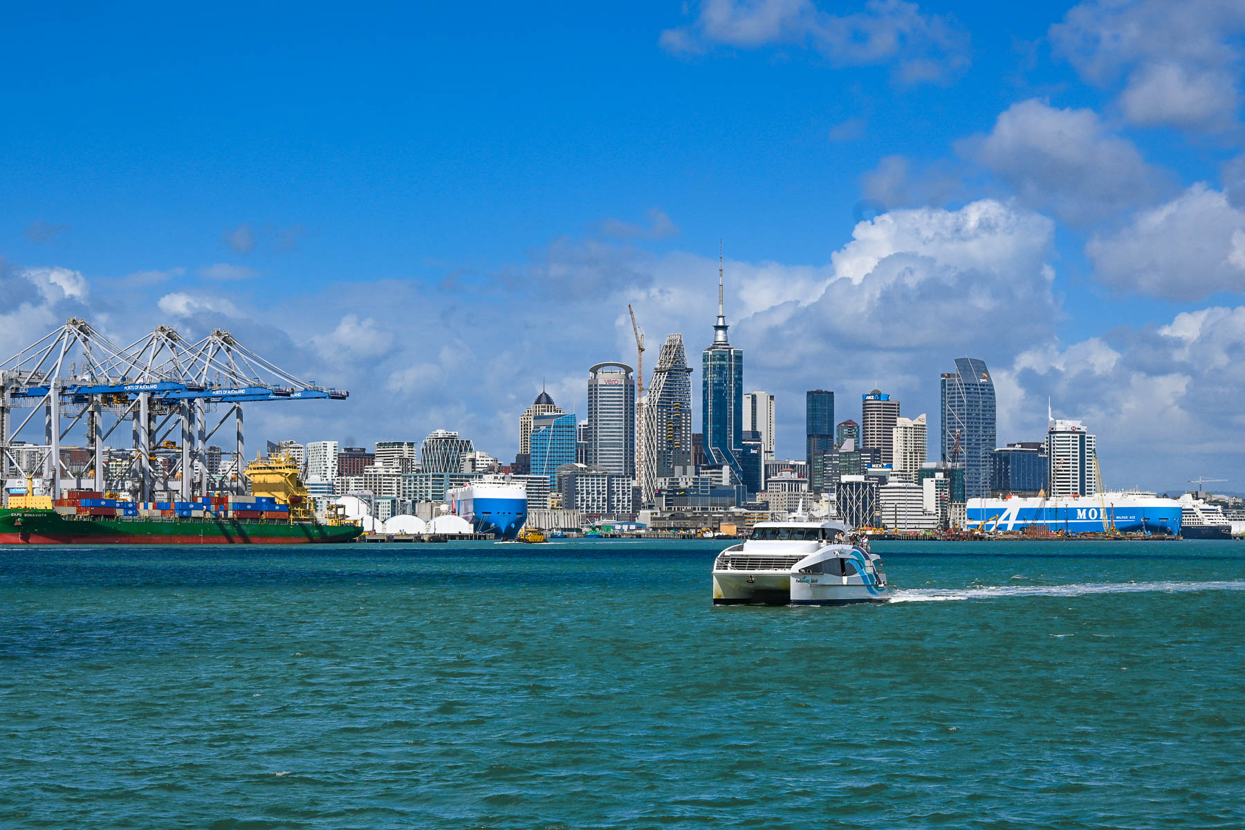
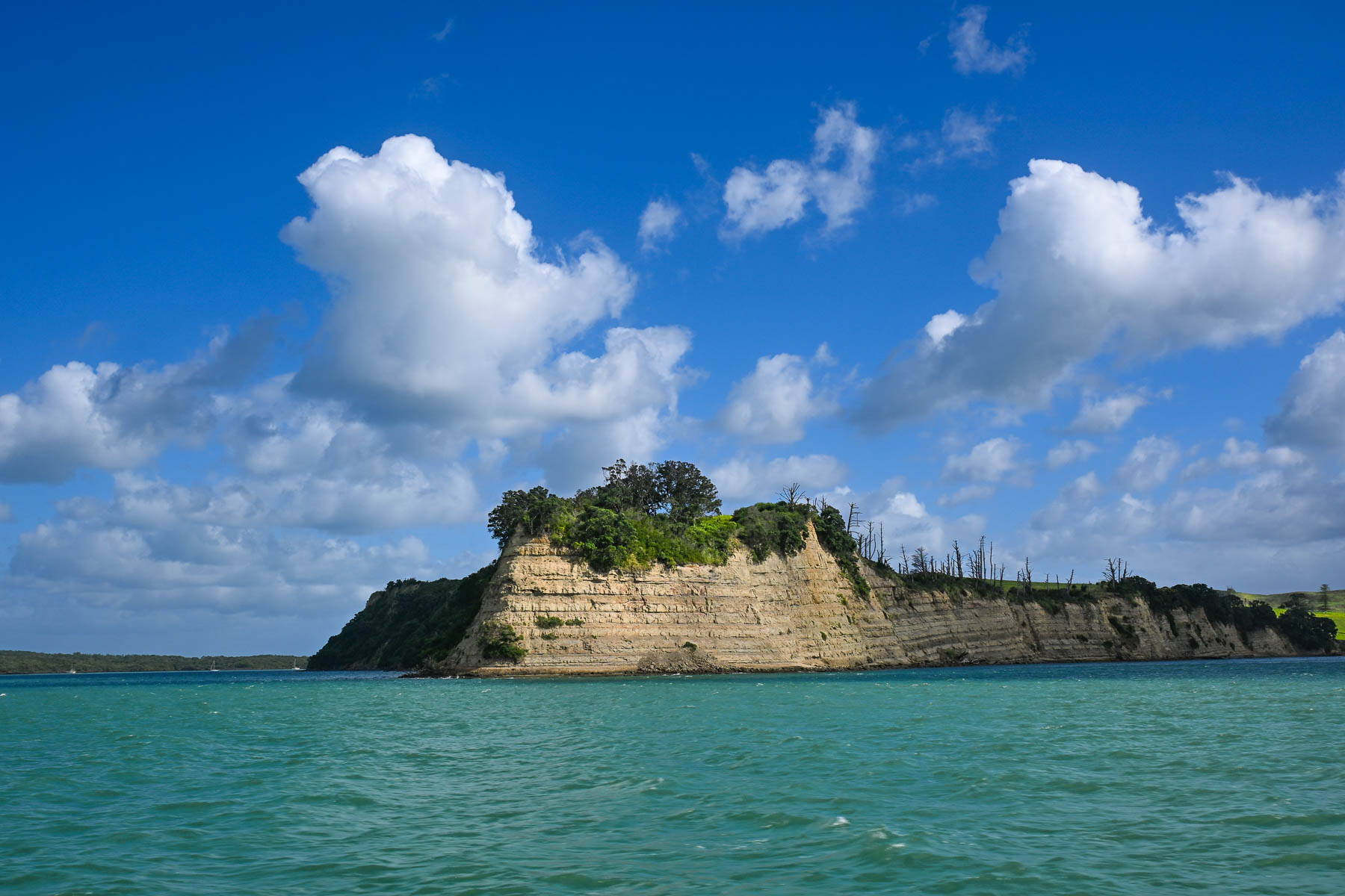
The view of Auckland’s skyline was stunning as we headed across the harbor and Hauraki Gulf. Thousands of sailboat masts dotted the seascape and rocked with the waves. Sailing is a popular activity in Auckland and about 18,000 sailboats call the “City of Sails,” their home port. The Hauraki Gulf is a huge body of water with over 50 islands, of which Waiheke is the second largest with a land mass of 9200 very hilly hectares (22,734 acres). Surprisingly, Waiheke is the most populated of the island chain with nearly 9400 permanent residents, some of whom commute daily to Auckland for work, and about an additional 3,400 folks have holiday homes on it. It’s said to be more densely populated than the North and South Islands, but from our experience it felt almost uninhabited, as most of the homes across the island were well hidden in the island’s forested hillsides. And local tourism had pretty much stopped with the reopening of the schools at the end of the summer break several weeks earlier.
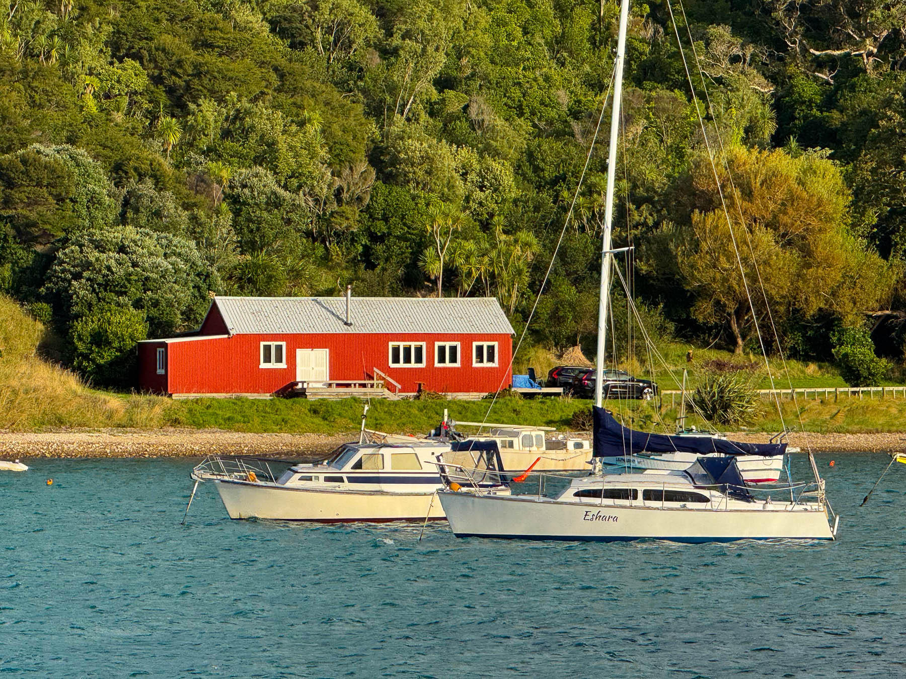
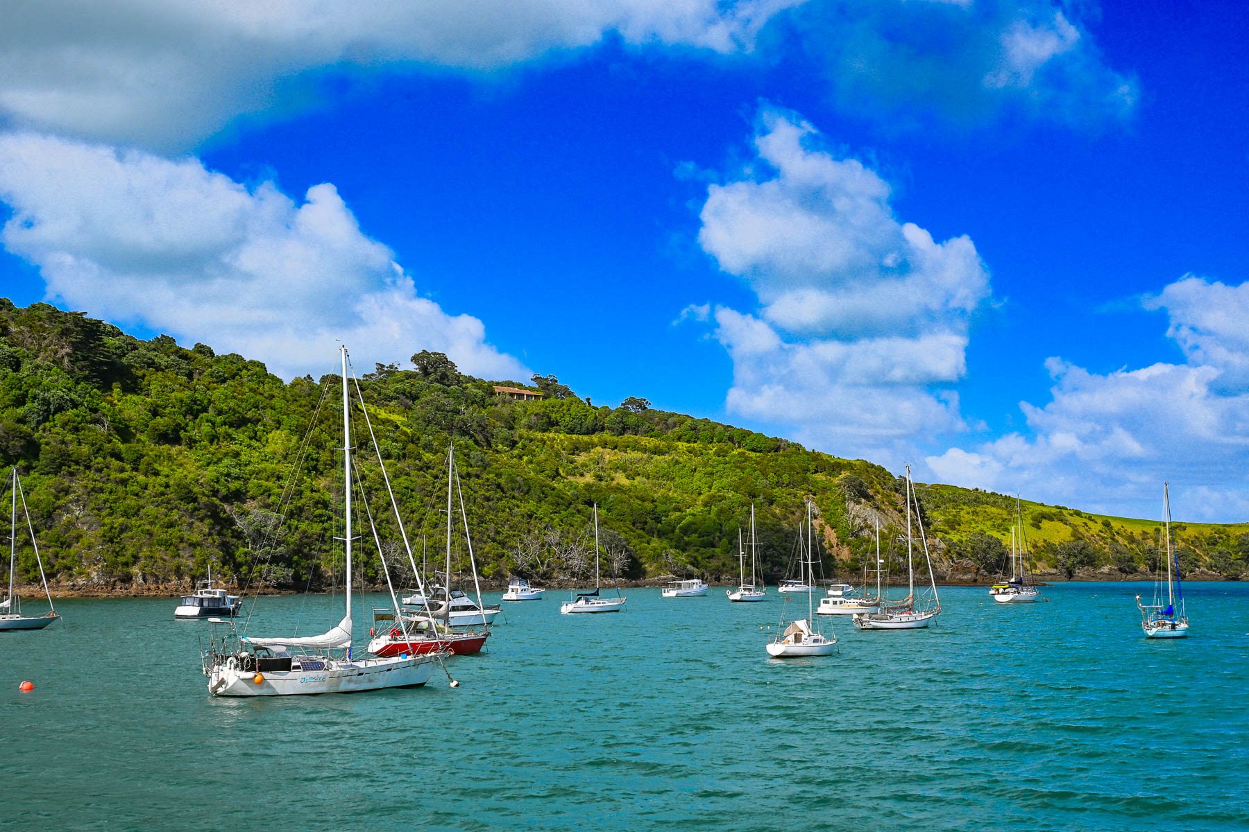
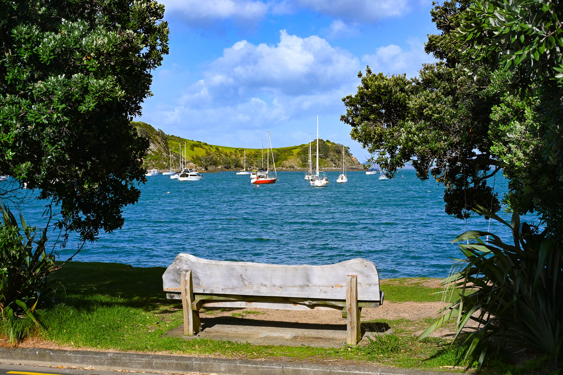
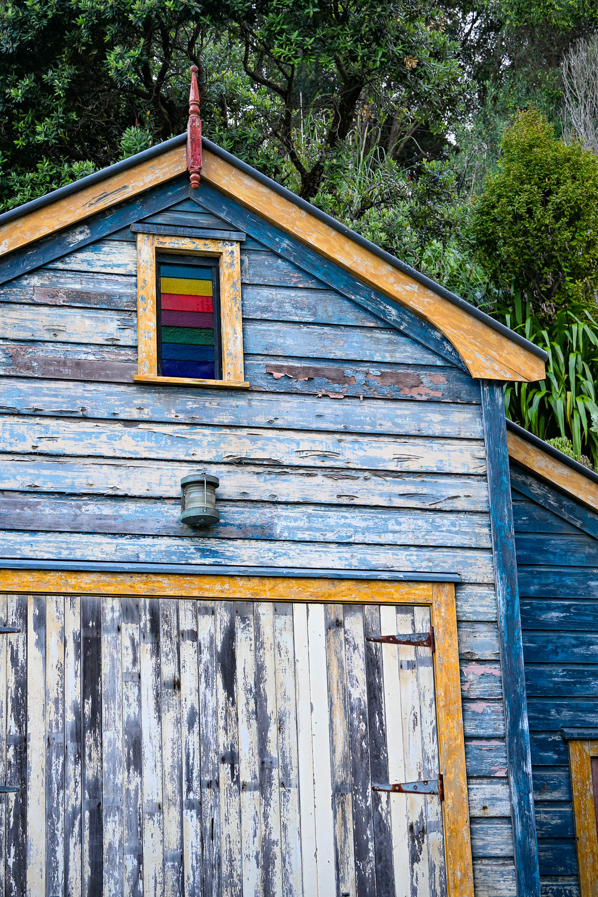
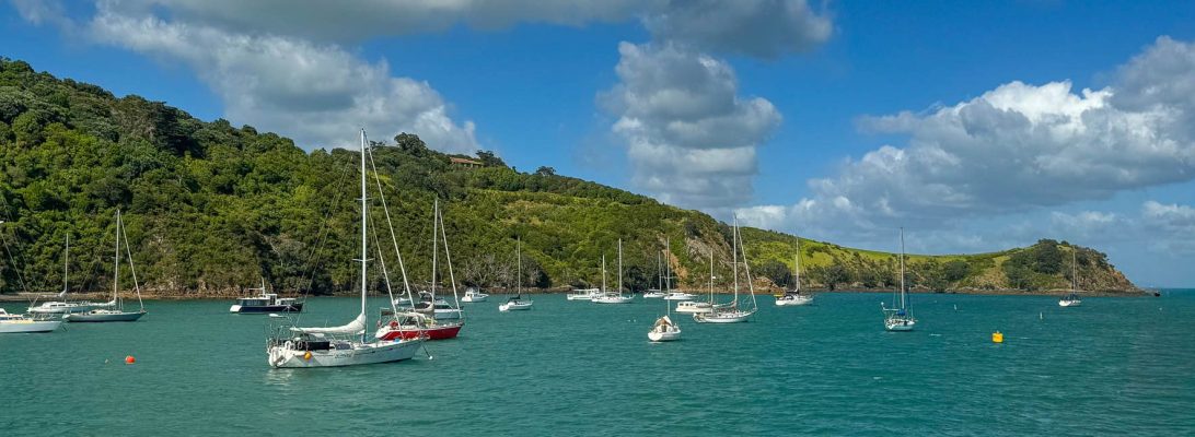
Boats anchored in Matiatia Bay bobbed up and down with the small waves that a strong wind had kicked up. Fair weather clouds scurried across the sky. The small harbor was reminiscent of coastal Maine with a red fisherman’s shack along the waterfront. On the wharf we picked up the key to a compact older car from Waiheke Car Rental, a subsidiary of Mint Car Rental, through which we also reserved a vehicle at Auckland Airport for the later part of our trip around the North Island.
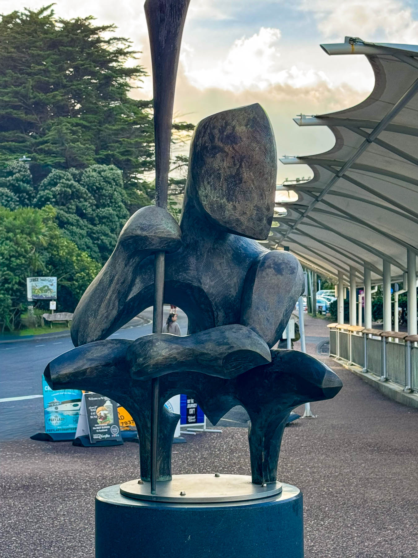
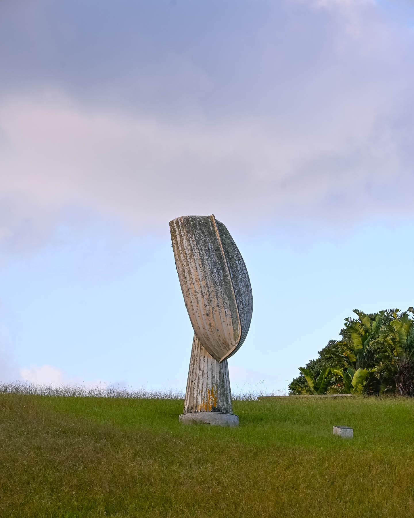
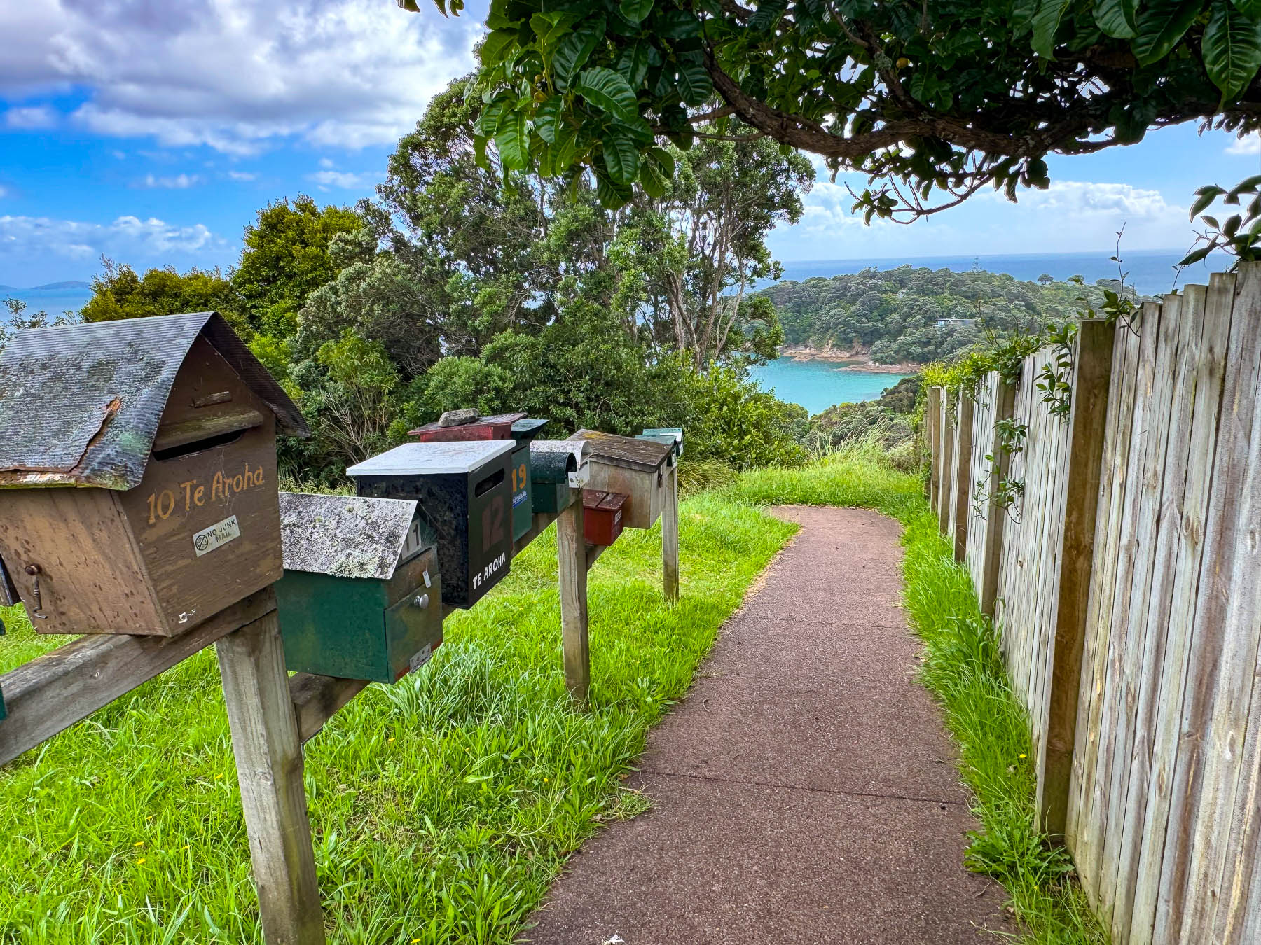
Outside the ferry terminal was a Māori influenced sculpture by island artist Chris Bailey called Te Werowero. The statue is intended to act as a guardian of the island and challenges visitors to respect the environment and local way of life, wāhi tapu. It was a bit of a trek through a dusty parking lot to find the car: the air-conditioning worked so we were good to go, but I have to admit that I did open the wrong side of the car and was surprised there was no steering wheel in front of me, and that I’d be manually shifting with my left hand. With our mantra, “stay left!” and a “you’ve got this,” pep talk we set out. Luckily, there was hardly any traffic, and our lodging was only a short, five-minute drive away. We followed Ocean View Road, the main street which passes through Oneroa, Waiheke’s largest village, that has a small cluster of restaurants and shops along the street.
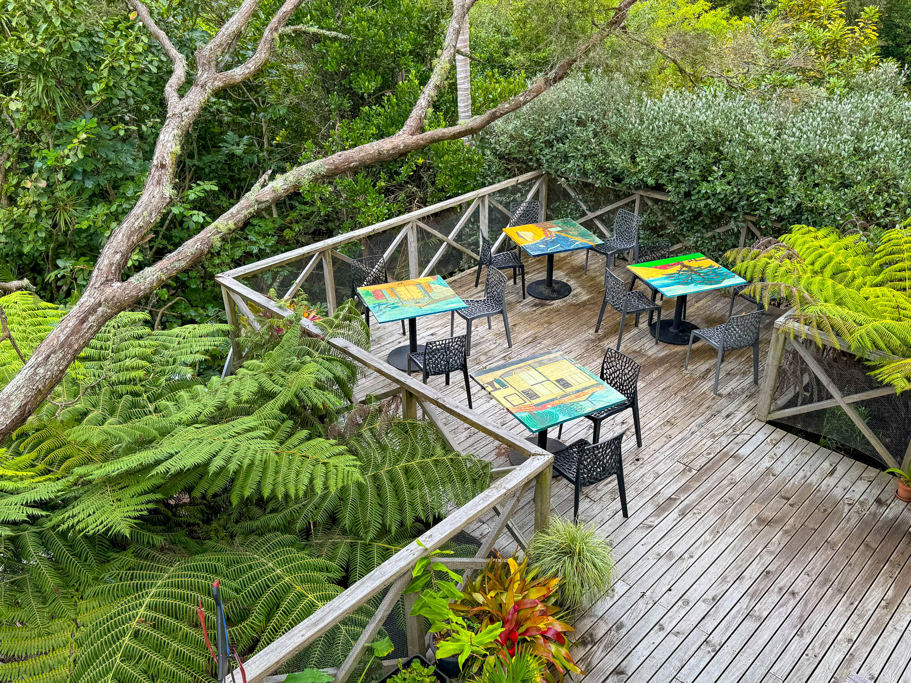
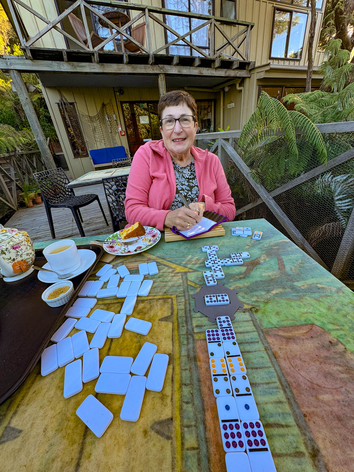
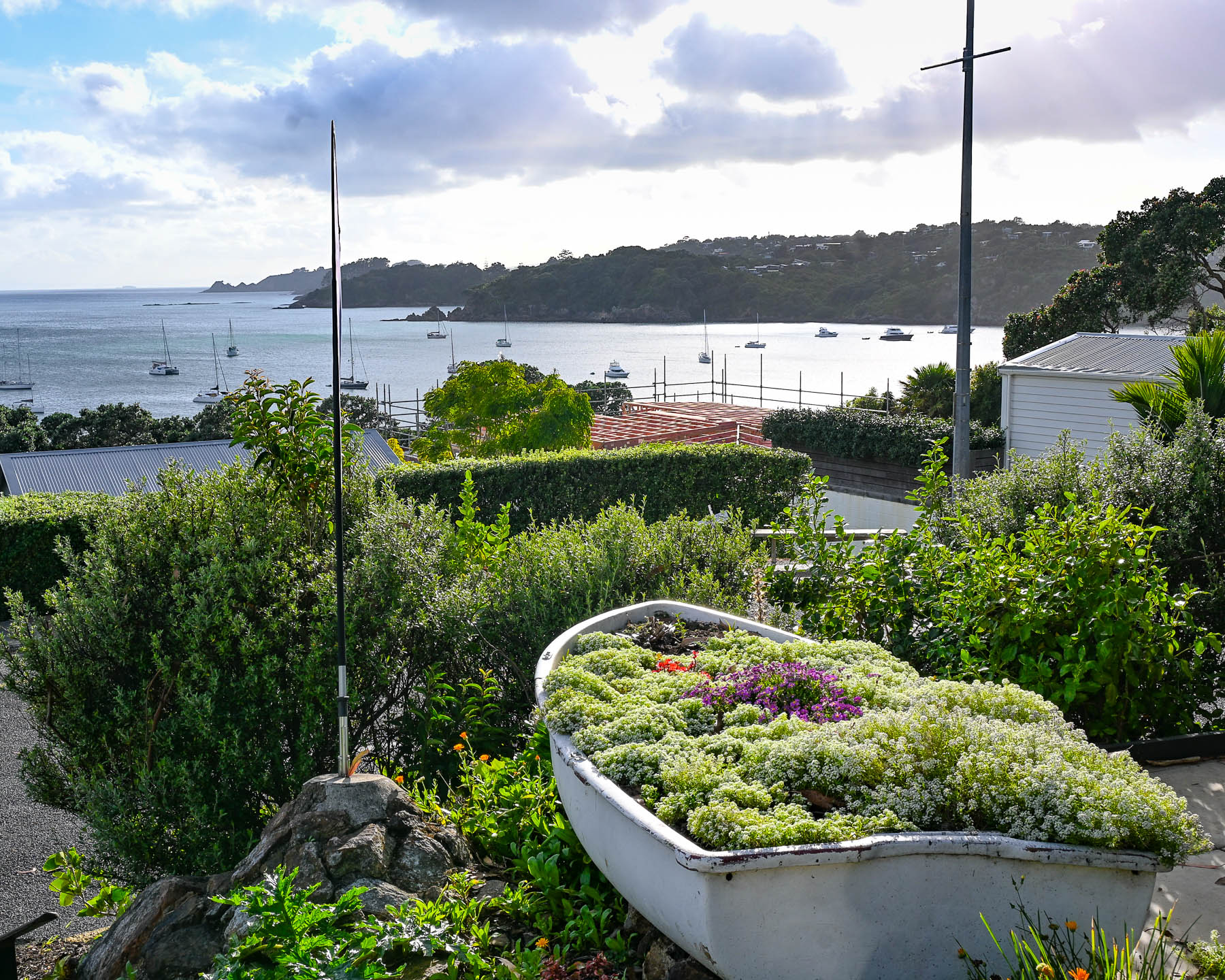
Our base for three nights was the laid back Punga Lodge where we enjoyed the sumptuous breakfasts and afternoon tea prepared by Diane and Rob, on the deck overlooking an old growth grove of native punga ferns filled with lovely song birds. Our hosts are a delightful couple whose company and conversations we enjoyed, and contributed greatly to our wonderful experiences on the island.
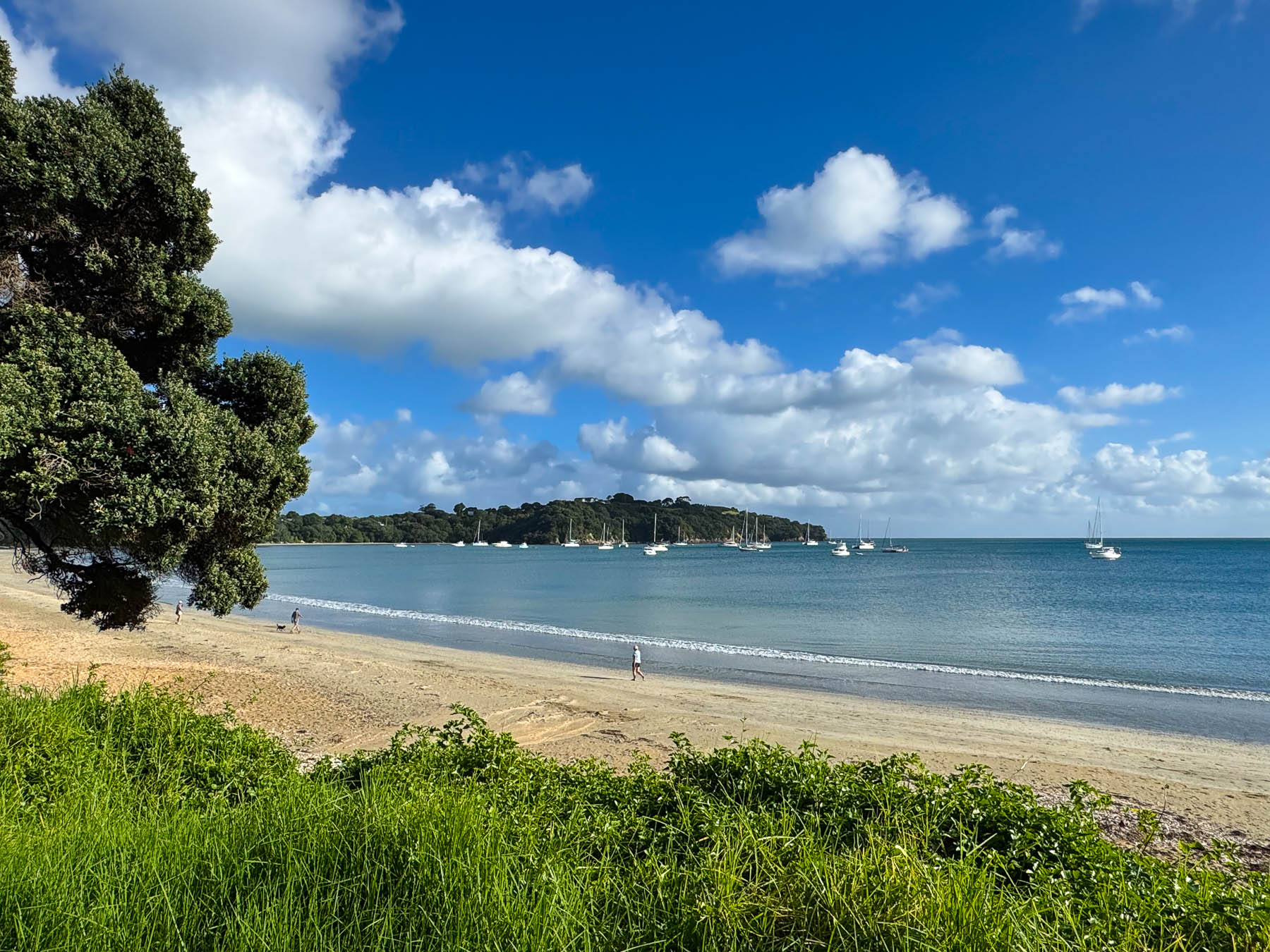
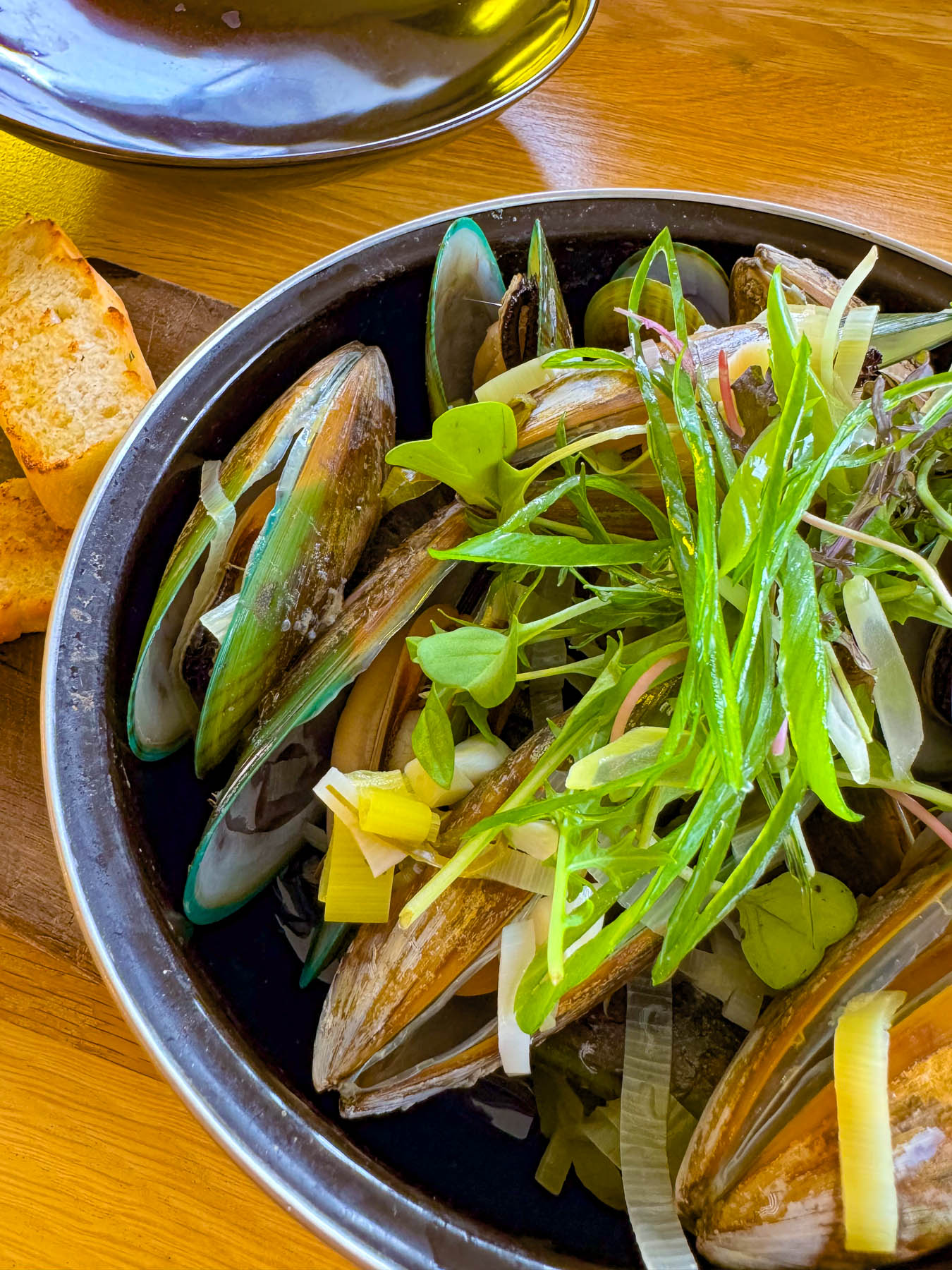
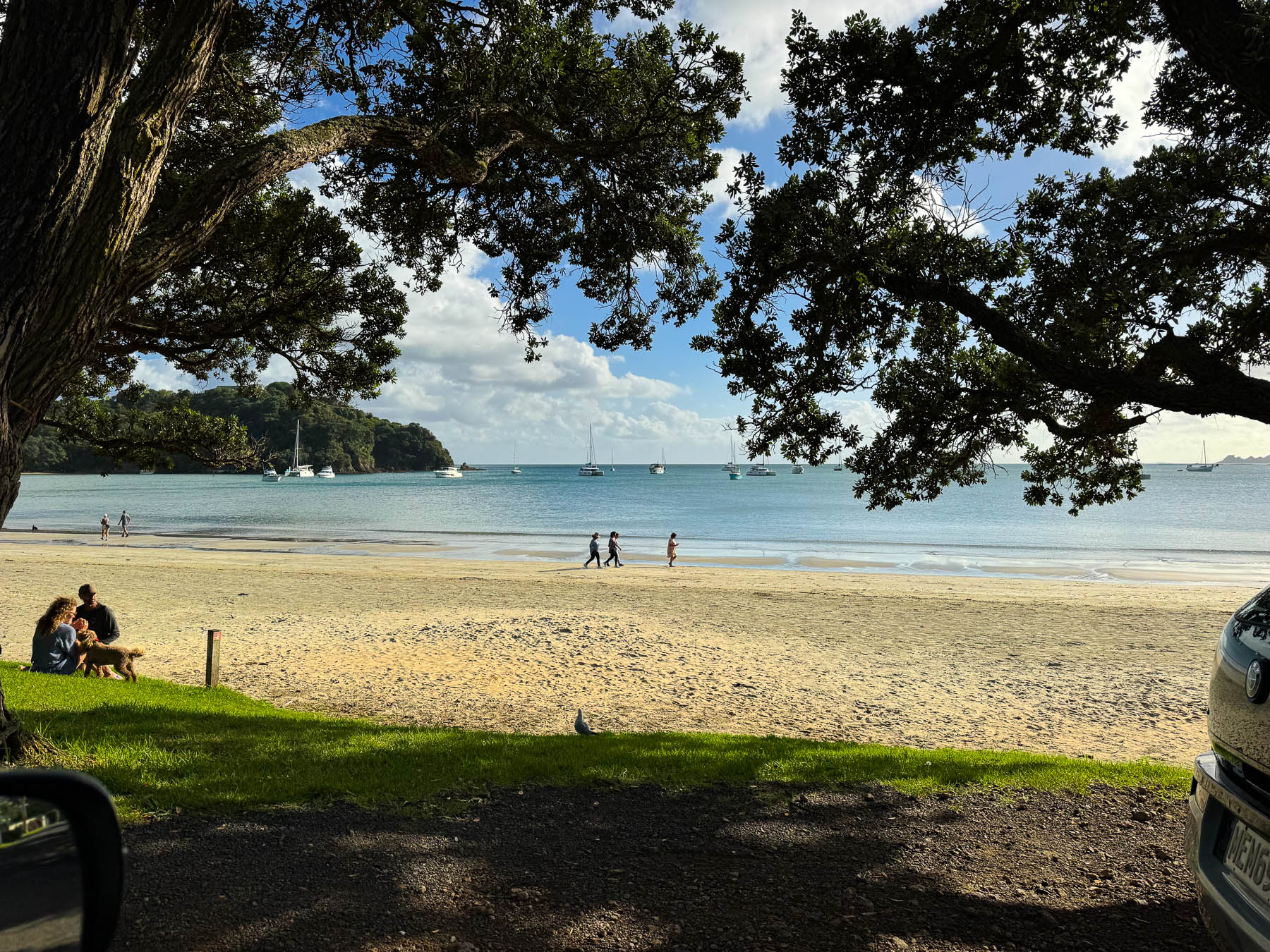
After settling in we headed to Big Oneroa Beach for a walk along the fish hook shaped coastline, before strolling through the village to have dinner at Obee’s, which has a nice view of the bay from its terrace. The local Waiheke mussels we ordered were delicious.
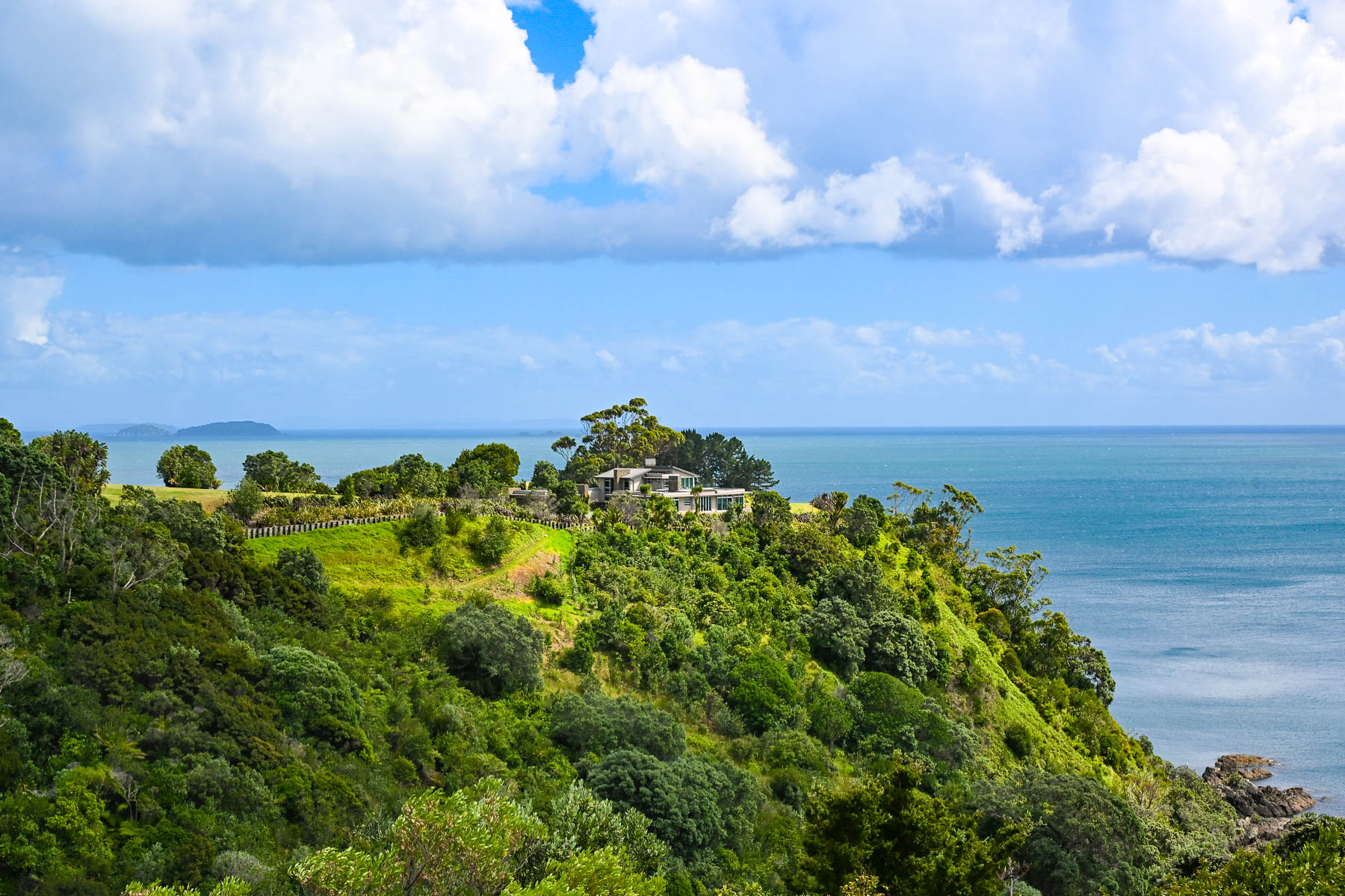
Decades ago, Waiheke Island was a counterculture haven with over 100 artists calling the island home. Gentrification soon followed but growth was limited due to the island’s lack of a public water utility infrastructure, which necessitates most of the households, restaurants, and hotels on the island to sustain themselves with roof collected rainwater funneled into large water cisterns. Some of the larger estate homes and farms on the island have chosen to drill expensive wells. During droughts folks can buy water from local tanker trucks that pump water from the island’s deep aquifer, and the local council operates emergency drinking stations where residents can fill 20-litre containers.
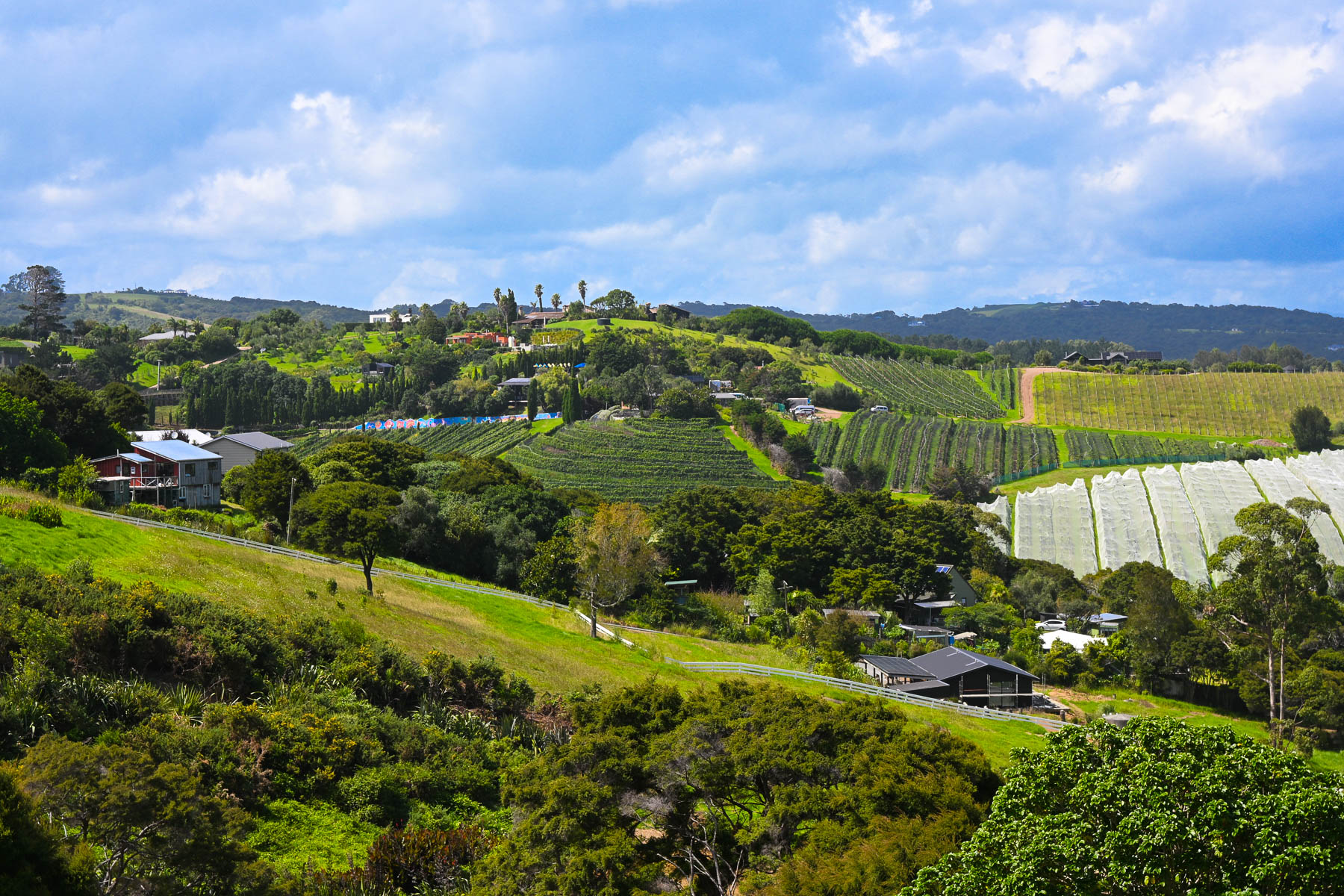
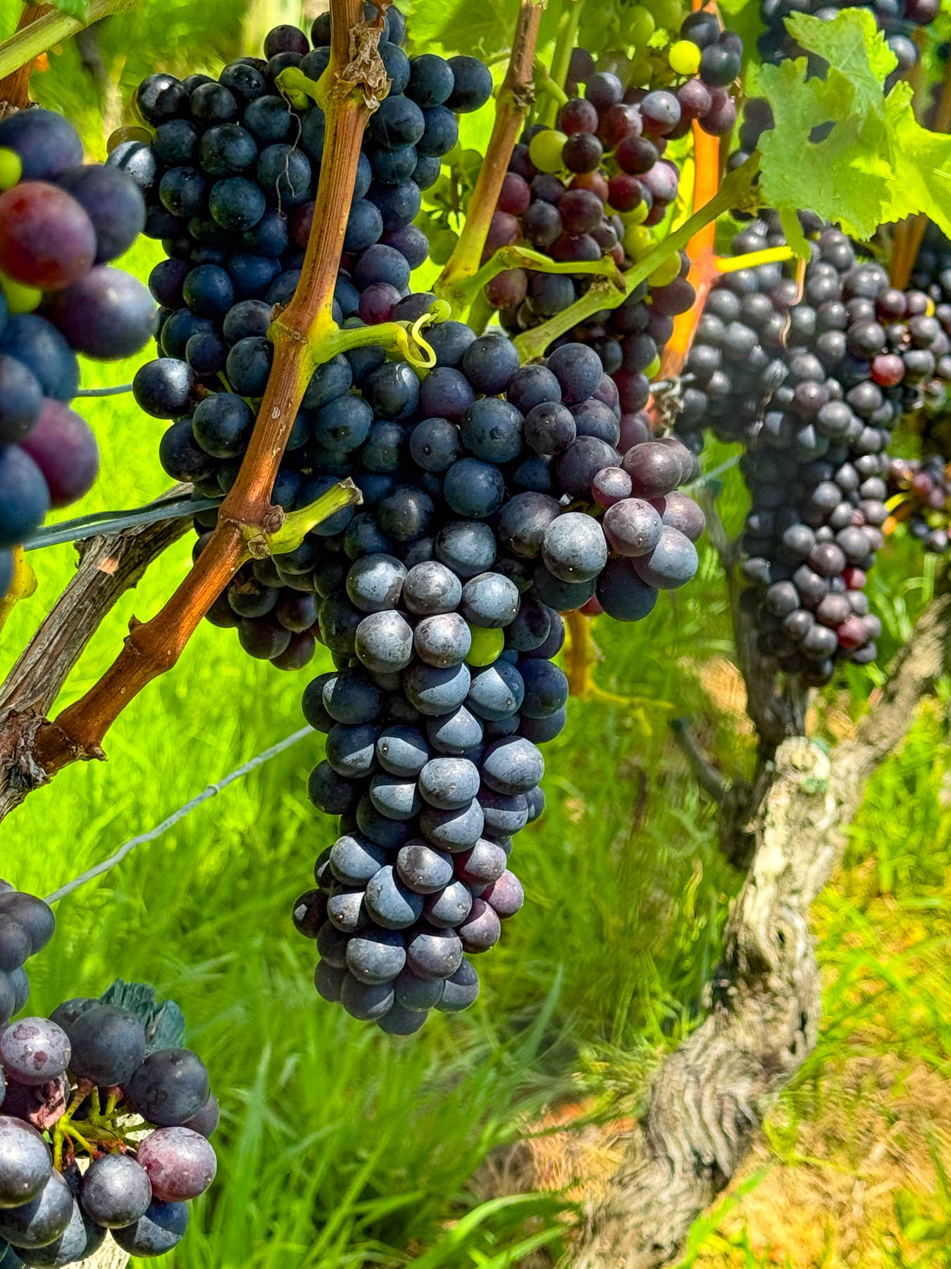
Wines from the first vineyard on the island in the early 1980’s were a success and more winemakers followed, drawn to the island’s Mediterranean microclimates and hilly volcanic landscape which affords an array of terroirs. The island is perfect for growing the red grapes for Syrah, Merlot, Cabernet Sauvignon, and Malbec. Along with plantings of the white grapes for Chardonnay, Pinot Gris, Viognier & Sauvignon Blanc.
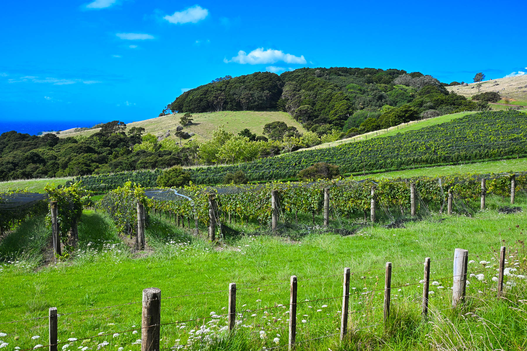
Today there are over thirty boutique wineries of various sizes with slightly more than 250 hectares (618 acres) of vineyards across the island. Over the years many of the vineyards have produced award winning vintages which have put Waiheke Island on the map as a destination for wine connoisseurs, much like Sonoma Valley in California or the Bordeaux region in France. And on the island, there is small infrastructure in place to support the popular tours of the vineyards for folks visiting the island from the Auckland mainland just for the day that starts and ends at the Matiatia Wharf ferry terminal. For a formal tour with a guide try the Waiheke Island Wine Tour  or for a self-directed tour try Western Explorer: Waiheke Island Hop-on Hop-off Bus Tour. The Waiheke Bus Company also offers a local service with five routes that starts from the ferry landing and covers the most populated western side of the island, passing some of the wineries along the way. The Waiheke Wine Growers Association also has a nice interactive map that shows the location of all the wineries across the island.
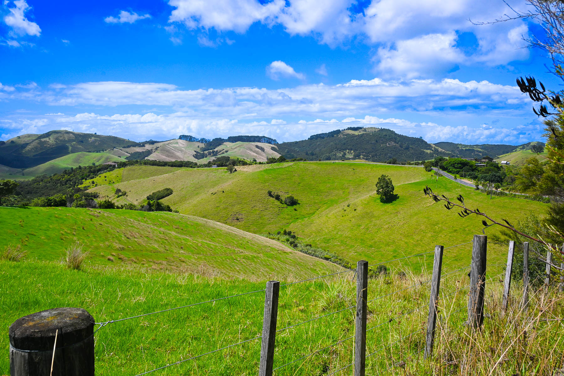
There are not really any centrally developed shopping areas on the island, aside from the short strip of stores along the road in Oneroa, where multiple restaurants, a small grocer and a liquor store can be found. While the only supermarket is a Woolworths in Ostend, centrally located village on the island. Instead, small cafes and art galleries can be found unexpectedly at random crossroads anywhere across the island.
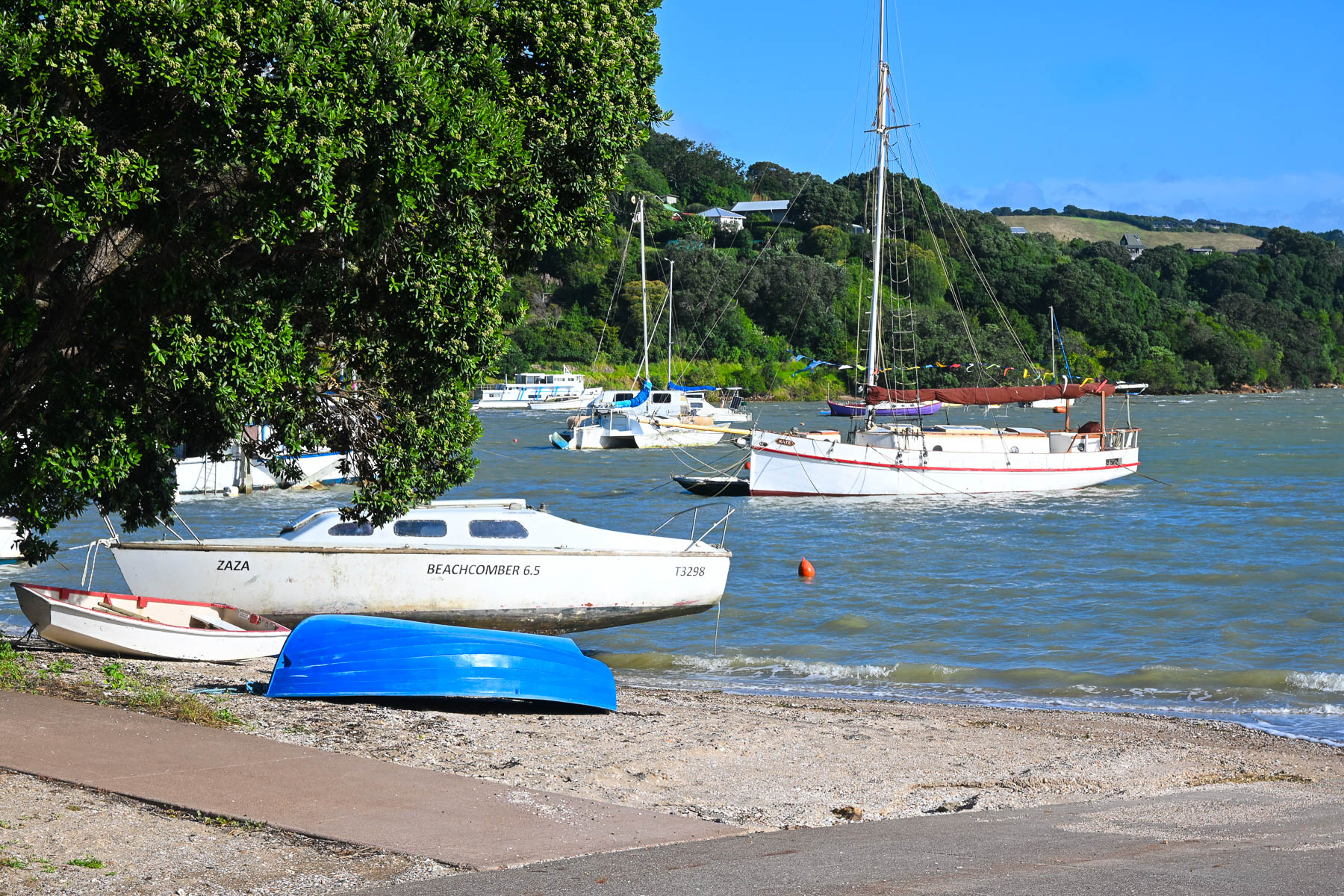
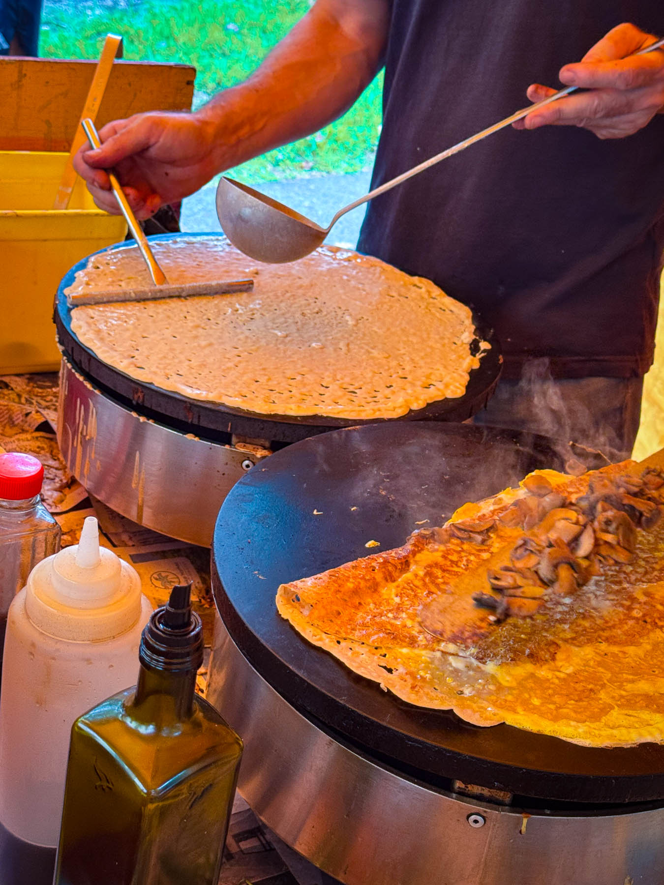
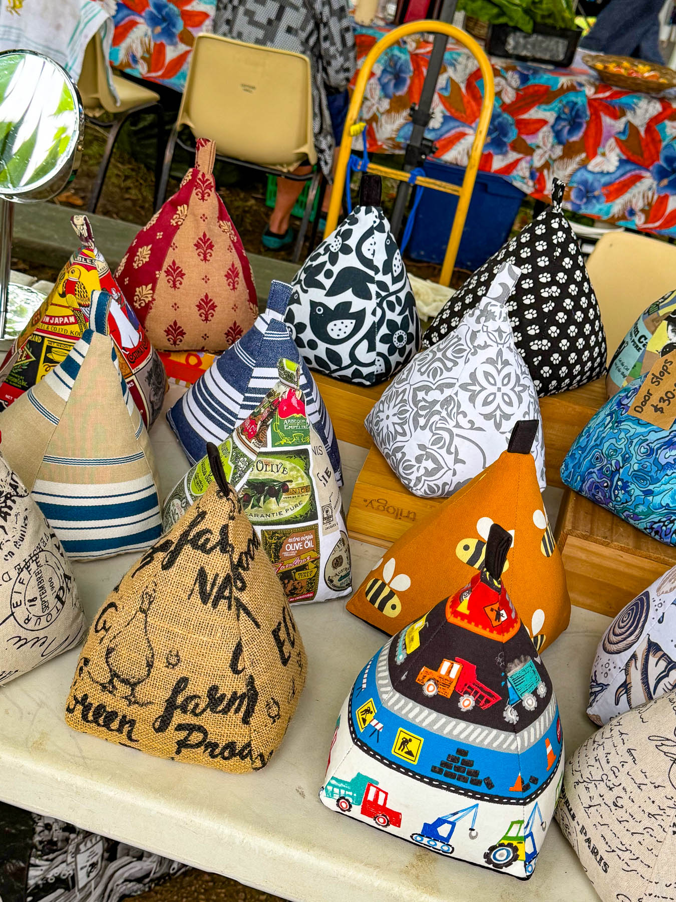
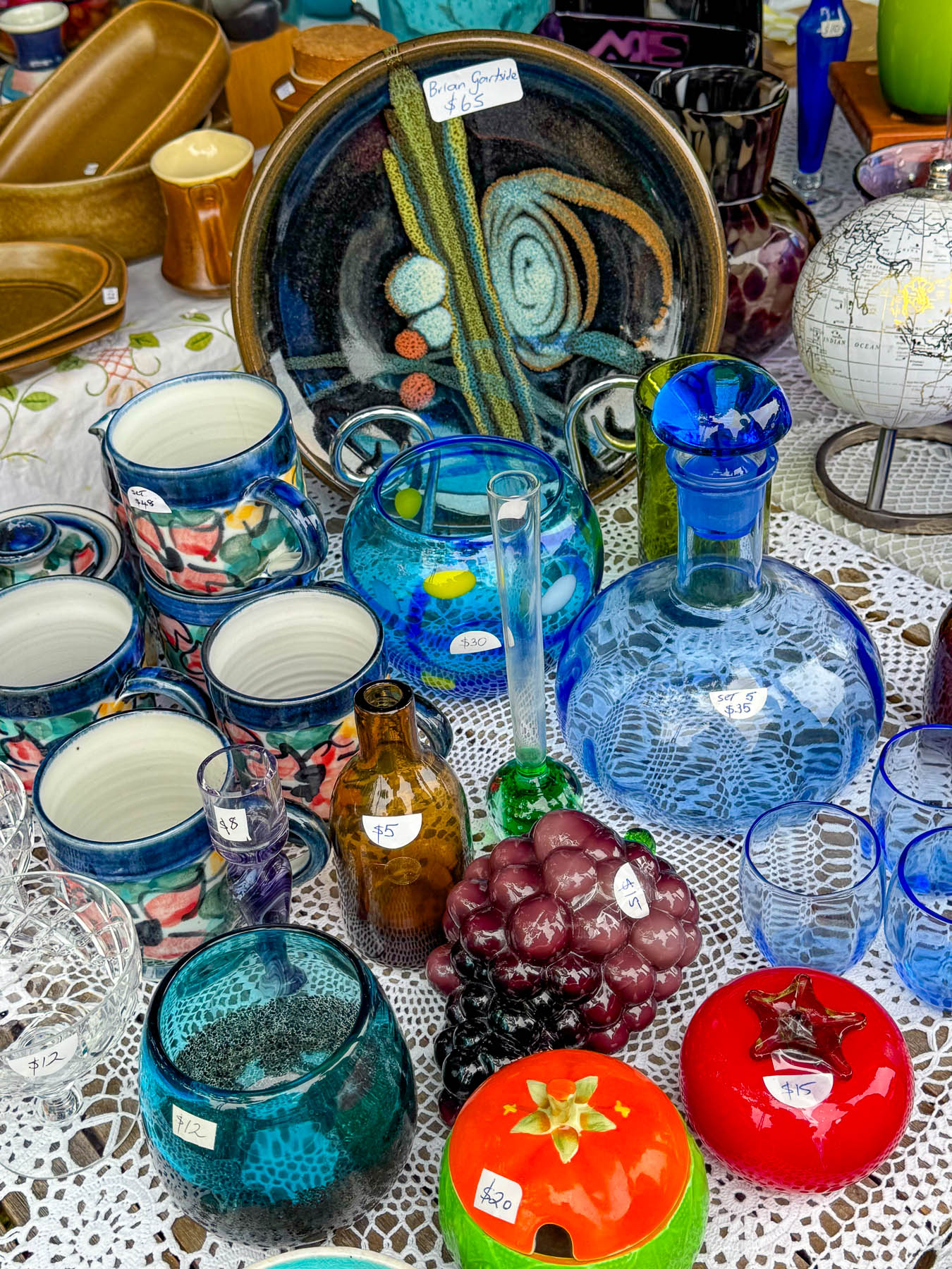
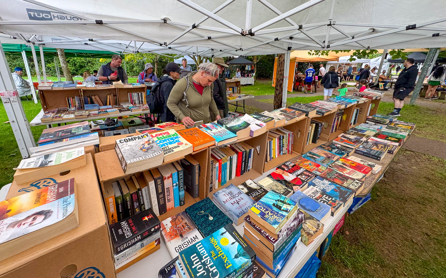
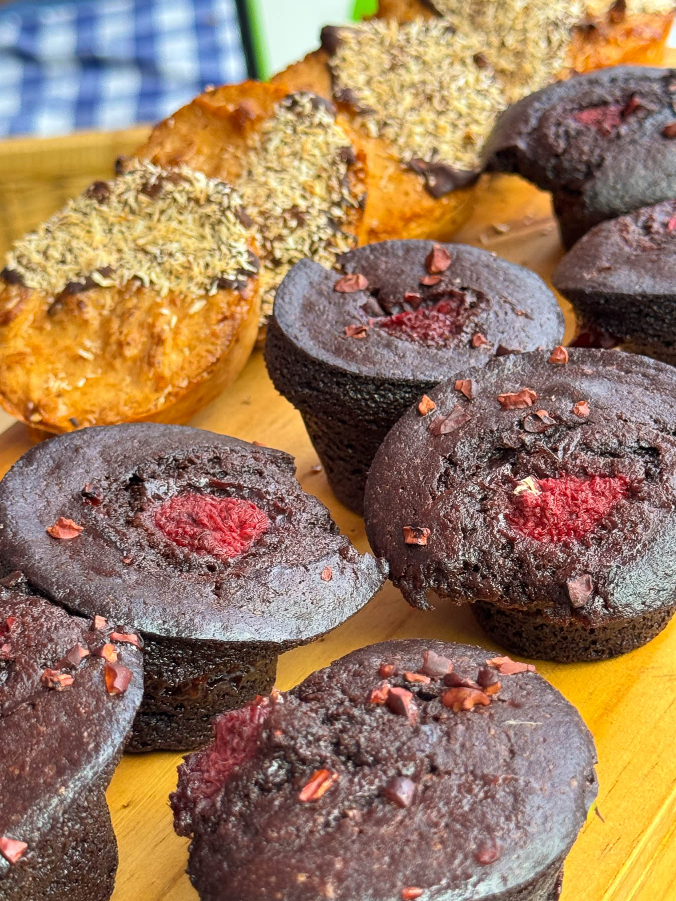
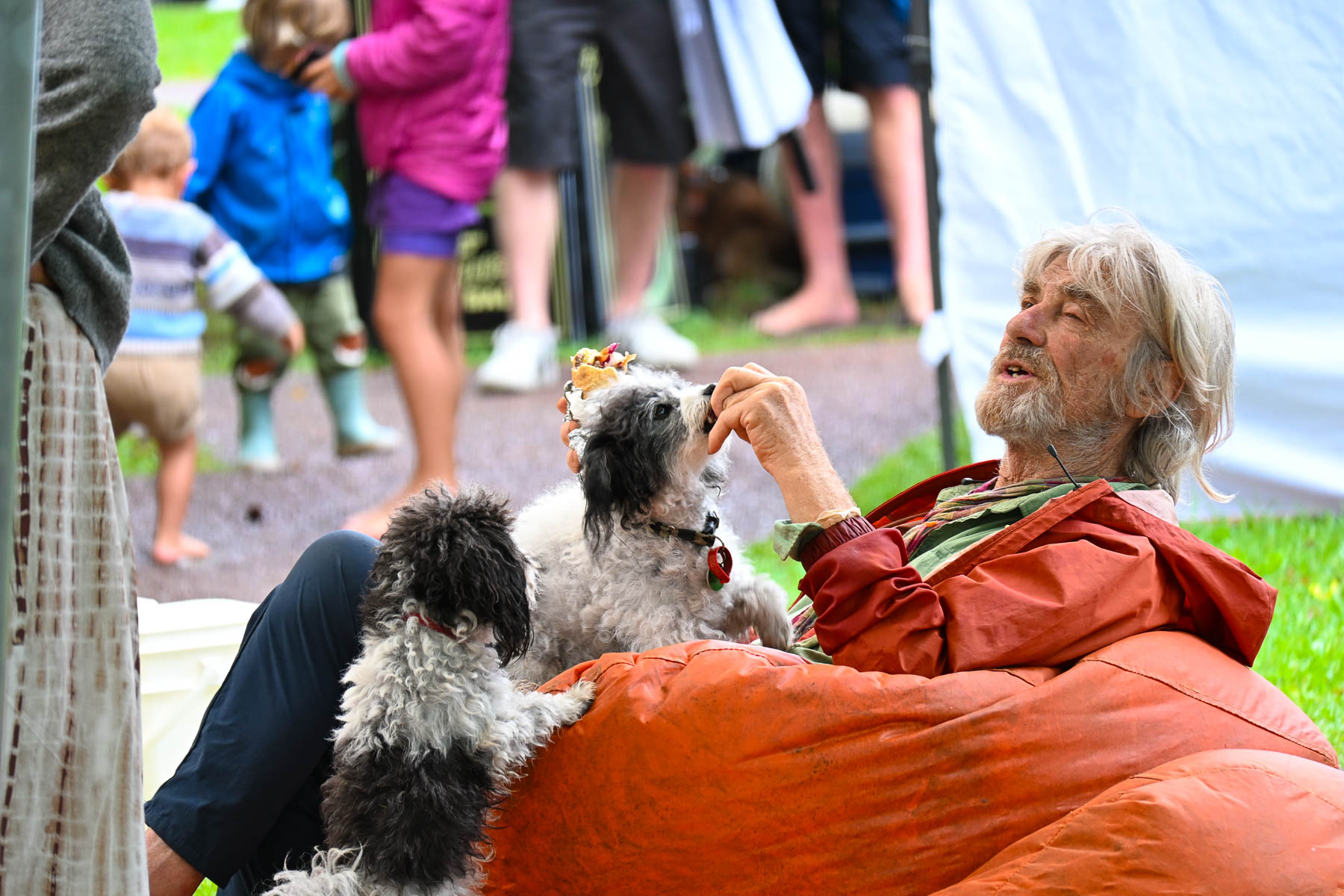
The next morning, we crossed the causeway over Putaki Bay and stopped to photograph some boats which were beached along the shoreline for repairs as we headed to the Waiheke Ostend Market. It’s the island’s year-round Saturday only farmers market, that is open from 8AM-1PM. Part social club and marketplace it is a spot where folks catch up with friends and island news while relaxing on bean bag cushions as they listen to a local band. It was not a particularly large event, but there were several stalls for coffee, breads, pastries and crepes, along with vendors selling books, ceramics, clothing, jewelry, and antiques. A downpour sent us into Take a Bite, Café & Pastries across the street for another cup of coffee as we waited out the rain. Everything in their display case looked delicious.
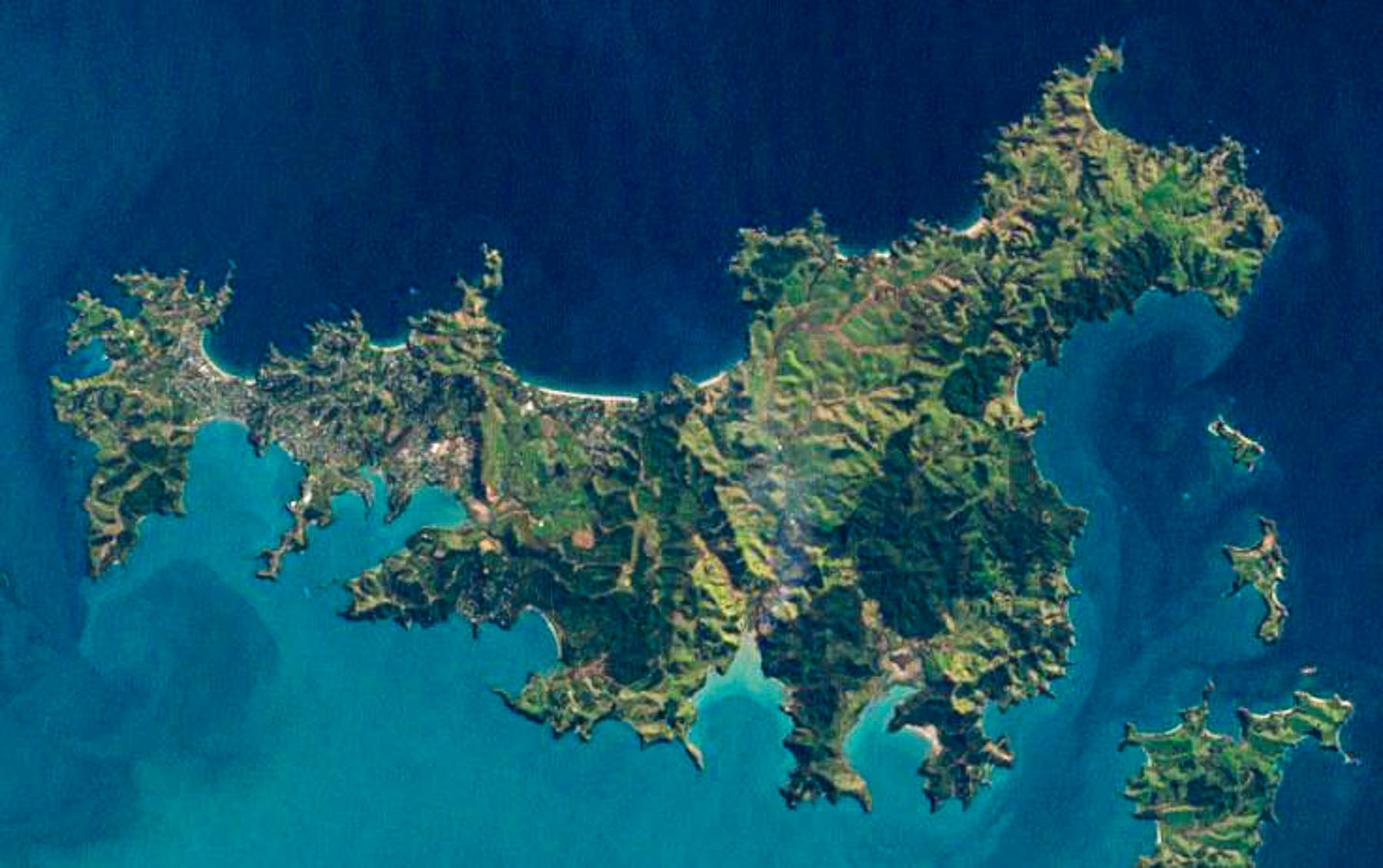
Afterwards we set out to explore some of the island’s northern beaches. The island is only 19.3 km (12.0 mi) long and varies in width from a narrow .64km (.4mi) at Oneroa near the western end the island to 9.65 km (6 mi) wide on eastern side of the island or “The Far End,” as islanders like to call it. An aerial view of the island reveals a squiggly 134 km (83 mi) coastline with multiple coves and 25 miles of sandy beaches.
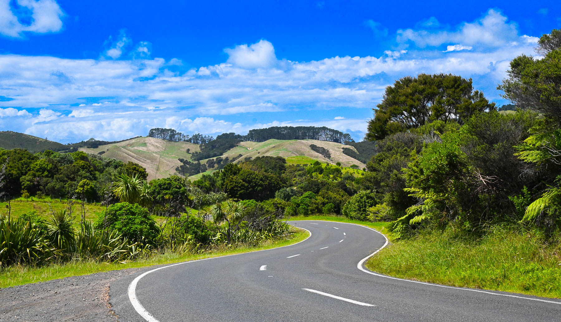
Though it’s a slight exaggeration, there’s not a straight road anywhere on the hilly island, so it took a while to get between points on the serpentine roads. Sudden rain squalls occasionally interrupted our wandering, on an otherwise mostly sunny day. The views of the countryside were beautiful, but often the roads were too narrow to stop safely to take photographs. Wild fig trees full with ripe figs grew along the roadsides.
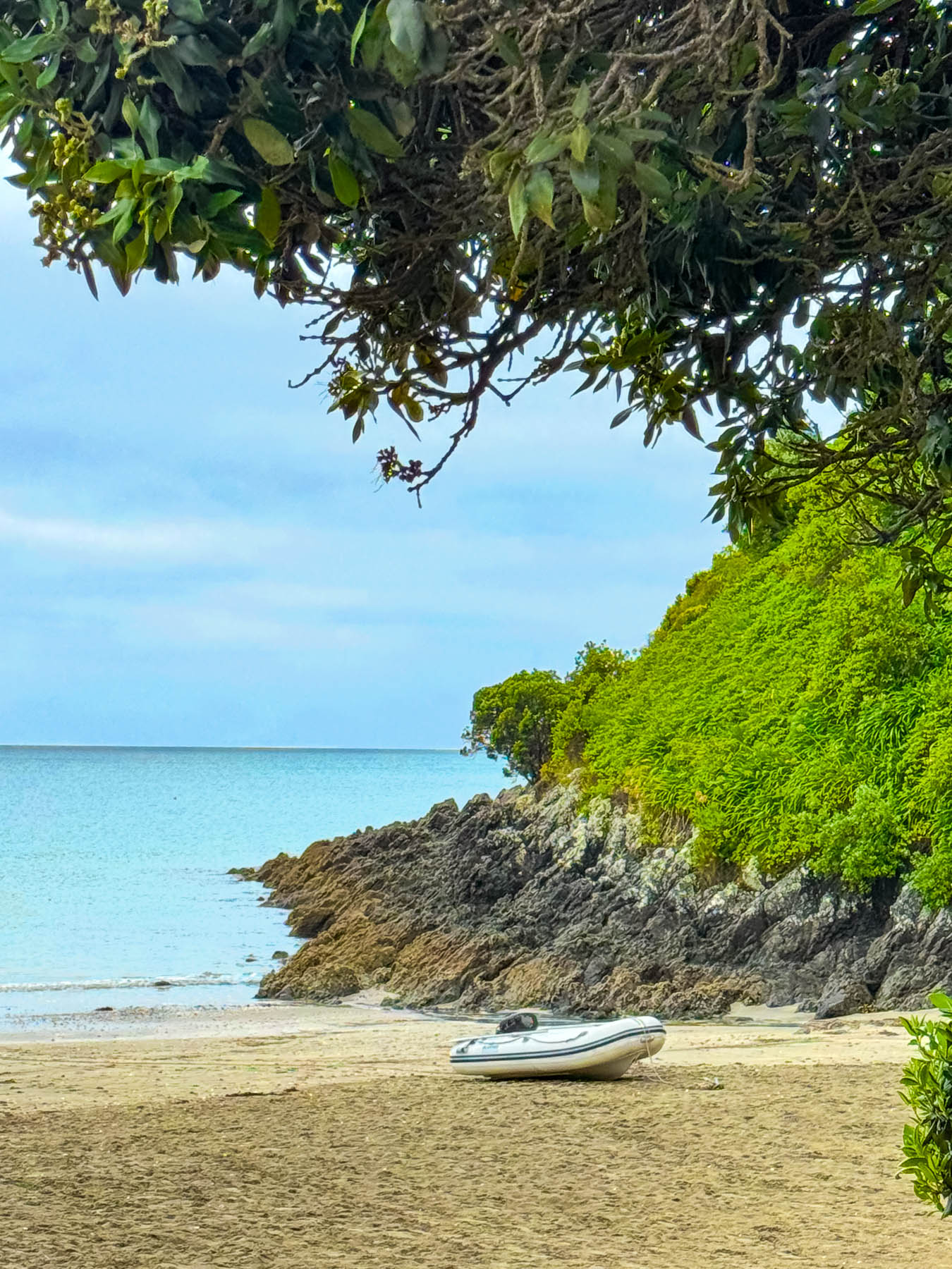
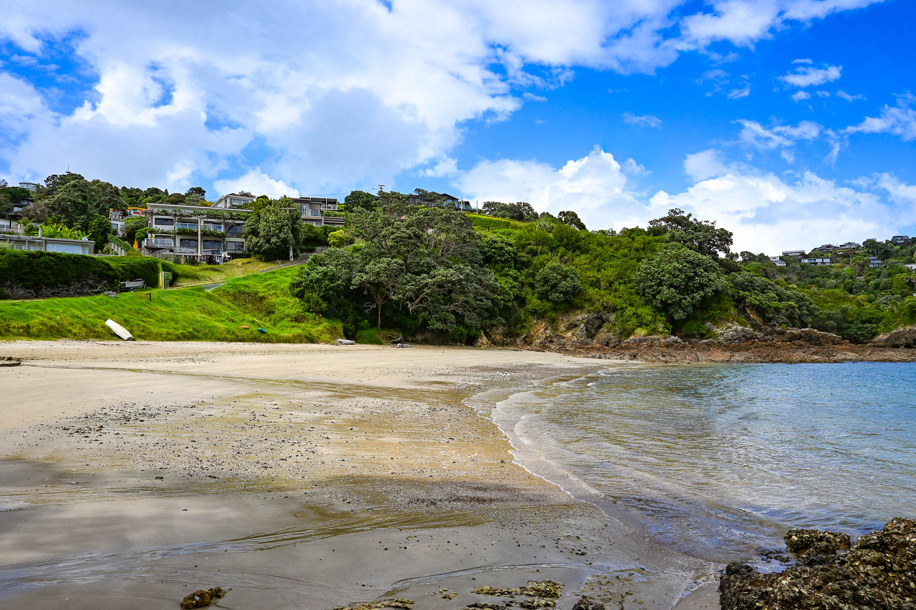
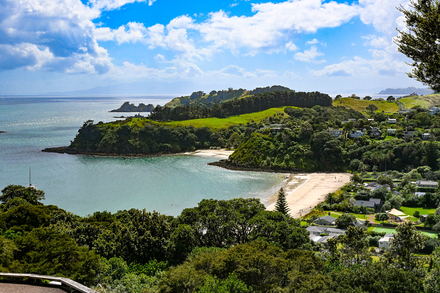
Our first destination was Sandy Bay Beach, a small swatch of sand surrounded by volcanic rocks, a with boat ramp. Continuing along the Great Barrier Road, we stopped at the top of a steep driveway that afforded a good view of Palm Beach and the north coast receding in the distance. Reaching the beach, we watched two sailors launch their dinghy from the shore and row across the calm water to their anchored yacht. A block back from the beach was the restaurant Arcadia, where we enjoyed a very nice mid-afternoon lunch.
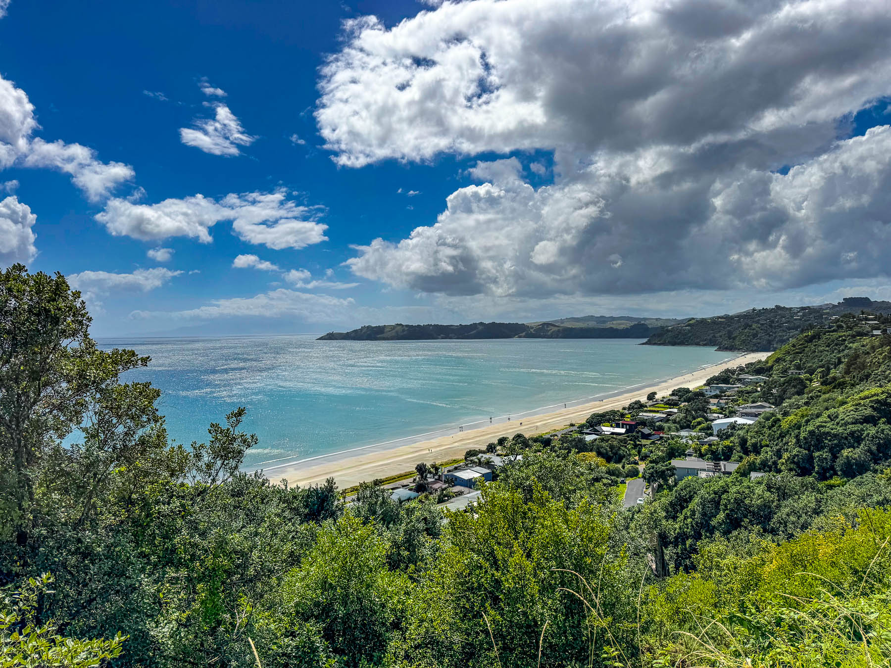
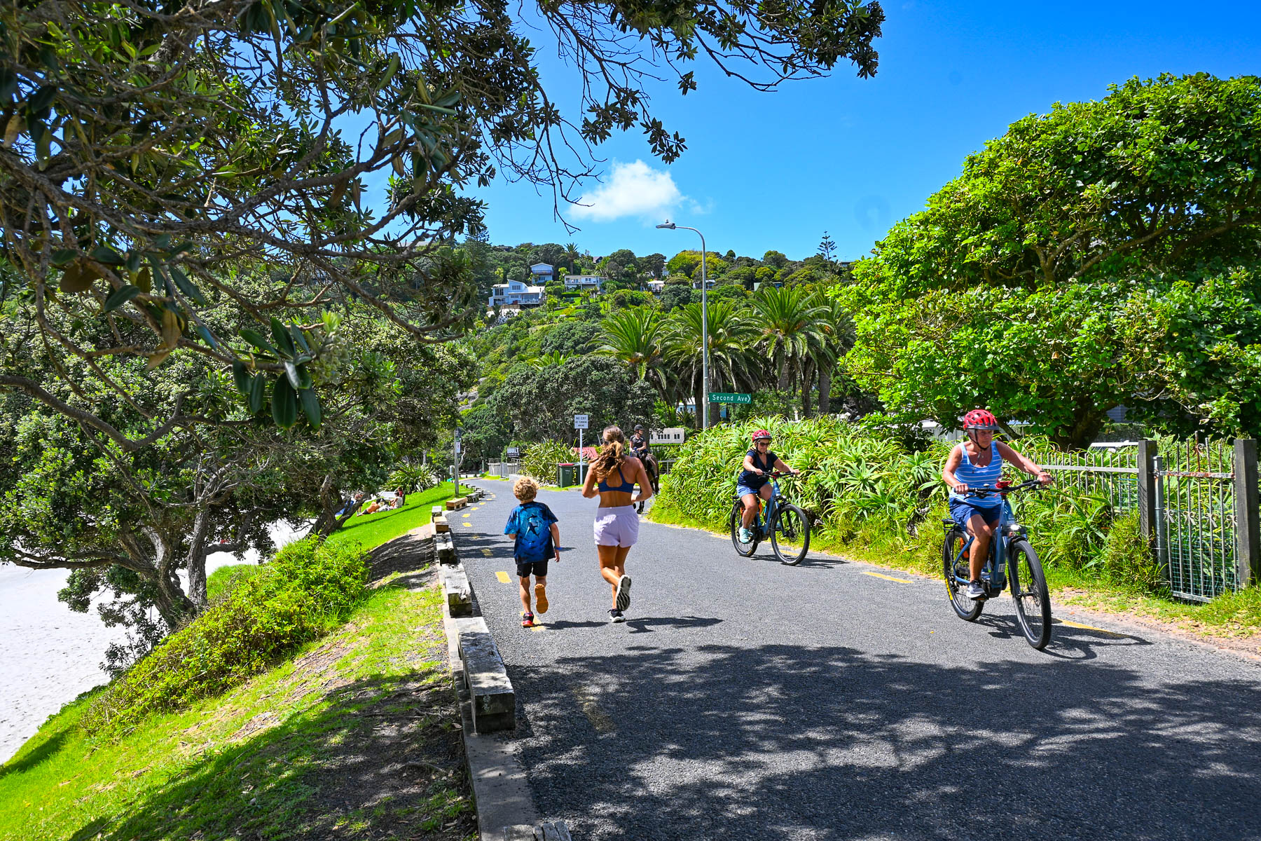
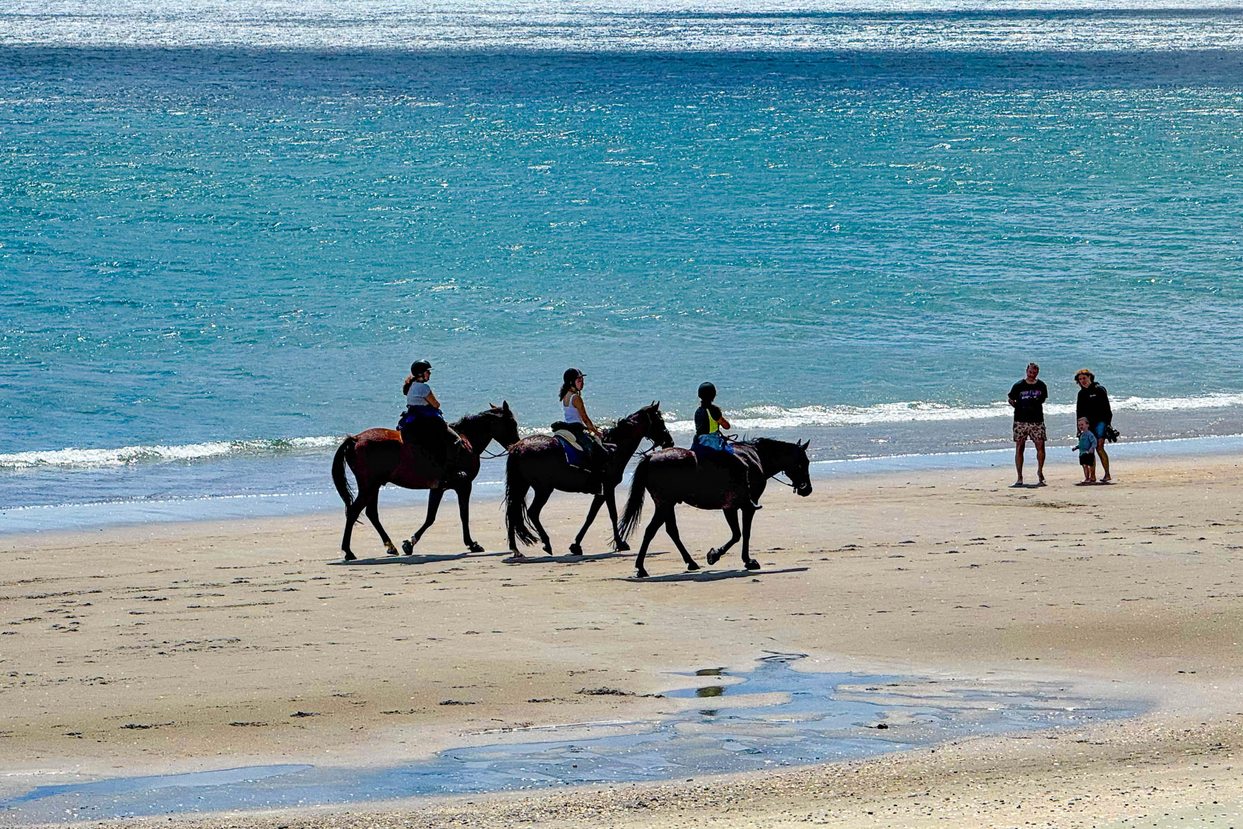
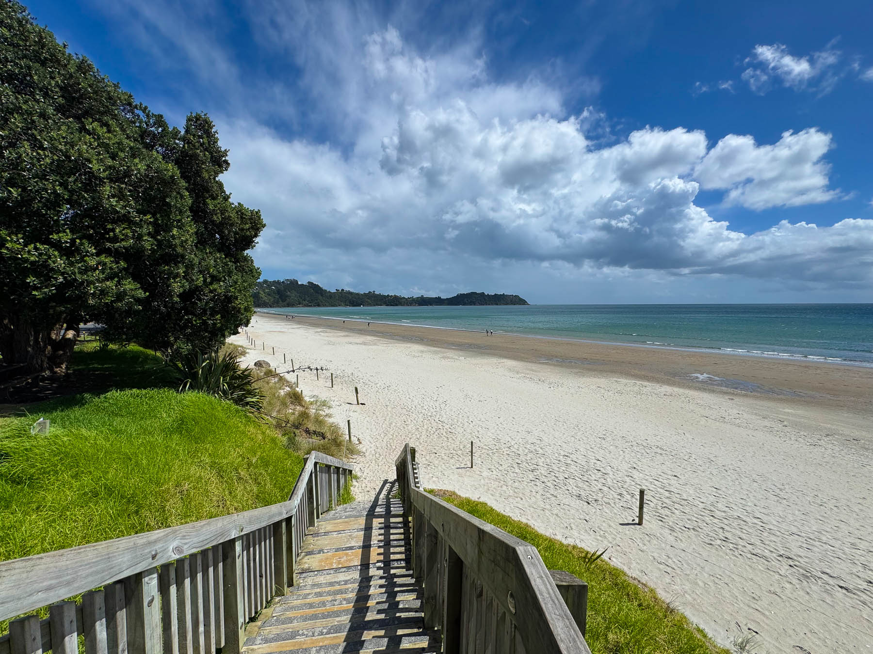
By the time we reached Onetangi Beach later that afternoon the weather had committed itself to be brilliantly sunny. Stretching for about 2 km (1.25 mi) along the coast it’s the island’s longest and widest beach, with shell free sand that is perfect for the annual sandcastle building contest. It’s also a popular beach to arrange a guided horseback ride with the local stable Waiheke Waiheke HorseWorx.
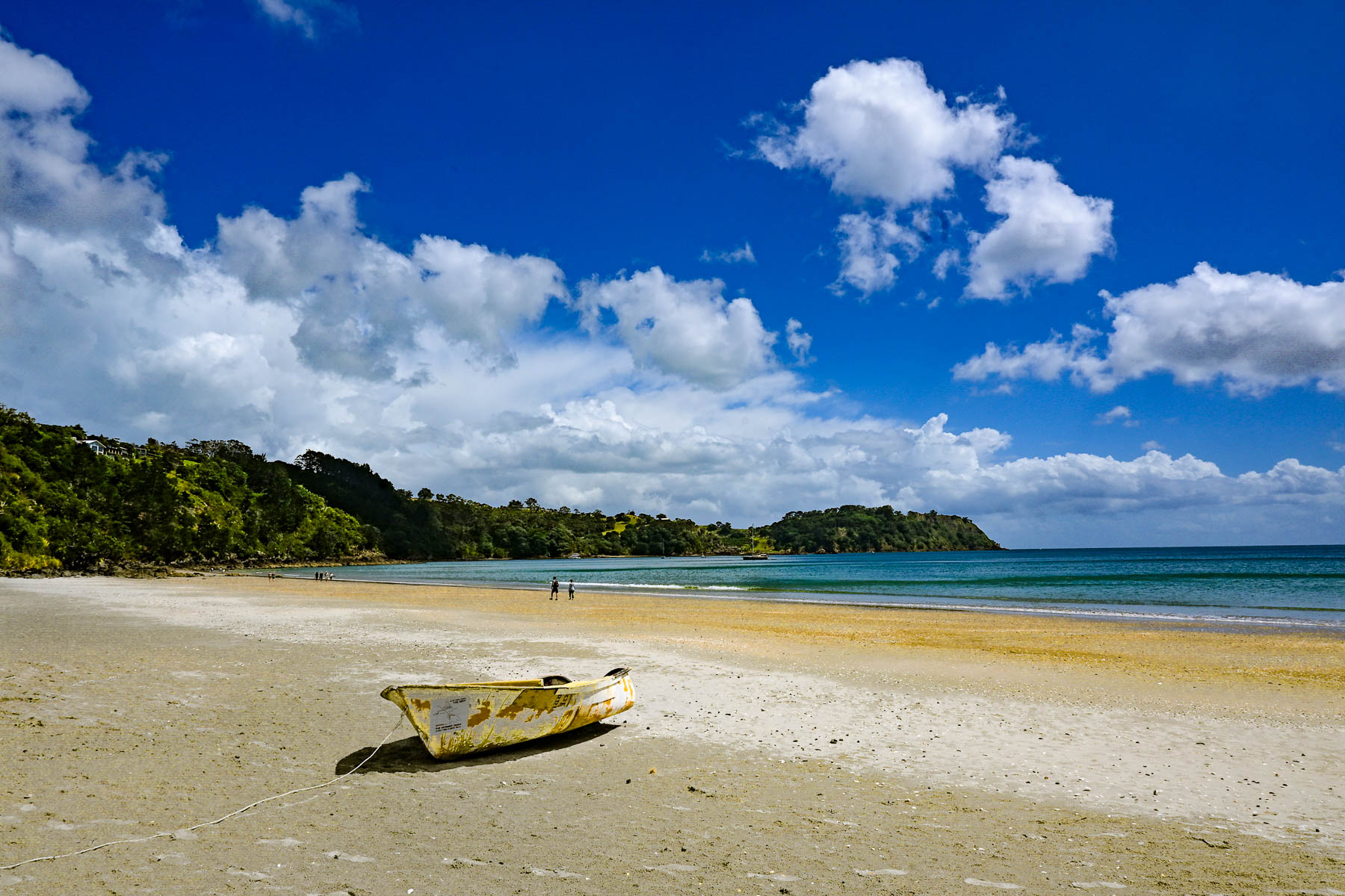
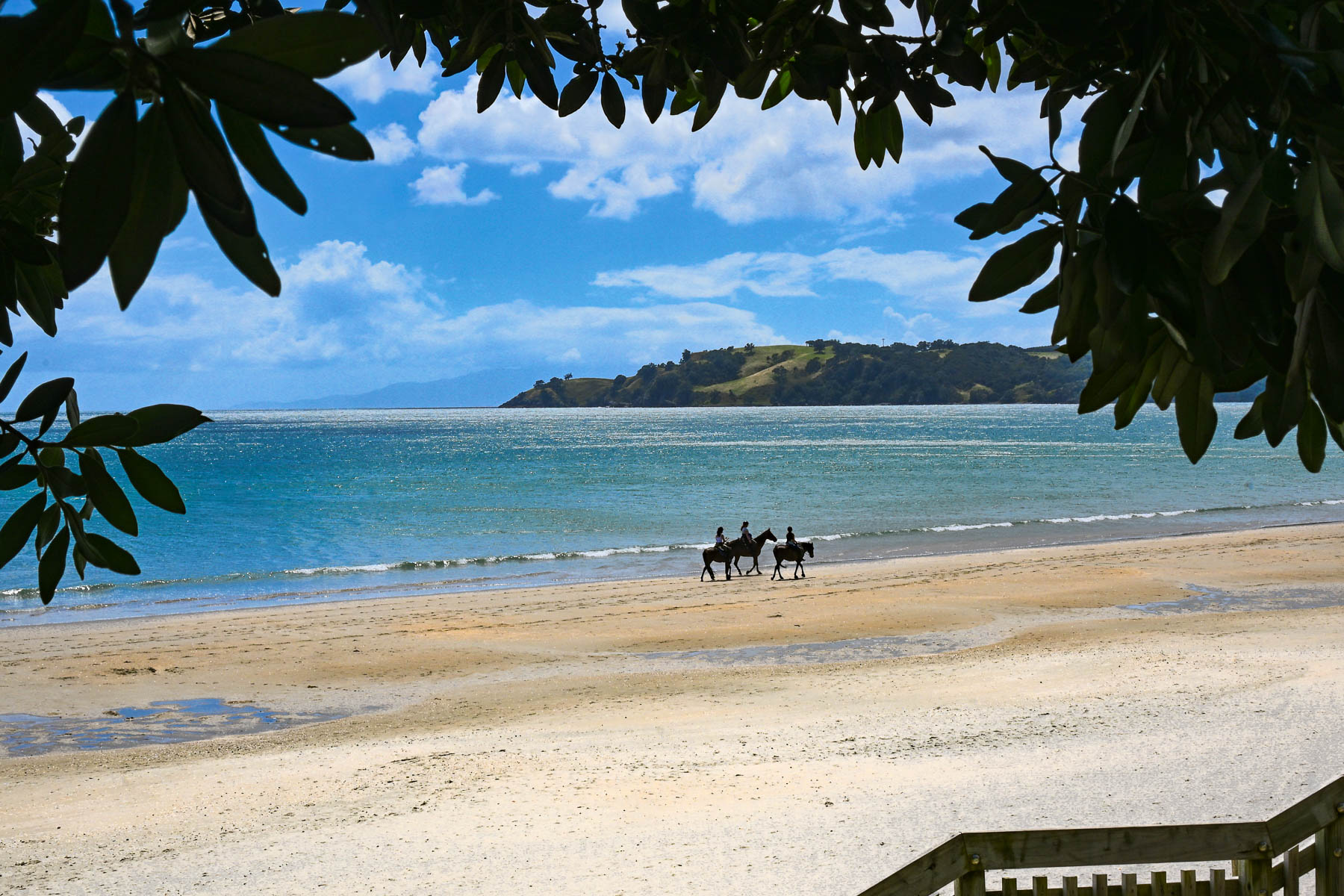
A narrow road with limited parking paralleled the shady shoreline. Across the road from the water were several restaurants with outdoor terraces that were very busy with customers. On a hill high above the beach is the restaurant Casita Miro; it’s a festive place with great tapas style cuisine and nice panoramic views, that was highly recommended. Alas, it was a missed opportunity, which we unfortunately didn’t get a chance to dine at.
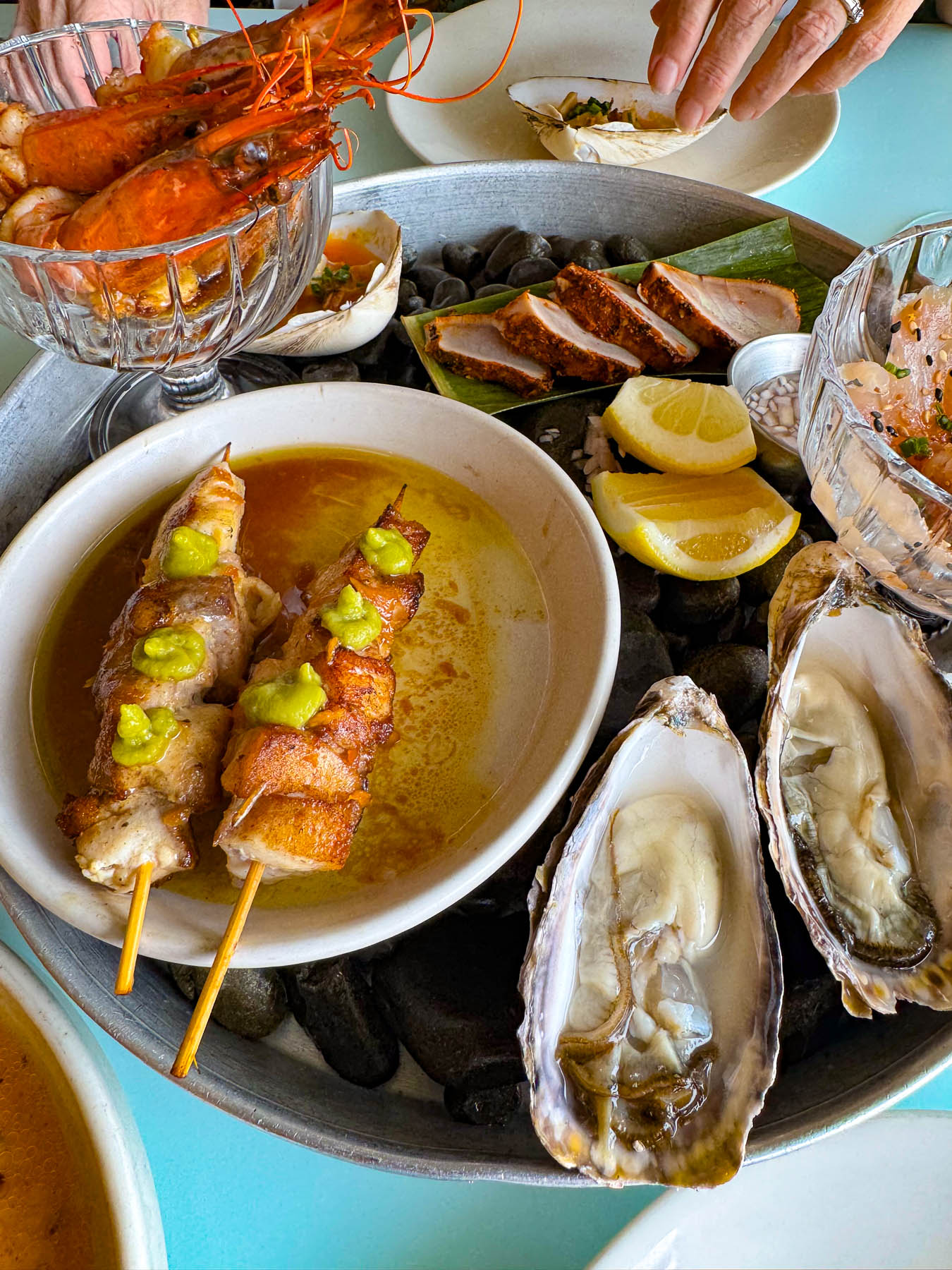
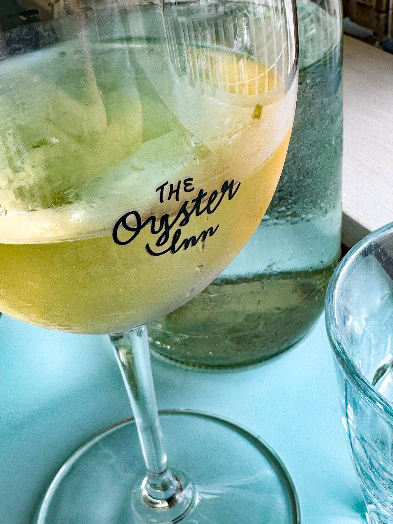
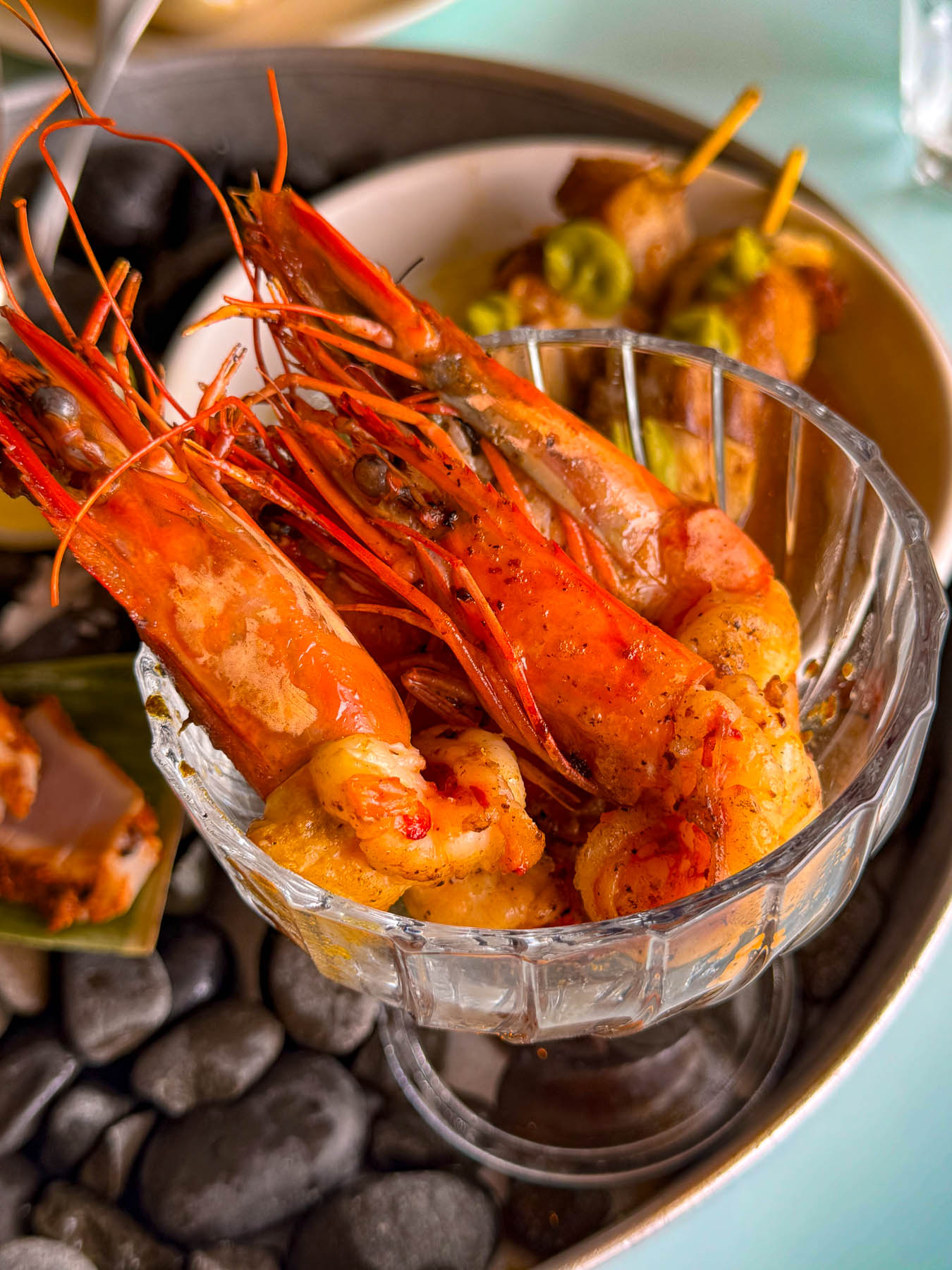
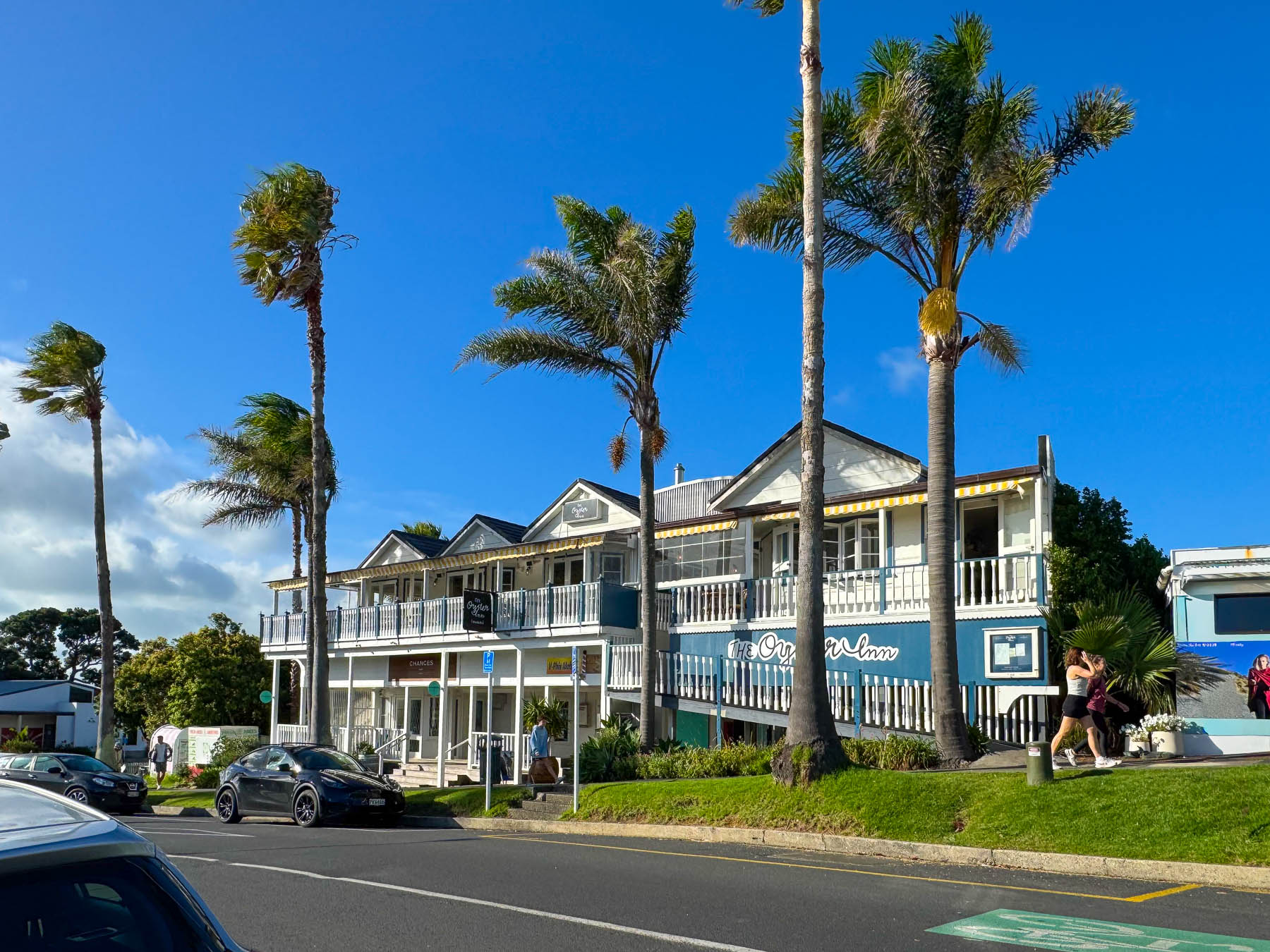
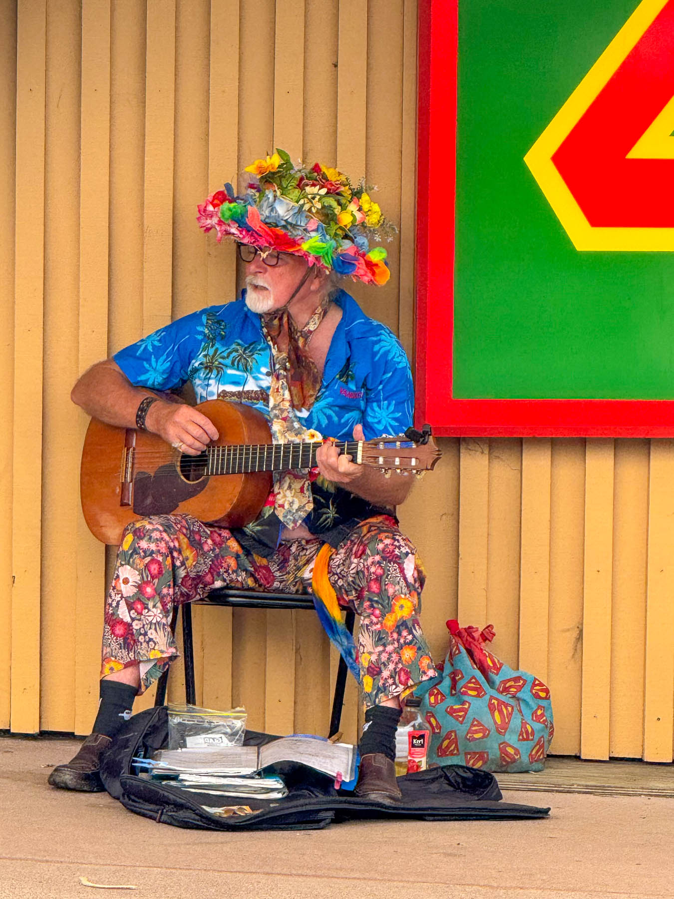
Later, back in Oneroa we celebrated Valentine’s Day with a seafood platter and local white wine on the veranda at  The Oyster Inn, which is co-owned by the New Zealand celebrity chef Josh Emett and his wife. Emett notably trained with Gordon Ramsay and was a judge on Master Chef New Zealand. As the restaurant’s name suggests, local Te Matuku oysters raised in the pristine waters of the Te Matuku Marine Reserve at the southeast corner of Waiheke Island in the Hauraki Gulf are a prime feature on the menu. While we dined, we could hear the guitar of a valiant busker performing across the road, keeping his old hippie days alive.
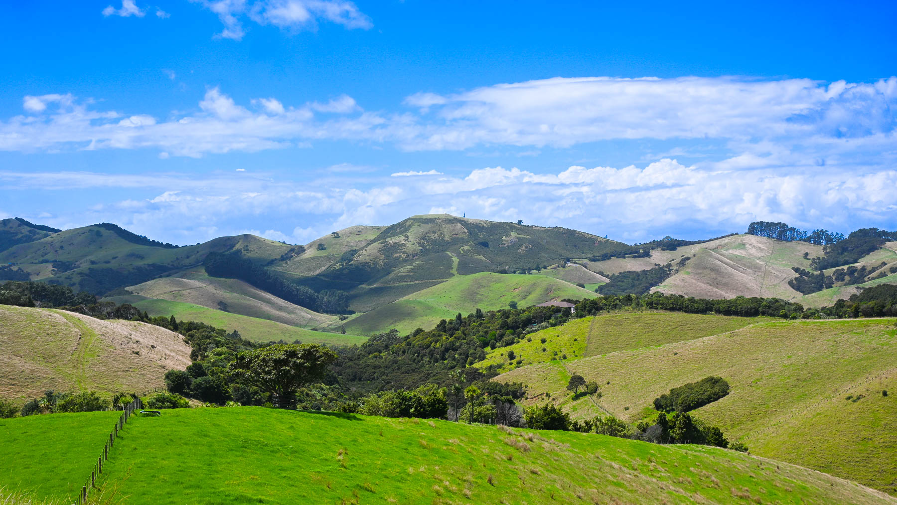
The next morning, after another one of Diane’s fabulous breakfasts we headed out to explore the eastern part of the island, with two wineries – the Jasper Ridge Estate and Man O’ War Vineyards. The later was a recommendation by a friend of ours from the states who had recently returned to the South Island to care for her aging mother, and enjoys vacationing on Waiheke.
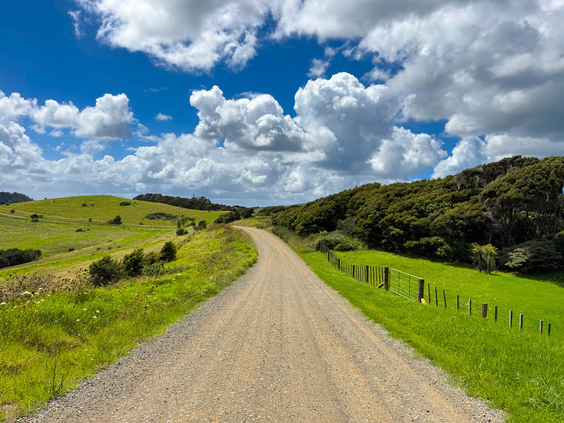
It was a gorgeous ride through rolling grasslands dotted with sheep, stream crossings over narrow one lane bridges, tunnels of tall mamaku fern trees, and our first kiwi crossing caution sign, warning of the nocturnal flightless birds that were reintroduced to the island in 2025. We never spotted one. Turning off Orapiu Road onto Cowes Bay Road we were suddenly on a gravel tract.
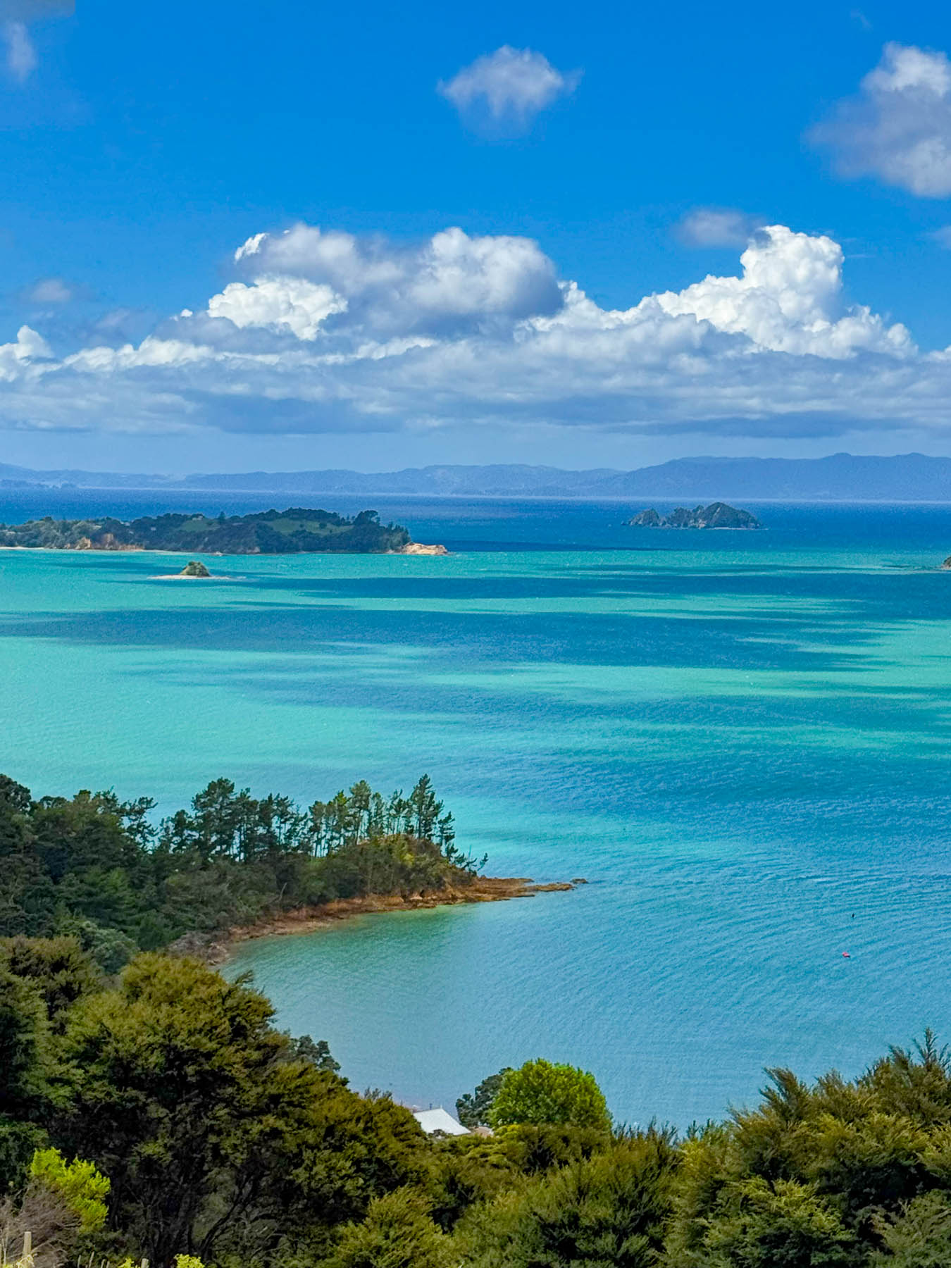
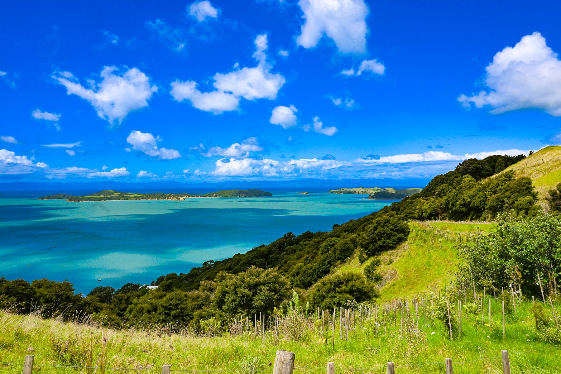
The island has a total road network of approximately 100, mostly paved miles, however a high percentage of them are compacted gravel, especially on the way to the Stony Batter Historic Reserve on the rugged north-eastern tip of the island. As the road rose the view transformed into a majestic panorama of land, sky and sea. To the east the Coromandel Peninsula, 55 km (34 mi) away, was a barely visible stroke of grey on the horizon.
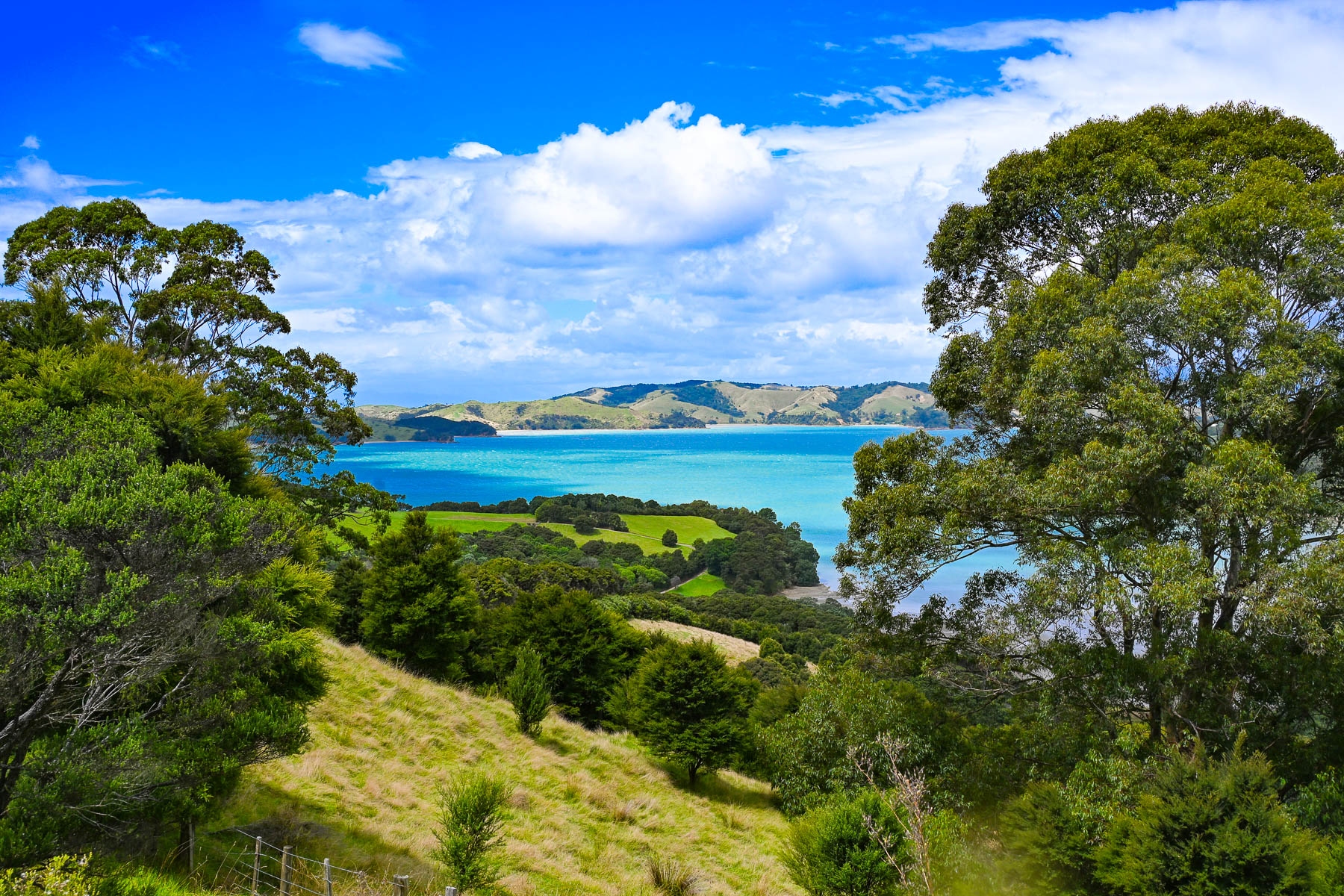
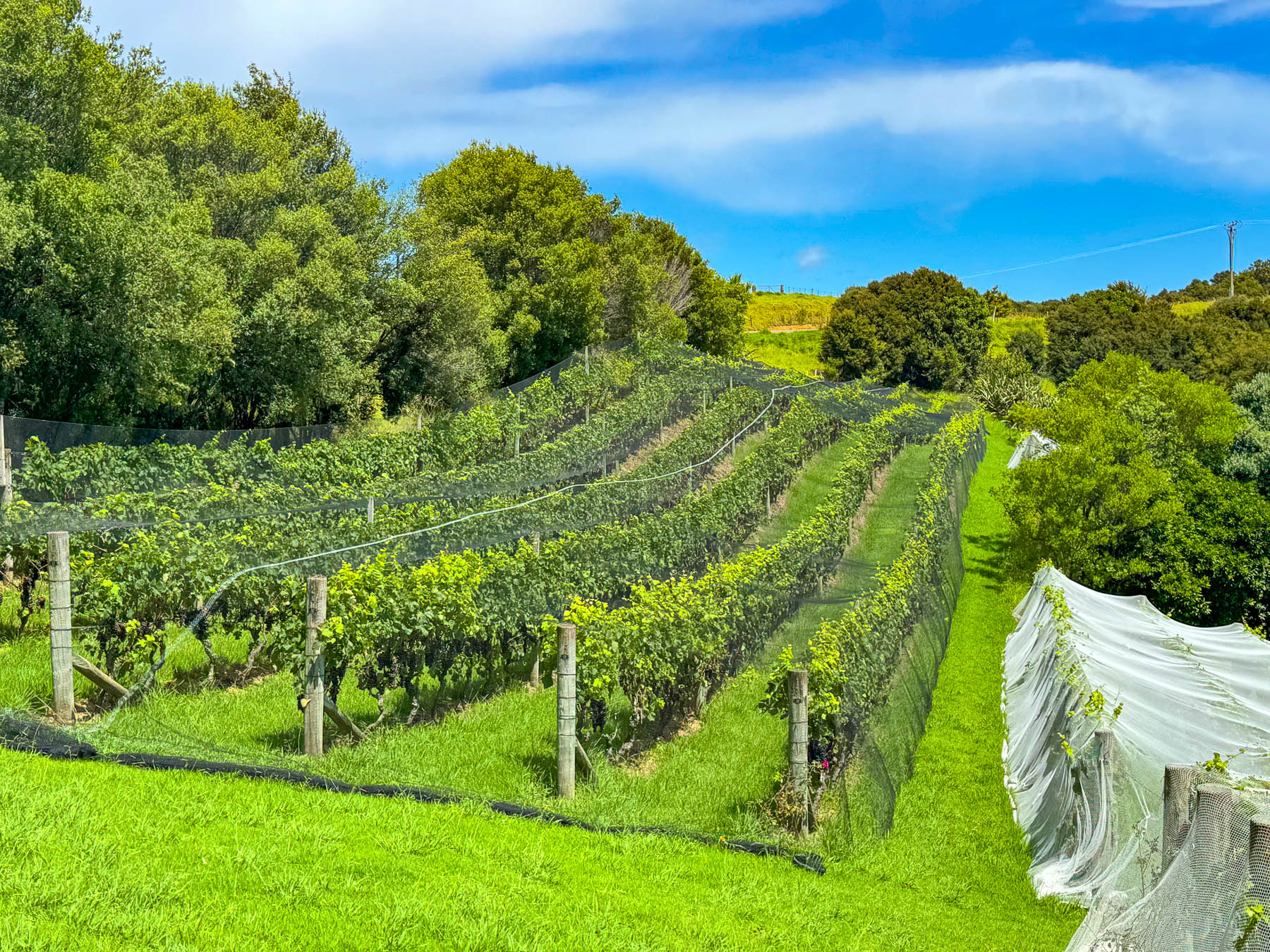
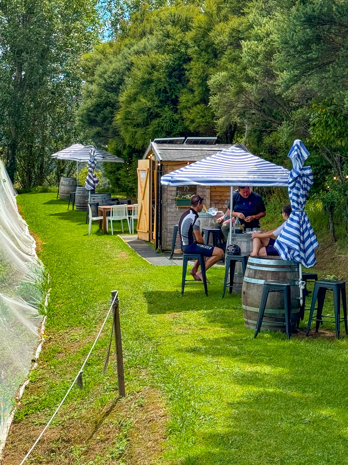
At the entrance to the Jasper Ridge Winery the views of the seascape were extraordinary. Owned and operated by David Bishop and Derek Ireland, Jasper Ridge is one of Waiheke’s smallest wineries, with 4000 Syrah vines planted on one hectare (2.5 acres), where they craft very small, limited-edition wines. But they have earned a lot of prestige, having won awards with their first vintage in 2023 for their Single Vineyard Syrah, and 2025 for their Rosé and Pinot Gris. A rain shower forced us to take shelter briefly under the umbrellaed picnic tables overlooking the rows of grapevines covered with netting to keep the birds away from the grapes almost ready to be picked later that week.
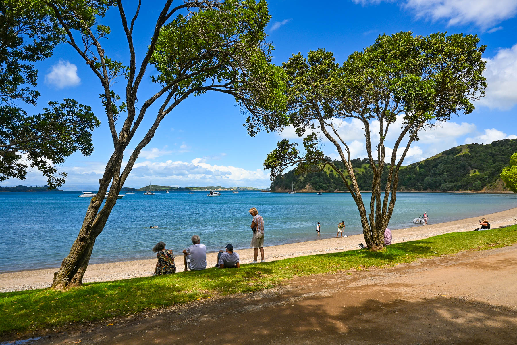
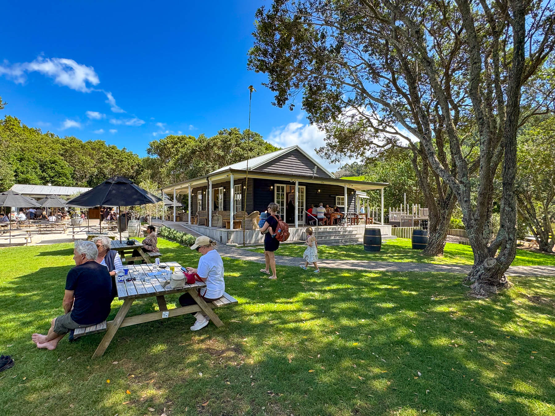
Continuing on the road, we passed through a forest of tall Kauri trees, then dipped into a dry wash strewn with boulders and timbers carried down the steep hillside in a recent flashflood. Reaching the Man O’ War Vineyards, the road leveled out and the view opened to the beach along  Man O’ War Bay with folks swimming, and boaters motoring small dinghies ashore to visit the winery. The winery really is a destination venue, offering wine tours, fine and casual dining, and a kid’s playground. It even has a small white chapel for weddings as well as an adventure sports center that offers ziplining through the forested hillside above the winery, and into the forever happily after for the newlyweds. It’s a big, popular fun spot to visit, and the setting on the bay was quite pretty.
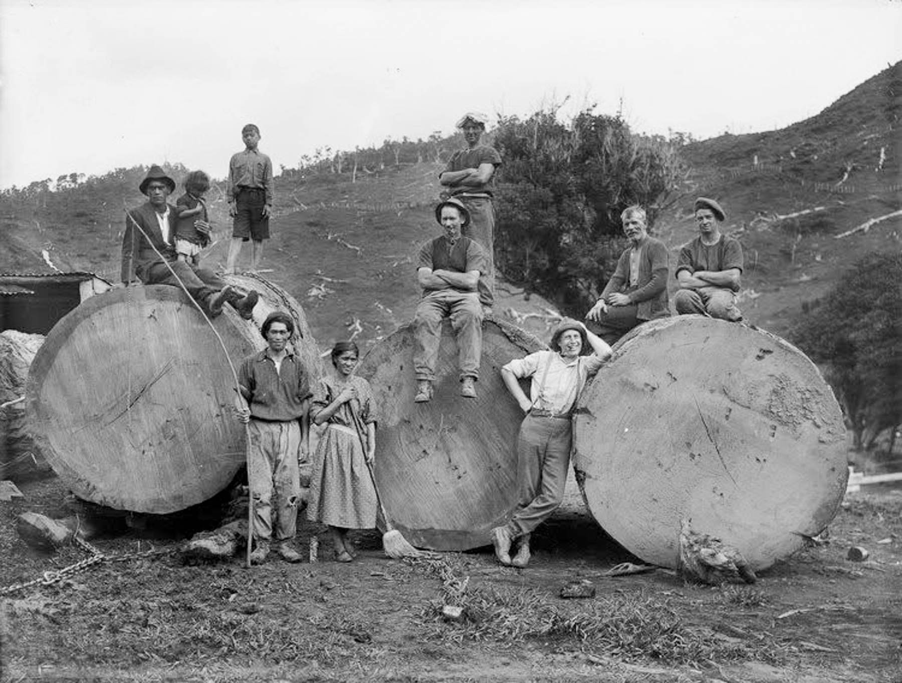
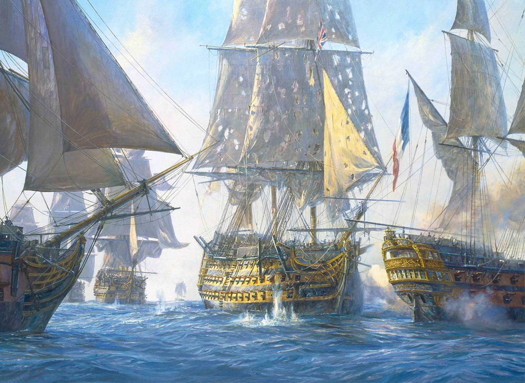
The tall straight Kauri trees, which can live for thousands of years, were noted for the strength of their wood in colony’s early shipping journals, and by the early 1800s Waiheke’s hillsides were being deforested and the wood exported to England to be used as masts for the Royal Navy’s “Man O’ War” warships, which is how the name Man O’ War was bestowed upon the bay. A favorite legend suggests that the masts of Lord Nelson’s flagship, HMS Victory, were made from kauri trees taken from hills of Waiheke Island.
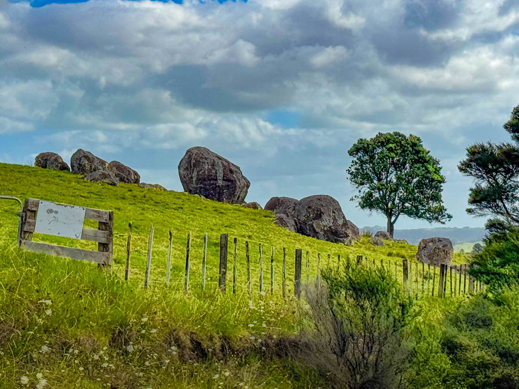
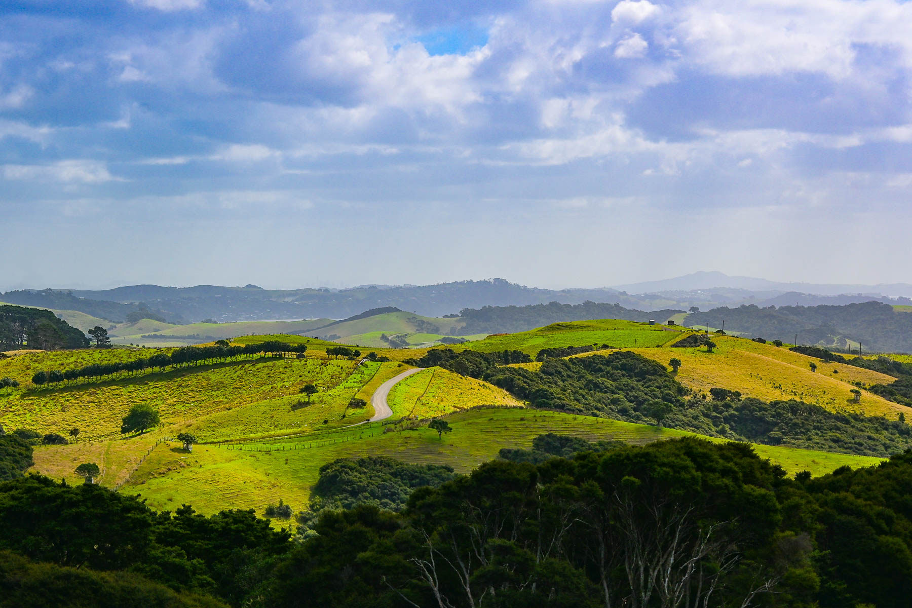
Continuing on we headed to the Stony Batter Historic Reserve. It was once a World War II coastal defense installation to protect Auckland from potential Japanese naval attacks, and features three massive concrete gun emplacements. There was also an interesting boulder field we hoped to walk through. But we didn’t realize before hand that the parking was pretty far away as the access road to the site was gated, and required a longer walk and more time than we wanted to commit to. But there was one hillside next to the road that gave a feeling for what the larger site would have looked like.
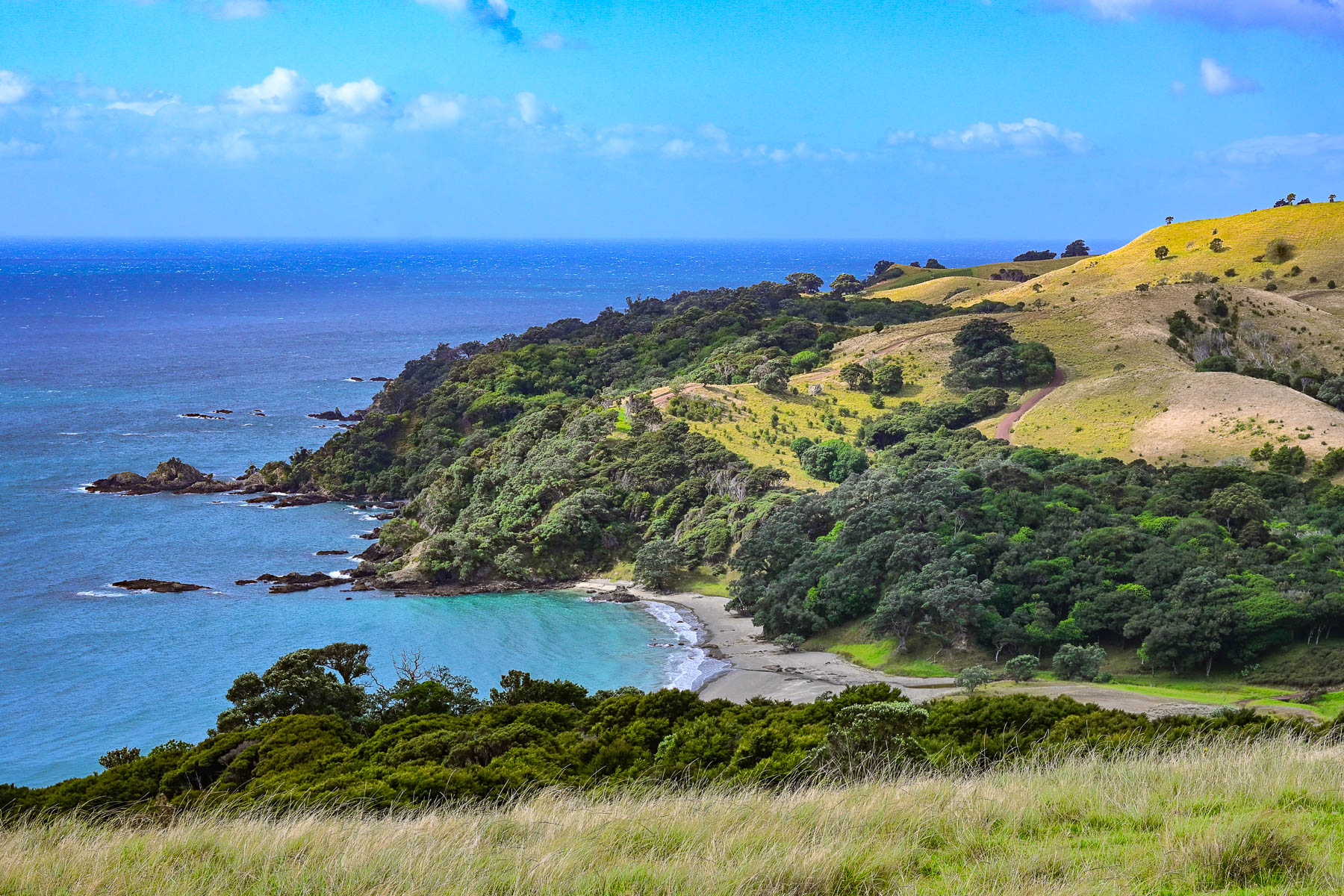
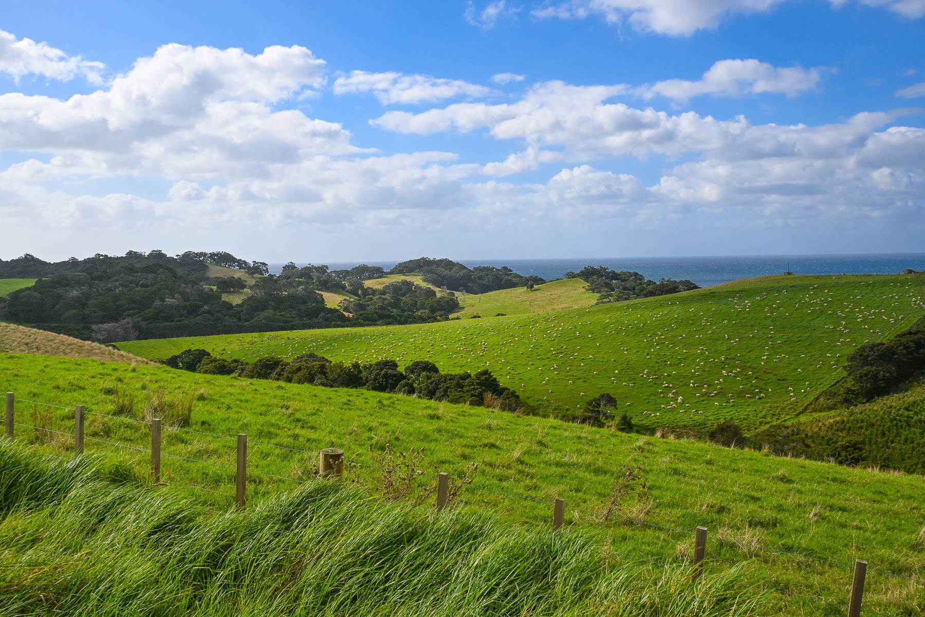
Nevertheless, the views of vineyards and sheep-covered hills surrounding us were beautiful as we coursed back towards Oneroa with a plume of dust trailing behind us as we drove down Man O’ War Bay Road. Cresting a hill, we stopped at a lone bench along the road, seemingly in the middle of nowhere. But it did have a distant view of Cactus Bay Beach, a remote curve of sand only accessible by boat or kayak, that many “Waihekeans consider the perfect beach and, with nearby Garden Cove, a romantic place for picnicking.” Unfortunately, its land access has been blocked off by a private landowner. All the more to make it a special place, that requires more effort, to visit.
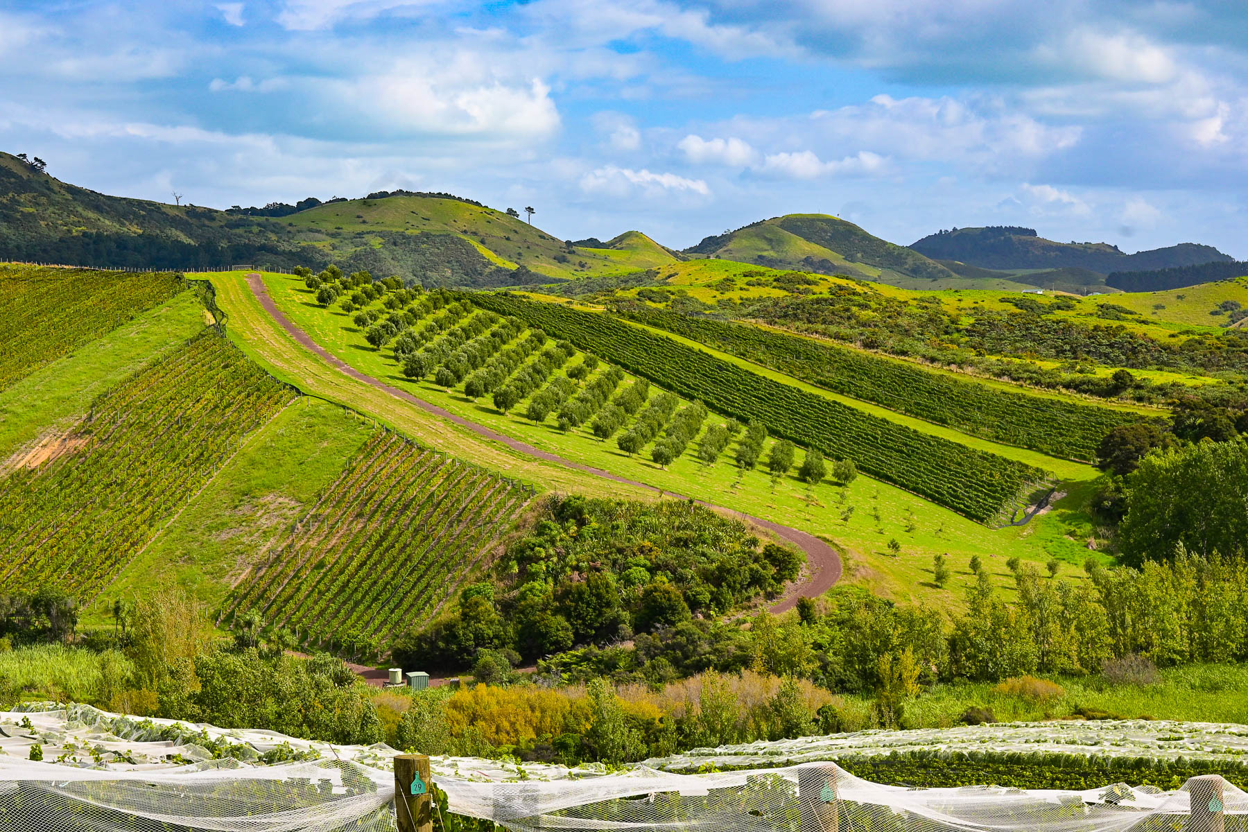
Our scenic drive that day reconfirmed our expectations of what lay ahead for the next part of our journey – that we were truly in an exceptionally beautiful part of the world. The next morning, we headed back to Auckland Airport for a different rental car to start our nine-day road trip to Cape Reinga Lighthouse, the farthest point north on the mainland, Hamilton, and the Coromandel Peninsula before flying south to Wellington.

Though we only drove 110 km (68mi) over the weekend, Waiheke Island was the most gorgeous place to learn how to drive on the left.

Stay left!

Till next time,

Craig and Donna

A Balkans Road Trip Part 5: Slovenia – Into the Kamnik-Savinja Alps to the Logar Valley

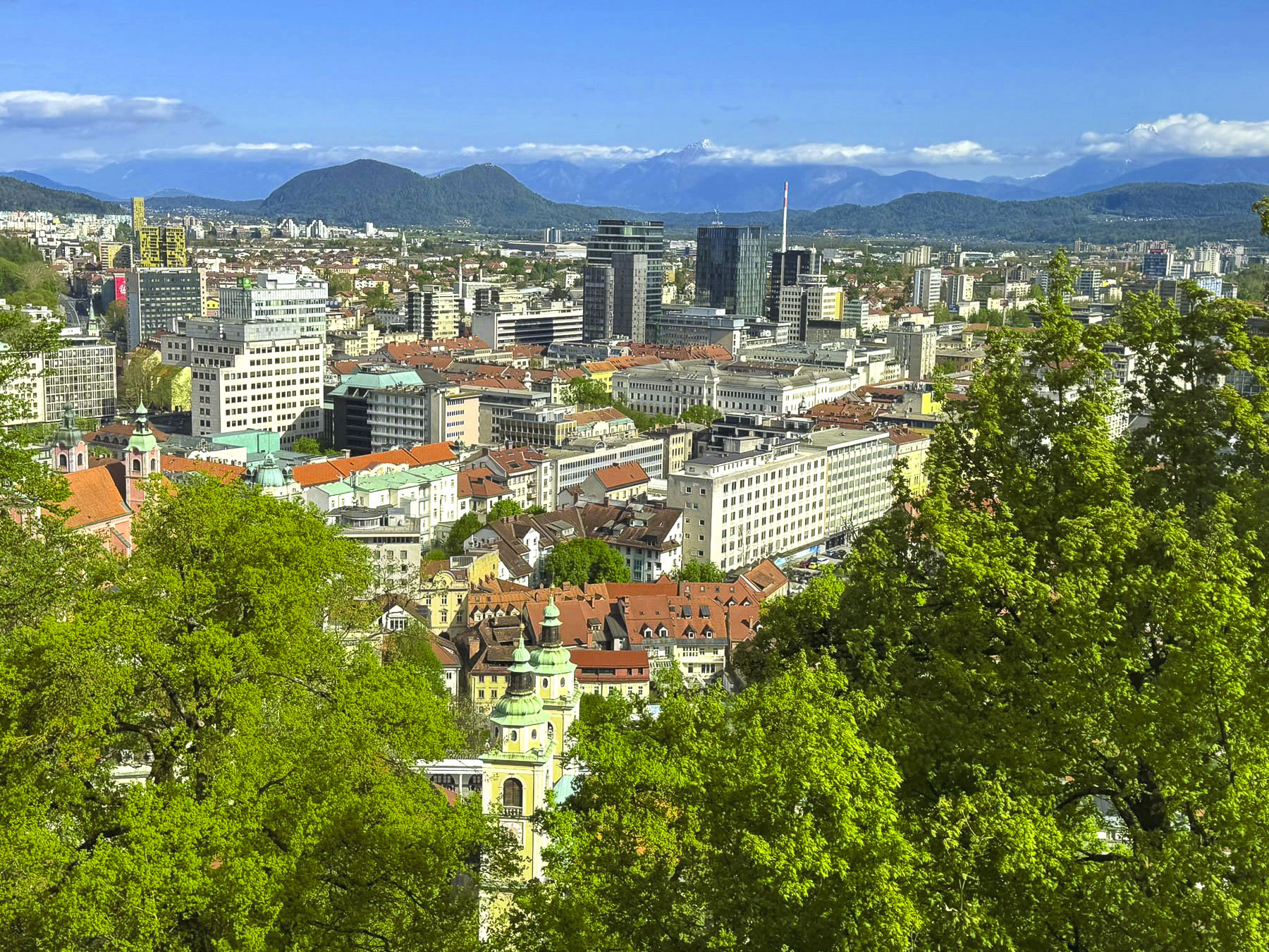
Days earlier, atop the ramparts at Ljubljana Castle, we got our first glimpse of the Kamnik-Savinja Alps, a rugged sawtooth mountain chain that lies north of the city, along the Slovenia – Austrian border in the Solčava region. The range’s three highest peaks, Mt. Grintovec (2,532m), Mt. Jezerska Kočna (2,539m), and Mt. Skuta, (8,307m) still glimmered with snow in early April.

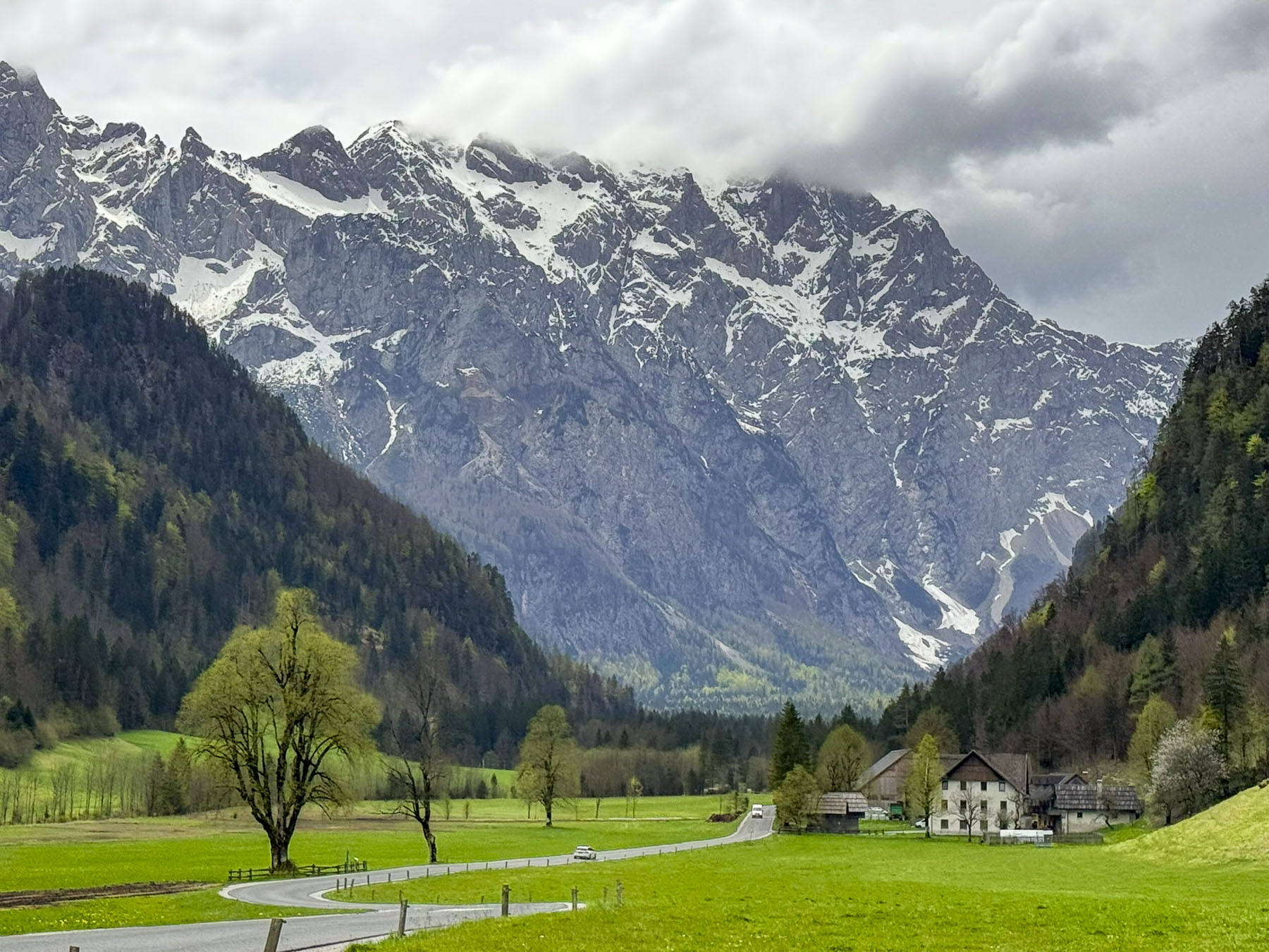
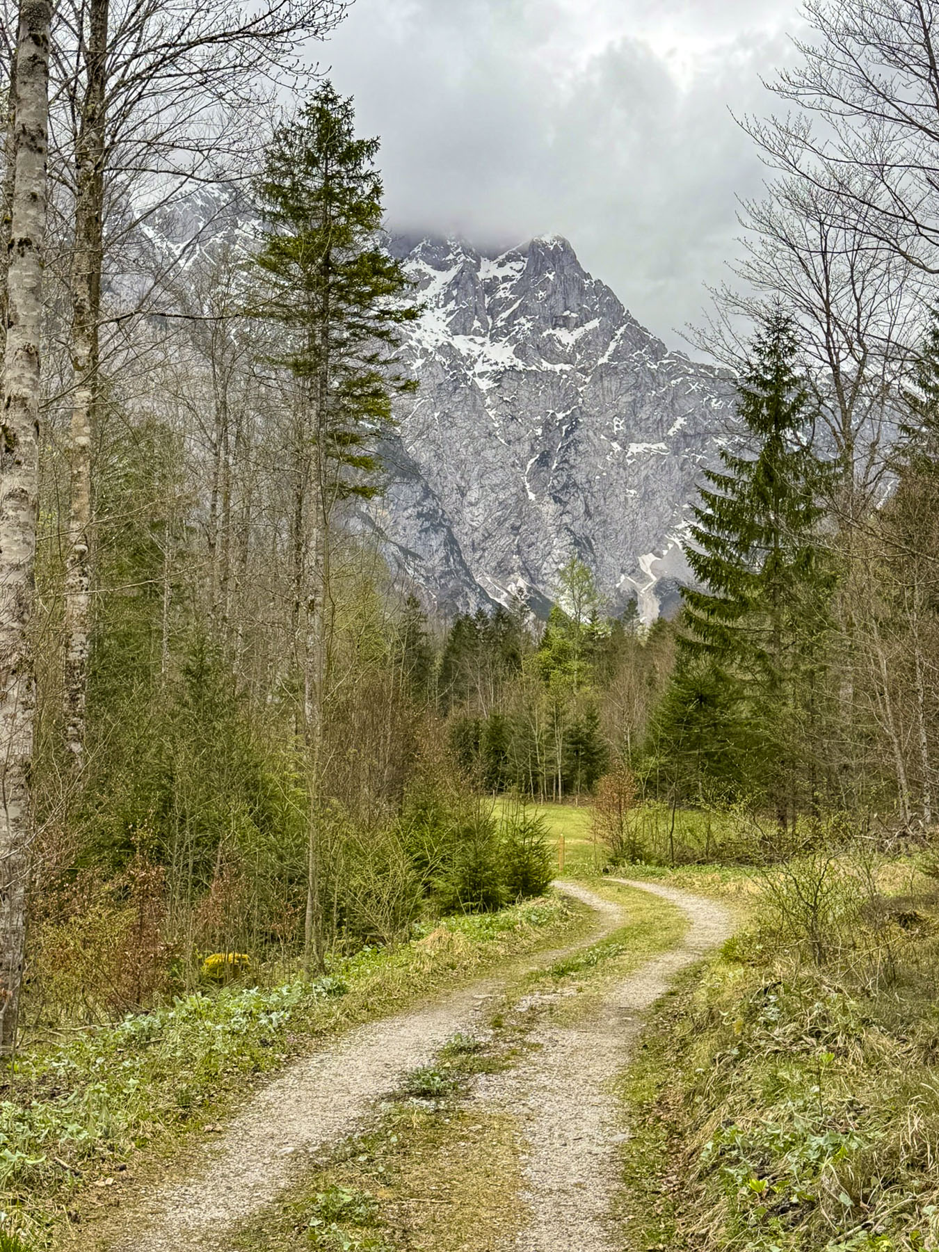
Within the mountain range is Logar Valley, a 7 kilometer (4.3 mile) long alpine glacial valley, surrounded by equally tall sheer summits. Inside the picturesque valley there are trails between Rinka Waterfall (90m – 295ft), the tallest falls in Slovenia, and three other ones that cascade from the mountainsides. It is 1.5 hours from Ljubljana, and we planned to visit the valley during a travel day. Later, backtracking from the mountains, we stayed in Kamnik for two nights before continuing on to Zagreb.

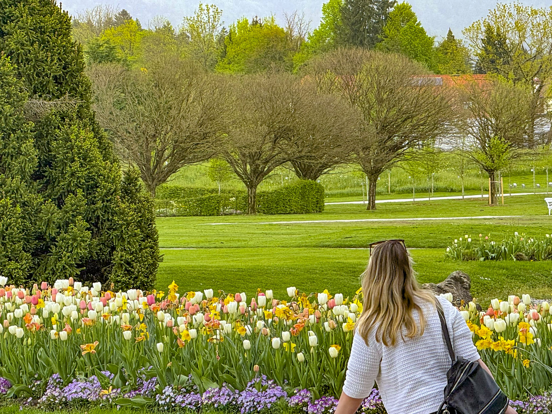
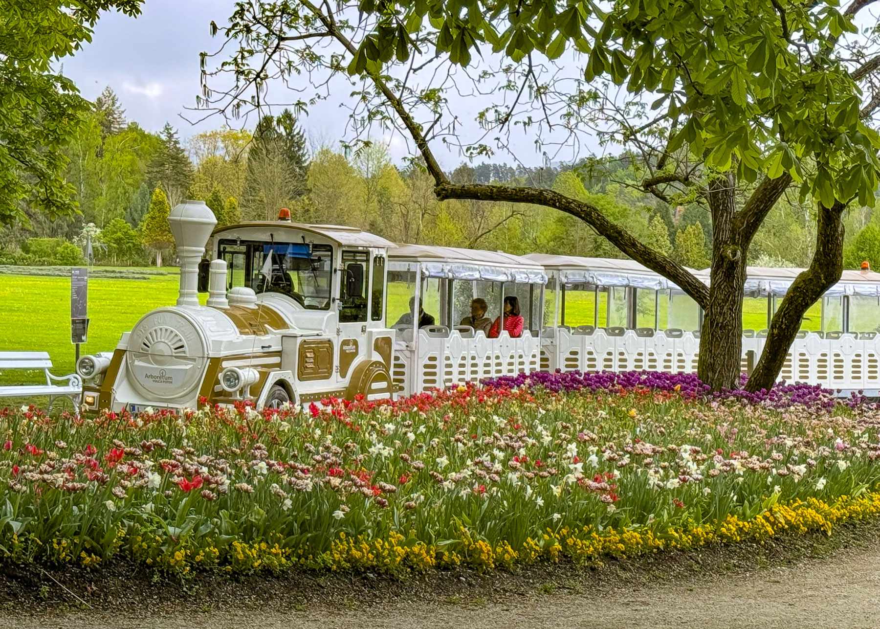
Along our route into the mountains, we stopped to visit the Volčji Potok Arboretum, a large formal garden, only 30 minutes from the city. The park’s tulips beds were in full bloom, and we were just about to purchase our entrance tickets when we were caught in a sudden downpour. Unfortunately, it didn’t look like the weather was going to improve quickly. Crossing our fingers, we hoped the mountains would be storm free, and we continued on.

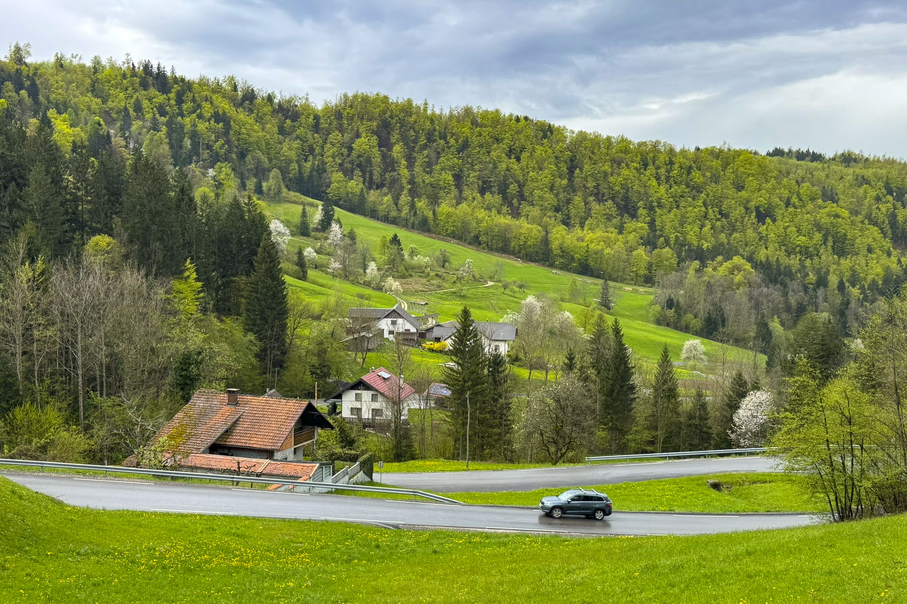
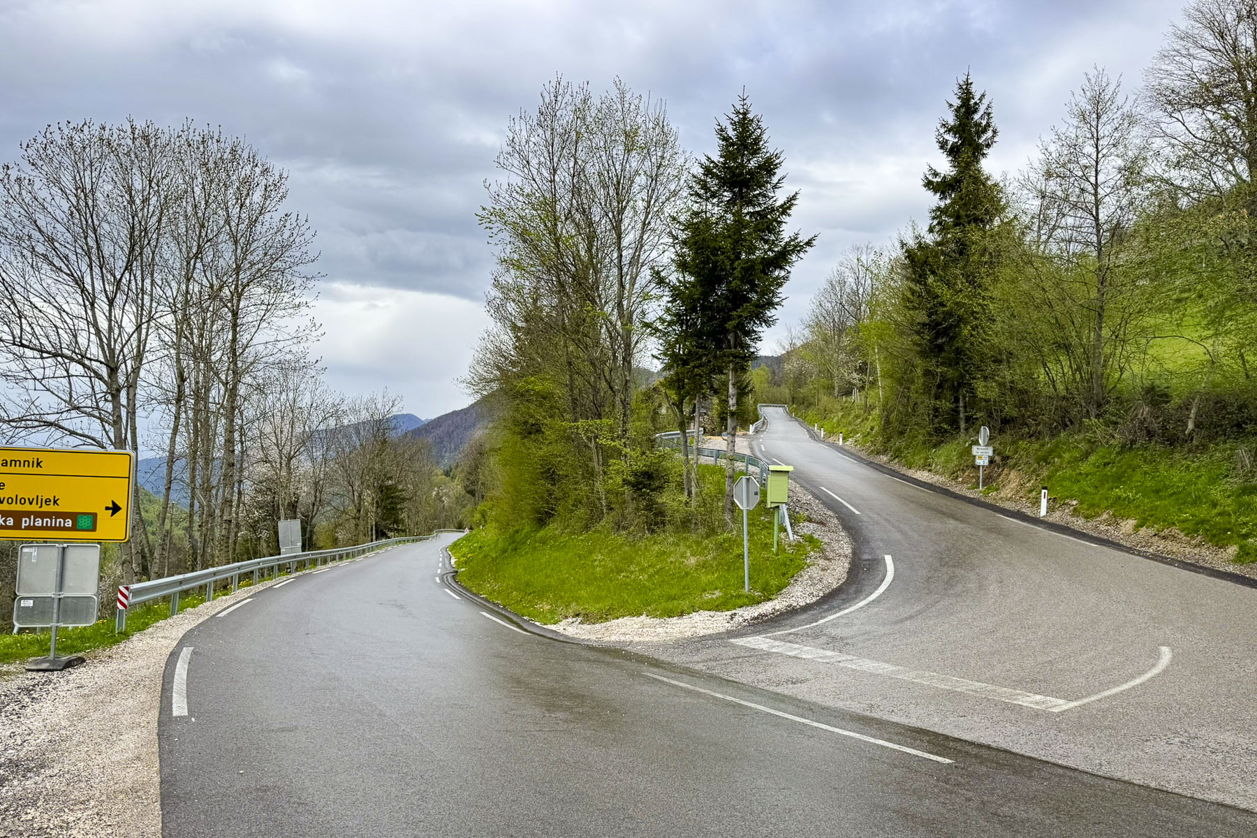
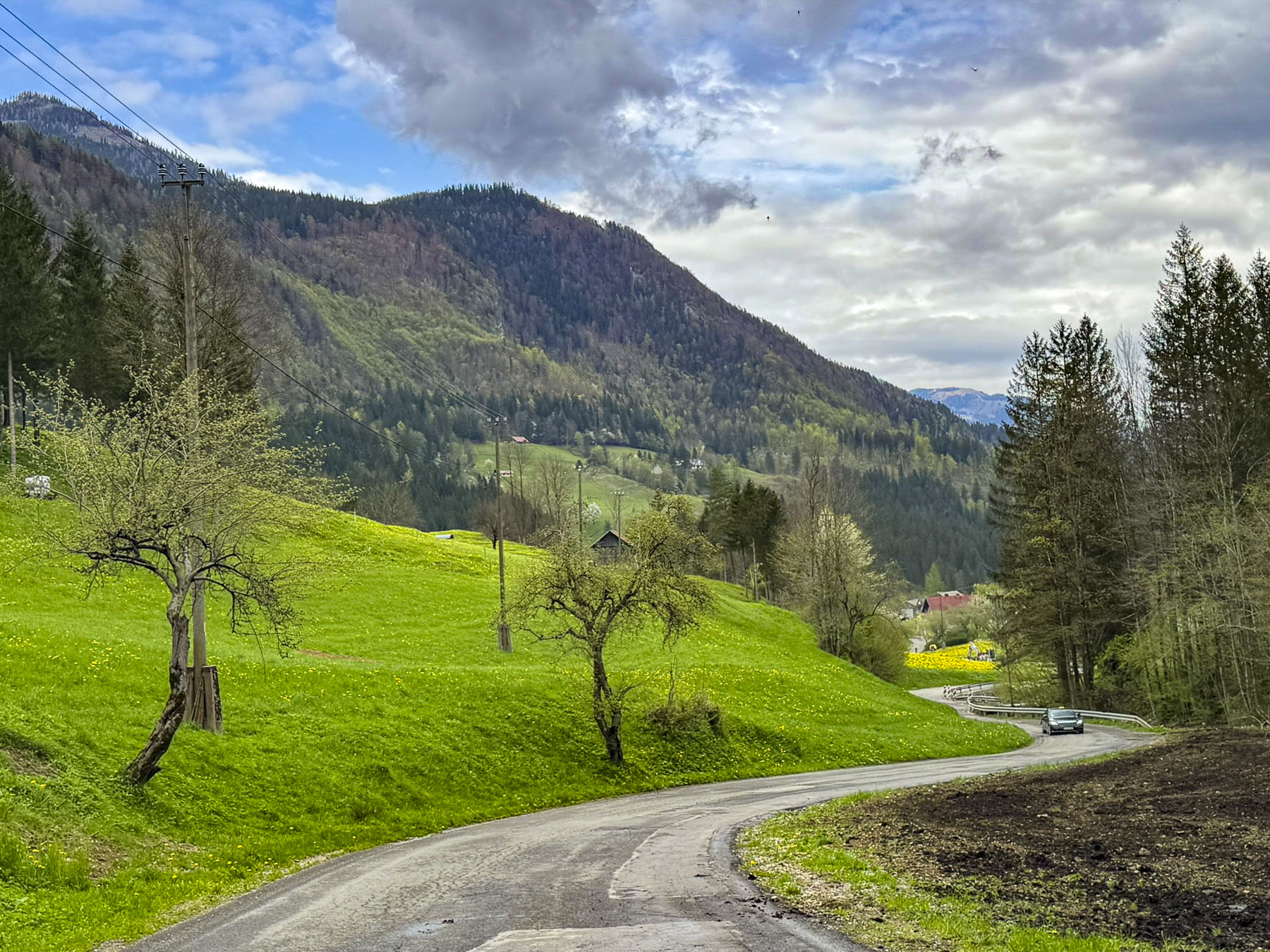
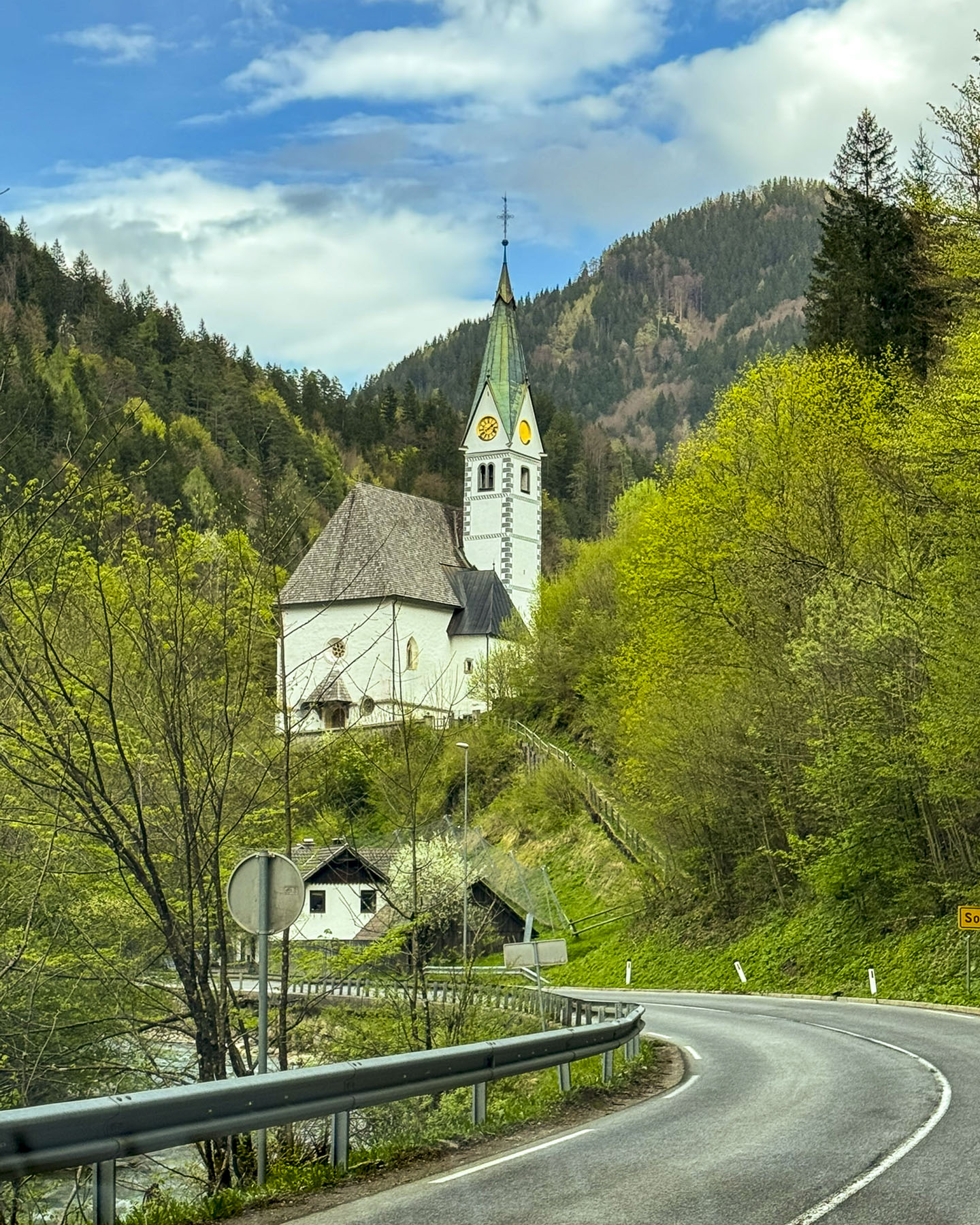
Past Kamnik, the road slowly rose from the plain into the foothills as it followed the Kamniška Bistrica river, swollen with snow melt. The fresh greenery of spring covered the hillsides. Fruit trees flowered in roadside orchards. Twisting and turning along switchback roads, we drove higher, only to descend into small valleys sheltering tiny hamlets with only a handful of homes and always a church, before ascending again.  

A sign pointed the way to Velika Planina, a vast alpine plateau in Slovenia’s Kamnik-Savinja Alps, where traditional transhumance herders  continue to graze cattle and sheep seasonally on the high-elevation pastureland from June to September. In planning our trip to Logar, we had considered going to Velika Planina, but to do it justice required a longer visit to the area. It’s one of the dilemmas of planning a trip: what to include, what to pass, what’s research for the future or a simply a teaser, needing a sequel to complete your odyssey.

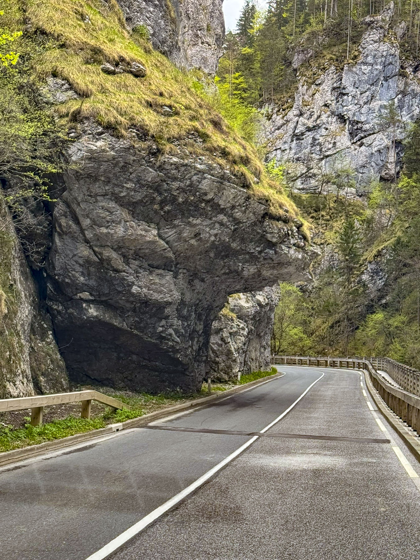
Eventually the road leveled and followed the Savinja River as it coursed through a narrow gorge, where in certain sections rock ledges loomed ominously low over the road, and we wondered if any campervans had ever lost their roofs along the way.

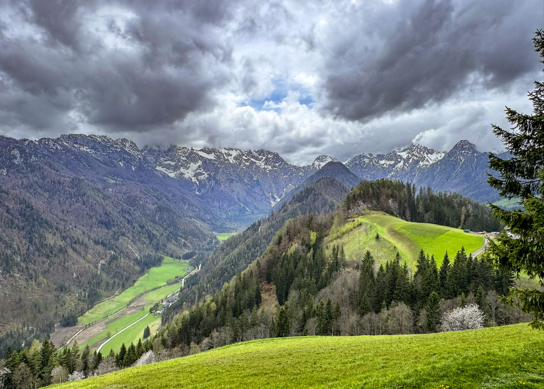
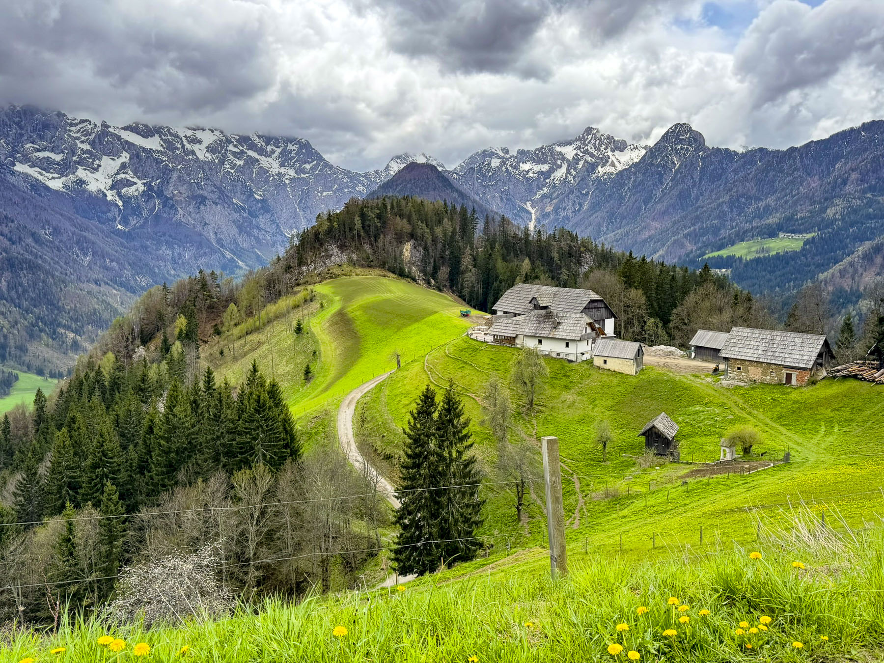
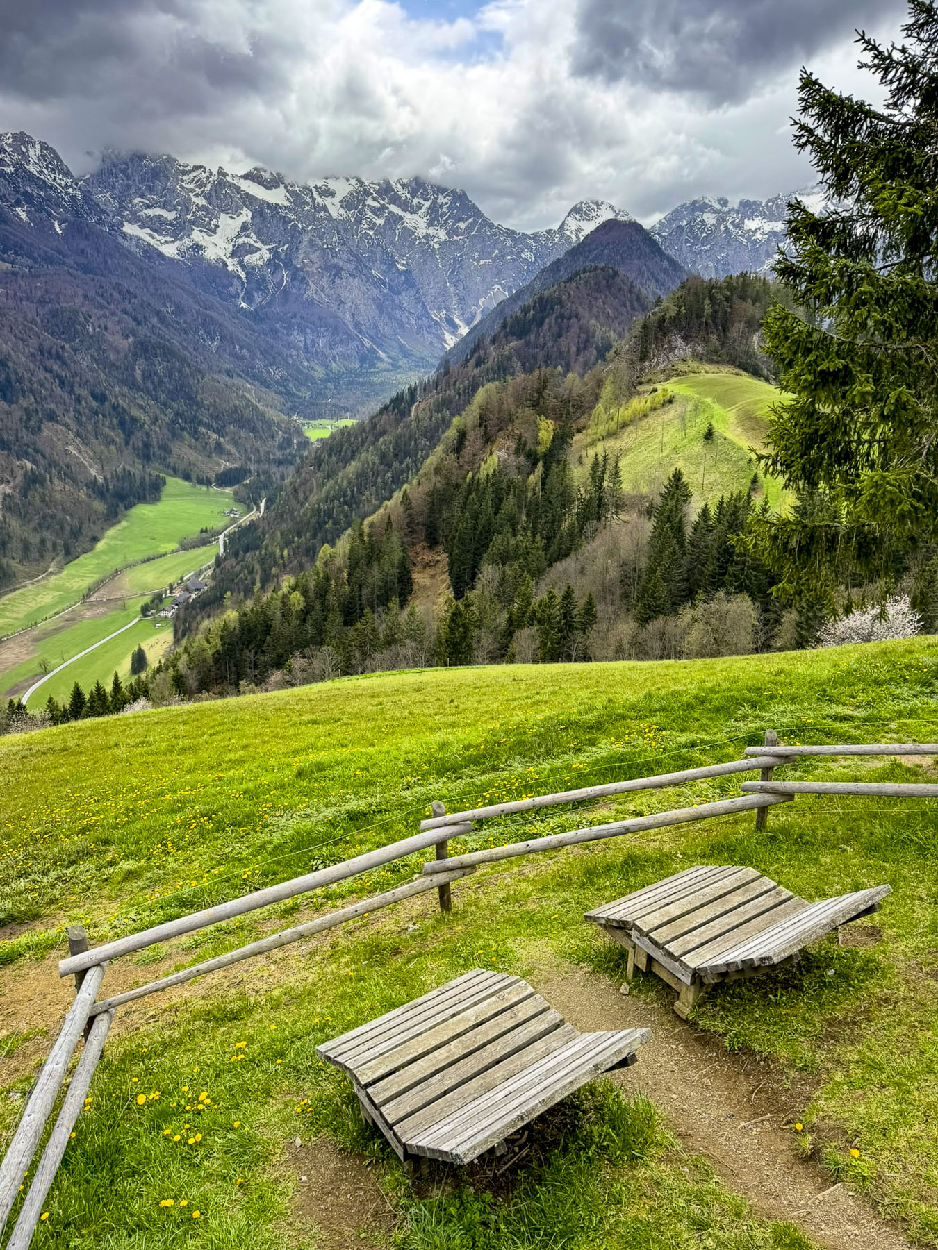
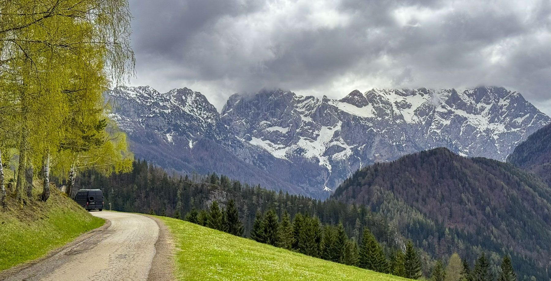
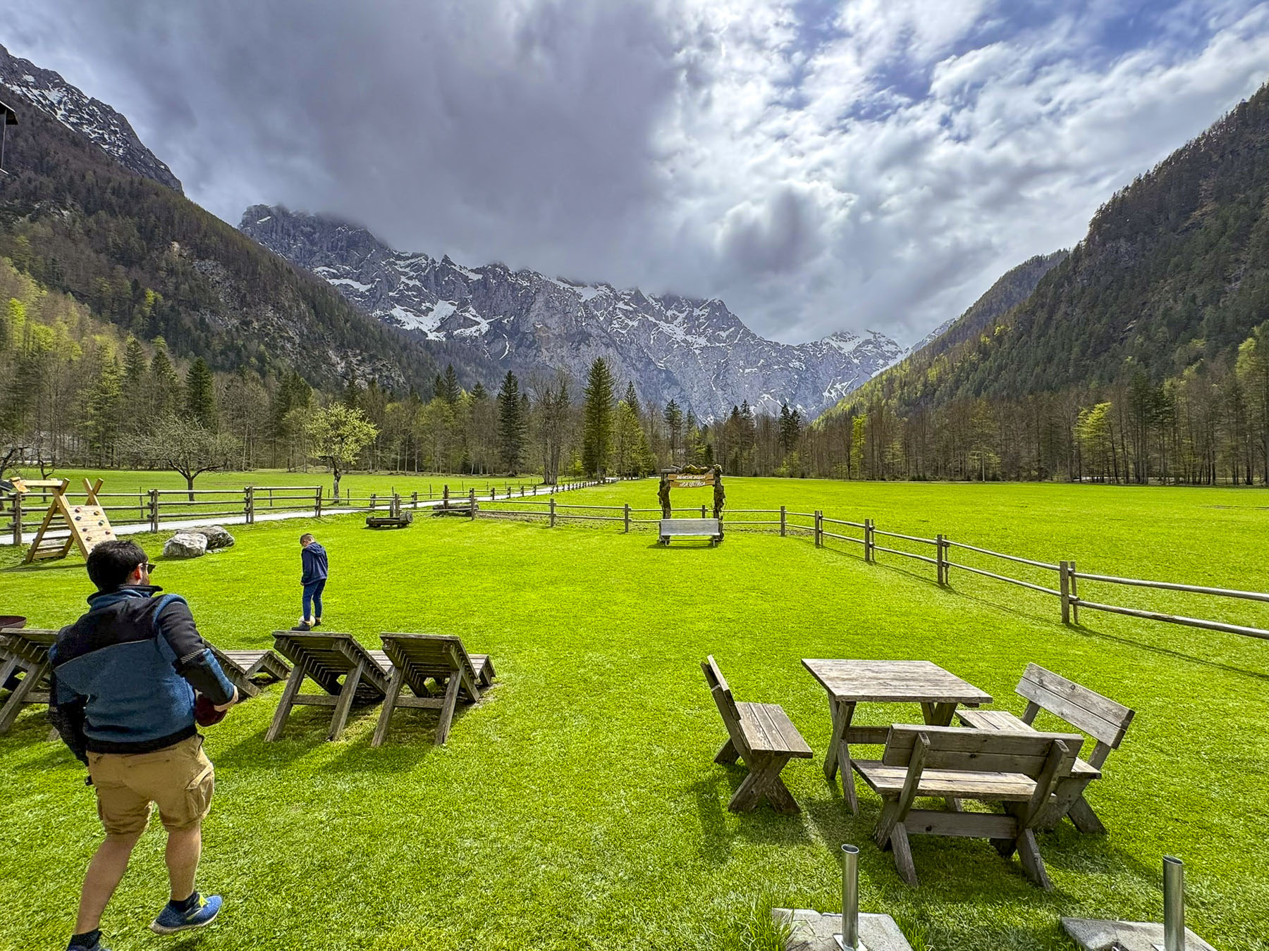
Signs pointed to the Austrian border, but we turned and sharply climbed to Razgledna Točka pri Klemenči Domačiji, the Lookout Point at the Klemenča Homestead, our destination before entering the valley below. The vantage point overlooking the working farm and mountains is 1,208 meters (3,963 feet) above sea level and is along the Solčava Panoramic Road, a 37km (23mi) scenic route that weaves through spectacular alpine views and past tracs that lead to self-sustaining high mountain farms. The view over the valley surrounded by multiple 2300m (7500ft) mountains, their peaks still hidden by clouds, was stunning.

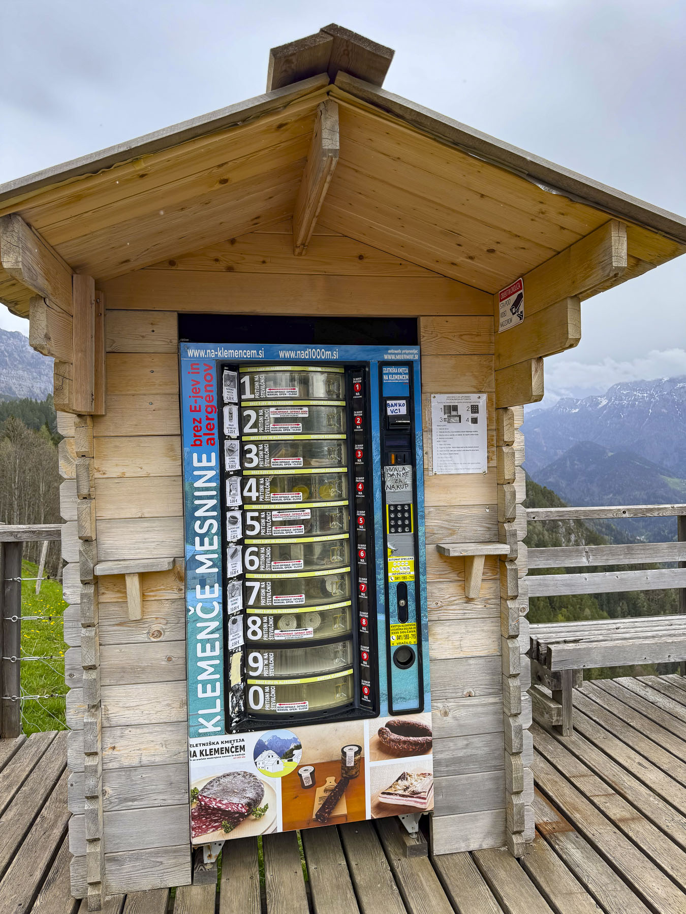
Like an old-fashioned trading post, the last chance for supplies at the edge of the frontier, was its modern equivalent, a vending machine with dried sausages, cheese rounds, and sandwiches made at the Klemenča Homestead.

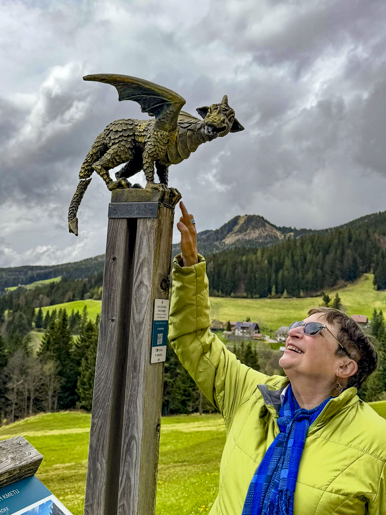
Next to it was a whimsical statue of Lintver, a Slovenian folklore dragon associated with the Logar Valley and the Solčava region. Centuries-old legends tell of his role in shaping the area’s valleys and landmarks. Nowadays in Slovenia, the dragon symbolizes the powerful and beautiful forces of nature.

We coasted slowly through the beautiful wide grassy valley to its terminus, the trailhead for the Rinka Waterfall. Though it was only a twenty-minute trek from the parking area, we passed on the opportunity and had a late lunch at Penzion Kmečka Hiša Ojstrica. Their  outside deck was open, and we enjoyed a tasty meal while warming in the afternoon sun, if only for a brief moment, before heading to Kamnik for the night. Really, exploring the area in depth requires several days, especially if you want to do any hiking. The park’s website is a good resource for accommodation in the valley and surrounding area.  

It was pouring again as we reached Kamnik. Totally unprepared for this deluge, we parked as close to the entrance of Guest House Pri Cesarju as we could. Kindly, the proprietor of the hotel and pizzeria where we were staying ran to assist us with umbrellas as we unloaded our luggage. After a chilly day, it was nice to relax in the comfortably warm restaurant with a glass of local red wine and delicious pizza. The weather the next morning was perfect with a sunny blue sky. A nice change from the cloudy weather pattern that had been over the area for several days.

We drove to Kaminska Pekarna, a hidden gem of a bakery and confectionery, on the side of town nearer Ljubljana. We had discovered it the day before while seeking to satisfy our “drive a little then café’, caffeine cravings. It’s a very simple shop, with only a dozen tables inside, and few outside, under the building’s overhang for the smokers, but it was very busy with local folk, and their sweet and savory pastries were scrumptious. Over our two days in Kamnik we stopped there three times. It was that good, and extremely budget friendly. Parking near the old town is very limited, but it was the shoulder season, and we thought we found a good centrally located spot down a quiet side street. More on that later.

Kamnik is a historic town, one of Slovenia’s earliest, first mentioned in historical records in 1061. By the early 13th century, it had grown into a bustling crafts and market center on the trade route between Hungary and the Adriatic, and it was granted formal town status.

For a time, its importance in Slovenia rivaled that of Ljubljana’s and the town boasted two castles, minted its own coins and was granted a Franciscan monastery, which is still in use. Now in ruins, Stari grad, the old castle, commanded the tall hill across the Kamniška Bistrica river from the village. The tongue of a modern cantilevered viewing deck at the site can been seen from town, but the site was not open in early April when we visited Kamnik. In the center of town Mali grad, the little castle, stands on a small knoll that overlooks what would have been the main routes through the medieval town.

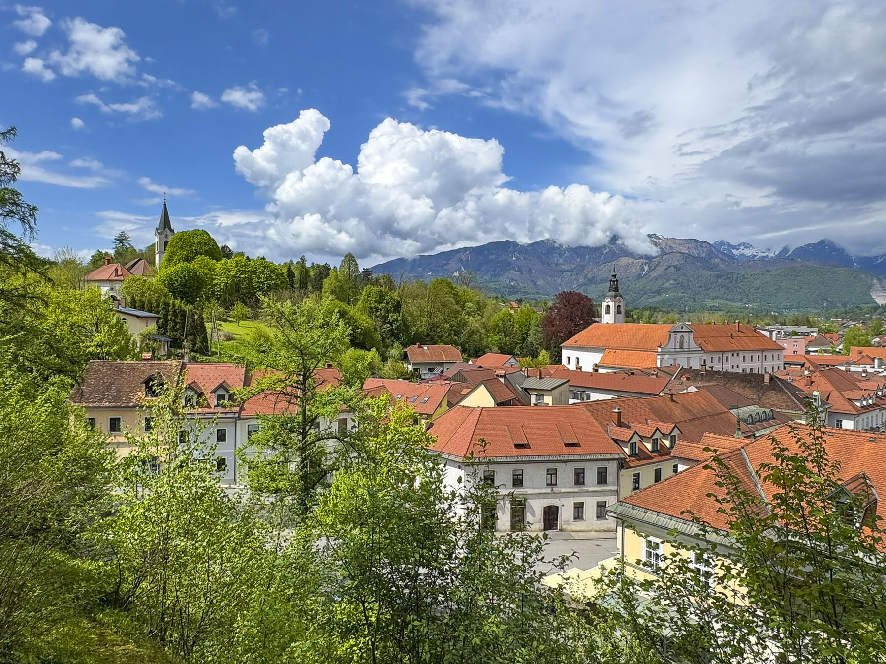
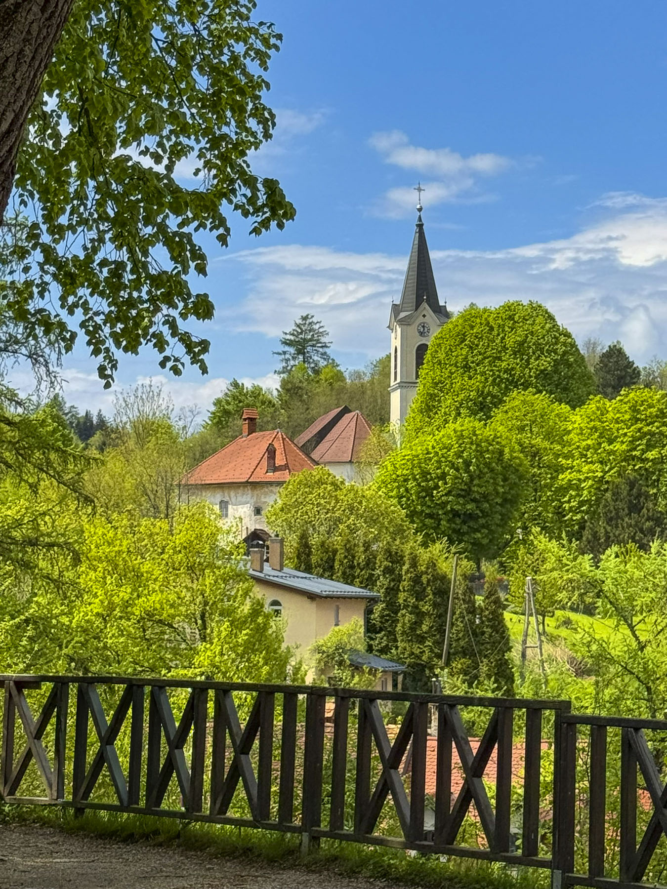
Though this castle was also closed, the path to it led through a nice, shaded park and offered several great views of the red-roofed town with the beautiful Kamnik-Savinja Alps in the distance. A teenage girl, playing hooky from school and enjoying the tranquility of the location, lounged on the castle’s steps, absorbed by her reading.

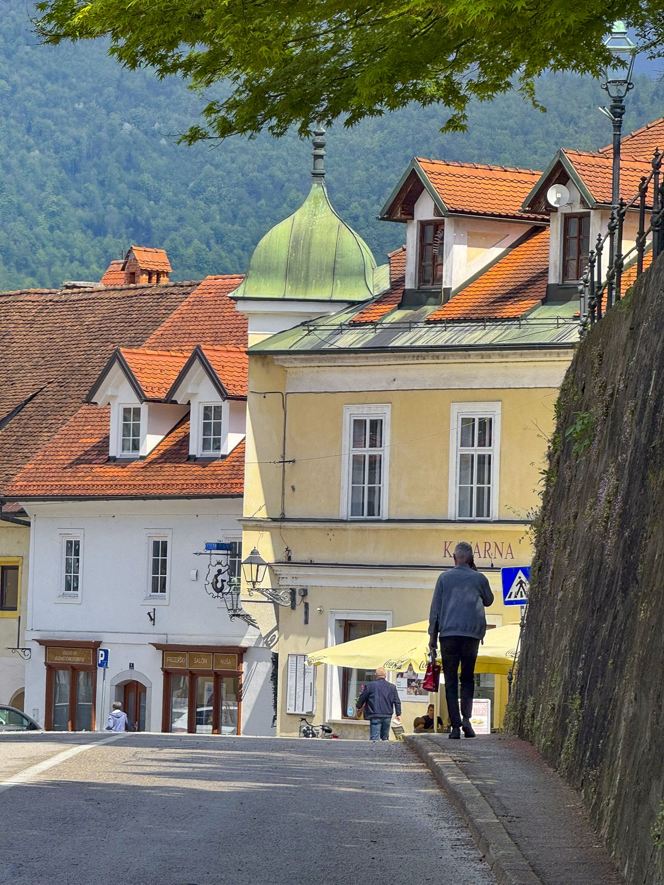
The warm sunny day called for a gelato, and we stopped at a small café’ with outdoor tables, at the top of Šutna Street. Once the town’s main thoroughfare, it is now a colorful pedestrian lane lined with an assortment of well-preserved homes and guild buildings, dating as far back as the 14th century.

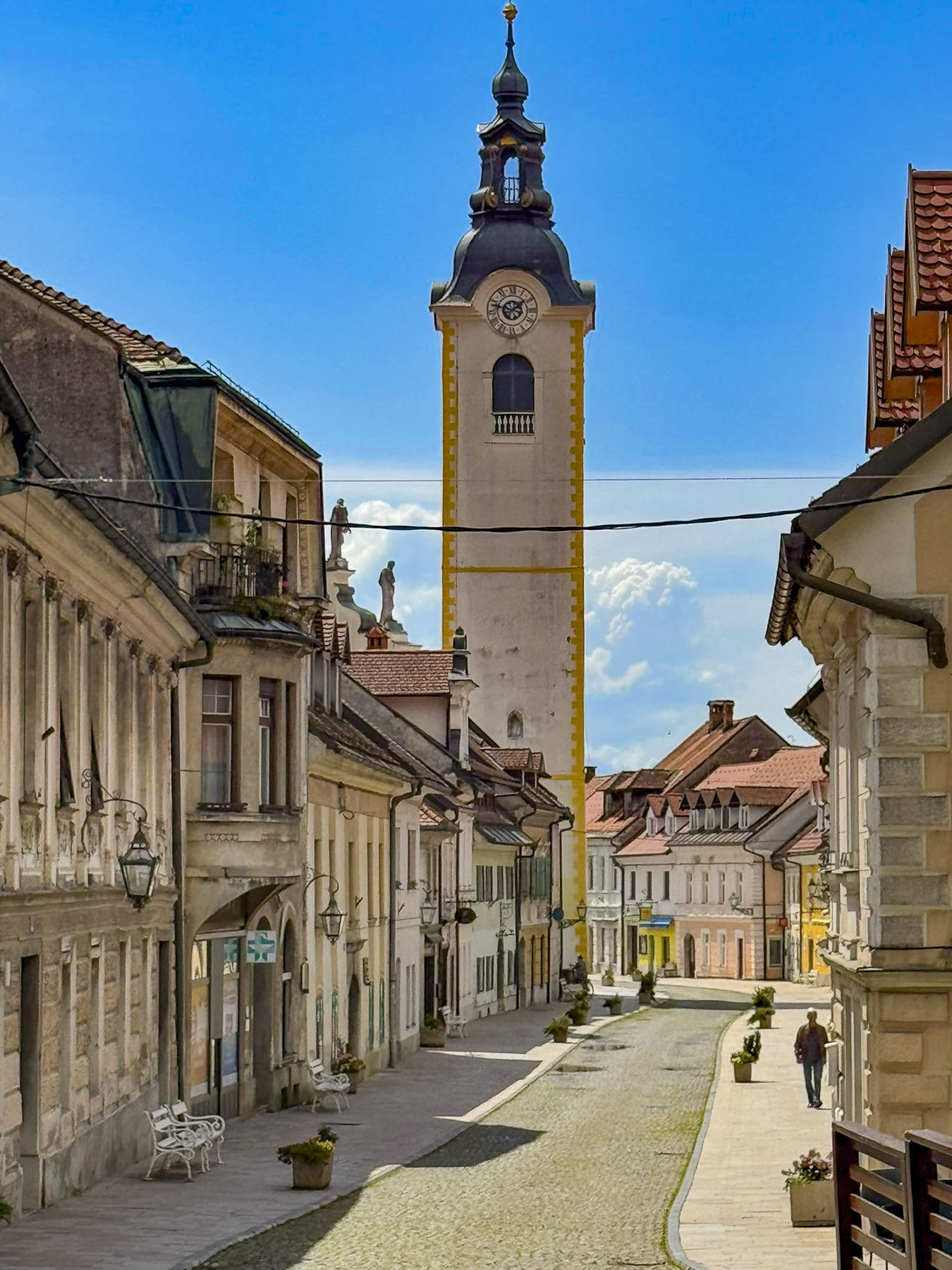
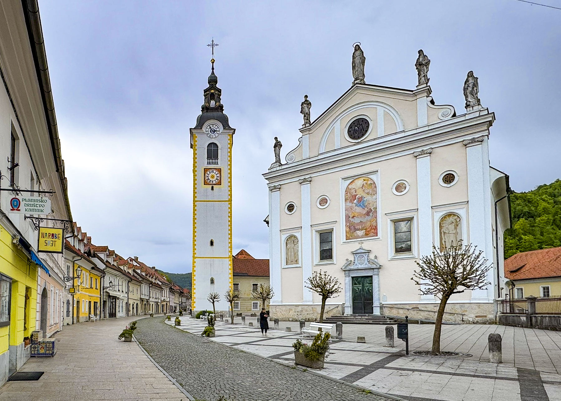
Along the way was the Immaculate Conception Parish Church, a Gothic structure with later Baroque additions, notable for its freestanding bell tower.

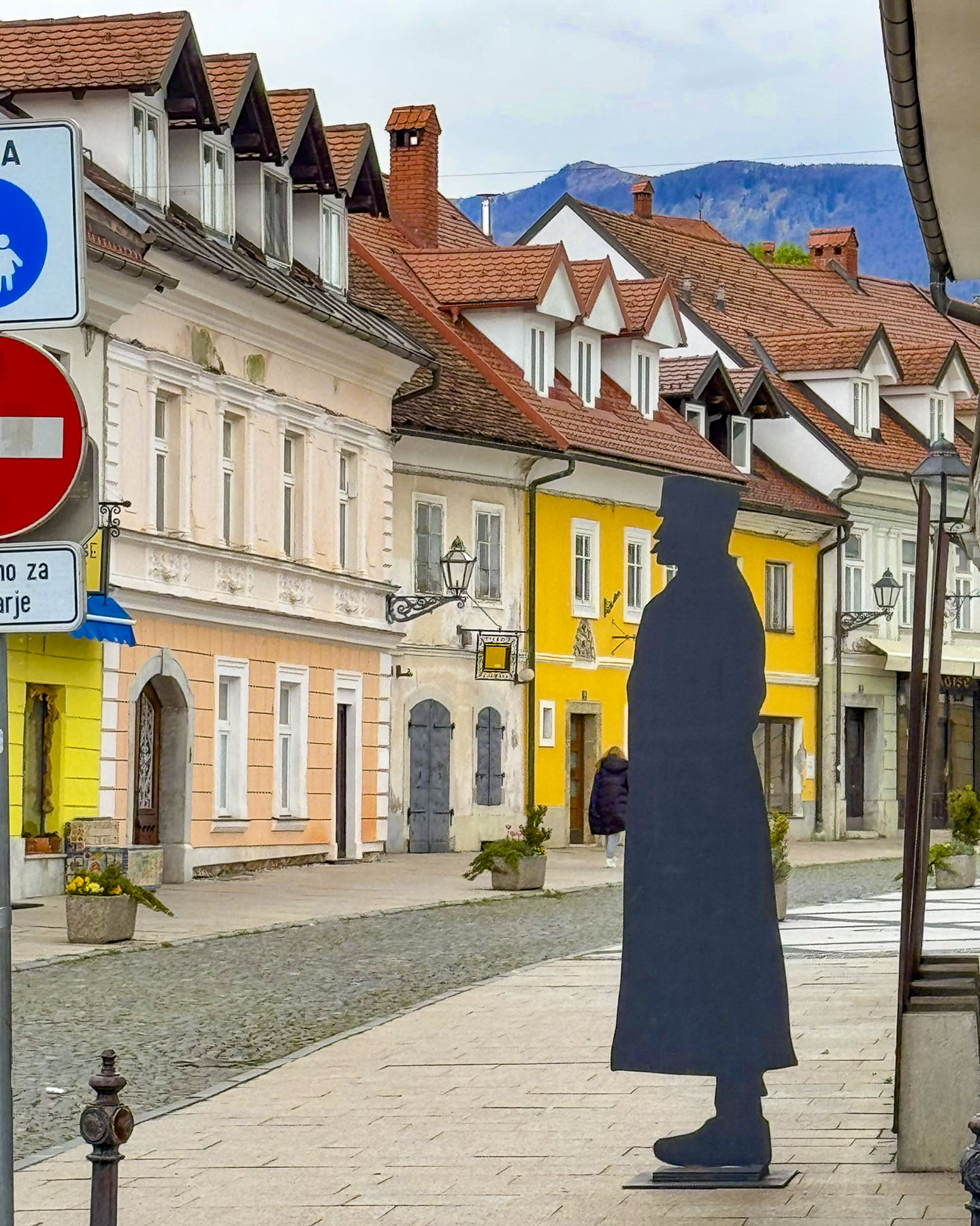
At the bottom of the Šutna treet was a life-size silhouetted profile of a distinguished man. The commemorative inscription next to it told the story of Rudolf Maister, a nationalist hero, who was born in a house on this street in 1874. Choosing a military career, he rose to the rank of Major in the Austro-Hungarian Empire, in which Slovenia was a province at the time, while serving on the front near Graz, Austria. At the end of World War One, when the “Great Powers” were redrawing the maps of Europe, on his own initiative he disobeyed orders to turn the town over to German-Austria troops. Rallying 4000 loyal Slovene troops to support him he secured Styria, the region south of Graz to be Slovenia’s northern border and part of the newly formed State of Slovenes, Croats and Serbs, which united with the Kingdom of Serbia into the Kingdom of Serbs, Croats and Slovenes, which eventually became Yugoslavia. He was an interesting individual who was also recognized for writing two volumes of poetry and starting a military orchestra.

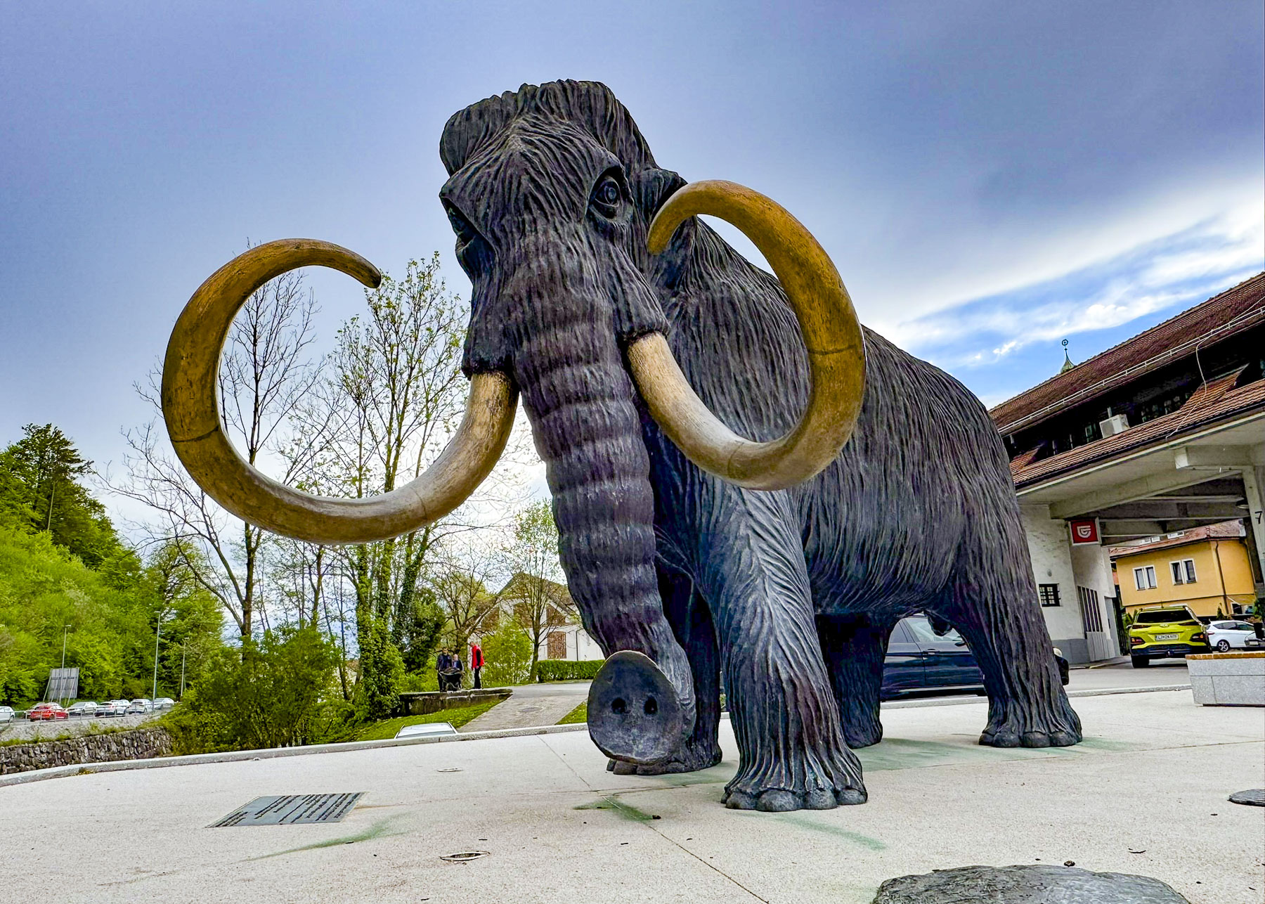
A short distance away in a plaza across from the bus station was Kip Mamuta, a life size bronze sculpture of a woolly mammoth. It commemorates the 1938 discovery of a nearly complete mammoth skeleton, unearthed by workers expanding a bridge, in nearby Nevlje. The site upon further archaeological excavation was determined to be a Paleolithic hunting settlement dated to be around 20,000 years old. The skeleton is on exhibit in the Natural History Museum of Slovenia in Ljubljana. Returning to the car hours later, we realized we had parked down a restricted residential road, which just happened to have its gate up when we drove through earlier that day. Now the automated gate was closed and we were trapped. Waiting patiently until a local resident exited, we followed close behind. Kamnik is a charming small town which we had mostly to ourselves in early April, and we found it very easy to explore fully in a single day. Every September the town hosts the Days of National Costumes and Clothing Heritage, Slovenia’s largest ethnological festival, featuring a grand parade, historical costumes, reenactments, traditional music, dance, regional crafts, and local food.

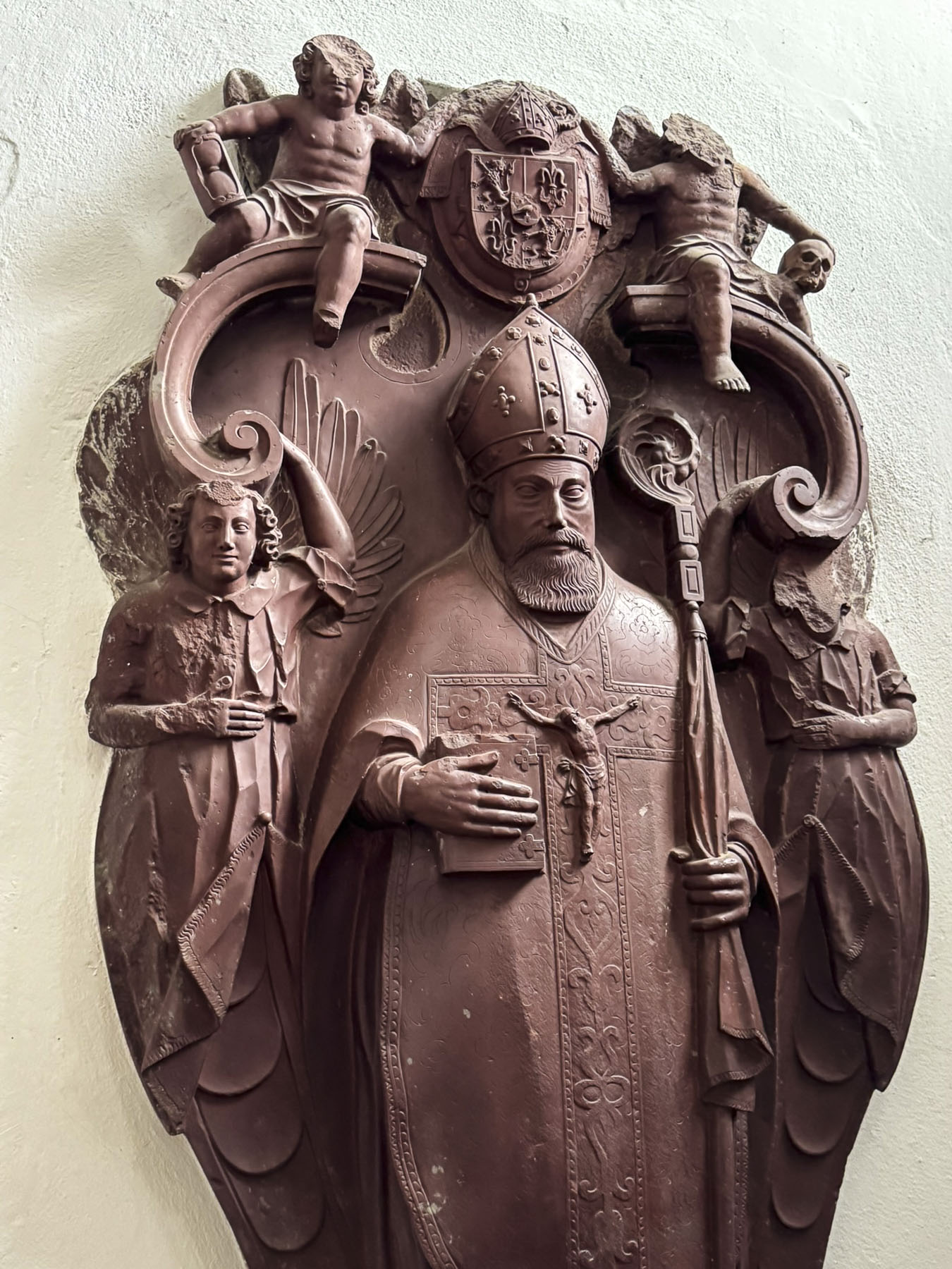
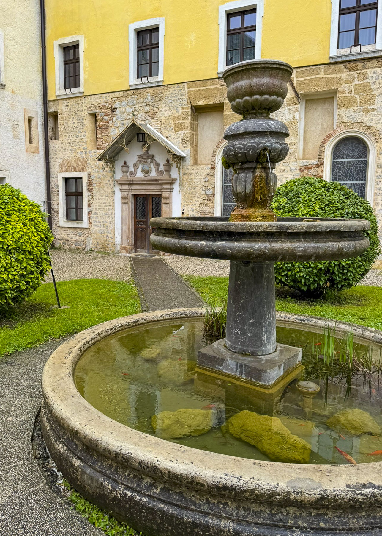
Finicky weather resumed the next morning as we headed to Cistercijanska Opatija Stična, the Cistercian Abbey of Stična, a 12th century walled monastery along the A2 which we were following to Zagreb, Croatia. It is Slovenia’s oldest operating monastery, though only 14 monks remain, a vast difference from the hundreds that lived there during the Middle Ages and supported the abbey’s vast land holdings and 300 churches in the region. The Cistercian Order is an offshoot of the Benedictine Order, that follows a return to a stricter, simpler monastic life based upon a self-sufficient agrarian orientation, emphasizing austerity, manual labor, solitude, and a balance of prayer and work. During the early years of the monastery, it acted like an agricultural college, where the hard-working monks shared their advanced ideas of crop rotation, irrigation systems, better iron ploughs, selective breeding, and new crop varieties. “They revolutionized the local agriculture,” and contributed to the prosperity of the area by not requiring the local peasants on their granges to pay the annual tithe.

The order’s influence grew with time and the monastery evolved to support a traditional school as well as a music school, herbal pharmacy, and a library where manuscripts were copied. The Stiški Rokopisi, Stična Manuscripts, a famous series of illuminated medieval manuscripts, were written in the mid-1400s by the abbey’s monks, not in Latin as was the tradition, but in the Slovenian language, one of the first such books of the time.  

During the Middle Ages the monastery was located on the Slovenia frontier, an area that separated the Christian northern Balkans from the Ottoman Empire. Turkish raids in the area were a common occurrence, and even though the abbey was enclosed within a defensive wall it suffered severe damage during attacks in 1475 and 1529. The abbey continued to prosper until 1784 when Joseph II, the Holy Roman Emperor and ruler of the Habsburg Monarchy, confiscated the lands of monasteries in his realm, and forced monks and nuns into “useful” state-approved roles. The abbey was returned to the Cistercian Order 1898.

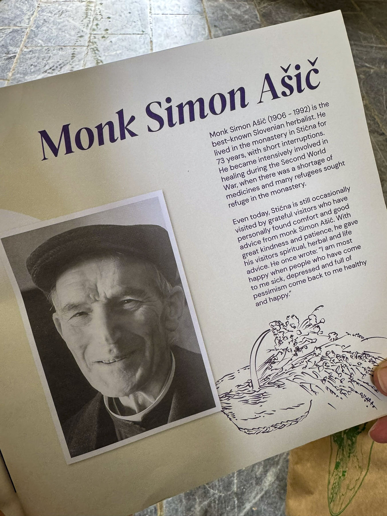
According to the abbey’s records there has been an herbal pharmacy in the monastery since the 15th century, which gathered and used the region’s 400 medicinal plants. This tradition was revived again after 1898 and grew in importance under the direction of Father Simon Ašič (1906-1992). The pharmacy was especially useful during World War II, when many sick refugees sought help from Father Simon. Because of the war, medicines were in short supply, but he was able to help many people with his herbal preparations. Always recording the recipes and results, he published his knowledge in three books. The abbey honored his legacy in 1992 with the founding of SITIK, an herbal products company that sells items prepared according to the original recipes of Father Ašič.

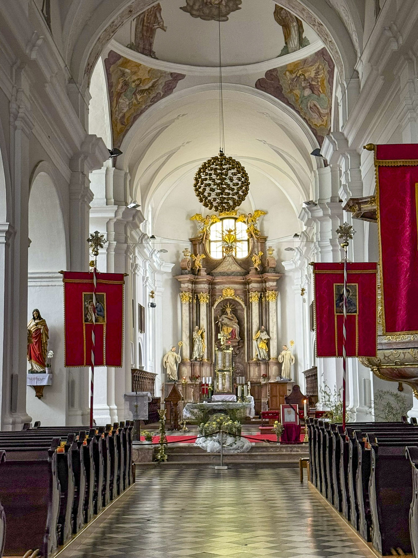
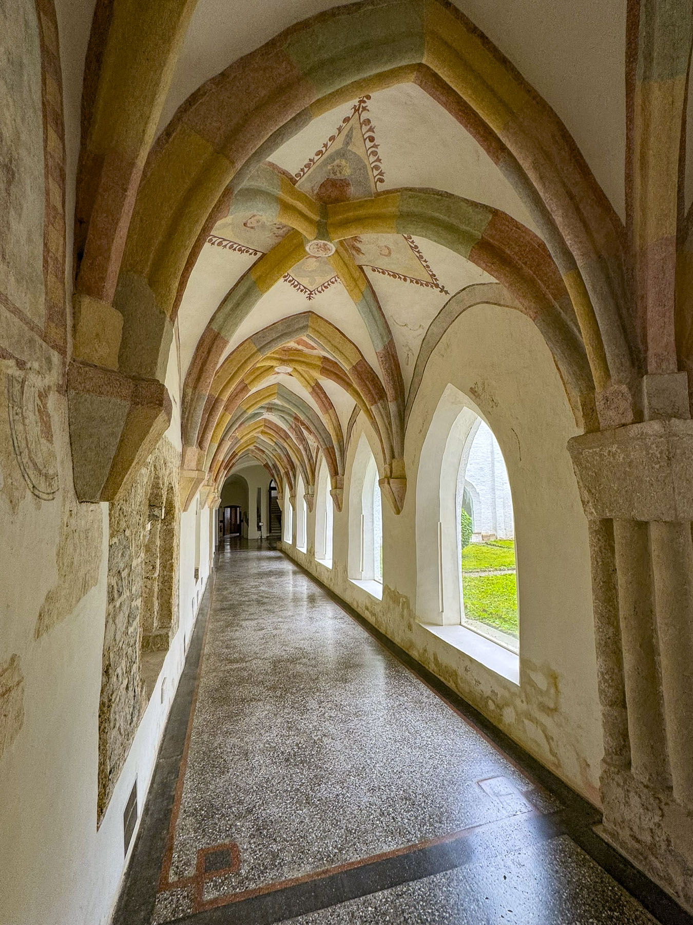
We visitied the abbey’s church, the Our Lady of Sorrows Basilica, once one of the largest in Slovenia. The sanctuary and its cloister were very interesting to explore. Something that we never noticed before in a church was that the confessionals all had small red and green lights on them to indicate which ones were in use.

Regrettably, we missed the tour of the herbal pharmacy, but we did get a small brochure, with some of Father Ašič’s herbal recipes.

Zagreb beckoned. On we went.

Till next time,

Craig & Donna

P.S. Each year in the fall, the village of Stična hosts an arts festival known as Festival Stična

Driving the North Coast 500 – Ullapool to John o’ Groats or Mountains, Lochs, Seas, and Midges

True to form, blustery afternoon winds were ripping the clouds apart as the CalMac ferry steamed past the Rhue Lighthouse, heading into Loch Broom and the ferry dock at Ullapool. Being one of the last cars to board the ferry, we were one of the first off in Ullapool, and decided to pull over out of everyone else’s way to get our bearings before taking a spin around the village. Ullapool isn’t a particularly large village, only a couple of blocks, but within ten minutes of folks disembarking from the ferry, there was no sign of life on the streets. Granted, it was a Sunday, but in August, which is the tourist high season, and it felt like a ghost town. Fortunately, we did find the local Tesco supermarket open, and we bought some provisions for breakfast the next morning, as where we were staying for the night, the Altnacealgach Motel on Loch Borrolan only offered dinner.

We were back on mainland Scotland and on the NC500 again, after modifying our NC500 route to include the Isles of Skye, and Lewis & Harris, for seven days of exploring those interesting islands.

Scotland is so outstandingly beautiful, and with every twist and bend in the road there always seemed to be another vista worthy of photographing. While the roads around the Highlands are in excellent condition, our one pet peeve is there are not enough designated vantage points to pull over and take pictures from. Often, we u-turned and pulled into a gated entrance to a field. Pulling over onto the hard shoulder wasn’t an option as The NC500 throughout the Highlands is mostly a two-lane road without shoulders. The narrower country roads off the NC500 have pullovers called Passing Places for when you encounter oncoming cars, but they are not to be used for parking.

Our recently refurbished room at the Altnacealgach Motel was nice and large. Most importantly it had a kettle for our early morning coffee. The motel is a modest place with 8 rooms, but it’s beautifully situated, a pebble’s toss across the road from Loch Borrolan. Dinner was simply pizza and chili, but quite good. https://www.altnacealgachmotel.co.uk/

Our 144-mile route along the NC500 to Balnakeil Beach then onward to John o’ Groats the next day was our longest drive in the Highlands. We figured as always, we’d make many other stops along the way, so planned for an early departure the next morning.

For a third day in a row, it seemed we couldn’t shake the overcast sky from the heavens and have a sunny morning. It was unusually dreary weather for a Highland August, so much so that many of the folks we encountered felt it necessary to apologize for the unusually dreary weather.

We followed the A837 north and stopped at Ardvreck Castle, once the seat of the MacLeods of Assynt, and Calda House, now ruins. The ancient 3-4 story fortified tower house dates to the late 15thcentury and is set on an island in Loch Assynt. It’s a dramatic setting, with the loch surrounded by the magnificent mountains Quinag, Ben More Assynt, and Canisp. A narrow, sandy isthmus connects the island to the mainland. Accusations of a sinister betrayal made by the MacKenzies of Wester Ross ruined the reputation of the MacLeods of Assynt and was believed to be the cause for the rapid decline of the MacLeods’ fortunes. A final battle between the clans in1672 forced the MacLeods to surrender their rule of the Assynt region to the MacKenzies. The Calda House was built in 1726 by Kenneth MacKenzie II of Assynt for his new bride who found the old fortress dreary and uncomfortable, and “much to her dislike.” Built with imported sandstone, her new mansion stood three stories high and had 14 bedrooms. As legend tells it, the joy of a new home only lasted until 1737 when a late-night celebration continued past midnight into the sabbath, and the house was struck by lightning. Only a bagpiper who refused to play on the sabbath survived. The castle stood strong until 1795 when a lightning strike also destroyed it.  It wouldn’t be proper castle ruins without a ghost and local lore obliged with the story of the daughter of the MacLeod chief, who threw herself from the tower of Ardvreck Castle when she realized her father had betrothed her to the Devil, as payment for the Devil’s help in building it.

We pulled over at several spots along the A894 in Unapool to take pictures of Loch Gleann Dubh. The views of the loch were gorgeous, and we were a little envious of the folks who owned homes above the loch and could enjoy this panoramic vista every day.

The road swerved through a mountainous landscape sprinkled with lochs. Clouds raced across the sky. Surprisingly this popular route did not have many restaurants open on a Monday. This was a near crisis situation for two under-caffeinated coffee aficionados.  Our  pursuit of coffee was almost a forgotten memory when we spotted a Spar grocery store in Scourie, adjacent to a caravan campsite overlooking Scourie Bay and a beautiful beach. Back in the car we enjoyed two cups of coffee and the view.

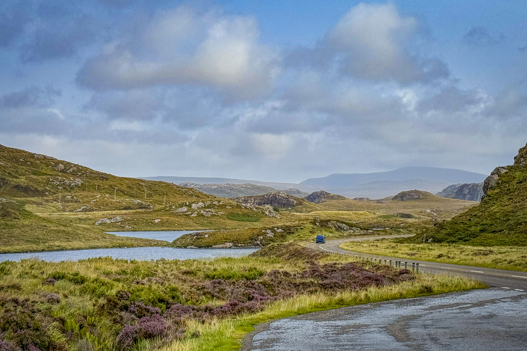
We eventually turned onto the A838 at Laxford Bridge and followed it to Rhiconich. Past the hamlet this section of the A838 narrows to a single lane track as it winds through a desolate landscape of rolling hills and heather land. It was on this stretch that we encountered oncoming “traffic,” the occasional grouping of 3 or 4 cars or caravan. The narrow road allowed two-way traffic, but in order to pass an oncoming car one vehicle has to pullover into a small bump-out called a Passing Place. These are well marked and spaced along the country roads, but you need to be on the lookout for approaching cars, as the protocol is for drivers to pull into the closest Passing Place on their side of the lane and wait for the other vehicles to pass. It took some getting used to. Surprisingly, the speed limit on these single-track roads is 60 mph, but we were only comfortable driving at half that speed. Donna says that’s because I drive like an old man.
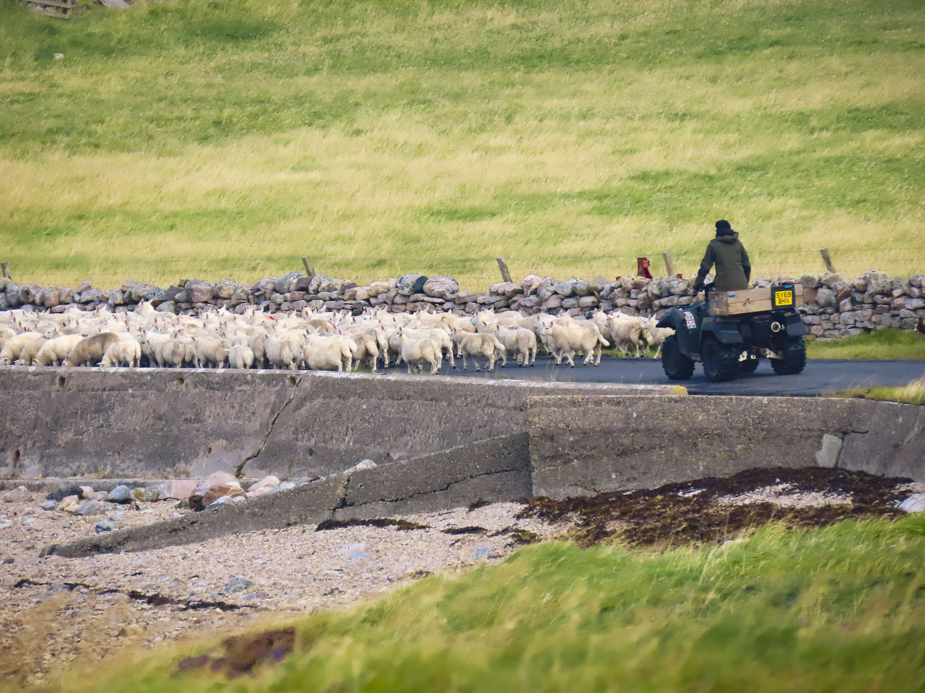
We pulled over at the Geological Information Point along the bank of Kyle of Durness, a sea loch, to read the placard and stretch our legs. Here we were fortunate to spot a shepherd on an ATV, as he and his sheep dog herded a large flock of the wooly beasts down the side road to a new pasture. The A838 continued as a single lane road all the way to the crossroad in Durness. It was suddenly a sunny day!

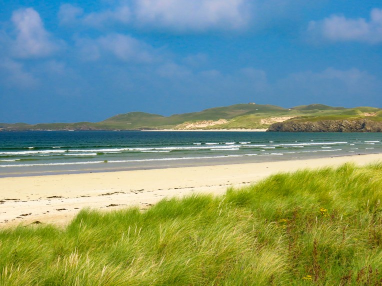
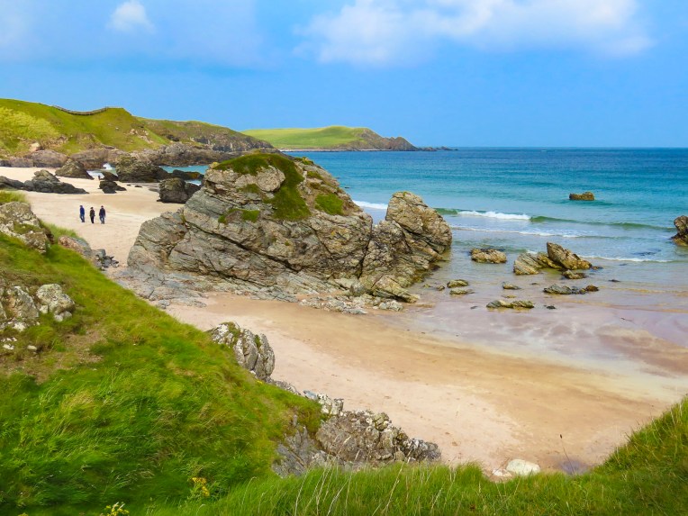
The beaches along the coast of Durness were our main destination for the day. Compared to the barren earth toned landscapes we traversed earlier in the morning, the striking Caribbean blues of the ocean off Balnakeil Beach were exotic, and for a moment we thought we might have been transported to the British Virgin Islands. The wide white sandy beach stretches for nearly a mile and is flanked by dunes covered with beach grass. Following the curve of the beach to the Faraid headland and stacks is a popular walking activity. There was a strong breeze which discouraged sunbathers, but there were a few hardy folks willing to take off their shoes and dip their toes in the chilly water of the North Atlantic, which hovers around 56F/13.5C in late August.

The location of the Balnakeil Church overlooking the beach and bay must have been very inspirational back in the early 1600s when it was constructed atop the ruins of an earlier 6th century Celtic monastery. Services were held in the church for about 200 years before a new place of worship was built on the southern side of the hamlet.

Today, headstones in the graveyard surrounding the ivy-covered ruins are slowly being swallowed into the peaty earth. Some interesting folks are buried in the cemetery. Notably Domhnull MacMhurchaidh, a hitman for the Clan MacKay. He is believed to have murdered 18 people and dumped their bodies into the waterfall that runs down into the caves at Smoo. “Apparently, he believed the folklore tale that the Devil lived below the falls and thence his crimes would never be discovered.” Fearing his grave would be desecrated after his death he paid a princely sum beforehand to be interned in a tomb inside the church.

A monument to the Durness born poet Rob Donn, aka, the Robbie Burns of Gaelic poetry, also stands in the churchyard. He never learned to speak English and composed in Scots Gaelic. His poems sometimes contained bawdy verse and satirical social commentary, but they were faithfully memorized and orally repeated around Scotland for 50 years before the first printed versions were available after his death.

Elizabeth Parkes, the aunt of John Lennon, is also buried in the churchyard, and he is said to have visited Durness frequently. It’s believed locally that his song In My Life, “There are places I remember,” reflects his experiences in the area.

Since the 1500s, one of the historic residences of the chiefs of Clan MacKay, Balnakeil House has commanded a prominent spot across from the ancient church, with a sweeping view of the beach. The current, bright yellow dwelling on the site dates to 1744.

Continuing our travels east on the A838, a two-lane road again, we stopped at Durness Beach. Though much smaller than Balnakeil, its waters were still a pristine blue and the beach, which backed to a steep slope, had dramatic rock outcroppings. 

Farther along from the overlook above Ceannabeinne Beach we watched paddle boarders in wetsuits set out onto the calm waters.

With our stomachs growling, we were beginning to envision all that lamb on the hoof turned in to chops; lunch was finally procured at the Norse Bakehouse in Rhitongue. This is a fine family-owned establishment that has probably saved the lives of many tourists driving the NC 500 on a Monday. It was an excellent casual restaurant, with indoor and outdoor seating that serves sandwiches, soup and pizza. Their coffee was wonderful and the food was fairly priced. https://norsebakehouse.wixsite.com/my-site/dinner-menu

“From Land’s End to John o’Groats.” We made it! Though the expression usually relates to traveling from the tip of southern England. We had cheated and started in Inverness and headed south to Edinburgh before going west across the Highlands to the Isles of Skye and Lewis and Harris. Then returning to the mainland and driving north along the west coast to John o’Groats, traditionally considered the northernmost point on the English mainland, though the designation actually belongs to Dunnet Head, about 13 miles west. Our own expanded version of the iconic NC500!

The clouds had thickened again by the time we arrived at the famous signpost overlooking a small harbor, and the sea. That’s pretty much the main drawing card to the village, which otherwise feels like an outlet shopping center. But it’s considered a must stop for most tourists before they continue on to explore the immense beauty of the northern Highlands. That seems to be the case since 1496, when King James IV granted a license to Jan de Groot, a Dutchman, to operate a ferry between this northern-most port in Scotland to the Orkney Islands, which had recently been acquired from Norway in 1472, as the resolution of an unpaid dowry for the King of Norway’s daughter Margaret’s marriage to James III of Scotland.

Business boomed for the enterprising de Groot and he was eventually able to build a large octagonal house with eight doors, in the center of which was an eight-sided table, designed so his seven sons seated at the table would be recognized as equals, as there was not a head of the table.  Over time Jan de Groot was anglicized to John o’Groats.  A modern art installation, in front of the John o’ Groats Hotel, now occupies the spot where the family home once stood. But a nod to his legacy was incorporated into the Victorian era John o’Groats Hotel built in 1875 with the inclusion of an octagonal tower in its design. The hotel now called the ‘The Inn at John o’Groats’ underwent an extensive renovation, which included a modern Norse style extension in 2013, and now features individually unique, self-catering apartments with 1, 2 or 4 bedrooms. https://www.togethertravel.co.uk/destinations/scotland/john-ogroats?guests=1&nights=1&bedrooms=0

Outside of town Leonna and Adam, the innkeepers of the John o’ Groats Guest House, warmly greeted us when we arrived very late that afternoon, but still with enough time for a short rest before dinner. While the inn looks a little spartan from the road, our accommodation was quite large and comfortable. https://www.johnogroatsguesthouse.com/
We were enjoying a whisky before dinner when Adam came into the lounge to mention that the sunset that evening, after several cloudy days, looked like it could be quite spectacular. Now, we had read about the intensity of midges during the summer months and came fully equipped to ward off the tiny nuisances with all sorts of repellents: bug sprays, lotions, insecticide wipes, and head netting. We were prepared! But in our almost two-week long trip through the highlands, we hadn’t encountered any – none, nada, zero, zip – until I spontaneously grabbed my camera and rushed outside to the corner of the building. Suddenly I was engulfed in a swarm of nearly invisible Culicoides impunctatus, the Highland Midge, Scotland’s most ferocious foe, and reportedly the reason why the Highlands remain so underpopulated. I was woefully unprepared! If anyone was watching me, I must have looked like a dancing fool with one arm frantically waving about my head as I tried to level the horizon through the viewfinder of my camera to capture the sunset. Thankfully there were still a couple of sips of whisky left to settle my nerves.

The dinners and breakfasts that Leonna and Adam created over the next two days, which showcased locally sourced provisions, were especially delicious. Their inn was one of the nicer places we stayed during our travels through Scotland. We would definitely return.

The next morning, we caught the ferry to Orkney.

Till next time, Craig & Donna