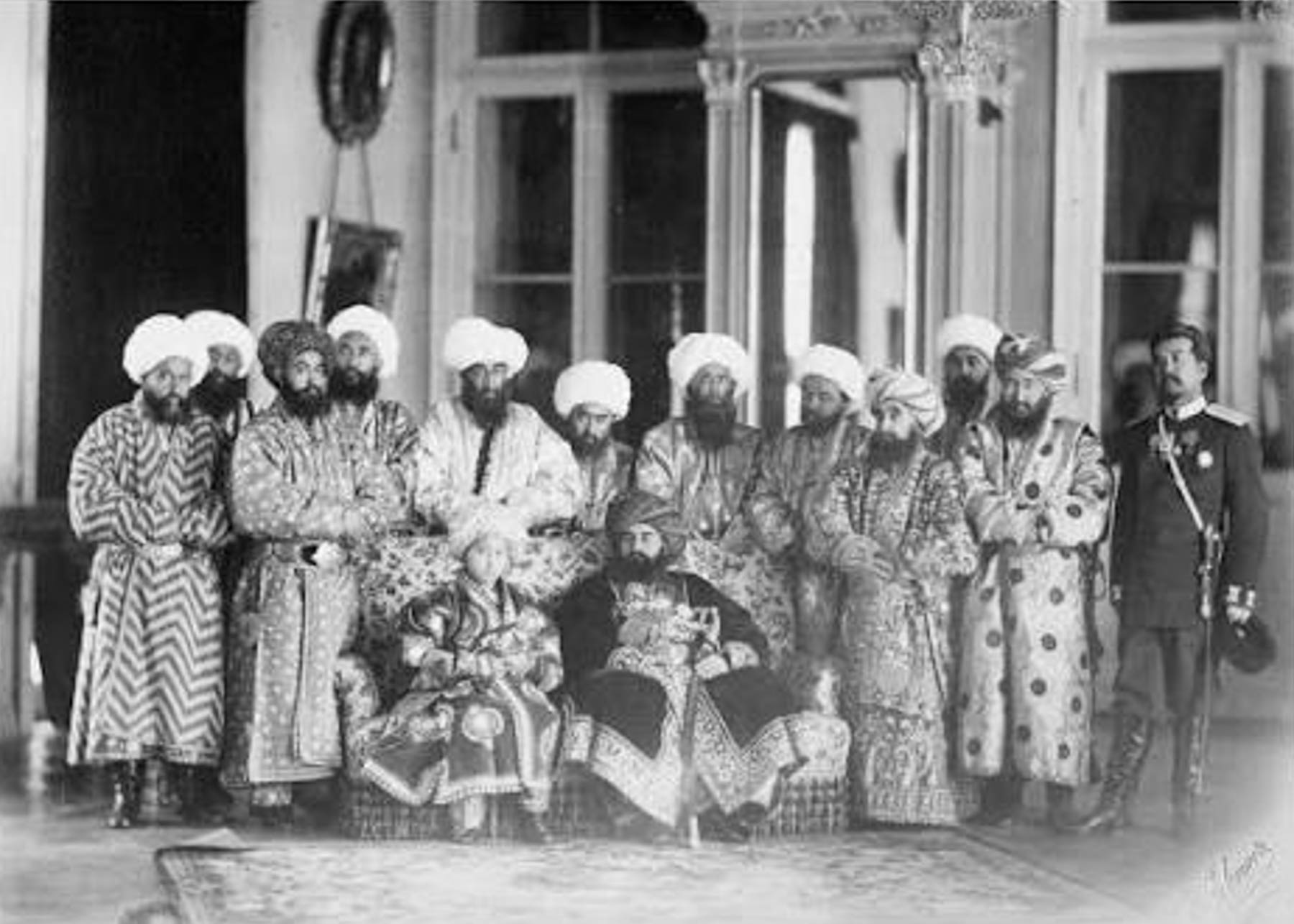
Samarkand, Uzbekistan: The Ancient Crossroad of Central Asia’s Renaissance or They Have the Best Bread!

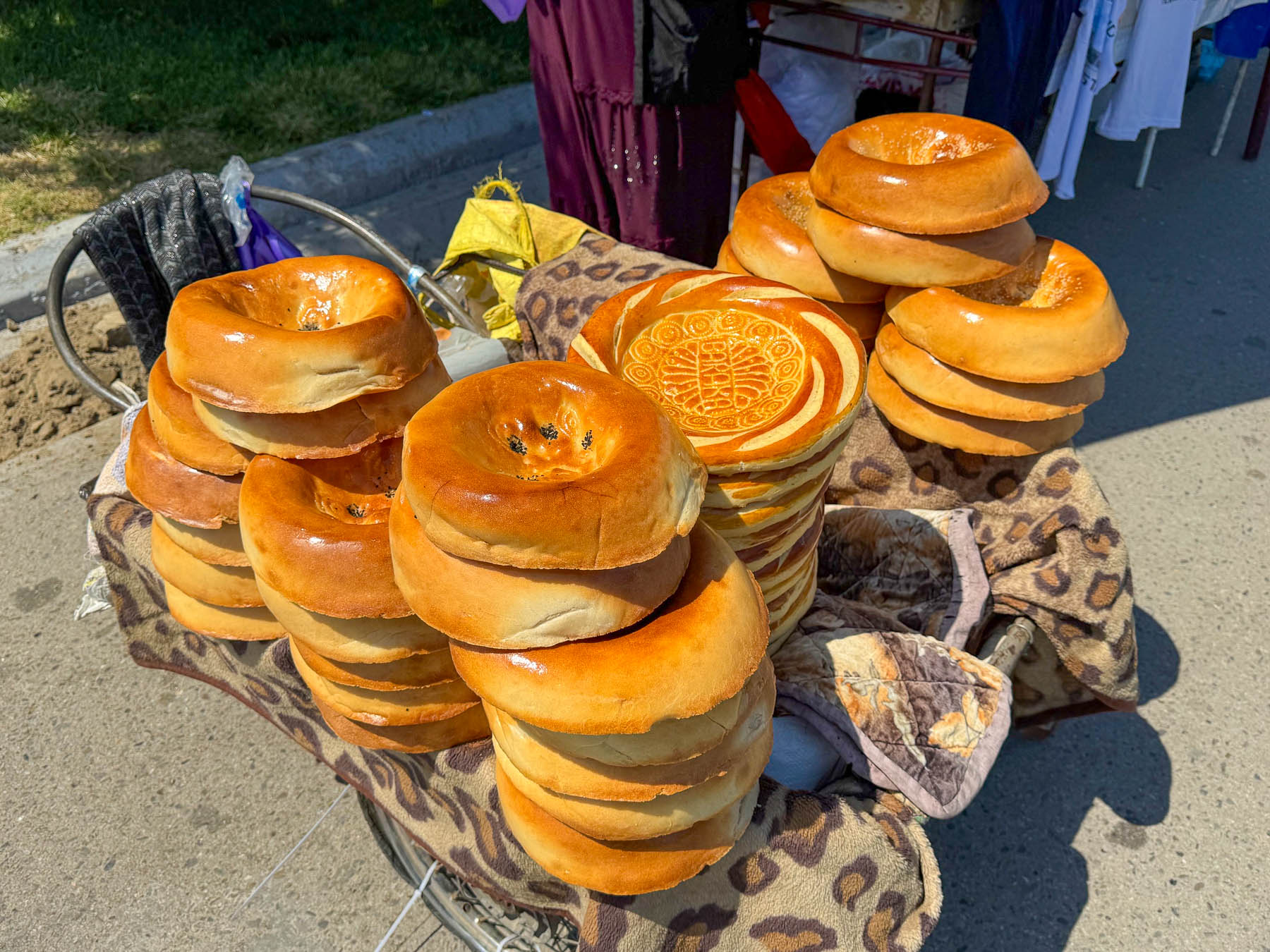
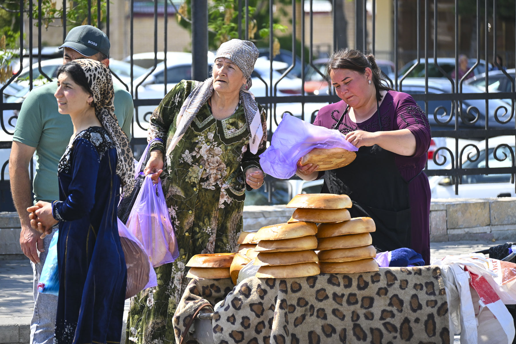
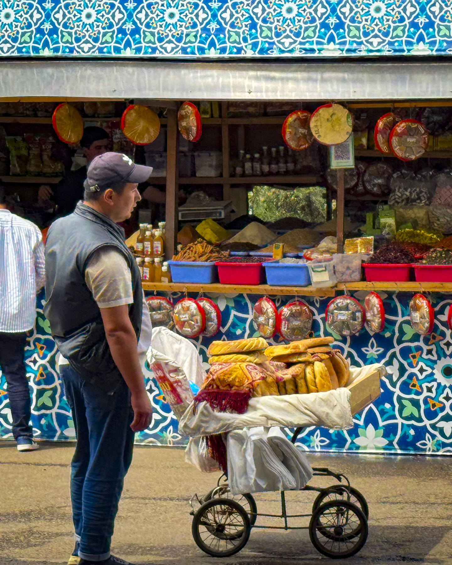
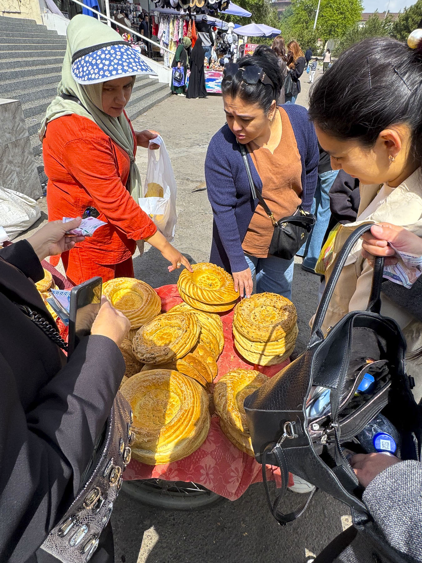
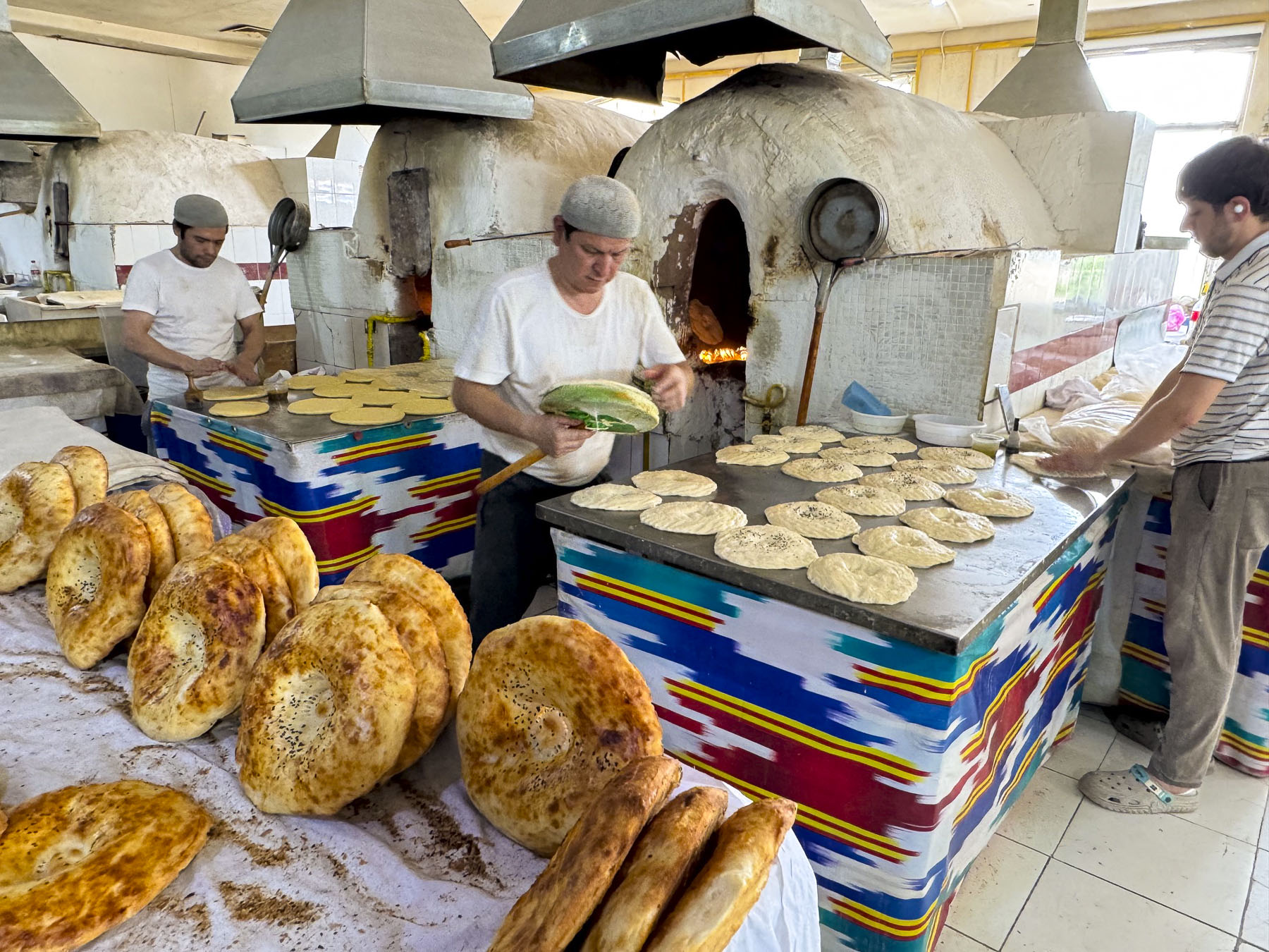
Upon your arrival to Samarkand, one of the first things you will notice is the huge number of informal roadside vendors, especially the folks selling loaves of bread from the trunks of their cars along the side of the road, or from wheelbarrows at every historic site. There is something akin to a great soccer rivalry here, not in which team you are rooting for, but in something far more essential to daily life in Uzbekistan. Whose bread do you prefer? While Tashkent, Bukhara, and Khiva all traditionally bake obi-non, a flat round loaf that’s decorated with intricate stamped patterns, in Samarkand folks favor their local variety of non, that looks similar to a bagel on steroids or a small tractor tire.

The dense loaves are beautifully glazed and baked to a golden color and typically weigh about 1.5 kilograms (3.3lbs) and taste delicious. I mean after being one of oldest continuously inhabited cities in Central Asia for over 3000 years, folks should certainly have a winning bread recipe! When we observed the amount of business being conducted along the roadsides we could only imagine that “Va nonni unutmang,” – don’t forget bread, is a common catch phrase in Uzbekistan when folks know you are visiting Samarkand, with the hope that you will return bearing loaves of the bread. The loaves are traditionally never cut with a knife but torn apart by hand and shared at the beginning of each meal.

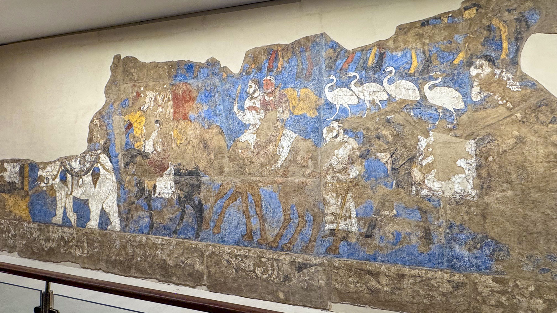
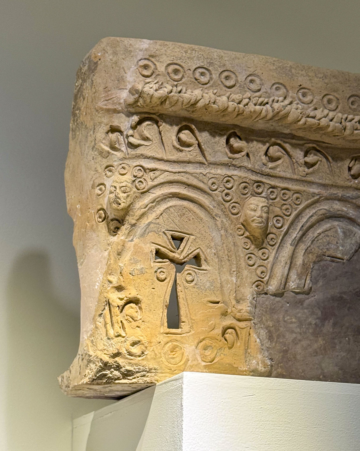
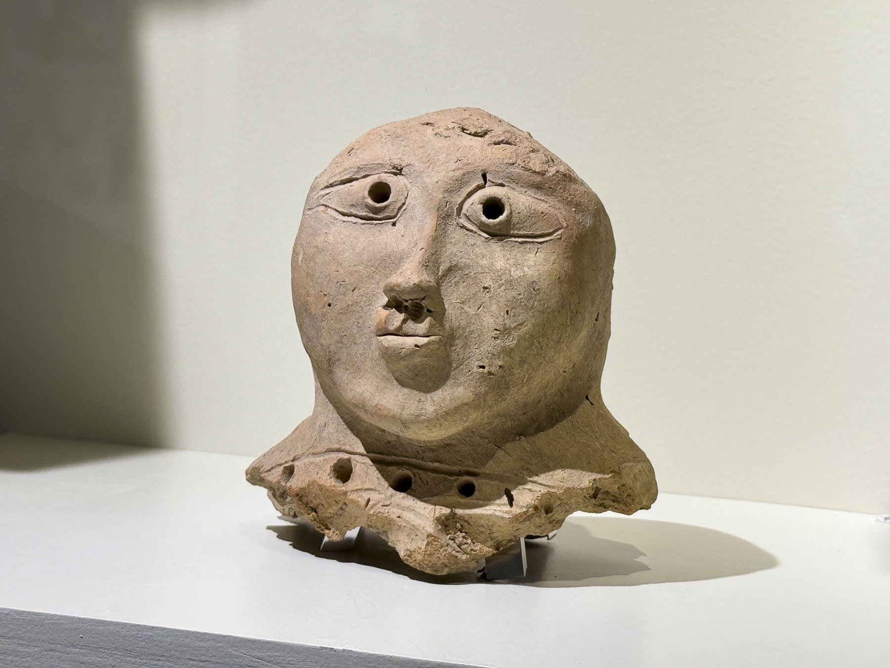
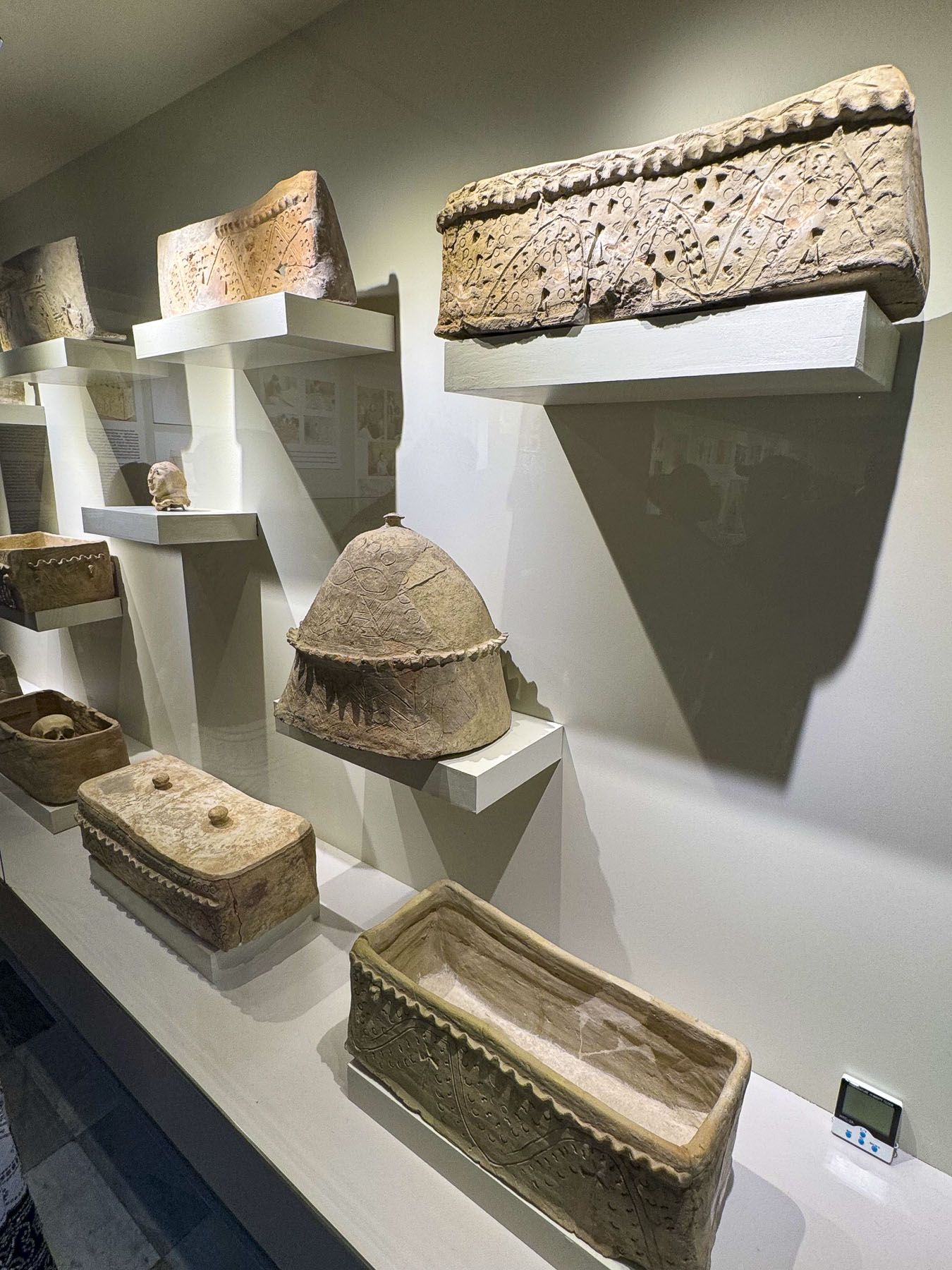
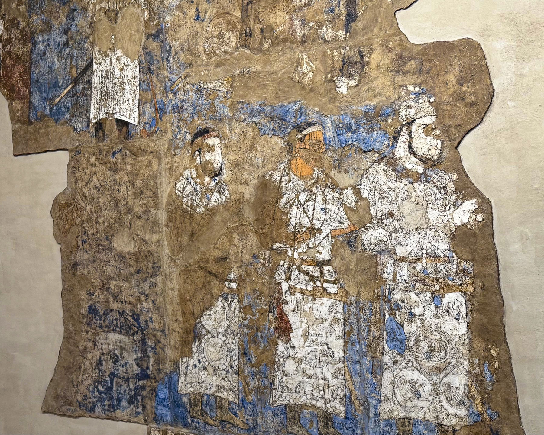
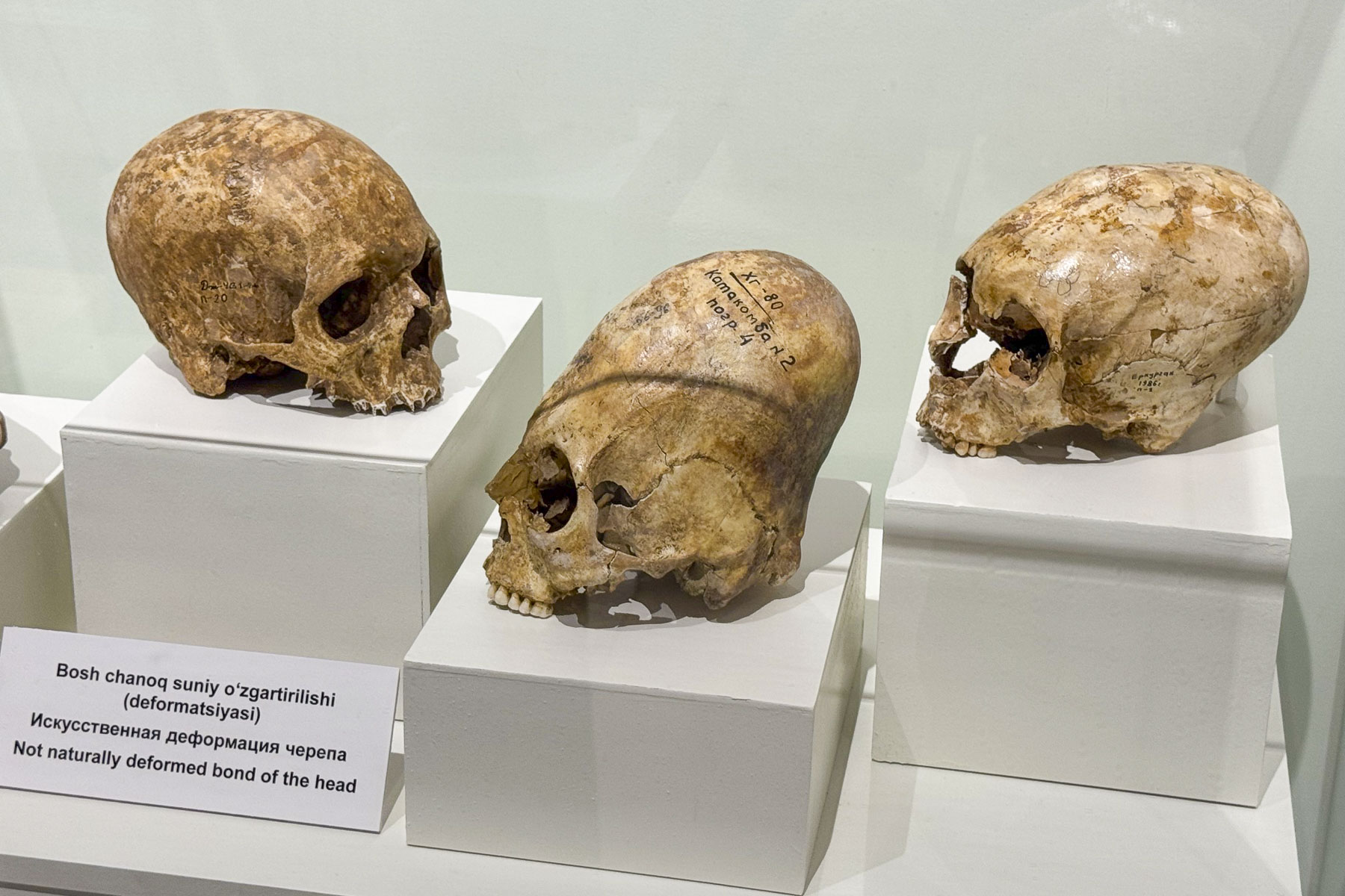
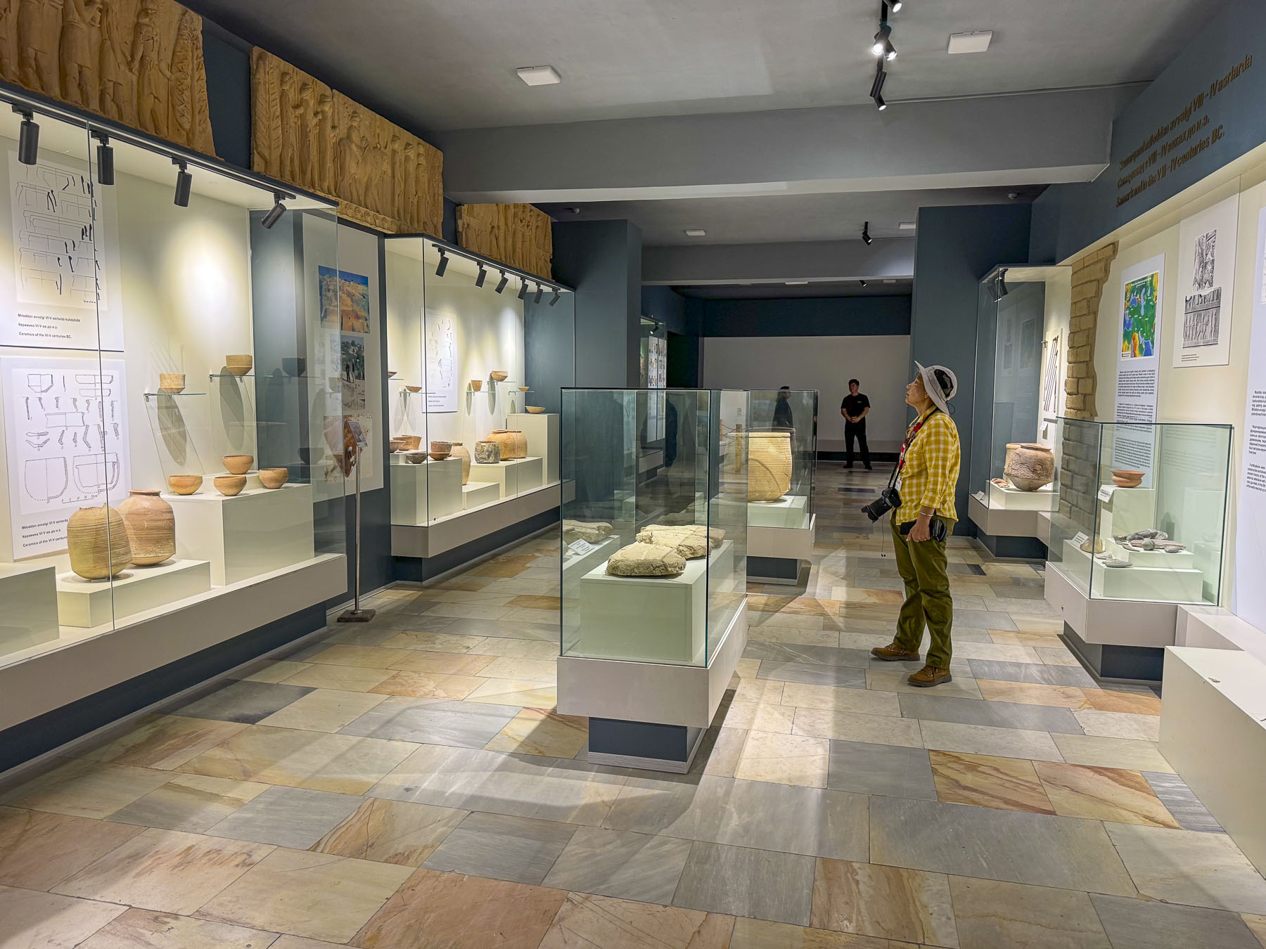
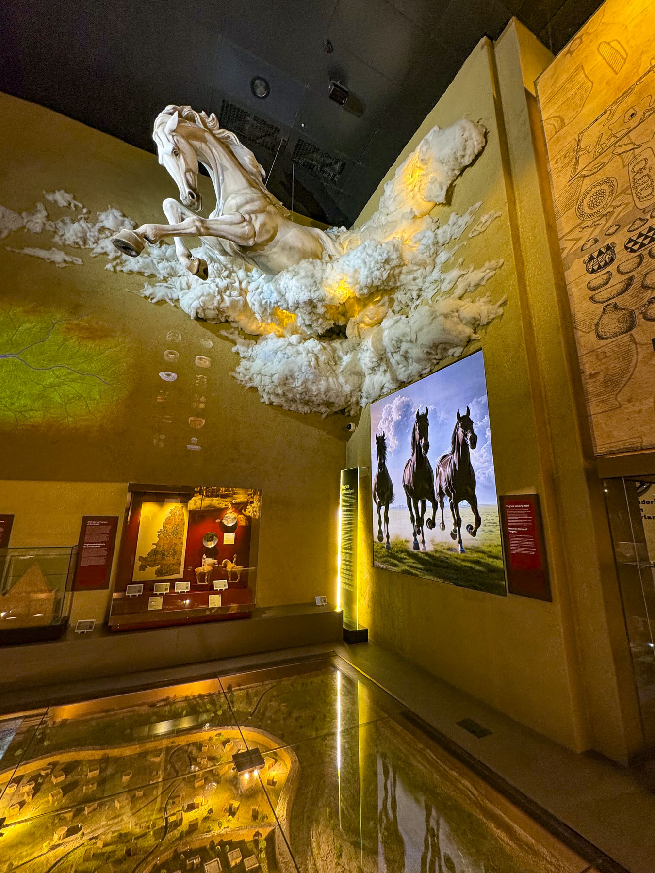
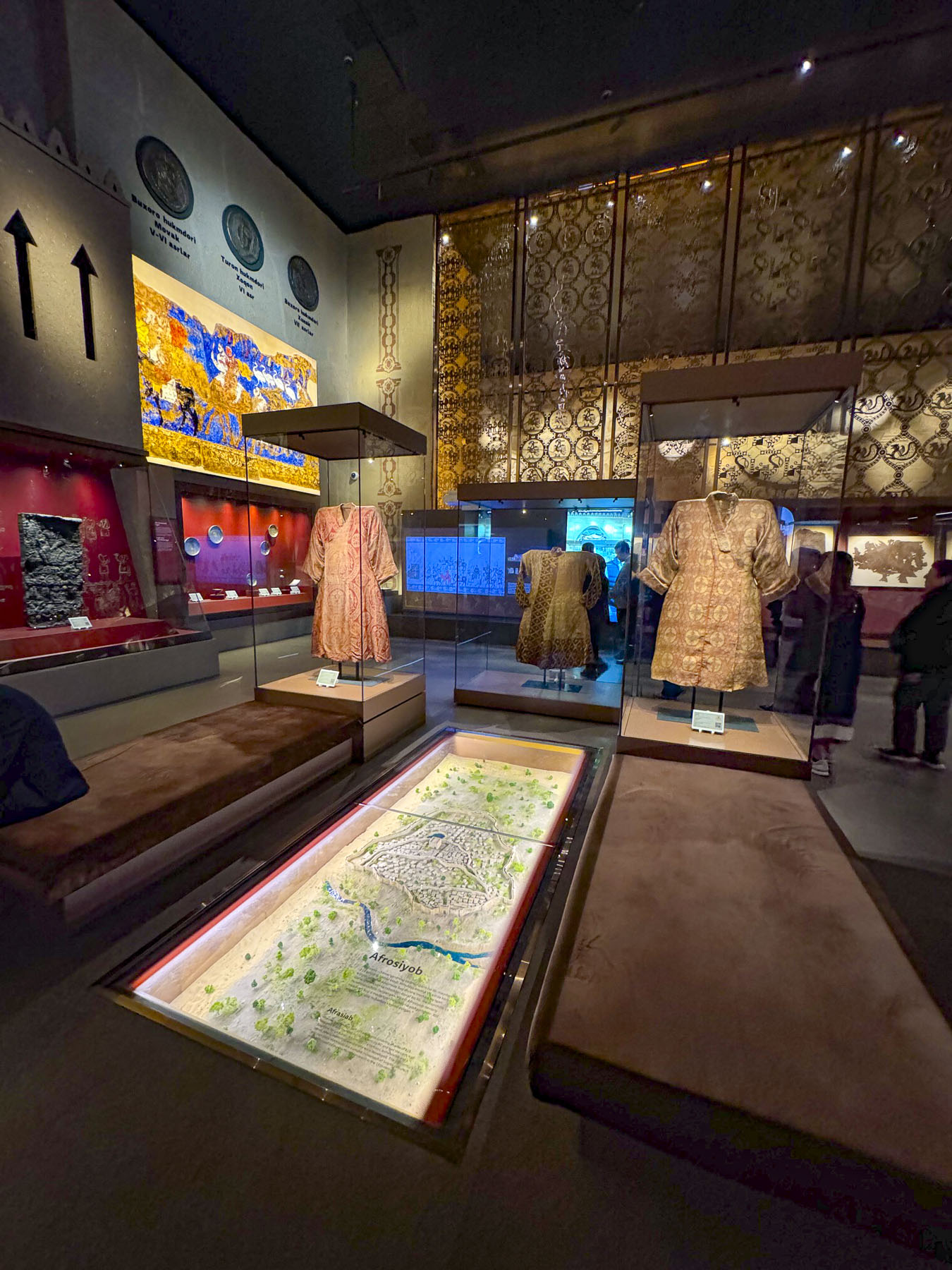
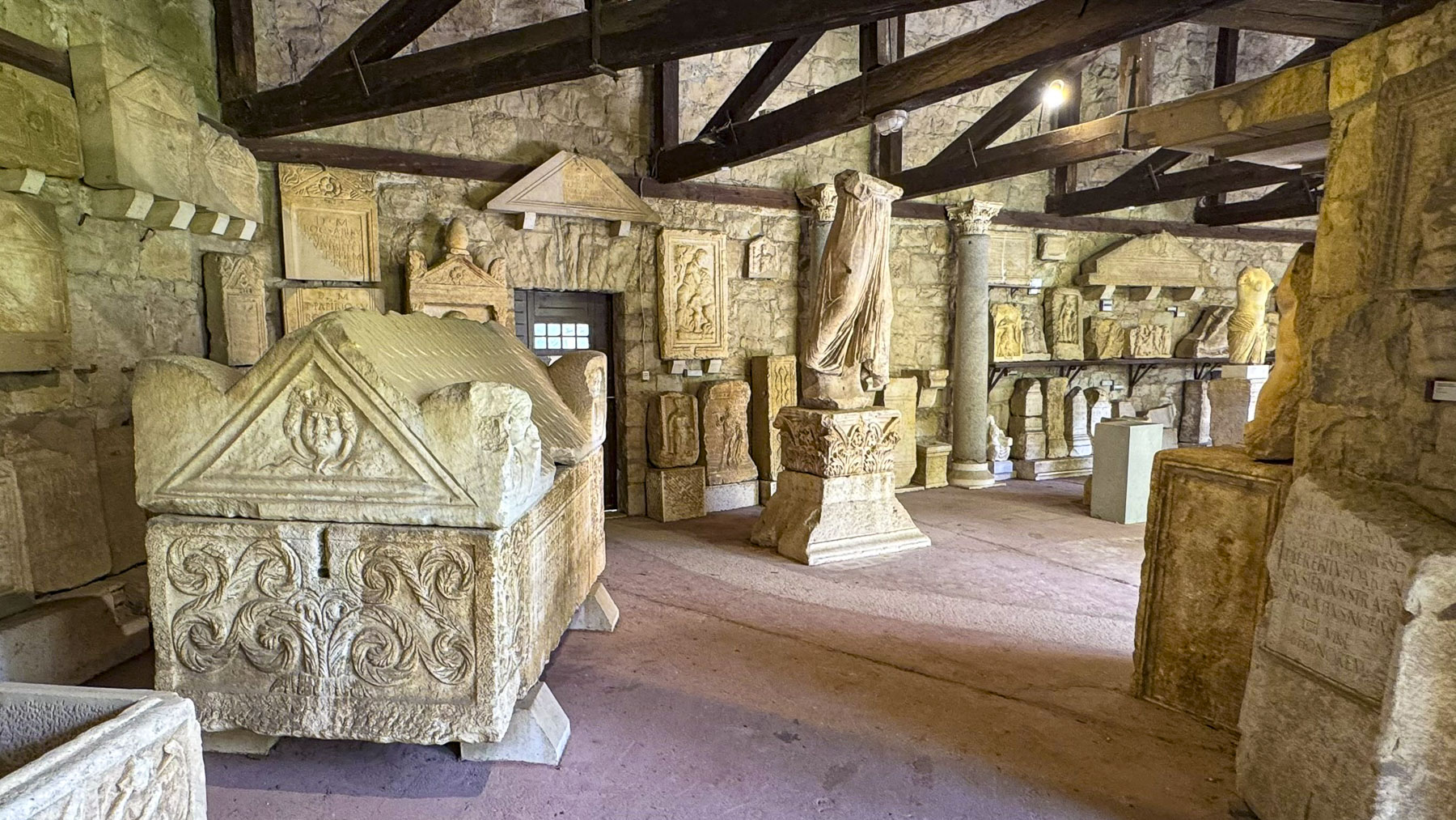
The Afrasiyab Museum on the outskirts of Samarkand was our first stop. It’s a small museum but thoroughly engaging with exhibits displaying an array of artifacts uncovered in Afrasiyab / Maracanda.

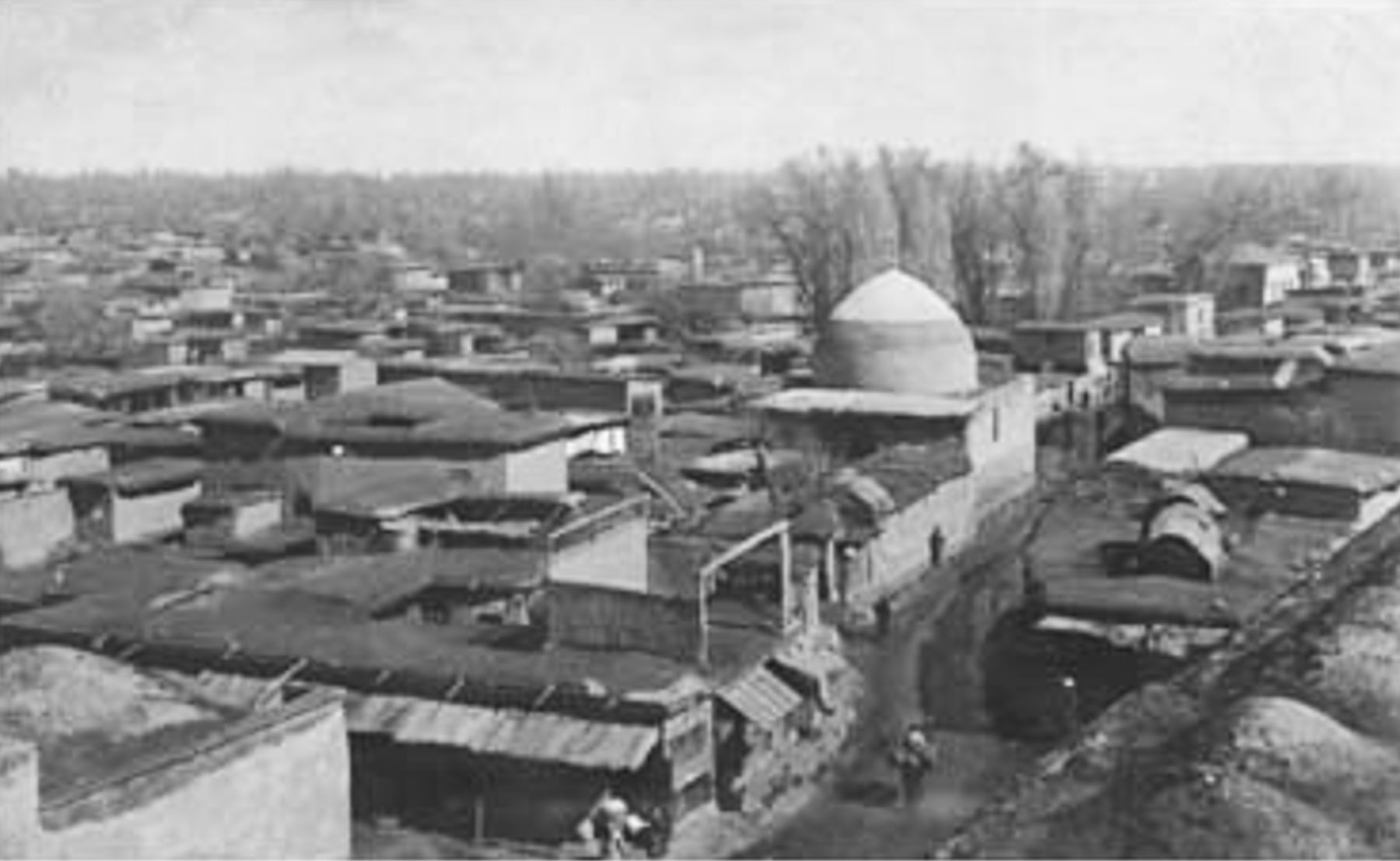
Folks have lived in the Zerafshan River Valley region since around 1500 BC, eventually establishing Afrosiab, as Samarkand was originally known, on a large hill. Over the centuries it grew into an important trading and cultural hub ruled by a succession of Persian and Turkic rulers. By the time Alexander the Great captured the city in 329 BC it was called Maracanda. In 712 AD, Arab forces swept through the region and captured the city, cementing Samarkand as a premier center of Islamic culture that continued to gain riches due to its location on the Silk Road. This wealthy walled city survived until it was pillaged and totally destroyed by Genghis Khan’s army in 1220. It must have been a beautiful city as Genghis Khan spared the lives of skilled craftsmen and sent them as prisoners to Karakorum, in Mongolia, to build his capitol. Other prisoners were used by his army as human shields in their conquests against Tashkent, Bukhara, and Khiva.

The old city was permanently abandoned and today all that remain are its ruins which can be wandered through at the Afrasiyab Archeological Park which were uncovered by a succession of Russian archeologists through various digs from 1894 – 1970s; wall murals dated to the 7th century in the city’s old royal palace were discovered, along with the remains of an 8th century mosque.

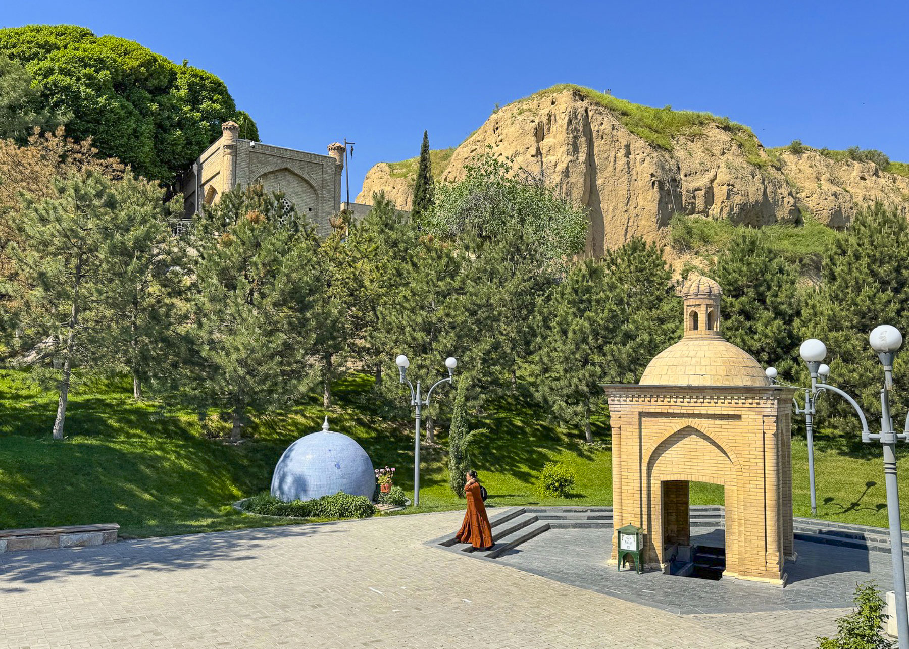
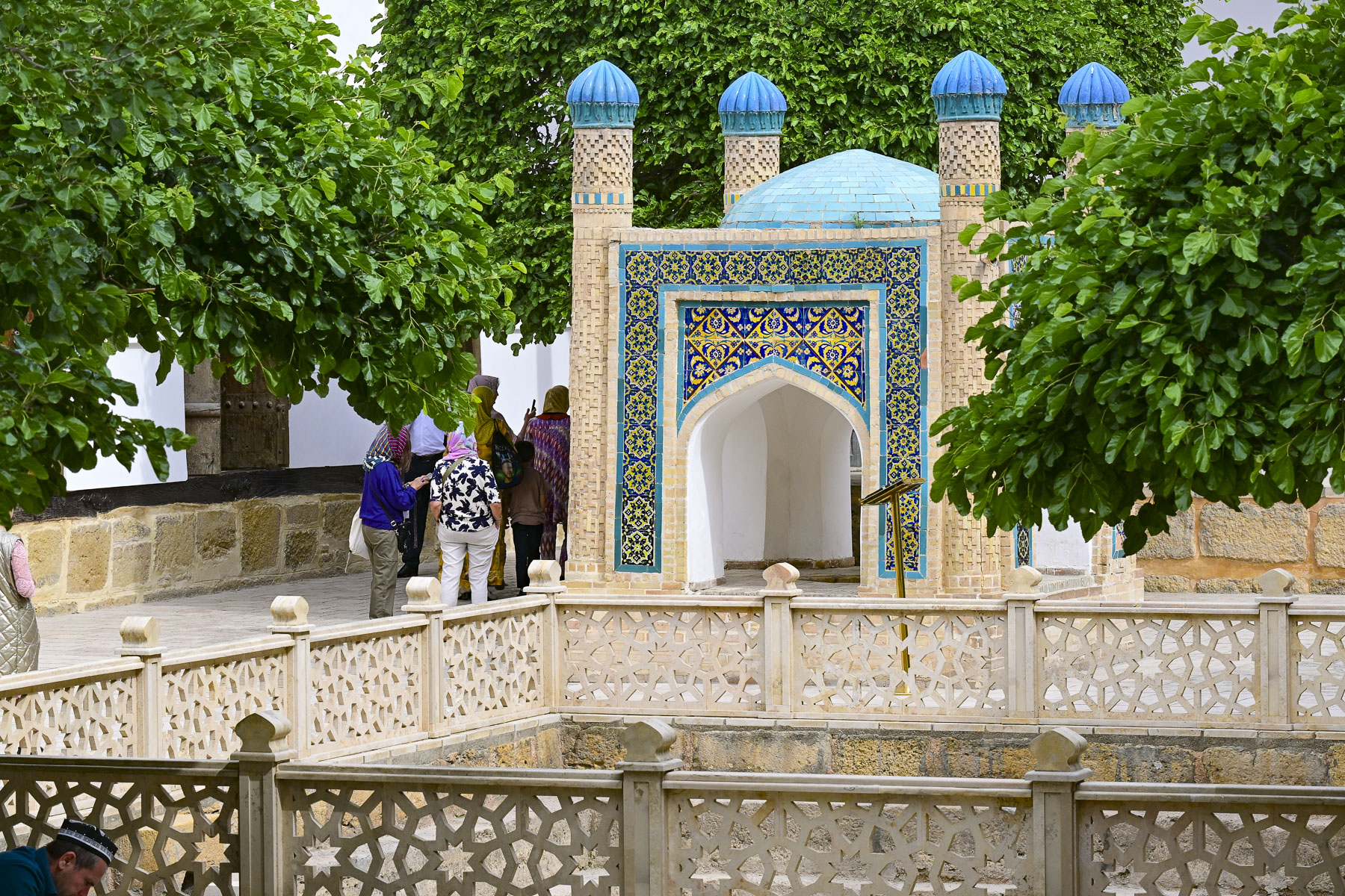
Nearby was The Holy Spring of the “Three Religions,” an enclosed well at the base of the stairway to the Mausoleum of St. Khoja Daniel which overlooks the Siab River. The spring is uniquely cherished by Muslims, Christians, and Jews who visit to drink and collect its healing water.

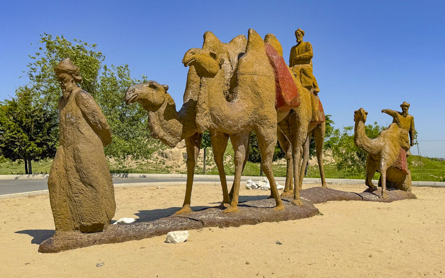
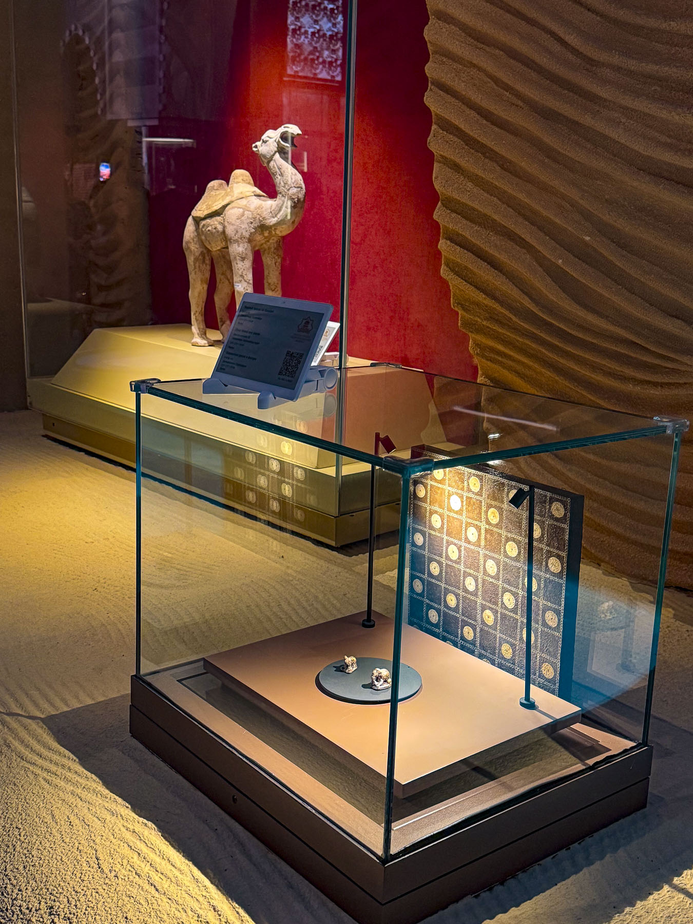
Muslims call him the Khoja Daniyar, the Jews call him Dānīyyēʾl, and in Christianity he is known as Daniel, the Hebrew prophet who served the 6thcentury Persian King Darius who ruled an empire that stretched from Susa in what is now modern-day Iran to Egypt and beyond. Daniel is also the Daniel of the Old Testament, most notable for the biblical story of Daniel in the Lion’s Den. He faced death with three friends for not worshipping King Darius; they were placed overnight in a lion’s den but were saved by Daniel’s unfaltering faith in God. Witnessing this miracle, King Darius allowed the revered prophet to be buried after his death in a royal mausoleum in Susa. How the relics of St. Khoja Daniel actually arrived in Samarkand is a mystery, as some think the remains were brought to the city by early Christians, while others think it was by the decree of Samarkand’s famous medieval ruler Amir Timur, Tamerlane. One popular legend reinforces this theory – believing that after failing to conquer Susa, Timur was told the city was protected by the relics of St. Daniel. “Upon hearing this Timur decided to change tactics and negotiate with the townspeople about reconciliation, but on condition that he would take away part of the sacred relics to Samarkand. When the caravan carrying the sacred relics reached the outskirts of Samarkand near the Siab River, the camel carrying the relics suddenly dropped to its knees on the ground and refused to move until a miraculous spring with healing waters burst from the earth.”

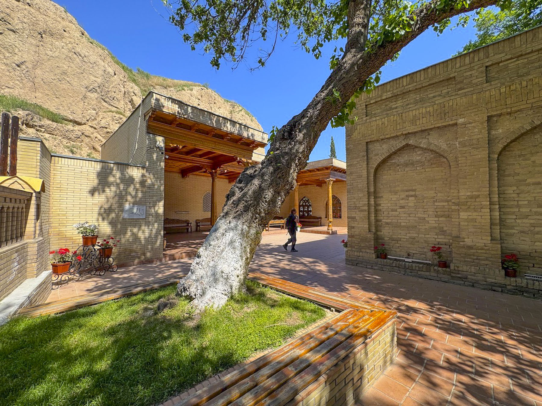
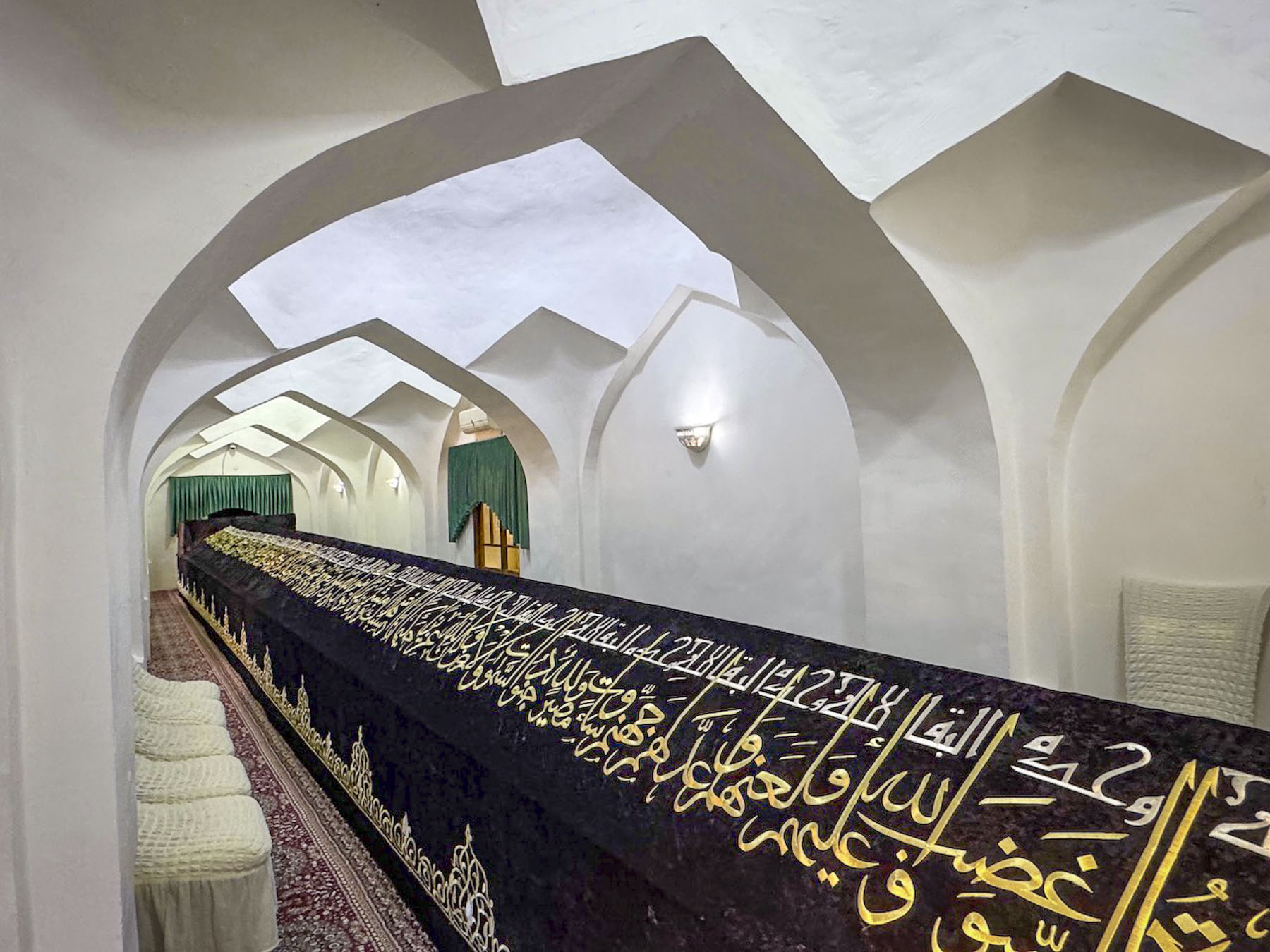
The tomb for the saint’s relics is amazingly 18m (59ft) long to accommodate a relic that some believe grows larger every year, while others say it was Timur’s idea to hide the exact spot of the relics with the extraordinary length of the tomb to deter grave robbers from easily finding them.  It’s a tranquil place of pilgrimage for many travelers. Our next stop was the Observatory of Mirzo Ulugbek.

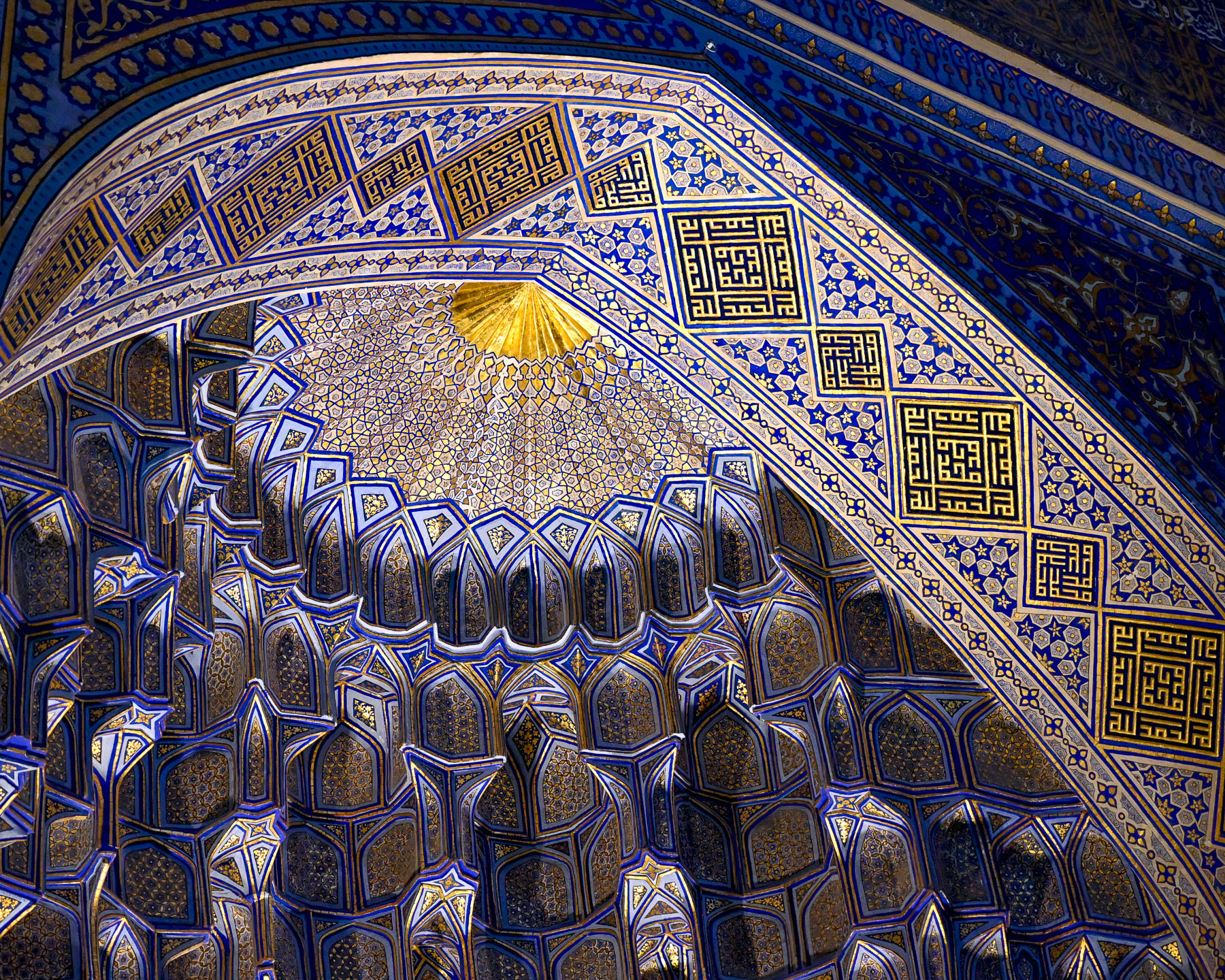
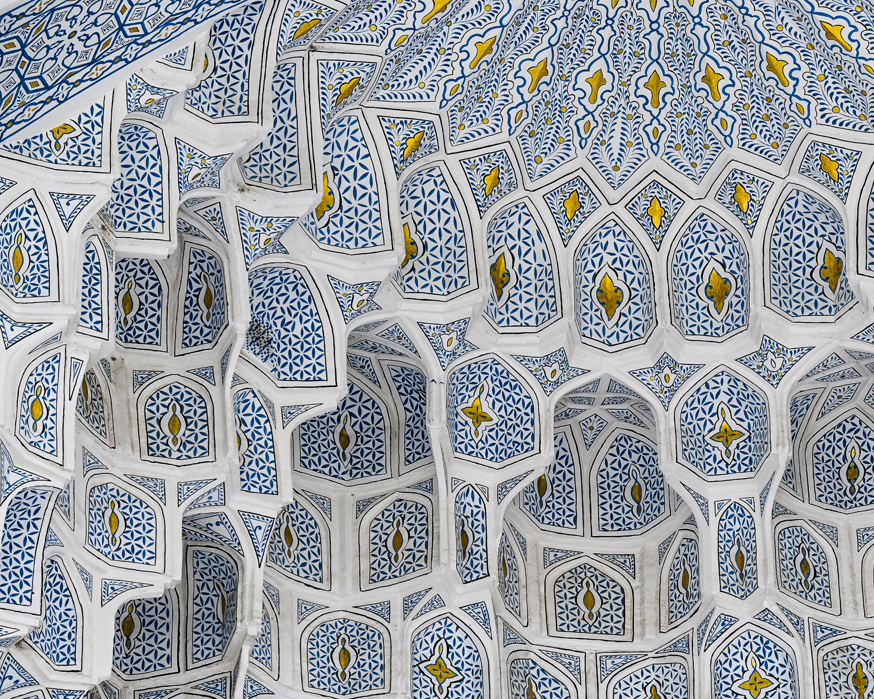
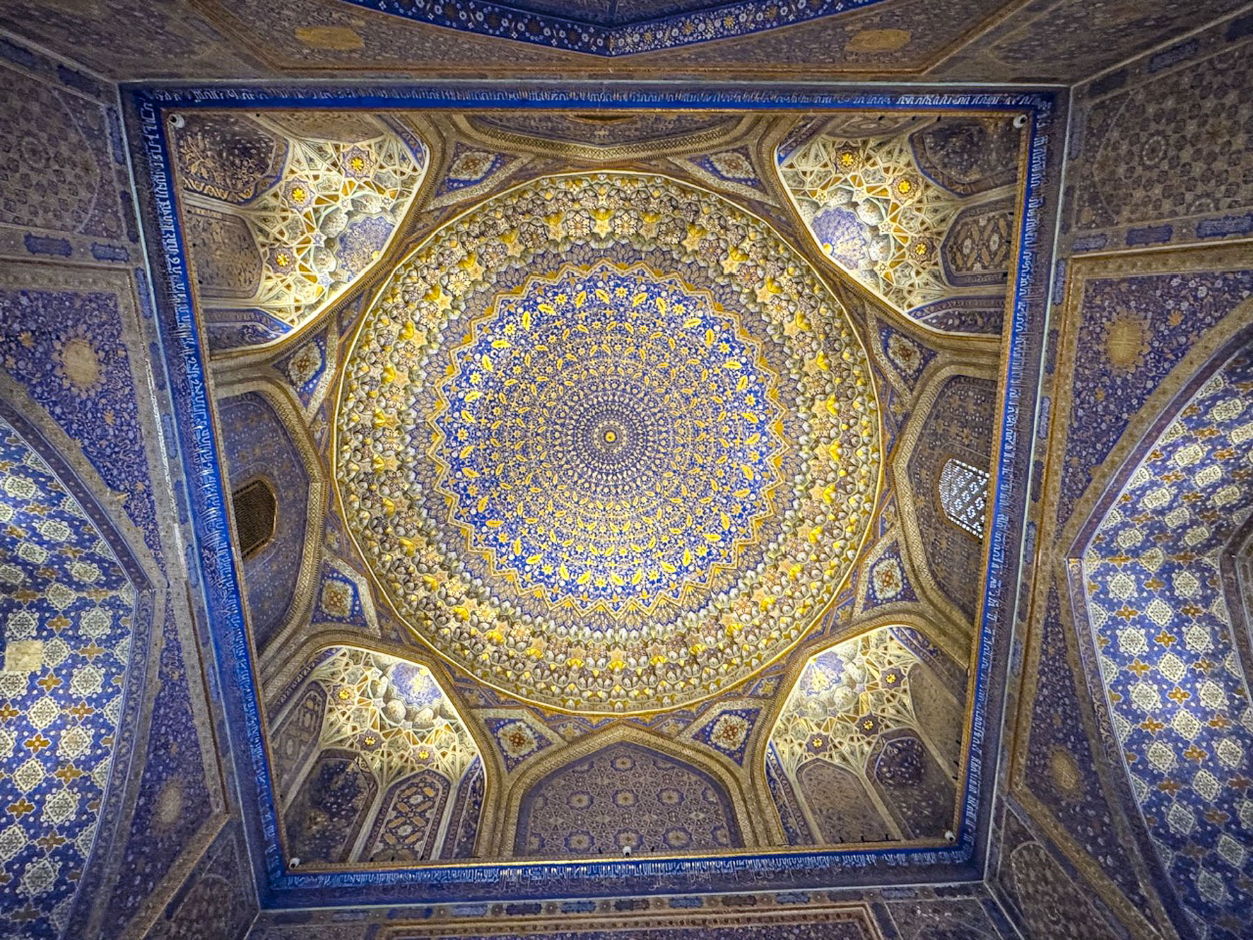
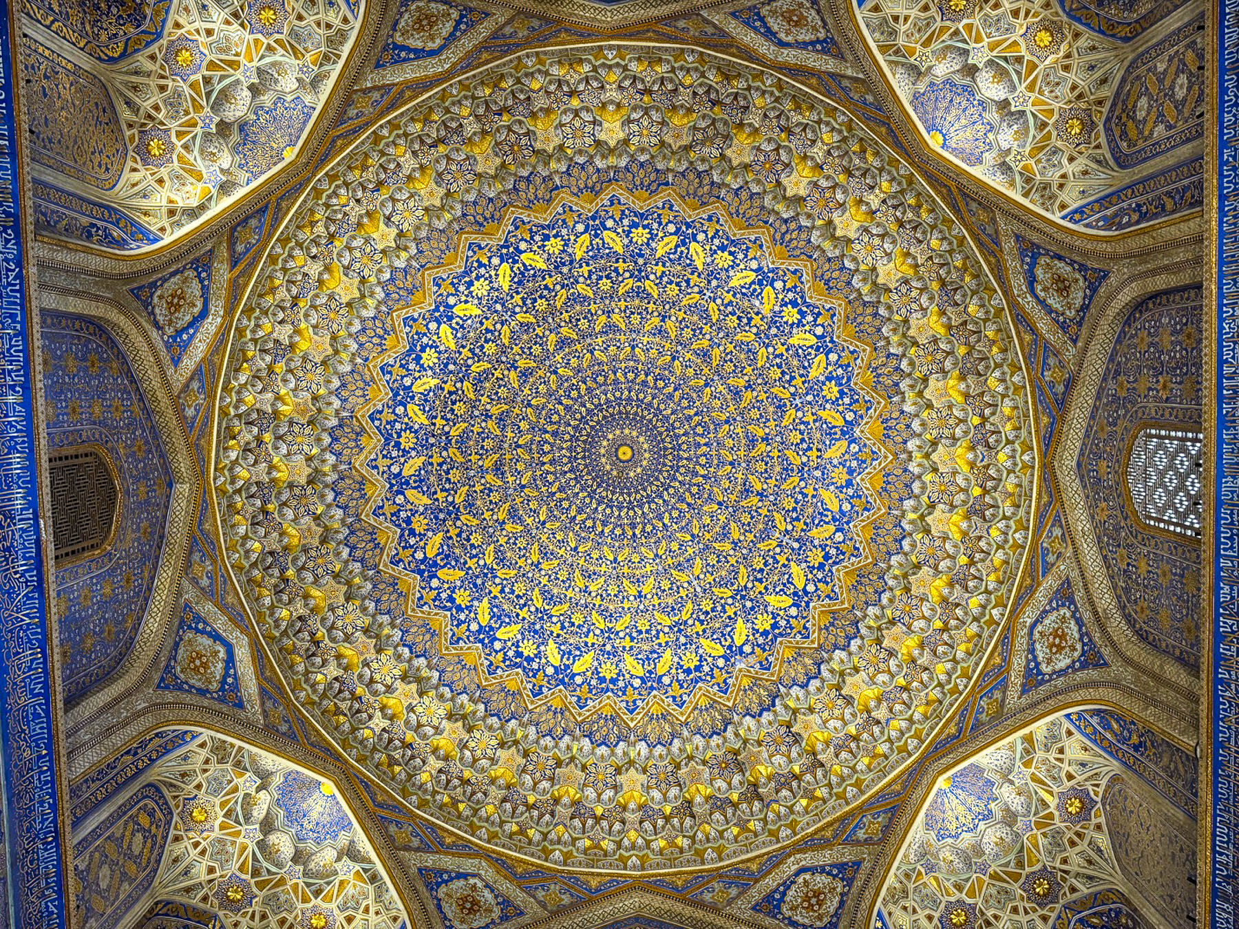
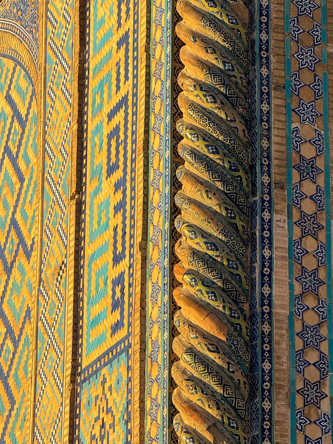
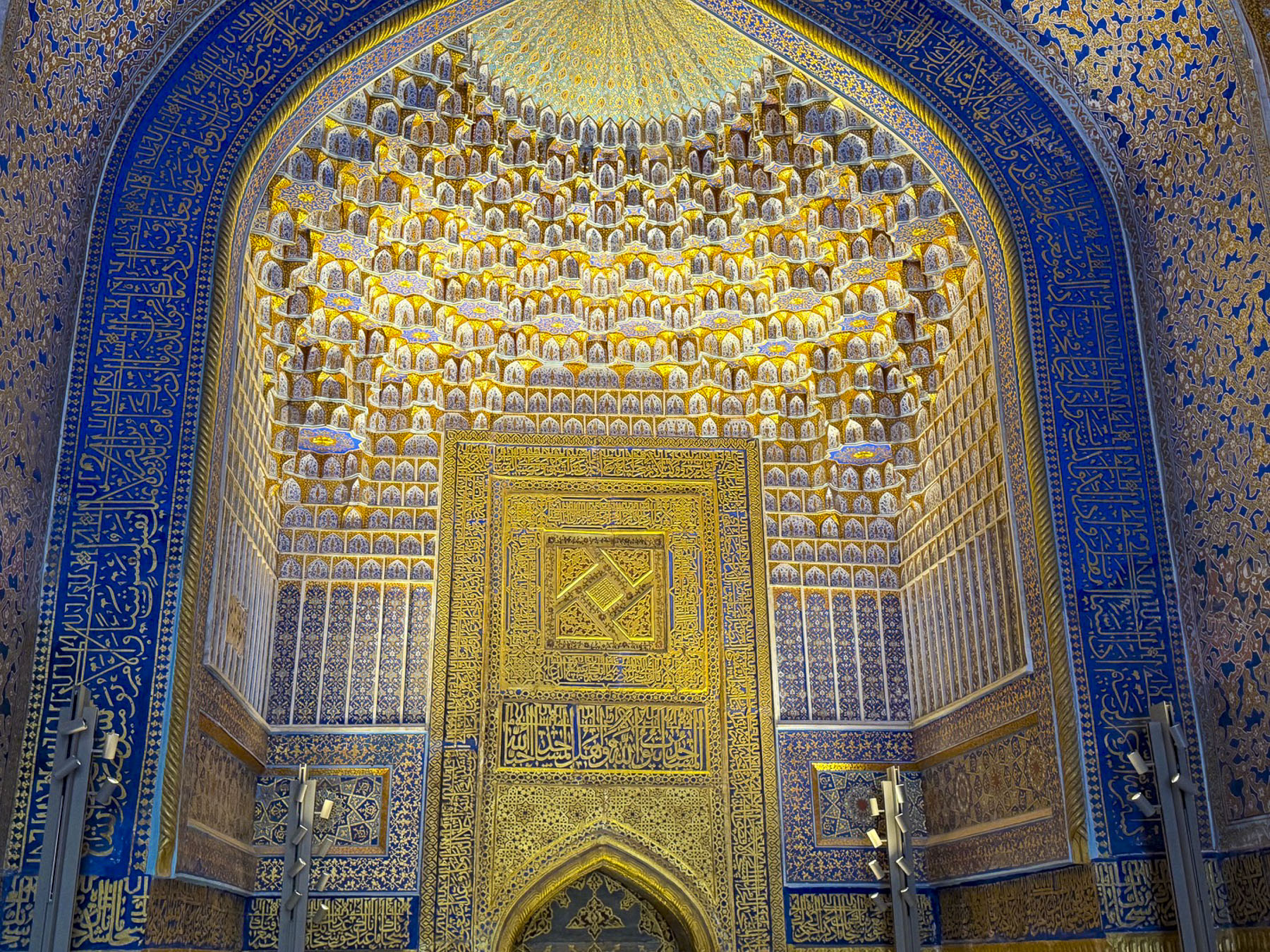
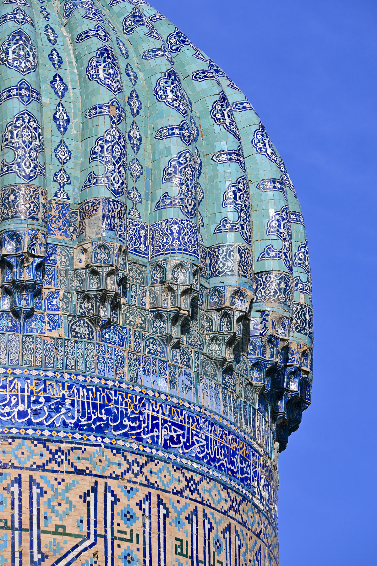
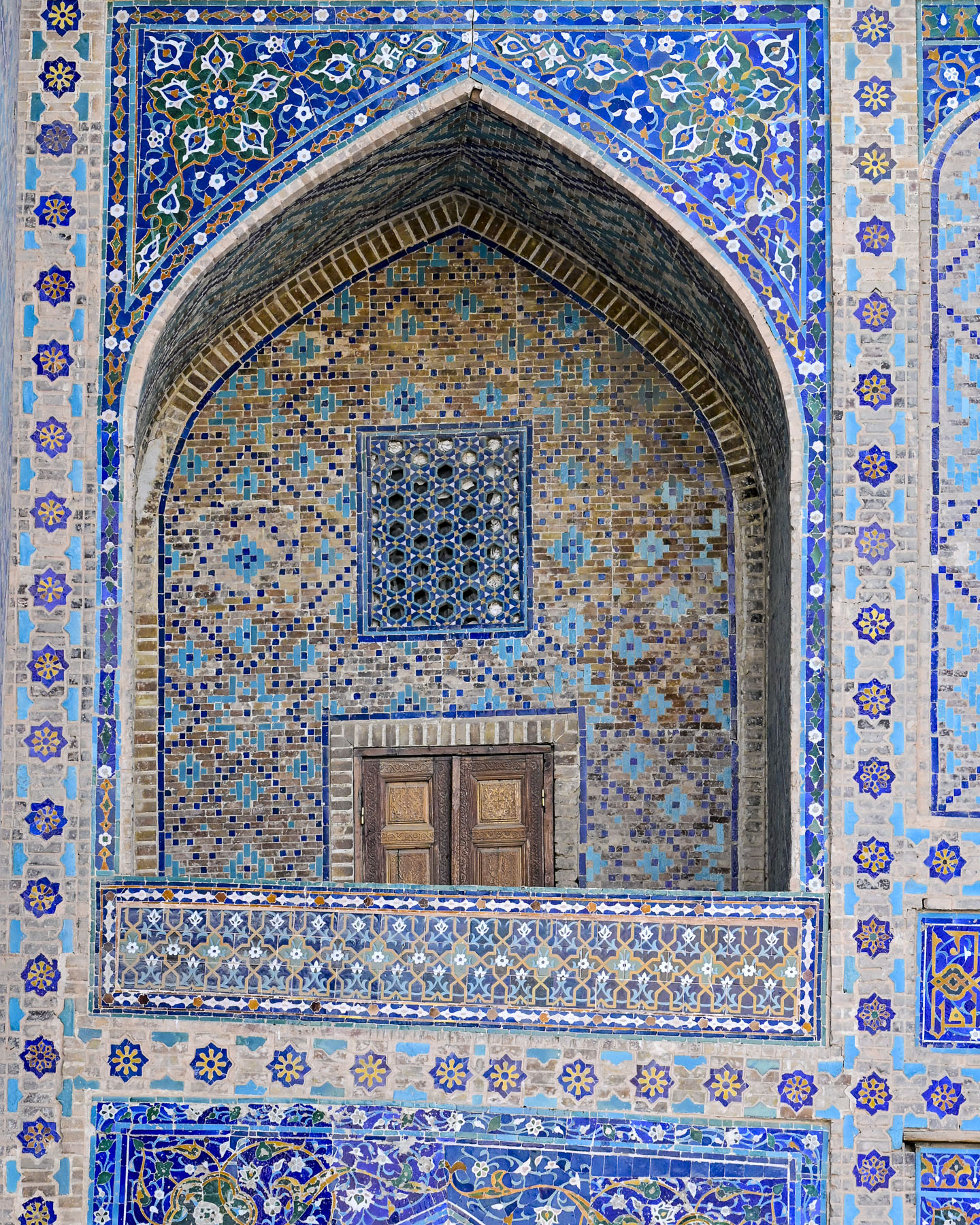
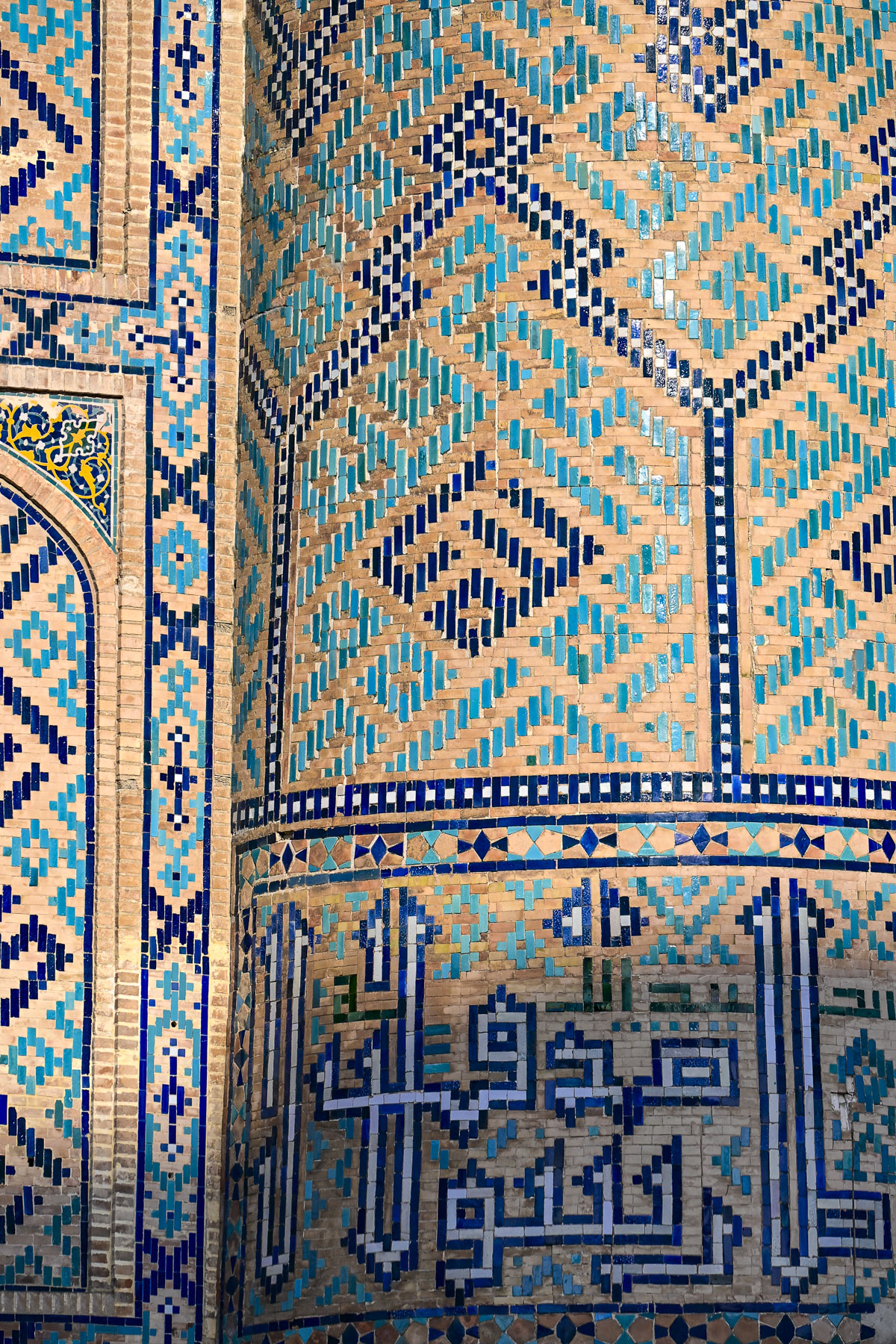
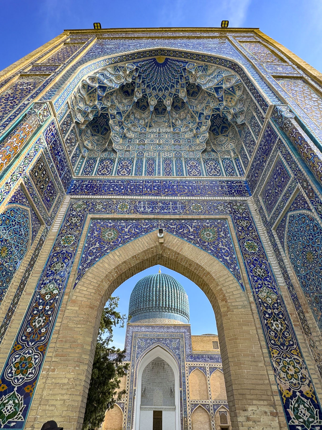
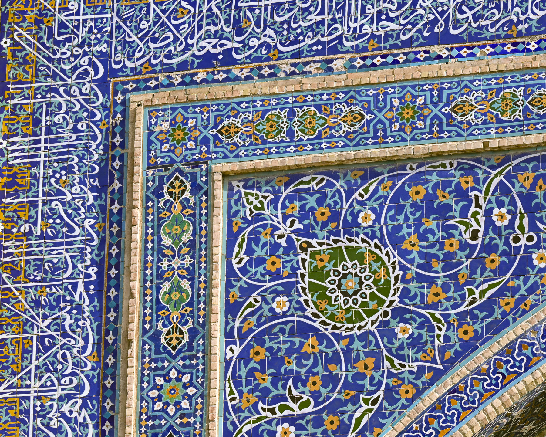
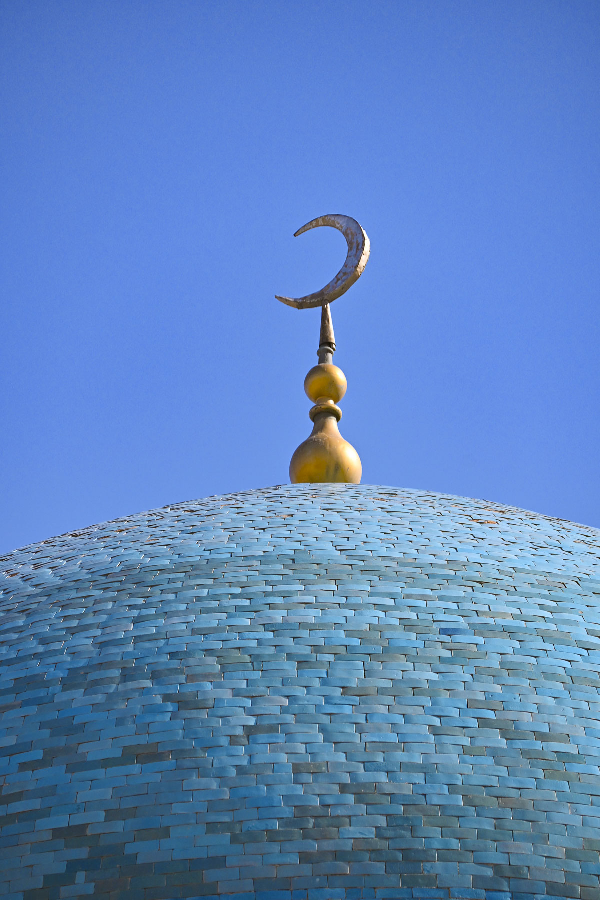
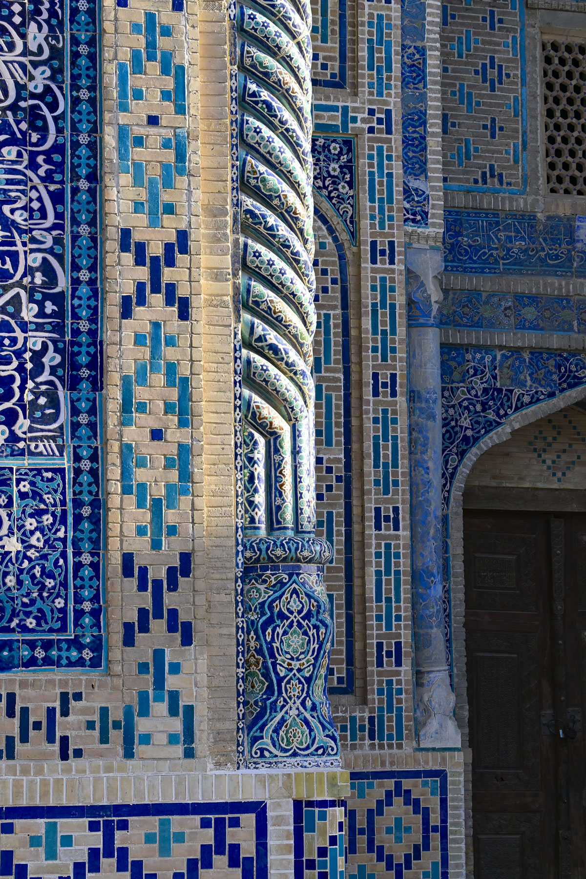
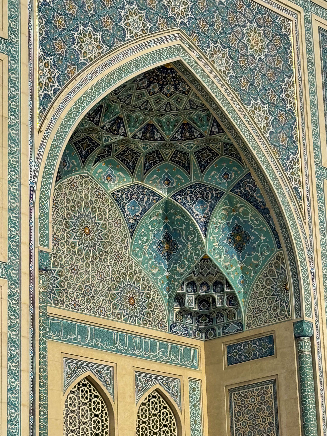
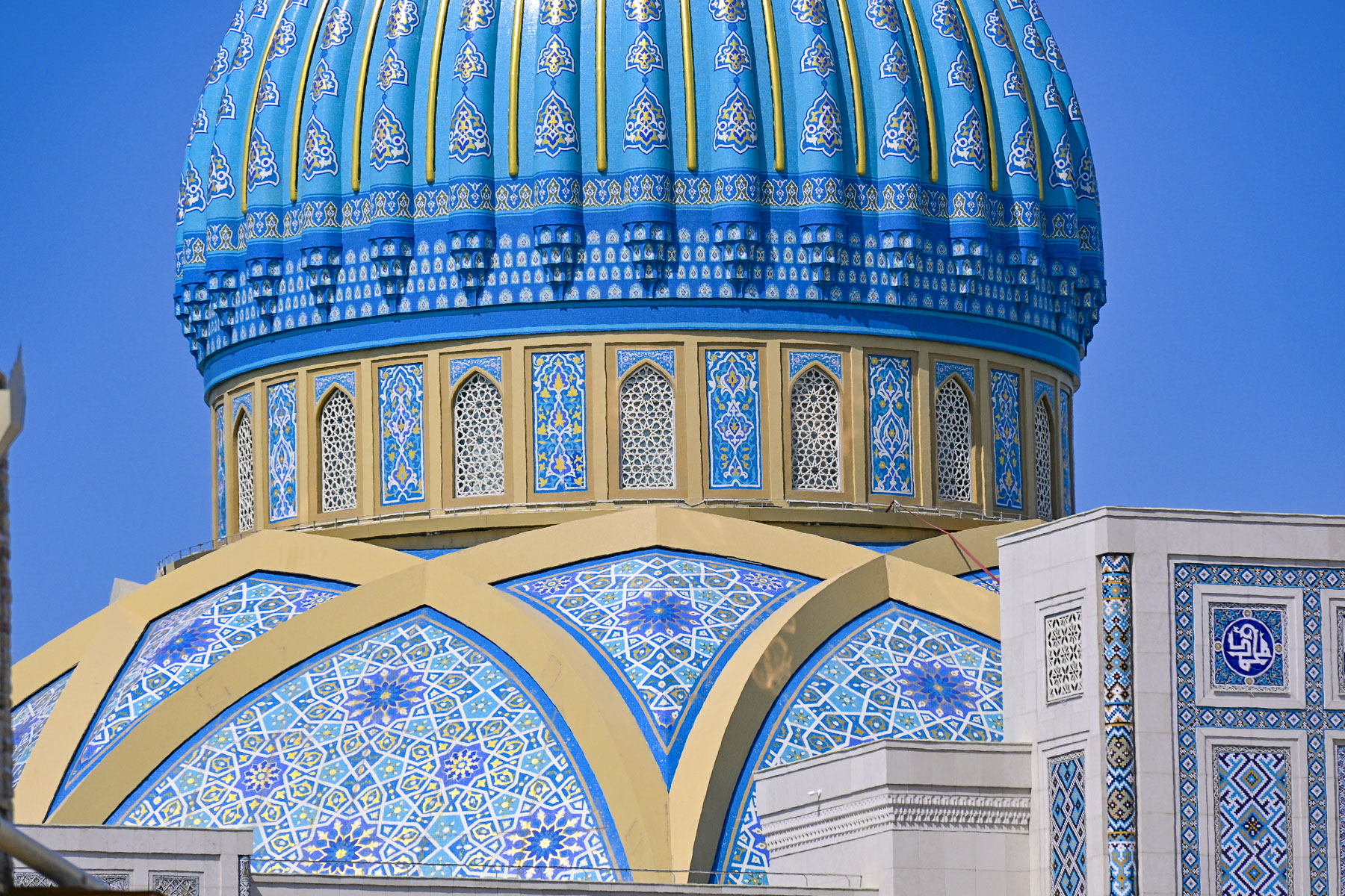
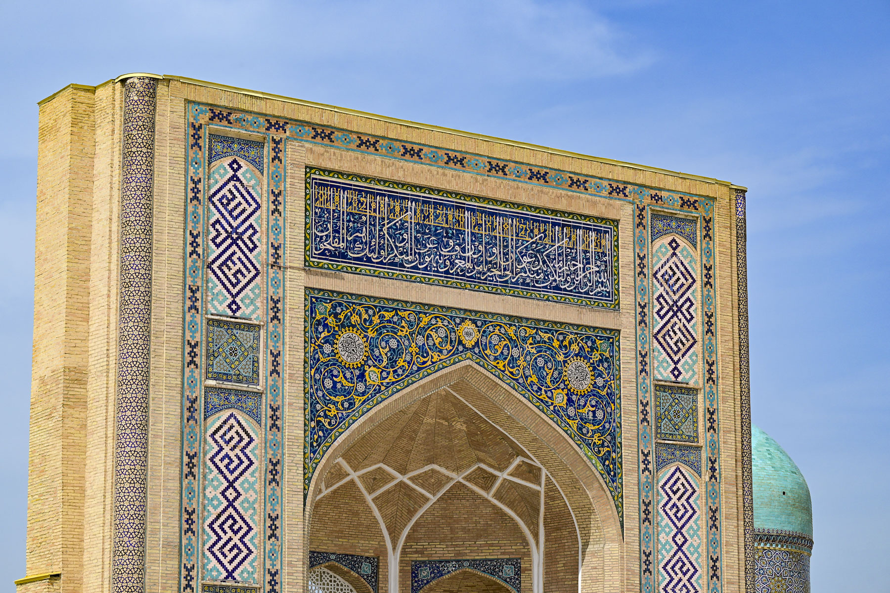
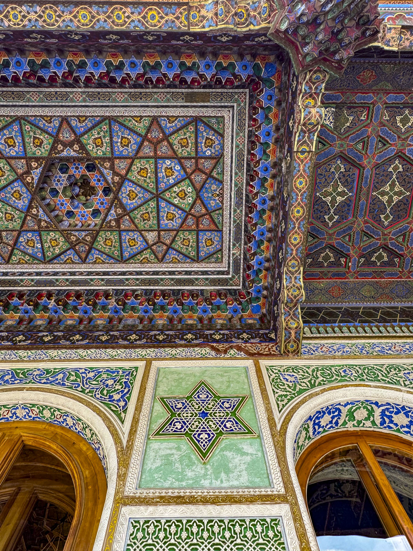
One hundred and fifty years after the Mongols destroyed Afrasiyab, Amir Timur oversaw the ancient city’s revival, growing like a phoenix from its ashes in the desert, and in 1370 called it Samarkand, and declared it the capitol of his Timurid Empire. It was under his tutelage during the14th century, later to be known as the Timurid Renaissance, that Samarkand became a center for Islamic studies, and the sciences that rivaled Bagdad’s past influence in the Islamic world. He indorsed a new style of architecture, where geometry and art intersected, and which would eventually bear his name, that featured Colossal Pishtaqs – towering arched entrance portals; vibrant blue domes – that featured cobalt and turquoise colored lapis lazuli glazed tile; intricate tilework – that featured geometric, floral, and calligraphic patterns; and a blending of cultures that drew upon Persian, Mongol, and Central Asian influences, all of which were connected through the Samarkand Silk Road crossroads.

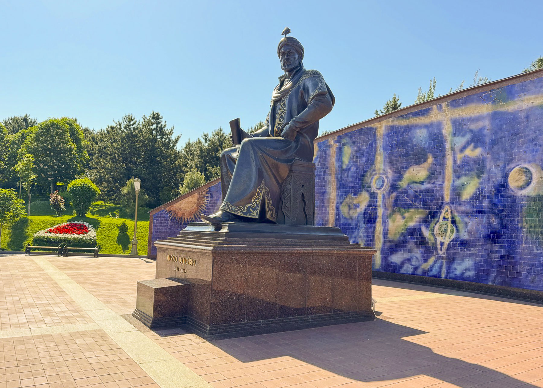
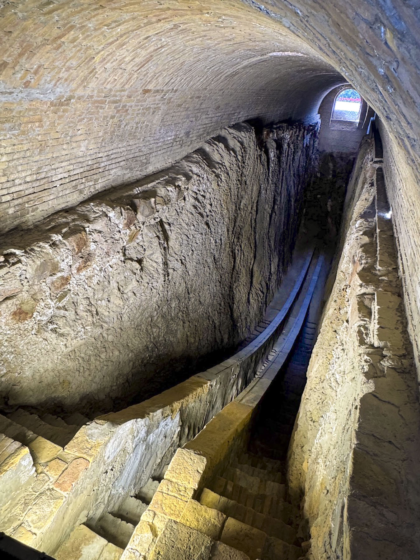
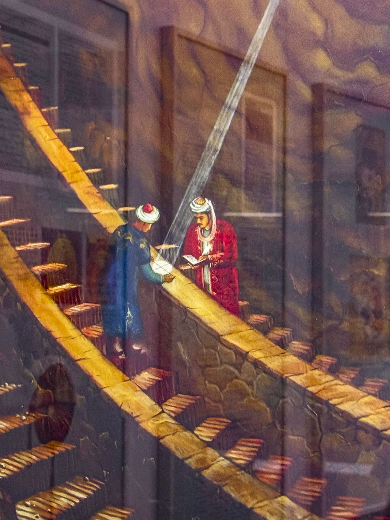
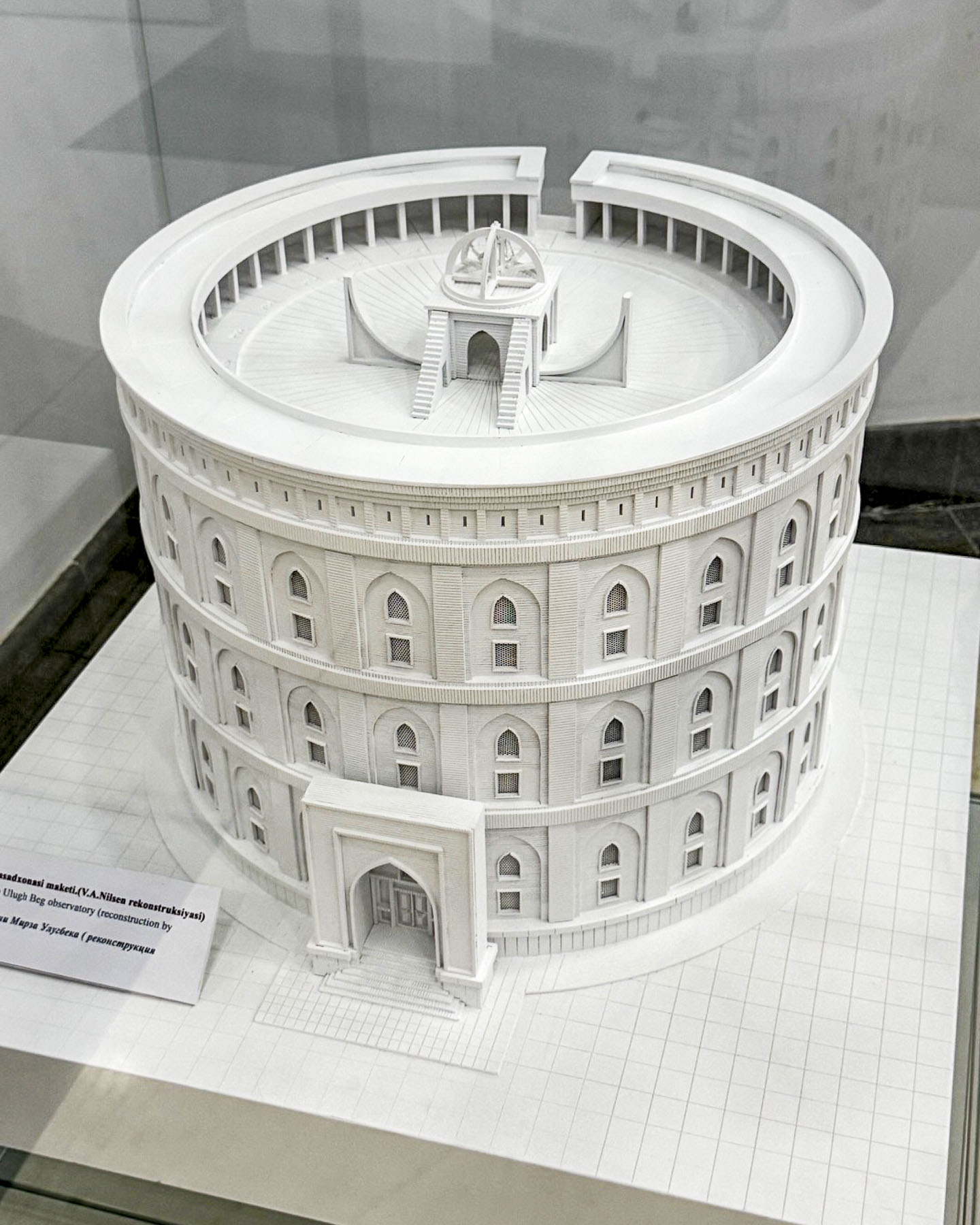
Timur’s visionary influence continued for several centuries after his death, most notably in the scientific achievements of his grandson Mirzo Ulugbek, an accomplished astronomer.  He ruled Samarkand from 1409 – 1447 as a regent for his father Shah Rukh, before becoming the supreme ruler of the Timurid Empire. His reign only lasted two years before political infighting led to a coup and his assassination in 1449. It was during his time as the regent that he oversaw the construction of his observatory, a massive three-story structure featuring a 40m (131ft) radius marble sextant/quadrant, built into the ground to avoid vibrations, that he used to make highly accurate naked-eye observations to map 1,018 stars and record highly accurate orbital movements of the Sun, Moon, and the five known planets of his era, two centuries before the invention of the telescope. Ulugbek also calculated the length of the stellar year with unprecedented accuracy – 365 days, 6 hours, 10 minutes, 8 seconds, an error of less than a minute.

After his death the book of his work, the Zij-i Sultani, was smuggled out of Samarkand to Istanbul by his assistant who feared its destruction by religious conservatives. By the mid-1600s his work was translated by scholars at Oxford University and validated by telescope-using astronomers. He also established the first madrassa on Samarkand’s Registan Square which had a curriculum that prioritized mathematics, geometry, and astronomy alongside theological studies.


“Religion is scattering like fog, kingdoms are being destroyed,

but the works of scientists remain forever”

(Mirzo Ulugbek)

His admonition to trust science still rings true 577 years later. Sadly, only the inground portion of the sextant survived the building’s destruction immediately after his death, as it was buried in the demolition. Stones from the building were removed from the site, and used for other buildings, until it was totally levelled. The exact site was lost to history for nearly 500 years until Russian archaeologists used 17thcentury land deeds to rediscover the buried sextant in 1908. Across from the remains of the sextant is a small museum with exhibits explaining Ulugbek’s achievements and models of his observatory.

The historic sites in Samarkand were surprisingly very far apart and required transportation to reach, unless you are willing to devote hours to walking between places. This is the result of successive empires over the millennia rebuilding destroyed settlements nearby rather than on top of old ruins. This is very different from the feel of Bukhara and Khiva where the historic sites are surrounded by ancient mahallas, neighborhoods, only a few steps away.

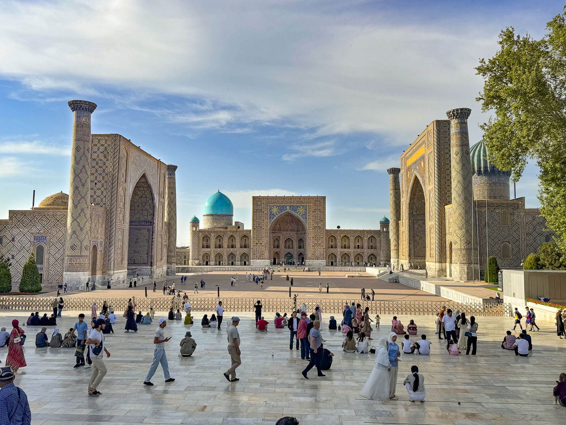
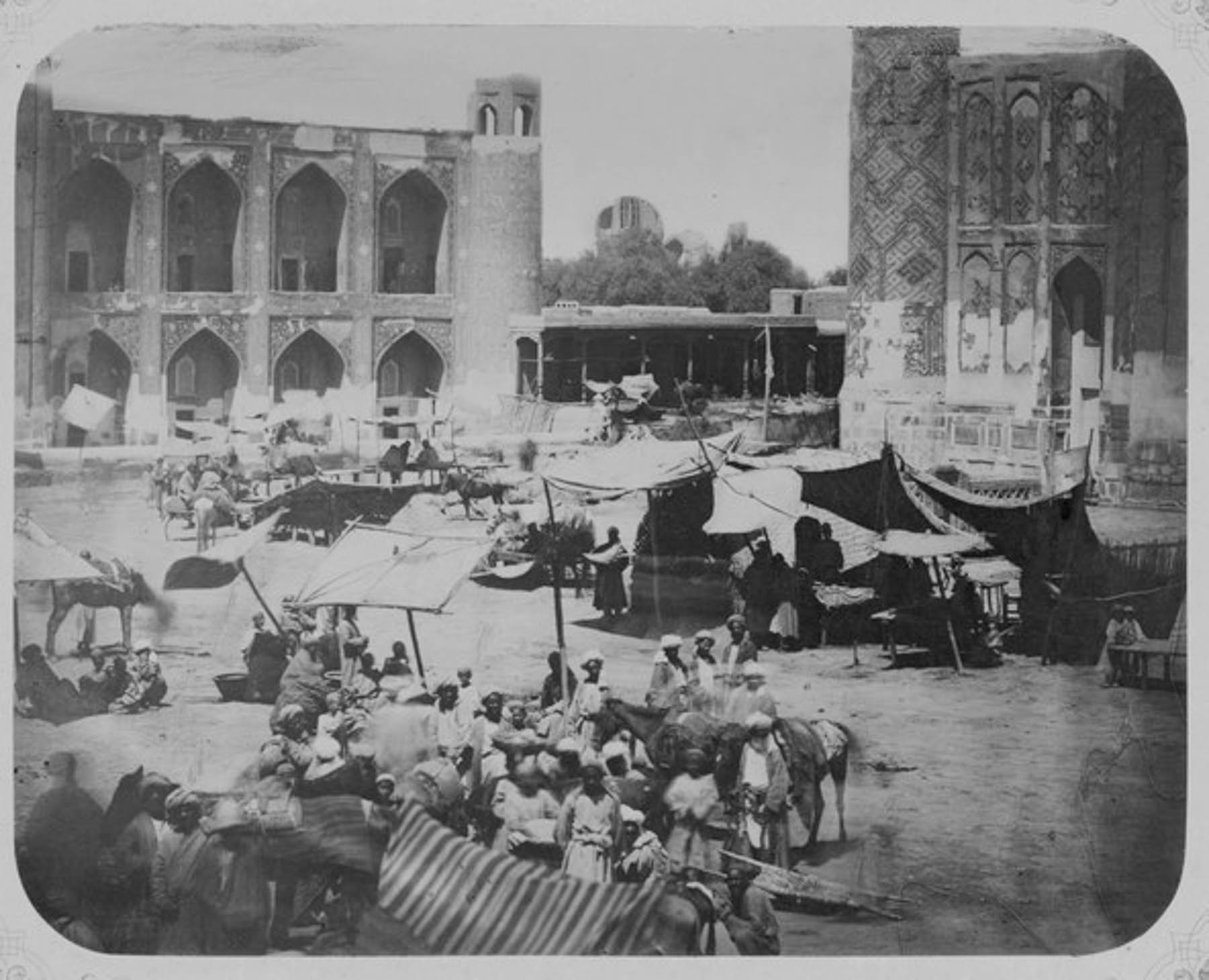
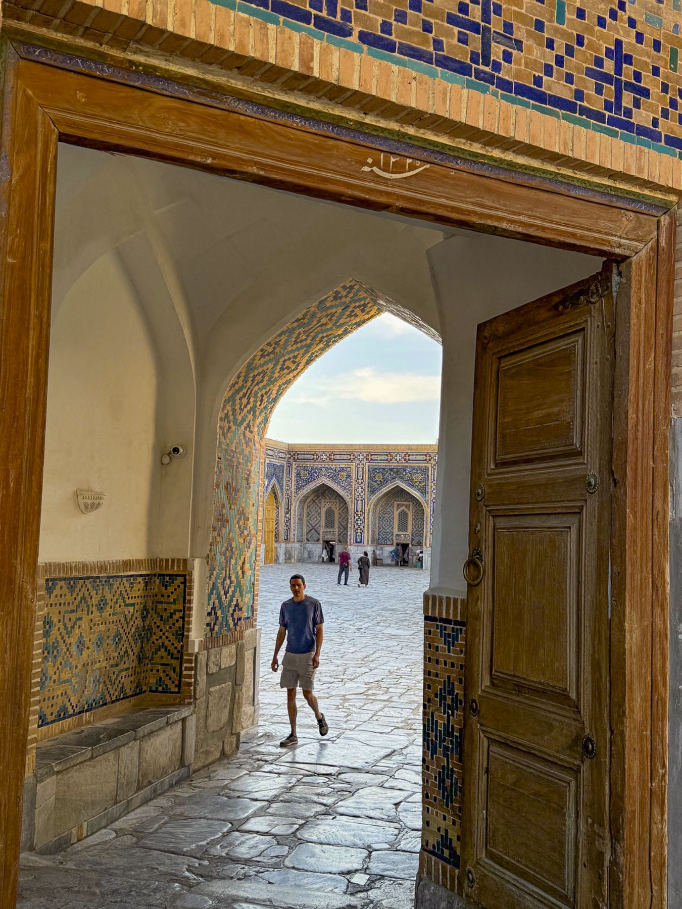
Registan Square, with its three iconic madrassas famously facing each other, was our last historic stop for the day. The scale of the buildings was awe inspiring and considering the fact that every inch of them is covered in tilework is amazing.  The first madrassa on the site was built by and named after Mirzo Ulugbek in 1420 where several Silk Road caravan tracks converged in the center of the ancient city.  

It was a dusty lively spot, a “place covered with sand,” as is the meaning of “Registan,” with a domed traders’ and merchants’ bazaar, surrounded by awning-covered stalls of tradesman and farmers selling their crops. Of course, bakers were selling Samarkand bread, an essential food for caravaneers’ long journeys. With the construction of his grand madrassa Ulugbek gradually transformed the crossroads into a ceremonial and educational center, where folks gathered to hear royal declarations, news, and witness Islamic justice.

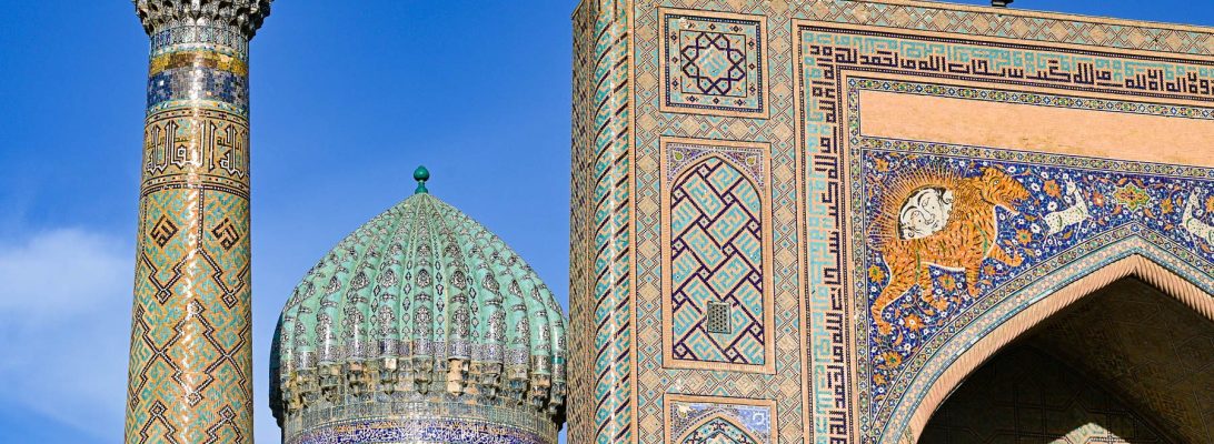
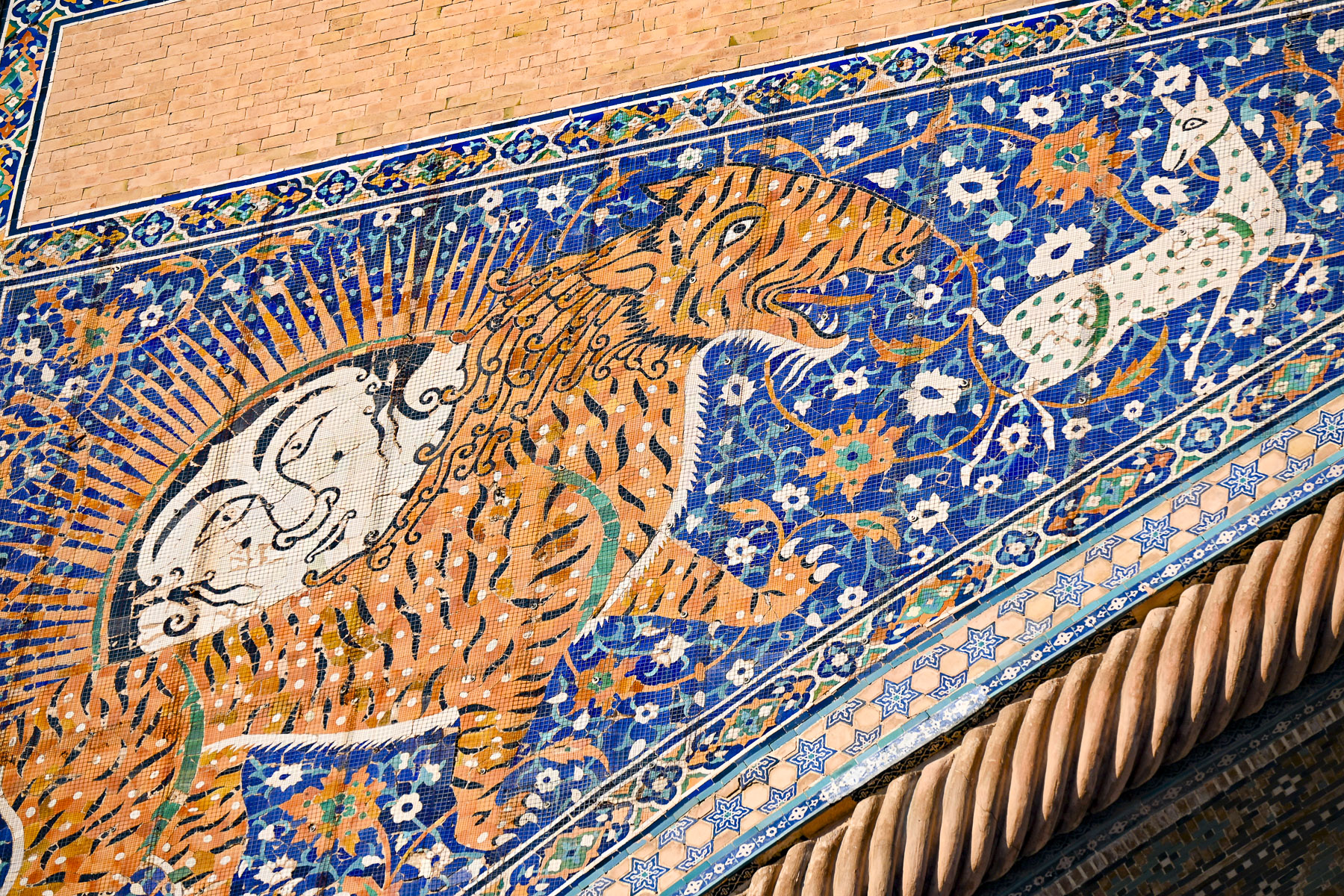
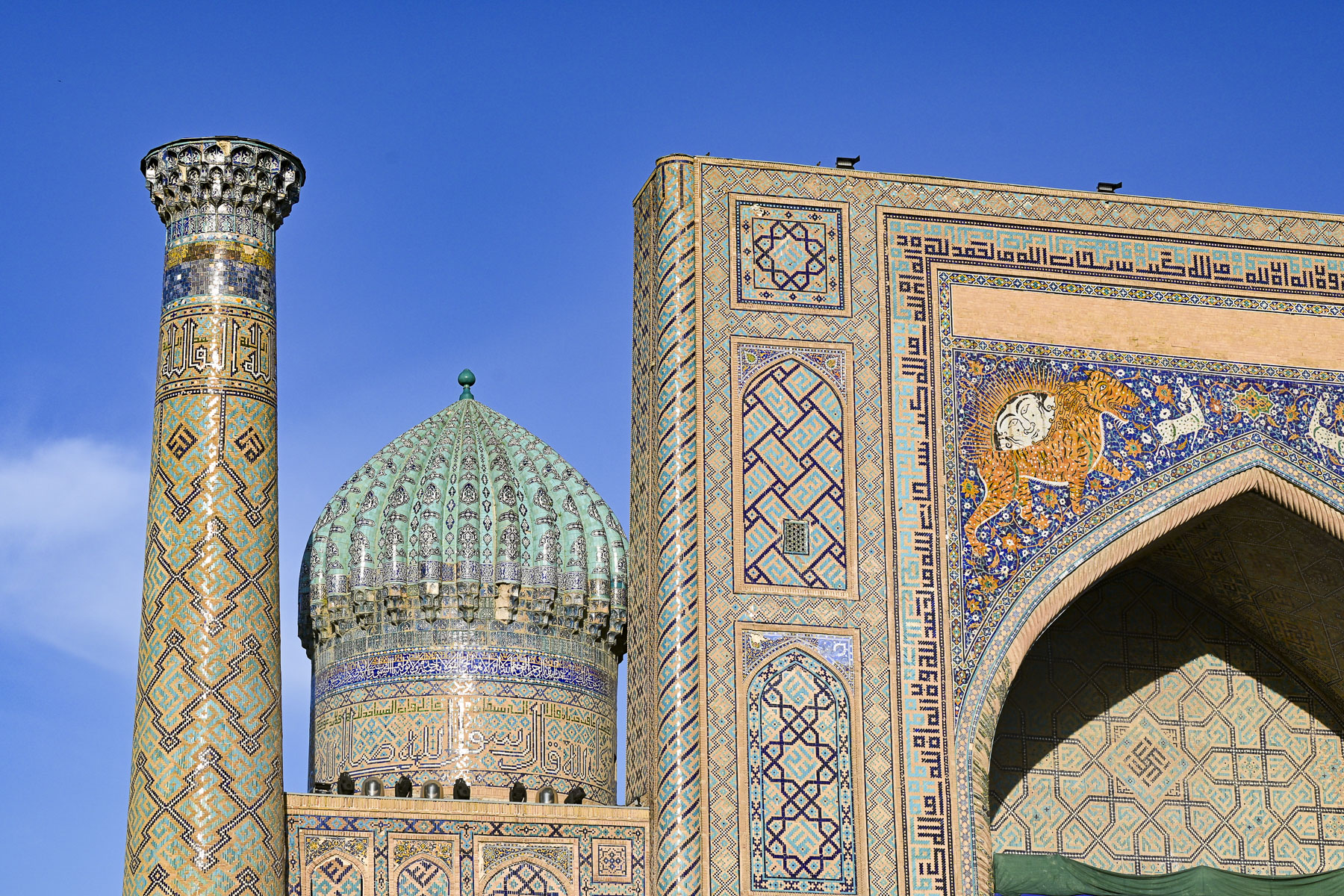
It stood alone on the plaza for two hundred years until 1636 when emir Yalangtush Bakhodur, who served the khans of the Bukhara Khanate, opened the Sher-Dor Madrasa directly across from it. With its name meaning “adorned with tigers,” the entrance is embellished with two lions with Mongolian-faced Zoroastrian-inspired suns rising from their backs to symbolize the enlightened mind, chasing white gazelles. This is very unusual for Islamic art as it normally prohibits using depictions of animals or human figures and reflects a short-lived regional relaxation of the rules in the 17thcentury when the Khanate of Bukhara ruled Samarkand. Twenty years later in 1656 the Tillya-Kori Madrasa was the final grand addition that centered the grouping.

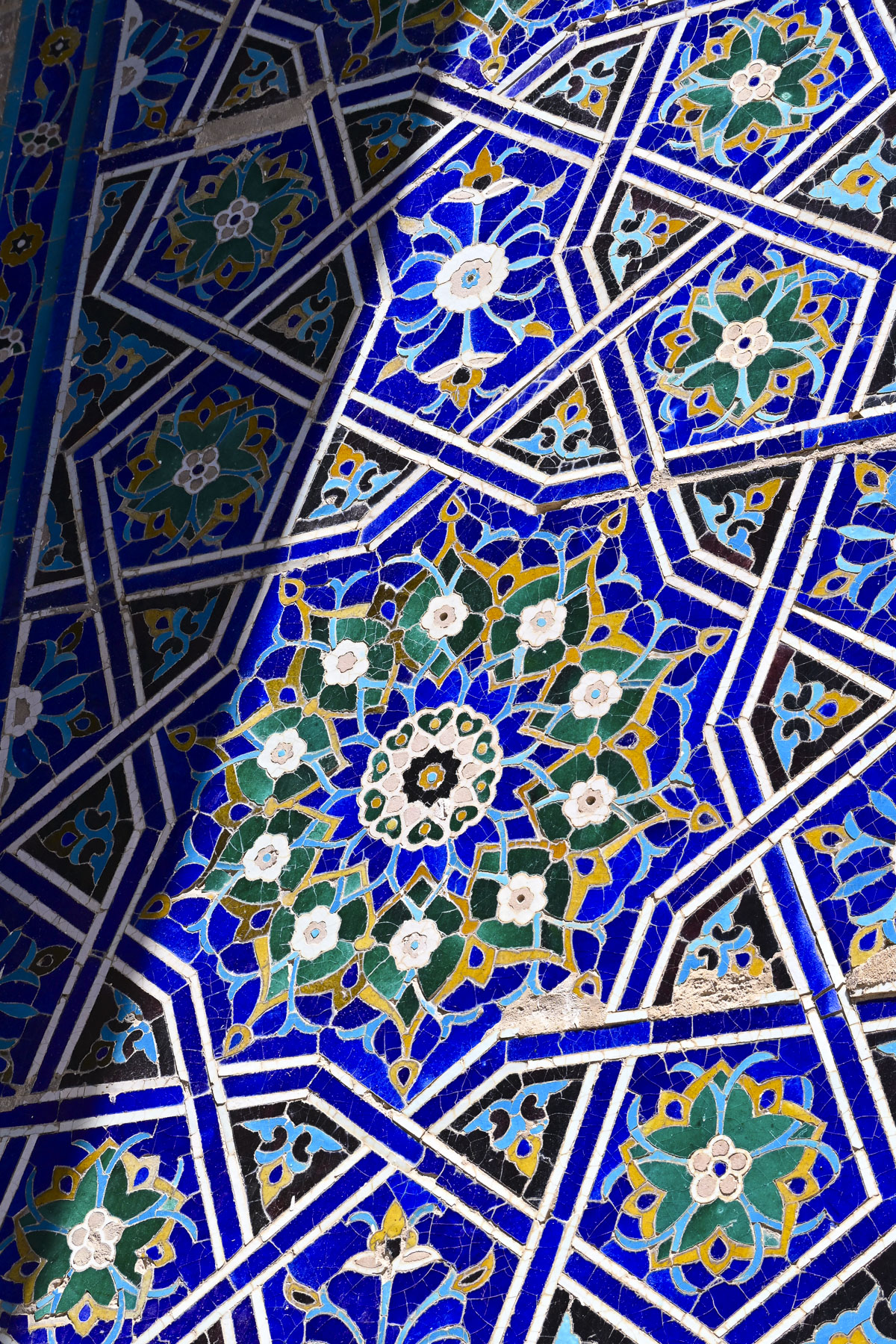
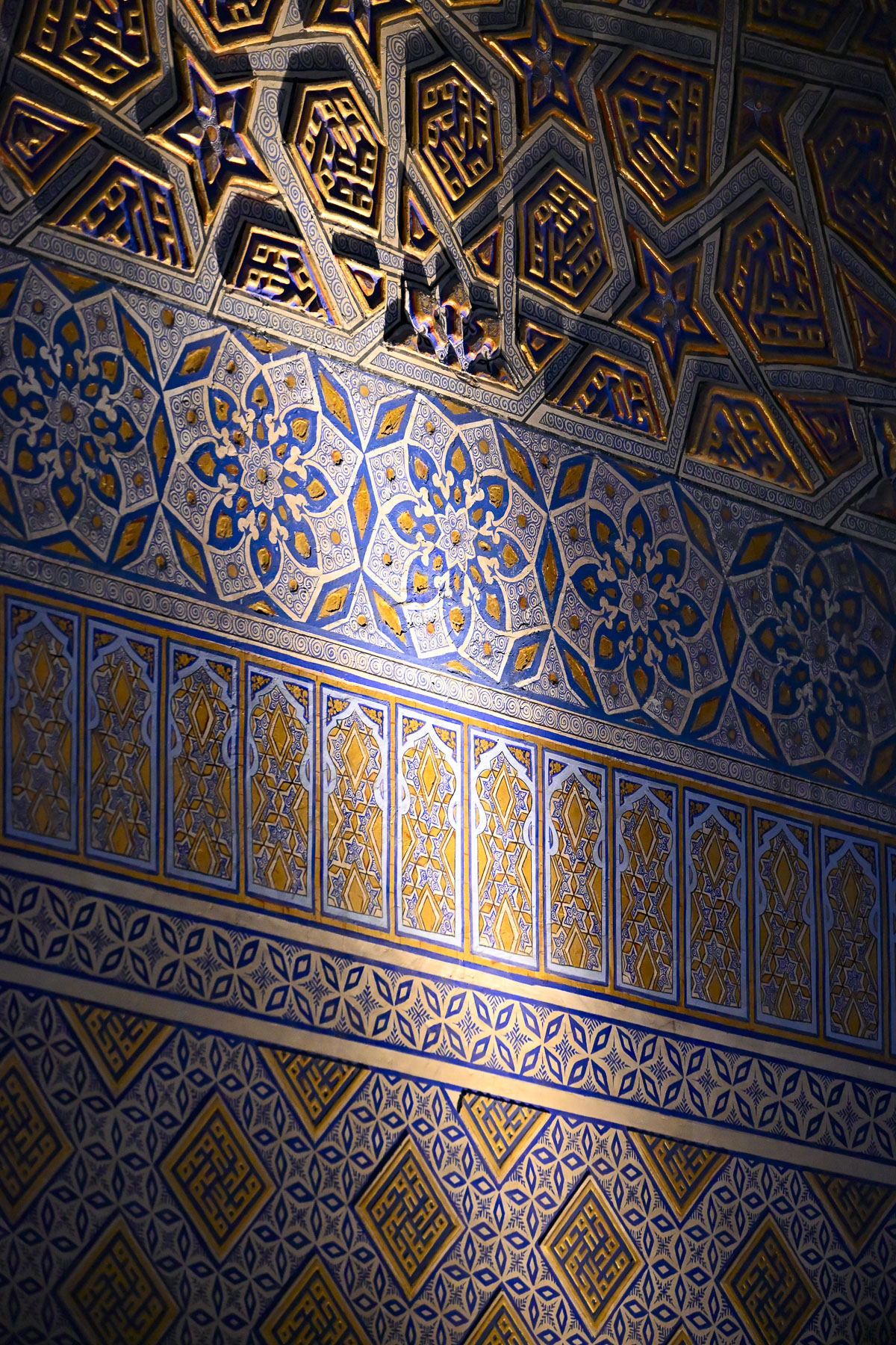
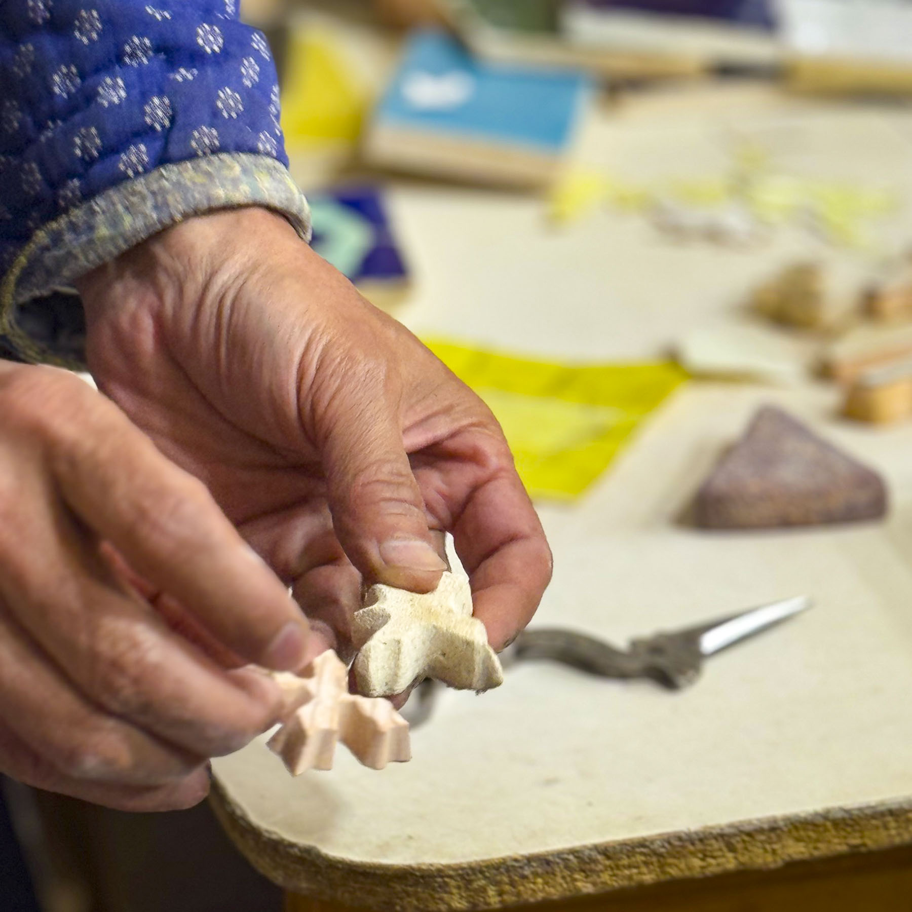
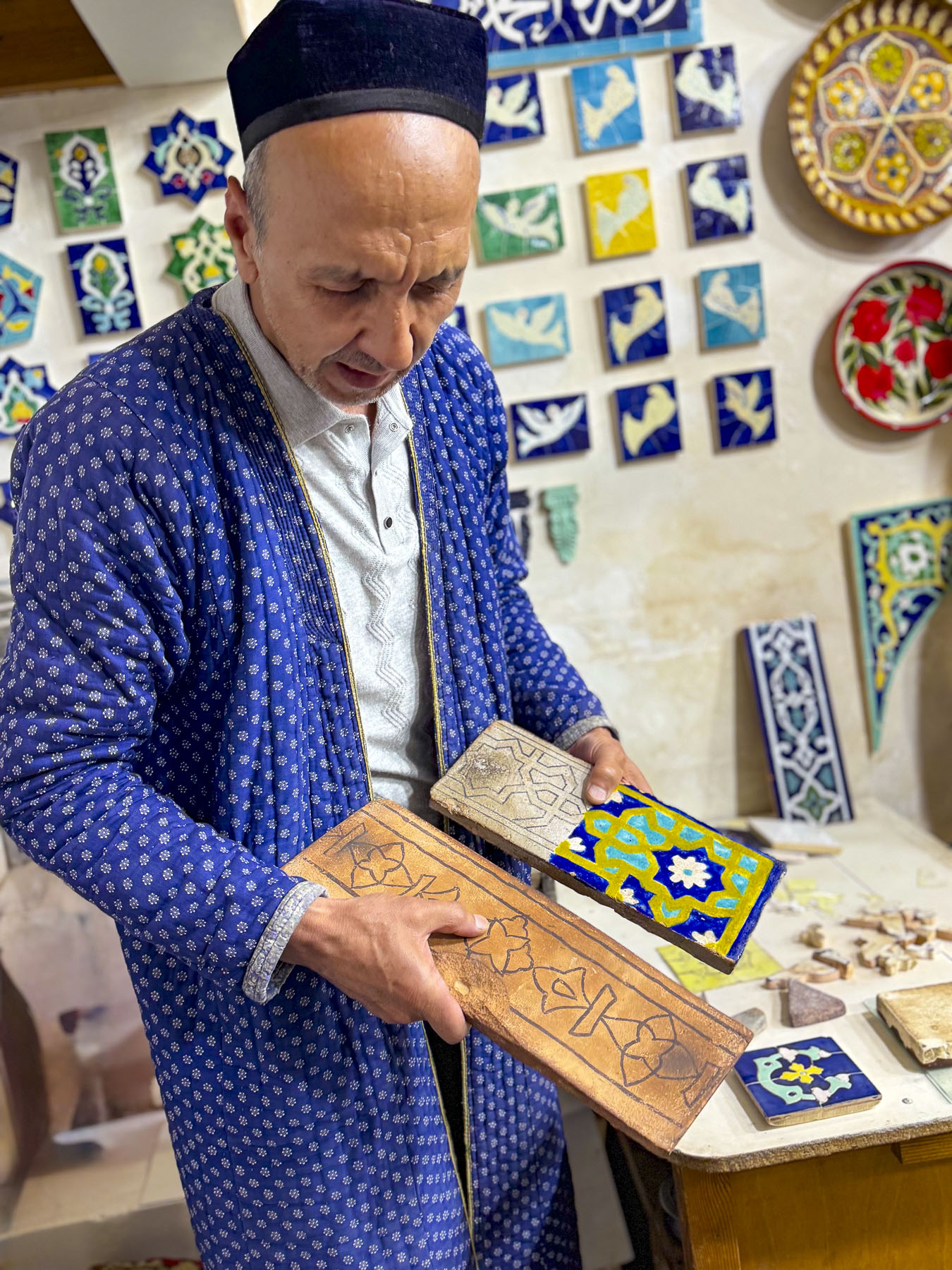
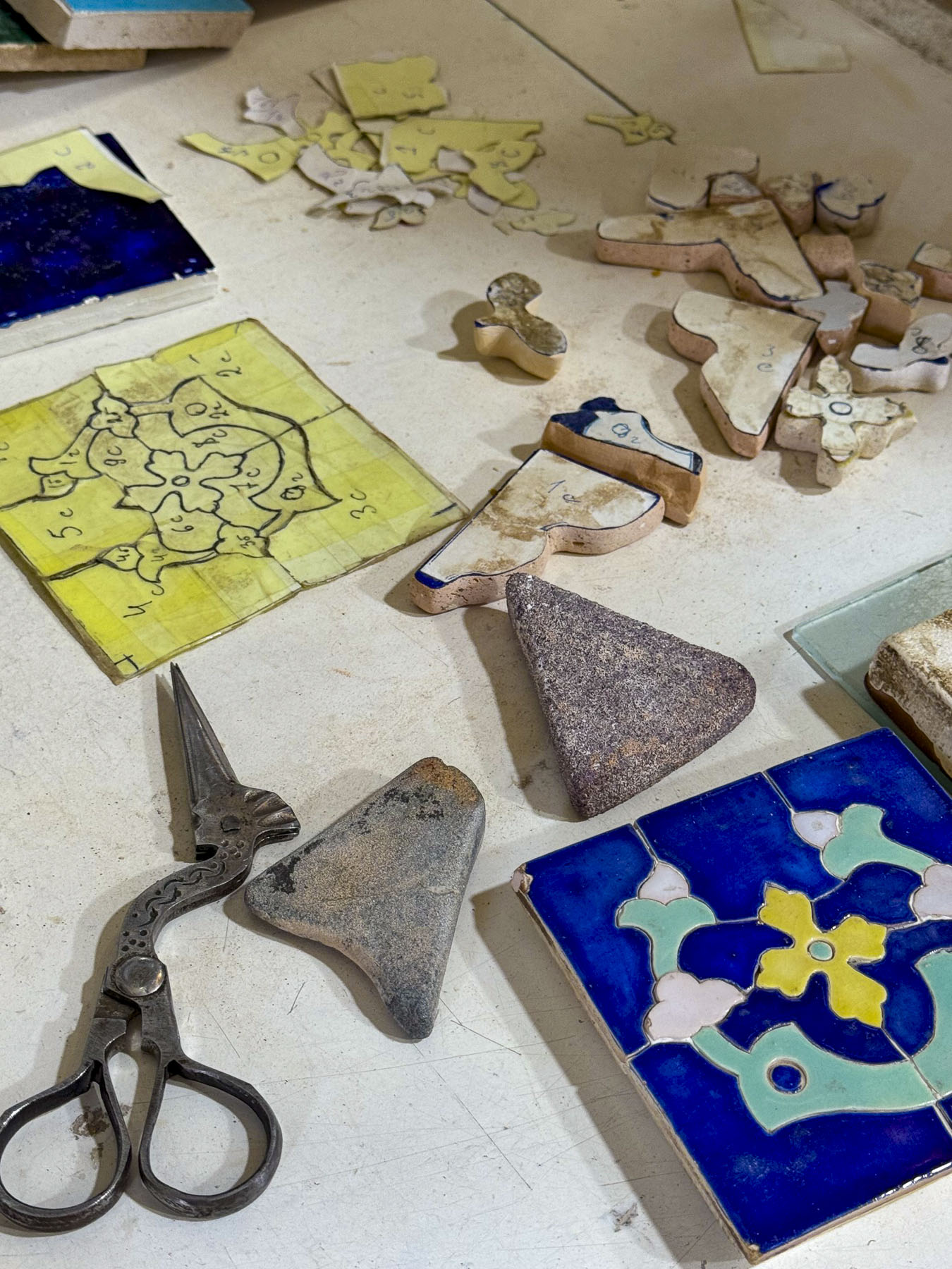
Various shops now occupy the old classrooms. In one room an 11th generation tile artisan gave our group a demonstration of how the ornate tiles are cut and pieced together. Many of the intricate geometric designs have over twenty different design elements comprised of polygons, triangles, squares, rhombuses, and various multi-sided geometric stars, while others featured floral or biomorphic motifs or calligraphic scripts.

On average it took twelve years to complete each madrassa and required a massive workforce of thousands of skilled artisans and unskilled slave labor to convert raw material into the astonishingly beautiful buildings that define Samarkand. (Samarkand and Bukhara had notorious slave markets that operated for centuries. Successive Empires sold into captivity those captured along the frontiers of Persia and Russia by nomadic raiders or military conquests, to buyers across the Arab world, Central Asia, and India. While popular history focuses on exotic goods like silk, spices, and jade, slaves were also part of the Silk Road’s cargo and transported over thousands of miles along its trade routes).

With the discovery of a maritime route to India, Southeast Asia and China in the beginning in the early 1500s the importance of the cross-continent Silk Road caravans to Istanbul steadily declined. By the mid-1600s Samarkand entered a long period of reduced global significance and slow long economic decline. With reduced revenue from Silk Road caravan trade rulers could no longer finance their endowments of the madrassas and the financial aid they gave to support the students, which caused enrollment to dwindle.

Over time the buildings slowly fell into a state of disrepair from lack of maintenance. By the time the Russian Empire invaded the region the Silk Road Khanates were lacking the funds to buy the modern military weapons needed to defend themselves with any chance of defeating the Russians. The resulting defeats allowed the Russian Empire to force the Khanates to become protectorates, with the khans only symbolically ruling their domains. With the Soviet Union’s takeover of Uzbekistan in the 1920s and subsequently outlawing traditional Islamic education, the madrassas were closed. Rooms in the schools were used as offices, warehouses, and an ammunition depot, while the square was reserved for political rallies that promoted communist propaganda, mass veil burnings and trials of counterrevolutionaries. But the Soviets also began the restoration of the crumbling buildings.

The madrassas on Registan Square were the last grand structures built during Samarkand’s golden era. The historic and cultural achievements of this 250-year era is a time that Uzbekistan is most proud of and promotes as the most significant part of the country’s history which it has been seeking to reestablish after a combined 150 years of Russian Empire and Soviet Union domination.

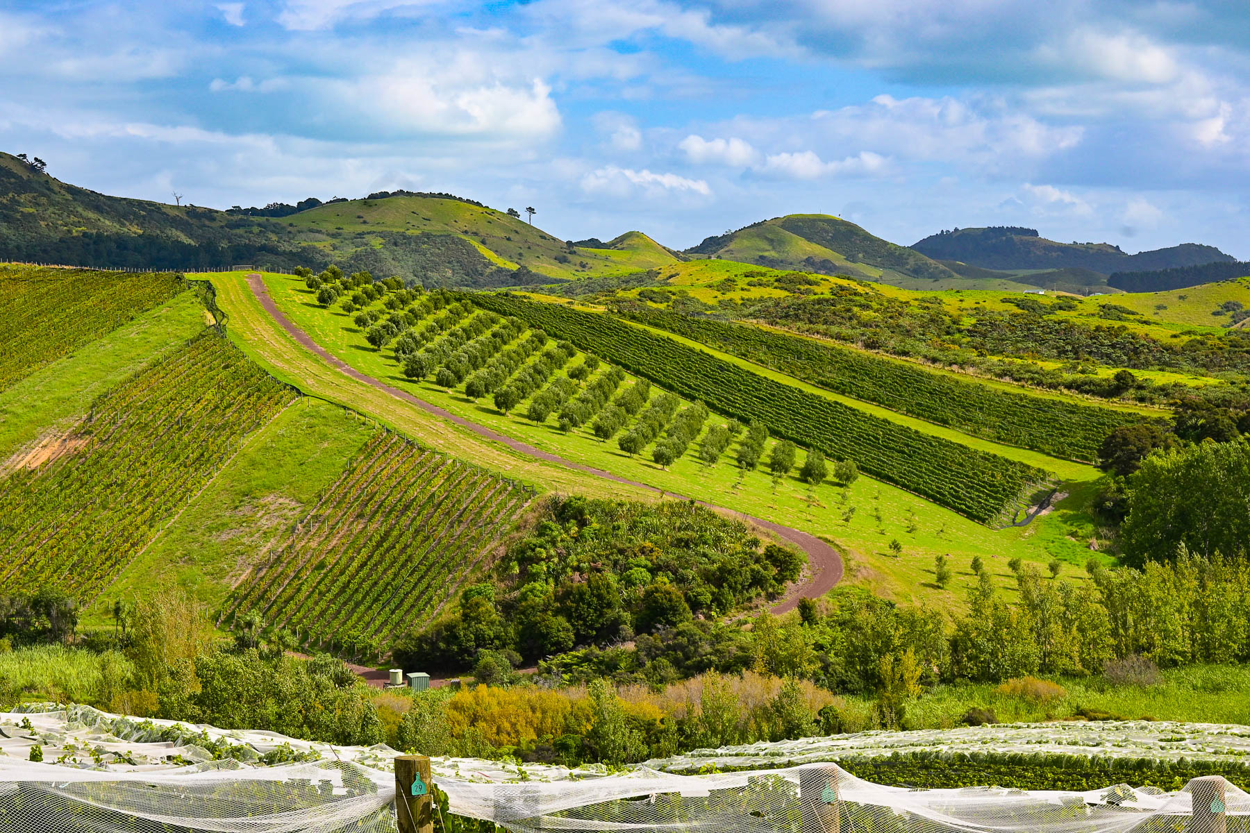
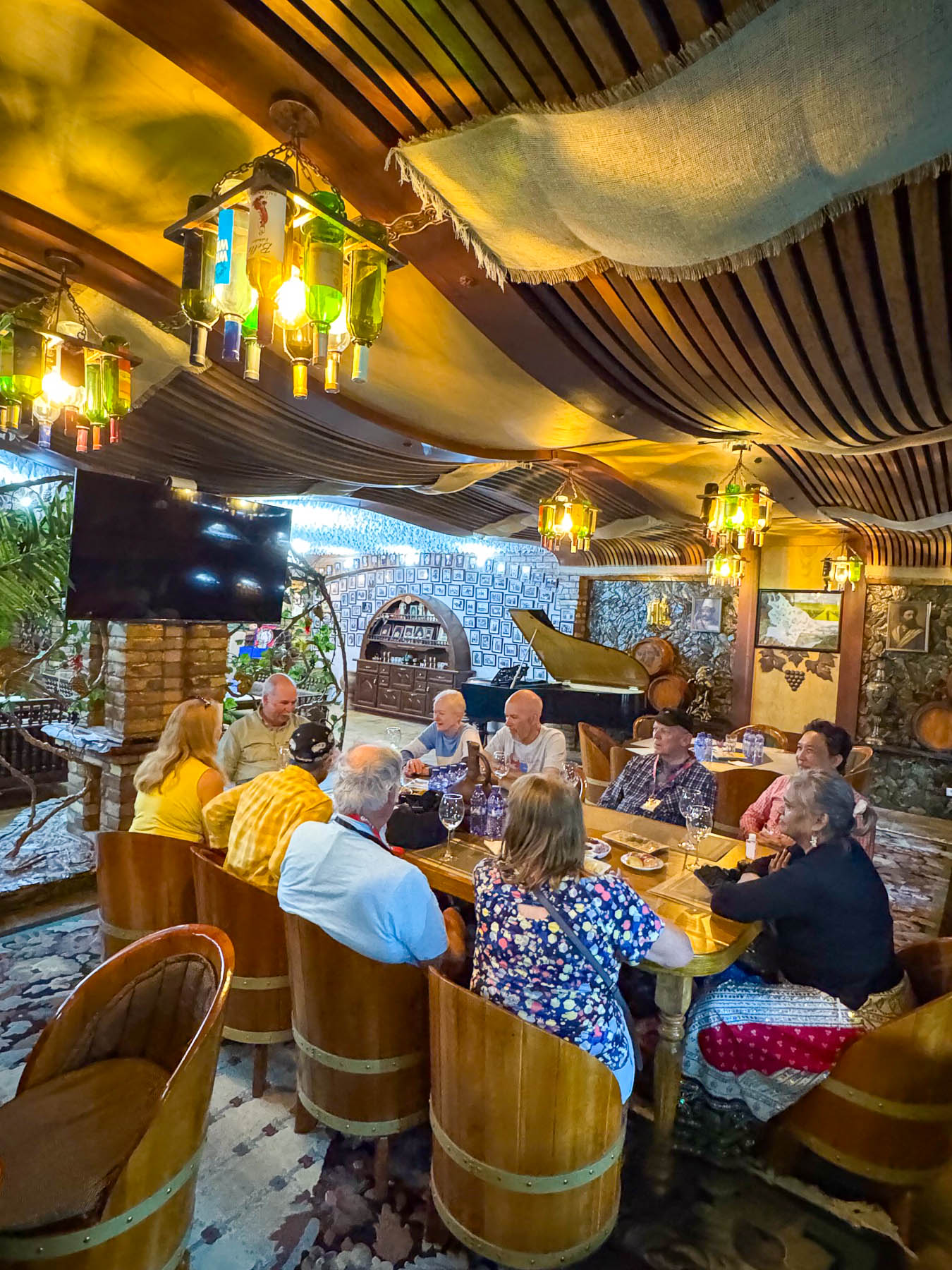
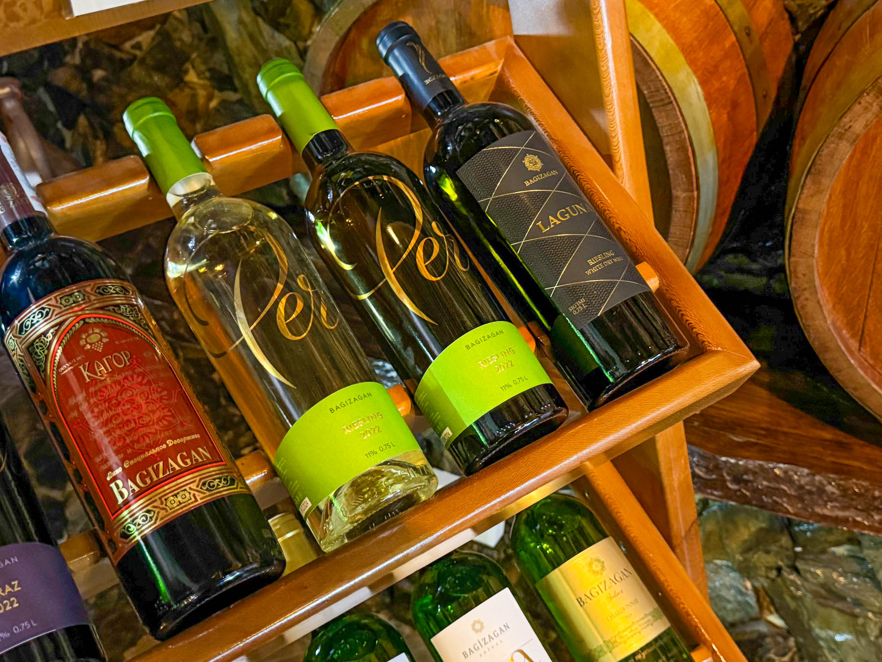
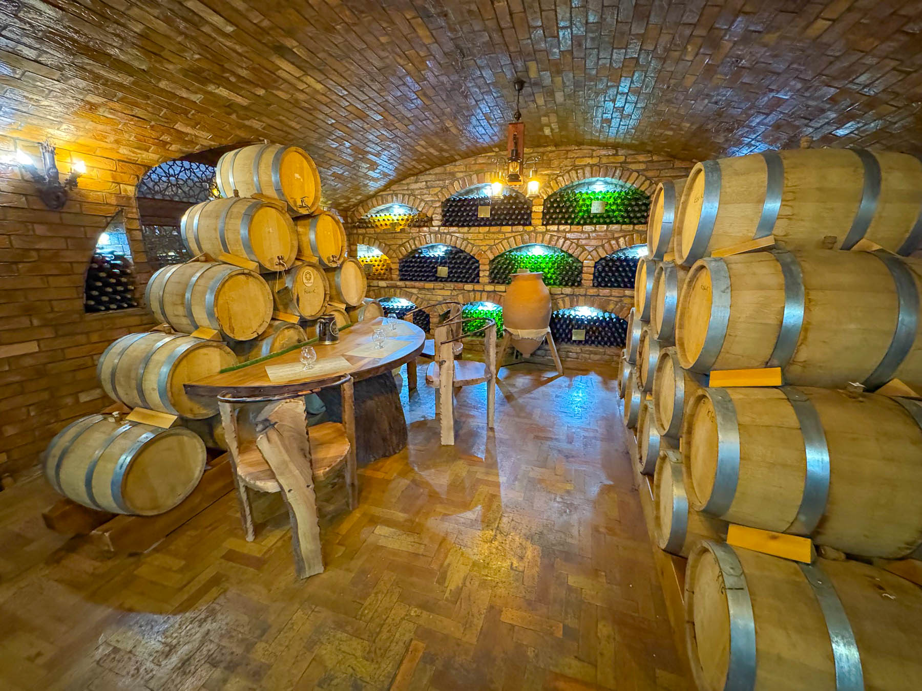
We wrapped up the late afternoon with an unexpected wine tasting in an underground cellar featuring local wines made by Samarkand’s famous Bagizagan Winery. It was a generous tasting that offered six types of wine, brandies/cognac, and chacha, Uzbek grappa, paired with local cheeses, nuts, crackers, and seasonal fruit. The tradition of winemaking around Samarkand goes back over 2,500 years in the fertile Zerafshan Valley. A family of winemakers for over 150 years, their property was collectivized during Uzbekistan’s communist years but returned to them after Uzbekistan’s independence in 1991. We thoroughly enjoyed the experience, and the wines were very good.

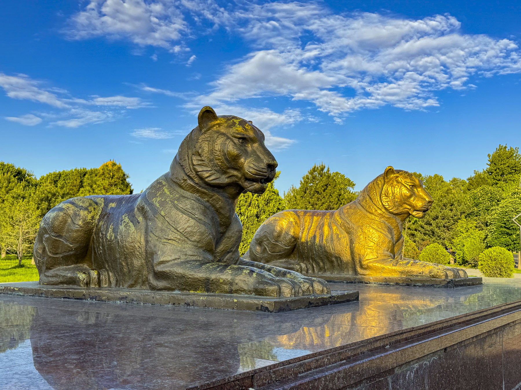
The next morning, we were up early to walk to some sites that we passed while on our bus that were relatively close to the Hotel Royal Samarkand where we were staying, but not on our itinerary. Our destinations were the Amir Temur Monument and the Memorial of Samarkand’s Tigers, both of which were located along Registan Street. The morning sun was just cresting the adjacent buildings as we entered Bul’var Park, a long skinny stretch of land bounded on each side by University Boulevard. The walkway down its center was dotted with sculptures and fountains. Bird calls filled the air.

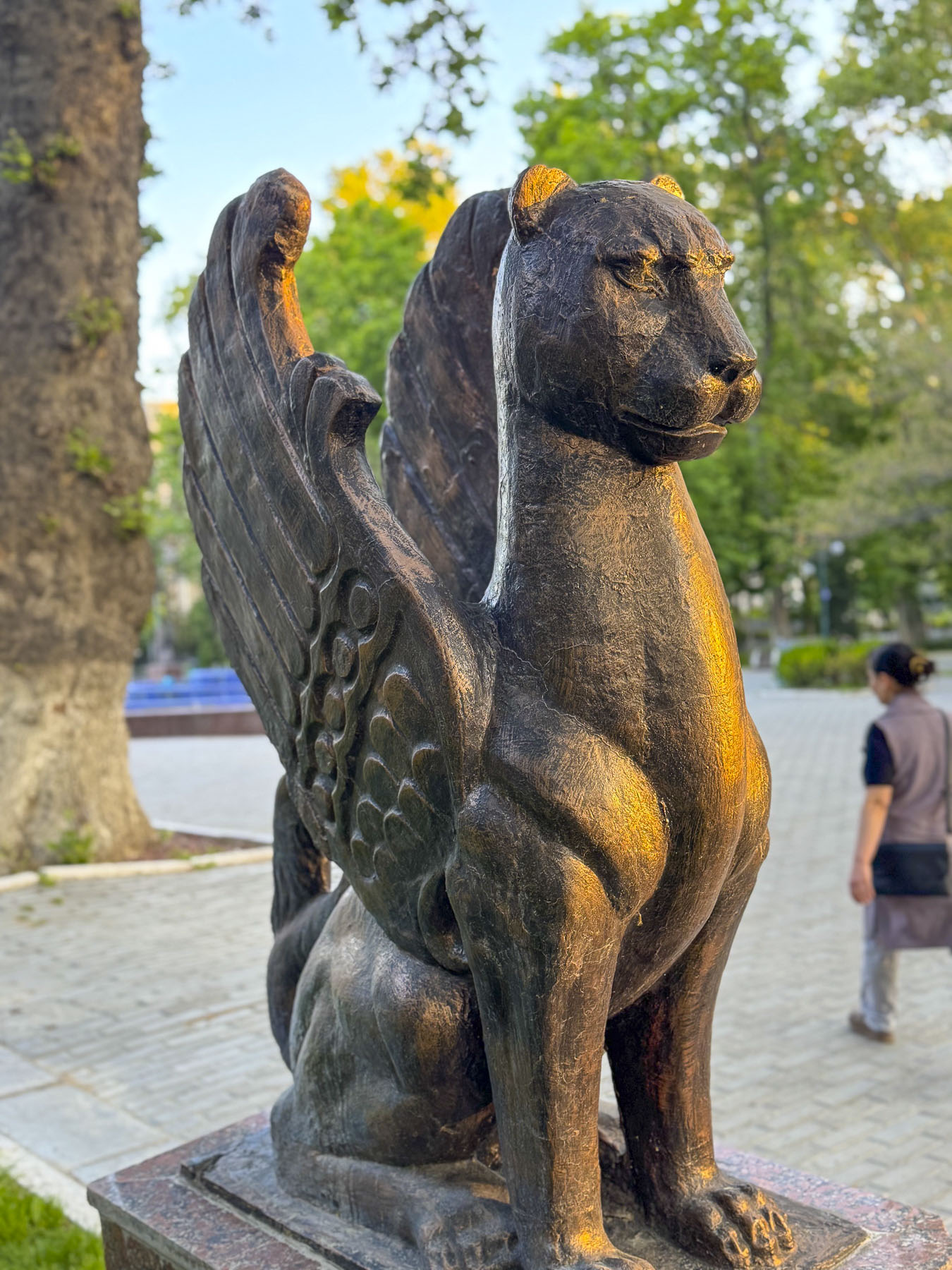
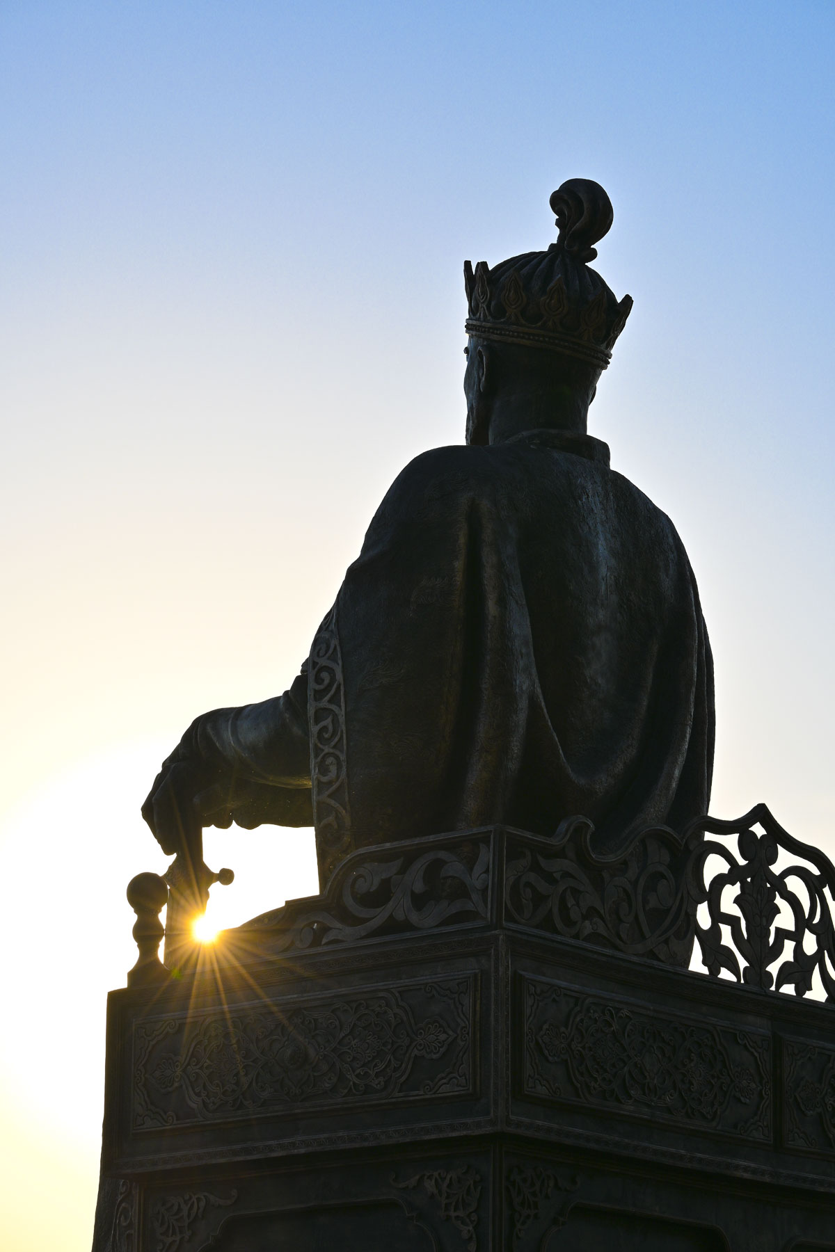
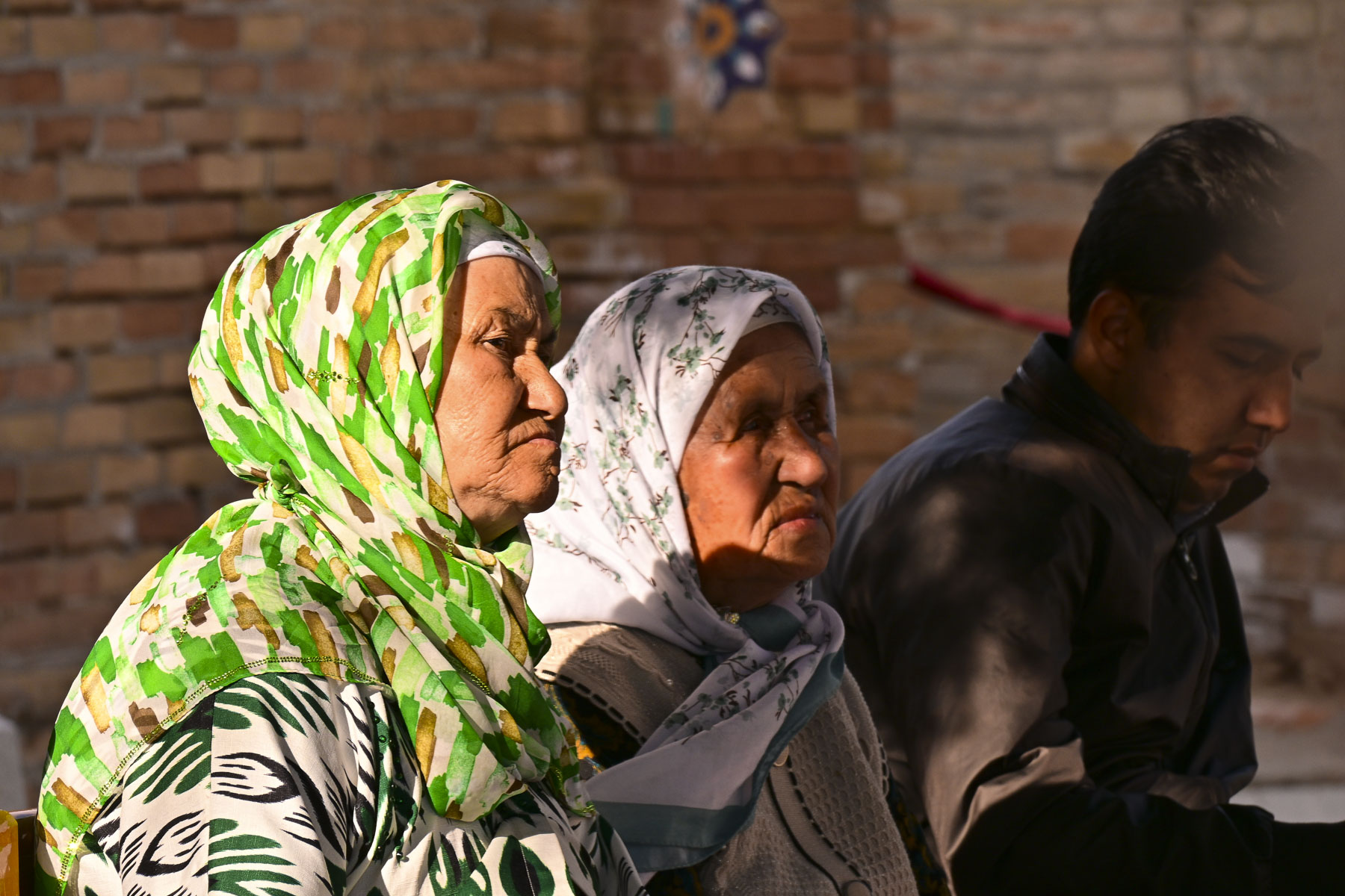
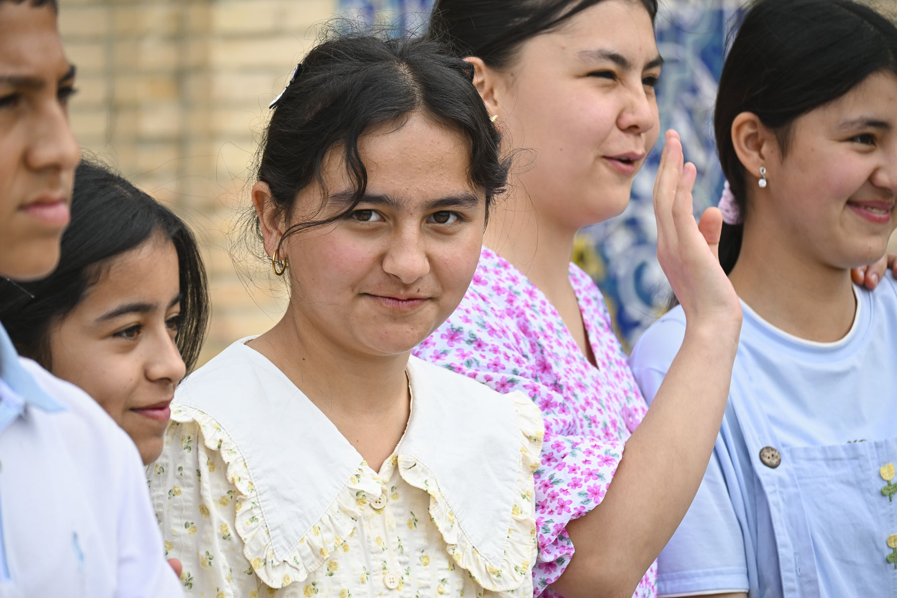
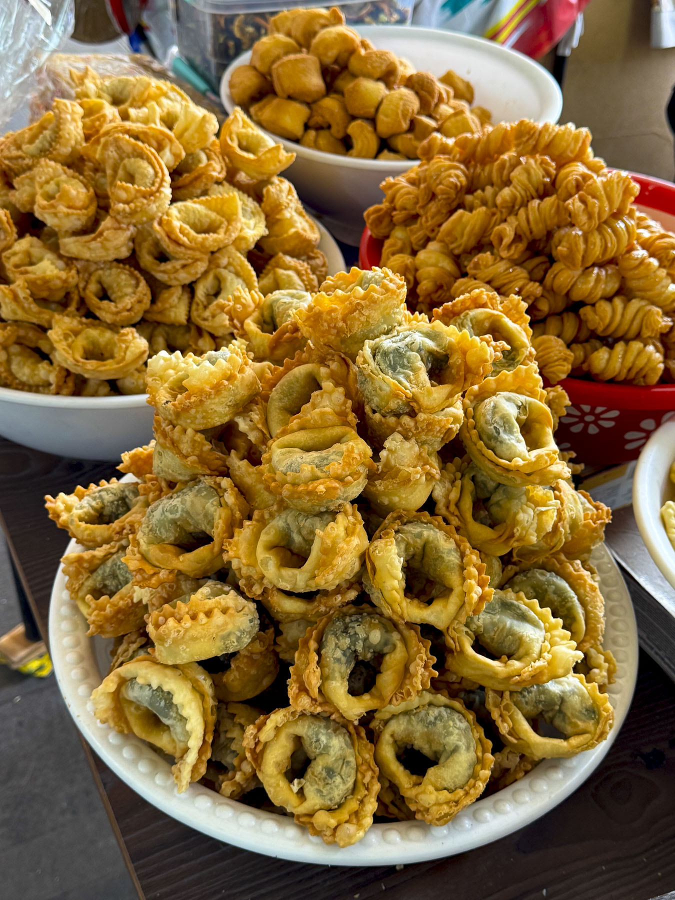
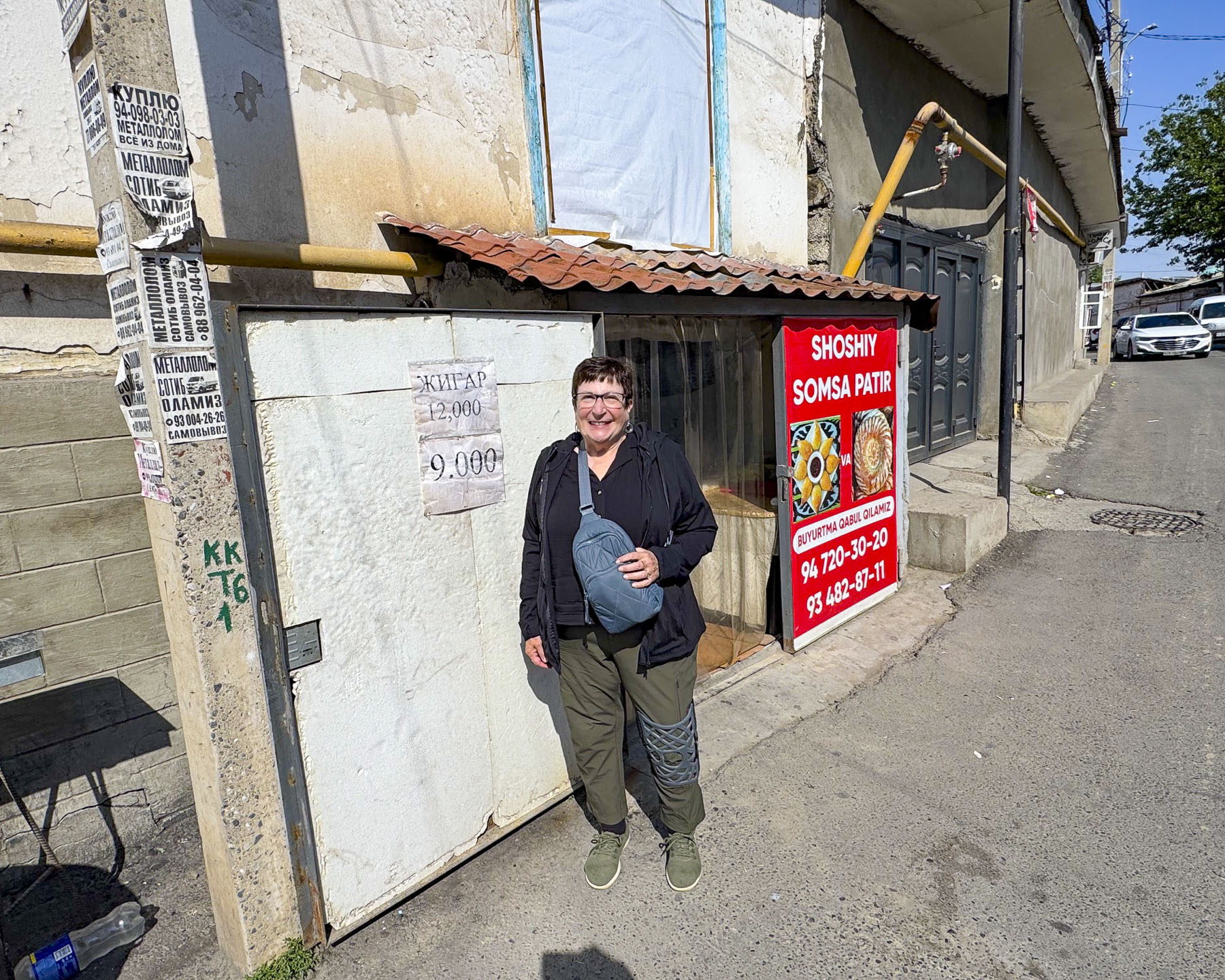
At the far end of the park was a statue of Amir Temur staring thoughtfully to the east. Farther along was a sculpture of Samarkand’s two guardian tigers. The Turanian or Caspian tigers historically symbolized royal power, but it also commemorates the tigers that lived along Central Asia’s river thickets until population growth in the region contributed to their extinction in the 1950s. Returning to our hotel, as we walked along Orzi Makhmudov St. we stopped to watch a restauranteur stack freshly baked somsalar into an outdoor display case. We met a young schoolgirl who was so curious about seeing foreign visitors on her street that she stopped to say hello. It was a charming moment of connection that warmed our hearts.

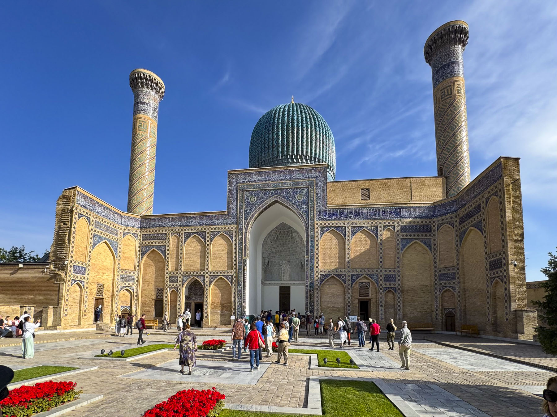
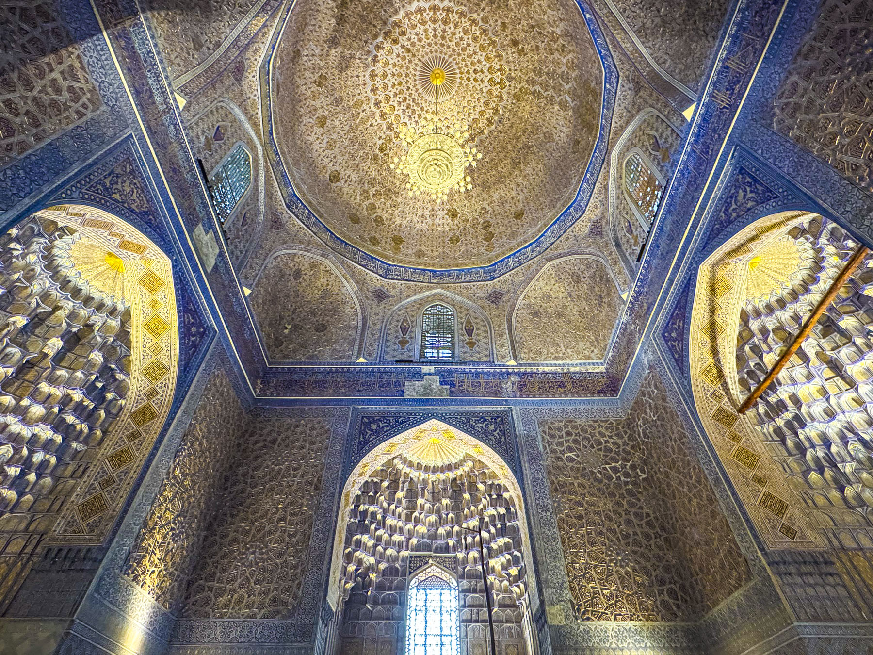
Joining our tour group after breakfast we headed to Gur-e Amir, ” the Tomb of the King.” Built in the early 1400s, it is the royal mausoleum of Amir Temur and his sons Shah Rukh and Miran Shah along with his grandsons Ulugh Beg and Muhammad Sultan. Also honored with a place in the tomb is Timur’s teacher Sayyid Baraka.

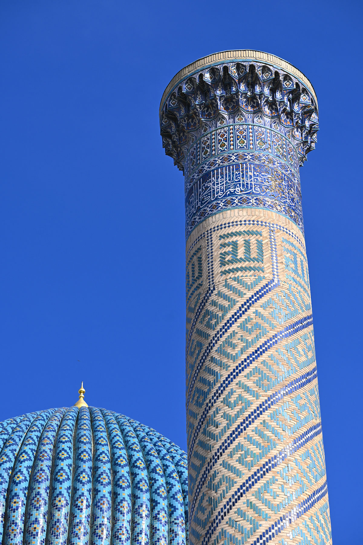
The courtyard’s grand entrance portal leading to a large ornate blue dome flanked by flat topped minarets became the master blueprint for an architectural style that was embraced across the Islamic world as Timur’s descendants continued to expand the Timurid Empire.

When Soviet archeologists decided to open Timur’s tomb in 1941 rumors went around Samarkand that disturbing the tomb would curse those who opened it, as the tomb is inscribed with a prophecy that reads “When I rise from the dead, the world shall tremble.” Local leaders attempted to warn the Soviets, but the excavation team persisted. Opening the tomb allegedly revealed another inscription declaring “Whosoever disturbs my tomb will unleash an invader more terrible than I.” Two days later Nazi Germany invaded the Soviet Union. Apparently, Stalin believed the curse and quickly ordered Timur to be reburied with full Islamic burial rites.

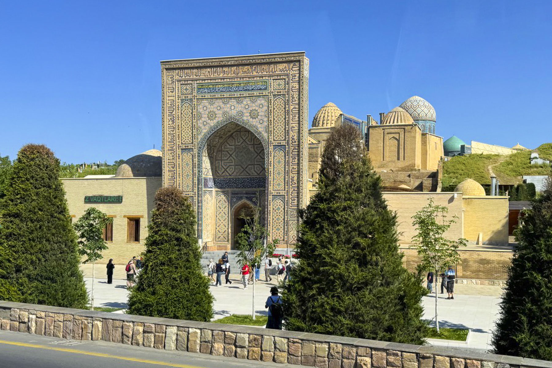
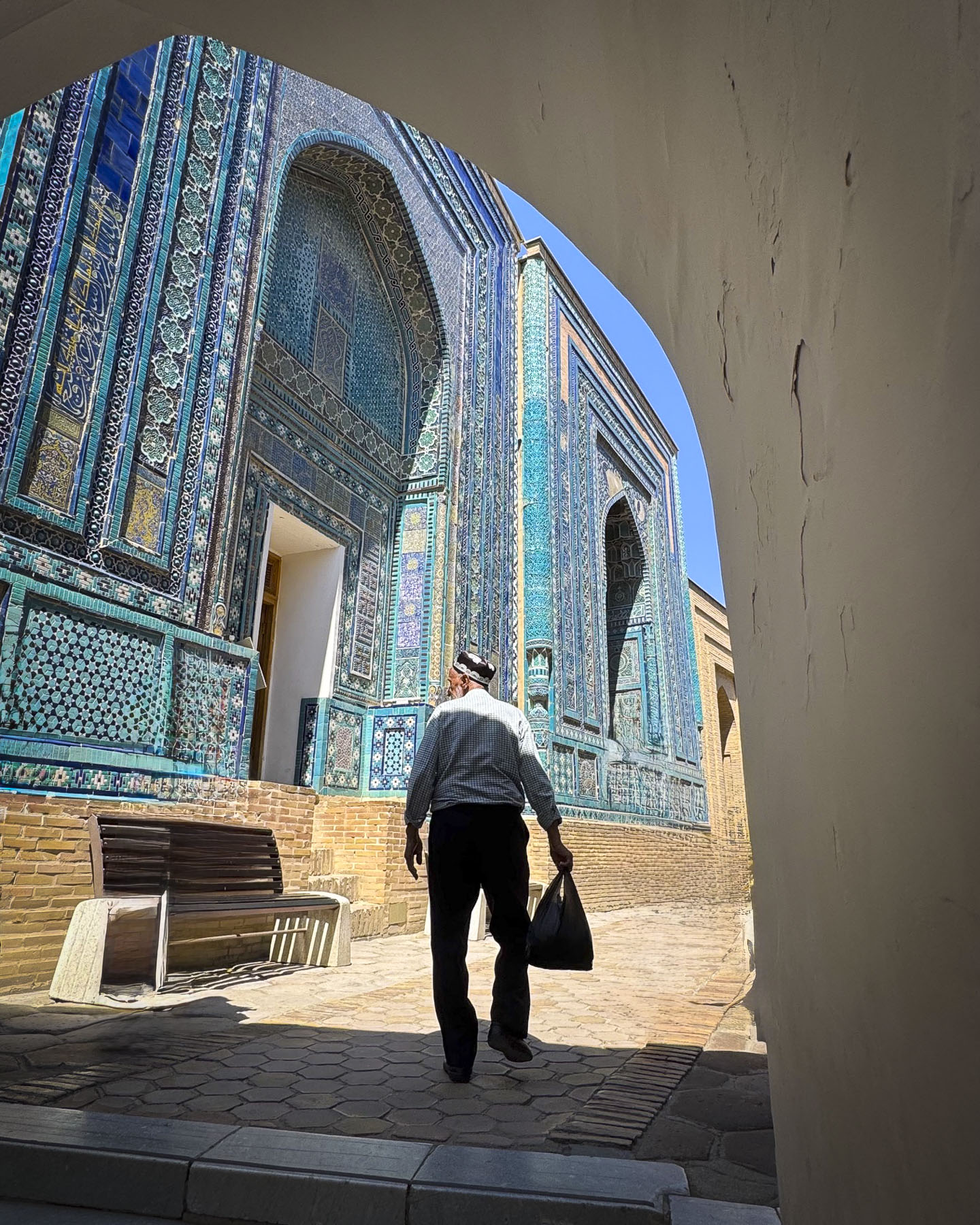
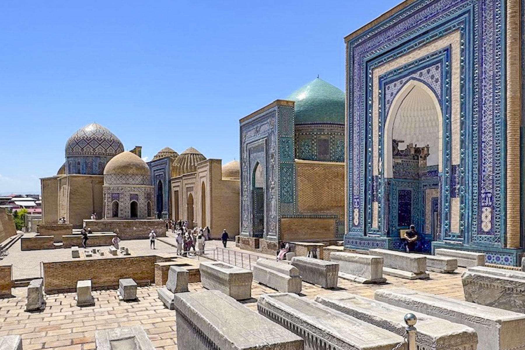
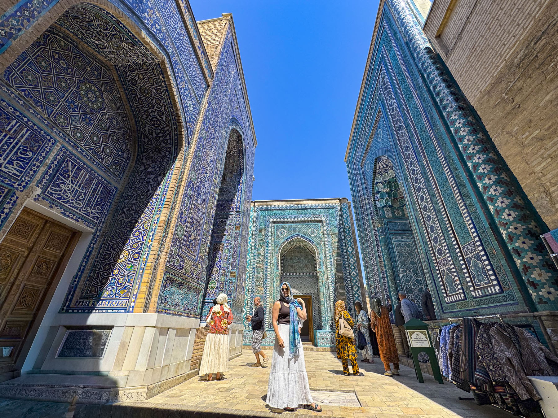
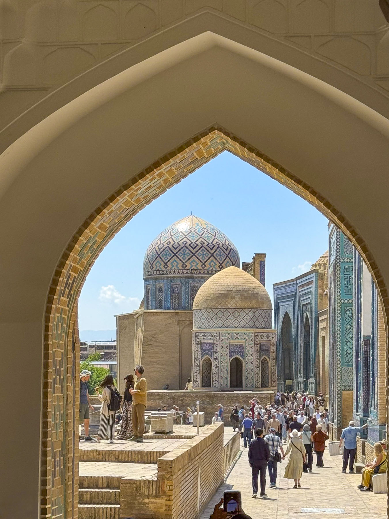
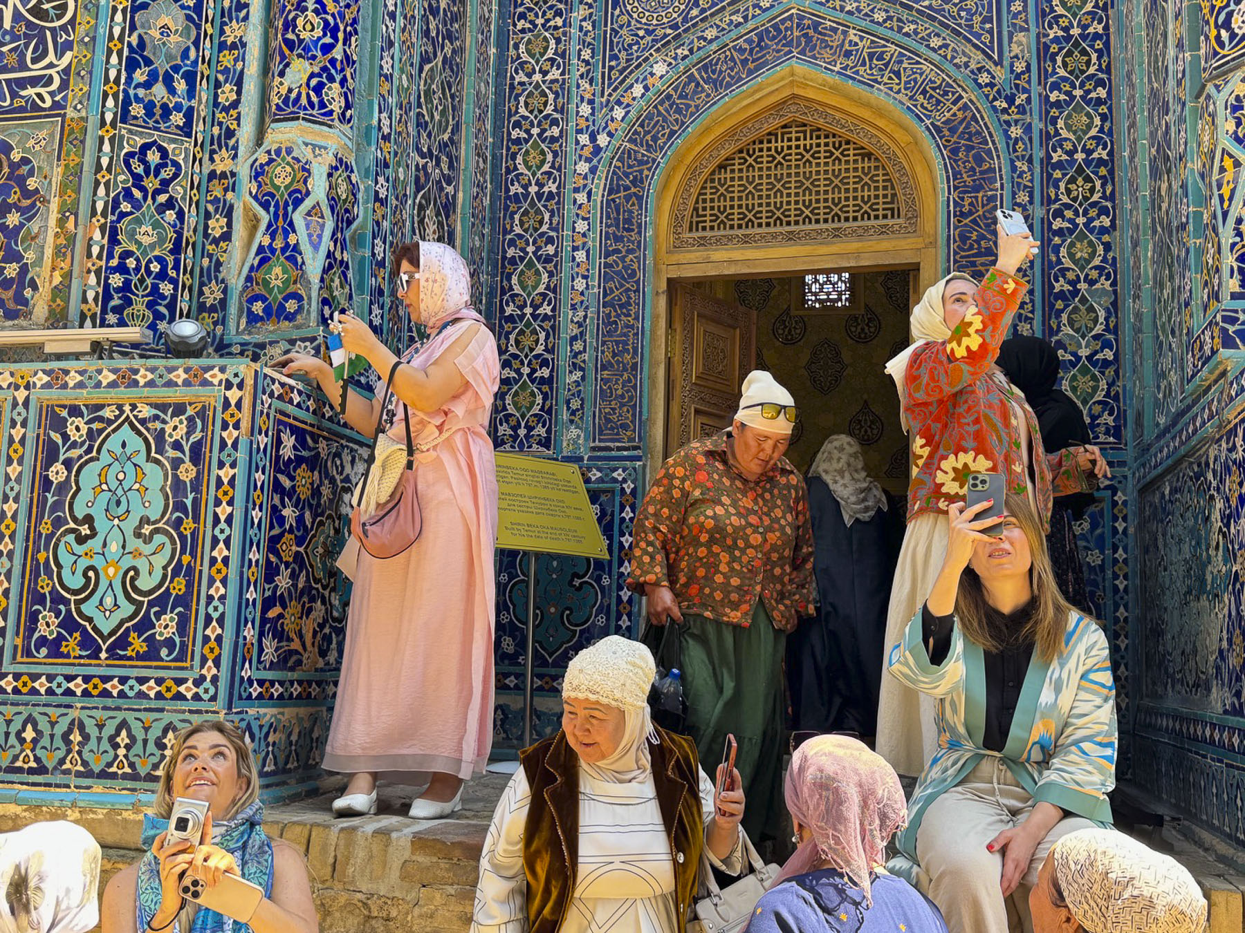
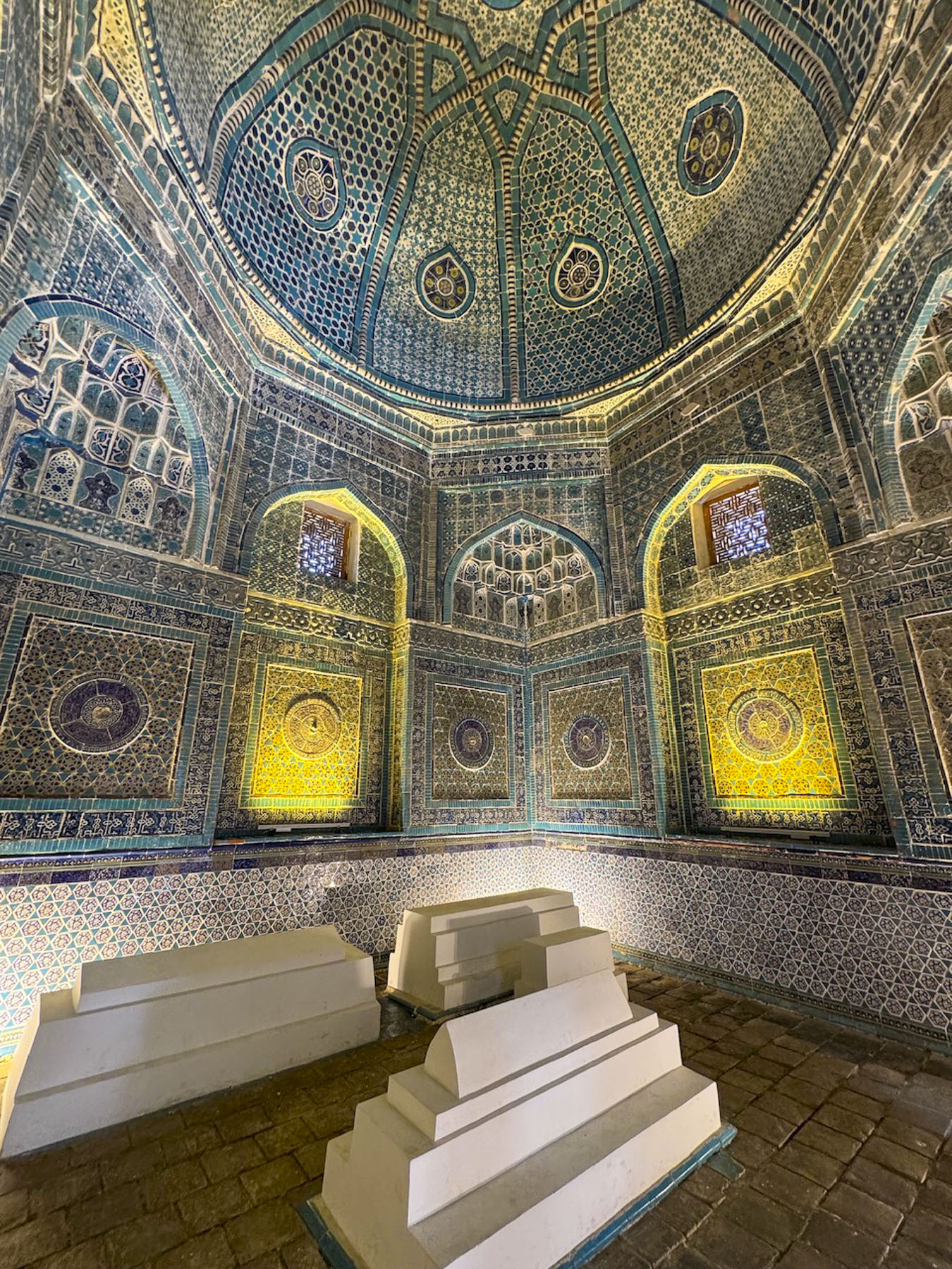
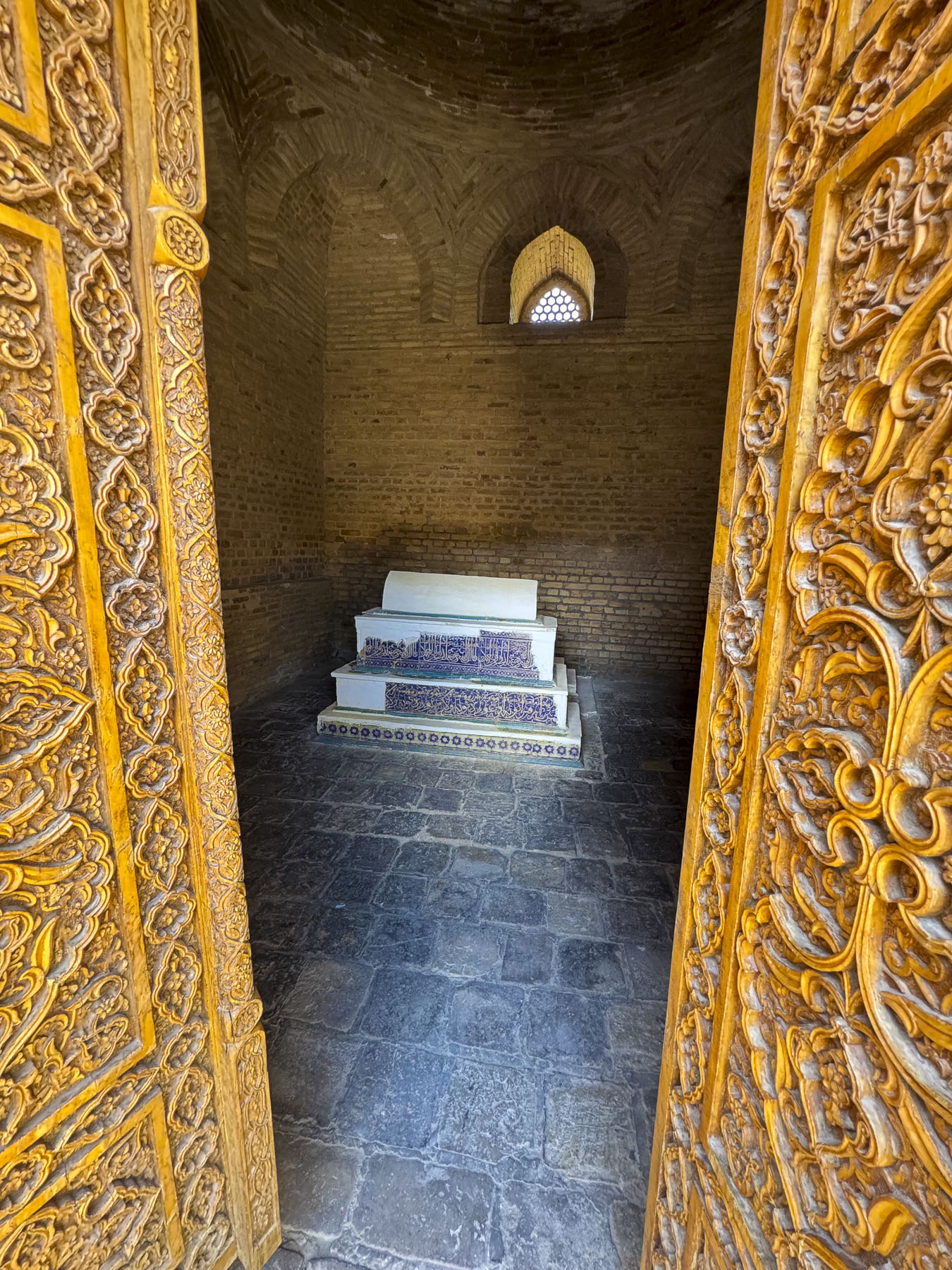
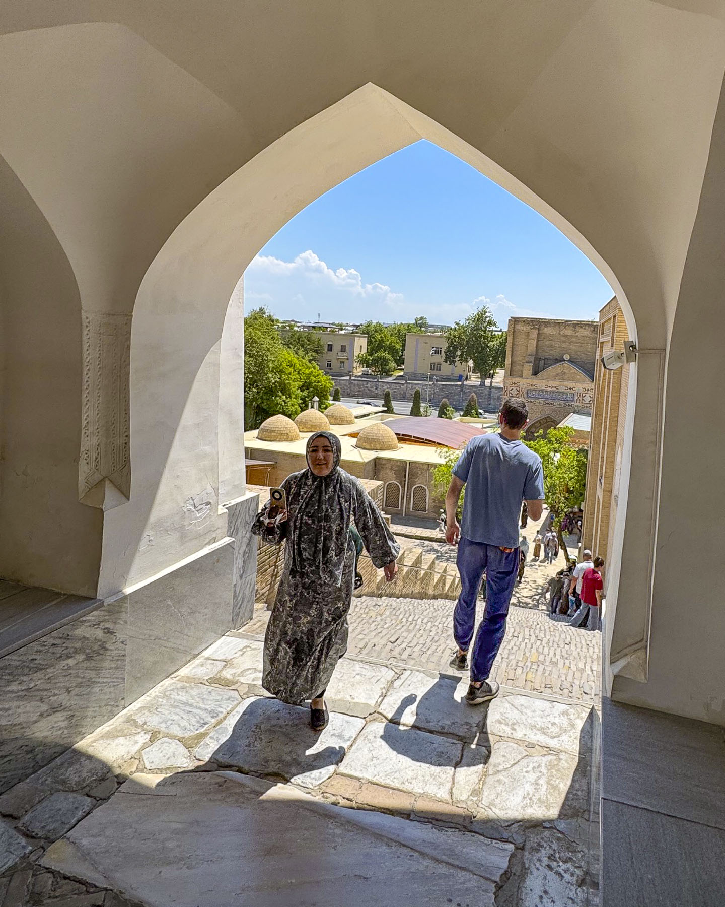
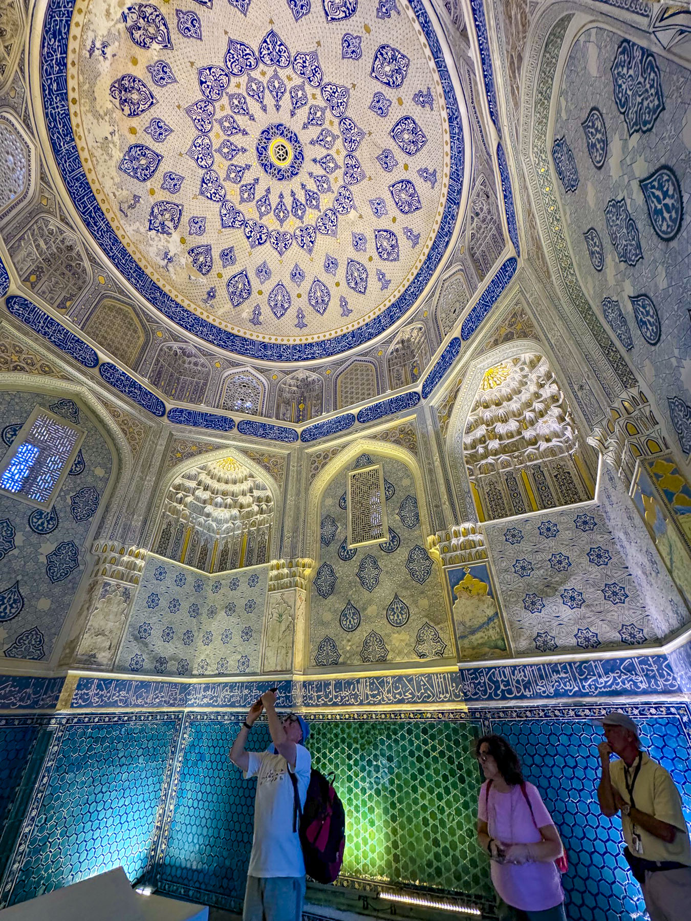
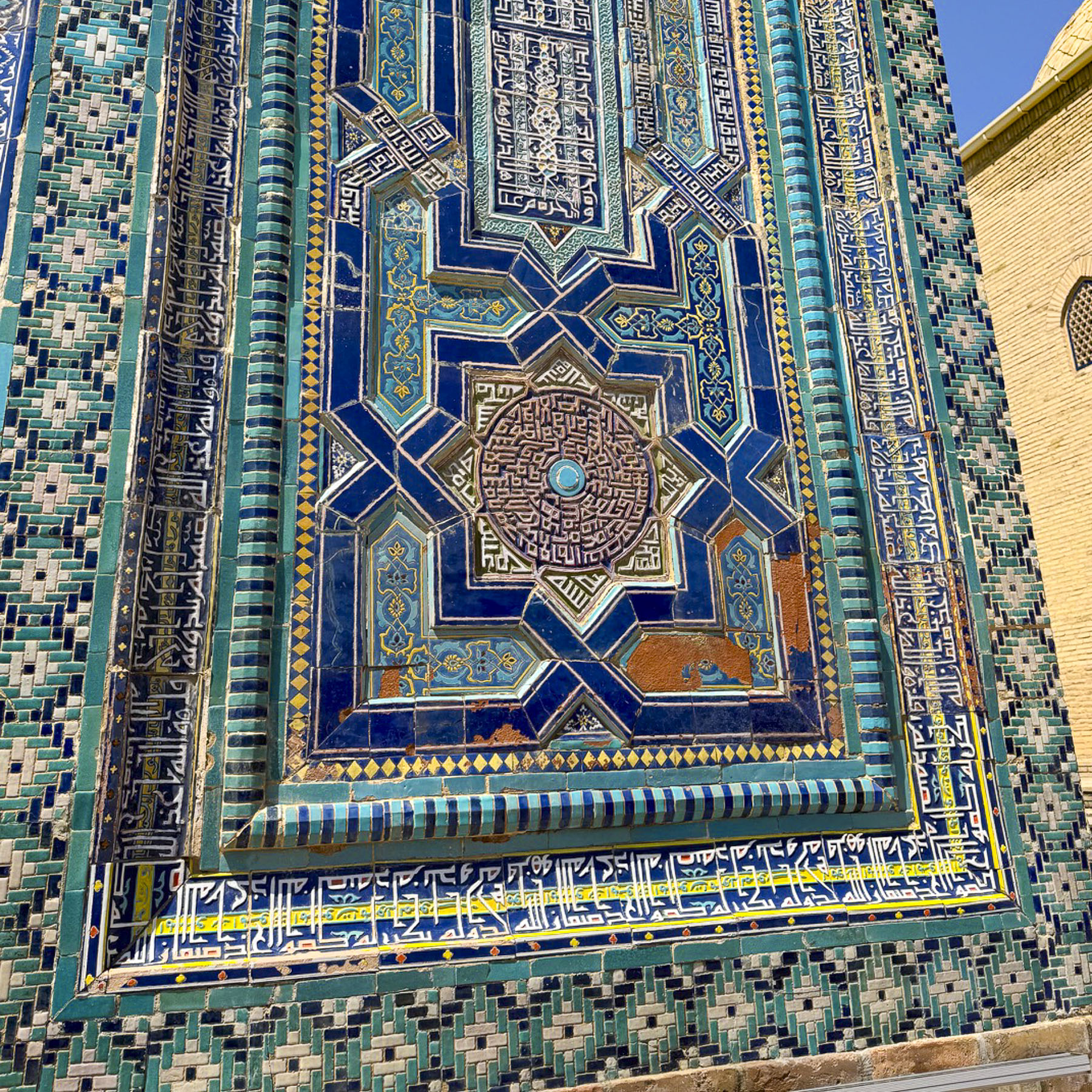
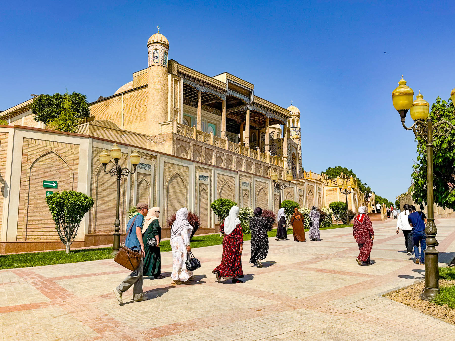
Continuing on we traveled to Shah-i-Zinda, Samarkand’s famous necropolis that features a narrow avenue lined with eleven ancient, spectacularly ornate blue tile covered mausoleums, smaller tombs, several small mosques and several historical buildings. “Its name means “The Living King,” referring to a legend that one of the figures buried here, Qusam ibn Abbas, a cousin of the Prophet Muhammad was not truly dead but “living” underground.”  

According to legend Qusam came to Samarkand in the 7th century during early Arab incursions to preach and establish Islam. Attacked by raiding Zoroastrians he was beheaded while performing his prayers. “Rather than dying, Qusam picked up his own severed head, tucked it under his arm, and descended into a deep underground opening linked to paradise, where legend states he continues to live to this day.

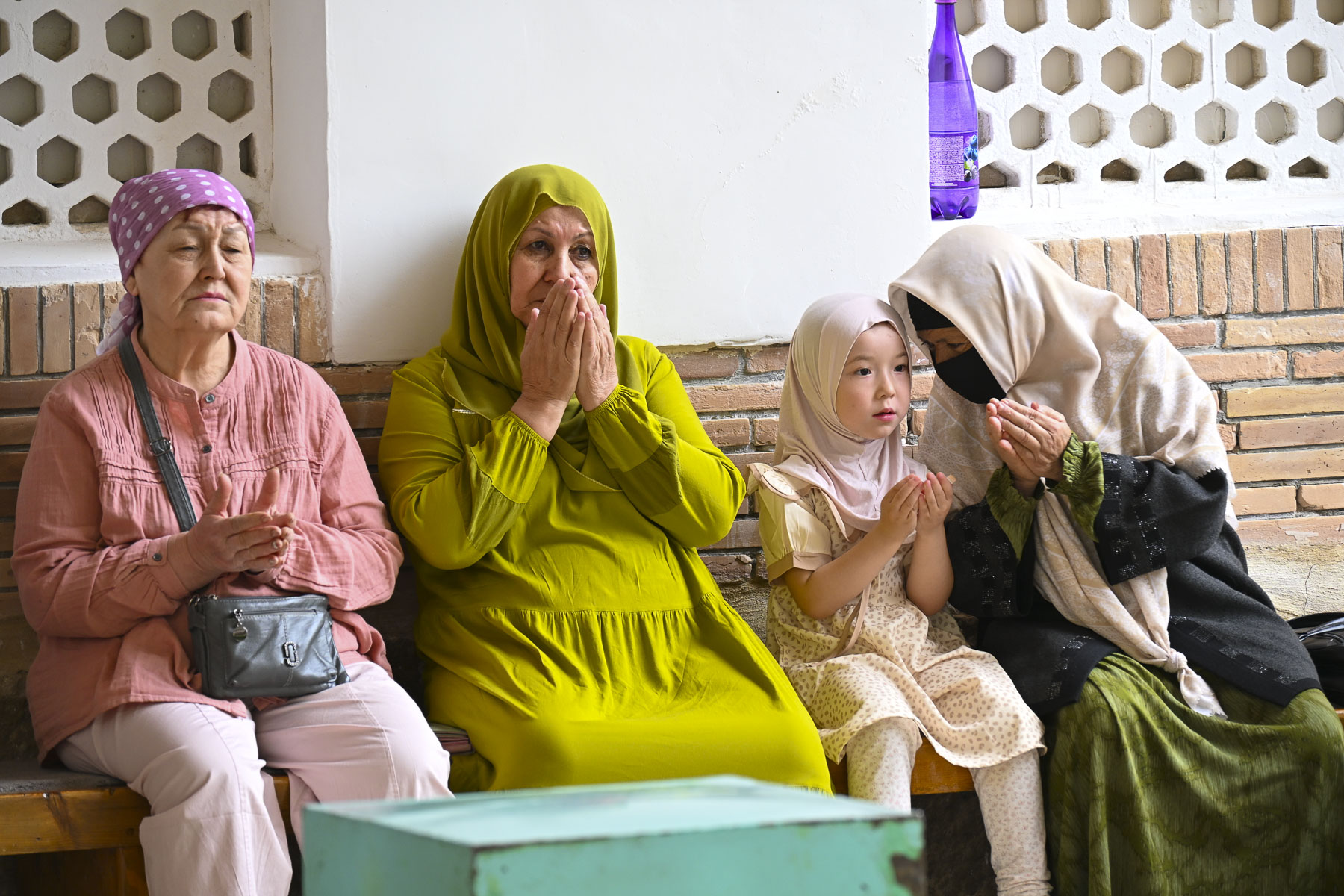
This legend encourages pilgrims from all across the Muslim world to visit the site. His original shrine on the site dated from the 11th century but was destroyed during the Mongol invasion of Samarkand. It was later rebuilt during Timur’s reign and later as his female family members, wives, and nobles chose the site as their final resting place during the 14th and 15th centuries, turning Shah-i-Zinda into one of the most important burial sites in Central Asia.

Late morning when we arrived was similar to trying to enter the New York City subway system at 5PM, packed with folks queueing for the best spots to take photos. The necropolis is stunning, but it was nearly impossible to take any photos without other people in the picture unless we had our cameras pointed at the beautiful ceilings. In hindsight our suggestion would be to plan a visit at 7:00AM when it opens or visit later in the day when the tour groups have headed for dinner.

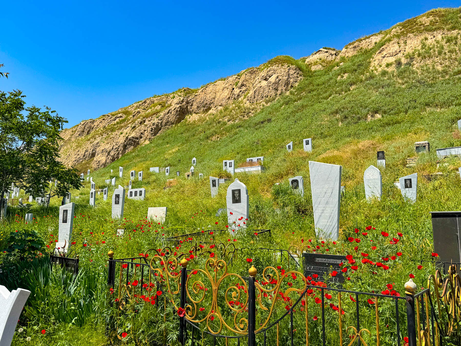
After dropping us off our bus driver had to park farther away, near the local hillside cemetery. As simple as it was it had its own elegance. Greeting us, our driver broke some Samarkand bread with us and provided some local cheese for lunch in the shade of the bus before we headed to our final destination in Samarkand.

It was a very hot afternoon in late April as we slowly walked up the hill past the Makhsum Baba Mausoleum. Built in the 1800s the mausoleum of the revered local awliya (saint) features a much simpler, less ornate Persian style architecture, and because of this it is often looked by folks.

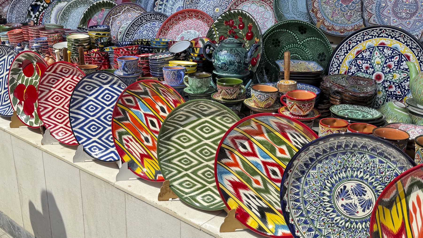
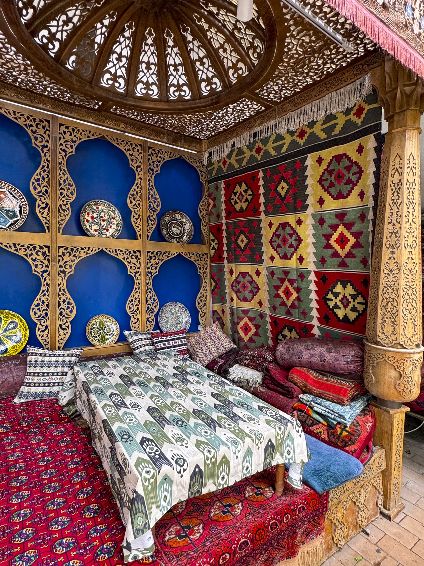
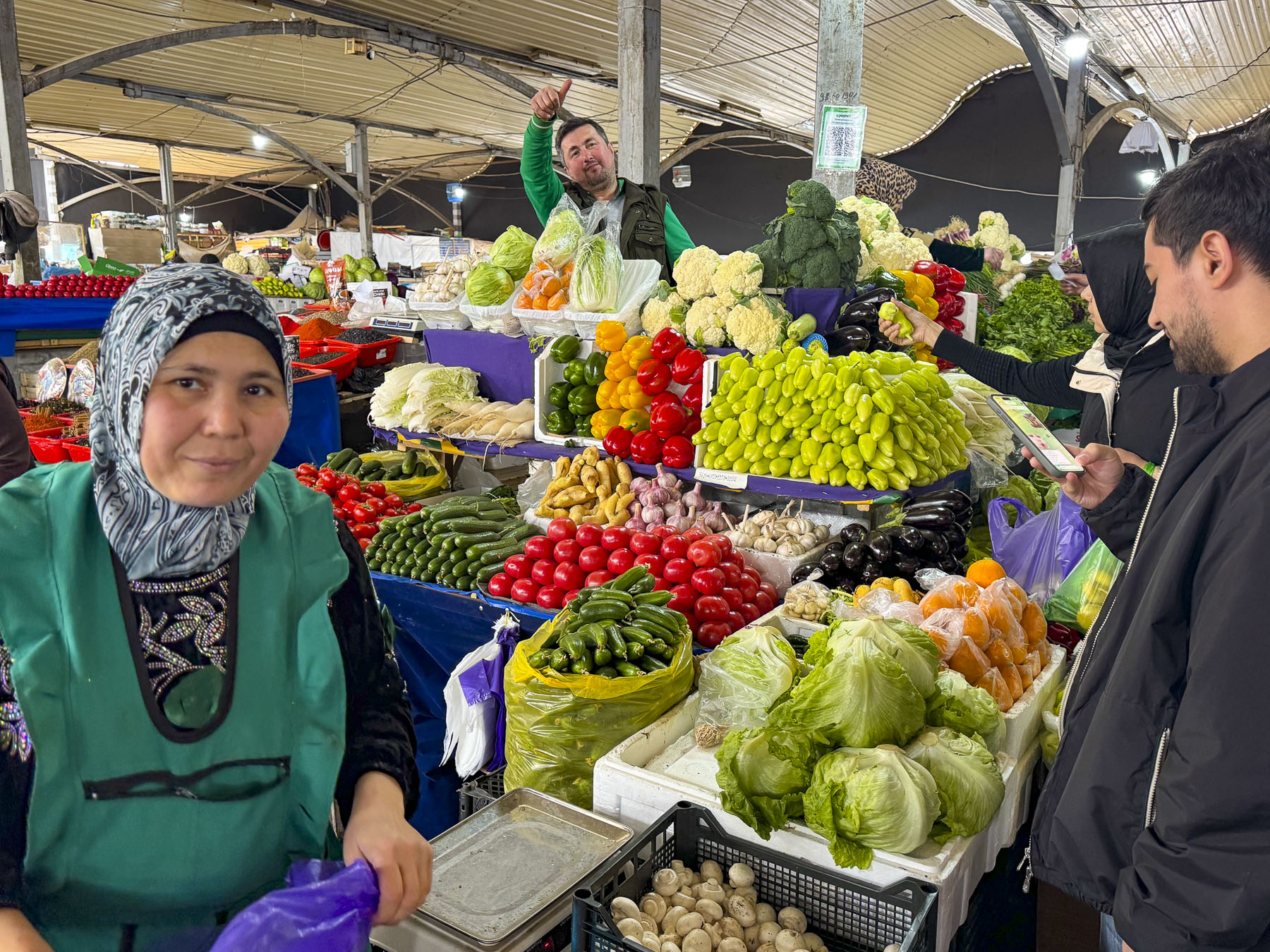
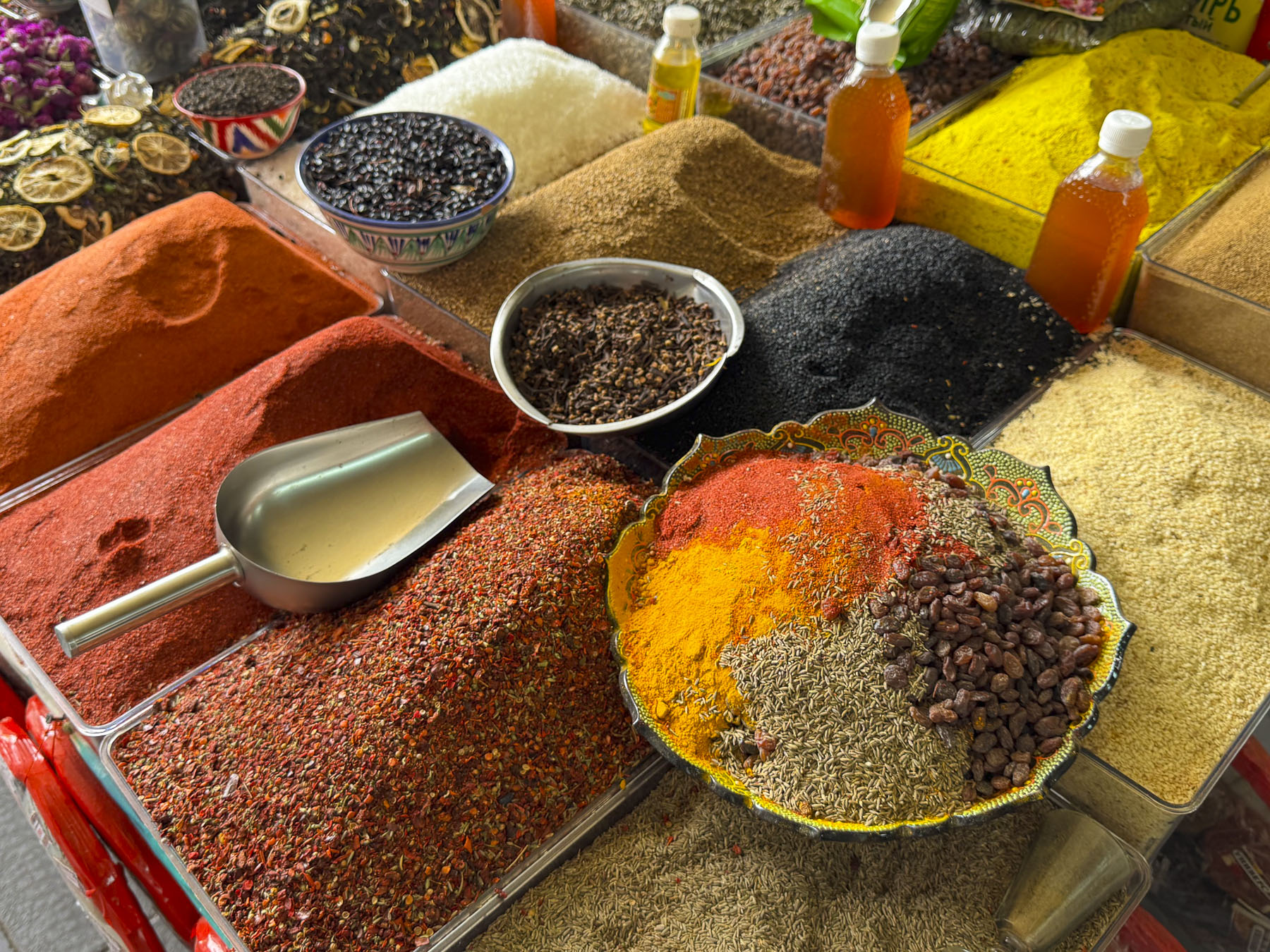
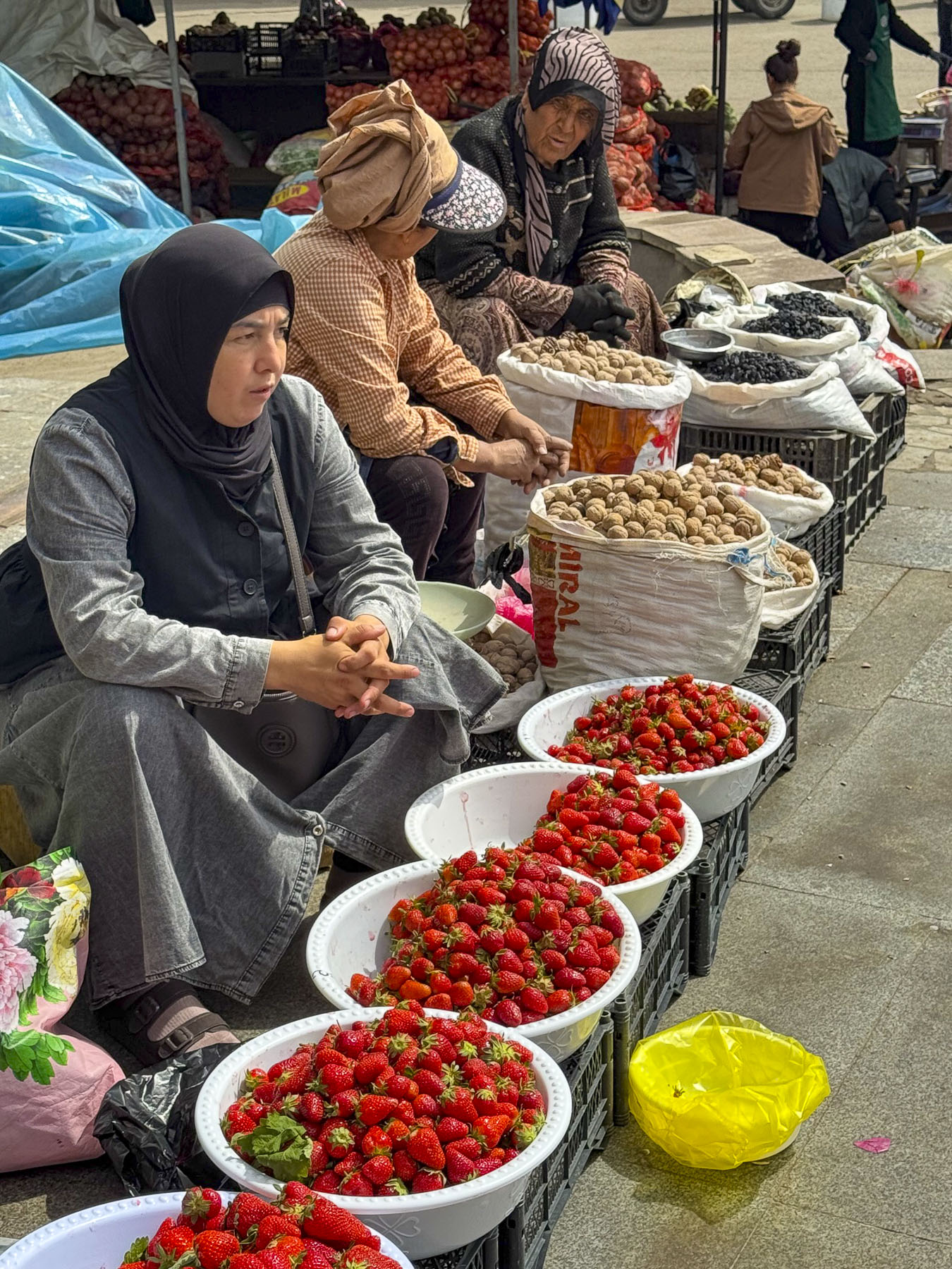
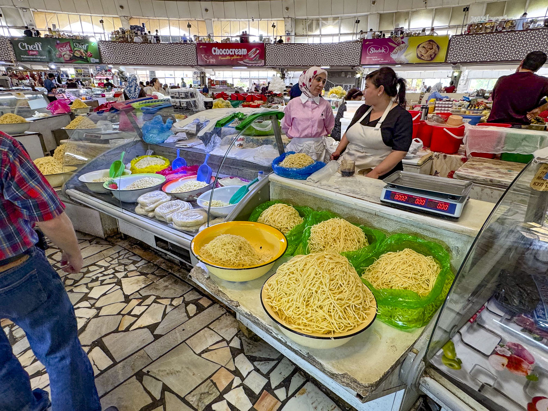
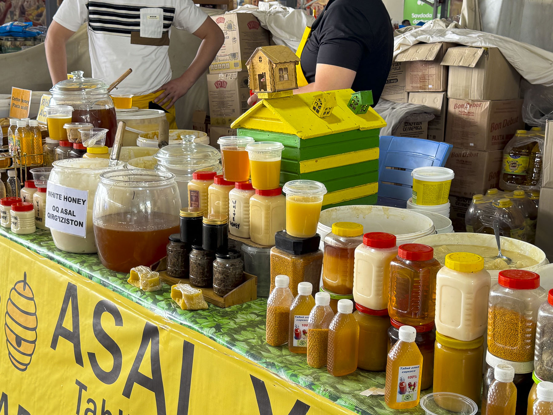
Continuing on we took a brief respite in the shade of the market pavilions at Siyob Bozori. It has functioned as Samarkand’s largest and oldest bazaar since the construction of the Registan displaced the merchants that once kept shops there. It was filled with beautiful ceramics, breads, honey, nuts and spices, as well as textiles. Vendors eagerly offered samples, hoping to encourage a sale.

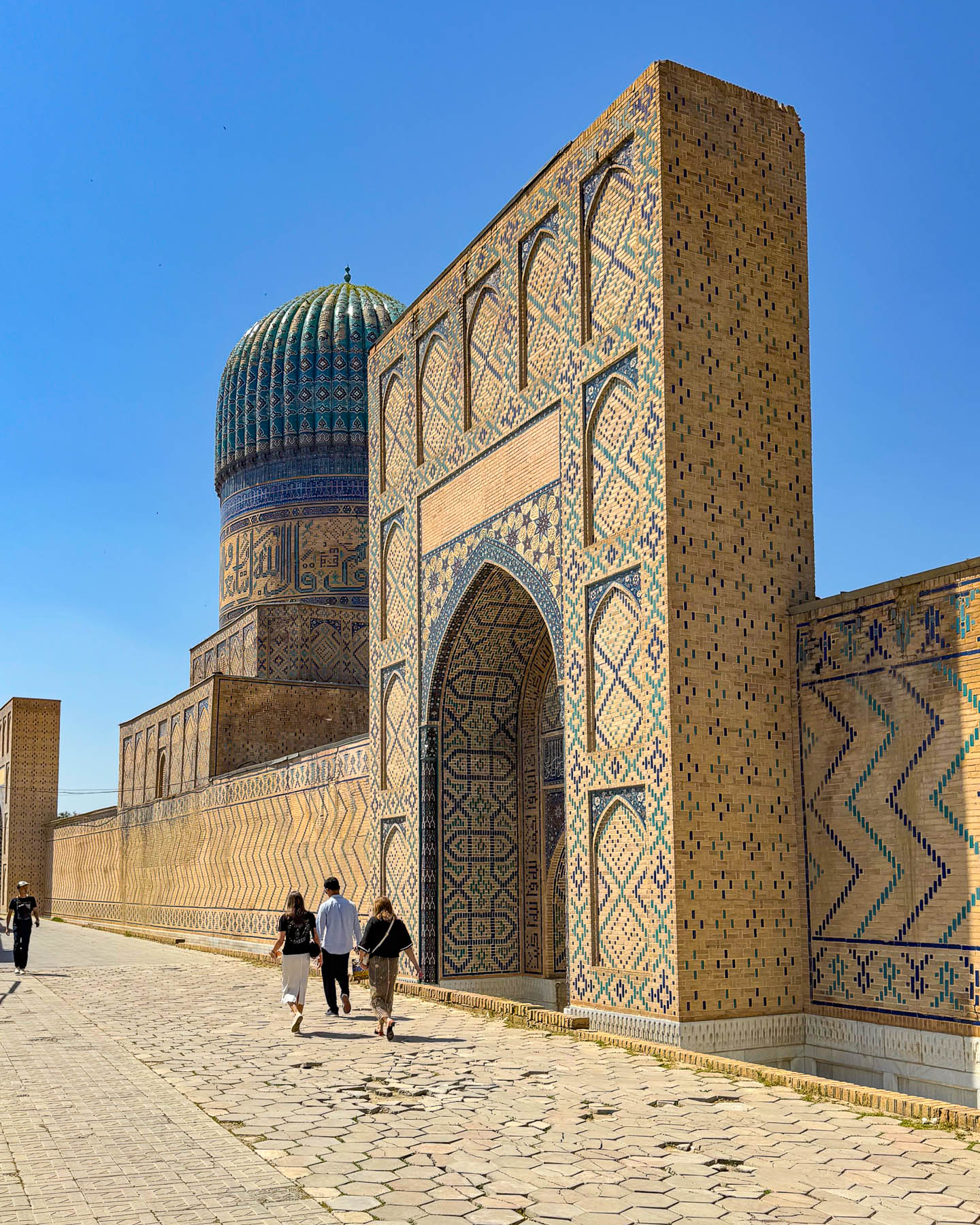
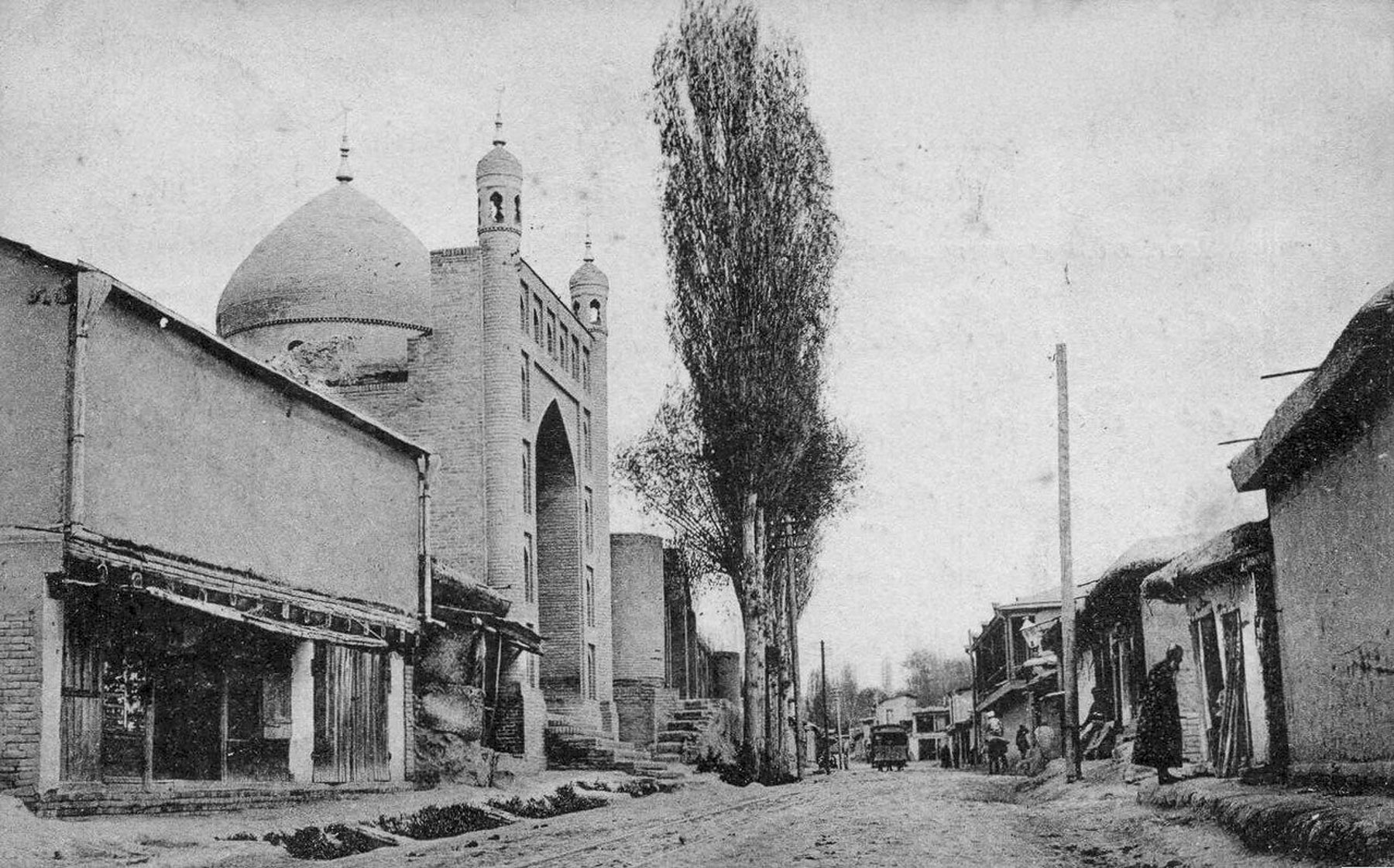
Next to the bazaar was the Bibi-Khanym Mosque, the façade of which was very similar to those of the madrassas on Registan Square. Our only critique of Tumeric architecture is that, while the facades are embellished with different mosaic designs, there is not a very distinguishable visible difference between the shape of the madrassas and the mosques. Though intriguing, visiting too many of them tends to be visually repetitious.

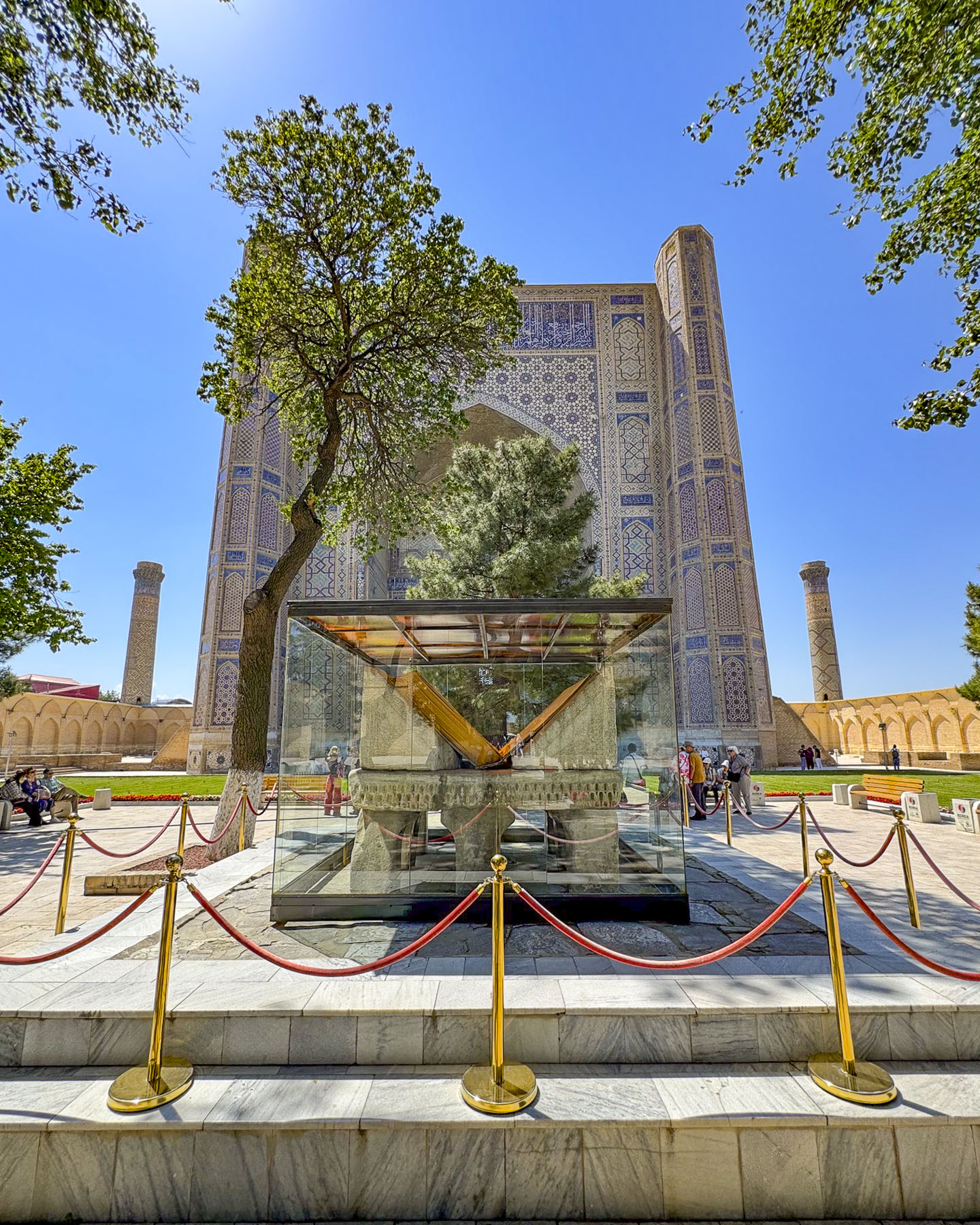
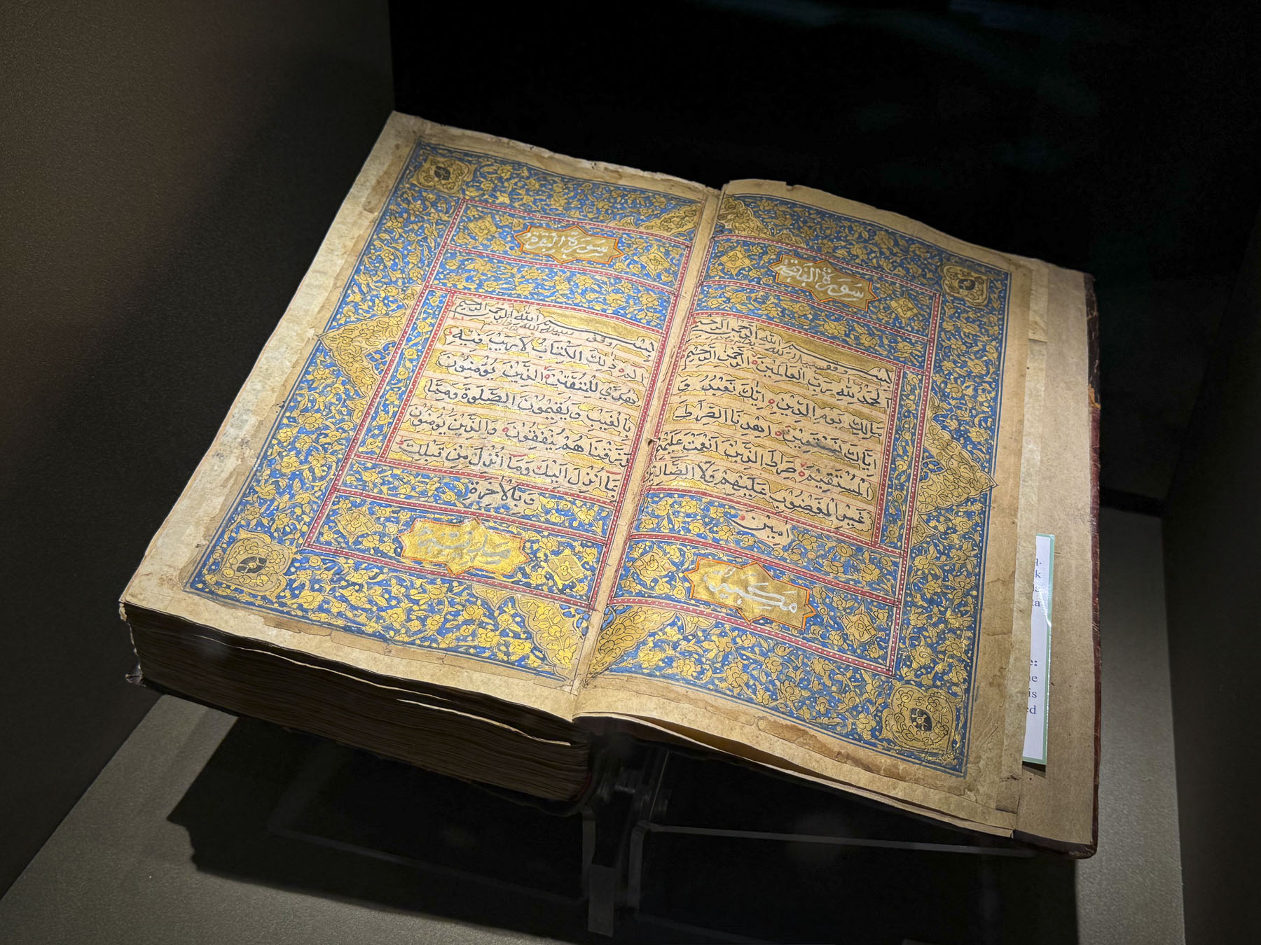
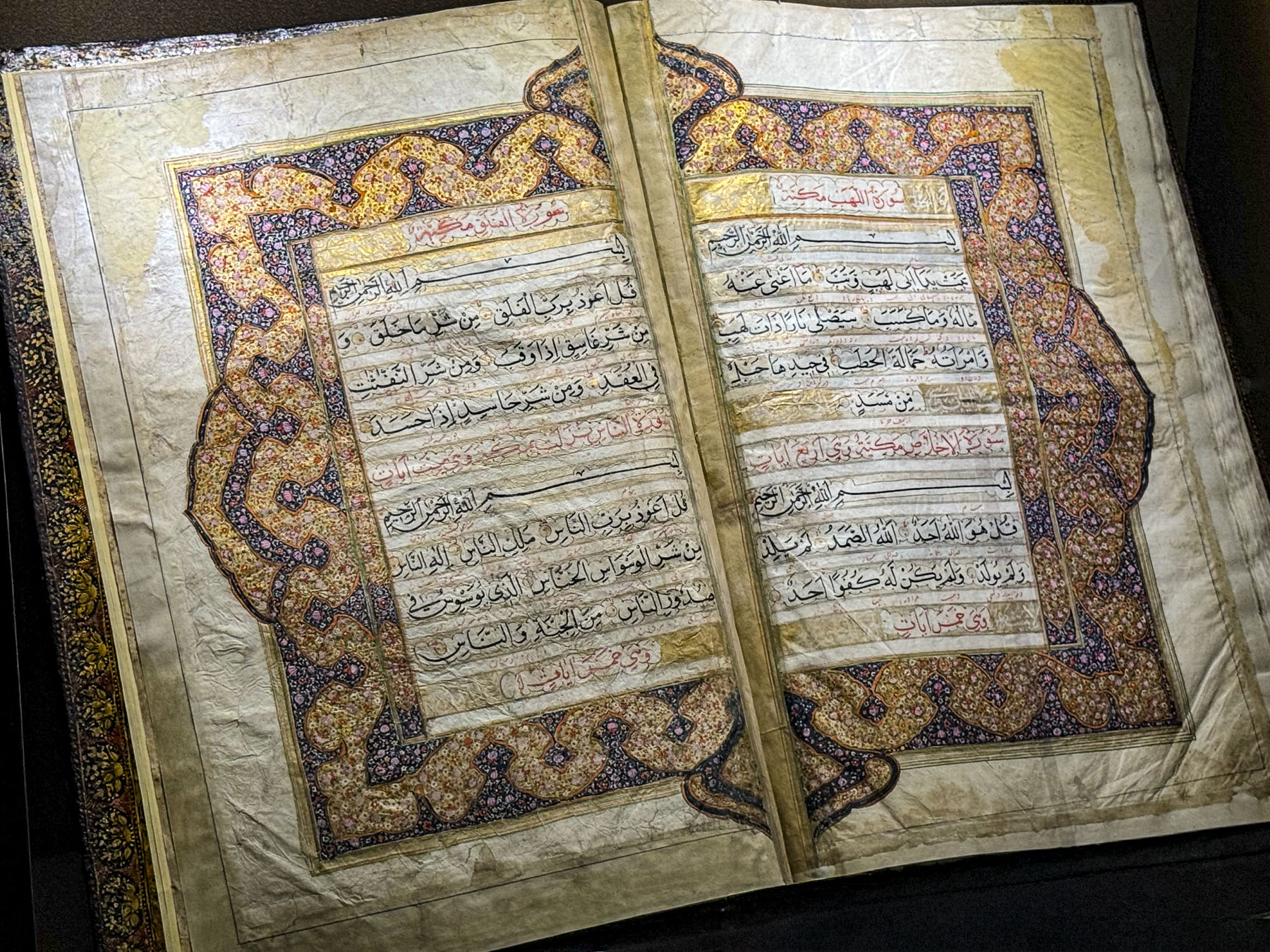
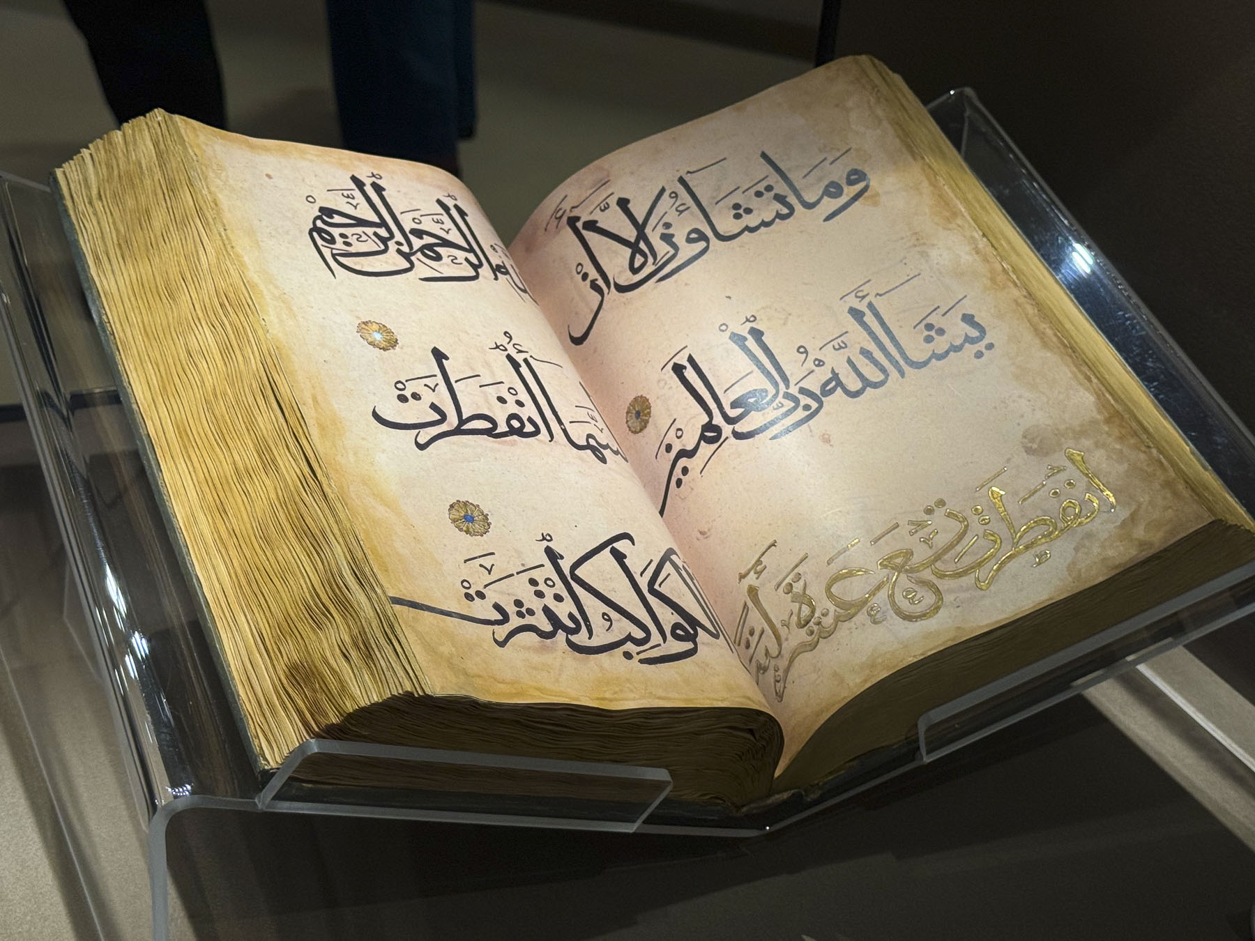
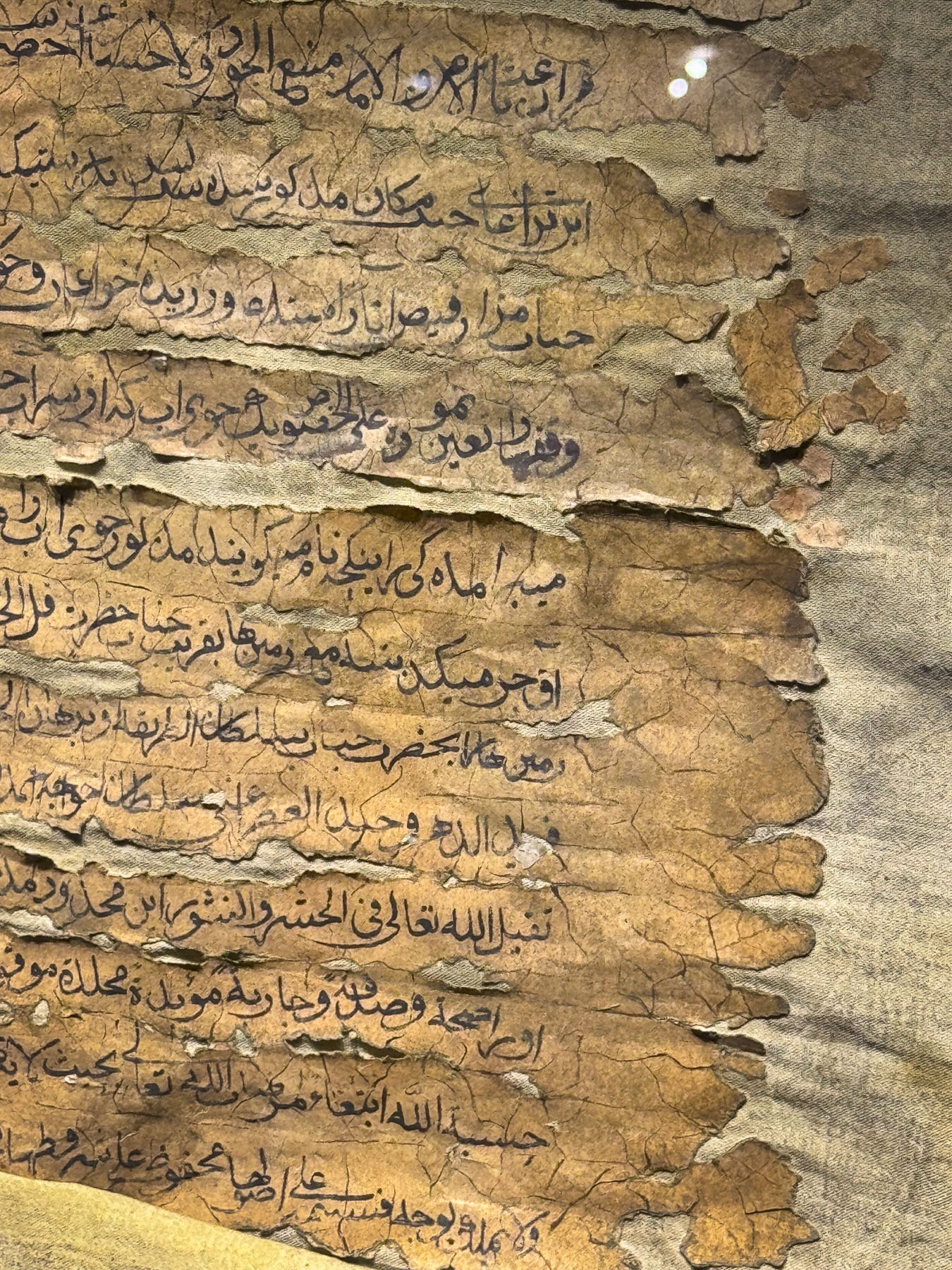
Its towering entranceway opened to a treed courtyard, at the center of which stood a very large glass exhibit case that held a giant marble pedestal carved in the shape of a book stand during the Timurid era. It was used to hold the legendary, oversized 7th-century Osman Quran that Timur brought back to Samarkand following his military campaigns through Iraq, as a prized war trophy and token of religious prestige for his royal library. It was a huge book that weighed 80 kilos (176 lbs) and required multiple assistants just to physically turn the massive leather pages for the Imans during religious services on major Islamic holidays when it was removed from the library.  The Quran was seized by the Russian imperial army in 1868 and taken to St. Petersburg. Upon repeated petitions it was returned to Tashkent in 1924 and is now displayed in the newly opened Islamic Civilization Center there. The ancient pedestal is also the subject of a local fertility legend that believes “a childless woman will miraculously conceive and bear children if she crawls underneath the giant marble book stand located in the middle of the courtyard.” Evidently this was done frequently enough to raise concern that the monument might be toppled, and the decision was made to protect it within a glass enclosure.

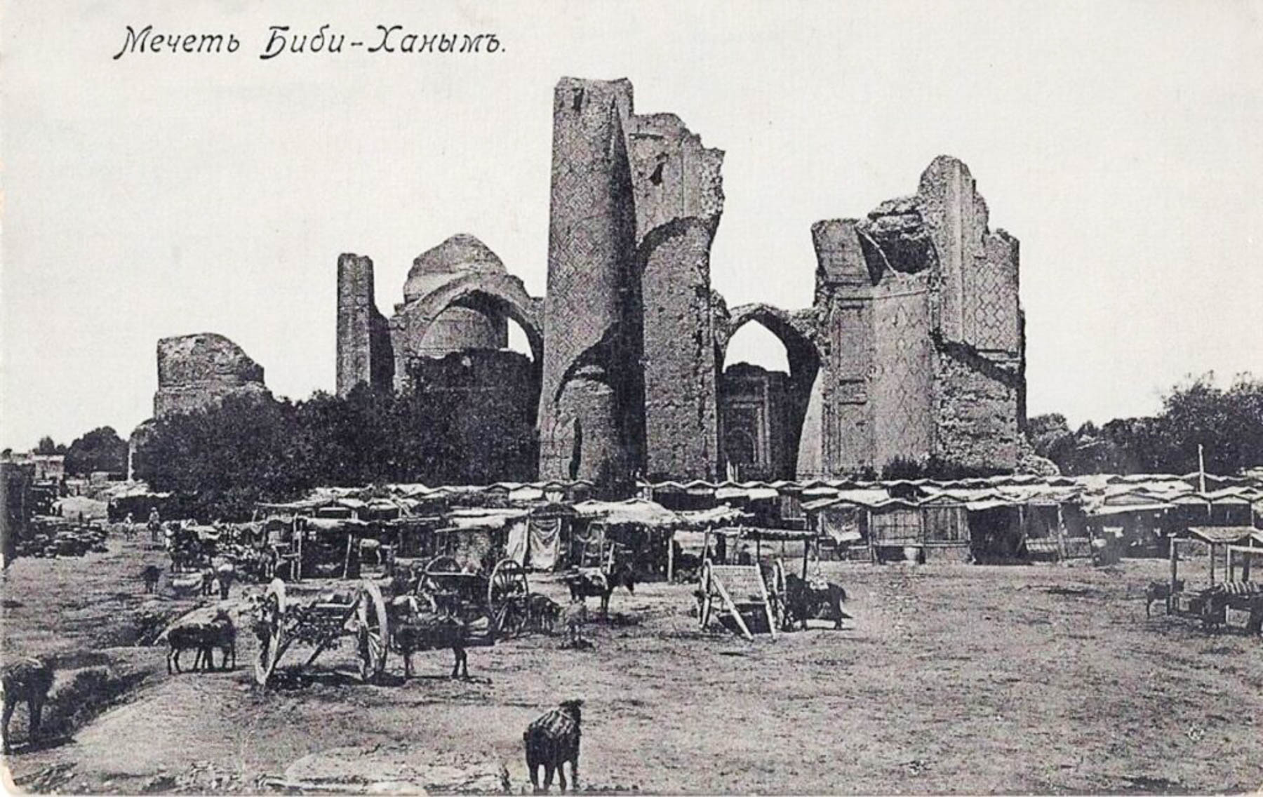
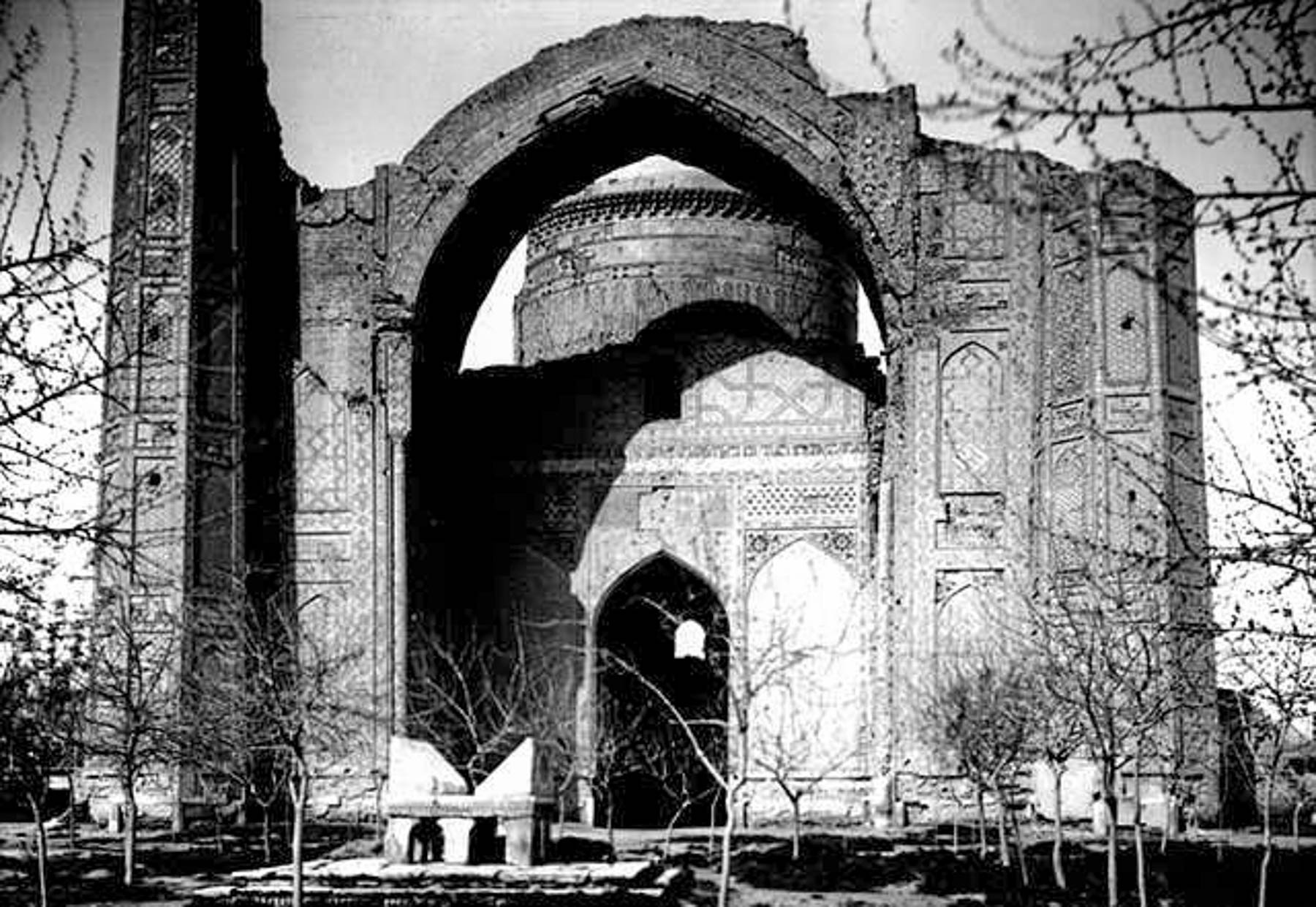
Built between 1399 and 1405, the mosque was a huge structure that suffered from numerous engineering deficiencies which resulted in it beginning to crumble as soon as it was completed. A major earthquake in the 19th century caused large sections of masonry to collapse; that along with a Russian artillery strike in 1868 hastened the already dilapidated complex’s demise. Though for a short period of time, in its heyday, it must have been spectacular.

We had a wonderful time in Samarkand. In hindsight we wished our tour had chosen a hotel closer to Registan Square, which would have facilitated exploring some of the sites we missed in our free time.

Tashkent, Khiva, Bukhara and Samarkand were all remarkedly different. We had a great time in Uzbekistan.

Go for wonderful architecture of the Timurid Dynasty, but don’t forget the bread.

Till next time,

Craig & Donna

Bukhara, Uzbekistan: A City of Culture and Style on the Ancient Silk Road, or Time Traveling in the Desert

In mid-April 2026 we flew from Tashkent to Urgench on our way to Khiva. We were a month too early to take advantage of the newly operating “Jaloliddin Manguberdi,” a high-speed electric train that whisks passengers 1,020km (630 mi) across the country from Tashkent to Khiva in 7.5 hours with stops in Samarkand, Bukhara, Urgench, and Khiva.

We are not fans of bus trips, preferring to rent a car, and organize our own road trips so we can stop frequently, but the distances between the cities in Uzbekistan were just too great, and we opted for a group tour instead. Consequently, a couple of long bus journeys were part of the itinerary, such as the six-hour trip to Bukhara. While some folks used this time to catch up on their emails and texts, or read, I preferred to look out the window, level the horizon, and try to compose a few photos as the bus bounced along. Leveling the horizon was nearly impossible.

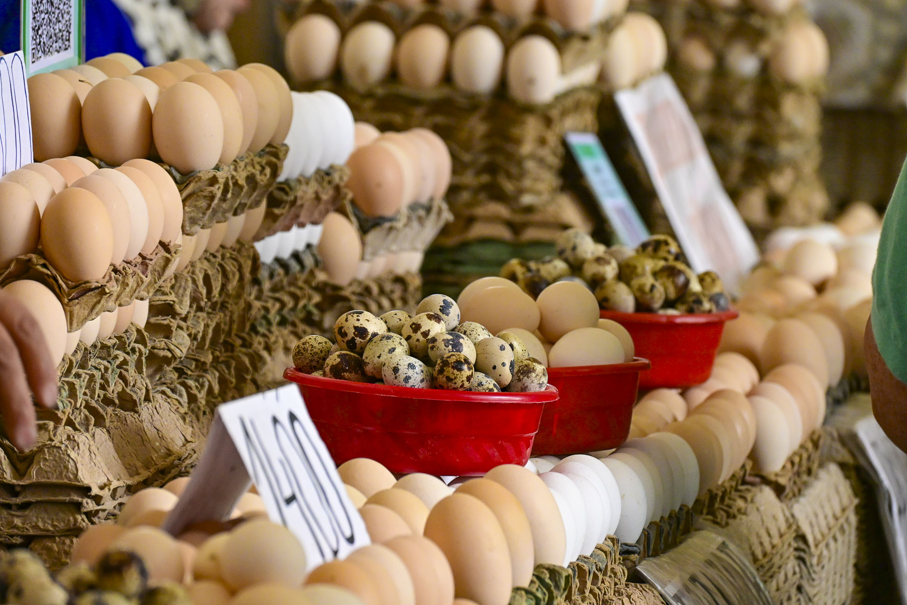
In this part of western Uzbekistan there is not a modern highway system. While the roads were decent, the “highways” were also local roads when they passed through towns, and the sights could be unusual: like the local butcher who had a freshly slaughtered cow’s head hanging in front of his shop; kids in their school uniforms walking to school in a culvert along the edge of a field as a cow grazed nearby; numerous new mosques under construction. In places, large ancient cemeteries lined the road. There were also many examples of Uzbekistan’s informal economy underway when we entered or exited a town, with folks selling the in-season fruits and vegetables, or honey, eggs, and homemade cheeses from their cars parked along the roadside. 

At rest areas, tandoors cast forth the wonderful aroma of freshly baked samsas. Passing through the town of Hazorasp, a large silver sculpture of a winged horse flashed by too quickly to grab a photo. This was the Tulpar, the legendary ultra-swift horse in Uzbek mythology. The town’s name “Hazorasp,” literally translates to “a thousand horses.” It’s taken from a folkloric legend where a herd of winged horses descended to the Amu Darya river delta.

We reached the Hazorasp Tumani bridge over the Amu Darya River, a narrow, two-lane steel and concrete bridge that closes to all vehicle traffic when a train crosses the bridge on railroad tracks that straddle the yellow center line. This event caused such a long wait, that our driver and guide made us hot tea and coffee in the shade of the bus as we waited in the queue, with other folks who were leaving their vehicles to stretch their legs, killing time before the train passed.

Our route paralleled Uzbekistan’s border with Turkmenistan and at a viewpoint overlooking the Amu Darya River our guide pointed out how much the width of the river had shrunk since his childhood during Uzbekistan’s Soviet era, when the river’s water was overdrawn to irrigate cotton fields, and that during the communist years there were an incredible 17 security checkpoints between Khiva and Bukhara, that everyone was required to stop at. Farther on the scrubland of the Kyzylkum Desert extended in every direction to the horizon.

One unusual thing that we noticed at the many gas stations we passed along our 443km (275mi) route to Bukhara were the concrete walls between the filling islands. The stations didn’t provide gasoline. Instead, they sold highly compressed natural gas for cars and trucks that had been retrofitted to take advantage of Uzbekistan’s substantial natural gas reserves. Occasionally, explosions during the refueling process happens, and the concrete blast walls are to contain the damage. Drivers using these facilities are also required to wait in certain no danger zones, a safe distance away from their vehicles. The stations are all connected via pipelines and frequently there are problems with their pressurization which results in temporary station closures and long lines at other facilities. If you are renting a car there isn’t any need to worry, as all rental cars in Uzbekistan run on gasoline.

Wide multi-lane boulevards greeted us as we entered the outskirts of Bukhara, a city of about 305,000 people. The roads were lined with newer three to five story buildings with a vast array of shops and services on the ground level and apartments above. And there was a good amount of western style advertising with billboards and digital displays marketing athletic wear, soda and banking services. There had been a large 12km (7.5mi) defensive wall around this Silk Road trading hub for over two millenniums, only succumbing to destruction when the Soviet Red Army bombed and shelled the city in 1920 before they forced Bukhara into the Soviet Union. Prior to this, the Emirate of Bukhara existed as an absolute, conservative Islamic monarchy, while being a Russian Empire protectorate, a result of Russia attacking the city in the late 1860s to end its and Khiva’s notorious slave markets that sold around 100,000 Persian and Russian slaves every year to other Islamic khanates in Central Asia, India and the Middle East.

Just shy of the pedestrian only historic center of Bukhara, we disembarked from our bus, across from the Labi Hovuz, an ancient public square, dating from the 1620s, that’s centered with a large reservoir surrounded by a shallow set of stairs that lead down to the water’s edge.  Surrounded by centuries old mulberry trees, it was a popular spot for merchants from the caravanserais, and students from the nearby madrassas to relax in the cool of the evening. The pool was also a vital source of drinking water for the surrounding homes for several hundred years. There used to be many of these hovuz, pools, across Bukhara’s mahallas, neighborhoods, but they were also the breeding grounds for waterborne diseases like guinea worm and cholera, and they were filled in for health reasons during the Soviet years.

Dragging our suitcases behind us, we passed the Magoki Attori Mosque, dating from the 9thcentury; it was built above the ruins of an early Buddhist monastery and later Zoroastrian temple. Interestingly, before the first synagogue was built in the city, Muslims and Jews shared the temple but worshipped at different times. It is the oldest mosque in Bukhara, having survived Genghis Khan’s sack of the town in 1220, and a millennium of Bukhara’s evolving growth, which has left its entrance 4.5m (15ft) below the surrounding city level.                                                                                                                                                                                                                   

We entered the inner part of the historic center of Bukhara through the Toqi Telpakfurushon, a long gate-like, multi-domed tim built in 1570, that was first used as the booksellers’ bazaar. Its narrow lane was lined with a variety of colorful stalls and workshops, and it is expected that tourists will bargain with the merchants for their best price. We passed through the Toqi Telpakfurushon many times during our two full days in Bukhara, but appreciated the beauty of the building most in the early morning hours as the city was awakening.

Just outside the far end of the bazaar was the Bozori Kord Hammam, dating from the 14th century. It is one of the oldest continually operating bathhouses in the world, where a restorative 30-minute massage can be enjoyed.

Our hotel, The Shahriston, was a few doors down. It’s a newer hotel built in 2018, that wonderfully retains the authentic character of the surrounding medina, and was conveniently, centrally located on Khakikat St, and within easy walking distance of Bukhara’s many historic sites. It also had a nice rooftop terrace for views over the medina’s Toqi trading domes and workshops.

After getting settled in our room, we headed to the Poi Kalon Complex, as the golden hour was approaching, and quickly decided that the rooftop restaurant at Kazan, directly opposite the plaza, would be the perfect spot for dinner and photos later. We made reservations.

The plaza is considered to be the religious center of Bukhara and is bordered with three buildings built between the 12th-16th centuries: Kalan Minaret (1127) replaced an earlier design that collapsed during construction; The Kalan Mosque was completed in 1514, ( it replaced an older 12th century mosque destroyed by Genghis Khan’s army in 1220); and the Miri Arab Madrassah, which dates from 1535.

The square was lively with vacationers, tour groups, and vendors offering balloons, photo services, and souvenirs. The architectural brickwork design of the 48m (157ft) tall Kalan Minaret is amazing. The minaret so impressed Genghis Khan that he ordered his troops to spare it as they totally destroyed the rest of the city when the Mongol army sacked Bukhara. It was also known as the “Tower of Death,” where criminals, political rivals, and unfaithful spouses were marched up the 105-step spiral staircase to the open rotunda at the summit and cast to their deaths. Though there is the legend of a Khan’s wife who on the eve of her execution was granted her last wish – to wear all her dresses. “People stood breathless as the woman jumped, but then a miracle happened as her wide skirts billowed out like a parachute and she landed softly.”

Purposefully designed to rival the size of Bibi-Khanym Mosque in Samarkand, the monumental entrance arch of the Kalan Mosque opens to a grand courtyard that can hold over 10,000 worshippers and is surrounded by 208 pillar-domed galleries. At far end of the courtyard is an octagonal brick pavilion that is the tomb of a revered imam, just before the iwan, an open front vaulted room, where the minbar stood. Sadly, in 1924 the Soviet regime in Uzbekistan closed the mosque to religious use and repurposed it as a warehouse. During those years the mosque fell into neglect and wasn’t partially restored and used as a mosque again until 1991 when Uzbekistan declared its independence.

Directly across from the entrance to the Kalan Mosque were the blue domes and façade of the Miri Arab Madrassah covered with fascinating intricate tile mosaics featuring geometric, vegetative, and calligraphic patterns. Some historians suggest that the madrassa was built to commemorate Bukhara’s decisive victory over Persian troops at the Battle of Gijduvan in 1512, and that the ornate craftsmanship throughout the building was financed by khanate when it sold 3000 captured Iranians into slavery.  The school was closed for 25 years after the Soviet Union took control of Uzbekistan, but was reopened in 1945 when the USSR government granted permission to the Miri Arab Madrassah to be the one official Islamic educational institution for Muslims within Soviet Union, hosting students from different regions across Central Asia, the Caucasus, and Russia. Today about 56 new students a year are accepted into a 4-year course of study to become an imam.

Dinner later on the rooftop terrace at Kazan was a charming and unhurried experience and we lingered, watching the color of the golden hour across the plaza transition to twilight, as the size of the crowd on the plaza ebbed and flowed. The food was excellent. Unfortunately, as a functioning school, the restaurant does not permit tourists inside, but occasionally folks are allowed to step into the entrance portal and view the entry hall. However, during our research we found this interesting video tour of the Miri Arab Madrassah’s interior.

The next morning our group headed to Samonids Park, a large lush green park with a Ferris wheel and other amusement park rides, as well as shaded walkways through a nicely manicured landscape, on the outskirts of the historic area. We followed our guide down one of these lanes to the Mausoleum of Ismail Samani, the founder of Bukhara’s Samanids dynasty, (875-999).

The mausoleum is a highly decorated beautiful small structure, with all of its exterior and interior walls covered with intricate symbols and geometric relief patterns that resemble the design of woven textiles and basketry. It’s an effect that gives the building a highly textural feeling. The mausoleum is considered a masterpiece of early Islamic architecture. Through fate or luck, it is the oldest surviving Islamic structure in Bukhara, having been entombed in silt from repeated river flooding or, as legend believes purposely buried in sand to prevent Genghis Khan’s Mongol army from destroying it in 1220. Amazingly it stayed buried until Soviet Union archeologists rediscovered it in the late-1920s and found it in surprisingly good condition, due to the fact that it was entirely constructed with kiln-baked bricks, that resisted the erosive effect of repeated flooding.

Our tour continued through the park to the adjacent Markaziy bazaar, Bukhara’s central market. It’s a substantial complex with several halls and numerous vendors displaying their foodstuffs and offering samples. It is best described as a gauntlet of temptations.

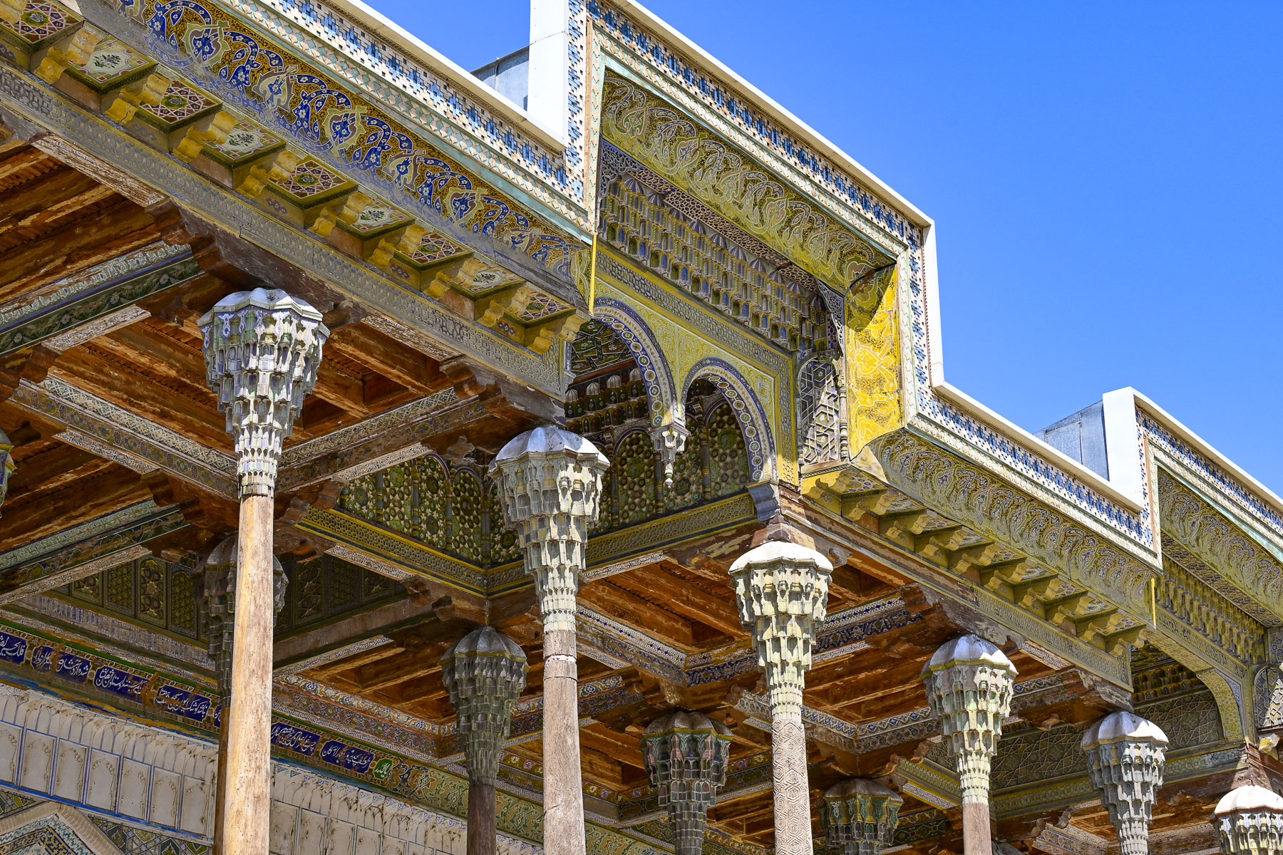
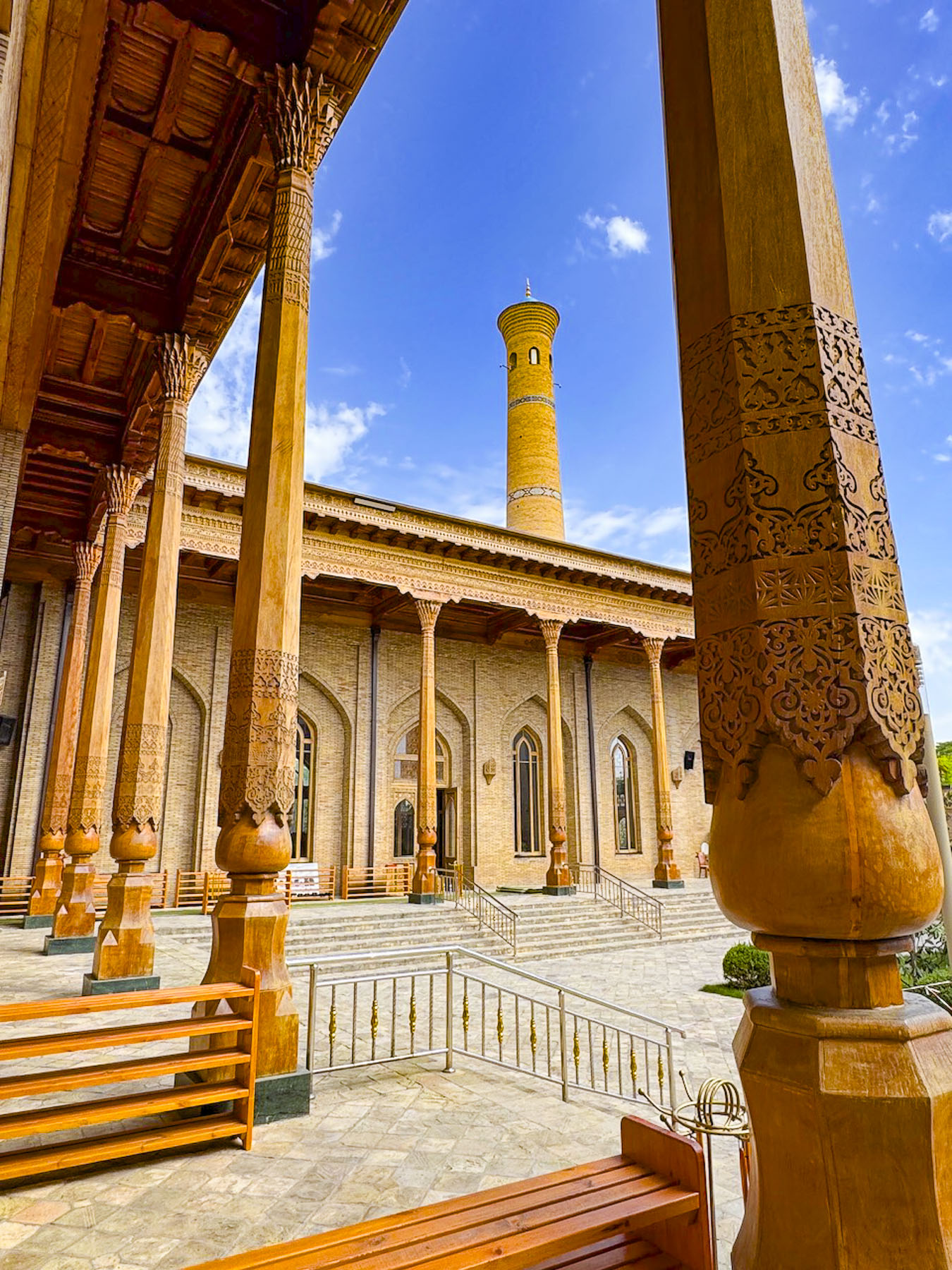
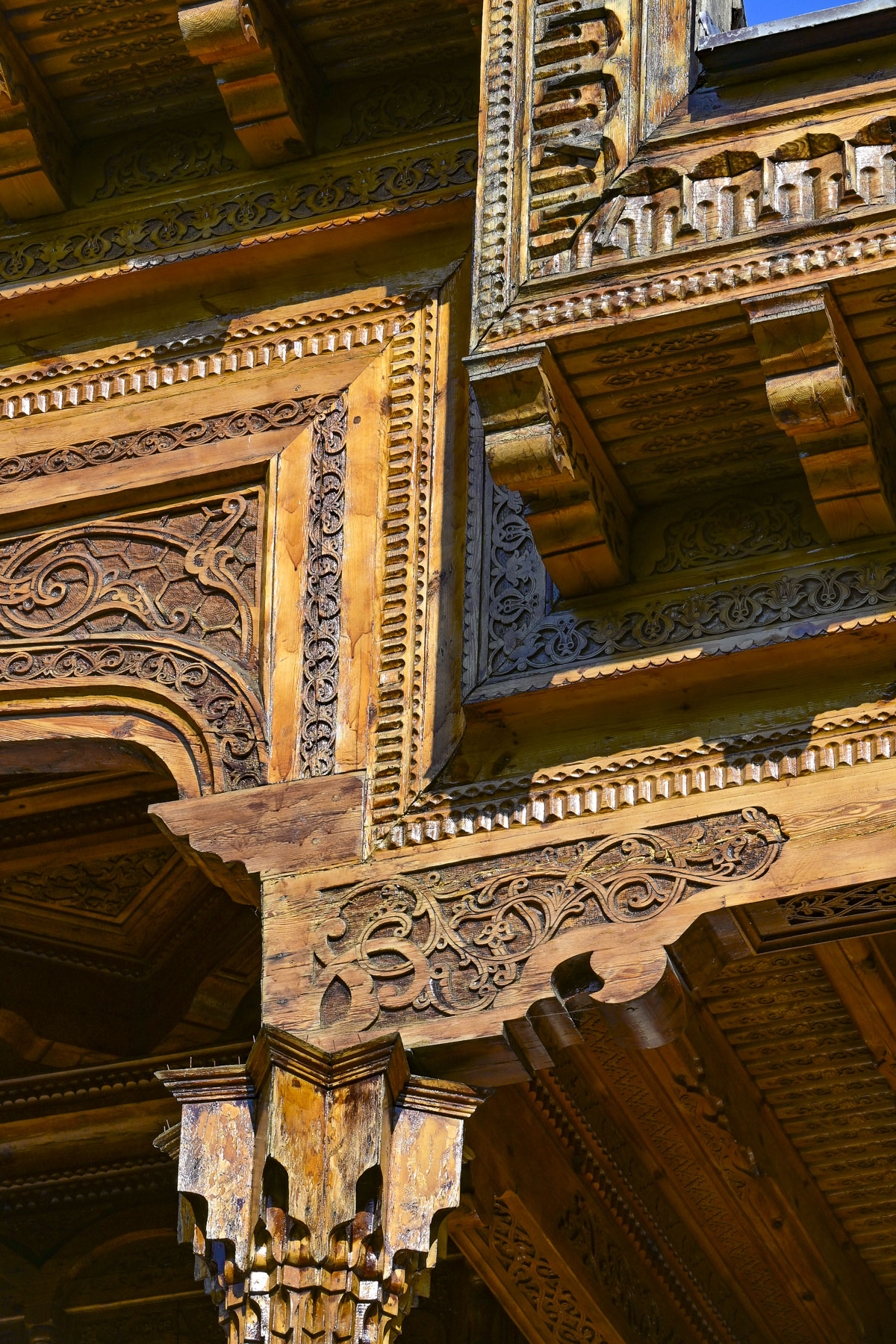
Continuing on we came to the Bolo Hauz Mosque, built in 1712 across from the Ark of Bukhara. It was the official mosque of the emirs of Bukhara until the Soviet Union took over Uzbekistan. With the addition of an ornate 20-pillar wooden portico called an iwan in 1917, the mosque has a unique non-traditional façade. We had seen iwans earlier during our stops at the royal palaces in Khiva, where they were in the private courtyards, not on the front of a mosque. But it’s the perfect addition to accommodate worshippers in the hot summers.

The Ark of Bukhara was a heavily fortified citadel and palace within the extensive defensive wall that ringed the city. It enclosed the royal courts, living quarters and throne rooms of the Emirs. Along with housing for around 3,000 people, it also had mosques, a mint, a treasury, and a prison.

The unique shape of its curved towers and ramparts has been meticulously preserved and today the inner rooms of the palace are a museum detailing the city’s history. The view from the defensive wall back towards the Poyi Kalon Complex was also striking.

Twenty minutes from central Bukhara our group visited The Memorial Complex of Bakhouddin Naqshbandi, the 14th century Islamic theologian who founded the widely followed Naqshbandi Sufi order and was renown as the spiritual mentor to Amir Temur (Tamerlane), the ruler responsible for Uzbekistan’s Timurid Renaissance.

Over the centuries his once simple garden tomb at his home grew into a vast site that includes the dynastic necropolises of the Sheibanid, Ashtarkhanid, and Mangit rulers. Later additions included a mosque, minaret and madrassa. After Uzbekistan declared its independence, with the help of international donors, the country totally renovated the site which had fallen into disrepair during the Soviet era, in time for the 675th anniversary of Naqshband’s birth in 1993.

This was one of the first major opportunities the new Uzbekistan government took to reclaim its Islamic and Central Asian heritage after living under 70 years of communist atheism. Newer additions include a Sufi museum and theological research center, where translations of ancient Islamic texts are undertaken. Through the centuries it has become a revered pilgrimage site for folks from all across Central Asia and beyond.

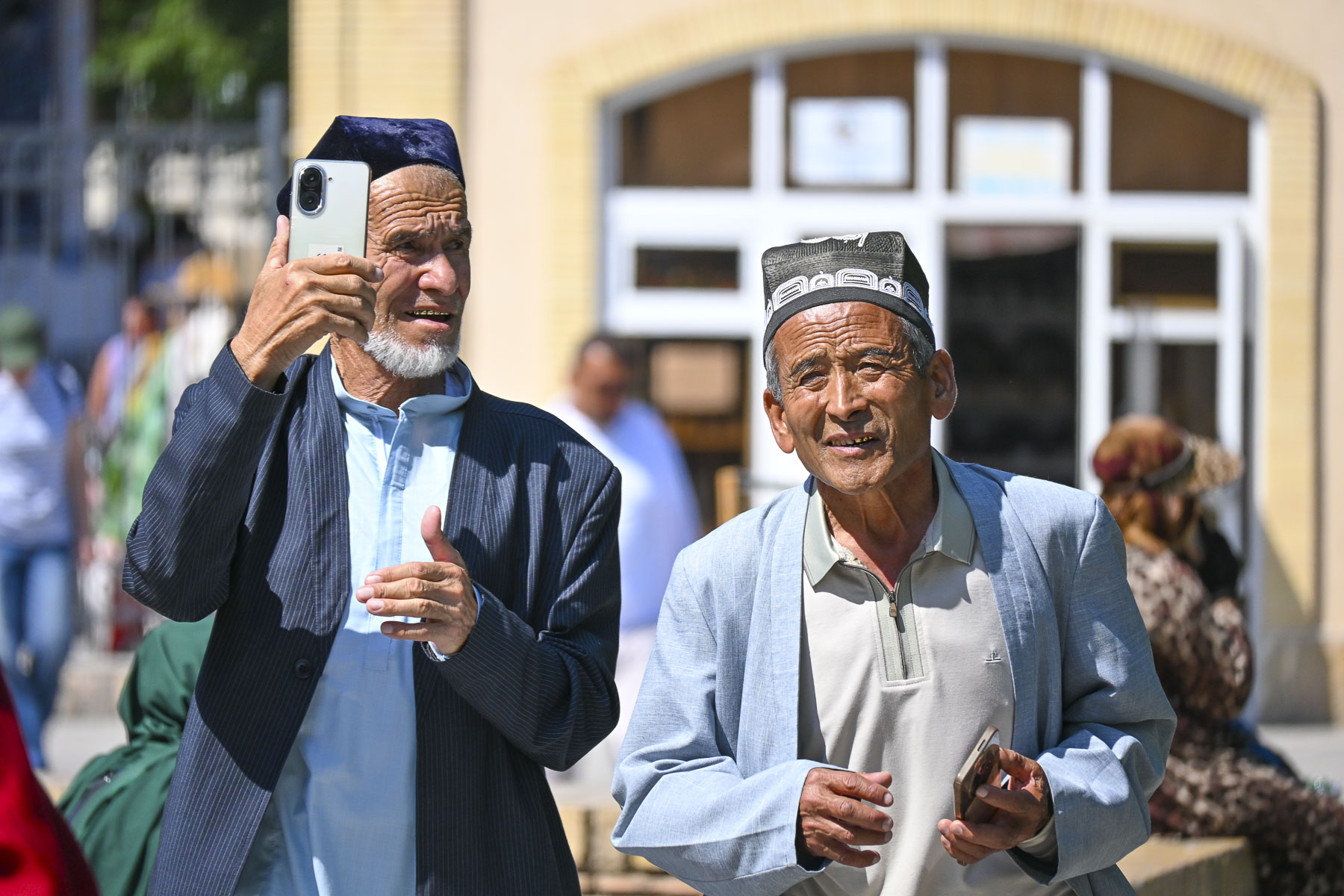
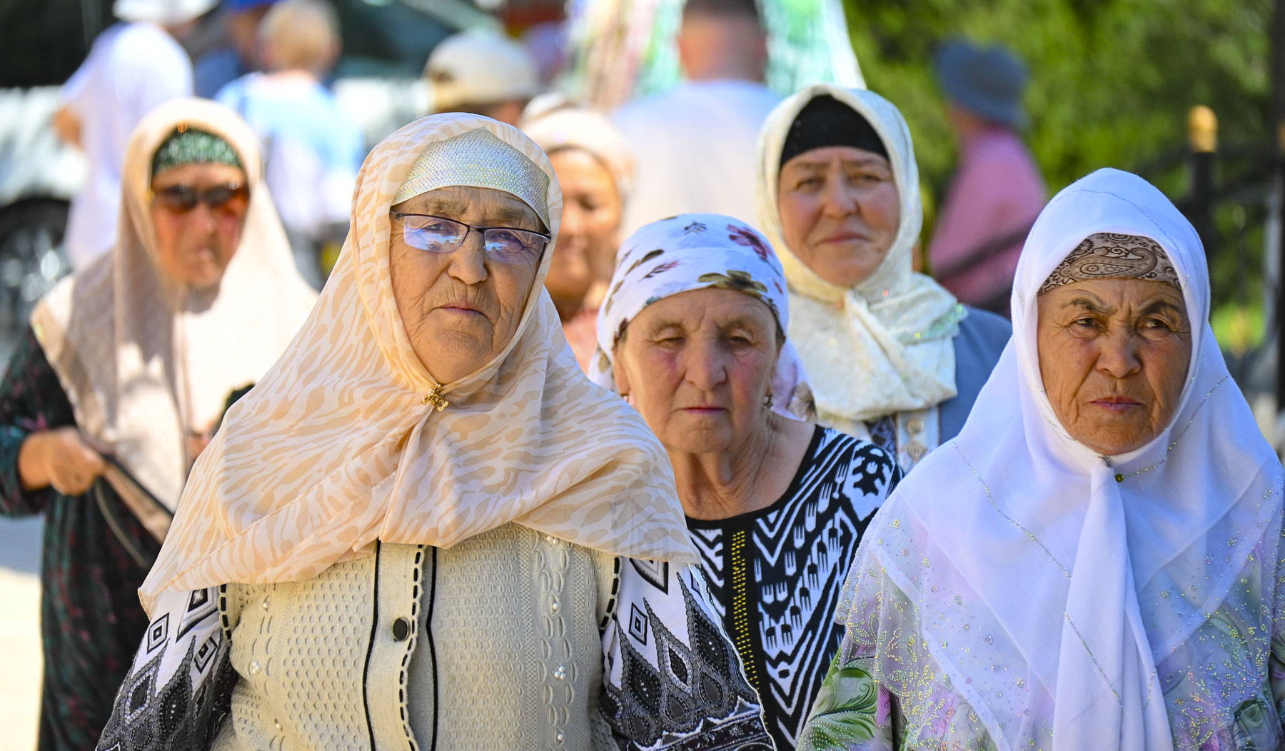
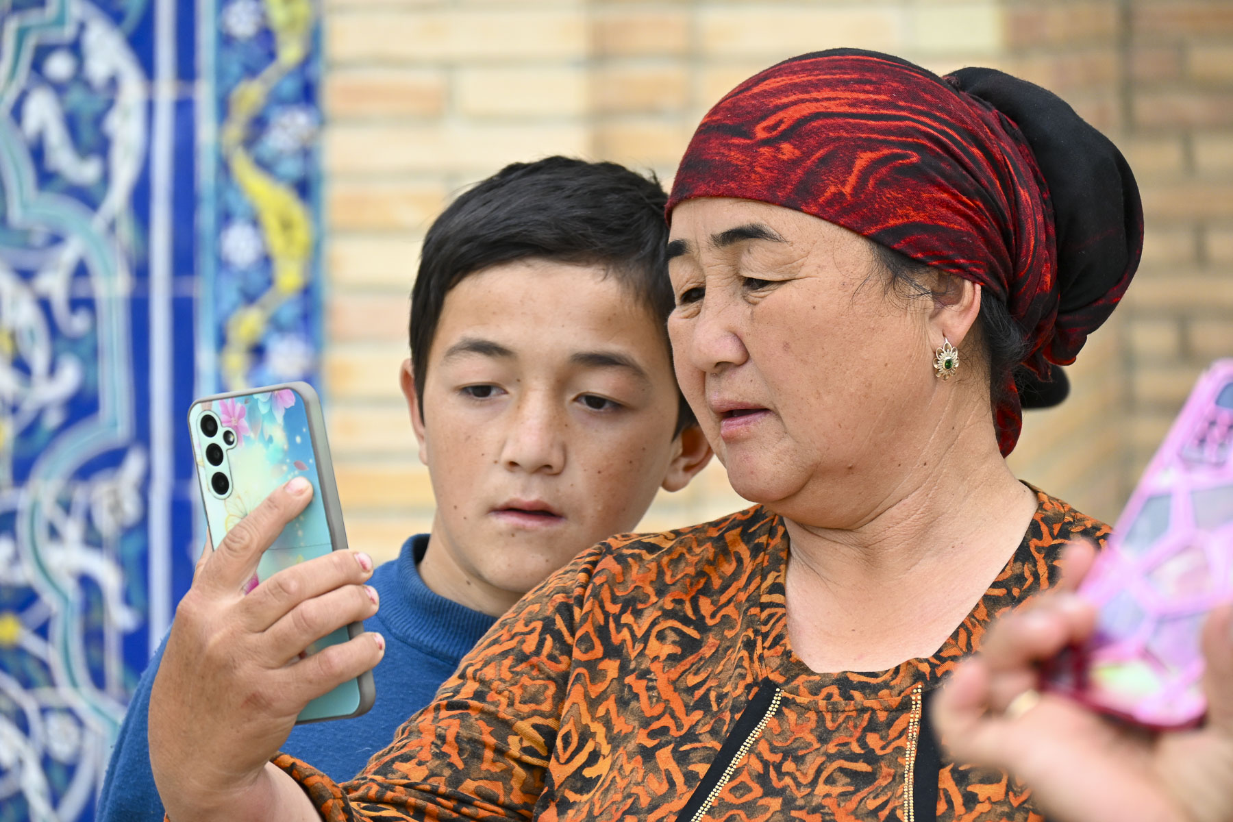
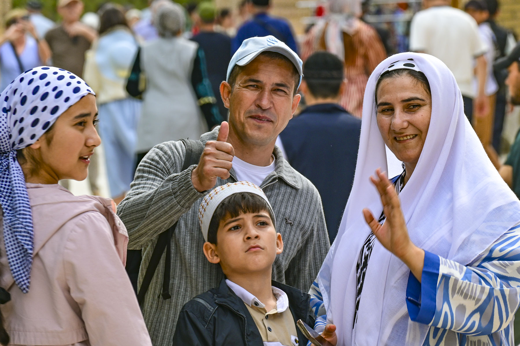
Everyone was so friendly and eager to take photographs of us, and have their photos taken too, it was a very heart-warming experience. Our guide shared that for many people living in remote villages this was their first trip away from home. He spoke of a Central Asia folk belief which claims that three trips to the shrine equal a Hajj to Mecca, which underscored how dangerous the trek across the desert to Arabia was.

Afterwards our group headed to “the palace that resembles the stars and the moon,” Sitora-i-Moh-i Khosa, the summer palace of Sayyid Mir Muhammad Alim Khan, the last emir of Bukhara. The palace is poetically named for the emir’s wife, whose beauty he often compared to the heavens. Built between 1912 and 1918 by Bukhara craftsmen, the emir had sent to St. Petersburg to study western techniques.

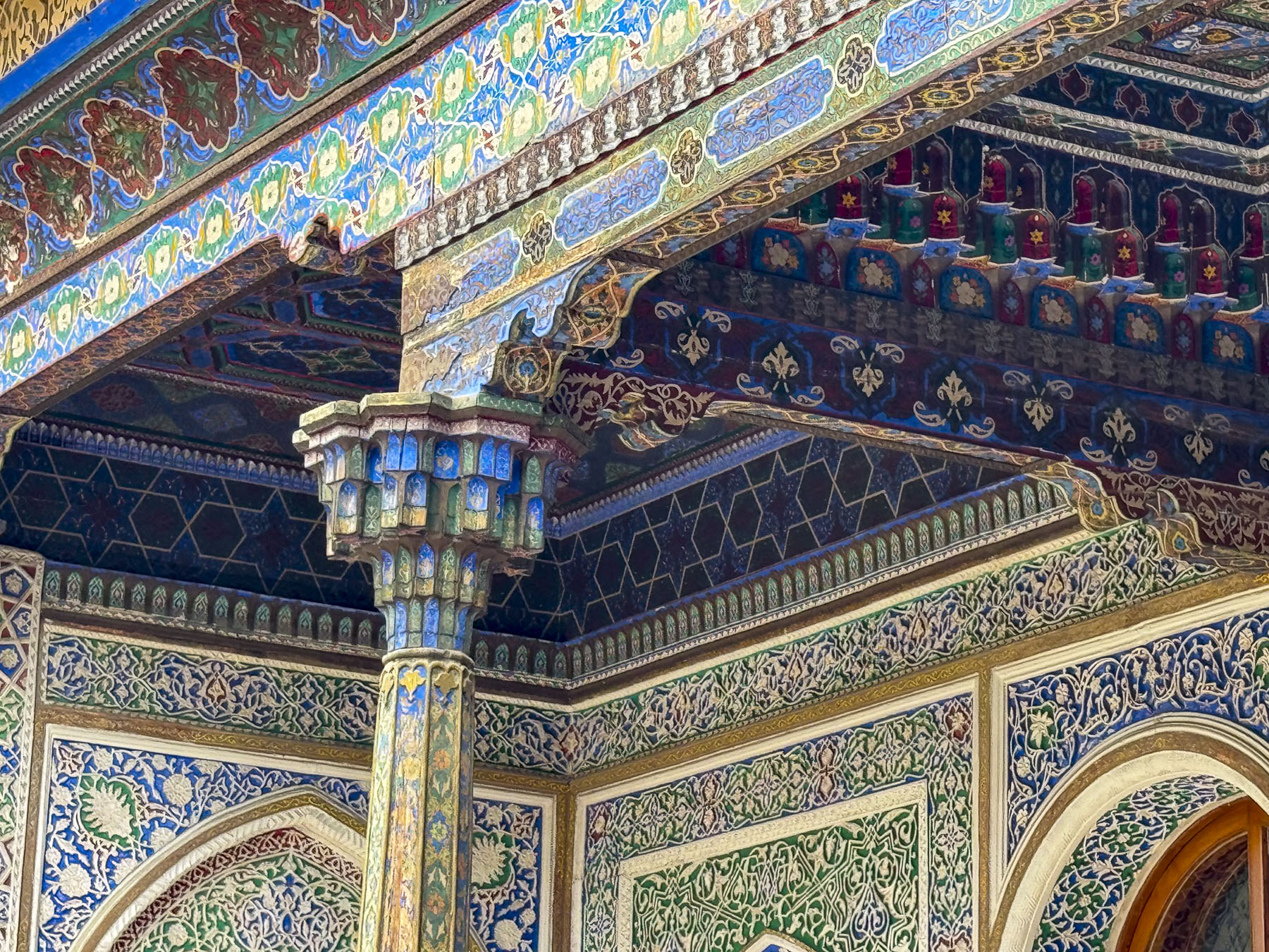
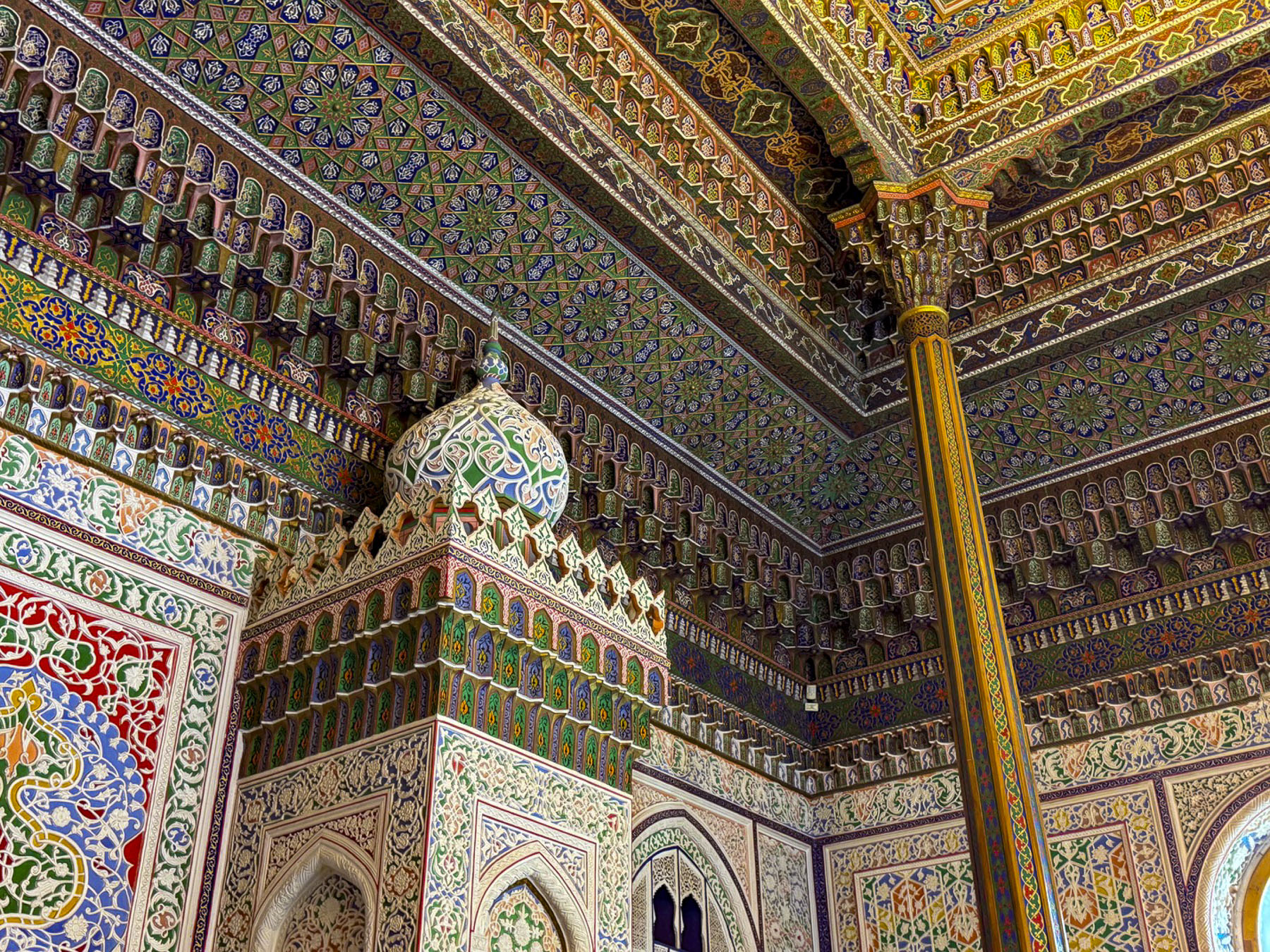
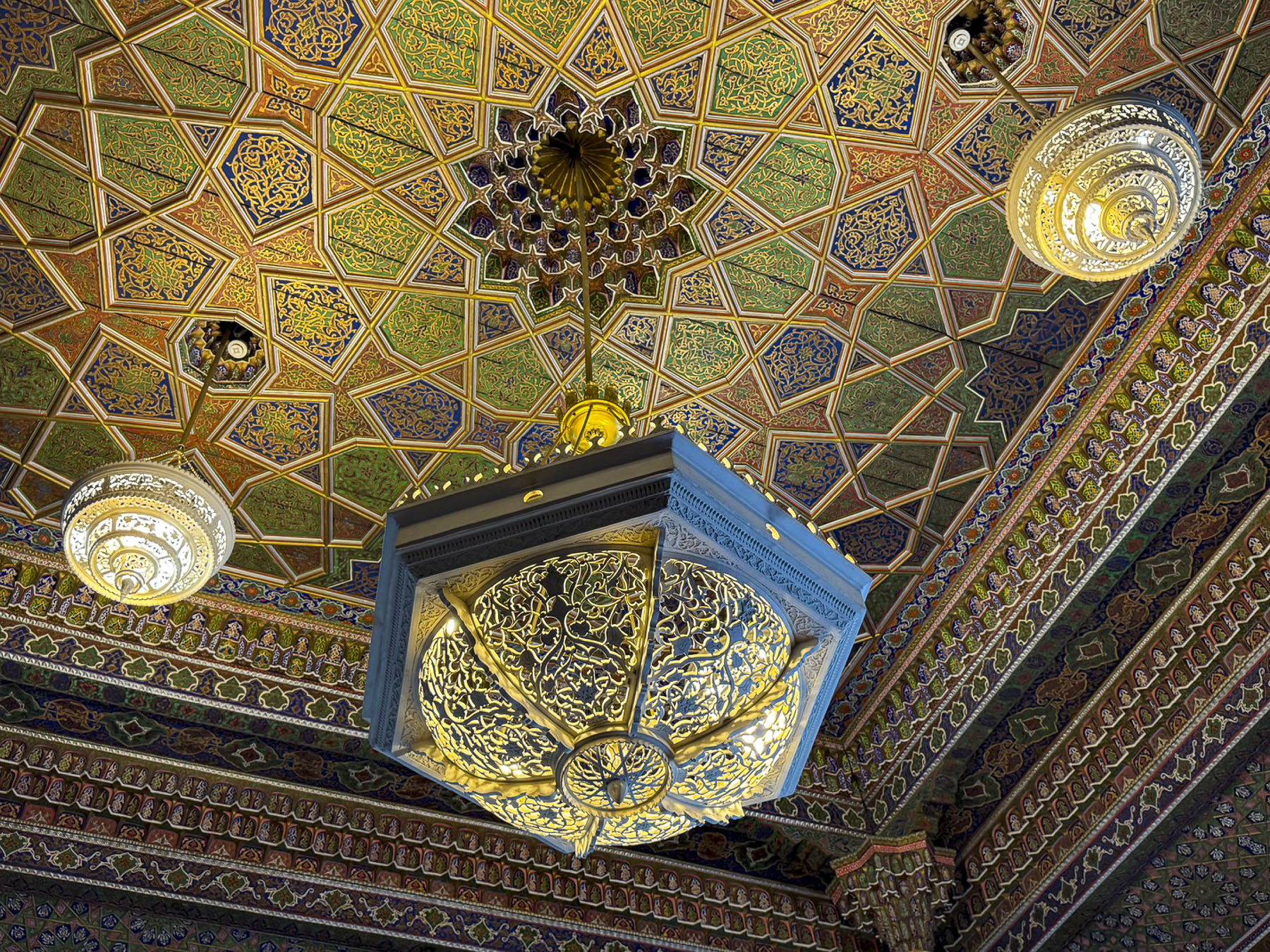
While the exterior facades are traditional, the interior of the palace is a visually and texturally rich artistic expression that wonderfully overwhelms the senses. We mused that the flamboyant Las Vegas entertainer Liberace would have been right at home in its over-the-top décor. That speculation surely dates us as kids of the 60s.

The day we toured the site there were numerous crafts vendors, with fairly priced merchandise, set up along the garden paths and peacocks roaming freely about the park-like settings.

The emir only had a few years to enjoy his creation before fleeing the country after the Bukharan emirate fell to the Soviet Red Army in 1920. Fortunately, the communists appreciated the artistic merit of the site and preserved it as a decorative arts museum.

That evening under a clear night sky we enjoyed live piano music on the plaza around the corner from the hotel, at The Terrace Bukhara ECO Café.

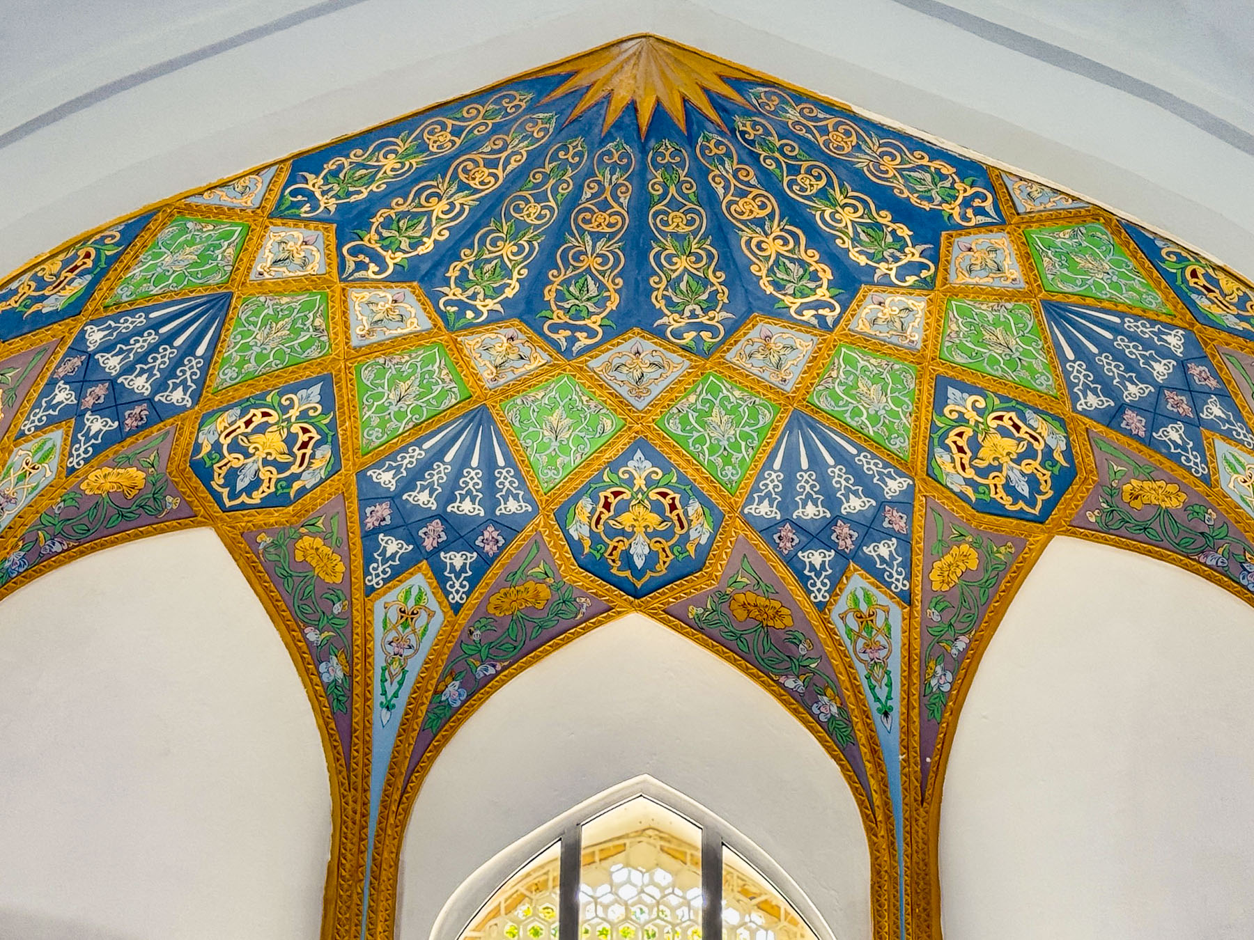
On our last full day in Bukhara we had the morning for ourselves to wander around and explore. There are so many ancient madrassas in Bukhara, many of the smaller ones throughout the town have been or are in the process of being renovated into boutique hotels. And there are others in a state of semi-ruin, that have been stabilized enough to be safe for vendors to set up craft stalls in but remain architecturally interesting. The Abdulaziz Khan Madrassa (1652), located directly across from the Ulugbek Madrassa (1417), was an amazing example of this. Its monumental pishtaq, entrance way, had one of the best examples of a muqarnas, the intricate honeycomb-shape vaulted ceiling, found on madrassas in Bukhara.

Even though the domed ceilings above the vendors in its main hall were not restored, they were also stunning. In the courtyard large sections of tilework were noticeably missing.

Continuing on we walked through the medina to the Chor Minor Monument, a unique structure with four blue capped towers, which represent the cardinal points of a compass and the Samanids, Shaybanids, Karakhanids, and Manghits dynasties. Atop one tower is a sculpture of nesting storks.

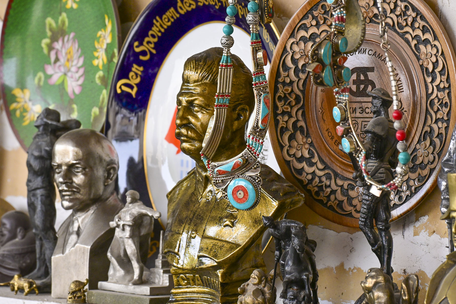
They used to be a common sight nesting on the domes all across the city.  Their presence was enjoyed, with folks believing the birds brought good luck, peace, and domestic happiness.  Across from the monument was an antique shop that features all sorts of Soviet memorabilia.

Afterwards we headed to the Labi Hovuz plaza where we were scheduled to reunite with our group at the bronze statue of Khodja Nasreddin, a legendary folkloric figure who used his “sharp wit, humor, and feigned ignorance to outsmart the greedy, hypocritical, and powerful,” in front of the Nodir Devonbegi Madrassa for a dance and fashion show.

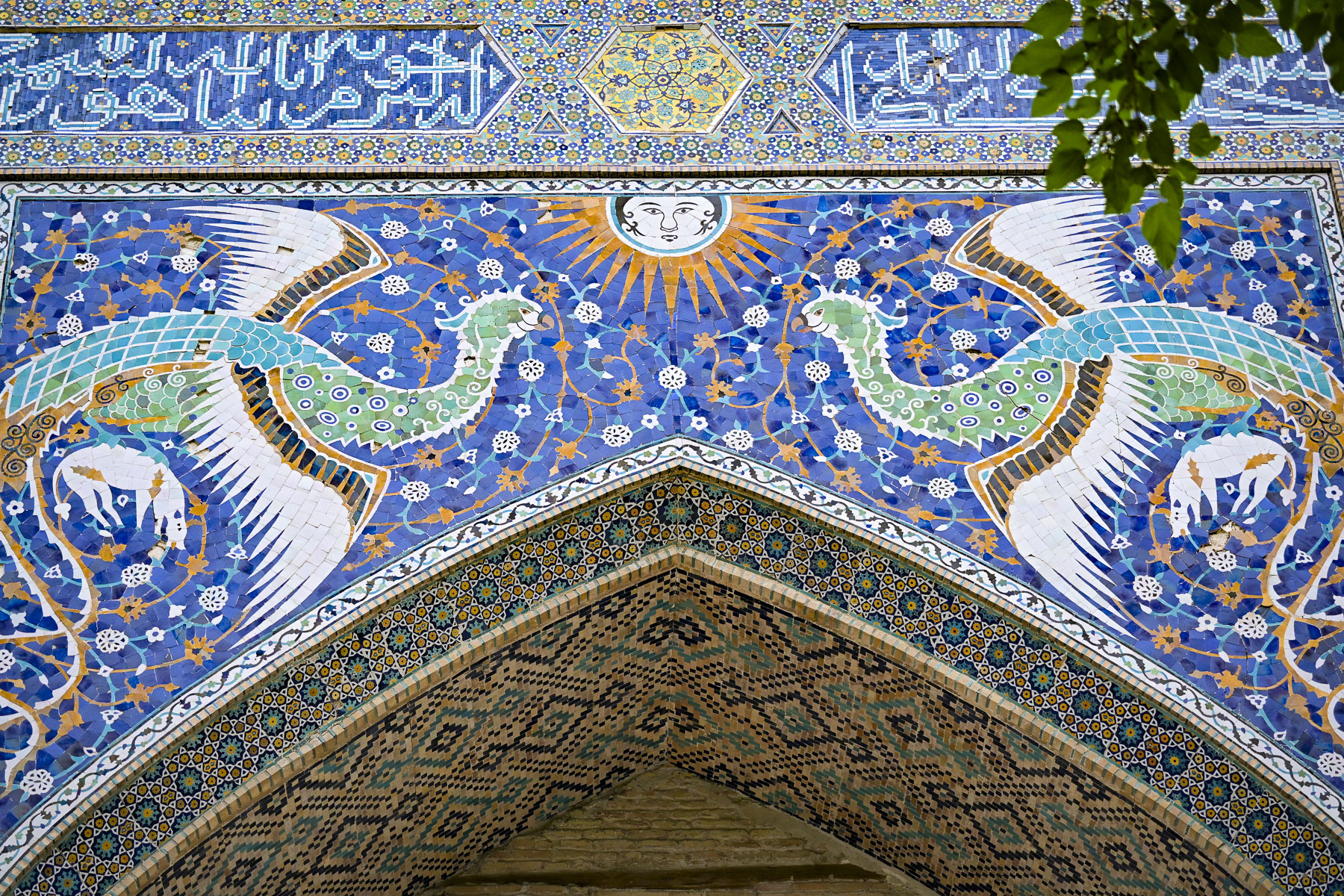
Nodir Devonbegi was originally built in 1622 to be a caravanserai but was repurposed when during its opening ceremony the khan inadvertently praised it as a madrassa. So be it. The front of the building is unusually adorned with an elaborate tile mosaic featuring a pair of stylized birds, mythical Simurghs, clutching deer and flying toward a human-faced radiant sun. This is very unusual for Islamic art as it normally prohibited using depictions of animals or human figures and reflects a short-lived regional relaxation of the rules in the 17thcentury.

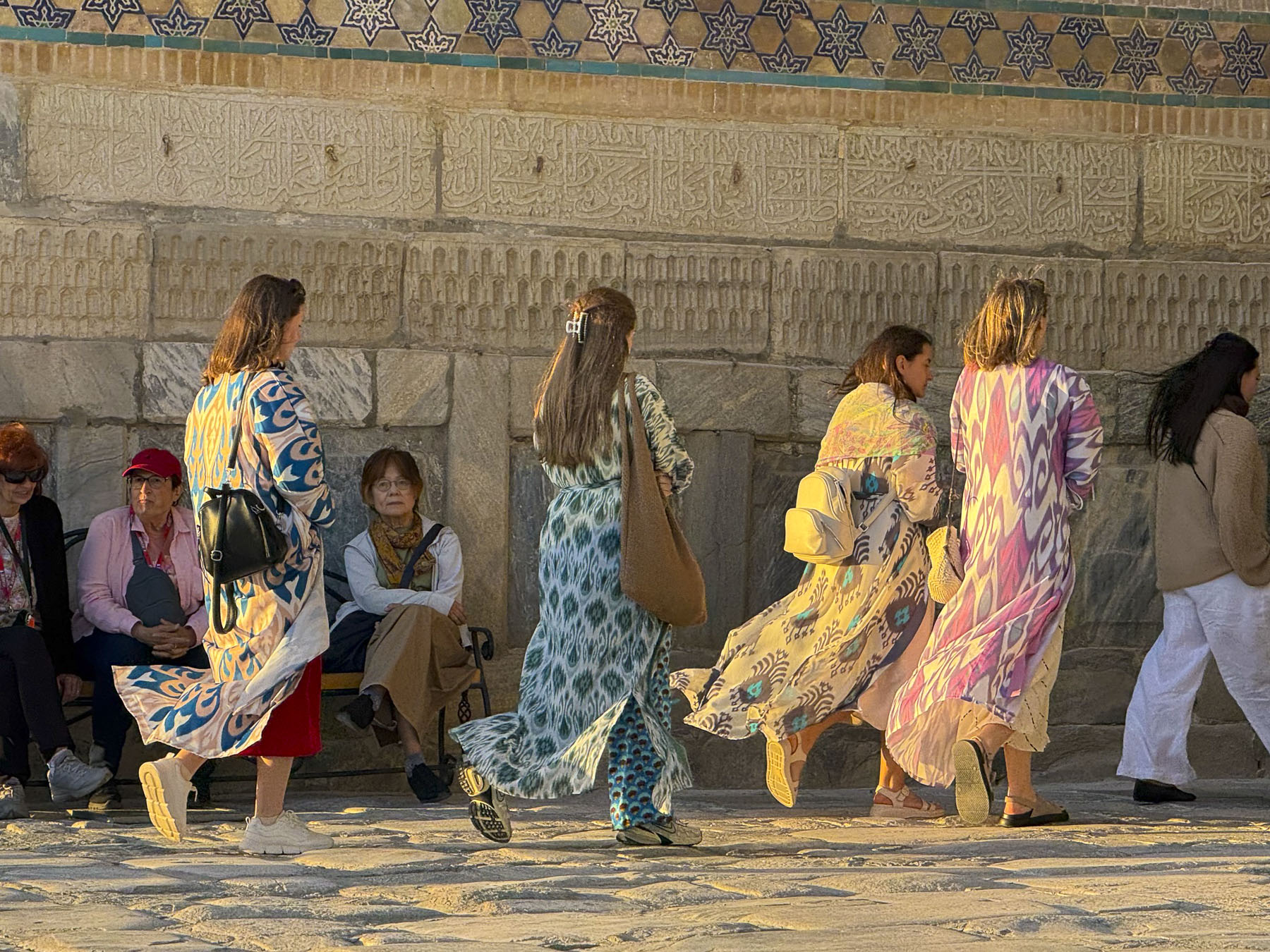
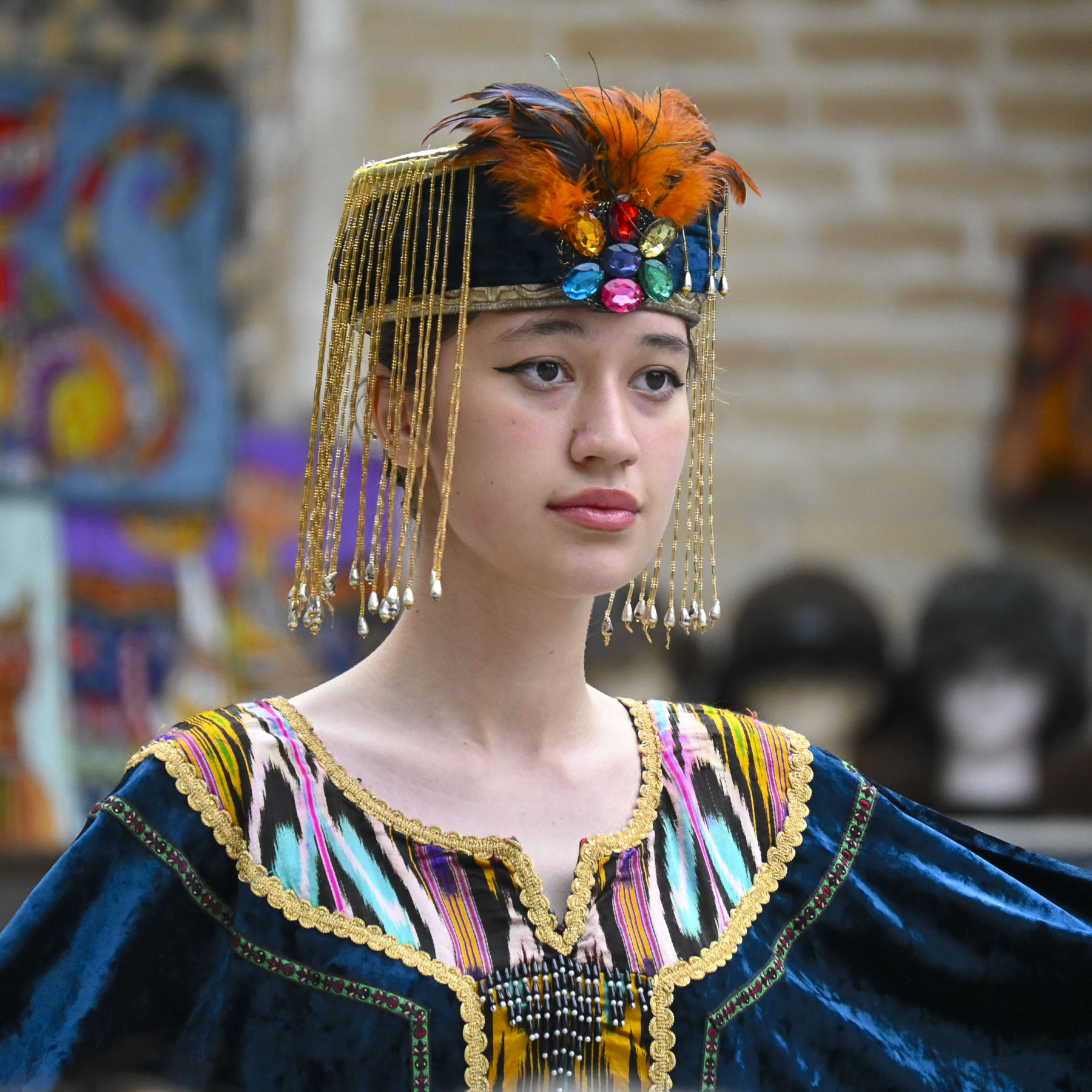
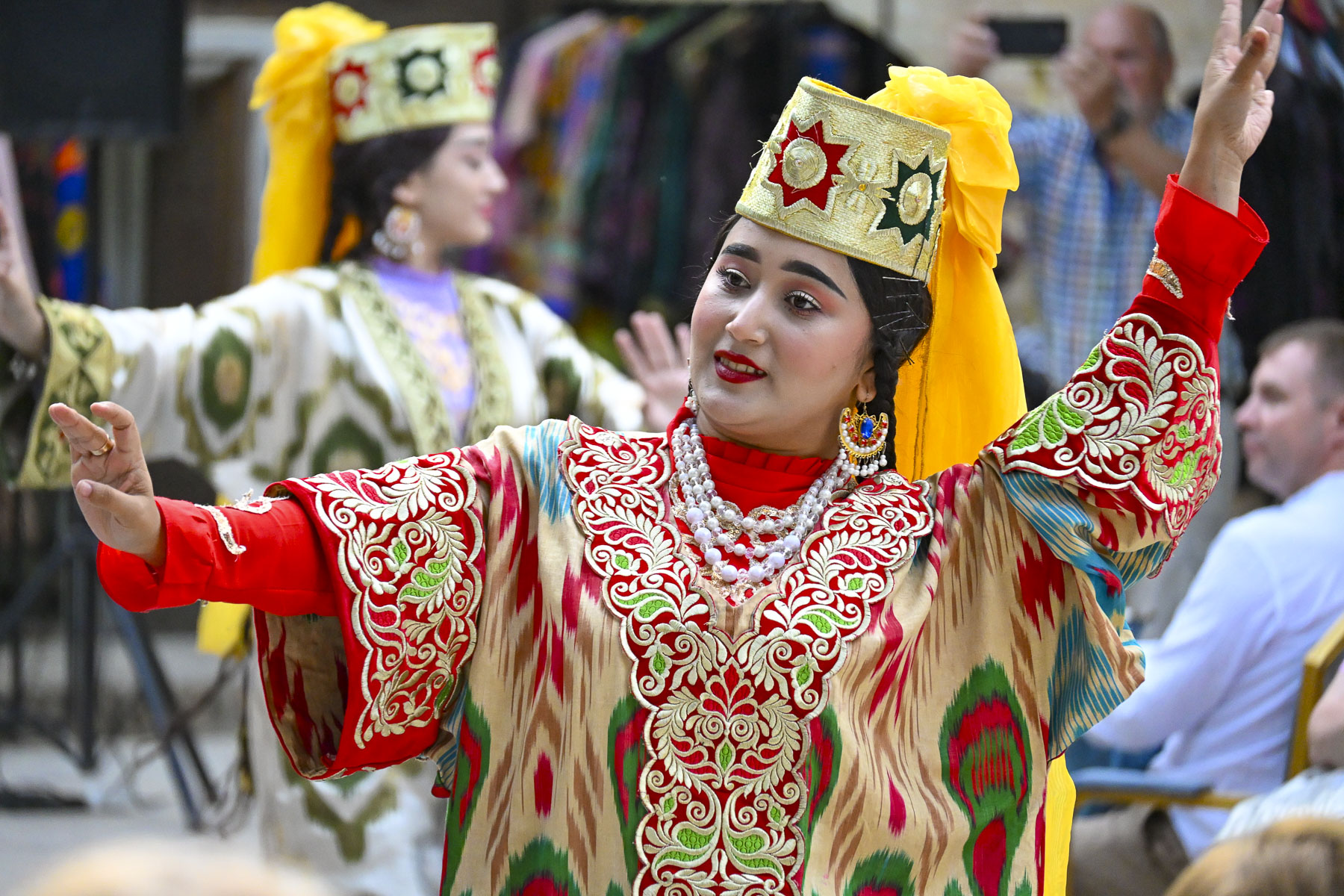
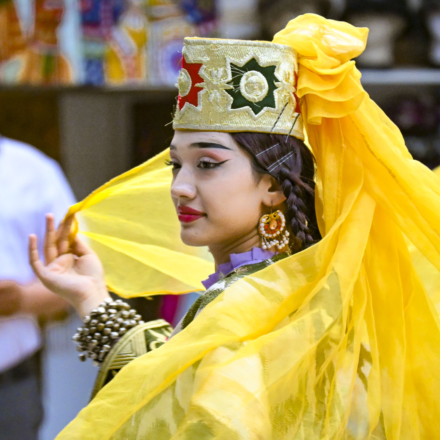
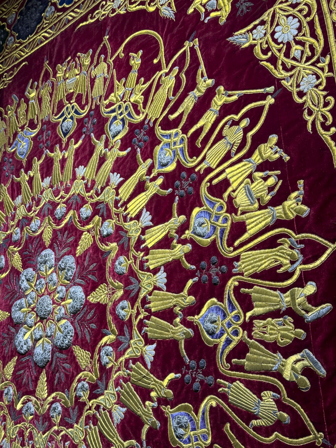
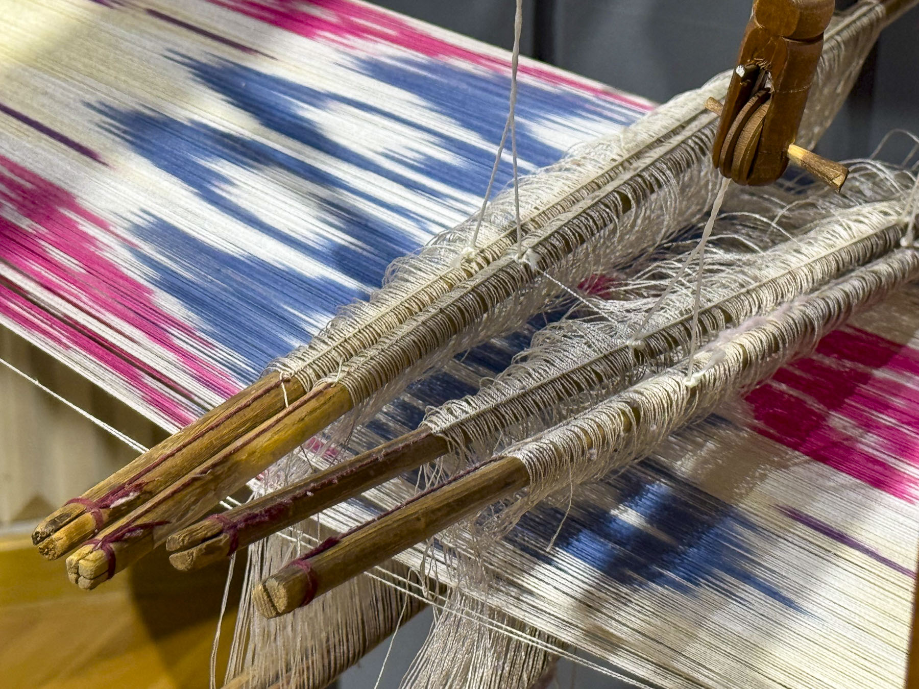
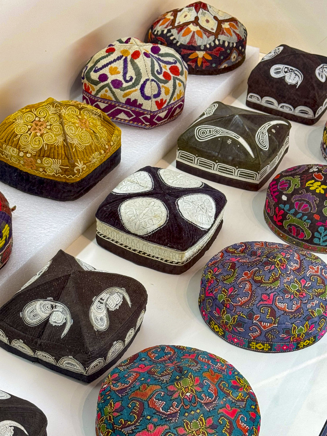
Inside we were enthralled by a lively performance of traditional Uzbekistan dances in between the wardrobe changes of a surprisingly interesting fashion show by the internationally acclaimed designer Umida Kabilova, who gives a bold modern interpretation to ikat, a dyed patterned silk fabric for which Bukhara is known.

Afterwards we made a quick stop at the Khammam Sarrofon, a hammam built in the early 1530s. It is a cavernous space that had a heated floor, and was used almost continuously for over four centuries until the Soviets damaged it during their 1920 attack on the city. It was restored and served the community until the 1970s. 

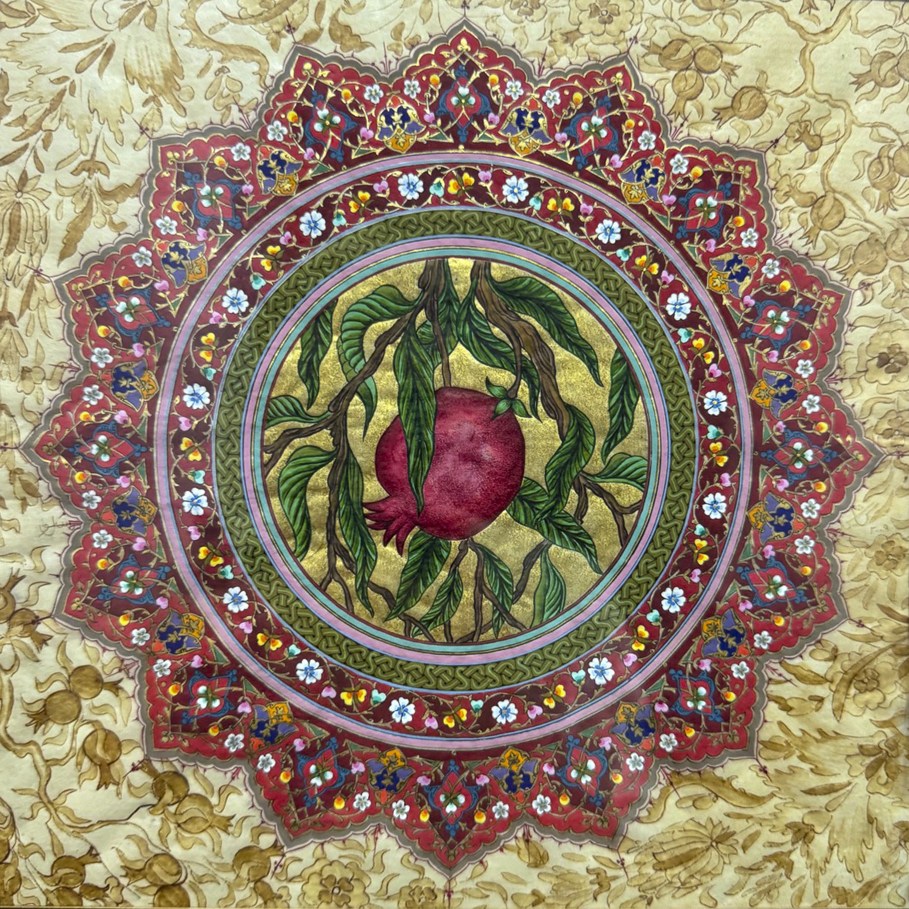
Down from the hammam was the studio and gallery of the Ustoz Shogird Miniature Workshop, founded by Davlat Toshev, an internationally recognized artist who is known for his work on restoring ancient manuscripts. He was clandestinely taught the art of Persian miniature painting by his father during the Soviet era, when Uzbekistan’s cultural identity was being suppressed. In a desire to keep this ancient tradition alive he started mentoring students, many with learning handicaps, in the 1990s, eventually opening a school in 2018. It’s a beautiful space, and the demonstration of how to color silk paper by two of his students, with a member of our group participating, was charming. The artwork on the walls was beautiful. We couldn’t resist purchasing one for a souvenir. It was a really great experience that we highly recommend if you like art.

Toshev enjoys sharing Uzbekistan’s culture, so much so that his family offers a culinary workshop on how to make plov, the country’s national rice pilaf dish, in their home. It was our group’s last dinner in Bukhara, a festive occasion, and a great way to end our time in this intriguing ancient city on Silk Road.

Till next time,

Craig & Donna

Tashkent, Uzbekistan: Historic and Cosmopolitan or Surprisingly Fascinating & Wonderful

Uzbekistan is having its moment after years of slowly simmering interest; it’s exploding into a full-fledged tourist boom. It is exponentially growing from 1 million tourists in 2016 to almost 13 million in 2026, and with a modern infrastructure that includes the newly operating “Jaloliddin Manguberdi,” a high-speed electric train that will whisk passengers 1,020km (630 mi) across the country from Tashkent to Khiva in 7.5 hours with stops in Samarkand, Bukhara, and Urgench. The country is quickly becoming Central Asia’s most intriguing Silk Road destination, and with the recent opening of the state-of-the-art Islamic Civilization Center, Islom Sivilizatsiyasi Markazi, in March 2026, Tashkent will be of particular interest for tourists from the Middle East and Southeast Asia.

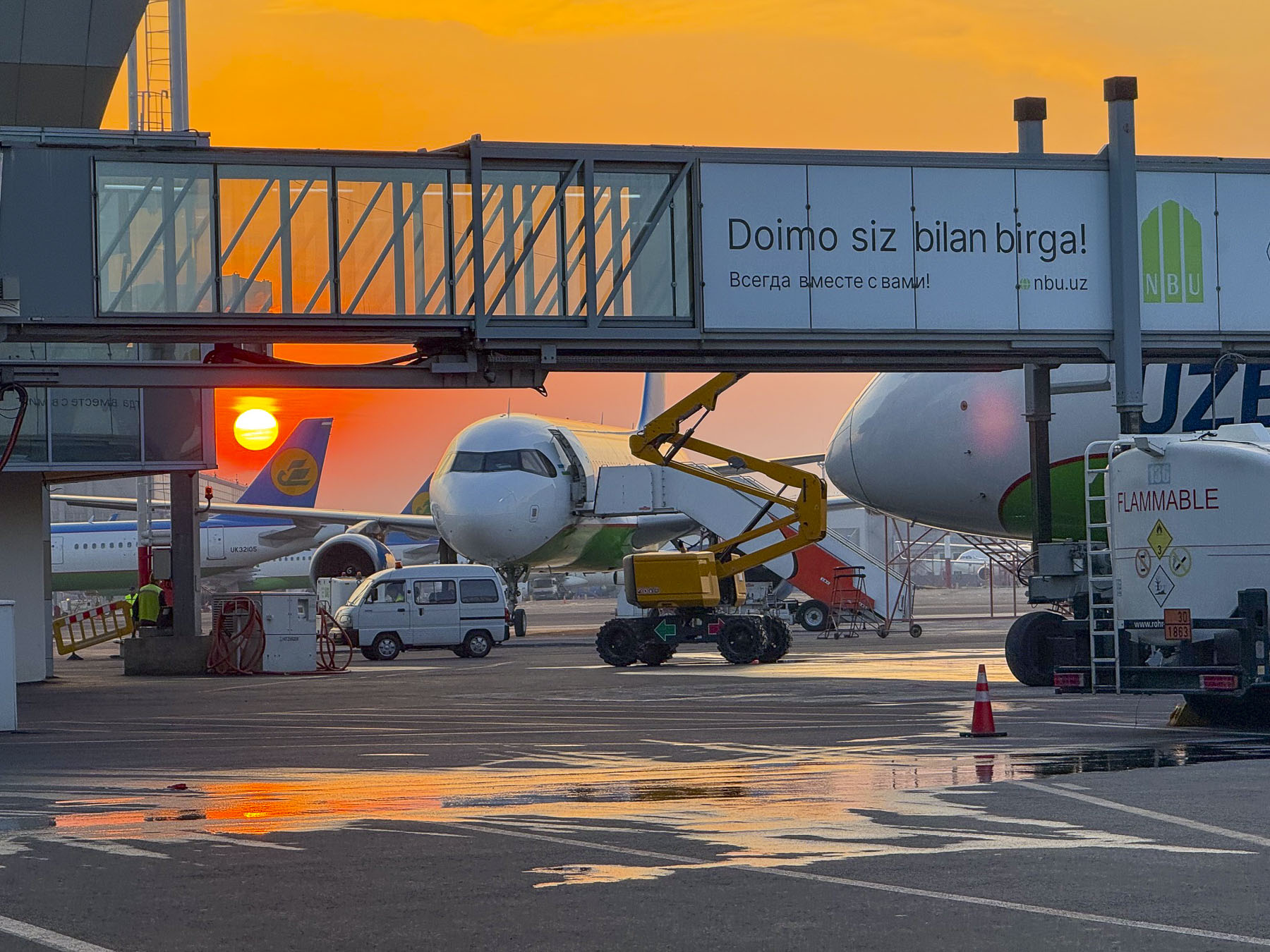
The ATMs at TAS, Tashkent’s International Airport, were conveniently located next to the baggage carousels in the arrivals area, as were signs for YandexGo, the most popular ride-share service in Uzbekistan. Walking away from the ATM with about 2,400,000 Uzbekistani Som, roughly $200.00 at the rate of 1 USD = 12,000 UZS, we felt like newly minted millionaires. We were not able to link a credit card to the YandexGo App, but soon realized a twenty-minute ride across Tashkent to the Hotel Uzbekistanwould only cost 21,000 UZS. Outside the terminal we navigated our way through a gauntlet of taxi hawkers to a sea of ubiquitous white cars. In and of itself, white cars are not unusual in any region where you can cook an egg on a rock during the summer, but the fact that they were mostly American branded Chevrolets, not the ever so popular Japanese cars, was very remarkable. They are the result of a thirty-year-old joint venture between GMC and the Uzbekistan government-owned UzAuto Motors, and steep import tariffs on foreign cars, which has led to Chevrolet producing  95% of the country’s new vehicles.

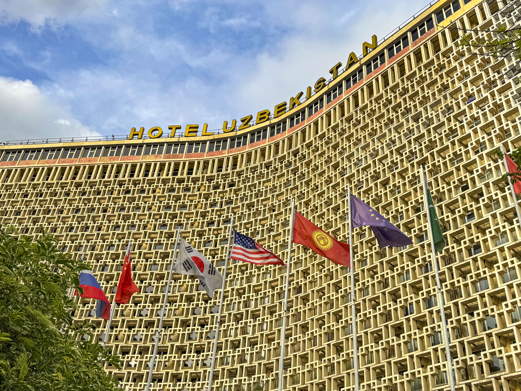
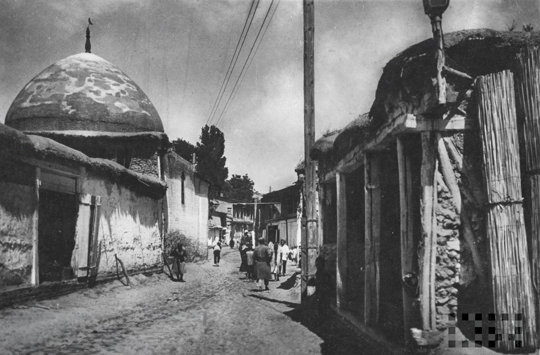
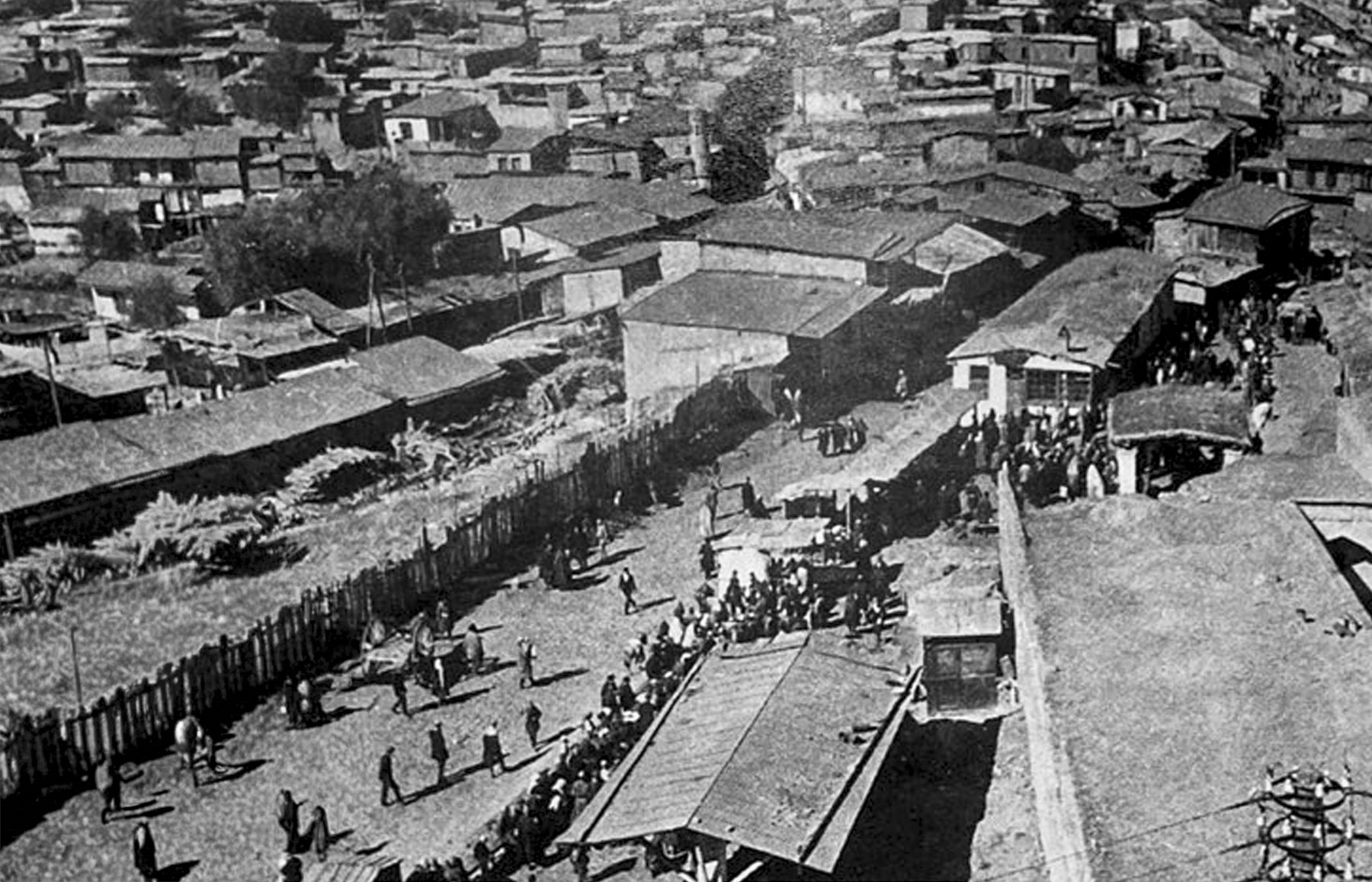
The Hotel Uzbekistan opened in 1974 when Uzbekistan was still part of the Soviet Union, eight years after a April 1966 earthquake destroyed many of Tashkent’s centuries old historic neighborhoods where the one and two-story homes were made of adobe brick. The catastrophic event left 300,000 people homeless.

The Soviet Union used this crisis to transform Tashkent into a “model Soviet city” with wonderfully wide boulevards, open plazas, and earthquake-resistant buildings, deploying architects and laborers from across its republics to build a “showcase of socialist modernism and multicultural “people’s friendship.” The revival of the city mushroomed after Uzbekistan’s independence in 1991, and continues with a building boom that peppers the city’s modern skyline with construction cranes.

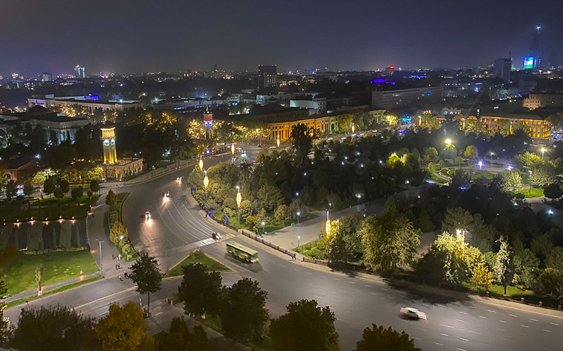
The style of the city’s new buildings constructed right after the earthquake is often referred to as Soviet Brutalist, an architectural style which features the love of concrete, and functionality over grace. And Hotel Uzbekistan was designed to be the centerpiece of the Soviet Union’s vision. For many years the building, with an open book profile designed to resist seismic activity, stood as the country’s tallest building, and was the premier hotel for international delegations to stay and hold conferences.

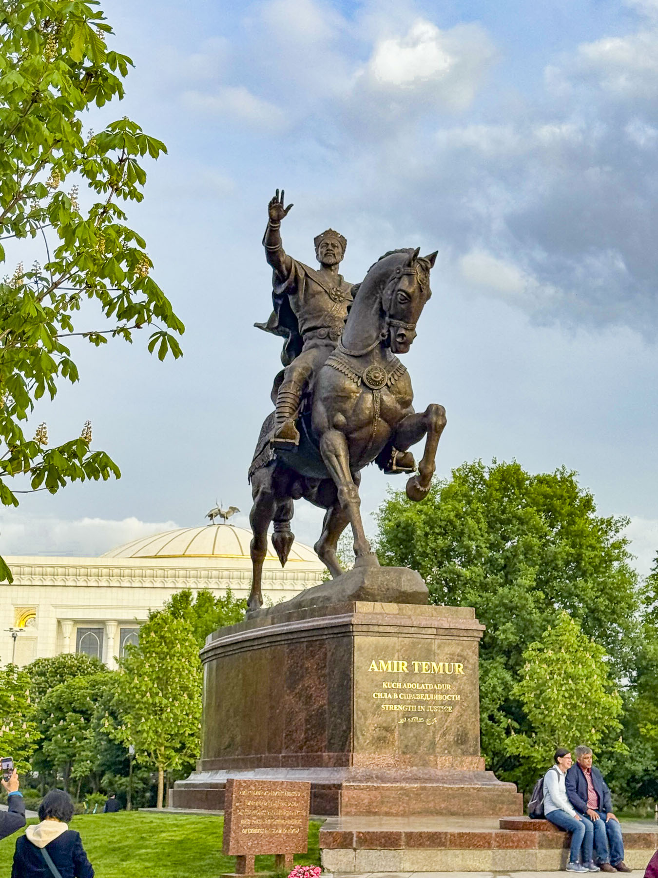
At the time its seventeenth-floor restaurant overlooked Lenin Square until the colossal statue of the Soviet leader was sent to the scrap yard in 1991 when Uzbekistan regained its independence, and replaced him with an equestrian statue of Amir Temur, an enlightened ruler who united the independent kingdoms of Samarkand, Bukhara, and Urgench during Uzbekistan’s 14th century renaissance, as the country seeks to reclaim its cultural history.

A thumping bass reverberated through the hotel, preventing any attempt of catching an early shuteye. Dressed again, we never intended to be Uzbeki party crashers, but we got caught up in the spirit of a couple’s anniversary celebration and enjoyed watching the band perform for a while. The hotel would be our base for three days to explore Tashkent before joining a group tour to Khiva, Bukhara and Samarkand.

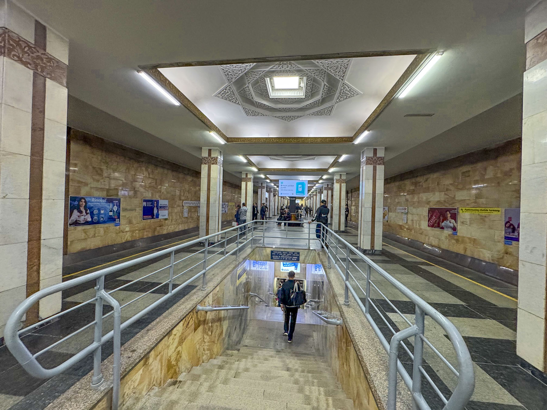
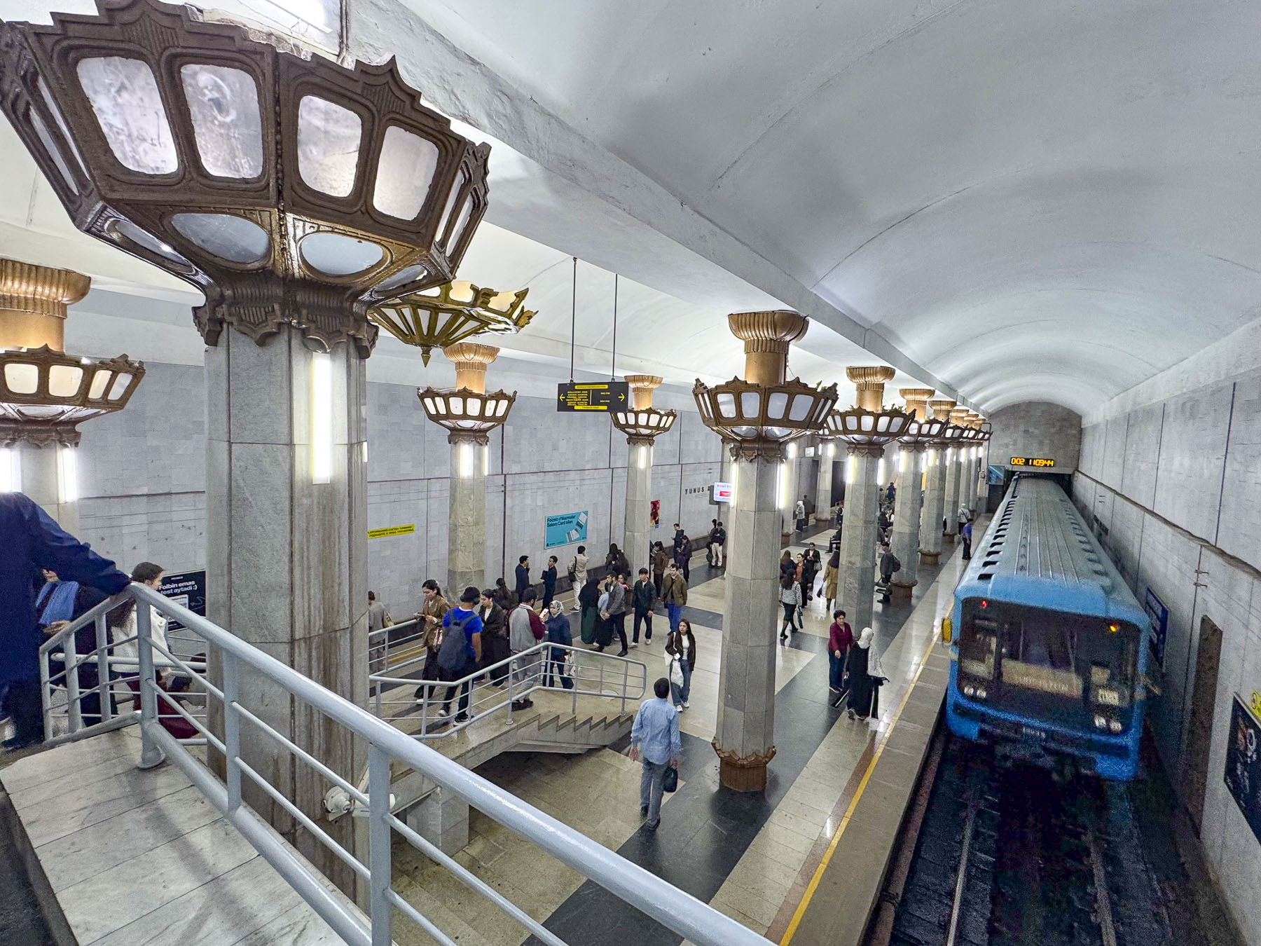
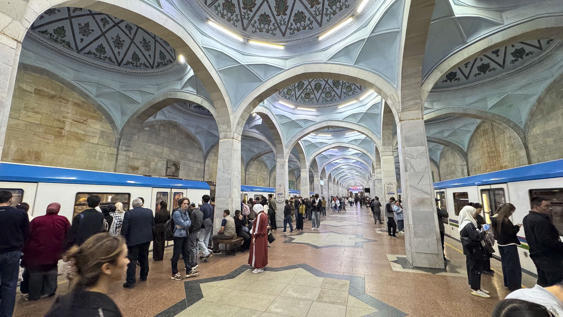
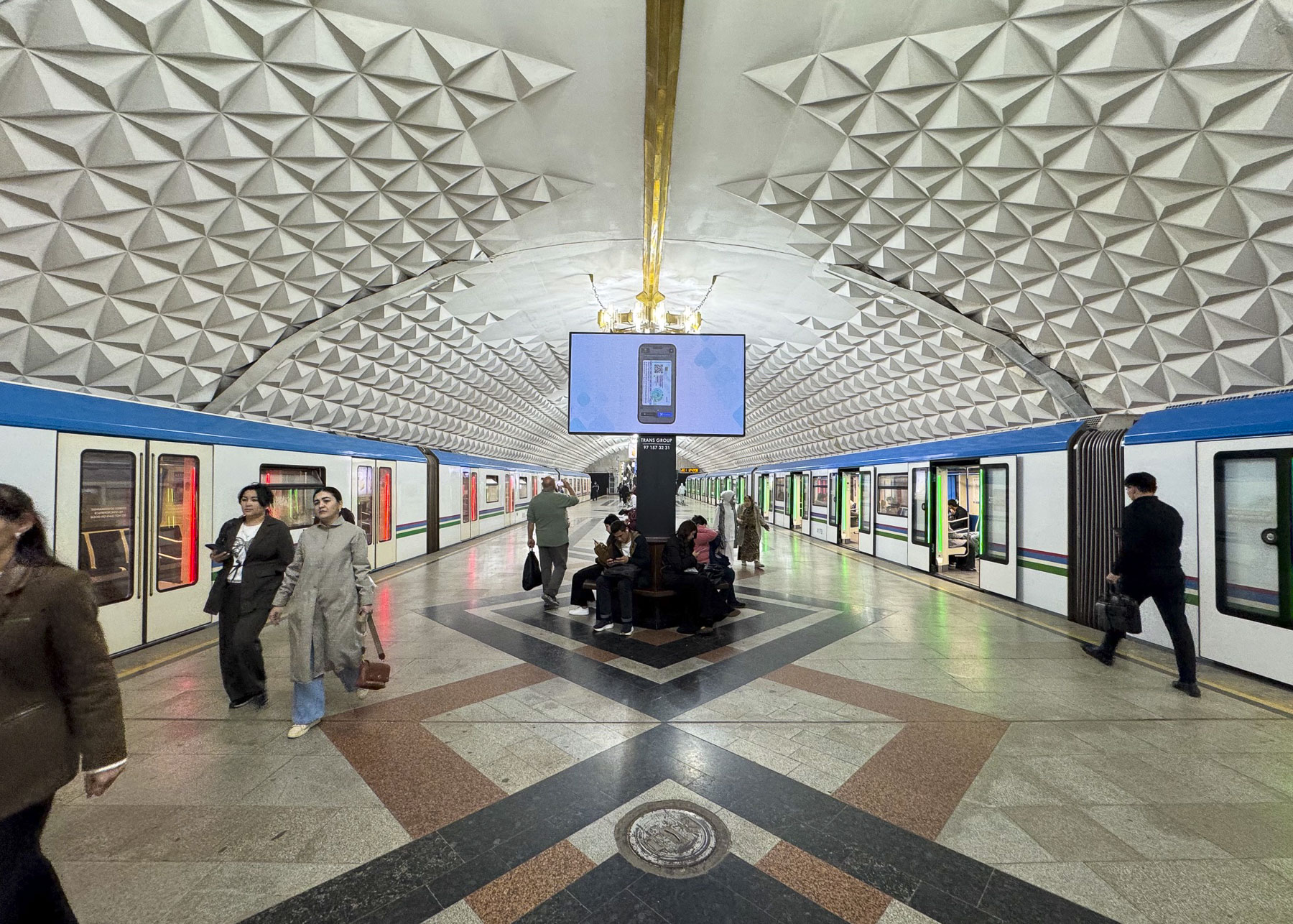
By 1970 Uzbekistan’s capital city was mostly rebuilt, and construction of Central Asia’s first subway system, a series of beautiful stations that were also designed to be utilized as bomb shelters in case of emergencies during the Cold War era, was underway.  The next morning, we set out after an early breakfast and worked our way against the morning crush of young professional ascending from the depths of the Amir Temur Hiyoboni station, just a block from our hotel.

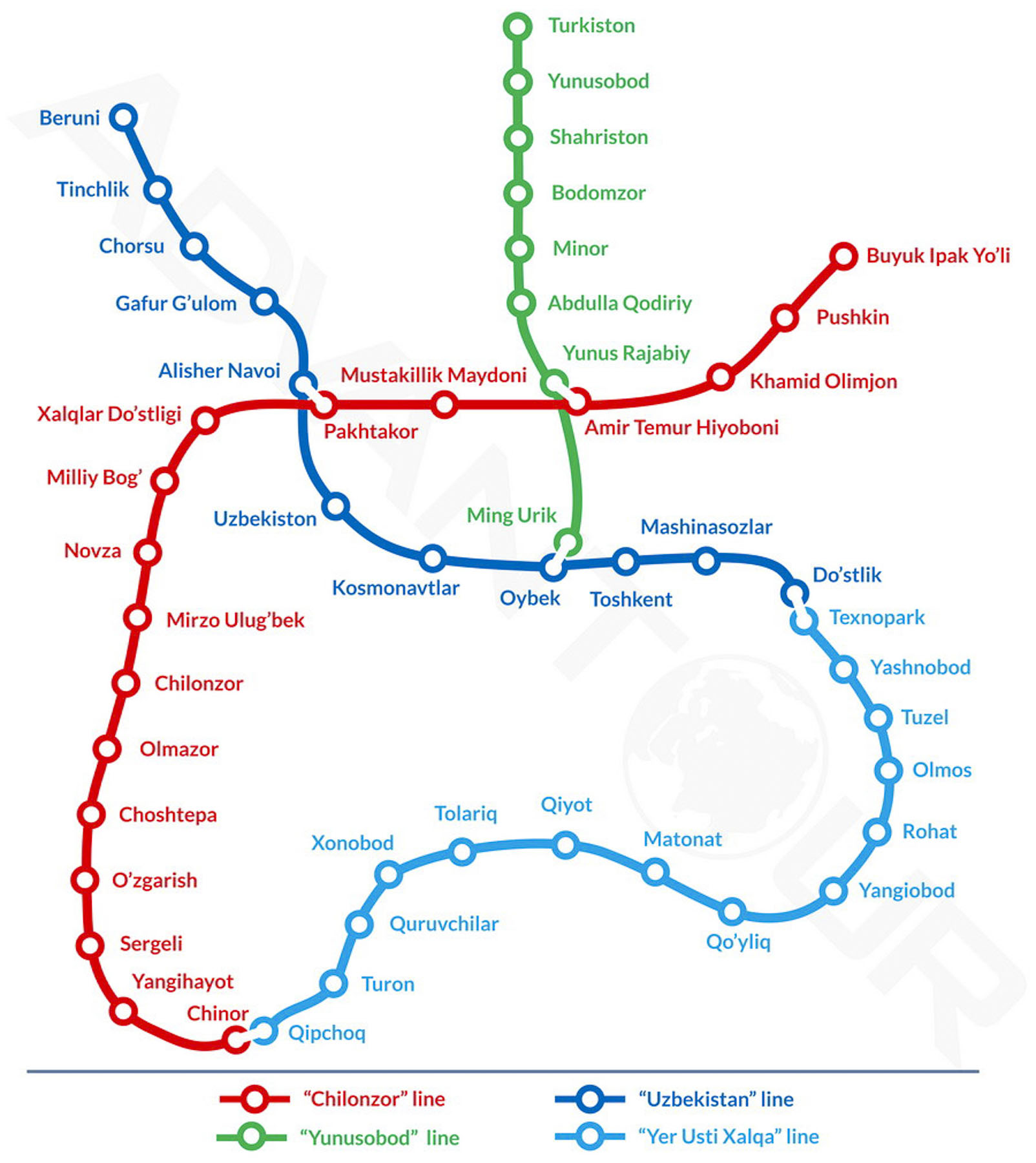
The underground tunnel leading to the turnstile offered perfect acoustics for a young Uzbeki busker who played for the commuters. The Tashkent Metro now has four lines, and 50 stations along 70km (44 mi) of track. Rides at the time of our visit cost 1,700 Uzbeki Som (about $0.14 USD), and were easily payable at the turnstile with a tap of our credit cards.

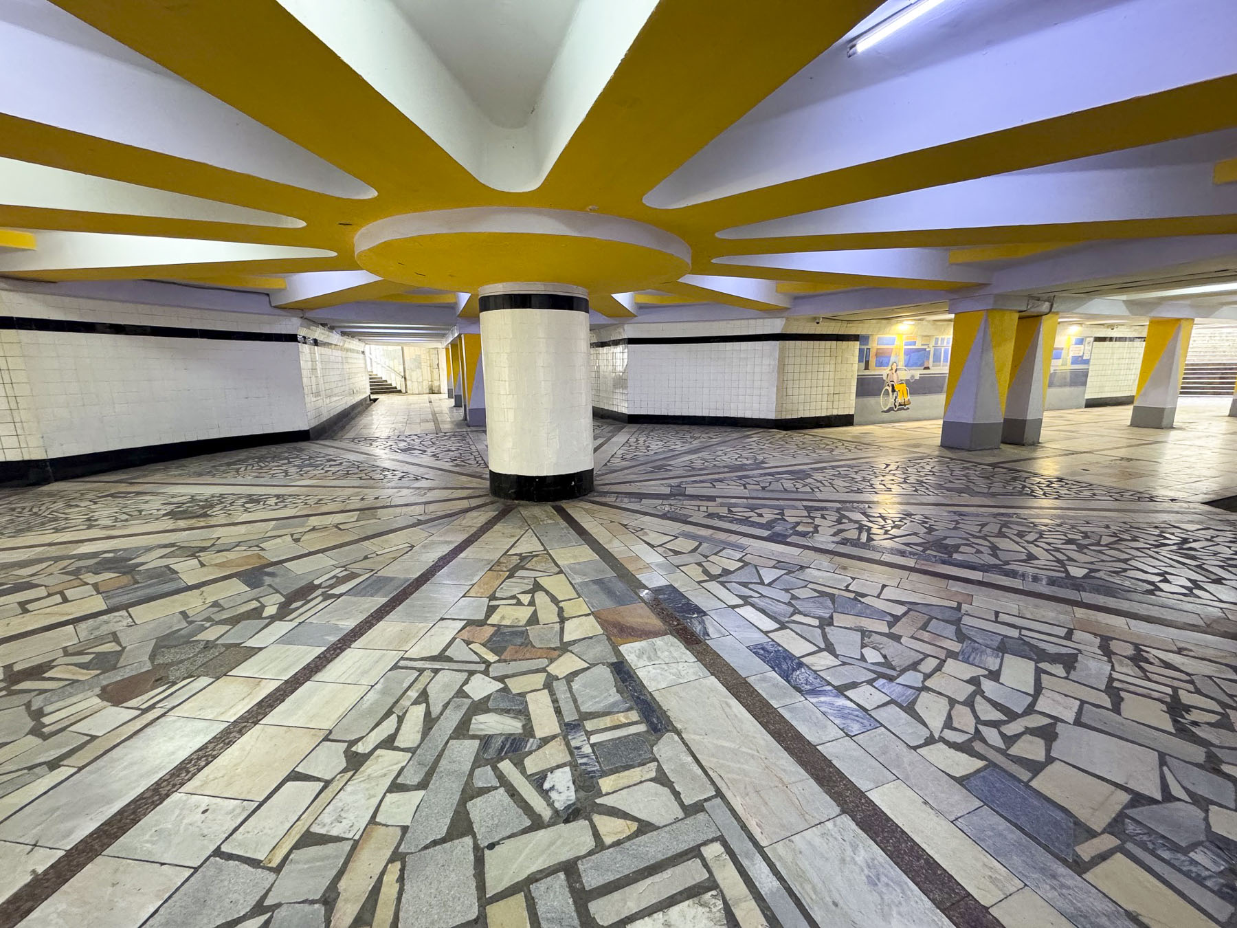
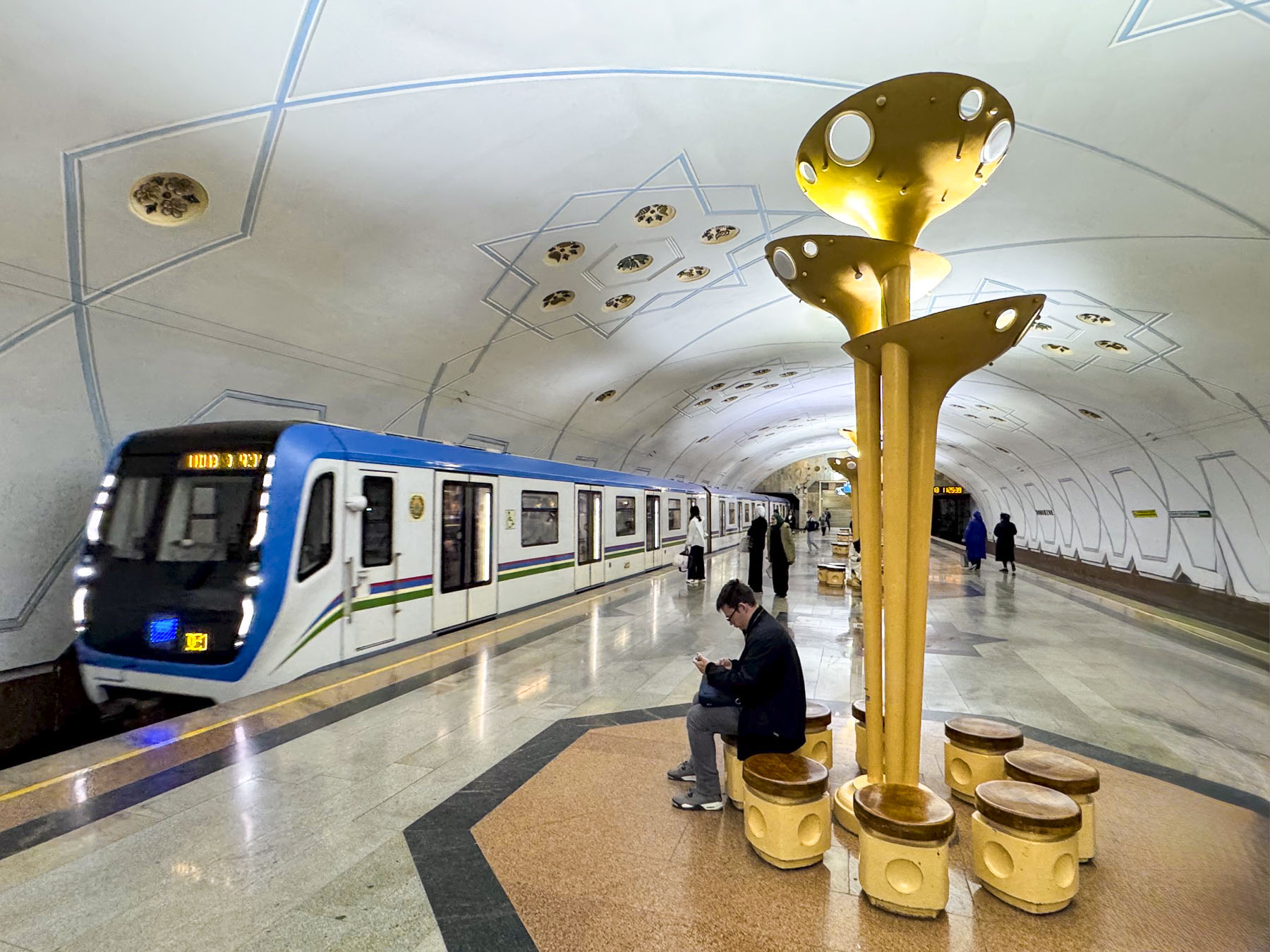
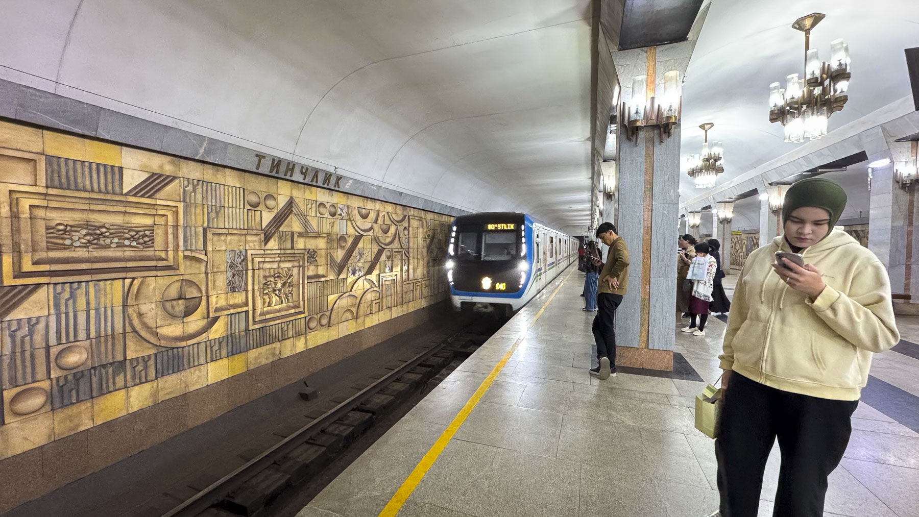
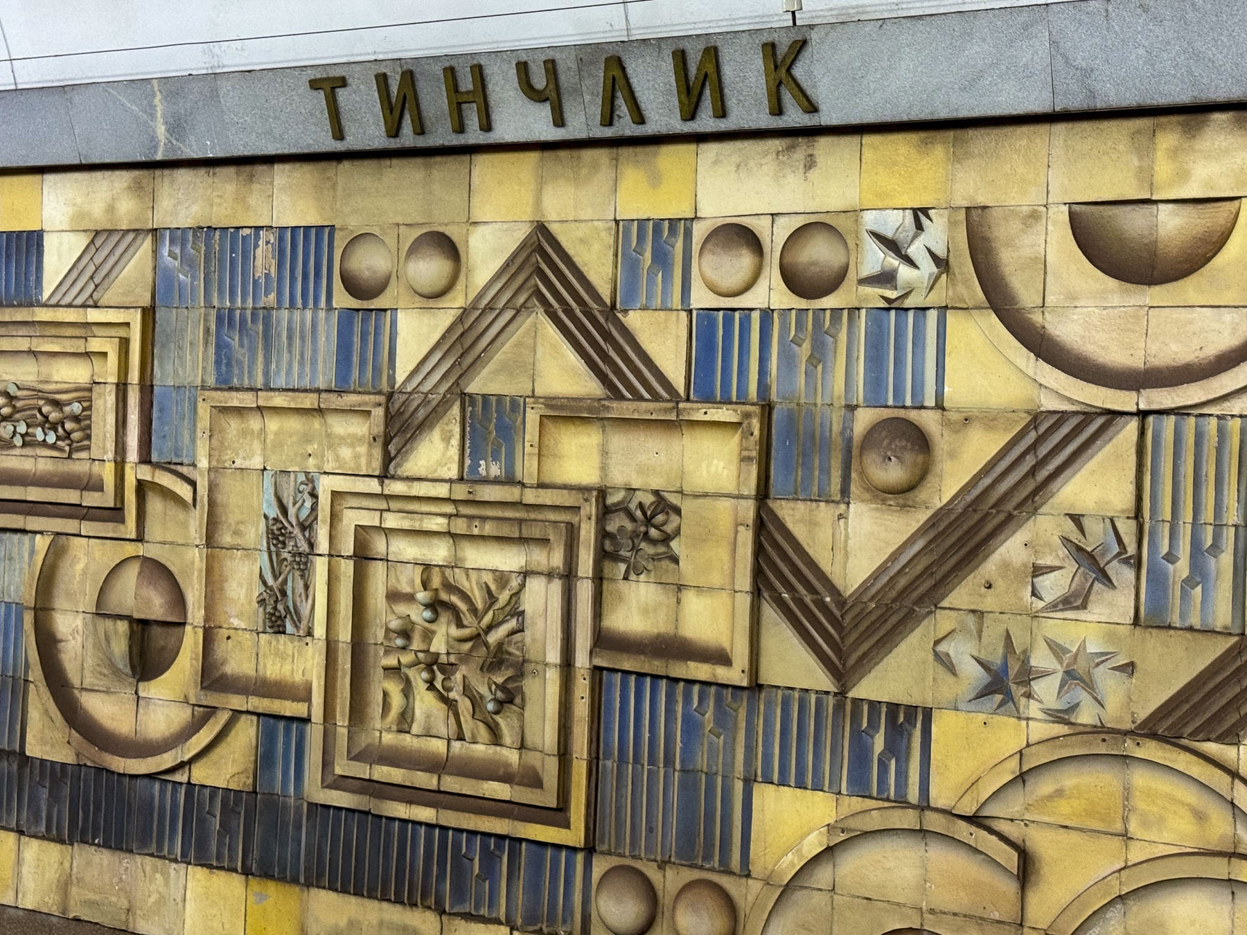
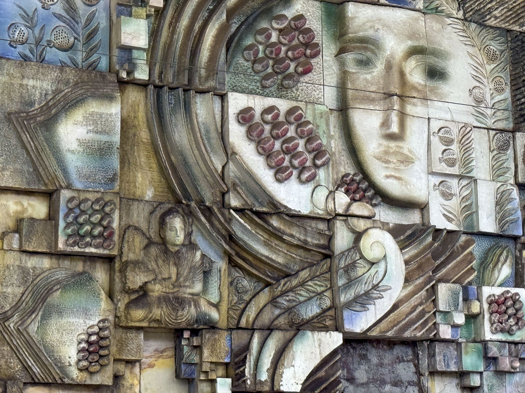
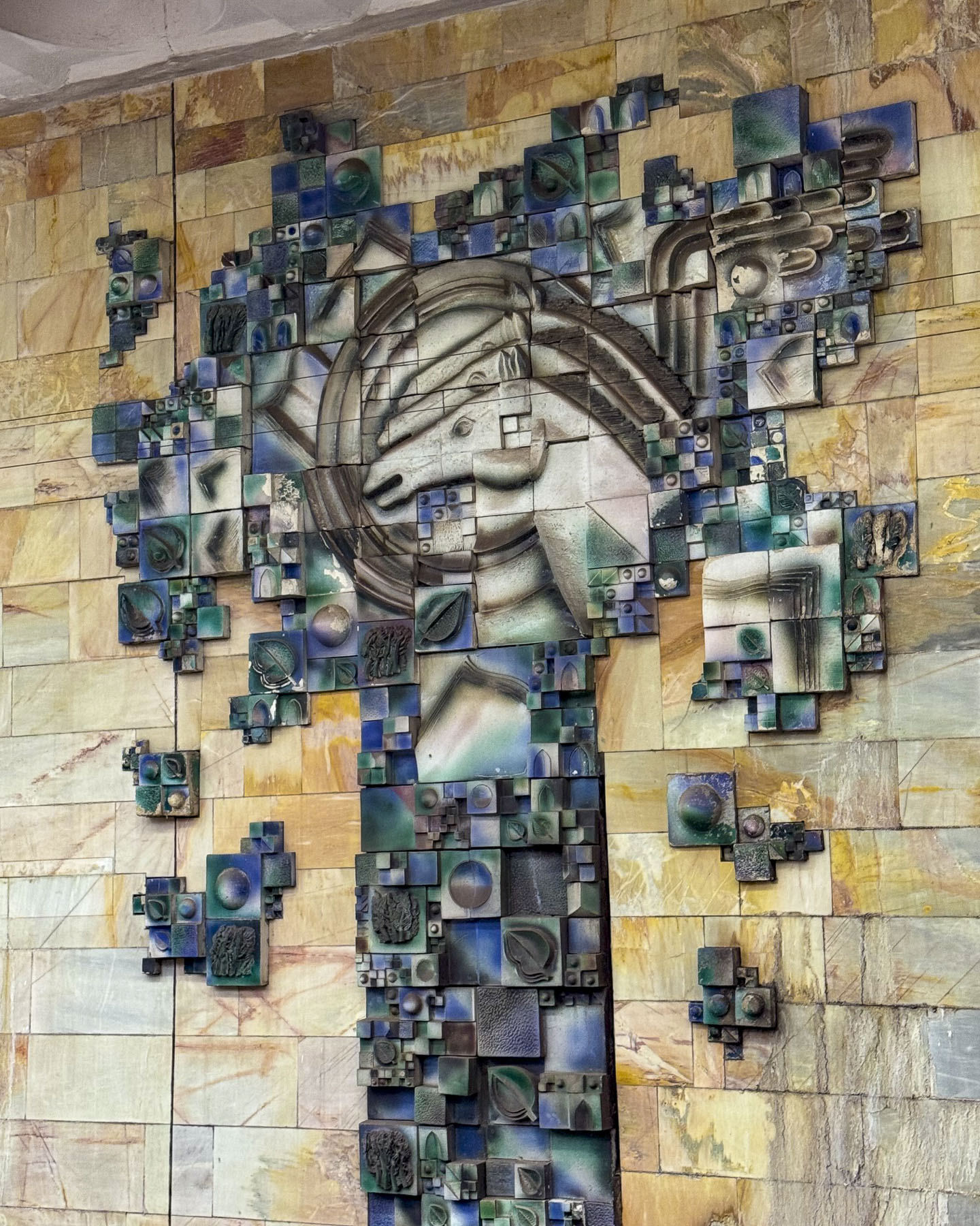
We spent a good part of the morning riding between the stations that encircle central Tashkent, hopping on and off to photograph some stations that were noteworthy for their striking architectural beauty, that often resembled a formal waiting chamber in an elegant palace, before transferring to another line.

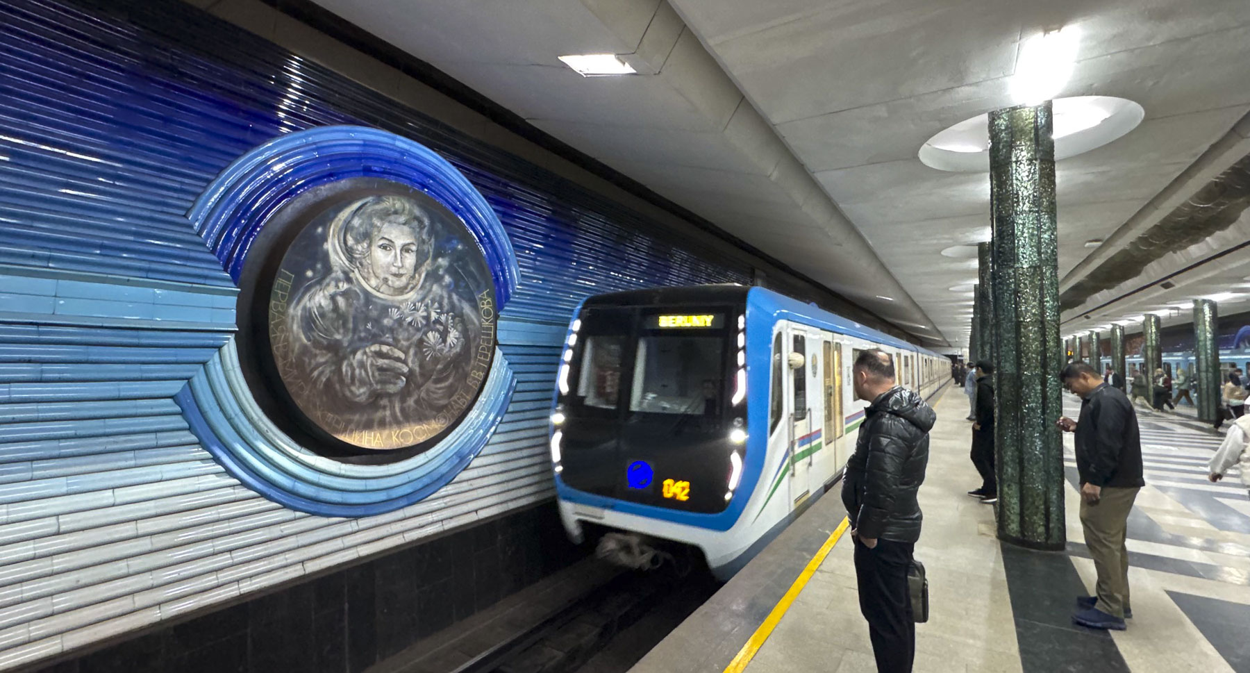
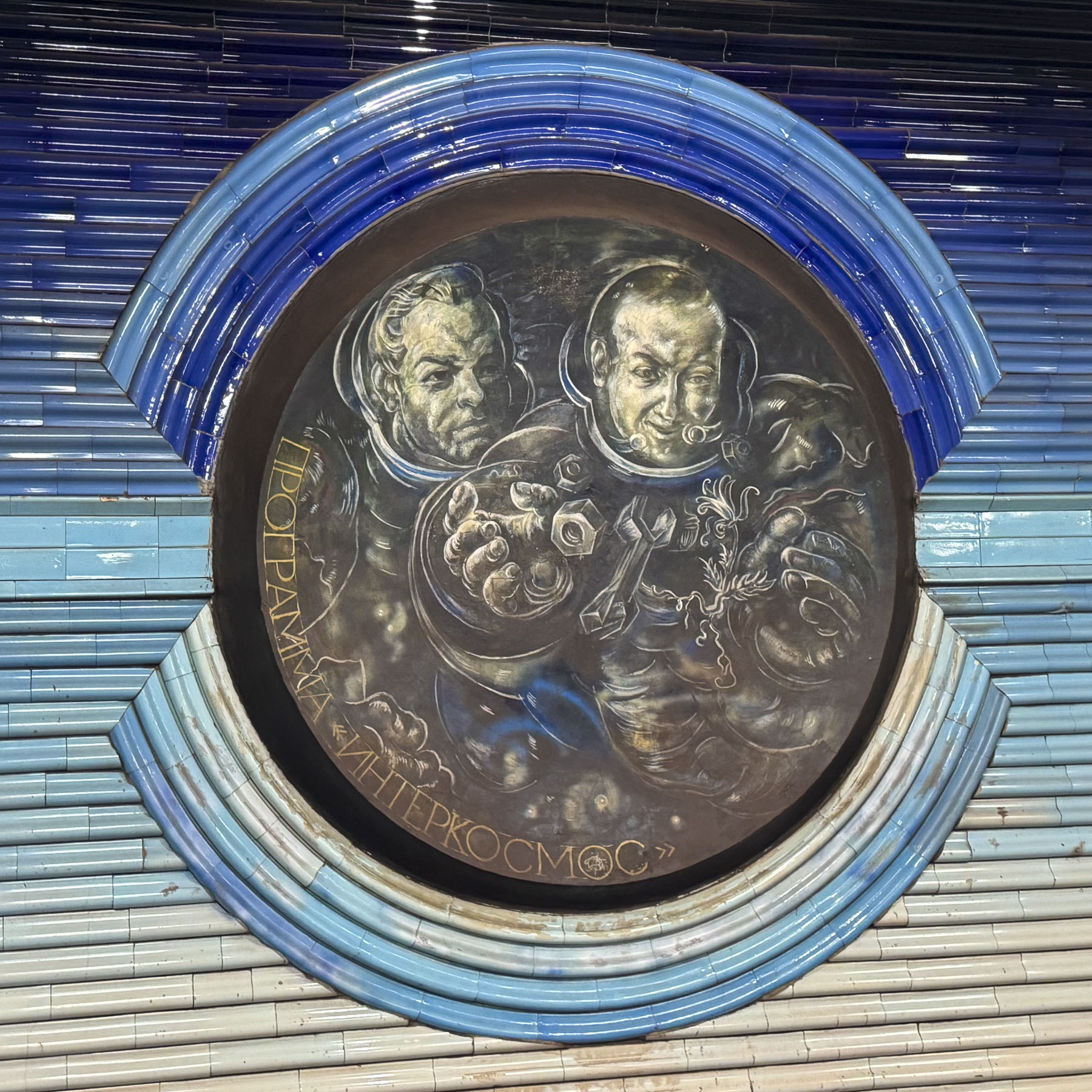
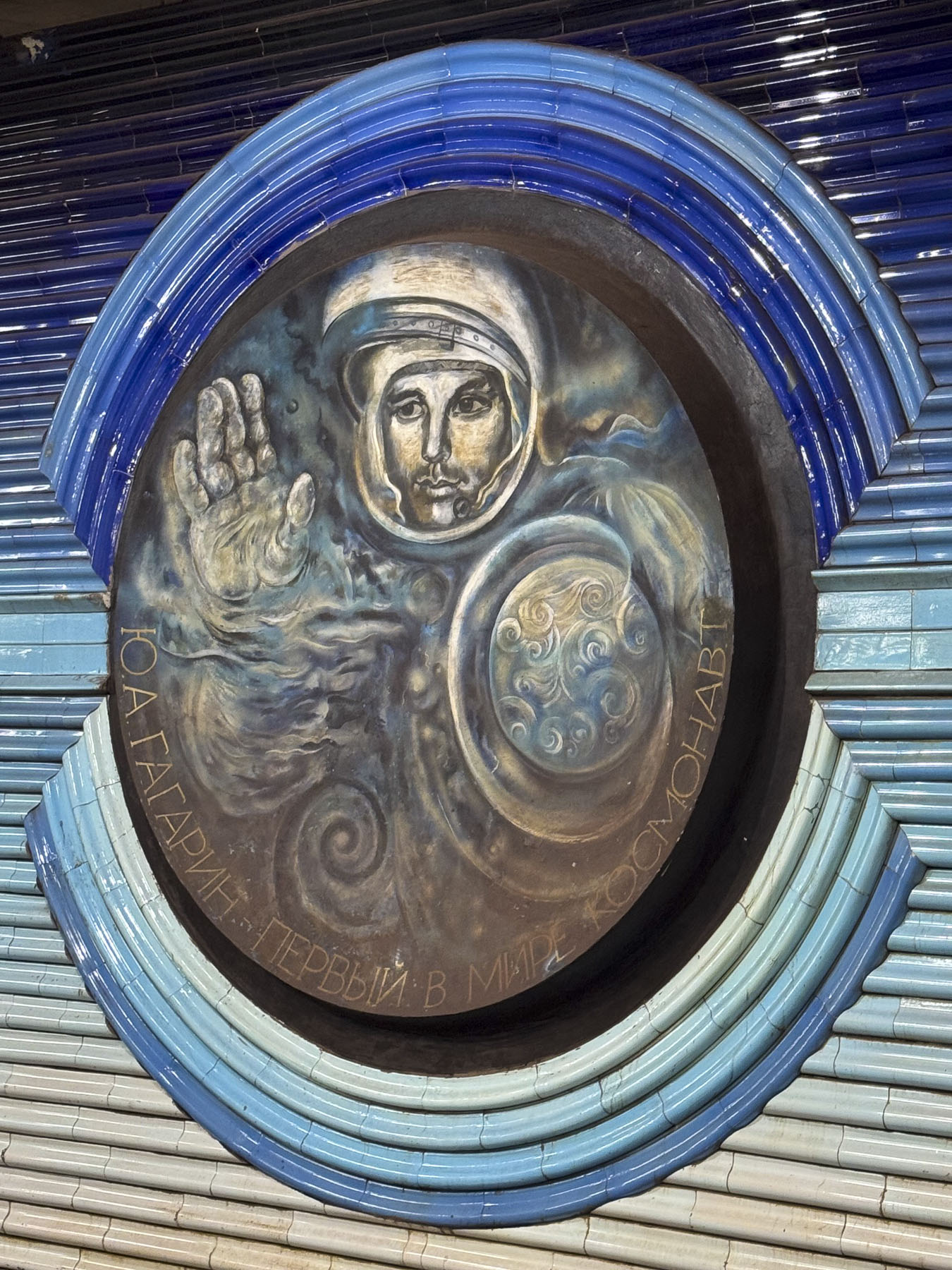
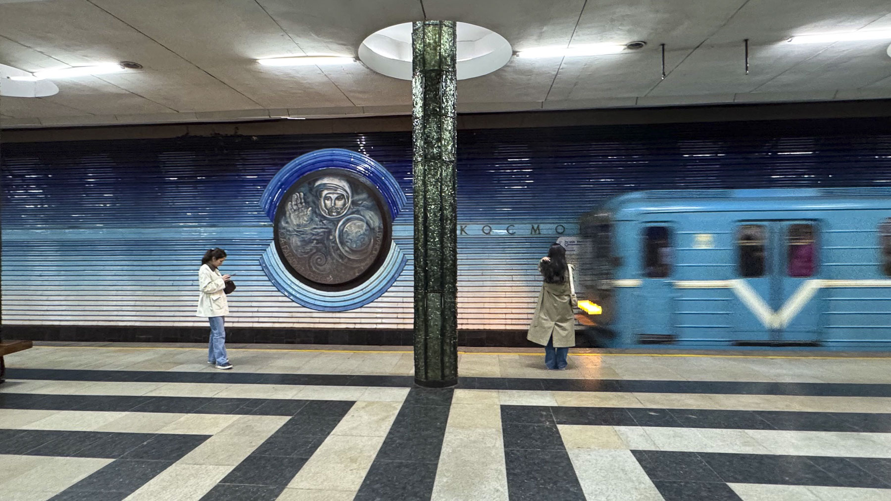
We eventually worked our way to the Kosmonavtlar Station, where the walls are beautifully embellished with tile portraits of early Soviet astronauts. Surprisingly, because of their dual use as bomb shelters, photography in the subway stations was banned until 2018.

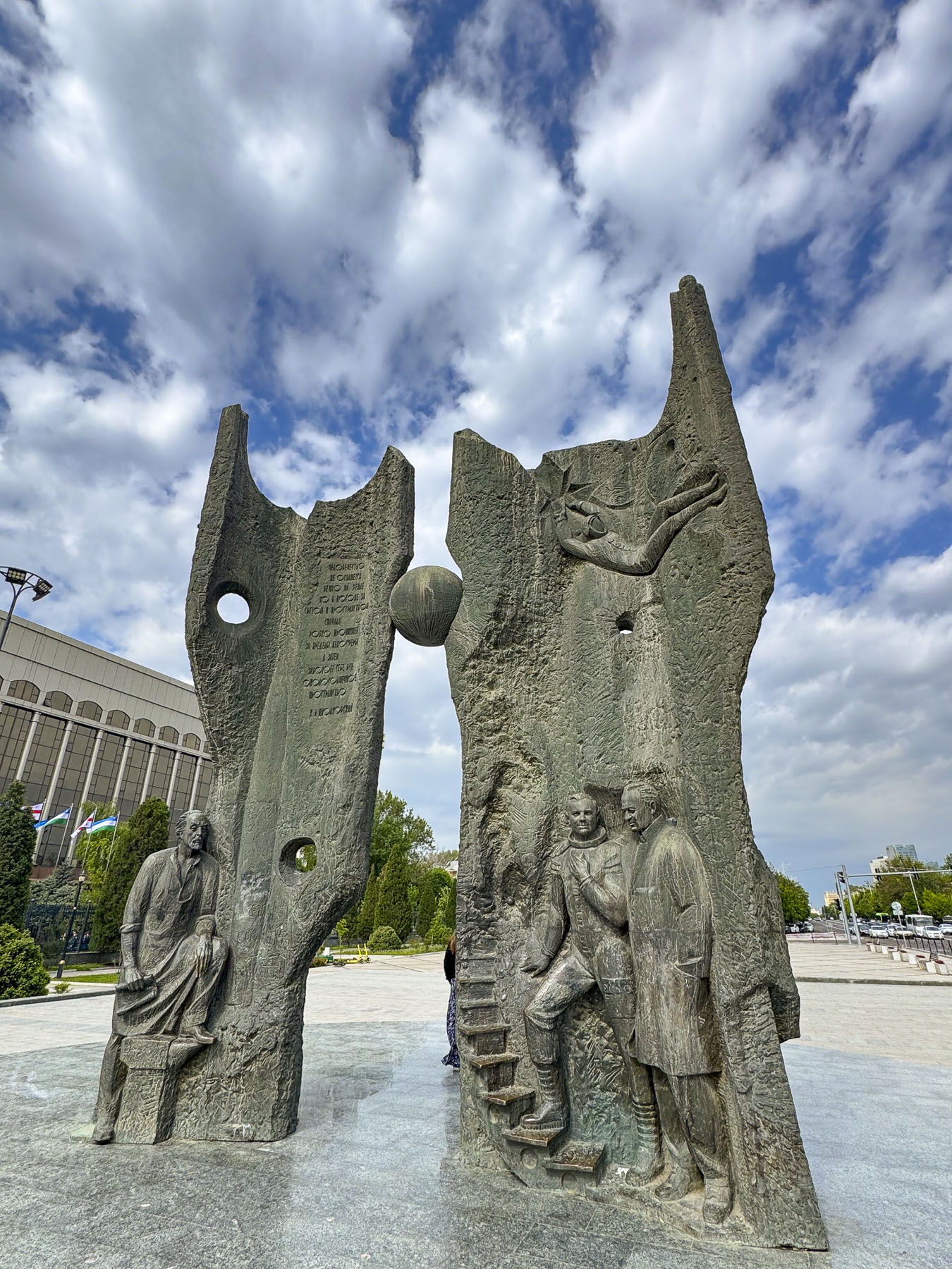
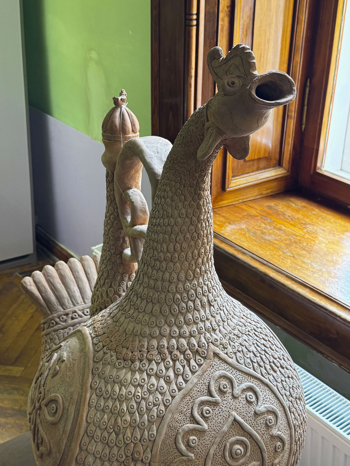
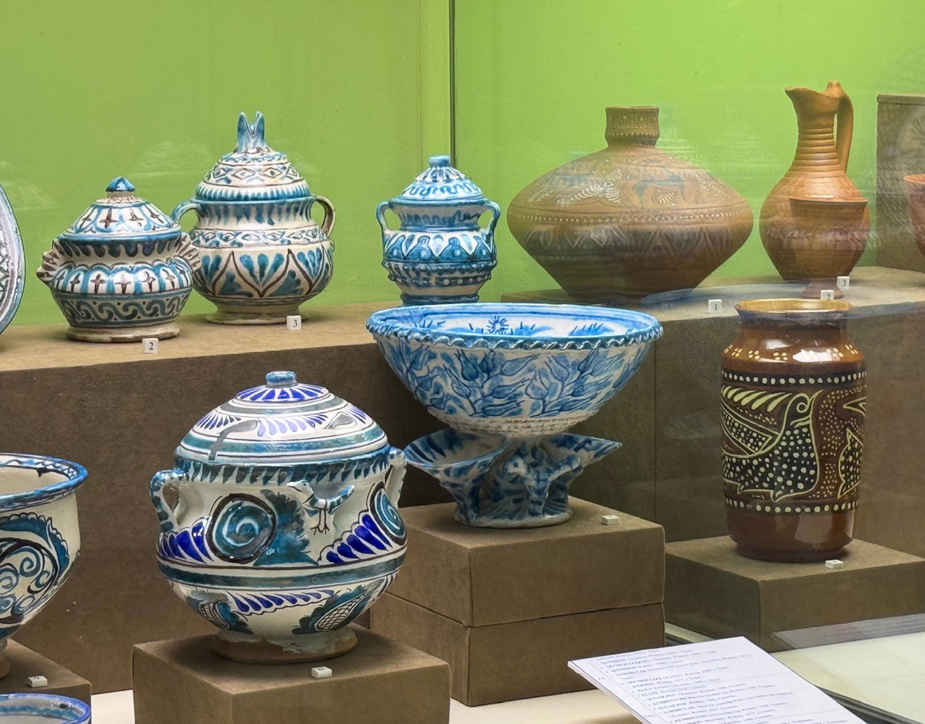
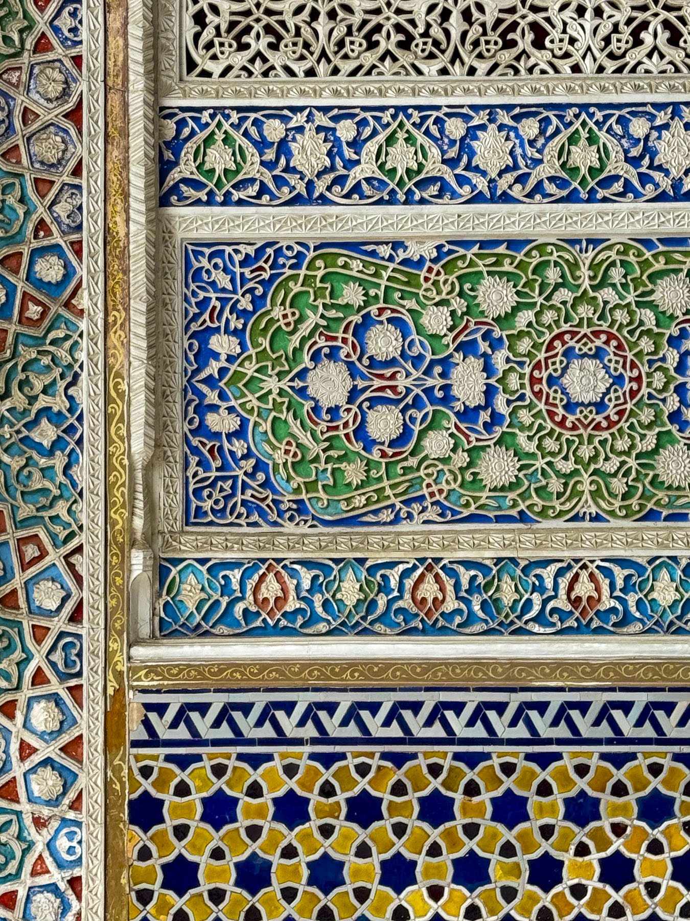
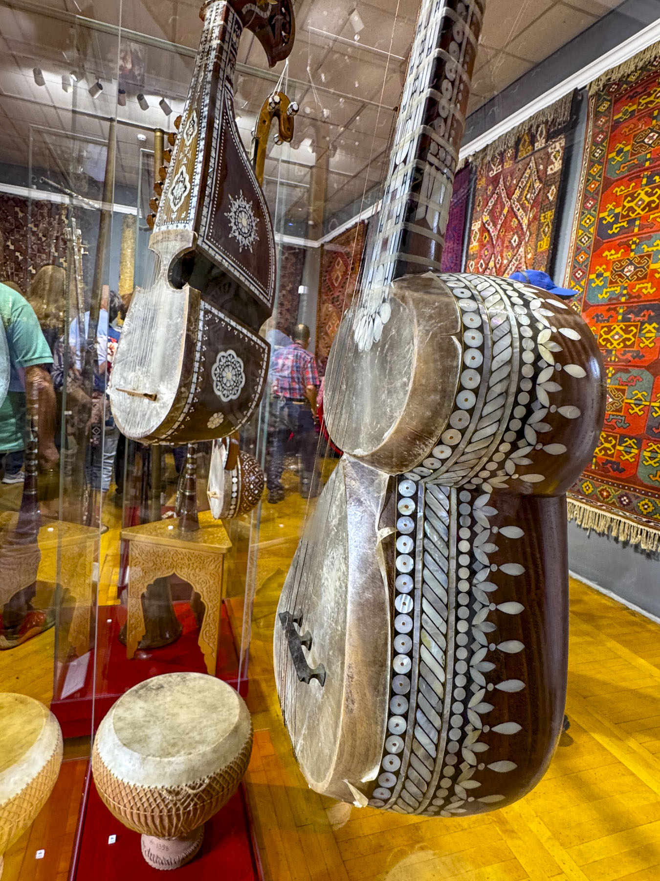
We also visited the plaza above the station where we viewed another interesting monument to the Soviet Union’s space program, before we made a short excursion to Tashkent’s Museum of Applied Arts, only a few blocks away. Founded in 1937, the museum is housed in the former mansion of an Emperial Russia diplomat and has a rotating collection of over 4,000 Uzbeki decorative handicrafts, with examples of traditional wood carving called O‘ymakorlik, ceramics, embroidery, gold weaving, jewelry and musical instruments. In the museum’s traditional courtyard was a very atmospheric café where we enjoyed coffee.

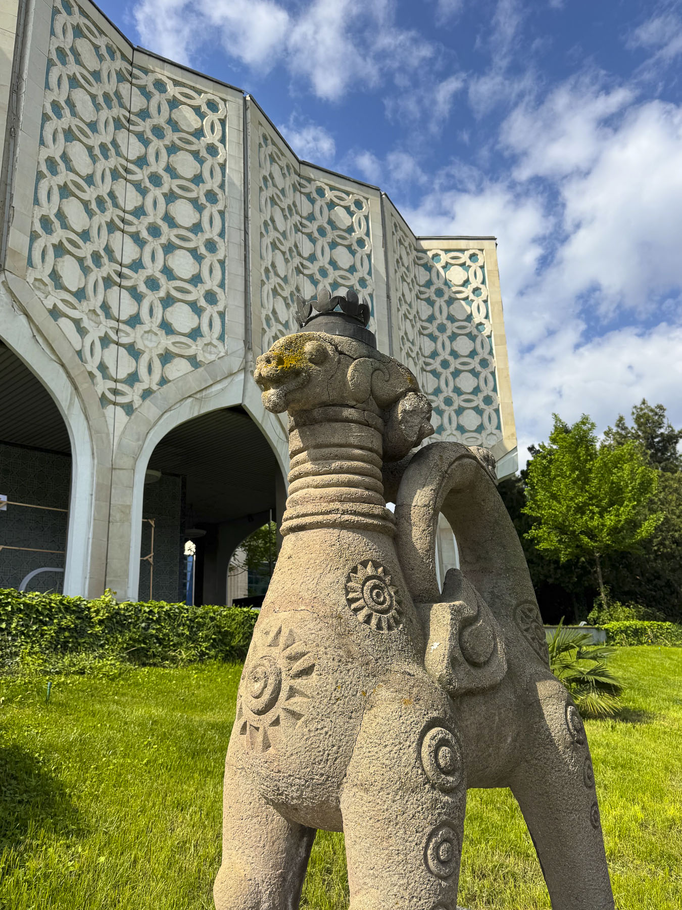
Before descending back underground we detoured slightly to see a modern interpretation of Islamic architecture represented in the 1970s era facade of the Central Exhibition Hall of the Academy of Arts.

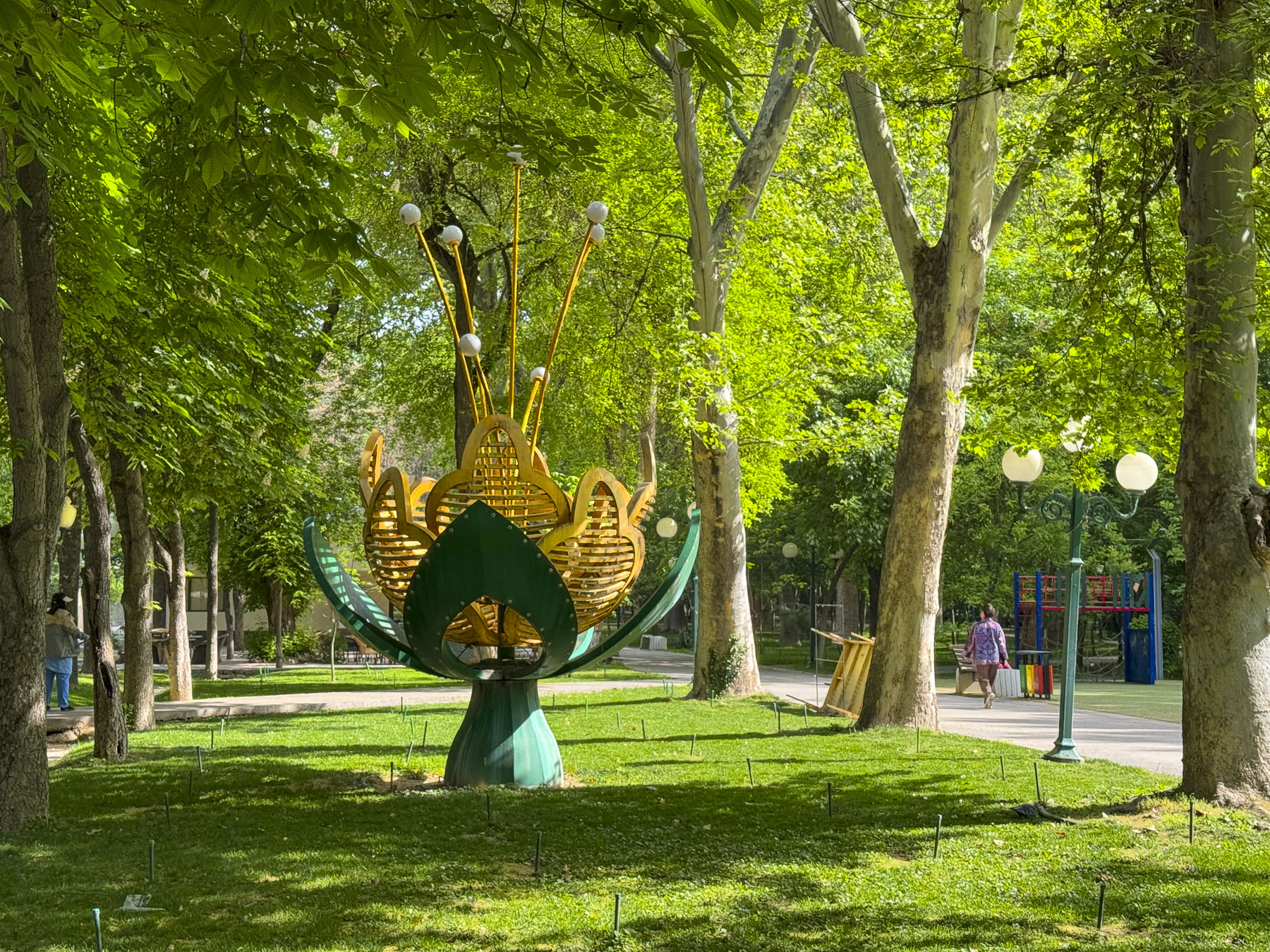
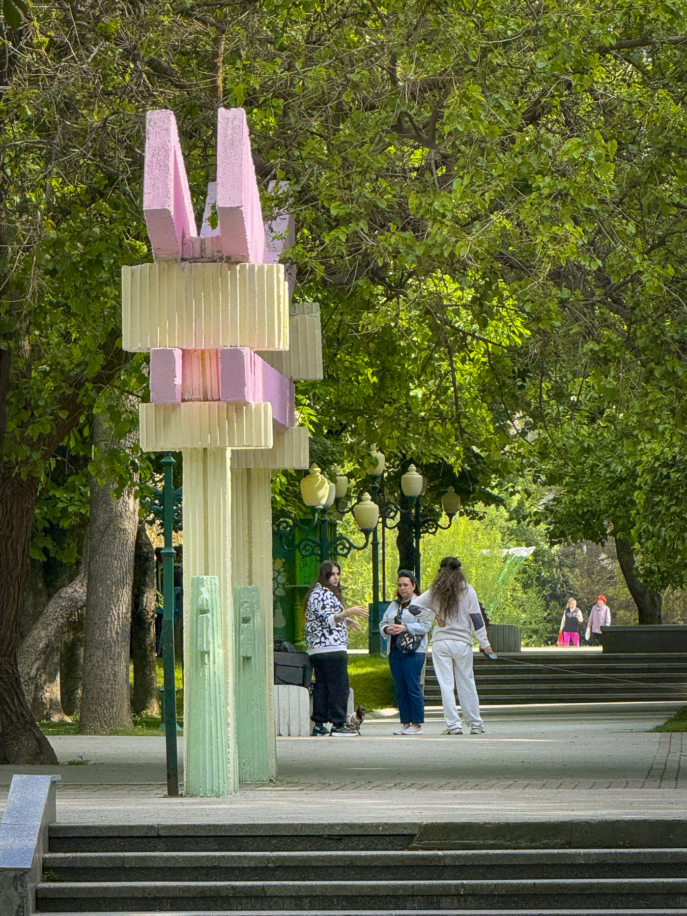
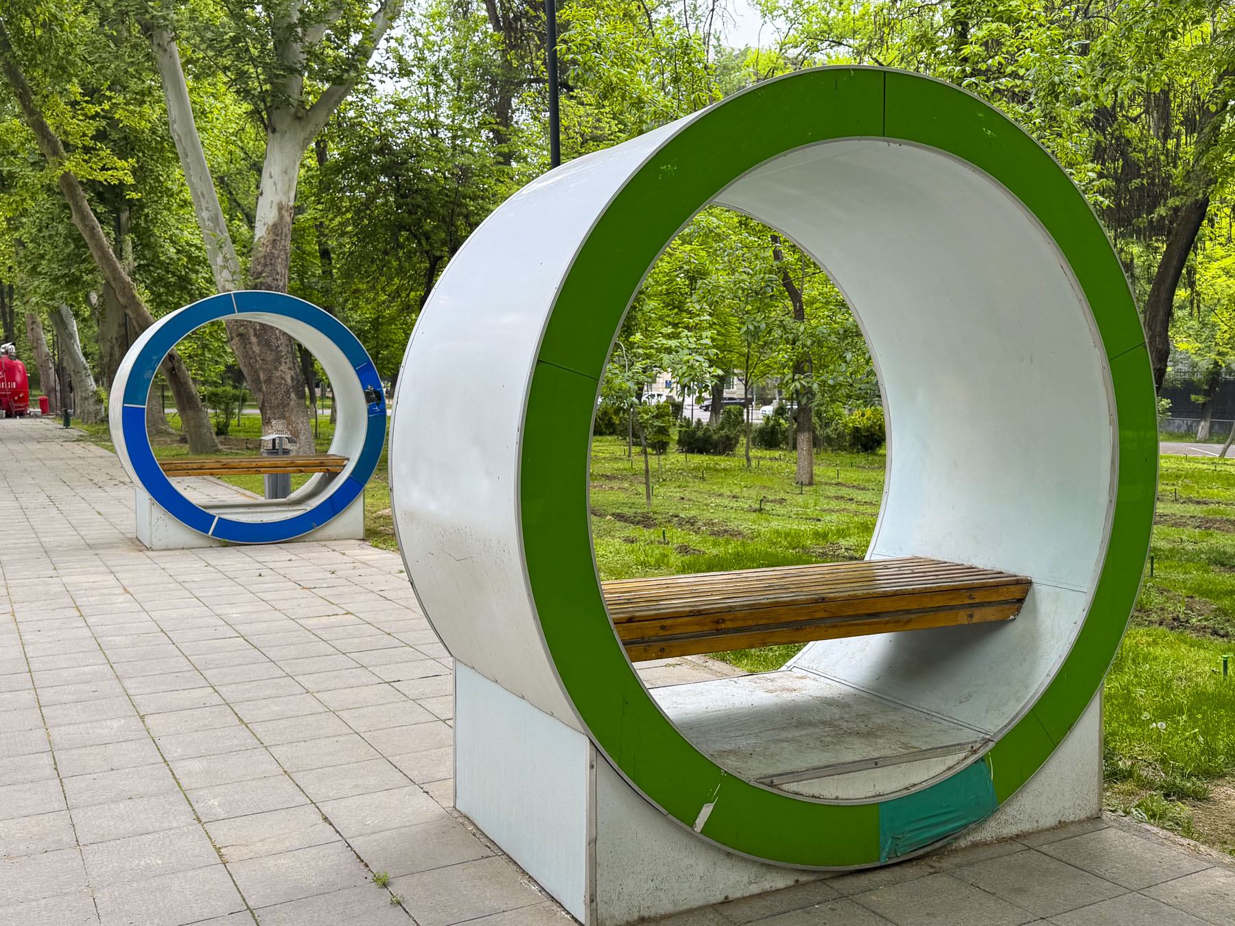
The 1930s built Alisher Navoi Grand Theatre, survivor of the earthquake, features a blend of classic European architecture with traditional Uzbek ornamental styles. Along our route we walked through many of the parks and green spaces that give the city a wonderful ambiance.

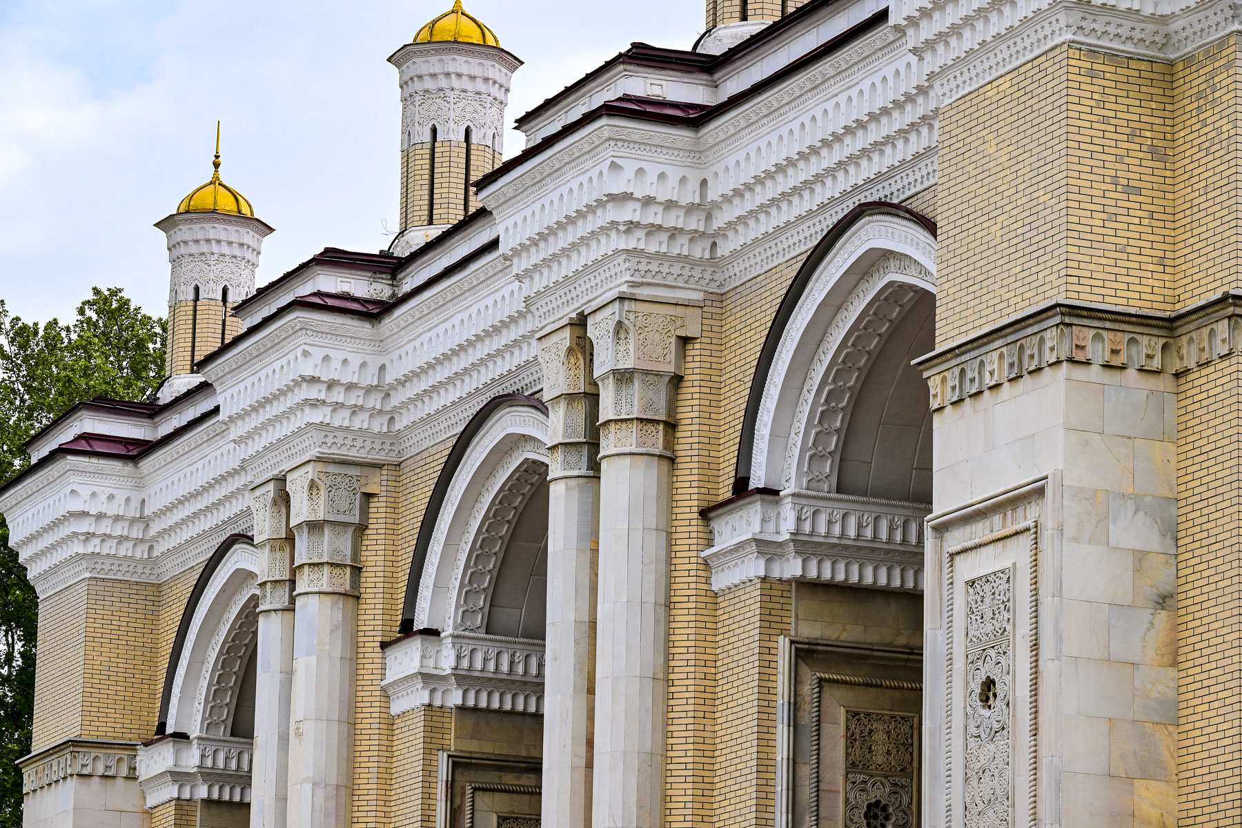
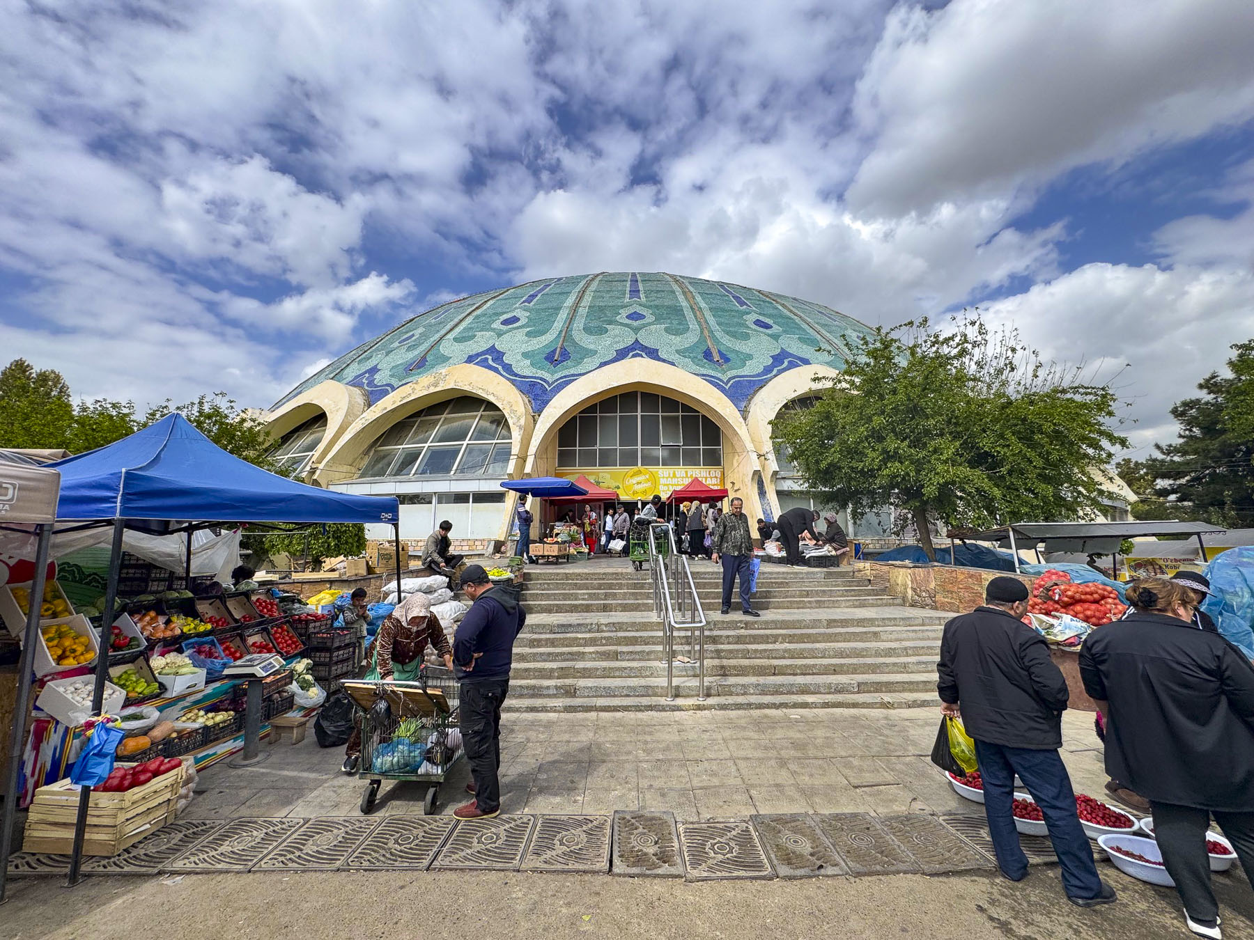
Back on the subway we continued on to the Chorsu Station, only a short walk away from the Chorsu Bazaar, Tashkent’s historical central market, whose history goes back 2000 plus years to the founding of Tashkent. The main hall’s futuristic dome, where meats, poultry and dairy products are for sale, dates from the reconstruction of the city after the 1966 earthquake.

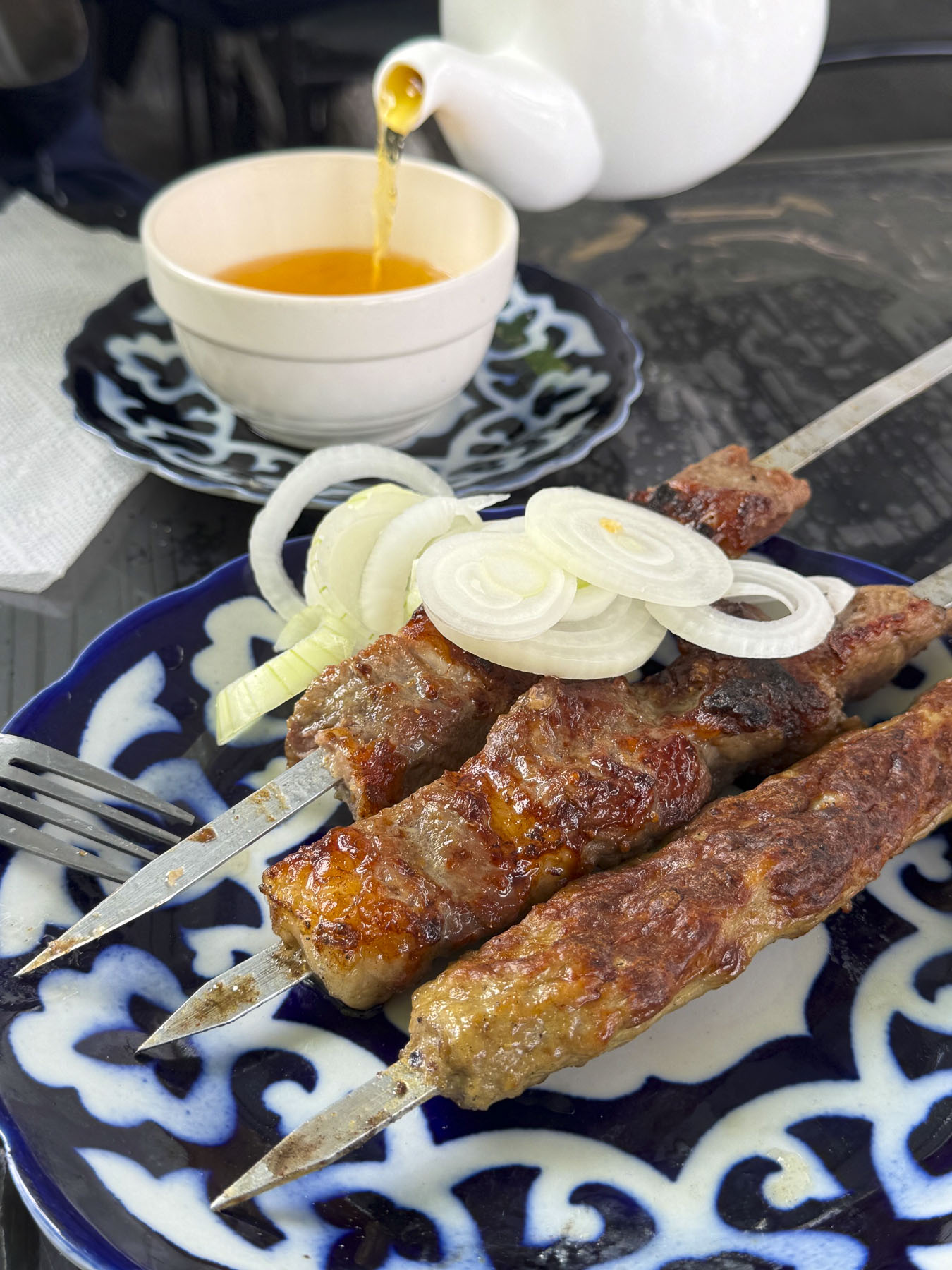
After wandering through the rows of clothing merchants, where nothing has a price tag so bargaining is expected, we were enticed by the aroma of slowly grilling kebabs over an outside fire at Especialidad Pinchos. A smile goes a long way when you don’t understand the language and we were quickly seated outside and served a delightful lemon tea. The restaurant was the perfect place to relax and people watch. It felt as if we were in the audience of an old TV sit-com where good-natured chiding was going on, from the quips flying across the open-air restaurant. We mentally supplied the dialog: “Yasmina we are so busy, can you clear the tables faster?” “Now Zarina you might be the golden one and Bobur’s squeeze, but don’t you go telling me how to take care of my side of the cafe!” And so it went, their familiar back and forth continuing the whole time we were there as the women busily tended the day’s lunch crowd.

Wheel barrel vendors selling round, flat disk-shaped non coursed through the shoppers. These loaves of dough are traditionally decorated with a stamping tool called a chekich, before baking. We’ve read many rave reviews about Uzbekistan’s non but have found it’s best enjoyed when fresh out of an oven, as in our opinion it becomes a disappointing “eh” later. It’s definitely worth spending the time to find the central bakers in the market to watch them form the dough and then lean into the tall brick ovens to throw it against the side walls to bake. The result is heavenly.

Stairs rose from the market’s lower level to the gastronomical equivalent of Aladdin’s “Cave of Wonders.” Literally it was like a culinary temple, with vendors freely offering samples, it had us wishing we had rented an apartment with a full kitchen. The quality, variety, and abundance of the foodstuffs were amazing. It was difficult for the cooks in us to resist the temptation to buy a cart full of groceries, but we did and only purchased some dried fruit and pomegranate juice for a snack later.

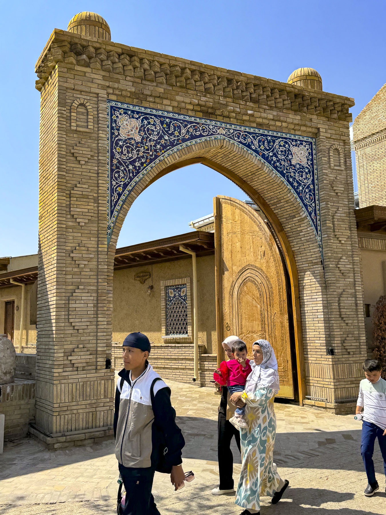
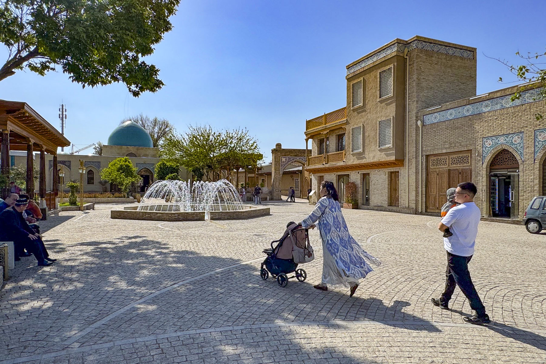
After leaving the market we crossed the street into the Hastimom Mahalla neighborhood, in the Almazar District and walked along Zarkaynar Street. The lane was recently renovated as part of an effort to revitalize the maze of narrow lanes in the ancient quarter that lies between the Chorsu market and the magnificent new Islamic Civilization Center.

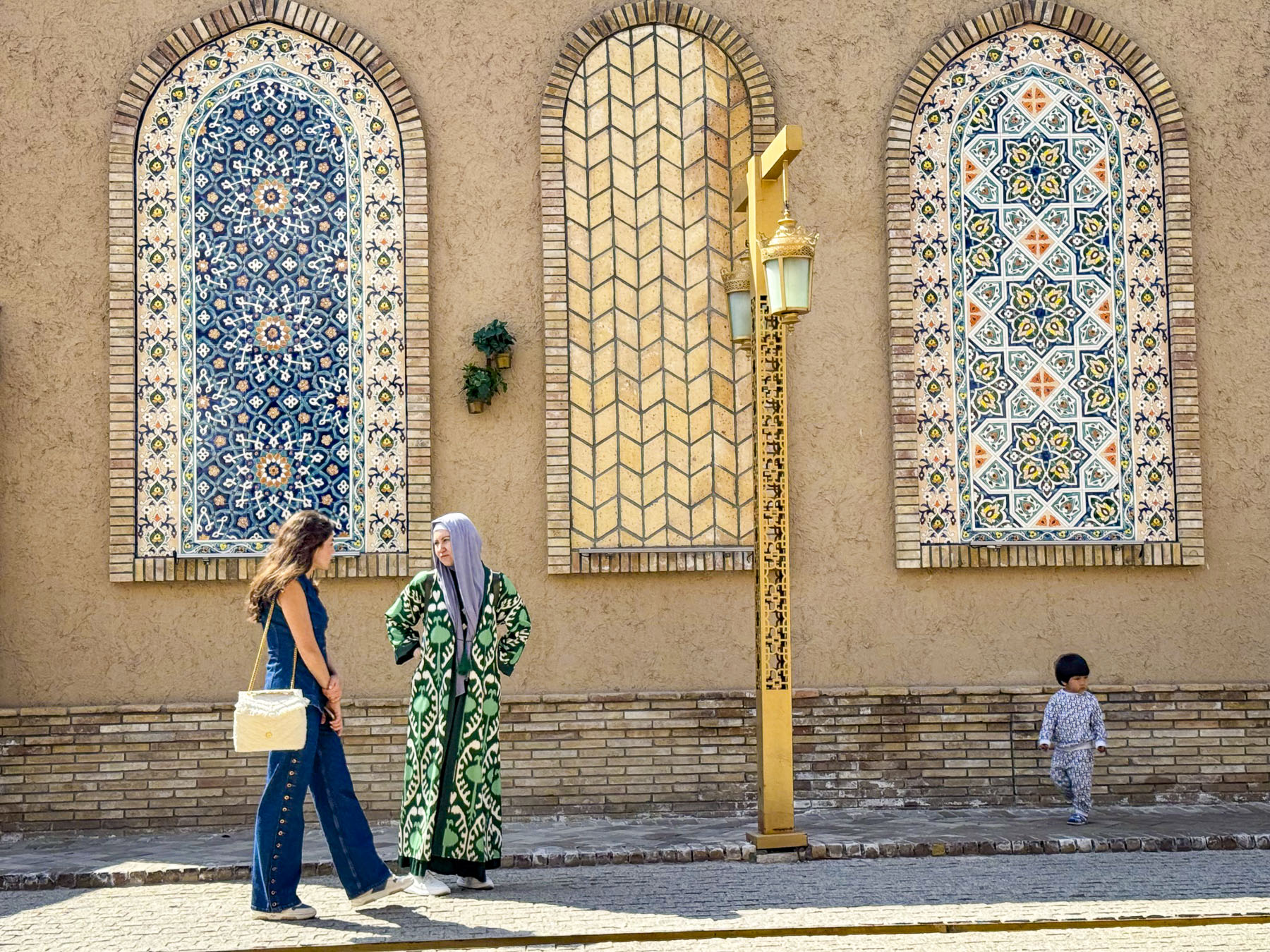
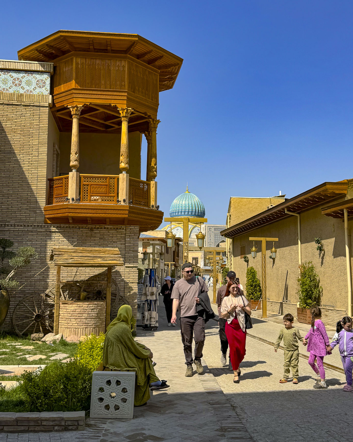
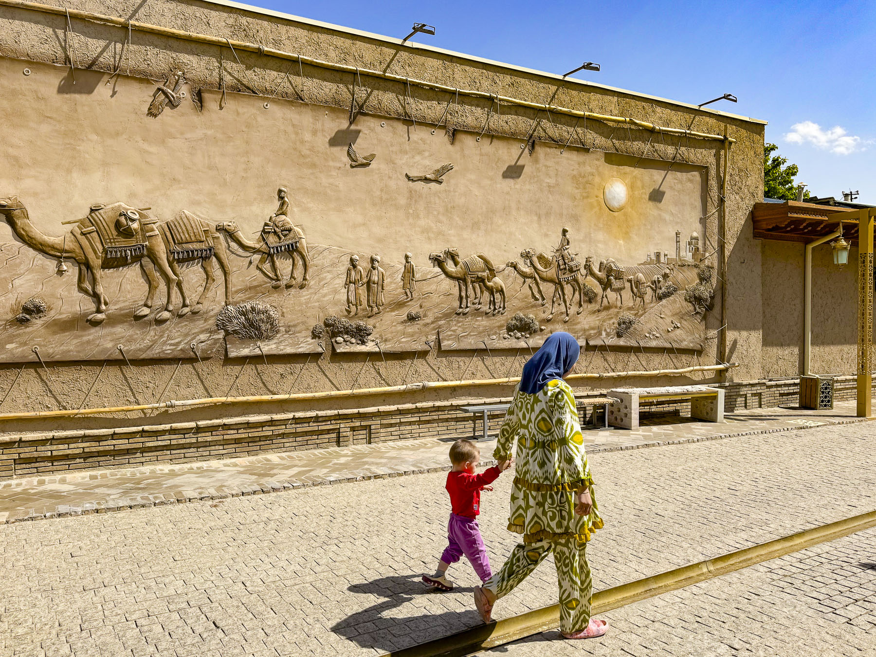
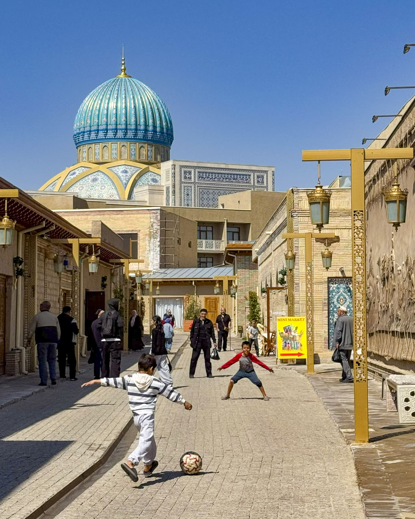
The street was pristine with new historical murals and buildings shining with their new facelifts, but it lost much of its authenticity in the process and felt a little too touristy.  Young boys were enthusiastically kicking a soccer ball back and forth down the lane until a neighborhood buvi, grandmother, put a stop to their raucous play.

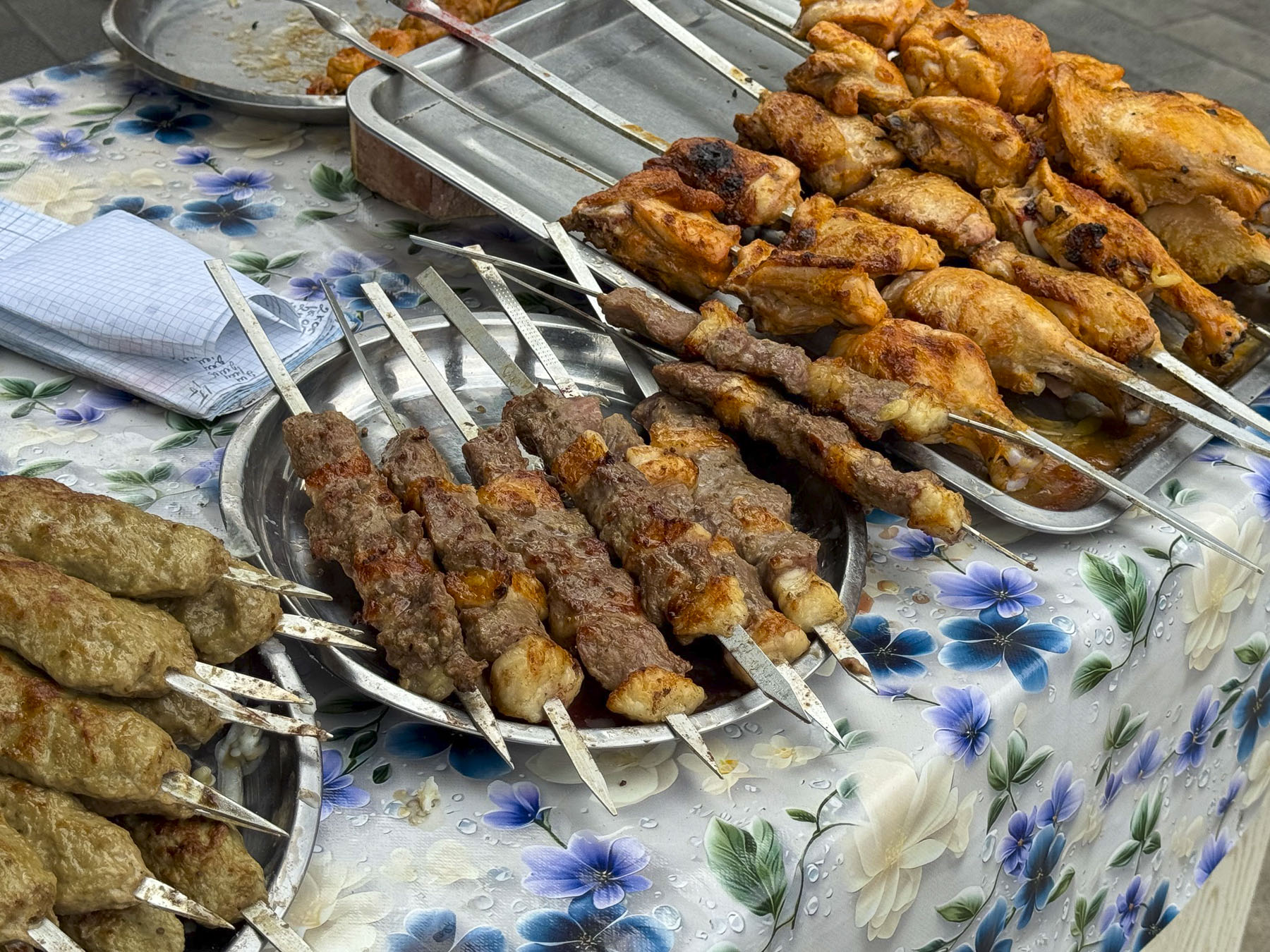
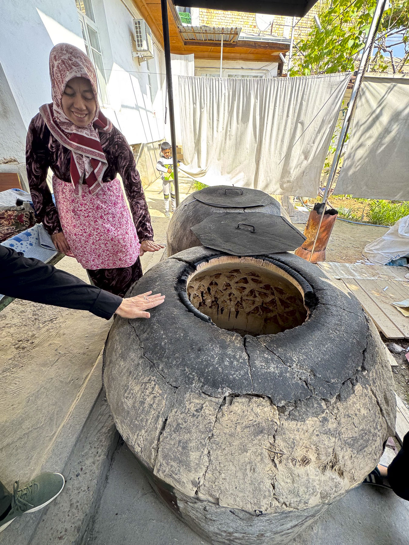
Fortunately, as we walked deeper in the mahalla, smaller alleys led to traditional homes still made of adobe brick that share a communal courtyard called a sheriklikli hovli. It was down one off these lanes that we hoped to find Tandyr Samsa V Dome, a small family run bakery in a hovli that is acclaimed for their samsas, a savory pastry filled with meat, chicken or potato, and then baked in a traditional wood-fired clay oven called a tandir. We had a very difficult time finding it. In this labyrinth our mapping app got us close, but eventually we just had to try different lanes until we discovered the right one. Unfortunately, by the time we found the right hovli, baking for the day was over and the family encouraged us to come back earlier on another day. It was very late in the afternoon when we stopped at a small nondescript restaurant, with a plastic pullback sheet as a door, and one low table and cushions on the floor. The owner was delighted we stopped and shared his experience about working the United States for a short time, while serving his many neighborhood customers who came in to get their takeaway orders. Our meal was very simple, just kebabs and non, but it was delicious and memorable.

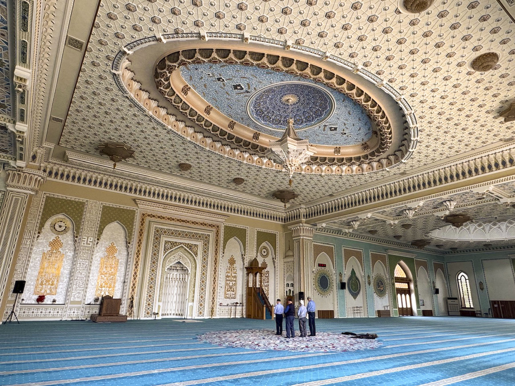
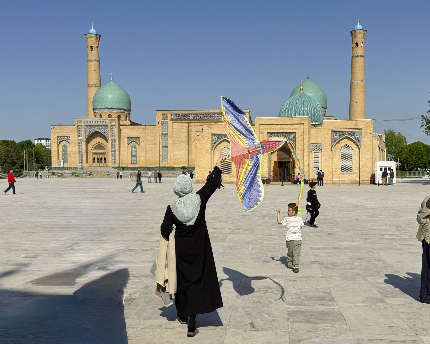
Afterwards we headed to the Hazrati Imam Complex, an ensemble of buildings around a large plaza that include the16th  century madrasah Barak-Khan, that is now a crafts center, the 19th century Muyi Muborak Madrasah, which now exhibits a collection of ancient Islamic manuscripts, and the Hazrati Imam Mosque completed in 2007.

They were built around the Mausoleum of Hazrat Imam, which had become a pilgrimage site. Hazrati was a brilliant 10th-century polyglot and local locksmith who went by the name of Kaffal al-Shashi before pursuing his religious studies in Baghdad, Mecca and Medina. Upon returning to Tashkent he became one of the town’s first local imams and received the title Hazrat Imam. Beloved, he came to be regarded as the chief spiritual protector and patron of Tashkent.

The complex is one of the few large open spaces in the Almazar District, and it’s a popular spot for local families to bring their children to learn how to ride bikes and fly kites.

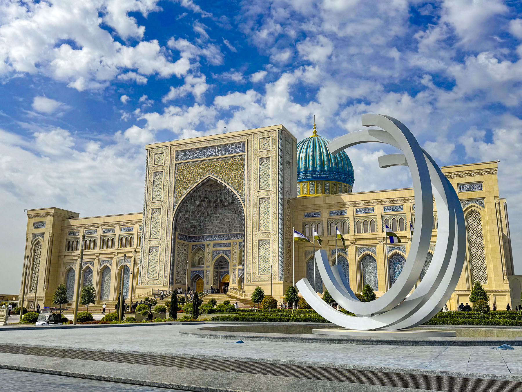
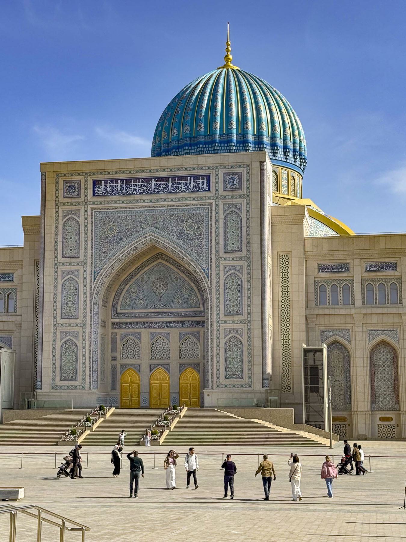
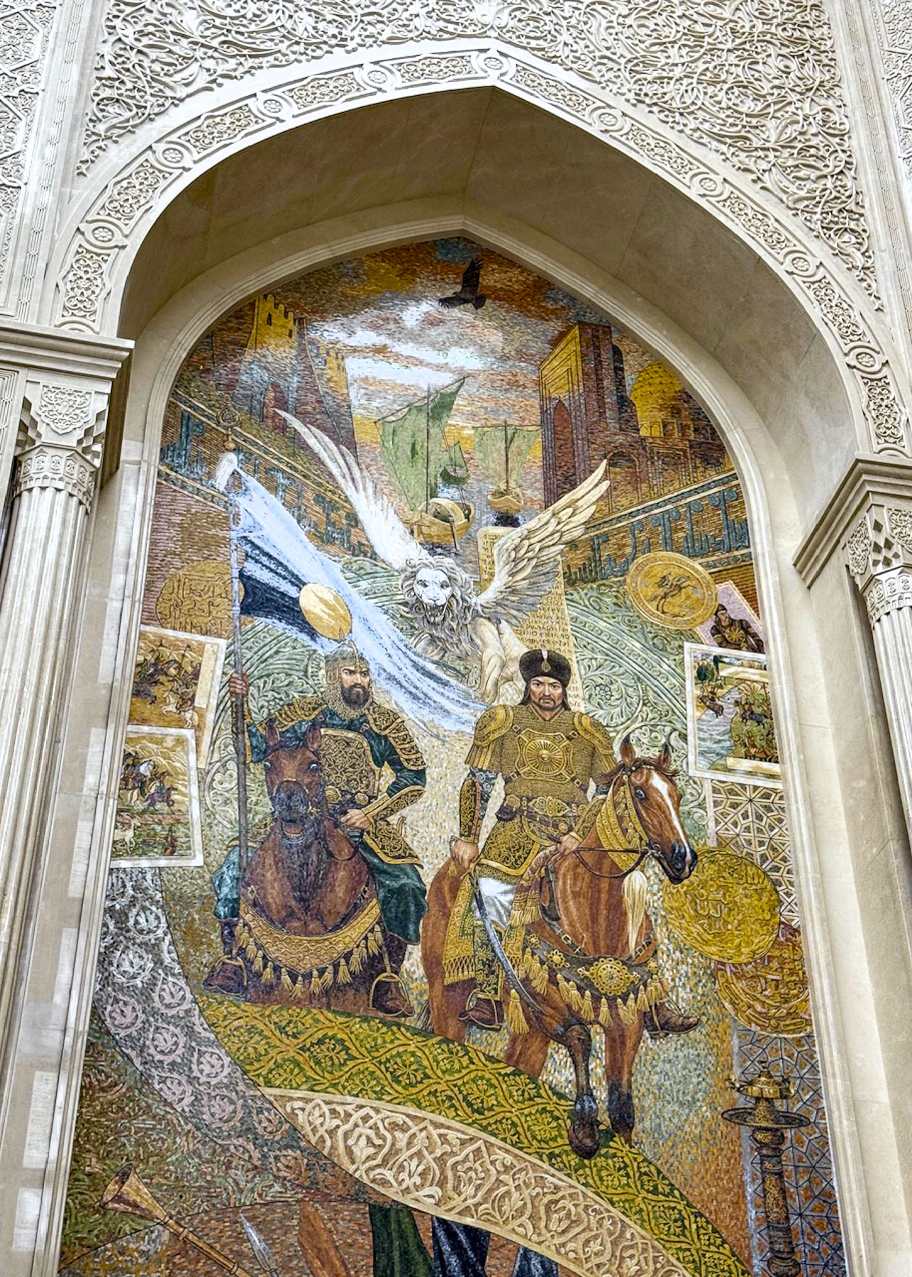
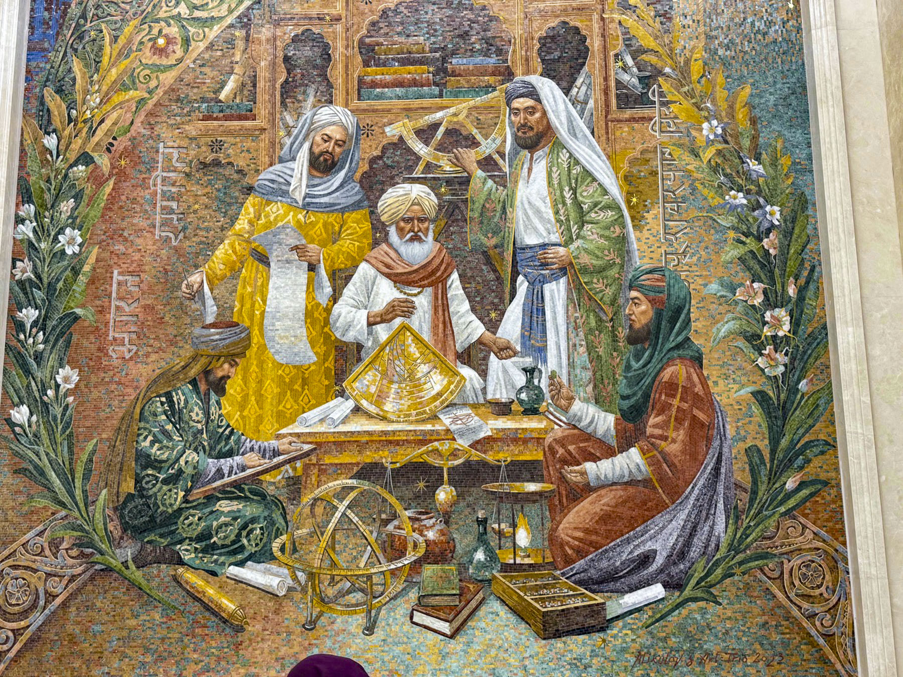
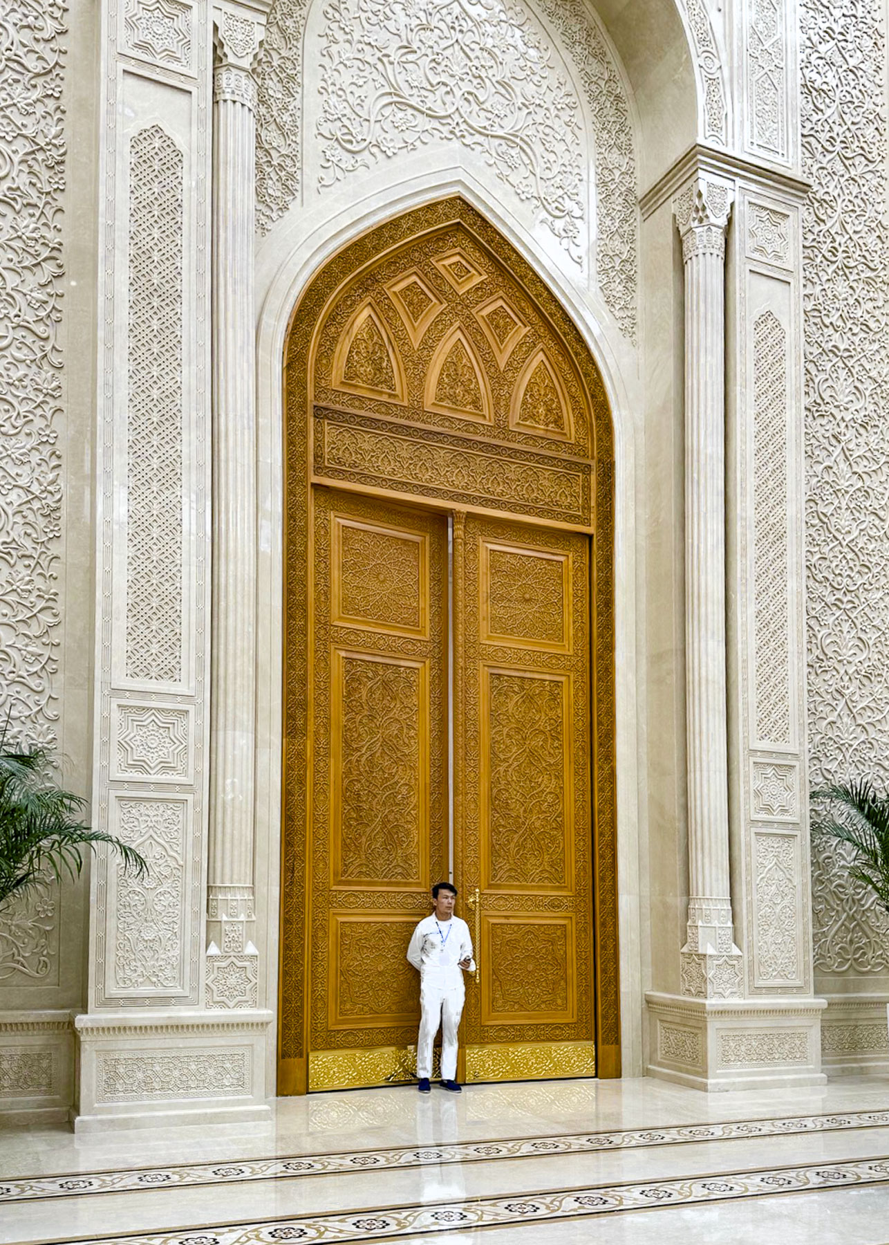
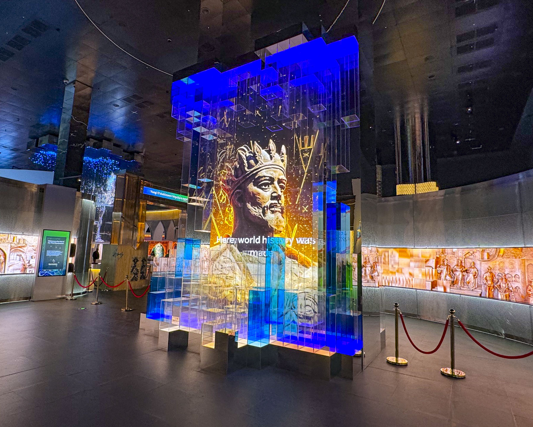
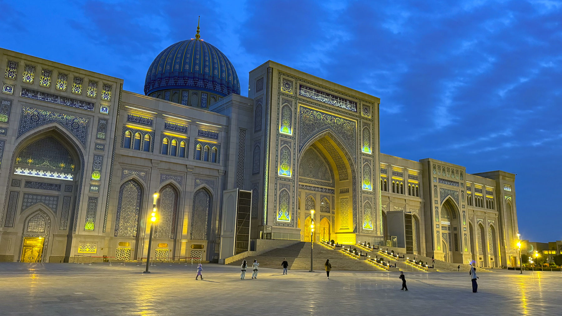
Next to the Hazrati Imam Complex is the Islamic Civilization Center, a newly opened museum, “conceived under the vision and leadership of Uzbekistan’s President Shavkat Mirziyoyev in 2017. The Islamic Civilization Center was envisioned to be more than just a museum, but function as an international hub for science, culture and learning, combining the richest treasures of pre‑Islamic and Islamic heritage of Uzbekistan with modern digital technologies and academic research.” The center’s striking design took inspiration from the architectural masterpieces constructed by the Timurid Empire in the 15th and 16th centuries.

The ICC was not on our radar when we planned our trip to Uzbekistan, but we were delighted to find that the center stays open until 10pm every day, and seeing that the queue for entrance into the museum was very short we spontaneously purchased tickets. Upon entering the building folks were divided into small tour groups determined by the language they spoke and then led through the exhibits with a bilingual guide.

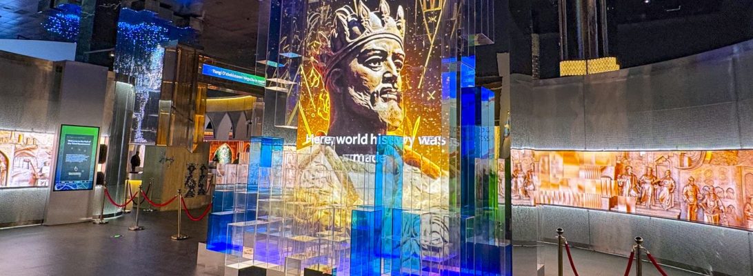
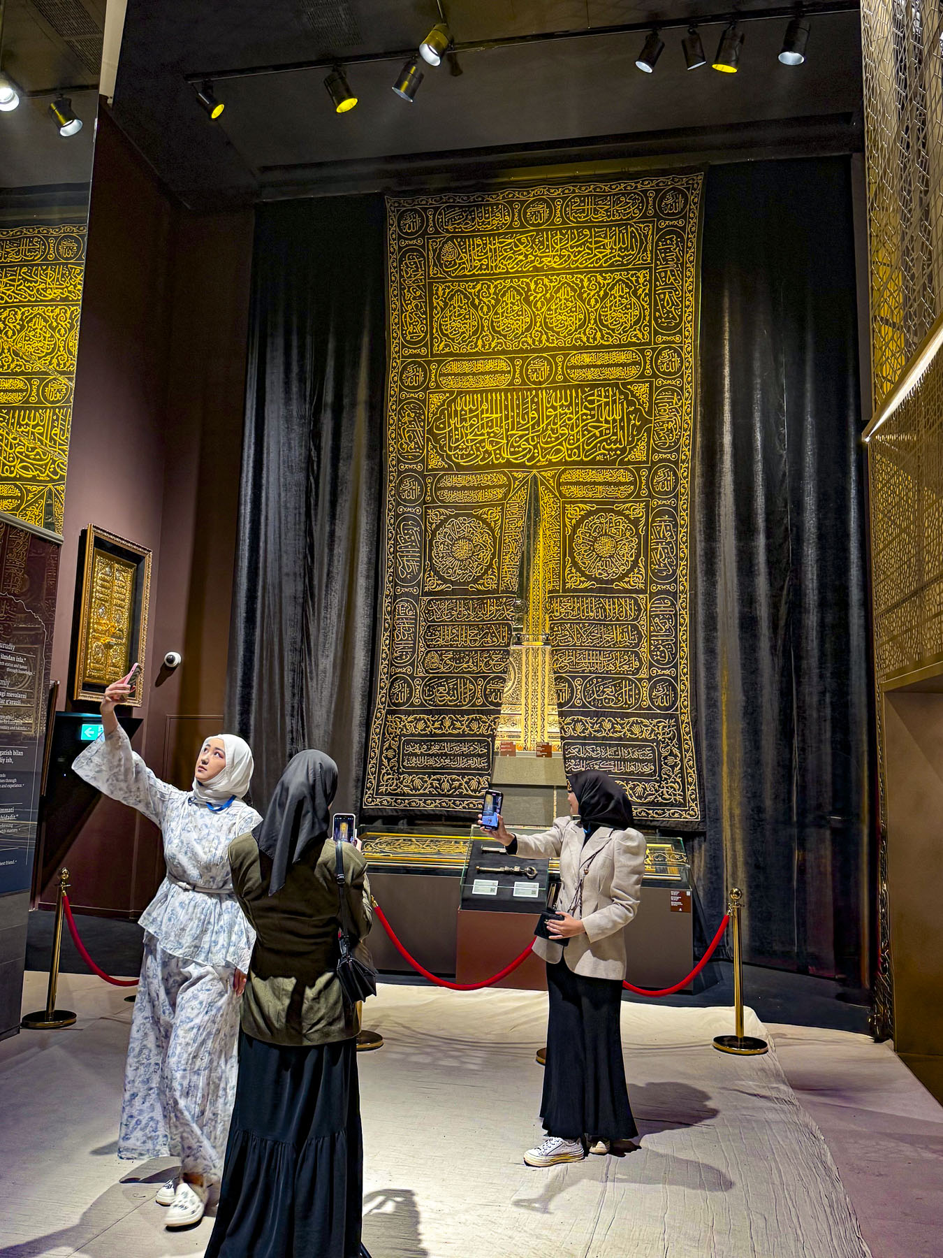
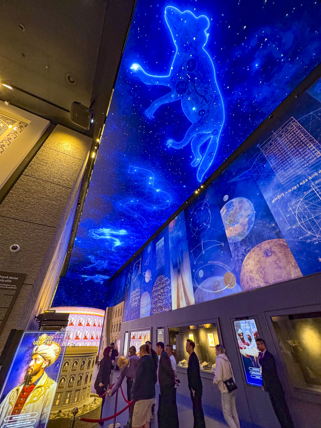
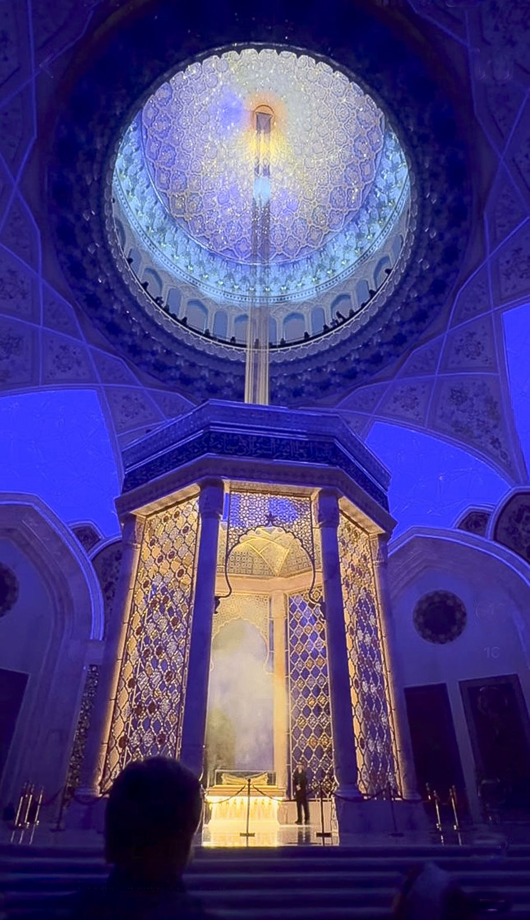
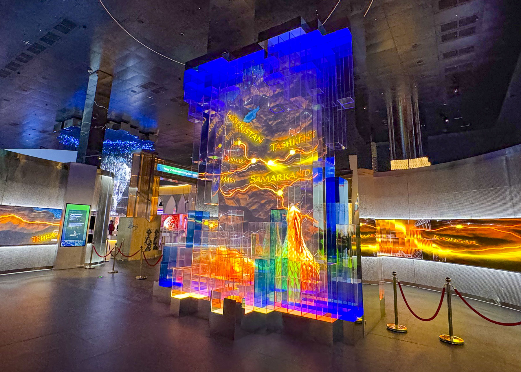
It’s a huge building with over 2,000 historical items, manuscripts, and cultural artifacts on display, 743 of which have been repatriated from international collections, and a 45,000-book research library. It was a fascinating tour that lasted about two hours and ended in the Quran Hall with a dramatic multimedia event where sacred verses of the Quran were projected onto a digitally created night sky in the 65m (213ft) tall dome, directly over the treasured 7th-century Uthman Quran, and a holographic beam of light descends from the heavens to spotlight the manuscript, representing divine revelation.

Though the constitution of Uzbekistan defines the country as a secular state, there are some concerns about how heavily religious freedoms and activities are restricted and monitored by the government in Uzbekistan. The Islamic Civilization Center is part of Uzbekistan’s efforts to reclaim its history and Islamic heritage for the next generation, information which was repressed during the 67 years the country was under the Soviets Union’s control.

Exiting the building just before sunset, we had the opportunity to take some night photos of the dramatically illuminated building before enjoying dinner several blocks away at the Khan Ahmat, an upscale eatery.

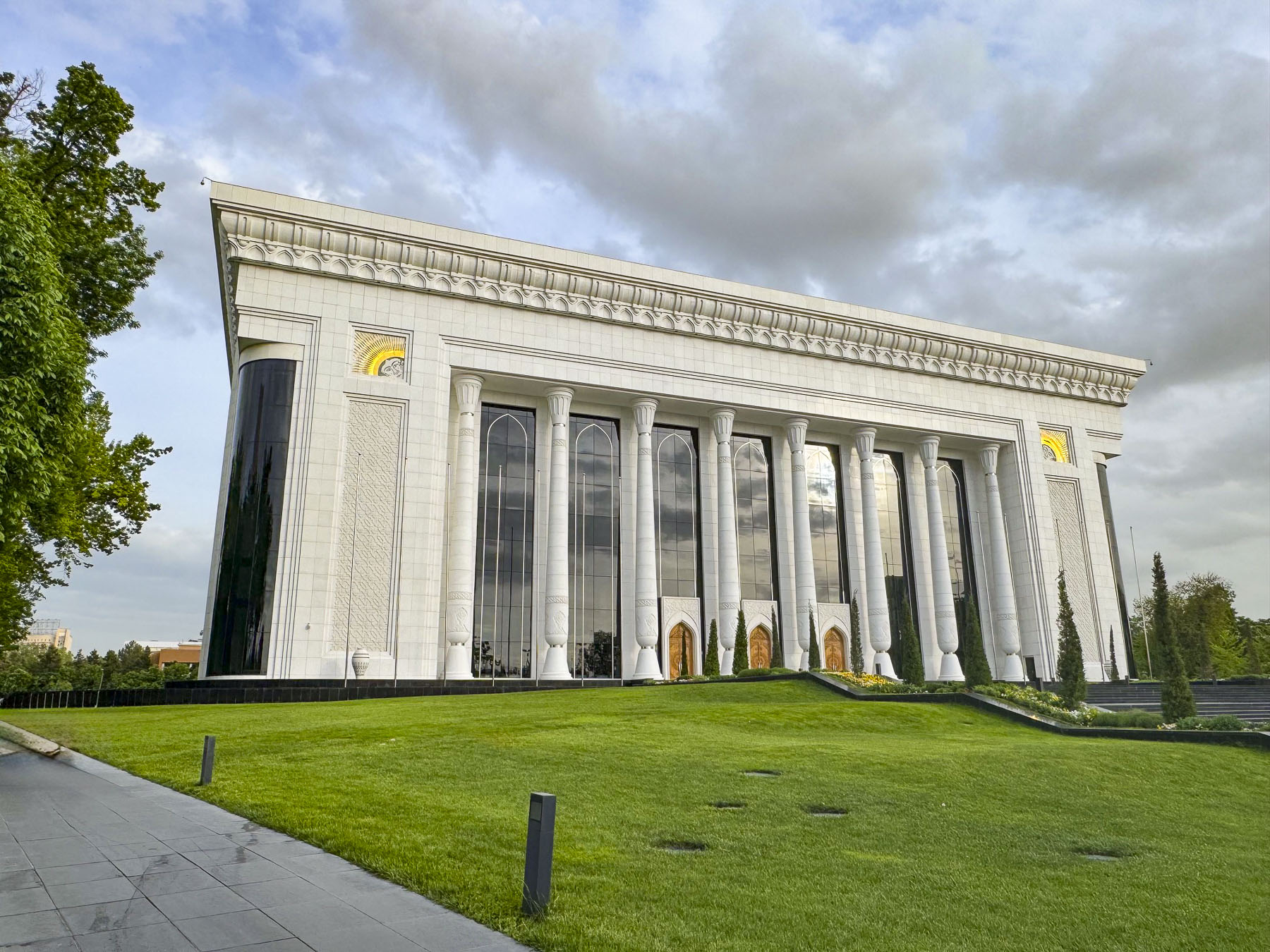
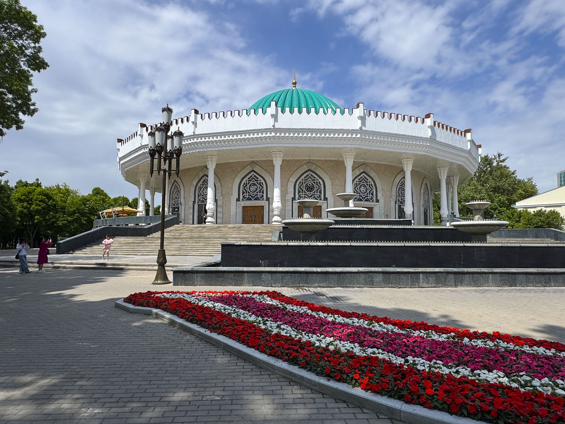
The next day we set out to see the landmarks next to our hotel before exploring farther afield – the Palace of International Forums Uzbekistan, is a modern conference hall opened in 2009, marking the 2,200th anniversary of Tashkent, and the 18th anniversary of the country’s independence; the circular shaped State Museum of the Temurids, which houses a collection of artifacts relating to the 14th century ruler Tamerlane; the Yuridik Instituti (the Tashkent State University of Law) housed in a late 19thcentury building. It is one of the few examples in Tashkent of Tzarist Russia Emperial architecture to survive the 1966 earthquake.

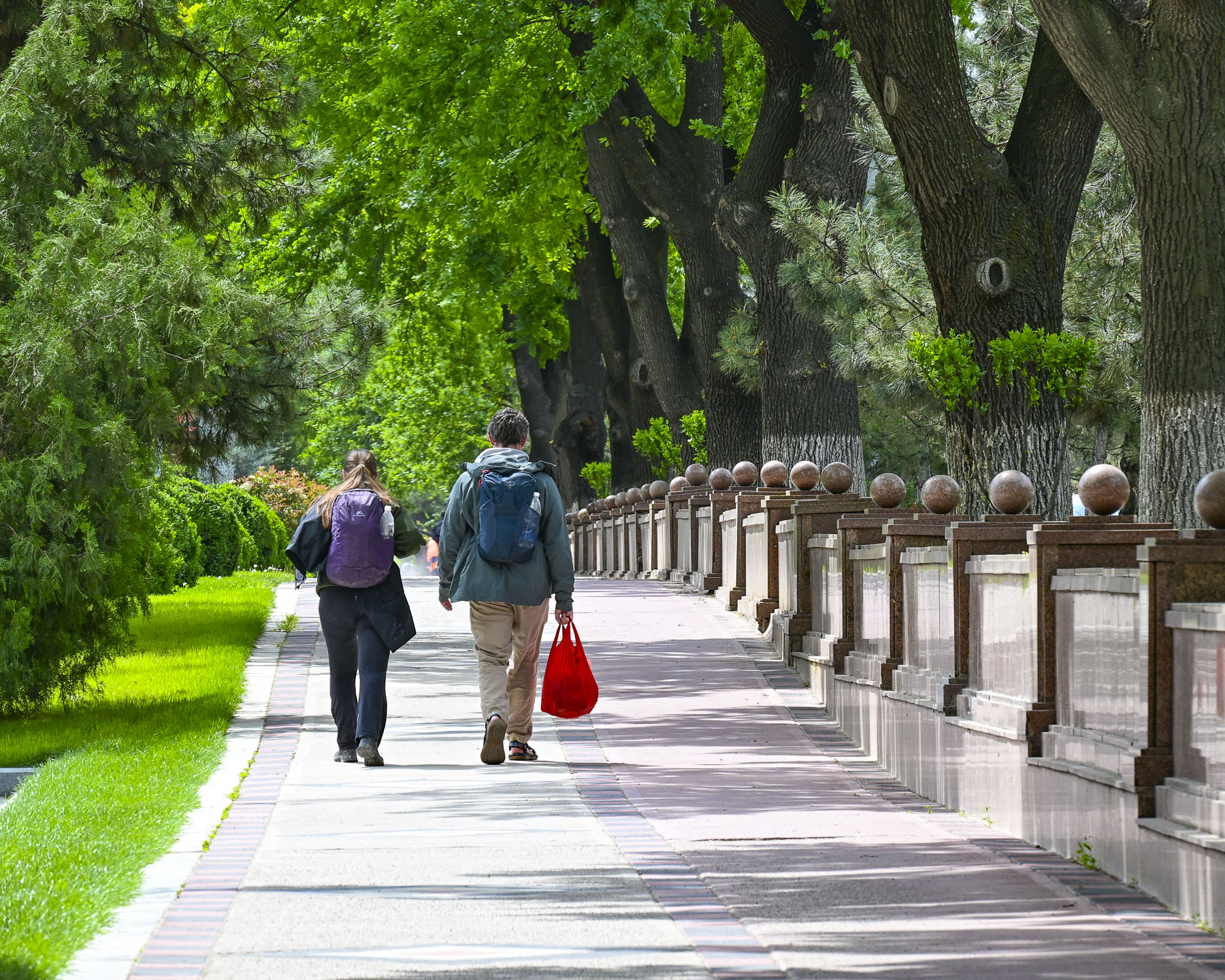
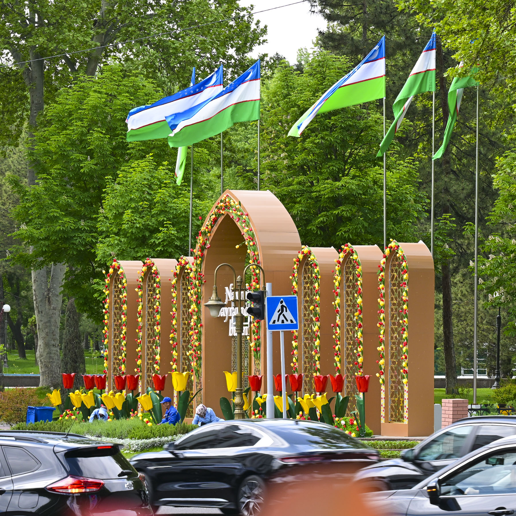
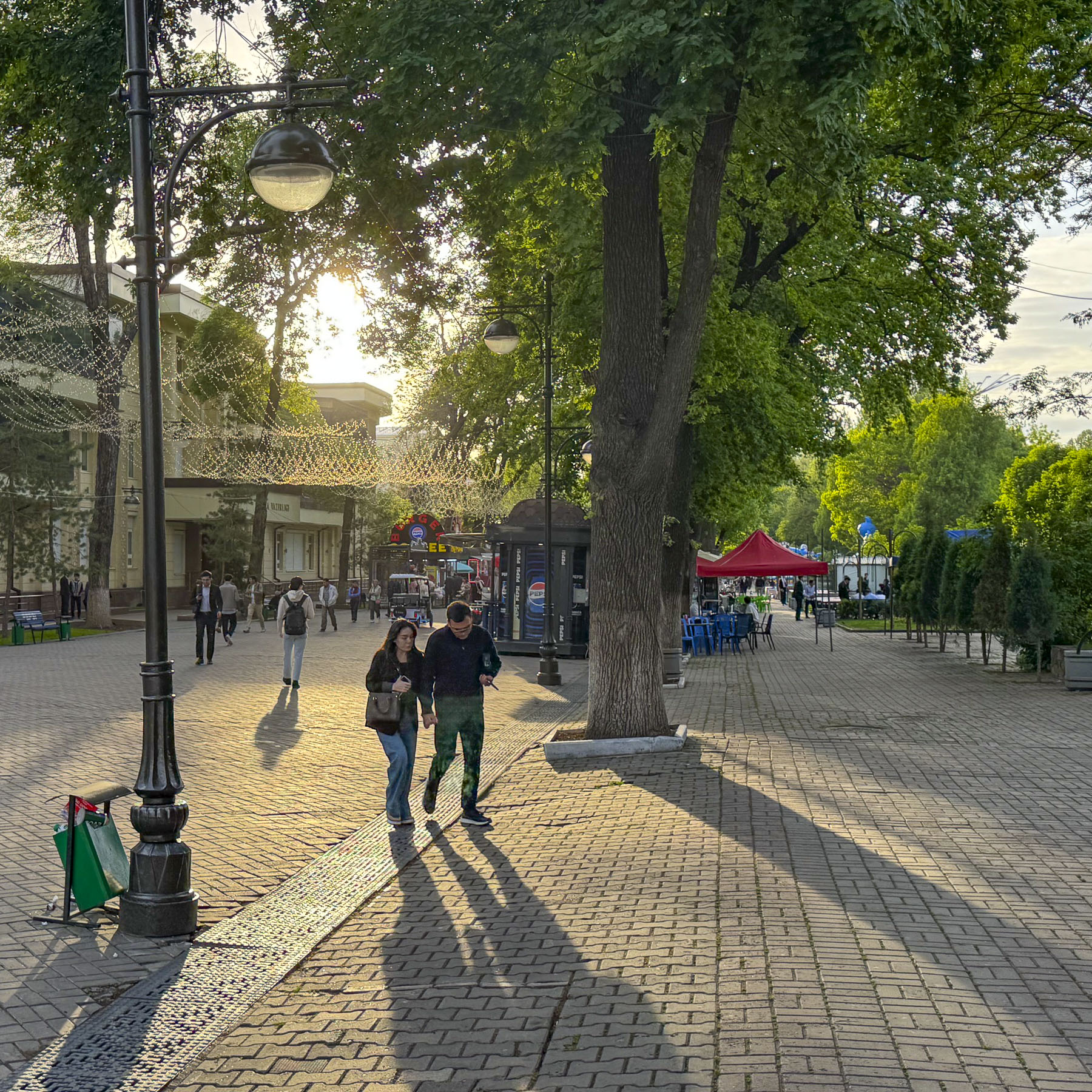
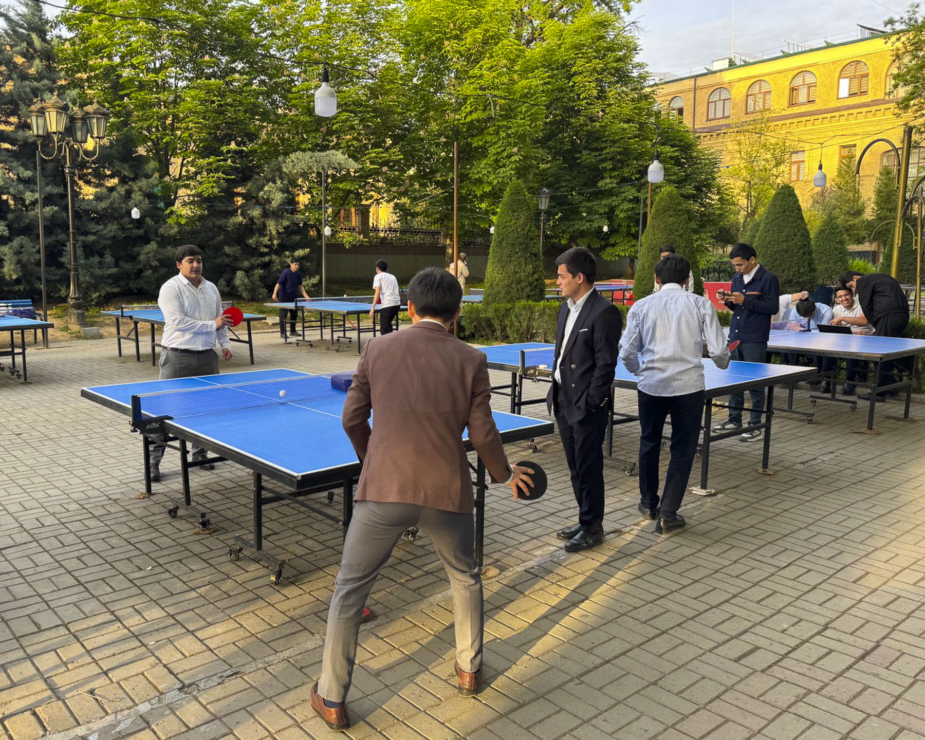
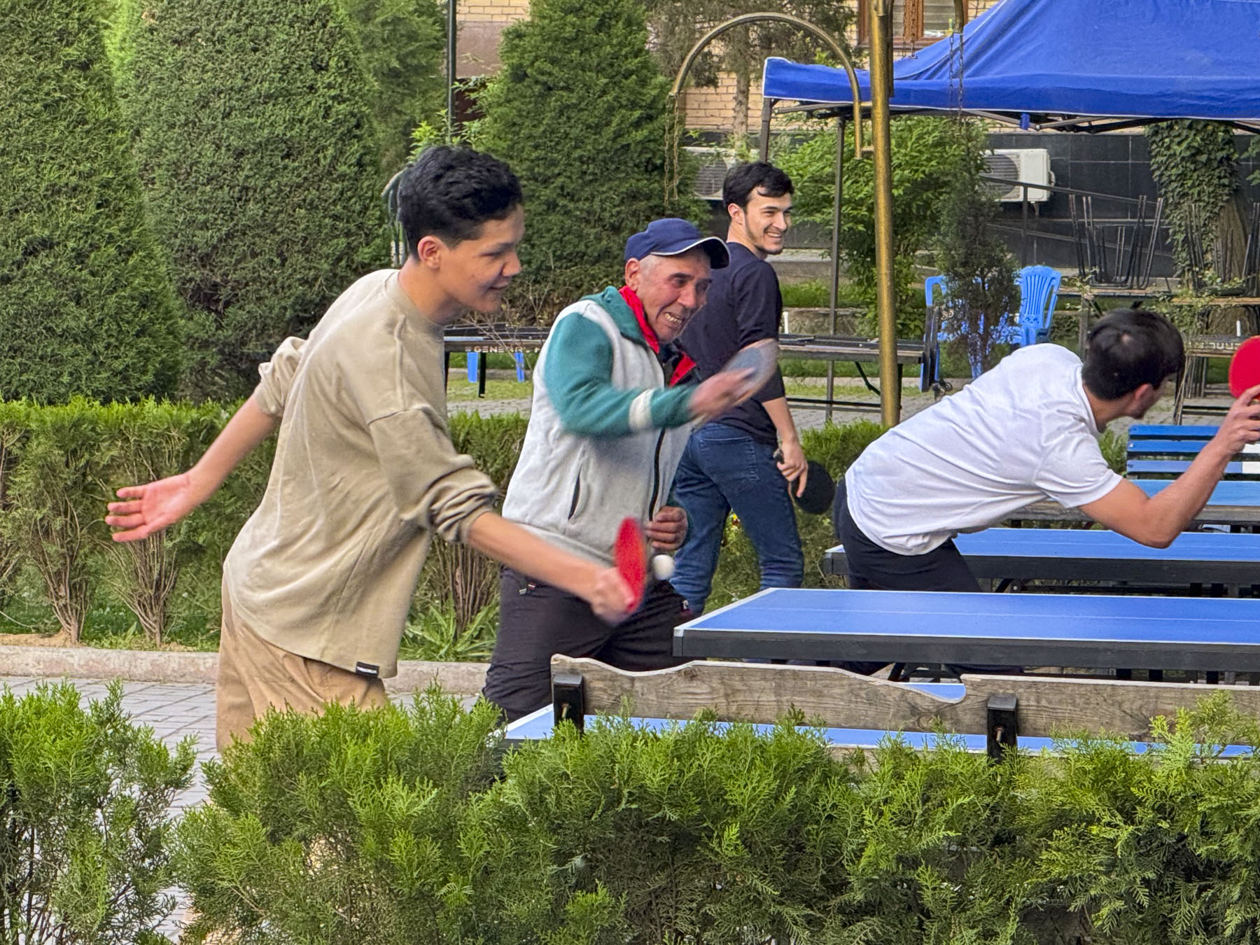
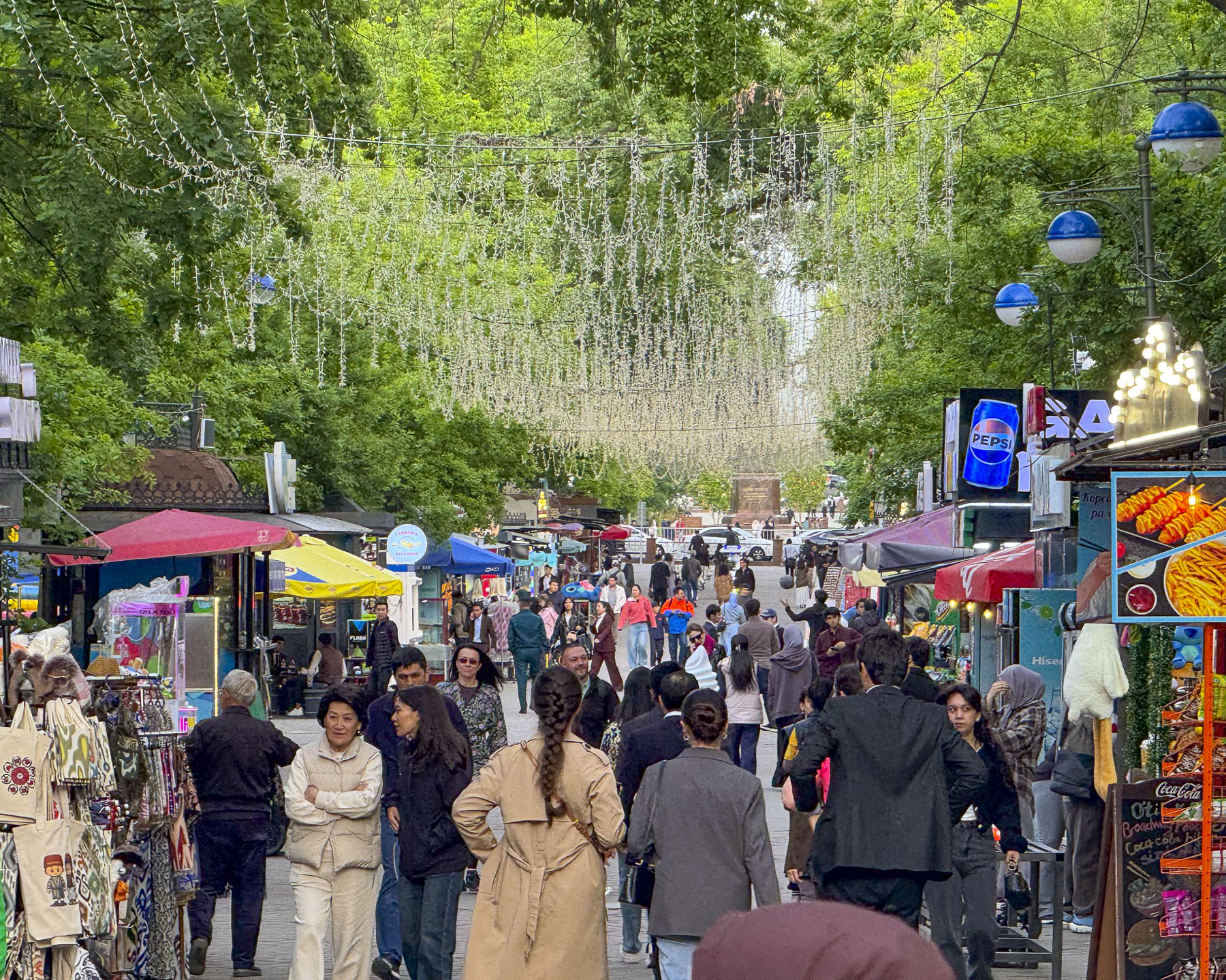
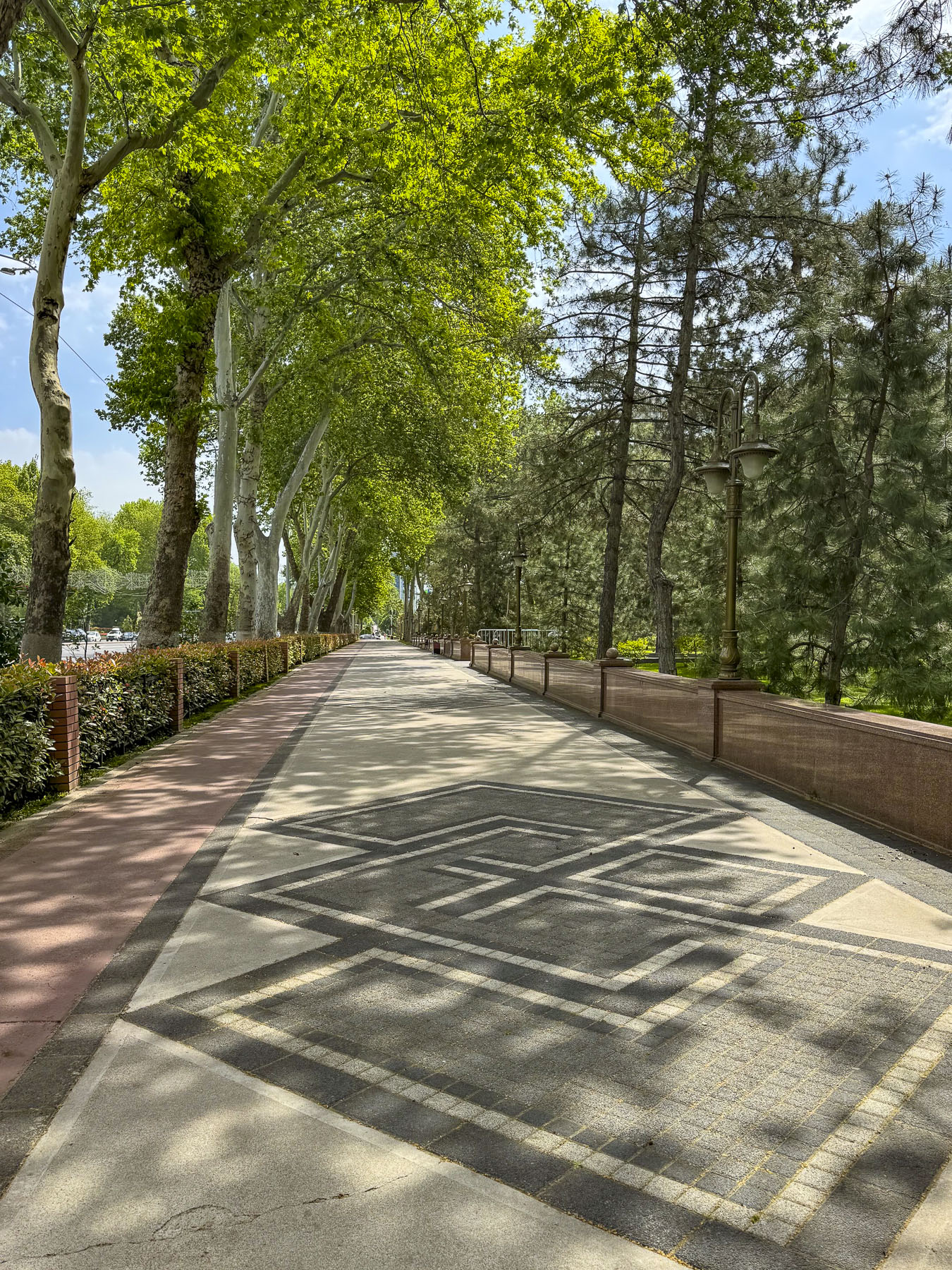
Turning the corner past the school we entered Sailgokh Street, a wide, treelined 1km (6/10mi) long, pedestrian-only boulevard that links Amir Timur and Independence Squares, that’s locally known as Broadway. Sunlight reflected through party lights strung across the street that was lined with food stalls and outdoor seating. Behind them students from the university were challenging their professors to games of ping-pong at numerous tables along the sidewalk. Caricature artists whiled away the time waiting for customers to sit in front of their easels as parents watched their young children scoot about in electric toy cars. It’s a popular destination to grab an inexpensive meal or dine at one of the fancier restaurants along the walkway.

Surprisingly on this street in 1928 Tashkent was on the cutting edge of technology, when a crowd had gathered to watch the first-ever telecast showing a moving tram, made with a device called a Telephot, created and patented by Boris Grabovsky, a student at Tashkent University, and the son of the famous Ukrainian poet, Viktor Popov. Unfortunately, by 1930 he was forced by Soviet officials to stop working on television technology.

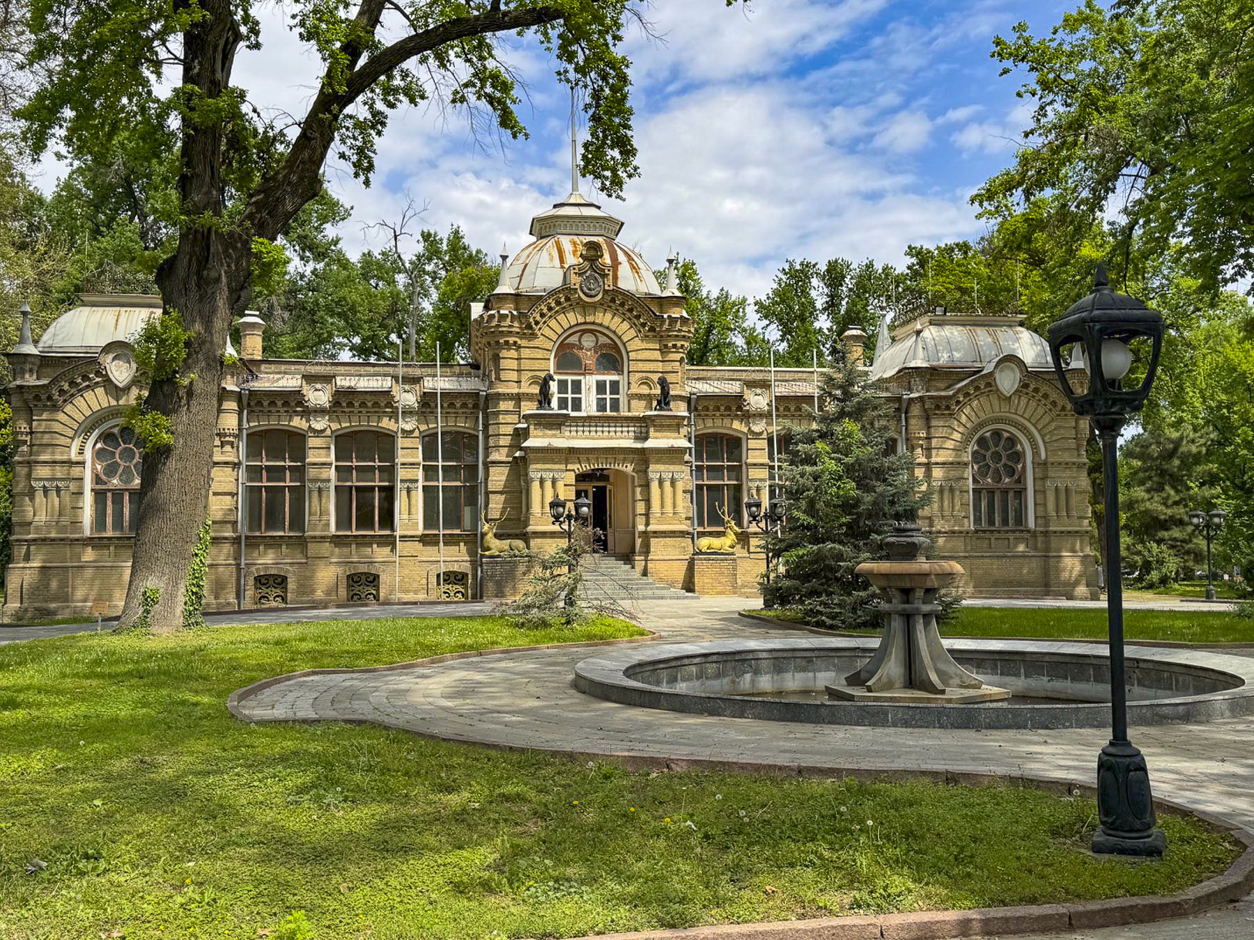
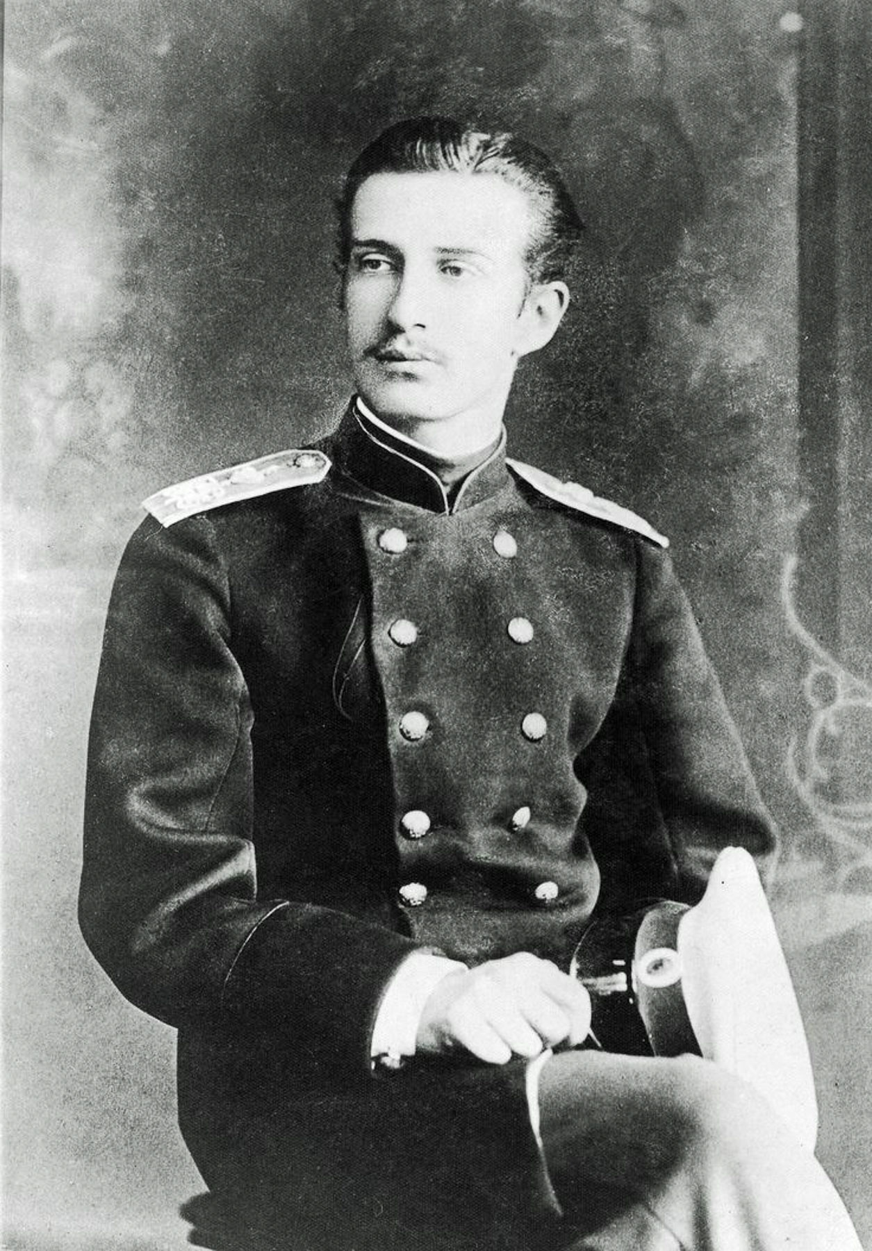
Farther along was a very attractive small royal palace built in the late-19th century and early Art Nouveau style in 1891.  It was the home of Grand Duke Nicholas Constantinovich who was permanently exiled to Tashkent by the Russian royal family for stealing valuable diamonds from an icon belonging to his mother, so he could lavish extravagant gifts upon his American mistress! Let’s talk about the punishment fitting the crime here. The entrances are flanked by bronze sculptures of deer and hunting dogs, a reflection of the Grand Duke’s passion for hunting. He was by no means a pauper during his punishment, and received a gracious royal stipend which he invested in cotton mills, a soap factory, and the city’s first cinema. To furnish his prison palace he was allowed to bring his collection of Russian and European artworks from St. Petersburg with him into exile. Using profits from his local business ventures he continued to acquire new pieces of European art, rare books, and priceless artifacts. Before his death in 1918, he graciously bequeathed his art collection and palace to the city of Tashkent, to become the foundation for the State Museum of Arts of Uzbekistan collection. During the early Soviet era the palace was used as a museum to display his collection but later was transitioned into an after-school activity center for young Soviet Pioneers. Sadly, the palace was closed for renovation when we visited.

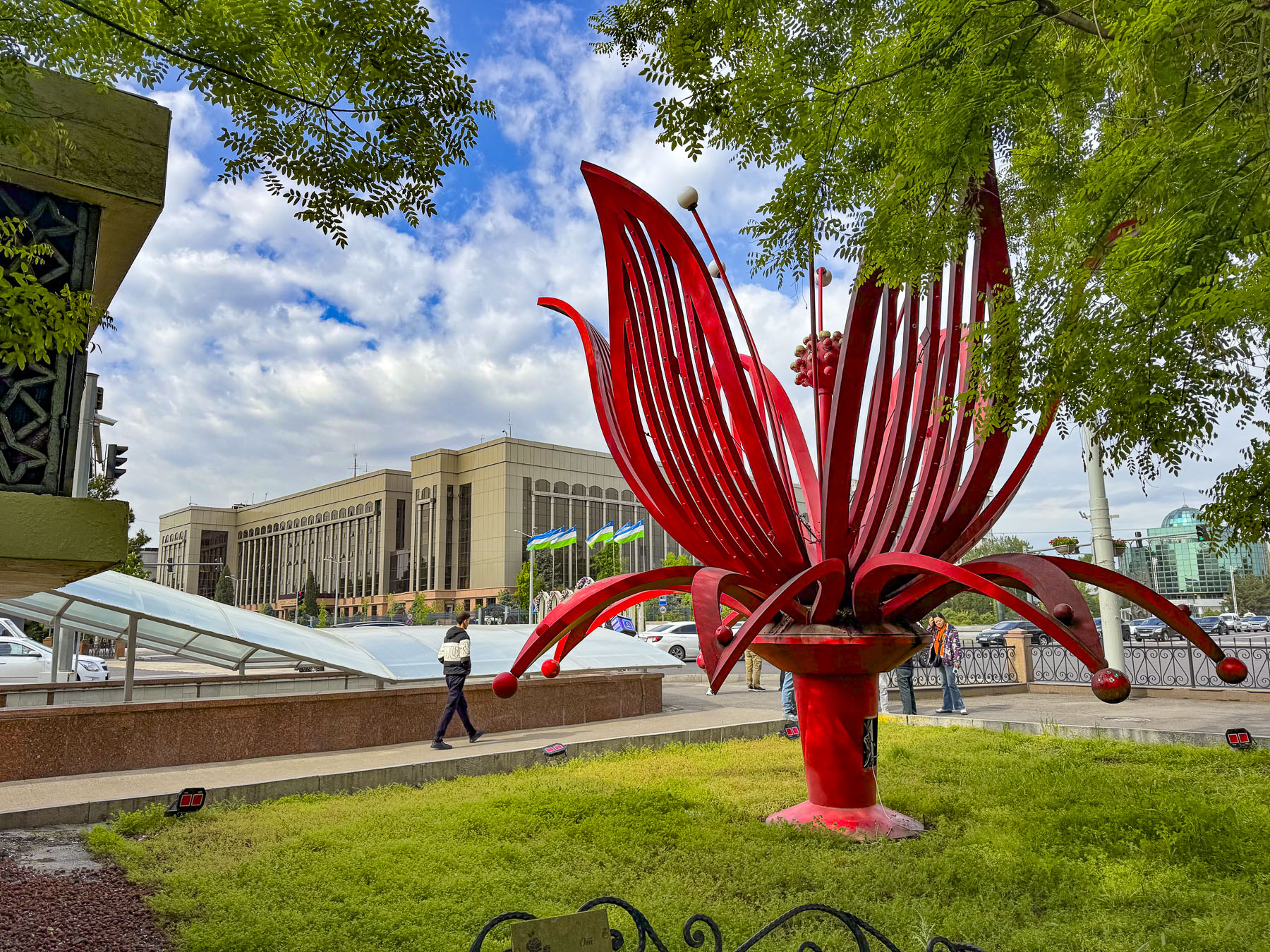
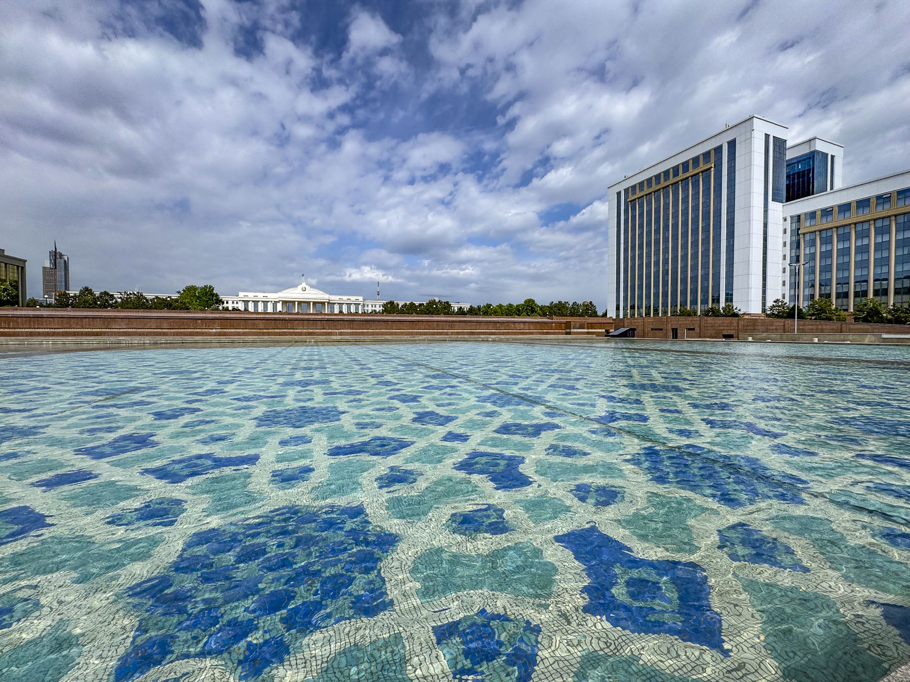
Crossing under Sharaf Rashidov Avenue we reached the large reflecting pool of the Mustakillik Fountain in front of the building housing the offices of the President of the Republic of Uzbekistan. Unfortunately, all the fountains we passed in Tashkent in mid-April were off. We can only speculate how stunning they must be when they are shooting water skyward.

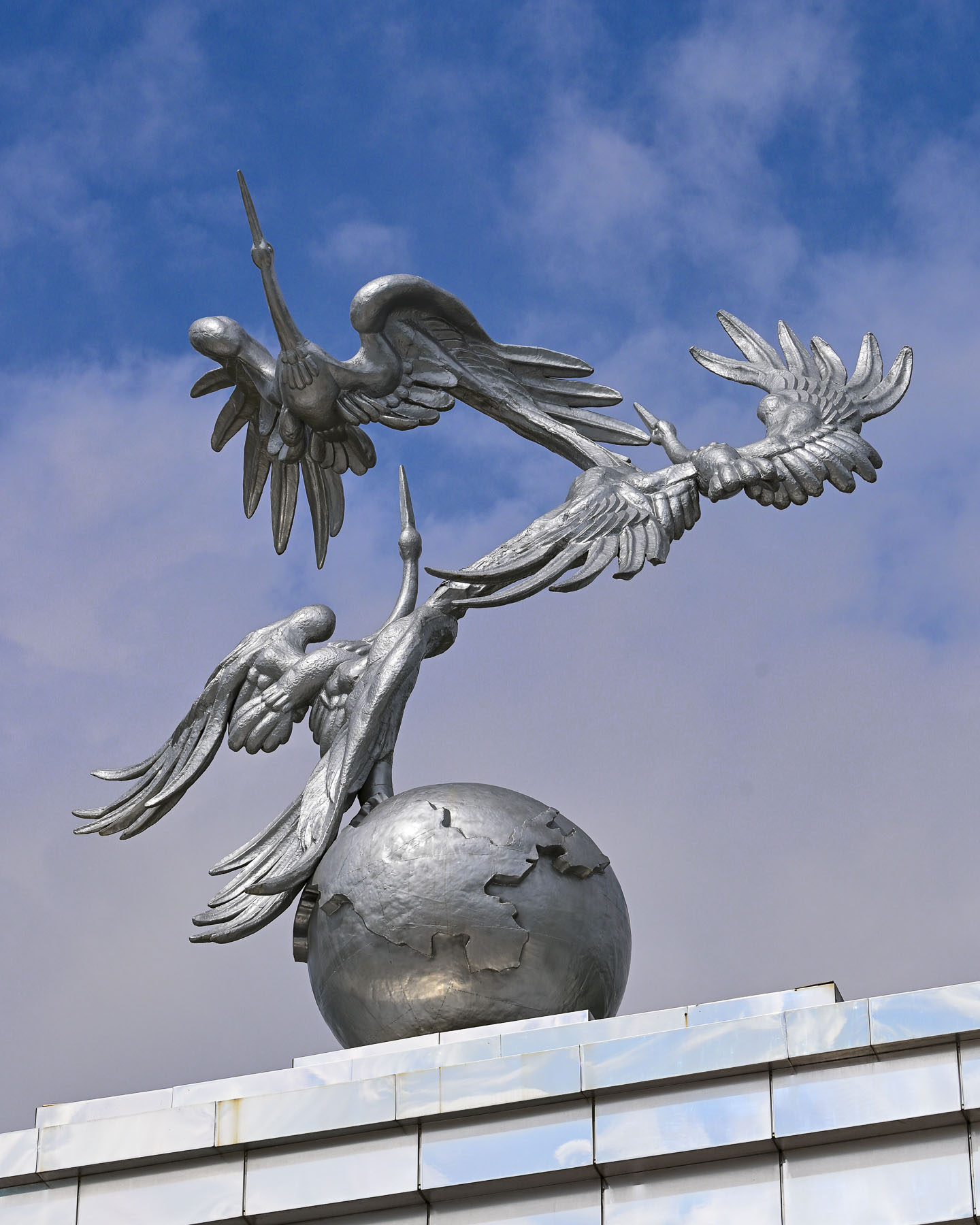
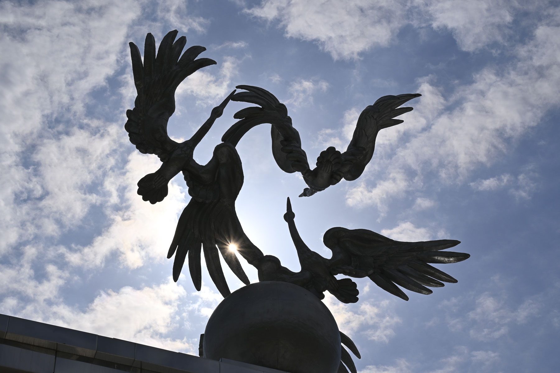
A short walk away was Independence Square where more dry waterworks paralleled the Arch of Ezgulik, a 150m (492ft) long archway held aloft by 16 white marble columns and crowned with a beautiful sculpture of three giant storks circling a globe as they soar skyward. Storks are a prominent theme on the top of many important buildings in Uzbekistan, and in Uzbek folklore they symbolize humanism, peace and prosperity.

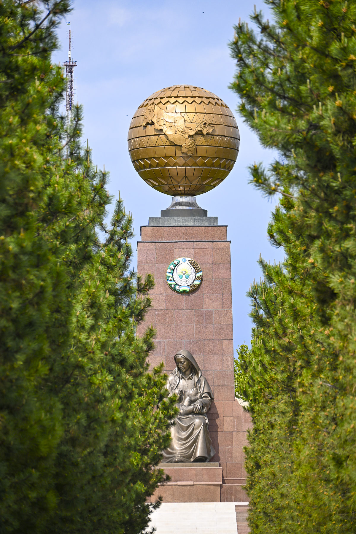
Beyond the arch, down a narrow evergreen-lined walkway, was the Monument of Independence, a tall obelisk with a globe atop it, the map of Uzbekistan chiseled into its center. At the base of the monument is a statue of an Uzbek woman cradling a baby, called the Happy Mother that “symbolizes the Motherland, national rebirth, and hope for a prosperous future for the next generation.”

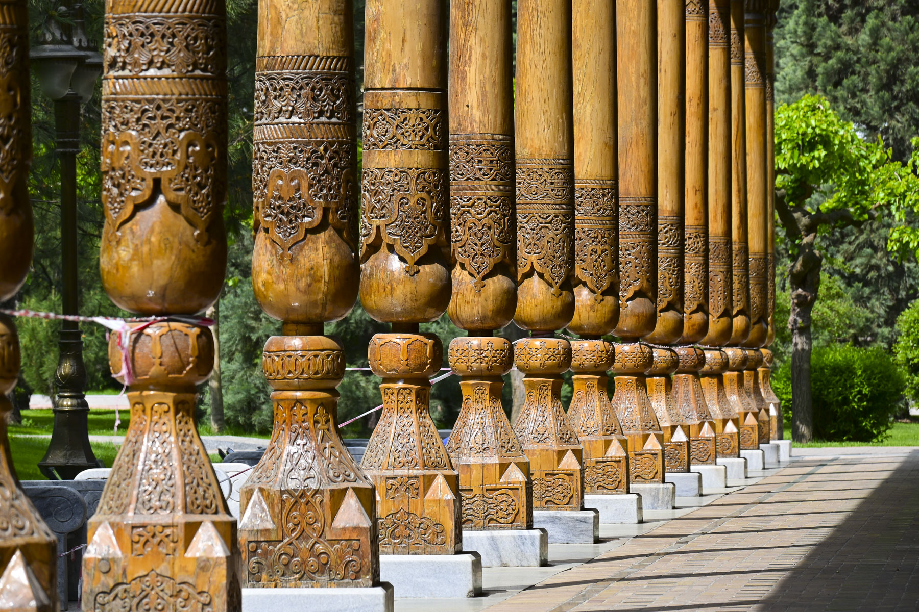
Continuing on we entered Memorial Square where an elegant, long, open-sided wooden building stood, surrounded by traditional Navoi-style carved wooden pillars, called the Memory Corridor. It holds Memory Books which contain the names, inscribed in gold lettering, of over 400,000 Uzbek soldiers who died during World War II.

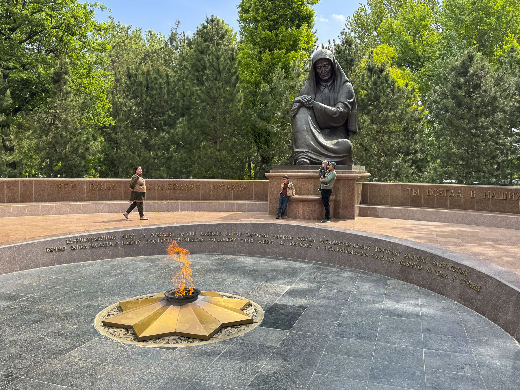
Across from it was a large statue called the Grieving Mother that overlooked an eternal flame. It was a very somber memorial and hardly a whisper could be heard from the observers.

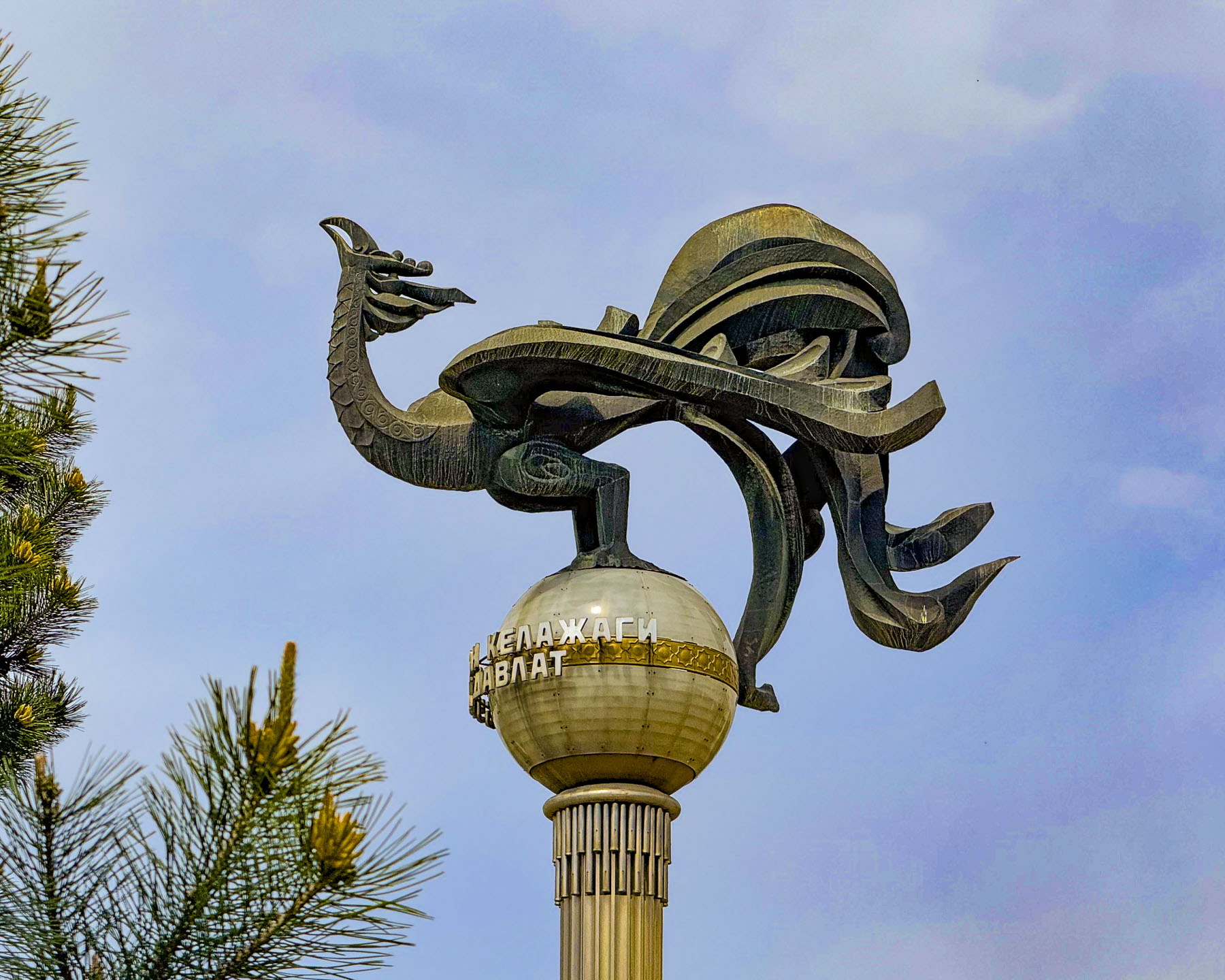
Progressing along Sharaf Rashidov Avenue toward the Monument to “Courage,” we passed the Turkistan Concert Hall, where a stylized statue of a majestic stork is perched on top of a tall column.

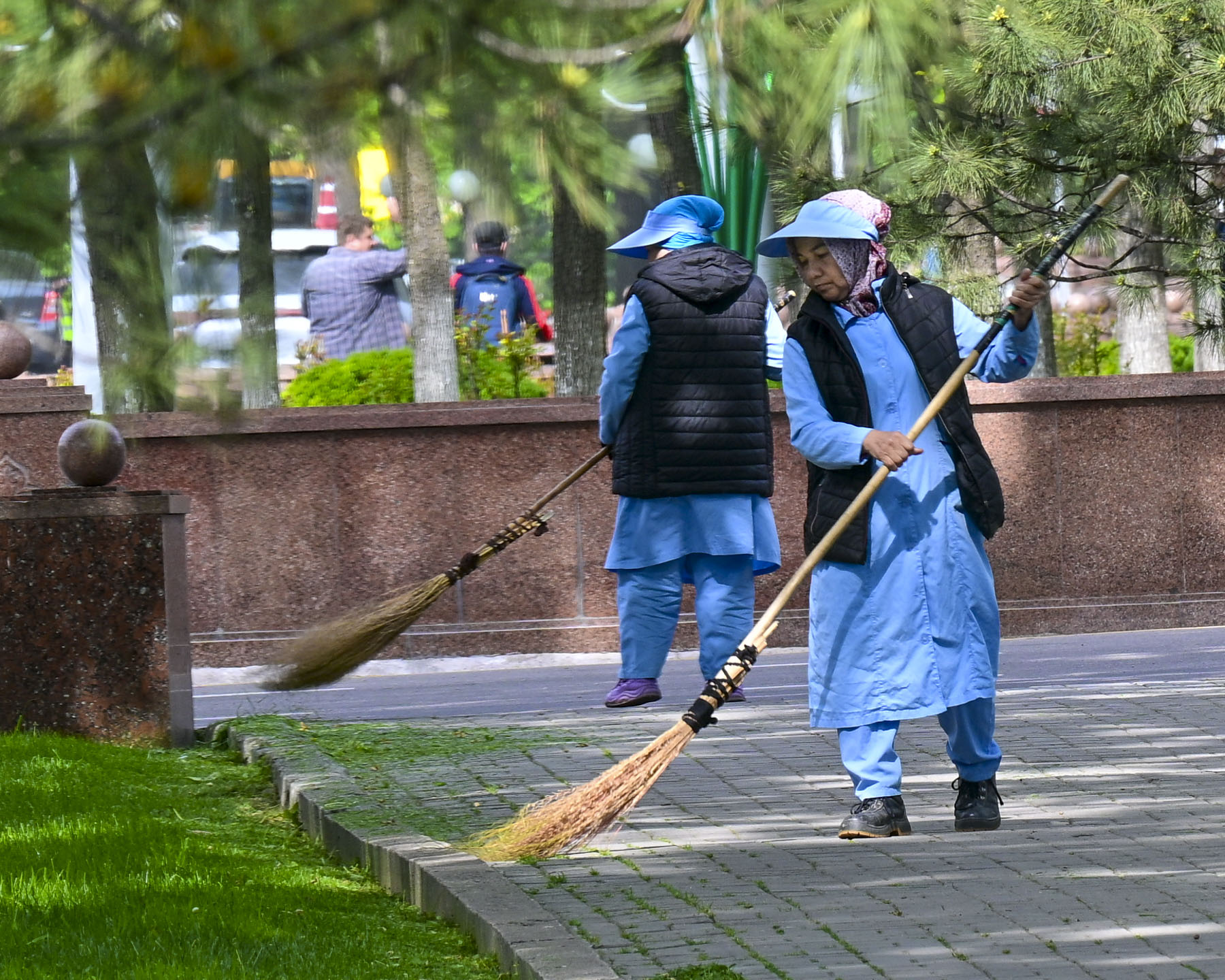
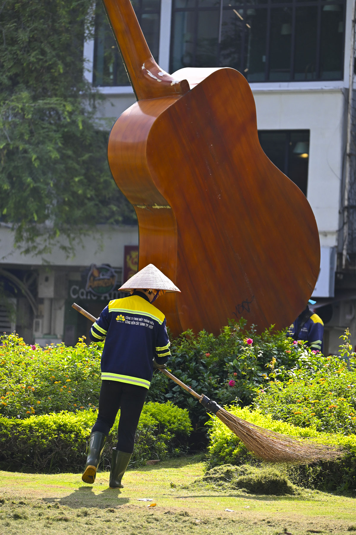
Along the way we noticed that everywhere we walked there was a definite sense of “pride in ownership.” The city was immaculately clean. Street sweepers with traditional brooms called supurgi, made with bundles of twigs tied to a wooden handle, were always out and about, as were the city’s landscapers who seemed to be everywhere planting decorative flower beds and pruning. When they were done in one area, they packed up their tools and brooms and hopped onto a city bus to go to the next location needing tending.

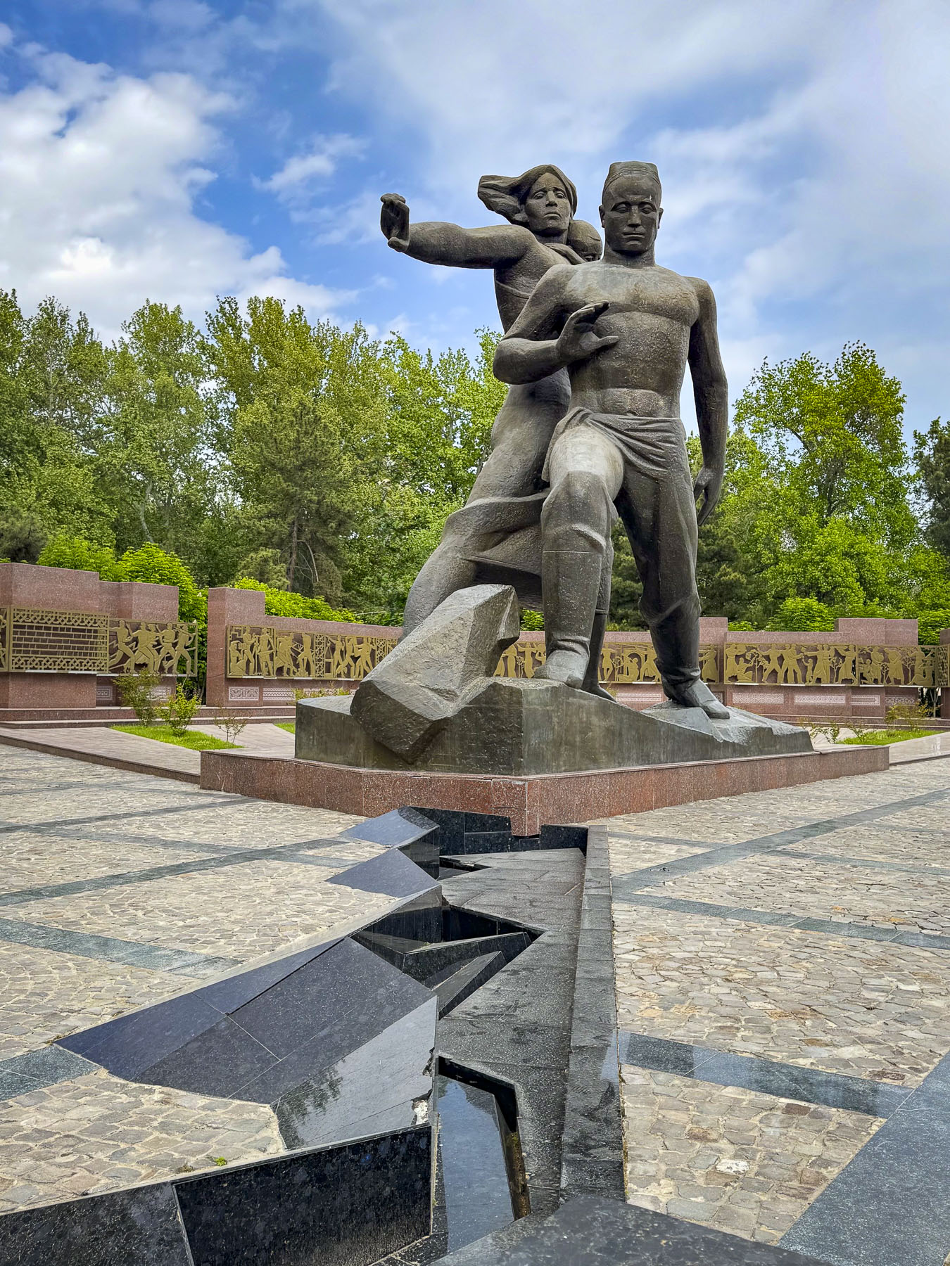
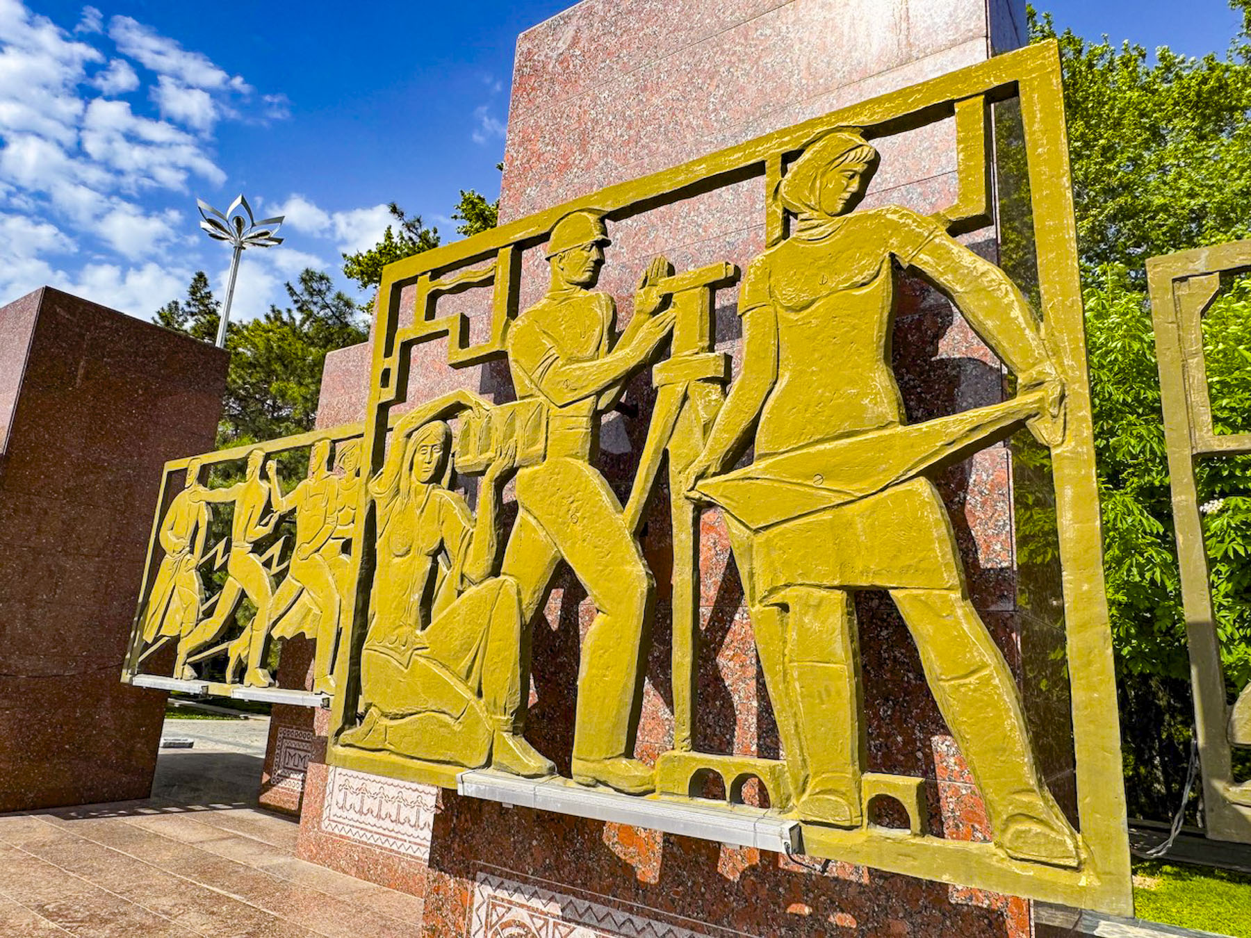
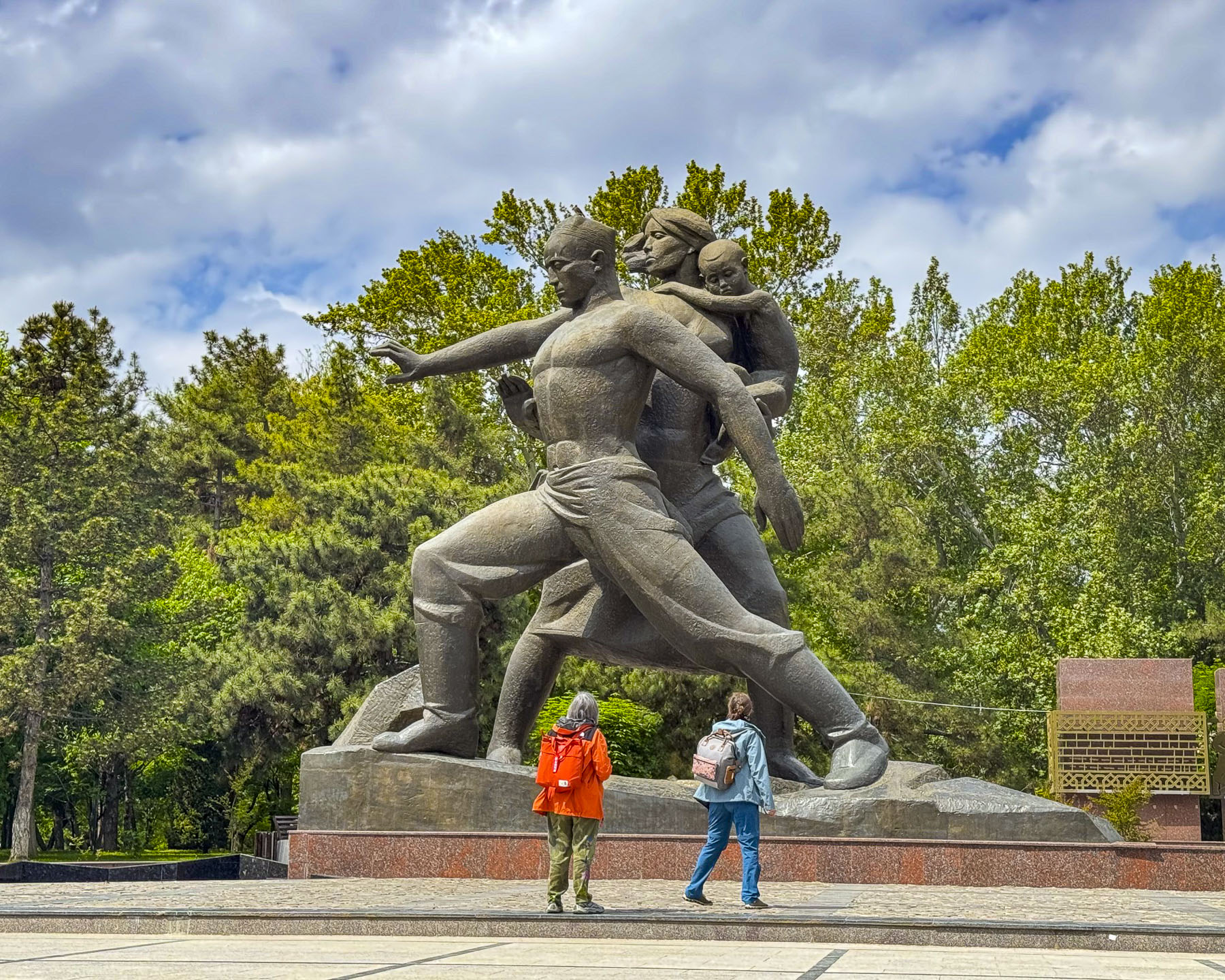
The Monument to “Courage” is a gigantic statue of a family, erected in 1976 on the tenth anniversary of the April 1966 earthquake that commemorates the victims, as well as collective efforts of Tashkent’s survivors and the thousands of workers who arrived from across the Soviet Union to rebuild the city from the rubble. At the foot of the sculpture is a recreated fissure in the earth’s crust that is believed to be directly above the epicenter of the 5.2 magnitude earthquake that rattled the earth for 11 seconds and had nearly 1,000 aftershocks. Behind the statue is a wall of 14 stelae with stylized bronze bas-relief sculptures depicting the reconstruction efforts of the workers and volunteers who rebuilt Tashkent, from literally the ground up. 

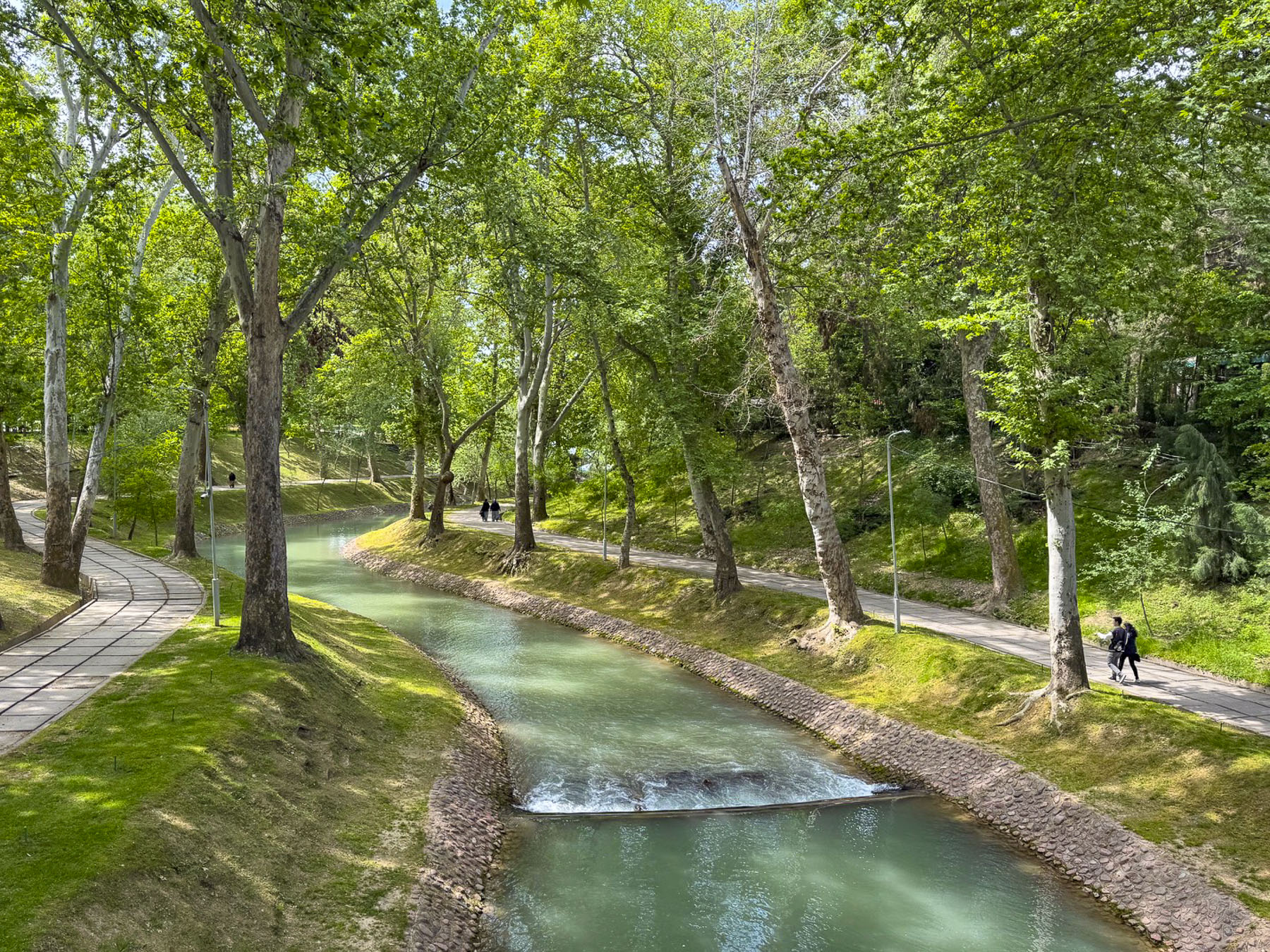
A sidewalk next to the stelae leads to Museum of Olympic Glory and crosses over a bridge above the scenic Anchor Canal as it weaves through a quiet woodland before the museum.

Walking from Independence Square along Sharaf Rashidov Avenue to the Monument of Courage, and then following Navoi Avenue, and Mustaqillik Ave back to our hotel, the new design of this “model Soviet city” was particularly apparent with the wide treelined streets, and tall apartment buildings well-spaced apart.

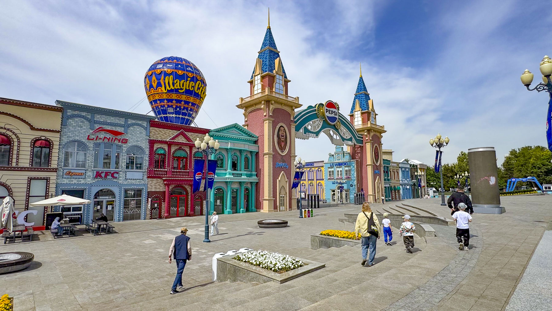
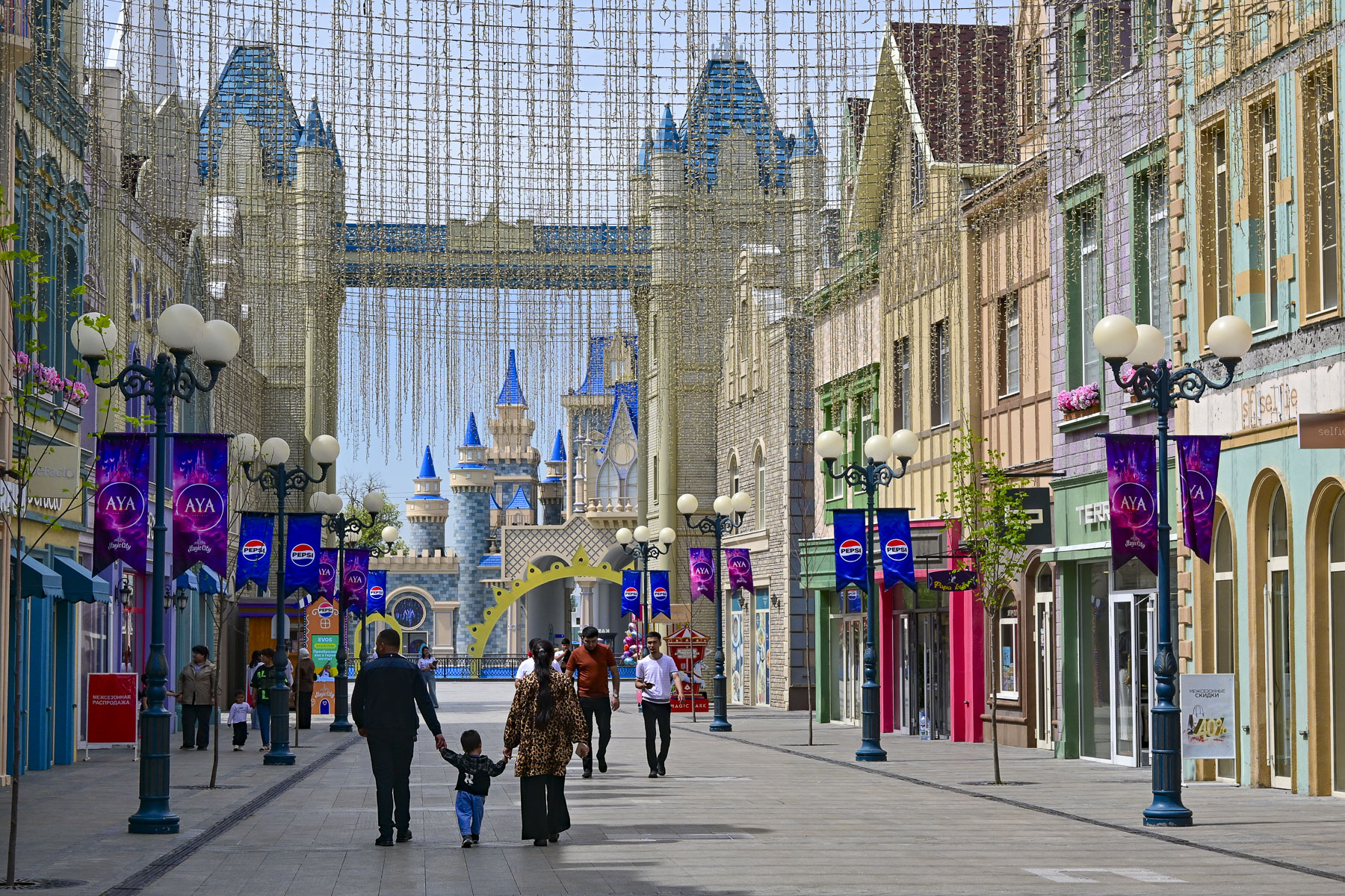
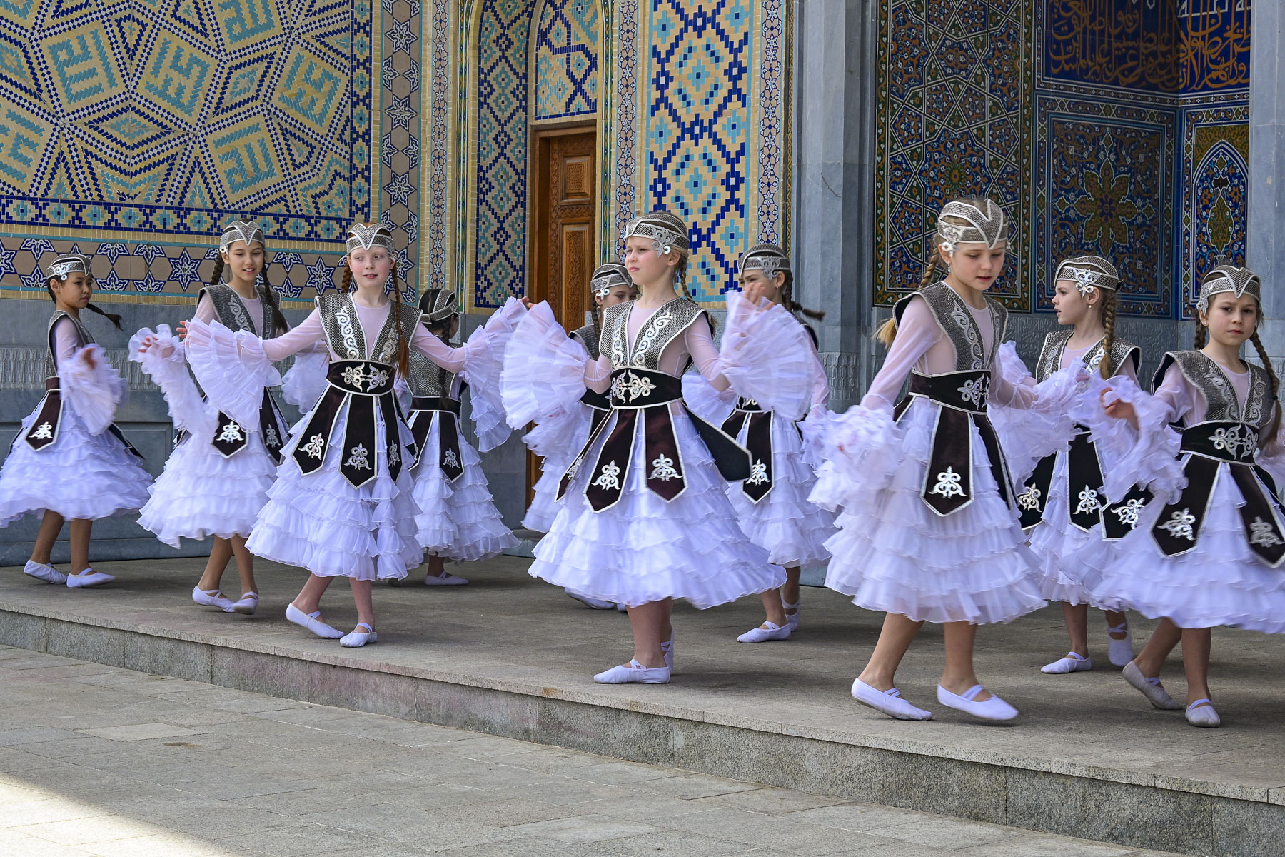
On our last full day in Tashkent we took advantage of multiple inexpensive YandexGo rides and zipped across the city to various destinations. Our first stop, which we had passed earlier in the week, was Magic City Park, an open-air shopping and entertainment complex, that as the name suggests borrows heavily from the mouse kingdom, and seemed very out-of-place in downtown Tashkent. Mid-morning, we had the place almost entirely to ourselves, except for a girl’s dance group practicing their routine in traditional dress.

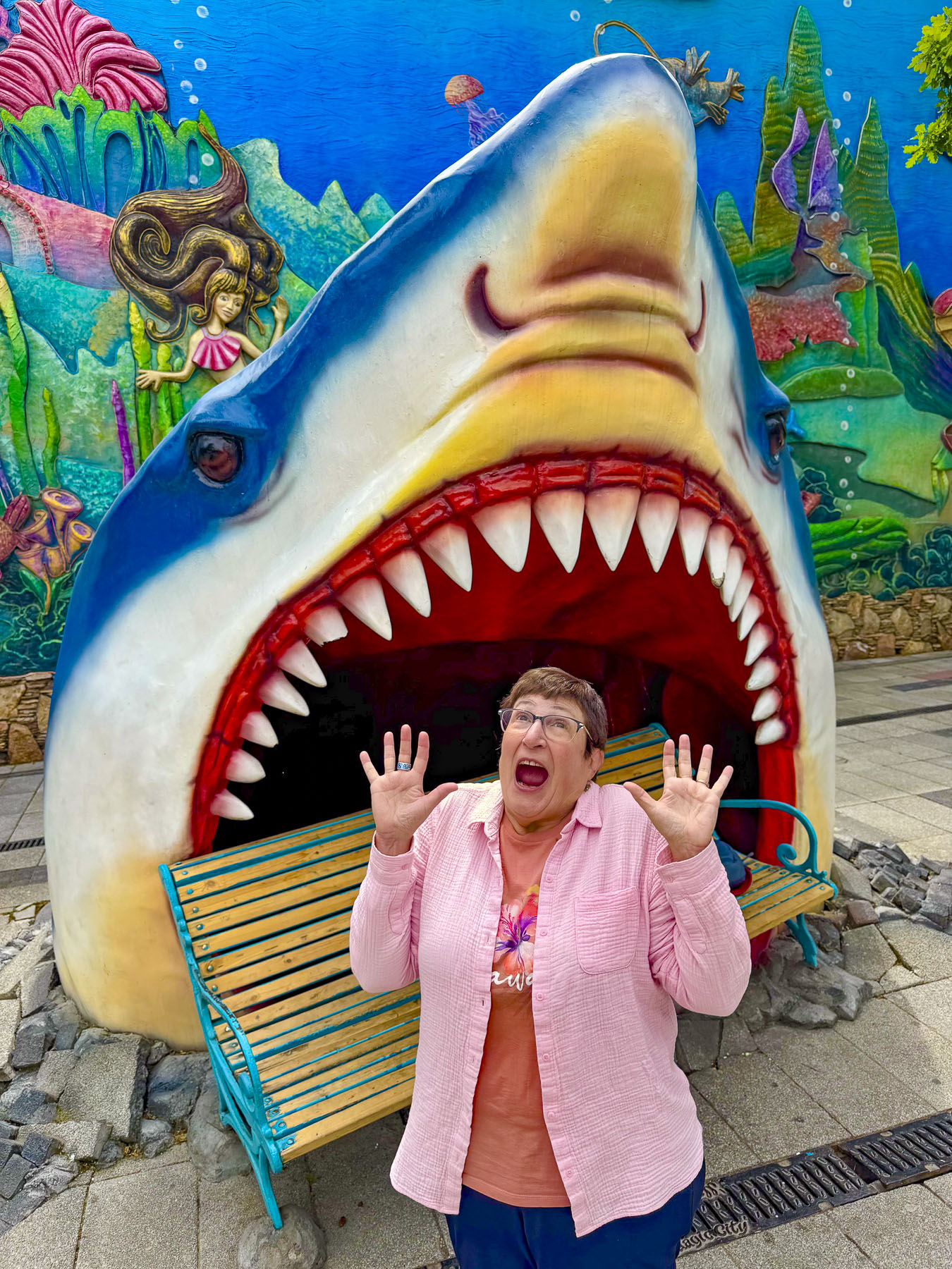
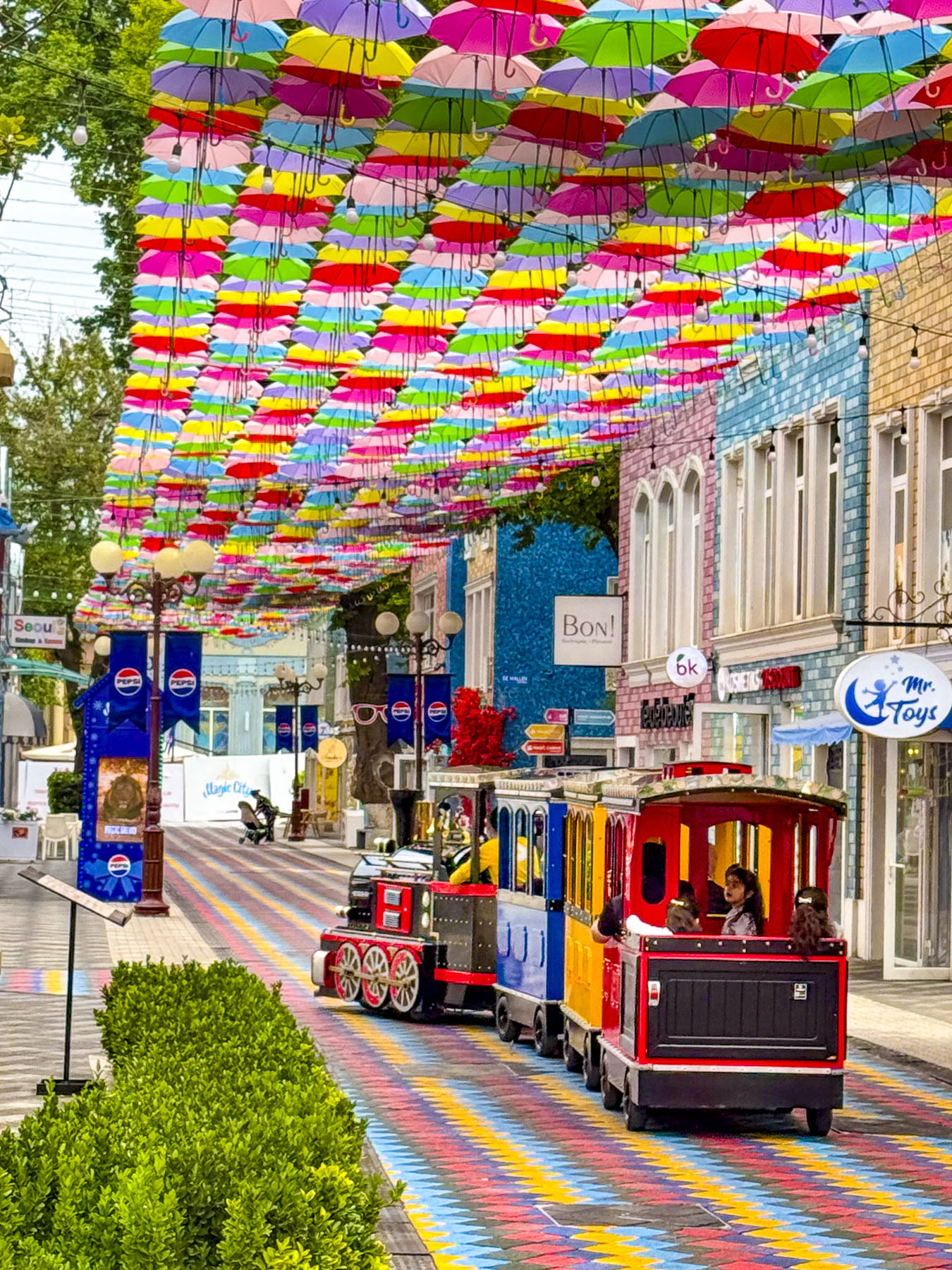
It was a quiet morning, and we enjoyed walking down a colorful painted and umbrella- covered street, making folks smile as we hammed it up in the mouth of Jaws!

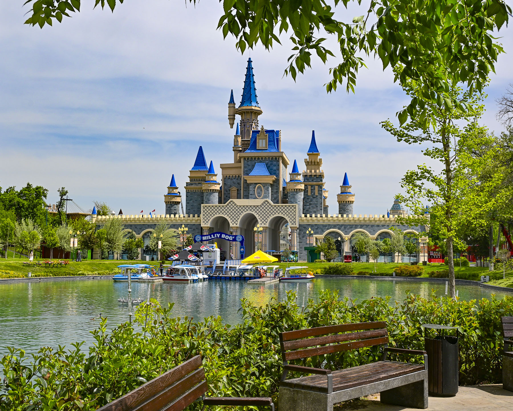
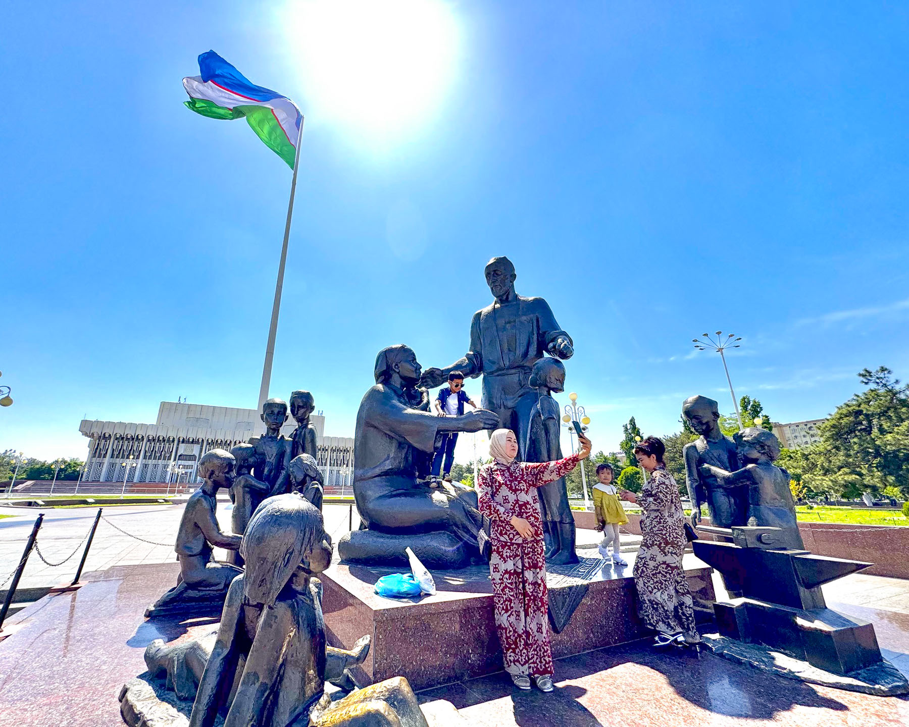
Behind Magic City is Milliy Bog, a large open area national park with statues of important Uzbeks along lanes that lead to the Tashkent Museum of State History; the 19th century Abul-kasim Sheikh Madrasah, which once held a sacred relic of the Prophet Muhammad; the Legislative Chamber of the Oliy Majlis; the Friendship of the Nations concert hall; and the Shomakhmudovs Monument, erected in 1982, as a symbol of wartime generosity and unity.

The monument commemorates a local blacksmith, Shaakhmed Shamakhmudov, and his wife, Bahri Akramova, who during World War II adopted 15 orphaned children of various ethnicities. They were only a small portion of the over one million refugees evacuated from the Soviet Union to Uzbekistan to receive food and shelter, an event that caused many to call it “the city of bread.”

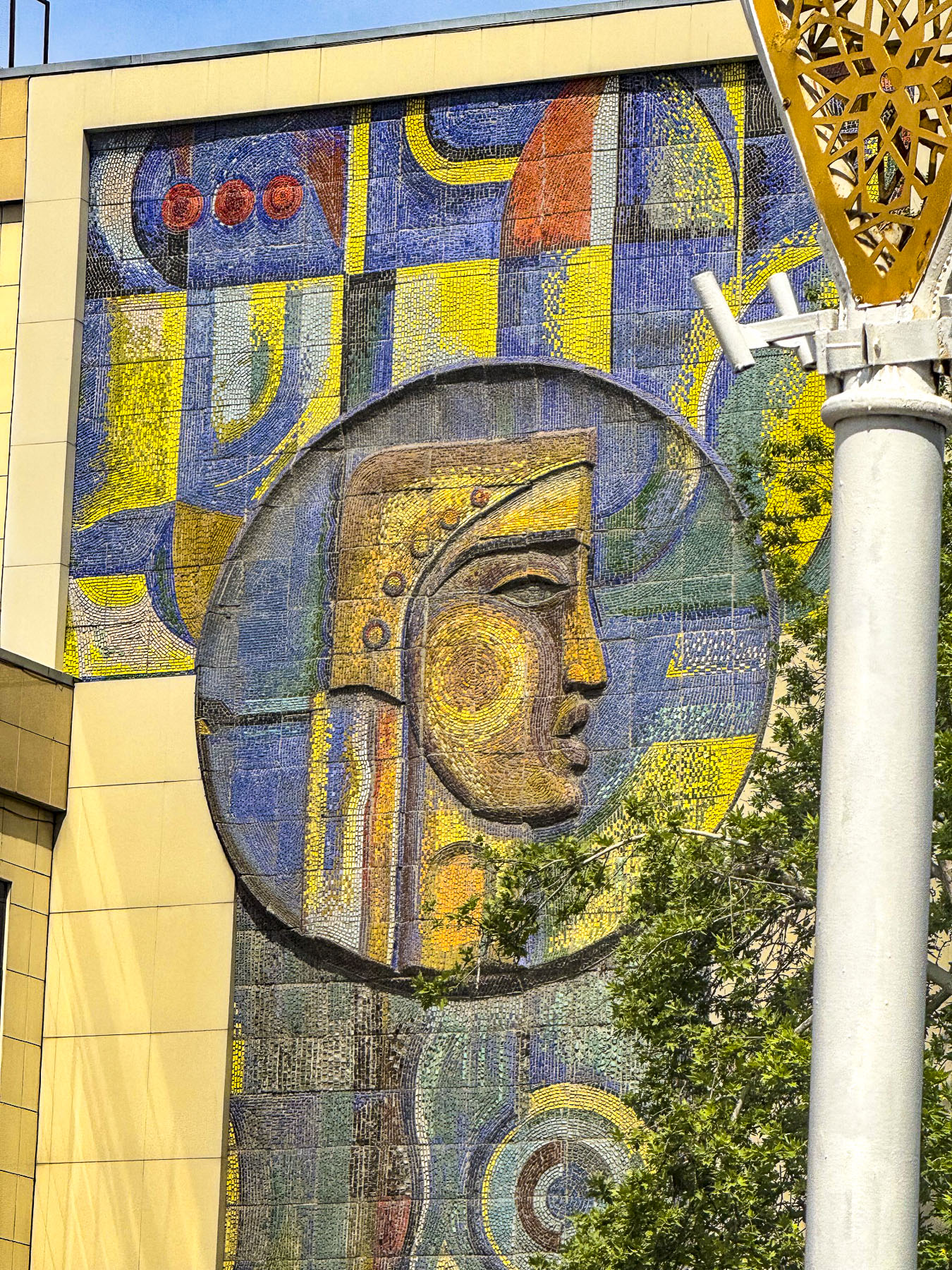
From there we traveled far across Tashkent to a beautiful park across from the Tashkent Television Tower that hosts the Museum of Victims of Political Repression. Along our route we passed many examples of older apartment buildings designed with that harsh “Soviet Brutalism” ethos, and only softened by Uzbek tile murals at both ends.

Life in Uzbekistan during Russian times was not easy and the museum documents the hardships and atrocities committed against the Uzbek people, starting with Imperial Russia’s colonization of the country, where the best farmland was given to Russian settlers, through the communist Soviet Union era. Many exhibits draw on information culled from the former KGB archives.

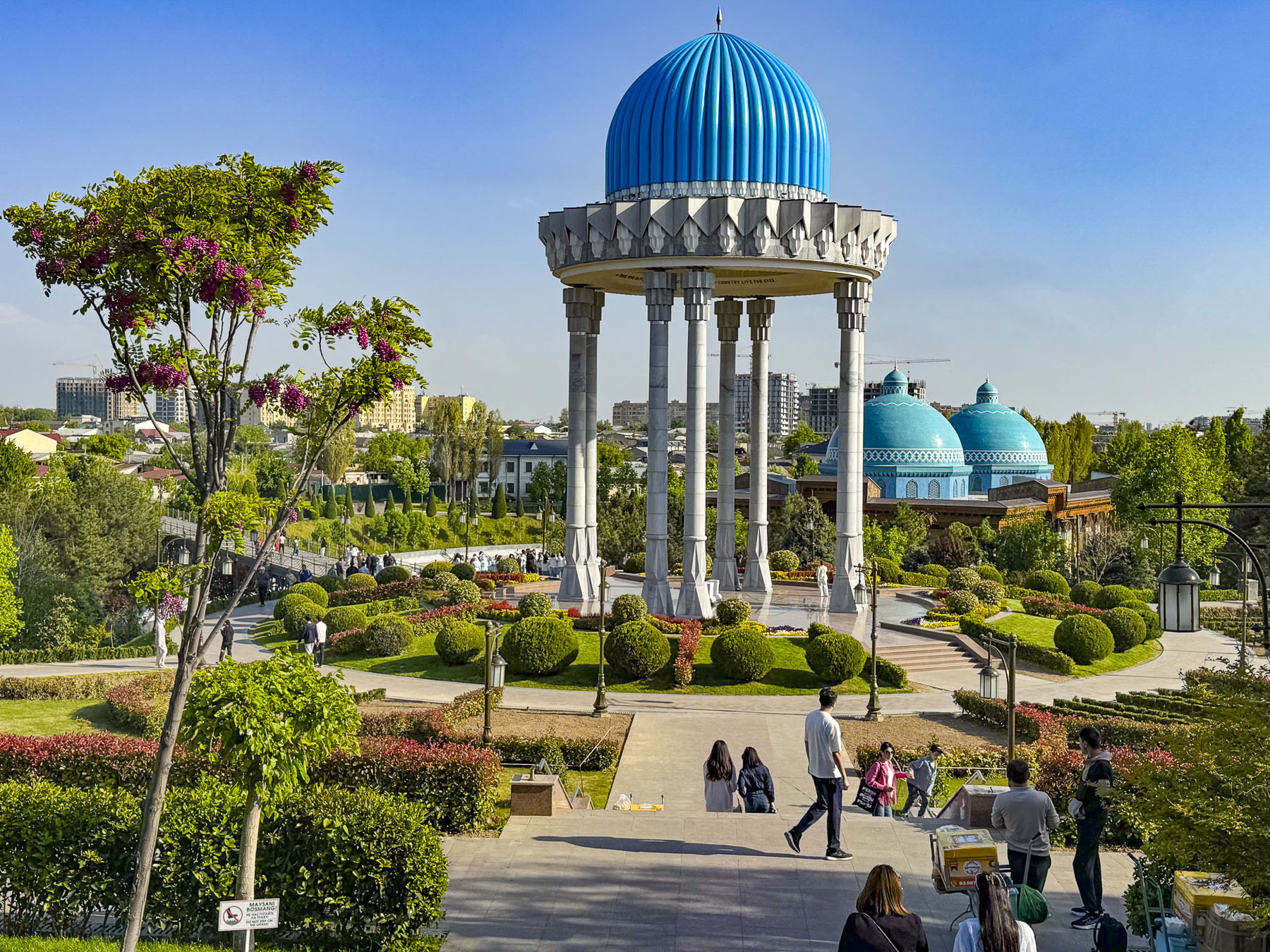
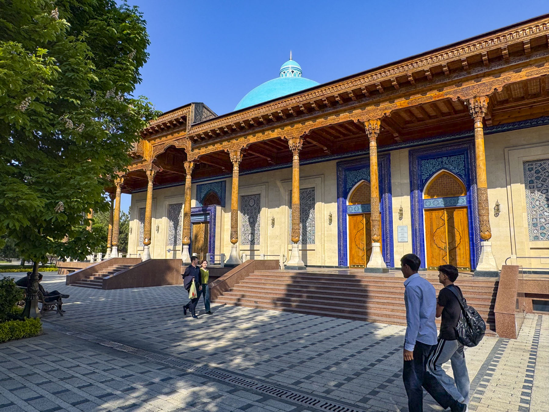
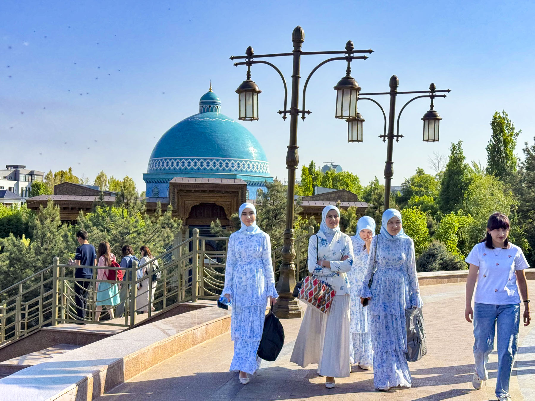
The blue domes of the museum purposely resemble an ancient mausoleum as the building is constructed over the site where the Soviets executed “enemies of the people” during the 1930s. Across the country over 100,000 people were arrested, and over 13,000 of them were shot. Trees in the park symbolically come from the gulags around the country where folks were imprisoned. During World War II ethnic groups that allegedly collaborated with the Soviet Union’s enemies were deported en mass to Siberia.

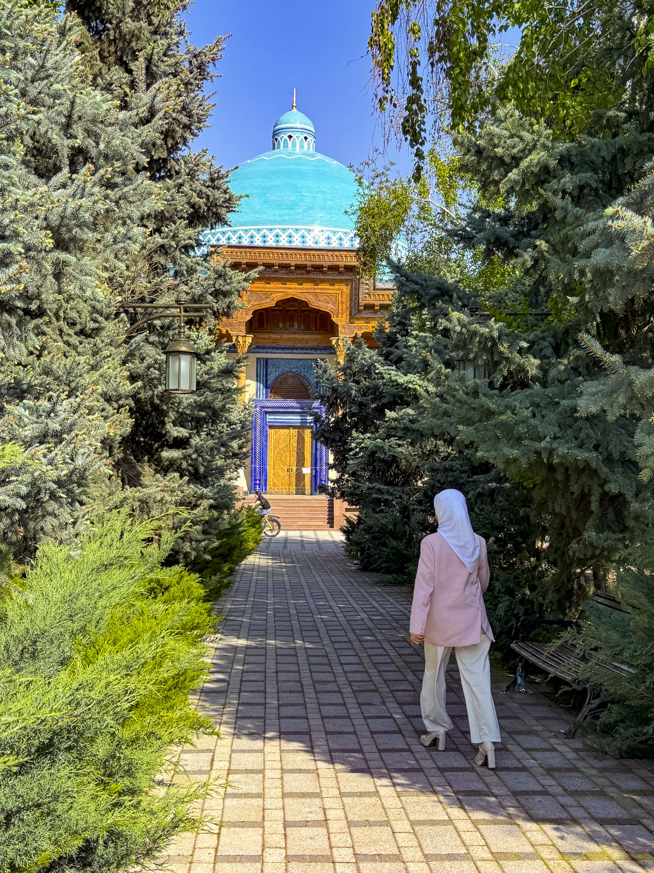
Outside, the man-made river that runs through the park is symbolically shaped like a Greek meander, to symbolize the eternal flow of life. Under the park’s tall rotunda is a nephrite tomb with the inscription in Arabic, English and Uzbek: “The memory of those who died for their country will live forever.”

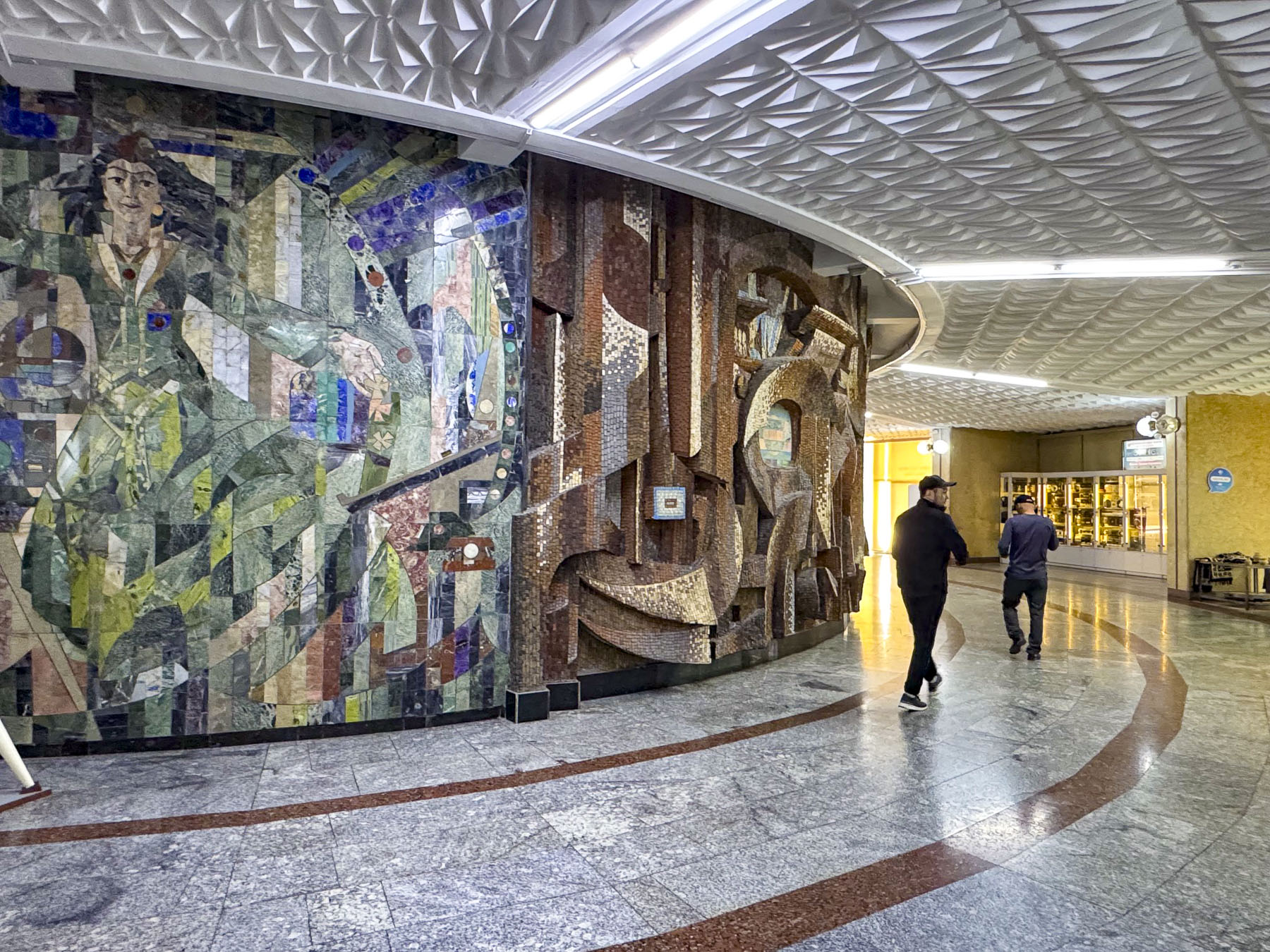
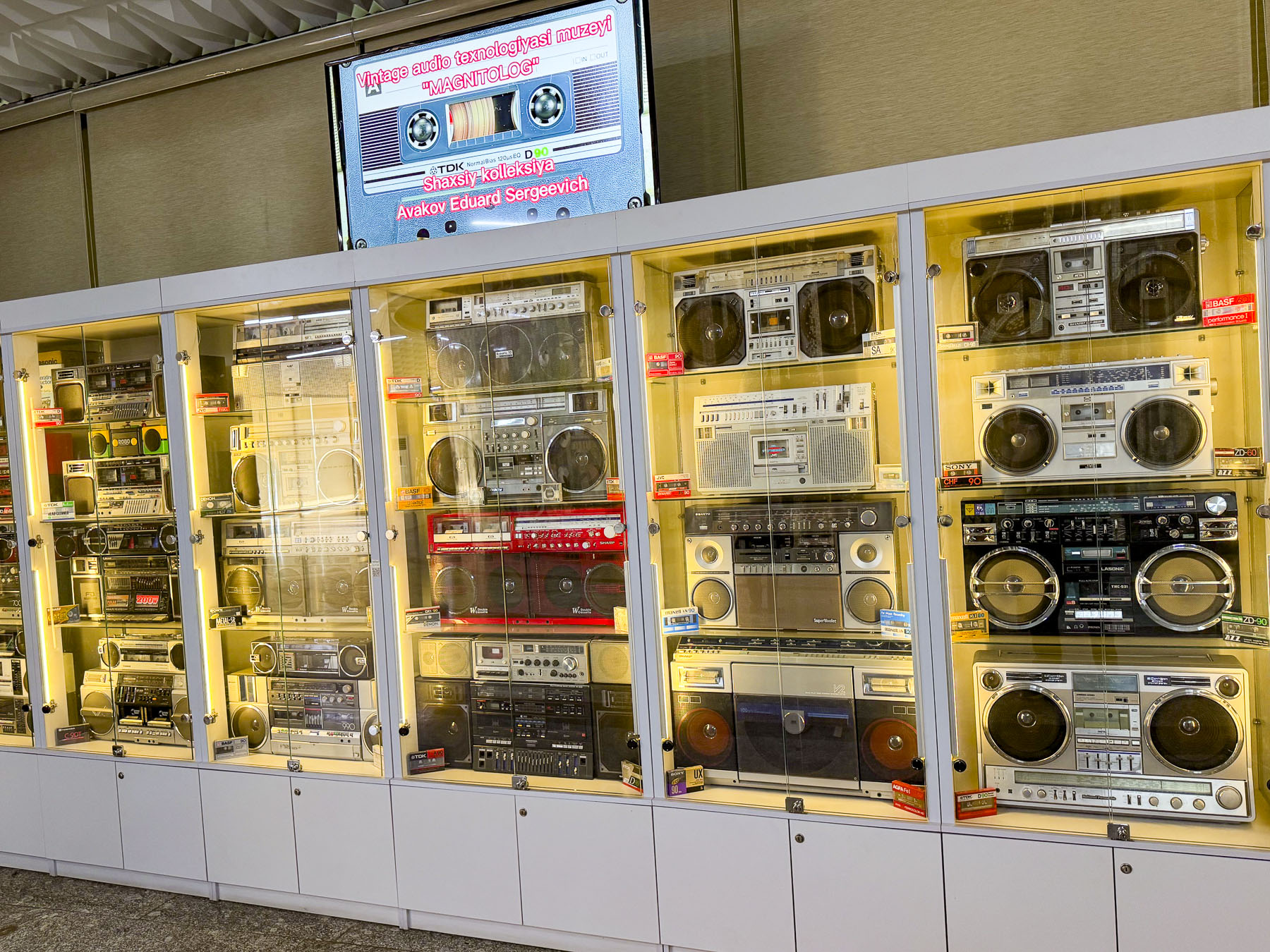
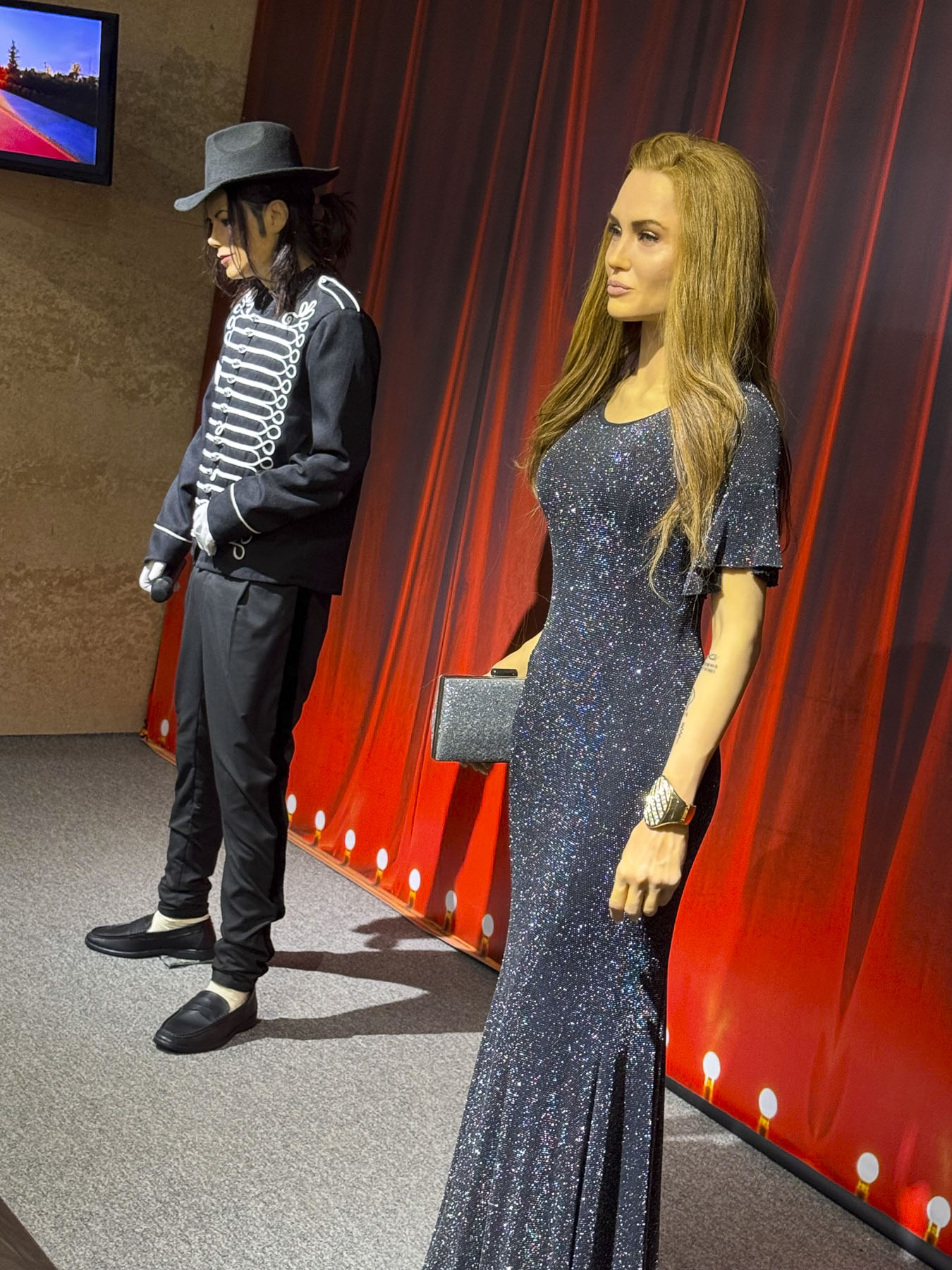
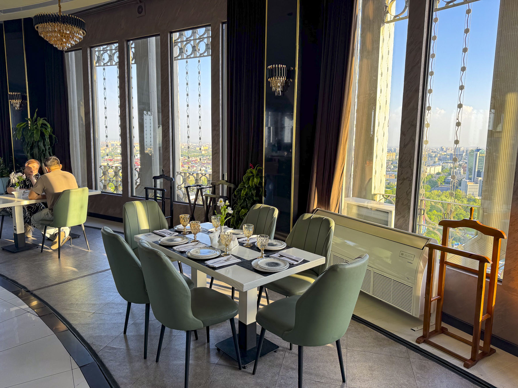
Across the busy road was the Tashkent Television Tower, the tallest freestanding tower with a height of 375m (1,230ft) in Central Asia since its opening in 1985. To get to the elevators that take you up to an observation deck and revolving panoramic restaurant at 104m (341ft) above the ground we had to walk along a long corridor lined with models of other significantly tall television towers around the world, a display of archaic boom boxes, an abstract tile mosaic mural and the wax museum likeness of Michael Jackson and maybe the doubleganger of Melania Trump? The restaurant was enjoyable, though expensive for cake and coffee.

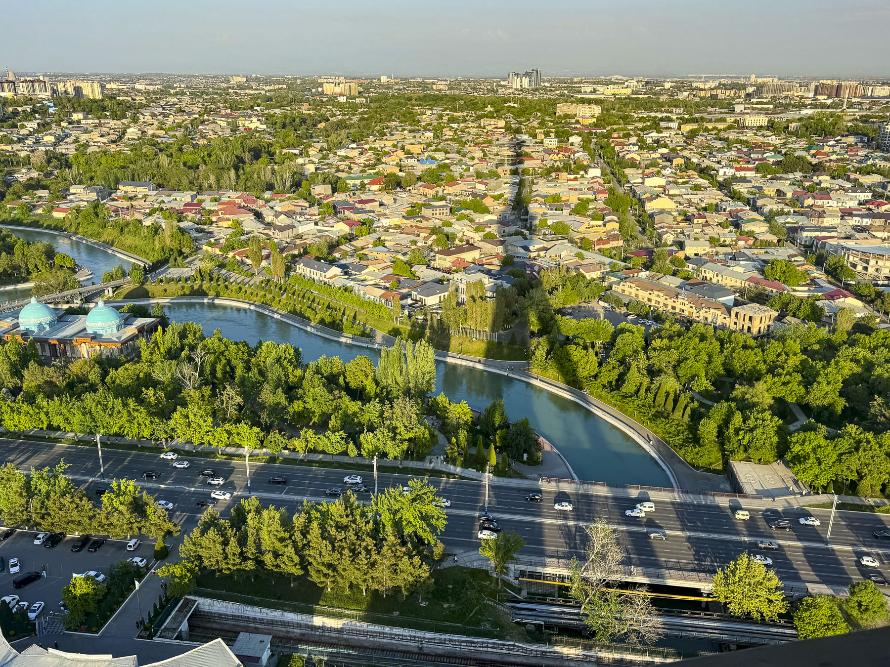
However, the views from the observation deck out over metropolitan Tashkent were fantastic, especially where we would see the shadow of the tower cast across the landscape.

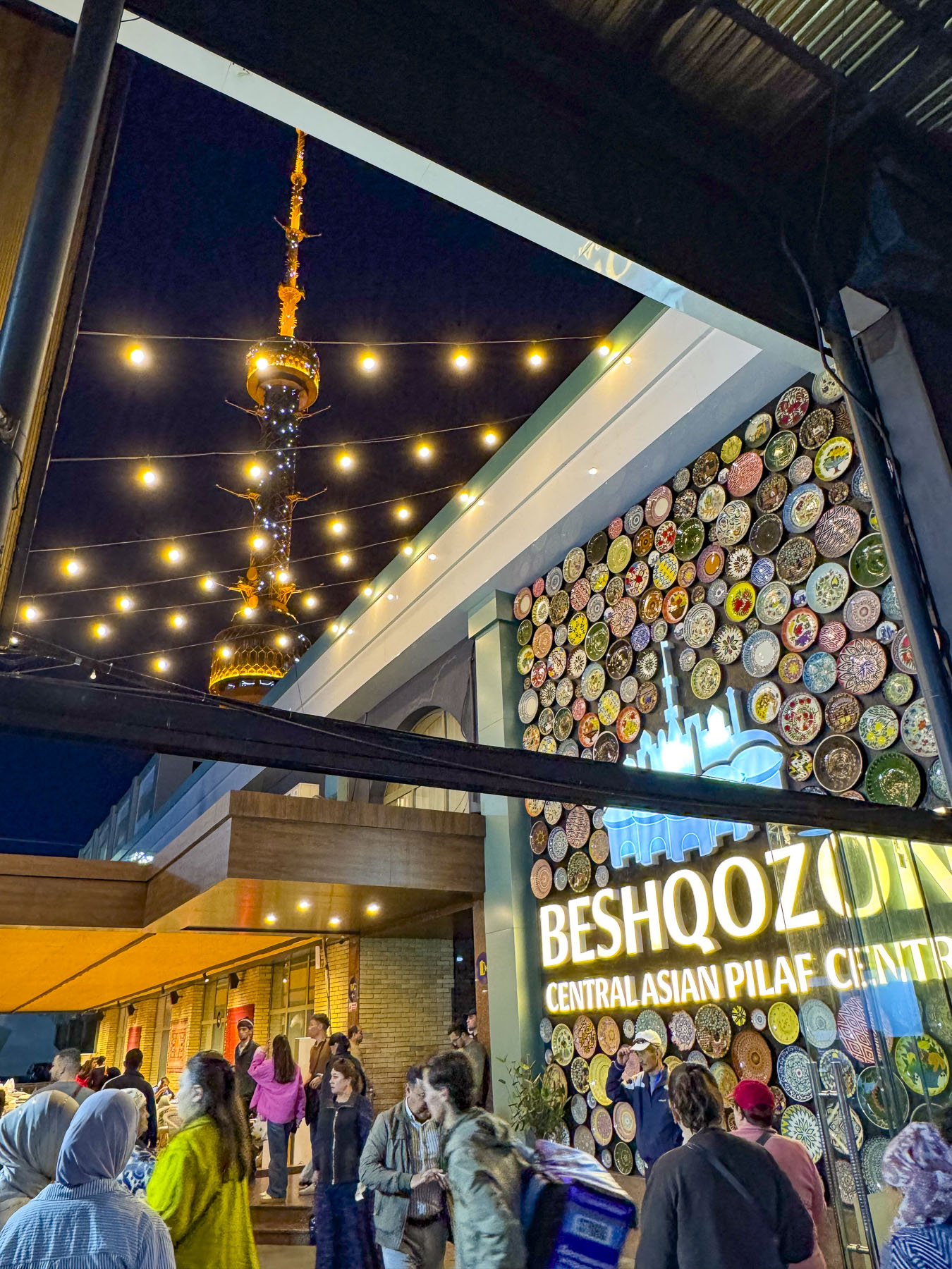
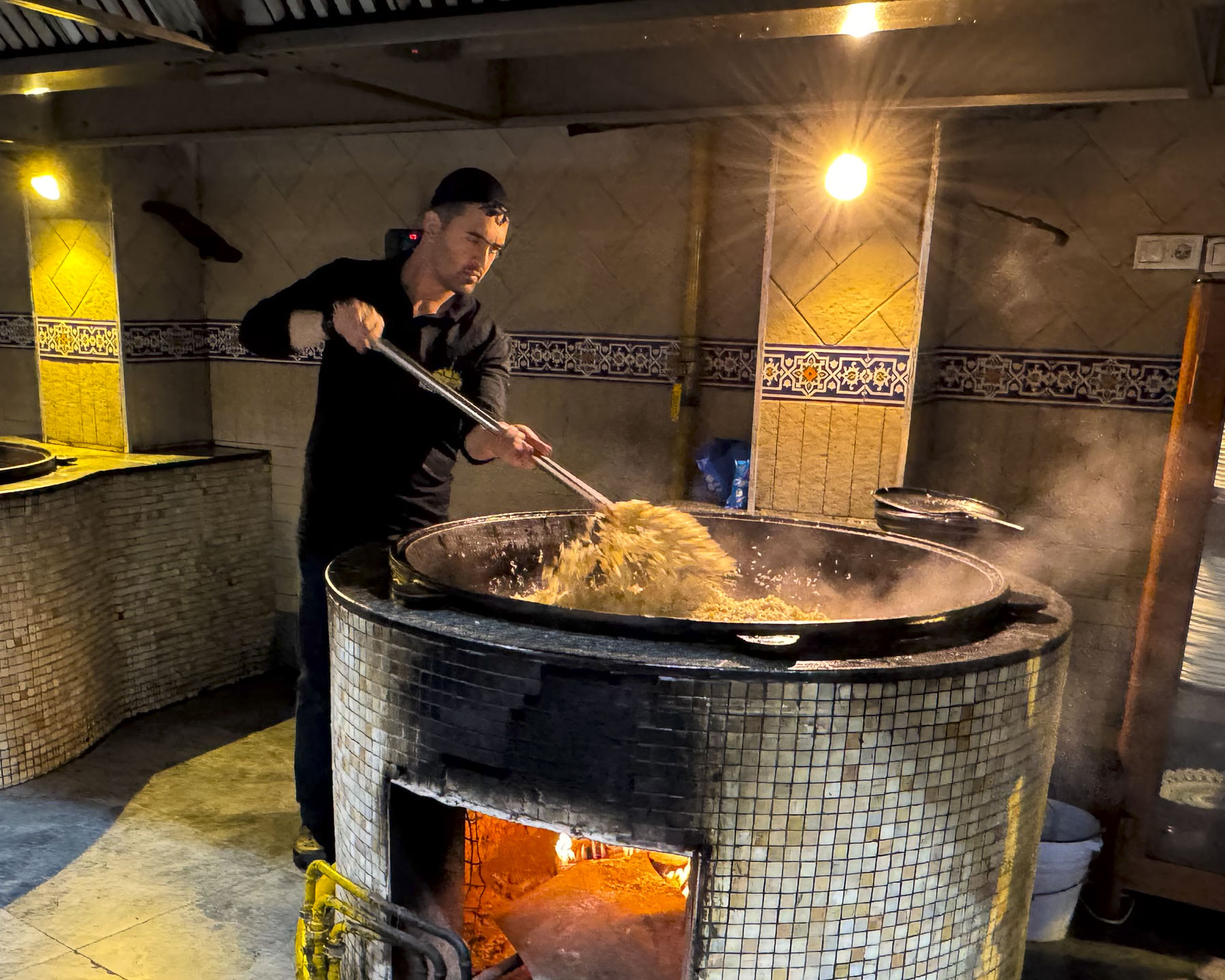
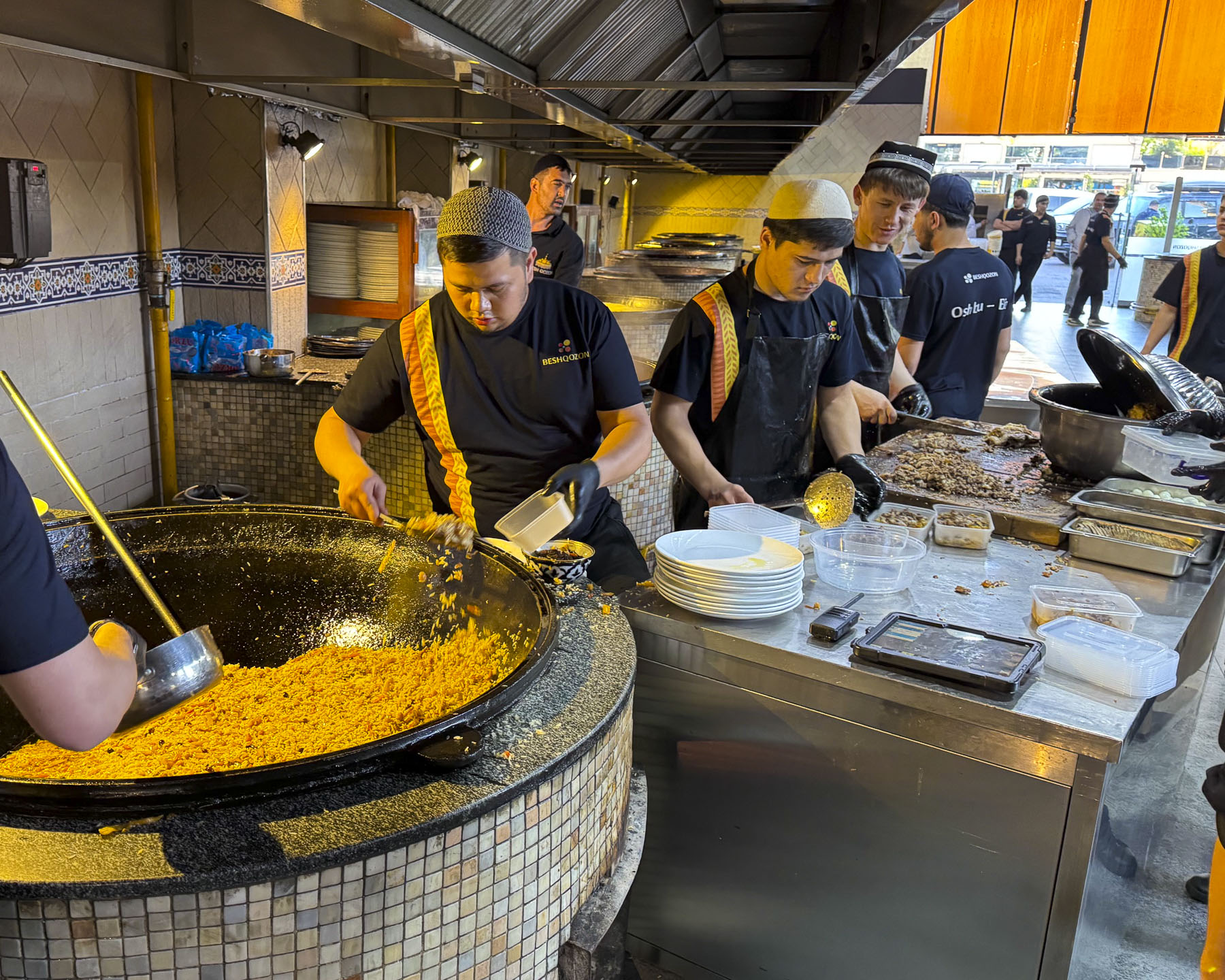
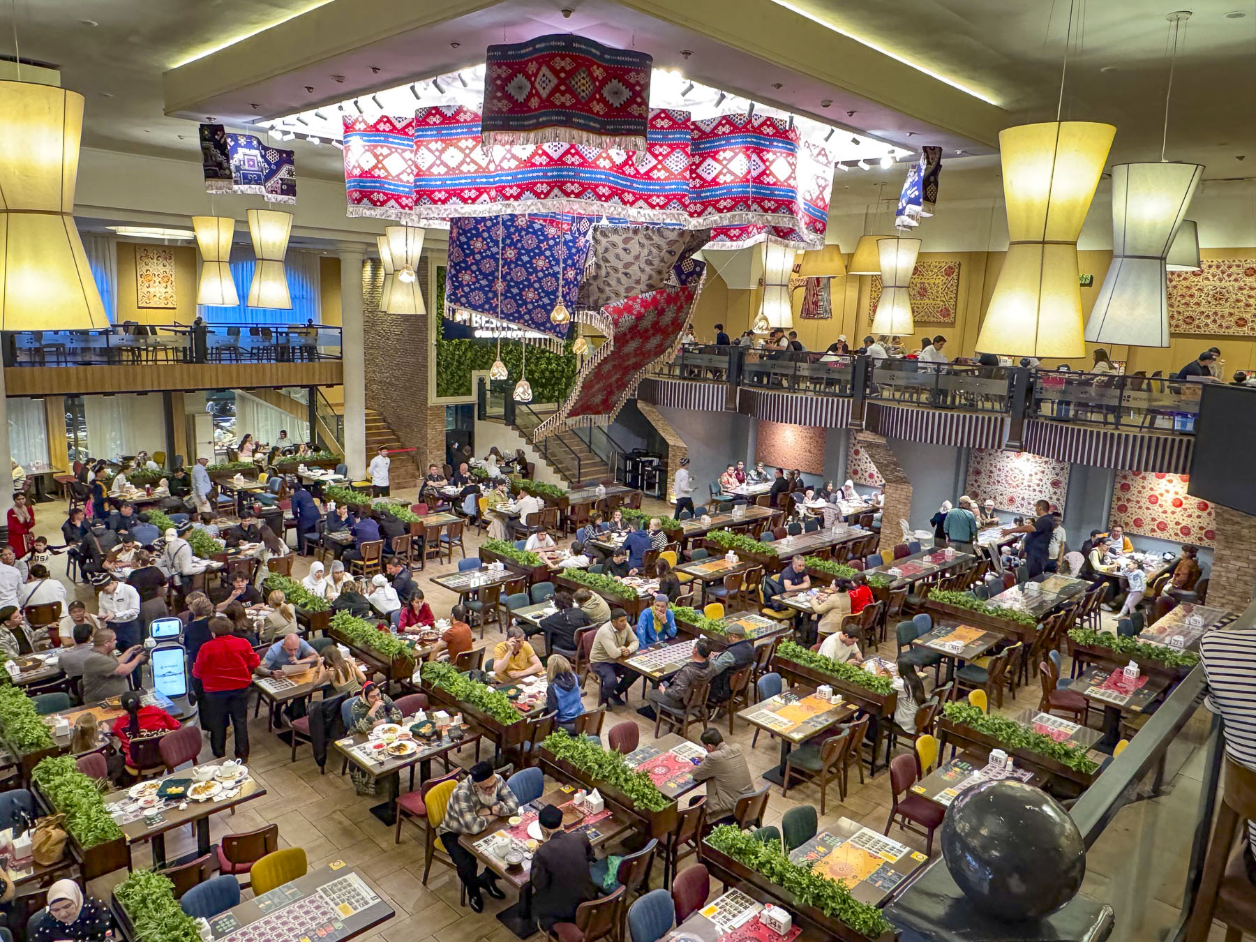
We ended our evening and last day in Tashkent with a short walk to Besh Qozon, a tremendously popular, large, fun restaurant that is known for its Plov, Uzbekistan’s celebrated rice dish. The dish is traditionally prepared by men, and at Besh Qozon visitors are allowed to walk through open kitchen and watch the cooking of several different variations of the recipe being stirred in huge caldrons, and the continuous baking of fresh non.

The first known settlers in Uzbekistan were Persian nomads who settled around the oases in the vast Kyzylkum Desert during the in the 8th–6th centuries BC. The desert covers most of central Uzbekistan, stretching from Khiva in the western part of the country to Samarkand in the east. Many of these oases became crucial caravanserais, fortified waystations, to protect the camel caravans along the Silk Road. Others like Samarkand, Bukhara, and Khiva grew into rich influential regional seats of power called khanates.

 In 329 BC Alexander the Great spent two years marching across Uzbekistan in an exhausting campaign to defeat a Persian rebellion, and only left after what legend claims was a love at first sight romance with a local princess named Roxane led to a strategic alliance with her father. The legend of Roxane remains alive in Uzbekistan, with many distinguished families in the region still claiming their lineage from the marriage of Alexander to Roxane, before he set off to conquer India.

In the west we often associate the history of the Silk Road, a 6,400km (4,000mi) camel tract, with the travels of Marco Pollo across central Asia to China in the 13th century. But its history started much earlier in the 2nd century BC, when a Chinese emperor of the Han dynasty sent imperial envoys across Central Asia to establish formal trade routes and military alliances against the Huns. These agreements of safe passage resulted in silk and porcelain from China reaching the eastern-most regions of the Roman empire by 25 BC. On their return journey caravans took glassware, linen, wool and cotton to the Far East.

The Huns never invaded China, but did conquer much of Central Asia, and established a stronghold in southern Uzbekistan during the 4th and 5th centuries. Trade along the Silk Road ebbed and flowed through invasions and peace. Arab conquests swept through Central Asia, bringing the Arabic language and Islamic religion to oasis cities like Bukhara and Samarkand in the 7th–8th Century AD. The Mongol armies of Genghis Khan brought massive destruction to the region in the early 1200s.

By the late 14th century, the region was the central hub of trade and ideas at the crossroads of the known world at the time, and experiencing a renaissance of art, science, and Islamic architecture under the enlightened rule of Emir Timur. By the 16th century the successive invasions of Turkic and Mongol nomadic tribes had ended. The invaders from 92 tribes, as legend believes, had settled and intermingled with the local folk and established what eventually would be recognized as the Uzbek identity.

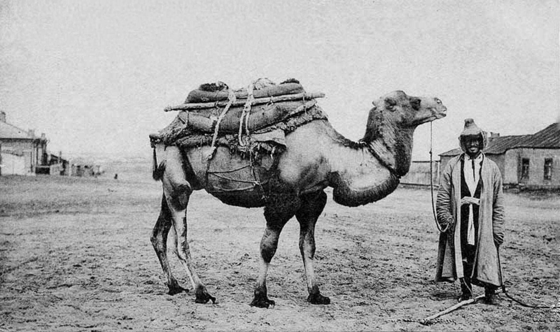
By the 16th century Spanish and Portuguese Navigators were mapping maritime trade routes across the Indian Ocean to India, Southeast Asia, the East Indies, and China. These nautical routes from Asia to Europe were significantly faster and safer than transporting goods via the Silk Road and trade on the overland route slowly diminished. Regional caravans still plied the deserts of Central Asia, taking supplies to isolated settlements well into the 1930s, but stopped when a growing road network ended the camel caravan era.

Without this international trade flowing both ways through Uzbekistan the armies of the Tashkent, Bukhara, and Khiva Khanates fell in succession from 1865 to 1873 to the technologically superior firepower amassed against them by Czarist Russian Empire in a drive to secure the region’s natural resources, mostly cotton, for the Russian economy. The Khanates retained figurehead monarchs, but all political and economic decisions were controlled by Moscow, which developed Tashkent as its administrative center. Czarist rule quickly forced all viable agricultural lands to be planted with cotton. This valuable crop, often called “white gold,” was then exported from Uzbekistan to the mills of the Russian homeland on the newly built Trans-Caspian Railway that connected Tashkent to the eastern shores of the Caspian Sea. Train ferries then shuttled the freight cars across the water to Baku, Azerbaijan for the last leg of journey. Trains returned to Uzbekistan with colonizers from Ukraine, Belarus, and regions around St. Petersburg and Moscow, who displaced Uzbeks and were given the best agricultural lands. Until this cotton monoculture was forced upon the farmers in Uzbekistan the country was agriculturally self-sufficient but soon relied on imported grains from other regions in the Russian Empire.

After Russia’s communist revolution ended in 1922, Uzbekistan was incorporated into the USSR, the Union of Soviet Socialist Republics, as the Uzbek Soviet Socialist Republic. Communist authoritative rule expanded the cotton monoculture with extensive irrigation systems using water diverted from the Amu Darya and Syr Darya rivers, the source waters of the inland Aral Sea. This environmental mismanagement caused the sea, once an important fisheries resource, to lose over 90% of its volume and transformed the vital waterbody into the new Aralkum Desert within five decades.

Life in Uzbekistan during the Soviet communist era was harsh. While basic housing, medical and education needs were met, there was rampant underemployment, widespread poverty, lack of foodstuffs in the markets, and political and religious repression. During the yearly cotton harvests Uzbeks, including children, were forced to spend 15 – 60 days in the fields picking the “white gold.” Schools and universities across the country were closed, and even teachers, doctors and nurses were not exempt from participating. Refusal could result in the loss of your job or expulsion from higher education.

Over one-hundred years of combined Russian Empire and Soviet rule ended in 1991 when Uzbekistan proudly declared its independence as the Soviet Union was dissolving.

Till next time,

Craig & Donna

Vietnam: Ho Chi Minh City – A Dynamic Blending of the Old and New or Scooters, Neon, and Warm-Hearted People

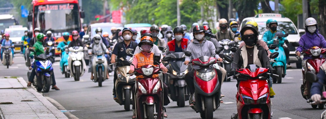
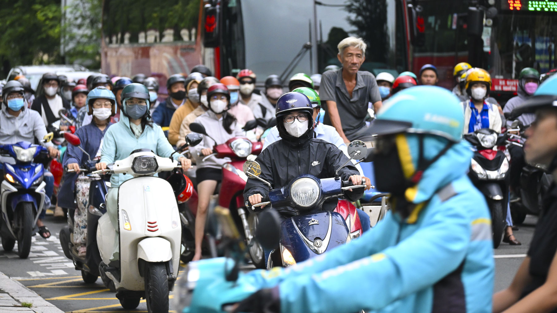
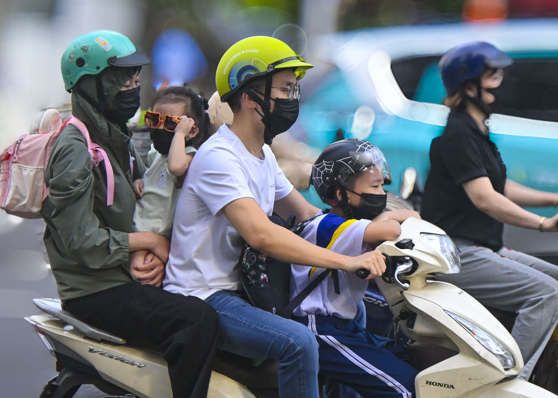
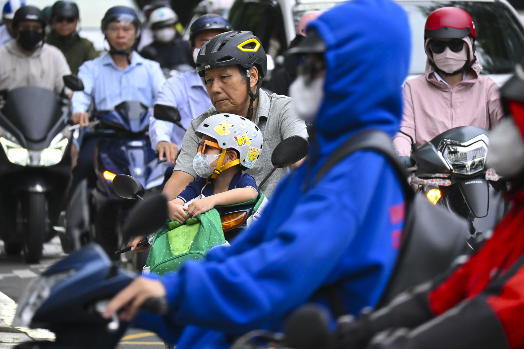
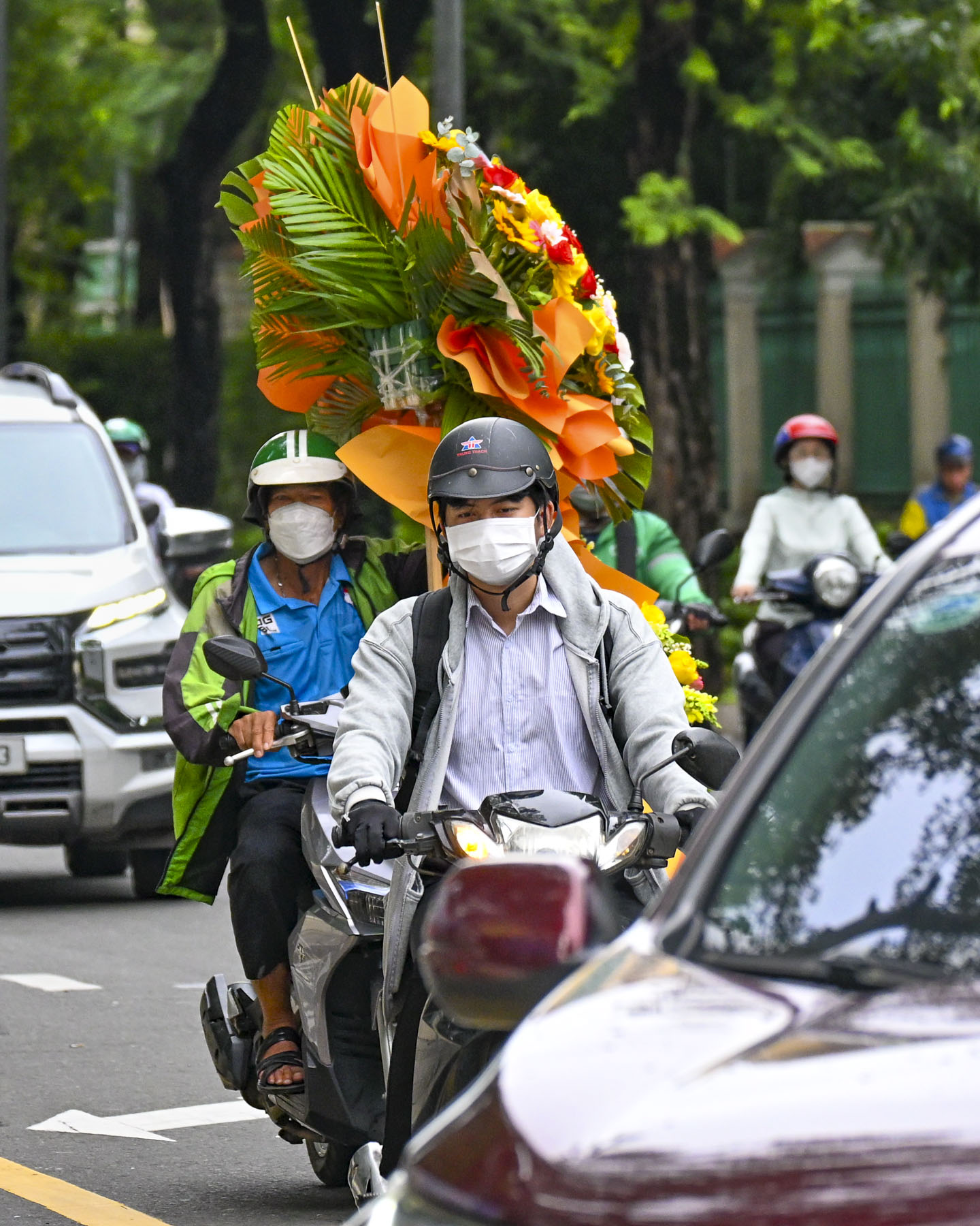
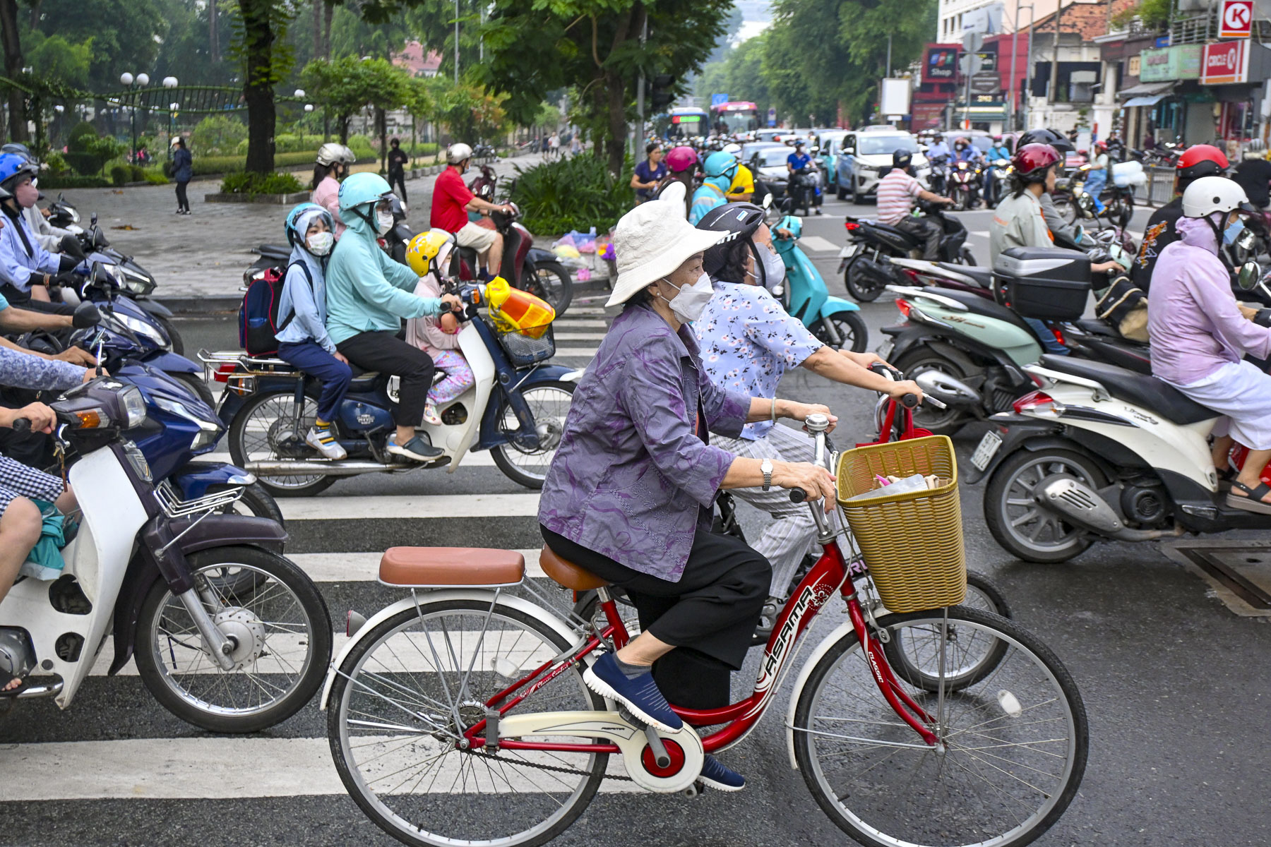
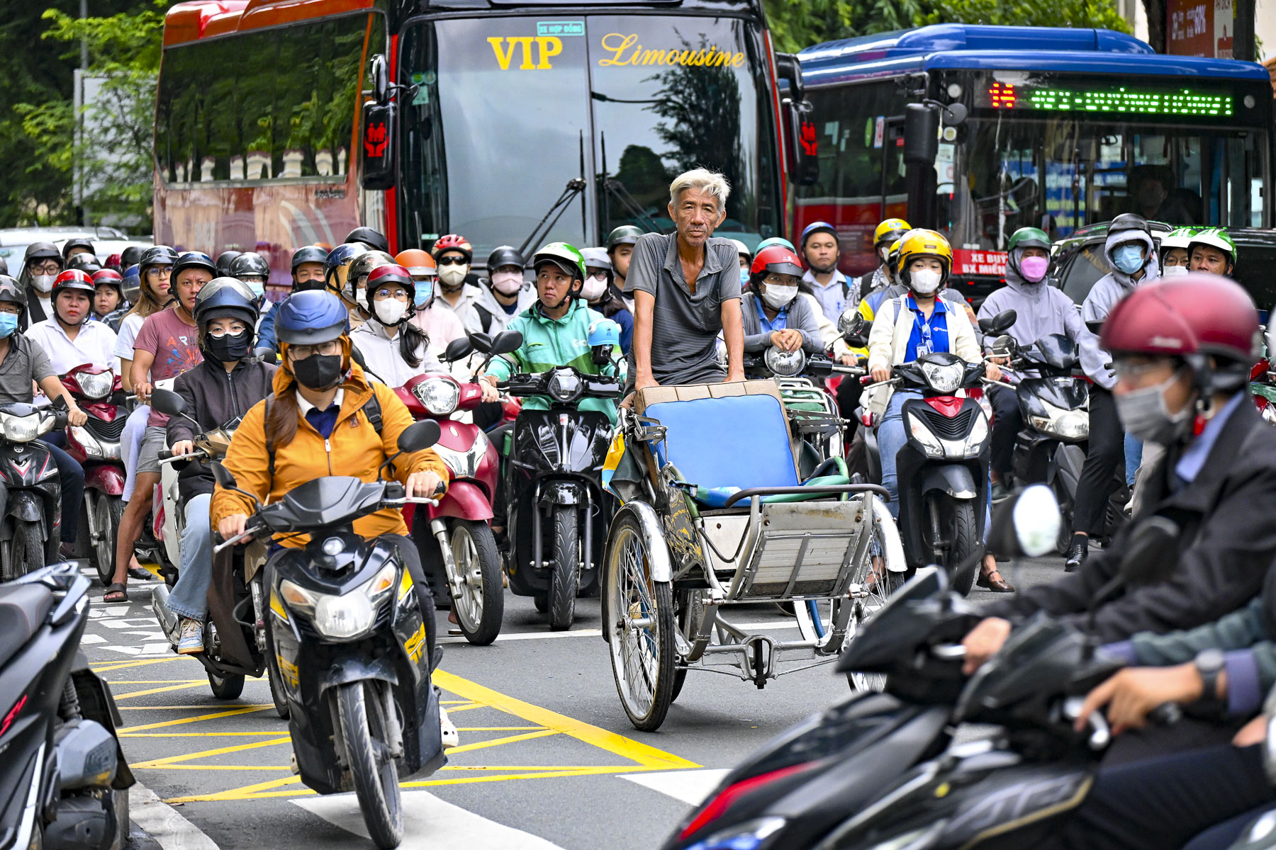
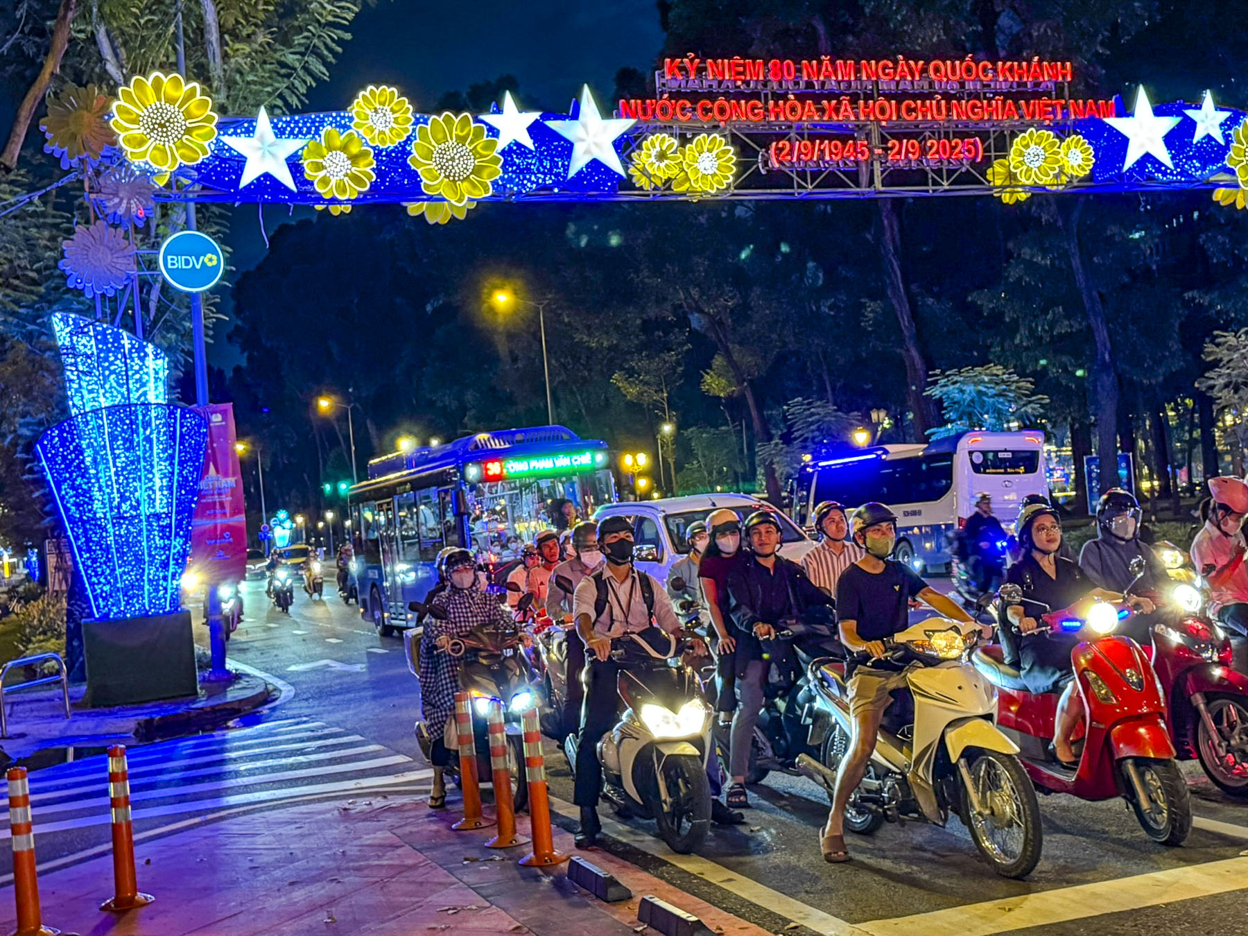
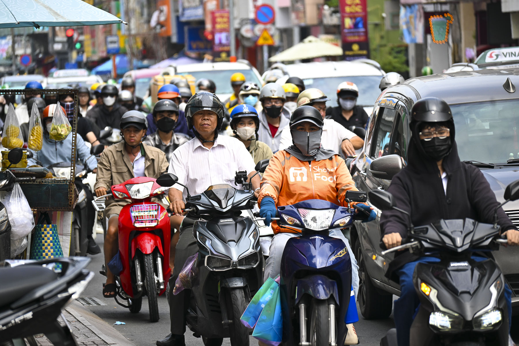
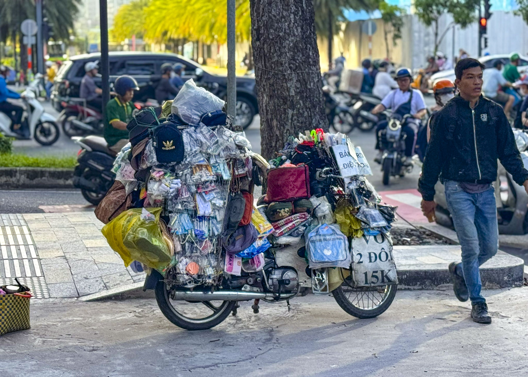
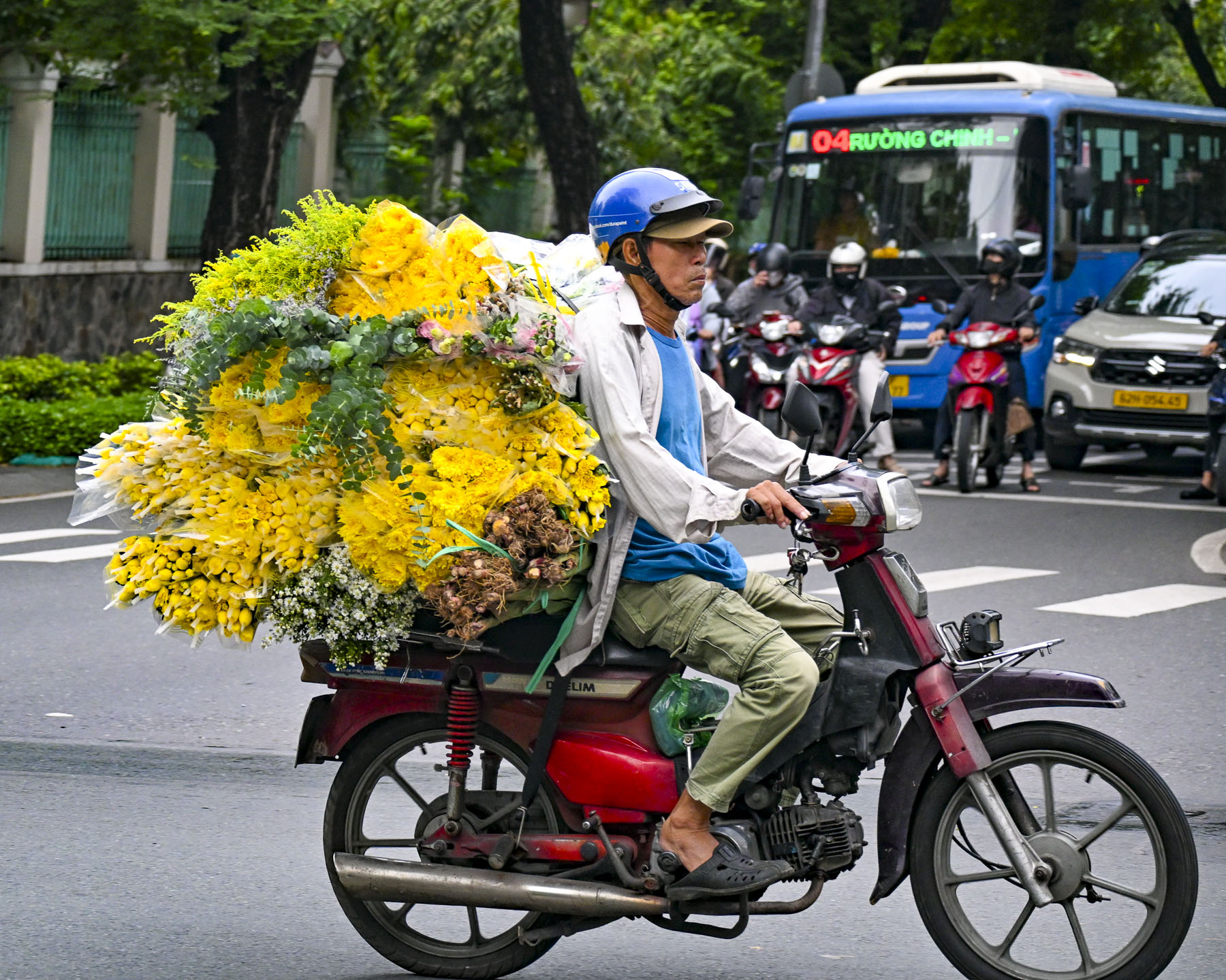
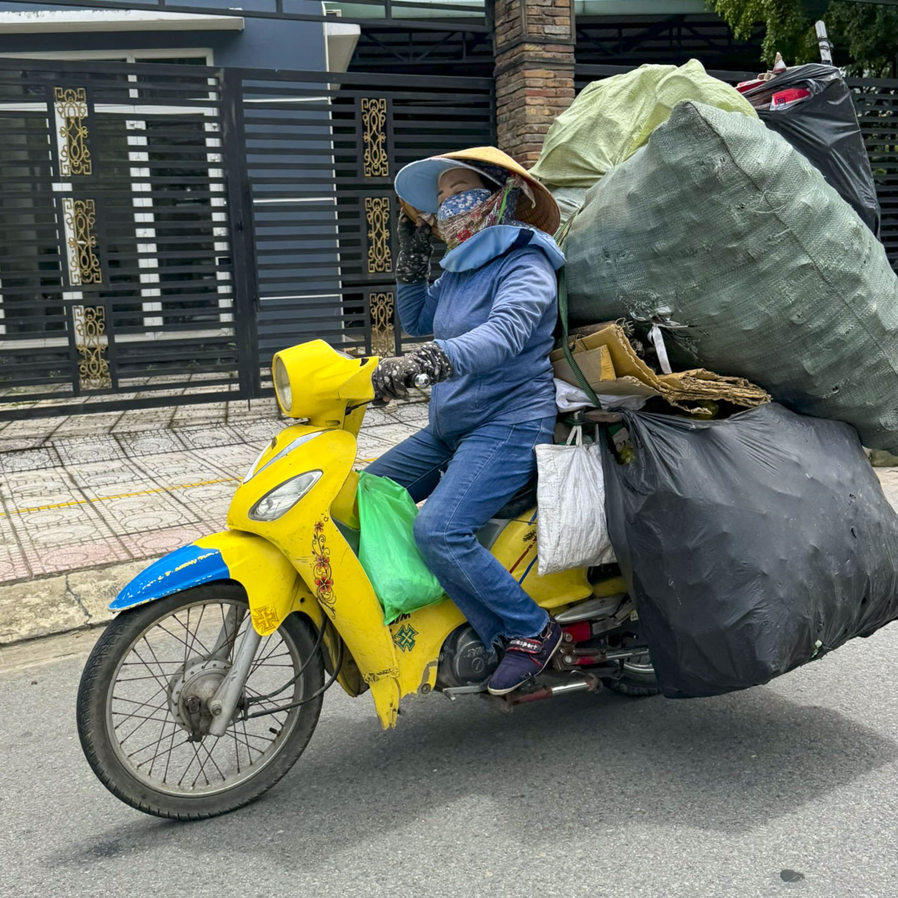
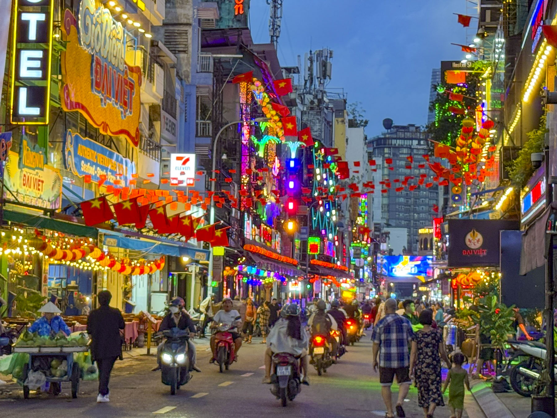
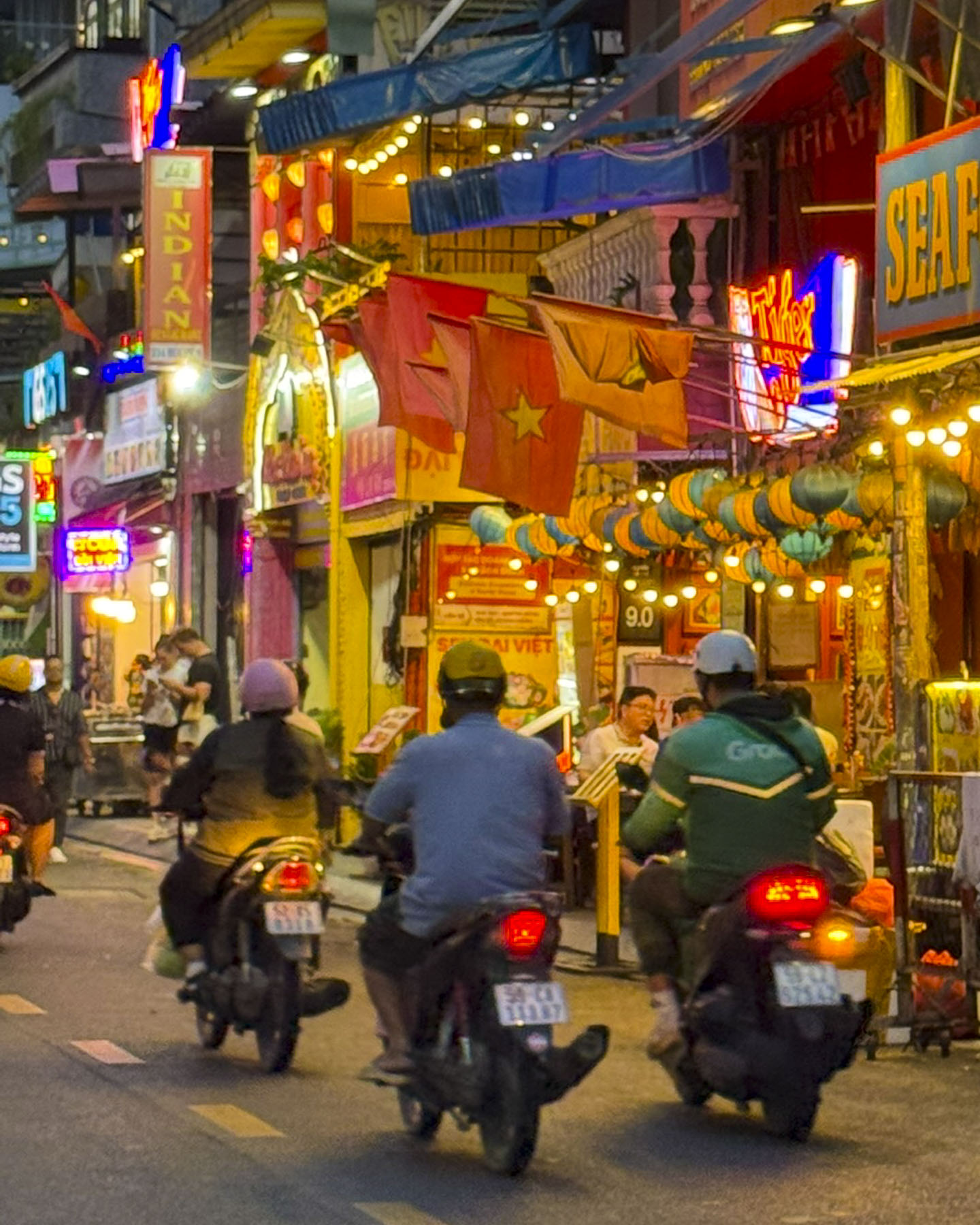
Scooters everywhere, with apocalyptic-looking masked and helmeted riders roaring along the streets, like cells in our veins always moving never stopping. Individuals off to work, parents taking kids to school, and florists delivering large floral bouquets, along with ice vendors whose towers of bagged ice tied to the backs of their scooters were slowly melting away in the heat.

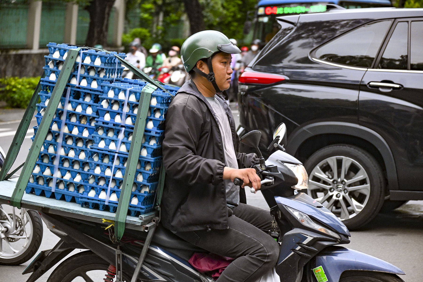
Cartons of fresh eggs, ladders, toolboxes, and wheelbarrows all whizzed by our GrabTaxi, the Vietnamese equivalent to Uber, as we headed into the city. Think Mad Max set in a metropolis of ten million; Ho Chi Minh City, formerly called Saigon, was crazy!

What had we gotten ourselves into? With horrific traffic like this into the city from the airport, downtown must be a congested nightmare! But it wasn’t. The cars, buses, and scooters flowed in an impressively smooth manner during the morning rush-hour without tempers flaring or any horns being blasted.

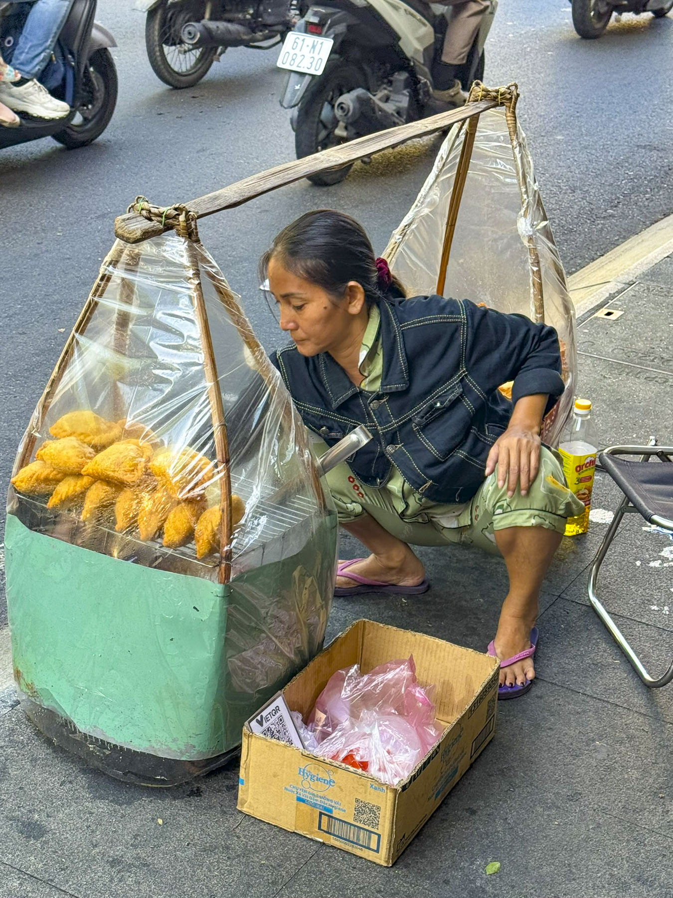
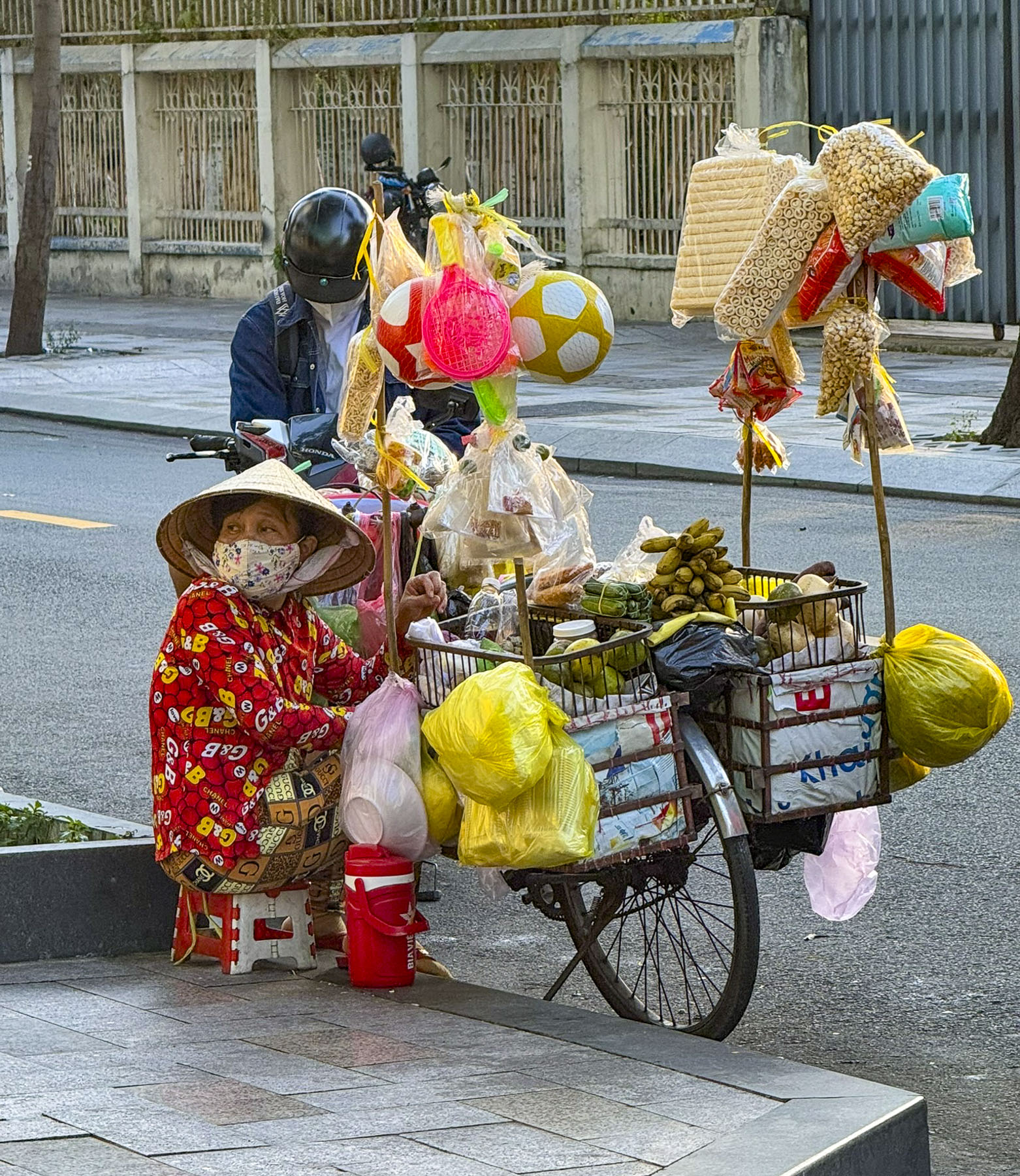
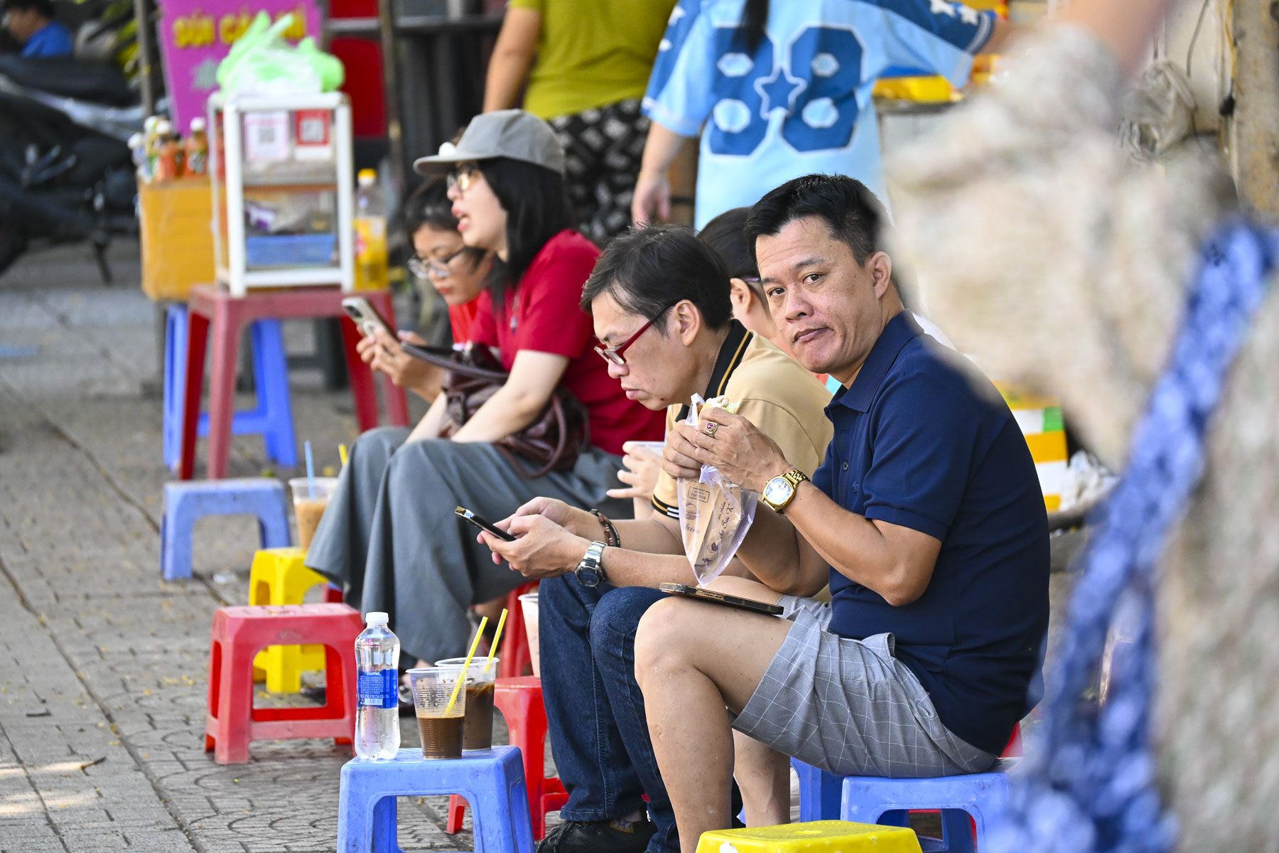
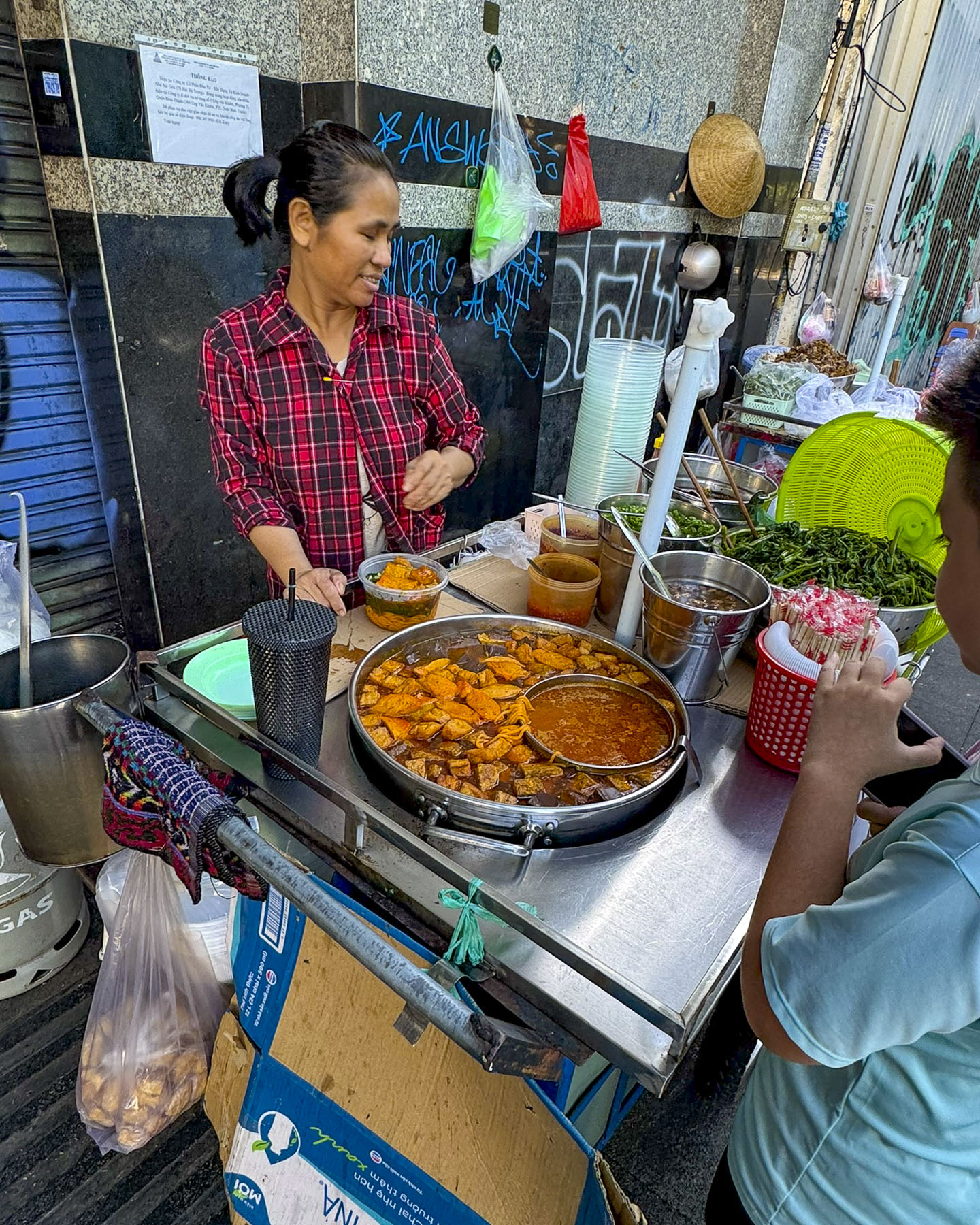
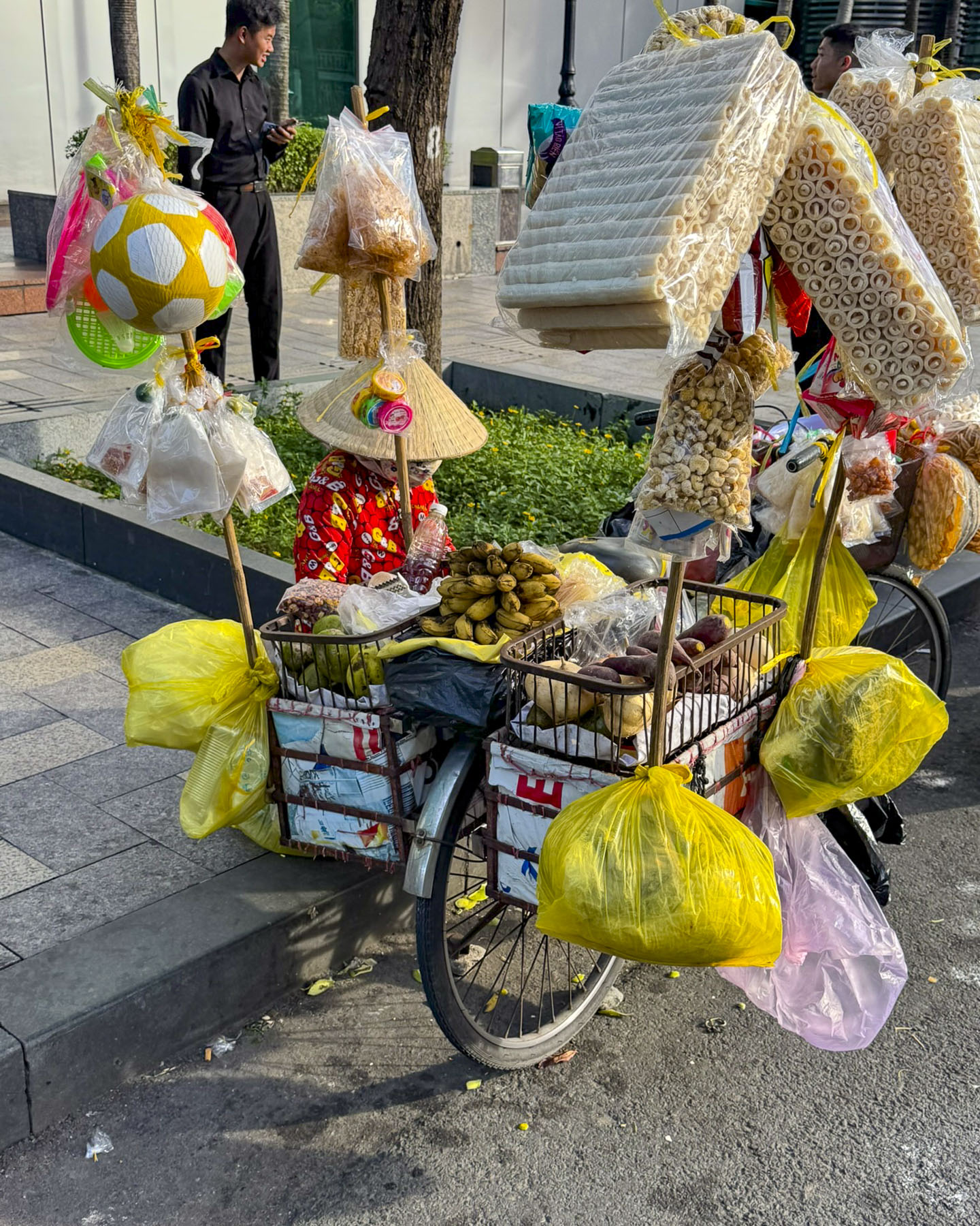
Along our route, ubiquitous Xe Bánh Mì and Xôi, bread and sticky rice carts, were set up along the roadside curb to offer takeaway, while also offering low colorful plastic stools on the sidewalk for customers to perch on while they ate.  These street vendors offered Banh mi, small French style baguettes stuffed with various fillings, or a variety of Xôi Mặn, savory sticky rice dish, traditionally served wrapped in banana leaves or a paper container nowadays.

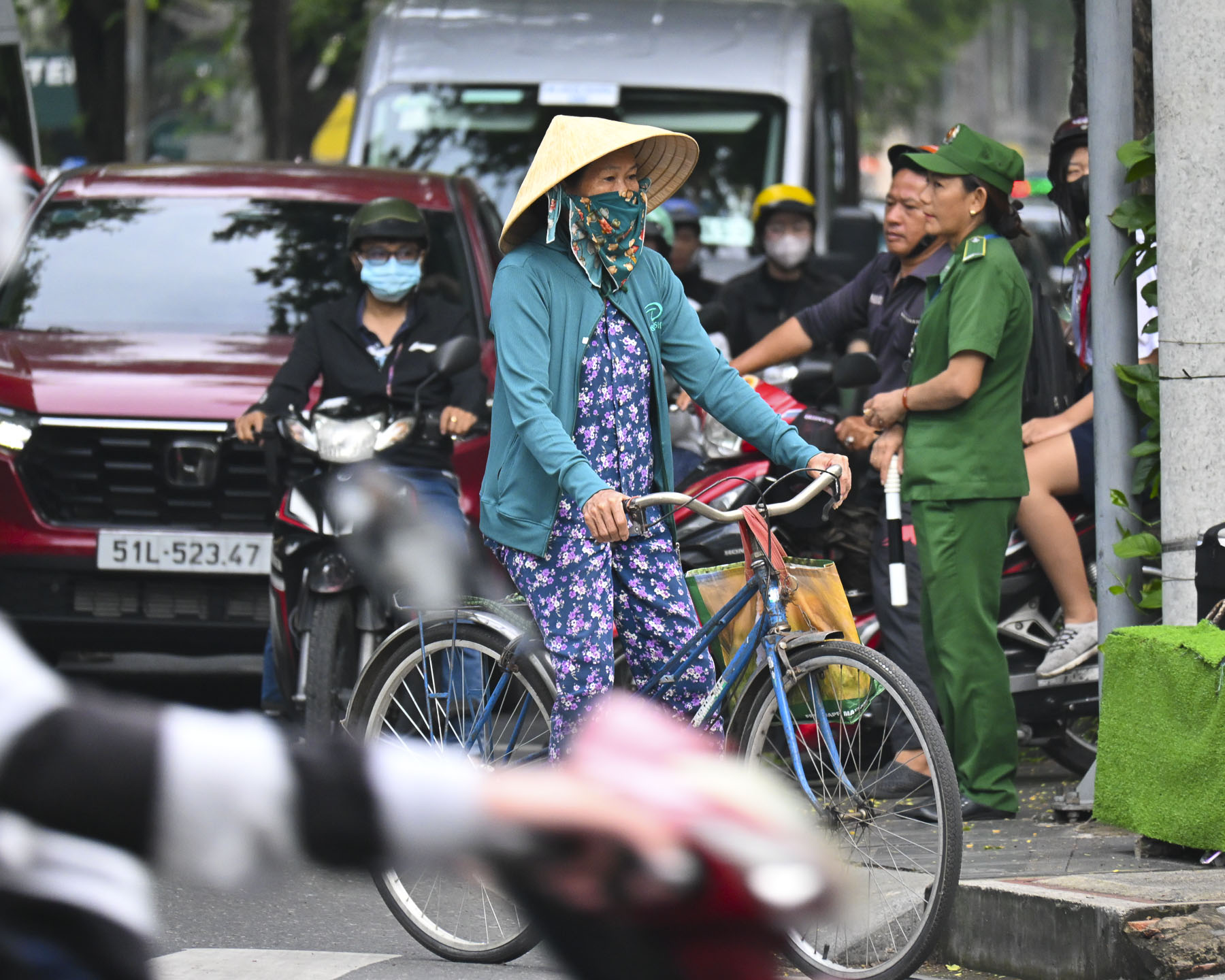
Crossing the street was quite an adventure. We soon realized we couldn’t be timid, and followed the locals’ lead; wait for the light to change and once you commit don’t hesitate. Scooters drivers will give way; they really don’t want any pedestrians as fender ornaments.

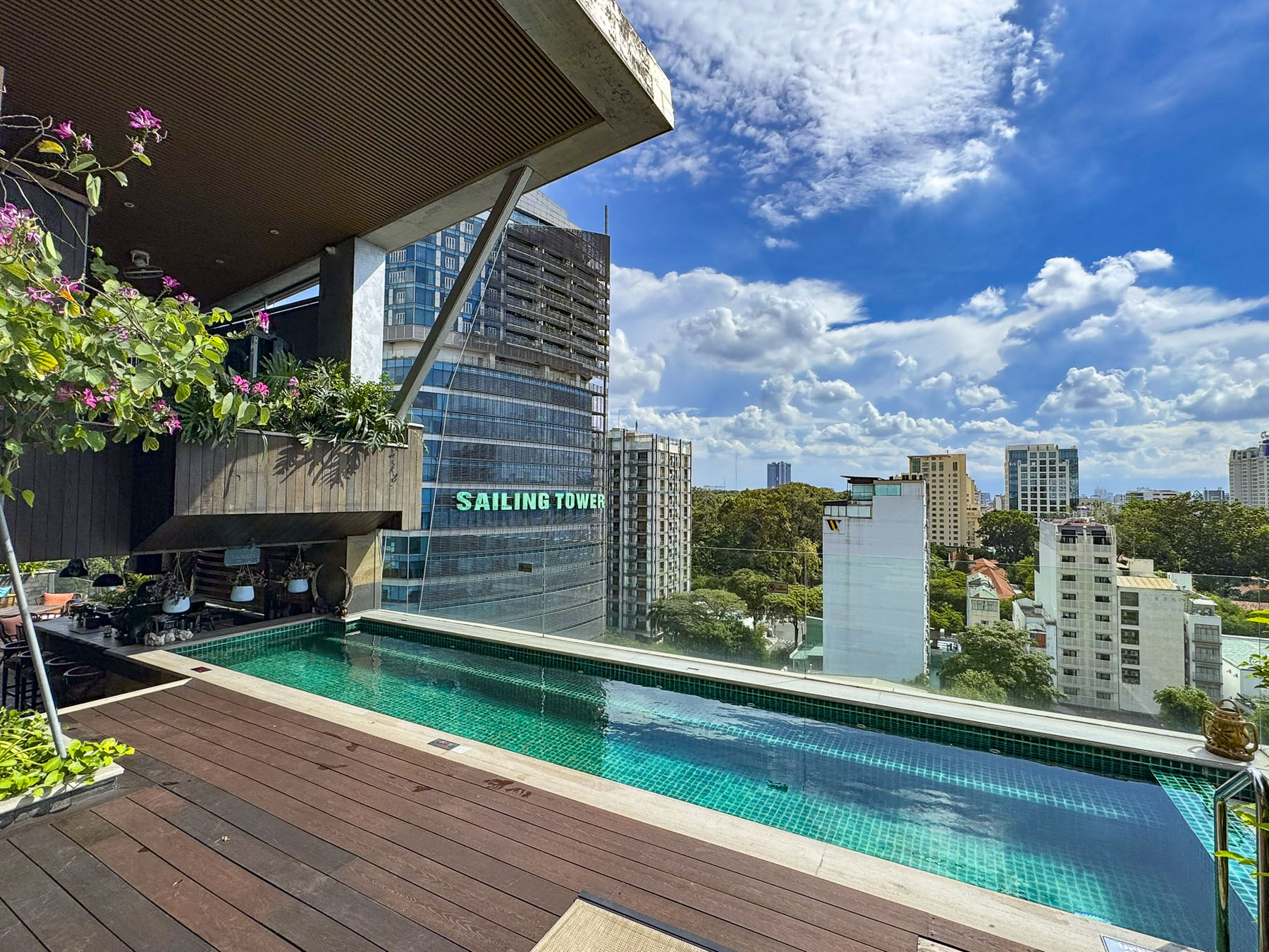
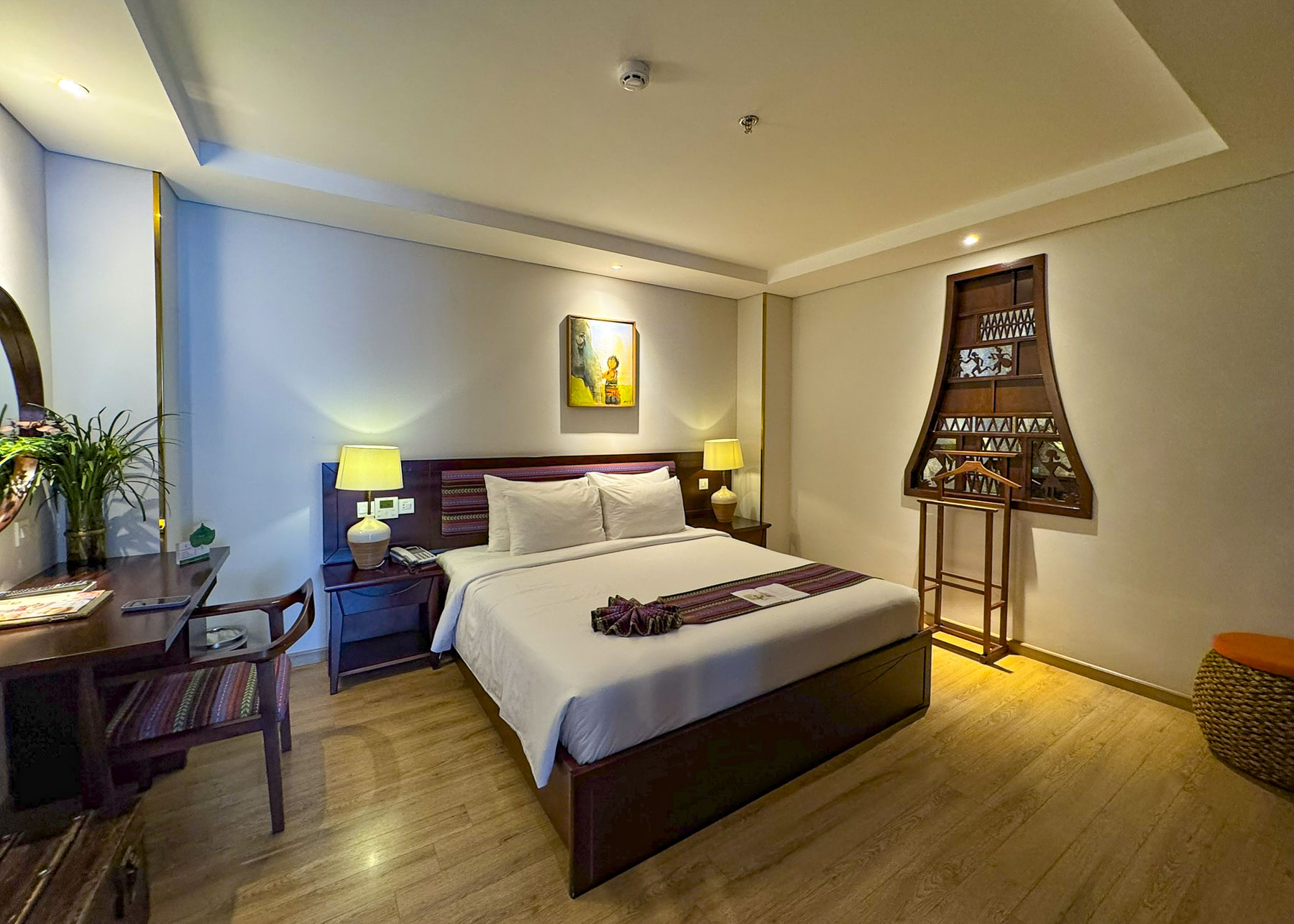
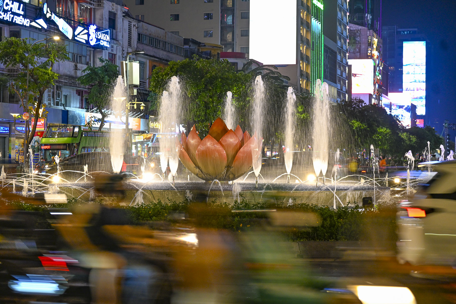
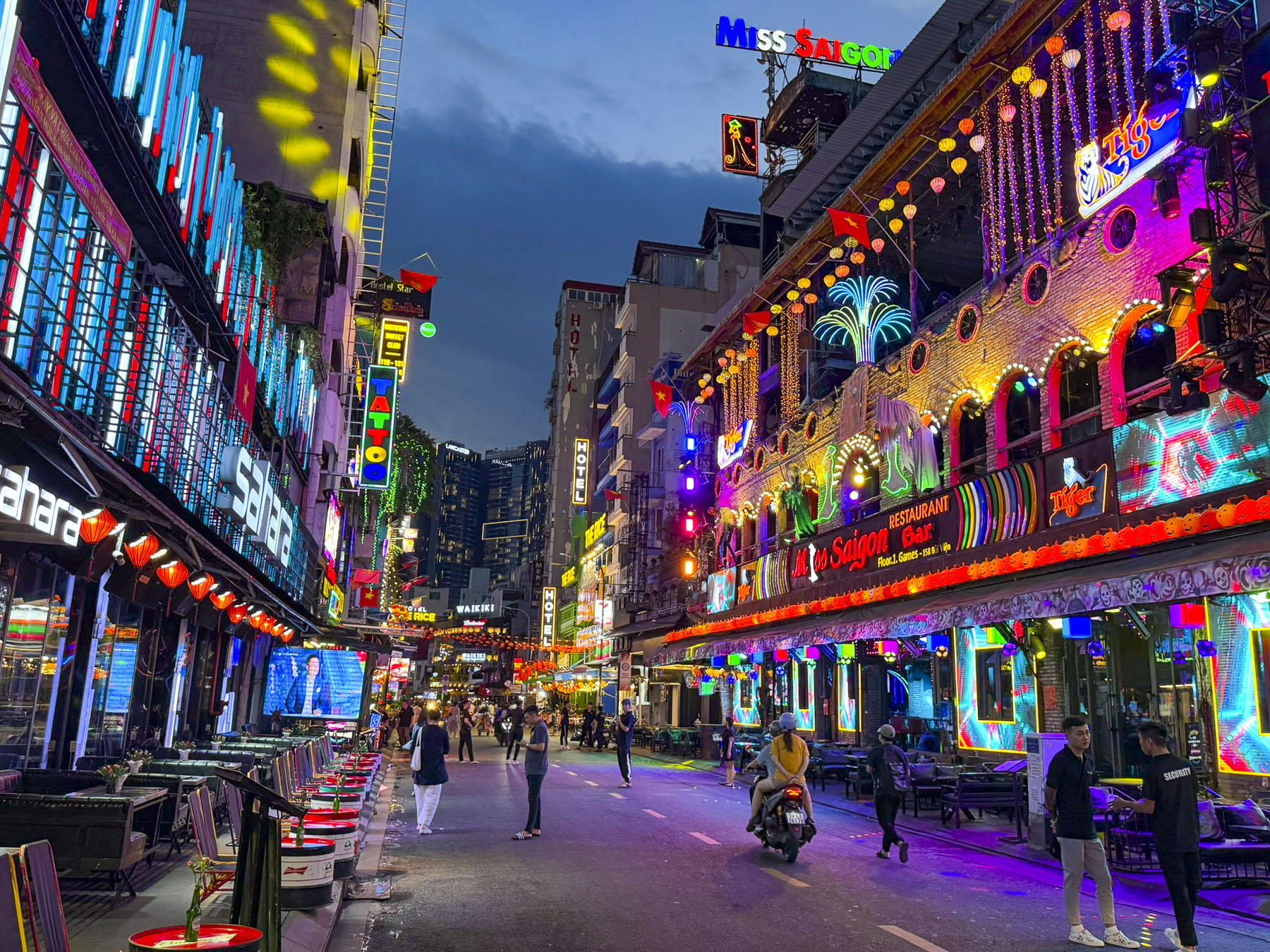
After our long flight we spent the balance of the afternoon resting after checking into the Au Lac Legend Hotel, named for the ancient Vietnamese Kingdom. The small boutique hotel was our base for seven nights. It was conveniently located in District 3, an interesting area where “The Pearl of the Far East” remnants of Vietnam’s French colonial past merge with the vitality of a modern neon lit and towering skyline in District 1.  There is a confusing merging of districts and reorganizing them into different administrative subdivisions in progress.

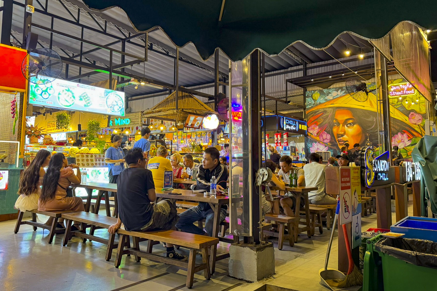
Later that evening we walked to Ben Nghe Street Food, a large food hall with many different stands offering a great variety of foods from seafood and Pho noodles to Bún Thịt Nướng, Vietnamese Grilled Pork & Rice Noodles. With a nightly band singing a mix of Vietnamese, and American pop songs, that included the Rolling Stones, Johnny Cash, and the Village People’s YMCA, along with its delicious food and good vibes, it’s a popular spot for locals and tourists.  

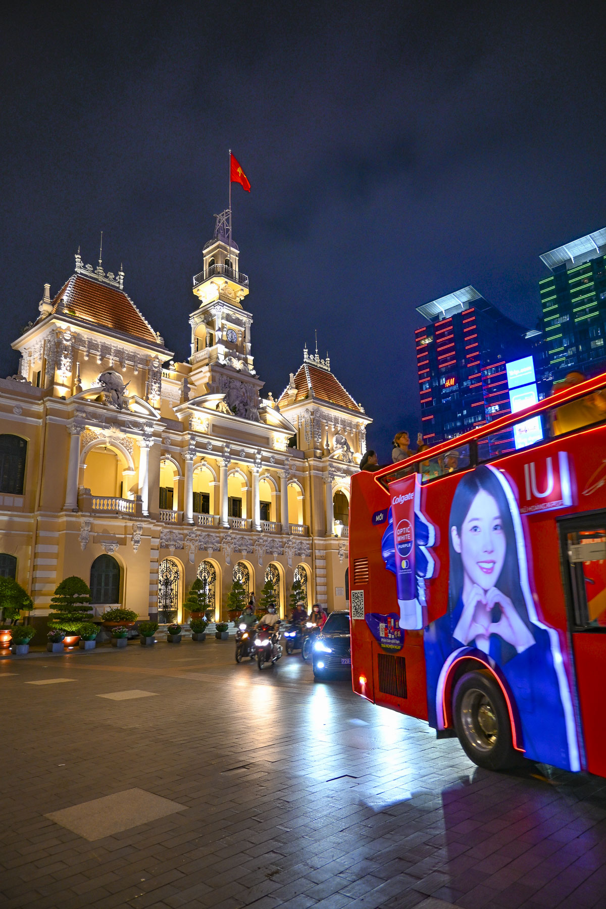
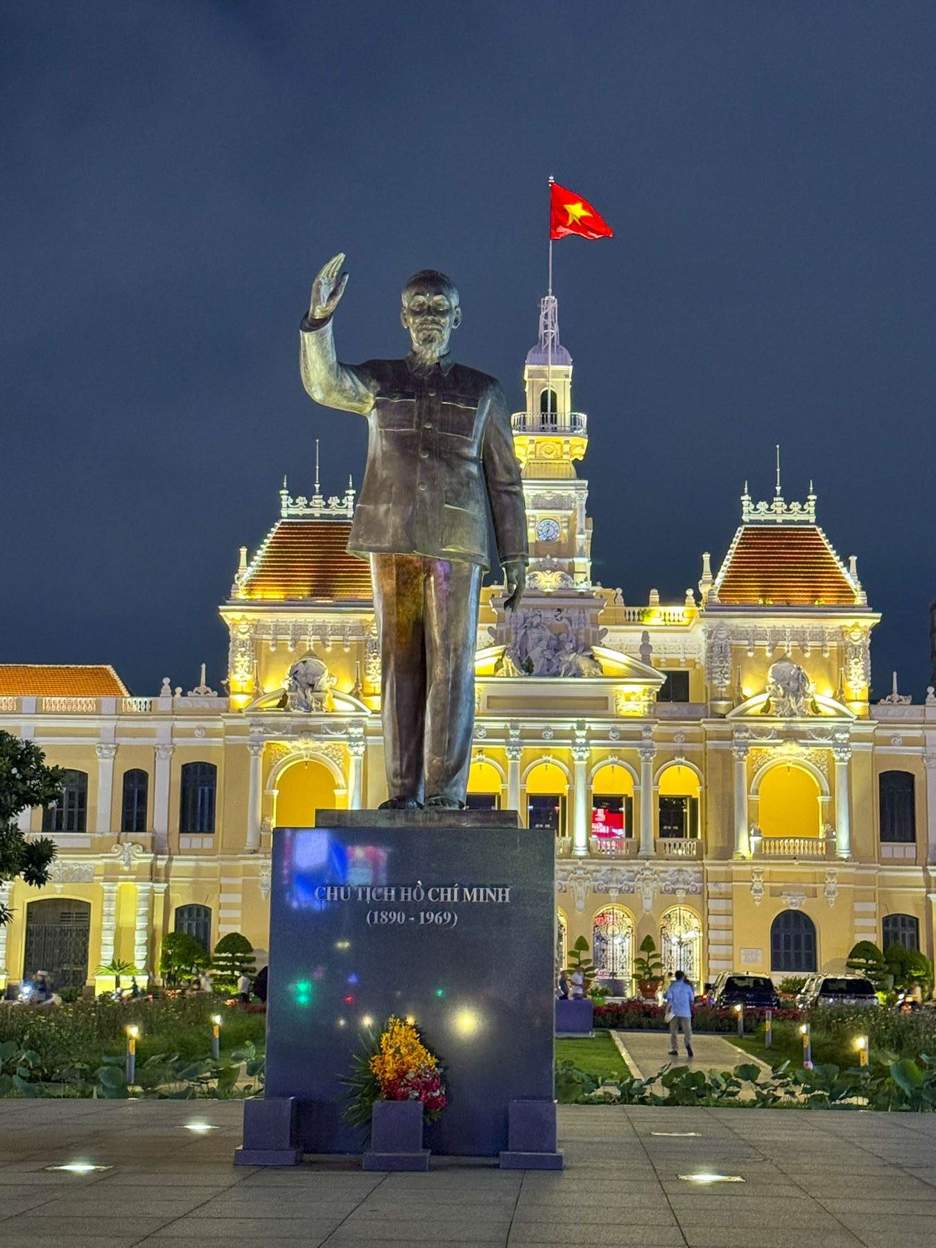
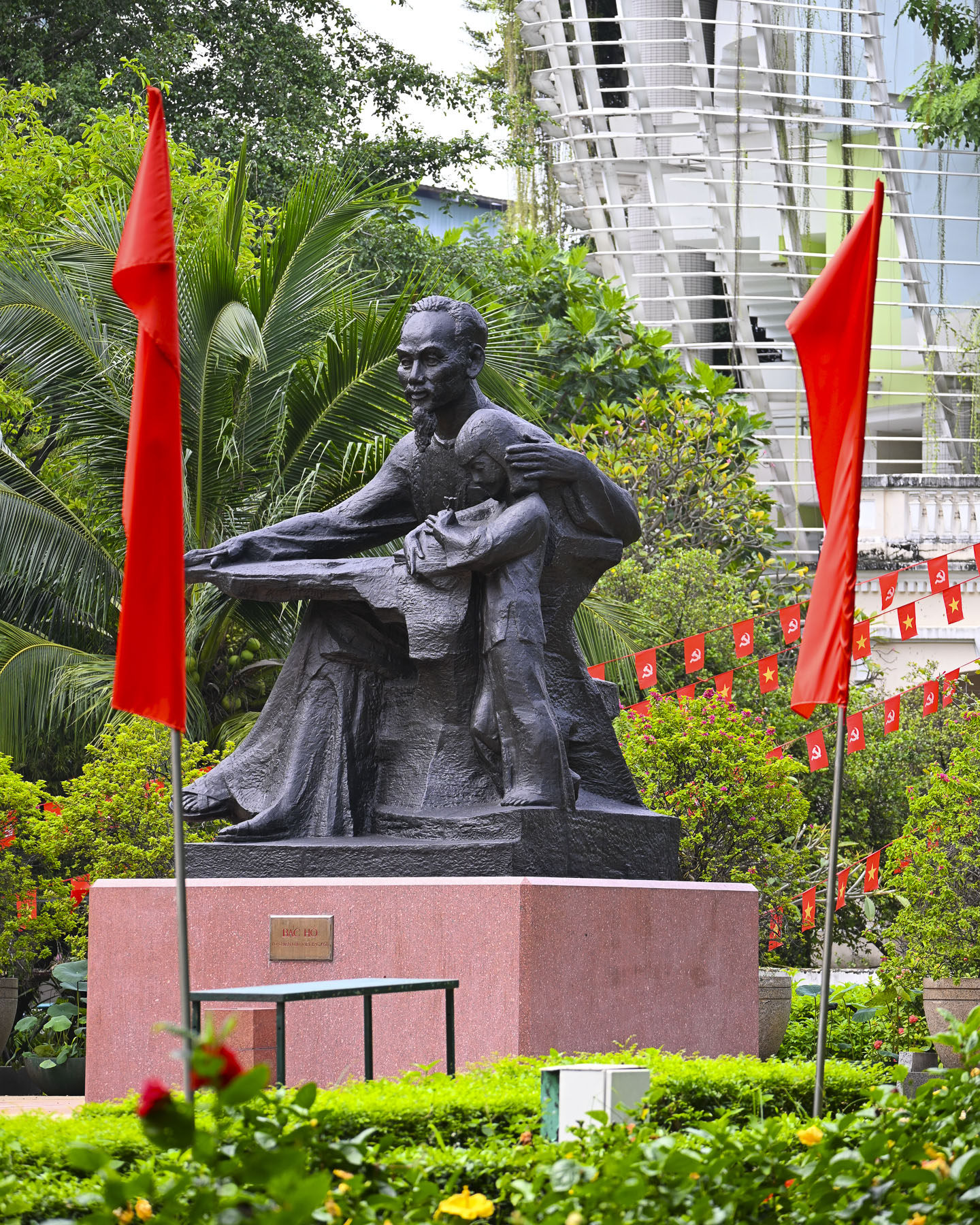
After dinner we continued our first explorations of the city and headed to the Ho Chi Minh City People’s Committee building in District 1. It is a historic French colonial building constructed in 1902 that served as the Hôtel de Ville, Saigon’s city hall. Tall buildings with electronic billboards now tower over the People’s Committee Building and the in the plaza across the street there’s an imposing monument to Ho Chi Minh, the communist leader whose military campaign reunited North and South Vietnam.

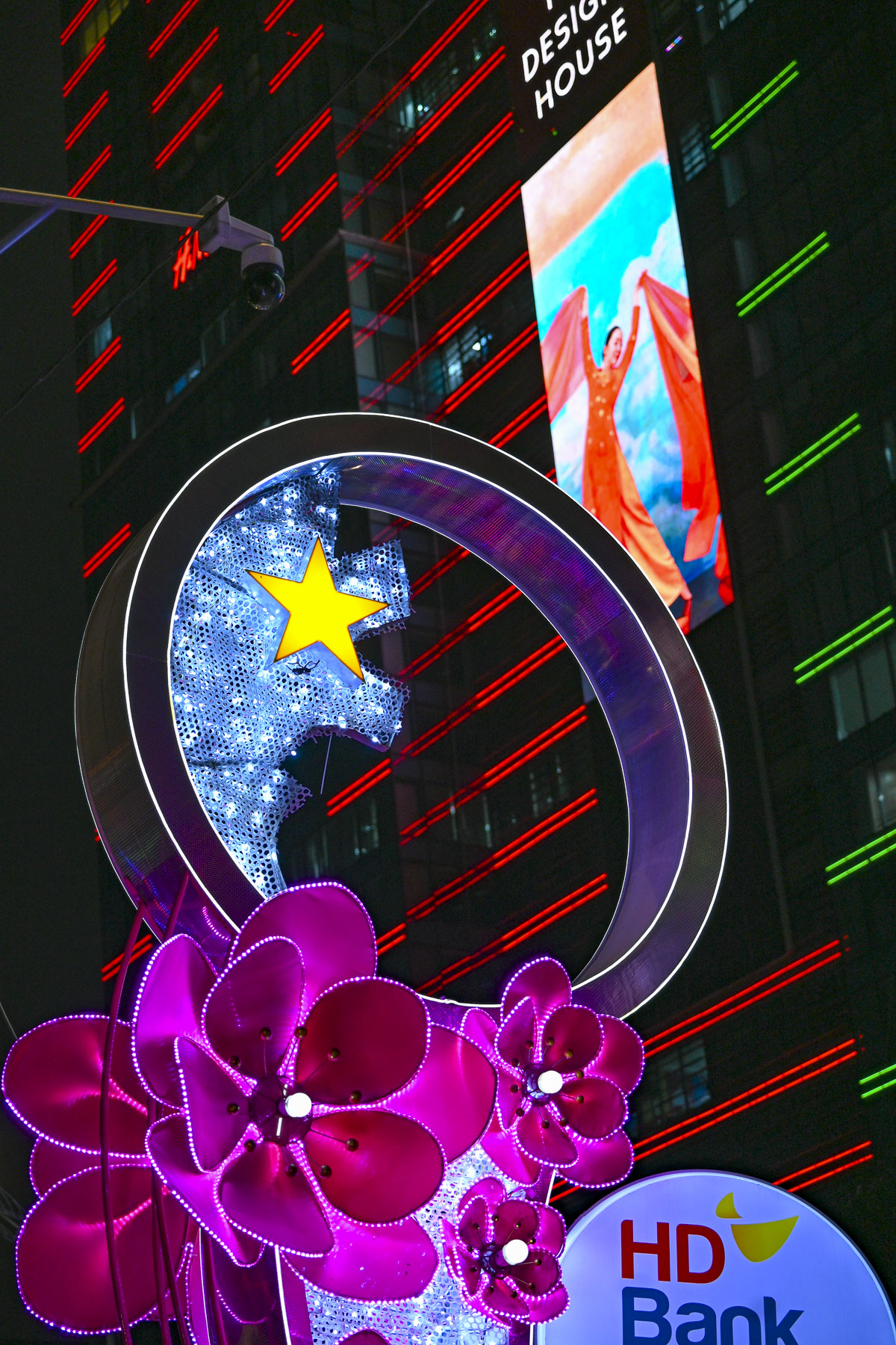
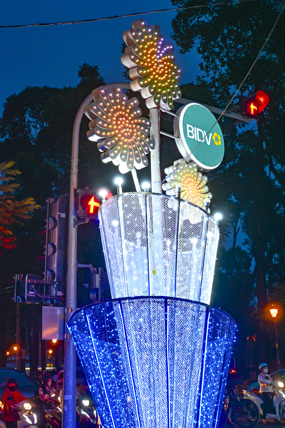
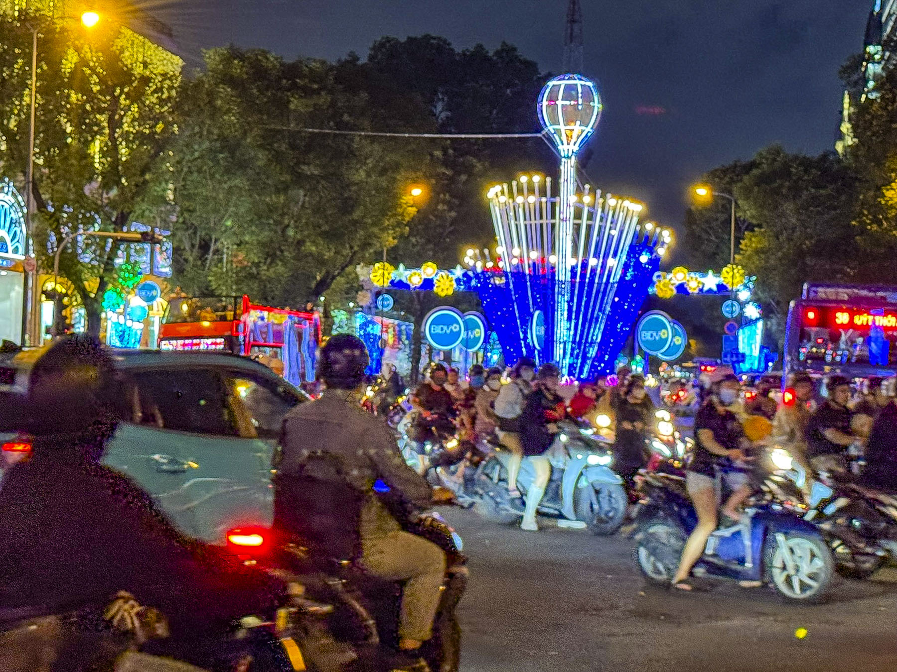
On our route back to the hotel, brightly decorated street posts sponsored by BIDV, the Bank for Investment and Development of Vietnam, lit our way. Outside a college, small groups of students taking a break from their evening classes were gathered, two or three friends on a blanket along the sidewalk, thoughtfully supplied by their snack vendor.

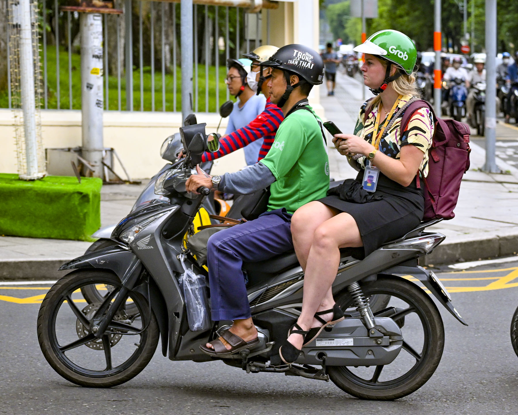
Torrential rain and high humidity define the monsoon season that ends during late September in southern Vietnam. The streets were steaming the next morning when we peeked through the curtains of our room, but the weather report forecast clearing skies. The humidity was intense, even for two folks living in the southern United States. What we didn’t expect was the extraordinary amount of time it took for our camera lenses to defog. We observed the balletic chaos of the morning rush, which now included bicycles and an occasional xích lô, or cyclo, a traditional human-powered bicycle rickshaw where the passenger sits in a seat in front of the driver. Along with helmeted tourists and fashionably dressed women sitting side saddle as scooter passengers on GrabBikes.

Our destination for the morning was the War Remnants Museum,several blocks from our hotel, but along the way we detoured to Tao Dan Park, where morning calisthenics are a daily ritual for older folks and women who have just gotten their children off to school. The park was full of hundreds of people practicing traditional Tai Chi, aerobics, badminton, Vo Thuat Quat (fan martial arts), and Múa Kiếm (a sword dance).

In multiple sections of the park folks twisted, turned, and stretched to classical Asian music, channeled Richard Simmons with eighties pop songs, or pursued a modified course inspired by Chloe Ting, a YouTube fitness instructor. In front of the Temple of the Hung Kings, the legendary founders of the Viet dynasties more than 4,000 years ago, was a fountain with a beautiful display of orchids. Nearby the soft aroma of jasmine drifted on the air in a sculpture park.

Everyday during our teen years – this certainly ages us – the Vietnam War was on the front page of every newspaper and the nightly news. We are not historians; the victors write their history and the War Remnants Museum does document both French and American participation in a horrific war. Though the museum does not address the story of the Vietnamese boat people, more than 800,000 refugees who fled Vietnam by sea between 1975 and 1995 following the war. Nor does it address the forced labor “re-education” camps spread across the country where the victorious Vietnamese communist government interned nearly one million people for three years or longer in a system of prison camps modeled after the Soviet Union’s gulags in Siberia.

Ho Chi Minh City was interesting to walk around and the next day we headed to Tân Định Parish Church, a Catholic church dating to the 1870s that’s admired for its distinctive pink façade and Gothic pillars. We then continued to Hồ Con Rùa, Turtle Lake, a large manmade lake in the center of a traffic circle. The site originally housed a water tower built in 1878, which was later replaced in 1921 with a statue of three French soldiers around a water fountain, symbolizing their colonial rule over Vietnam. This monument lasted until the French army left Vietnam in 1956. The lake was later enlarged in 1967, and the concrete tower that looks like a blooming flower was added by the newly elected president Nguyen Van Thieu of the Republic of Vietnam.

There’s a legend associated with the tower – it says that the president, to ensure his success, “invited a famous Chinese feng shui master to assess the land at Independence Palace,” now Reunification Convention Hall. The feng shui master praised the palace for being built on a dragon’s head, but the dragon’s tail was wildly thrashing about in Turtle Lake. In feng shui terms, this was really bad news for political stability, and a large turtle needed to be cast to hold down the dragon’s tail. Following the master’s advice a turtle sculpture was cast and placed at the center of walkways built over the lake that resemble a bagua, a feng shui symbol used for protection. And the flower shaped tower was reinterpreted as the shaft of an arrow shot into the tail of the dragon to pin it down. The turtle didn’t survive the city’s new communist regime and was destroyed in 1976. The plaza, surrounded by a variety of restaurants and coffee shops, was a nice place to relax for a while.

There are many upscale stores and shops across the city, but for every fancy store there are multiple small mom and pop shops that specialize in one item, like glassware or wicker, which is spilled onto the sidewalk in order to show the wares. There were numerous small mechanic shops that tended to the thousands of scooters that whizz around the city; they conducted their business on the sidewalks, repairing tires, changing oil, rebuilding engines, or doing body work and spray painting. This sidewalk sprawl often forced us to walk in the street to pass by.

A large metal relief sculpture above the entrance to the Ho Chi Minh City Museum of History caught our eye as we headed to the Saigon Zoo and Botanical Garden in District 1. The cataclysmic scene commemorates the great victory of Vietnamese General Trần Hưng Đạo over the army of the invading Mongol Empire in 1288. The captioning on its placard described it as “emphasizing national heroism and successful resistance against foreign invasion, a recurring theme in Vietnamese history.”

Founded by the French in 1864, the zoo is the eighth oldest in the world and a beloved destination for generations of Vietnamese families. The botanical section with its topiary sculptures of wild animals is what drew us here and we spent about two hours wandering the gardens amid flowering plants, a collection of bonsai trees, some irresistible reptiles, and a miniature Jurassic Park geared for kids. 

Turning left upon exiting the zoo we were waiting for a traffic light to change at the intersection of Nguyễn Hữu Cảnh, when we noticed a row of recently painted patriotic street murals. Obviously, these were government approved to celebrate the 50th anniversary of the end of the Vietnam War and the thriving economy that Vietnam now enjoys. Graffiti is unheard of and unapproved street art as a form of expression is illegal throughout the city, and the few decorative murals on buildings we saw were apolitical but still required the city’s permission. While talking about the unusual, we also didn’t see any homeless people sleeping rough on the streets. This is due to active government policies that relocate homeless individuals to social support centers, their home region, or shanty towns away from the city center.

Walking back towards the historic center of District 1 we passed tall glass office buildings and transportation infrastructure projects built to sustain one of the fastest-growing economies in Southeast Asia, which is transforming Ho Chi Minh City into a global financial hub by focusing on digital technologies, finance, and high-tech industries.

Near a plaza along the Sông Sài Gòn riverfront with a statue of the legendary General Tran Hung Dao we ducked into a passageway, off Mạc Thị Bưởi, lined with artwork called Alley 39 that opened to a narrow lane lined with small no-frills restaurants filled with folks. We found one with an empty table and enjoyed Pho for lunch.

Afterwards we headed to the Municipal Theatre of Ho Chi Minh City, Saigon’s old opera house built by the French in 1897. It’s a fine example of grand colonial architecture, and it served as the legislative assembly for South Vietnam after the war before being restored to its original use and declared a national monument in 2012. Surrounding the opera house are several small squares with musical themed statuary. It’s also a popular place for couples to have their engagement and wedding photos taken and there even seemed to be two vintage sports cars permanently parked there to facilitate a variety of shots.

It was a long hot and humid day, but we strolled slowly back to our hotel past Saigon’s monumental Central Post Office. Across from it was the Notre Dame Cathedral of Saigon, wrapped in construction scaffolding for a multi-year renovation. It was extravagantly constructed between 1863 and 1880 with every brick, piece of structural steel, nail and stained glass window imported from France. Both structures are beloved vestiges of the city’s colonial past and historic landmarks. While Vietnam’s communist government officially guarantees religious freedom in its constitution, it heavily regulates Buddhist, Catholic, Protestant, and Islamic houses of worship and the activities they support via the Government Committee for Religious Affairs.

Next to the post office was Nguyen Van Binh Book Street, a pedestrian-only lane lined with books, shops, and cafes. As we enjoyed a cup of coffee in a café, the bookseller across the way sent her young daughter over chat with us, to practice her English. The young girl spoke very well, and we enjoyed her company, but she soon lost interest and wandered off.

The next day we hired a private driver, a relative of the hotel’s concierge, to take us to the town of Thủ Dầu Một to see the reclining Buddha at the Hoi Khanh Pagoda complex, and several smaller temples on the return trip to the city. This was a fascinating ride down roads filled with overburdened scooters delivering various wares and lined with weathered roadside businesses that included a rubber clogs shop and factory with thousands of brightly colored shoes, a coffin shop, poultry and gold fish stores, a birdcage shop, various statuary makers, one of which had a Statue of Liberty out front, and numerous mechanic shops. It’s traditional for business owners to live above their tightly spaced shops in narrow dwellings called “tube homes,” which are often faced with marble to reflect the prosperity of the owners.

The massive pure white Buddha is 52m (170ft) long and reclines atop the temple’s two-story Buddhist academy. Along the base of the giant statue are 20 reliefs showing the life of the Buddha from his birth to his Parinirvana. According to the Buddhist tradition, women cannot ascend to the status of a Buddha — one who is awake, enlightened and emancipated. I like to tease Donna, who is a Methodist minister, that she might have been a little too close for the Buddha’s comfort, and he pushed her as she was coming down the stairs. Fortunately, a very sweet vendor selling flowers for offerings gave Donna an herbal salve to help with the immediate pain while our driver hurried down the street and bought two bags of ice from a nearby restaurant, to help reduce the swelling. 

Across the street was the site of the original small Hoi Khanh temple, first established in 1741 by Zen Master Đại Ngạn Từ Tấn, a third-generation monk. This temple was destroyed during fighting in 1861, as the French colonial army colonized southern Vietnam. The temple is a major spiritual site in the region and continuous to evolve with additions of the seven-story pagoda in 2007, along with the academy and reclining Buddha in 2010.

Returning to Ho Chi Minh City, we visited the Vinh Nghiem Buddhist Temple in District 3, where we incorrectly assumed that classical design of the temple reflected its ancient history, only to learn that the temple complex was started in 1964 by two monks who migrated from North Vietnam to spread the Truc Lam Zen meditation sect to the south of the country.  The Vinh Nghiem Pagoda holds an important role in the spiritual life of Ho Chi Minh City. “It serves not only as a place of worship but also as a center for moral education and community learning. The temple actively promotes Buddhist teachings on compassion, mindfulness, and filial piety through lectures, study courses, and social activities.” It’s a large complex with many areas and a 14m (46ft) tall stone memorial tower, that was once the tallest in Vietnam. In the Buddha Hall we received our first introduction to Buddha puja, a devotional tradition that symbolizes respect to Buddha by offering fruits, clean water, non-alcoholic drinks, or vegetarian foods. These offerings are often shared daily with the less fortunate.

The Saigon Cao Dai Temple in District 5 was the last temple we visited and fascinatingly different, with a tarpaulin covered courtyard sheltering scooters, coffins and a hearse. Cao Dai was formally established in 1926 in southern Vietnam by Ngô Văn Chiêu, a civil servant who received divine revelations, along with several others who practiced spiritualism, to create a syncretic religion that unites the philosophies of Buddhism, Confucianism, Hinduism, Catholicism, Protestantism, Judaism, and Islam into a into a single, universal faith. 

The group revealed through séances the faith’s three saints and “Divine Messengers;” French writer Victor Hugo; Sun Yat-sen, a Chinese revolutionary who fought against oppressive rule; and Nguyễn Bỉnh Khiêm, a 16th century poet regarded as the “Vietnamese Nostradamus” for his accurate prophecies. The faith’s minor saints include Joan of Arc, Thomas Jefferson, William Shakespeare and Louis Pasteur, amongst others. In the sanctuary colorful dragon motifs surrounded an altar prominently displaying the Eye of Providence.

On our last day in the city we waited for morning showers to clear before we took a GrabTaxi to Landmark 81. With eighty-one floors, this has been Vietnam’s tallest skyscraper since its completion in 2018, a symbol of Vietnam’s economic growth, and an iconic structure on the city’s quickly evolving skyline. It’s a mixed use building with a shopping mall and entertainment complex, residential apartments, and the Vinpearl Landmark 81 – Autograph Collection hotel. We, however, were there for the fantastic panoramas of Ho Chi Minh City’s sprawling metropolis from its SkyView observation deck.

Afterwards we took another GrabTaxi to Ben Thanh, the city’s old central market in district 1, where a bazaar has been on this site since the 1600s. The current building dates from the French in 1914. It’s a sprawling place with hundreds of stalls offering clothing, food and everything in between. The premium outer perimeter stalls are operated by the government with set pricing, while the maze of hundreds of inner stalls offer dynamic opportunities to bargain. We bought several shirts and blouses, along with some dresses for our granddaughters at very reasonable prices. Nearby was the nicest fish store we’ve ever visited. It featured a towering pyramid of sculptural water tanks holding the fresh catch of the day. 

After returning to the hotel for a reprieve from the day’s heat and humidity, we headed out in the early evening to Bui Vien Walking Street, the city’s center for nightlife. It’s known for its partying atmosphere along a vibrant neon-lit street lined with open-air kitchens, bars and clubs that stay open into the early hours of the mornings. It was a fun place to stroll, and people watch as the night sky darkened and more groups filled the street.

We are not sure why it took us so many years to get to Southeast Asia, and Vietnam in particular. It was a nice change from our European centric vacations, and we found Ho Chi Minh City to be a youthful, vibrant and energetic destination that was very affordable compared to the United States and Europe. Everyone we encountered was friendly and welcoming, with the hotel staff almost feeling like family by the time we left. And we managed to stay dry during the occasional monsoon downpour with the help of umbrellas provided by our hotel.

Since the airfare is a considerable portion of any trip, we also booked a cruise up the Mekong River to Cambodia because we’re not sure if we’ll get a chance to return one day or decide to explore other areas of Asia. But after getting our feet wet in Vietnam, we are confident we’ll enjoy wherever we choose to go next in the region.

Book your flights!

Till next time,

Craig & Donna

A Balkans Road Trip Part 9: Split, Croatia – Rocky Coasts, Sunny Skys and Relics

From Mostar our route along the M6.1 climbed above Stari Grad into karst mountains covered in a garrigue landscape freshly green with the colors of spring. Along the high road, sweeping views of farmlands, vineyards and orchards spread west to the horizon where the Biokovo Mountain range rose and separated Bosnia and Herzegovina from Croatia’s Dalmatian coast and the Adriatic Sea.

It wasn’t the fastest route to the ancient city of Split, but it avoided backtracking along roads that we had driven on during some day trips from Mostar, and allowed us to see a different part of the region. Getting our exit and entrance stamps at the Vinjani Gornji/ Osoje  Border Crossing went smoothly and we were soon driving through the Sveti Ilija tunnel to the Makarska Riviera and Baška Voda. The town is dramatically set at the foot of the western slope of the Biokovo Mountains which tower above it and provide a dramatic backdrop to the beaches and harbor along the town’s waterfront.  We parked and enjoyed lunch at a restaurant across from the harbor, one of the few eateries open midweek early in the May shoulder season.

After lunch we strolled a little way along the Lungomare Promenade, a 60km (37mi) coastal walkway that starts north in Brela and runs south passing through pine forests, alongside pebble beaches, and  seaside villages to Makarska, before ending in Gradac. During the summer high season Baška Voda’s crystal-clear Nikolina Beach is a popular destination along the promenade. It’s been a Blue Flag beach since 2006 and is often listed as one of the nicest beaches in the Mediterranean.  The town is also a favorite spot to splurge on a boat hire to explore the nearby islands of Brač and Hvar.

The ride north along coastal Rt8 was gorgeous, and we stopped at nearly every scenic overlook along the way. Outside of Dubci the Stella Maris lookout provided a fabulous vista to the south of the rugged Makarska Riviera.

Some of the towns along the way hosted large marinas filled with massive superyachts and sailboats of every size, where boatyard workers were busy readying the vessels for the start of the warm weather boating season. Our favorite sight though was the shipwright, who was extending the life of one, old wooden tour boat for a few more years, in a small boatyard along the side road in Omiš.

The narrow roads around Diocletian’s Palace in Split’s historic center are normally congested at any time, though even more so in the days preceding the annual May 7th Feast of Saint Domnius. Martyred in 304 AD by the Roman Emperor Diocletian, he is also the city’s patron saint. Fortunately, our hosts at Pellegrini Luxury Rooms recommended several parking areas and we were able to find a convenient lot within easy walking distance from the small boutique guest-house converted from a 200-year-old historic stone building, that was once the home of a wealthy merchant. The inn was just 60m (200ft) from the palace’s Zlatna Vrata, the golden gate, and the giant statue of Gregory of Nin, which we would pass many times during our in Split.

Nin was a bold medieval bishop in the 10th century who advocated strongly for the use of the Croatian language in religious services so that Croats could understand the liturgy, a move which Pope John X outlawed in 925. It’s common practice in Split to rub the golden big toe of Nin’s 8.5-meter (28 ft) tall statue, because legend believes it brings good fortune and the fulfillment of wishes.

After settling into our room, we headed into Diocletian’s Palace, a huge fortified grand estate the size of a city block in Manhattan. It took ten years to build before the Roman Emperor voluntarily retired to it in 305AD to tend his gardens, where he was particularly fond of “growing cabbages,” preferring peace over the “storms of a never-satisfied greed.” Though his retirement city is a far cry from a pensioner’s cottage in the countryside.

Diocletian was a hometown boy, born in Croatia around 244 AD, who rose through the Roman army’s ranks to become a prominent calvary commander during the rule of Emperor Carus. After Carus and his son Numerian died while returning from a successful  campaign in Persia, Diocletian, who was commander of Carus’s elite imperial bodyguard, was proclaimed emperor by the troops. This was contested by Caru’s surviving son, Carinus, whom Diocletian defeated in 285 AD at the Battle of the Margus in Serbia to retain the throne. His reign was known for stabilizing the frontiers of the Roman Empire and dividing the empire into Eastern and Western halves for administrative purposes, the precursor to what eventually became two separate empires. He also initiated the last, most severe and systematic persecution of Christians before the empire slowly began to adopt Christianity under Emperor Constantine in 312AD.

Following narrow alleys, some of which needed retaining braces across them to prevent the centuries’ old buildings from collapsing onto the cobblestones, we reached the Peristyle, the imperial plaza.

A marching band was playing as part of the prelude to the celebrations for the Feast of Saint Domnius. Fans of the Game of Thrones television series will recognize the Peristyle as the filming location for the city of Meereen, during seasons three to six.

Surrounded by a colonnade of Corinthian columns, this was the ceremonial heart of the palace, with the Temple of Jupiter, as well as Diocletian’s mausoleum, now the Cathedral of St. Domnius. The cathedral’s belltower, which blends Romanesque and Gothic styles, is the tallest along the Dalmatian coast at 57m (187 ft) in height and took over 300 years to build from when its cornerstone was laid in the 13th century. If you have the stamina, the belltower is open for folks to climb 183 steps to the top, for a beautiful view over the city. 

On the other side of the Peristyle a Roman Temple of Venus once stood, though only a circular marble medallion denoting the position of the temple remains on the floor of the Lvxor Café. The café’s site has gone through multiple reconstructions across the centuries before receiving its ornamented columned façade in the Middle Ages, when it was used as Split’s City Lodge, an administration center.  Later it was repurposed as an elaborate home for various Split noble families until 1941, when the Lvxor Café opened. It’s now a popular place for coffee and dinner, and to people-watch while sitting on the steps out front on cushions they provide.

At the far end of the plaza were the stairs to Dioklecijanovi Podrumi, the palace cellars, which were also used as the location for a dragon’s dungeon in Game of Thrones. At the other end of the cellars was the Porta Maris, or Sea Gate, where imperial galleons rowed by slaves once docked along the palace’s seaward wall. Stairs going up also led to the Vestibul of the royal quarters. It’s a tall cylinder-shaped tower with a dramatic ocular opening at the top which illuminates the interior wall with a round beam of light on a sunny day. From here various passages, now walled off, led to different living areas within the palace.  

With the decline of the Western Roman Empire, Avar and Slavic tribes began attacking the region in the early 7th century, and large numbers of folks living in the area fled to safety behind the palace’s defenses. Over the centuries these refugees turned the palace into a small bustling medieval city where homes and trade shops were built within, around, and on top of the palace walls and halls. It was during this time that Diocletian’s mausoleum was converted into the Cathedral of St. Domnius, and the relics of the saint were encased in a silver bejeweled bust and displayed in a side chapel of the church, while the Temple of Jupiter was repurposed as the church’s baptistry.

The city became an important Roman port after the region was reconquered by the Byzantine Empire, the former Eastern Roman Empire. Today, Diocletian’s Palace is a vibrant UNESCO World Heritage Site, and a living city with 3,000 residents that live behind its walls, blending history and daily life. Locals and tourists enjoy coffee in cobbled courtyards, and shops and restaurants invite visitors into buildings that have stood for nearly two millennia.

We exited the Sea Gate, now 60m (200ft) from the sea onto the Splitska Riva, a wide palm tree lined promenade along Split’s harbor. Looking back at the palace, we saw the last vestiges of Diocletian’s private cryptoporticus, a columned and arched balcony that extended along the entire waterfront façade of the palace. The columns and arches still stand, but the spaces between them were walled up with windows ages ago and turned into apartments, and boutique hotels like the Heritage Hotel CardoandPalace Suites Heritage Hotel. Lined with umbrellaed tables restaurants and bars, the Riva is a popular spot to dine outdoors and enjoy some Croation wines or the ubiquitous Aperol spritz.

As the day’s shadows lengthened we strolled along the waterfront and watched various cruise ships arrive, and ferries depart for Hvar or other nearby islands. There is also a twice a week ferry service to Ancona, Italy. At the end of the Riva, workers were busy assembling a large stage for the May 7th festivities.

Past the Riva at the end of the quay, we enjoyed dinner seated outside on a terrace that overlooked the harbor at Konoba Fratelli. Their specialty, of course, was seafood. The quality of the seafood was splendid, and it was so fresh. Locally caught, the morning catch moved quickly from the fishing boats to restaurants the same day, and we couldn’t get enough of it. Afterwards the sunset silhouetted the palm trees along the Riva as we headed back to our hotel. The marble surface of the Peristyle’s plaza and the cobblestones of the old palace, polished smooth by centuries of foot traffic, warmly reflected the old town’s night lights.

Split was delightful to explore, and we spent our days soaking in the ambiance of its weathered walls, interesting vignettes and small plazas with numerous places to stop for a leisurely café.

Outside the walls of Diocletian’s Palace, the surrounding streets and neighborhoods that grew up around the citadel were equally interesting with historic squares and sculptures. The stone lanes were wider, but only enough to allow an innovative burek deliveryman with his three-wheel scooter to scoot by when we pulled in our chairs on the lane at the Tinel Specialty Coffee Shop, a nice place for a variety of coffees and small bites.

Down from Trg Republike, Republic Square, on Matošića ul, a long line had formed at Kantun Paulina, Paulina’s Corner, a small tavern that allegedly has been serving the best ćevapčići, in Split for close to fifty years. Cevapčići is a heavenly combination of grilled kababs served in a somun flatbread, similar to a pita, and garnished with diced red onion, creamy kajmak, and ajvar, a relish of red peppers and eggplant. At Paulina’s it’s a popular takeaway food.

The old town gave way to newer high rise apartment blocks as we walked along Ul. Zrinsko Frankopanska, a tree-lined shady street, to the Split Archaeological Museum.

This was a fascinating museum with a large courtyard and surrounding portico which sheltered an extensive collection of Roman architectural elements, statues and exquisitely carved sarcophagi unearthed in Split and the surrounding region. Inside there are exhibits of coins and jewelry, as well as artefacts from earlier ages.

Backtracking we had dinner at the Downtown Grill Split where their freshly made burrata was delectably soft and creamy on the inside and the grilled octopus marvelously tender. Through our travels we’ve gotten into the habit of having our dessert and coffee in another establishment after dinner. We’ve found it to be a nice way to experience a greater variety of eateries in a limited amount of time. Split takes its coffee scene, an integral part of the social fabric of the city, very seriously. With that in mind we only had to walk a few feet across the small plaza to Stow Coffee Roasters Split, a local favorite and one of several new specialty coffee shops that include Kava2, D16 Coffee, and 4Coffee Soul Food that have opened across Split in the last couple of years.

The next morning was May 7th, Saint Domnius’ feast day. Outside the palace’s East or Silver Gate, preparations were underway for a colorful religious banner-led procession with scores of people and school children dressed in traditional costumes. The participants were preparing to accompany the silver-encased relic of Saint Domnius, which had been brought from the cathedral for the occasion.

It was a well-attended pageant with thousands of spectators lined up along the route to watch the procession make its way down the Riva to the stage that had been constructed earlier in the week, where a mass was then held before returning the relic to the church. Later that day the festival ended with an evening concert featuring local musicians, but thunderstorms canceled plans for a fireworks display over the harbor.

The morning and afternoon weather was perfect, and we spent the day investigating the Gradska Tržnica, Split’s daily outdoor morning market, that featured some early spring vegetables, cut flowers, tasty Croatian cheeses and wine, along with permanent small butcheries and fishmongers. We love cheese and purchased some vacuum packed goat cheese made by the award winning Gligora Dairy on the nearby island of Pag and a Dalmatian kozji sir roko goat cheese to savor when we returned to the states.

Afterwards we strolled along crafts booths on the Riva where it’s been a tradition to buy something wooden from the crafters of Solana, modern Solin, where Domnius was once bishop. The tradition is so old no one is sure exactly why or how it originated, but it has been in existence for centuries. One of our little traditions is to purchase a handmade wooden spoon from a local business, and we were hard put to choose just one from the immense selection. The craftsmen’s tents were also full of wooden spoons, cutting boards and klepetalo or ptice klepetuše. These are wooden toys with birds or butterflies at the end of a long stick with wheels. When pushed along the wings of the flying creatures flap and they clack as they go. Literally hundreds of kids were playing with them, and wooden spoons protruded from numerous shopping bags. It’s a very festive occasion.

We had a grand time exploring Spilt. It was especially nice being there during the Feast of Saint Domnius, which gave the city a wholly different cultural dimension. It was the perfect place to end our travels through Slovenia, Bosnia & Herzegovina, and Croatia, a roundtrip journey that started and ended at the airport in Zadar.

Till next time,

Craig & Donna

A Balkans Road Trip Part 8: Bosnia and Herzegovina: Mostar, Počitelj and the Kravica Waterfall – Charming, Intriguing and Magnificent

We had been in the Balkans almost two weeks by now, and this was the first time we encountered heavy traffic. Without realizing it we had planned on driving from Sarajevo to Mostar on May 1st, Labor Day, a major two-day holiday in Bosnia, where it is traditionally spent picnicking and relaxing with family and friends in the countryside. It was a warm beautiful spring day, and did in fact feel as if every family in Sarajevo was heading to Mostar, in the southern Herzegovina region, turning what would normally be a two-hour drive into five.

Our journey was off to a good start as we headed southwest on the A1, from Sarajevo through the rolling foothills of the Dinaric Mountain Range, a wide 644km (400mi) long stretch of peaks that runs southeast from Slovenia through Croatia, Bosnia, Montenegro, Serbia, Kosovo, Albania, and North Macedonia. But it soon slowed as this major four-lane wide infrastructure project, which will eventually reach the Adriatic coast, narrowed for construction projects. The countryside was lush with fresh spring greenery, though disappointedly there were not any scenic pullovers along the way, and we contented ourselves as best we could, by taking landscape photos through the window of our car as we drove.

Our “drive a little then café” yearning for caffeine was seriously overdue, so we detoured slightly to Restoran Vrata Hercegovine for coffee and lunch when the A1merged into the two-lane E73 at the traffic circle in Bradina. They had a large menu to select from and everything we ordered was very good; the pricing very budget friendly.

From here the E73 basically follows the Trešanica River, the headwaters of which flow from the slopes of Mt. Bitovnja 1,700m (5600ft) which wasn’t far from where we stopped for lunch, to Konjic where it merges with the Neretva River at Konjic before flowing into Lake Jablanica. We had originally planned to have lunch here and walk across the Stara Ćuprija, Konjic’s old Ottoman bridge, a six-arch stone span constructed in 1682. The bridge is 107km (66mi) downstream from the river’s source on the slope of the Zelengora mountains near Mt. Maglić 2,388m (7835), Bosnia’s highest peak on the border with Montenegro. Nearer to Konjic is Glavatičevo, a popular village for river rafting on the Neretva.

The road roughly traces Lake Jablanica’s picturesque shoreline. The large lake is actually a manmade reservoir that is 30km (19 mi) long and covers 67.5 square kilometres (26.1 sq mi). The damming of the upper portion of the Neretva River was created between 1947 and 1955 to supply hydroelectric power to the region. While this was the first dam built on the Neretva River there are now many environmentally controversial proposals to block the remainder of free-flowing waterway with 50 more dams across the river and its tributaries. In Ostrožac there was a nice beach where we stopped to take photos of the Lake.

South of the lake we detoured to the Old Neretva Train Bridge in the town of Jablanica, an important site during the “Battle of the Wounded” during February–March 1943. Here Josip Tito led the escape of over 20,000 Yugoslav Partisans, plus roughly 4,000 wounded, east across the Neretva River to escape the pursuit an overwhelming Axis force assembled to destroy them after their unexpected victory at Prozor.

This successful strategic retreat relied on a deception which required the destruction of all the bridges across the Rama and Neretva rivers between March 1stand 4th. This action led the Axis forces to believe the partisans were headed towards northern Bosnia, while in fact Tito was leading his men to safety on March 7th and 8th across a temporary wooden bridge built across the Neretva, in just 18 hours, after the rail bridge was destroyed. A museum at the site commemorates this history. As does the 1969 movie “The Battle of Neretva” starring Orson Welles and Yul Brynner, among an international cast by directed Veljko Bulajić. The film was a contestant in the best foreign film category in the Academy Awards that year. The European film poster for the movie was famously designed by Pablo Picasso, in which he used motifs of his painting “The Rape of the Sabine Women” but “painted them red to symbolize the anti-fascist fight for freedom.” It’s one of the two movie posters that Picasso ever designed. The artist refused payment, instead requesting 12 bottles of Yugoslavia’s finest wines gathered from across the region.

Our 55km (34mi) drive from Ostrožac on Lake Jablanica to Mostar paralleled the river as it coursed through rugged gorges on its way to the Adriatic Sea and was gorgeously scenic, pun intended.

There is time-limited metered street parking in Mostar’s old town near the historic old bridge, Stari Most. Many folks decide to visit Mostar as part of a guided day trip from Sarajevo, Dubrovnik & Split, Croatia or even as far afield as Kotor, Montenegro. We chose to base ourselves in the Hotel Kriva Ćuprija for four nights to enjoy Stari Grad, the old town, and explore the region. We parked in a convenient monitored lot at the foot of Onešćukova that the hotel recommended. The view from our room looked out over slate roofs, a mosque, and an old stone bridge.

The 1990s war in Bosnia brought total devastation to Mostar, where an estimated ninety percent of the buildings were destroyed by forces bombarding the city from the surrounding hilltops. Mostar was once a tiny hamlet along the Neretva River, before the Ottomans seized it and transformed it into an important multicultural trading center and frontier garrison town during their 15th century conquest of Bosnia. The site where the hotel stands overlooking the Crooked Bridge, Kriva Ćuprija, from which it takes is name, was an ancient dwelling, and the hotel is a modern reconstruction of Stari Grad’s historic “Turkish houses” – residential buildings of stone and wood that defined the Old Bridge Area’s pre-war heritage. While the famous 15th century Stari Most bridge was destroyed in the 1990s war, the Crooked Bridge amazingly survived the conflict but succumbed to raging flooding in 2000 and was subsequently rebuilt.  

Reconstruction of Mostar began with funds from the European Union, the World Bank, and UNESCO shortly after a permanent ceasefire was established with the Washington Agreement on March 18, 1994, nineteen months before the cessation of the wider Bosnian conflict was resolved with the signing of the Dayton Peace Accords on November 1, 1995.

Old Town Mostar is beautifully atmospheric and while most of the buildings in the Stari Grad have been fully restored, several owners have chosen to leave the numerous bullet marks on the sides of their buildings as reminders of the wrath of war. Throughout the city there are still over 1,000 buildings in ruin or abandoned as a result of the conflict, with many of them concentrated across the river in east Mostar.

Cobblestone alleys twisted through Stari Grad and we followed them all to soak in the ambiance. Visiting the old town was a sensory experience: dazzling color, aromas of grilled meats, textures and the melancholic song of the call to prayer that the muezzin sings from the minarets dotted around the city.

Our wanderings took us over the high arched, Ottoman built Stari Most. The iconic symbol of Mostar was a vital lifeline used by soldiers and civilians to transport food, medicine, and arms to besieged areas of the city on the west bank Neretva River during the 1190s war. It’s a popular area where folks gather to hopefully watch divers jump from the bridge 28m (92ft) into the cold water below, a decades old tradition that started in 1968. None of the divers were working the crowd for tips when we crossed. Diving from the bridge has also existed for 450 years as a traditional rite of passage for young men, and as an old legend says, “the way a boy becomes a man in Mostar.”

Across the bridge the lane narrowed through the Kujundžiluk alley. Known as the old goldsmiths’ quarter, it served as a crucial trading alley for merchant caravans before they paid customs duties to cross the bridge during the Ottoman era. Our “walk a little then café’” philosophy took us to the restaurant Urban Taste of Orient. Their beautiful terrace offered spectacular views of the river and Stari Most. We were enjoying a charcuterie board of Bosnian cheeses and cured meats when I looked at the bridge and noticed a lone man, seemingly much taller than the rest of the folks, who from our perspective appeared to be standing on the bridge’s far wall, until he vanished. I almost screamed to Donna, “look, a diver jumped,” as his silhouette splashed into the river. We had just witnessed the first dive of the tourist season on this Labor Day holiday.

Afterwards we visited the early 17th century Koski Mehmed Pasha Mosque, where it’s possible to climb its 30m (98ft) tall minaret for panoramic views of Mostar and the river. We also viewed the wrenching exhibits at the Museum of War and Genocide Victims, the only such museum we visited while in Bosnia & Herzegovina. It gave us tragic eye-opening, first-person accounts of life in Mostar when it was under siege.

The next morning on an early morning walk before Mostar awakened, I came across one of the town’s tagged stray dogs, a large black sheep dog, semi-asleep on the bridge’s highest point. He struck me as the reincarnation of an ancient watchman guarding the entrance to Stari Grad. He opened his eyes, but did not move, having determined I was not a threat, and I passed quietly.

Beyond the old town we found Mostar to be a wonderful compact cosmopolitan city with cafes and large colorful street murals in some neighborhoods. The walk along Alekse Šantića Street, a former frontline in the war, to the Cernica neighborhood is full of mural paintings. It was an initiative in 2012 by Marina Mimoza, a prominent cultural activist and artist who sought to heal the wounds of war and promote reconciliation through art “transforming ruined, bullet-ridden buildings into a vibrant cultural hub, and open-air gallery.” Since its inception the event has grown into The Street Arts Festival Mostar which turns the city into a colorful canvas each summer for invited artists and performers, typically in June or July.

Several tourist attractions nearby beckoned to us. First Fortica Hill, on the east bank of the Neretva River where the Skywalk, a glass bridge, has been open since 2021. From its height there’s a commanding view of Mostar and an Instagram worthy “We Love Mostar” sculpture. Amazingly, there was no entrance fee for the Skywalk, and there’s a small restaurant with a great view from its terrace.

Within walking distance of the Skywalk were the late 19th century ruins of an Austro-Hungarian stone fortification that had sweeping views north to the mountains on both sides of the Neretva River Gorge.

Later that afternoon we headed fifteen minutes south of Mostar to the orthodox Žitomislić Monastery, dedicated to the Annunciation of Mary. The church on the site was constructed upon the ruins of an earlier house of worship in 1566 with the surrounding monastery buildings taking another forty years to complete. It was a major spiritual center in the 16th and 17th centuries, hosting a large library, a scriptorium, and beautiful iconostasis. At the height of its existence the monastery was supported by large land holdings that included vineyards and orchards worked by the monks themselves. During World War II the entire brotherhood of the Žitomislić monastery were killed by local fascist troops allied to the Axis Alliance, and the complex was severely damaged and looted. Rebuilt after World War II, the monastery was again burned, but the church was savagely destroyed with explosives, reducing it to rubble during the 1990s Bosnia War.  The original stones of the church were reused during its reconstruction in 2002 to recreate its earlier appearance, and it was reconsecrated in 2005.

We arrived to the monastery just as a tour bus finished disgorging its passengers. We dislike crowded sites, so we decided to explore the new monastery’s museum first, which had a small collection of ancient manuscripts, books, and liturgical objects, as well as a collection of some of the region’s oldest surviving icons. The works transcend several artistic styles from traditional Byzantine, featuring austere lines and dark color, to more graceful interpretations as Venetian and Baroque influences reached the Balkans. During exploration of the museum’s gift shop we discovered that the resident monks still make a traditional walnut liqueur  called Orahovača. It’s made by soaking green, unripe walnuts in plum brandy with honey, citrus and spices like cloves and cinnamon. It is usually enjoyed chilled as a digestif  after meals, or to treat stomach ailments. It was very tasty and we enjoyed the small bottle we purchased throughout the trip.

When the tour group departed, we entered the foyer of the church where a 200 liter, (50 gallon) stainless steel drum of what we assumed was holy water stood in the corner, available to fill your water bottles from. Entering the sanctuary revealed a stunningly beautiful space where every surface was covered in rich iconography.

A short drive away, but a long walk from the parking area was Blagaj Tekija, a historic Sufi Dervish monastery constructed in the early 16th century at the foot of soaring 240m (787ft) sheer rockface next to a karst cave. The cavern shelters a spring called the Vrelo Bune which is the source Buna River. It’s a dramatic setting. From its banks we watched visitors take small boats rowed by local men a short way into the mouth of the cave to see its large cavern.  Professional divers have explored the dark cold water of the spring to a depth of 150m (492ft), but the total depth of the spring remains unknown. We enjoyed a late afternoon dinner at one of restaurants along the river’s edge. It was a very tranquil setting with ducks lazily paddling about on the softly gurgling water as it glistened in the bright sun.

Heading back to Mostar we made one last stop at Objekt Buna in Gnojnice. It’s an unofficial tourist site where visitors are semi-discouraged by a decrepit incomplete fence to not enter this Cold War era secret aircraft bunker. Located across the main road from what is now the Mostar International Airport, the military bunker was constructed into the side of a small hill in 1969 to shelter up to twenty planes and helicopters from attack.  It was abandoned after the Bosnia War and is now a graffiti covered relic of the communism of Tito’s Yugoslavia. Outside the bunker the hillside was covered with wild poppies.

Mostar was especially enchanting in the evenings. Across from the small beach under the bridge where the boat rides launch from, we were surprised to see so many photographers lined up with their cameras mounted atop tripods placed, we hoped, firmly into the riverbed. Along with us, they were all intent on capturing the ultimate night picture of Stari Most as darkness fell. There were many previous attempts to build an arched stone bridge across the river, but all had failed, to the frustration of  Sultan Suleiman the Magnificent. In 1557 he commissioned Mimar Hayruddin, a former apprentice to Istanbul’s grand architect Mimar Sinan to build a single arch bridge, but legend says the Sultan threatened him with death if his design collapsed. Fearing the worst as completion of the bridge neared in 1566 the architect reportedly prepared his own funeral shroud, expecting to be killed when the scaffolding supporting the bridge was removed. But to everyone’s relief, the 29m (95 ft) span, the widest man-made stone arch bridge in the world at the time, held firm. A marvel of engineering, the original stone structure stood for over 450 years until it was destroyed during the 1990s Bosnia War.   

For our last day trip from Mostar we headed to Kravica Waterfall, but we rarely go directly to a destination, as there’s always other sites of interest along the roundabout routes we choose. Forty minutes south of Mostar we stopped at the Church of St. James in Medjugorje, a modest Bosnian town with about 4,000 people living in it. The catholic church was started in 1934, but its construction was interrupted by WW2, and religion was suppressed in Yugoslavia’s early communist years until authorities loosened their policies toward religious institution. The church was allowed to be completed and consecrated in 1969. But the quiet town suddenly rose to world-wide fame when six young people  claimed to have seen the Blessed Virgin Mary on June 24th, 1981 on Crnica hill. Subsequent apparitions appeared to the children in different locations around the small town, and eventually in the church. The Virgin Mary’s visitations, with her messages emphasize reconciling with God, reading scripture, and encouraging peace are said to have occurred daily since then. And Medjugorje has grown into the third most visited pilgrimage site in Europe, after Lourdes in France and Fatima in Portugal, receiving over 40 million pilgrims since 1981.

When we arrived an outdoor mass was in progress behind the church in a large park-like setting; thousands of pilgrims were seated along rows of permanent benches or stood nearby. Around the front of the church folks prayed before a statue of the Virgin, as another mass was underway in the sanctuary.

Continuing our journey we headed to the Fortress of Herzog Stjepan Vukčić Kosača. Set atop a towering hill, the medieval 15th century castle was an important stronghold of the Kingdom of Bosnia as the Ottoman Empire expanded across the region.  Kosača’s title “Herceg” (Duke), was also the name of his expansive domain which later became known as Herzegovina. Unfortunately, there was a large sporting event being held the day we visited, which would have required us to park at the bottom of the hill and walk to the summit. This would have taken too much time away from the rest of the day, so we contented ourselves with photos of the mighty stronghold from the foot of the hill.

The Trebižat River was full from runoff from recent heavy spring rains across the region and the Kravica Waterfall was the beautiful beneficiary. The spectacular bridal veil fall is 120m (394ft) wide with a cascade that drops 25m (82ft) into a crystal-clear turquoise basin. Local boatmen can be hired to row folks closer to the falls to hear the thunder of the water and get soaked in mist. A few swimmers were daring enough to brave the cold water.

There was plenty of parking near the park entrance and we opted for the ticket with the tourist train. This is especially helpful for folks like us with bad knees; the other alternative is a walk down many steep stairs, but be prepared for a vigorous climb up. Along the water edge there are three outdoor restaurants that are seasonally open. If pursuing waterfalls is your thing, another smaller cascade, Koćuša Waterfall, is 30 minutes away to the northwest.

The last stop of the day on the way back to Mostar was the ancient fortified stone village of Počitelj along the east bank of the Neretva River, that’s a tentative UNSECO site. Our descent into the town was down a narrow single-track lane, with occasional pullover spots in case you encountered any oncoming cars. At its bottom was a small plaza with a few restaurants and a tourist shop, from which the village spread dramatically up a steep hill. Founded in 1383 by Bosnia’s King Tvrtko I, the village was also a strategic stronghold and administrative center of the Ottoman Empire for 400 hundred years after its conquest in 1471, having a large mosque, hammam, madrasa, and a clock tower to reflect its importance as a governmental seat.

We entered the old town through an arched gateway. Under an ancient watch tower we spotted the largest fig tree we had ever seen, growing spectacularly from between stones of tower’s wall. If the tree ever fell, we were sure the tower would also collapse. Though there were several other tourists about, and signs that some of the old dwellings had been gentrified as vacation homes, the village felt as if it had been forgotten in time and abandoned; the aftermath of the 1990s Bosnia War.

Reaching Pašina tabija, a restored tower along the upper defensive wall, we were rewarded with a fantastic panorama of the village and the Neretva. Renovation to the tower included a glass walkway along the ramparts and a large deck to be used as a venue to host summer sunset concerts. Our late afternoon visit to Počitelj was the perfect way to end our time in Bosnia & Herzegovina, a destination we founded to be very charming and intriguing.

The next morning as we departed Mostar I promised that we would drive straight to Split, Croatia. “We’ll only stop for coffee, right?” “Yes, unless the steering wheel guides me like a Ouija board to some interesting locations.” I winked.

Till next time,

Craig & Donna

A Balkans Road Trip Part 7: Sarajevo, Bosnia and Herzegovina – Beautiful and Resilient

Traveling south from Zagreb on the E70 we headed to the Gradiška border crossing into Bosnia and Herzegovina. With the European Union’s open border policy there is a seamless transition driving from one country to the next, but until Bosnia & Herzegovina acquires full EU membership, which is expected to happen by 2030, the old fashioned ‘show your papers,’ is required. With two loud thumps our passports were marked with a Croatia Exit stamp and returned to us along with the vehicle registration, and the insurance “Green Card,” from the rental agency allowing us to take the car into a non-EU country. Crossing the Sara River, we repeated the formalities with the border guards and received our Bosnia and Herzegovina entry stamps. We are rather fond of passport stamps considering most countries now rely on electronic records and don’t stamp at all.

We had an extra early start from Zagreb that morning, as the drive on the toll road to Saravejo takes about six hours, but we wanted to take a longer route through the countryside first to see several sites. And still hoped to make it to the “City of Spirit and Hope” before nightfall.

Small villages and farmland surrounded us quickly as we left the congestion of the border crossing behind. Our route the M16/E661 beyond Banja Luka hugged the narrow road beneath a steep cliff that paralleled the Vrbas River. Fields and rolling hills on the other side of the river were fresh with spring greenery. It wasn’t until we reached the Vrbas River Mountain View that the road widened enough to stop for a scenic overview. On the map this looks like an official overlook, but in reality, it’s a small, rough unpaved section of widened shoulder without a guardrail. You can’t actually see the river from the road at this point, but we drove past and did a U-turn so we could pull into it safely. Walking as close to the edge as we dared revealed a spectacular panorama of a horseshoe shape bend in the river.

Turning, we rose into the mountains and reached Mrkonjić Grad, a fairly good size town in this semi-rural area, and stopped for a moment at Храм Светог Саве Мркоњић град, the orthodox Temple of Saint Sava. Construction of this stunning gold domed church started in the mid-1930s, but was interrupted by World War Two, communist rule, and the Balkans war in the 1990s. Post-war reconstruction efforts finished the church in the early 2000s.

Luckily our timing was perfect as a large tour bus was just pulling away from Mlinčići, a collection of historic windowless wooden watermills, on the rapids below lake Plivsko Jezero. They date from the 16th century Ottoman Empire during which they were communally owned by extended family clans for their personal use, though they were occasionally rented out to other farmers for the payment of a ‘grain tax.’  With industrialization they fell into disuse and were abandoned, almost lost to history, until they were declared a national monument, and restored in 2009.

Earlier, as we drove to the Mlinčići we passed the lakefront restaurant Plaža, which looked like a perfect place for lunch. It was surprisingly busy for a Monday, but for many folks it was a vacation week between the Catholic and Orthodox celebrations of Easter. It was a pleasantly sunny day and warm enough to dine outside on the restaurant’s patio. Afterwards we strolled along the lake’s promenade where rental boats remained firmly tied to the dock, awaiting the tourist high season to begin later in the spring. Onward we stopped at Most Jubavi, the town of Jajce’s bridge of love, built across the top of a wide waterfall. It’s a beautiful setting with the boardwalk curving through a lush landscape of trees and rushing water.

The water from Plivsko Jezero flows downstream to Jajce, where it cascades thunderously 22m (72ft) from the 50m (164ft) wide Plivski Waterfall, at the confluence of the Pliva and Vrbas rivers. On the hill above the falls was the town’s citadel. It was constructed in the 14th century when Jajce was the capital of the Bosnian Kingdom. The fortress fell to the Ottomans in 1463, but was retaken by Hungarian King Matthias Corvinus in the following year. Jajce famously resisted for another 63 years before becoming the last town in Bosnia to fall to the Ottoman Empire 1527. 

Golden light warmed the late afternoon view of Sarajevo from our room at Kibe Mahala as shadows lengthened with the setting sun. It is primarily known for its well-regarded restaurant that features a selection of Bosnian dishes and lamb roasted on a spit, but it is also a smartly designed three-room boutique hotel with a modern aesthetic appeal that reflects Sarajevo’s culture. Free parking was a tremendous bonus, but because the hillside roads above the city were so narrow we relied on the expertise of taxi drivers to slalom us downhill to Baščaršijski trg, the historic heart of old Sarajevo.

Baščaršijski trg is a long narrow V shaped plaza, once the old daily market. At its center was a Sebilj fountain, a wooden kiosk covered well, where during the country’s Ottoman era was manned by Sebiljdžija, workers who received wages from the Voivode, mayor, to dispense free water to thirsty passersby.

Today Baščaršijski trg is lined with cafés and tourist shops, but still retains an exotic aura of east meets west, the merging of cultures, like Istanbul. The square was quite busy when we arrived, and we sat outside at a café, only to learn they served nothing but coffee or tea. The owner pointed to the bakery across the street and told us it would be okay to bring our purchase back and enjoy it at their table. We both crossed to the Bakehouse Edin, as the responsibility of choosing tasty delights for the first time in a new country is too much to bear for one individual. Really, we both can’t resist bakeries, and take every opportunity we get to investigate one. Hence, “our walk a little then café” philosophy. The café owner was delighted to see us when we returned.

It was a leisurely morning, and we enjoyed watching life go by on the square. Across the way families fed a large flock of pigeons and posed enthusiastically with the birds fluttering to perch on their arms and heads. Occasionally, something would spook the flock, and they would rise in unison to circle above the minaret of Baščaršijska Mosque, prompting some folks to cover their heads in anticipation of a bird bombing, though we didn’t hear any screeching to indicate disaster had struck.

Romans, Goths and finally the Slavs with the establishment of the Kingdom of Bosnia in the 7th century have influenced the region, but it wasn’t until 1415 that Sarajevo is first mentioned in historical records as Vrhbosna. It was only later in that century after the Turks conquered the region that the town’s name was changed to Sarajevo and it grew into an important trading center on the caravan route from Istanbul to the Adriatic coast. The town hosted numerous caravanserais, inns where merchants slept and stabled their horses, but only the Morića han (1551) survives and now shelters shop, restaurants and Caffe Divan.  Here we enjoyed the Ottoman-style ambiance and the tradition of ćejf, the art of lingering over coffee to savor life with friends, and the Rahat Lokum, Turkish Delight, which is always eaten before sipping Bosnian coffee. We also tried Ziam’s coffee, a large coffee with milk that is sprinkled with Nesquik, which is a popular order.

Many of the old lanes in the city are named for craftsmen who practiced their skills in workshops along the street. Just off Baščaršijski trg was Kazandžviluk, the old coppersmiths’ alley, where fine Bosnian džezva, traditional long handle coffee pots, cups and plates are still hammered with intricate designs.

The pedestrian only historic old town is made for wandering, one intriguing lane opening to another. Sarači seemed to be Sarajevo’s main lane and we followed it along to the shady courtyard of Gazi Husrev-beg, a 16th century mosque. In the center of the courtyard was the Šadrvan, a marble washing fountain used by worshippers for ritual ablutions before prayer. It was covered with an elaborate wooden octagonal pergola. In the background beyond the mosque’s wall was Sarjevo’s 17th century clock tower. It features gilded clock faces, on all four sides, synchronized to lunar time, in which the hands indicate 12 o’clock at the moment of sunset, the time of the Muslim Maghrib prayer.

This was a very interesting part of the old town, with many significant historical sites close to each other which include; Gazi Husrev-Beg’s Library (1537), the 16th century barrel-vaulted grand bazaar, the ancient Mezarje u haremu džamije Ferhadija cemetery & mosque, the Morića han caravanserais, the 1860s Serbian Orthodox Church of the Nativity of the Theotokos, the Museum of the Jews of Bosnia and Herzegovina, the Srebrenica Genocide Memorial, and Katedrala Srca Isusova, the Sacred Heart Cathedral, a 19th-century Gothic-style church which Pope John Paul II visited in 1997, to promote reconciliation after the Bosnian War.

During the Ottoman rule of Bosnia, Sarajevo attracted a diverse community of Orthodox Christians, Catholics and Jews. They were, however, treated as second class citizens and faced social restrictions forbidding them from carrying weapons, riding horses in public, or building houses and churches taller than those of Muslims. Men were additional required to pay theJizyataxin lieu of military service. Only Christian families were subjected to the Devshirme, a “Blood Tax,” where children were taken from their families, forcibly converted to Islam, and trained to become elite Janissaries, soldiers, or high-ranking government officials. These additional burdens to families encouraged many to convert to Islam.

Passing through the old bazaar, we admired some of the work of the silversmiths. This trade  has been thriving since the Middle Ages in Bosnia when silver mines were a major source of income for Bosnian kings. A piece of fine filigree jewelry made the perfect souvenir.

We crossed the Miljacka River and walked along the shaded riverside promenade to a café at the Music Pavilion in At Mejdan park, which dates from 1913. The park was a quiet oasis where families strolled with children, couples relaxed in each other’s arms and pensioners played chess at tables under the trees. Views back across the river showcased a blend of the city’s architecture that spanned the centuries from the Ottoman era to modern times, though the most predominant are the ones constructed in the 19thcentury European style during the Austro-Hungarian era.

From the promenade we could also see the Latin Bridge, the site where Austro-Hungarian Archduke Franz Ferdinand was assassinated on June 28, 1914, by Gavrilo Princip, a member of the revolutionary group Young Bosnia, whose members were mostly Serbs, Croats, and Bosniak students who sought to end Austro-Hungarian rule and unite Bosnia with Serbia and Yugoslavia. The event triggered World War I, the dissolution of the Austro-Hungarian Empire, the creation of the Kingdom of Yugoslavia, which included Serbia, Bosnia, Croatia, Montenegro, Slovenia and North Macedonia. While Sarajevo was part of Yugoslavia, Gavrilo Princip was celebrated as a hero and the Latin Bridge was renamed in his honor. With Bosnia’s independence the bridge has regained its original name.

Subsequently, the origins of nearly a hundred years of almost continuous wars, occupations and suppression across Europe, can be traced back to this event. The region’s death and destruction finally ended after the Balkan Wars were resolved with the signing of the Dayton Accords in 1995, an agreement which established a complex government with equal representation for Bosniaks, Serbs, and Croats in Federation of Bosnia and Herzegovina.

Farther along the riverside was Sarajevo’s City Hall, a late 19th century Moorish Revival style building with ornate geometric patterns and horseshoe arches. It was built during the Austro-Hungarian era to reflect Sarajevo’s importance as a cultural crossroads in the Balkans.

Later back in our hotel room we could hear the evening prayer, as the muezzin called from the city’s minarets, and it echoed across the valley. There is believed to be close to 100 mosques across Sarajevo, and from our hillside location we were amazed by the number of minarets we could see dotting the surrounding landscape.

The next morning we decided to drive up Mt. Trebević, 1,629m (5,345ft) which we could see from our hotel room, to visit the site of 1984 Winter Olympic Game’s luge and bobsleigh competitions. It was an exciting event and the first time a Communist Bloc country hosted the Winter Olympics, which Donna and I remember watching on TV (that seriously dates us). Exciting not just for the tremendous speed of the sledders, but also for the background color commentary about a part of the world behind the “Iron Curtain,” that had mosques and minarets that we associated with deserts of Arabia, not snow-covered mountains. It was a part of the world unknown to us at the time, and it looked enthralling. Sadly, this location and the other mountaintop Olympic venues around Sarajevo were seized by Bosnian Serb forces during the 1990s war and used as artillery positions to bombard Sarajevo during the Serbs’ four-year siege of the city.

First, we had hoped to see an old 16th century Ottoman era high-arched stone span across the Miljacka River on the outskirts of the city, but the traffic in that direction came to a total standstill, and folks were turning around to find alternative routes. We decided to do the same and followed our Maps app’s directions up the steep mountainside along roads that twisted through small neighborhoods where round traffic mirrors were mounted on the side of homes to see oncoming cars around blind corners. The road continued to narrow and steepen to the point that we thought if we ever had to stop, we’d never get going uphill again, until the grade lessened and we passed the last house to drive through the forested hillside.

We stopped halfway up the mountainside to check out two battle-scarred buildings in a lush green meadow and happened upon a family of four having a picnic. The kids sprawled on the blanket, intent upon their electronic gamepads, while their mom set everything in order and their dad grilled in the shadow of one of the war-torn buildings. Everyone waved as we walked by. A few minutes later as we were walking in the lower part of the field the woman called to us as she crested the hillside, and she happily handed us a large Ćevapi, – small, skinless, charcoal grilled minced meat sausages, stuffed into a large Somun, a soft bread similar to pita, and garnished with finely chopped raw onions, ajvar (roasted red pepper sauce) or kajmak (a clotted cream spread). It’s the national dish of Bosnia and a specialty in Sarajevo. Though we didn’t share a common language multiple thank-yous were said and smiles shared all around. Her Ćevapi was so good! Coincidentally, only the day before we had promised ourselves we would have to taste one of those wonderful local dishes. The reason – the enticing aroma of grilled meats wafting from Ćevabdžinica Petica Ferhatović, considered to be the best Ćevabdžinica in Sarajevo, as we walked along Bravadžiluk.  It caused us to pause and check out what everyone was enjoying. If we hadn’t eaten a half hour earlier, we would have stopped, and we told ourselves we’d have to definitely try Ćevapi later.

Covered with bullet holes and graffiti, the bobsleigh tracks, former symbols of international goodwill, are now grisly reminders of the brutal conflict that killed 11,000 people living in Sarajevo during the four-year siege of the city.

We continued on to the summit terminal of the Mt. Trebević ski lift where there were some spectacular views. The ski lift operates year-round and its lower terminal, Sarajevska žičara, is only a 9-minute walk from Sarajevo’s City Hall.

Later we had lunch atop the mountain at Hotel Pino, an attractive contemporarily designed 22 room lodging set in a forest clearing, before heading back down into Sarajevo to the Yellow Fortress, an Ottoman era cannon embattlement on Jekovac hill.

The panoramic views out over Sarajevo were beautiful in the late afternoon light and encompassed six centuries of the city’s history, from its earliest mosques on Baščaršija square to its modern skyline growing on the western horizon. A small café atop the roundel encouraged us to linger as we attempted to count the number of minarets scattered across the valley and hillsides and waited for the sun to set.

We thoroughly enjoyed visiting this resilient exotic city where everyone we encountered was so nice to us. We highly recommend visiting Sarajevo, as it is an engaging and very budget-friendly destination.

Till next time,

Craig & Donna
P.S. There are more than 20 museums in Sarajevo, with over 12 of them acknowledging the suffering which occurred during the Bosnia War. A few of them are: the Siege of Sarajevo Museum, Sarajevo Tunnel of Hope (Tunel Spasa), Museum of Crimes Against Humanity and Genocide, War Childhood Museum, and Galerija 11/07/95, a gallery-museum dedicated to the victims of the Srebrenica genocide.

A Balkans Road Trip Part 5: Slovenia – Into the Kamnik-Savinja Alps to the Logar Valley

Days earlier, atop the ramparts at Ljubljana Castle, we got our first glimpse of the Kamnik-Savinja Alps, a rugged sawtooth mountain chain that lies north of the city, along the Slovenia – Austrian border in the Solčava region. The range’s three highest peaks, Mt. Grintovec (2,532m), Mt. Jezerska Kočna (2,539m), and Mt. Skuta, (8,307m) still glimmered with snow in early April.

Within the mountain range is Logar Valley, a 7 kilometer (4.3 mile) long alpine glacial valley, surrounded by equally tall sheer summits. Inside the picturesque valley there are trails between Rinka Waterfall (90m – 295ft), the tallest falls in Slovenia, and three other ones that cascade from the mountainsides. It is 1.5 hours from Ljubljana, and we planned to visit the valley during a travel day. Later, backtracking from the mountains, we stayed in Kamnik for two nights before continuing on to Zagreb.

Along our route into the mountains, we stopped to visit the Volčji Potok Arboretum, a large formal garden, only 30 minutes from the city. The park’s tulips beds were in full bloom, and we were just about to purchase our entrance tickets when we were caught in a sudden downpour. Unfortunately, it didn’t look like the weather was going to improve quickly. Crossing our fingers, we hoped the mountains would be storm free, and we continued on.

Past Kamnik, the road slowly rose from the plain into the foothills as it followed the Kamniška Bistrica river, swollen with snow melt. The fresh greenery of spring covered the hillsides. Fruit trees flowered in roadside orchards. Twisting and turning along switchback roads, we drove higher, only to descend into small valleys sheltering tiny hamlets with only a handful of homes and always a church, before ascending again.  

A sign pointed the way to Velika Planina, a vast alpine plateau in Slovenia’s Kamnik-Savinja Alps, where traditional transhumance herders  continue to graze cattle and sheep seasonally on the high-elevation pastureland from June to September. In planning our trip to Logar, we had considered going to Velika Planina, but to do it justice required a longer visit to the area. It’s one of the dilemmas of planning a trip: what to include, what to pass, what’s research for the future or a simply a teaser, needing a sequel to complete your odyssey.

Eventually the road leveled and followed the Savinja River as it coursed through a narrow gorge, where in certain sections rock ledges loomed ominously low over the road, and we wondered if any campervans had ever lost their roofs along the way.

Signs pointed to the Austrian border, but we turned and sharply climbed to Razgledna Točka pri Klemenči Domačiji, the Lookout Point at the Klemenča Homestead, our destination before entering the valley below. The vantage point overlooking the working farm and mountains is 1,208 meters (3,963 feet) above sea level and is along the Solčava Panoramic Road, a 37km (23mi) scenic route that weaves through spectacular alpine views and past tracs that lead to self-sustaining high mountain farms. The view over the valley surrounded by multiple 2300m (7500ft) mountains, their peaks still hidden by clouds, was stunning.

Like an old-fashioned trading post, the last chance for supplies at the edge of the frontier, was its modern equivalent, a vending machine with dried sausages, cheese rounds, and sandwiches made at the Klemenča Homestead.

Next to it was a whimsical statue of Lintver, a Slovenian folklore dragon associated with the Logar Valley and the Solčava region. Centuries-old legends tell of his role in shaping the area’s valleys and landmarks. Nowadays in Slovenia, the dragon symbolizes the powerful and beautiful forces of nature.

We coasted slowly through the beautiful wide grassy valley to its terminus, the trailhead for the Rinka Waterfall. Though it was only a twenty-minute trek from the parking area, we passed on the opportunity and had a late lunch at Penzion Kmečka Hiša Ojstrica. Their  outside deck was open, and we enjoyed a tasty meal while warming in the afternoon sun, if only for a brief moment, before heading to Kamnik for the night. Really, exploring the area in depth requires several days, especially if you want to do any hiking. The park’s website is a good resource for accommodation in the valley and surrounding area.  

It was pouring again as we reached Kamnik. Totally unprepared for this deluge, we parked as close to the entrance of Guest House Pri Cesarju as we could. Kindly, the proprietor of the hotel and pizzeria where we were staying ran to assist us with umbrellas as we unloaded our luggage. After a chilly day, it was nice to relax in the comfortably warm restaurant with a glass of local red wine and delicious pizza. The weather the next morning was perfect with a sunny blue sky. A nice change from the cloudy weather pattern that had been over the area for several days.

We drove to Kaminska Pekarna, a hidden gem of a bakery and confectionery, on the side of town nearer Ljubljana. We had discovered it the day before while seeking to satisfy our “drive a little then café’, caffeine cravings. It’s a very simple shop, with only a dozen tables inside, and few outside, under the building’s overhang for the smokers, but it was very busy with local folk, and their sweet and savory pastries were scrumptious. Over our two days in Kamnik we stopped there three times. It was that good, and extremely budget friendly. Parking near the old town is very limited, but it was the shoulder season, and we thought we found a good centrally located spot down a quiet side street. More on that later.

Kamnik is a historic town, one of Slovenia’s earliest, first mentioned in historical records in 1061. By the early 13th century, it had grown into a bustling crafts and market center on the trade route between Hungary and the Adriatic, and it was granted formal town status.

For a time, its importance in Slovenia rivaled that of Ljubljana’s and the town boasted two castles, minted its own coins and was granted a Franciscan monastery, which is still in use. Now in ruins, Stari grad, the old castle, commanded the tall hill across the Kamniška Bistrica river from the village. The tongue of a modern cantilevered viewing deck at the site can been seen from town, but the site was not open in early April when we visited Kamnik. In the center of town Mali grad, the little castle, stands on a small knoll that overlooks what would have been the main routes through the medieval town.

Though this castle was also closed, the path to it led through a nice, shaded park and offered several great views of the red-roofed town with the beautiful Kamnik-Savinja Alps in the distance. A teenage girl, playing hooky from school and enjoying the tranquility of the location, lounged on the castle’s steps, absorbed by her reading.

The warm sunny day called for a gelato, and we stopped at a small café’ with outdoor tables, at the top of Šutna Street. Once the town’s main thoroughfare, it is now a colorful pedestrian lane lined with an assortment of well-preserved homes and guild buildings, dating as far back as the 14th century.

Along the way was the Immaculate Conception Parish Church, a Gothic structure with later Baroque additions, notable for its freestanding bell tower.

At the bottom of the Šutna treet was a life-size silhouetted profile of a distinguished man. The commemorative inscription next to it told the story of Rudolf Maister, a nationalist hero, who was born in a house on this street in 1874. Choosing a military career, he rose to the rank of Major in the Austro-Hungarian Empire, in which Slovenia was a province at the time, while serving on the front near Graz, Austria. At the end of World War One, when the “Great Powers” were redrawing the maps of Europe, on his own initiative he disobeyed orders to turn the town over to German-Austria troops. Rallying 4000 loyal Slovene troops to support him he secured Styria, the region south of Graz to be Slovenia’s northern border and part of the newly formed State of Slovenes, Croats and Serbs, which united with the Kingdom of Serbia into the Kingdom of Serbs, Croats and Slovenes, which eventually became Yugoslavia. He was an interesting individual who was also recognized for writing two volumes of poetry and starting a military orchestra.

A short distance away in a plaza across from the bus station was Kip Mamuta, a life size bronze sculpture of a woolly mammoth. It commemorates the 1938 discovery of a nearly complete mammoth skeleton, unearthed by workers expanding a bridge, in nearby Nevlje. The site upon further archaeological excavation was determined to be a Paleolithic hunting settlement dated to be around 20,000 years old. The skeleton is on exhibit in the Natural History Museum of Slovenia in Ljubljana. Returning to the car hours later, we realized we had parked down a restricted residential road, which just happened to have its gate up when we drove through earlier that day. Now the automated gate was closed and we were trapped. Waiting patiently until a local resident exited, we followed close behind. Kamnik is a charming small town which we had mostly to ourselves in early April, and we found it very easy to explore fully in a single day. Every September the town hosts the Days of National Costumes and Clothing Heritage, Slovenia’s largest ethnological festival, featuring a grand parade, historical costumes, reenactments, traditional music, dance, regional crafts, and local food.

Finicky weather resumed the next morning as we headed to Cistercijanska Opatija Stična, the Cistercian Abbey of Stična, a 12th century walled monastery along the A2 which we were following to Zagreb, Croatia. It is Slovenia’s oldest operating monastery, though only 14 monks remain, a vast difference from the hundreds that lived there during the Middle Ages and supported the abbey’s vast land holdings and 300 churches in the region. The Cistercian Order is an offshoot of the Benedictine Order, that follows a return to a stricter, simpler monastic life based upon a self-sufficient agrarian orientation, emphasizing austerity, manual labor, solitude, and a balance of prayer and work. During the early years of the monastery, it acted like an agricultural college, where the hard-working monks shared their advanced ideas of crop rotation, irrigation systems, better iron ploughs, selective breeding, and new crop varieties. “They revolutionized the local agriculture,” and contributed to the prosperity of the area by not requiring the local peasants on their granges to pay the annual tithe.

The order’s influence grew with time and the monastery evolved to support a traditional school as well as a music school, herbal pharmacy, and a library where manuscripts were copied. The Stiški Rokopisi, Stična Manuscripts, a famous series of illuminated medieval manuscripts, were written in the mid-1400s by the abbey’s monks, not in Latin as was the tradition, but in the Slovenian language, one of the first such books of the time.  

During the Middle Ages the monastery was located on the Slovenia frontier, an area that separated the Christian northern Balkans from the Ottoman Empire. Turkish raids in the area were a common occurrence, and even though the abbey was enclosed within a defensive wall it suffered severe damage during attacks in 1475 and 1529. The abbey continued to prosper until 1784 when Joseph II, the Holy Roman Emperor and ruler of the Habsburg Monarchy, confiscated the lands of monasteries in his realm, and forced monks and nuns into “useful” state-approved roles. The abbey was returned to the Cistercian Order 1898.

According to the abbey’s records there has been an herbal pharmacy in the monastery since the 15th century, which gathered and used the region’s 400 medicinal plants. This tradition was revived again after 1898 and grew in importance under the direction of Father Simon Ašič (1906-1992). The pharmacy was especially useful during World War II, when many sick refugees sought help from Father Simon. Because of the war, medicines were in short supply, but he was able to help many people with his herbal preparations. Always recording the recipes and results, he published his knowledge in three books. The abbey honored his legacy in 1992 with the founding of SITIK, an herbal products company that sells items prepared according to the original recipes of Father Ašič.

We visitied the abbey’s church, the Our Lady of Sorrows Basilica, once one of the largest in Slovenia. The sanctuary and its cloister were very interesting to explore. Something that we never noticed before in a church was that the confessionals all had small red and green lights on them to indicate which ones were in use.

Regrettably, we missed the tour of the herbal pharmacy, but we did get a small brochure, with some of Father Ašič’s herbal recipes.

Zagreb beckoned. On we went.

Till next time,

Craig & Donna
P.S. Each year in the fall, the village of Stična hosts an arts festival known as Festival Stična
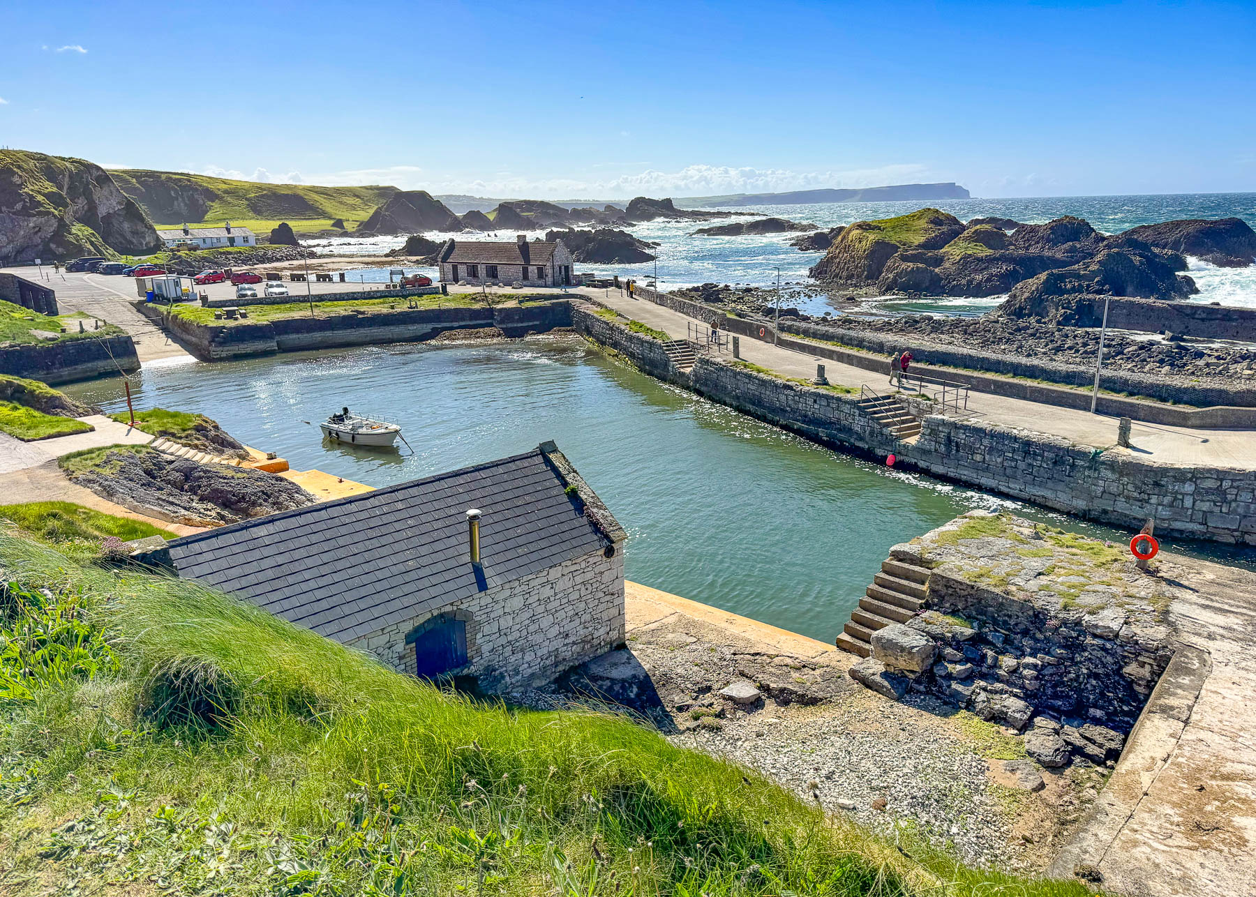
A Balkans Road Trip Part 4: Slovenia – A Day Trip from Ljubljana to Lake Bled
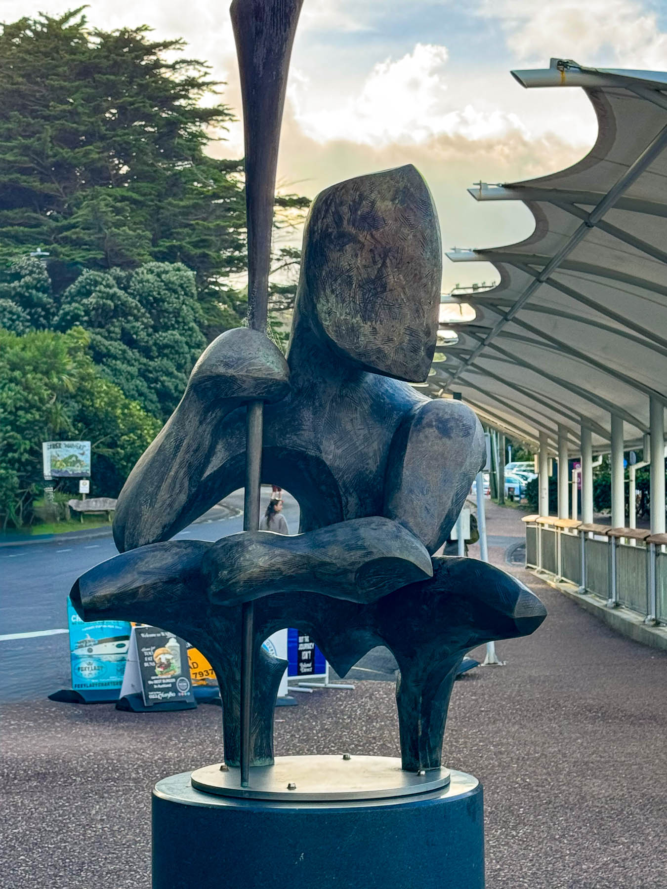
Enchanting photographs of Lake Bled and the Church of the Assumption of the Blessed Virgin Mary on its island pulled us into the countryside like a magnet, its attraction drawing us away from Ljubljana to visit the iconic pilgrimage site that’s become a symbol of the natural beauty that awaits visitors to Slovenia.
Via the E61 toll road from Ljubljana, Lake Bled is an easy and quick day trip from Ljubljana, but we chose a route through the foothills of the Julian Alps, an immense area that stretches to the northwest from Skofja, a charming town with medieval roots.

Škofja Loka, the “Bishop’s Meadow,” was founded on the hillside above the confluence of Selška and Poljanska Sora rivers, by a 973 AD land grant to the Bishops of Freising from the German king and Holy Roman emperor, Otto II. By the mid-1200s it was busy walled market town with Skofja Loka Castle towering over it.

The town has persisted through a turbulent history; having survived a devasting 1511 earthquake, and after fires in 1690 and 1698, it rose from its destruction like a phoenix. The picture image of the town today stems from this last rebuilding and the removal of town’s ramparts in 1768.

In Selška Sora’s new town we had coffee at the Art Café and sat outside on its porch, even though it was a chilly day, to enjoy the ambience of the town. Across the street from the cafe was a small memorial park Aleja zasluženih, the Alley of the Deserving. It featured a row of unique artistic busts portraying influential notable people of the area.

Driving across the countryside, every hilltop we saw seemed to be crowned with a small church, which is not surprising considering Slovenia has nearly 2,900 of them. Twenty-four-hundred of them are still actively used, but many of the older churches in rural areas have congregations of fewer than fifty, some even smaller than twenty. With fewer priests nowadays Sunday services are rotated between communities. Our backroads route from Selška Sora to Lake Bled through the area’s foothills was designed to see several of these old chapels in the countryside.

Steep switchback roads climbed into forests which opened to rippling pasturelands as far as the eye could see in the tiny hamlet of Jamnik., on a ridge before a backdrop of the distant Karavanke Mountain range, was the Church of St. Primož and Felicijan which stands quietly as if in reverence, placed upon a ridge; the distant Karavanke mountains, a massive range that forms a natural boundary between Slovenia and Austria, create a backdrop for this lovely church.

It’s a beautiful setting on the Jelovica Plateau which local folk refer to as the “Balcony above Gorenjska,” the name of the surrounding region. First mentioned in the 15th century, the church was named for Saints Primus and Felician, two brothers and early Christian converts who were martyred by beheading in Rome by the decree ofEmperor Diocletianaround 286 AD. It is said that the church holds their relics and has become a pilgrimage site, and in “Slovenian folklore and religious tradition, these saints are often viewed as “guardians” of the landscape. Their hilltop sanctuary serving as a beacon during turbulent times, including the Turkish invasions, reinforcing their role as symbols of Slovenian faith and cultural identity against external threats.”

Regrettably, beauty doesn’t exclude tragedy and several clandestine mass graves from the end of World War II are located near Skofja Loka. They were the work of Josip Tito’s communist partisans who targeted groups due to their ethnicity, or were members of the Slovene Home Guard, an anti-communists force, civilians marked as “class enemies,”[or victims of political purges. Sadly, across Slovenia, 750 of these secret burial sites, concealed by various communist regimes from 1945 to 1990, have been located by the Commission on Concealed Mass Graves in Slovenia, since the country’s 1991 independence.

The road crested and then began a long twisting descent to Kropa, a picturesque village nestled at the head of a lush green valley. During the Medieval Era the village was a prosperous center for the hand forging of nails, which were sold all across Europe. Every July the village hosts an Iron Forging Festival, where folks can watch blacksmiths demonstrate their ancient crafts.

Driving down the hill through the center of Bled, the Church of the Mother of God on the Lake appears perfectly placed in the center of a waterscape surrounded by the foothills of the Julian Alps. Even though we’ve seen thousands of pictures of this iconic setting over the years, nothing replaces the appreciation of this glorious location better than standing on the shoreline and gazing across the glacial waters for ourselves. The scene was visually stunning.

We drove to the far side of the lake where there was a paid parking lot near two restaurants on the lakefront. Then walked back along the road and a section of boardwalk to a panoramic viewpoint. Licensed oarsmen, called pletnars, stood on the stern of their traditional flat-bottomed wooden boats and rowed their passengers, with twin oars, gondola style across the lake to the island. Bled Castle commanded a cliff face on the horizon. A 6 km (3.75 mi) road circles the lakefront, and past where we parked is seasonally closed to allow folks to walk along this narrower section and enjoy the scenery without having to be concerned about cars.

There are many beautiful landscapes around the world – the luck of nature perhaps, or are they perhaps the hand of divine intervention? Which leads me to wonder, when the first pagan temple was constructed on the island in Lake Bled, did the builders appreciate the beauty of the setting, or was the hard-to-reach setting chosen to create a symbol of faith that required effort to reach, reflecting devotion and commitment? Archeological evidence suggests that the island first hosted pagan rituals during the Bronze Age. Later with Slavic migration into the area during the 7th century AD, a temple dedicated to Ziva, the pagan goddess of life and fertility, was established. During the 8th century the local population converted to Christianity and built the island’s first church dedicated to the birth of Mary atop the ruins of the pagan temple. Renovations to the original church followed in the 15th and 17th centuries, when its famous “wishing bell tower,” and staircase was built. Today, the island remains a symbol of fertility and love; it is a popular wedding spot where grooms traditionally carry their brides up the 99 stone steps to the church for good luck.

After walking along the lake we drove to Caffe Peglez’n, where we were lucky to find metered parking nearby. We chose this café for lunch specifically to try its Blejska kremšnita, Bled cream cake, which combines delicious layers of custard and whipped cream between a crisp crust dusted with powdered sugar.  Theirs is reputed to be the best in Slovenia. We were not disappointed.

Afterwards we finished our day trip at Bled Castle, Slovenia’s oldest fortress, built in 1011. Located high on a rocky promontory, it has a commanding view of the lake from its terrace, and an interesting museum that highlights Slovenia’s history and culture.

Lake Bled was a phenomenal destination, and in hindsight I wished we had spent 2 nights there to fully experience the mood of the lake as the light changed throughout the day.

Till next time,

Craig & Donna