
We enjoy gardening, though we are not particularly good at it, having more success growing an abundant crop of weeds rather than lush flowers. Our inspiration comes from the spectacular oases of greenery we’ve visited during our travels. Many have been attached to the great estates and castles of England which were the catalyst for the “English love of gardening,” regardless of the size of the plot, and “garden visiting,” both wonderful attributes that have followed its people around the world and which have also become part of New Zealand’s national psyche. Why visit Hamilton? The botanical garden, of course.
Hamilton, the country’s fourth most-populous city, about 122 km (76 mi) south of Auckland, appeared at first to be a sleeper of a destination, with its low skyline barely visible as we entered the city over a bridge across the Waikato River. A quick loop down Victoria Street, the city’s main avenue, didn’t dispel our initial assessment. Until we got a chance to walk to around, when we headed to dinner at the Iguana Street Bar & Restaurant, and enjoyed the slow-braised lamb shank, after checking in at the ibis Hamilton Tainui. We fully explored the town the next day.
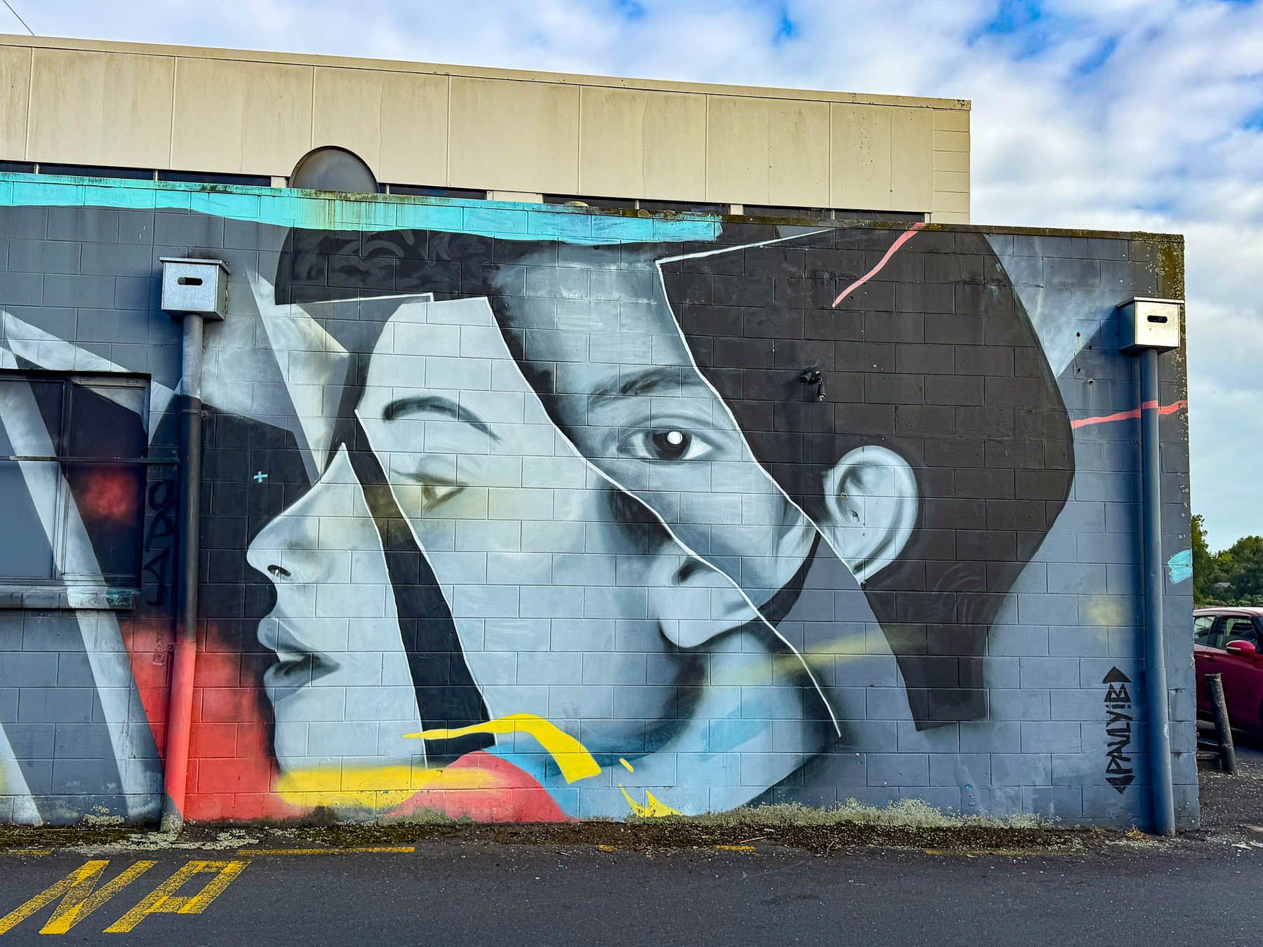
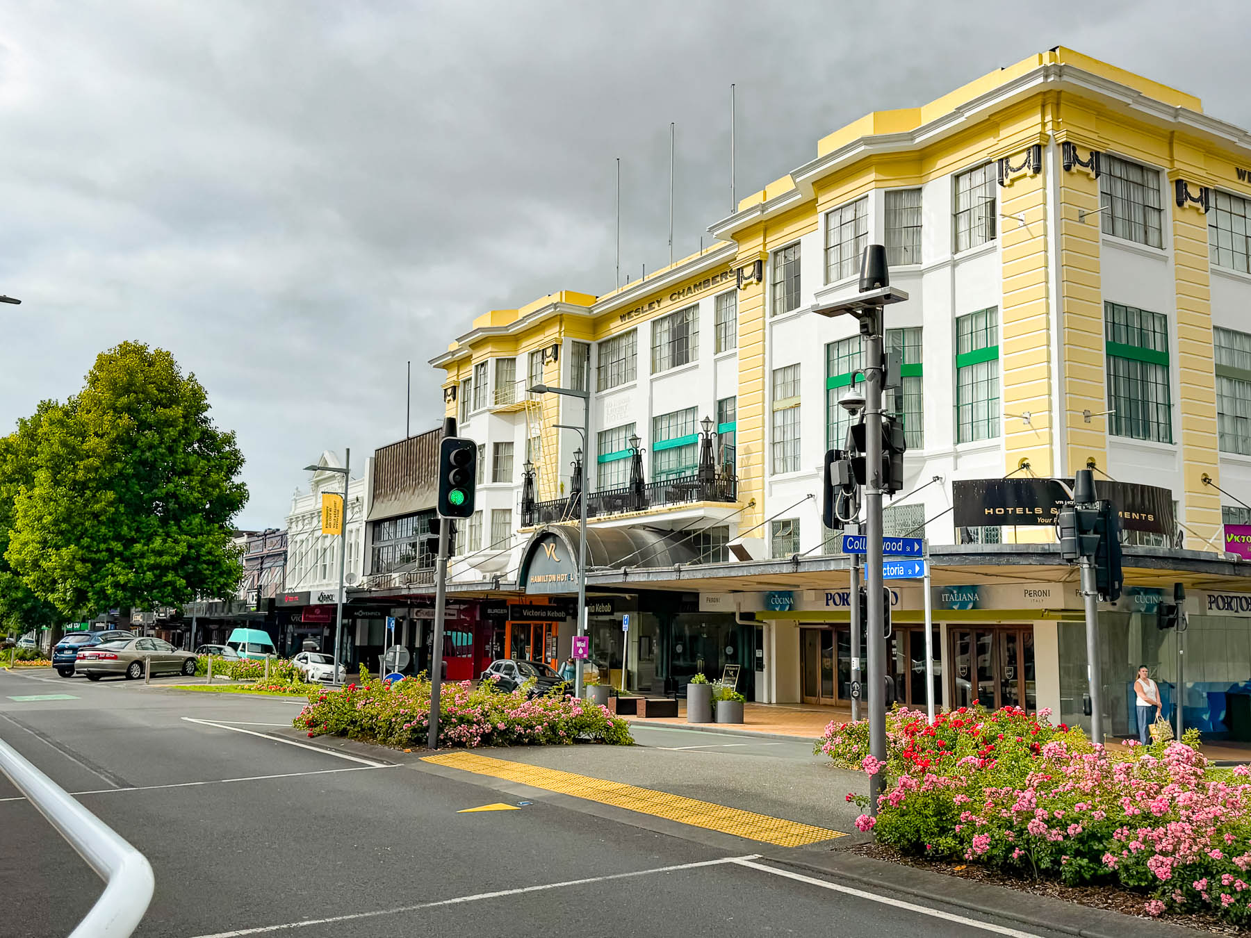

Home to the University of Waikato, which hosts over 2,000 international students from more than 80 different countries, the city benefits from the school’s diversity and youthful vibe with a variety ethnic eateries, nightclubs and live music venues. Along with bookstores and shops all across several blocks of Victoria and Hood streets, housed in a blend of historic and contemporary buildings, offset with large street murals which define the city’s architecture and mood.
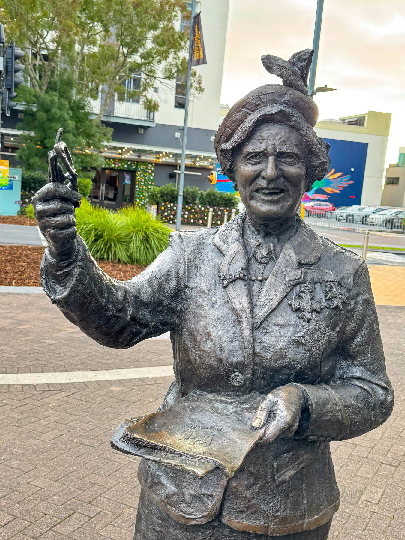
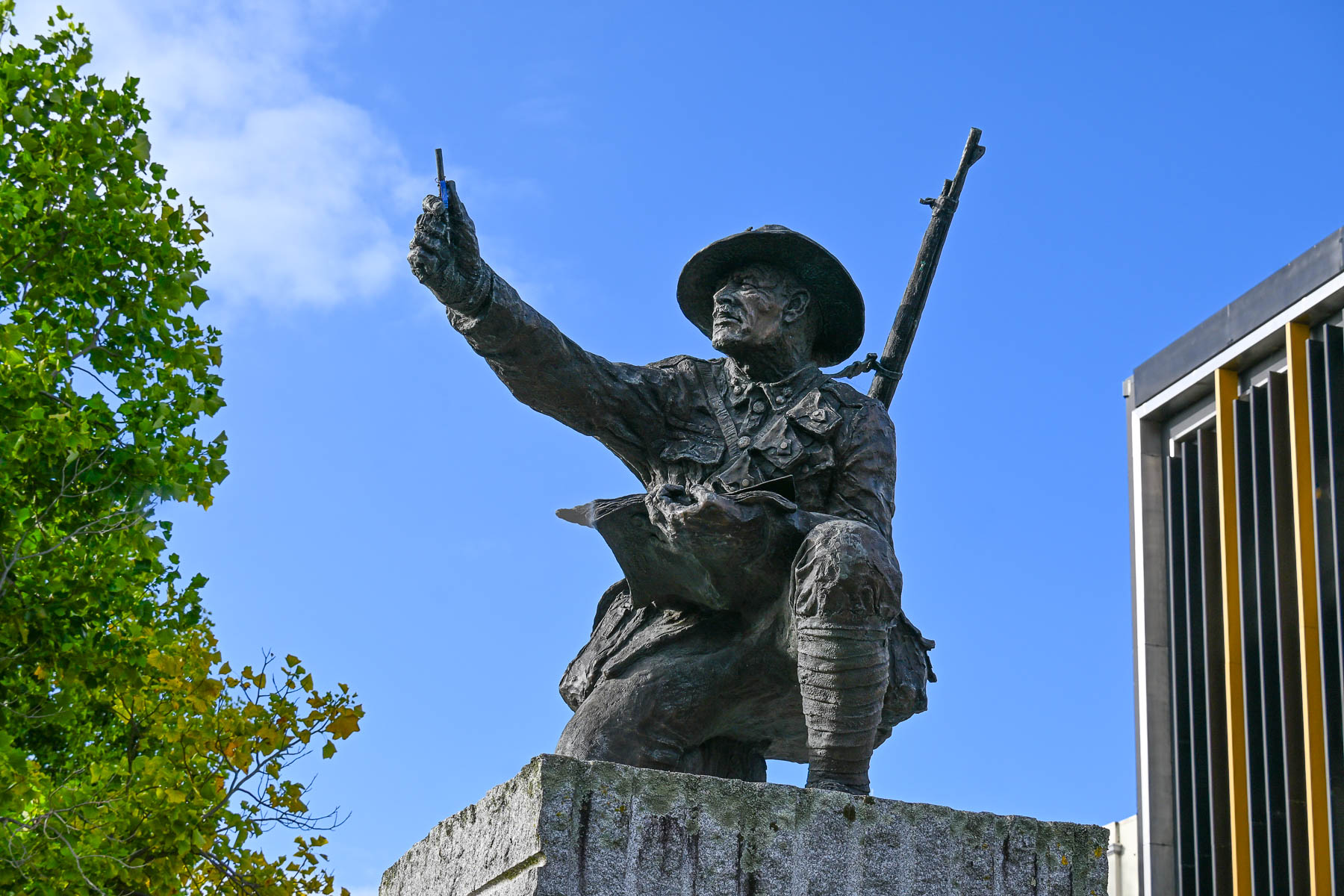
Along the street were bronze sculptures, of Dame Hilda Ross and Horace Moore-Jones. She was an admired advocate for family and social welfare and the city’s first female deputy mayor (1945), and a member of the New Zealand Parliament. He was a soldier, artist and teacher known for his WWI paintings of Anzac’s Gallipoli Campaign, who later died from burns sustained as he rescued folks from a fire that razed the Hamilton Hotel in 1922.
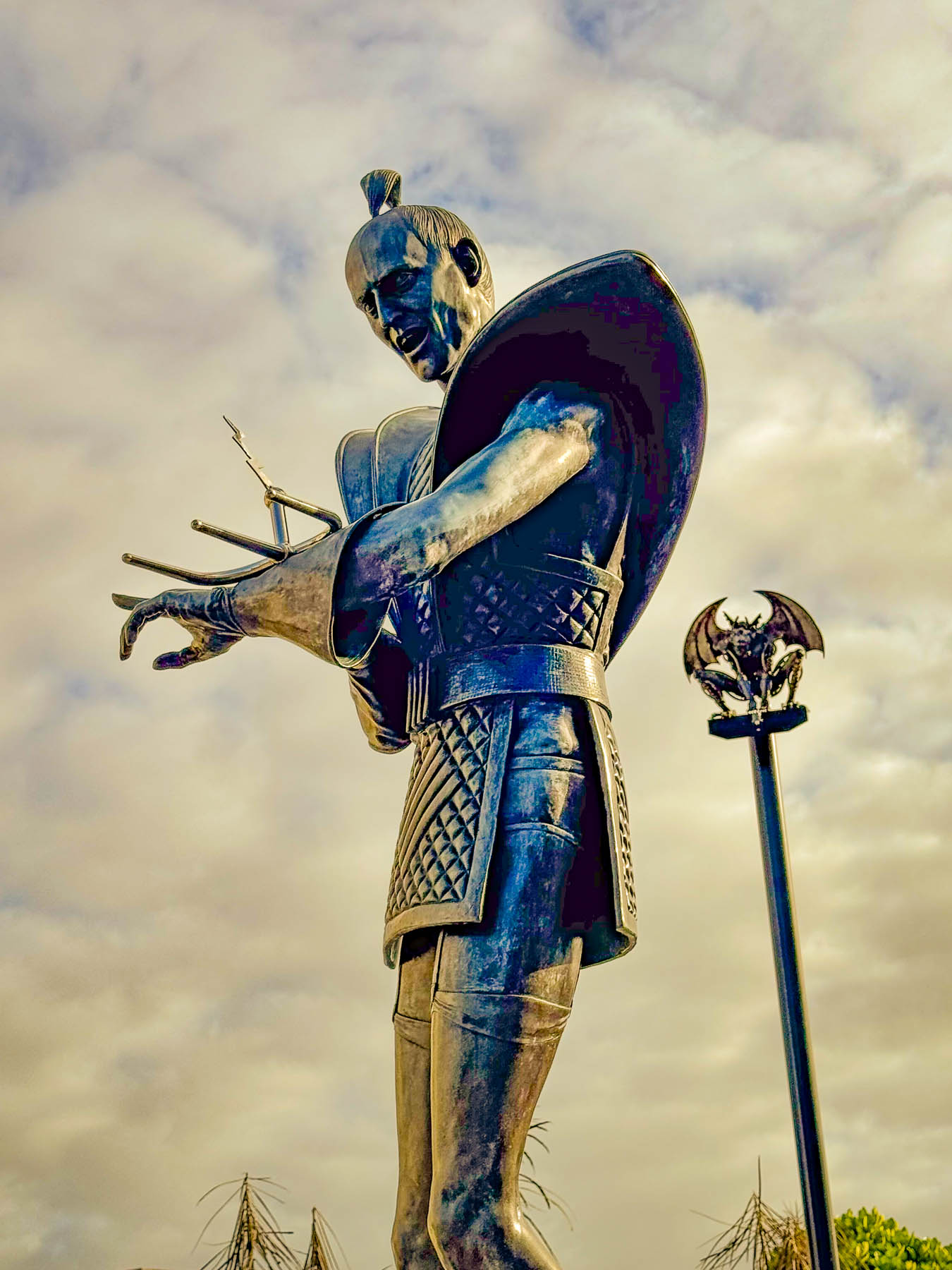
A block away on a plaza that leads to several paths along the Waikato River stood a contemporary statue celebrating Hamilton’s offbeat, honorable citizen/fictional character, Riff Raff, of The Rocky Horror Picture Show fame. Playwright Richard O’Brien grew up in Hamilton, and as a young adult worked as a barber in the foyer of the derelict Embassy Theatre on Victoria St. that showed late-night, B-grade horror and science fiction double features. After nights cutting hair, O’Brien would sit in the theater relishing the films’ absurdities. This experience became the inspiration for his 1973 stage musical and the 1975 musical comedy-horror film directed by Jim Sharman, in which the character of Riff Raff is played onscreen by O’Brien. The wonderfully campy movie starring Barry Bostwick and Susan Sarandon was a box office flop, but it soon developed a cult following where late-night screenings drew fans dressed as the film’s characters, shouting lines of dialog, and throwing things at the screen. After a theatrical career based in England, O’Brien returned to Hamilton where he continued to be a prominent fixture in the local arts scene and was awarded the Hamilton Kirikiriroa Medal, one of the city’s highest civic honors.
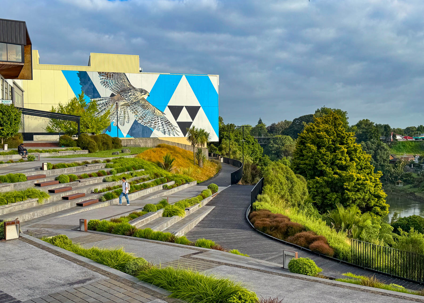
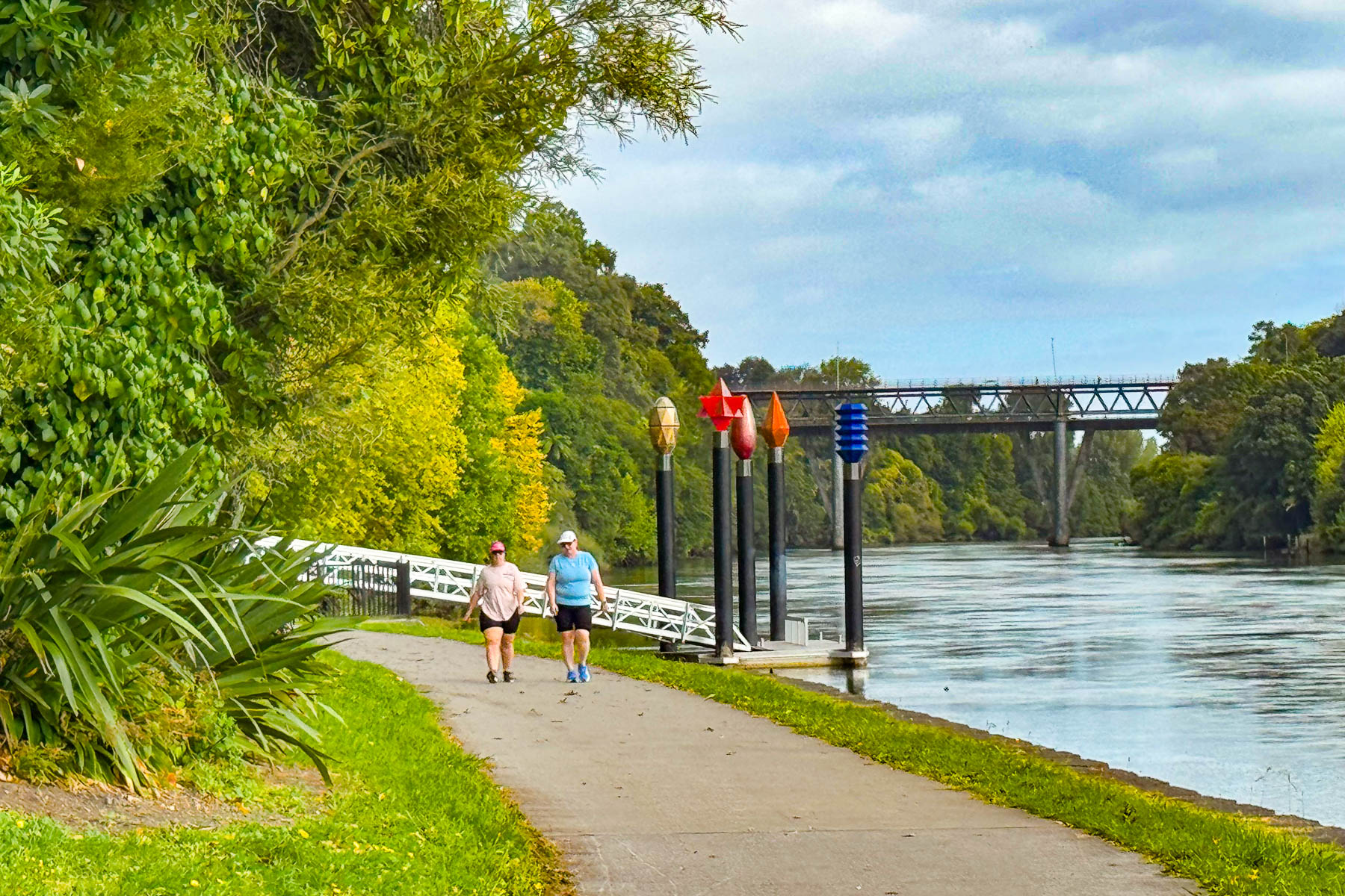

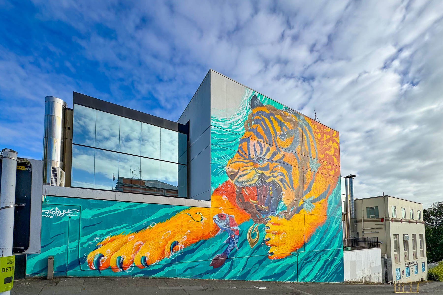
We followed one leg of the path off the plaza along the Waikato to Victoria on the River, a large amphitheater-like park with views over the river. Mid-week during the off season we had the place to ourselves, except for the occasional jogger passing by. The river flowing 425 km (264 mi), from its headwaters originating in Lake Taupō to the western coast is believed by the Māori be the life force (mauri) and soul of the central North Island. Before modern dams, seasonal flooding enriched the soils of the river valley.
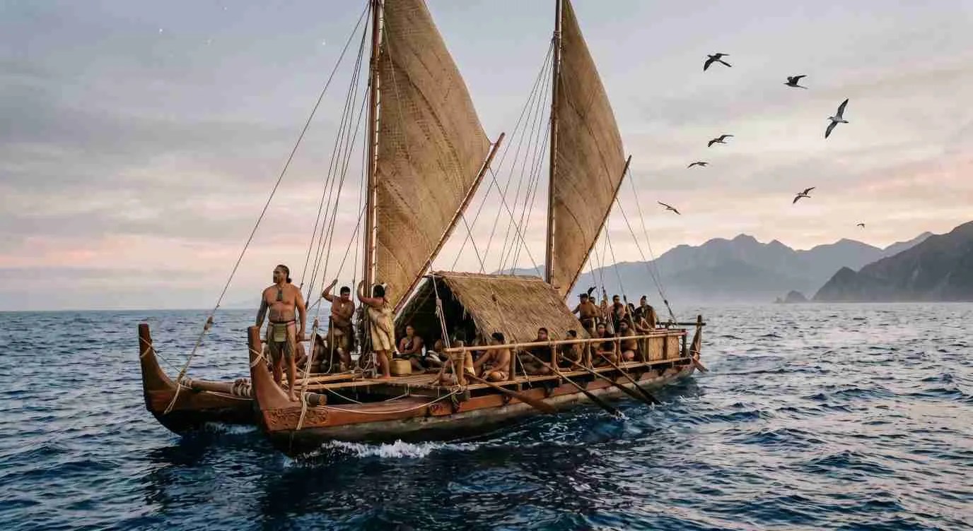
According to Māori oral history the north island was discovered around the year 1150 by the legendary Polynesian explorer, Kupe, who named it Aotearoa, the “land of the long white cloud.” Kupe’s navigational skills and knowledge of the Pacific Islands were used several hundred years later in several exoduses from Hawaiki, Hawaii, as small groups fled inter-tribal warfare on their homeland, that began around 1300. Stories of a new verdant land were a serious draw for the first Polynesian families who made the treacherous months- or years- long voyages, with stops at other islands along the way. The journeys were accomplished in large, open to the elements, ocean-going Polynesian catamarans with two or three sails, or large canoes with outriggers, called wakas.
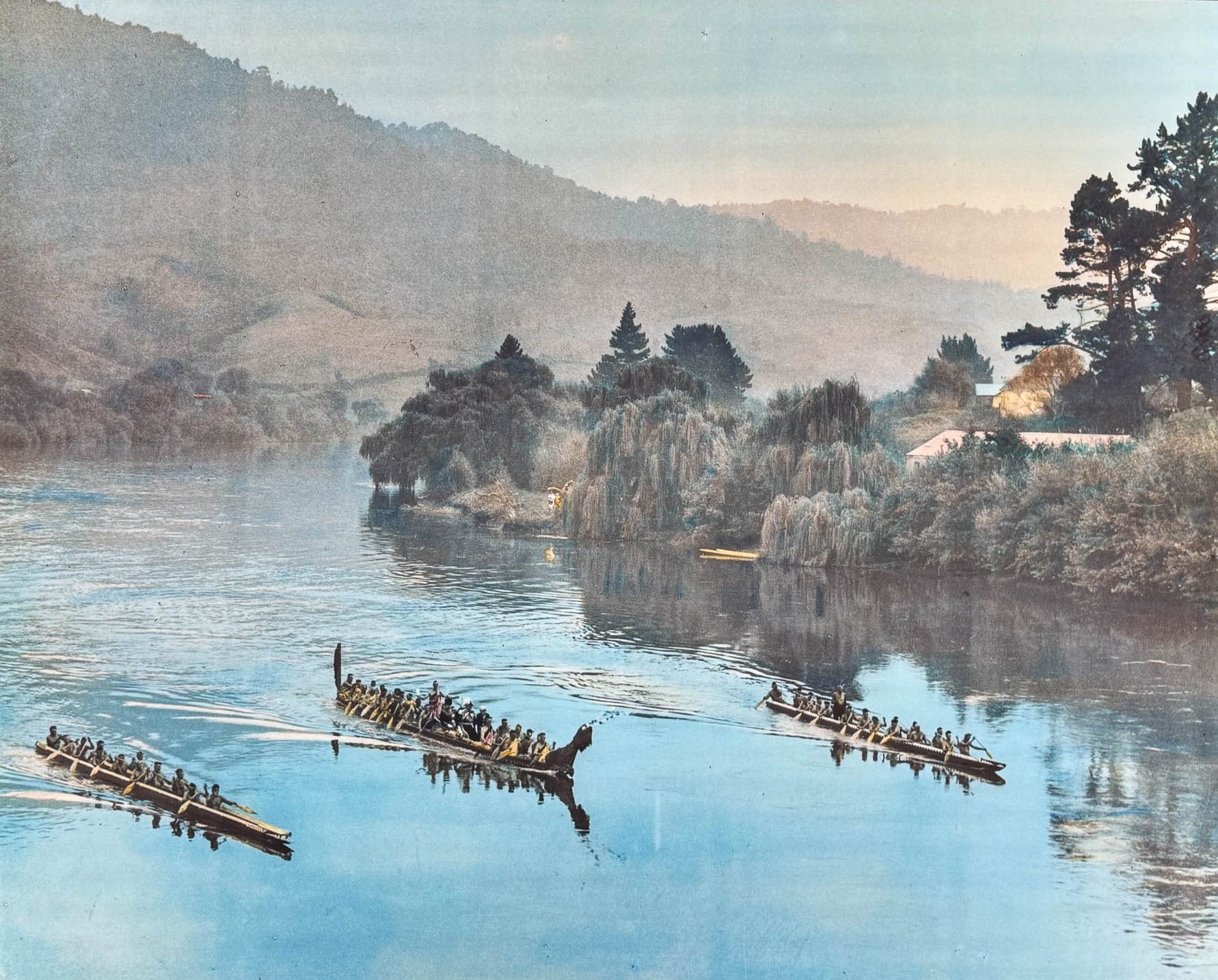
Around 1350, a group of Polynesian settlers (29 men and 11 women) sailed with Chief Hoturoa, a high priest, aboard a waka they named Tainui. No histories reveal how long their 6500 km (4000 mi) epic crossing took, but the crew eventually made their first landfall at Whangaparāoa near Cape Runaway in Te Moana-a-Toi (the Bay of Plenty) on the eastern side of the island. With settlers from earlier wakas already populating the area, Chief Hoturoa and crew sailed and rowed Tainui waka north along the coast around the Coromandel Peninsula to the narrow Tāmaki isthmus near Auckland, and portaged the great waka across the land. Following oral histories of Kupe, who had mapped the coastlines of Aotearoa in an earlier voyage and documented the safe channels, landmarks, and the existence of the western harbors, they sailed on in pursuit of vast unclaimed verdant lands that he had told of. They eventually pulled the Tainui waka ashore and buried it at Maketū marae in Kawhia, on the coast west of Hamilton. Here Hoturoa blessed two stone pillars called Puna and Han, and set them at the bow and the stern of the waka, exactly marking the length of the 13.5 m (44 ft) long vessel. This cemented the Waikato-Tainui region as Hoturoa clan’s heartland in their new world, before they expanded inland to a fertile area they called Kirikiriroa, Hamilton.
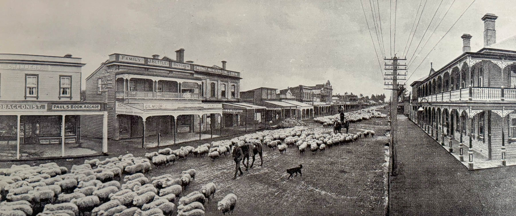
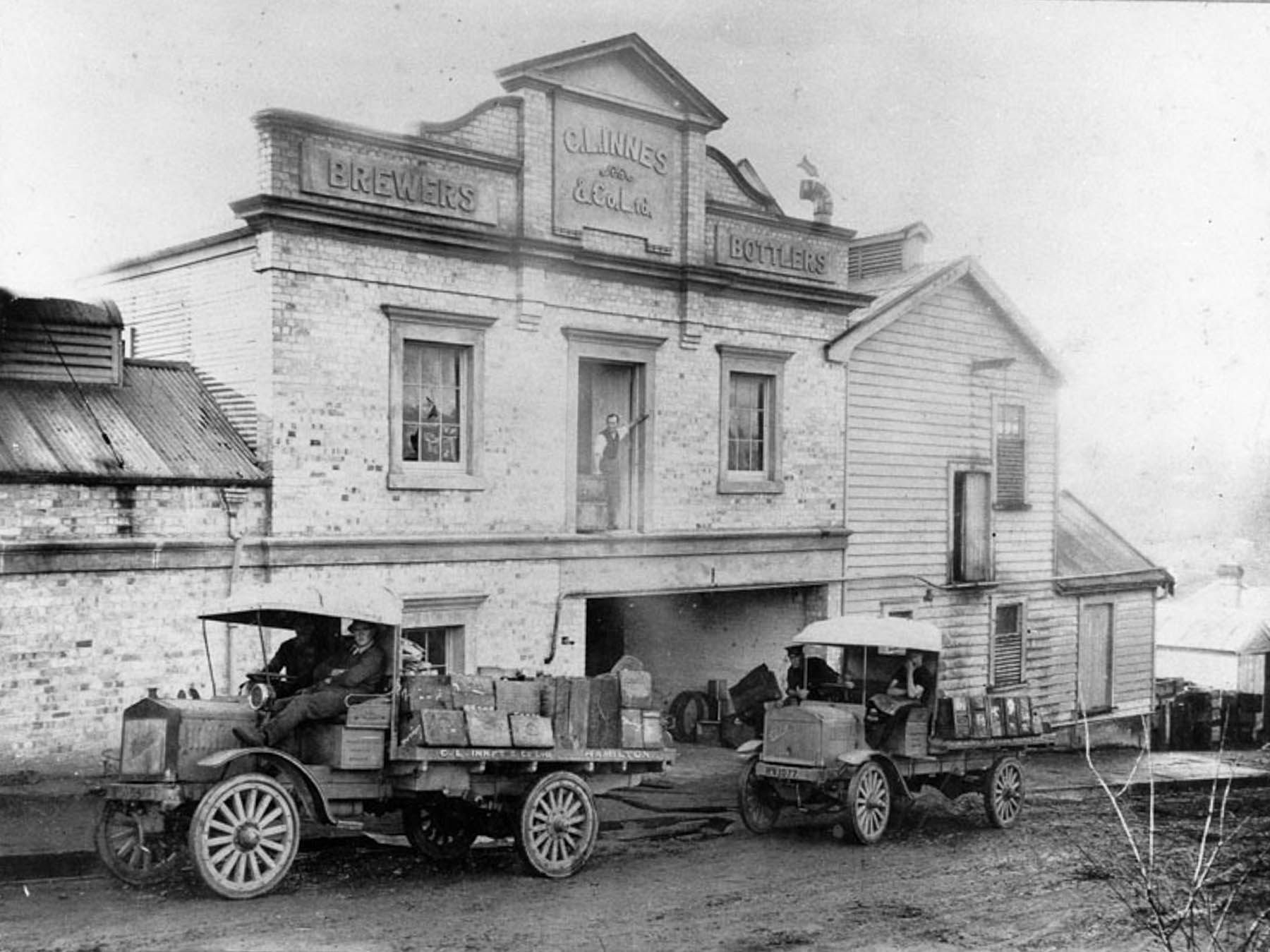
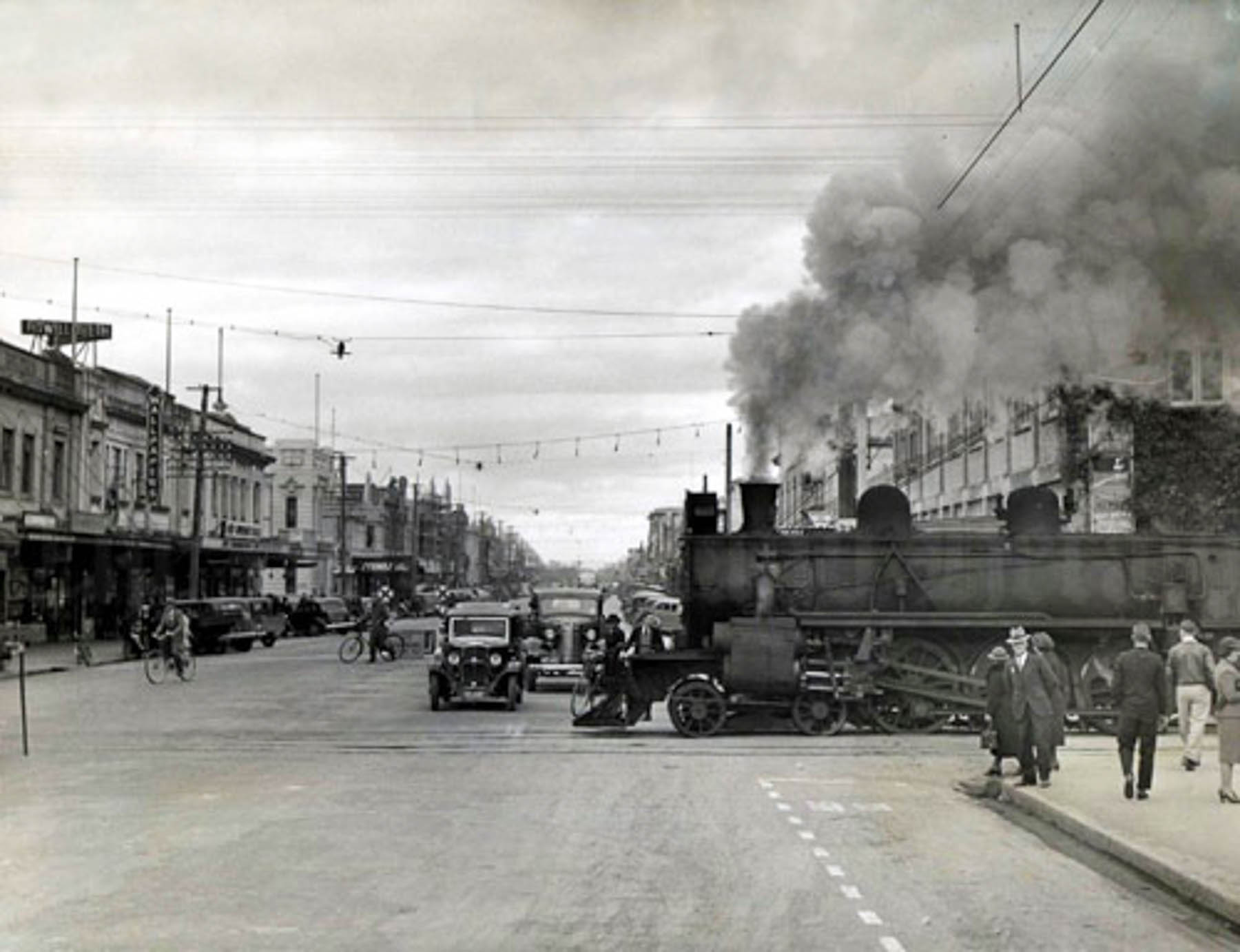
Roughly five hundred years later, colonial British troops invaded the fertile region in 1863 after the Māori chiefs refused to pledge an oath of allegiance to the English Crown. The nine-month long Waikato War – Te Riri ki Tainui – ended with the colonial government confiscating over 1.2 million acres of fertile tribal land, the displacement of Māori villages, and the founding of Hamilton, named after Captain John Fane Charles Hamilton, the commander of HMS Esk, who died during the war. Militia-settlers were recruited in Melbourne and Sydney, and by 1867 a road was built to Auckland, followed by a railway 10 years later to speed the new farmers’ produce and timber from the fertile valley to markets north in Auckland and by 1908 south in Wellington. The land grab was formally addressed decades later through the Waikato Raupatu Claims Settlement Act of 1995, which included financial compensation and a formal apology from the New Zealand government for Treaty of Waitangi breaches.
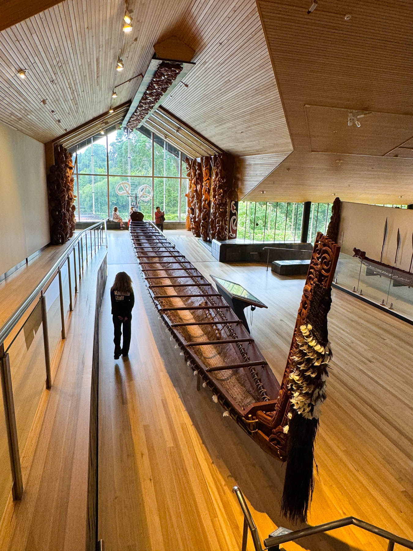
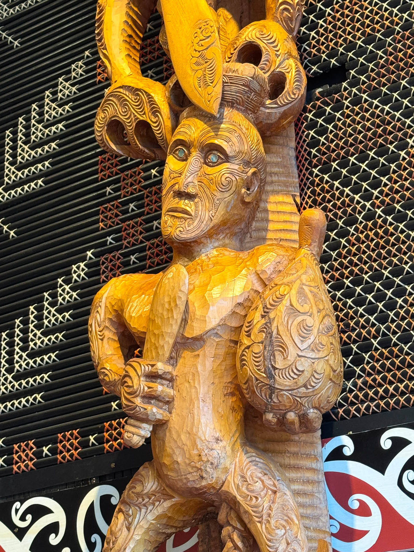
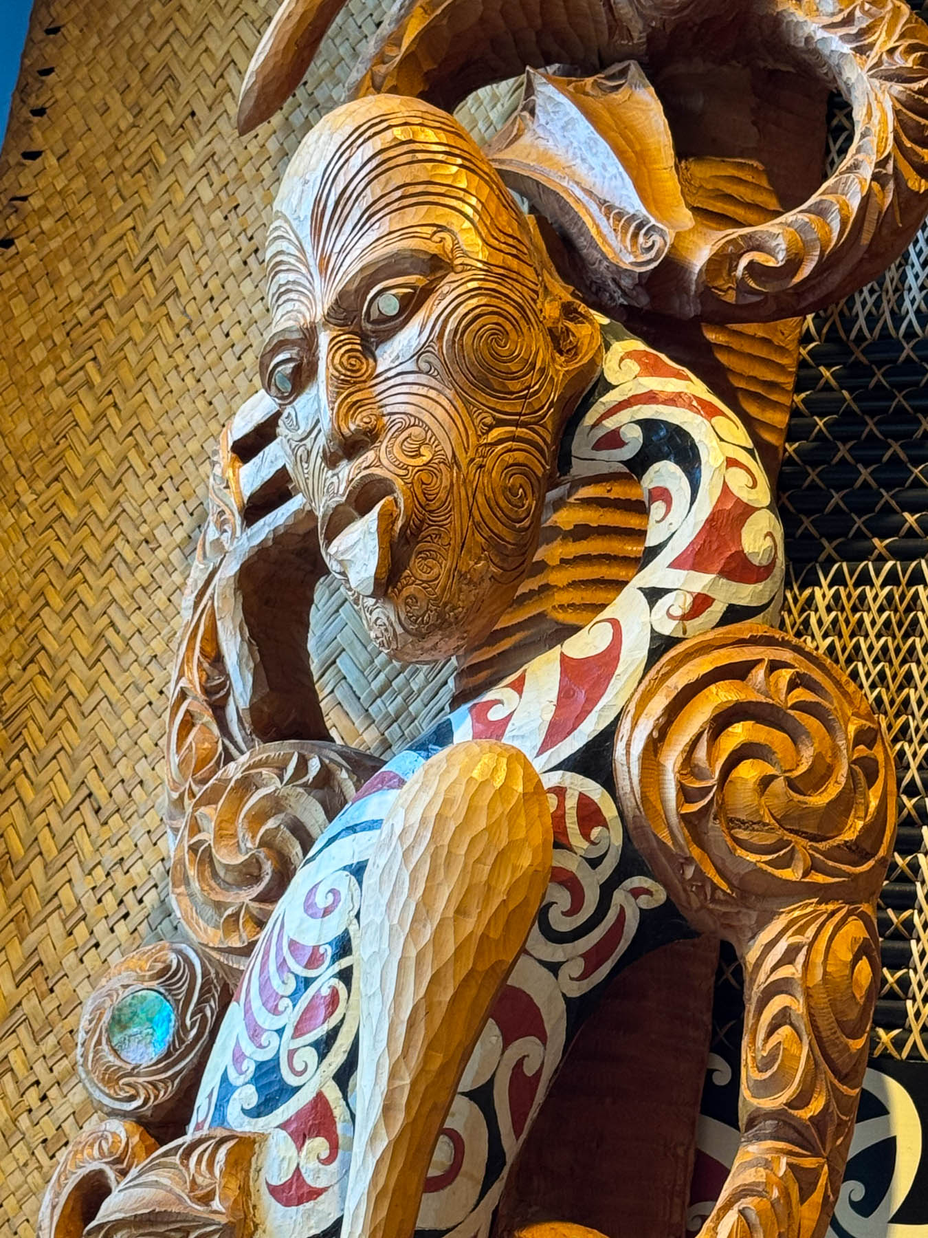
A more in depth telling of the Māori history in the region is covered in the informative exhibits at the Te Whare Taonga o Waikato Museum & Gallery, a few blocks farther down Victoria Street. At the top of the steps leading down to the building there is a vibrant modern water fountain, whimsically named the Tongue of the Dog. Designed by New Zealand artist Michael Parekowhai, the fountain is based on a Māori creation legend in which a faithful dog dug a pathway for healing waters to reach Lake Taupō, forming the Waikato River.
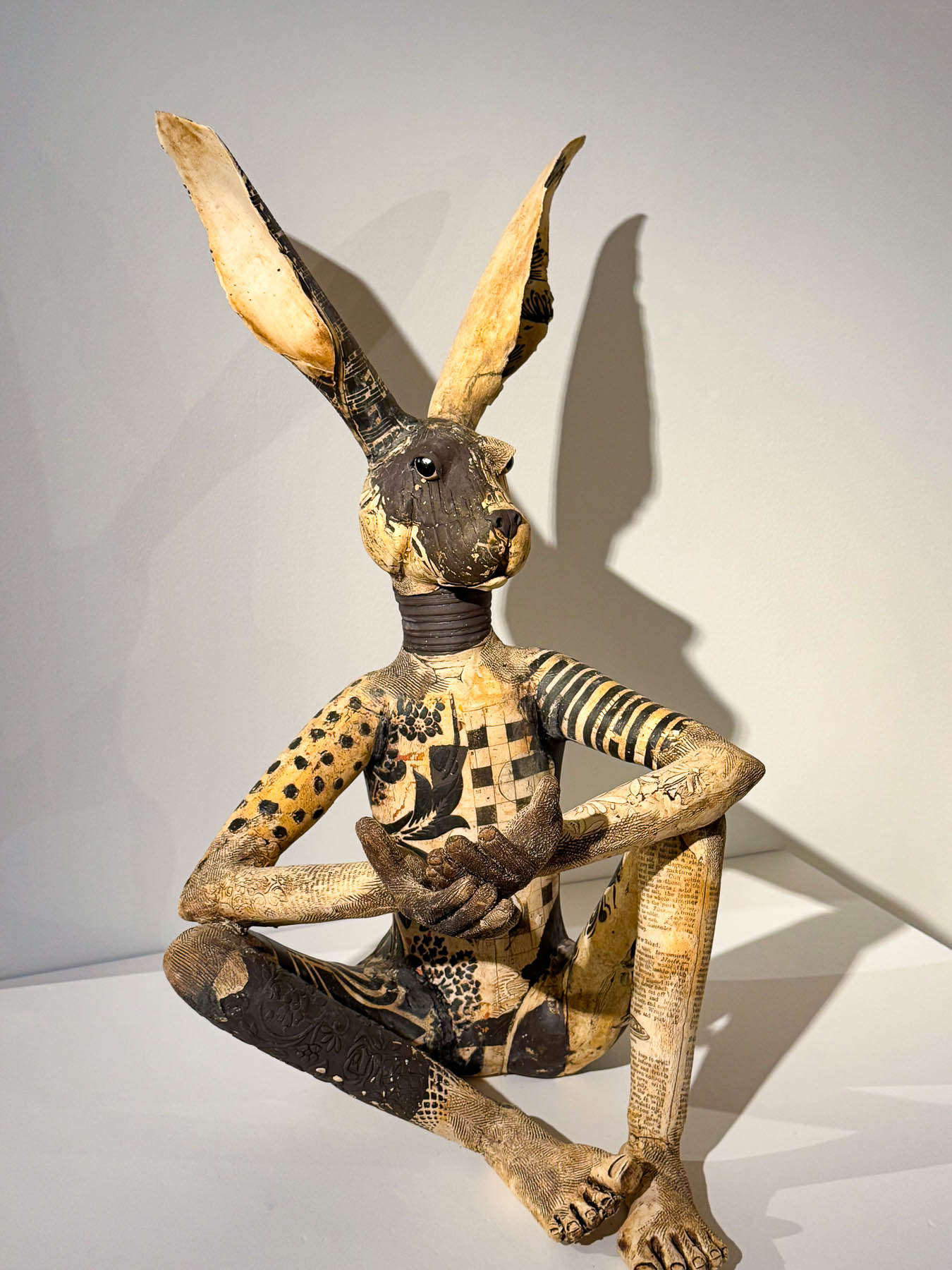
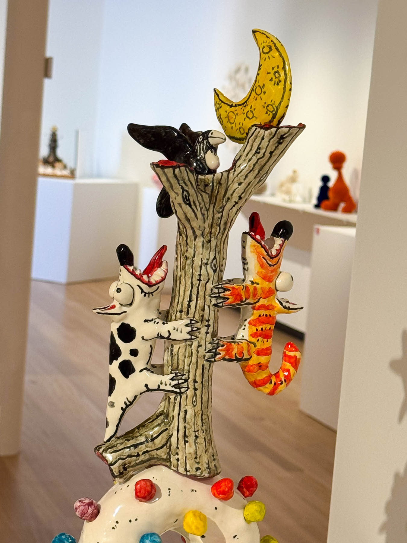
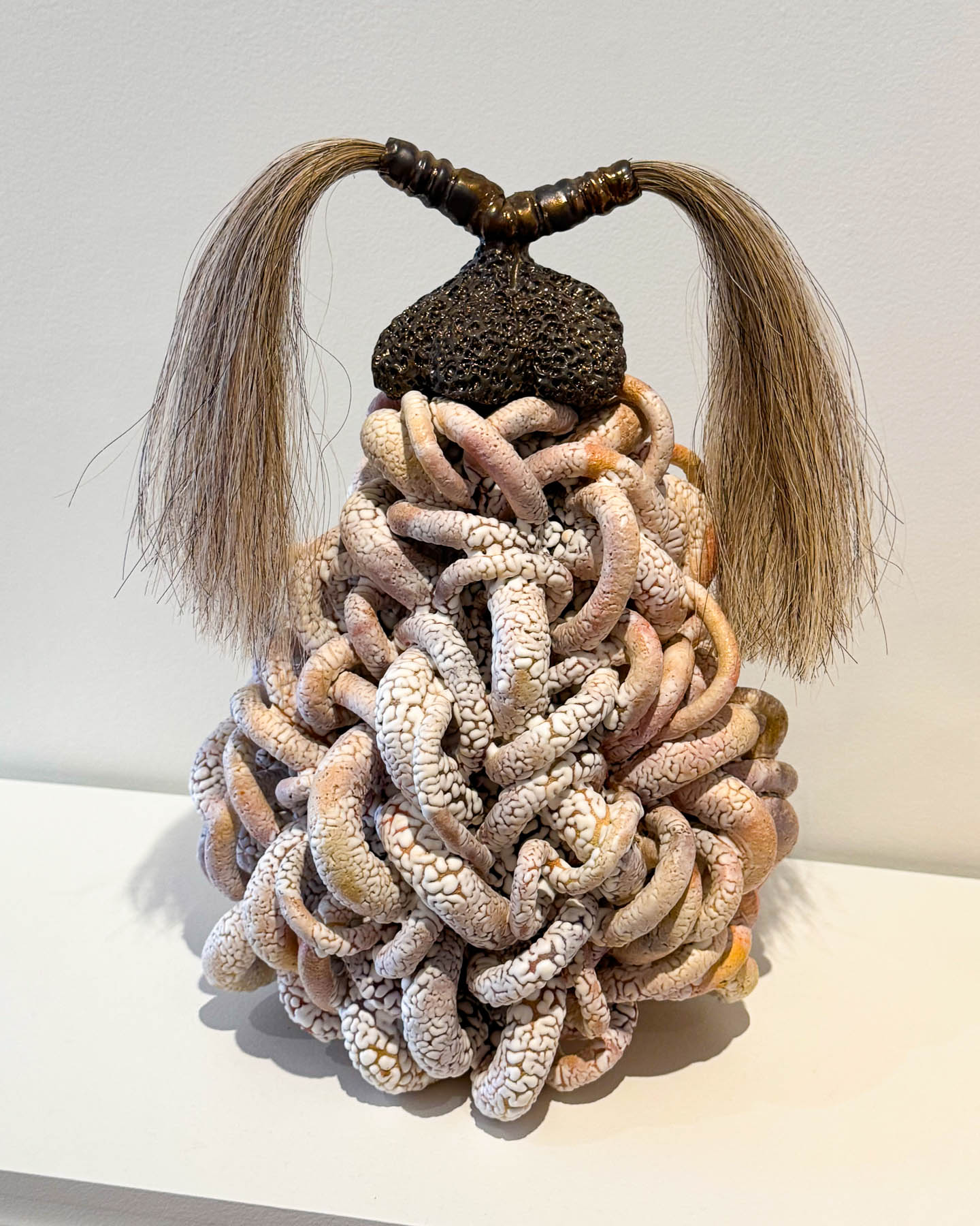
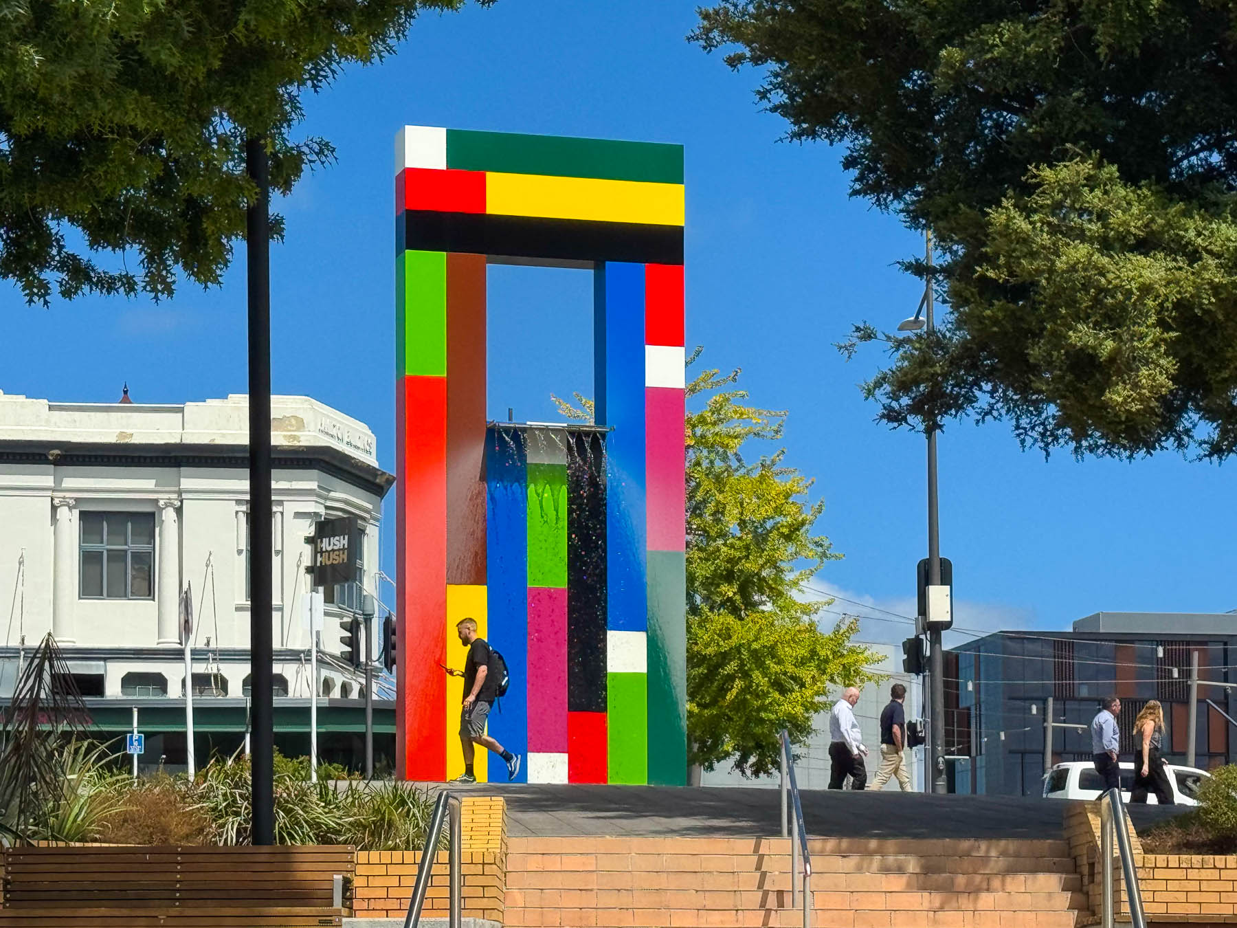
Though it is a small museum, we found it thoroughly engaging and spent more time there than we had originally planned, enjoying a contemporary ceramic exhibit, before heading to the botanical garden.
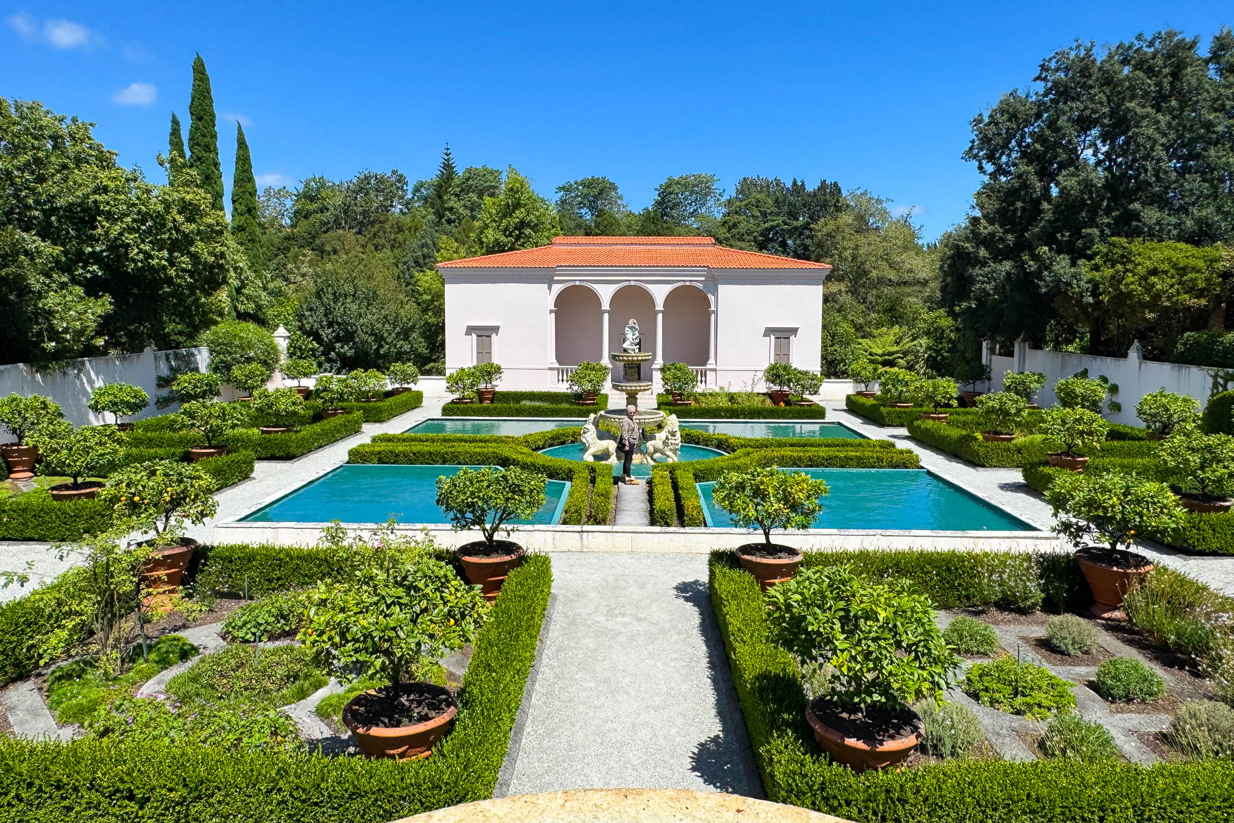
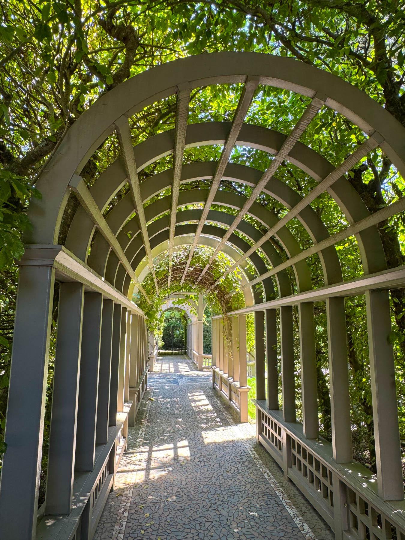
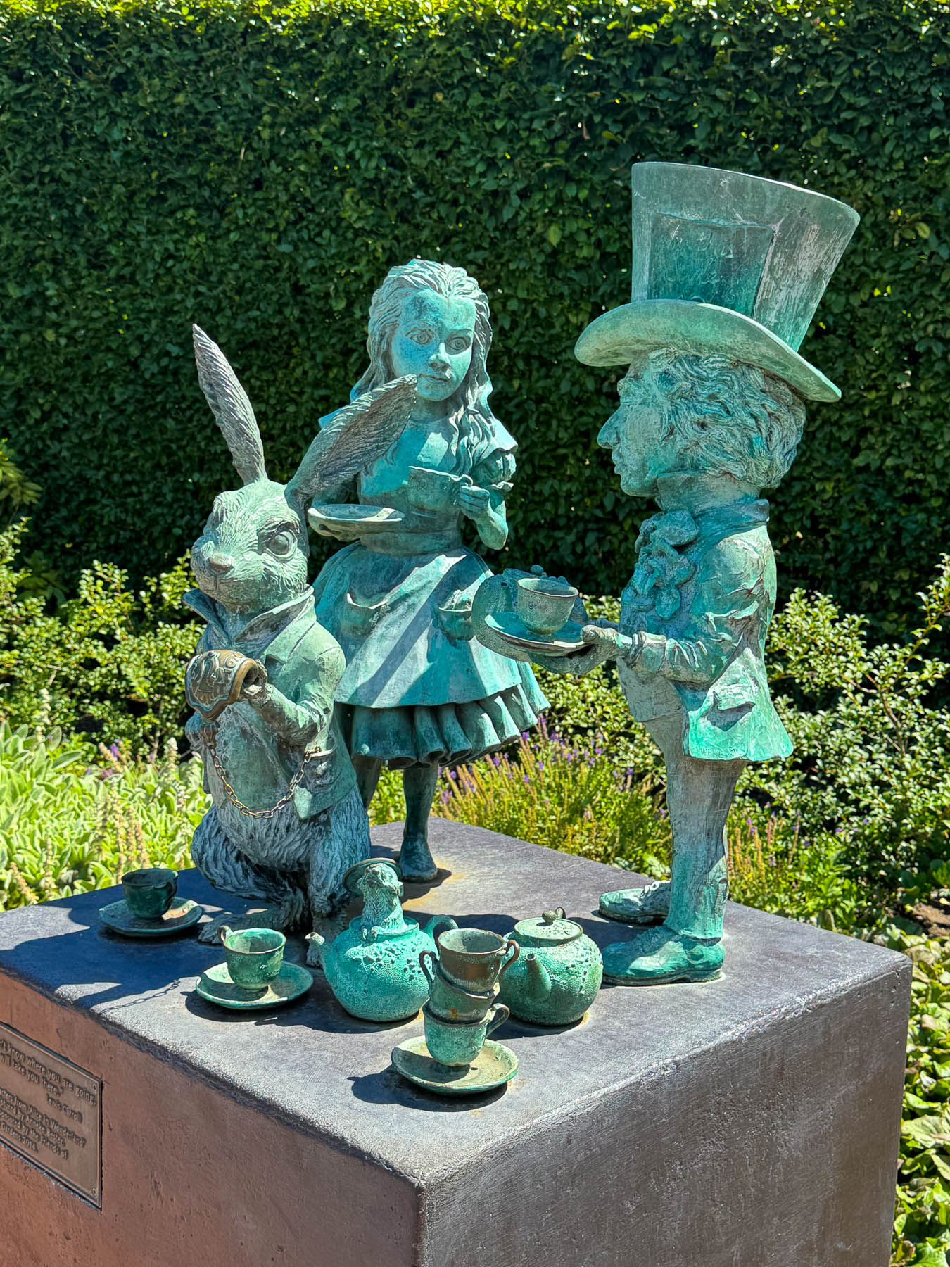
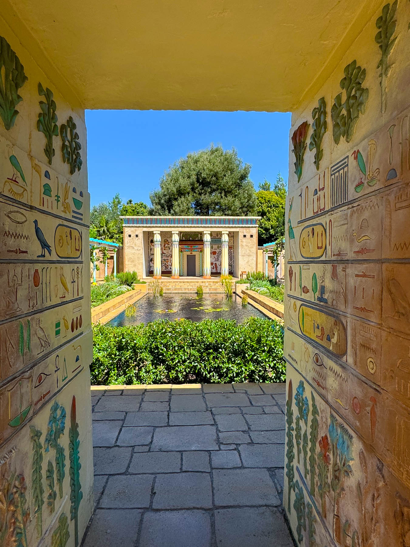
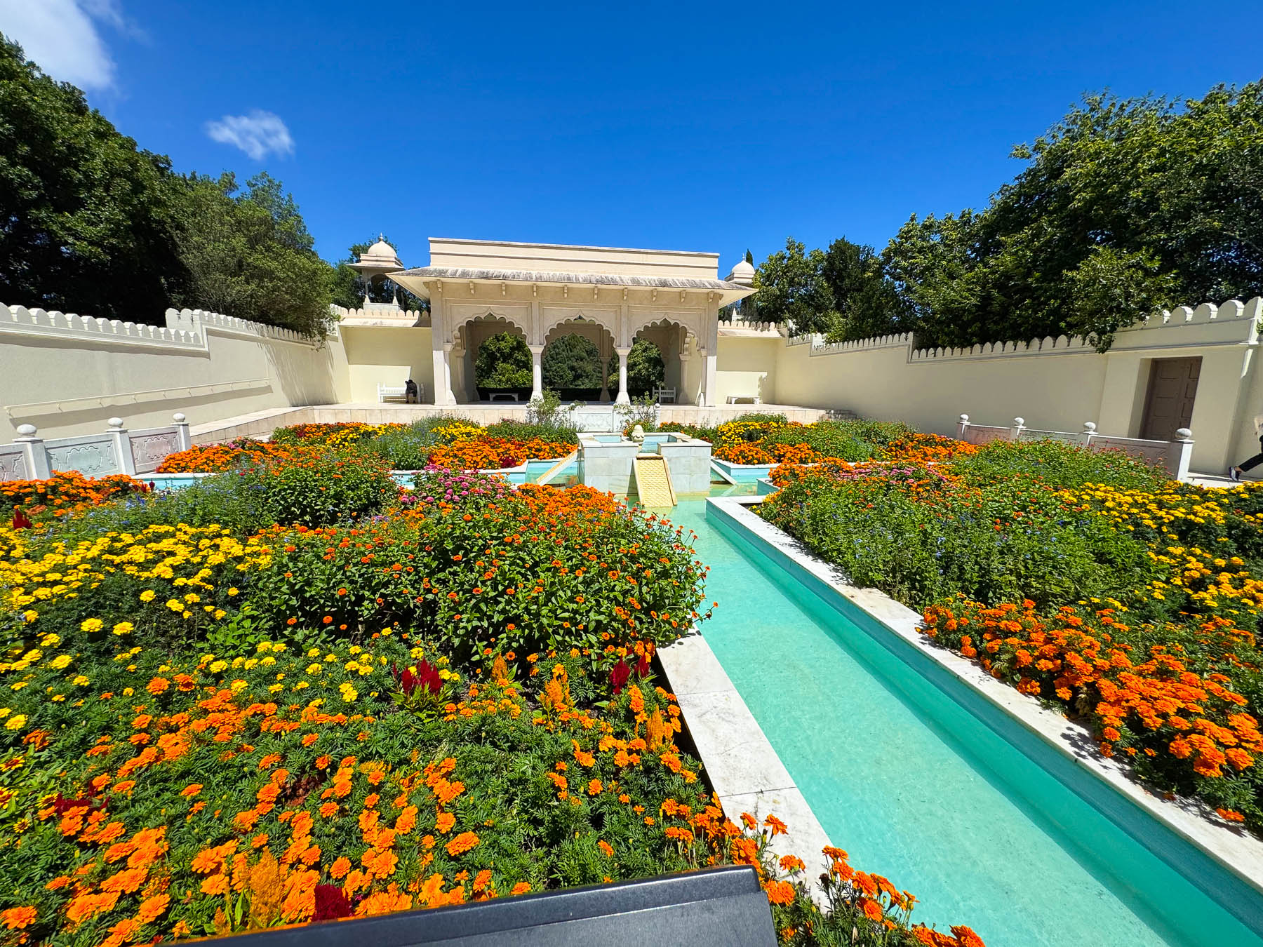
Having seen prior photographs of Hamilton Gardens, we knew it was going to be magnificent. Seeing the gardens in person was spectacular – even during New Zealand’s late summer in mid-February, the plantings were marvelously lush.
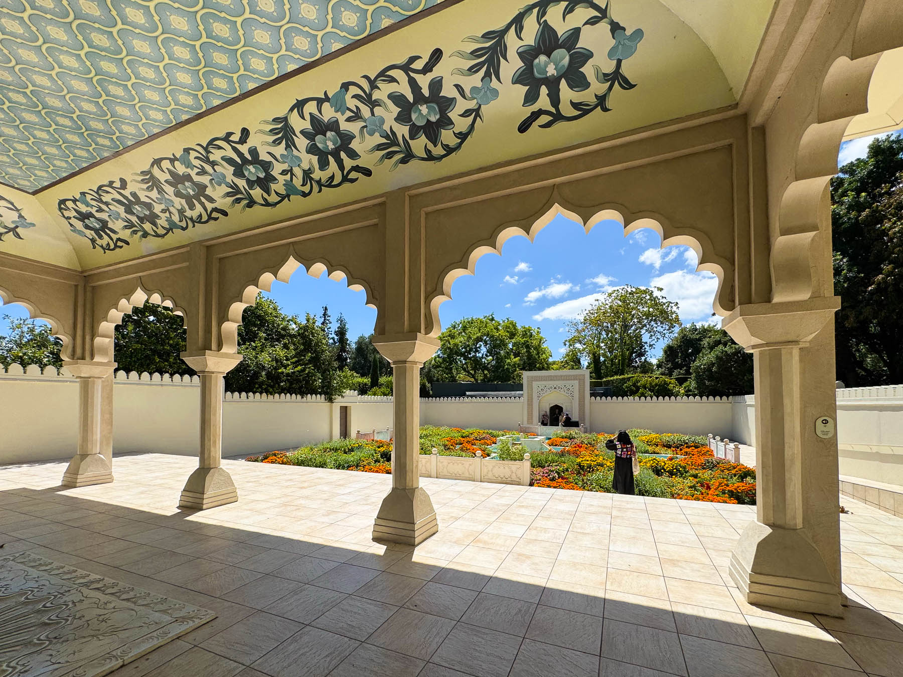
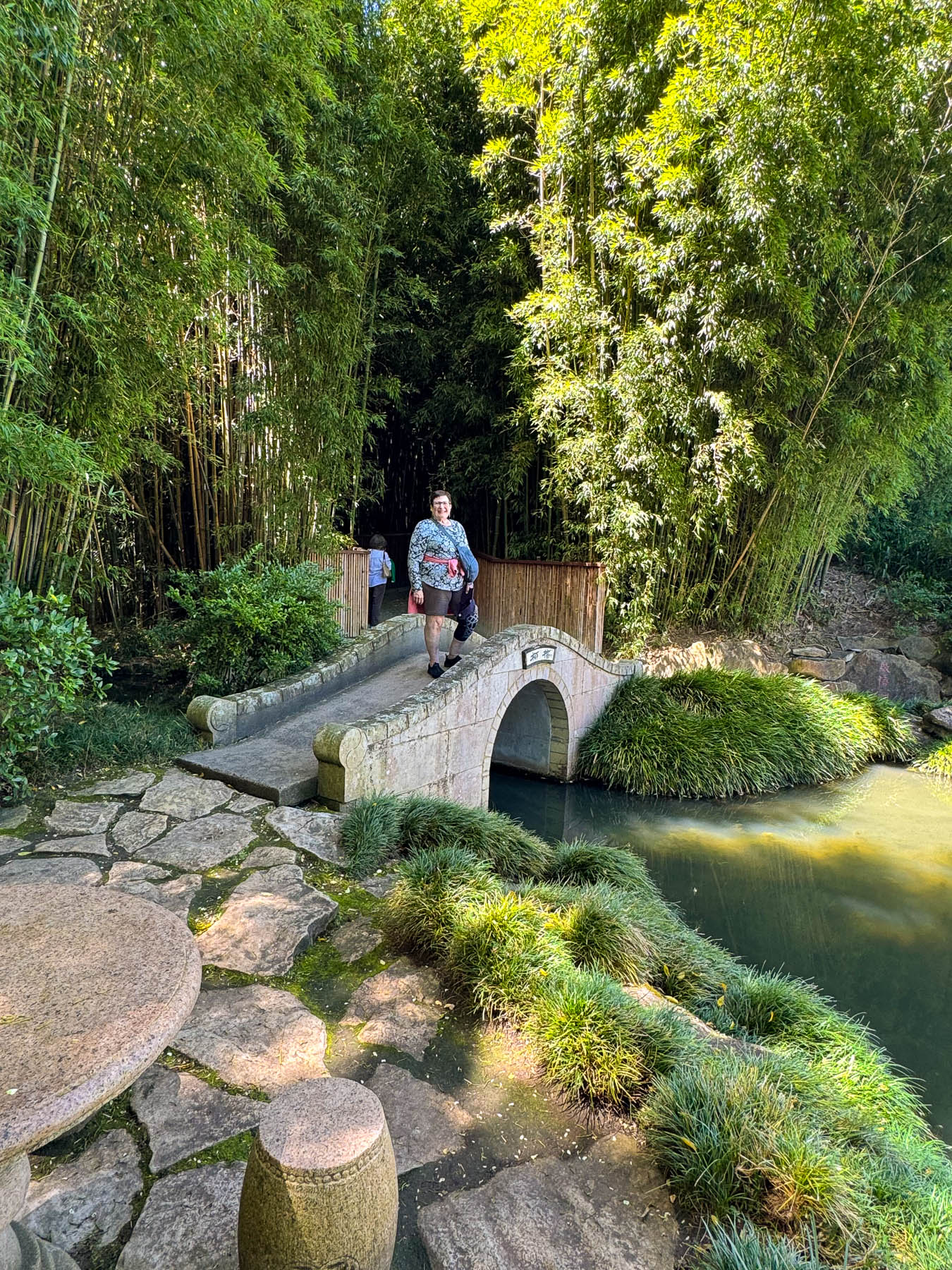
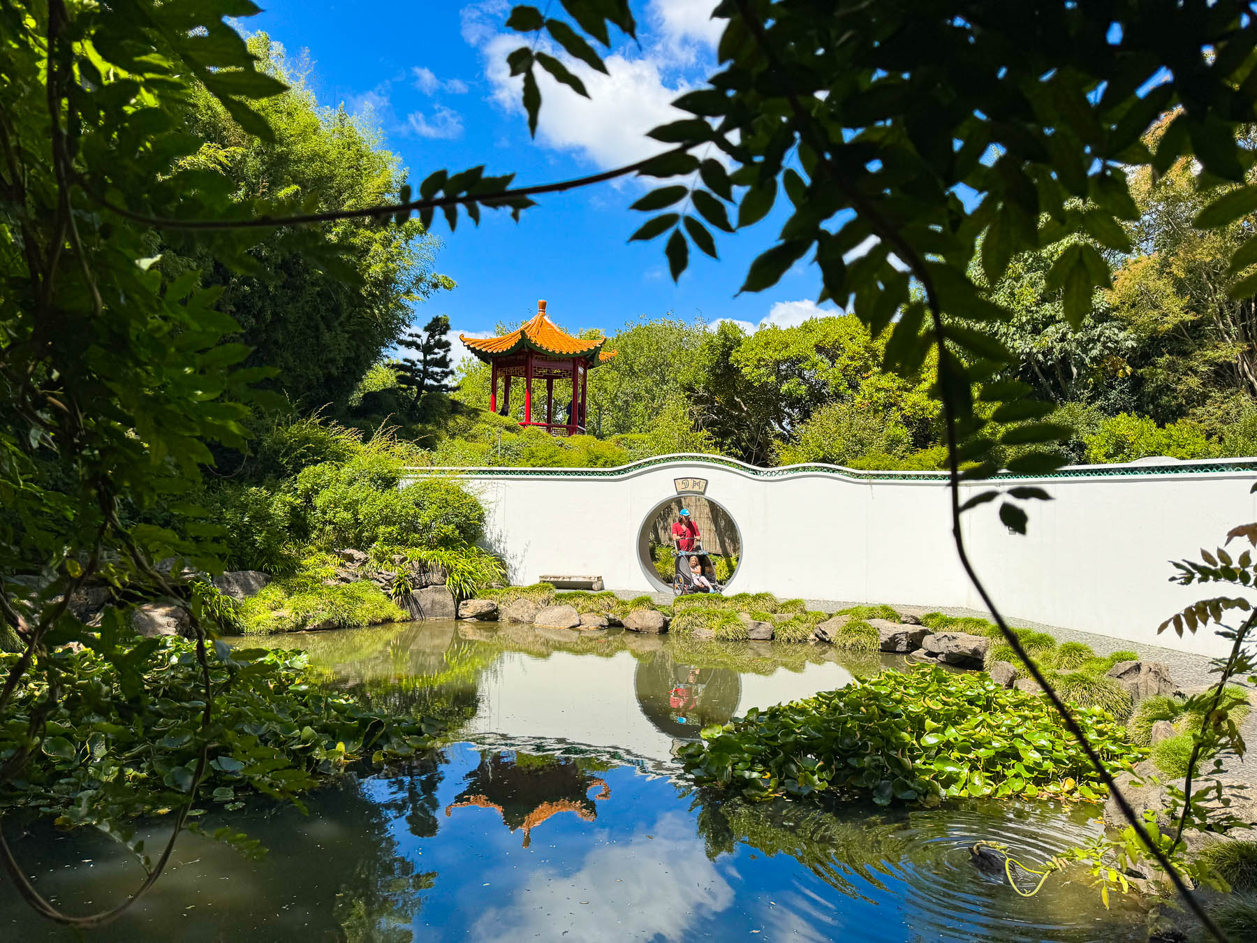
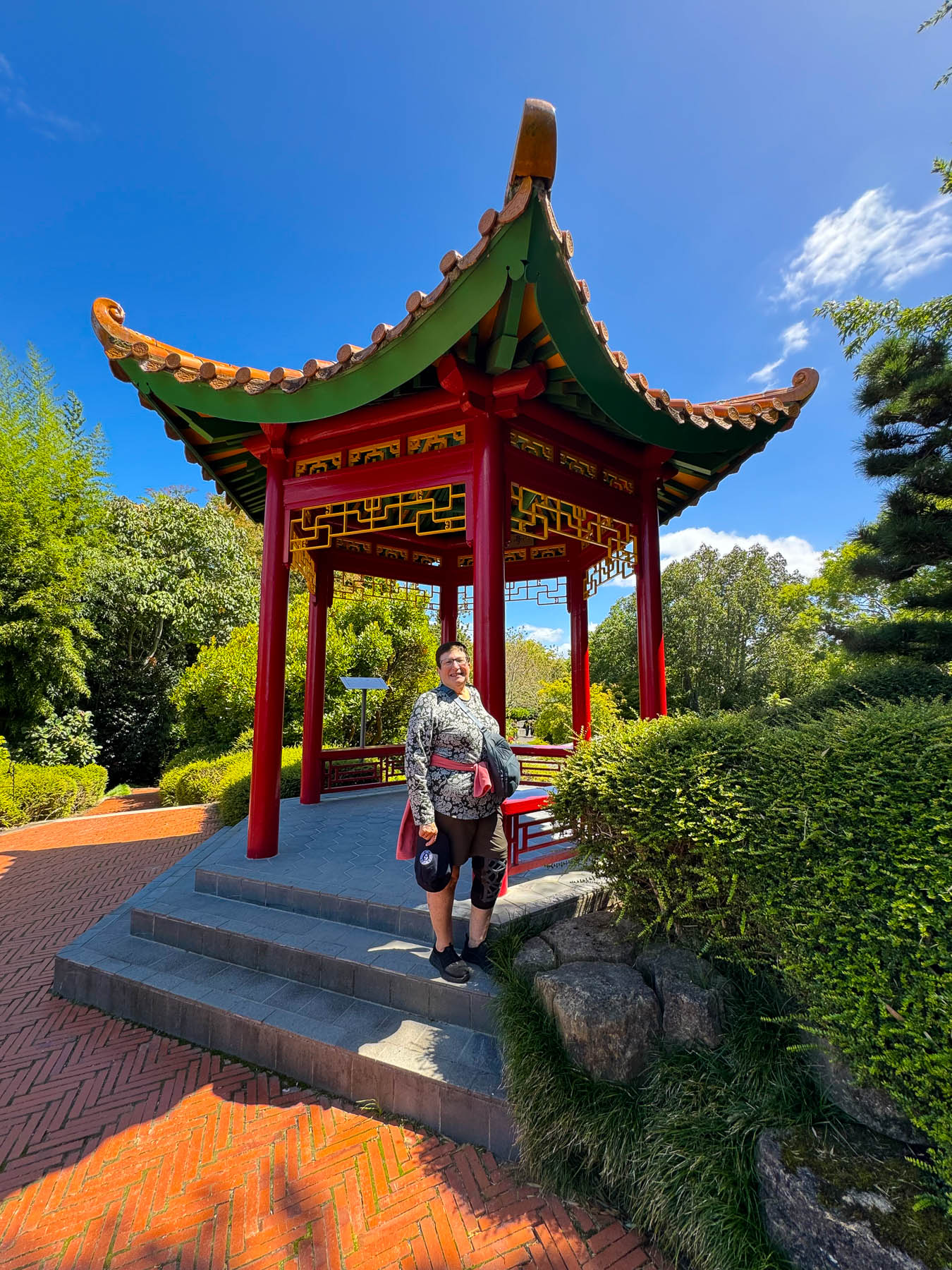
It’s a world class botanical garden that’s best described by the understated introduction on Hamilton Gardens webpage, which describe the oasis as “an open-air museum of garden design located on the banks of the Waikato River. Rather than functioning as a traditional botanical collection of plants, it maps the history of civilization and culture across 18 themed Enclosed Gardens and surrounding landscapes.”
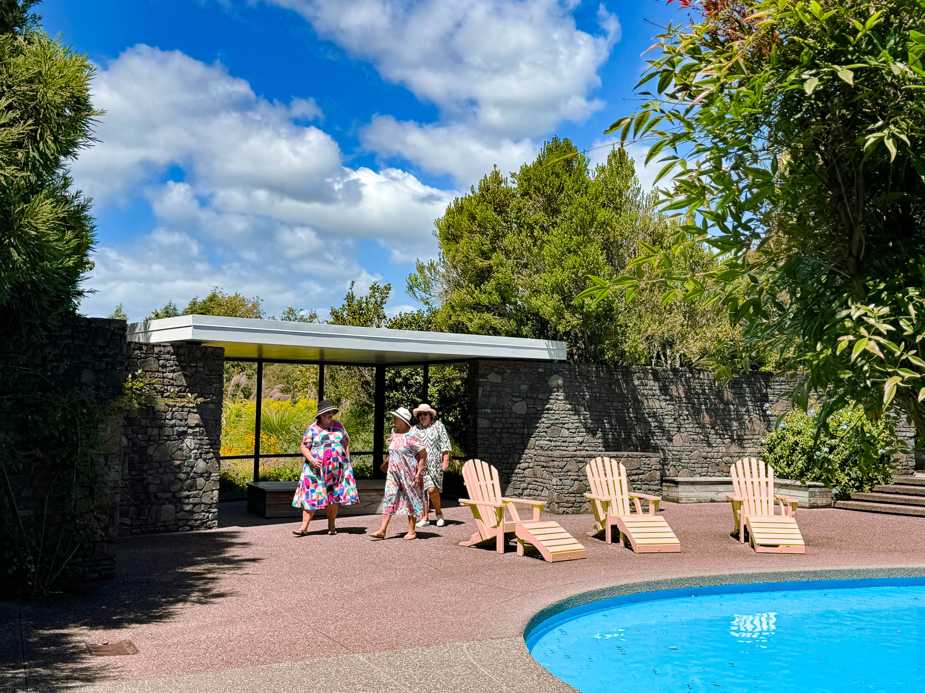
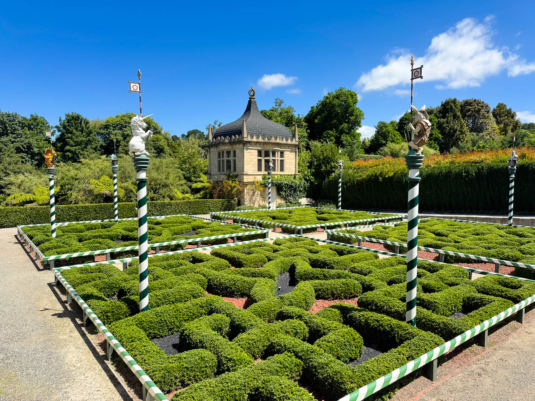
Visiting the well-laid-out gardens was a fabulous afternoon. If you go, bring water and plan on spending hours wandering about. There is also a popular onsite restaurant, Gardens Café, where seating around lunchtime can be quite competitive.

We spent the rest of the day exploring the shops and street murals of Hamilton East, a neighborhood across the river from downtown with a relaxed vibe. A sampling of the homemade, small batch ice cream at Duck Island Ice Cream, named after local swimming hole in the Waikato River, was very enjoyable; they feature a rotating menu that uses ingredients that are seasonally available, and create flavors like Strawberry Coconut Lime Leaf, Boysenberry Cheesecake, White Chocolate Pomegranate Macadamia, and Pistachio Honey.
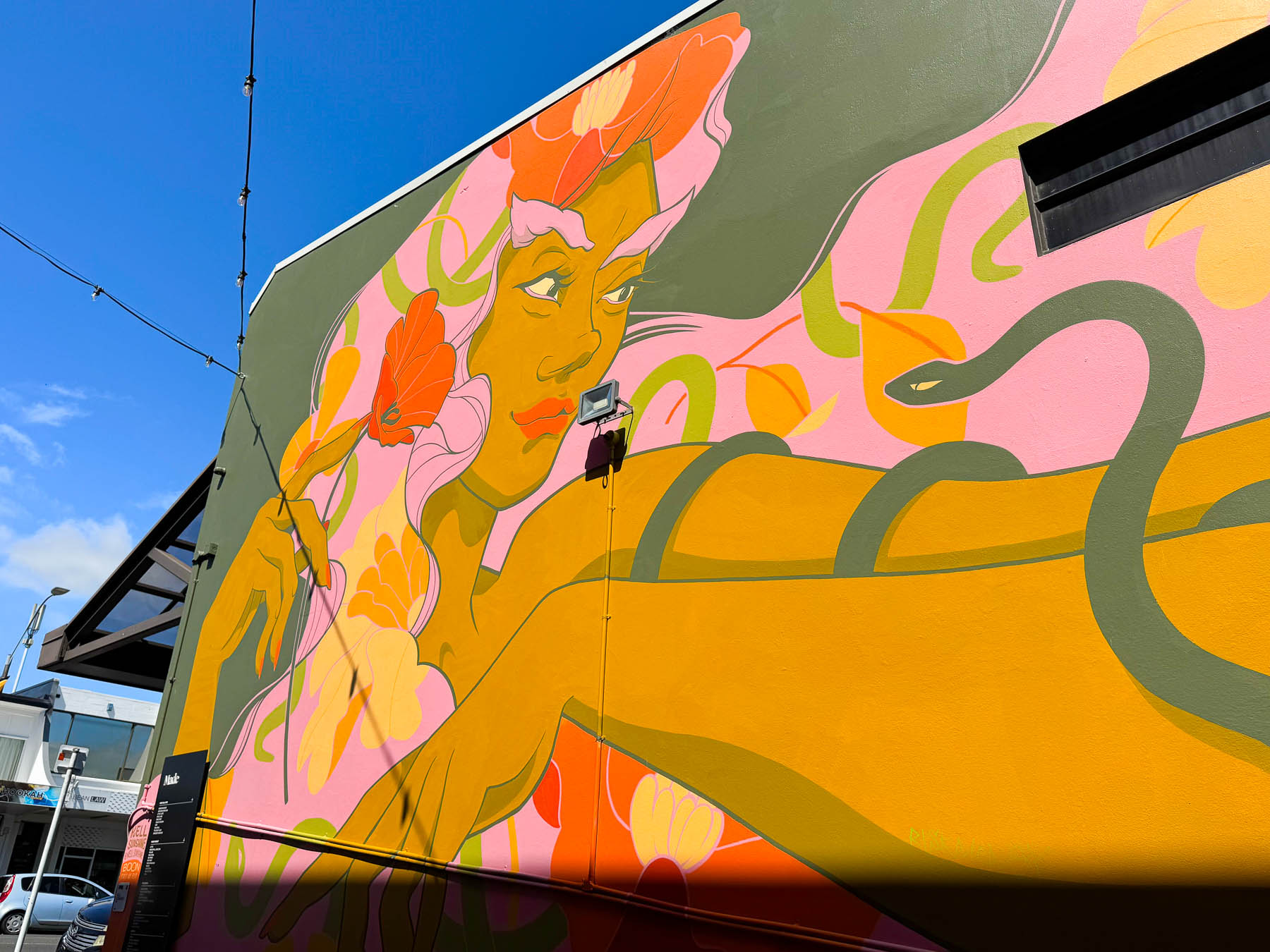
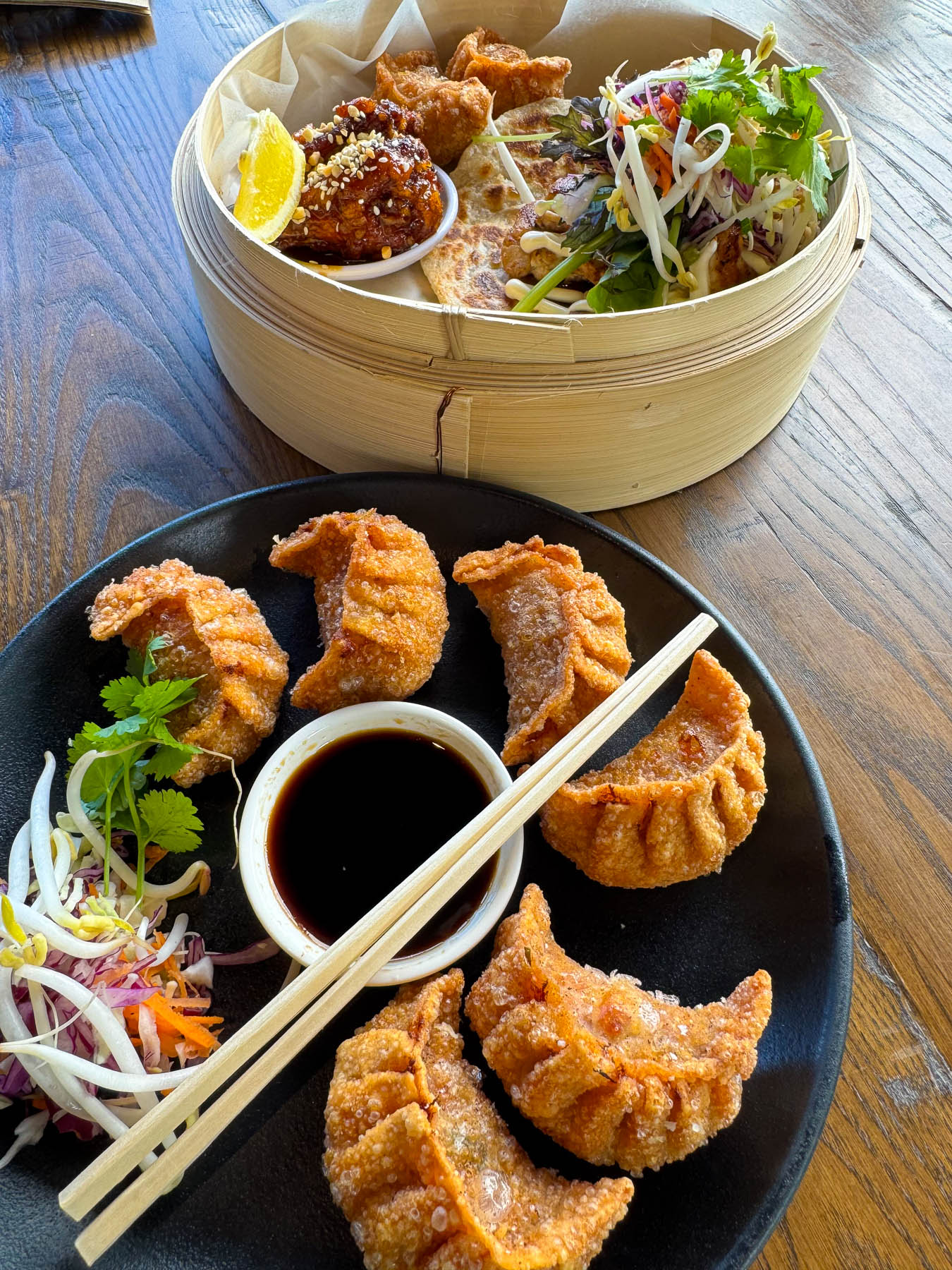
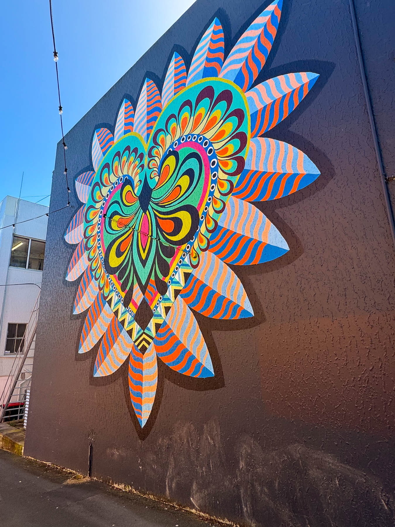
A few blocks down was Made Hamilton, a contemporary mixed-use space with over 40 restaurants, shops, and businesses in a renovated 1900s building, that opened in 2023. With something for everyone, it has become a popular gathering spot, and a premier destination for combining shopping and dining in Hamilton.
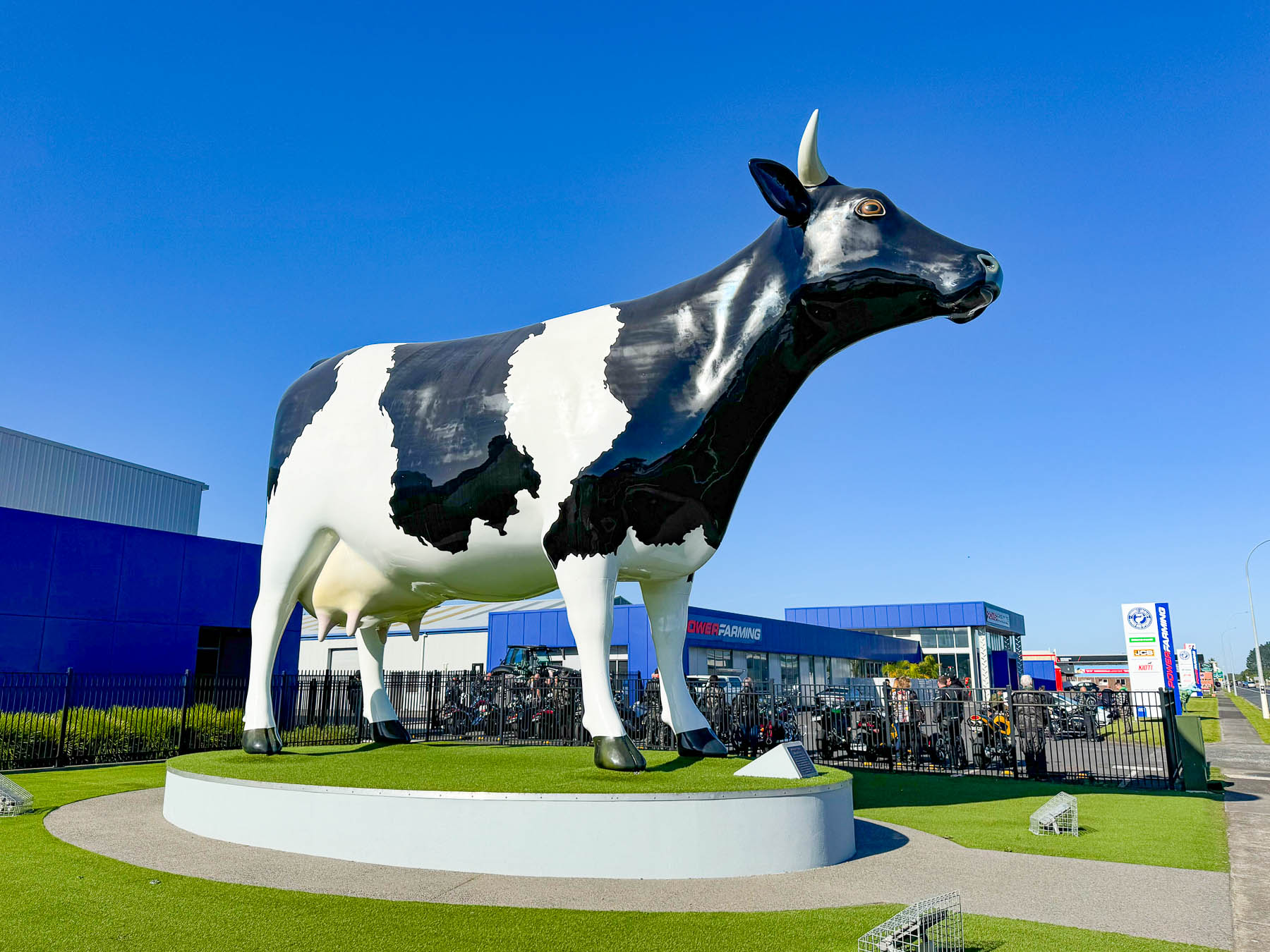
The next morning, we started a long transition day to Whitianga on the east coast of the Coromandel Peninsula, a distance of 201 km (125 mi), about a 3.5 hour drive, that took us most of the day with all the stops we made. Having traveled down to Hamilton from the tip of New Zealand on the hilly Aupōuri Peninsula, the flatlands of the Waikato Plain, quilted with corn, hay and pastures that flowed to the horizon was unexpected. We anticipated seeing huge flocks of sheep, but New Zealand’s historic ratio of 22 sheep for every person in the early 1980s, when the national sheep flock peaked at over 70 million, has recently dropped to roughly 4.4 sheep per person (an estimated 23 million sheep to 5.3 million humans). Over the decades dairy cattle replaced sheep and the region now has one-third of New Zealand’s total dairy herd. Always one for a good roadside attraction, we stopped along Rt26 to photograph “Mabel,” the giant cow in Morrinsville. Standing 6.5 m (21 ft) tall, the bovine has graced the street of the agricultural crossroads since 2017, as tribute to the dairy community and the “mootastic” culture that has grown up around the town through the decades. Continuing on, New Zealander’s pride of ownership and love of gardening was on full display in the small community of Te Aroha, where everything was prim and proper and barely a blade of grass or hedge was left unmanicured. The town sits at the base of the Kaimai Range, a short but jagged set of mountains that rise steeply from the flatlands and separate it from the Pacific coast, only 34.5 km (21 mi) away as the crow flies. This formidable ridge connecting to the mountains on the Coromandel Peninsula dissuaded Chief Hoturoa and the crew of the Tainui waka from exploring the area during their journey along the Pacific coastline.
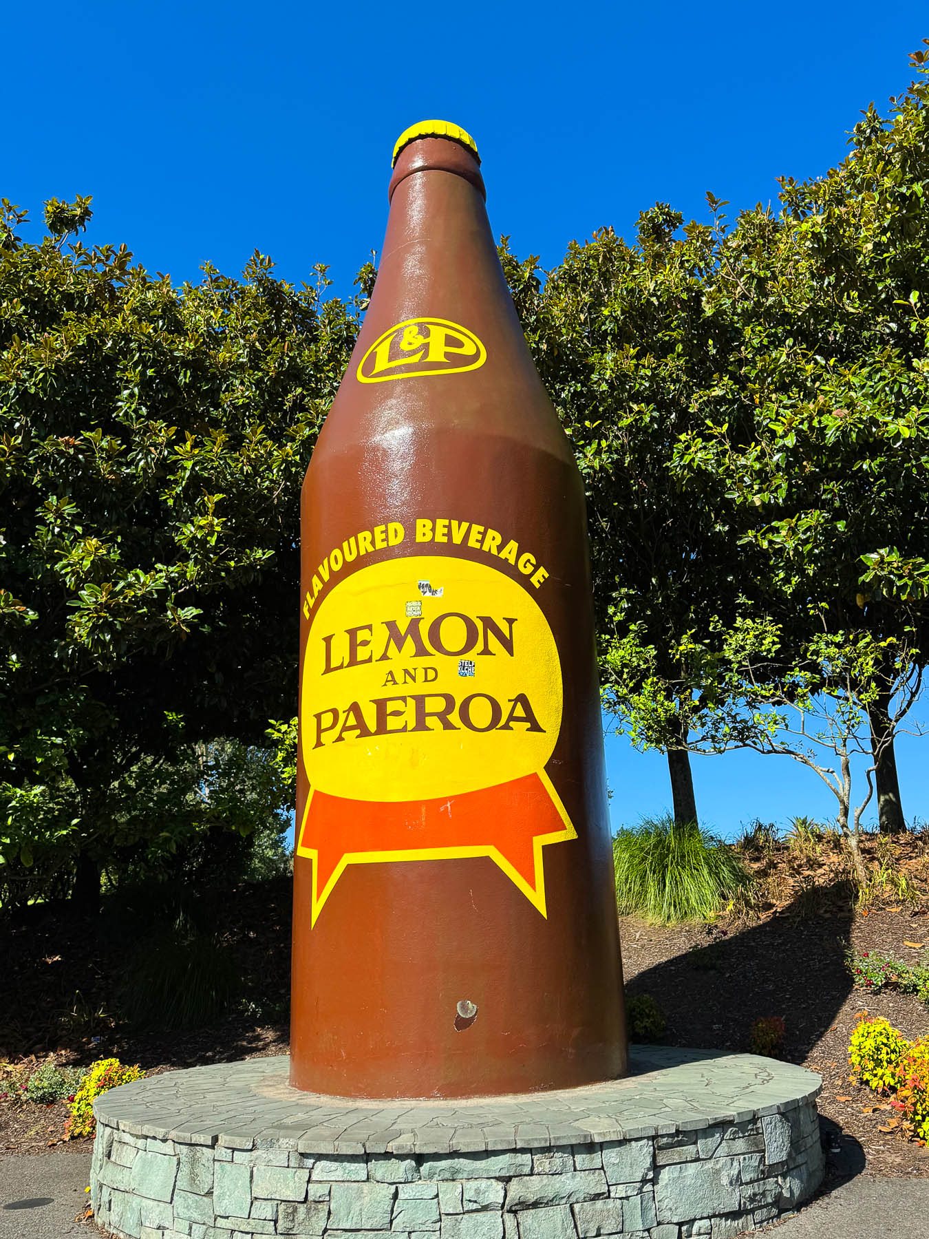
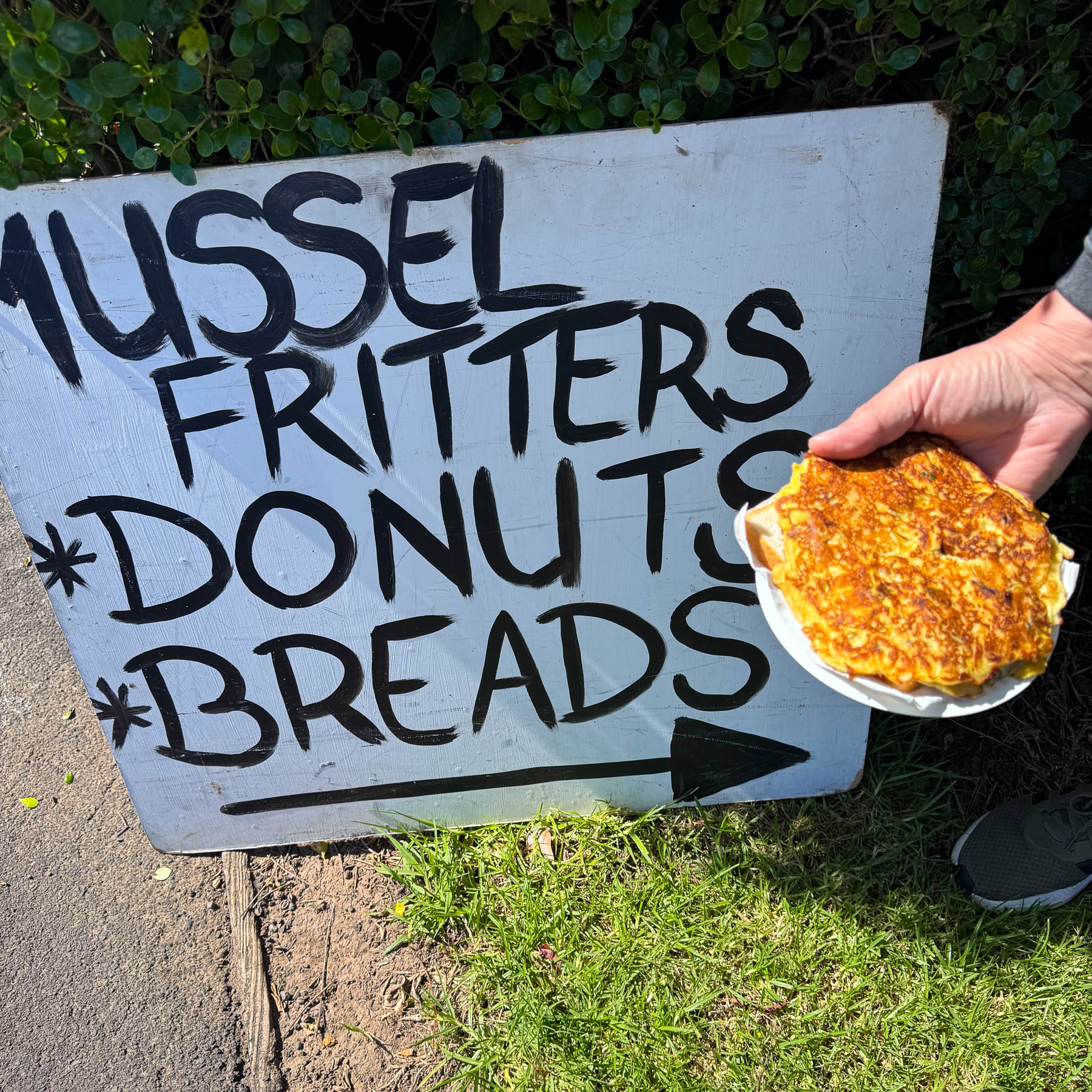
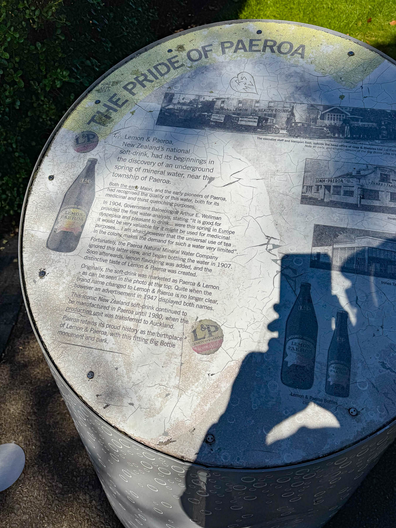
Farther along in Paeroa we pulled over at the Giant Lemon & Paeroa (L&P) Bottle, a monument to the soft drink that was created around 1907, from tangy lemon juice and naturally carbonated mineral water from a spring in the town. It’s “World Famous in New Zealand” 90s marketing slogan playfully captures how beloved the drink is locally, but unknown almost everywhere else. A food truck in the parking lot was selling mussel fritters. We’d never tasted one until we shared it as a pre-lunch snack, and it was surprisingly tasty.
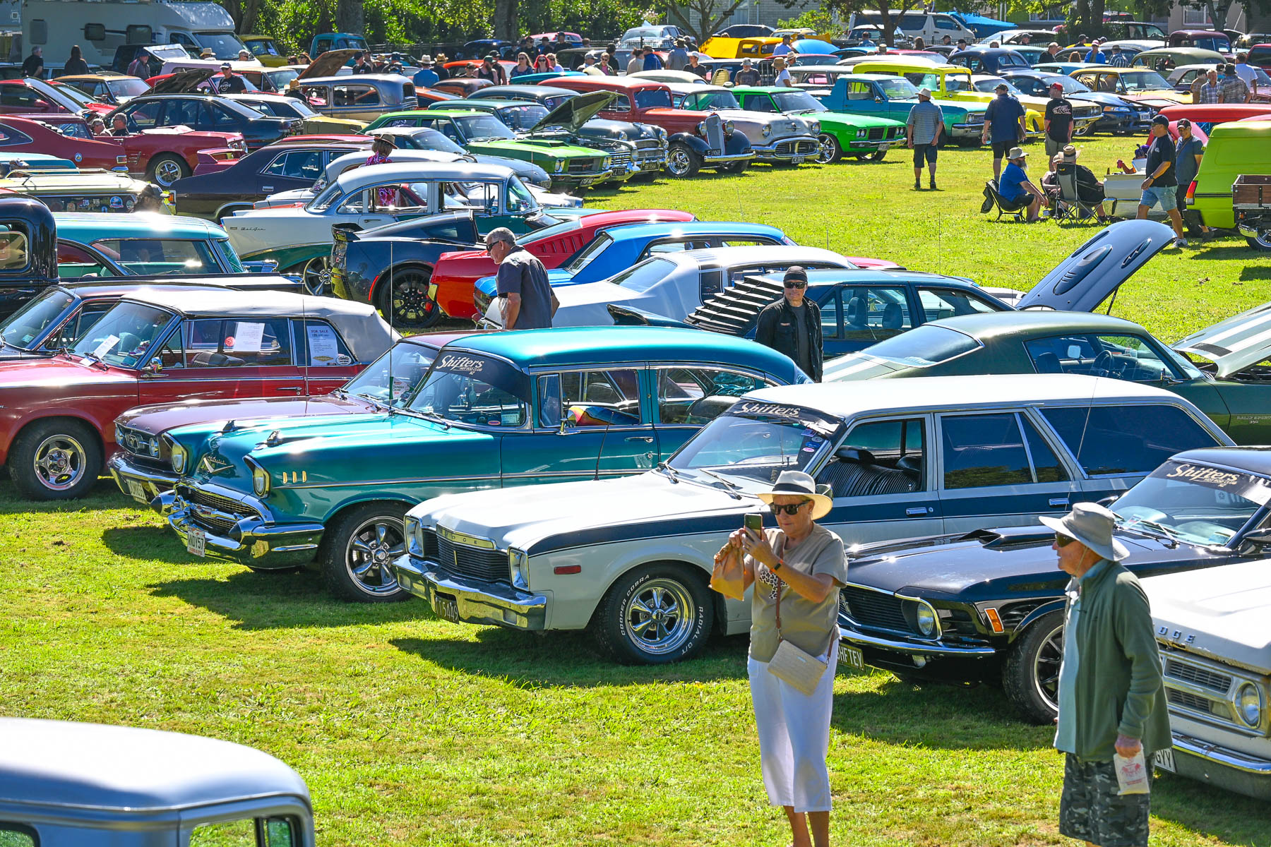
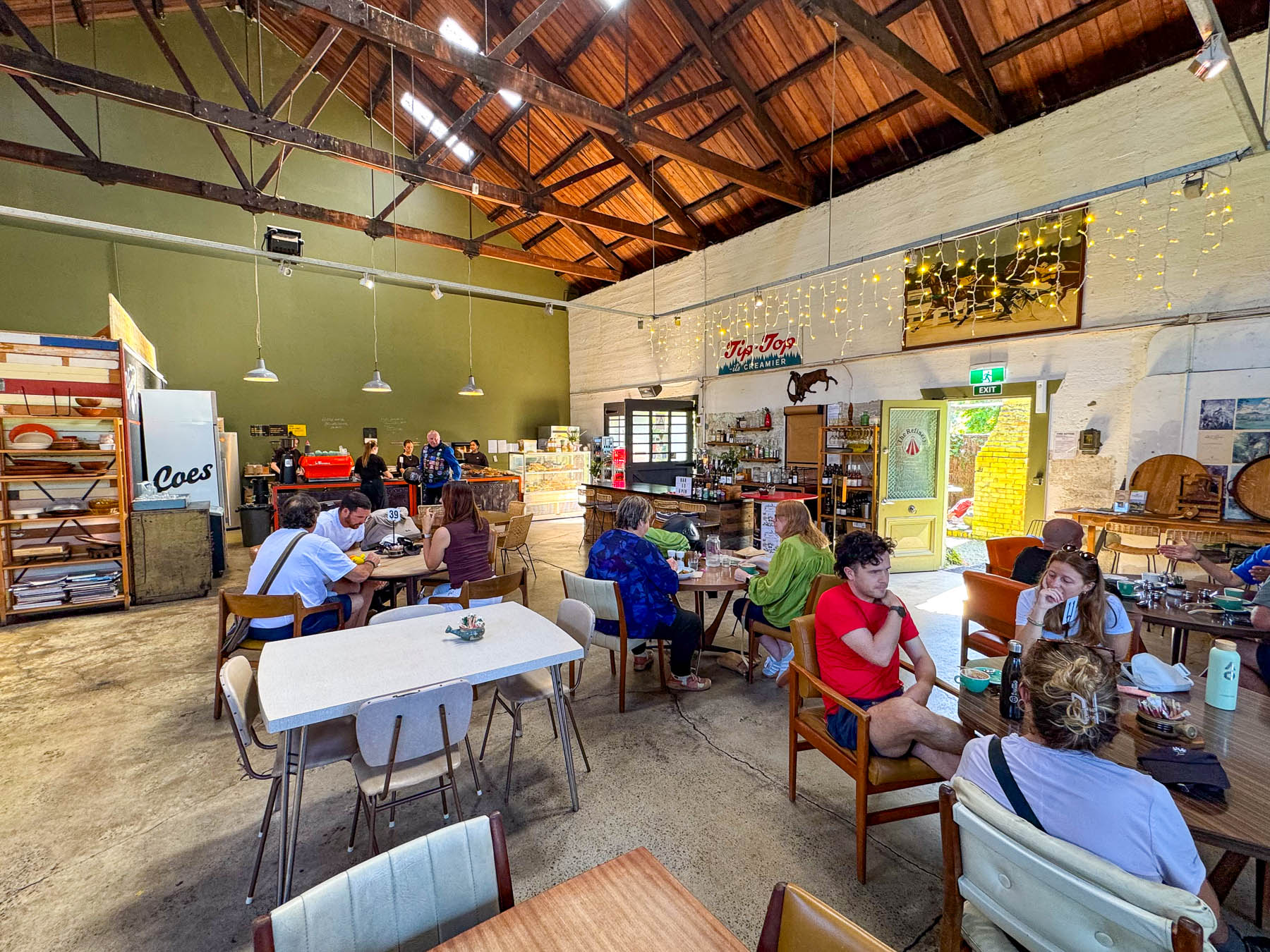
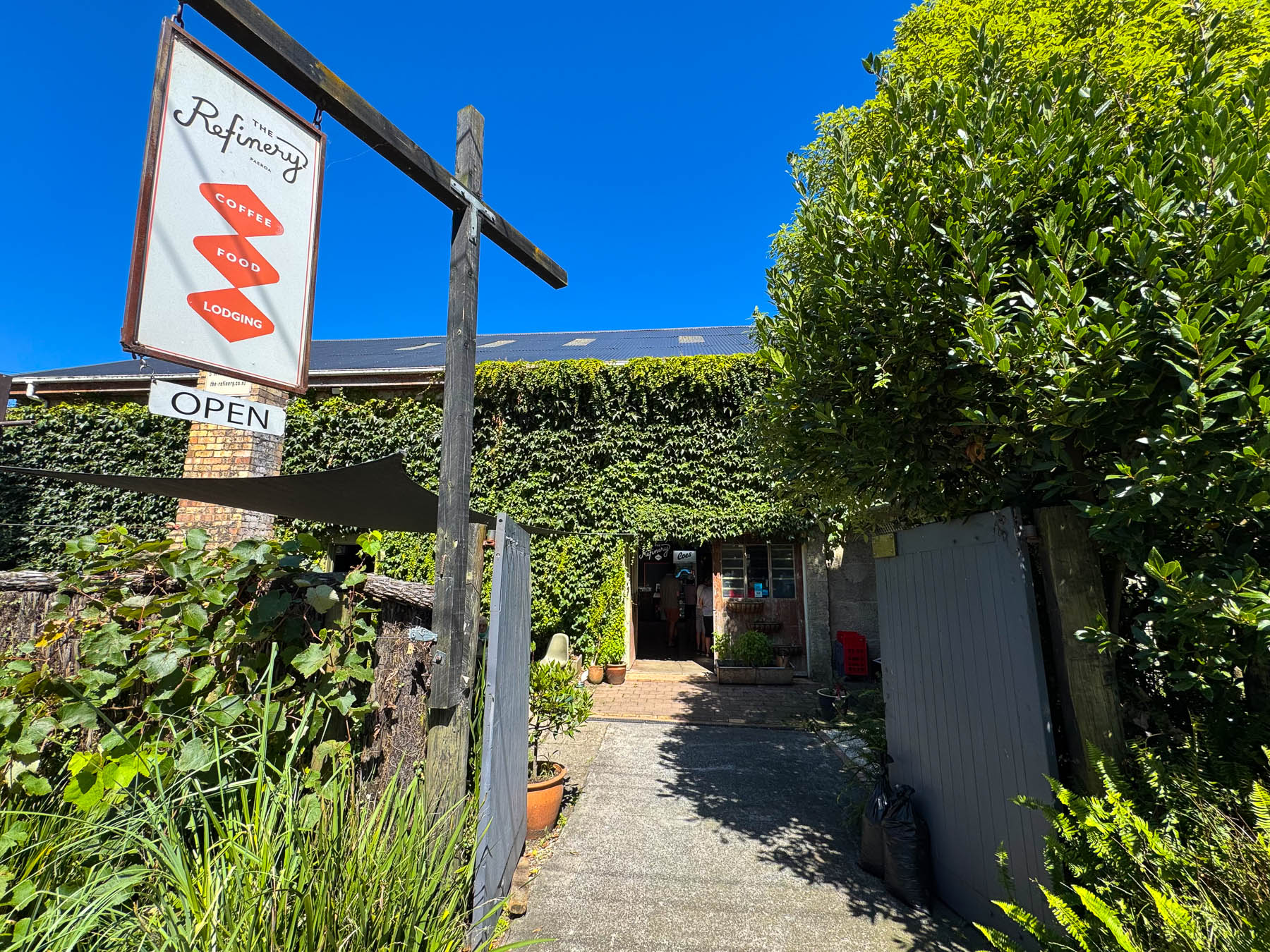
A block off the main road, a large Paeroa’s Annual Car & Motorcycle Show and Swap Meet was underway on the town’s fairgrounds. It was large event with hundreds of perfectly waxed antique vehicles shining in the bright afternoon sun. Across the street, we had lunch in an old ivy-covered warehouse, that was now the home of The Refinery, a laid-back casual dining spot.
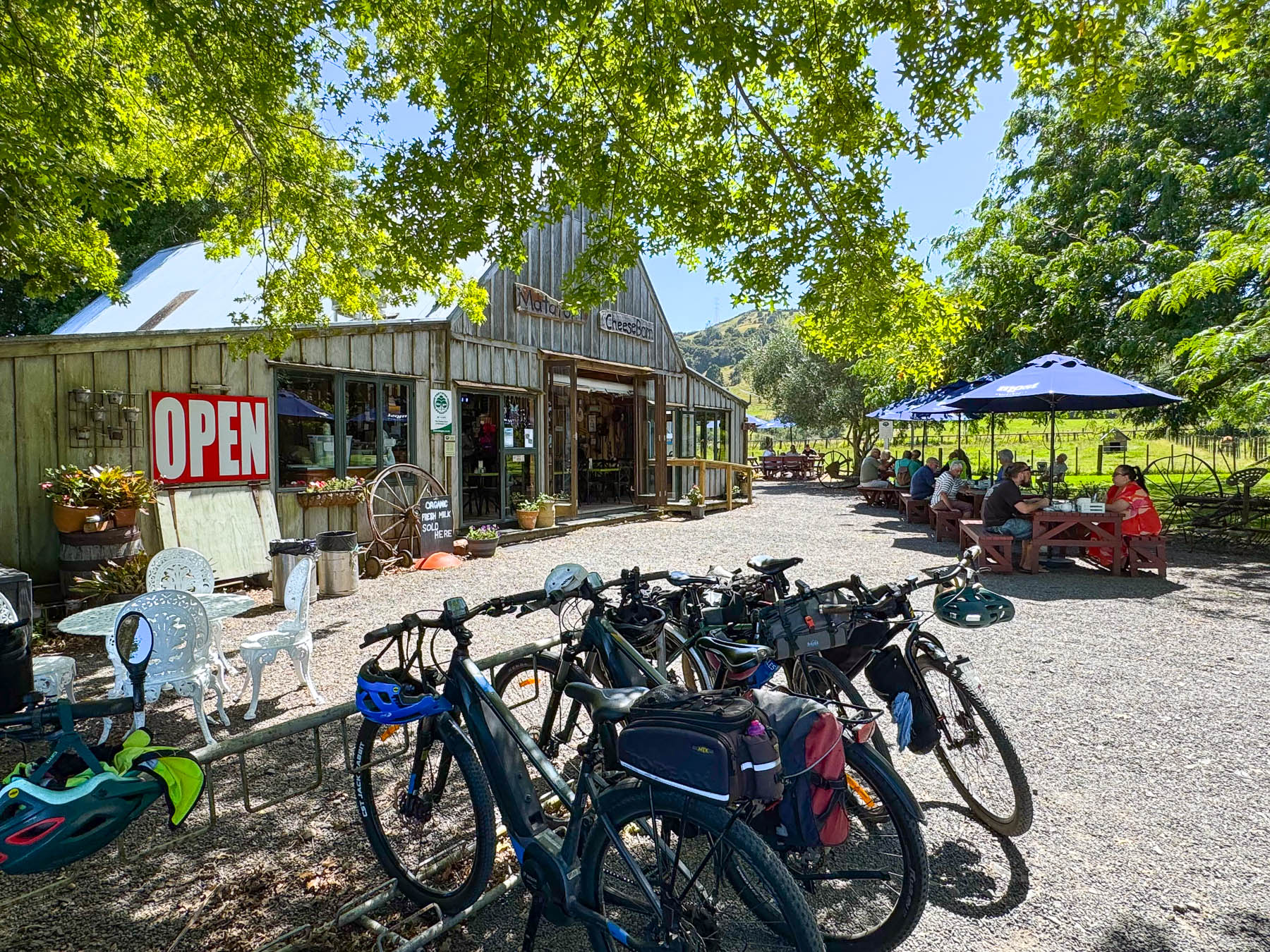
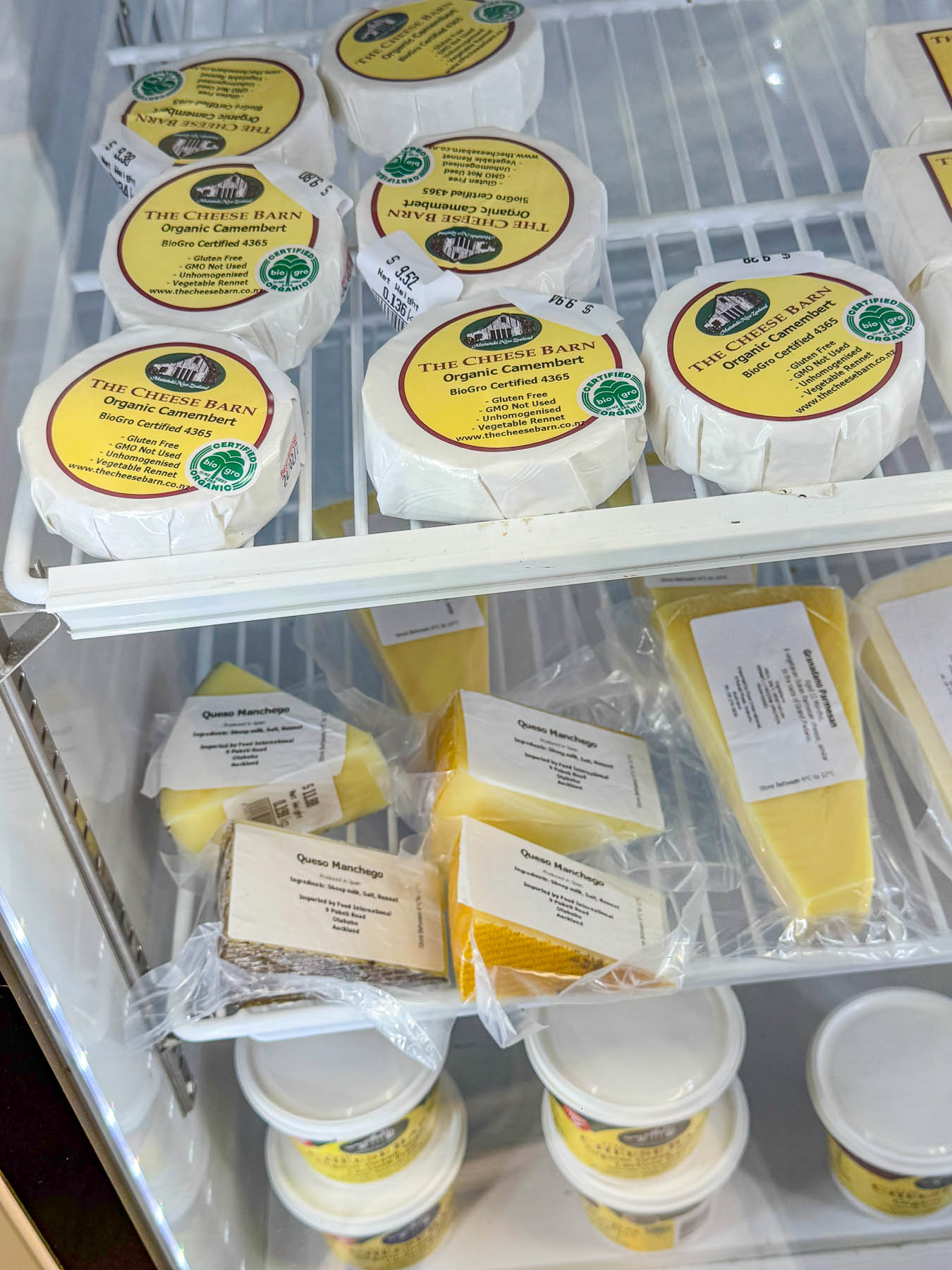
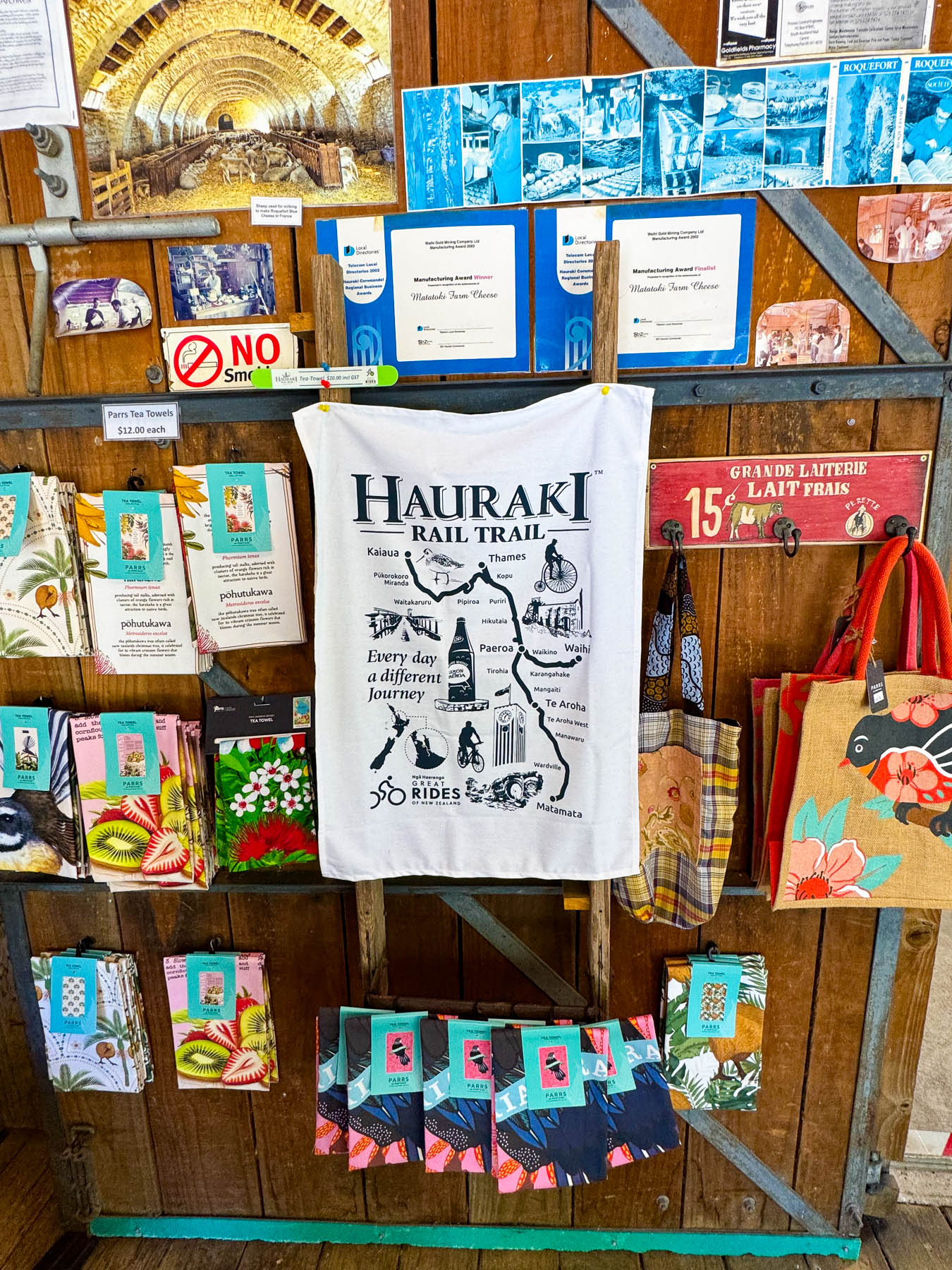
Rolling on, we passed several roadside placards for cheese, but didn’t have a chance to U-turn until we spotted the sign for The Cheese Barn at Matatoki, an award-winning fromager that makes a variety of small batch cheeses and yoghurt, as well as ice cream from unhomogenized organic milk sourced from a locally owned, certified organic dairy. With shady outside tables, it’s a pretty place that’s a favorite destination for lunch with folks who cycle along the Hauraki Rail Trail. The 164 km (102 mi) long trail follows a disused historic railway corridor that stretches from Kaiaua on the Firth of Thames, south through Paeroa and Te Aroha to Matamata. With multiple easy access points, the ride can be broken down into segments, or the complete length can usually be covered in three days.
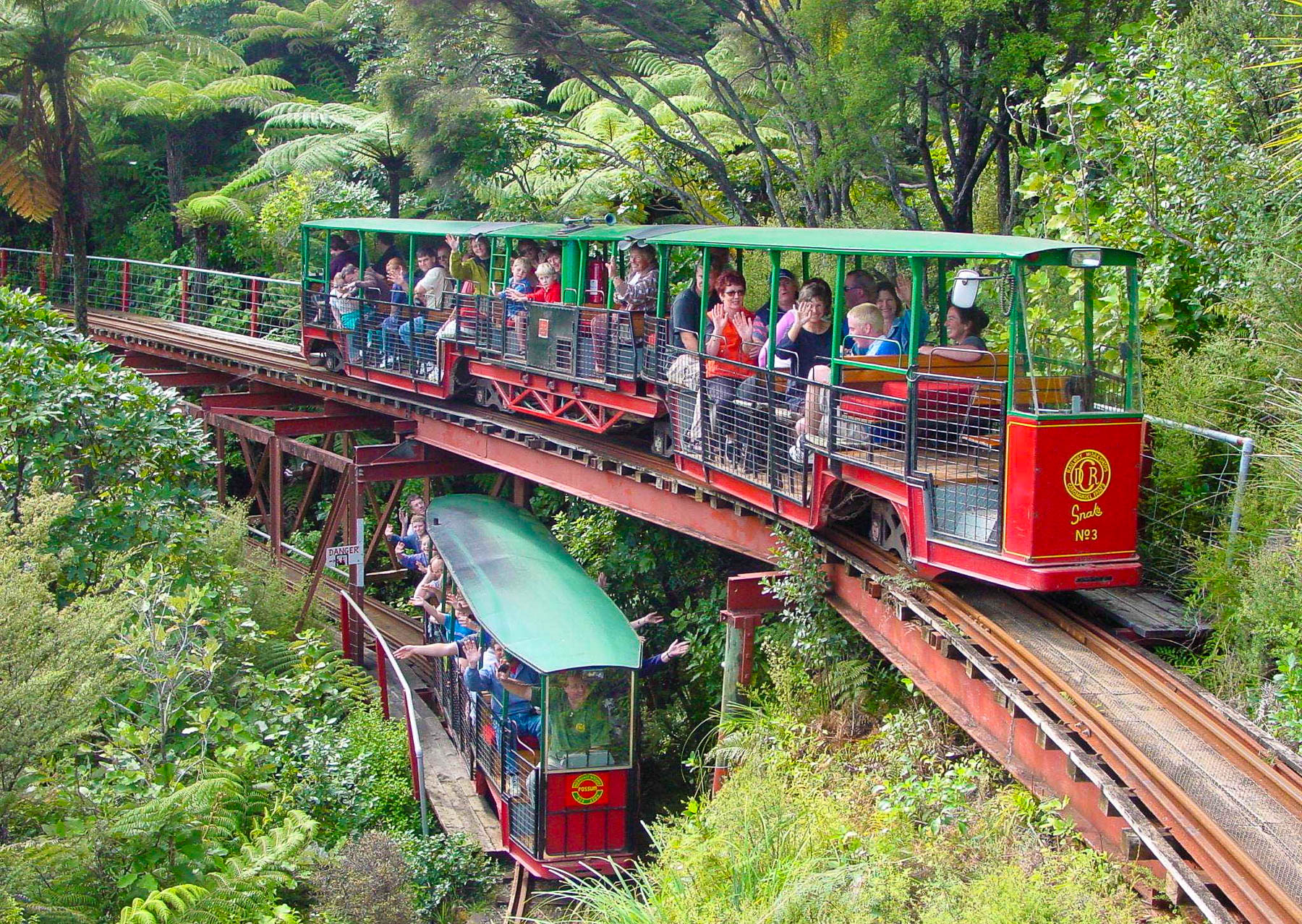
The drive up the eastern shore of the Firth of Thames was not as interesting as we expected until we reached the town of Coromandel, about two thirds of the way up the peninsula. We had hoped to have time for an excursion on the Driving Creek Railway. A unique 3-mile-long narrow-gauge mountain railway, with 10 bridges, a viaduct, and 3 tunnels, it was built due to the vision of the potter, engineer, and conservationist Barry Brickell who, in 1973, purchased 55 acres of hilly farmland for its rich terracotta clay. With the help of his friends and fellow potters he built a short 250 m (820 ft) long private rail to haul the clay dug from the hillside to his pottery studio and kilns. Amazingly, most of the railway and engines were designed by Bricknell and built from salvaged materials. Over time his vision grew to include the reforestation of the vacant farmland with 27, 000 native trees that he started as seedlings in a greenhouse down the hillside and planted with the help of volunteers. More land was purchased to zig zag the rail across the mountainside to a summit at the Eyefull Tower, which has panoramic views overs the peninsula. In 1988 Bricknell started advertising rides on the railway as a “Donation Only” tourist attraction to avoid government regulations until a passenger-carrying license was granted to Driving Creek after a structural inspection determined it met building and safety standards, and ticket sales were allowed. The site now also has a zipline through the mountain’s forest canopy. Seating on the railway is limited so it is suggested that folks reserve tickets online ahead of time. Running late, we decided to pass on an excursion, but this short YouTube video shows how amazing the train ride is.
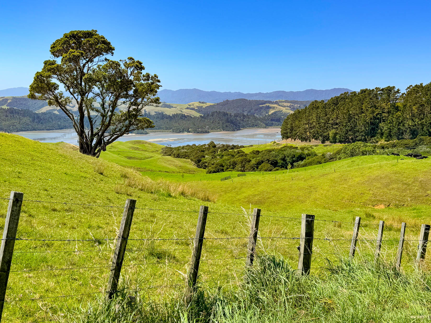
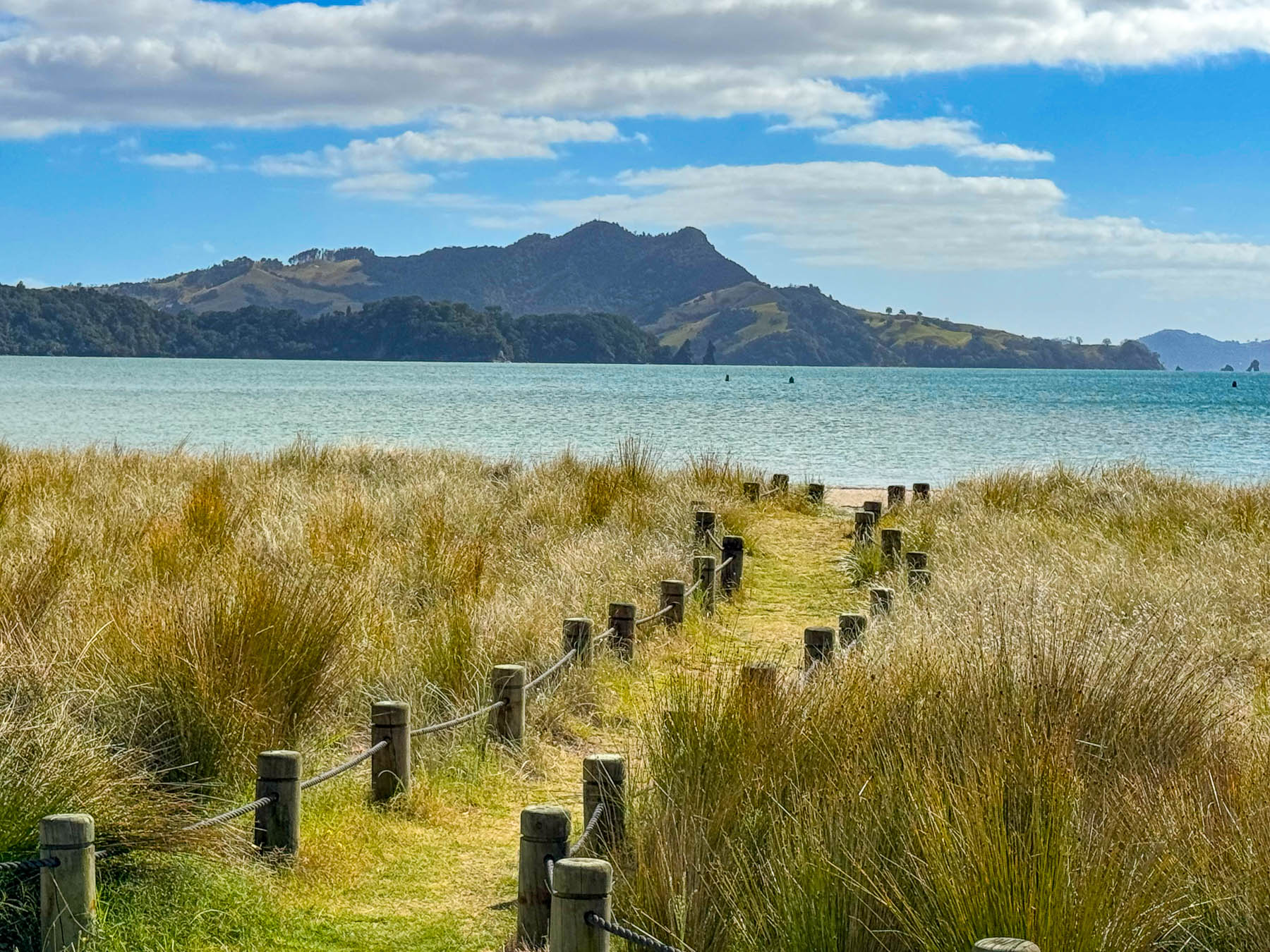
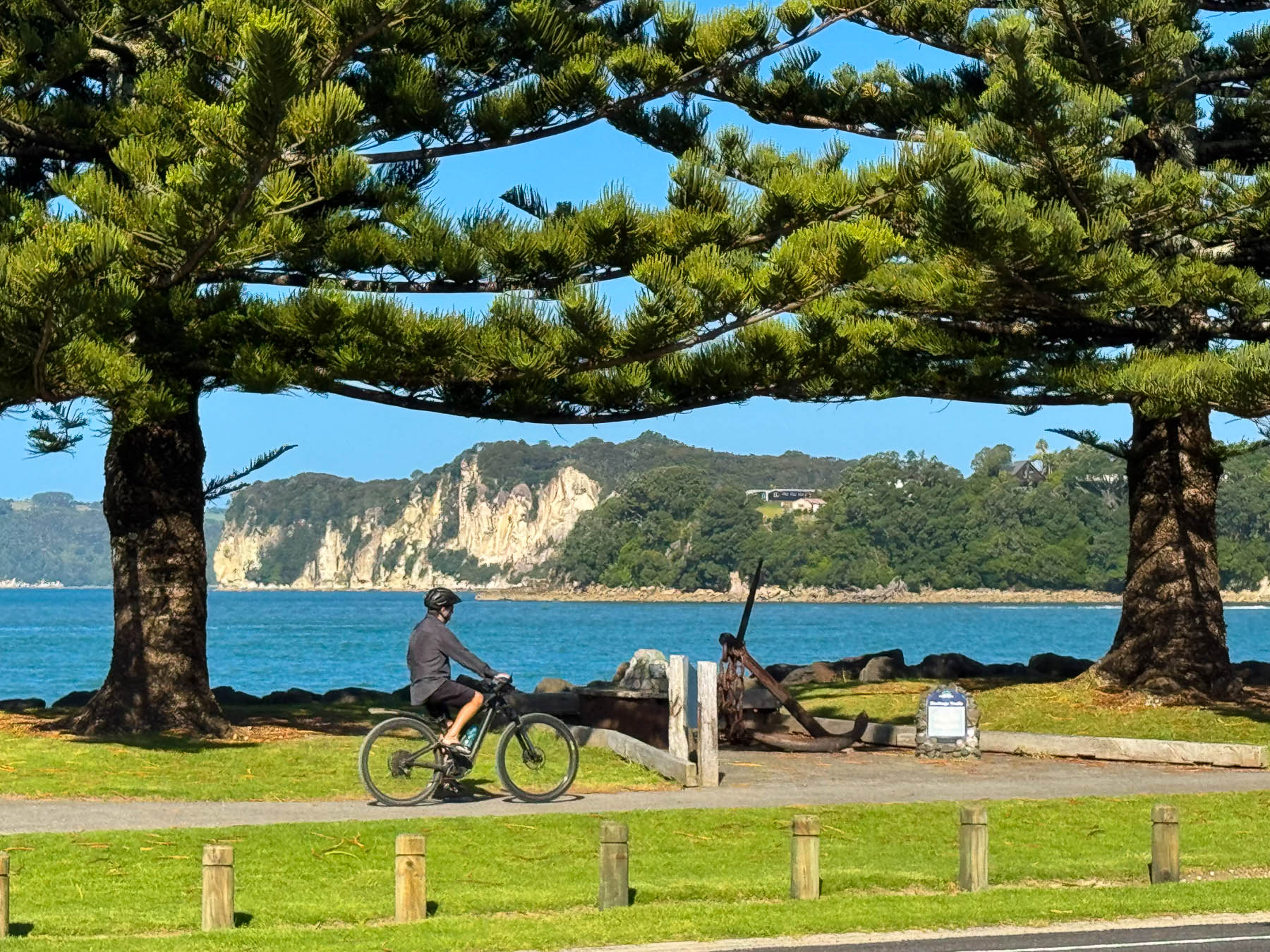
Continuing on we followed the twists and turns of Rt 25 for 44 km (27 mi) across the mountainous peninsula to Whitianga, stopping occasionally to photograph the expansive views out over the water and seascapes along the coastline as we entered the town. We chose Whitianga, on Mercury Bay, for our base for three-nights because the town offered a variety of things to do within walking distance of our lodging at the Oceanside Motel across from Buffalo Beach. The isolated seaside town was an important logging port from the early 1800s until the 1920’s when the hills around it were finally deforested, and dairy farming and fishing became the local livelihood. The first route over the mountains, Road 309, finally connected the settlement to the inland region in 1913.
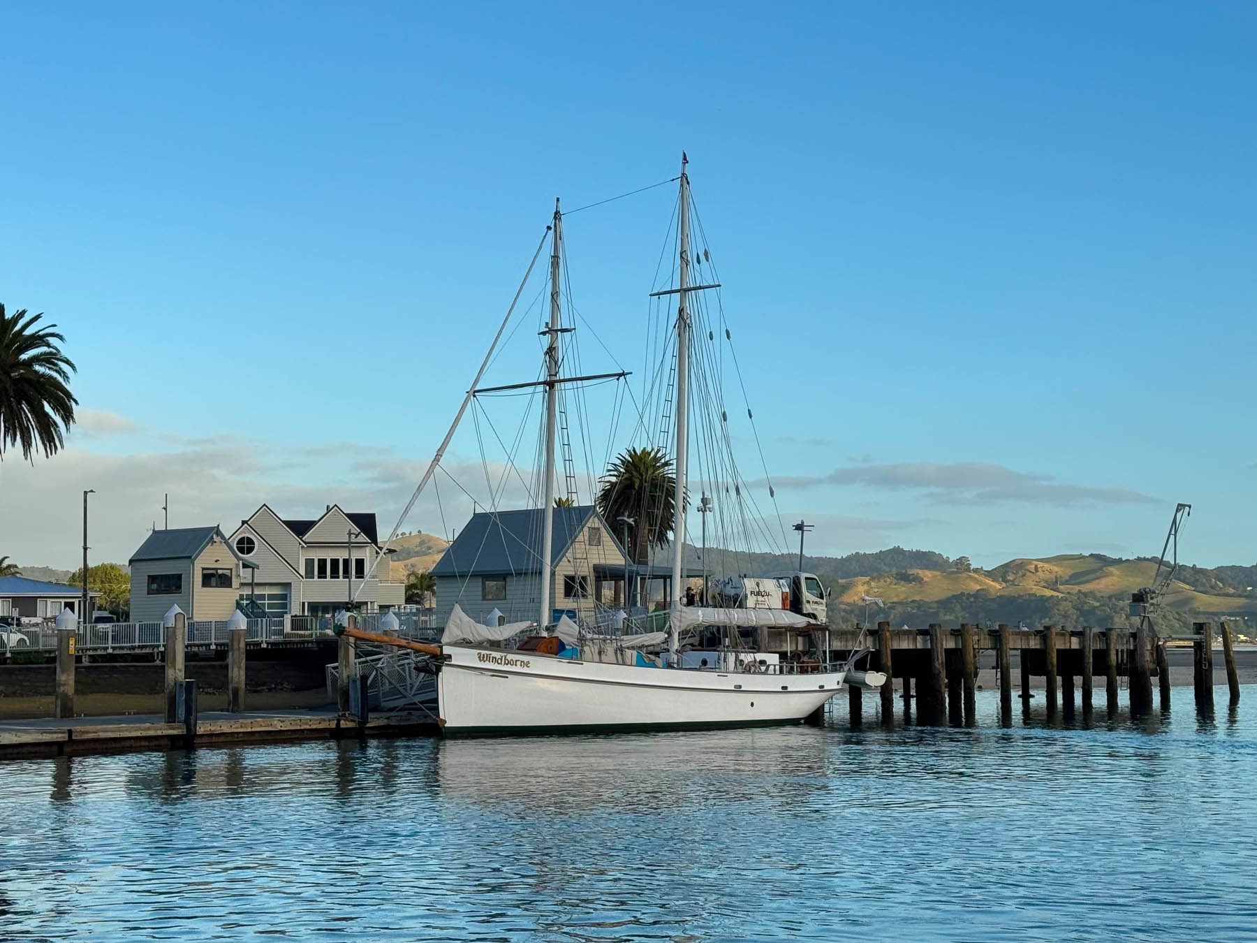
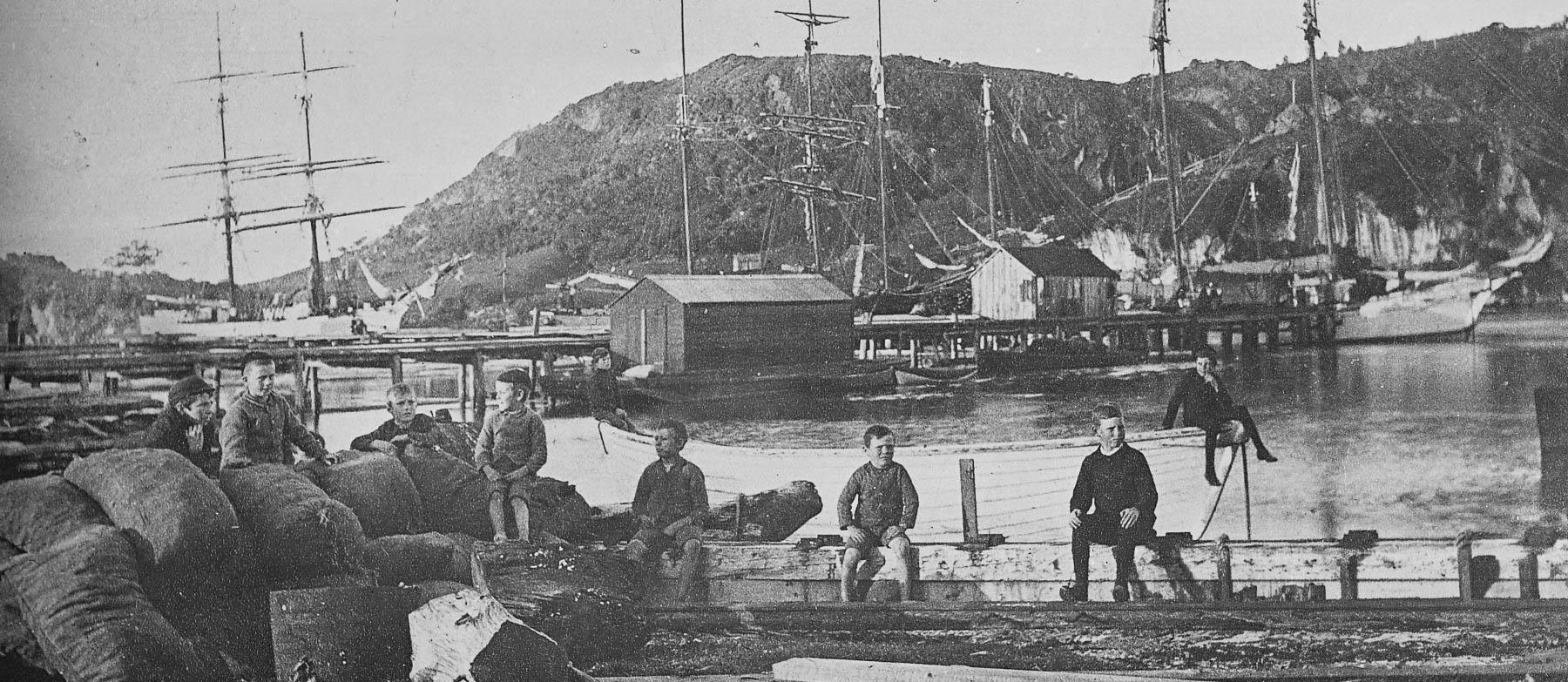
The beach takes its name from the HMS Buffalo, a British navy supply ship anchored in the bay in 1840, which, after being loaded with a supply of wooden kauri spars from the dock in Whitianga, was blown onto the beach by a hurricane force storm. Two sailors drowned, as the crew struggled to make it safely ashore. The shipwreck lies completely submerged in around 3 m (10 ft) of water about 50 m (165 ft) offshore at low tide, but due to a shifting sandbar it’s rarely visible.
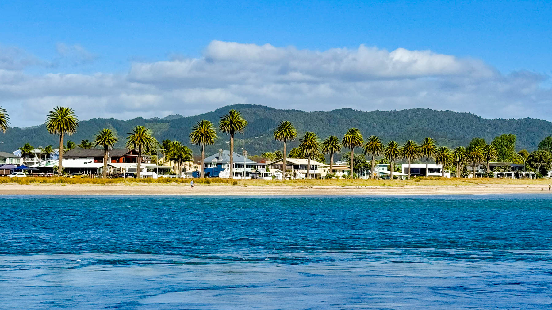
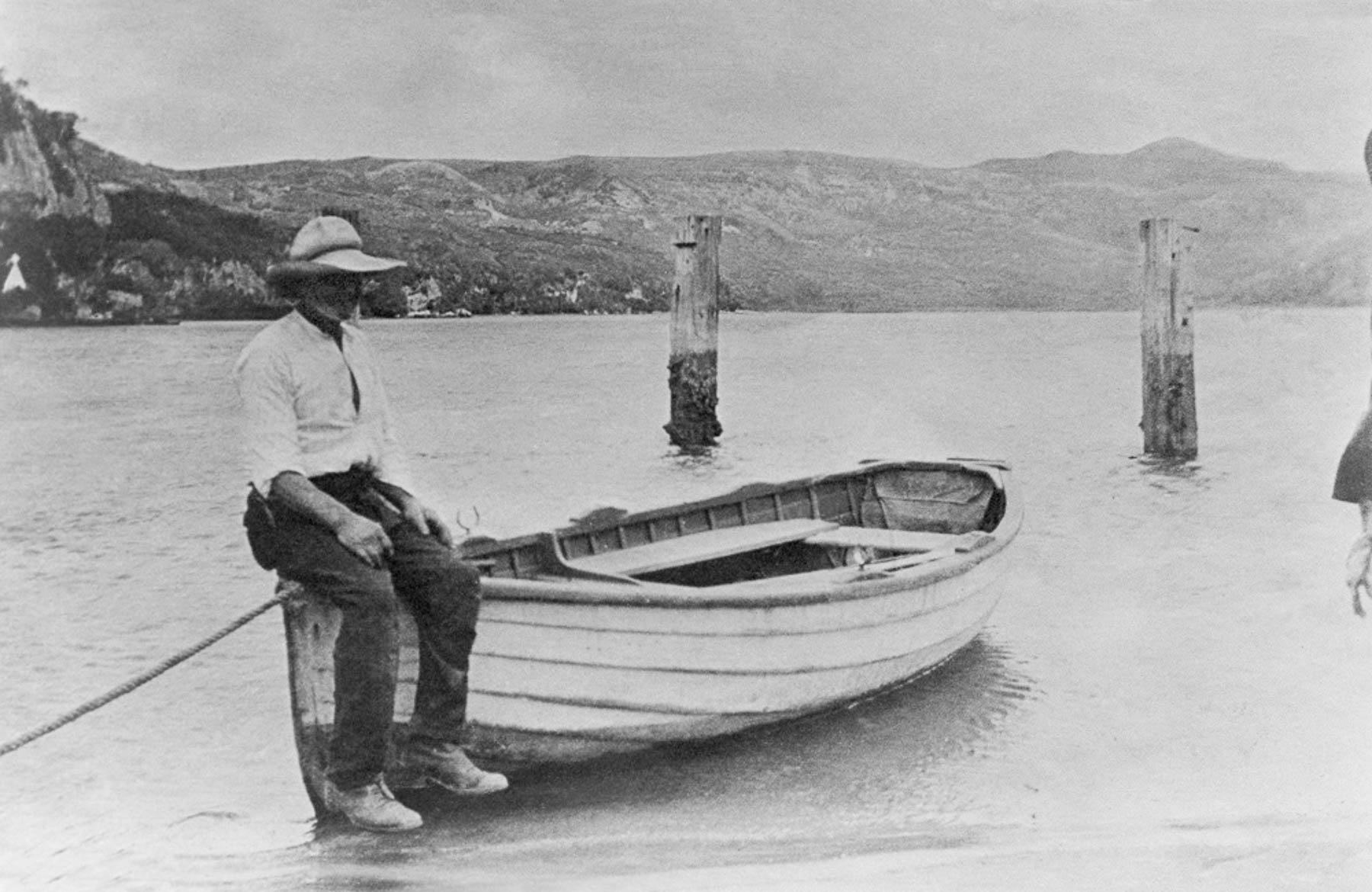
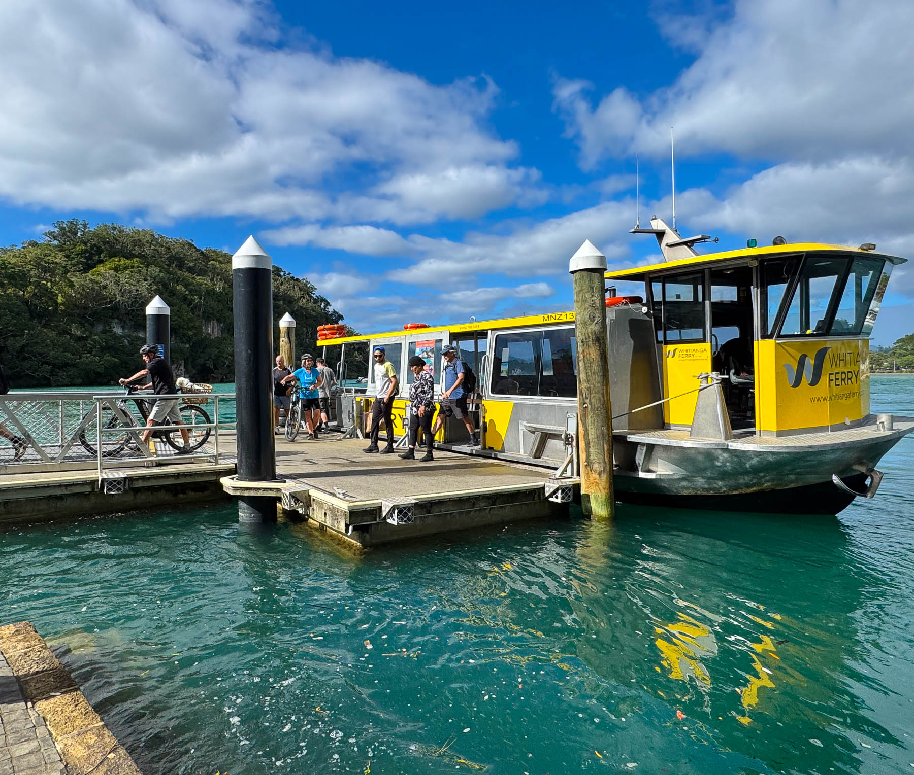
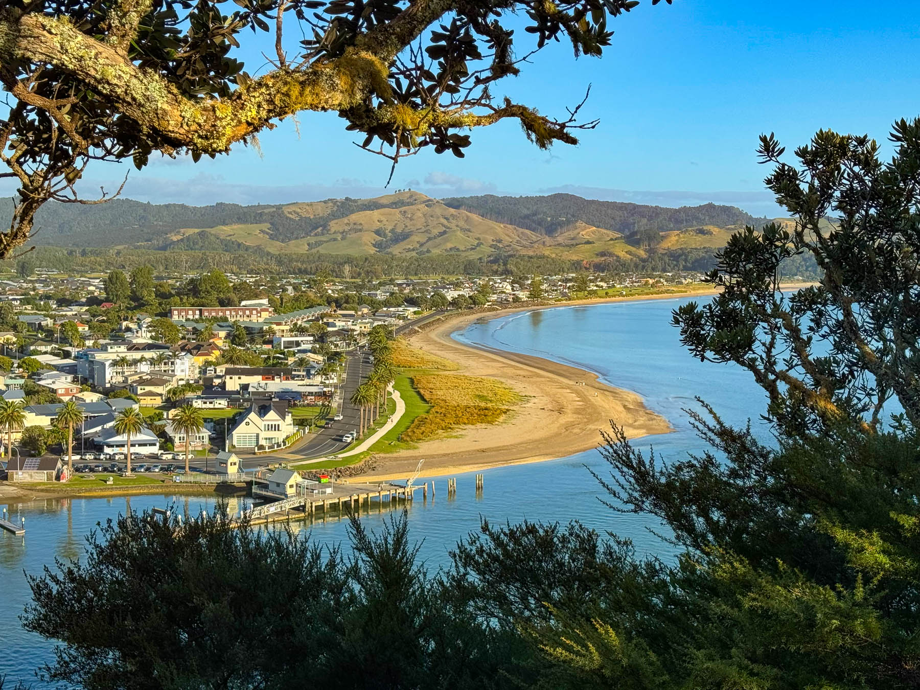
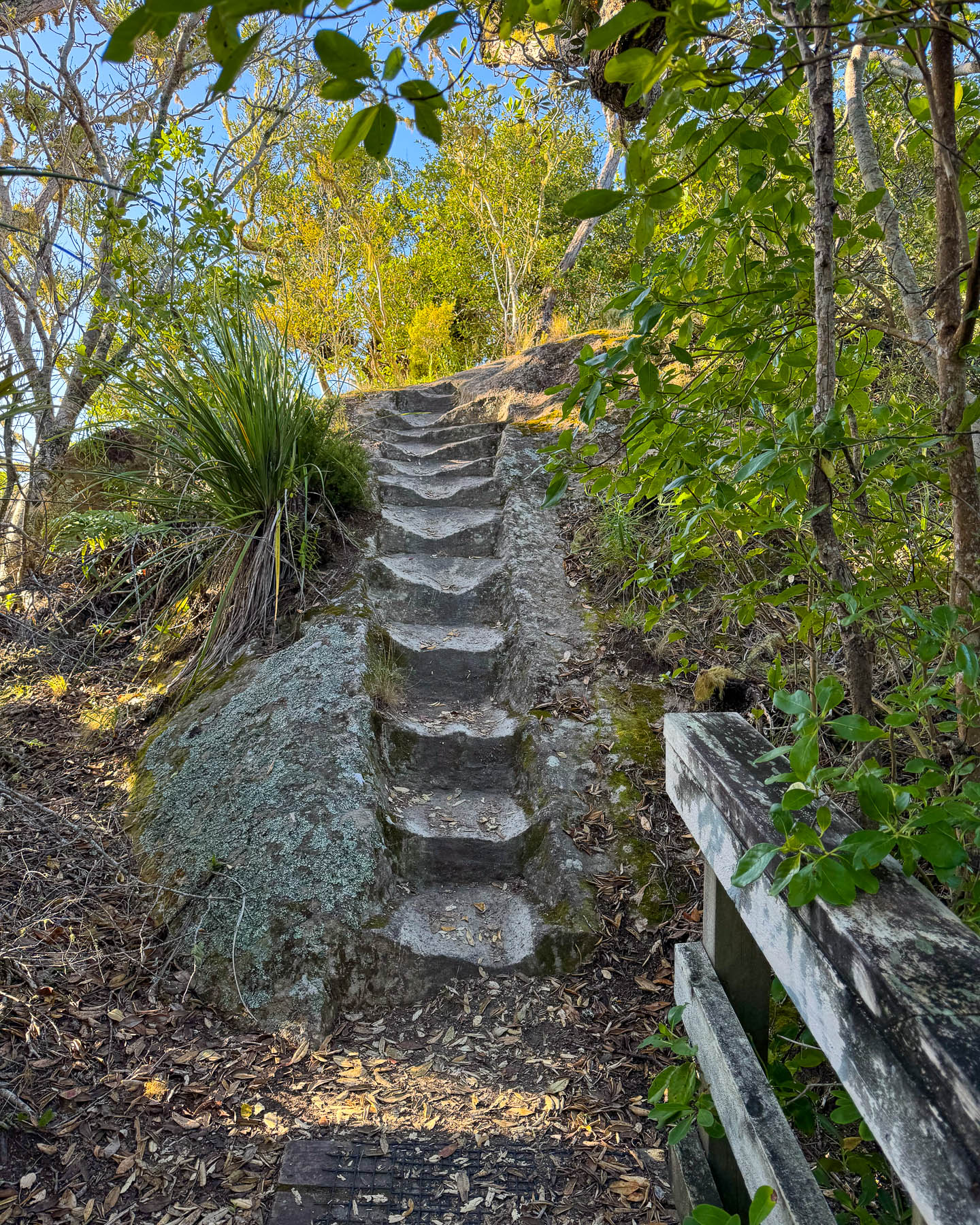
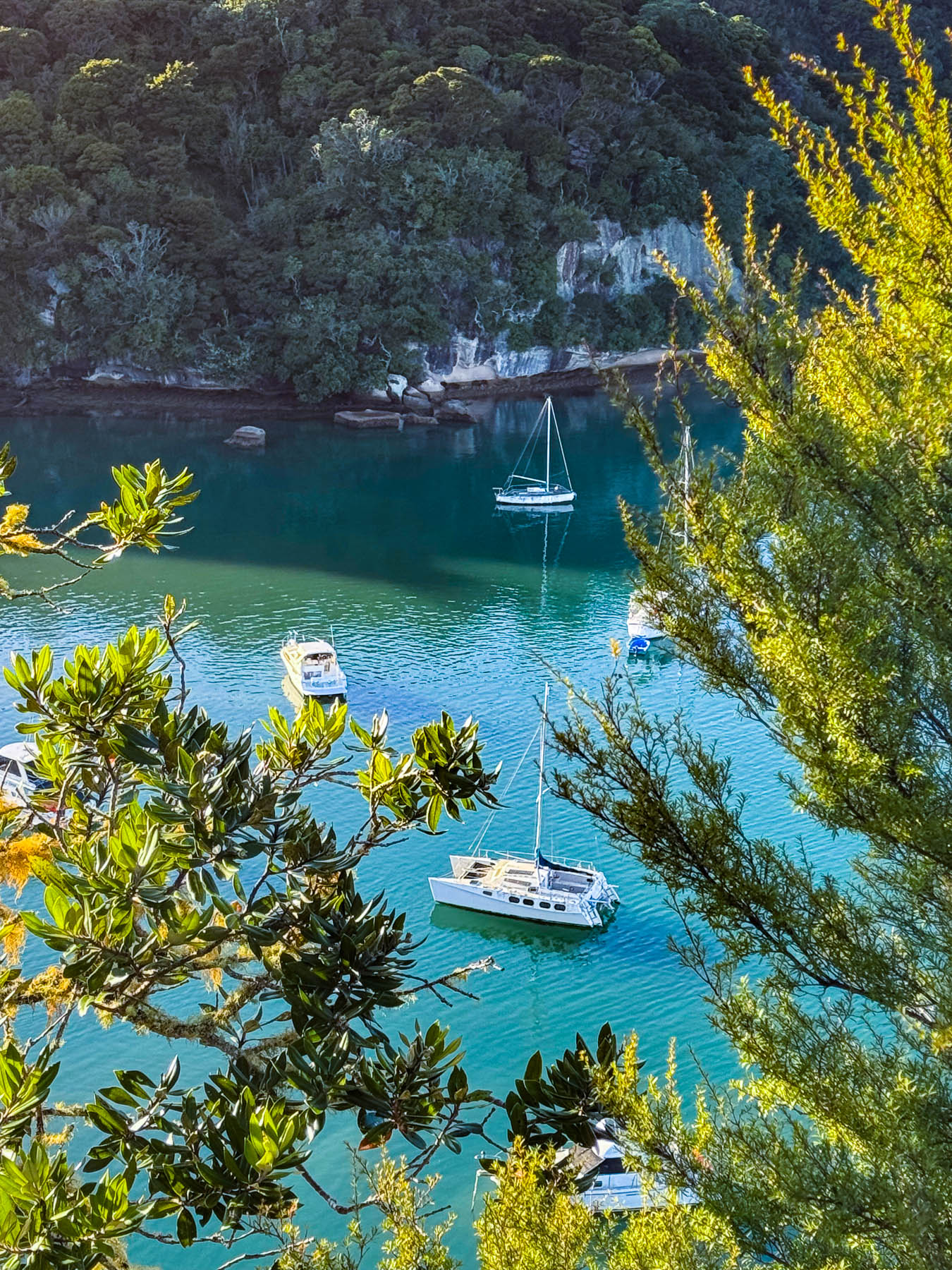
The next morning we were up early to catch the Whitianga Ferry’s first harbor crossing of the day at 7:30 to the small hamlet of Ferry Landing. It’s a service that first started over 131 years ago with a rowboat. On that day we were the skipper’s first passengers for the quick scenic cruise (3 minutes) between some moored fishing trawlers. Docking on the other side, we asked him about the trail to the top of Whitianga Rock. “The going is very uneven and it’s a steep climb. At the top there are sheer drop-offs with no barriers.” An ancient Māori pa, a fortified village, once capped the rocky headland. Only the village’s post holes carved into the rocky headland to support the pa’s shelters and midden piles remain, mostly hidden under the overgrowth. It was a short and strenuous hike, but the views from the top of rock over Whitianga Harbor and the smaller Back Bay were worth the effort. The hike is not recommended on wet or windy days.
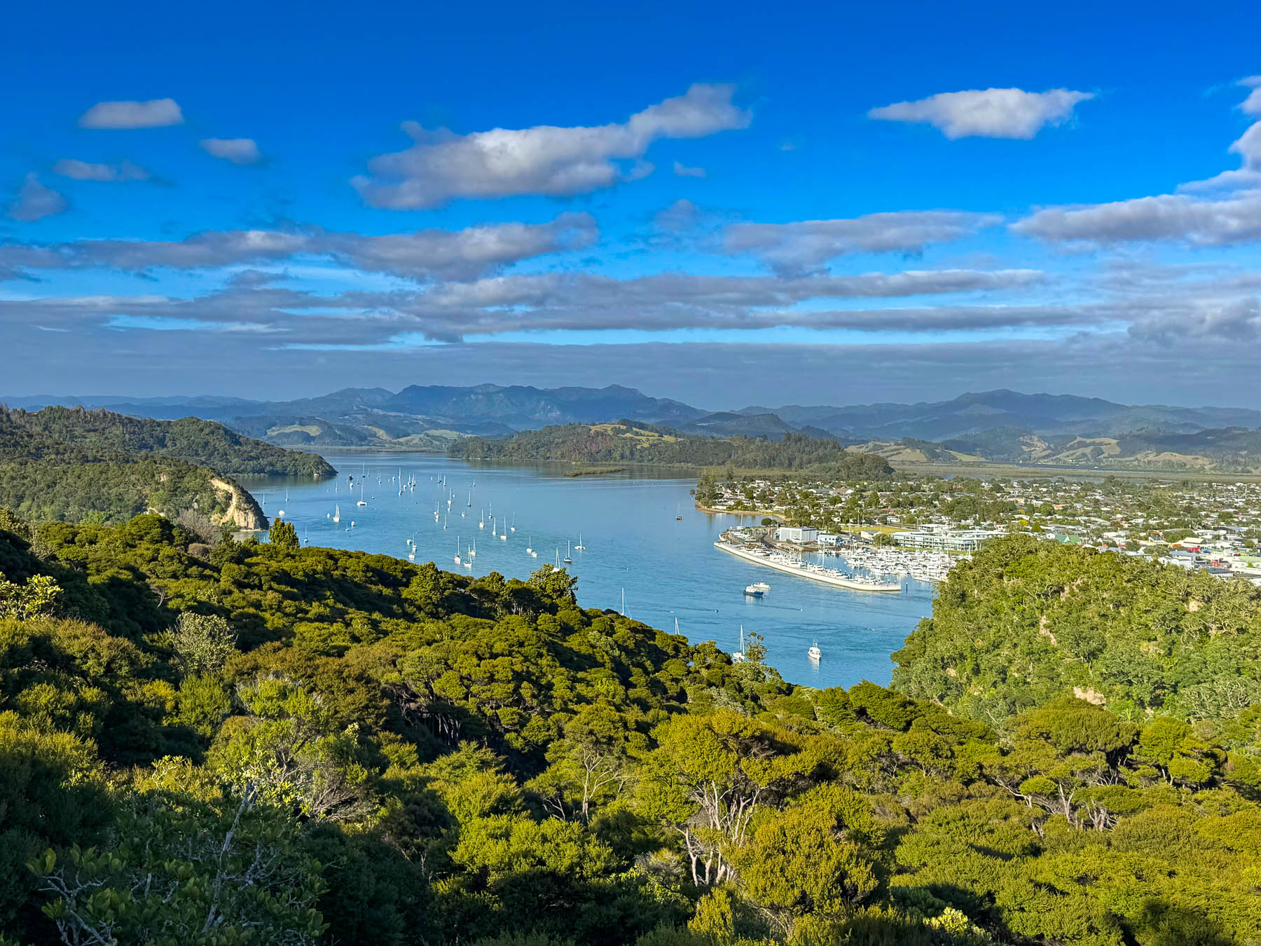
The Whitianga Rock trail also connected to the longer Maramaratotara Track, a more strenuous 1.2 m (.75 mi) trek that passes through a boggy section at the edge of the beach along Back Bay. Fortunately it was low tide when we walked through. The trail then climbed steeply through a forest of pōhutukawa bush, towering multi-trunked evergreen trees that grows in rocky coastal regions, before reaching the wood planked Mercury Bay Lookout for more spectacular views!
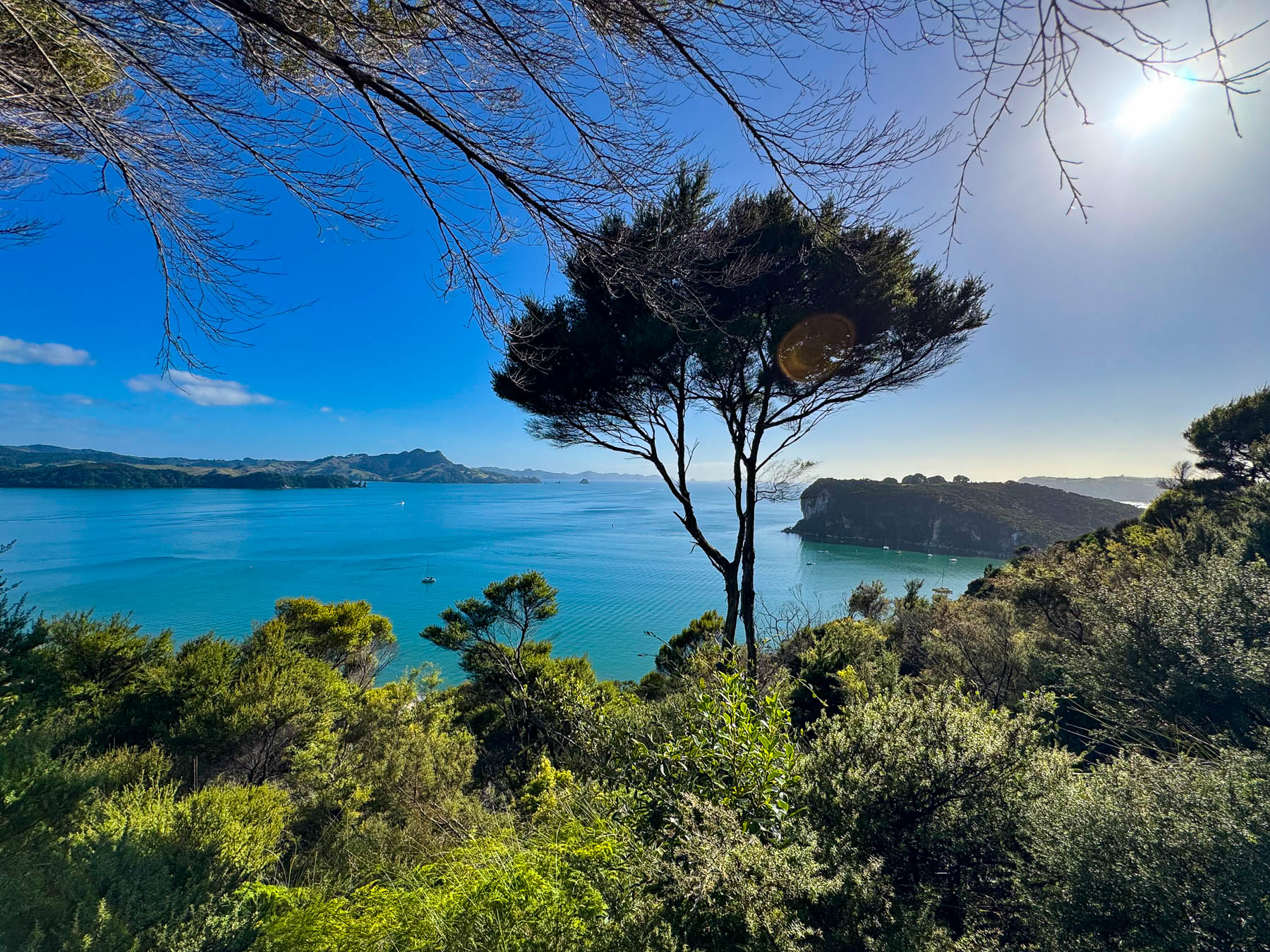
After a short rest we followed multiple sections of a sturdy wooden stairway down the hill, stopping at the Maramaratotara Bay Lookout to snap more pictures before continuing down the stairs to the trailhead on Purangi Road.
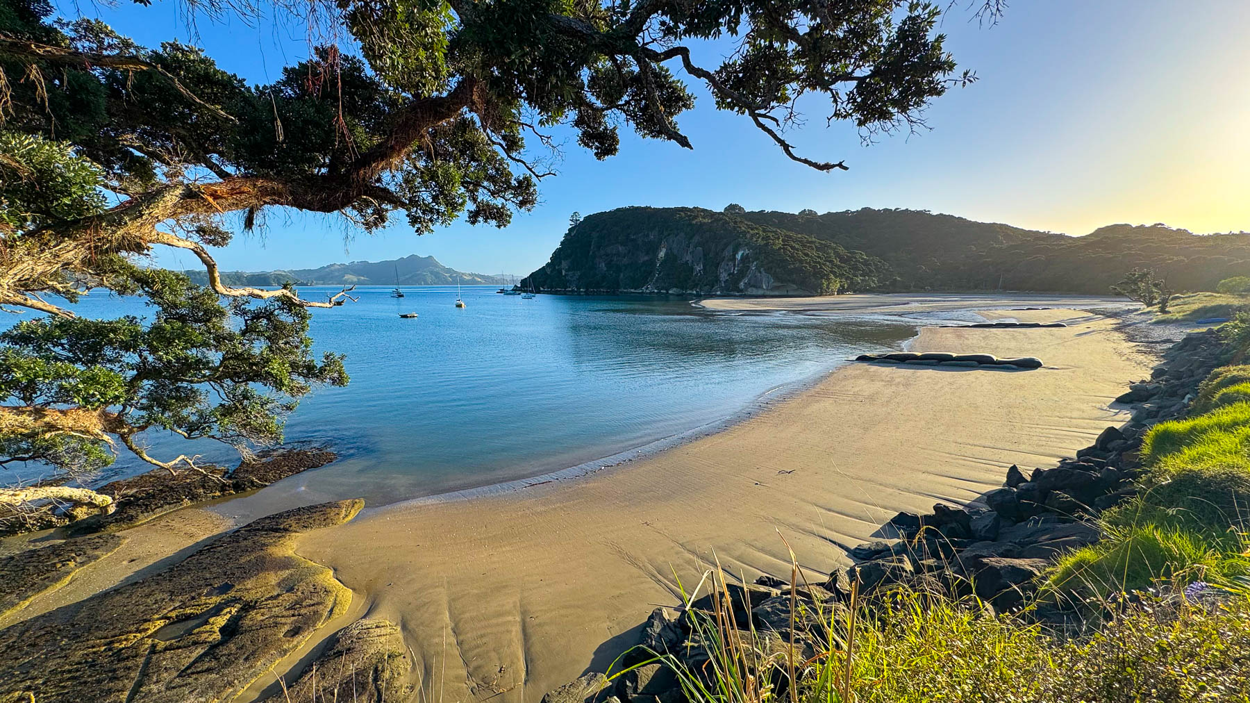
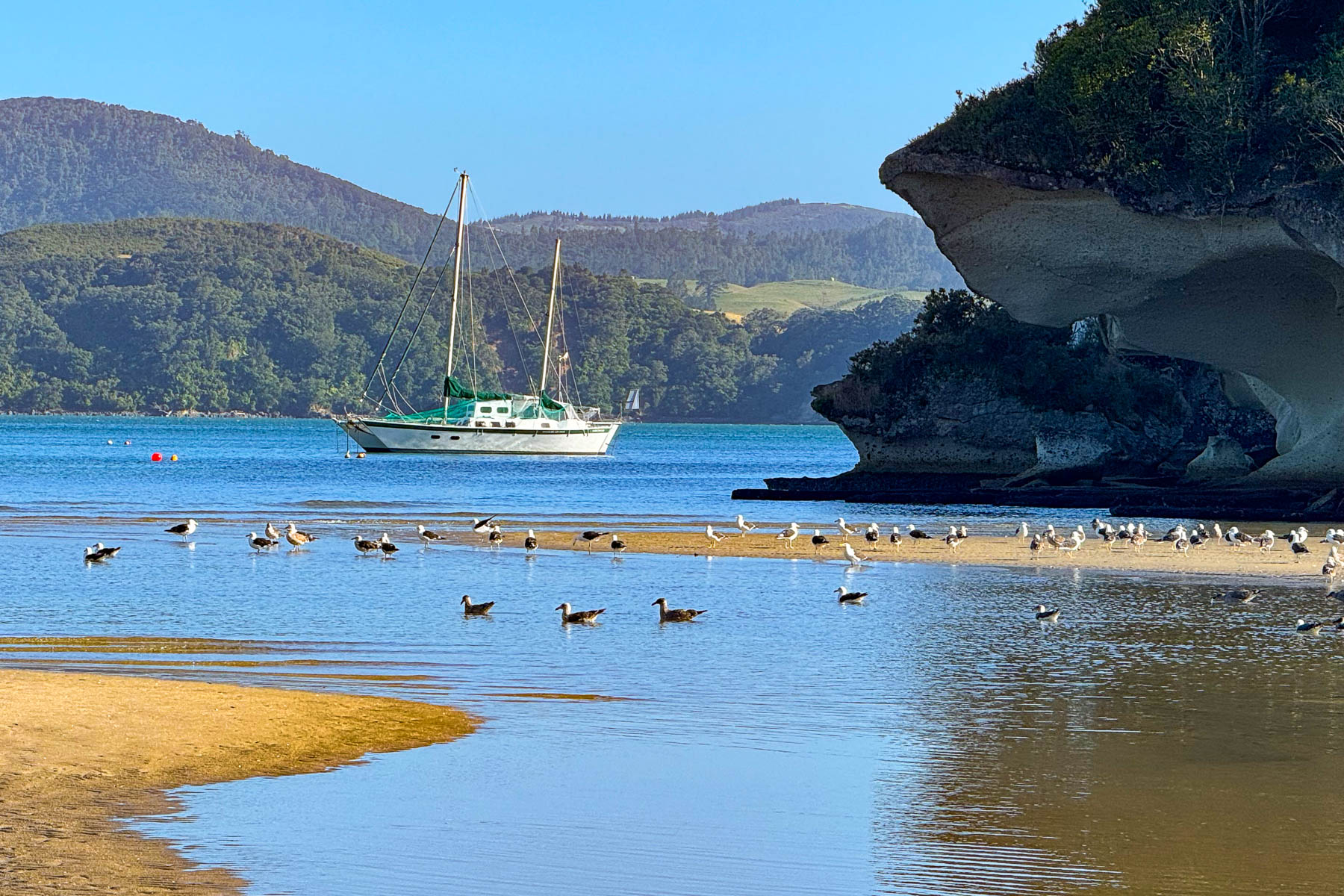
The sidewalk along the road here hugged Maramaratotara and Flaxmill Bays. Both had nice beaches to stroll along and beautiful seascapes to photograph. We didn’t stop, but if you need coffee and a meal on your walk the Eggsentric Cafe and Restaurant, a local favorite, is across the road from Flaxmill Bay, and it’s the only nearby option.
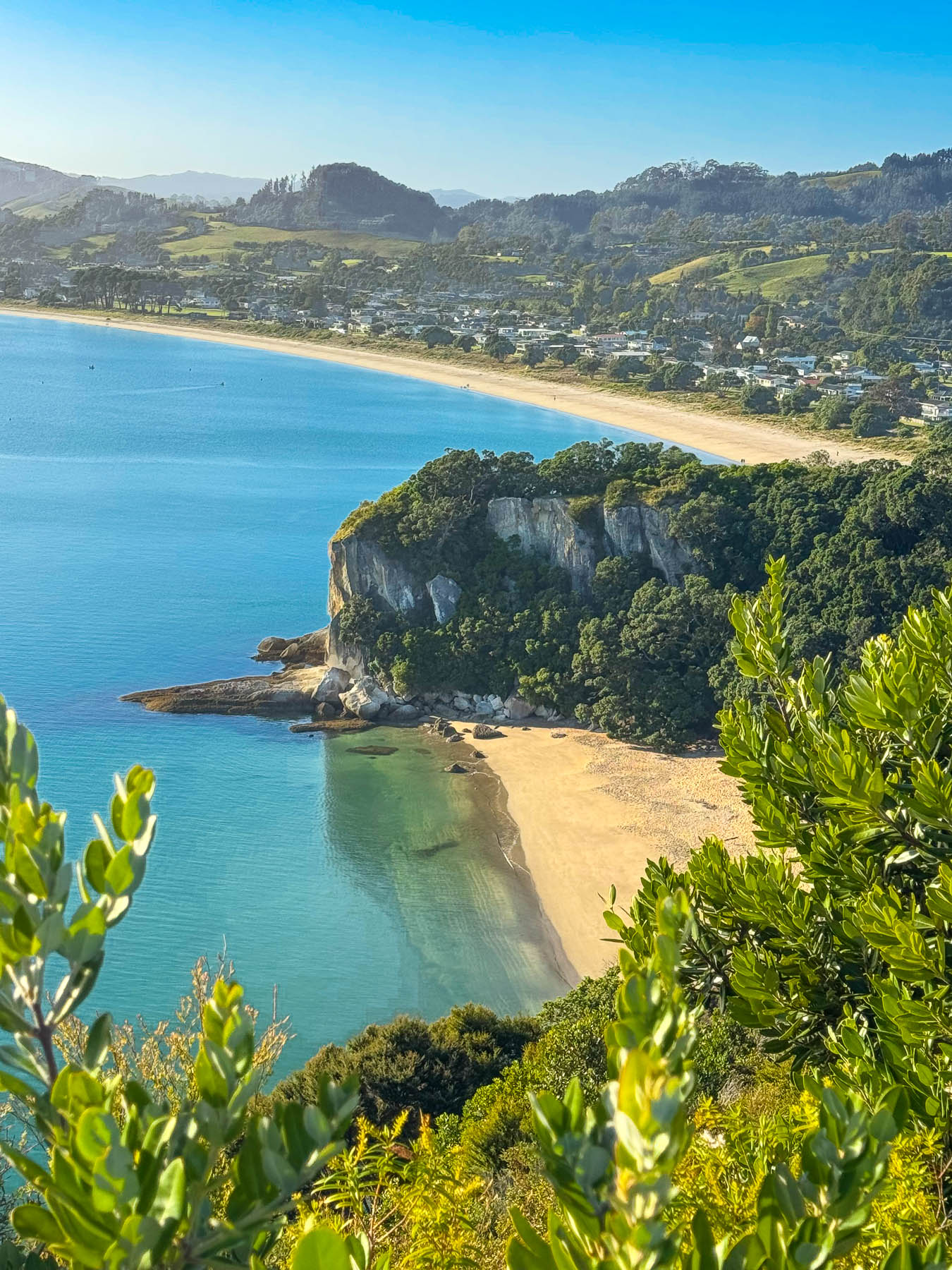
Our destination was the Shakespeare Cliff Lookout on the headland that also bears his name. The track to it passed through an old growth Kauri forest alive with bird calls and chattering insects, and an open meadow filled with Queen Anne’s lace. The headland is situated between Flaxmill and Cooks Bays and overlooks Lonely Beach. It was named by Captain Cook, who was allegedly reading Shakespeare’s works at the time he anchored in the bay during his circumnavigation of the North Island to make repairs to his ship the HMS Endeavour. This anchorage and subsequent landing on the beach were timed to observe the solar transit of Mercury on November 9th, 1769, with the astronomer Charles Green, as it passed across the face of the sun. Their results when combined with other measurements taken by British astronomers around the world that day helped determine the earth’s exact distance from the sun and helped cartographers map the longitude of New Zealand in the Pacific Ocean. Unfortunately, overgrown trees obscured our view from the lookout, but we followed a descending trail along the clifftop for a better view of the beaches at Lonely and Mercury bays. Part of this trail was covered with a wooden stairway called the Democracy Steps to Lonely Bay, designed by Akio Hizume in 2005, whose “mathematically derived step pattern makes it easier for all to walk up or down.” Maybe, though our effort wasn’t noticeably minimized.
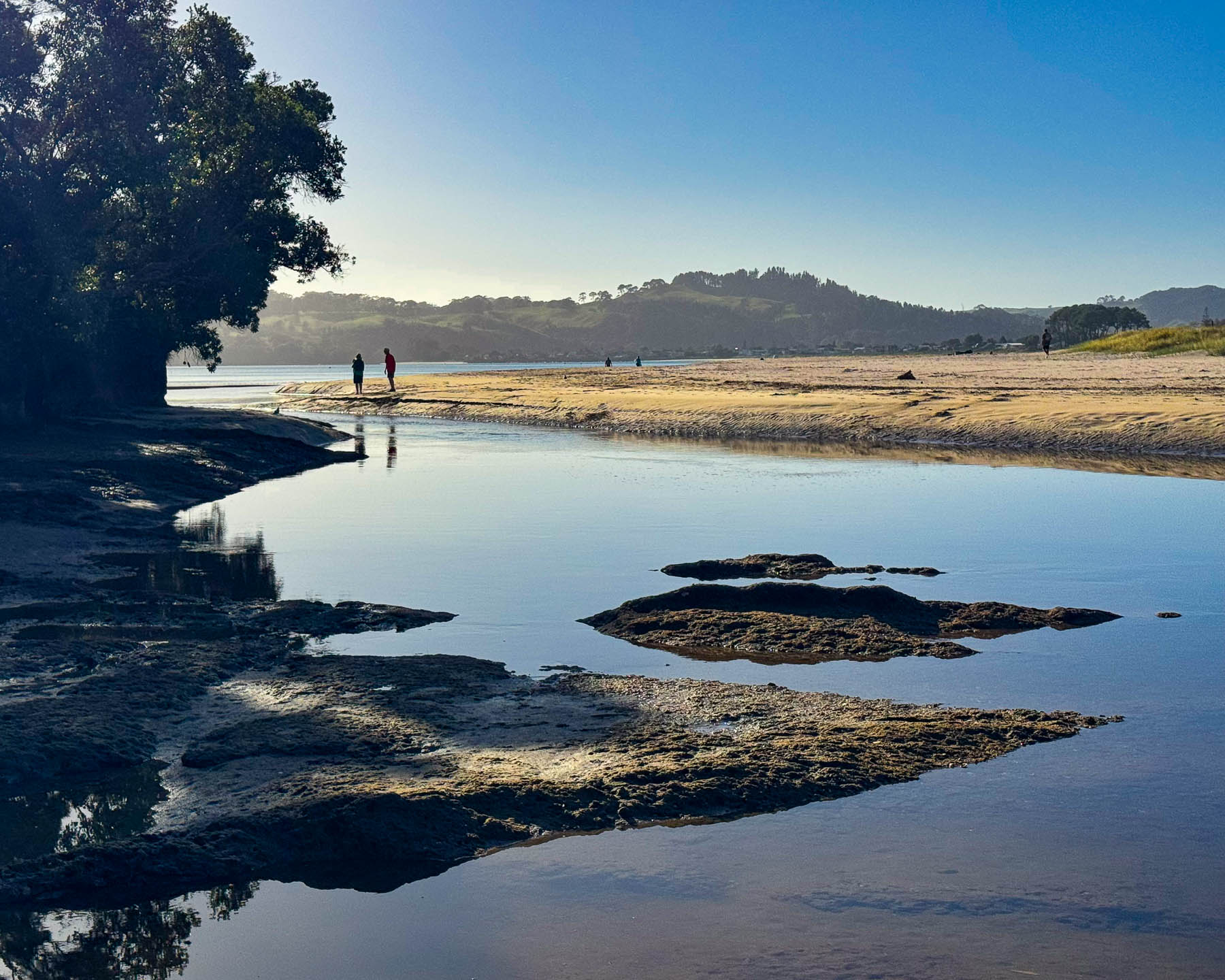
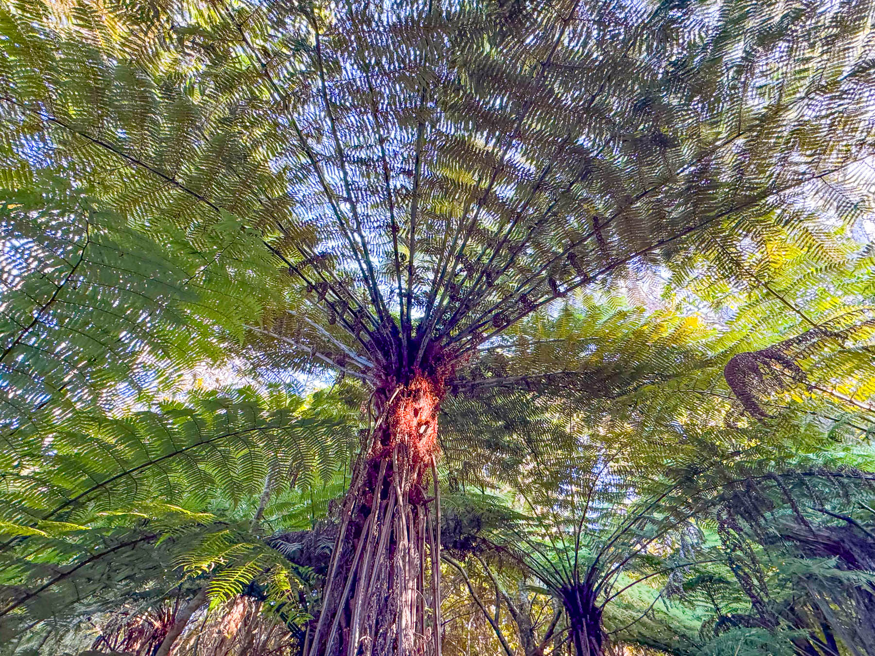
After walking along Cooks Beach for a way we looped back, along a path under tall tree ferns, to Purangi Road and followed it back to the ferry. The day was glorious, it was a good morning’s walk, and we were famished by the time we jumped off the ferry in Whitianga for a late lunch outside at The Harbour House Cafe. Later that afternoon we explored the quiet beach town that hosts a combination of full-time residents and vacationers, in older homes and newer Florida style lagoon side mini-mansions with private docks for expensive boats. The town has about 6,500 full-time residents, which triples to around 18,000 folks during the summer months. Luckily, we were visiting just after kids headed back to school, so the vacation crowd was gone, and the town was very quiet, and only the wind singing through the rigging of the sailboats in the marina made any sound. Interestingly, the Mercury Bay Boating Club in Whitianga was the challenging club in New Zealand’s first America’s Cup challenge in 1987.
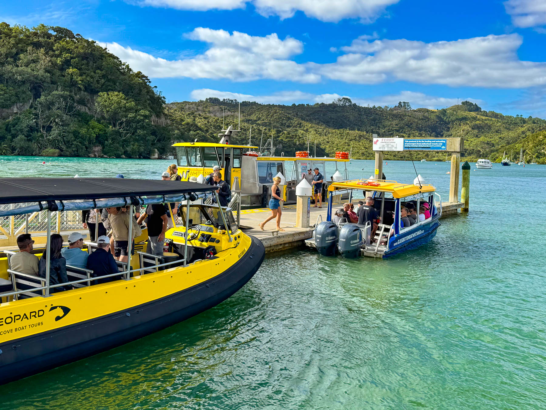
Later back at our lodging, as we sat on the patio, we made an online reservation for a boating excursion the next day with Ocean Leopard – Cathedral Cove Boat Tours whose 26 passenger open-sided boat we noticed shared the dock with the ferry. The windless day was perfect, and the water only had a shallow gently rolling swell as the boat cruised through the harbor’s no wake zone before throttling out to round the white cliffs of Whakapenui Point.
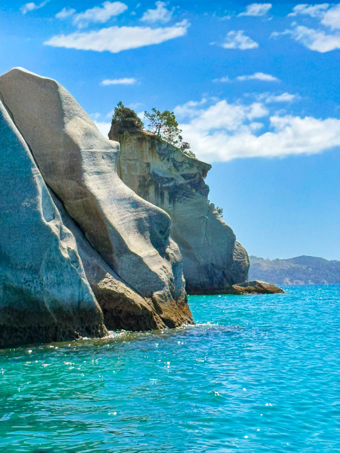
The distinctive white stone, ignimbrite, is an iconic feature of the coastline along Mercury and Cooks Bays. It is a volcanic rock composed of compacted pumice and ash, that was thrust to surface during catastrophic volcanic eruptions roughly 8 million years ago. Because ignimbrite is relatively soft, endless wave erosion has created the continuing changing dramatic coast with vertical headlands, sea caves and blowholes that the area is known for, according to our skipper and tour guide.
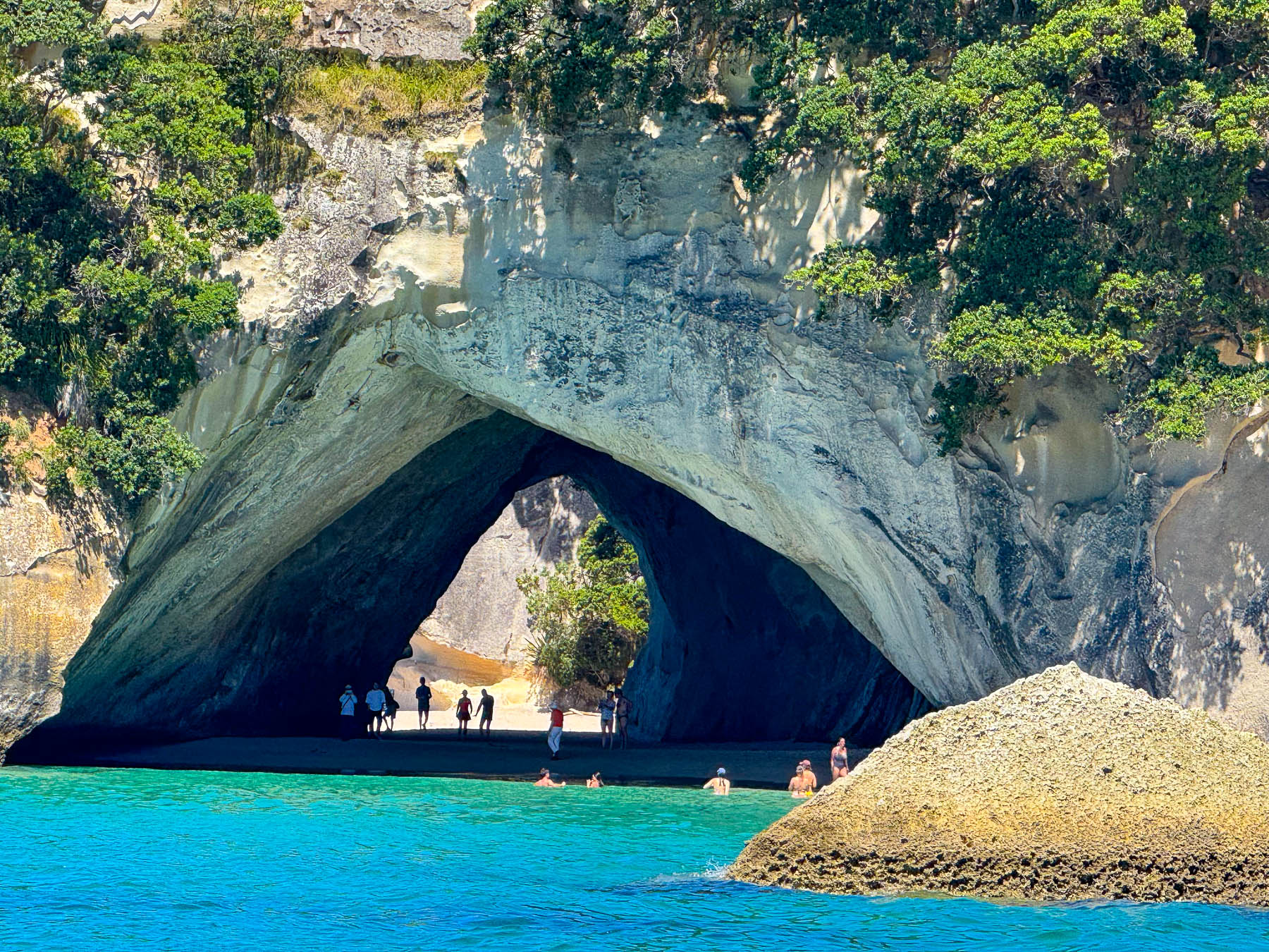
The cliffs were amazing, though we didn’t see the slightest resemblance to the bard when we reached Shakespeare Cliff before continuing along the coast through sea stacks, past Te Hoho Rock to Cathedral Cove, an enormous, natural stone archway, that separates two beaches. It’s the most popular destination along the coast, for swimming excursions. It’s also accessible via a trail, though parking at the trailhead is very limited.
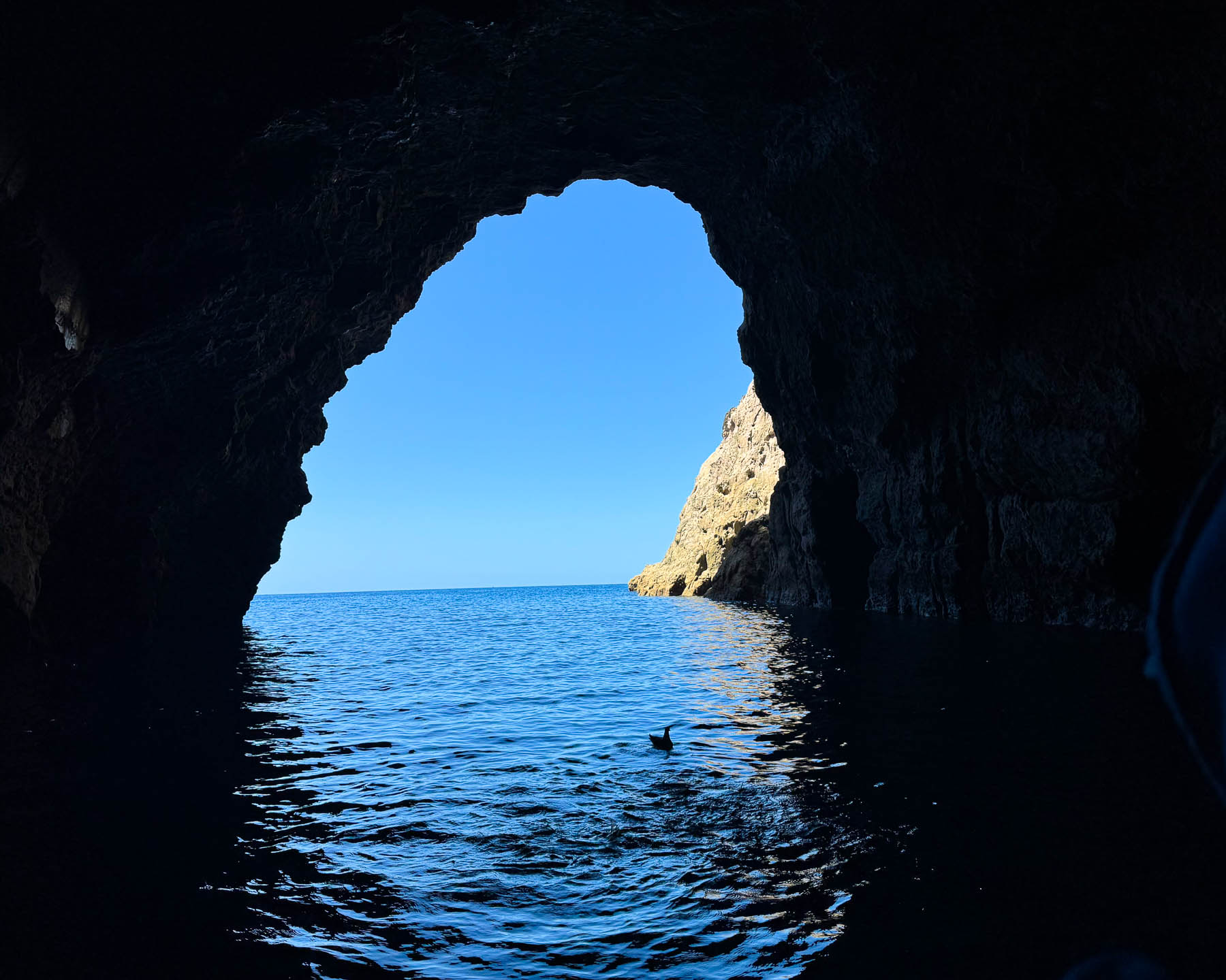
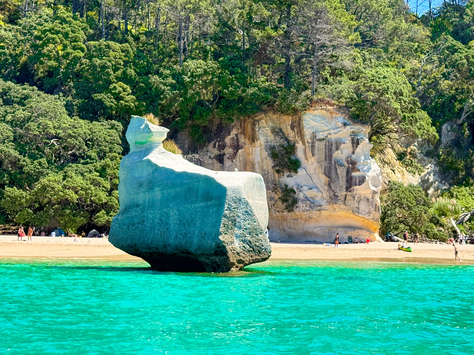
Farther south along the coast our captain slowly navigated us into the dark chamber of the Orua Sea Cave, the largest cave along the coast, where our voices echoed. Continuing on we glided across the shimmering iridescent water into the enormous bowl of the collapsed Arched Rock, a sea cave that was fully intact when Cook sailed the waters of the bay in 1769.
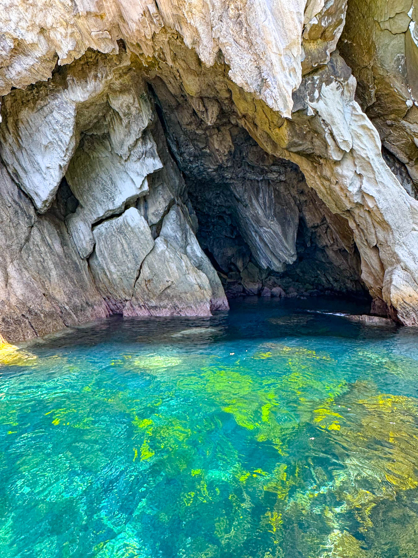
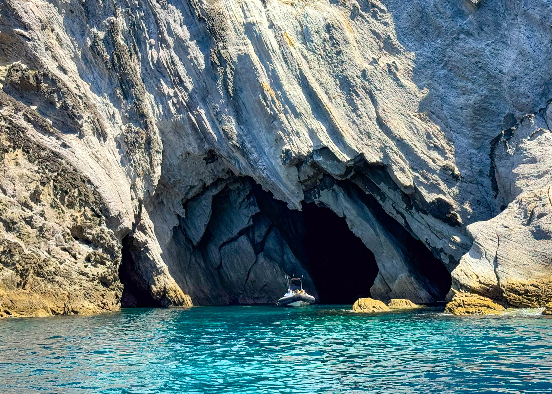
Heading back the boat skimmed along the water’s surface, occasionally catching small waves just right to send a spray of water over the sides of the boat and passengers. With the cool ocean spray and windchill on the water, we were glad we layered up and wore our rain jackets for the trip. Later, we enjoyed our last dinner overlooking Mercury Bay from the patio at Stoked Public House. It was a great way to end our adventure in Whitianga.
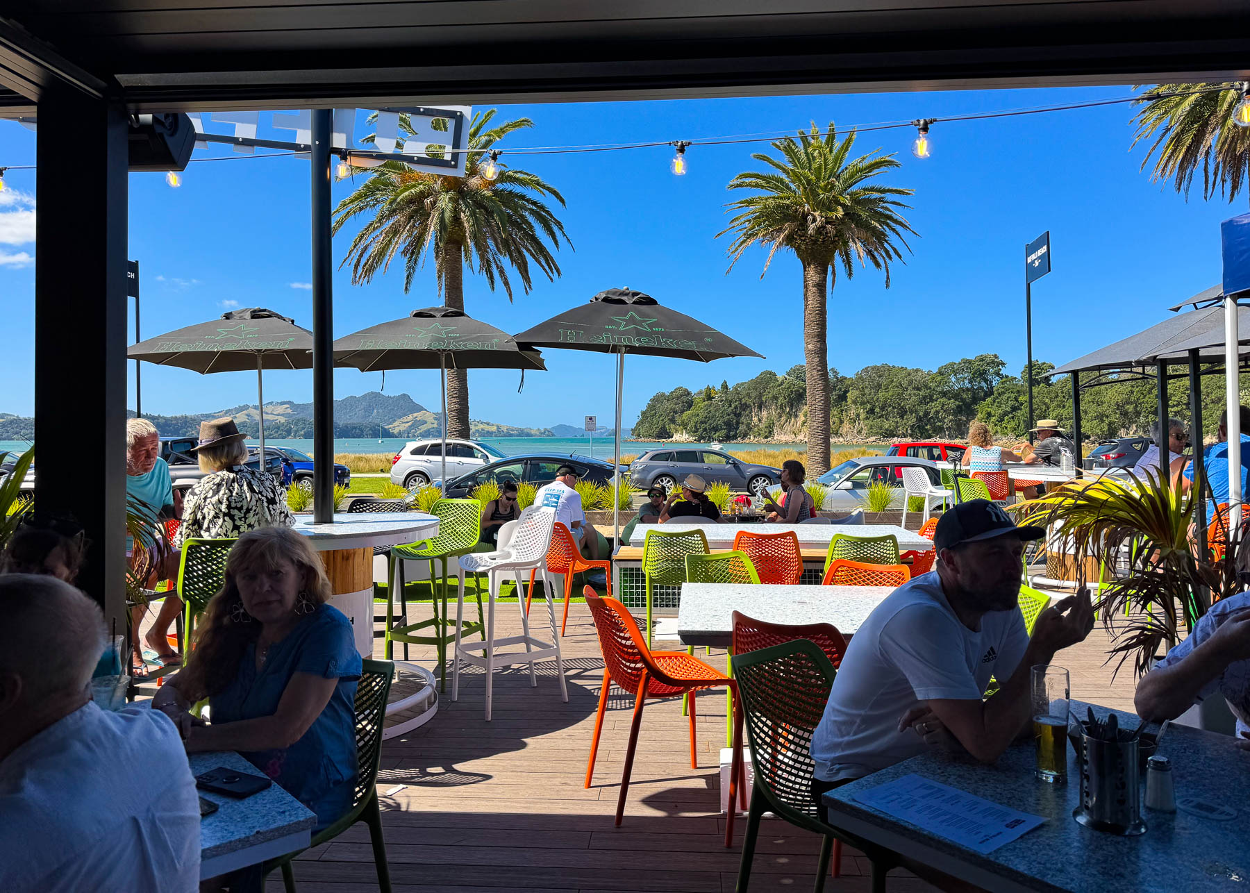
We found both Hamilton and Whitianga, surrounded with natural beauty, to be engaging, laid back destinations during the beginning of New Zealand’s shoulder season in February.
The next morning, we were off before sunrise for the ride back to the airport in Auckland for a flight to Wellington, later that day. The adventure continues.
Till next time,
Craig & Donna
P.S. Unless you are set on riding the Driving Creek train in Coromandel, a shorter route to Whitianga follows RT 25A east to Tairua before turning north along the ocean. It provides an easy chance to stop at Hot Water Beach, which we did not have a chance to do, before reaching Whitianga.


