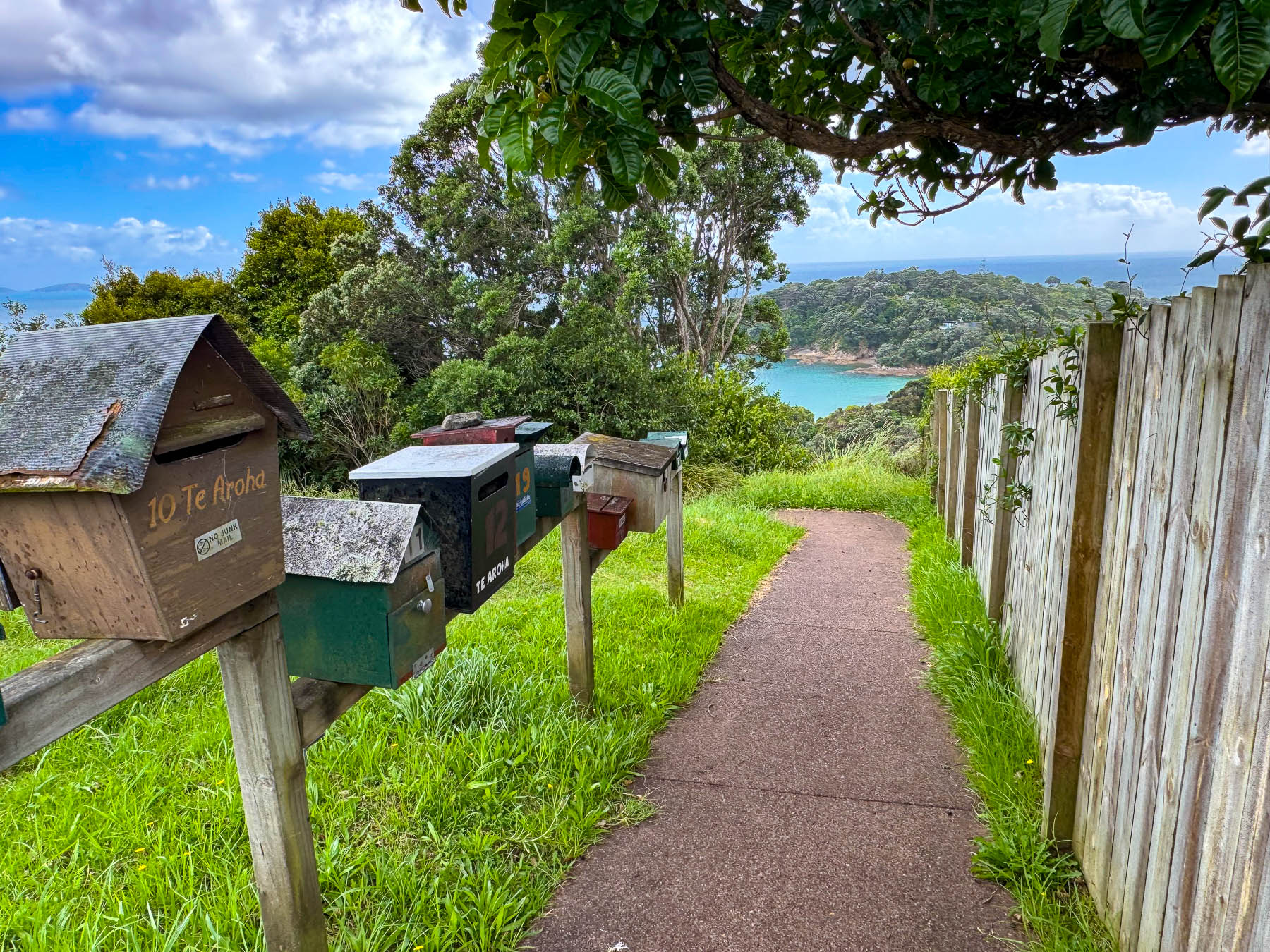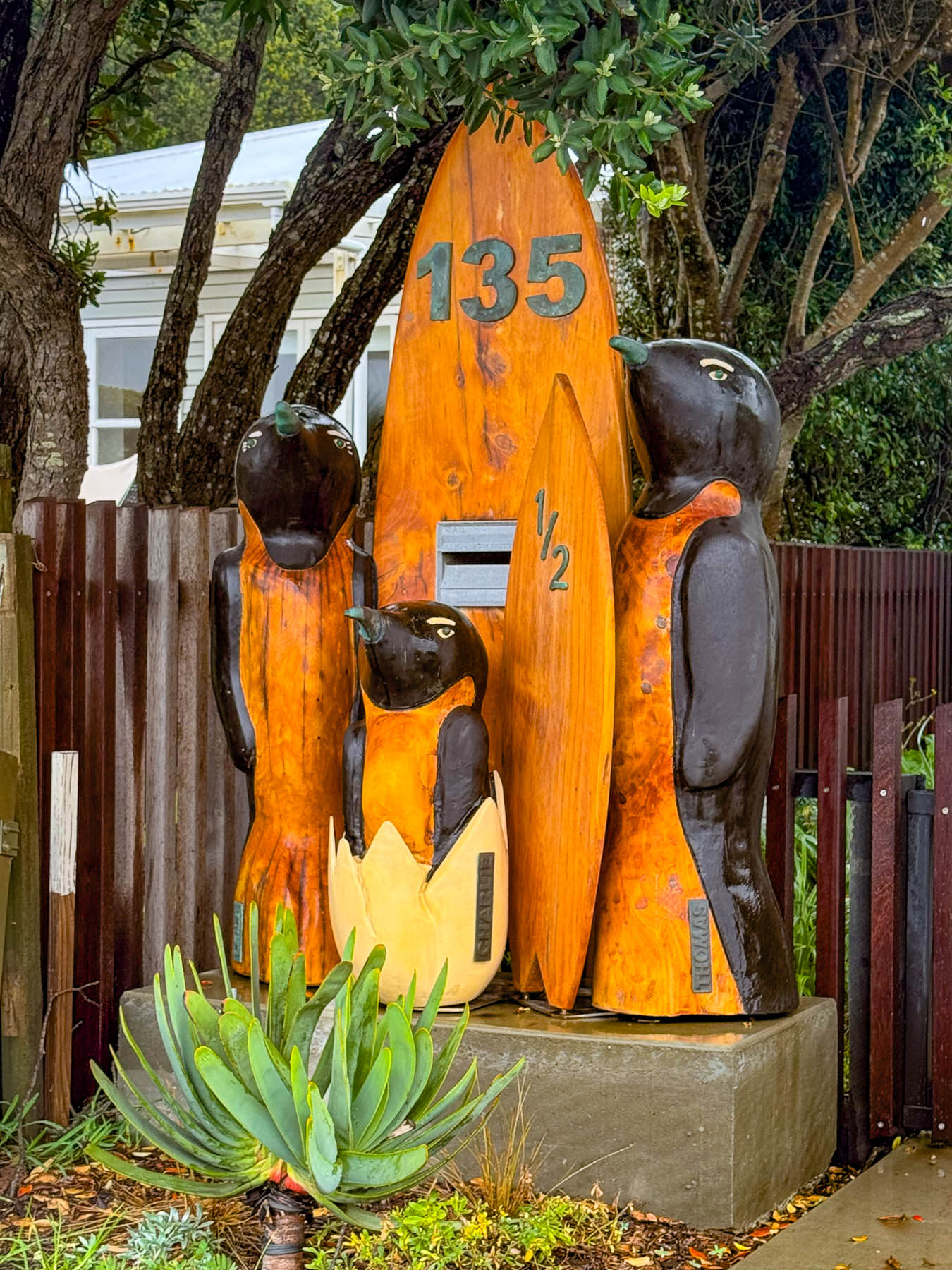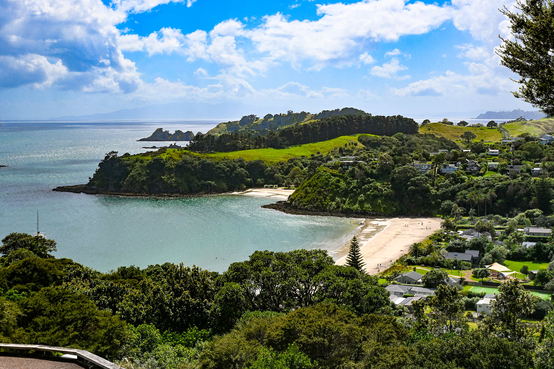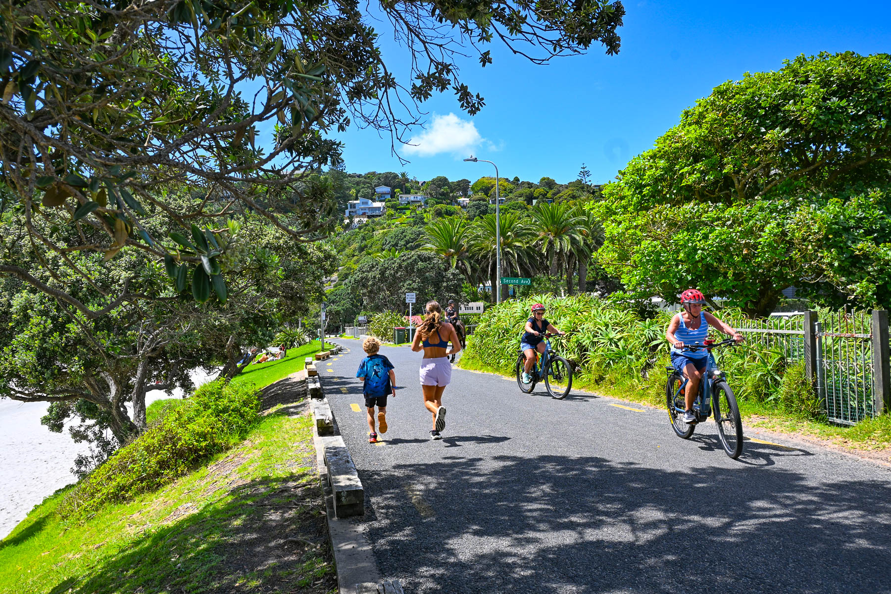
Road Tripping Around New Zealand: Part 1 – Waiheke Island: Oysters, Wine and Seascapes or Learning How to Drive on the Left

Why do we go where we go? It’s a dilemma for many of us. As nice as the many different regions of Europe are, it was time for something different. We had been avoiding the South Pacific for a long time, but a good deal on airfare to New Zealand that started in our home airport in Georgia was too good to pass up so we packed the neck pillows and booked that excruciatingly long 22-hour flight. In economy, no less – yikes!
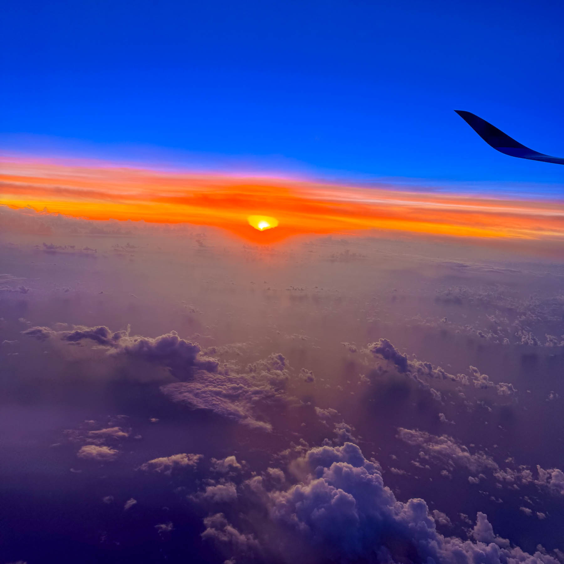
Our early morning landing timed perfectly with a beautiful sunrise. We weren’t particularly keen on seeing Auckland, but we needed a low-key destination to recover from the jetlag and learn how to drive on the left-hand side of the road again, without immediately being thrust into city traffic. Somewhere along the line Waiheke Island popped onto our radar, and after a little research we determined that it would be a perfect and interesting spot for us to recoup, before returning to Auckland and starting our nine-day road trip around the North Island.
The Auckland Airport was easily manageable and after a good cup of coffee in the main terminal we proceeded to the Ride Share area which was only a short walk away, to meet our driver we booked through Uber New Zealand for the 30-minute trip from the airport to the ferry terminal. Didi Rider is also a popular rideshare option. If you have a larger group and a little more time there is the Super Shuttle which offers low, fixed rates to points across Auckland.
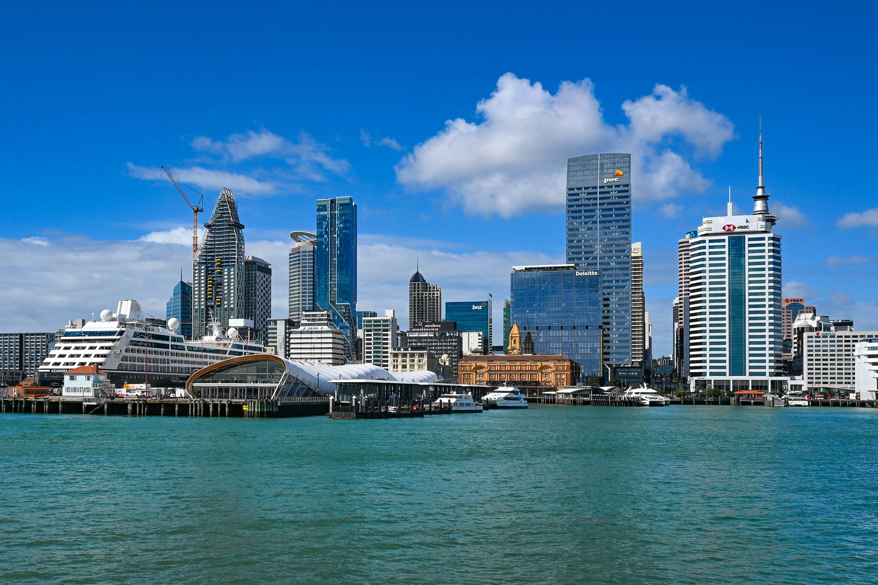
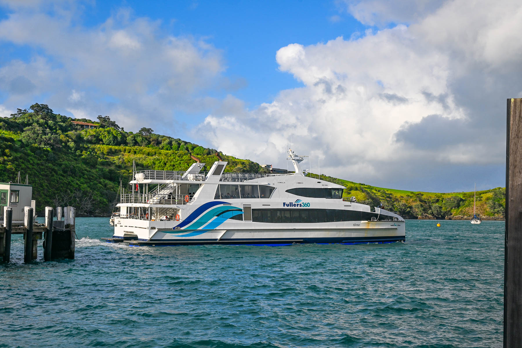
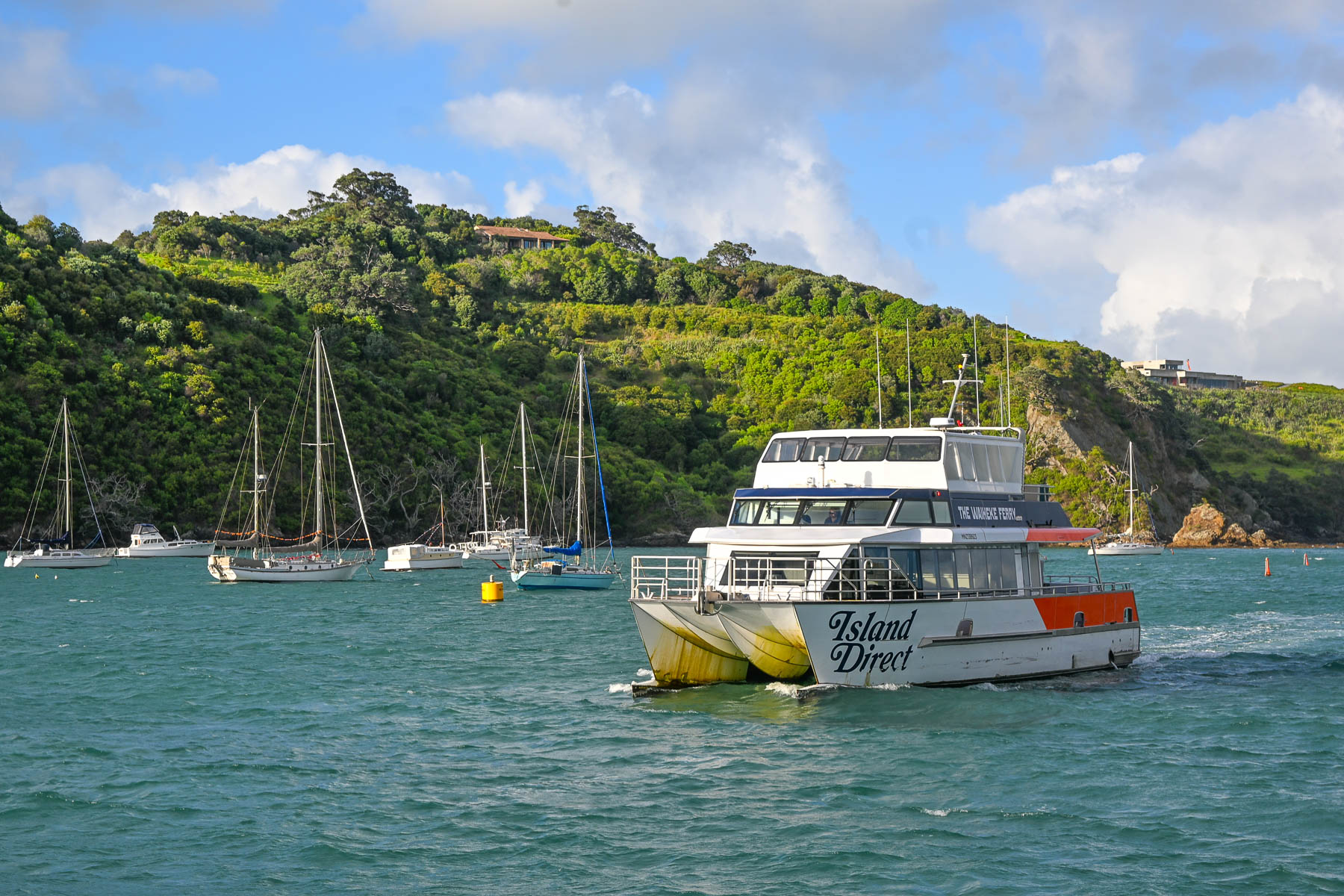
Landing on a Friday in mid-February, it was still the summer season down under. We weren’t sure how busy the afternoon ferry would be, ahead of the weekend. Fortunately, before leaving the states, we booked the 1:00PM Fullers360 Ferry departing from the Auckland Downtown Ferry Terminal on Quay Street; no last-minute walk-ons were allowed to board, as the time slot was fully booked. Island Direct also offers a ferry service from Pier 13 at the downtown terminal. The 21.5 km (13.4 mi) crossing takes about 40-minutes to reach the Matiatia Wharf landing on Waiheke Island. Folks wanting to take a vehicle to the island need to use the SeaLink car ferry, which departs from Half Moon Bay in East Auckland or the Hamer Street Ferry Terminal in downtown Auckland and docks at Kennedy Point on Waiheke.
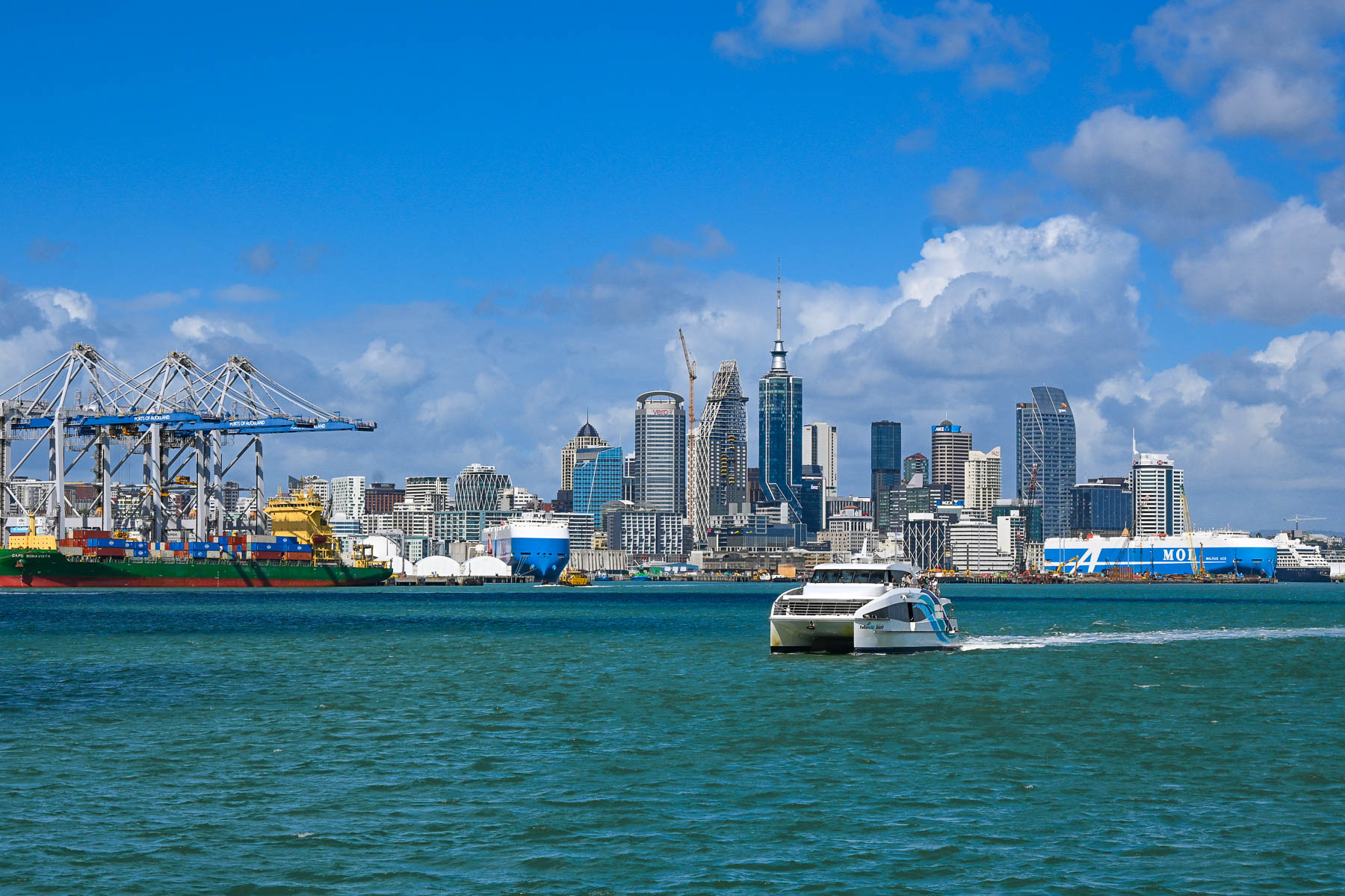
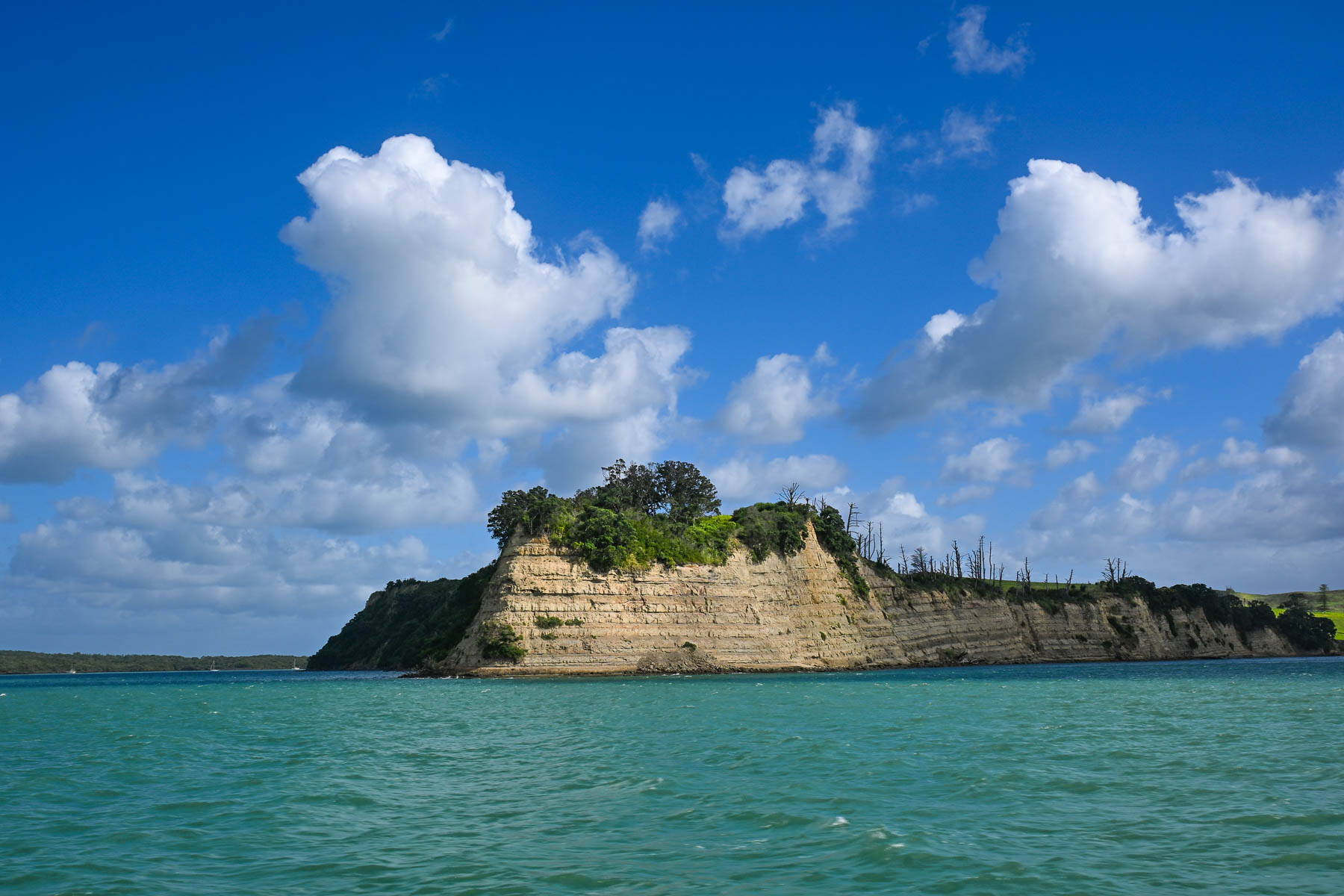
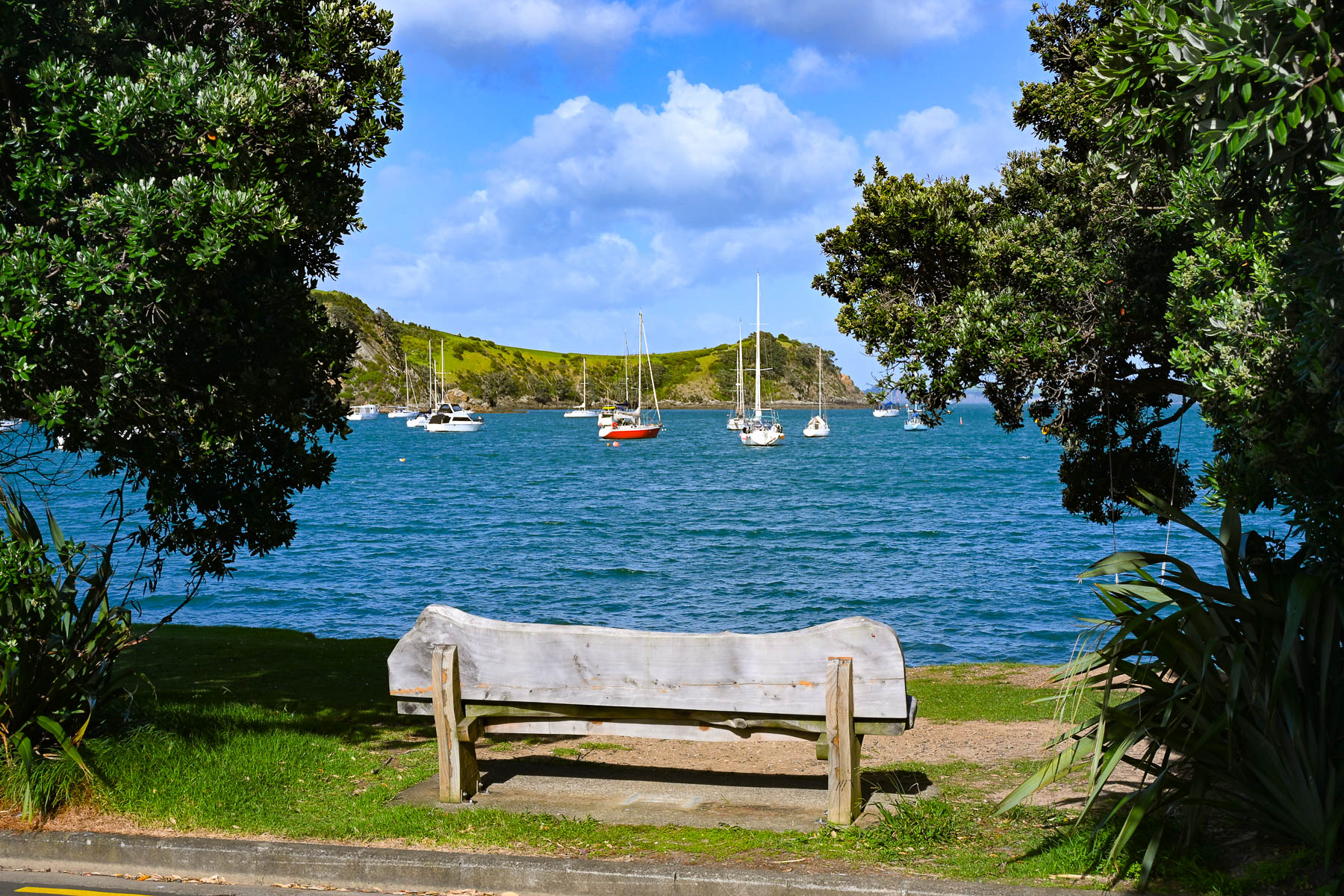
The view of Auckland’s skyline was stunning as we headed across the harbor and Hauraki Gulf. Thousands of sailboat masts dotted the seascape and rocked with the waves. Sailing is a popular activity in Auckland and about 18,000 sailboats call the “City of Sails,” their home port. The Hauraki Gulf is a huge body of water with over 50 islands, of which Waiheke is the second largest with a land mass of 9200 very hilly hectares (22,734 acres). Surprisingly, Waiheke is the most populated of the island chain with nearly 9400 permanent residents, some of whom commute daily to Auckland for work, and about an additional 3,400 folks have holiday homes on it. It’s said to be more densely populated than the North and South Islands, but from our experience it felt almost uninhabited, as most of the homes across the island were well hidden in the island’s forested hillsides. And local tourism had pretty much stopped with the reopening of the schools at the end of the summer break several weeks earlier.
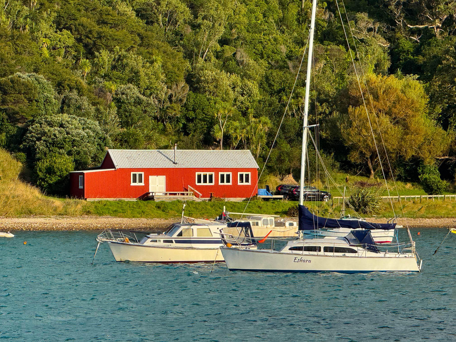
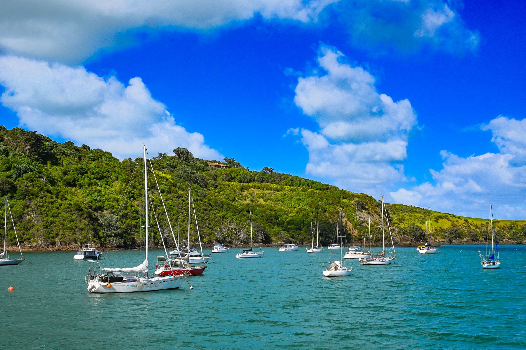
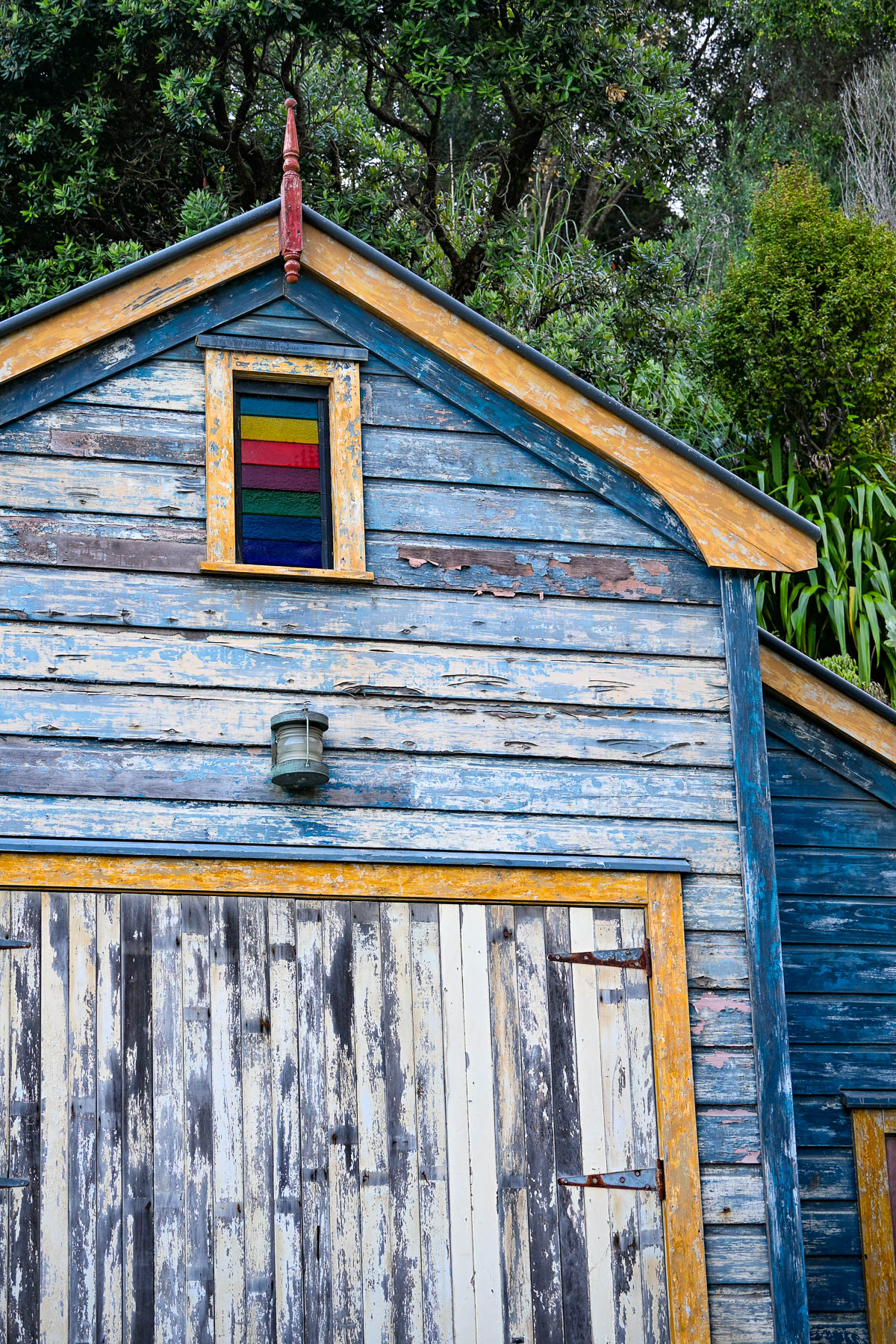
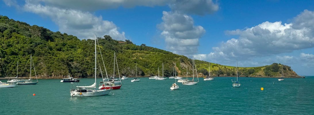
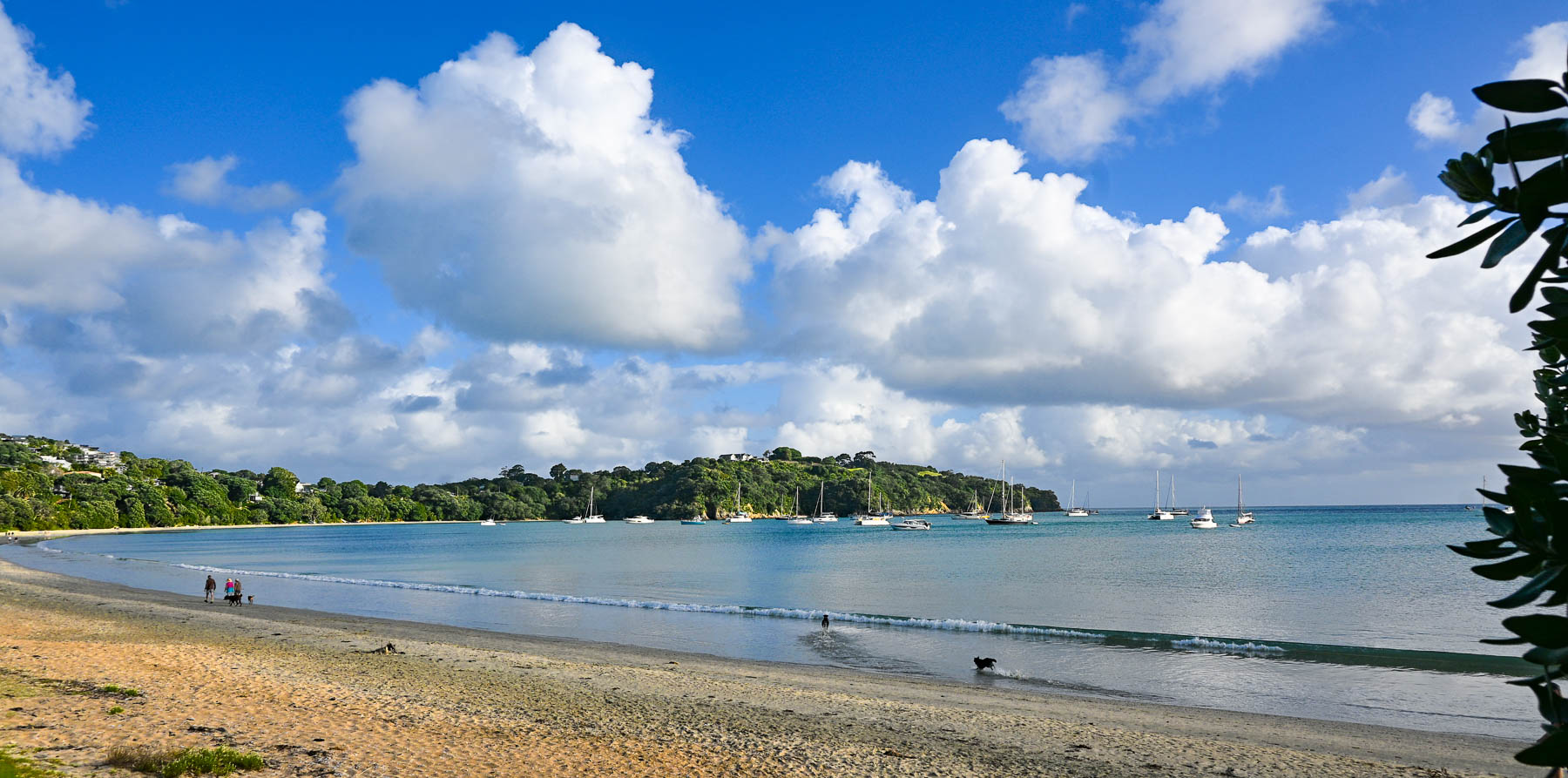
Boats anchored in Matiatia Bay bobbed up and down with the small waves that a strong wind had kicked up. Fair weather clouds scurried across the sky. The small harbor was reminiscent of coastal Maine with a red fisherman’s shack along the waterfront. On the wharf we picked up the key to a compact older car from Waiheke Car Rental, a subsidiary of Mint Car Rental, through which we also reserved a vehicle at Auckland Airport for the later part of our trip around the North Island.
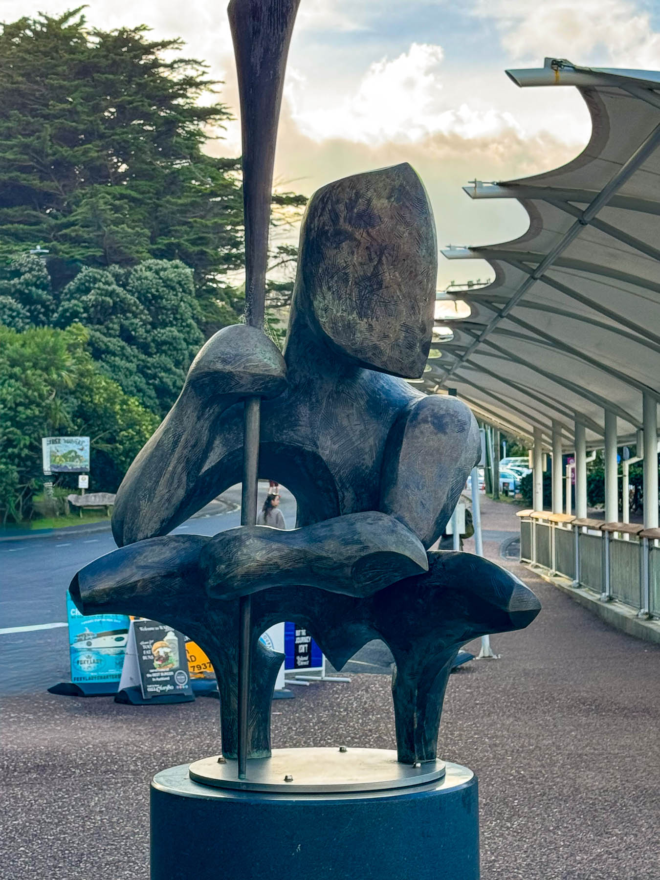
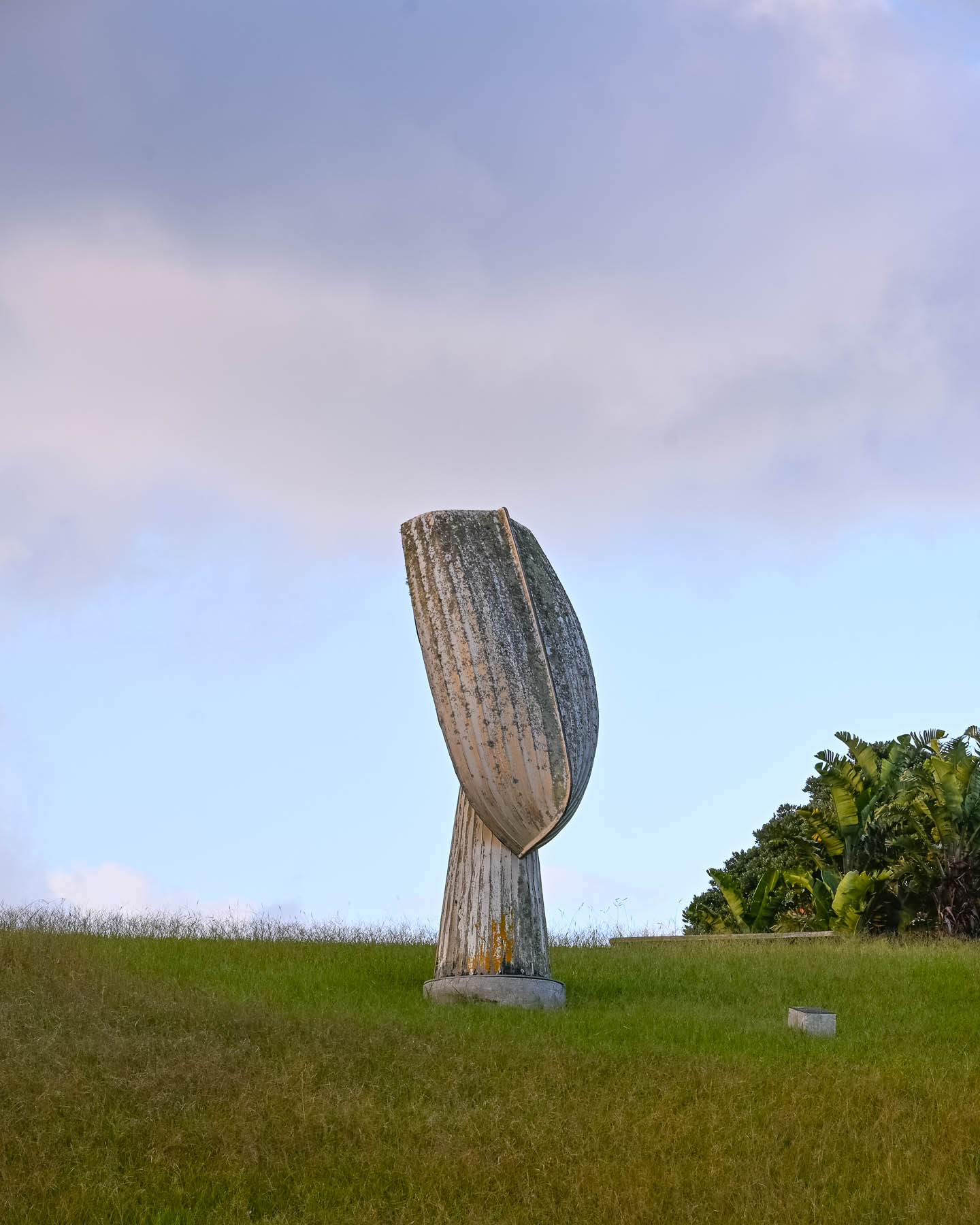
Outside the ferry terminal was a Māori influenced sculpture by island artist Chris Bailey called Te Werowero. The statue is intended to act as a guardian of the island and challenges visitors to respect the environment and local way of life, wāhi tapu. It was a bit of a trek through a dusty parking lot to find the car: the air-conditioning worked so we were good to go, but I have to admit that I did open the wrong side of the car and was surprised there was no steering wheel in front of me, and that I’d be manually shifting with my left hand. With our mantra, “stay left!” and a “you’ve got this,” pep talk we set out. Luckily, there was hardly any traffic, and our lodging was only a short, five-minute drive away. We followed Ocean View Road, the main street which passes through Oneroa, Waiheke’s largest village, that has a small cluster of restaurants and shops along the street.
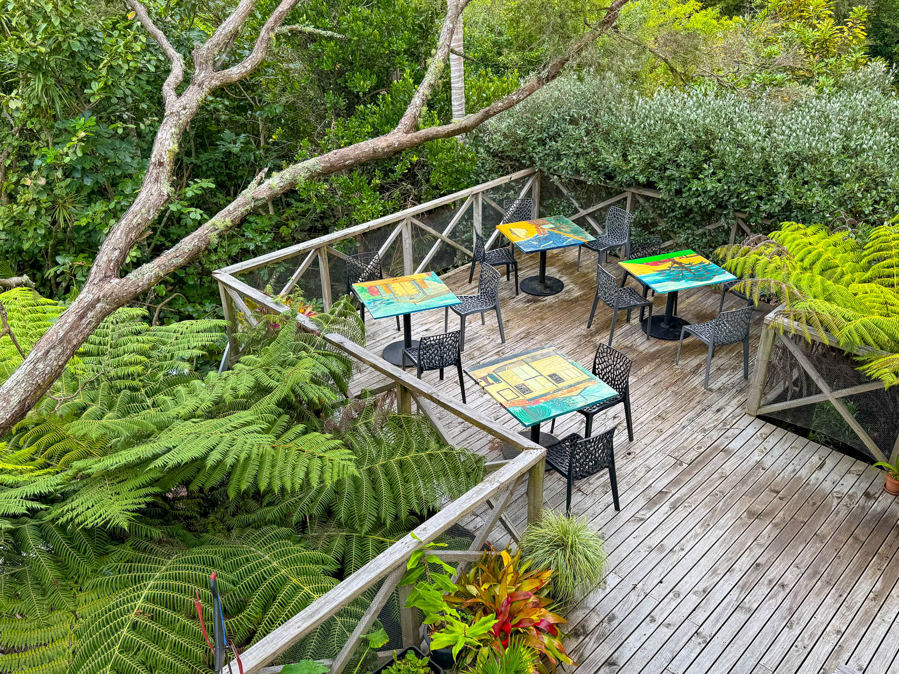
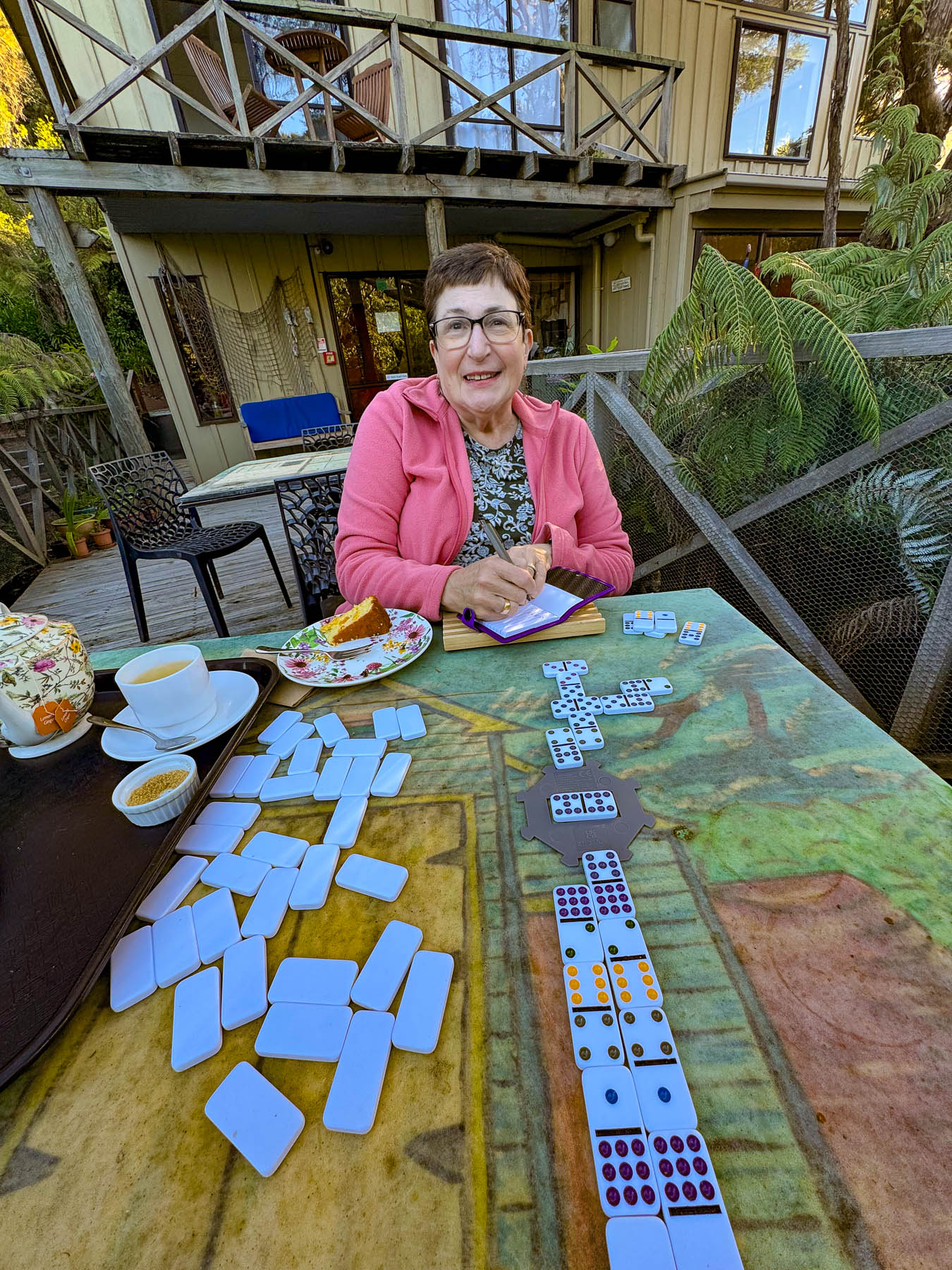
Our base for three nights was the laid back Punga Lodge where we enjoyed the sumptuous breakfasts and afternoon tea prepared by Diane and Rob, on the deck overlooking an old growth grove of native punga ferns filled with lovely song birds. Our hosts are a delightful couple whose company and conversations we enjoyed, and contributed greatly to our wonderful experiences on the island.
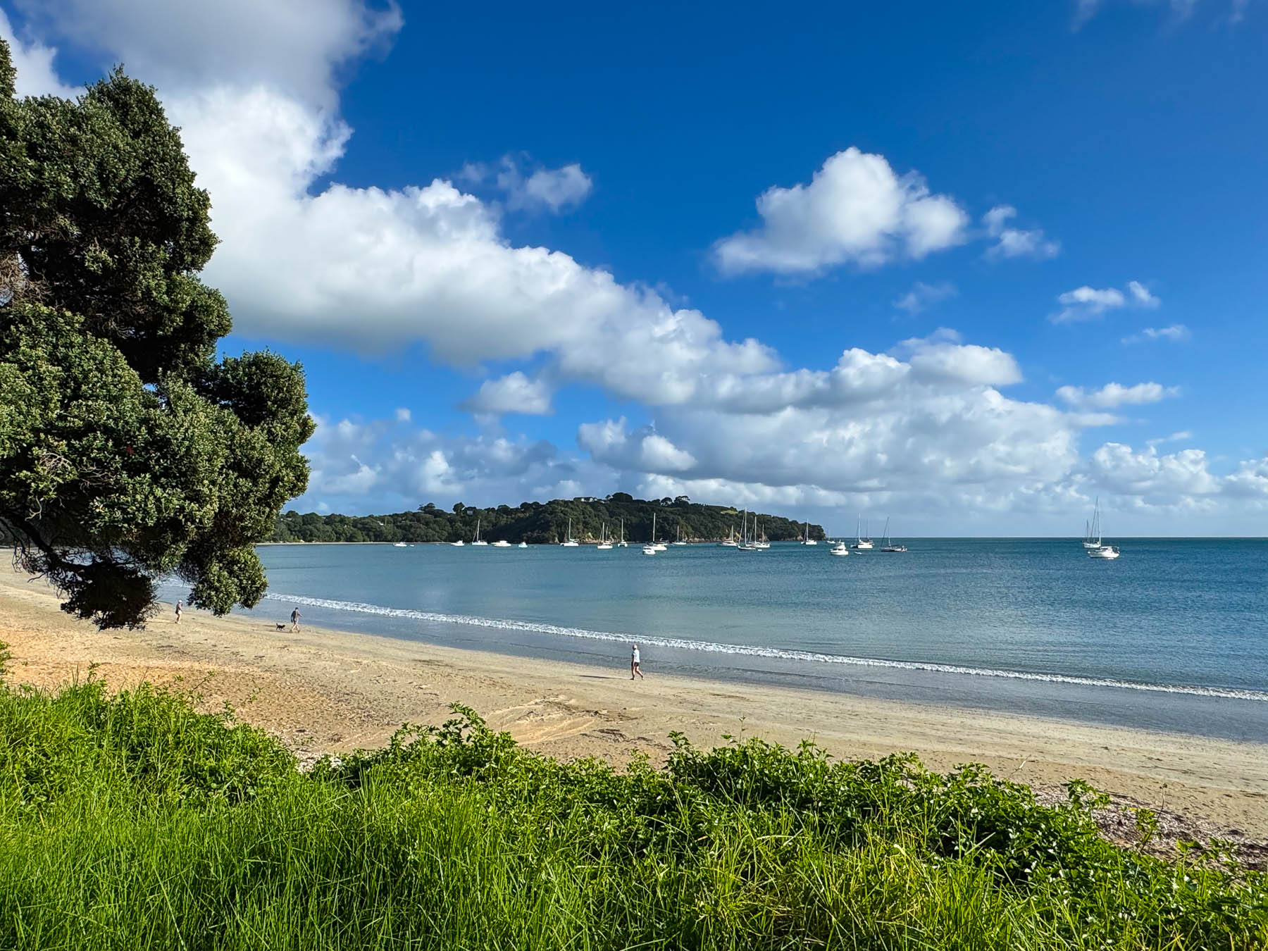
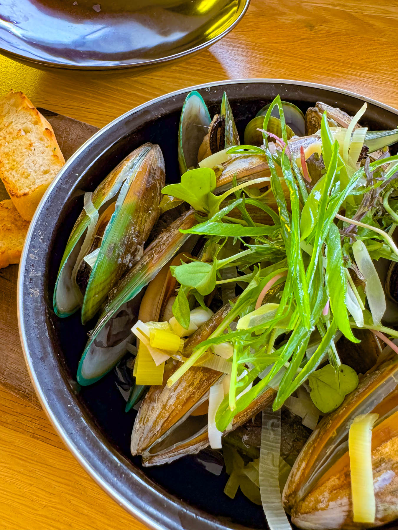
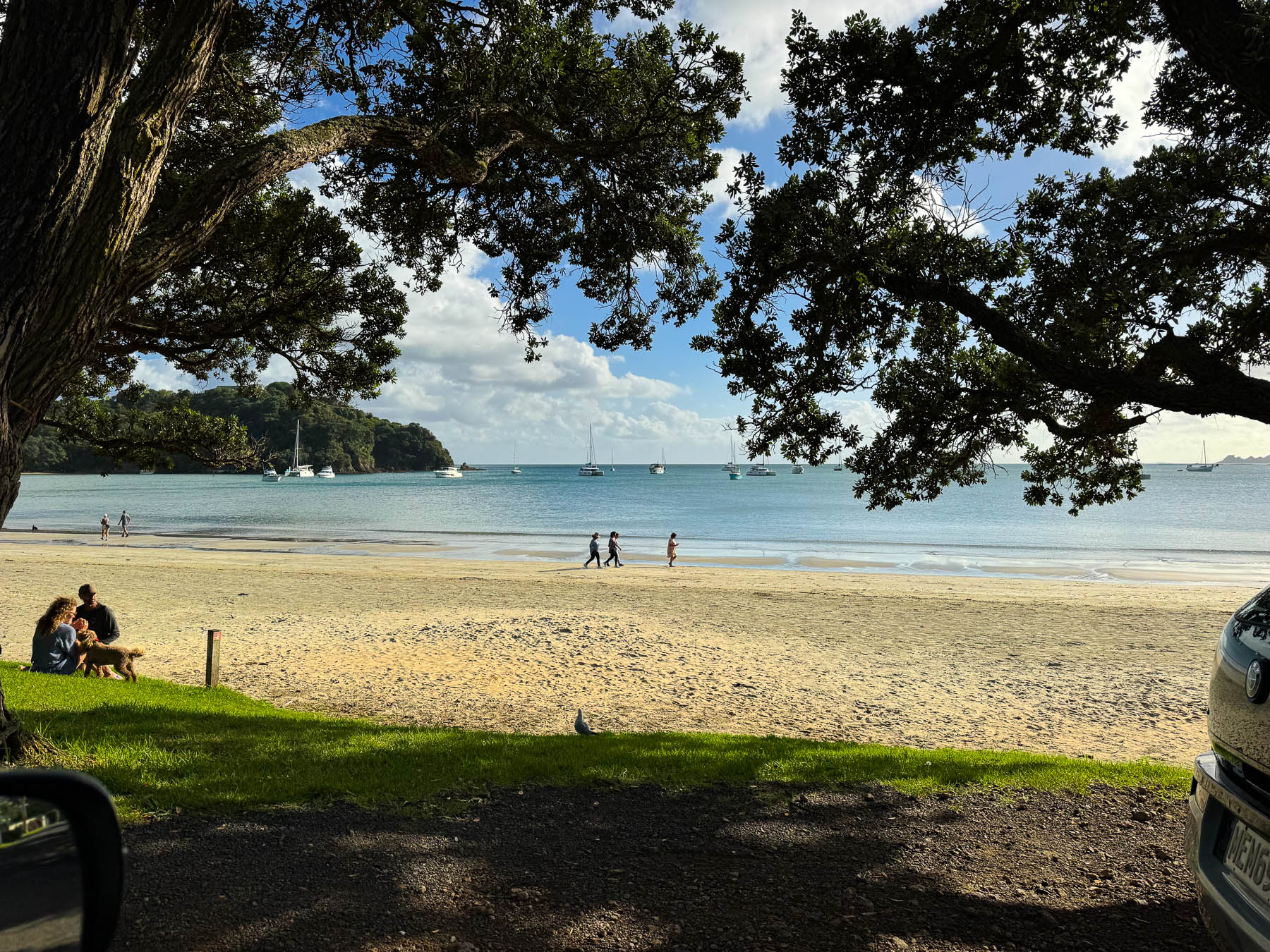
After settling in we headed to Big Oneroa Beach for a walk along the fish hook shaped coastline, before strolling through the village to have dinner at Obee’s, which has a nice view of the bay from its terrace. The local Waiheke mussels we ordered were delicious.
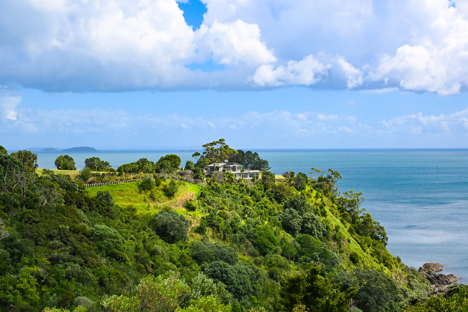
Decades ago, Waiheke Island was a counterculture haven with over 100 artists calling the island home. Gentrification soon followed but growth was limited due to the island’s lack of a public water utility infrastructure, which necessitates most of the households, restaurants, and hotels on the island to sustain themselves with roof collected rainwater funneled into large water cisterns. Some of the larger estate homes and farms on the island have chosen to drill expensive wells. During droughts folks can buy water from local tanker trucks that pump water from the island’s deep aquifer, and the local council operates emergency drinking stations where residents can fill 20-litre containers.
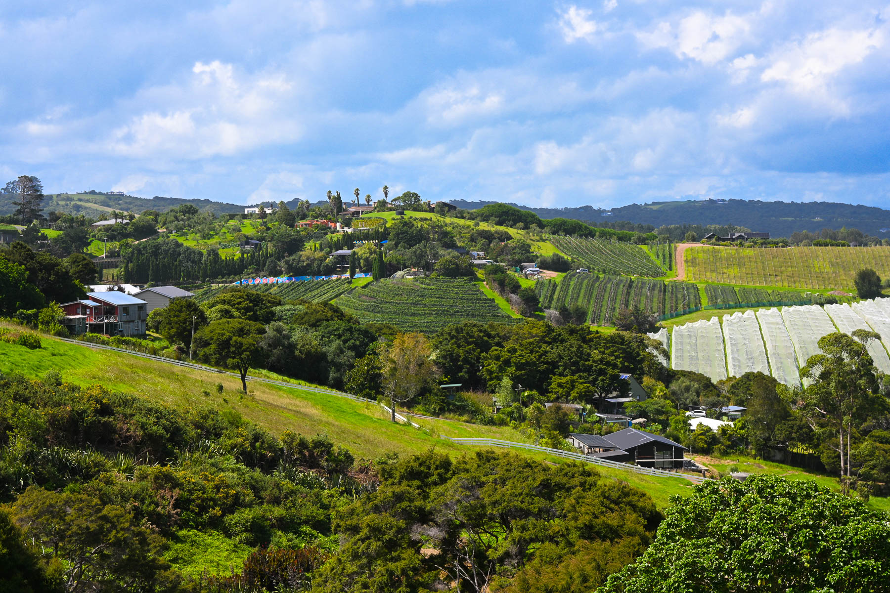
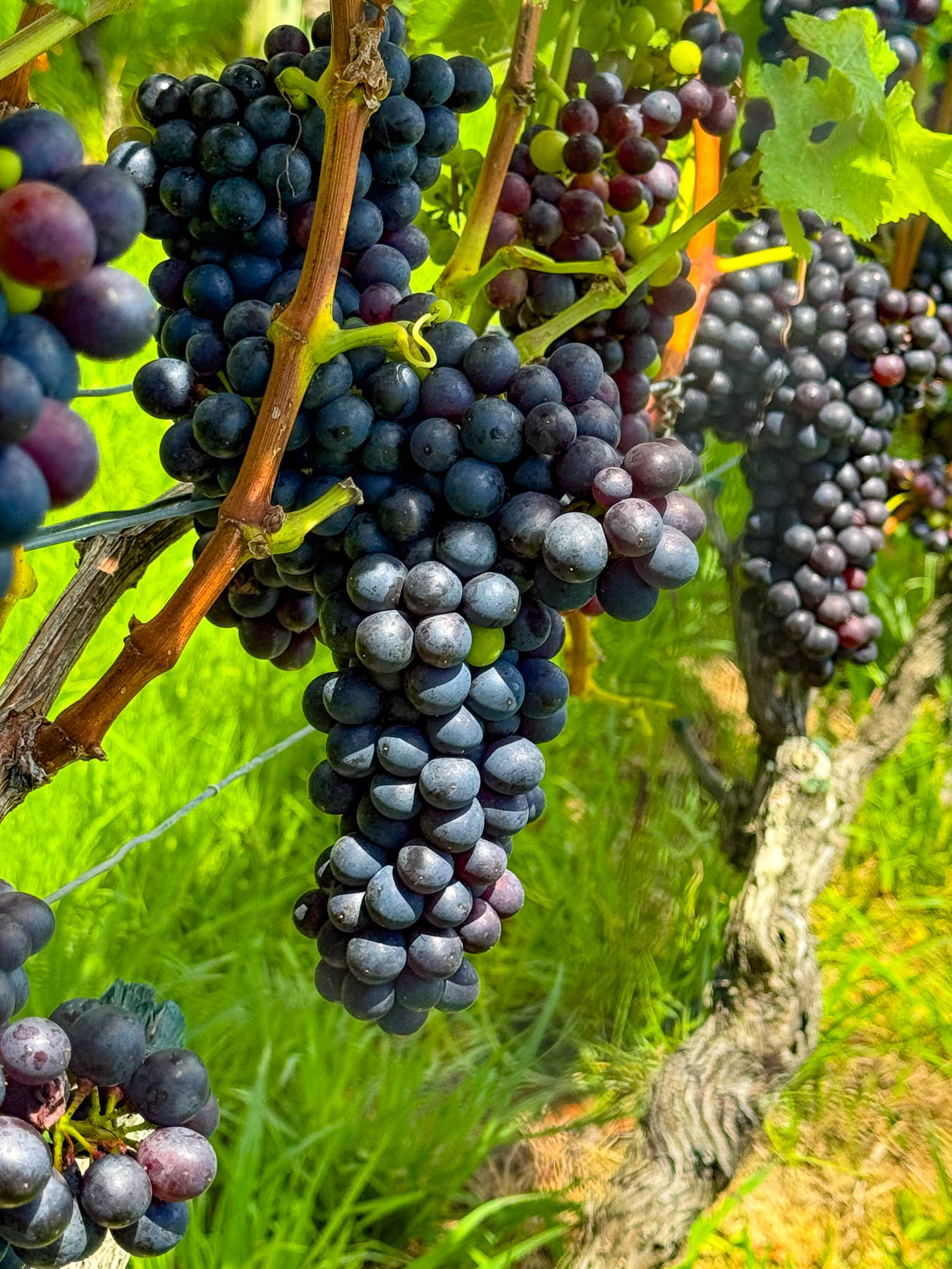
Wines from the first vineyard on the island in the early 1980’s were a success and more winemakers followed, drawn to the island’s Mediterranean microclimates and hilly volcanic landscape which affords an array of terroirs. The island is perfect for growing the red grapes for Syrah, Merlot, Cabernet Sauvignon, and Malbec. Along with plantings of the white grapes for Chardonnay, Pinot Gris, Viognier & Sauvignon Blanc.
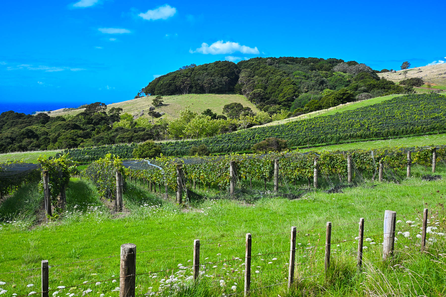
Today there are over thirty boutique wineries of various sizes with slightly more than 250 hectares (618 acres) of vineyards across the island. Over the years many of the vineyards have produced award winning vintages which have put Waiheke Island on the map as a destination for wine connoisseurs, much like Sonoma Valley in California or the Bordeaux region in France. And on the island, there is small infrastructure in place to support the popular tours of the vineyards for folks visiting the island from the Auckland mainland just for the day that starts and ends at the Matiatia Wharf ferry terminal. For a formal tour with a guide try the Waiheke Island Wine Tour  or for a self-directed tour try Western Explorer: Waiheke Island Hop-on Hop-off Bus Tour. The Waiheke Bus Company also offers a local service with five routes that starts from the ferry landing and covers the most populated western side of the island, passing some of the wineries along the way. The Waiheke Wine Growers Association also has a nice interactive map that shows the location of all the wineries across the island.
There are not really any centrally developed shopping areas on the island, aside from the short strip of stores along the road in Oneroa, where multiple restaurants, a small grocer and a liquor store can be found. While the only supermarket is a Woolworths in Ostend, centrally located village on the island. Instead, small cafes and art galleries can be found unexpectedly at random crossroads anywhere across the island.
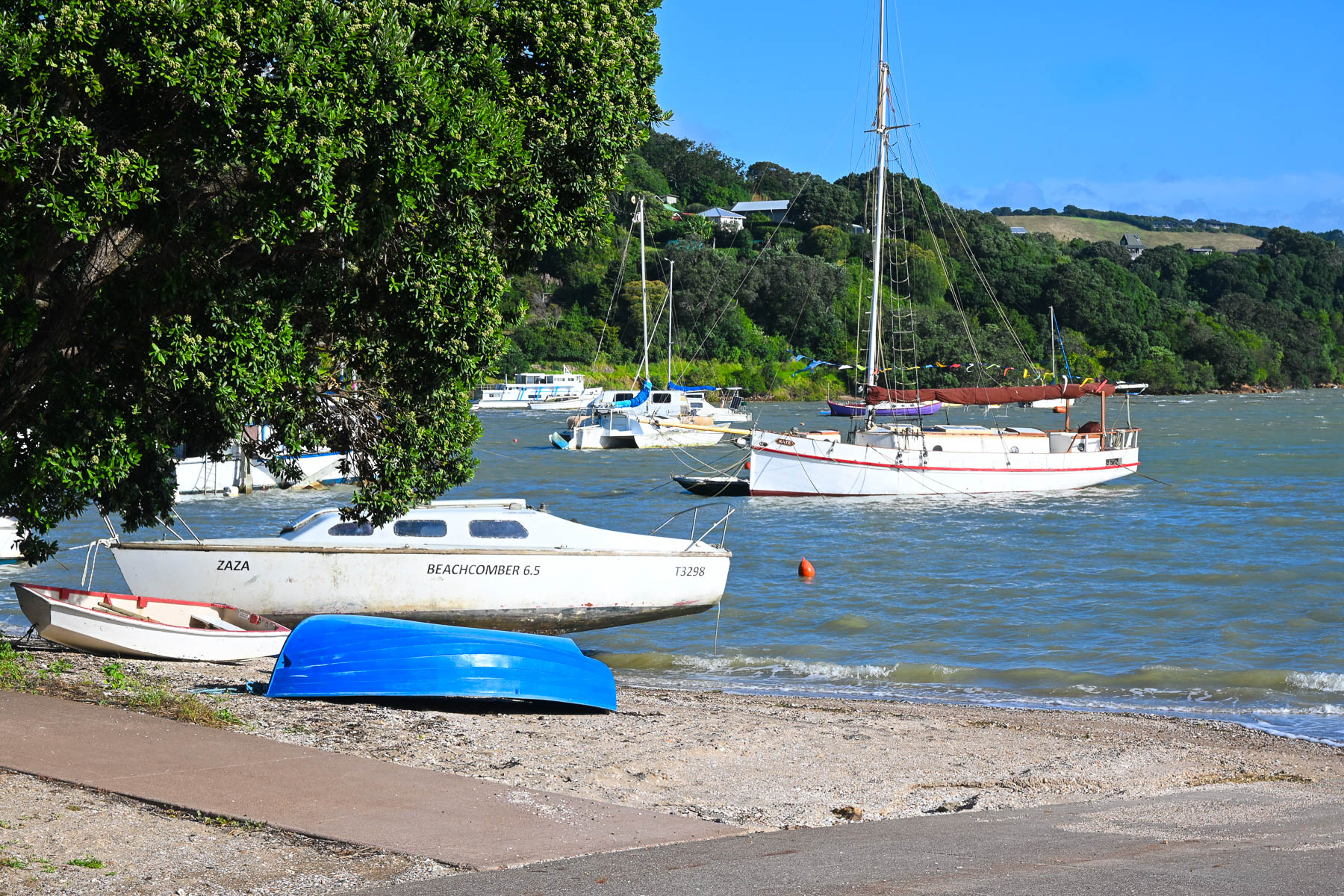
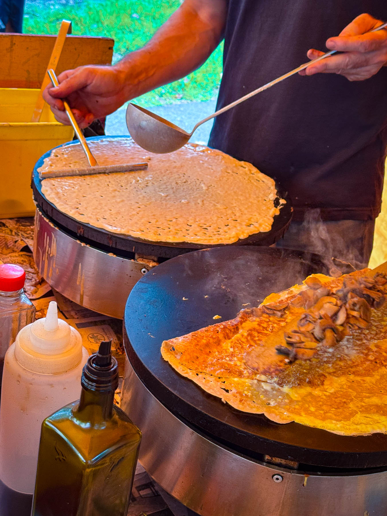
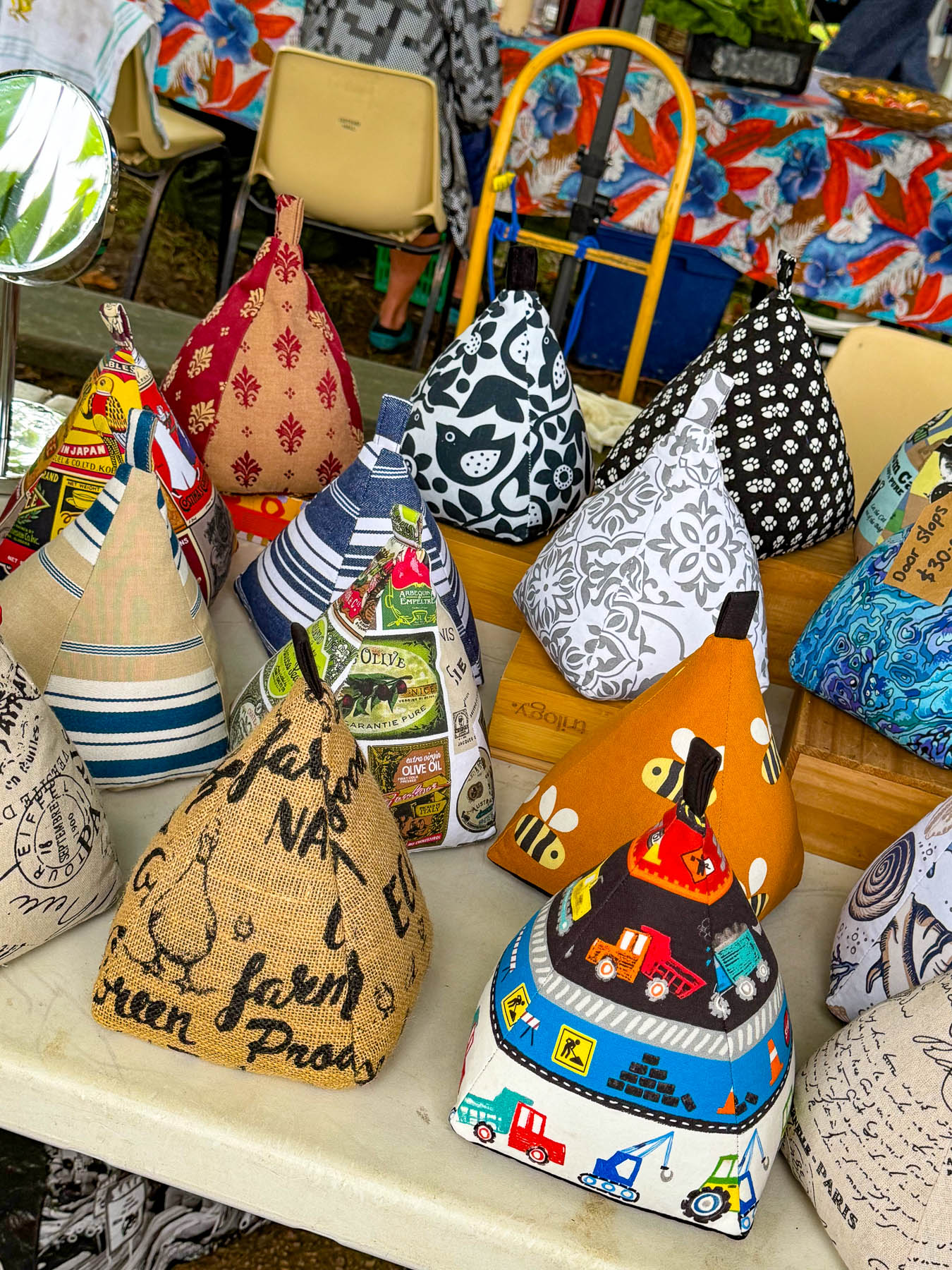
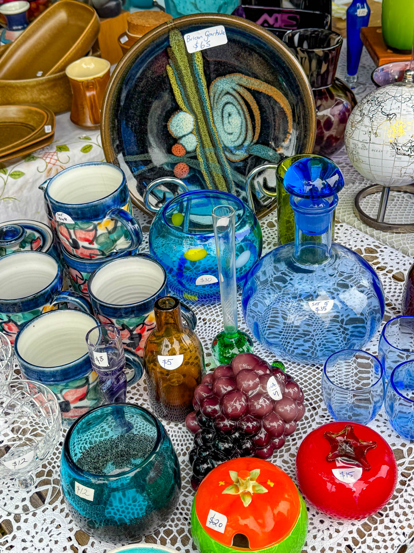
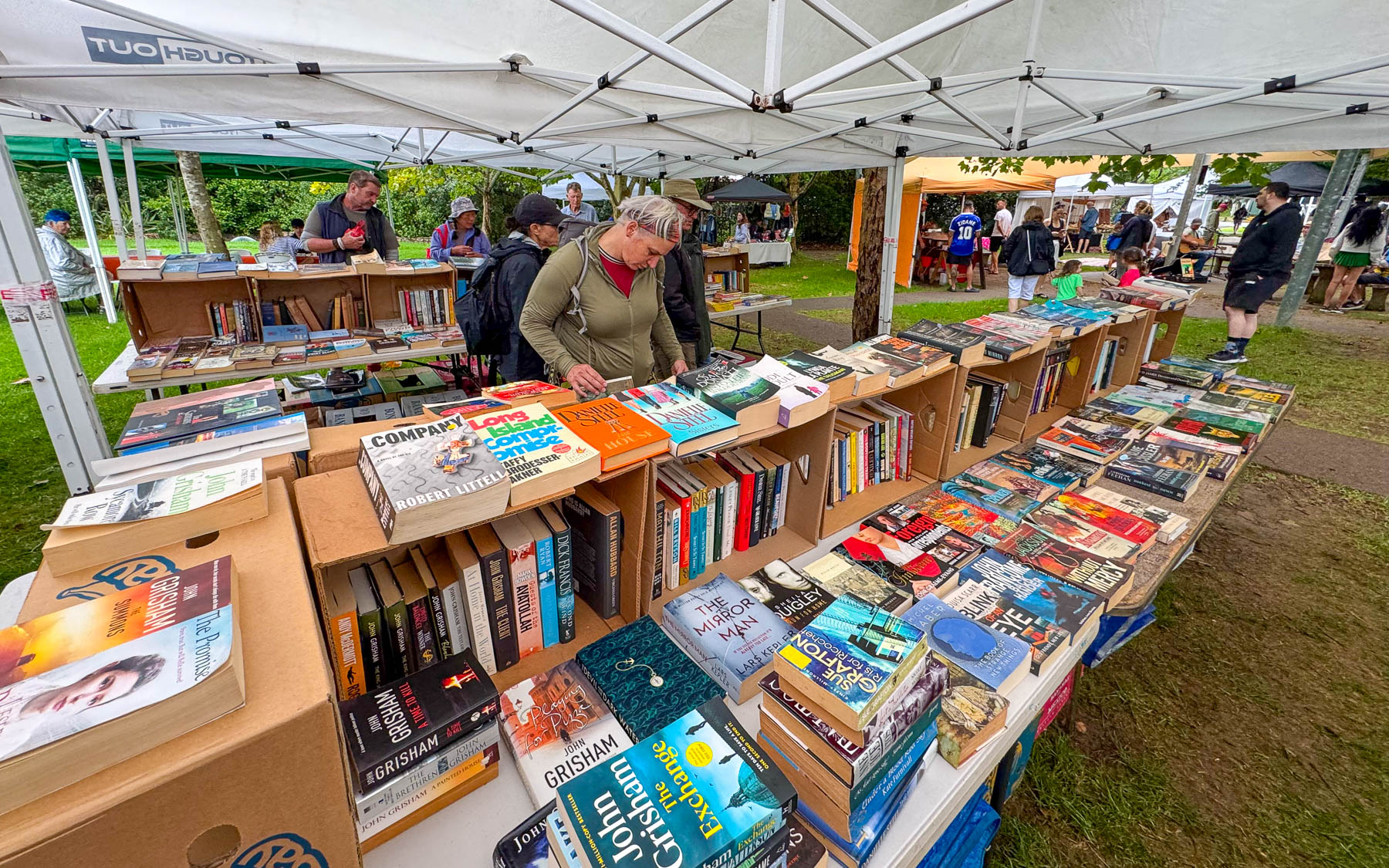
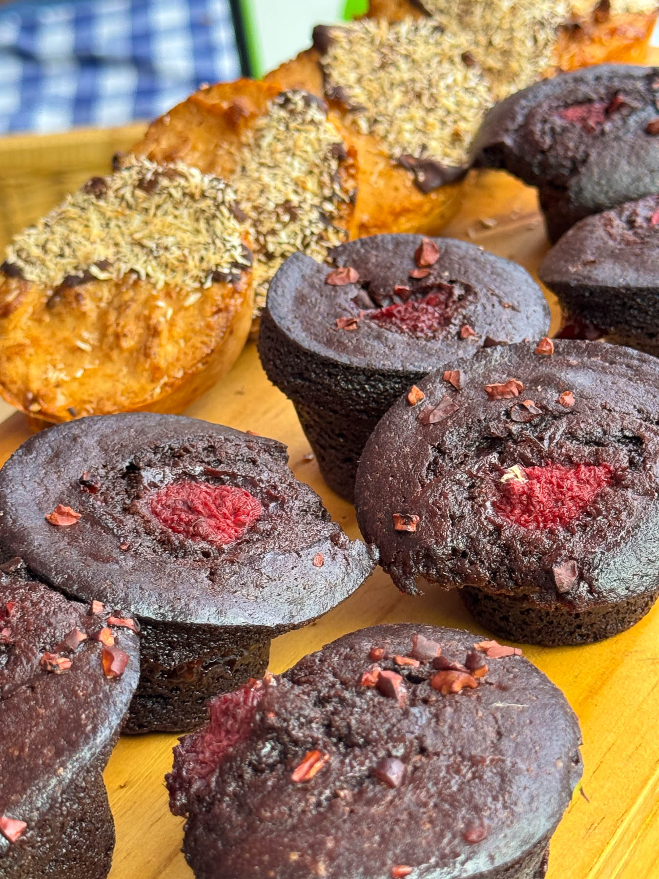
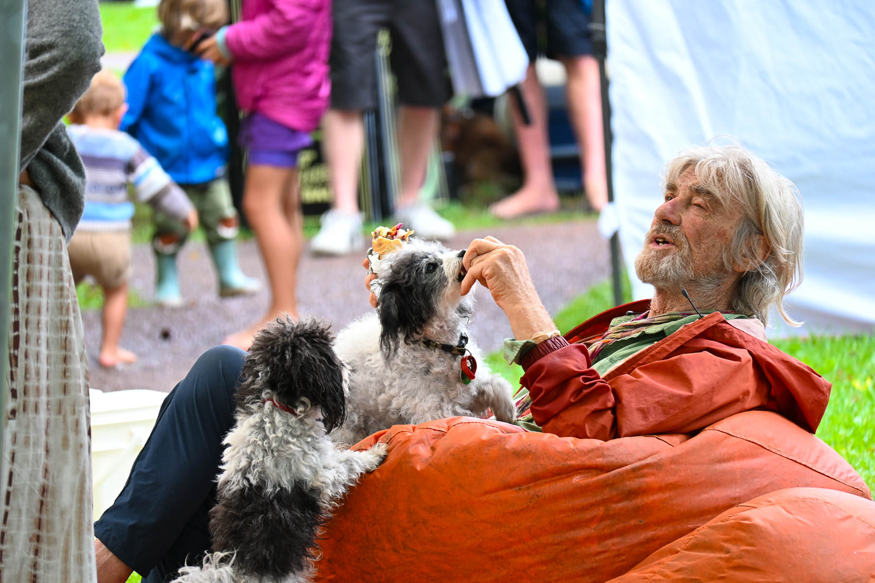
The next morning, we crossed the causeway over Putaki Bay and stopped to photograph some boats which were beached along the shoreline for repairs as we headed to the Waiheke Ostend Market. It’s the island’s year-round Saturday only farmers market, that is open from 8AM-1PM. Part social club and marketplace it is a spot where folks catch up with friends and island news while relaxing on bean bag cushions as they listen to a local band. It was not a particularly large event, but there were several stalls for coffee, breads, pastries and crepes, along with vendors selling books, ceramics, clothing, jewelry, and antiques. A downpour sent us into Take a Bite, Café & Pastries across the street for another cup of coffee as we waited out the rain. Everything in their display case looked delicious.
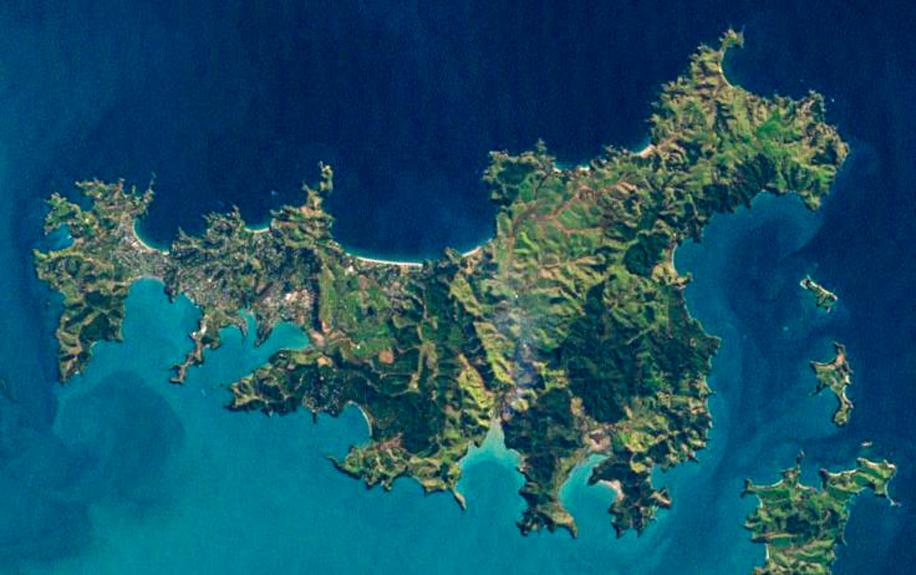
Afterwards we set out to explore some of the island’s northern beaches. The island is only 19.3 km (12.0 mi) long and varies in width from a narrow .64km (.4mi) at Oneroa near the western end the island to 9.65 km (6 mi) wide on eastern side of the island or “The Far End,” as islanders like to call it. An aerial view of the island reveals a squiggly 134 km (83 mi) coastline with multiple coves and 25 miles of sandy beaches.
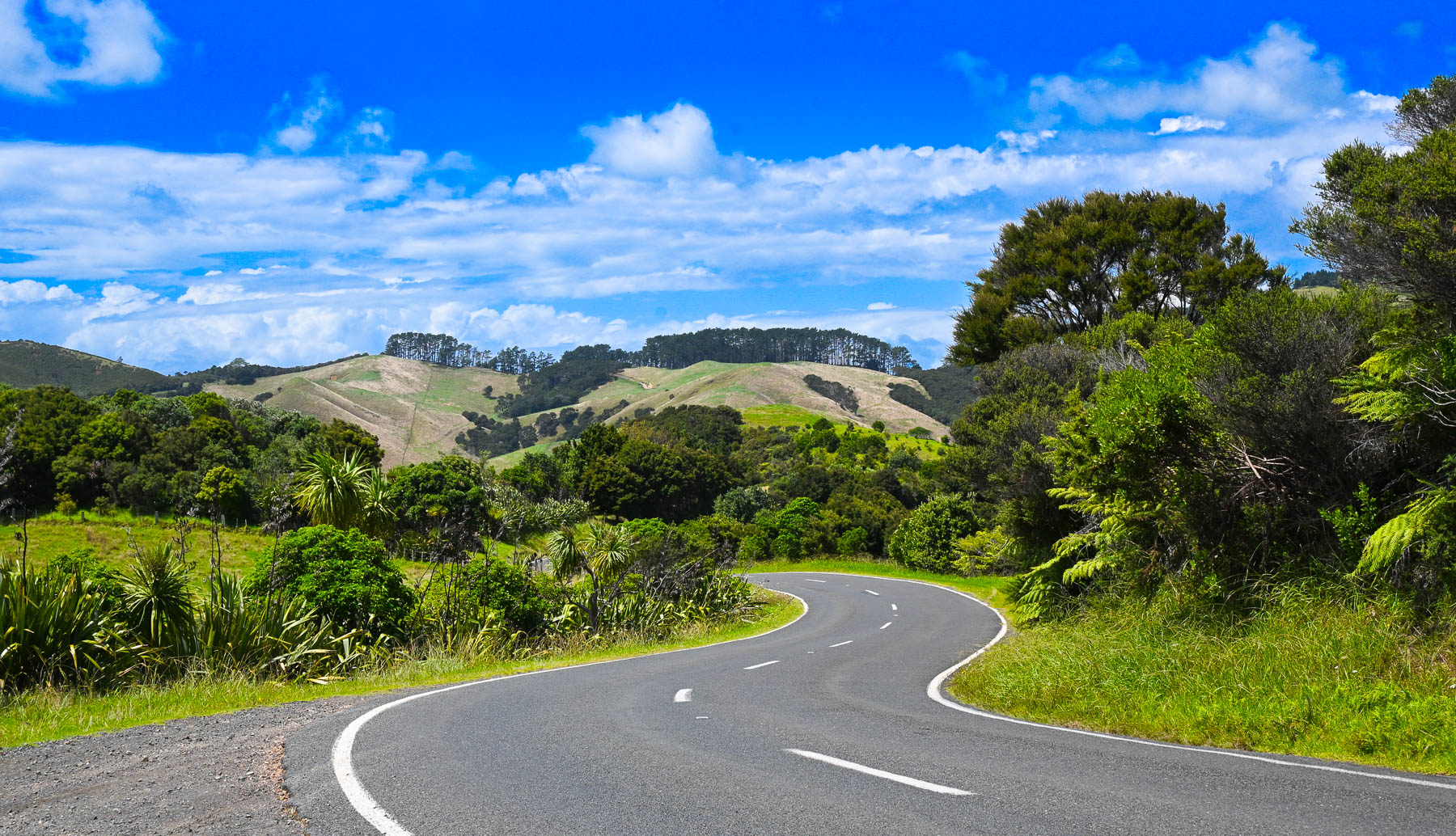
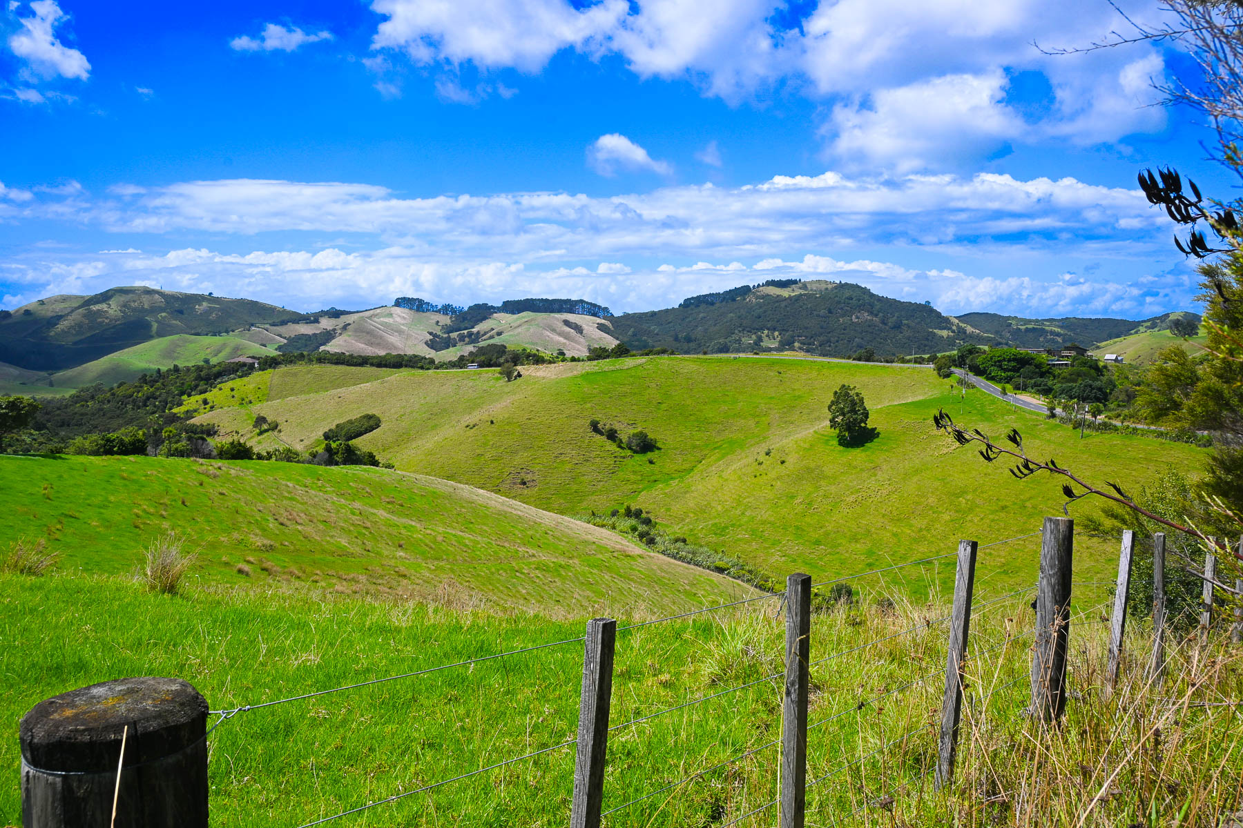
Though it’s a slight exaggeration, there’s not a straight road anywhere on the hilly island, so it took a while to get between points on the serpentine roads. Sudden rain squalls occasionally interrupted our wandering, on an otherwise mostly sunny day. The views of the countryside were beautiful, but often the roads were too narrow to stop safely to take photographs. Wild fig trees full with ripe figs grew along the roadsides.
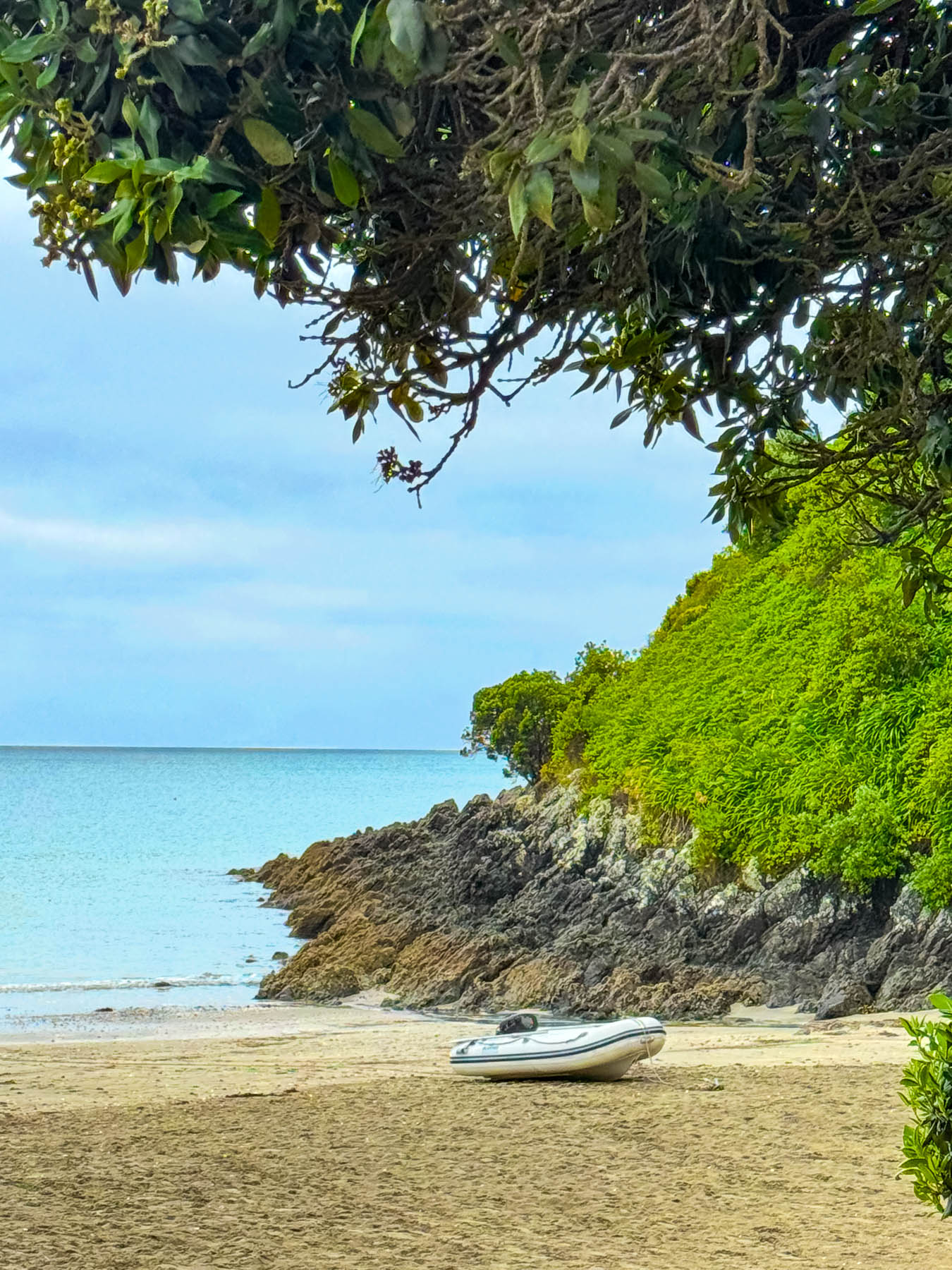
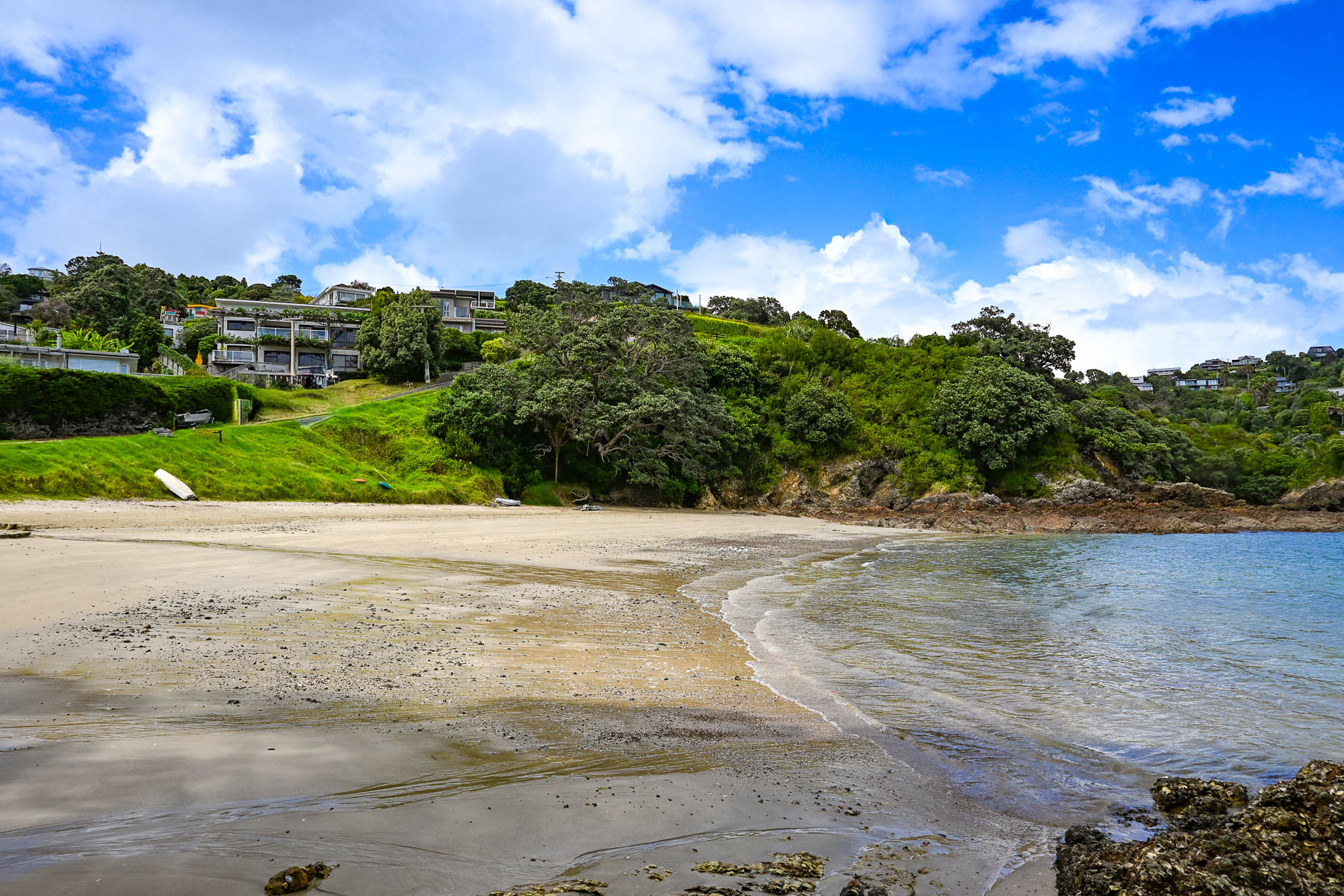
Our first destination was Sandy Bay Beach, a small swatch of sand surrounded by volcanic rocks, a with boat ramp. Continuing along the Great Barrier Road, we stopped at the top of a steep driveway that afforded a good view of Palm Beach and the north coast receding in the distance. Reaching the beach, we watched two sailors launch their dinghy from the shore and row across the calm water to their anchored yacht. A block back from the beach was the restaurant Arcadia, where we enjoyed a very nice mid-afternoon lunch.
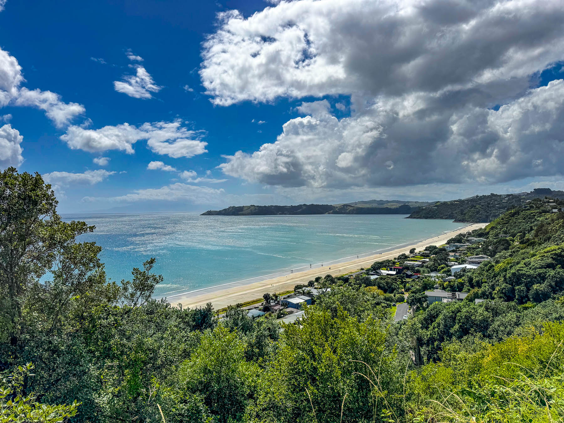
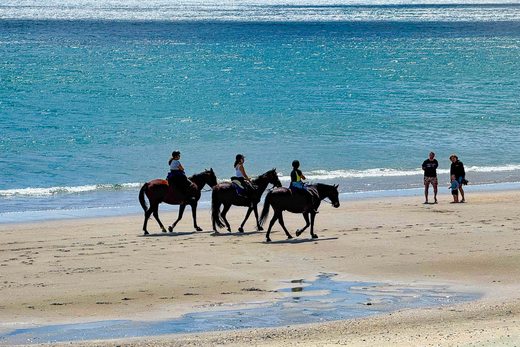
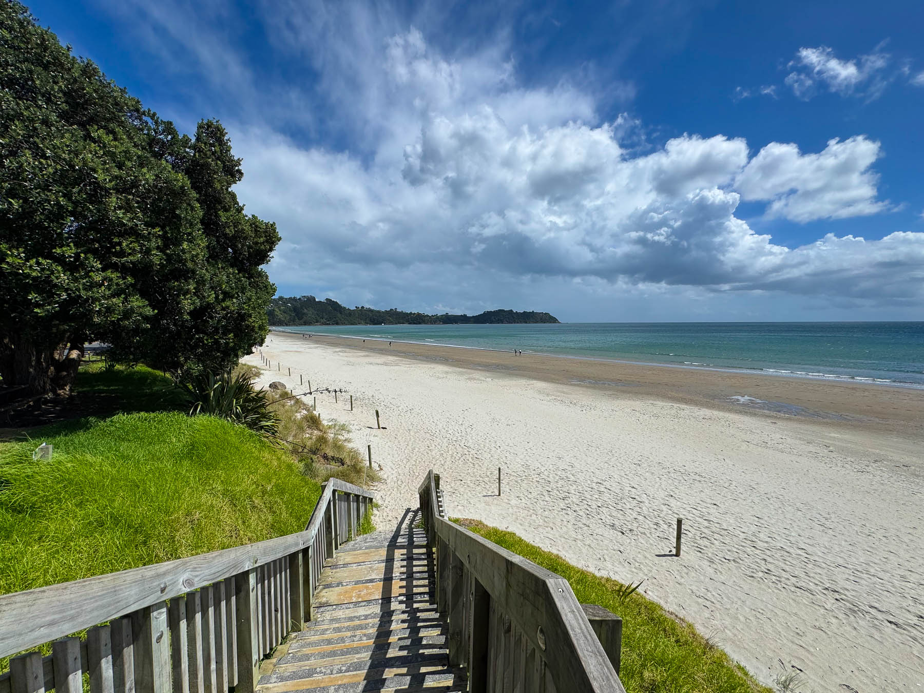
By the time we reached Onetangi Beach later that afternoon the weather had committed itself to be brilliantly sunny. Stretching for about 2 km (1.25 mi) along the coast it’s the island’s longest and widest beach, with shell free sand that is perfect for the annual sandcastle building contest. It’s also a popular beach to arrange a guided horseback ride with the local stable Waiheke Waiheke HorseWorx.
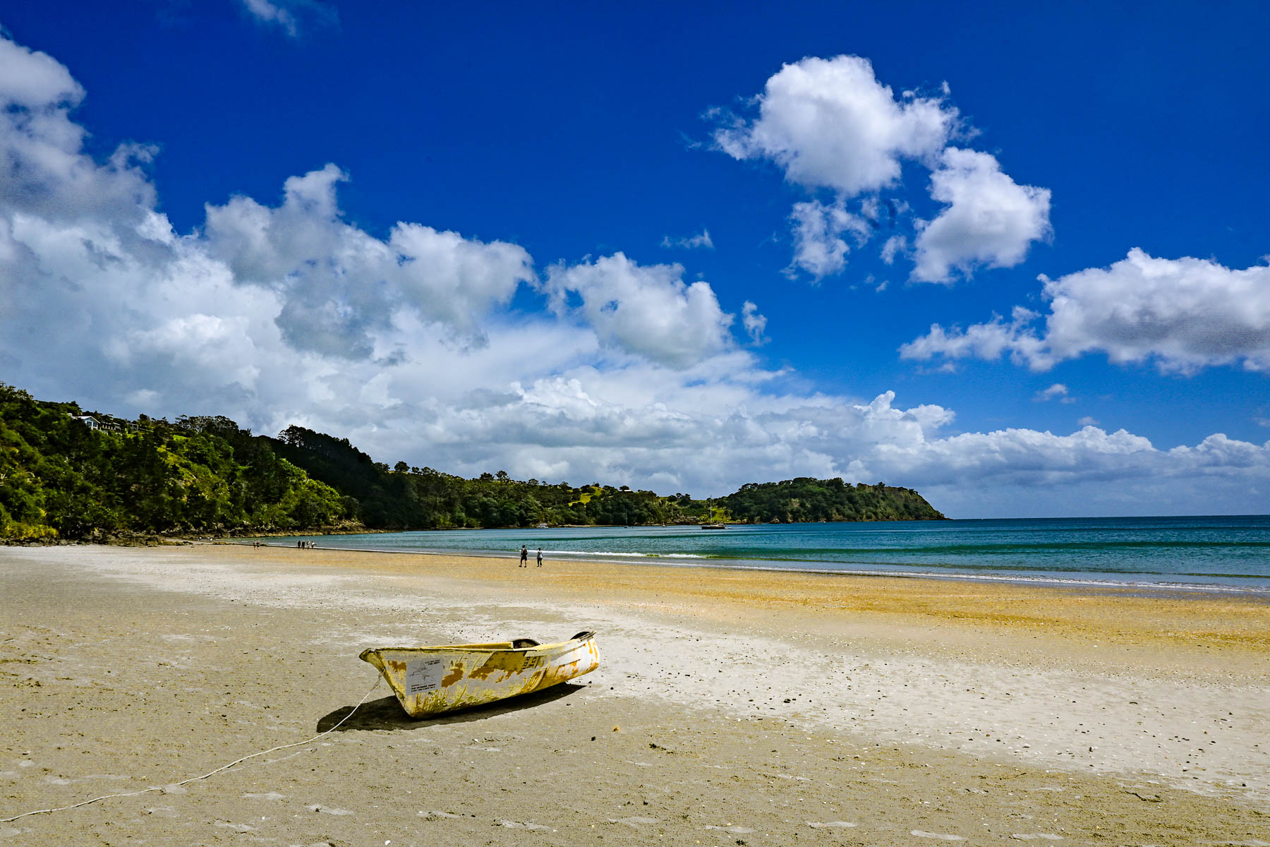
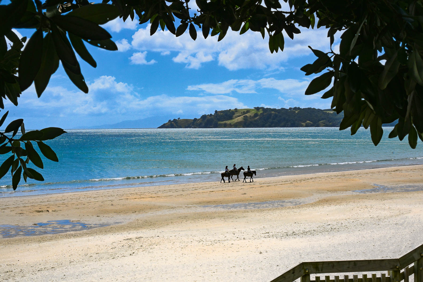
A narrow road with limited parking paralleled the shady shoreline. Across the road from the water were several restaurants with outdoor terraces that were very busy with customers. On a hill high above the beach is the restaurant Casita Miro; it’s a festive place with great tapas style cuisine and nice panoramic views, that was highly recommended. Alas, it was a missed opportunity, which we unfortunately didn’t get a chance to dine at.
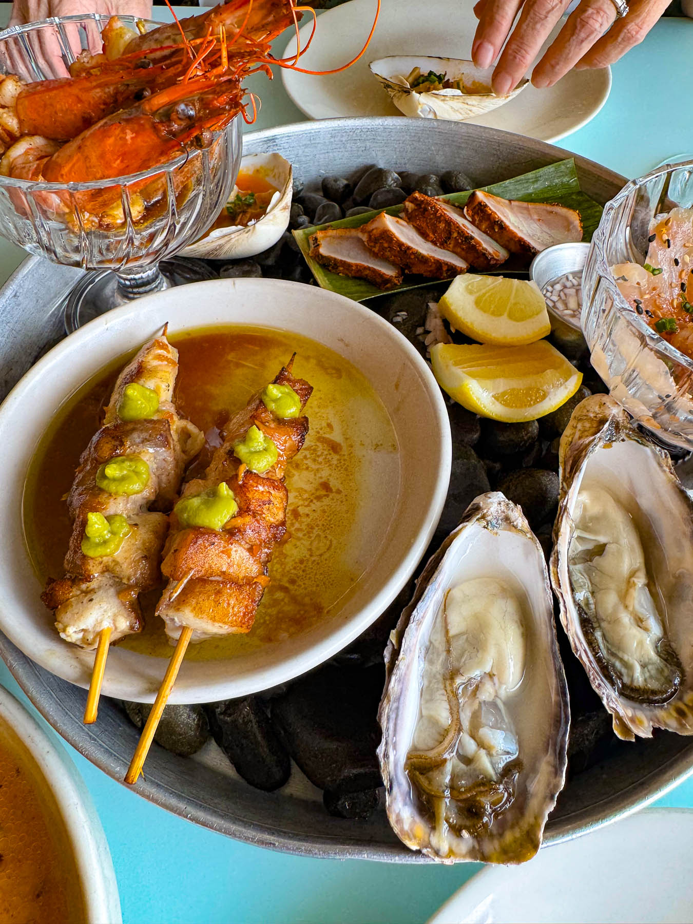
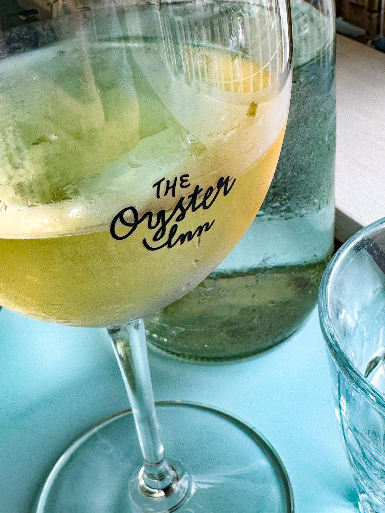
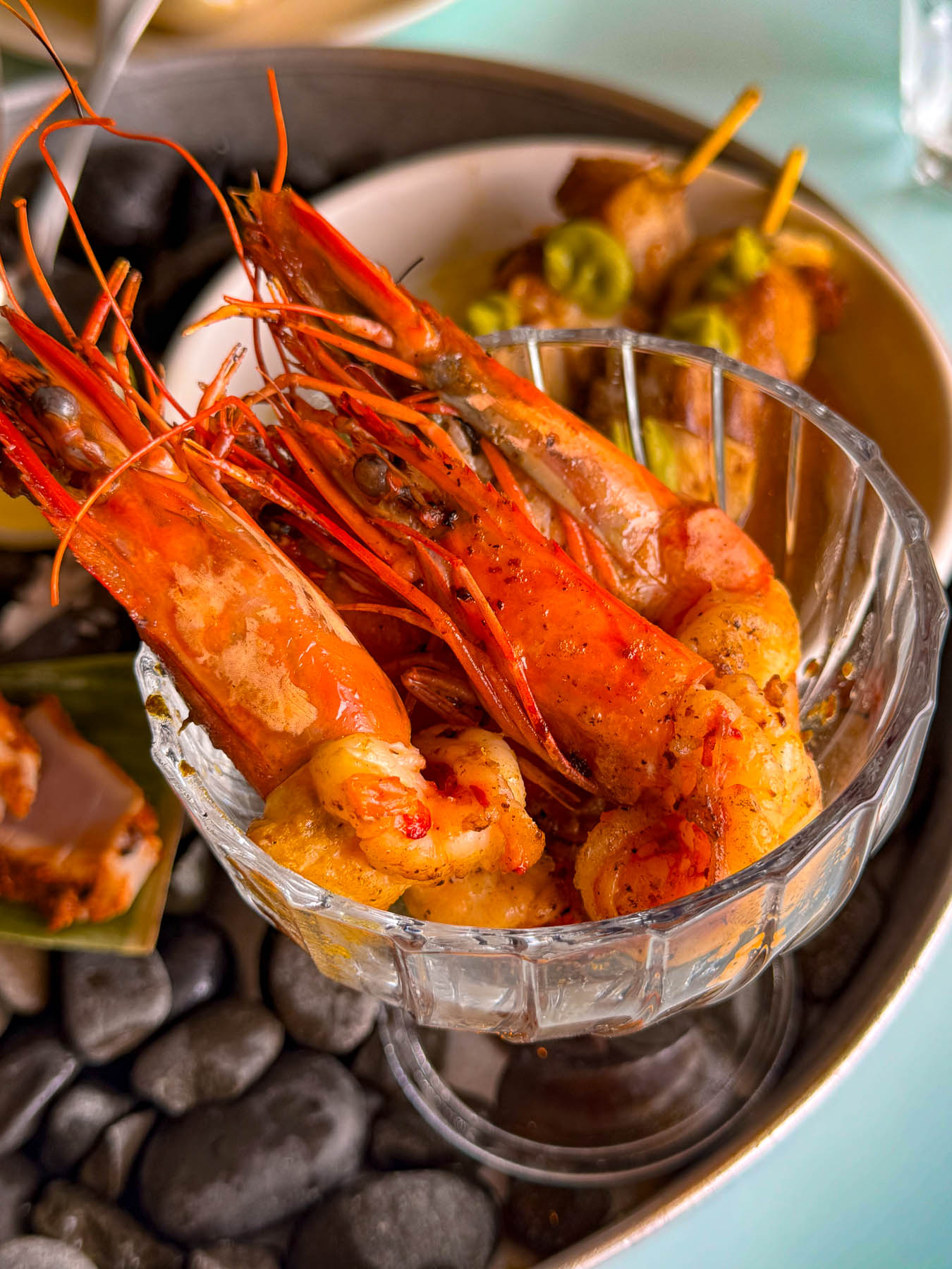
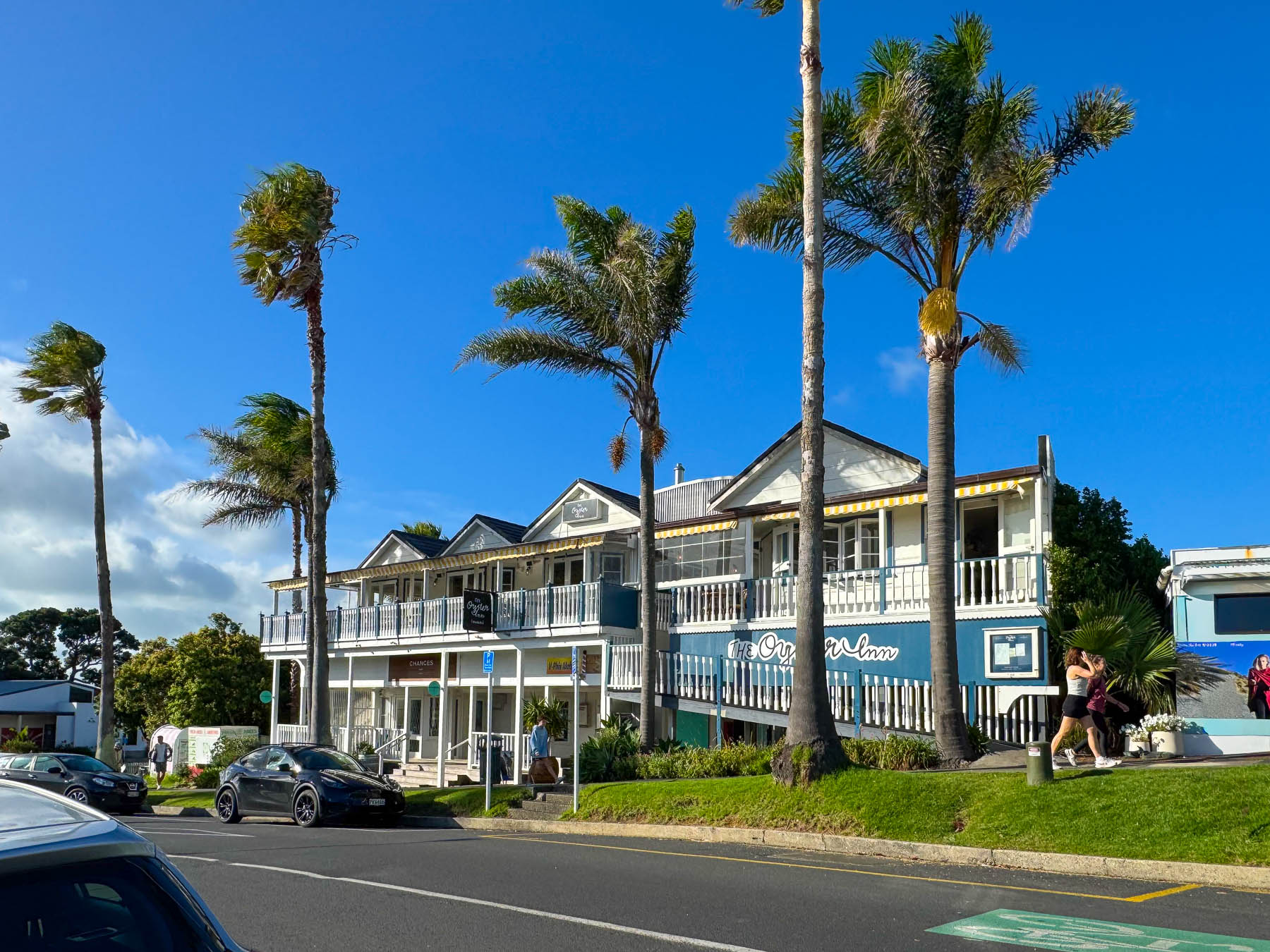
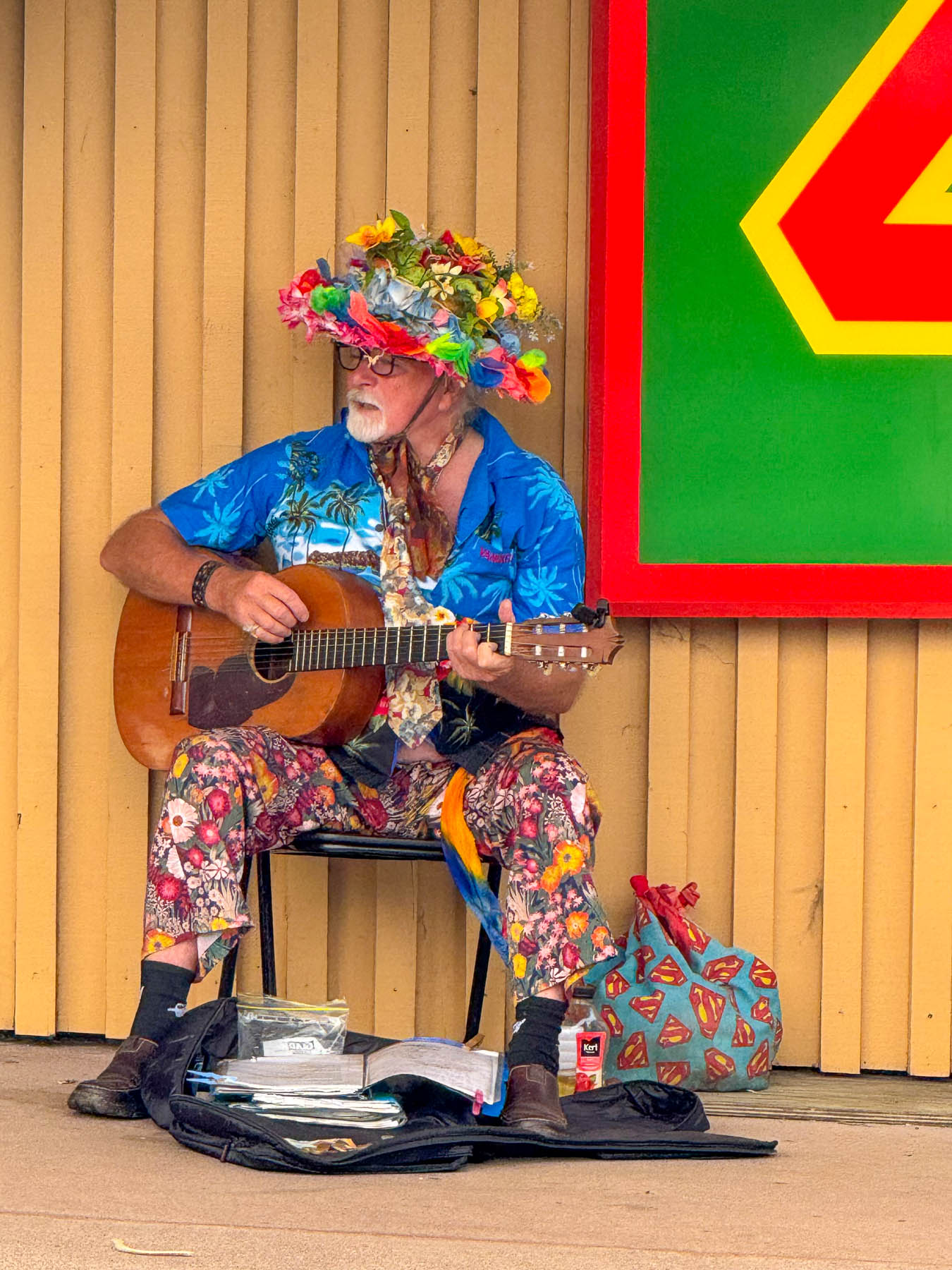
Later, back in Oneroa we celebrated Valentine’s Day with a seafood platter and local white wine on the veranda at  The Oyster Inn, which is co-owned by the New Zealand celebrity chef Josh Emett and his wife. Emett notably trained with Gordon Ramsay and was a judge on Master Chef New Zealand. As the restaurant’s name suggests, local Te Matuku oysters raised in the pristine waters of the Te Matuku Marine Reserve at the southeast corner of Waiheke Island in the Hauraki Gulf are a prime feature on the menu. While we dined, we could hear the guitar of a valiant busker performing across the road, keeping his old hippie days alive.
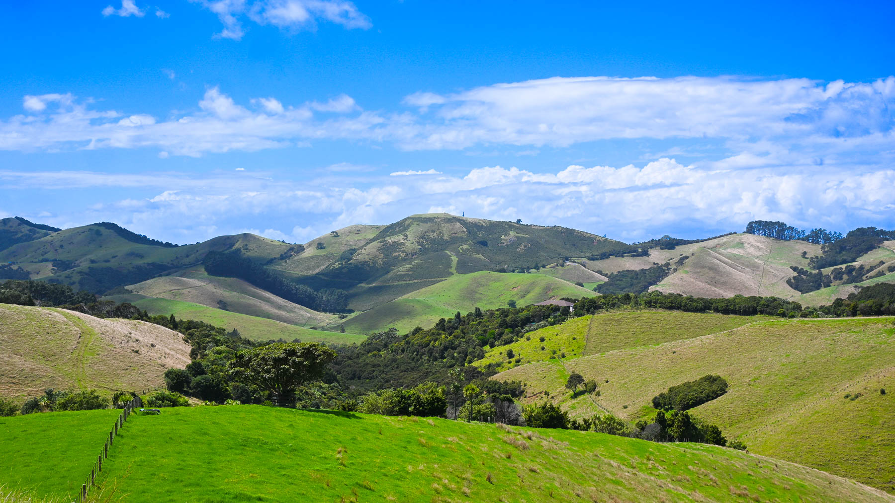
The next morning, after another one of Diane’s fabulous breakfasts we headed out to explore the eastern part of the island, with two wineries – the Jasper Ridge Estate and Man O’ War Vineyards. The later was a recommendation by a friend of ours from the states who had recently returned to the South Island to care for her aging mother, and enjoys vacationing on Waiheke.
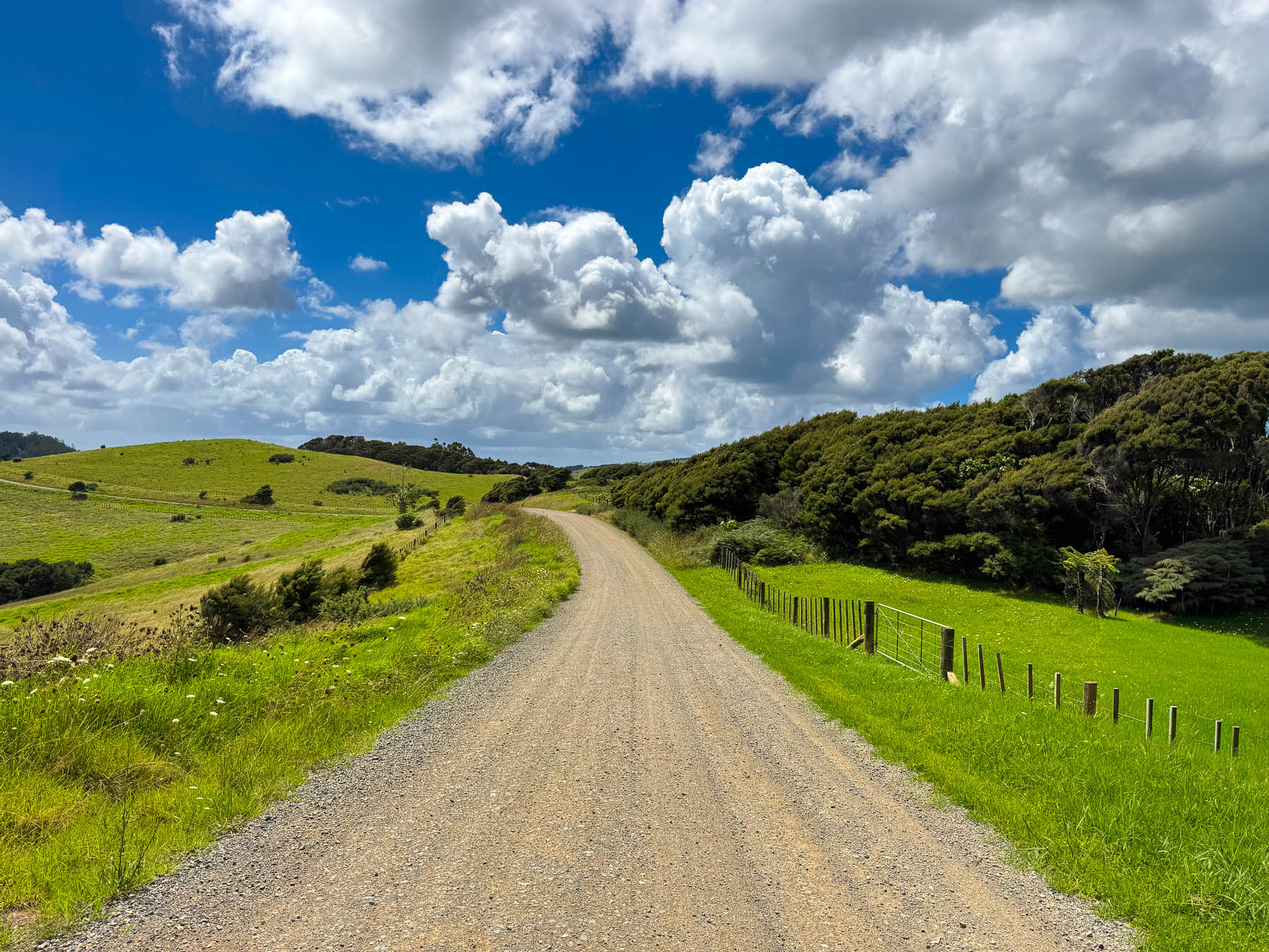
It was a gorgeous ride through rolling grasslands dotted with sheep, stream crossings over narrow one lane bridges, tunnels of tall mamaku fern trees, and our first kiwi crossing caution sign, warning of the nocturnal flightless birds that were reintroduced to the island in 2025. We never spotted one. Turning off Orapiu Road onto Cowes Bay Road we were suddenly on a gravel tract.
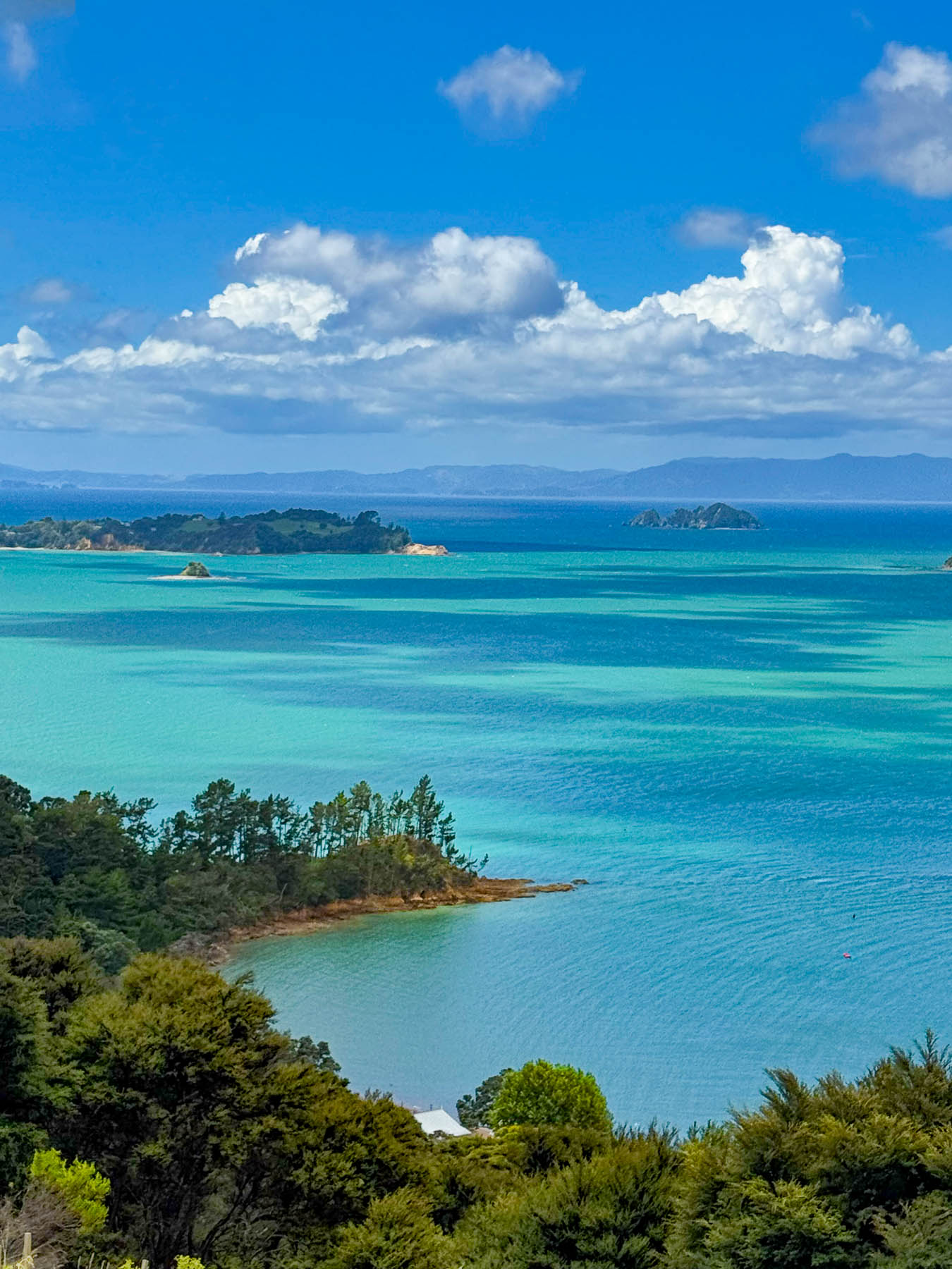
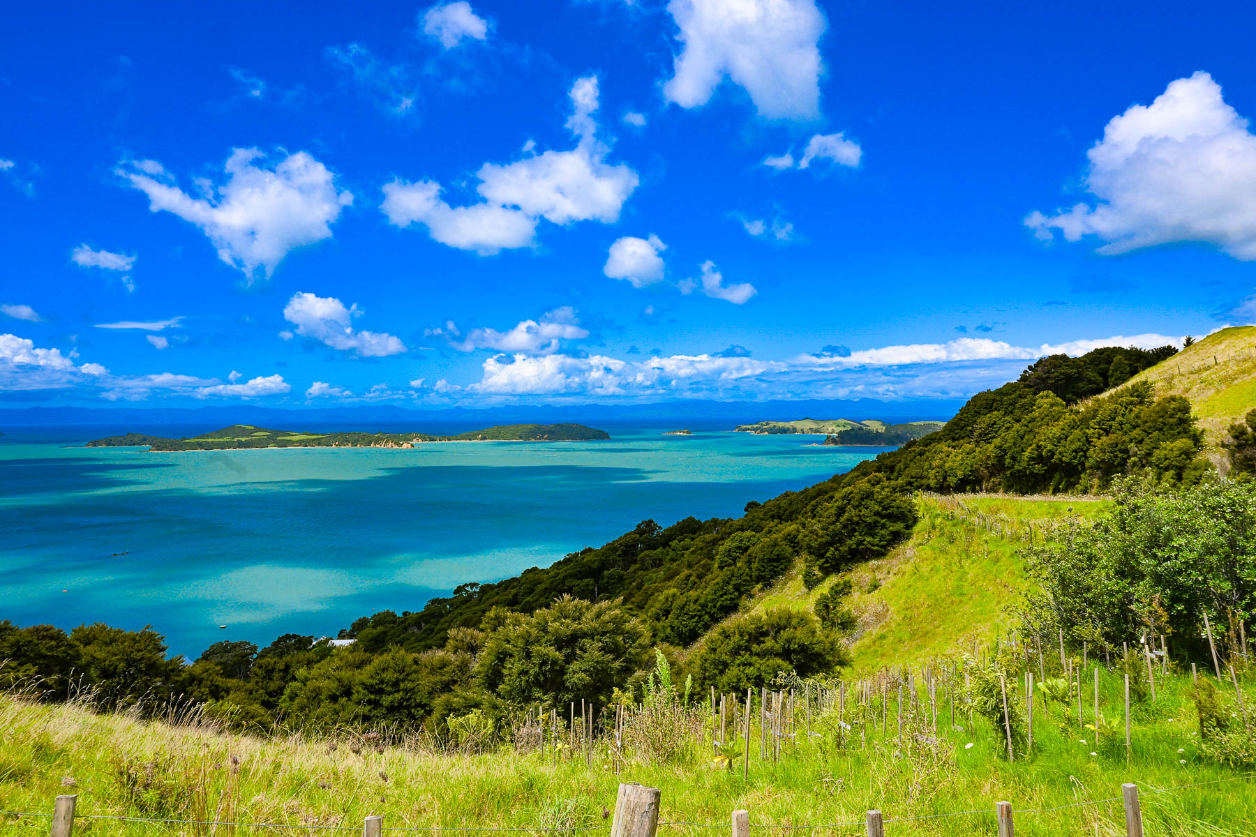
The island has a total road network of approximately 100, mostly paved miles, however a high percentage of them are compacted gravel, especially on the way to the Stony Batter Historic Reserve on the rugged north-eastern tip of the island. As the road rose the view transformed into a majestic panorama of land, sky and sea. To the east the Coromandel Peninsula, 55 km (34 mi) away, was a barely visible stroke of grey on the horizon.
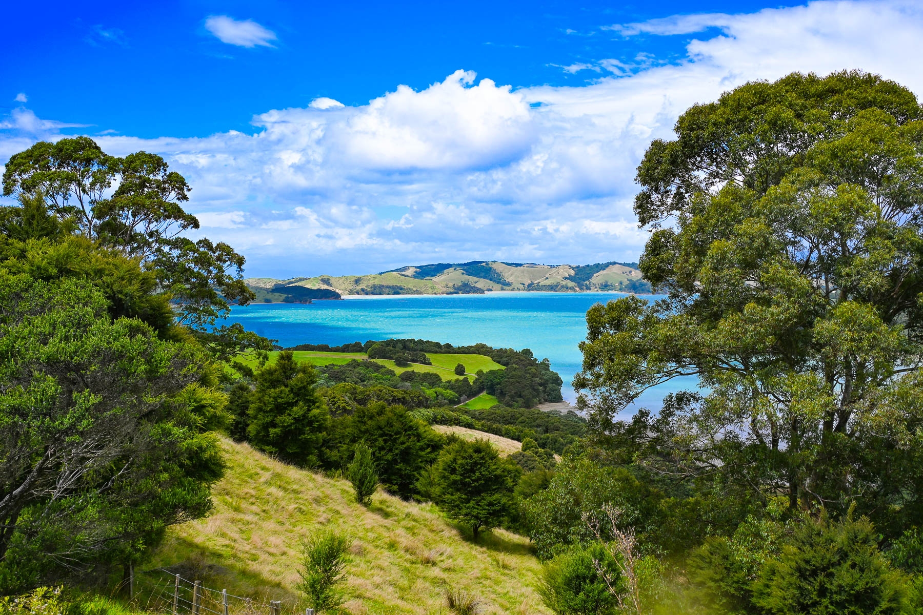
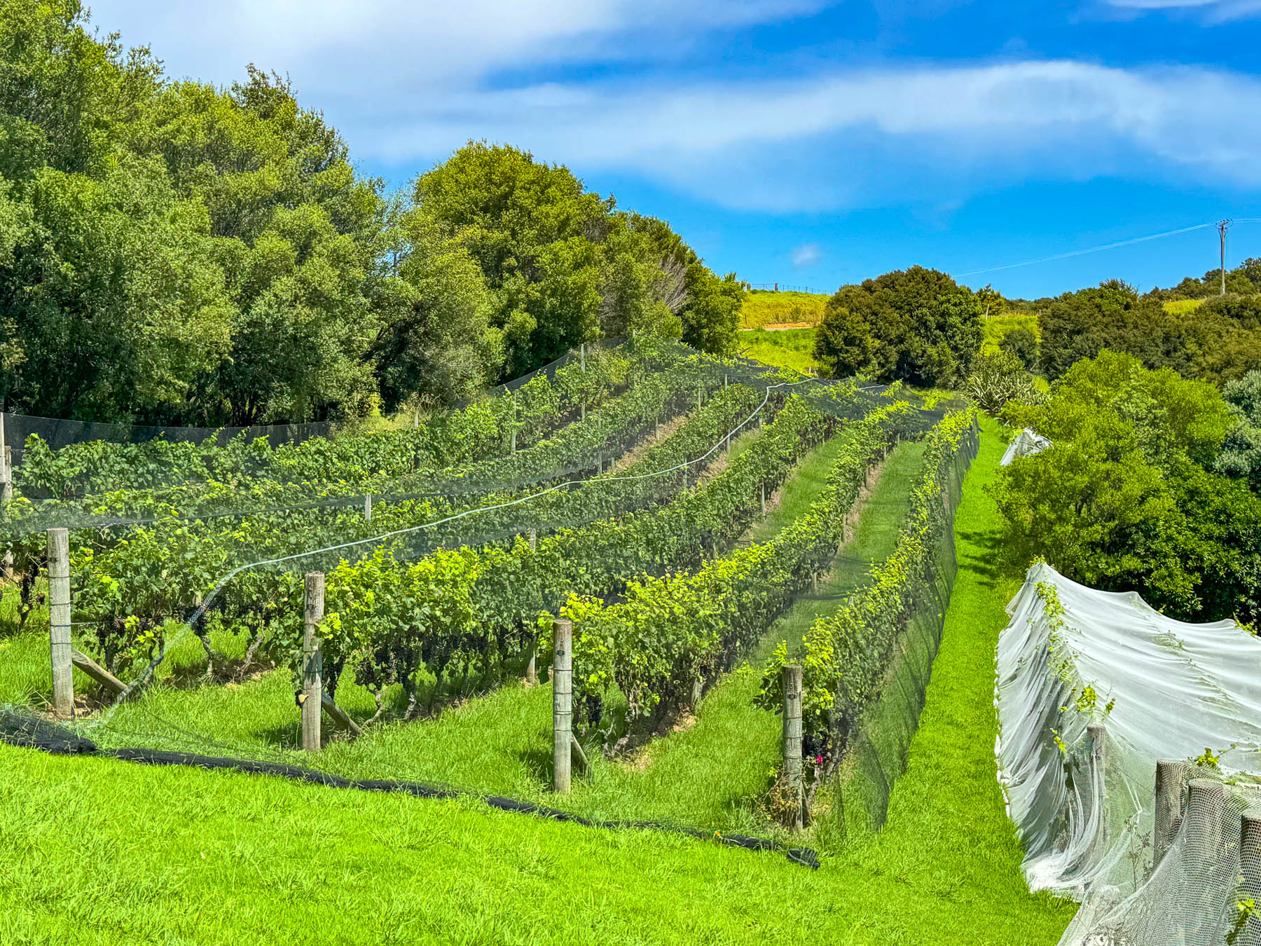
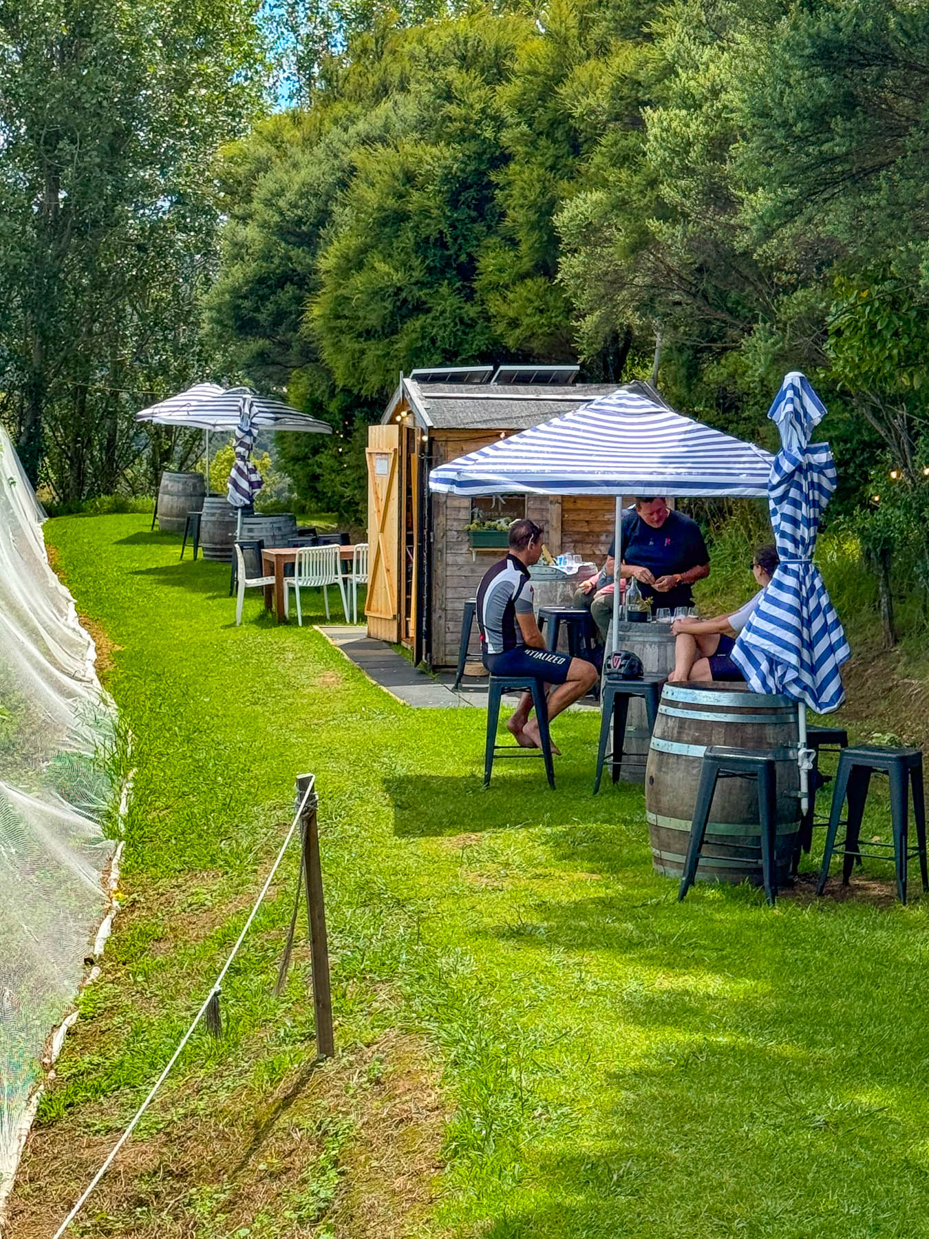
At the entrance to the Jasper Ridge Winery the views of the seascape were extraordinary. Owned and operated by David Bishop and Derek Ireland, Jasper Ridge is one of Waiheke’s smallest wineries, with 4000 Syrah vines planted on one hectare (2.5 acres), where they craft very small, limited-edition wines. But they have earned a lot of prestige, having won awards with their first vintage in 2023 for their Single Vineyard Syrah, and 2025 for their Rosé and Pinot Gris. A rain shower forced us to take shelter briefly under the umbrellaed picnic tables overlooking the rows of grapevines covered with netting to keep the birds away from the grapes almost ready to be picked later that week.
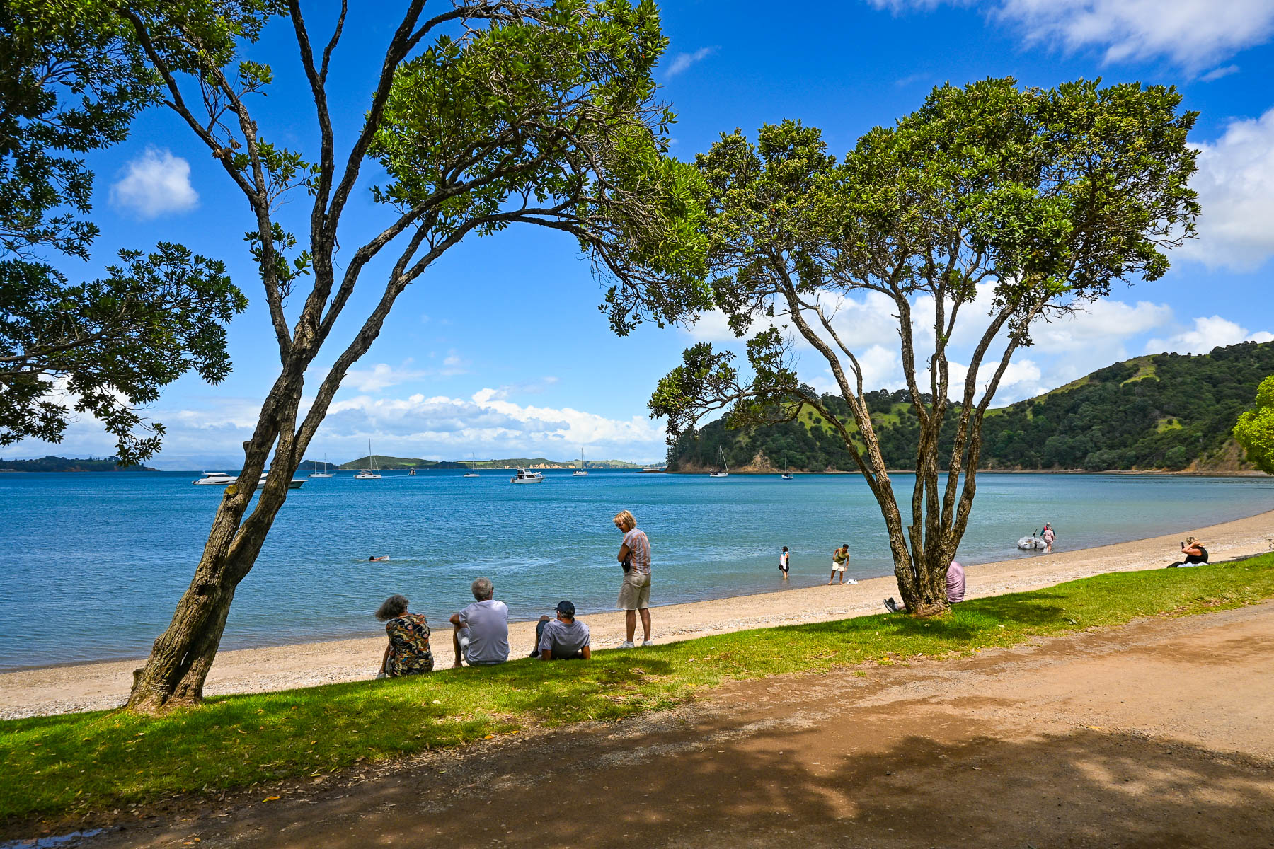
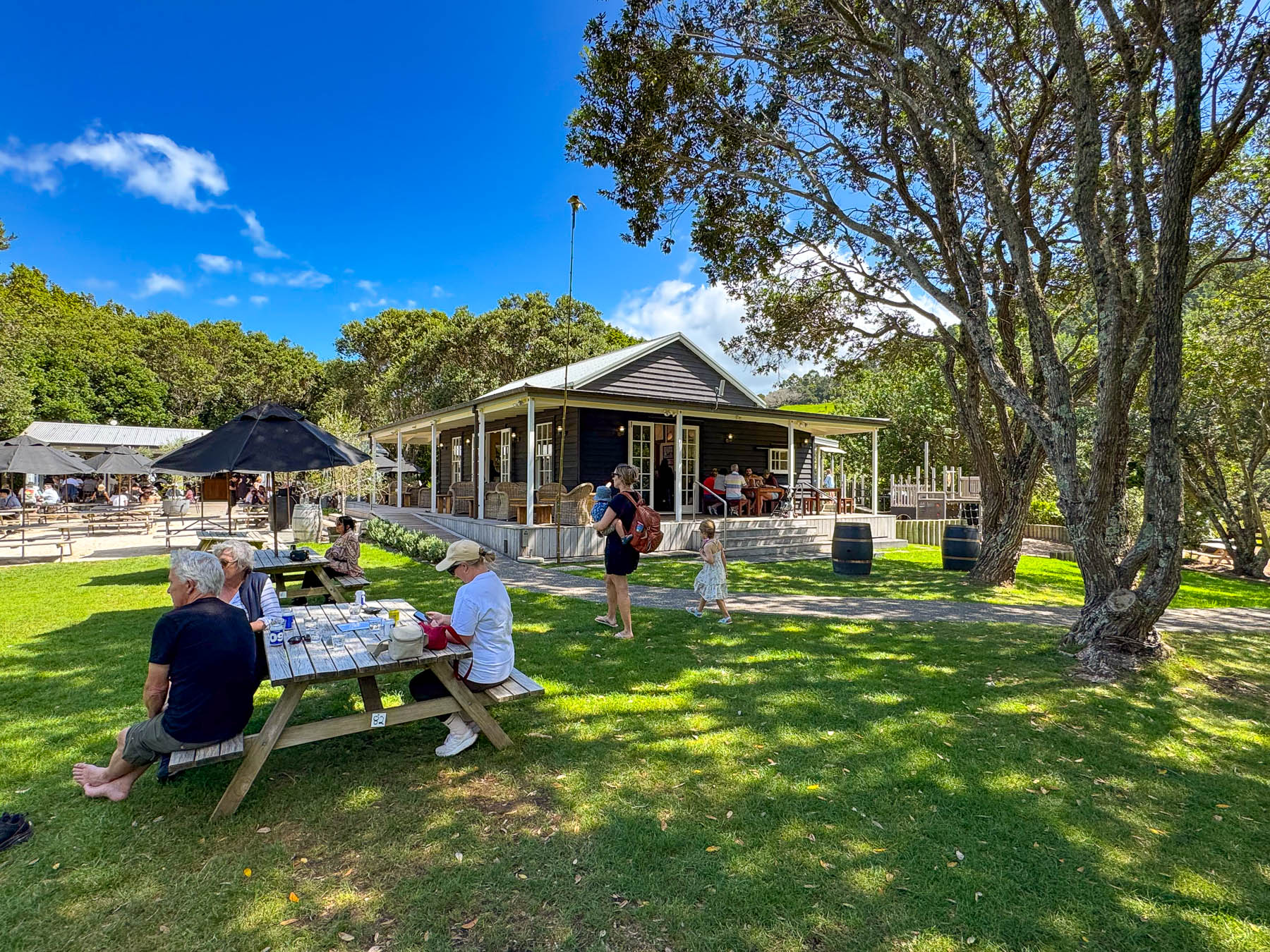
Continuing on the road, we passed through a forest of tall Kauri trees, then dipped into a dry wash strewn with boulders and timbers carried down the steep hillside in a recent flashflood. Reaching the Man O’ War Vineyards, the road leveled out and the view opened to the beach along  Man O’ War Bay with folks swimming, and boaters motoring small dinghies ashore to visit the winery. The winery really is a destination venue, offering wine tours, fine and casual dining, and a kid’s playground. It even has a small white chapel for weddings as well as an adventure sports center that offers ziplining through the forested hillside above the winery, and into the forever happily after for the newlyweds. It’s a big, popular fun spot to visit, and the setting on the bay was quite pretty.
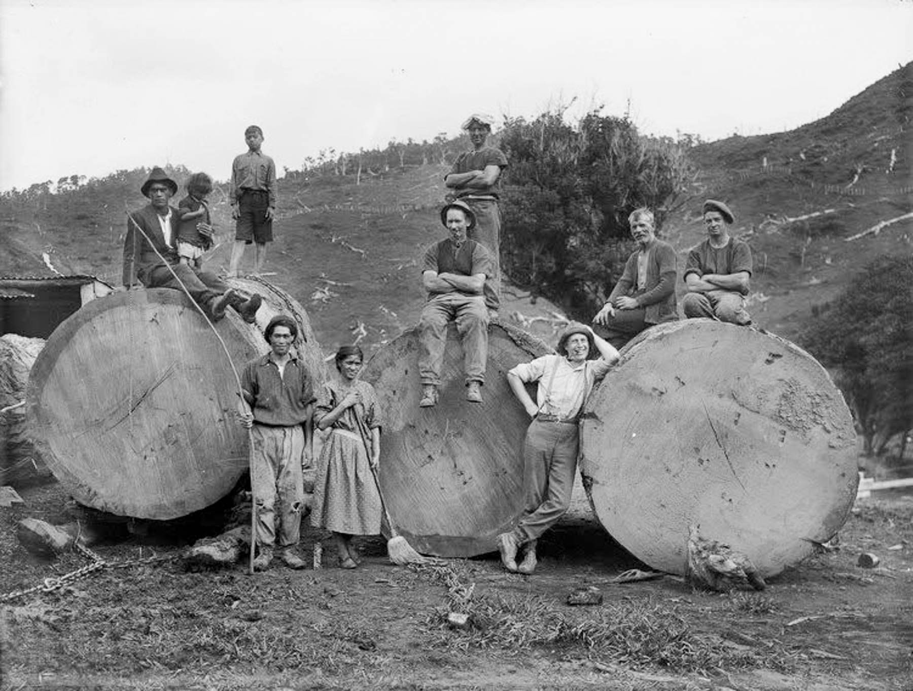
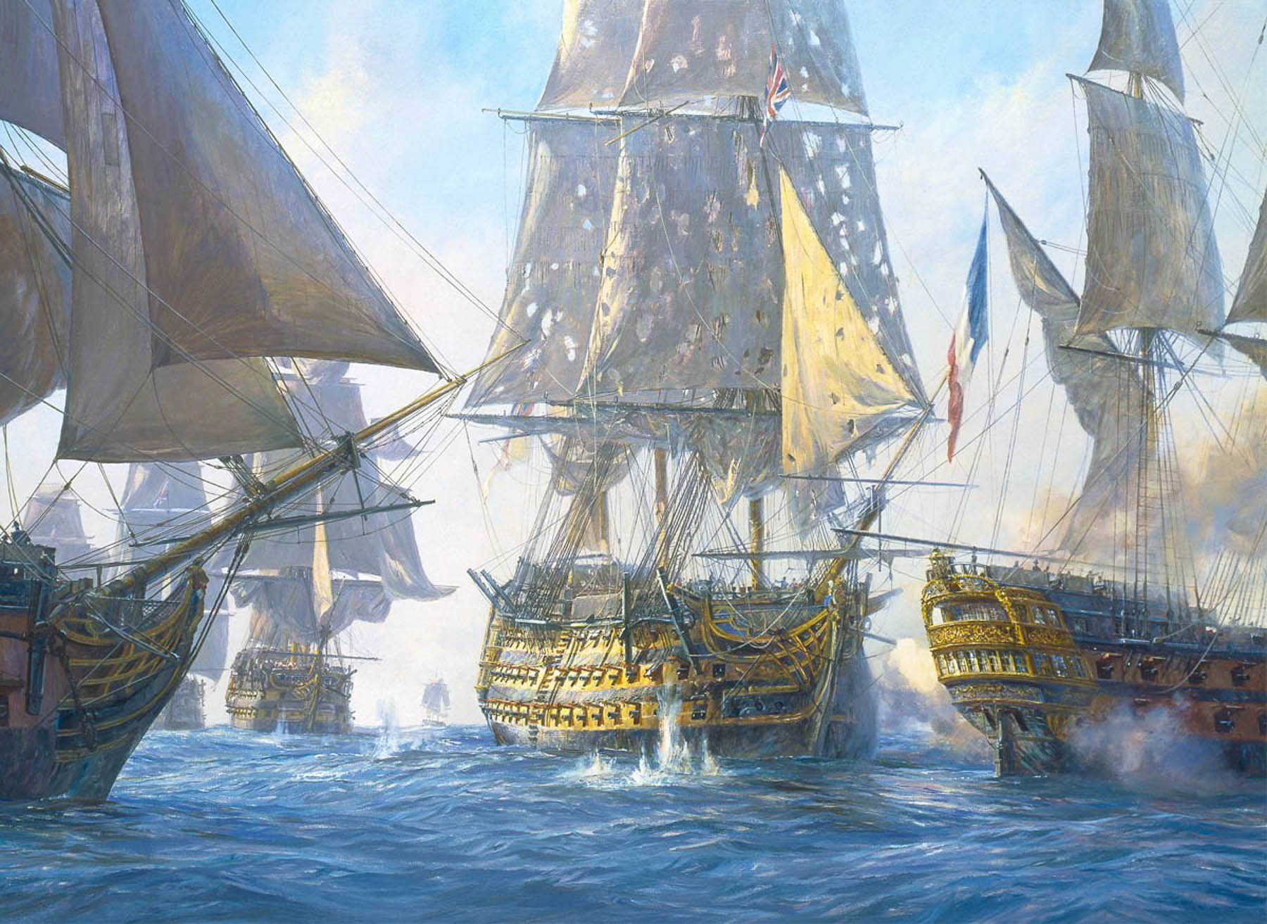
The tall straight Kauri trees, which can live for thousands of years, were noted for the strength of their wood in colony’s early shipping journals, and by the early 1800s Waiheke’s hillsides were being deforested and the wood exported to England to be used as masts for the Royal Navy’s “Man O’ War” warships, which is how the name Man O’ War was bestowed upon the bay. A favorite legend suggests that the masts of Lord Nelson’s flagship, HMS Victory, were made from kauri trees taken from hills of Waiheke Island.
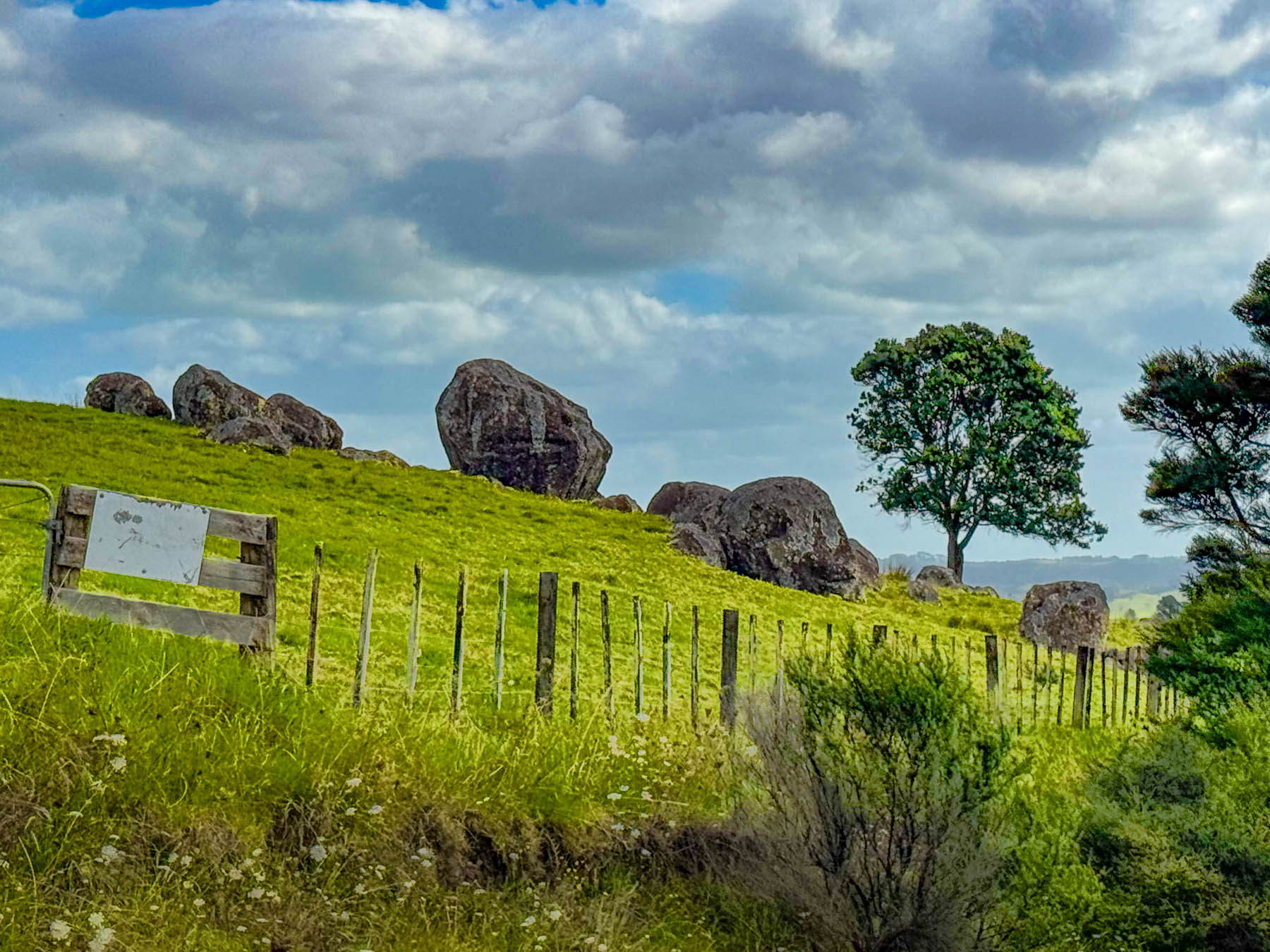
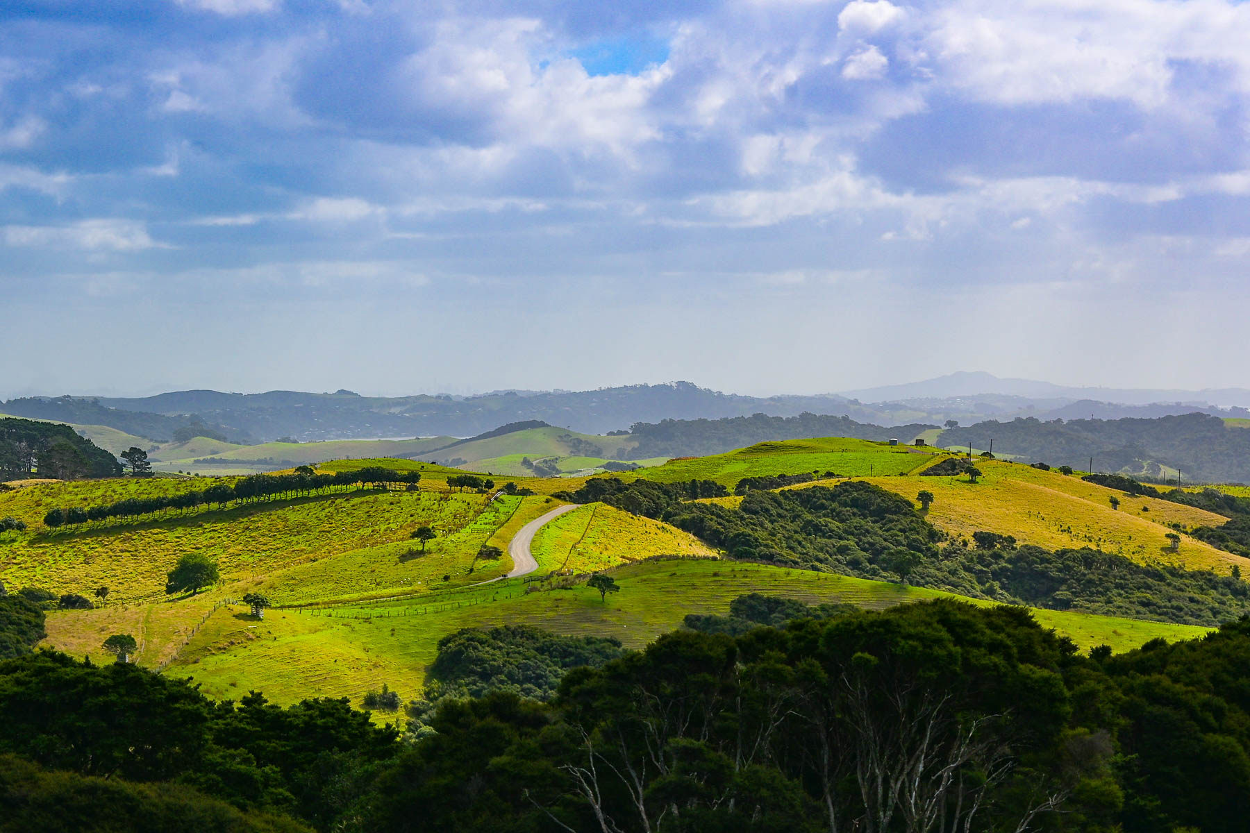
Continuing on we headed to the Stony Batter Historic Reserve. It was once a World War II coastal defense installation to protect Auckland from potential Japanese naval attacks, and features three massive concrete gun emplacements. There was also an interesting boulder field we hoped to walk through. But we didn’t realize before hand that the parking was pretty far away as the access road to the site was gated, and required a longer walk and more time than we wanted to commit to. But there was one hillside next to the road that gave a feeling for what the larger site would have looked like.
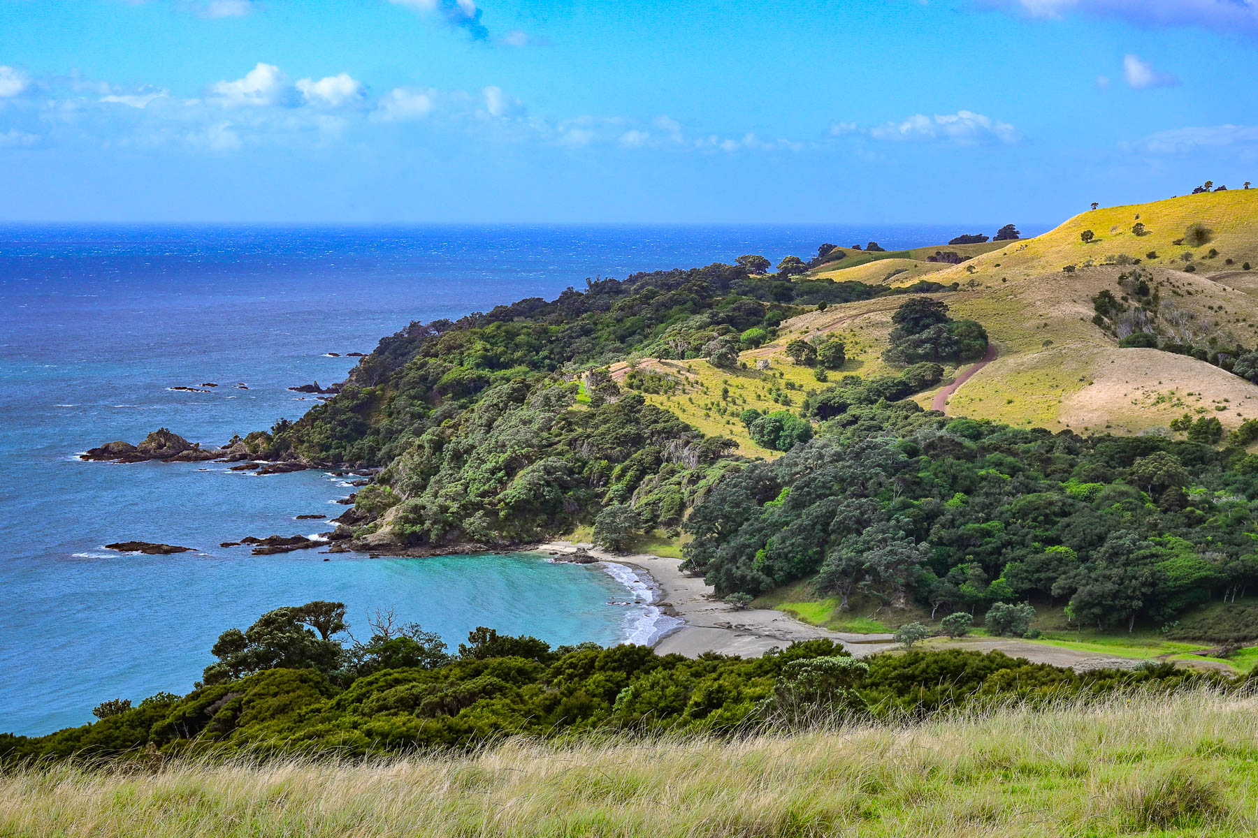
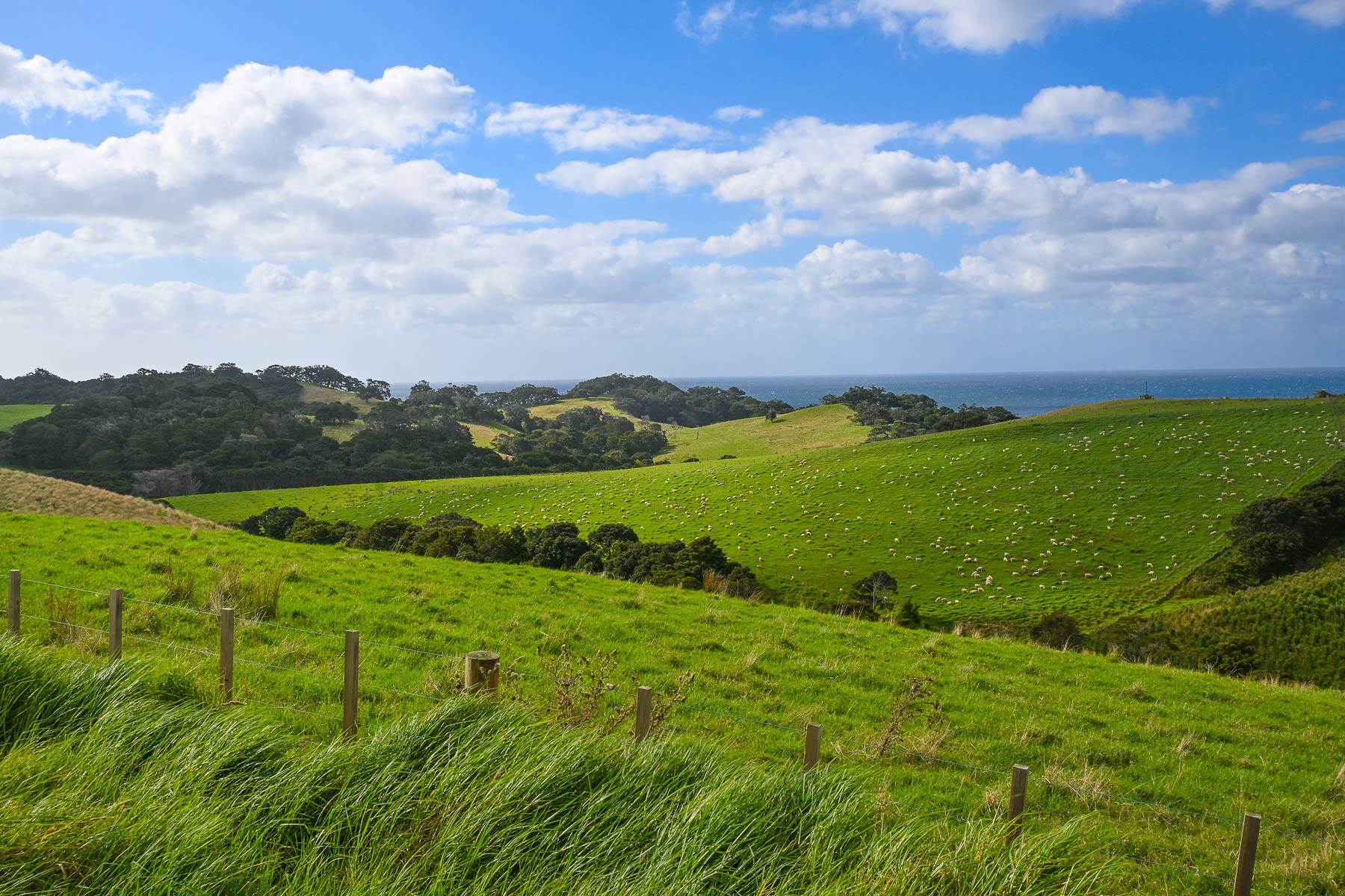
Nevertheless, the views of vineyards and sheep-covered hills surrounding us were beautiful as we coursed back towards Oneroa with a plume of dust trailing behind us as we drove down Man O’ War Bay Road. Cresting a hill, we stopped at a lone bench along the road, seemingly in the middle of nowhere. But it did have a distant view of Cactus Bay Beach, a remote curve of sand only accessible by boat or kayak, that many “Waihekeans consider the perfect beach and, with nearby Garden Cove, a romantic place for picnicking.” Unfortunately, its land access has been blocked off by a private landowner. All the more to make it a special place, that requires more effort, to visit.
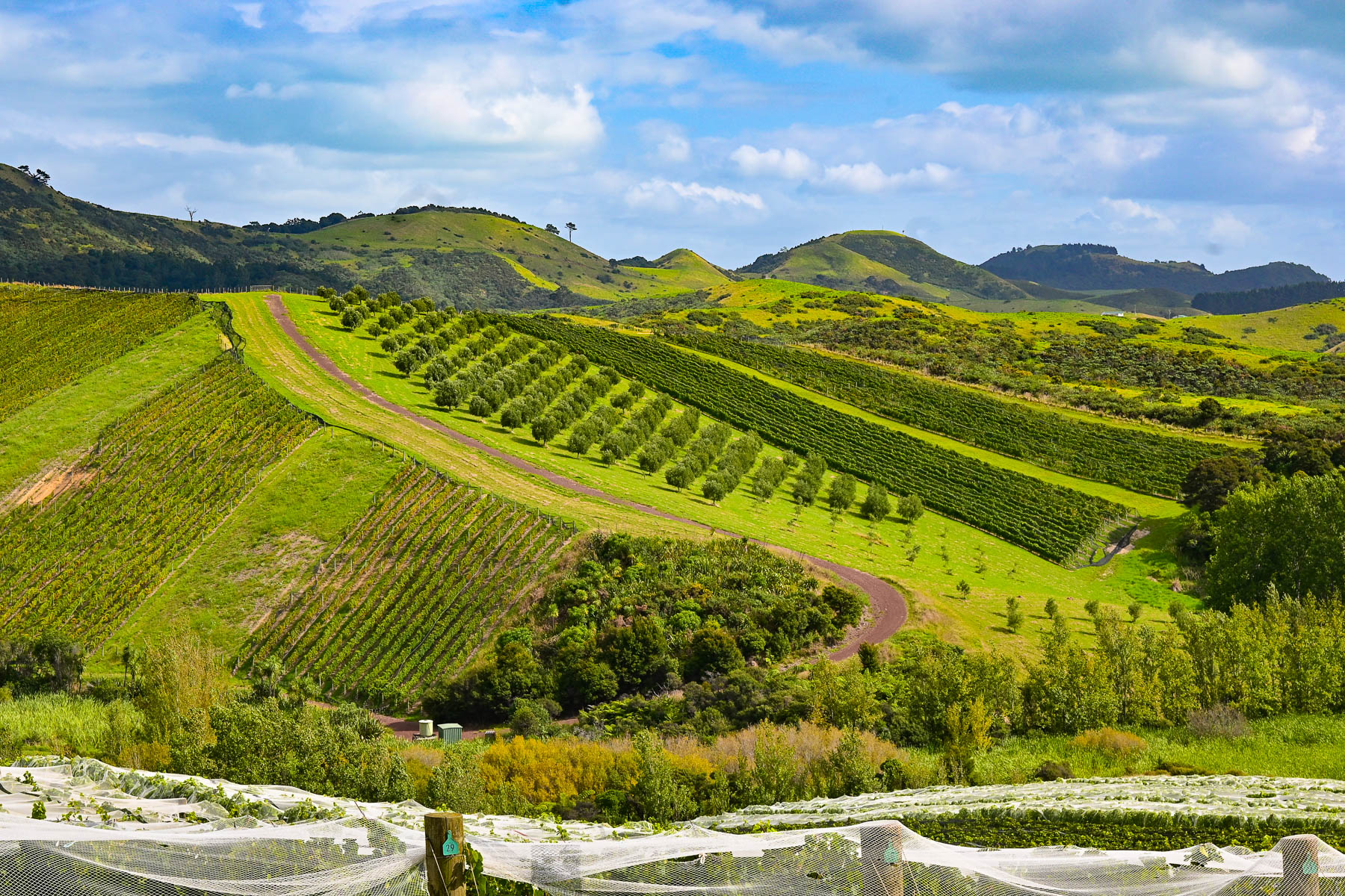
Our scenic drive that day reconfirmed our expectations of what lay ahead for the next part of our journey – that we were truly in an exceptionally beautiful part of the world. The next morning, we headed back to Auckland Airport for a different rental car to start our nine-day road trip to Cape Reinga Lighthouse, the farthest point north on the mainland, Hamilton, and the Coromandel Peninsula before flying south to Wellington.

Though we only drove 110 km (68mi) over the weekend, Waiheke Island was the most gorgeous place to learn how to drive on the left.

Stay left!

Till next time,

Craig and Donna

Samarkand, Uzbekistan: The Ancient Crossroad of Central Asia’s Renaissance or They Have the Best Bread!

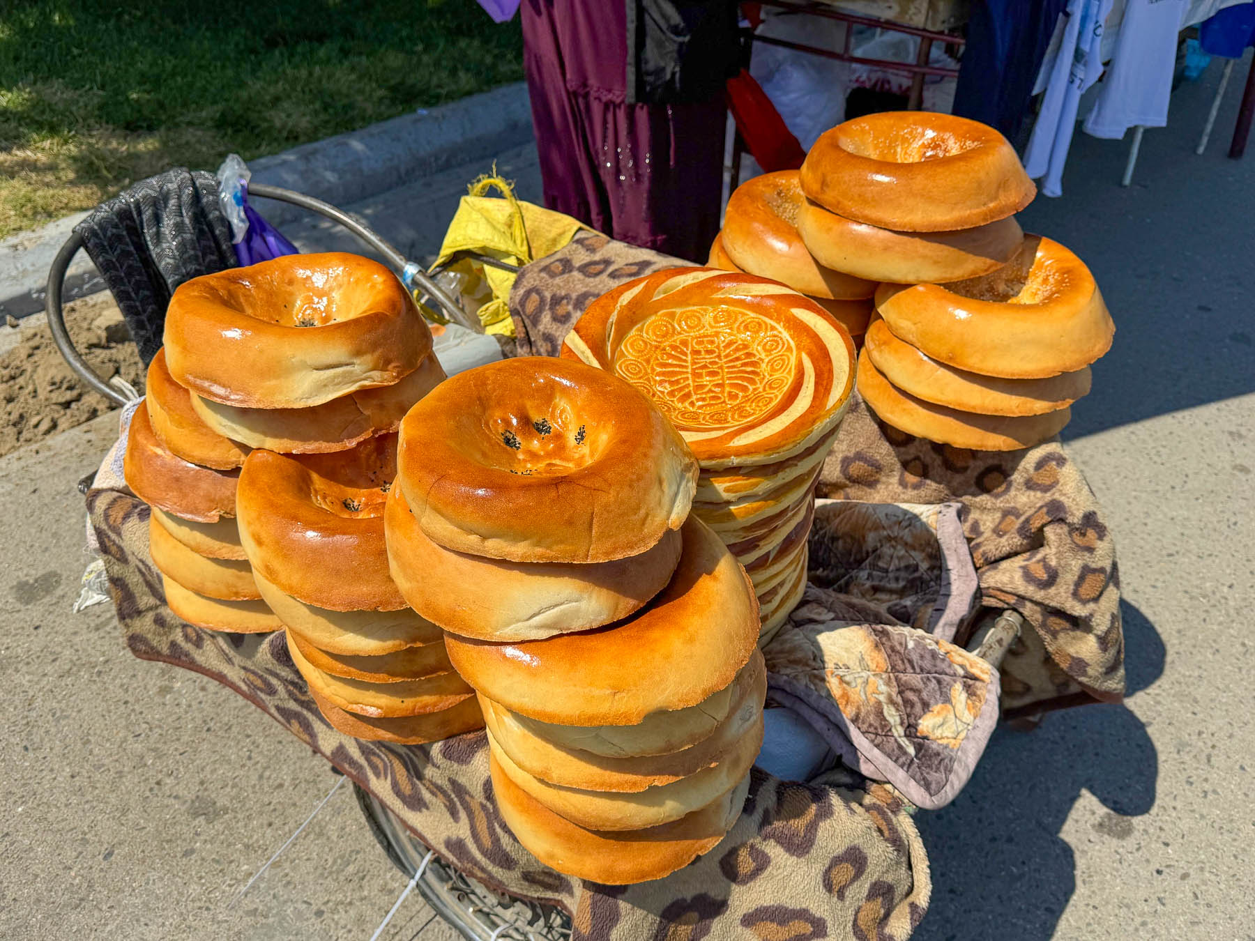
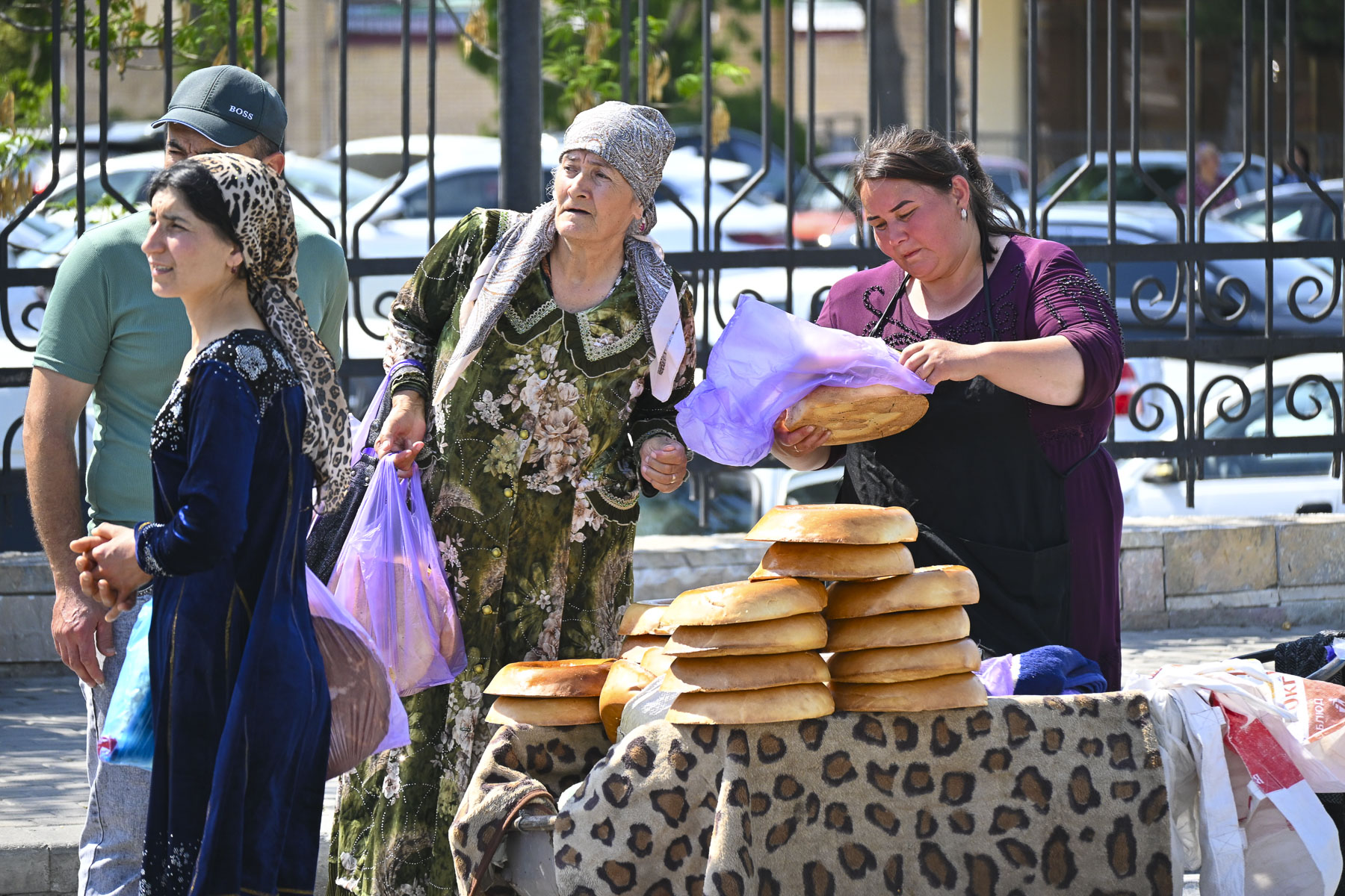
Upon your arrival to Samarkand, one of the first things you will notice is the huge number of informal roadside vendors, especially the folks selling loaves of bread from the trunks of their cars along the side of the road, or from wheelbarrows at every historic site. There is something akin to a great soccer rivalry here, not in which team you are rooting for, but in something far more essential to daily life in Uzbekistan. Whose bread do you prefer? While Tashkent, Bukhara, and Khiva all traditionally bake obi-non, a flat round loaf that’s decorated with intricate stamped patterns, in Samarkand folks favor their local variety of non, that looks similar to a bagel on steroids or a small tractor tire.

The dense loaves are beautifully glazed and baked to a golden color and typically weigh about 1.5 kilograms (3.3lbs) and taste delicious. I mean after being one of oldest continuously inhabited cities in Central Asia for over 3000 years, folks should certainly have a winning bread recipe! When we observed the amount of business being conducted along the roadsides we could only imagine that “Va nonni unutmang,” – don’t forget bread, is a common catch phrase in Uzbekistan when folks know you are visiting Samarkand, with the hope that you will return bearing loaves of the bread. The loaves are traditionally never cut with a knife but torn apart by hand and shared at the beginning of each meal.

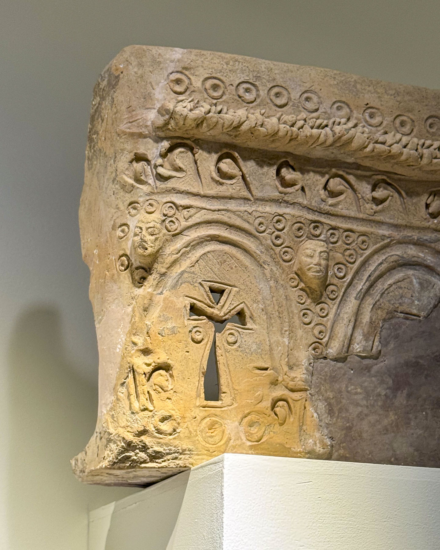
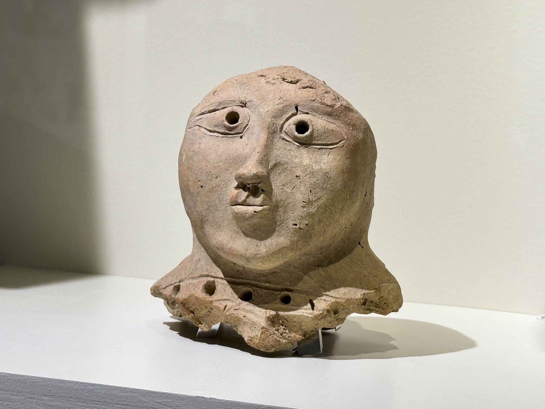
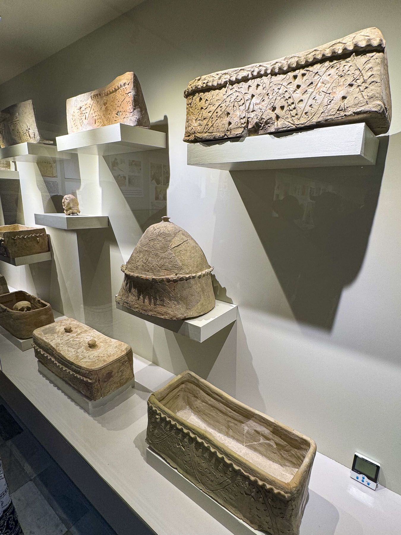
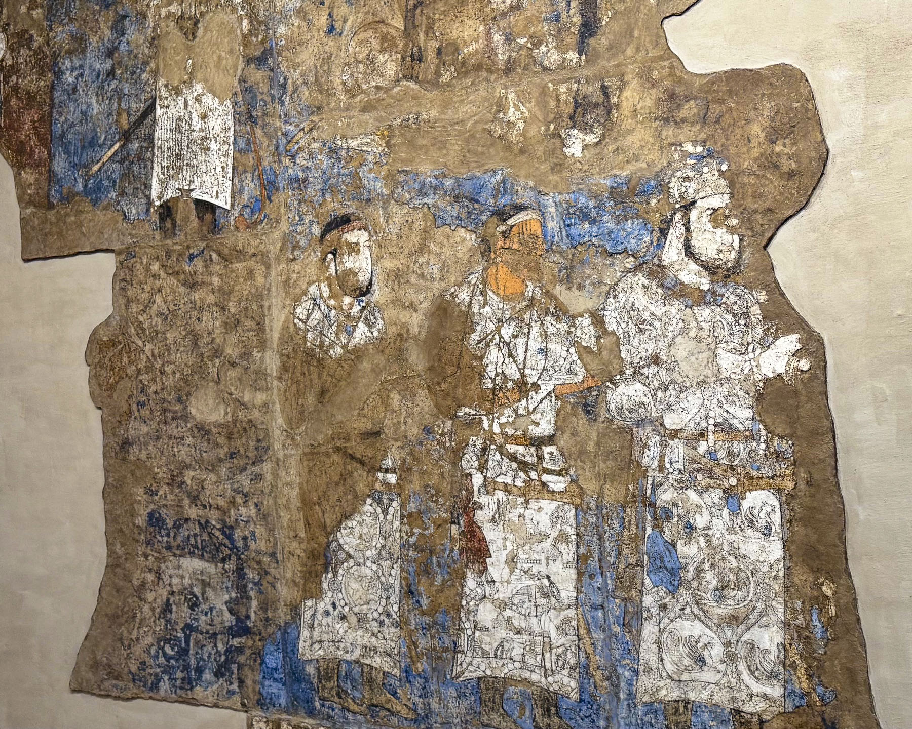
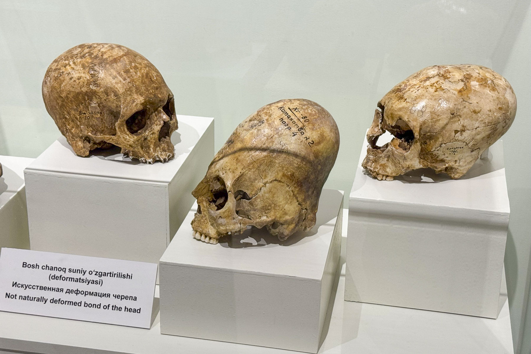
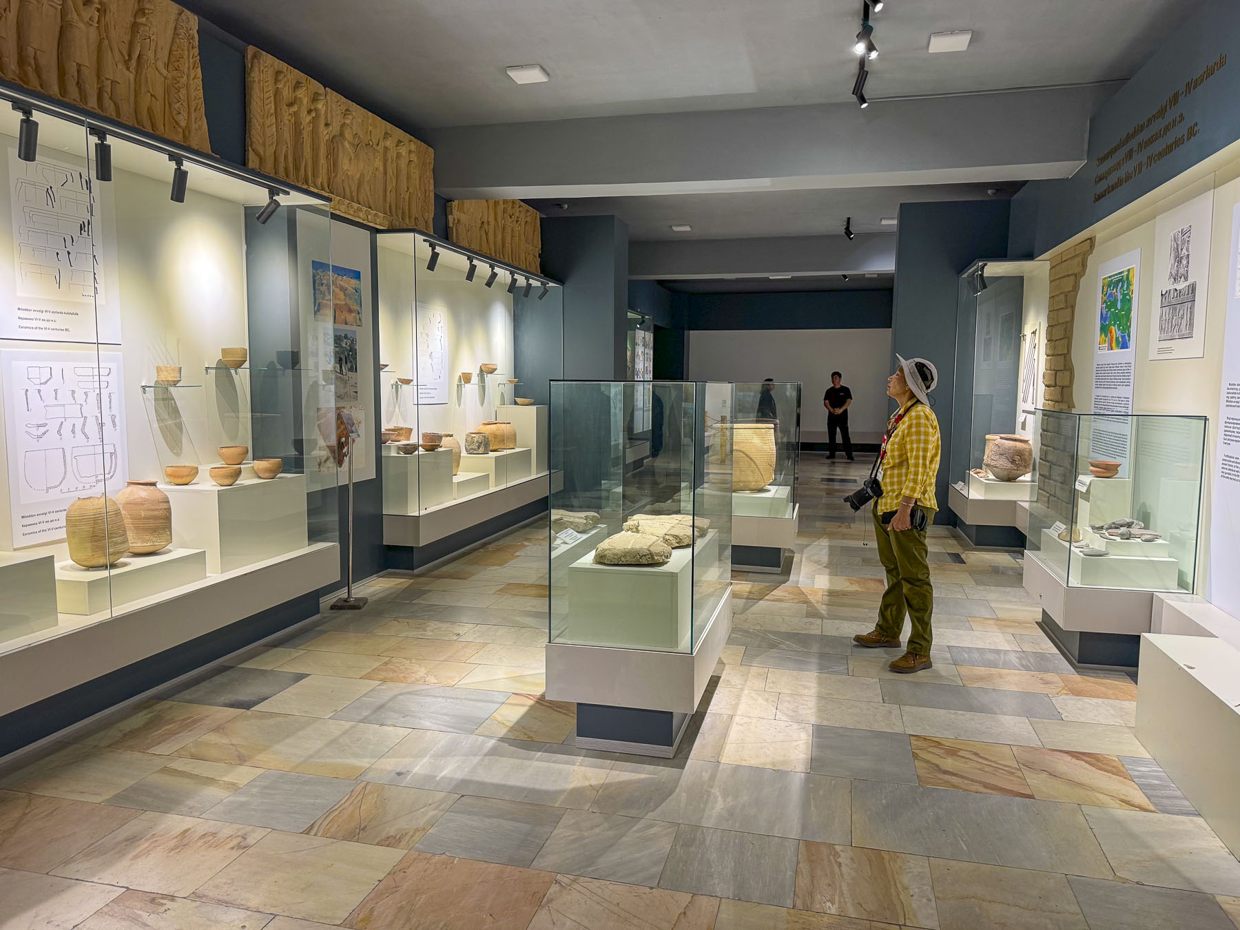
The Afrasiyab Museum on the outskirts of Samarkand was our first stop. It’s a small museum but thoroughly engaging with exhibits displaying an array of artifacts uncovered in Afrasiyab / Maracanda.

Folks have lived in the Zerafshan River Valley region since around 1500 BC, eventually establishing Afrosiab, as Samarkand was originally known, on a large hill. Over the centuries it grew into an important trading and cultural hub ruled by a succession of Persian and Turkic rulers. By the time Alexander the Great captured the city in 329 BC it was called Maracanda. In 712 AD, Arab forces swept through the region and captured the city, cementing Samarkand as a premier center of Islamic culture that continued to gain riches due to its location on the Silk Road. This wealthy walled city survived until it was pillaged and totally destroyed by Genghis Khan’s army in 1220. It must have been a beautiful city as Genghis Khan spared the lives of skilled craftsmen and sent them as prisoners to Karakorum, in Mongolia, to build his capitol. Other prisoners were used by his army as human shields in their conquests against Tashkent, Bukhara, and Khiva.

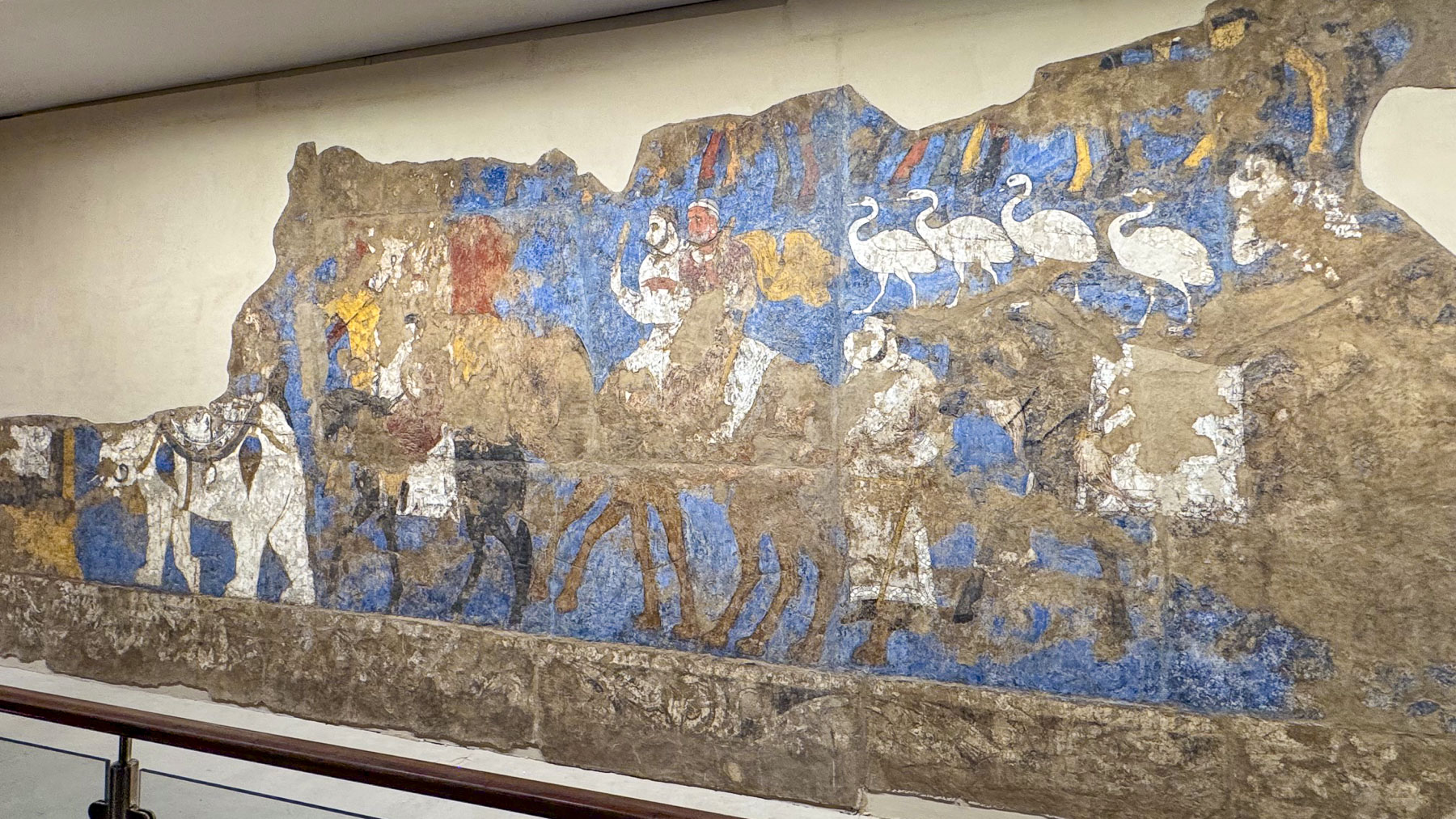
The old city was permanently abandoned and today all that remain are its ruins which can be wandered through at the Afrasiyab Archeological Park which were uncovered by a succession of Russian archeologists through various digs from 1894 – 1970s; wall murals dated to the 7th century in the city’s old royal palace were discovered, along with the remains of an 8th century mosque.

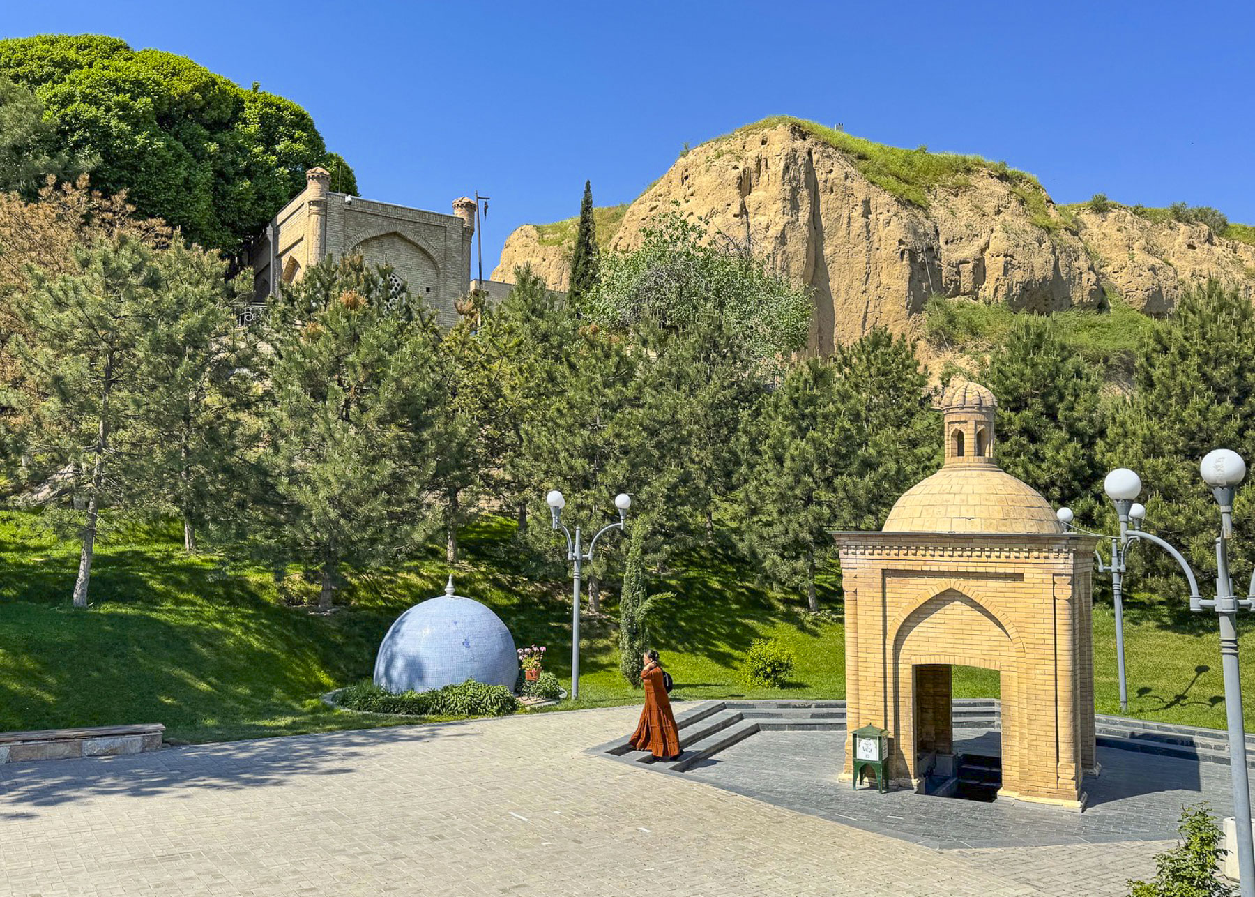
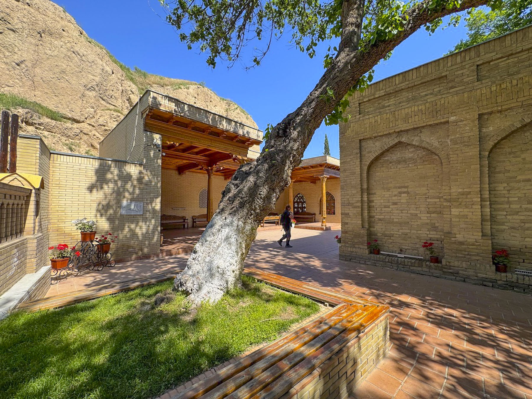
Nearby was The Holy Spring of the “Three Religions,” an enclosed well at the base of the stairway to the Mausoleum of St. Khoja Daniel which overlooks the Siab River. The spring is uniquely cherished by Muslims, Christians, and Jews who visit to drink and collect its healing water.

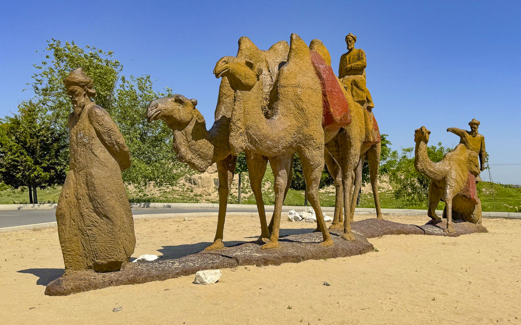
Muslims call him the Khoja Daniyar, the Jews call him Dānīyyēʾl, and in Christianity he is known as Daniel, the Hebrew prophet who served the 6thcentury Persian King Darius who ruled an empire that stretched from Susa in what is now modern-day Iran to Egypt and beyond. Daniel is also the Daniel of the Old Testament, most notable for the biblical story of Daniel in the Lion’s Den. He faced death with three friends for not worshipping King Darius; they were placed overnight in a lion’s den but were saved by Daniel’s unfaltering faith in God. Witnessing this miracle, King Darius allowed the revered prophet to be buried after his death in a royal mausoleum in Susa. How the relics of St. Khoja Daniel actually arrived in Samarkand is a mystery, as some think the remains were brought to the city by early Christians, while others think it was by the decree of Samarkand’s famous medieval ruler Amir Timur, Tamerlane. One popular legend reinforces this theory – believing that after failing to conquer Susa, Timur was told the city was protected by the relics of St. Daniel. “Upon hearing this Timur decided to change tactics and negotiate with the townspeople about reconciliation, but on condition that he would take away part of the sacred relics to Samarkand. When the caravan carrying the sacred relics reached the outskirts of Samarkand near the Siab River, the camel carrying the relics suddenly dropped to its knees on the ground and refused to move until a miraculous spring with healing waters burst from the earth.”

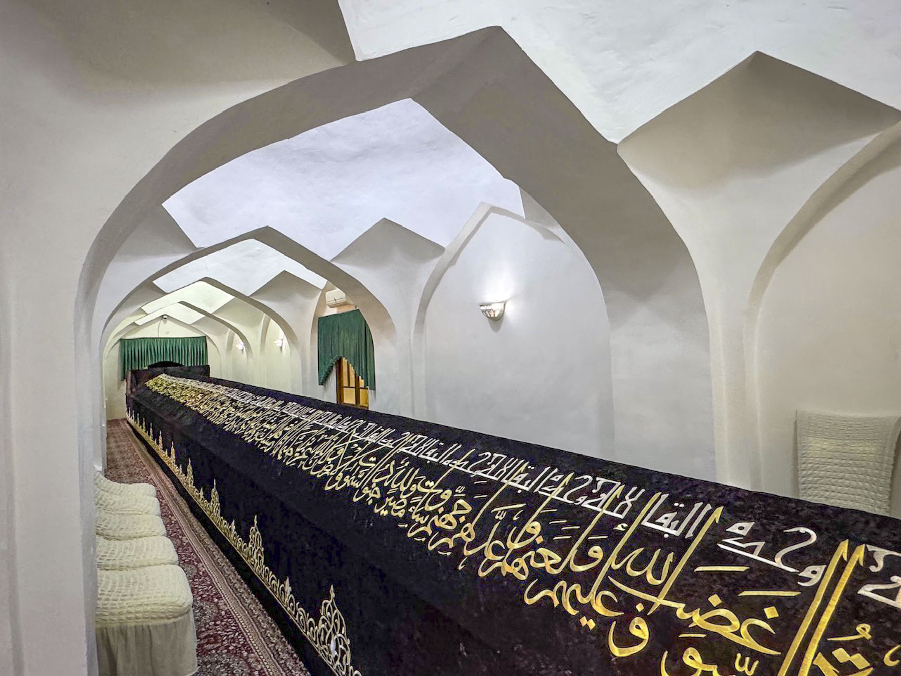
The tomb for the saint’s relics is amazingly 18m (59ft) long to accommodate a relic that some believe grows larger every year, while others say it was Timur’s idea to hide the exact spot of the relics with the extraordinary length of the tomb to deter grave robbers from easily finding them.  It’s a tranquil place of pilgrimage for many travelers. Our next stop was the Observatory of Mirzo Ulugbek.

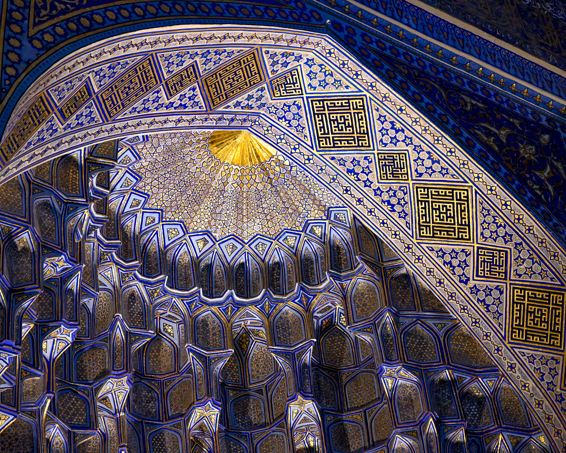
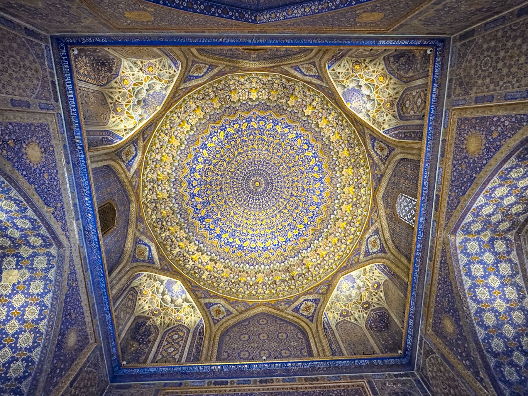
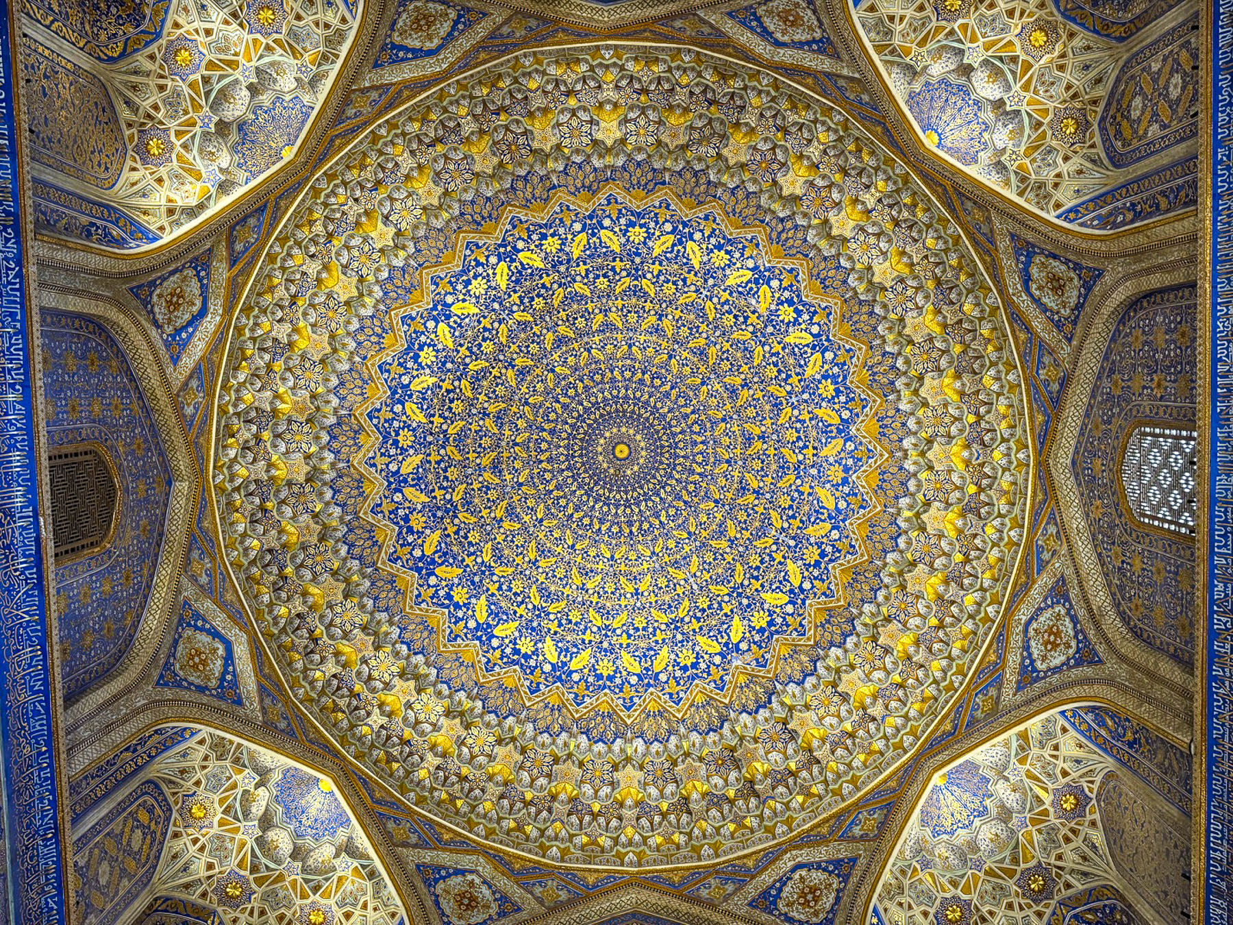
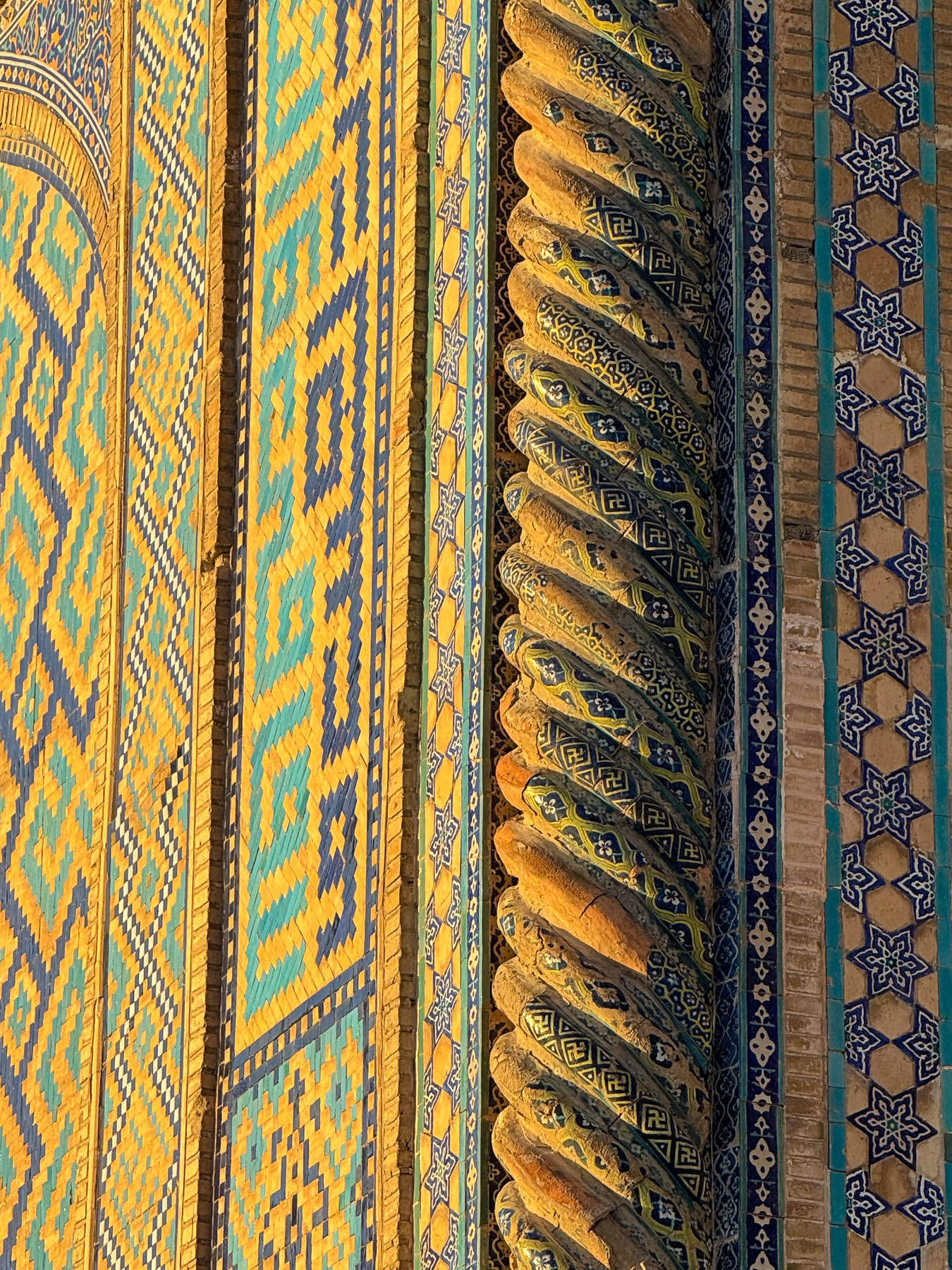
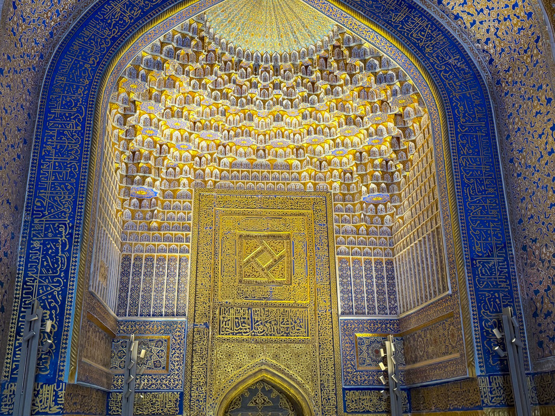
One hundred and fifty years after the Mongols destroyed Afrasiyab, Amir Timur oversaw the ancient city’s revival, growing like a phoenix from its ashes in the desert, and in 1370 called it Samarkand, and declared it the capitol of his Timurid Empire. It was under his tutelage during the14th century, later to be known as the Timurid Renaissance, that Samarkand became a center for Islamic studies, and the sciences that rivaled Bagdad’s past influence in the Islamic world. He indorsed a new style of architecture, where geometry and art intersected, and which would eventually bear his name, that featured Colossal Pishtaqs – towering arched entrance portals; vibrant blue domes – that featured cobalt and turquoise colored lapis lazuli glazed tile; intricate tilework – that featured geometric, floral, and calligraphic patterns; and a blending of cultures that drew upon Persian, Mongol, and Central Asian influences, all of which were connected through the Samarkand Silk Road crossroads.

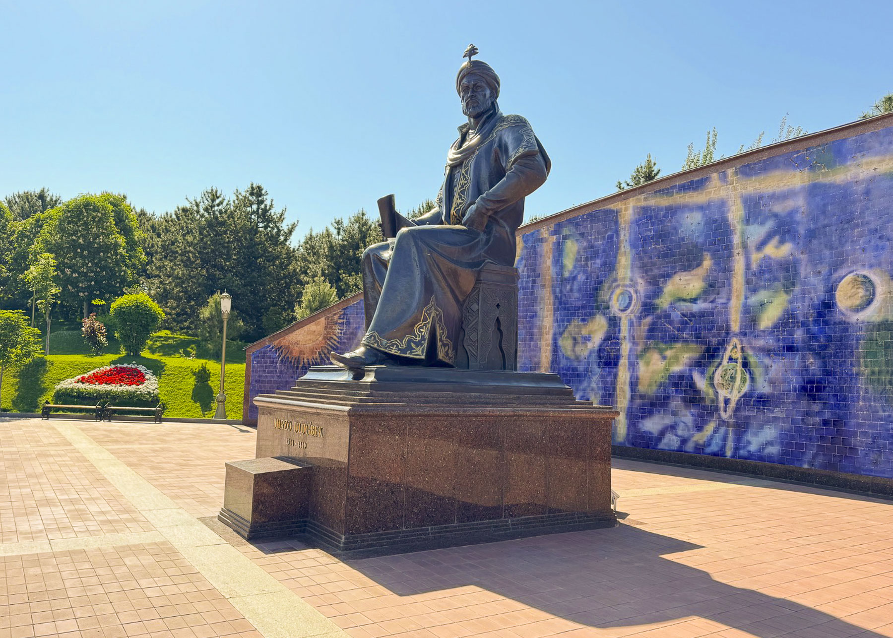
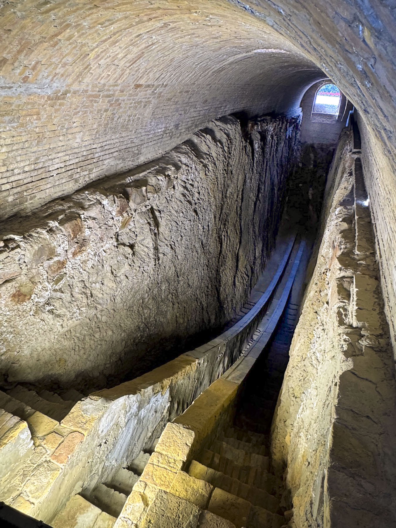
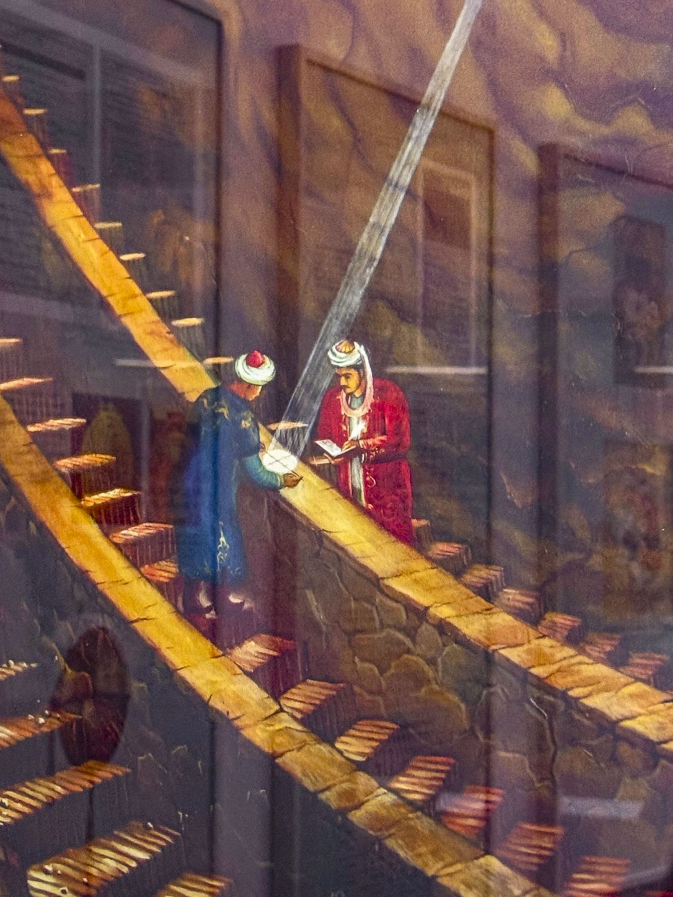
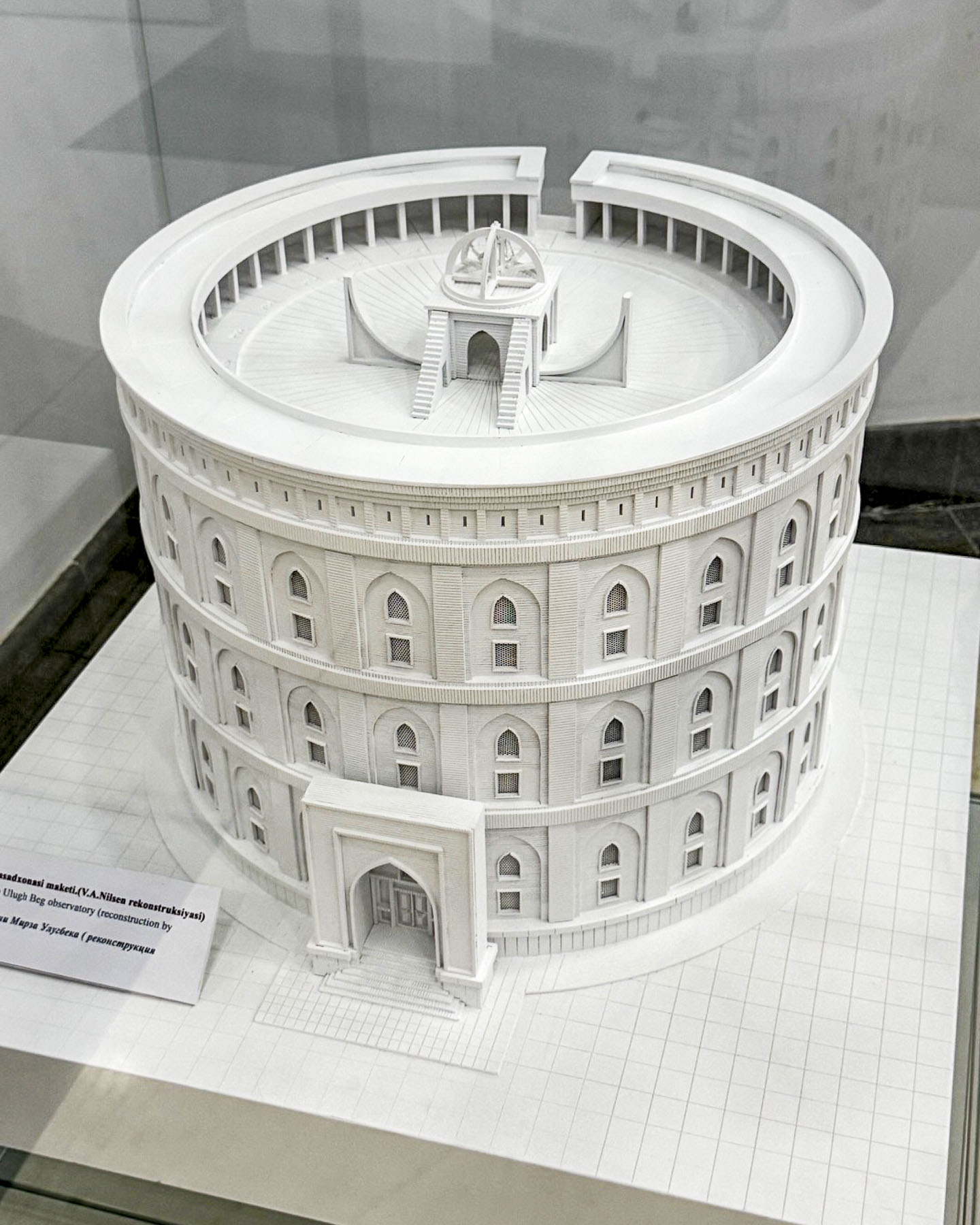
Timur’s visionary influence continued for several centuries after his death, most notably in the scientific achievements of his grandson Mirzo Ulugbek, an accomplished astronomer.  He ruled Samarkand from 1409 – 1447 as a regent for his father Shah Rukh, before becoming the supreme ruler of the Timurid Empire. His reign only lasted two years before political infighting led to a coup and his assassination in 1449. It was during his time as the regent that he oversaw the construction of his observatory, a massive three-story structure featuring a 40m (131ft) radius marble sextant/quadrant, built into the ground to avoid vibrations, that he used to make highly accurate naked-eye observations to map 1,018 stars and record highly accurate orbital movements of the Sun, Moon, and the five known planets of his era, two centuries before the invention of the telescope. Ulugbek also calculated the length of the stellar year with unprecedented accuracy – 365 days, 6 hours, 10 minutes, 8 seconds, an error of less than a minute.

After his death the book of his work, the Zij-i Sultani, was smuggled out of Samarkand to Istanbul by his assistant who feared its destruction by religious conservatives. By the mid-1600s his work was translated by scholars at Oxford University and validated by telescope-using astronomers. He also established the first madrassa on Samarkand’s Registan Square which had a curriculum that prioritized mathematics, geometry, and astronomy alongside theological studies.


“Religion is scattering like fog, kingdoms are being destroyed,

but the works of scientists remain forever”

(Mirzo Ulugbek)

His admonition to trust science still rings true 577 years later. Sadly, only the inground portion of the sextant survived the building’s destruction immediately after his death, as it was buried in the demolition. Stones from the building were removed from the site, and used for other buildings, until it was totally levelled. The exact site was lost to history for nearly 500 years until Russian archaeologists used 17thcentury land deeds to rediscover the buried sextant in 1908. Across from the remains of the sextant is a small museum with exhibits explaining Ulugbek’s achievements and models of his observatory.

The historic sites in Samarkand were surprisingly very far apart and required transportation to reach, unless you are willing to devote hours to walking between places. This is the result of successive empires over the millennia rebuilding destroyed settlements nearby rather than on top of old ruins. This is very different from the feel of Bukhara and Khiva where the historic sites are surrounded by ancient mahallas, neighborhoods, only a few steps away.

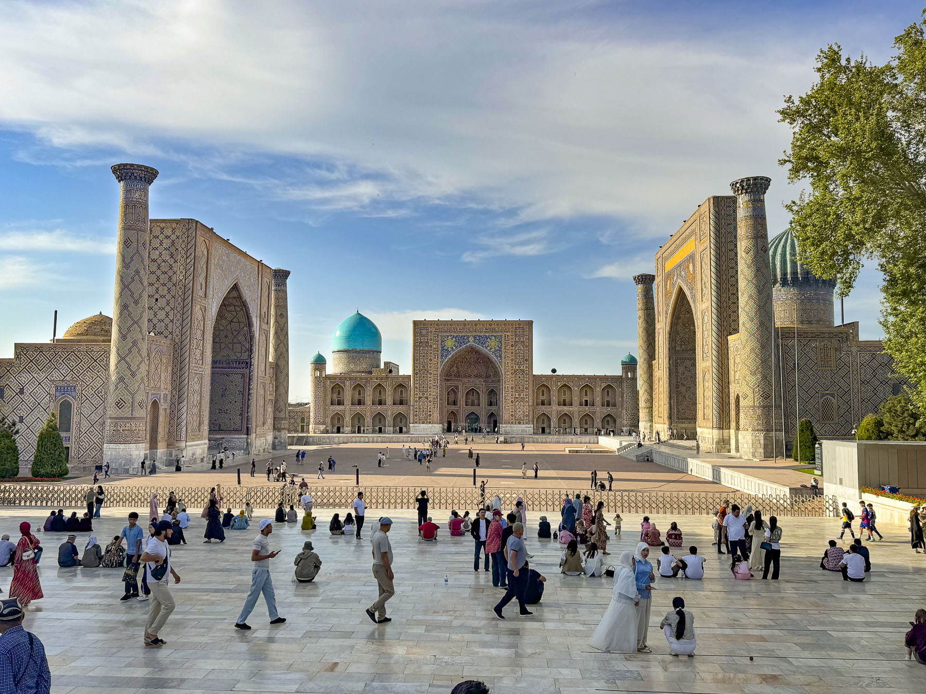
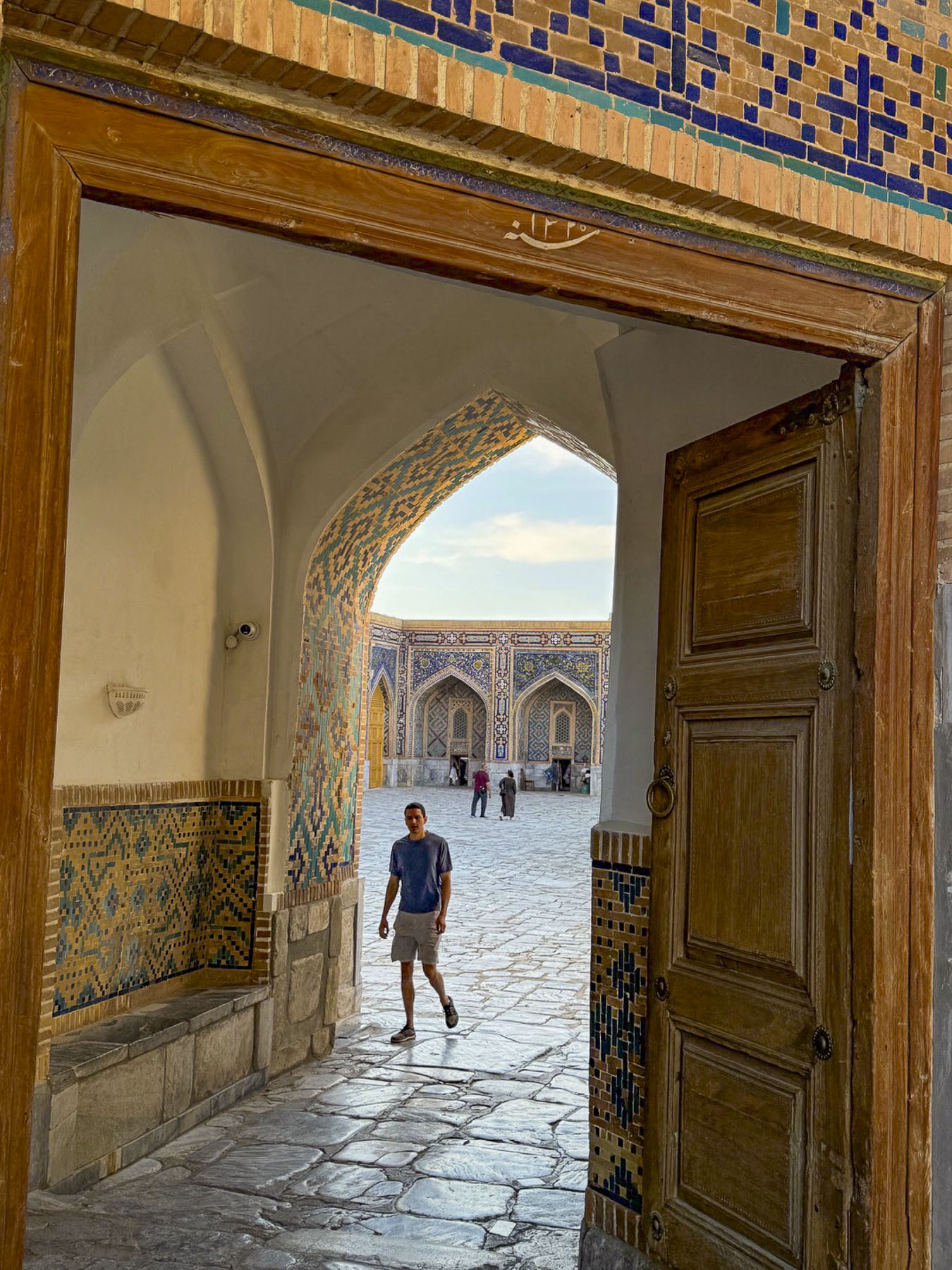
Registan Square, with its three iconic madrassas famously facing each other, was our last historic stop for the day. The scale of the buildings was awe inspiring and considering the fact that every inch of them is covered in tilework is amazing.  The first madrassa on the site was built by and named after Mirzo Ulugbek in 1420 where several Silk Road caravan tracks converged in the center of the ancient city.  

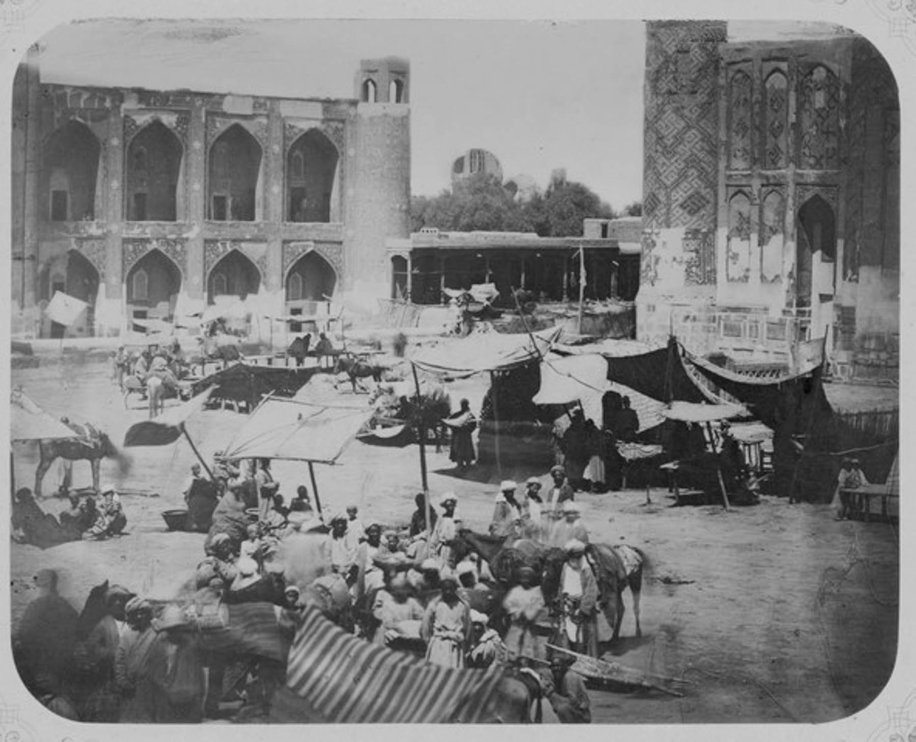
It was a dusty lively spot, a “place covered with sand,” as is the meaning of “Registan,” with a domed traders’ and merchants’ bazaar, surrounded by awning-covered stalls of tradesman and farmers selling their crops. Of course, bakers were selling Samarkand bread, an essential food for caravaneers’ long journeys. With the construction of his grand madrassa Ulugbek gradually transformed the crossroads into a ceremonial and educational center, where folks gathered to hear royal declarations, news, and witness Islamic justice.

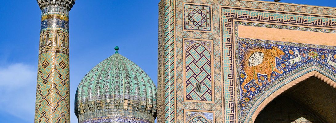
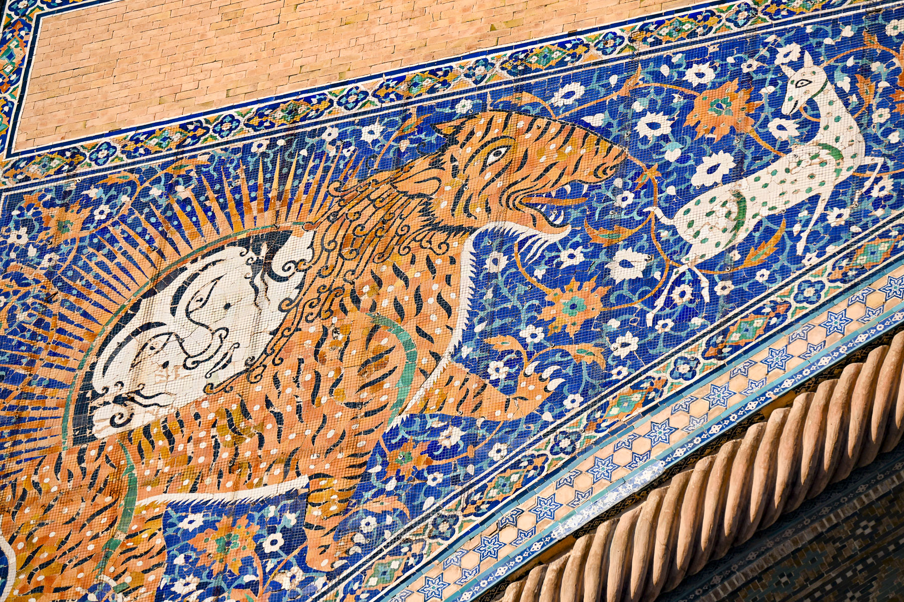
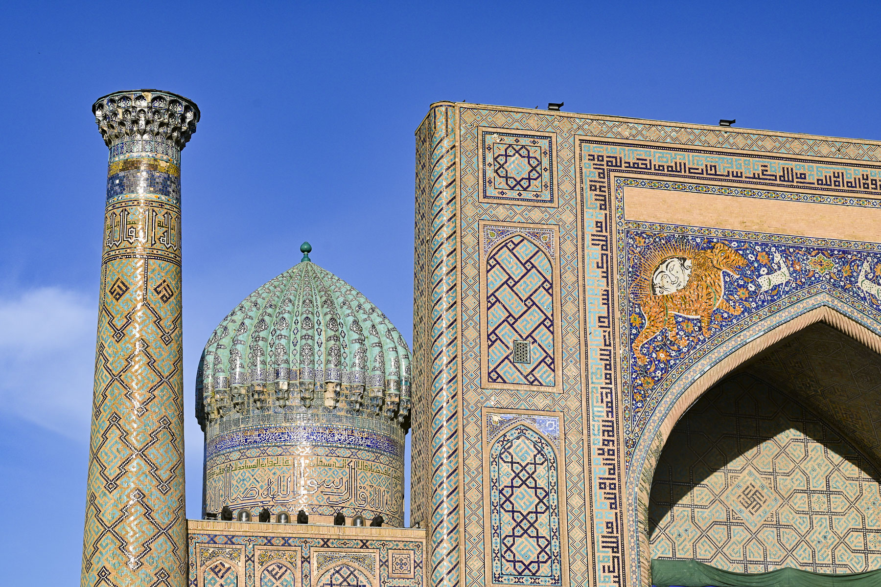
It stood alone on the plaza for two hundred years until 1636 when emir Yalangtush Bakhodur, who served the khans of the Bukhara Khanate, opened the Sher-Dor Madrasa directly across from it. With its name meaning “adorned with tigers,” the entrance is embellished with two lions with Mongolian-faced Zoroastrian-inspired suns rising from their backs to symbolize the enlightened mind, chasing white gazelles. This is very unusual for Islamic art as it normally prohibits using depictions of animals or human figures and reflects a short-lived regional relaxation of the rules in the 17thcentury when the Khanate of Bukhara ruled Samarkand. Twenty years later in 1656 the Tillya-Kori Madrasa was the final grand addition that centered the grouping.

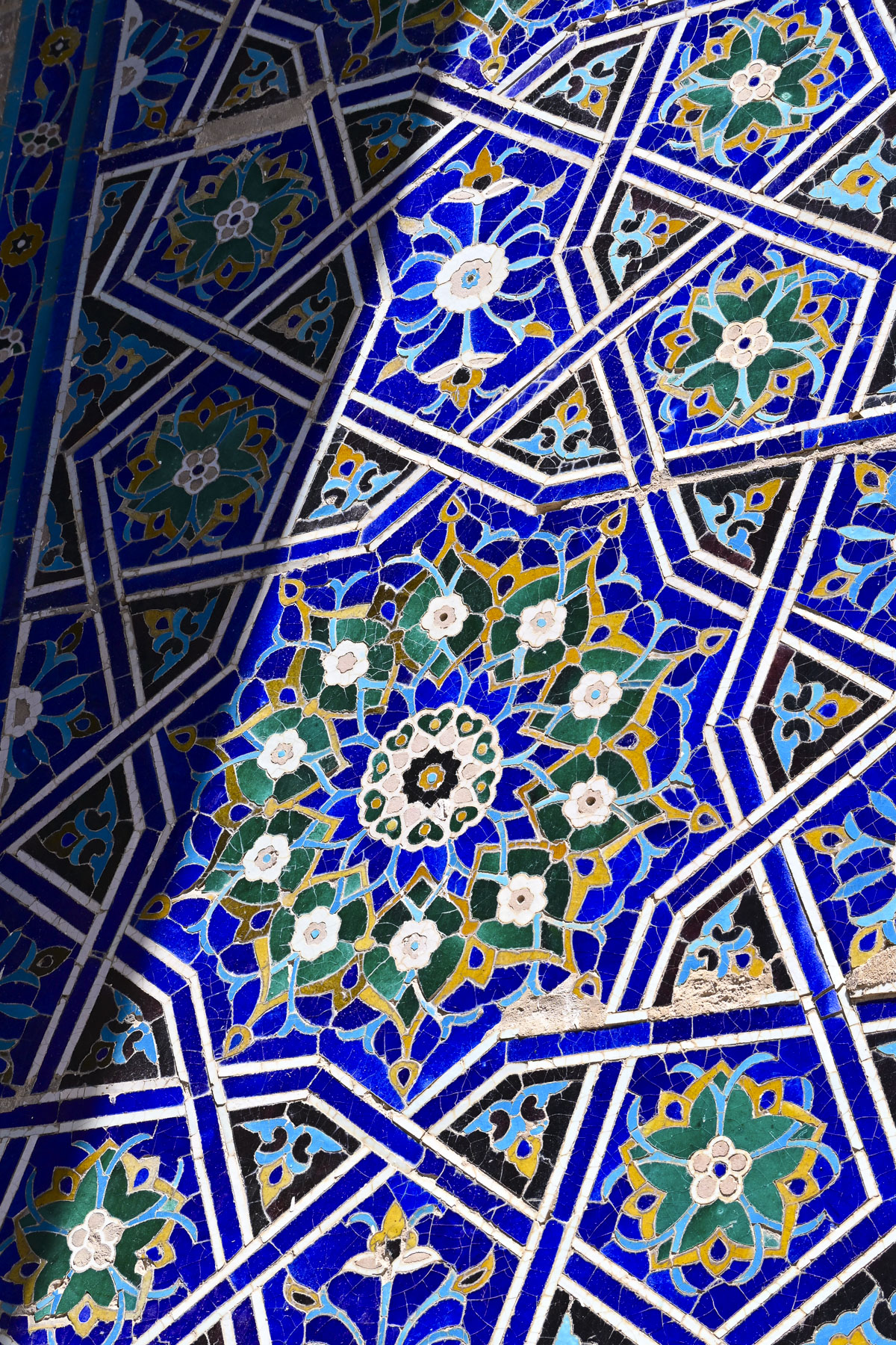
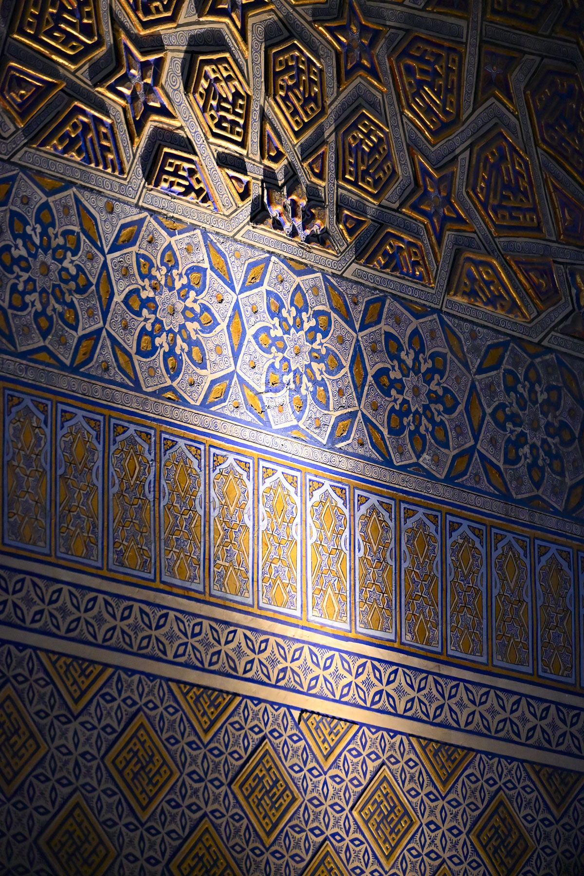
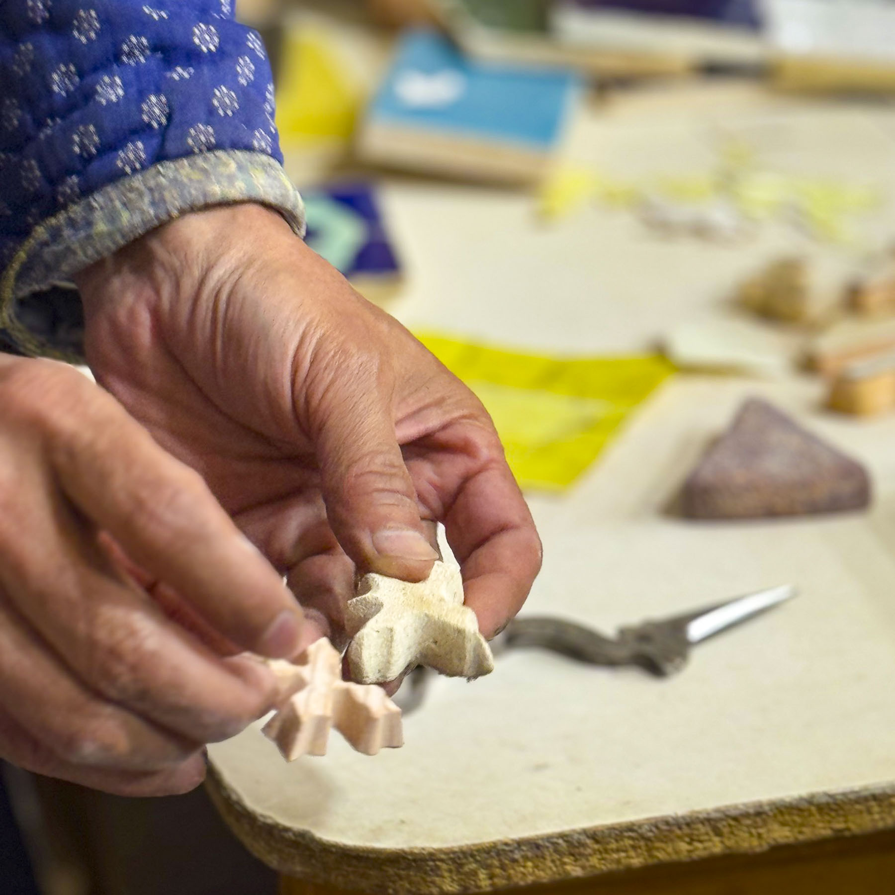
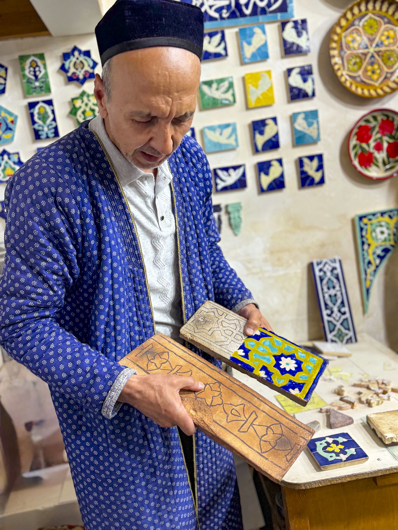
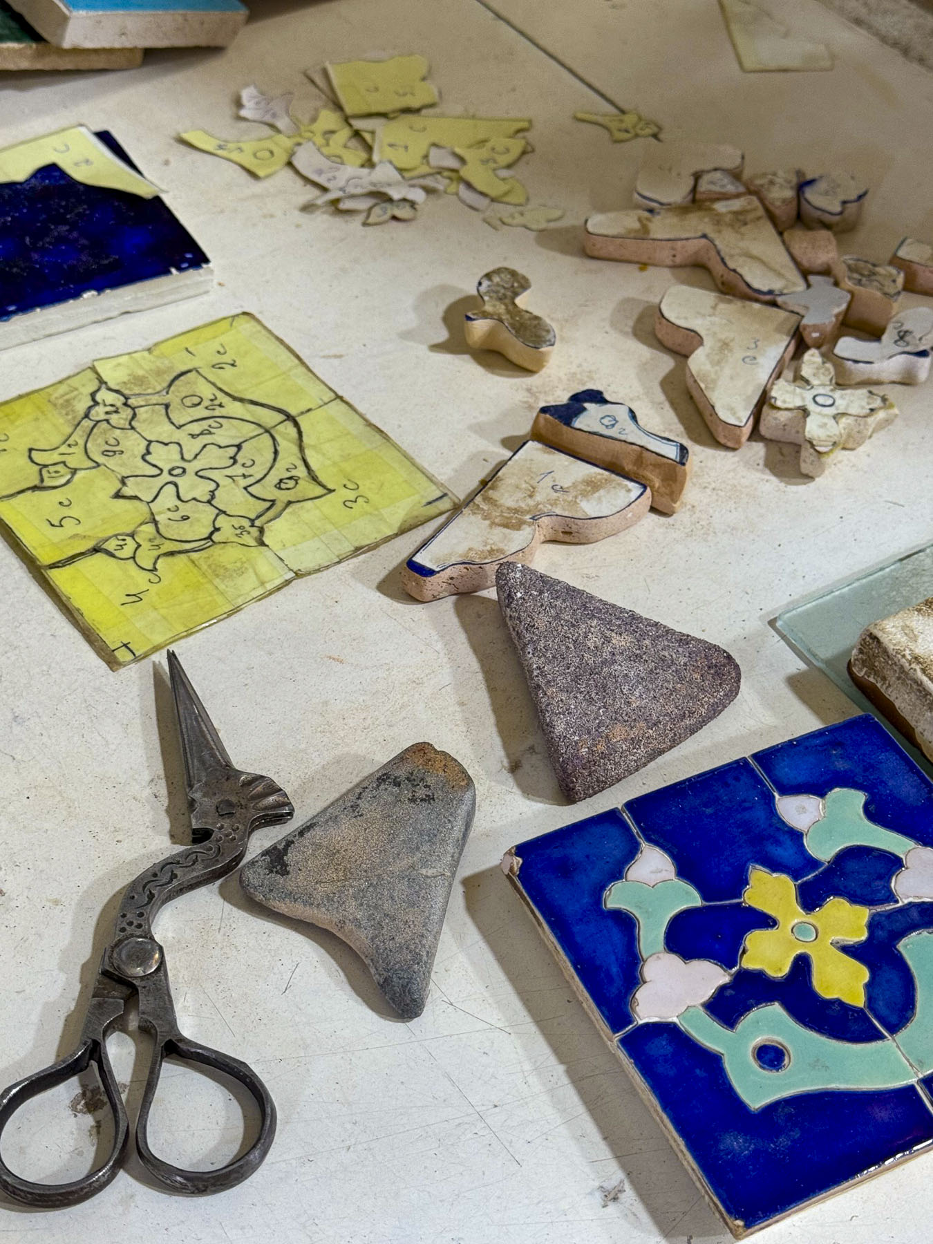
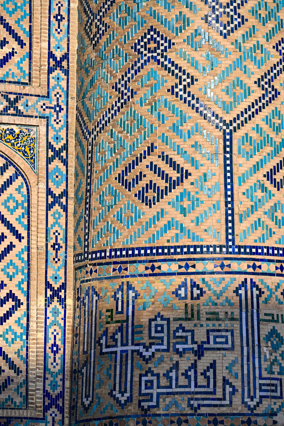
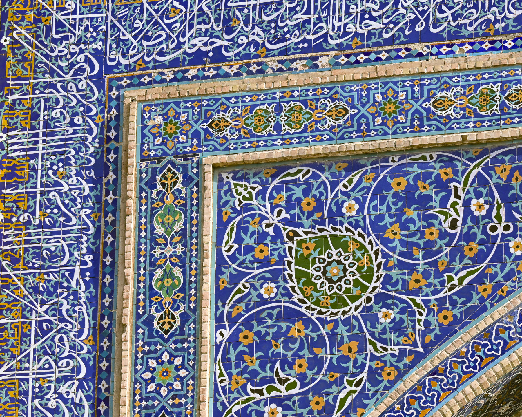
Various shops now occupy the old classrooms. In one room an 11th generation tile artisan gave our group a demonstration of how the ornate tiles are cut and pieced together. Many of the intricate geometric designs have over twenty different design elements comprised of polygons, triangles, squares, rhombuses, and various multi-sided geometric stars, while others featured floral or biomorphic motifs or calligraphic scripts.

On average it took twelve years to complete each madrassa and required a massive workforce of thousands of skilled artisans and unskilled slave labor to convert raw material into the astonishingly beautiful buildings that define Samarkand. (Samarkand and Bukhara had notorious slave markets that operated for centuries. Successive Empires sold into captivity those captured along the frontiers of Persia and Russia by nomadic raiders or military conquests, to buyers across the Arab world, Central Asia, and India. While popular history focuses on exotic goods like silk, spices, and jade, slaves were also part of the Silk Road’s cargo and transported over thousands of miles along its trade routes).

With the discovery of a maritime route to India, Southeast Asia and China in the beginning in the early 1500s the importance of the cross-continent Silk Road caravans to Istanbul steadily declined. By the mid-1600s Samarkand entered a long period of reduced global significance and slow long economic decline. With reduced revenue from Silk Road caravan trade rulers could no longer finance their endowments of the madrassas and the financial aid they gave to support the students, which caused enrollment to dwindle.

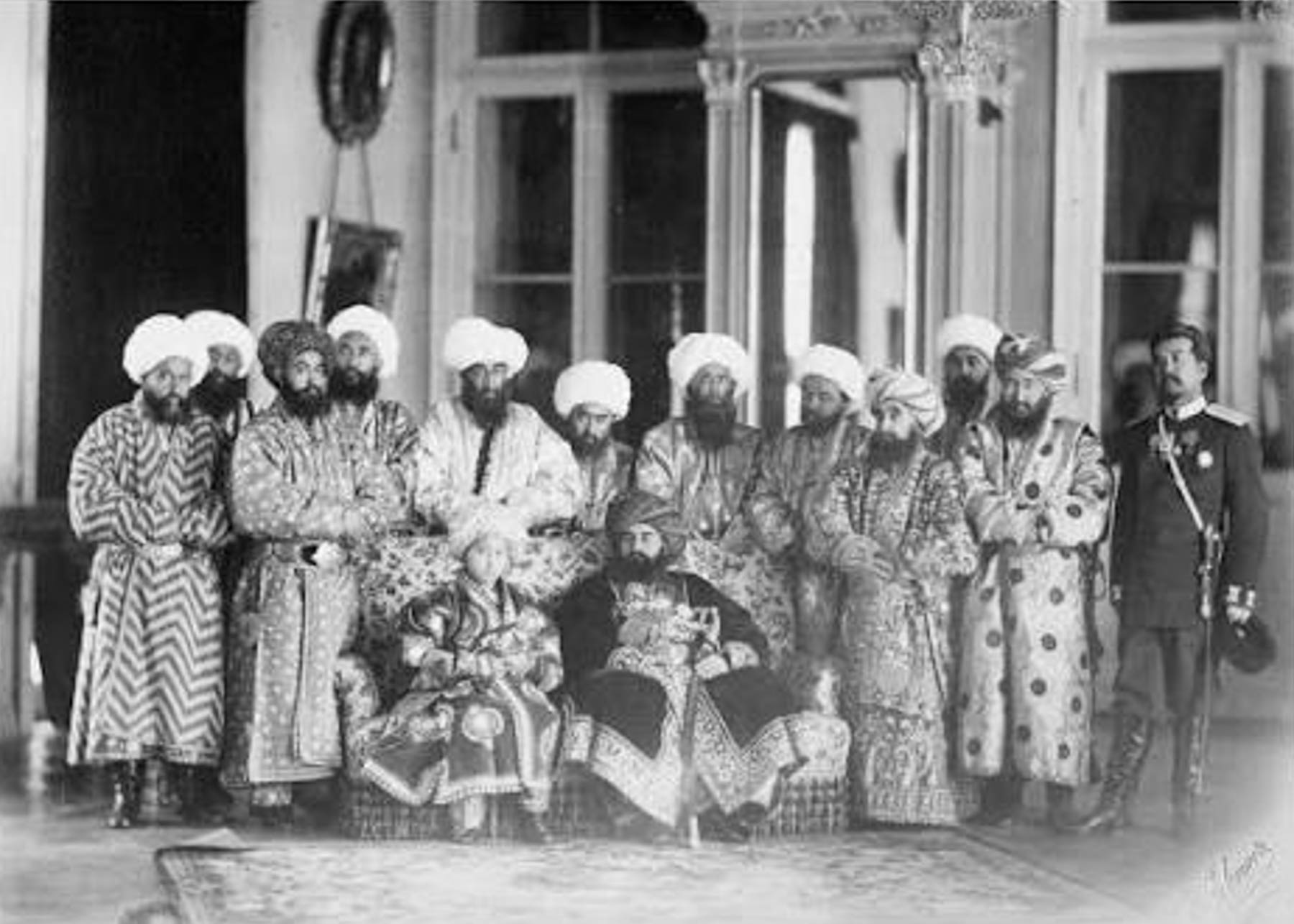
Over time the buildings slowly fell into a state of disrepair from lack of maintenance. By the time the Russian Empire invaded the region the Silk Road Khanates were lacking the funds to buy the modern military weapons needed to defend themselves with any chance of defeating the Russians. The resulting defeats allowed the Russian Empire to force the Khanates to become protectorates, with the khans only symbolically ruling their domains. With the Soviet Union’s takeover of Uzbekistan in the 1920s and subsequently outlawing traditional Islamic education, the madrassas were closed. Rooms in the schools were used as offices, warehouses, and an ammunition depot, while the square was reserved for political rallies that promoted communist propaganda, mass veil burnings and trials of counterrevolutionaries. But the Soviets also began the restoration of the crumbling buildings.

The madrassas on Registan Square were the last grand structures built during Samarkand’s golden era. The historic and cultural achievements of this 250-year era is a time that Uzbekistan is most proud of and promotes as the most significant part of the country’s history which it has been seeking to reestablish after a combined 150 years of Russian Empire and Soviet Union domination.

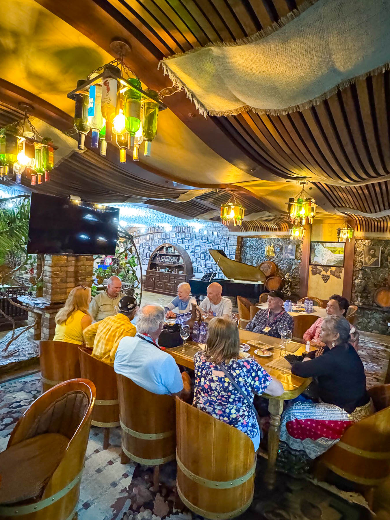
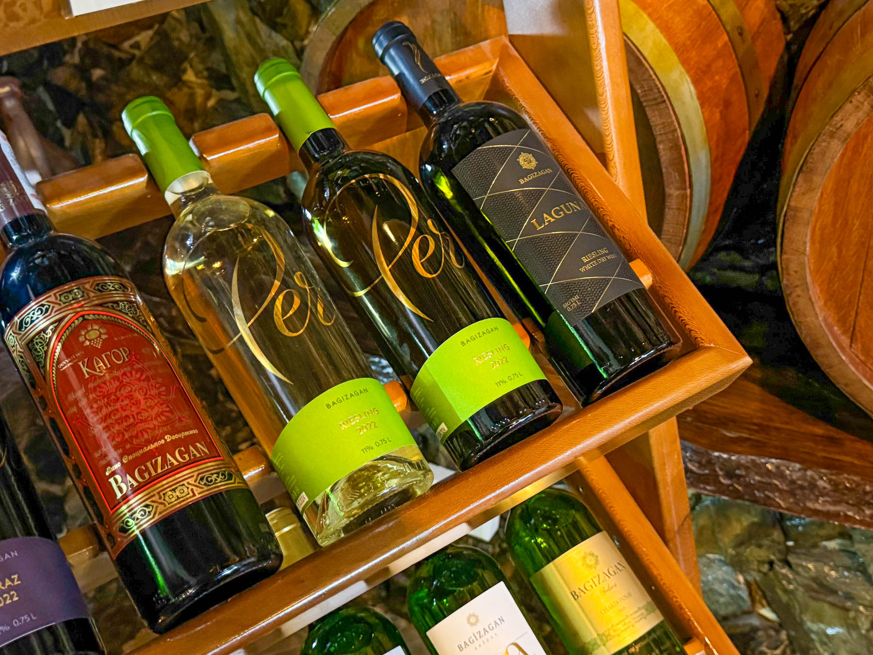
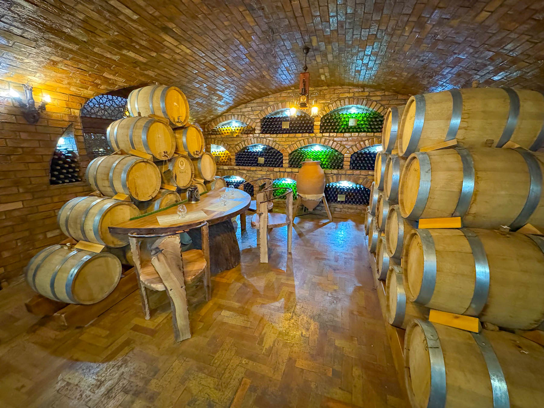
We wrapped up the late afternoon with an unexpected wine tasting in an underground cellar featuring local wines made by Samarkand’s famous Bagizagan Winery. It was a generous tasting that offered six types of wine, brandies/cognac, and chacha, Uzbek grappa, paired with local cheeses, nuts, crackers, and seasonal fruit. The tradition of winemaking around Samarkand goes back over 2,500 years in the fertile Zerafshan Valley. A family of winemakers for over 150 years, their property was collectivized during Uzbekistan’s communist years but returned to them after Uzbekistan’s independence in 1991. We thoroughly enjoyed the experience, and the wines were very good.

The next morning, we were up early to walk to some sites that we passed while on our bus that were relatively close to the Hotel Royal Samarkand where we were staying, but not on our itinerary. Our destinations were the Amir Temur Monument and the Memorial of Samarkand’s Tigers, both of which were located along Registan Street. The morning sun was just cresting the adjacent buildings as we entered Bul’var Park, a long skinny stretch of land bounded on each side by University Boulevard. The walkway down its center was dotted with sculptures and fountains. Bird calls filled the air.

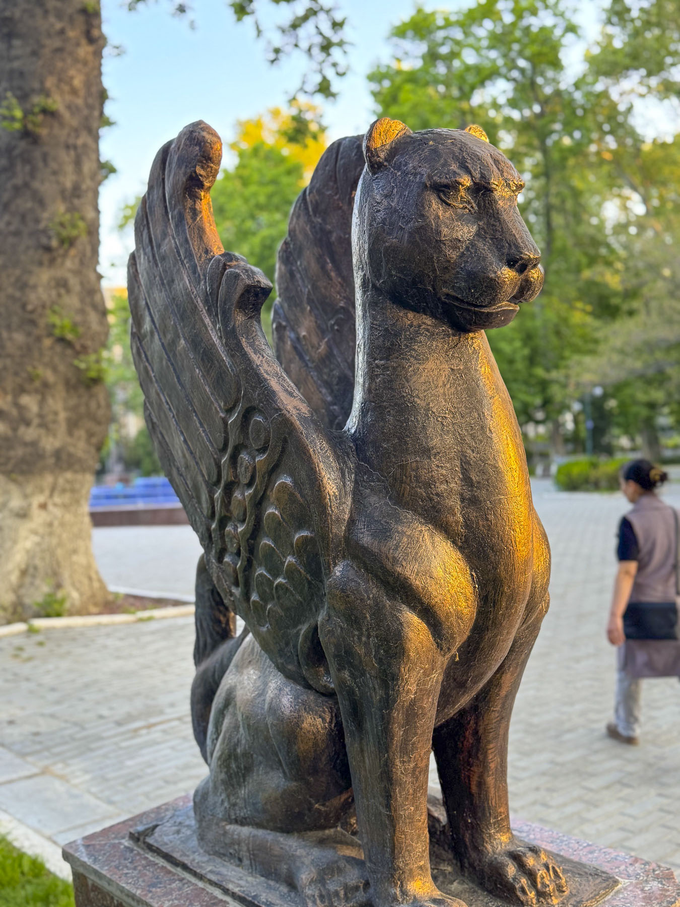
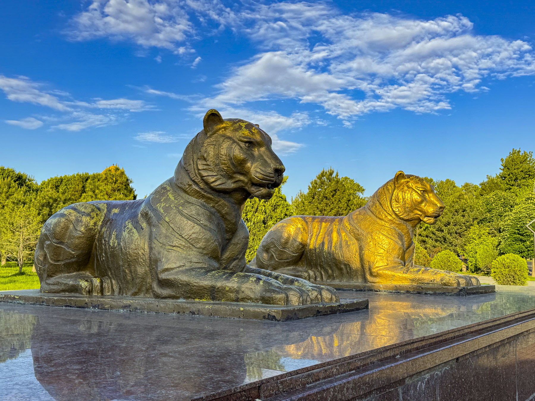
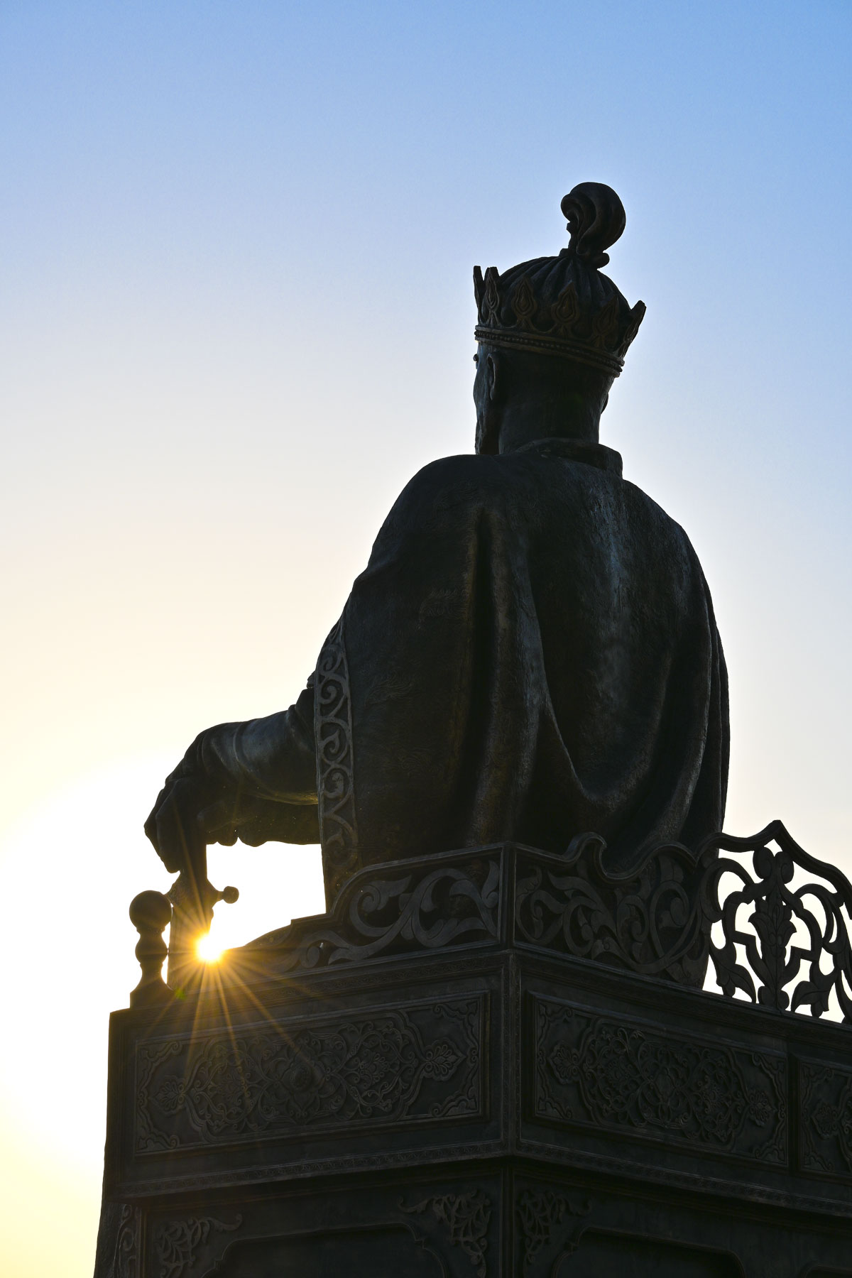
At the far end of the park was a statue of Amir Temur staring thoughtfully to the east. Farther along was a sculpture of Samarkand’s two guardian tigers. The Turanian or Caspian tigers historically symbolized royal power, but it also commemorates the tigers that lived along Central Asia’s river thickets until population growth in the region contributed to their extinction in the 1950s. Returning to our hotel, as we walked along Orzi Makhmudov St. we stopped to watch a restauranteur stack freshly baked somsalar into an outdoor display case. We met a young schoolgirl who was so curious about seeing foreign visitors on her street that she stopped to say hello. It was a charming moment of connection that warmed our hearts.

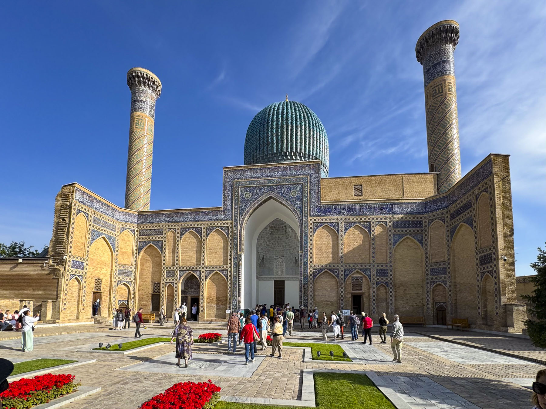
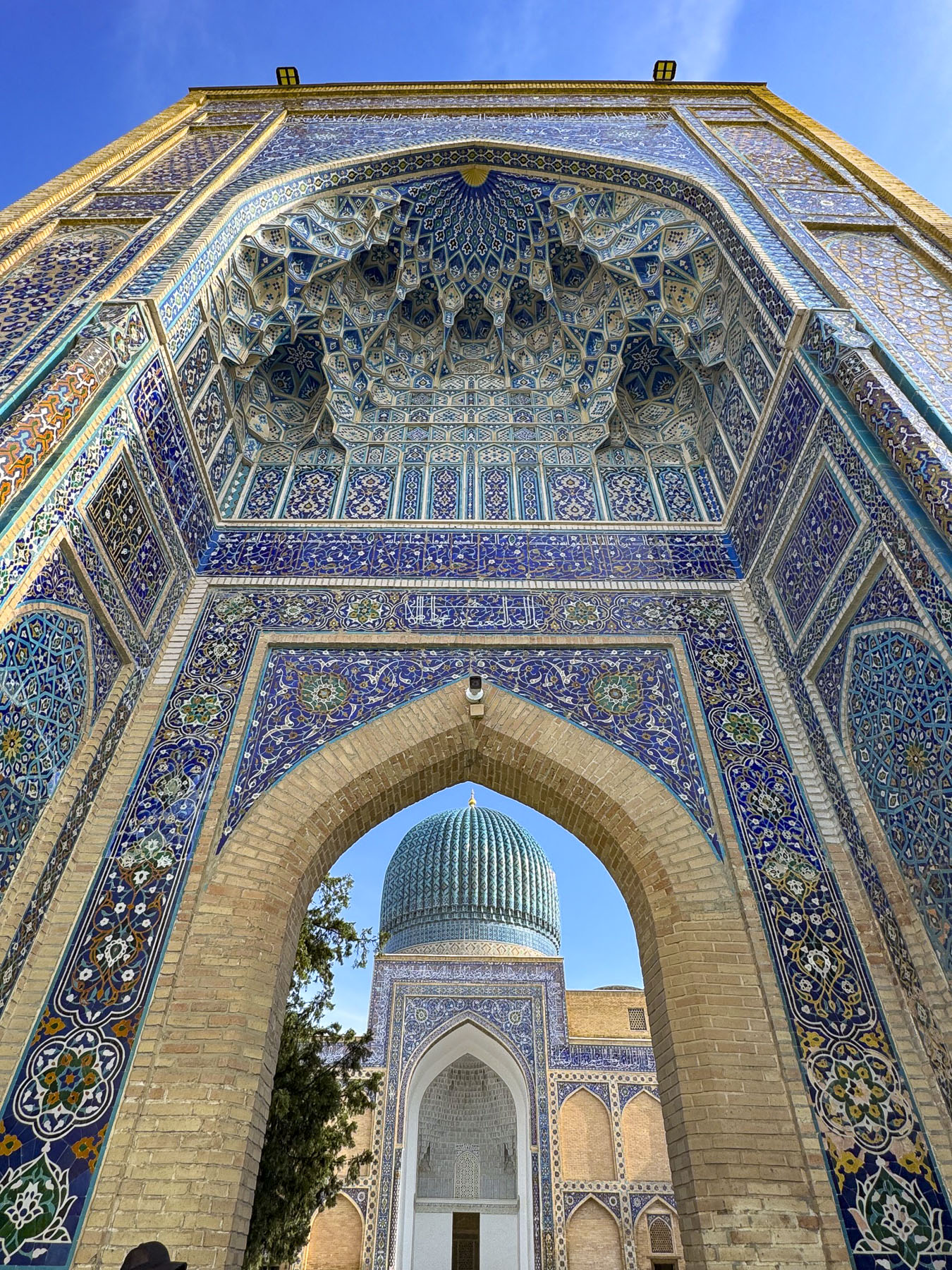
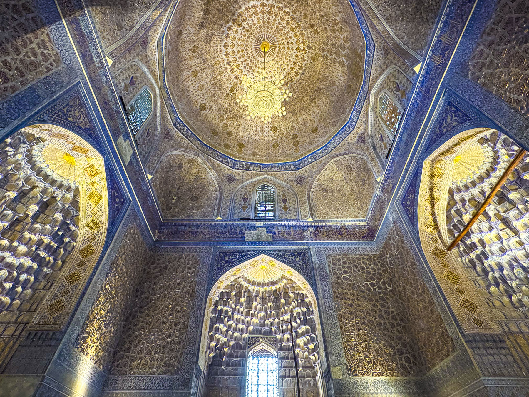
Joining our tour group after breakfast we headed to Gur-e Amir, ” the Tomb of the King.” Built in the early 1400s, it is the royal mausoleum of Amir Temur and his sons Shah Rukh and Miran Shah along with his grandsons Ulugh Beg and Muhammad Sultan. Also honored with a place in the tomb is Timur’s teacher Sayyid Baraka.

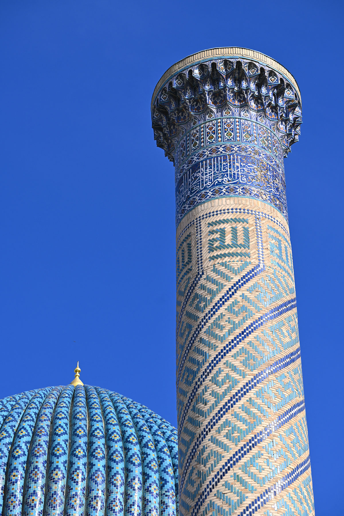
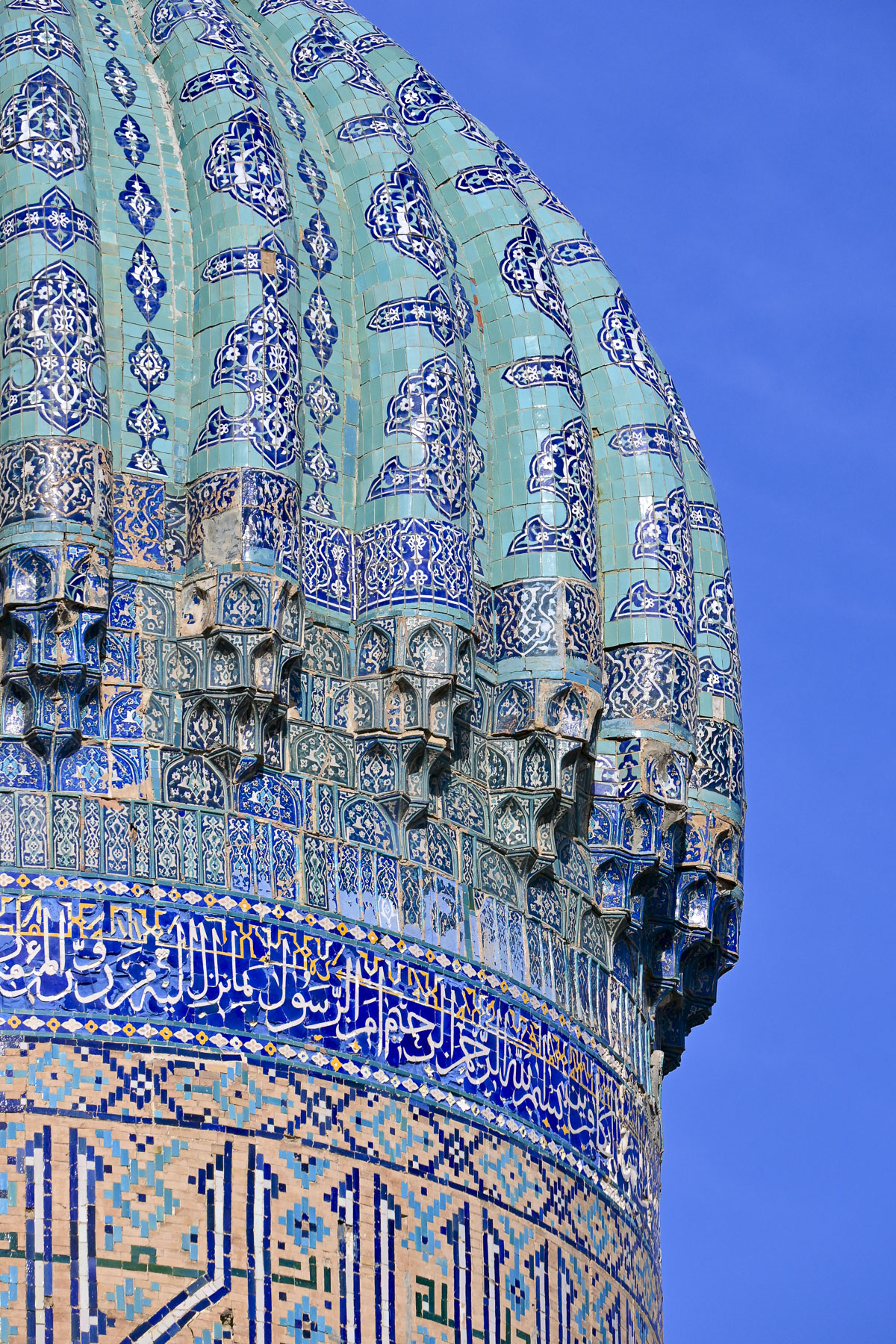
The courtyard’s grand entrance portal leading to a large ornate blue dome flanked by flat topped minarets became the master blueprint for an architectural style that was embraced across the Islamic world as Timur’s descendants continued to expand the Timurid Empire.

When Soviet archeologists decided to open Timur’s tomb in 1941 rumors went around Samarkand that disturbing the tomb would curse those who opened it, as the tomb is inscribed with a prophecy that reads “When I rise from the dead, the world shall tremble.” Local leaders attempted to warn the Soviets, but the excavation team persisted. Opening the tomb allegedly revealed another inscription declaring “Whosoever disturbs my tomb will unleash an invader more terrible than I.” Two days later Nazi Germany invaded the Soviet Union. Apparently, Stalin believed the curse and quickly ordered Timur to be reburied with full Islamic burial rites.

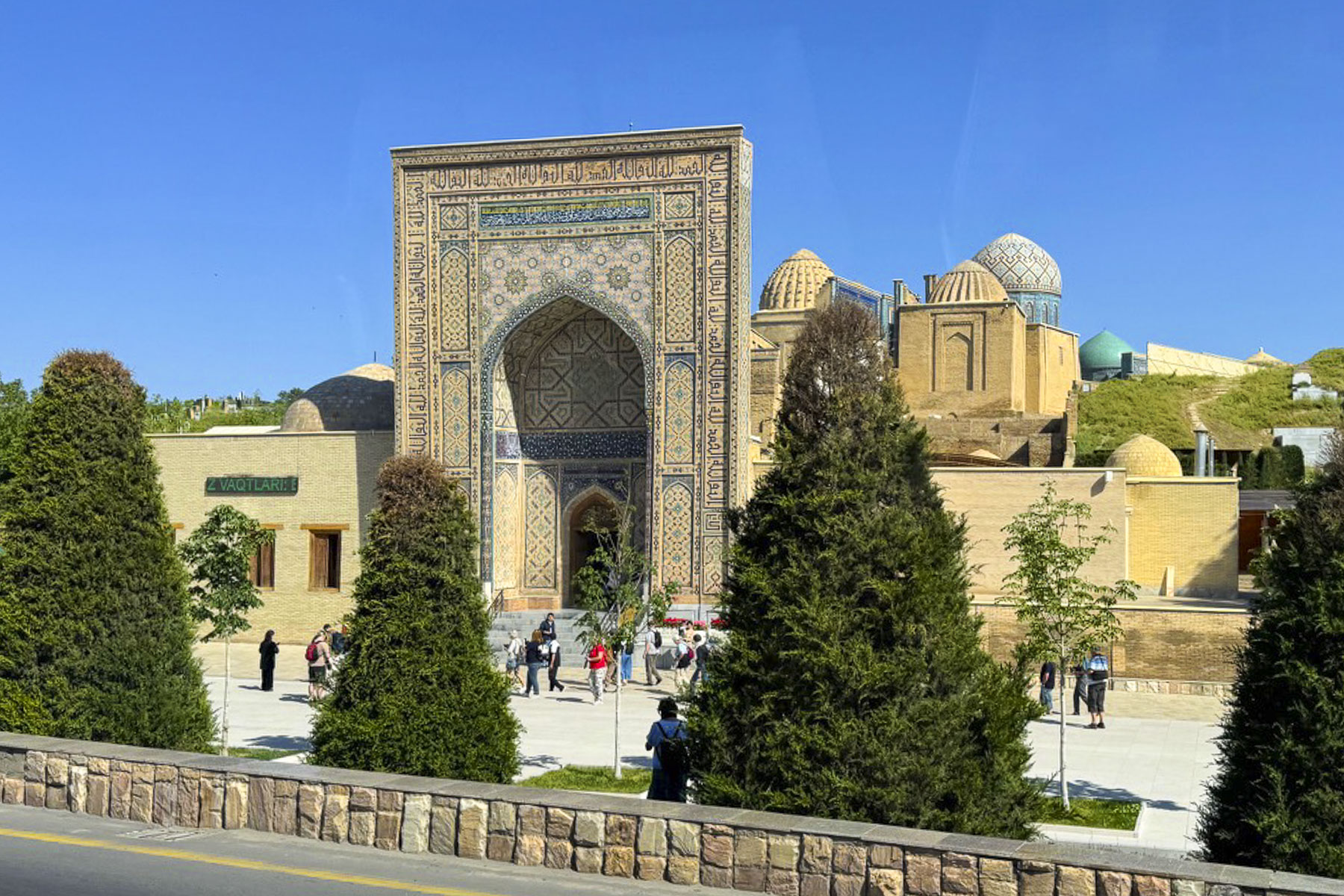
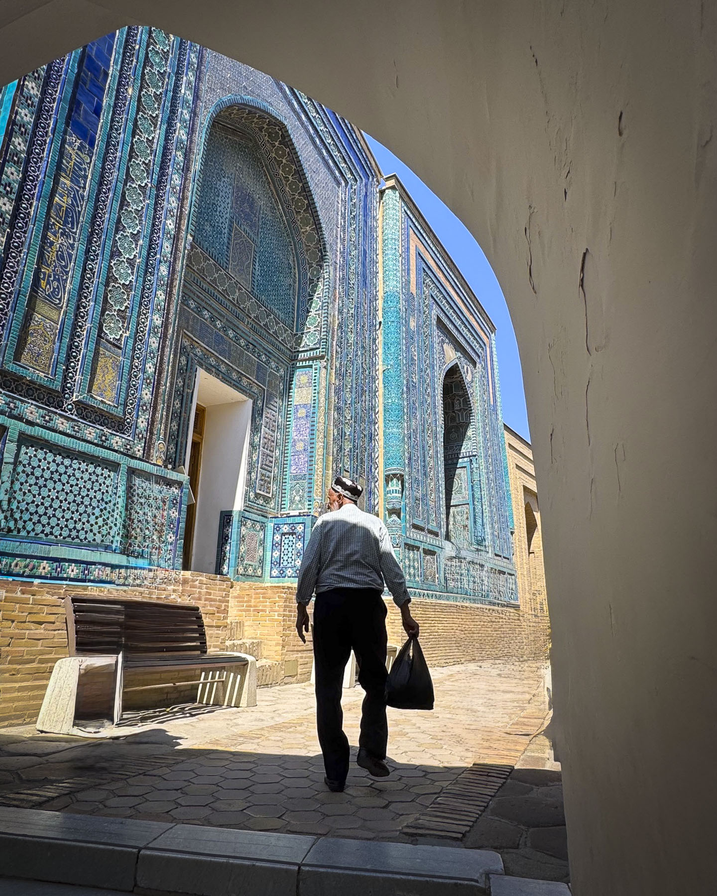
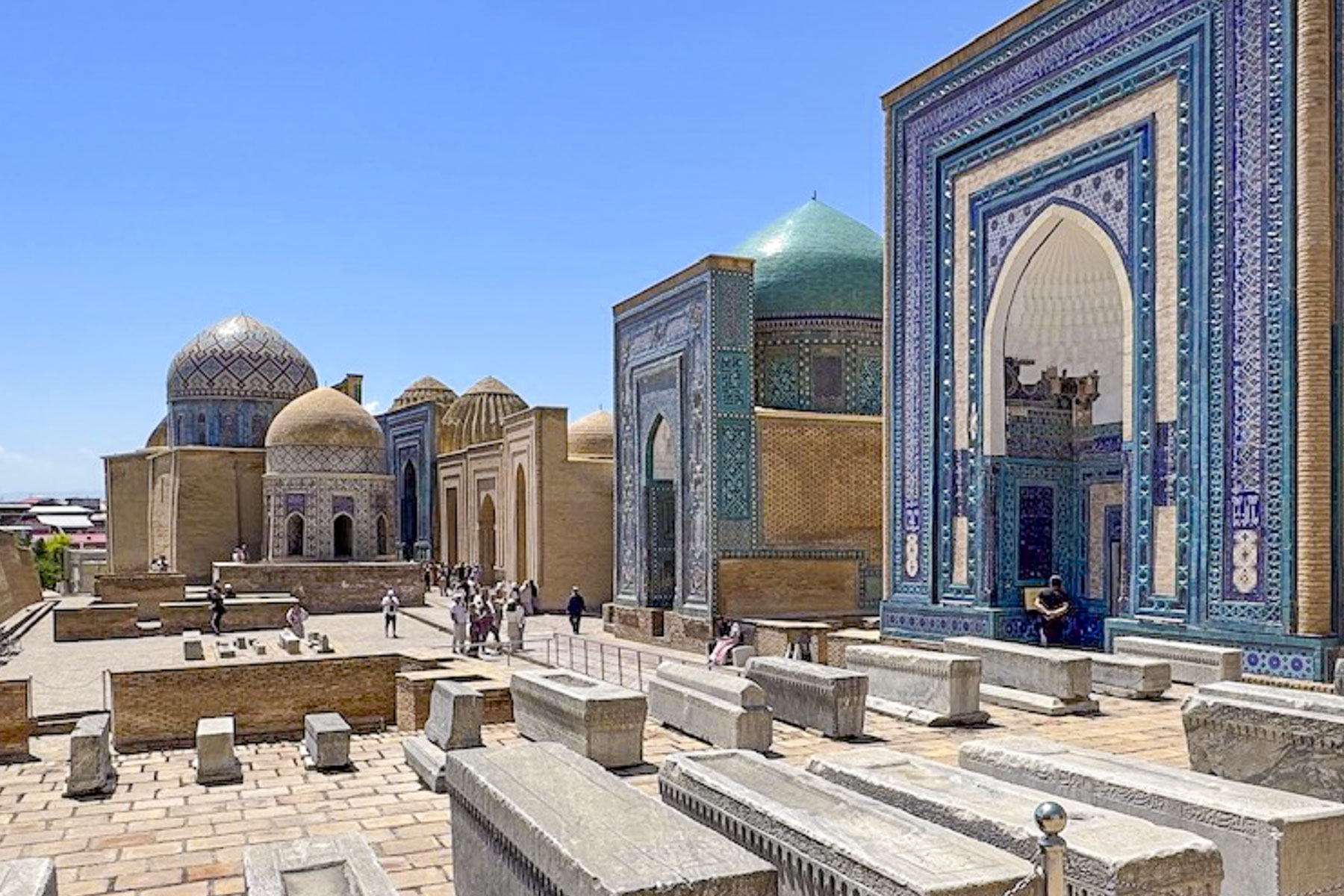
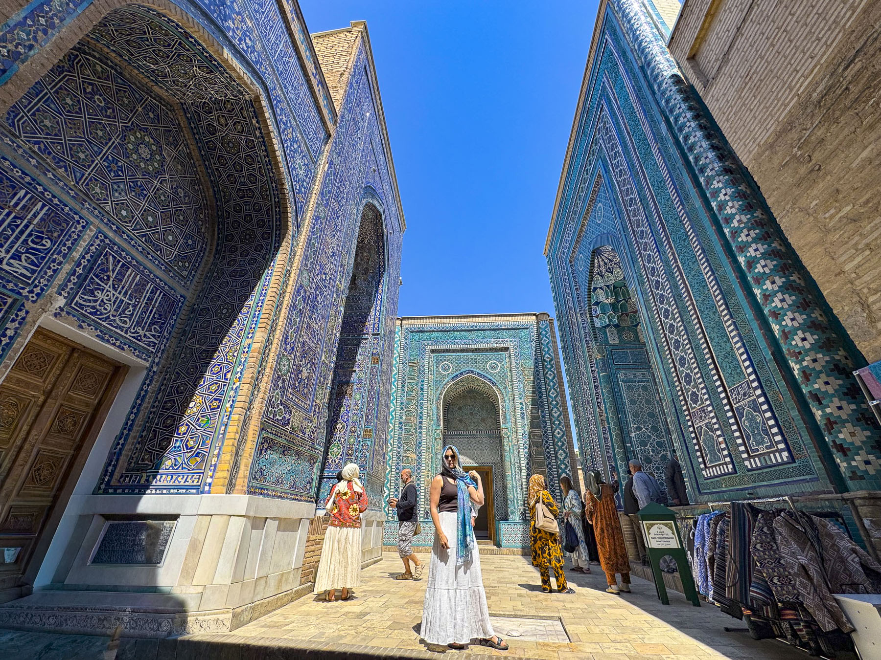
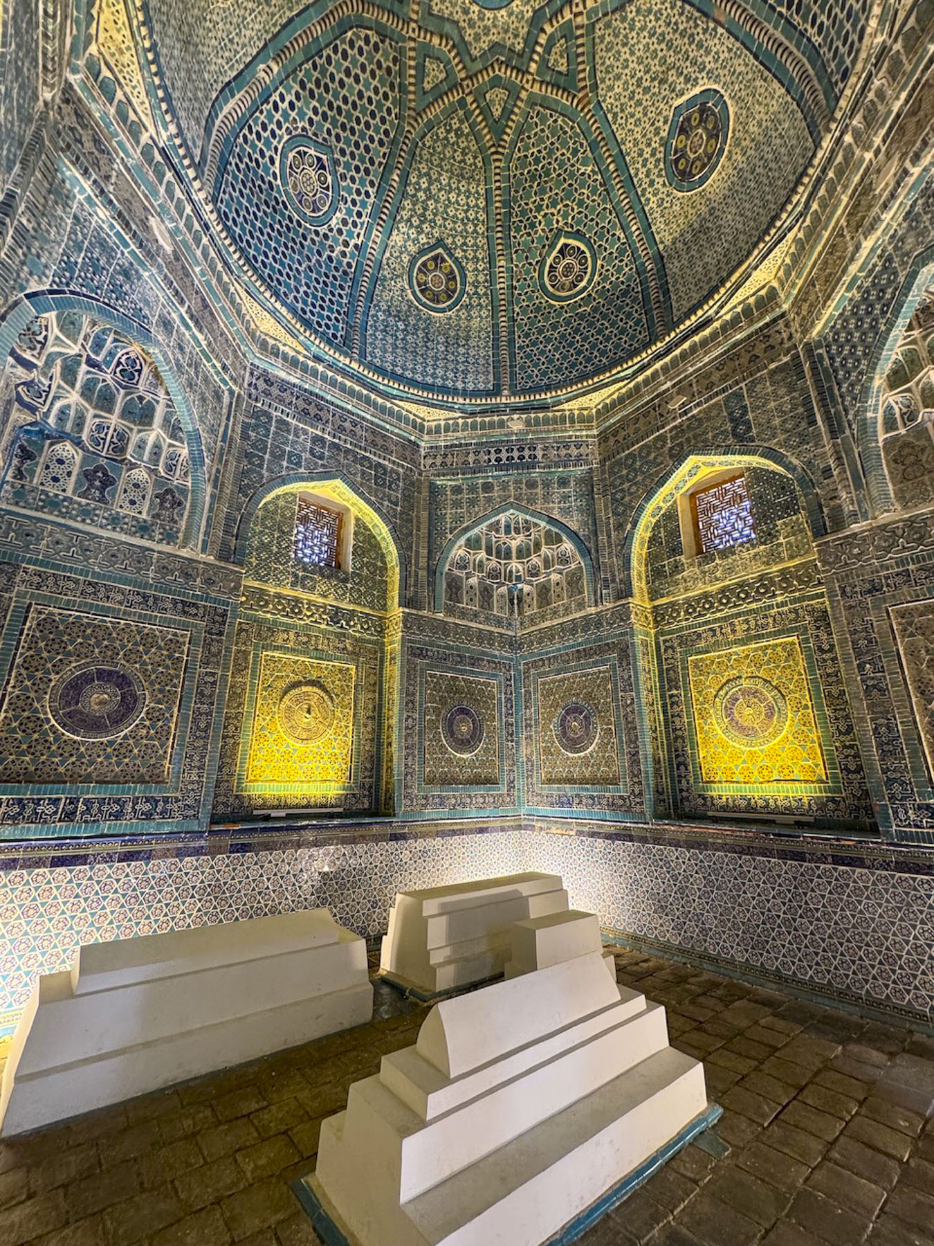
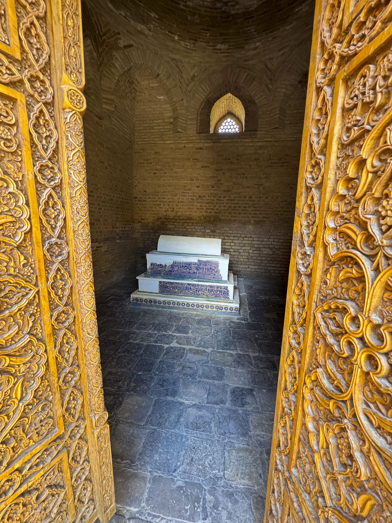
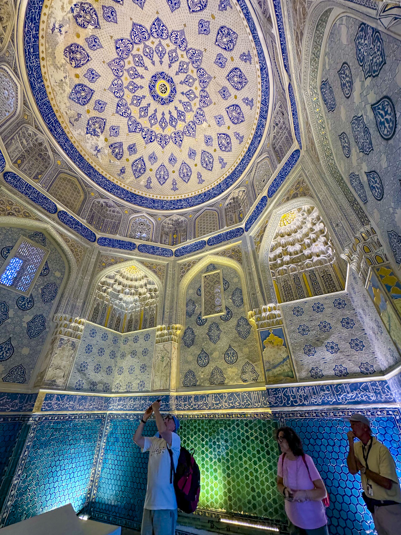
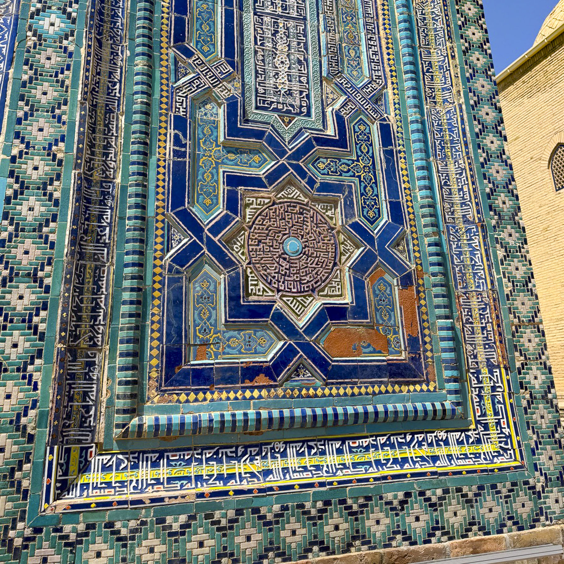
Continuing on we traveled to Shah-i-Zinda, Samarkand’s famous necropolis that features a narrow avenue lined with eleven ancient, spectacularly ornate blue tile covered mausoleums, smaller tombs, several small mosques and several historical buildings. “Its name means “The Living King,” referring to a legend that one of the figures buried here, Qusam ibn Abbas, a cousin of the Prophet Muhammad was not truly dead but “living” underground.”  

According to legend Qusam came to Samarkand in the 7th century during early Arab incursions to preach and establish Islam. Attacked by raiding Zoroastrians he was beheaded while performing his prayers. “Rather than dying, Qusam picked up his own severed head, tucked it under his arm, and descended into a deep underground opening linked to paradise, where legend states he continues to live to this day.

This legend encourages pilgrims from all across the Muslim world to visit the site. His original shrine on the site dated from the 11th century but was destroyed during the Mongol invasion of Samarkand. It was later rebuilt during Timur’s reign and later as his female family members, wives, and nobles chose the site as their final resting place during the 14th and 15th centuries, turning Shah-i-Zinda into one of the most important burial sites in Central Asia.

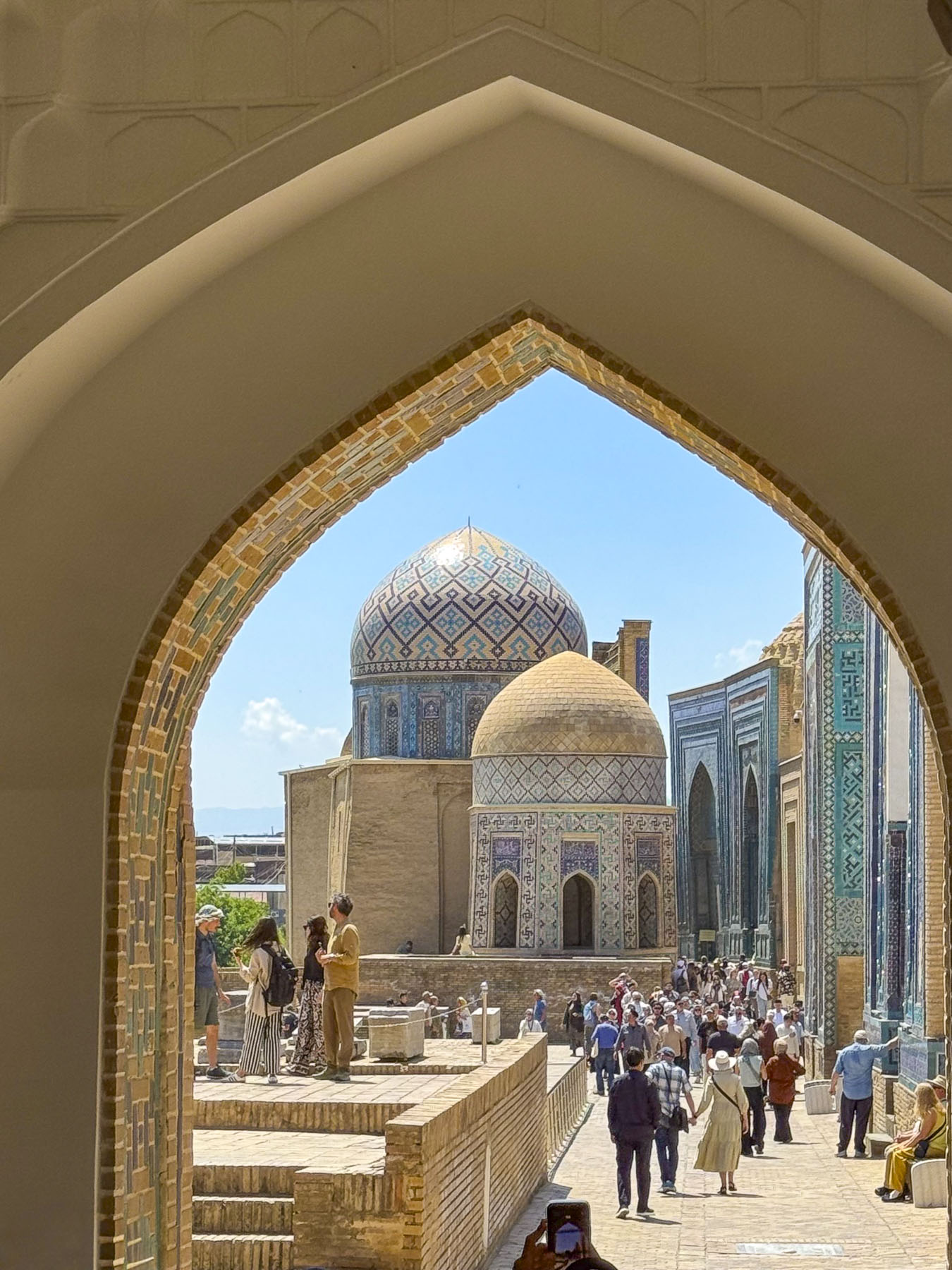
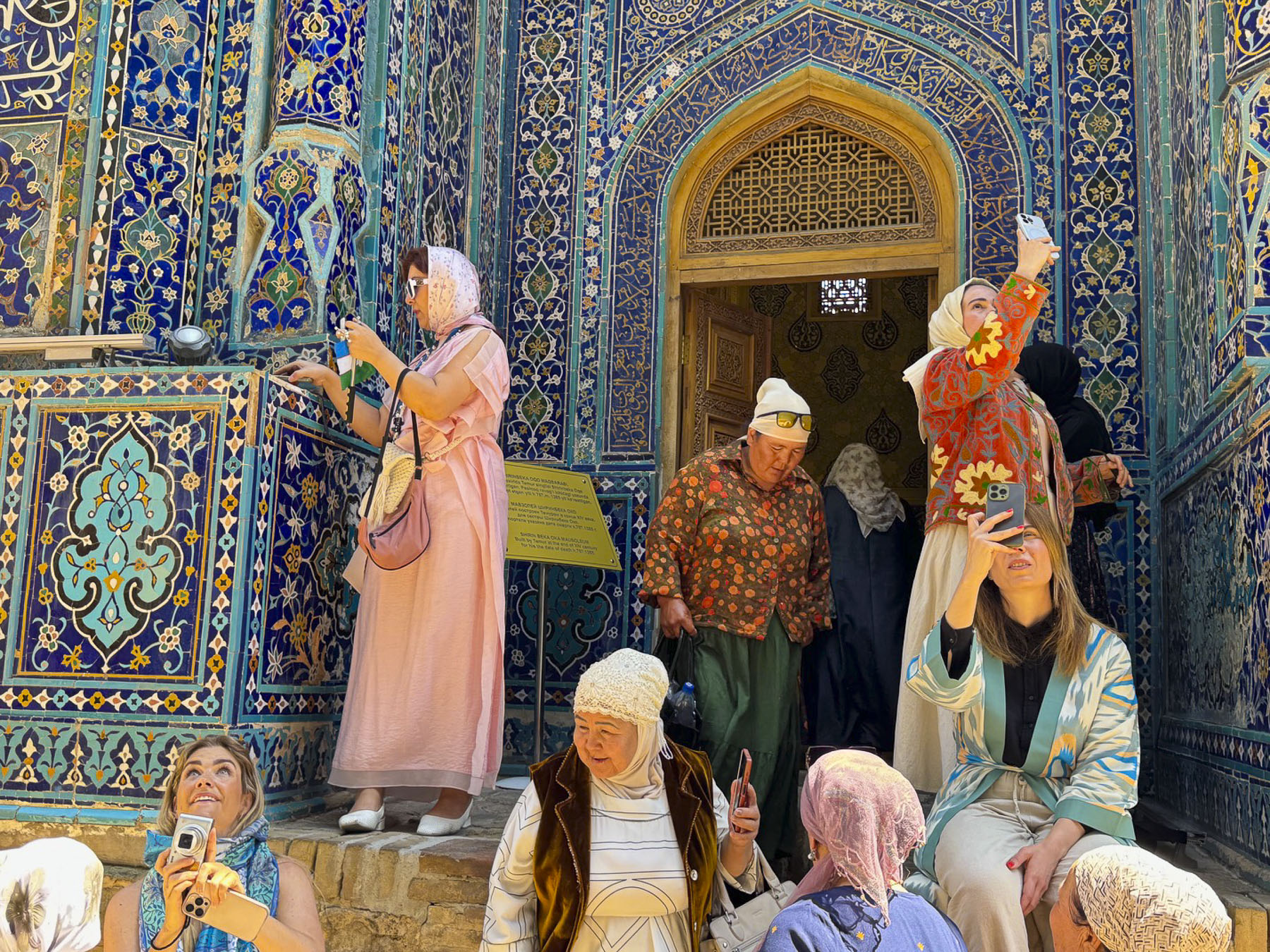
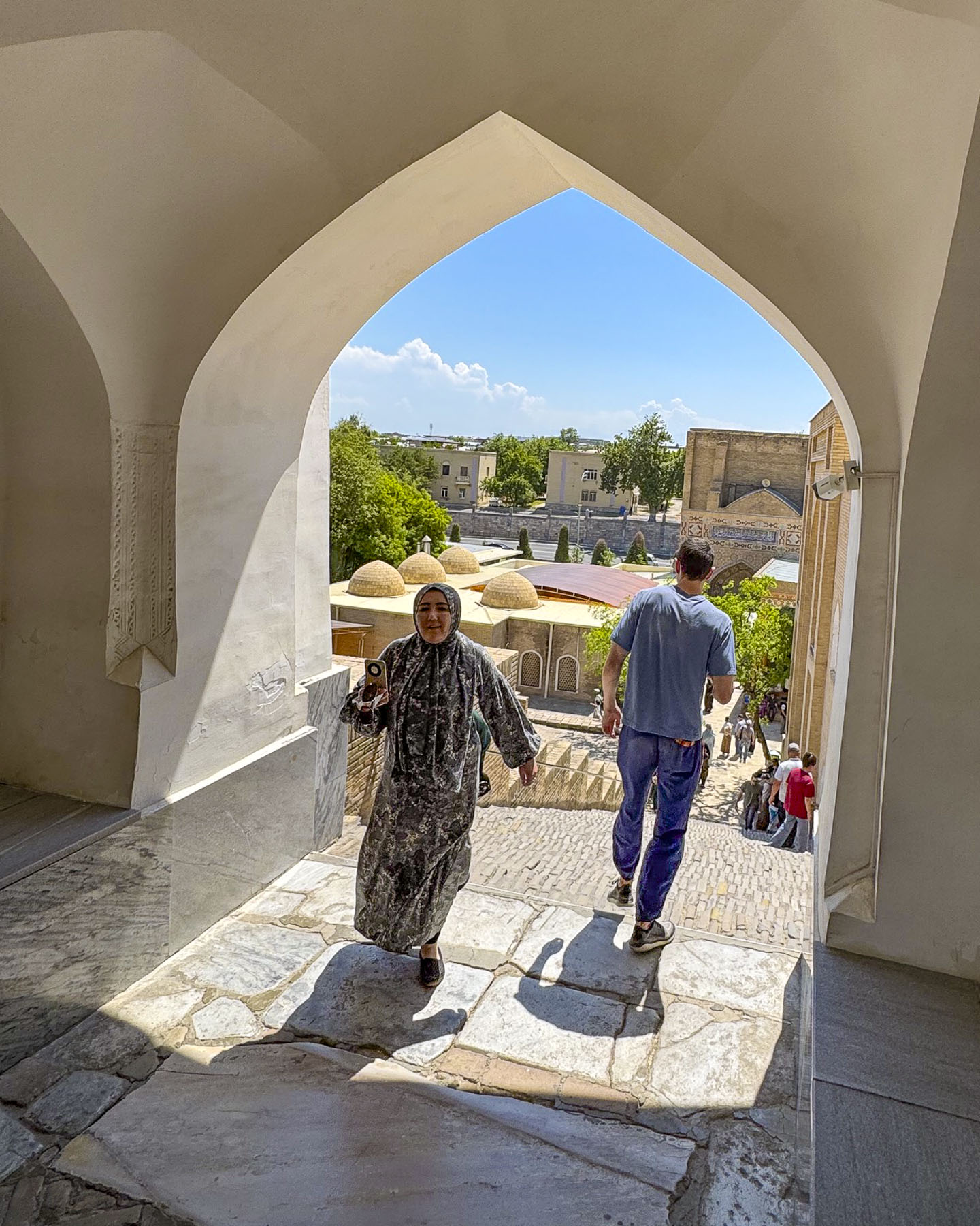
Late morning when we arrived was similar to trying to enter the New York City subway system at 5PM, packed with folks queueing for the best spots to take photos. The necropolis is stunning, but it was nearly impossible to take any photos without other people in the picture unless we had our cameras pointed at the beautiful ceilings. In hindsight our suggestion would be to plan a visit at 7:00AM when it opens or visit later in the day when the tour groups have headed for dinner.

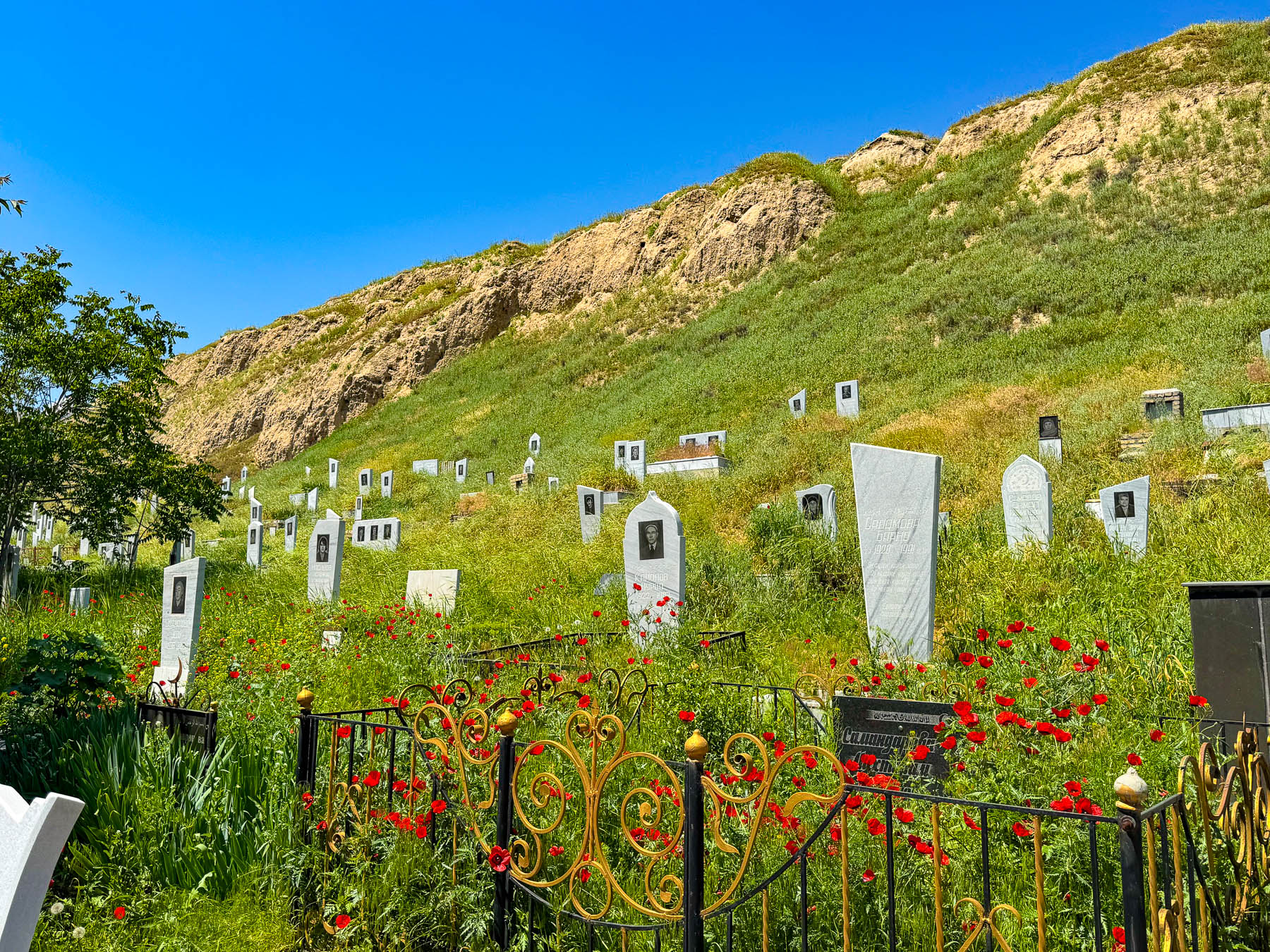
After dropping us off our bus driver had to park farther away, near the local hillside cemetery. As simple as it was it had its own elegance. Greeting us, our driver broke some Samarkand bread with us and provided some local cheese for lunch in the shade of the bus before we headed to our final destination in Samarkand.

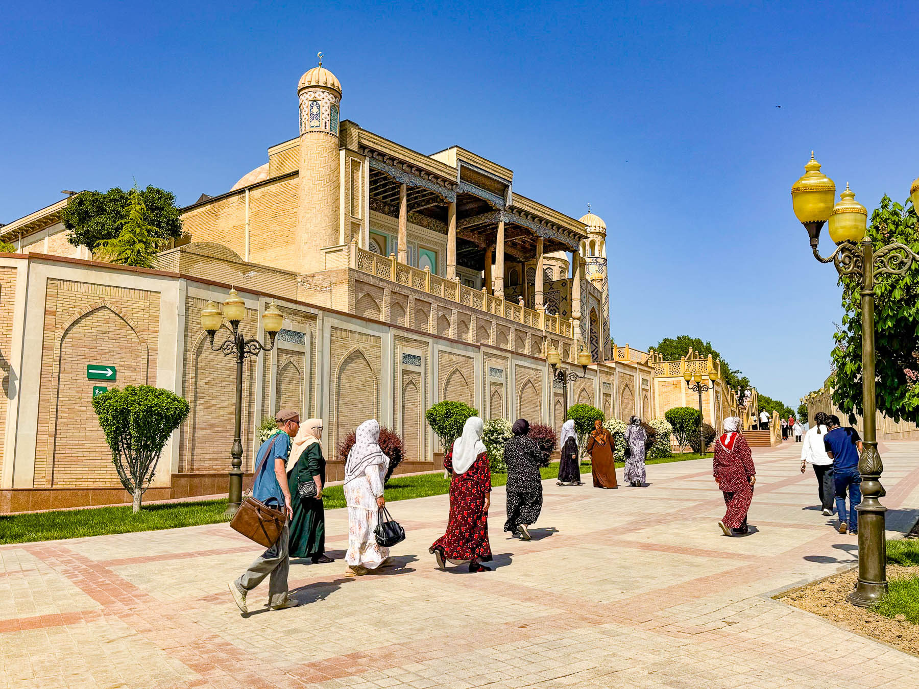
It was a very hot afternoon in late April as we slowly walked up the hill past the Makhsum Baba Mausoleum. Built in the 1800s the mausoleum of the revered local awliya (saint) features a much simpler, less ornate Persian style architecture, and because of this it is often looked by folks.

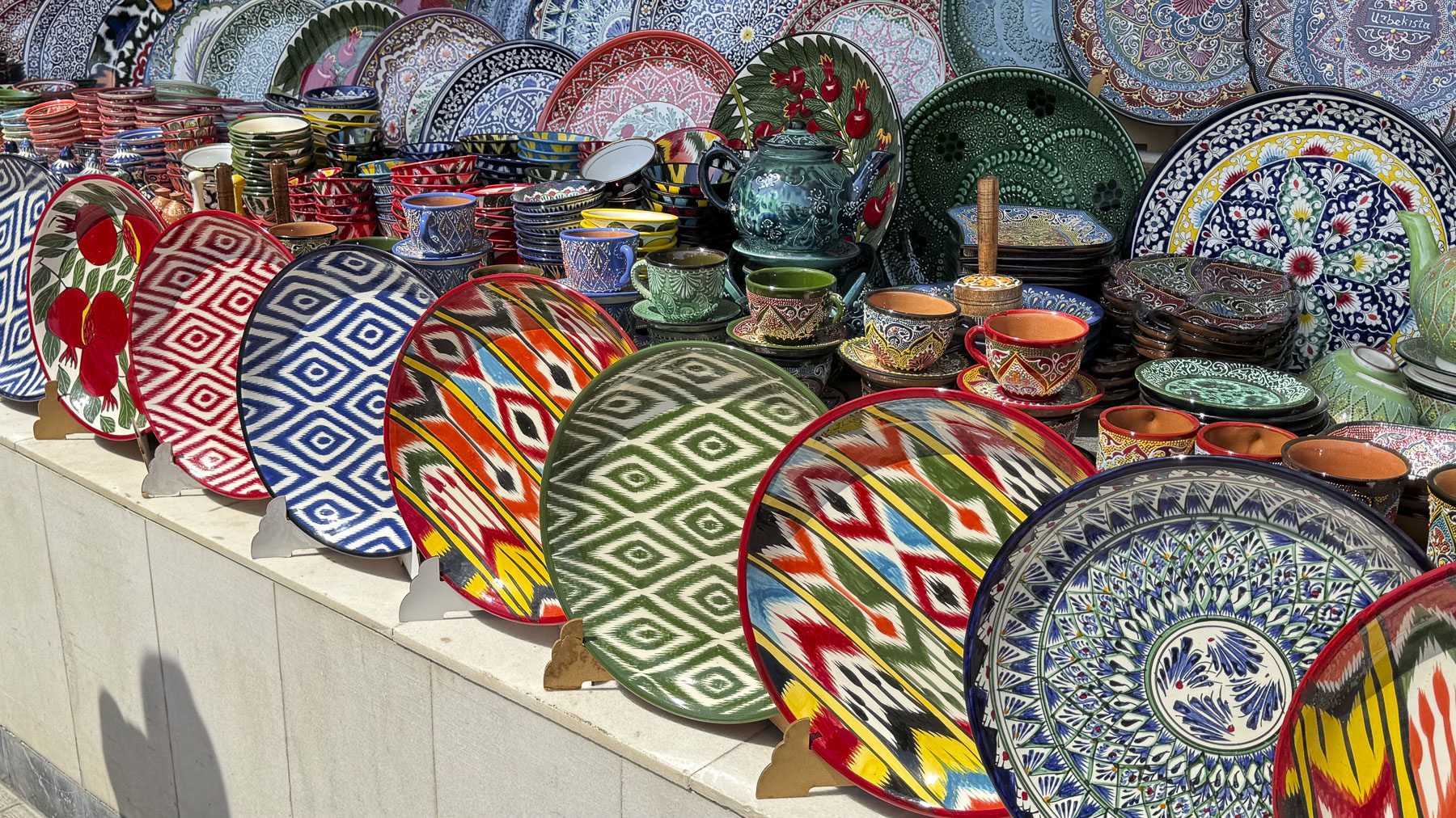
Continuing on we took a brief respite in the shade of the market pavilions at Siyob Bozori. It has functioned as Samarkand’s largest and oldest bazaar since the construction of the Registan displaced the merchants that once kept shops there. It was filled with beautiful ceramics, breads, honey, nuts and spices, as well as textiles. Vendors eagerly offered samples, hoping to encourage a sale.

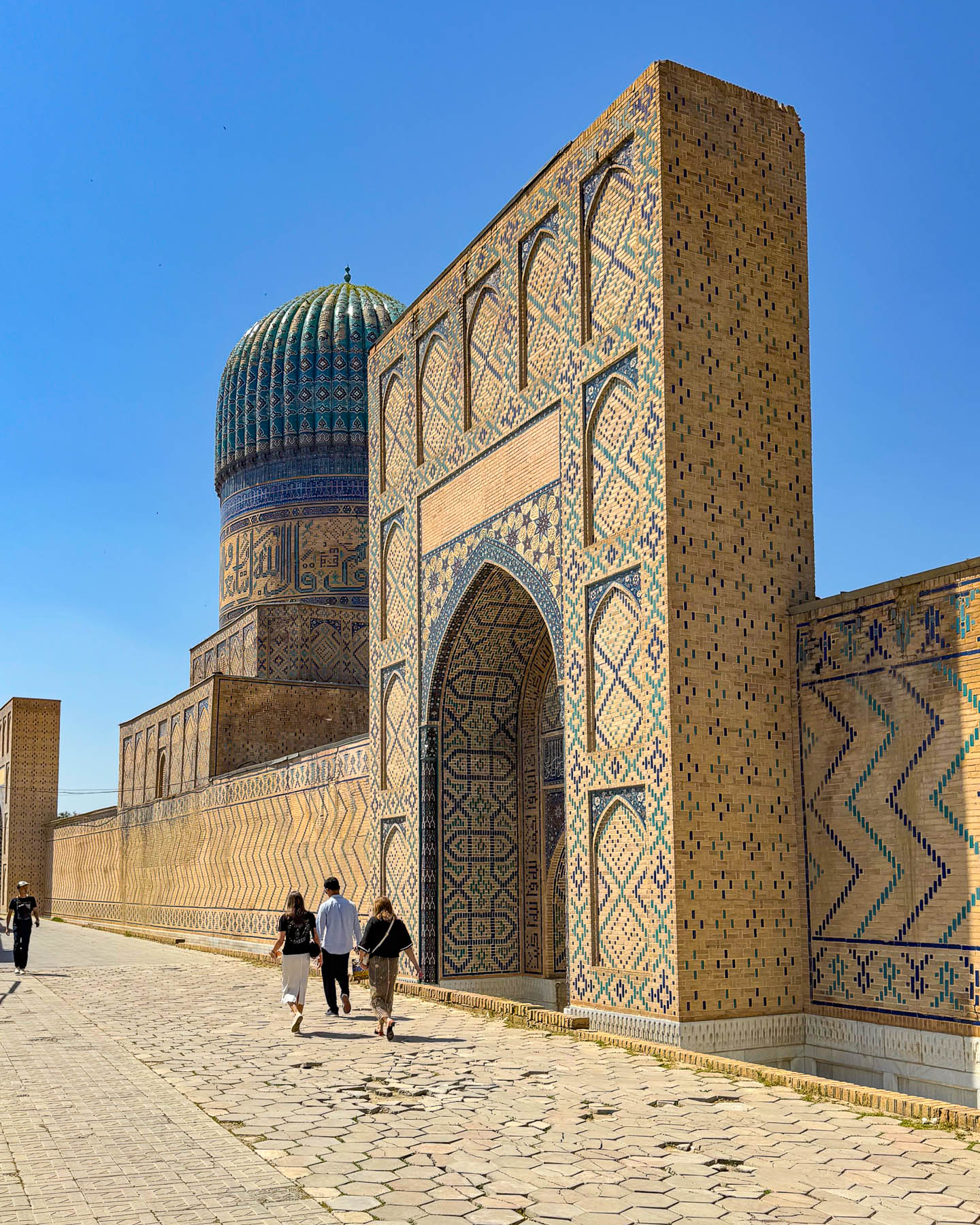
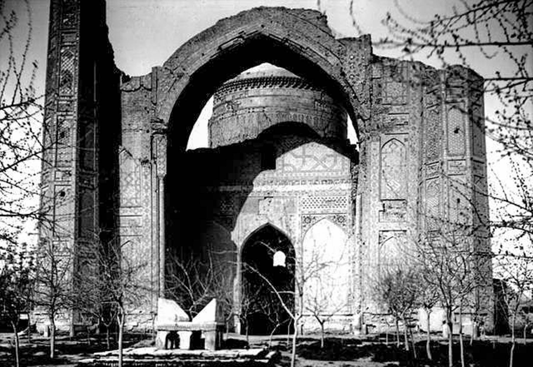
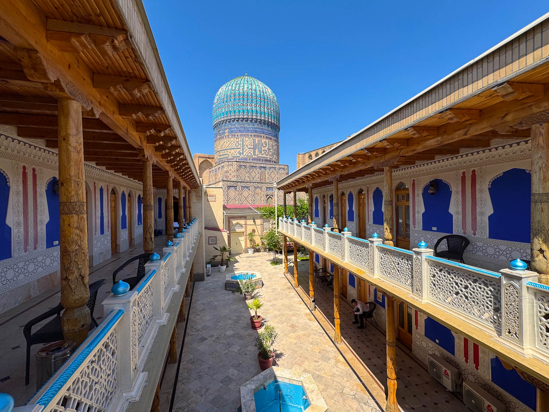
Next to the bazaar was the Bibi-Khanym Mosque, the façade of which was very similar to those of the madrassas on Registan Square. Our only critique of Tumeric architecture is that, while the facades are embellished with different mosaic designs, there is not a very distinguishable visible difference between the shape of the madrassas and the mosques. Though intriguing, visiting too many of them tends to be visually repetitious.

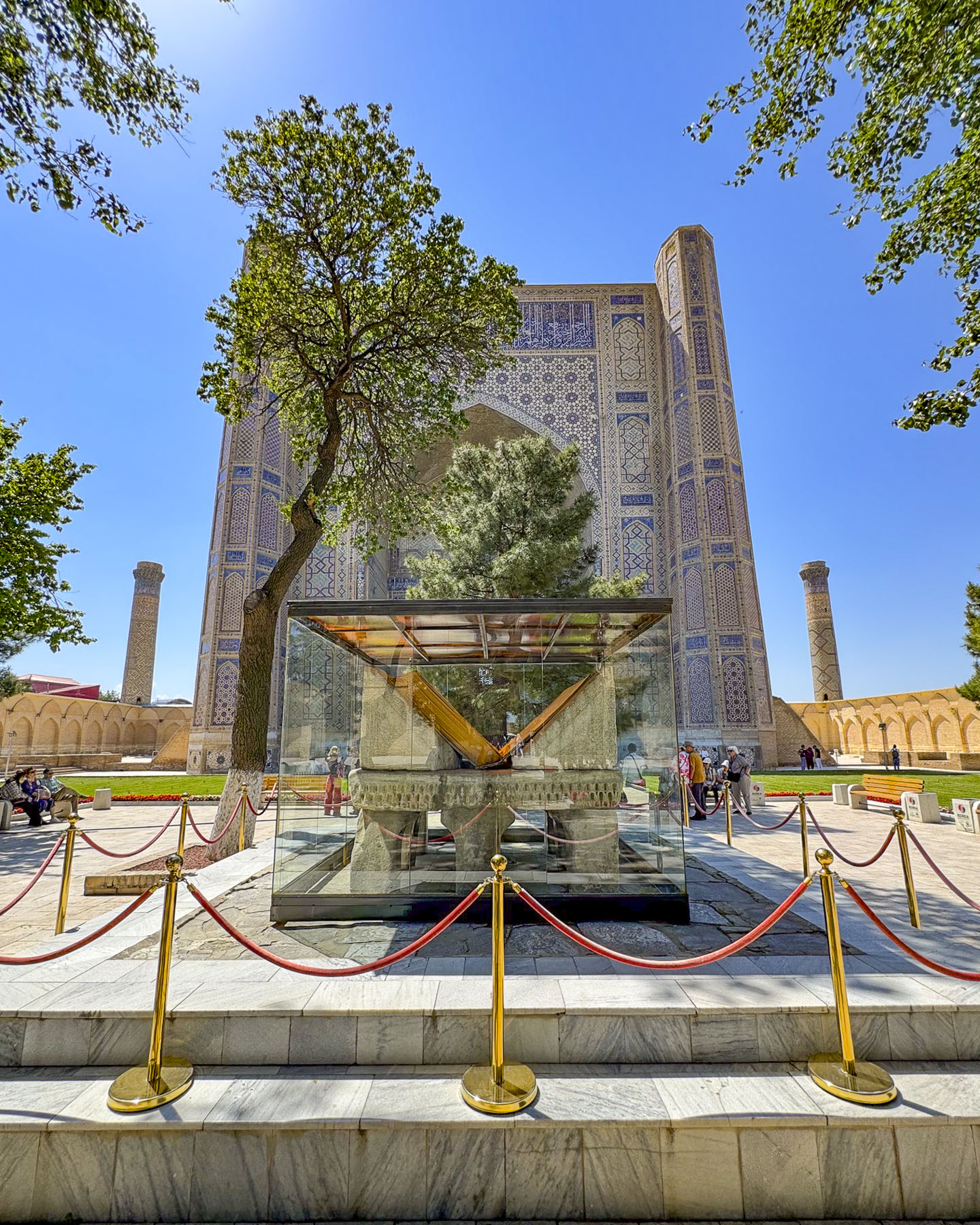
Its towering entranceway opened to a treed courtyard, at the center of which stood a very large glass exhibit case that held a giant marble pedestal carved in the shape of a book stand during the Timurid era. It was used to hold the legendary, oversized 7th-century Osman Quran that Timur brought back to Samarkand following his military campaigns through Iraq, as a prized war trophy and token of religious prestige for his royal library. It was a huge book that weighed 80 kilos (176 lbs) and required multiple assistants just to physically turn the massive leather pages for the Imans during religious services on major Islamic holidays when it was removed from the library.  The Quran was seized by the Russian imperial army in 1868 and taken to St. Petersburg. Upon repeated petitions it was returned to Tashkent in 1924 and is now displayed in the newly opened Islamic Civilization Center there. The ancient pedestal is also the subject of a local fertility legend that believes “a childless woman will miraculously conceive and bear children if she crawls underneath the giant marble book stand located in the middle of the courtyard.” Evidently this was done frequently enough to raise concern that the monument might be toppled, and the decision was made to protect it within a glass enclosure.

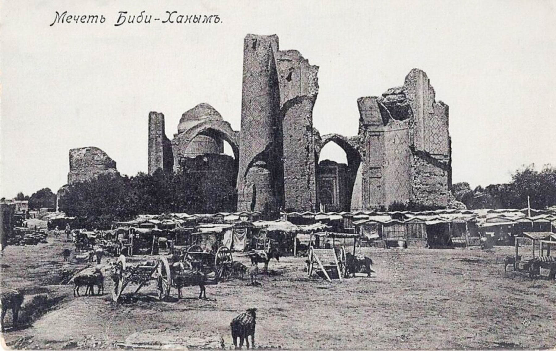
Built between 1399 and 1405, the mosque was a huge structure that suffered from numerous engineering deficiencies which resulted in it beginning to crumble as soon as it was completed. A major earthquake in the 19th century caused large sections of masonry to collapse; that along with a Russian artillery strike in 1868 hastened the already dilapidated complex’s demise. Though for a short period of time, in its heyday, it must have been spectacular.

We had a wonderful time in Samarkand. In hindsight we wished our tour had chosen a hotel closer to Registan Square, which would have facilitated exploring some of the sites we missed in our free time.

Tashkent, Khiva, Bukhara and Samarkand were all remarkedly different. We had a great time in Uzbekistan.

Go for wonderful architecture of the Timurid Dynasty, but don’t forget the bread.

Till next time,

Craig & Donna
Bukhara, Uzbekistan: A City of Culture and Style on the Ancient Silk Road, or Time Traveling in the Desert

In mid-April 2026 we flew from Tashkent to Urgench on our way to Khiva. We were a month too early to take advantage of the newly operating “Jaloliddin Manguberdi,” a high-speed electric train that whisks passengers 1,020km (630 mi) across the country from Tashkent to Khiva in 7.5 hours with stops in Samarkand, Bukhara, Urgench, and Khiva.

We are not fans of bus trips, preferring to rent a car, and organize our own road trips so we can stop frequently, but the distances between the cities in Uzbekistan were just too great, and we opted for a group tour instead. Consequently, a couple of long bus journeys were part of the itinerary, such as the six-hour trip to Bukhara. While some folks used this time to catch up on their emails and texts, or read, I preferred to look out the window, level the horizon, and try to compose a few photos as the bus bounced along. Leveling the horizon was nearly impossible.

In this part of western Uzbekistan there is not a modern highway system. While the roads were decent, the “highways” were also local roads when they passed through towns, and the sights could be unusual: like the local butcher who had a freshly slaughtered cow’s head hanging in front of his shop; kids in their school uniforms walking to school in a culvert along the edge of a field as a cow grazed nearby; numerous new mosques under construction. In places, large ancient cemeteries lined the road. There were also many examples of Uzbekistan’s informal economy underway when we entered or exited a town, with folks selling the in-season fruits and vegetables, or honey, eggs, and homemade cheeses from their cars parked along the roadside. 

At rest areas, tandoors cast forth the wonderful aroma of freshly baked samsas. Passing through the town of Hazorasp, a large silver sculpture of a winged horse flashed by too quickly to grab a photo. This was the Tulpar, the legendary ultra-swift horse in Uzbek mythology. The town’s name “Hazorasp,” literally translates to “a thousand horses.” It’s taken from a folkloric legend where a herd of winged horses descended to the Amu Darya river delta.

We reached the Hazorasp Tumani bridge over the Amu Darya River, a narrow, two-lane steel and concrete bridge that closes to all vehicle traffic when a train crosses the bridge on railroad tracks that straddle the yellow center line. This event caused such a long wait, that our driver and guide made us hot tea and coffee in the shade of the bus as we waited in the queue, with other folks who were leaving their vehicles to stretch their legs, killing time before the train passed.

Our route paralleled Uzbekistan’s border with Turkmenistan and at a viewpoint overlooking the Amu Darya River our guide pointed out how much the width of the river had shrunk since his childhood during Uzbekistan’s Soviet era, when the river’s water was overdrawn to irrigate cotton fields, and that during the communist years there were an incredible 17 security checkpoints between Khiva and Bukhara, that everyone was required to stop at. Farther on the scrubland of the Kyzylkum Desert extended in every direction to the horizon.

One unusual thing that we noticed at the many gas stations we passed along our 443km (275mi) route to Bukhara were the concrete walls between the filling islands. The stations didn’t provide gasoline. Instead, they sold highly compressed natural gas for cars and trucks that had been retrofitted to take advantage of Uzbekistan’s substantial natural gas reserves. Occasionally, explosions during the refueling process happens, and the concrete blast walls are to contain the damage. Drivers using these facilities are also required to wait in certain no danger zones, a safe distance away from their vehicles. The stations are all connected via pipelines and frequently there are problems with their pressurization which results in temporary station closures and long lines at other facilities. If you are renting a car there isn’t any need to worry, as all rental cars in Uzbekistan run on gasoline.

Wide multi-lane boulevards greeted us as we entered the outskirts of Bukhara, a city of about 305,000 people. The roads were lined with newer three to five story buildings with a vast array of shops and services on the ground level and apartments above. And there was a good amount of western style advertising with billboards and digital displays marketing athletic wear, soda and banking services. There had been a large 12km (7.5mi) defensive wall around this Silk Road trading hub for over two millenniums, only succumbing to destruction when the Soviet Red Army bombed and shelled the city in 1920 before they forced Bukhara into the Soviet Union. Prior to this, the Emirate of Bukhara existed as an absolute, conservative Islamic monarchy, while being a Russian Empire protectorate, a result of Russia attacking the city in the late 1860s to end its and Khiva’s notorious slave markets that sold around 100,000 Persian and Russian slaves every year to other Islamic khanates in Central Asia, India and the Middle East.

Just shy of the pedestrian only historic center of Bukhara, we disembarked from our bus, across from the Labi Hovuz, an ancient public square, dating from the 1620s, that’s centered with a large reservoir surrounded by a shallow set of stairs that lead down to the water’s edge.  Surrounded by centuries old mulberry trees, it was a popular spot for merchants from the caravanserais, and students from the nearby madrassas to relax in the cool of the evening. The pool was also a vital source of drinking water for the surrounding homes for several hundred years. There used to be many of these hovuz, pools, across Bukhara’s mahallas, neighborhoods, but they were also the breeding grounds for waterborne diseases like guinea worm and cholera, and they were filled in for health reasons during the Soviet years.

Dragging our suitcases behind us, we passed the Magoki Attori Mosque, dating from the 9thcentury; it was built above the ruins of an early Buddhist monastery and later Zoroastrian temple. Interestingly, before the first synagogue was built in the city, Muslims and Jews shared the temple but worshipped at different times. It is the oldest mosque in Bukhara, having survived Genghis Khan’s sack of the town in 1220, and a millennium of Bukhara’s evolving growth, which has left its entrance 4.5m (15ft) below the surrounding city level.                                                                                                                                                                                                                   

We entered the inner part of the historic center of Bukhara through the Toqi Telpakfurushon, a long gate-like, multi-domed tim built in 1570, that was first used as the booksellers’ bazaar. Its narrow lane was lined with a variety of colorful stalls and workshops, and it is expected that tourists will bargain with the merchants for their best price. We passed through the Toqi Telpakfurushon many times during our two full days in Bukhara, but appreciated the beauty of the building most in the early morning hours as the city was awakening.

Just outside the far end of the bazaar was the Bozori Kord Hammam, dating from the 14th century. It is one of the oldest continually operating bathhouses in the world, where a restorative 30-minute massage can be enjoyed.

Our hotel, The Shahriston, was a few doors down. It’s a newer hotel built in 2018, that wonderfully retains the authentic character of the surrounding medina, and was conveniently, centrally located on Khakikat St, and within easy walking distance of Bukhara’s many historic sites. It also had a nice rooftop terrace for views over the medina’s Toqi trading domes and workshops.

After getting settled in our room, we headed to the Poi Kalon Complex, as the golden hour was approaching, and quickly decided that the rooftop restaurant at Kazan, directly opposite the plaza, would be the perfect spot for dinner and photos later. We made reservations.

The plaza is considered to be the religious center of Bukhara and is bordered with three buildings built between the 12th-16th centuries: Kalan Minaret (1127) replaced an earlier design that collapsed during construction; The Kalan Mosque was completed in 1514, ( it replaced an older 12th century mosque destroyed by Genghis Khan’s army in 1220); and the Miri Arab Madrassah, which dates from 1535.

The square was lively with vacationers, tour groups, and vendors offering balloons, photo services, and souvenirs. The architectural brickwork design of the 48m (157ft) tall Kalan Minaret is amazing. The minaret so impressed Genghis Khan that he ordered his troops to spare it as they totally destroyed the rest of the city when the Mongol army sacked Bukhara. It was also known as the “Tower of Death,” where criminals, political rivals, and unfaithful spouses were marched up the 105-step spiral staircase to the open rotunda at the summit and cast to their deaths. Though there is the legend of a Khan’s wife who on the eve of her execution was granted her last wish – to wear all her dresses. “People stood breathless as the woman jumped, but then a miracle happened as her wide skirts billowed out like a parachute and she landed softly.”

Purposefully designed to rival the size of Bibi-Khanym Mosque in Samarkand, the monumental entrance arch of the Kalan Mosque opens to a grand courtyard that can hold over 10,000 worshippers and is surrounded by 208 pillar-domed galleries. At far end of the courtyard is an octagonal brick pavilion that is the tomb of a revered imam, just before the iwan, an open front vaulted room, where the minbar stood. Sadly, in 1924 the Soviet regime in Uzbekistan closed the mosque to religious use and repurposed it as a warehouse. During those years the mosque fell into neglect and wasn’t partially restored and used as a mosque again until 1991 when Uzbekistan declared its independence.

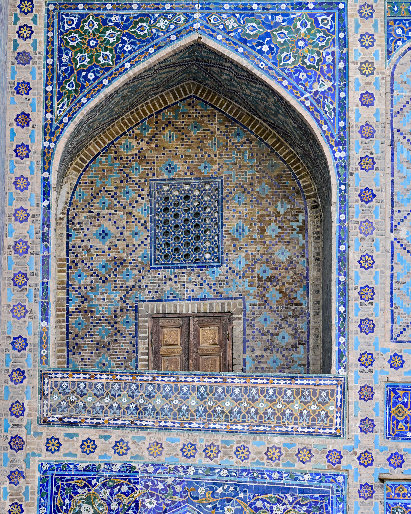
Directly across from the entrance to the Kalan Mosque were the blue domes and façade of the Miri Arab Madrassah covered with fascinating intricate tile mosaics featuring geometric, vegetative, and calligraphic patterns. Some historians suggest that the madrassa was built to commemorate Bukhara’s decisive victory over Persian troops at the Battle of Gijduvan in 1512, and that the ornate craftsmanship throughout the building was financed by khanate when it sold 3000 captured Iranians into slavery.  The school was closed for 25 years after the Soviet Union took control of Uzbekistan, but was reopened in 1945 when the USSR government granted permission to the Miri Arab Madrassah to be the one official Islamic educational institution for Muslims within Soviet Union, hosting students from different regions across Central Asia, the Caucasus, and Russia. Today about 56 new students a year are accepted into a 4-year course of study to become an imam.

Dinner later on the rooftop terrace at Kazan was a charming and unhurried experience and we lingered, watching the color of the golden hour across the plaza transition to twilight, as the size of the crowd on the plaza ebbed and flowed. The food was excellent. Unfortunately, as a functioning school, the restaurant does not permit tourists inside, but occasionally folks are allowed to step into the entrance portal and view the entry hall. However, during our research we found this interesting video tour of the Miri Arab Madrassah’s interior.

The next morning our group headed to Samonids Park, a large lush green park with a Ferris wheel and other amusement park rides, as well as shaded walkways through a nicely manicured landscape, on the outskirts of the historic area. We followed our guide down one of these lanes to the Mausoleum of Ismail Samani, the founder of Bukhara’s Samanids dynasty, (875-999).

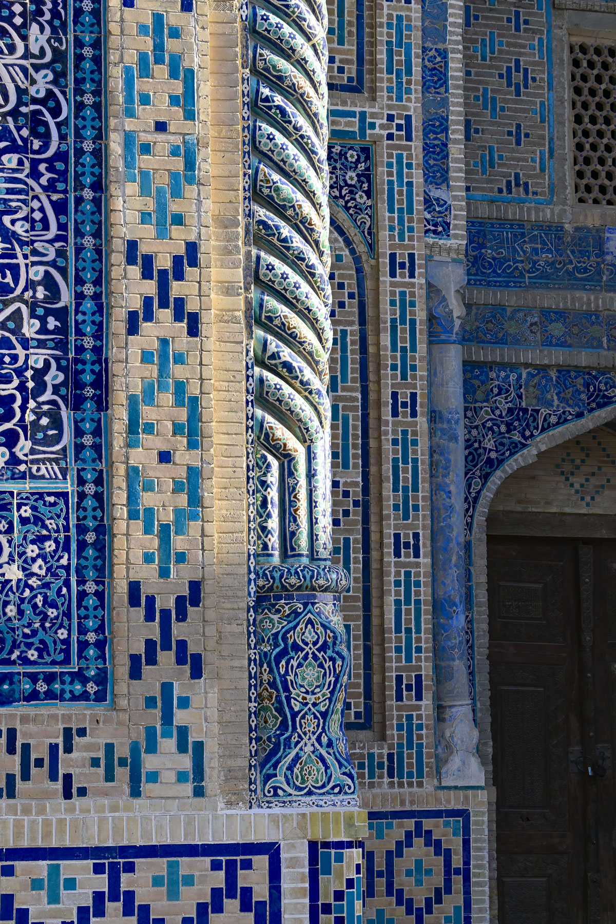
The mausoleum is a highly decorated beautiful small structure, with all of its exterior and interior walls covered with intricate symbols and geometric relief patterns that resemble the design of woven textiles and basketry. It’s an effect that gives the building a highly textural feeling. The mausoleum is considered a masterpiece of early Islamic architecture. Through fate or luck, it is the oldest surviving Islamic structure in Bukhara, having been entombed in silt from repeated river flooding or, as legend believes purposely buried in sand to prevent Genghis Khan’s Mongol army from destroying it in 1220. Amazingly it stayed buried until Soviet Union archeologists rediscovered it in the late-1920s and found it in surprisingly good condition, due to the fact that it was entirely constructed with kiln-baked bricks, that resisted the erosive effect of repeated flooding.

Our tour continued through the park to the adjacent Markaziy bazaar, Bukhara’s central market. It’s a substantial complex with several halls and numerous vendors displaying their foodstuffs and offering samples. It is best described as a gauntlet of temptations.

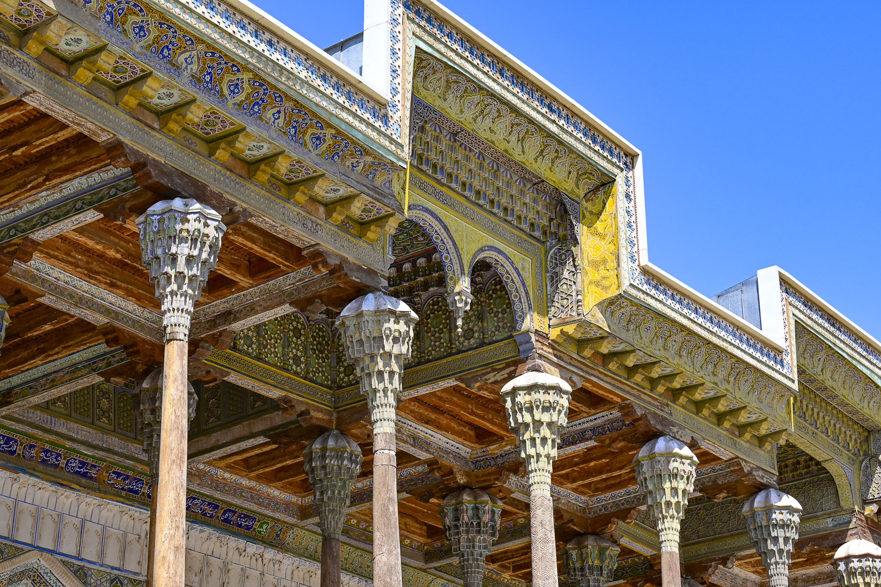
Continuing on we came to the Bolo Hauz Mosque, built in 1712 across from the Ark of Bukhara. It was the official mosque of the emirs of Bukhara until the Soviet Union took over Uzbekistan. With the addition of an ornate 20-pillar wooden portico called an iwan in 1917, the mosque has a unique non-traditional façade. We had seen iwans earlier during our stops at the royal palaces in Khiva, where they were in the private courtyards, not on the front of a mosque. But it’s the perfect addition to accommodate worshippers in the hot summers.

The Ark of Bukhara was a heavily fortified citadel and palace within the extensive defensive wall that ringed the city. It enclosed the royal courts, living quarters and throne rooms of the Emirs. Along with housing for around 3,000 people, it also had mosques, a mint, a treasury, and a prison.

The unique shape of its curved towers and ramparts has been meticulously preserved and today the inner rooms of the palace are a museum detailing the city’s history. The view from the defensive wall back towards the Poyi Kalon Complex was also striking.

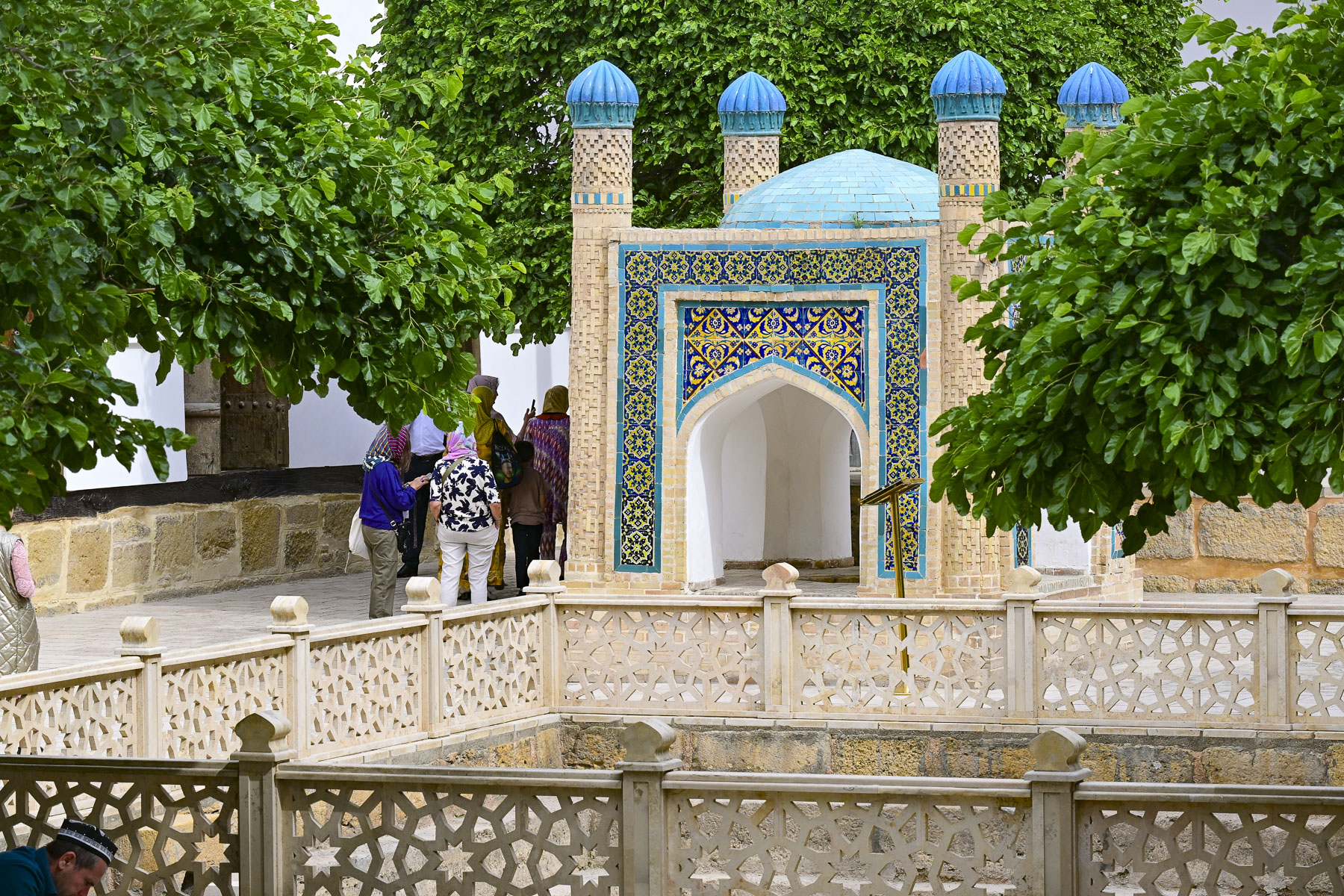
Twenty minutes from central Bukhara our group visited The Memorial Complex of Bakhouddin Naqshbandi, the 14th century Islamic theologian who founded the widely followed Naqshbandi Sufi order and was renown as the spiritual mentor to Amir Temur (Tamerlane), the ruler responsible for Uzbekistan’s Timurid Renaissance.

Over the centuries his once simple garden tomb at his home grew into a vast site that includes the dynastic necropolises of the Sheibanid, Ashtarkhanid, and Mangit rulers. Later additions included a mosque, minaret and madrassa. After Uzbekistan declared its independence, with the help of international donors, the country totally renovated the site which had fallen into disrepair during the Soviet era, in time for the 675th anniversary of Naqshband’s birth in 1993.

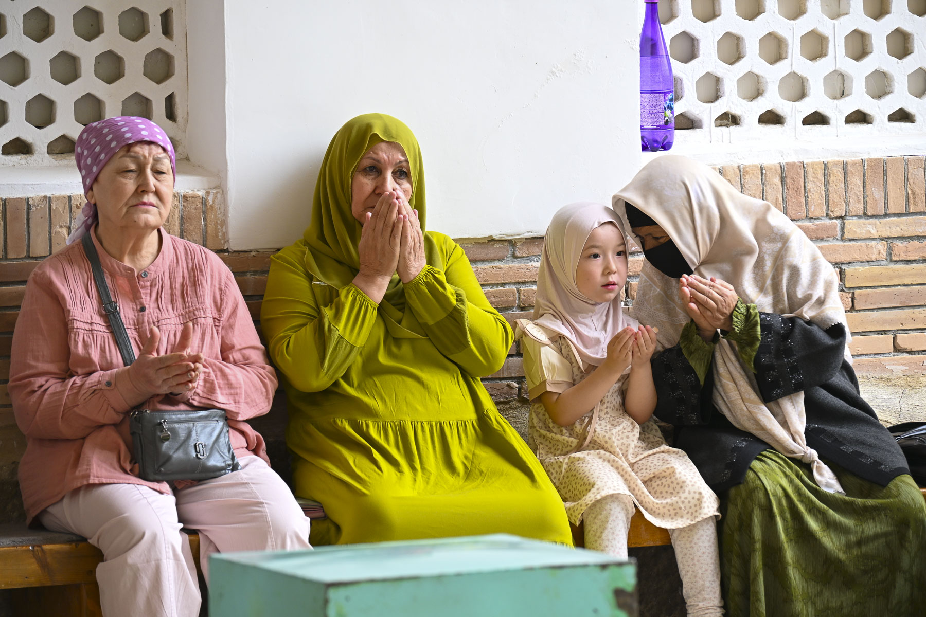
This was one of the first major opportunities the new Uzbekistan government took to reclaim its Islamic and Central Asian heritage after living under 70 years of communist atheism. Newer additions include a Sufi museum and theological research center, where translations of ancient Islamic texts are undertaken. Through the centuries it has become a revered pilgrimage site for folks from all across Central Asia and beyond.

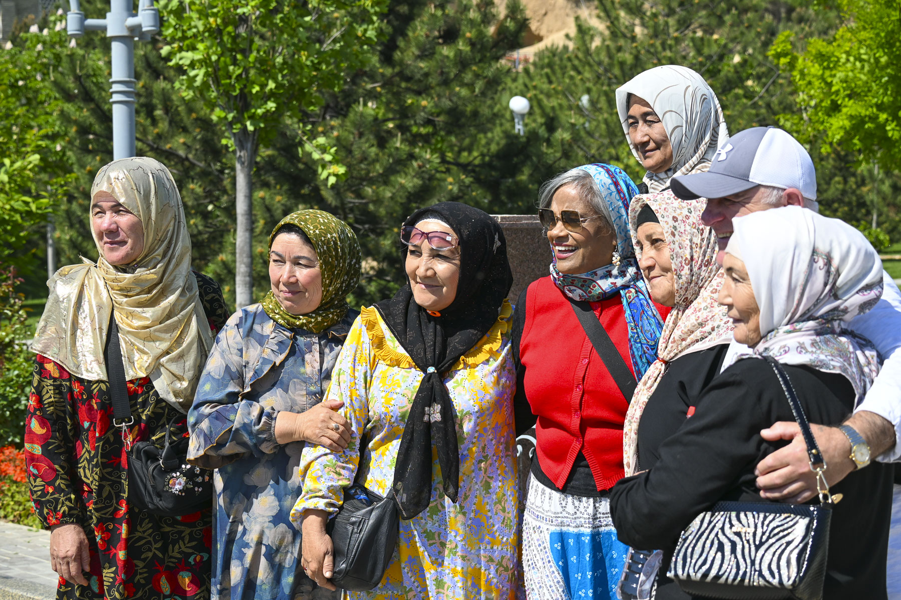
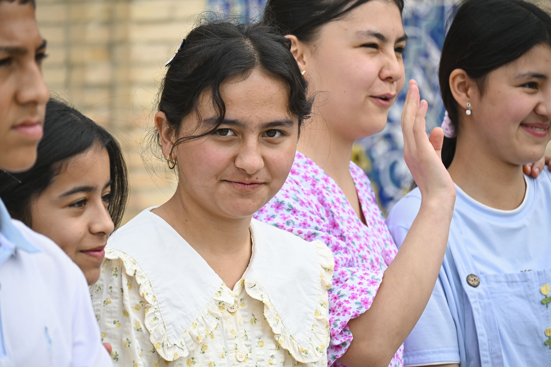
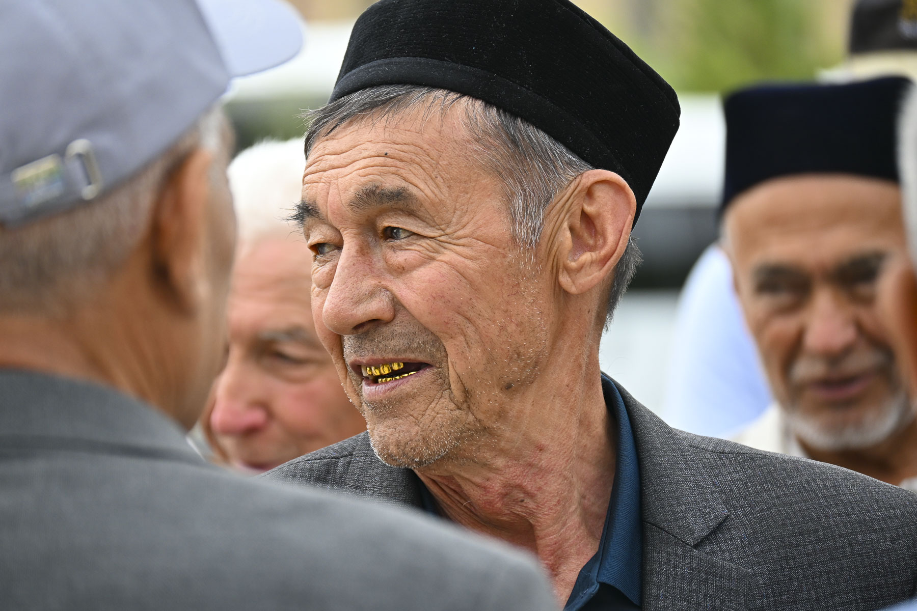
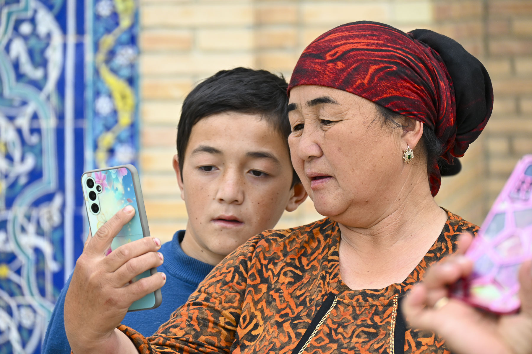
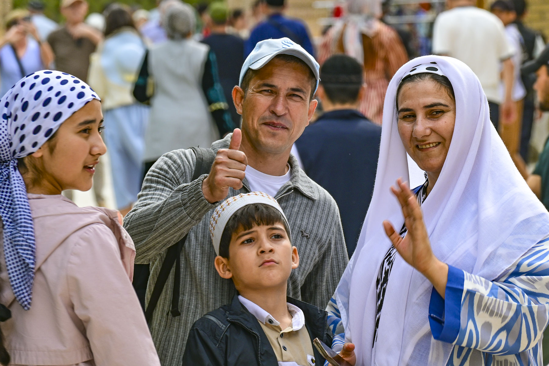
Everyone was so friendly and eager to take photographs of us, and have their photos taken too, it was a very heart-warming experience. Our guide shared that for many people living in remote villages this was their first trip away from home. He spoke of a Central Asia folk belief which claims that three trips to the shrine equal a Hajj to Mecca, which underscored how dangerous the trek across the desert to Arabia was.

Afterwards our group headed to “the palace that resembles the stars and the moon,” Sitora-i-Moh-i Khosa, the summer palace of Sayyid Mir Muhammad Alim Khan, the last emir of Bukhara. The palace is poetically named for the emir’s wife, whose beauty he often compared to the heavens. Built between 1912 and 1918 by Bukhara craftsmen, the emir had sent to St. Petersburg to study western techniques.

While the exterior facades are traditional, the interior of the palace is a visually and texturally rich artistic expression that wonderfully overwhelms the senses. We mused that the flamboyant Las Vegas entertainer Liberace would have been right at home in its over-the-top décor. That speculation surely dates us as kids of the 60s.

The day we toured the site there were numerous crafts vendors, with fairly priced merchandise, set up along the garden paths and peacocks roaming freely about the park-like settings.

The emir only had a few years to enjoy his creation before fleeing the country after the Bukharan emirate fell to the Soviet Red Army in 1920. Fortunately, the communists appreciated the artistic merit of the site and preserved it as a decorative arts museum.

That evening under a clear night sky we enjoyed live piano music on the plaza around the corner from the hotel, at The Terrace Bukhara ECO Café.

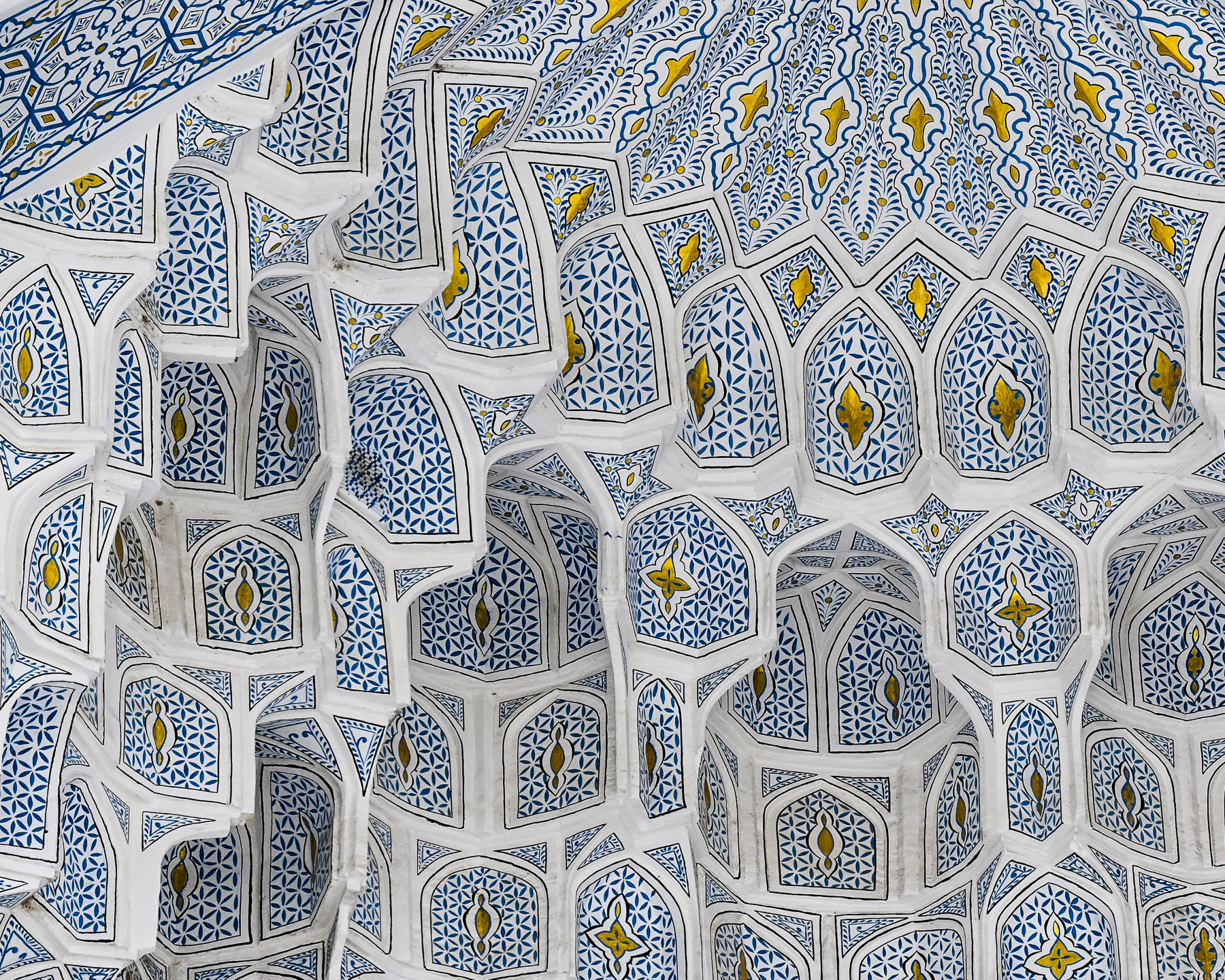
On our last full day in Bukhara we had the morning for ourselves to wander around and explore. There are so many ancient madrassas in Bukhara, many of the smaller ones throughout the town have been or are in the process of being renovated into boutique hotels. And there are others in a state of semi-ruin, that have been stabilized enough to be safe for vendors to set up craft stalls in but remain architecturally interesting. The Abdulaziz Khan Madrassa (1652), located directly across from the Ulugbek Madrassa (1417), was an amazing example of this. Its monumental pishtaq, entrance way, had one of the best examples of a muqarnas, the intricate honeycomb-shape vaulted ceiling, found on madrassas in Bukhara.

Even though the domed ceilings above the vendors in its main hall were not restored, they were also stunning. In the courtyard large sections of tilework were noticeably missing.

Continuing on we walked through the medina to the Chor Minor Monument, a unique structure with four blue capped towers, which represent the cardinal points of a compass and the Samanids, Shaybanids, Karakhanids, and Manghits dynasties. Atop one tower is a sculpture of nesting storks.
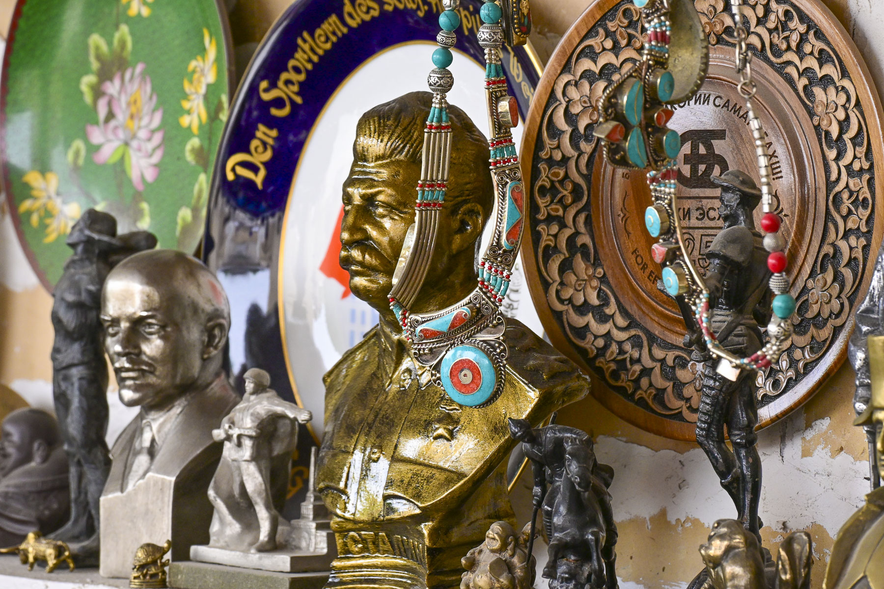
They used to be a common sight nesting on the domes all across the city.  Their presence was enjoyed, with folks believing the birds brought good luck, peace, and domestic happiness.  Across from the monument was an antique shop that features all sorts of Soviet memorabilia.

Afterwards we headed to the Labi Hovuz plaza where we were scheduled to reunite with our group at the bronze statue of Khodja Nasreddin, a legendary folkloric figure who used his “sharp wit, humor, and feigned ignorance to outsmart the greedy, hypocritical, and powerful,” in front of the Nodir Devonbegi Madrassa for a dance and fashion show.

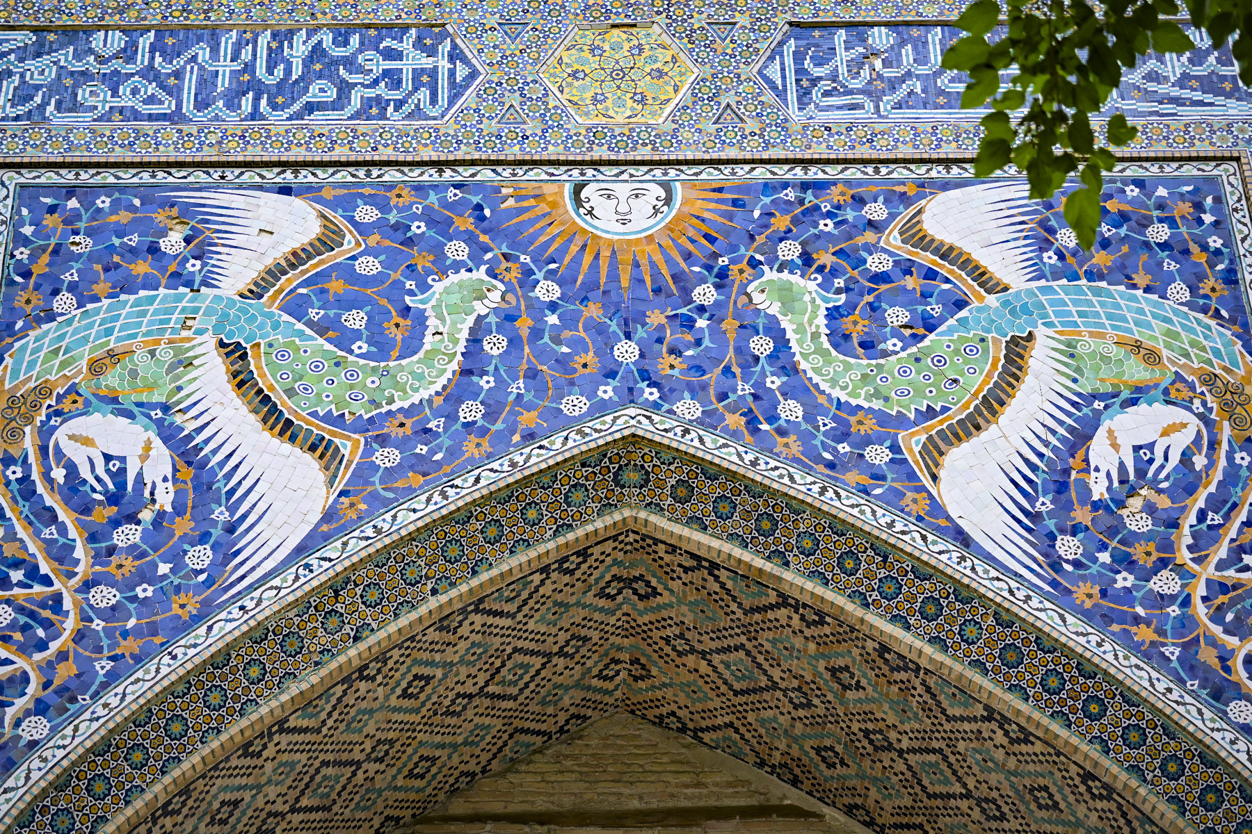
Nodir Devonbegi was originally built in 1622 to be a caravanserai but was repurposed when during its opening ceremony the khan inadvertently praised it as a madrassa. So be it. The front of the building is unusually adorned with an elaborate tile mosaic featuring a pair of stylized birds, mythical Simurghs, clutching deer and flying toward a human-faced radiant sun. This is very unusual for Islamic art as it normally prohibited using depictions of animals or human figures and reflects a short-lived regional relaxation of the rules in the 17thcentury.

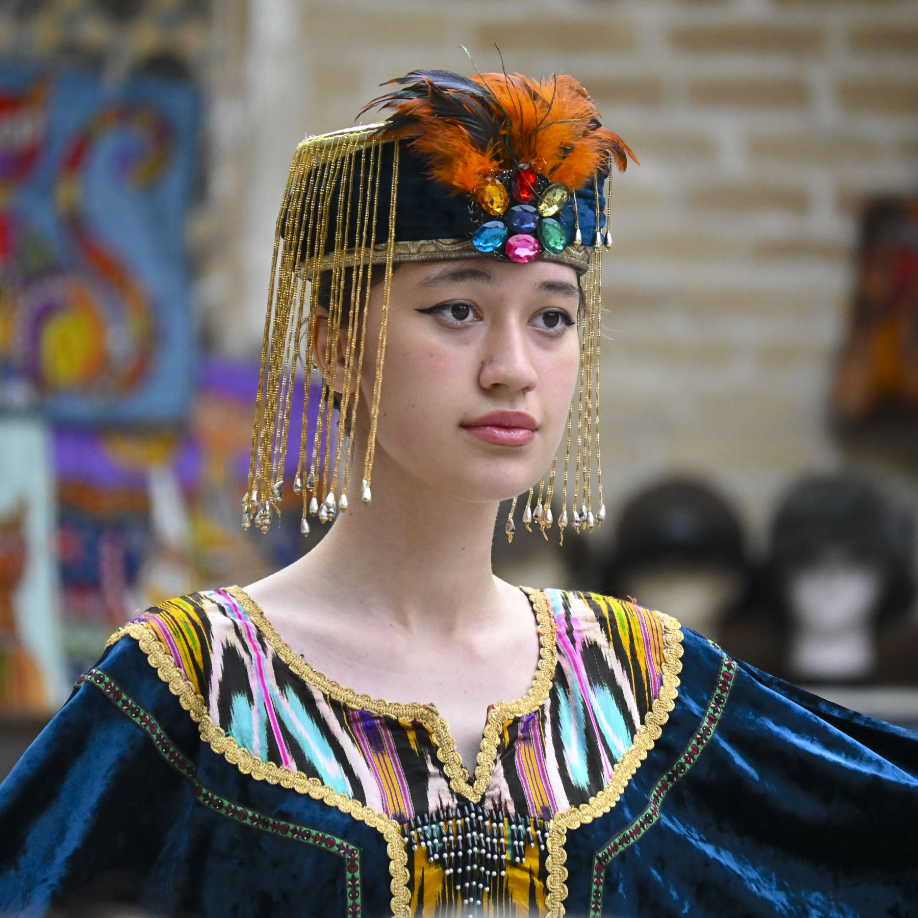
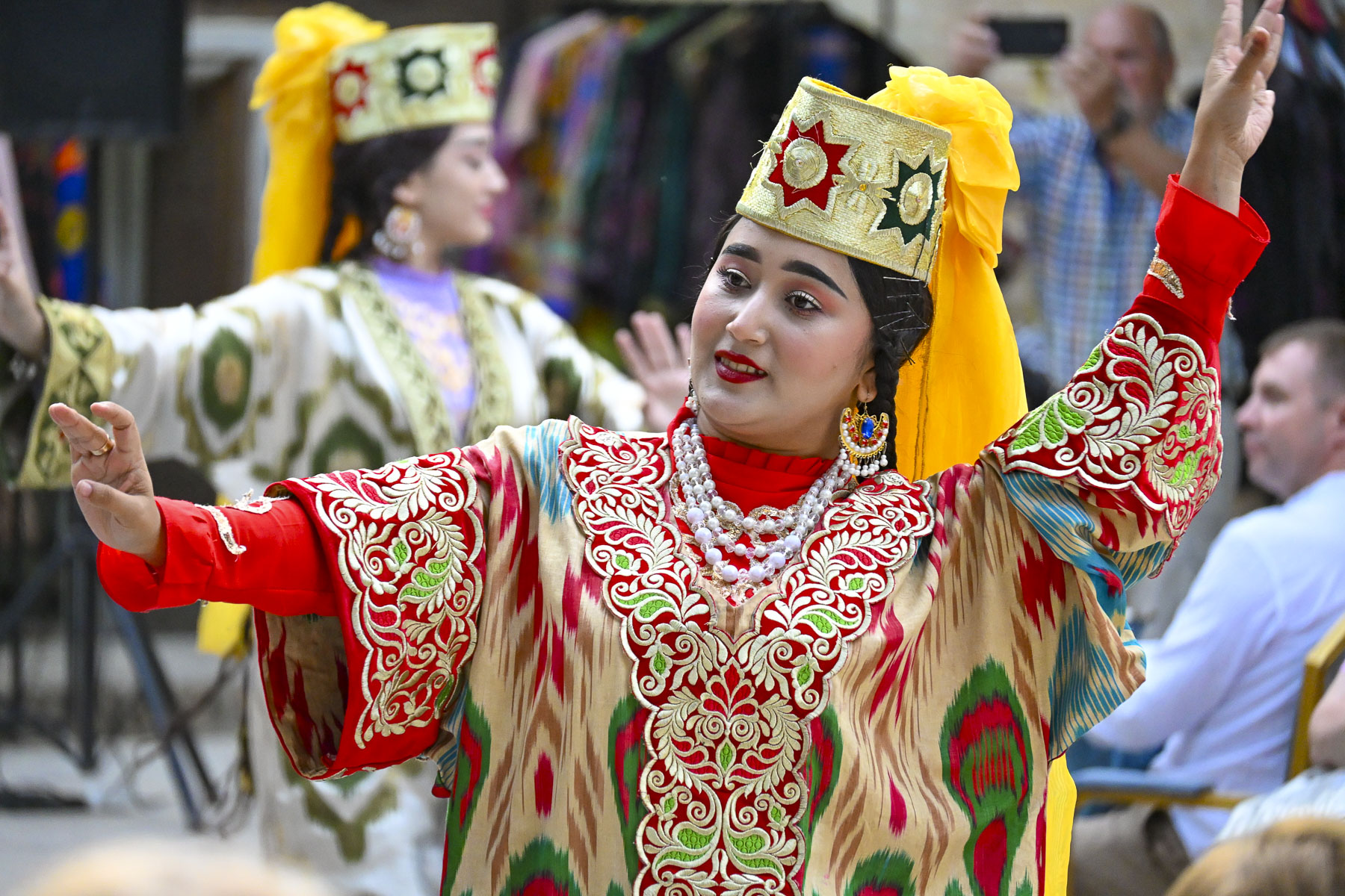
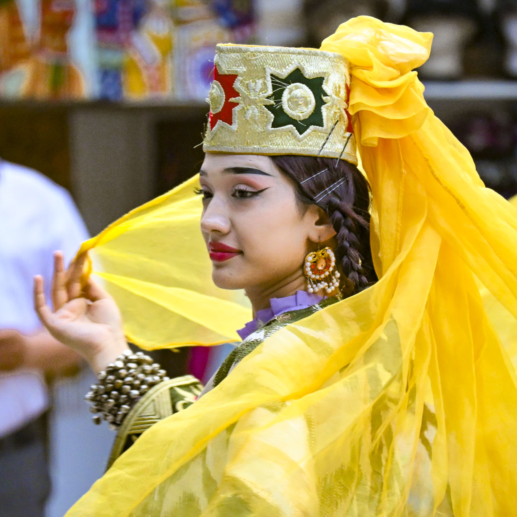
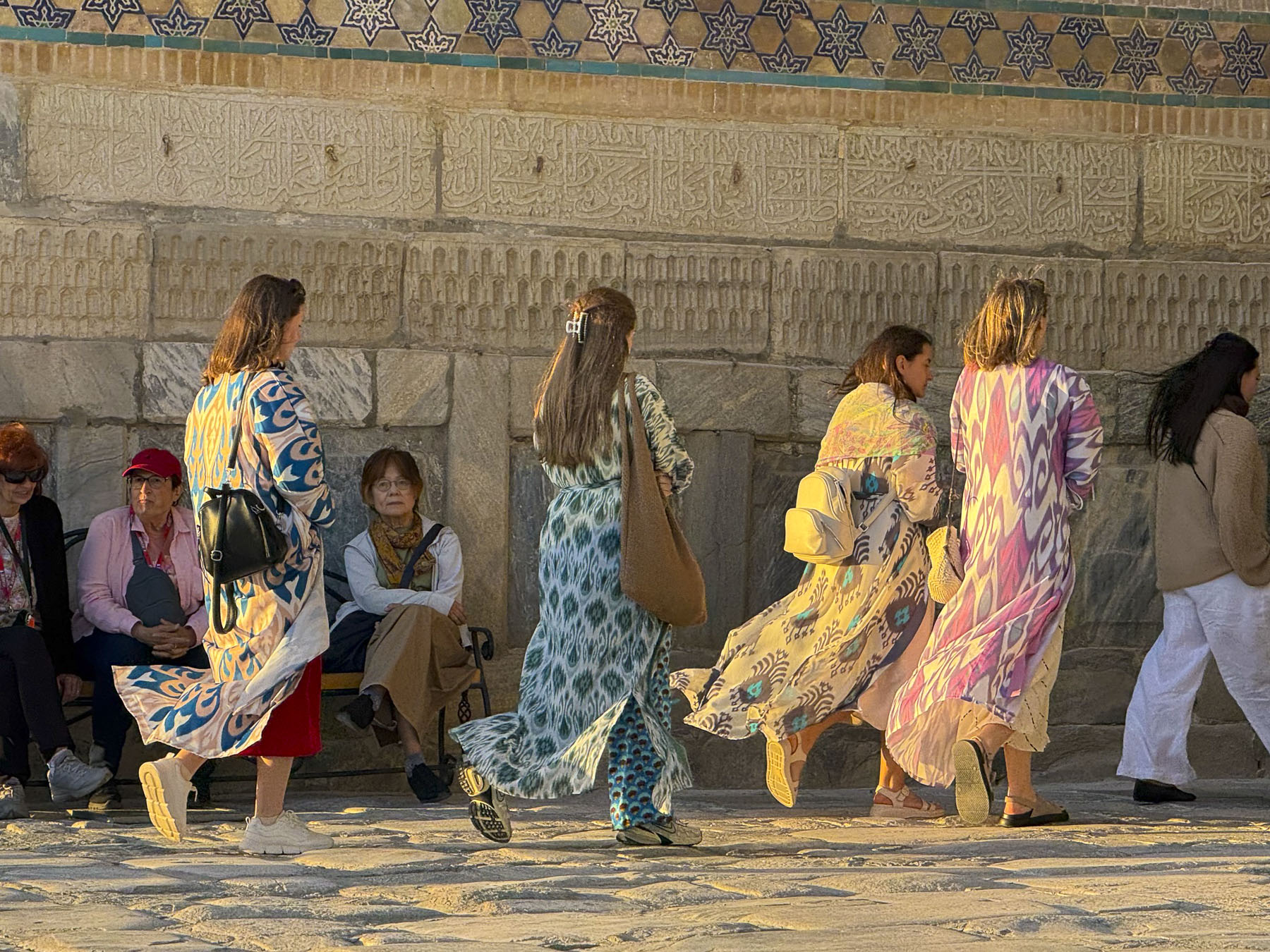
Inside we were enthralled by a lively performance of traditional Uzbekistan dances in between the wardrobe changes of a surprisingly interesting fashion show by the internationally acclaimed designer Umida Kabilova, who gives a bold modern interpretation to ikat, a dyed patterned silk fabric for which Bukhara is known.

Afterwards we made a quick stop at the Khammam Sarrofon, a hammam built in the early 1530s. It is a cavernous space that had a heated floor, and was used almost continuously for over four centuries until the Soviets damaged it during their 1920 attack on the city. It was restored and served the community until the 1970s. 

Down from the hammam was the studio and gallery of the Ustoz Shogird Miniature Workshop, founded by Davlat Toshev, an internationally recognized artist who is known for his work on restoring ancient manuscripts. He was clandestinely taught the art of Persian miniature painting by his father during the Soviet era, when Uzbekistan’s cultural identity was being suppressed. In a desire to keep this ancient tradition alive he started mentoring students, many with learning handicaps, in the 1990s, eventually opening a school in 2018. It’s a beautiful space, and the demonstration of how to color silk paper by two of his students, with a member of our group participating, was charming. The artwork on the walls was beautiful. We couldn’t resist purchasing one for a souvenir. It was a really great experience that we highly recommend if you like art.

Toshev enjoys sharing Uzbekistan’s culture, so much so that his family offers a culinary workshop on how to make plov, the country’s national rice pilaf dish, in their home. It was our group’s last dinner in Bukhara, a festive occasion, and a great way to end our time in this intriguing ancient city on Silk Road.

Till next time,

Craig & Donna