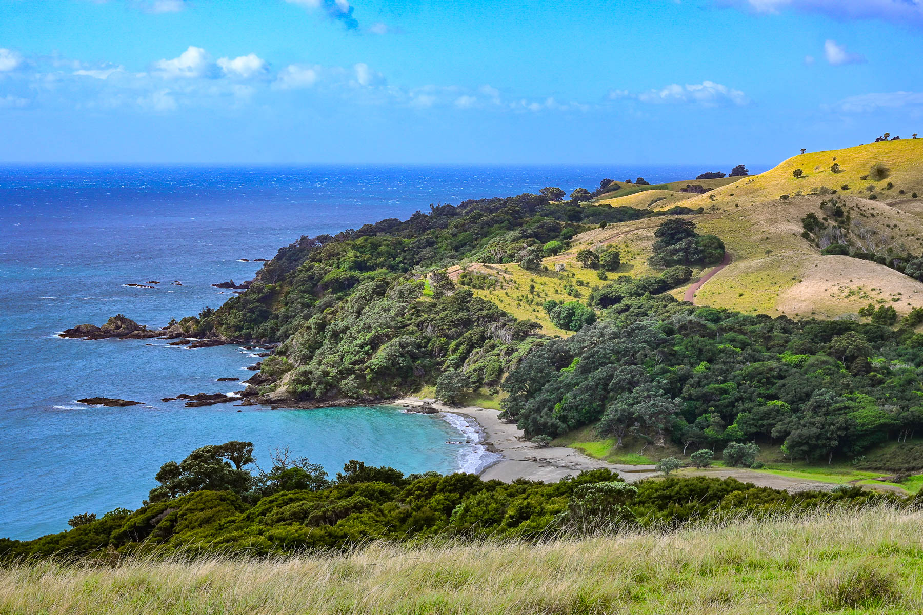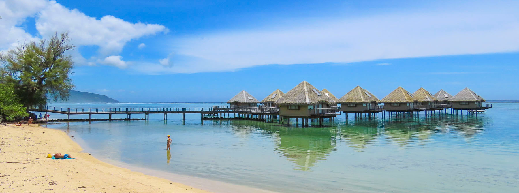
Road Tripping Around New Zealand: Part 2 – Quintessential, Quaint & Quirky or North to Cape Reinga

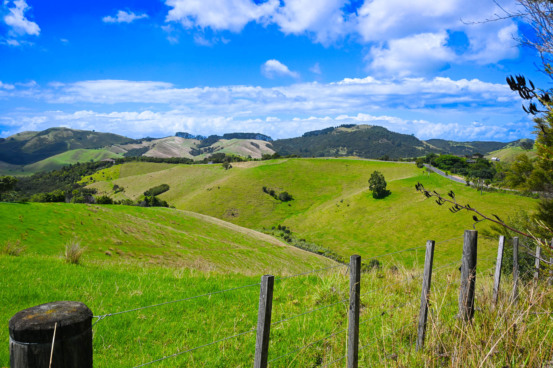
Auckland’s skyline soon vanished from our rearview mirror as we drove through the high-density suburbs that ringed the city, but the developments soon thinned and the landscape transitioned to gently rolling farmlands, still a lush pastoral green at the end of a southern hemisphere summer in February.
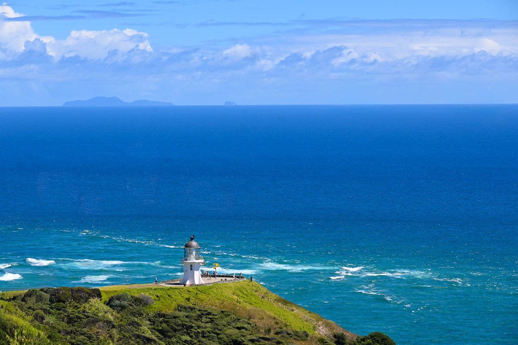
Our ultimate destination was the Cape Reinga Lighthouse on the very northern tip of the sparsely populated Aupōuri Peninsula, on Aotearoa (“land of the long white cloud”), the ancient Māori name for New Zealand’s north island before it came to describe the entire country.
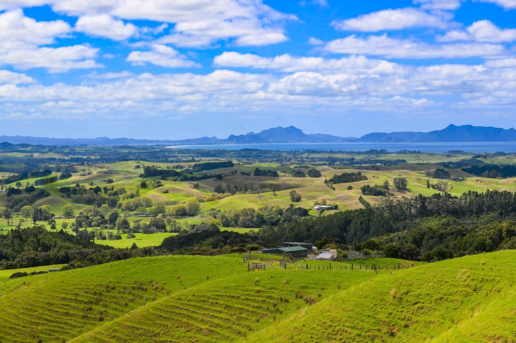
It was a 423 km (263mi) 6 hour drive from Auckland’s airport, which we planned to break up with two nights in Whangarei along with two nights in Taipa, which would be our base for driving to Cape Reinga and exploring the northern region. The traffic was light and the scenery was pleasant, but we didn’t get our first taste of the epic landscapes we expected until reaching the Brynderwyns Scenic Lookout, about 90 minutes from Auckland. With rolling hills in the foreground receding to distant mountains above Bream Bay and Whangārei Harbour, the panoramic view was spectacular.
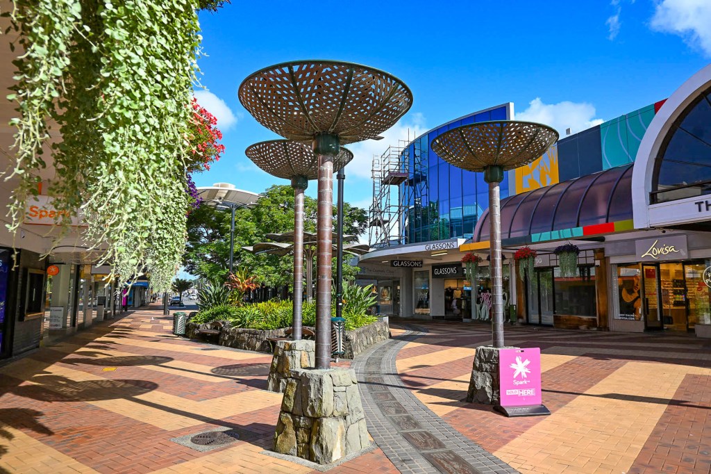
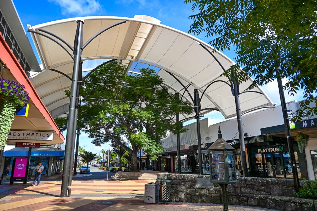
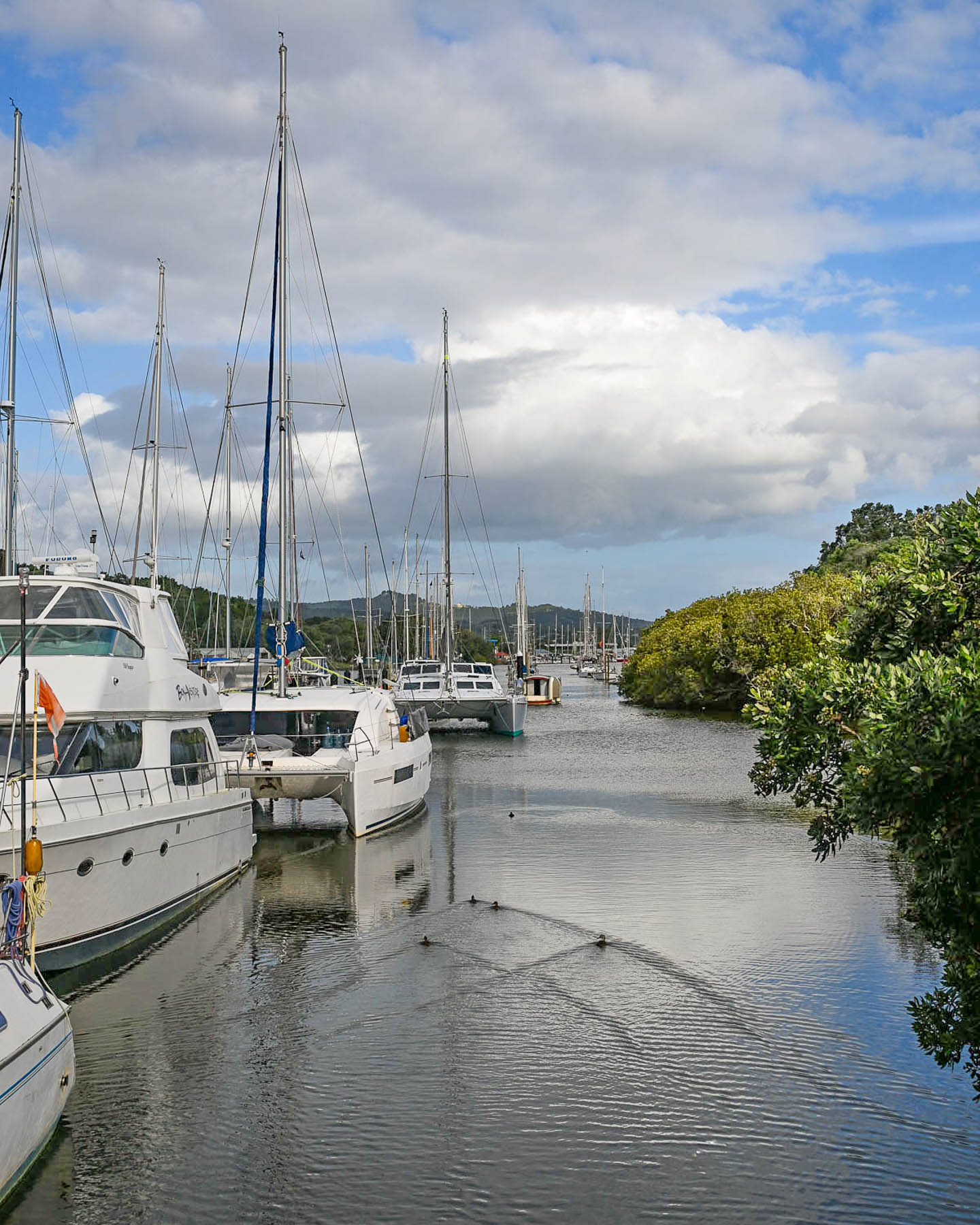
Getting off Rt1 we drove into Whangarei, a riverfront city that is the regional capital of New Zealand’s Northland area, where the decades old facades of the buildings gave the town an antique feeling, a backwater lost in time; we wondered if we should have planned differently. Fortunately, after checking into our hotel, the Quest Whangarei, and walking around the quaint downtown area, our opinion changed.
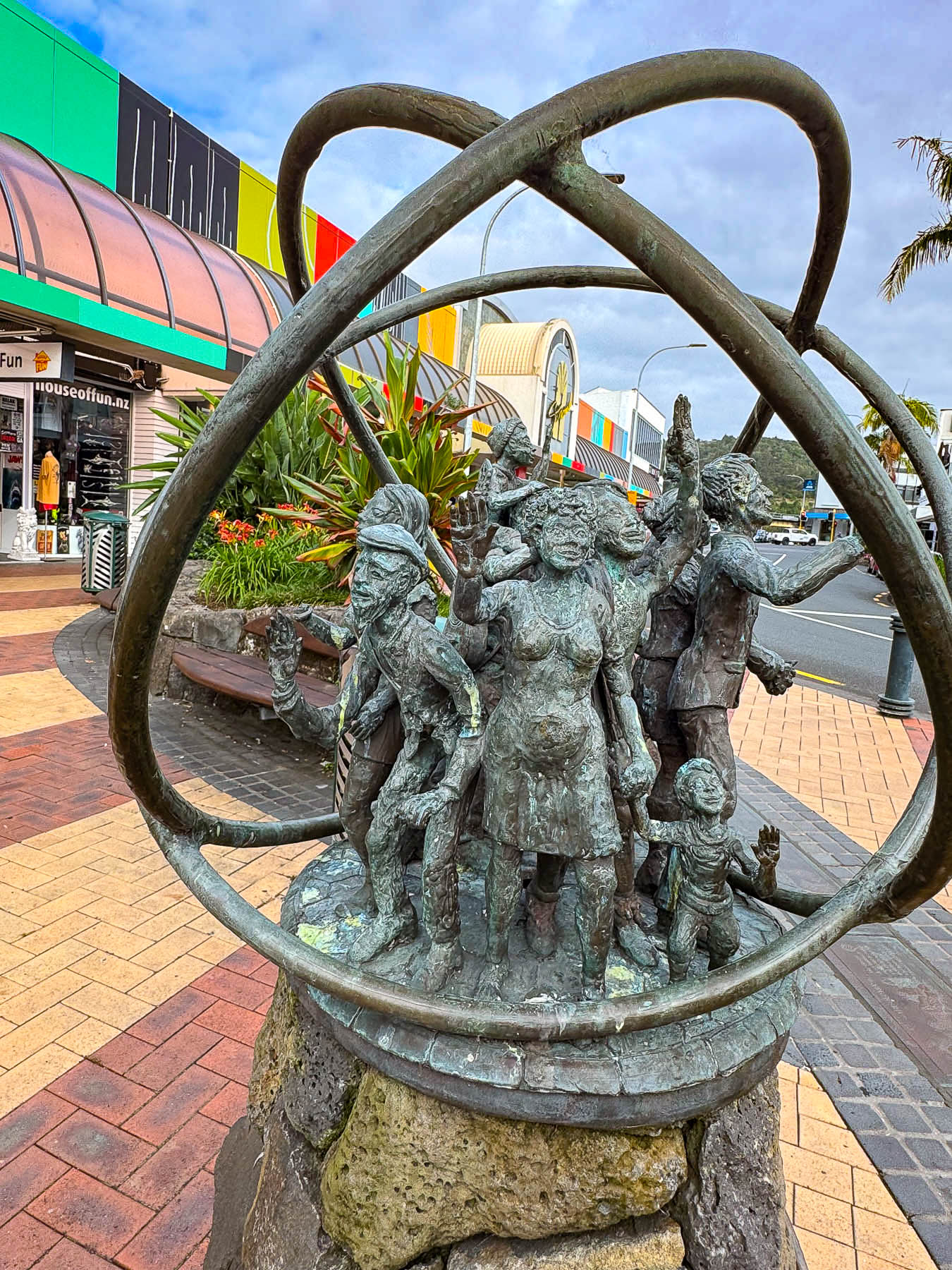
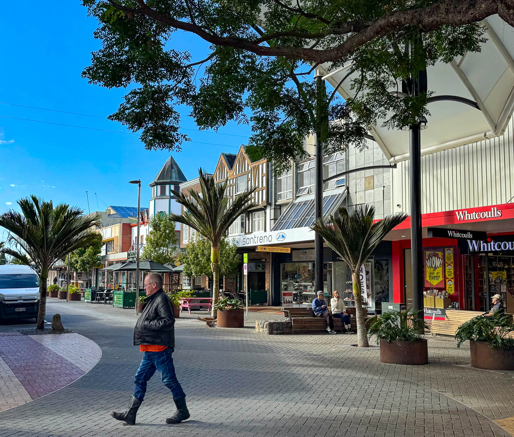
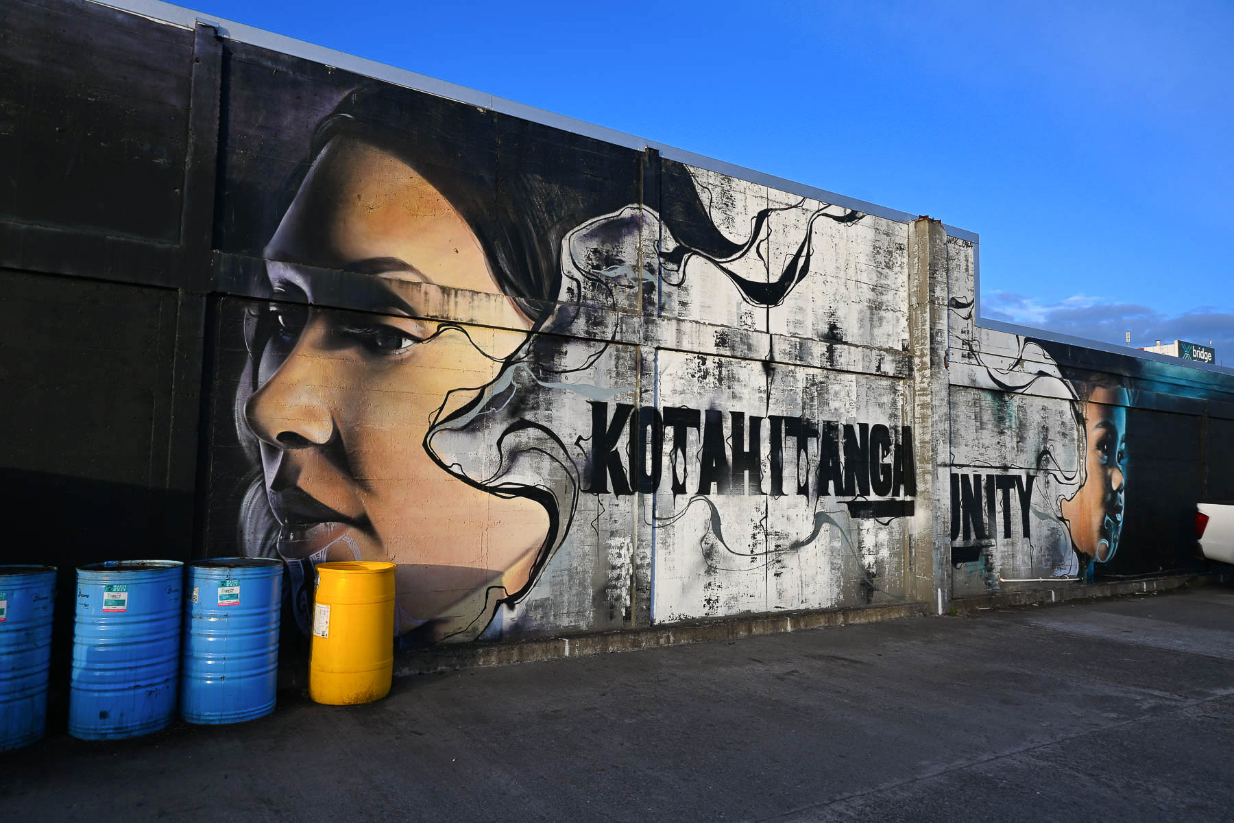
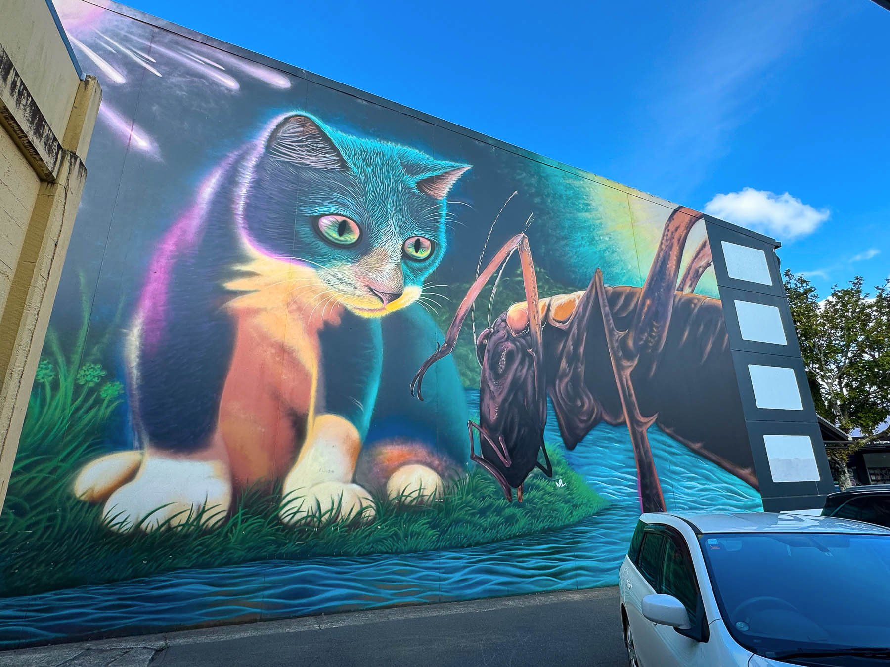
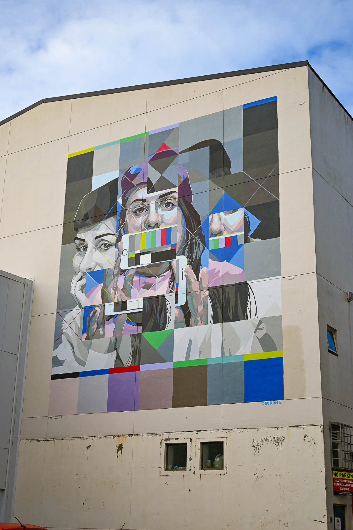
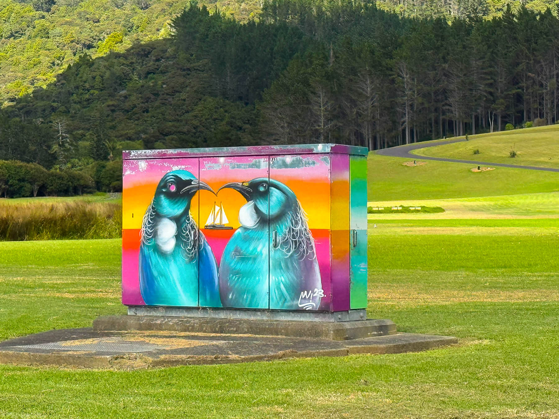
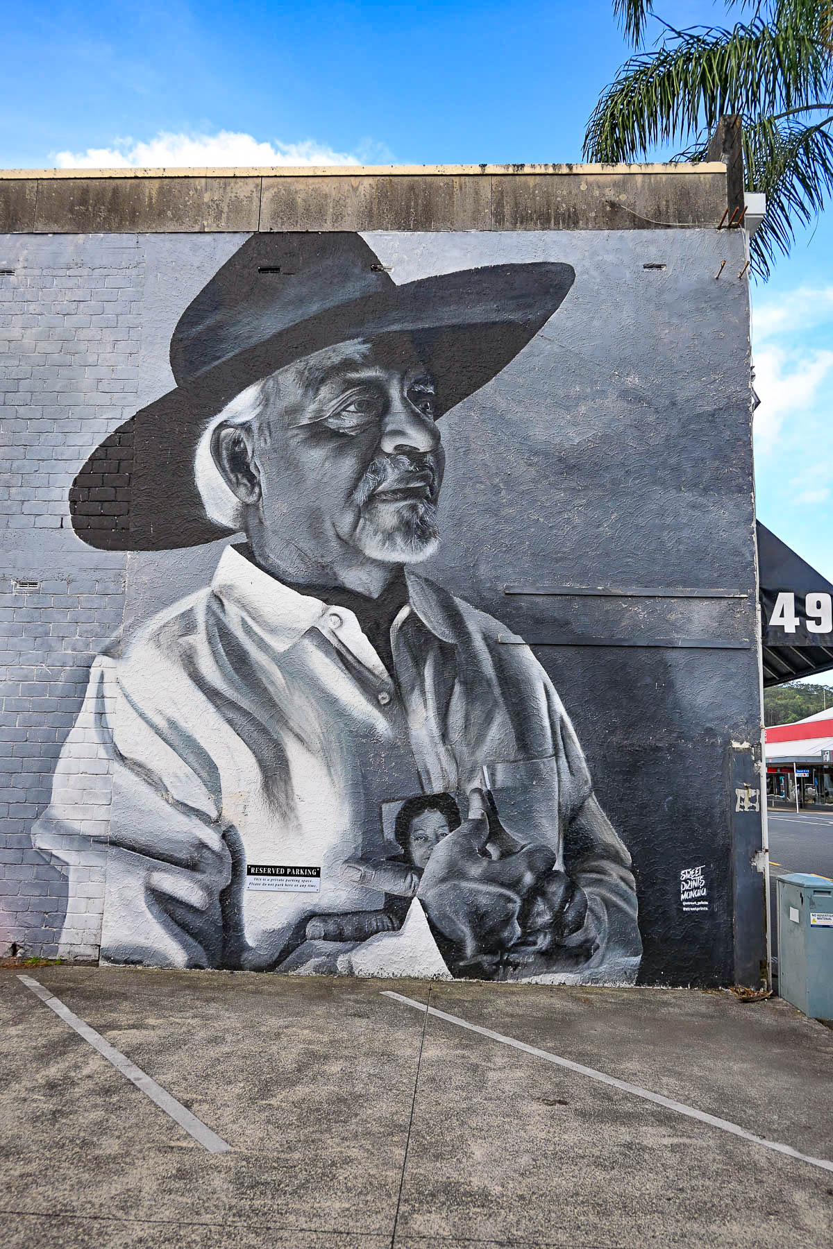
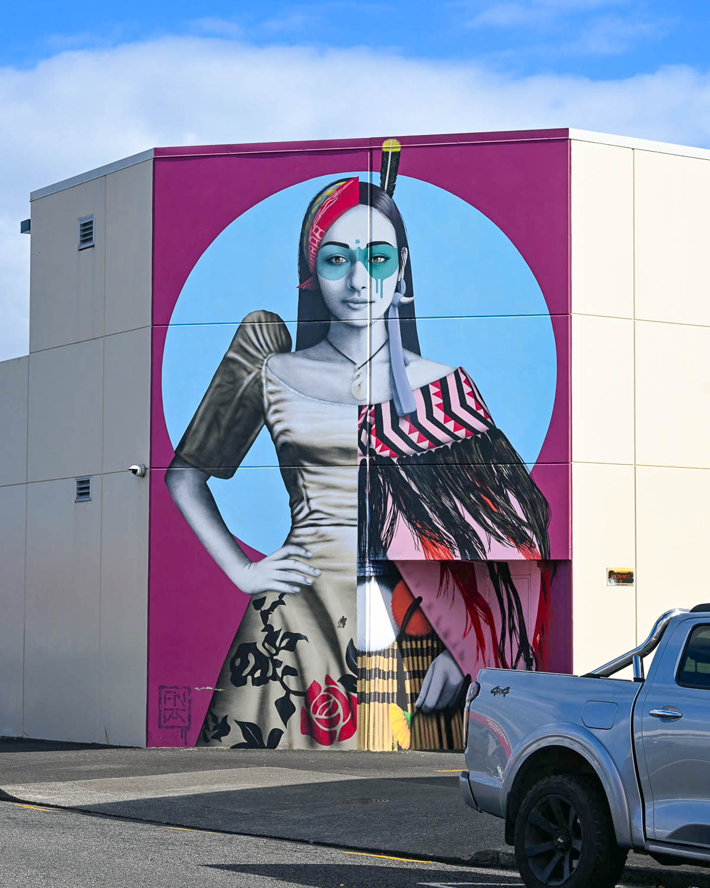
We were quickly enthralled with the frozen in time aspect of the architecture that spanned from the 1940’s to the 1980’s, which were reinvigorated with colorful, contemporary street murals, sporadically located around the historic downtown area that also gave it a youthful vibe. The artistic endeavor was started in 2019, when some of the world’s best street artists took part in the Street Prints Manaia, International Art Festival in Whangarei, and created 15 large scale art murals based on the theme “Tuia te muka Tāngata” “Weaving the Threads of Humanity.” The city even has a mapped walking tour to fifteen of these wonderful murals, several of which we saw from our hotel room that overlooks a small alley.
Long before Europeans arrived, the Whangārei Harbor and its surrounding coastline were heavily populated by various Māori tribes. During war councils, massive gatherings of their war wakas would fill the width of the Hatea River, the canoes close enough that warriors could run almost across them from one shoreline to another. Across the river atop Mount Parihaka, one of the Māori’s largest fortified villages (pā) had a commanding view of the Whangārei Harbour from which they spotted Captain James Cook’s ship and crew aboard the Endeavour, the first Europeans to sight the entrance to Whangārei Harbour on the 15th of November 1769. Cook’s crew were also the first Europeans that the Māori people of the region ever encountered.
The early 1800’s was a turbulent time in the region with the English and Māori elbowing each other for control of the land, and settlers fled, not returning to the region in significant numbers until the late-1850s, when the lucrative kauri timber and kauri gum trade, along with exporting coal, revitalized the local economy. During the late 19th and early 20th centuries, Whangārei evolved from a logging camp into a bustling, but isolated maritime port. Things improved tremendously when the North Auckland Railway, a year-round passenger and freight line, reached the town in 1925. Though poor seasonal roads into the area continued to hamper the town’s growth until an all-weather road was built in 1934, spurring three decades of growth that resulted in Whangārei being designated at city in 1964.
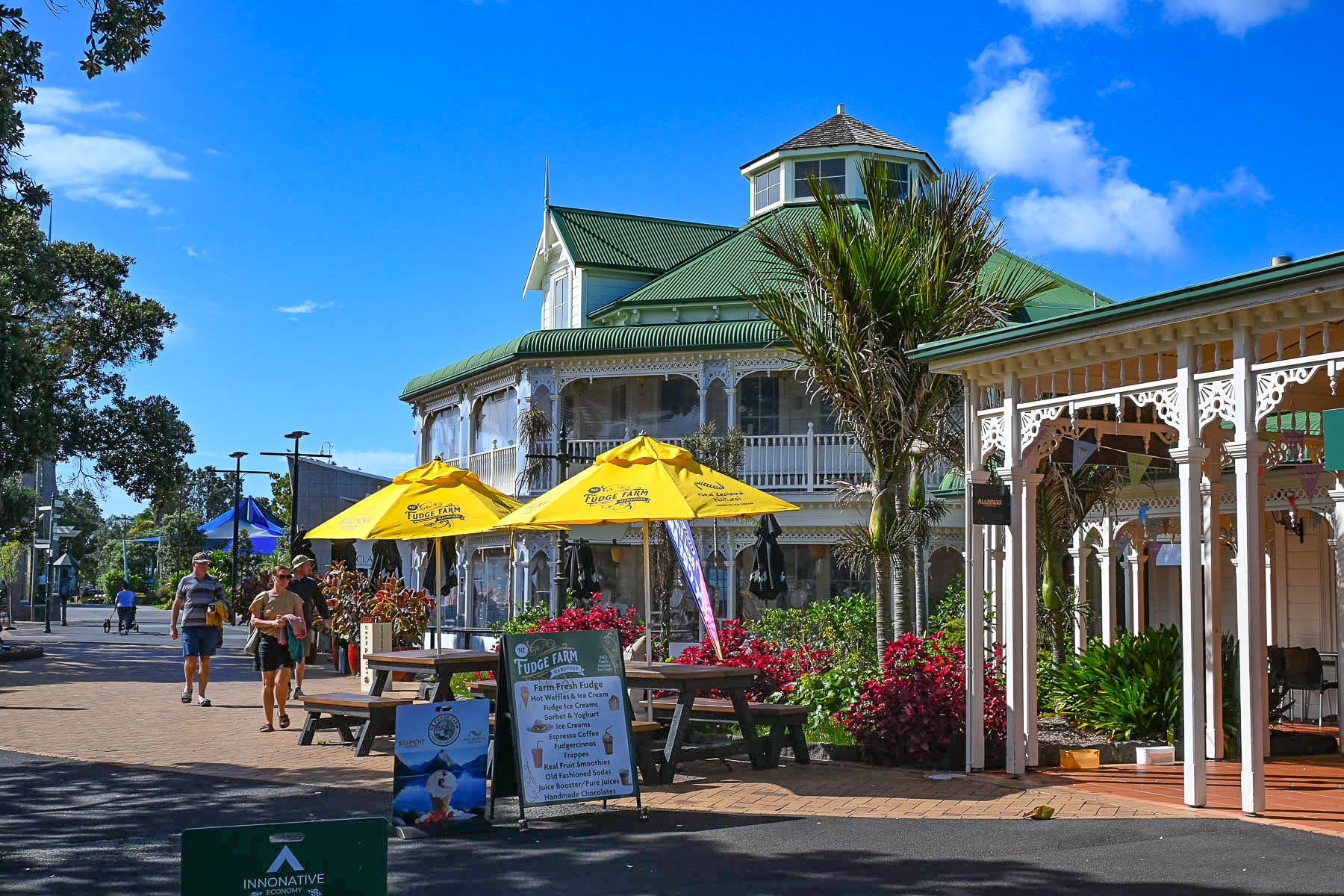
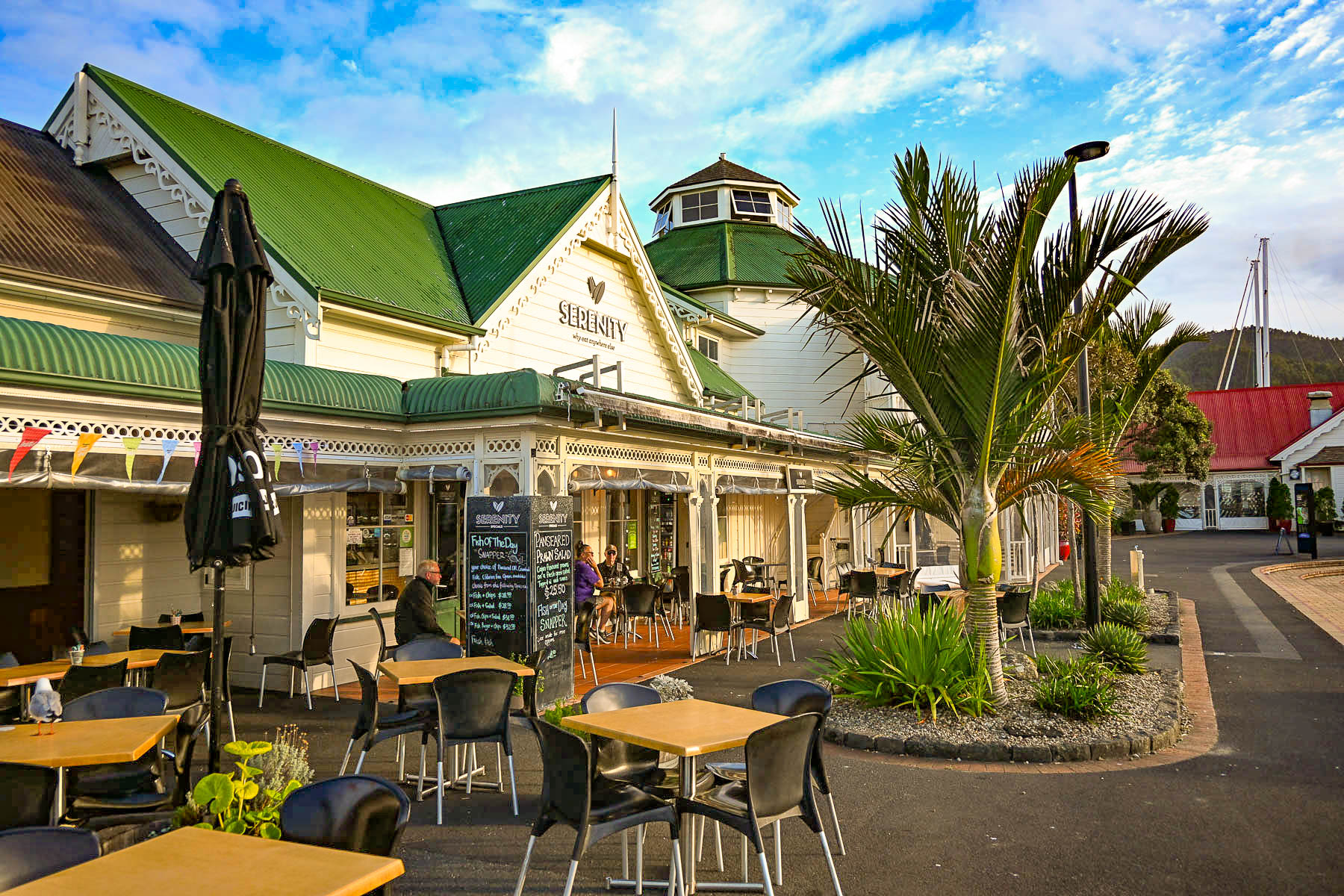
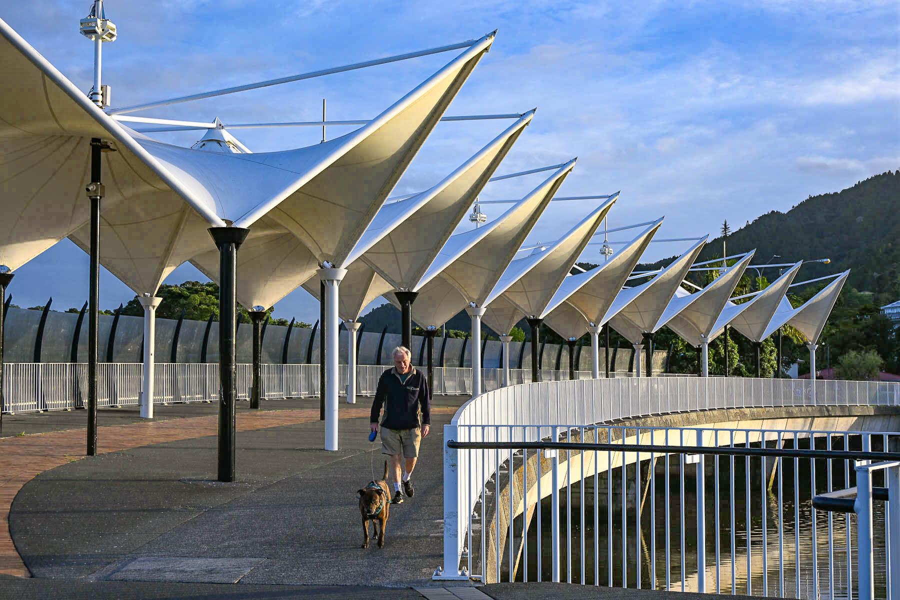
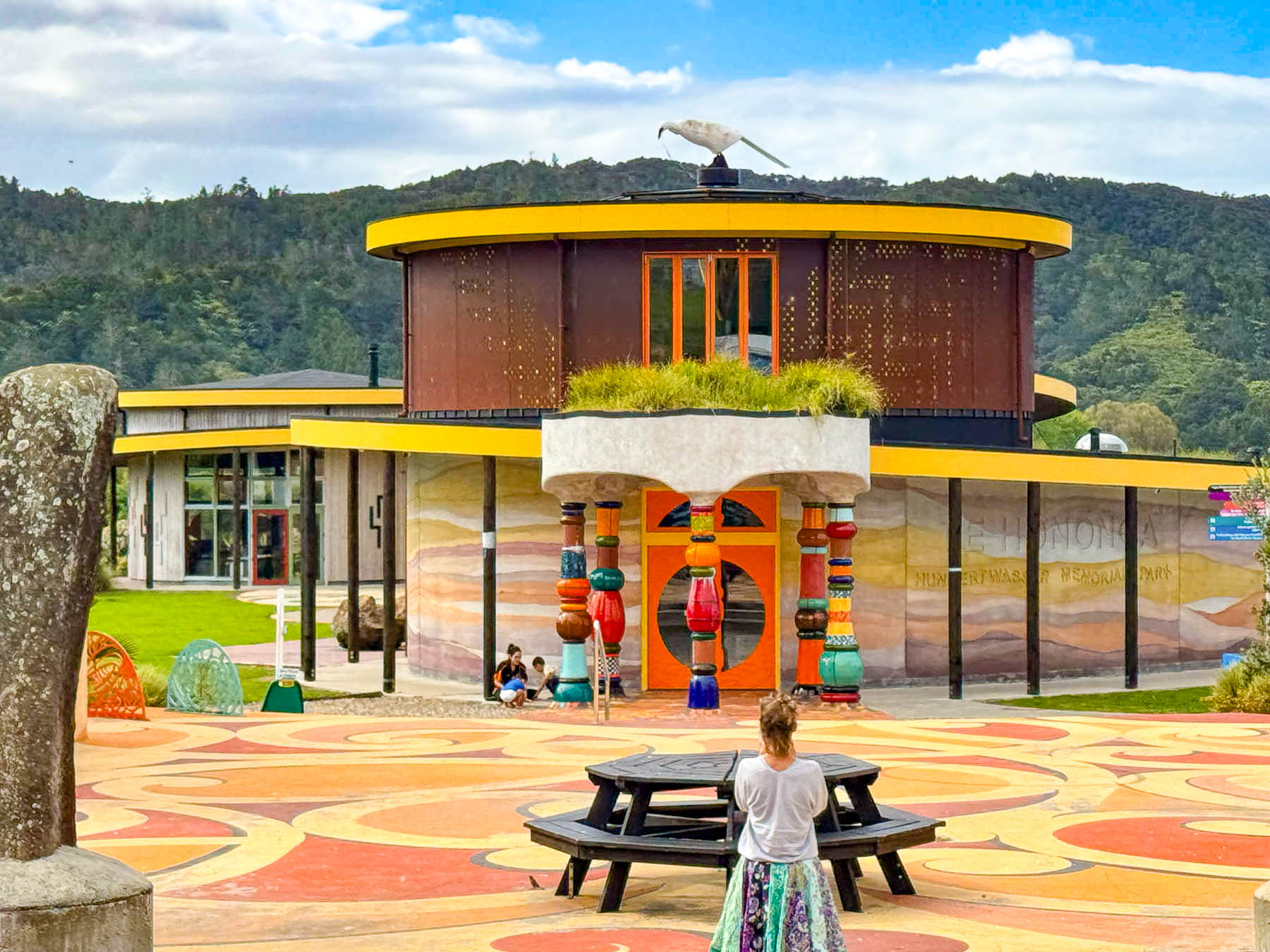
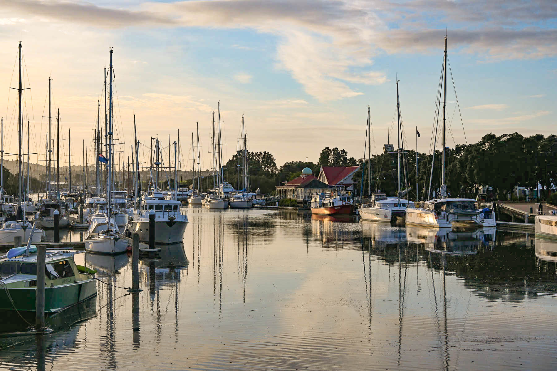
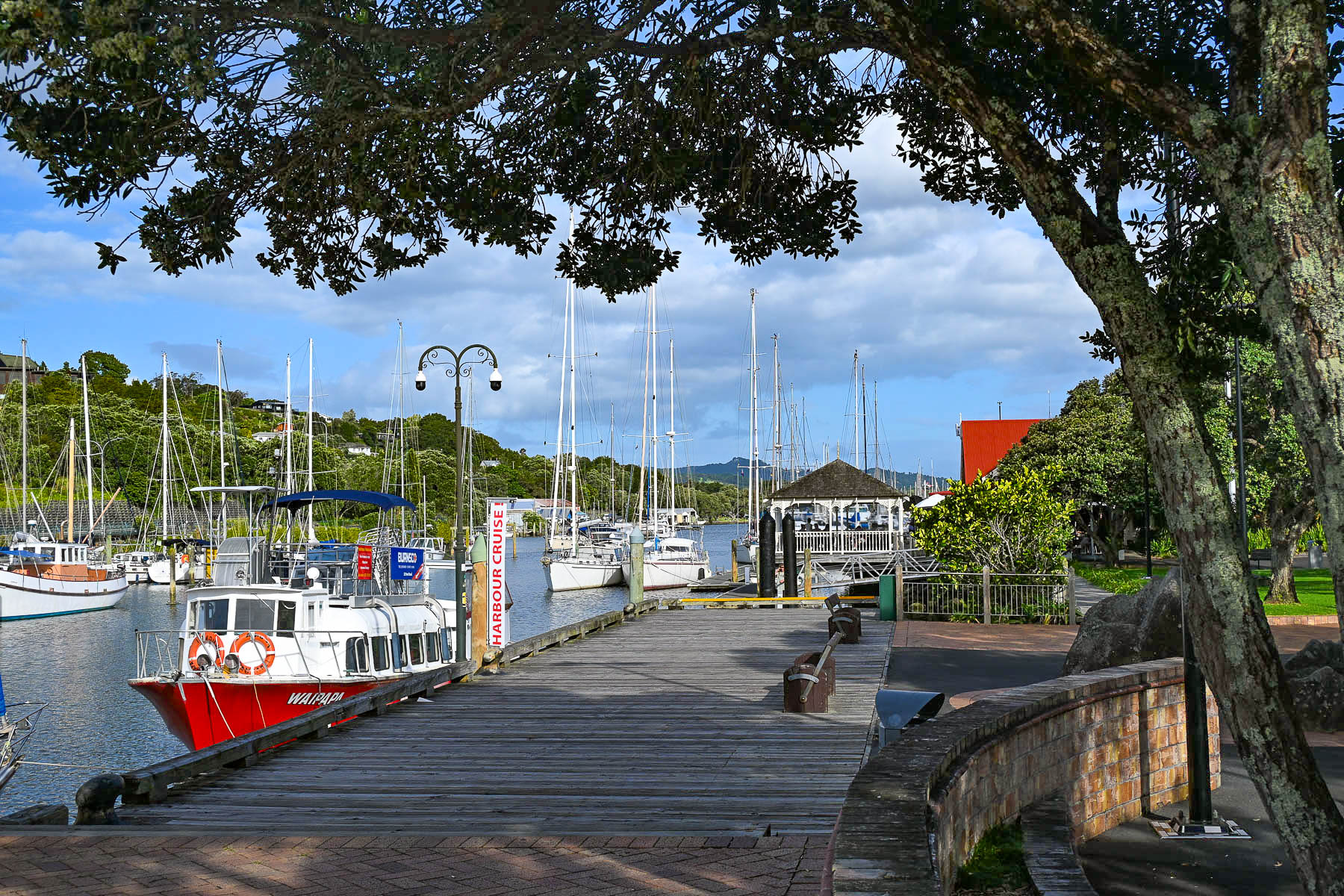
By the 1990s the economy had changed and the city was shifting its focus away from maritime industries to focus on tourism and culture. The old commercial port at the Town Basin was extensively gentrified into a picturesque waterfront dining, shopping, and marina precinct. This cultural evolution culminated with the opening of the iconic Hundertwasser Art Centre in 2022, which embraces the internationally acclaimed artist’s philosophy that “The straight line is godless and immoral. The geometric straight line is not a creative line, it is a duplicating line, an imitating line, not existing in nature.”
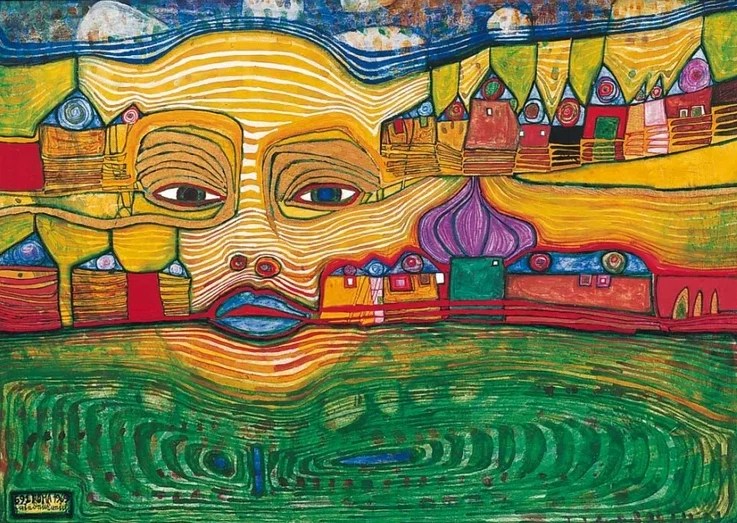
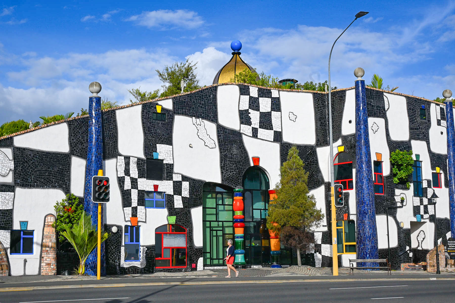
Happening upon this museum was serendipitous, as I first learned of Friedensreich Hundertwasser’s work in the 1970s, when the flamboyant artist was living on a canalboat in Venice and I owned an artbook of his paintings. He first arrived in New Zealand in 1973 for the opening of an exhibit of his work arranged by the Auckland City Art Gallery, and quickly fell in love with the country and found ideological kinship with the Māori culture, “sharing a deeply aligned worldview centered on interconnectedness, environmental guardianship, and the rejection of rigid human boundaries.” The Hundertwasser museum also houses the Wairau Māori Art Gallery, the first dedicated public Māori art gallery in Aotearoa.
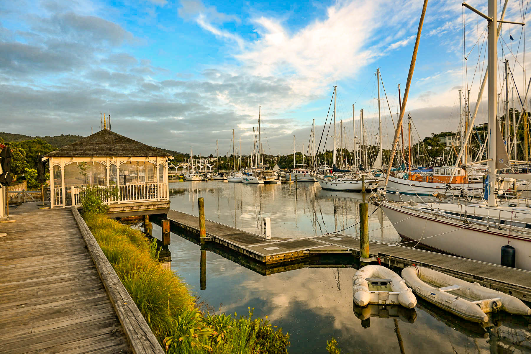
We found Whangārei to be a laid-back, underrated hidden gem that was perfect for a two night day stay on our way to Reinga Peninsula.
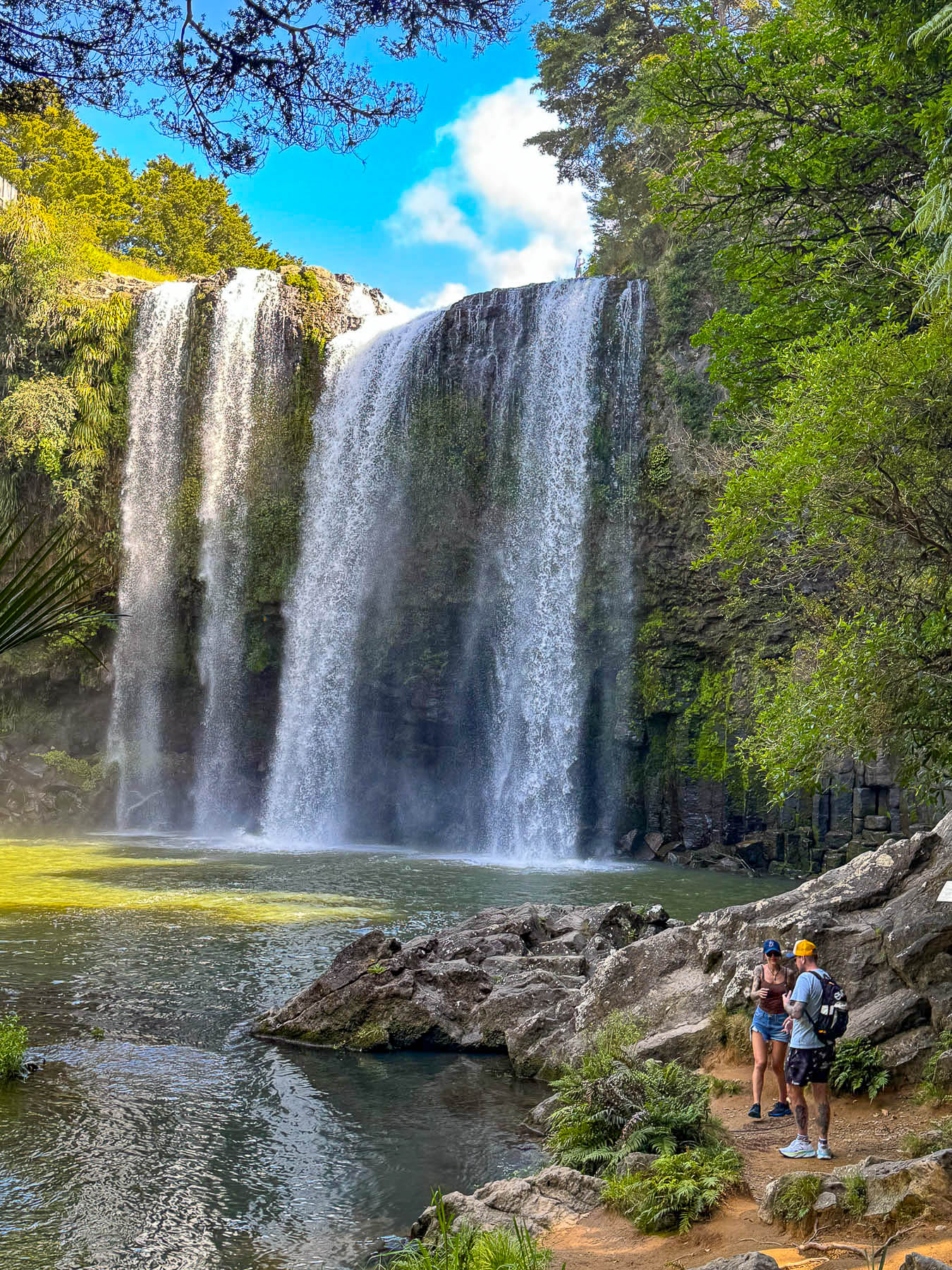
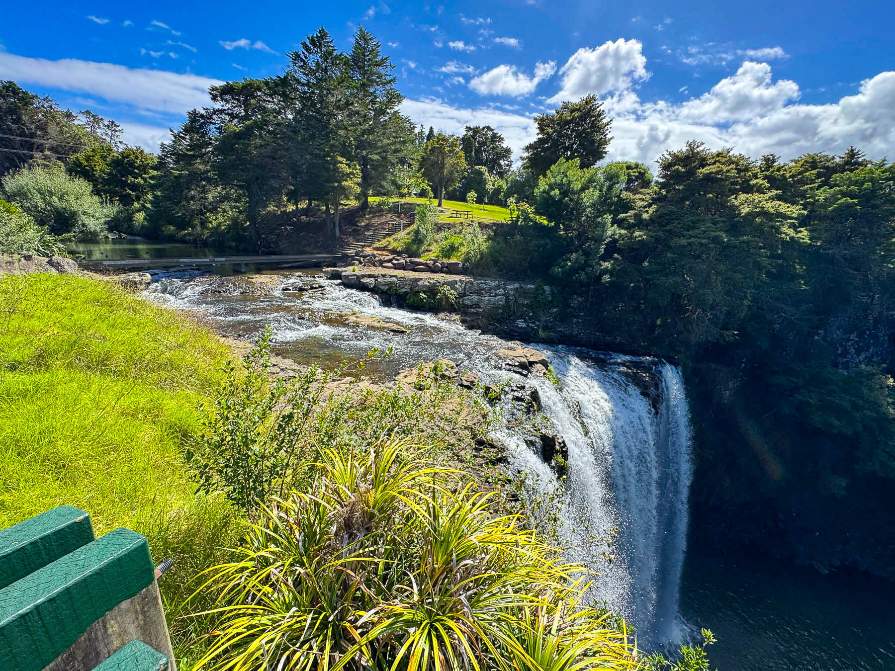
The next morning as we left the city, we visited the Whangarei Falls, a short distance outside of town, and one of New Zealand’s most easily accessible waterfalls, with the parking area a short walk away. It’s a beautiful 26 m (85 ft) tall curtain waterfall, with an upper viewing platform and a pathway down through a thick forest to the base of the dramatic falls.
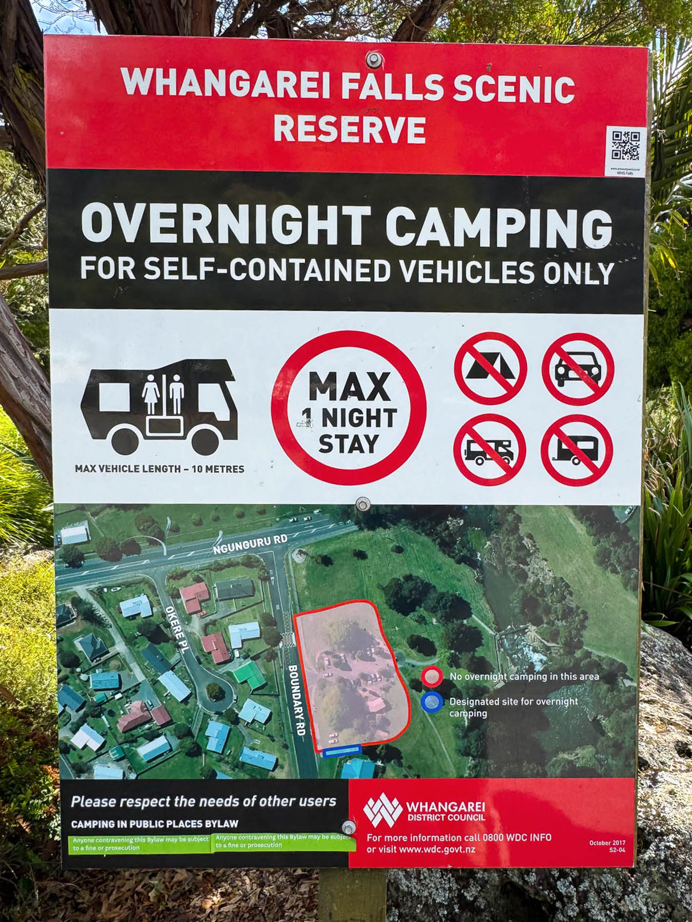
The parking lot was a moderate size with several Freedom Camping spots reserved for camper vans. “I wish we did this 30 years ago,” I said to Donna. With a smile and a gentle elbow to the ribs she replied, “more like fifty.” It’s a great program that allows folks doing extended grand tours around New Zealand the ability to budget travel. Restrictions vary from site to site and several apps, such as CamperMate, Rankers Camping NZ, and WikiCamps NZ offer maps and reviews of approved Freedom Camping areas.
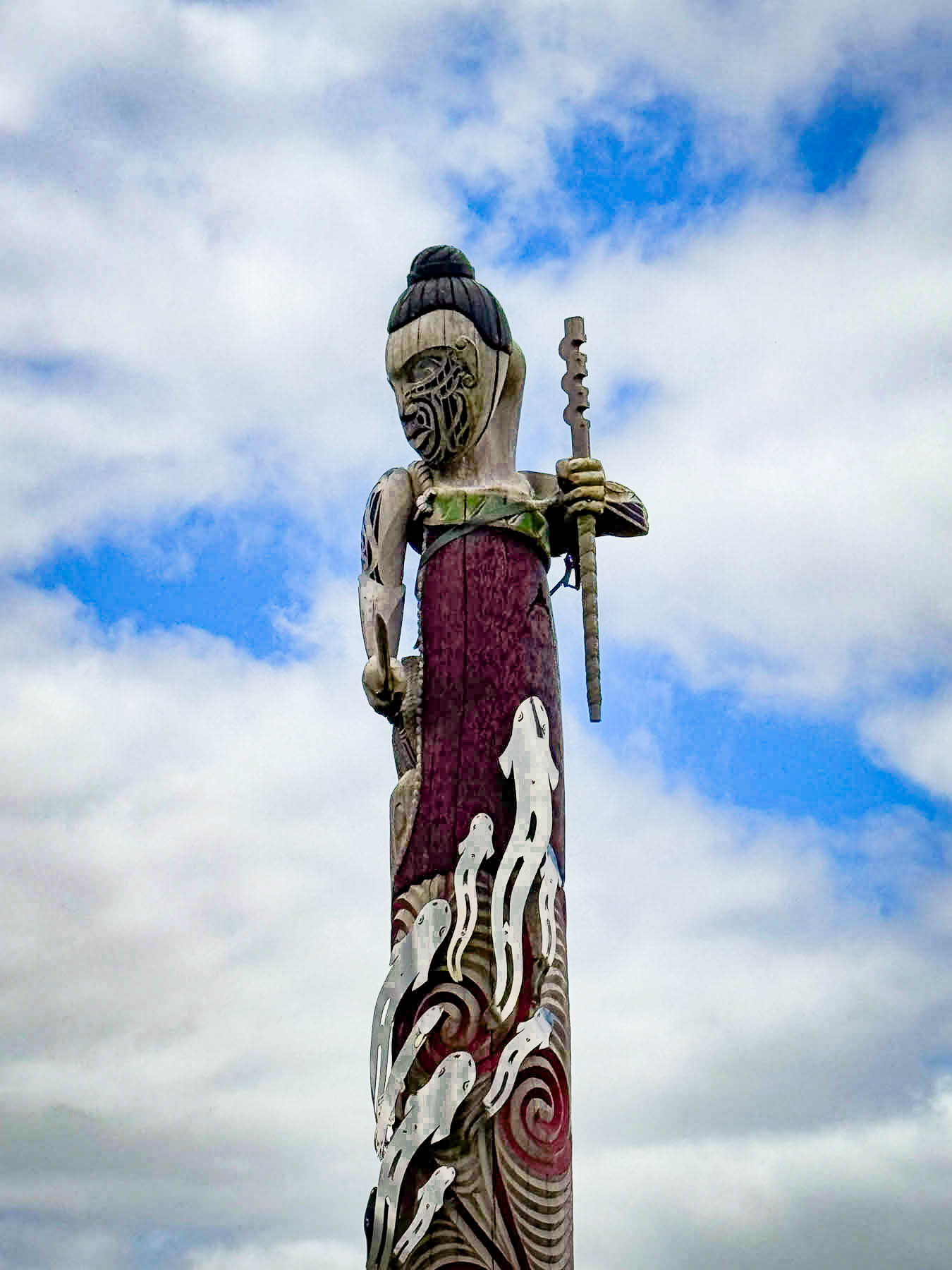
Later that morning we u-turned to investigate a tall traditional Māori wood-carved pou we had just zipped by as we entered Te Tai Tokerau, the northlands region, near Maromako.  Pou (or pouwhenua), which are often compared to totem poles, are traditionally used as territorial boundary markers or to designate significant Māori sites. Carvings on the poles depict, “ancestral figures, lineages, and tribal histories, reflecting a profound relationship between the ancestors, the natural environment, and the tangata whenua (people of the land).” This pou, created by Arapeta Te Hauhau and Shane Whatarau, portrays the Māori tūpuna (ancestor) Kahukuri, who conquered the rohe, region, of Ngāti Hau, a vast area between Whangārei and Hokianga, farther north.
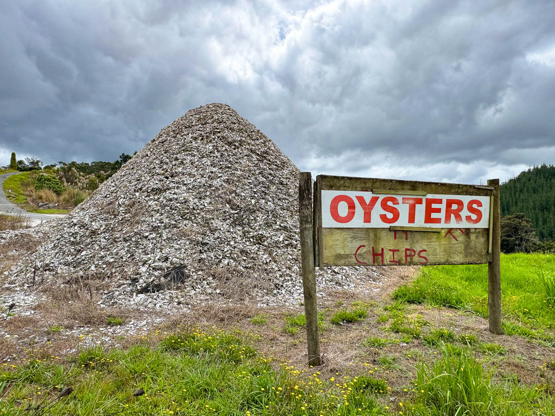
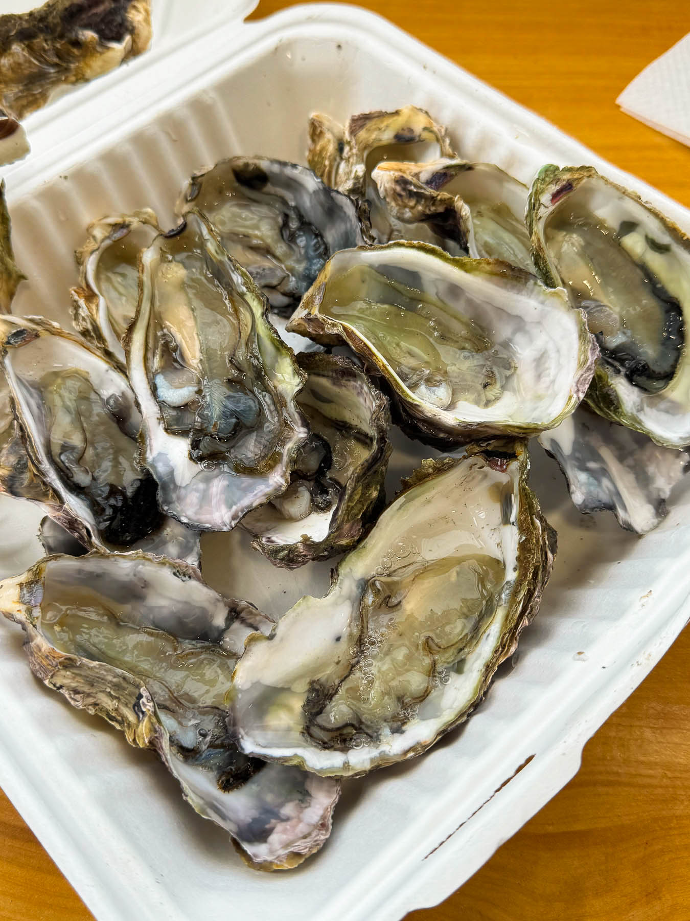
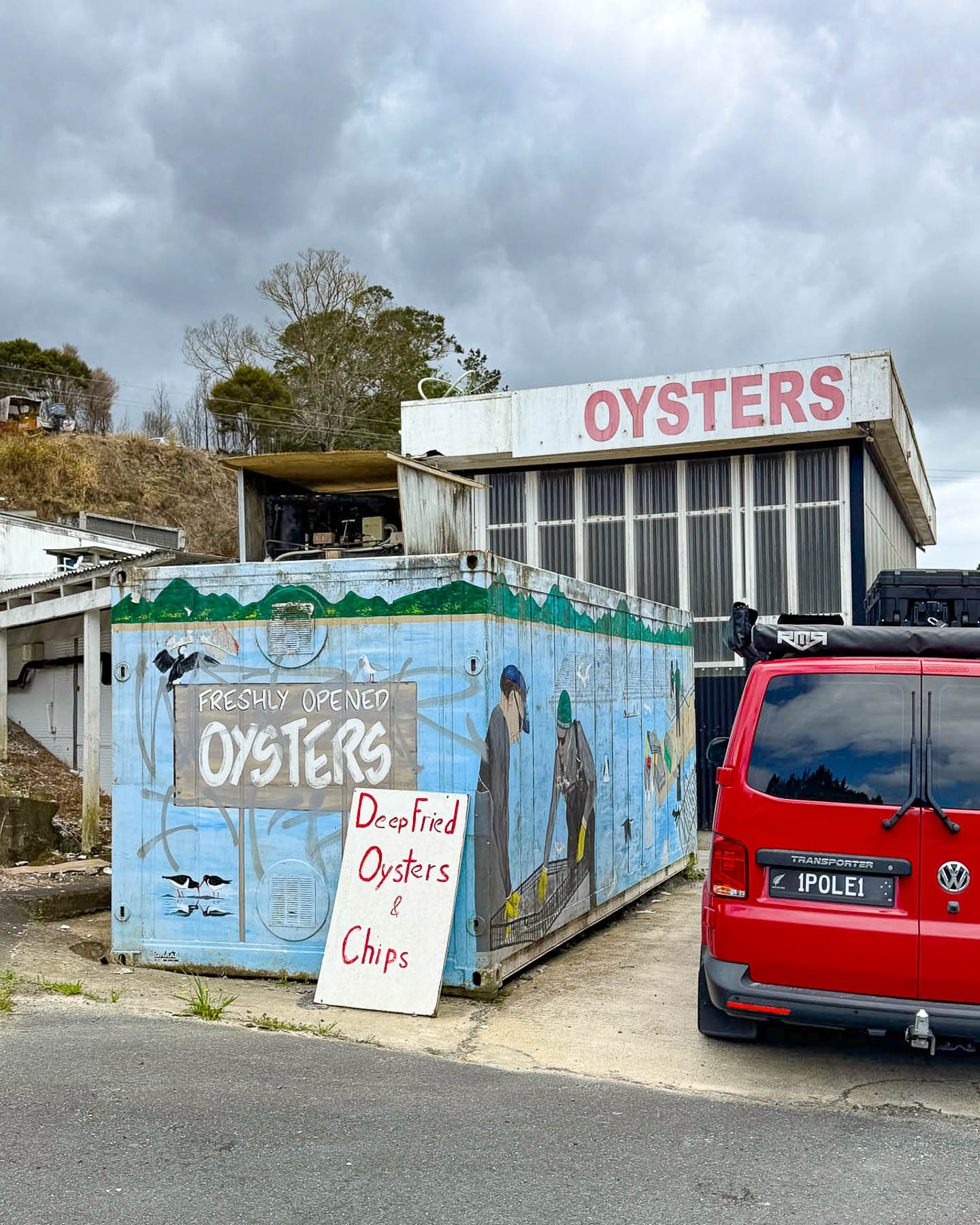
Continuing on we were urged to stop when we saw a huge midden pile of oyster shells next to a nondescript roadside shack that offered only oysters and chips. It was mostly a take-away shop with a few well-worn tables and chairs, but we immensely enjoyed our pre-lunch snack of fresh raw oysters. If you are an ostreophile, New Zealand is a great destination as the cold waters that surround the islands allow oysters to be harvested nearly year-round. We were now in the Bay of Islands area of the Northland Region and we could turn onto Rt 11 to travel along the coastlines of Waikare and Rawhiti Inlets to the Haruru Falls and the Waitangi Treaty Grounds, where the controversial first accord between the British Crown and the Māori people was signed in 1840. It was controversial because the Māori received an interpretation of the treaty in which they believed they were of equal standing to the Crown of England and not subjects as the English treaty stated. Māori disillusionment with the treaty quickly grew and was the catalyst for the Northern War in 1845. Though it only lasted ten months, it was the first of a number of major conflicts that continued sporadically to 1872, that arose after the signing of the treaty.
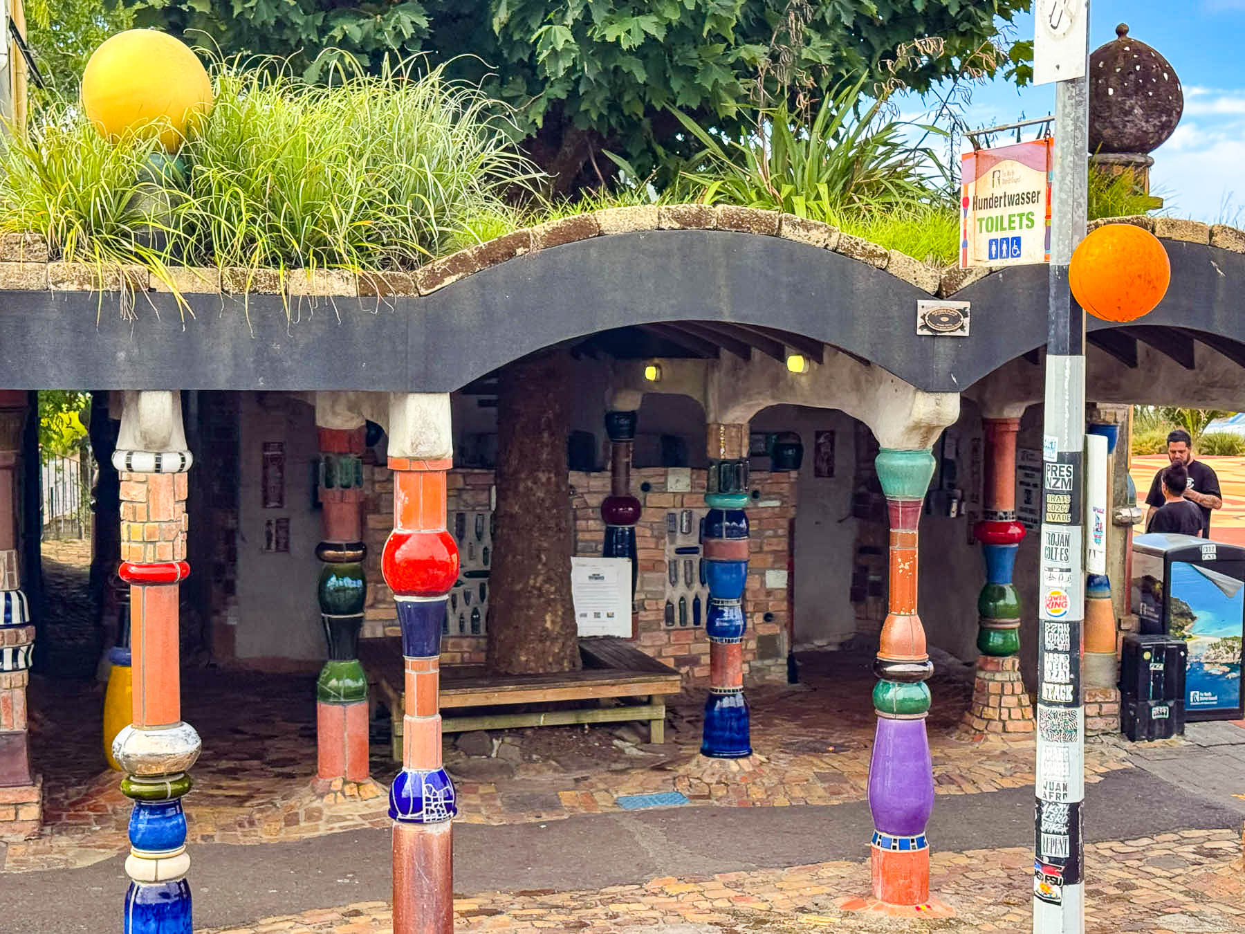
A site marker pointing the way to the Hundertwasser Public Toilets in Kawakawa caught our eyes and we couldn’t resist a quick detour. Yes, a quirky decision for an equally quirky destination. We do not do a lot of extensive research ahead of time beyond mapping out our routes to the major destinations and our hotels. Leaving the day’s drive a combination of sites picked the night or a day before and leaving plenty of time for spontaneous detours.
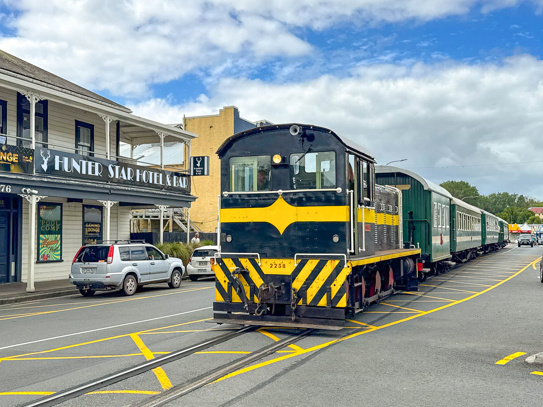
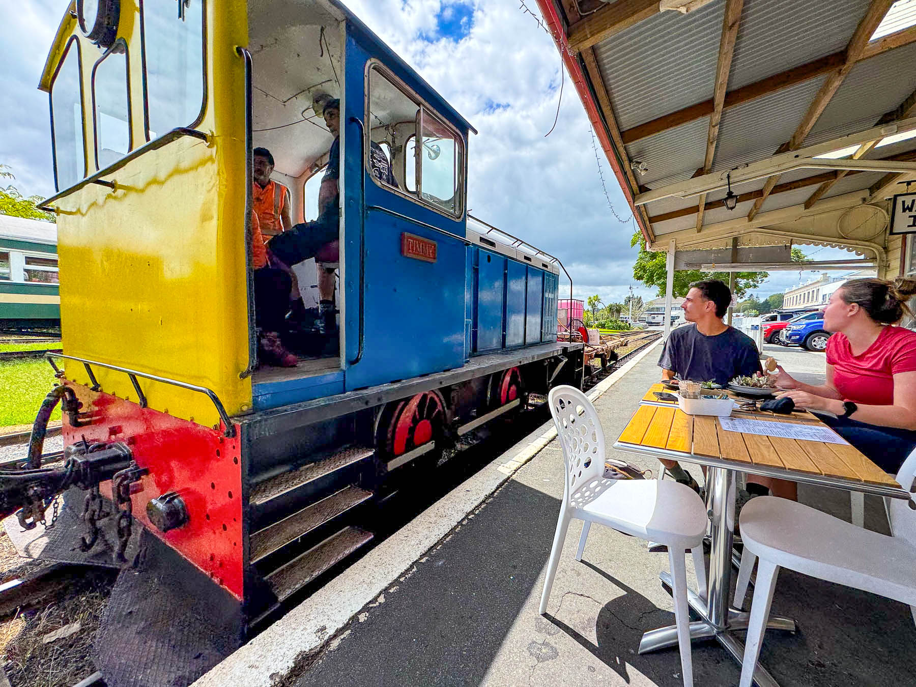
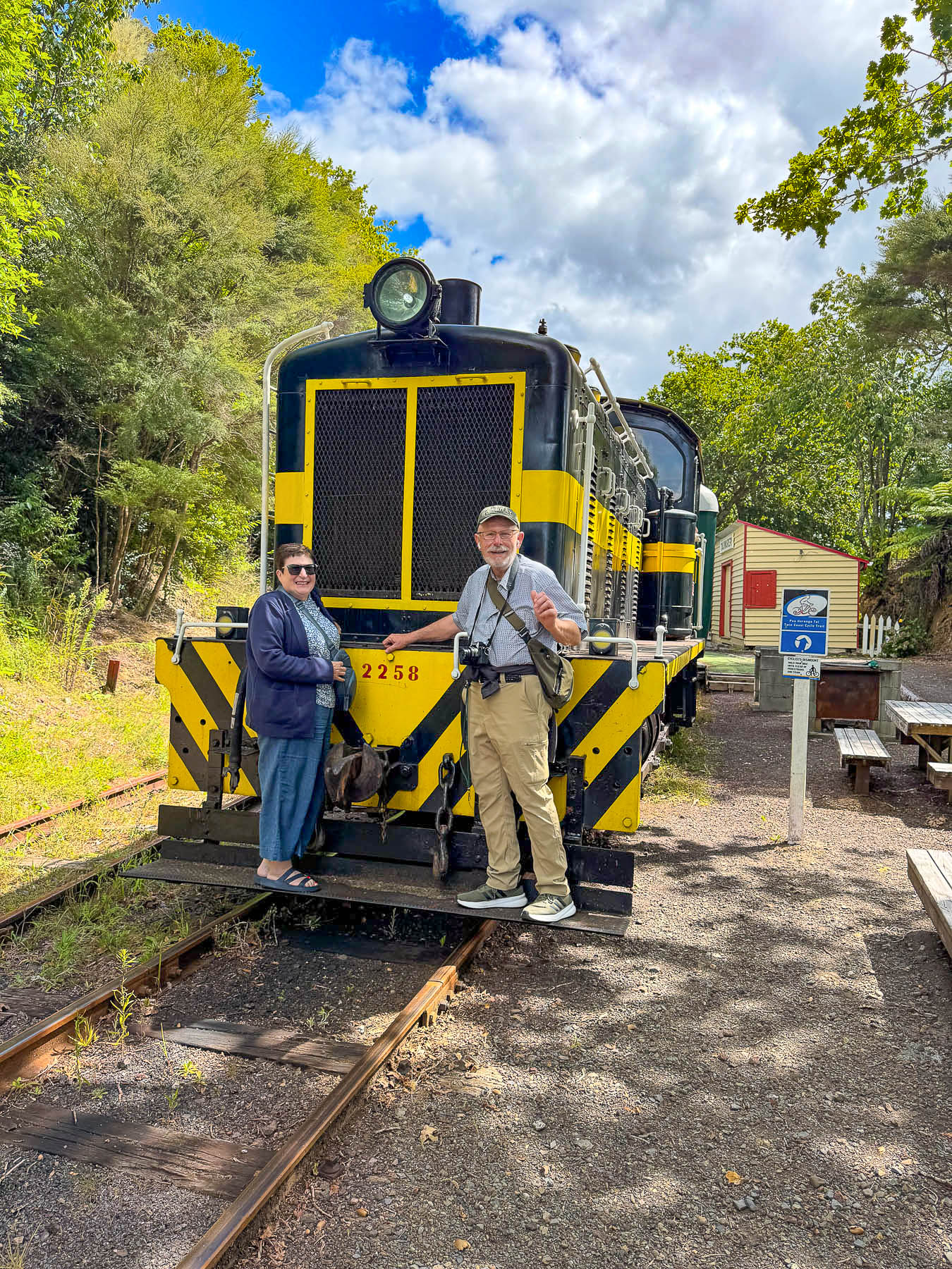
Surprisingly there was no train crossing gate when we entered Kawakawa,  as a slow-moving locomotive pulling a few passenger cars entered the road and caused traffic to momentarily stop. We followed behind the Bay of Islands Vintage Railway’s train as it slowly rolled down railroad tracks centered in the town’s wide main street until it verged into an old railyard.
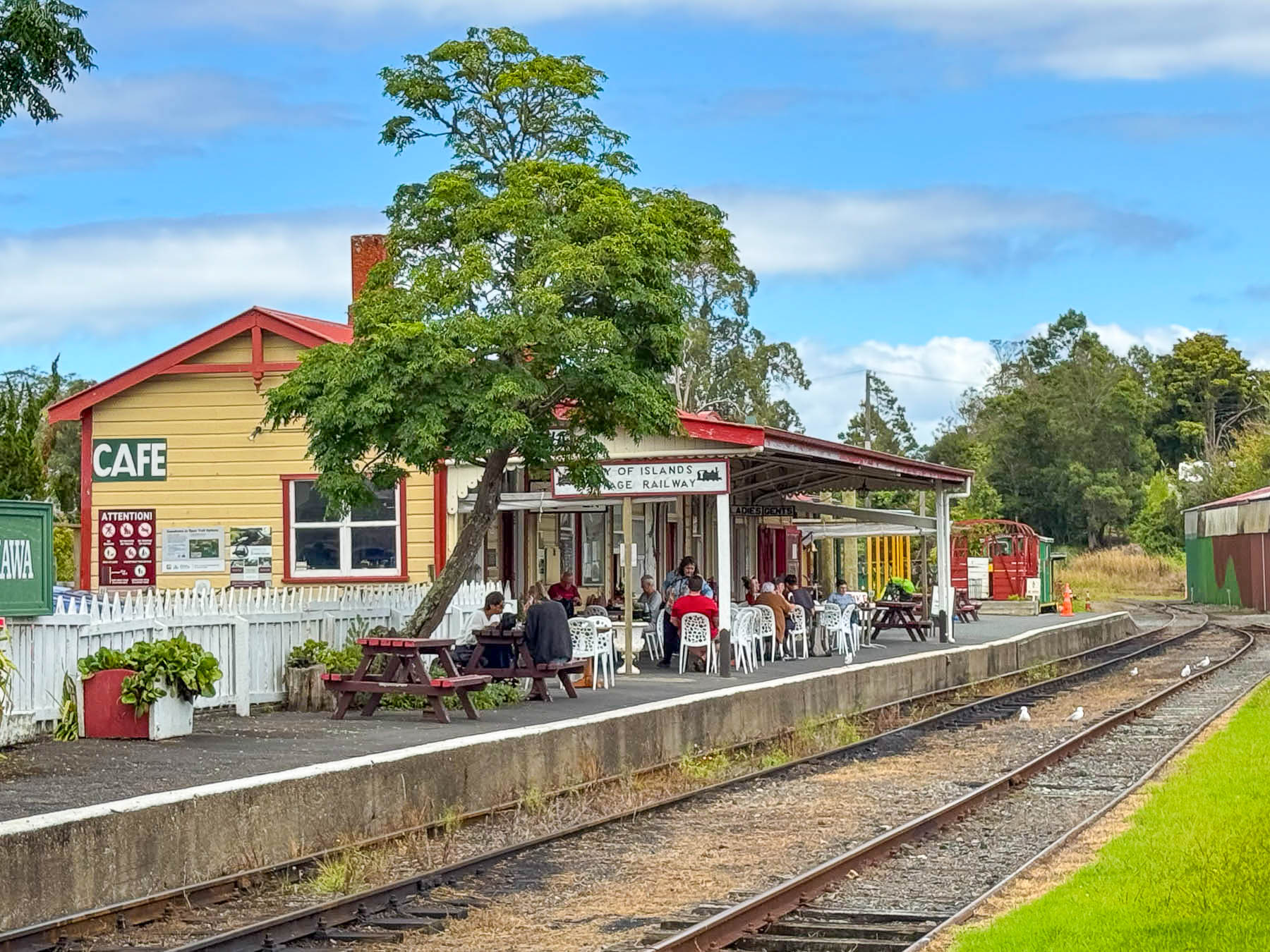
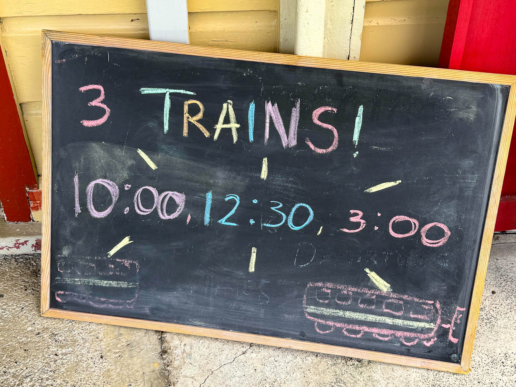
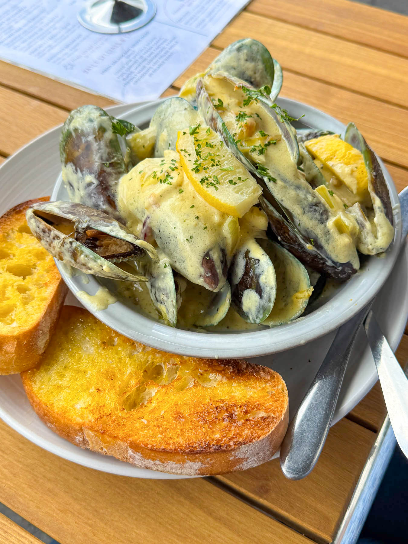
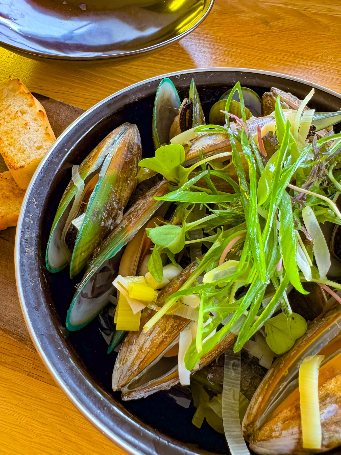
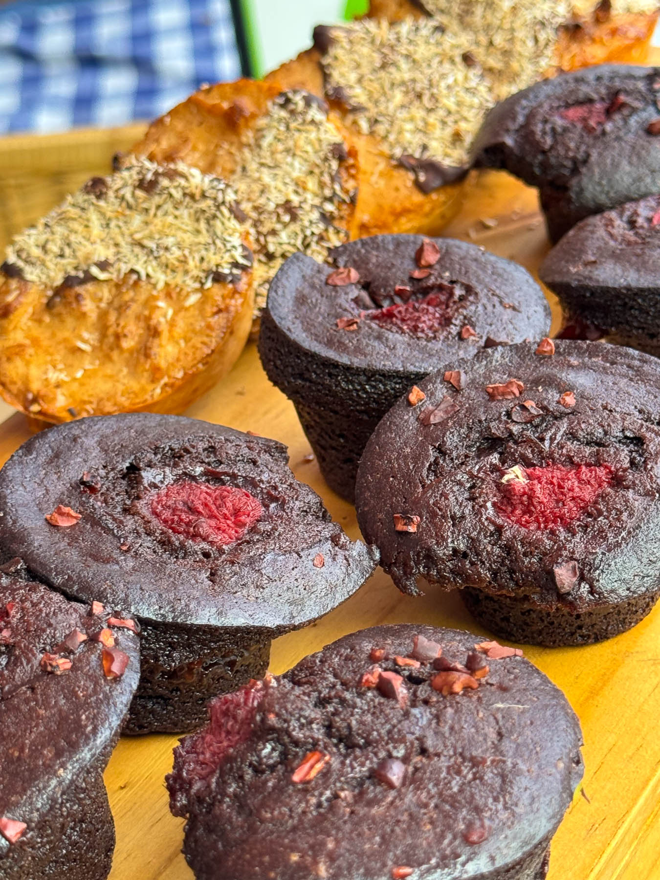
Parking in town was very limited and I didn’t want to try my left-hand side of the road parallel parking skills just yet. So, we ended up parking outside the railyard, which conveniently had a highly praised restaurant, the Railway Station Cafe, with favorable reviews on Google maps. It’s a quaint place with tables outside on the train station’s old platform, just inches away from the rolling stock. We enjoyed a lunch of local mussels served with a cream based white wine and garlic sauce, along with a scrumptious homebaked chocolate muffin for dessert. A placard announced the train’s departure schedule and we realized we had time to explore the town a little, so we made a spontaneous decision to take the day’s last excursion at 3pm.
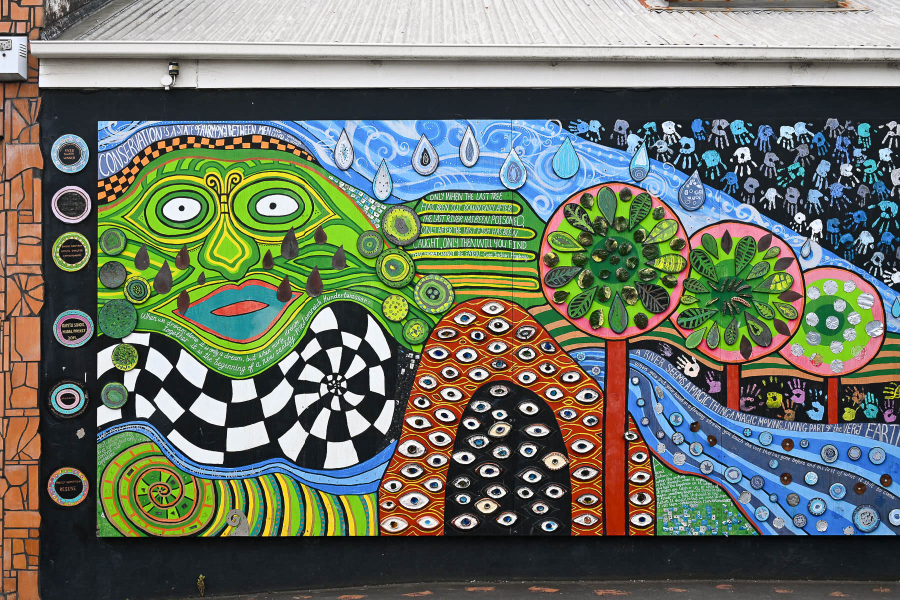
We didn’t realize when we toured the Hundertwasser museum that the artist spent much of the last three decades of his life living and working in Northland Region around the Bay of Islands, until his death in 2000. Living only 20 minutes from Kawakawa he visited often, and had some aesthetic influence on the town, which can be seen in certain murals, sidewalk benches, the town library, and the public toilet. In the 1990s Kawakawa was struggling as a bypassed “thoroughfare” town. Approaching Hundertwasser, local business owners hoped a unique, artist-designed landmark would turn the town into a tourist destination rather than just a quick stop on the way further north, and he was asked to redesign the old concrete block building.
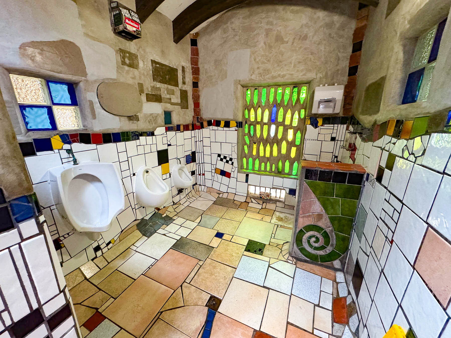
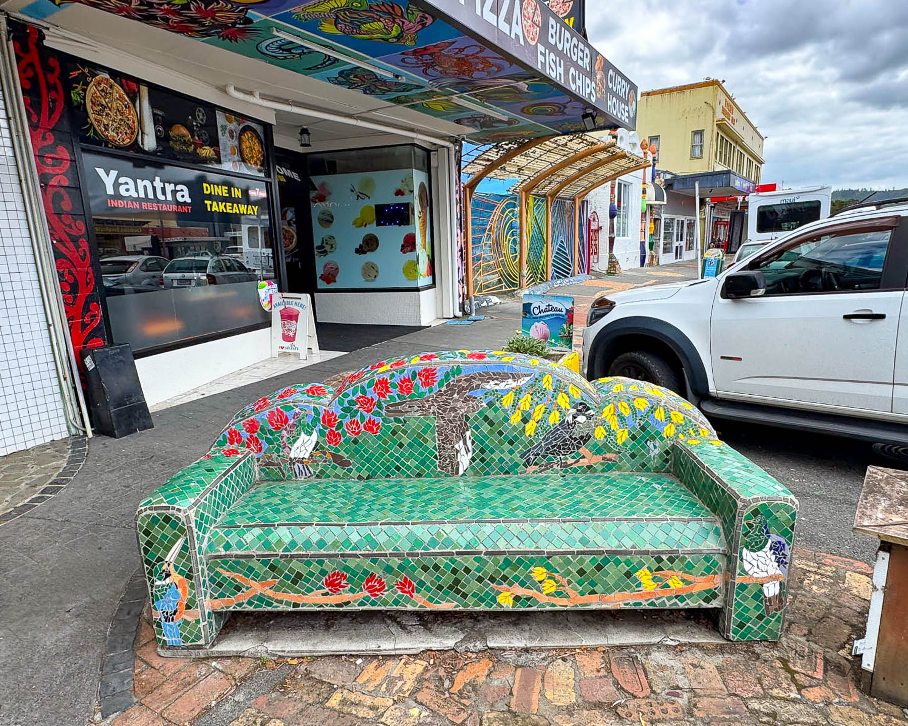
He agreed and donated his services to the community as an “architectural doctor” to cure an ugly structure by merging it with nature (incorporating uneven floors, a living tree roof, local recycled bricks, glass bottles, and hand-made student tiles. He believed “community ownership” of the project would directly foster local pride and prevent vandalism and insisted that local craftsmen, students, and volunteers help build it. Honestly, it is a really quirky destination, and aesthetics have changed over the years. We expected something different, but elements of his philosophy can still be seen today in new earth homes being constructed across the globe. His former home on Waikare Inlet is now a museum called Living Hundertwasser, that we did not get the chance to see.
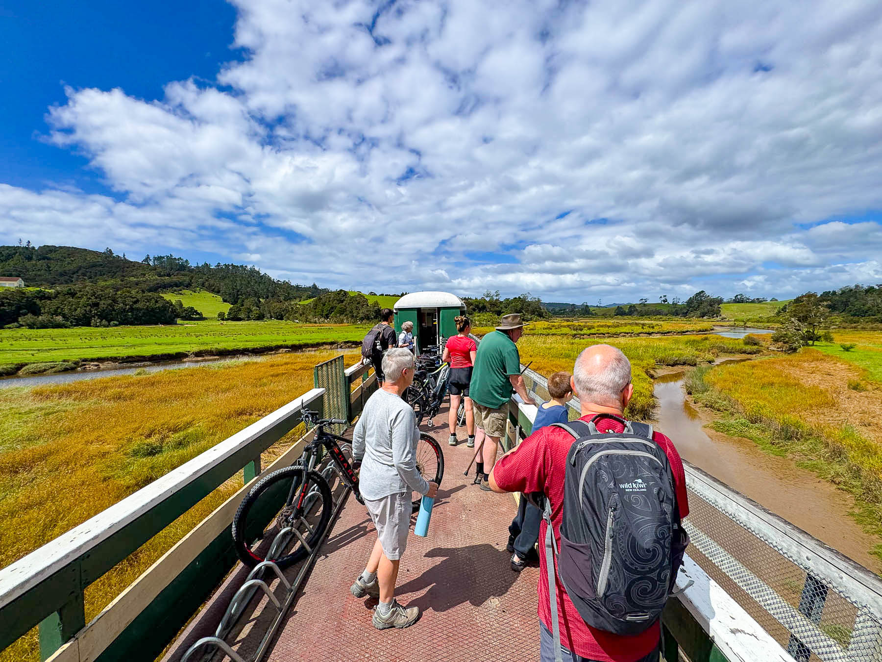
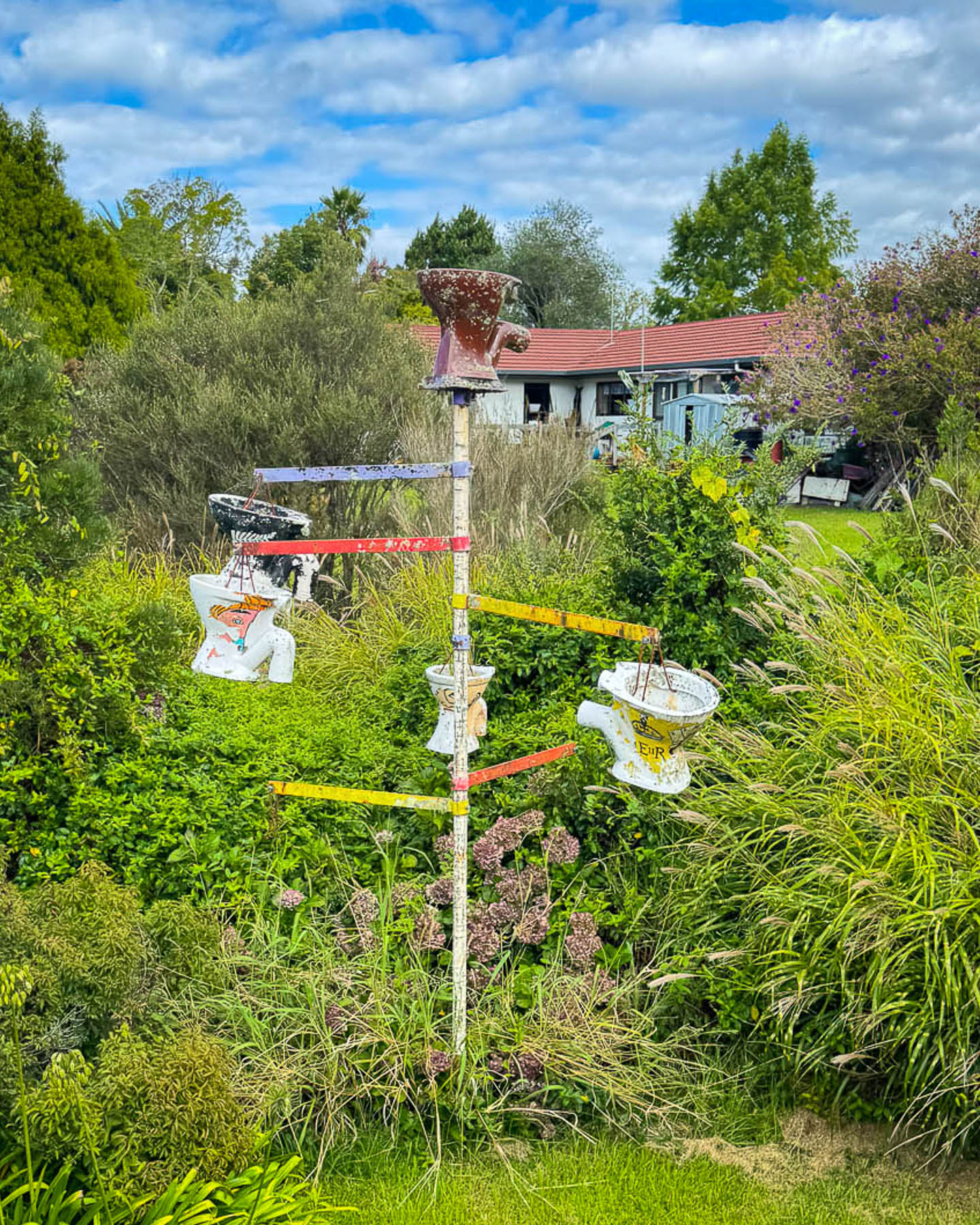
Boarding an open carriage on the Bay of Island’s train we stood with the other passengers as the train traveled back down through the center of Kawakawa. A minute outside of town we were transversing open fields and passing eccentric way markers like a totem of hanging old toilet bowls erected in someone’s backyard. As we traveled along, one of the volunteer conductors told the history of the line as we struggled to listen above the click-clack of the iron wheels. The oldest passenger line on the North Island was started in 1867 after coal was discovered in a gully outside Kawakawa and a horse tramway was built to pull passengers and carriages of the ore from the mine to Derricks Landing on the Kawakawa River, to be loaded onto shallow draft boats.
The coal mine became so important that in the early 1870s steel railroad tracks were laid through the center of town and a bridge across the river was built to extend the coal and passenger line to the deepwater port in Ōpua to access larger ships. The tracks eventually linked into the wider North Auckland Line and Kawakawa was a stop for the famous Ōpua Express which ran between Auckland and Ōpua from 1925 to 1956. Passenger service along the route stopped in the 1970’s as the roads in the northland improved and more folks bought cars. Freight service continued on the tracks into the mid1980s until modern containerized shipping forced its discontinuation.
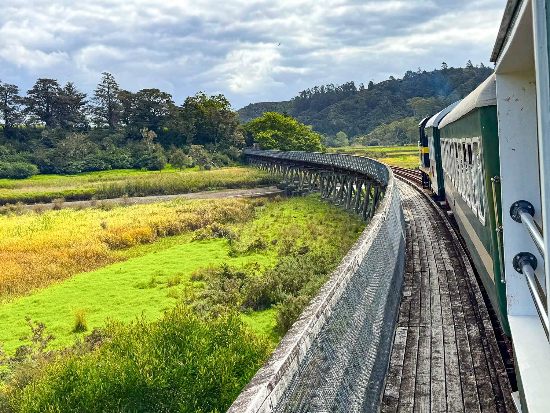
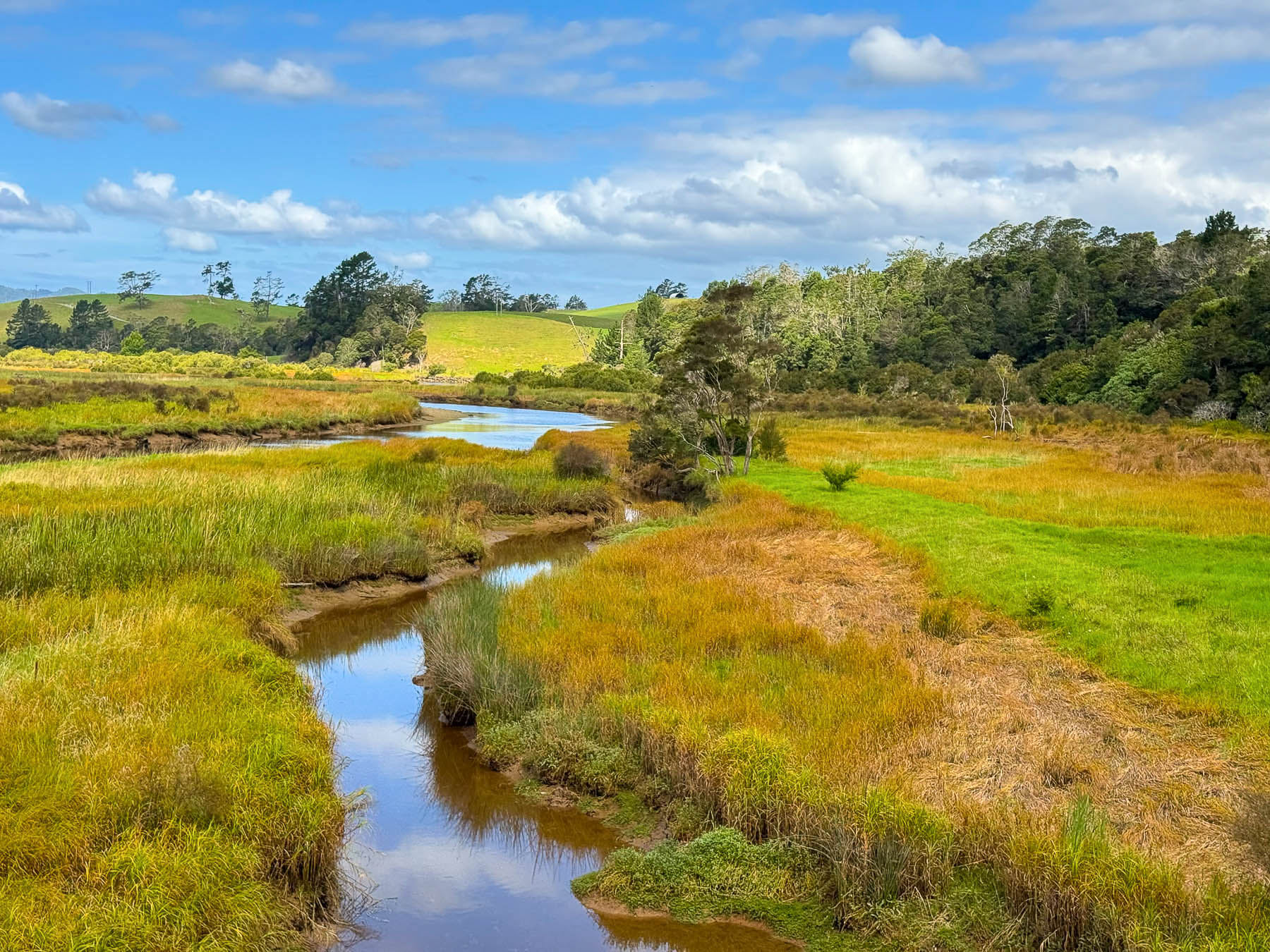
During our pleasant two-hour journey across fields, marshlands and forests we got our first exposure to the Kiwi sense of humor, which is typically dry, self-effacing, and delivered with a straight face. When sharing one of the construction highlights of the “World Famous in New Zealand” railroad, the conductor mentioned “it has the longest curved wooden bridge in the Southern Hemisphere.” If you blinked you might have missed it.
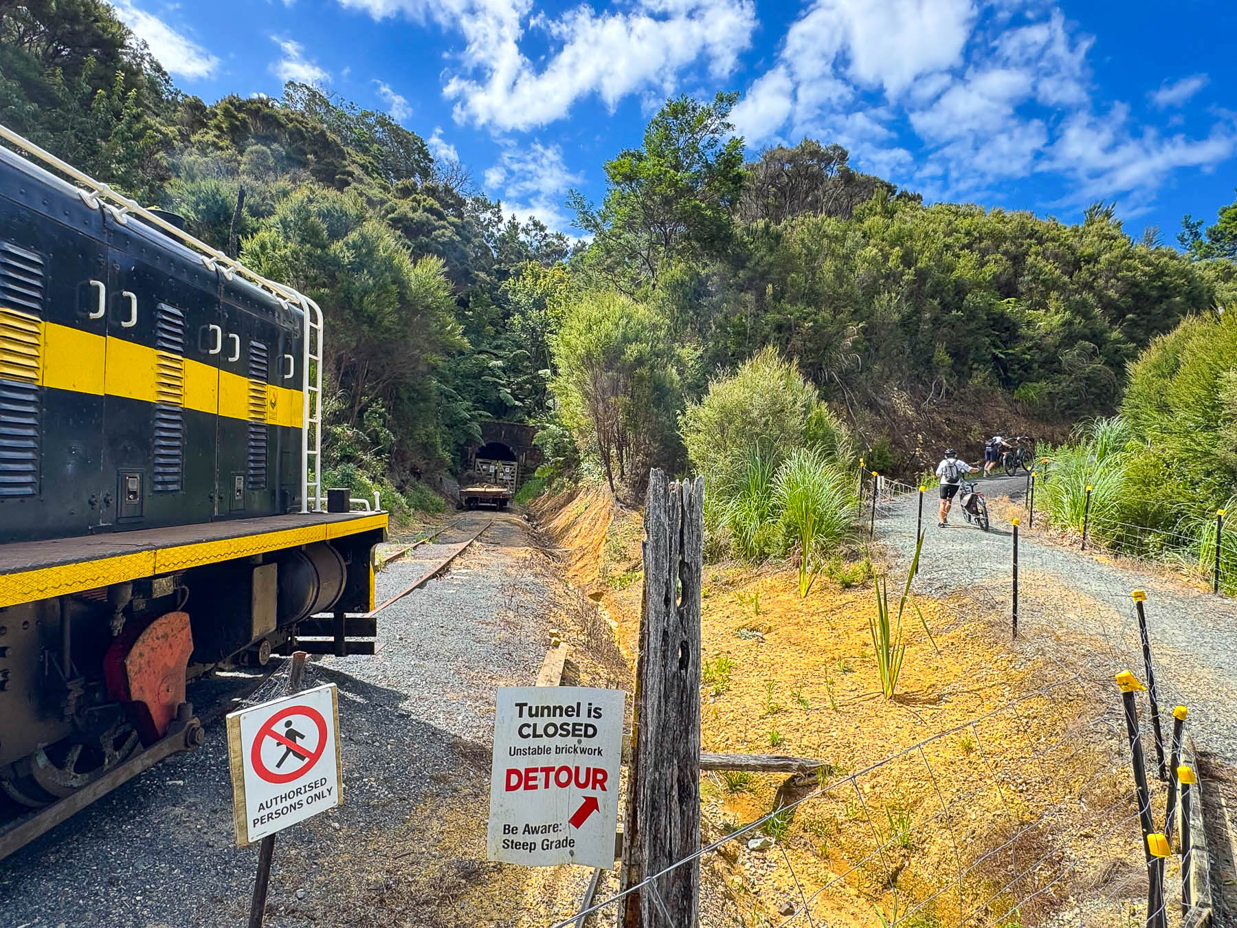
Our halfway point ended at the Whangae Tunnel station, where a collapsed ceiling blocked the route. Here, folks with bikes who got on the train at the Taumārere Station to cross the marshlands, got off of to continue pedaling towards Ōpua, along one of the most popular routes mapped in the Twin Coast Cycle Trail guide.
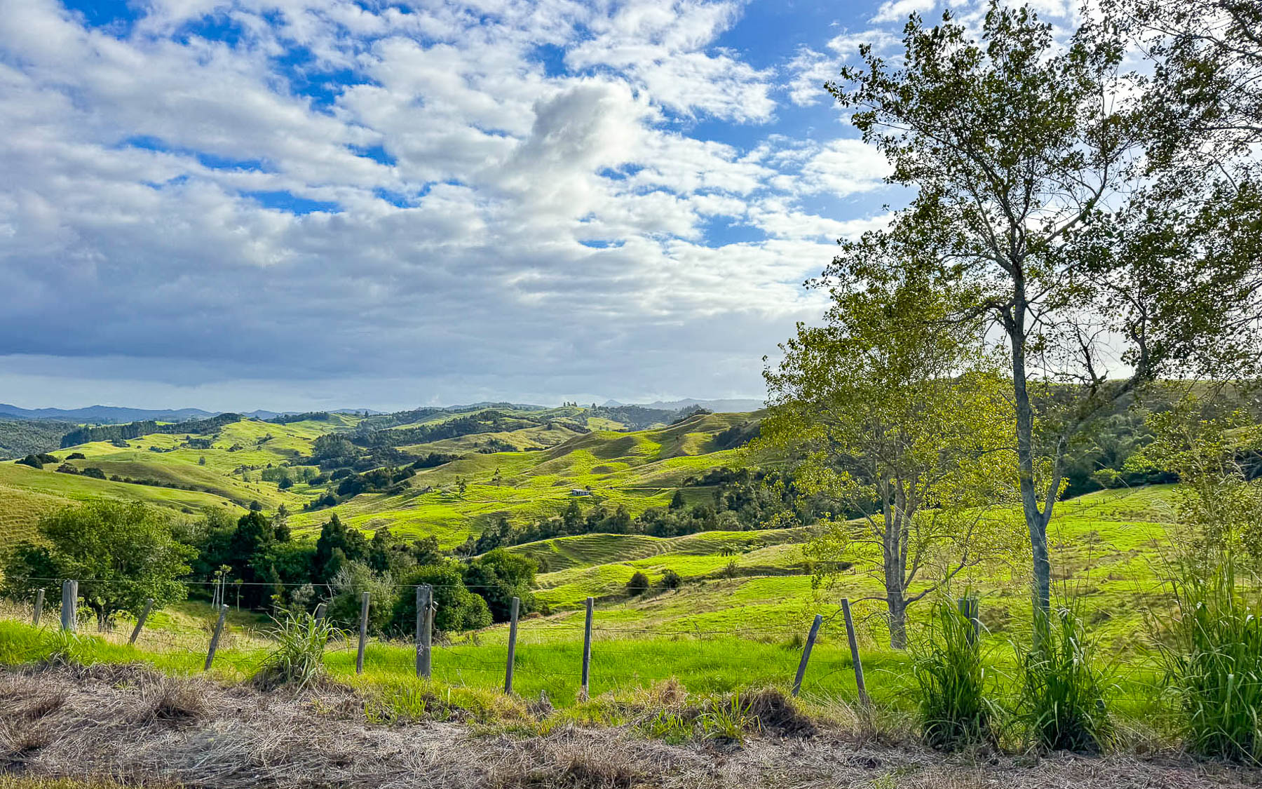
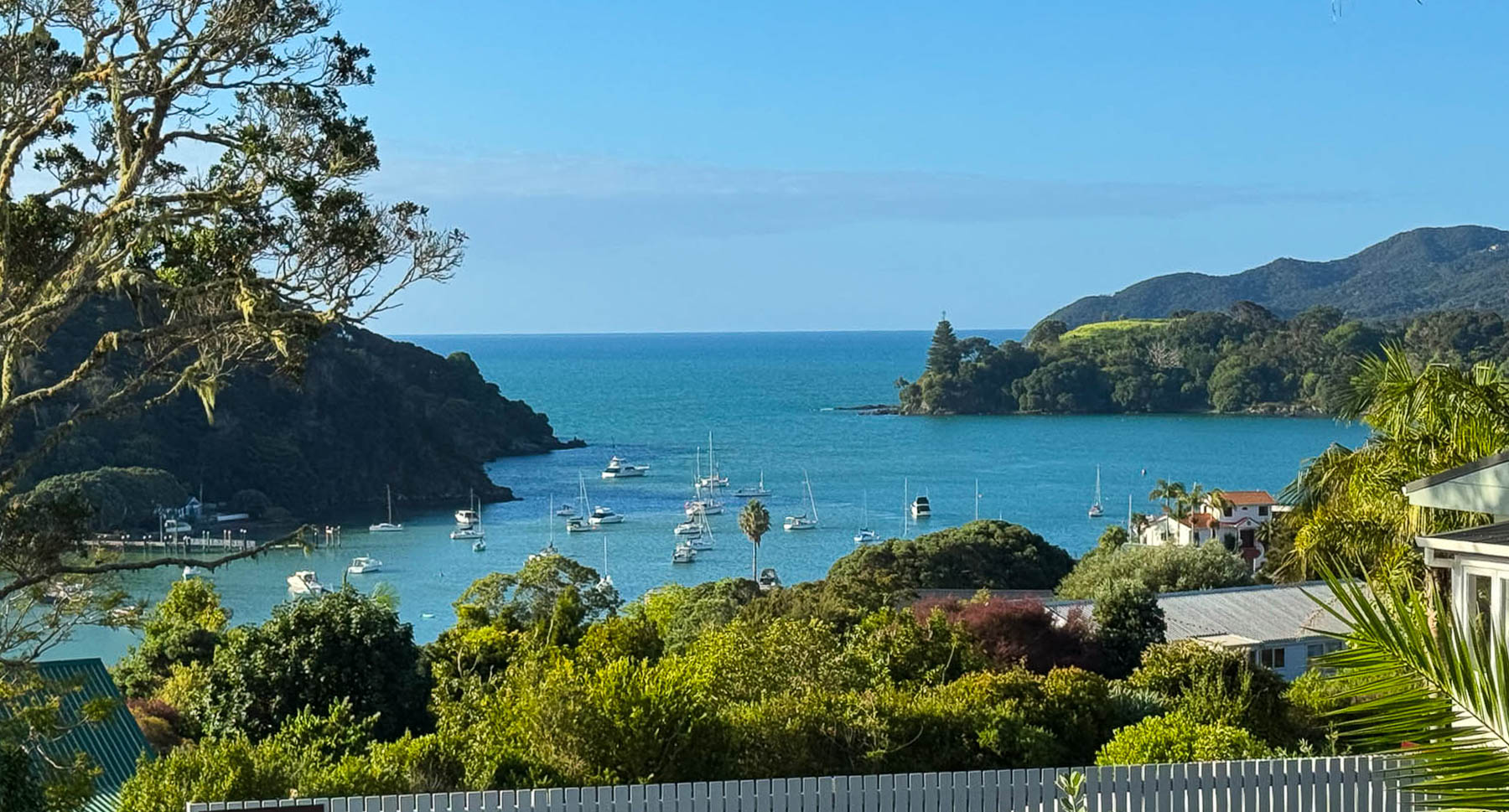
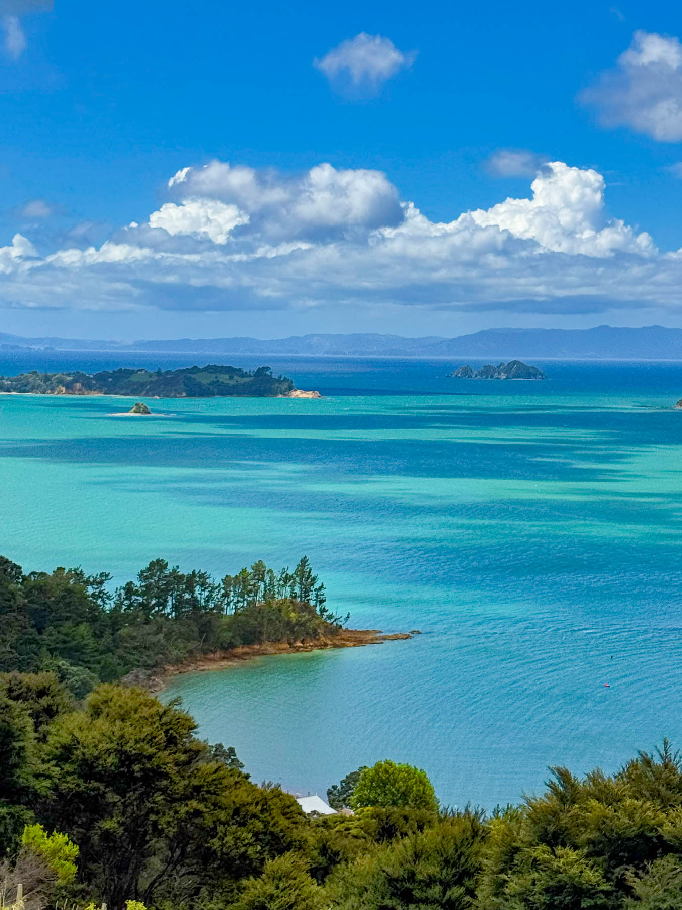
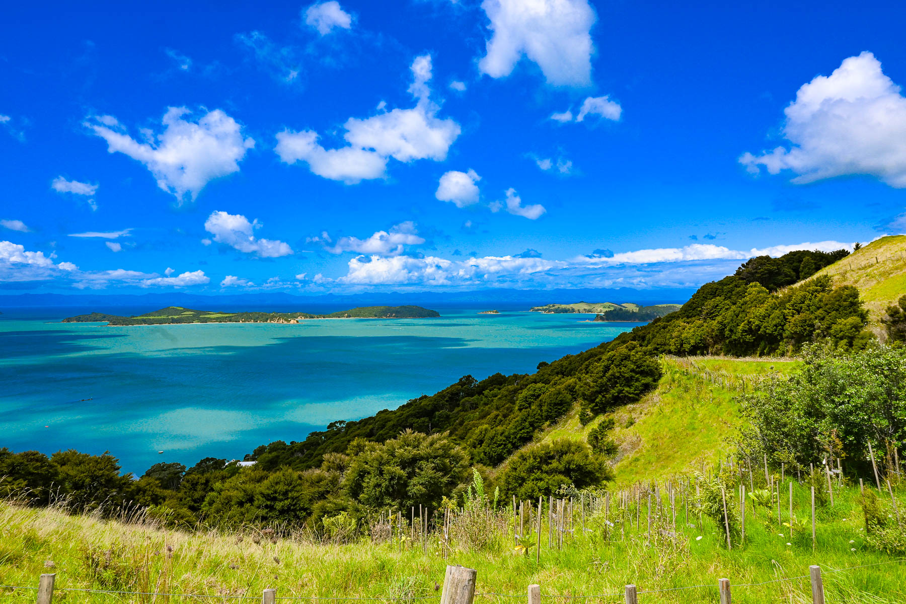
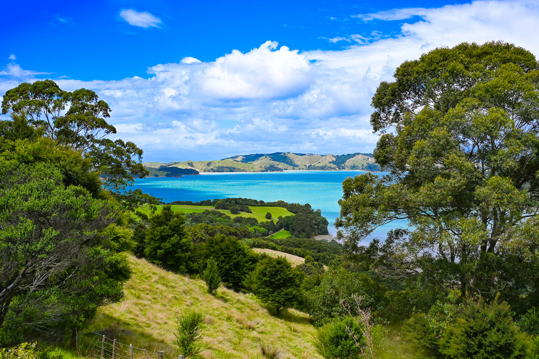
It was very late in the afternoon when the train returned the station and we continued our journey west along Rt1 to Pakaraka, before turning onto Rt10 to our final leg of the drive to our lodging for the night and next day at the Taipa Beach Resort hotel. According to our apps map it was about 98km (58mi) away, about an hour and fifteen minutes if we zipped straight through. But we drove slowly instead to enjoy the beautiful landscapes of the Northland region and then seascapes along Pekapeka and Mangonui Harbour as we were driving, and stopped often to take photographs. There were also a couple of construction zones where flagmen narrowed the road to one lane and alternated the flow of traffic, which delayed us. Fortunately, the southern hemisphere’s summer sunset was about 8:15 in mid-February as we drove towards the tip of the North Island.
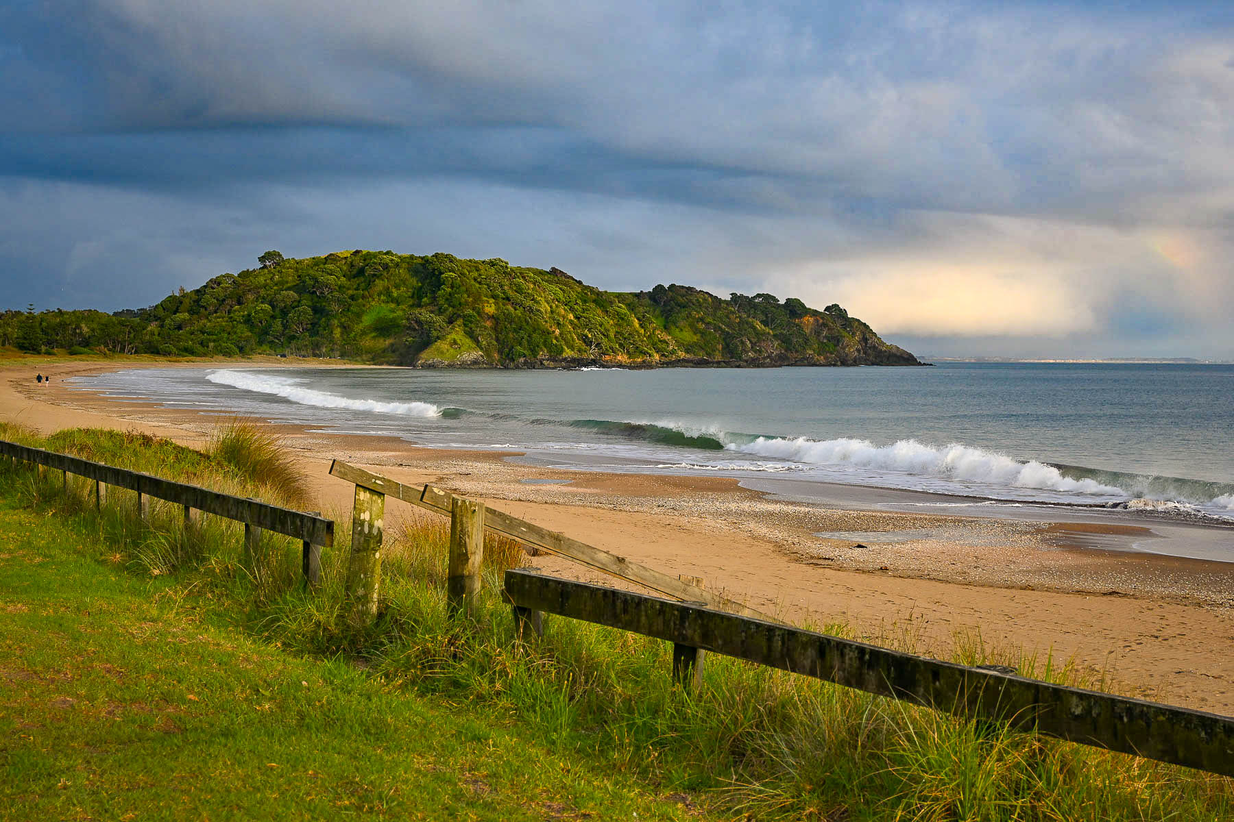
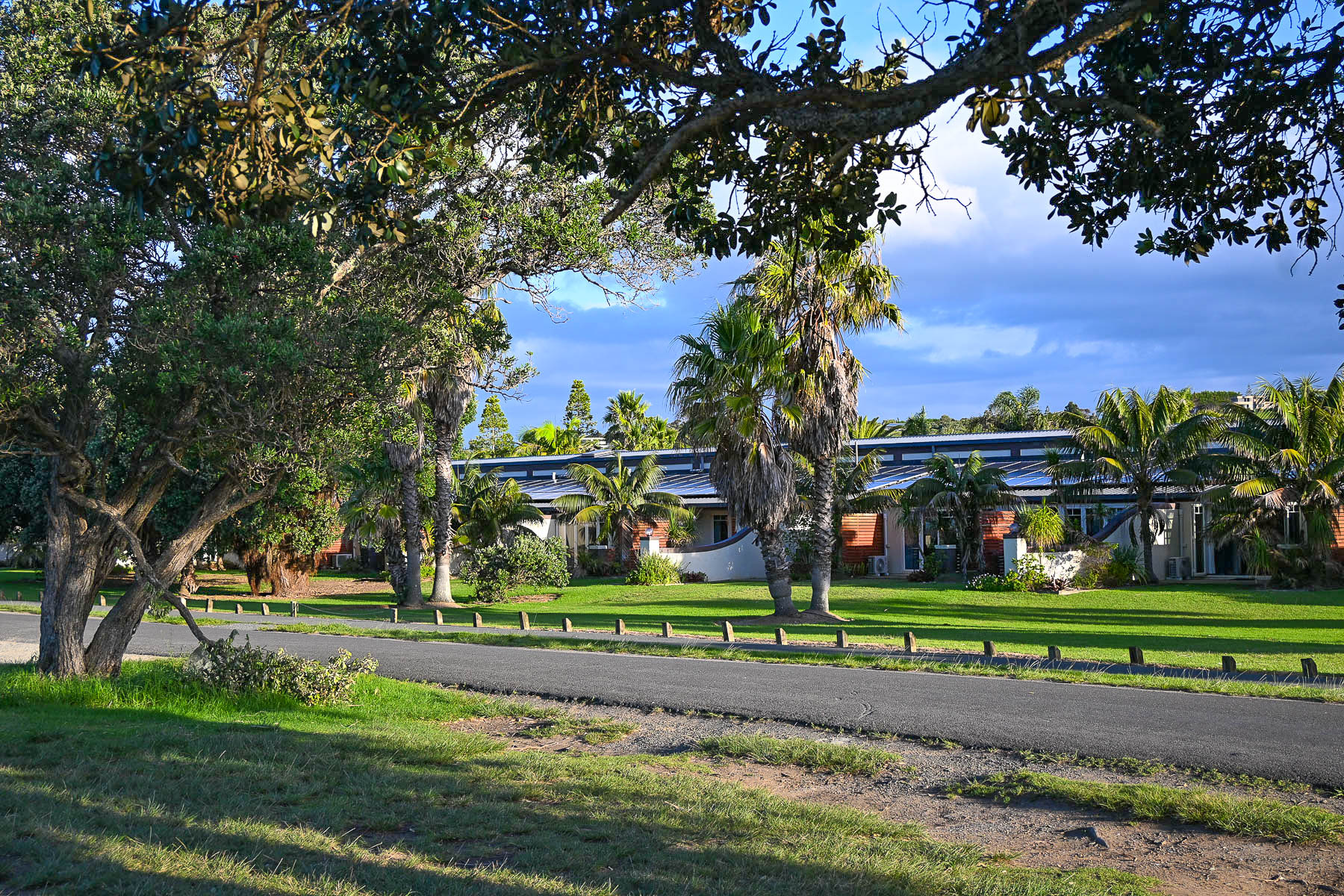
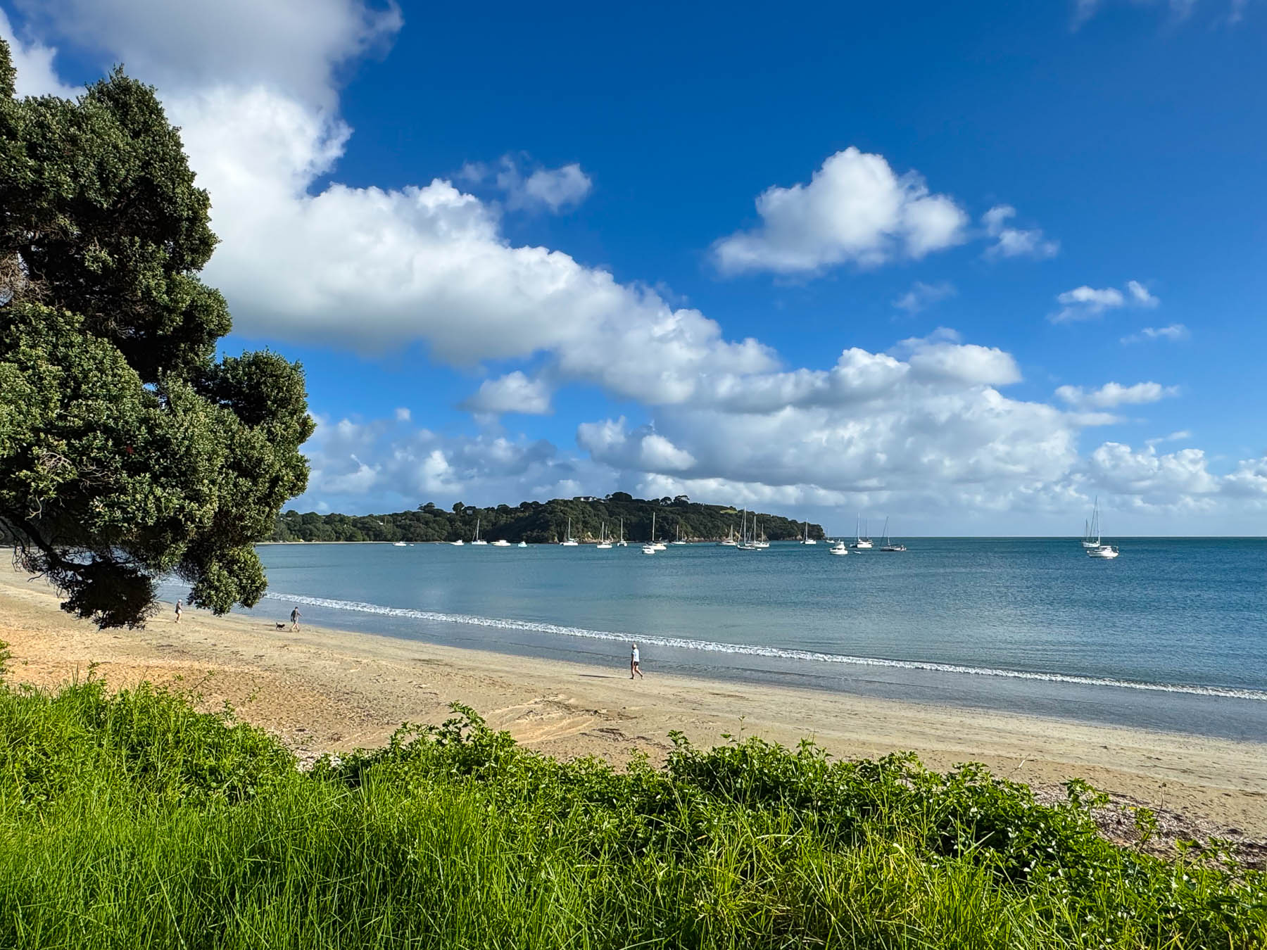
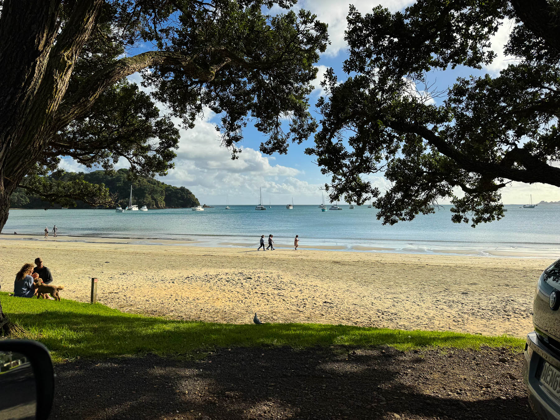
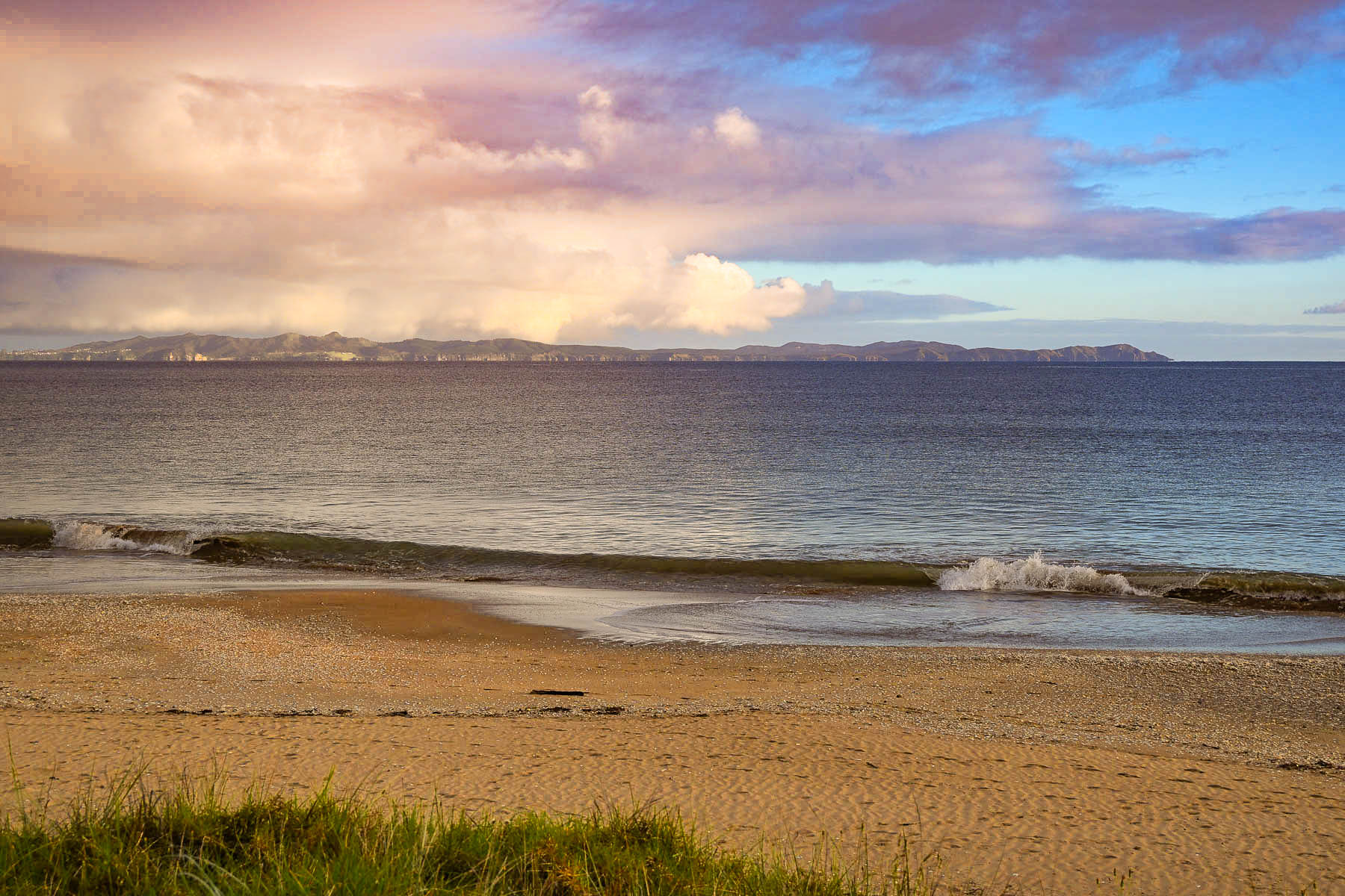
We arrived at the hotel, set across a narrow road from the beach on Doubtless Bay, just in time to enjoy the golden hour as the sun illuminated the waves and cast long shadows of folks walking their dogs across the sand. Silhouetted on the horizon, across Doubtless Bay were the hills of the Karikari Peninsula. The bay owes its unusual name to Captain James Cook, who, in December 1769, was prevented from sailing his ship, the Endeavour, closer to the coast. After observing it from afar, he wrote in his journal “that it was doubtless a bay.”
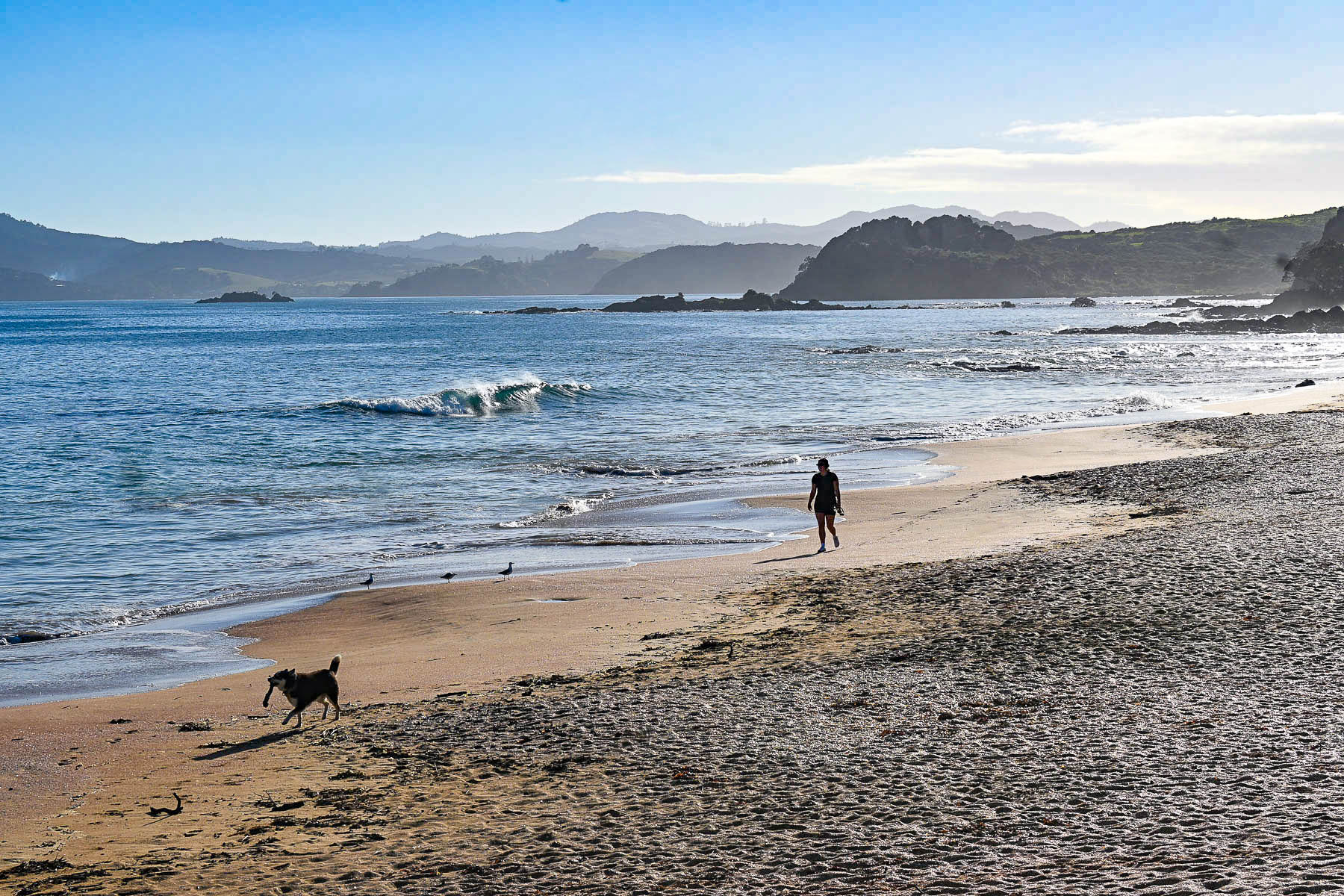
Only a few strides from the ocean, our beach-facing room was very spacious and comfortable. Relaxing on our patio with a glass of wine that evening, listening to the waves crash against the beach, provided a tranquil ending to our day. The other major draw for staying at Taipa Resort were the good reviews its restaurant received, which made life very easy at the end of two long days. The hotel was a great base for our day trip to Cape Reinga, 126 km (78mi) about two hours away, and Ninety Mile Beach on the Aupouri Peninsula the next day. It’s hard to choose whether the sunset or morning light on the beach was more beautiful, but we enjoyed both during our stay.
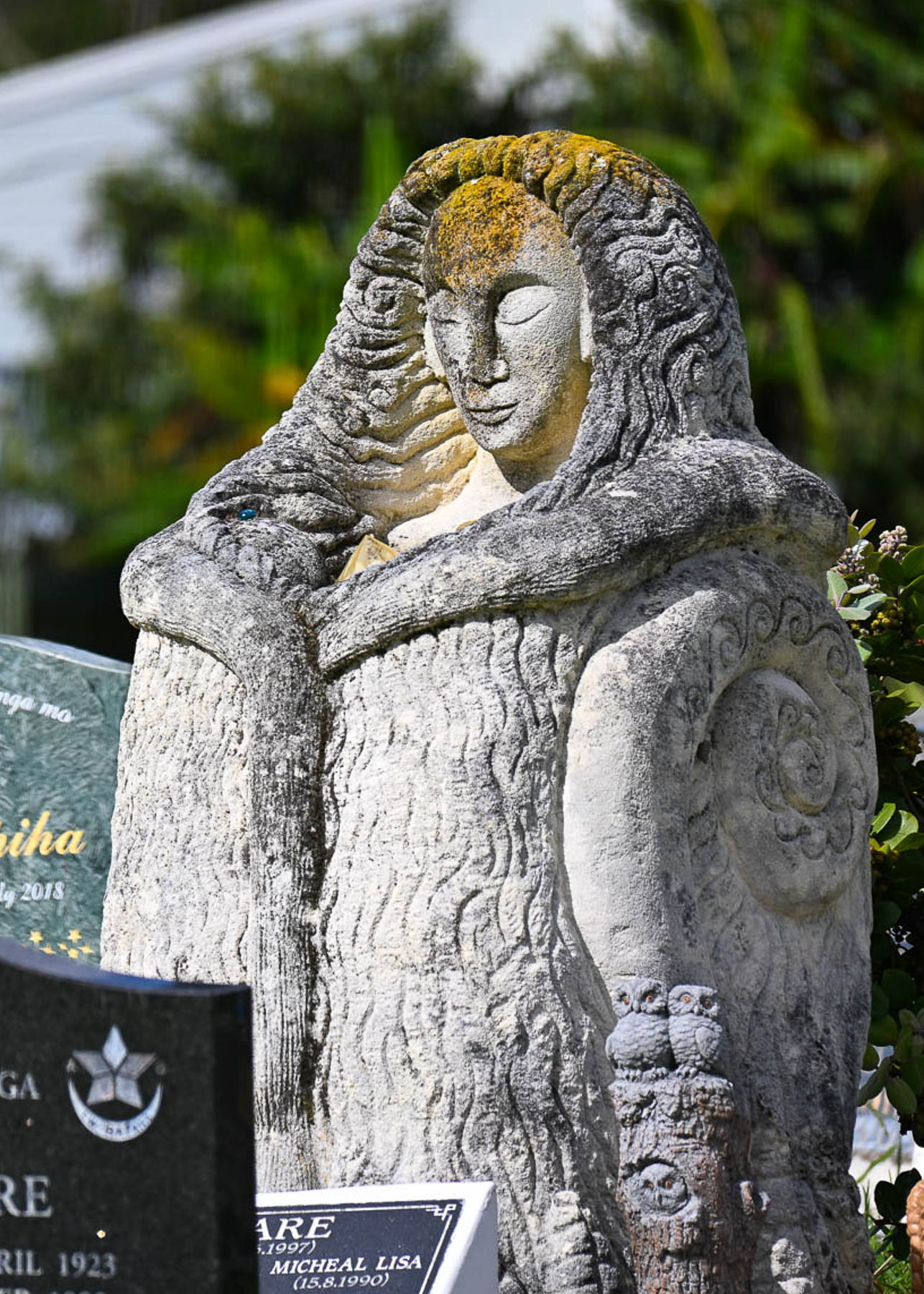
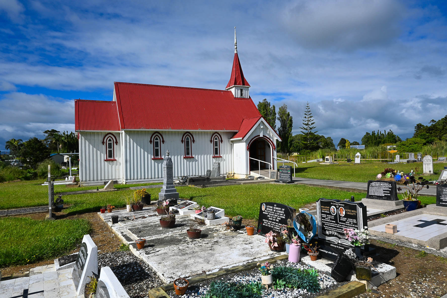
After a promising sunrise the weather turned finnicky after we stopped in Awanui to photograph the St Josephs Anglican Māori Church, consecrated in 1887.  It’s a pretty white church with a red roof, and a picturesque cemetery along the road.   Many of the gravestones showed beautiful portraits of the deceased, and shared information about their lives. One we found especially touching was erected for a drowning victim, by his twin brother, mourning his death on what would have been their 50th birthday. The Māori inscription at the end reads, may peace prevail.
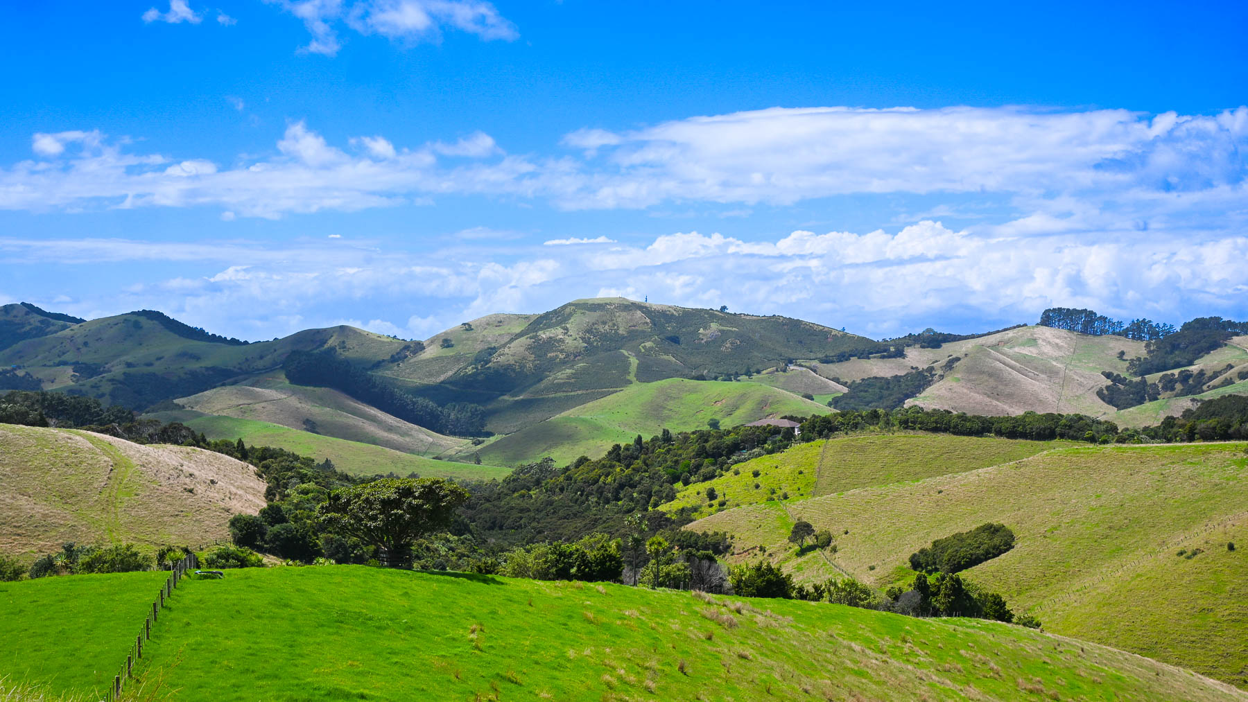
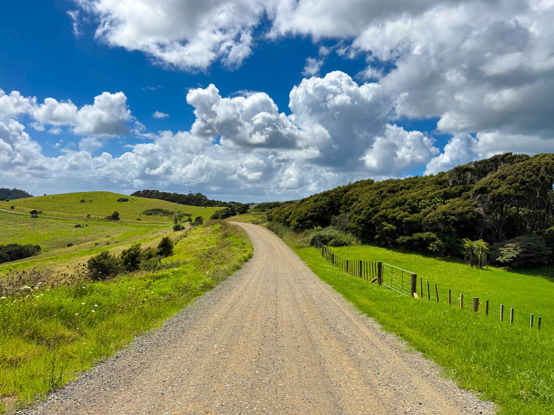
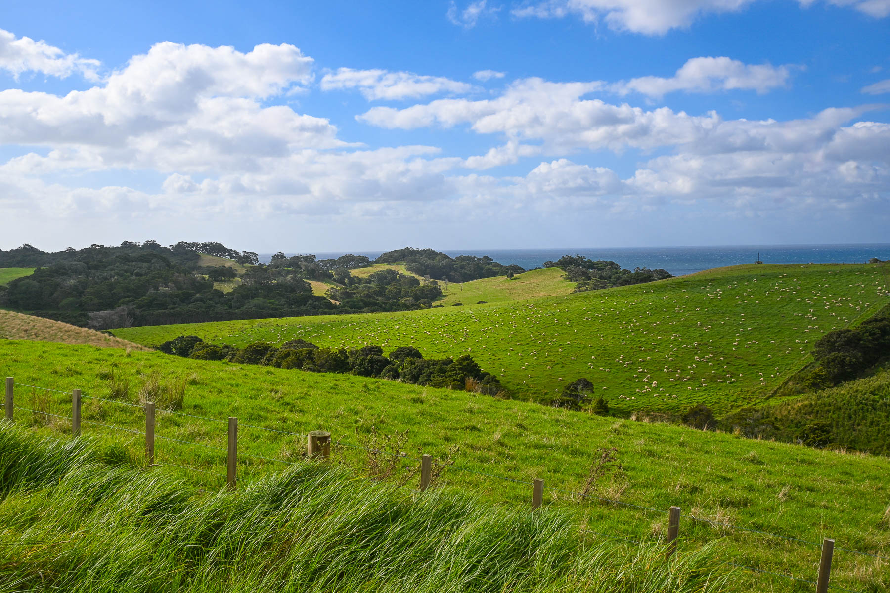
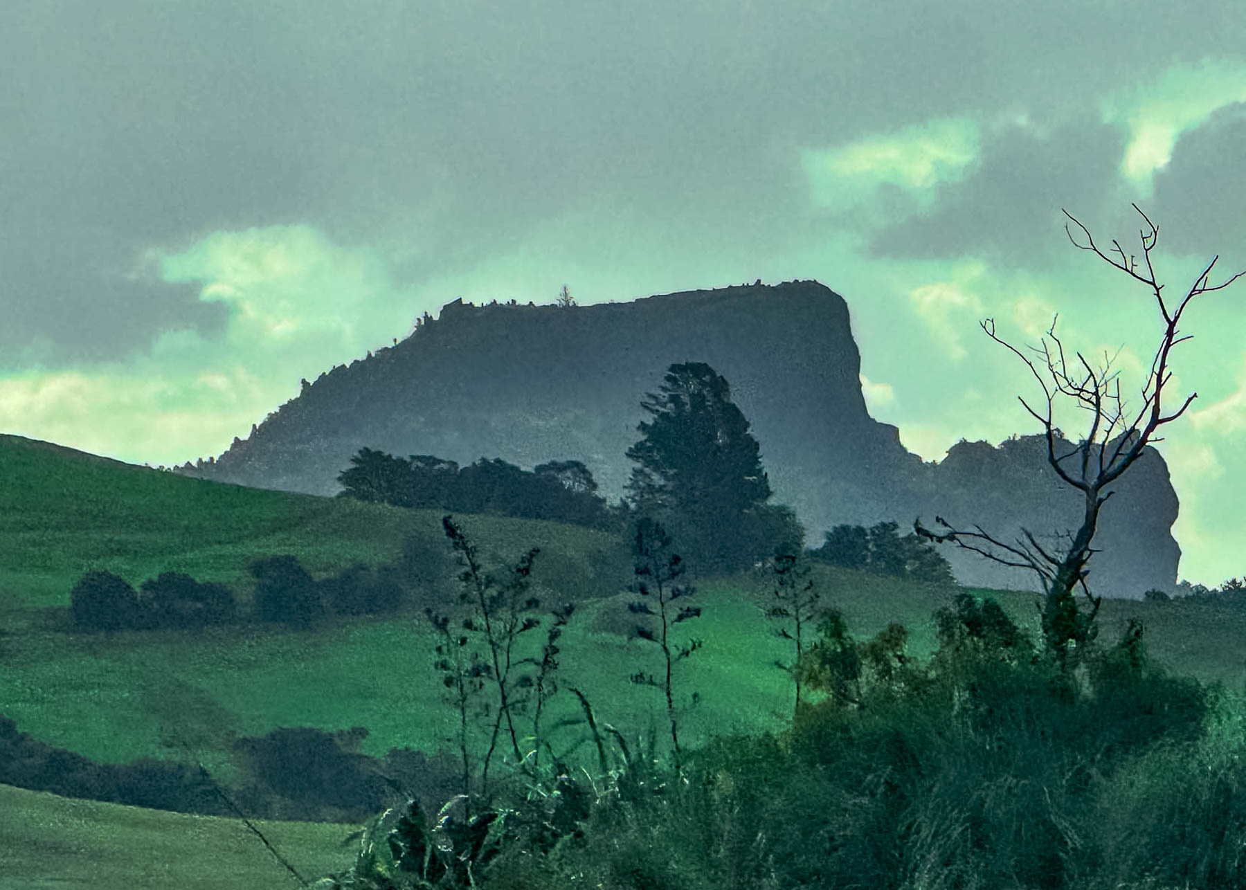
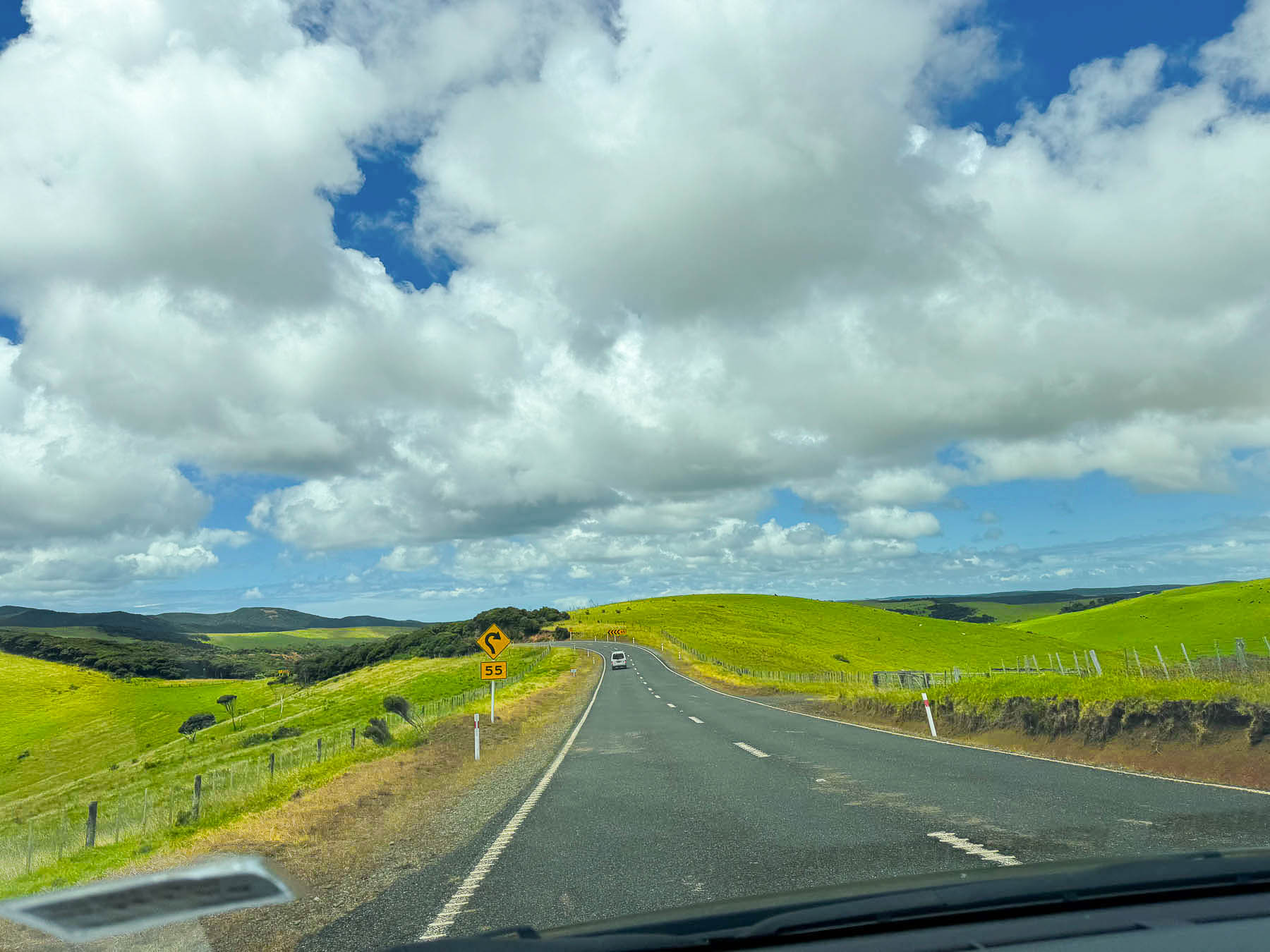
The drive to the cape was an endless landscape of very hilly cattle and sheep pastures on both sides of the road that followed the spine of the terrain up the center of the peninsula. Storm clouds raced across the sky with occasional downpours dampening our hope for the day until the sky brightened and sunshine eventually won the day. Though February is typically one of the Northland’s driest months, the narrow Aupouri Peninsula gets buffeted with strong winds blowing in off the Pacific Ocean and Tasman Sea, and occasionally sees the tail end of subtropical storms.
The Northland area is widely celebrated as New Zealand’s only region with a subtropical climate, earning it the nickname “The Winterless North”. Due to its northerly latitude, low elevation, and surrounding ocean waters, the region enjoys warm, humid summers from December–February averaging between 22°C and 26°C (72°F to 79°F), with mild frost-free winters hovering between 14°C and 17°C (57°F to 63°F). This mild year-round weather is the perfect climate for growing a variety of fruit and berries, and we passed a number of kiwifruit, citrus, and avocado orchards, as well as an olive orchard. Self-serve honesty boxes, “Avo” stands, were ubiquitous along the road. Loving avocados, we bought some at a stand. Disappointingly though, a week later they were still as hard as a cannonball. There were even orchards and farm stands selling corn and watermelons along the way.
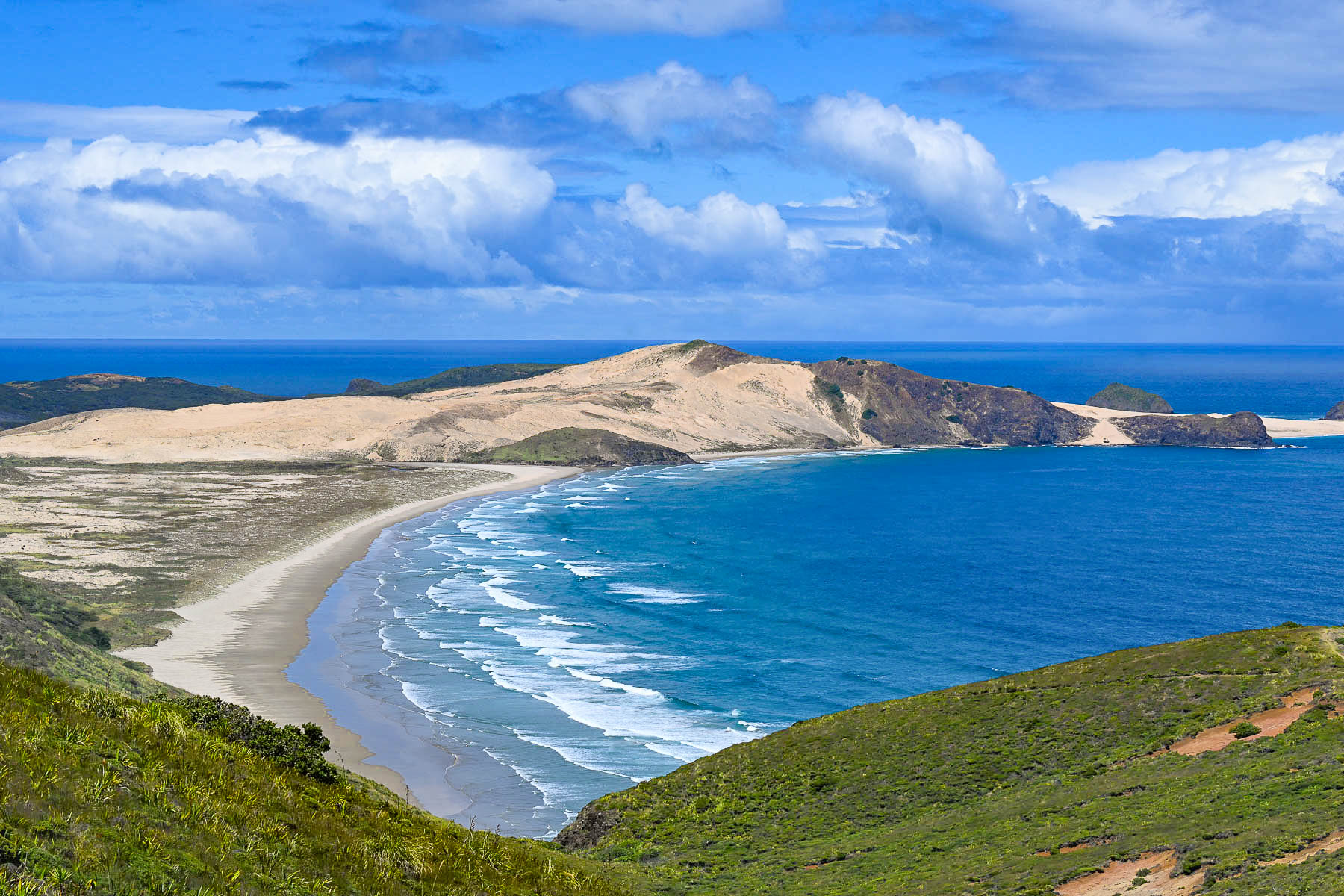
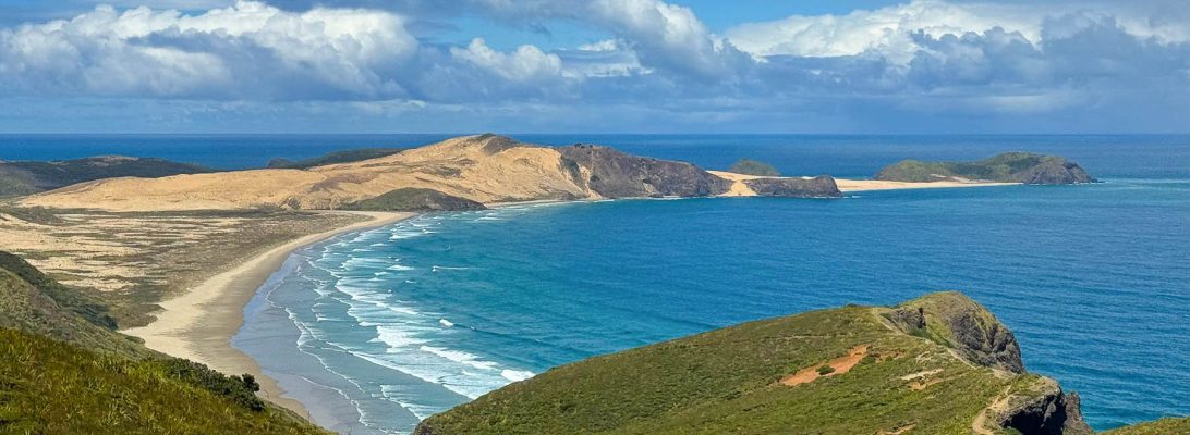
The day was brilliant as we neared the cape and we stopped to photograph the graceful curve of the Cape Maria Van Diemen Beach. It was named by the Dutch explorer Abel Tasman upon its discovery in 1643 for Maria van Diemen, the wife of Anthony van Diemen, the Governor-General of Batavia (now Jakarta) in the Dutch East Indies. It is one of only two geographic features in New Zealand that still retain the original names given by Tasman, alongside the Three Kings Islands, which the Māori call Manawatāwhi.
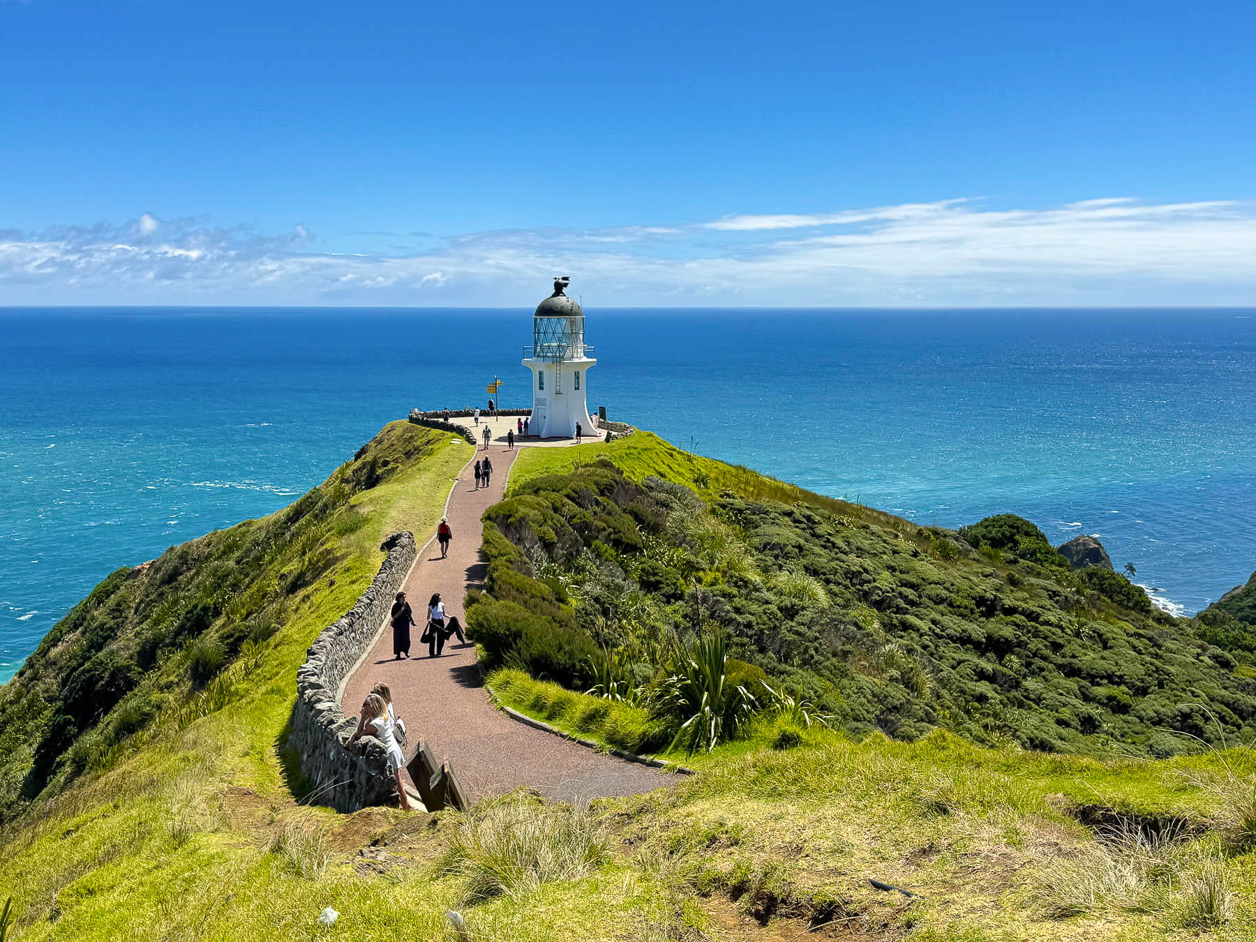
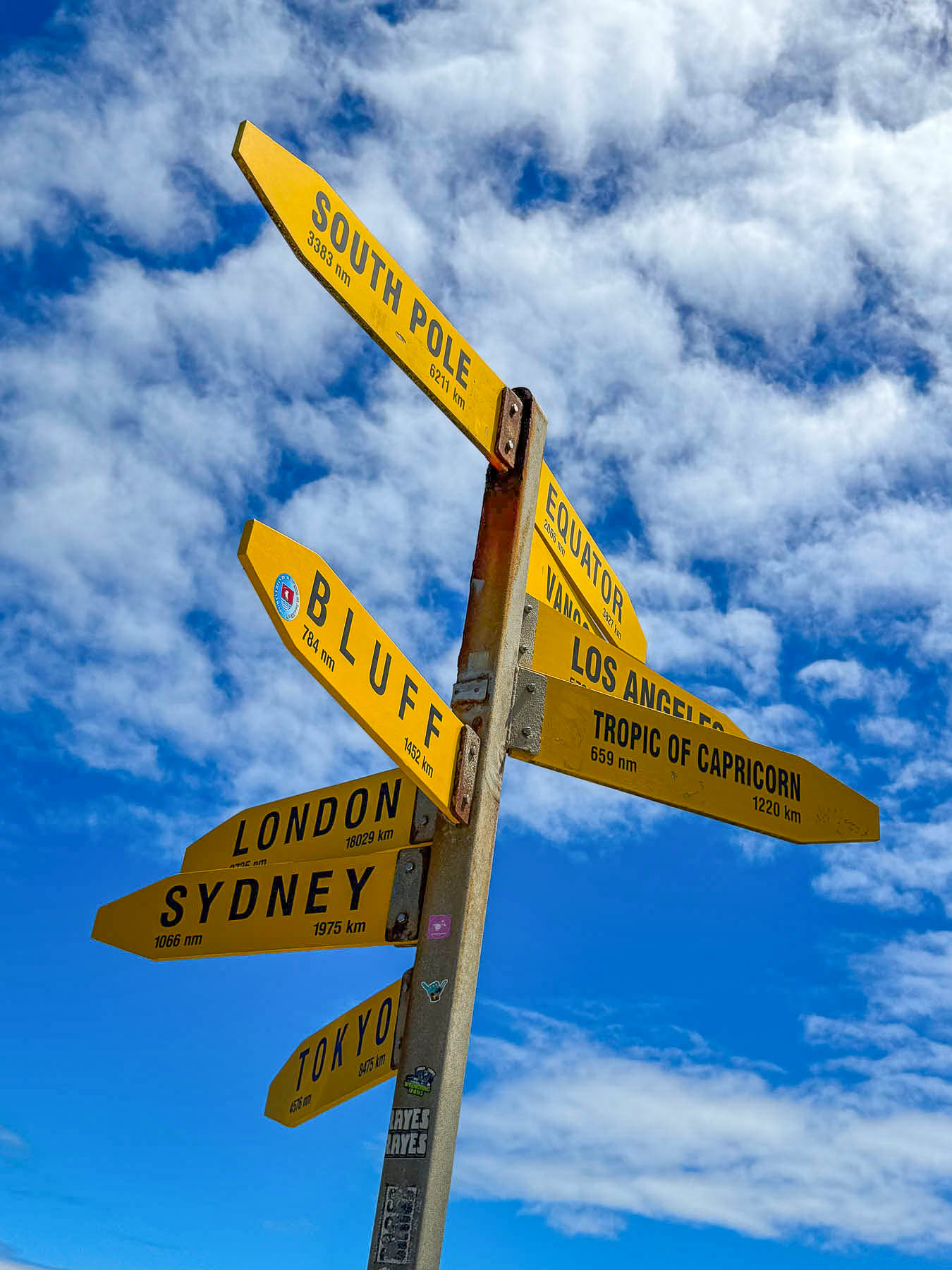
We thought we had the road to ourselves that mid-week morning and were surprised to find the parking area for the lighthouse packed when we arrived. Fortunately, we only had to wait a few minutes for a spot to open. The views are spectacular, and well worth the twenty-minute windy and winding walk to the Cape Reinga Lighthouse, the north island’s most northern point, and one of New Zealand’s most iconic landmarks, since its construction in 1941. Just as interesting though is the headland, where the turbulent waters of the Pacific Ocean and Tasman Sea collide just offshore; in Māori tradition it is their most spiritually significant place in New Zealand. The cape takes its name from the Māori phrase Te Rerenga Wairua, which means “the leaping place of the spirits.”
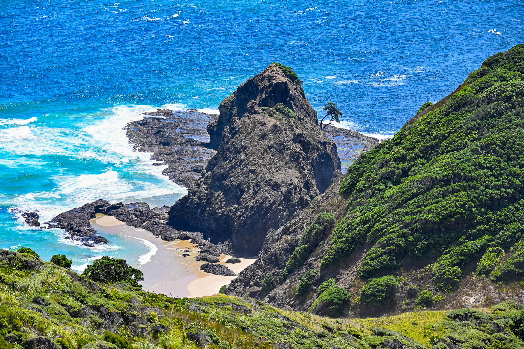
“It is here that after death, all Māori spirits travel up the coast and over the wind-swept vista to an ancient pohutukawa tree clinging to a rock on the headland of Te Rerenga Wairua. They descend into the underworld (reinga) by sliding down the tree’s root into the sea below. The spirits then travel underwater to Manawatāwhi, the Three Kings Islands, where they climb out onto Ohaua, the highest point of the islands and bid their last farewell before returning to the land of their ancestors, Hawaiiki-A-Nui.”
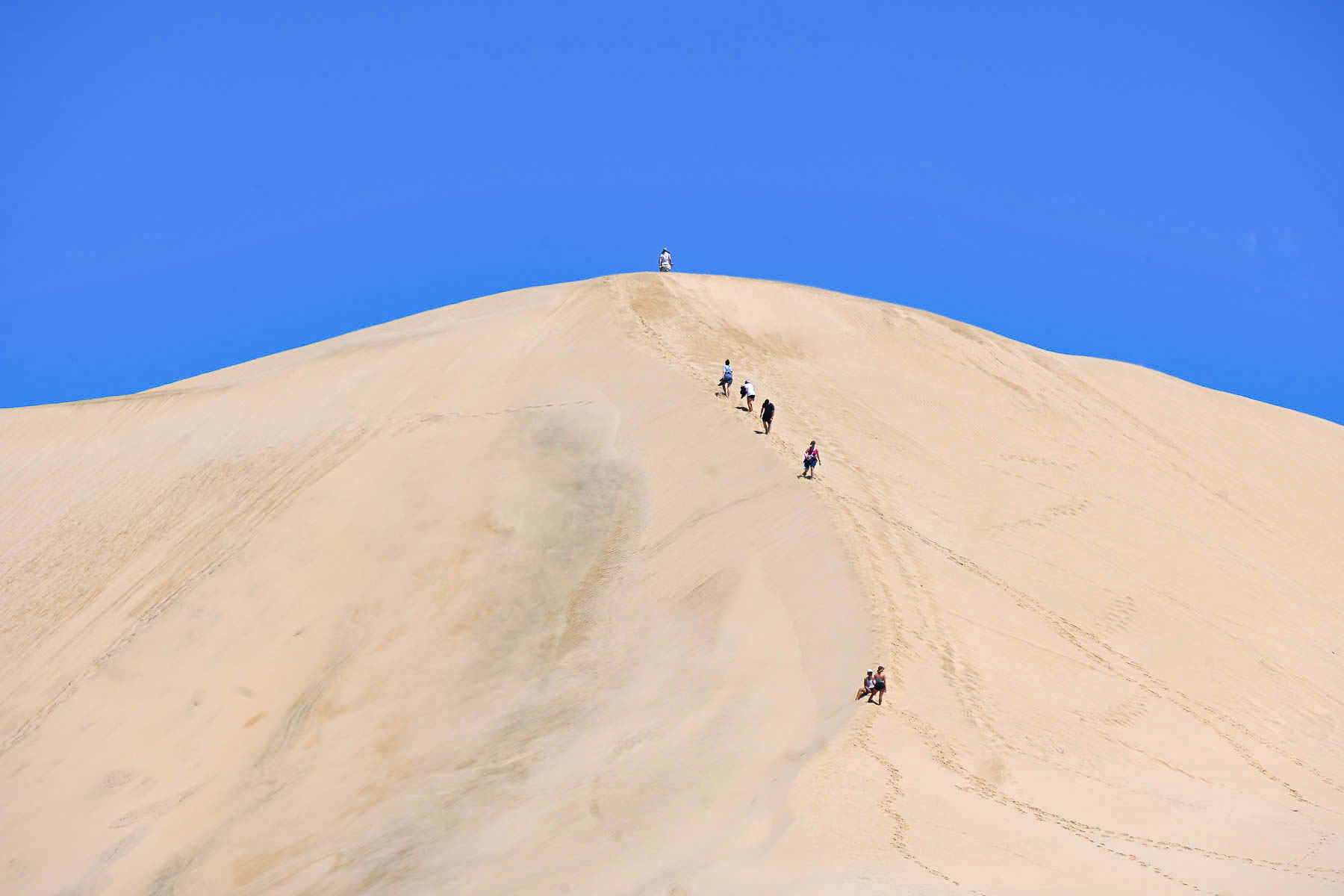
Heading back down Rt1 towards Ninety Mile Beach we stopped at the Giant Sand Dunes in the Te Paki Recreation Reserve. It’s a mammoth stretch of sand that is about two miles long and a mile wide. We followed a narrow trail to a shallow tributary that separated the scrub forest from the dunes, some of which are very steep and 150 m (500 ft) high. We didn’t have time to go any farther, but we did watch several groups with small sleds, which can be rented in the parking area, cross the stream to sandboard down the dunes.
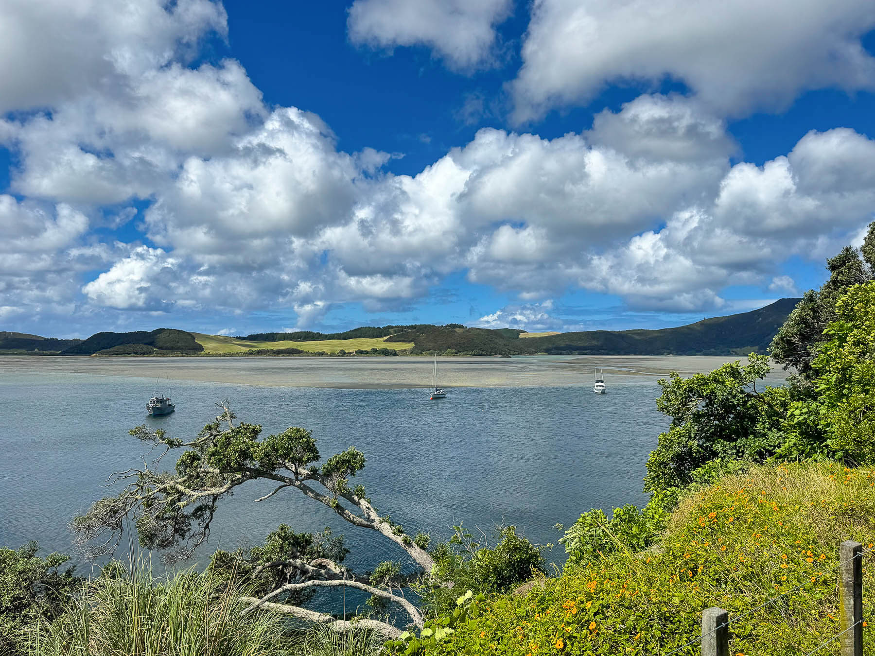
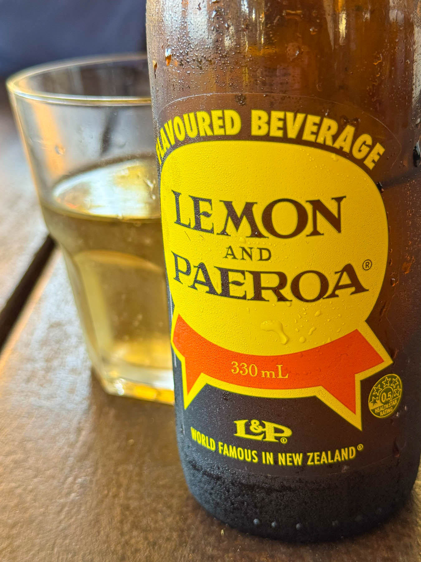
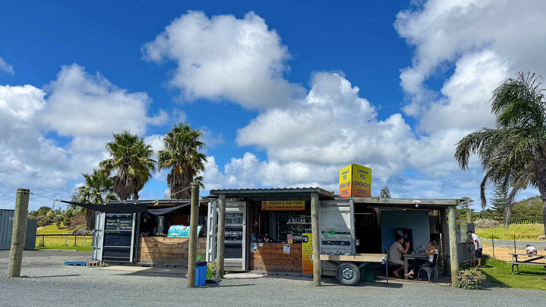
Later we pulled over at Honey Bee Takeaways, a small roadside storefront in a converted shipping container, with shaded picnic tables under a corrugated tin roof. We shared a table with a French couple, and chatted about their three-month long slow-travel Freedom Camping trip around New Zealand. Lunch was delicious with two beef pies of steak and oyster, and mince and cheese, along with fish & chips, coffee and our first taste of “World Famous in New Zealand,” Lemon & Paeroa, widely known as L&P, a refreshing lightly carbonated drink. And yes, they do sell honey.
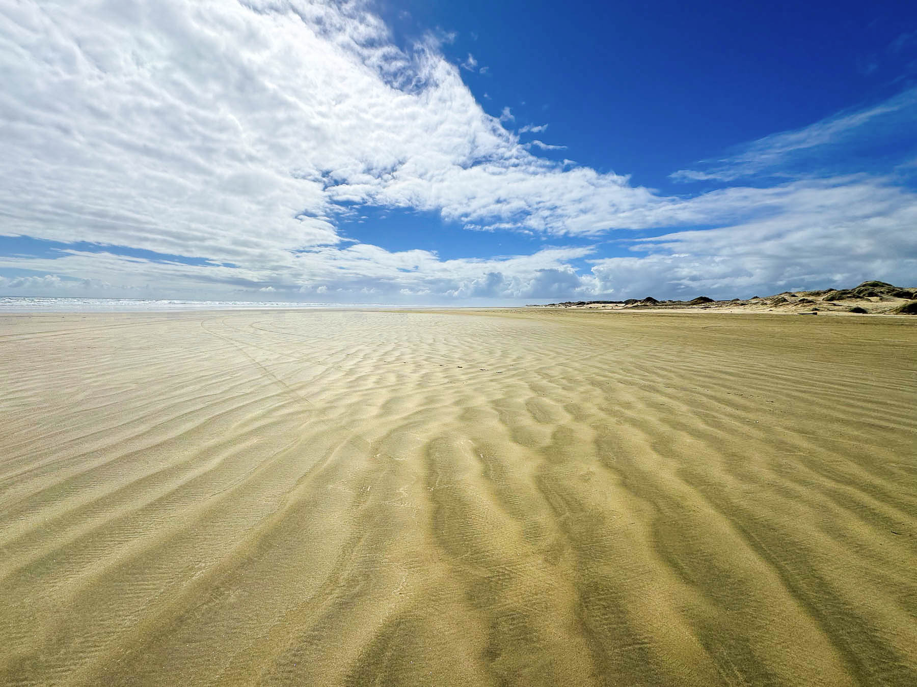
South of the town of Pukenui we followed the sign for Ninety Mile Beach and turned onto Whalers Road, then Hukatere Road, both lined with tightly spaced tall, trimmed Monterey Cypress, planted as boundary markers and windbreaks to protect crops from soil erosion and animals from the strong gale winds that frequently blow across the peninsula. The road eventually turned to rough gravel as it passed through pine plantations, and our going slowed as the car kicked up stones and dust before we reached the low sand dunes that separated the parking area from the beach. There is a gap between the dunes where folks with 4×4 vehicles can drive onto the beach, as it is officially classified as a public highway, and travel the full length of Ninety Mile Beach, which is actually 88 km (55 mi) long. An inaccurate measurement derived from early settlers on horseback, when it took them three days to ride the length of the beach. They knew a horse could easily cover 30 miles in a day, but they didn’t take into account the horse’s slower pace on the soft sand. The mistake was not realized until the peninsula was surveyed many years later, but the name had stuck.
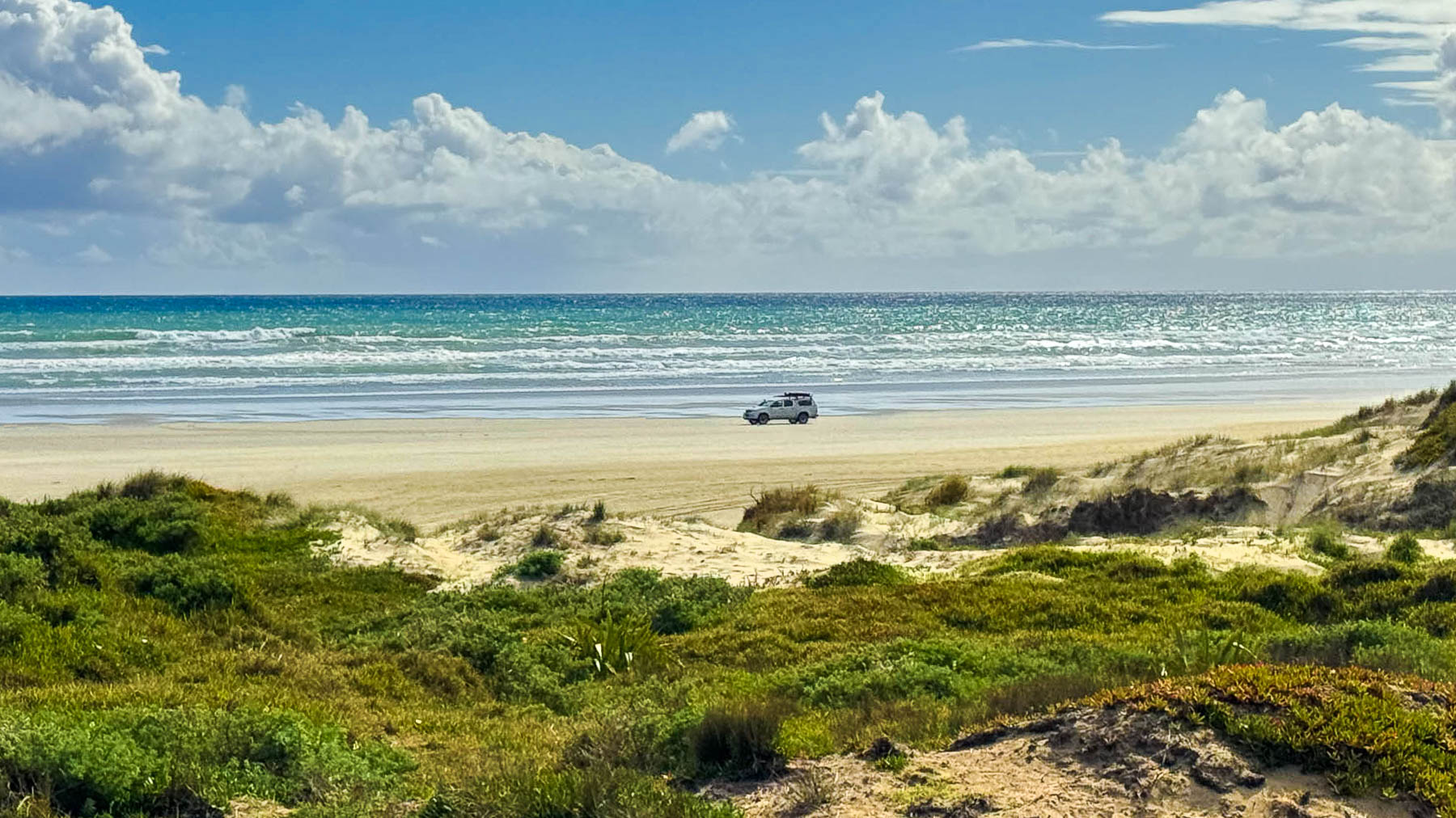
It’s a beautiful wild windswept beach that is spectacular vastness of sand, sky and sea. If you want to consider staying over, the Hukatere Lodge – Camping Ground, is within walking distance of the beach.
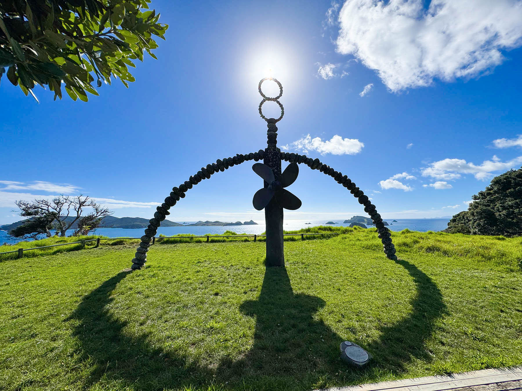
It’s always a balance with trips, whether to do single nights along a route or plan some long transition days so you can have more time in particular spots. The next morning we started the longest transition drive of our eight day road trip around the northern half of the island. Driving 440km (273 mi) south from Taipa to Hamilton, a trip that would take us all day, after one major stop to see the Rainbow Warrior Memorial.
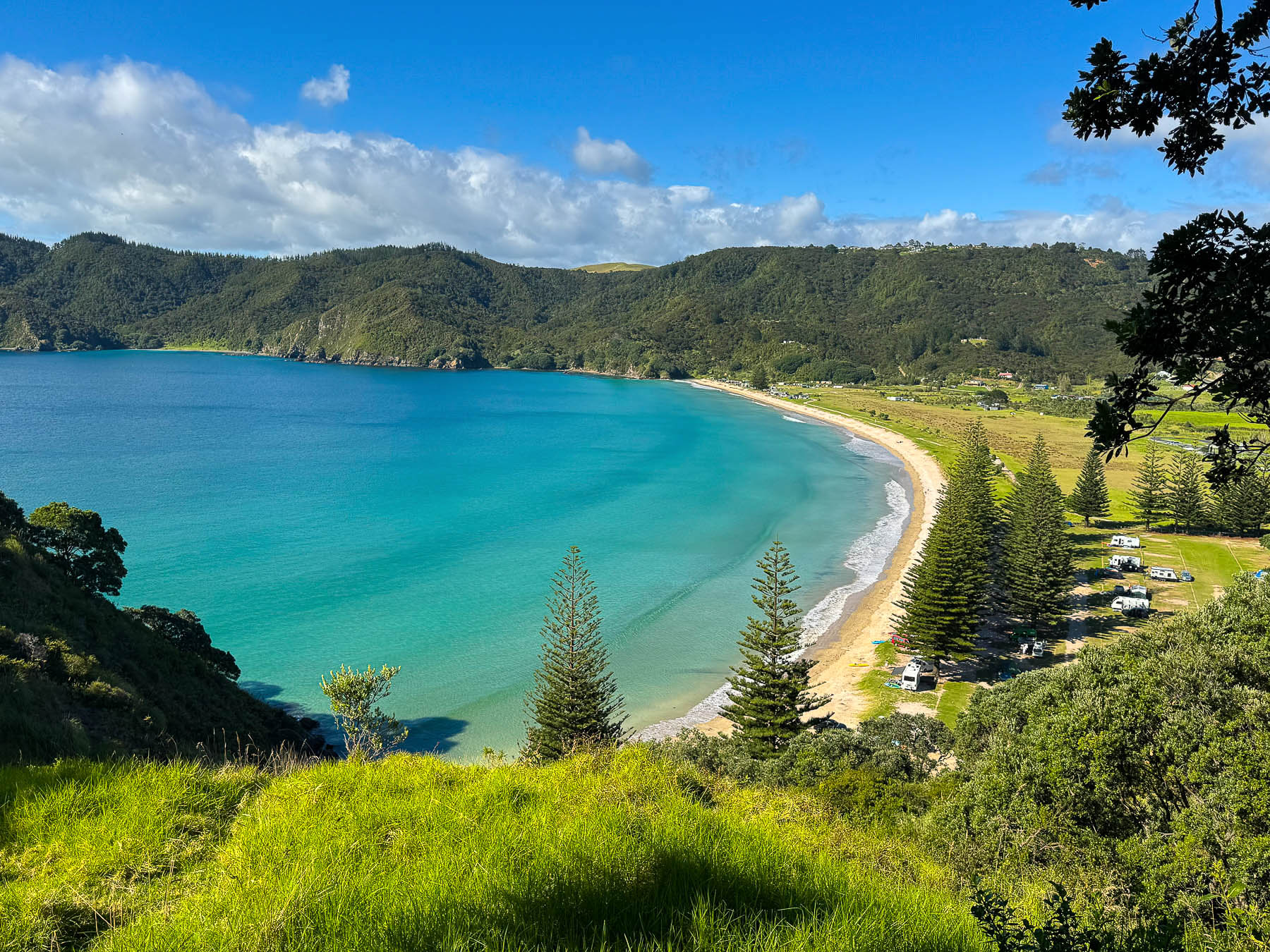
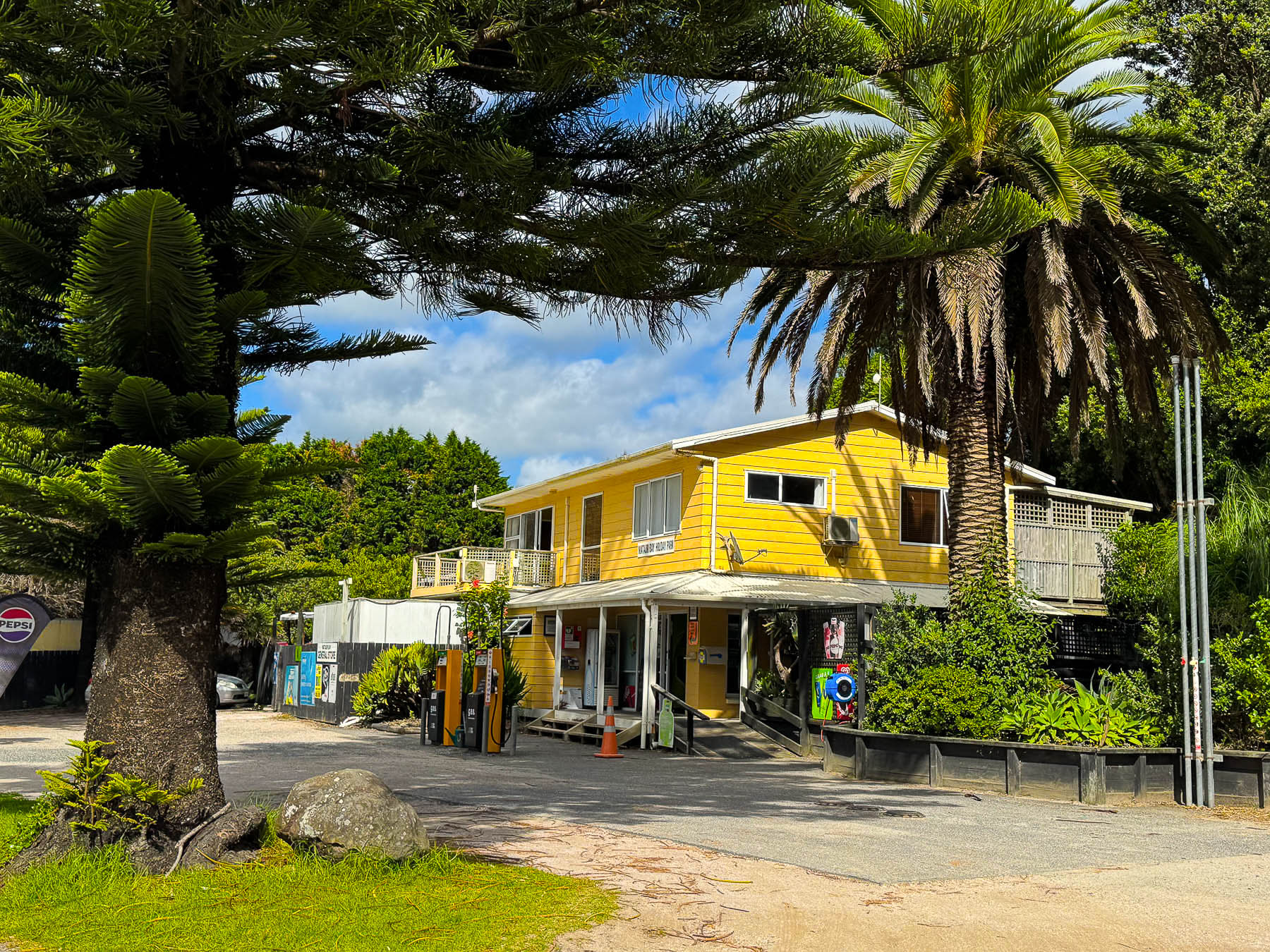
About an hour into our trip we turned off Rt10 near Orotere and followed the road to the Matauri Bay Holiday Park, a stunningly beautiful campground on the bay, where we registered and paid a small parking fee so we were in closer walking distance to the memorial which is located atop a very steep headland, with gorgeous views over the bay.
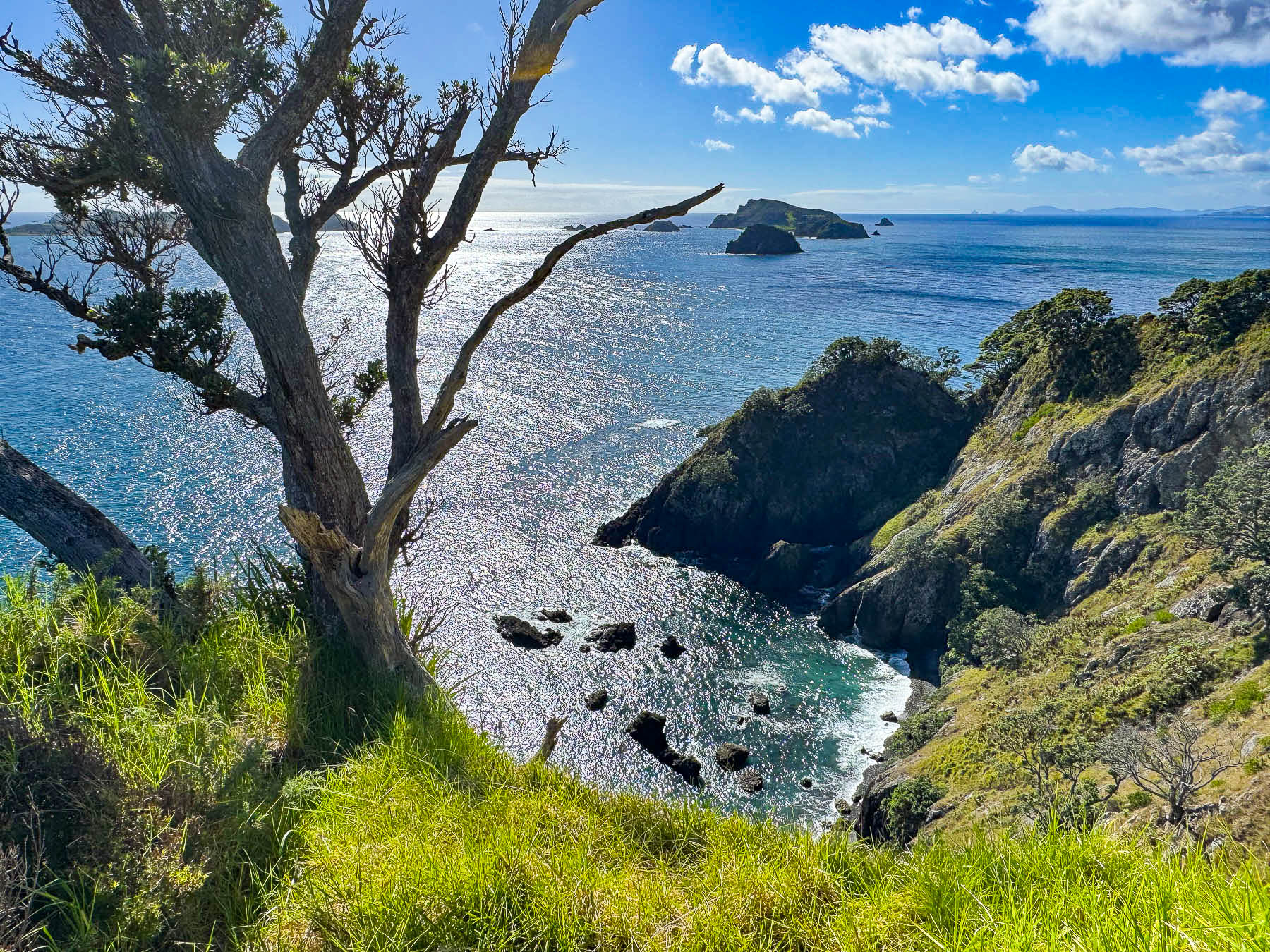
The site commemorates the sinking of the environmental group Greenpeace’s ship, the Rainbow Warrior, which was bombed by French secret service agents in 1985.  The attack on the ship, which resulted in one death, was designed to thwart the group’s campaign to end nuclear bomb testing in the Pacific. The group’s flagship vessel was intended to lead a flotilla of private yachts to Moruroa Atoll, in an attempt to disrupt French military nuclear experiments. The attack rallied environmental organizations around the world and the planned flotilla sailed to the atoll and succeeded in halting nuclear testing for 10 years in the region. France’s final test occurred in January 1996, after which the country signed the protocols of the Treaty of Rarotonga (South Pacific Nuclear Free Zone Treaty) and dismantled its testing facilities.
Deemed unseaworthy, the Rainbow warrior was scuttled in 1987 offshore near Motukawanui Island to create an artificial reef in Matauri Bay, and its now a popular spot for fishing and diving. The memorial created with local stone and pieces of the ship by the New Zealand artist, Chris Booth, serves as a memory to the disastrous event that became a defining moment in the New Zealand’s modern history, which fostered a stronger, more independent national voice and self-reliance in foreign policy. One of the things we admire about New Zealanders is their tremendous respect for the environment. It can be seen in so many ways, but most noticeably in the towns and countryside, which were litter free.
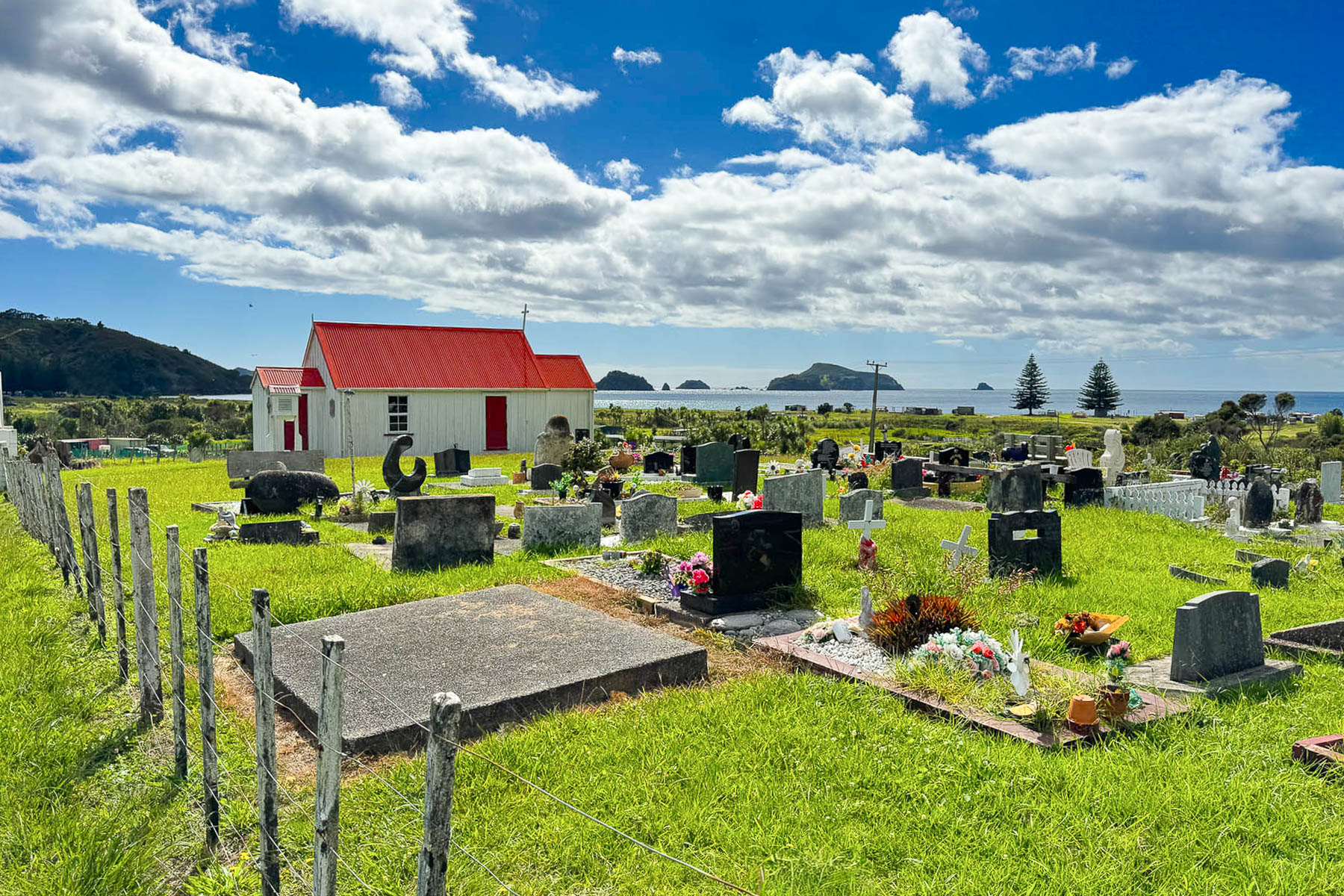
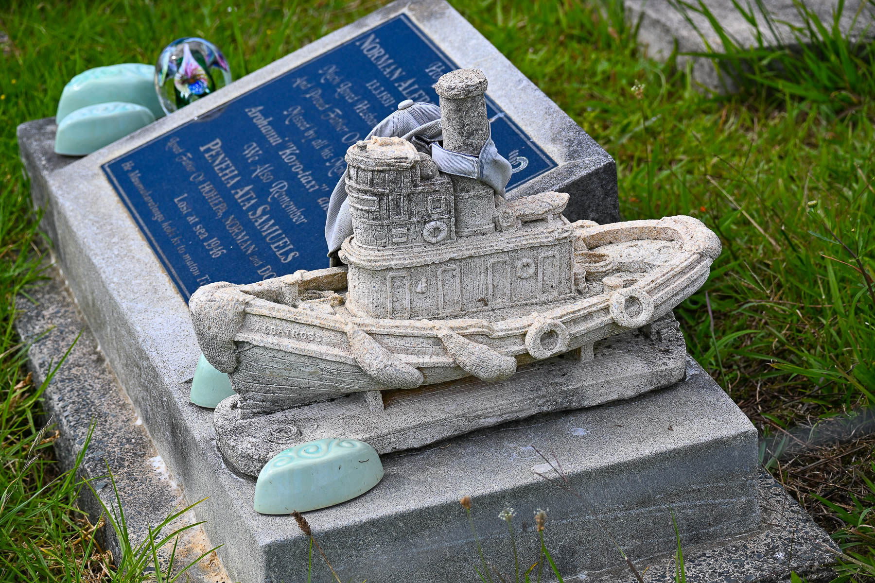
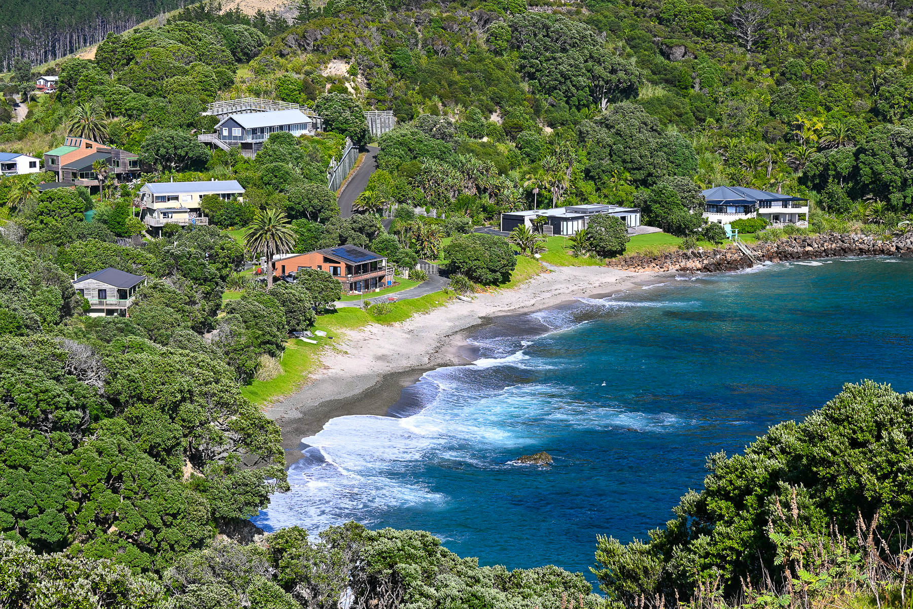
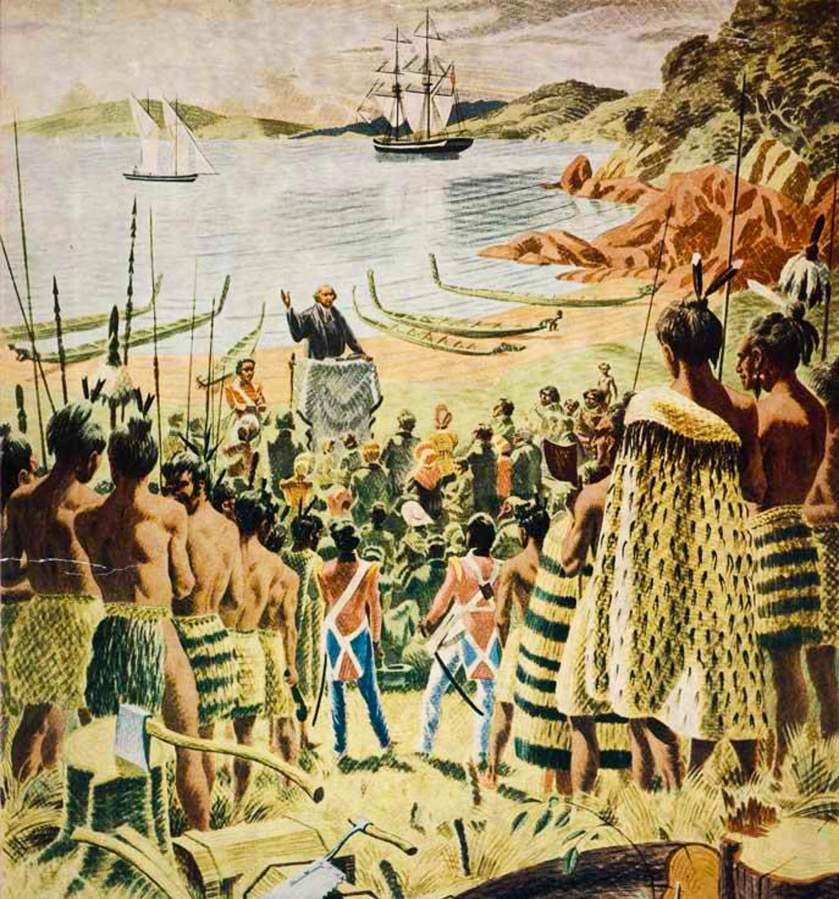
Leaving the campground, we stopped at Te Tou O Taki church, which was built in 1896 to commemorate the beach landing in 1814 of a group of Anglican missionaries led by Reverend Marsden to establish New Zealand’s first mission station. The reverend later that year held the island’s first Christmas service on a beach in the Bay of Islands, that was attended by settler families and roughly 300 to 400 Māori, with a local chief translating the service for them. The interior of the church is supposed to contain beautiful Māori carvings representing Māori legends and whale tails which represent the Māori relationship with the sea. Unfortunately, it was not open when we stopped, though there were some interesting headstones in the cemetery.
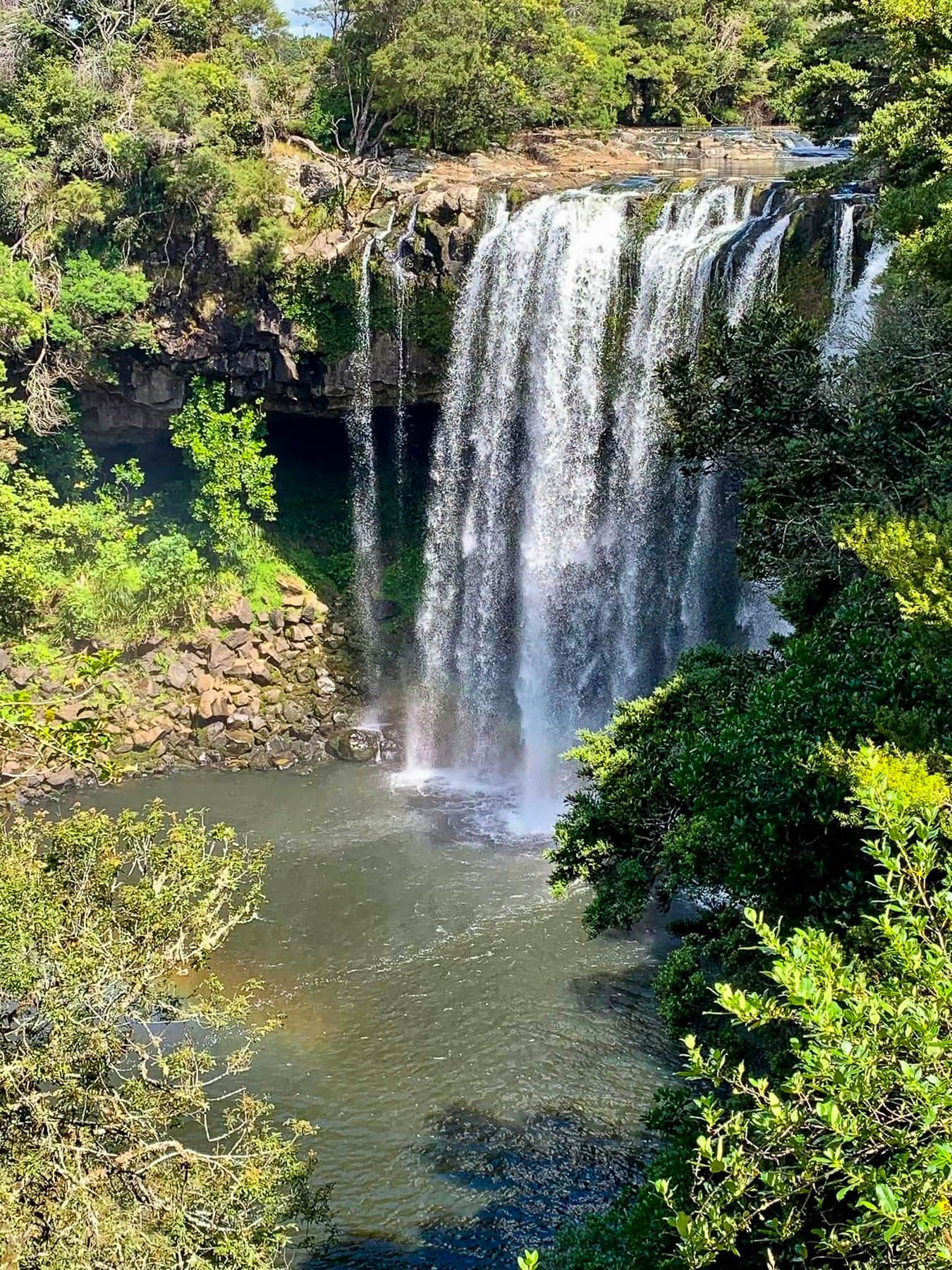
We didn’t realize it at the time, but just minutes off RT10 near Waipapa was Waianiwaniwa, Rainbow Falls, a spectactular 27 meters (89 feet) tall cascade, that I wish we had stopped at. On the way to or from Cape Reinga, the climb to the Rainbow Warrior Memorial or the short hike to Rainbow Falls would be great additions to an itinerary.

On to Hamilton.

Till next time,

Craig & Donna

Road Tripping Around New Zealand: Part 1 – Waiheke Island: Oysters, Wine and Seascapes or Learning How to Drive on the Left

Why do we go where we go? It’s a dilemma for many of us. As nice as the many different regions of Europe are, it was time for something different. We had been avoiding the South Pacific for a long time, but a good deal on airfare to New Zealand that started in our home airport in Georgia was too good to pass up so we packed the neck pillows and booked that excruciatingly long 22-hour flight. In economy, no less – yikes!

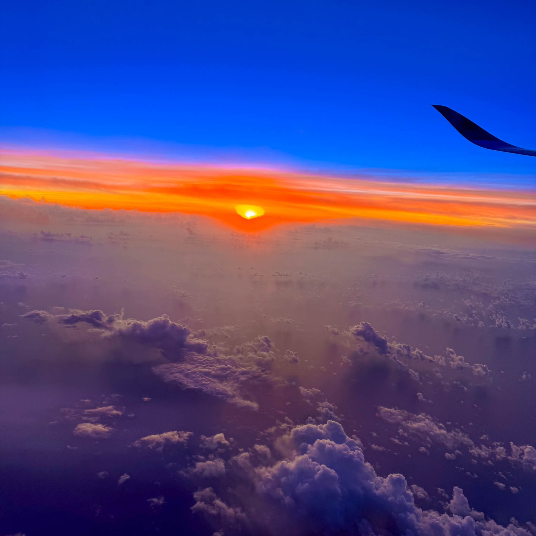
Our early morning landing timed perfectly with a beautiful sunrise. We weren’t particularly keen on seeing Auckland, but we needed a low-key destination to recover from the jetlag and learn how to drive on the left-hand side of the road again, without immediately being thrust into city traffic. Somewhere along the line Waiheke Island popped onto our radar, and after a little research we determined that it would be a perfect and interesting spot for us to recoup, before returning to Auckland and starting our nine-day road trip around the North Island.

The Auckland Airport was easily manageable and after a good cup of coffee in the main terminal we proceeded to the Ride Share area which was only a short walk away, to meet our driver we booked through Uber New Zealand for the 30-minute trip from the airport to the ferry terminal. Didi Rider is also a popular rideshare option. If you have a larger group and a little more time there is the Super Shuttle which offers low, fixed rates to points across Auckland.

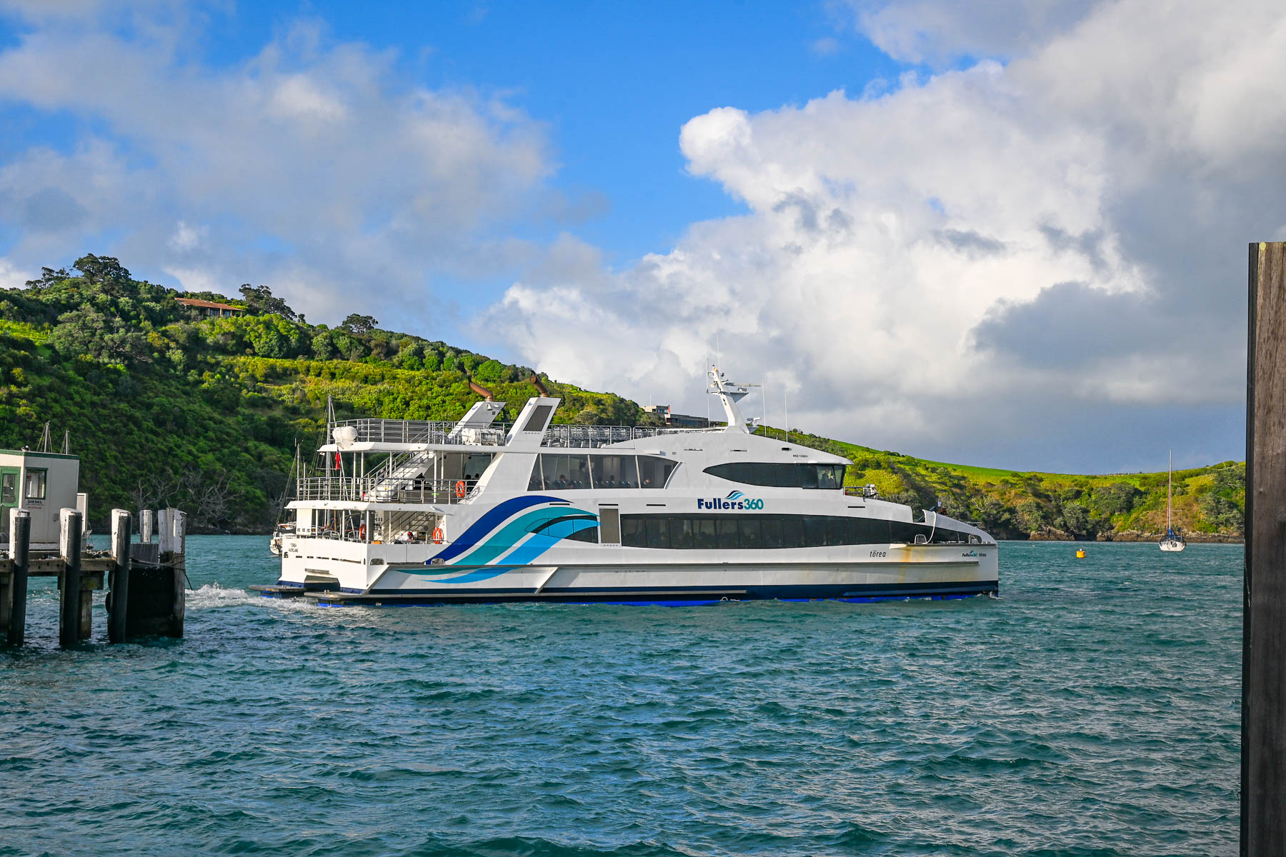
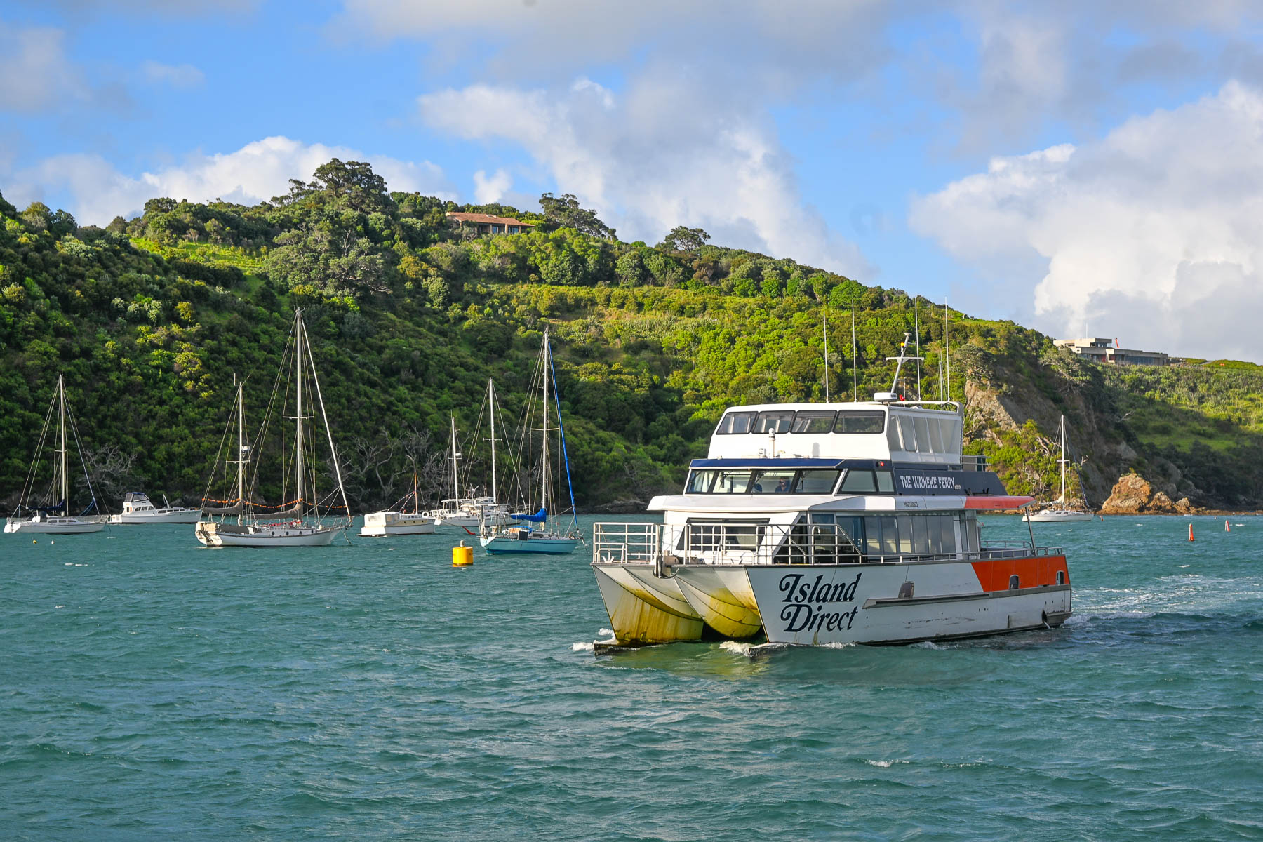
Landing on a Friday in mid-February, it was still the summer season down under. We weren’t sure how busy the afternoon ferry would be, ahead of the weekend. Fortunately, before leaving the states, we booked the 1:00PM Fullers360 Ferry departing from the Auckland Downtown Ferry Terminal on Quay Street; no last-minute walk-ons were allowed to board, as the time slot was fully booked. Island Direct also offers a ferry service from Pier 13 at the downtown terminal. The 21.5 km (13.4 mi) crossing takes about 40-minutes to reach the Matiatia Wharf landing on Waiheke Island. Folks wanting to take a vehicle to the island need to use the SeaLink car ferry, which departs from Half Moon Bay in East Auckland or the Hamer Street Ferry Terminal in downtown Auckland and docks at Kennedy Point on Waiheke.

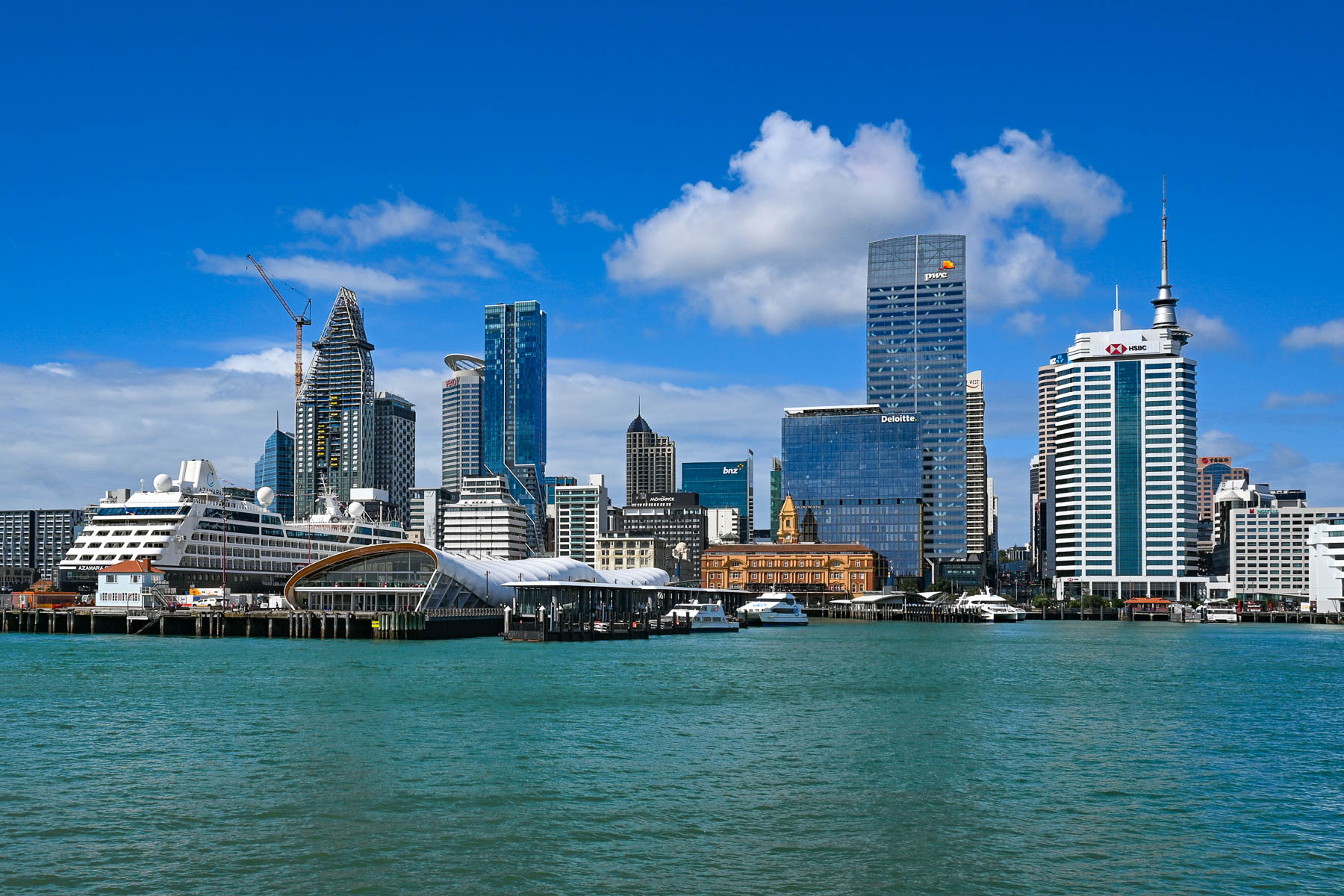
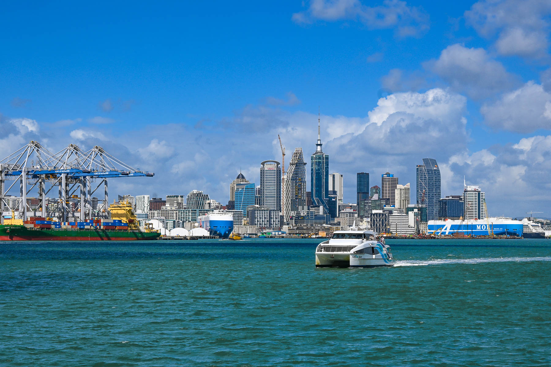
The view of Auckland’s skyline was stunning as we headed across the harbor and Hauraki Gulf. Thousands of sailboat masts dotted the seascape and rocked with the waves. Sailing is a popular activity in Auckland and about 18,000 sailboats call the “City of Sails,” their home port. The Hauraki Gulf is a huge body of water with over 50 islands, of which Waiheke is the second largest with a land mass of 9200 very hilly hectares (22,734 acres). Surprisingly, Waiheke is the most populated of the island chain with nearly 9400 permanent residents, some of whom commute daily to Auckland for work, and about an additional 3,400 folks have holiday homes on it. It’s said to be more densely populated than the North and South Islands, but from our experience it felt almost uninhabited, as most of the homes across the island were well hidden in the island’s forested hillsides. And local tourism had pretty much stopped with the reopening of the schools at the end of the summer break several weeks earlier.

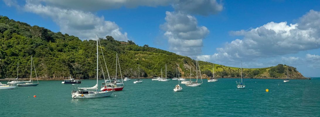
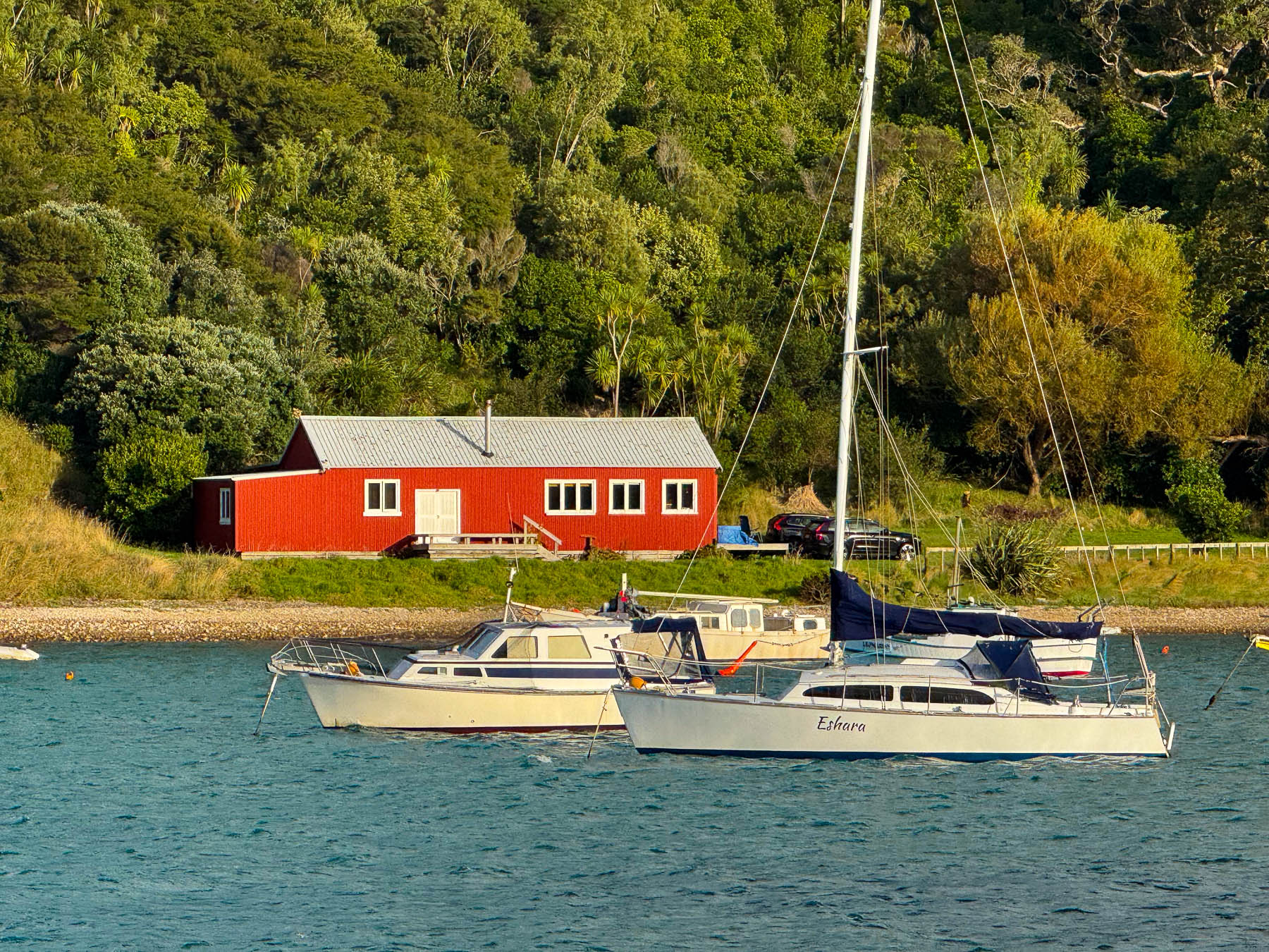
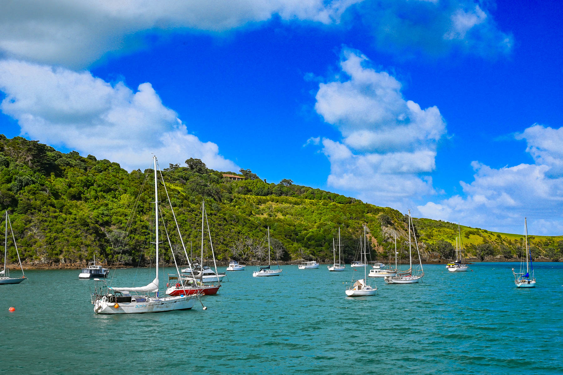
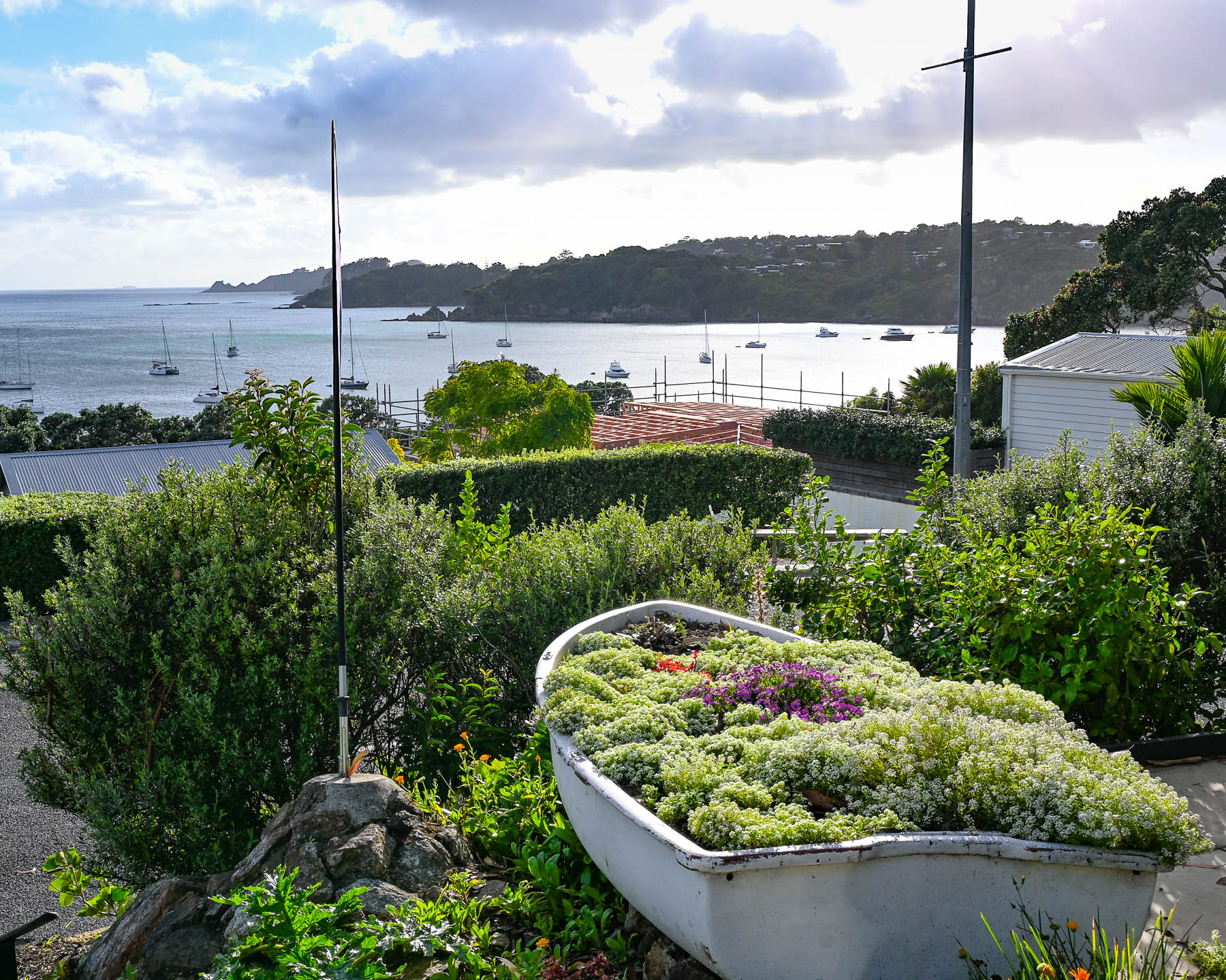
Boats anchored in Matiatia Bay bobbed up and down with the small waves that a strong wind had kicked up. Fair weather clouds scurried across the sky. The small harbor was reminiscent of coastal Maine with a red fisherman’s shack along the waterfront. On the wharf we picked up the key to a compact older car from Waiheke Car Rental, a subsidiary of Mint Car Rental, through which we also reserved a vehicle at Auckland Airport for the later part of our trip around the North Island.

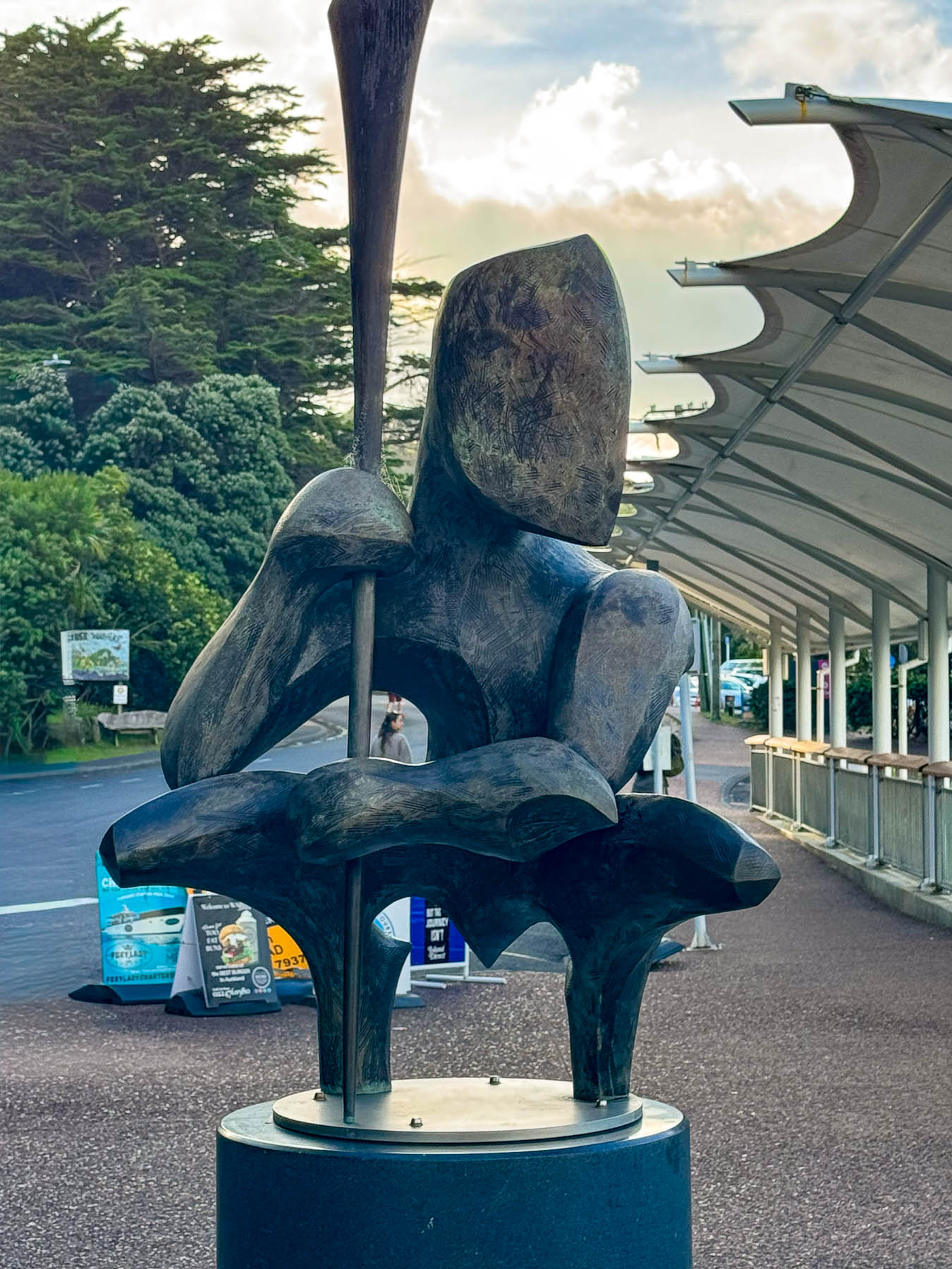
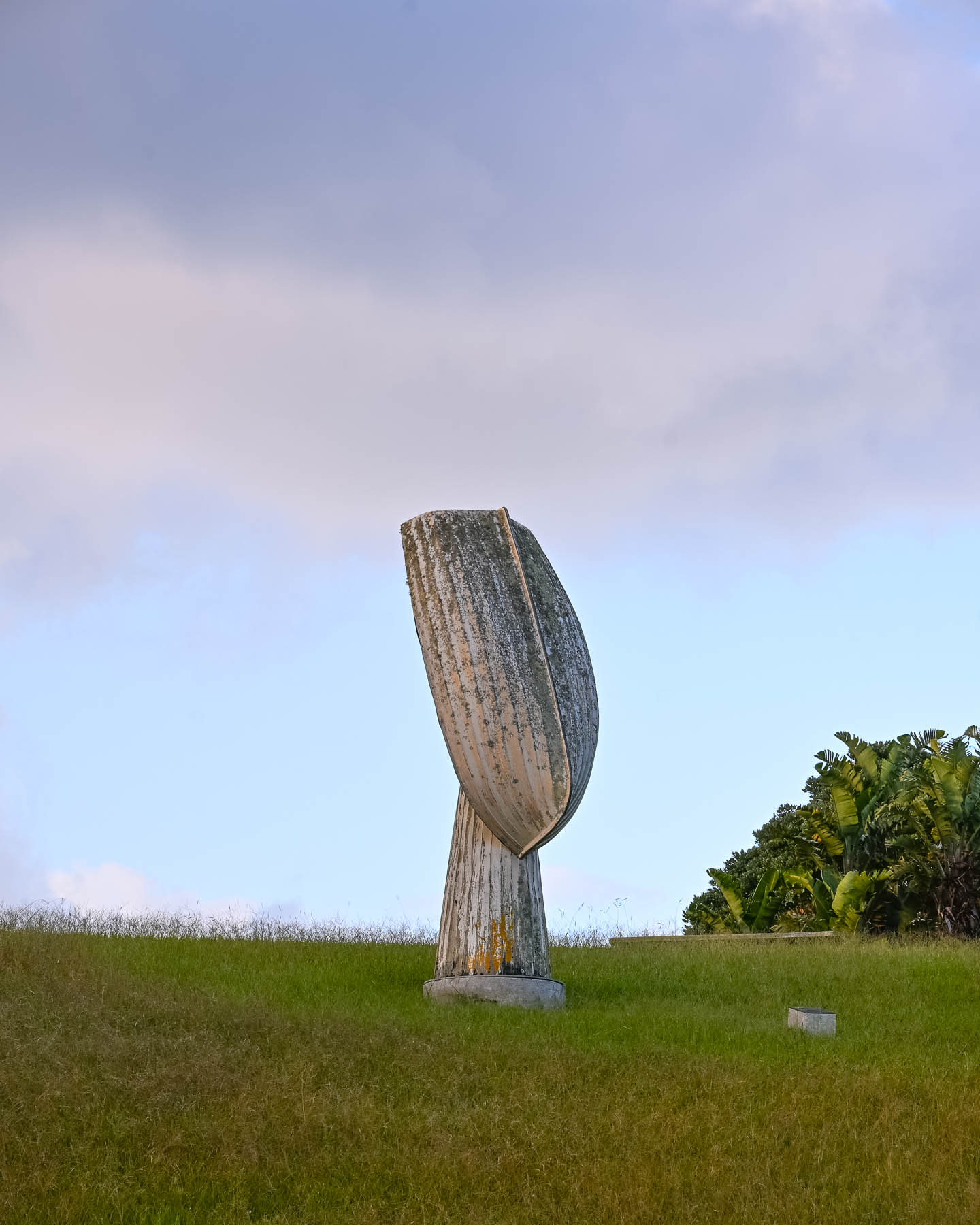
Outside the ferry terminal was a Māori influenced sculpture by island artist Chris Bailey called Te Werowero. The statue is intended to act as a guardian of the island and challenges visitors to respect the environment and local way of life, wāhi tapu. It was a bit of a trek through a dusty parking lot to find the car: the air-conditioning worked so we were good to go, but I have to admit that I did open the wrong side of the car and was surprised there was no steering wheel in front of me, and that I’d be manually shifting with my left hand. With our mantra, “stay left!” and a “you’ve got this,” pep talk we set out. Luckily, there was hardly any traffic, and our lodging was only a short, five-minute drive away. We followed Ocean View Road, the main street which passes through Oneroa, Waiheke’s largest village, that has a small cluster of restaurants and shops along the street.

Our base for three nights was the laid back Punga Lodge where we enjoyed the sumptuous breakfasts and afternoon tea prepared by Diane and Rob, on the deck overlooking an old growth grove of native punga ferns filled with lovely song birds. Our hosts are a delightful couple whose company and conversations we enjoyed, and contributed greatly to our wonderful experiences on the island.

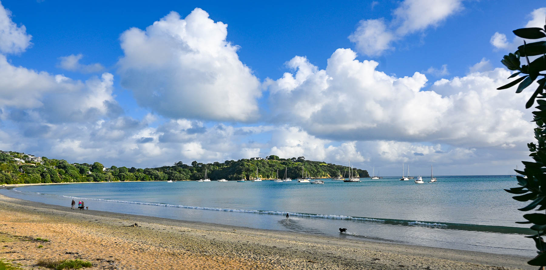
After settling in we headed to Big Oneroa Beach for a walk along the fish hook shaped coastline, before strolling through the village to have dinner at Obee’s, which has a nice view of the bay from its terrace. The local Waiheke mussels we ordered were delicious.

Decades ago, Waiheke Island was a counterculture haven with over 100 artists calling the island home. Gentrification soon followed but growth was limited due to the island’s lack of a public water utility infrastructure, which necessitates most of the households, restaurants, and hotels on the island to sustain themselves with roof collected rainwater funneled into large water cisterns. Some of the larger estate homes and farms on the island have chosen to drill expensive wells. During droughts folks can buy water from local tanker trucks that pump water from the island’s deep aquifer, and the local council operates emergency drinking stations where residents can fill 20-litre containers.

Wines from the first vineyard on the island in the early 1980’s were a success and more winemakers followed, drawn to the island’s Mediterranean microclimates and hilly volcanic landscape which affords an array of terroirs. The island is perfect for growing the red grapes for Syrah, Merlot, Cabernet Sauvignon, and Malbec. Along with plantings of the white grapes for Chardonnay, Pinot Gris, Viognier & Sauvignon Blanc.

Today there are over thirty boutique wineries of various sizes with slightly more than 250 hectares (618 acres) of vineyards across the island. Over the years many of the vineyards have produced award winning vintages which have put Waiheke Island on the map as a destination for wine connoisseurs, much like Sonoma Valley in California or the Bordeaux region in France. And on the island, there is small infrastructure in place to support the popular tours of the vineyards for folks visiting the island from the Auckland mainland just for the day that starts and ends at the Matiatia Wharf ferry terminal. For a formal tour with a guide try the Waiheke Island Wine Tour  or for a self-directed tour try Western Explorer: Waiheke Island Hop-on Hop-off Bus Tour. The Waiheke Bus Company also offers a local service with five routes that starts from the ferry landing and covers the most populated western side of the island, passing some of the wineries along the way. The Waiheke Wine Growers Association also has a nice interactive map that shows the location of all the wineries across the island.

There are not really any centrally developed shopping areas on the island, aside from the short strip of stores along the road in Oneroa, where multiple restaurants, a small grocer and a liquor store can be found. While the only supermarket is a Woolworths in Ostend, centrally located village on the island. Instead, small cafes and art galleries can be found unexpectedly at random crossroads anywhere across the island.

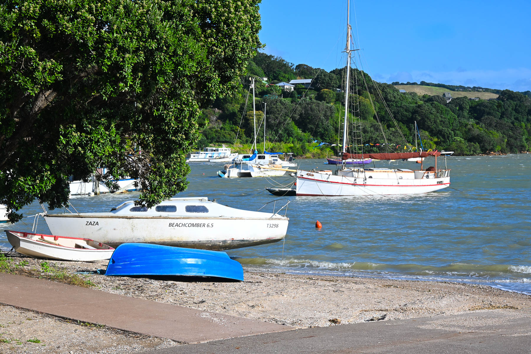
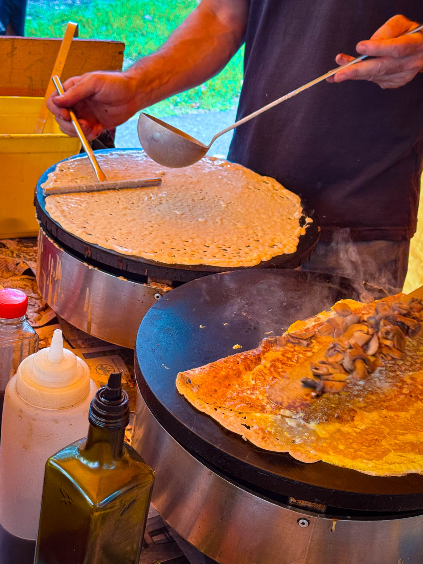
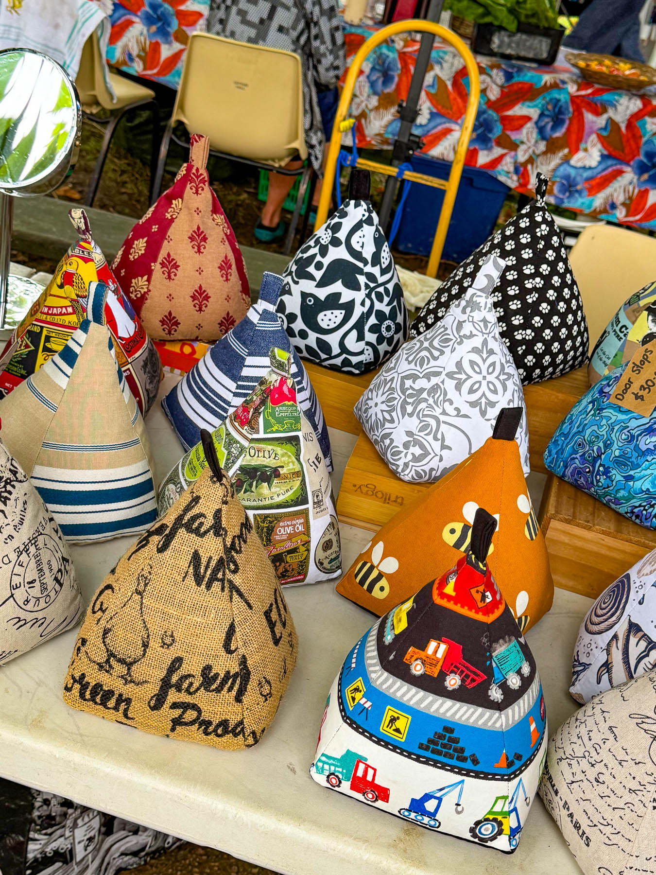
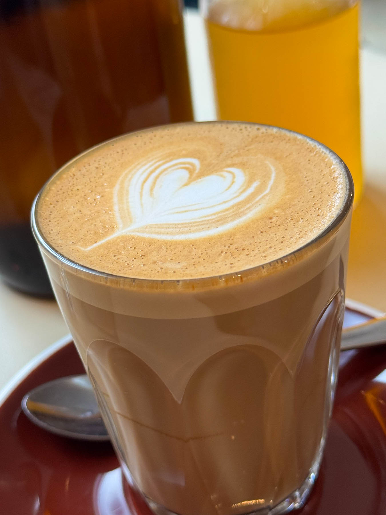
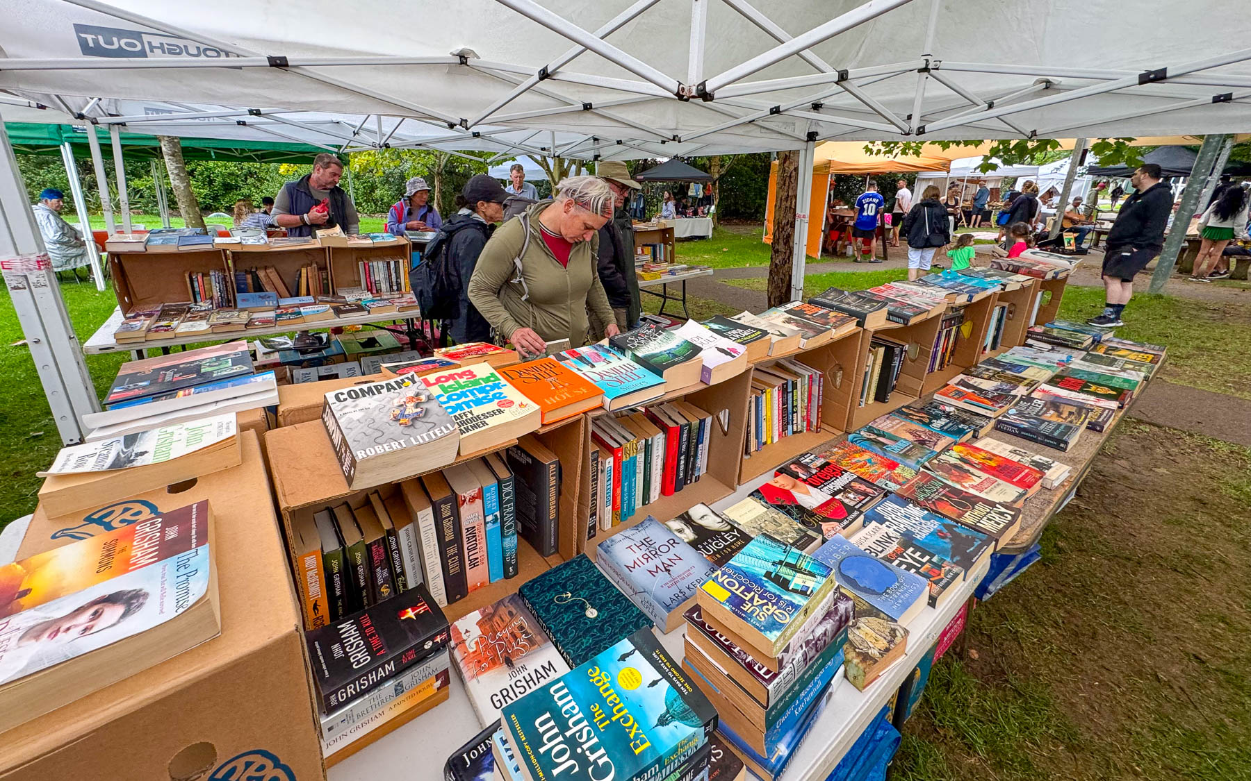
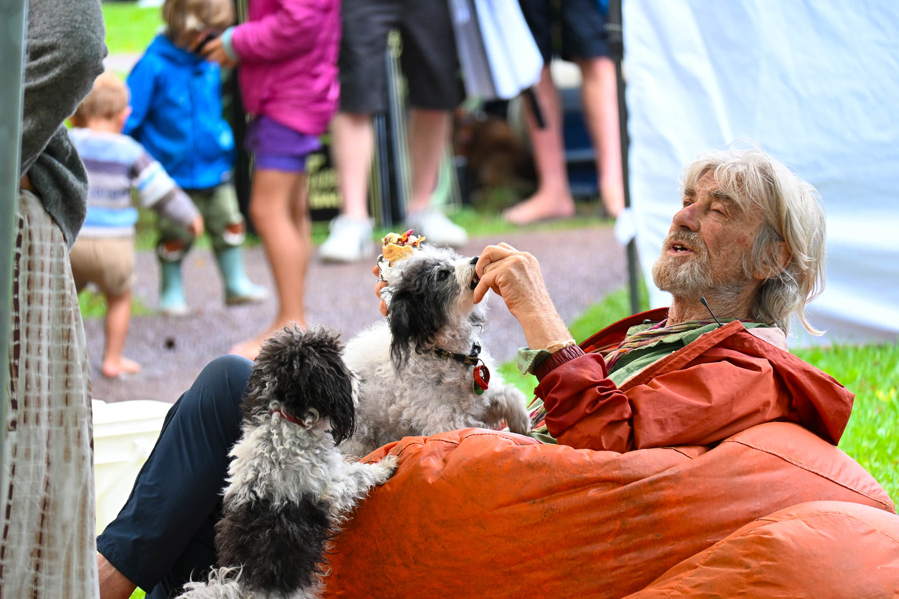
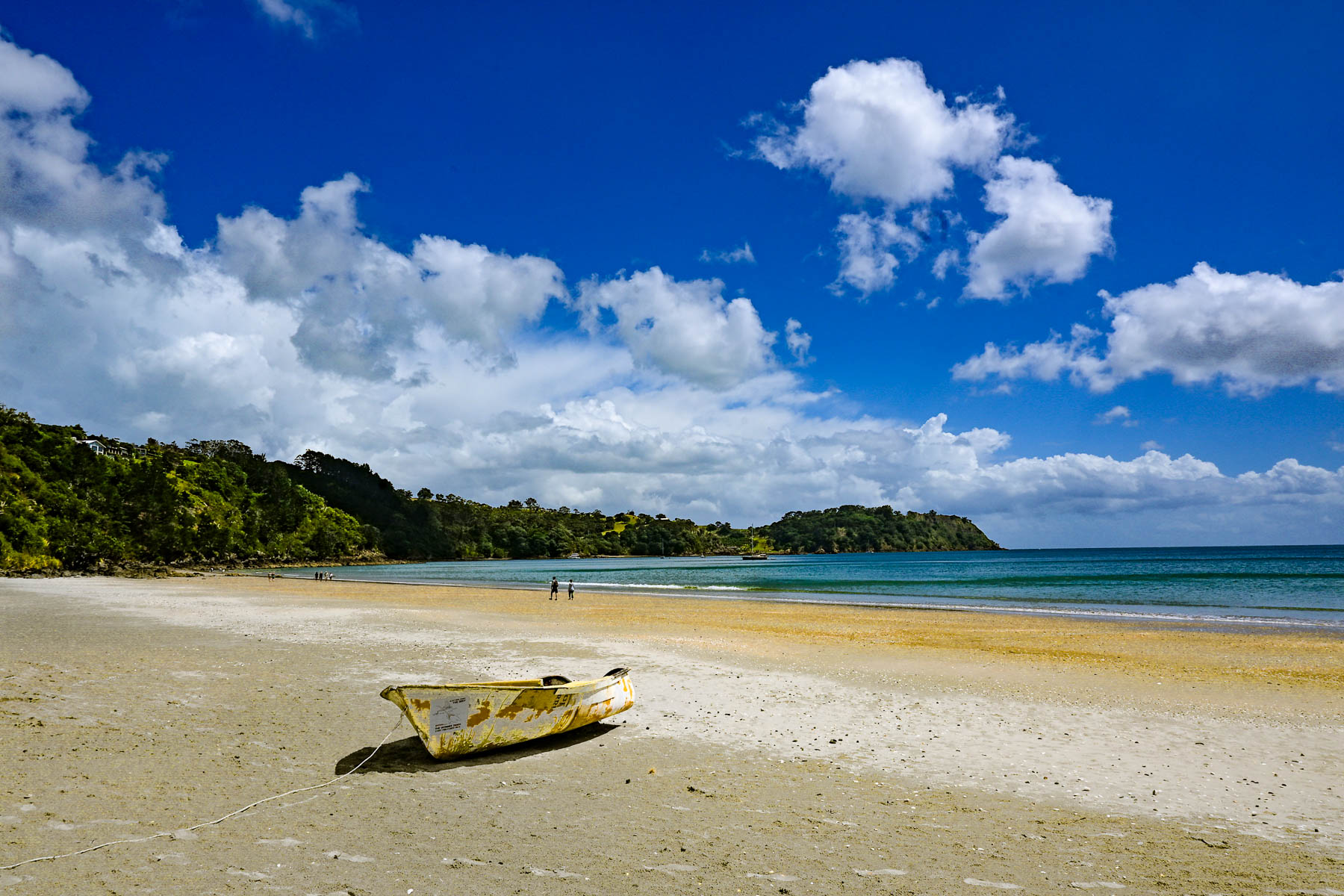
The next morning, we crossed the causeway over Putaki Bay and stopped to photograph some boats which were beached along the shoreline for repairs as we headed to the Waiheke Ostend Market. It’s the island’s year-round Saturday only farmers market, that is open from 8AM-1PM. Part social club and marketplace it is a spot where folks catch up with friends and island news while relaxing on bean bag cushions as they listen to a local band. It was not a particularly large event, but there were several stalls for coffee, breads, pastries and crepes, along with vendors selling books, ceramics, clothing, jewelry, and antiques. A downpour sent us into Take a Bite, Café & Pastries across the street for another cup of coffee as we waited out the rain. Everything in their display case looked delicious.

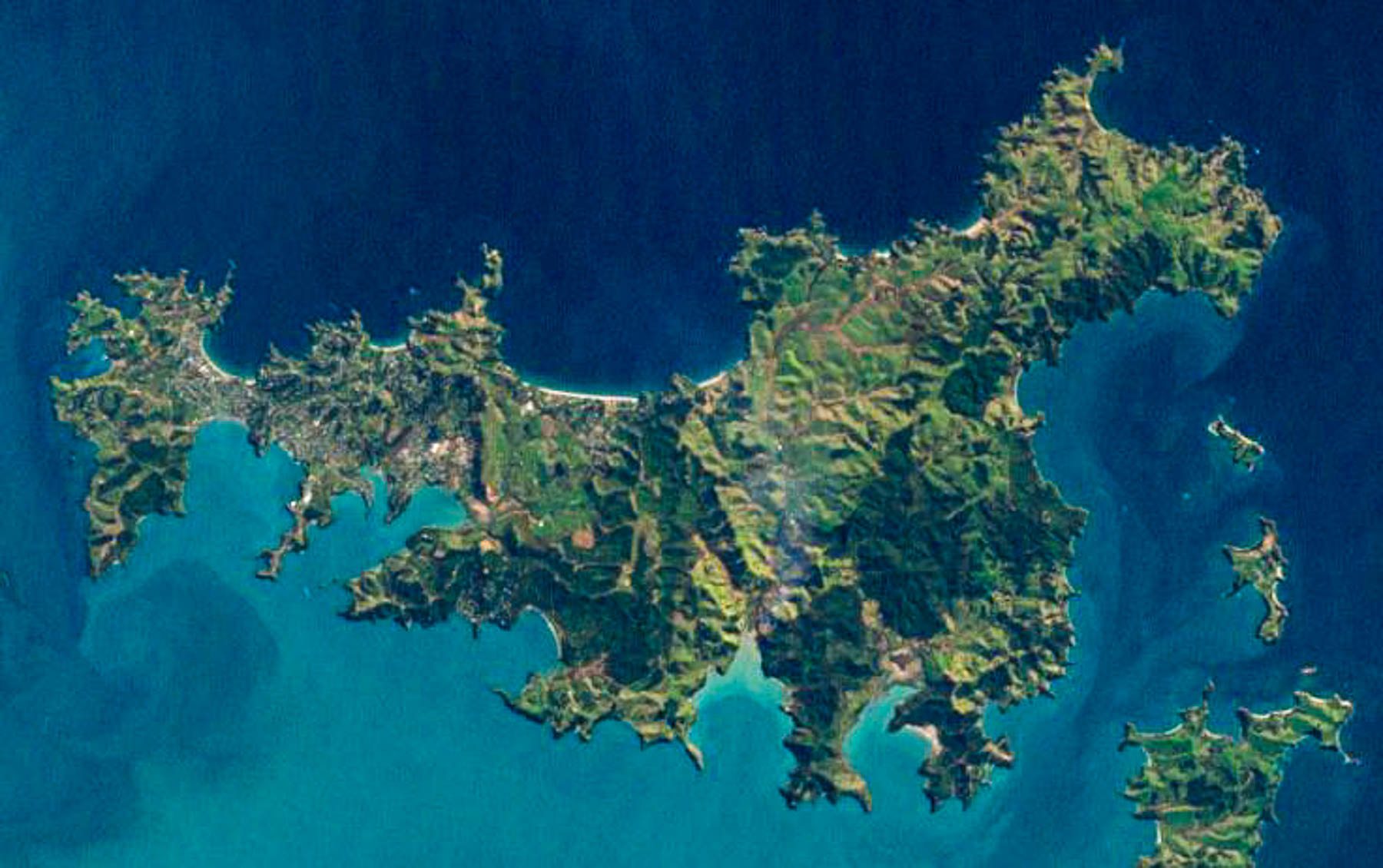
Afterwards we set out to explore some of the island’s northern beaches. The island is only 19.3 km (12.0 mi) long and varies in width from a narrow .64km (.4mi) at Oneroa near the western end the island to 9.65 km (6 mi) wide on eastern side of the island or “The Far End,” as islanders like to call it. An aerial view of the island reveals a squiggly 134 km (83 mi) coastline with multiple coves and 25 miles of sandy beaches.

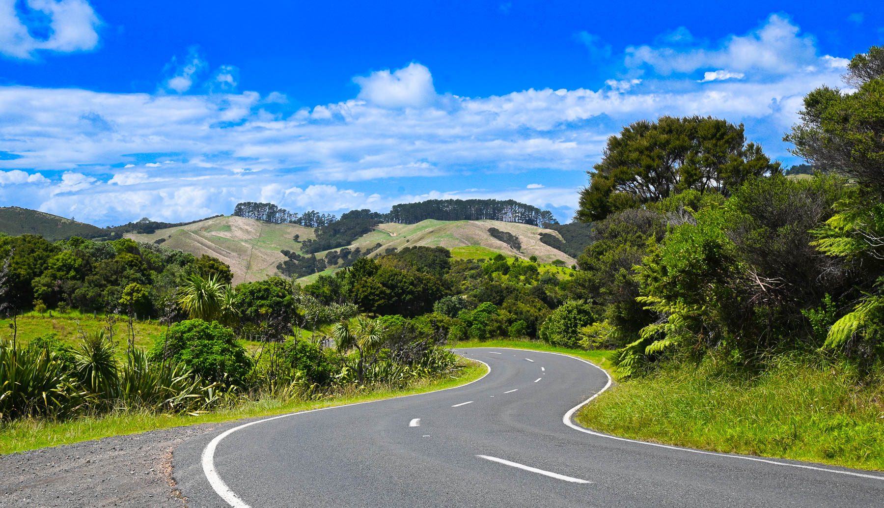
Though it’s a slight exaggeration, there’s not a straight road anywhere on the hilly island, so it took a while to get between points on the serpentine roads. Sudden rain squalls occasionally interrupted our wandering, on an otherwise mostly sunny day. The views of the countryside were beautiful, but often the roads were too narrow to stop safely to take photographs. Wild fig trees full with ripe figs grew along the roadsides.

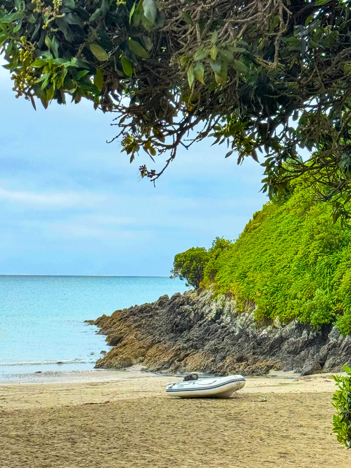
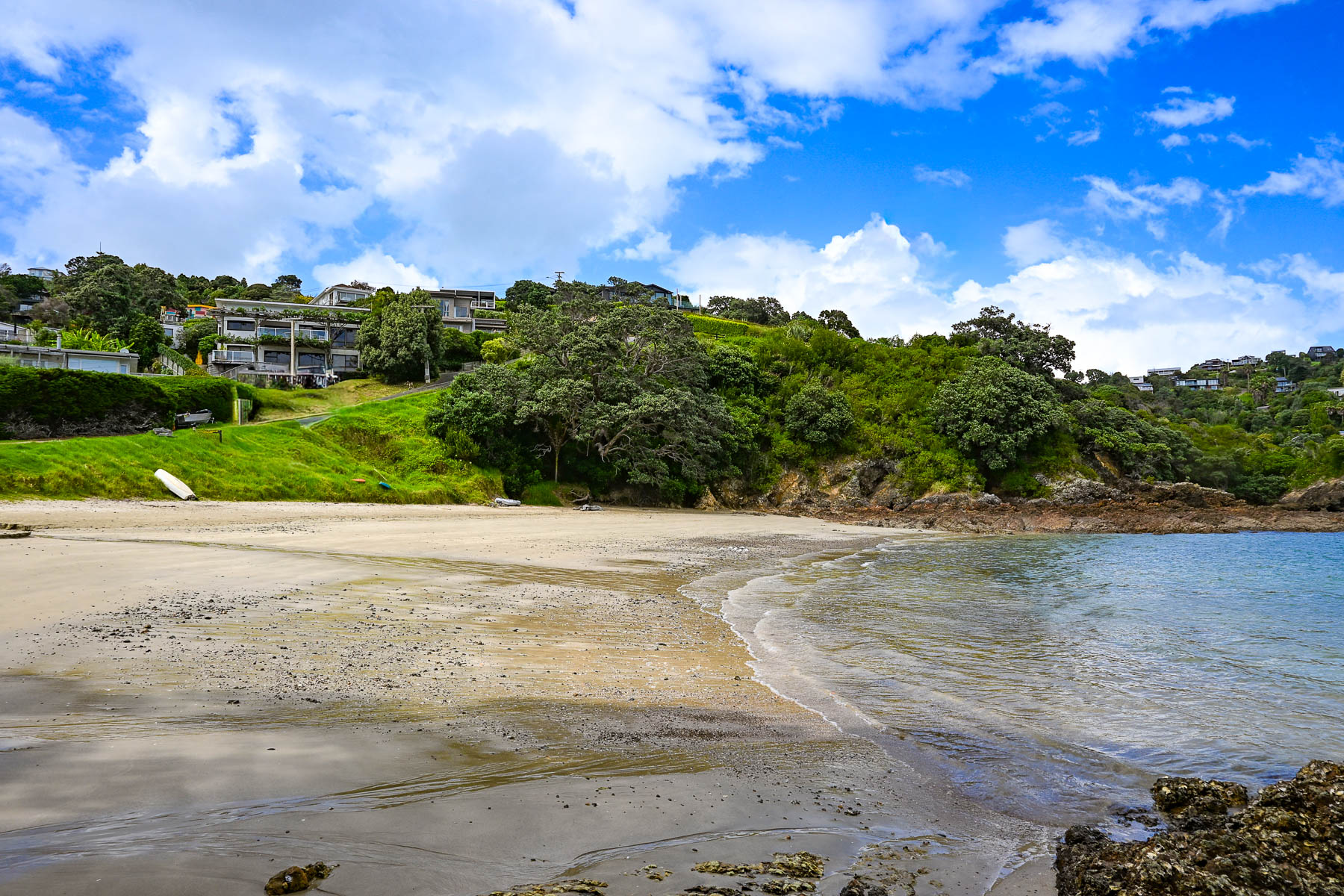
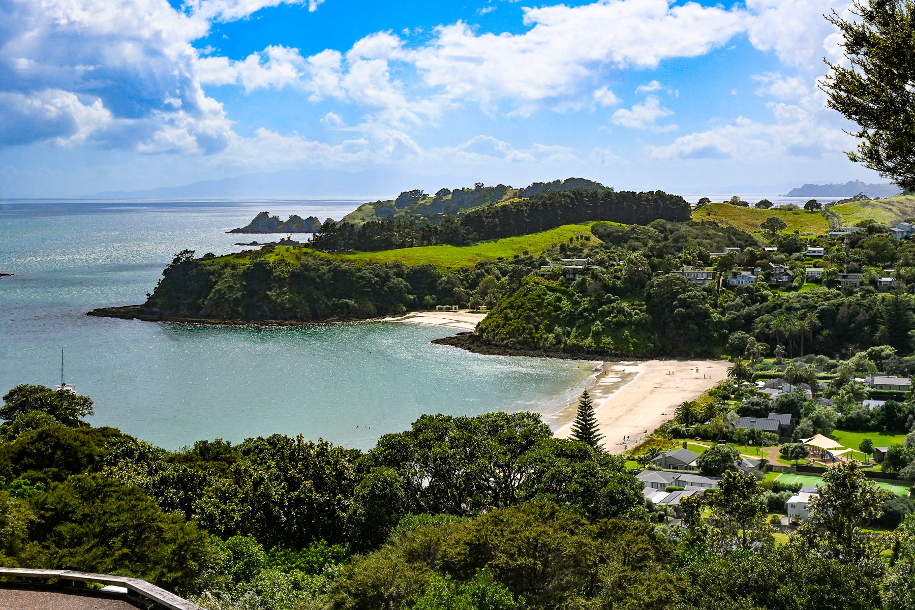
Our first destination was Sandy Bay Beach, a small swatch of sand surrounded by volcanic rocks, a with boat ramp. Continuing along the Great Barrier Road, we stopped at the top of a steep driveway that afforded a good view of Palm Beach and the north coast receding in the distance. Reaching the beach, we watched two sailors launch their dinghy from the shore and row across the calm water to their anchored yacht. A block back from the beach was the restaurant Arcadia, where we enjoyed a very nice mid-afternoon lunch.

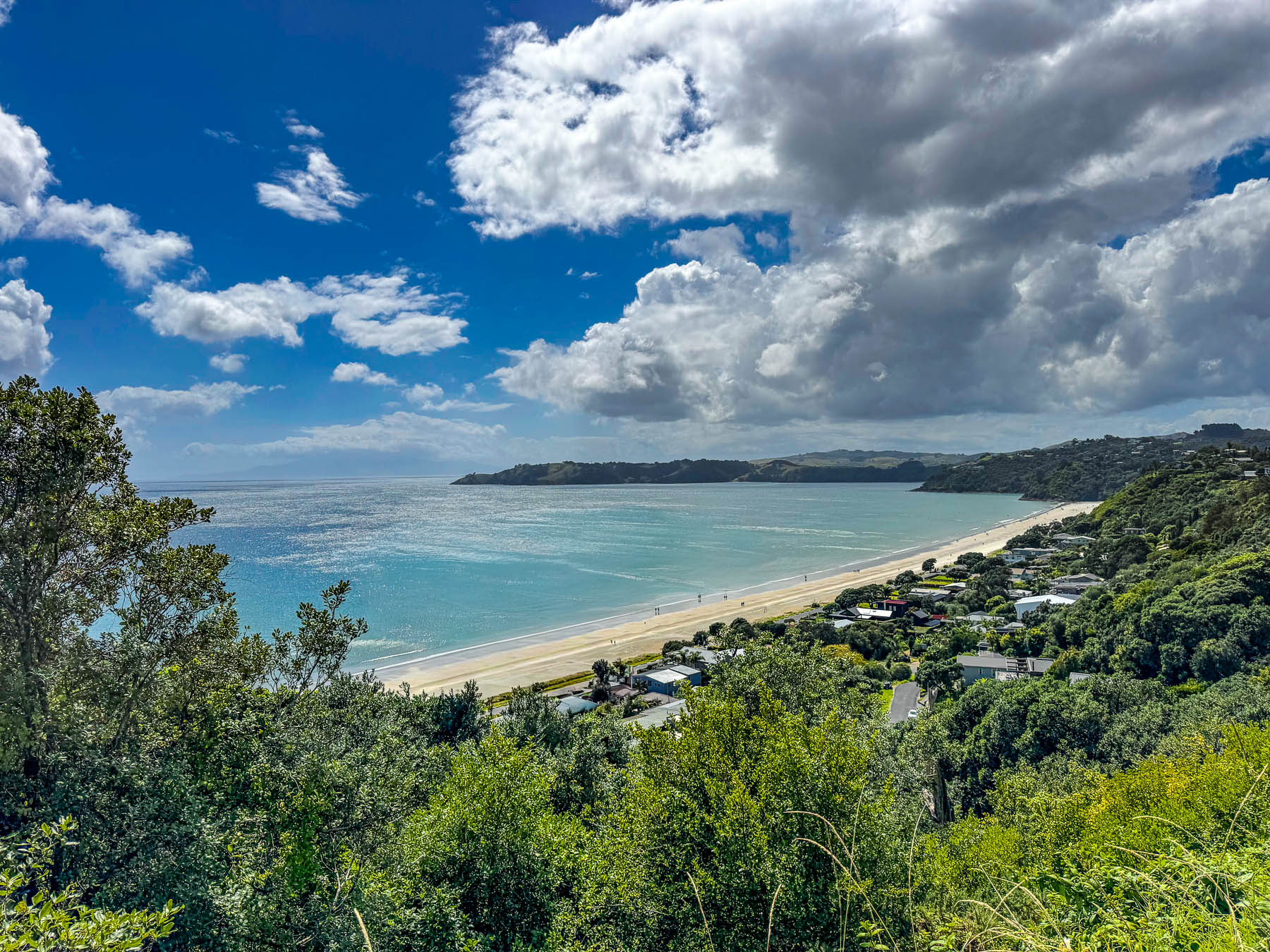
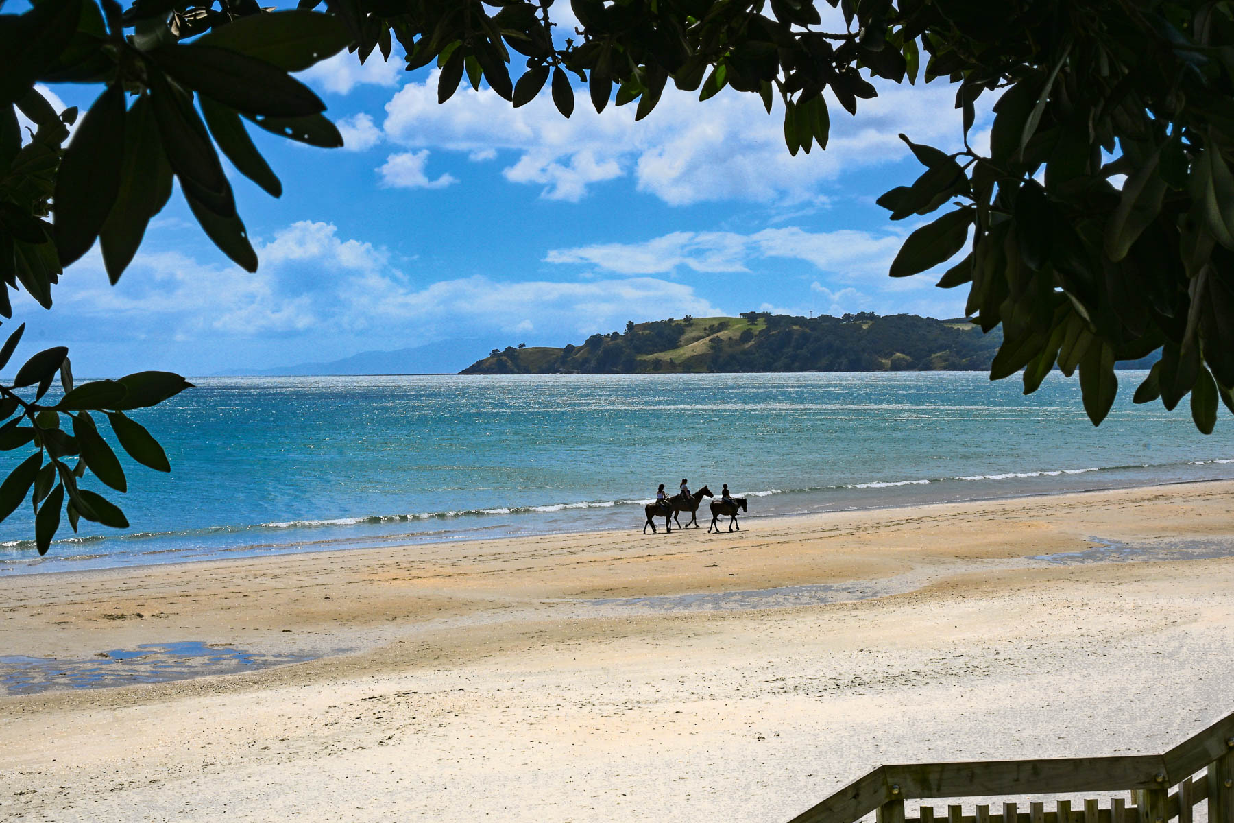
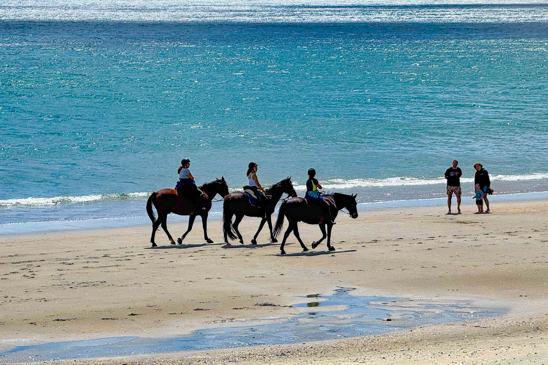
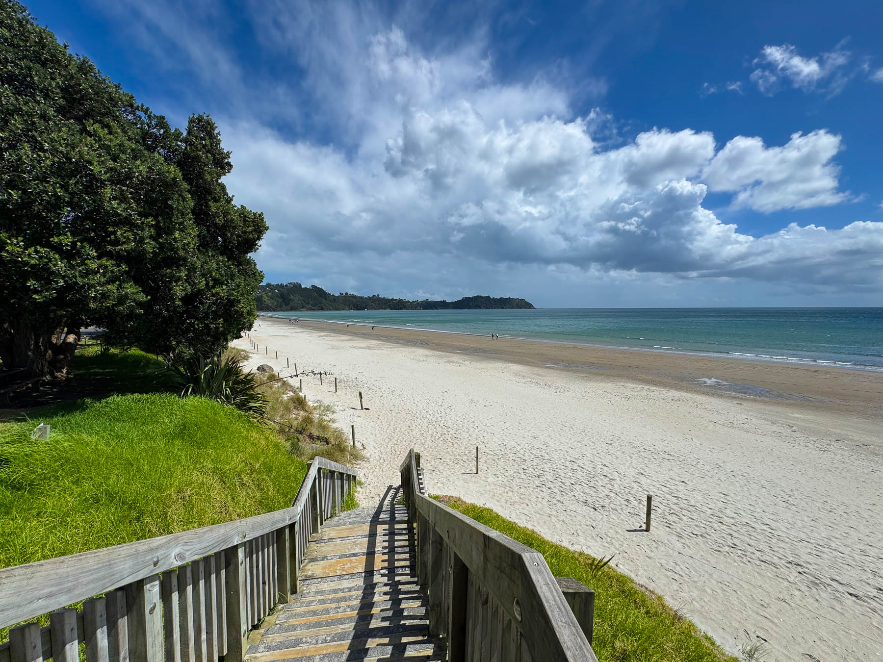
By the time we reached Onetangi Beach later that afternoon the weather had committed itself to be brilliantly sunny. Stretching for about 2 km (1.25 mi) along the coast it’s the island’s longest and widest beach, with shell free sand that is perfect for the annual sandcastle building contest. It’s also a popular beach to arrange a guided horseback ride with the local stable Waiheke Waiheke HorseWorx.

A narrow road with limited parking paralleled the shady shoreline. Across the road from the water were several restaurants with outdoor terraces that were very busy with customers. On a hill high above the beach is the restaurant Casita Miro; it’s a festive place with great tapas style cuisine and nice panoramic views, that was highly recommended. Alas, it was a missed opportunity, which we unfortunately didn’t get a chance to dine at.

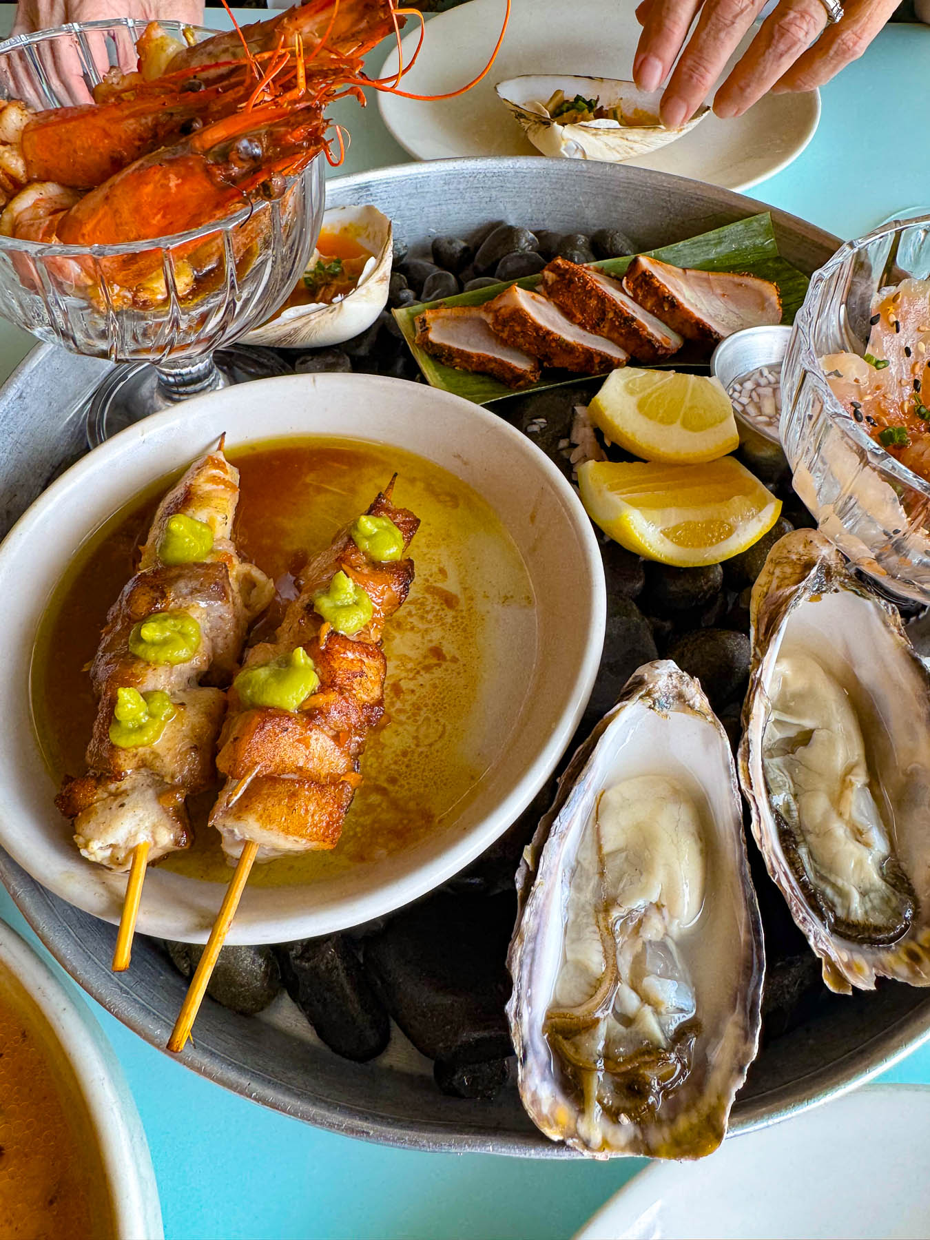
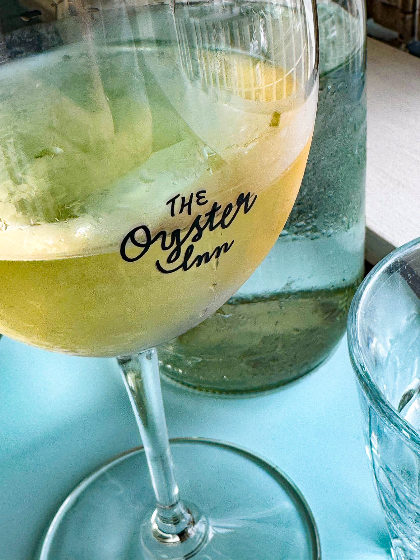
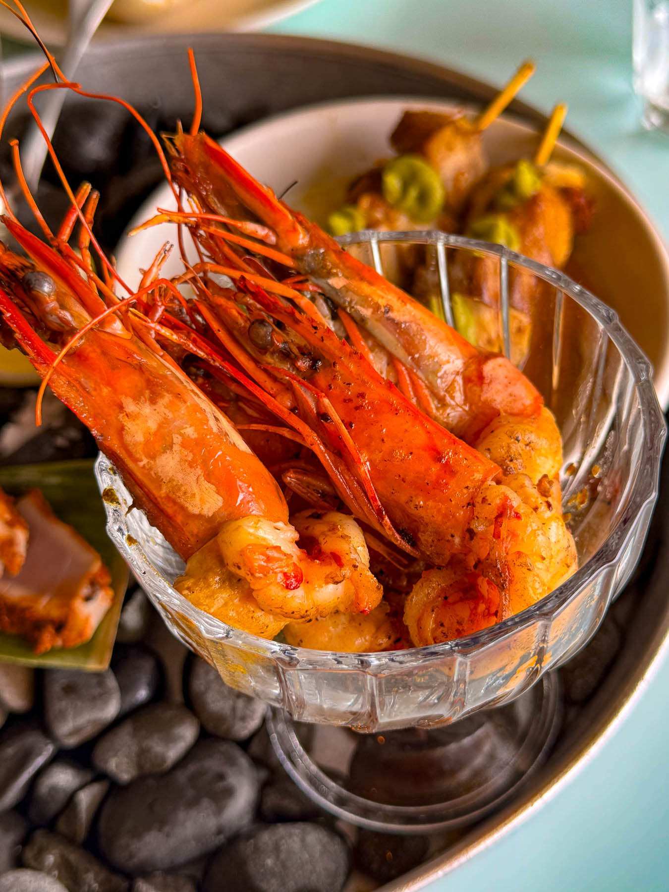
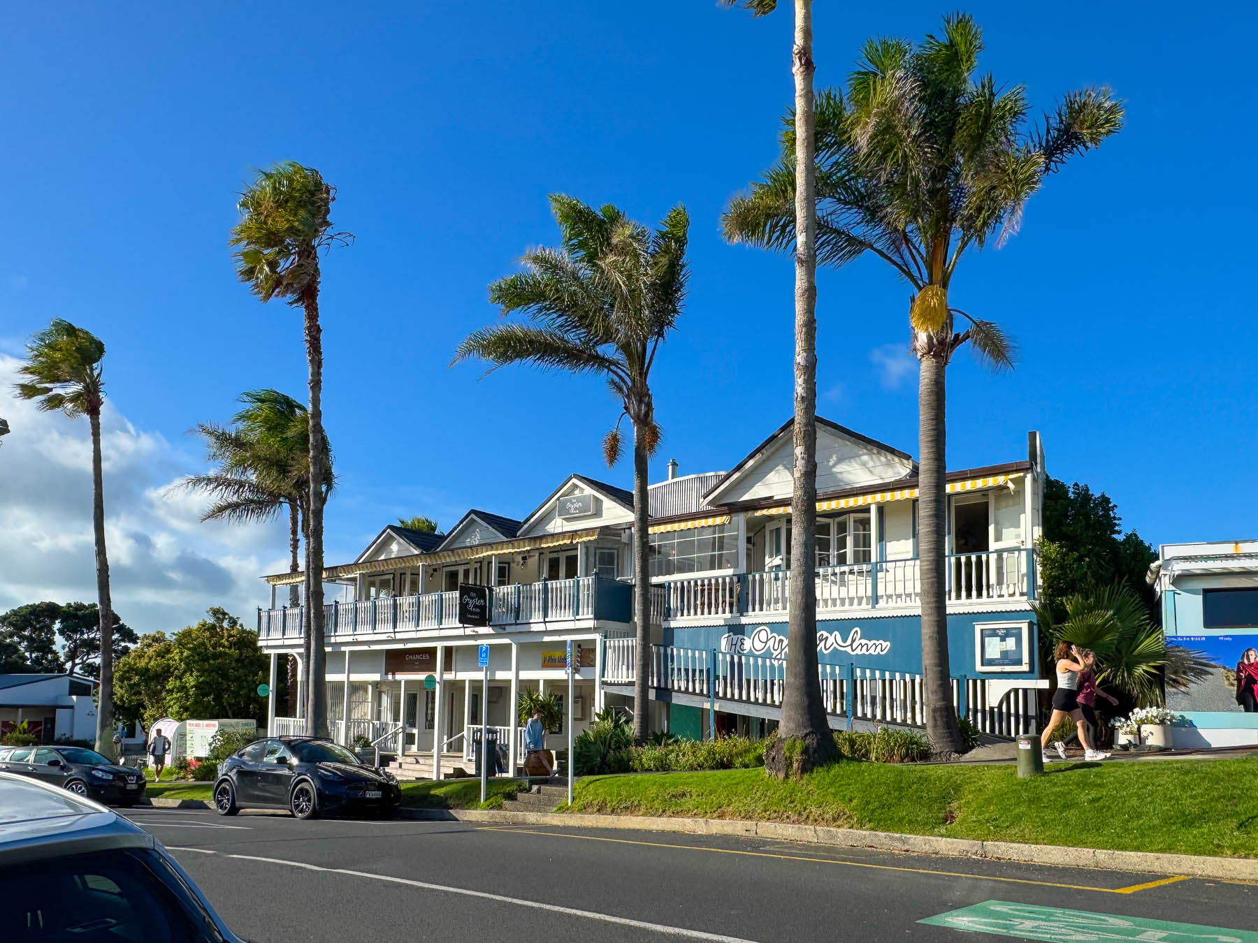
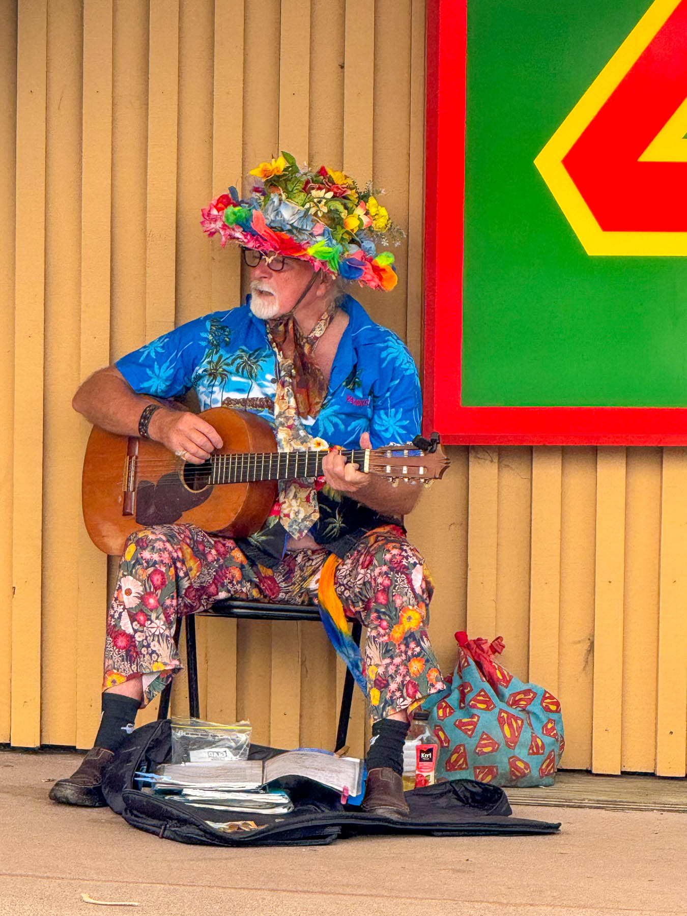
Later, back in Oneroa we celebrated Valentine’s Day with a seafood platter and local white wine on the veranda at  The Oyster Inn, which is co-owned by the New Zealand celebrity chef Josh Emett and his wife. Emett notably trained with Gordon Ramsay and was a judge on Master Chef New Zealand. As the restaurant’s name suggests, local Te Matuku oysters raised in the pristine waters of the Te Matuku Marine Reserve at the southeast corner of Waiheke Island in the Hauraki Gulf are a prime feature on the menu. While we dined, we could hear the guitar of a valiant busker performing across the road, keeping his old hippie days alive.

The next morning, after another one of Diane’s fabulous breakfasts we headed out to explore the eastern part of the island, with two wineries – the Jasper Ridge Estate and Man O’ War Vineyards. The later was a recommendation by a friend of ours from the states who had recently returned to the South Island to care for her aging mother, and enjoys vacationing on Waiheke.

It was a gorgeous ride through rolling grasslands dotted with sheep, stream crossings over narrow one lane bridges, tunnels of tall mamaku fern trees, and our first kiwi crossing caution sign, warning of the nocturnal flightless birds that were reintroduced to the island in 2025. We never spotted one. Turning off Orapiu Road onto Cowes Bay Road we were suddenly on a gravel tract.

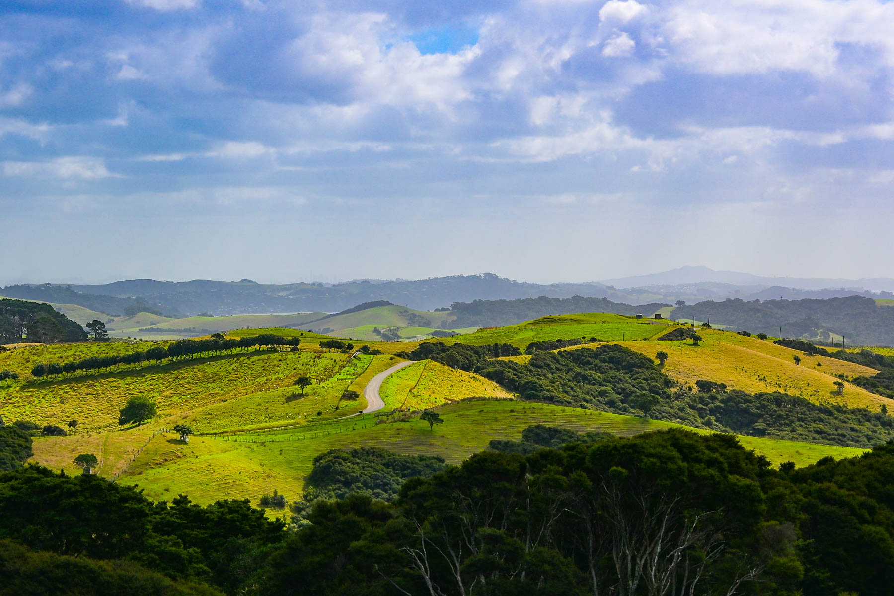
The island has a total road network of approximately 100, mostly paved miles, however a high percentage of them are compacted gravel, especially on the way to the Stony Batter Historic Reserve on the rugged north-eastern tip of the island. As the road rose the view transformed into a majestic panorama of land, sky and sea. To the east the Coromandel Peninsula, 55 km (34 mi) away, was a barely visible stroke of grey on the horizon.

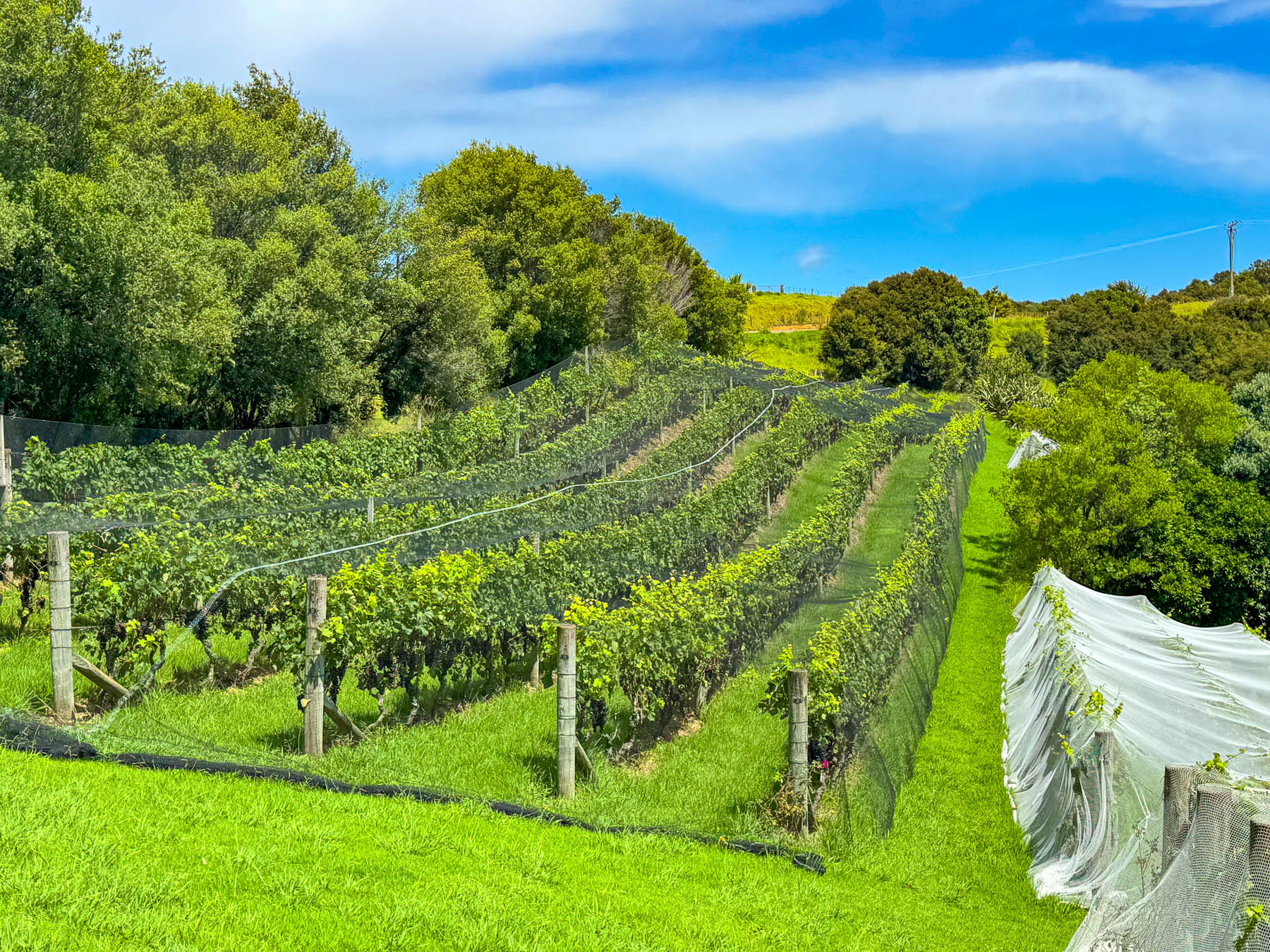
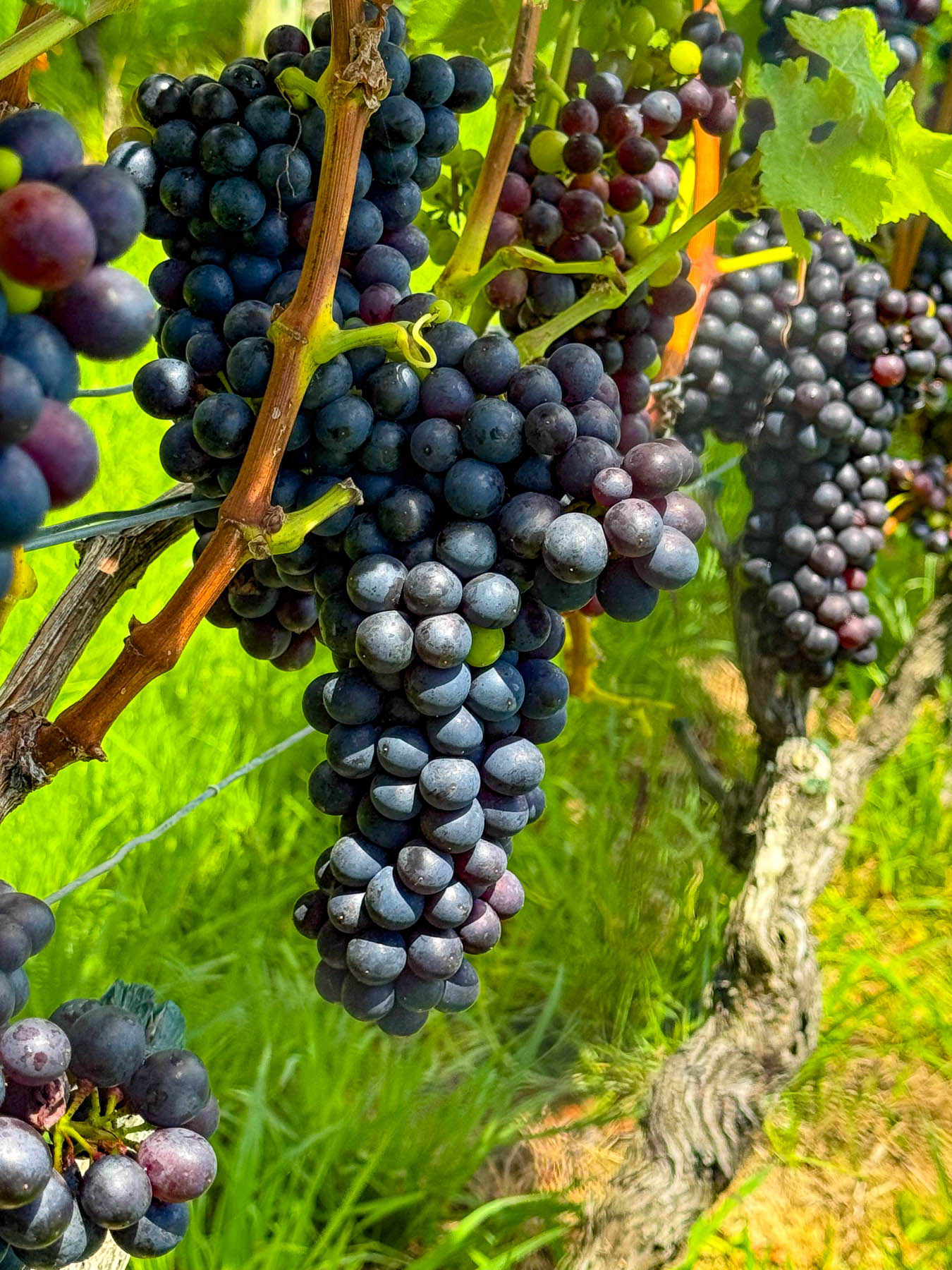
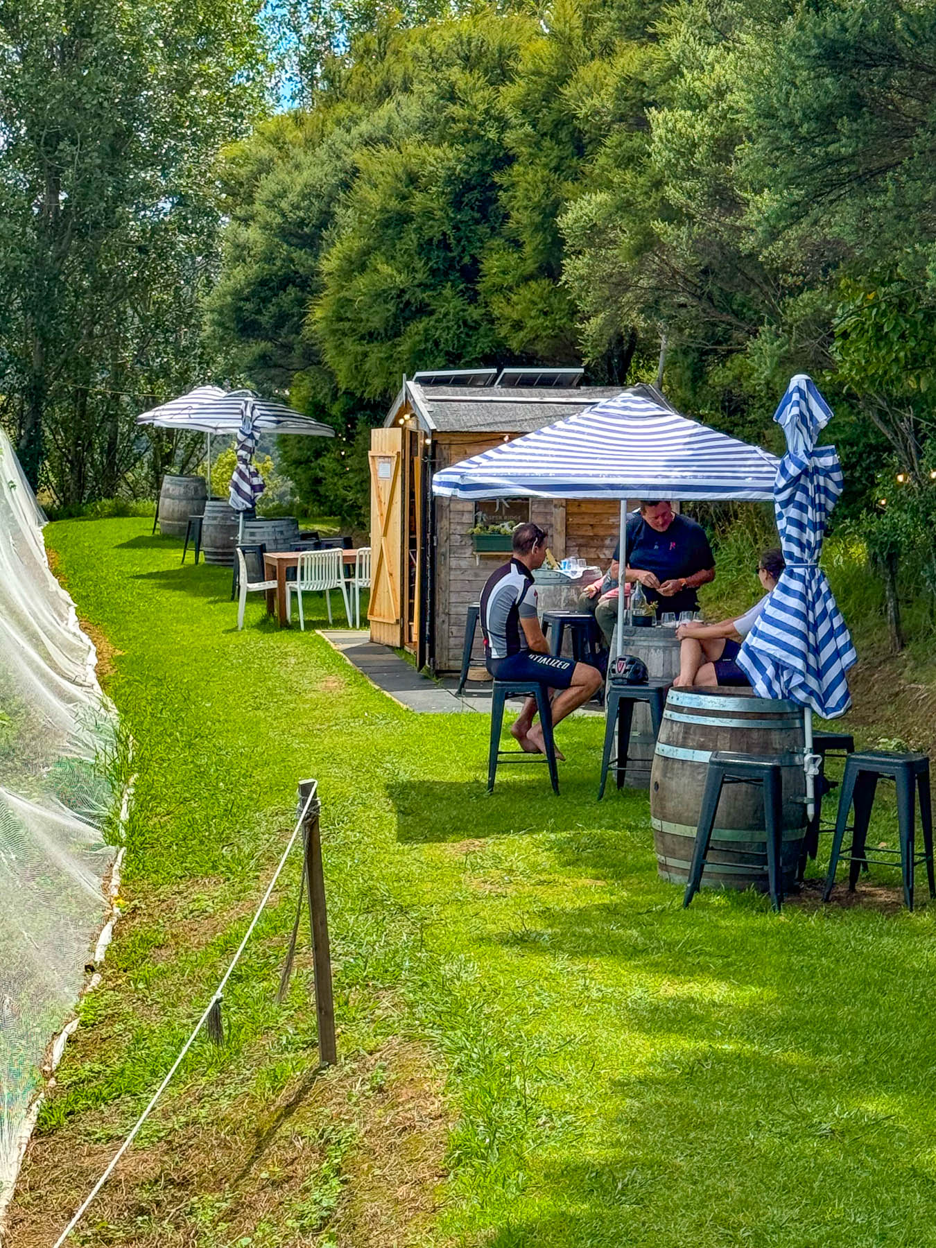
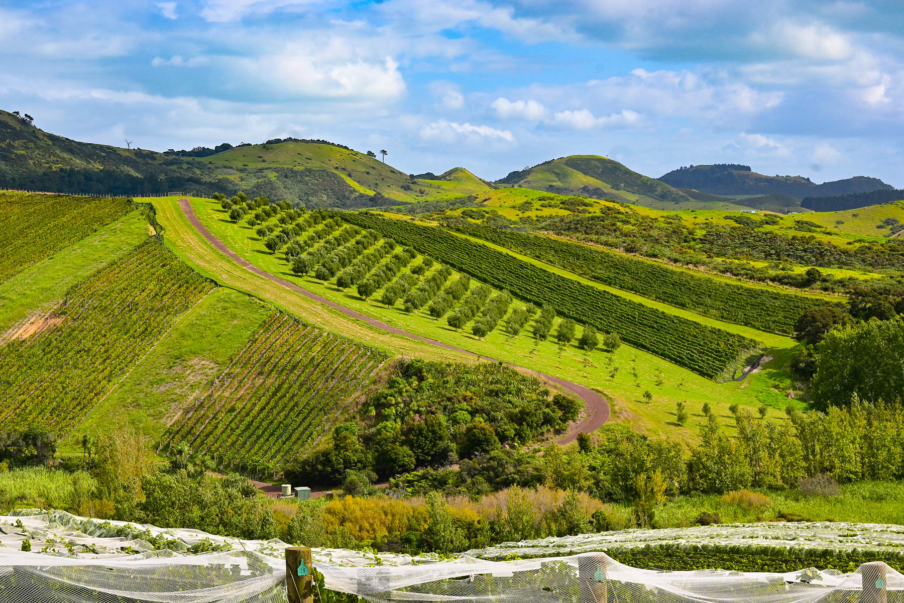
At the entrance to the Jasper Ridge Winery the views of the seascape were extraordinary. Owned and operated by David Bishop and Derek Ireland, Jasper Ridge is one of Waiheke’s smallest wineries, with 4000 Syrah vines planted on one hectare (2.5 acres), where they craft very small, limited-edition wines. But they have earned a lot of prestige, having won awards with their first vintage in 2023 for their Single Vineyard Syrah, and 2025 for their Rosé and Pinot Gris. A rain shower forced us to take shelter briefly under the umbrellaed picnic tables overlooking the rows of grapevines covered with netting to keep the birds away from the grapes almost ready to be picked later that week.

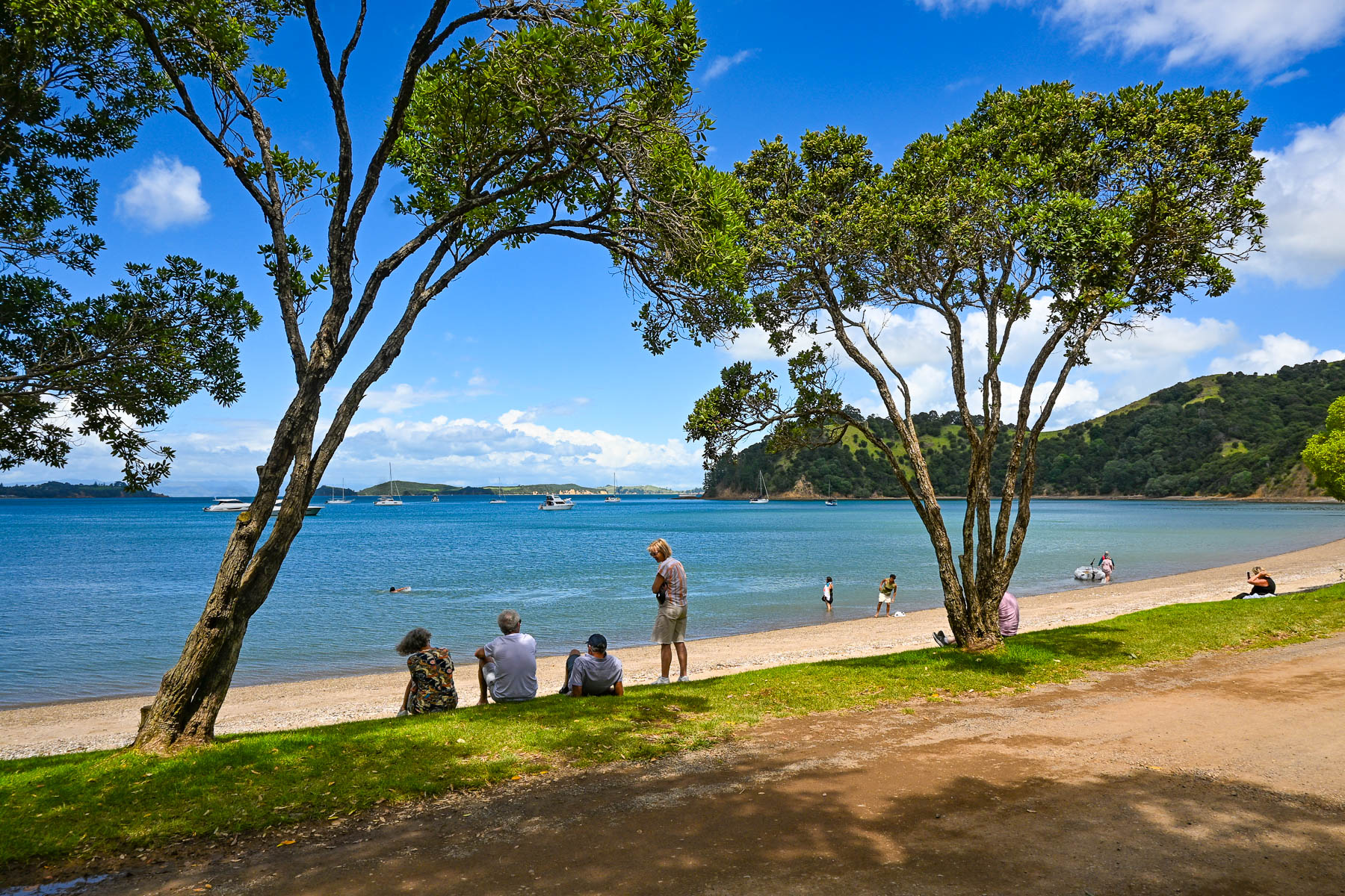
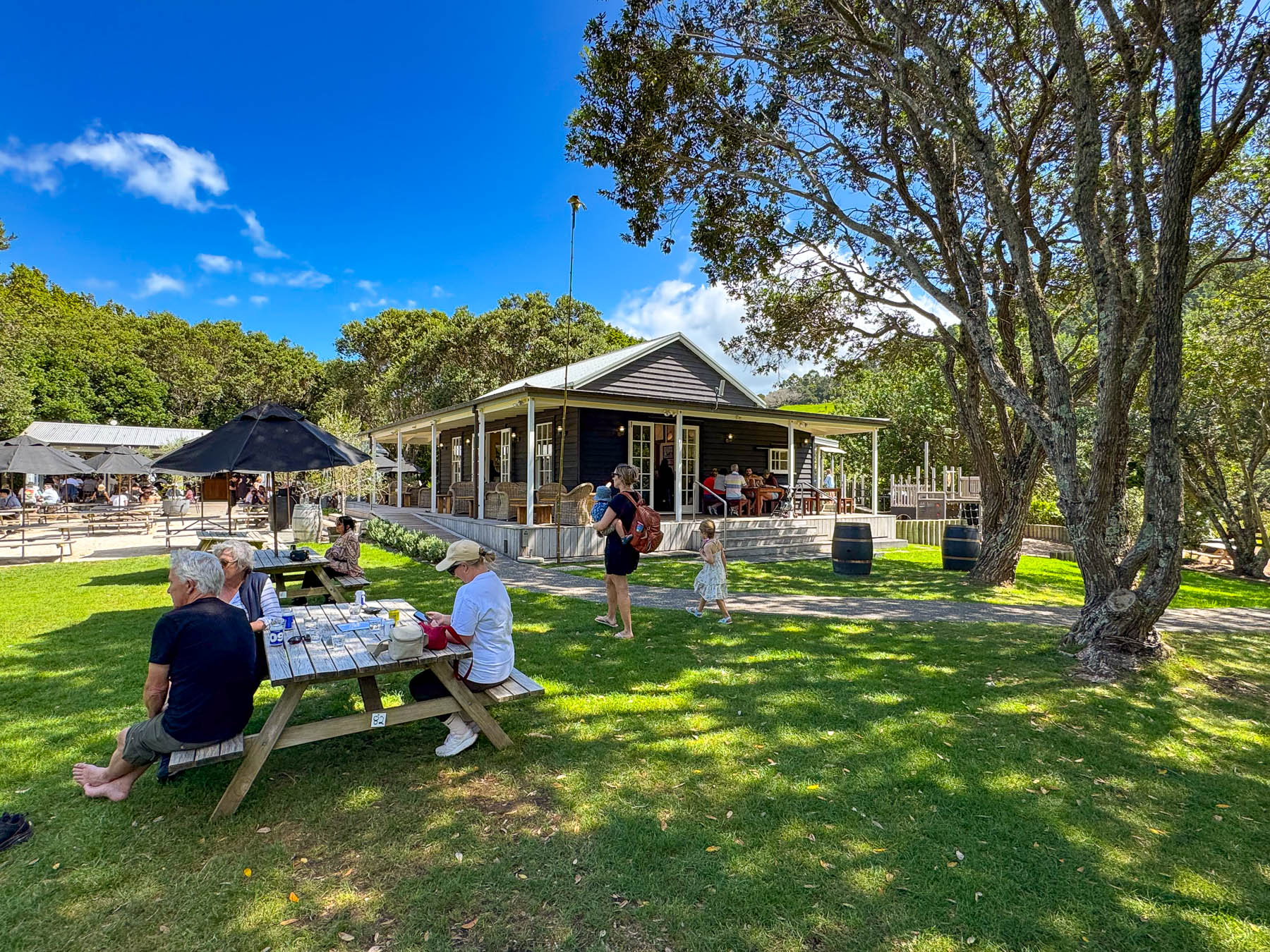
Continuing on the road, we passed through a forest of tall Kauri trees, then dipped into a dry wash strewn with boulders and timbers carried down the steep hillside in a recent flashflood. Reaching the Man O’ War Vineyards, the road leveled out and the view opened to the beach along  Man O’ War Bay with folks swimming, and boaters motoring small dinghies ashore to visit the winery. The winery really is a destination venue, offering wine tours, fine and casual dining, and a kid’s playground. It even has a small white chapel for weddings as well as an adventure sports center that offers ziplining through the forested hillside above the winery, and into the forever happily after for the newlyweds. It’s a big, popular fun spot to visit, and the setting on the bay was quite pretty.

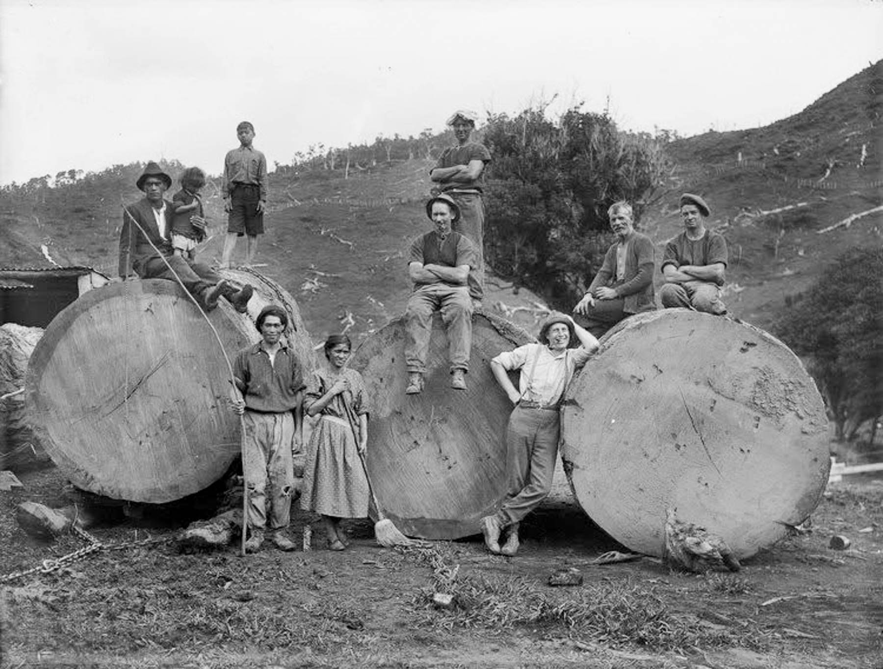
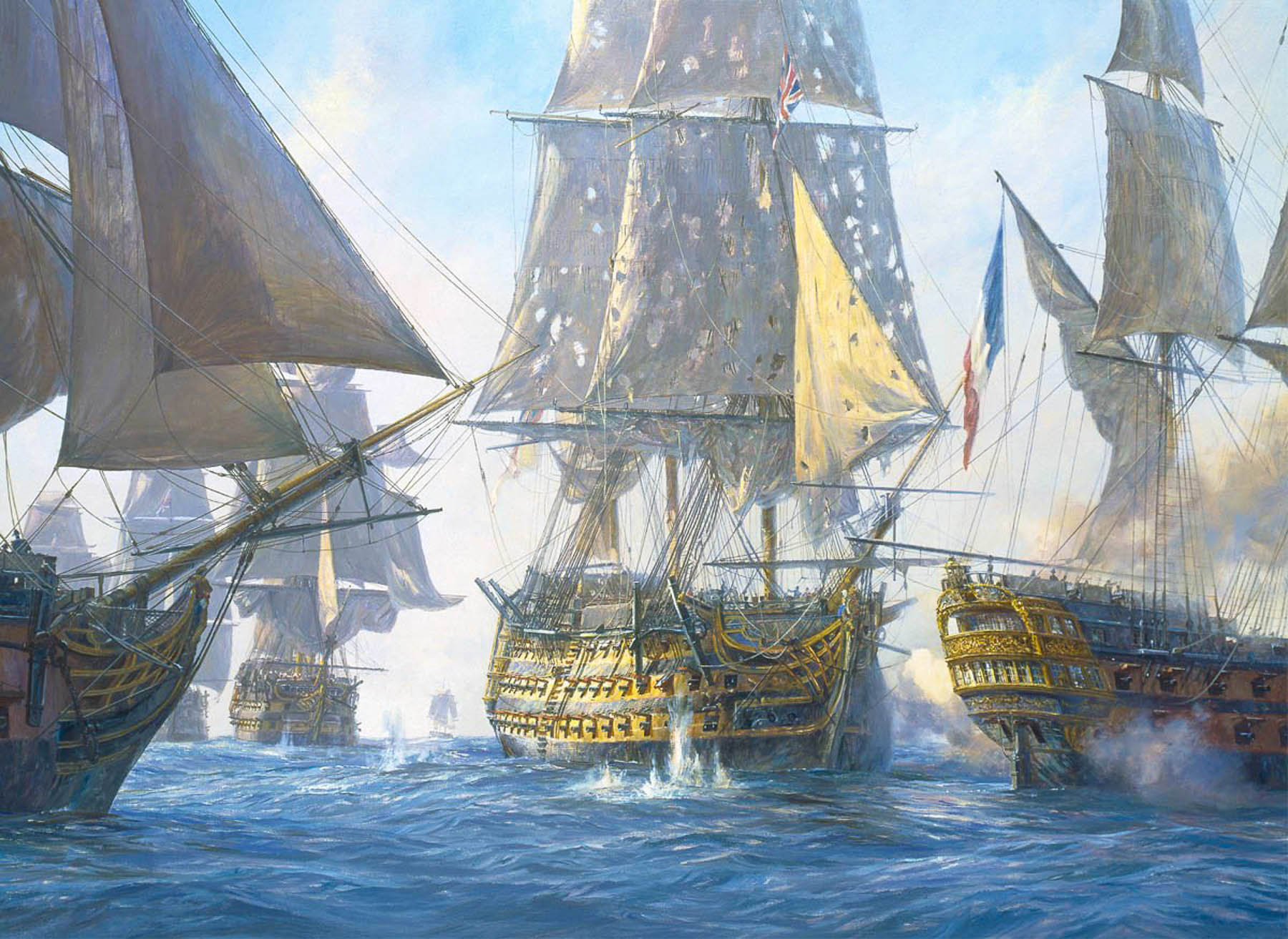
The tall straight Kauri trees, which can live for thousands of years, were noted for the strength of their wood in colony’s early shipping journals, and by the early 1800s Waiheke’s hillsides were being deforested and the wood exported to England to be used as masts for the Royal Navy’s “Man O’ War” warships, which is how the name Man O’ War was bestowed upon the bay. A favorite legend suggests that the masts of Lord Nelson’s flagship, HMS Victory, were made from kauri trees taken from hills of Waiheke Island.

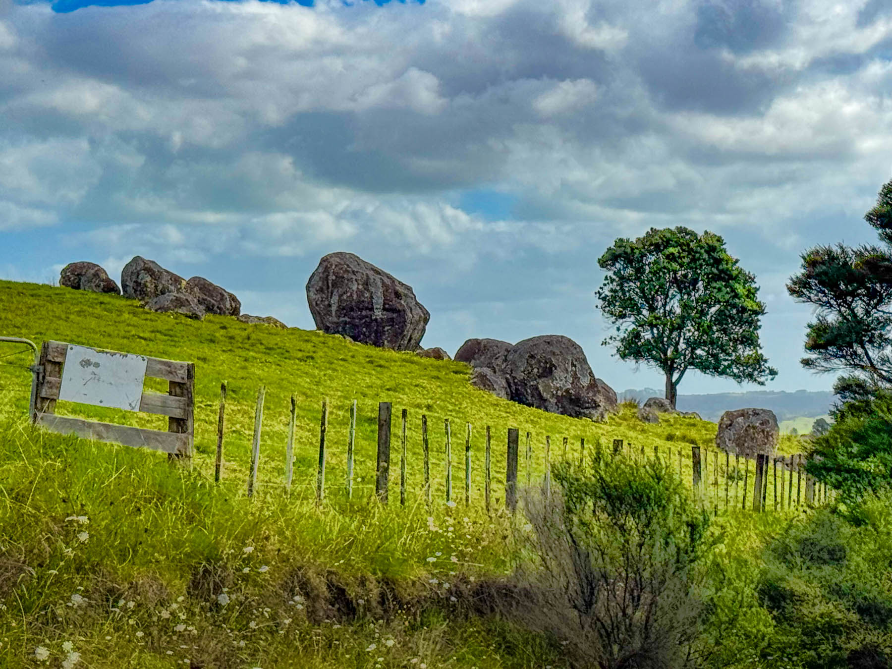
Continuing on we headed to the Stony Batter Historic Reserve. It was once a World War II coastal defense installation to protect Auckland from potential Japanese naval attacks, and features three massive concrete gun emplacements. There was also an interesting boulder field we hoped to walk through. But we didn’t realize before hand that the parking was pretty far away as the access road to the site was gated, and required a longer walk and more time than we wanted to commit to. But there was one hillside next to the road that gave a feeling for what the larger site would have looked like.

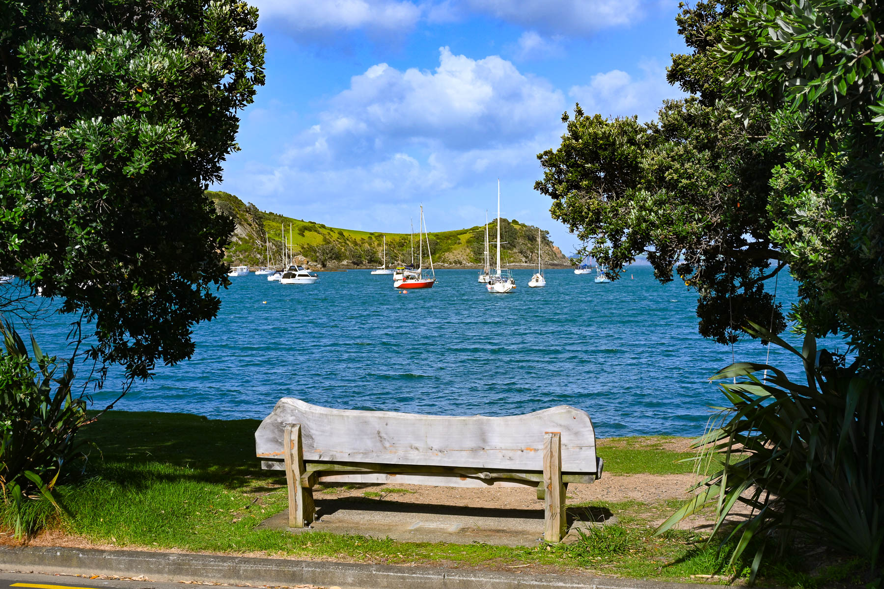
Nevertheless, the views of vineyards and sheep-covered hills surrounding us were beautiful as we coursed back towards Oneroa with a plume of dust trailing behind us as we drove down Man O’ War Bay Road. Cresting a hill, we stopped at a lone bench along the road, seemingly in the middle of nowhere. But it did have a distant view of Cactus Bay Beach, a remote curve of sand only accessible by boat or kayak, that many “Waihekeans consider the perfect beach and, with nearby Garden Cove, a romantic place for picnicking.” Unfortunately, its land access has been blocked off by a private landowner. All the more to make it a special place, that requires more effort, to visit.

Our scenic drive that day reconfirmed our expectations of what lay ahead for the next part of our journey – that we were truly in an exceptionally beautiful part of the world. The next morning, we headed back to Auckland Airport for a different rental car to start our nine-day road trip to Cape Reinga Lighthouse, the farthest point north on the mainland, Hamilton, and the Coromandel Peninsula before flying south to Wellington.

Though we only drove 110 km (68mi) over the weekend, Waiheke Island was the most gorgeous place to learn how to drive on the left.

Stay left!

Till next time,

Craig and Donna

Road Trip Tahiti: Black Sand, Waterfalls and Sunsets or Enjoying a Week in Paradise

“What do you think about Tahiti?” Donna asked.  “I haven’t, honestly – it’s not on my radar.” “There’s this very good airline points sale to Papeete. I think we should go!” And so, we made it happen.  It’s one of our great pleasures in retirement, the ability to indulge our desire to see the world. Though the statement that Tahiti was not on my radar might not be exactly true.  James Michener’s Tales of the South Pacific might have been the first book I freely chose to read as a teenager, fifty-plus years ago; the catalyst was my dad’s dream of building a sailboat to sail around the world. Frustratingly, our sailing never extended beyond Long Island Sound, but the lifelong desire to explore had been instilled in me.

It was a long sixteen-hour flight from the east coast of the United States to San Francisco with a final connection to Papeete on Tahiti in French Polynesia. Arriving just before 9:00pm, we opted to taxi to our three-night apartment rental, Little Home Tahiti, a small studio apartment chosen for price, onsite parking, and short walking distance to the car rental agent – Tahiti Rent.

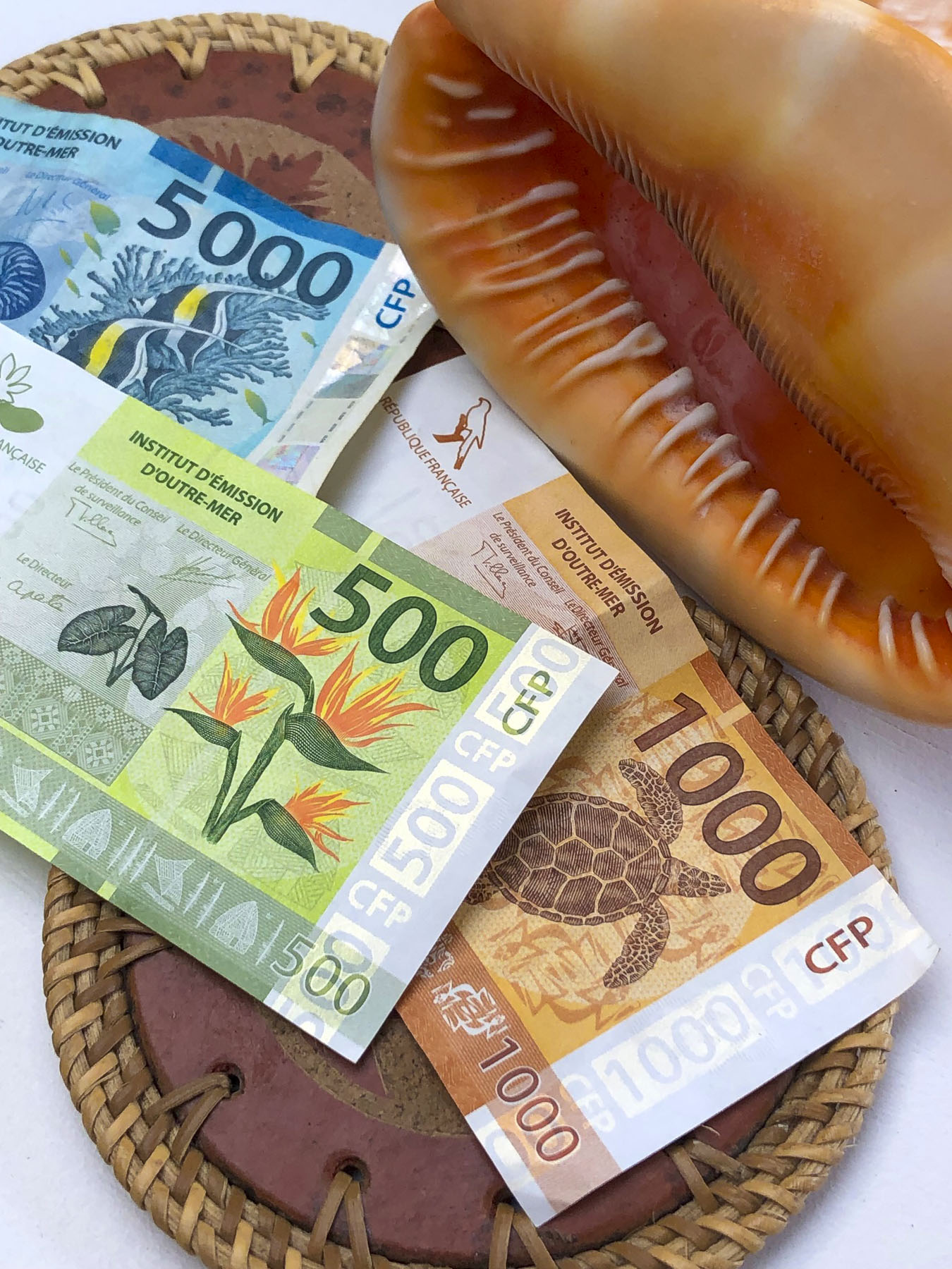
Checking into Little Home Tahiti was a bit unusual: instructions to access the key to the apartment building and garage door fob from a key box were hanging from a traffic signpost in front of the building (our payment, Tahiti has the prettiest currency, was to be placed there too.) The next morning, after excellent coffees at Kaūa’a Tahiti, just around the corner (they roast the coffee beans in the café), we walked a few short blocks to the Marché de Papeete, the town’s old central market.

The 2-story building still has several fruit and vegetable vendors, fish mongers and exotic flower stalls. Most of the space is now, though, is filled with folks selling handicrafts, souvenirs, and Tahitian black pearls, for the tourist trade. Afterwards we picked up our rental car – an easy procedure, with the caveat that we would need to vacuum out the beach sand, before returning the car. We thought this was an unusual request, as most car rental companies that we’ve used have provided this service. Not being local, I asked where I would accomplish this and was informed most gas stations have vacuums available. Easy enough in theory, but nine days later after stopping at five different gas stations, I was not able to find a vacuum pump. Upon returning the car the rental agent was ready to charge us an additional fee for a small amount of sand, difficult to avoid on Tahiti, on the car’s front floor, until I pointed out that we interrupted him from vacuuming a car when we pulled into the lot.

While the airfare to Tahiti, the largest island in French Polynesia, was relatively low, restaurants and hotels in this isolated paradise in the middle of the Pacific Ocean are expensive. This is the direct result of having to import nearly everything from France, China, the United States, Australia and New Zealand. So, to keep within a reasonable budget for nine nights, we chose to stay in three different self-catering apartments across the island. We’ve always enjoyed checking out the local grocery stores and markets during our travels, and enjoy cooking in. Food trucks were mentioned as a budget friendly alternative to restaurants; although good, we found these to be not nearly as inexpensive as you would think. Surprisingly, freshly caught tuna and mahi-mahi were reasonably affordable in restaurants and stores. We enjoyed preparing it several times during our stay.

Papeete, the capital of French Polynesia, is a small city with a population of roughly 27,000. Its popularity as a booming destination was never envisioned and the traffic in paradise is just as bad as NYC’s at rush hour, since most of the island seems to drive to work here. To help alleviate the morning and evening congestion they use a road zipper, moveable barrier systems, to reconfigure the incoming and outgoing lanes of traffic at rush-hour. The city’s antiquated footprint was inherited from the days when the town was viewed as only ever being colonial backwater.  Fortunately, the town is thoroughly walkable.

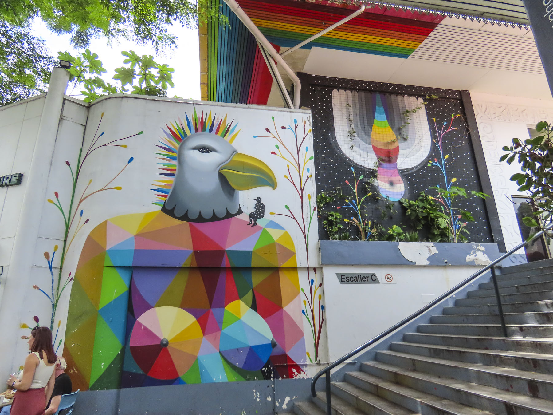
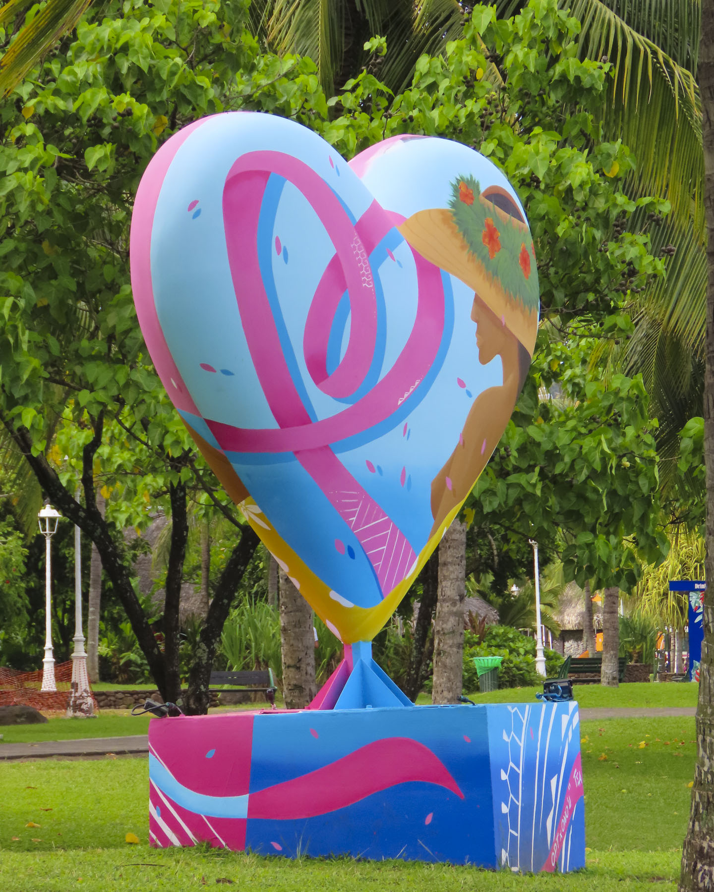
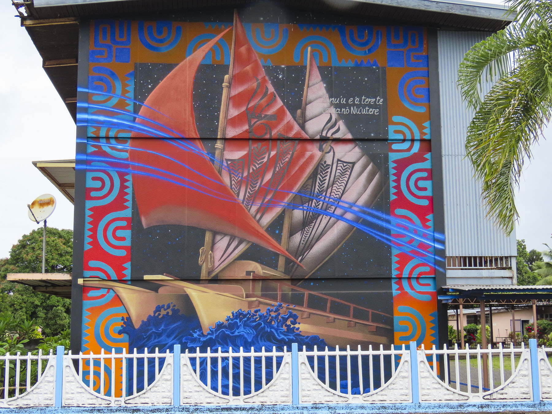
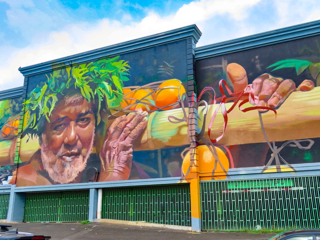
Surprisingly wonderful street murals grace the side of many otherwise dull city walls. Many of these beautiful pieces of art were sponsored by the Ono’u Festival, a street art event that has been held in Papeete since 2014. We used this street art map to help plot our walks around the different areas of the city. There are murals spread all across the city, but several of our favorites were located along the Rue Mgr Tepano Jaussen near the Cathédrale Notre-Dame de Papeete, a French colonial era church from 1875.

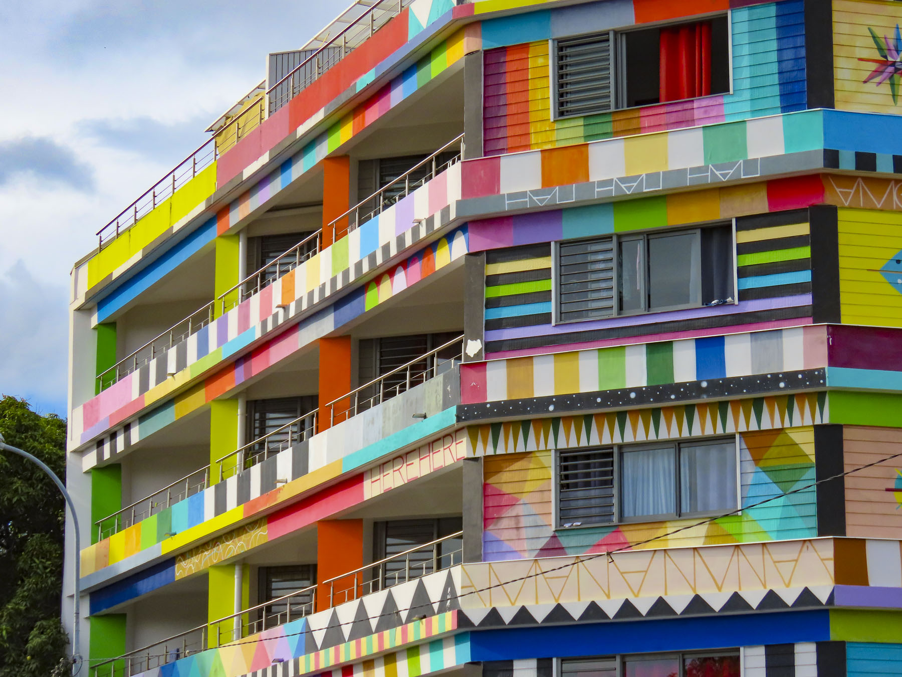
Closer to our temporary home, the Résidence Paraita, an apartment building, was totally immersed in an abstract design by the Spanish street artist Okuda, which we could see from the balcony of our apartment.

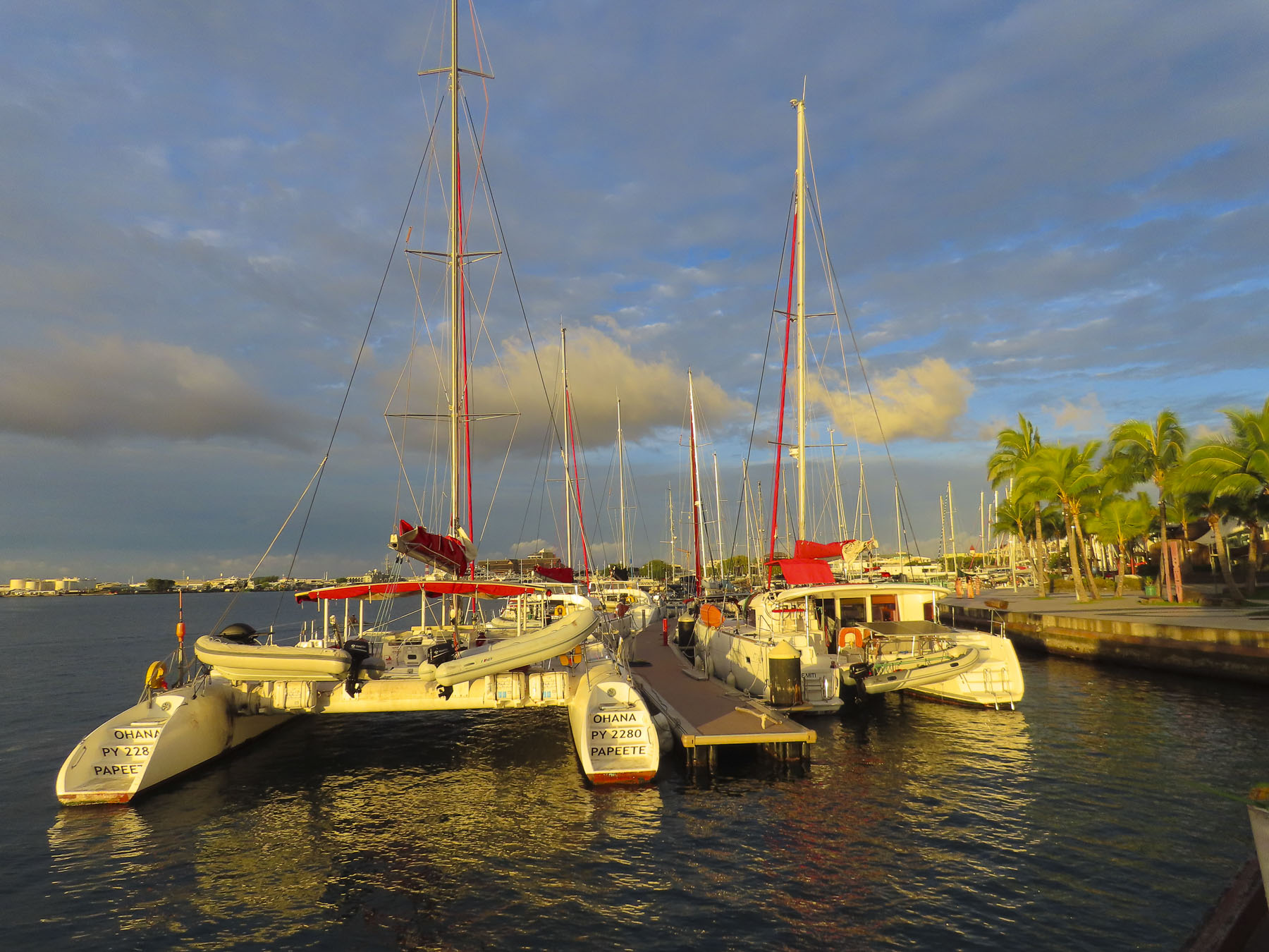
We also enjoyed the walk along the waterfront promenade to Pā’ōfa’i Gardens and the Papeete Marina, where it was interesting to see the different home ports painted on the stern of wandering sailors’ boats. San Francisco, Sydney, Barcelona, Paris, Rio. The boat crews enjoying a safe anchorage before continuing their journey.

Further along we had drinks at the over-water tiki bar of the Restaurant Le Moana and watched with amazement as the bay in front of us filled with just off from work Tahitians who took to the water in Polynesian outrigger canoes, called “va’a,“ and larger longboats, practicing in preparation for a number of races around the islands that take place each year.

The longest and largest, with over 100 teams participating, is the Hawaiki Nui Va’a Race, in which six-person crews paddle across 79 miles of ocean in three days. Starting in Huahine they visit Raiatea, and Tahaa before beaching their canoes on Bora Bora.

This is one of many races around Tahiti keeping alive the nautical heritage of their Mā’ohi, ancient ancestors’ incredible ocean-going feats in search of new horizons. Folks stayed on the water until sunset, one of the most colorful we experienced while on the island. The last of the day’s inter-island ferries sailed toward the sunset.

Also on the waterfront in Place Jacques Chirac is a full-size replica of an ancient Polynesian wa’a kaulua, a double-hulled, long distance, sailing canoe. Just looking at it made us realize what an amazing accomplishment it was for the early Polynesians to cross vast stretches of unforgiving ocean.

Walking back through town we stopped at Vini Vini Fish N’Chill for dinner. It’s a small casual place, with inside and outside tables, that grew as an off-shoot from the families long-line fishing fleet and serves poke bowls, tartines – a French open face sandwich with various toppings, sushi and of course burgers. Occasionally they’ll host a ukulele band outside on the sidewalk.

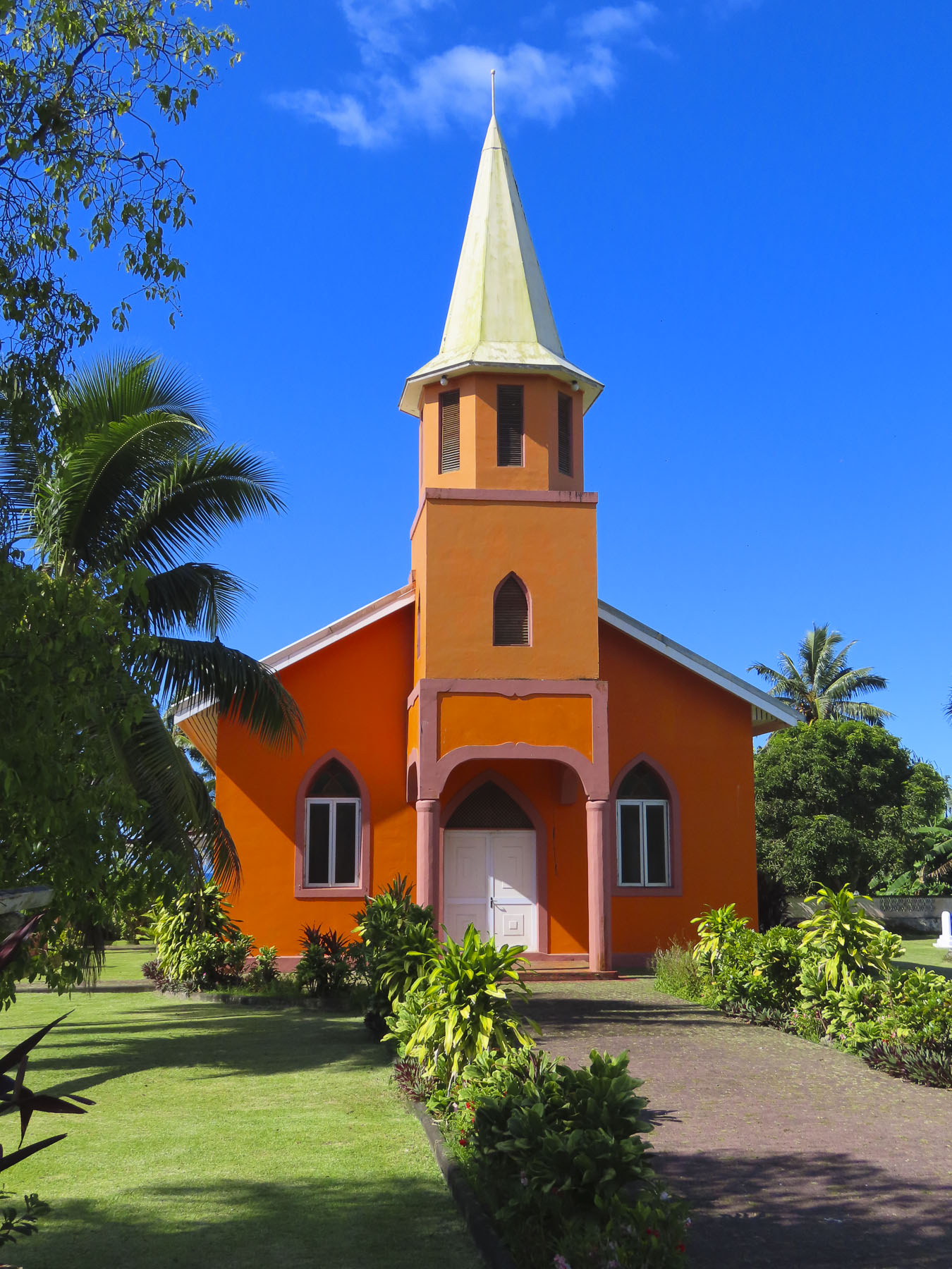
Outside Papeete the traffic eases tremendously and we took several short day-trips out into the surrounding area, traveling along the north coast to the Pointe Vénus lighthouse in Māhina. Built in 1867, on a black sand peninsular that juts into Matavai Bay, it was the first lighthouse built in the South Pacific and equipped with a powerful beam that could be seen by ships 215 miles out to sea. It takes its name from an event on Captain James Cook’s first voyage around the world, when on June 3rd, 1769, Cook and his accompanying astronomer Charles Green set up equipment to observe the transit of Venus, a small black dot, travelling across the Sun. From the shore here looking north the blues of the sea gradated seamlessly into the sky, a vast endless emptiness that Polynesians explored and found Hawaii, 2600 miles away, 1200 years ago. The brightly painted Église Getesemane de Mahina along the road to the lighthouse was definitely a worthy photo stop that epitomized the Tahitian celebration of color.

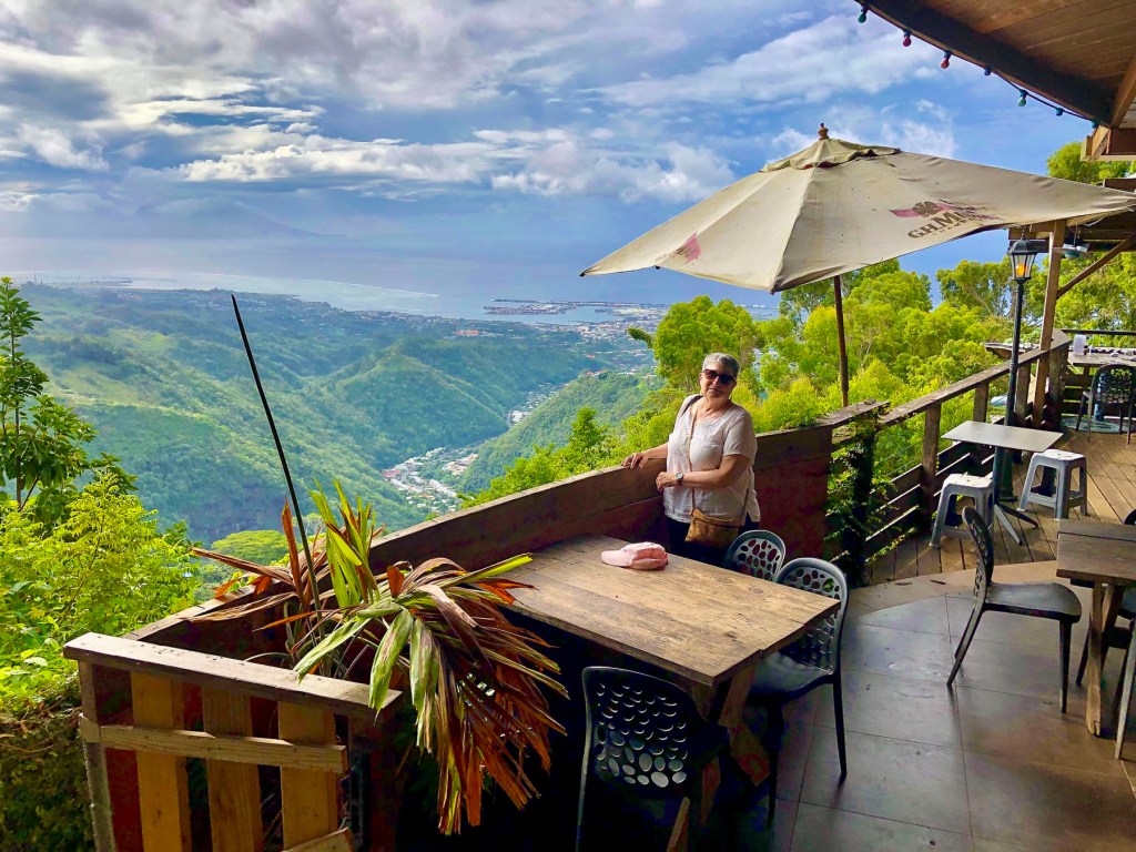
Later we headed to the O Belvédère, a remote French restaurant, located in the foothills of 7,352 ft Mount ‘Orohena, the island’s tallest peak and the highest mountain in French Polynesia. The restaurant is only open for lunch and dinner Friday – Sunday. Unfortunately, we visited earlier in the week, but the staff kindly let us take in the breathtaking views, over the rugged foothills which extend to the coast, from its balconies.

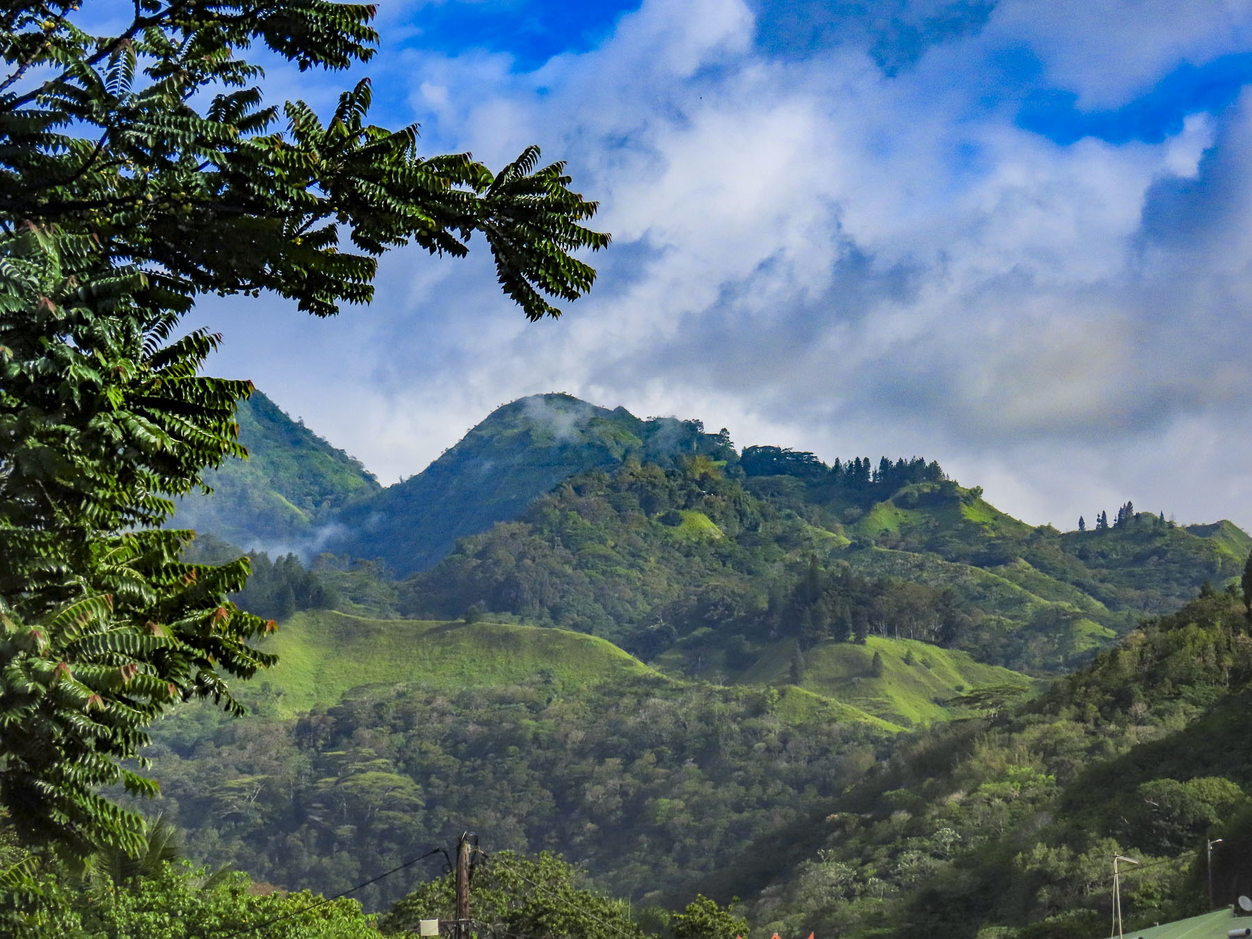
It’s definitely a destination restaurant and part of its allure is the harrowing 3.5 mile drive, not for the faint of heart, up a single-track, heavily potholed road through dense jungle-like forest that dead ends at the restaurant. There was barely room for the rare oncoming car to pass. It’s not a drive we would undertake in the dark. Guided hikes to Mount ‘Orohena and 4×4 safaris into the mountains can be arranged through local tour operators, as there are not any roads that cross Tahiti’s mountainous interior. One the way back to Papeete we passed and then circled back to photograph the Mairie de Pirae, the local town hall, a beautiful example of French colonial architecture that seemed out of place on the tropical island.

The morning of our checkout from Little Home Tahiti, just as we had finished our coffee and zippered the suitcases, the power to our building went out. Not usually a big deal, but we were staying on the 5th floor and the car was in the underground parking. The heat and humidity builds quickly in the tropics without A/C. We called our host for a situation update, only to be informed that it was an island wide power outage, something that, it turns out, happens rather frequently. The big question for us, was the electric gate to the underground garage functioning? We were reluctant to walk down seven flights with only the emergency stairwell lights and the weak flashlights on our cell phones. After an hour of indecisiveness, I slowly carried our suitcases downstairs to the car and was very relieved to find the gate wide open. I parked the car on the street, called Donna and relayed, “We’re free – let’s go!”

The intersections required caution as the traffic lights were also down, but once we followed Route 1 away from Papeete the prevalence of traffic circles was a blessing. From the air, the island of Tahiti is shaped like a flounder or beaver with a larger upper body and smaller tail. Similar to the way Tahiti Nui, the larger main island, connects to the smaller Tahiti Iti, at the narrow Taravao isthmus. It’s difficult to get lost on Tahiti considering the ring road, Route 1, is only 72 miles long and transverses a narrow coastal plain that encircles the island and separates the ocean from the abruptly steep mountainous interior. The road starts and ends in Papeete, with short spurs down the east and west coasts of Tahiti Iti. It’s a modest distance that we gave ourselves seven days to cover, split between exploration of the island and R&R. Our target at the end of the day, after multiple stops, Soul Rise in Nutae on Tahiti Iti, a rustic attached bungalow, with a private cabana and shared pool, for three nights.

Following the ring road east we stopped at the Arahoho Blowhole. It’s a geological curiosity, as it’s not the usual type of blowhole that exists right at the ocean’s edge and water is pushed up through a crack in the rock. Here water is vented quite a distance inland from the sea as a fine mist after being pushed back forcefully by the waves through an ancient, long and narrow lava tube. The park here has picnic tables and a black sand beach that surrounds a small cove that’s popular with surfers.

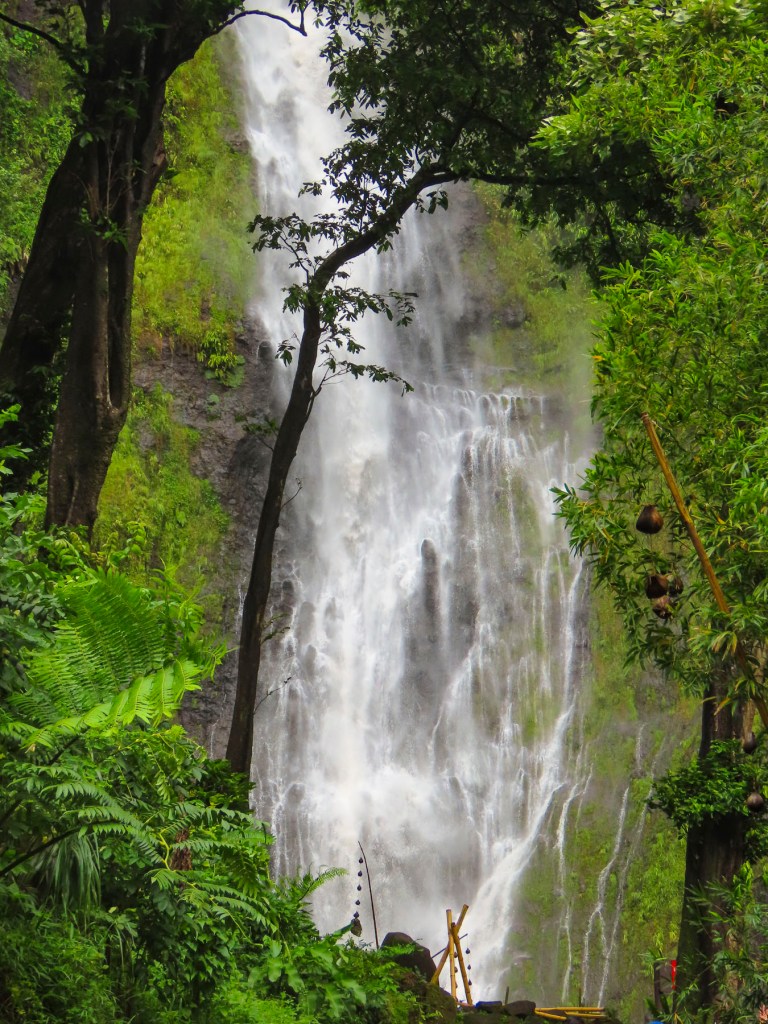
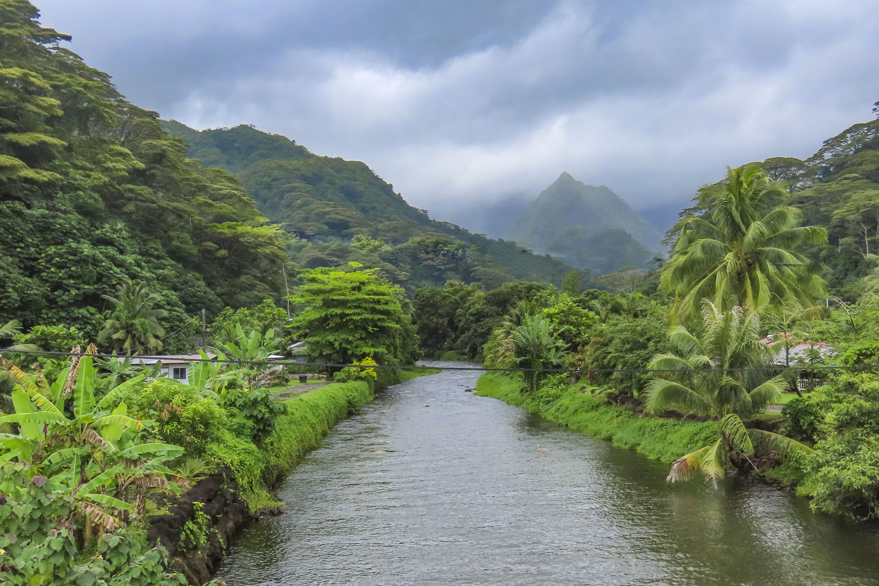
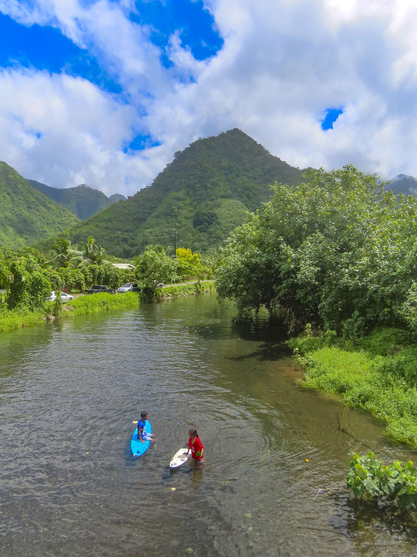
Located at the end of the road, almost directly across the street from the blowhole, the Fa’aruma’i Waterfalls were beautiful. This first was an easy walk from the parking area, but the second two are reached by an eroded and rocky trail that took some effort for us to negotiate before crossing a rickety suspension bridge and climbing farther into the hills. There were numerous photo stops along this drive, especially at the bridges over the rivers, that give a glimpse into Tahiti’s rugged, verdant interior.

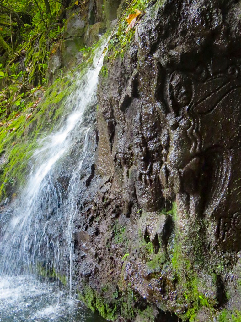
Closer to Tahiti Iti, La Cascade de Pape’ana’ana was a hidden gem barely visible from the road. It’s a mysterious site with figures of a tribal chief and a woman carved into the stone face of a small waterfall. No one knows when or who created it. There were numerous waterfalls and beaches along the east coast of Tahiti Nui just waiting to be explored.

We reached Taravao late in the afternoon, at the time when most restaurants are closed until dinner. We opted to eat at the local McDonalds, something we rarely do, especially when traveling abroad. But we were pleasantly surprised with tasty McWraps, and the coffee was good. But one of the memorable things about this stop was the appearance of a young father and his daughter dressed in matching pinks tutus, enjoying each other’s company and lunch together. It’s not something every dad would do, and I would have loved to know the backstory, but I admired him for his self-confidence, and that he didn’t perceive this playfulness as eroding his masculinity, just a desire to please his little girl. Something I can relate to.

Afterwards we stopped at the local Carrefour, which was as fully stocked as any supermarket in France, though the prices were through the roof, as high as if we were living in Paris. We purchased tuna, mahi-mahi, some vegetables, salad, and a fresh baguette for dinner. Croissants and French style pâtisseries were gathered for breakfast. A bottle of French rose’ and a 6 pack of locally brewed Hinano beer rounded out our purchases. Curiously, the beer’s distinctive and elegant “vahine” logo of a Tahitian woman wearing a red pareo was painted by a fellow from Sweden in 1953.

With the groceries put away and the beer in the fridge, we cooled off in the pool. Tahiti was one of our warmest vacations with daily temperature in the mid-80Fs, with high humidity. Usually we target locales with spring-like weather. Fortunately, along the coast there was always a cooling breeze blowing in from the ocean.

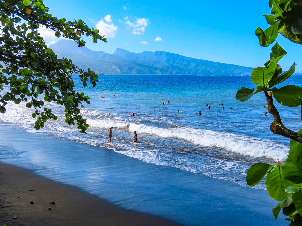
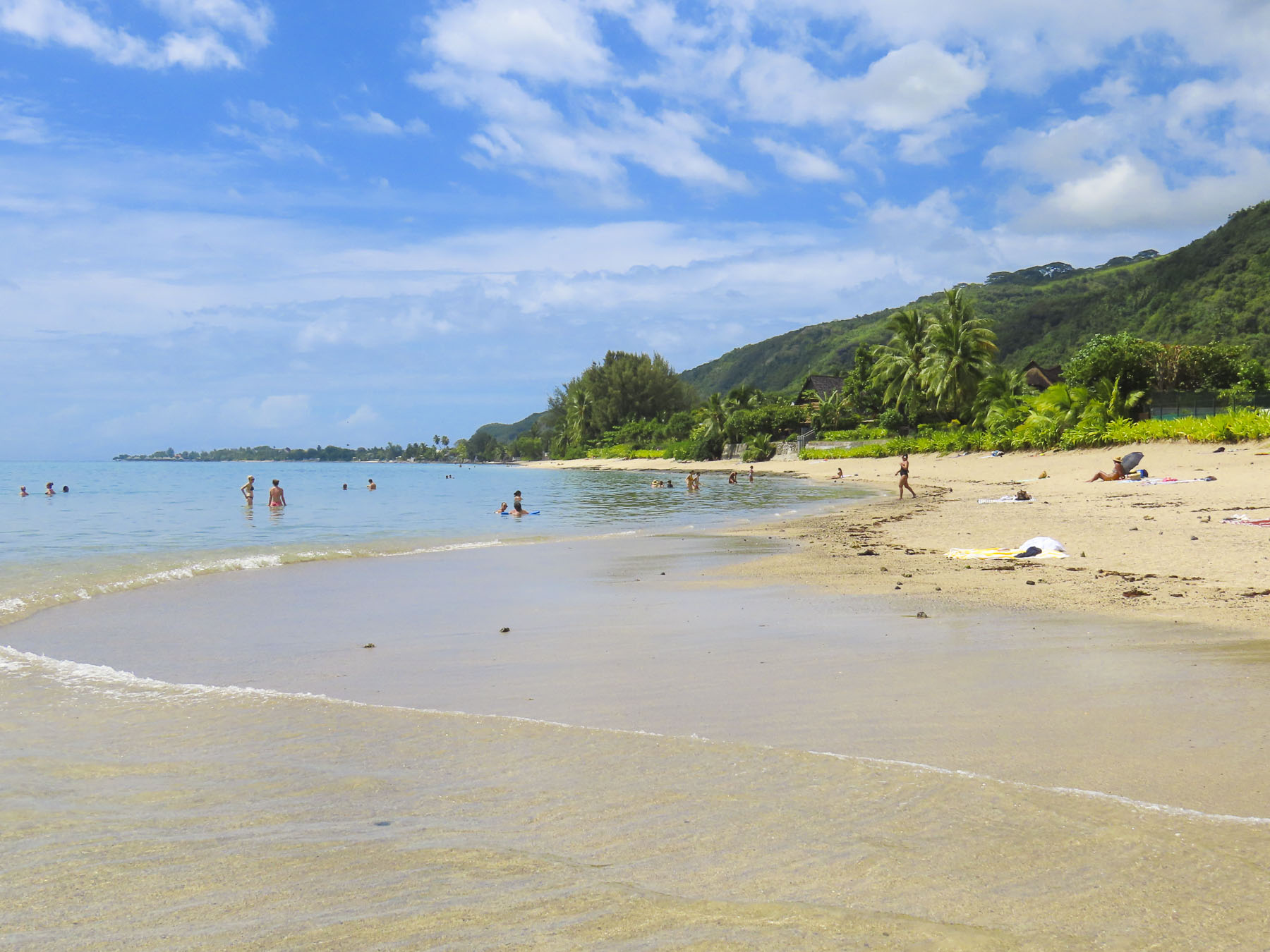
The next morning, we walked a short distance and crossed the road to a black sand beach, created eons ago from volcanic eruptions. Following the local folks’ example lead we rinsed off after our swim under a pipe, driven into the hillside like a spout into a barrel, gushing spring fed water from the highlands.

Later we headed to Tautira for lunch at Le Bout du Monde, which sounds so elegant in French, but translates as “The End of the World,” and aptly describes the locale, with the coast of South America nearly 5,000 miles east. The road literally stops here, as there is not a coastal plain around the southern tip of Tahiti Iti that is suitable for a road. The mountains descend into the sea here. Folks live along this isolated eastern coast but need to use boats to get to their homes. Rustic simplicity best describes Le Bout du Monde, with its walk-up ordering window, and wallboard menu. There were several dishes listed, but I think they only serve the catch-of-the-day. Picnic tables were around the back under shade trees at the edge of the ocean. Only us and another couple were there. The fish was delicious!

Afterwards we took our time walking along Tautira’s beautiful black sand beach set against the mountains. On the way home we noticed people standing by the roadside in front of their homes. Some were holding umbrellas to shield themselves from the intense sun. Soon a van stopped and handed the people waiting a paper bag, with tan colored oblong shapes protruding from the top. Aha! We realized folks had been waiting for their rural baguette delivery, fresh from the bakery. It’s so wonderfully French.

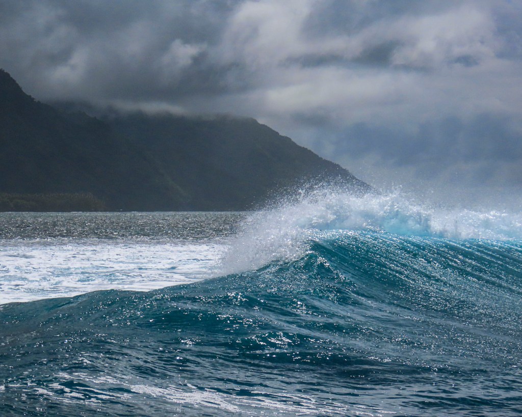
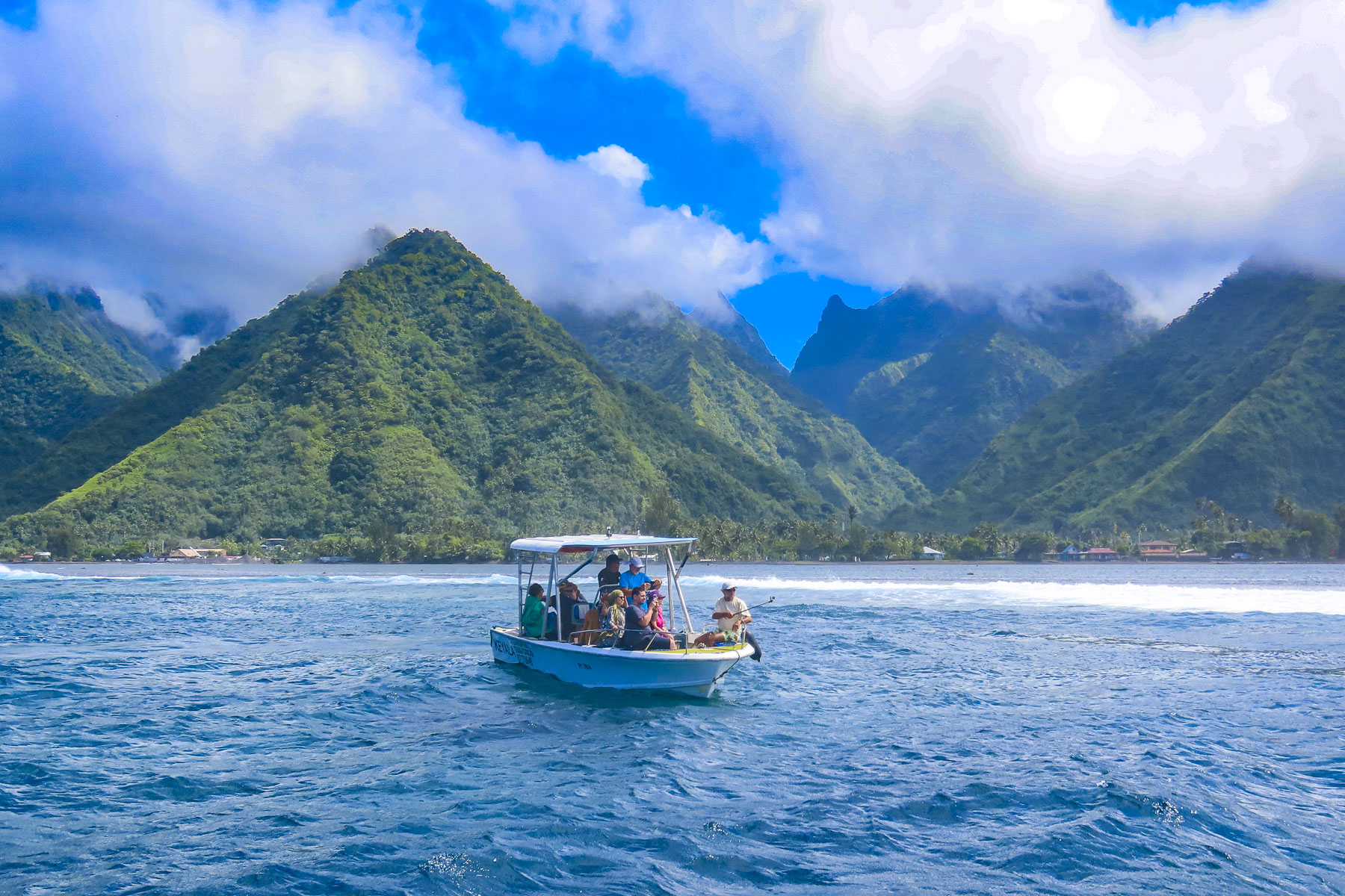
We have never surfed, though we were intrigued by the spectacular photos captured of the surfers riding the famous Teahupo’o Barrel Wave, located off the west coast of Tahiti Iti. The next morning, we drove to the village of Teahupo’o on the opposite side of Iti, where there are a number of boat operators, and booked a tour with Michael, the owner of Teahupoo Excursion Taxi Boat.

Though the conditions were not right to form the famous curl that day, we still enjoyed our time on the water and the dramatic perspective it provided looking back at the mountainous coastline. The 2024 Summer Olympic Surfing event will be held at Teahupo’o.

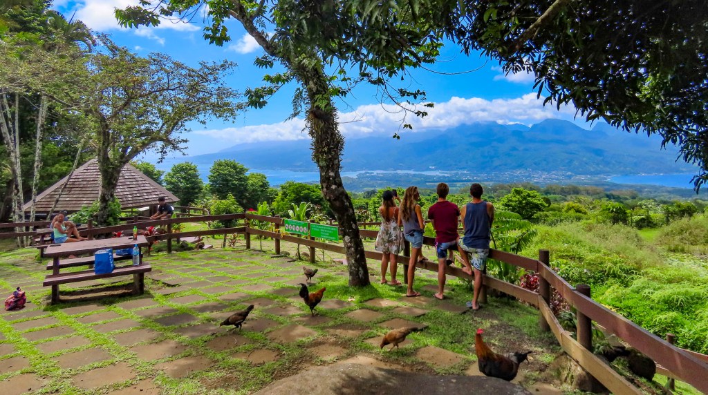
Afterwards we enjoyed a scenic drive to the Belvédère de Taravao in Iti’s highlands. The inaccessible Mount Ronui, standing at 4370 feet, is the highest point on Tahiti Iti. The Belvédère de Taravao, at 1800 feet, offers an expansive view of the Taravao isthmus that includes the east and west coasts of Tahiti Nui.

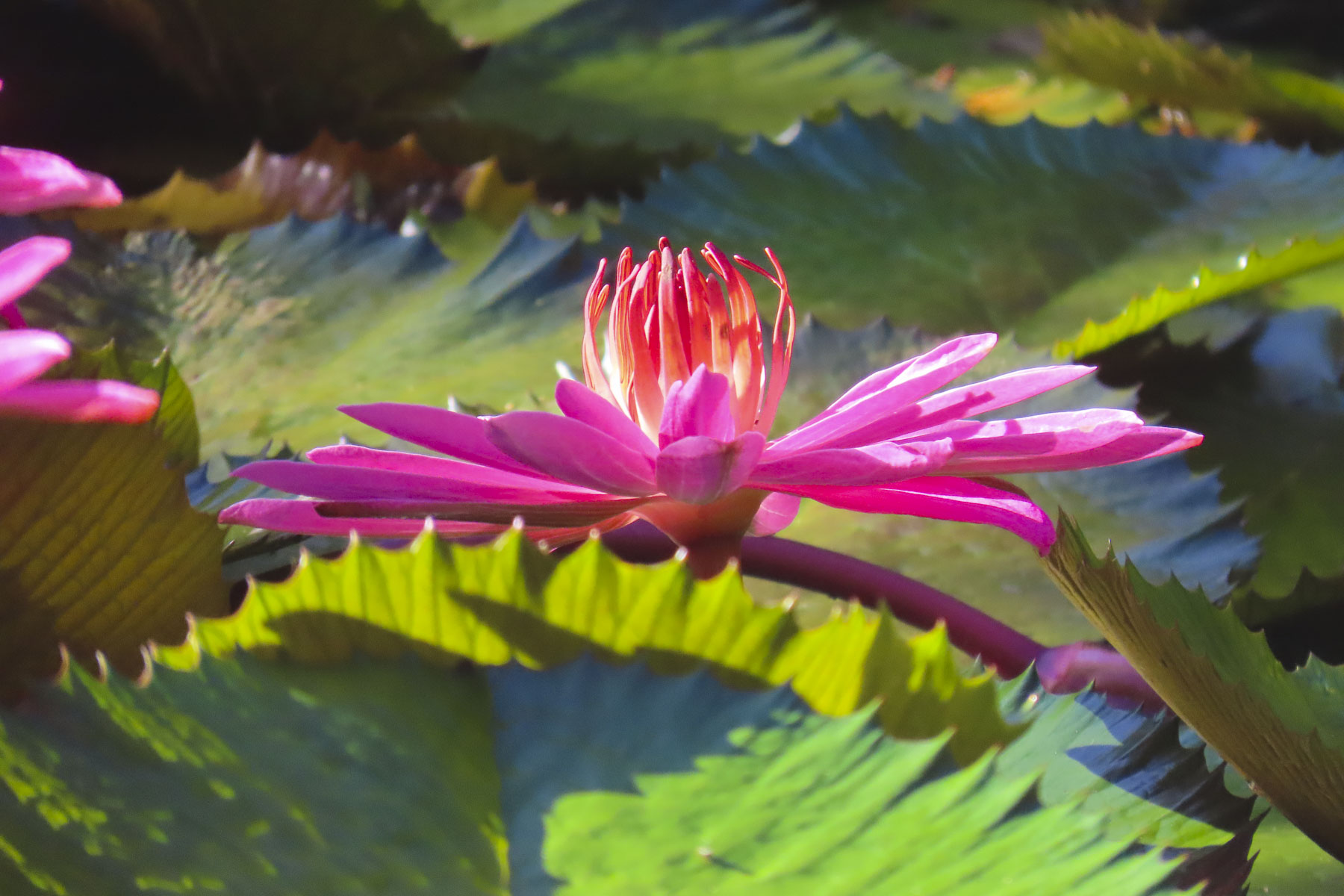
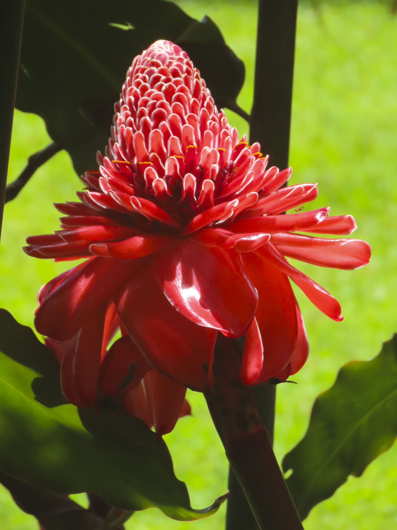
For the last four days we headed back to Tahiti Nui and drove along the west coast towards Papeete, stopping to take pictures numerous times. Gardneners ourselves, we especially enjoyed the Water Gardens Vaipahi and the Grottes De Mara’a, where we followed the paths through colorful specimen plantings and noticed, not for the first time, the ubiquitous free range roosters, hens, and chicks that seem to roam everywhere in Tahiti.

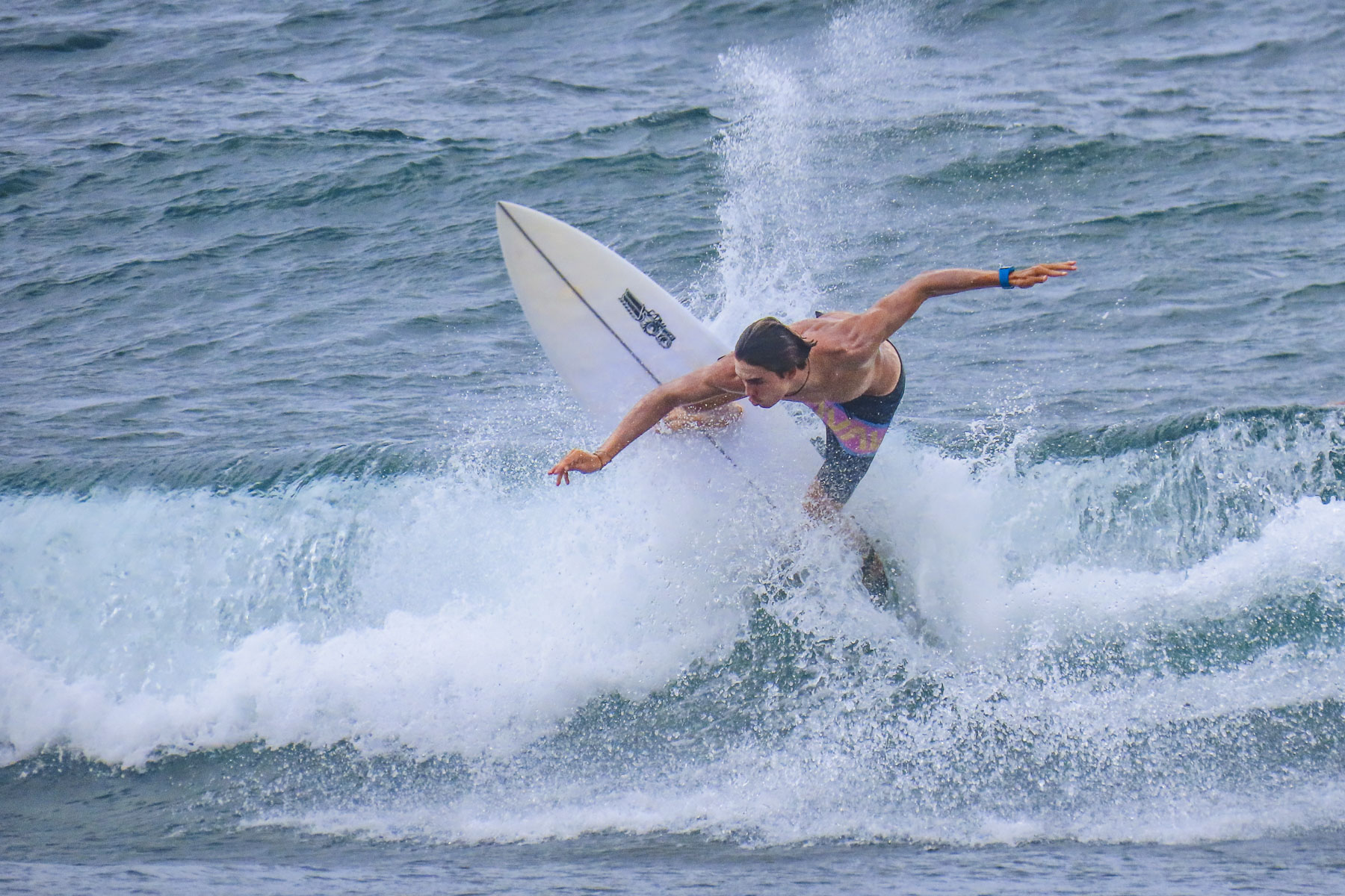
At Taharuu Beach we practiced our sports photography skills, capturing surfers riding the waves, an activity we could spend hours engrossed in, but the weather just wouldn’t cooperate fully.

Later that afternoon we arrived at Bungalow Poerava in Punaauia and were blown away by its dramatic location. It’s a small apartment next to the owner’s home that’s cantilevered out over a steep hillside.

This construction gave it a splendid Robin Crusoe treehouse feel. It had a fully equipped outdoor kitchen, and porch and seating area boasted a view of Moorea in the distance. It was one of the nicest apartments we’ve every stayed in during our years of travel. Oh, and it had an avocado tree laden with fruit hanging over the entry stairs. We didn’t want to leave!

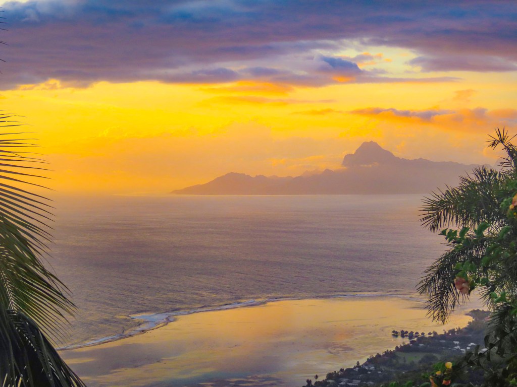
Normally we never just stay still and chill while traveling, but the setting here was perfect for kicking back, reading and enjoying a glass of wine on the shaded deck. We explored the surrounding area in the mornings but made sure we were back to enjoy the sunset.

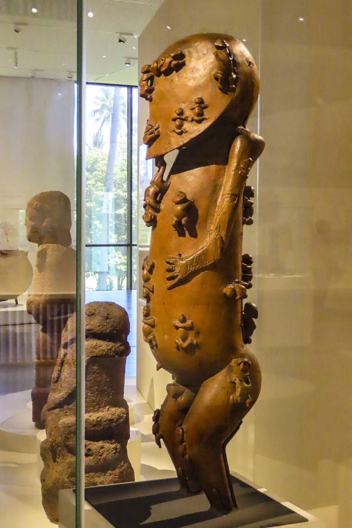
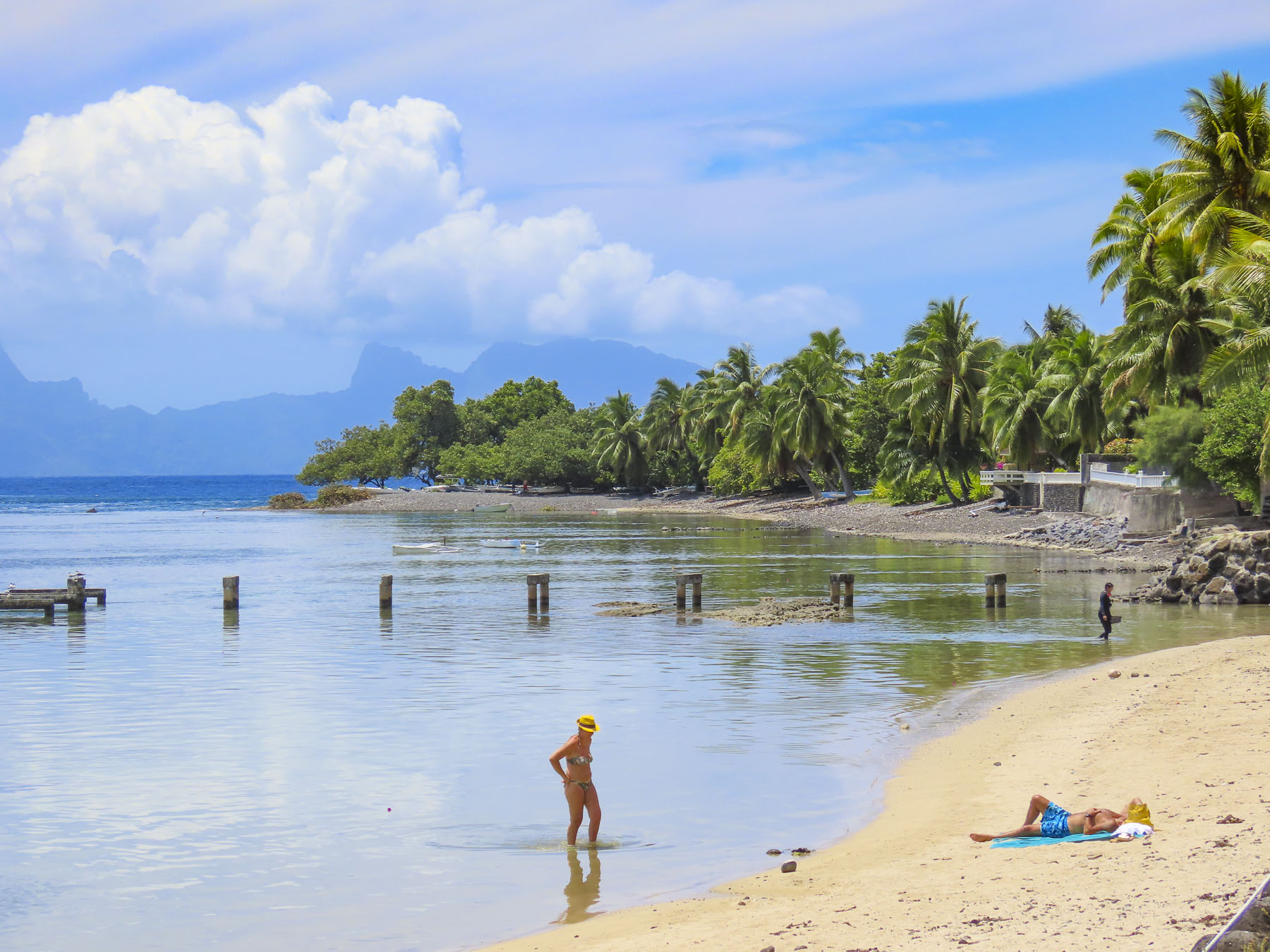
We divided our mornings between exploring cultural sites and swimming at beaches sheltered by the island’s surrounding reefs before returning for the day. The Museum of Tahiti and The Islands is a Polynesian ethnographic museum and has a fascinating collection of ancient artifacts collected from across the Tahitian islands. Later we enjoyed the food trucks at Parc Vaipoopoo, before enjoying the soothing bath-like waters of the Plage publique de Toaroto’s white sand beach.

The next day at ‘Ārahurahu Marae, an ancient Polynesian place of worship, a striking stone moai guarded the entrance to the religious site. Though smaller than its famous cousins on Easter Island, there was a definite resemblance. A large marae, an ancient ceremonial altar, constructed from lava stones and coral was at the rear of the site, where human sacrifices were once held centuries ago.

Afterwards we savored our last swim on Tahiti in the gentle waves of Plage Vaiava. Tomorrow we would head to the Port of Papeete to board Variety Cruises’ Panorama II for a sailing adventure to Bora Bora.

Till next time, Craig & Donna
–