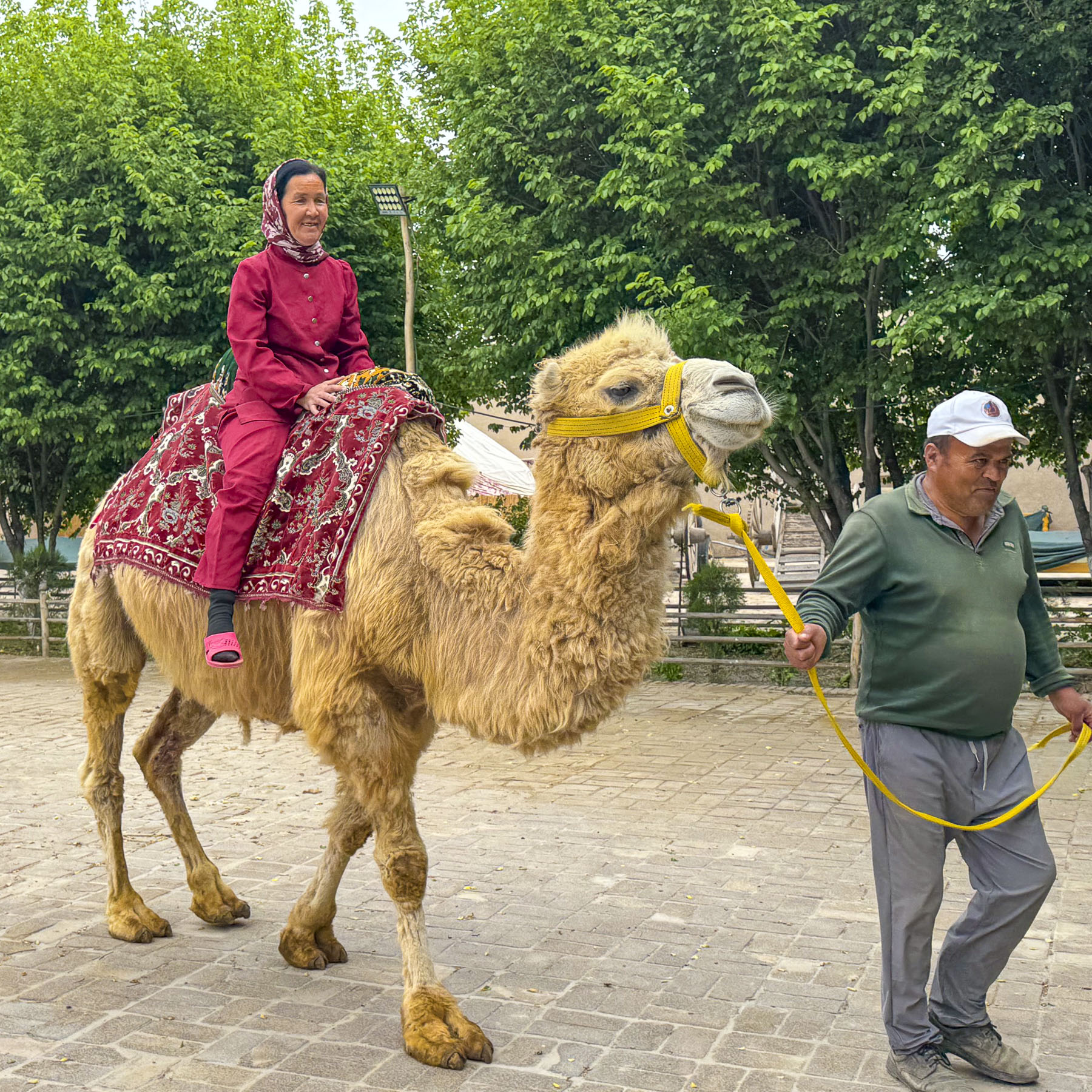
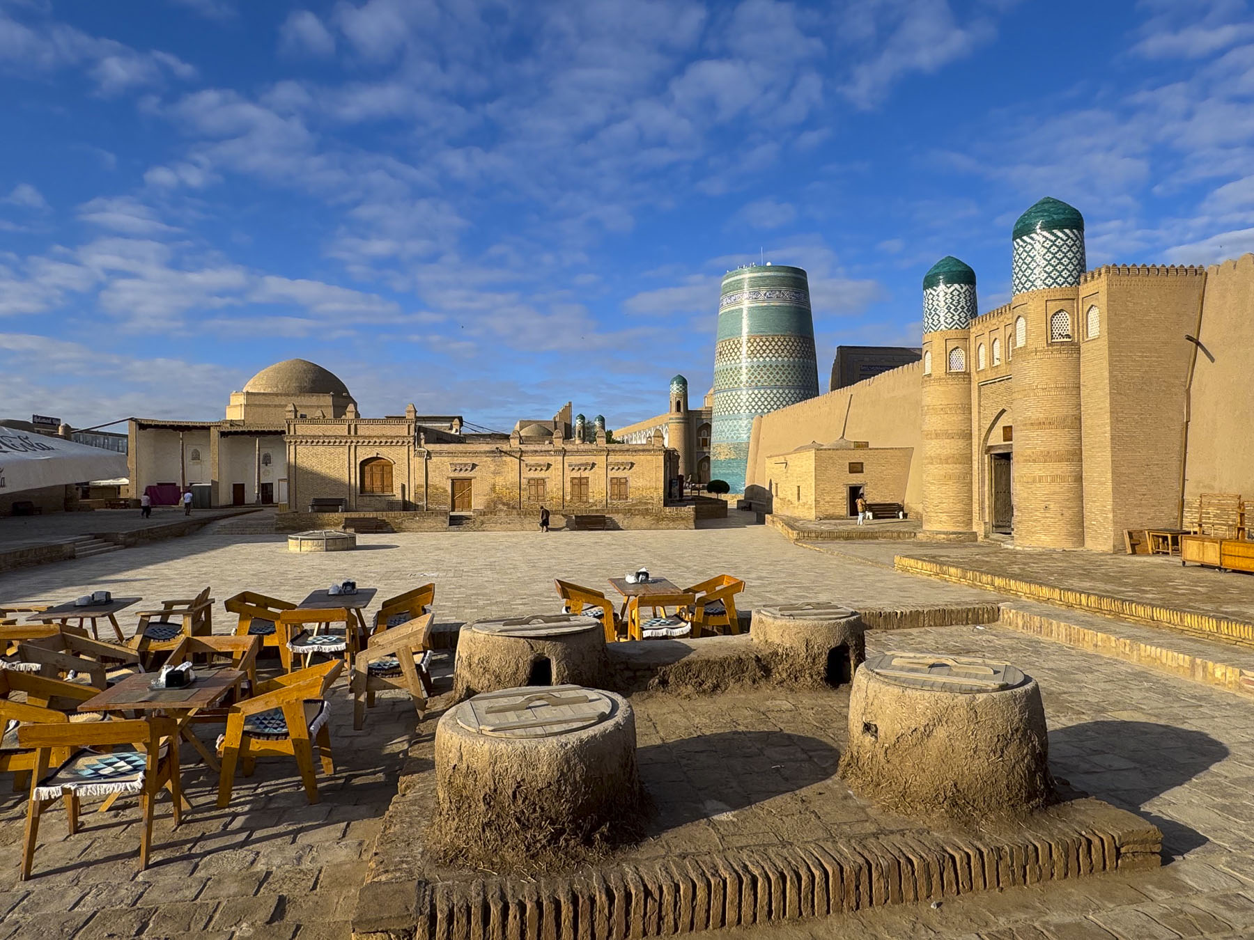
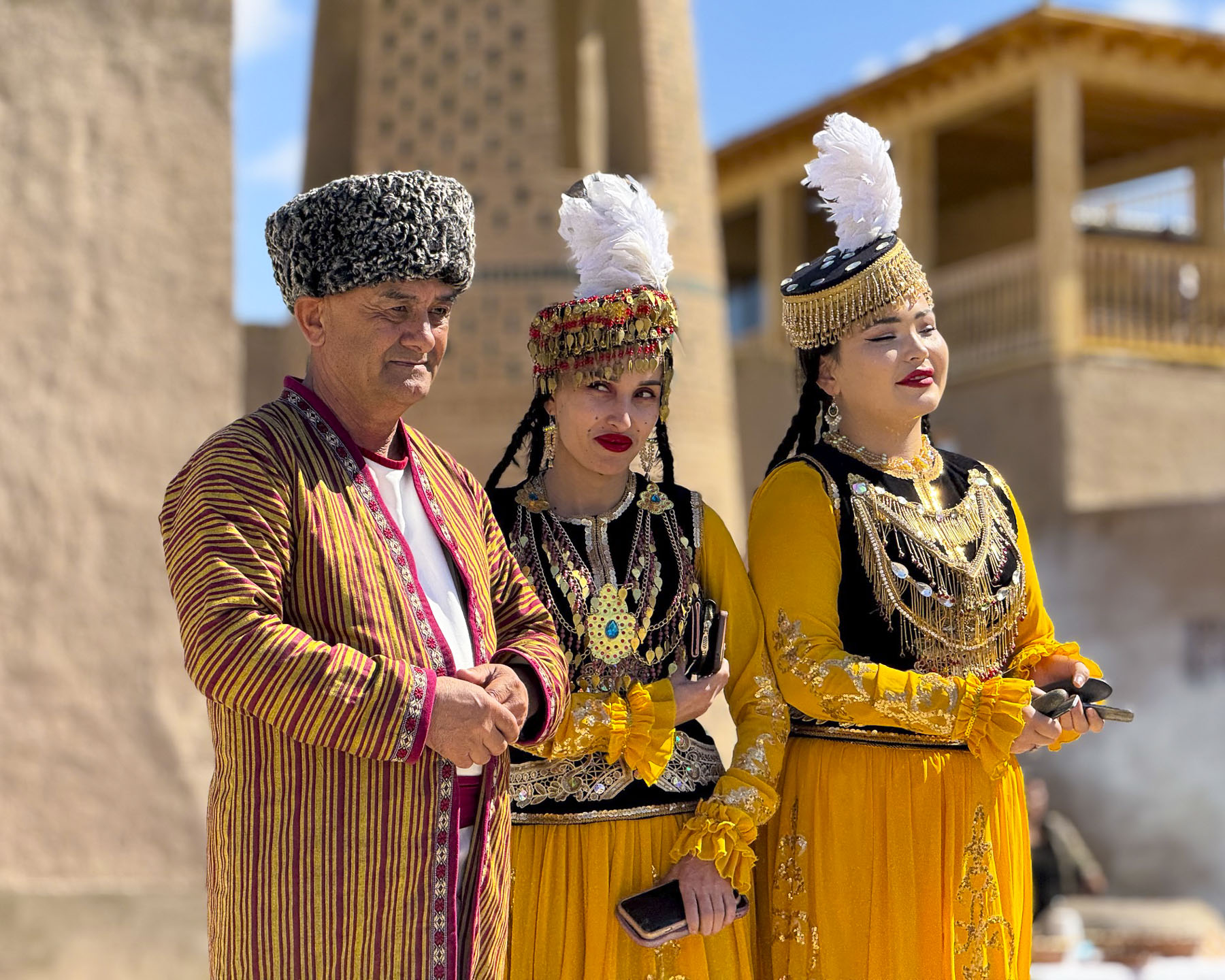
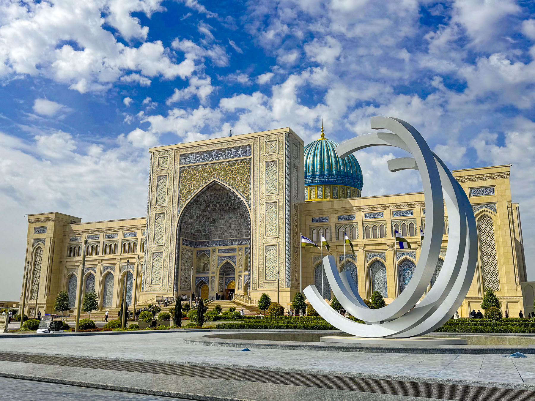
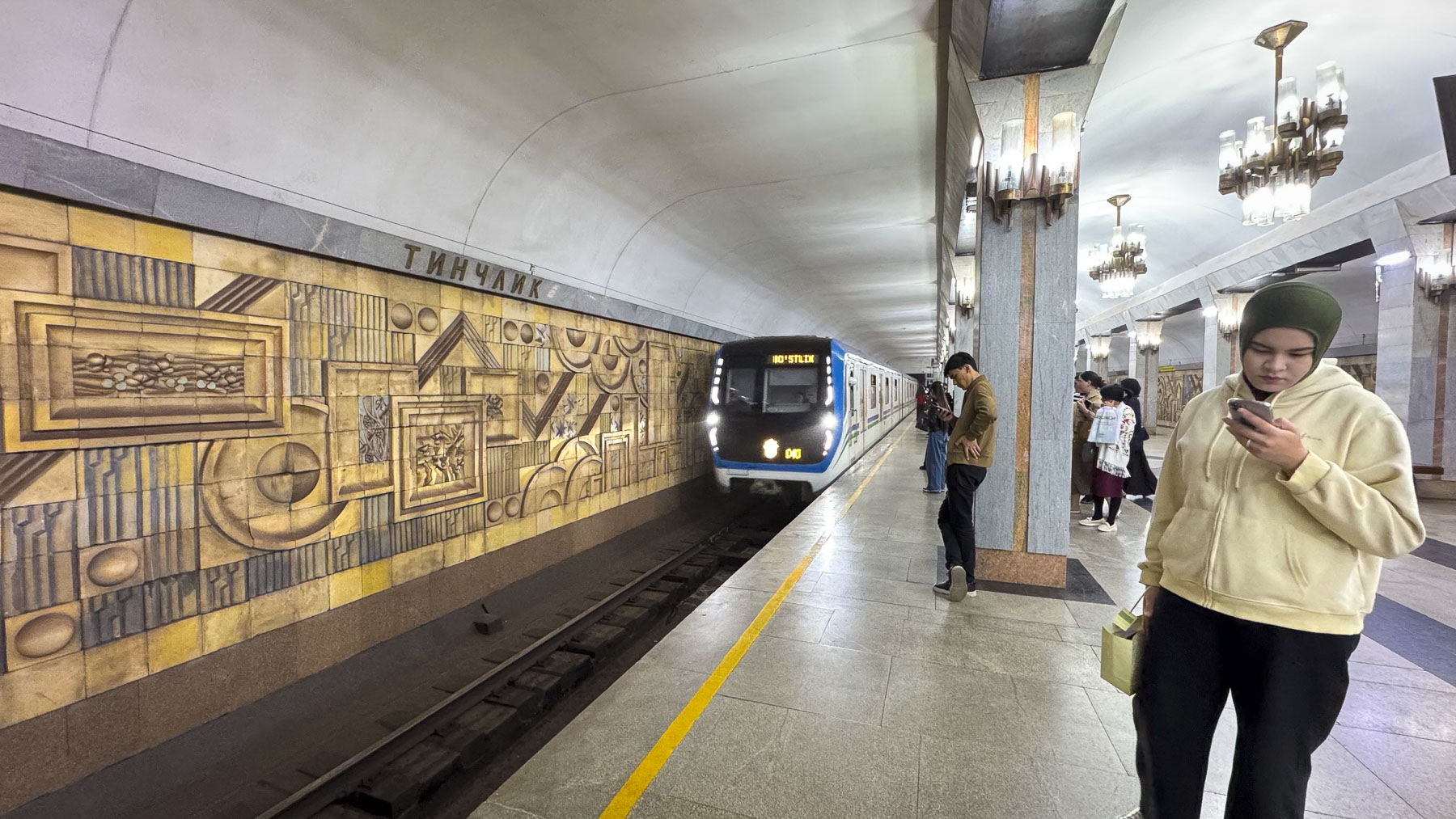
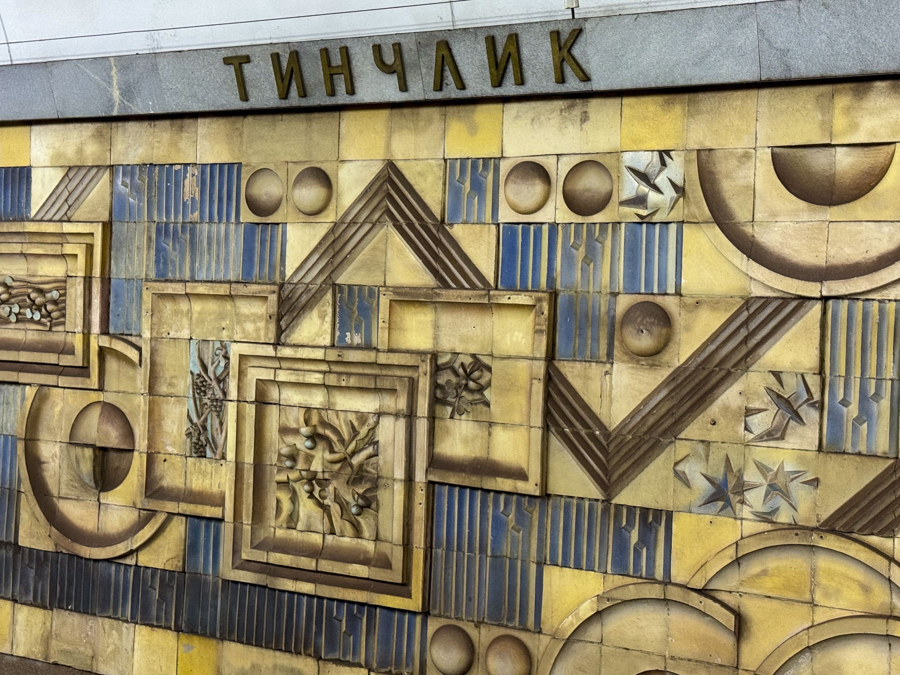
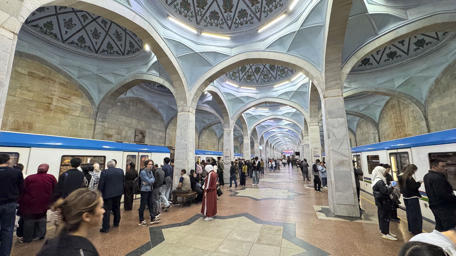
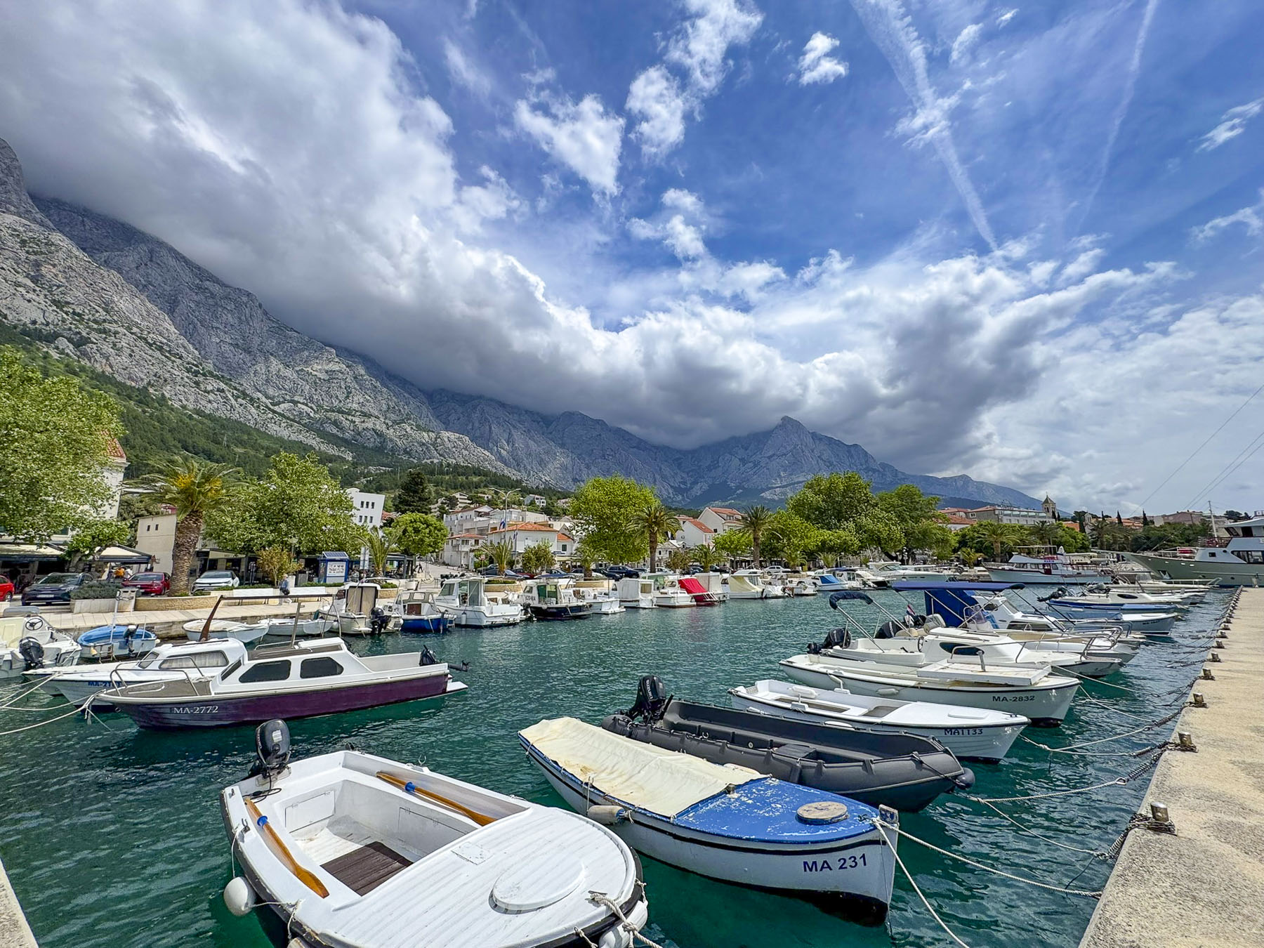
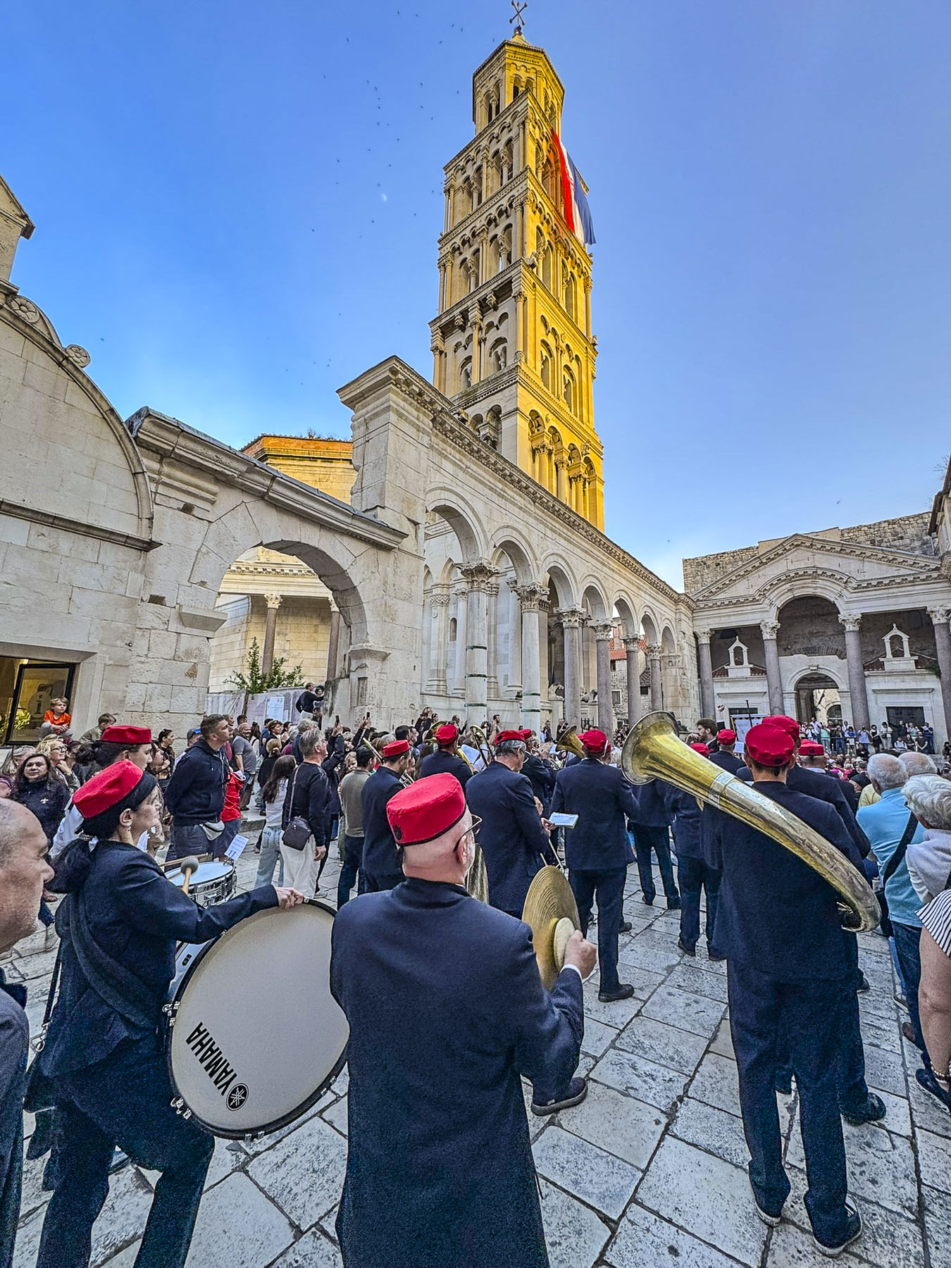
In mid-April 2026 we flew from Tashkent to Urgench on our way to Khiva. We were a month too early to take advantage of the newly operating “Jaloliddin Manguberdi,” a high-speed electric train that whisks passengers 1,020km (630 mi) across the country from Tashkent to Khiva in 7.5 hours with stops in Samarkand, Bukhara, Urgench, and Khiva.

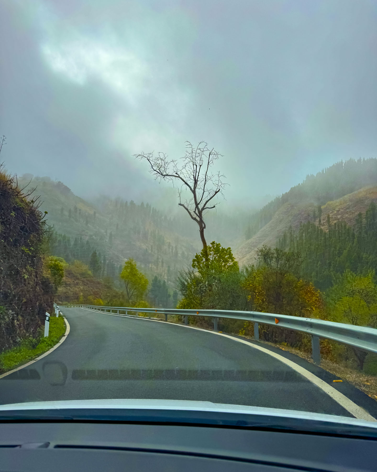
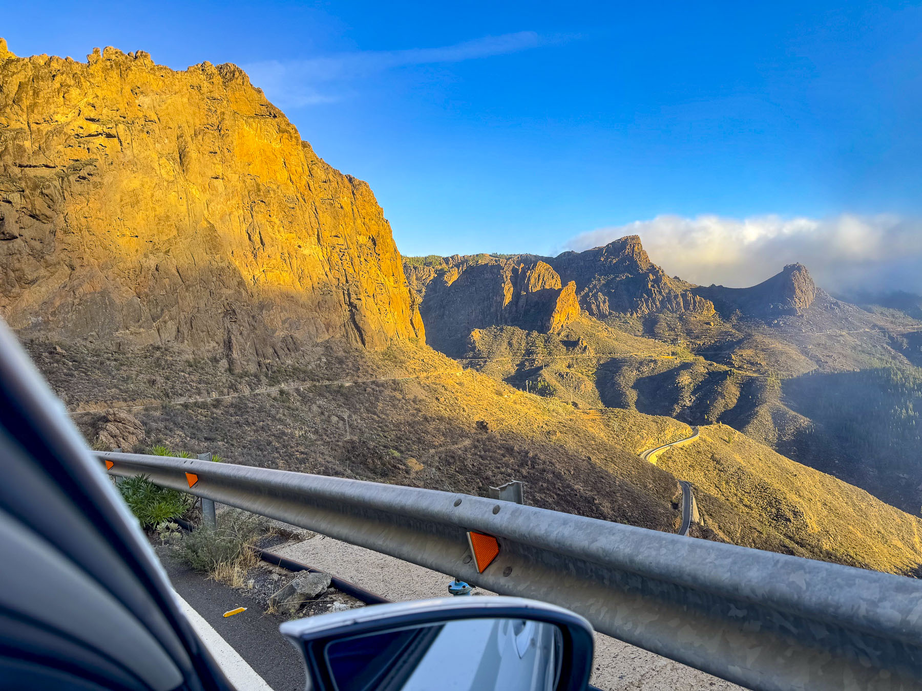
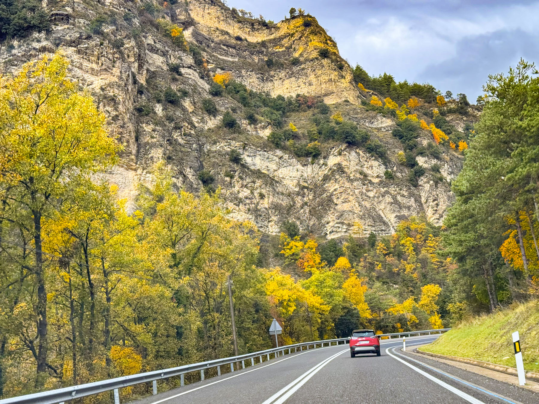
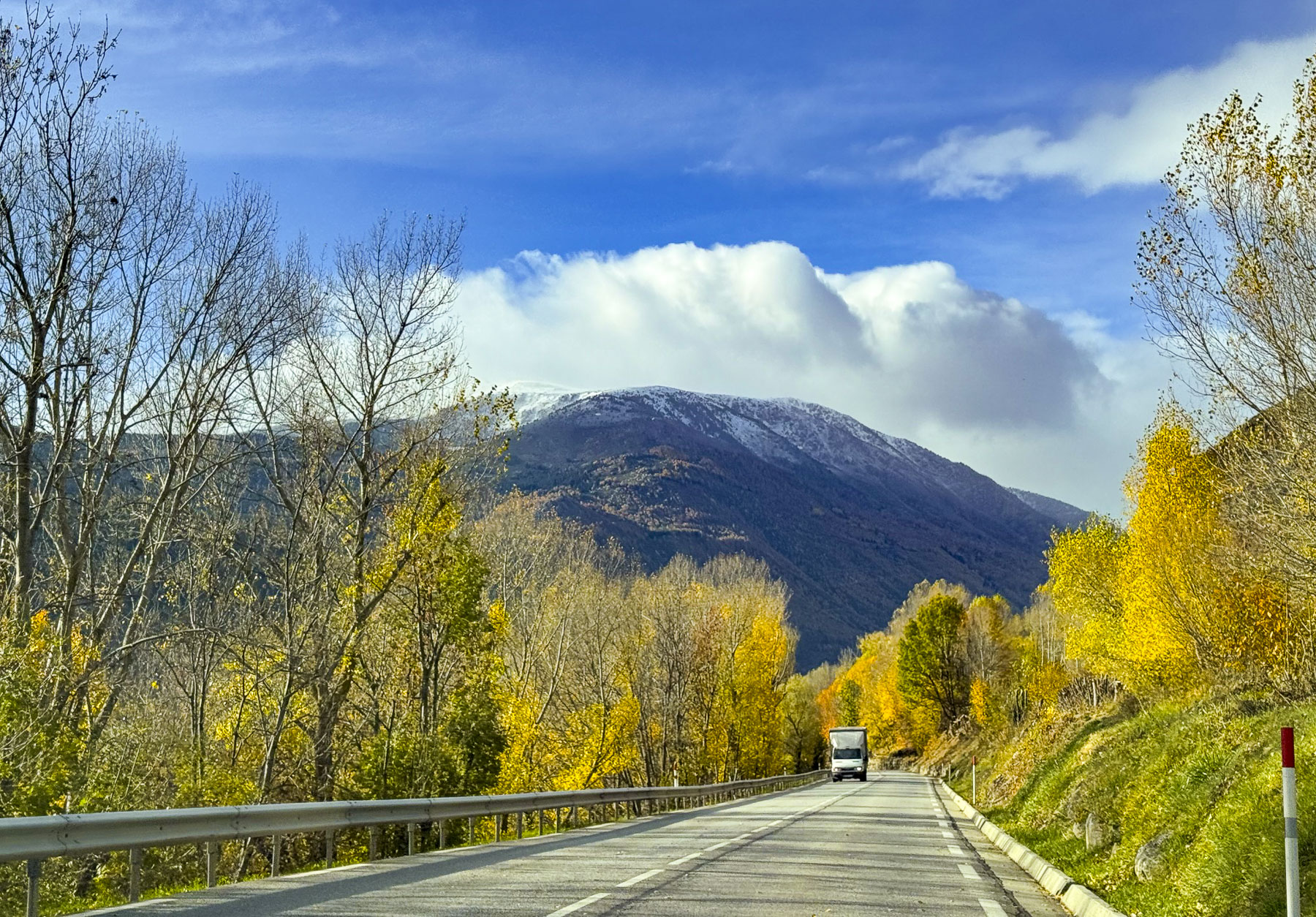
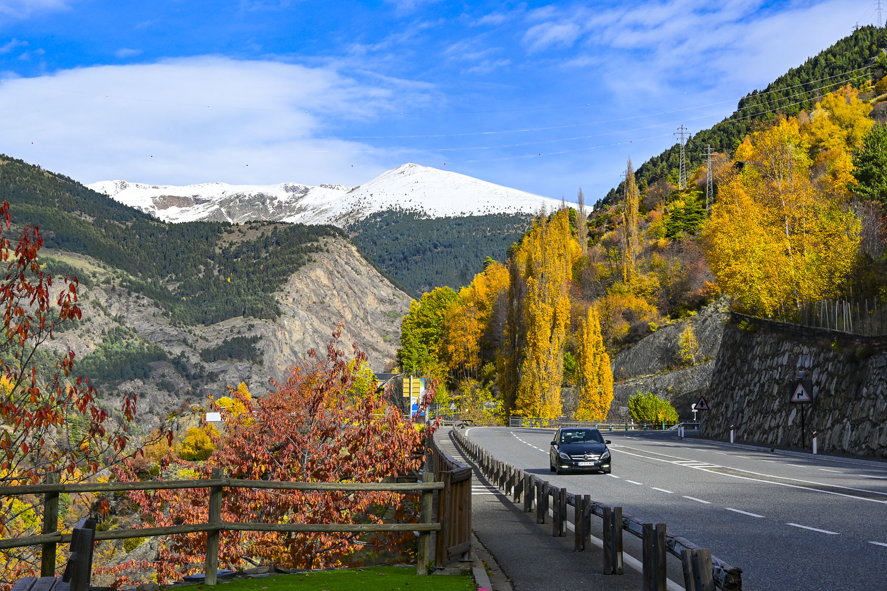
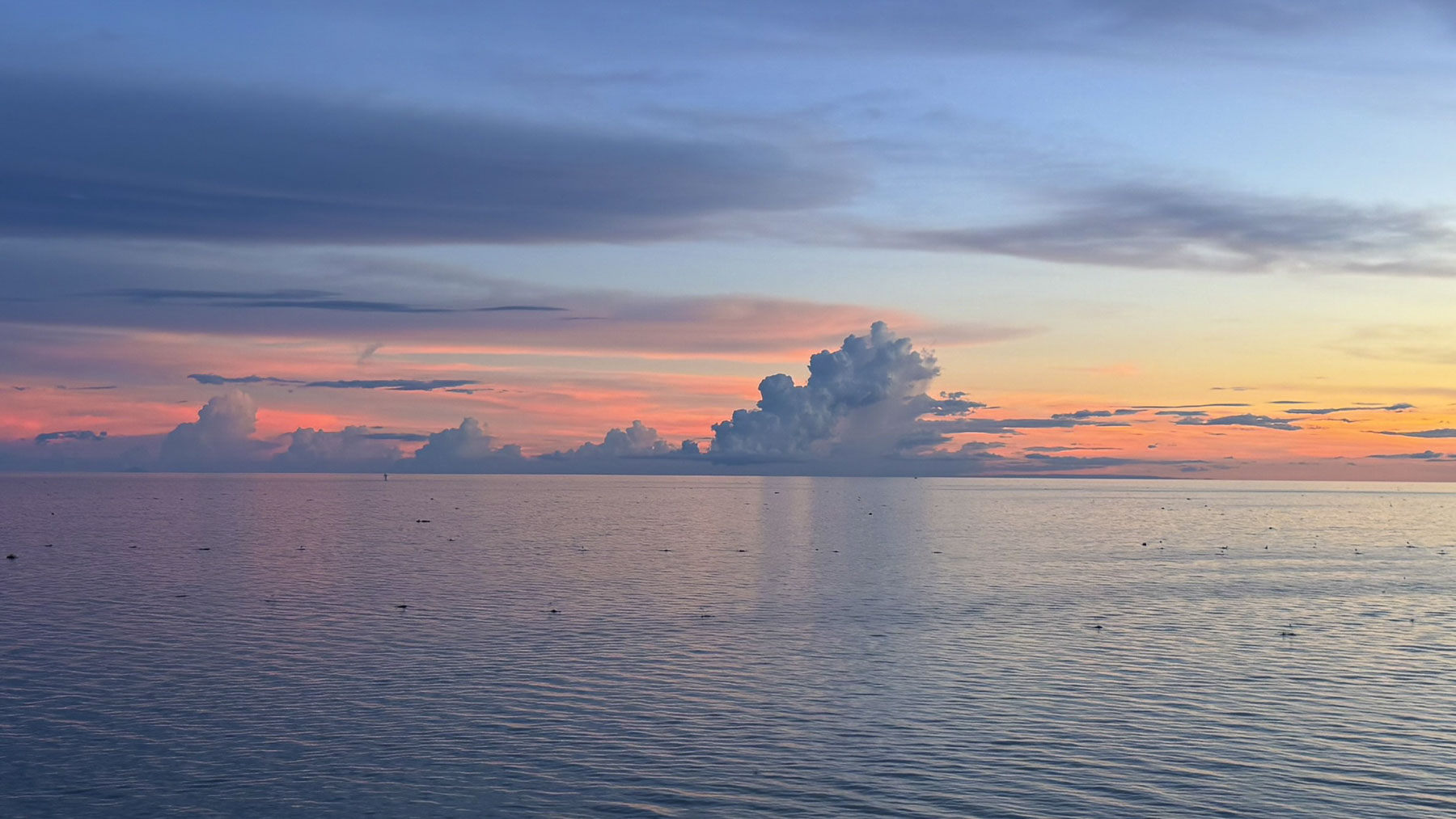
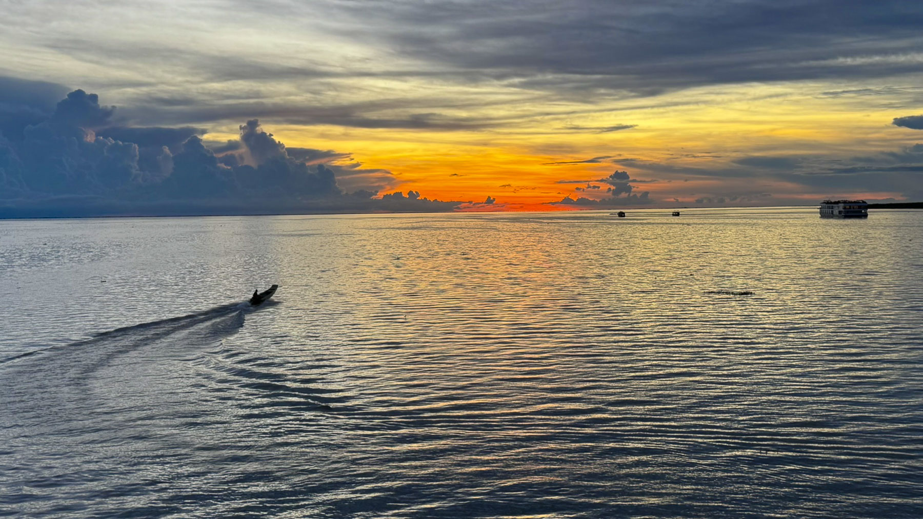
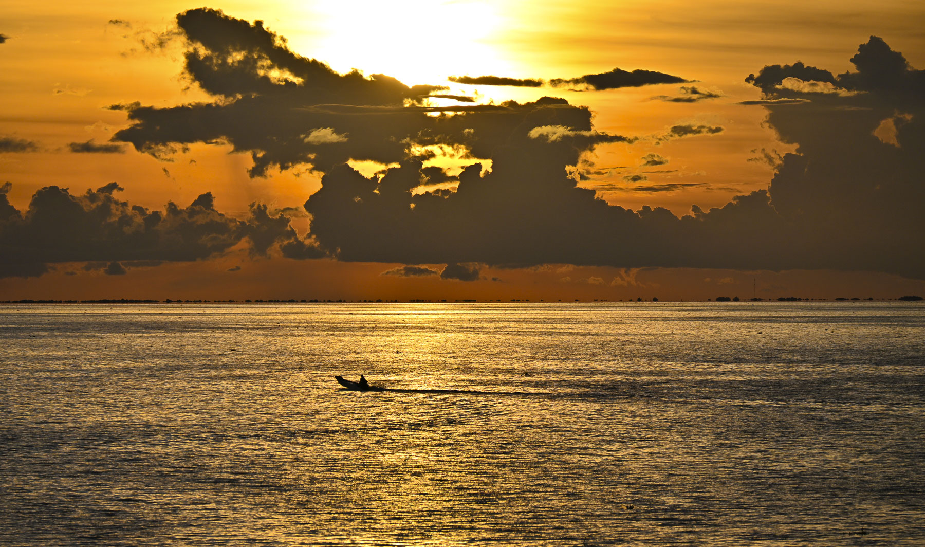
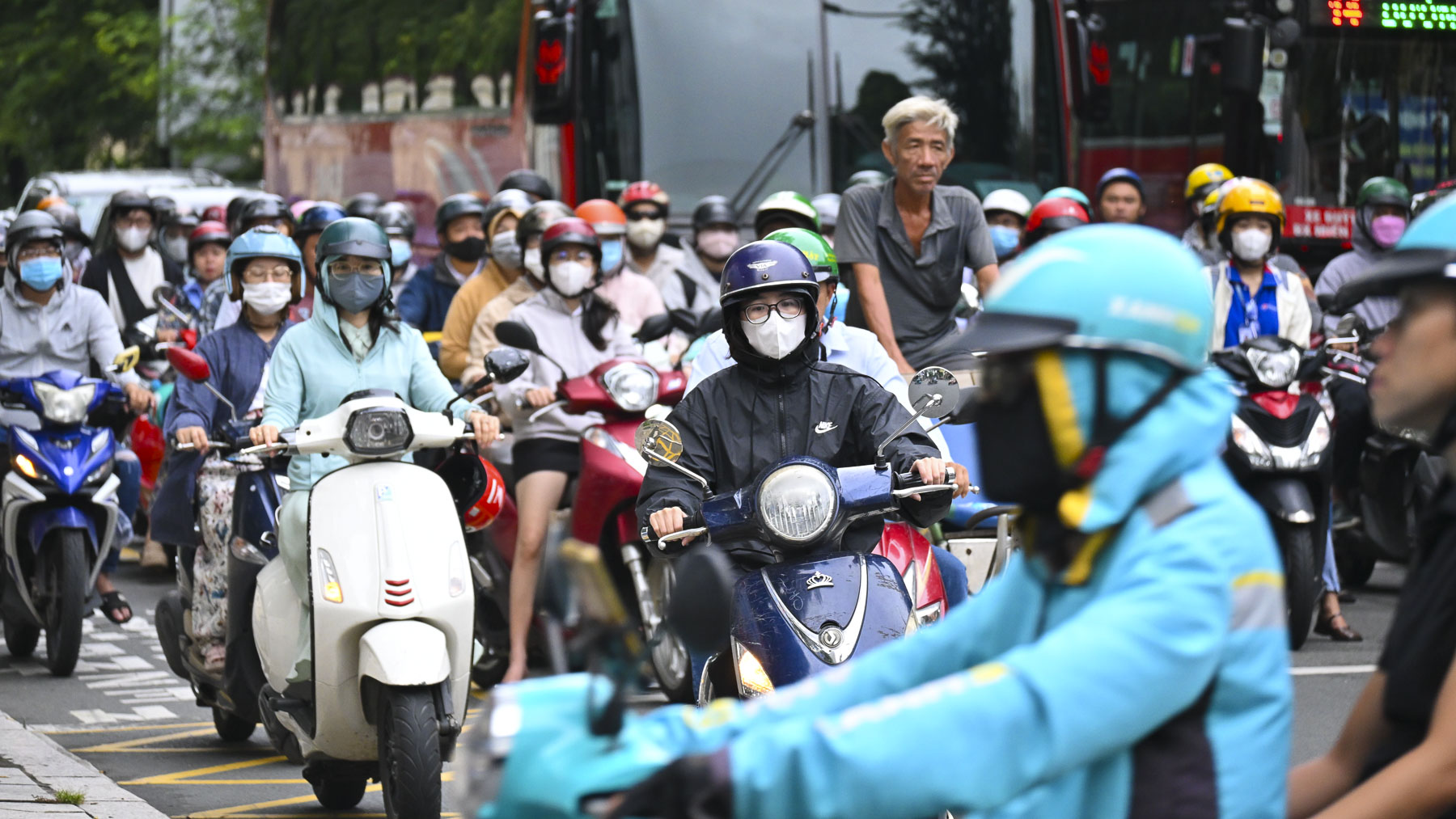
We are not fans of bus trips, preferring to rent a car, and organize our own road trips so we can stop frequently, but the distances between the cities in Uzbekistan were just too great, and we opted for a group tour instead. Consequently, a couple of long bus journeys were part of the itinerary, such as the six-hour trip to Bukhara. While some folks used this time to catch up on their emails and texts, or read, I preferred to look out the window, level the horizon, and try to compose a few photos as the bus bounced along. Leveling the horizon was nearly impossible.


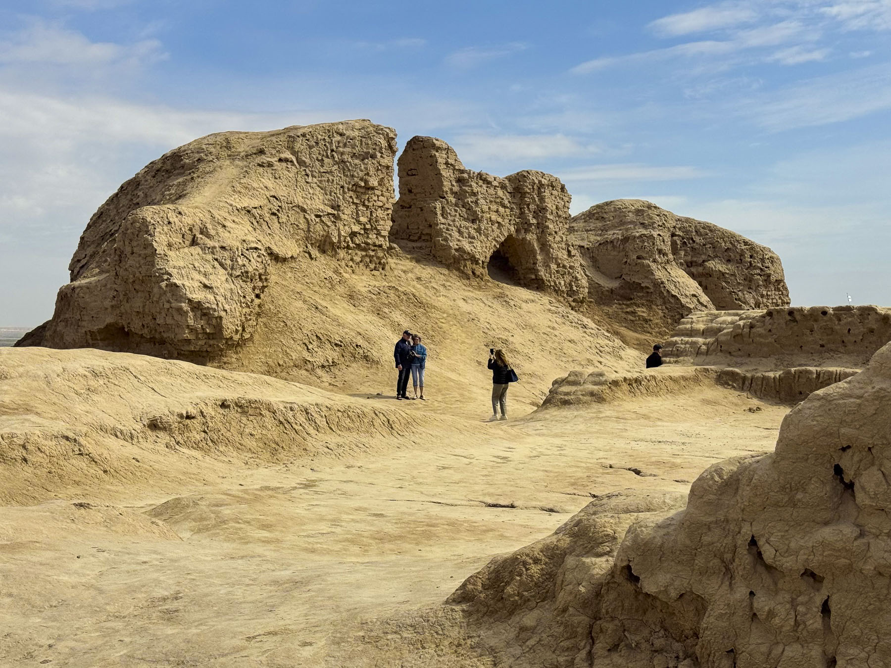
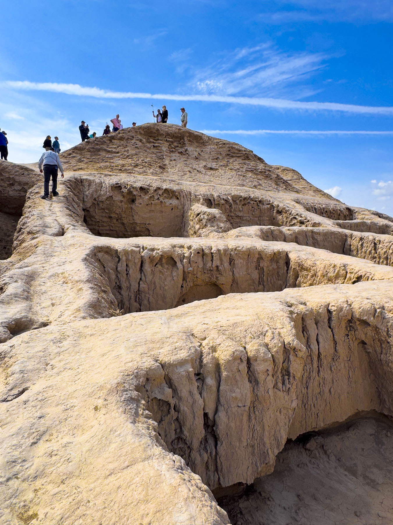
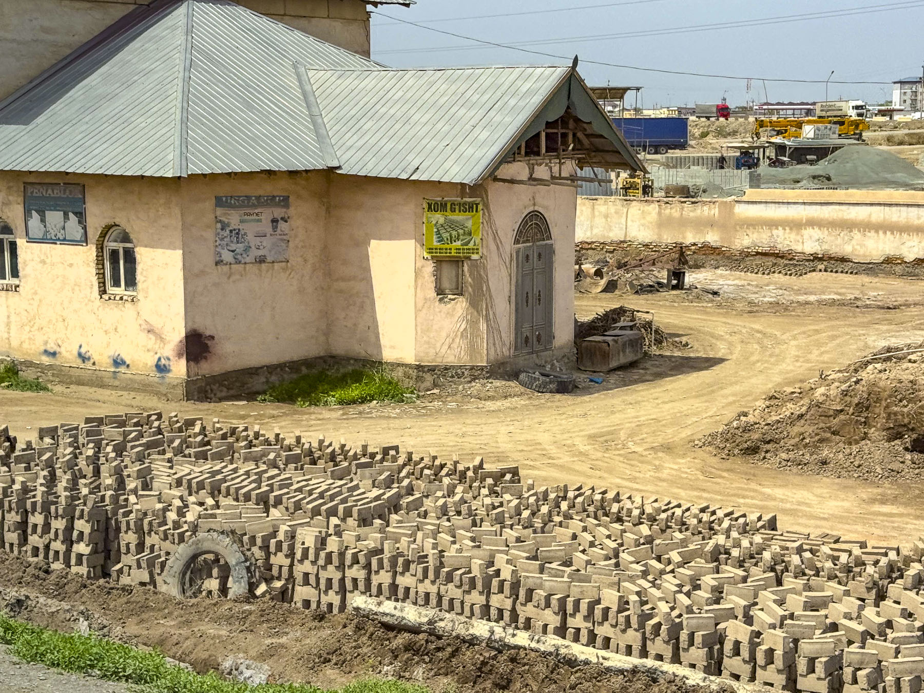
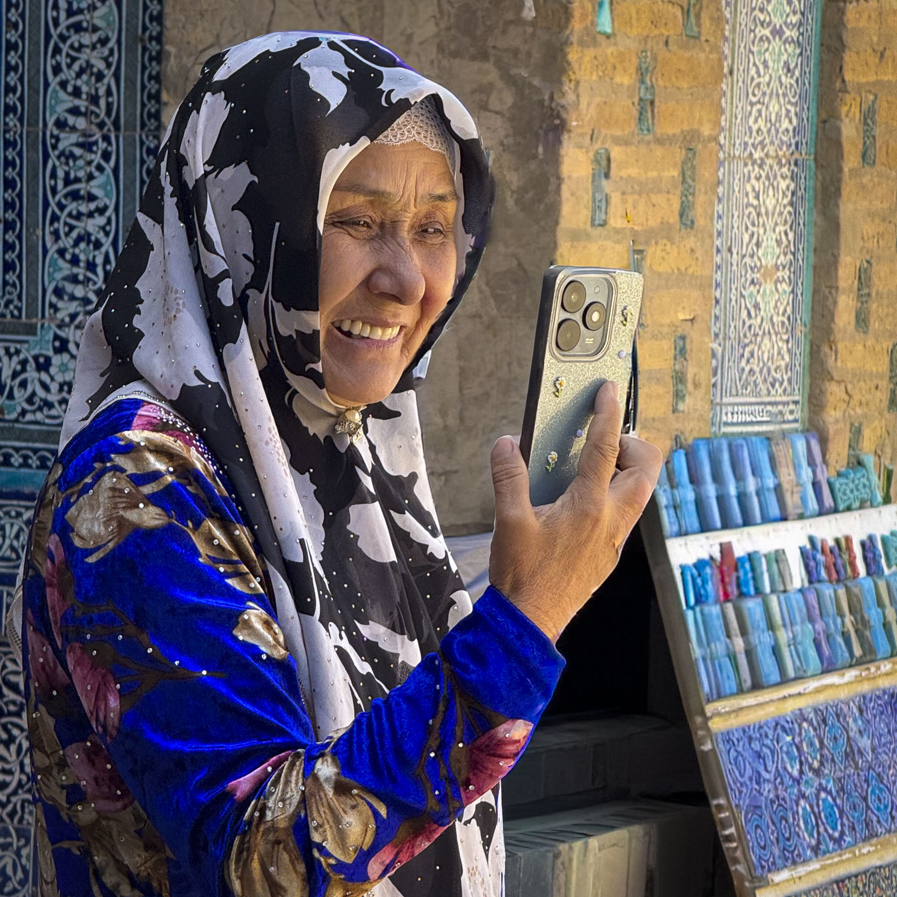
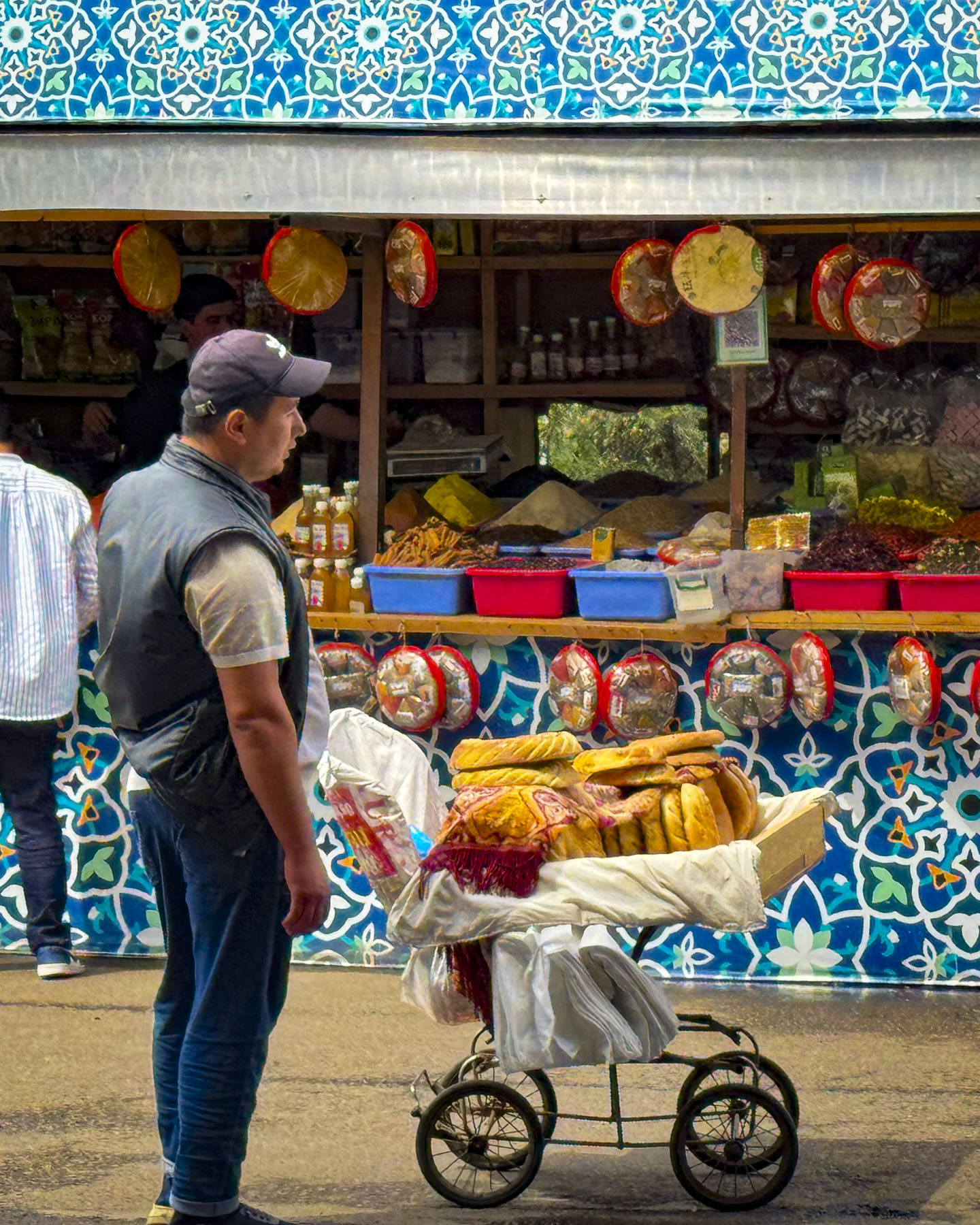
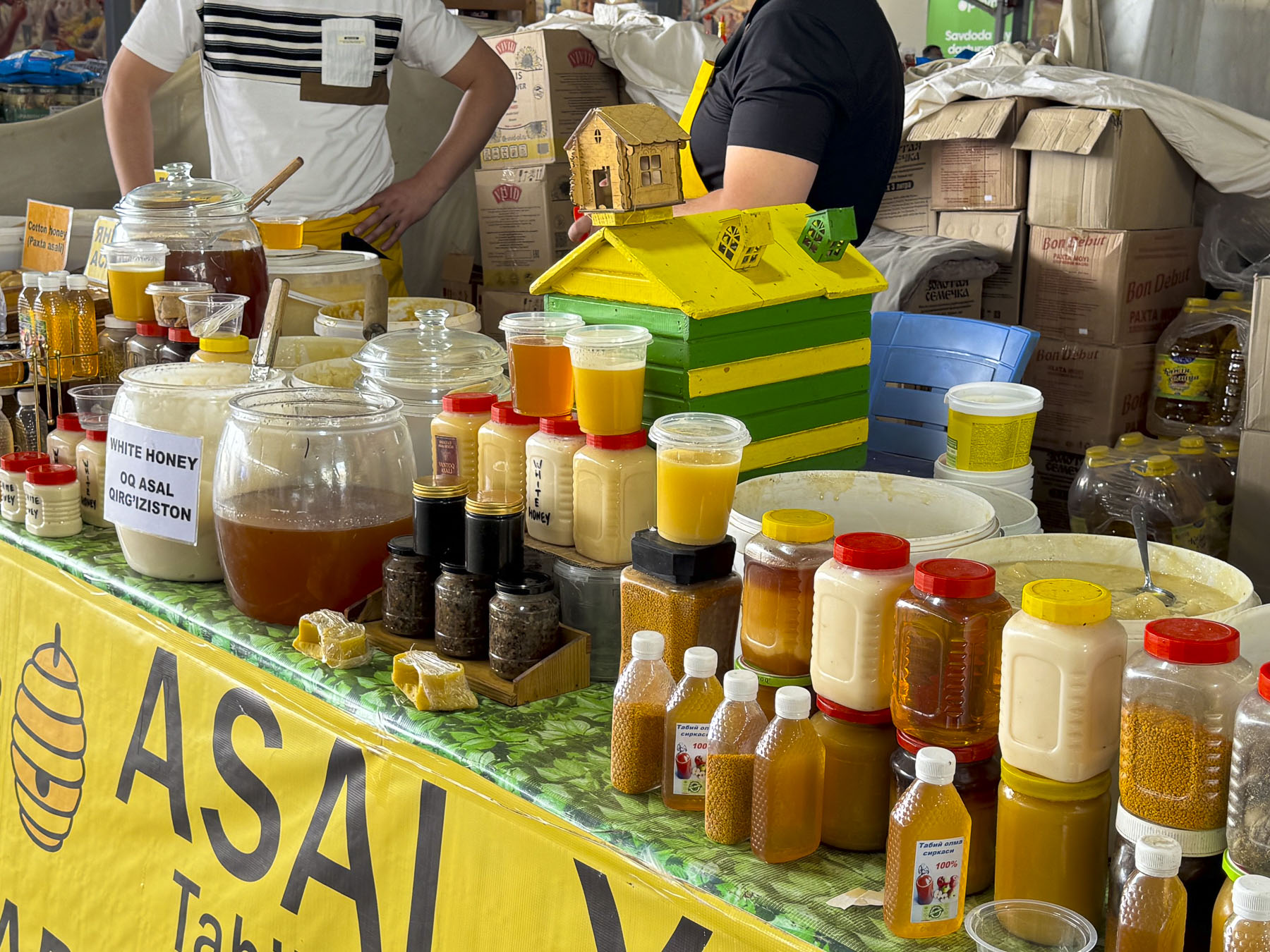
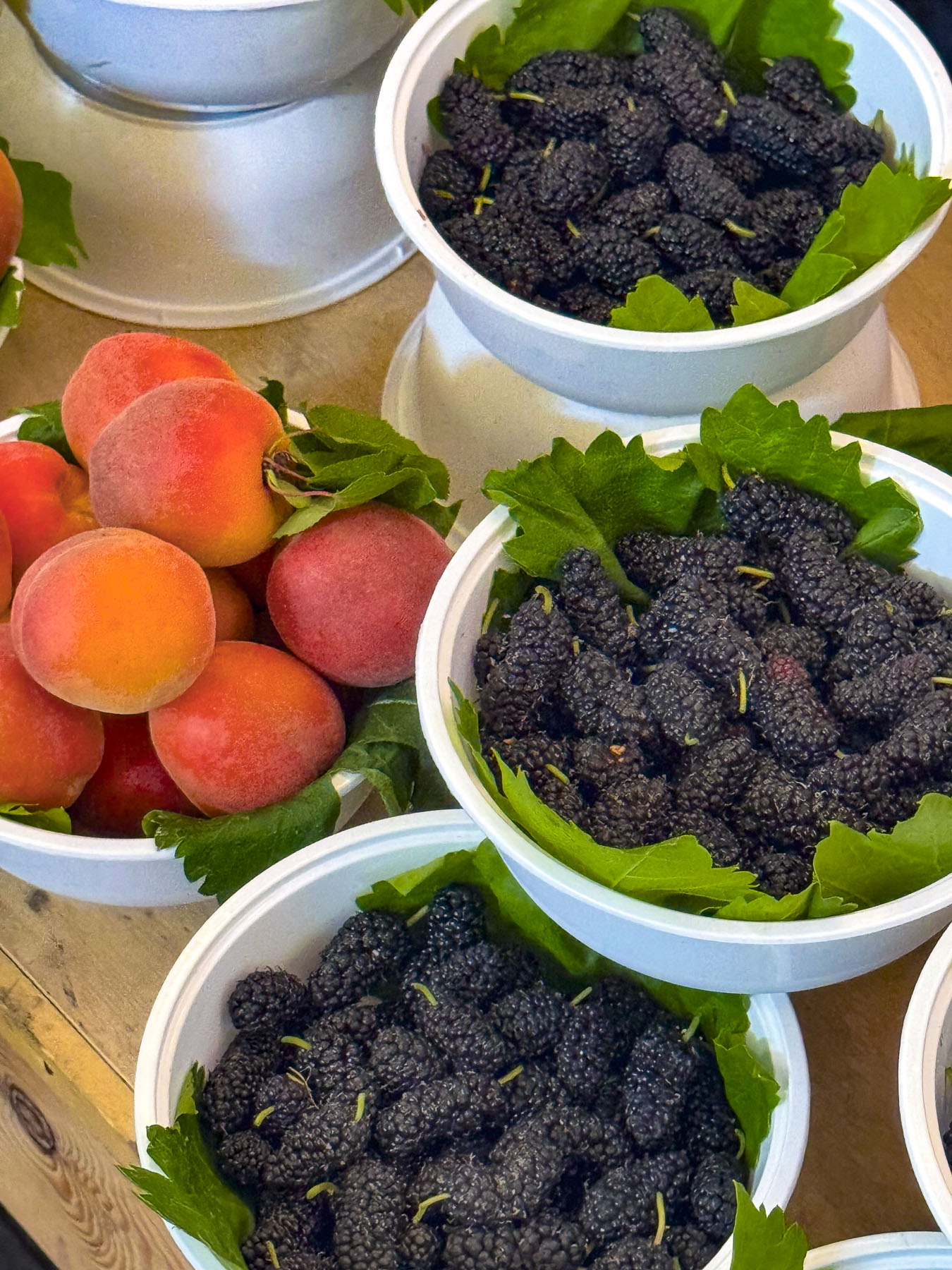
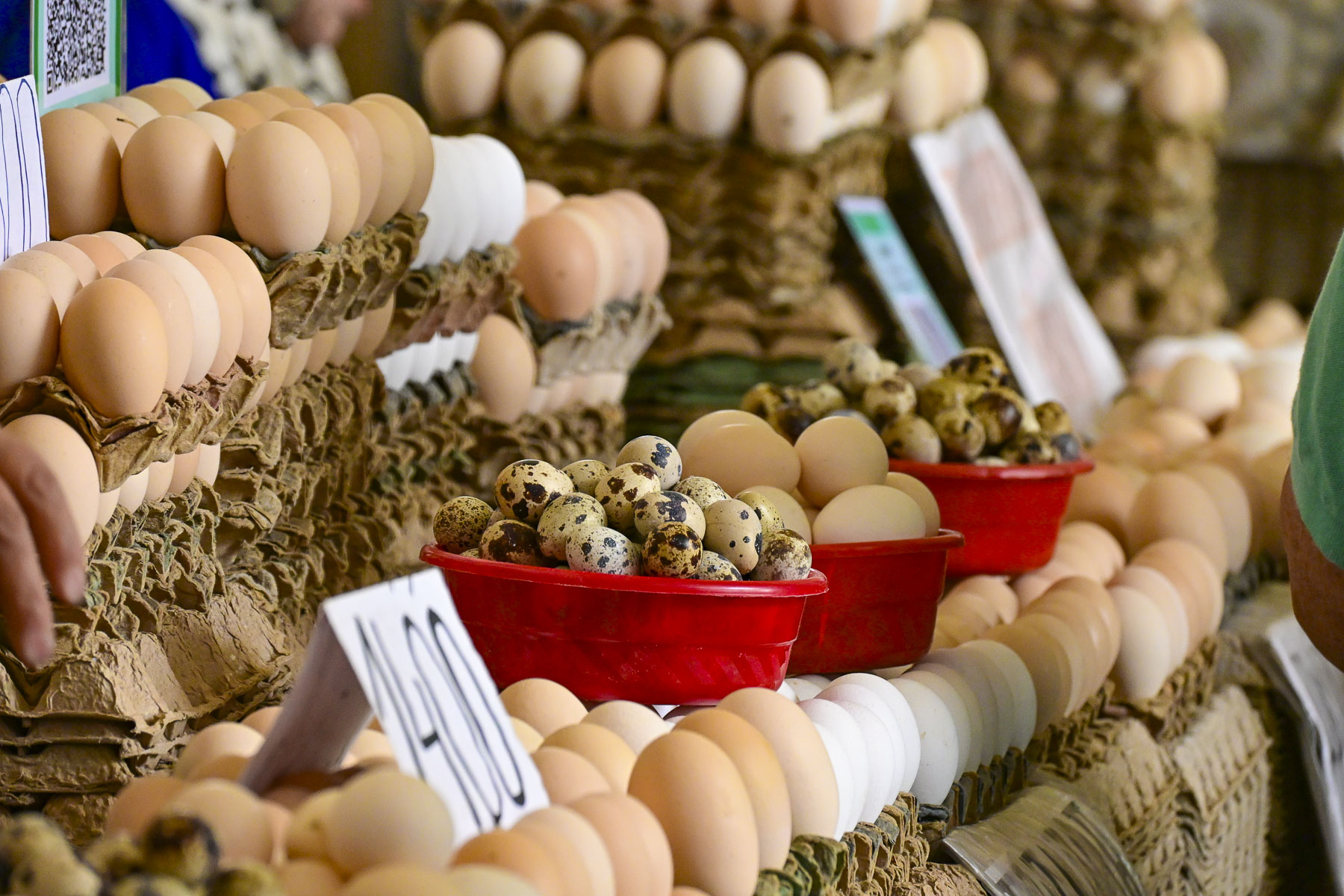
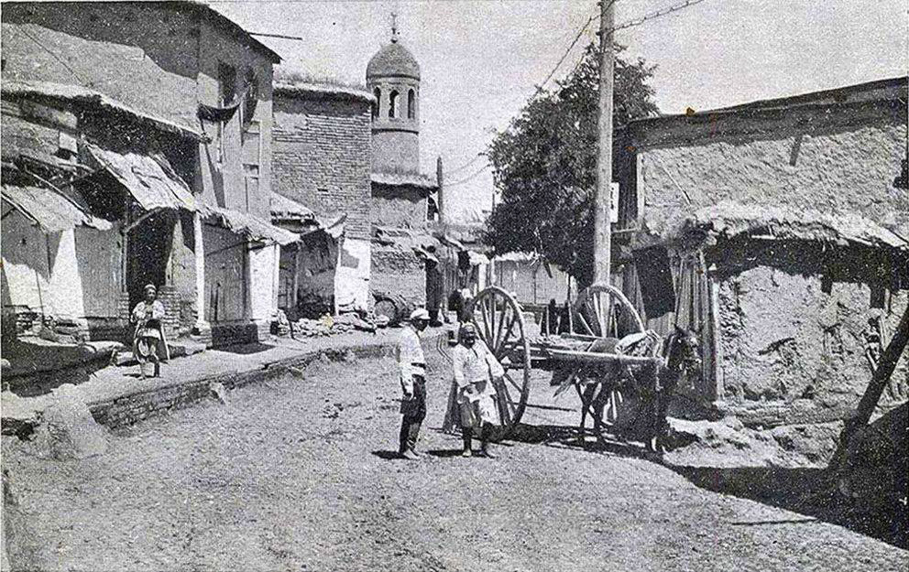
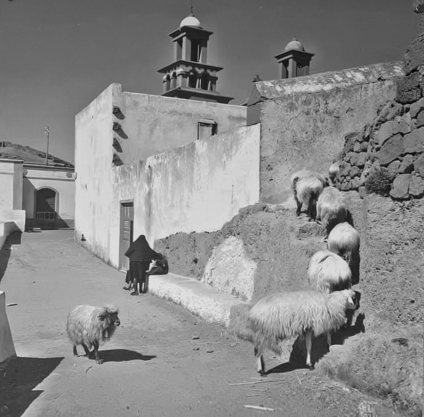
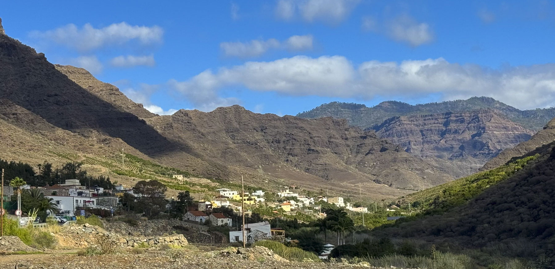
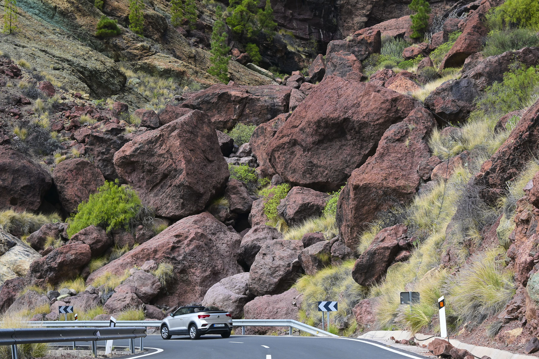
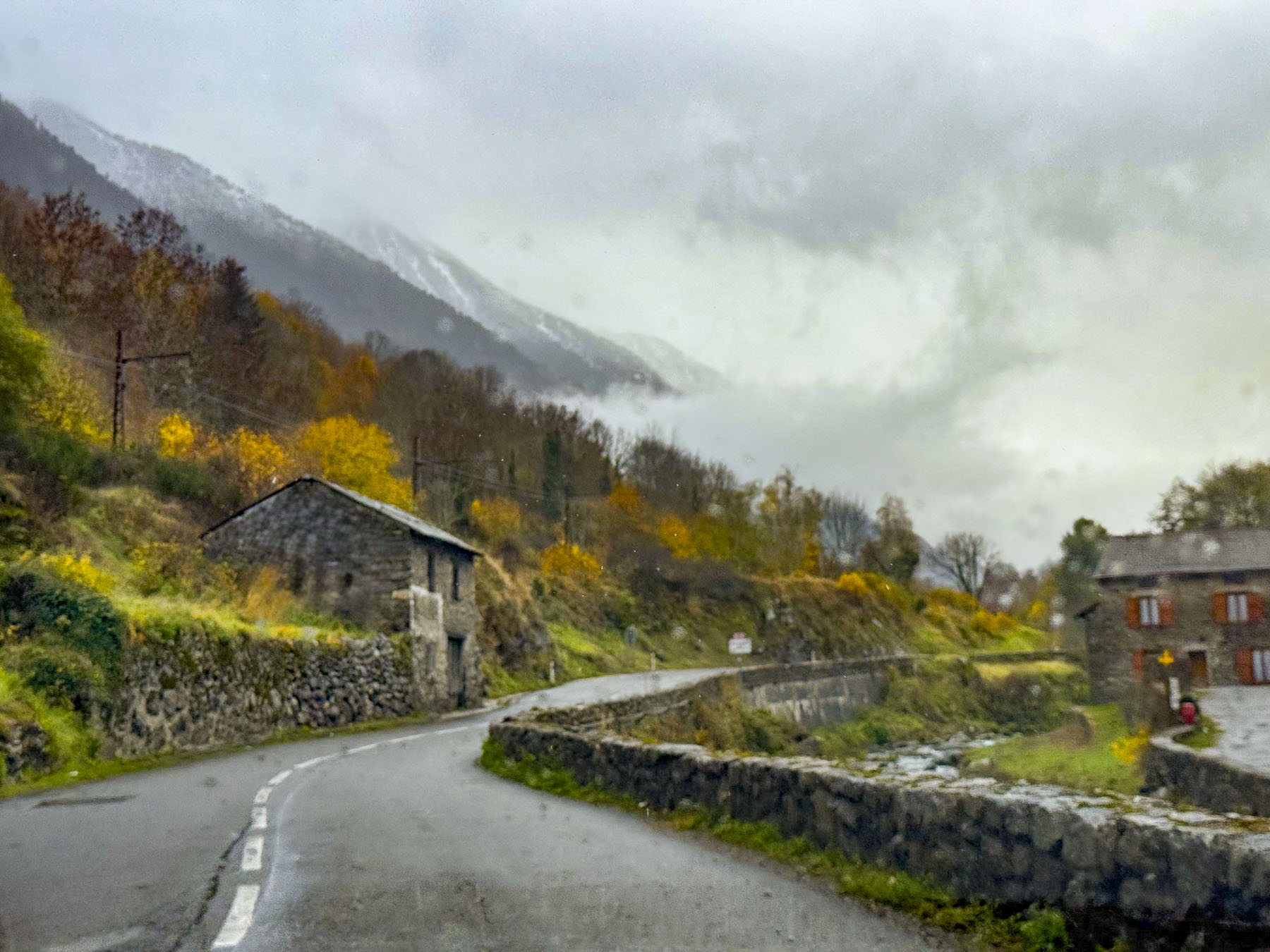
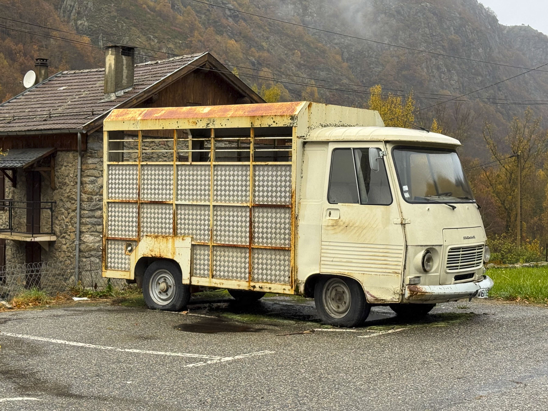
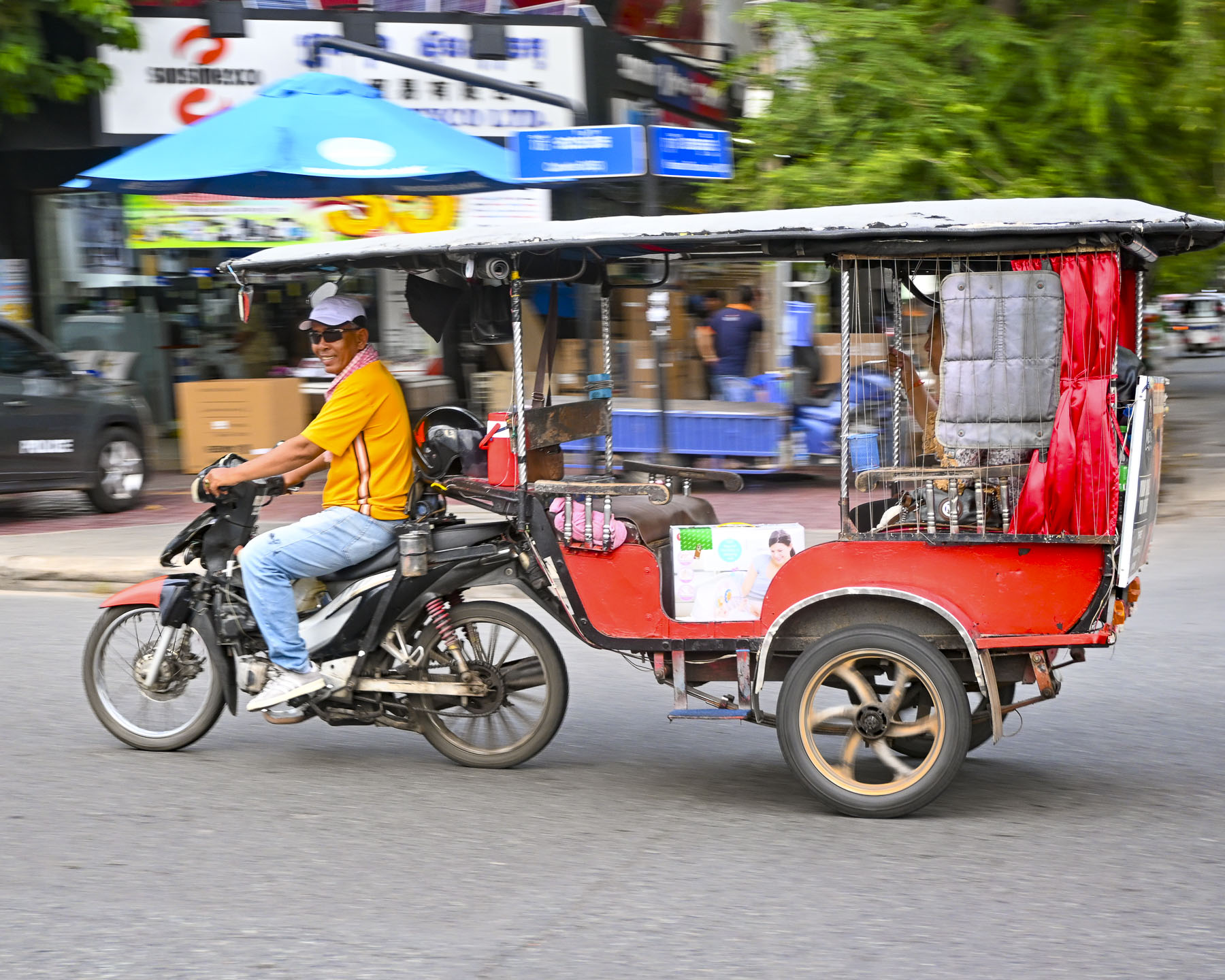
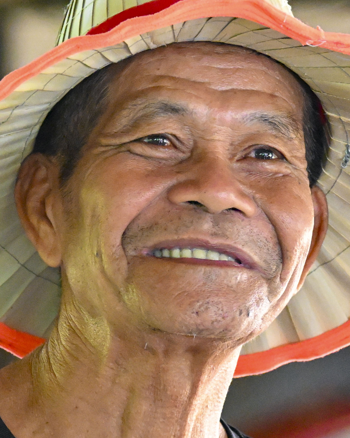
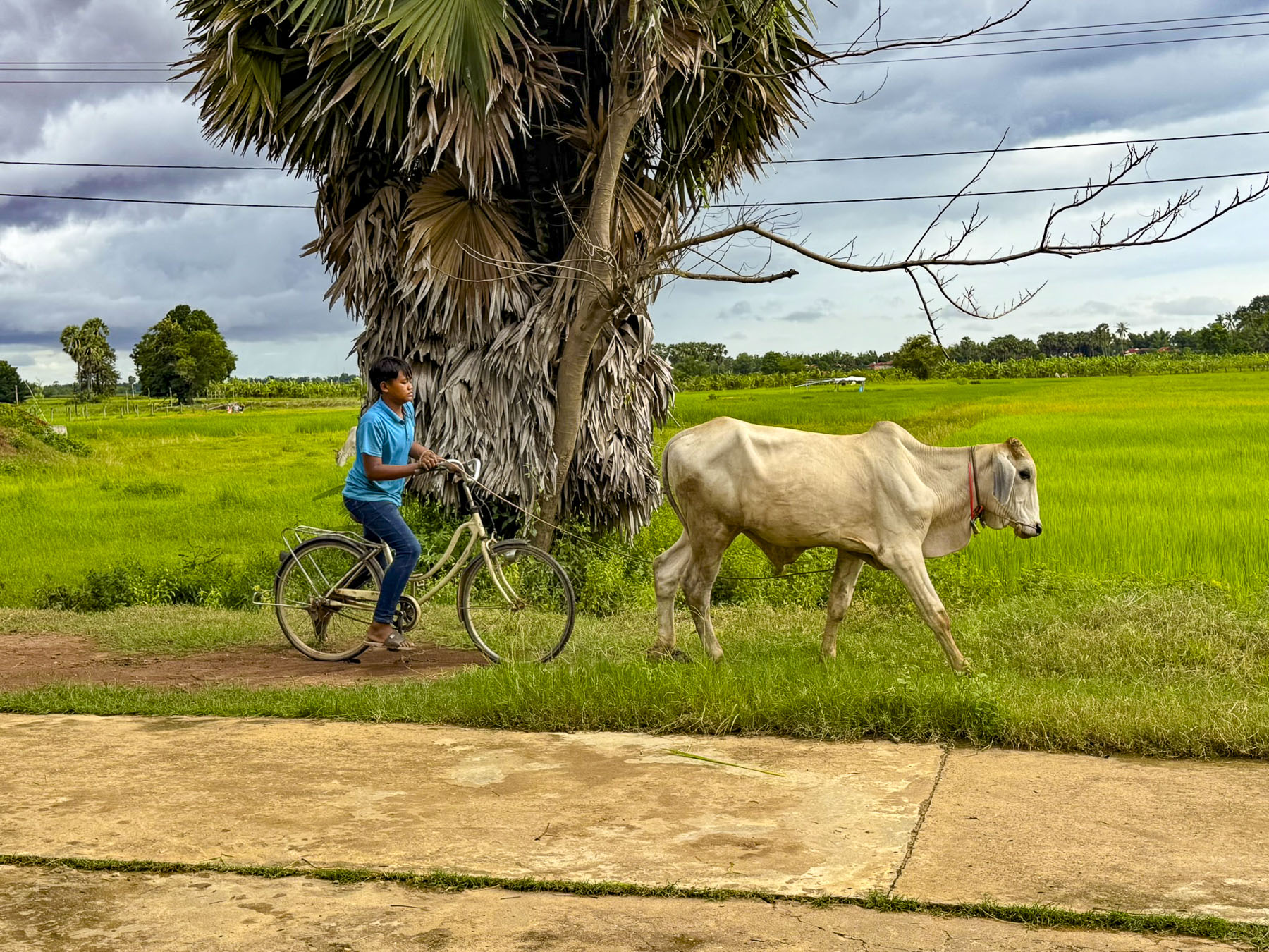
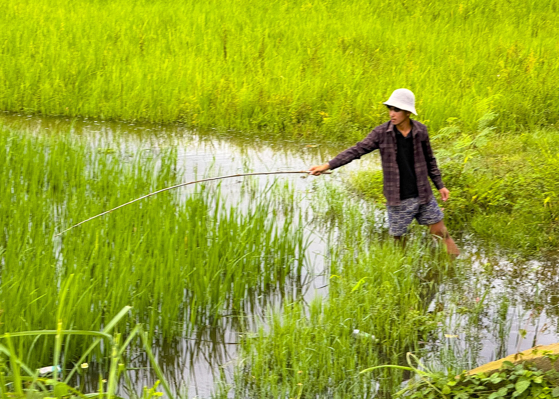
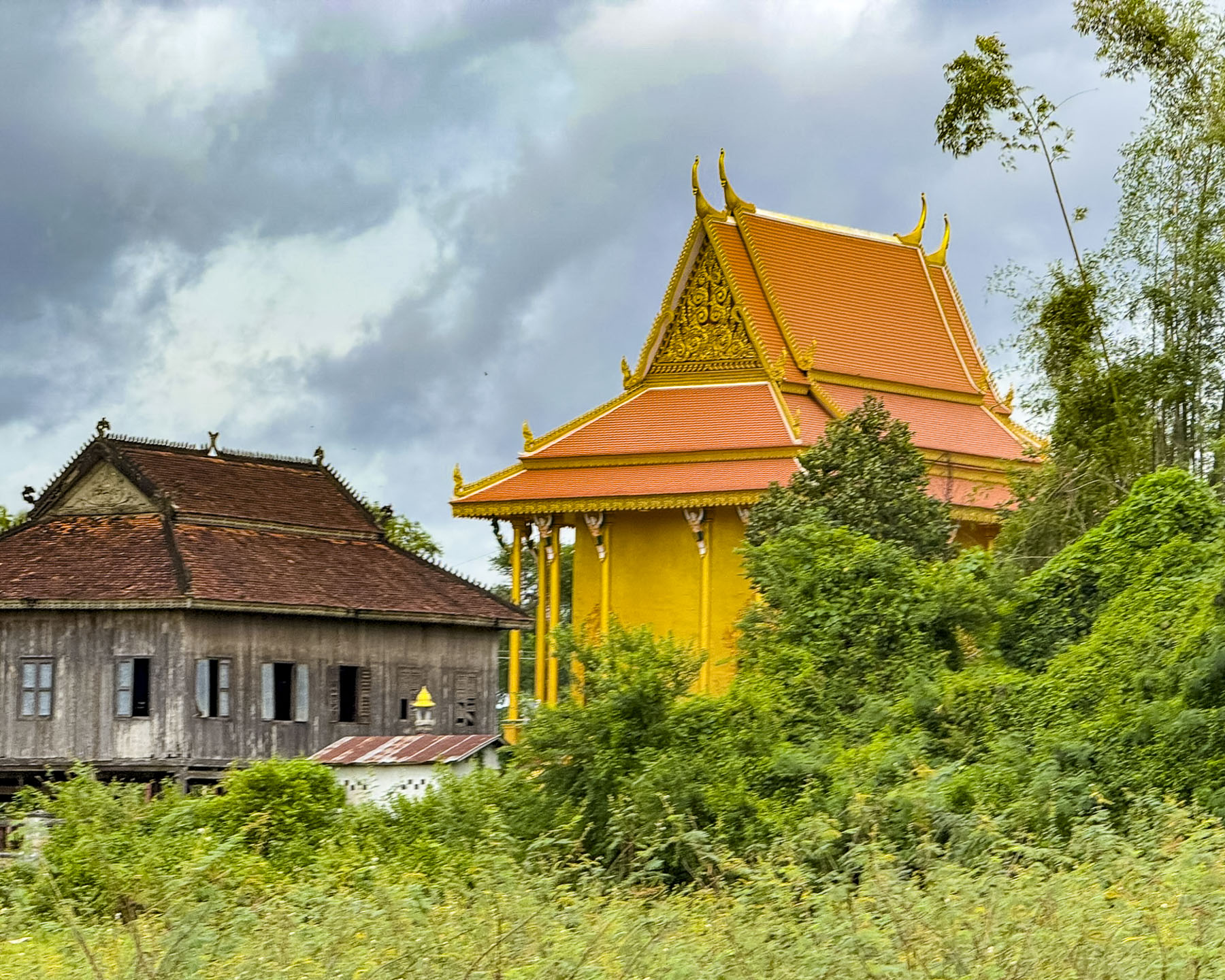
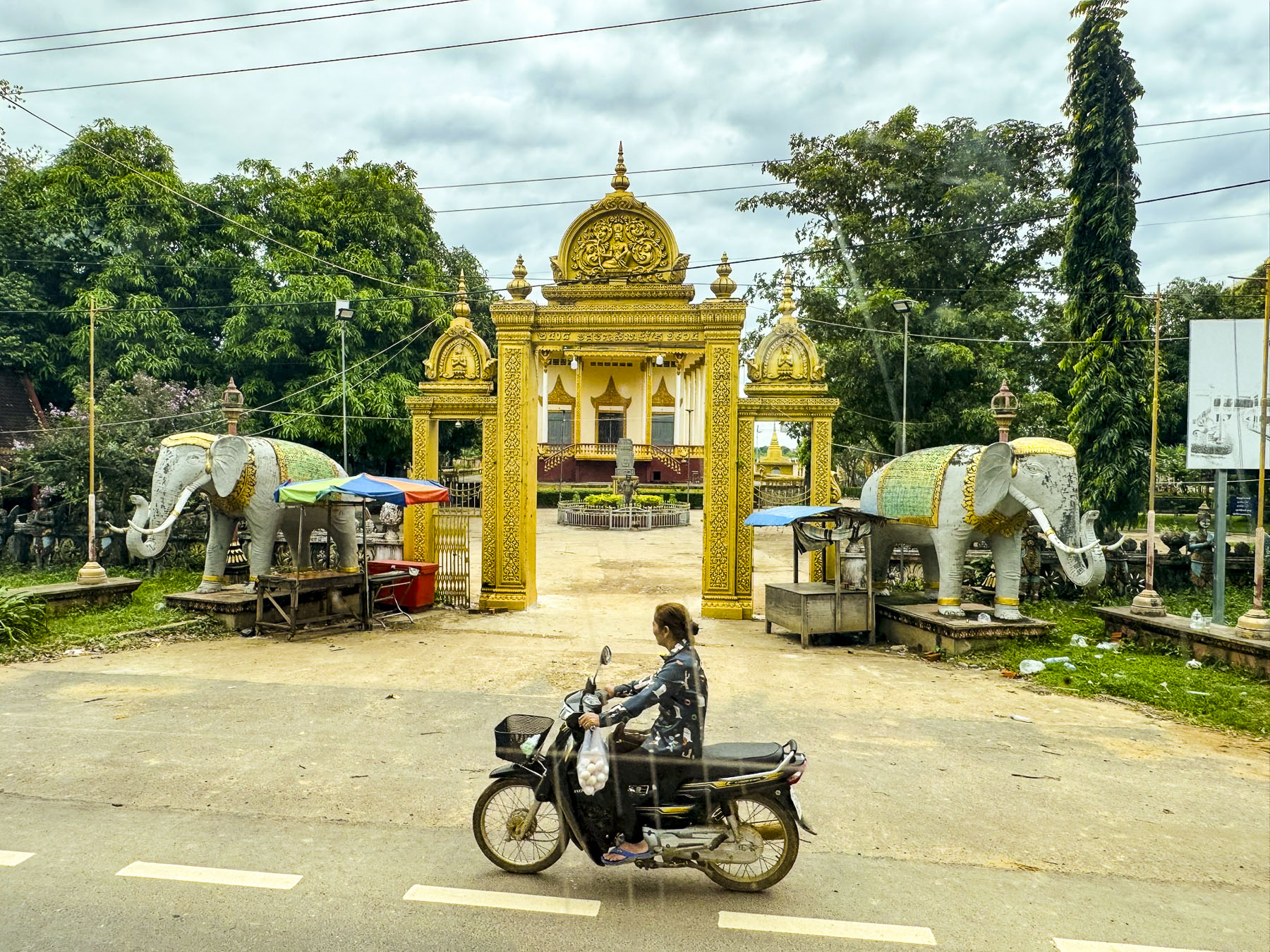
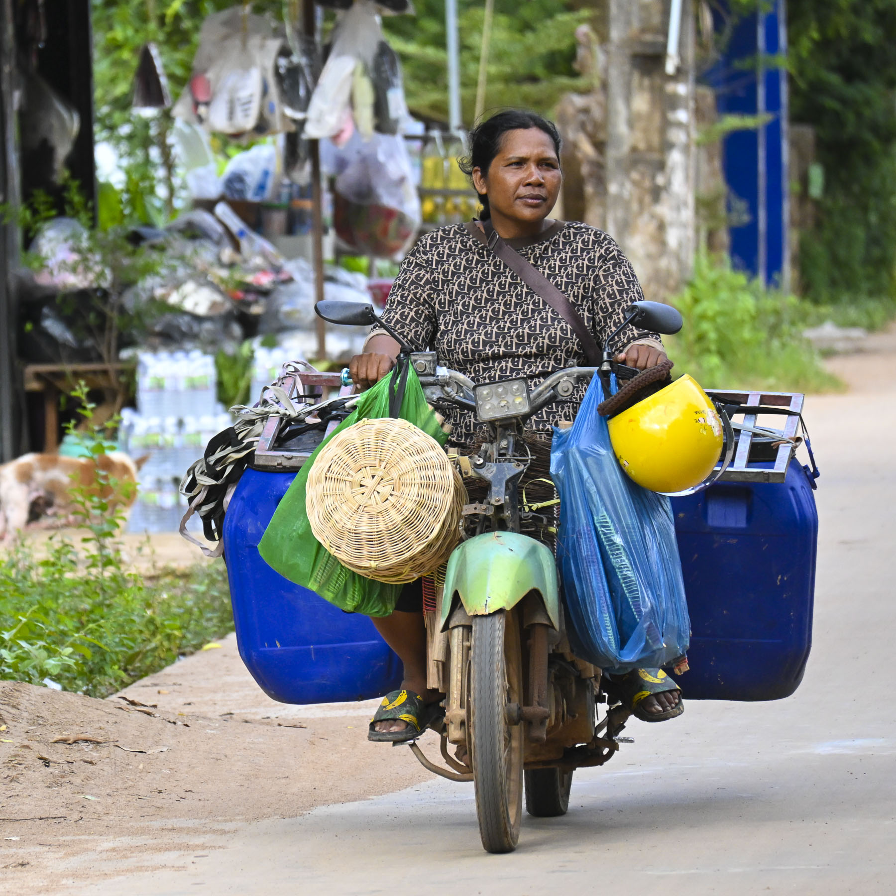
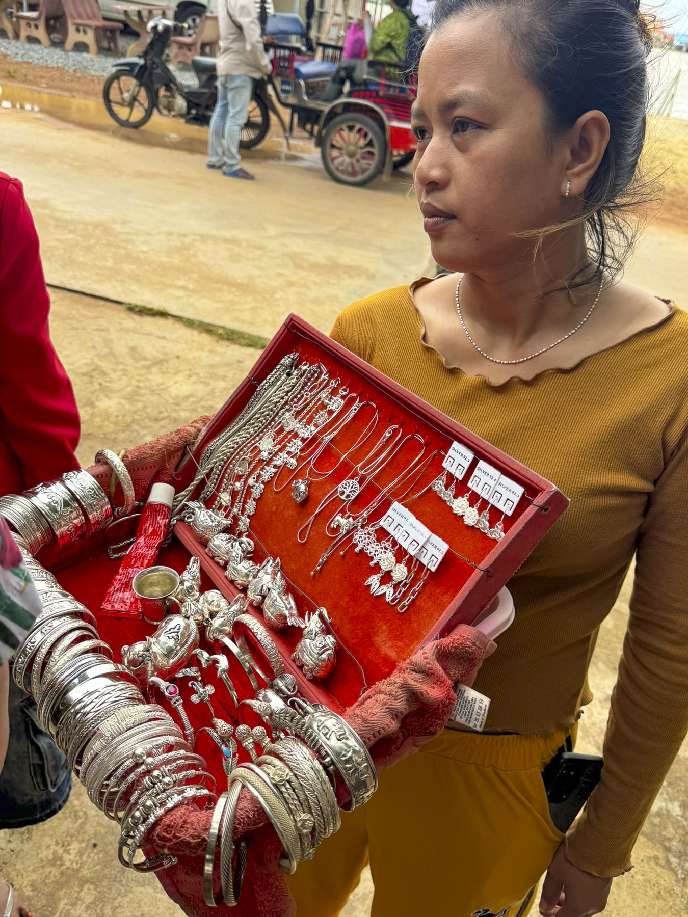
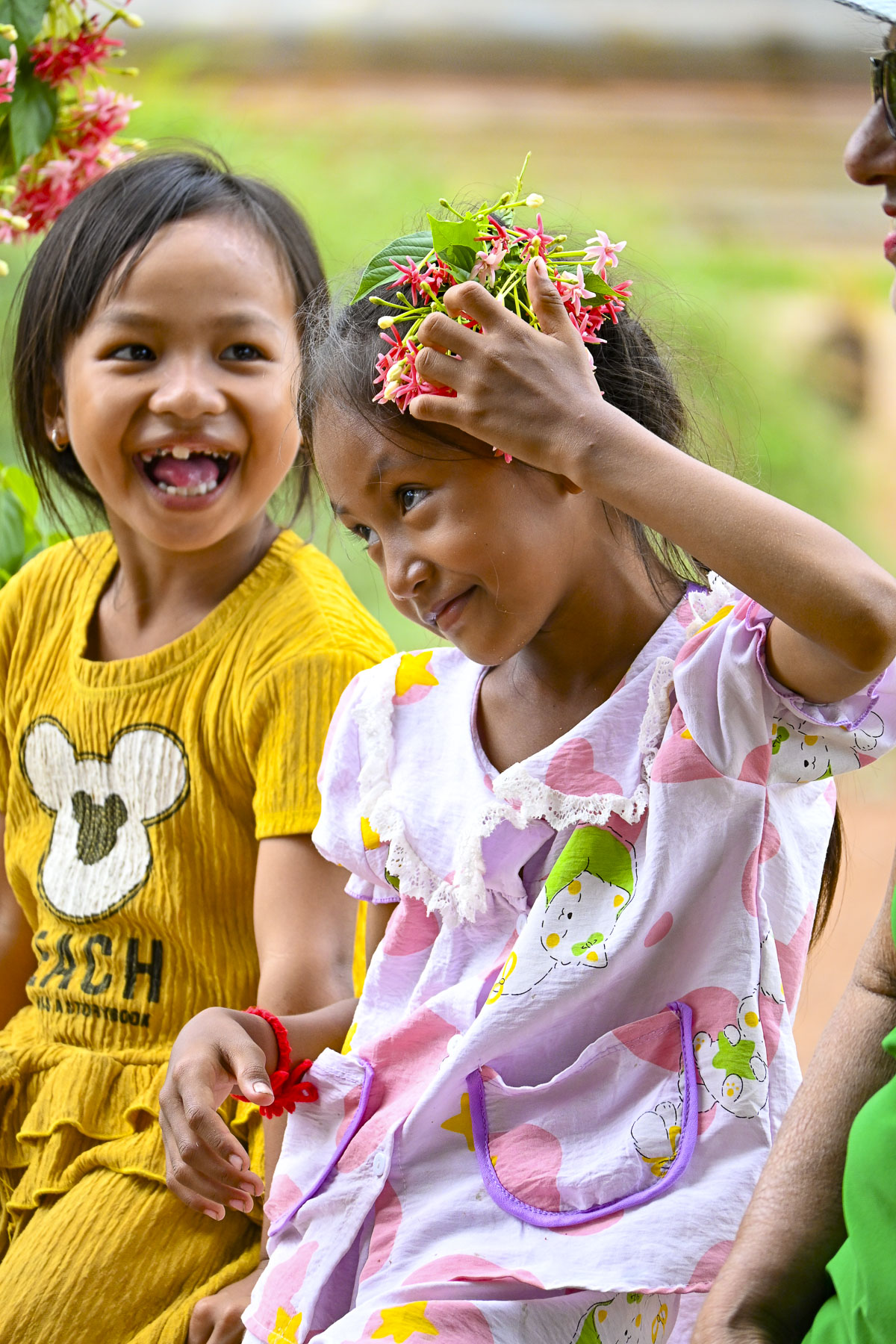
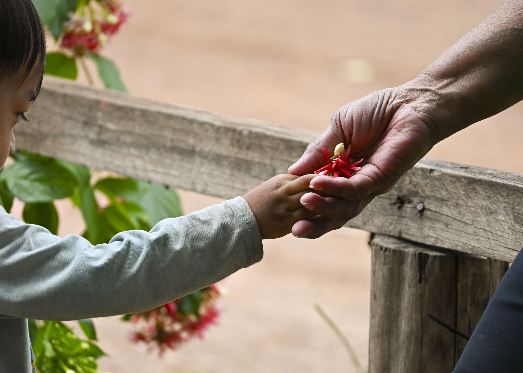
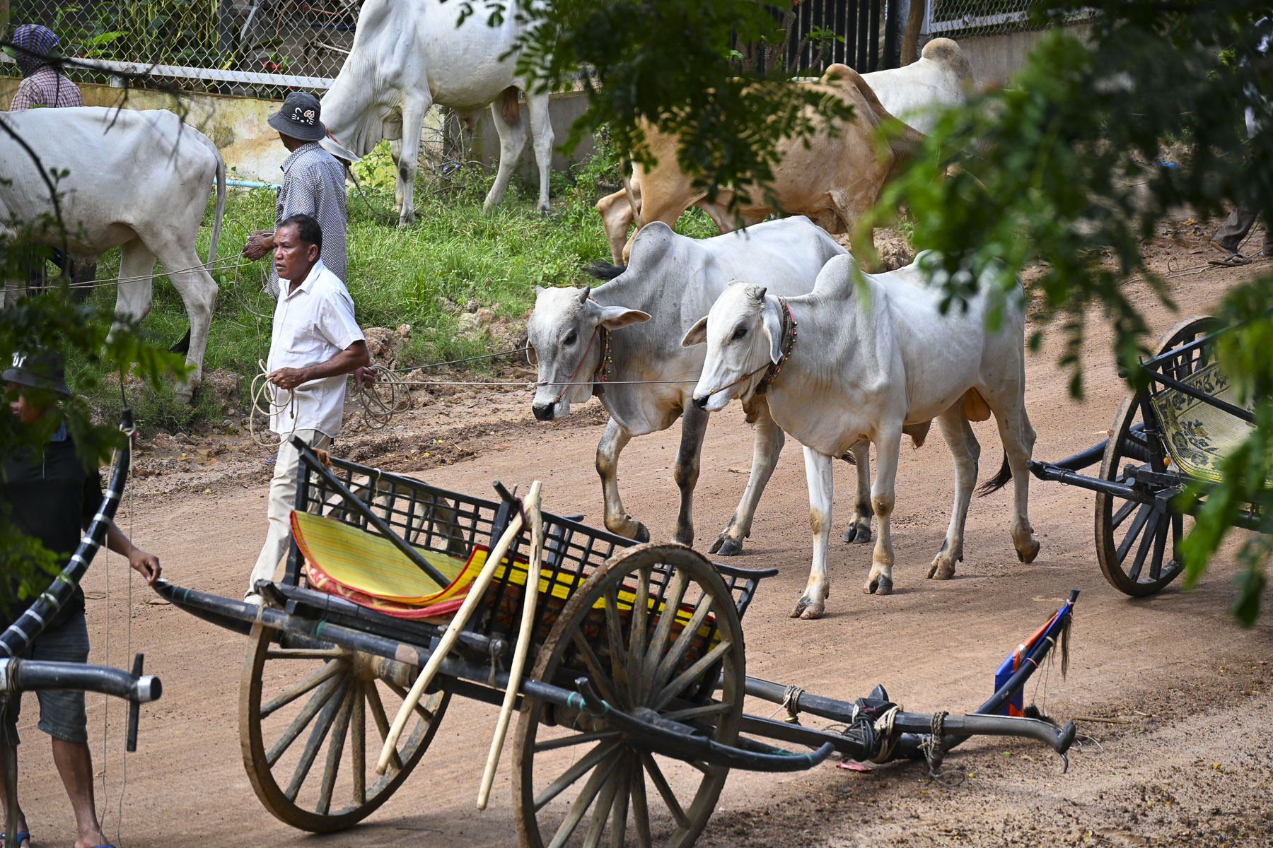
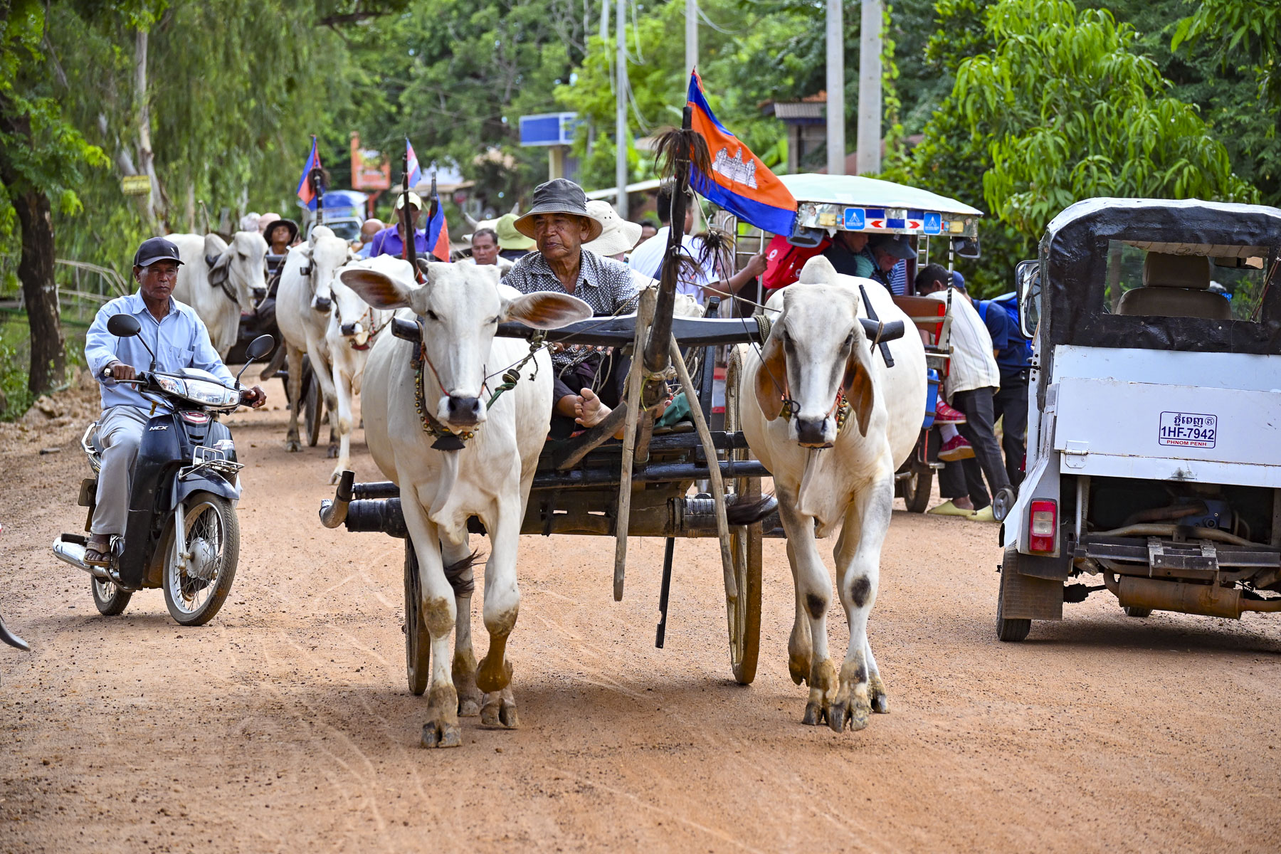
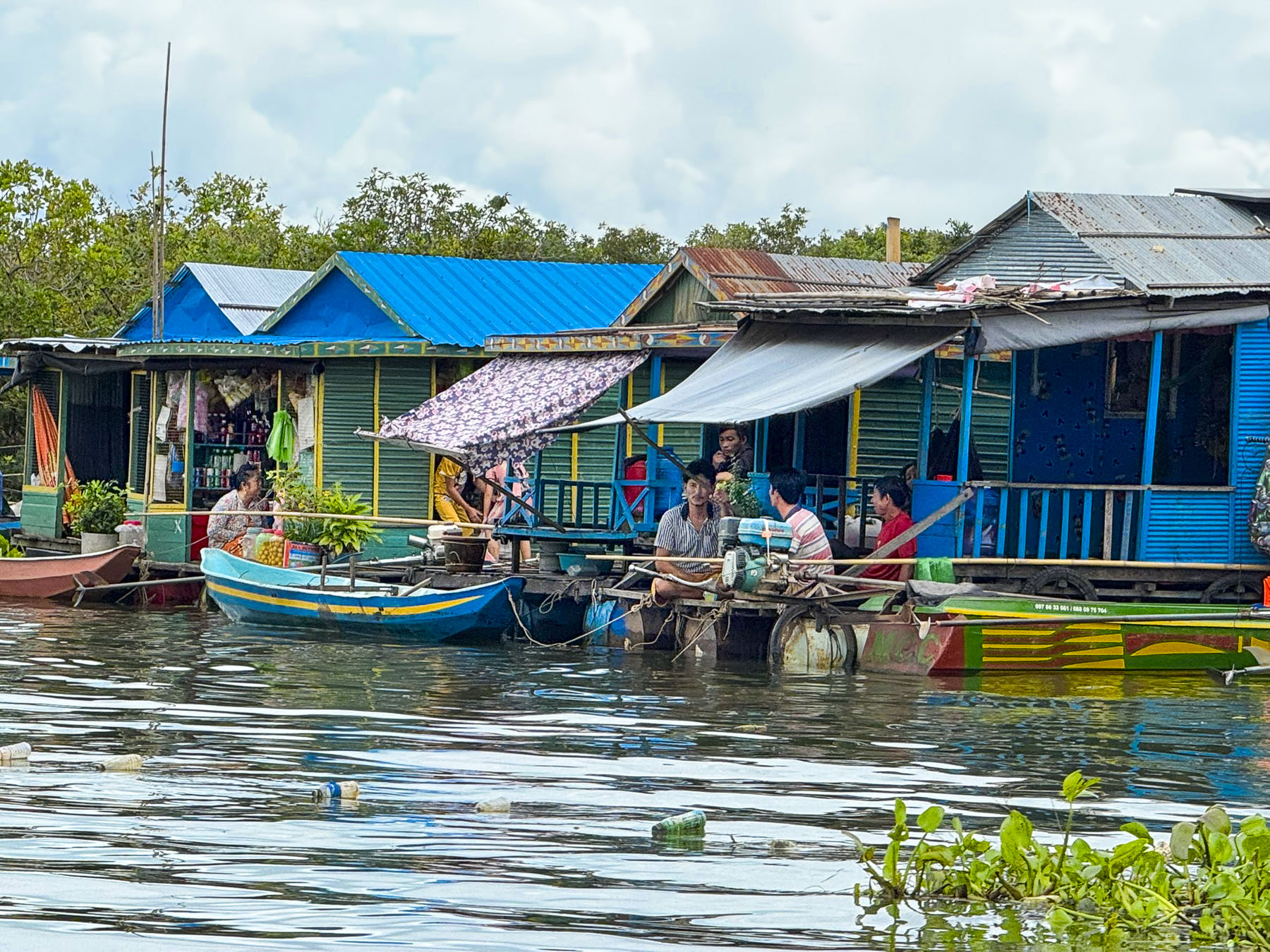
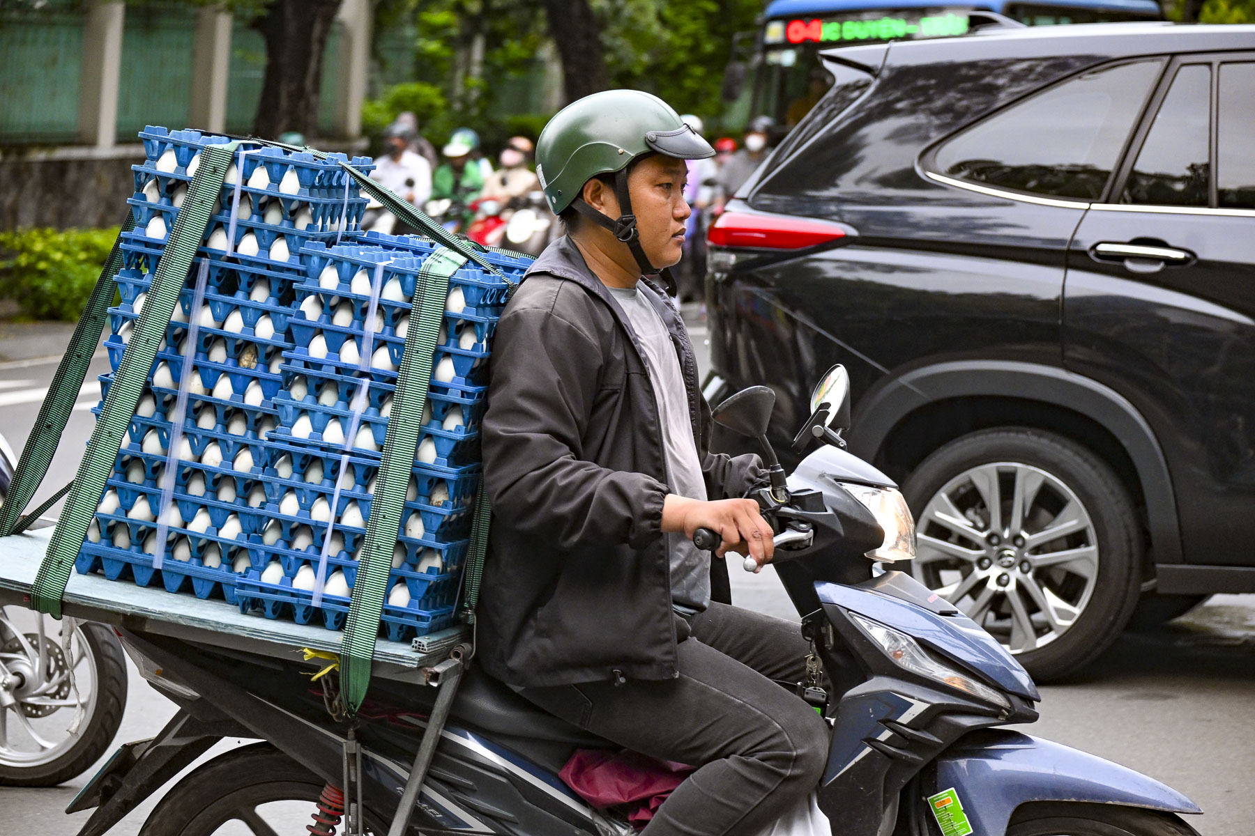
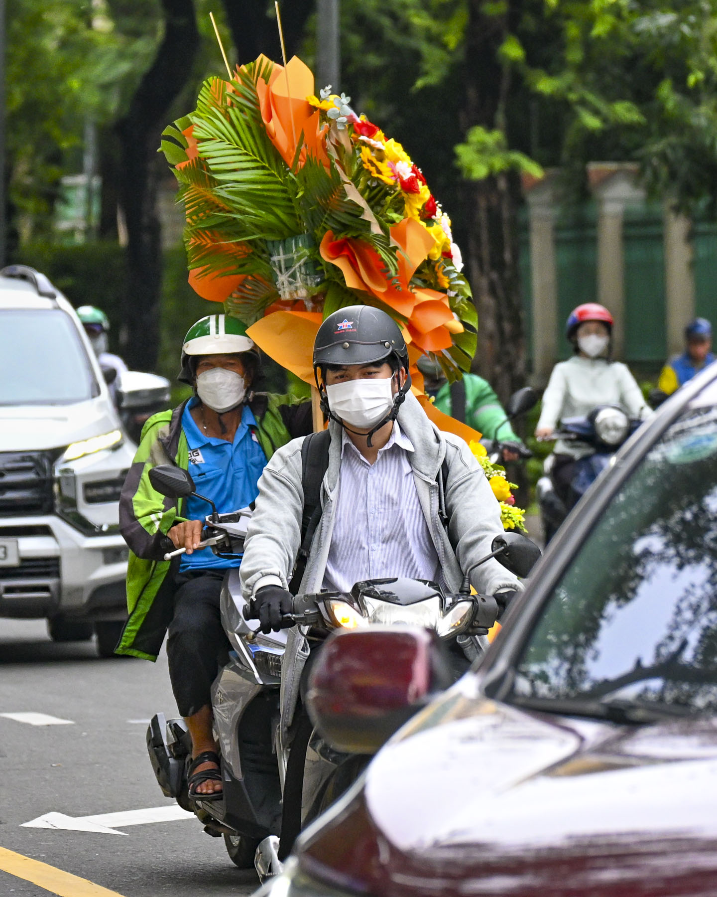
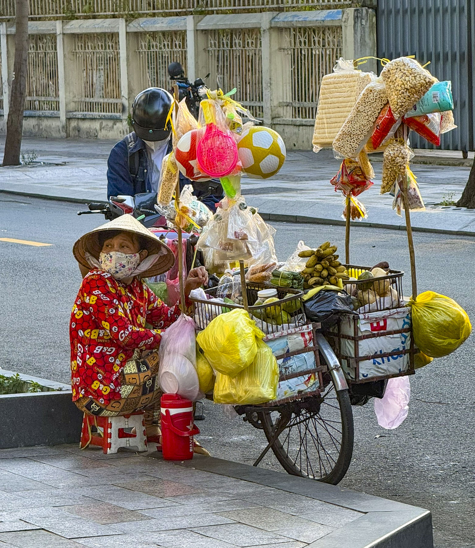
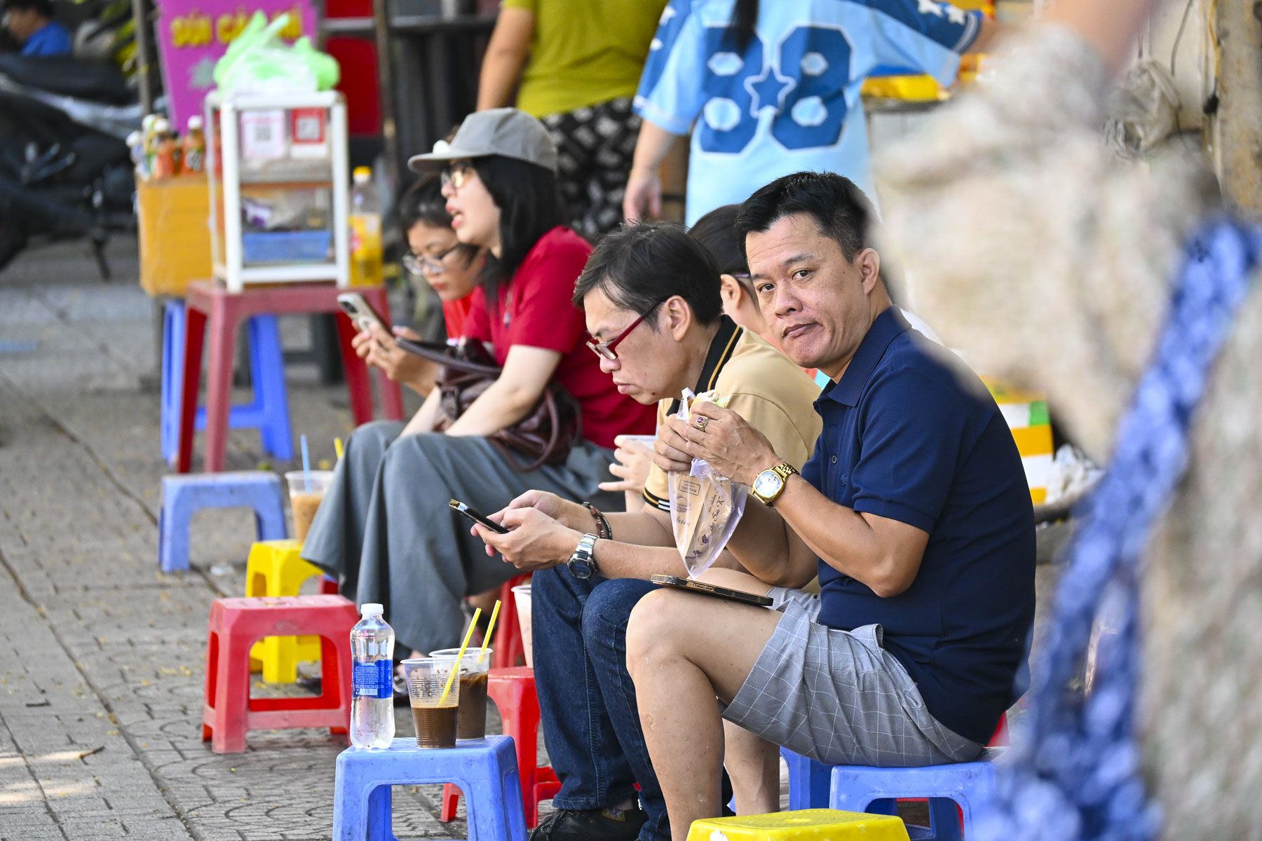
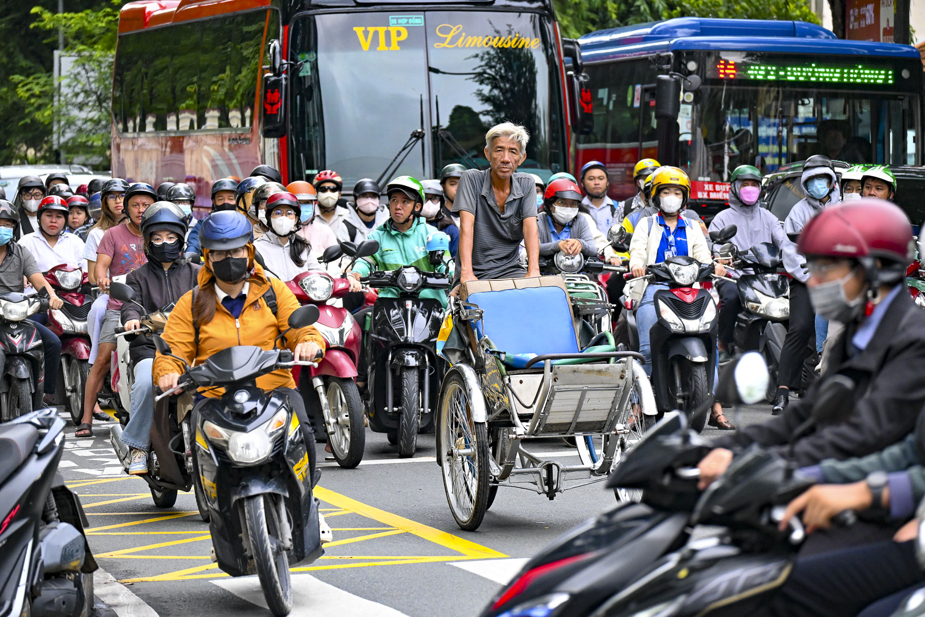
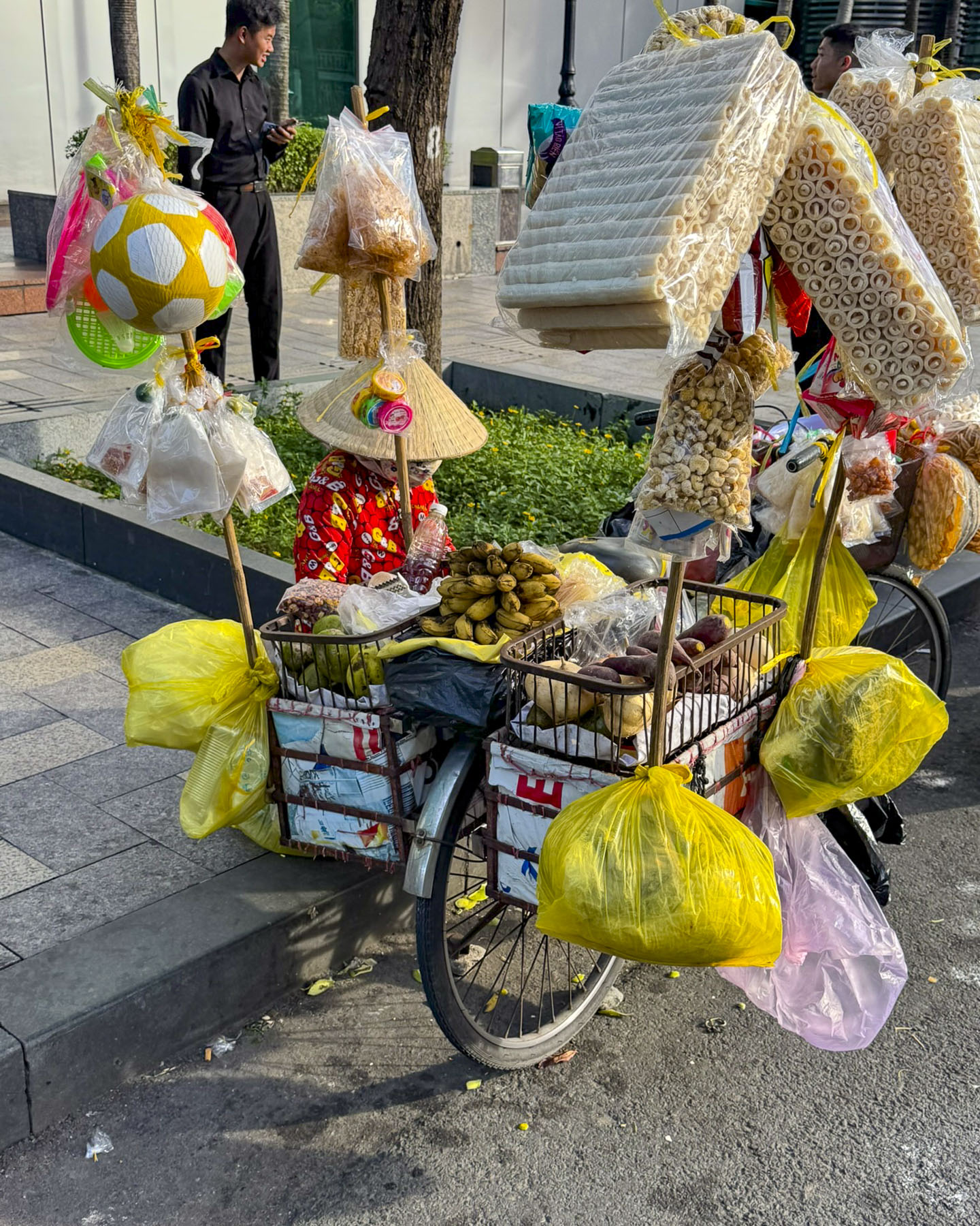
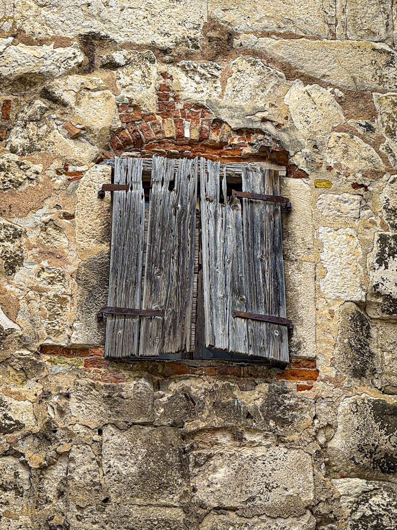
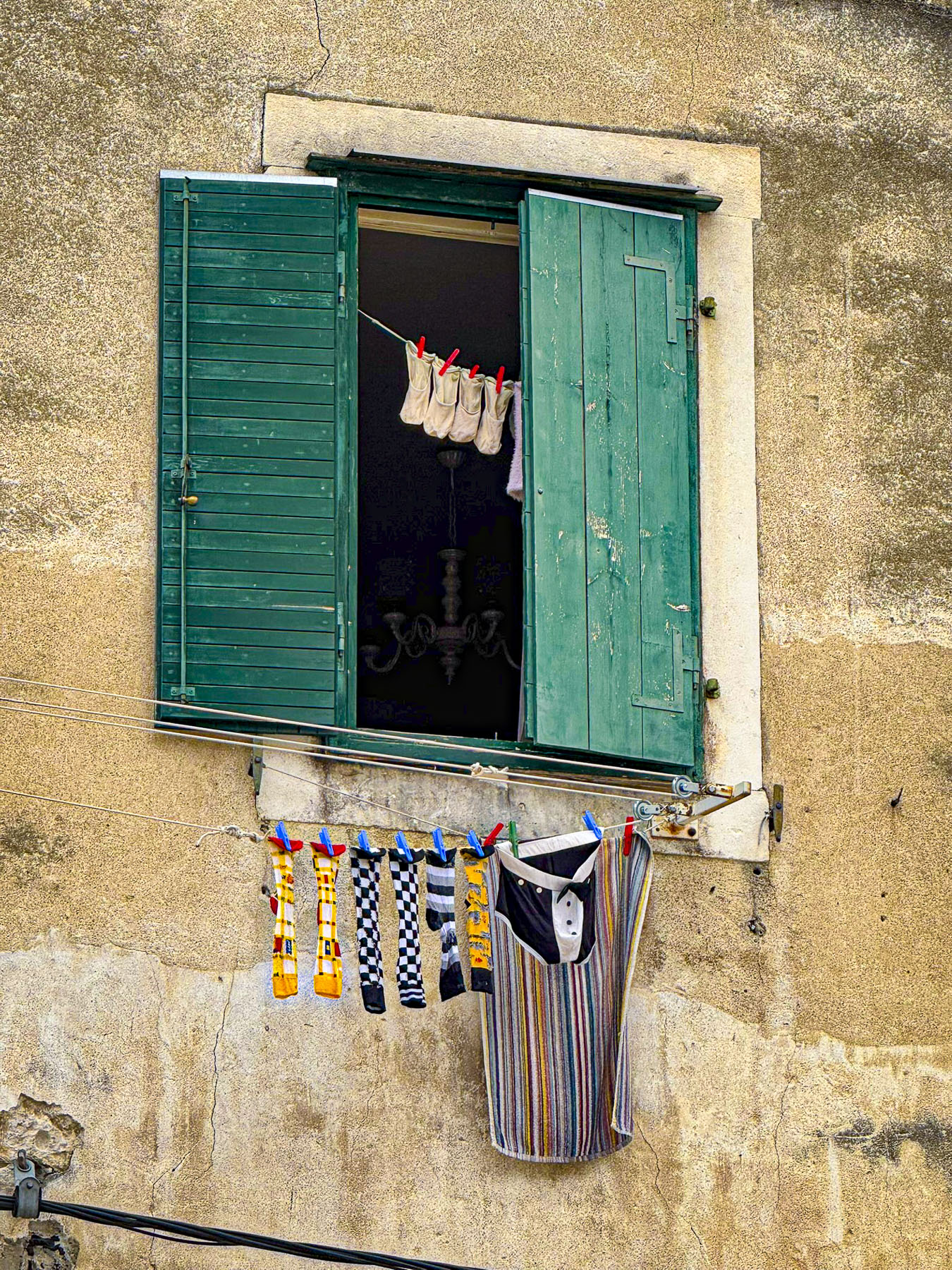
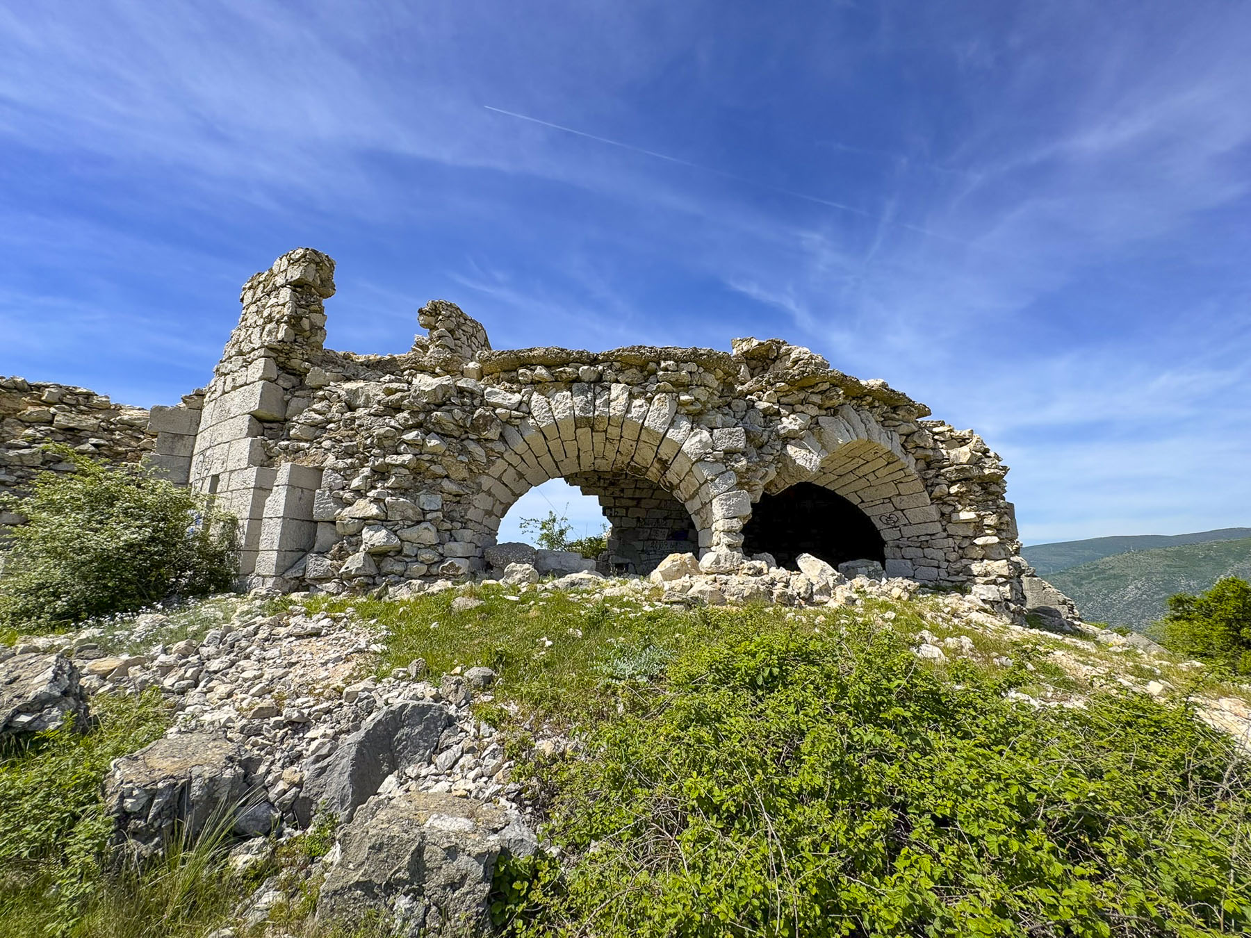
In this part of western Uzbekistan there is not a modern highway system. While the roads were decent, the “highways” were also local roads when they passed through towns, and the sights could be unusual: like the local butcher who had a freshly slaughtered cow’s head hanging in front of his shop; kids in their school uniforms walking to school in a culvert along the edge of a field as a cow grazed nearby; numerous new mosques under construction. In places, large ancient cemeteries lined the road. There were also many examples of Uzbekistan’s informal economy underway when we entered or exited a town, with folks selling the in-season fruits and vegetables, or honey, eggs, and homemade cheeses from their cars parked along the roadside.


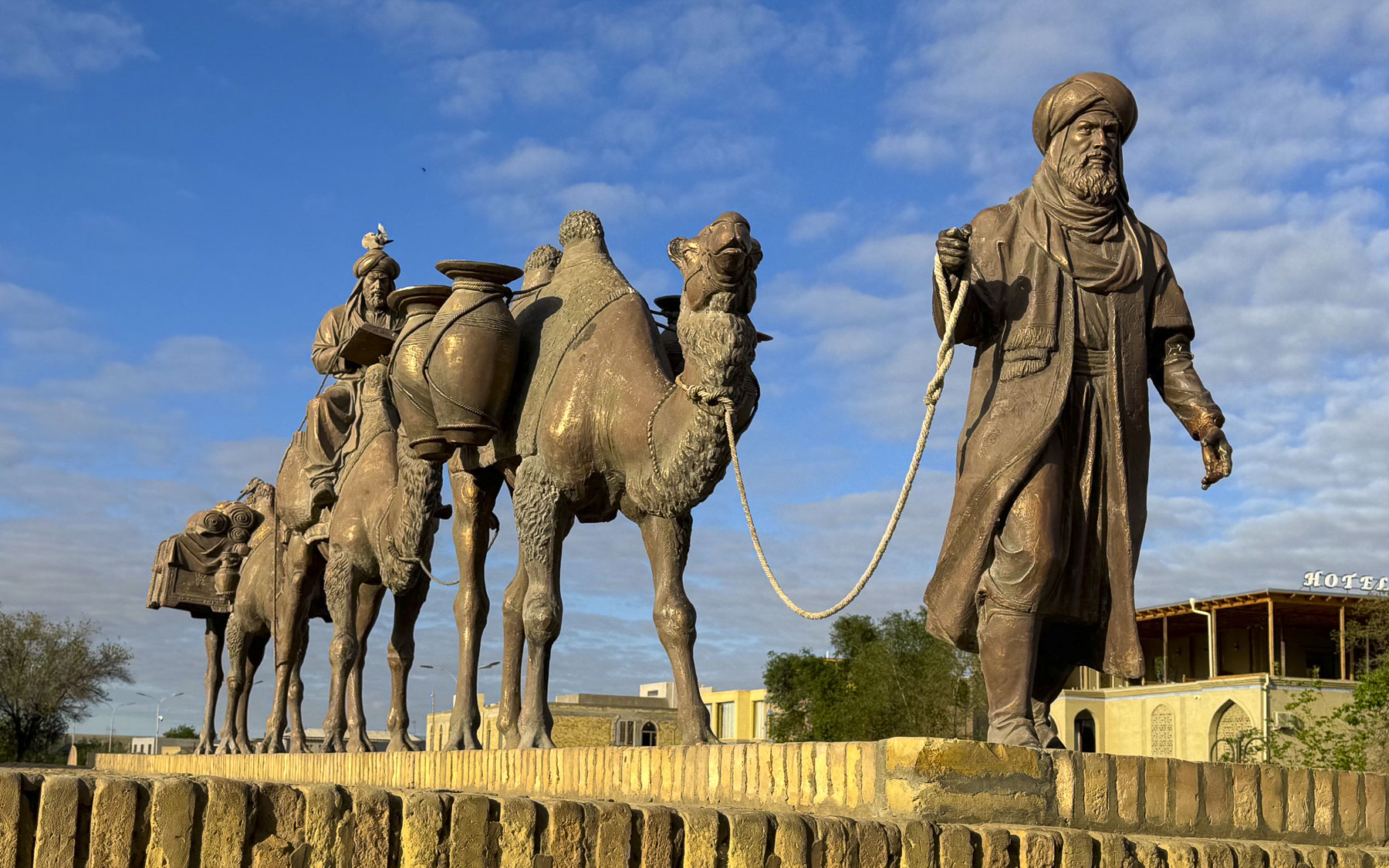
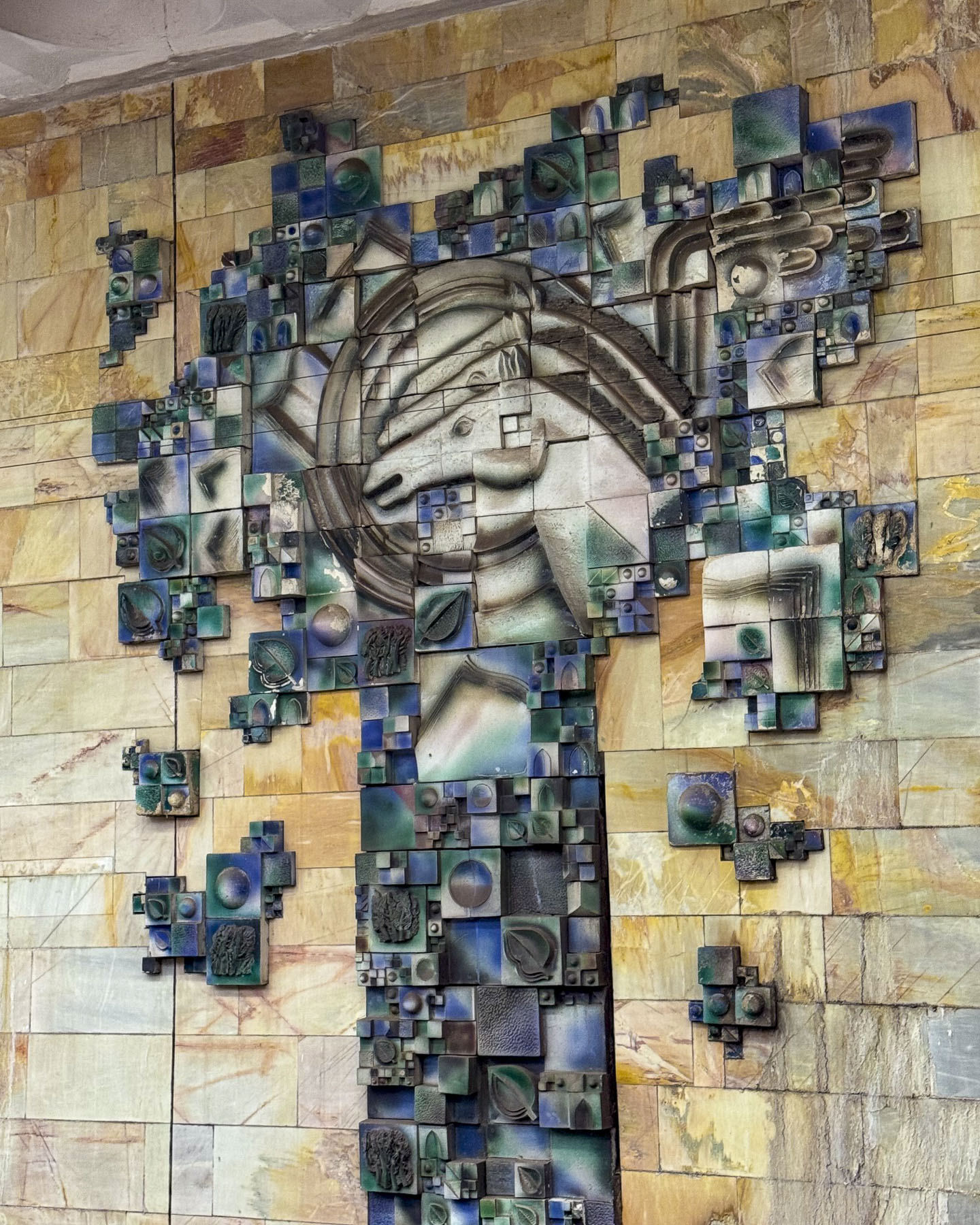
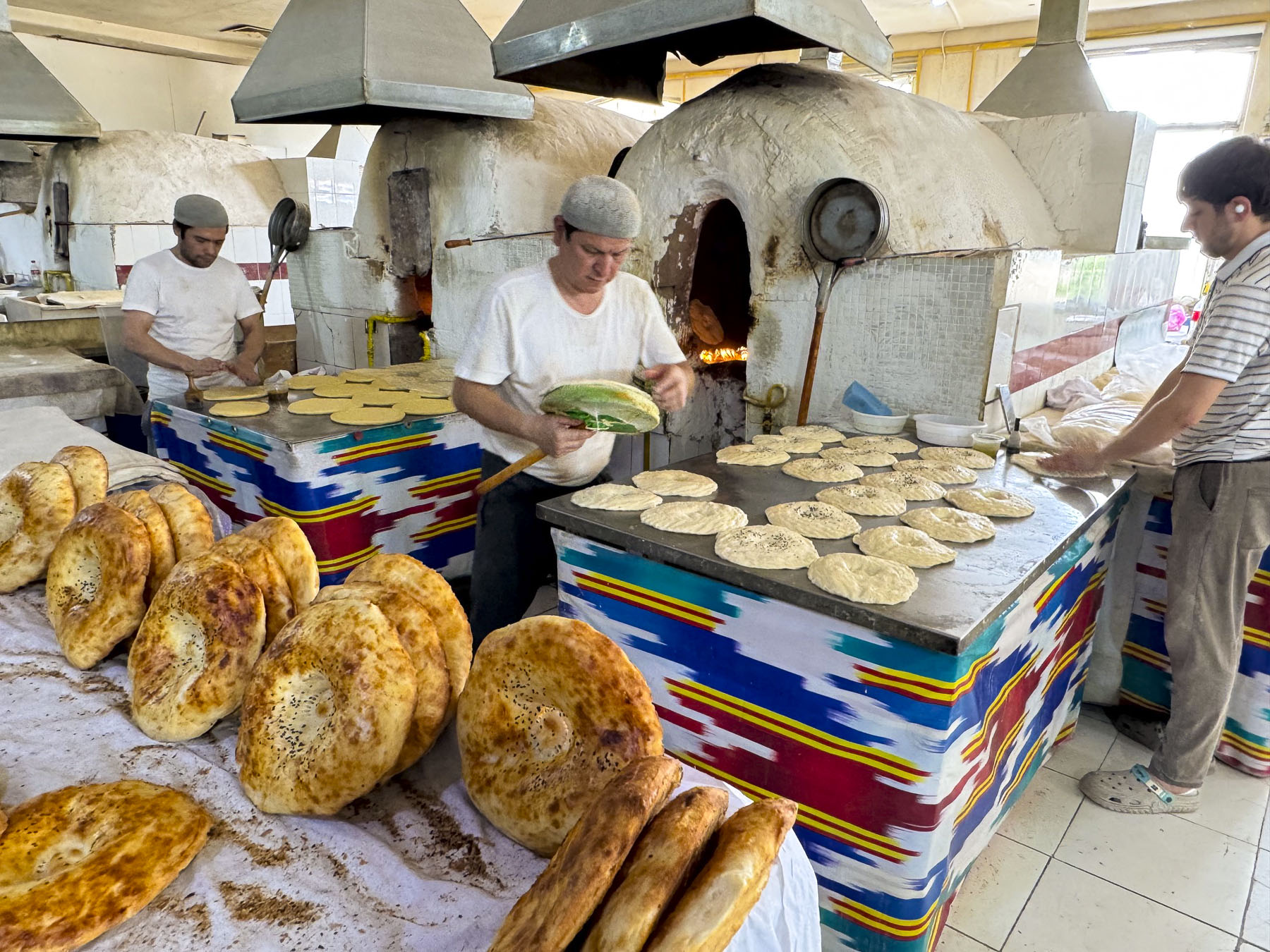
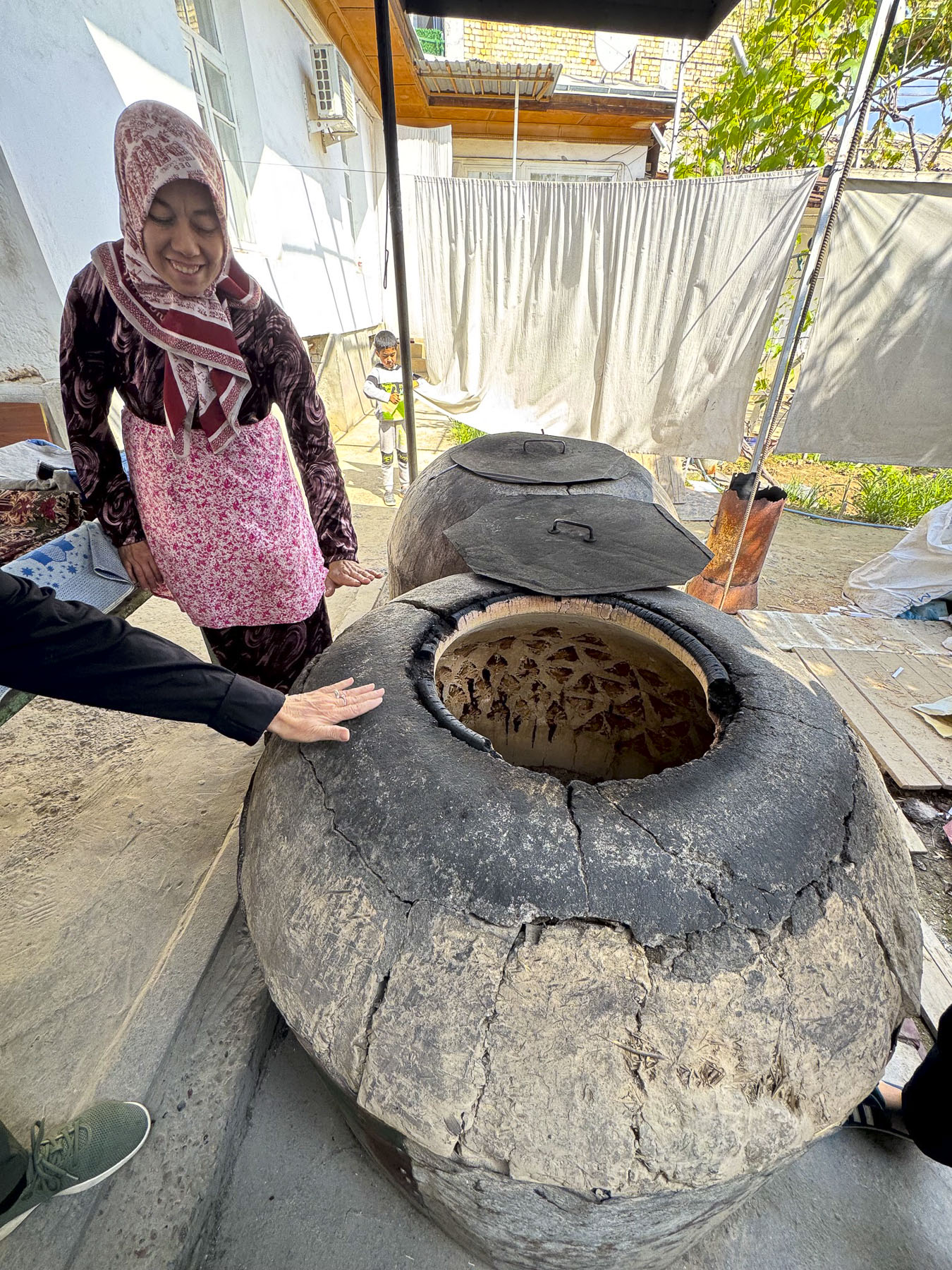
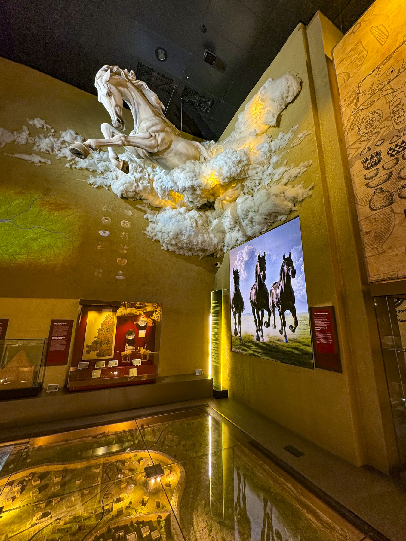
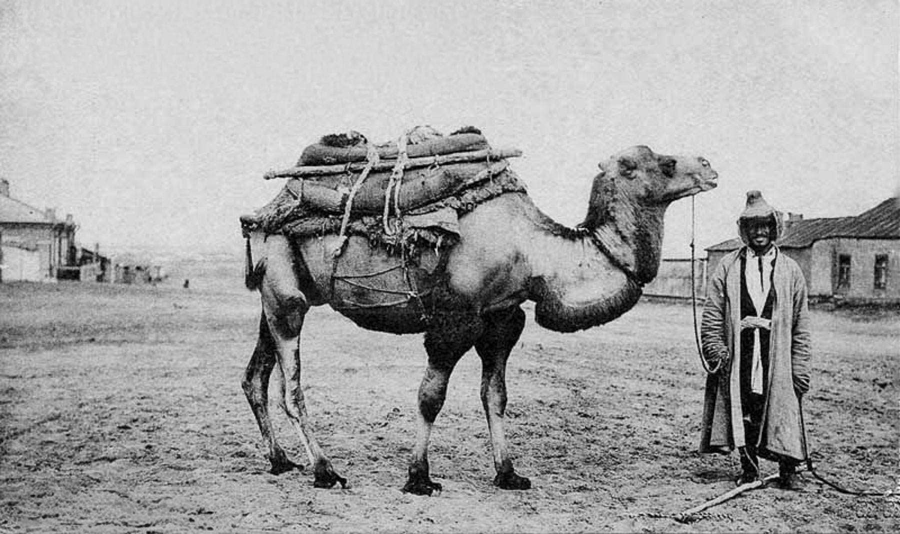
At rest areas, tandoors cast forth the wonderful aroma of freshly baked samsas. Passing through the town of Hazorasp, a large silver sculpture of a winged horse flashed by too quickly to grab a photo. This was the Tulpar, the legendary ultra-swift horse in Uzbek mythology. The town’s name “Hazorasp,” literally translates to “a thousand horses.” It’s taken from a folkloric legend where a herd of winged horses descended to the Amu Darya river delta.

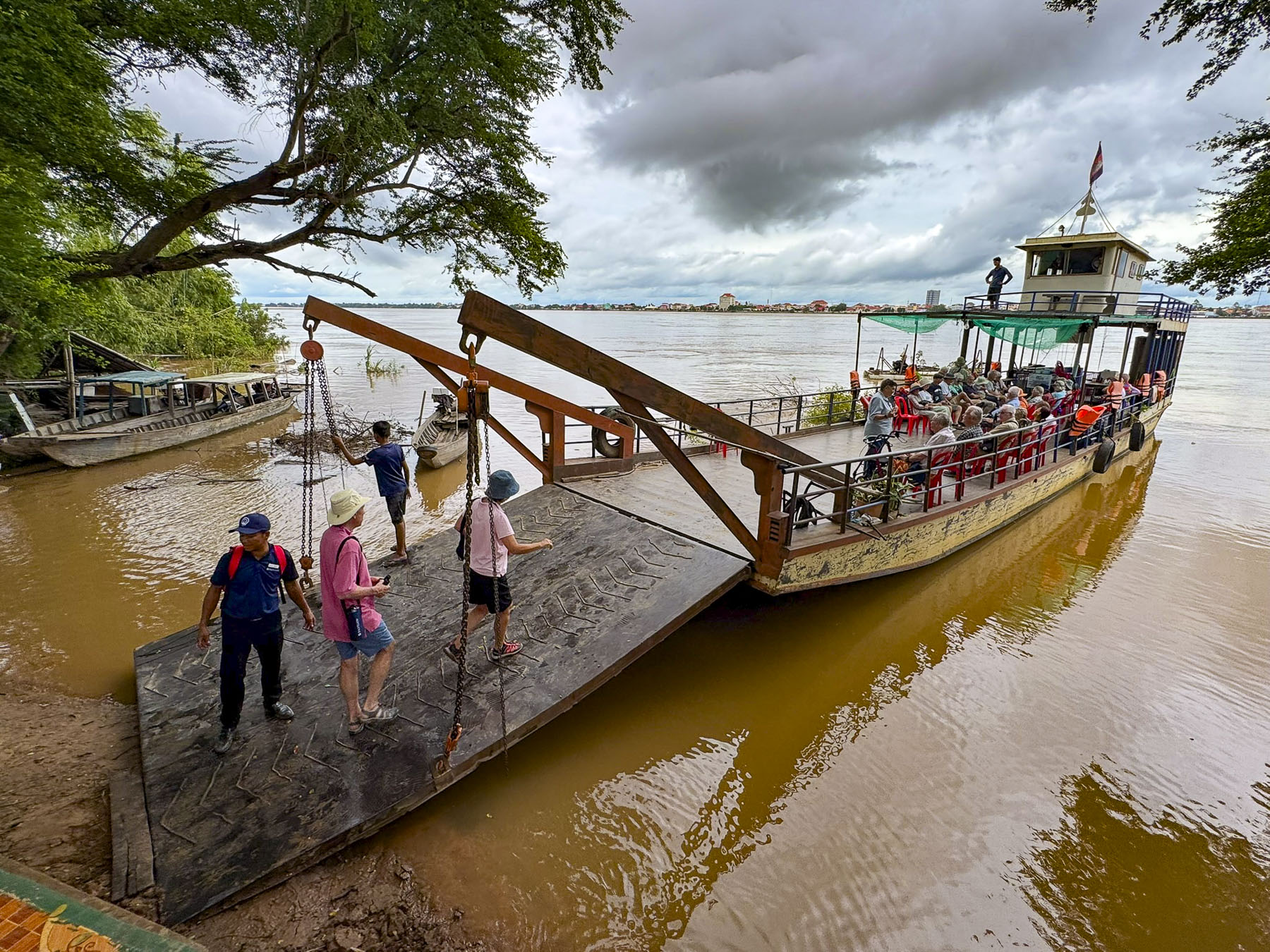
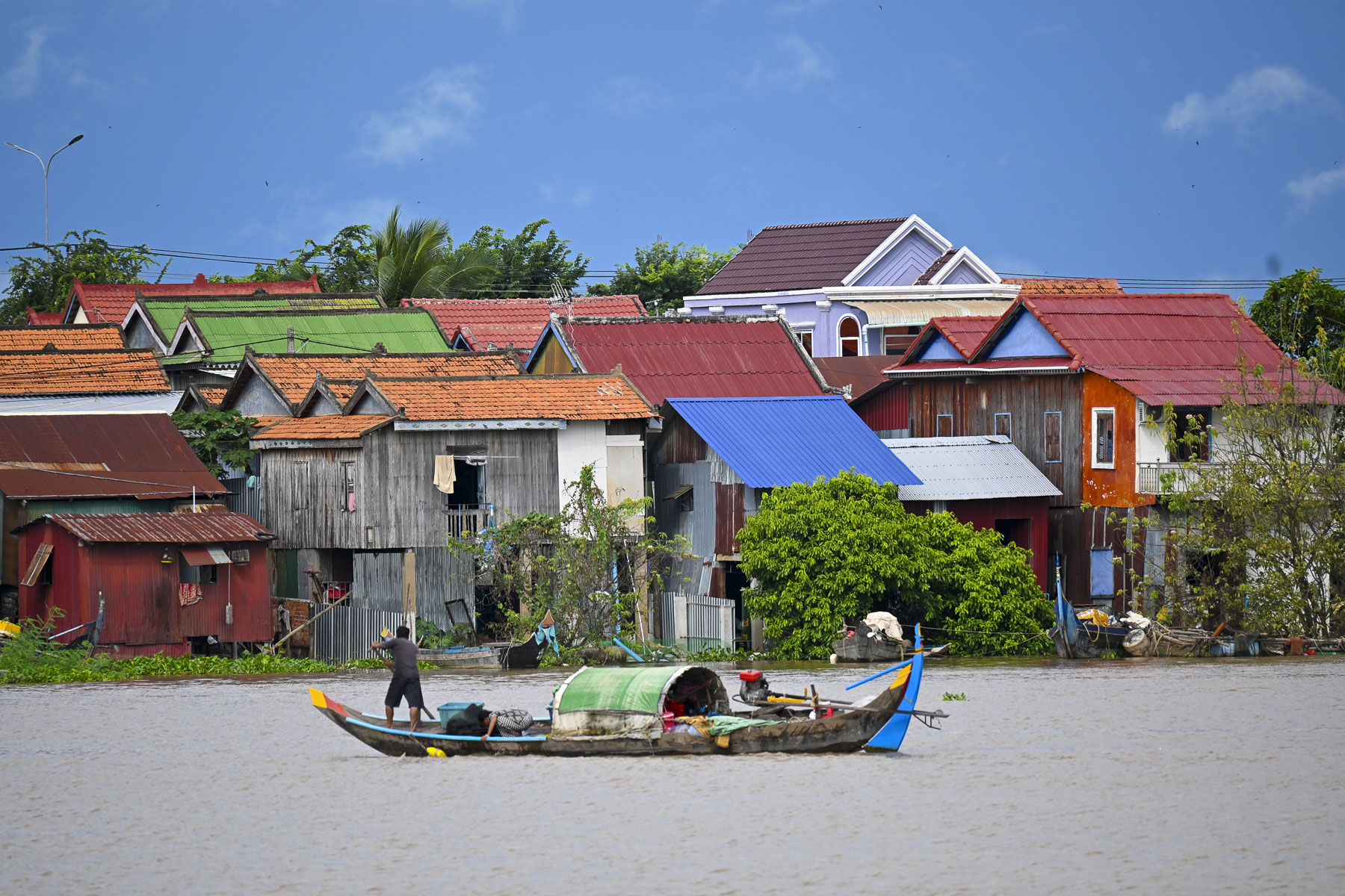
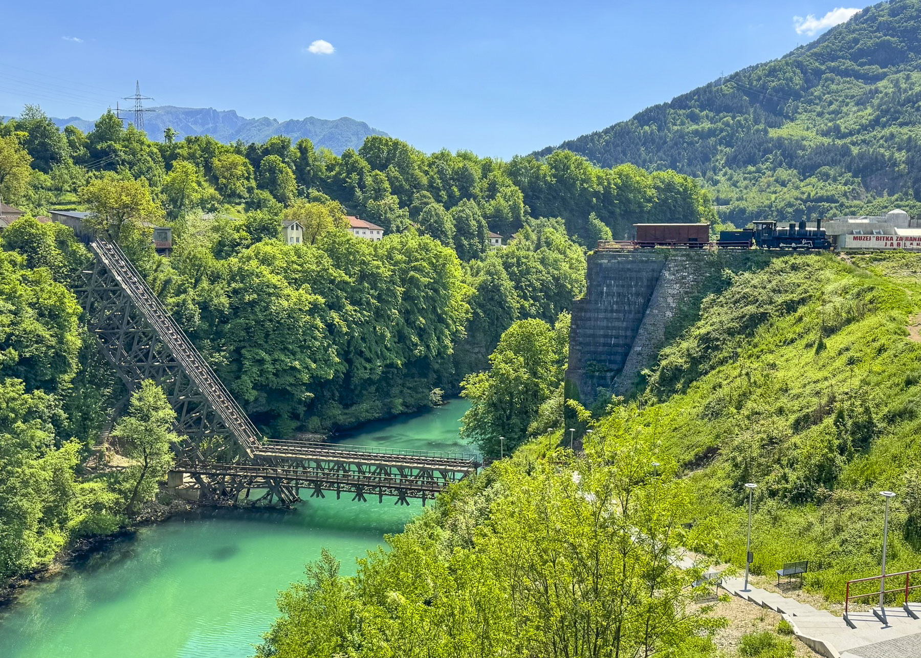
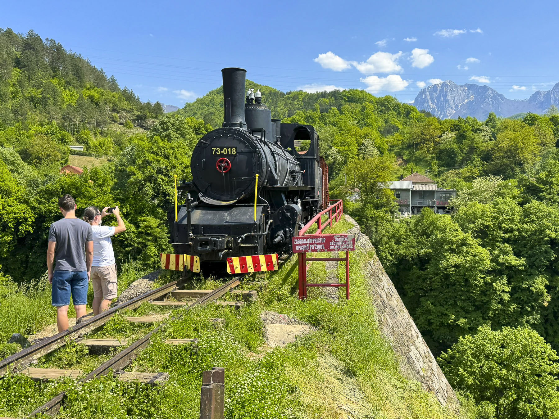
We reached the Hazorasp Tumani bridge over the Amu Darya River, a narrow, two-lane steel and concrete bridge that closes to all vehicle traffic when a train crosses the bridge on railroad tracks that straddle the yellow center line. This event caused such a long wait, that our driver and guide made us hot tea and coffee in the shade of the bus as we waited in the queue, with other folks who were leaving their vehicles to stretch their legs, killing time before the train passed.

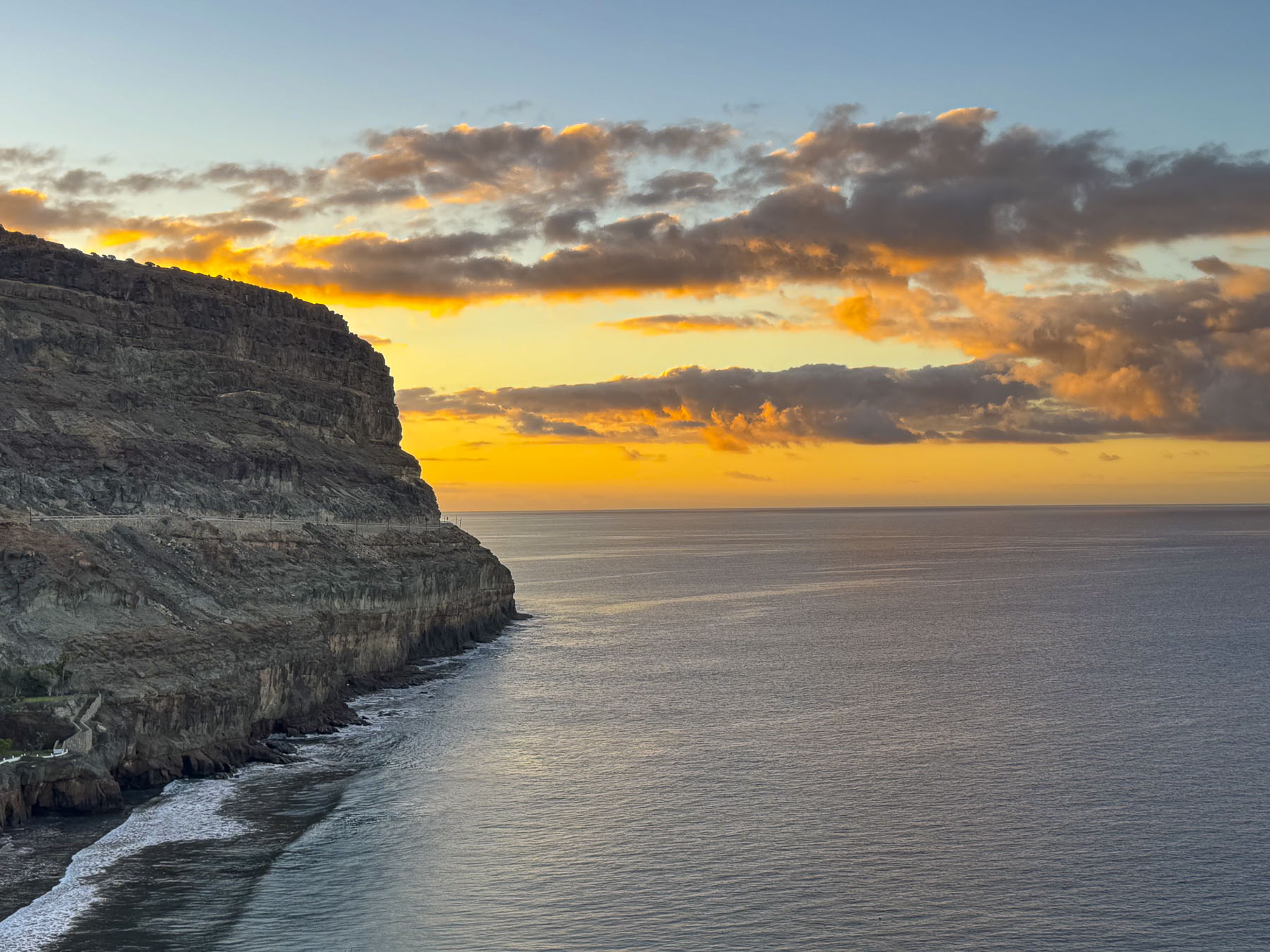
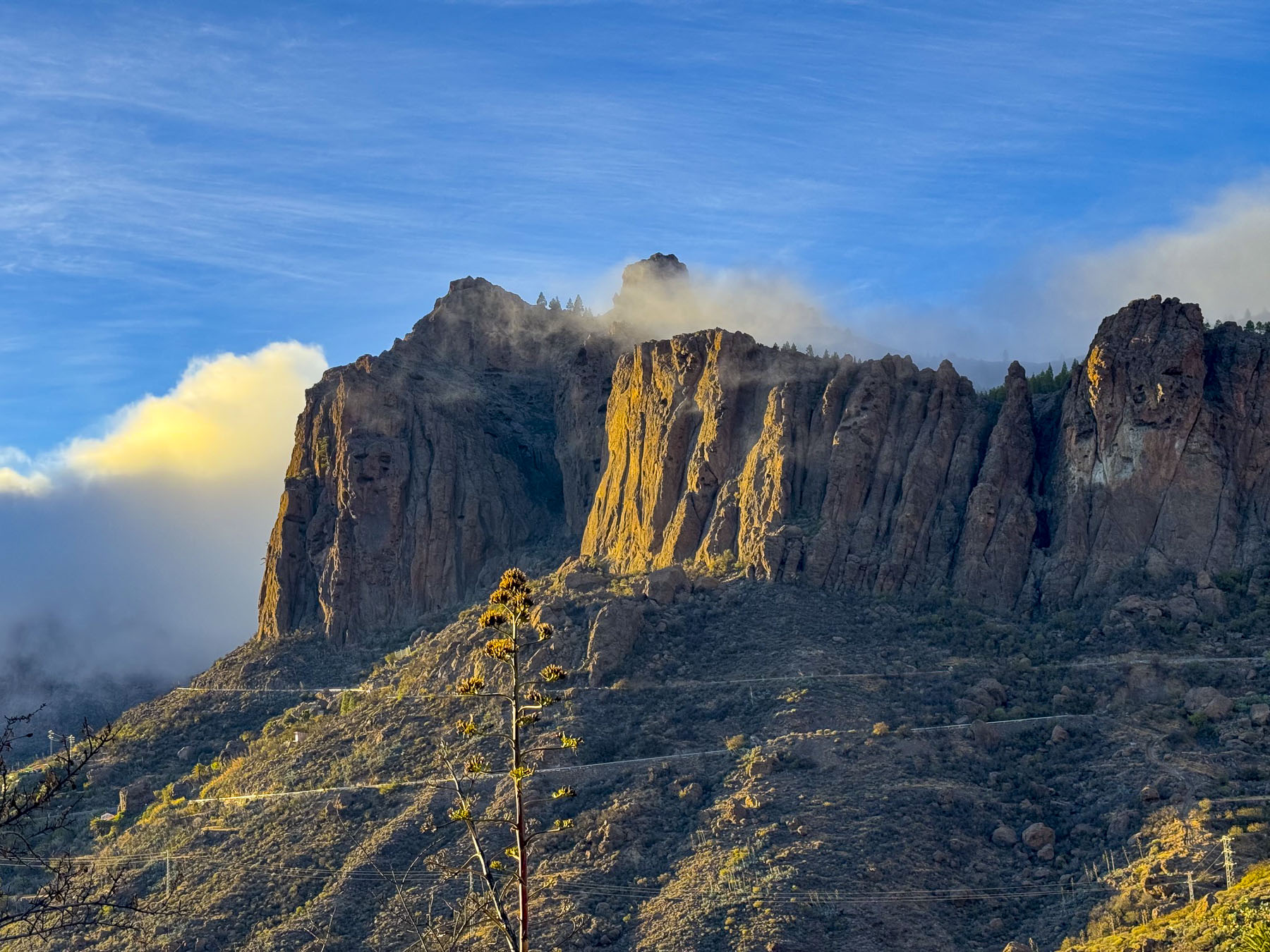
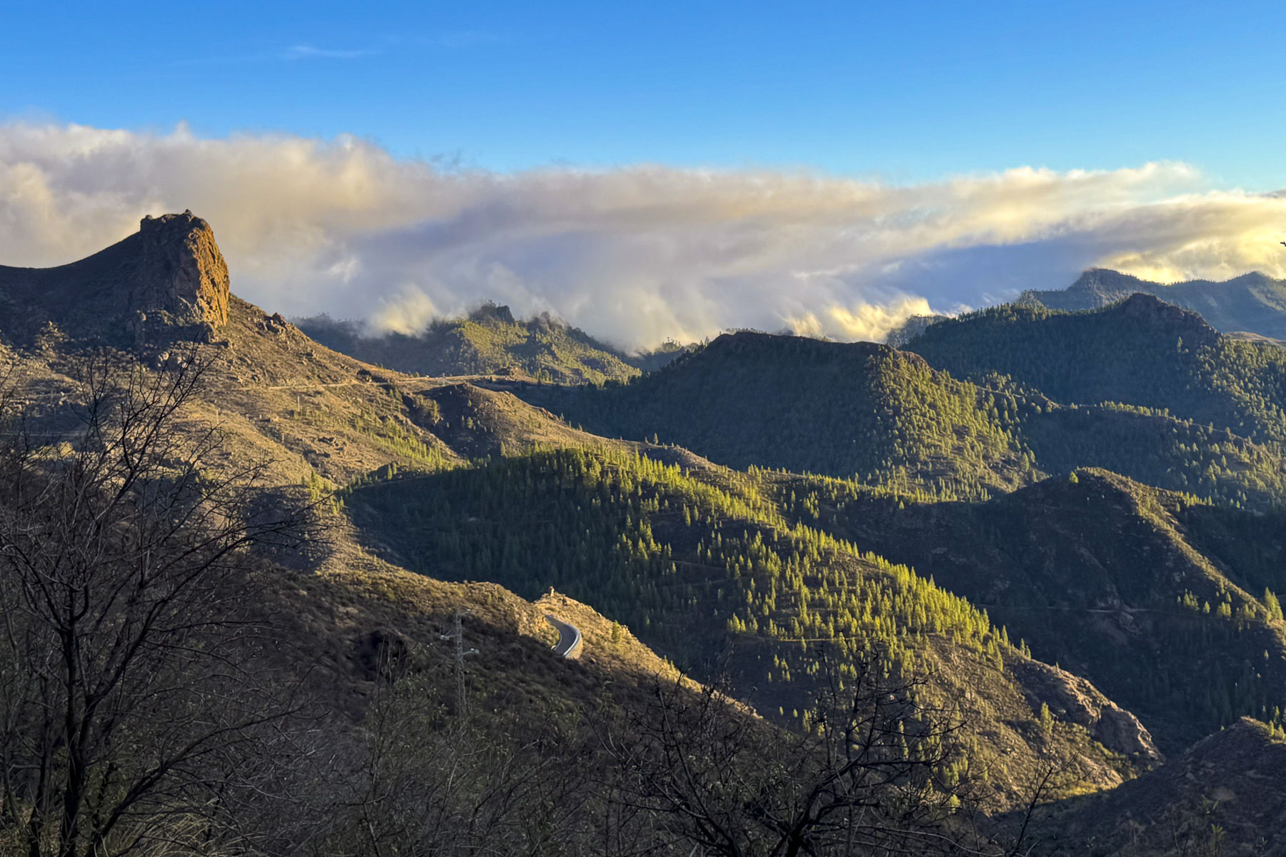
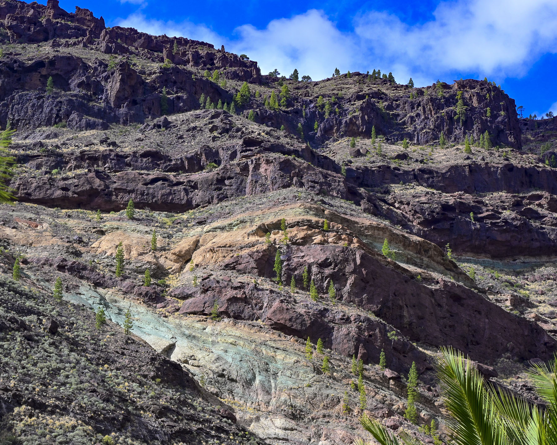
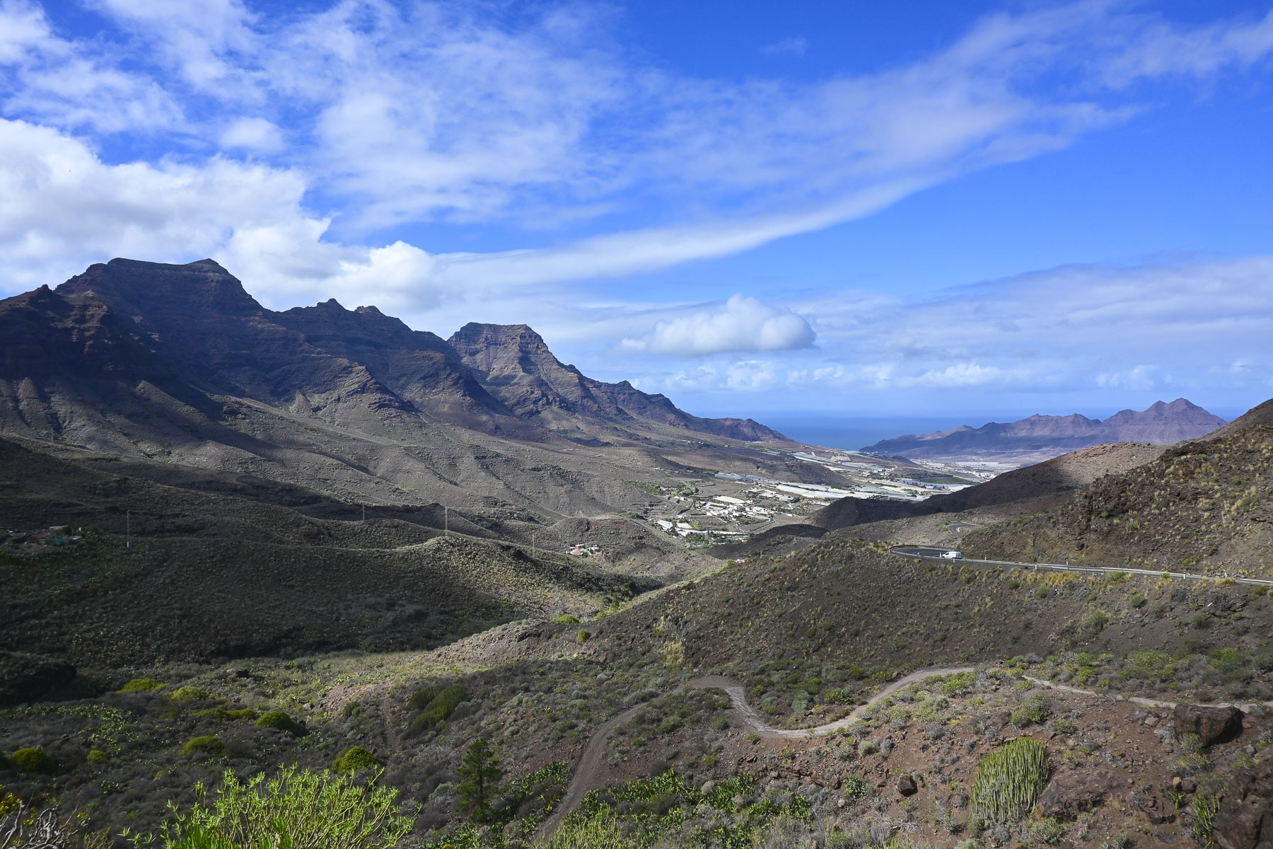
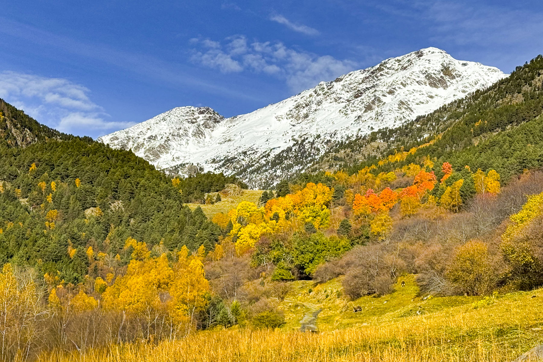
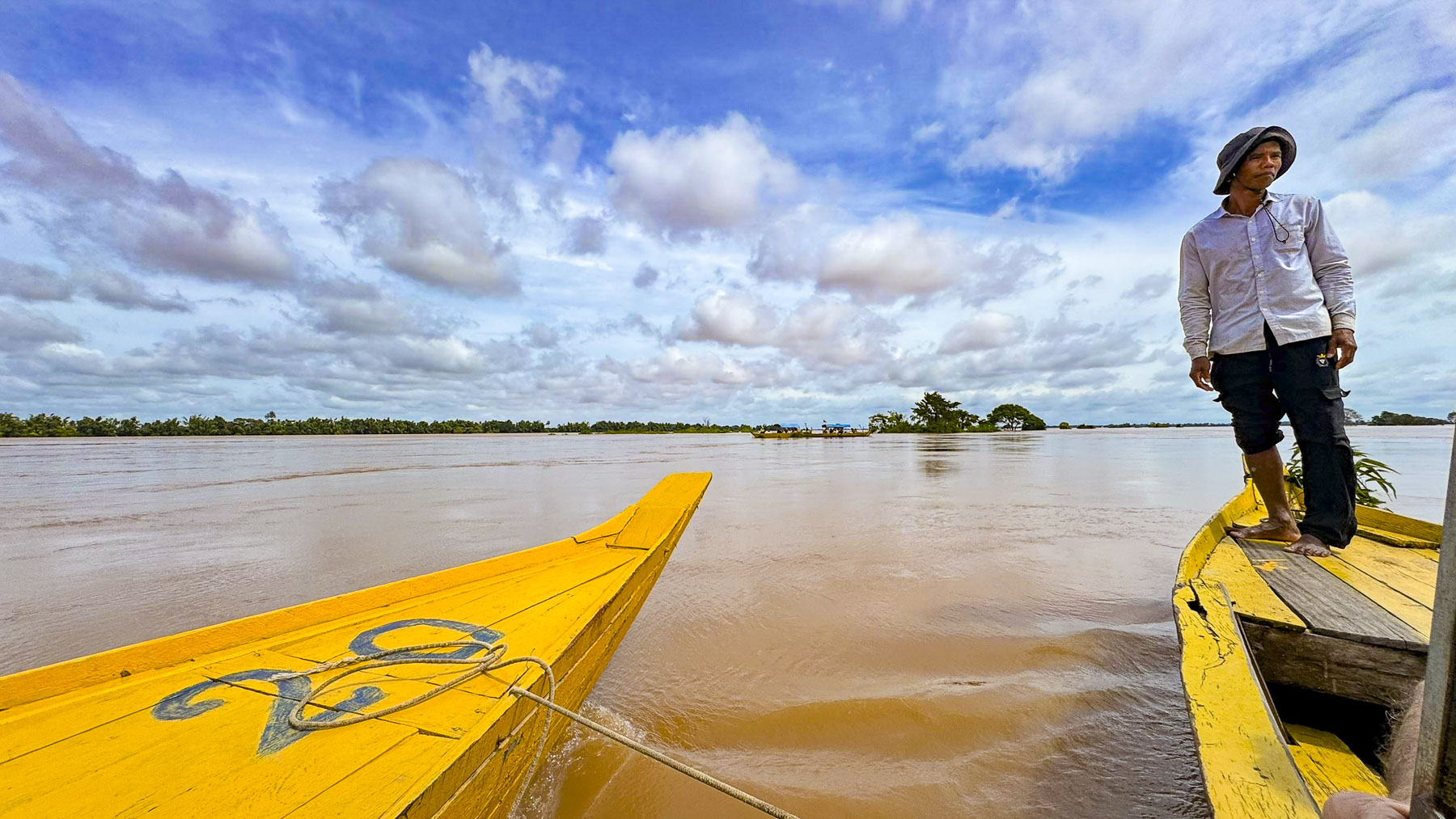
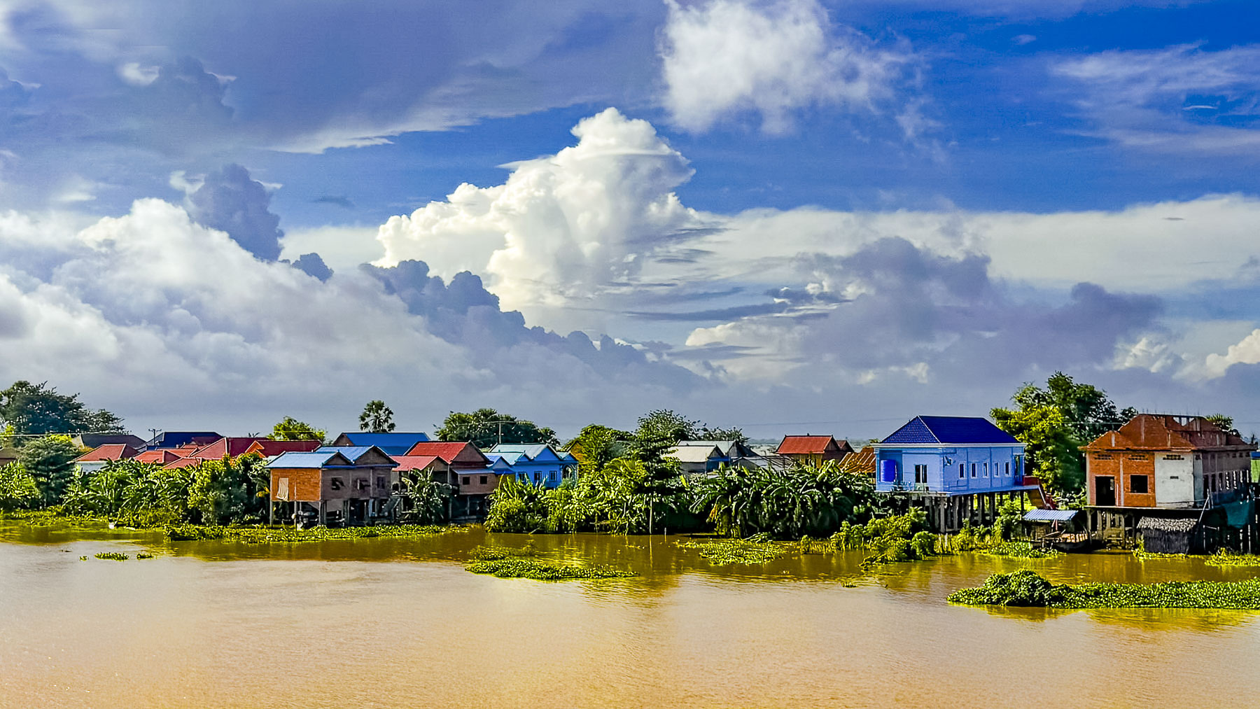
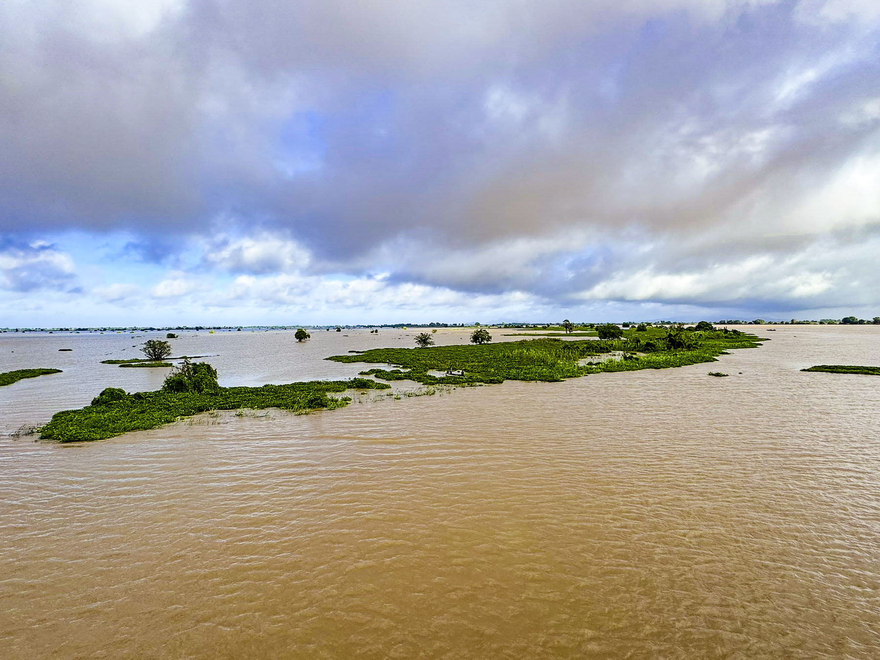
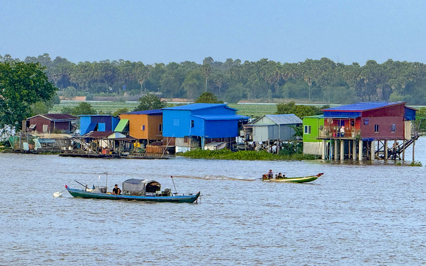
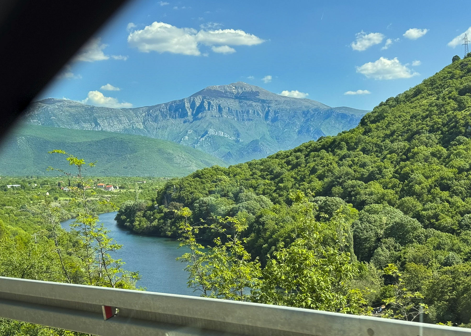
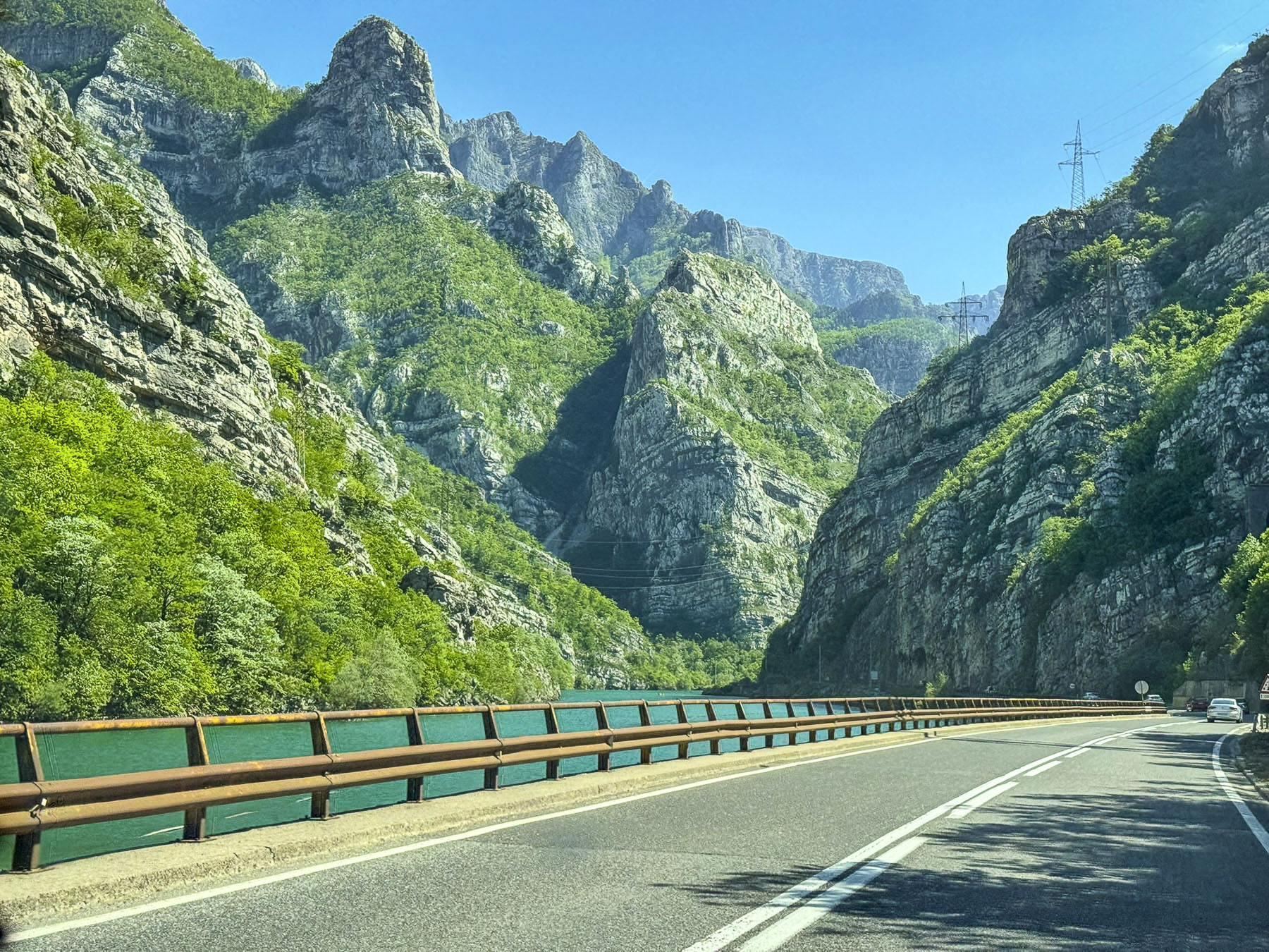
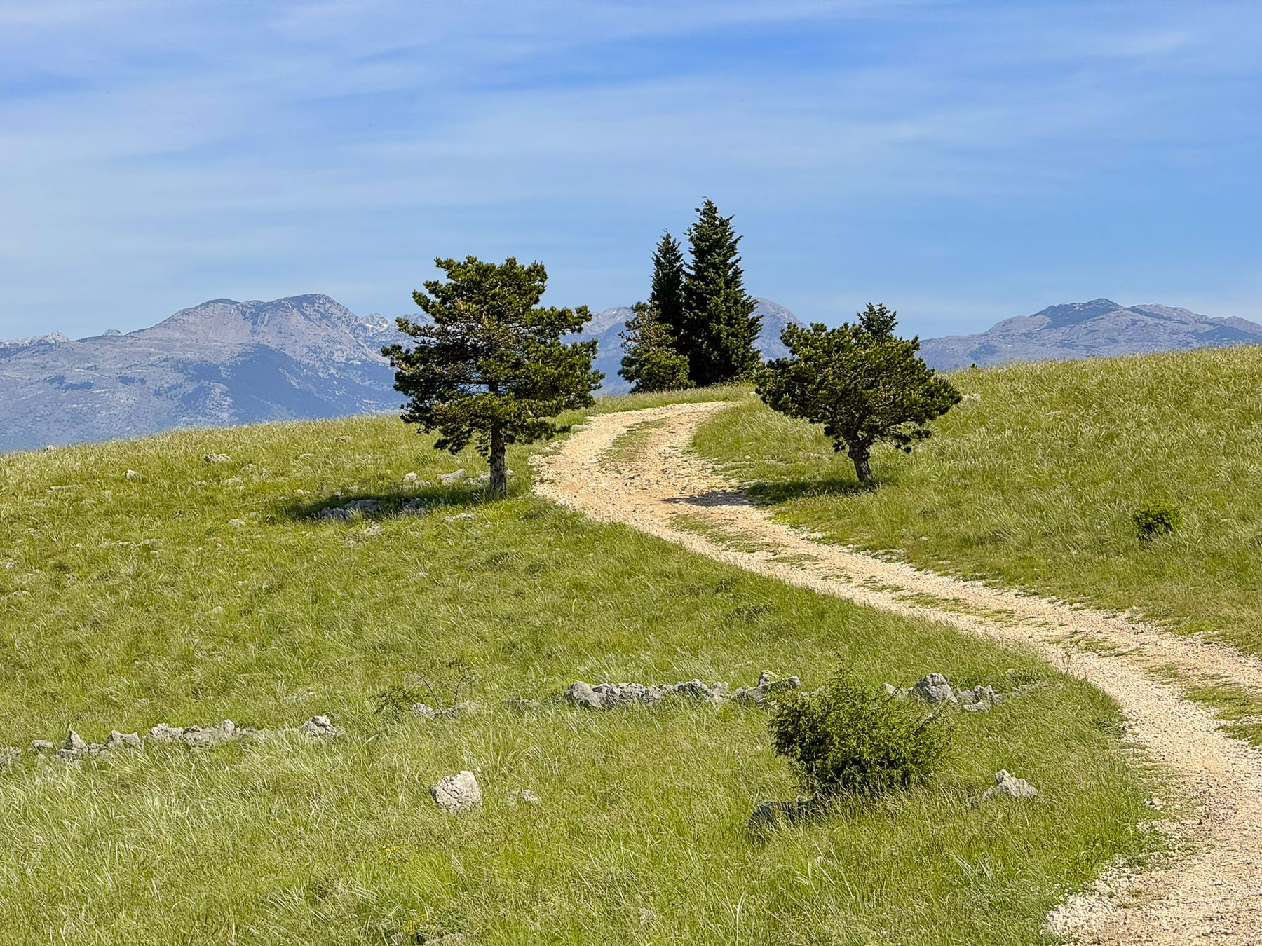
Our route paralleled Uzbekistan’s border with Turkmenistan and at a viewpoint overlooking the Amu Darya River our guide pointed out how much the width of the river had shrunk since his childhood during Uzbekistan’s Soviet era, when the river’s water was overdrawn to irrigate cotton fields, and that during the communist years there were an incredible 17 security checkpoints between Khiva and Bukhara, that everyone was required to stop at. Farther on the scrubland of the Kyzylkum Desert extended in every direction to the horizon.


One unusual thing that we noticed at the many gas stations we passed along our 443km (275mi) route to Bukhara were the concrete walls between the filling islands. The stations didn’t provide gasoline. Instead, they sold highly compressed natural gas for cars and trucks that had been retrofitted to take advantage of Uzbekistan’s substantial natural gas reserves. Occasionally, explosions during the refueling process happens, and the concrete blast walls are to contain the damage. Drivers using these facilities are also required to wait in certain no danger zones, a safe distance away from their vehicles. The stations are all connected via pipelines and frequently there are problems with their pressurization which results in temporary station closures and long lines at other facilities. If you are renting a car there isn’t any need to worry, as all rental cars in Uzbekistan run on gasoline.

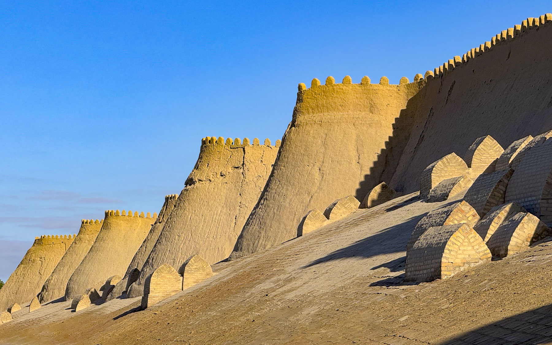
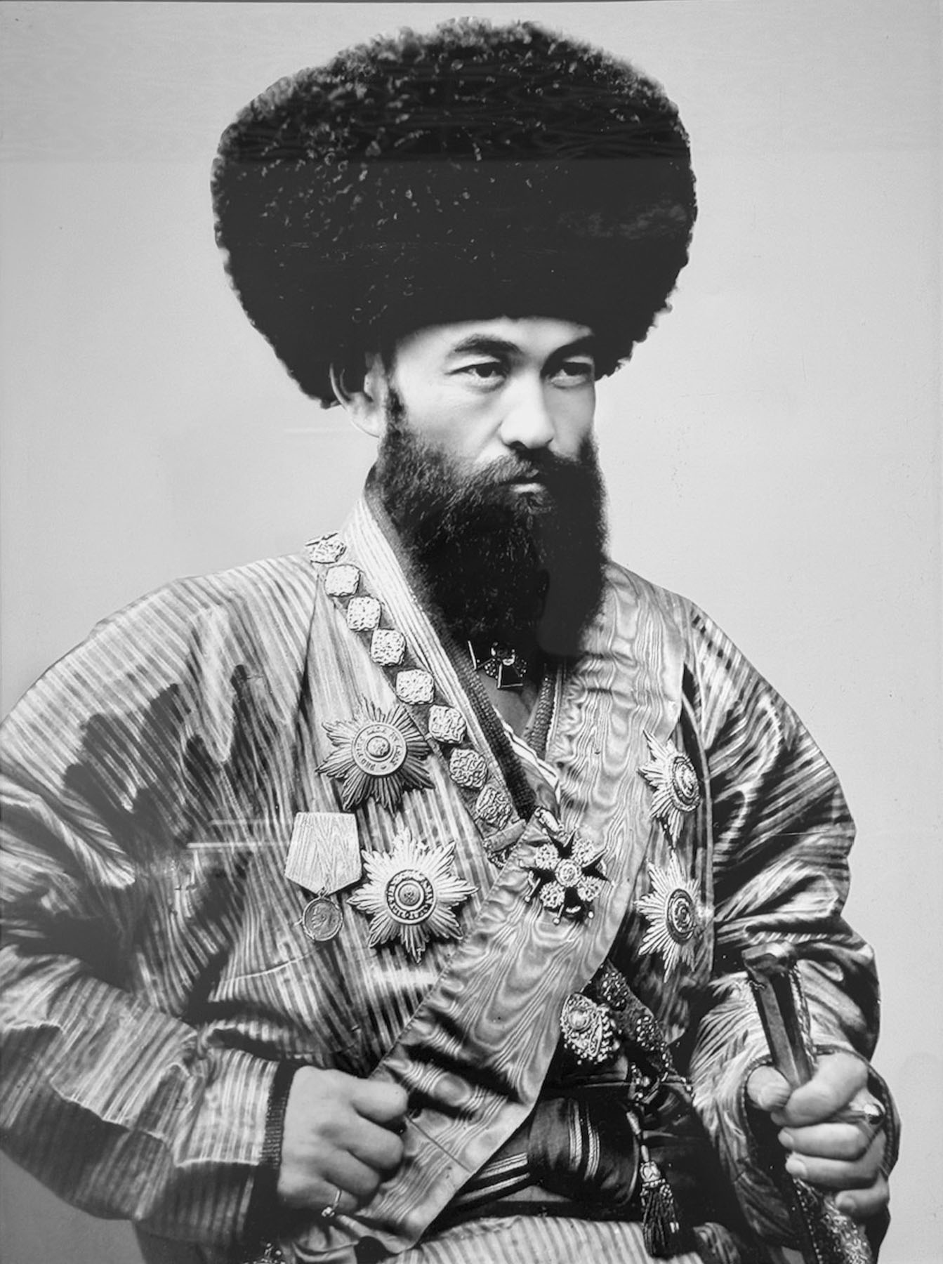
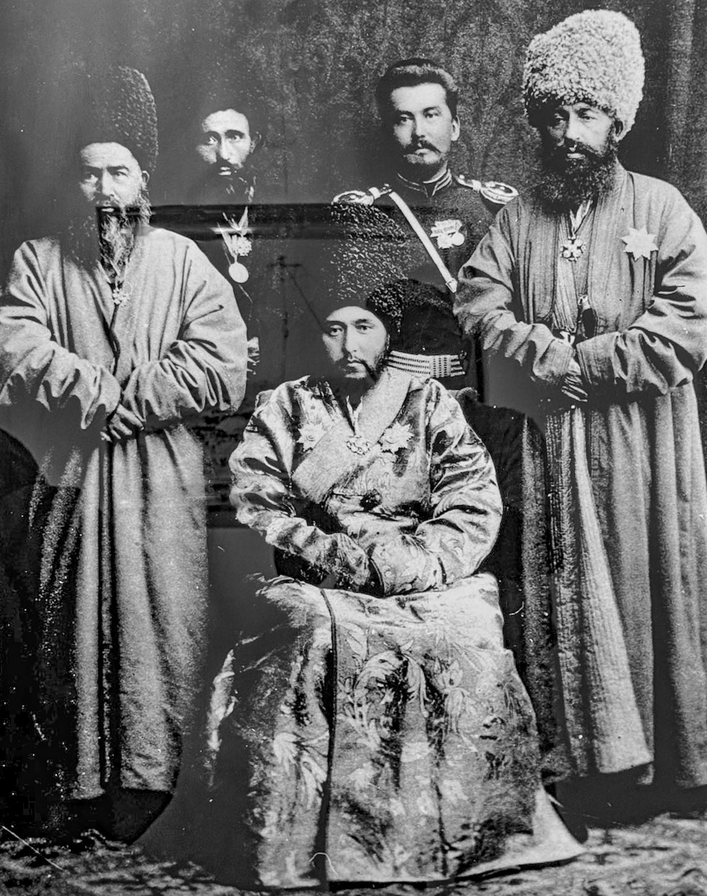
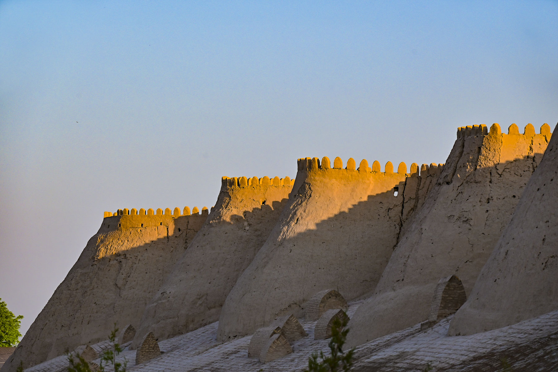
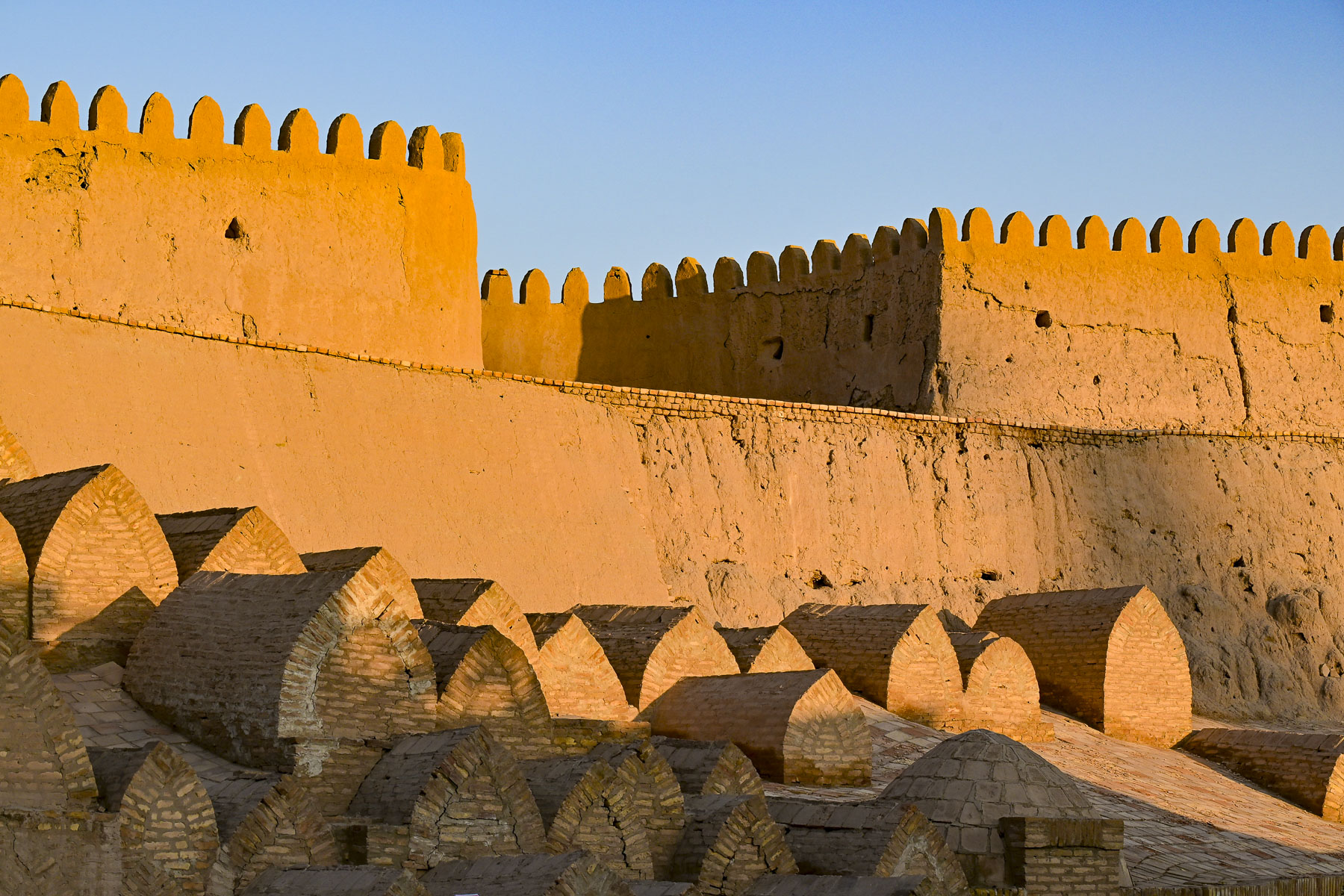
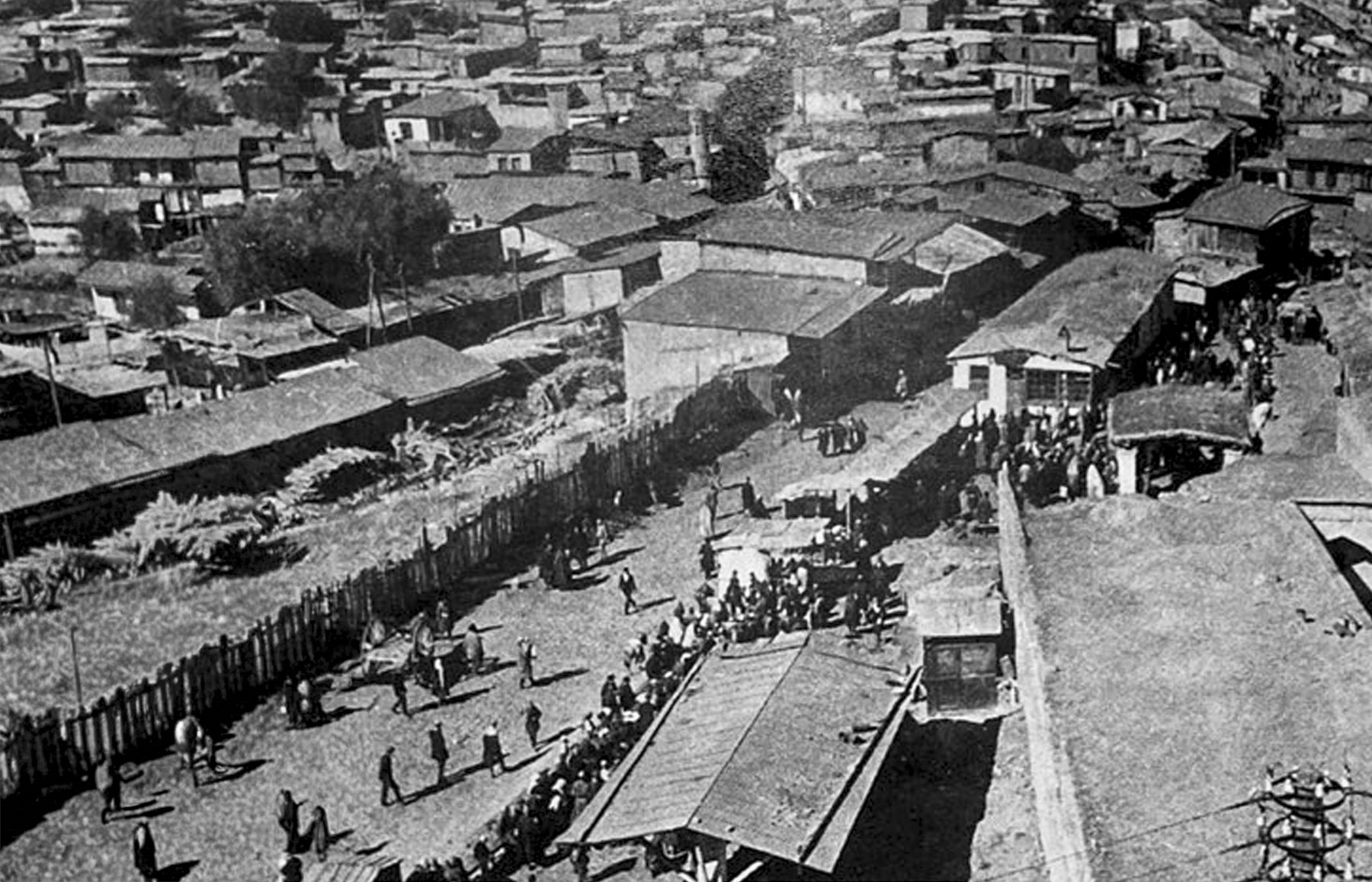
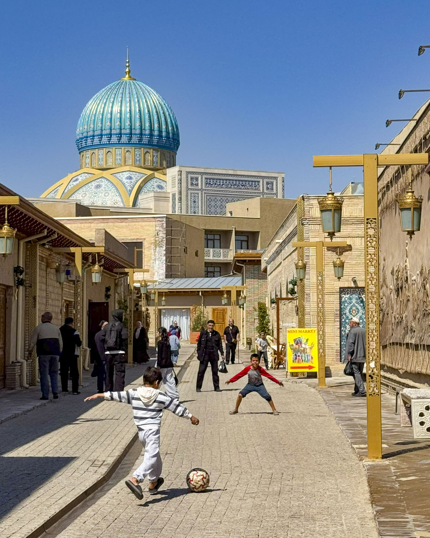
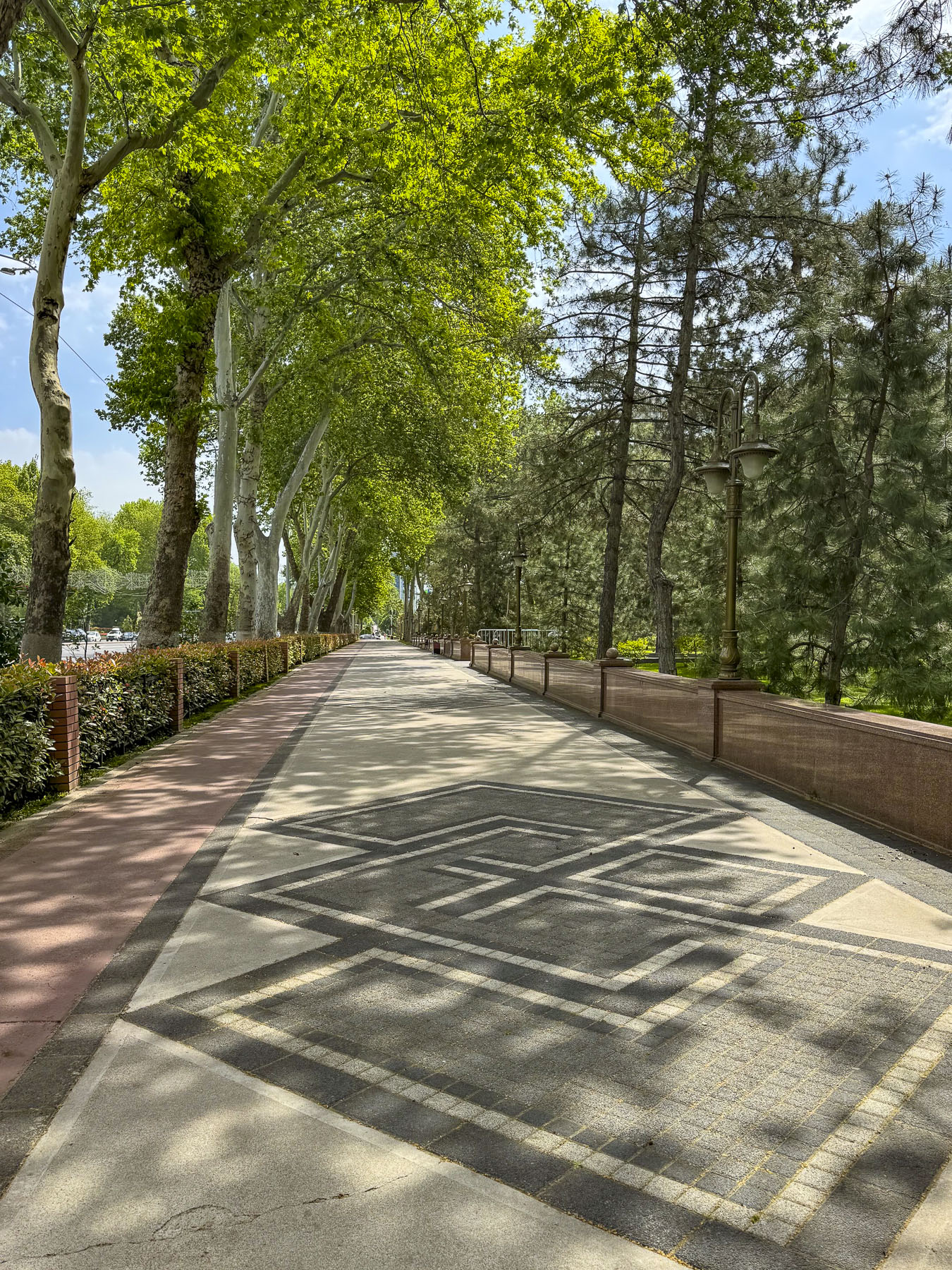
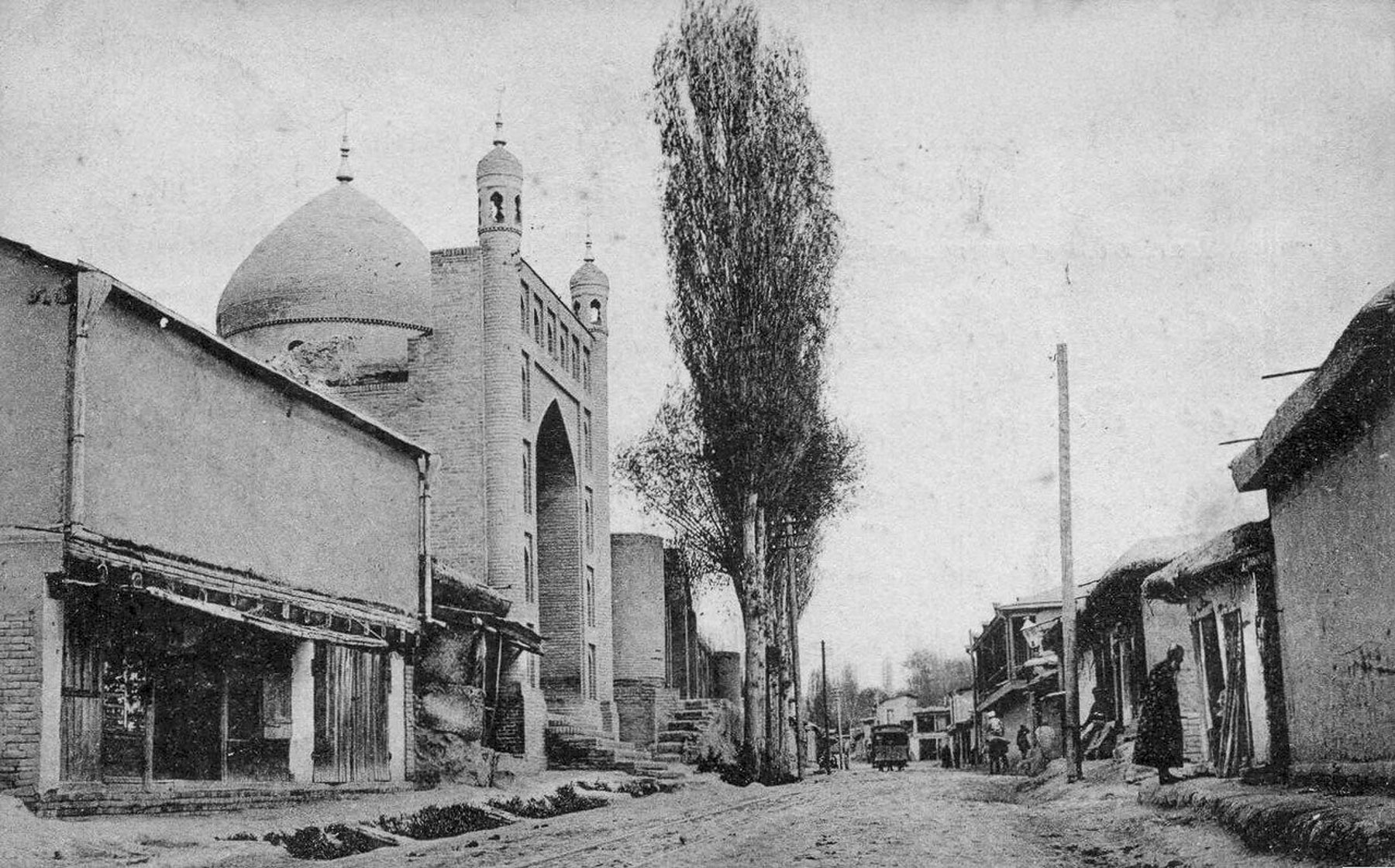
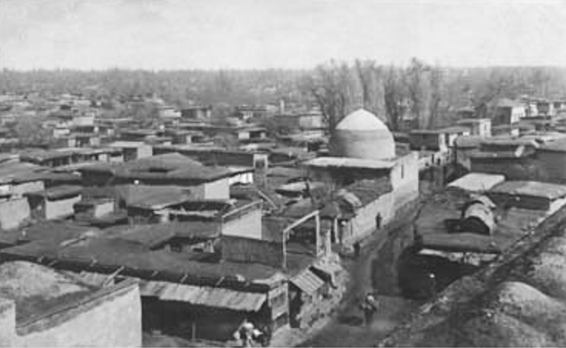
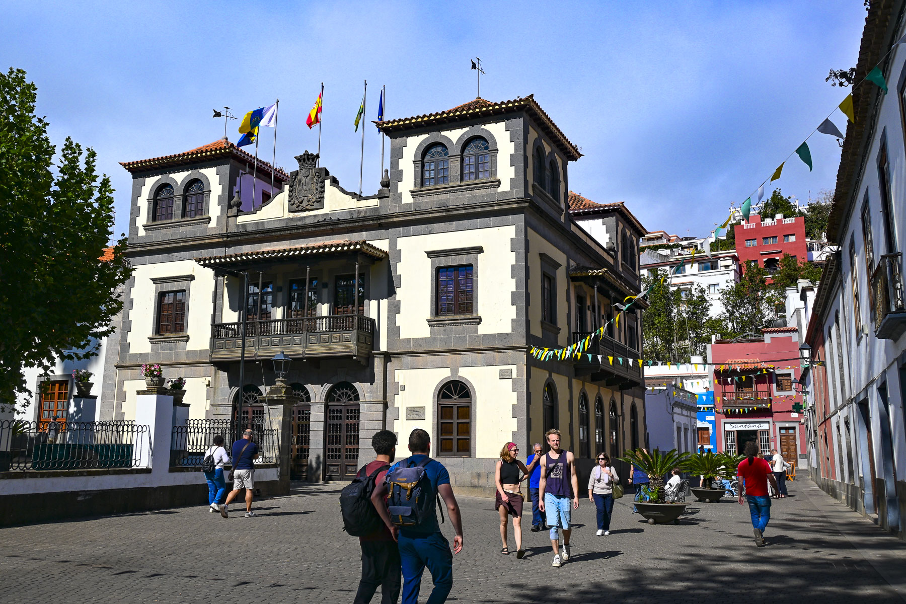
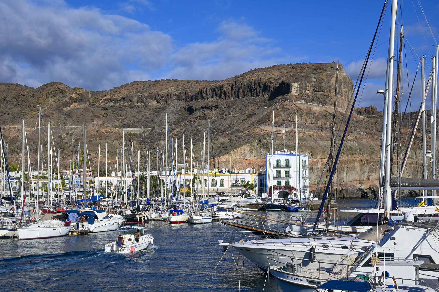
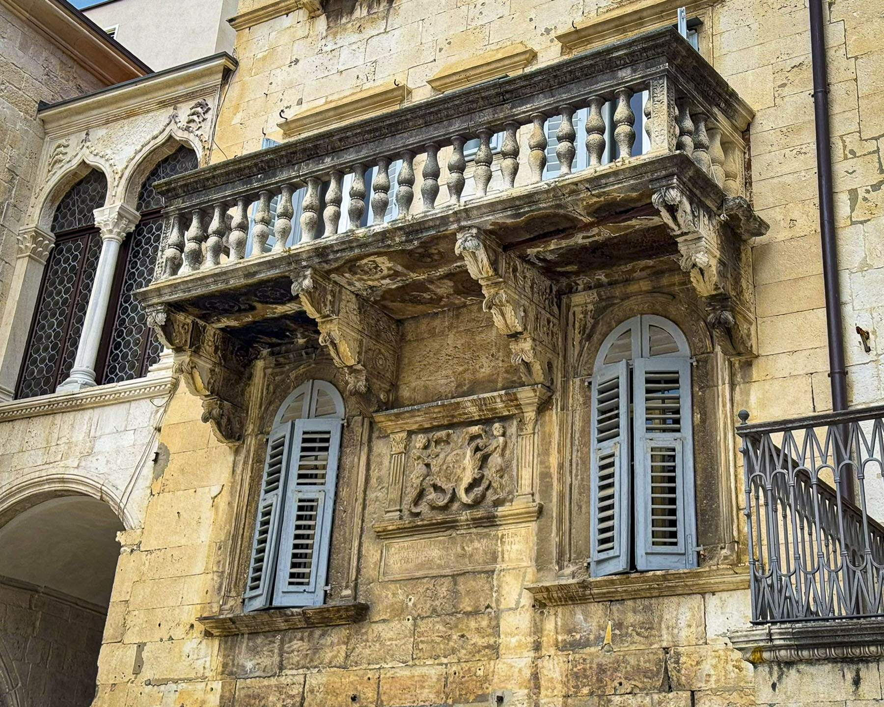
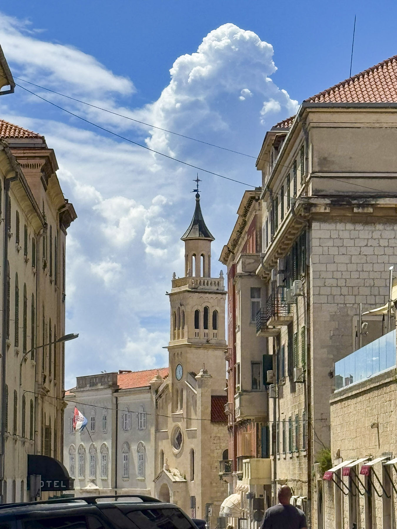
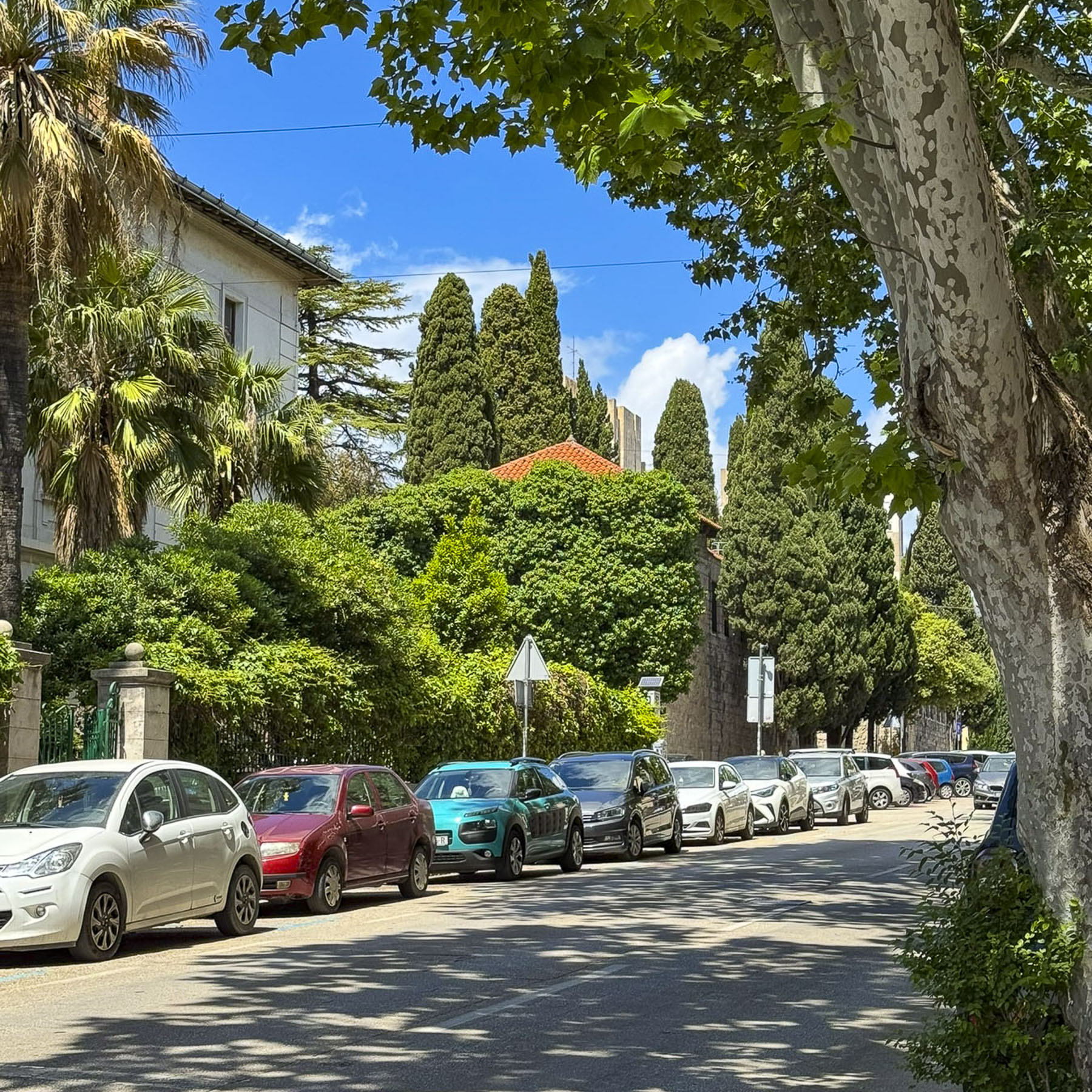
Wide multi-lane boulevards greeted us as we entered the outskirts of Bukhara, a city of about 305,000 people. The roads were lined with newer three to five story buildings with a vast array of shops and services on the ground level and apartments above. And there was a good amount of western style advertising with billboards and digital displays marketing athletic wear, soda and banking services. There had been a large 12km (7.5mi) defensive wall around this Silk Road trading hub for over two millenniums, only succumbing to destruction when the Soviet Red Army bombed and shelled the city in 1920 before they forced Bukhara into the Soviet Union. Prior to this, the Emirate of Bukhara existed as an absolute, conservative Islamic monarchy, while being a Russian Empire protectorate, a result of Russia attacking the city in the late 1860s to end its and Khiva’s notorious slave markets that sold around 100,000 Persian and Russian slaves every year to other Islamic khanates in Central Asia, India and the Middle East.

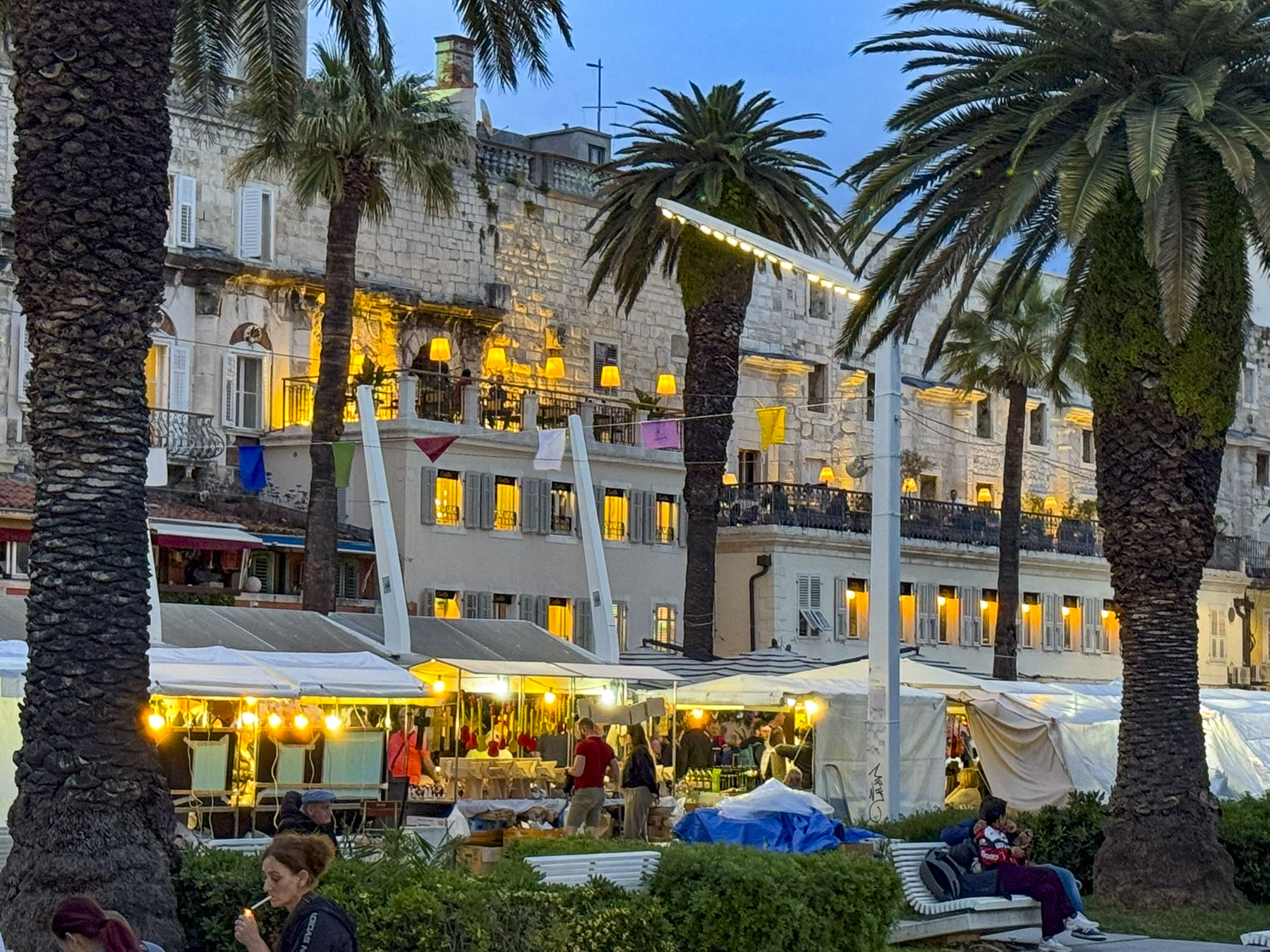
Just shy of the pedestrian only historic center of Bukhara, we disembarked from our bus, across from the Labi Hovuz, an ancient public square, dating from the 1620s, that’s centered with a large reservoir surrounded by a shallow set of stairs that lead down to the water’s edge. Surrounded by centuries old mulberry trees, it was a popular spot for merchants from the caravanserais, and students from the nearby madrassas to relax in the cool of the evening. The pool was also a vital source of drinking water for the surrounding homes for several hundred years. There used to be many of these hovuz, pools, across Bukhara’s mahallas, neighborhoods, but they were also the breeding grounds for waterborne diseases like guinea worm and cholera, and they were filled in for health reasons during the Soviet years.


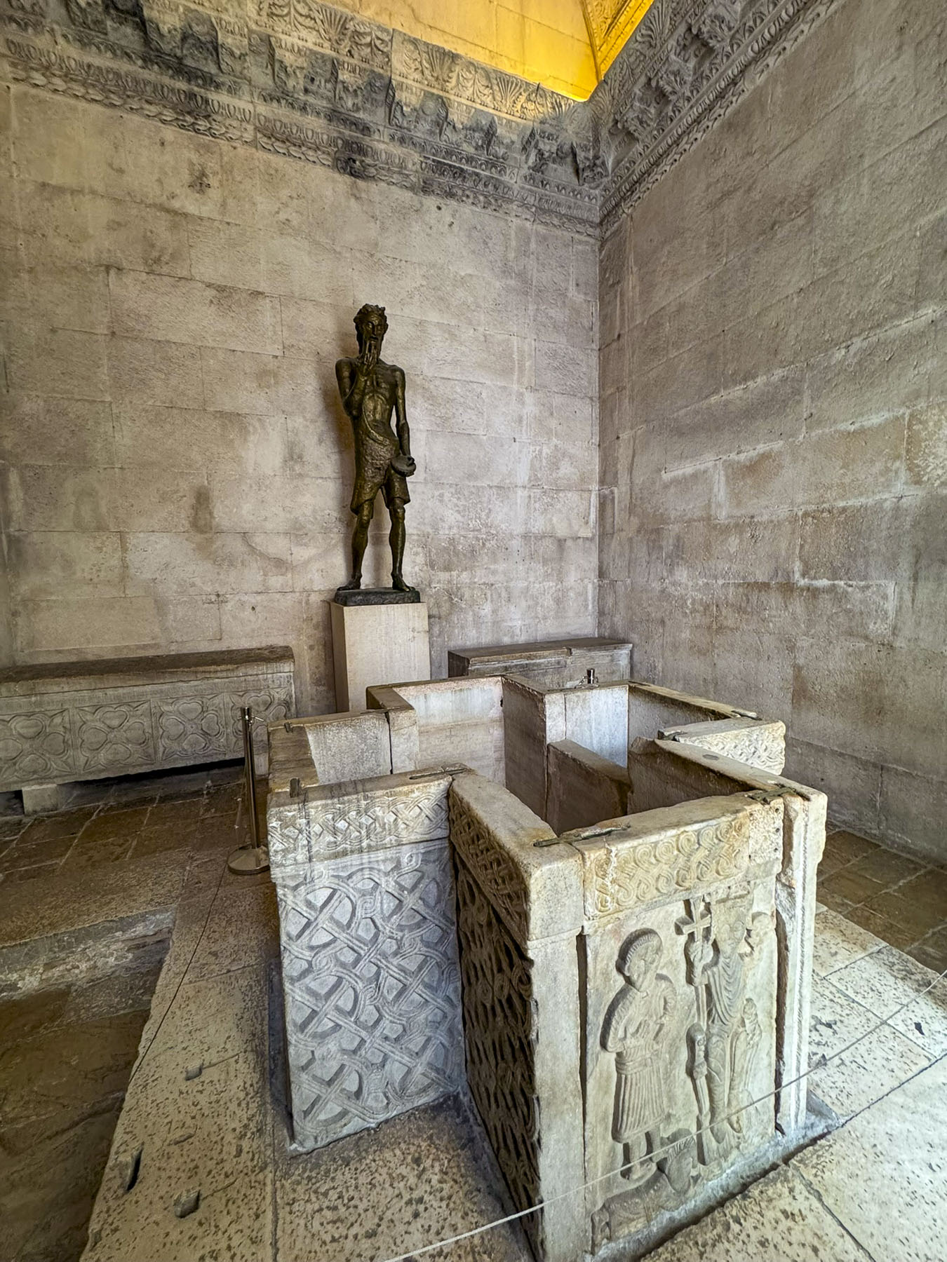
Dragging our suitcases behind us, we passed the Magoki Attori Mosque, dating from the 9thcentury; it was built above the ruins of an early Buddhist monastery and later Zoroastrian temple. Interestingly, before the first synagogue was built in the city, Muslims and Jews shared the temple but worshipped at different times. It is the oldest mosque in Bukhara, having survived Genghis Khan’s sack of the town in 1220, and a millennium of Bukhara’s evolving growth, which has left its entrance 4.5m (15ft) below the surrounding city level.


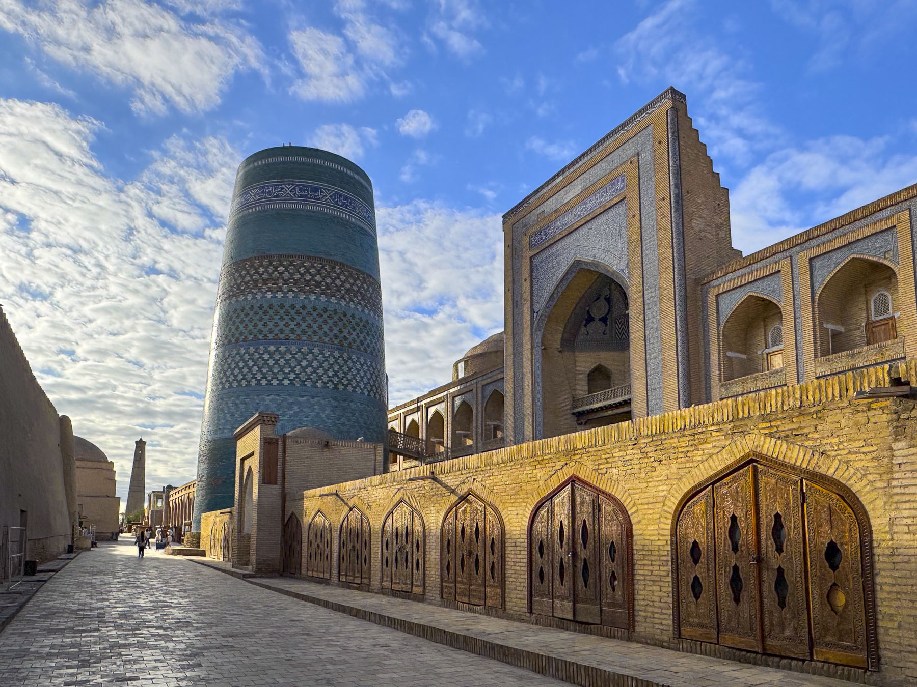
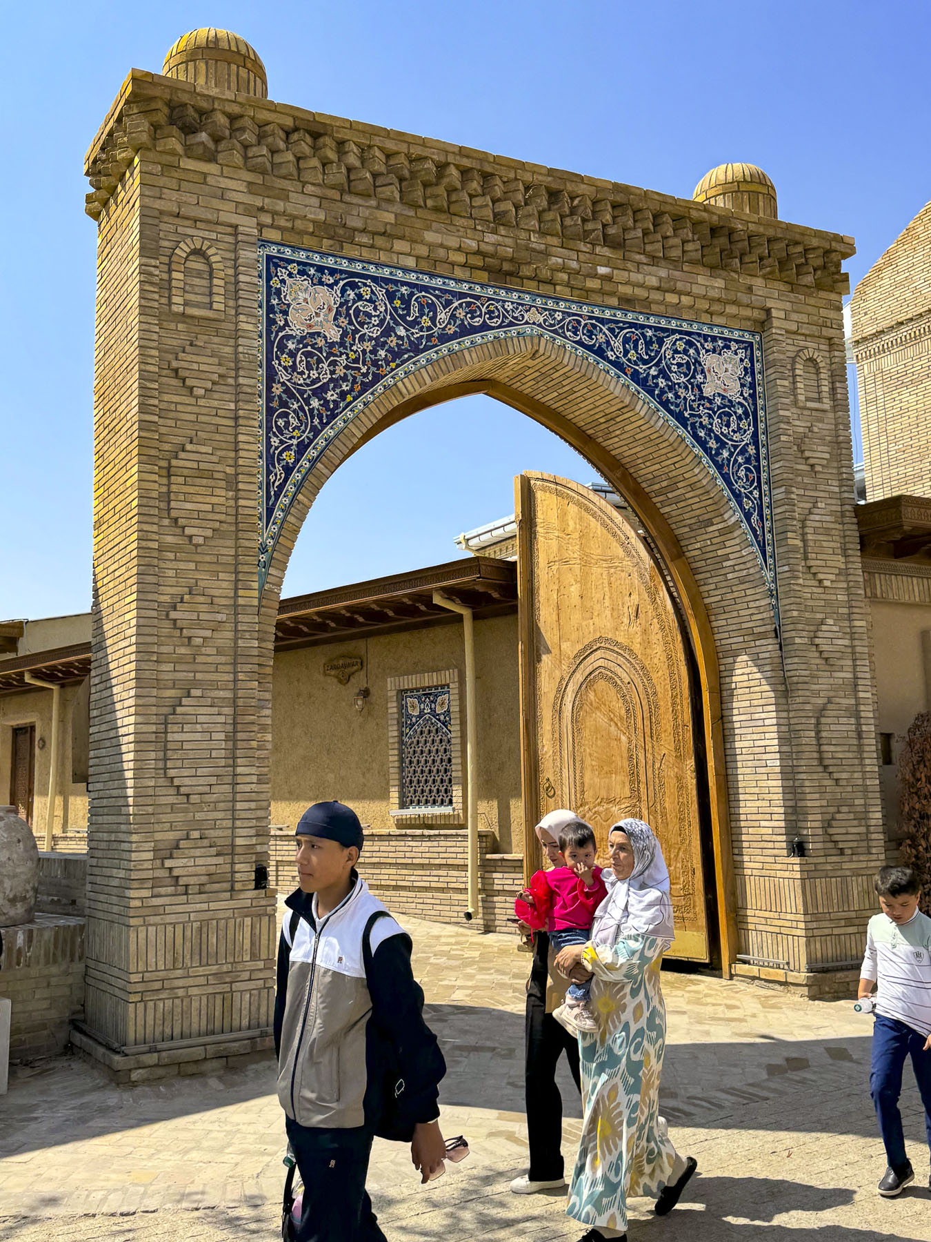
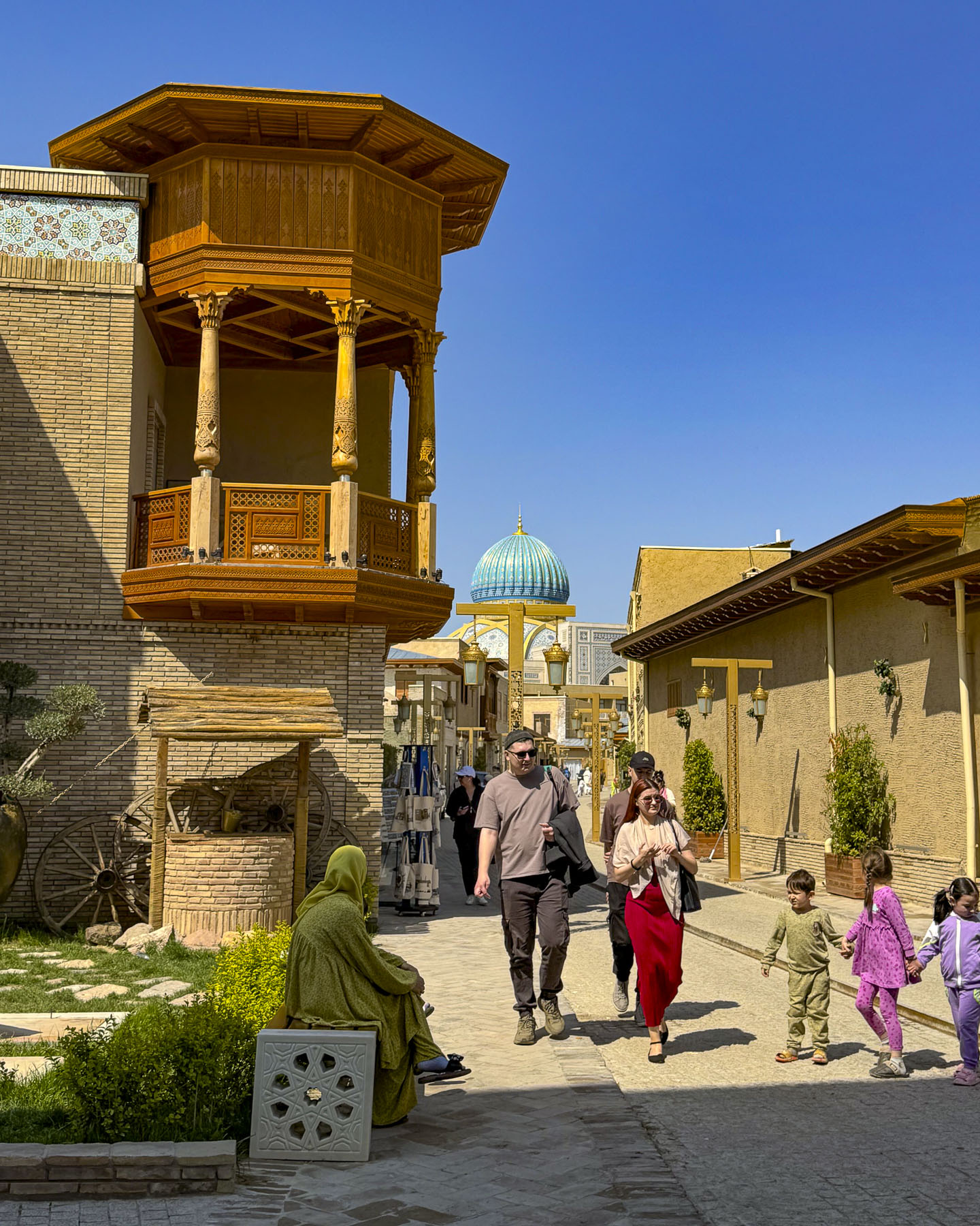
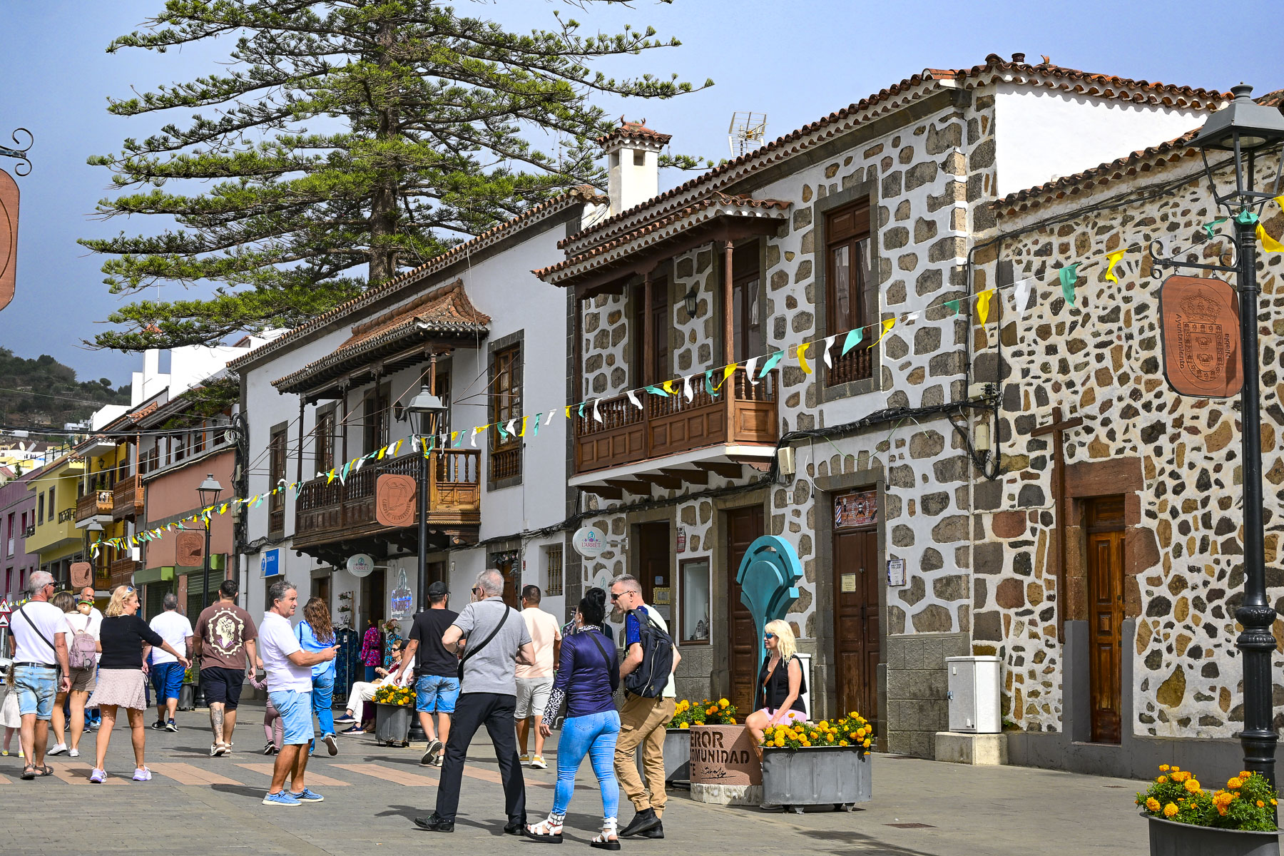
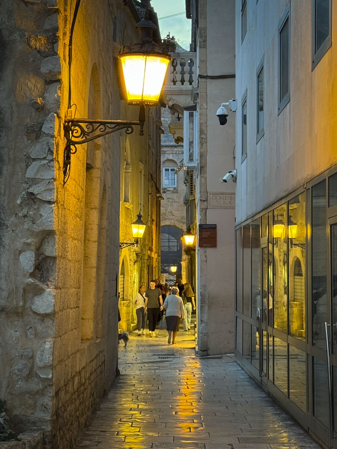
We entered the inner part of the historic center of Bukhara through the Toqi Telpakfurushon, a long gate-like, multi-domed tim built in 1570, that was first used as the booksellers’ bazaar. Its narrow lane was lined with a variety of colorful stalls and workshops, and it is expected that tourists will bargain with the merchants for their best price. We passed through the Toqi Telpakfurushon many times during our two full days in Bukhara, but appreciated the beauty of the building most in the early morning hours as the city was awakening.

Just outside the far end of the bazaar was the Bozori Kord Hammam, dating from the 14th century. It is one of the oldest continually operating bathhouses in the world, where a restorative 30-minute massage can be enjoyed.


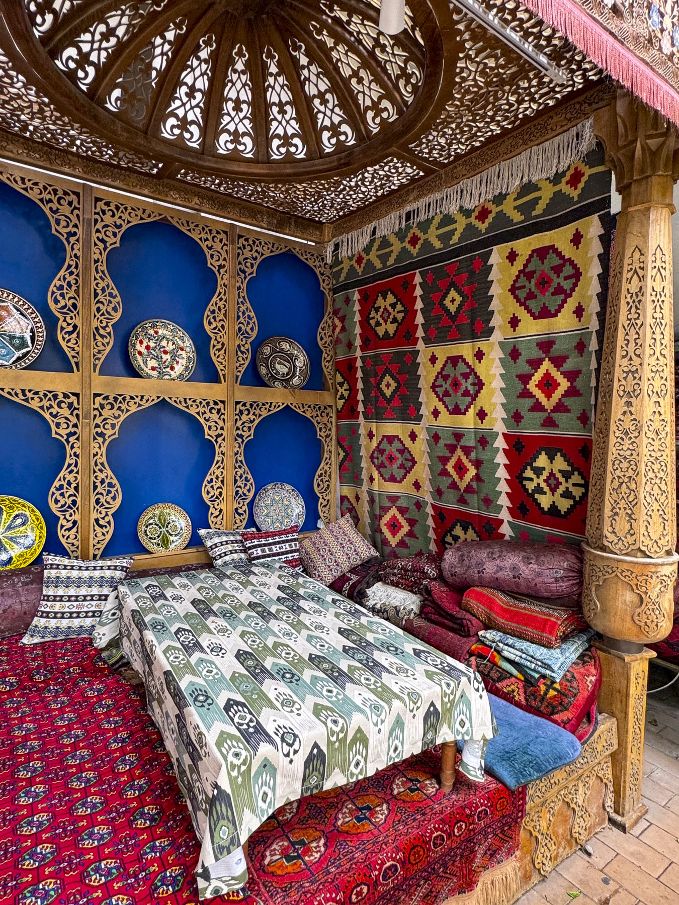
Our hotel, The Shahriston, was a few doors down. It’s a newer hotel built in 2018, that wonderfully retains the authentic character of the surrounding medina, and was conveniently, centrally located on Khakikat St, and within easy walking distance of Bukhara’s many historic sites. It also had a nice rooftop terrace for views over the medina’s Toqi trading domes and workshops.

After getting settled in our room, we headed to the Poi Kalon Complex, as the golden hour was approaching, and quickly decided that the rooftop restaurant at Kazan, directly opposite the plaza, would be the perfect spot for dinner and photos later. We made reservations.


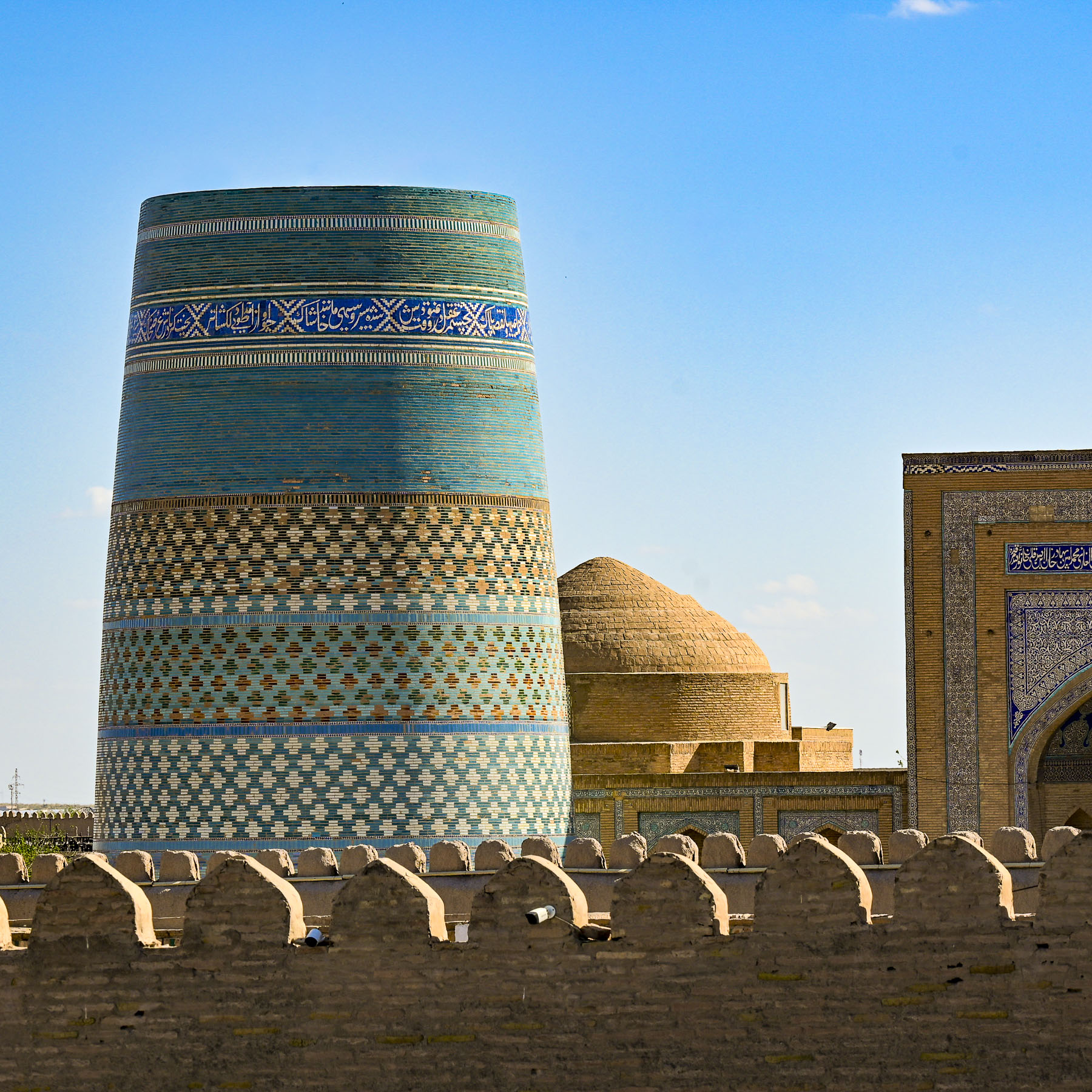
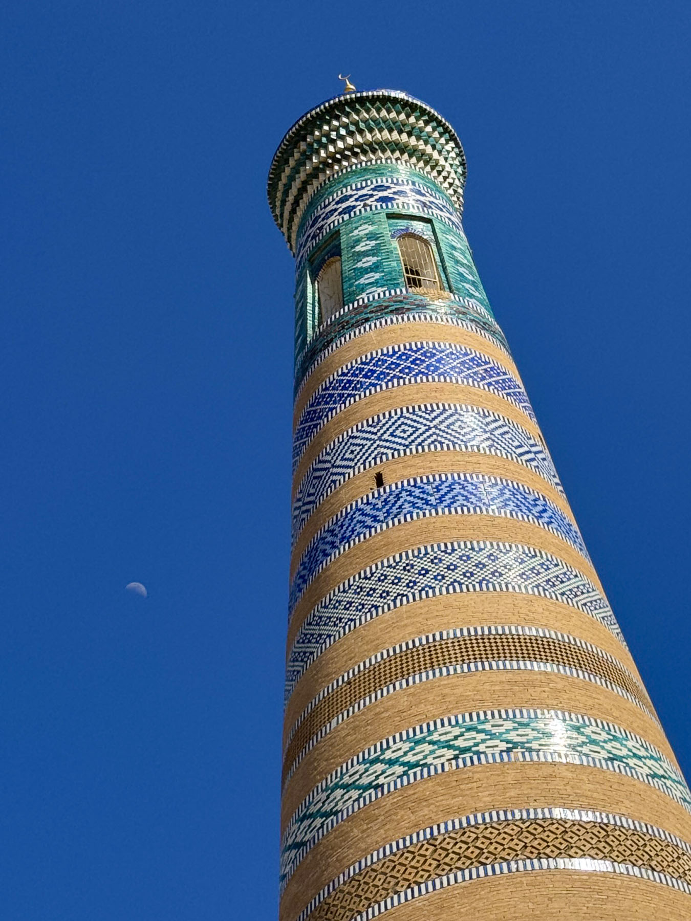
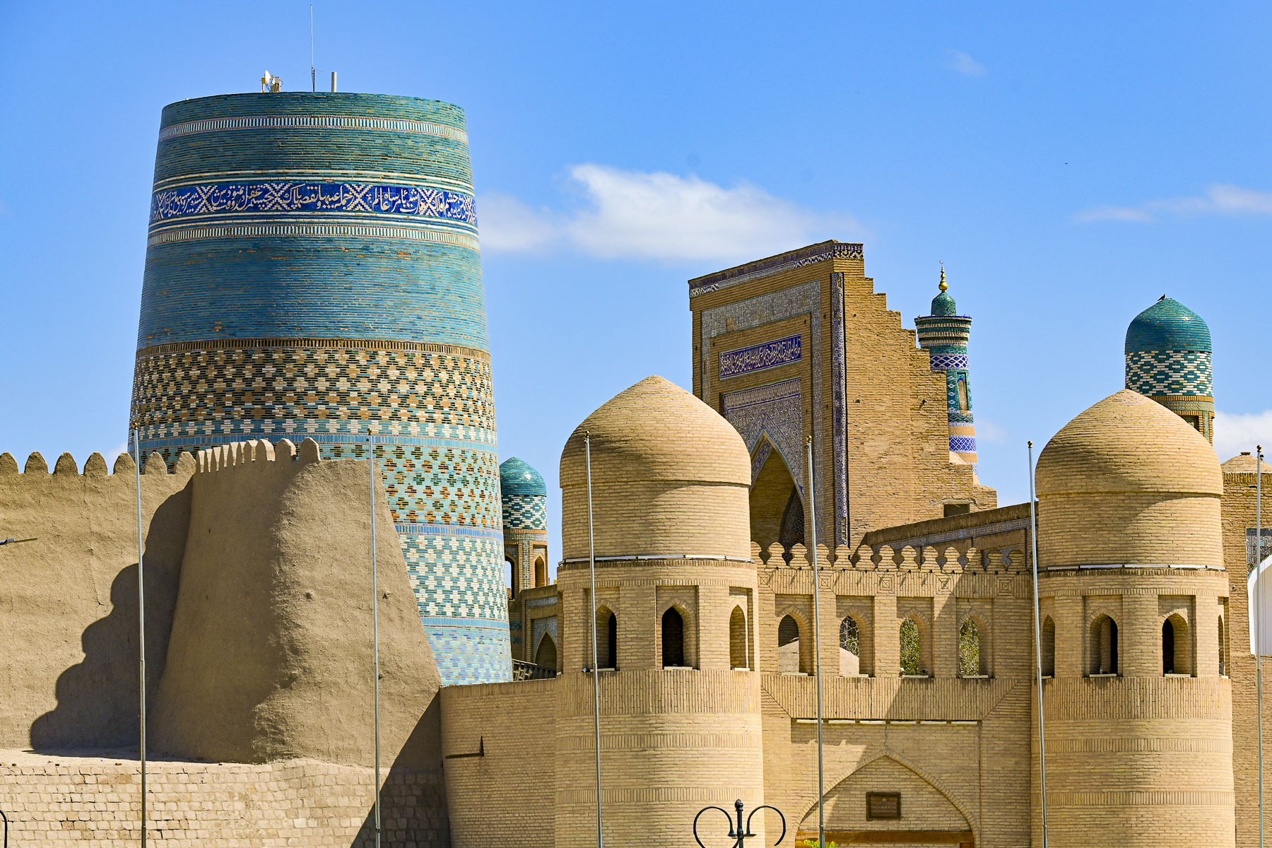
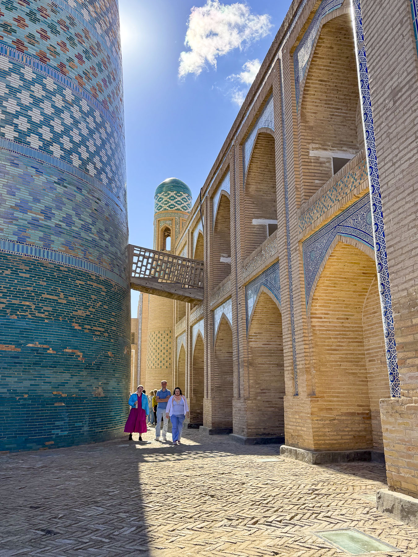
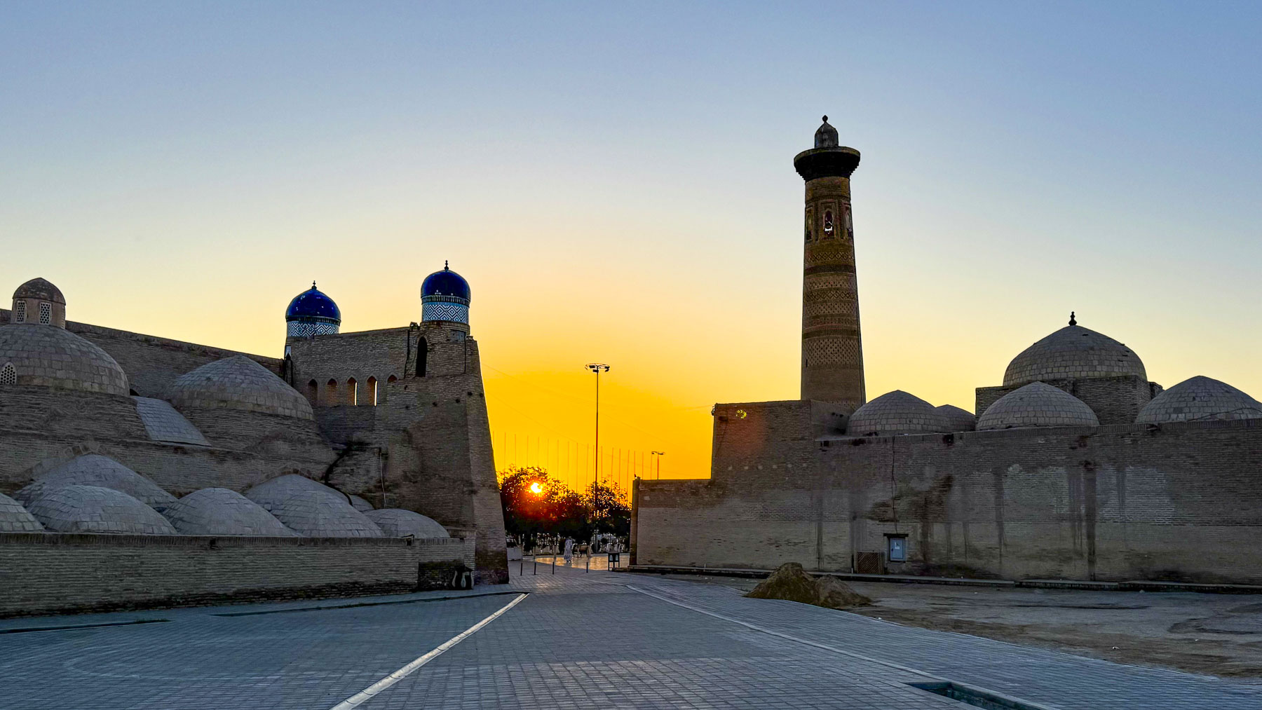
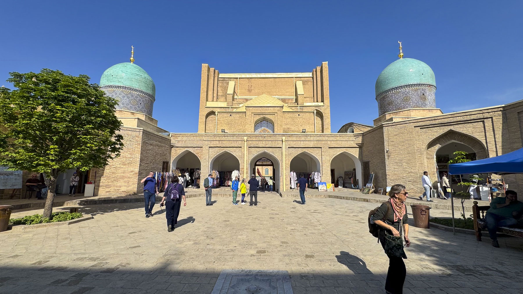
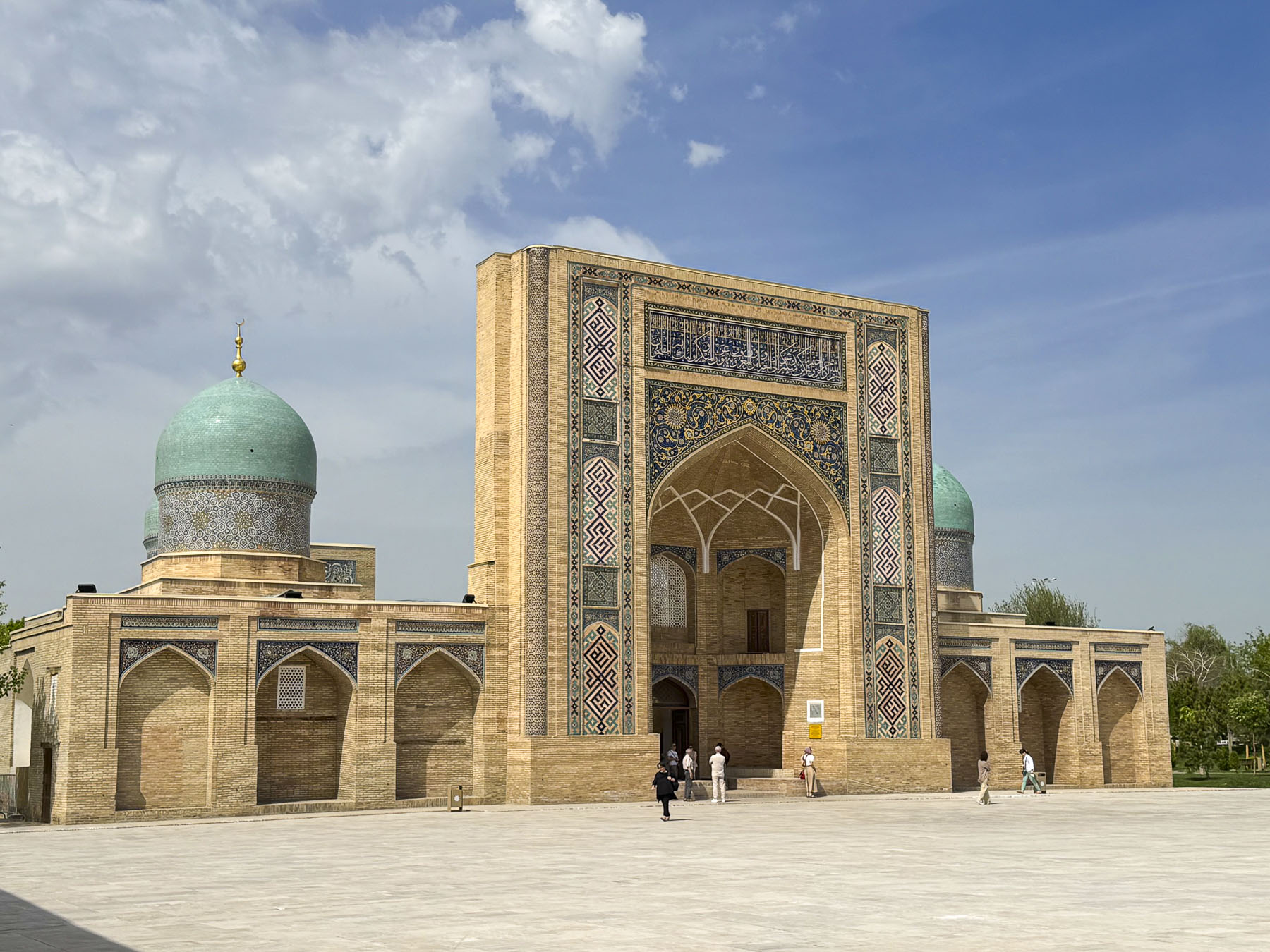
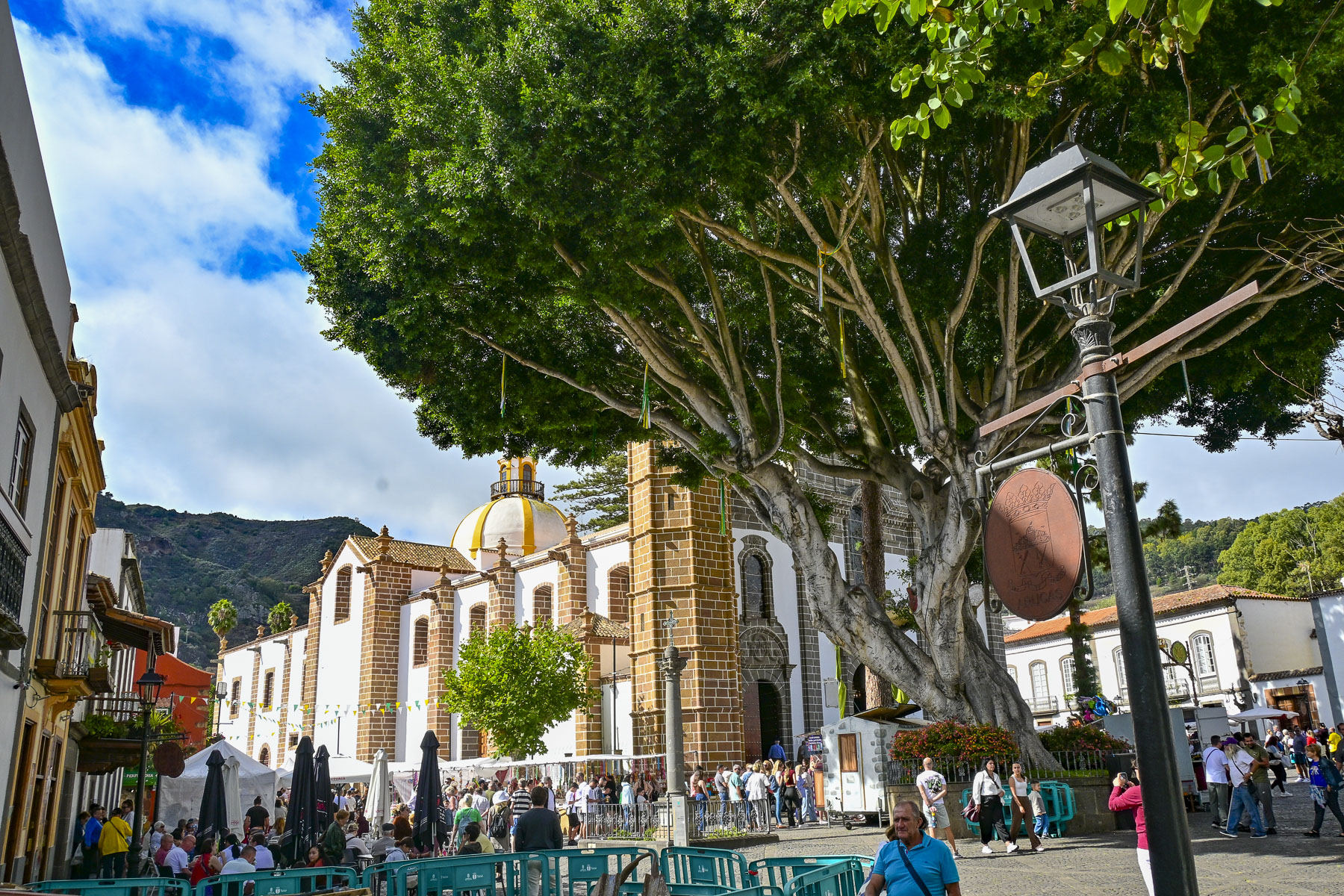
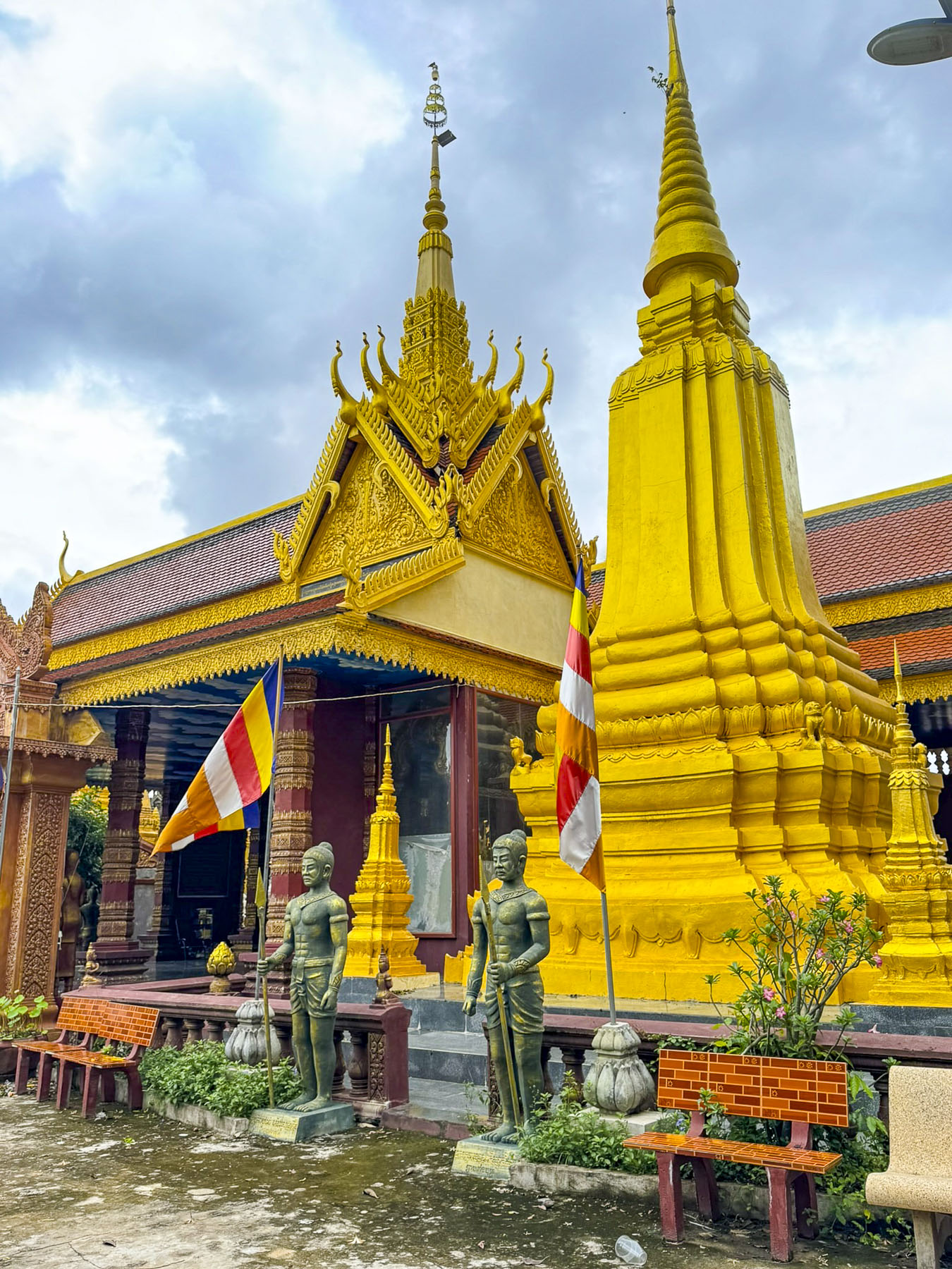
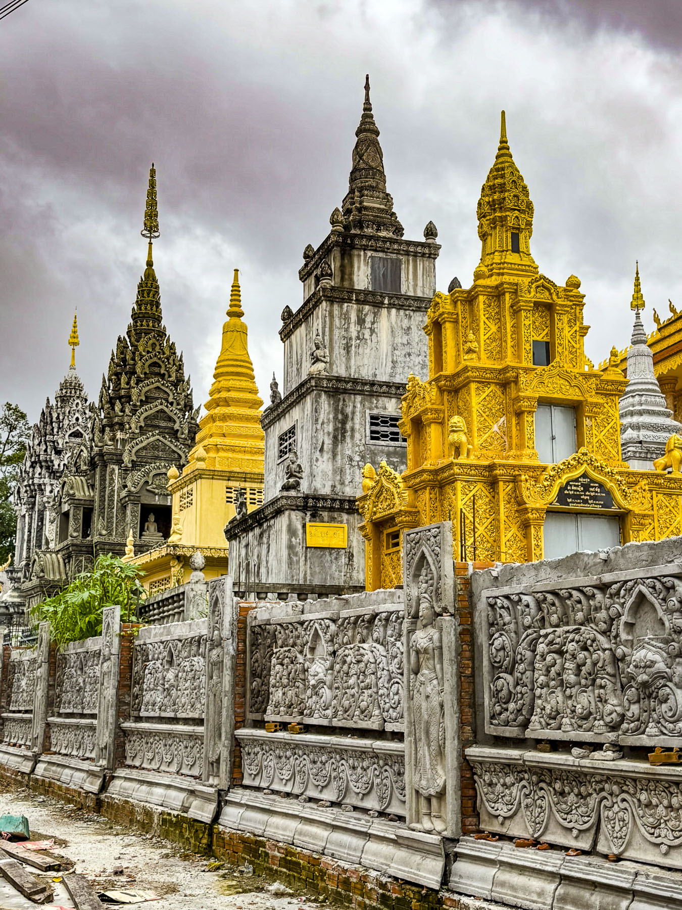
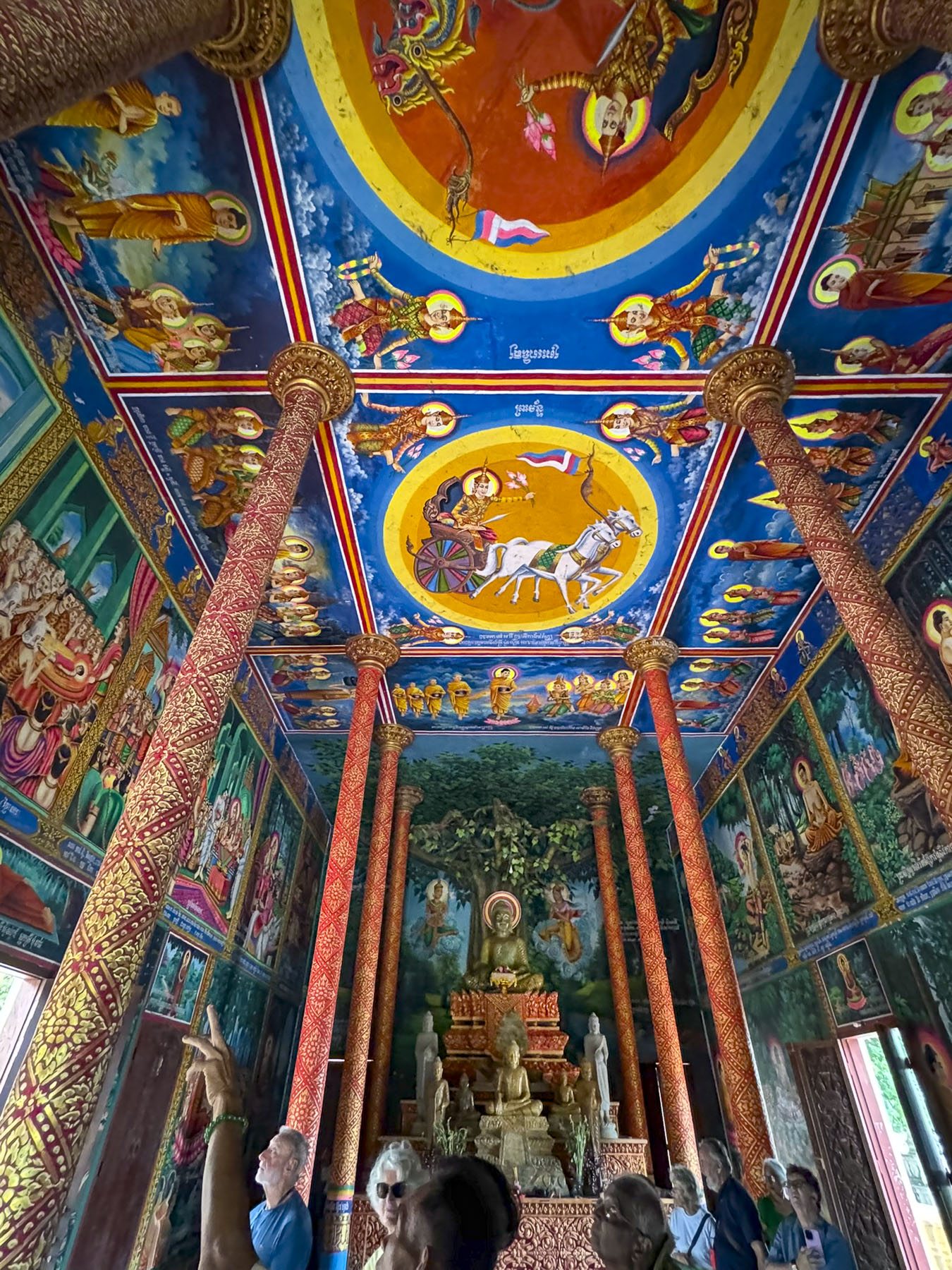
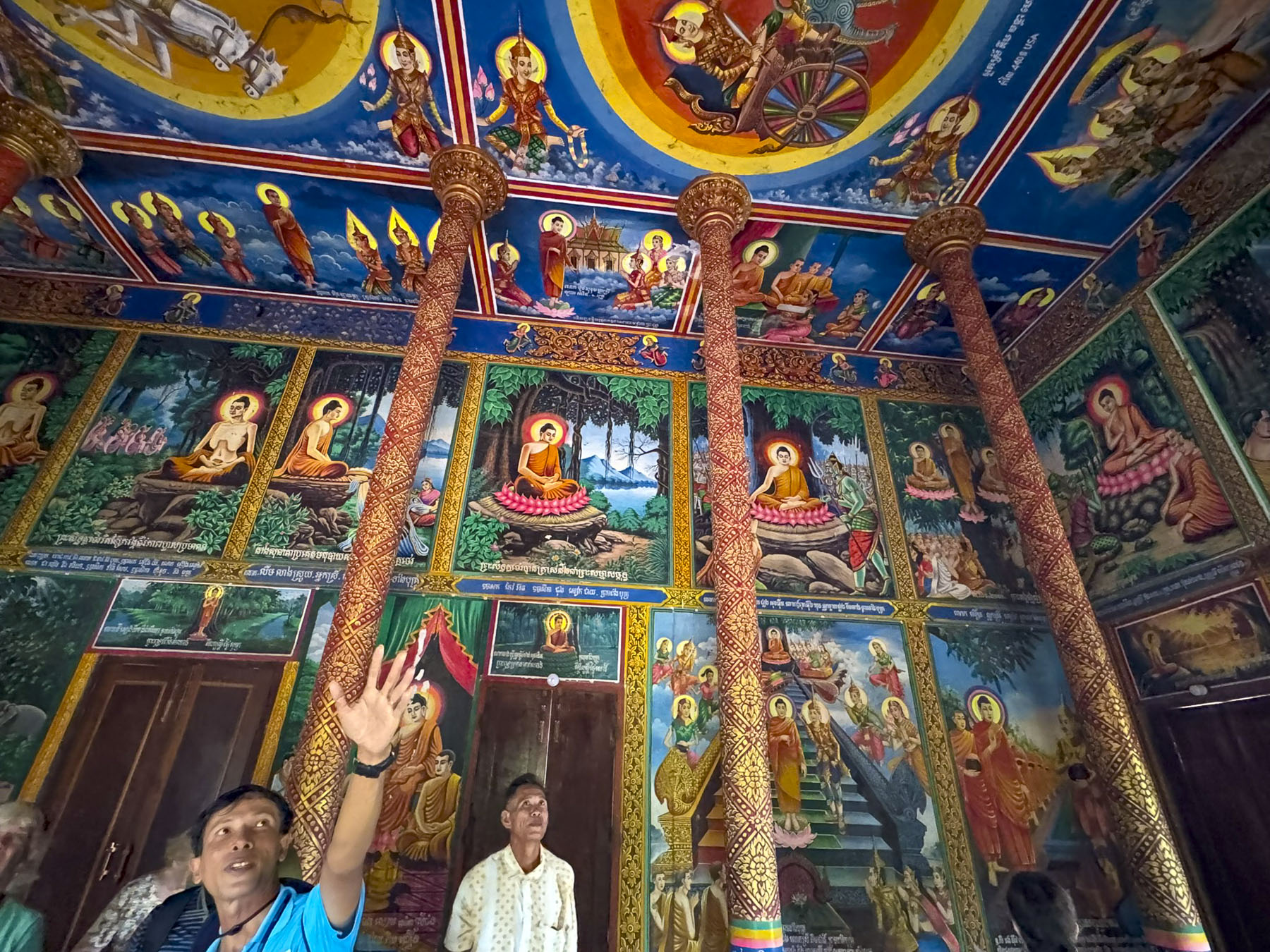
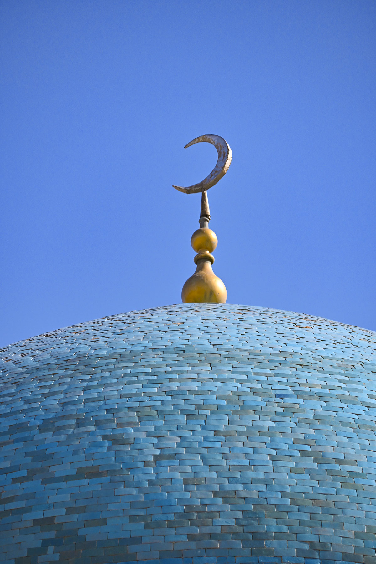
The plaza is considered to be the religious center of Bukhara and is bordered with three buildings built between the 12th-16th centuries: Kalan Minaret (1127) replaced an earlier design that collapsed during construction; The Kalan Mosque was completed in 1514, ( it replaced an older 12th century mosque destroyed by Genghis Khan’s army in 1220); and the Miri Arab Madrassah, which dates from 1535.

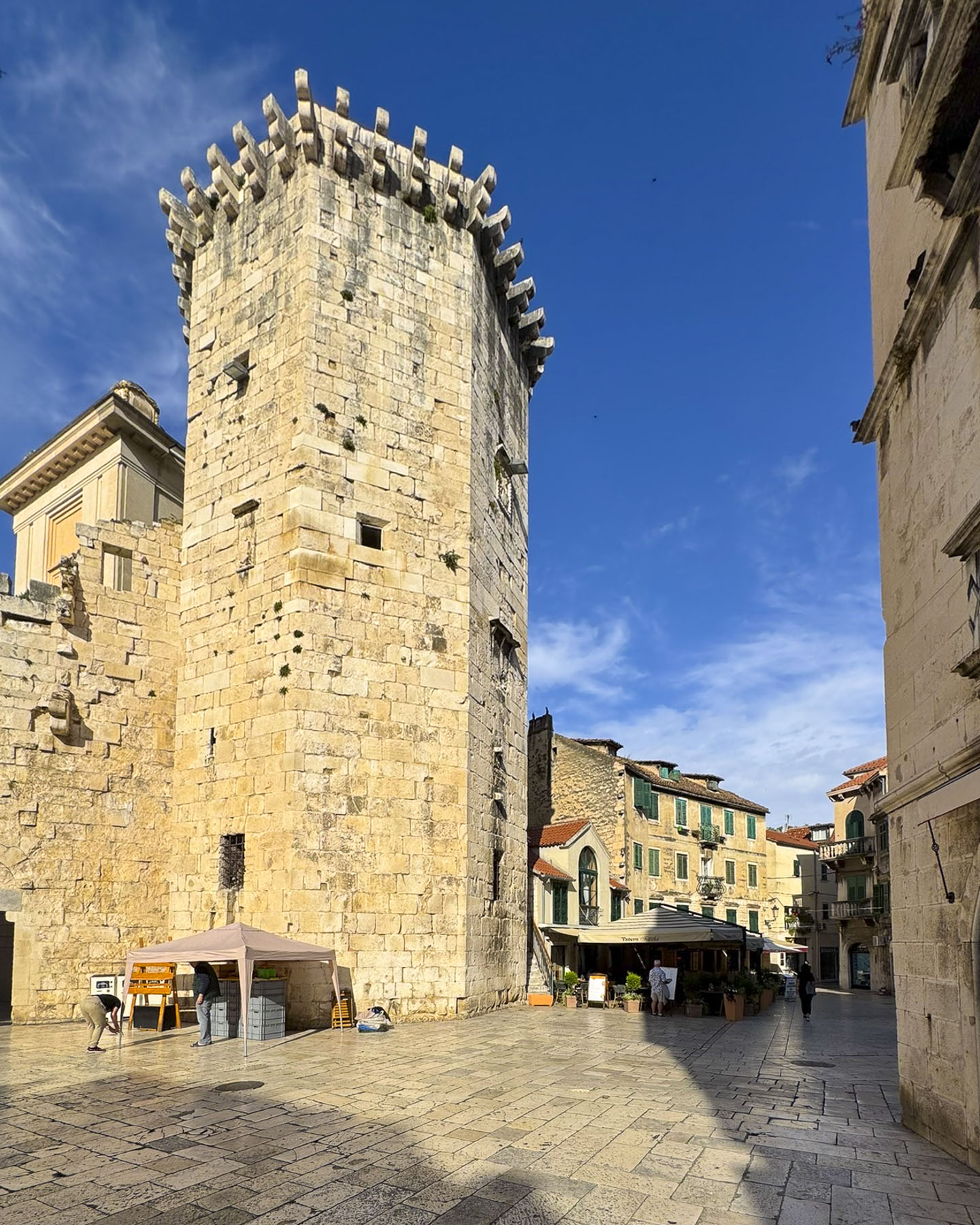
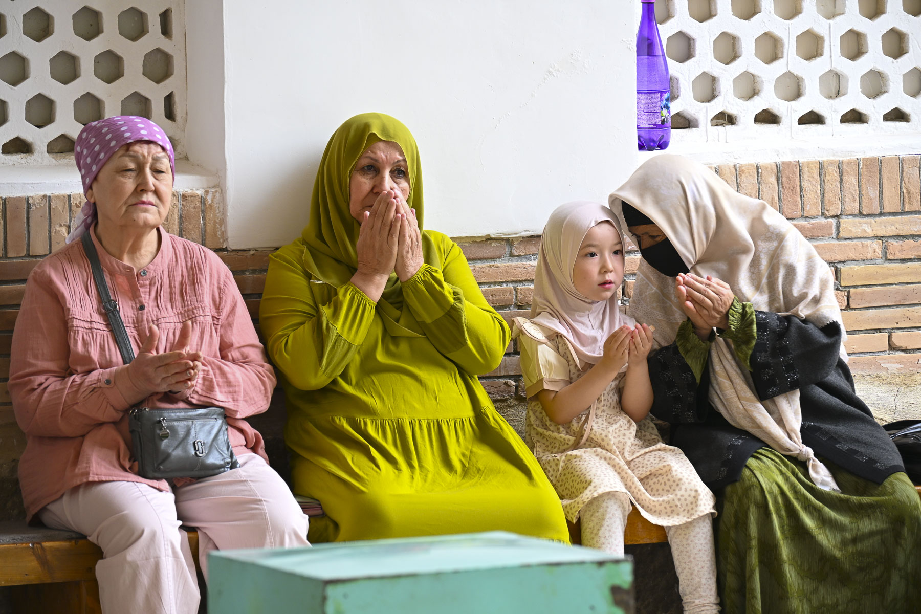
The square was lively with vacationers, tour groups, and vendors offering balloons, photo services, and souvenirs. The architectural brickwork design of the 48m (157ft) tall Kalan Minaret is amazing. The minaret so impressed Genghis Khan that he ordered his troops to spare it as they totally destroyed the rest of the city when the Mongol army sacked Bukhara. It was also known as the “Tower of Death,” where criminals, political rivals, and unfaithful spouses were marched up the 105-step spiral staircase to the open rotunda at the summit and cast to their deaths. Though there is the legend of a Khan’s wife who on the eve of her execution was granted her last wish – to wear all her dresses. “People stood breathless as the woman jumped, but then a miracle happened as her wide skirts billowed out like a parachute and she landed softly.”


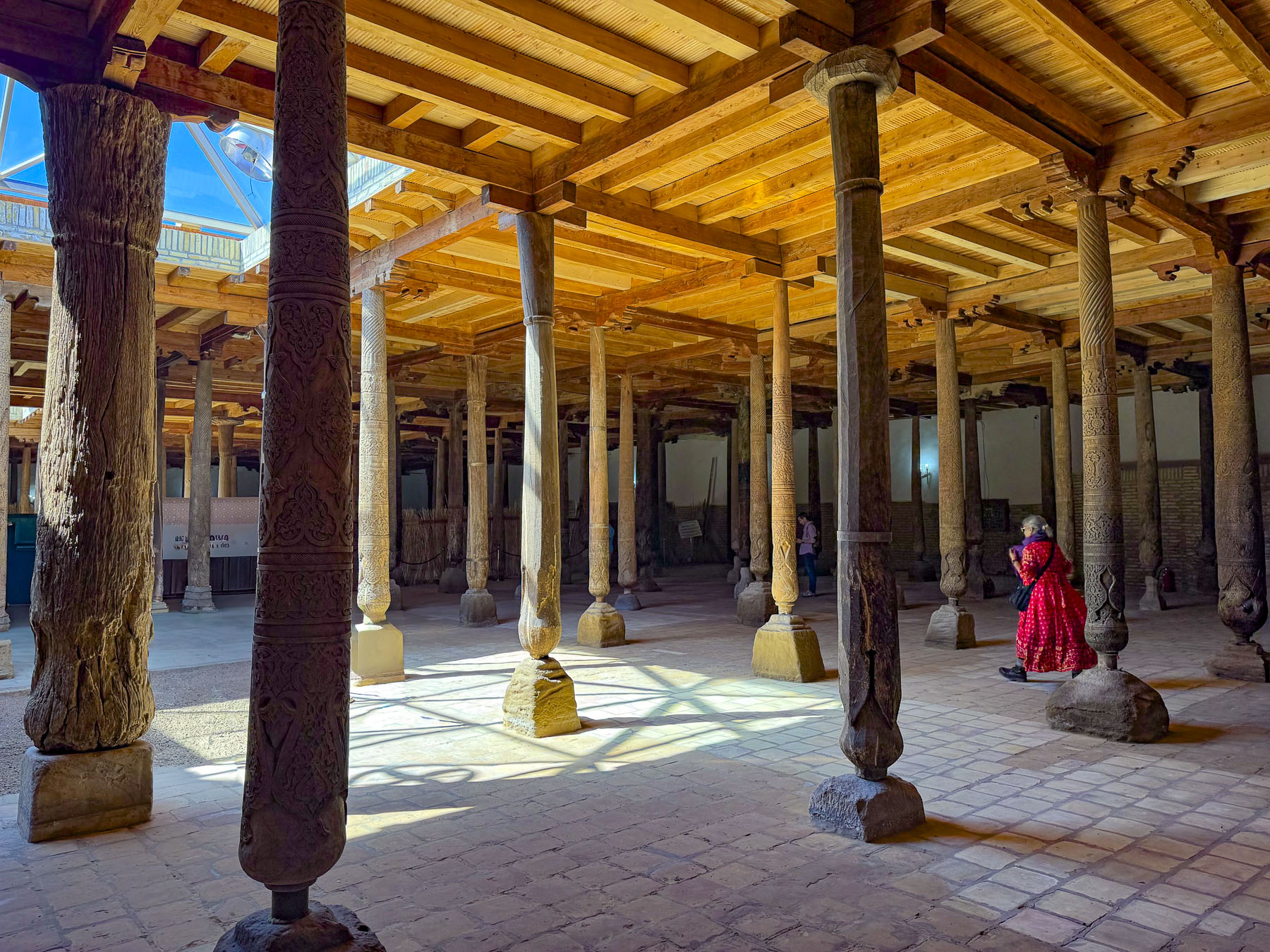
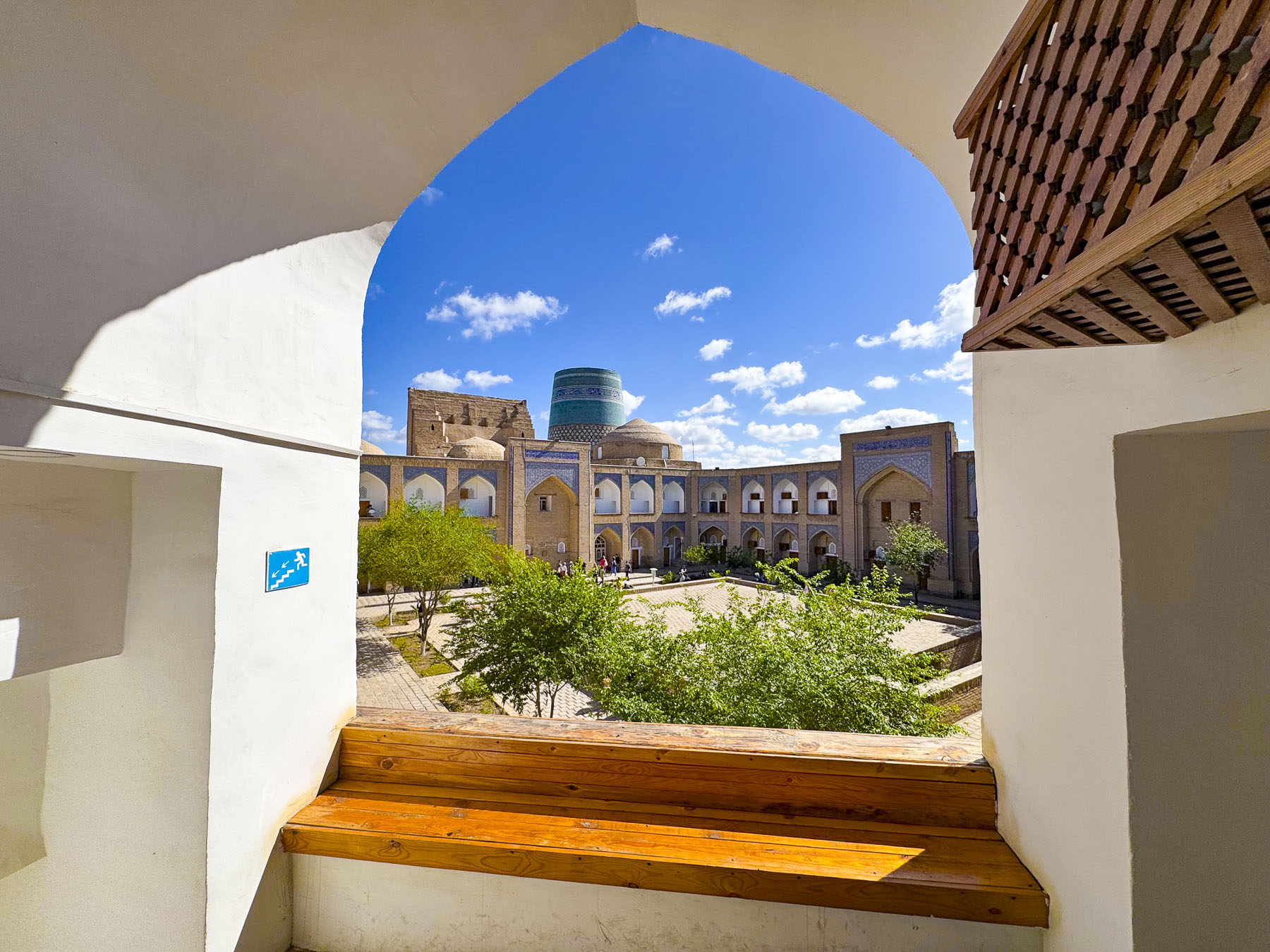
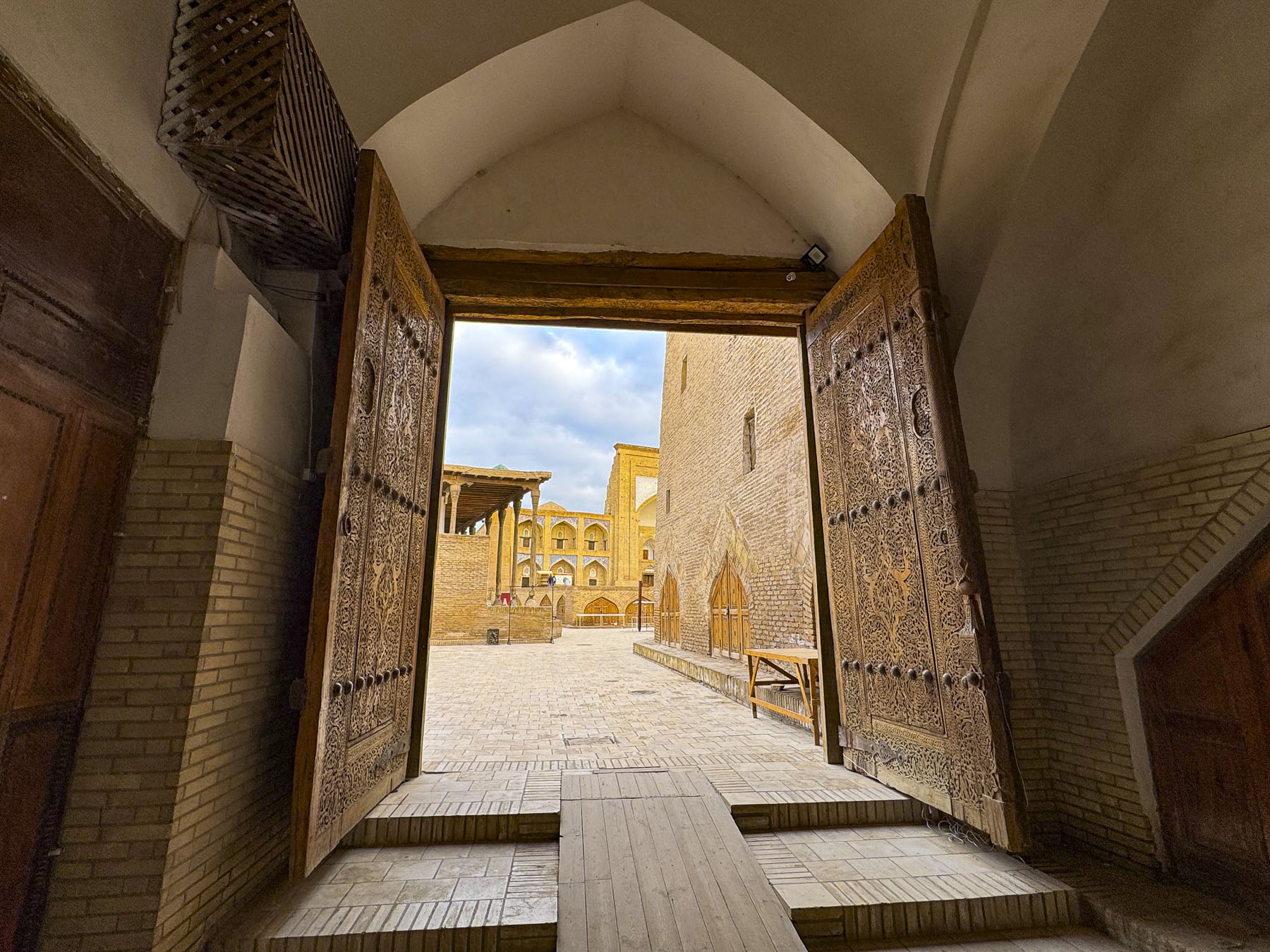
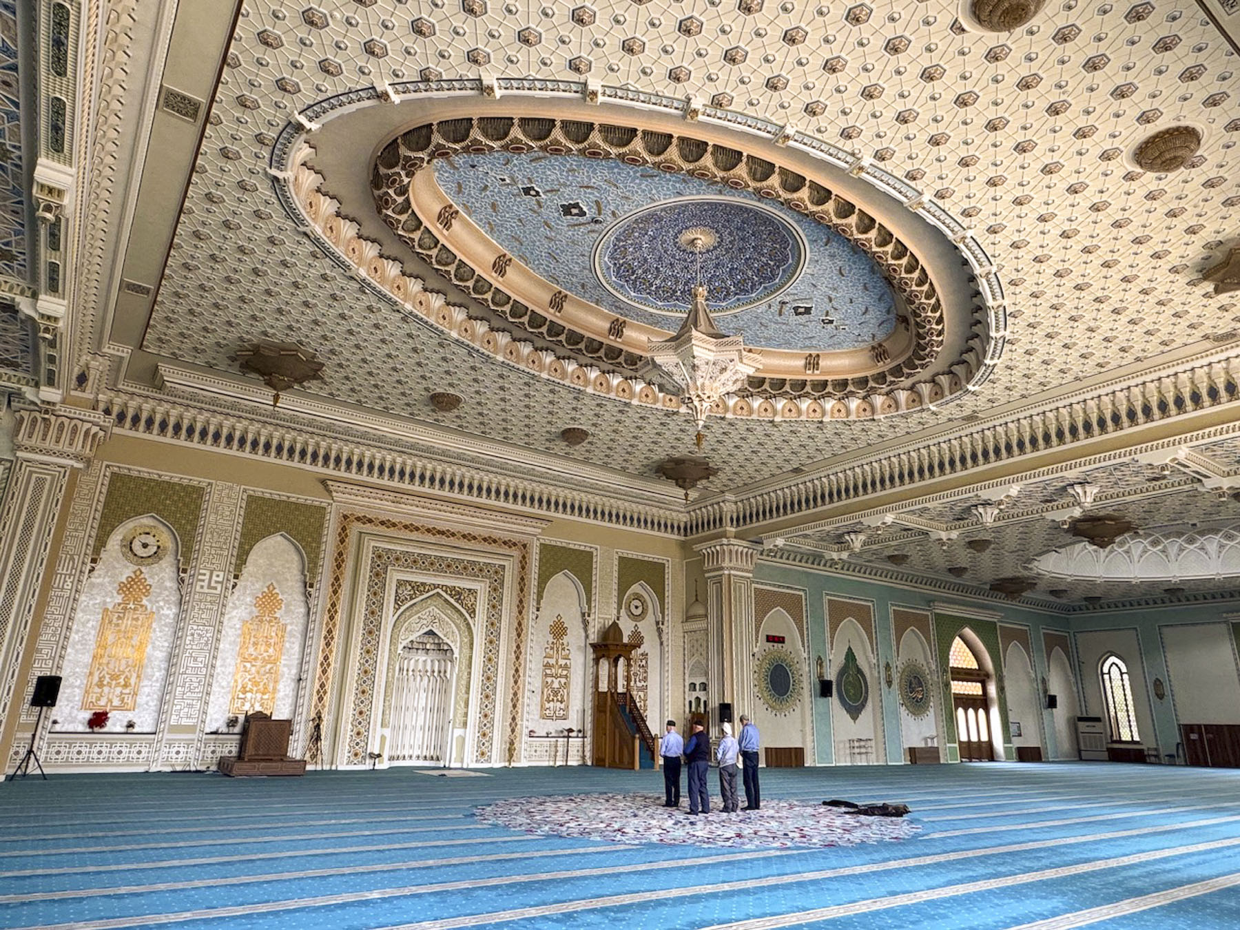
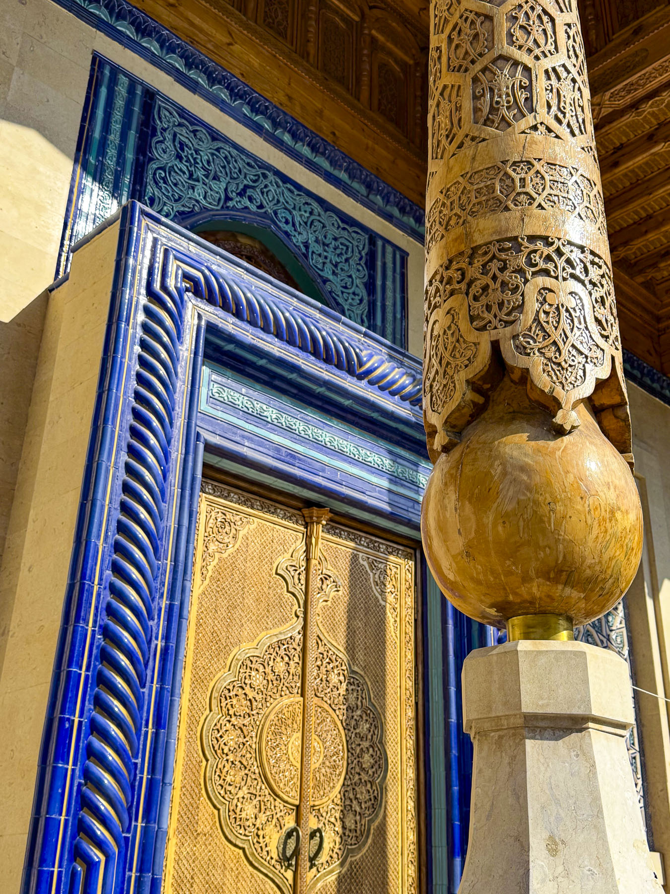
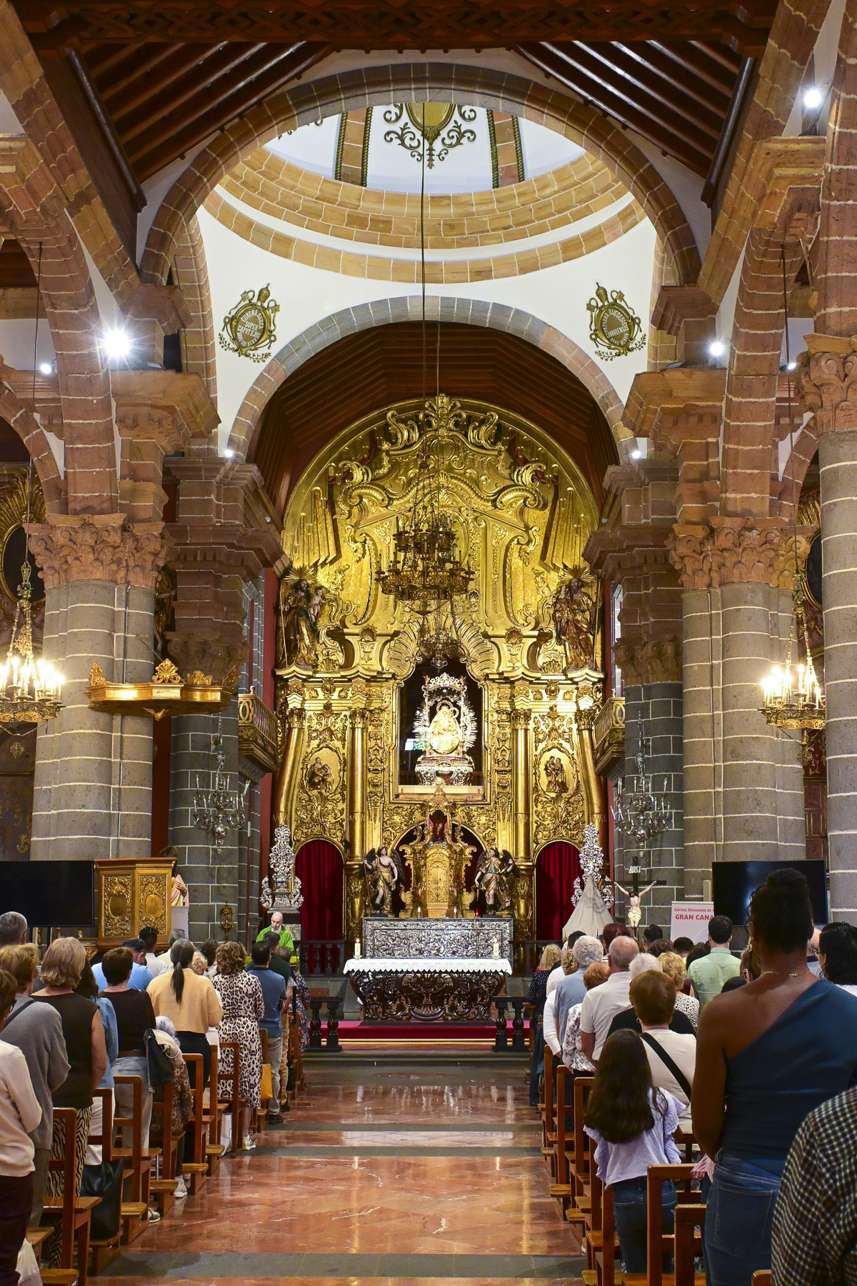
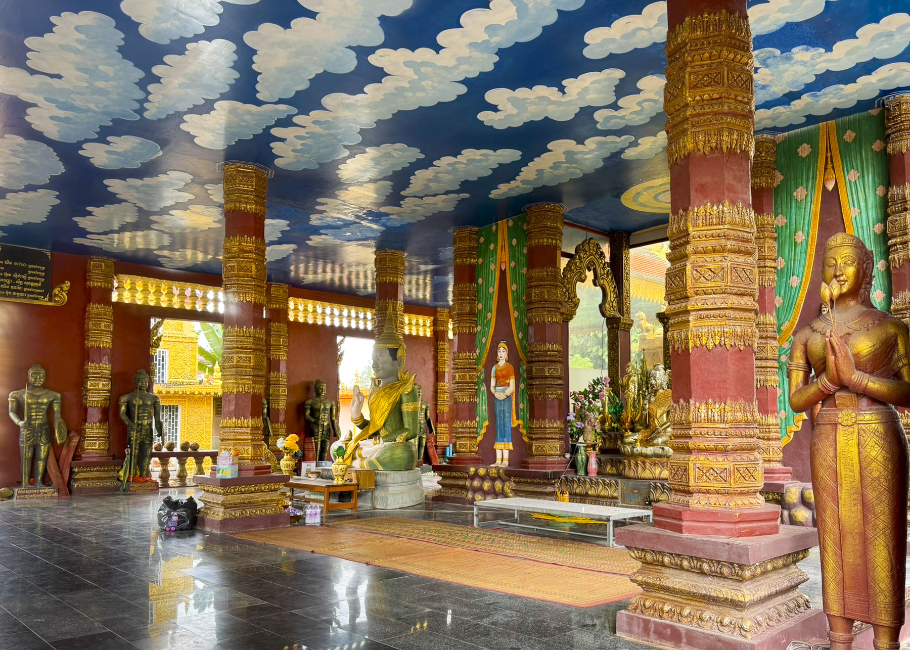
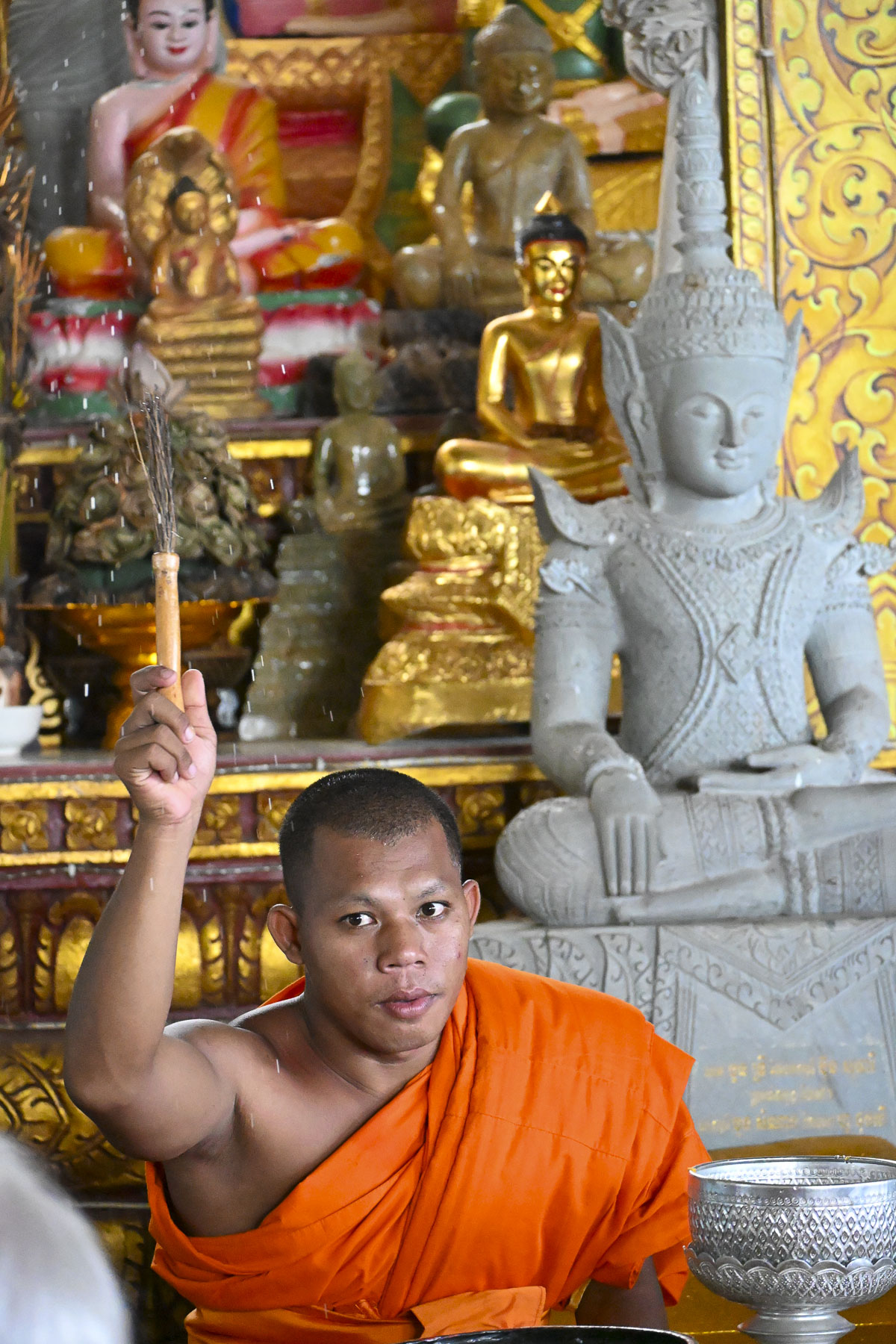
Purposefully designed to rival the size of Bibi-Khanym Mosque in Samarkand, the monumental entrance arch of the Kalan Mosque opens to a grand courtyard that can hold over 10,000 worshippers and is surrounded by 208 pillar-domed galleries. At far end of the courtyard is an octagonal brick pavilion that is the tomb of a revered imam, just before the iwan, an open front vaulted room, where the minbar stood. Sadly, in 1924 the Soviet regime in Uzbekistan closed the mosque to religious use and repurposed it as a warehouse. During those years the mosque fell into neglect and wasn’t partially restored and used as a mosque again until 1991 when Uzbekistan declared its independence.

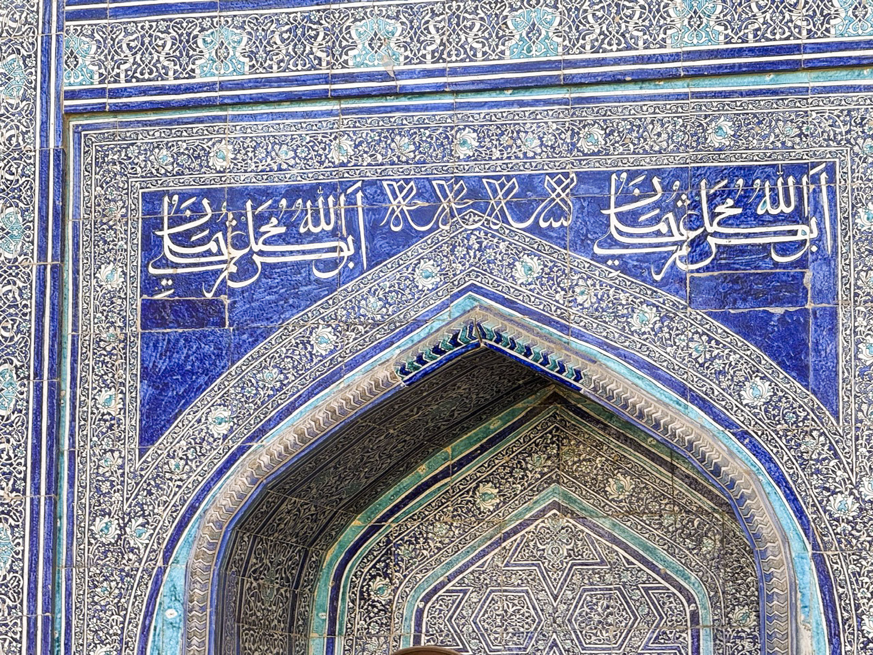
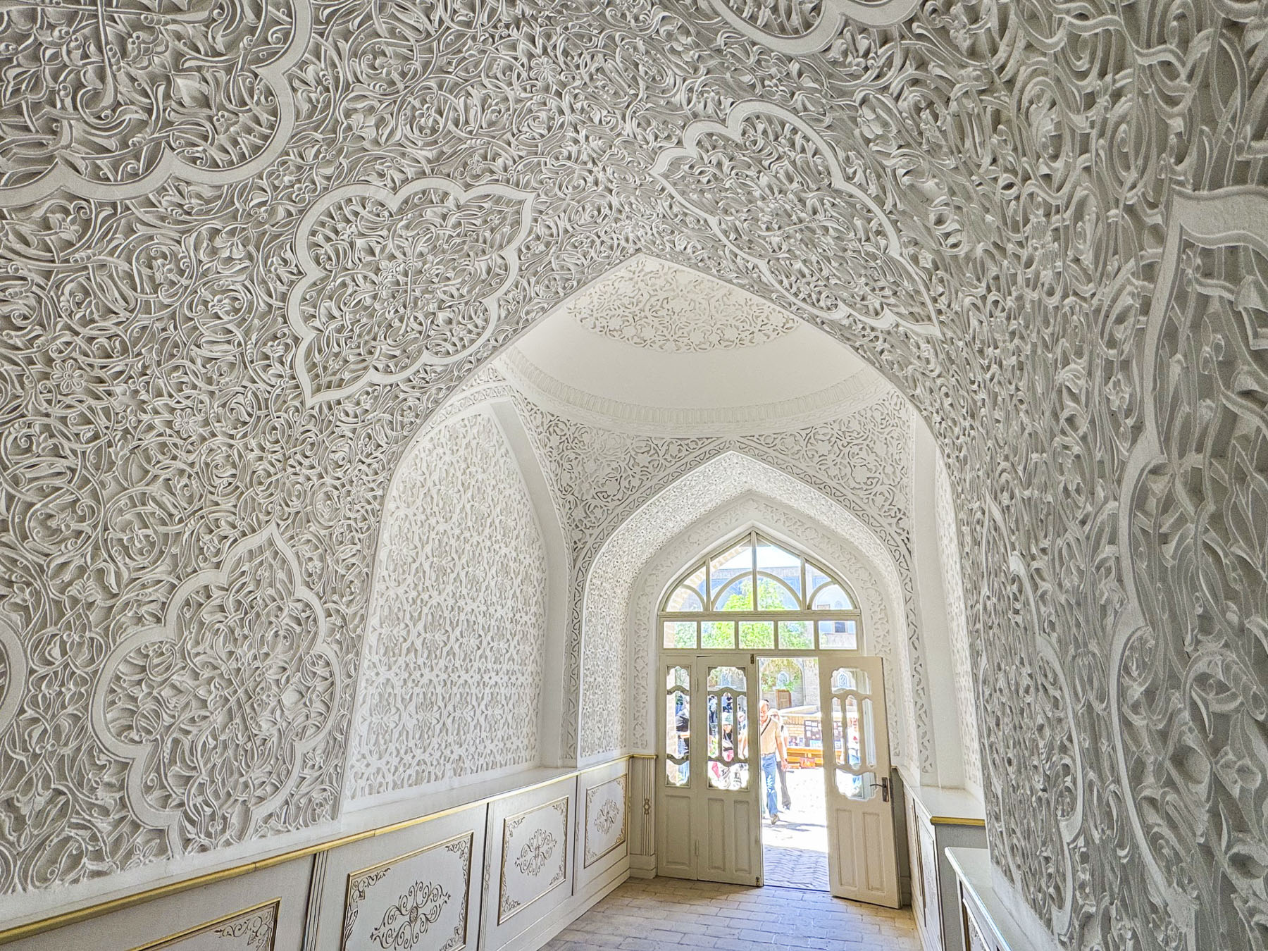
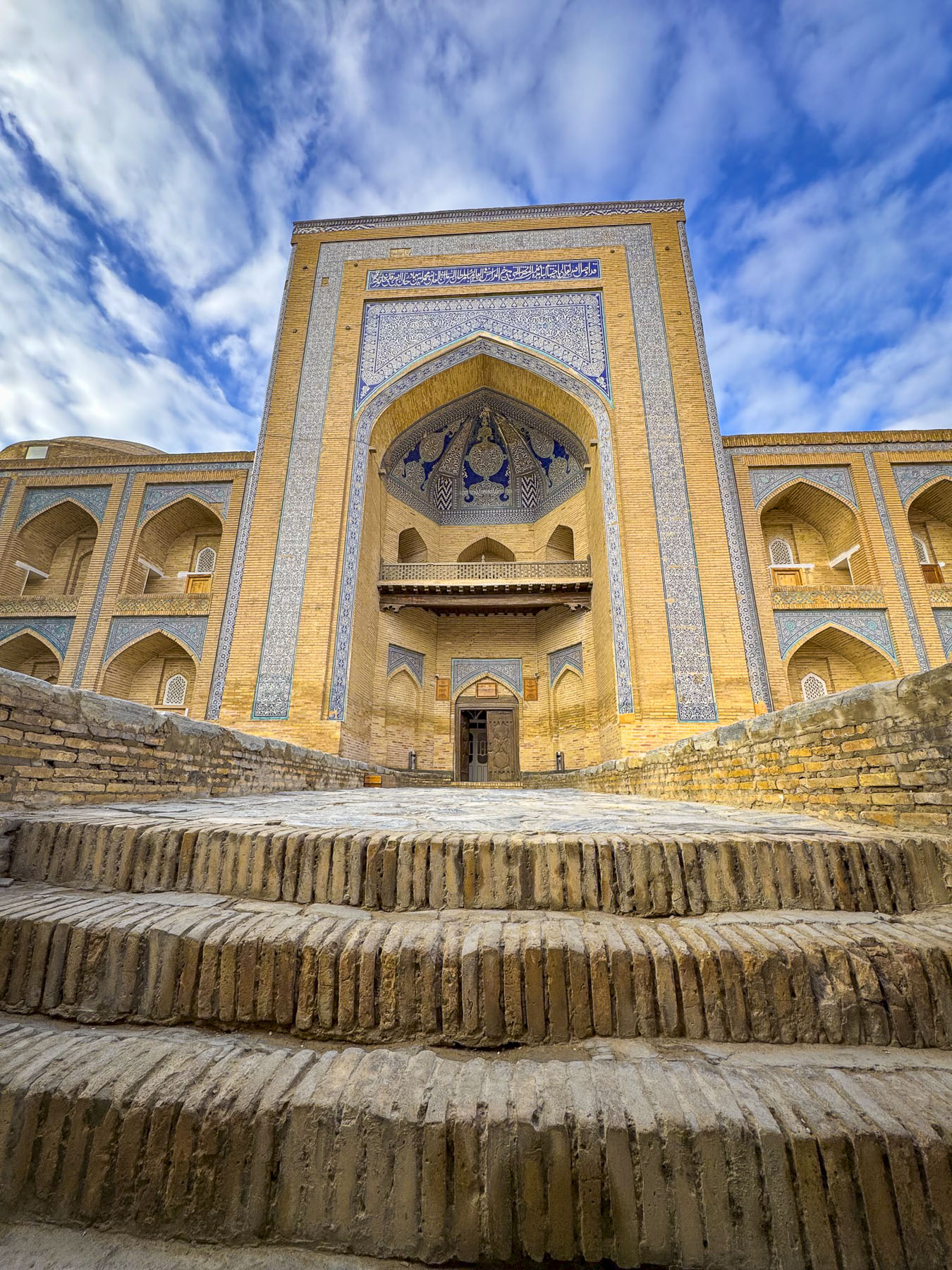
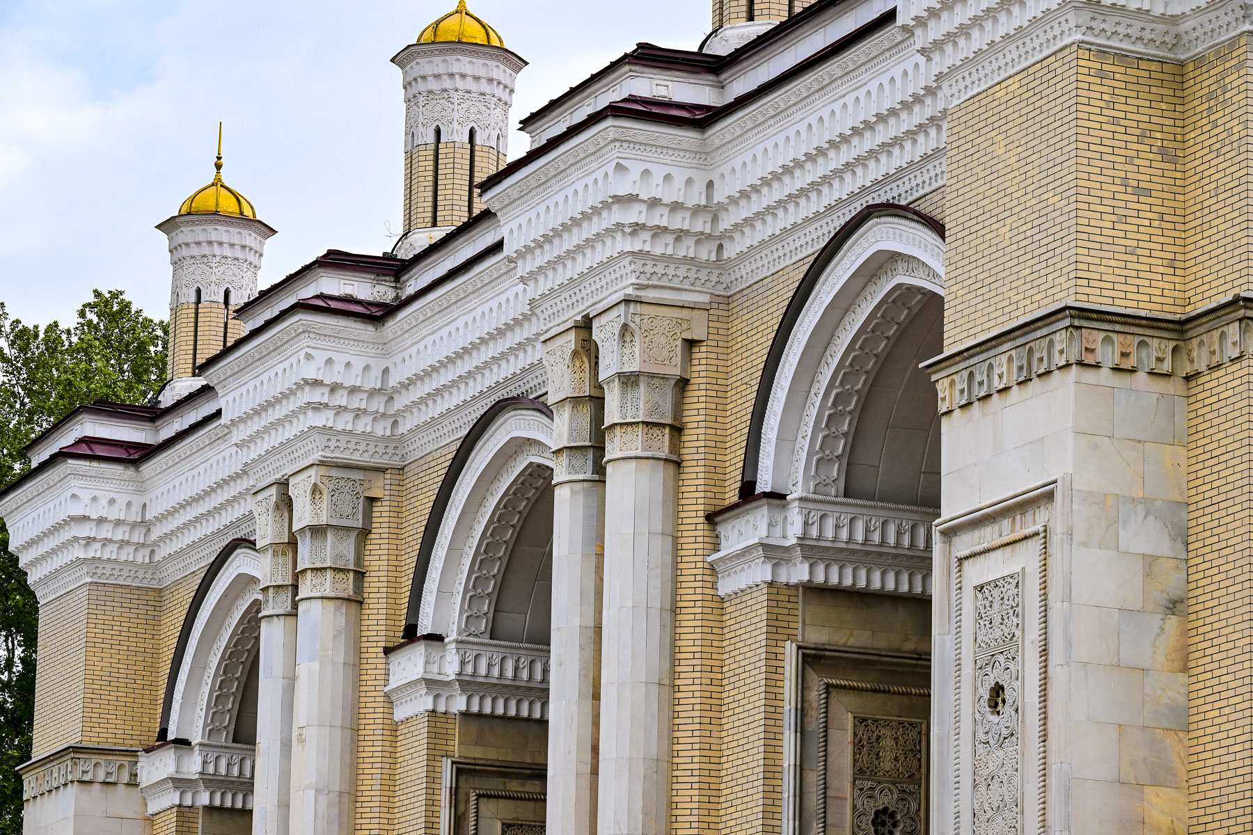
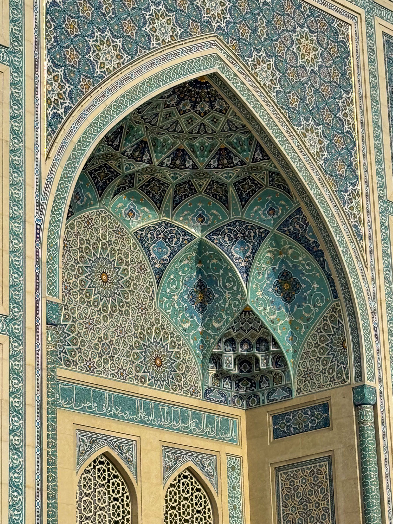
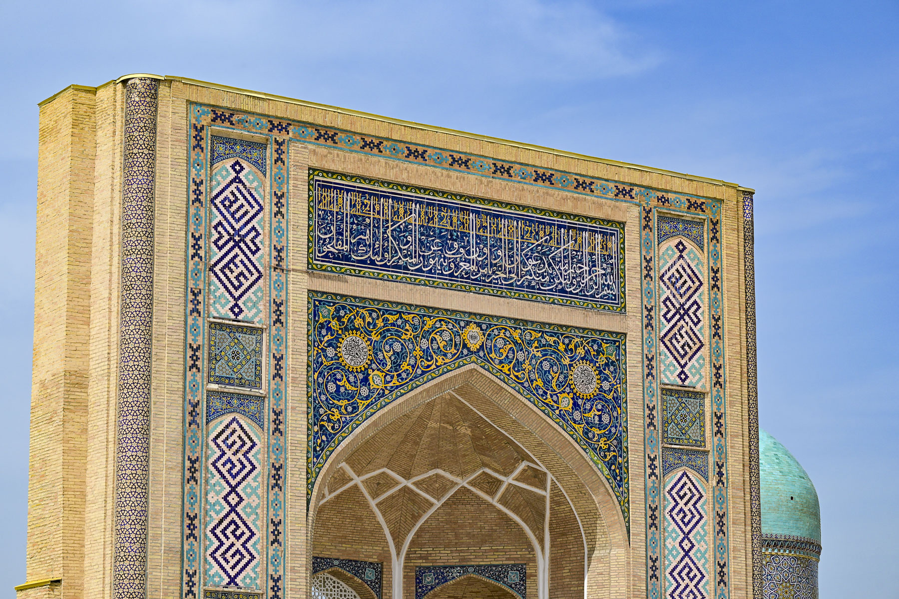
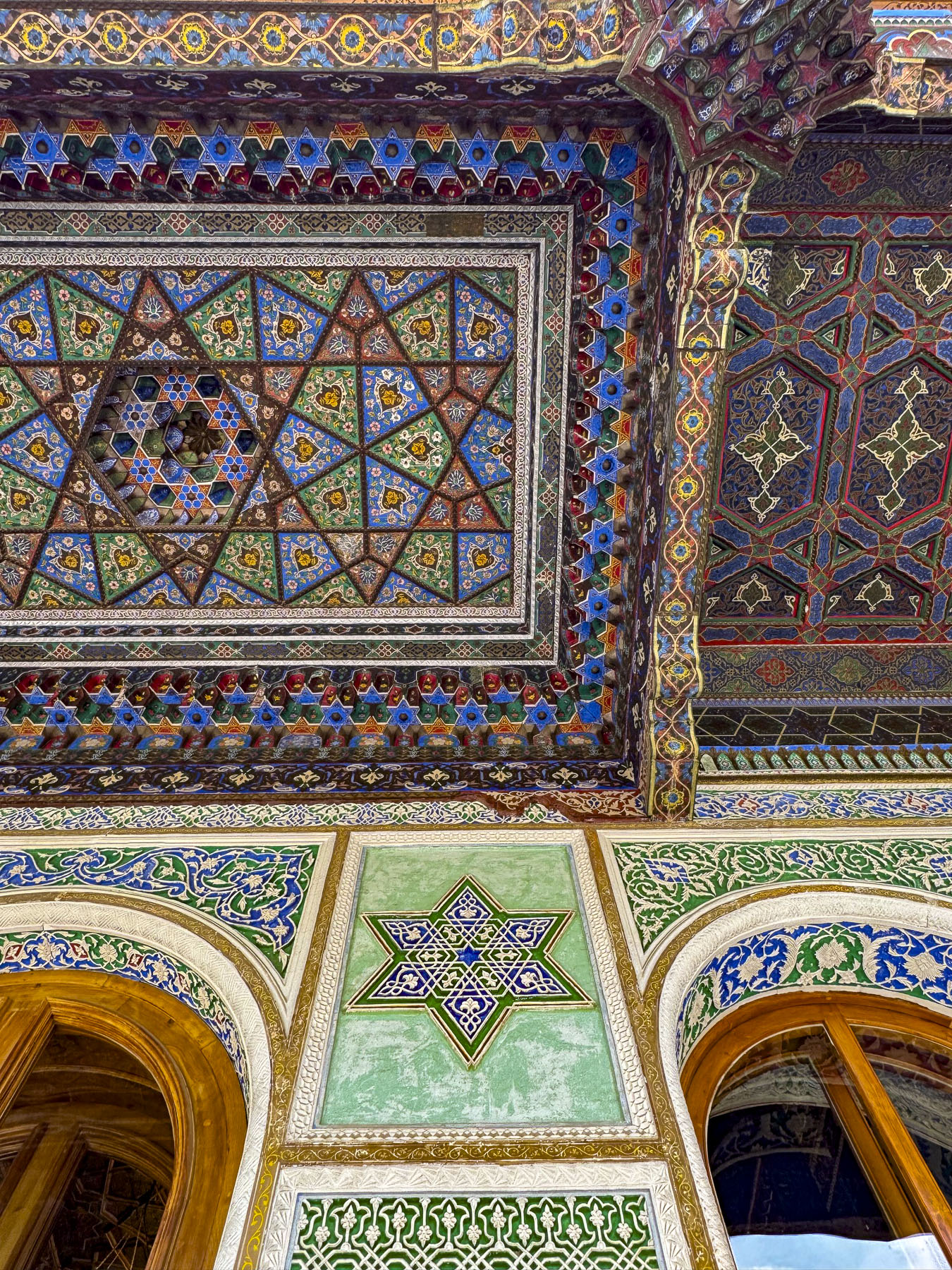
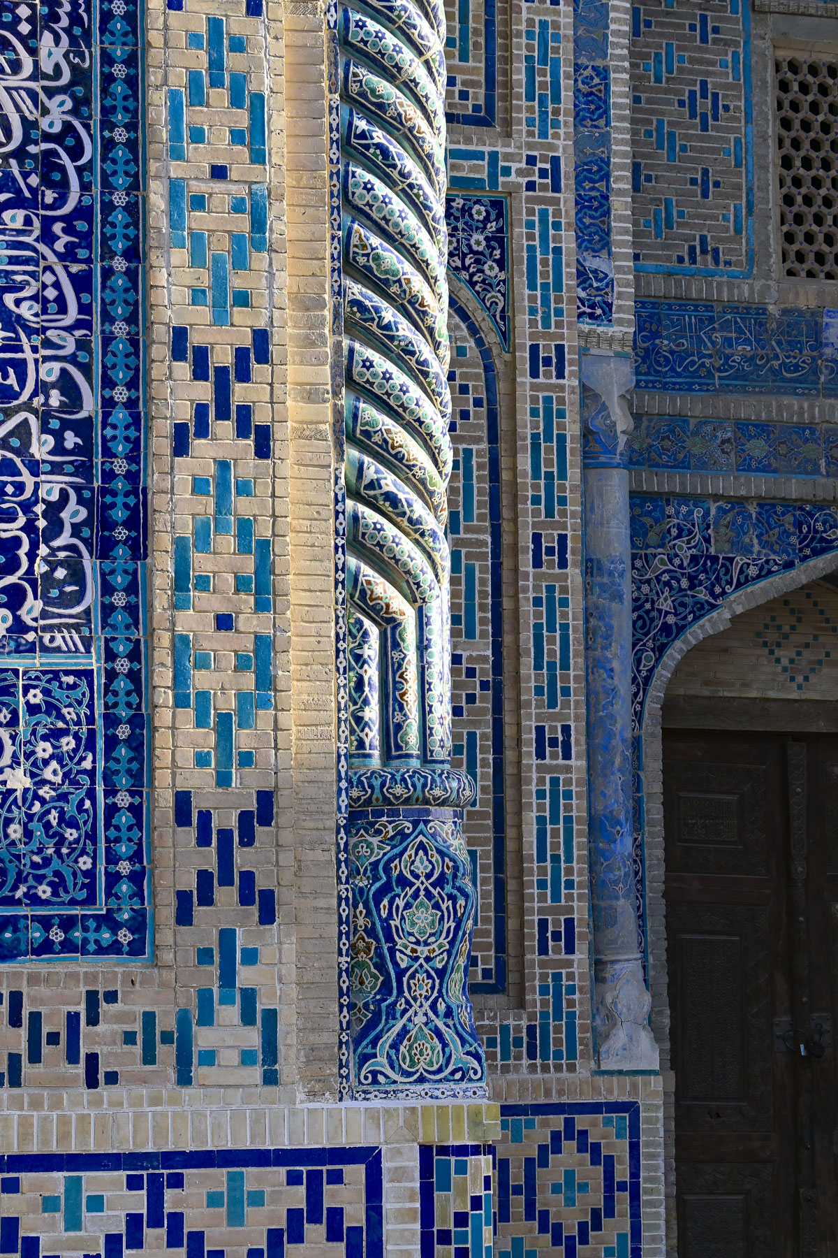
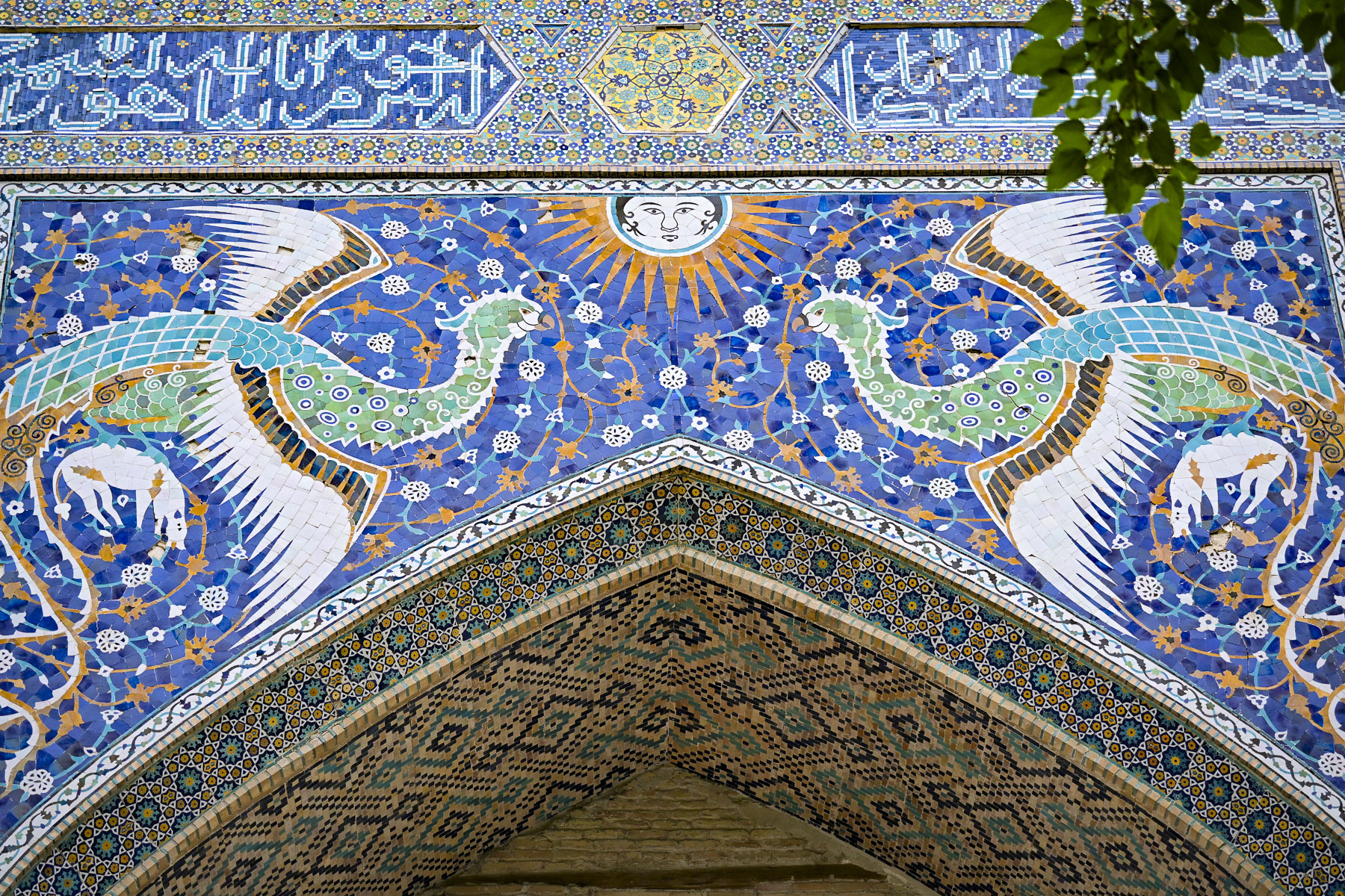
Directly across from the entrance to the Kalan Mosque were the blue domes and façade of the Miri Arab Madrassah covered with fascinating intricate tile mosaics featuring geometric, vegetative, and calligraphic patterns. Some historians suggest that the madrassa was built to commemorate Bukhara’s decisive victory over Persian troops at the Battle of Gijduvan in 1512, and that the ornate craftsmanship throughout the building was financed by khanate when it sold 3000 captured Iranians into slavery. The school was closed for 25 years after the Soviet Union took control of Uzbekistan, but was reopened in 1945 when the USSR government granted permission to the Miri Arab Madrassah to be the one official Islamic educational institution for Muslims within Soviet Union, hosting students from different regions across Central Asia, the Caucasus, and Russia. Today about 56 new students a year are accepted into a 4-year course of study to become an imam.


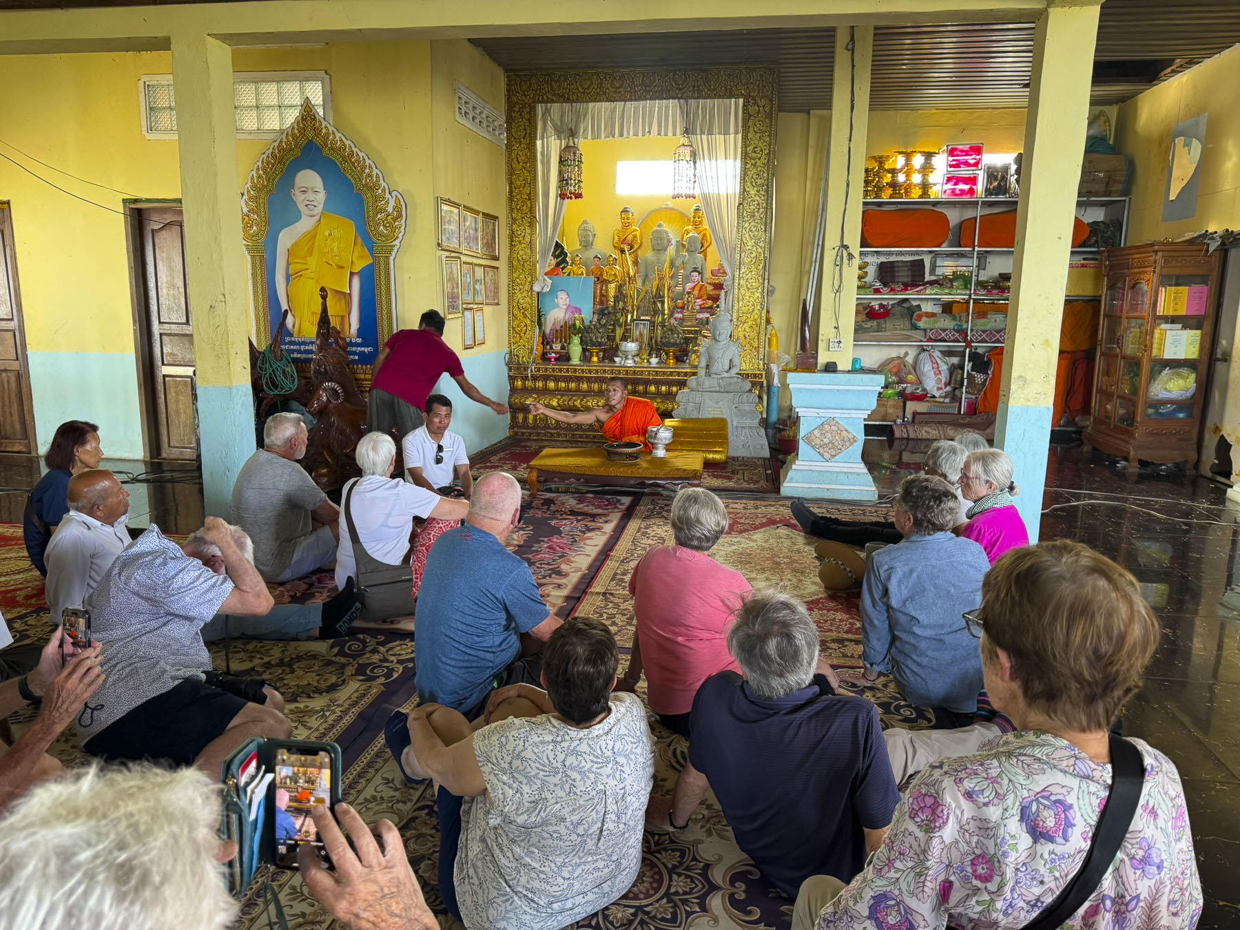
Dinner later on the rooftop terrace at Kazan was a charming and unhurried experience and we lingered, watching the color of the golden hour across the plaza transition to twilight, as the size of the crowd on the plaza ebbed and flowed. The food was excellent. Unfortunately, as a functioning school, the restaurant does not permit tourists inside, but occasionally folks are allowed to step into the entrance portal and view the entry hall. However, during our research we found this interesting video tour of the Miri Arab Madrassah’s interior.


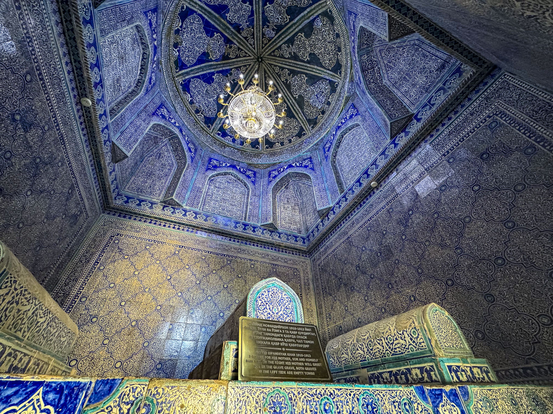
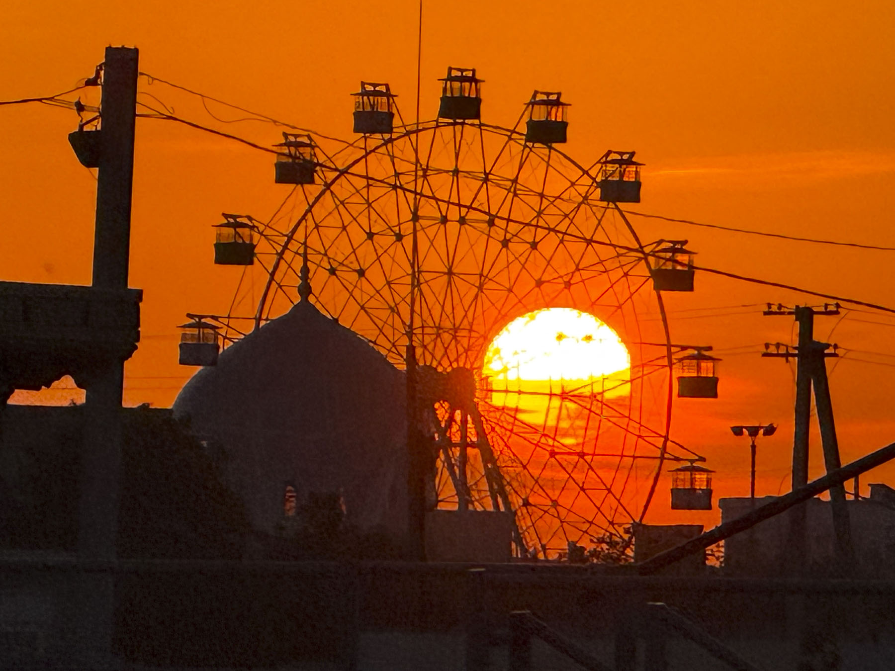
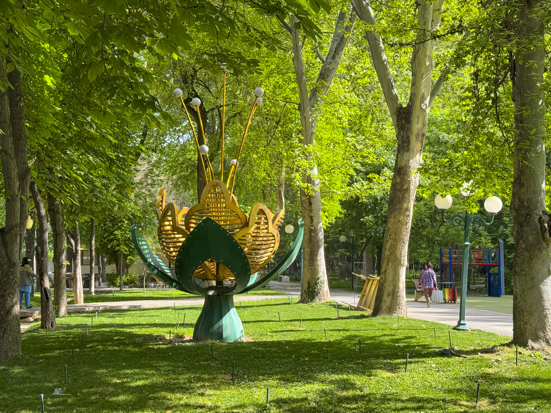
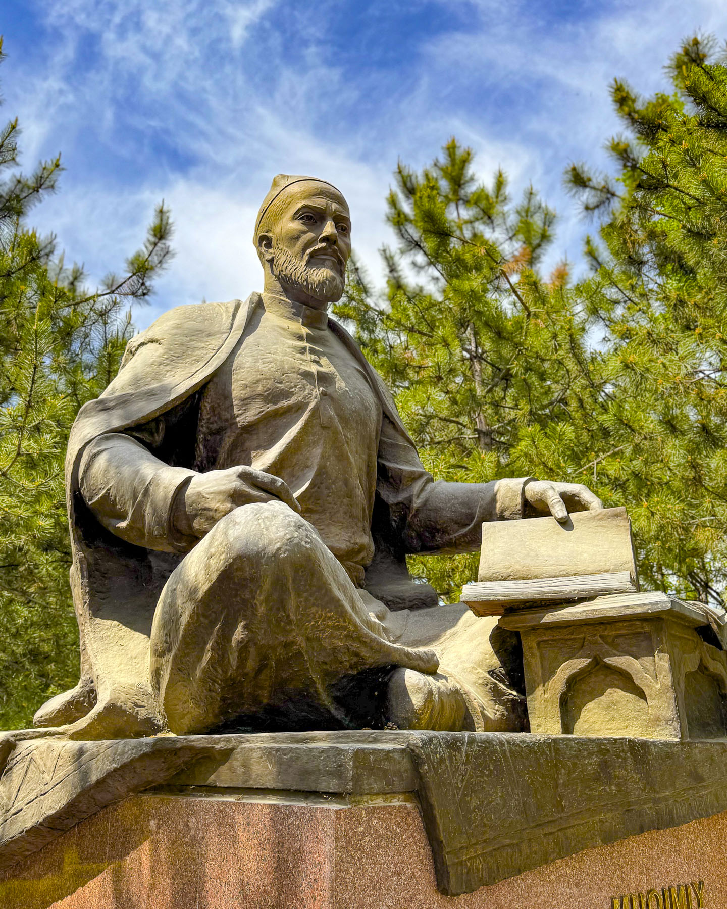
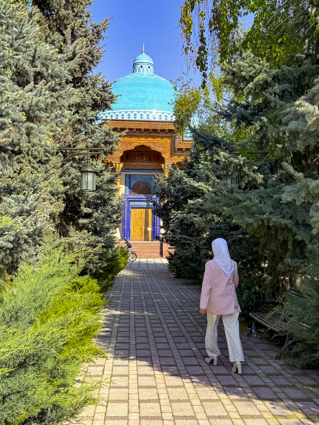
The next morning our group headed to Samonids Park, a large lush green park with a Ferris wheel and other amusement park rides, as well as shaded walkways through a nicely manicured landscape, on the outskirts of the historic area. We followed our guide down one of these lanes to the Mausoleum of Ismail Samani, the founder of Bukhara’s Samanids dynasty, (875-999).


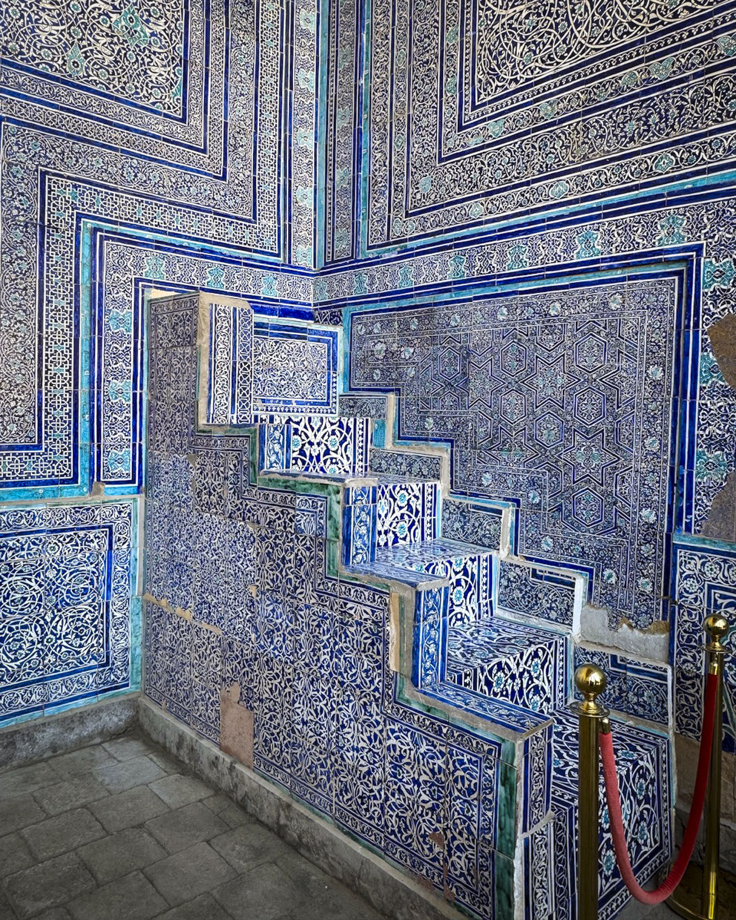
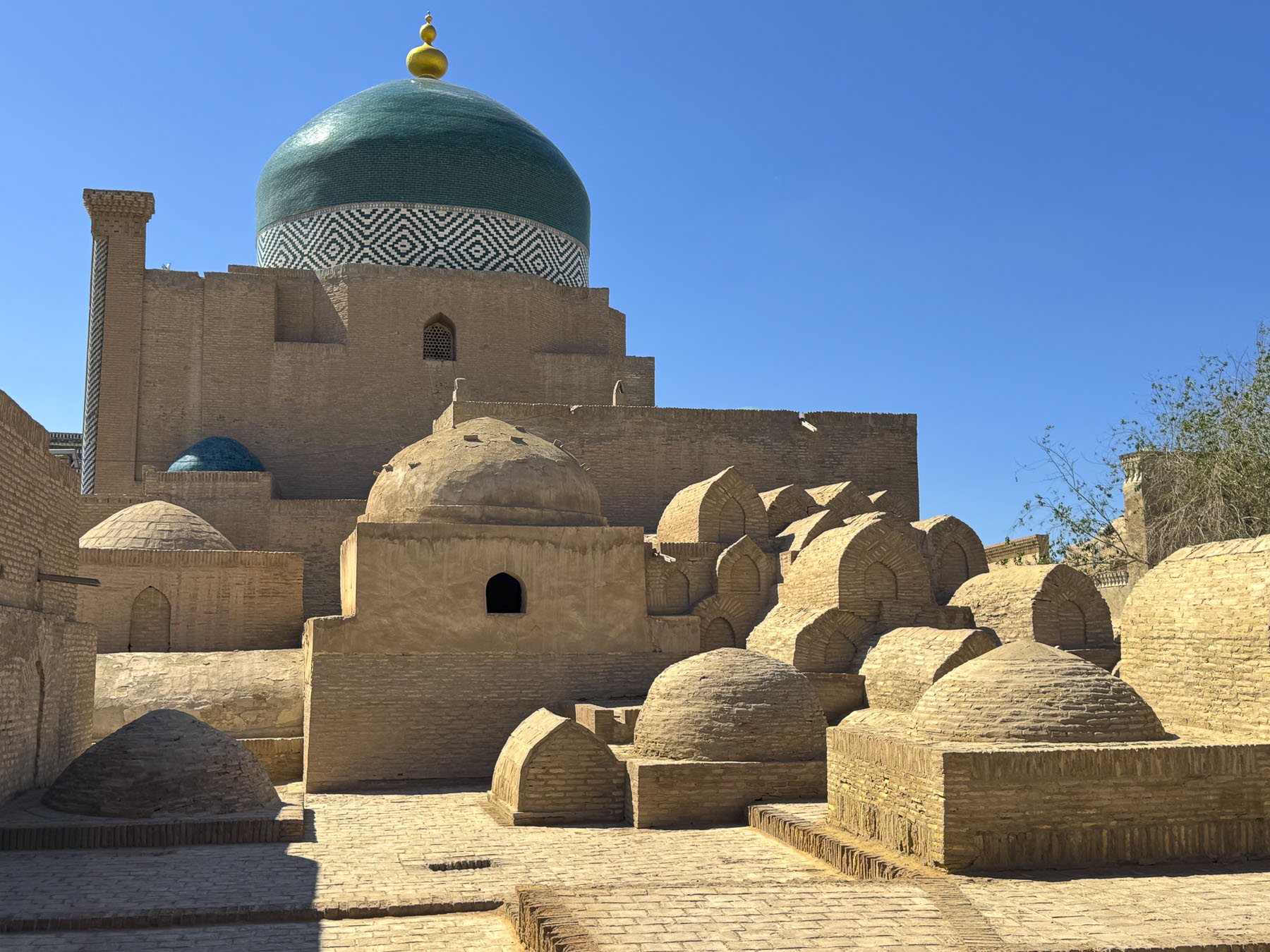
The mausoleum is a highly decorated beautiful small structure, with all of its exterior and interior walls covered with intricate symbols and geometric relief patterns that resemble the design of woven textiles and basketry. It’s an effect that gives the building a highly textural feeling. The mausoleum is considered a masterpiece of early Islamic architecture. Through fate or luck, it is the oldest surviving Islamic structure in Bukhara, having been entombed in silt from repeated river flooding or, as legend believes purposely buried in sand to prevent Genghis Khan’s Mongol army from destroying it in 1220. Amazingly it stayed buried until Soviet Union archeologists rediscovered it in the late-1920s and found it in surprisingly good condition, due to the fact that it was entirely constructed with kiln-baked bricks, that resisted the erosive effect of repeated flooding.


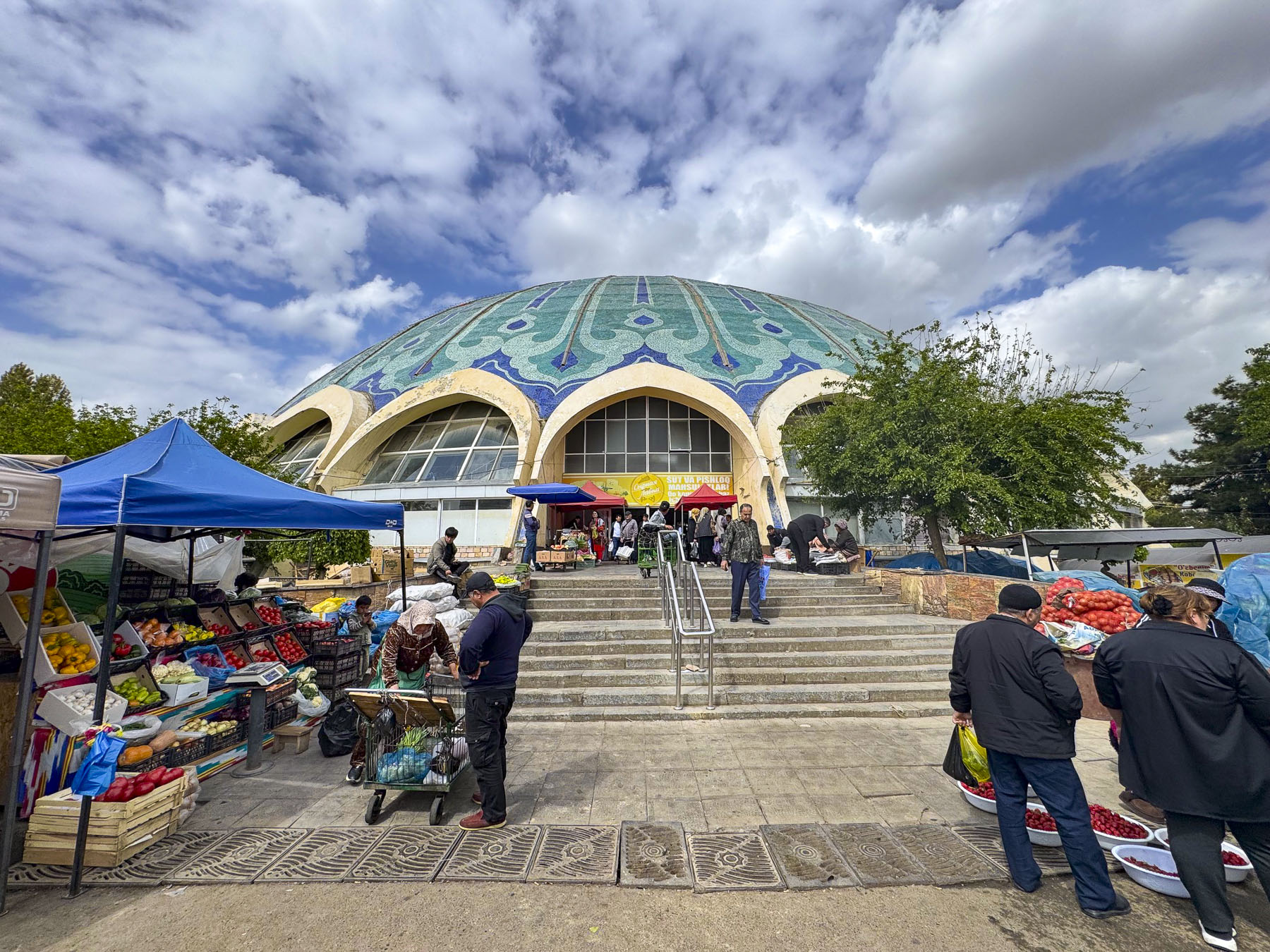
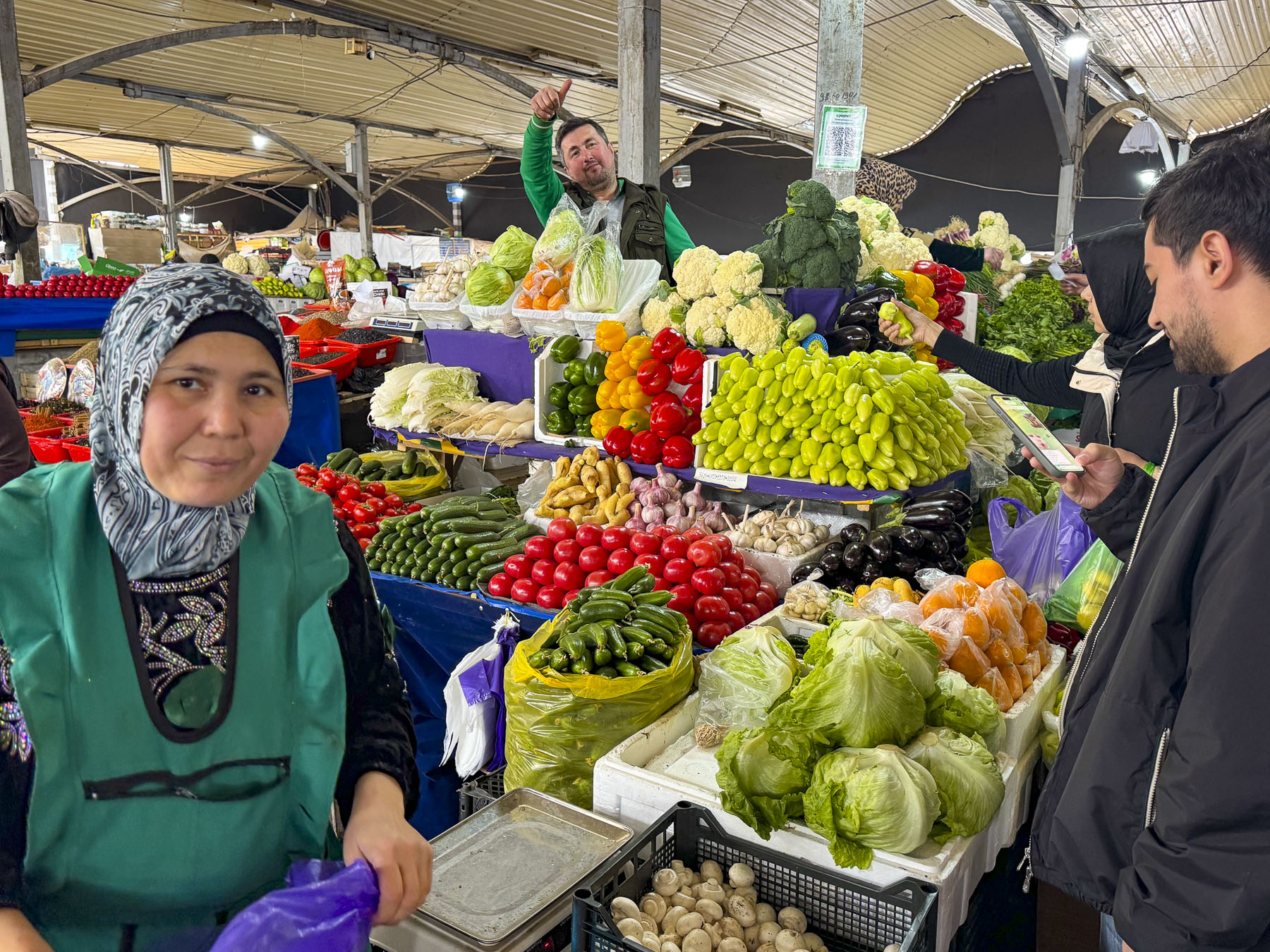
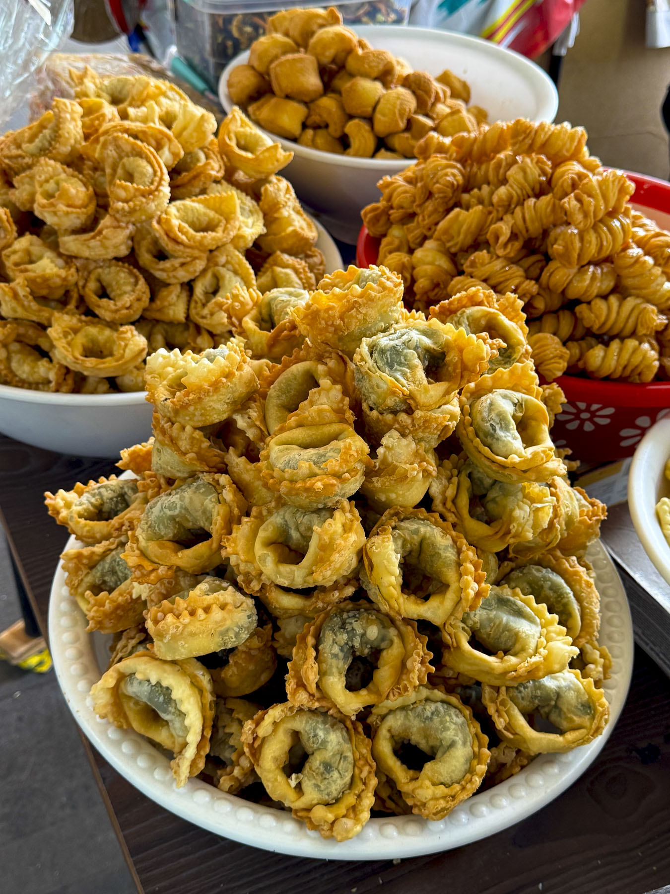
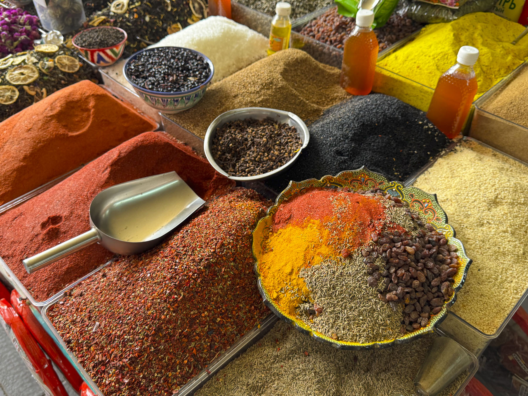
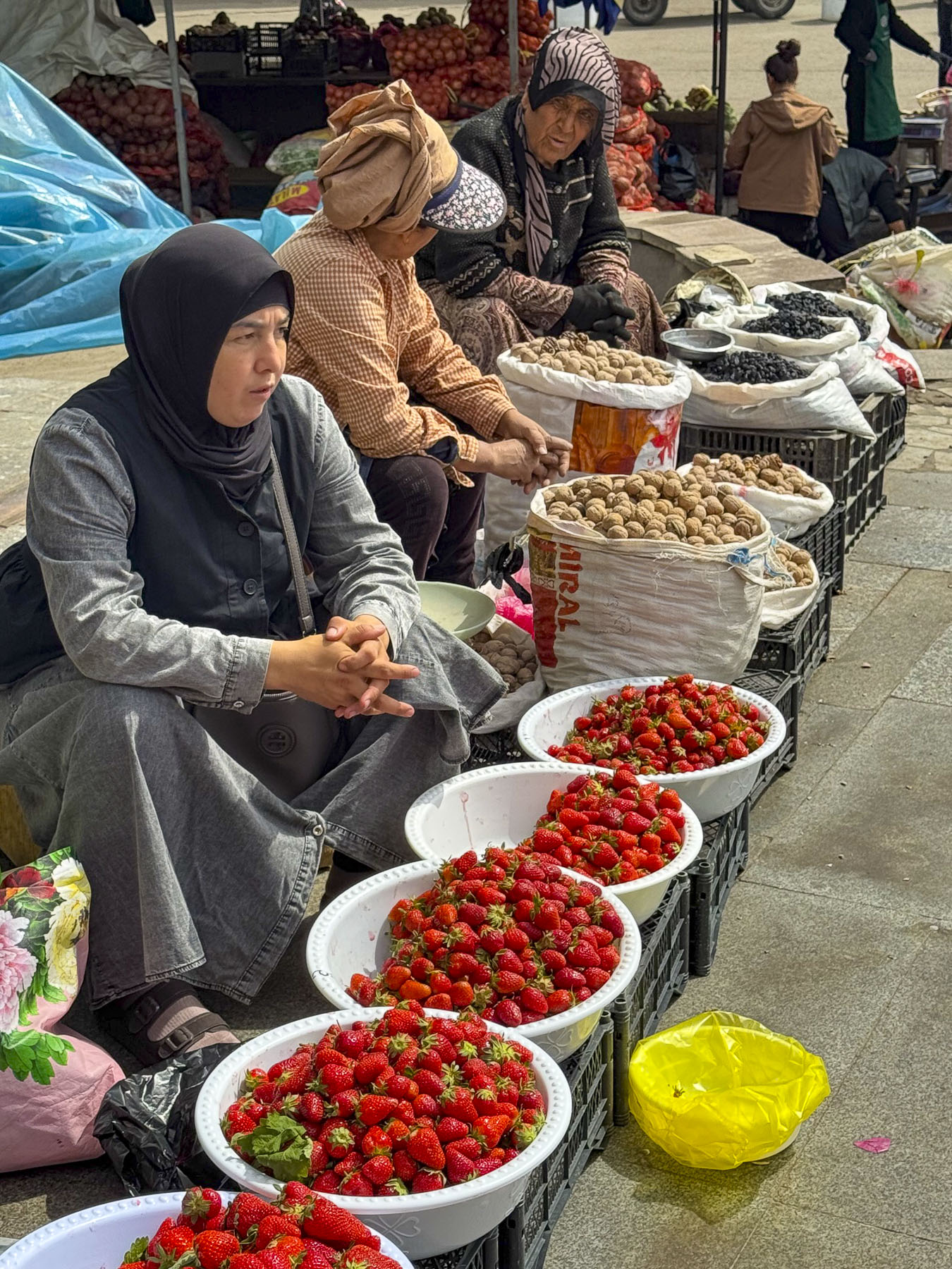
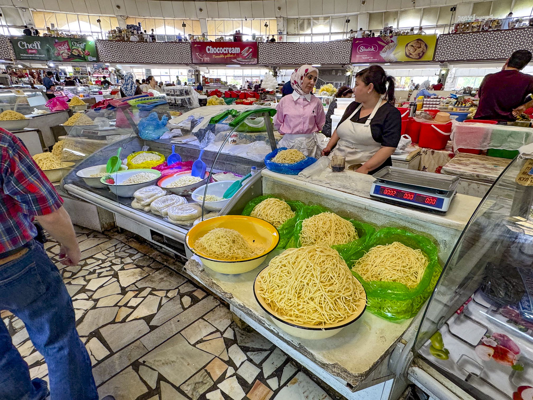
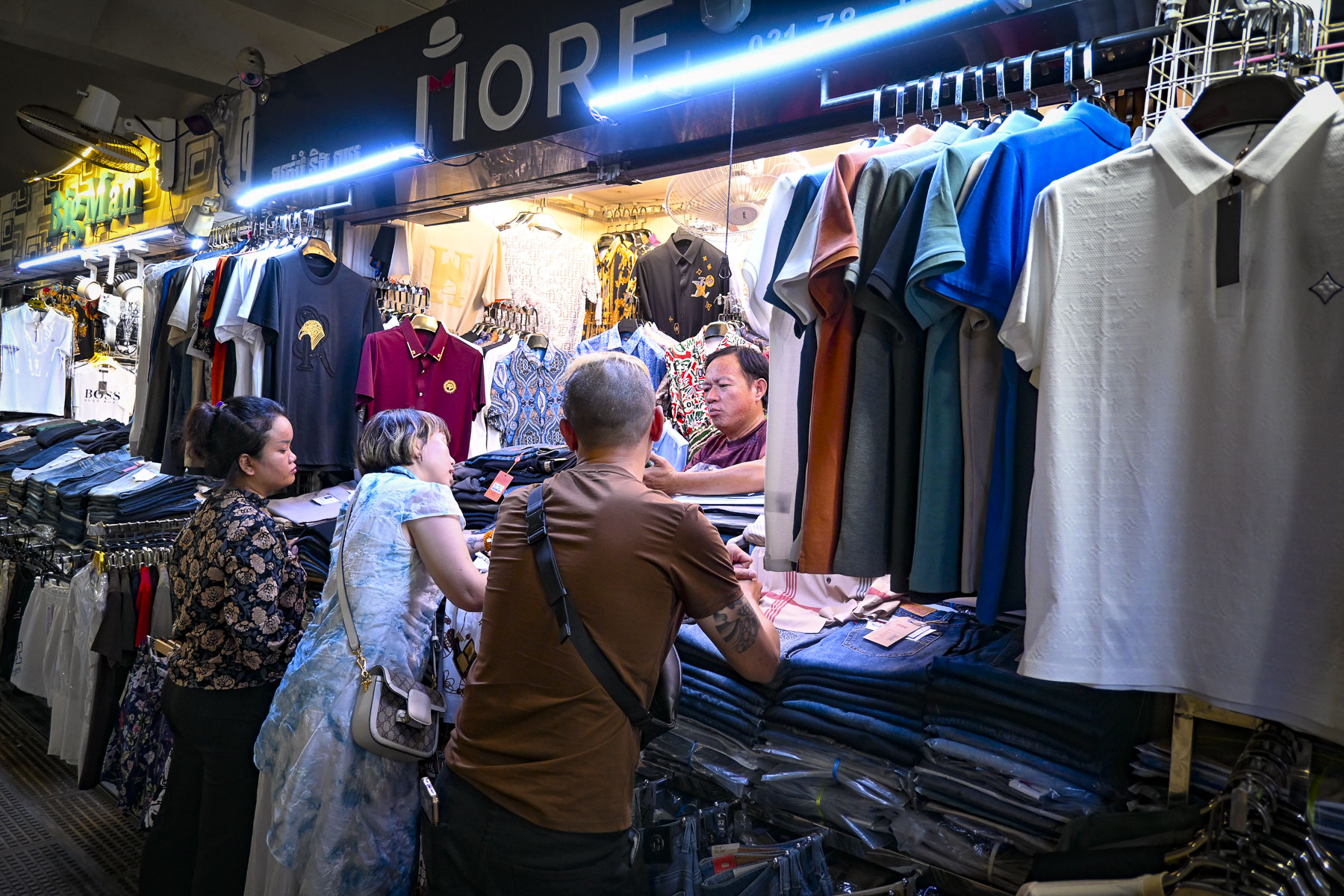
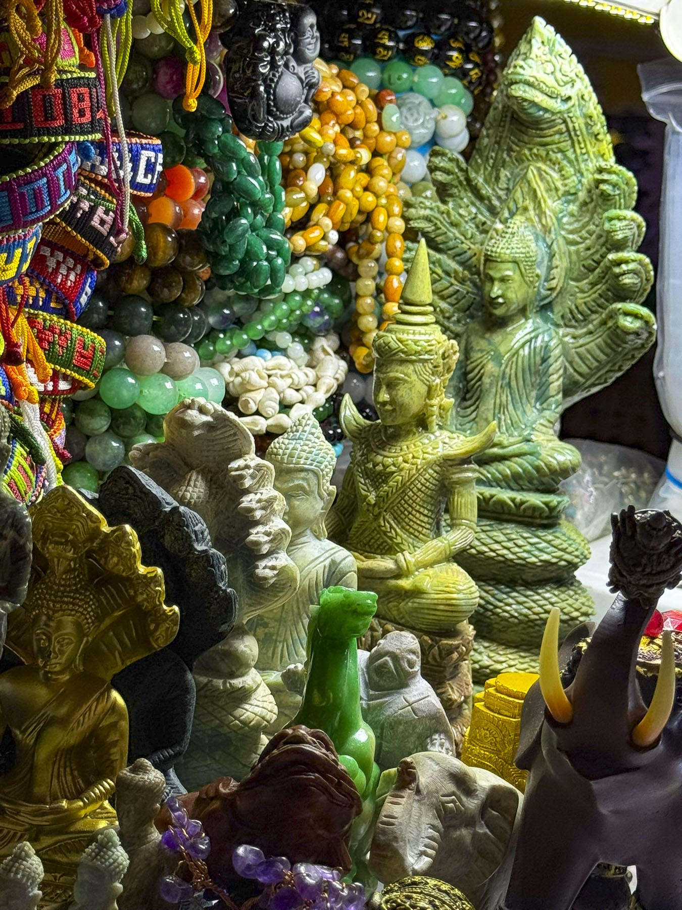
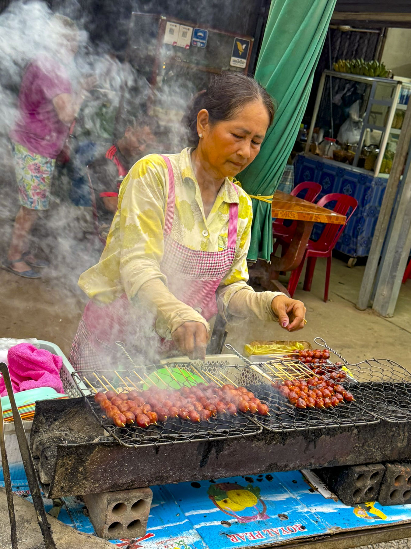
Our tour continued through the park to the adjacent Markaziy bazaar, Bukhara’s central market. It’s a substantial complex with several halls and numerous vendors displaying their foodstuffs and offering samples. It is best described as a gauntlet of temptations.

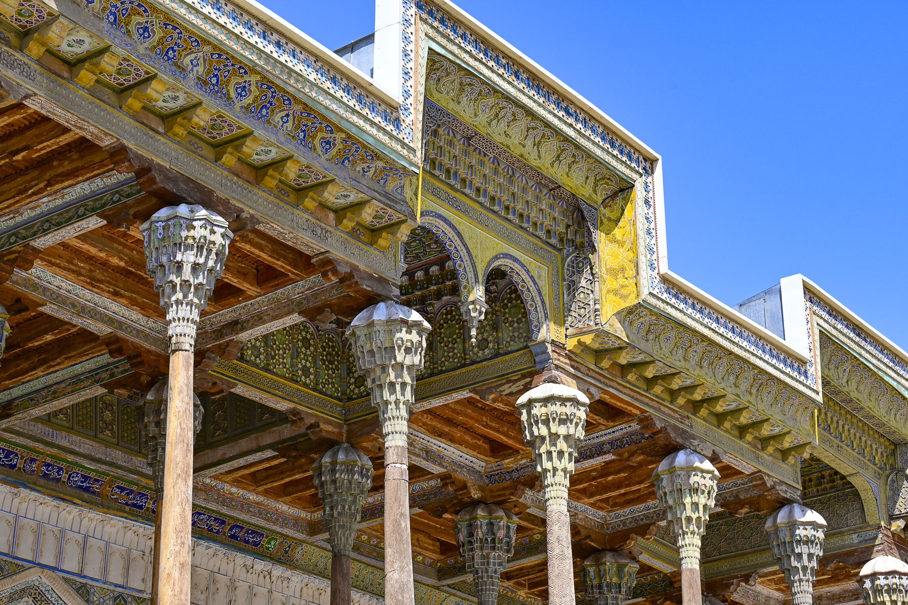
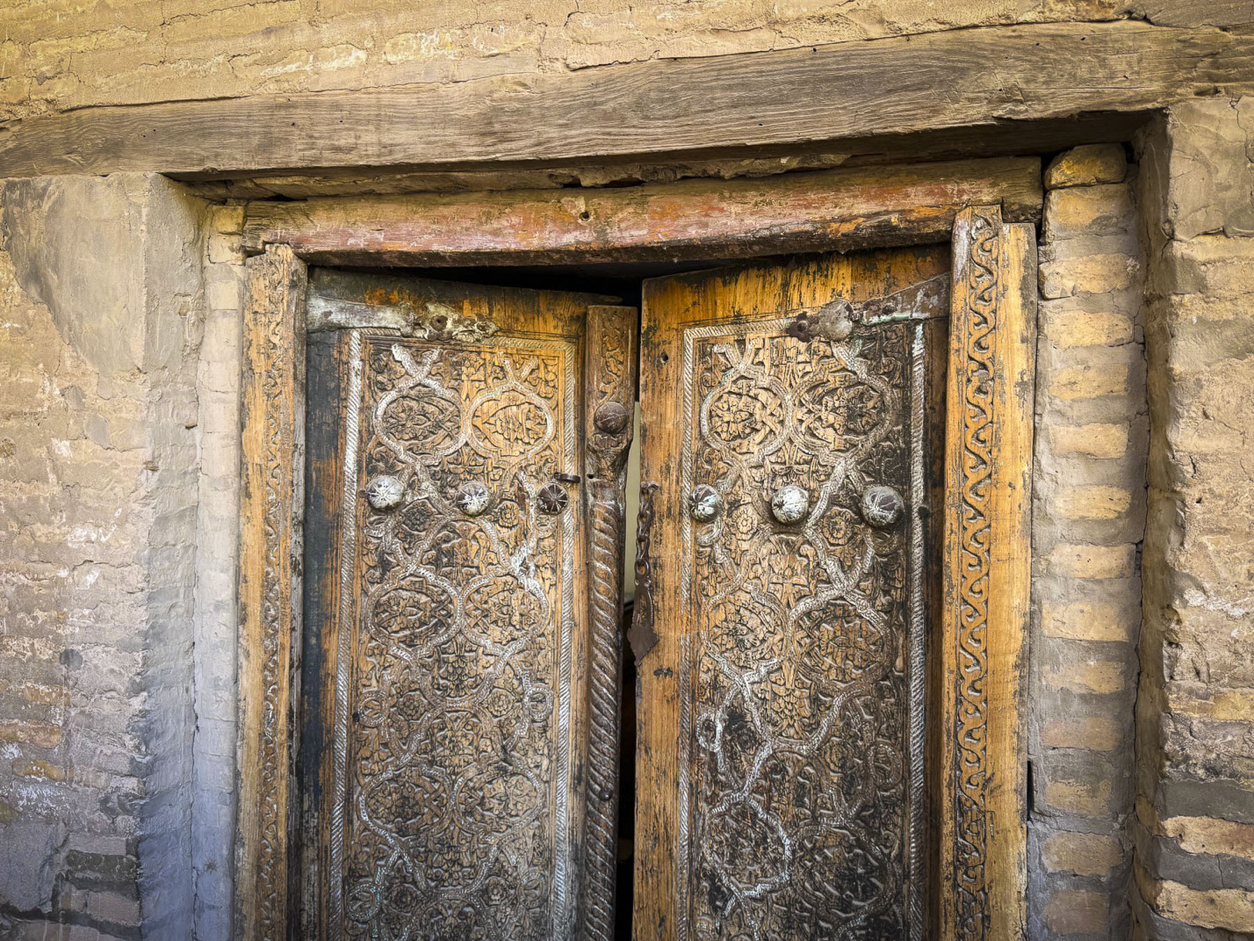
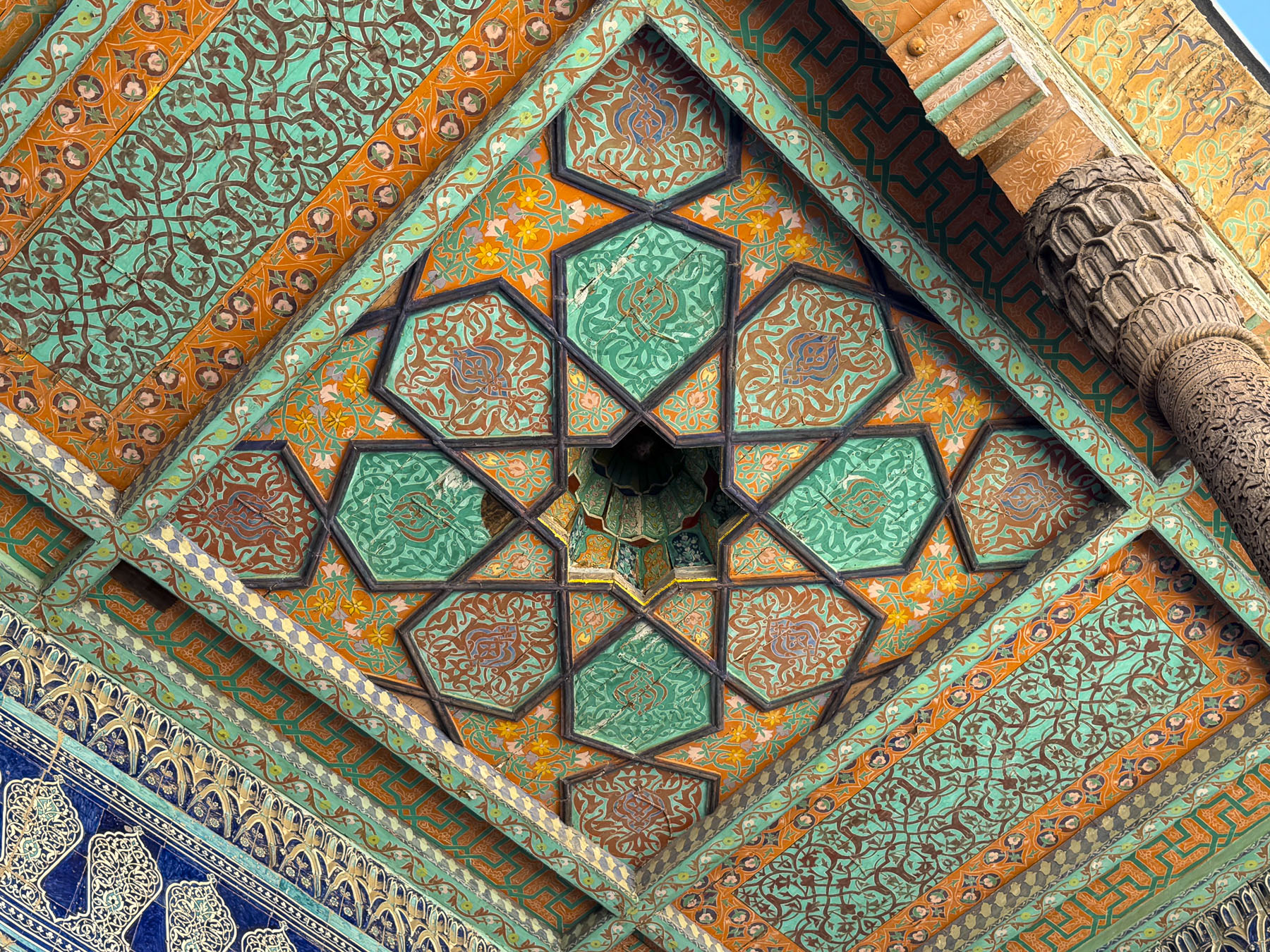
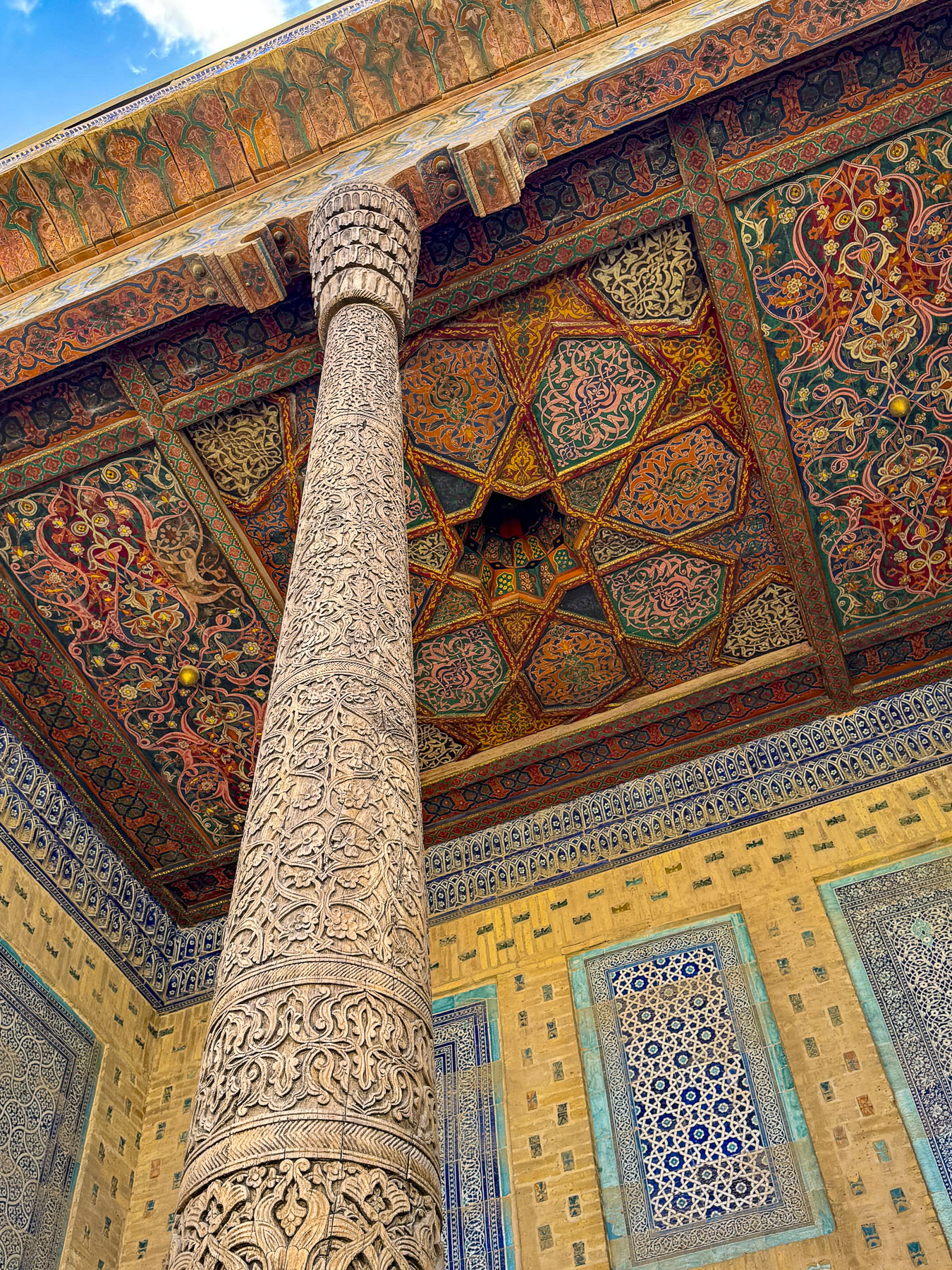
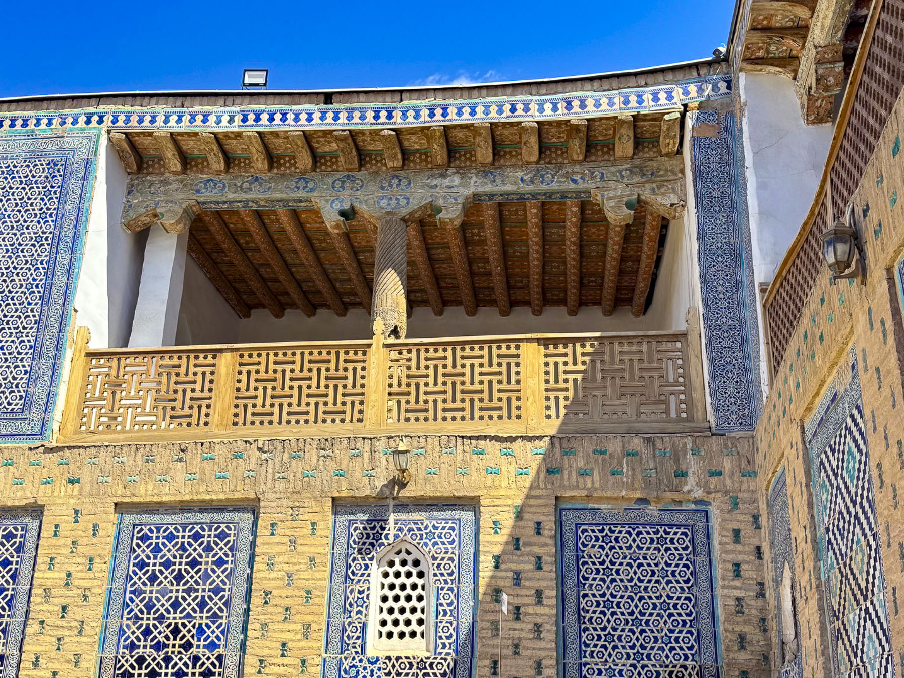
Continuing on we came to the Bolo Hauz Mosque, built in 1712 across from the Ark of Bukhara. It was the official mosque of the emirs of Bukhara until the Soviet Union took over Uzbekistan. With the addition of an ornate 20-pillar wooden portico called an iwan in 1917, the mosque has a unique non-traditional façade. We had seen iwans earlier during our stops at the royal palaces in Khiva, where they were in the private courtyards, not on the front of a mosque. But it’s the perfect addition to accommodate worshippers in the hot summers.


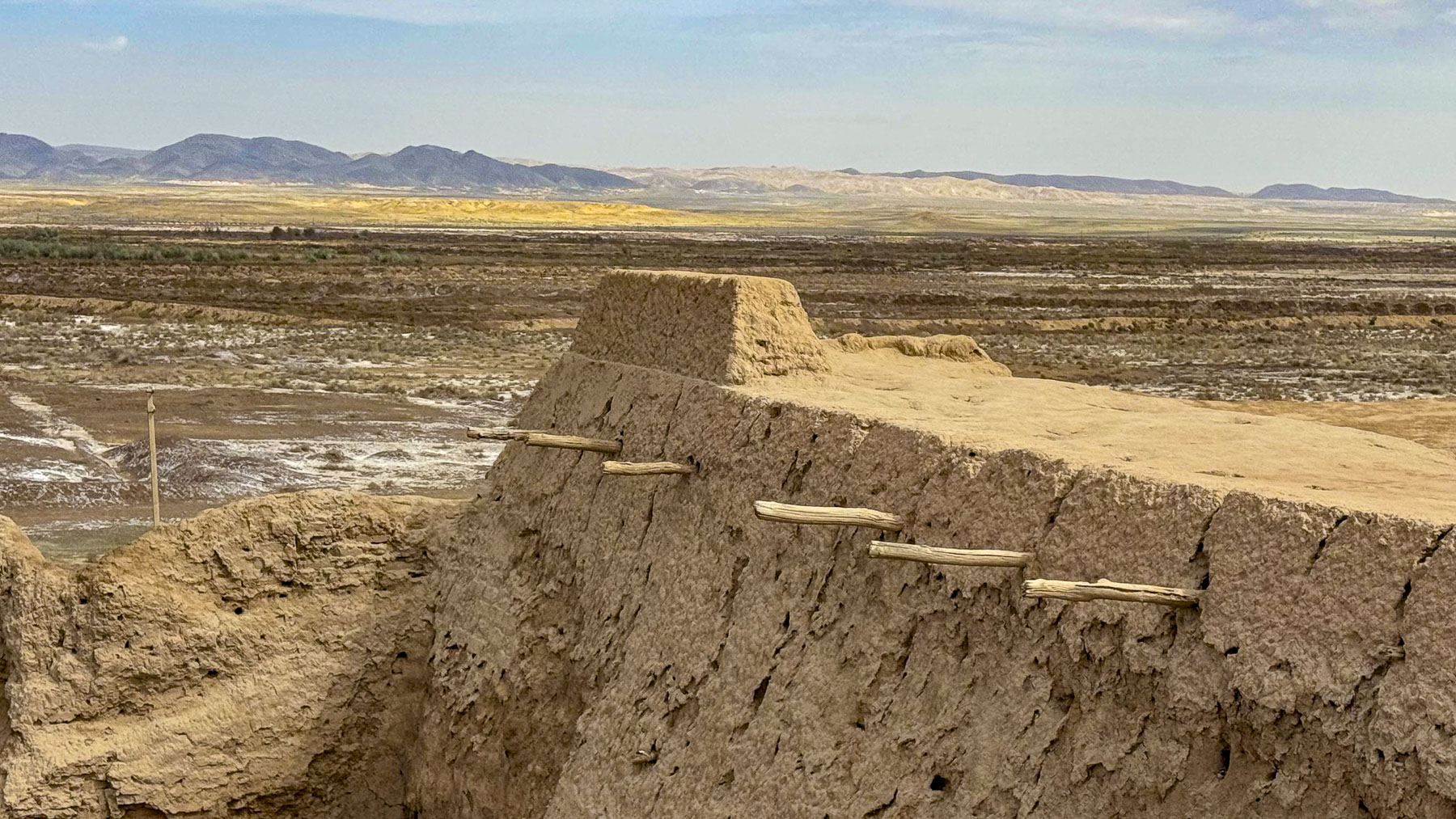
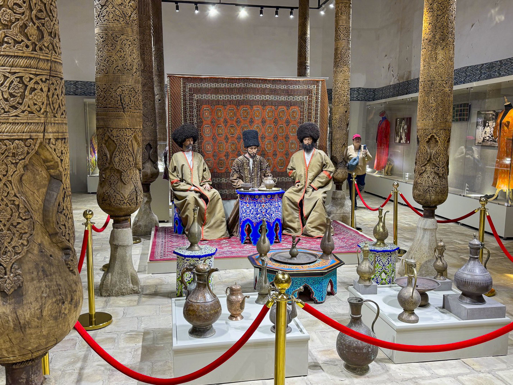
The Ark of Bukhara was a heavily fortified citadel and palace within the extensive defensive wall that ringed the city. It enclosed the royal courts, living quarters and throne rooms of the Emirs. Along with housing for around 3,000 people, it also had mosques, a mint, a treasury, and a prison.


The unique shape of its curved towers and ramparts has been meticulously preserved and today the inner rooms of the palace are a museum detailing the city’s history. The view from the defensive wall back towards the Poyi Kalon Complex was also striking.
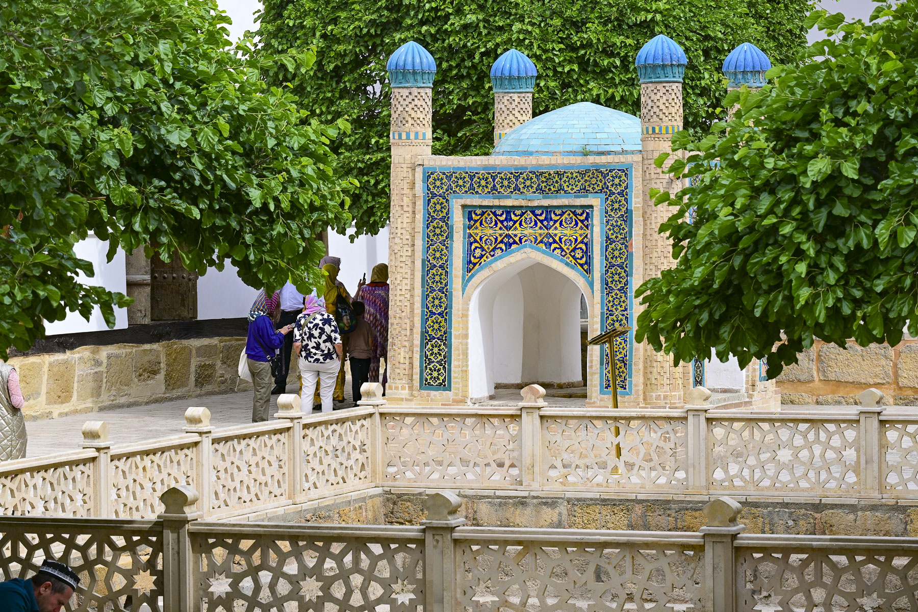
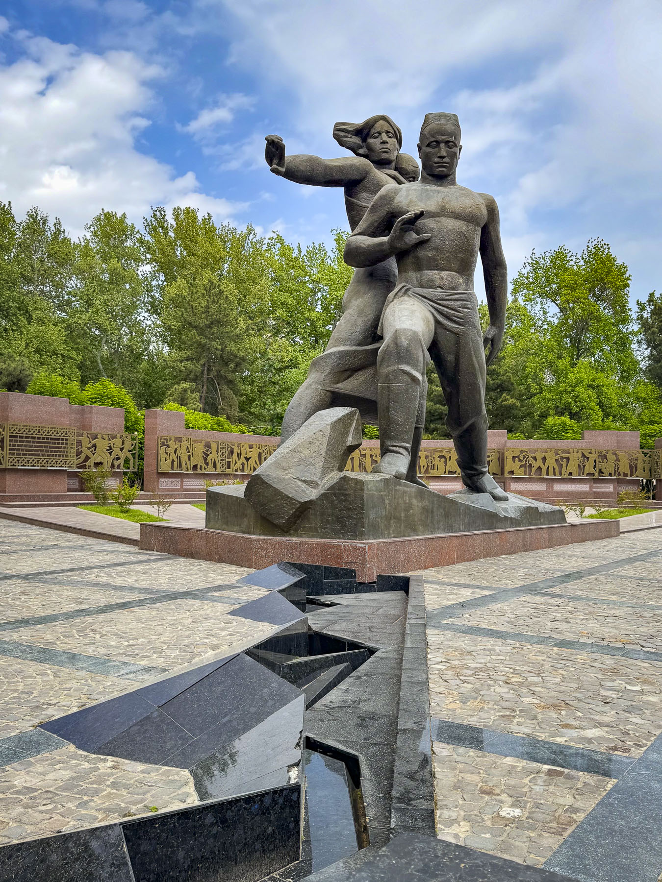
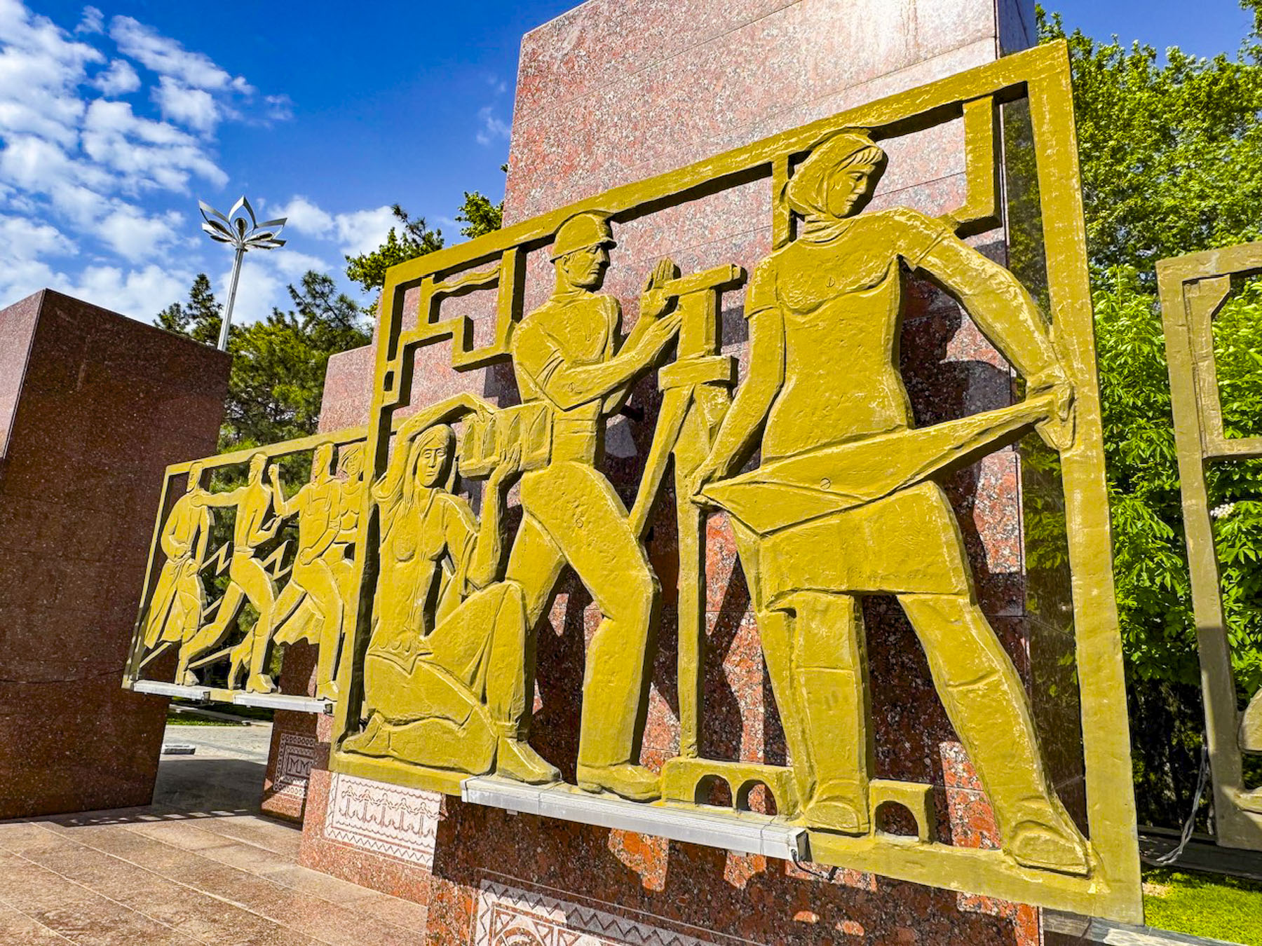
Twenty minutes from central Bukhara our group visited The Memorial Complex of Bakhouddin Naqshbandi, the 14th century Islamic theologian who founded the widely followed Naqshbandi Sufi order and was renown as the spiritual mentor to Amir Temur (Tamerlane), the ruler responsible for Uzbekistan’s Timurid Renaissance.


Over the centuries his once simple garden tomb at his home grew into a vast site that includes the dynastic necropolises of the Sheibanid, Ashtarkhanid, and Mangit rulers. Later additions included a mosque, minaret and madrassa. After Uzbekistan declared its independence, with the help of international donors, the country totally renovated the site which had fallen into disrepair during the Soviet era, in time for the 675th anniversary of Naqshband’s birth in 1993.


This was one of the first major opportunities the new Uzbekistan government took to reclaim its Islamic and Central Asian heritage after living under 70 years of communist atheism. Newer additions include a Sufi museum and theological research center, where translations of ancient Islamic texts are undertaken. Through the centuries it has become a revered pilgrimage site for folks from all across Central Asia and beyond.


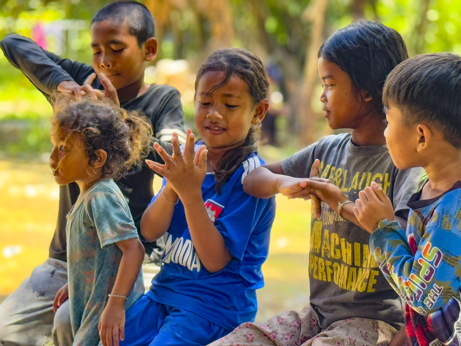
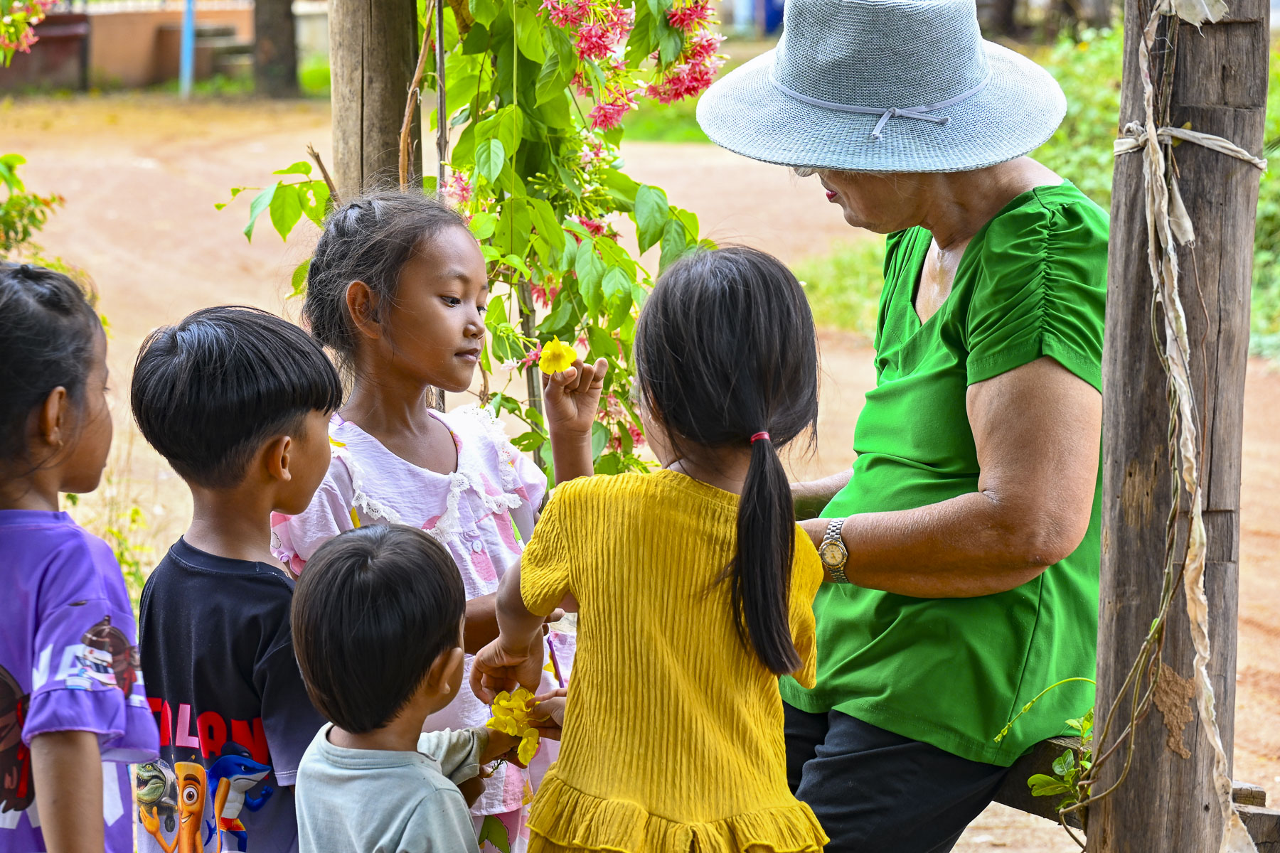
Everyone was so friendly and eager to take photographs of us, and have their photos taken too, it was a very heart-warming experience. Our guide shared that for many people living in remote villages this was their first trip away from home. He spoke of a Central Asia folk belief which claims that three trips to the shrine equal a Hajj to Mecca, which underscored how dangerous the trek across the desert to Arabia was.


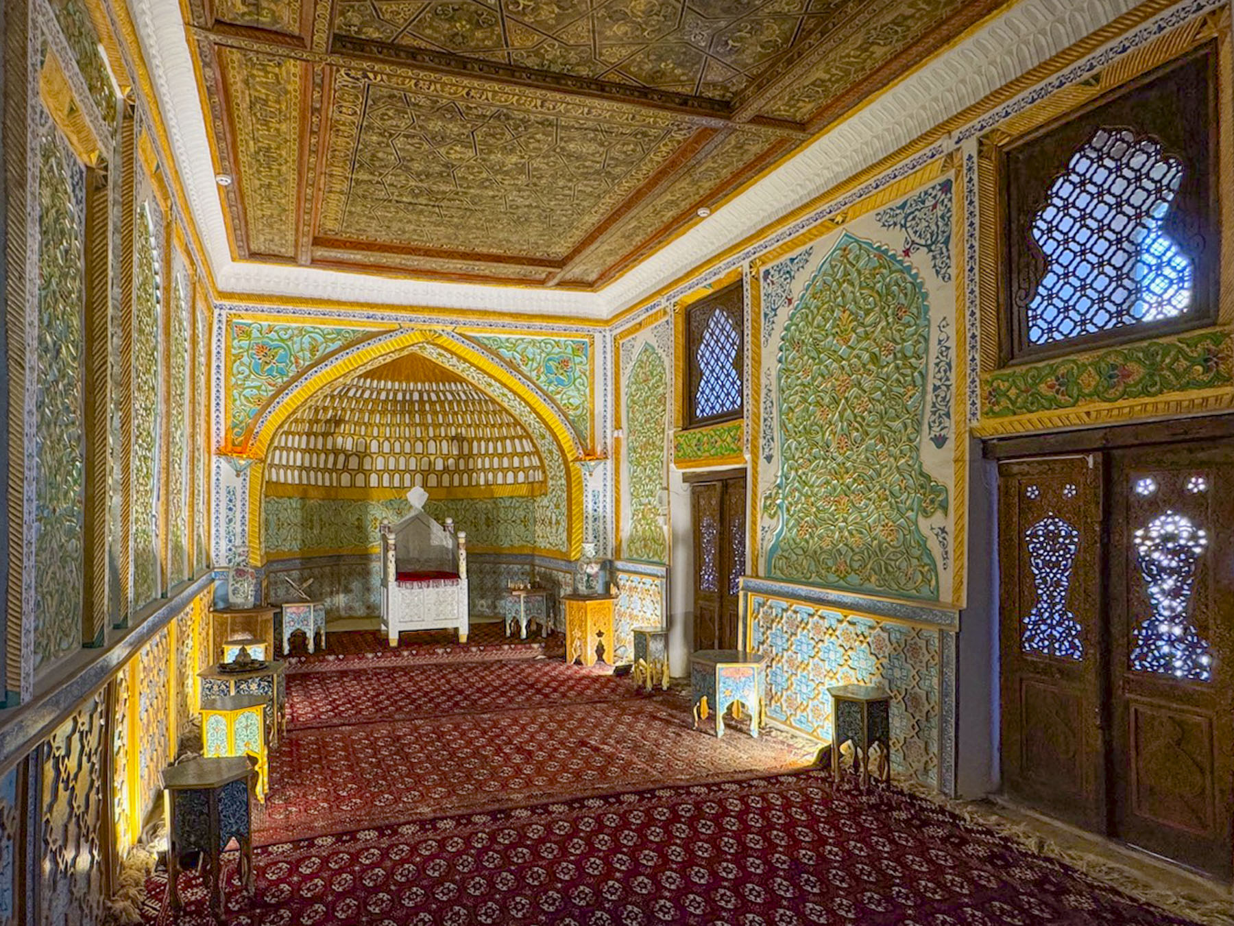
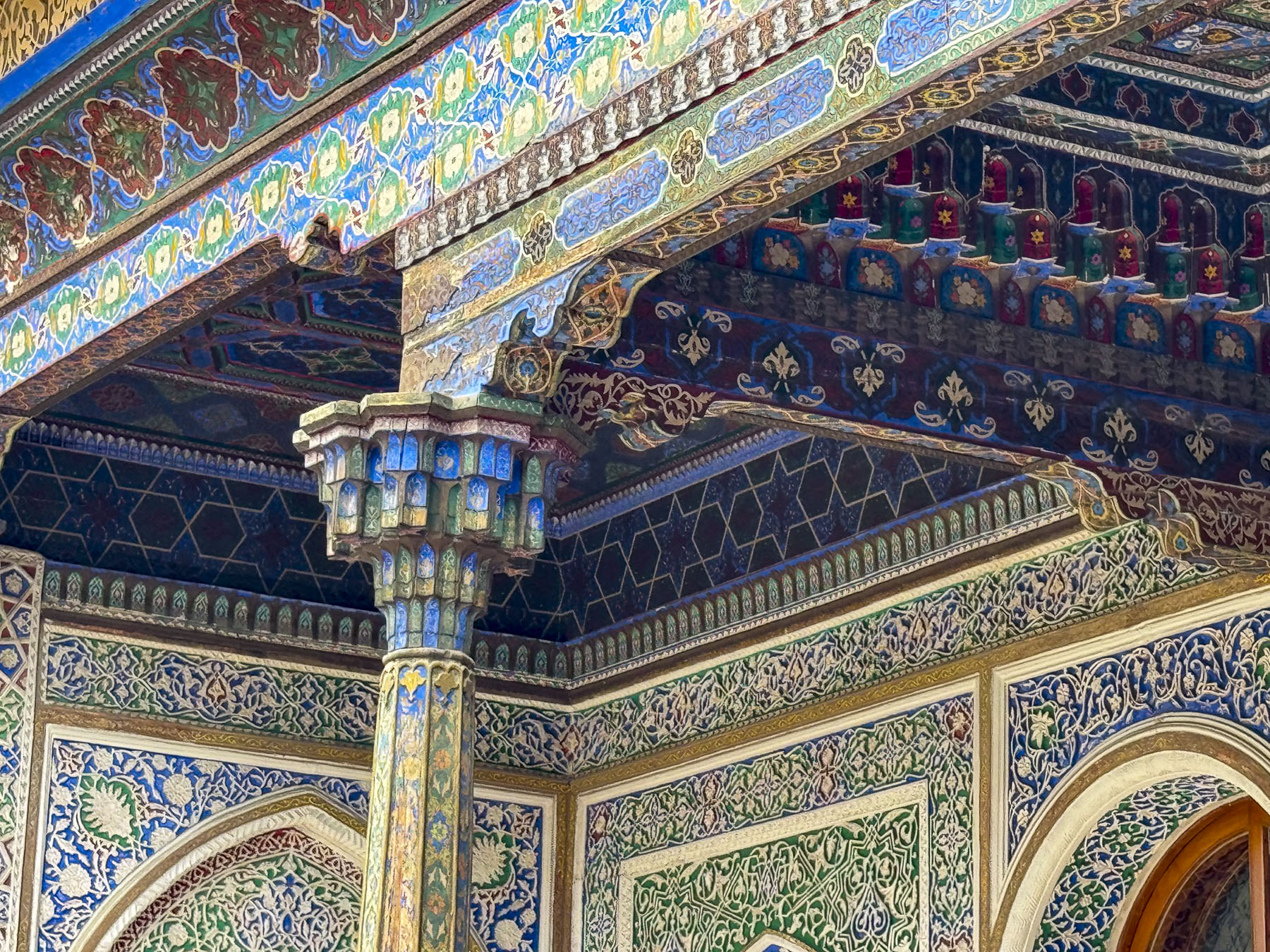
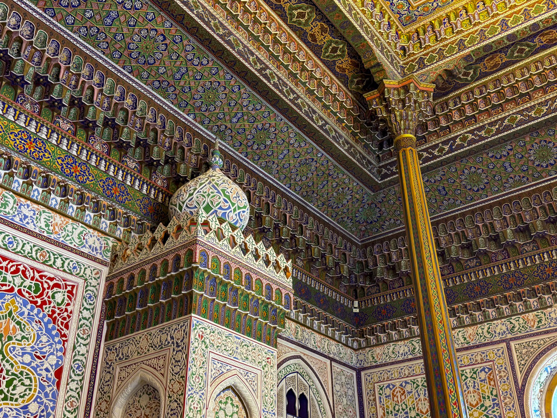
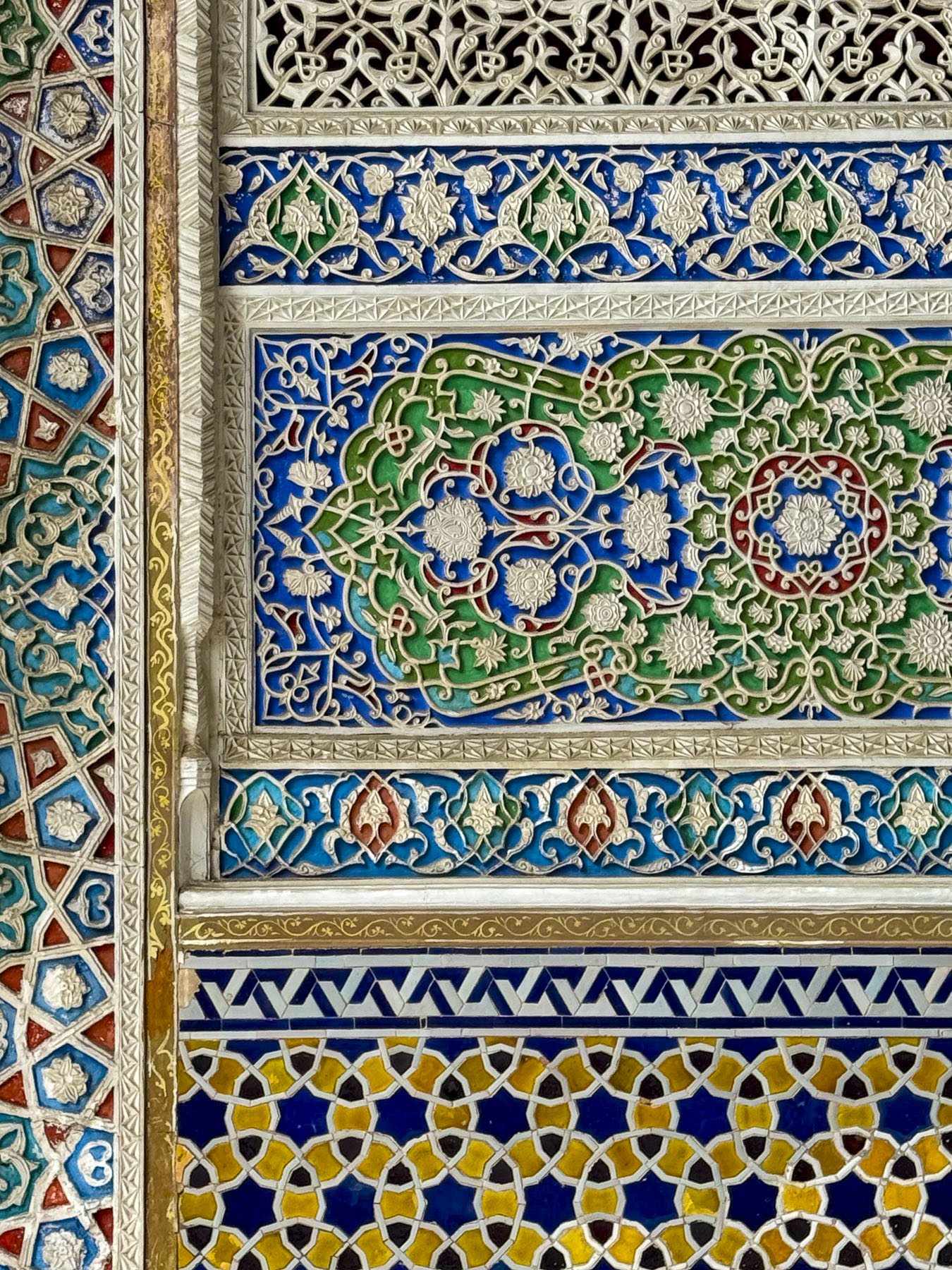
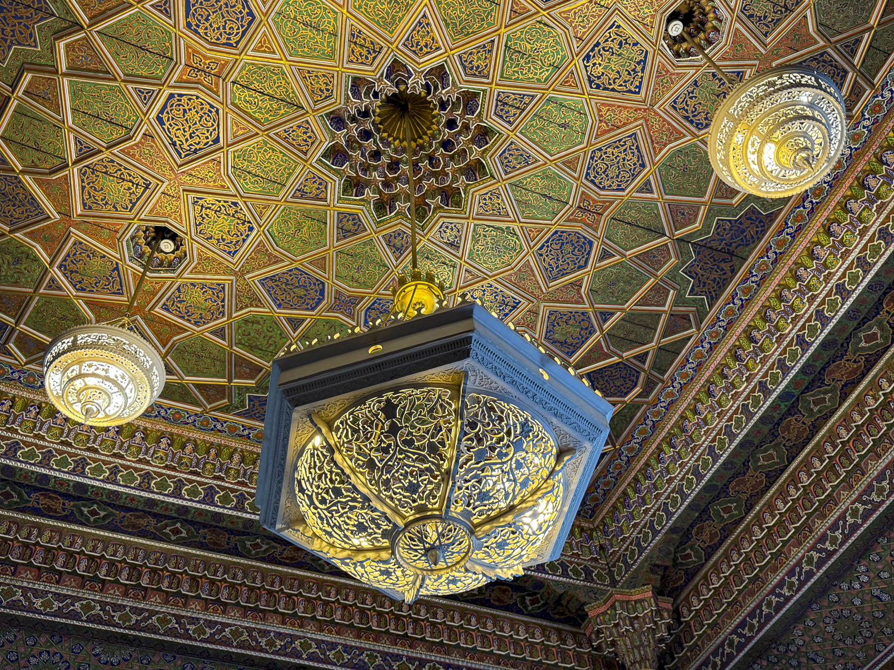
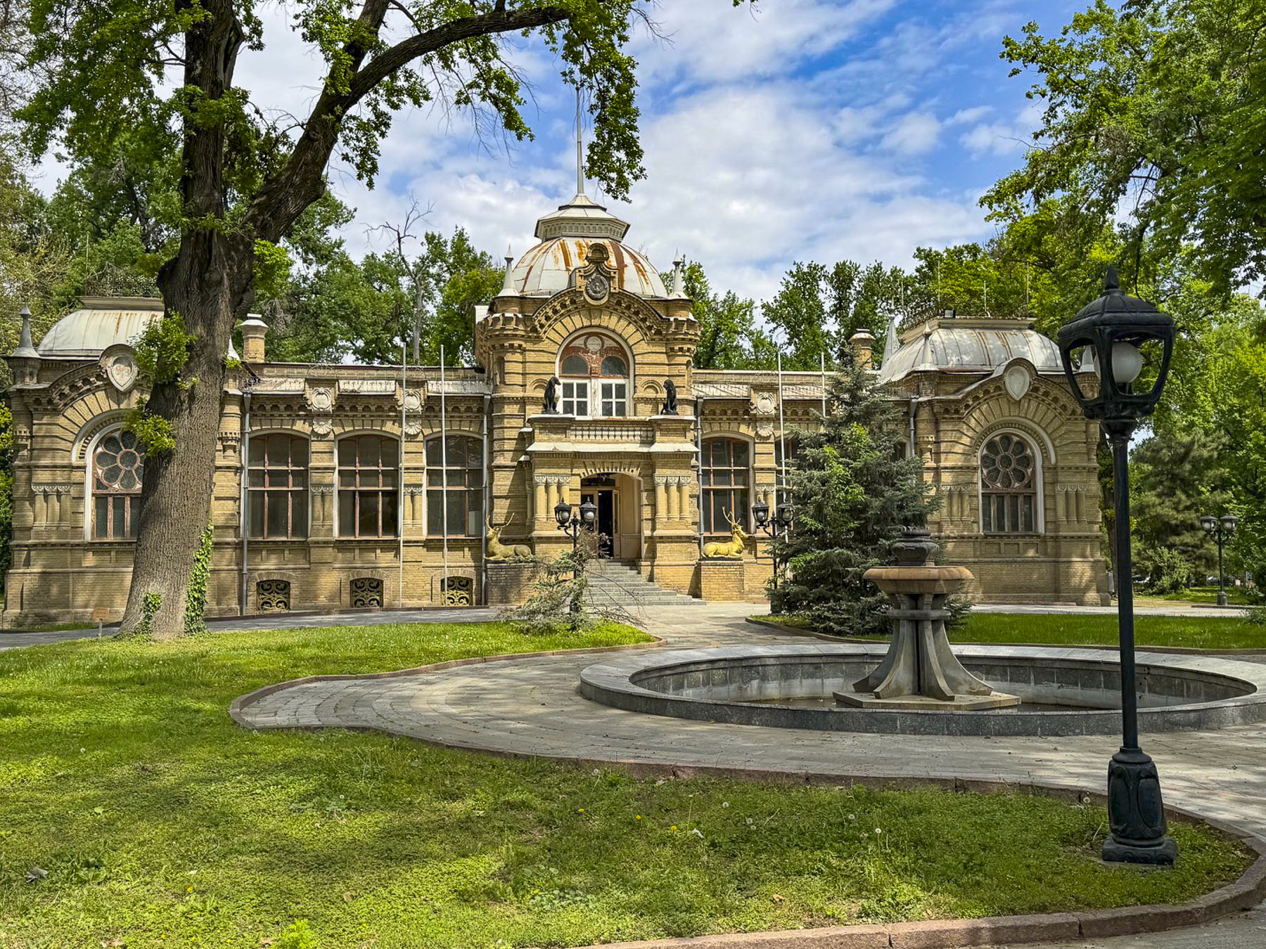
Afterwards our group headed to “the palace that resembles the stars and the moon,” Sitora-i-Moh-i Khosa, the summer palace of Sayyid Mir Muhammad Alim Khan, the last emir of Bukhara. The palace is poetically named for the emir’s wife, whose beauty he often compared to the heavens. Built between 1912 and 1918 by Bukhara craftsmen, the emir had sent to St. Petersburg to study western techniques.


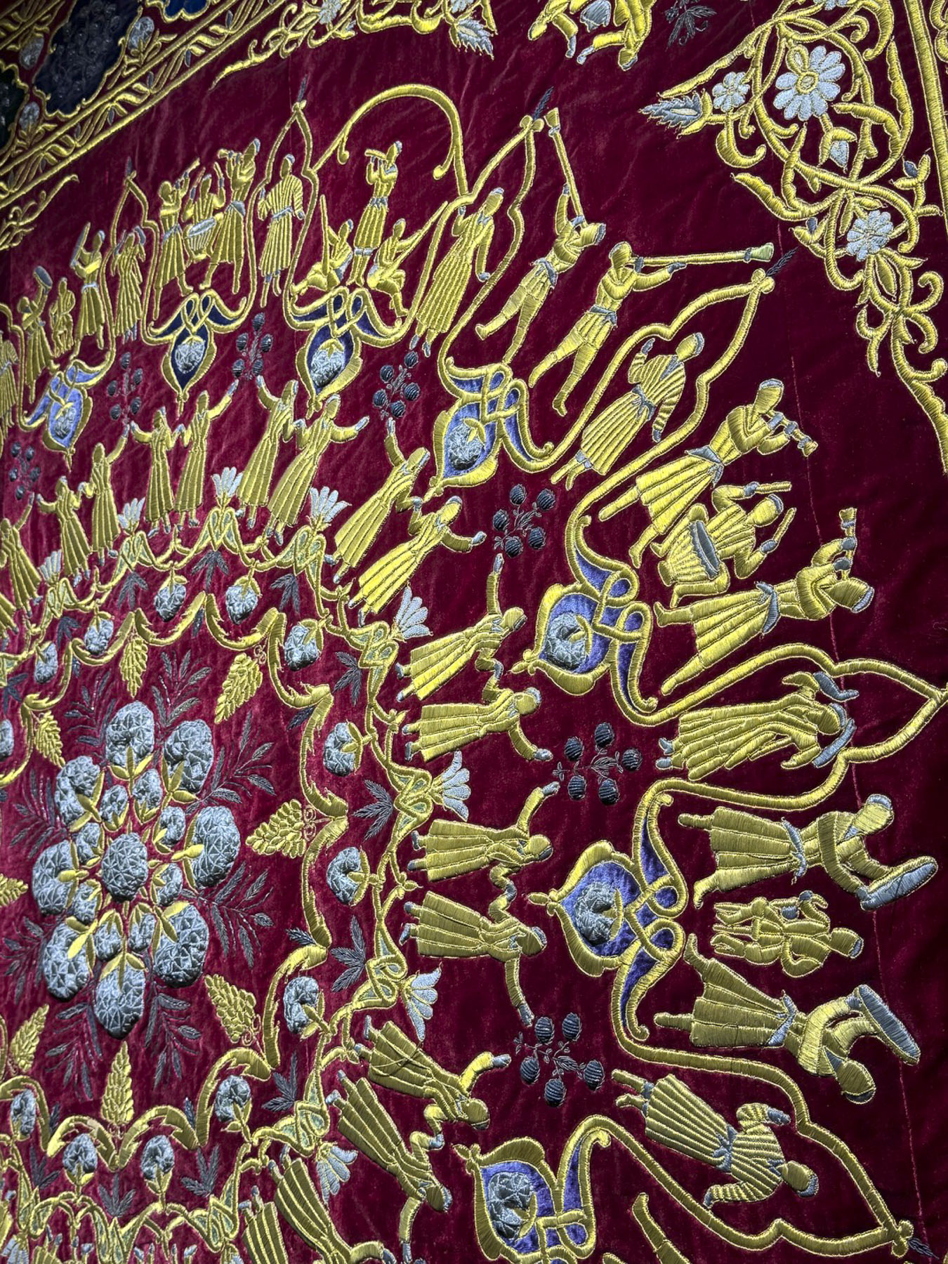
While the exterior facades are traditional, the interior of the palace is a visually and texturally rich artistic expression that wonderfully overwhelms the senses. We mused that the flamboyant Las Vegas entertainer Liberace would have been right at home in its over-the-top décor. That speculation surely dates us as kids of the 60s.


The day we toured the site there were numerous crafts vendors, with fairly priced merchandise, set up along the garden paths and peacocks roaming freely about the park-like settings.


The emir only had a few years to enjoy his creation before fleeing the country after the Bukharan emirate fell to the Soviet Red Army in 1920. Fortunately, the communists appreciated the artistic merit of the site and preserved it as a decorative arts museum.


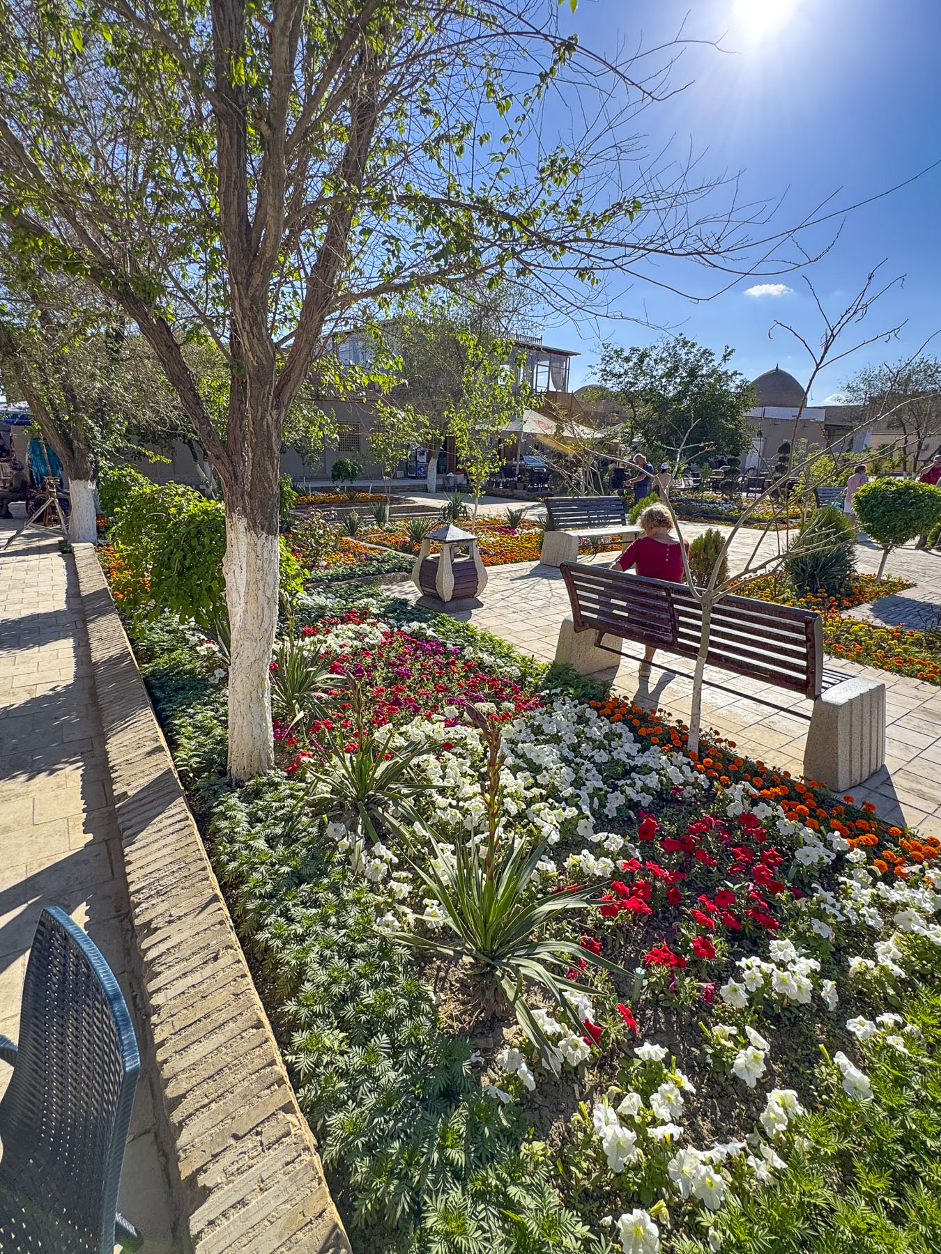
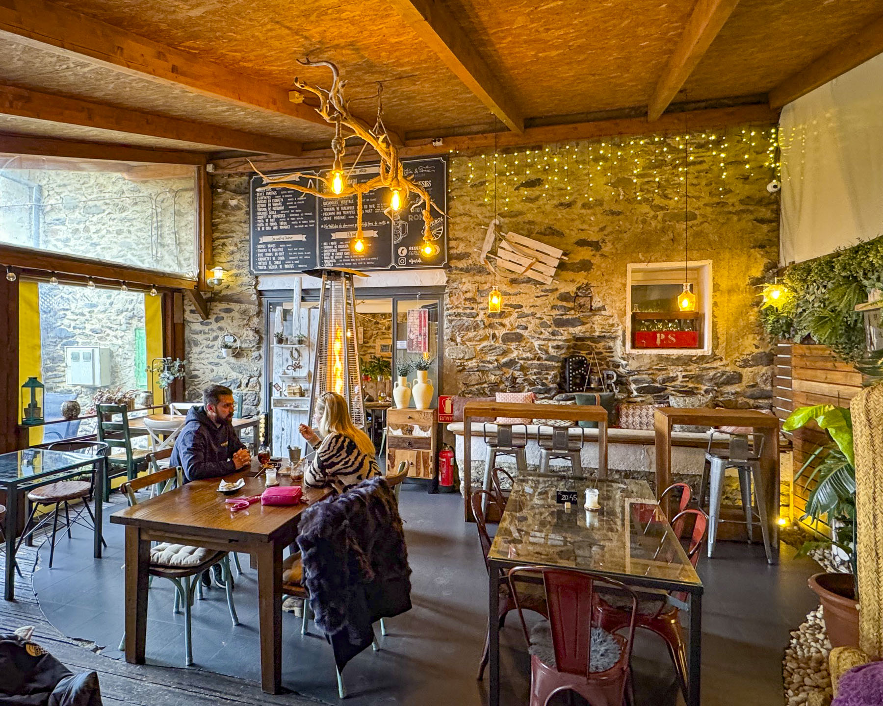
That evening under a clear night sky we enjoyed live piano music on the plaza around the corner from the hotel, at The Terrace Bukhara ECO Café.

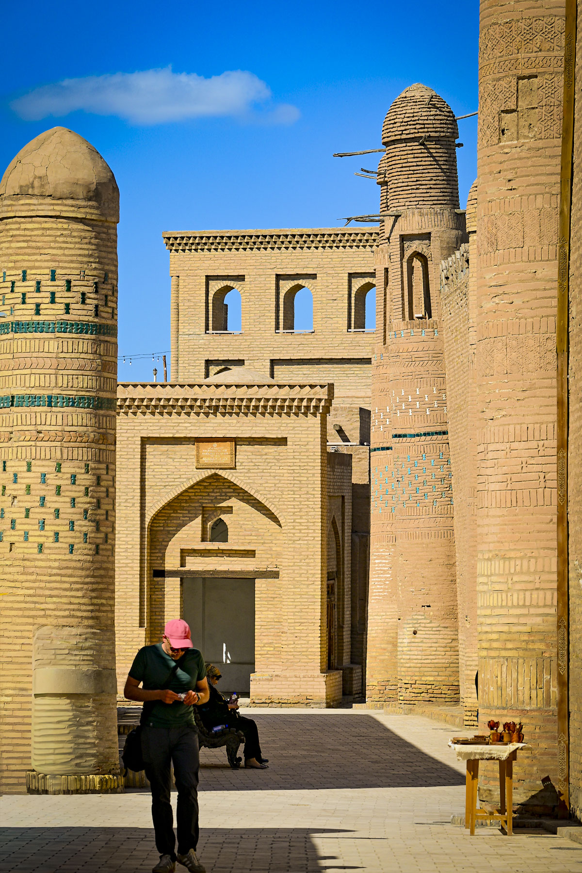
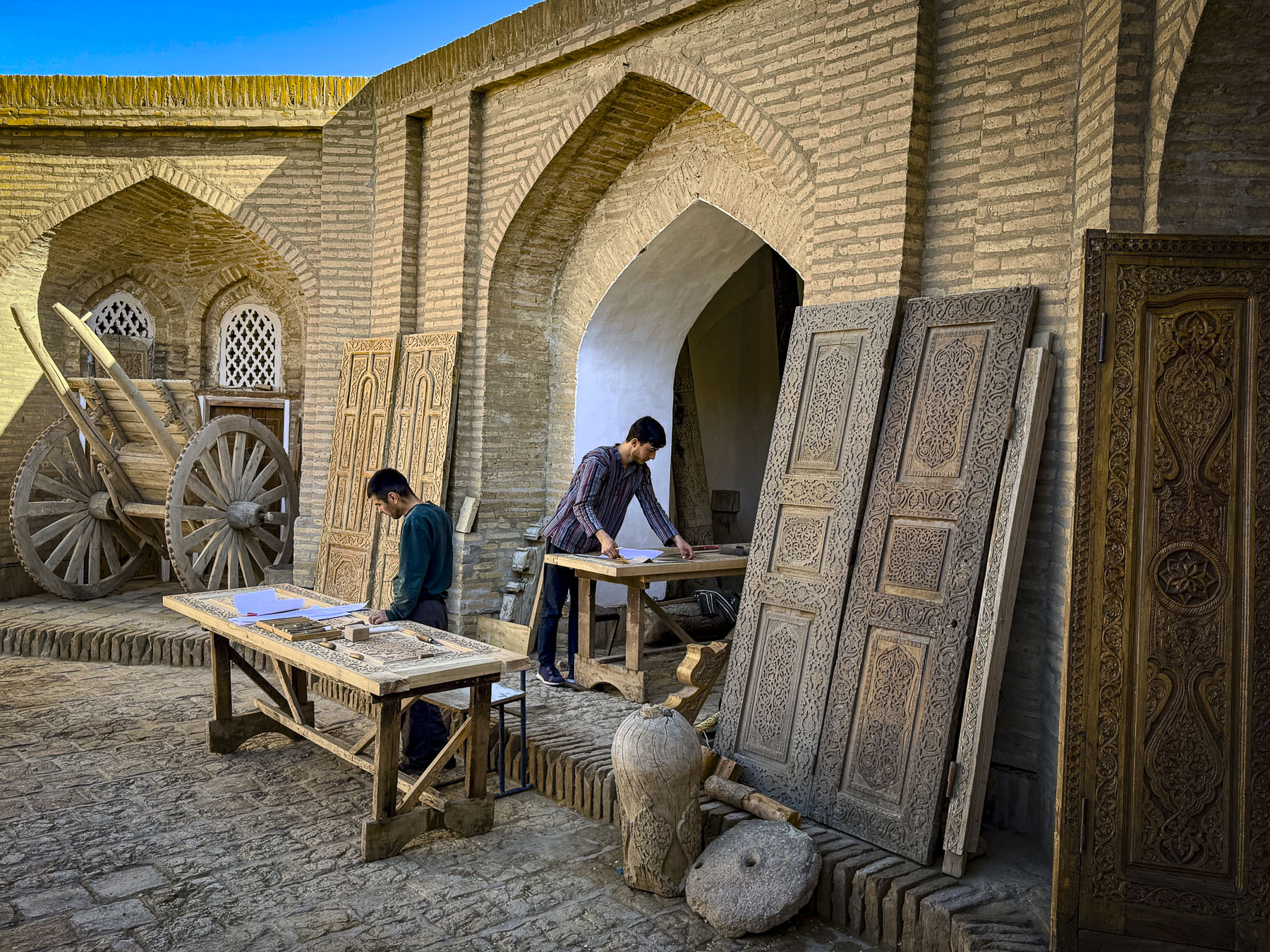
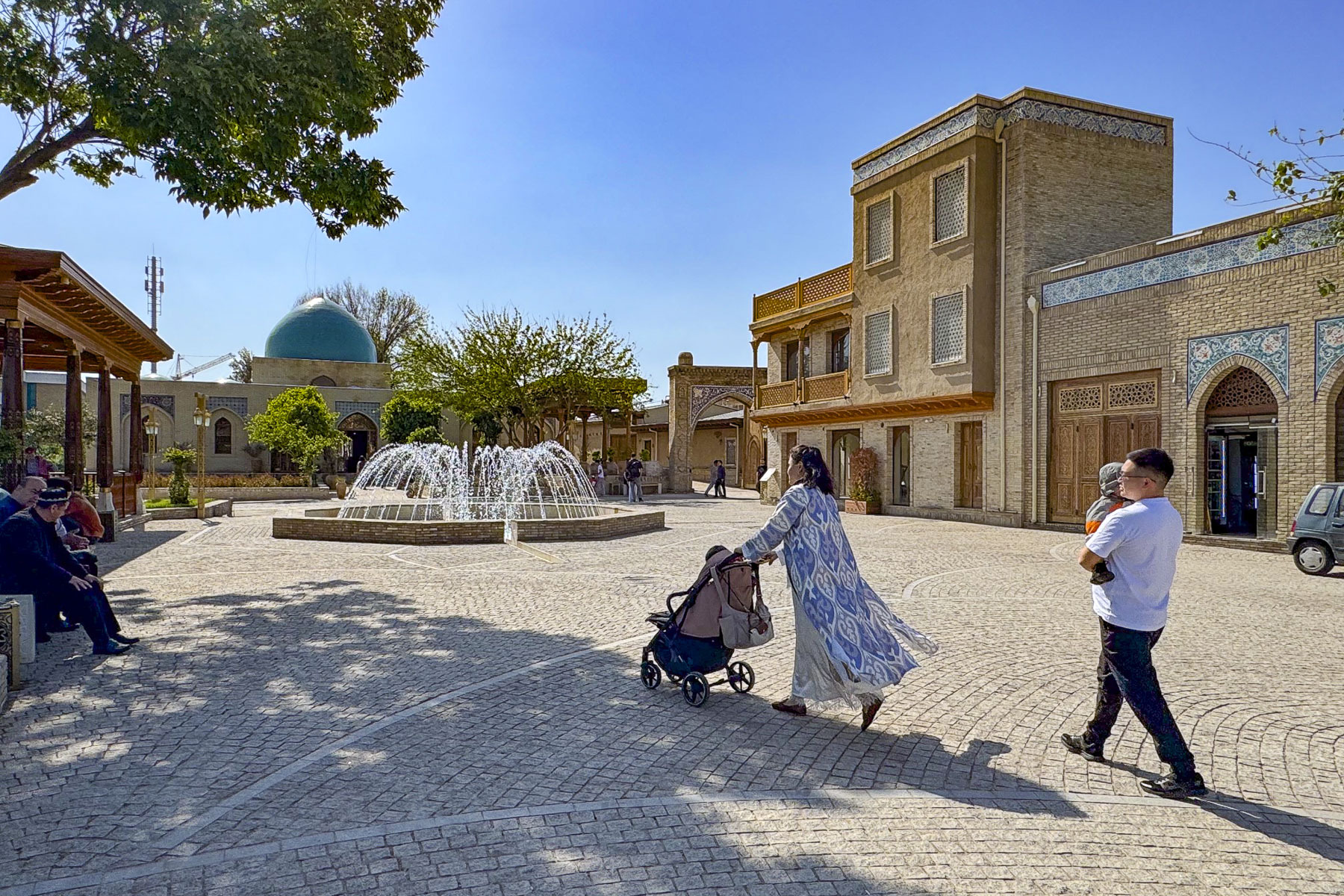
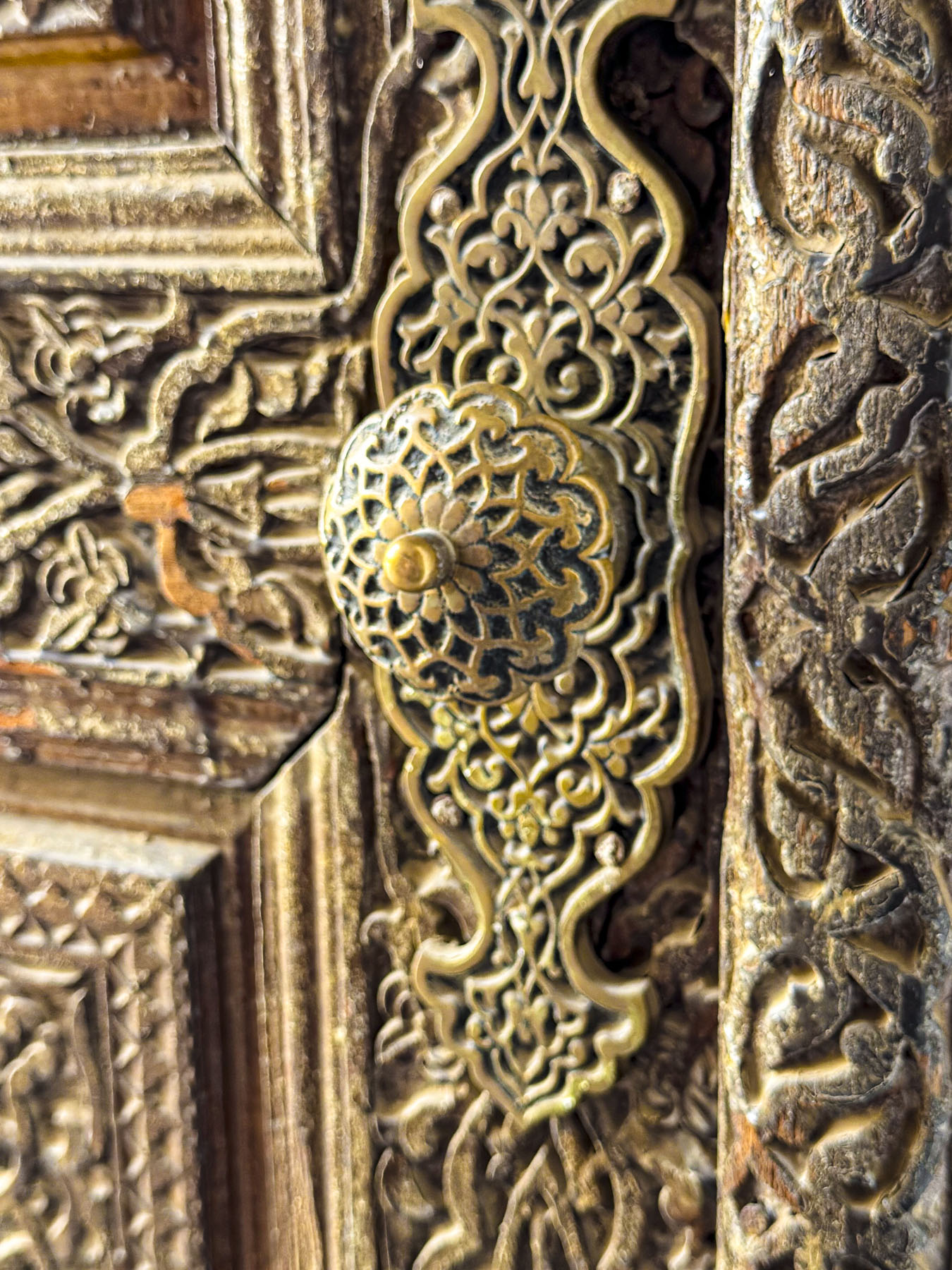
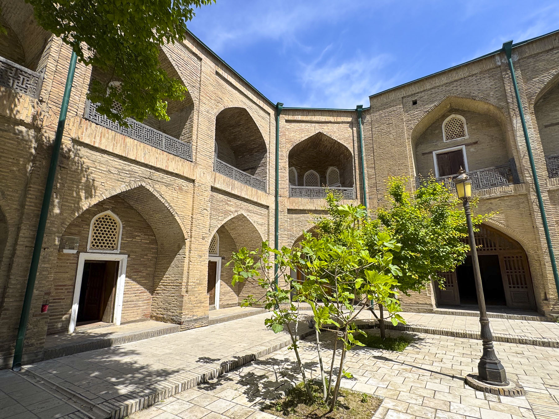
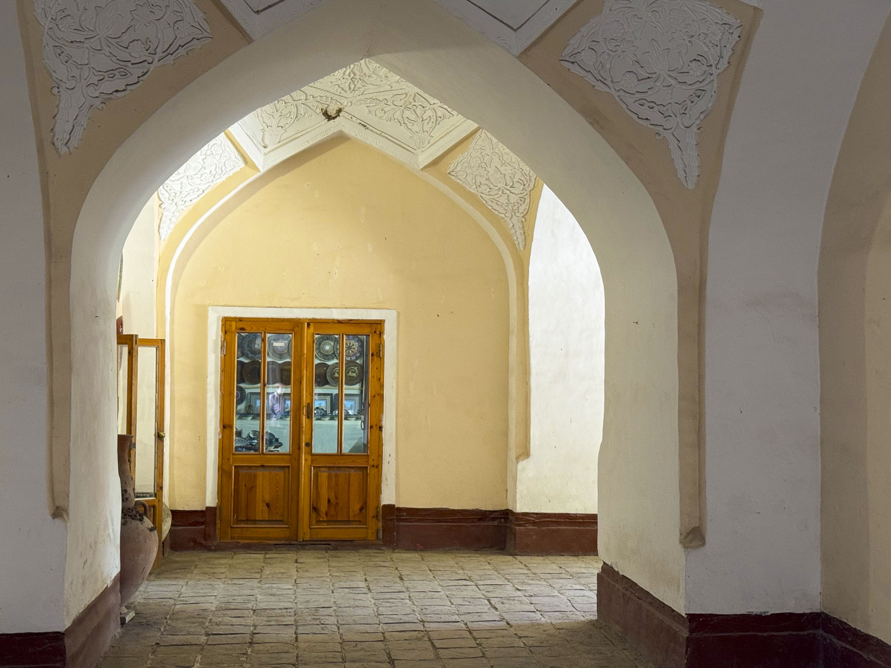
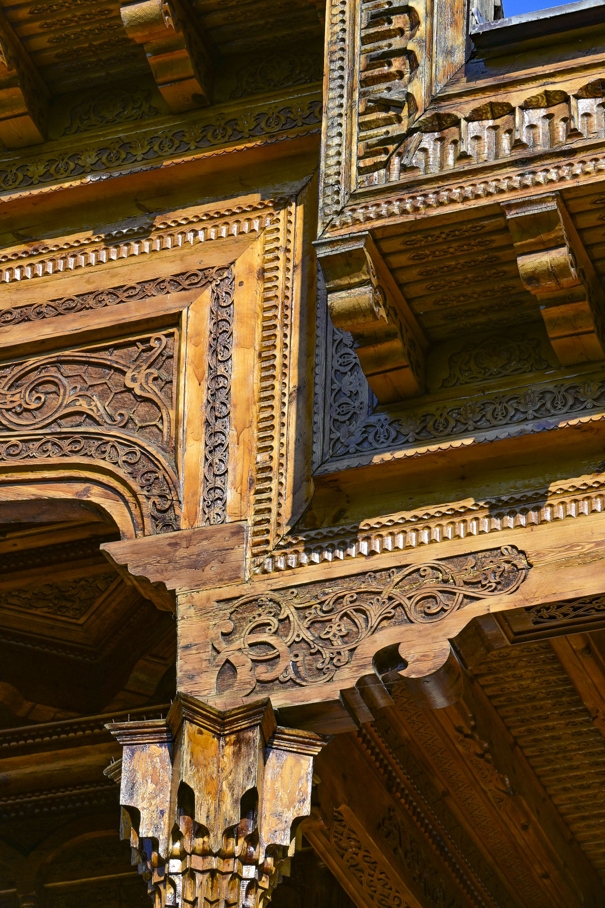
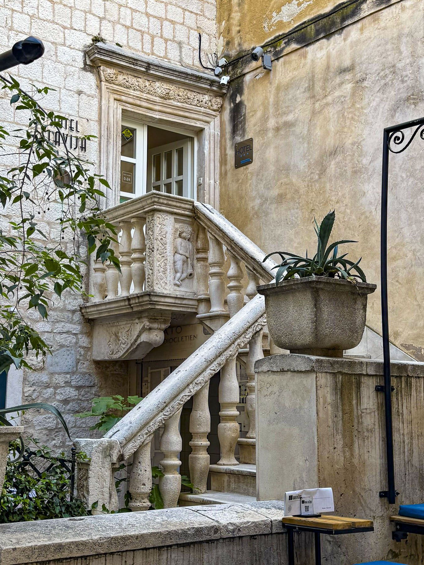
On our last full day in Bukhara we had the morning for ourselves to wander around and explore. There are so many ancient madrassas in Bukhara, many of the smaller ones throughout the town have been or are in the process of being renovated into boutique hotels. And there are others in a state of semi-ruin, that have been stabilized enough to be safe for vendors to set up craft stalls in but remain architecturally interesting. The Abdulaziz Khan Madrassa (1652), located directly across from the Ulugbek Madrassa (1417), was an amazing example of this. Its monumental pishtaq, entrance way, had one of the best examples of a muqarnas, the intricate honeycomb-shape vaulted ceiling, found on madrassas in Bukhara.


Even though the domed ceilings above the vendors in its main hall were not restored, they were also stunning. In the courtyard large sections of tilework were noticeably missing.


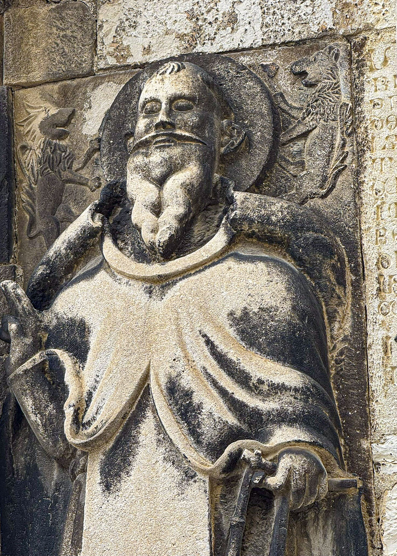
Continuing on we walked through the medina to the Chor Minor Monument, a unique structure with four blue capped towers, which represent the cardinal points of a compass and the Samanids, Shaybanids, Karakhanids, and Manghits dynasties. Atop one tower is a sculpture of nesting storks.

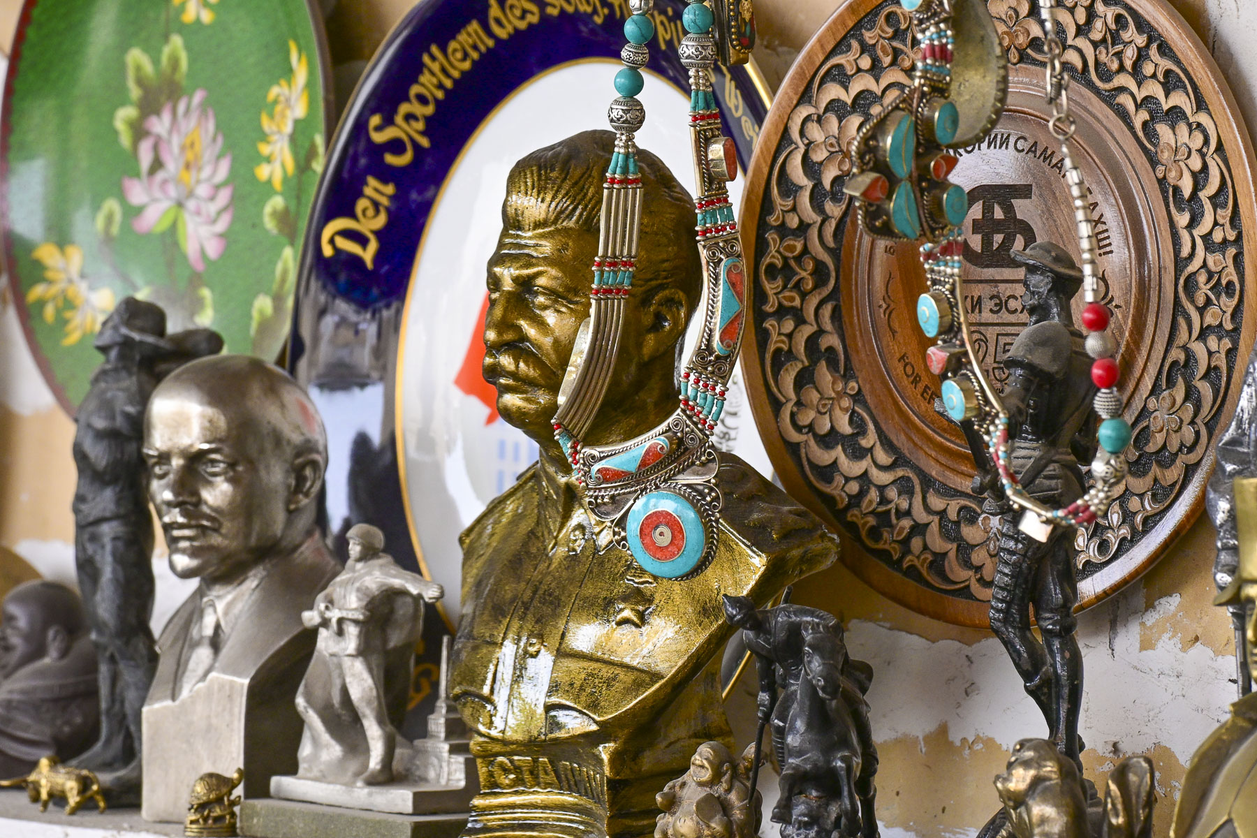
They used to be a common sight nesting on the domes all across the city. Their presence was enjoyed, with folks believing the birds brought good luck, peace, and domestic happiness. Across from the monument was an antique shop that features all sorts of Soviet memorabilia.


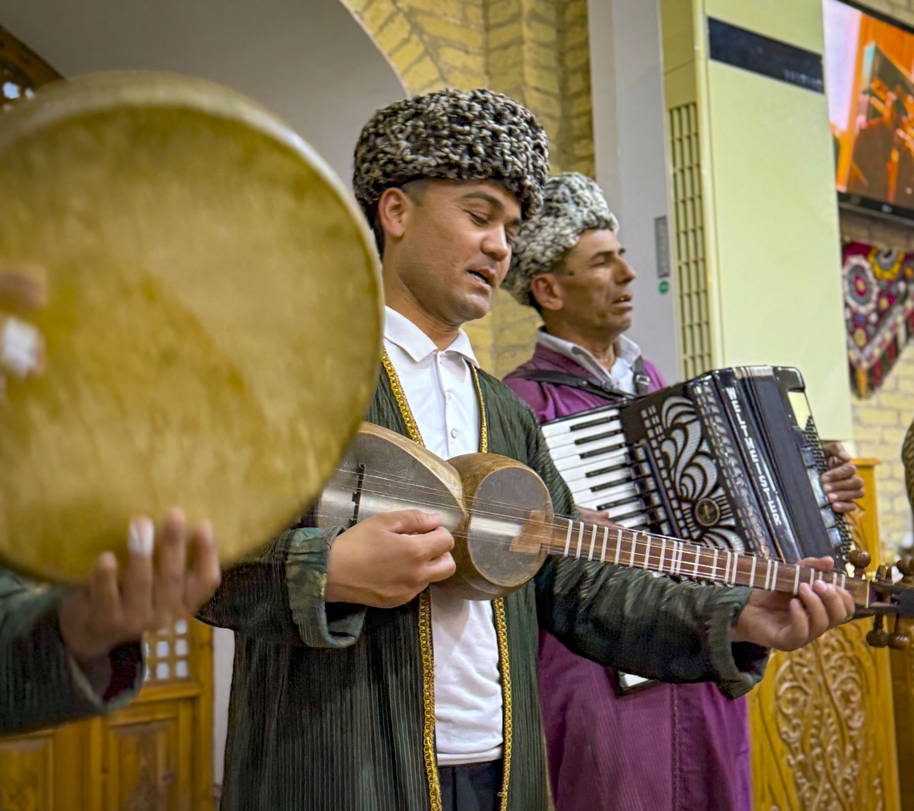
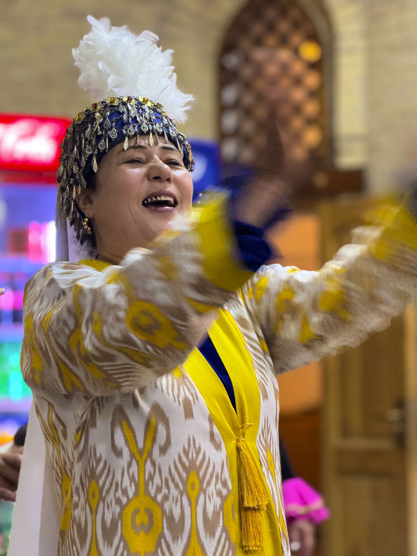
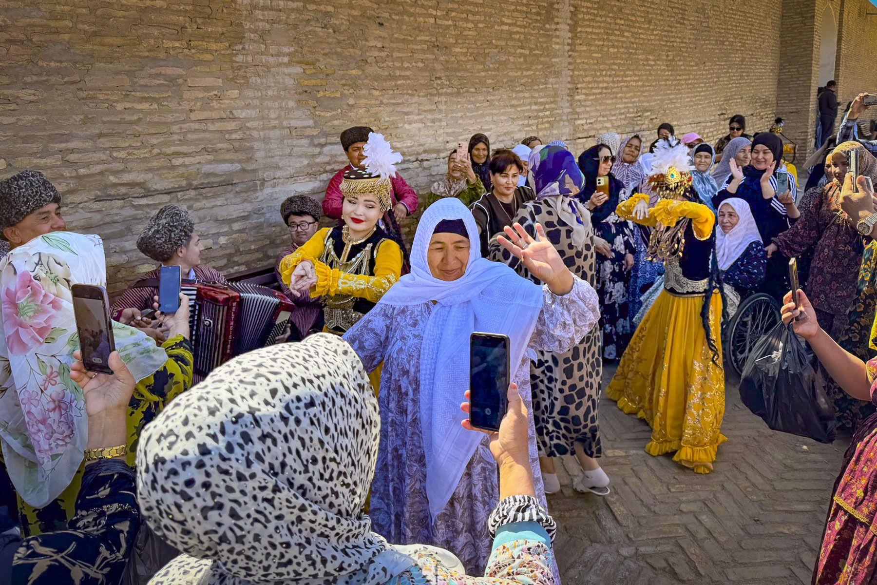
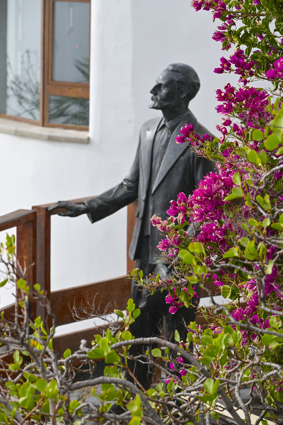
Afterwards we headed to the Labi Hovuz plaza where we were scheduled to reunite with our group at the bronze statue of Khodja Nasreddin, a legendary folkloric figure who used his “sharp wit, humor, and feigned ignorance to outsmart the greedy, hypocritical, and powerful,” in front of the Nodir Devonbegi Madrassa for a dance and fashion show.
Nodir Devonbegi was originally built in 1622 to be a caravanserai but was repurposed when during its opening ceremony the khan inadvertently praised it as a madrassa. So be it. The front of the building is unusually adorned with an elaborate tile mosaic featuring a pair of stylized birds, mythical Simurghs, clutching deer and flying toward a human-faced radiant sun. This is very unusual for Islamic art as it normally prohibited using depictions of animals or human figures and reflects a short-lived regional relaxation of the rules in the 17thcentury.
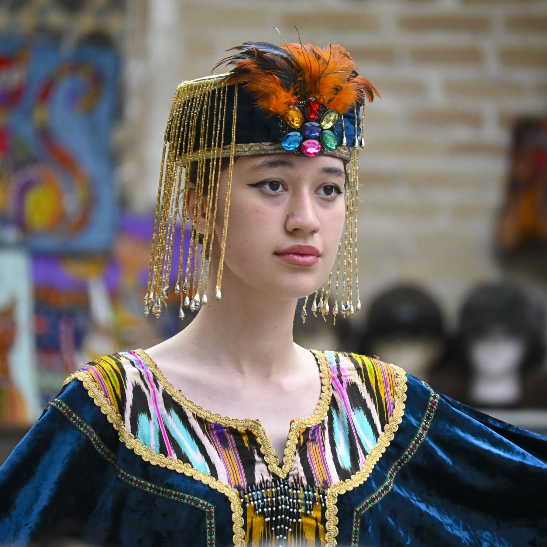
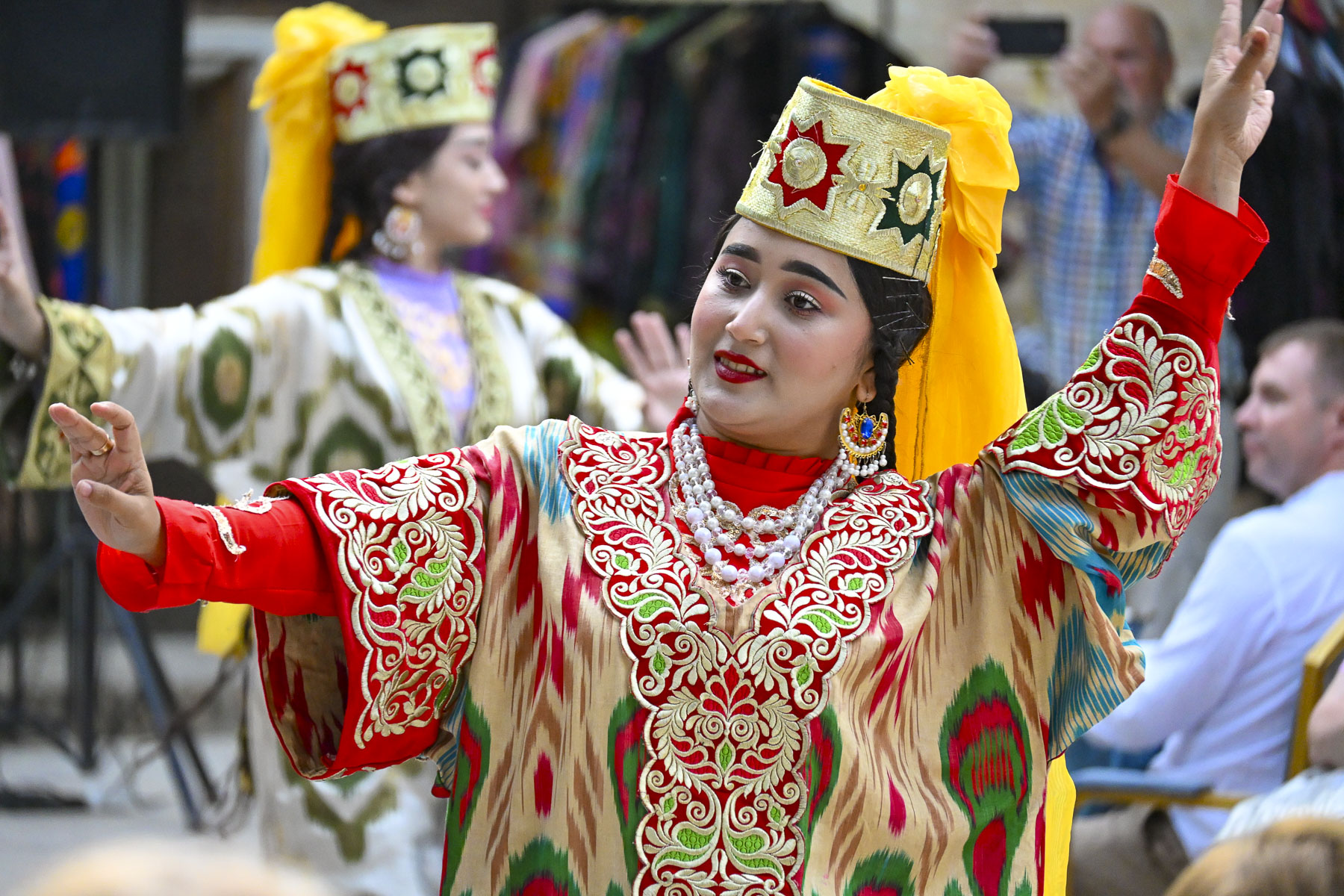


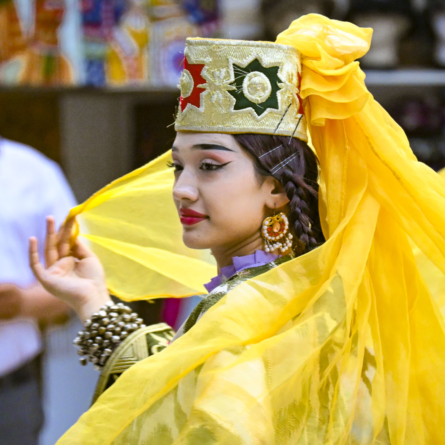
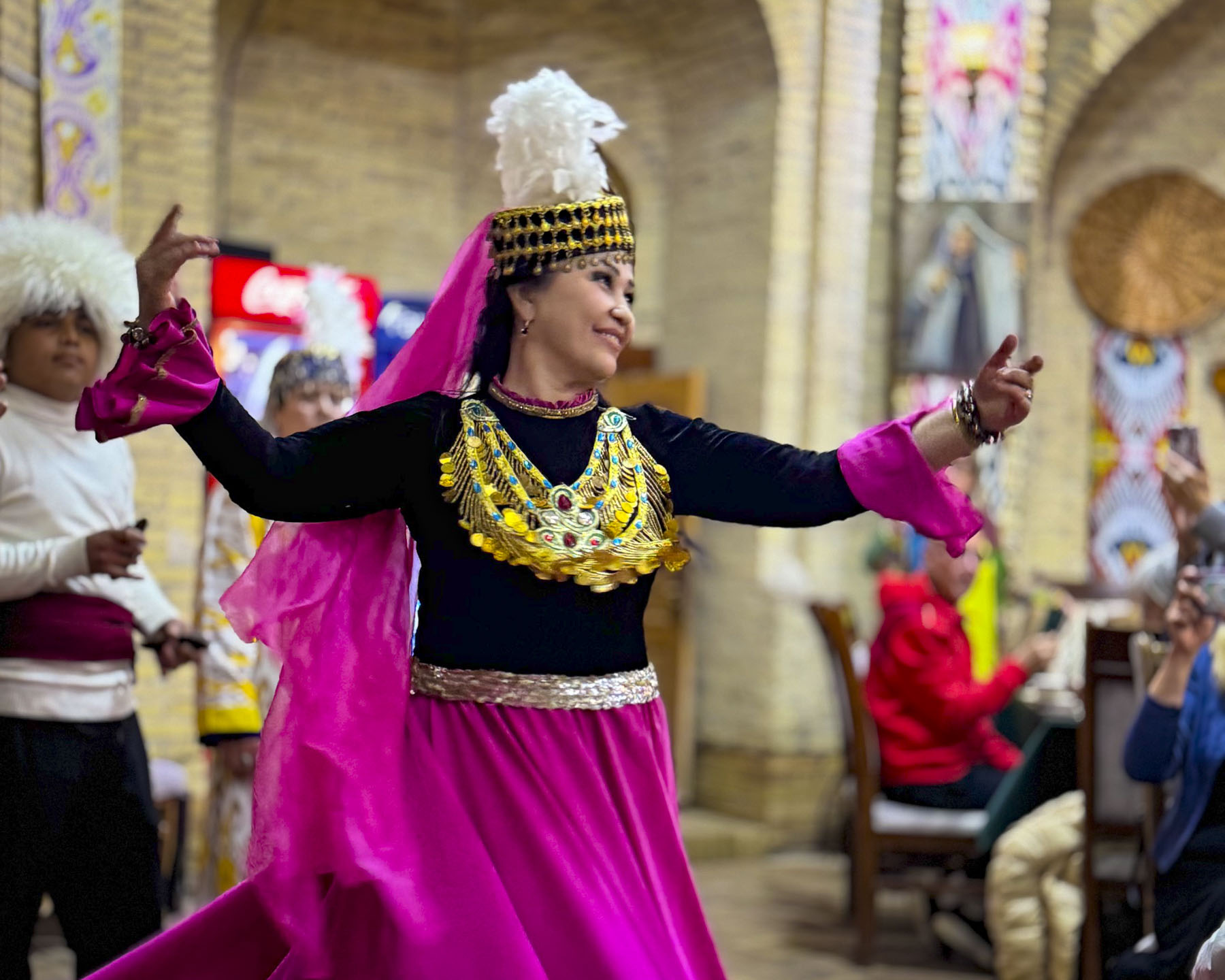
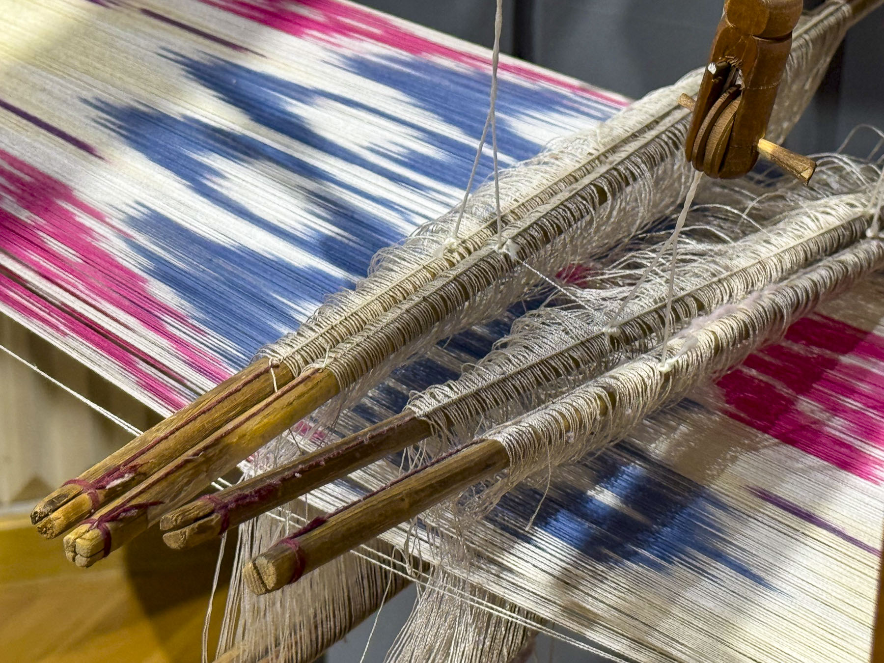
Inside we were enthralled by a lively performance of traditional Uzbekistan dances in between the wardrobe changes of a surprisingly interesting fashion show by the internationally acclaimed designer Umida Kabilova, who gives a bold modern interpretation to ikat, a dyed patterned silk fabric for which Bukhara is known.

Afterwards we made a quick stop at the Khammam Sarrofon, a hammam built in the early 1530s. It is a cavernous space that had a heated floor, and was used almost continuously for over four centuries until the Soviets damaged it during their 1920 attack on the city. It was restored and served the community until the 1970s.


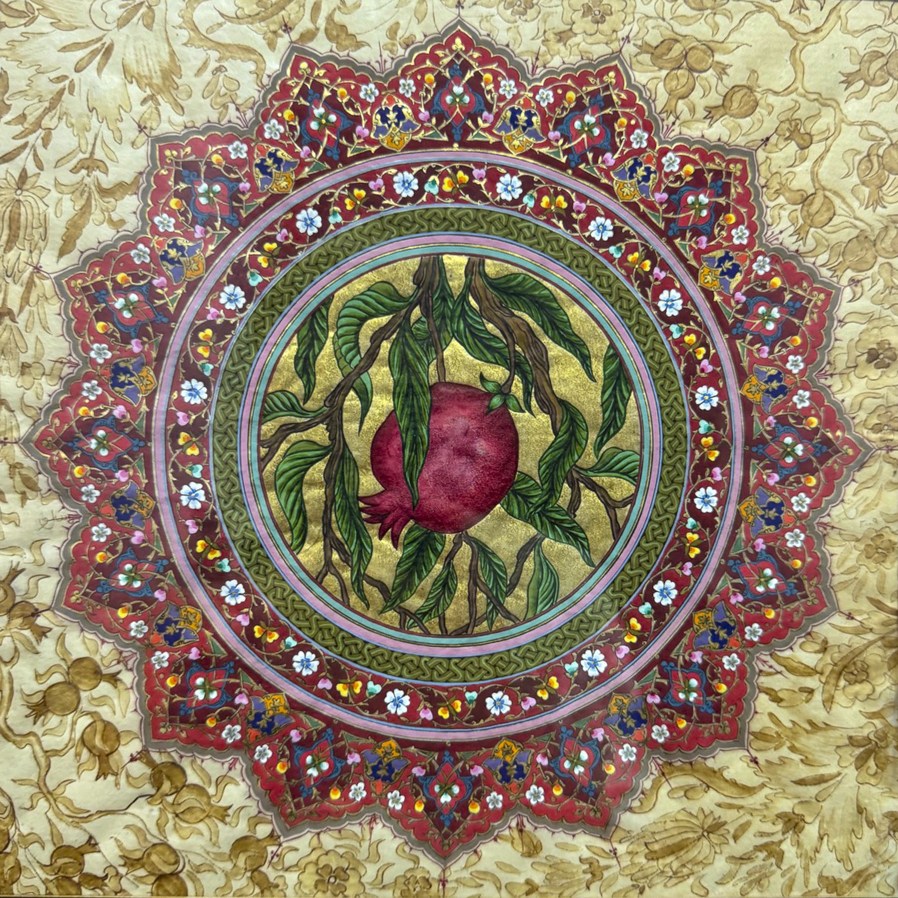
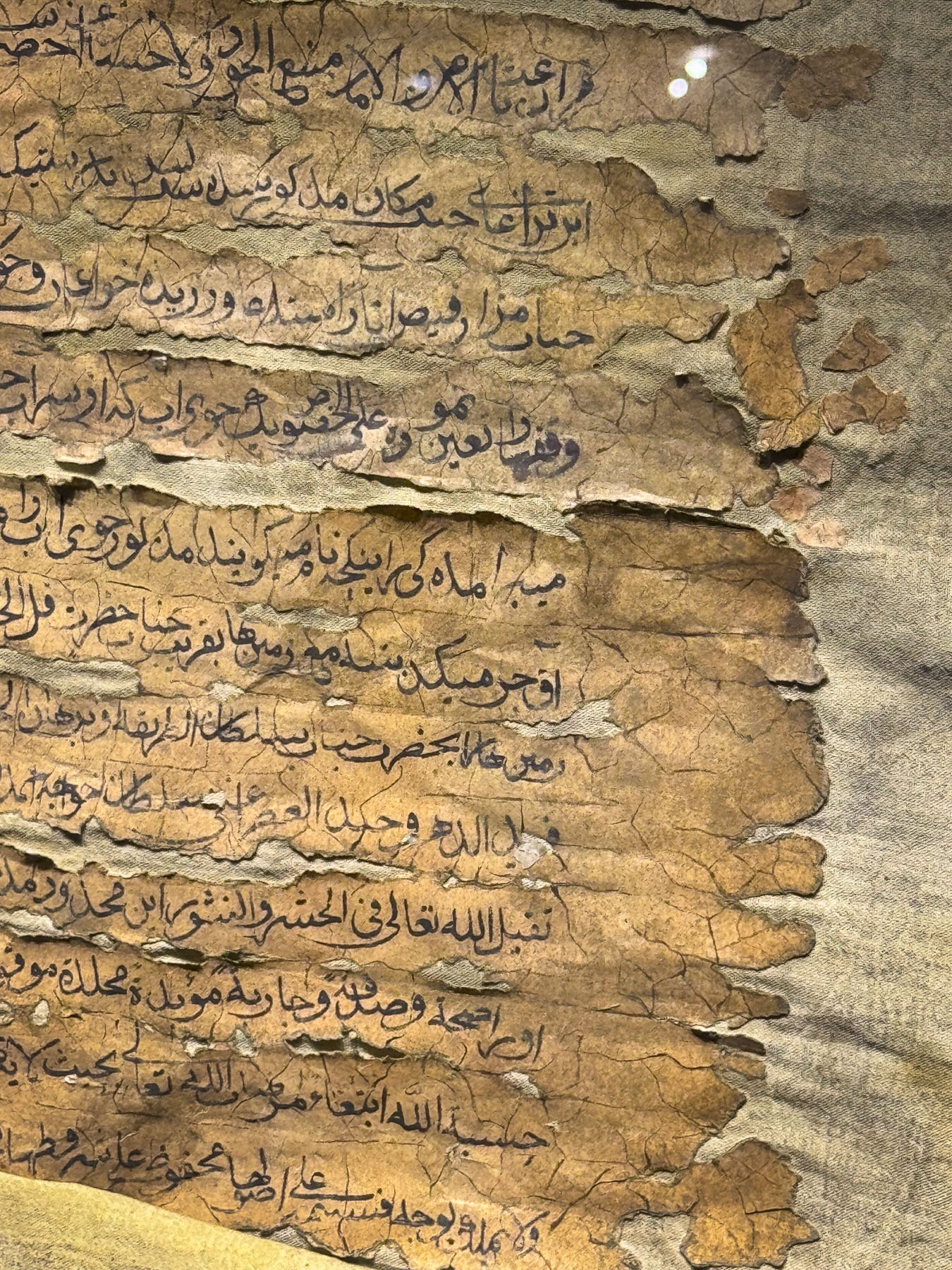
Down from the hammam was the studio and gallery of the Ustoz Shogird Miniature Workshop, founded by Davlat Toshev, an internationally recognized artist who is known for his work on restoring ancient manuscripts. He was clandestinely taught the art of Persian miniature painting by his father during the Soviet era, when Uzbekistan’s cultural identity was being suppressed. In a desire to keep this ancient tradition alive he started mentoring students, many with learning handicaps, in the 1990s, eventually opening a school in 2018. It’s a beautiful space, and the demonstration of how to color silk paper by two of his students, with a member of our group participating, was charming. The artwork on the walls was beautiful. We couldn’t resist purchasing one for a souvenir. It was a really great experience that we highly recommend if you like art.


Toshev enjoys sharing Uzbekistan’s culture, so much so that his family offers a culinary workshop on how to make plov, the country’s national rice pilaf dish, in their home. It was our group’s last dinner in Bukhara, a festive occasion, and a great way to end our time in this intriguing ancient city on Silk Road.
Till next time,
Craig & Donna