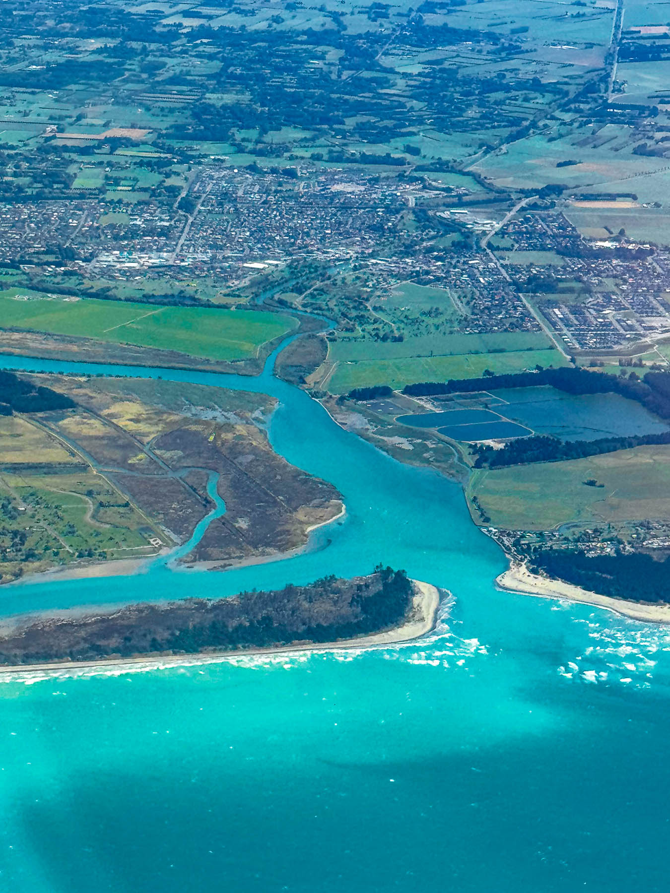
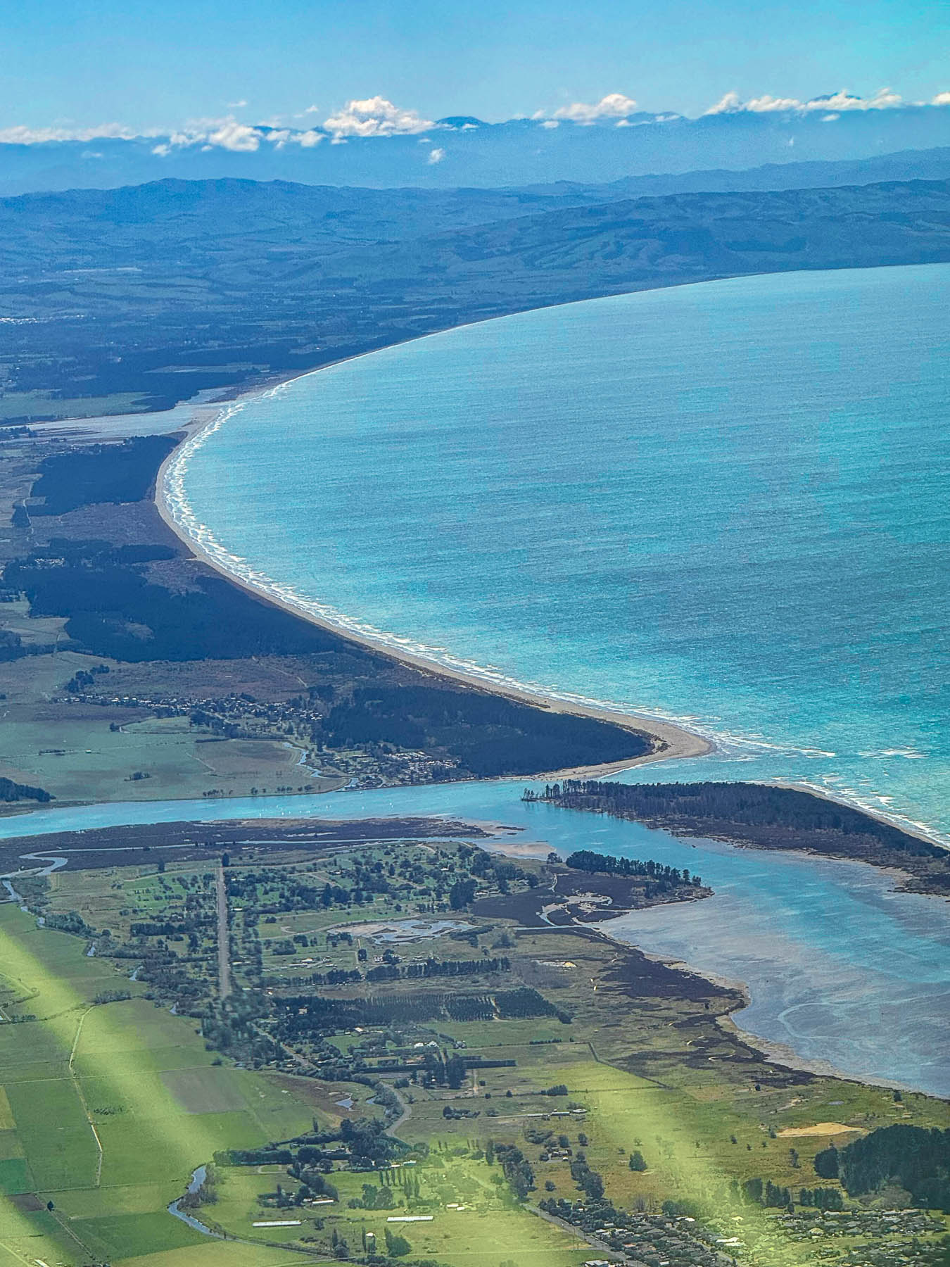
A fifty-minute flight from Wellington brought us along the coast of Pegasus Bay on New Zealand’s South Island as we prepared to land in Christchurch. The aquamarine waters below looked almost Caribbean, though their hue was milky from glacial flour, a fine-grained sediment washed down from the headwaters of the Rakahuri and Waimakariri rivers whose source is in the island’s Southern Alps, about 80km (50mi) west of Christchurch.
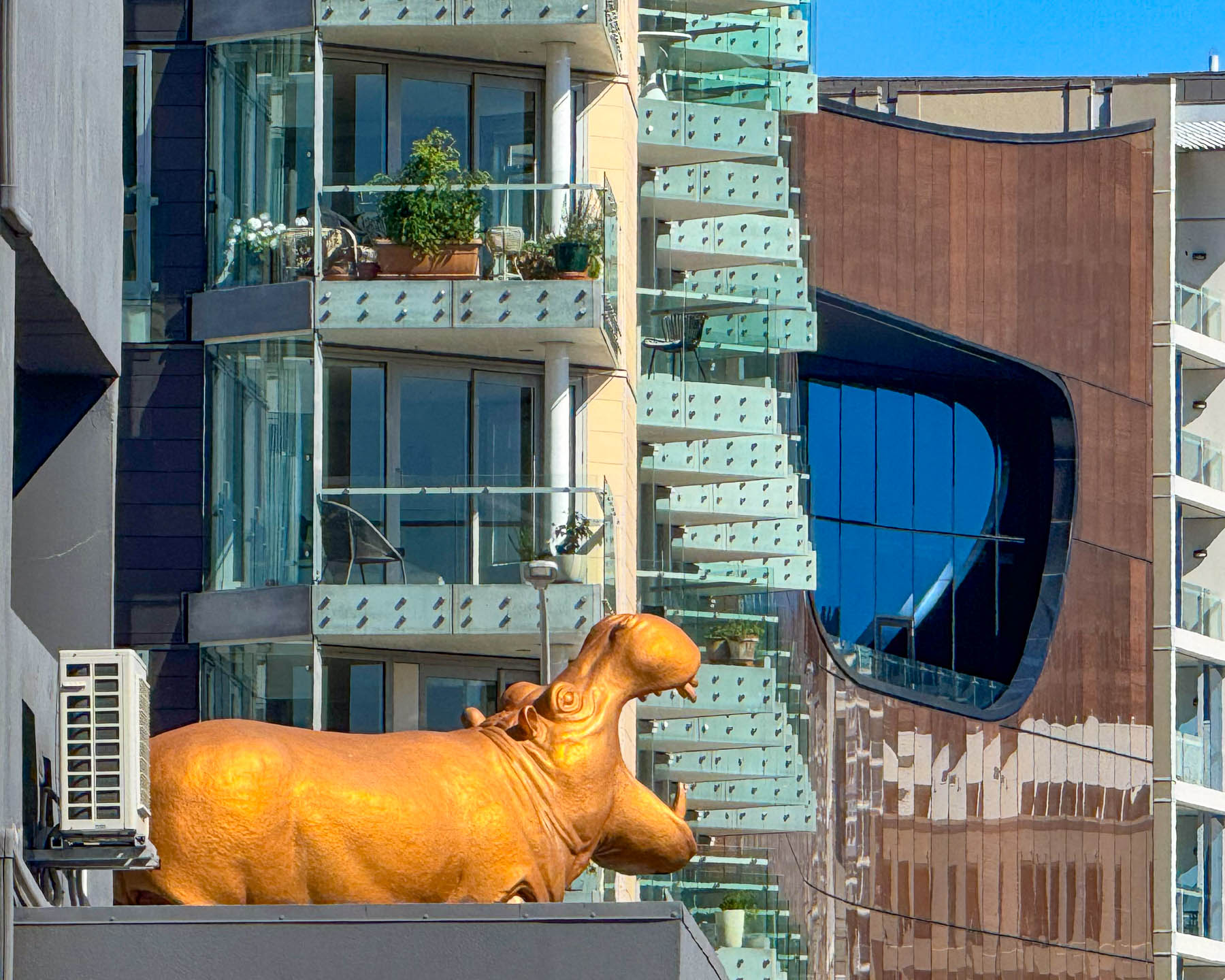
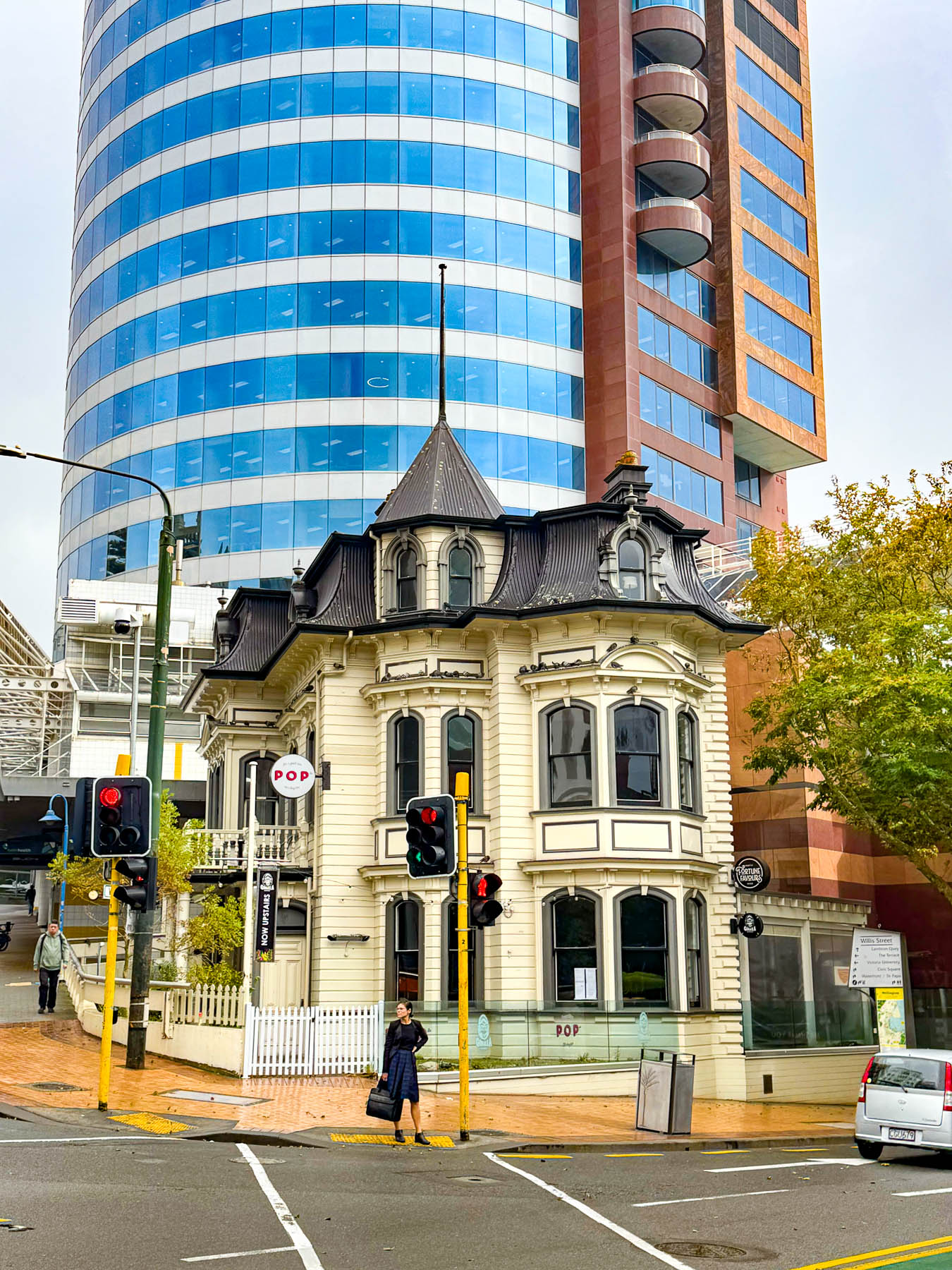
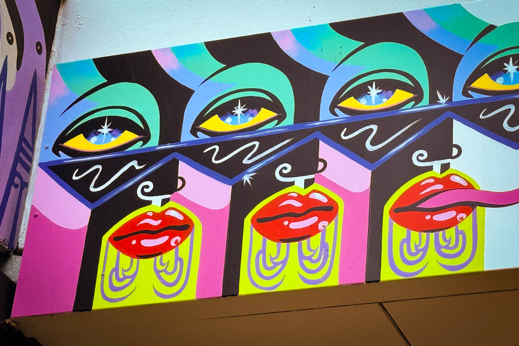
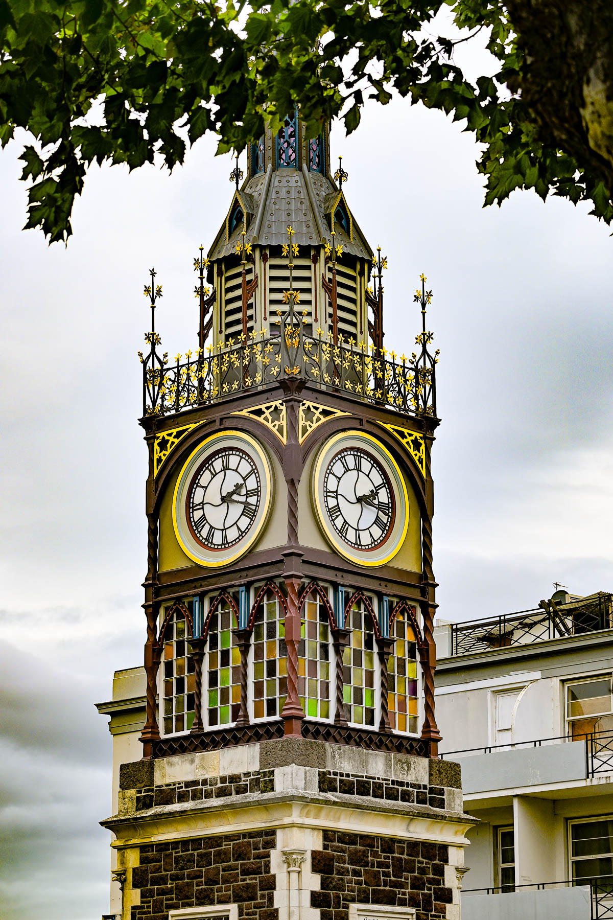
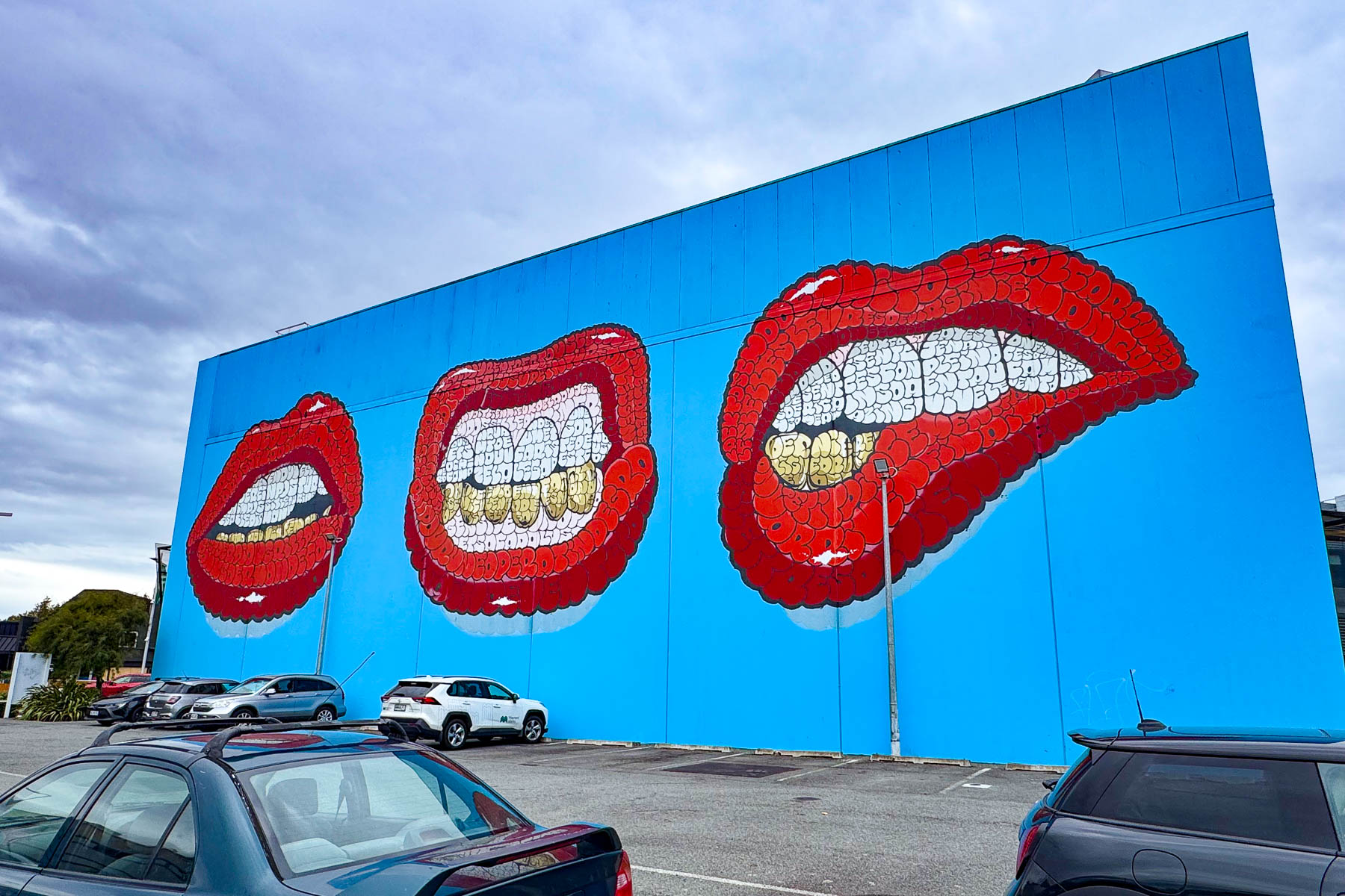
From the airport our route passed through checkerboard fields and well-manicured suburbs before reaching the city where the old Victoria Clock Tower, built in 1897 to celebrate the Queen’s Diamond Jubilee, stood at an intersection. A block further along three bright red lips screamed from a street mural. We soon came to realize this dichotomy defined Christchurch.
It was a Friday afternoon when we entered Christchurch. Beside how new everything appeared, we had not expected the number of young people on the streets. Groups of various sizes were all heading in the same direction, dressed as if they were going to party. This, the receptionist at our hotel later told us, was for the annual Electric Avenue Music Festival, the largest music event in Christchurch that draws over 90,000 music lovers to the concert grounds in Hagley Park for two days every February.
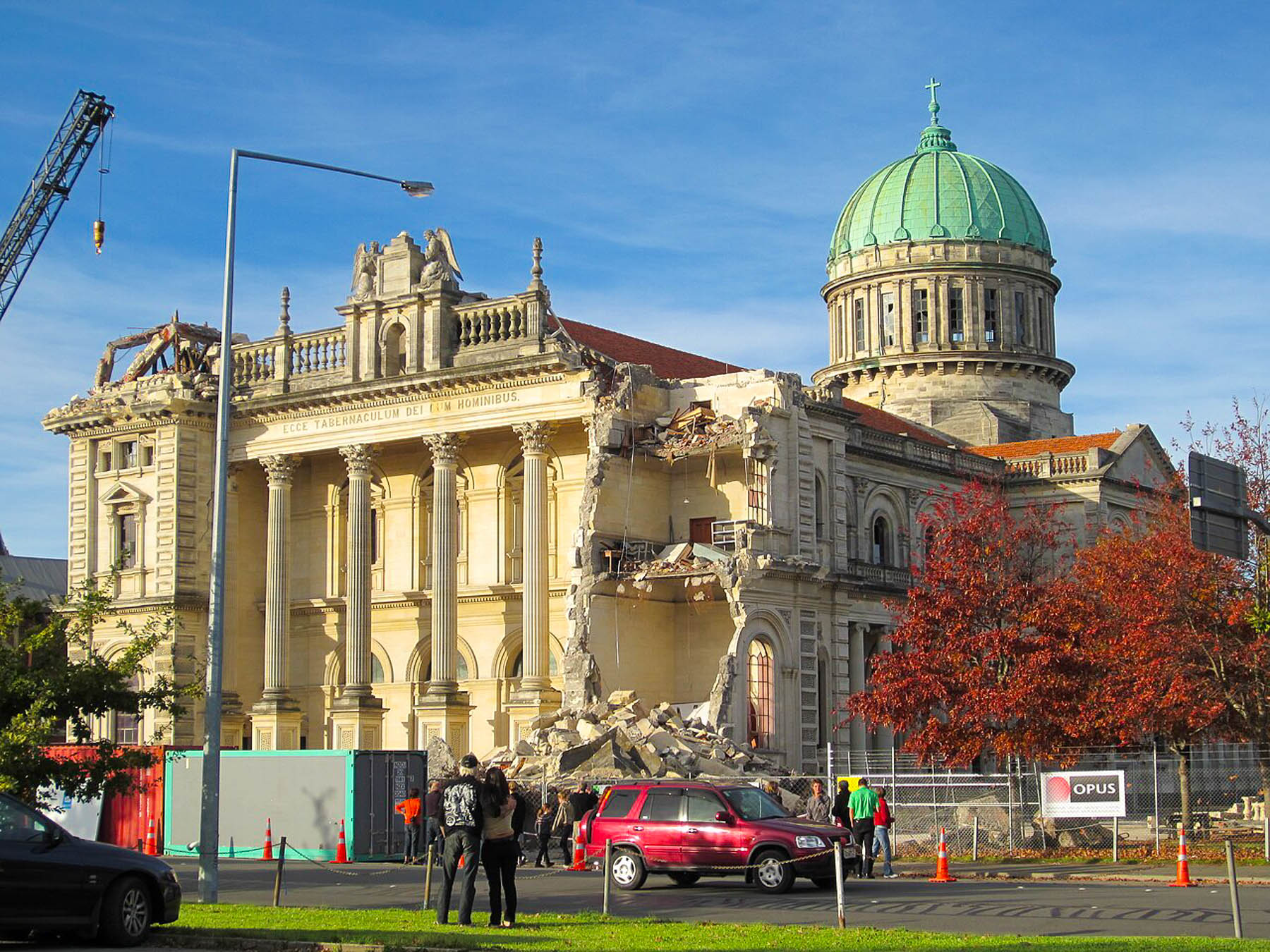
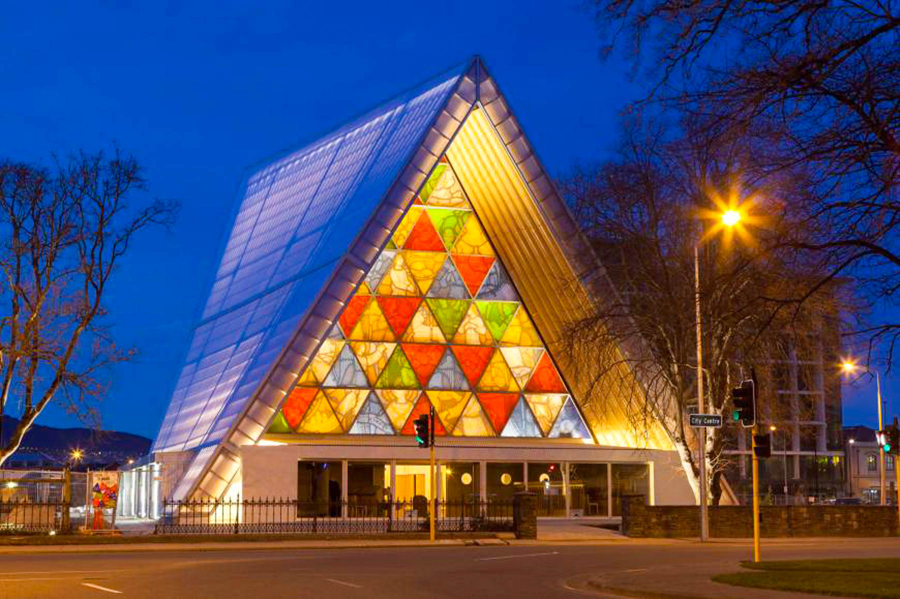
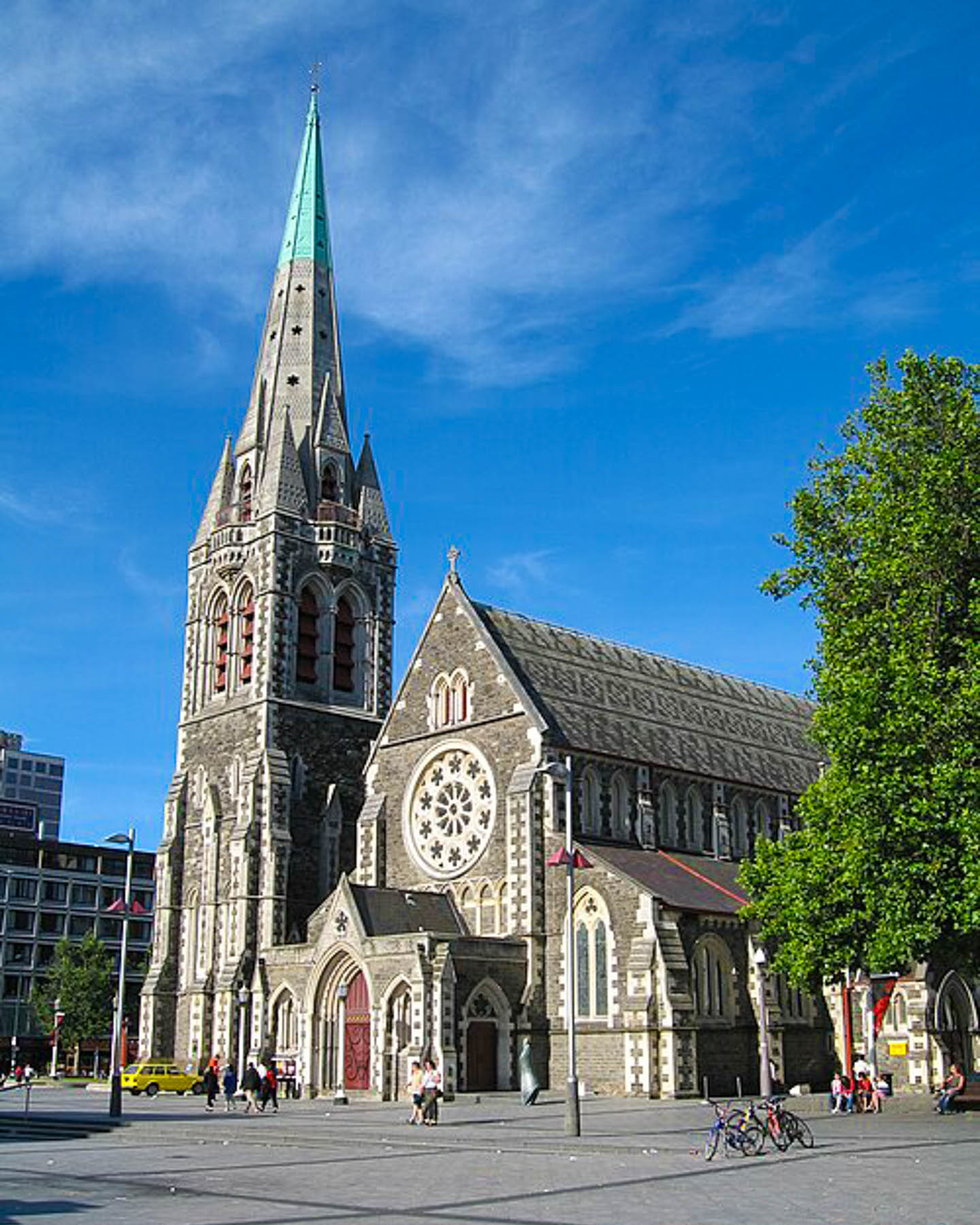
Continuing on, the newness of the city continued to surprise us as we drove to the center of the town and passed the ChristChurch Cathedral, which was secured behind construction fencing. This detail reminded us that Christchurch suffered a catastrophic magnitude 7.1 earthquake in September 2010, which severely damaged the church and many other historic buildings in and around the city. Six months, later in February 2011, a shallower magnitude 6.3 aftershock centered near Christchurch struck the city as people were at work. The 138-year-old church’s spire and front wall with its famous Rose window shattered. Numerous buildings across the town collapsed, devastating roughly 80% of Christchurch’s central business district, and causing 185 deaths and over 6,000 injuries. Afterwards the center of the city, “the Red Zone,” stay closed for two years. But the city “didn’t feel back to normal until 2021, when much of the core commercial area along the Avon River was transformed and bustling with activity again.” The Anglican Church hired Pritzker Prize winning architect Shigeru Ban to design a temporary church, while the General Synod figured out what to do with the ruins of its iconic cathedral. Ban’s innovative design incorporated non-traditional materials, such as cardboard, and the building locally known as the “Cardboard Church,” has become a destination and symbol of the city’s resurgence since it opened in August of 2013. Reconstruction of the church is still underway, and the work is currently projected to be completed in the later months of 2030.
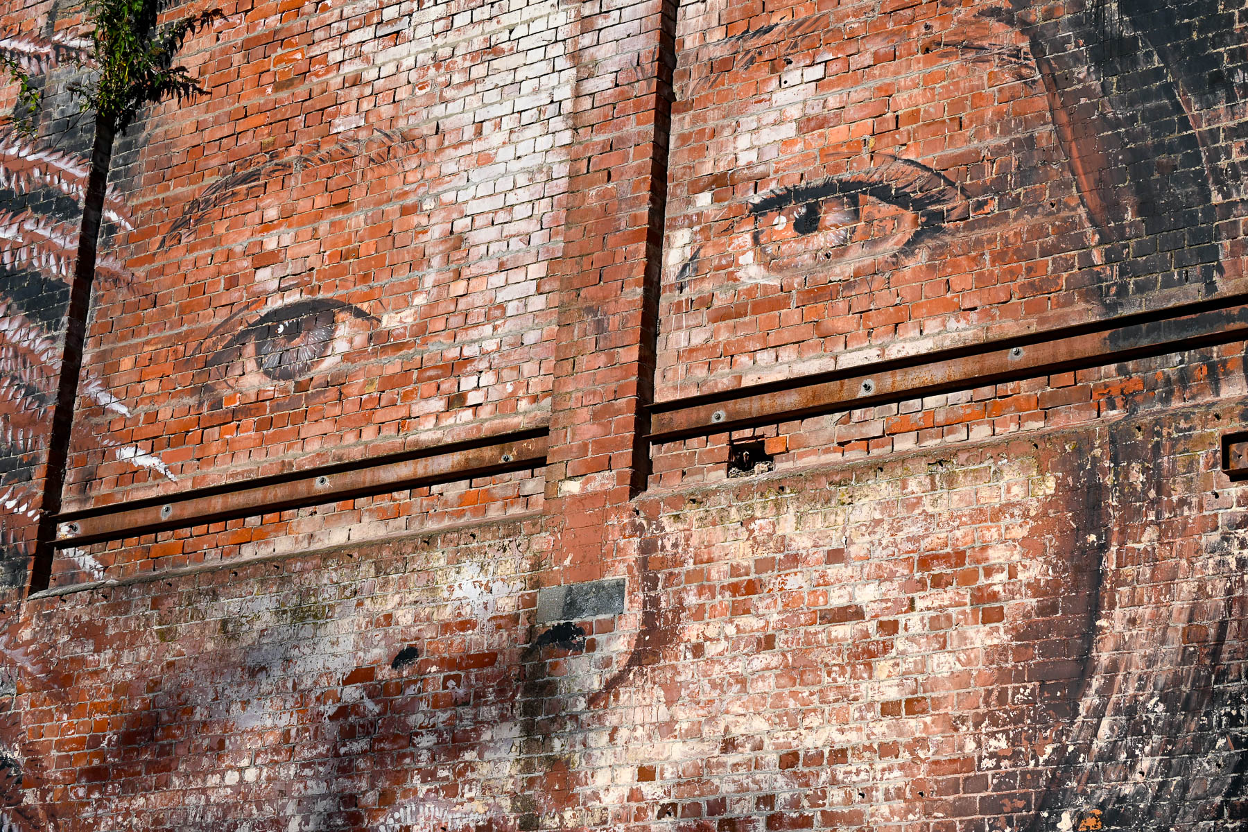
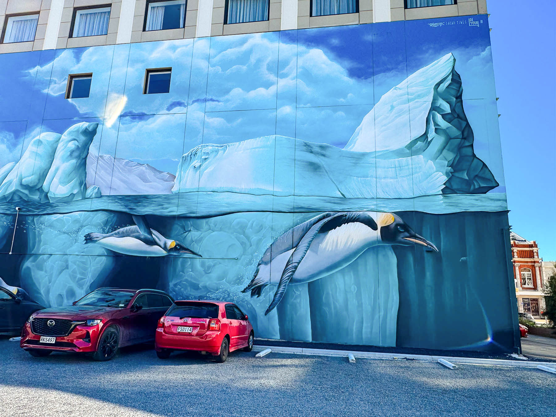
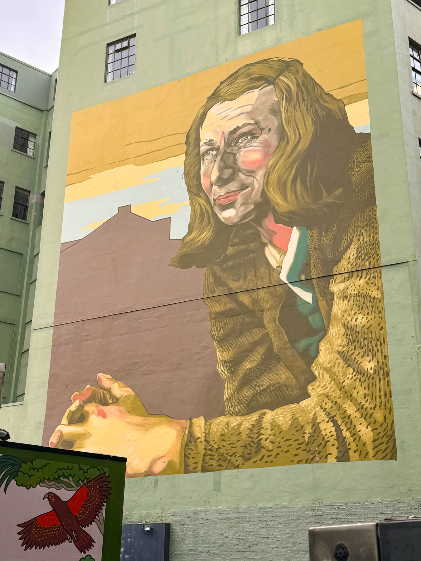
At the cross street in front of the cathedral, we turned and saw a faint portrait of a woman emerging from a rough brick wall. Diagonally across from the portrait was a tremendously large street mural of penguins swimming below an iceberg. It’s known as the Antarctica Mural and was painted to acknowledge the city’s important roll as a primary logistics, operational center for expeditions and scientific research heading farther south to the frozen continent.
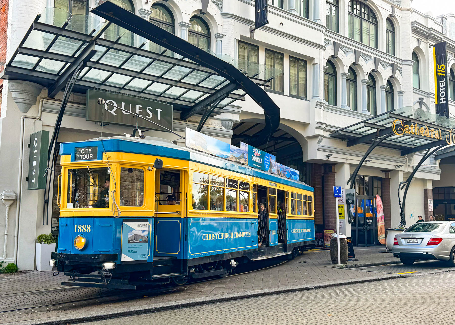
Continuing on we followed the tracks of the city’s historic tramline to the Hotel 115, where the tracks passed through an arched tunnel next to the hotel’s reception area, before stopping in a large atrium surrounded by several shops called Cathedral Junction. When researching where to stay in the city we just thought the uniqueness of the hotel’s location merited a stay. Plus, it was in an excellent location, only a seven-minute walk to the center of Christchurch, and a two-minute stroll away from New Regent Street, the Isaac Theatre Royal and Court Theatres.
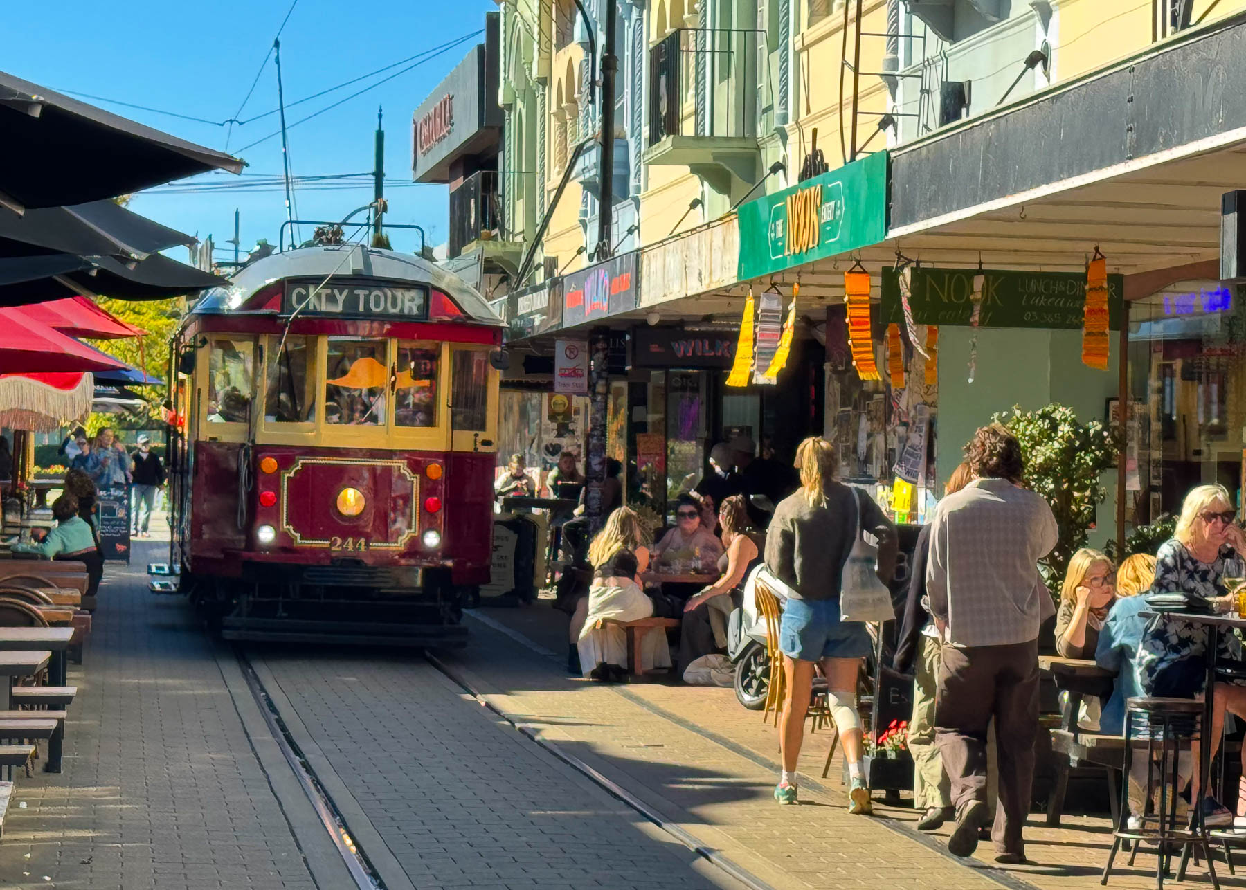
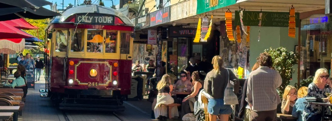
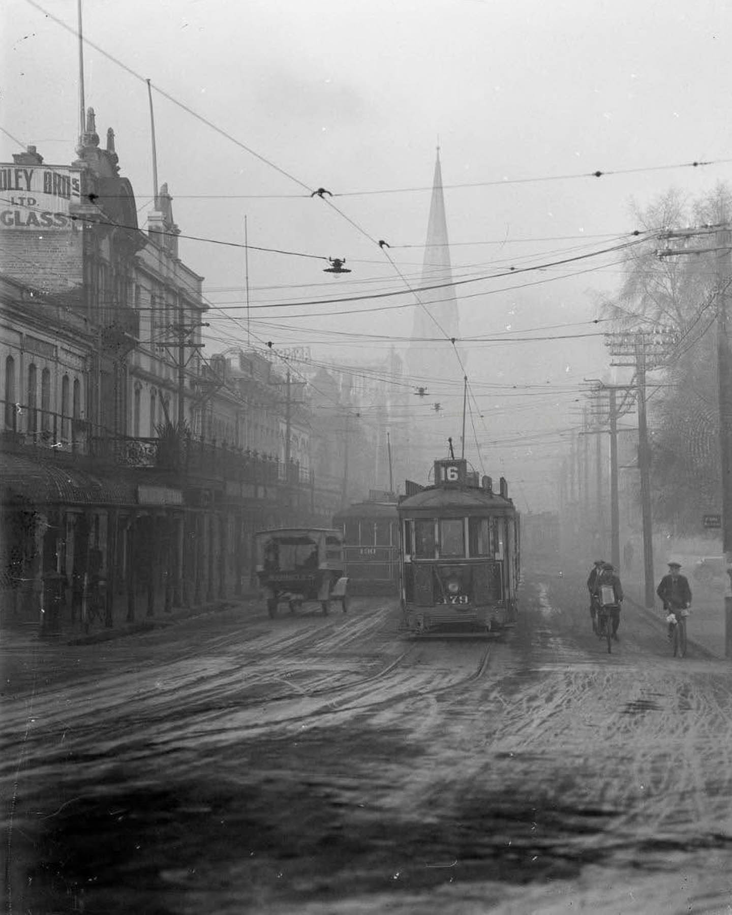
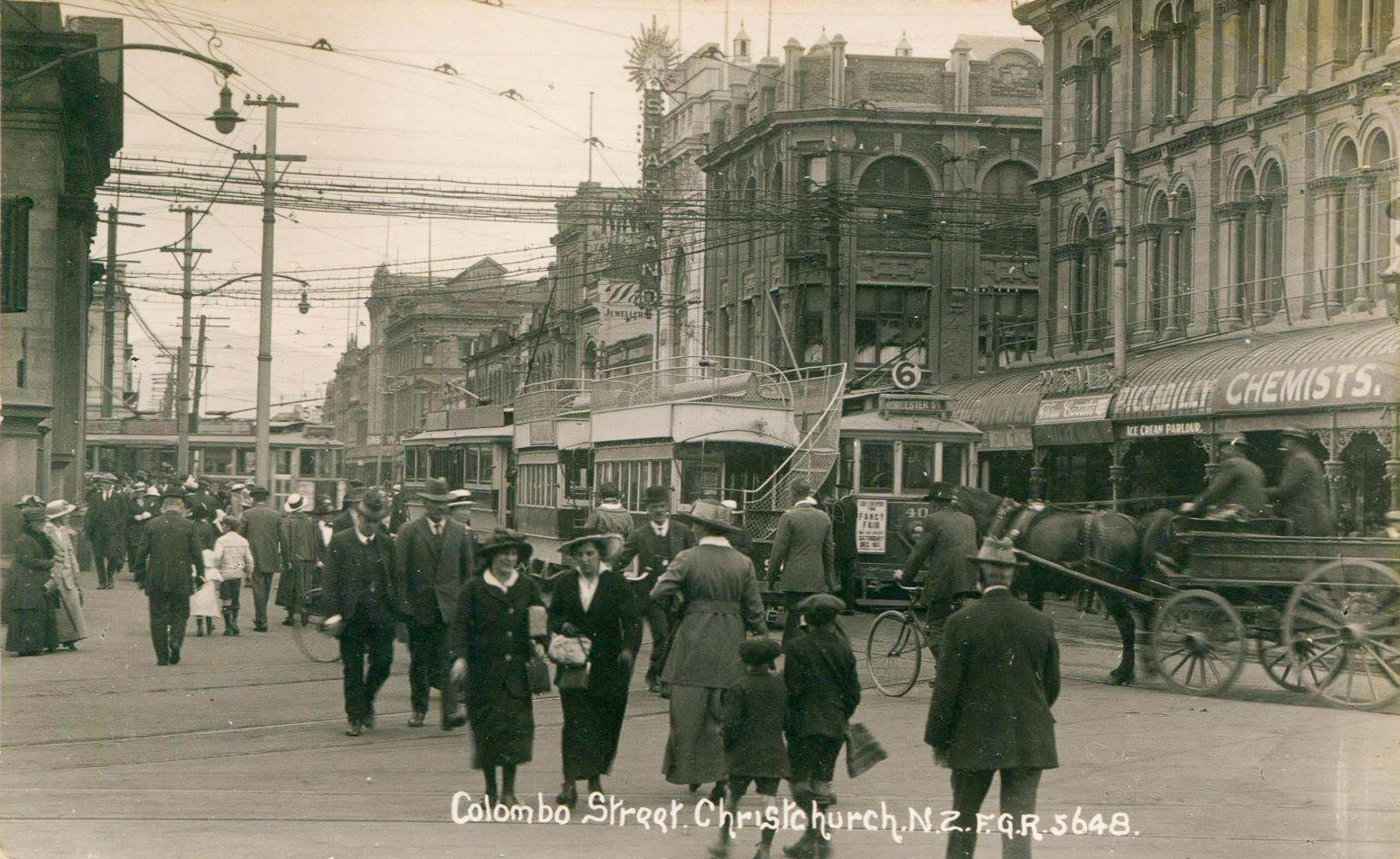
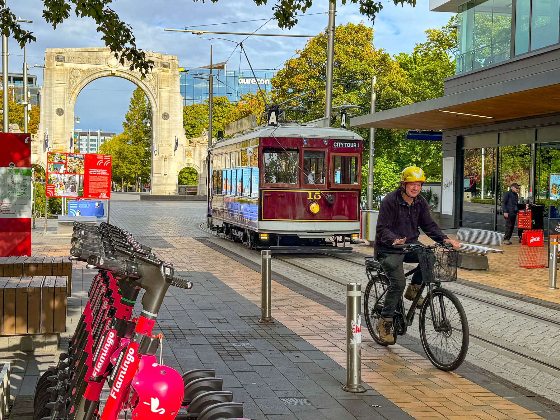
Famished, we headed to find a place for a late lunch along New Regent Street. Luckily for us, we happened to be there when one of the trams was slowly moving down the colorful narrow street, as tourists moved aside to make way for its passing. In the 1930’s The New Regent Street was developed as a private street with high-end shops occupying the quasi “Spanish Mission” style storefronts. The street was the forerunner of the New Zealand’s strip malls. The tramline wasn’t brought down the street until 1995 when the city re-inaugurated a much smaller 3.9km (2.5mi) figure-eight loop through the city center as a tourist attraction.
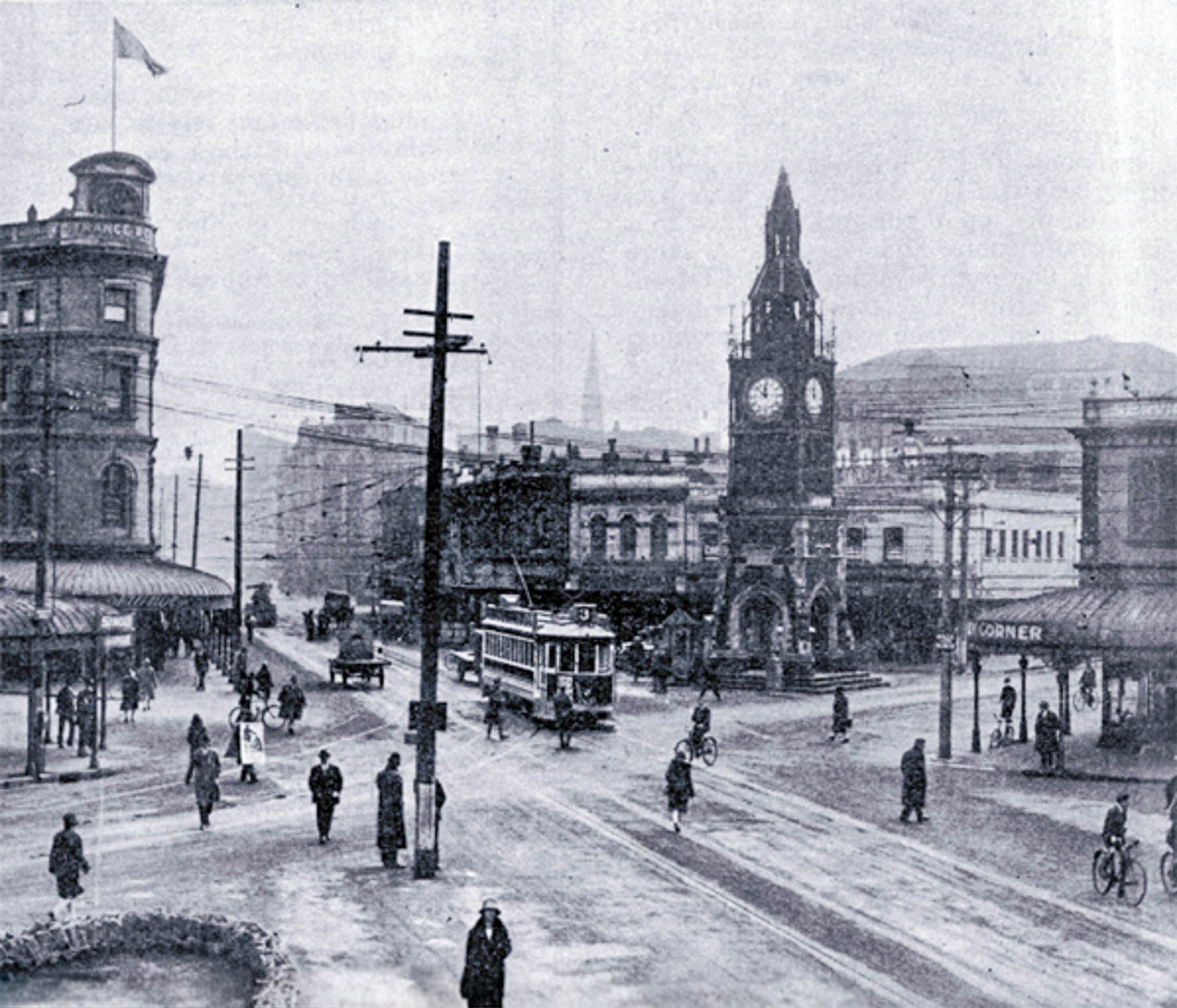
The original service in Christchurch was launched in 1880s with horsedrawn and steam powered trams, which lasted until 1904 when electric trams replaced them. Interestingly, in 1886 a dedicated spur was constructed to the Linwood Cemetery, far outside the city, and even had a custom four coffin tram built specifically for the line. At the height of its service in the 1920s, the tramline carried around 80,000 passengers a day on 70 trams that crisscrossed 86 km (53 mi) of track that stretched east to the coastal suburbs of Brighton and Sumner, and west to Riccarton and Fendalton. Southern lines extended to the towns of Landsdowne, Cashmere and Hillmorton. The trams ran until 1954 when bus service replaced the lines.
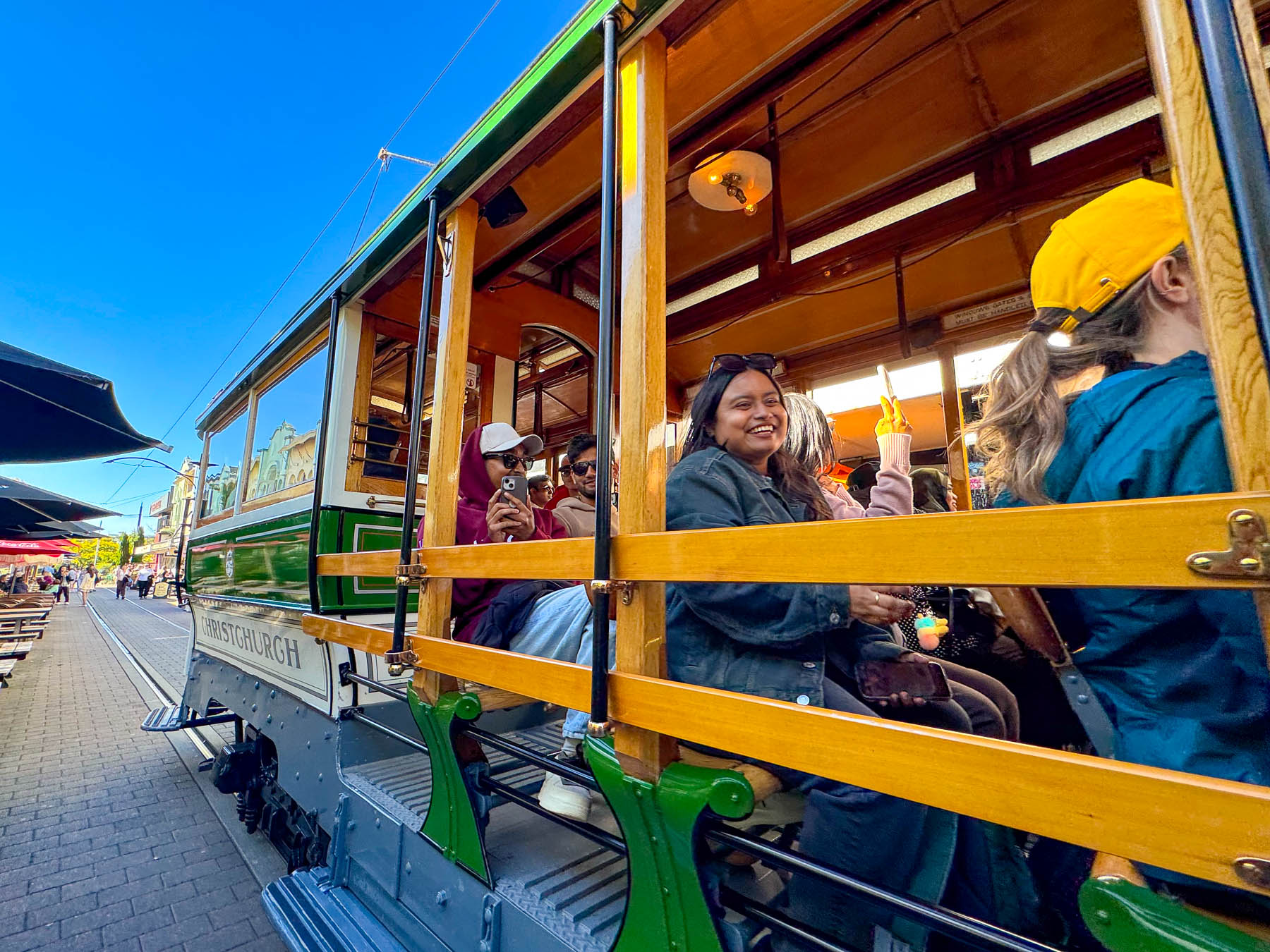
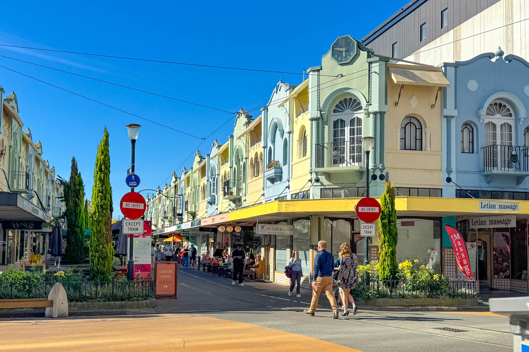

New Regent Street had a nice mix of ethnic restaurants which are wildly popular across the city and New Zealand in general. Let’s face it, there is only so much mutton and lamb shank a person can eat in a lifetime. Enjoying the sunny afternoon, we sat at an umbrellaed table along the tracks at Bamboo Asian Express, a budget friendly lunch spot, to watch people and trams pass by. Dessert was delicous ice-cream cones at Rollickin Gelato, a small artisanal ice cream shop with two locations in the city, that started in a modified horse trailer on Cathedral Square in the months after the 2011 earthquake. They have a wide variety of interesting flavors created with locally sourced milk and seasonal fruits.
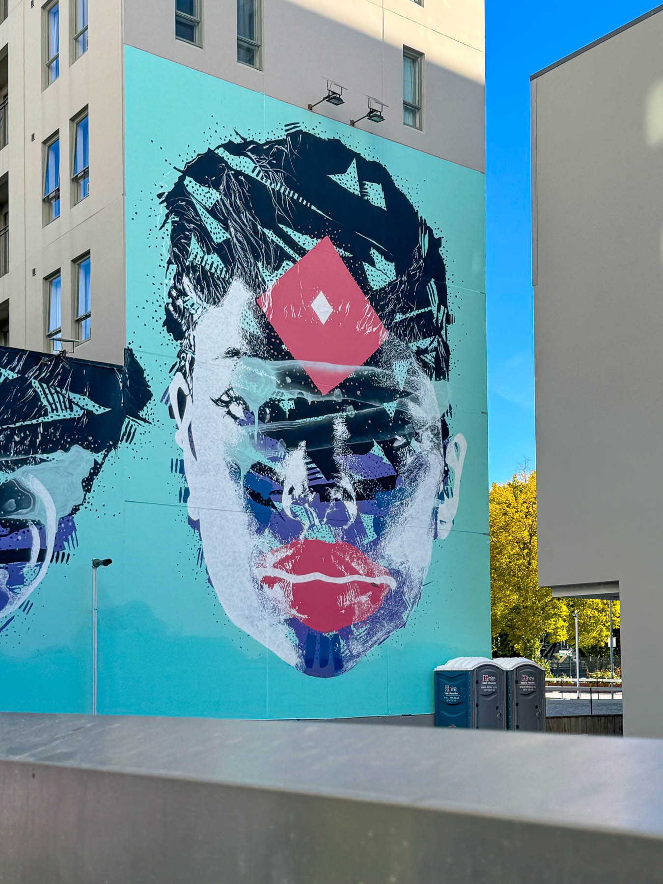
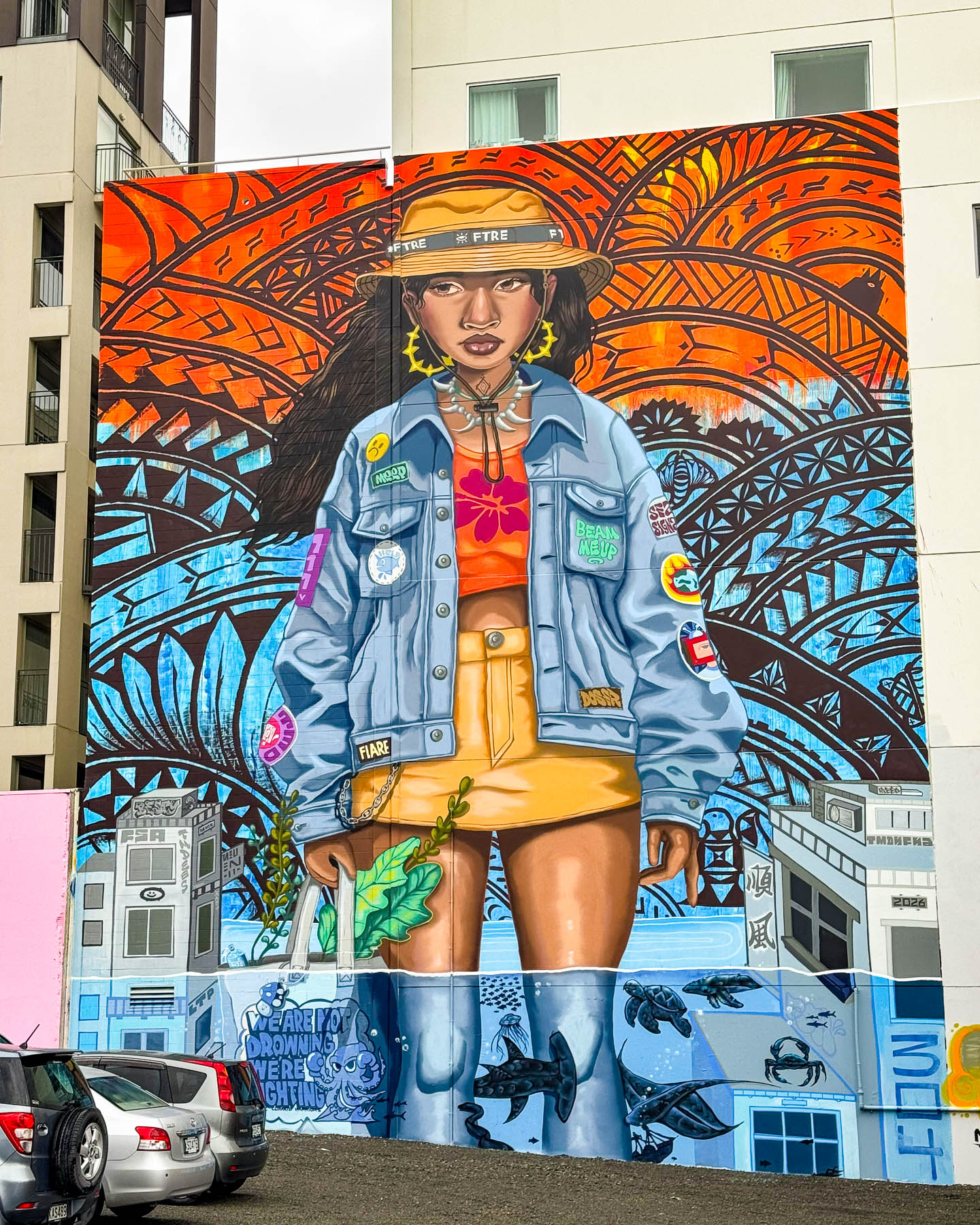
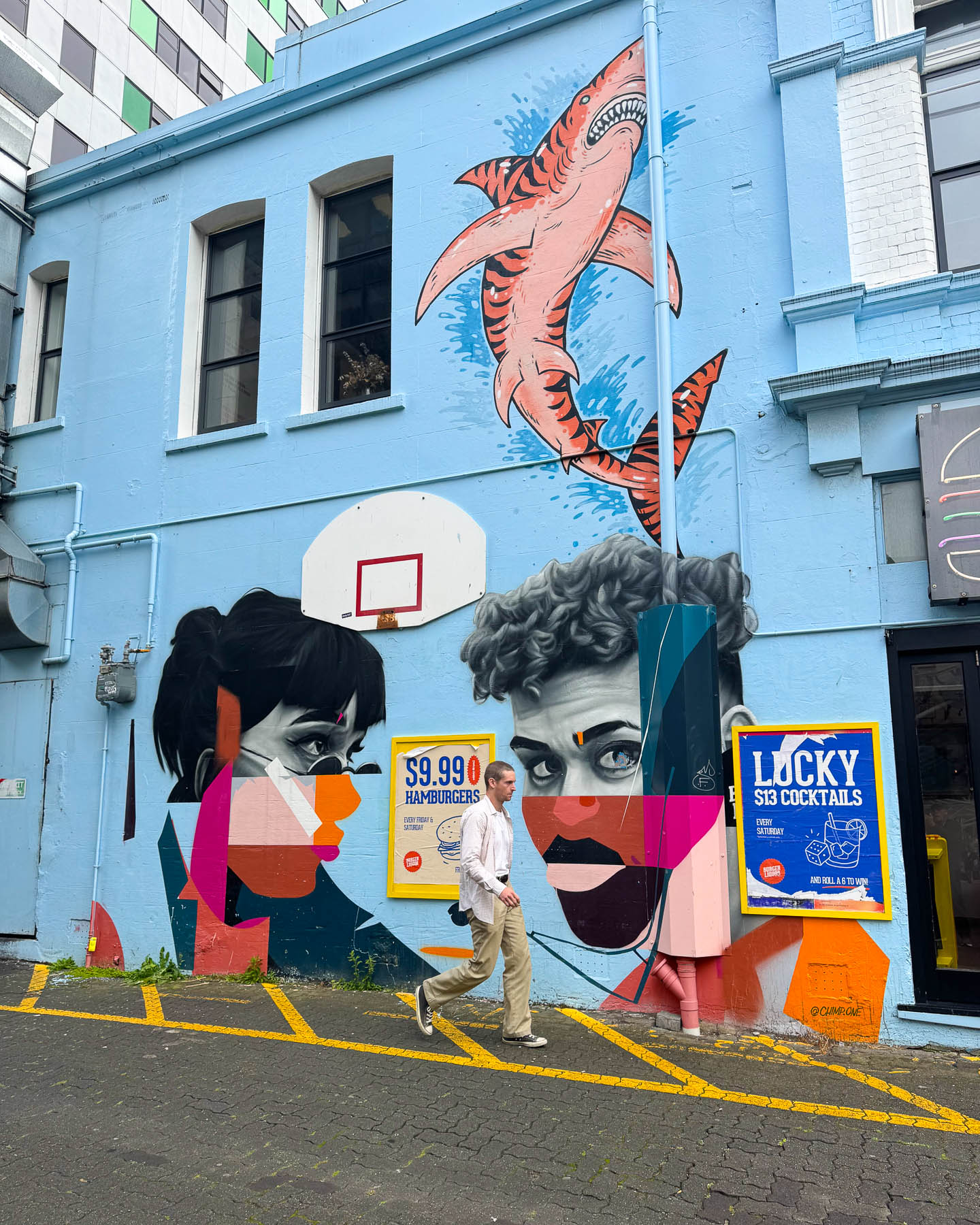
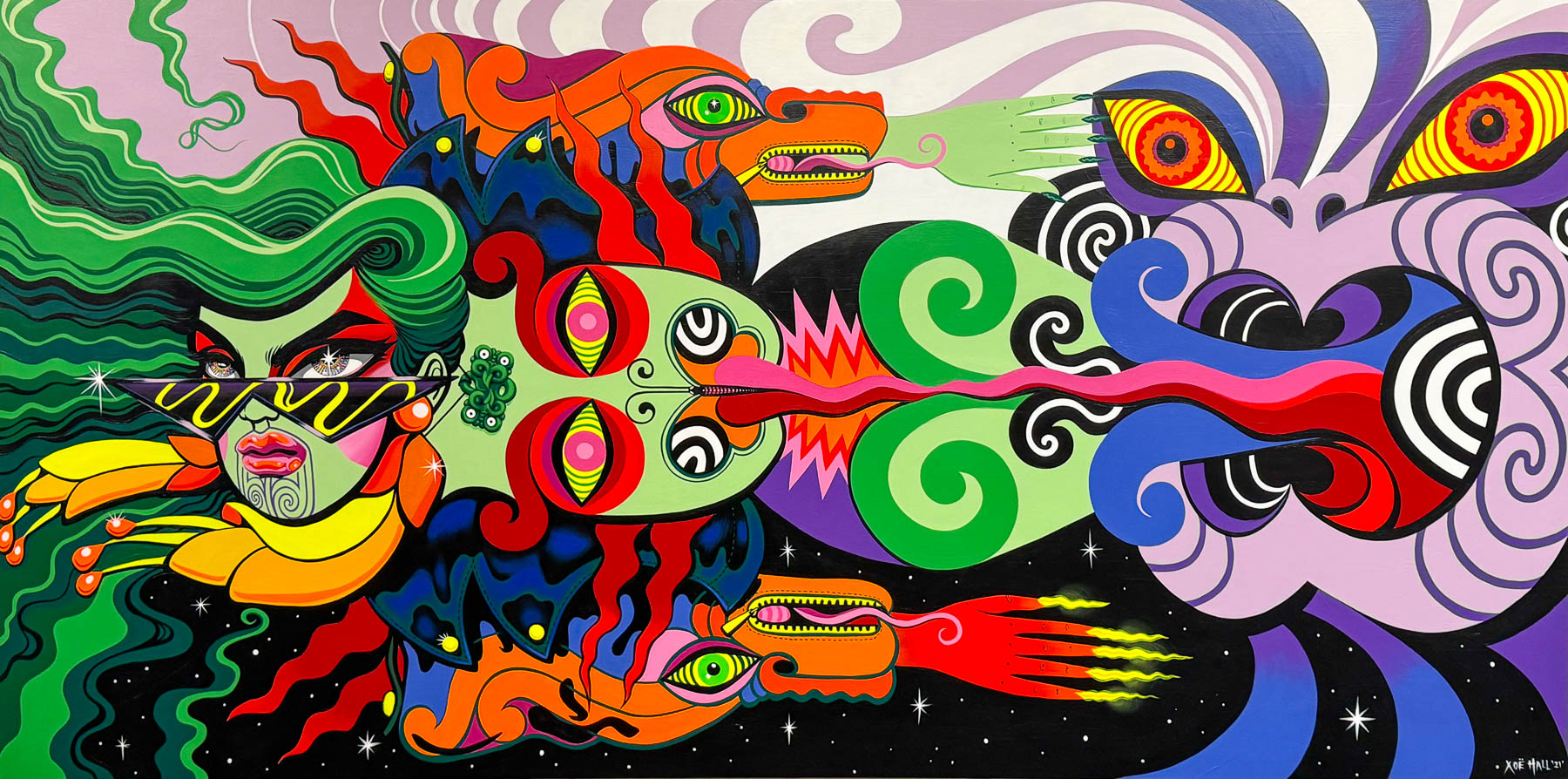
Afterwards we circled the block in search of a street mural we saw on our map. Prim and proper Christchurch was once known as “the most English city outside of England.” Though that changed after the traumatic 2011 earthquake when the first colorful murals began to appear amidst the ruins of the city during its reconstruction as a way to unite the community with hope and heal the scarred urban landscape with vibrant color.
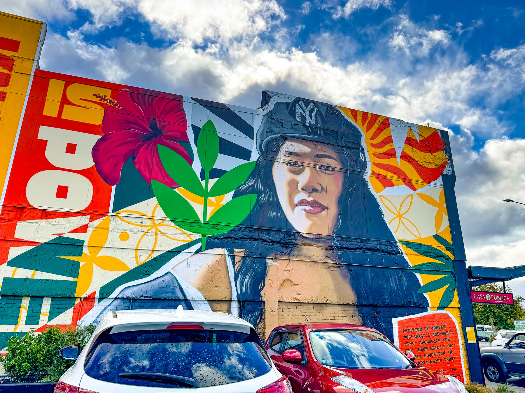
“The post-quake environment provided an opportunity for the city to refocus the lens – to embrace the indigenous histories and narratives of our city and also acknowledge the increasingly multicultural and diverse sort of folk that call Christchurch home.” Some of the street art is very political, like the Dawn Raids mural which remembers the Pacific Islander community that was targeted in the 1970s for overstaying visas – in terrifying midnight and early morning raids that dragged people from their homes while demanding proof of residency on the spot.
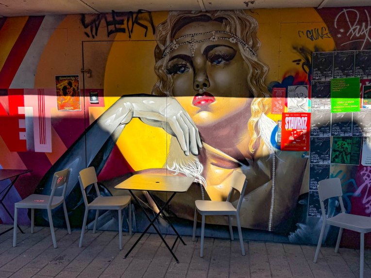
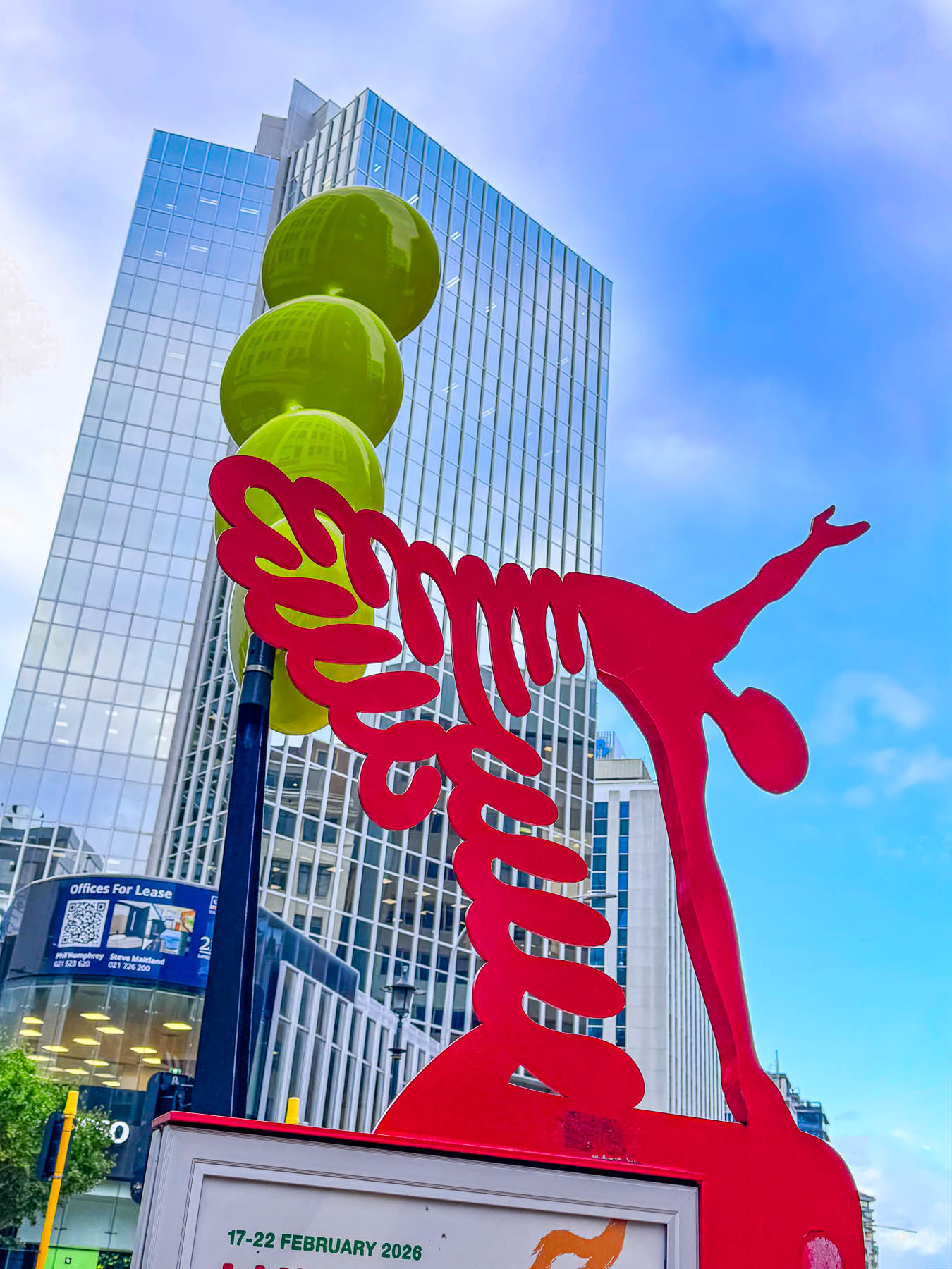
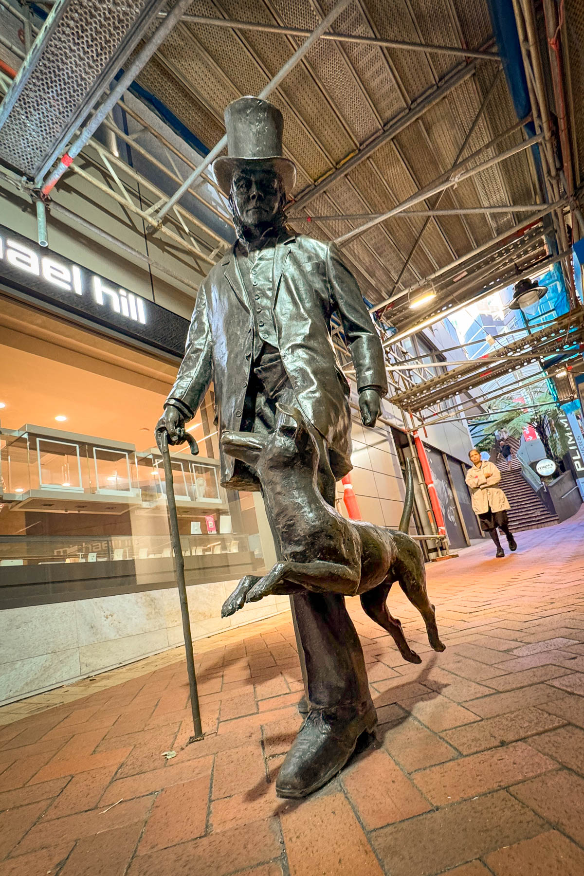
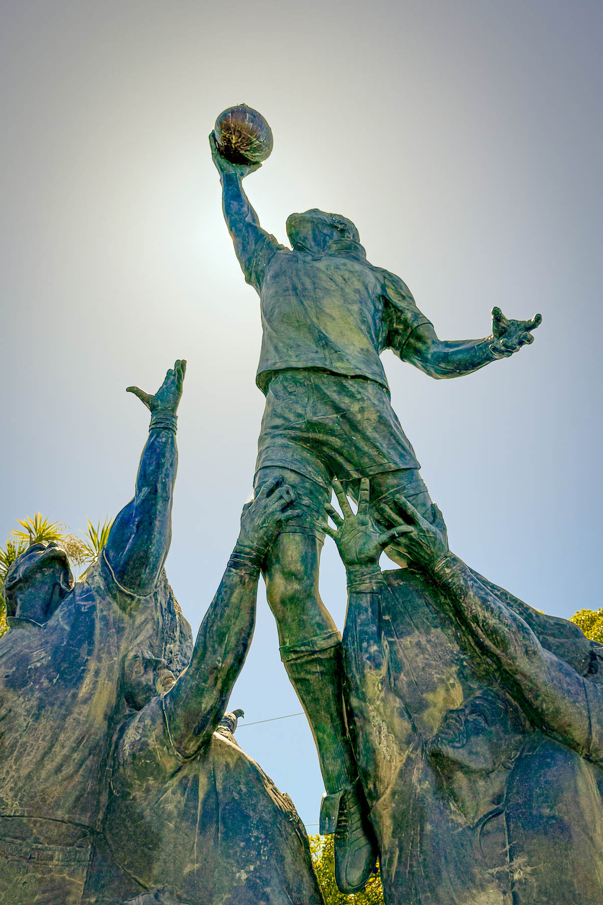
With over 50 giant murals in the downtown area and 200 more wonderfully creative works spread across the broader city, Christchurch has been recognized alongside Berlin, Lisbon and New York as a global capital of street art. “Fifteen years ago, you never would’ve imagined street art being part of Christchurch’s identity, but It’s become part of how the city presents itself to the world,” is sentiment often expressed by local artists. In 2022 Christchurch inaugurated the first FLARE Ōtautahi Street Art Festival, a nine-day event in early March, where prominent street and graffiti artists from around the world are invited to create murals on some of the multi-story building facades in the center of Christchurch that have been chosen for Street art.
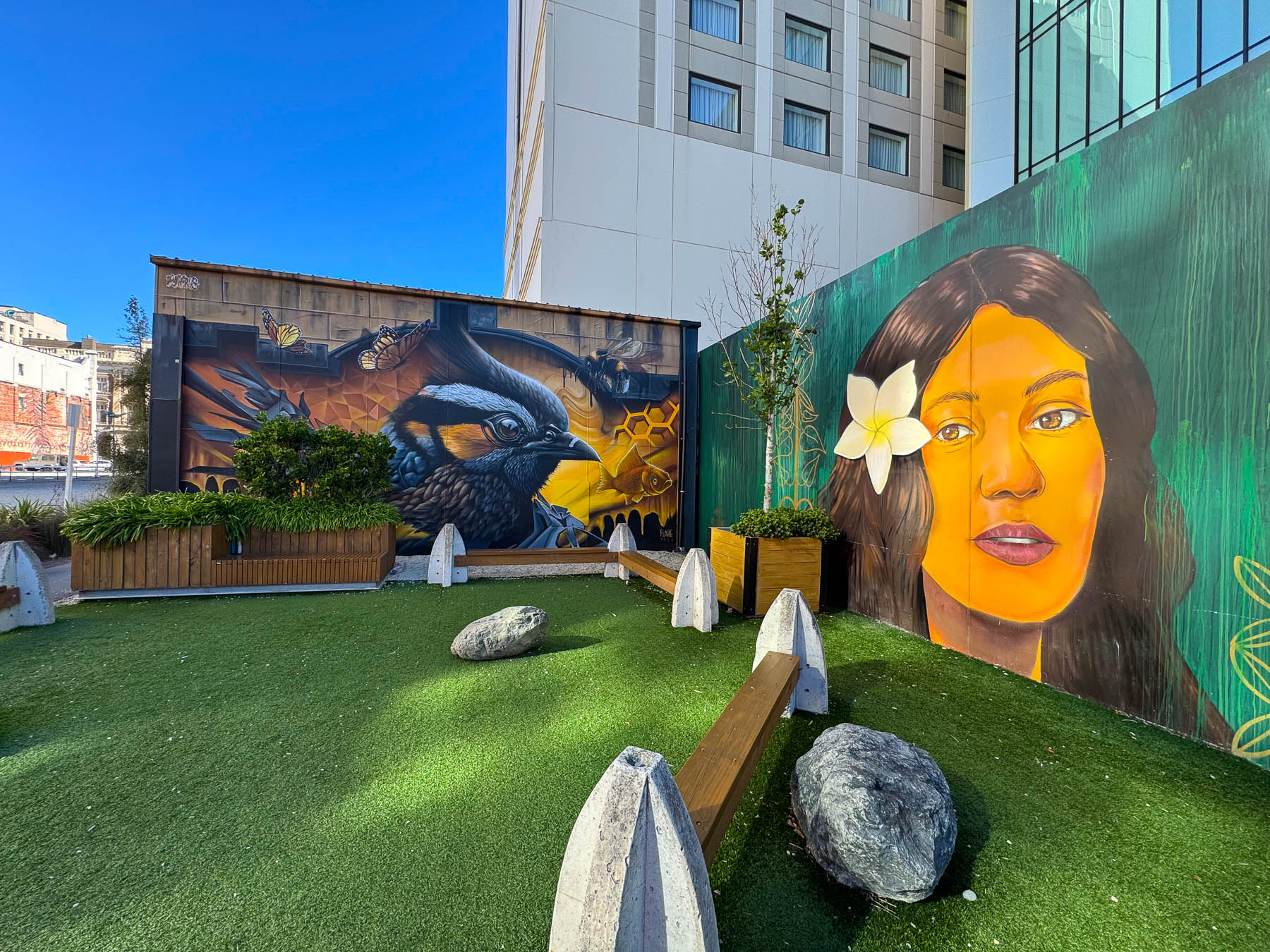
We were happy using Google Maps to find some of the artworks and happened across many on our own during our wanderings. The blocks around New Regent Street had many vacant lots, some of which had been converted into temporary plazas surrounded with interesting murals, but if you need more guidance Street Art Cities has a great interactive map that is an excellent resource. As it turned out, Hotel 115 was an excellent location to discover the city’s street murals from.
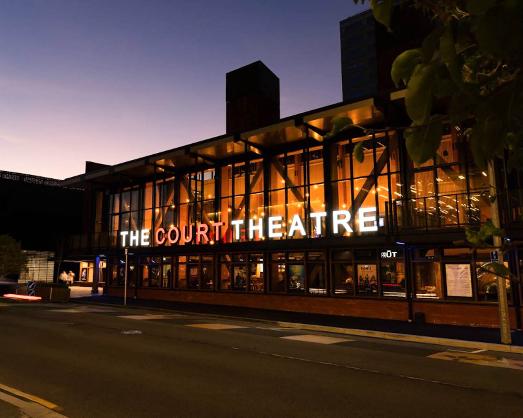
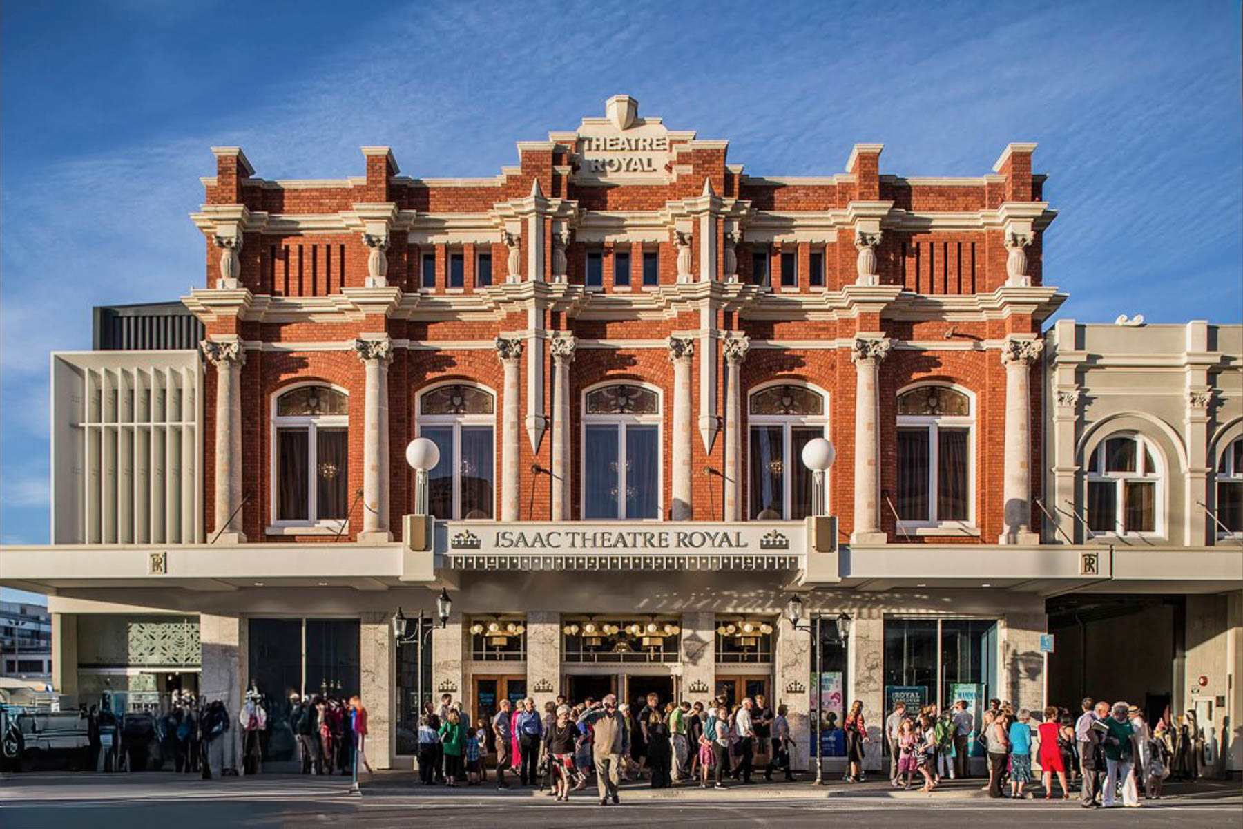
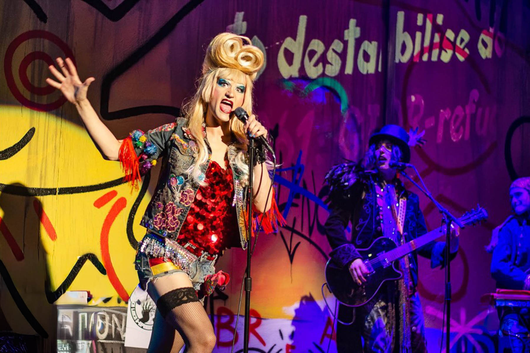
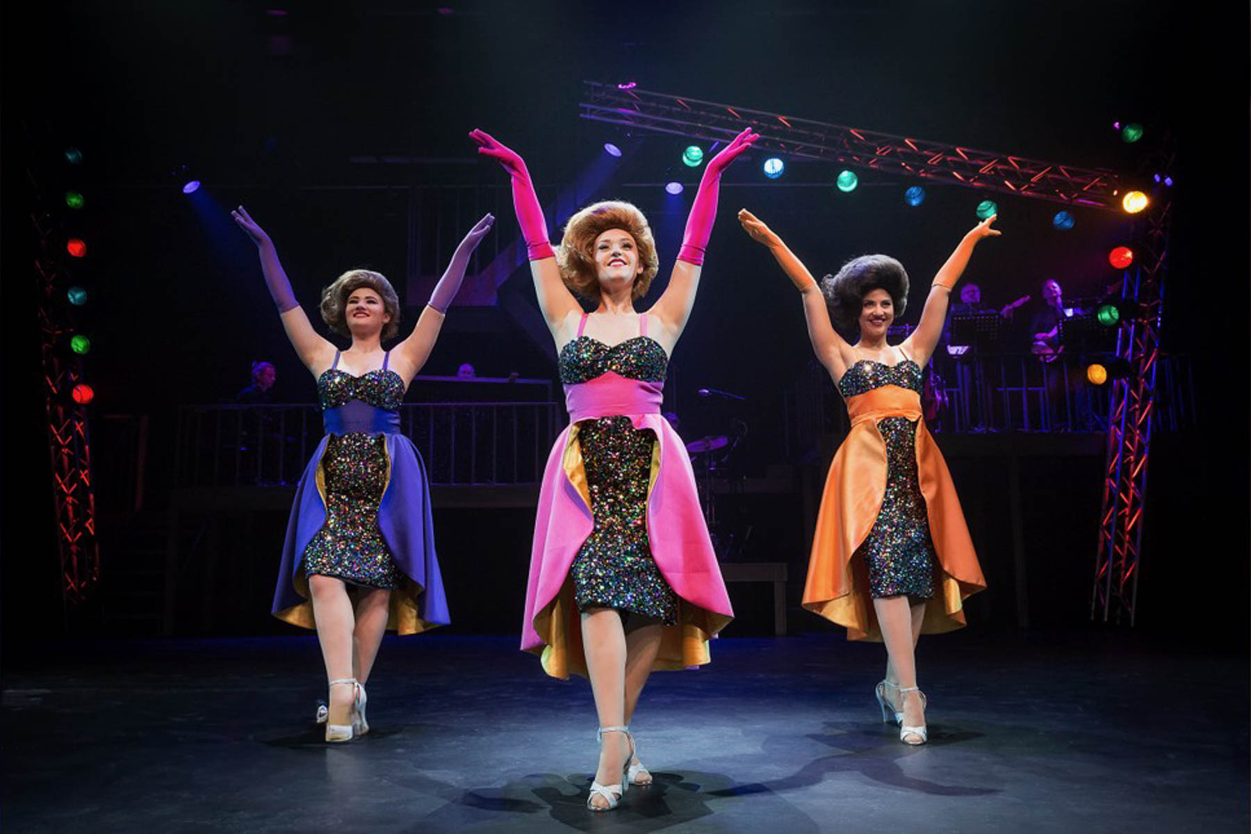
Heading down Gloucester Street we passed Isaac Theatre Royal and Court Theatres where upcoming event placards showcased a variety of interesting performances. Their ticket prices seemed very reasonable compared to similar venues in the states. Unfortunately, on such short notice there were not any tickets available during our three-night stay in the city. If you are making plans to visit Christchurch, check out the theaters websites well in advance to make ticket reservations.
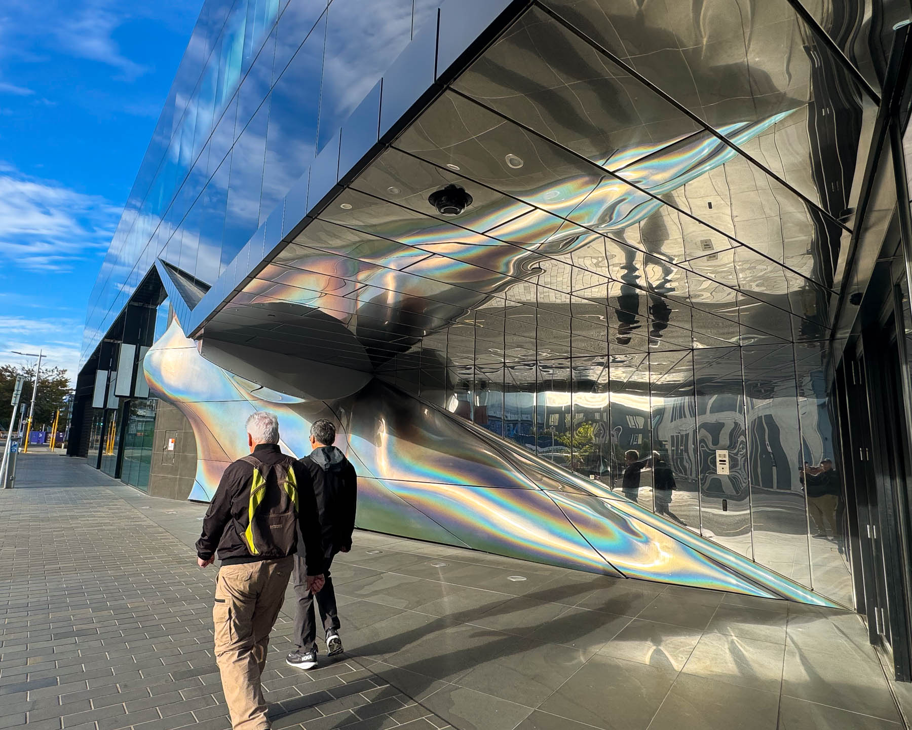
Farther along we came to a wavy futuristic façade covered with an iridescent reflective surface. This was the administrative entrance on the backside of the Te Pae Christchurch Convention Centre which opened in 2021 on a block where only one original structure, the Georgian Revival Isaac House from 1926, survived the earthquake. This engaging feature called the Moment of Movement was designed by New Zealand-born Korean multimedia artist Seung Yul Oh in association with John Troy Sullivan, with the concept that the sculpture would fluidly capture the reflections of folks walking along and the changing color and light of the city throughout the day to create a dynamically interactive the piece.
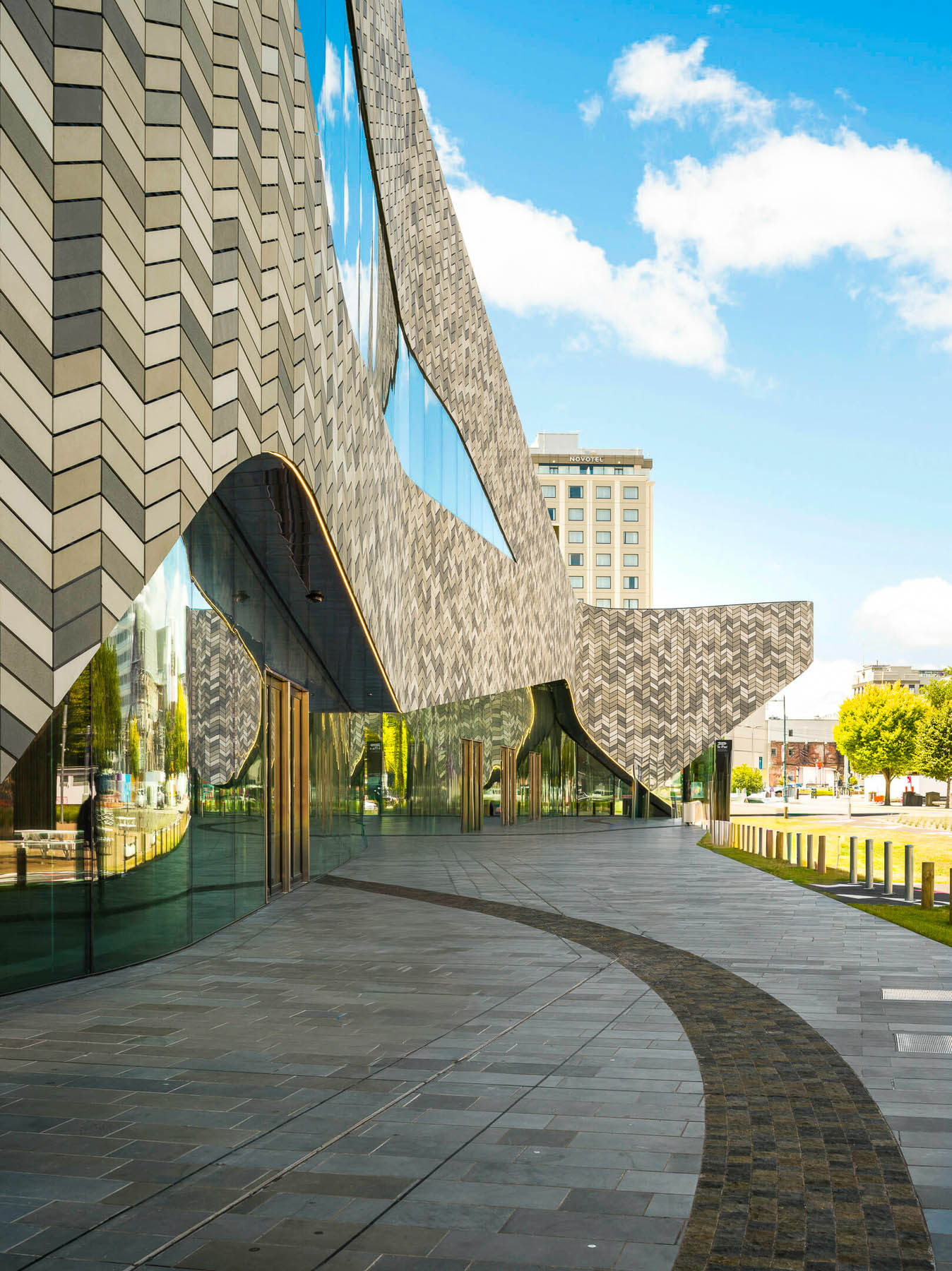
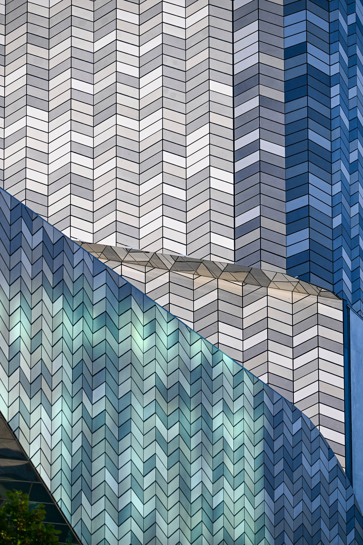
The front of the convention center, designed by the international architecture firm Woods Bagot in association with the New Zealand firm Warren and Mahoney, worked in collaboration with the Matapopore Charitable Trust to integrate Māori cultural narratives into anchor recovery building projects with the guiding principle of Kia atawhai ki te iwi (“Be kind to your people”) to ensure the architecture reflects care, warmth, and hospitality. The building’s flowing front facade reflects the importance of the region’s rivers and is made with nearly 43,000 variously toned tiles, with each tile individually numbered and placed in an ornate herringbone chevron pattern inspired by the weave of traditional Māori Aoraki panels. Unfortunately, when we were there the front of the building was in deep afternoon shade, so it was difficult to appreciate its gracefulness.
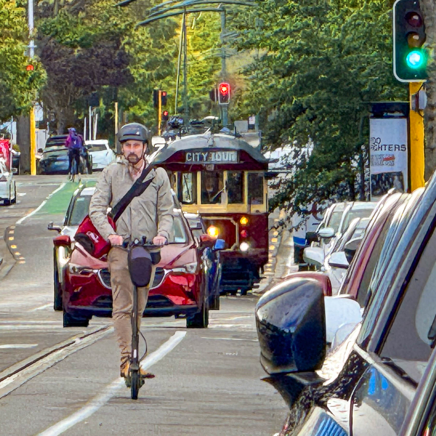
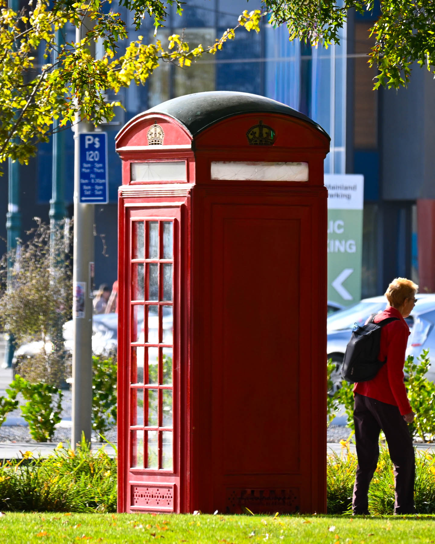
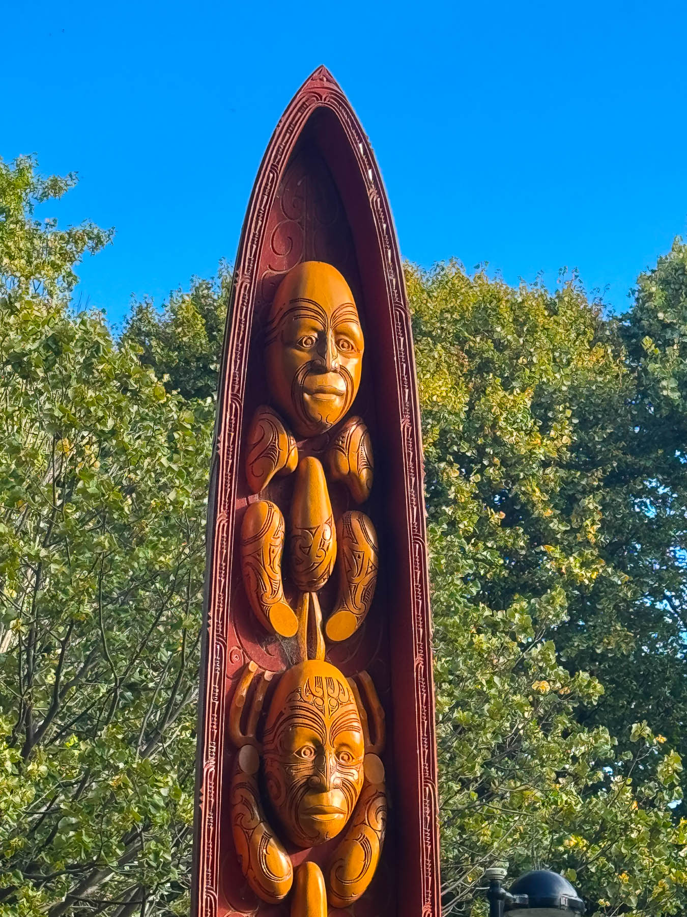
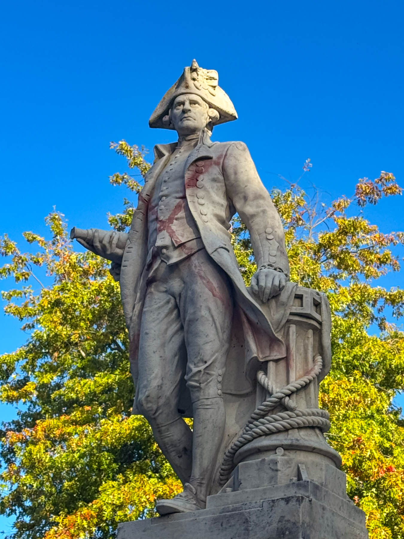
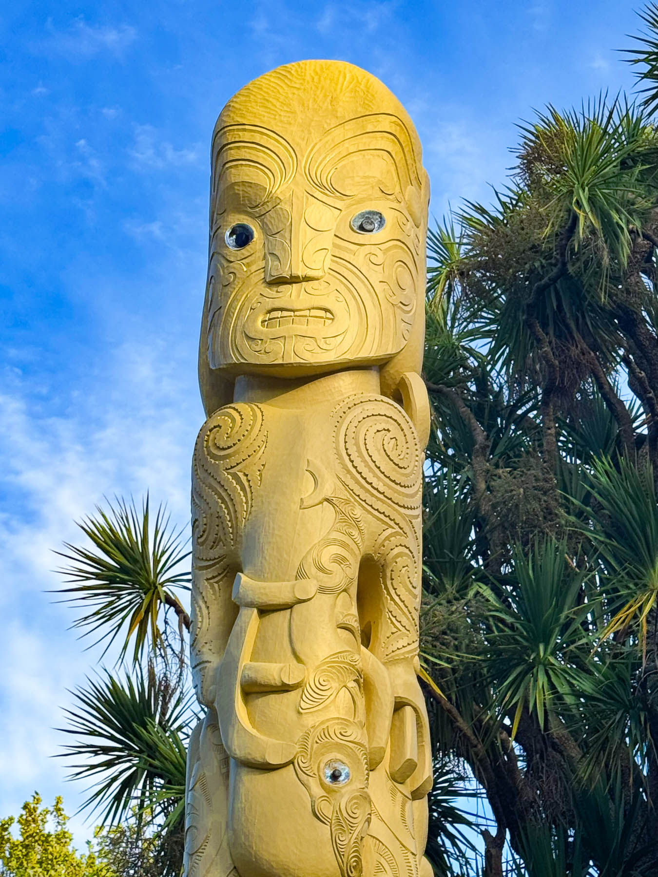
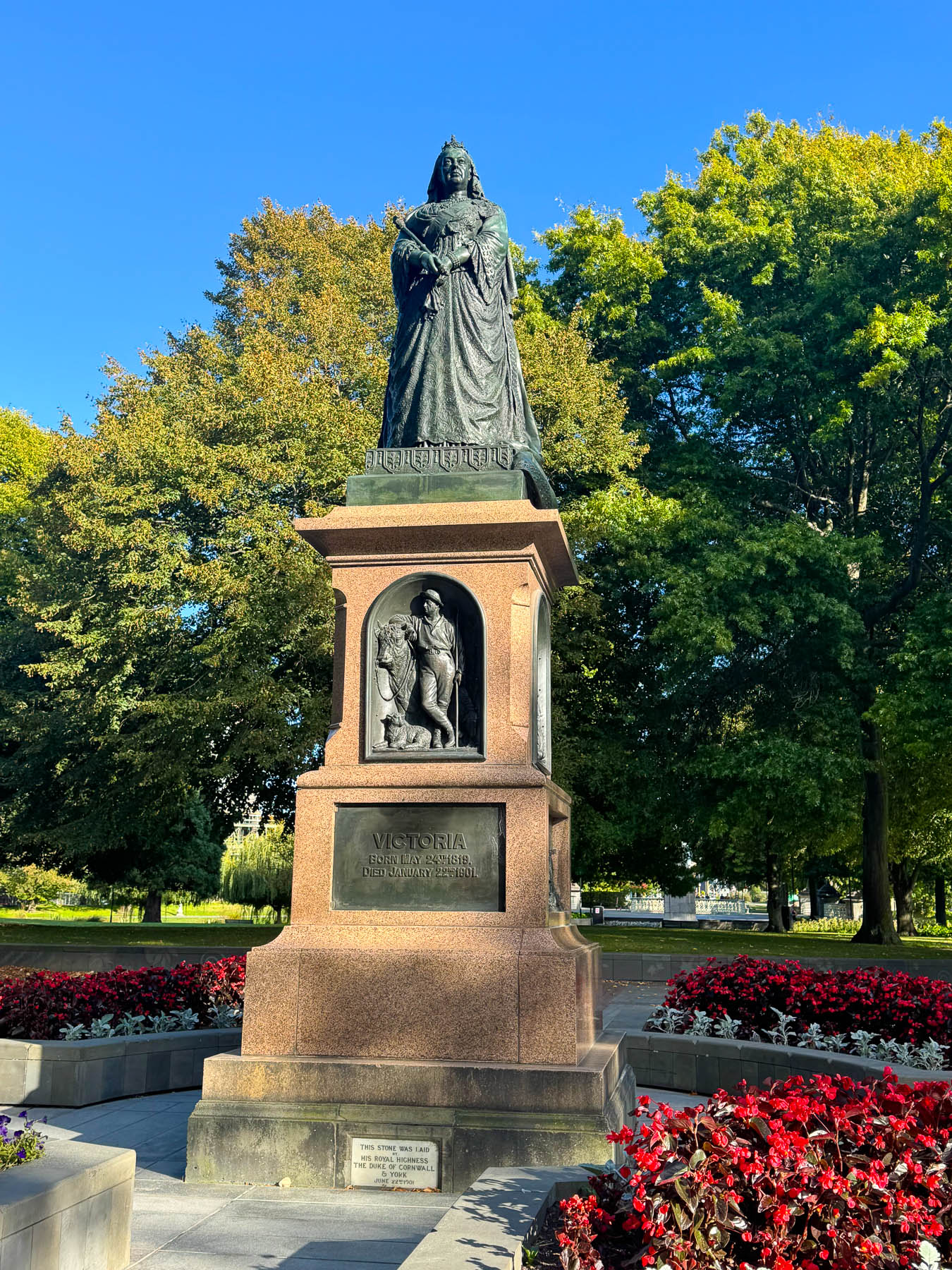
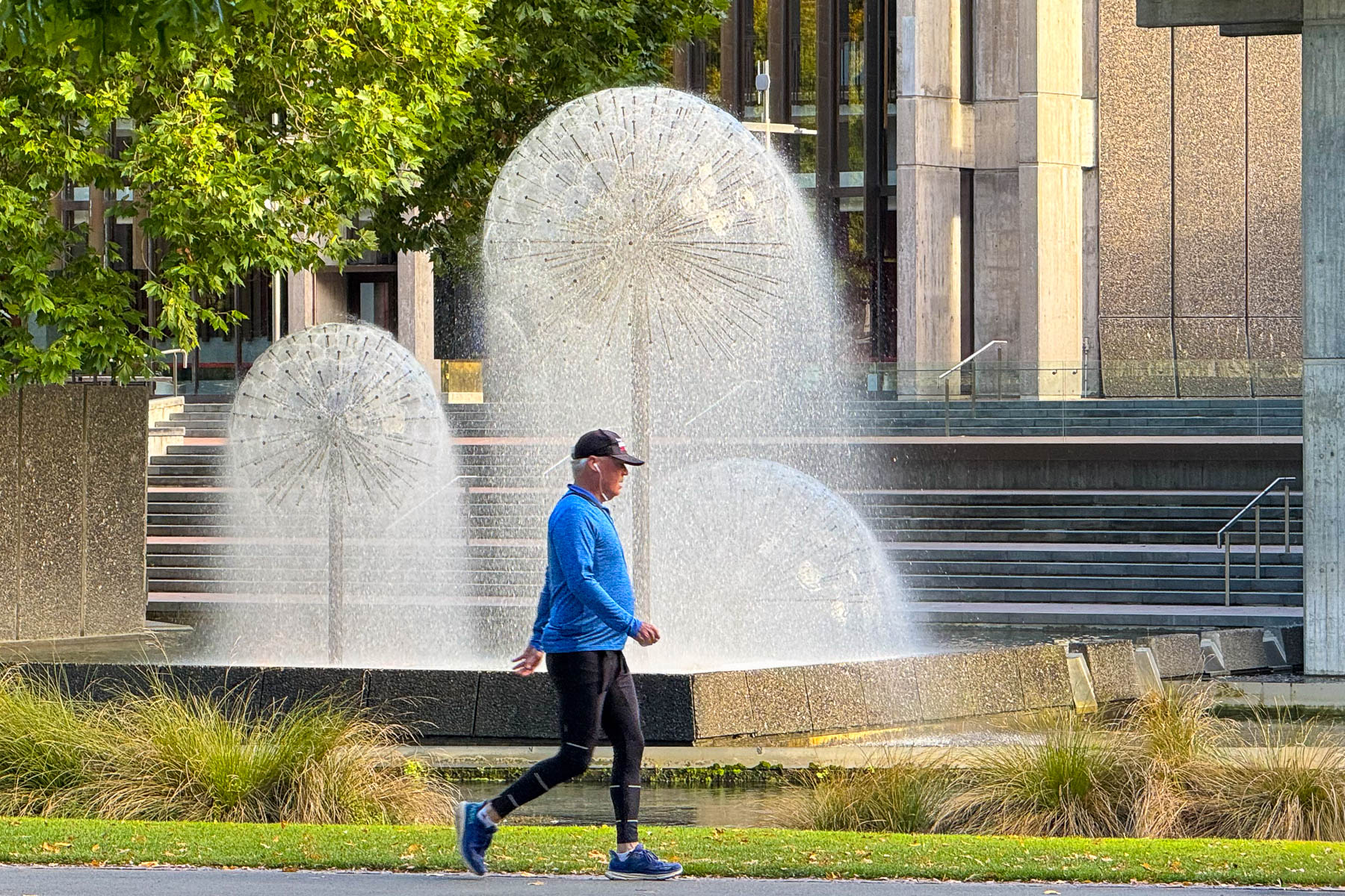
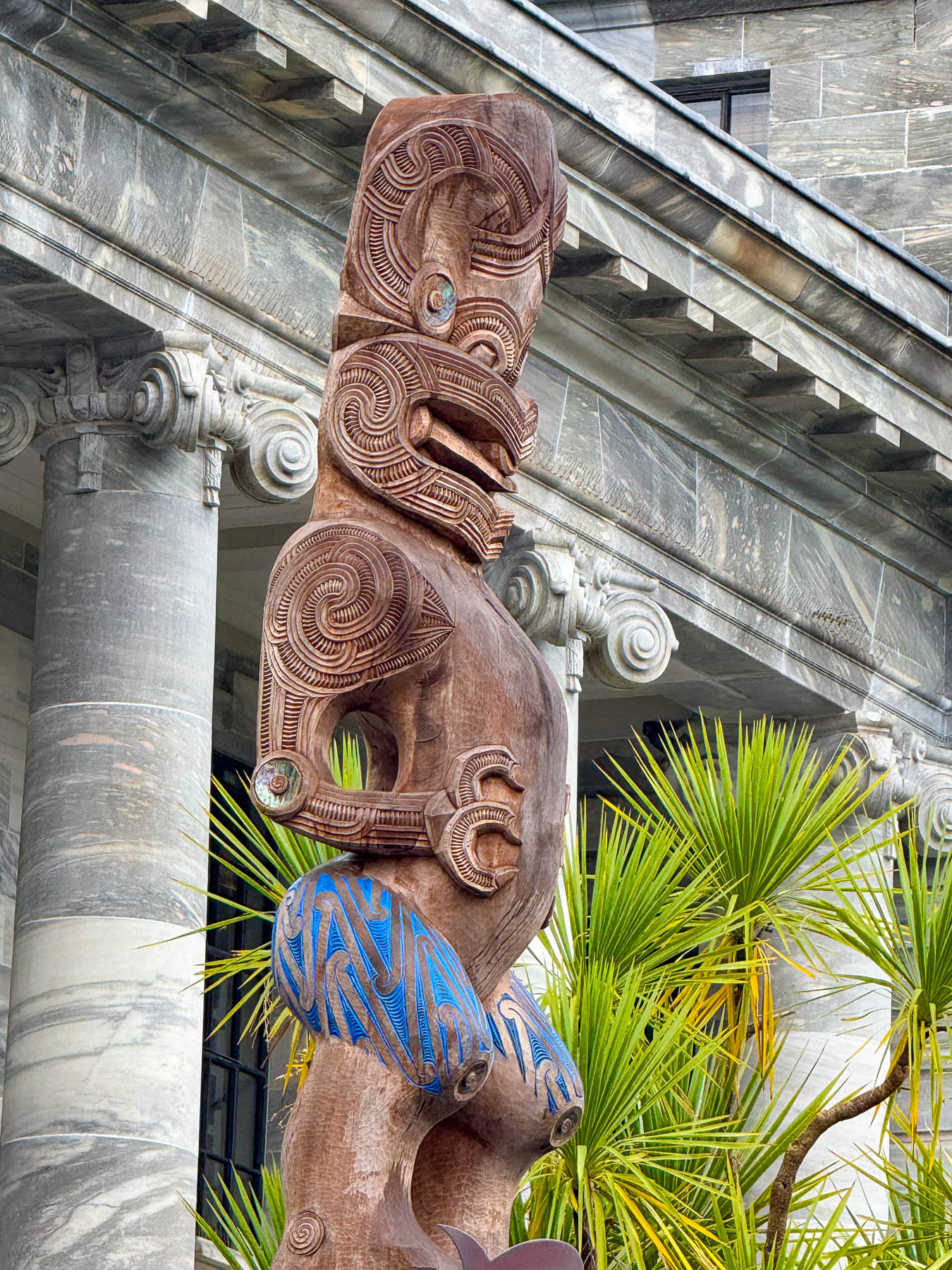
We crossed the tramline into Victoria Square and chuckled as we watched an electric scooter driver lead a line of traffic down the road. The park was quintessentially British, a classic red phone booth and monuments to Queen Victoria and Captain Cook. Though Cook’s statue was vandalized with a large red X across his medal-decorated chest. Remembered as a heroic explorer by many, he is also remembered as the catalyst that brought colonization, western diseases, and economic disenfranchisement to the Māori. Recent additions to the park include two towering Māori pou. A bridge at the far end of the park led to a beautiful fountain across the Avon/ Ōtākaro River.
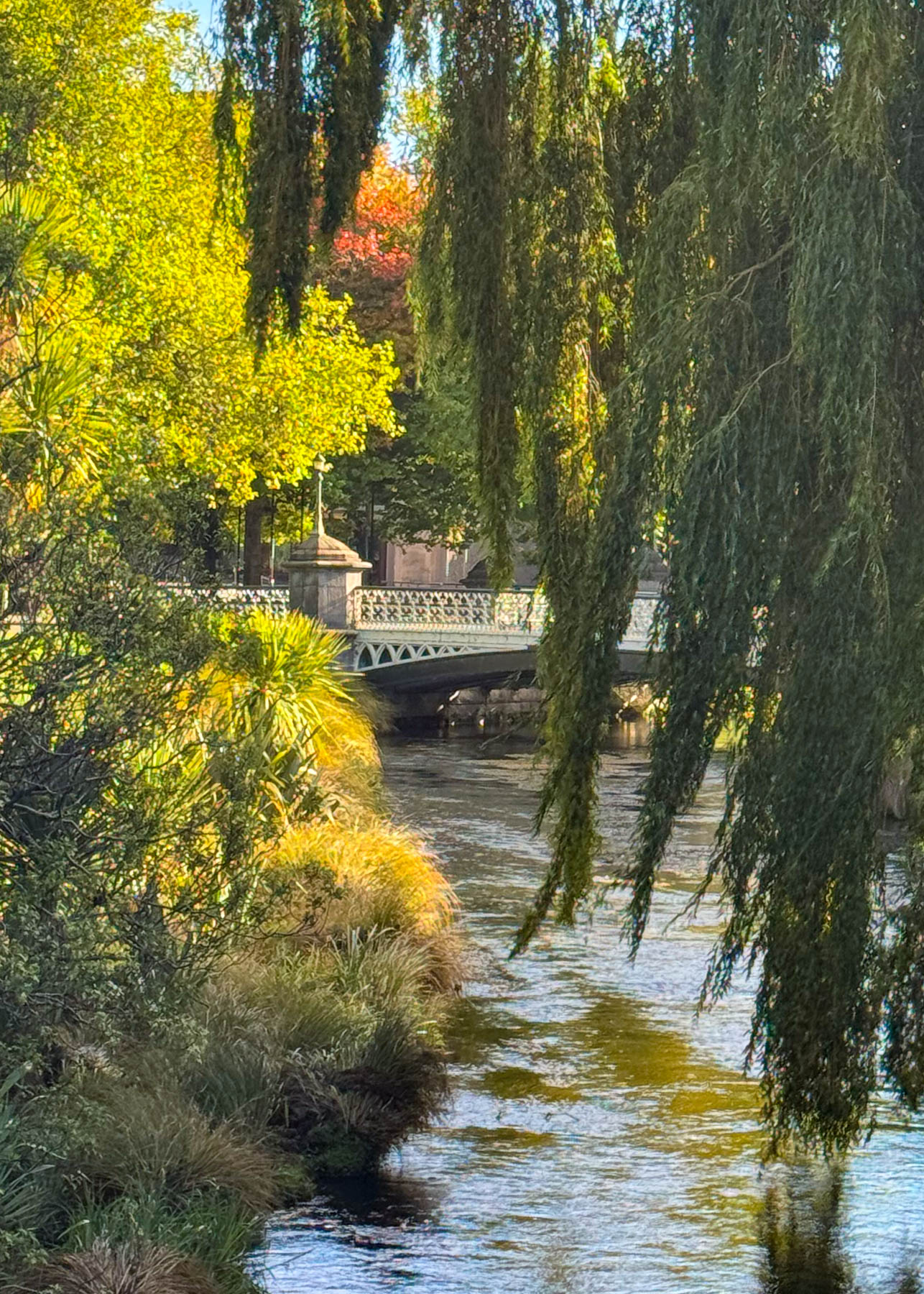
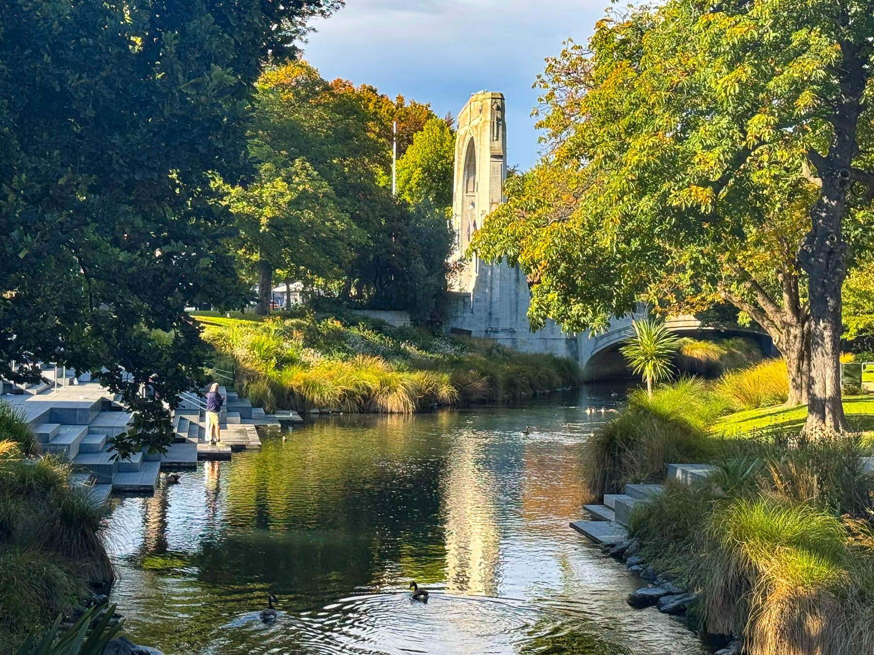
It was beautiful afternoon as we followed the river back towards the city center. Weeping willows hung low over the river’s surface that reflected autumn colors as ducks left small wakes behind then as they paddled. The afternoon was warm enough for folks to enjoy picnicking along the riverbank. A plaza lined with busy restaurants paralleled the river, where it was standing room only at the bars to wait for table. We usually avoid making reservations, because we are never quite sure where we will be at dinner, so we continued on to the Riverside Market, a lively indoor market with shopkeepers selling locally sourced food, plus restaurants, a food court, and several bars. Everything looked so good, especially at the Great Pastry Shop and the Charing Cross Cheesery. I vowed to return the next morning for breakfast takeaway.
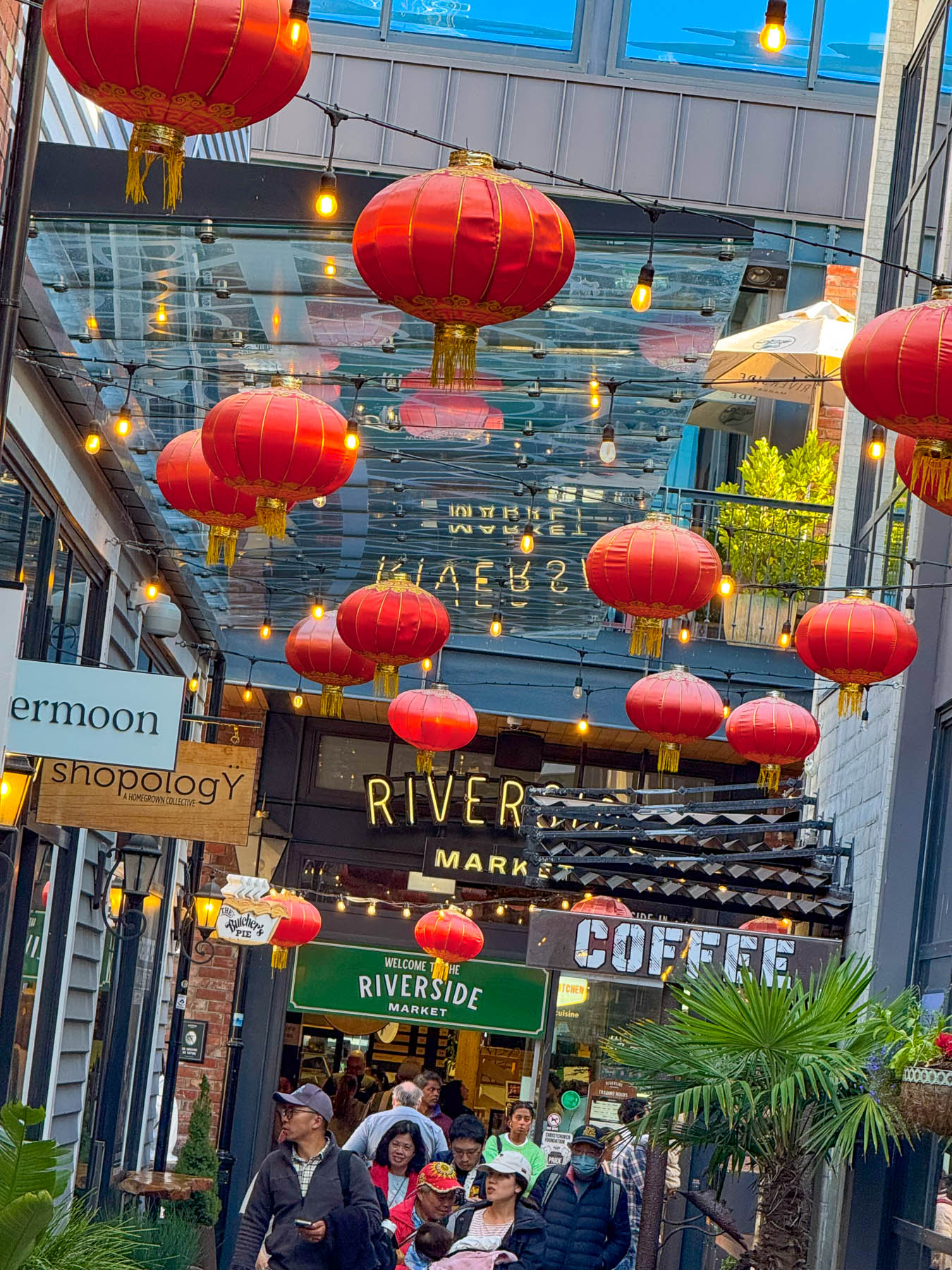
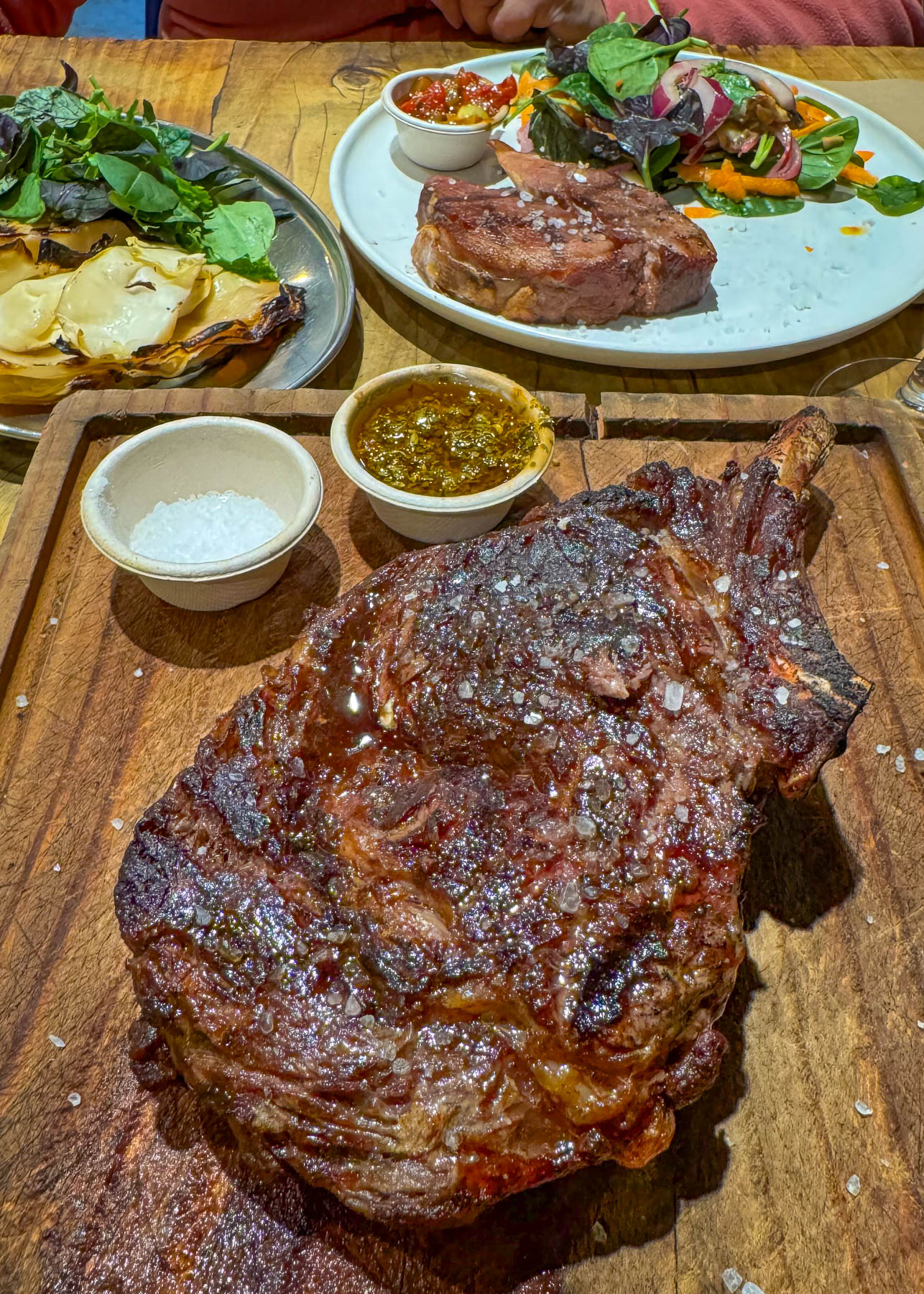
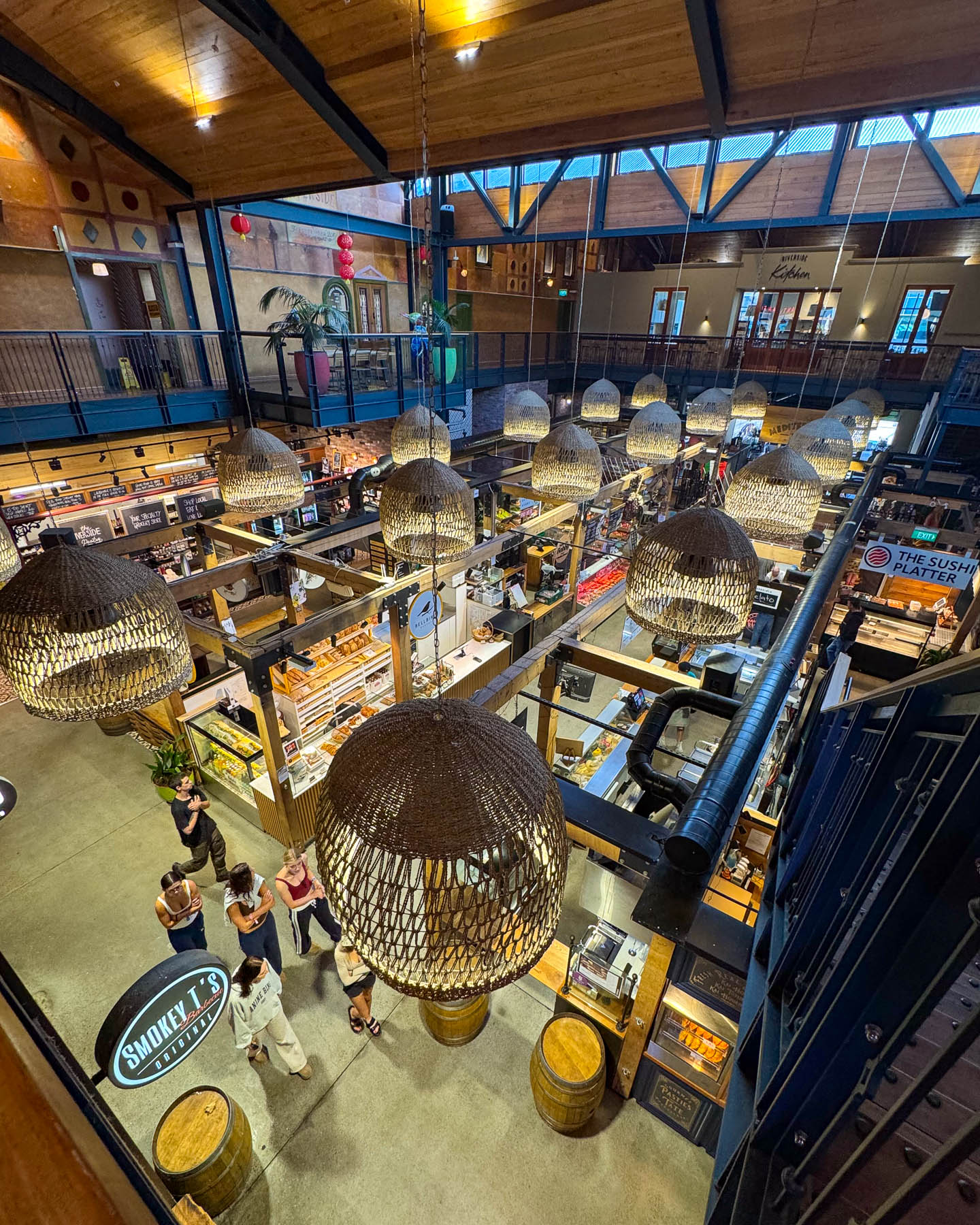
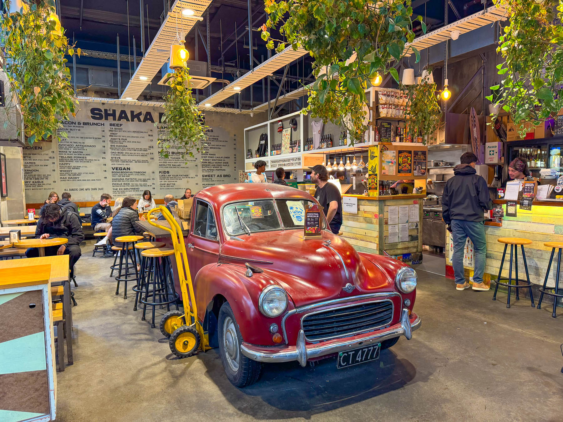
With so many different eateries to choose from, it was difficult to make a choice for dinner, but we eventually decided on El Quincho, an Argentine BBQ restaurant where we enjoyed a tender Tomahawk Steak with smoked cabbage and Beef Ribeye with a salad. They were probably the best steaks we have ever eaten.
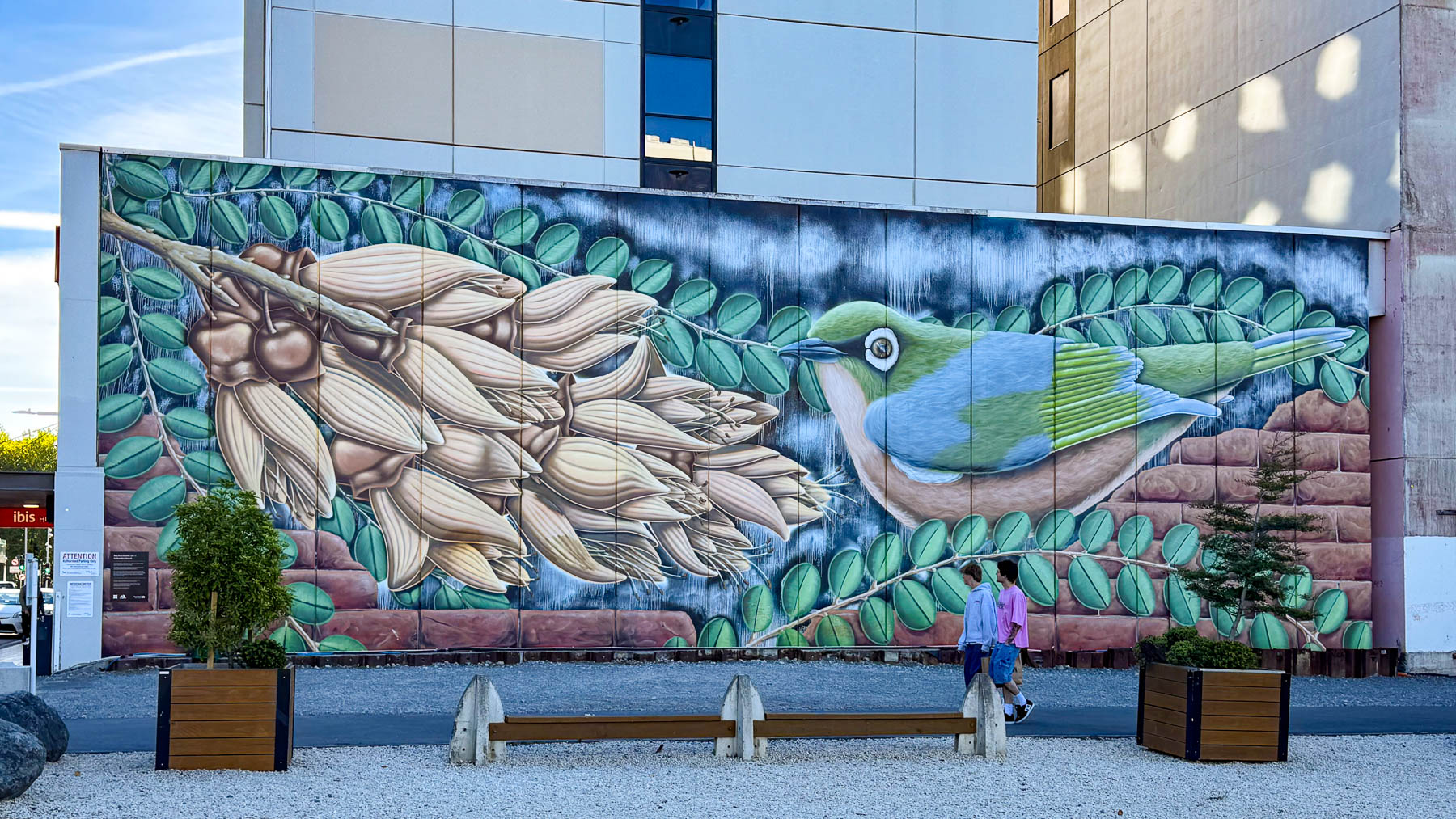
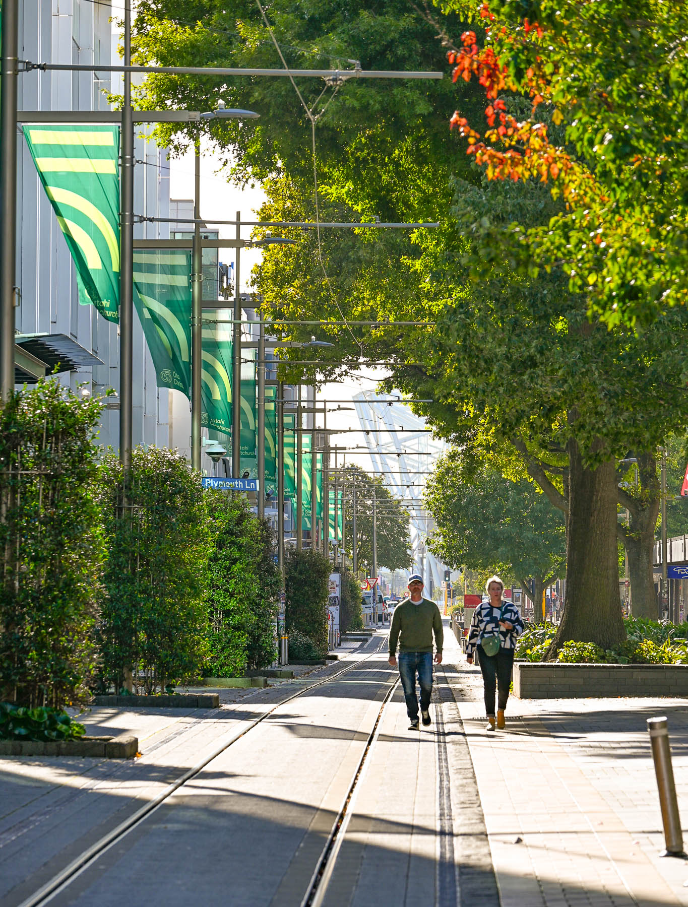
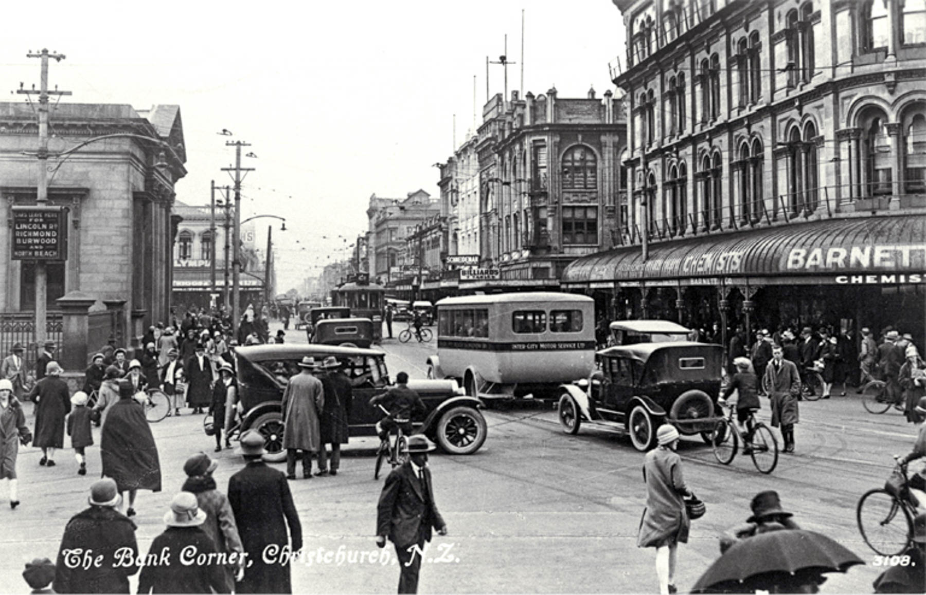
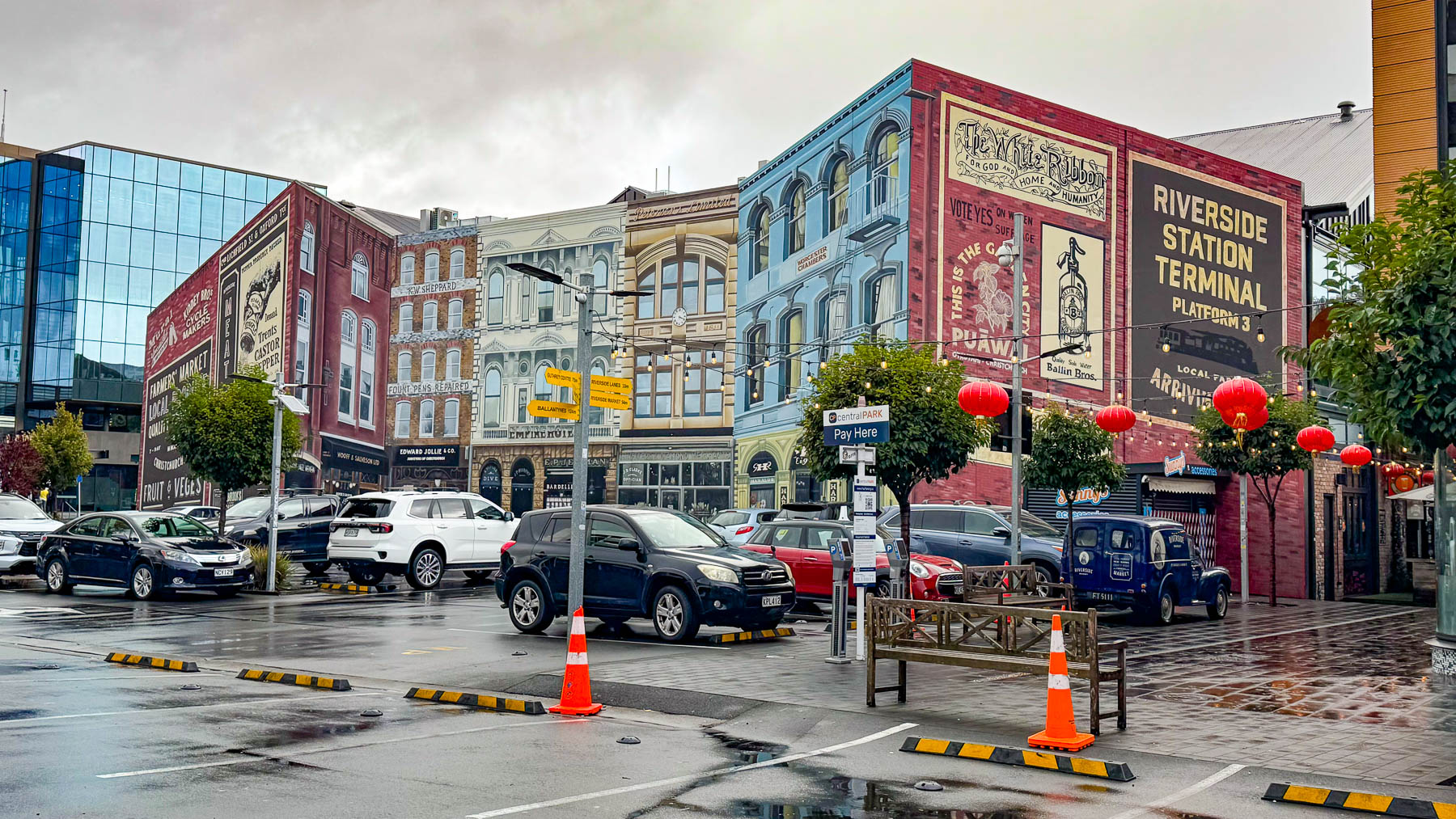
Heading back to the hotel we walked along the tram tracks down Cashel Street, a lengthy two block pedestrian mall, before turning onto Colombo Street. This was the devastated center of the city where none of the distinctive historic buildings from the 1920s and 1930s survived; they have been replaced by characterless concrete, steel and glass buildings.
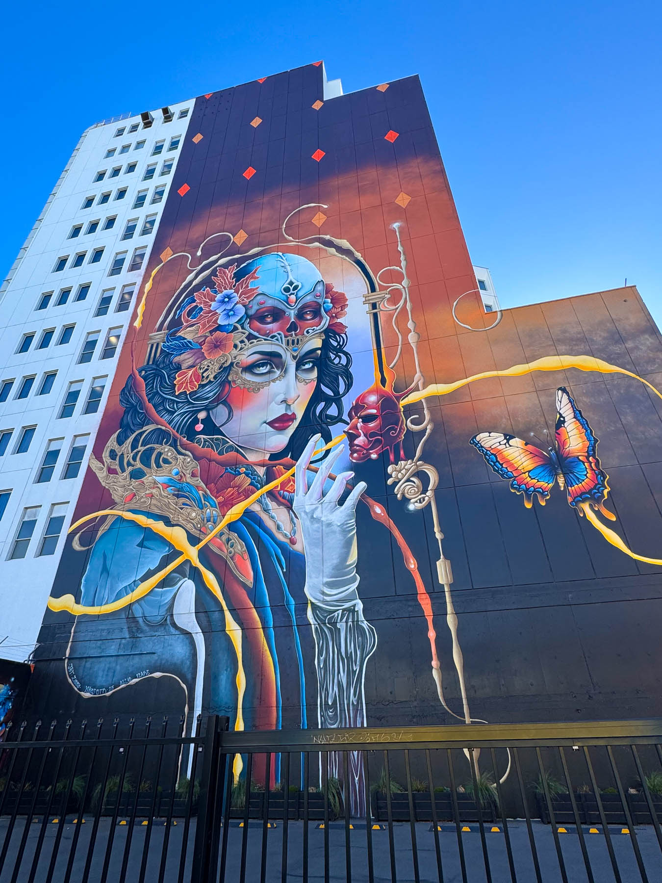
The next morning on the way into town to get pastries, a flash of color down a side street caught my eye as I was walking along Cathedral Square, and being the curious guy that I am I went to investigate. Mid-block a fantastic fantasy-filled wall mural soared skyward across the back of a building. The stunning artwork named “Narcissa” was created by Jacob Yikes, a Christchurch painter/illustrator, in 2025 as feature presentation during the 2025 FLARE Ōtautahi Street Art Festival. Towering 55m (180ft), it is the tallest street mural in New Zealand.
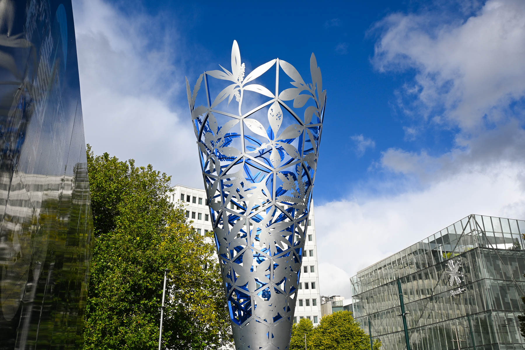
Returning to Cathedral Square I admired The Chalice, a 18m (59ft) tall cone shaped tower, covered with representations of native flora, which was constructed from perforated stainless steel, allowing light, sky, and weather to pass through it. Installed in 2000, the Chalice was created to mark two important milestones: the new millennium, and the 150th anniversary of the founding of Christchurch and the region of Canterbury. The New Zealand artist Neil Dawson noted that his concept was inspired by the winds that lift leaves on Cathedral Square and swirl them into a vortexes. Undamaged after the 2011 earthquake, the sculpture became a symbol of resilience and recovery for the city.
As sunny as the day was, the morning was chilly, and the wind chill convinced me that my layers of clothing were insufficient for traveling farther south down the island where it was expected to be much colder. Fortunately, there were many outdoor clothing stores in the city, and I bought a down vest that was on sale at Kathmandu, on Colombo Street, as I returned to the hotel with our takeaway breakfast from the Riverside Market.
The weather in New Zealand changes quickly, and a morning squall delayed our departure from the hotel. Our destination for the afternoon was Lyttelton, a port town on Lyttelton Bay. It was about a twenty-minute drive from our hotel to the Christchurch Gondola Station, where we hoped to take the dramatic aerial ride over the Port Hills surrounding the bay down to the harbor. But strong winds had closed the ride for the day by the time we arrived.
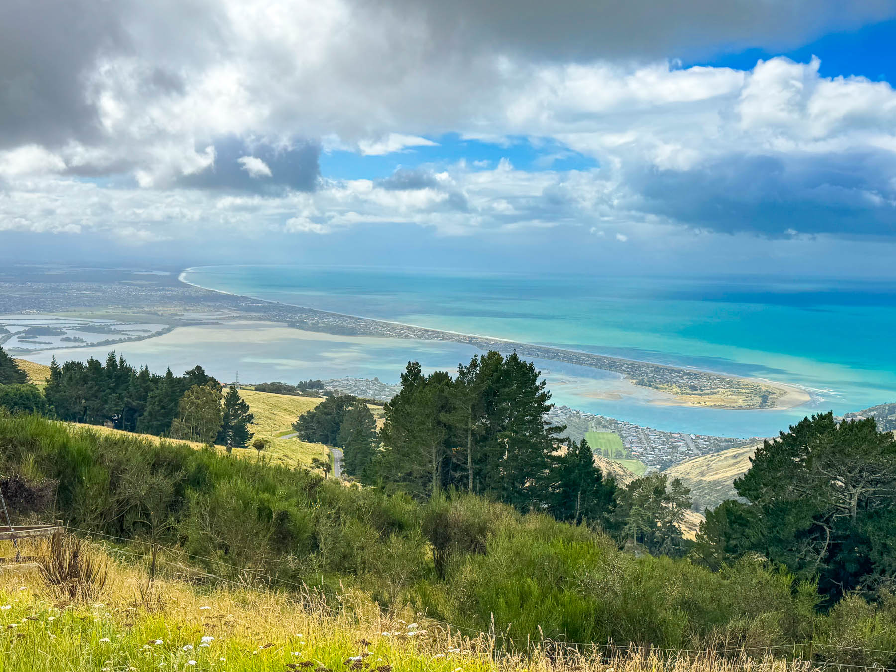
Undeterred, we consulted our maps App and found a driving route around and up to the Gondola’s summit station on Mount Cavendish and set out. It was a short twenty-minute drive that took us along a stretch of the Avon Heathcote Estuary before we turned and started a serpentine ascent up the hillside through the coastal suburb of Mount Pleasant. The road opened to fabulous views looking out over the Southshore Spit and the long curve of New Brighton Beach along Pegasus Bay, which we would not have seen from the gondola.
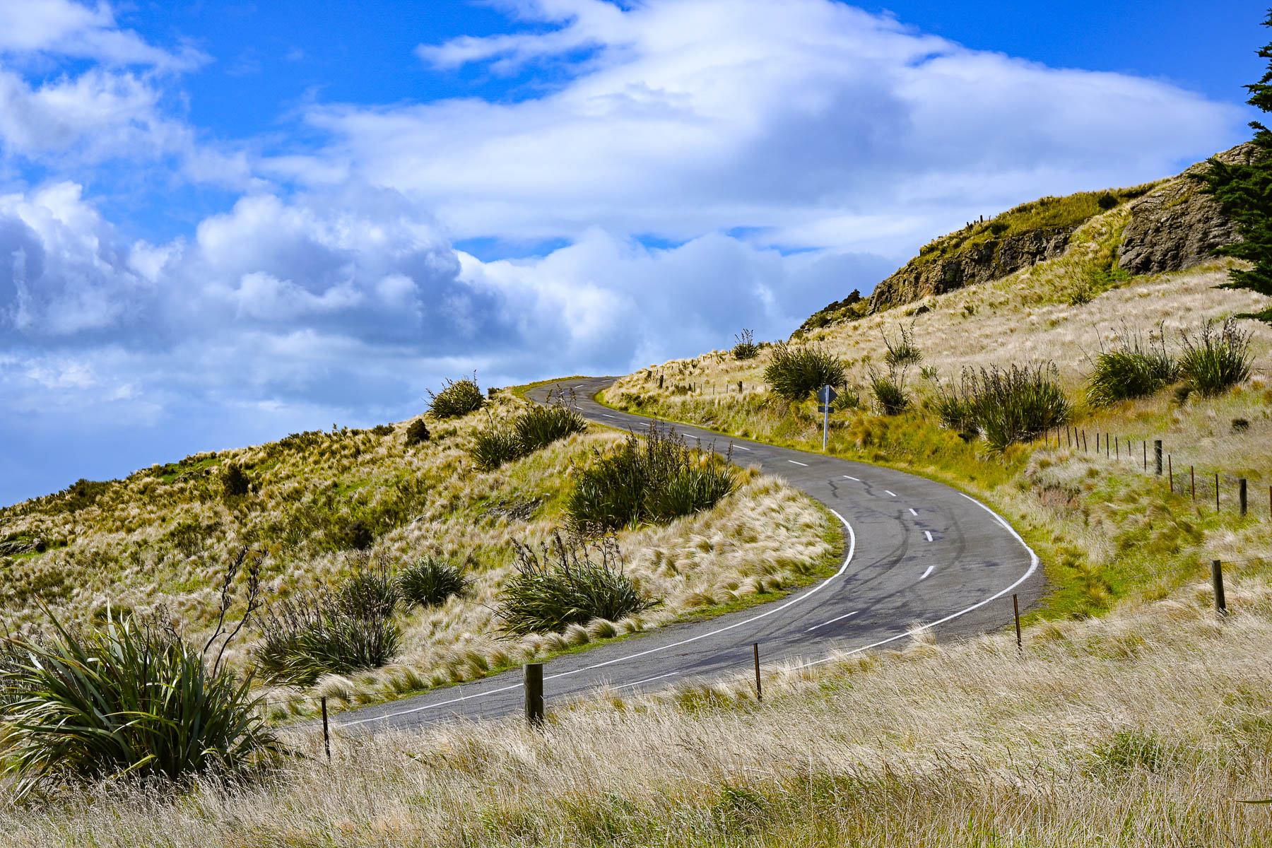
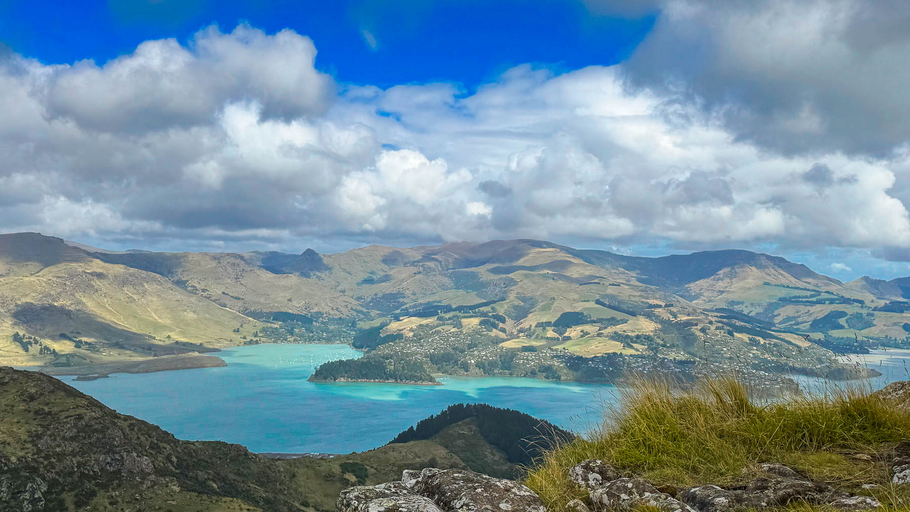
Continuing uphill we followed signs along Summit Road to the Mount Pleasant Trig Station. Turning off the main road, a closed sheep gate stymied us, as we weren’t sure what the proper protocol was. A woman in a car behind us got out and opened the gate, motioning to us as she returned to her car that we have to close the gate behind us each time we pass through. The summit was named for its use as a triangulation station for the survey mapping of Christchurch and the surrounding Canterbury region in the 1850s. It also served as a signal station with a flagstaff and telescope to announce incoming ships entering Lyttelton Harbour. Long before the English arrived, it was the site of Māori pā (fortified village) for several hundred years. With an elevation of roughly 499m (1,637 ft) Mount Pleasant or Tauhinu Korokio is the highest peak in the eastern Port Hills, beating out the nearby Gondola Summit Station on Mount Cavendish, 44 m (1,460 ft) by a 177ft. There was open space for parking before the unmanned radio tower which now commands the site. Clouds almost low enough to touch raced across the sky, opening and closing to cast different batches of sunlight across the landscape.
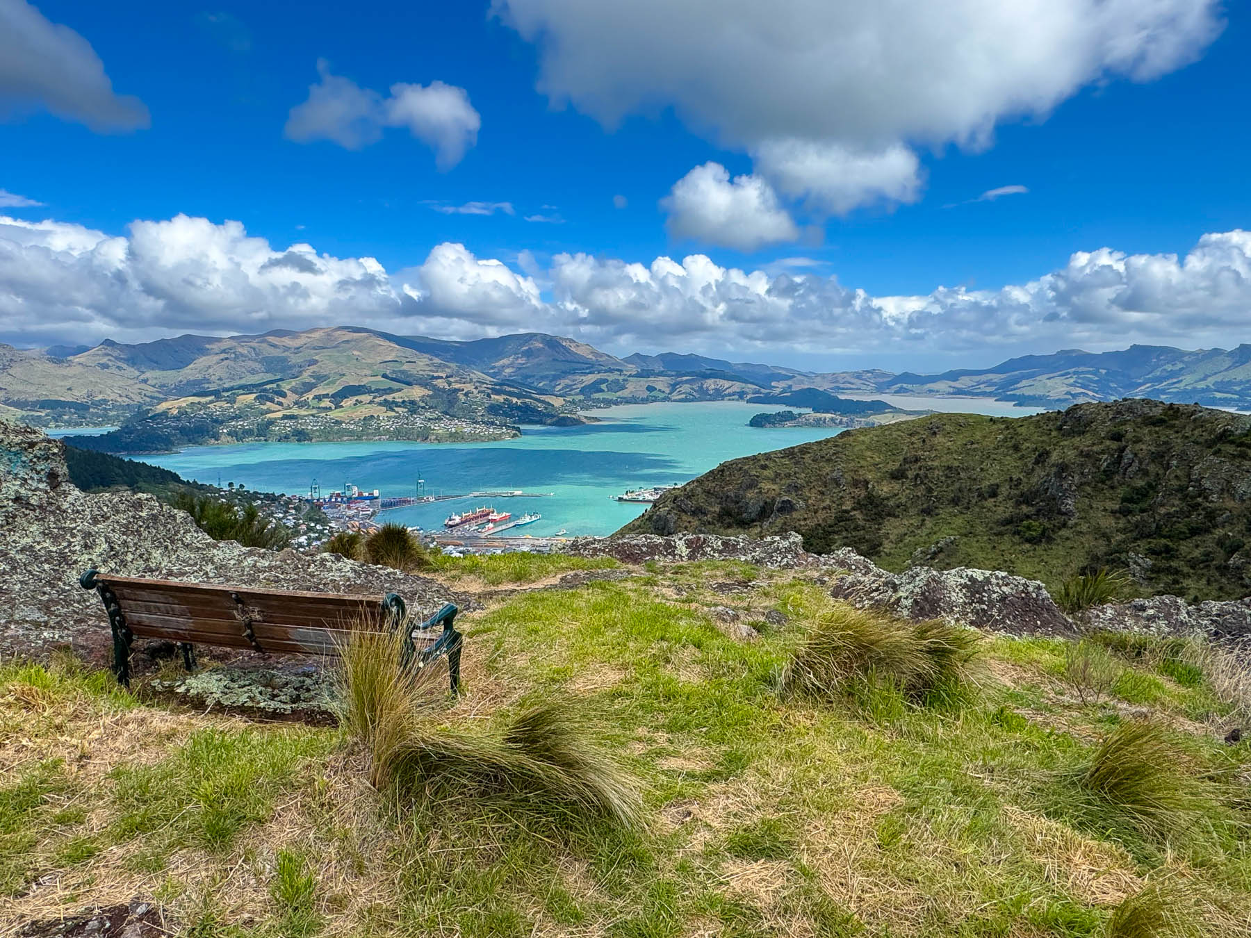
Back on Summit Road we drove towards the gondola station, but the road was closed near the Lyttelton View Bench. This sounds very formal, but it is a simple park bench that a few enterprising folks carted down the hillside to a spot that has another incredible view over the harbor. The track is a little rough here and don’t be surprised if you find yourself amid a flock of sheep. We didn’t but their droppings were everywhere, so it’s an active pasture. If you enjoy hiking there is an extensive trail system along the mountainside, maps of which are available from the Mt Pleasant Shared Use Track (Christchurch City Council), and Mount Pleasant Track (AllTrails).
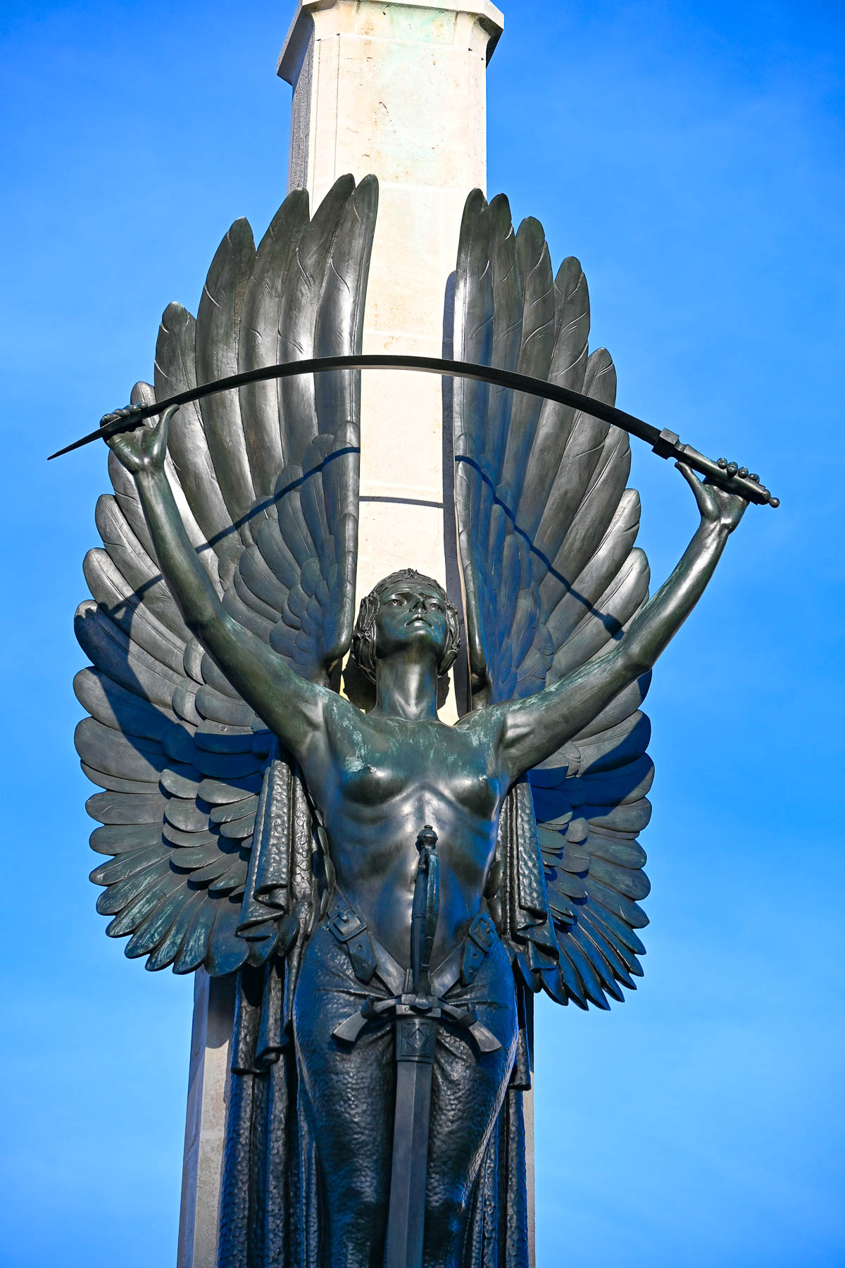
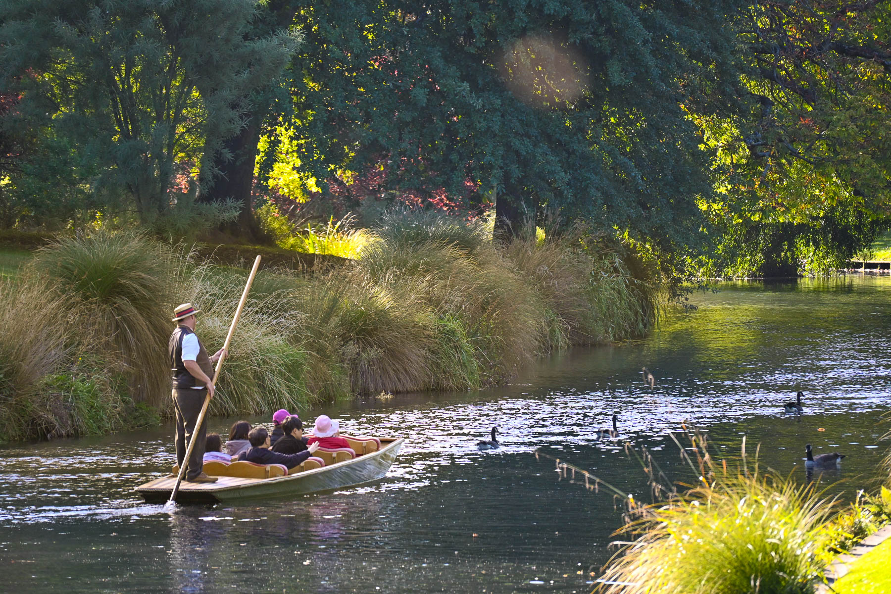
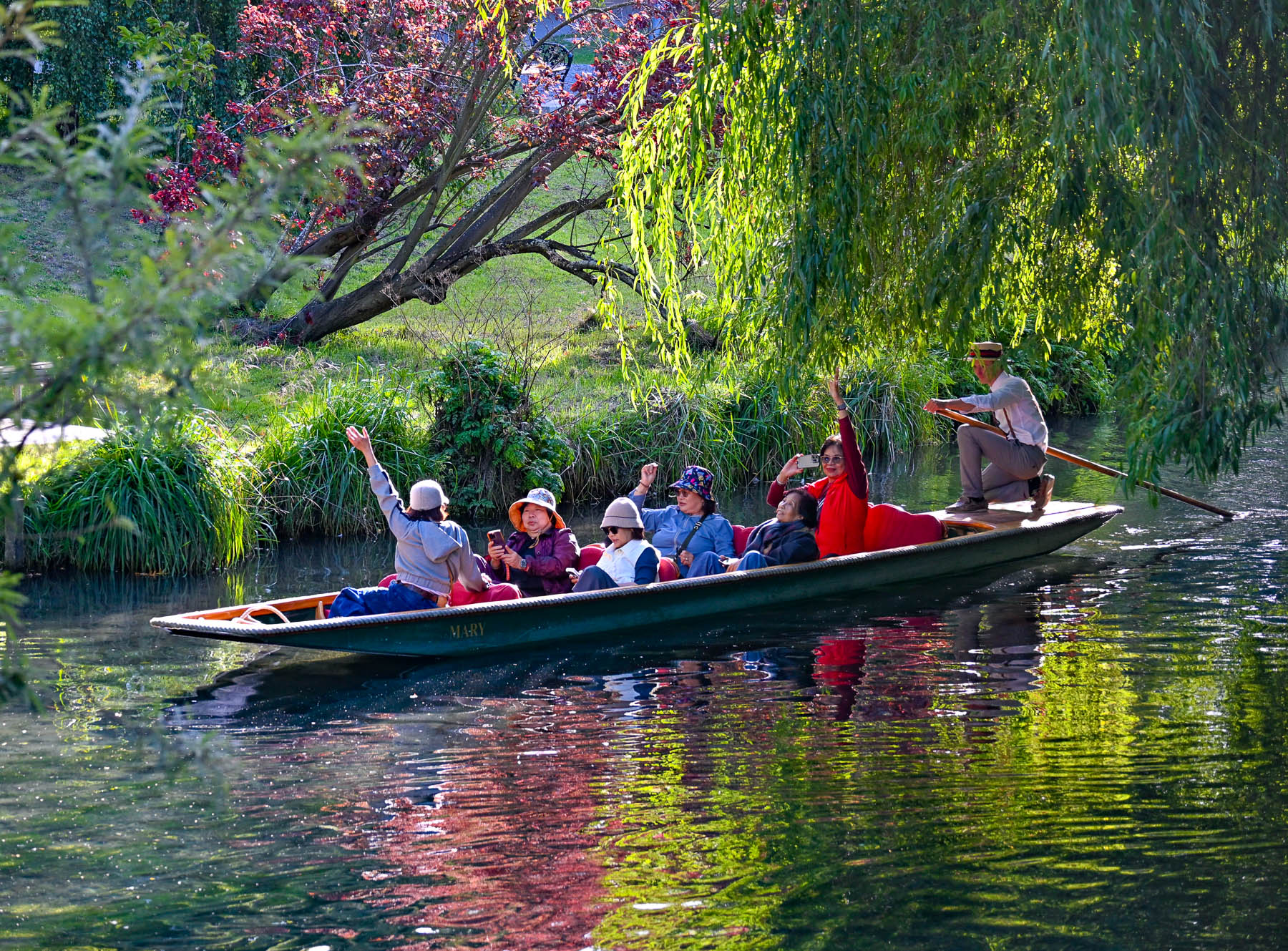
On our last full day, we walked back through the city and crossed the Bridge of Remembrance, a memorial arch to the men of Christchurch who died in World War I, as we headed to the punting boat sheds on the Avon River. Quintessentially English, the punters still guide their flat-bottomed boats along the gentle river dressed in Edwardian clothing. It’s been a memorable part-time job, over the decades, for some of the students at the University of Canterbury since its founding in Christchurch in 1873.
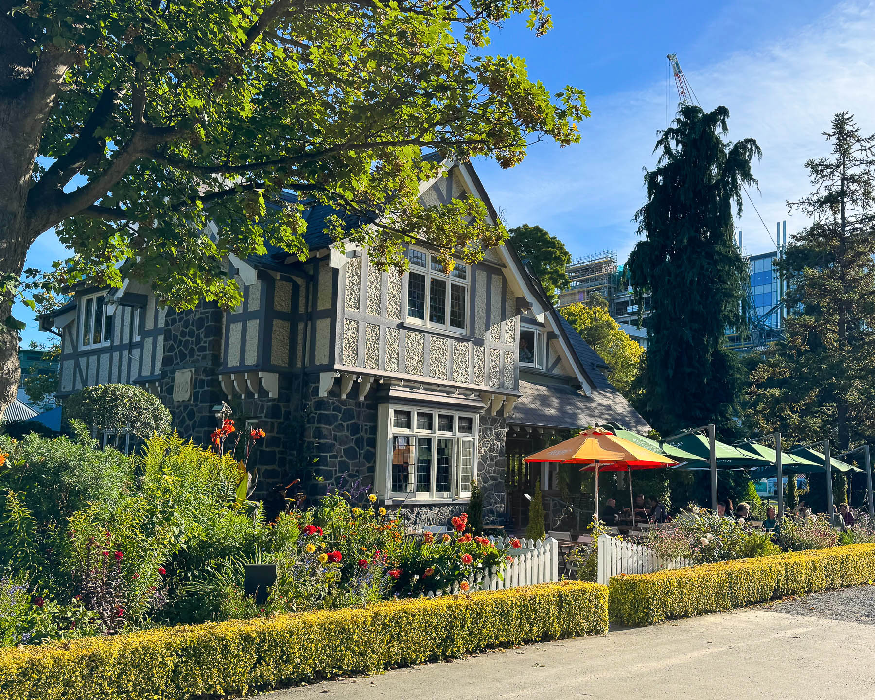
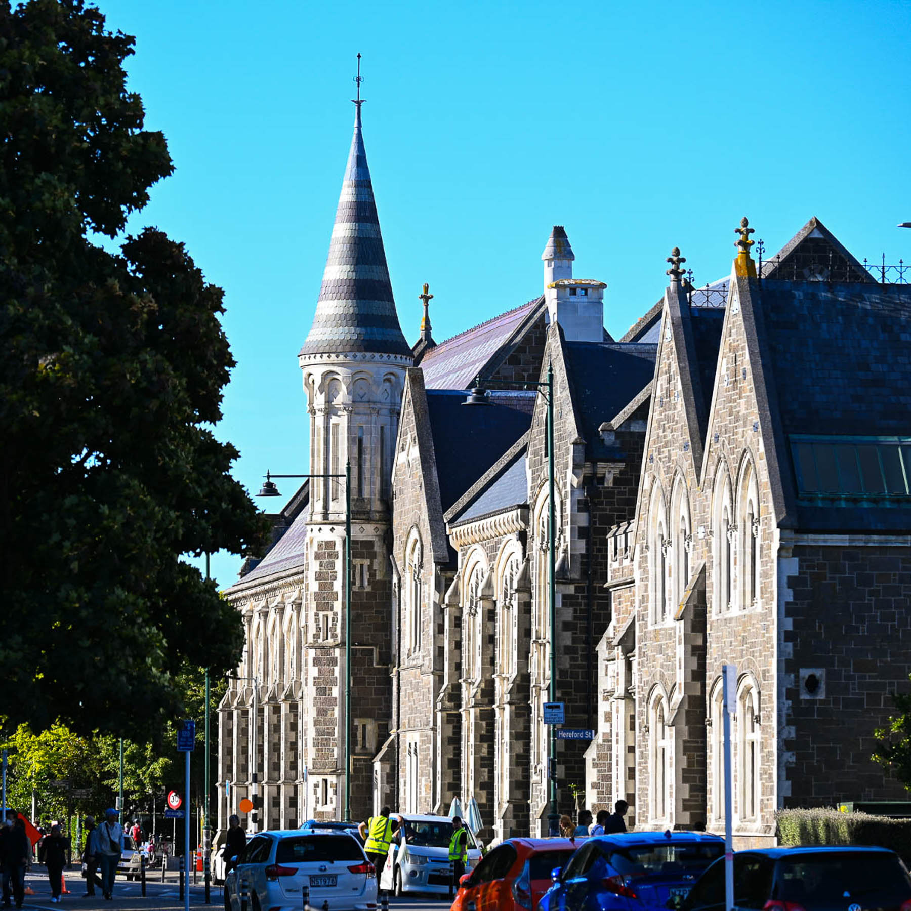
After watching the boats glide by for a while we rested with coffee on the outdoor terrace surrounded by an English garden at the Curators House Restaurant. The picturesque restaurant is set in a restored 1920’s Tudor style house. Down the street the first neo-Gothic buildings of the University of Canterbury lined the street. This complex of twenty-three buildings was the home of the school until 1975 when it relocated the campus to the suburb of Ilam. The historic buildings now host the Arts Centre Te Matatiki Toi Ora, an events center with restaurants, galleries, shopping, and workshops.
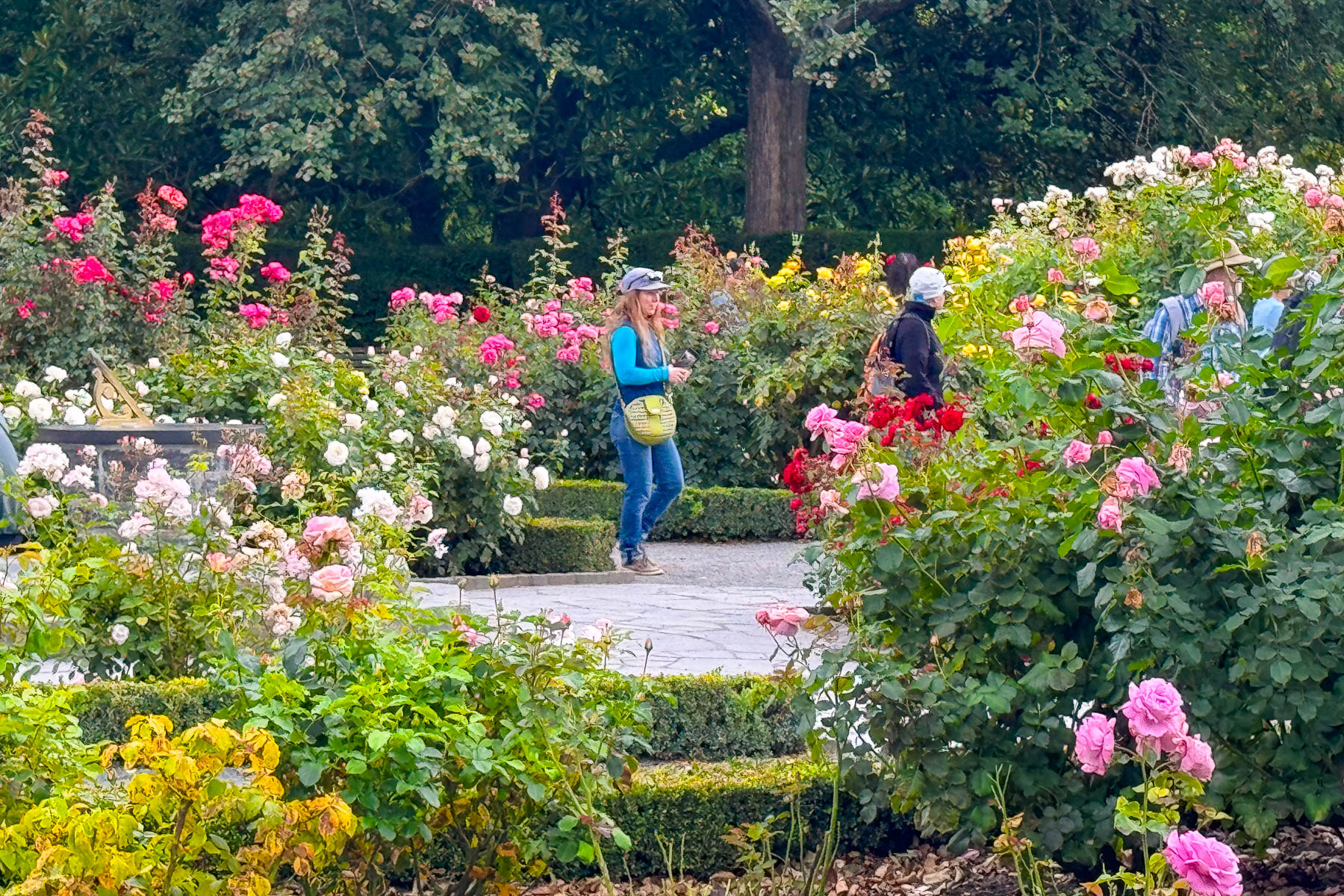
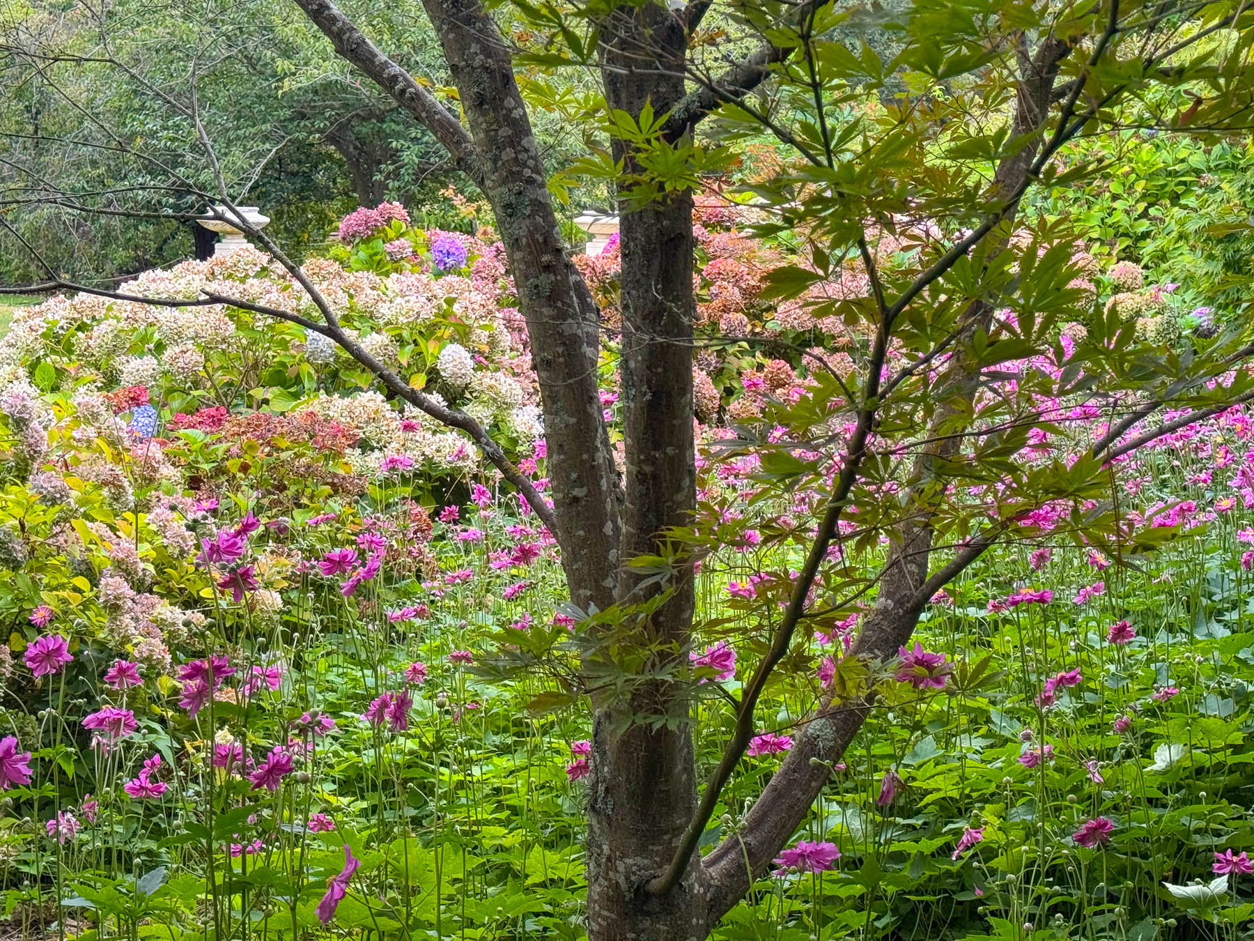
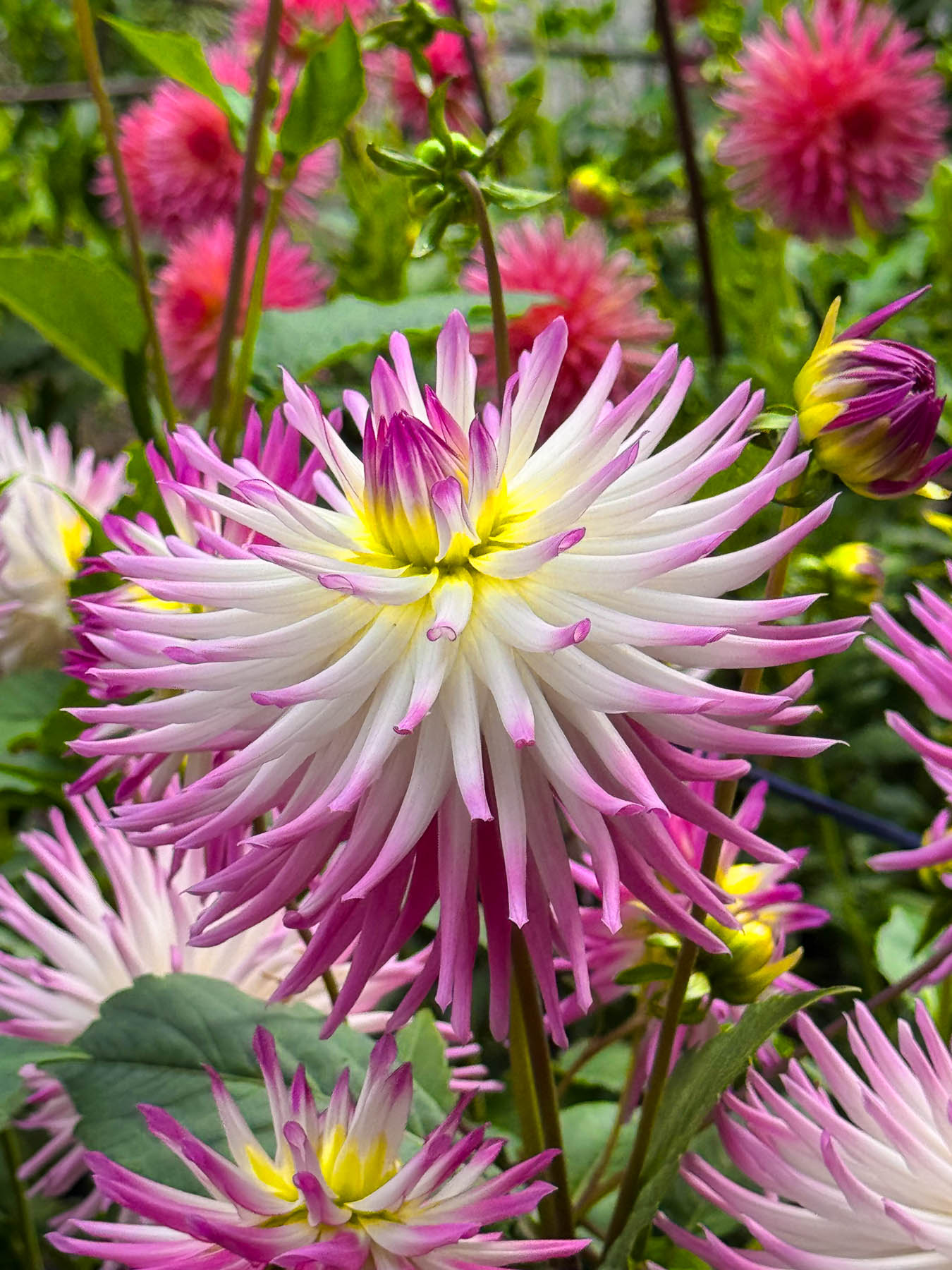
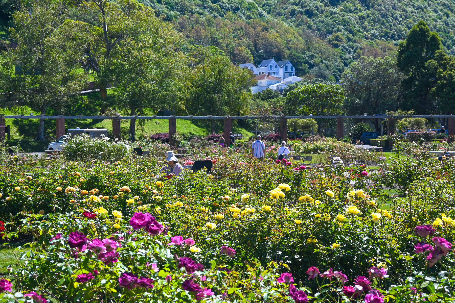
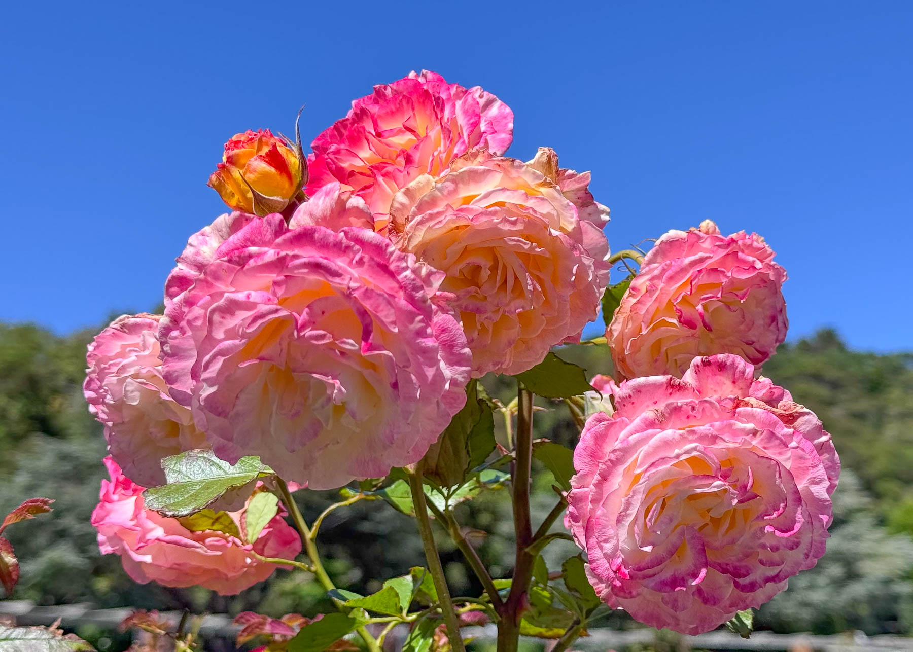
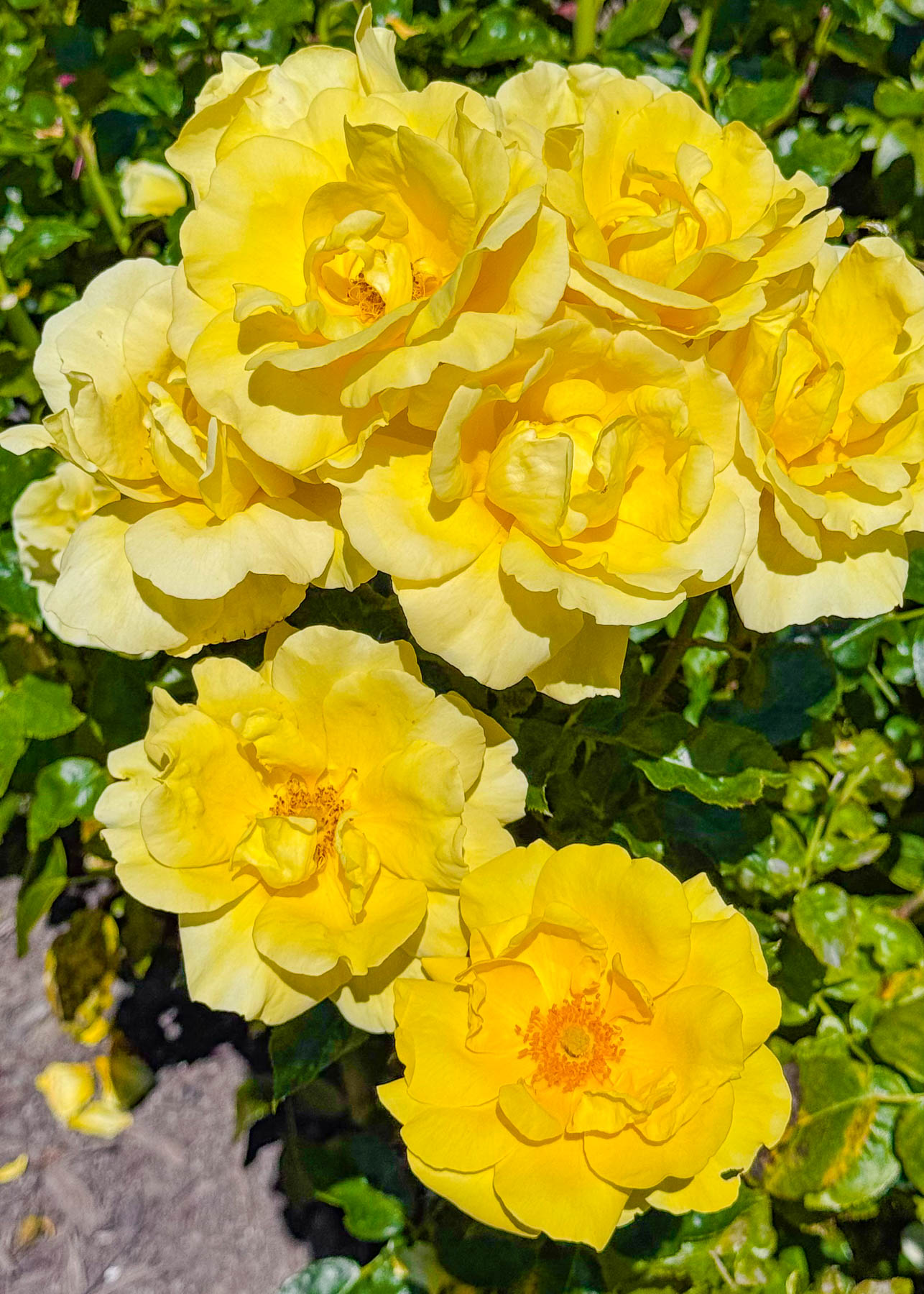
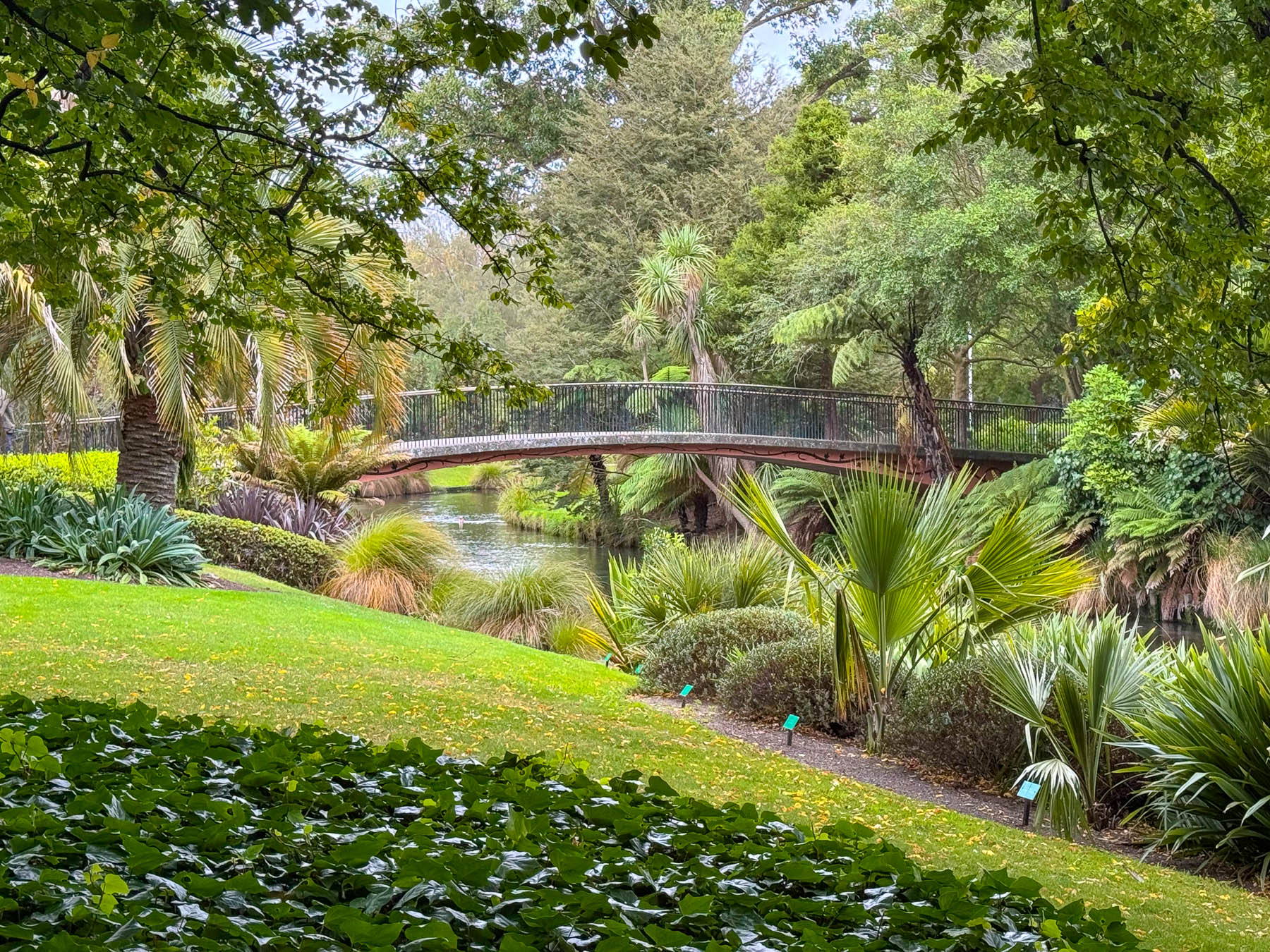
Continuing on we entered the Christchurch Botanic Gardens, a large park bounded on three sides by Avon River. Aside from the Rose Garden, there are not any formal gardens here, instead it’s an oasis of open parkland enhanced with selective plantings of flowering trees, shrubs and flowers, with sculptures dotting the landscape.
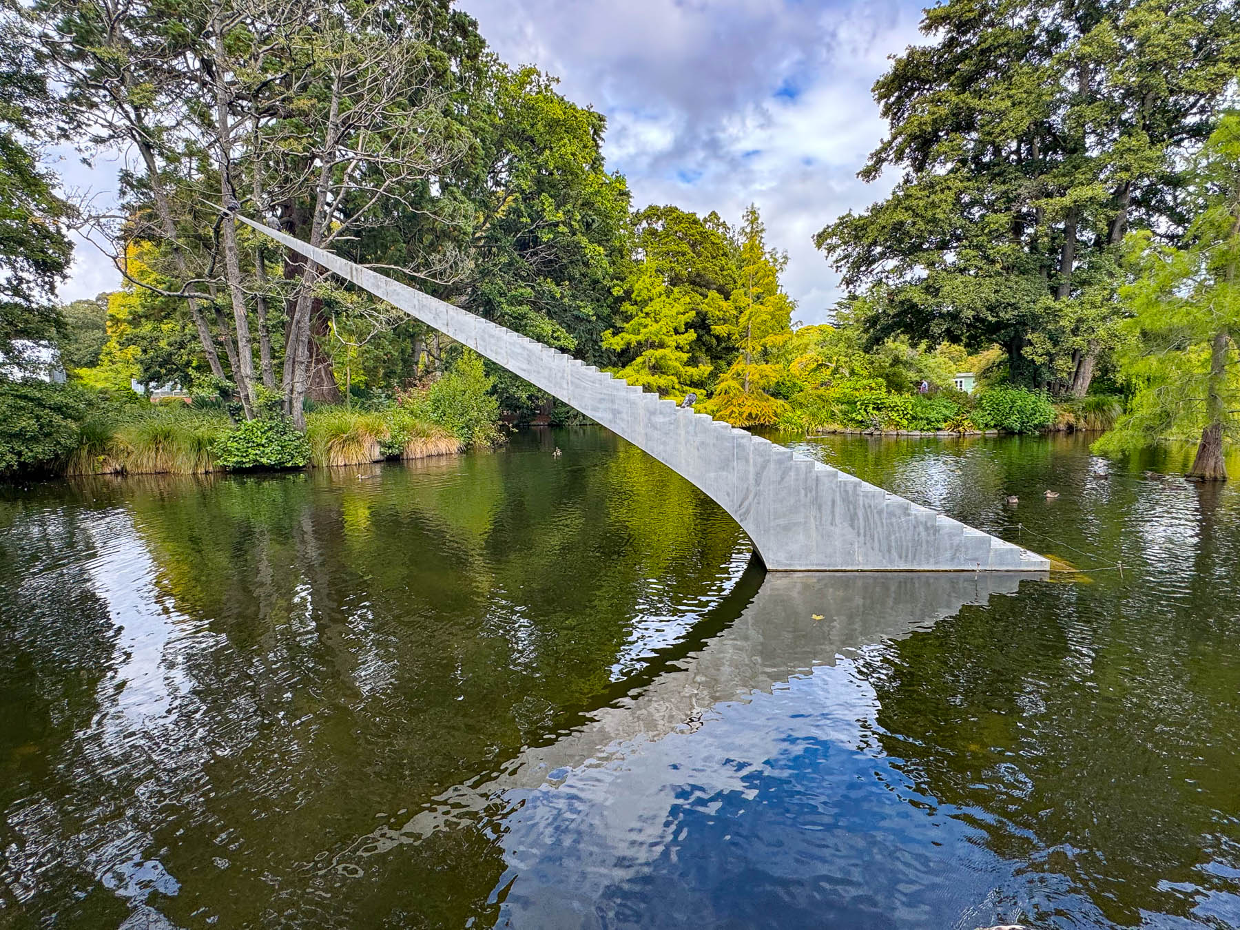
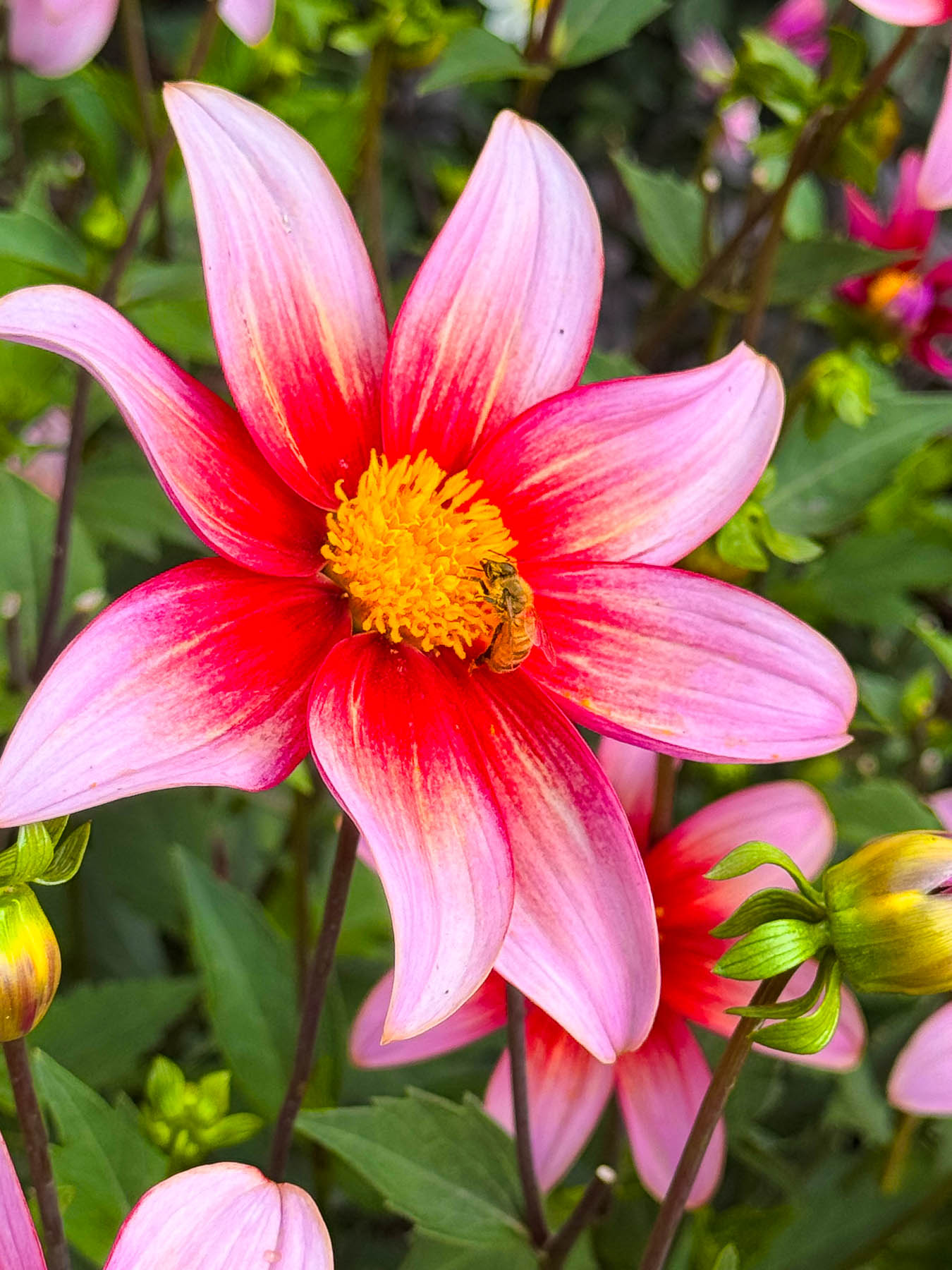
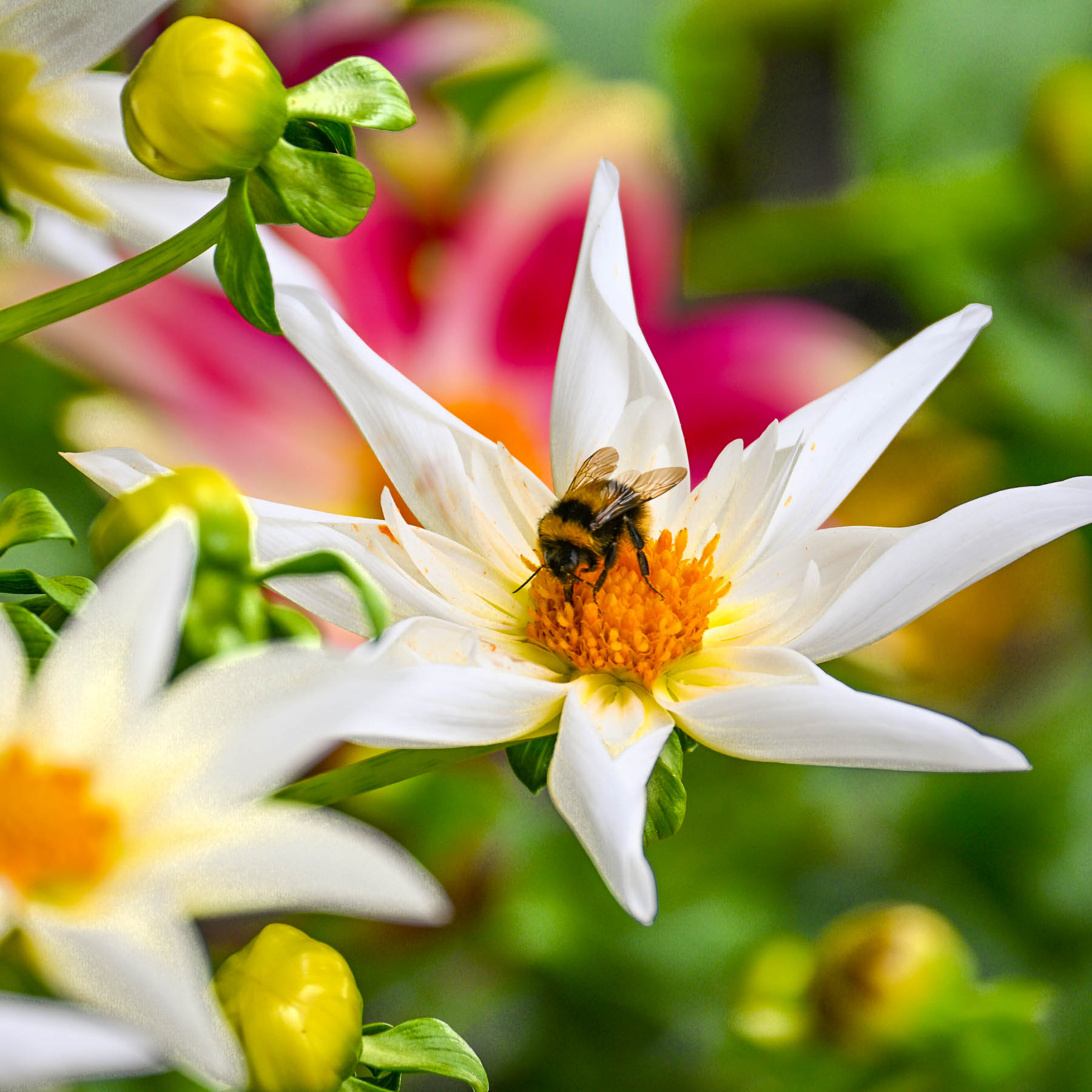
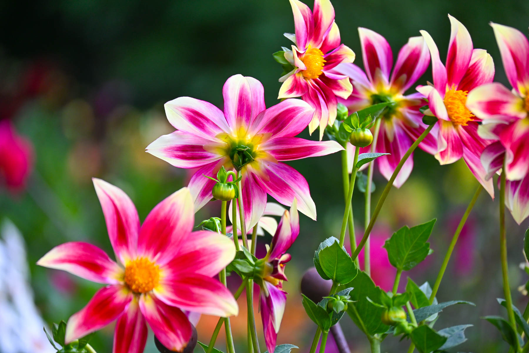
Their plantings of dahlias were particularly impressive, as was David McCracken’s Diminish and Ascend, a fascinating welded aluminum sculpture that has graced a small pond with its reflections since 2016.
Visiting the park was the perfect way to end our stay in Christchurch. When planning our trip around the South Island we never realized what an amazing amount of fantastic public art the creative community in the city supported. Old and new; it’s a wonderful dichotomy that Christchurch graciously embraces. In hindsight we could have used an extra day in the city to explore several of its museums.
Till next time,
Craig & Donna