Road Tripping Around New Zealand: Part 1 – Waiheke Island: Oysters, Wine and Seascapes or Learning How to Drive on the Left

Why do we go where we go? It’s a dilemma for many of us. As nice as the many different regions of Europe are, it was time for something different. We had been avoiding the South Pacific for a long time, but a good deal on airfare to New Zealand that started in our home airport in Georgia was too good to pass up so we packed the neck pillows and booked that excruciatingly long 22-hour flight. In economy, no less – yikes!
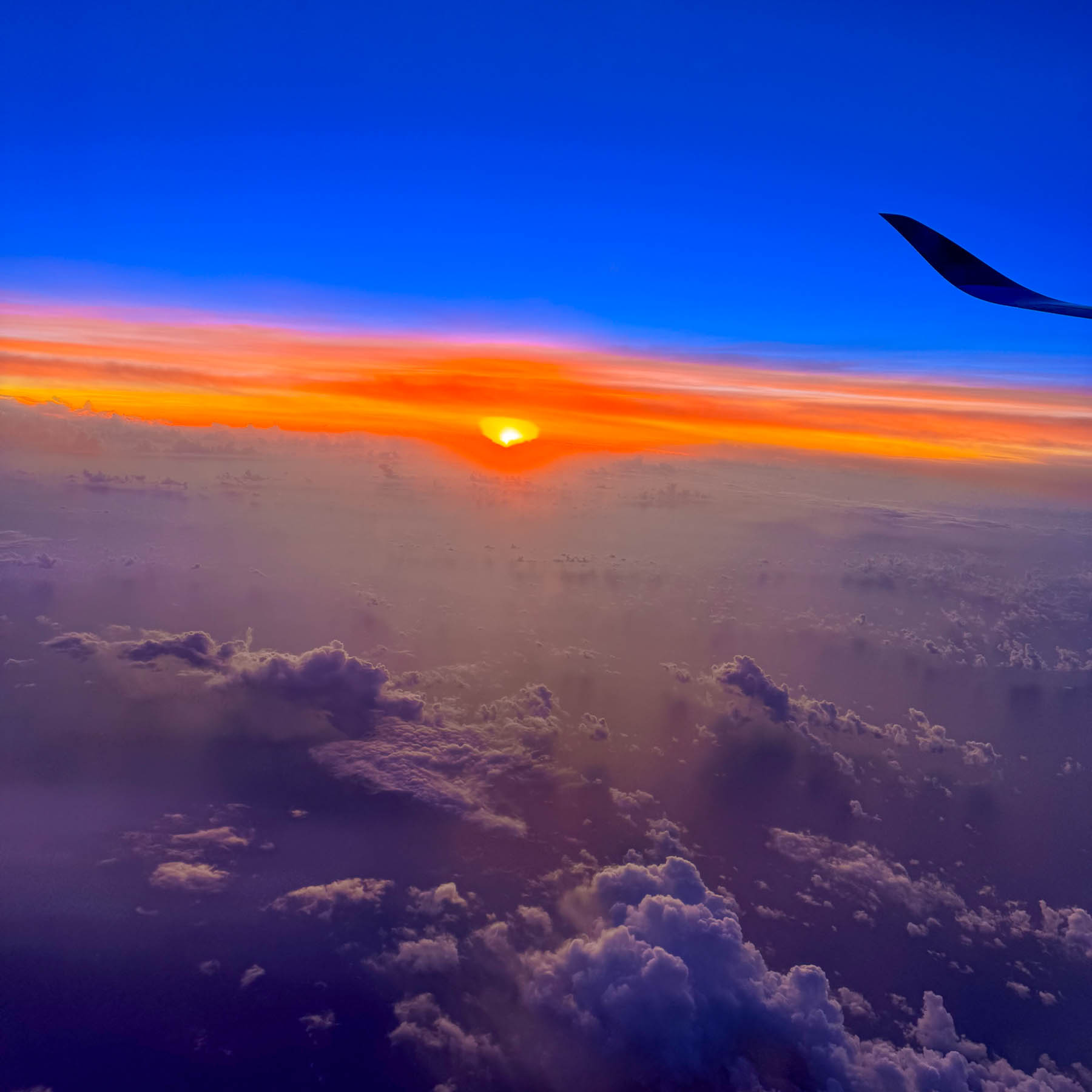
Our early morning landing timed perfectly with a beautiful sunrise. We weren’t particularly keen on seeing Auckland, but we needed a low-key destination to recover from the jetlag and learn how to drive on the left-hand side of the road again, without immediately being thrust into city traffic. Somewhere along the line Waiheke Island popped onto our radar, and after a little research we determined that it would be a perfect and interesting spot for us to recoup, before returning to Auckland and starting our nine-day road trip around the North Island.
The Auckland Airport was easily manageable and after a good cup of coffee in the main terminal we proceeded to the Ride Share area which was only a short walk away, to meet our driver we booked through Uber New Zealand for the 30-minute trip from the airport to the ferry terminal. Didi Rider is also a popular rideshare option. If you have a larger group and a little more time there is the Super Shuttle which offers low, fixed rates to points across Auckland.
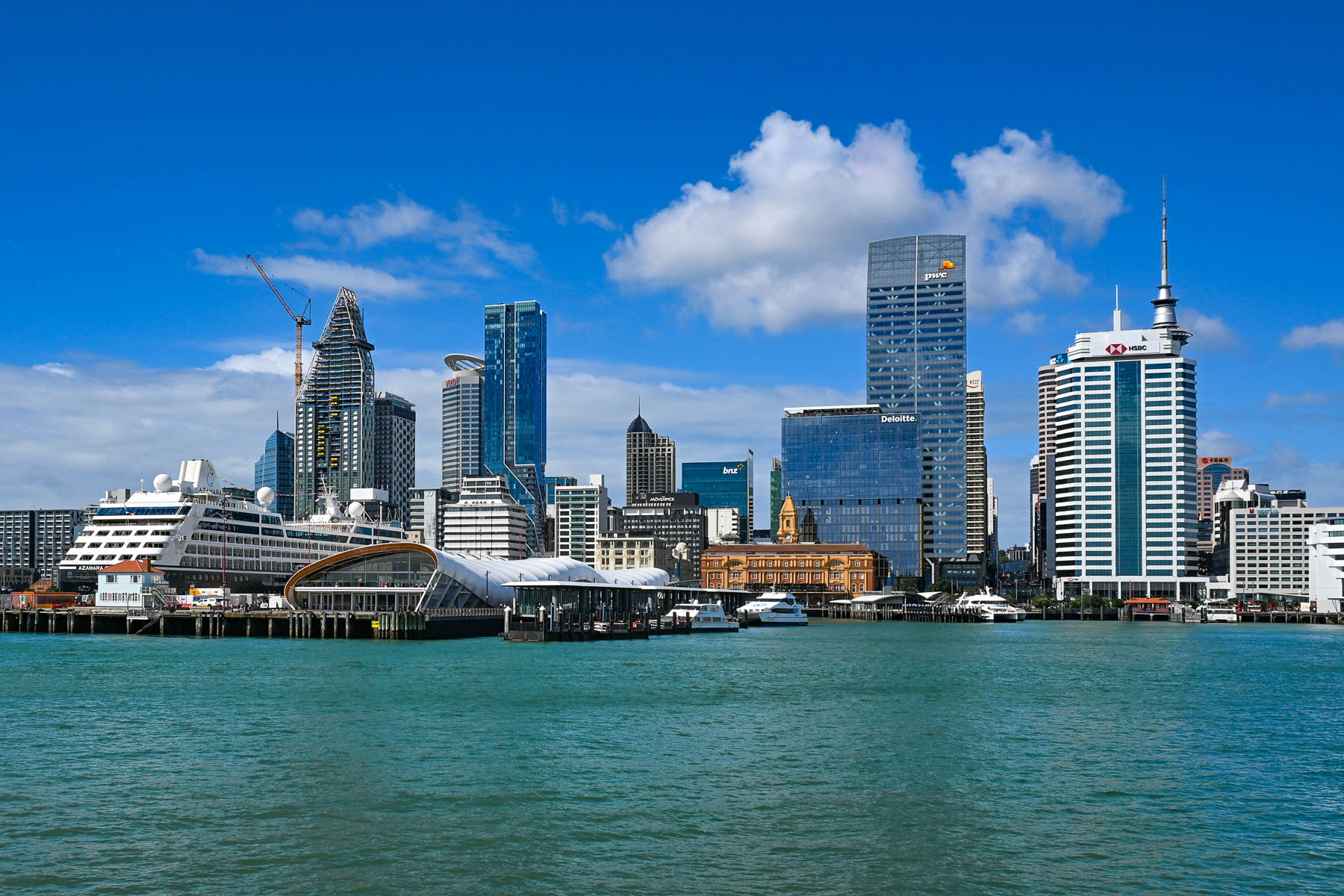
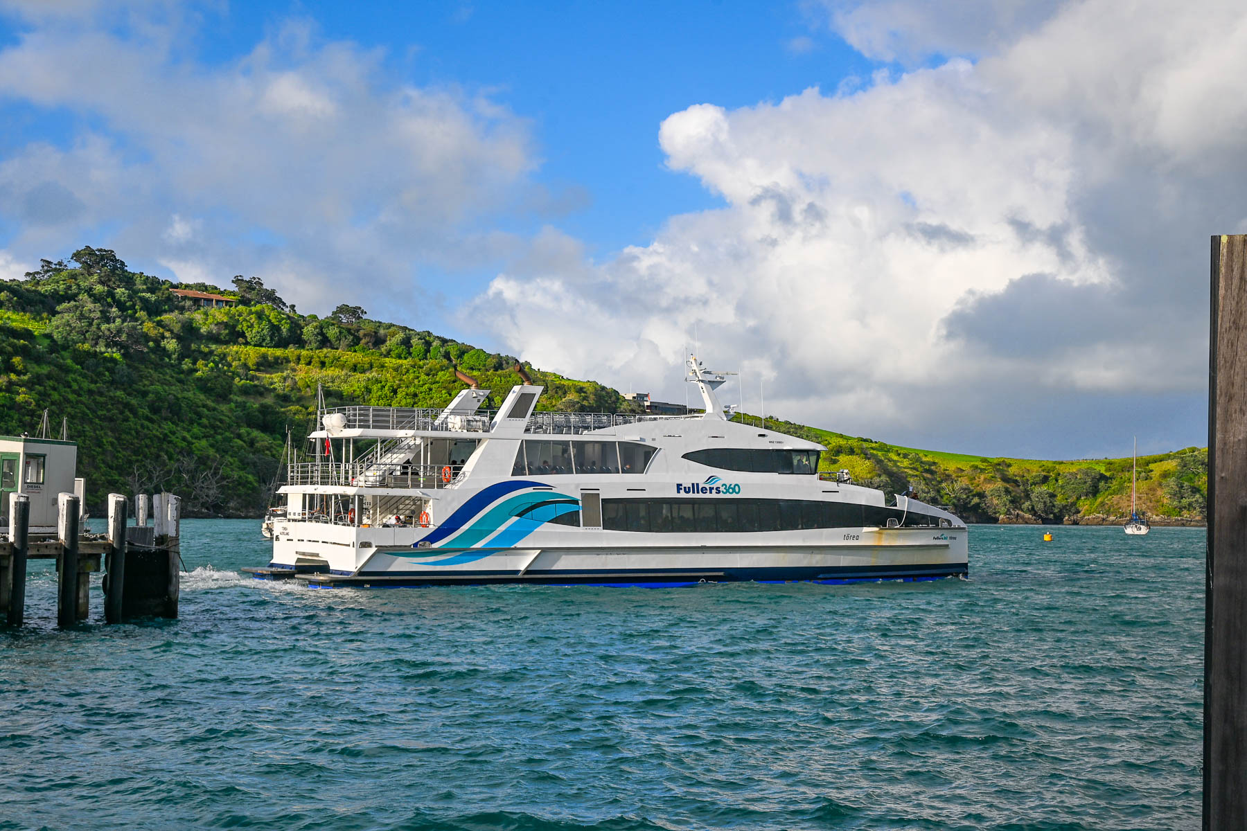
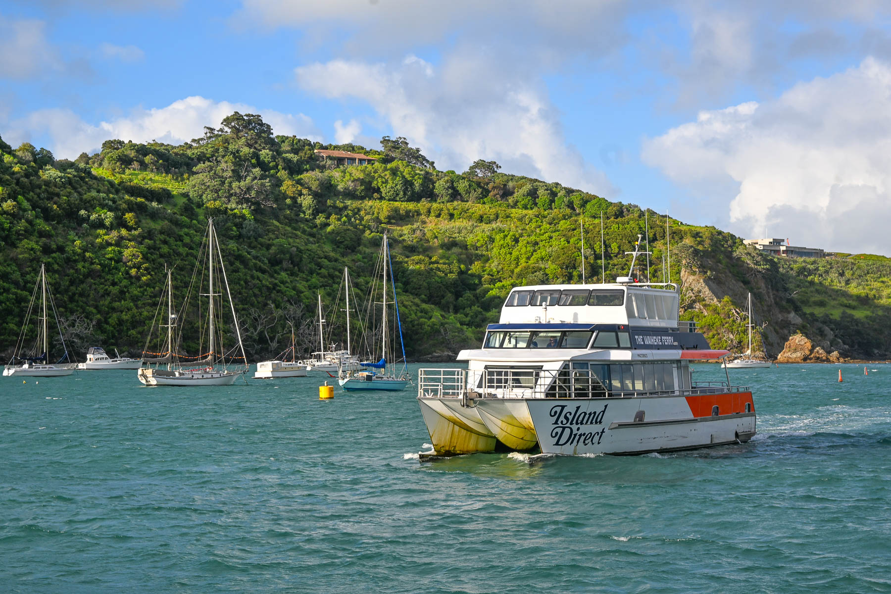
Landing on a Friday in mid-February, it was still the summer season down under. We weren’t sure how busy the afternoon ferry would be, ahead of the weekend. Fortunately, before leaving the states, we booked the 1:00PM Fullers360 Ferry departing from the Auckland Downtown Ferry Terminal on Quay Street; no last-minute walk-ons were allowed to board, as the time slot was fully booked. Island Direct also offers a ferry service from Pier 13 at the downtown terminal. The 21.5 km (13.4 mi) crossing takes about 40-minutes to reach the Matiatia Wharf landing on Waiheke Island. Folks wanting to take a vehicle to the island need to use the SeaLink car ferry, which departs from Half Moon Bay in East Auckland or the Hamer Street Ferry Terminal in downtown Auckland and docks at Kennedy Point on Waiheke.
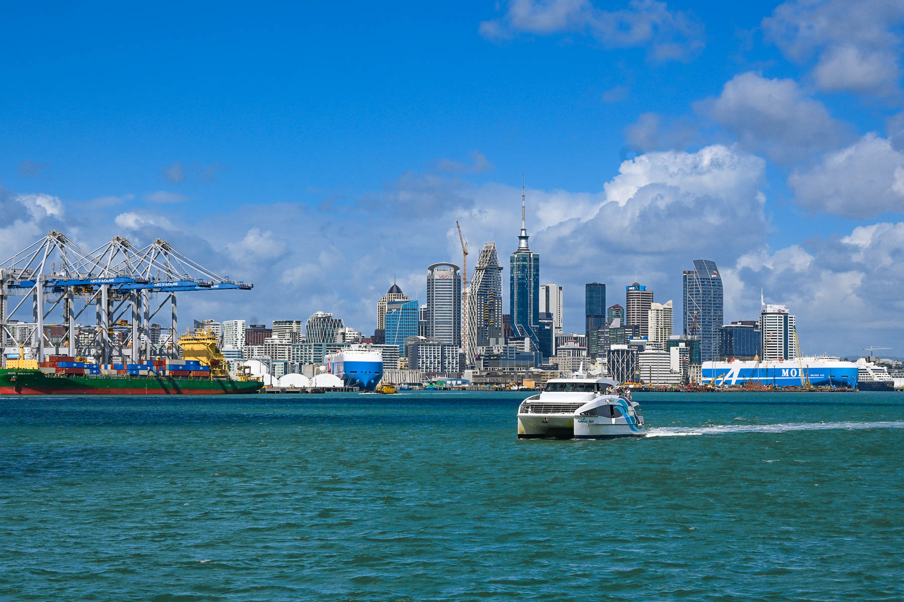
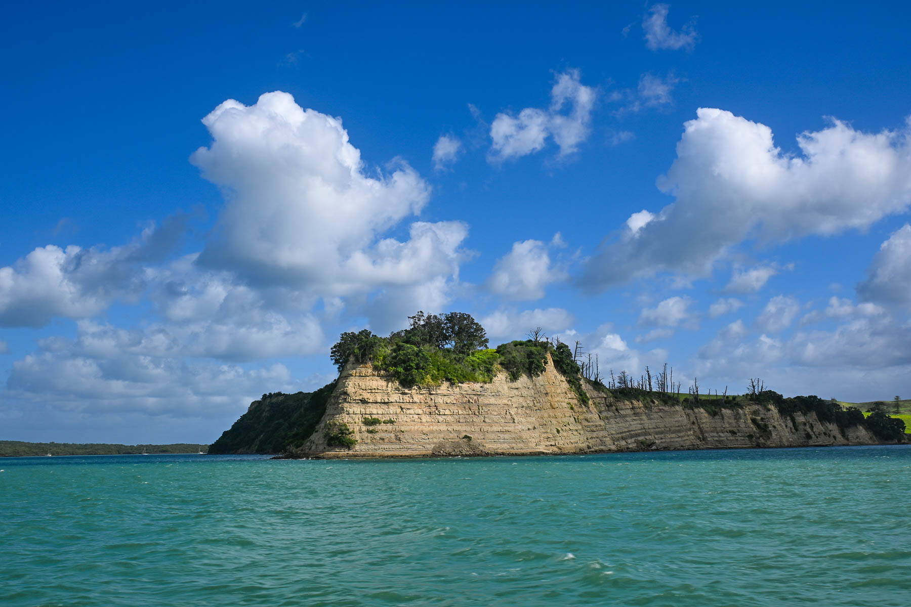
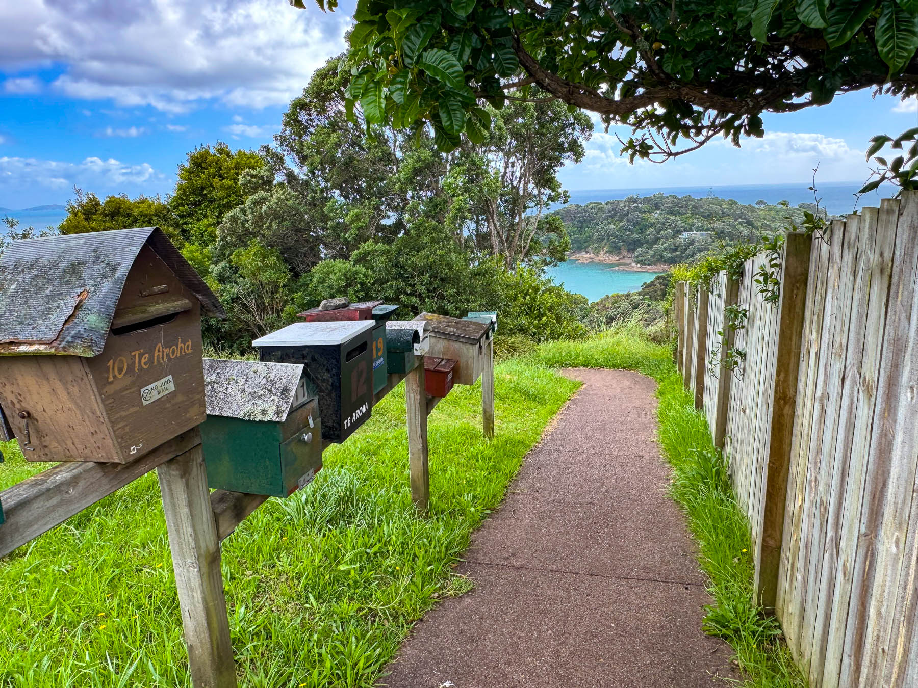
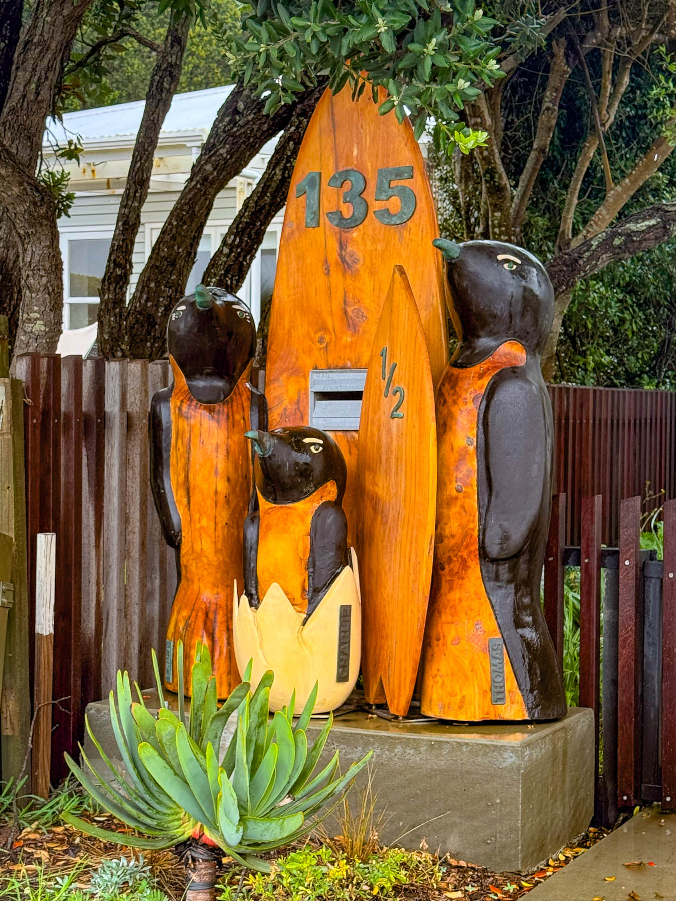
The view of Auckland’s skyline was stunning as we headed across the harbor and Hauraki Gulf. Thousands of sailboat masts dotted the seascape and rocked with the waves. Sailing is a popular activity in Auckland and about 18,000 sailboats call the “City of Sails,” their home port. The Hauraki Gulf is a huge body of water with over 50 islands, of which Waiheke is the second largest with a land mass of 9200 very hilly hectares (22,734 acres). Surprisingly, Waiheke is the most populated of the island chain with nearly 9400 permanent residents, some of whom commute daily to Auckland for work, and about an additional 3,400 folks have holiday homes on it. It’s said to be more densely populated than the North and South Islands, but from our experience it felt almost uninhabited, as most of the homes across the island were well hidden in the island’s forested hillsides. And local tourism had pretty much stopped with the reopening of the schools at the end of the summer break several weeks earlier.
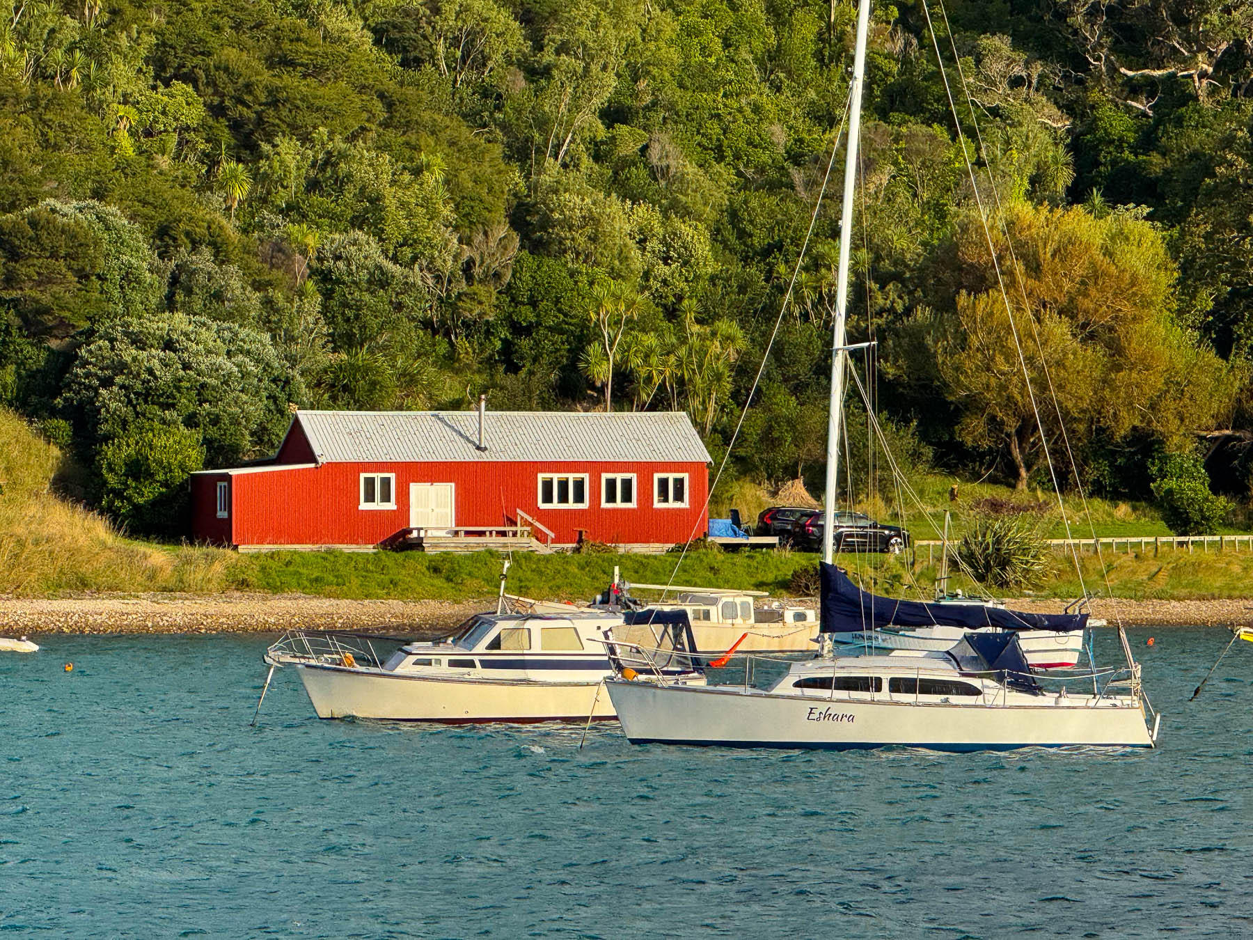
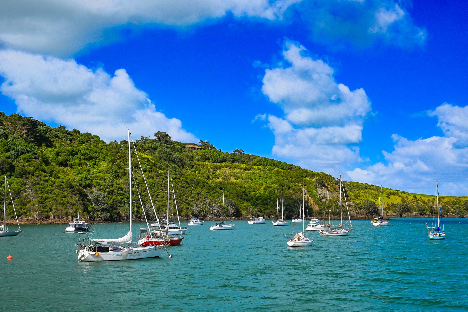
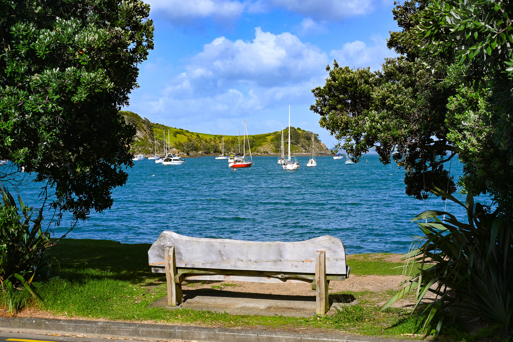
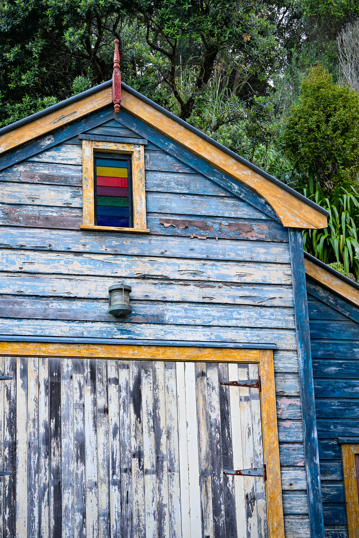
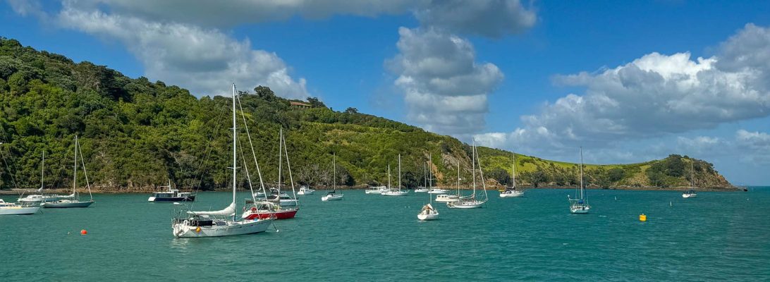
Boats anchored in Matiatia Bay bobbed up and down with the small waves that a strong wind had kicked up. Fair weather clouds scurried across the sky. The small harbor was reminiscent of coastal Maine with a red fisherman’s shack along the waterfront. On the wharf we picked up the key to a compact older car from Waiheke Car Rental, a subsidiary of Mint Car Rental, through which we also reserved a vehicle at Auckland Airport for the later part of our trip around the North Island.
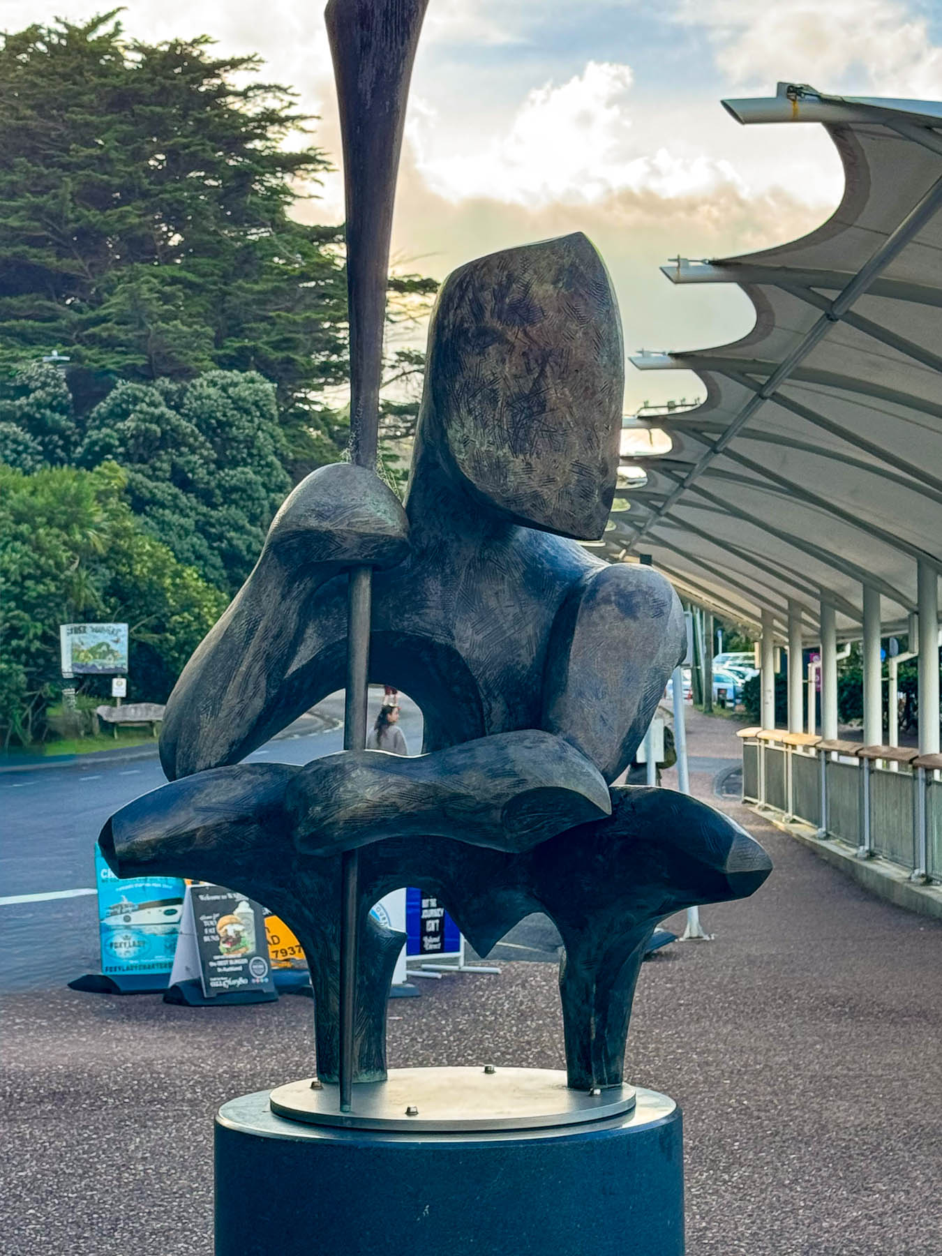
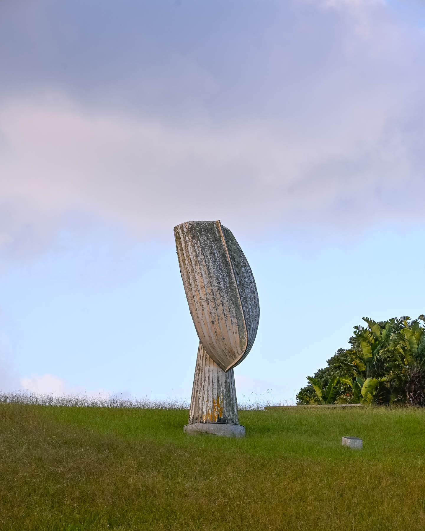
Outside the ferry terminal was a Māori influenced sculpture by island artist Chris Bailey called Te Werowero. The statue is intended to act as a guardian of the island and challenges visitors to respect the environment and local way of life, wāhi tapu. It was a bit of a trek through a dusty parking lot to find the car: the air-conditioning worked so we were good to go, but I have to admit that I did open the wrong side of the car and was surprised there was no steering wheel in front of me, and that I’d be manually shifting with my left hand. With our mantra, “stay left!” and a “you’ve got this,” pep talk we set out. Luckily, there was hardly any traffic, and our lodging was only a short, five-minute drive away. We followed Ocean View Road, the main street which passes through Oneroa, Waiheke’s largest village, that has a small cluster of restaurants and shops along the street.
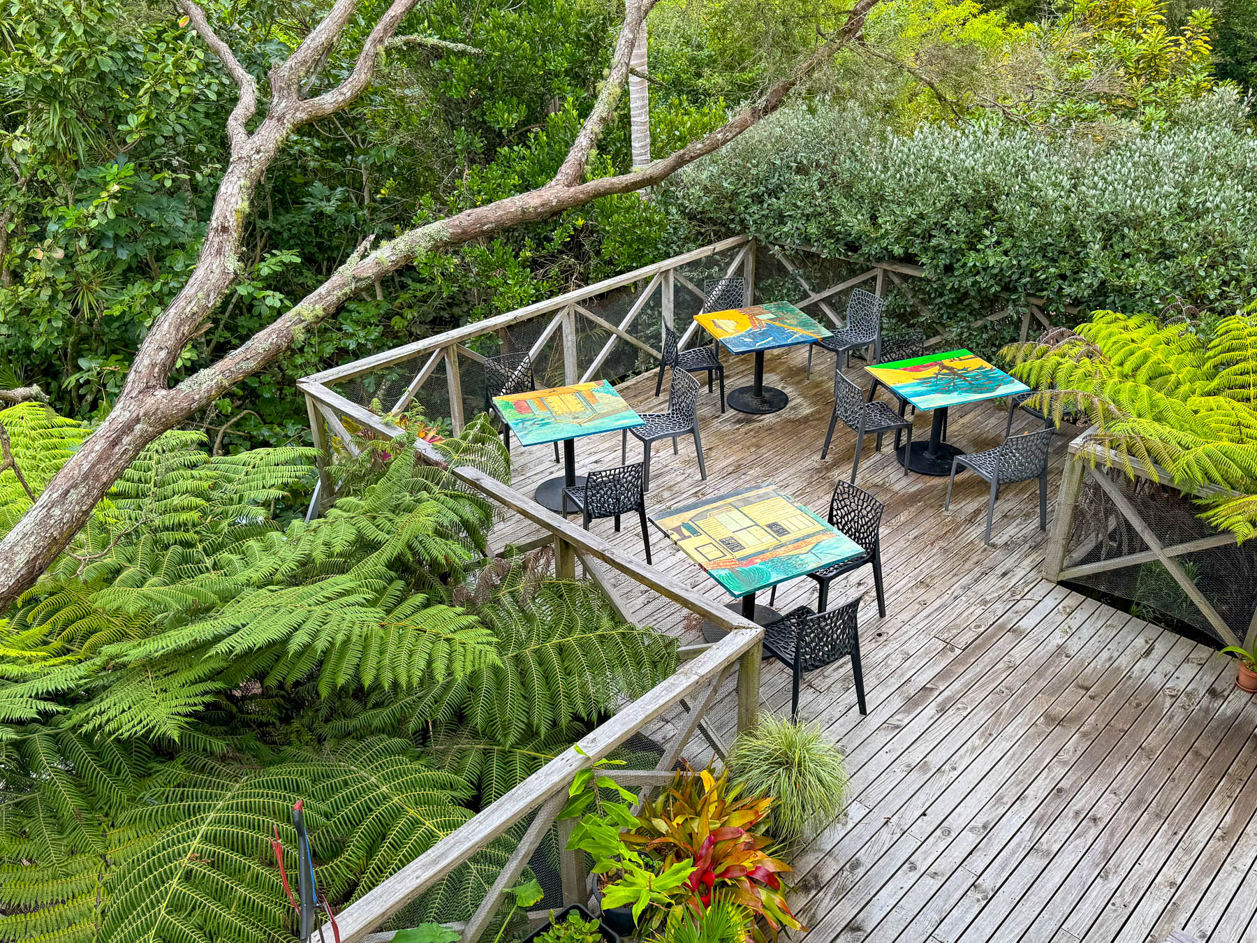
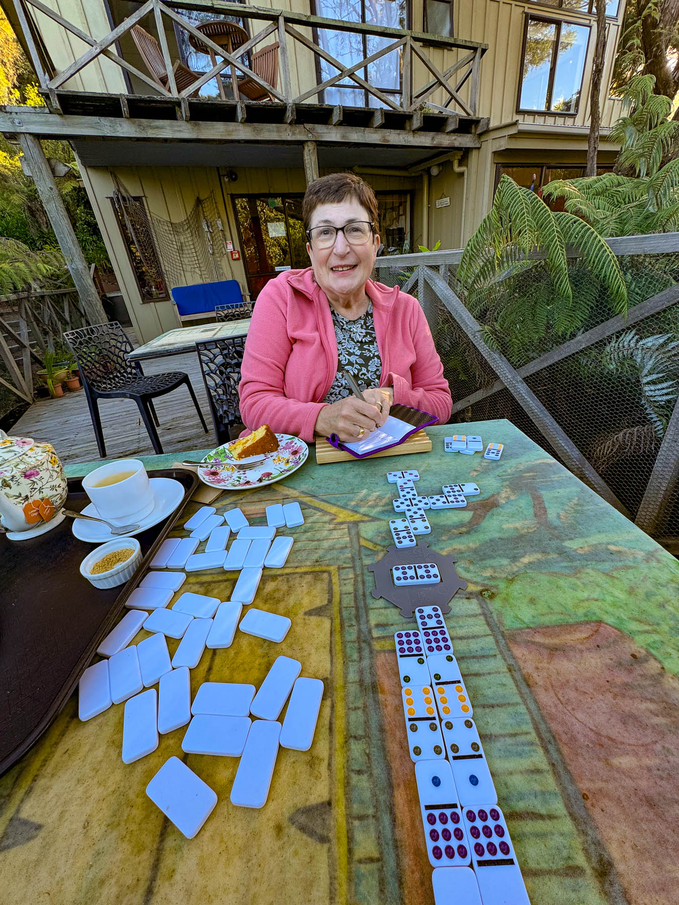
Our base for three nights was the laid back Punga Lodge where we enjoyed the sumptuous breakfasts and afternoon tea prepared by Diane and Rob, on the deck overlooking an old growth grove of native punga ferns filled with lovely song birds. Our hosts are a delightful couple whose company and conversations we enjoyed, and contributed greatly to our wonderful experiences on the island.
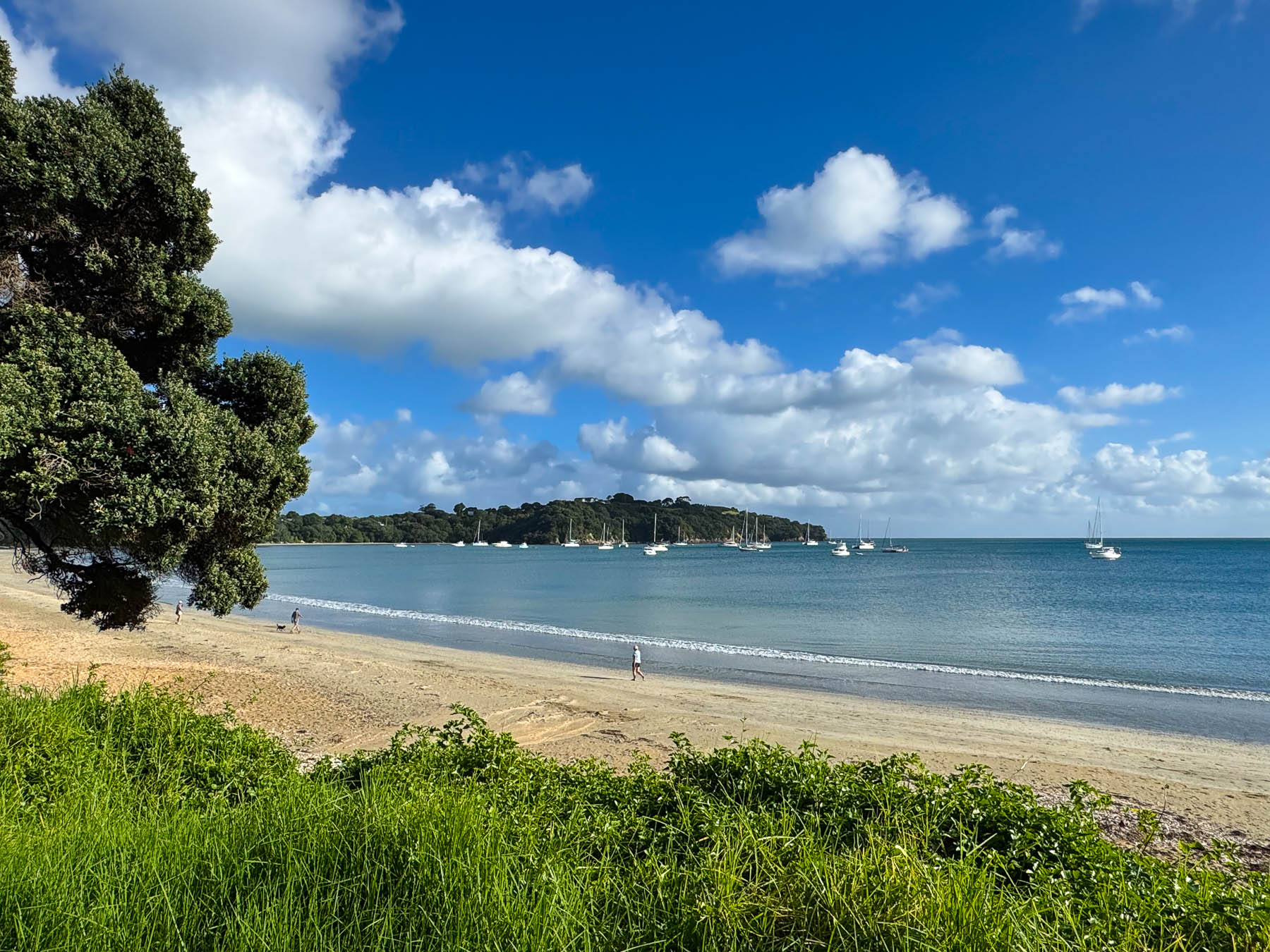
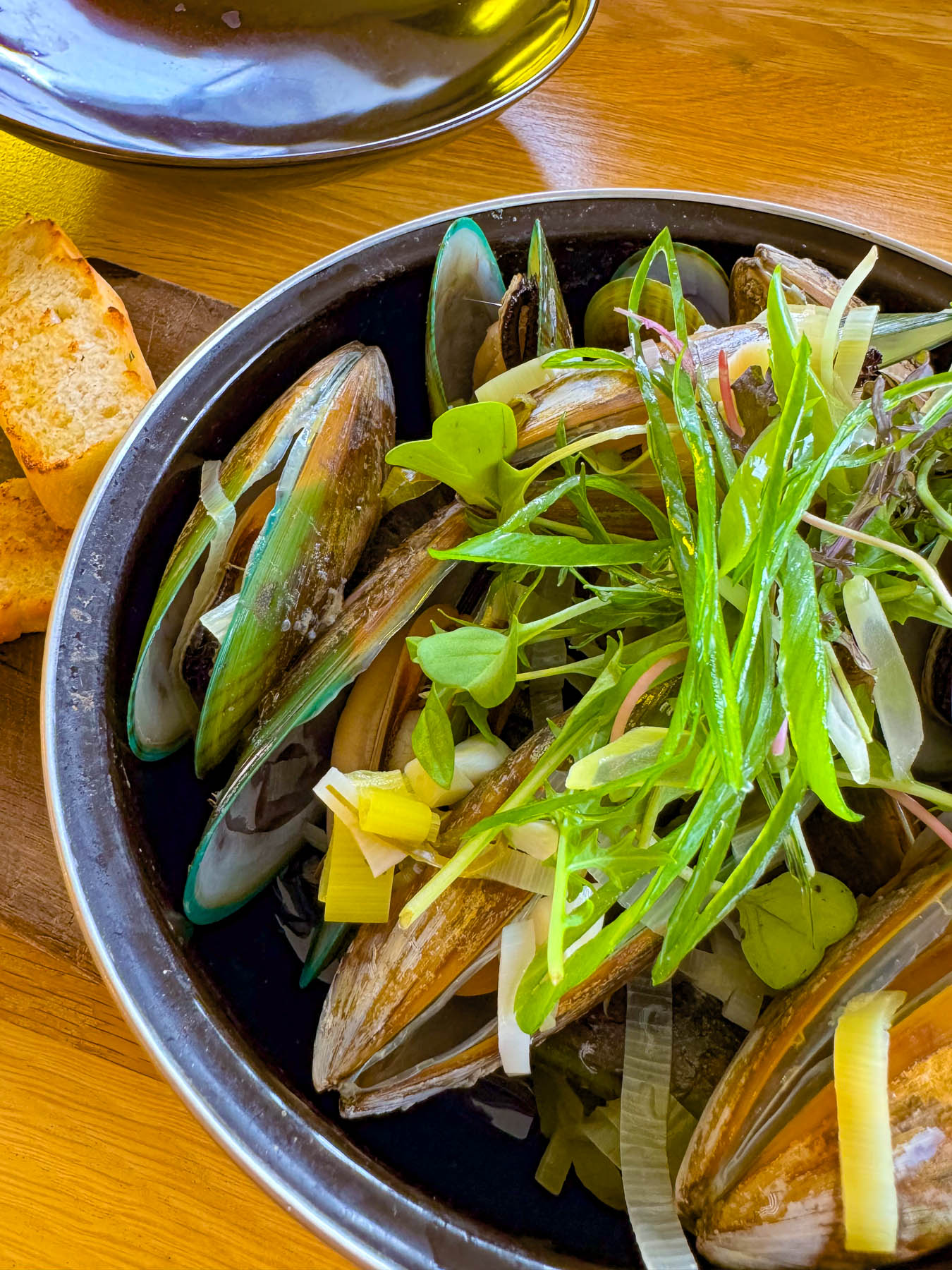
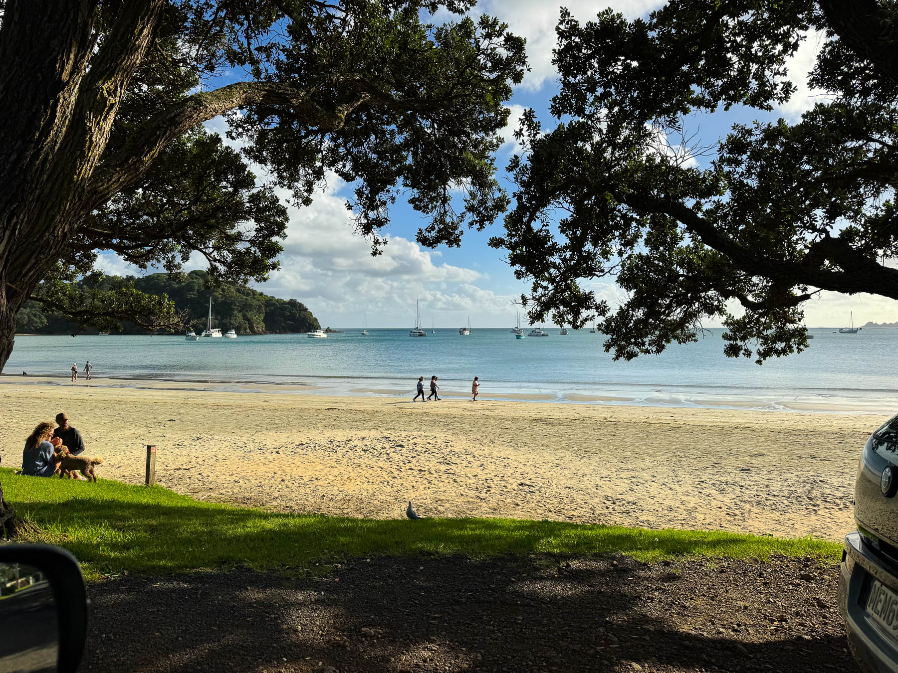
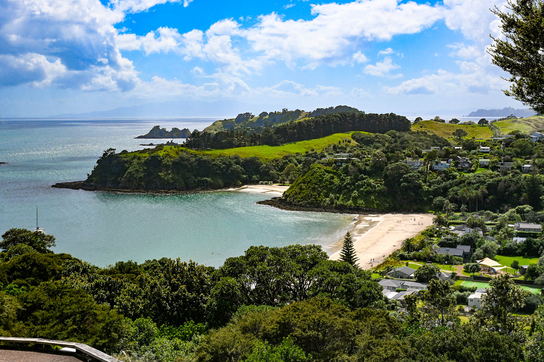
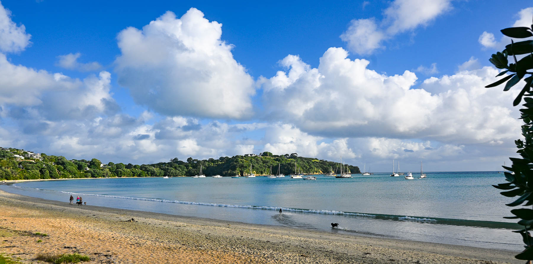
After settling in we headed to Big Oneroa Beach for a walk along the fish hook shaped coastline, before strolling through the village to have dinner at Obee’s, which has a nice view of the bay from its terrace. The local Waiheke mussels we ordered were delicious.
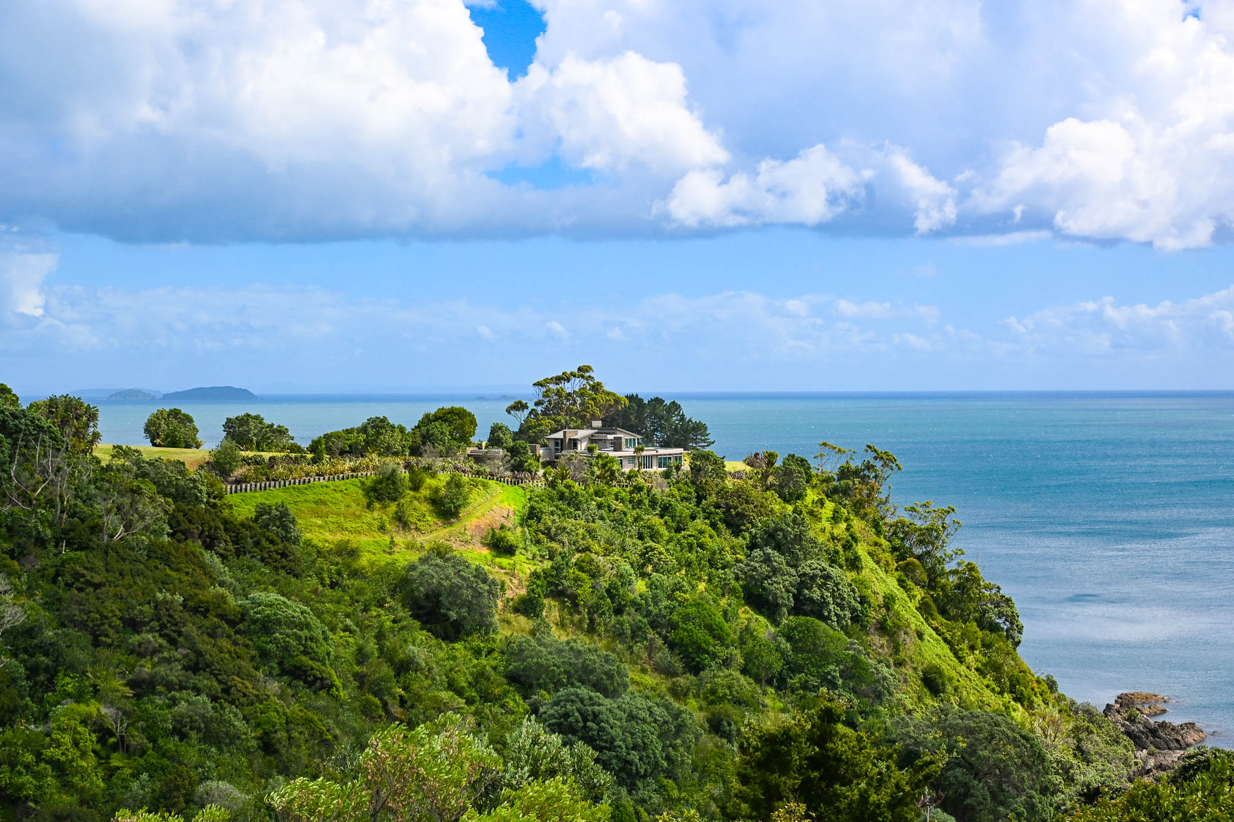
Decades ago, Waiheke Island was a counterculture haven with over 100 artists calling the island home. Gentrification soon followed but growth was limited due to the island’s lack of a public water utility infrastructure, which necessitates most of the households, restaurants, and hotels on the island to sustain themselves with roof collected rainwater funneled into large water cisterns. Some of the larger estate homes and farms on the island have chosen to drill expensive wells. During droughts folks can buy water from local tanker trucks that pump water from the island’s deep aquifer, and the local council operates emergency drinking stations where residents can fill 20-litre containers.
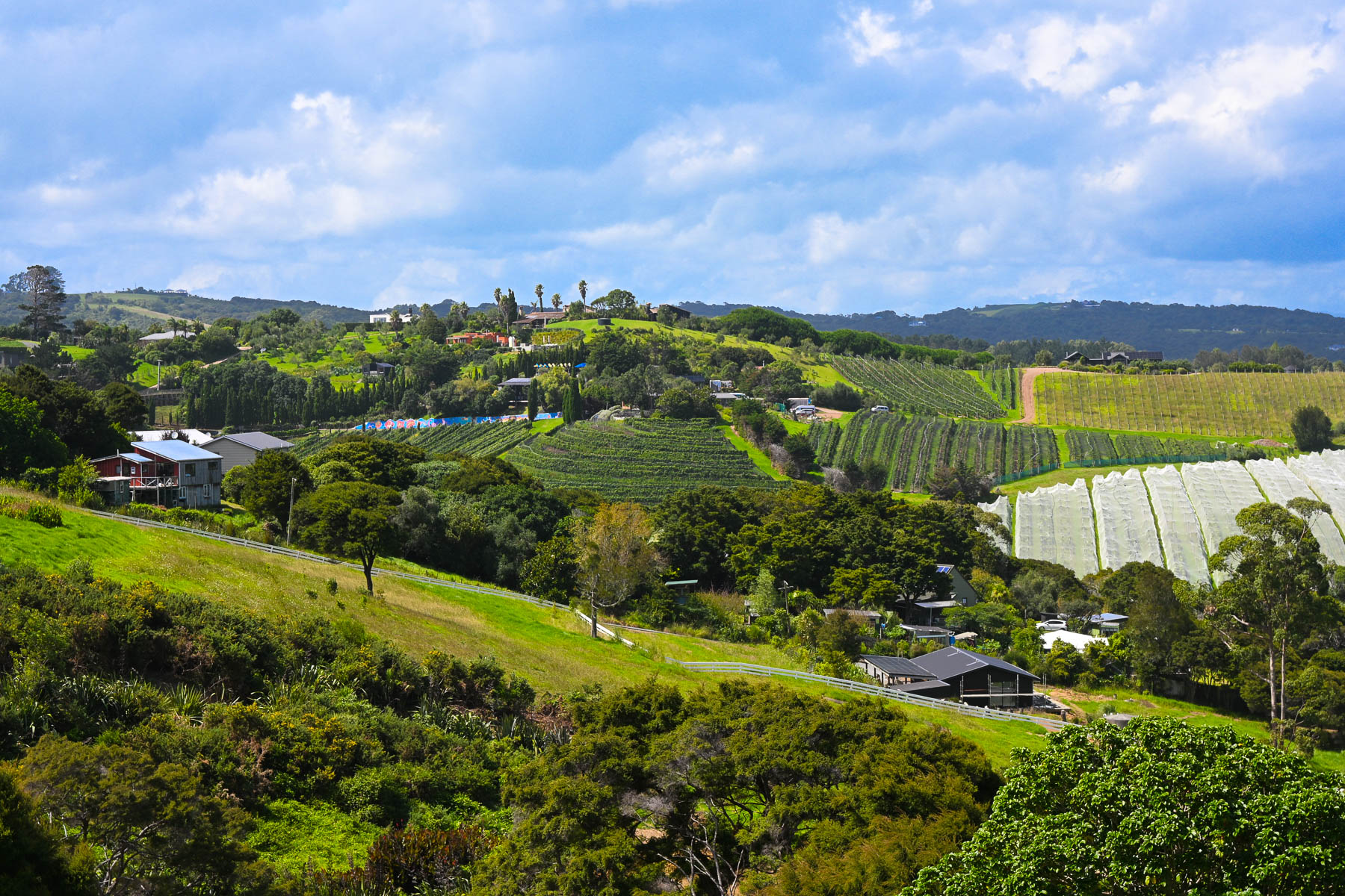
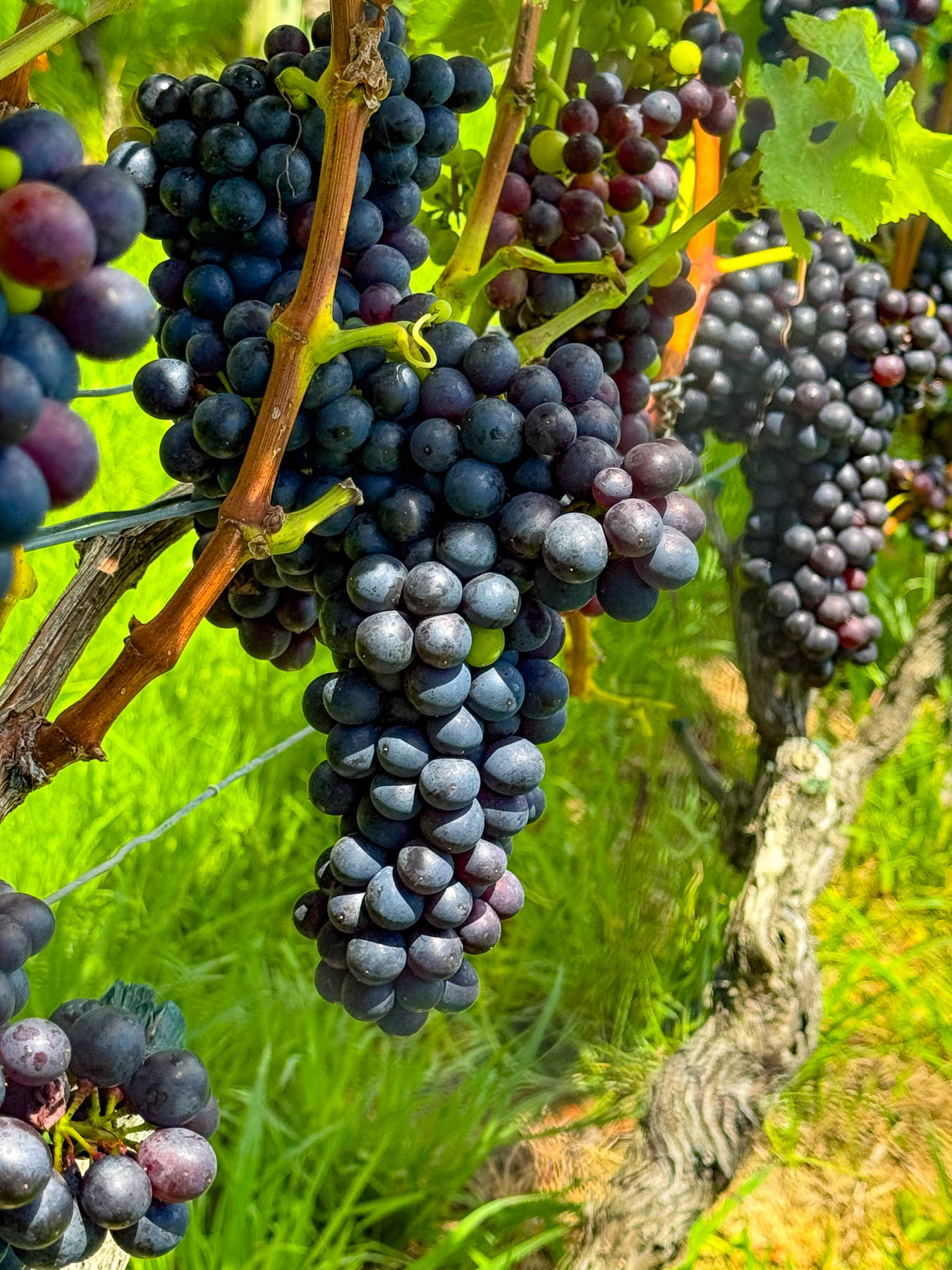
Wines from the first vineyard on the island in the early 1980’s were a success and more winemakers followed, drawn to the island’s Mediterranean microclimates and hilly volcanic landscape which affords an array of terroirs. The island is perfect for growing the red grapes for Syrah, Merlot, Cabernet Sauvignon, and Malbec. Along with plantings of the white grapes for Chardonnay, Pinot Gris, Viognier & Sauvignon Blanc.
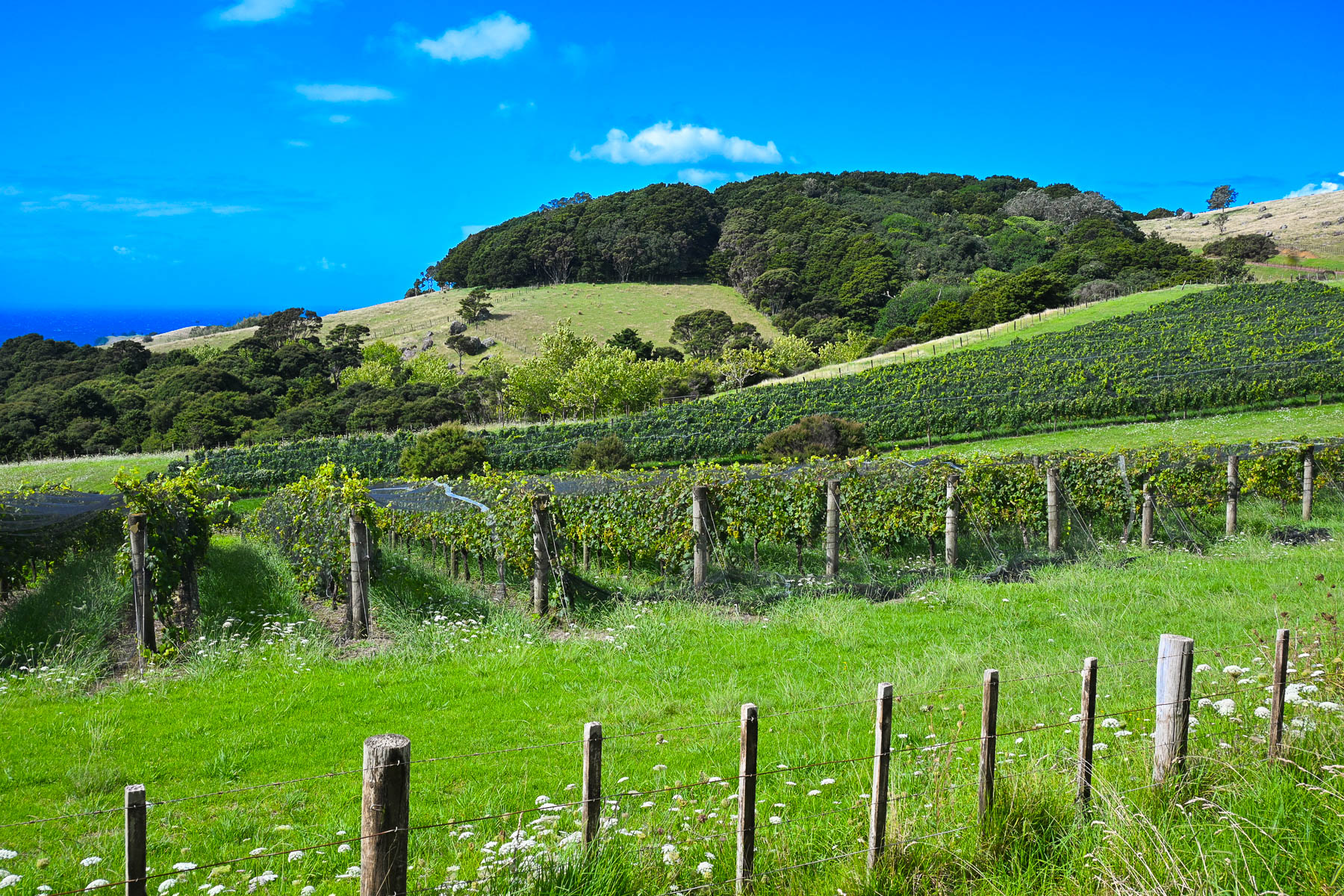
Today there are over thirty boutique wineries of various sizes with slightly more than 250 hectares (618 acres) of vineyards across the island. Over the years many of the vineyards have produced award winning vintages which have put Waiheke Island on the map as a destination for wine connoisseurs, much like Sonoma Valley in California or the Bordeaux region in France. And on the island, there is small infrastructure in place to support the popular tours of the vineyards for folks visiting the island from the Auckland mainland just for the day that starts and ends at the Matiatia Wharf ferry terminal. For a formal tour with a guide try the Waiheke Island Wine Tour  or for a self-directed tour try Western Explorer: Waiheke Island Hop-on Hop-off Bus Tour. The Waiheke Bus Company also offers a local service with five routes that starts from the ferry landing and covers the most populated western side of the island, passing some of the wineries along the way. The Waiheke Wine Growers Association also has a nice interactive map that shows the location of all the wineries across the island.
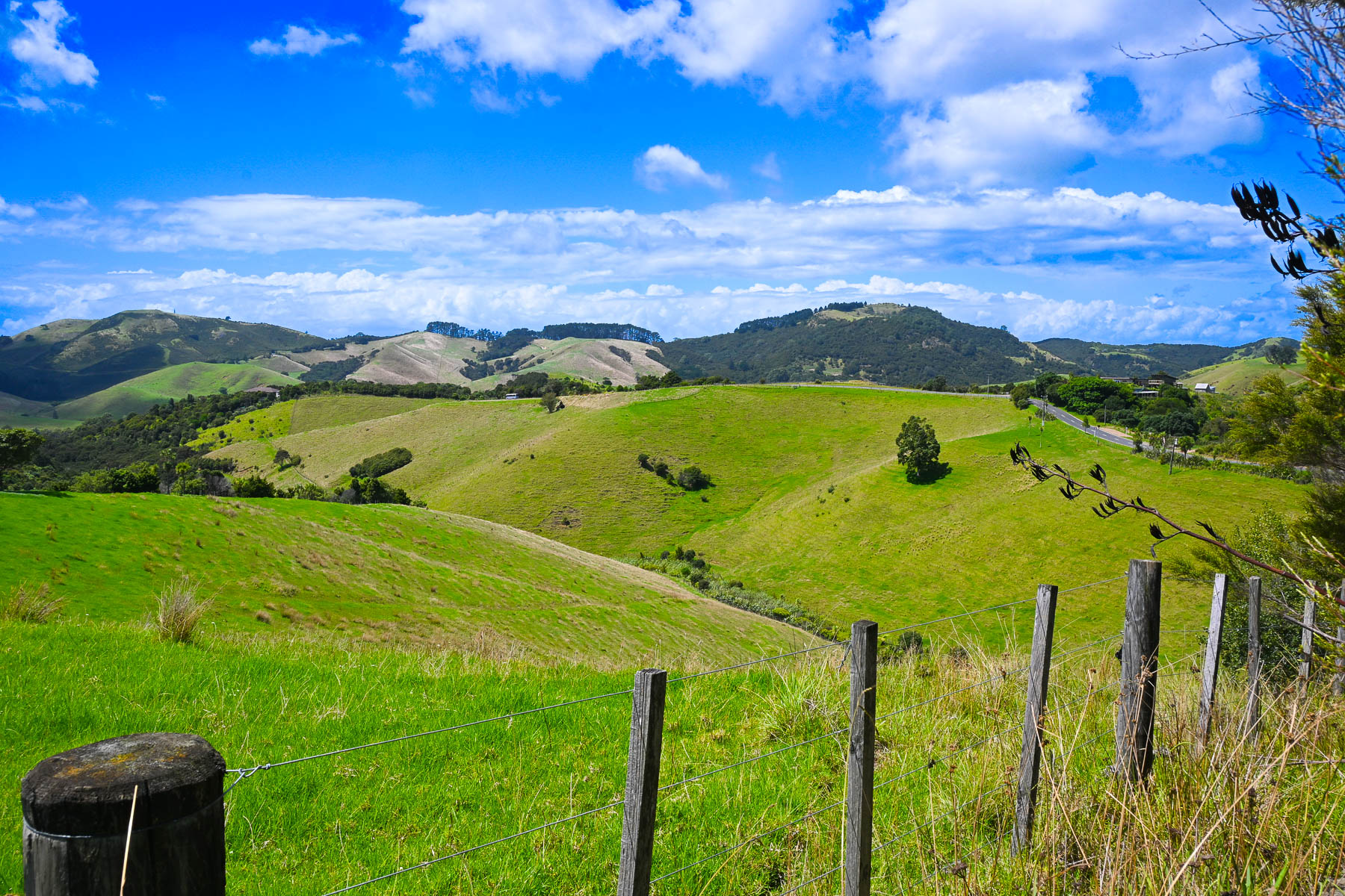
There are not really any centrally developed shopping areas on the island, aside from the short strip of stores along the road in Oneroa, where multiple restaurants, a small grocer and a liquor store can be found. While the only supermarket is a Woolworths in Ostend, centrally located village on the island. Instead, small cafes and art galleries can be found unexpectedly at random crossroads anywhere across the island.
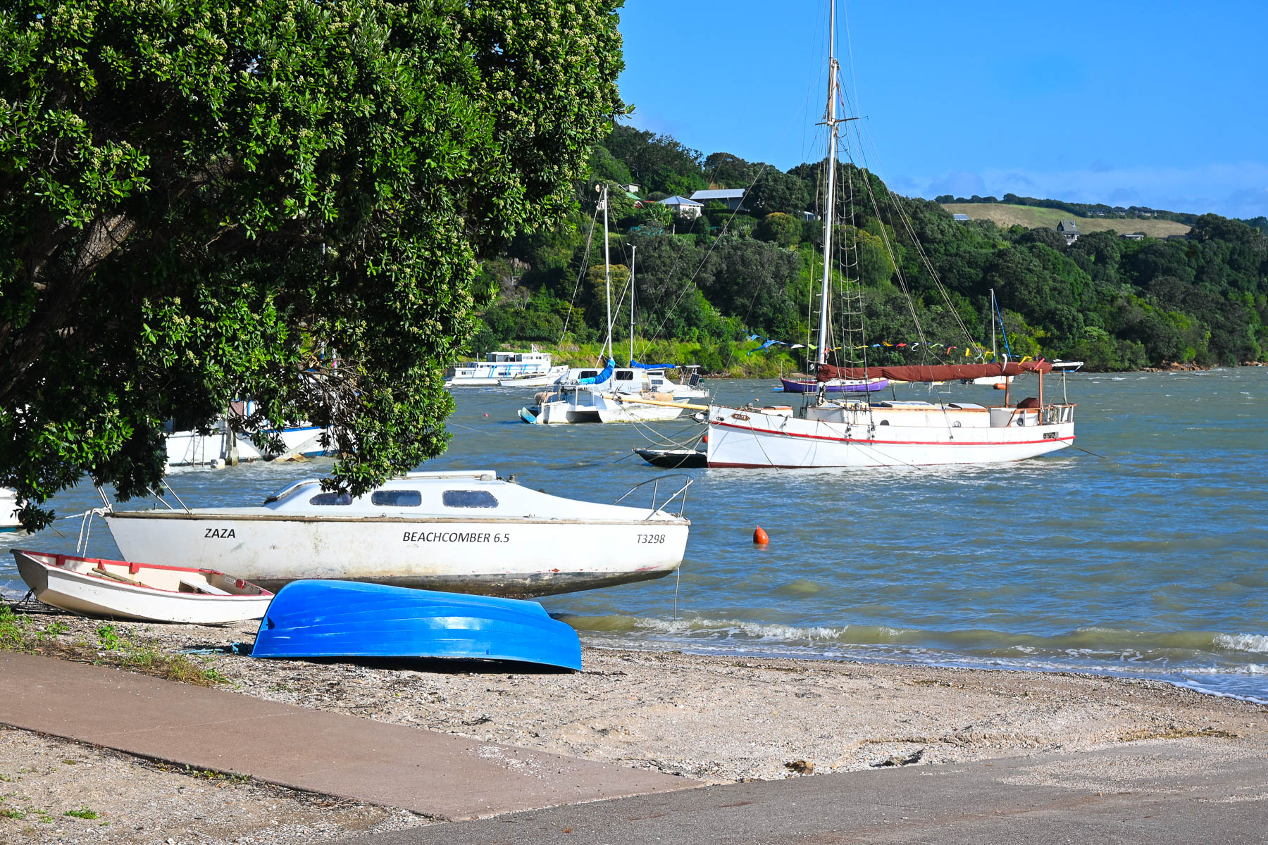
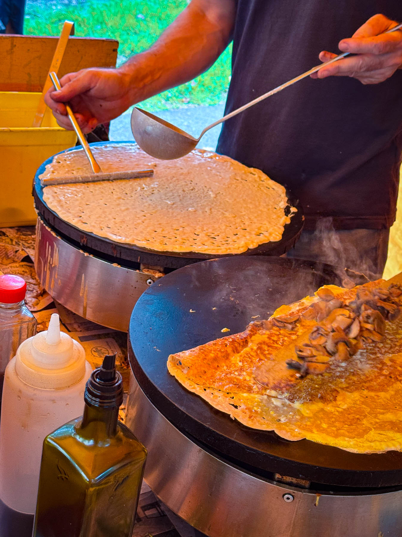
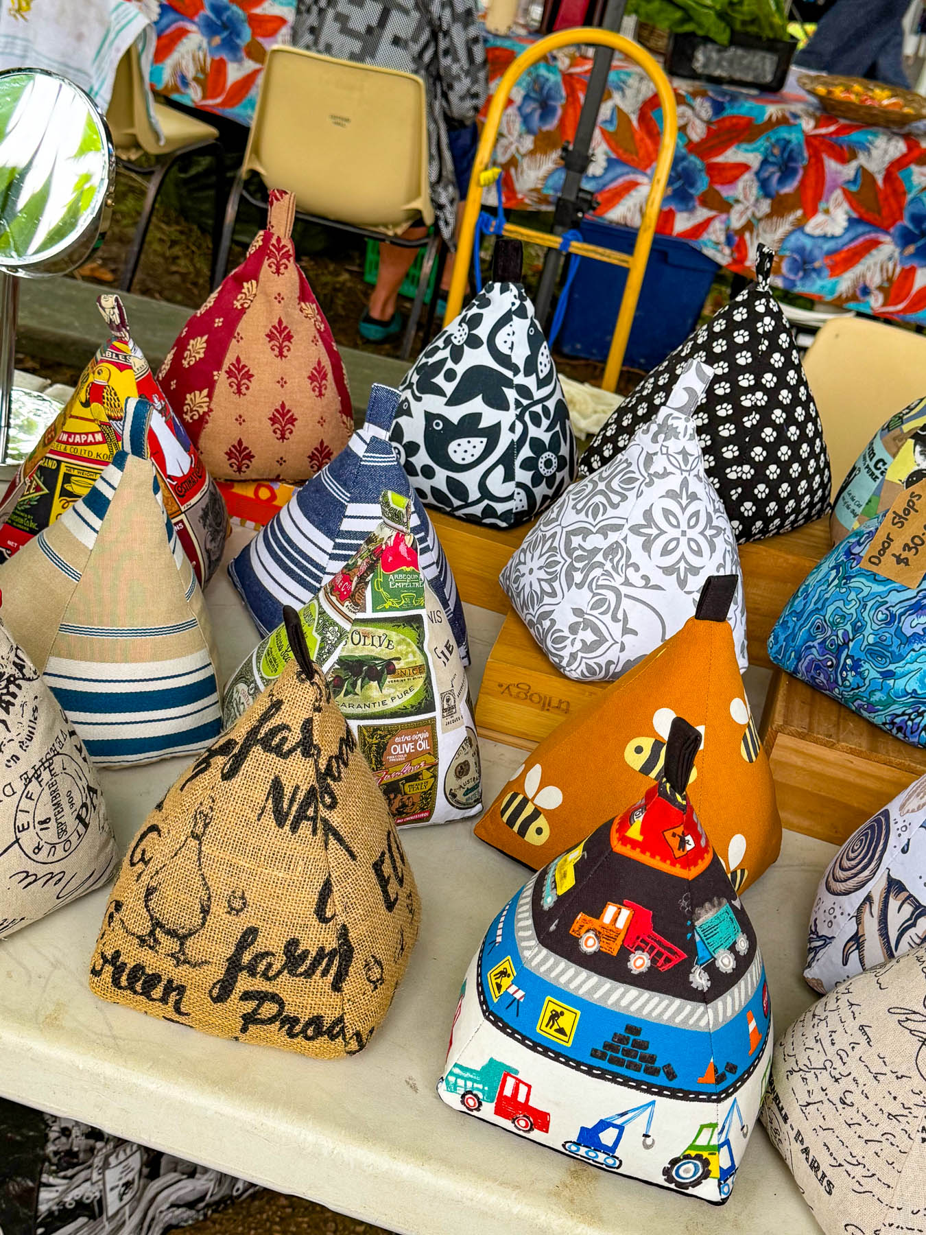
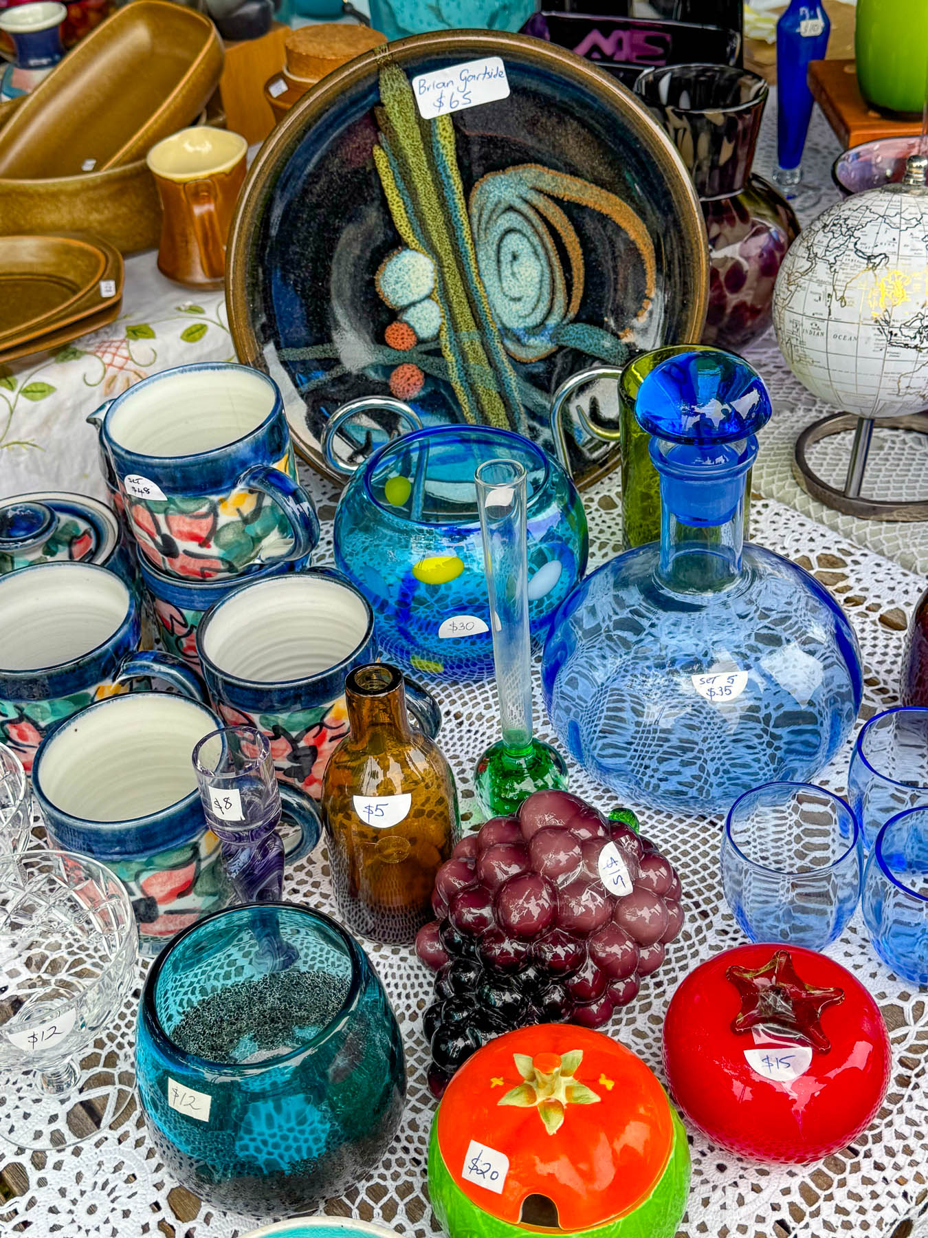
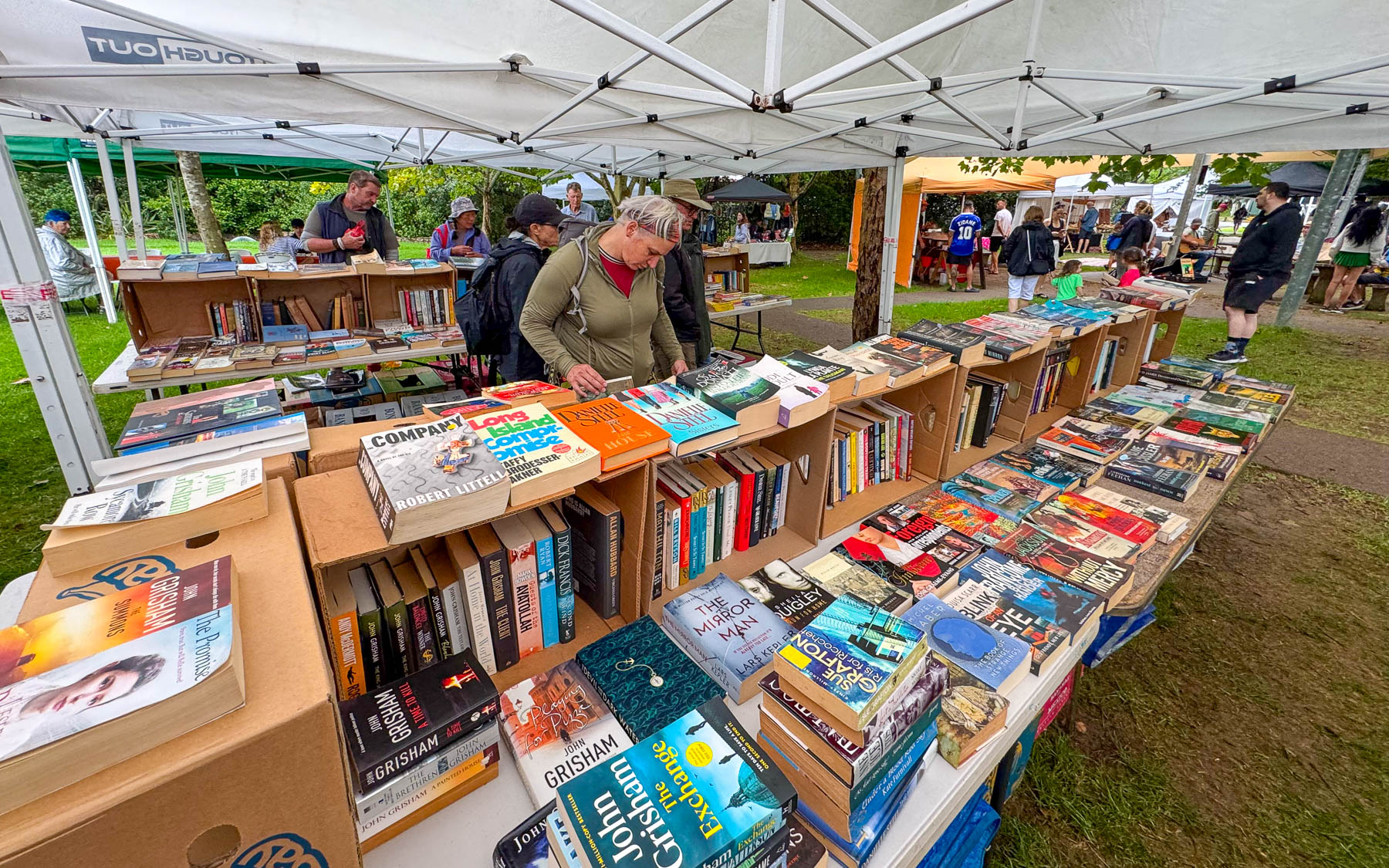
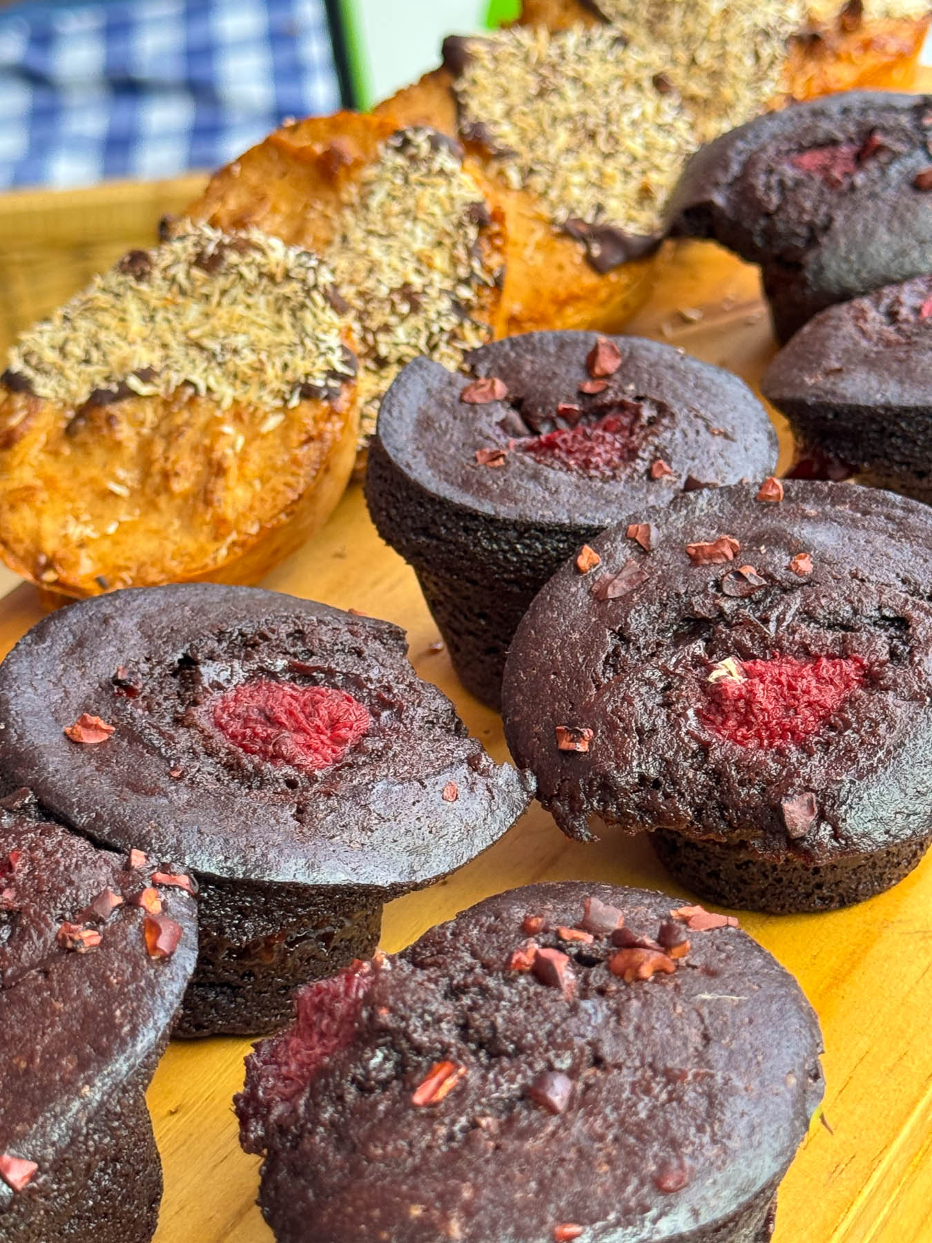
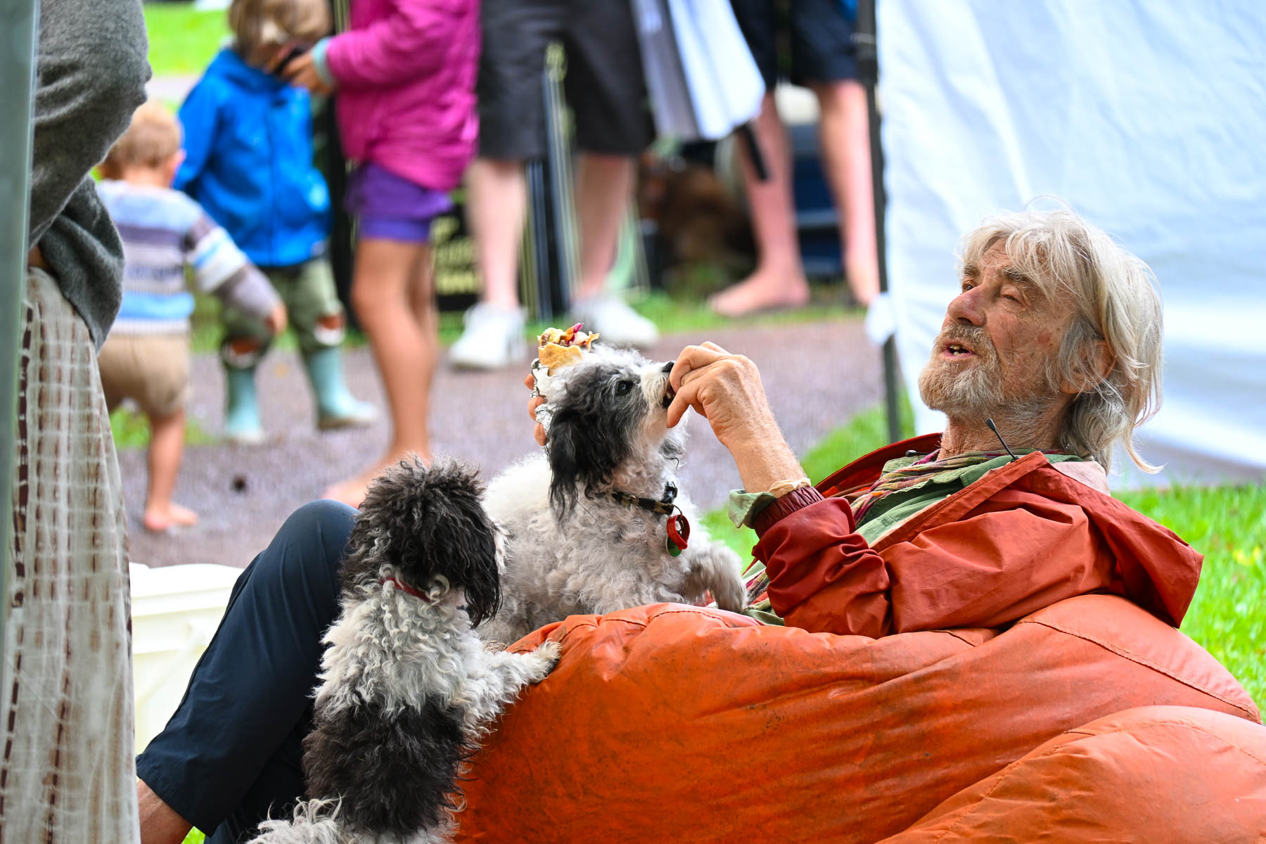
The next morning, we crossed the causeway over Putaki Bay and stopped to photograph some boats which were beached along the shoreline for repairs as we headed to the Waiheke Ostend Market. It’s the island’s year-round Saturday only farmers market, that is open from 8AM-1PM. Part social club and marketplace it is a spot where folks catch up with friends and island news while relaxing on bean bag cushions as they listen to a local band. It was not a particularly large event, but there were several stalls for coffee, breads, pastries and crepes, along with vendors selling books, ceramics, clothing, jewelry, and antiques. A downpour sent us into Take a Bite, Café & Pastries across the street for another cup of coffee as we waited out the rain. Everything in their display case looked delicious.
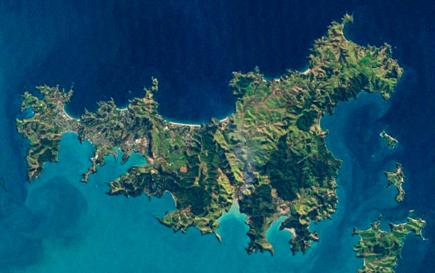
Afterwards we set out to explore some of the island’s northern beaches. The island is only 19.3 km (12.0 mi) long and varies in width from a narrow .64km (.4mi) at Oneroa near the western end the island to 9.65 km (6 mi) wide on eastern side of the island or “The Far End,” as islanders like to call it. An aerial view of the island reveals a squiggly 134 km (83 mi) coastline with multiple coves and 25 miles of sandy beaches.
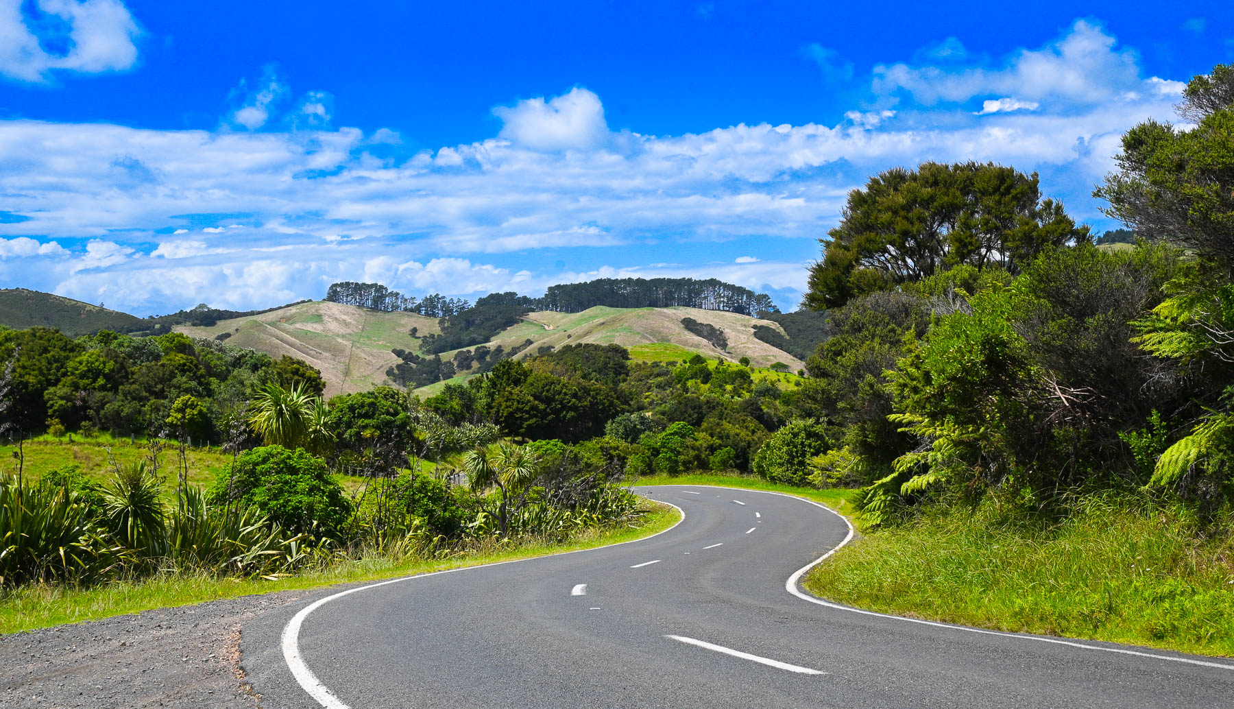
Though it’s a slight exaggeration, there’s not a straight road anywhere on the hilly island, so it took a while to get between points on the serpentine roads. Sudden rain squalls occasionally interrupted our wandering, on an otherwise mostly sunny day. The views of the countryside were beautiful, but often the roads were too narrow to stop safely to take photographs. Wild fig trees full with ripe figs grew along the roadsides.
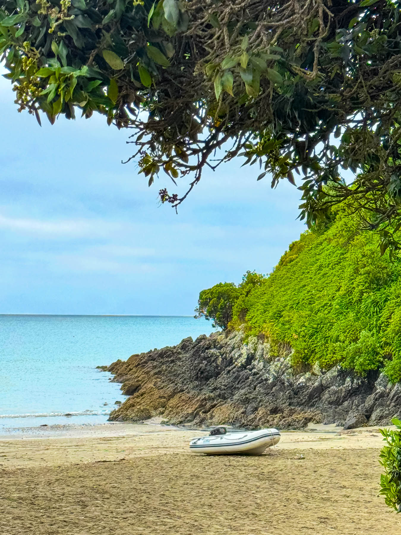
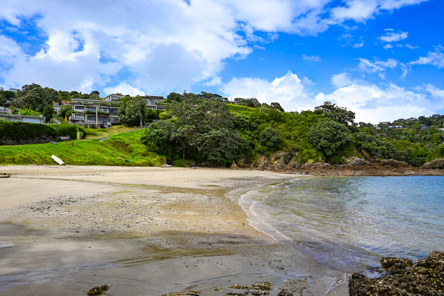
Our first destination was Sandy Bay Beach, a small swatch of sand surrounded by volcanic rocks, a with boat ramp. Continuing along the Great Barrier Road, we stopped at the top of a steep driveway that afforded a good view of Palm Beach and the north coast receding in the distance. Reaching the beach, we watched two sailors launch their dinghy from the shore and row across the calm water to their anchored yacht. A block back from the beach was the restaurant Arcadia, where we enjoyed a very nice mid-afternoon lunch.
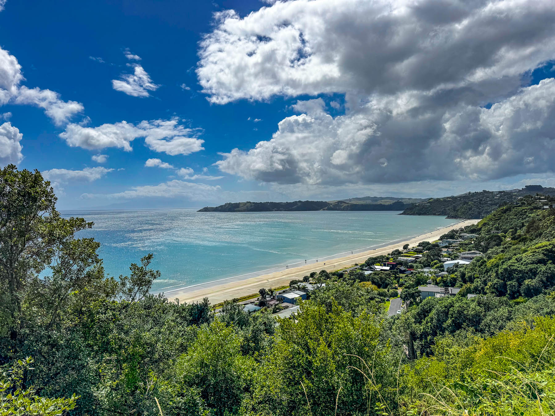
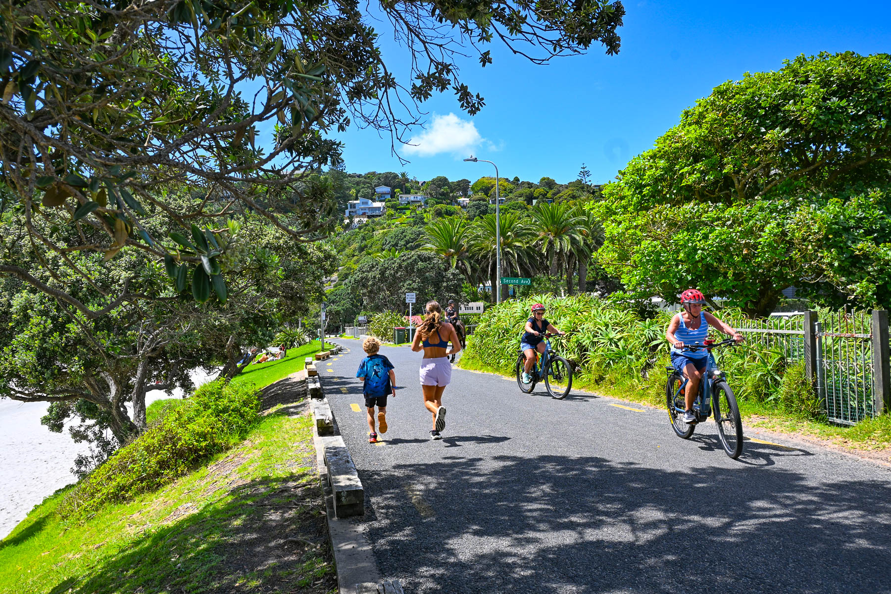
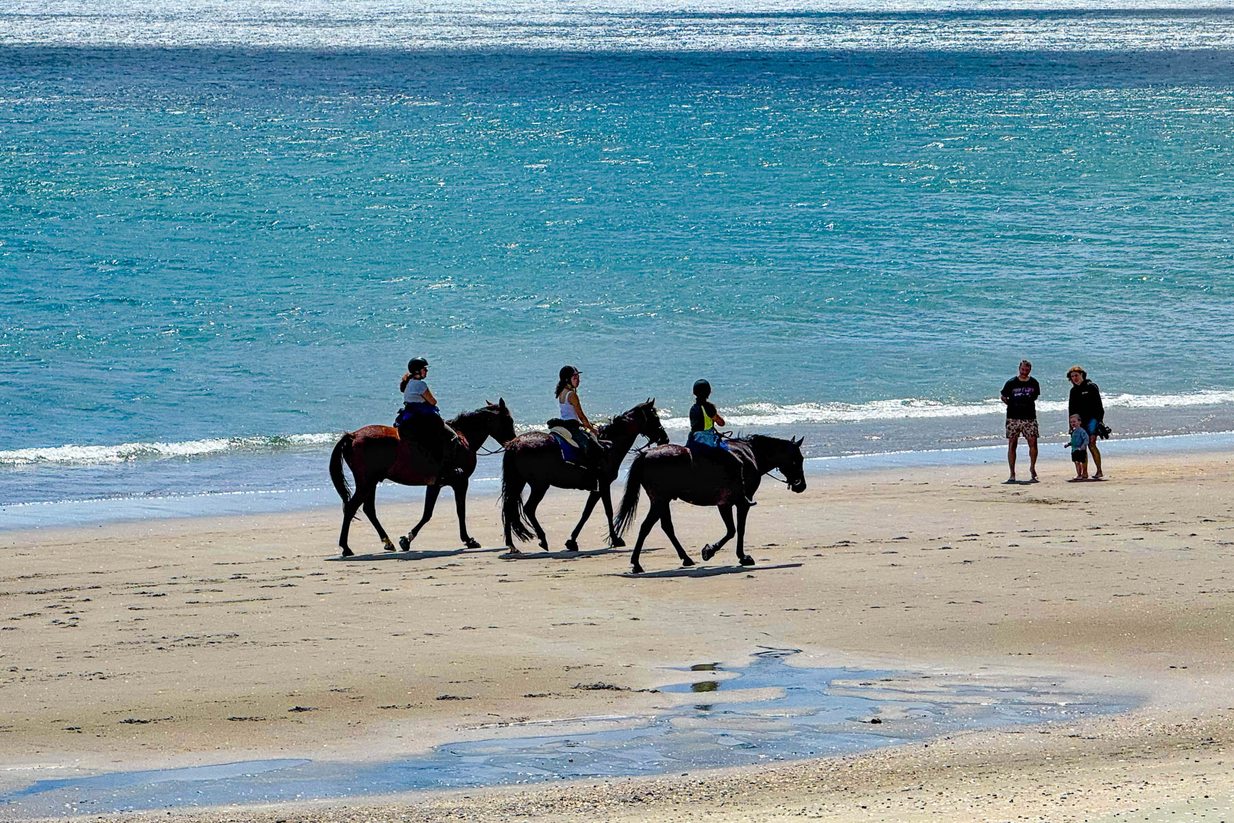
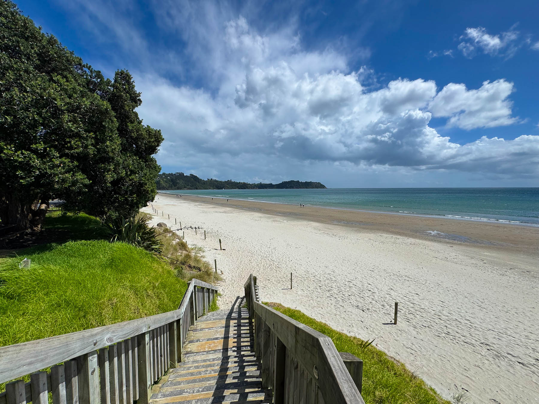
By the time we reached Onetangi Beach later that afternoon the weather had committed itself to be brilliantly sunny. Stretching for about 2 km (1.25 mi) along the coast it’s the island’s longest and widest beach, with shell free sand that is perfect for the annual sandcastle building contest. It’s also a popular beach to arrange a guided horseback ride with the local stable Waiheke Waiheke HorseWorx.
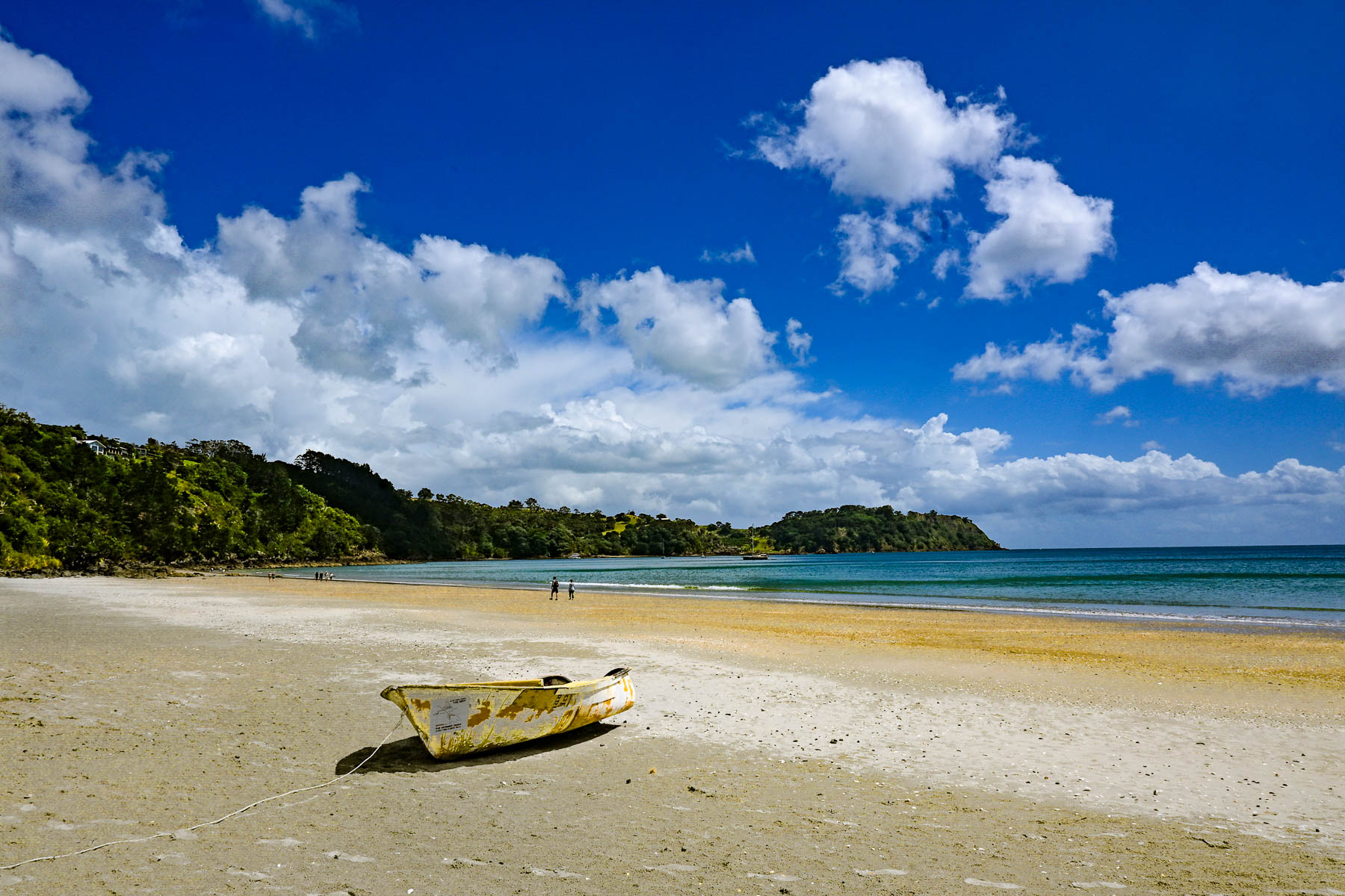
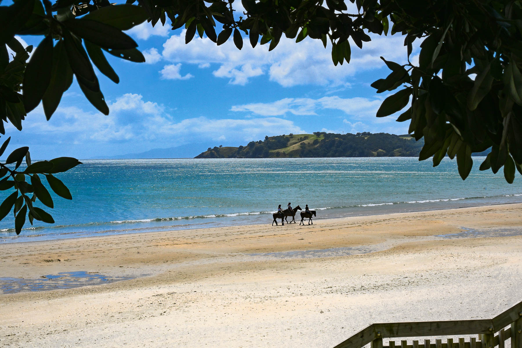
A narrow road with limited parking paralleled the shady shoreline. Across the road from the water were several restaurants with outdoor terraces that were very busy with customers. On a hill high above the beach is the restaurant Casita Miro; it’s a festive place with great tapas style cuisine and nice panoramic views, that was highly recommended. Alas, it was a missed opportunity, which we unfortunately didn’t get a chance to dine at.
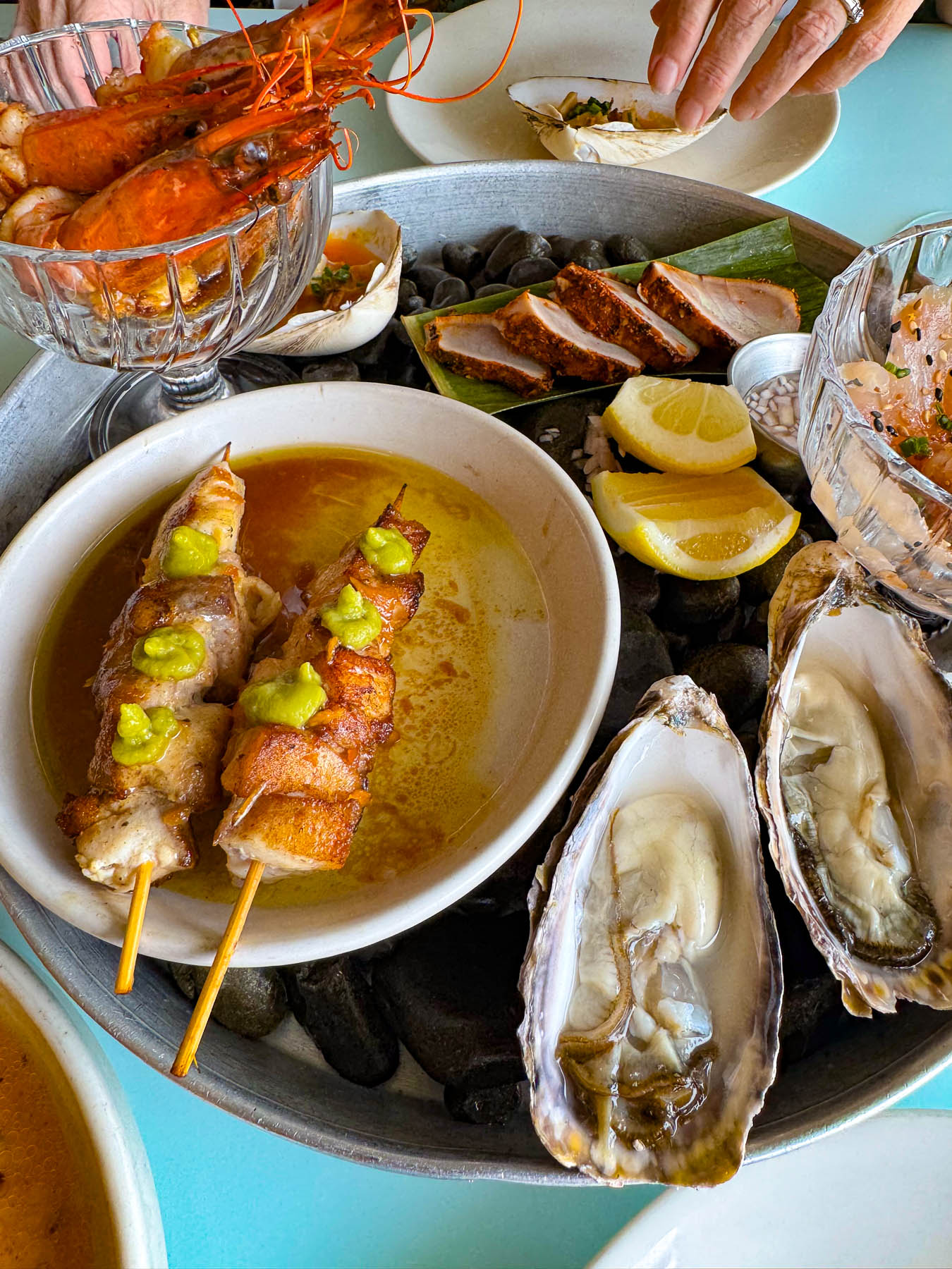
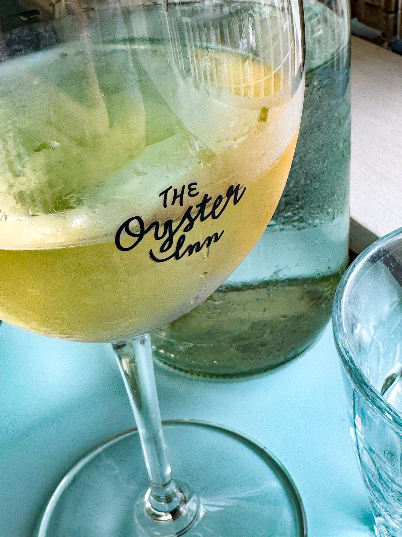
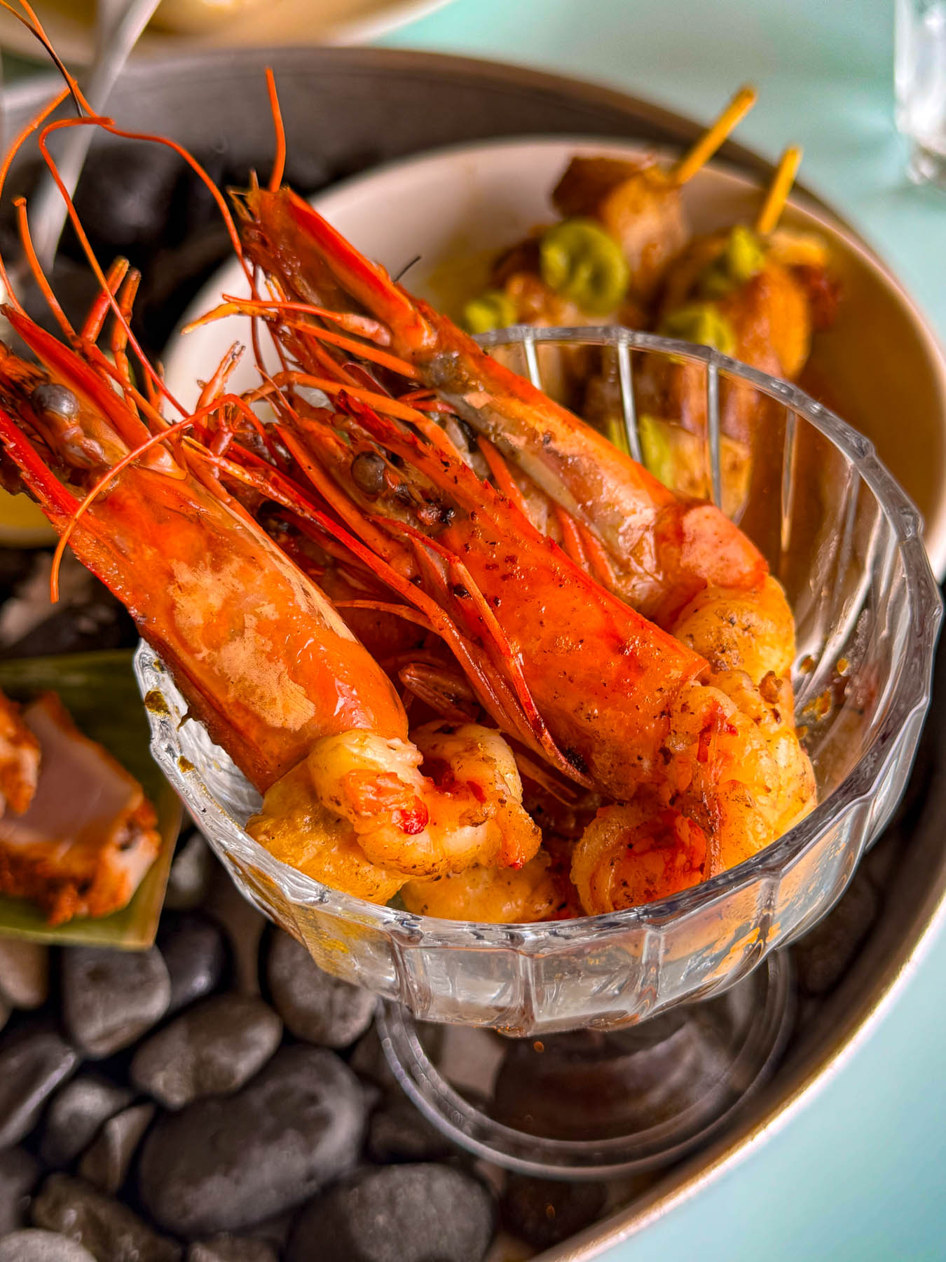
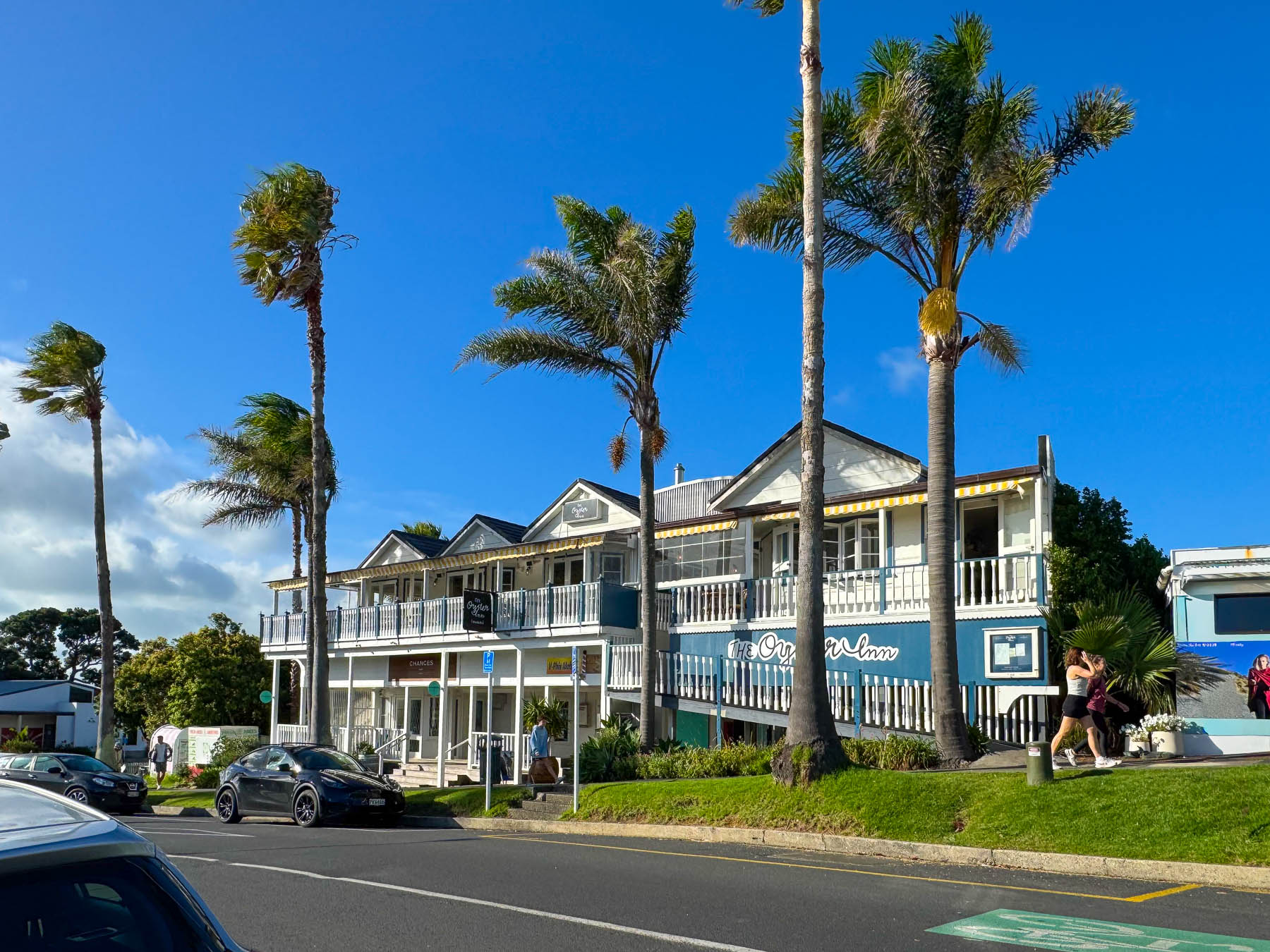
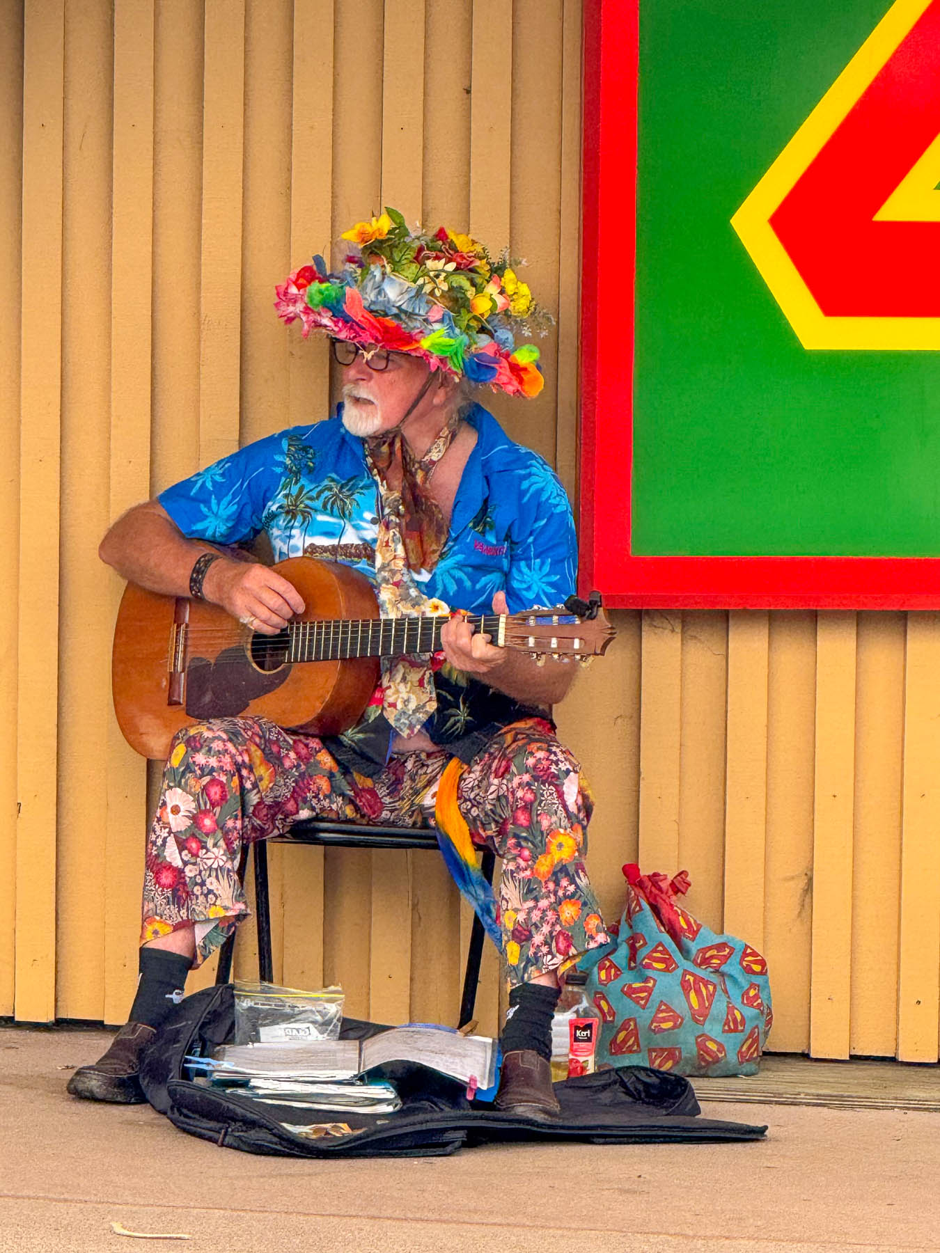
Later, back in Oneroa we celebrated Valentine’s Day with a seafood platter and local white wine on the veranda at  The Oyster Inn, which is co-owned by the New Zealand celebrity chef Josh Emett and his wife. Emett notably trained with Gordon Ramsay and was a judge on Master Chef New Zealand. As the restaurant’s name suggests, local Te Matuku oysters raised in the pristine waters of the Te Matuku Marine Reserve at the southeast corner of Waiheke Island in the Hauraki Gulf are a prime feature on the menu. While we dined, we could hear the guitar of a valiant busker performing across the road, keeping his old hippie days alive.
The next morning, after another one of Diane’s fabulous breakfasts we headed out to explore the eastern part of the island, with two wineries – the Jasper Ridge Estate and Man O’ War Vineyards. The later was a recommendation by a friend of ours from the states who had recently returned to the South Island to care for her aging mother, and enjoys vacationing on Waiheke.
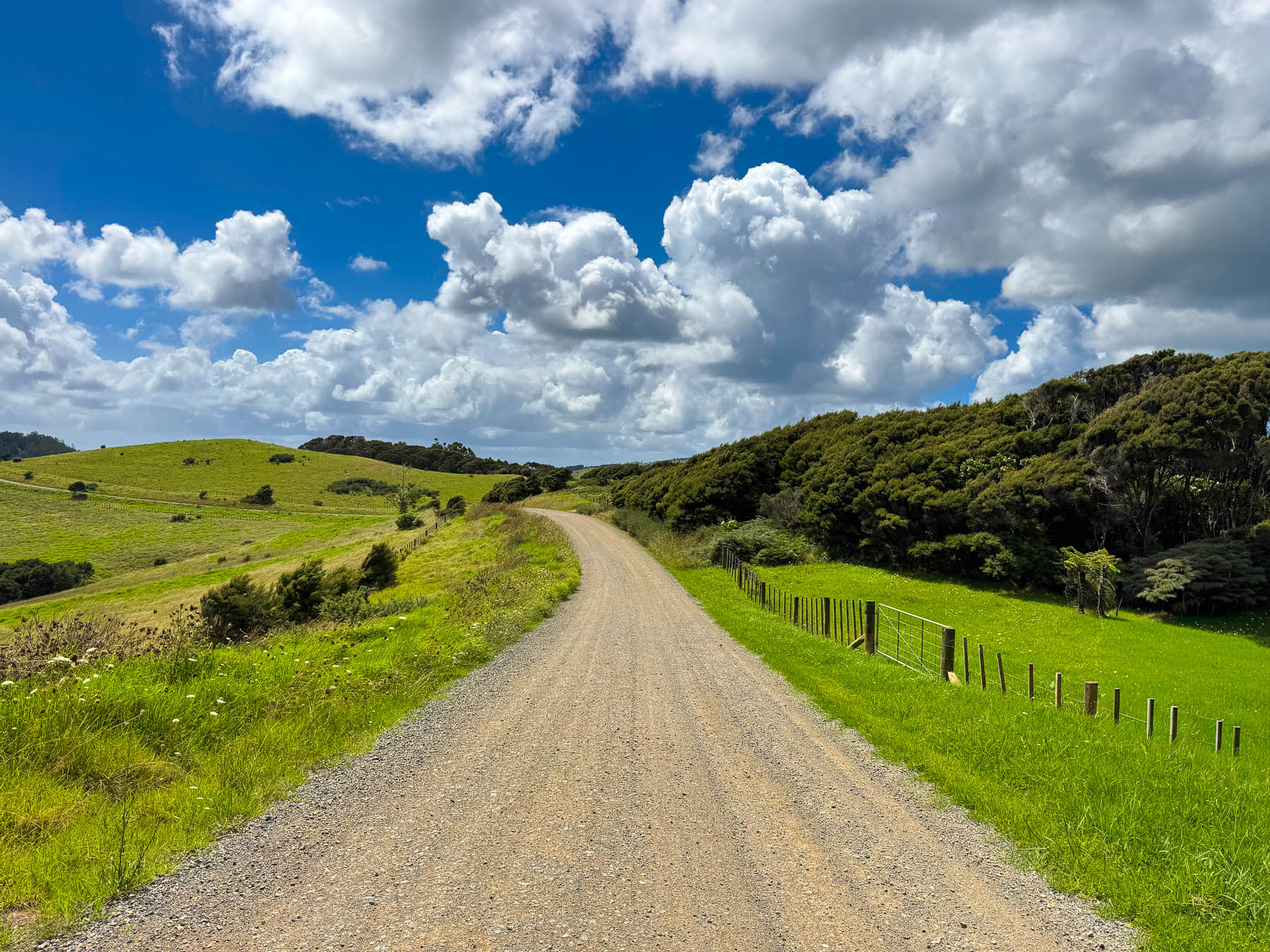
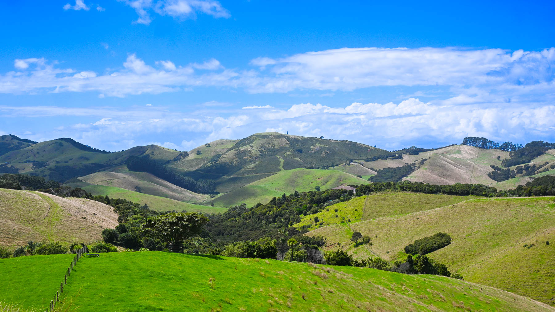
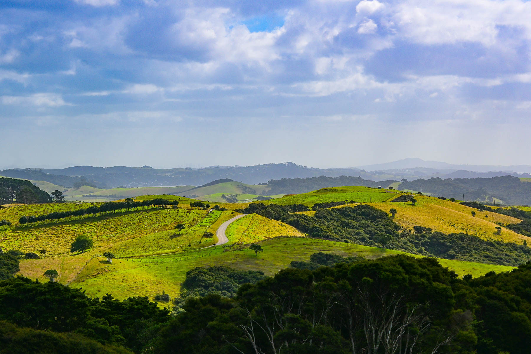
It was a gorgeous ride through rolling grasslands dotted with sheep, stream crossings over narrow one lane bridges, tunnels of tall mamaku fern trees, and our first kiwi crossing caution sign, warning of the nocturnal flightless birds that were reintroduced to the island in 2025. We never spotted one. Turning off Orapiu Road onto Cowes Bay Road we were suddenly on a gravel tract.
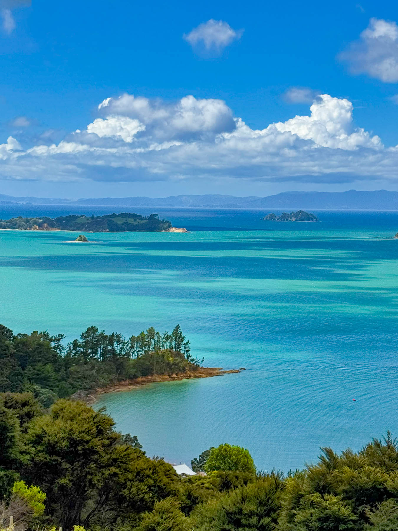
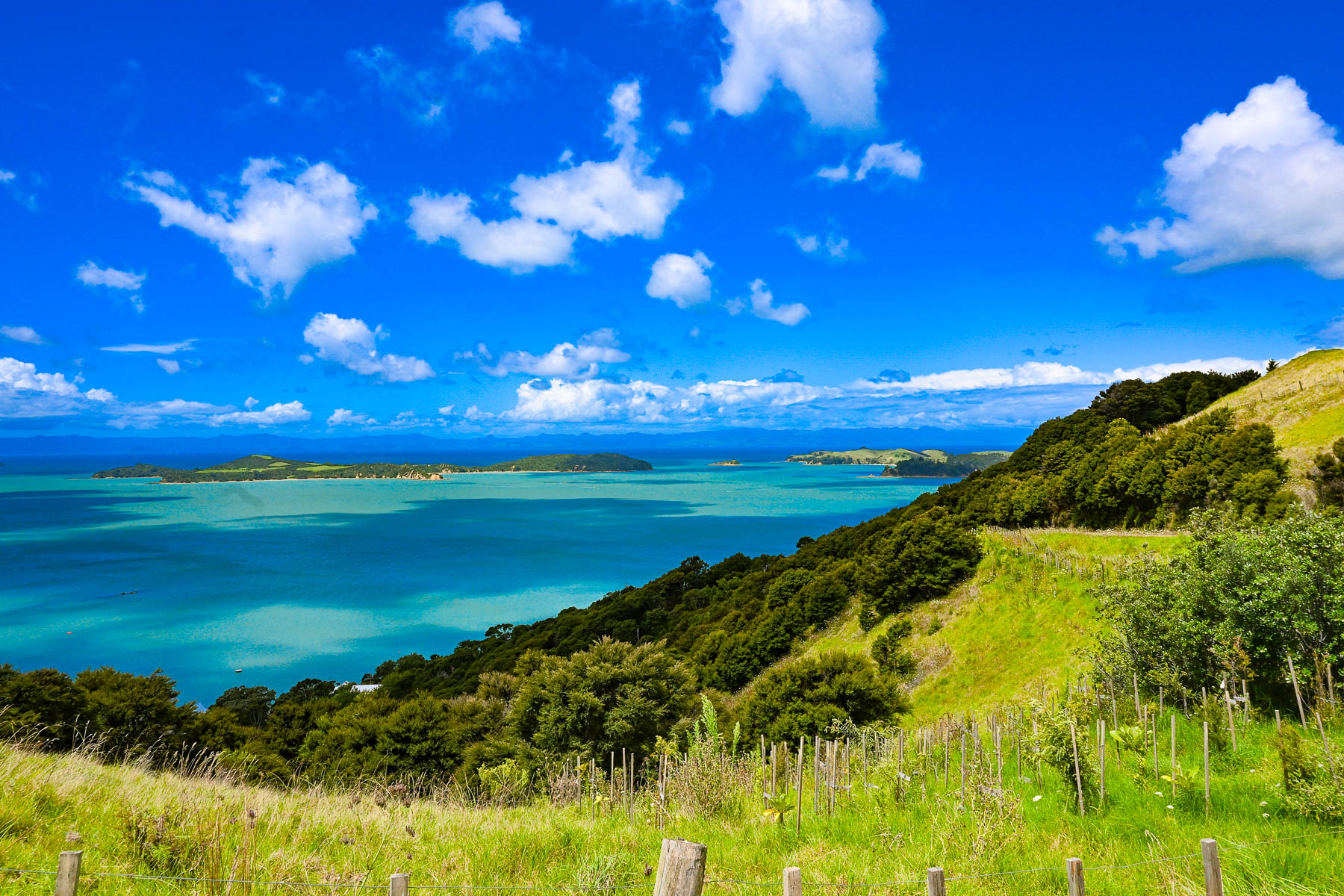
The island has a total road network of approximately 100, mostly paved miles, however a high percentage of them are compacted gravel, especially on the way to the Stony Batter Historic Reserve on the rugged north-eastern tip of the island. As the road rose the view transformed into a majestic panorama of land, sky and sea. To the east the Coromandel Peninsula, 55 km (34 mi) away, was a barely visible stroke of grey on the horizon.
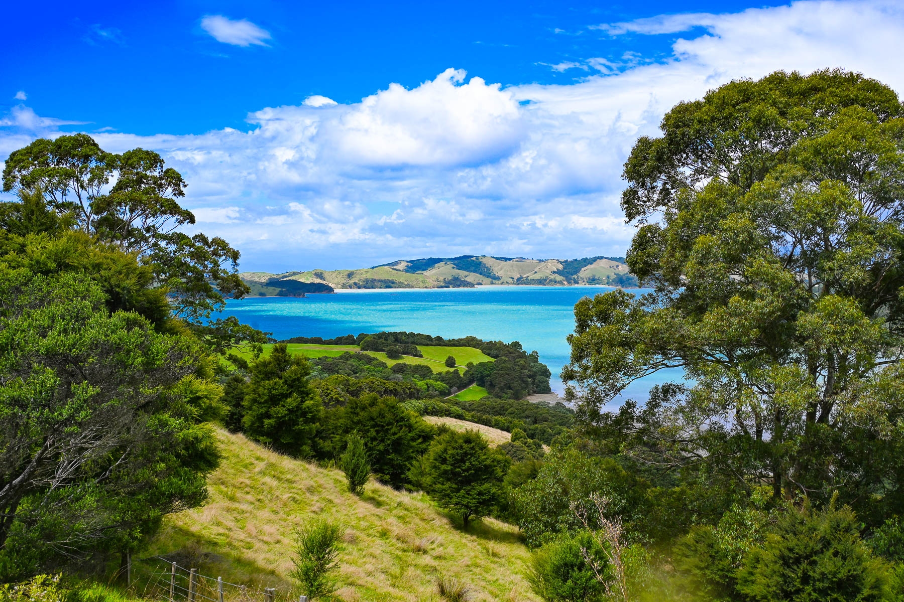
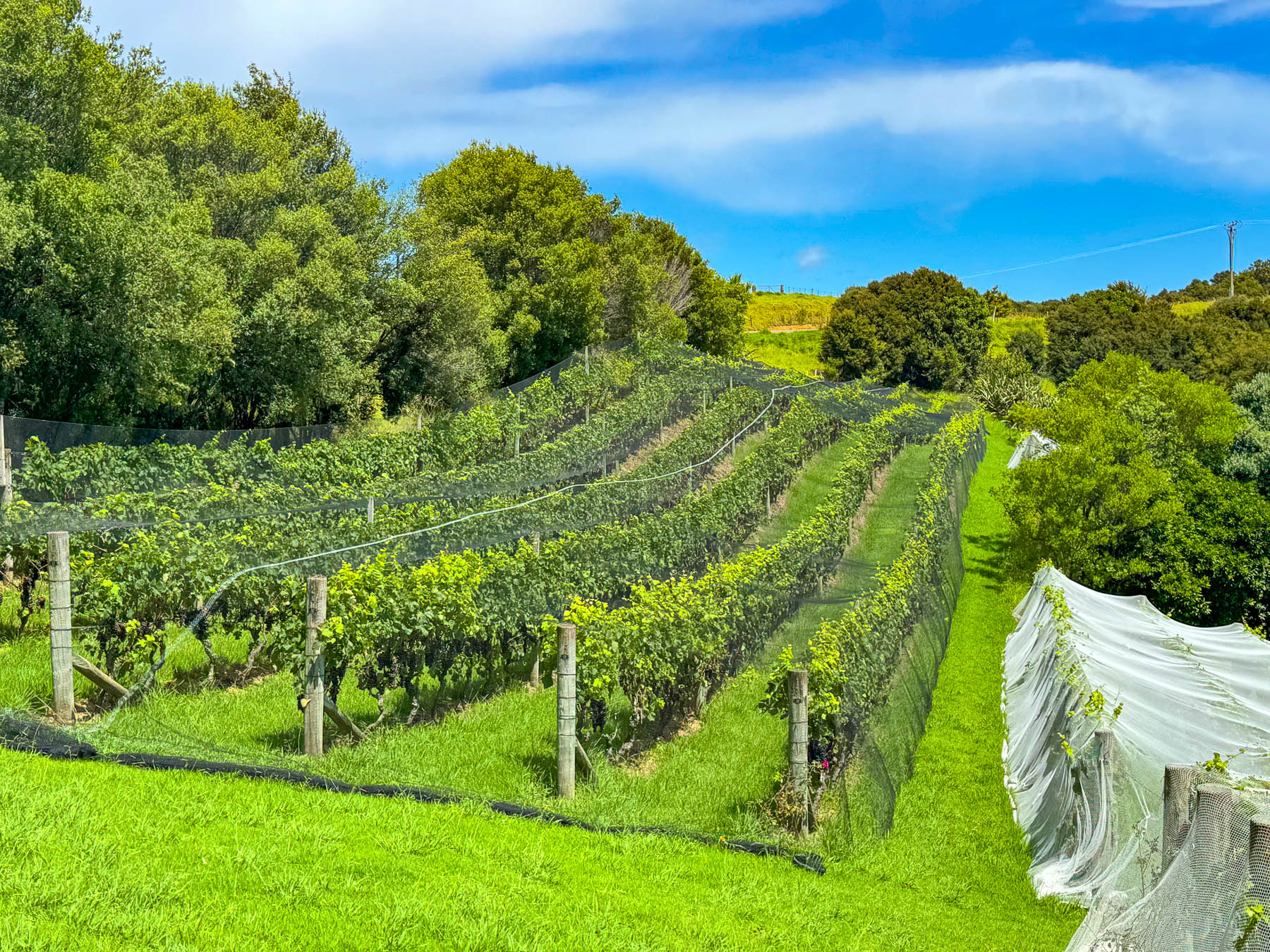
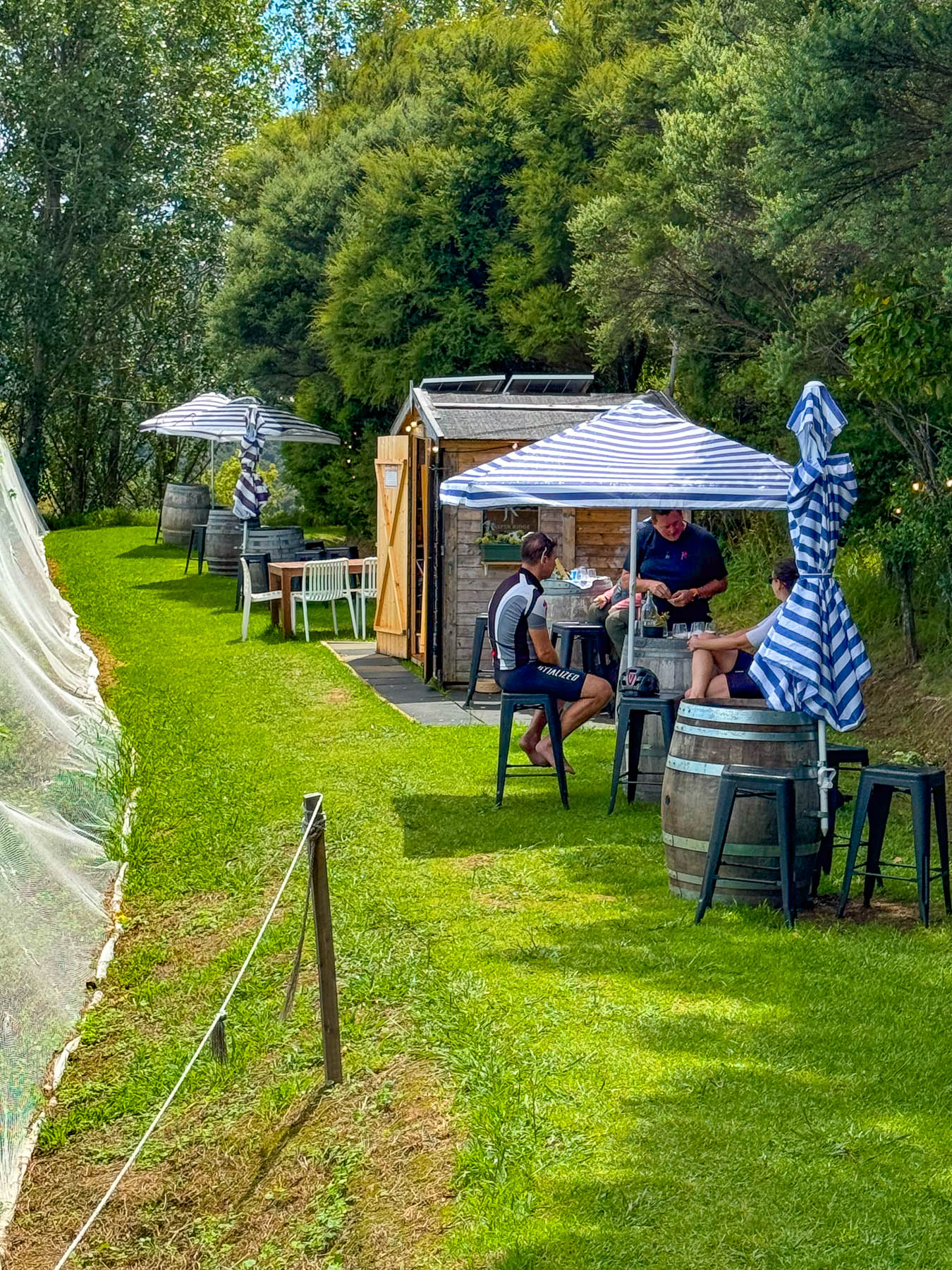
At the entrance to the Jasper Ridge Winery the views of the seascape were extraordinary. Owned and operated by David Bishop and Derek Ireland, Jasper Ridge is one of Waiheke’s smallest wineries, with 4000 Syrah vines planted on one hectare (2.5 acres), where they craft very small, limited-edition wines. But they have earned a lot of prestige, having won awards with their first vintage in 2023 for their Single Vineyard Syrah, and 2025 for their Rosé and Pinot Gris. A rain shower forced us to take shelter briefly under the umbrellaed picnic tables overlooking the rows of grapevines covered with netting to keep the birds away from the grapes almost ready to be picked later that week.
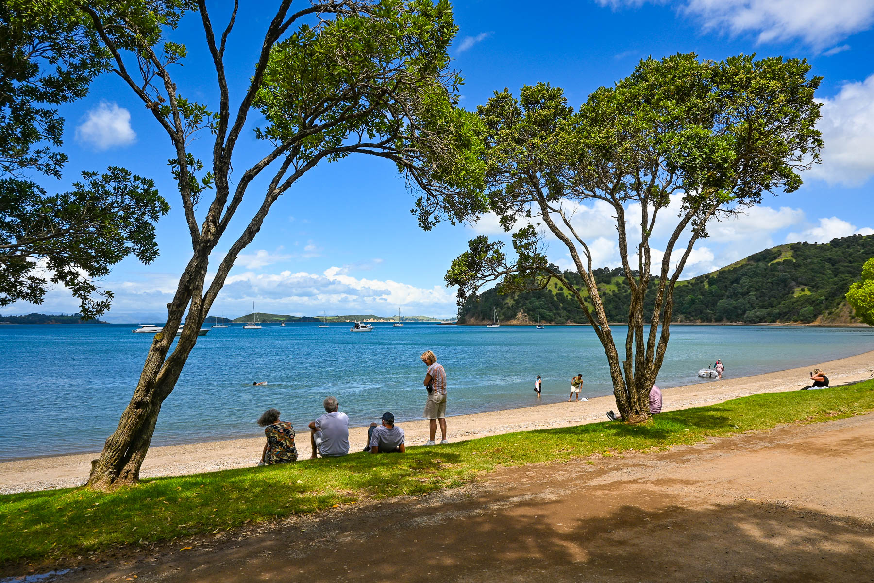
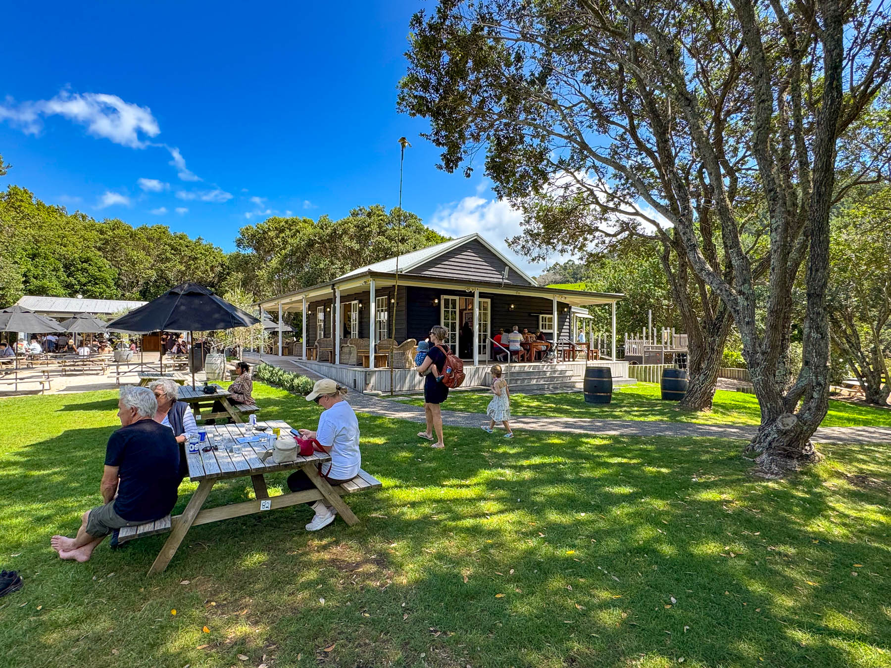
Continuing on the road, we passed through a forest of tall Kauri trees, then dipped into a dry wash strewn with boulders and timbers carried down the steep hillside in a recent flashflood. Reaching the Man O’ War Vineyards, the road leveled out and the view opened to the beach along  Man O’ War Bay with folks swimming, and boaters motoring small dinghies ashore to visit the winery. The winery really is a destination venue, offering wine tours, fine and casual dining, and a kid’s playground. It even has a small white chapel for weddings as well as an adventure sports center that offers ziplining through the forested hillside above the winery, and into the forever happily after for the newlyweds. It’s a big, popular fun spot to visit, and the setting on the bay was quite pretty.
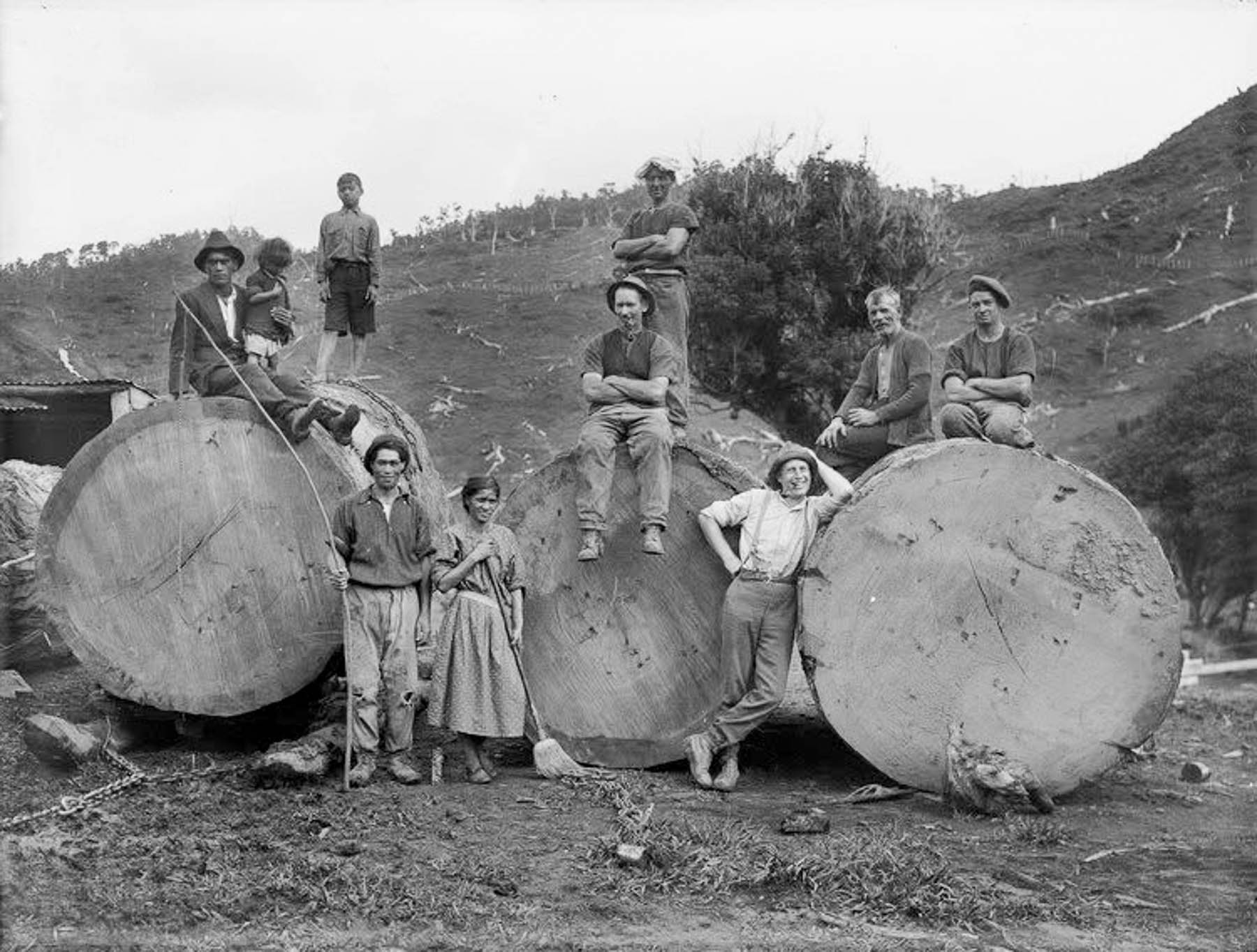
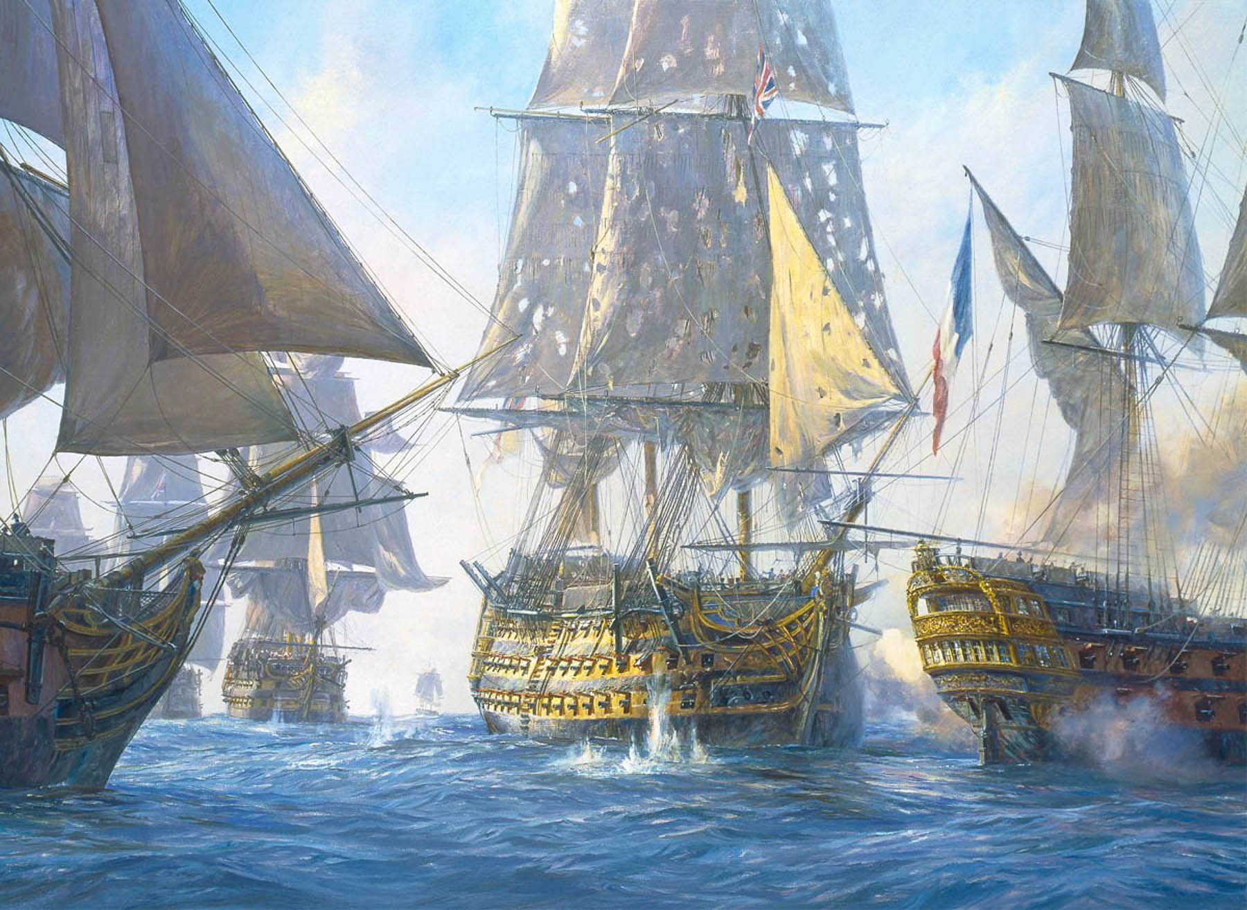
The tall straight Kauri trees, which can live for thousands of years, were noted for the strength of their wood in colony’s early shipping journals, and by the early 1800s Waiheke’s hillsides were being deforested and the wood exported to England to be used as masts for the Royal Navy’s “Man O’ War” warships, which is how the name Man O’ War was bestowed upon the bay. A favorite legend suggests that the masts of Lord Nelson’s flagship, HMS Victory, were made from kauri trees taken from hills of Waiheke Island.
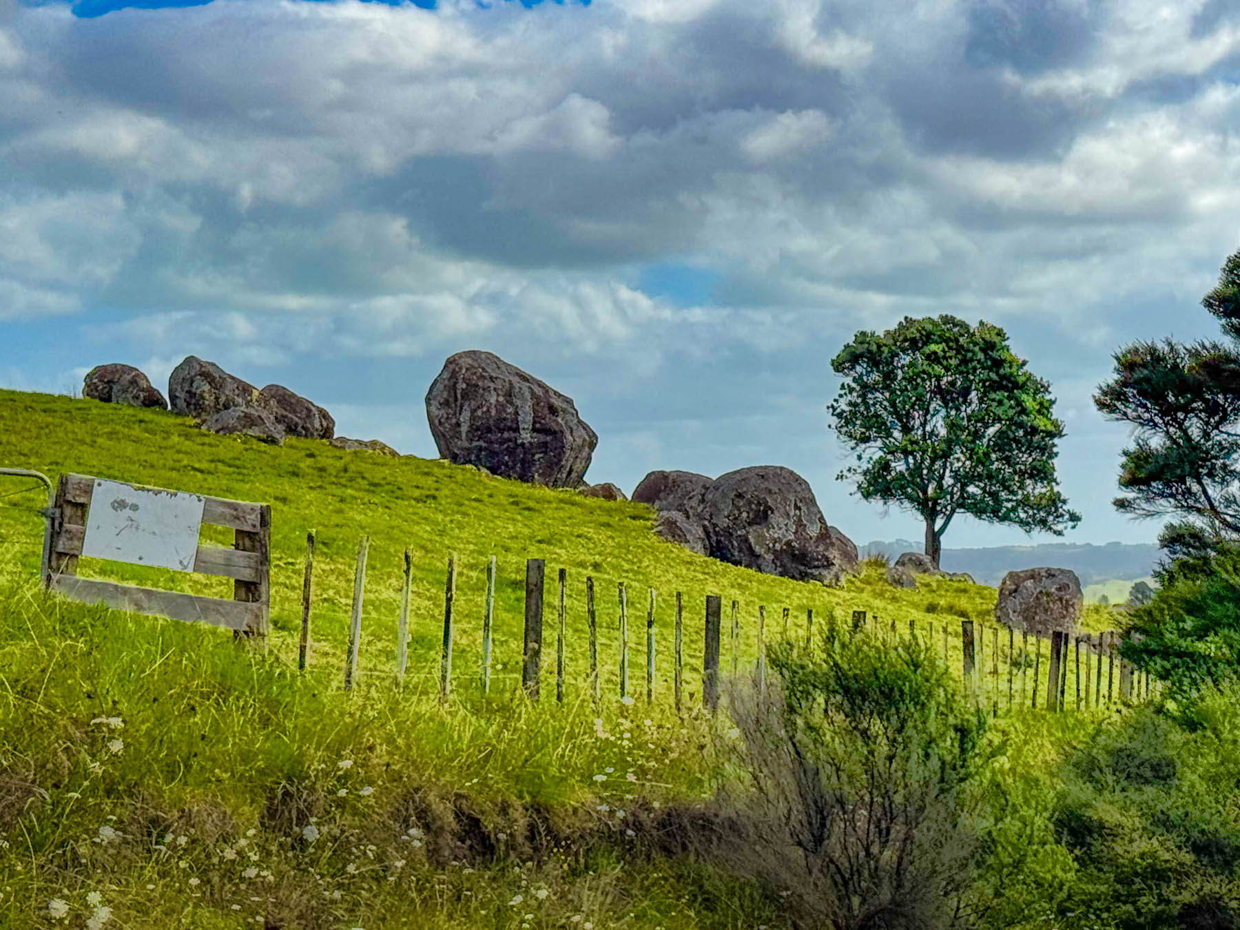
Continuing on we headed to the Stony Batter Historic Reserve. It was once a World War II coastal defense installation to protect Auckland from potential Japanese naval attacks, and features three massive concrete gun emplacements. There was also an interesting boulder field we hoped to walk through. But we didn’t realize before hand that the parking was pretty far away as the access road to the site was gated, and required a longer walk and more time than we wanted to commit to. But there was one hillside next to the road that gave a feeling for what the larger site would have looked like.
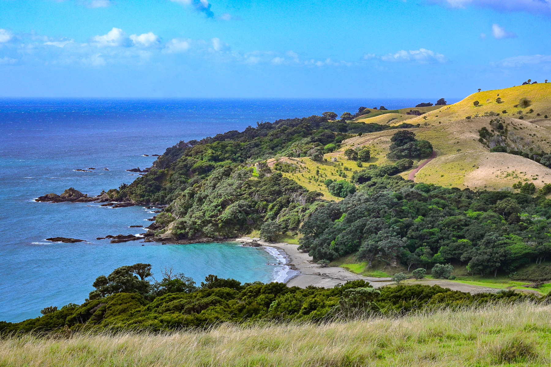
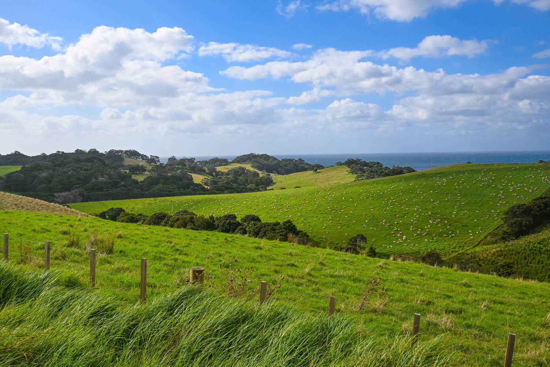
Nevertheless, the views of vineyards and sheep-covered hills surrounding us were beautiful as we coursed back towards Oneroa with a plume of dust trailing behind us as we drove down Man O’ War Bay Road. Cresting a hill, we stopped at a lone bench along the road, seemingly in the middle of nowhere. But it did have a distant view of Cactus Bay Beach, a remote curve of sand only accessible by boat or kayak, that many “Waihekeans consider the perfect beach and, with nearby Garden Cove, a romantic place for picnicking.” Unfortunately, its land access has been blocked off by a private landowner. All the more to make it a special place, that requires more effort, to visit.
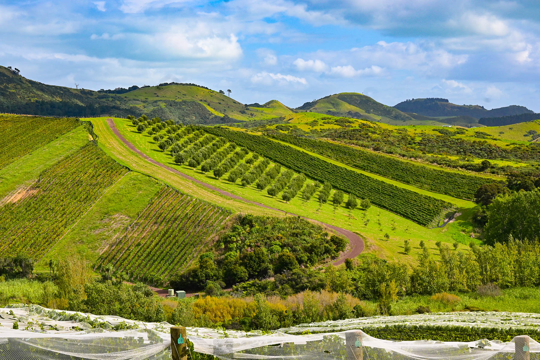
Our scenic drive that day reconfirmed our expectations of what lay ahead for the next part of our journey – that we were truly in an exceptionally beautiful part of the world. The next morning, we headed back to Auckland Airport for a different rental car to start our nine-day road trip to Cape Reinga Lighthouse, the farthest point north on the mainland, Hamilton, and the Coromandel Peninsula before flying south to Wellington.

Though we only drove 110 km (68mi) over the weekend, Waiheke Island was the most gorgeous place to learn how to drive on the left.

Stay left!

Till next time,

Craig and Donna

Hawaii – Road Tripping Around the Big Island or Black Sand, Sea Turtles and Snowbirds in Paradise

There’s a saying in the low country, that “summer in Georgia is like living on Hell’s front porch.” Our winters here are usually very mild, and our neighbors tell us a dusting of snow falls about once every 13 years, and it melts away in hours. But this year 3 inches of snow fell and stayed frozen on the ground for 4 days. The counties along the coast and in southern Georgia can’t cope with this type of “unusual weather phenomenon,” and declared a state of emergency. Schools were closed, and folks were advised to stay off the roads. Traffic came to a standstill on Interstate 95 due to the icy roadway and was shut down for 2 days. State Police rescued stranded truckers by using ATVs. Our neighbors shared, “When it snows like this in Georgia, you know Hell has frozen over!”

Fortuitously, months earlier four of us from our lake community had booked a flight to Hawaii that departed the same day the runways at the Savanna Airport were cleared of ice and ready for business again.  

The balmy air was a welcome reprieve as we descended the stairs from the plane onto the runway in Kailua-Kona, on Hawaii Island or as the local folks like to say, The Big Island. But we were overdressed and overheated by the time we reached the baggage claim area and headed to the restrooms to strip off layers of now unseasonably warm clothing.

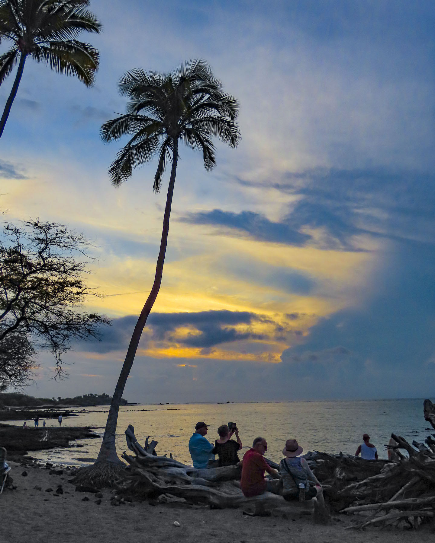
When we arrived at the Budget Car Rental office the queue was already out the door, and we watched our first Hawaiian sunset from the waiting line as the sun’s dying rays silhouetted the palm trees. This was not the romantic drinks-on-the-beach sunset we had envisioned for our first night on the island. The problem was a severely understaffed rental counter which gave priority to members of the company’s Fastbreak Program. We finally figured this out after waiting two hours, with more than one hundred other folks in a queue that now wrapped around the building. Donna realized we could download their app and take advantage of the expedited checkout program, and signed us up on the spot. As we switched lines, we shared our tip with folks around us, and we were headed out to our car within minutes. Donna acknowledges a twinge of guilt as we sashayed past all the other poor folks still stuck in that dreadful line. We’ve used Budget Car Rental flawlessly many times, but this was a horrendous experience. Fortunately, our lodging for the week at a Hilton property in Waikoloa was only a 30-minute drive north on Rt19.
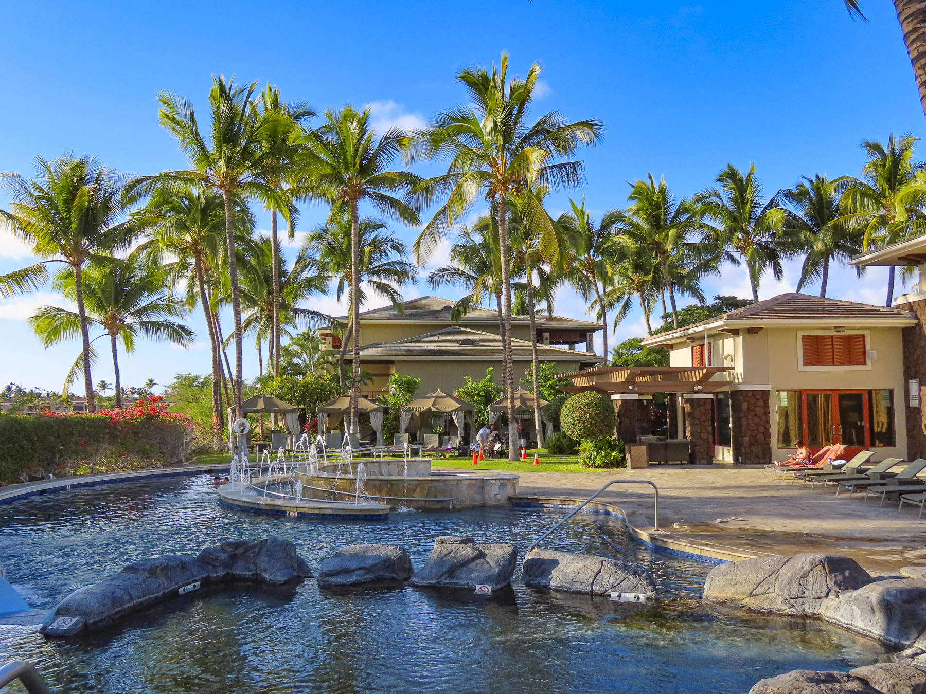
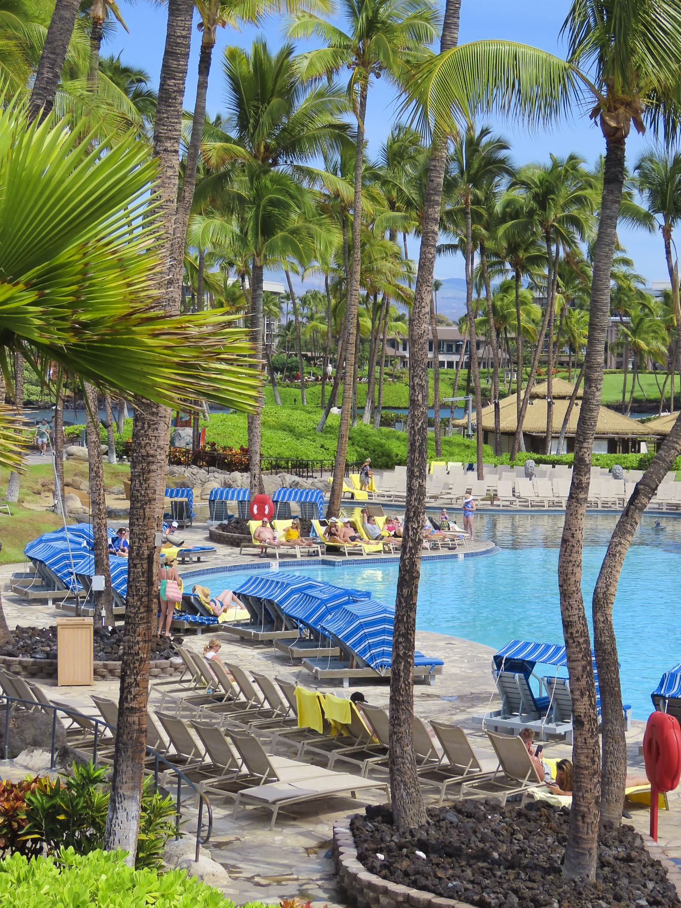
Beyond the reception desk, the dancing patterns of light off the ripples of the hotel’s dramatically lit pool looked enticing. But after a long day of flying we needed a good night’s sleep.

The next morning we were up with the sunrise and out for a walk after a quick cup of coffee. The day was beautiful and there were many other like-minded couples out and about following the sidewalk that looped between the buildings of the sprawling resort.

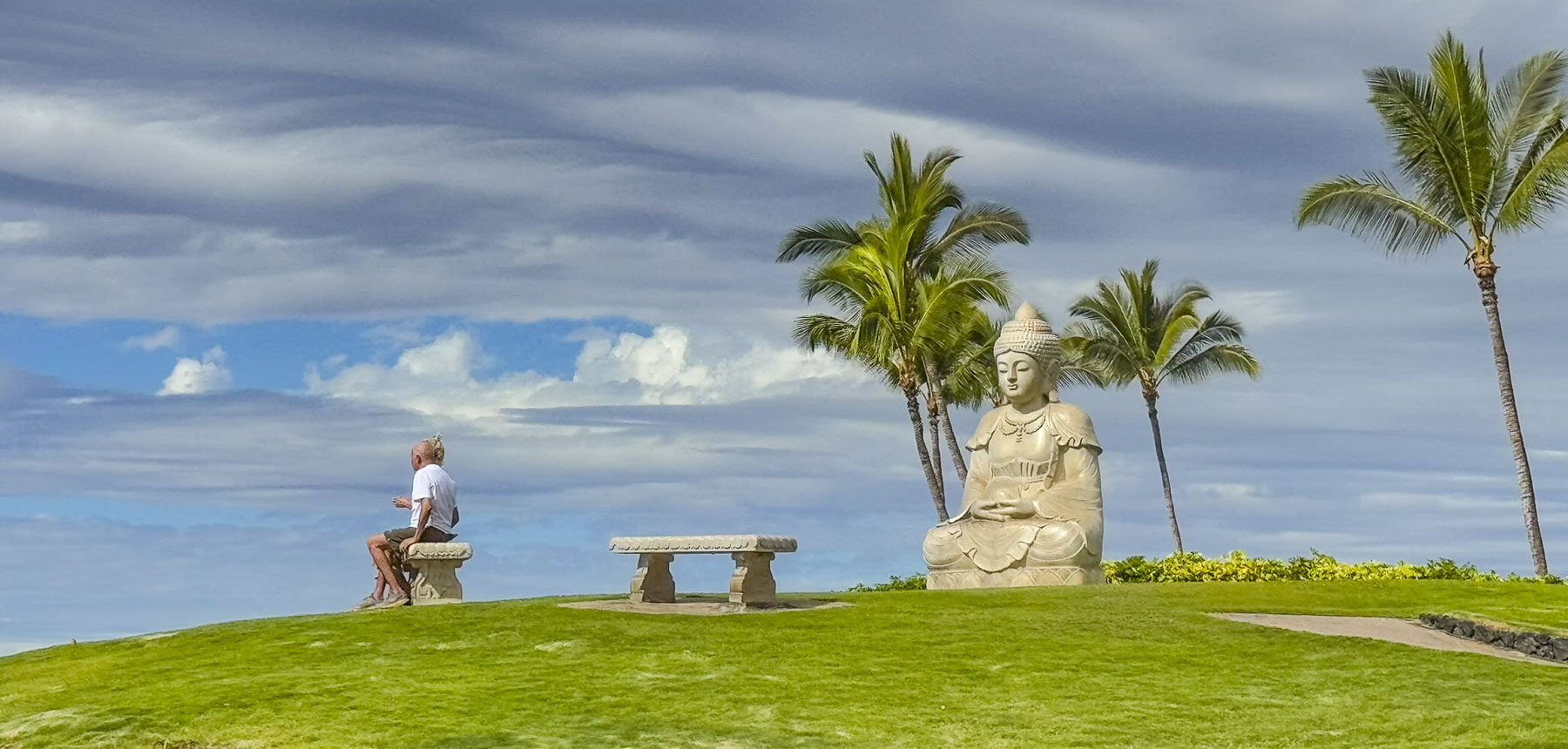
Budha Point, a tranquil scenic spot on Waiulua Bay, that overlooked the vast expanse of the Pacific Ocean, was our destination. We visited here several times over the week and spotted whales breaching offshore a number of times.

It was less than a mile walk from our room through the beautifully manicured landscaping which coursed through the jagged lava fields that surrounded the Hilton Waikoloa Village, a sprawling complex with a tramway and footpaths connecting several towered hotels and pools along the seafront and the site’s lagoon.

Hawaiians have a great reverence for the ocean, and one of the wonderful things about the state are its laws that guarantee folks have a right of access along the beaches and shorelines, and that private property owners cannot obstruct access to it.

A little segway here: Hawaii is costly – think San Franciso or NYC expensive! The cost of parking is outrageous across the island, with residents parking for free and rental car drivers paying a high hourly rate at parking kiosks. Hilton guests staying in their premiere hotels around the resort’s lagoon or visitors wanting to attend the Legends of Hawaii Luau are charged $48 per day or $8 hourly for self-parking, and $55 per day for valet parking. Fortunately, the hotel we were staying in was farther away from the action and included free parking.

There was also a free shuttle bus that connected the hotels, shopping and restaurant courtyard within the complex. Several small free Beach Access Parking lots, which are closed to overnight parking, are across from excessively expensive Waikoloa Village parking lot.

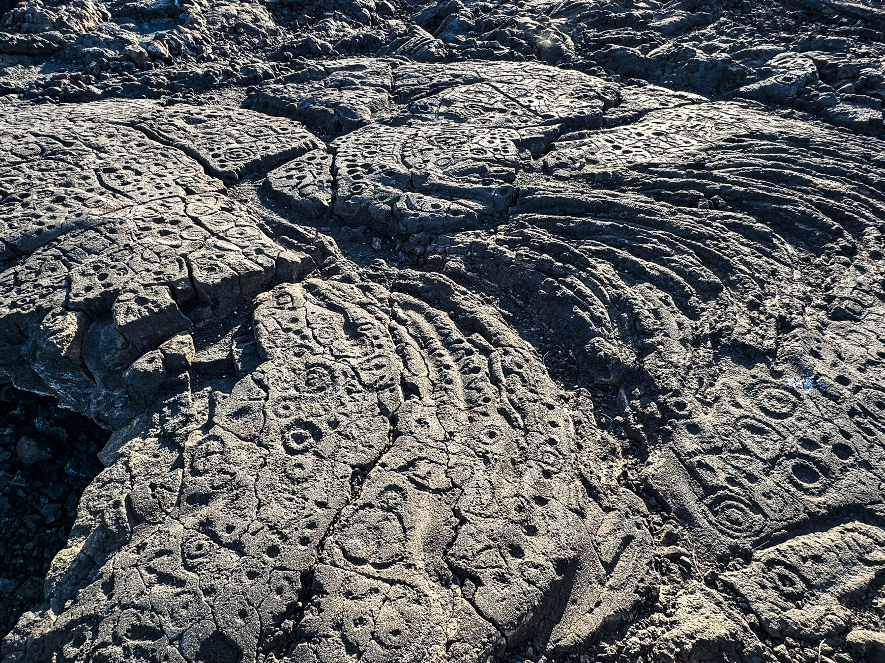
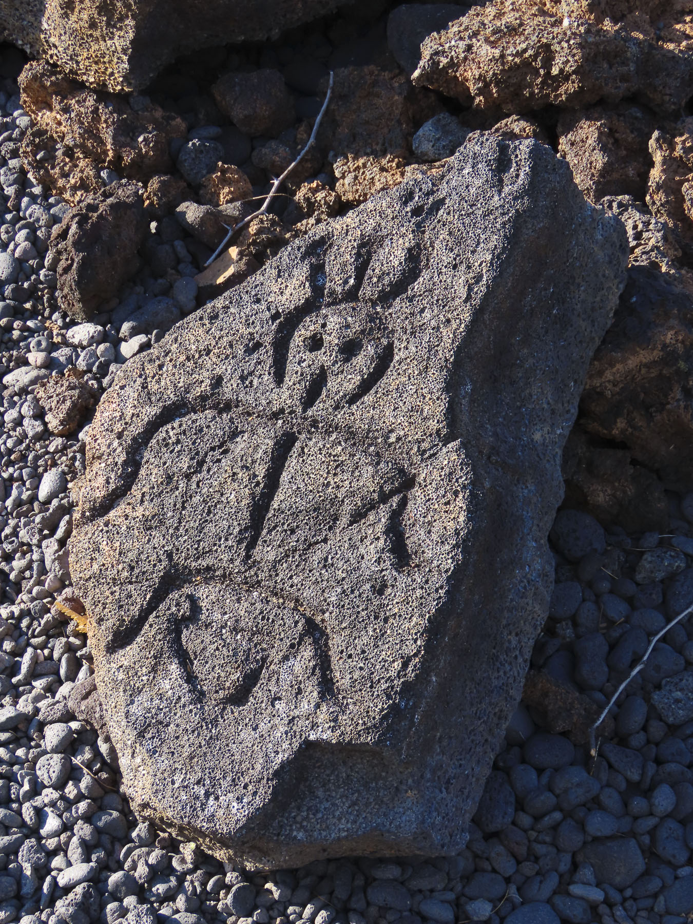
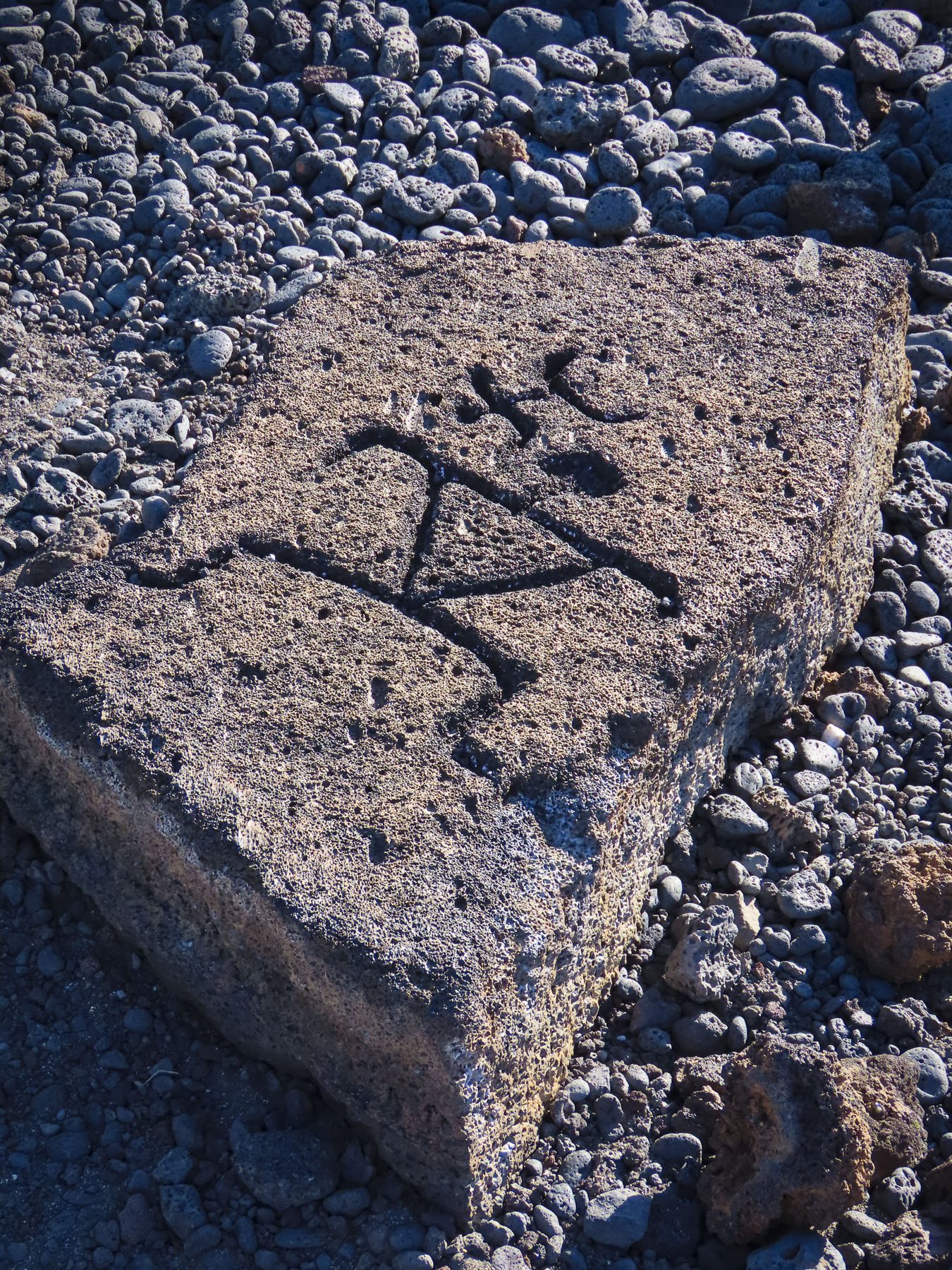
Continuing our loop around the resort we came upon the Kings Highway Foot Trail, part of the Ala Kahakai National Historic Trail, a 175-mile narrow footpath that follows an ancient trading and communications route, through rough lava beds. Starting at the farthest spot north on the island, Upolu Point, the trail which dates from the 1500s, connected the ancient Polynesian fishing villages and religious sites along the western and southern coast of Hawaii island to the farming villages in the highlands. In places like the Waikōloa Petroglyph Reserve, ancient messages were carved into the lava stones.

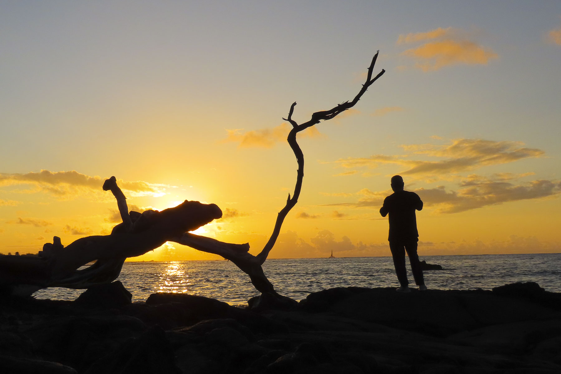
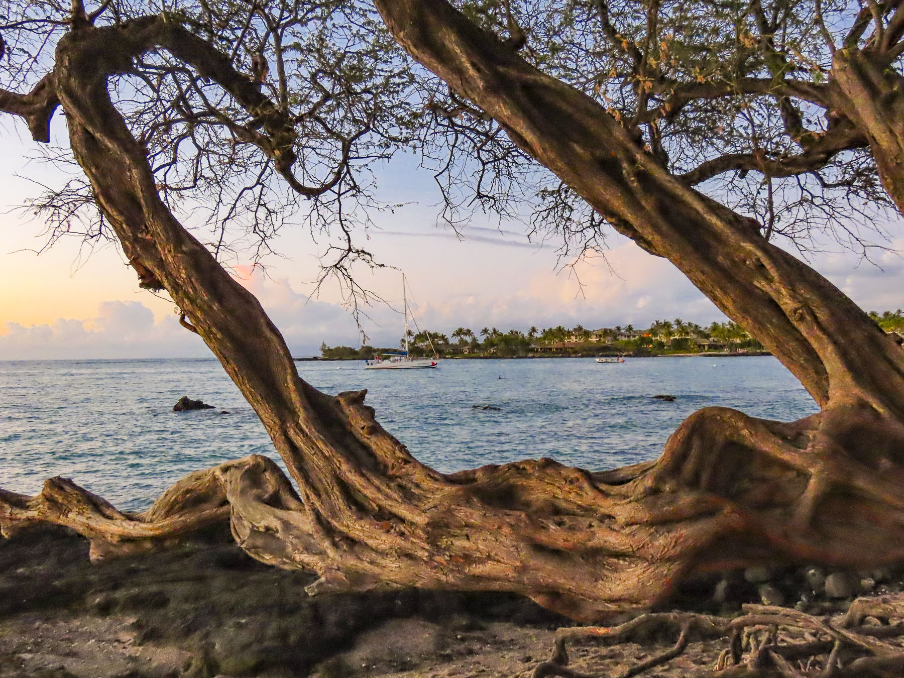
Dinner and watching the sunset from the Lava Lava Beach Club on ʻAnaehoʻomalu Bay is a pleasant nightly ritual for many who visit the area.

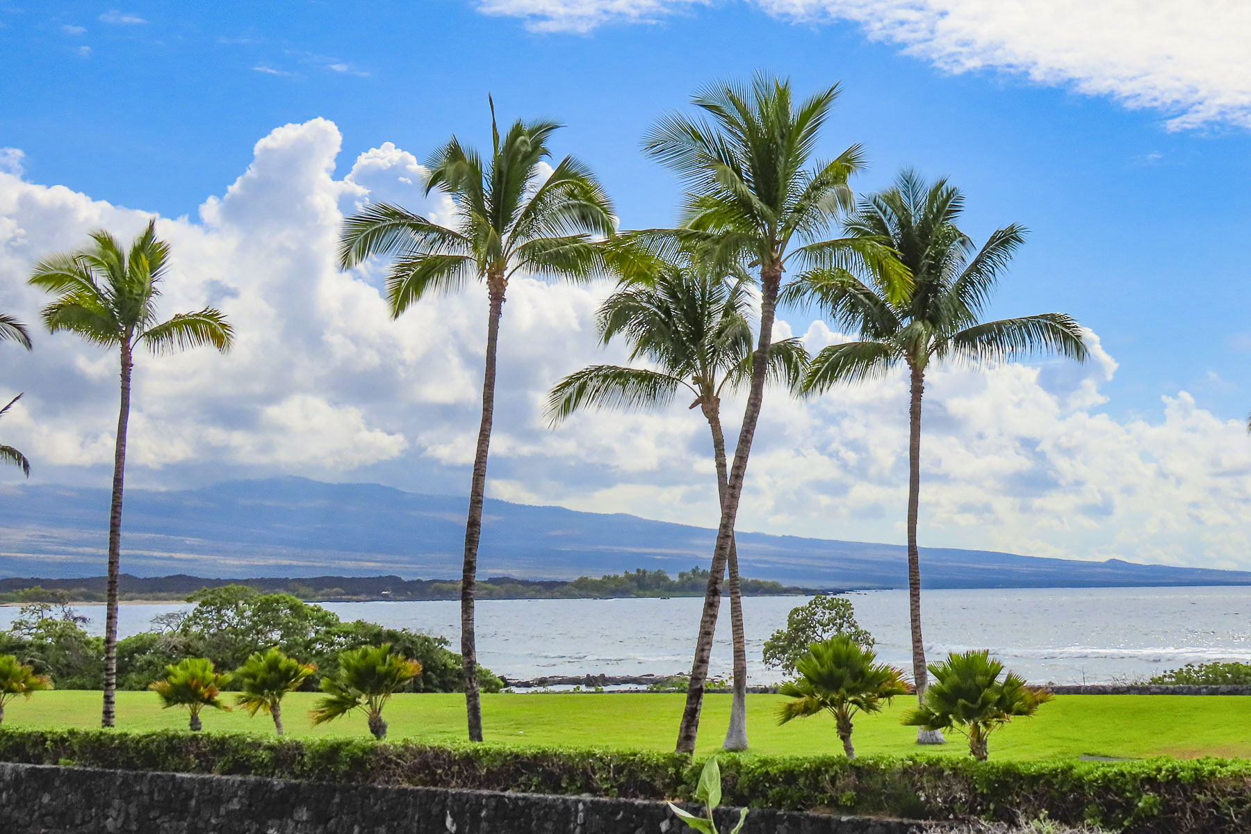
We could have spent the entire week lounging by the pool, but that’s not really us, so we planned several road trips around the island. We had driven to the hotel in the dark two days earlier, and the area around the resort was a mix of verdant greenery and sporadic patches of lava. Exiting the hotel complex onto Rt19 revealed an immense Martian-like terrain of arid inhospitable lava fields that stretch for dozen of miles down from the 4205m (13,786 ft) tall snowcapped summit of the dormant volcano Mauna Kea, and Mauna Loa, the world’s largest active volcano that sits 4170m (13,680ft) above sea level. They represent just one of the 11 climate zones found on the island. Which means when you circumnavigate the diverse landscapes of the island, you can experience everything from lush rainforests to arid deserts.

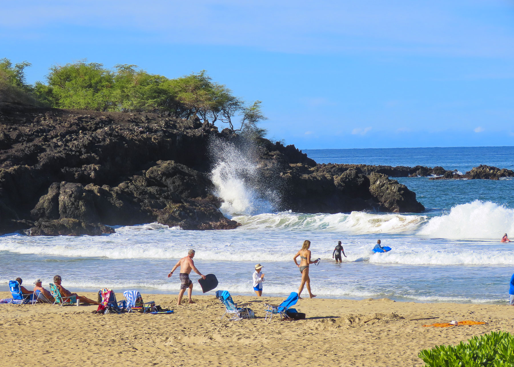
A short part of our drive that morning was through a landscape that reminded us of the American Southwest as we headed toward Hapuna Beach, the longest and widest stretch of white sand on the island. It consistently gets ranked as “one of world’s best beaches.”

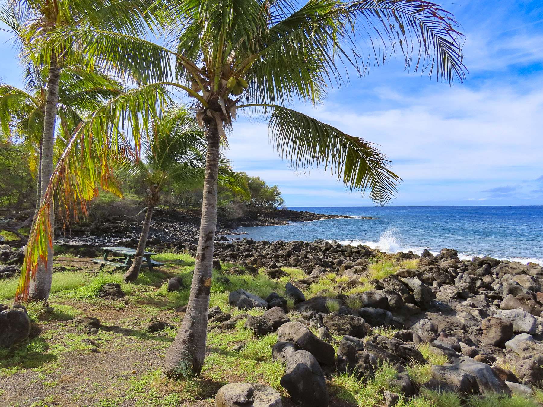
The boulders of ancient lava, from the now extinct Mt Kohala, carpeted the shoreline at Kapa’a Beach Park. An estimated one million years old, it’s the oldest of the Big Islands’ six volcanoes, and last erupted 120,000 years ago.

Rain clouds threaten us as we stopped for coffee at the Kohala Coffee Mill, in the small town of Hawi, to indulge in our “drive a little then café,” philosophy. Rain poured for a few minutes as we sipped our coffees at tables under a covered sidewalk, and waited for the shower to pass. It’s a quiet one street town with a few small shops, galleries and artwork along the street. Away from the large resorts on the Kona coast a little bit of “old Hawaii,” shined through here.

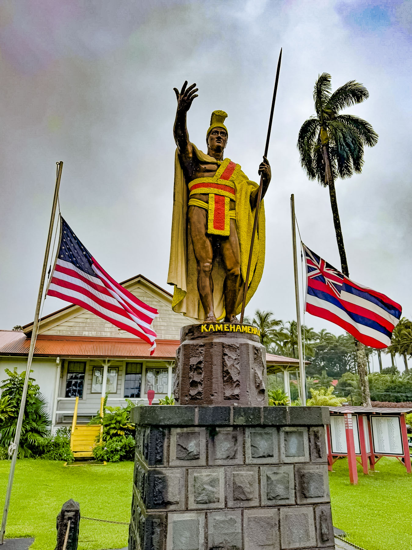
A few minutes farther up the road we stopped in Kapaau at the Statue of King Kamehameha that commands the slope in front of the Old Kohala Courthouse. Ancient Hawaiian legends had foretold, “a light in the sky with feathers like a bird would signal the birth of a great chief.” Halley’s comet passed over the isalnds in 1758, the year Hawaiians believe Kamehameha was born. For centuries warfare between clans and inter-island raids were widespread throughout the Hawaiian archipelago. Kamehameha with an army of warriors on hundreds of peleleu, double-hulled 70ft long war canoes, sailed between the islands. In a series of battles he defeated the opposing chiefs on Hawaii, Oahu, Maui, and Molokai and united the islands into the Kingdom of Hawaiʻi in 1795. By 1810 the islands of Lanai, Kauai, and Niihau voluntarily joined the kingdom.

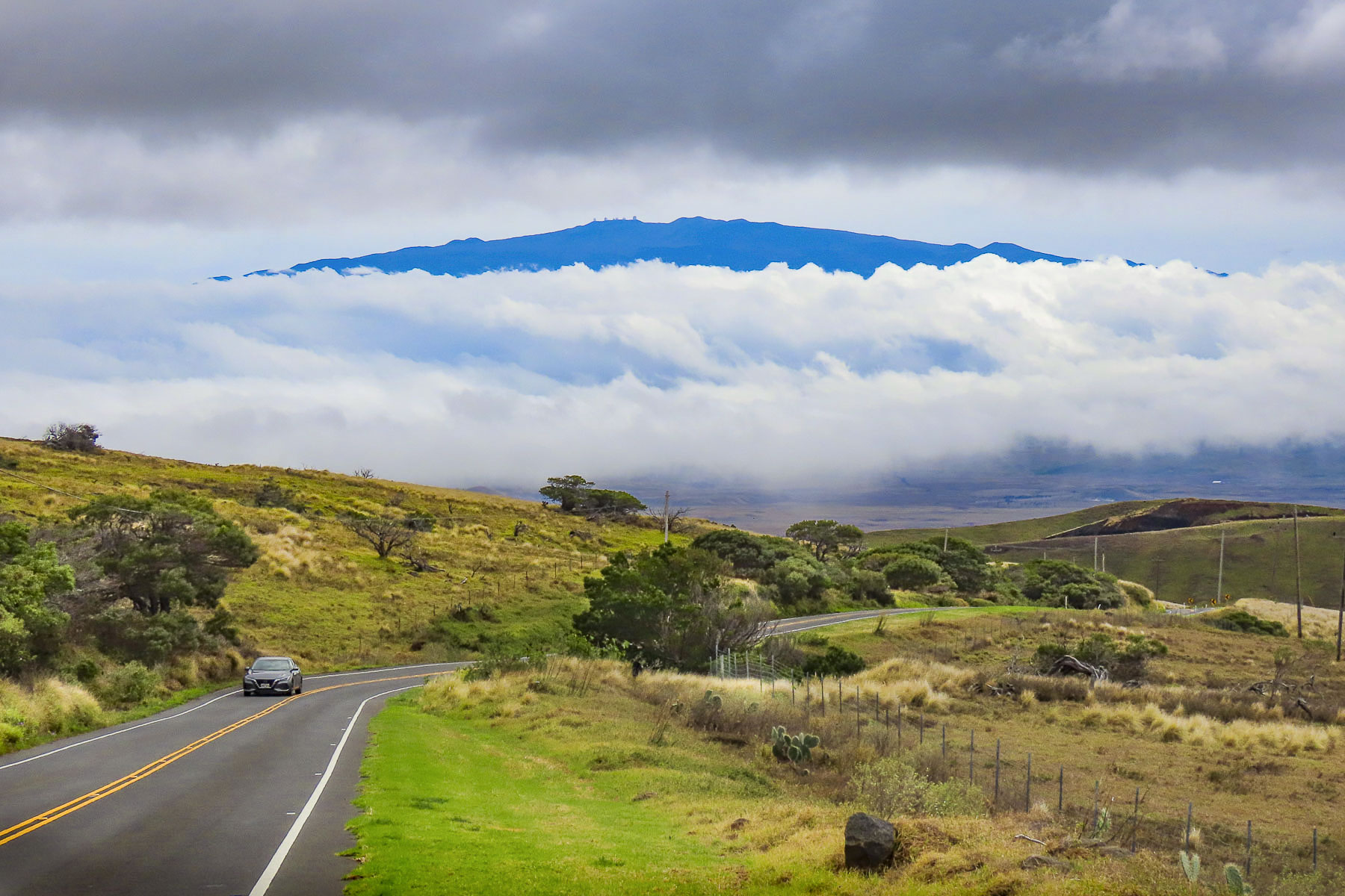
Leaving Kapaau we followed Rt 250 up into the Waimea highlands beneath Mt Kohala, a vast grasslands atop a long ridge, and home to the 135,000-acre Parker Ranch, one of the oldest and largest cattle ranches in the United States. From the road distant views of the west coast of the island were abundant. As we descended into Waimea the summit of the dormant volcano Mauna Kea poked through the clouds.

Waimea is the center of the Big Islands’ paniolo (Hawaiian cowboy) country. It’s a large pretty town, with several old historic churches, colorful street murals and a tall cowboy boot marking the entrance to a shopping center. The first cattle on the island, 11 cows and 1 bull, were given to King Kamehameha by the British Naval Officer, Captain George Vancouver, in 1793. The king prohibited the islanders from slaughtering them and the small herd was left to freely roam the highlands.

In 1803 King Kamehameha received, from an American trader, the first horses to arrive on the island. The king invited vaqueros from Spanish California to the Big Island to teach some islanders cattle herding and roping skills. Eventually, the taboo against killing the cattle was lifted in 1830 by King Kamehameha III, when an estimated 25,000 wild cattle became troublesome as they destroyed farmer’s crops. Some of the cattle would be herded into the sea where they were swum out and then lifted onto waiting freighters and transported to the other islands. Hawaiian paniolos grew to be accomplished riders and over the years, have competed in numerous rodeos and world steer-roping championships. In 1999, Parker Ranch paniolo Ikua Purdy was inducted into the National Cowboy Hall of Fame. We had hoped to attend a Paniolo BBQ at Kahua Ranch for a night of good food and cowboy stories, but the weather the week we were on the island was just too iffy for us to commit to it.

Oustide of Waimea on the Mamalahoa Hwy, the ring road, we headed to the eastern, or windward side of the island and traveled through verdant landscapes of thick forests and jungles, the beneficiaries of the 130 inches of rain that this side of the island annually receives from the tradewinds that bring moisture in from the Pacific Ocean.  It’s a sharp contrast to the arid western, or leeward side of the island that receives only 18 inches of rain.

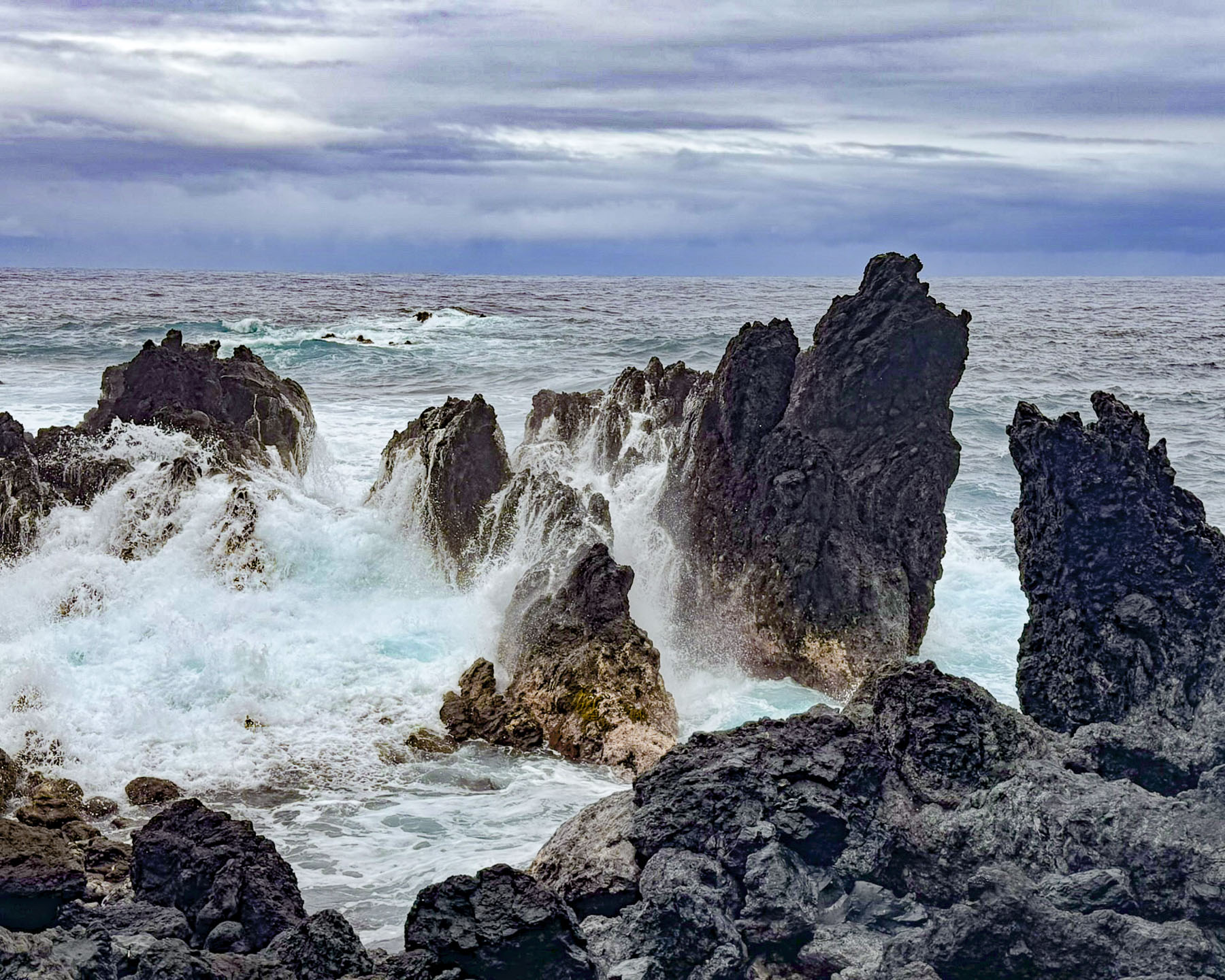
The overcast sky persisted as we drove down a twisting road through a rainforest to Laupāhoehoe Point. It’s a small, beautiful peninsula, with a rough lava rock coastline. The ocean swelled and crashed against the coast with a ferocity that the beaches on the west side of the island don’t experience, unless there’s a storm.

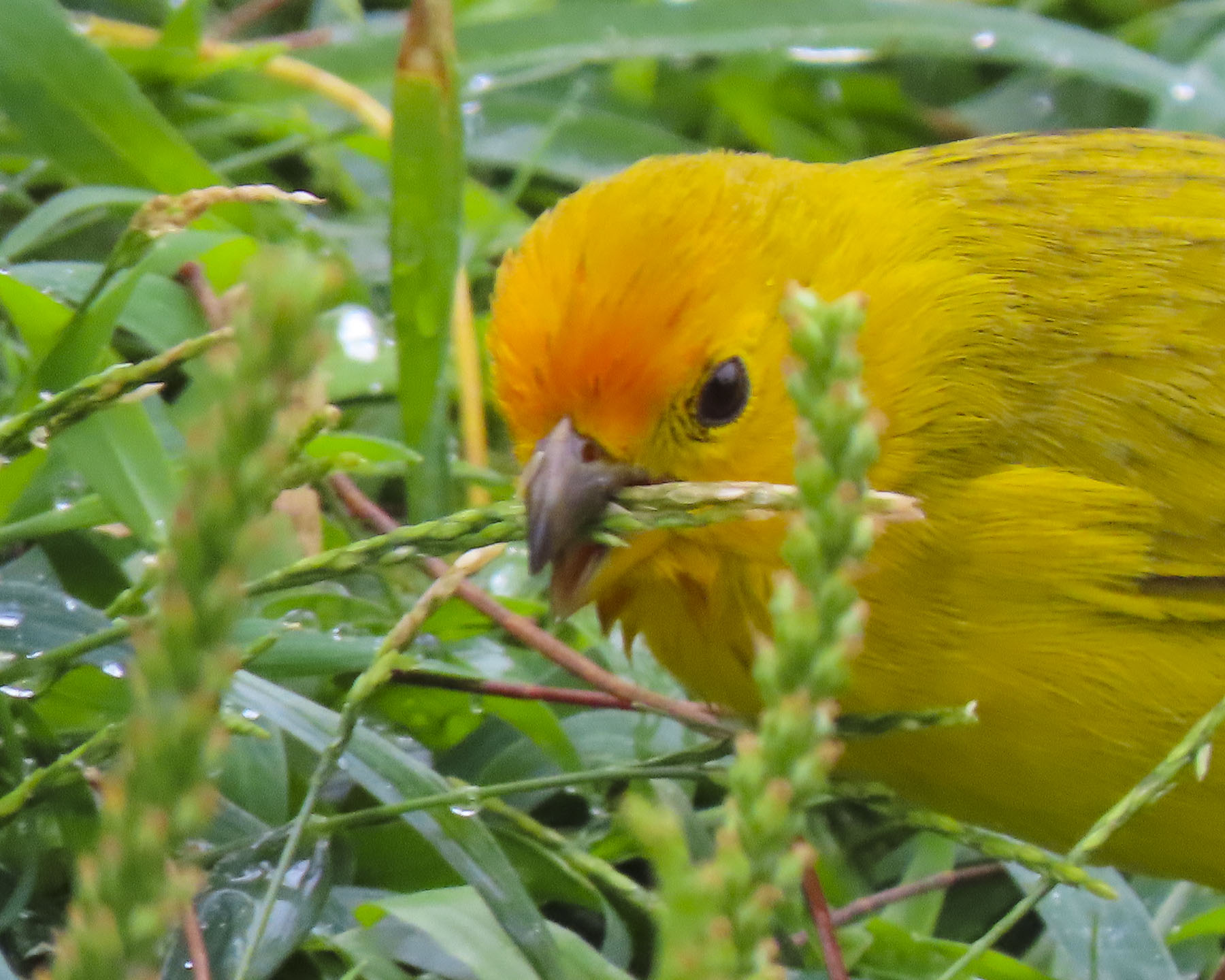
Saffron finches scooted around the undergrowth near the water’s edge. Over the horizon Baja, Mexico was 2,000 miles away. Things are not always wonderful in paradise and a memorial commemorates the tragic deaths of 20 schoolchildren and 4 teachers who drowned as their school was swept away in the giant waves of a tsunami that pounded the northeastern shores of the Big Island on April 1, 1946. Farther south in Hilo 159 people drowned and 1,300 homes were swept away.

The Big Island has over 100 waterfalls with the tallest, Waihilau Falls at a lofty 792m (2,600ft) tall, hidden away in the remote Waimanu Valley. Some serious trekking through the rainforest is required to reach them, while there are others that are way easier to view. As much as I liked the idea of an expedition through the tropical forest with my crew to see this spectacular waterfall, they can be a mutinous car full towards happy hour. So, we opted to seek out some of the more readily accessible ones during our week on the island.

Continuing south on the Mamalahoa Hwy we stopped to view the cascading Triple-Tier Umauma Falls, thundering loudly from all the rain that had fallen lately. It’s on private property, so there was an admission fee, but they did have really tasty coconut, pineapple and mango ice-cream.

We ended our day with drinks and dinner at Jackie Rey’s Ohana Grill in Hilo. It’s interestingly set in an old bank building across from some street murals. Our dinners from the happy hour menu were delicious and quite filling. In our opinion it was one of the best values on the island, and we did in fact eat there twice. Occasionally, a feral goat or donkey would be illuminated by the car’s headlights as we followed Saddle Road across the center of the island. At one point we reached an elevation of 2,021m (6,632ft) as we passed between the summits of Mauna Kea and Mauna Loa. On the downhill side we could have coasted all the way back to the hotel.

Two days later we headed to Kona for their Farmer’s Market. We very much enjoy wandering about the stands at a good street market. Sadly, the Kona market was a huge disappointment, with only a handful of vendors selling tourist souvenirs and clothing. Only one stand sold local fruit and vegetables, which we did purchase to enjoy back at the hotel. Across the street we had breakfast at Papa Kona Restaurant & Bar, which had a spectacular second-story balcony perched right above the rocky oceanfront, where fishermen were casting into the surf.

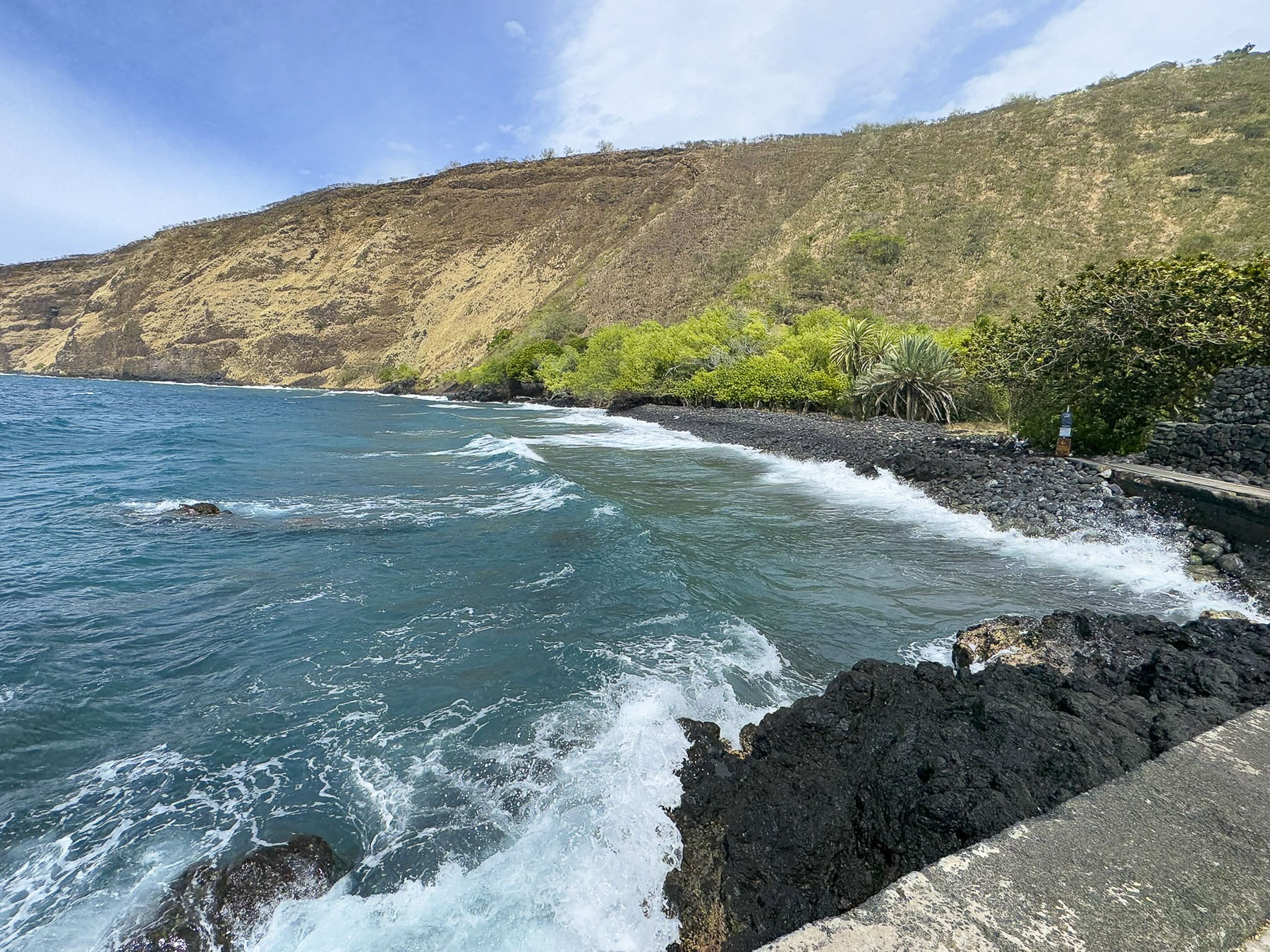
Our ambitious plan for the day was to follow the Hawaiʻi Belt Road, Rt11, to the Hikiau Heiau temple on the opposite side of Kealakekua Bay from which Captain Cook landed in 1779, then hit a number of other interesting spots as we continued south to Ka Lae, or South Point as it is also known, before swinging around to the eastern side of the island, and ending our day on the volcanic black sand of Punaluʻu Beach.

Cook happened to sail into Kealakekua Bay during a Makahiki festival, a religious festival to appease the Hawaiian deity Lono, who in legend returns to the islands on a large ship. Timing is everything! Cook lucked out, his skull could have hung with other victims who had been sacrificed to appease the wrath of their deity, amidst the towering fierce tikis which portrayed Lono. The High Chief of the island ceremoniously welcomed the captain and lavished him with gifts of feathered capes, helmets, lei, and tapa cloth along with hogs, taro, sweet potatoes, and bananas. The bay is a tranquil spot now, but during Cook’s visit it would have been filled with hundreds of islanders on wa’a, outrigger canoes, and surfboards.

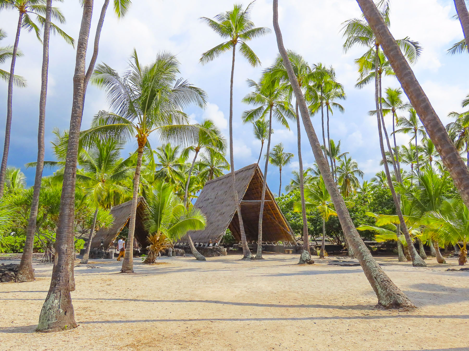
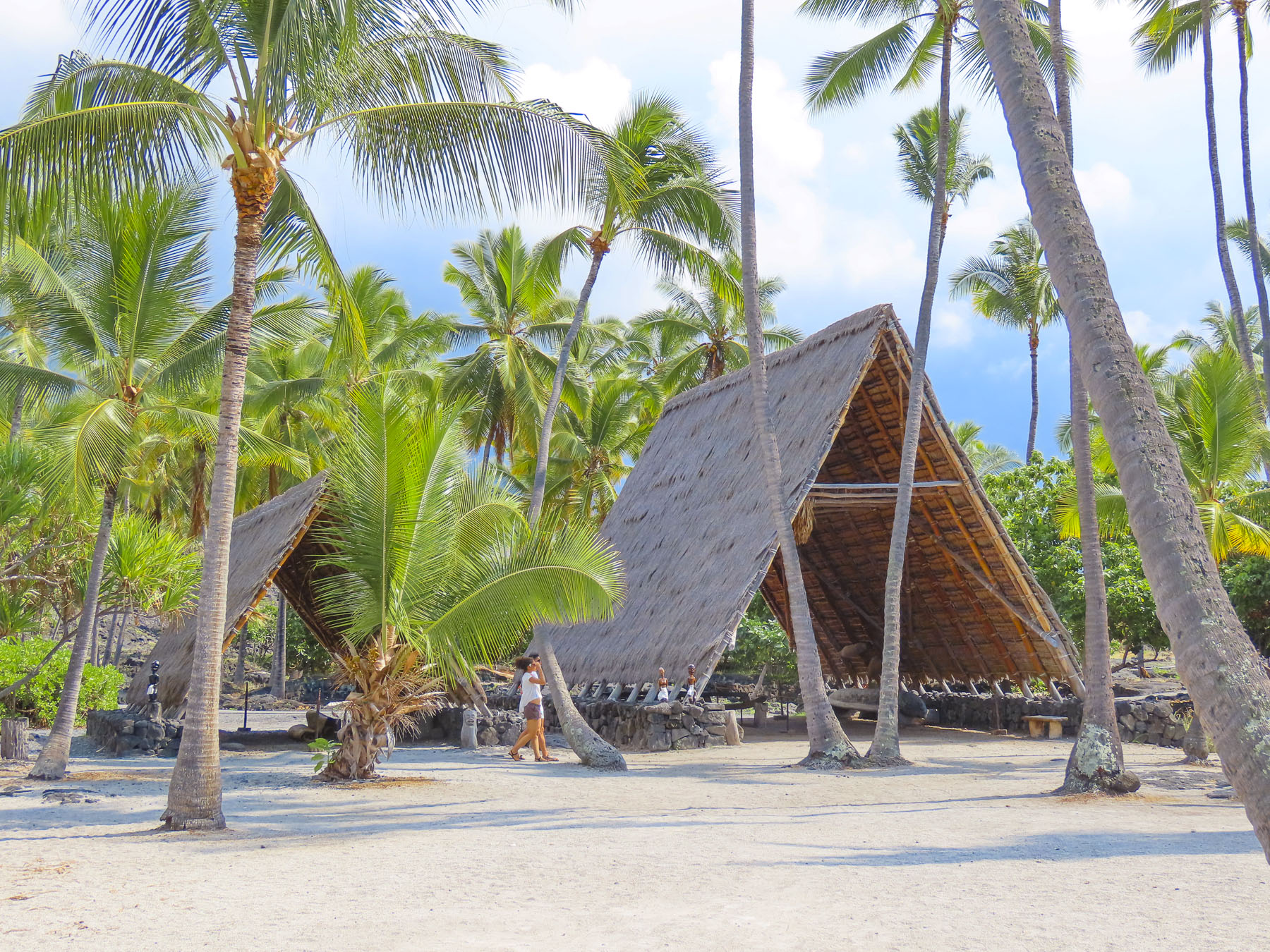
Continuing south we reached the Pu’uhonua O Honaunau National Historical Park, site of an ancient religious sanctuary. Few spots on the Big Island resemble paradise more than Pu’uhonua O Honaunau, with its brilliant white sandy beach lined with swaying palm trees, along a cove with clear blue water. For centuries before the Christianization of the island started with the first arrival of protestant missionaries in the 1820s, it was also known as the City of Refuge, where islanders who broke a kapu, an ancient law, could flee to safety to escape the death penalty their action incurred. Here an offender of the ancient ways would seek absolution from a high priest and be free to return to their village. Villagers and defeated warriors could also seek sanctuary here during periods of inter-chiefdom wars.

The most important structure on the site is Hale o Keawe, a stone and thatch royal mausoleum that contained the remains of 23 deified high chiefs. Around it, fierce looking tiki statues serve as guardians of the dead, and embody the spiritual power of the kapu.

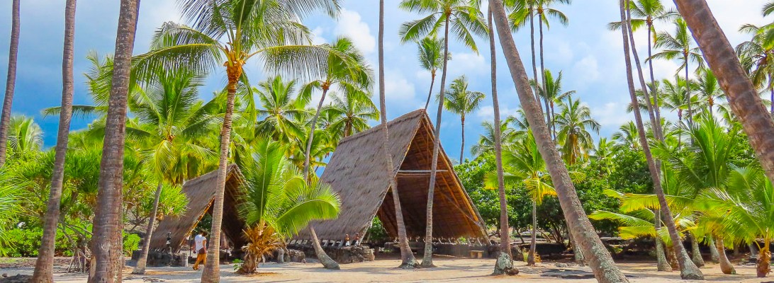
The site also has two Hawaiian hale houses, open sided bamboo and palm frond or pili grass covered structures. Multiple hale houses were built in a village for specific uses: men’s meeting house, cooking house, separate eating houses for men and women, workshop and canoe house, and a menstruation house.

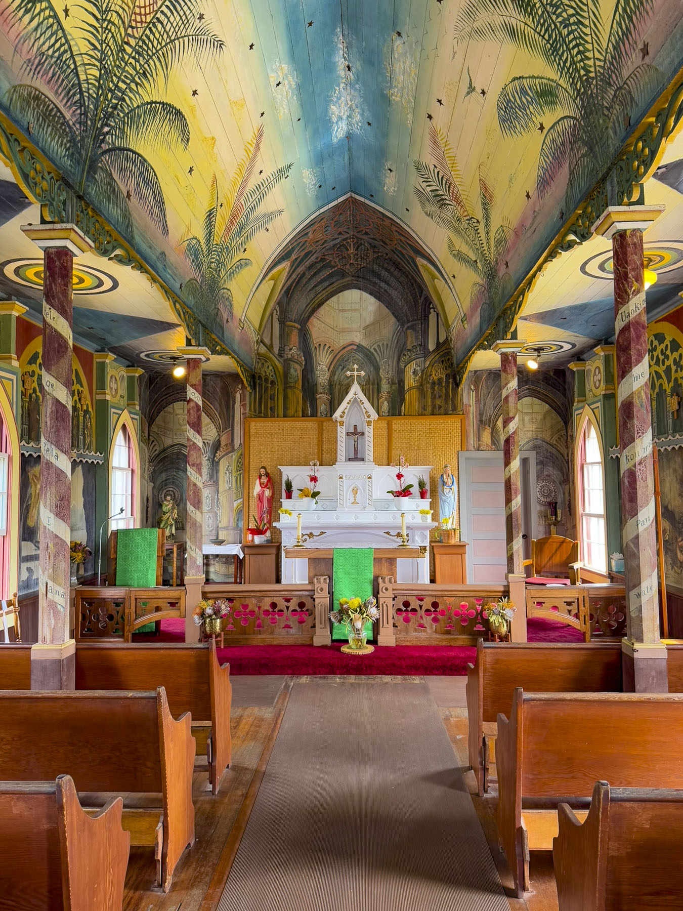
Uphill from Pu’uhonua O Honaunau we visited the Painted Church, aka St Benedict Catholic Church. It’s a simple wooden church that dates from the 1880’s, and easy enough to just drive by unless you know it has a spectacularly painted interior.

While it’s not Michelangelo’s Sistine Chapel, the message is the same with every surface of the interior illustrated with stories from the bible. It was all the work of one creative Belgian priest, Father Jean Berchmans Velghe. He painted these religious murals between 1899 – 1902 for his, largely illiterate congregation.

The Coffee Shack,  a laidback breakfast and lunch restaurant on Rt11 in Honaunau-Napoopoo, was recommended to us as a nice place to eat. Parking was a little difficult in their small lot, and the place doesn’t look like much from the outside, but inside they have a lanai, an open sided porch, with panoramic views over the hills leading down to the Kona coast and Kealakekua Bay. We had just gotten seated when the power went out, something that we were told happens quite frequently across the island, and the server informed us “the cook doesn’t open the refrigerator when this happens, so we only have pastries, and the coffee is still hot.” It wasn’t much of a sacrifice to content ourselves with coffee and luscious pastry.

After a snack we optimistically continued south in search of an open restaurant, and we were not having much luck. Talk of mutiny was fomenting in the back seat. This whole southern coast lies in the shadow of the Mauna Loa volcano. Past the town of Ocean View the road crossed scars of ancient lava flows that stretched from the volcano’s summit to the sea. Fortunately, we came upon the El Encanto Food Truck, which had its own generator, and was busily serving a long line of hungry patrons at its window. Our lunches were delicious! The mutiny was postponed.

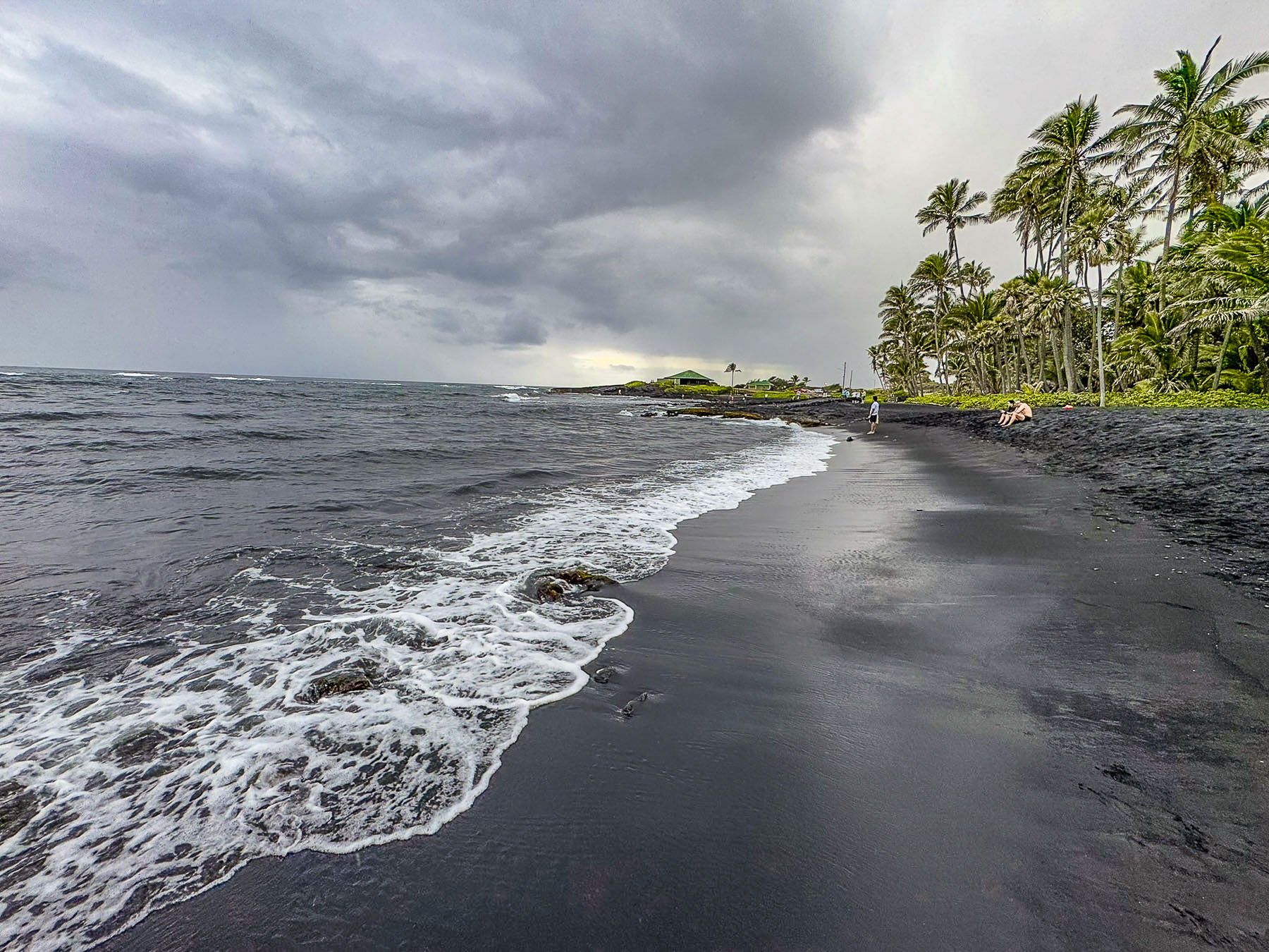
The power outage also affected gas stations along our route. With the afternoon sky darkening we decided to forego visiting South Point and continue on to Punaluʻu Beach. It’s a graceful crescent shape, and we are sure on a sunny day its volcanic black sand beach lined with coconut palms would be stunning, but this afternoon it looked foreboding with a gray sea sweeping its shore, more apropos for the scene of a novel’s fictional shipwreck, than a place to sunbath.

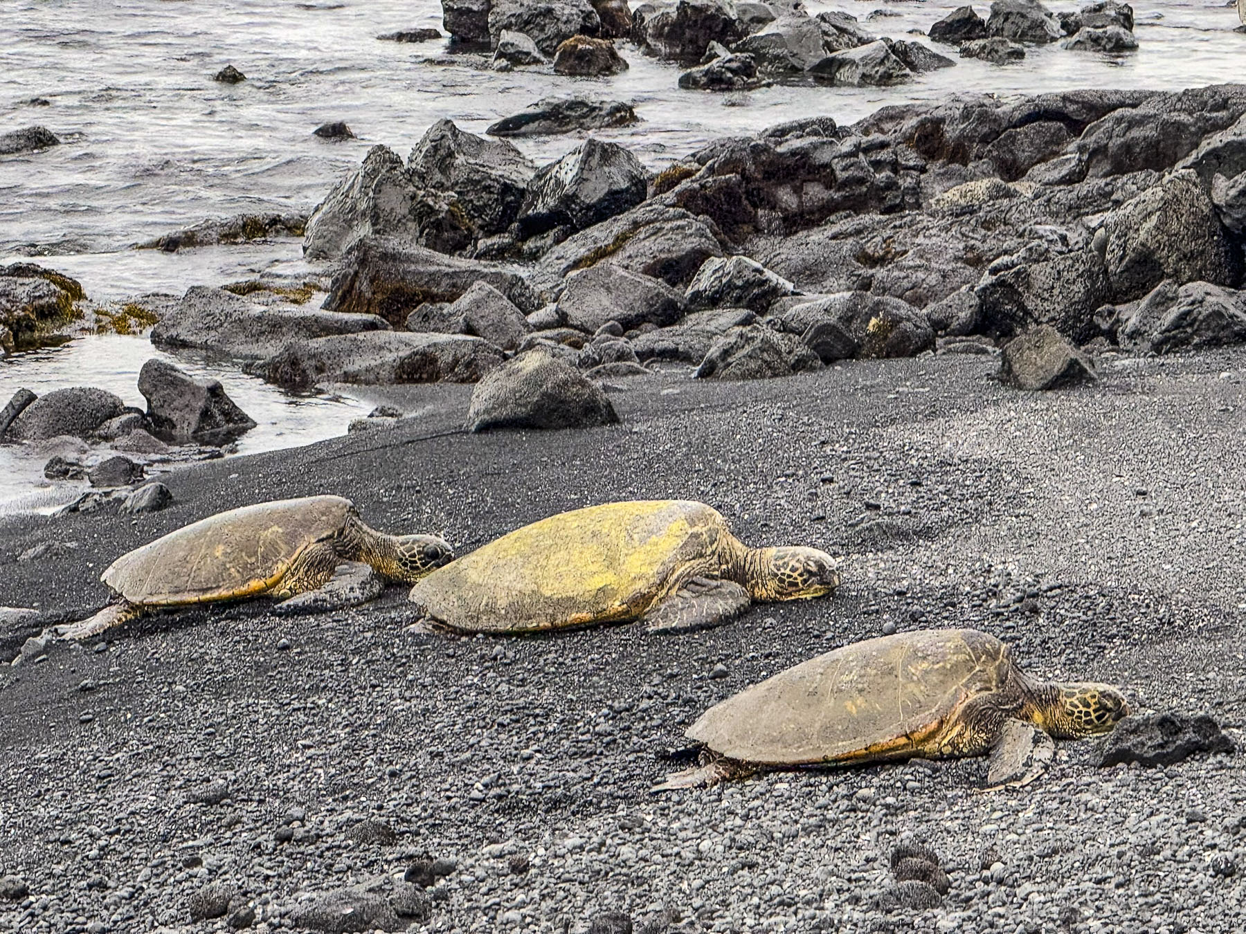
Rain was threatening now, but as we walked back to the car, Donna was waving excitedly to us. On the beach were three large green sea turtles in a roped off nesting area. Native to the Hawaiian archipelago, they are the largest sea turtle that nests on the islands and are symbols of good luck, wisdom, and protection. It was such a pleasure to see them.

The Hawaiian legend of Kauila, tells of a mystical turtle born on the black sands of Punalu’u, who had the ability to shapeshift into a human to play with the islander’s children that came to the beach, and to protect them from the dangers of the ocean. Heavier rain sent us hurrying back to the car. It was a long but rewarding day; we agreed that the spotting of the turtles was a real highlight of the trip.

Our pursuit of waterfalls continued the next day. Recrossing the mountains during the day cast a new light on the arid windswept heights as we ascended the road under snowcapped Mauna Kea then descended towards Hilo and into verdant greenery of the eastern side of the Big Island. It was a contrast equivalent to night and day, like our two drives across the island.

Roaring from all the recent rain, Wai’ale Falls was easily seen from the bridge over the Wailuku River. There’s not any official parking, so folks just park along the side of the road and walk out onto the bridge. There is also a rough trail, through thick undergrowth, up and over the road embankment that leads to the upper falls. We followed the footpath for a while until it narrowed along the edge of a fall-off, and we decided to turn back. Though some younger, more adventurous folks had reached the top of the 17m (55ft) high falls and were fearlessly jumping into the pool below.

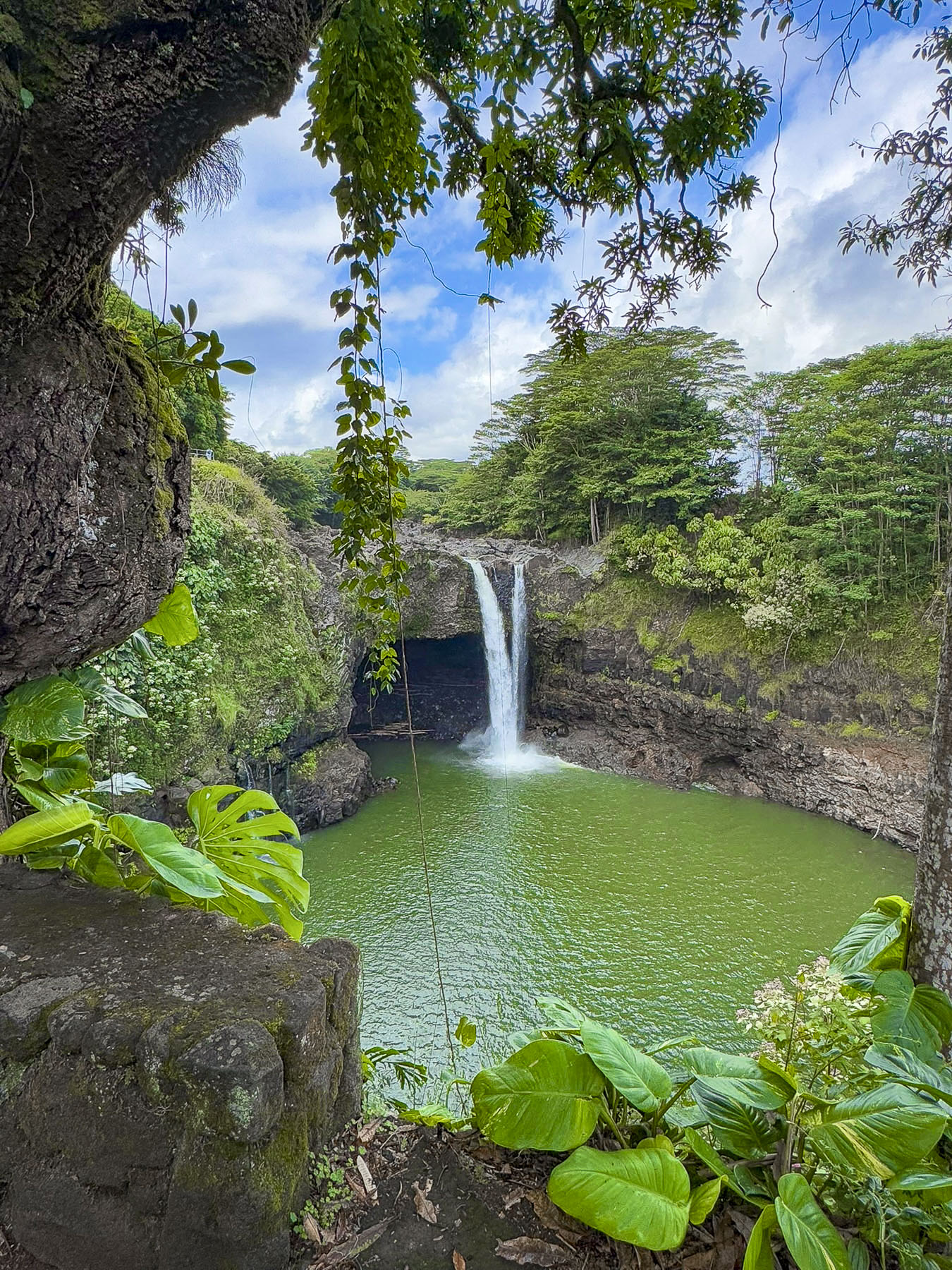
Downriver, Rainbow Falls, in Wailuku River State Park, was a short drive away. It’s known for, you guessed it, rainbows that frequently appear when the light is just right. The riverside park is quite pretty and has paved trails that overlook the falls where the river’s cascading water veils a shallow cave as it drops 24m (80ft) into a large stone basin created over the ages by erosion. “Legends say that the cave beneath the waterfall was the home of Hina, mother of the Hawaiian demigod, Maui.”

Our next “drive a little then café,” moment was satisfied at Coffee Girl, a cute café in a Hilo strip mall, on the way to Makuʻu Point.

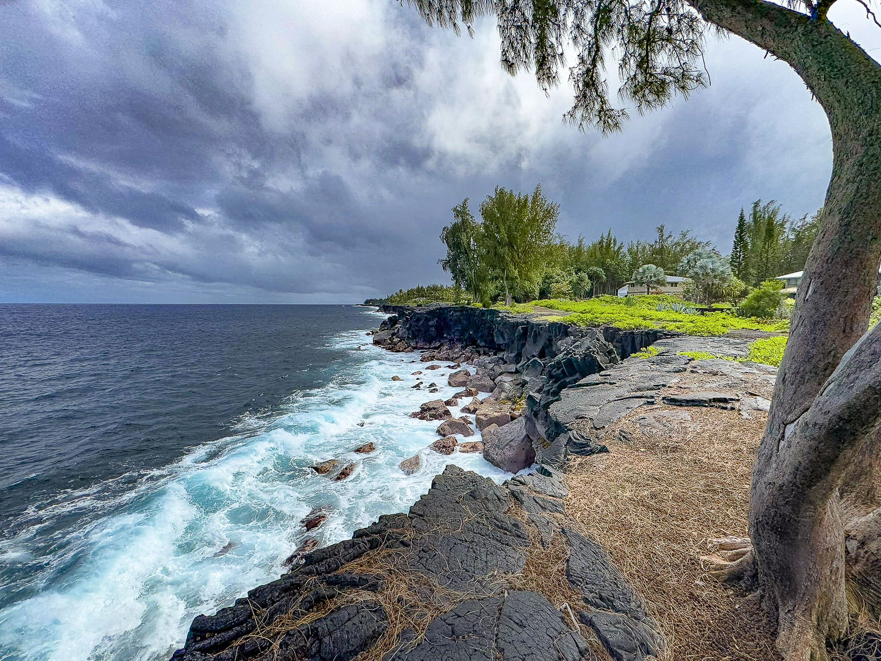
Turbulent seas churned from storms blowing across the Pacific along with volcanic activity have prevented the creation of beaches on eastern coast of the Big Island. Dramatic volcanic cliffs and lava outcroppings line the windward coastline instead.

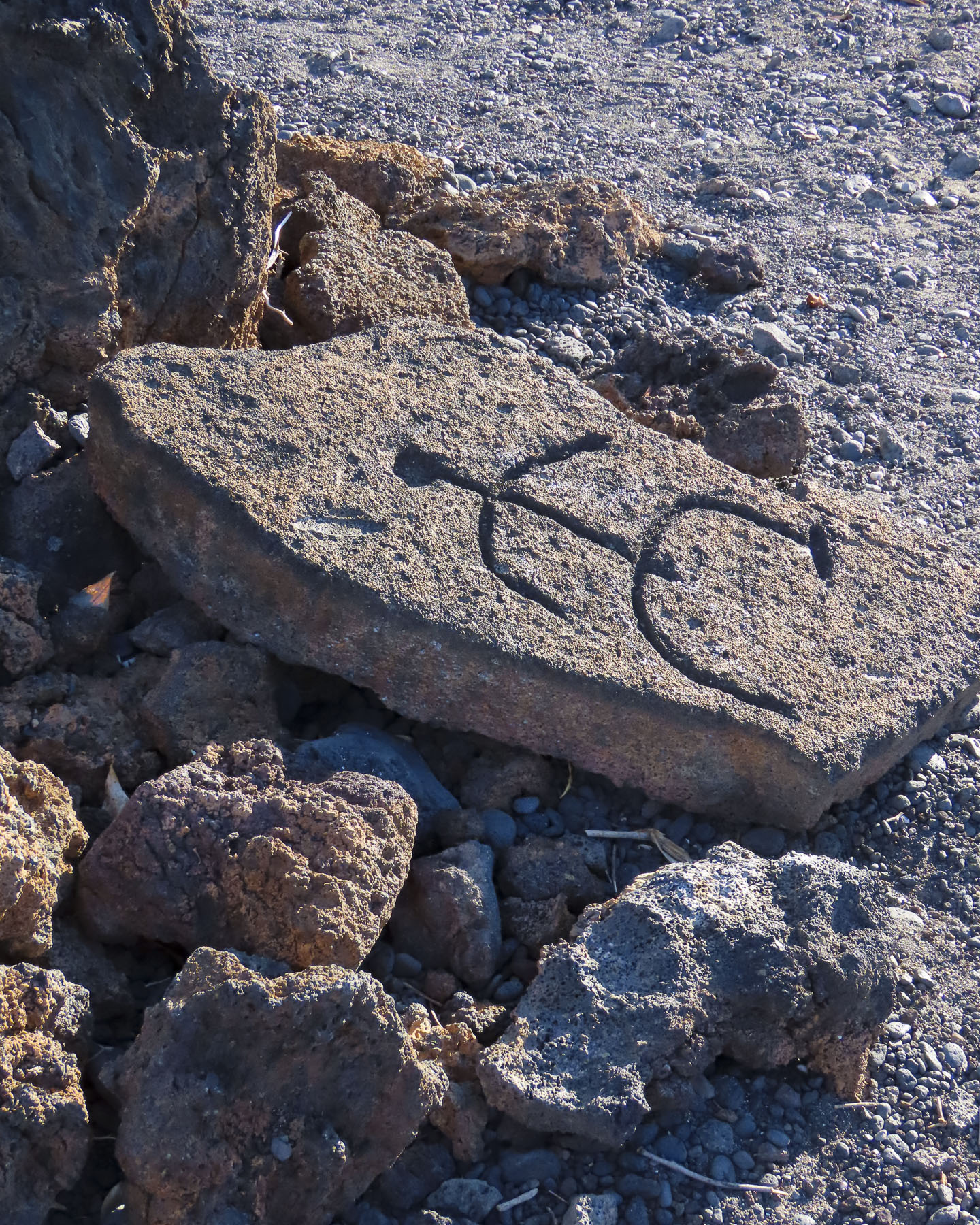
The next morning, we set out to find more ancient stone inscriptions at the Puakō Petroglyph Park, in nearby Waimea. The trail started in Holoholokai Beach Park, where there is a unique beach of black lava rocks mixed with white coral, and soon led to a gathering of petroglyphs.

The symbols were quite interesting, but it was obvious that the carvings were reproductions of ones that the trail led to. We followed what started out as a well-worn trail through a primeval forest full of twisted trees, until the trail seemed to vanish. It was a hot day, and we were concerned about getting lost, so we backtracked and turned our attention to discovering some of the smaller beaches near the resort.

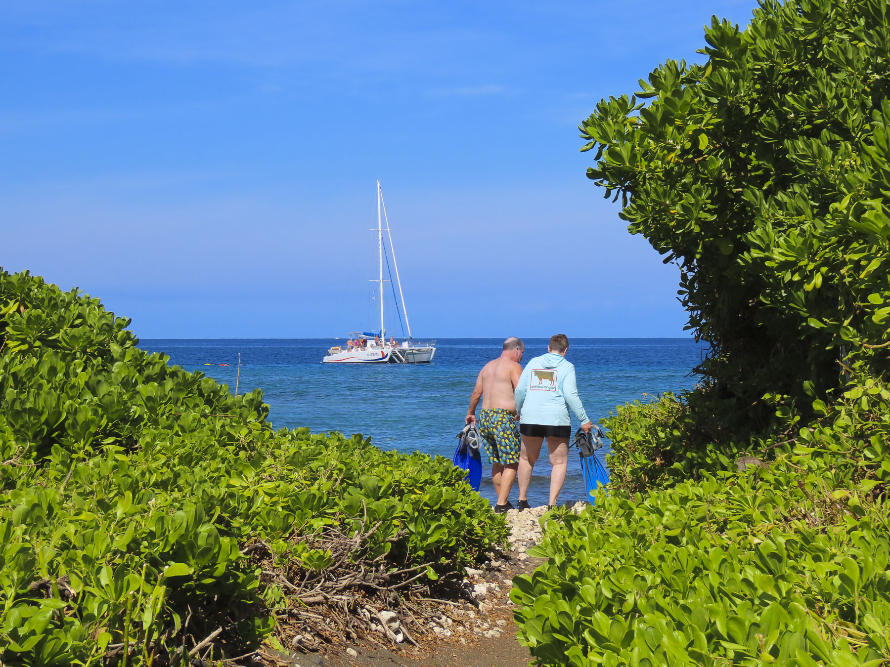
Puako Bay is a few minutes south of Hapuna Beach, the island’s largest stretch of sand, which we had visited earlier in the week. It’s a tranquil bay with many public access trails from the road to small sandy beaches, and rocky coves, that folks like to snorkel in.

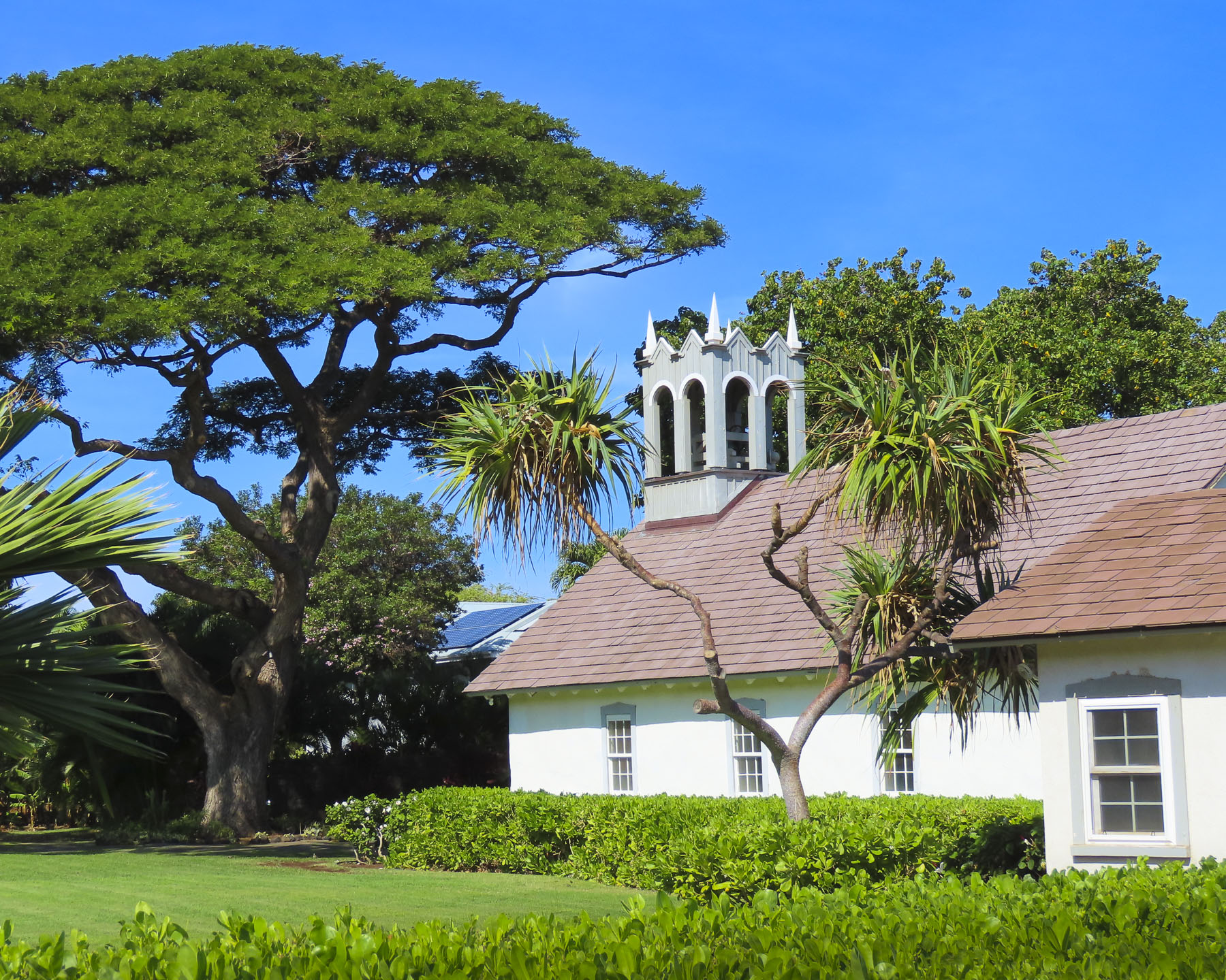
There was a small beach next the Hokuloa Church that offered a nice view of the bay with Mauna Kea in the distance. The church was built with lava rock and then whitewashed in the late 1850s.

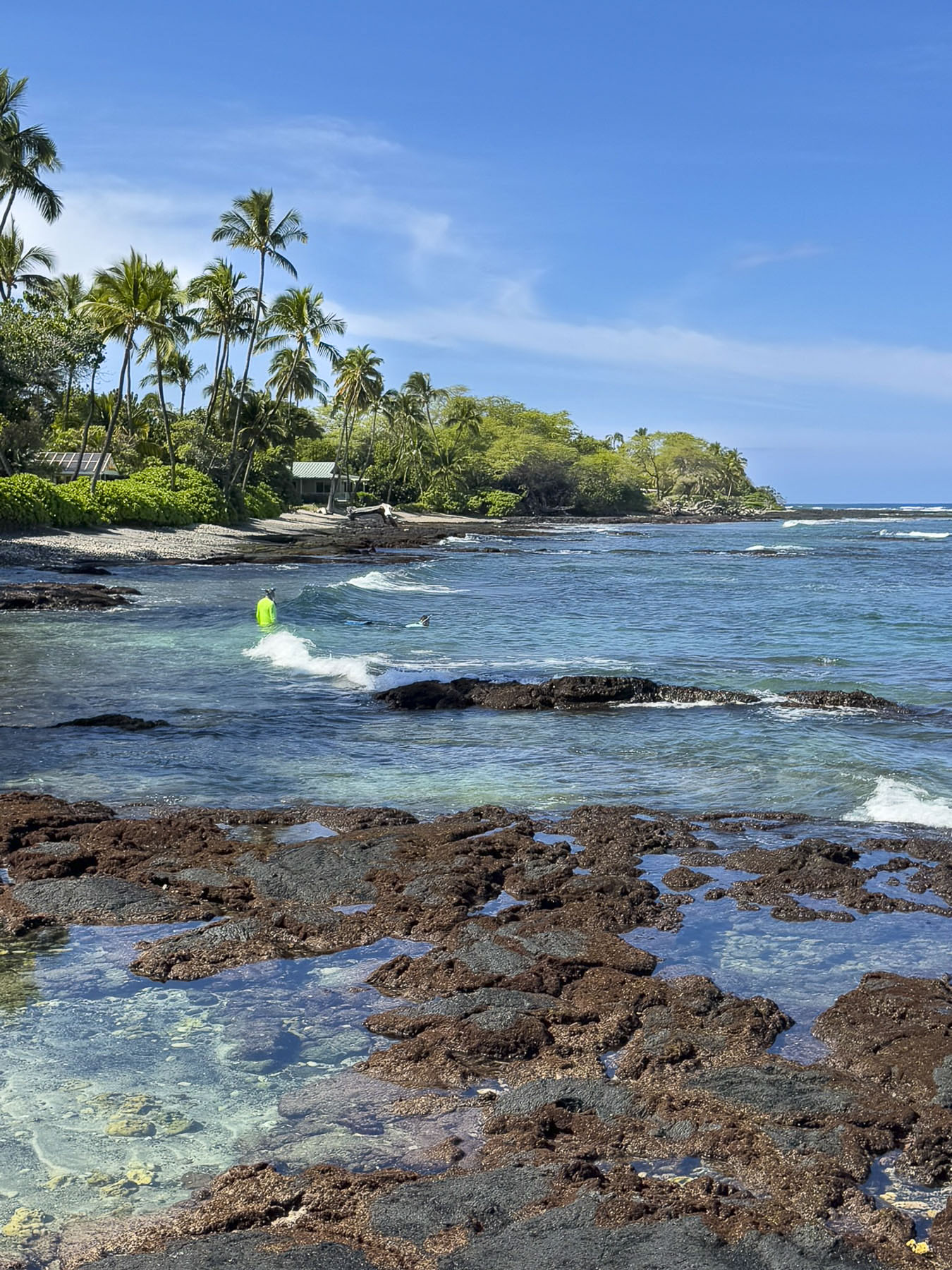
Kikaua Point Park was south of our resort and access to it was, surprisingly, through a gated community. Where folks are allowed access to the beach after getting a parking permit from the security guard. A long concrete walkway led from the parking lot through a boulder strewn lava field to a lovely palm treed beach. Folks were enjoying the breeze in the shade of the trees and swimming in the warm water of an almost completely circular and shallow sandy bottom cove. It was the perfect spot to spread our towels out and go for a swim.

We only scratched the surface of this big, beautiful island. And if we ever return we would definitely go to see the array of telescopes at the observatory atop Mauna Kea. The cost of living is very high on the island, with even locally caught fish, fruit and vegetables being expenses. Folks always say eat at the food trucks; while less expensive, their prices are steep too. So, if we ever return to the island – Donna furrows her eyebrows when I say this – we are packing snacks, several bottles of wine, a jar of spaghetti sauce and pasta, along with a couple of frozen steaks that should be perfectly thawed by the time our flight lands.

Till next time,

Craig & Donna