Lush farmlands surrounded Akhchakol Lake. We were traveling through the Khorezm Oasis, in the Amu Darya River Delta, the ancient breadbasket of Uzbekistan, whose headwaters start in the Pamir Mountains on Uzbekistan’s border with Afghanistan and Tajikistan, then flow north-westwards towards the once massive Aral Sea. Since Uzbekistan’s Soviet Era, water from the 2,400km (1,500 mi) estuary has been relentlessly siphoned off to irrigate extensive cotton farms and food crops. Not a drop of river water reaches the Aral Sea anymore, its desertification one of the largest manmade ecological disasters of the 20thcentury.
On the north side of the road was the Kyzylkum Desert, a monochromatic vastness that seamlessly blended to the overcast sky as it spread towards Kazakhstan. Our destination was Toprak-Kala, an ancient citadel and palace built by King Artav in the 2nd century CE to defend the Khorezm Oasis and Silk Road caravans from raids by nomadic tribesmen. The palace also served as the residence for the kings of the Khorezmian Empire.
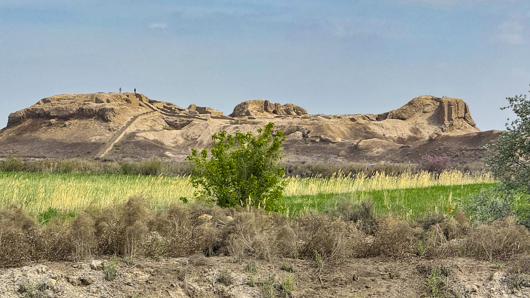
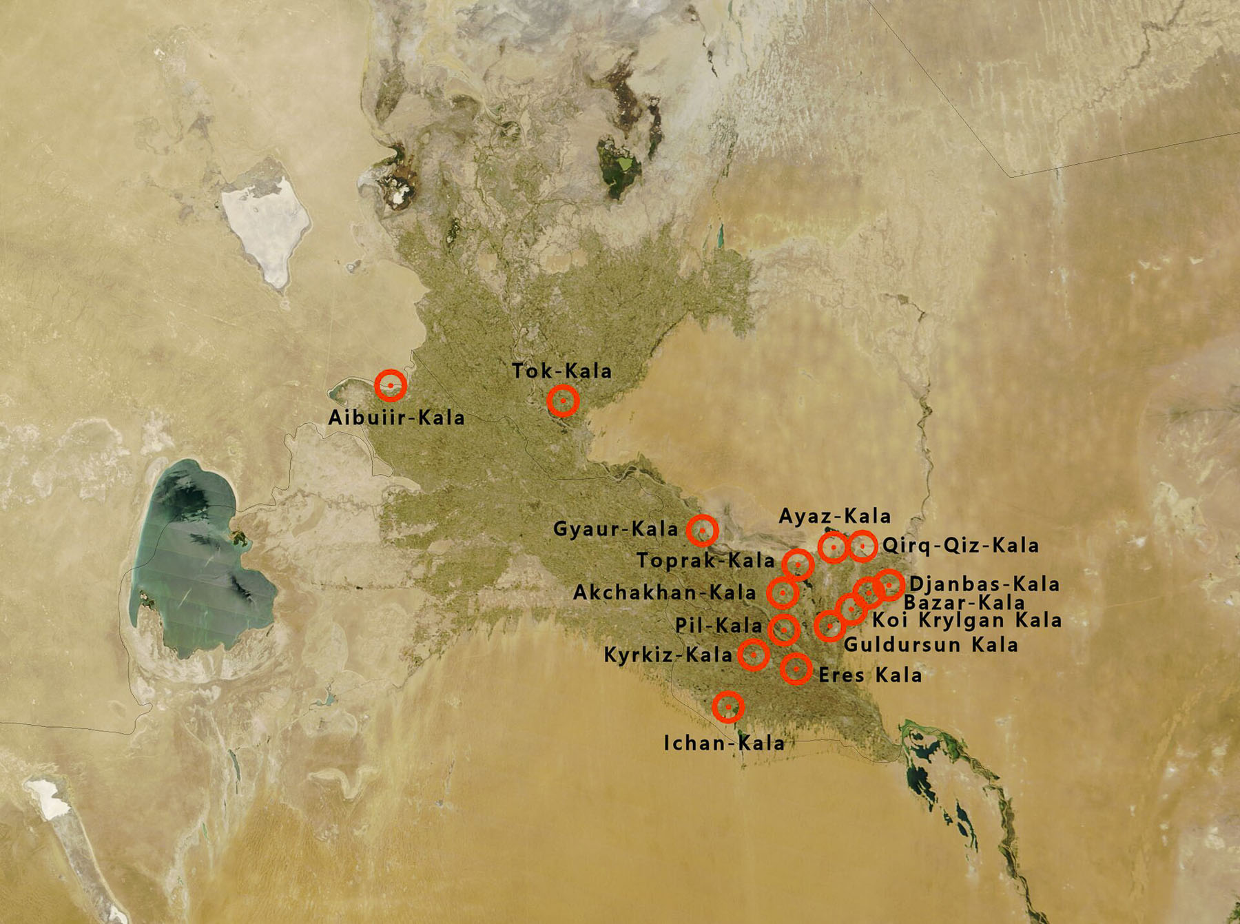
It is part of the “Golden Ring of Ancient Khorezm,” the Elliq-Qala, a cluster of over 20 excavated fortress ruins, built between the 4th century BCE and the 6th century CE. From a distance the earthen colored ruins merged into the profile of the Sultan Uvays Dag, a low, rugged mountain ridge that runs through the Kyzylkum Desert near the border with Kazakhstan.
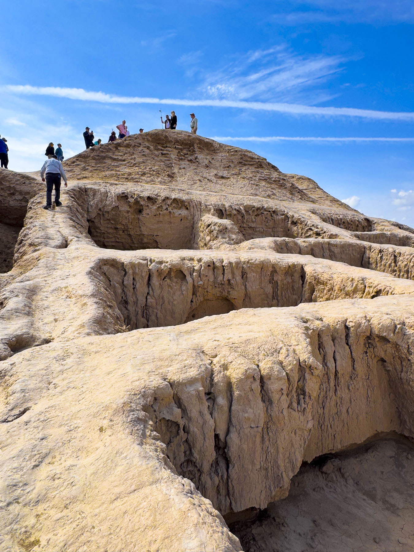
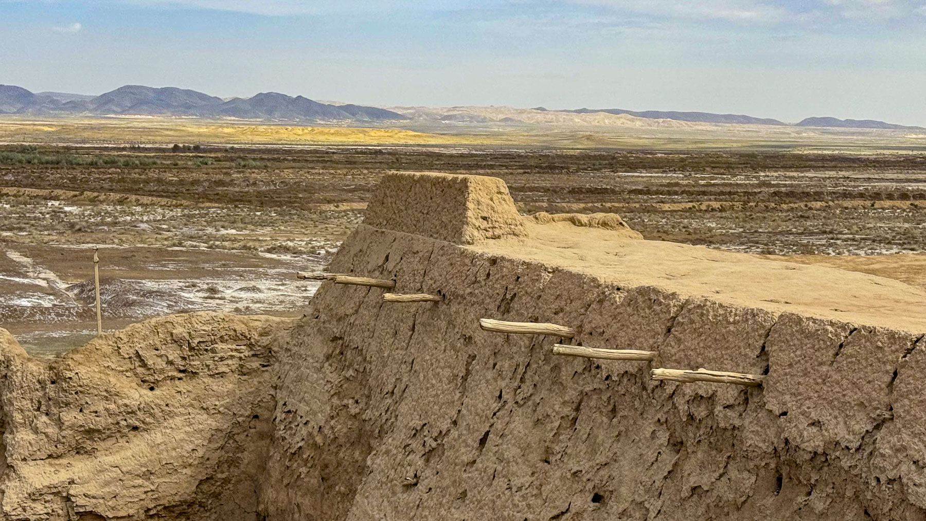
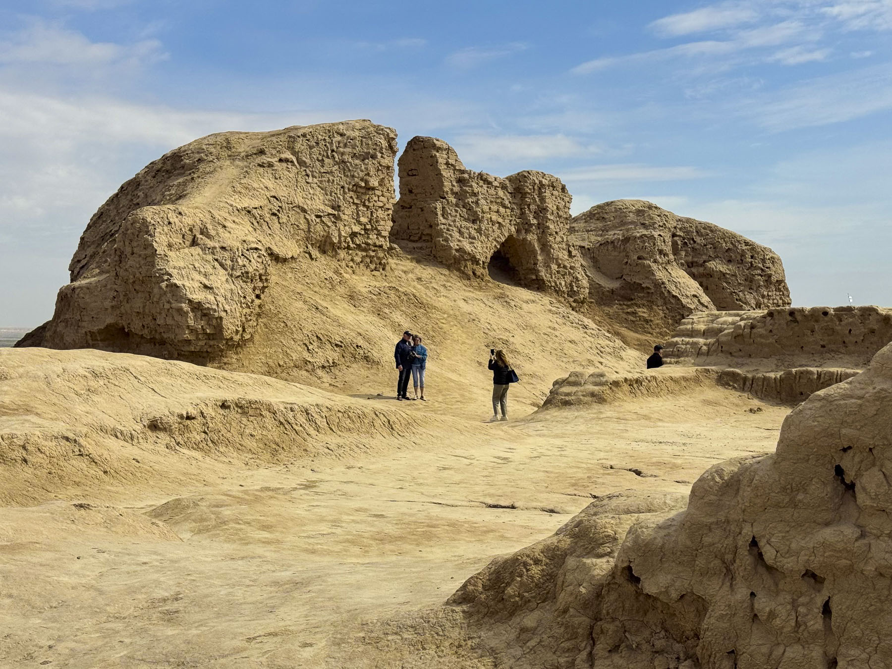
A well-worn dirt path coursed up an ancient man-made hill to what was once a huge 102 room palace. Atop its apex we surveyed how vast the 500 x350 m (1640 x 1148ft) site encompassing 120 hectares (300 acres) was. A massive 11m (36ft) tall defensive wall, covered with alabaster whitewash, encircled the area that is believed to have housed 2,500 people in organized residential blocks.
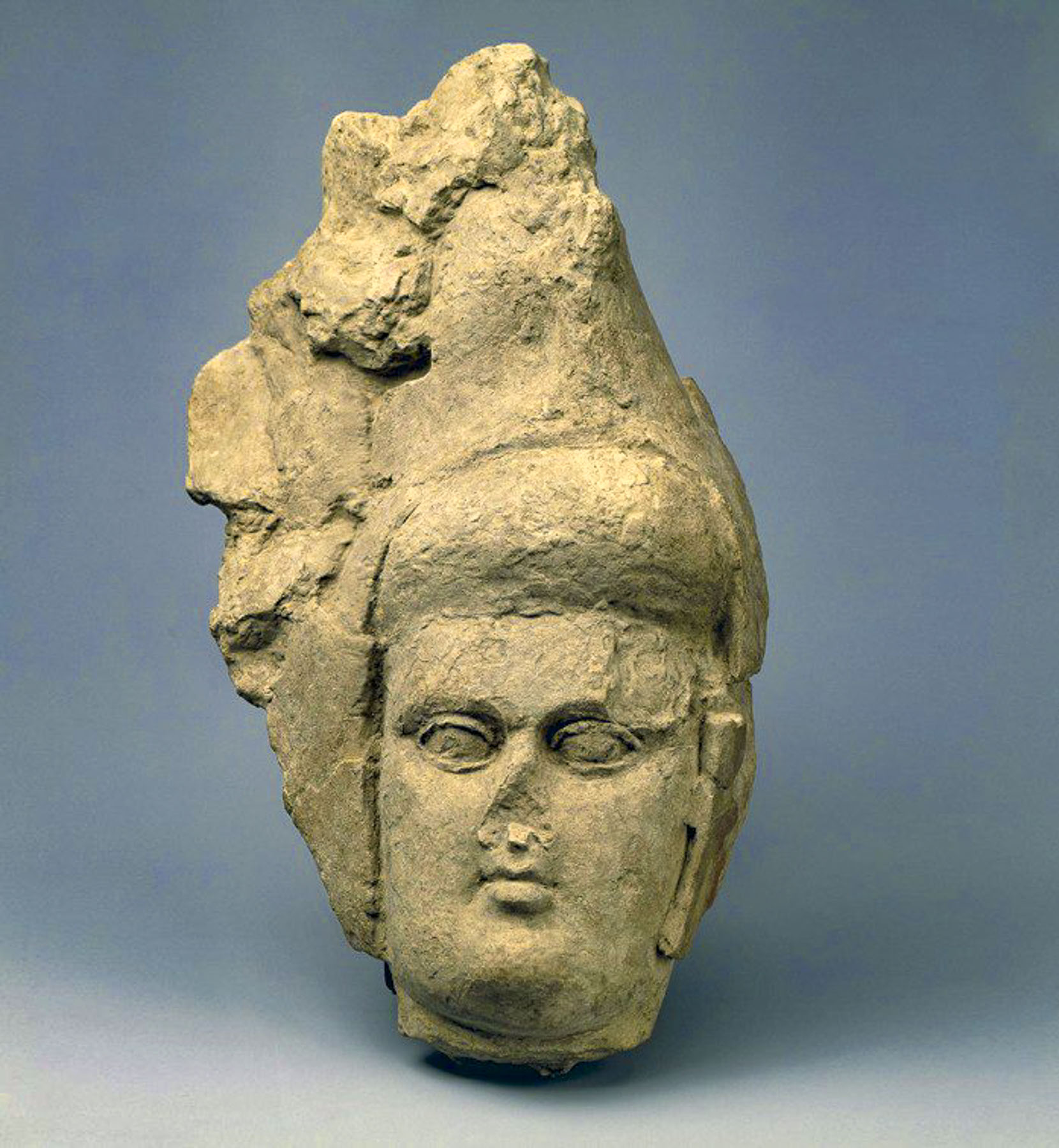
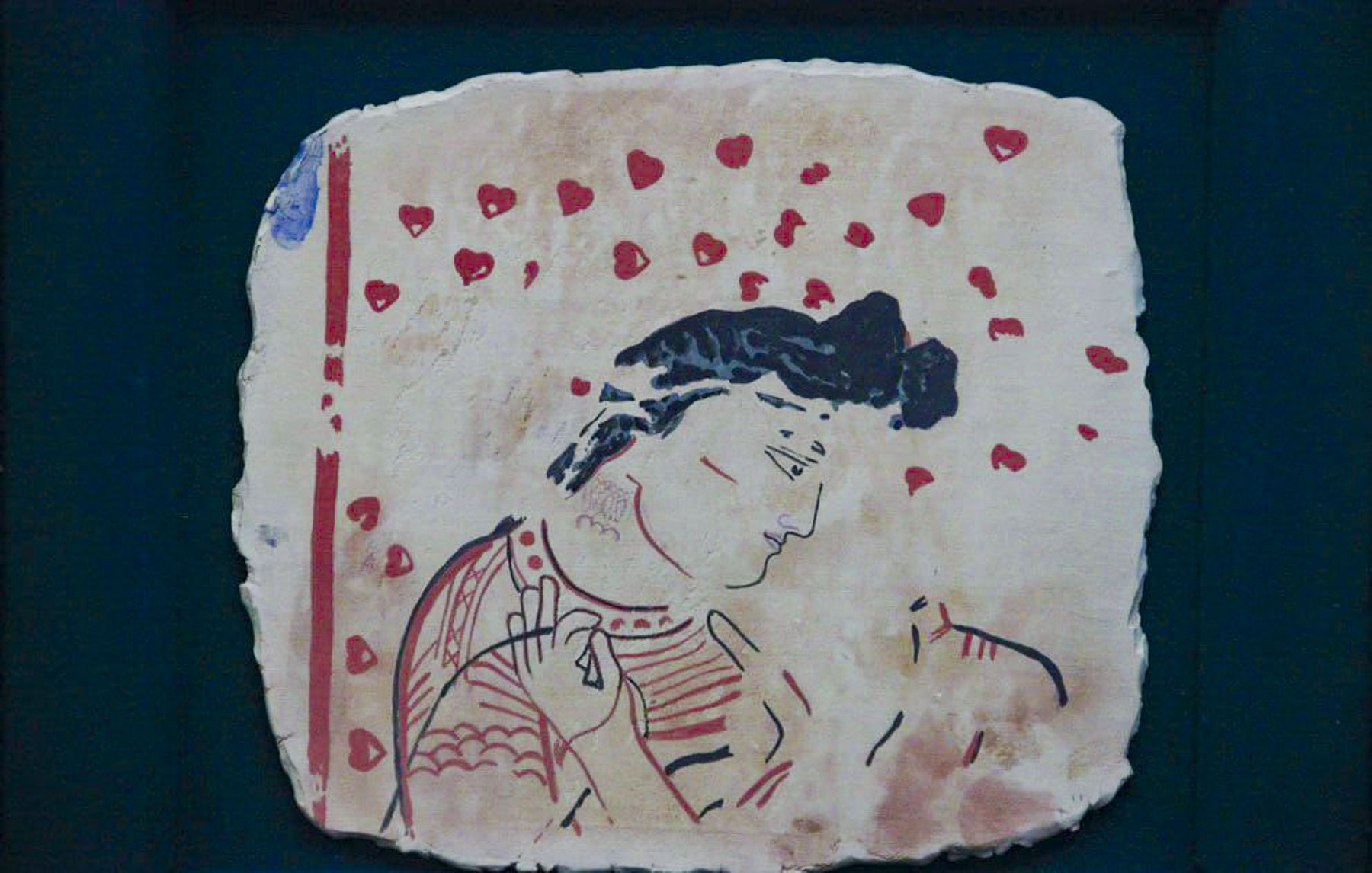
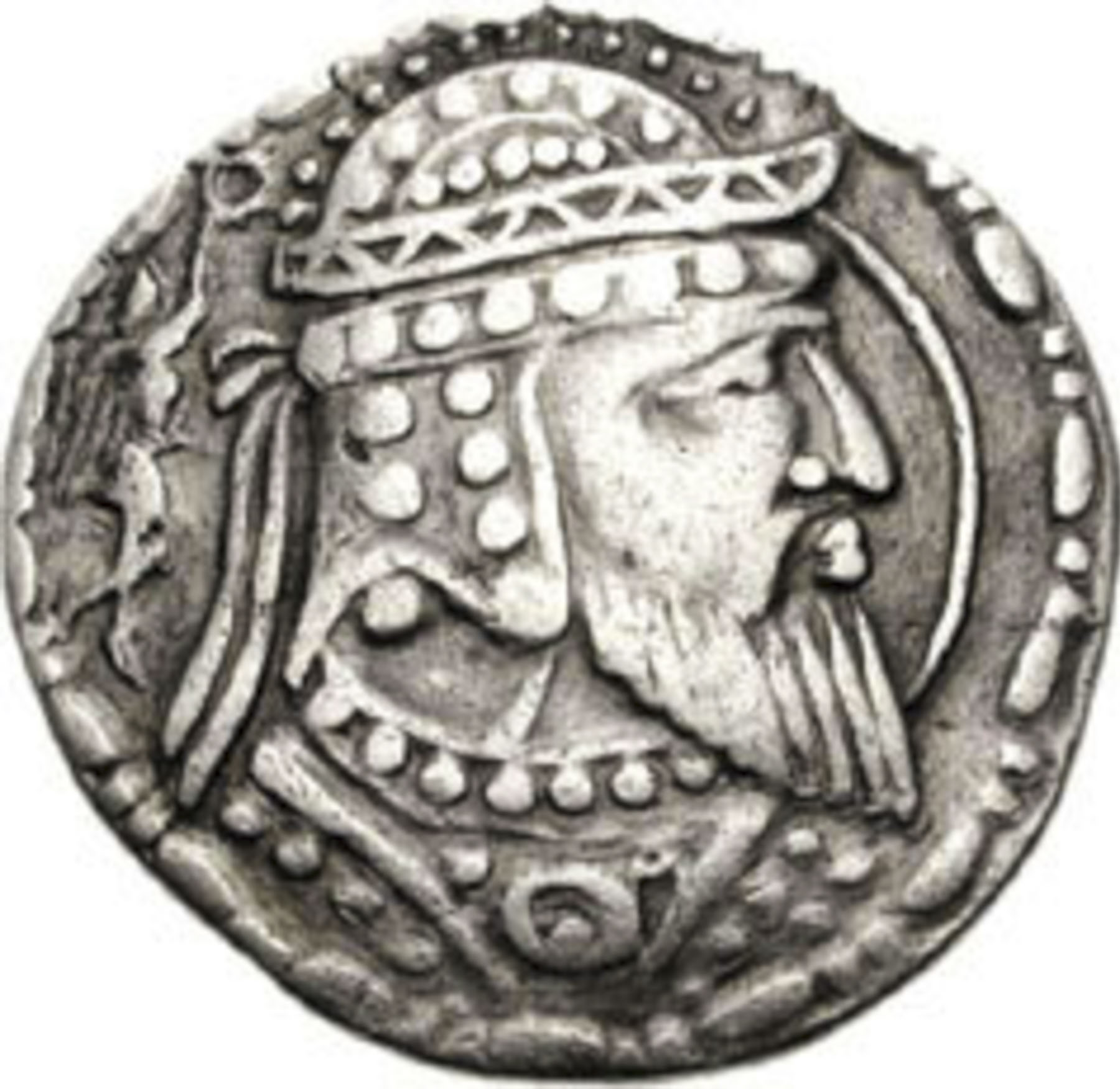
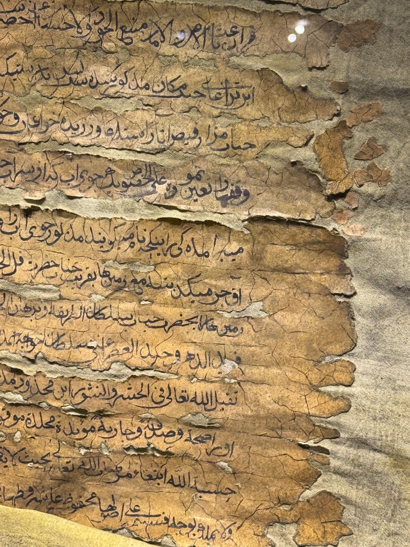
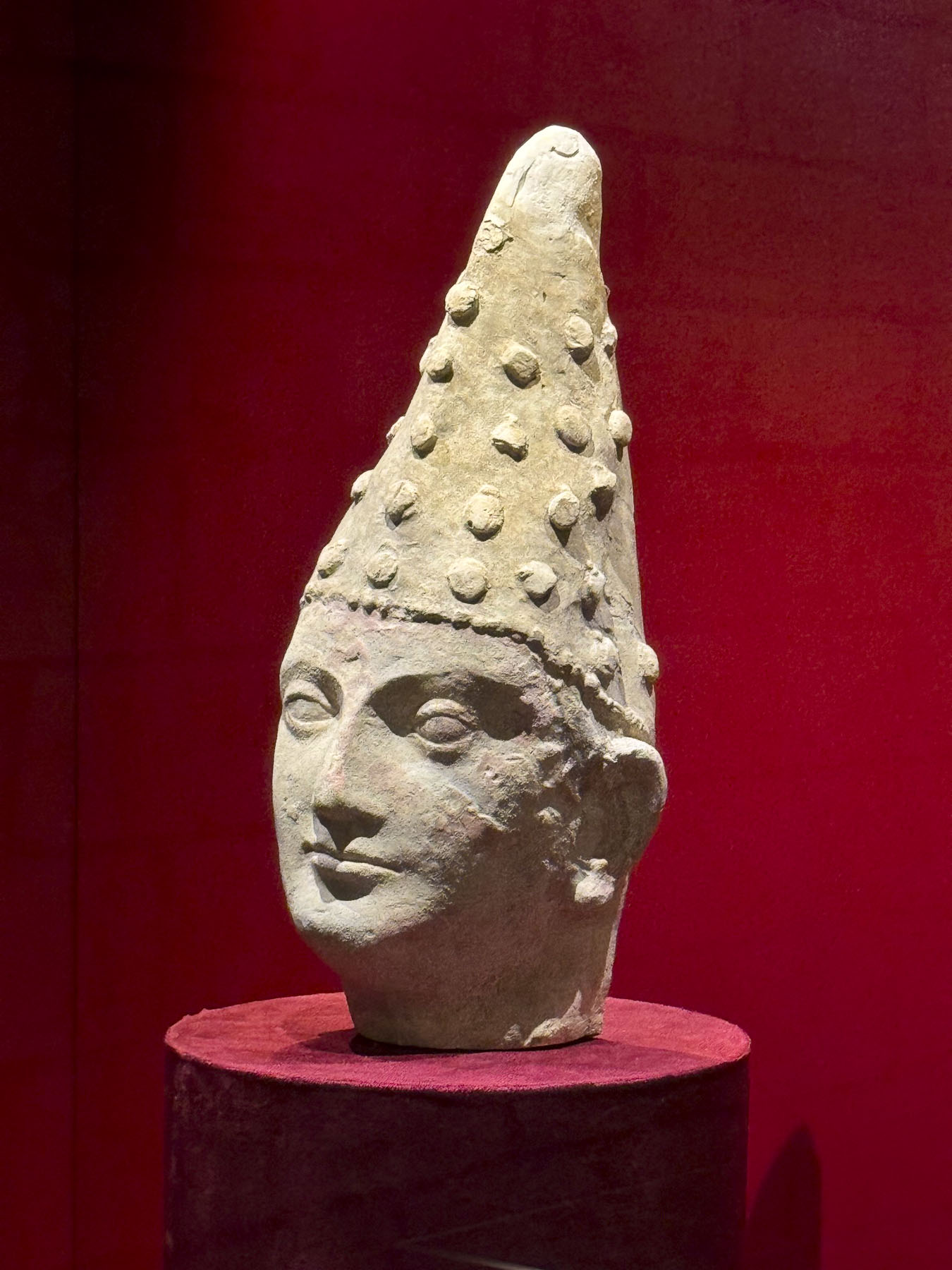
Soviet archeological research beginning in the 1930s unearthed coins, clay sculptures, and fragments of painted murals. These suggest the influence of Greek and Eastern art traditions, reflecting its position along ancient trade routes. Excavation also unearthed archaic ledgers recorded on clay tablets, leather and wood, along with ancient artifacts associated with Zoroastrian religion
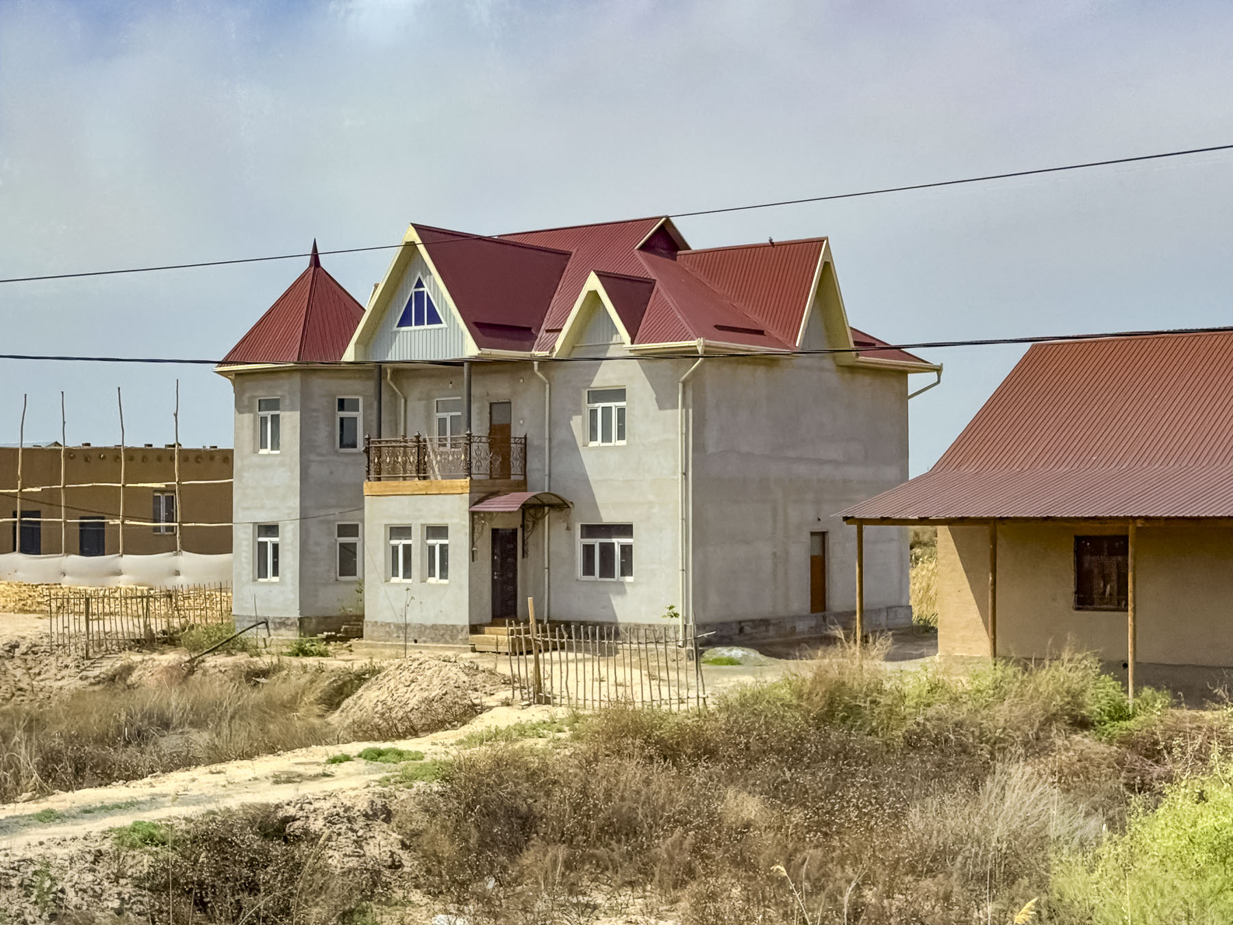
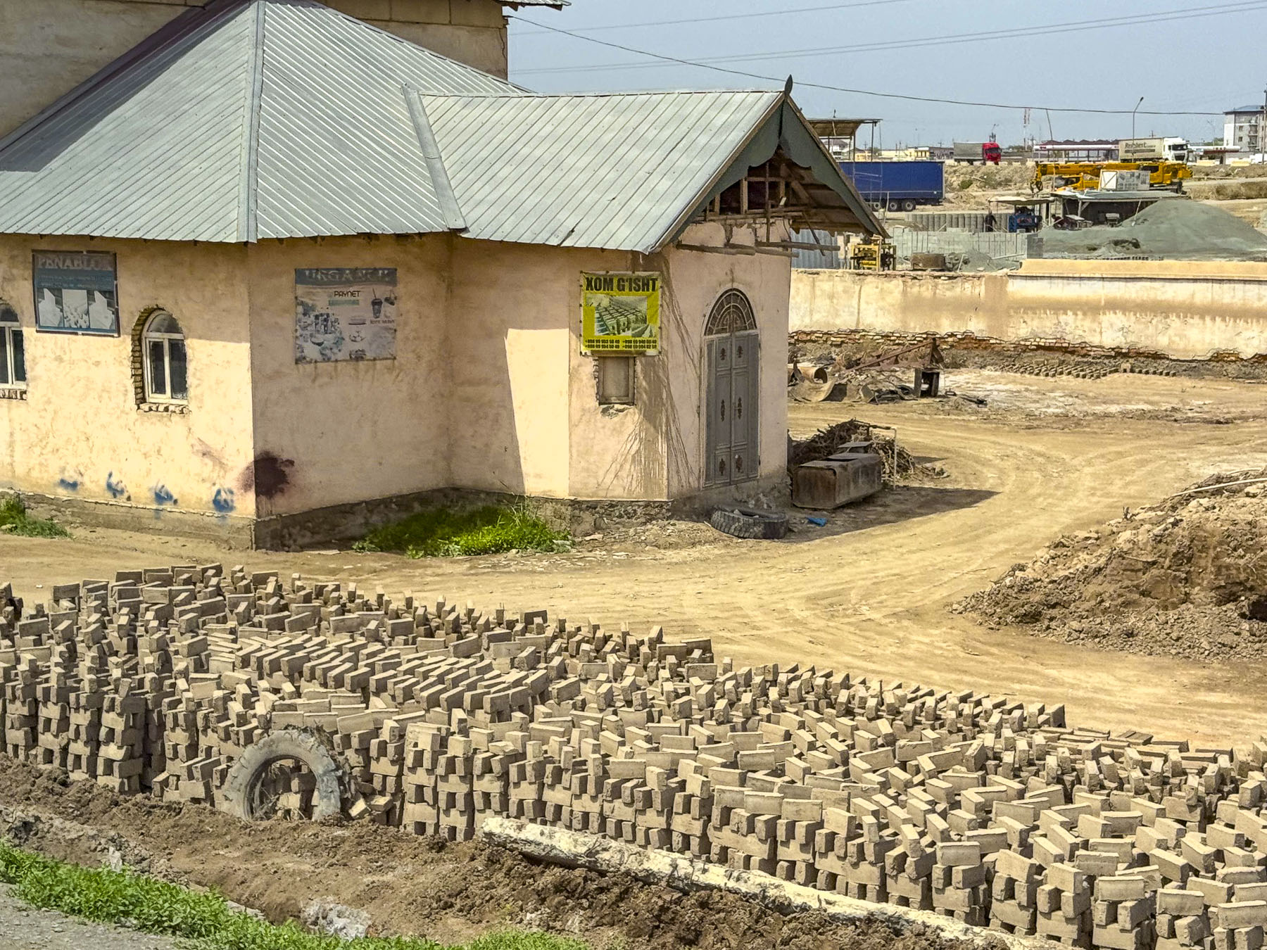
Abandoned since the 7th century, the incalculable number of the millions of adobe bricks used to construct Toprak-Kala have slowly eroded away through the centuries. Adobe construction is still a widely used building technique in the region as evident by the brick factory we passed, and the new traditional style attached homes and free-standing western style homes going up along our route through Urgench to Khiva. Many of the homes had large sunken vegetable gardens, fruit trees or grape vines in the front yard between the street and house. This is a traditional gardening method that takes advantage of the region’s high ground water, and creates a cooler microclimate sheltered from the desert’s dry winds.
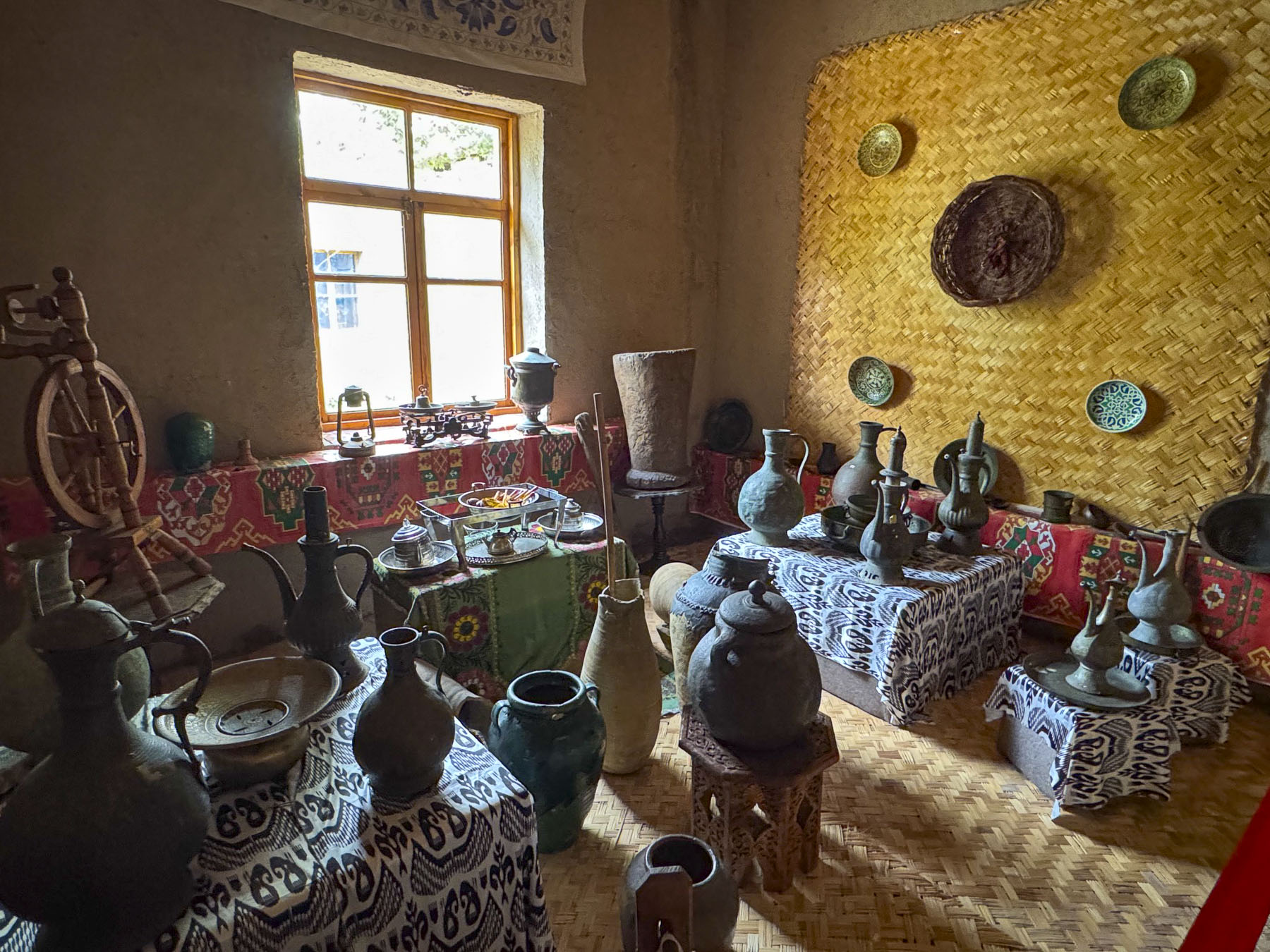
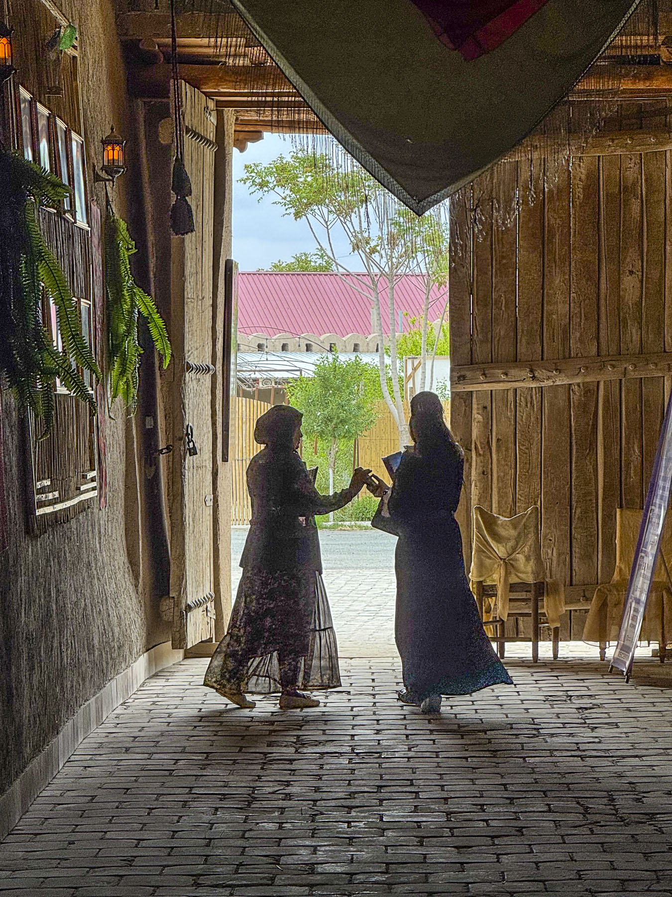
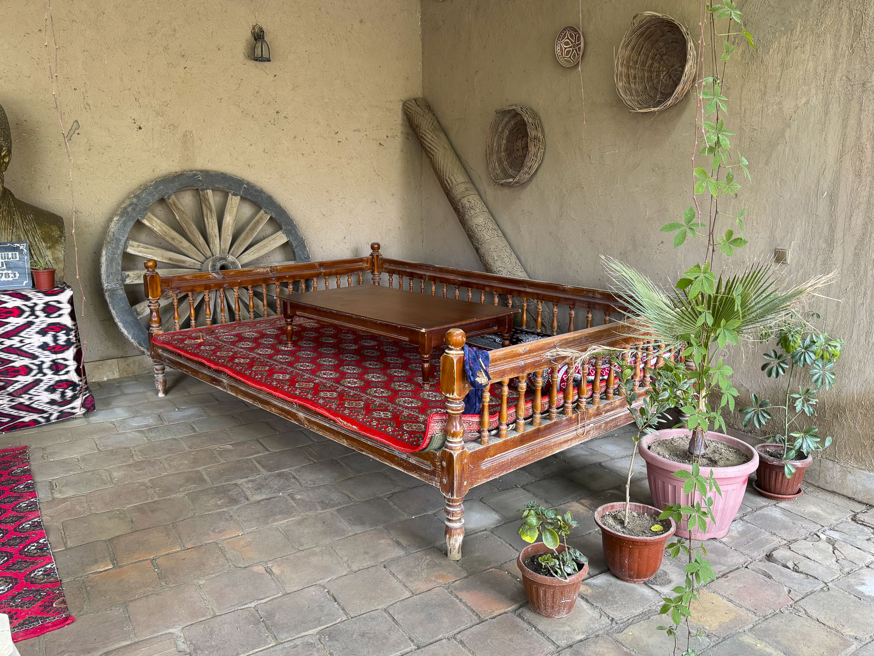
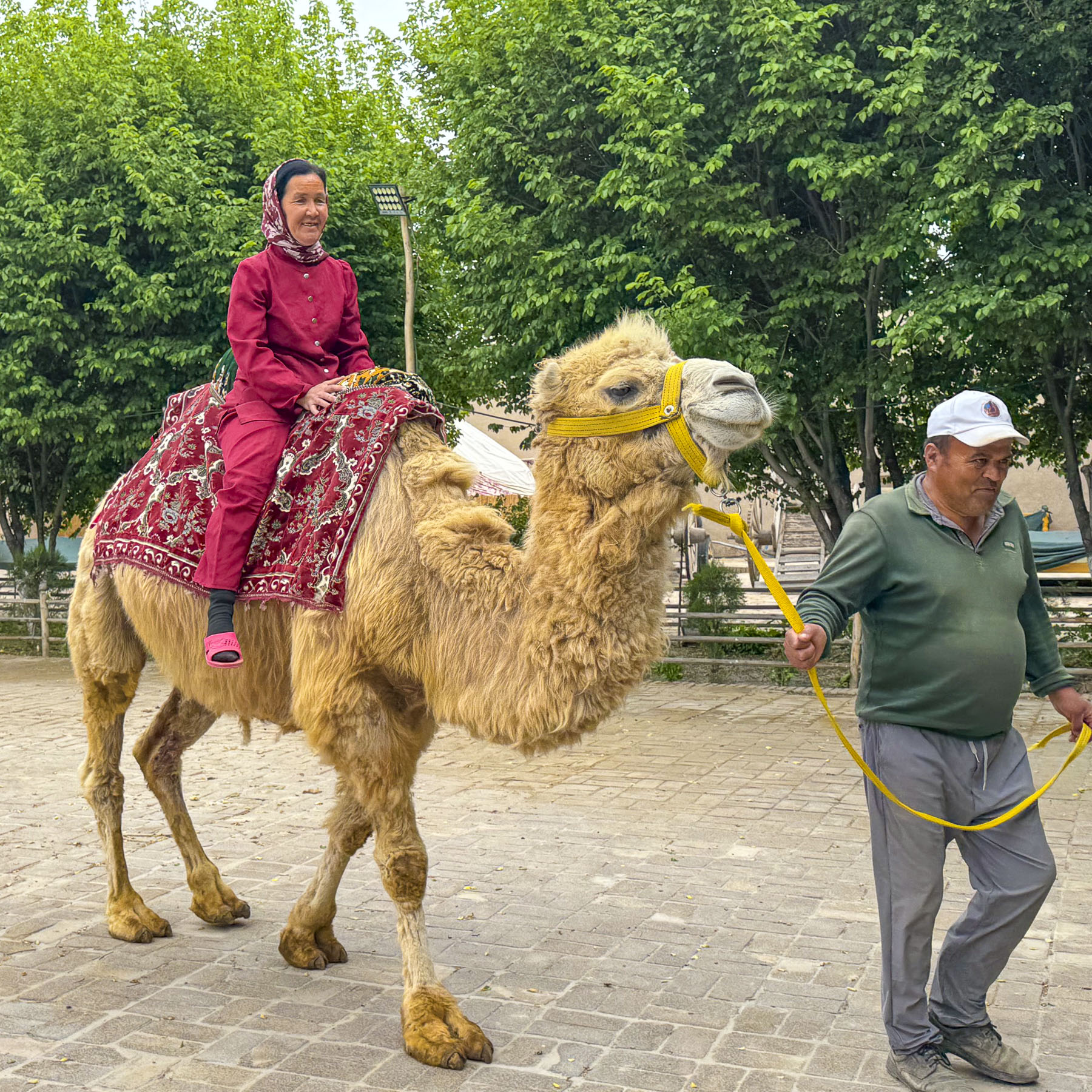
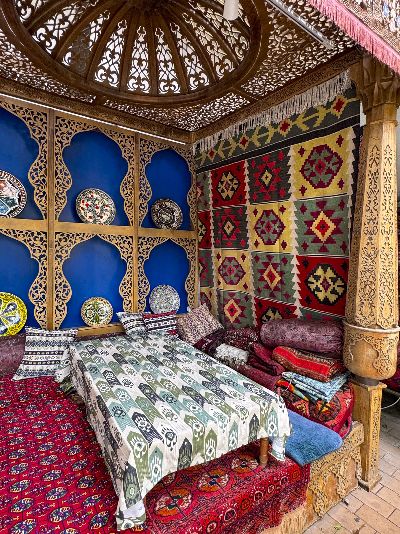
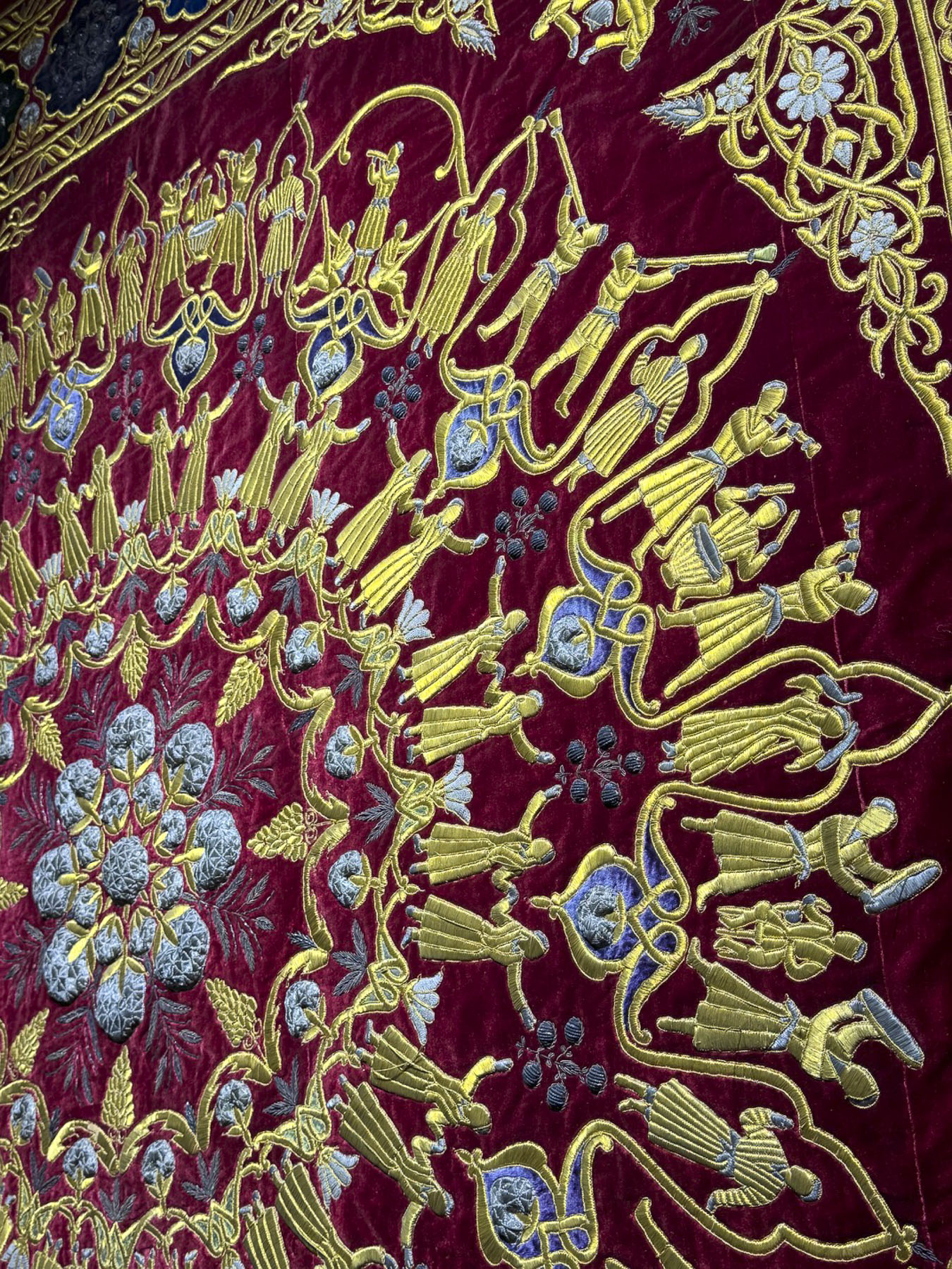
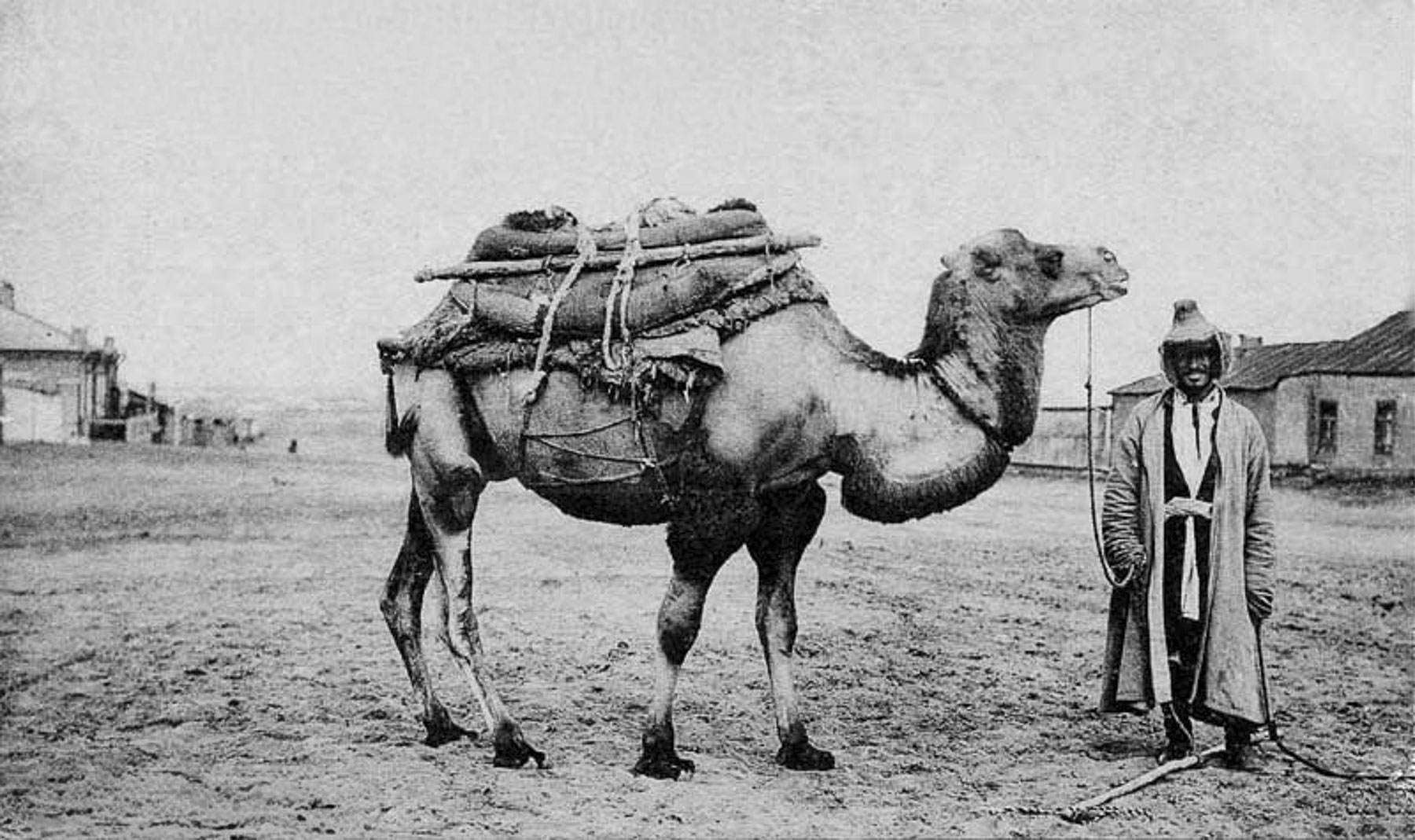
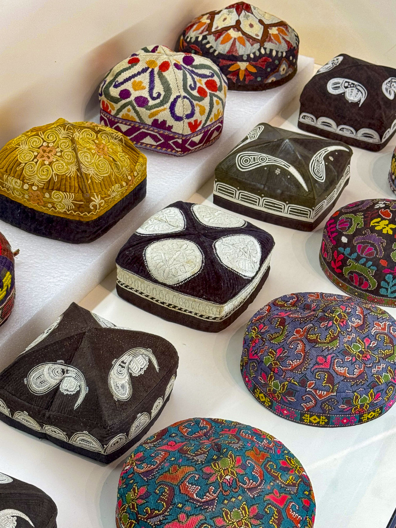
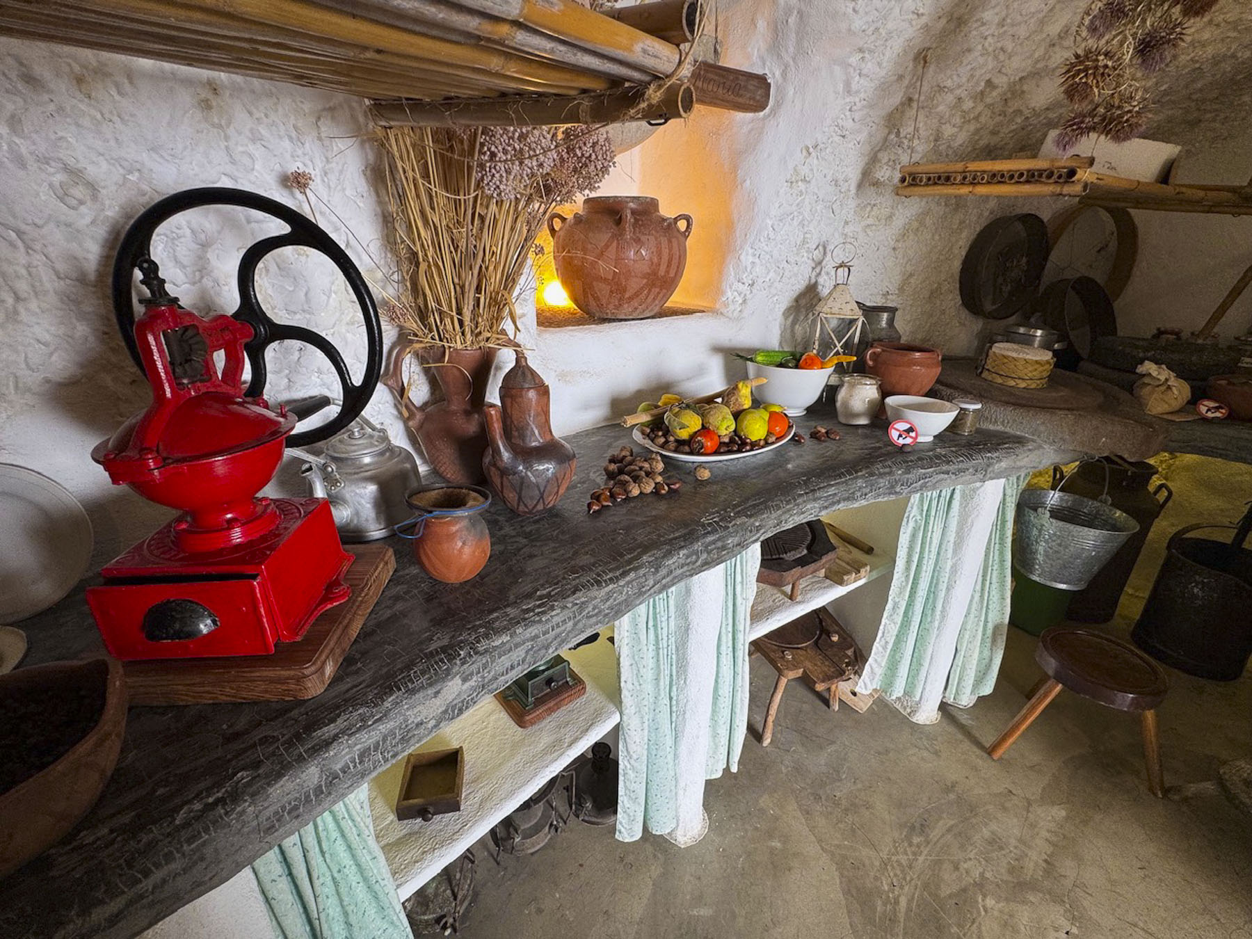
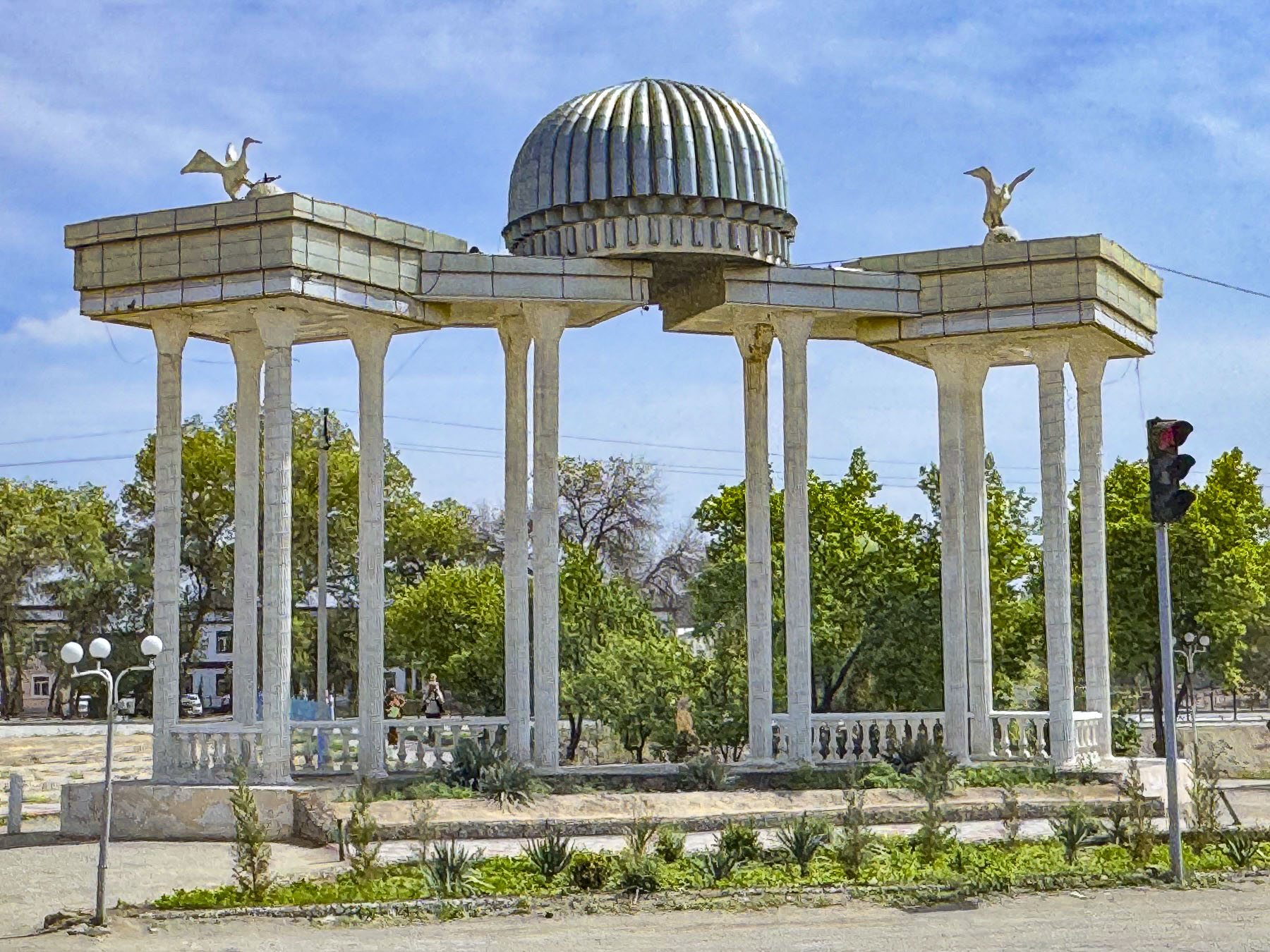
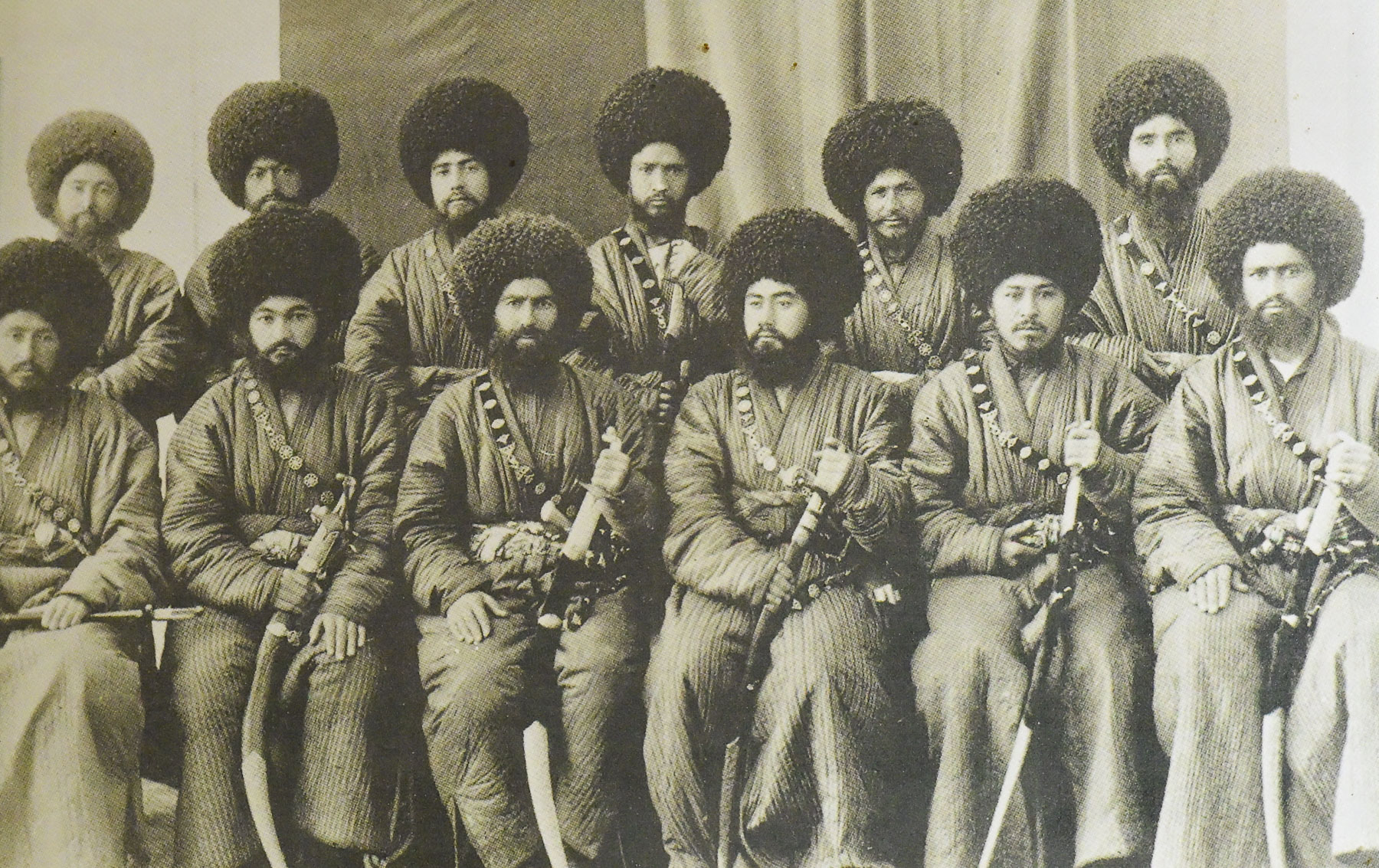
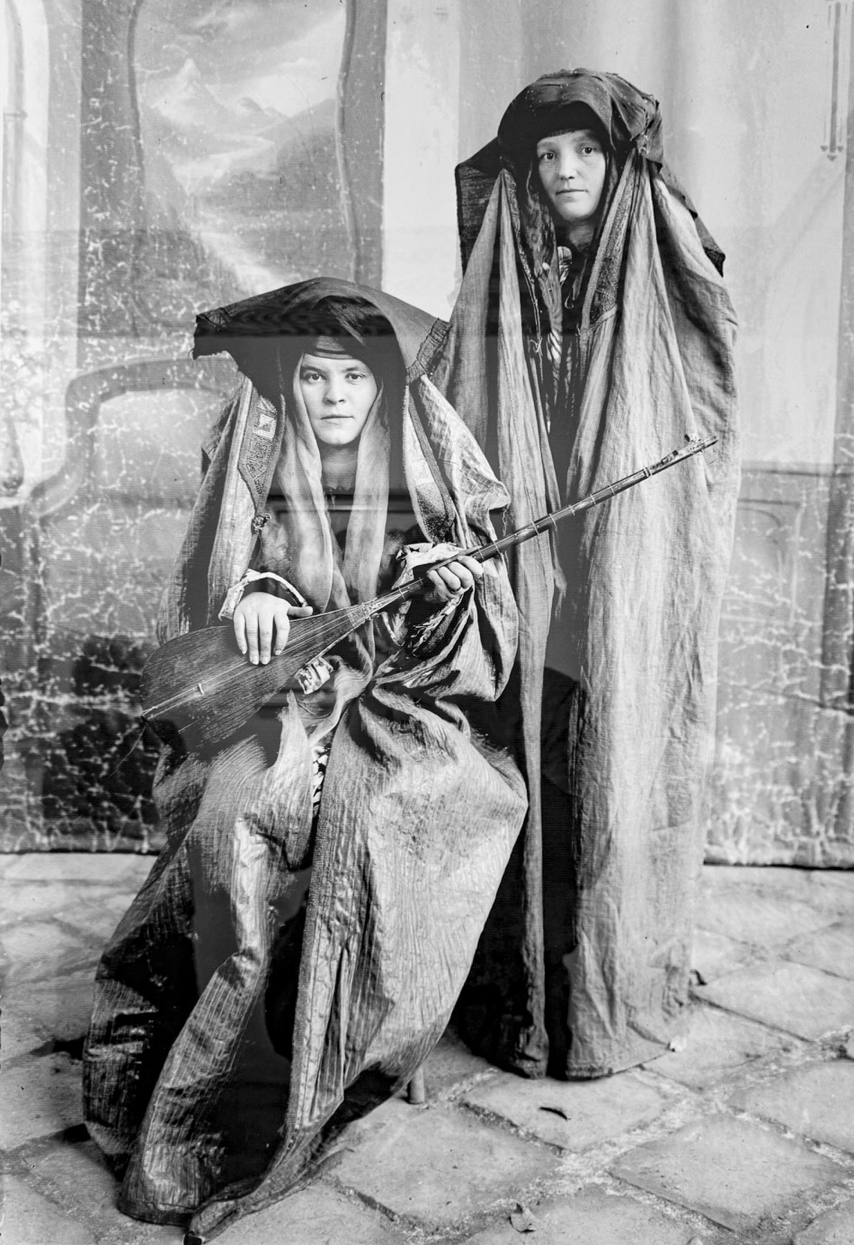
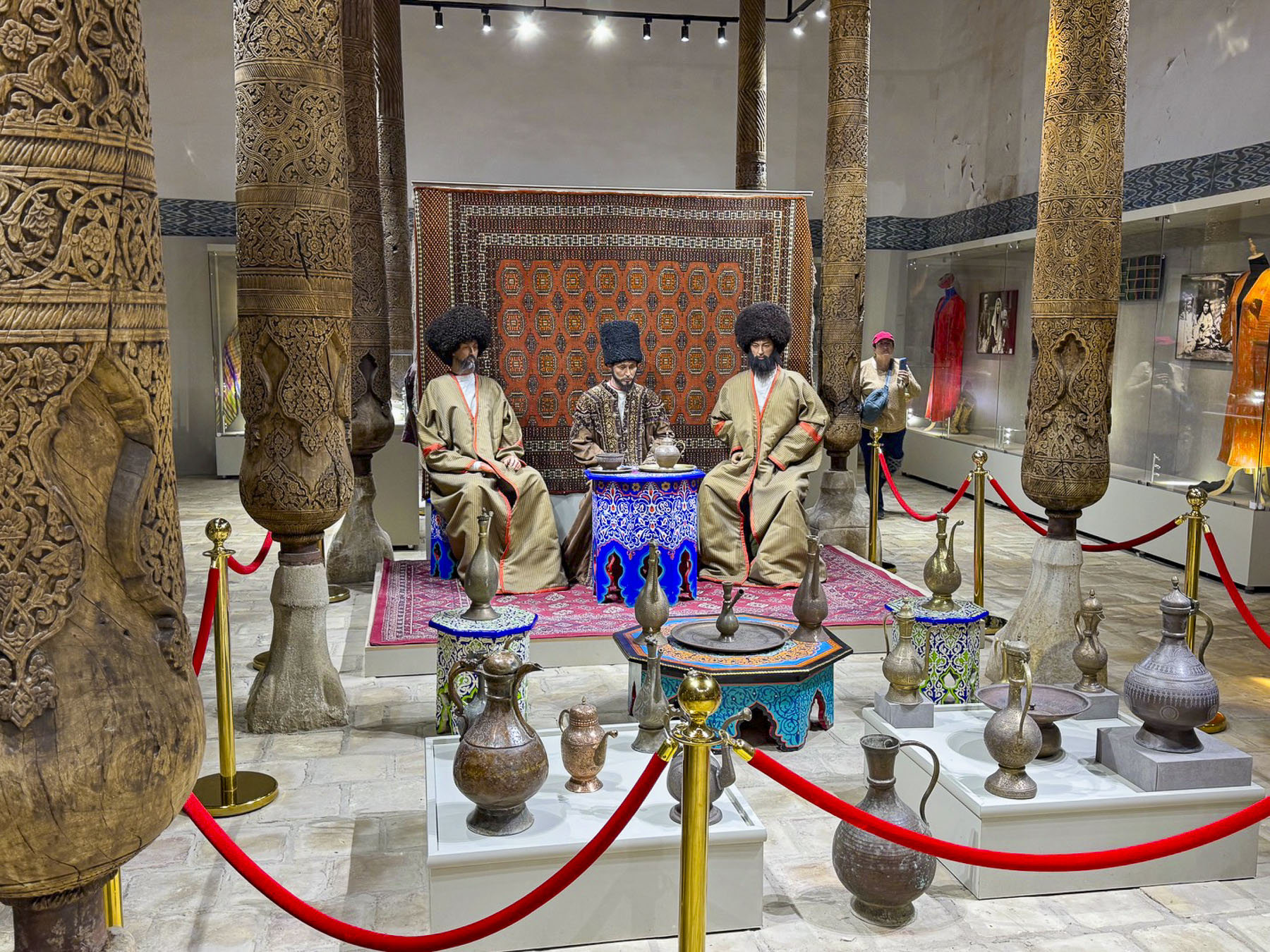
Outside of Urgench we stopped at Ulli Hovli, meaning “big yard,” a restored 1600s era caravanserai. It was built by the Khan of Khiva to protect local Uzbeks and Turkmens who had been given land in exchange for guarding the Silk Road. The original complex had over 100 rooms and functioned as a mahalla, neighborhood community, housing both Uzbeks and Turkmens, who practiced a blend of agriculture and traditional crafts. Today the caravanserai is an ethnographic museum/restaurant that caters to tour groups. Of course we rode a camel and tried on some traditional Uzbek outfits. The weight of a Turkmen coat was particularly impressive and would be a toasty winter coat in any cold climate.
Reaching Khiva, we drove through the South Gate of The Dishan-Kala (Outer Fortress), built in 1842 by order of Allahquli Khan to protect the city from marauding tribal attacks. The 6.25km, (4mi) long, 8m (26ft) tall and 6m (20ft) wide adobe brick defensive wall has 10 gates into the city. Allegedly it took an estimated 200,000 free men and slaves 30 days to construct the encircling wall around what was historically the city’s outer residential and commercial areas. Only a short portion of the wall on either side of the South Gate survives; most of it was taken down during the Soviet era, and used as raw material for brick production.
A short distance up the road was the Hotel Asia Khiva, our hotel for two nights. Located across from the South Gate and a narrow water channel, the last remnants of a defensive moat that once encircled the inner walled city of Khiva, Itchan Kala, the hotel was very convenient to the old town’s historic center.
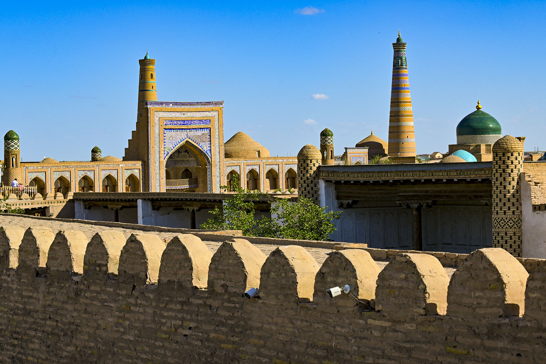
Khiva is old, over 2,500 years old, and one of the longest continuously inhabited cities in Central Asia, a fact that along with its outstanding Islamic architecture which spans many centuries, led UNESCO to declare Khiva a World Heritage Site in 1990, the first site in Central Asia to be so recognized.
Khiva is believed by legend to be founded by Shem, the son of biblical Noah, after he dug a well known as Kheyvak. As the story is told, Shem, thirsty and dusty, was wandering in the desert for years after the great flood, and one night in a dream, he saw 300 burning torches. Taking this a prophecy, he founded the oasis city within the positions of the torches he dreamt, and dug the Kheyvak Well at their center. “Oh, what sweet water!” a delightful phrase exclaimed by weary desert travelers upon quenching their thirst from the well, over time evolved into the name Khiva.
Surprisingly, the first known westerner to reach Khiva was not Marco Polo, who by-passed Khiva, traveling from Persia through Urgench as he followed the Silk Road through Uzbekistan in 1271. Anthony Jenkinson (1529–1611) was an English explorer and diplomat who reached Khiva in 1558 on a trade mission for the English Crown, Russian Tsar Ivan the Terrible, and the Muscovy Company, which had a sole monopoly on trade between England and Russia. It was an off shoot of the “Mystery and Company of Merchant Adventurers for the Discovery of Regions, Dominions, Islands, and Places Unknown.” You have to love the name of a company that so thoroughly embraces the age of exploration.
The overlapping histories of Central Asia are complex, and that of Uzbekistan in particular, which has roots with Eastern Iranian Nomads in the 1st Millennium BCE, followed by Persians and Greco-Macedonians in 6th–4th Century BCE. Then during the 2nd Century BCE – 4th Century CE the Indo-European nomadic tribes like the Yuezhi, Xionites, and White Huns followed the Silk Road into the region, heavily influencing the trade and culture. Arab armies in the 8th Century CE brought Islam to the region, linking Central Asia to the broader Islamic Golden Age and transforming local arts, sciences, and urban life, culminating during the Timurid Renaissance from 1370–1507. Later Turkic-Mongol tribes migrated into the region between the 11th–16th Century CE, progressively replacing Eastern Iranian as the dominant spoken language. This demographic mix solidified during the Mongol Empire in the13th century and peaked with the early 16th-century arrival of nomadic Uzbek tribes led by Muhammad Shaybani Khan, a great-grandson of Genghis Khan.
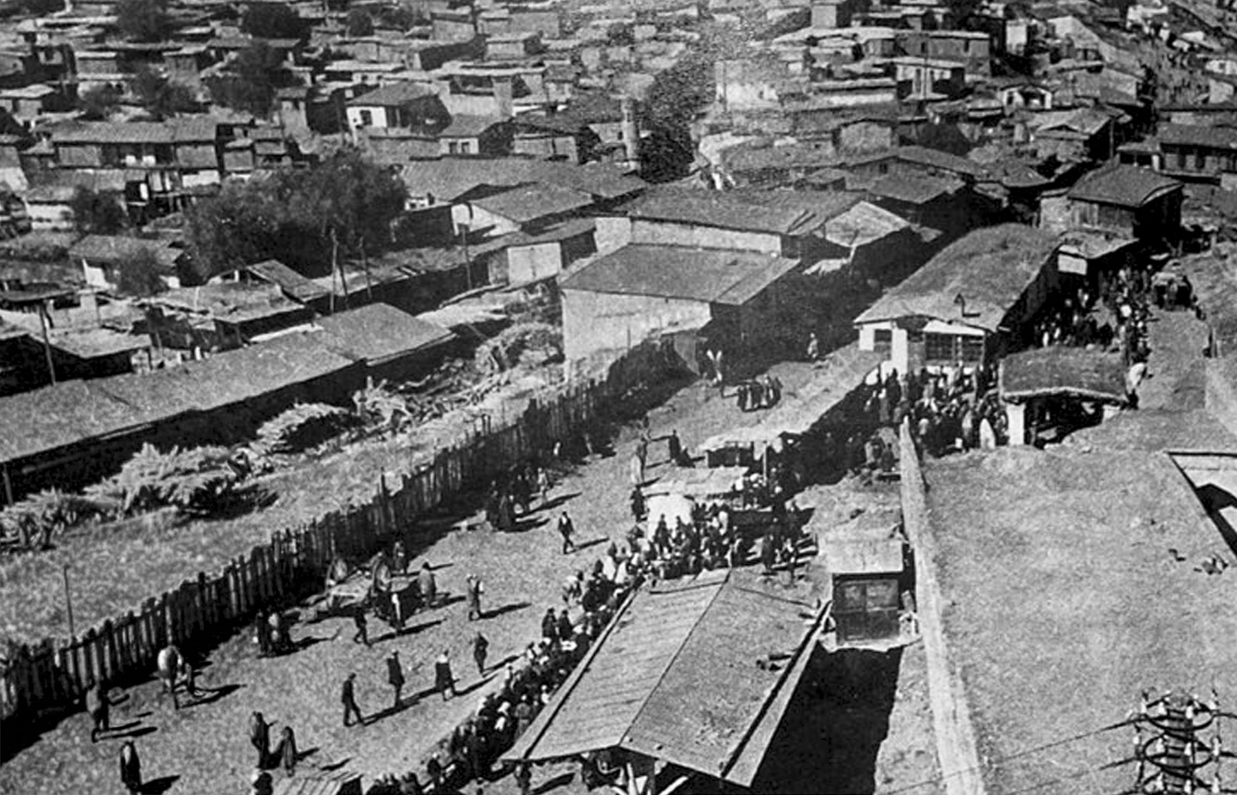
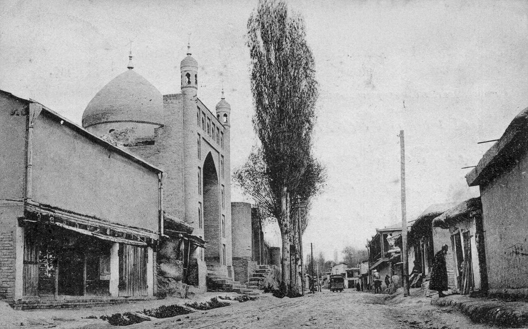
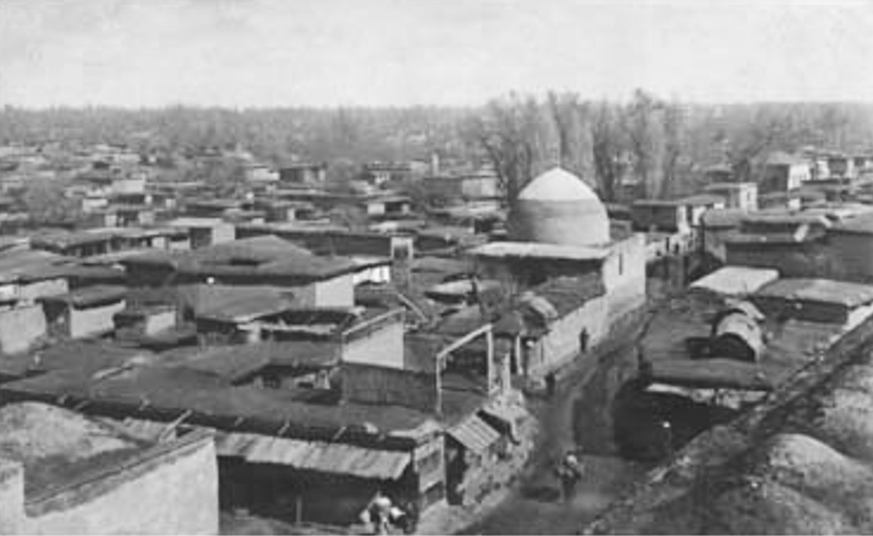
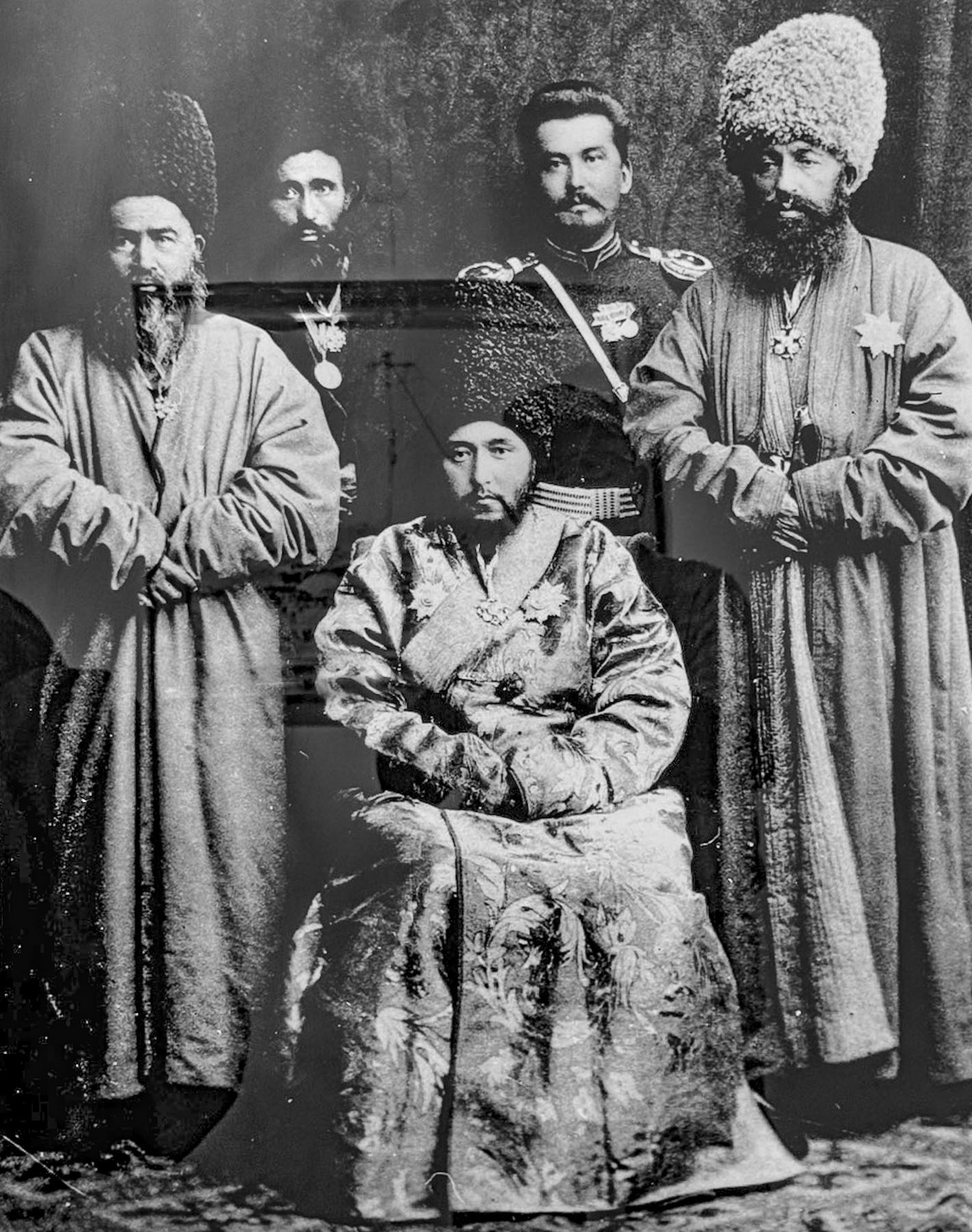
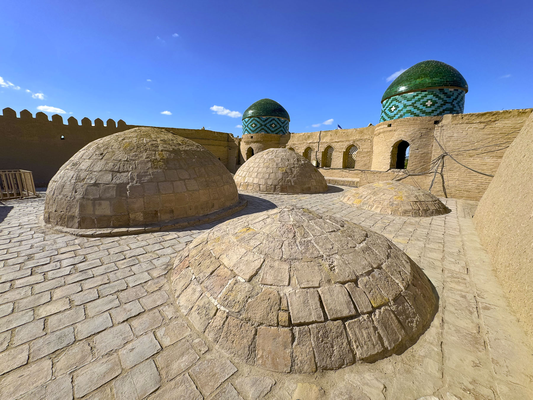
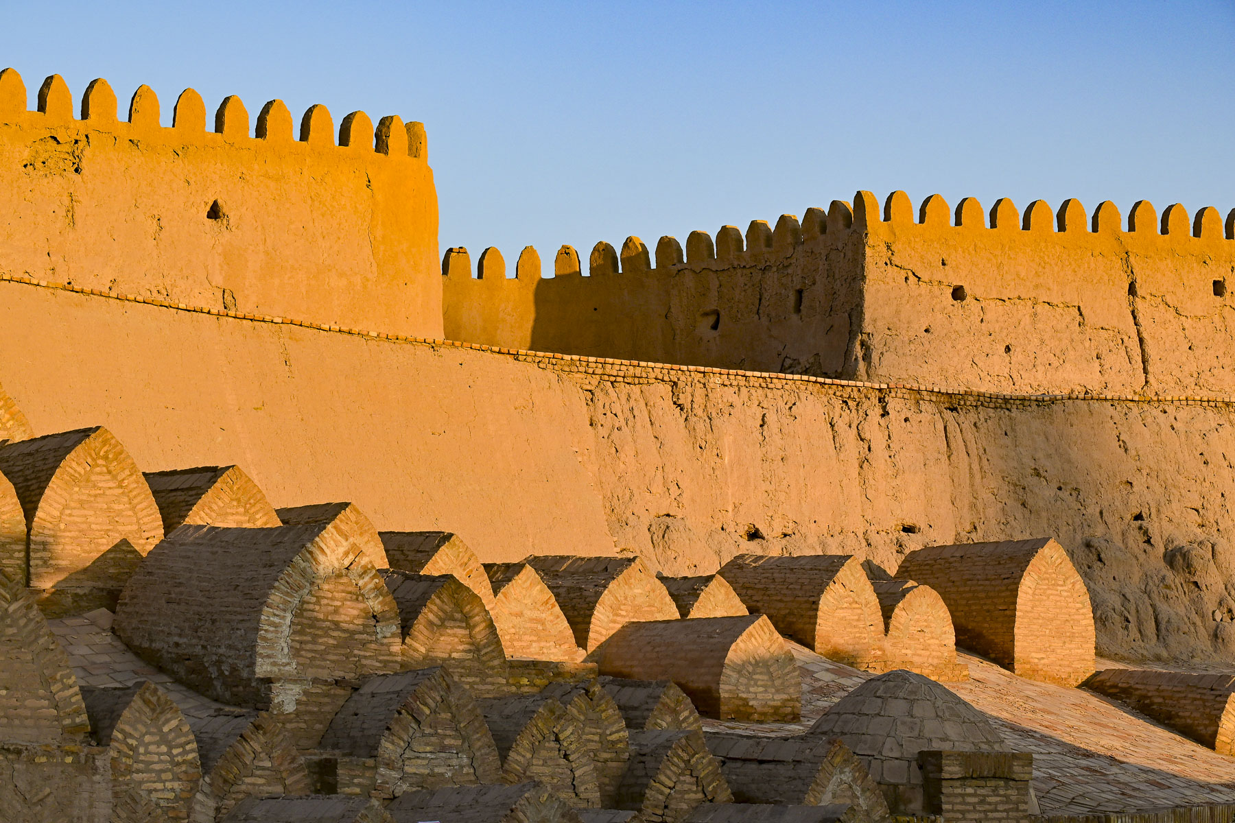
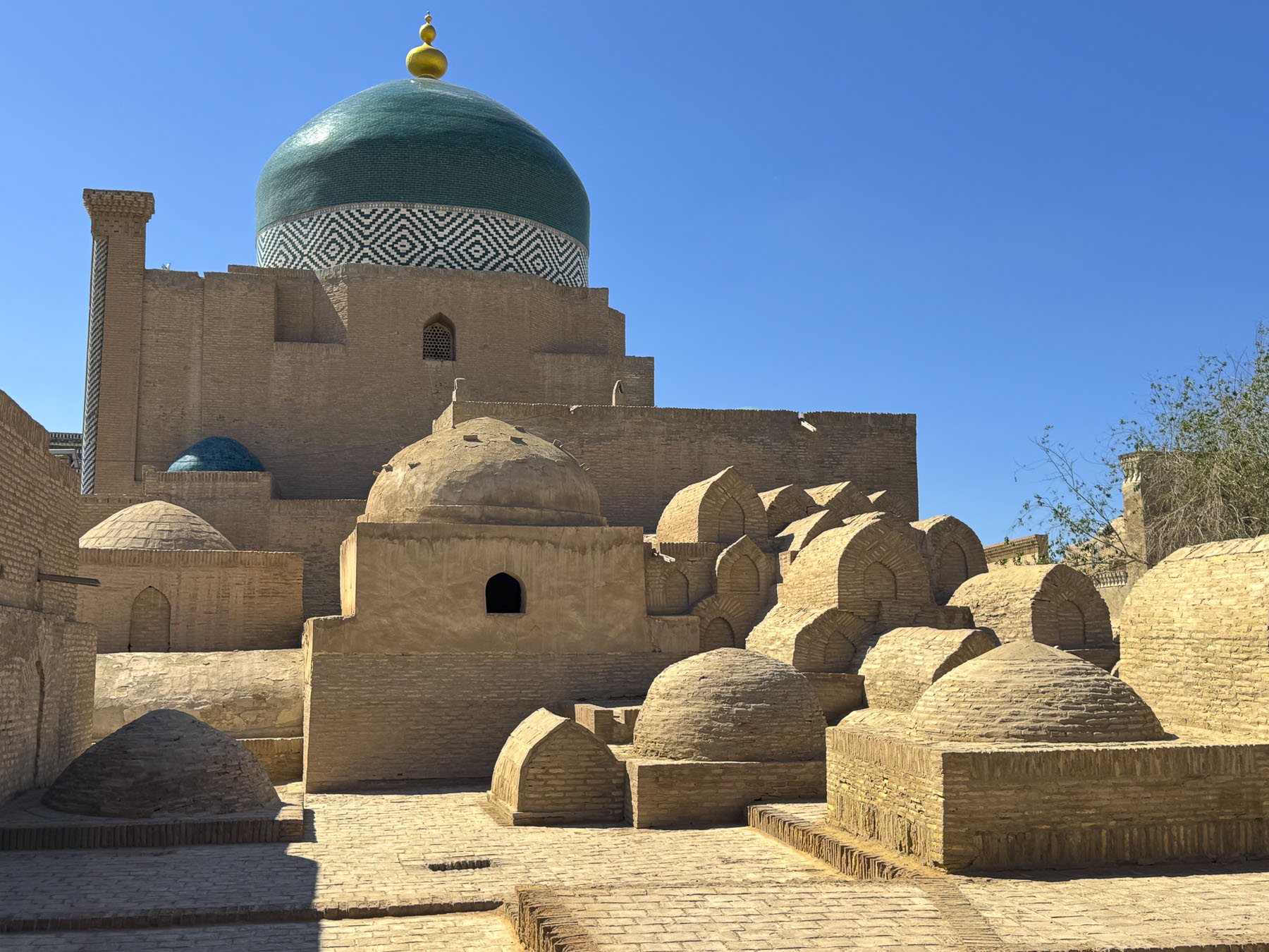
In 1558 Jenkinson would have entered Itchan Kala, the inner city, through a defensive wall significantly less substantial than the massive one still standing today, that was constructed during 17th and 18th centuries. He noted in his journal the tombs built atop the lower slope of the fortification to avoid the oasis’ high-water table, a tradition since the 12th Century. He would have explored a medina containing only The Juma Mosque, (10th Century), Kunya Ark Citadel (12th Century), and the Sayid Allauddin Mausoleum (Early 14th Century). He witnessed Khiva’s notorious slave market that sold 50,000 Persian and Russian slaves to other Islamic khanates in Central Asia, India and the Middle East.
Though his trade mission failed to establish ties with merchants along the Silk Road due to increasing nomadic raids at the time, he was a meticulous note taker and amateur cartographer, and provided the first western accounts and maps of central Asia. Jenkinson’s ability to safely navigate deep into Central Asia and return with jewels and silks immensely impressed Russian Tsar Ivan the Terrible and probably pricked Imperial Russia’s future interest in the region.
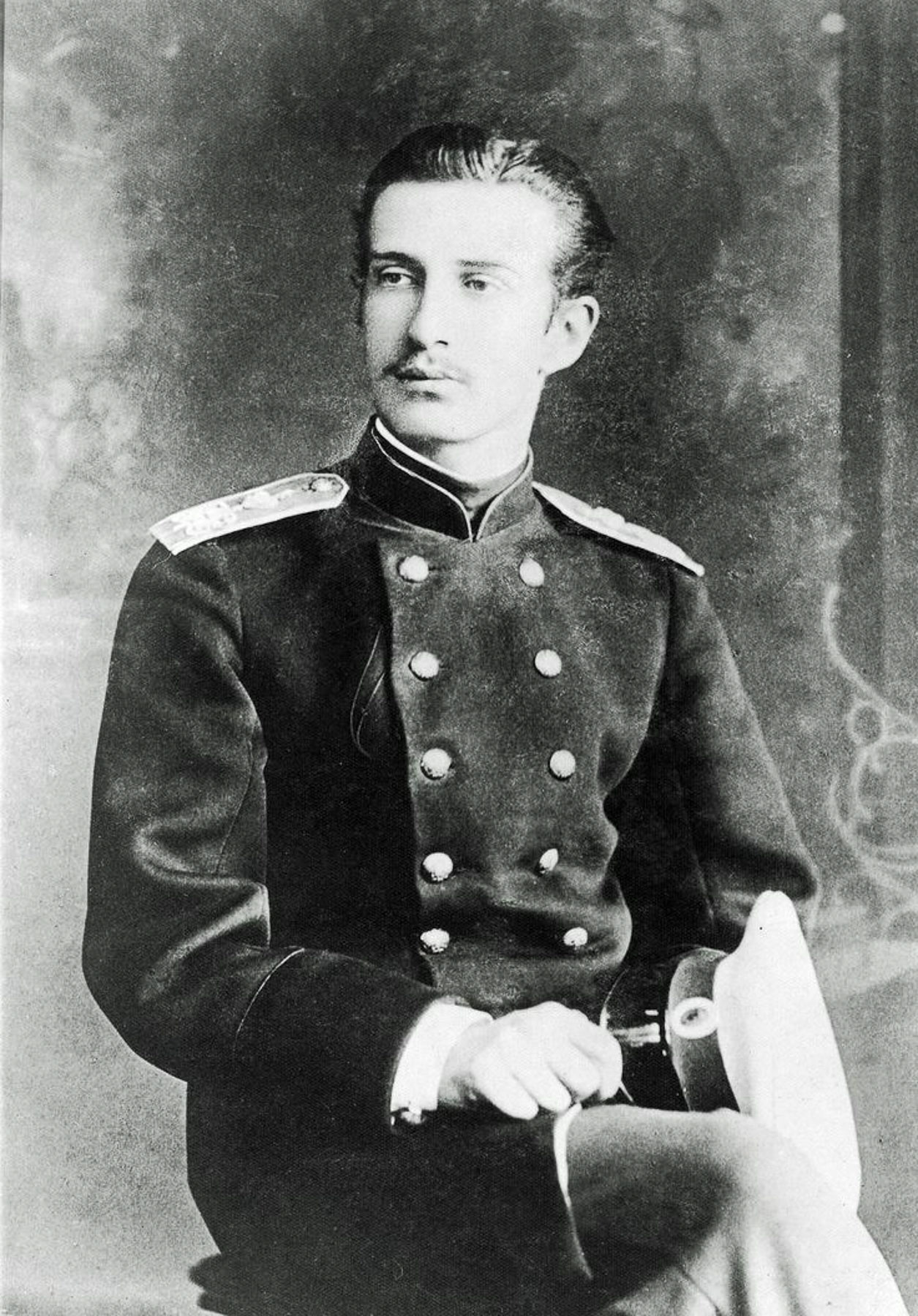
The second Westerner on record to reach the Khanate was Prince Alexander Bekovich-Cherkassky in 1717. Sent by Peter the Great to discover a route into India, Bekovich-Cherkassky was initially welcomed by the Khan of Khiva but ultimately betrayed and executed, with his head placed on a spike at the city gate; his comrades were massacred.
The second known Englishman to reach Khiva was the British officer Captain James Abbott who in 1839 traveled from the city of Herat, Afghanistan to Khiva disguised as an Afghan. He was on a covert diplomatic mission to see the Khan of Khiva and negotiate the release of Russian slaves, thereby stripping an advancing Russian army of their primary pretext for invading the region. Of the slaves he saw, Abbott wrote in his journal, “The men are chained together by the throats at night. So that rest is scarcely possible, whilst the contact of the frozen iron with their skin must be a torture. Alas! He who enters Khiva abandons all hope, as surely as he who enters hell. His prison house is girdled with tracks of desert, whose sole inhabitants are the sellers of human flesh.”
This was the era of the Great Game when Britain feared the Russian Empire might expand into India. The Russian army was defeated before ever reaching Khiva, when nearly half of the military’s 5,000 expeditionary force succumbed to illness and died from exposure and 10,000 of its transport camels froze to death in one of the harshest winters in Central Asian history. Thirty-four years later, in 1873, following a successful Russian military campaign, the Khanate was stripped of its independence and formally established as a Russian protectorate, and Khiva’s slave trade ended.
By Abott’s arrival in Khiva, the city was still at the height of its glory and would have looked substantially different from Jenkinson’s 1558 visit, with a building boom for nearly three centuries that reflected its importance as the capital of the Khanate. The city saw the addition of the Arab Muhammad Khan Madrasah (1616), commissioned to celebrate Khiva becoming the capital of the Khanate; Shirgazi Khan Madrasah (1718); Muhammad Amin Inak Madrasah; Darwazakhana of Shah Niyaz Khan (18th Century) structural gate enhancements in Ichan-Kala; Kutluq Murad Inaq Madrasa (1804); Allakouli Khan Madrasah (1834); and the Allakouli Khan Caravanserai & Tim (1830), a prominent trading hub and domed bazaar gallery tailored for Silk Road merchants.
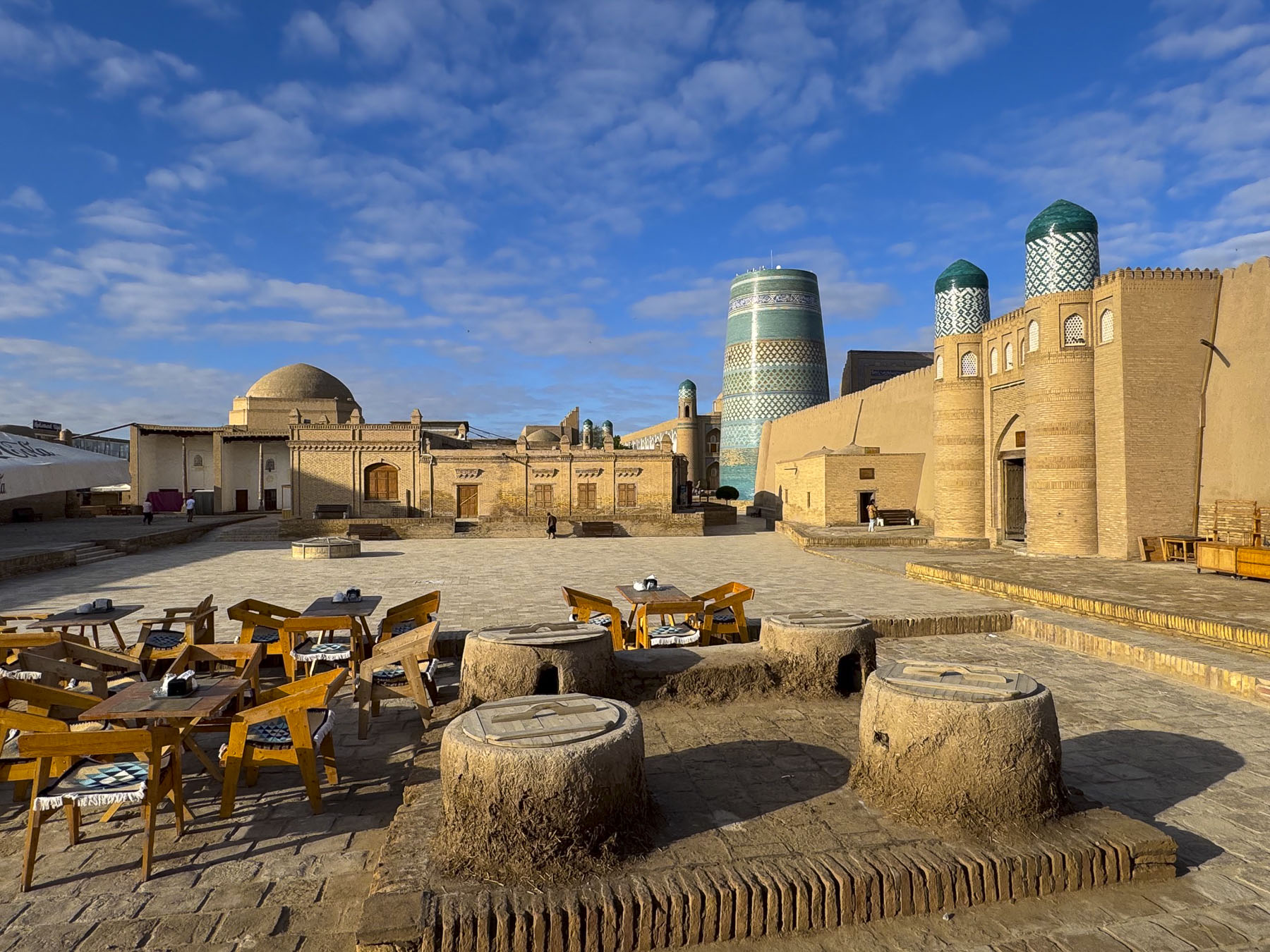
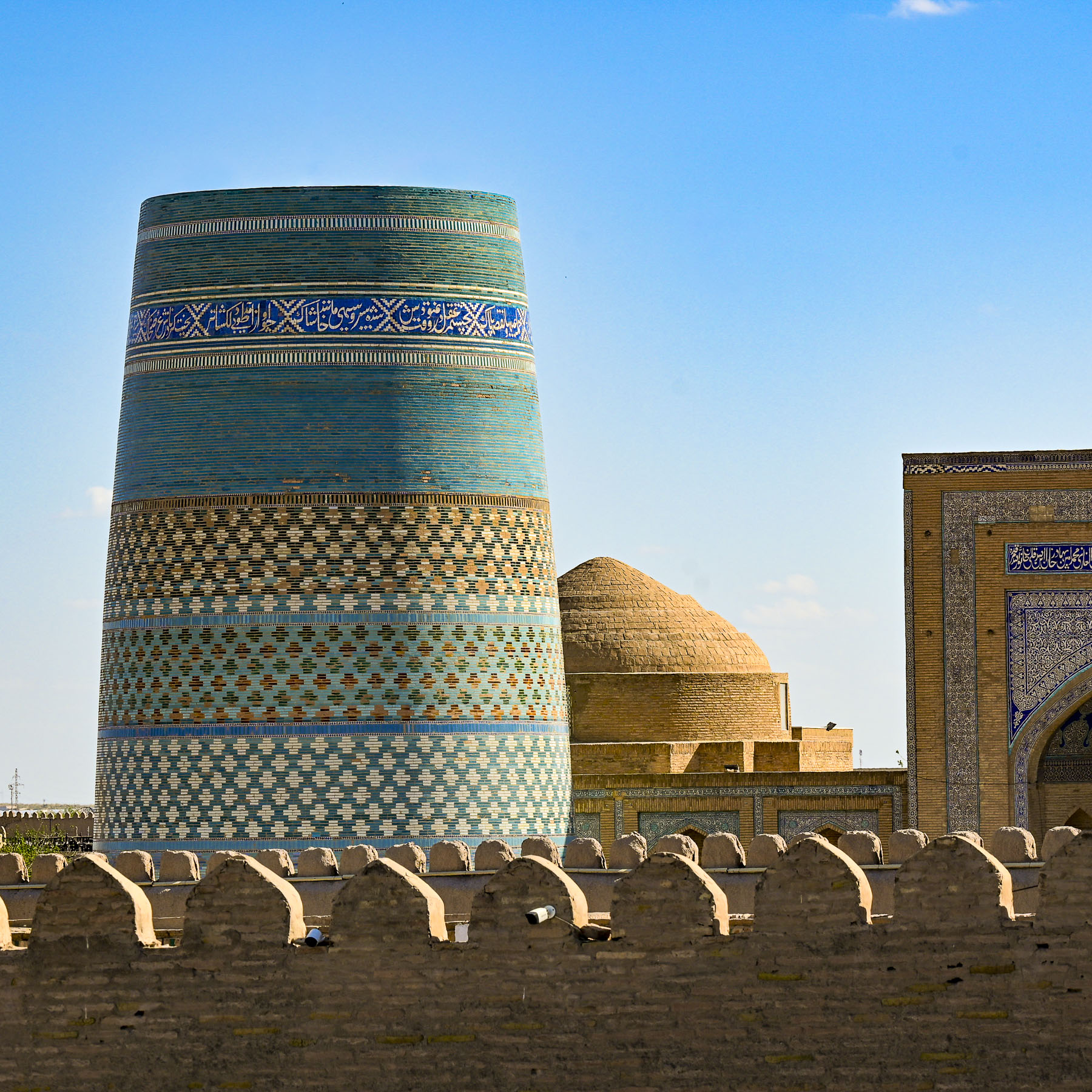
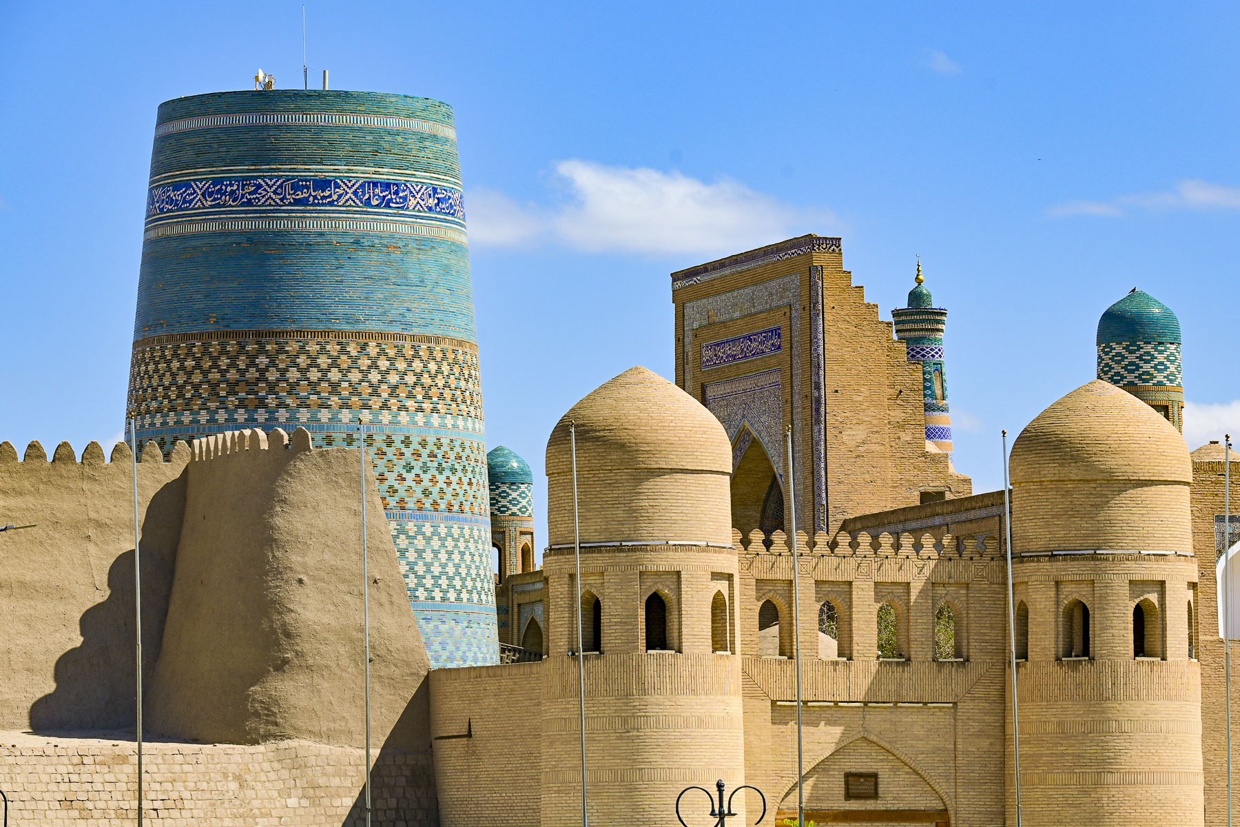
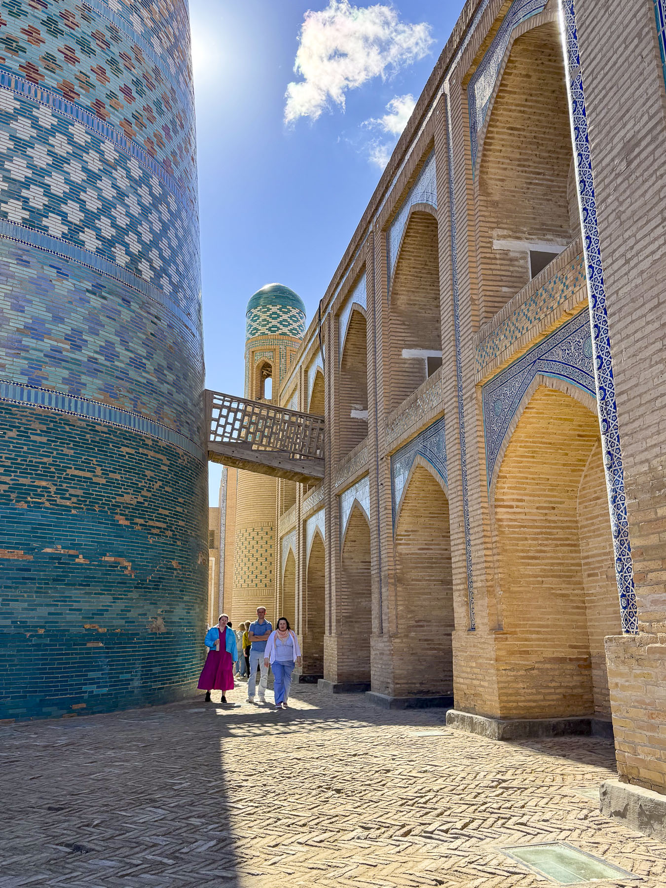
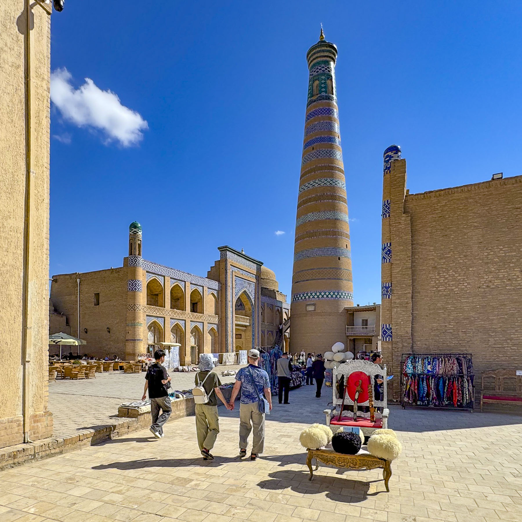
Construction of the green-and-blue tiled Kalta Minor, designed to be the tallest minaret in Central Asia at a height of 110m (360ft,) didn’t start until 1851, and ended abruptly with its final height at 29m (95ft) when its patron the ruler Muhammad Amin Khan was killed in an 1855 battle. One can only imagine how magnificent it would have been.
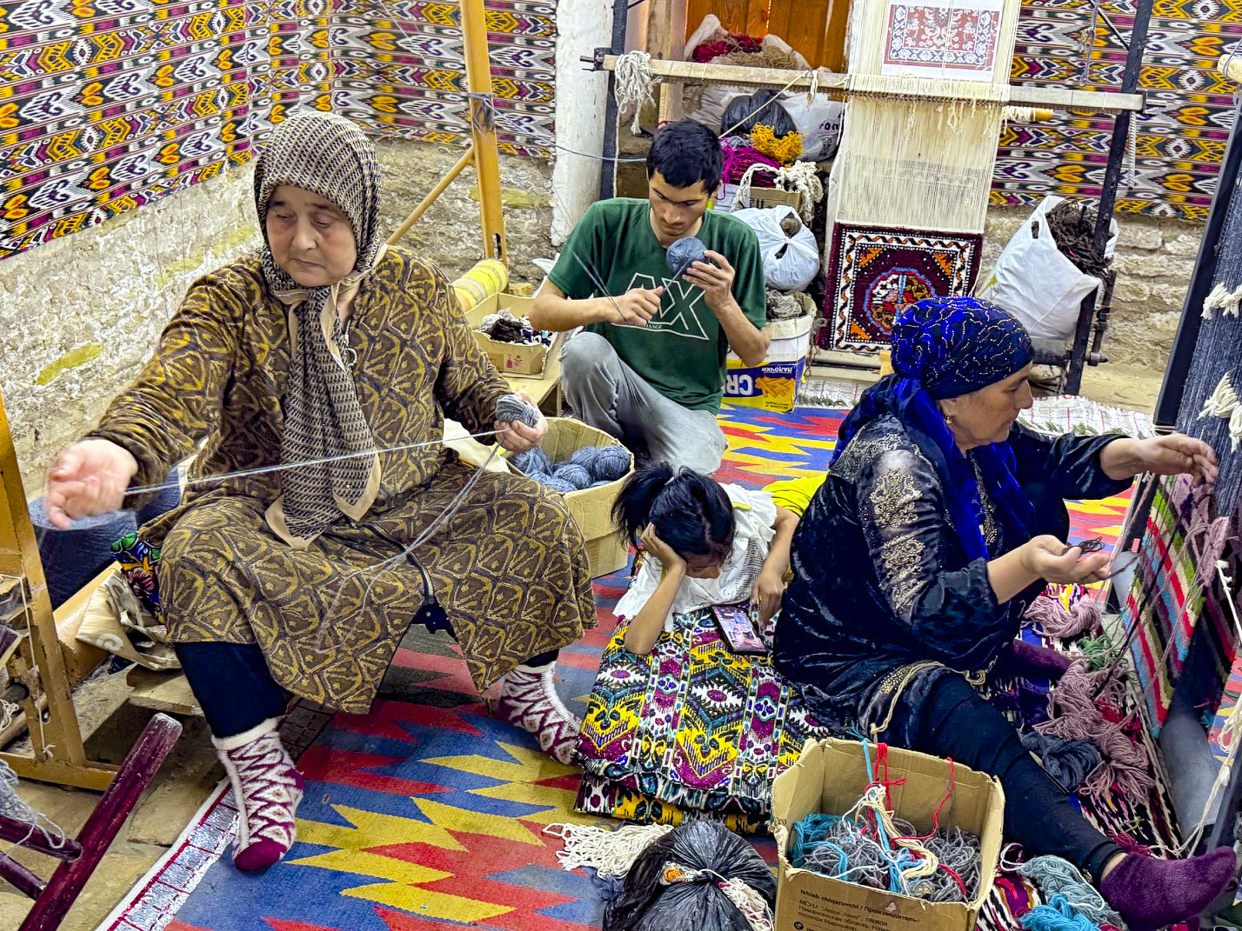
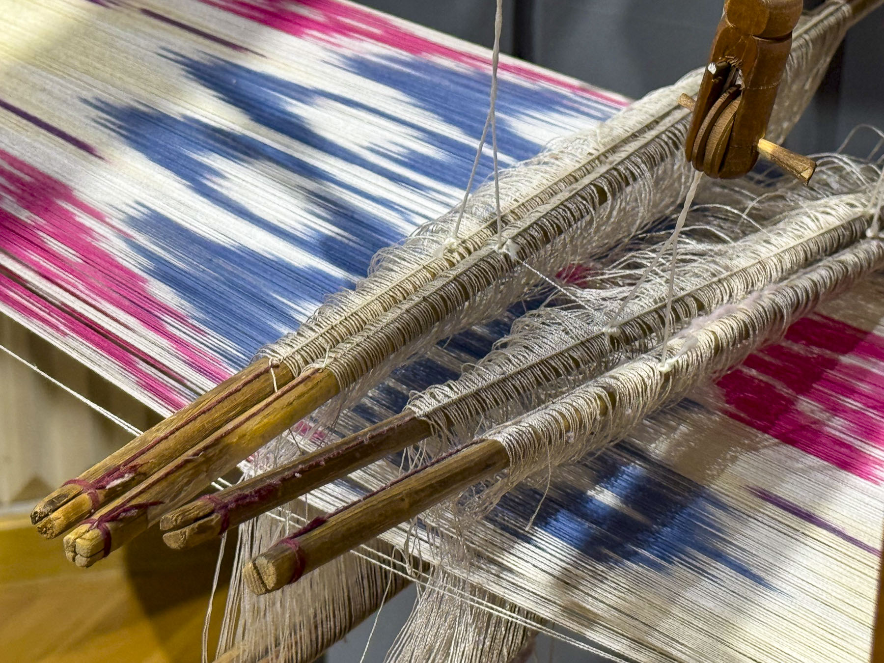
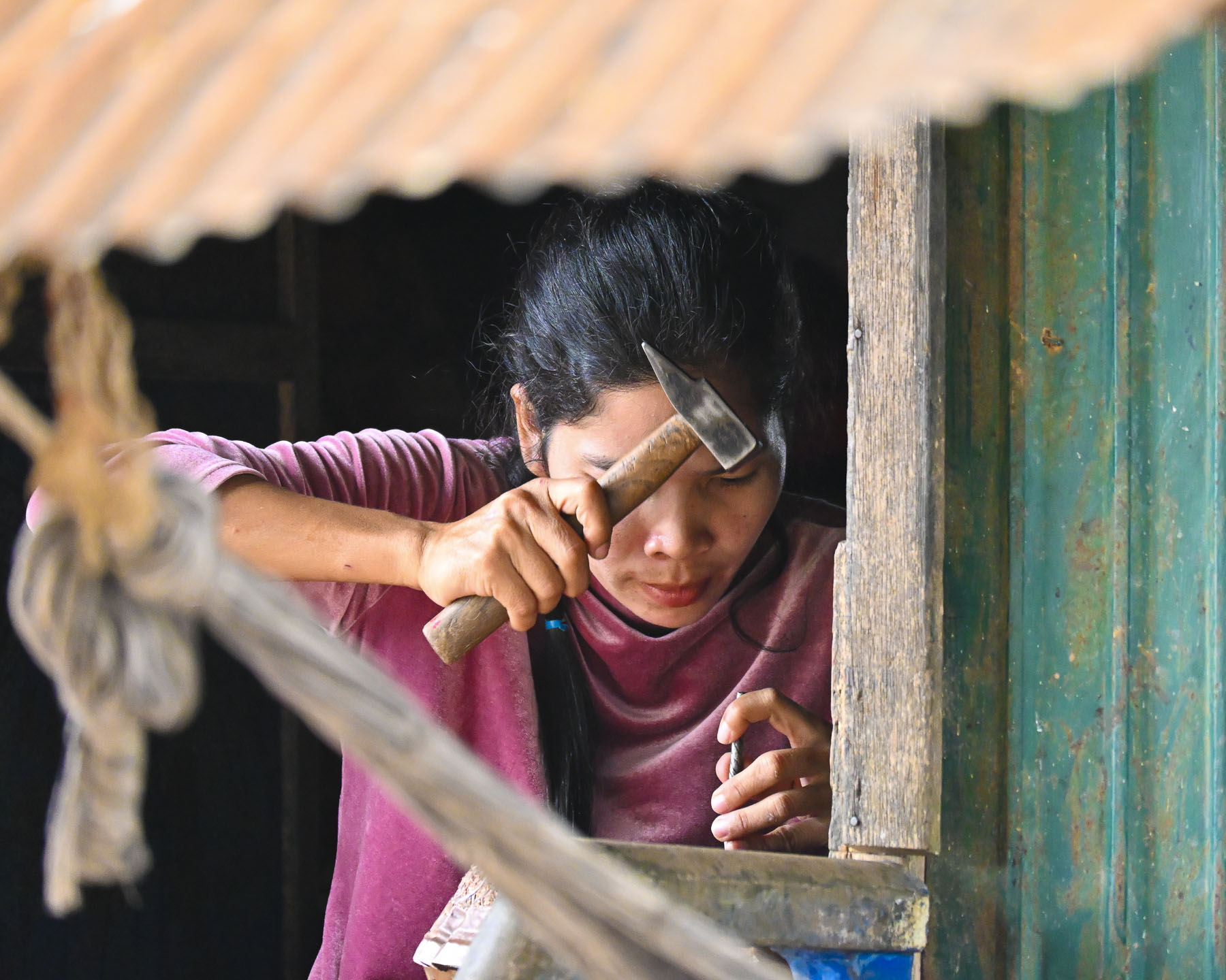
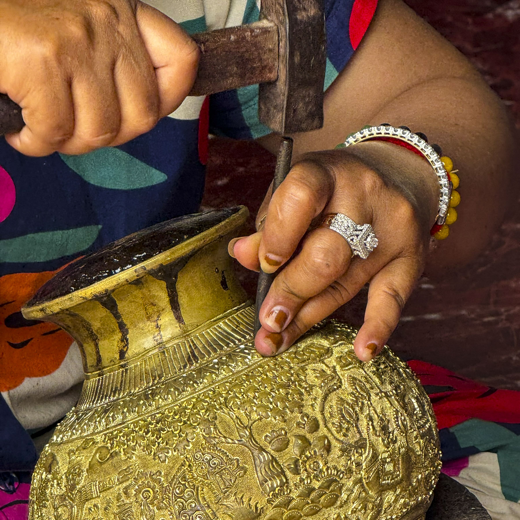
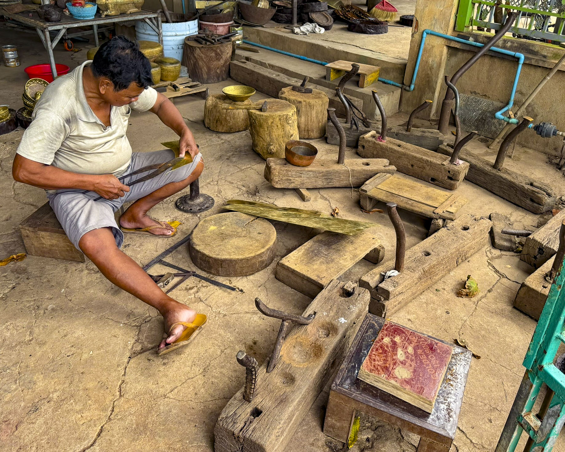
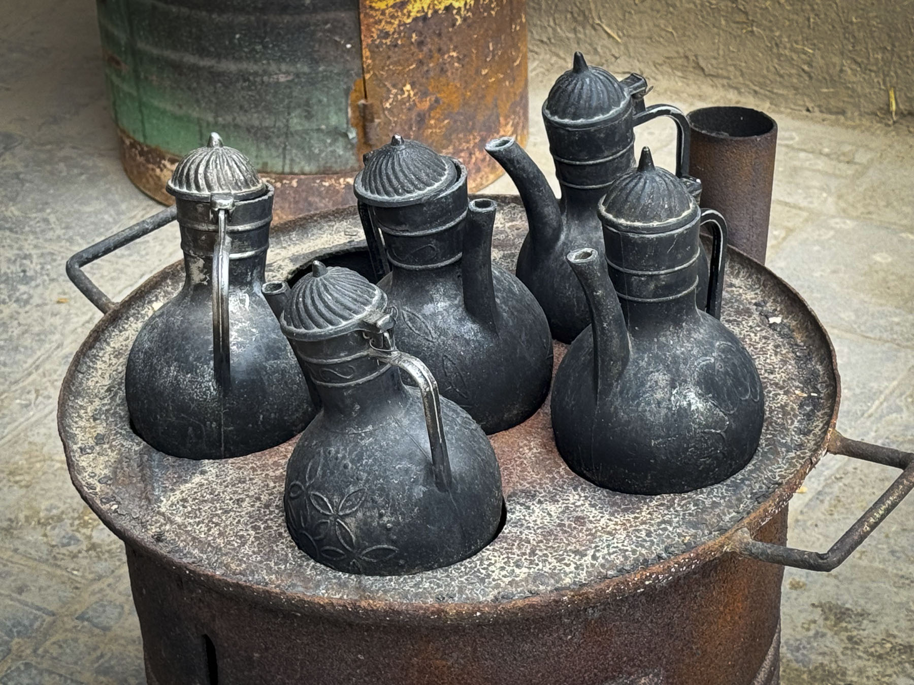
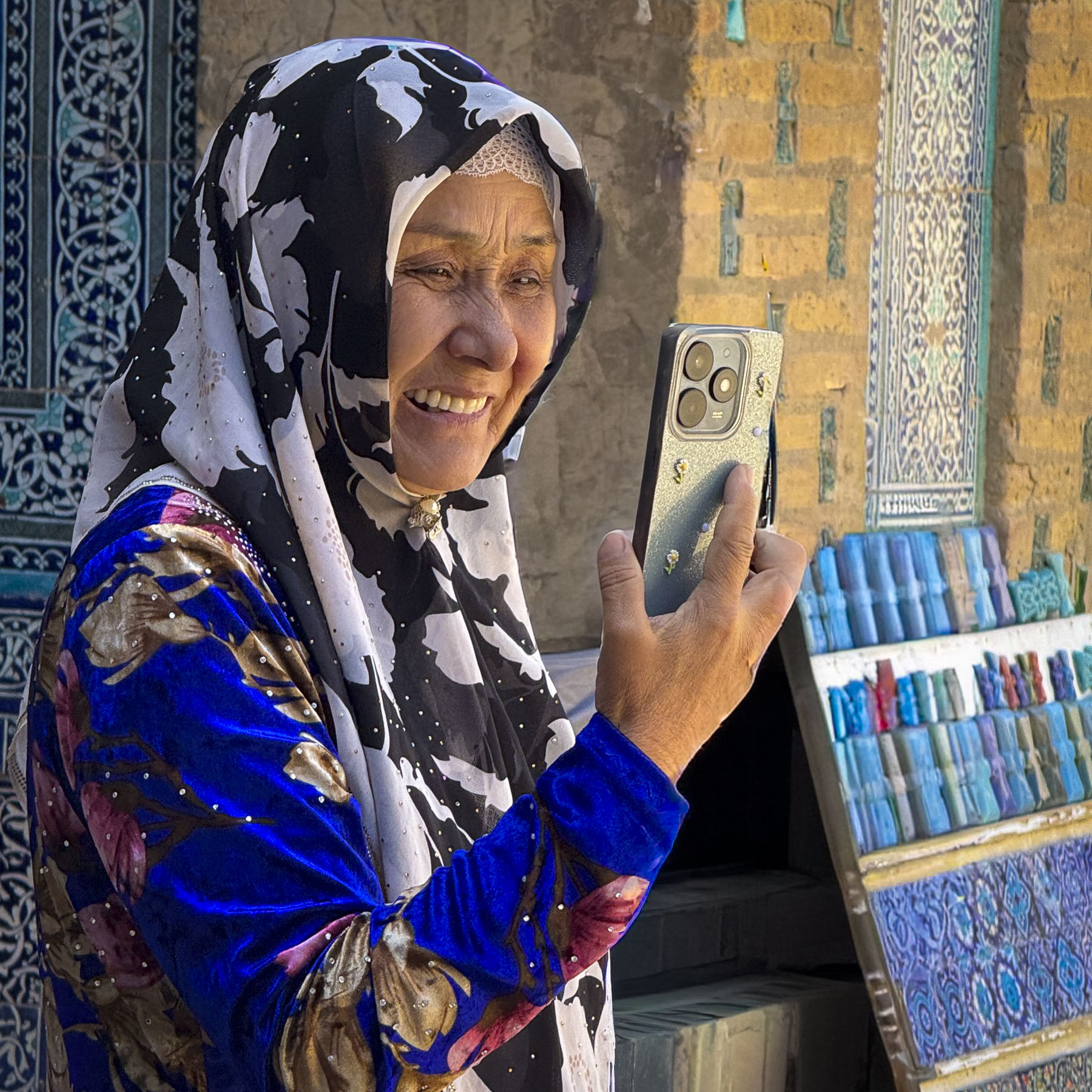
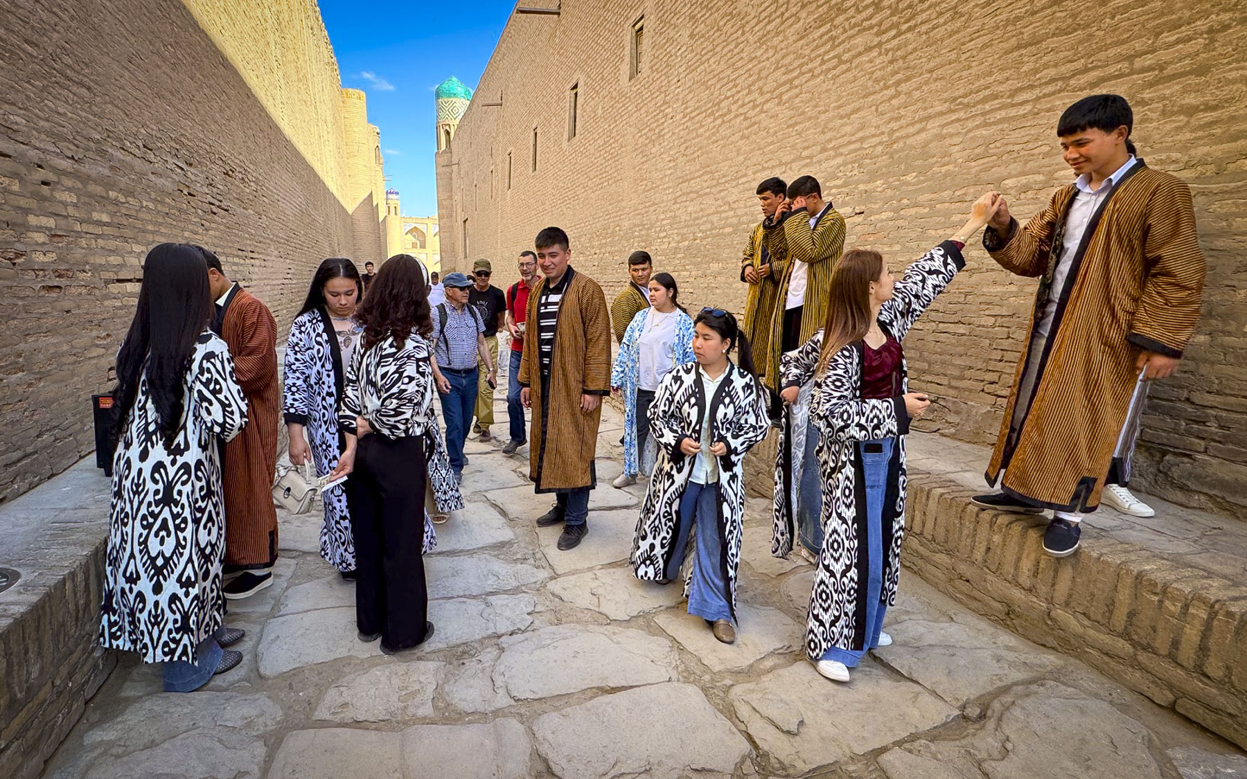
Having received a quick overview of the medina from our tour guide, the rest of the afternoon was left open for us to wander about the medina on our own. For us these are the best hours of a group tour, when we are free to explore the nooks and crannies of a place, allowing ourselves to linger at a weaver’s workspace, where generations of family were working together on a loom, spinning and carding, while the youngest was engrossed with her cell phone.
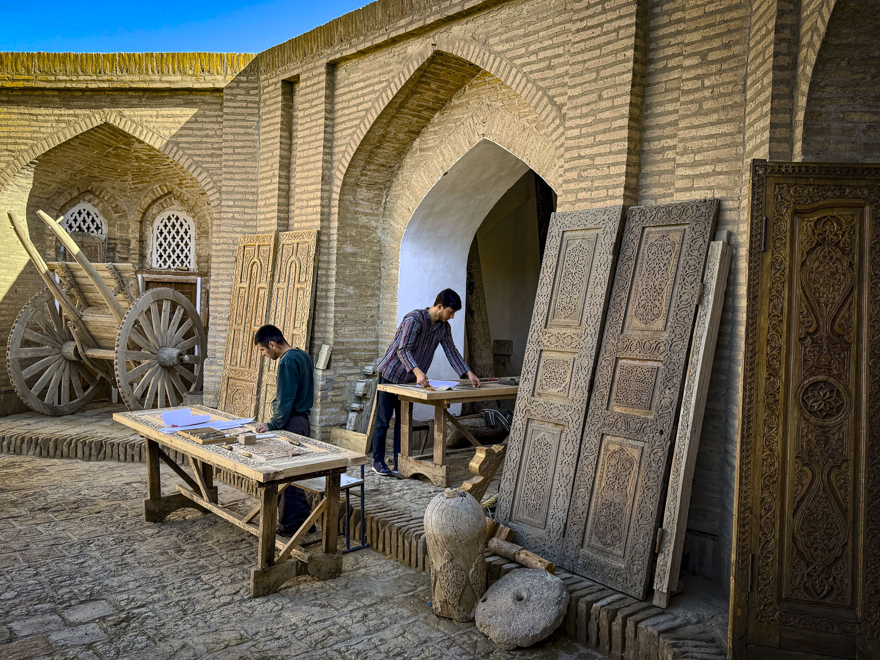
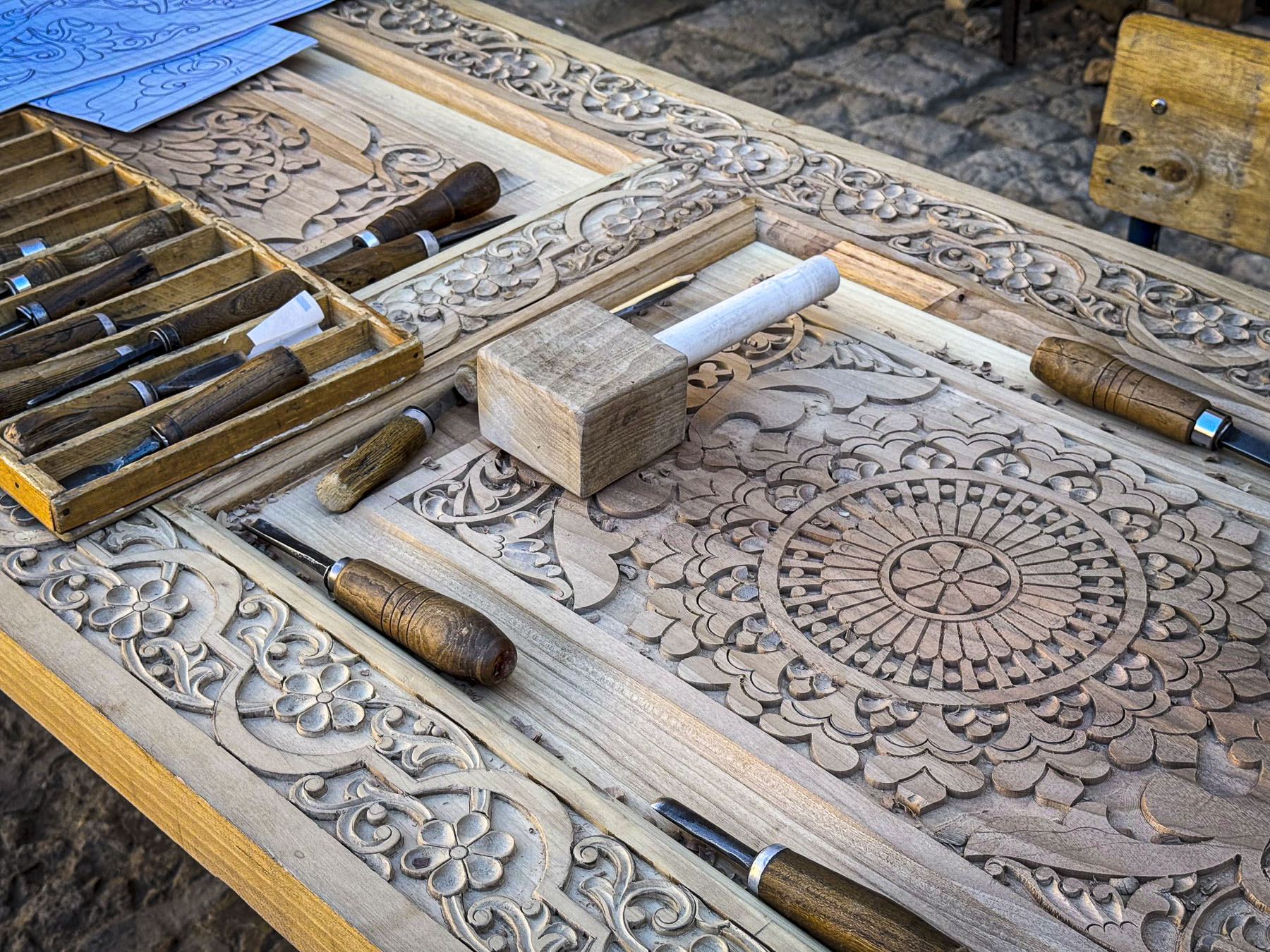
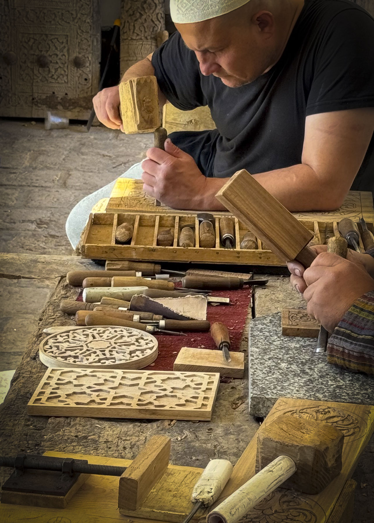
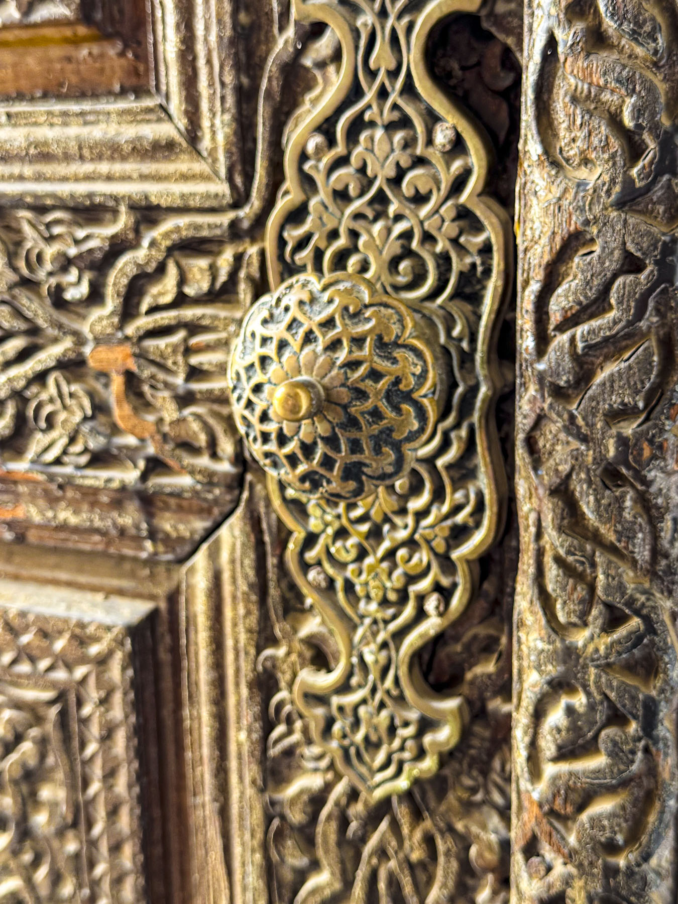
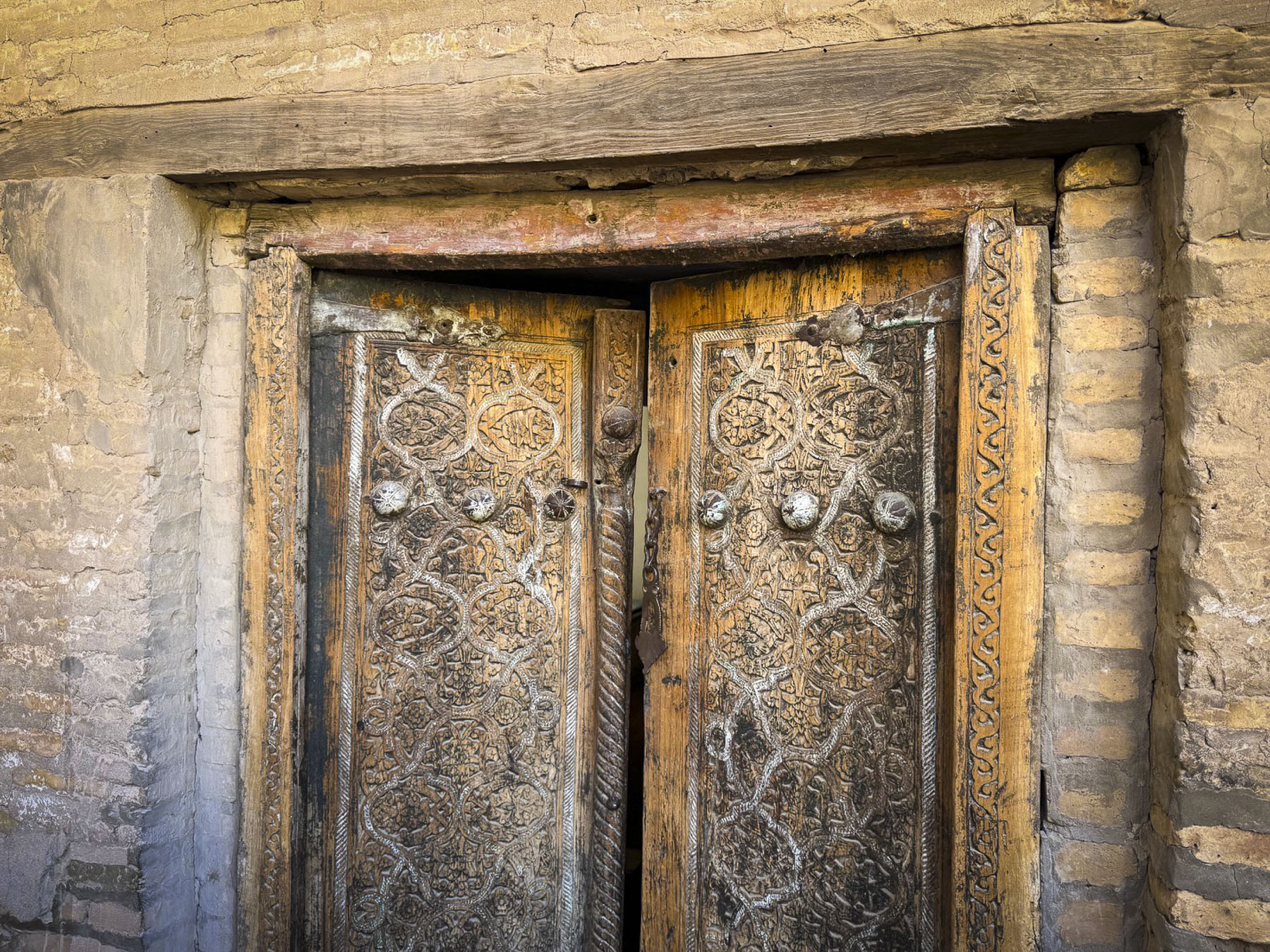
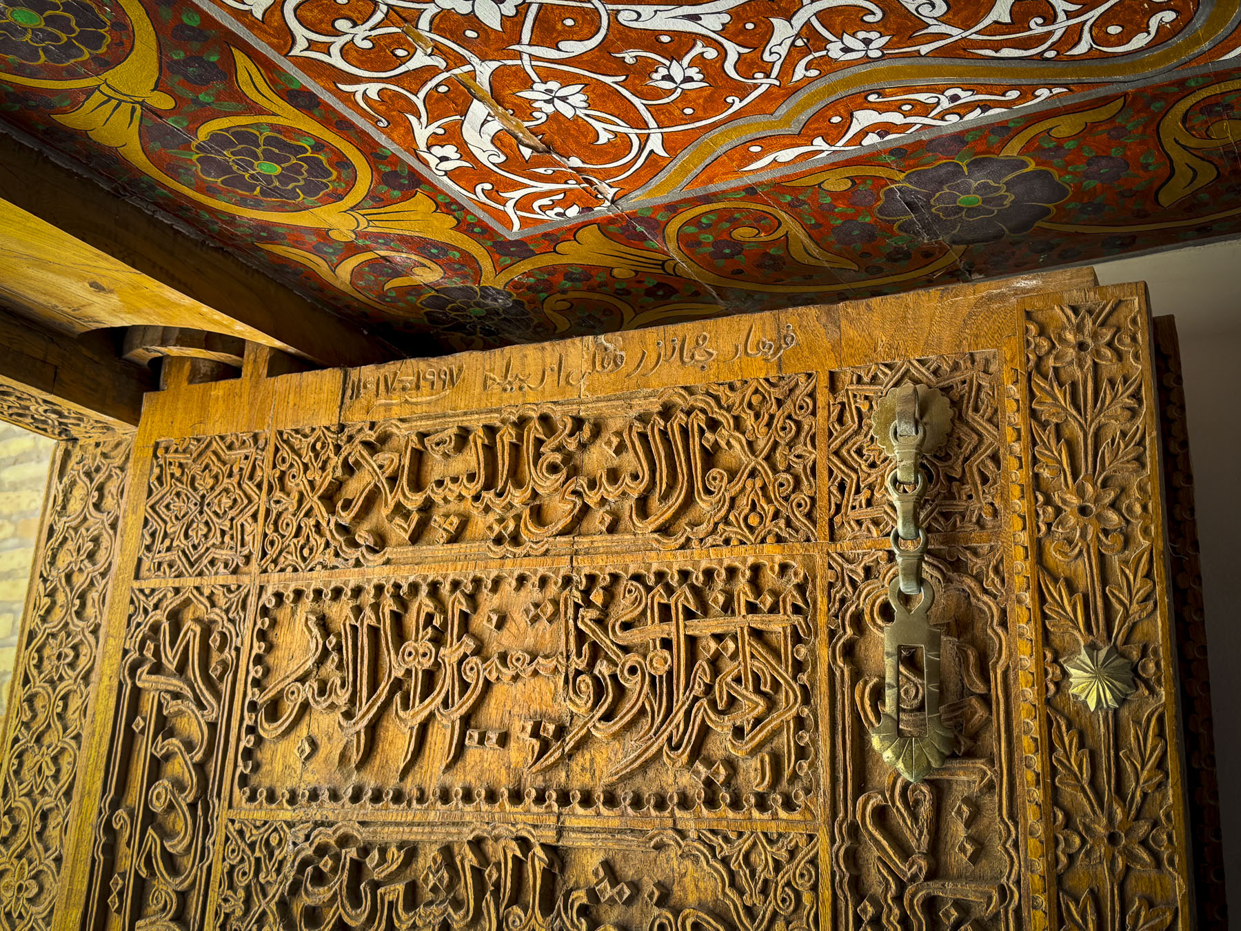
Or the woodcarvers’ workshop, where master craftsmen were still creating wooden panels with intricate O’ymakorlik designs, in a studio space filled with raw planks of walnut, juniper, elm and mulberry, their future canvases.
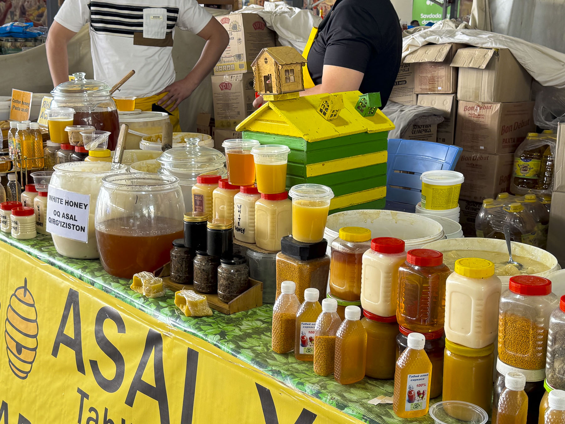
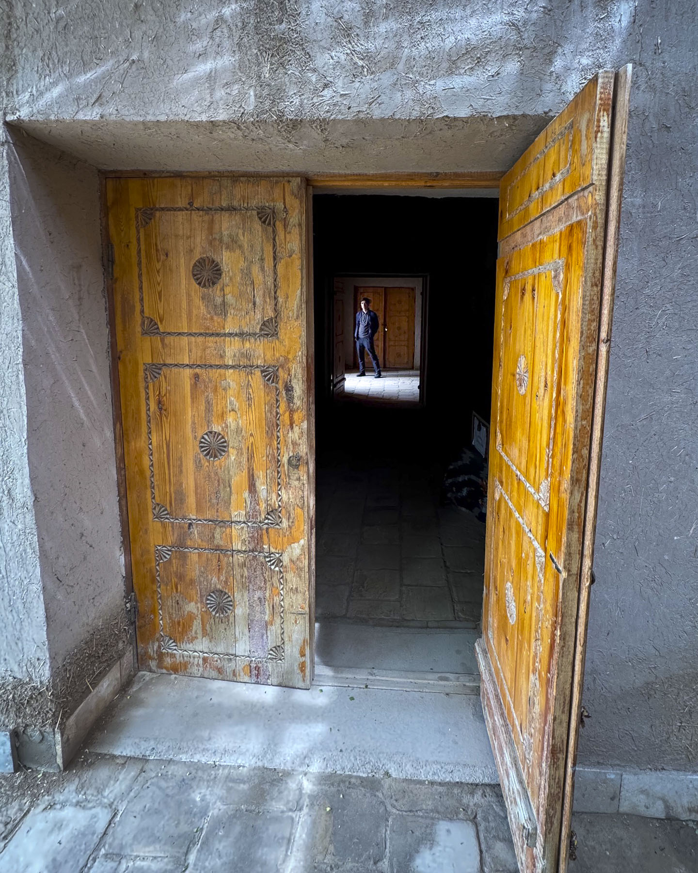
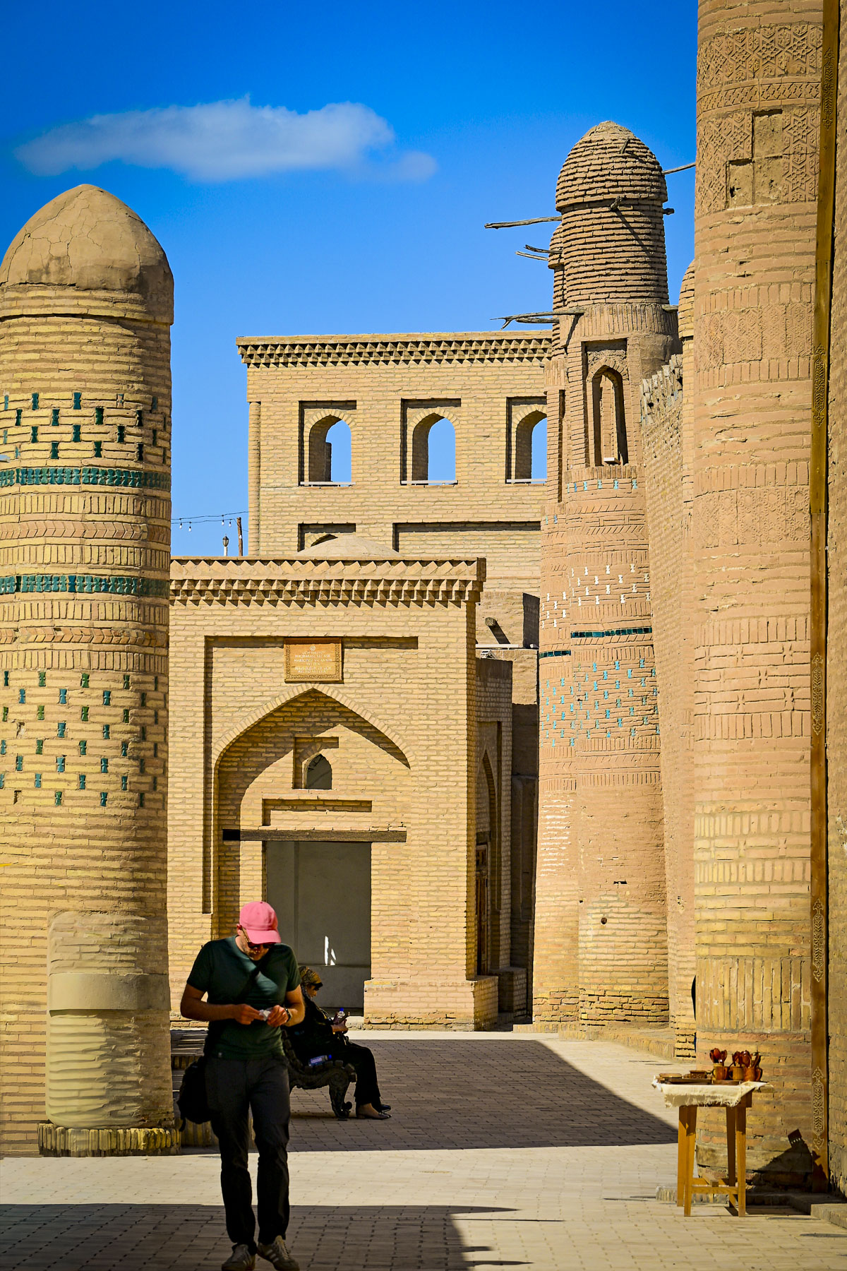
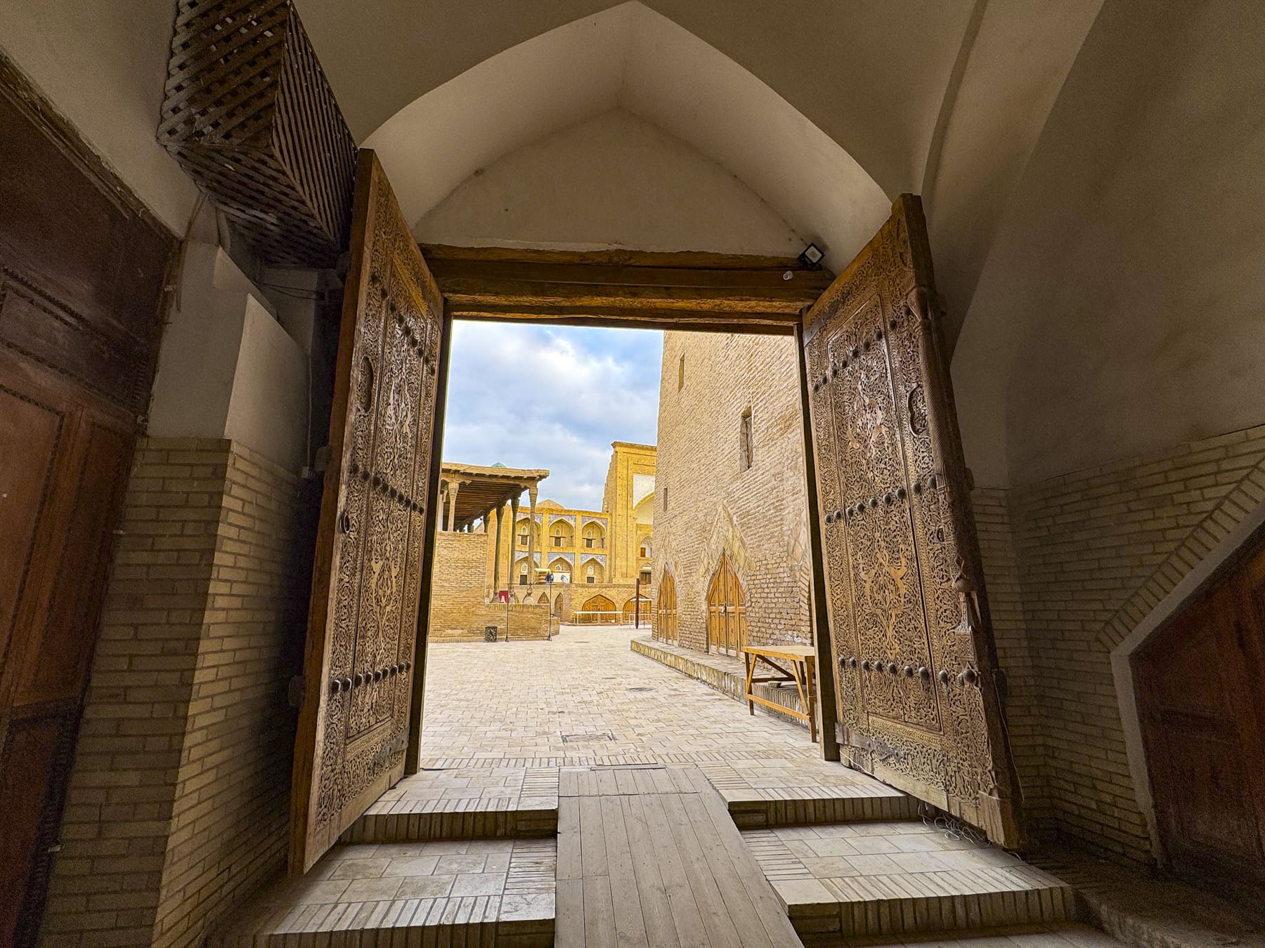
Away from the center of the old town, we followed the interior perimeter of Khiva’s huge defensive wall past old courtyard homes called havli. Renovated, many had placards above their doors advertising their availability as guesthouses. Around 400 families still live in Itchan Kala, though there are no longer any traditional food markets in the old town, so folks have to shop outside its walls.
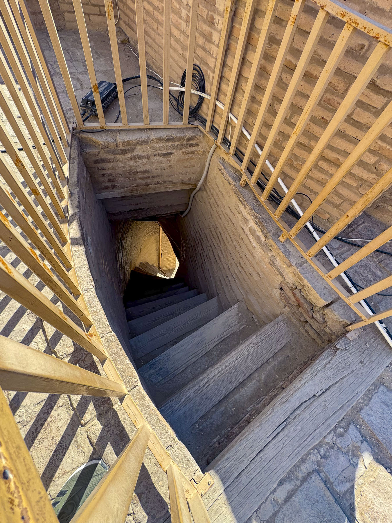
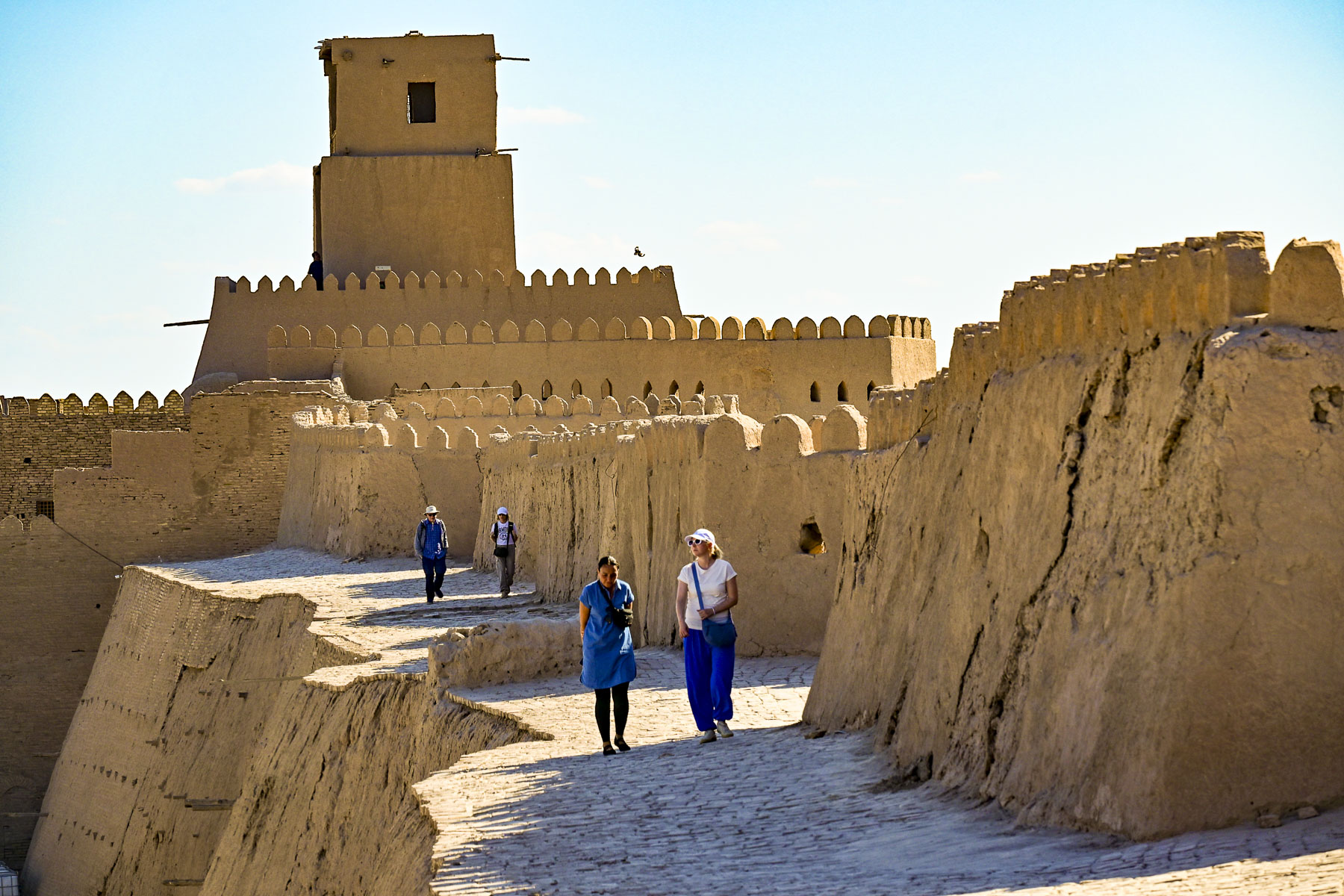
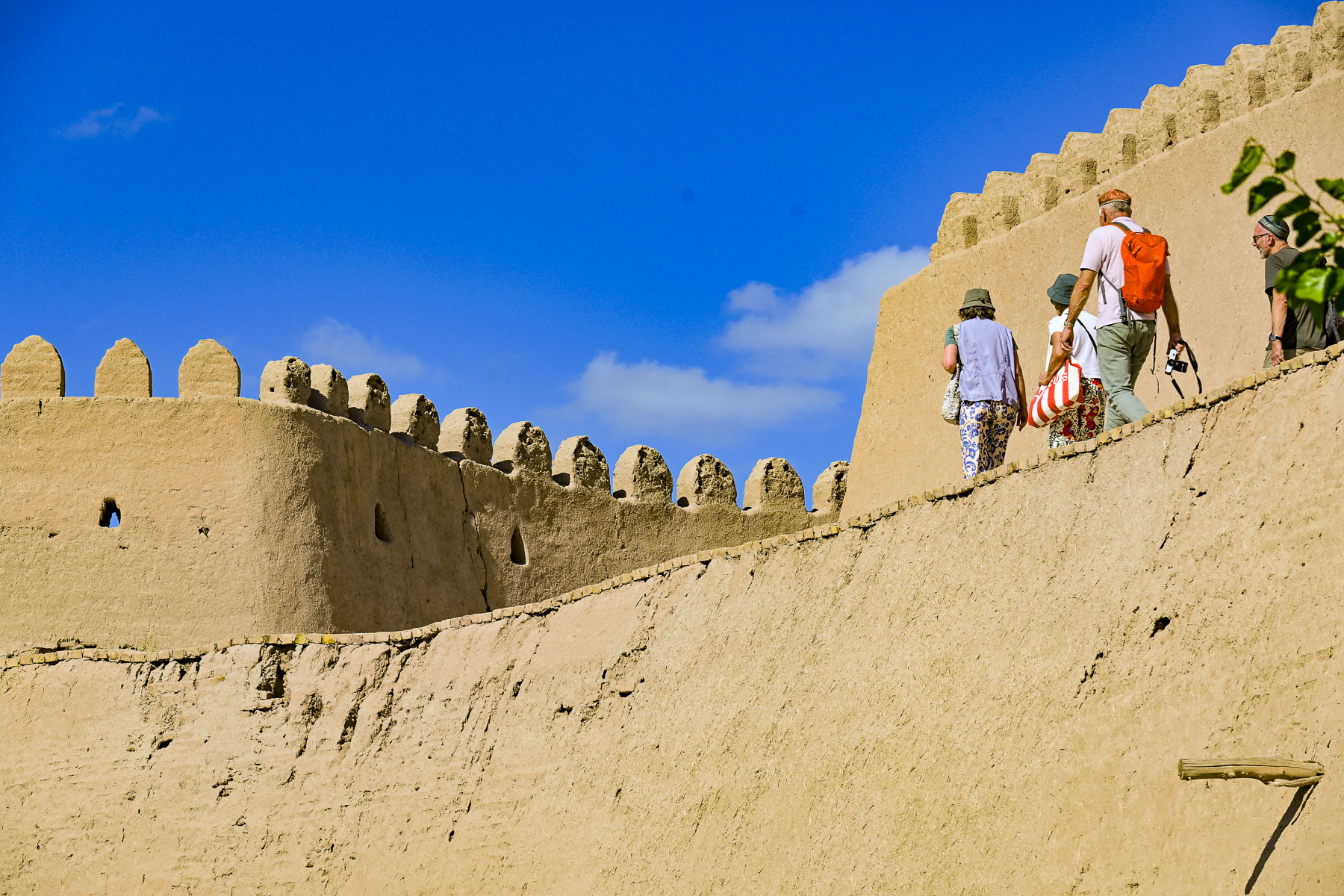
Reaching the North Gate, Bakcha Darvoza, we climbed a narrow, ladder-like, steep set of stairs that opened on to the ramparts as if we were emerging from a rabbit hole, to a wall-walk that was surprisingly about 4m (12ft) wide. Unfortunately, the wall-walk did not continue completely around Itchan Kala and ended before reaching Kuhna Ark fortress. The southern half of the ramparts can be accessed at the South Gate. However, our guide had advised us against walking that section of the wall due to its condition, but we did notice folks taking the risk.
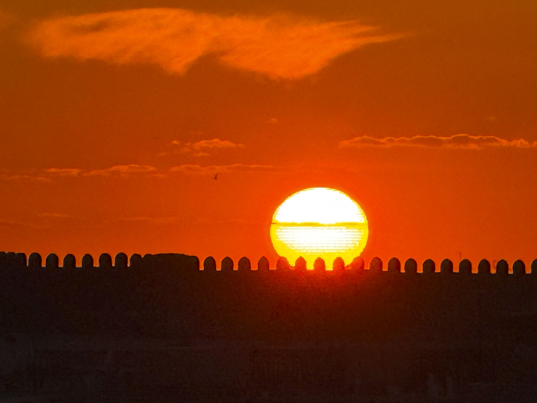
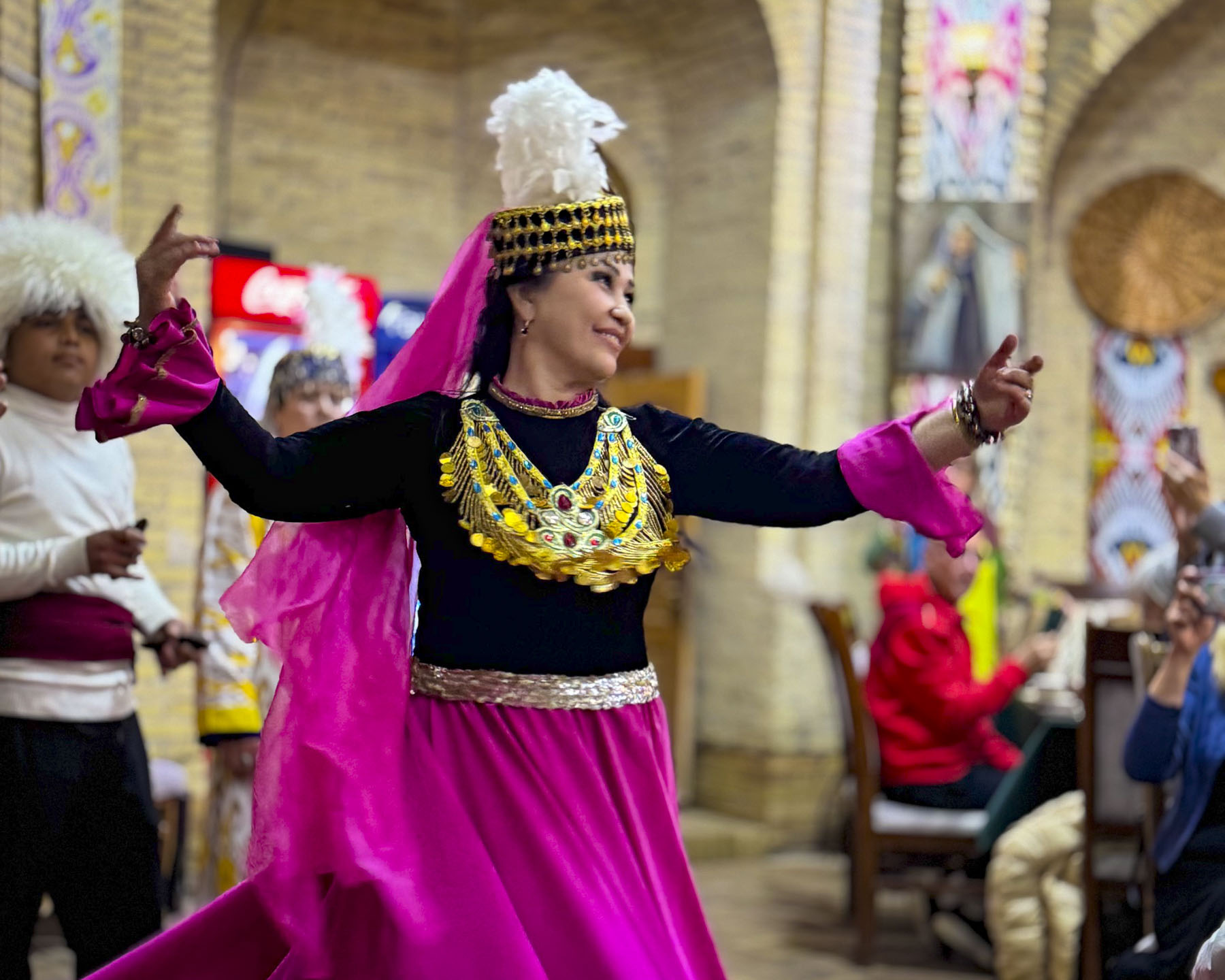
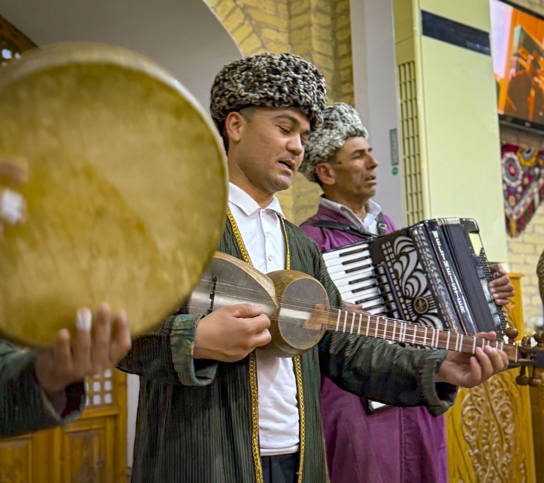
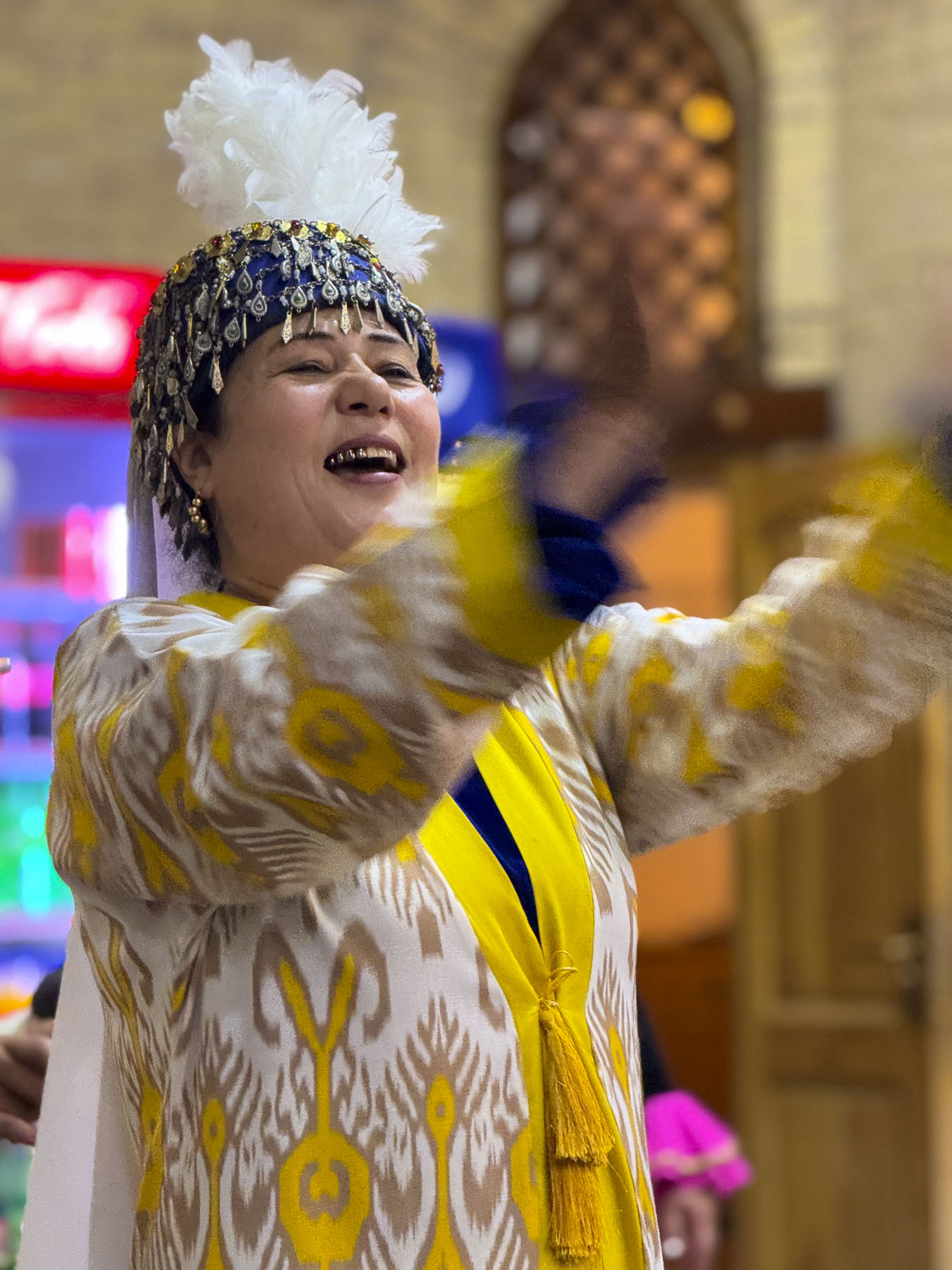
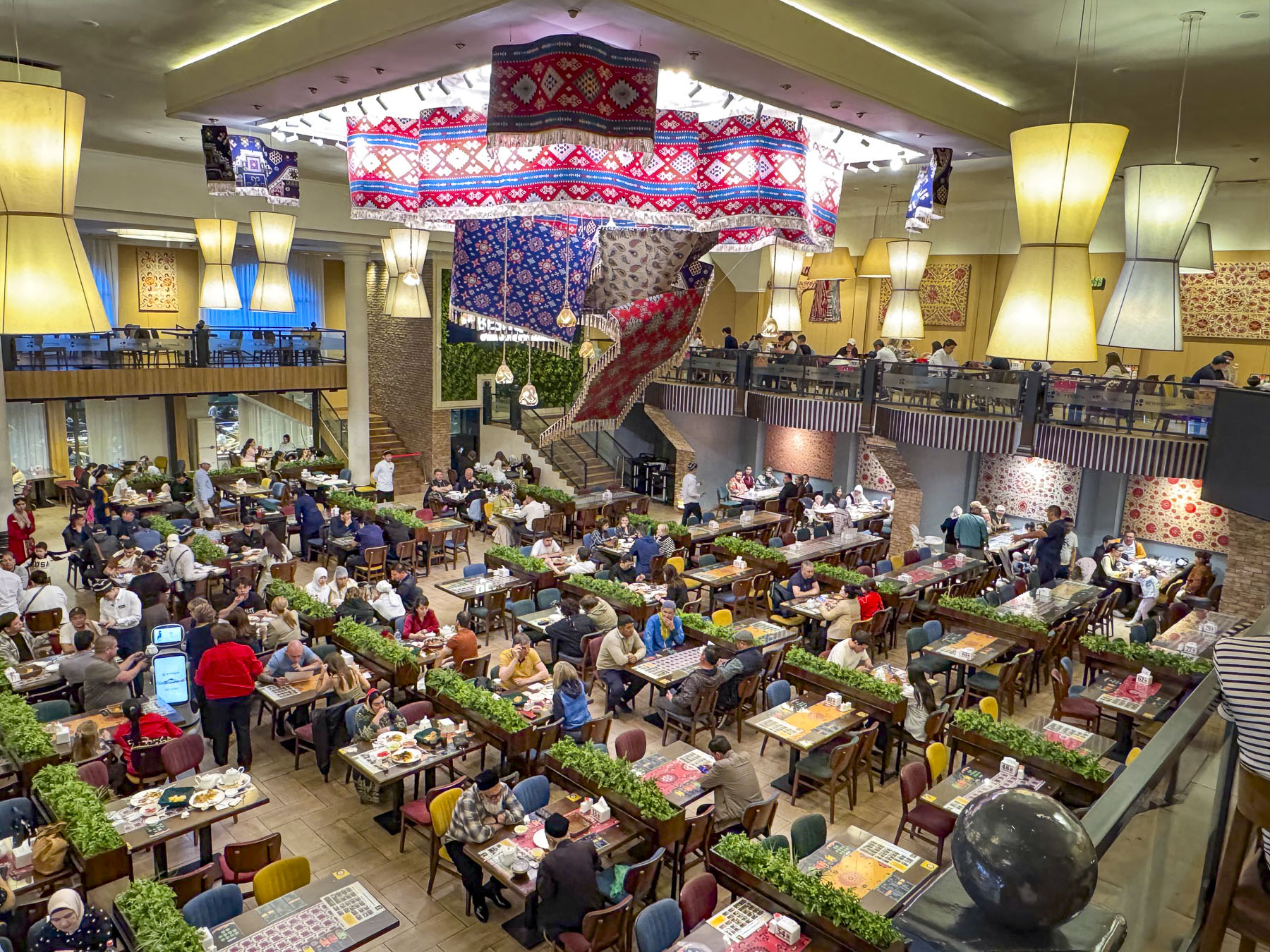
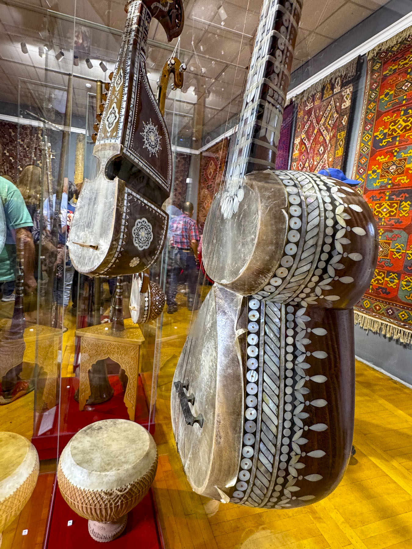
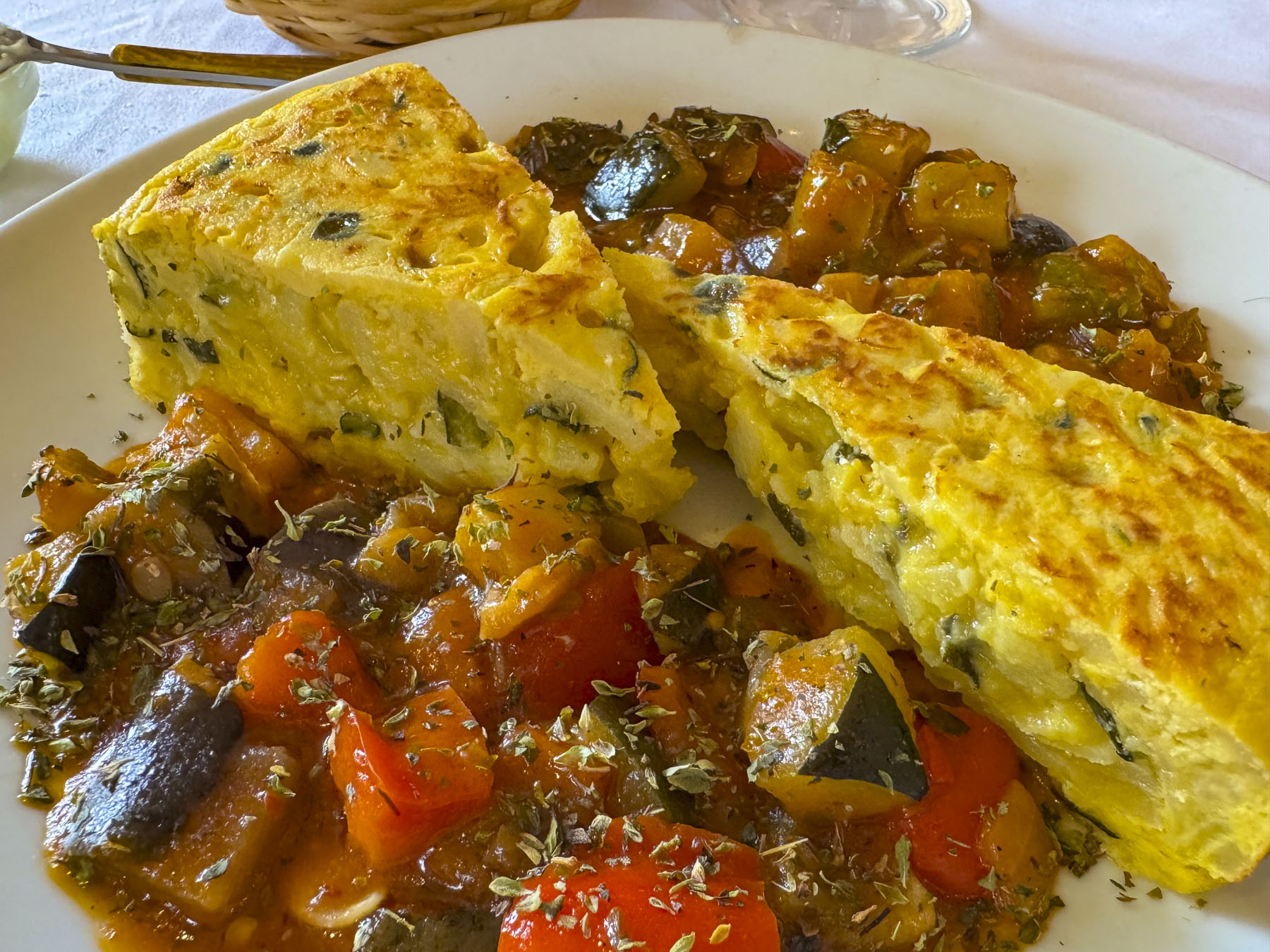
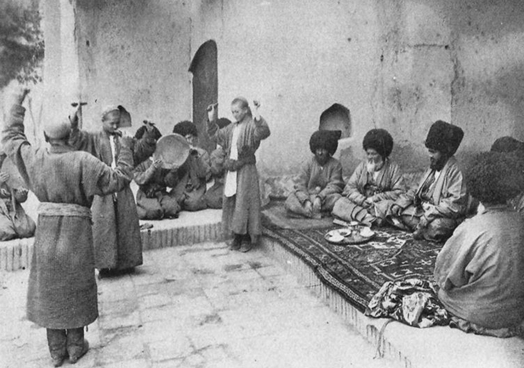
That evening our group enjoyed drinks and the sunset atop the rooftop bar Ayvon and later at dinner we were thoroughly entertained with music and a dance performance at Yasavul Boshi. Funnily, one of the musicians was a doppelgänger of Kramer, of Seinfeld sitcom fame, with expressions to match. While the entertainment was quite nice, the food at these large restaurants that cater to group tours tends, in our opinion, to be mediocre.
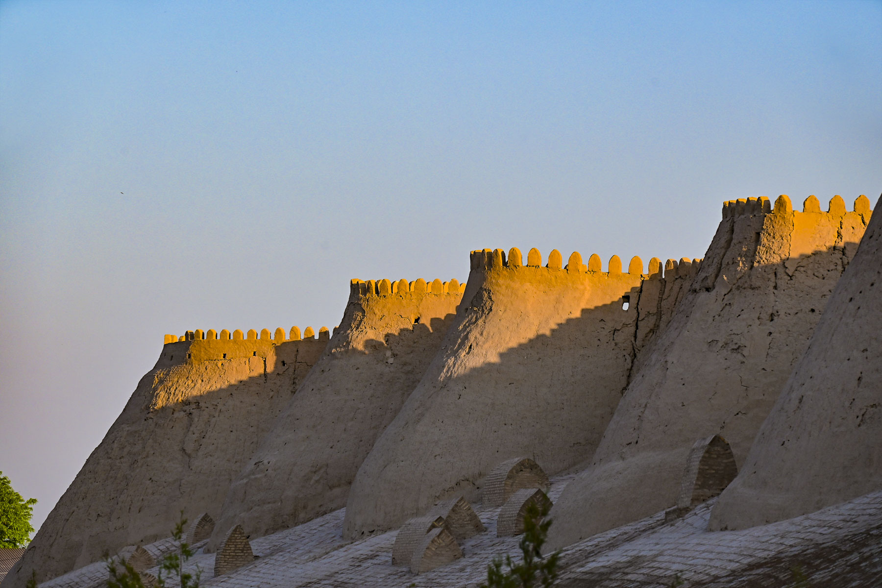
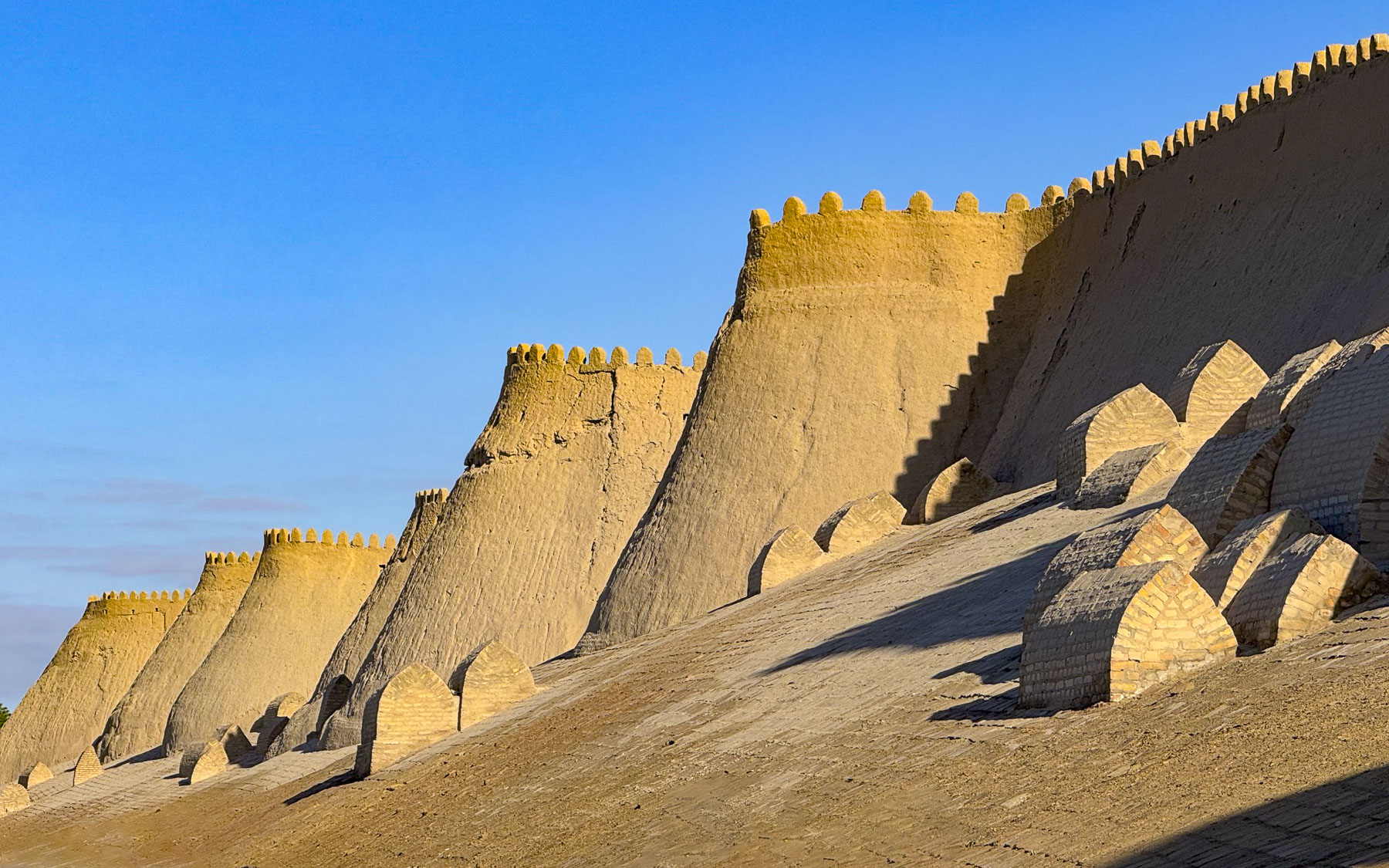
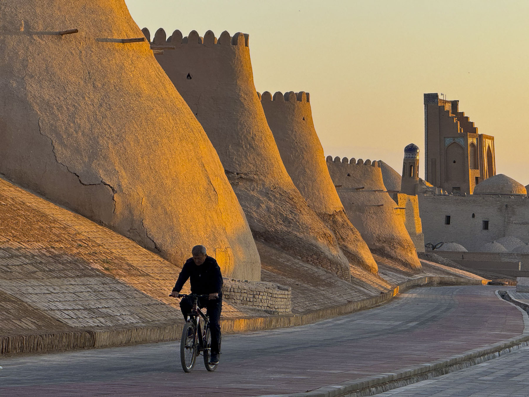
The next morning our group walked along the base of the towering sand dune-like defensive wall and towers. The immense structure was designed to project power as an impenetrable fortress to anyone approaching. Construction of this newer fortification with sloping walls, 19m (62ft) at the base and almost 9m (30ft) high, took a massive conscripted, forced labor force of local citizens. Each person was required to work for 12 days a year on the project, which three years to build.
After Khiva’s defeat by the Russians the wall lost its military importance and slowly fell into disrepair, and parts of it were demolished until the Soviet Union realized the importance of this cultural landmark and undertook its renovation in the 1930s.
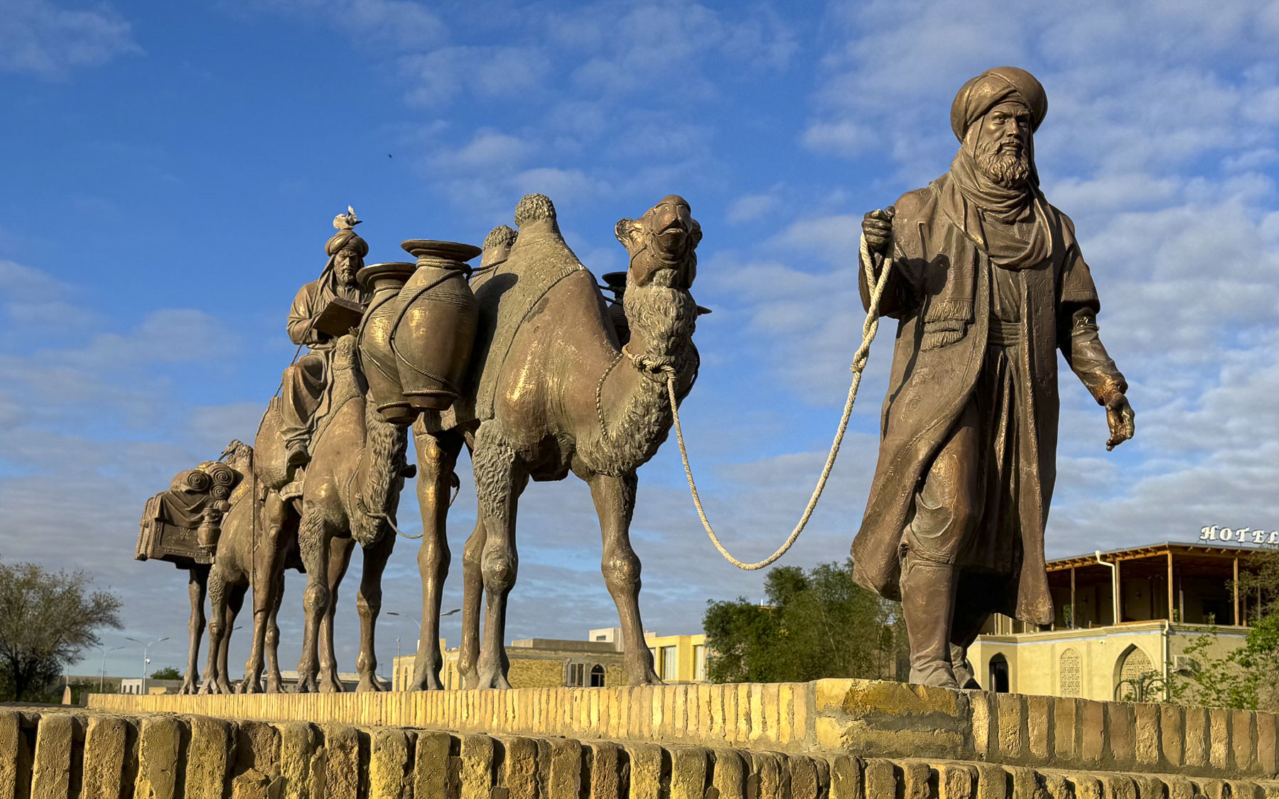
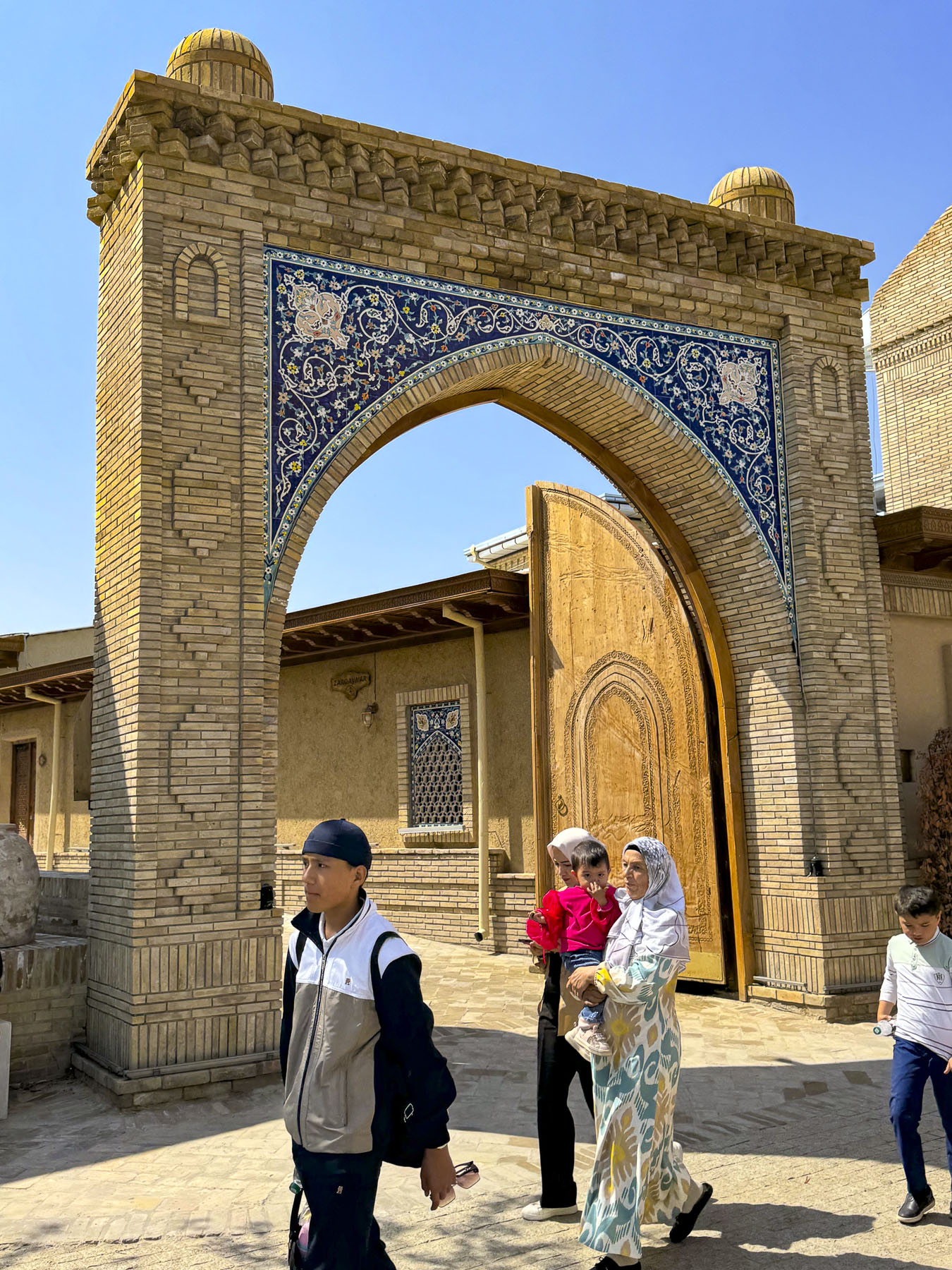
Upon reaching the West Gate, or Ota Darvaza, which translates to “Father Gate,” a bronze statue depicting members of a Spice Road camel caravan greeted us before we entered the city. This was Khiva’s most substantial gate, with a customs office where traders would have paid a tax after their cargo was inspected, before being allowed into the city.
Entering, we were quickly in the heart of the Medina near Mohammed Amin Khan Madrassah and the spectacular half-finished blue tiled minaret, Kalta Minor. Nearby, puppeteers from the State Puppet Theatre of Khorezm, were performing in the street to drum up ticket sales for later shows. Puppetry in Khiva is deeply rooted in the history of the region, with roots tracing back to Zoroastrian religious rituals, where they were used to ward off evil spirits.
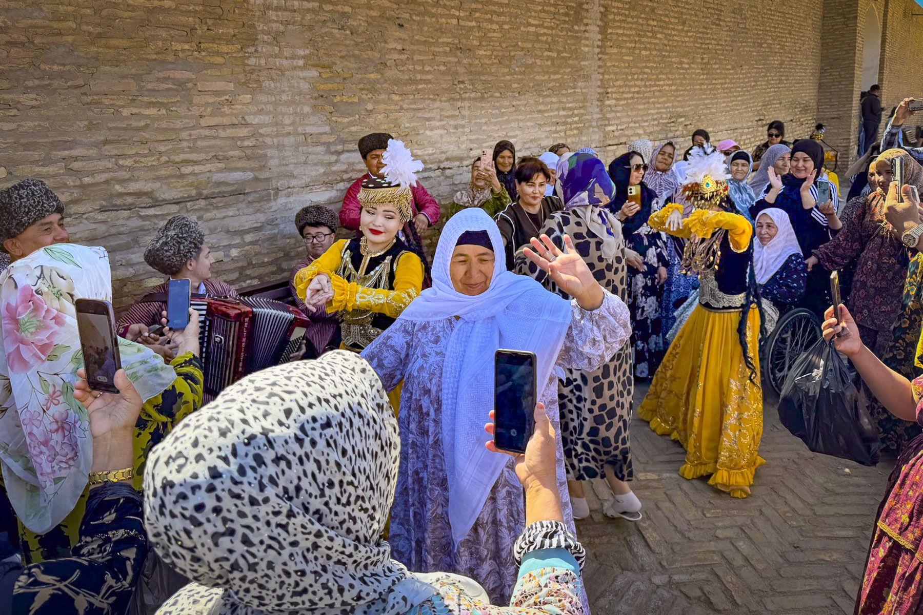
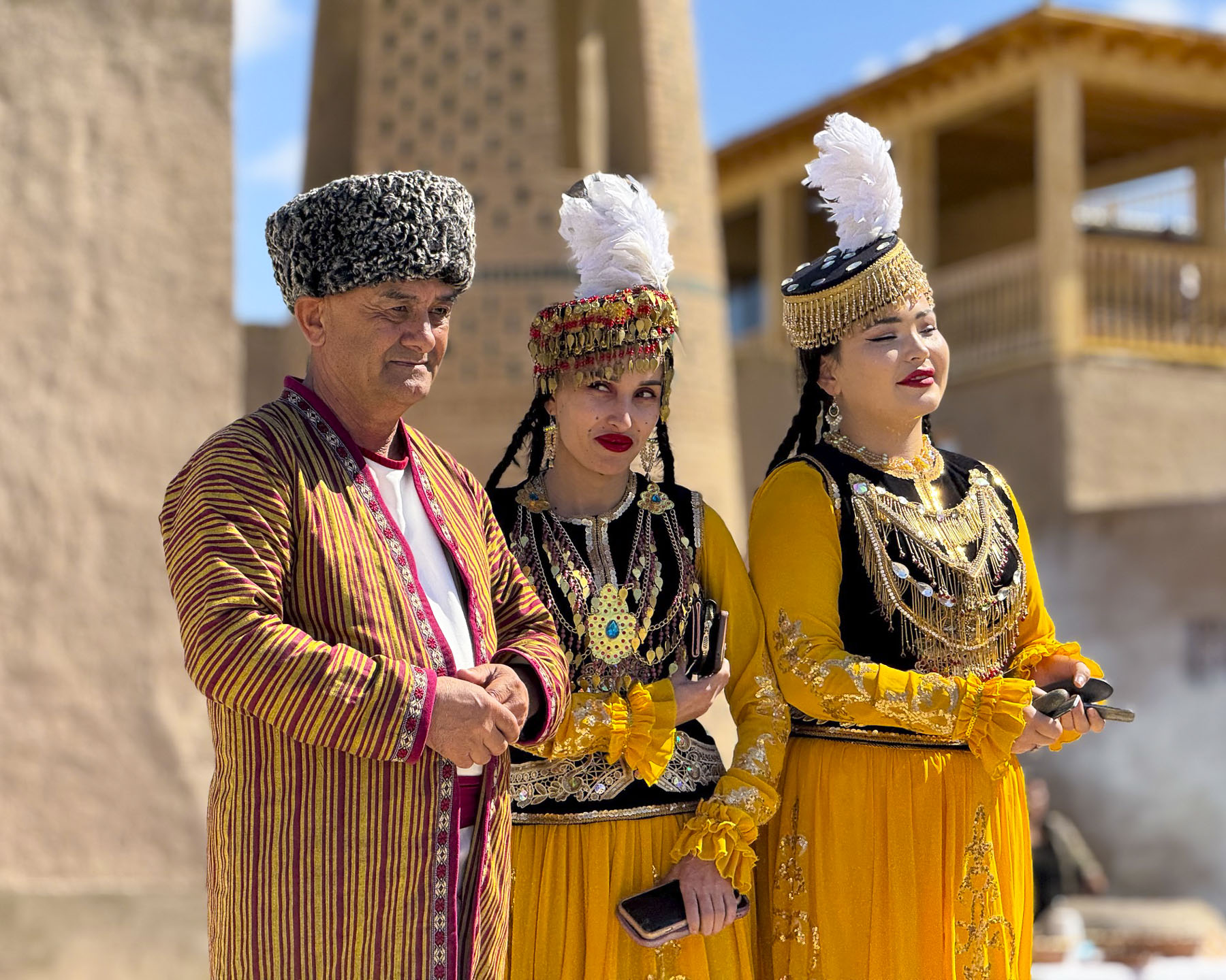

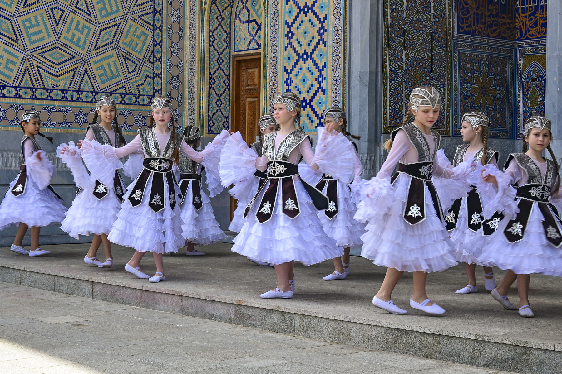
On the plaza in front of the entrance to the Kuhna Ark, there were traditionally costumed dancers which added a nice ambiance to the square, and an activity that often leads to Khiva being called an “open air museum.”
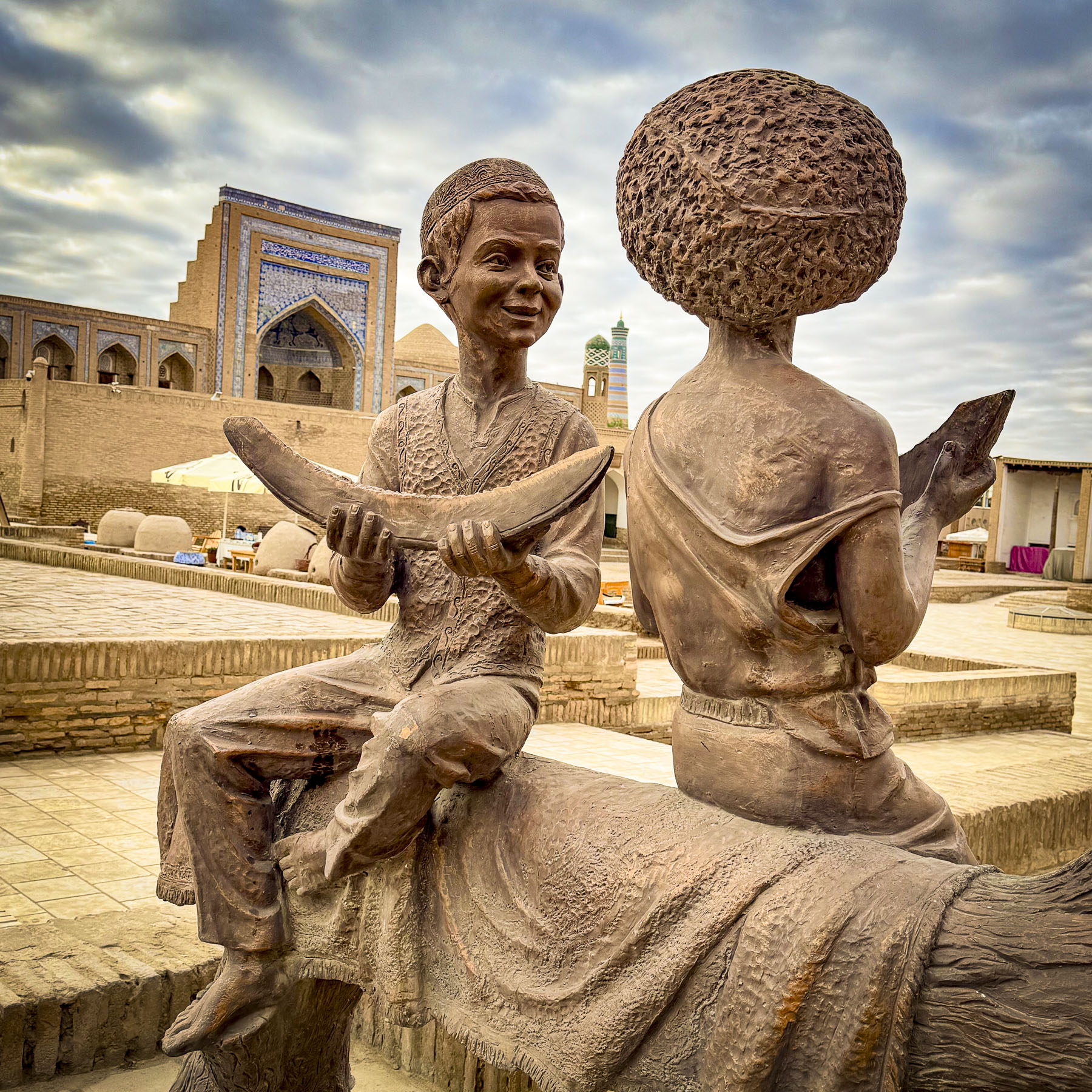
There was also a sculpture of two boys eating melons. Across the medina there were many sculptures illustrating Uzbek folklore and this one drew attention to the importance of the fruit in Uzbek cultural with two tales. The first: “Local legend holds that the sweet melon originally grew only in paradise (the Garden of Eden) before being brought to earth as a divine gift to humankind. And Central Asian proverbs famously praise the fruit, claiming that “melon makes cheeks ruddy, teeth stronger, hair silkier, and eyes younger!” While a second one called “The Golden Watermelon Tale,” tells the story of a poor Uzbek peasant who heals an injured stork. In gratitude, the stork later drops magical watermelon seeds that grow giant fruits filled with gold coins. A greedy, wealthy neighbor tries to copy the deed by intentionally breaking a stork’s leg to “rescue” it, but his magic seeds produce watermelons filled with stinging wasps, symbolizing that true generosity cannot be faked for profit.”
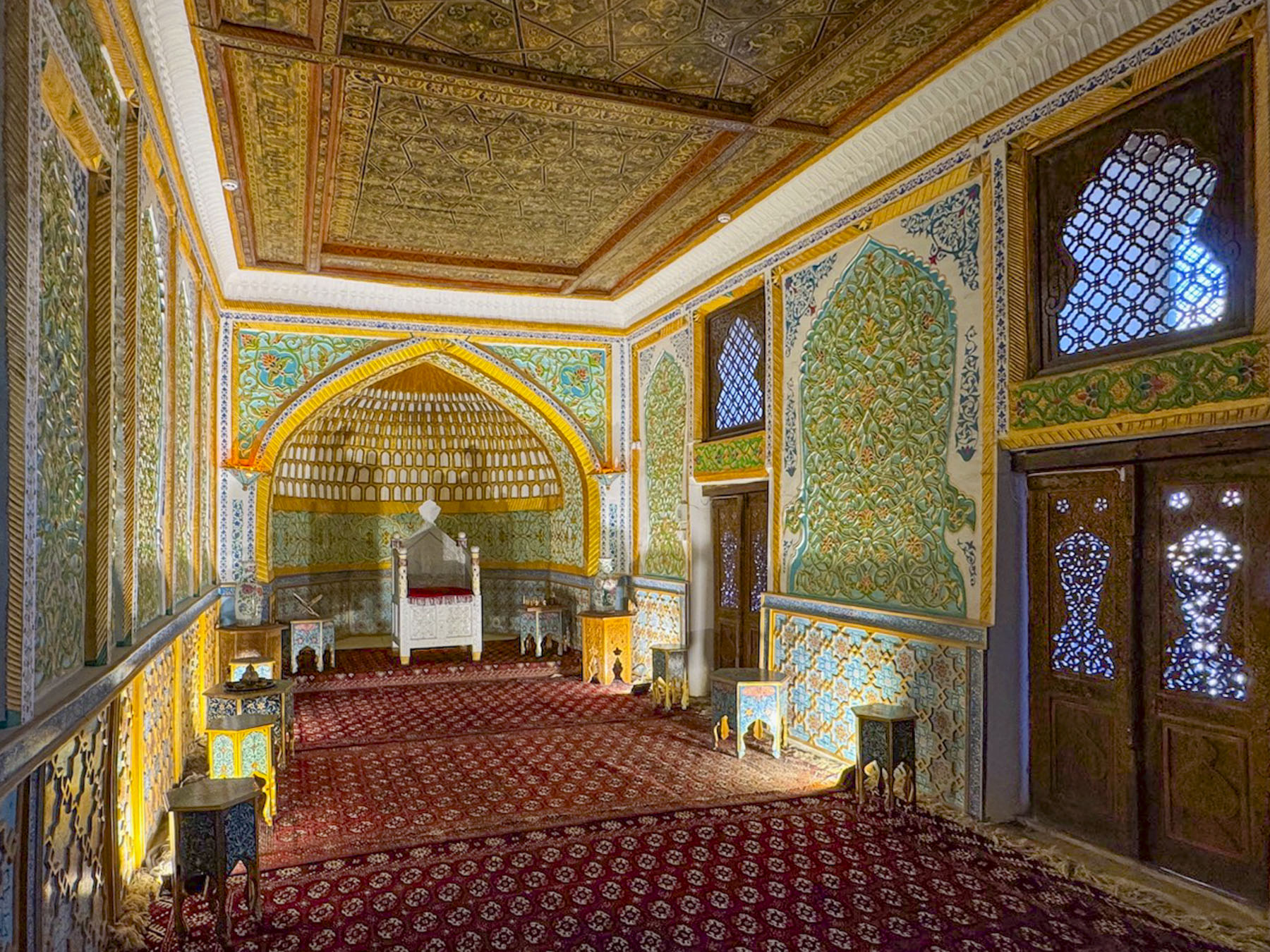
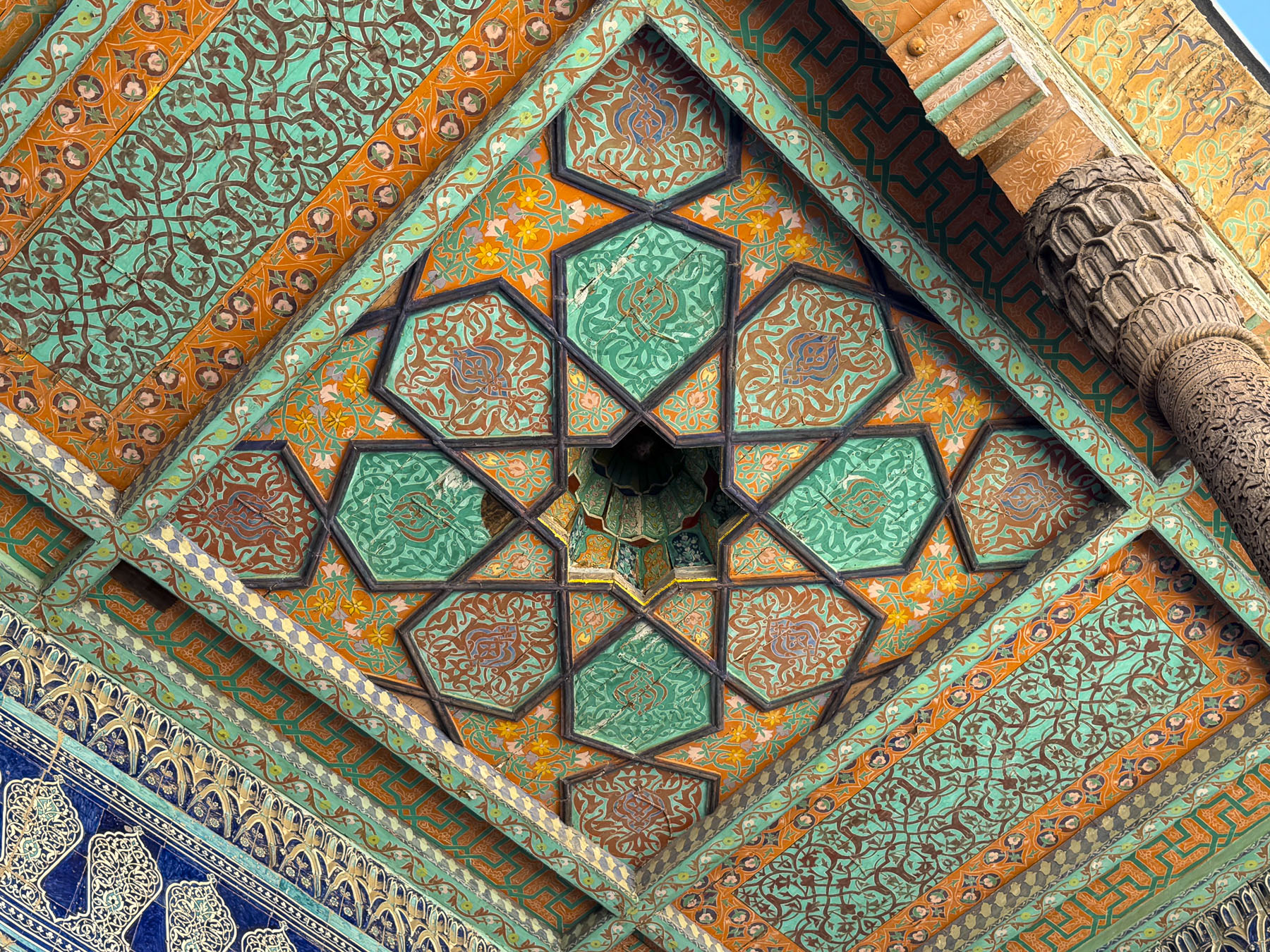
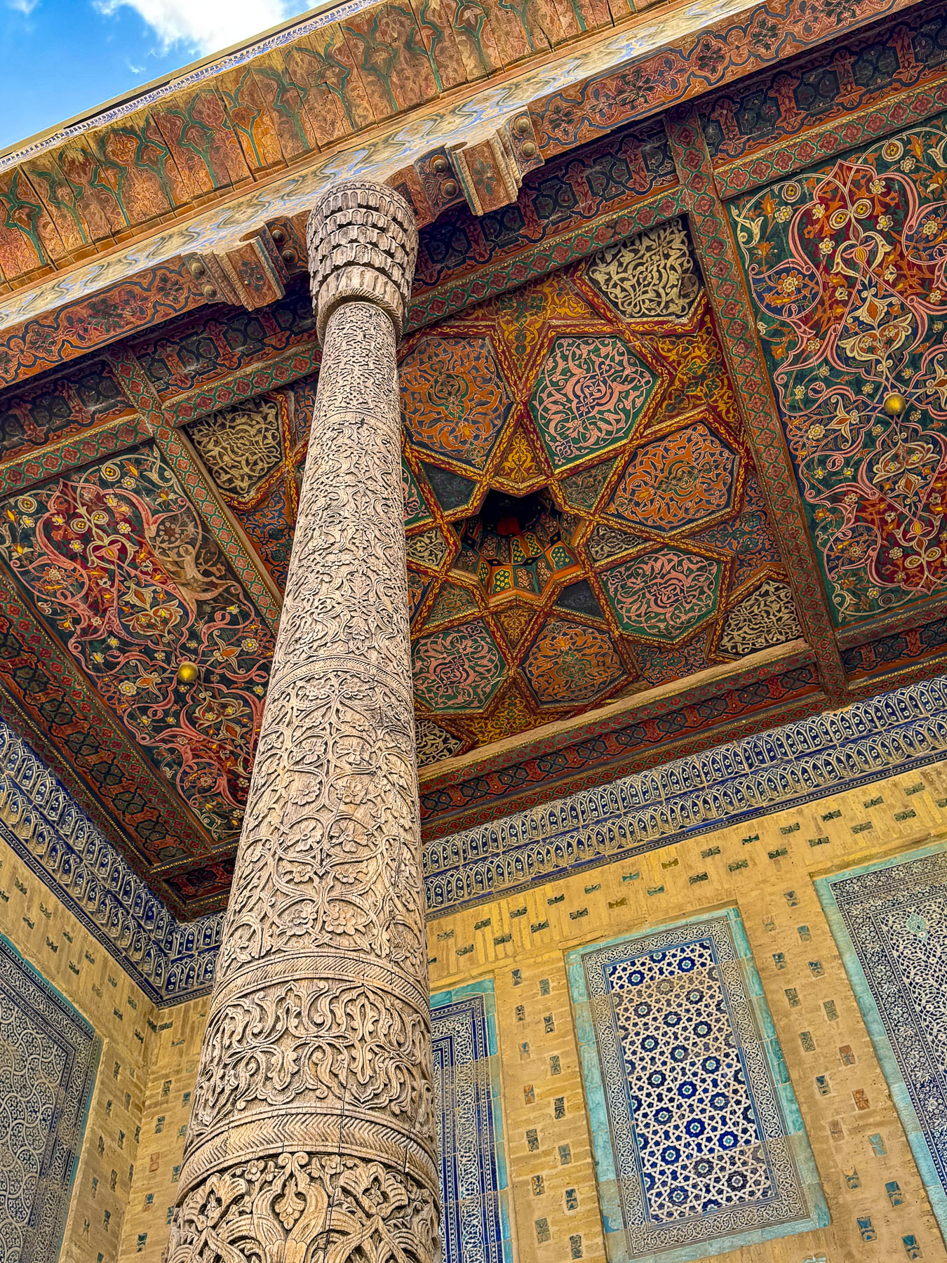
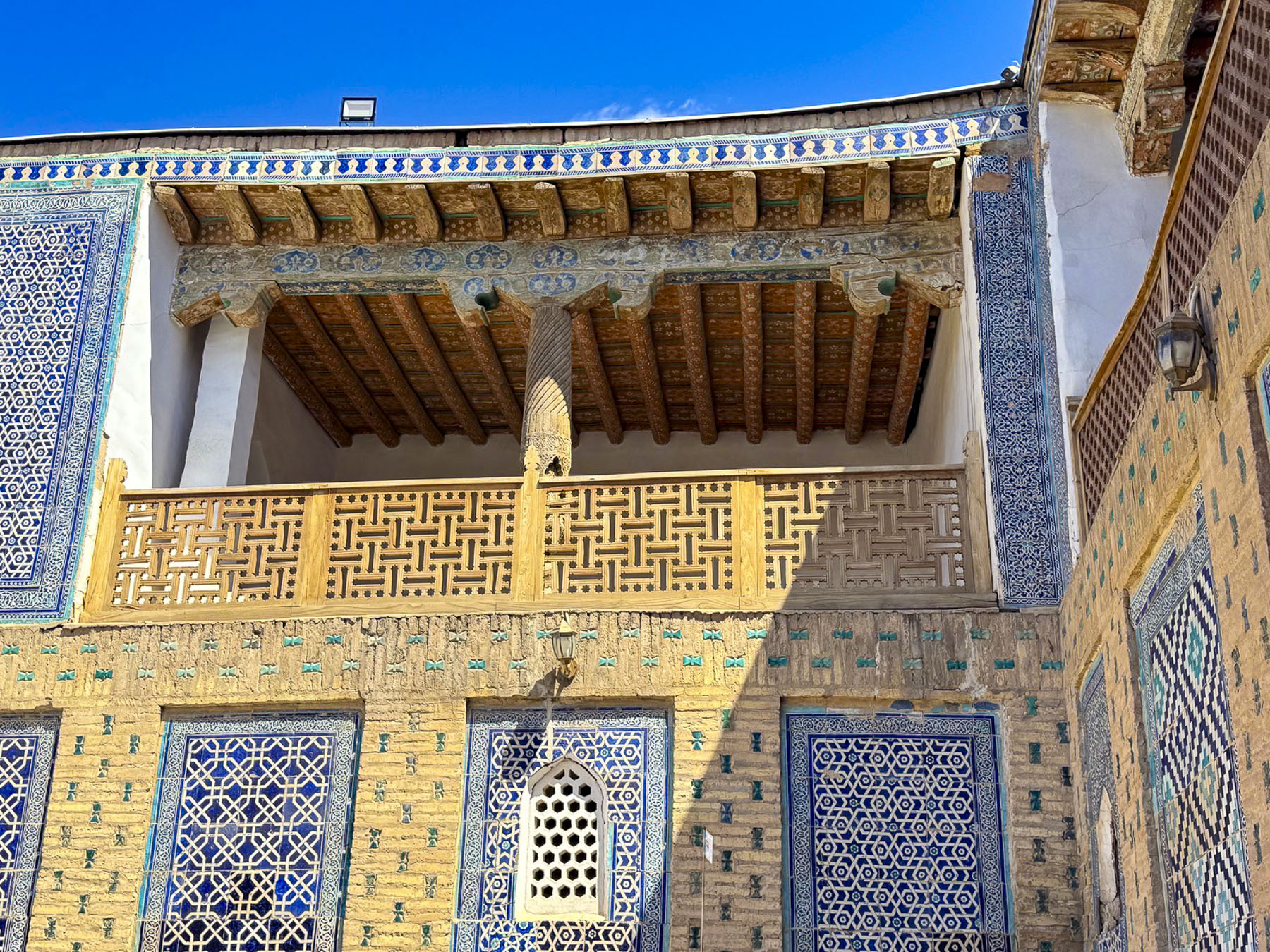
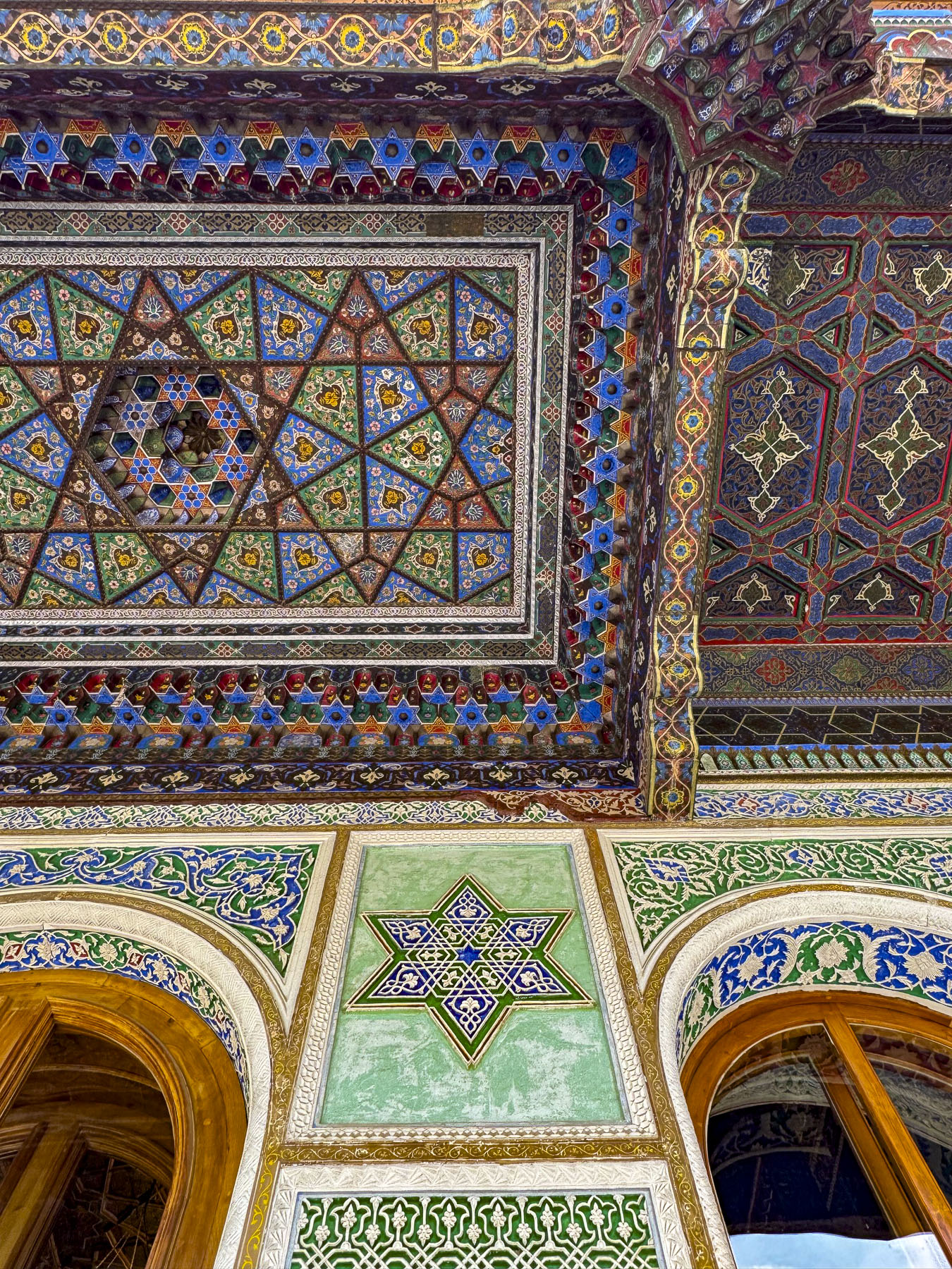
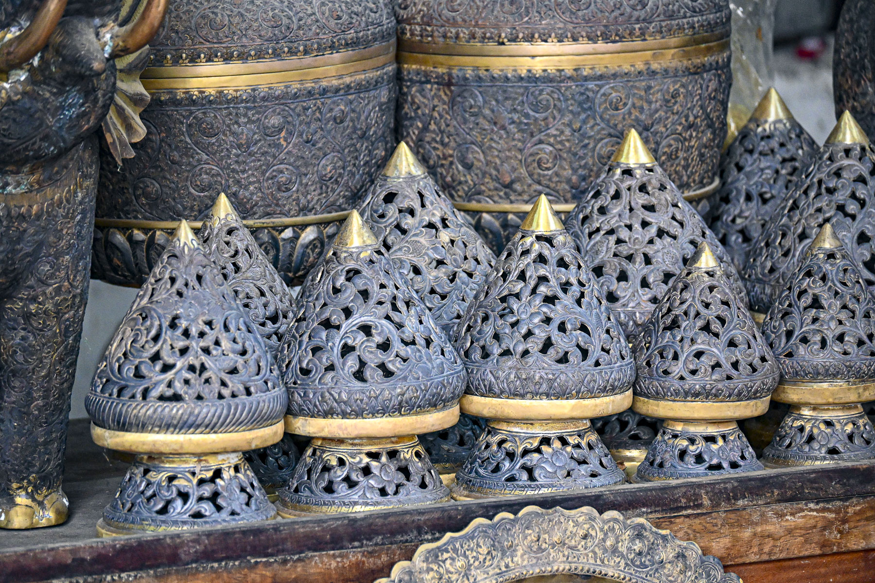
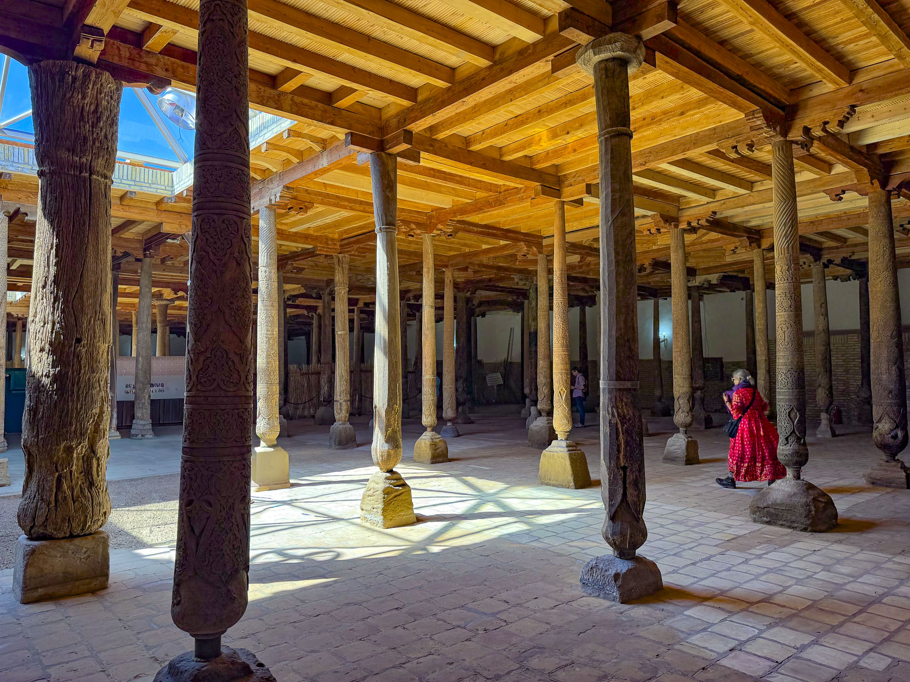
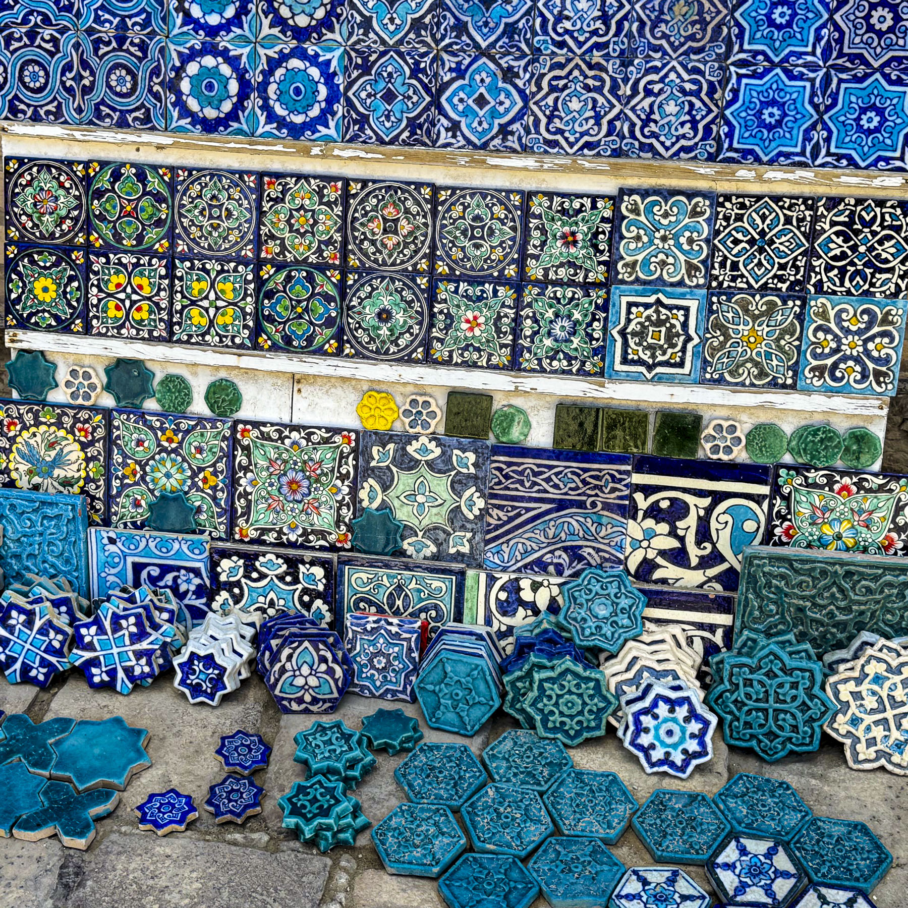
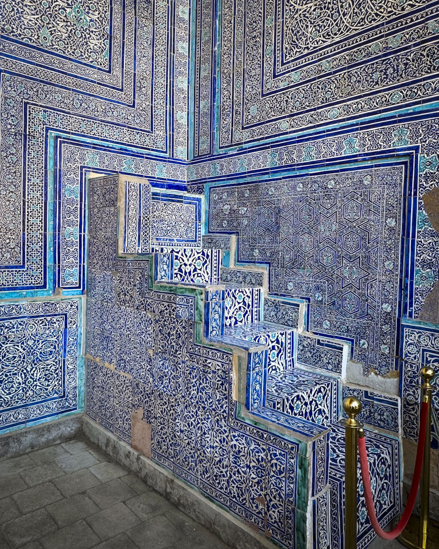
The lanes of the medina were lined with colorful merchant’s stalls as we headed to the Toshhovli Palace, a large early 19th-century palace, built by for Allakuli Khan to replace the Kuhna Ark. It had over one hundred rooms, a large harem for his 40 concubines, and a richly adorned ayvan, a grand columned, high-roofed, open-fronted porch with a geometric pattern wood ceiling. We questioned his choice of location, as the palace is directly across from the Olloqulixon Karvonsaroyi, which typically held 80 smelly camels, waiting for their cargo to be off-loaded, in its courtyard at any one time.
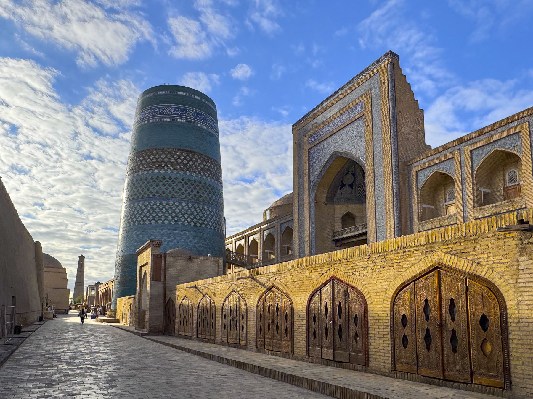
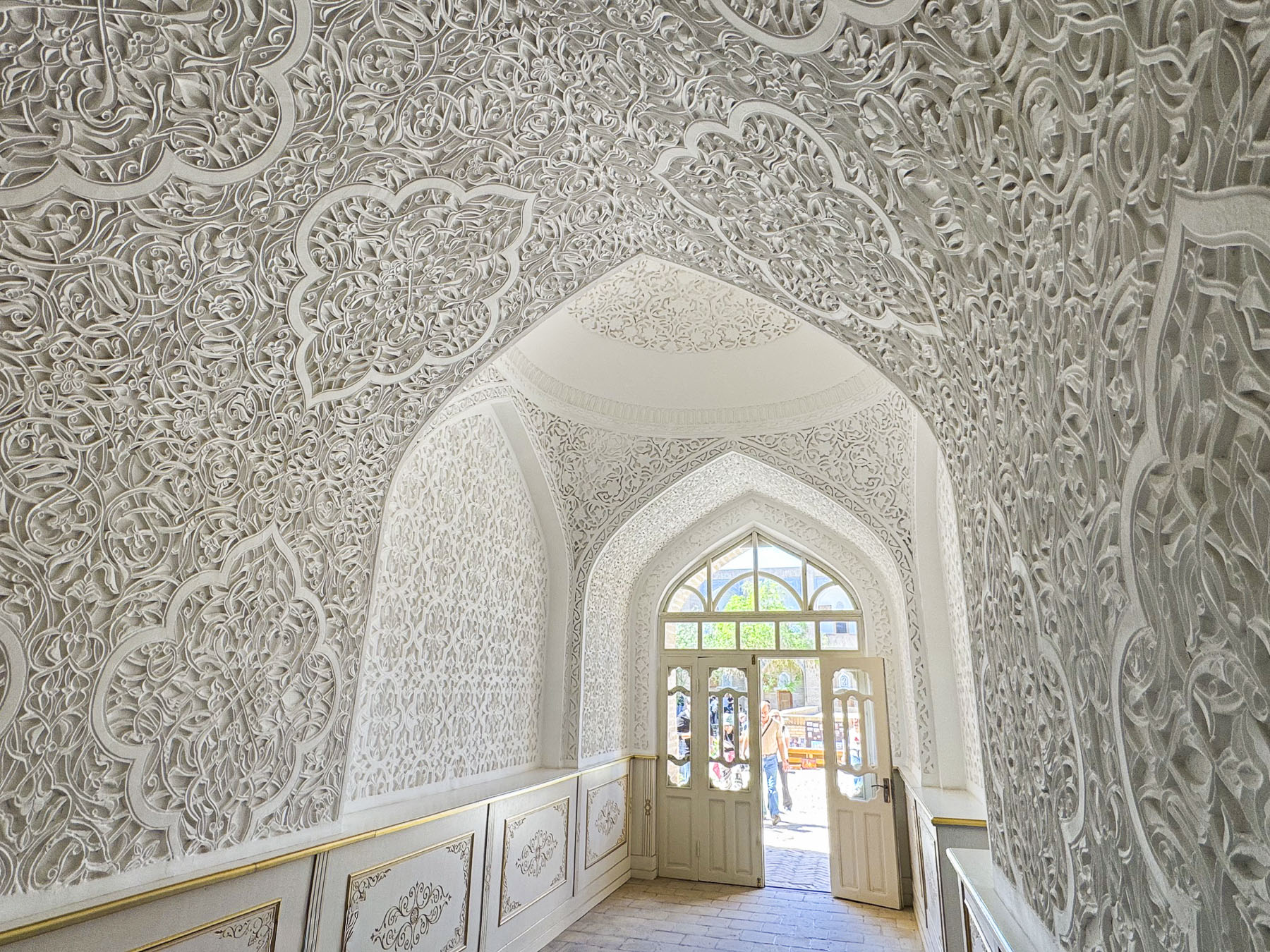
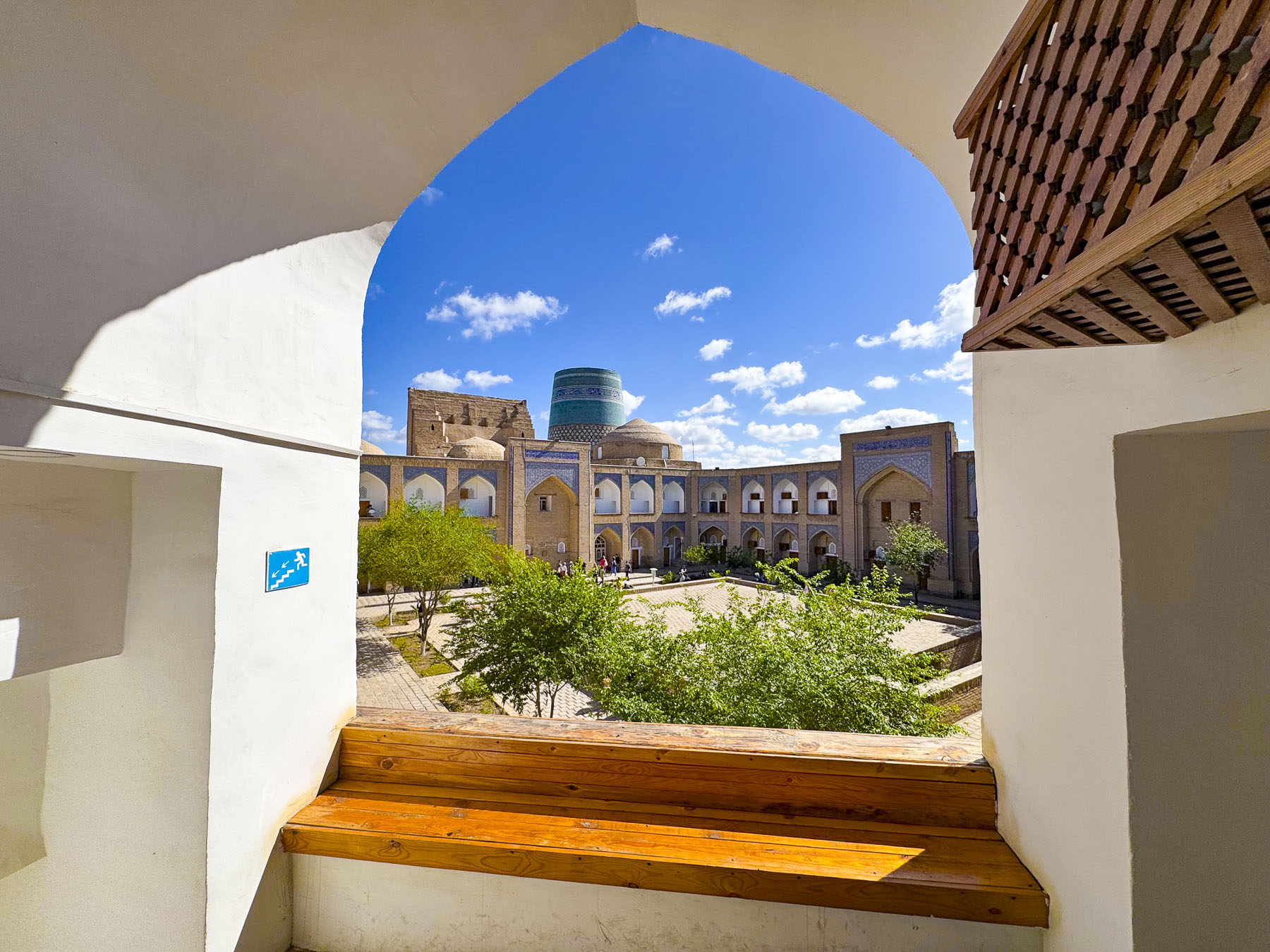
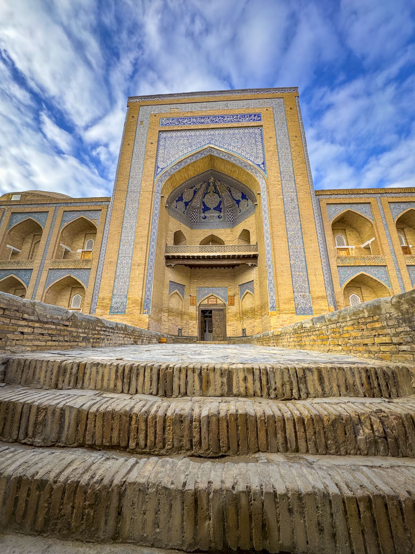
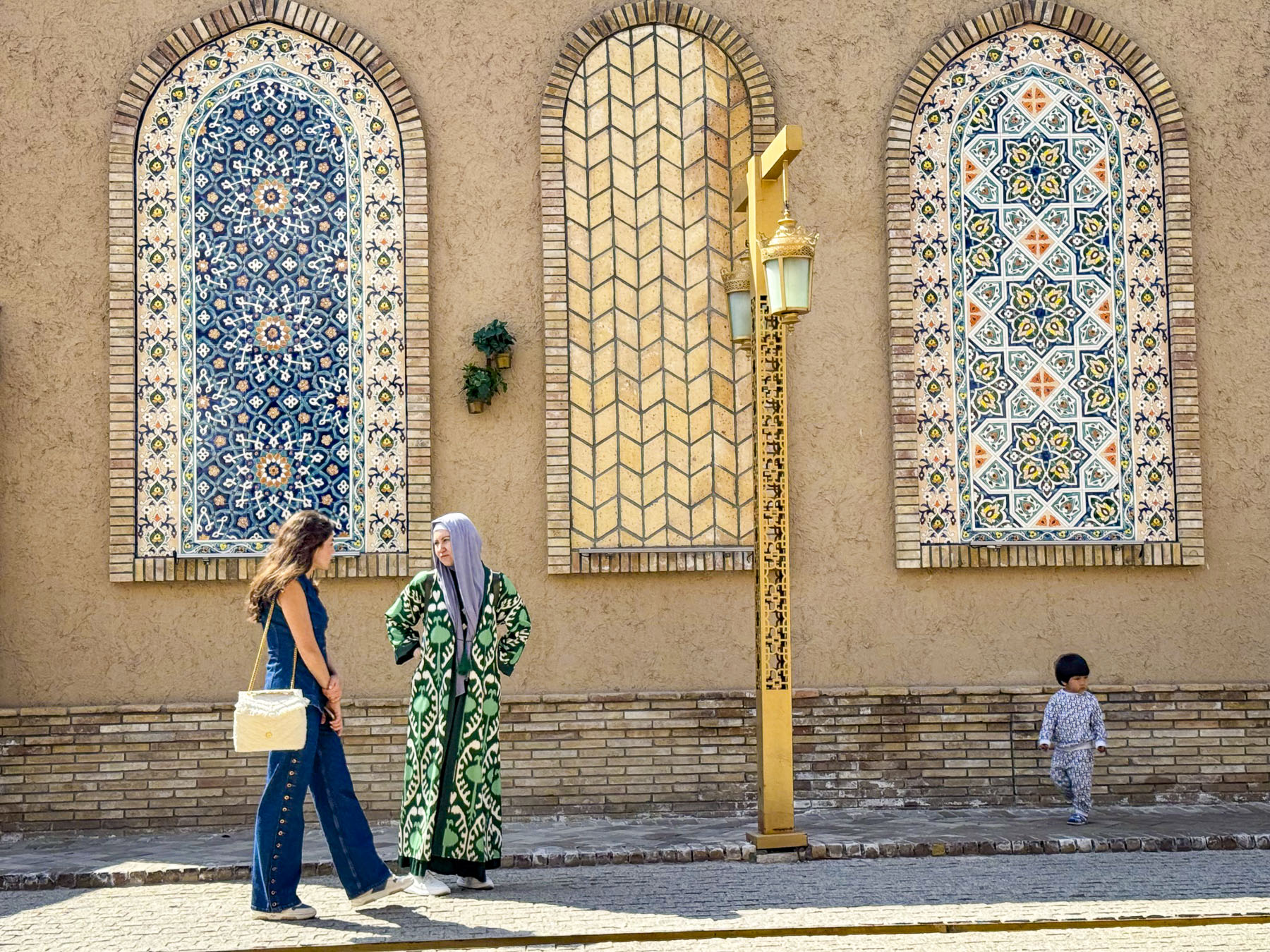
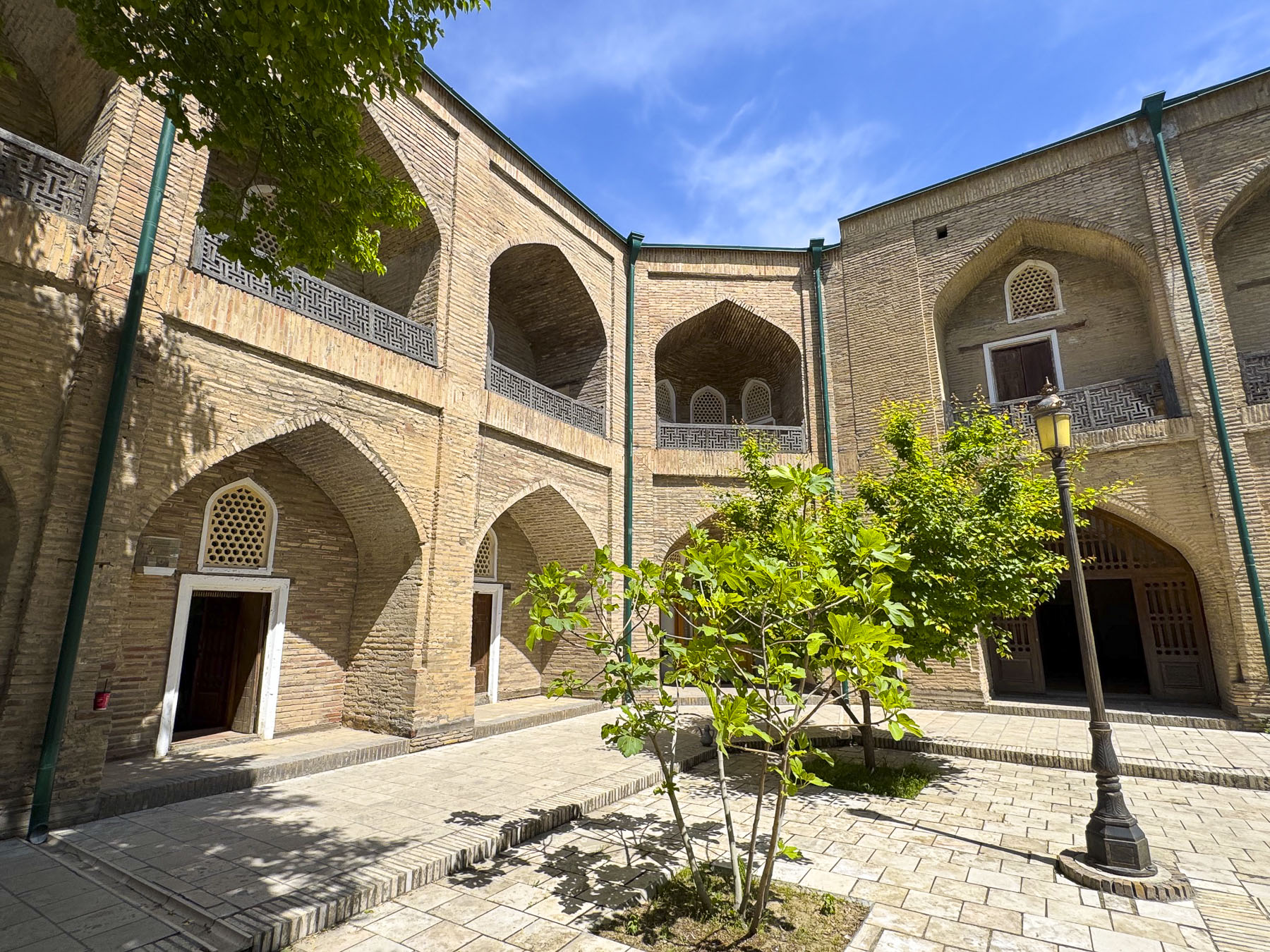
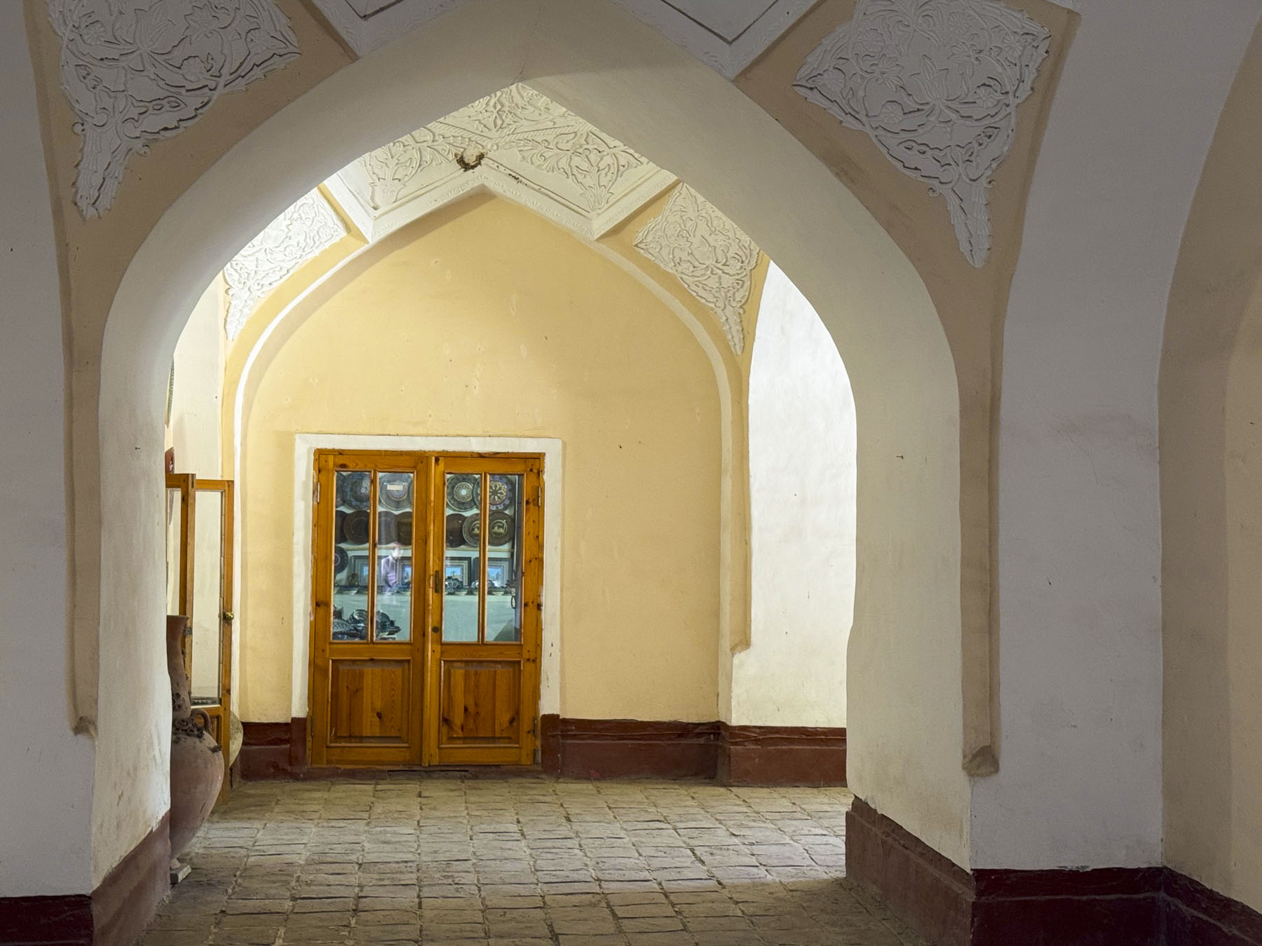
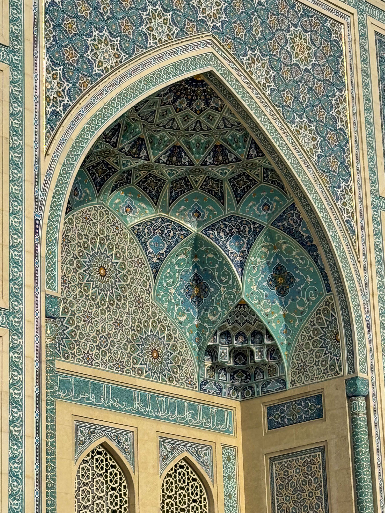
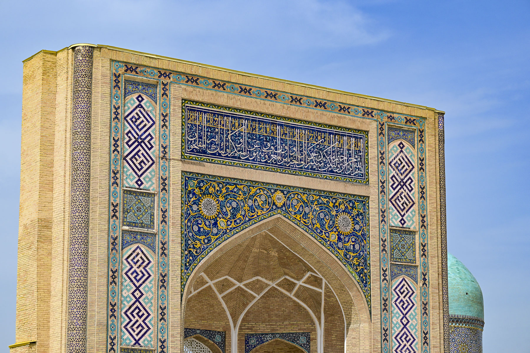
Believe it or not there are around 54 historic madrassas still standing in Khiva, many of which have been nicely renovated into hotels. They all share the traditional Khorezm style of Central Asian Islamic architecture that features corner towers and prominent entry portals that open to central courtyards. To say that they all look the same might be an over generalization, but some were definitely more interesting than others. And the Mohammed Amin Khan Madrassah, now the Orient Star Hotel, was a fine example, with intricate plaster carving called ganchkorlik. The craftsmanship was extraordinary.
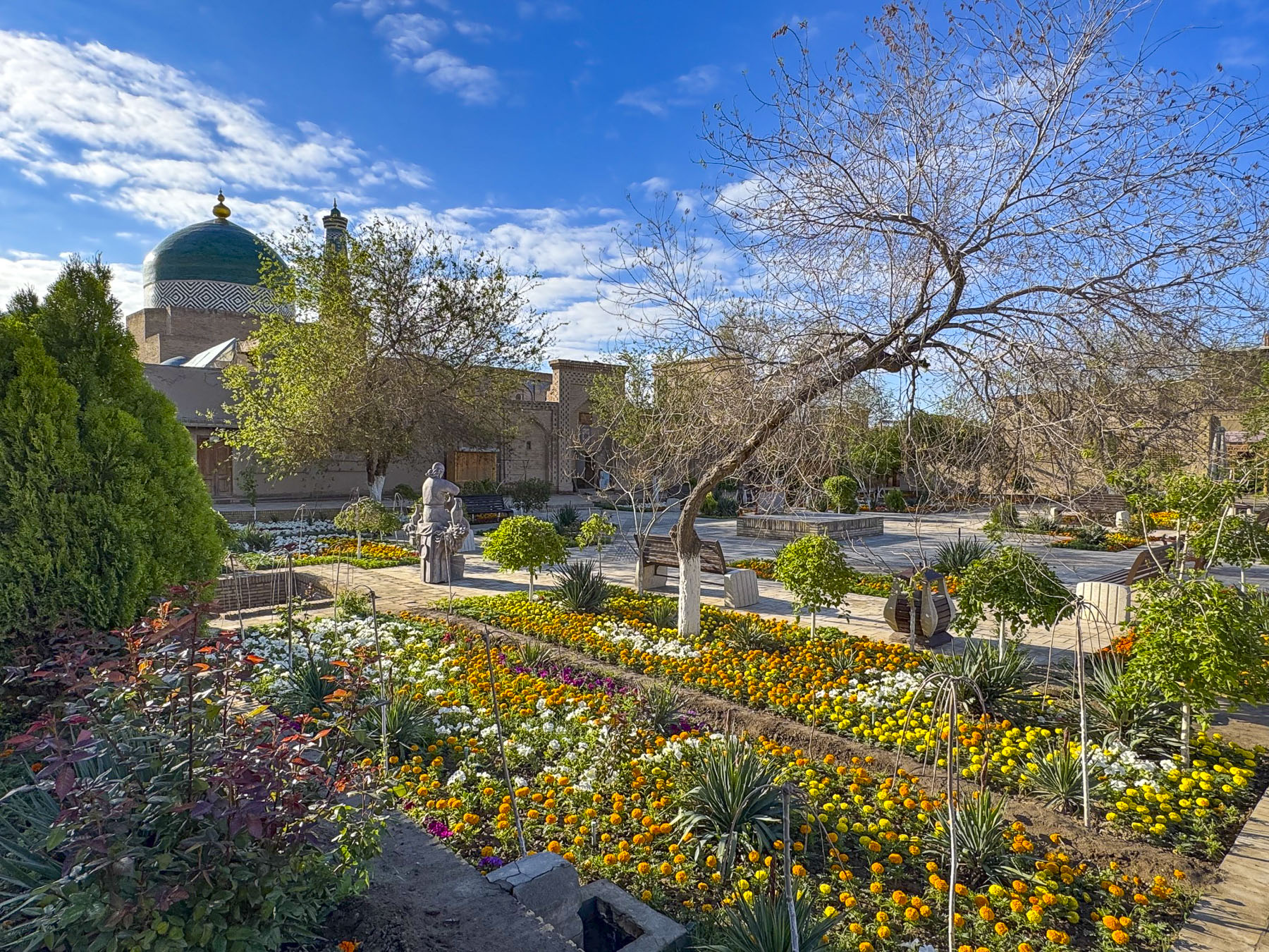
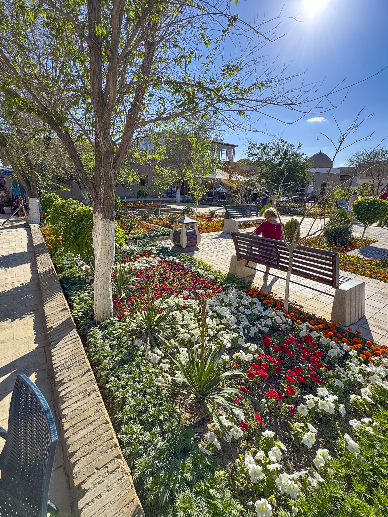
Behind the madrassa was Khiva’s central plaza, Ichan Kala, a refreshingly relaxing park with planted trees and flowers, it was a nice place to linger.
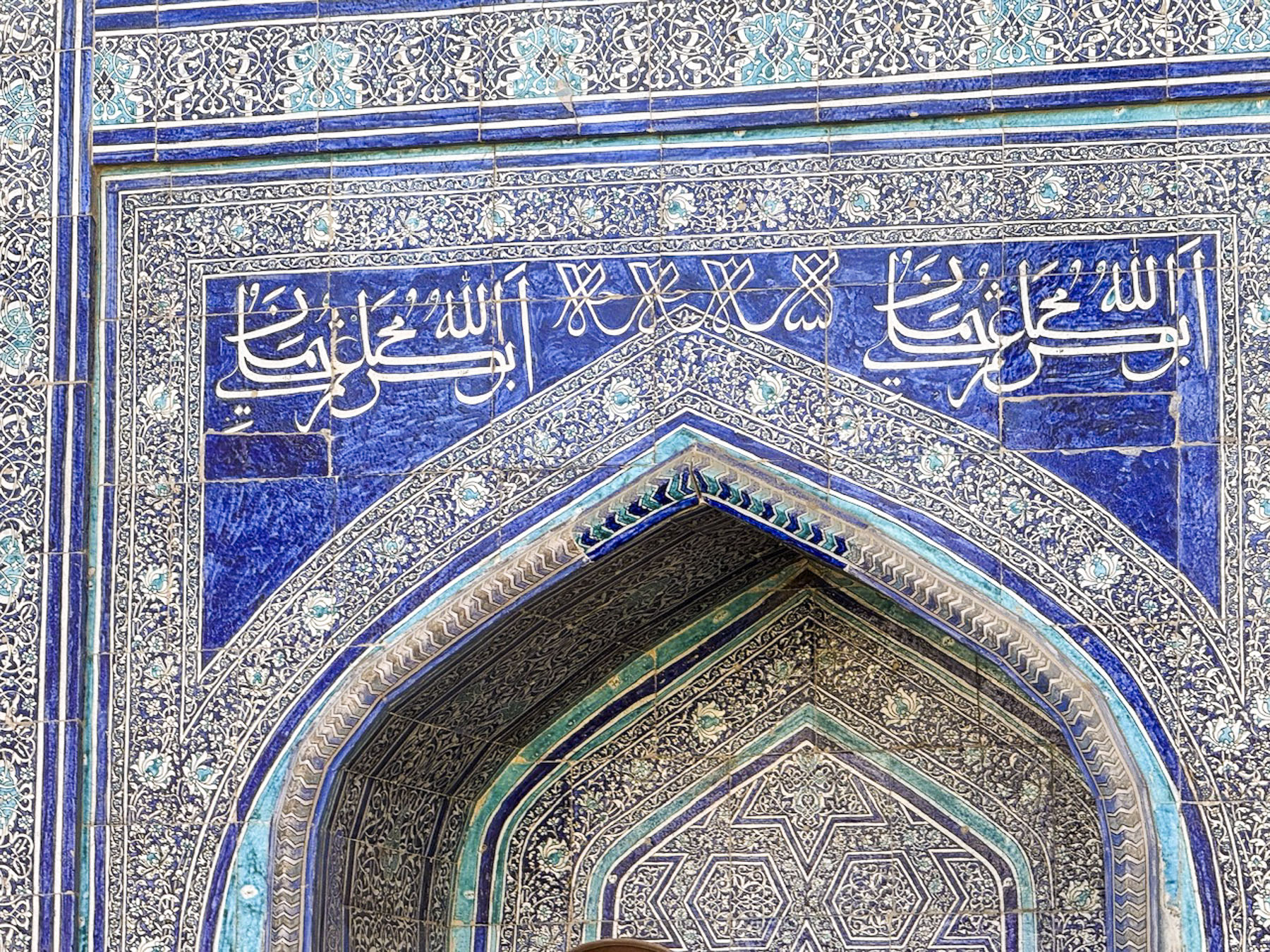
Though the medina is mostly a monochromatic sand color, offset by blue tiled facades, it is still a strikingly beautiful and fascinating. But with everything being similarly colored it is difficult to remember a landmark and we got twisted around several times as we tried to find our way back to the South Gate and our hotel.
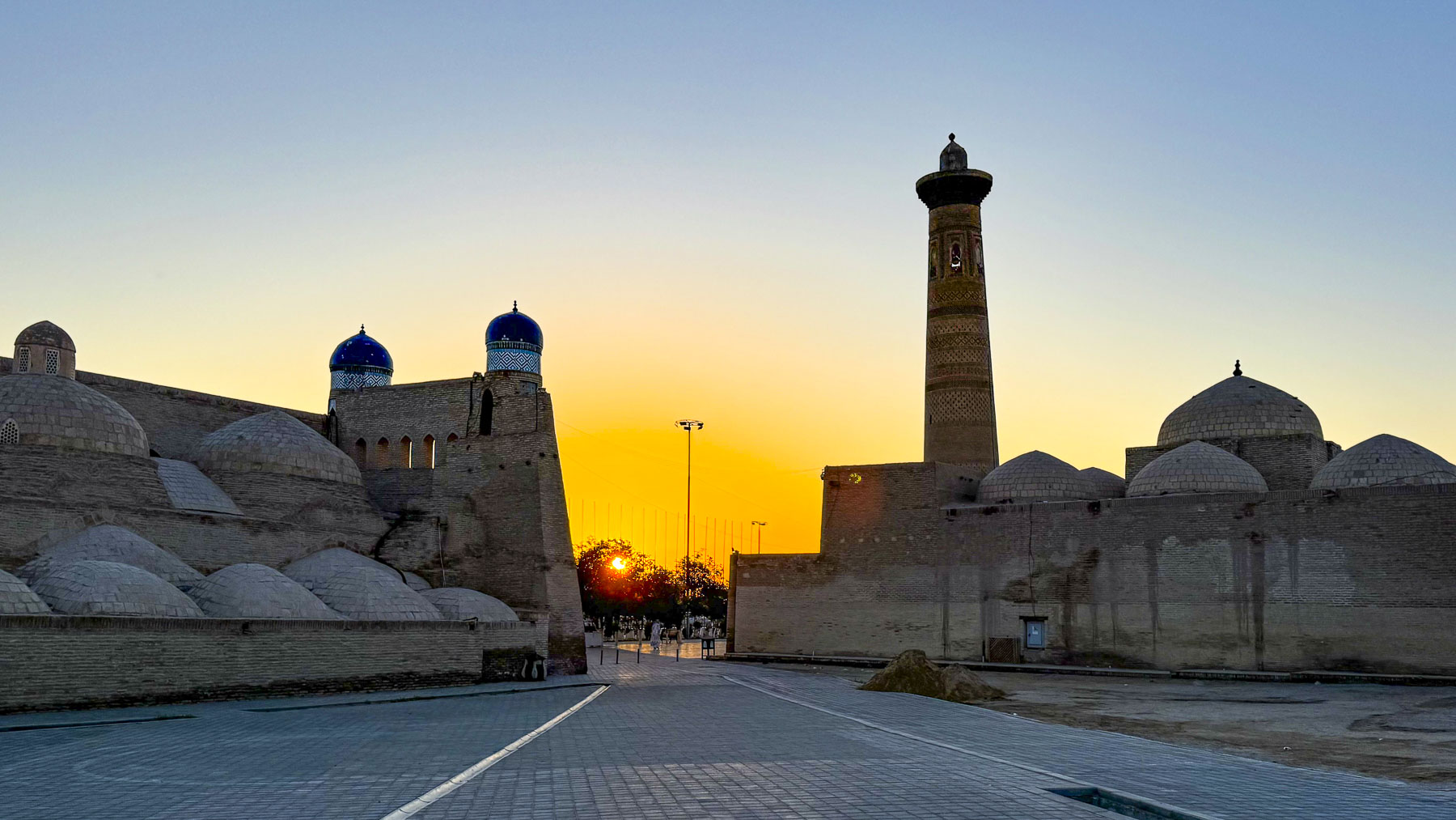
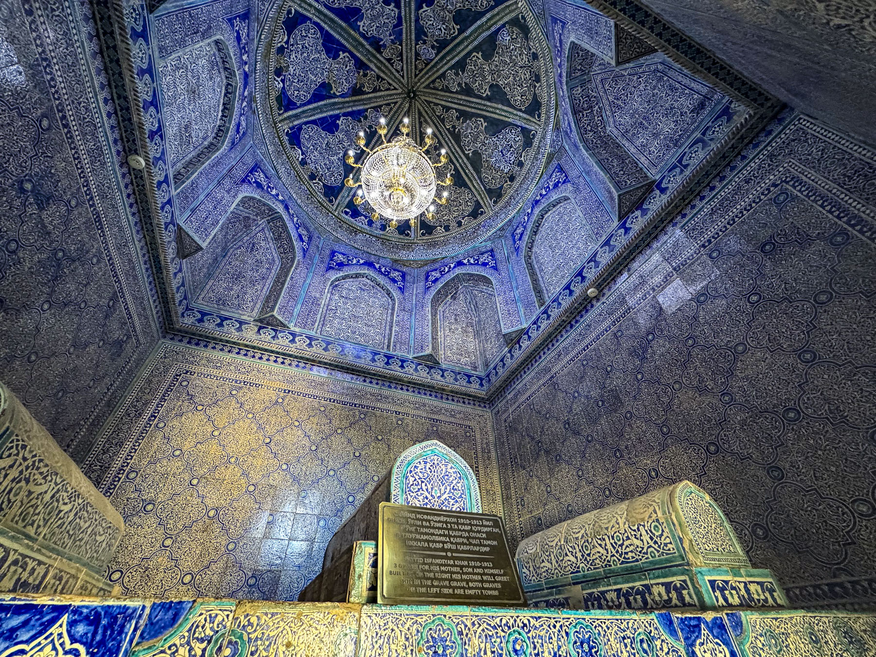
The next morning we were up at twilight and walked along fortress wall to the East Gate, the “Hero Warrior’s Gate”, Palvan-Darvoza, as the sun was rising, casting a warm glow onto the ancient adobe. It’s named for Pahlavan Mahmud, a celebrated 14th-century poet, philosopher, and a famous Khiva wrestler with legendary strength. He was also a devout Muslim and was considered by many to be Khiva’s patron saint. His mausoleum is near the gate. Palvan-Darvoza was also known as the Executioner’s Gate, as there was a prison near it, where escaped slaves from the slave market and rebels were executed.
As we entered the East Gate to wander through the medina one last time, it was difficult to believe that beyond its walls the 21st century still existed.
Till next time,
Craig & Donna
P.S. The newly operating “Jaloliddin Manguberdi,” a high-speed electric train that will whisk passengers 1,020km (630 mi) across the country from Tashkent to Khiva in 7.5 hours with stops in Samarkand, Bukhara, and Urgench.