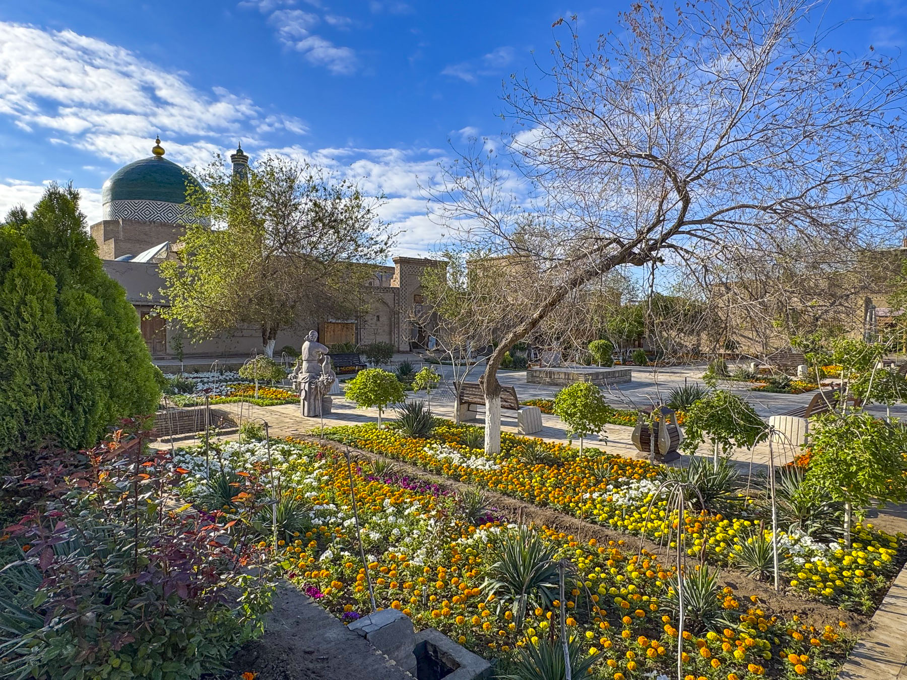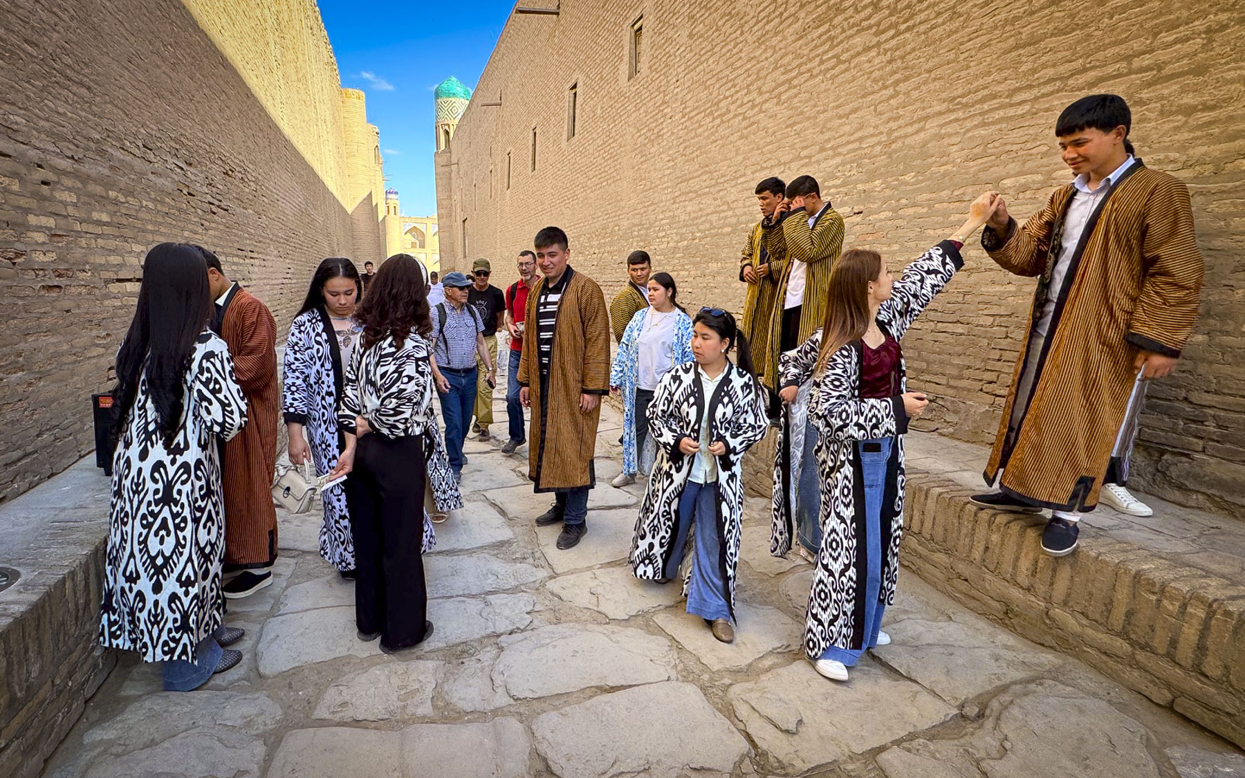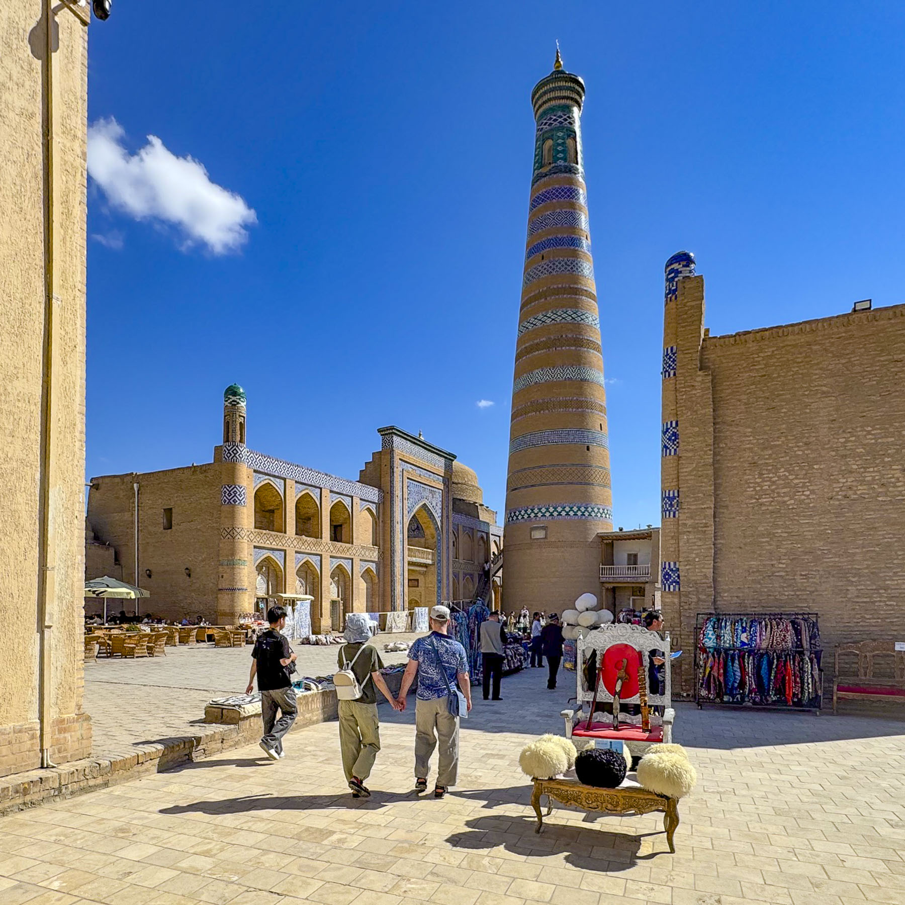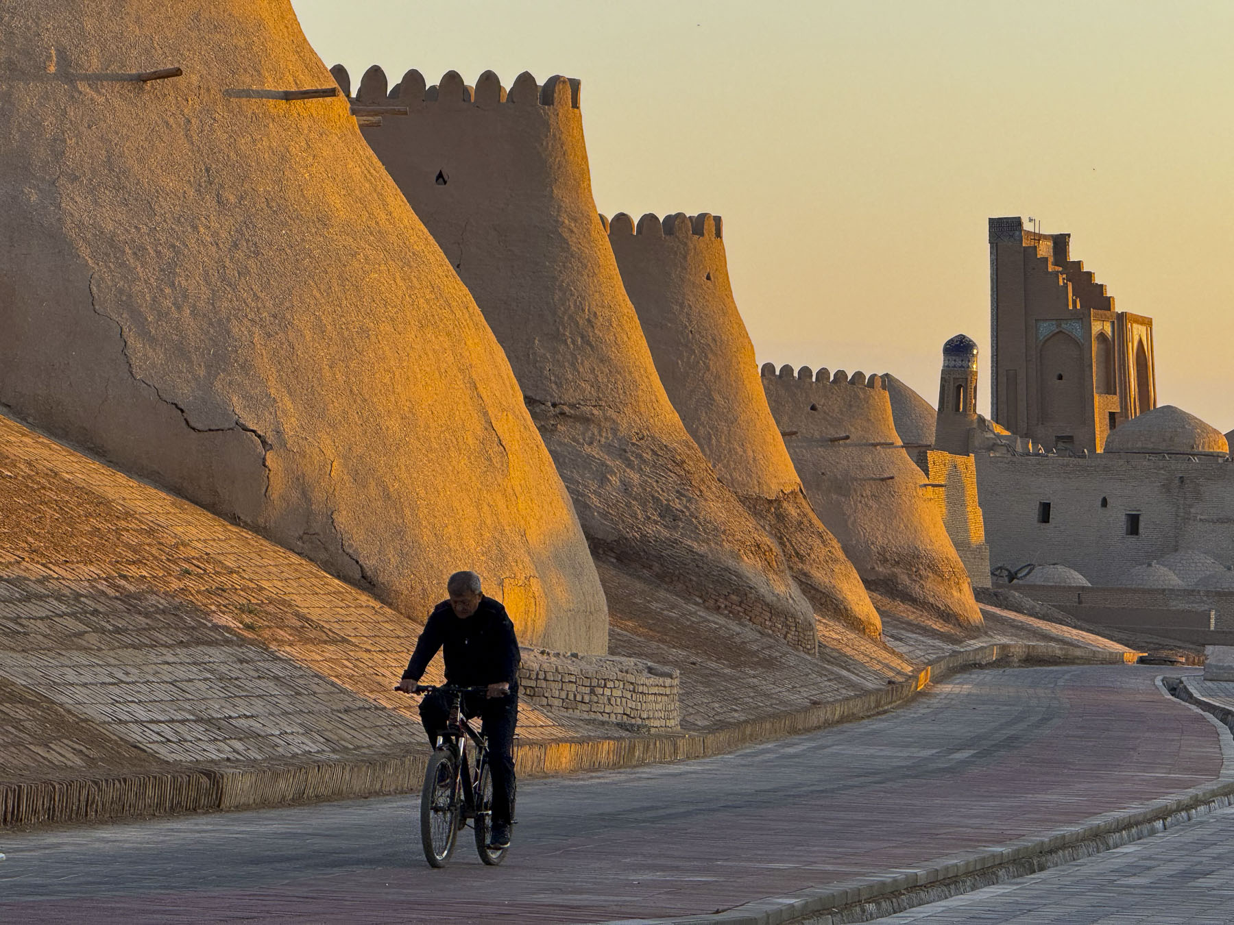
Tashkent, Uzbekistan: Historic and Cosmopolitan or Surprisingly Fascinating & Wonderful

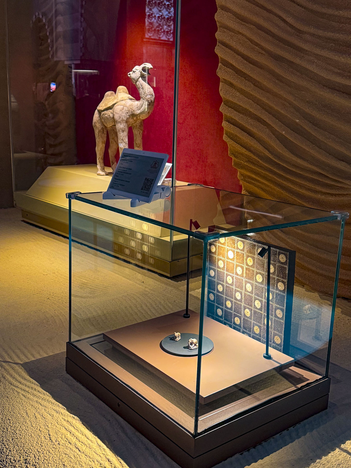
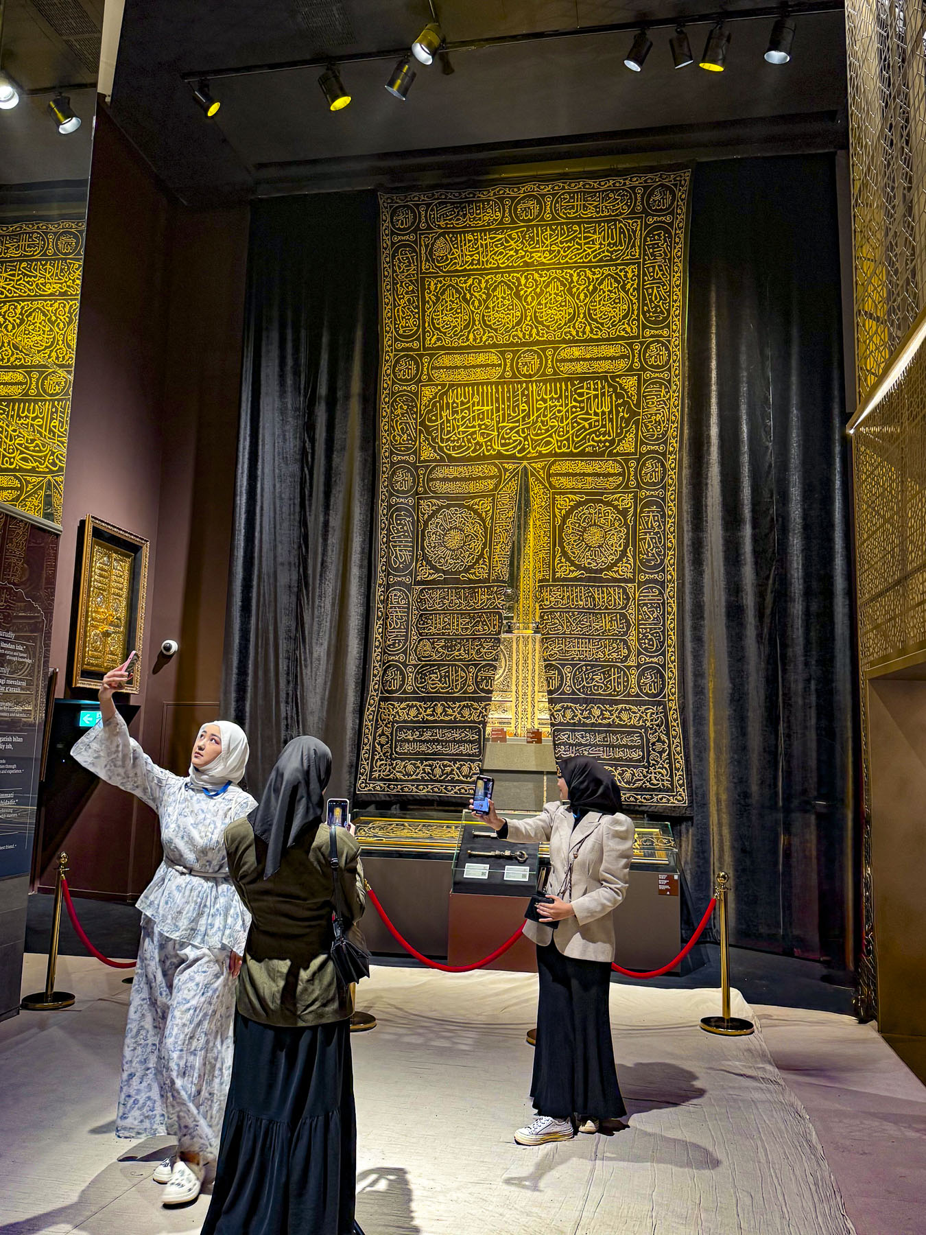
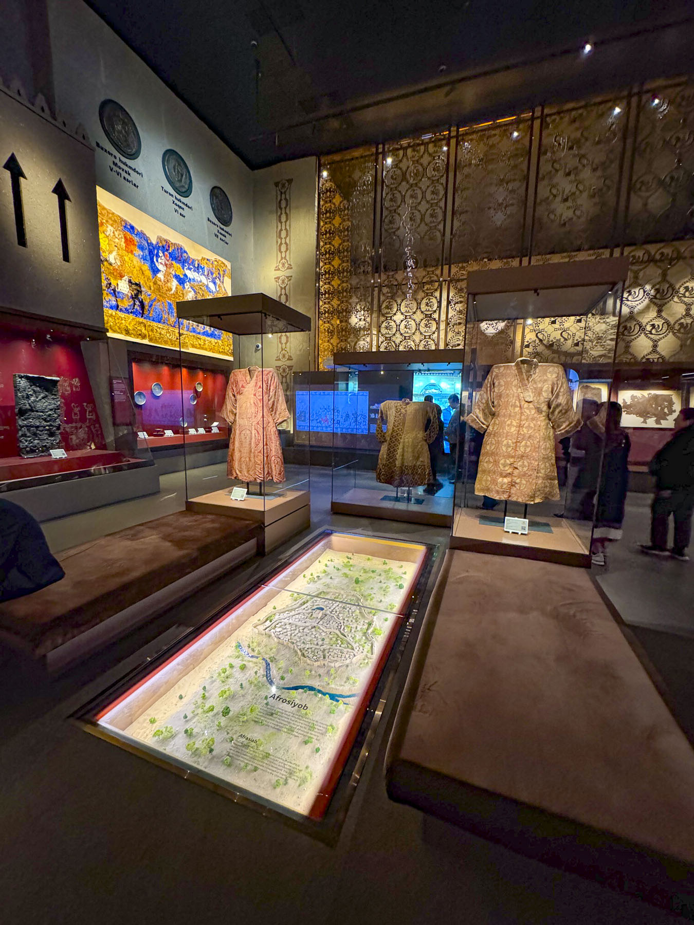
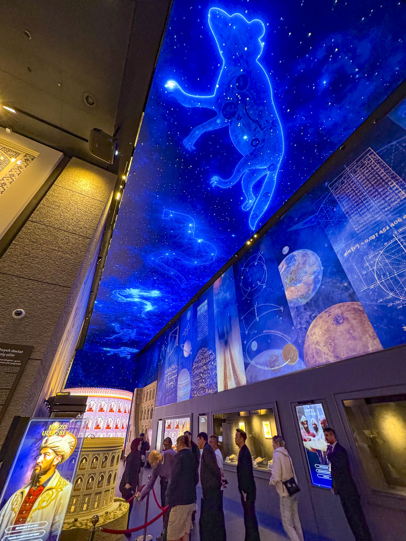
Uzbekistan is having its moment after years of slowly simmering interest; it’s exploding into a full-fledged tourist boom. It is exponentially growing from 1 million tourists in 2016 to almost 13 million in 2026, and with a modern infrastructure that includes the newly operating “Jaloliddin Manguberdi,” a high-speed electric train that will whisk passengers 1,020km (630 mi) across the country from Tashkent to Khiva in 7.5 hours with stops in Samarkand, Bukhara, and Urgench. The country is quickly becoming Central Asia’s most intriguing Silk Road destination, and with the recent opening of the state-of-the-art Islamic Civilization Center, Islom Sivilizatsiyasi Markazi, in March 2026, Tashkent will be of particular interest for tourists from the Middle East and Southeast Asia.

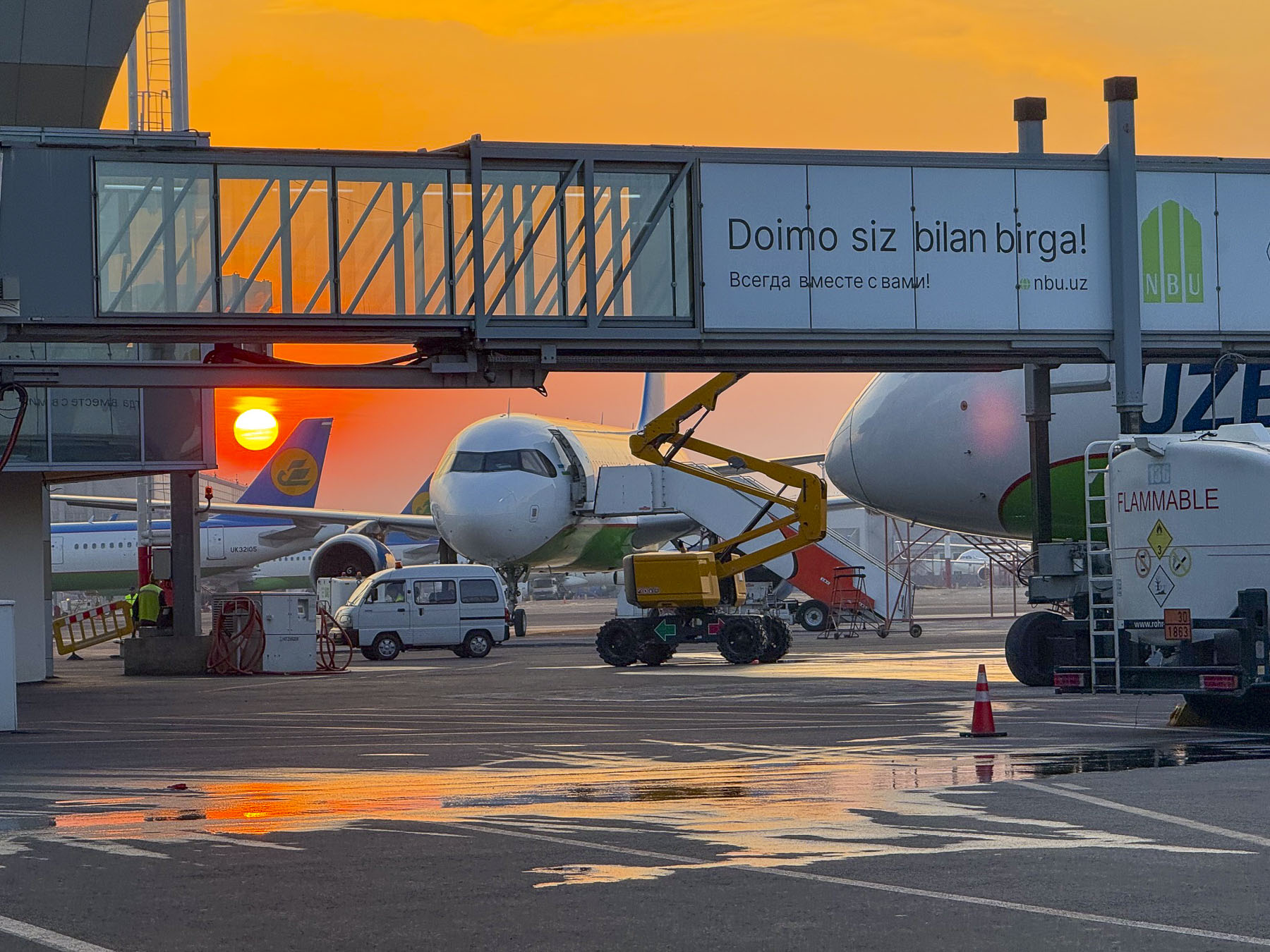
The ATMs at TAS, Tashkent’s International Airport, were conveniently located next to the baggage carousels in the arrivals area, as were signs for YandexGo, the most popular ride-share service in Uzbekistan. Walking away from the ATM with about 2,400,000 Uzbekistani Som, roughly $200.00 at the rate of 1 USD = 12,000 UZS, we felt like newly minted millionaires. We were not able to link a credit card to the YandexGo App, but soon realized a twenty-minute ride across Tashkent to the Hotel Uzbekistanwould only cost 21,000 UZS. Outside the terminal we navigated our way through a gauntlet of taxi hawkers to a sea of ubiquitous white cars. In and of itself, white cars are not unusual in any region where you can cook an egg on a rock during the summer, but the fact that they were mostly American branded Chevrolets, not the ever so popular Japanese cars, was very remarkable. They are the result of a thirty-year-old joint venture between GMC and the Uzbekistan government-owned UzAuto Motors, and steep import tariffs on foreign cars, which has led to Chevrolet producing  95% of the country’s new vehicles.

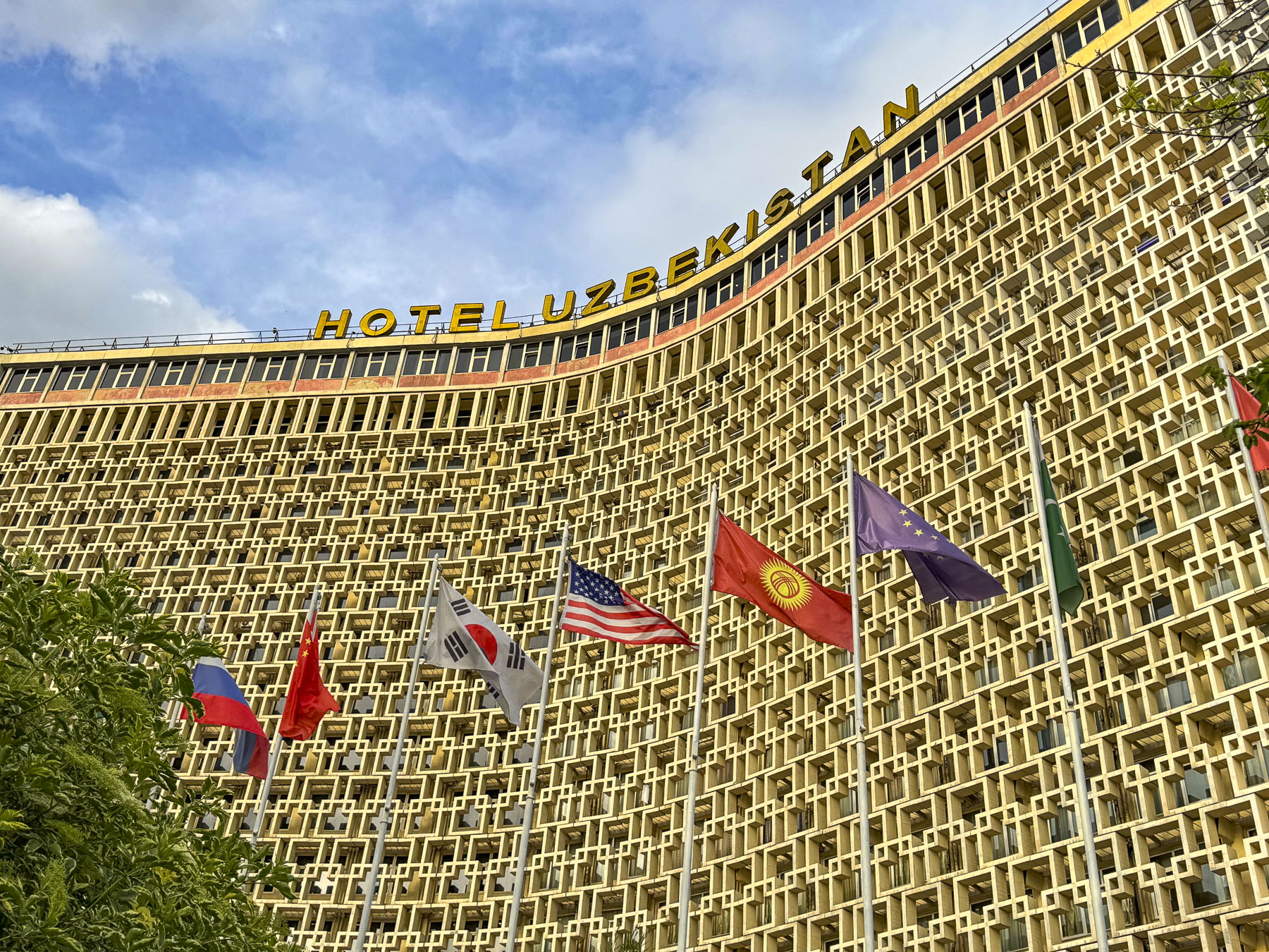
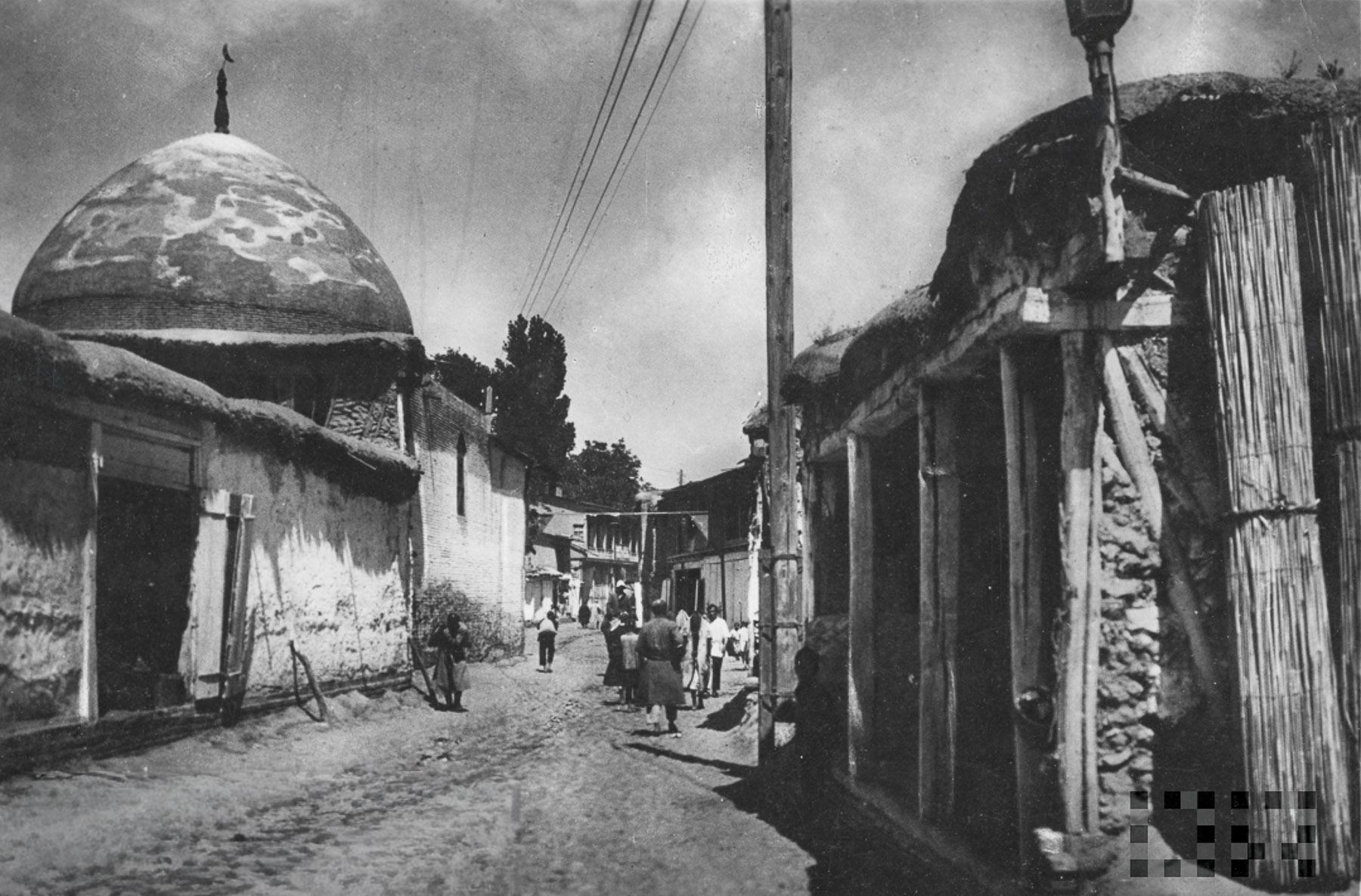
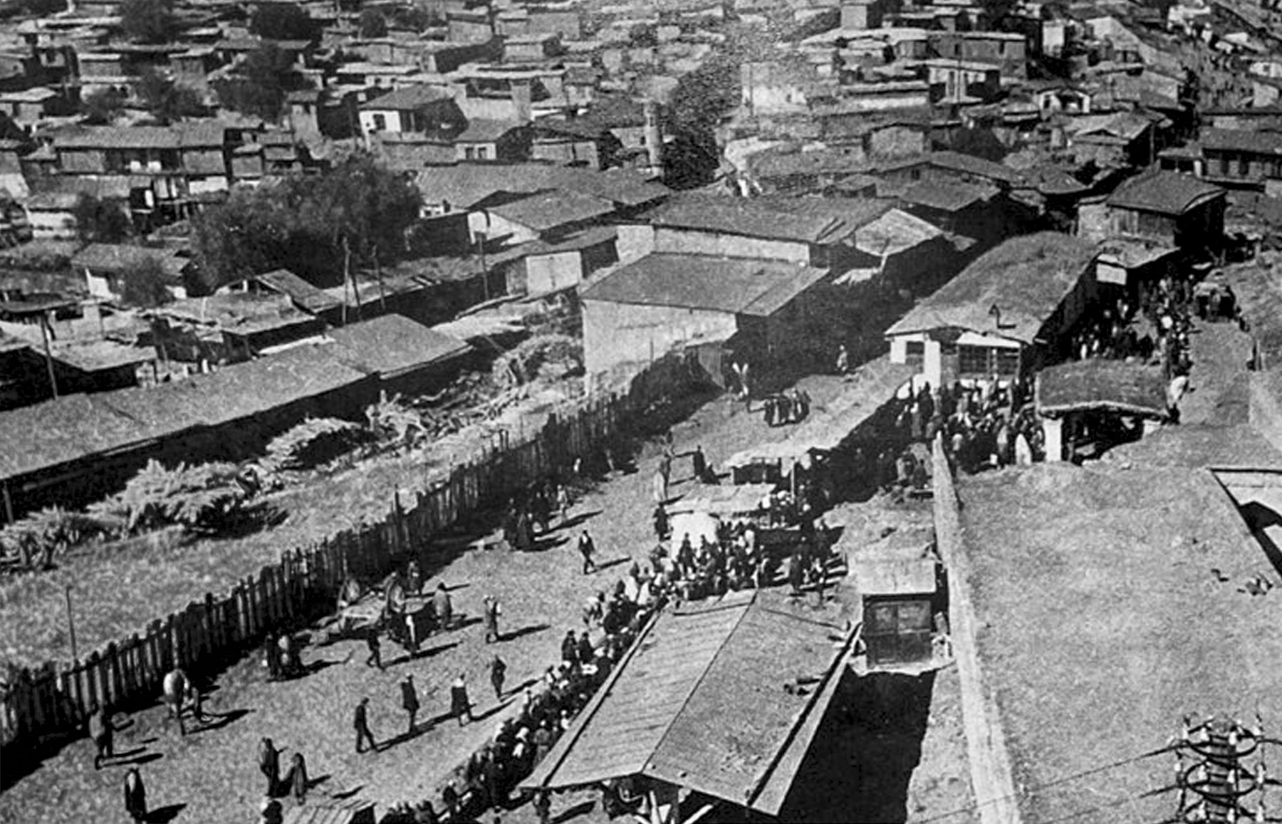
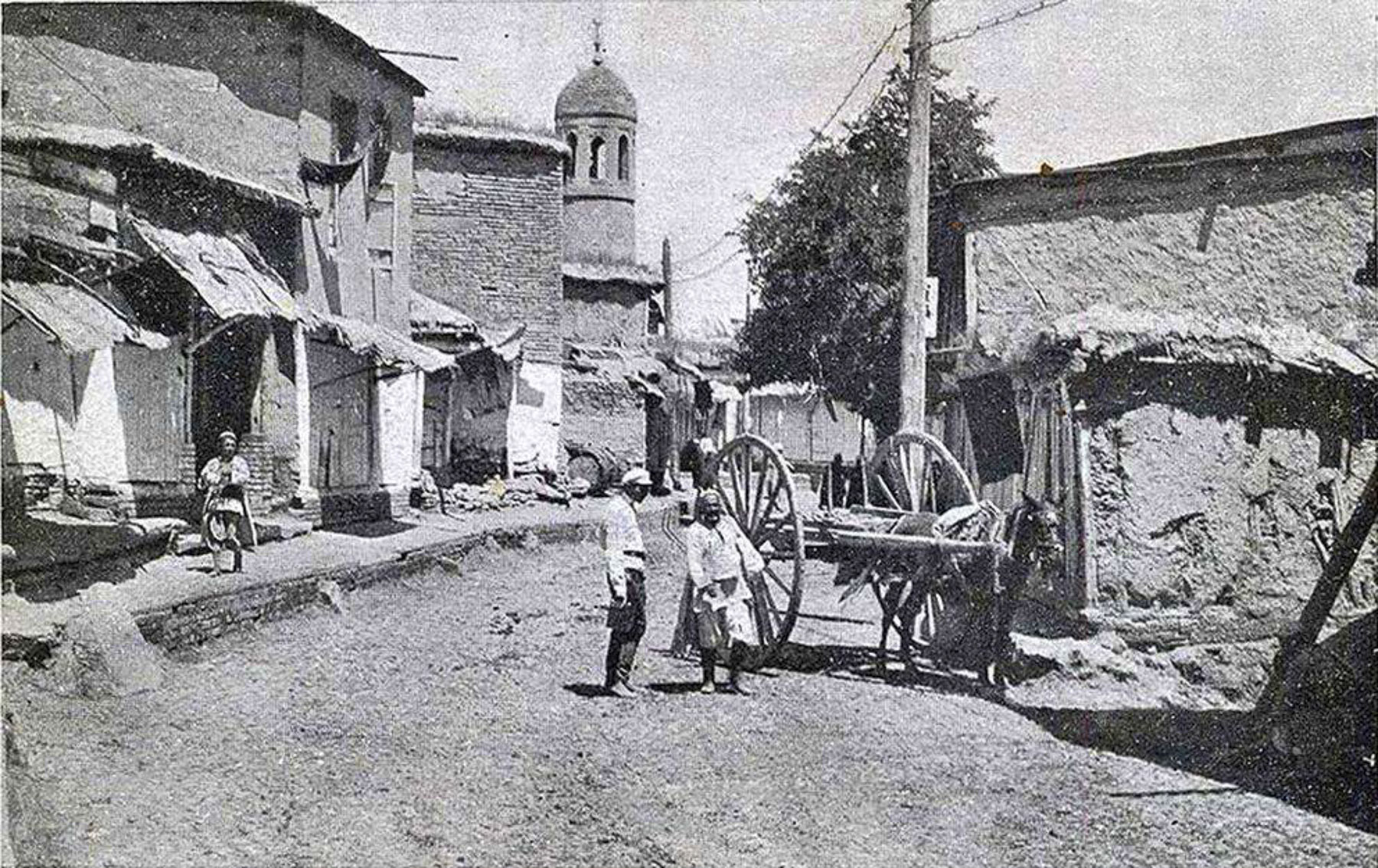
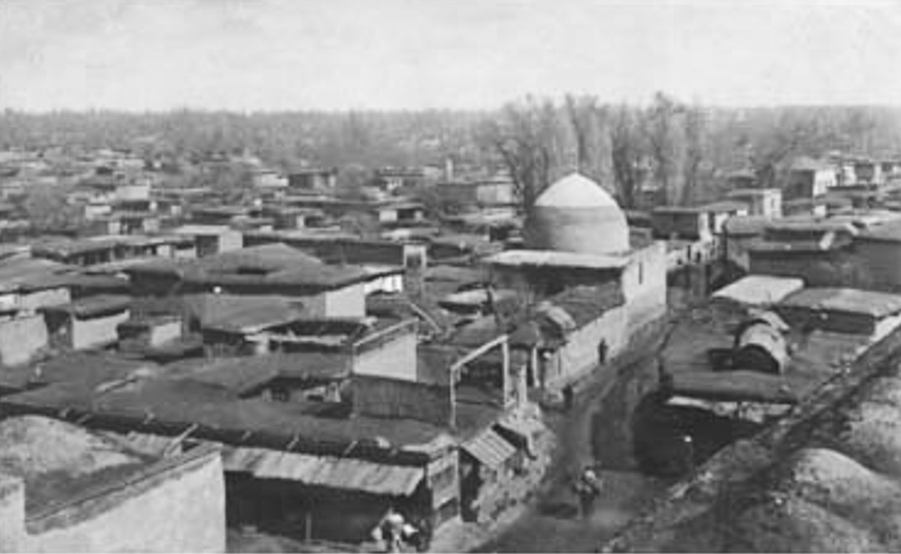
The Hotel Uzbekistan opened in 1974 when Uzbekistan was still part of the Soviet Union, eight years after a April 1966 earthquake destroyed many of Tashkent’s centuries old historic neighborhoods where the one and two-story homes were made of adobe brick. The catastrophic event left 300,000 people homeless.

The Soviet Union used this crisis to transform Tashkent into a “model Soviet city” with wonderfully wide boulevards, open plazas, and earthquake-resistant buildings, deploying architects and laborers from across its republics to build a “showcase of socialist modernism and multicultural “people’s friendship.” The revival of the city mushroomed after Uzbekistan’s independence in 1991, and continues with a building boom that peppers the city’s modern skyline with construction cranes.

The style of the city’s new buildings constructed right after the earthquake is often referred to as Soviet Brutalist, an architectural style which features the love of concrete, and functionality over grace. And Hotel Uzbekistan was designed to be the centerpiece of the Soviet Union’s vision. For many years the building, with an open book profile designed to resist seismic activity, stood as the country’s tallest building, and was the premier hotel for international delegations to stay and hold conferences.

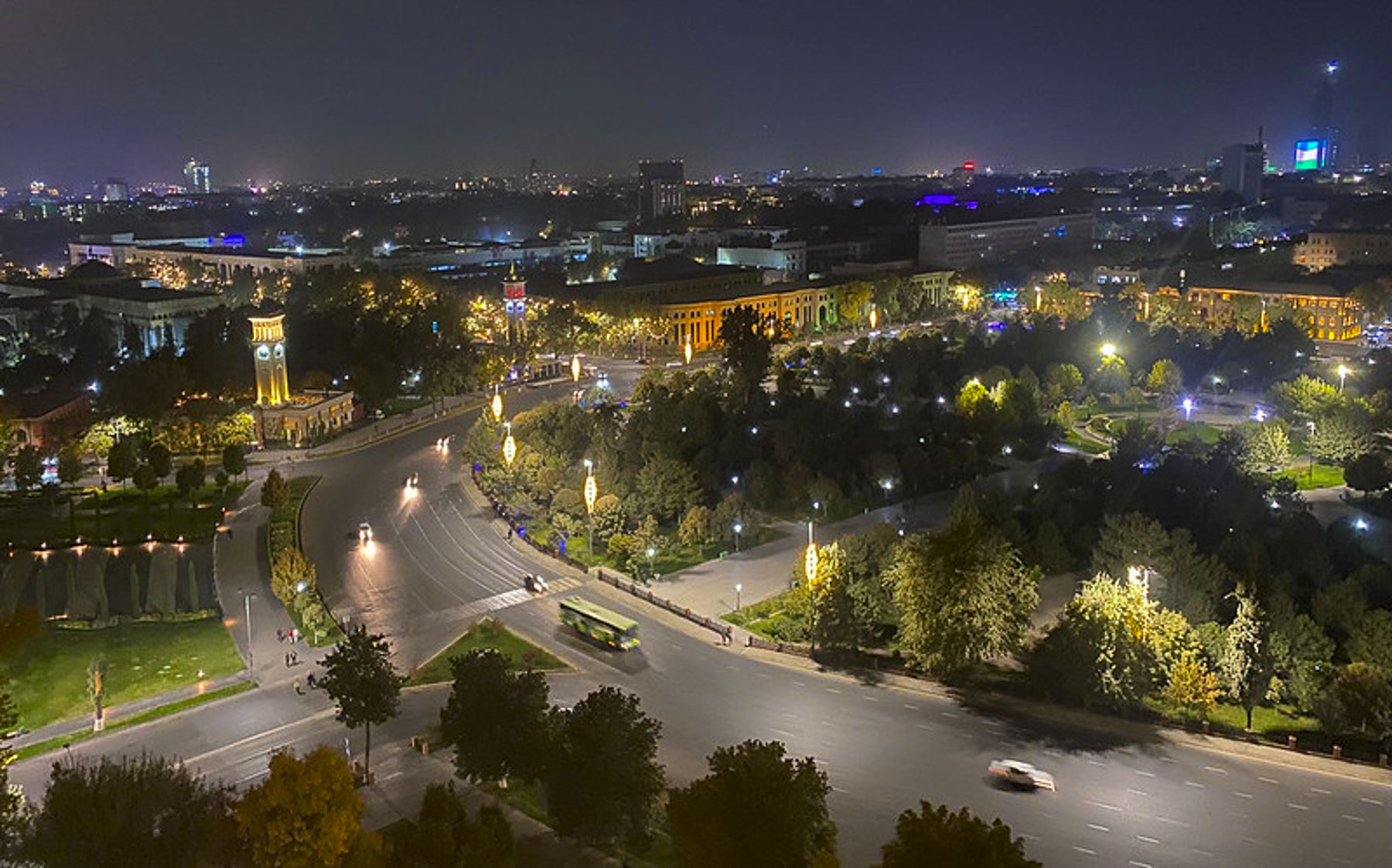
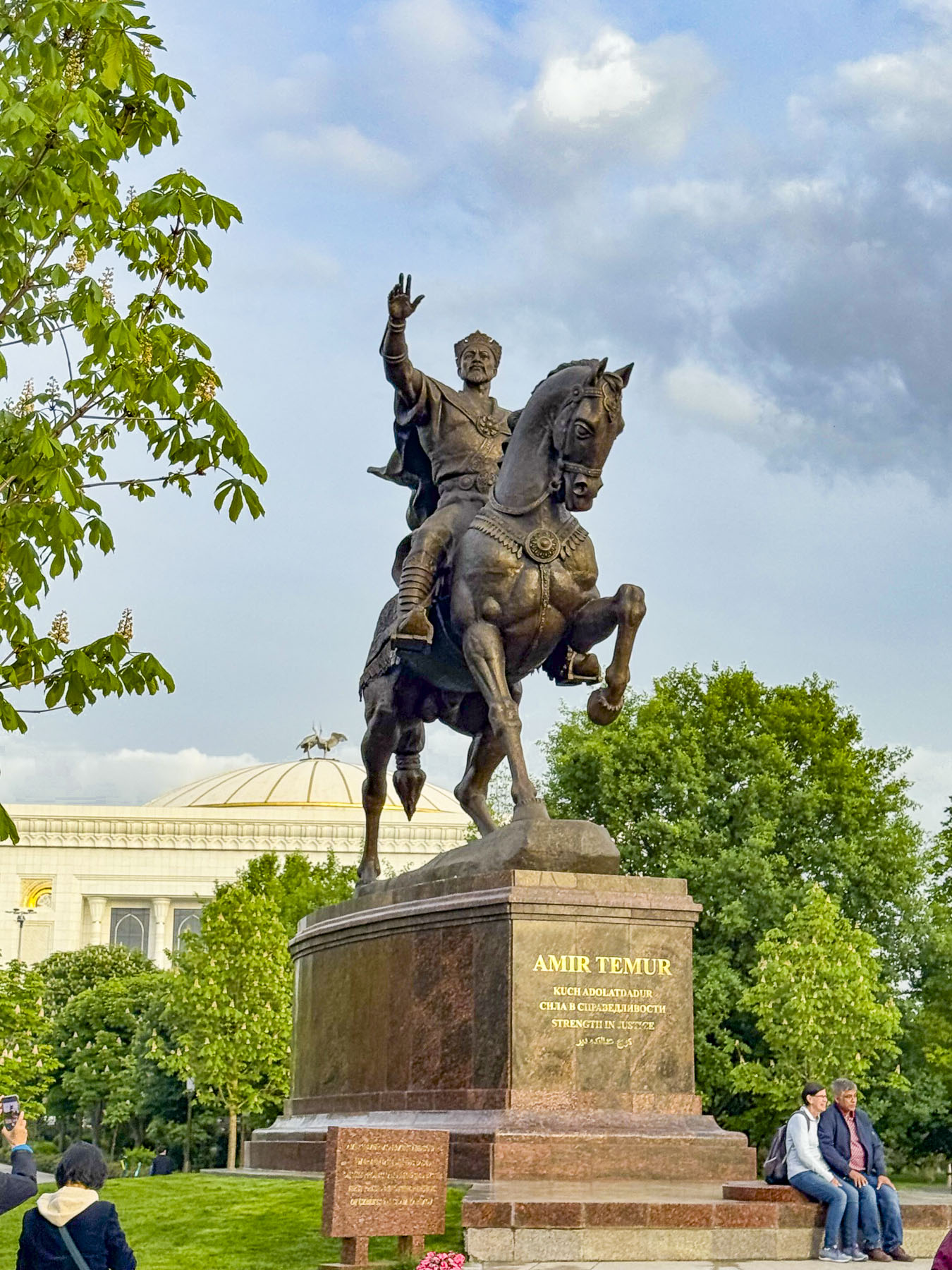
At the time its seventeenth-floor restaurant overlooked Lenin Square until the colossal statue of the Soviet leader was sent to the scrap yard in 1991 when Uzbekistan regained its independence, and replaced him with an equestrian statue of Amir Temur, an enlightened ruler who united the independent kingdoms of Samarkand, Bukhara, and Urgench during Uzbekistan’s 14th century renaissance, as the country seeks to reclaim its cultural history.

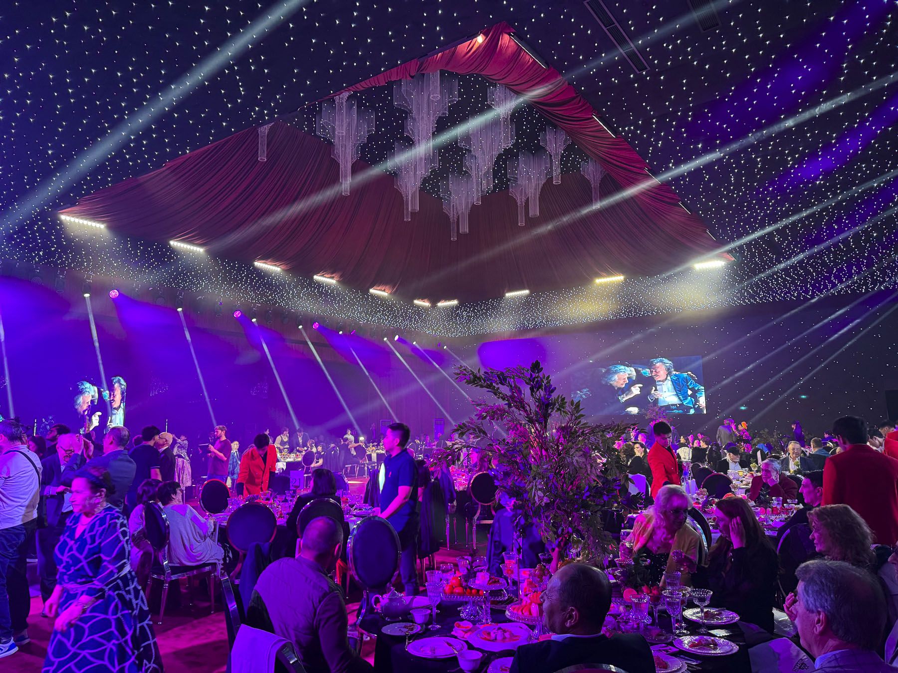
A thumping bass reverberated through the hotel, preventing any attempt of catching an early shuteye. Dressed again, we never intended to be Uzbeki party crashers, but we got caught up in the spirit of a couple’s anniversary celebration and enjoyed watching the band perform for a while. The hotel would be our base for three days to explore Tashkent before joining a group tour to Khiva, Bukhara and Samarkand.

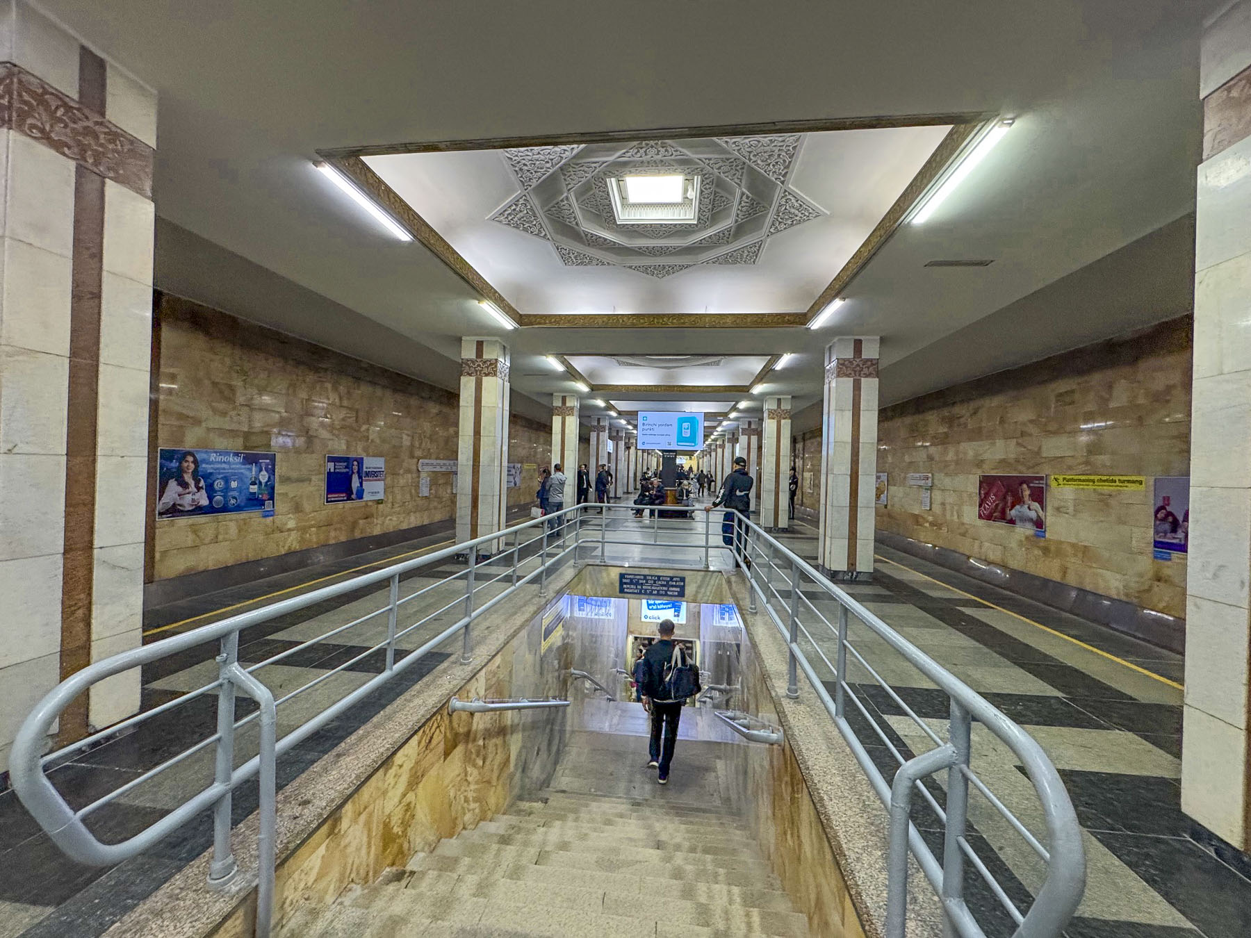
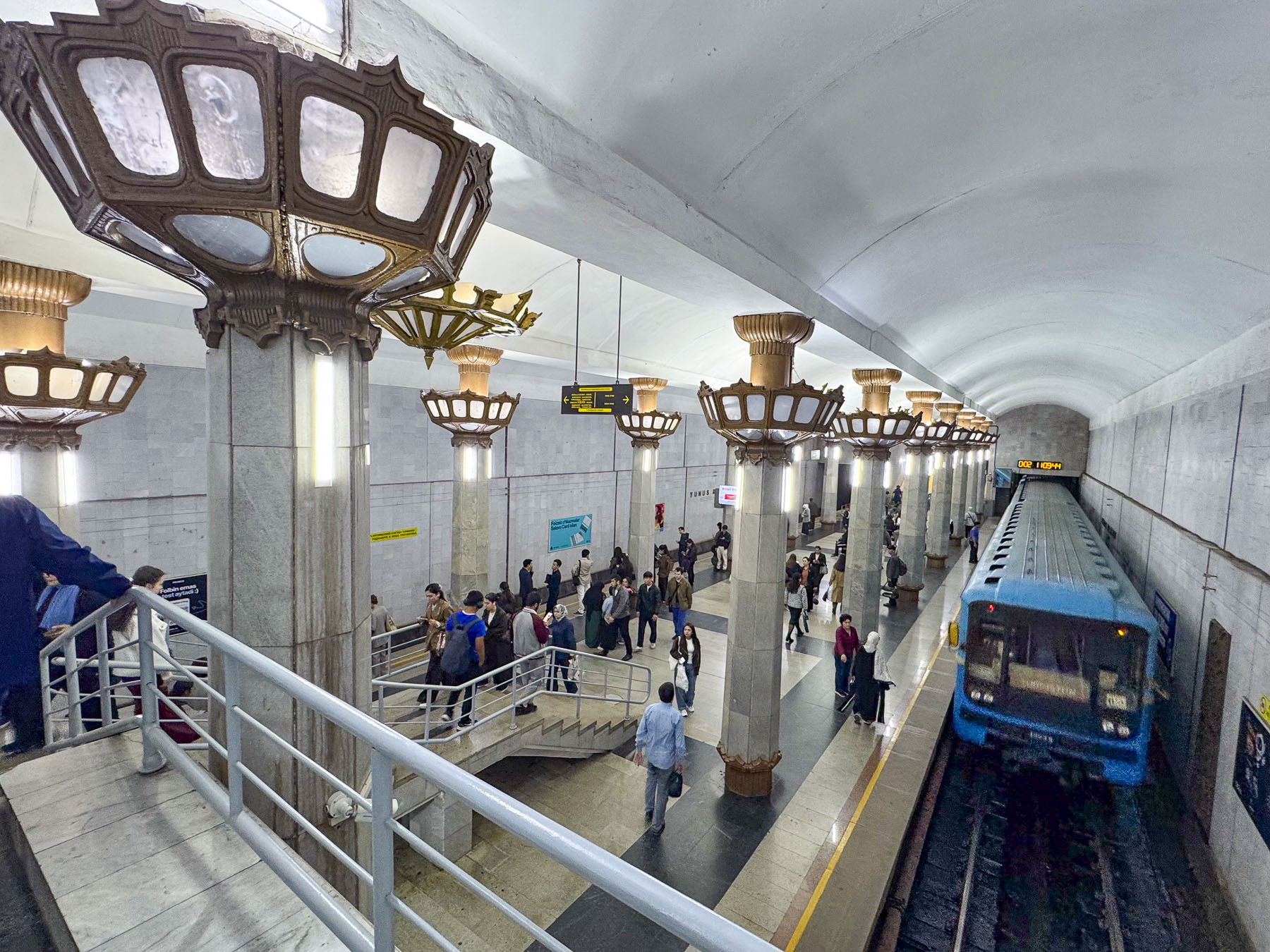
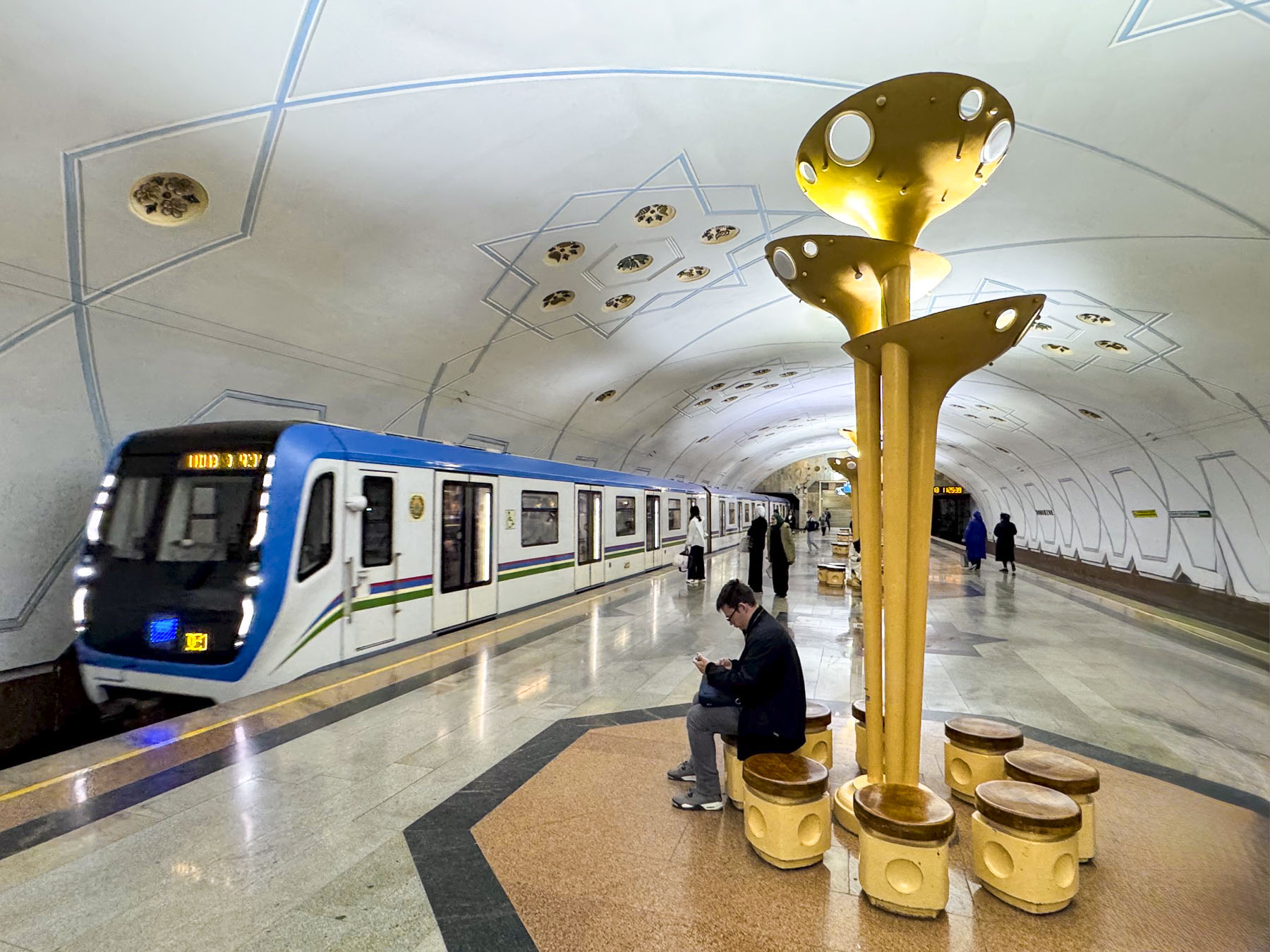
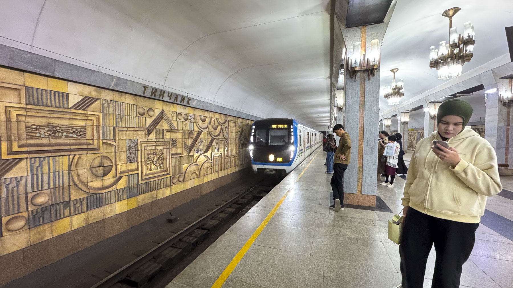
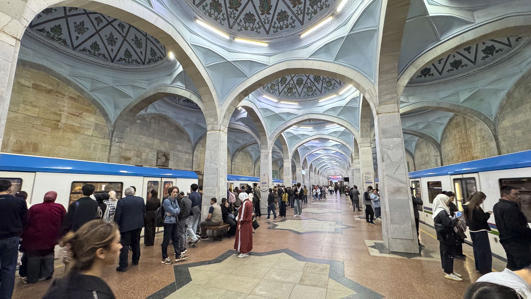
By 1970 Uzbekistan’s capital city was mostly rebuilt, and construction of Central Asia’s first subway system, a series of beautiful stations that were also designed to be utilized as bomb shelters in case of emergencies during the Cold War era, was underway.  The next morning, we set out after an early breakfast and worked our way against the morning crush of young professional ascending from the depths of the Amir Temur Hiyoboni station, just a block from our hotel.

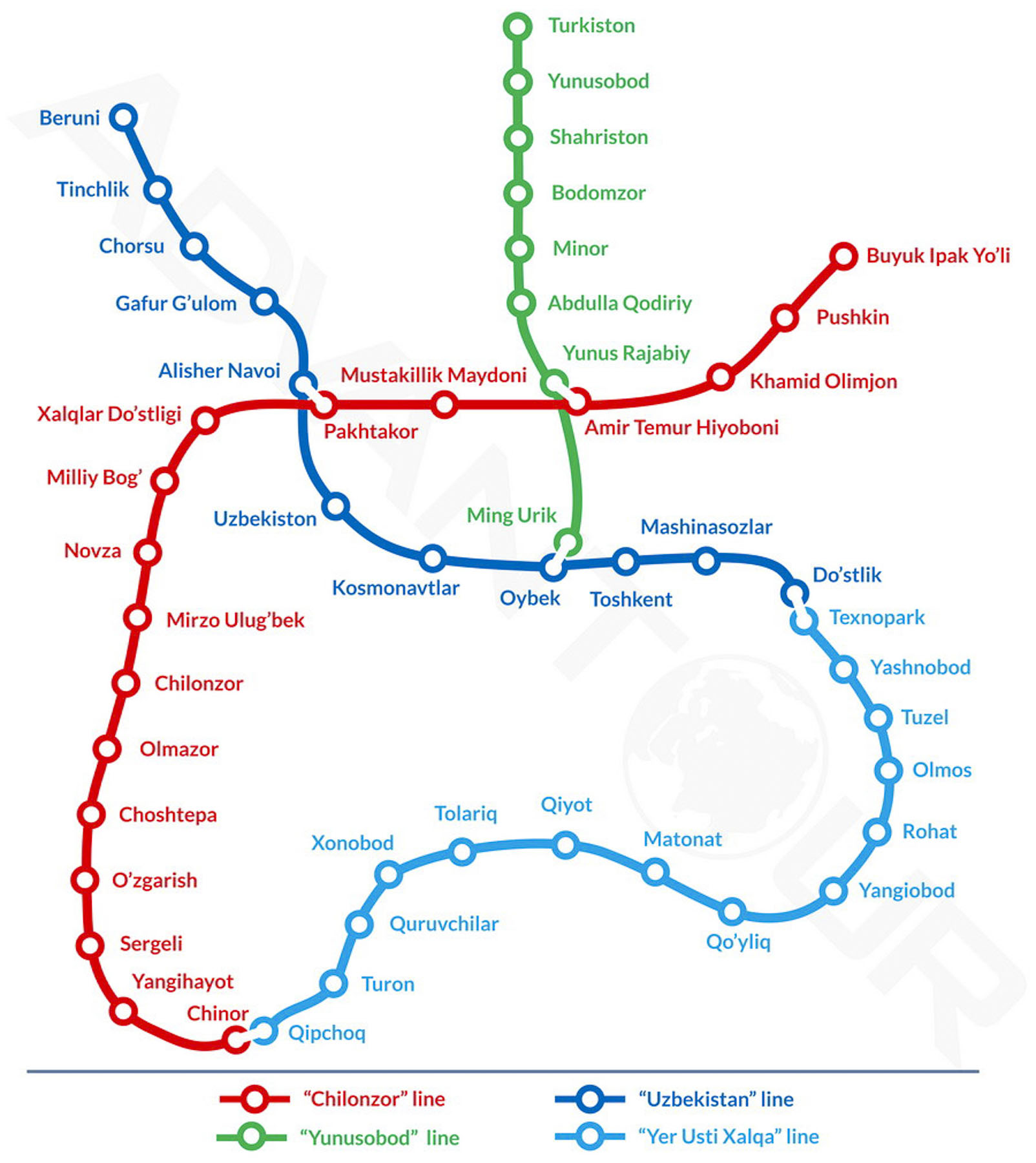
The underground tunnel leading to the turnstile offered perfect acoustics for a young Uzbeki busker who played for the commuters. The Tashkent Metro now has four lines, and 50 stations along 70km (44 mi) of track. Rides at the time of our visit cost 1,700 Uzbeki Som (about $0.14 USD), and were easily payable at the turnstile with a tap of our credit cards.

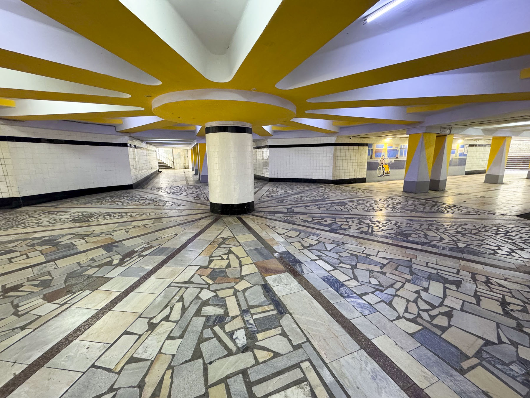
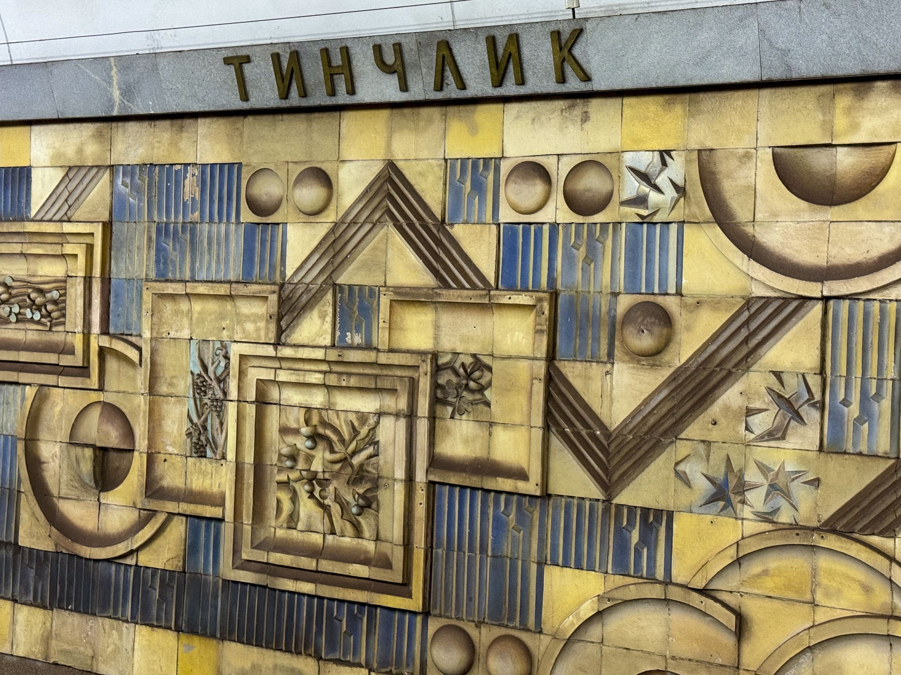
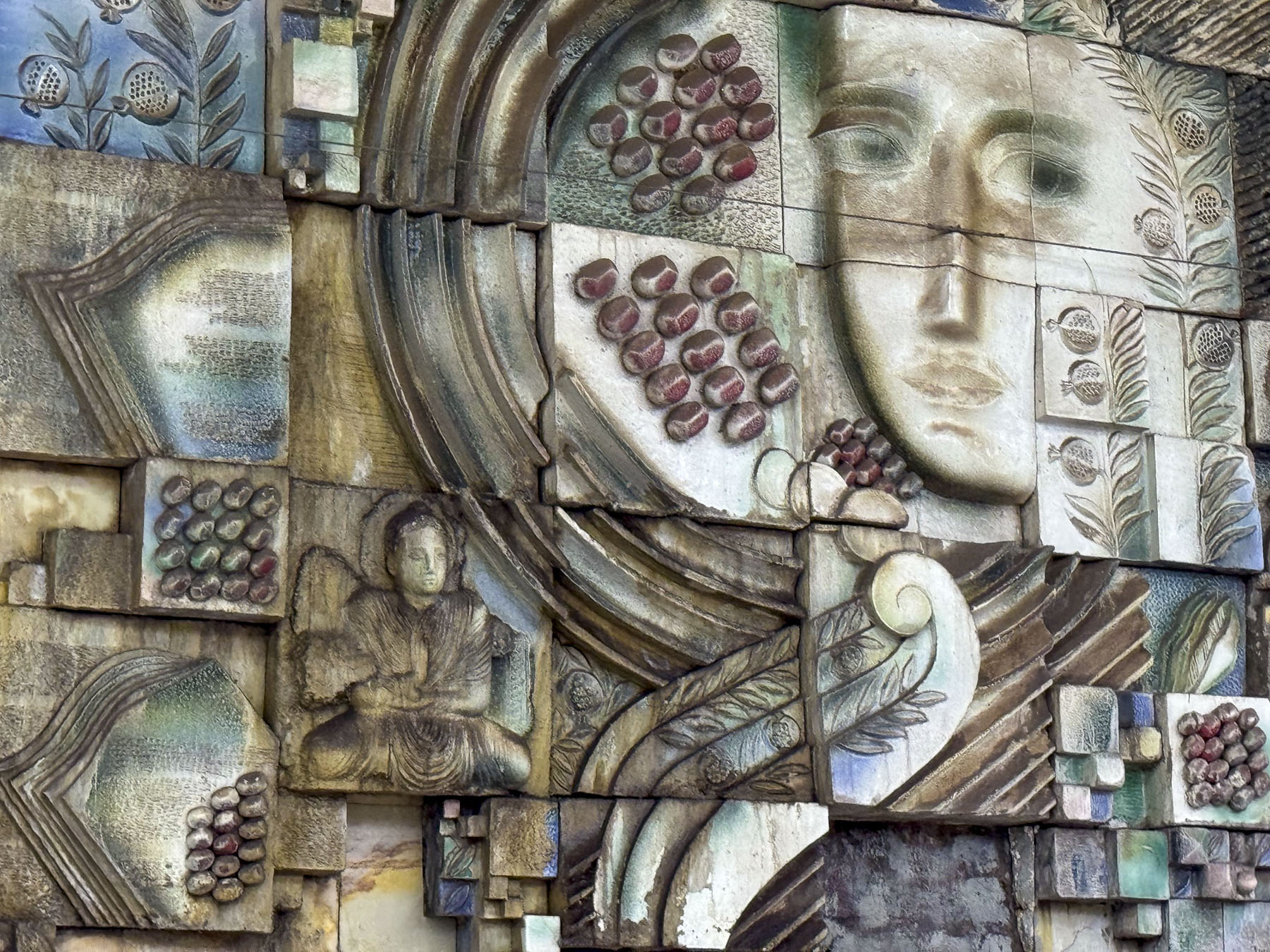
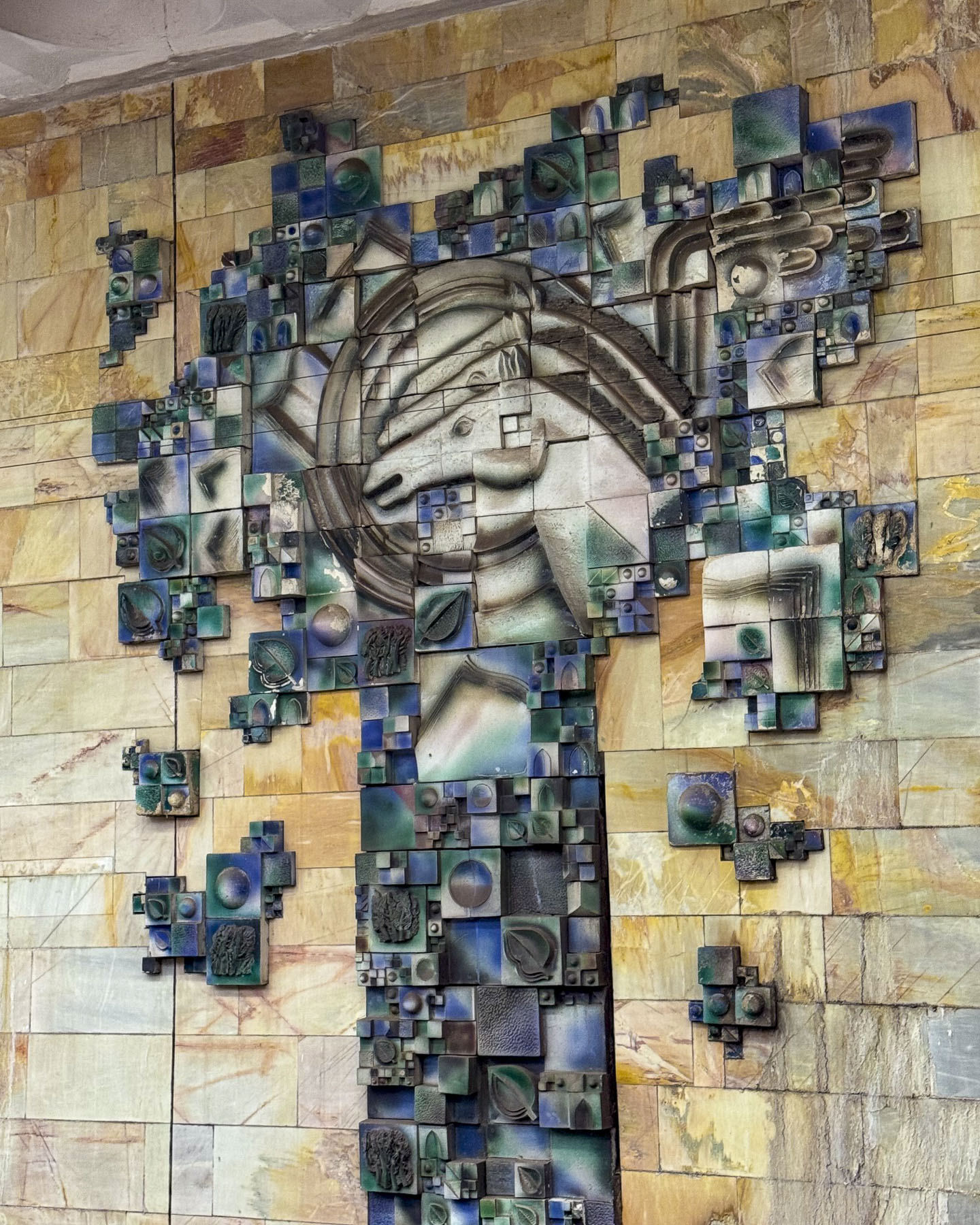
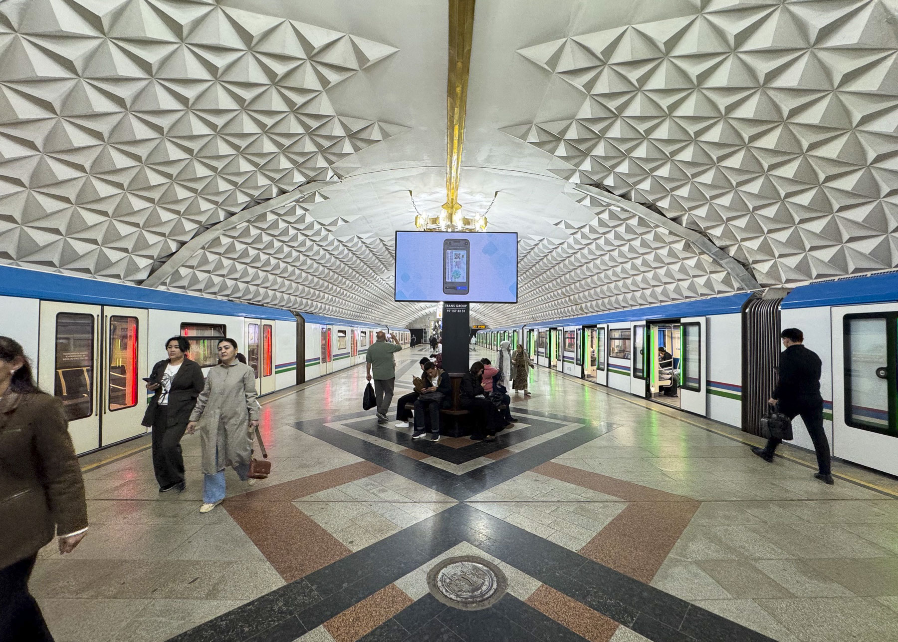
We spent a good part of the morning riding between the stations that encircle central Tashkent, hopping on and off to photograph some stations that were noteworthy for their striking architectural beauty, that often resembled a formal waiting chamber in an elegant palace, before transferring to another line.

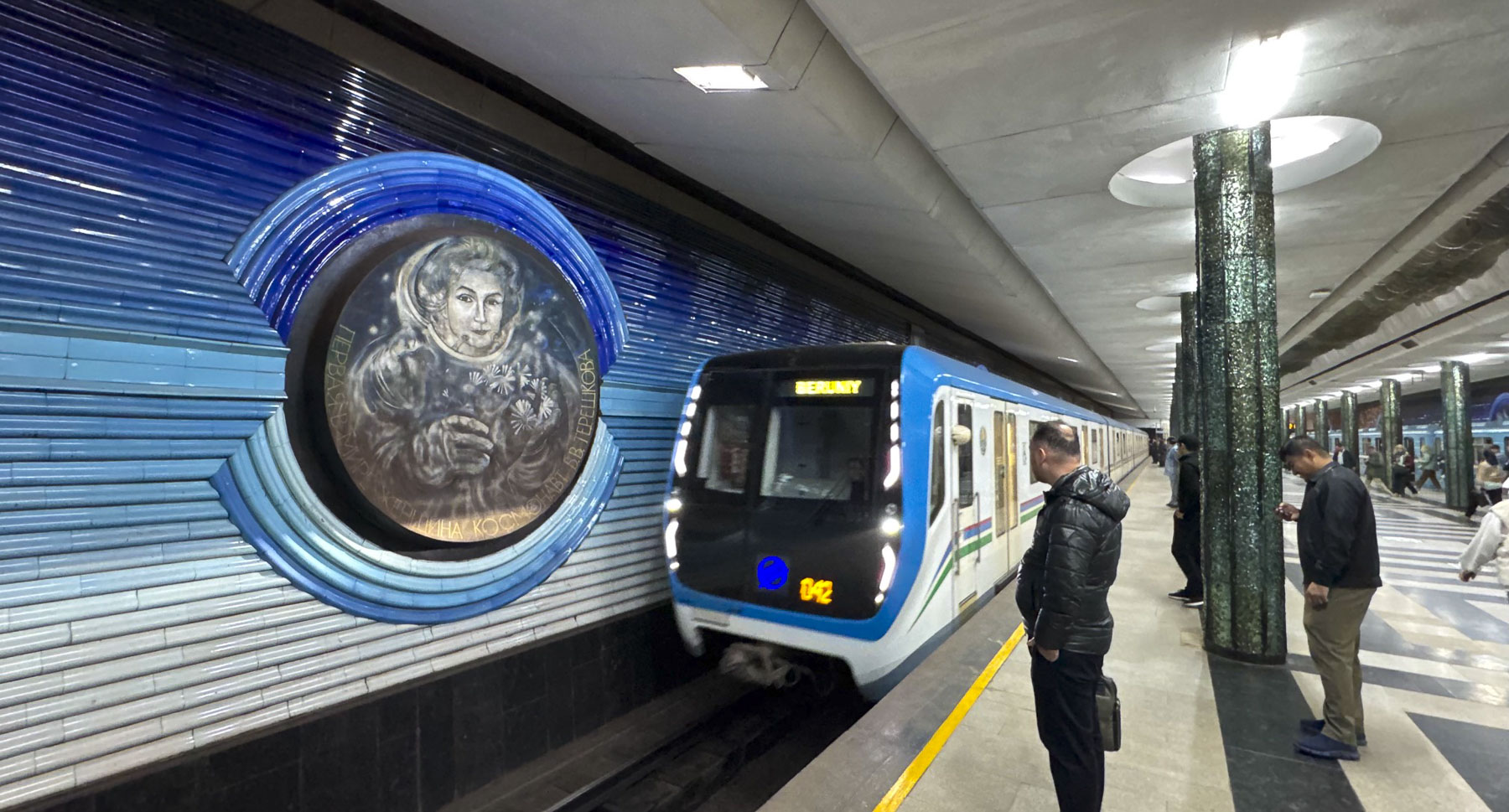
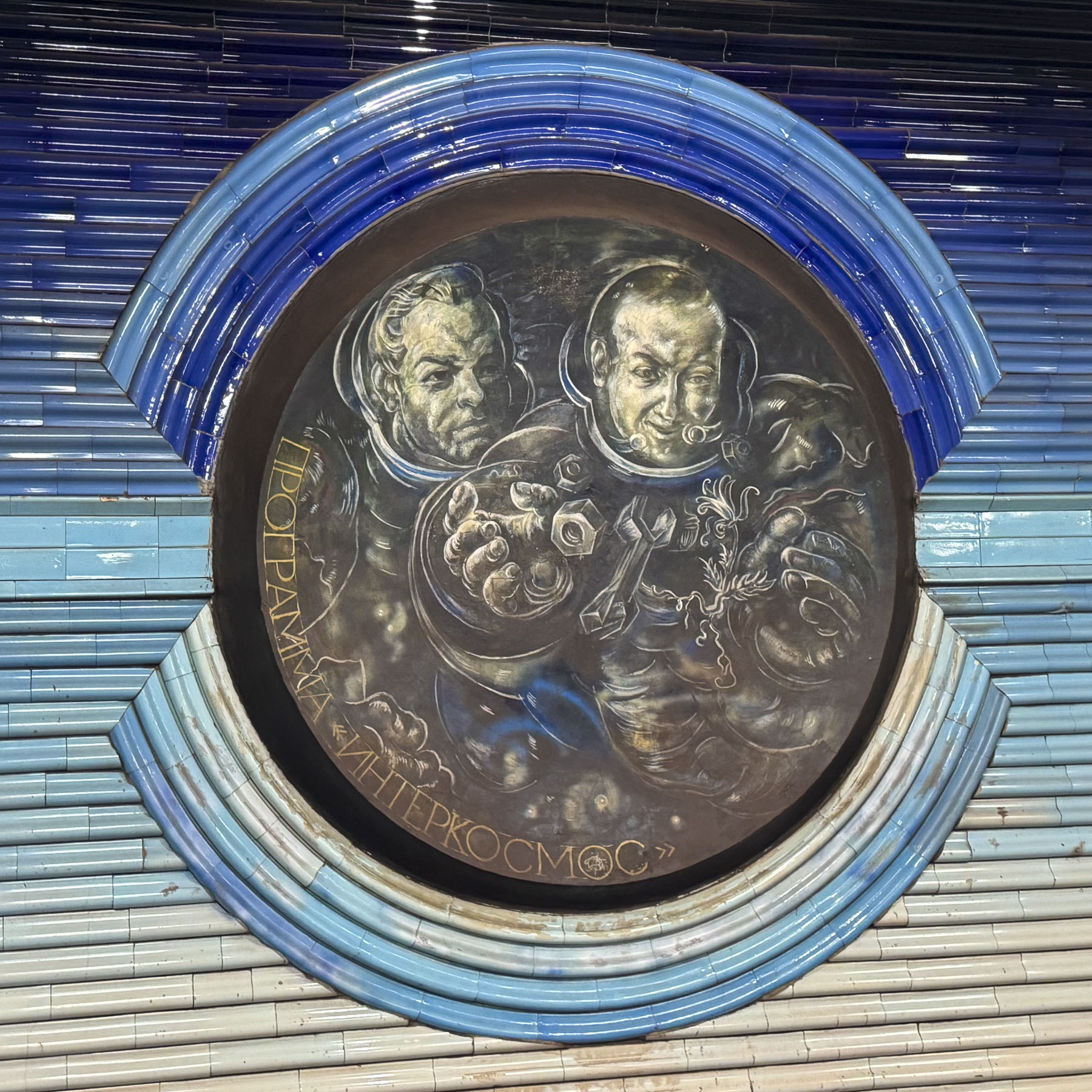
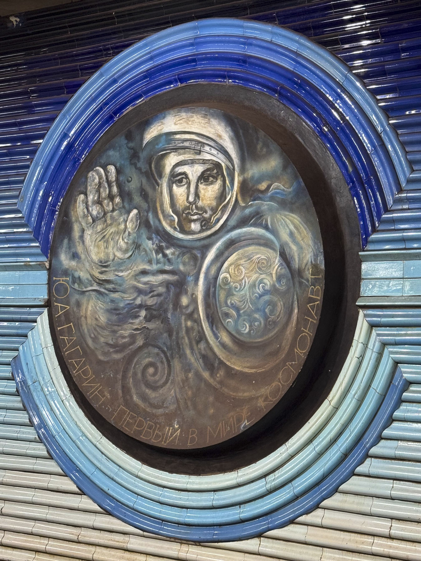
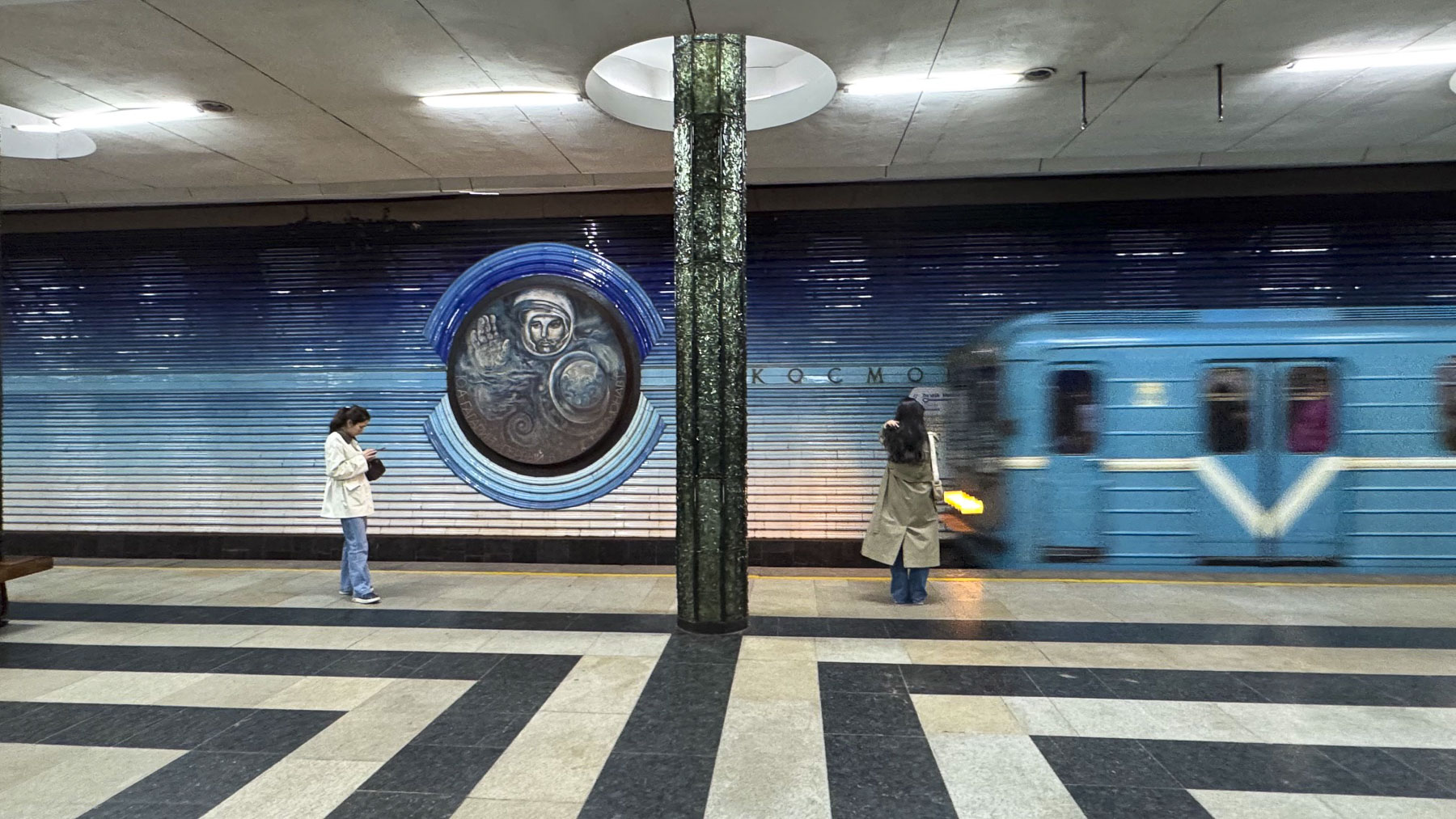
We eventually worked our way to the Kosmonavtlar Station, where the walls are beautifully embellished with tile portraits of early Soviet astronauts. Surprisingly, because of their dual use as bomb shelters, photography in the subway stations was banned until 2018.

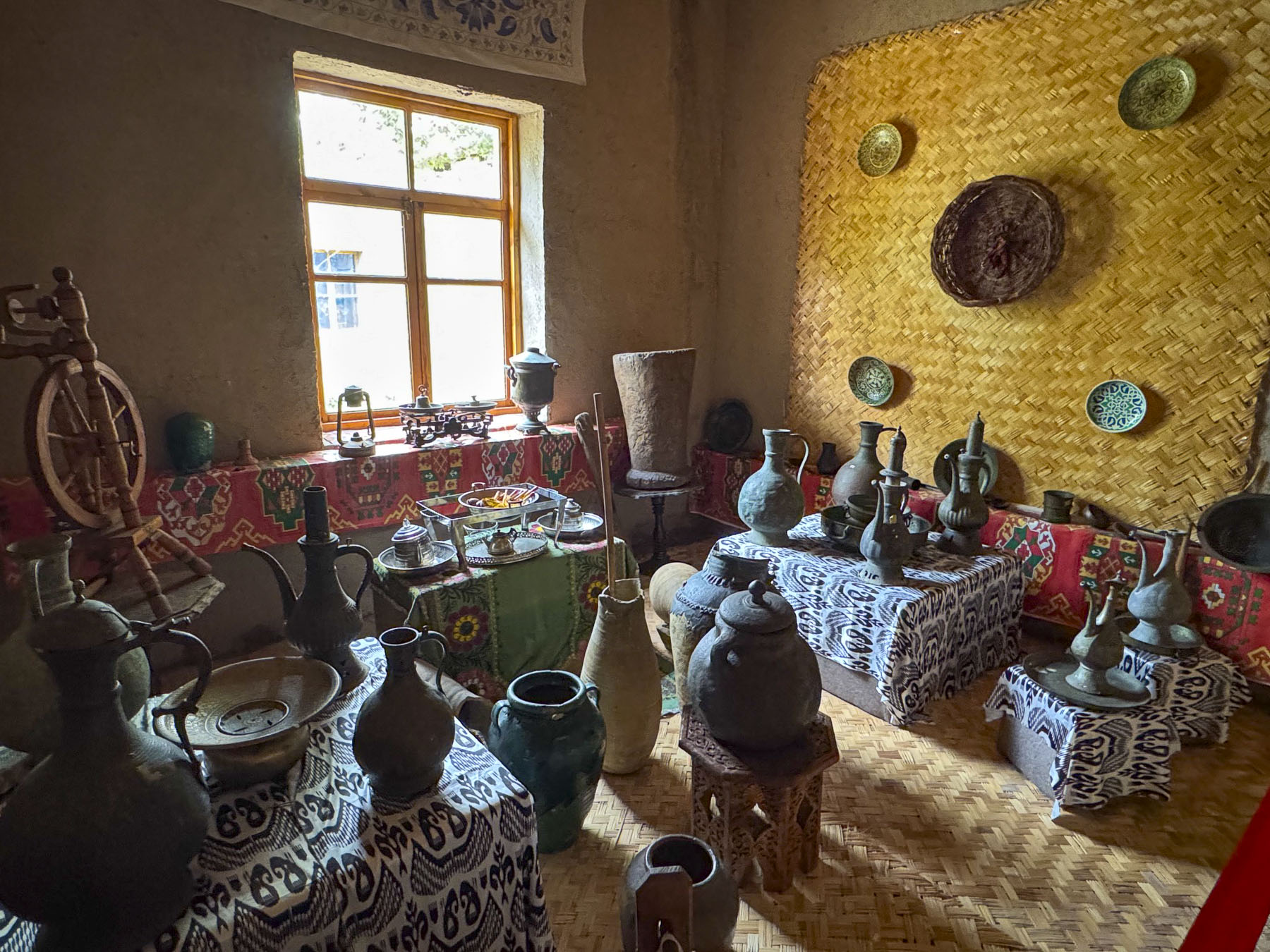
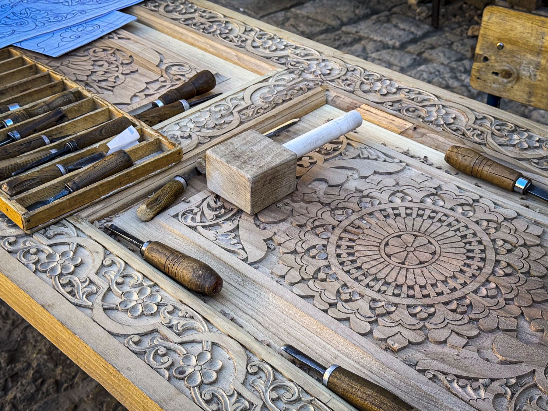
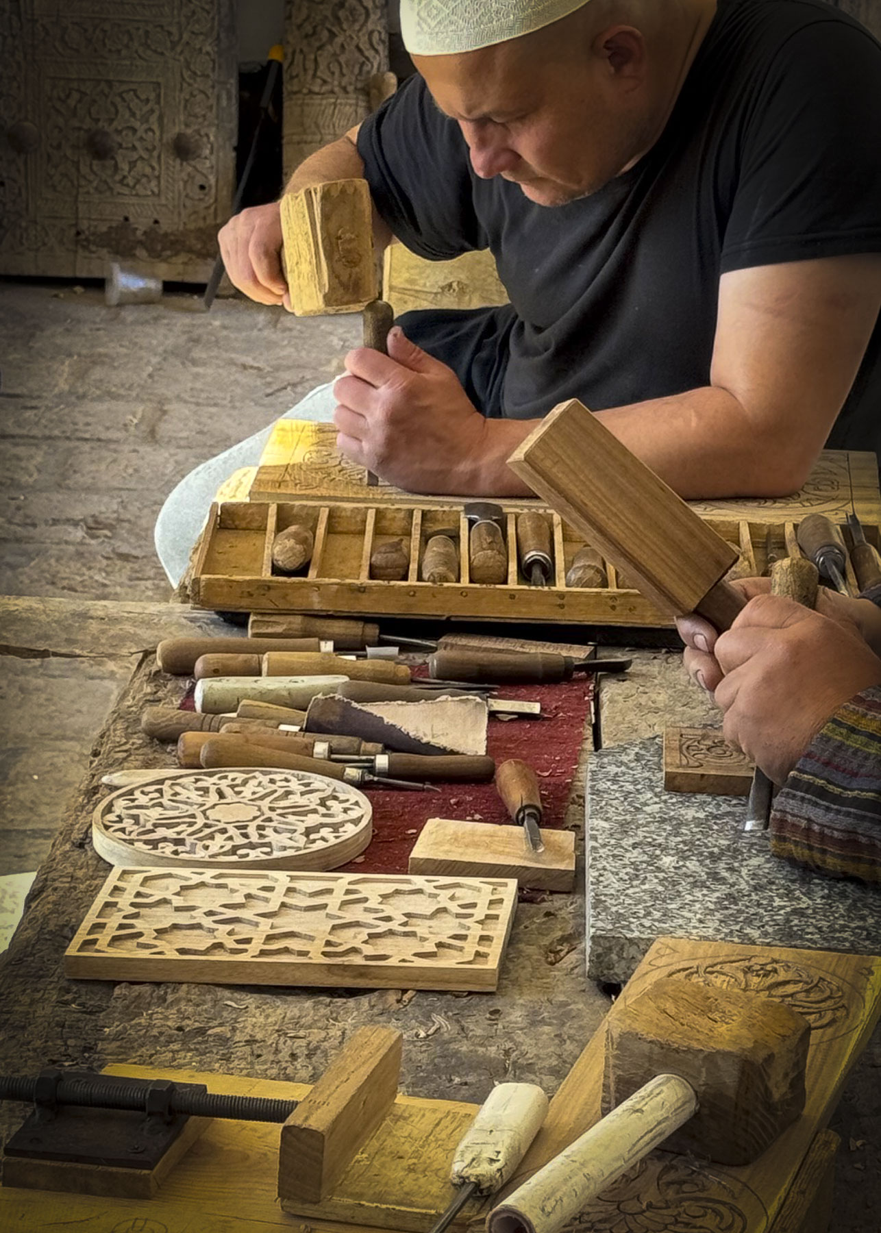
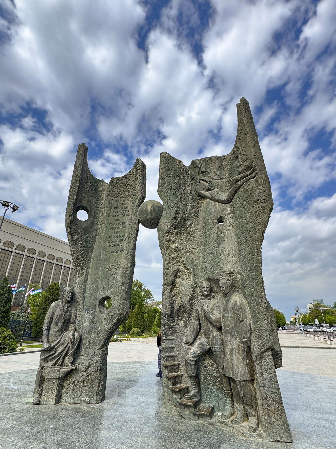
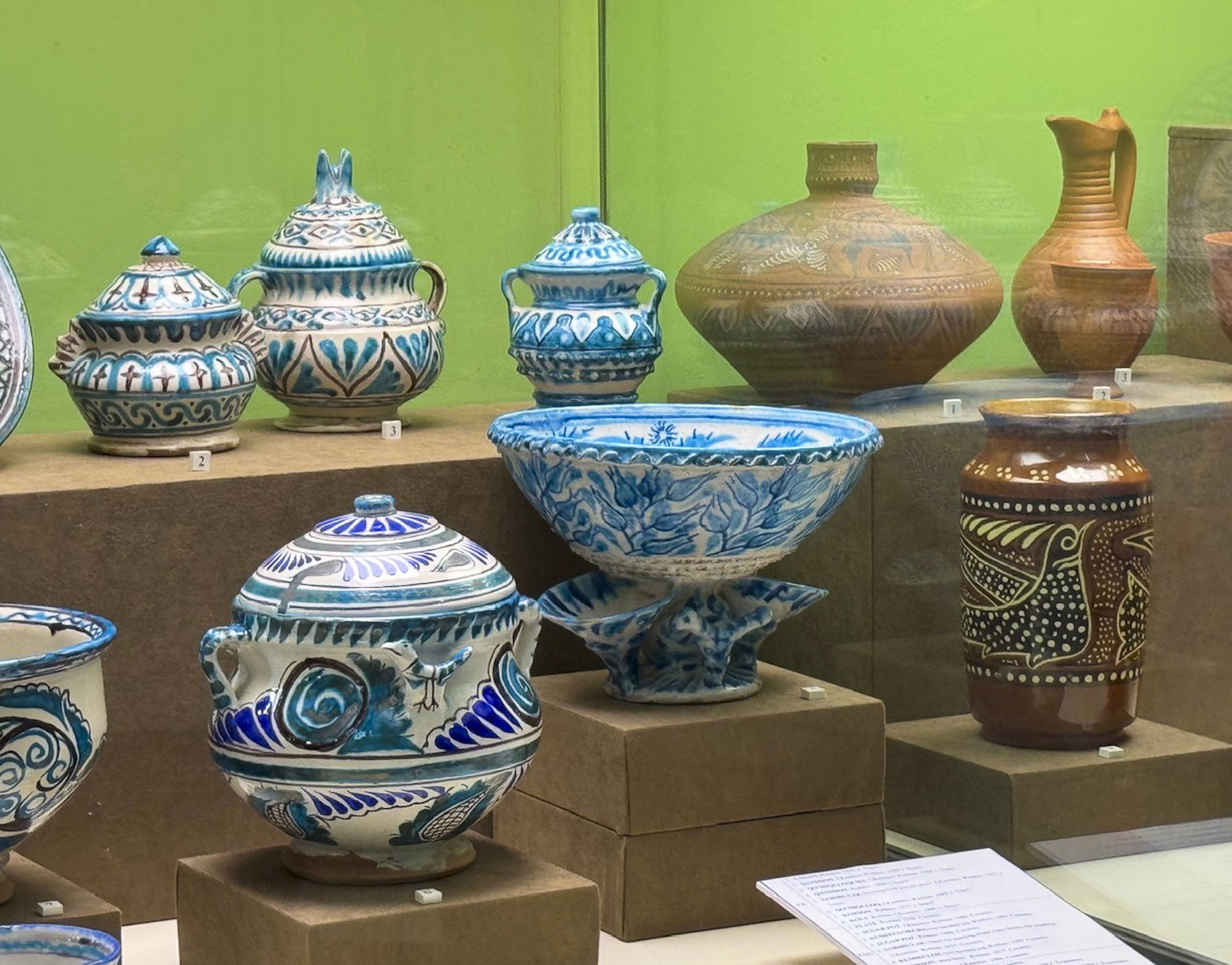
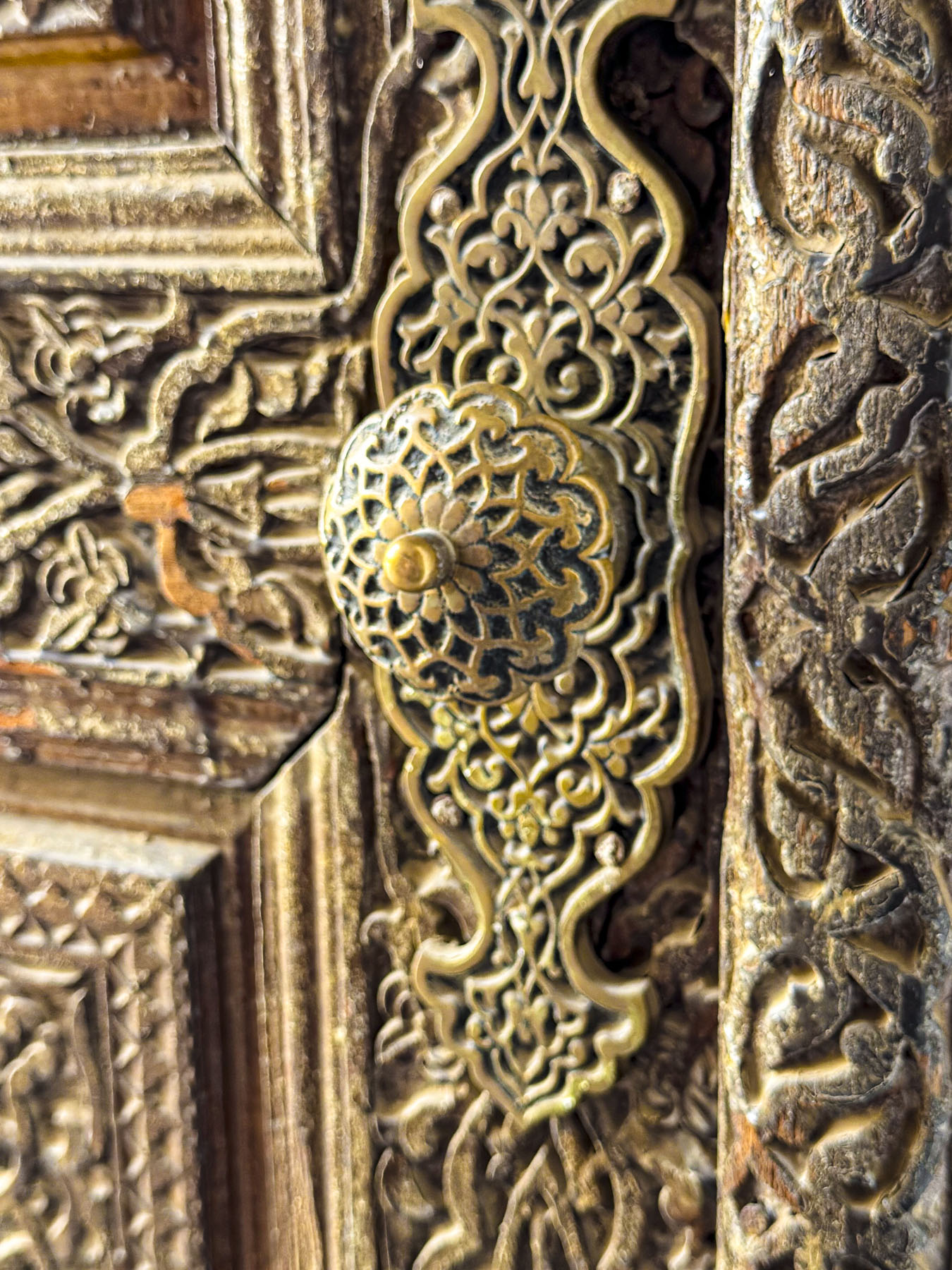
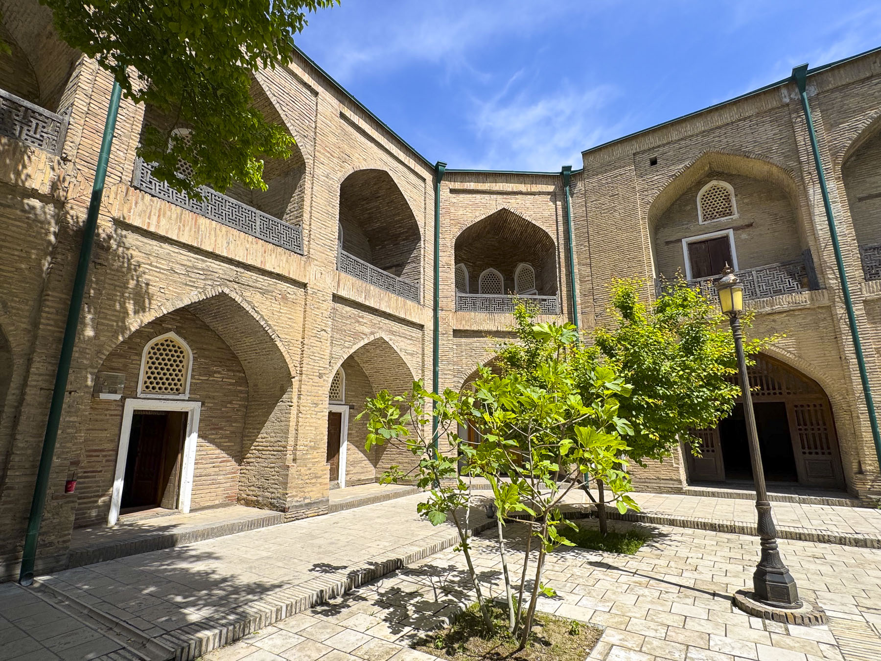
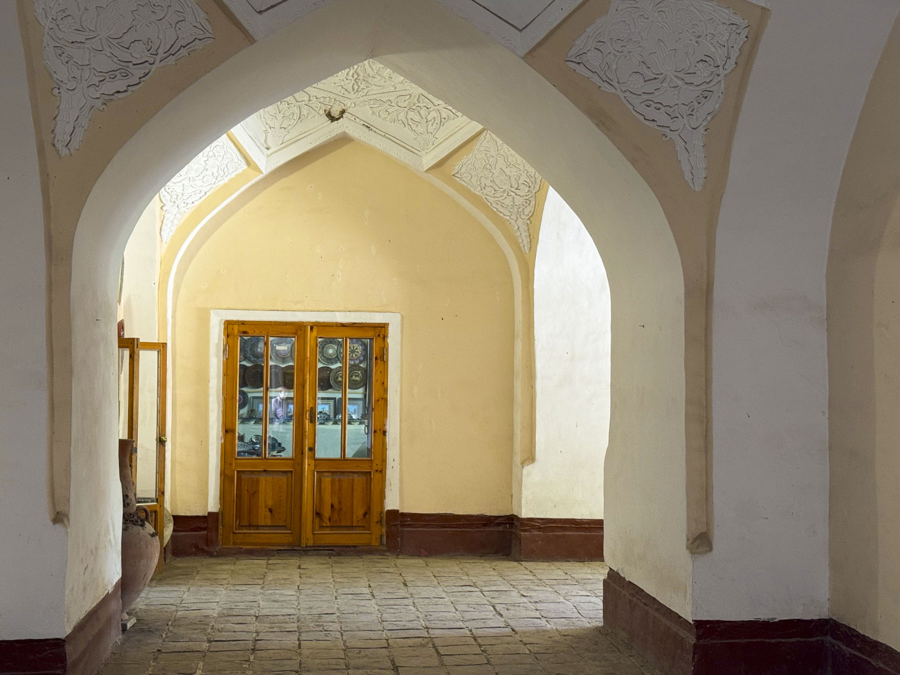
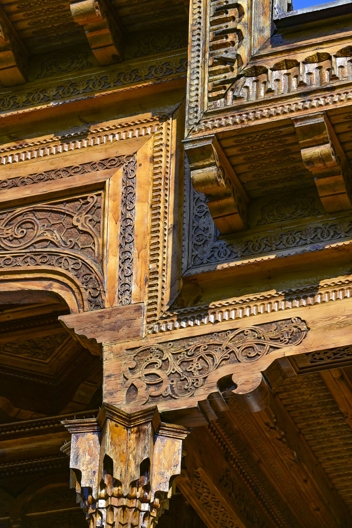
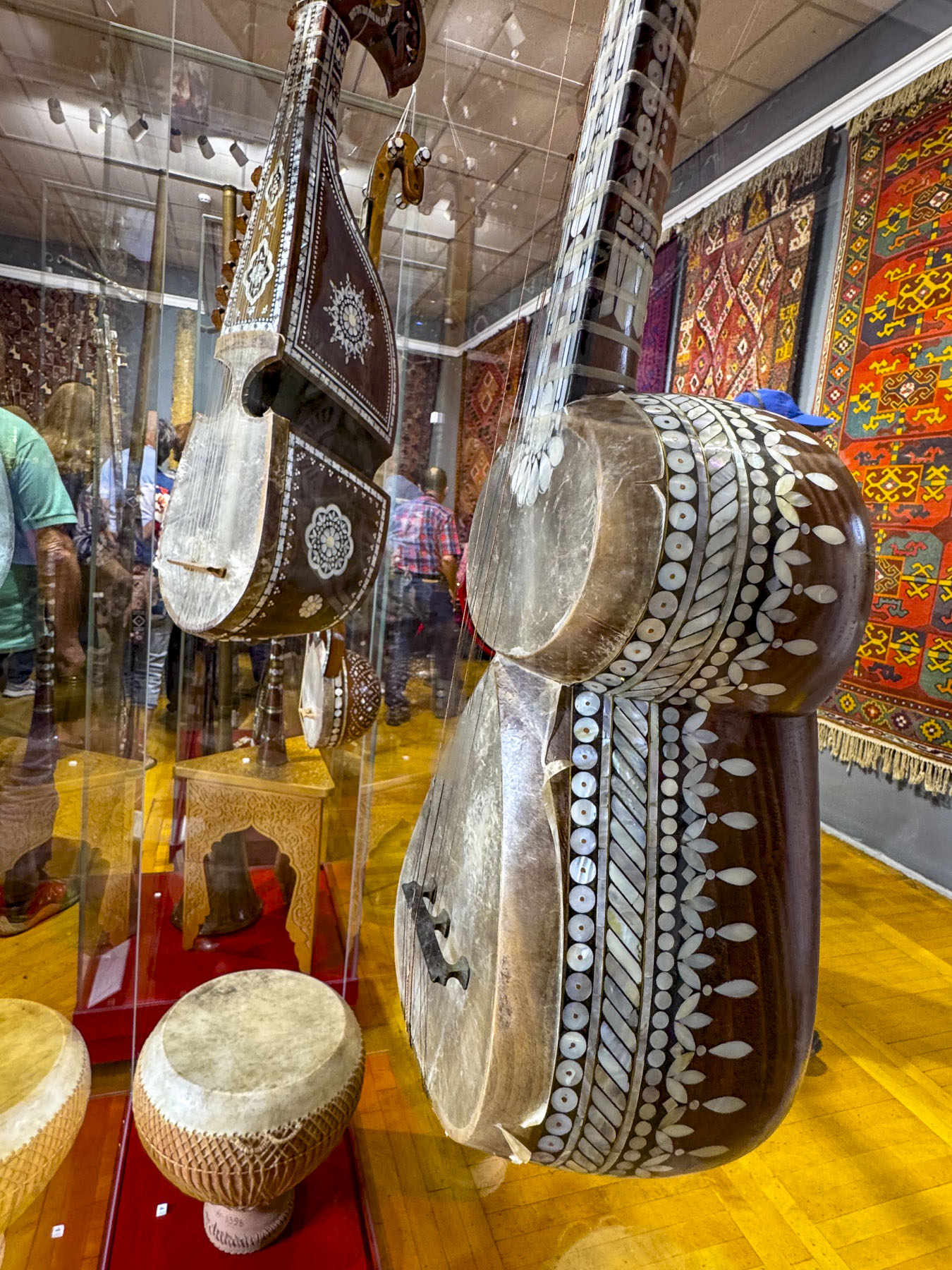
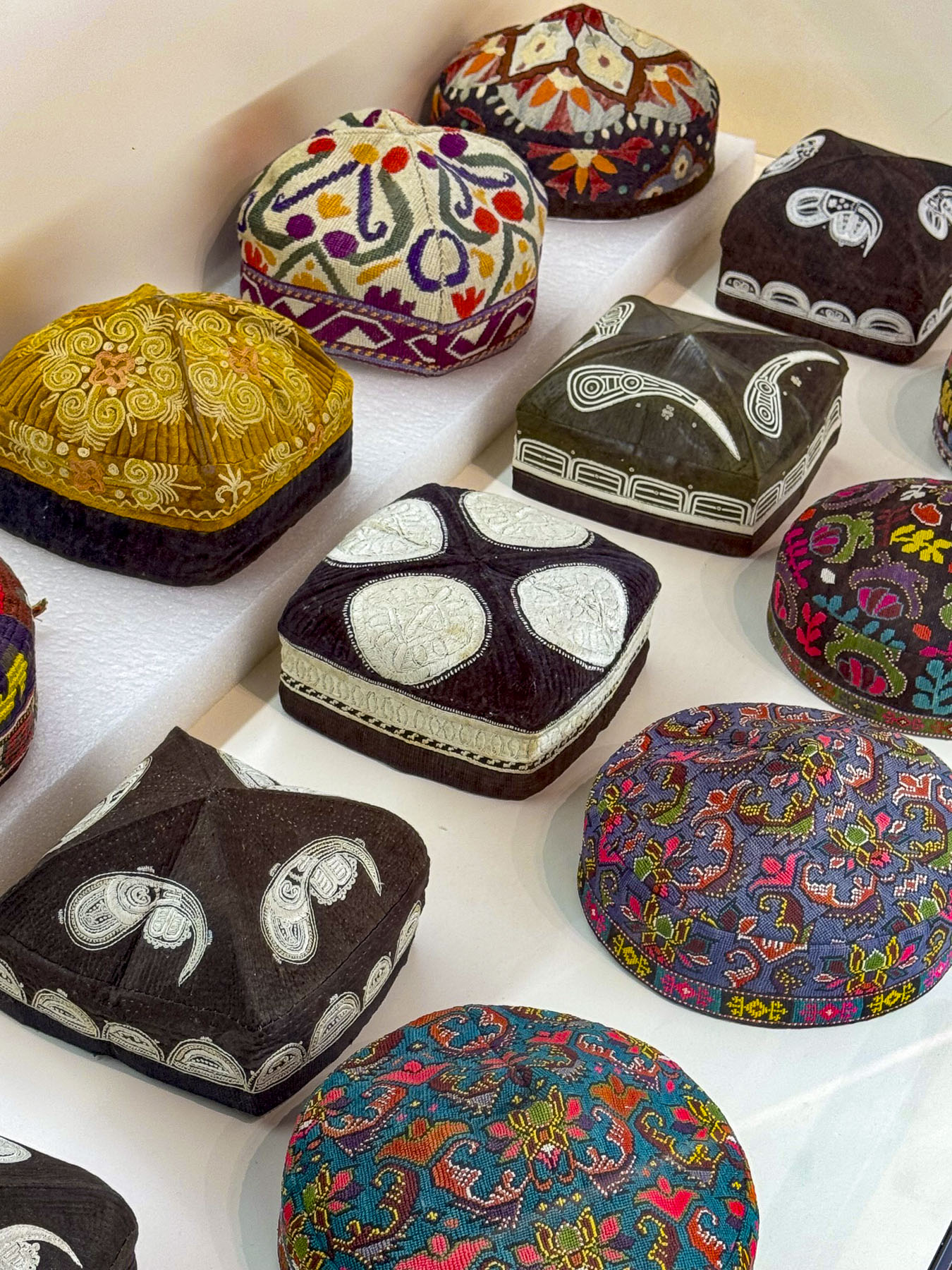
We also visited the plaza above the station where we viewed another interesting monument to the Soviet Union’s space program, before we made a short excursion to Tashkent’s Museum of Applied Arts, only a few blocks away. Founded in 1937, the museum is housed in the former mansion of an Emperial Russia diplomat and has a rotating collection of over 4,000 Uzbeki decorative handicrafts, with examples of traditional wood carving called O‘ymakorlik, ceramics, embroidery, gold weaving, jewelry and musical instruments. In the museum’s traditional courtyard was a very atmospheric café where we enjoyed coffee.

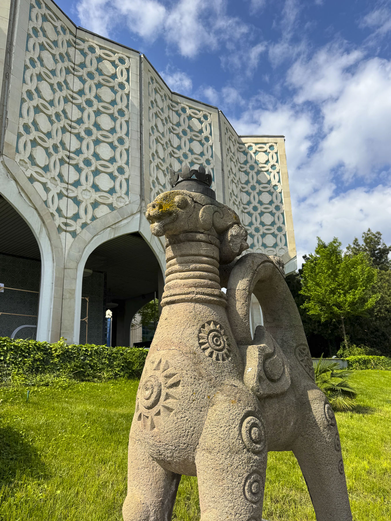
Before descending back underground we detoured slightly to see a modern interpretation of Islamic architecture represented in the 1970s era facade of the Central Exhibition Hall of the Academy of Arts.

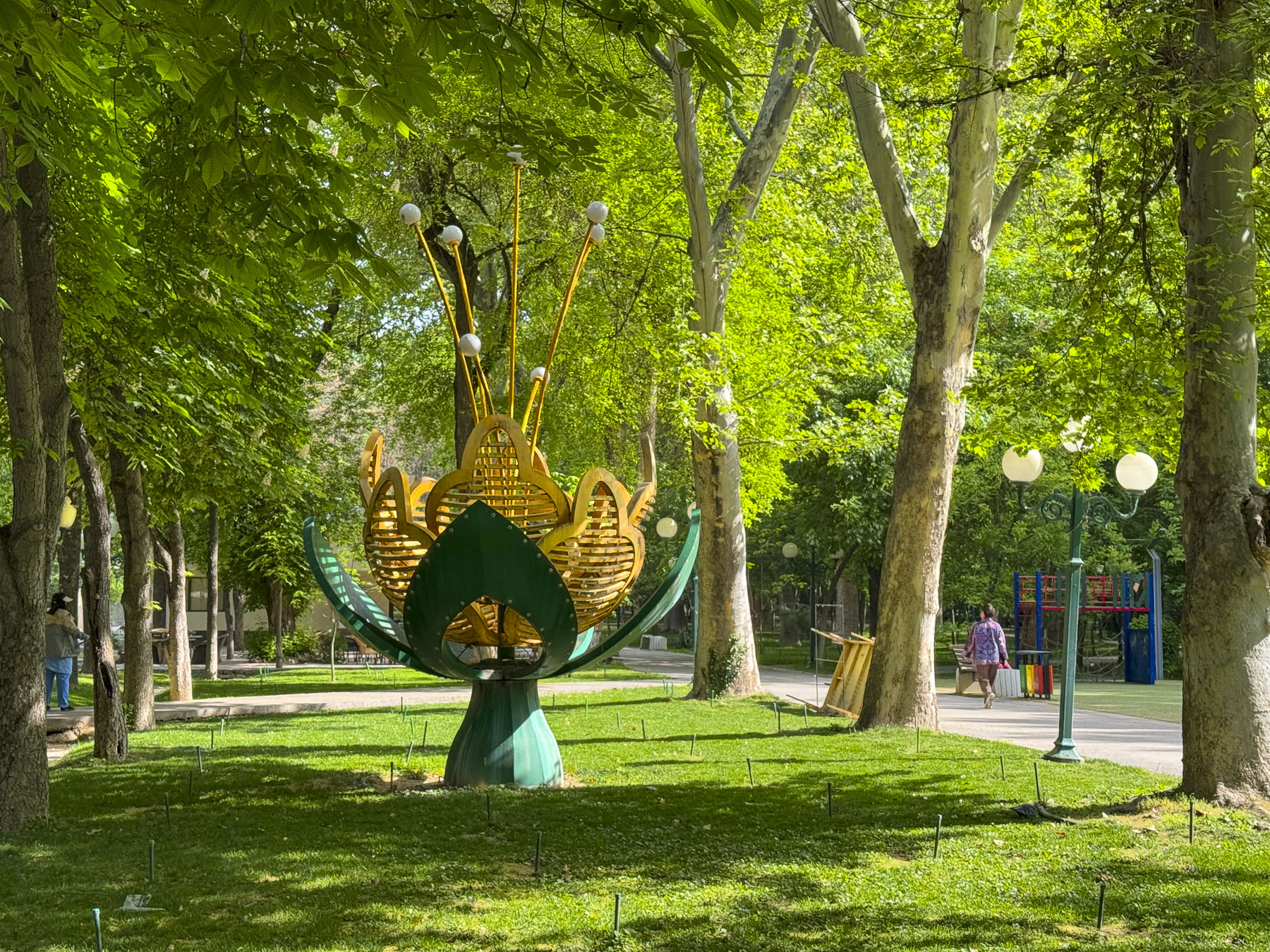
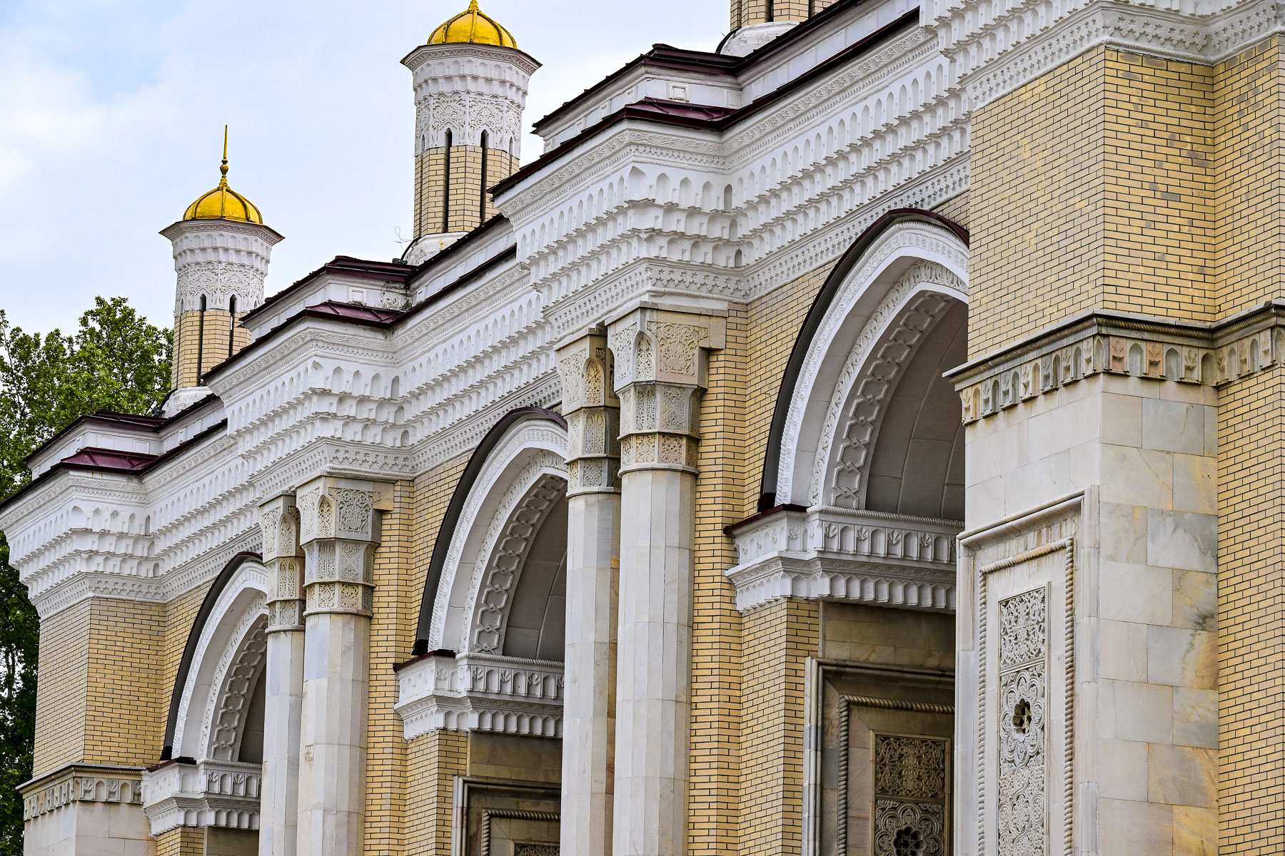
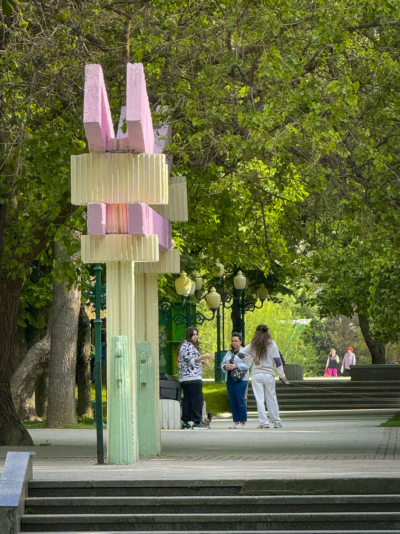
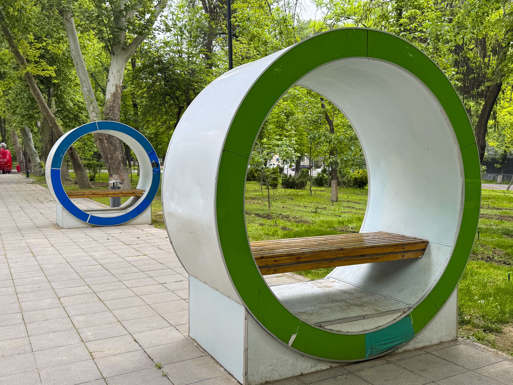
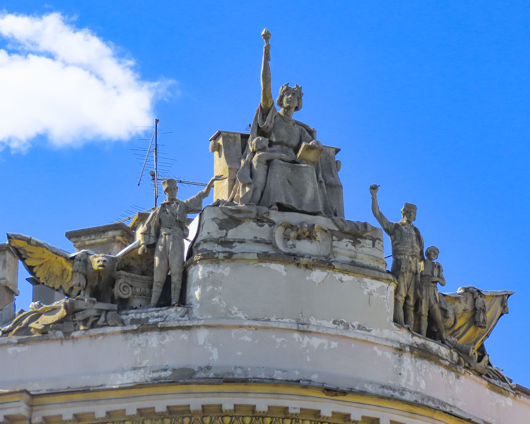
The 1930s built Alisher Navoi Grand Theatre, survivor of the earthquake, features a blend of classic European architecture with traditional Uzbek ornamental styles. Along our route we walked through many of the parks and green spaces that give the city a wonderful ambiance.

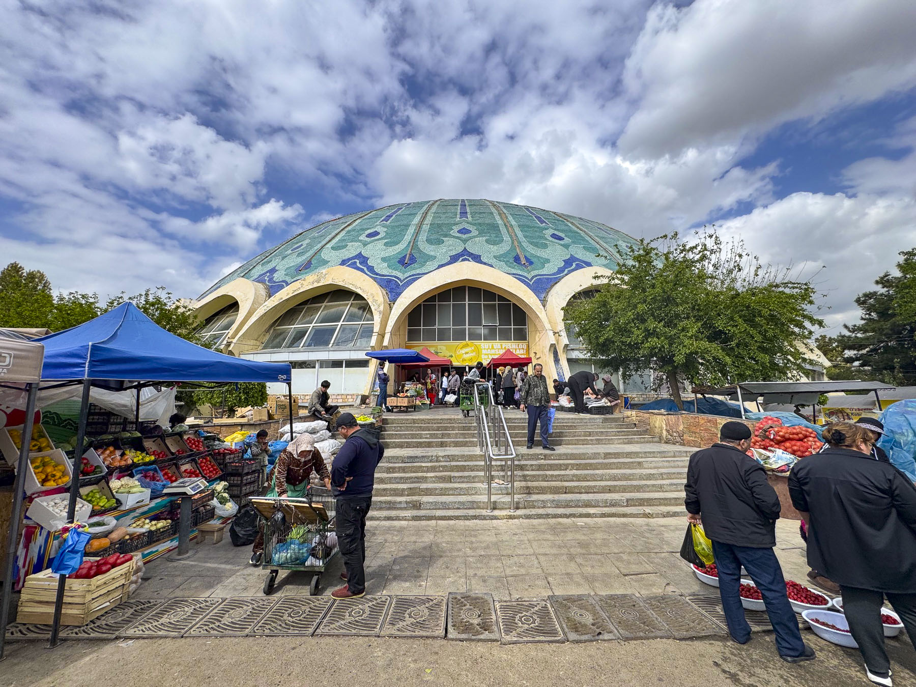
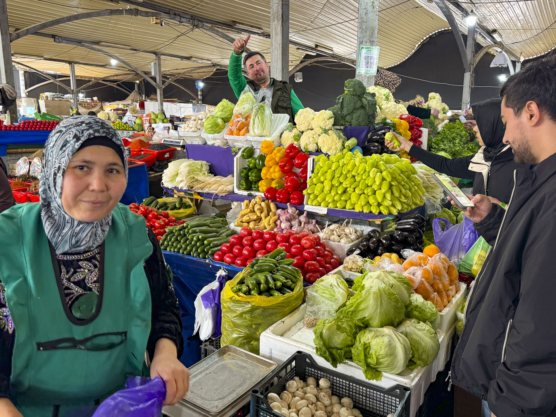
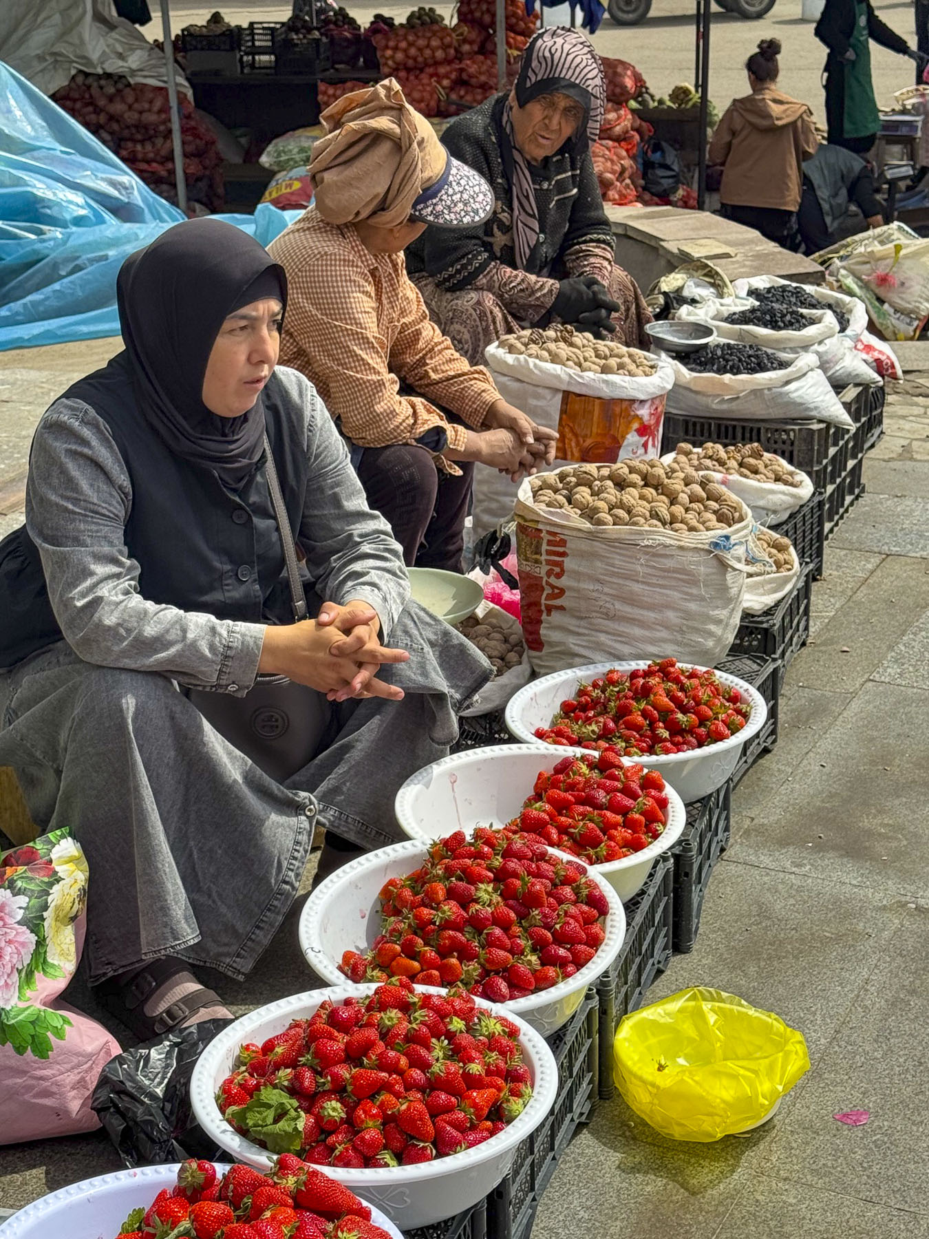
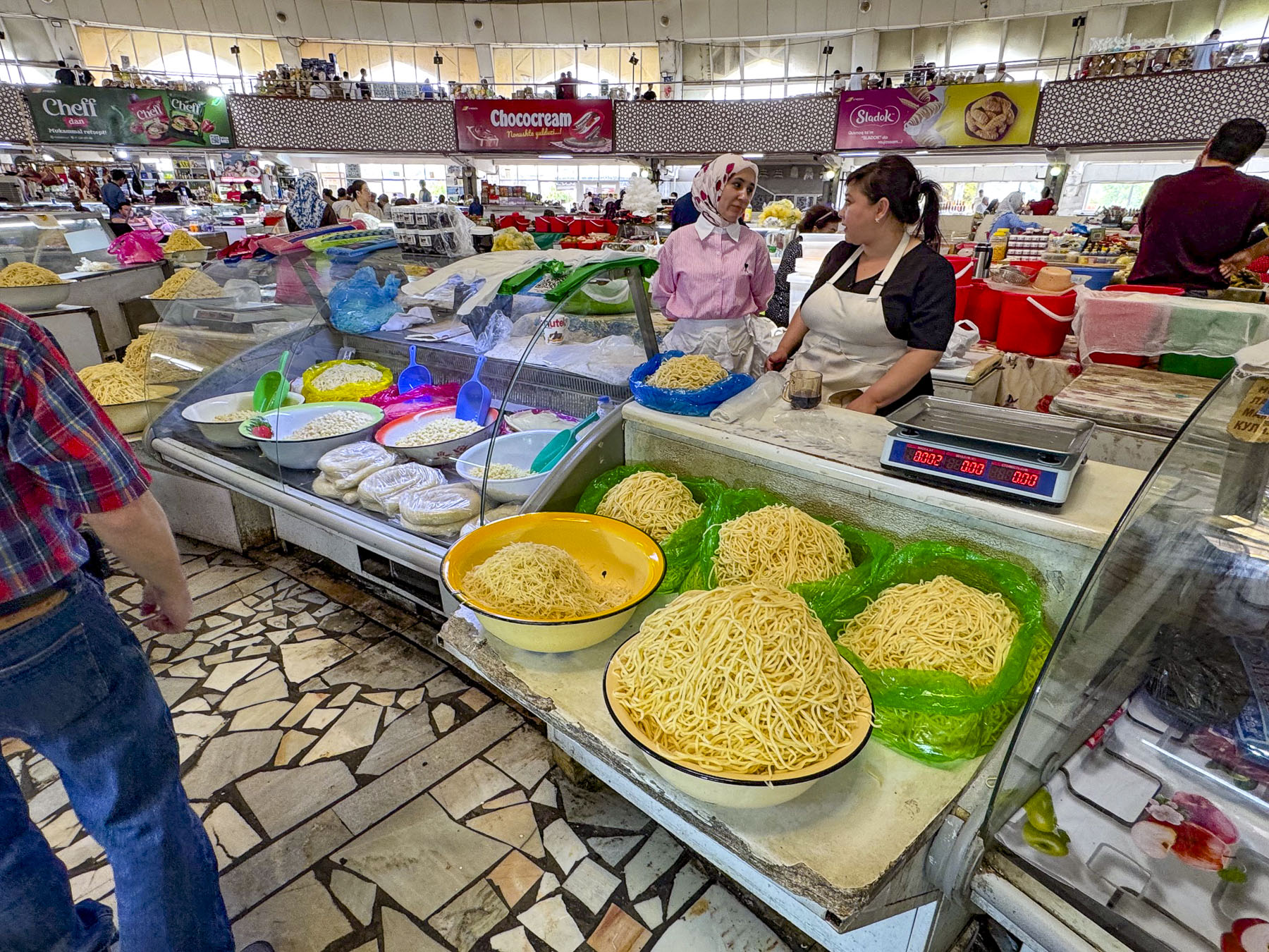
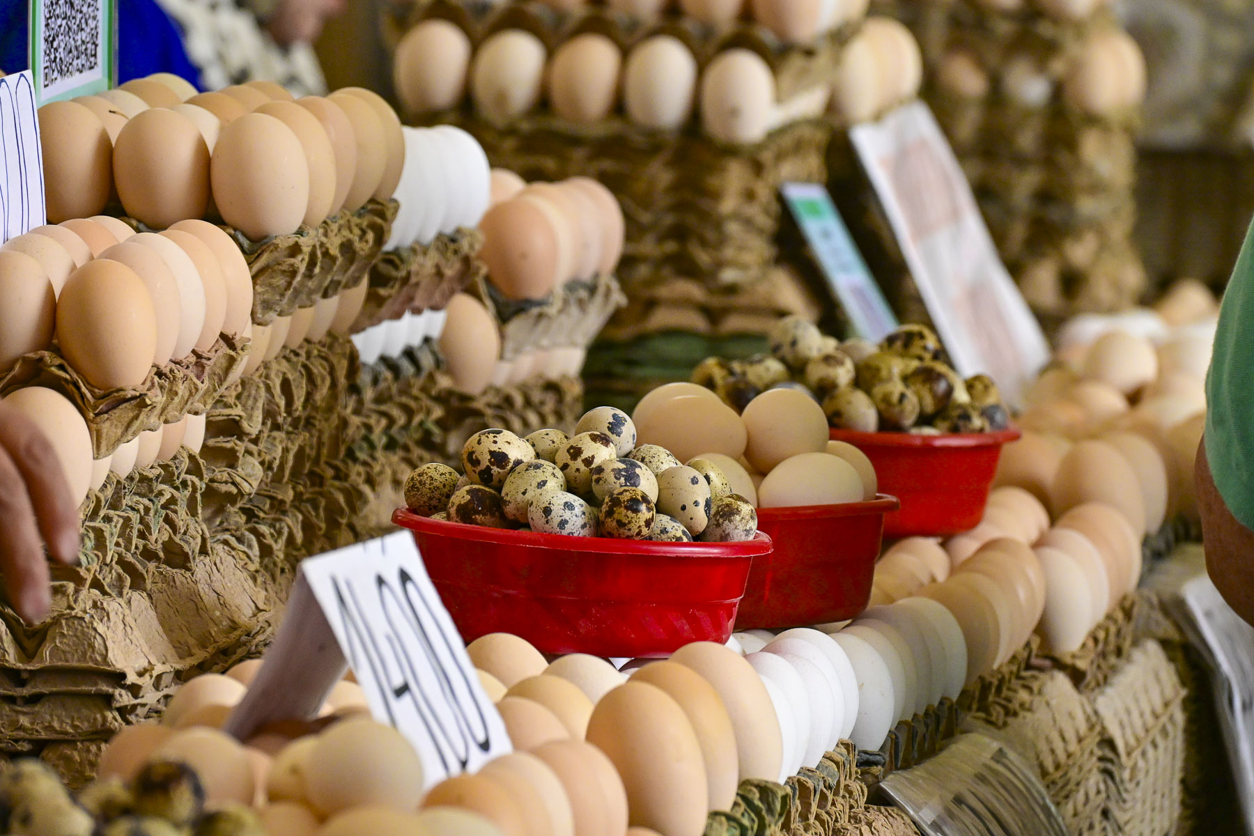
Back on the subway we continued on to the Chorsu Station, only a short walk away from the Chorsu Bazaar, Tashkent’s historical central market, whose history goes back 2000 plus years to the founding of Tashkent. The main hall’s futuristic dome, where meats, poultry and dairy products are for sale, dates from the reconstruction of the city after the 1966 earthquake.

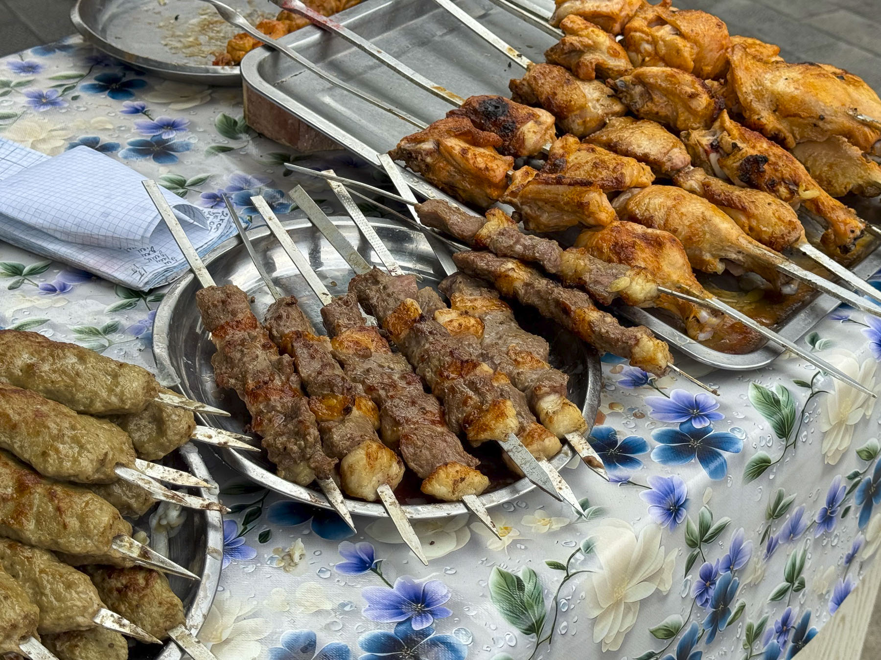
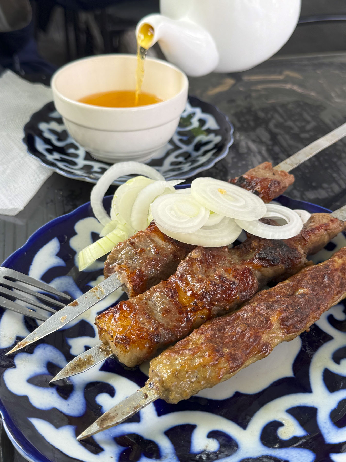
After wandering through the rows of clothing merchants, where nothing has a price tag so bargaining is expected, we were enticed by the aroma of slowly grilling kebabs over an outside fire at Especialidad Pinchos. A smile goes a long way when you don’t understand the language and we were quickly seated outside and served a delightful lemon tea. The restaurant was the perfect place to relax and people watch. It felt as if we were in the audience of an old TV sit-com where good-natured chiding was going on, from the quips flying across the open-air restaurant. We mentally supplied the dialog: “Yasmina we are so busy, can you clear the tables faster?” “Now Zarina you might be the golden one and Bobur’s squeeze, but don’t you go telling me how to take care of my side of the cafe!” And so it went, their familiar back and forth continuing the whole time we were there as the women busily tended the day’s lunch crowd.

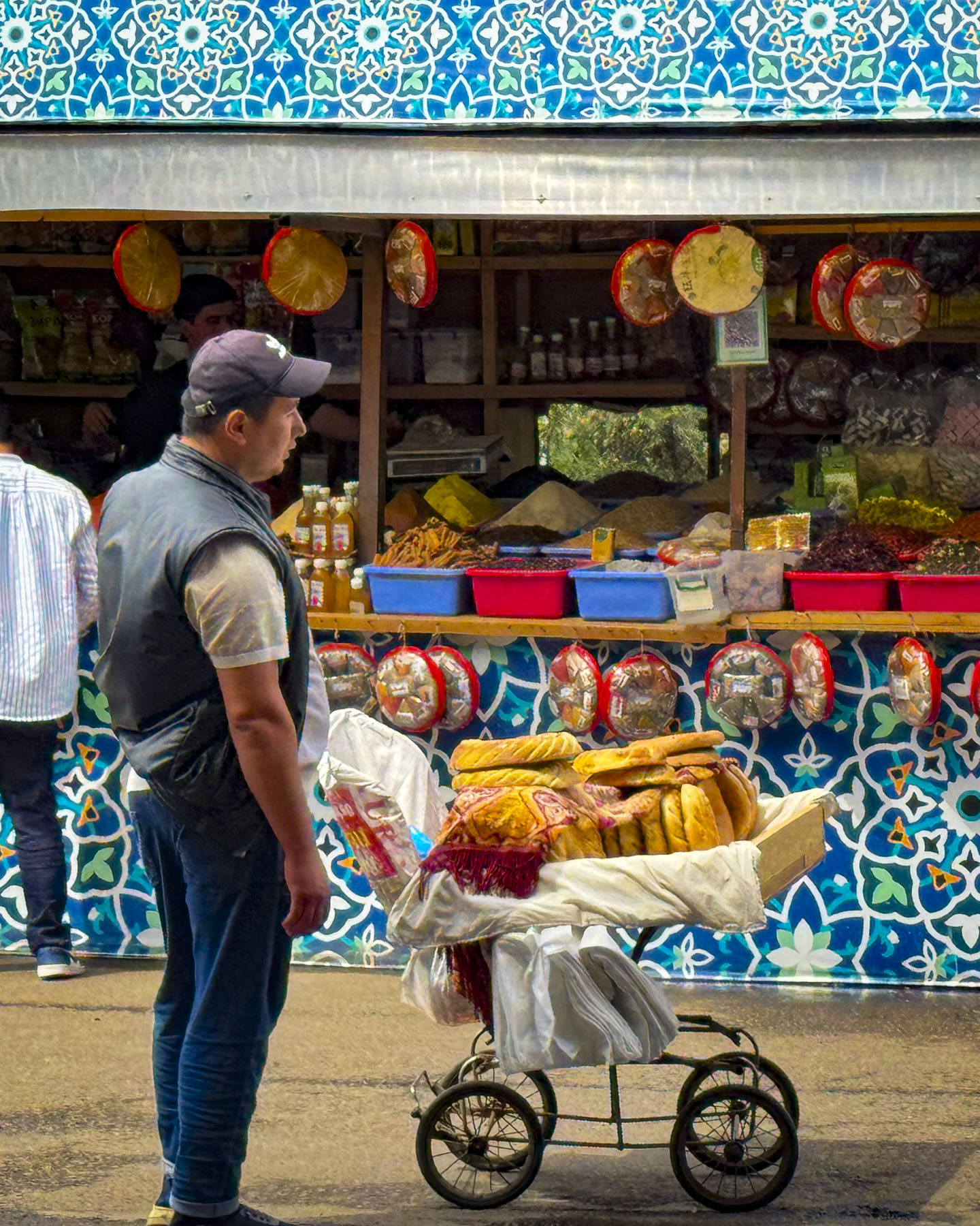
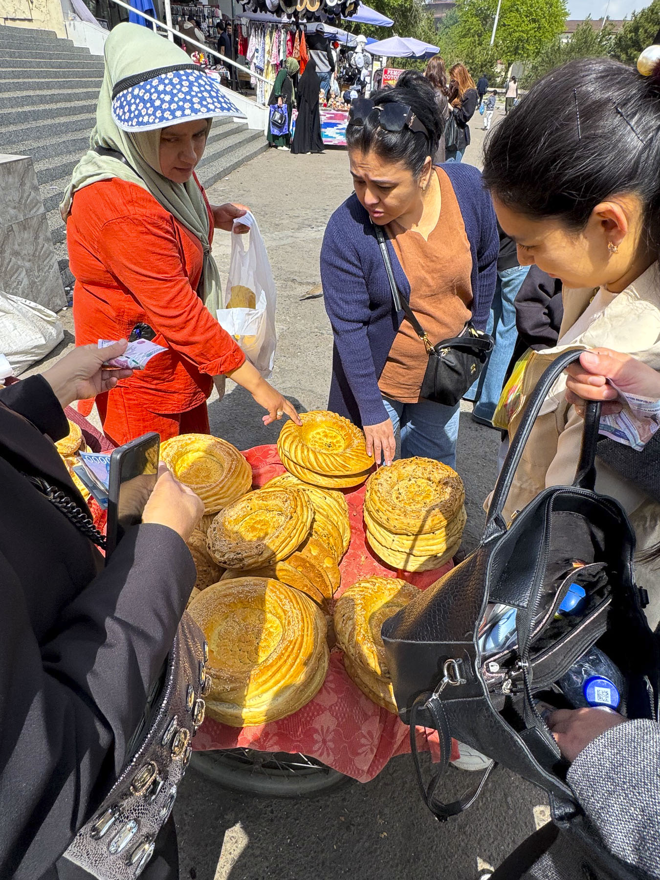
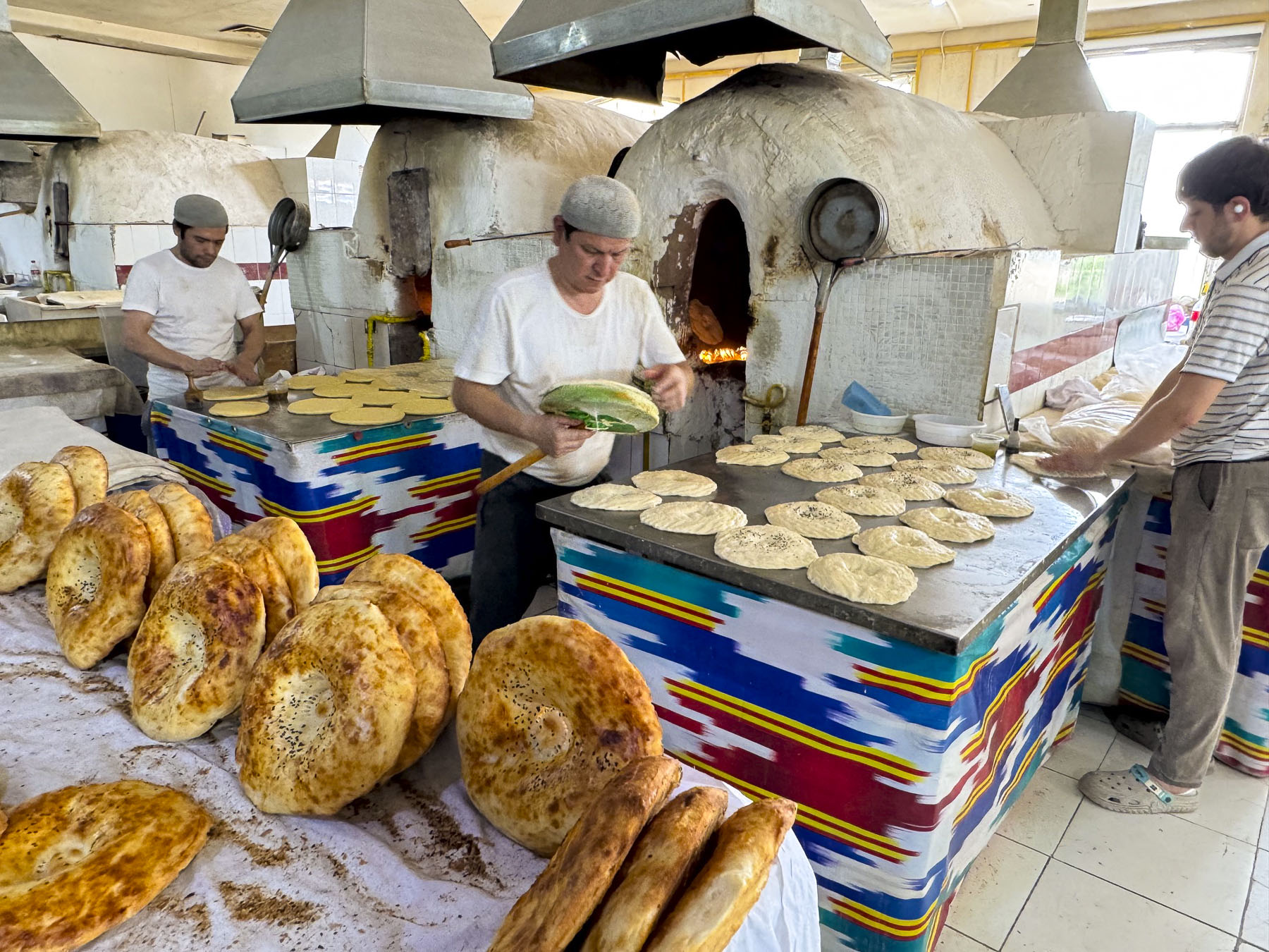
Wheel barrel vendors selling round, flat disk-shaped non coursed through the shoppers. These loaves of dough are traditionally decorated with a stamping tool called a chekich, before baking. We’ve read many rave reviews about Uzbekistan’s non but have found it’s best enjoyed when fresh out of an oven, as in our opinion it becomes a disappointing “eh” later. It’s definitely worth spending the time to find the central bakers in the market to watch them form the dough and then lean into the tall brick ovens to throw it against the side walls to bake. The result is heavenly.

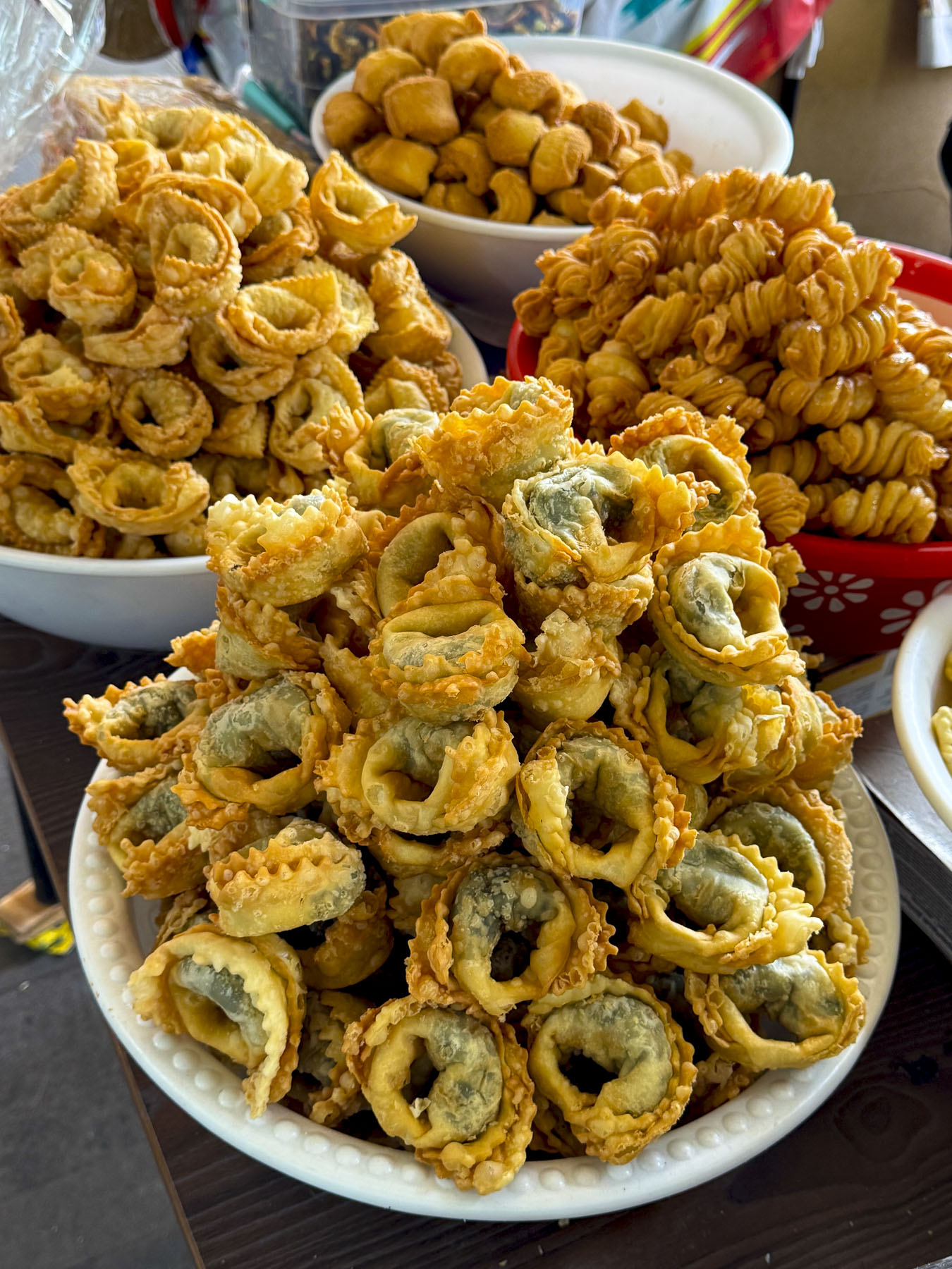
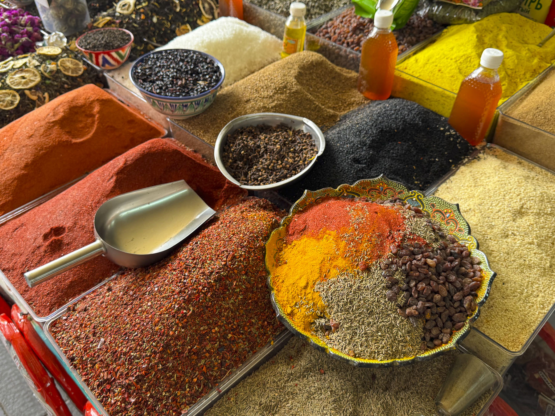
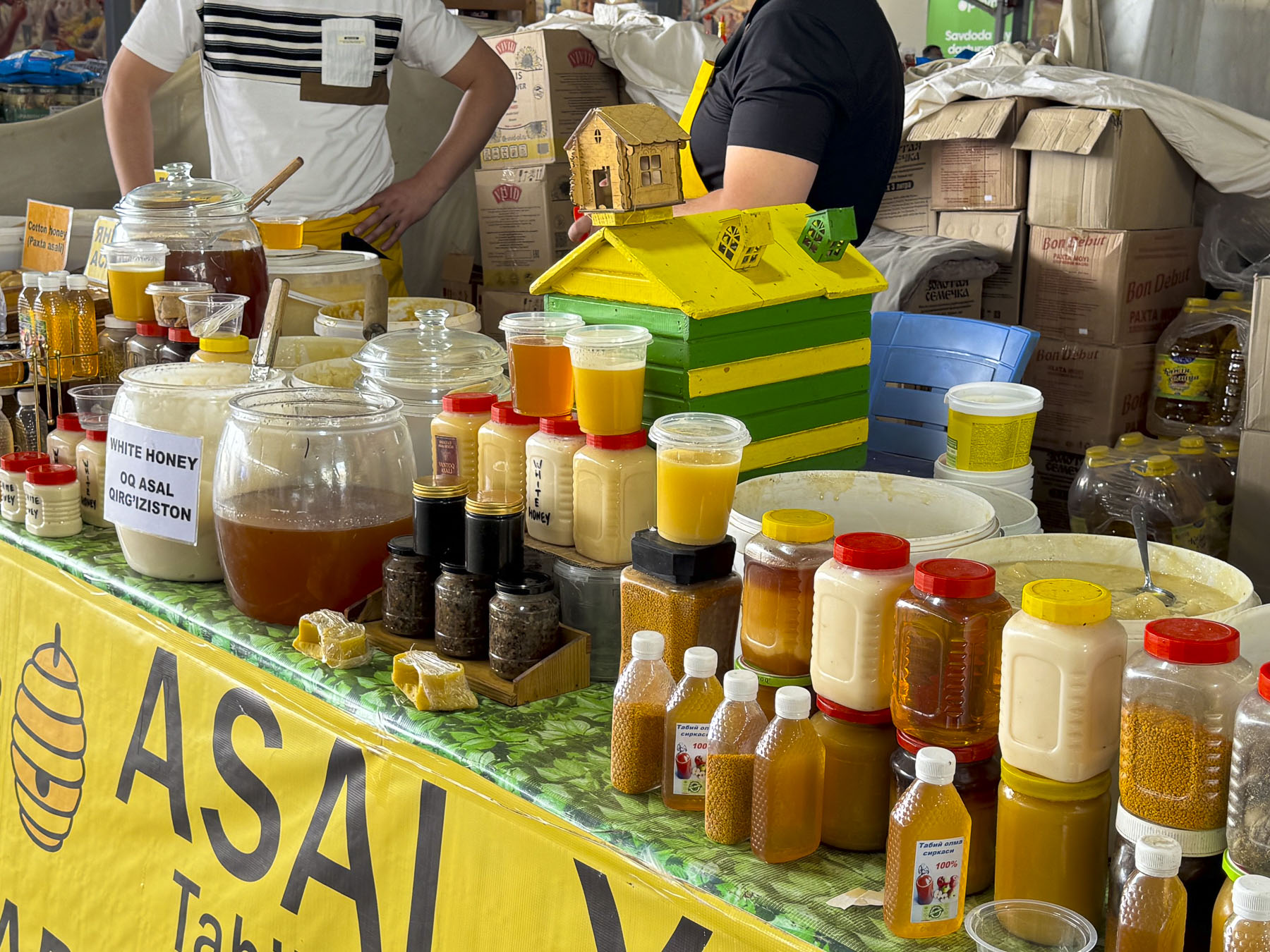
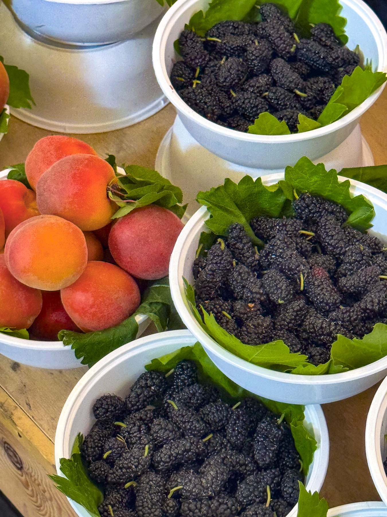
Stairs rose from the market’s lower level to the gastronomical equivalent of Aladdin’s “Cave of Wonders.” Literally it was like a culinary temple, with vendors freely offering samples, it had us wishing we had rented an apartment with a full kitchen. The quality, variety, and abundance of the foodstuffs were amazing. It was difficult for the cooks in us to resist the temptation to buy a cart full of groceries, but we did and only purchased some dried fruit and pomegranate juice for a snack later.

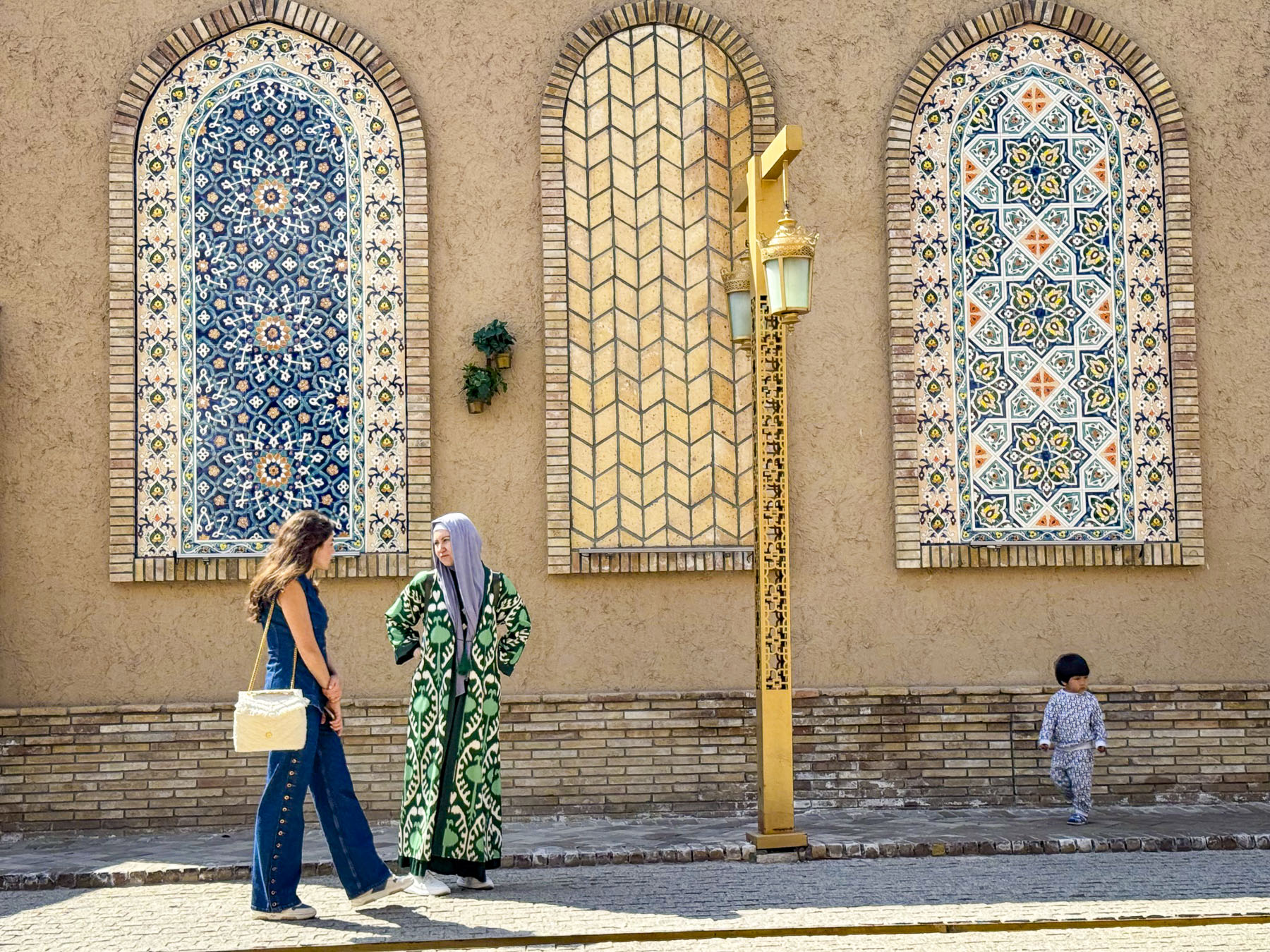
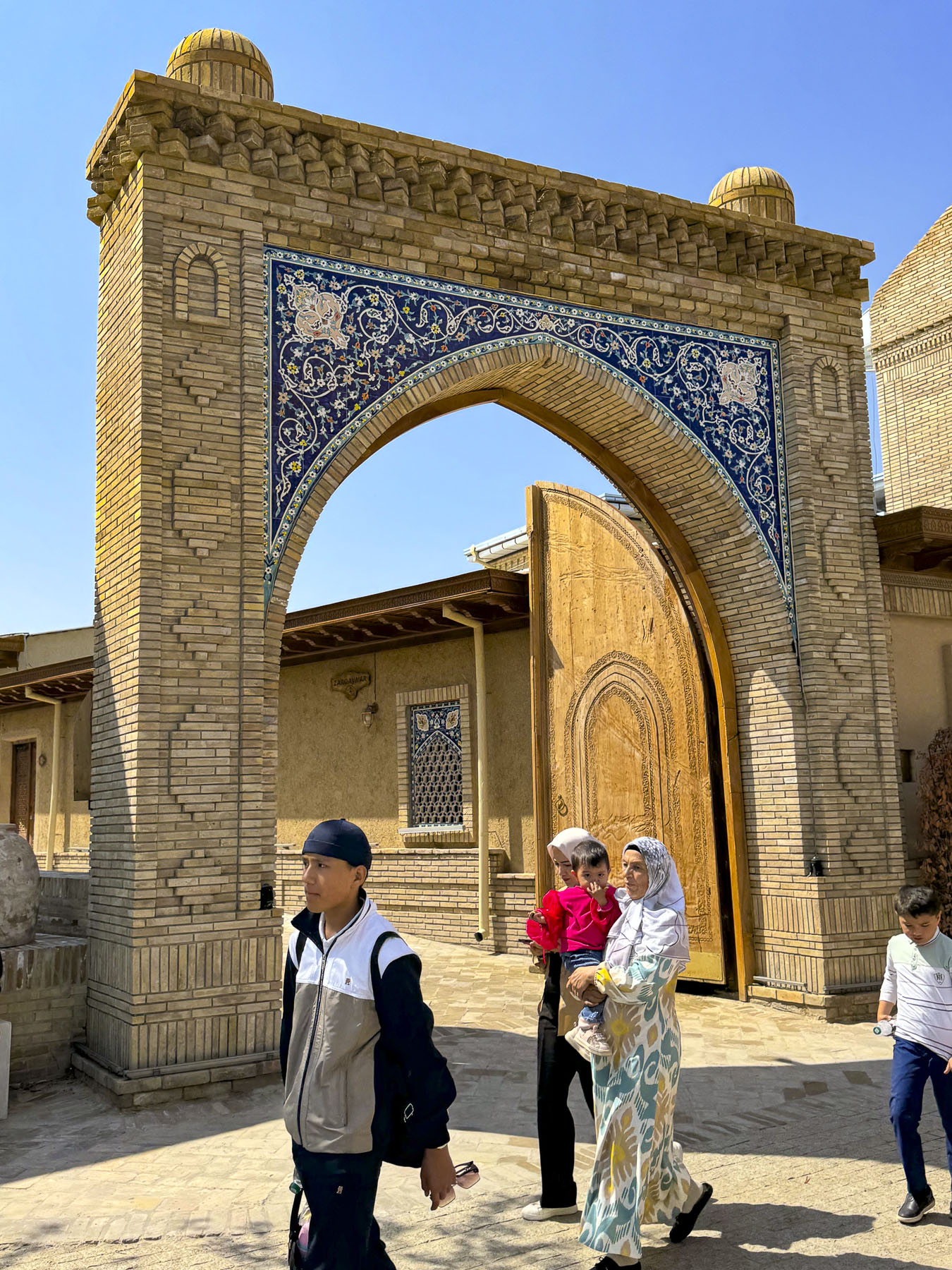
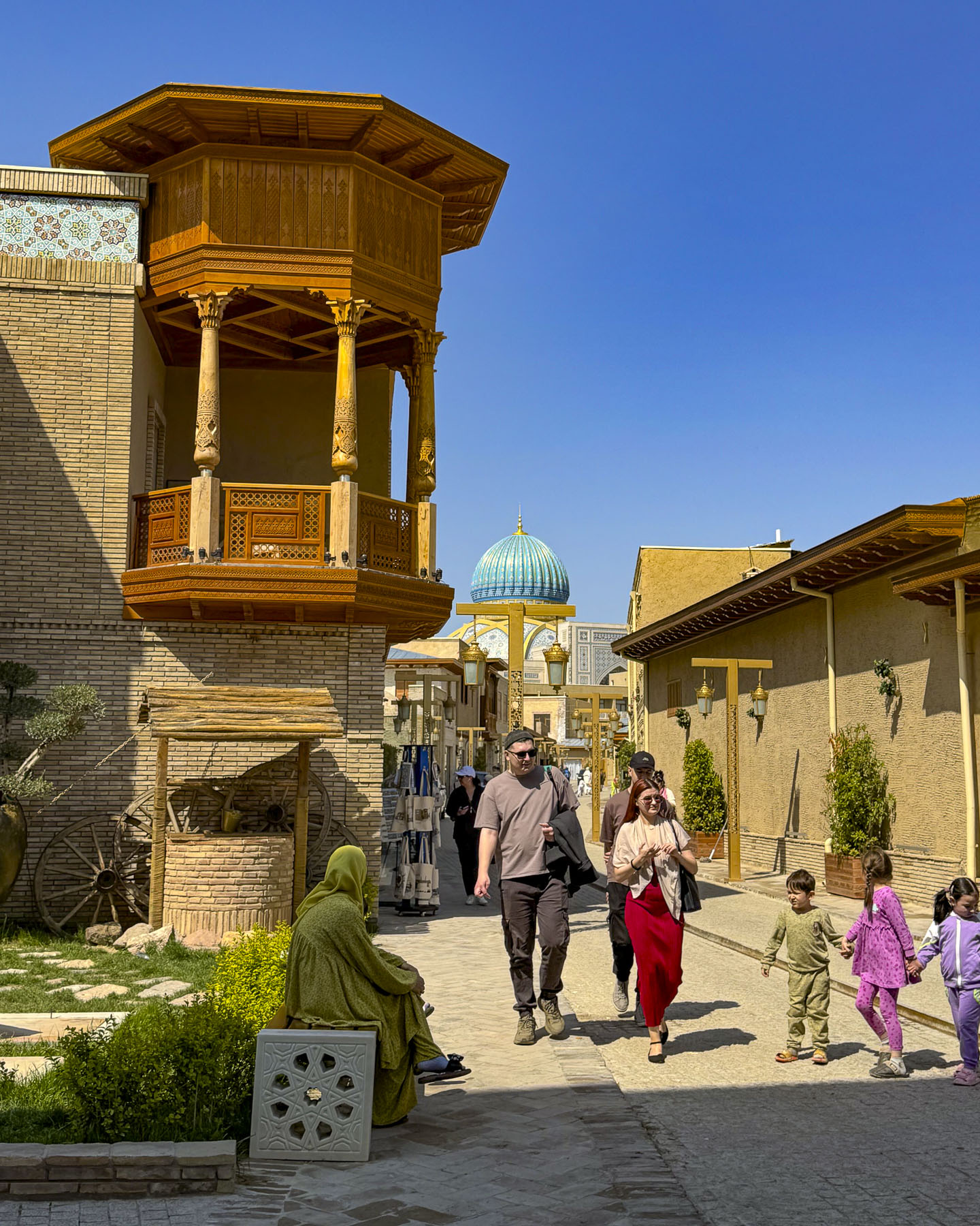
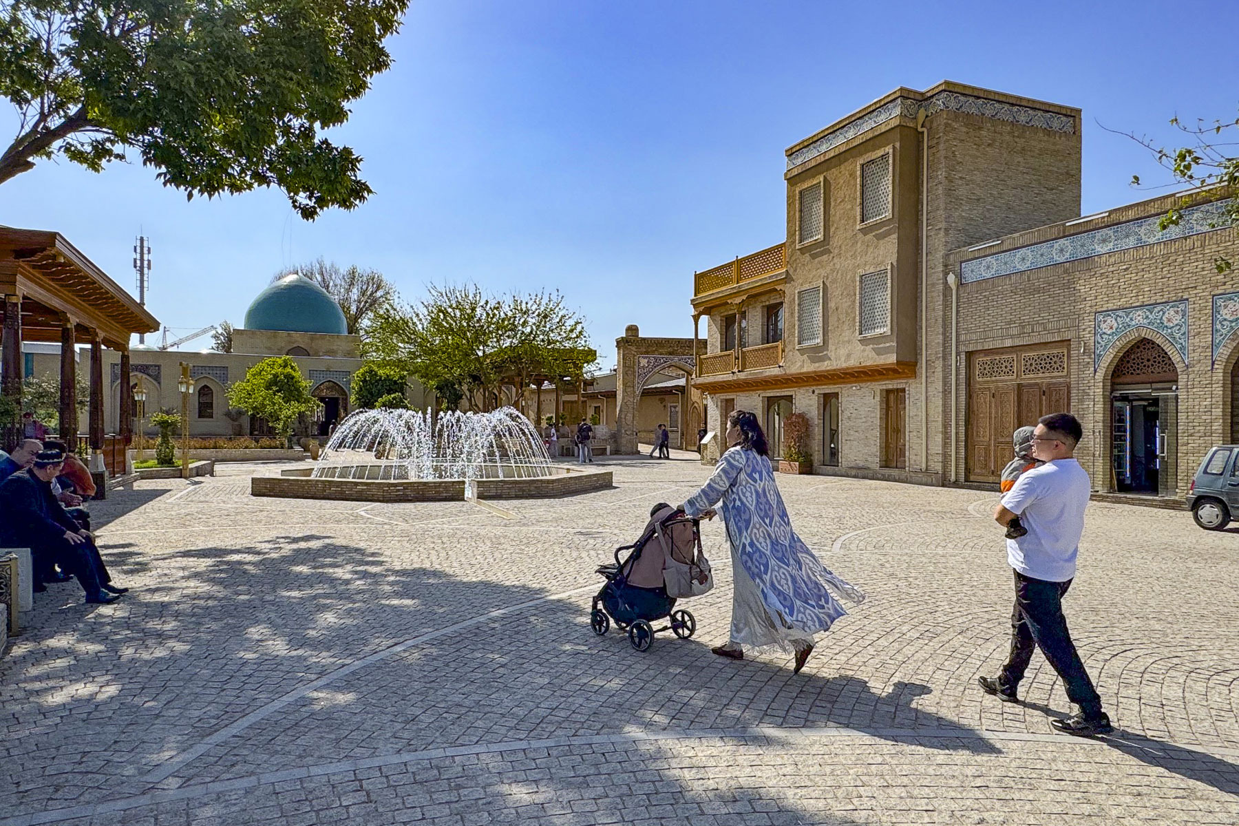
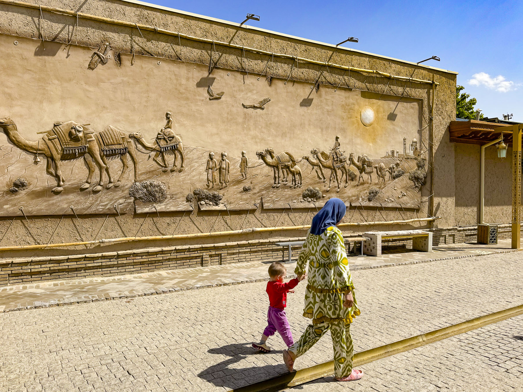
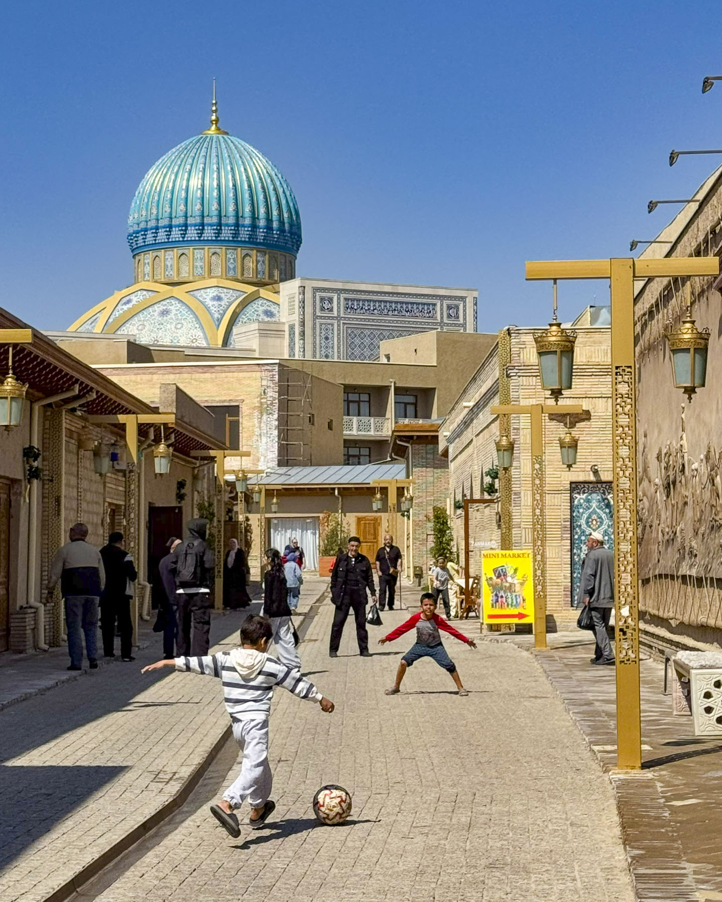
After leaving the market we crossed the street into the Hastimom Mahalla neighborhood, in the Almazar District and walked along Zarkaynar Street. The lane was recently renovated as part of an effort to revitalize the maze of narrow lanes in the ancient quarter that lies between the Chorsu market and the magnificent new Islamic Civilization Center.

The street was pristine with new historical murals and buildings shining with their new facelifts, but it lost much of its authenticity in the process and felt a little too touristy.  Young boys were enthusiastically kicking a soccer ball back and forth down the lane until a neighborhood buvi, grandmother, put a stop to their raucous play.

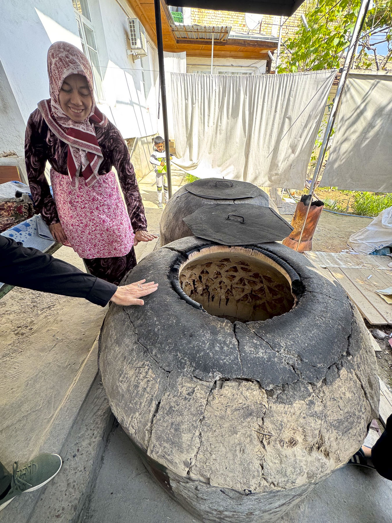
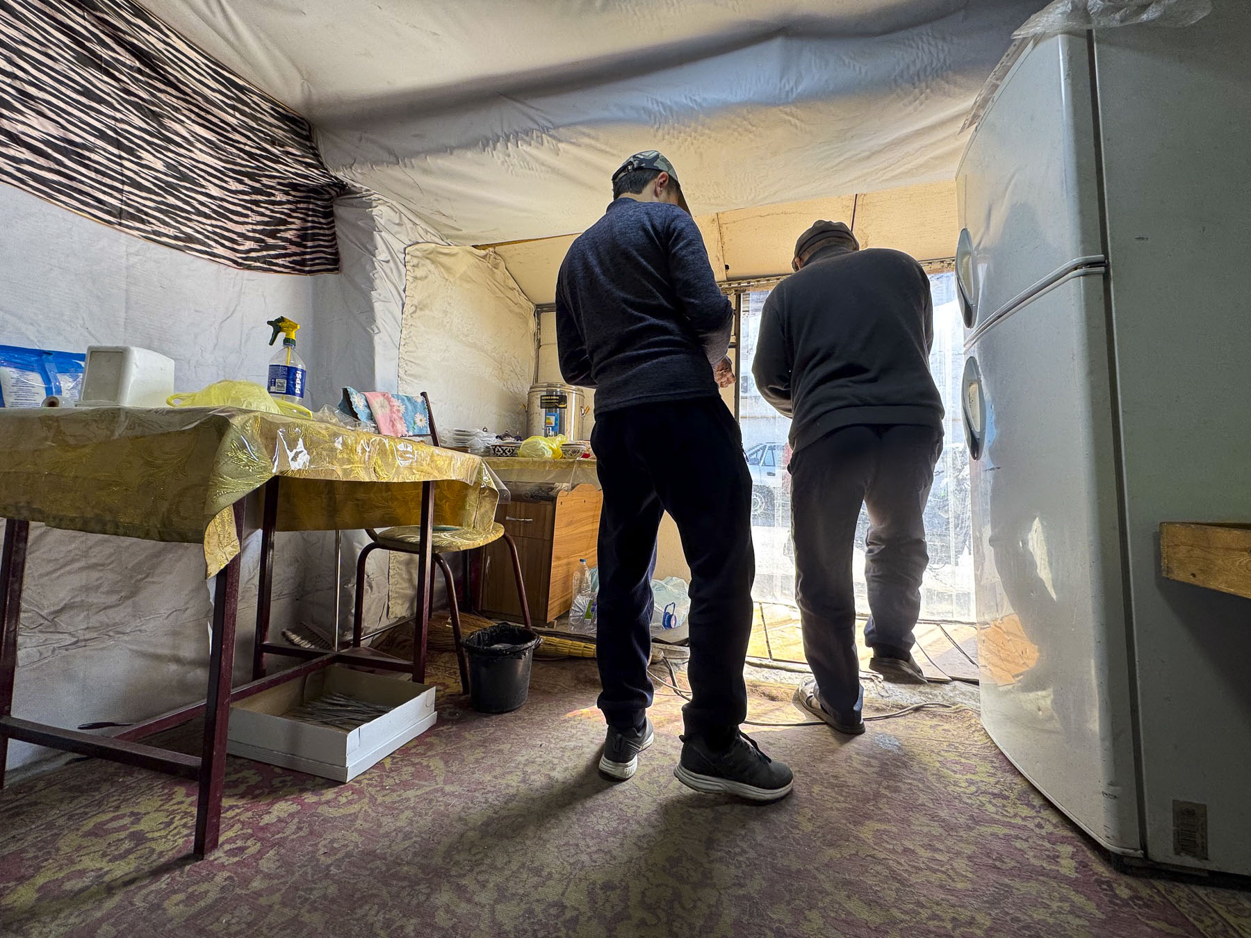
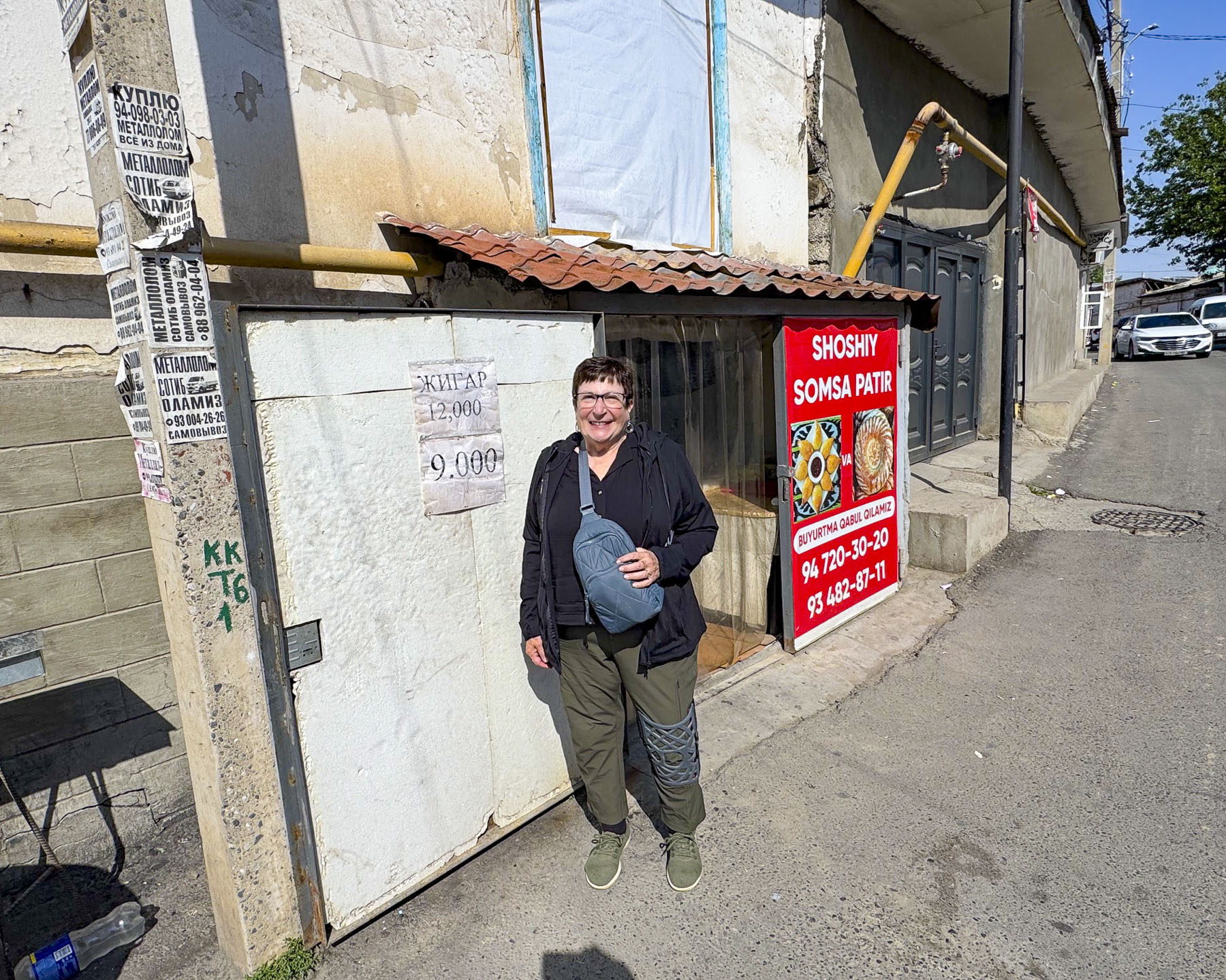
Fortunately, as we walked deeper in the mahalla, smaller alleys led to traditional homes still made of adobe brick that share a communal courtyard called a sheriklikli hovli. It was down one off these lanes that we hoped to find Tandyr Samsa V Dome, a small family run bakery in a hovli that is acclaimed for their samsas, a savory pastry filled with meat, chicken or potato, and then baked in a traditional wood-fired clay oven called a tandir. We had a very difficult time finding it. In this labyrinth our mapping app got us close, but eventually we just had to try different lanes until we discovered the right one. Unfortunately, by the time we found the right hovli, baking for the day was over and the family encouraged us to come back earlier on another day. It was very late in the afternoon when we stopped at a small nondescript restaurant, with a plastic pullback sheet as a door, and one low table and cushions on the floor. The owner was delighted we stopped and shared his experience about working the United States for a short time, while serving his many neighborhood customers who came in to get their takeaway orders. Our meal was very simple, just kebabs and non, but it was delicious and memorable.

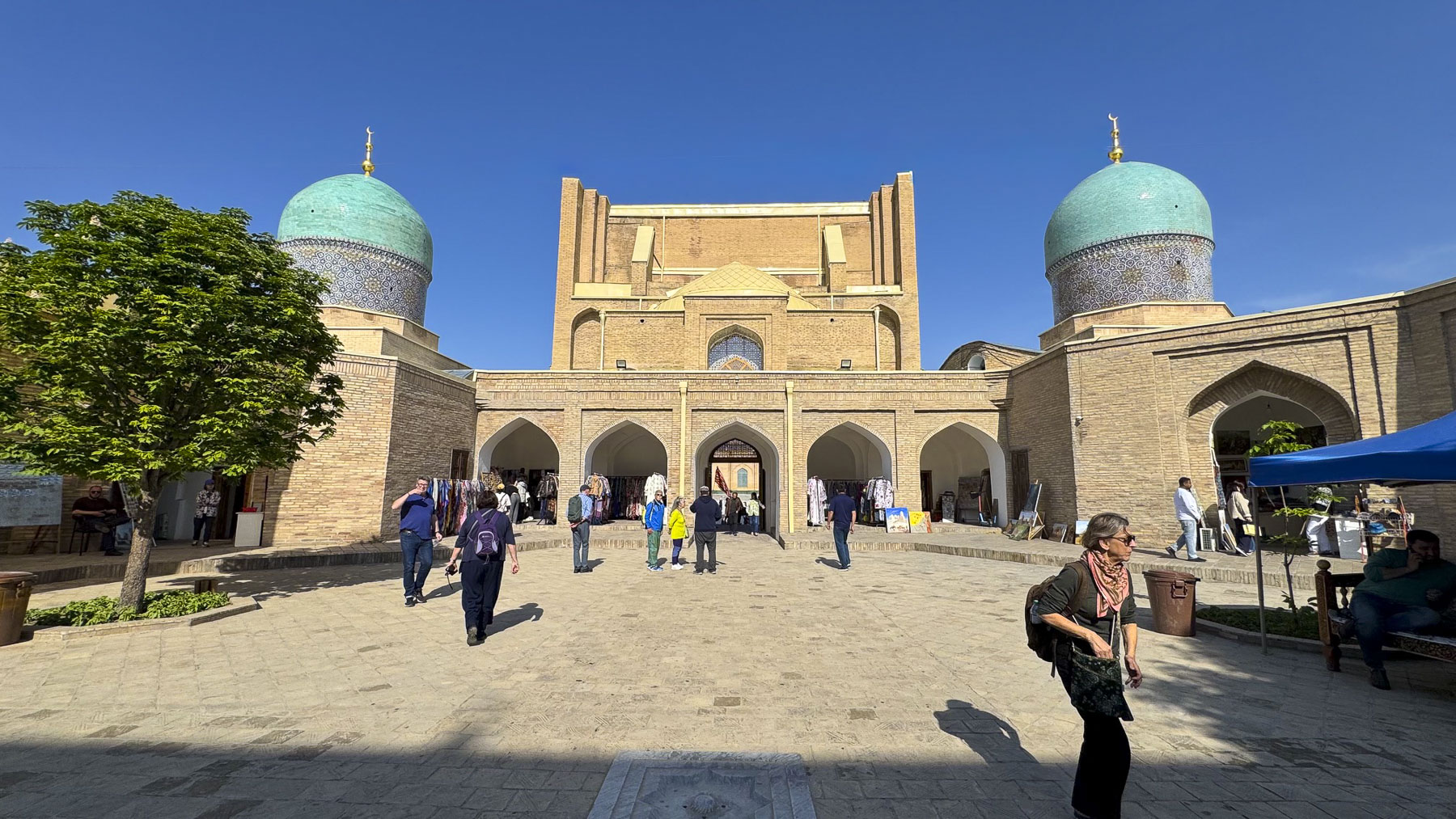
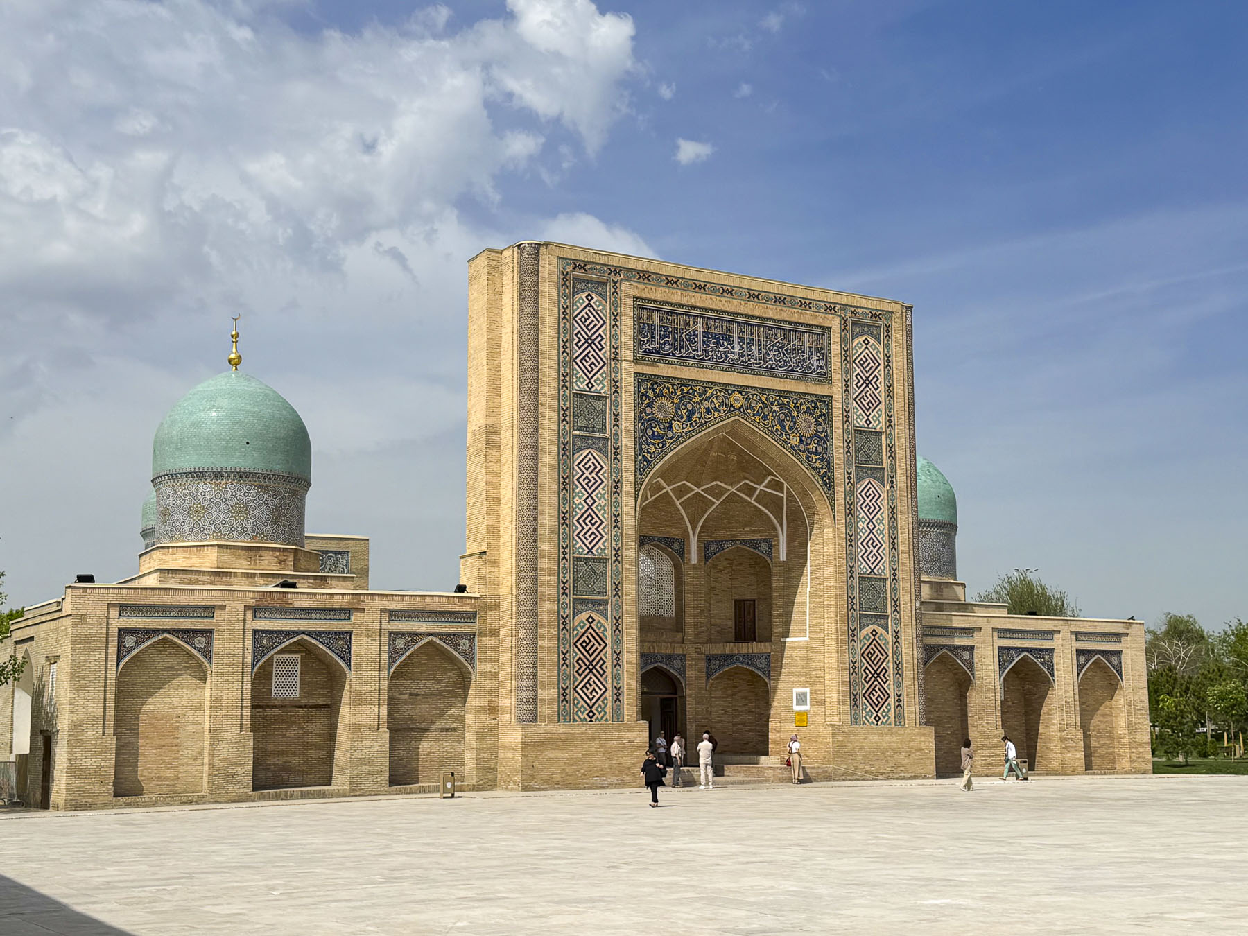
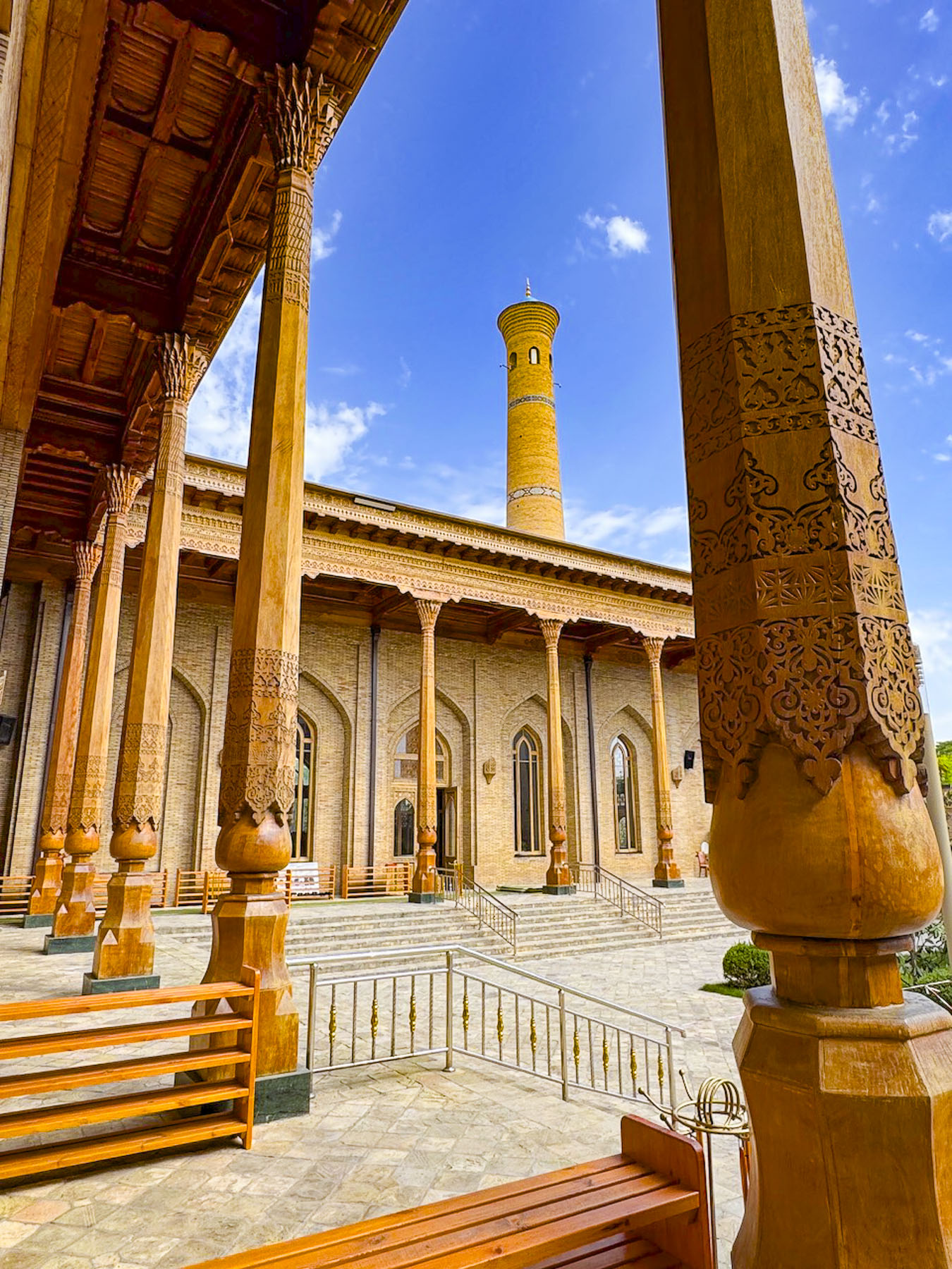
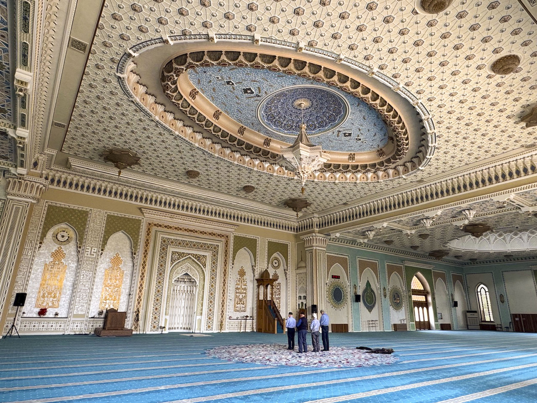
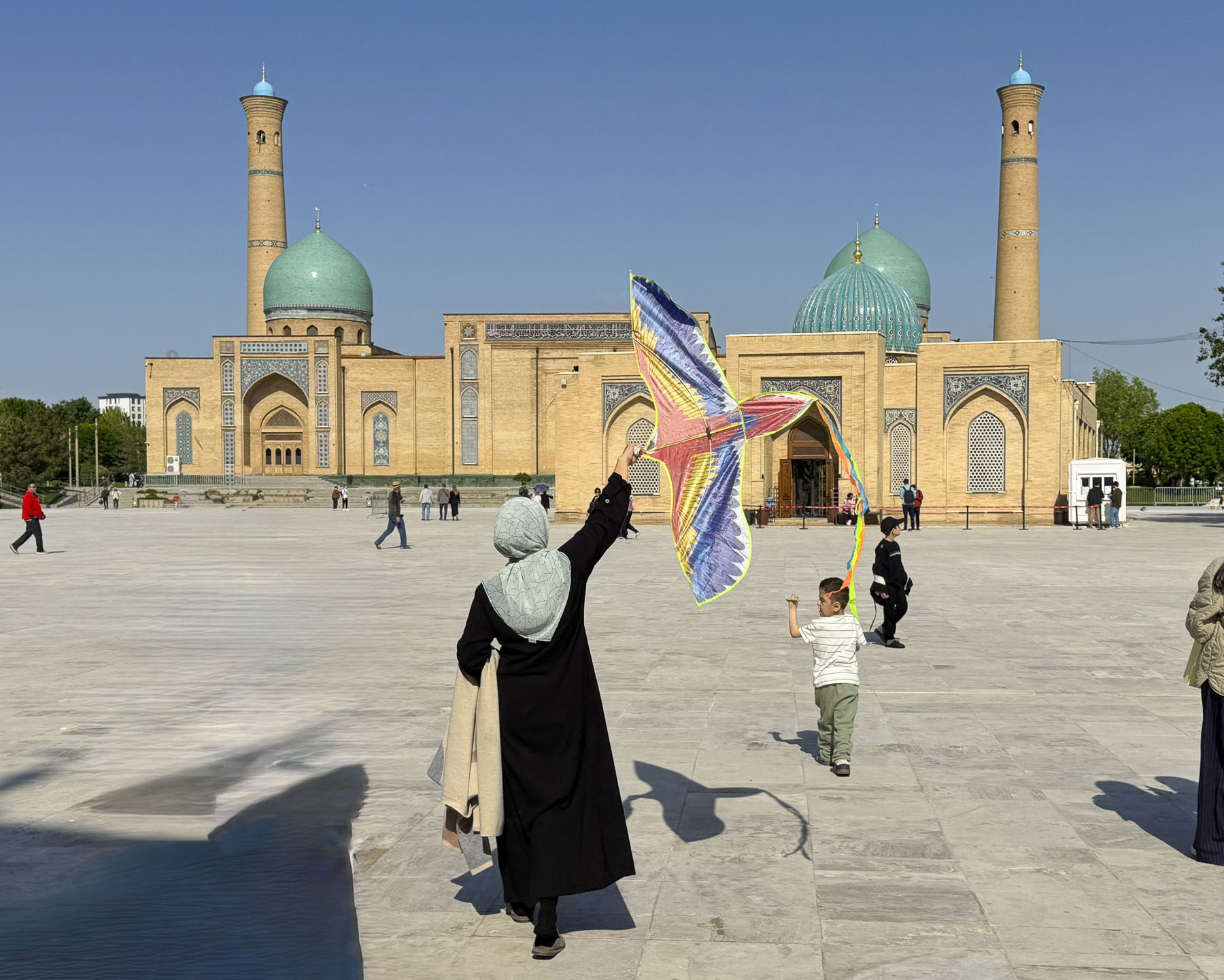
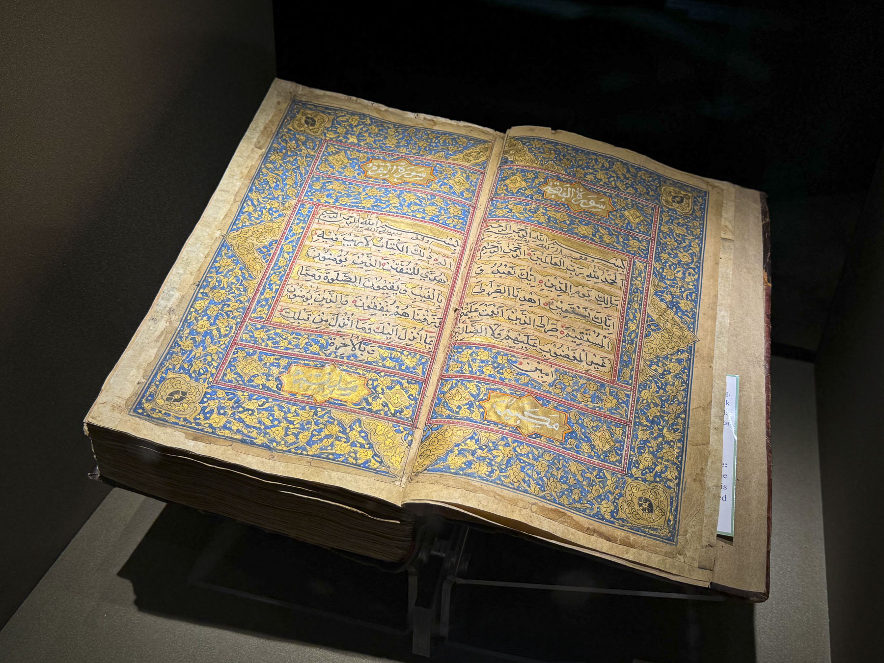
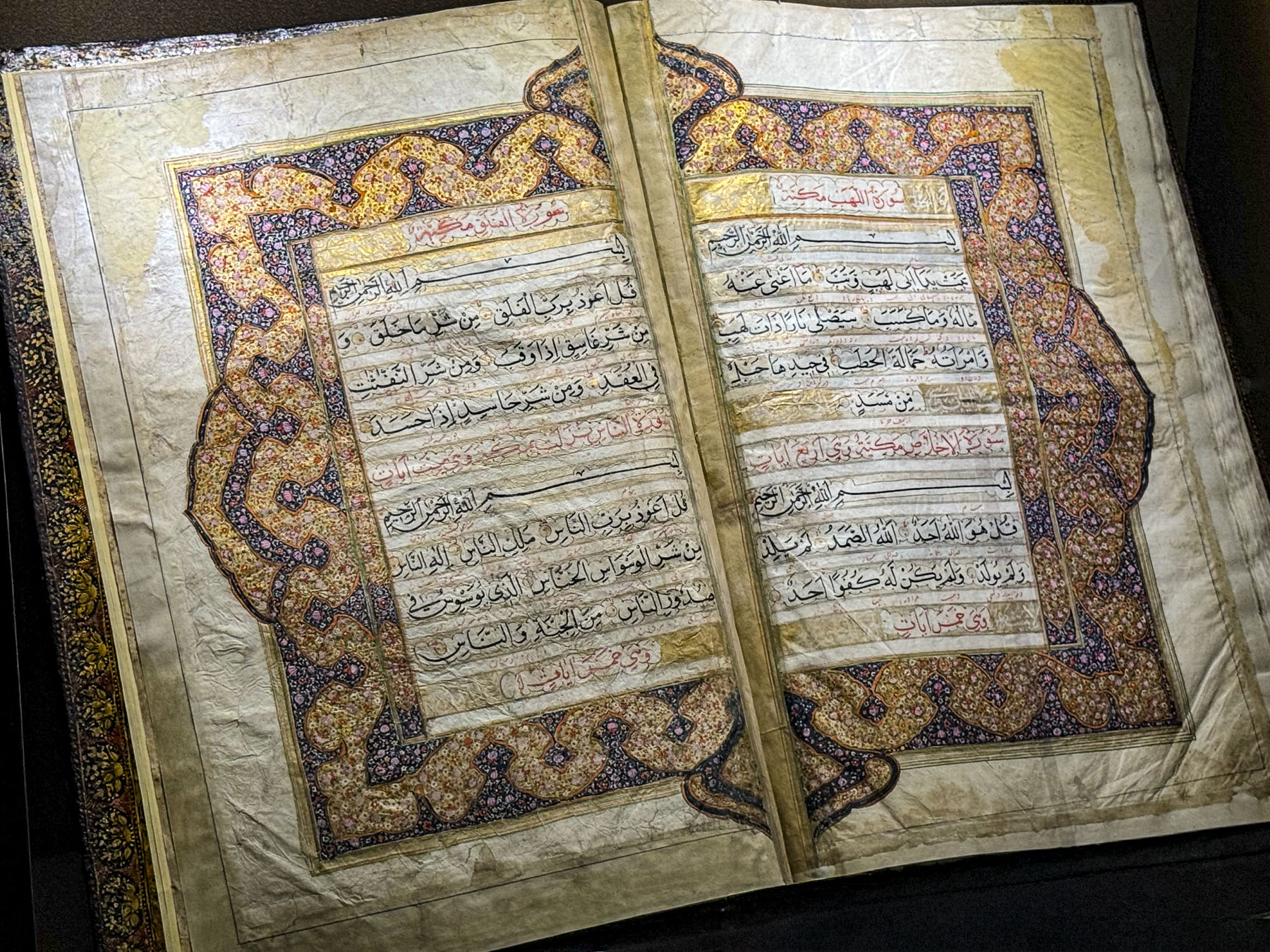
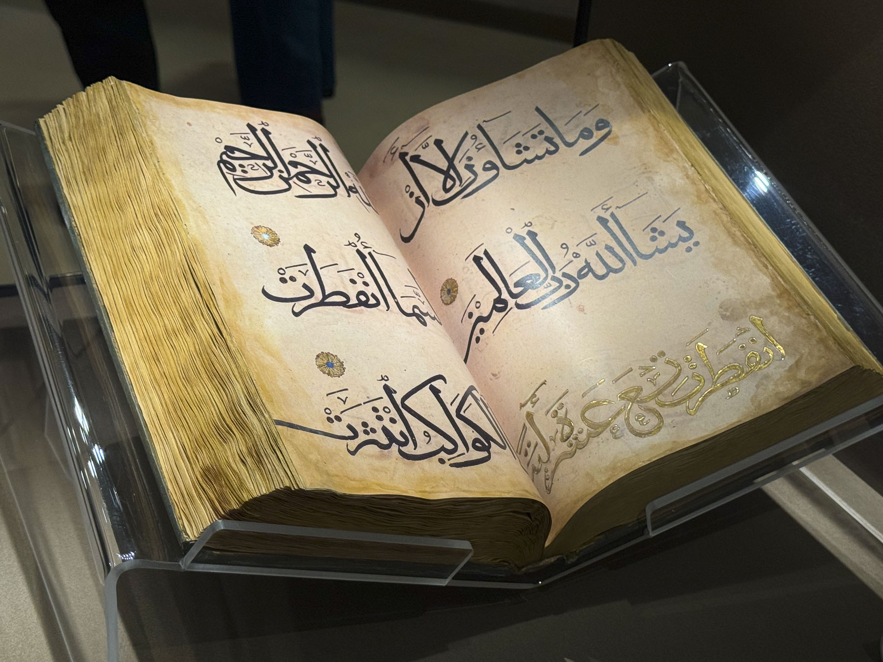
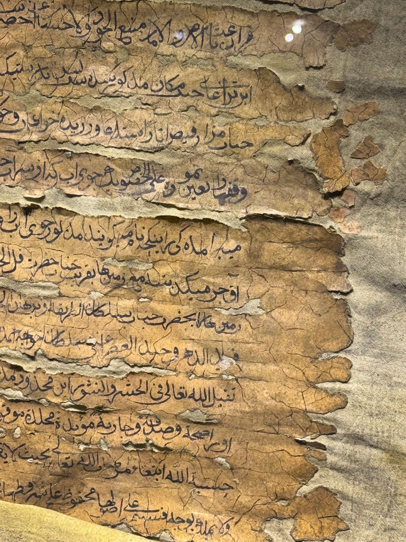
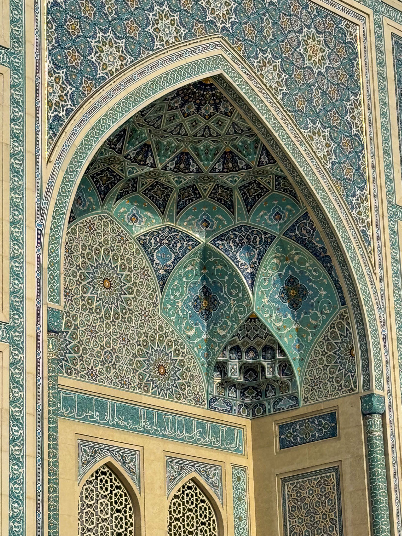
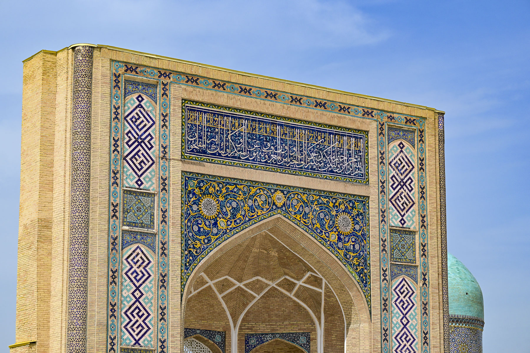
Afterwards we headed to the Hazrati Imam Complex, an ensemble of buildings around a large plaza that include the16th  century madrasah Barak-Khan, that is now a crafts center, the 19th century Muyi Muborak Madrasah, which now exhibits a collection of ancient Islamic manuscripts, and the Hazrati Imam Mosque completed in 2007.

They were built around the Mausoleum of Hazrat Imam, which had become a pilgrimage site. Hazrati was a brilliant 10th-century polyglot and local locksmith who went by the name of Kaffal al-Shashi before pursuing his religious studies in Baghdad, Mecca and Medina. Upon returning to Tashkent he became one of the town’s first local imams and received the title Hazrat Imam. Beloved, he came to be regarded as the chief spiritual protector and patron of Tashkent.

The complex is one of the few large open spaces in the Almazar District, and it’s a popular spot for local families to bring their children to learn how to ride bikes and fly kites.

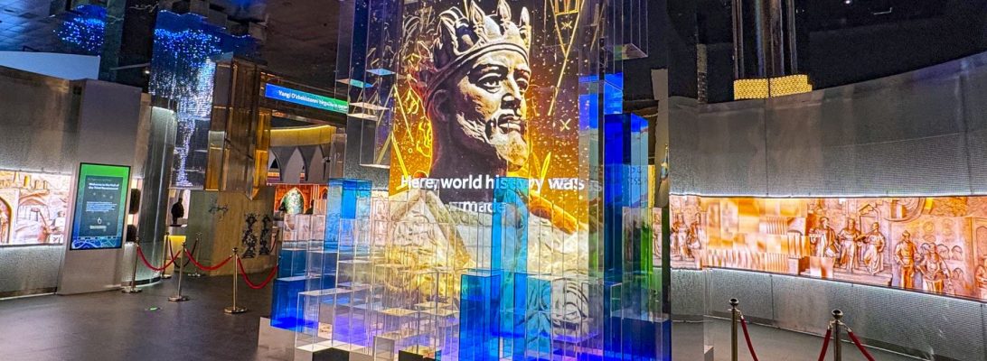
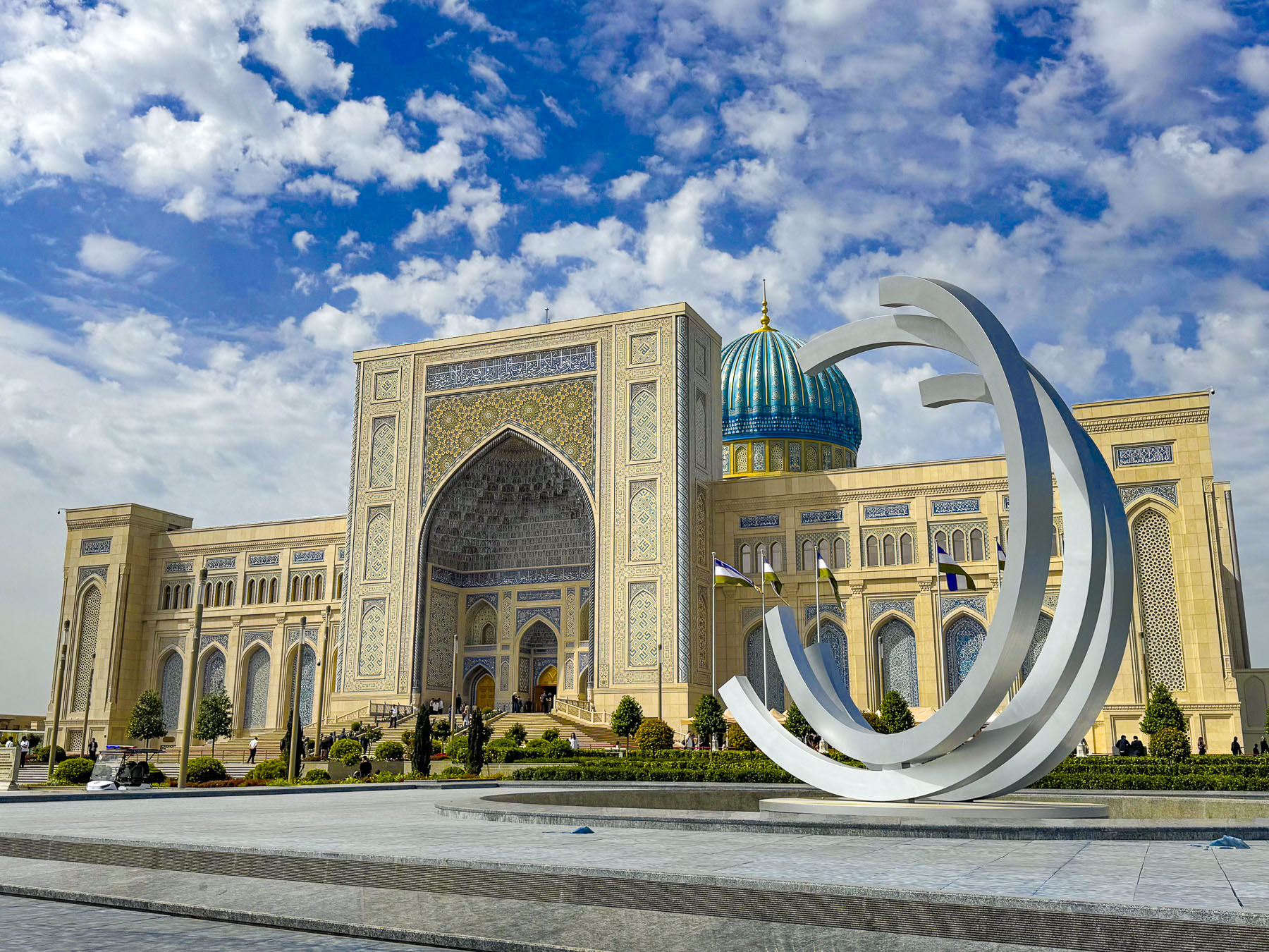
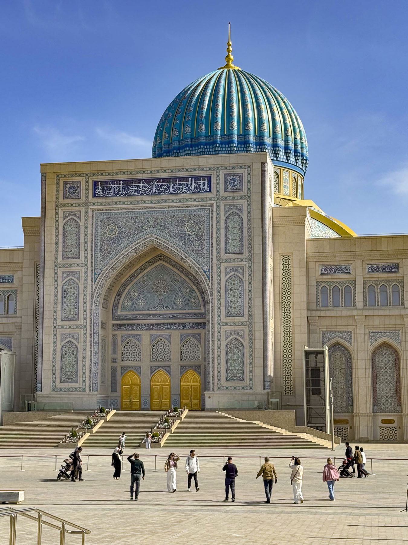
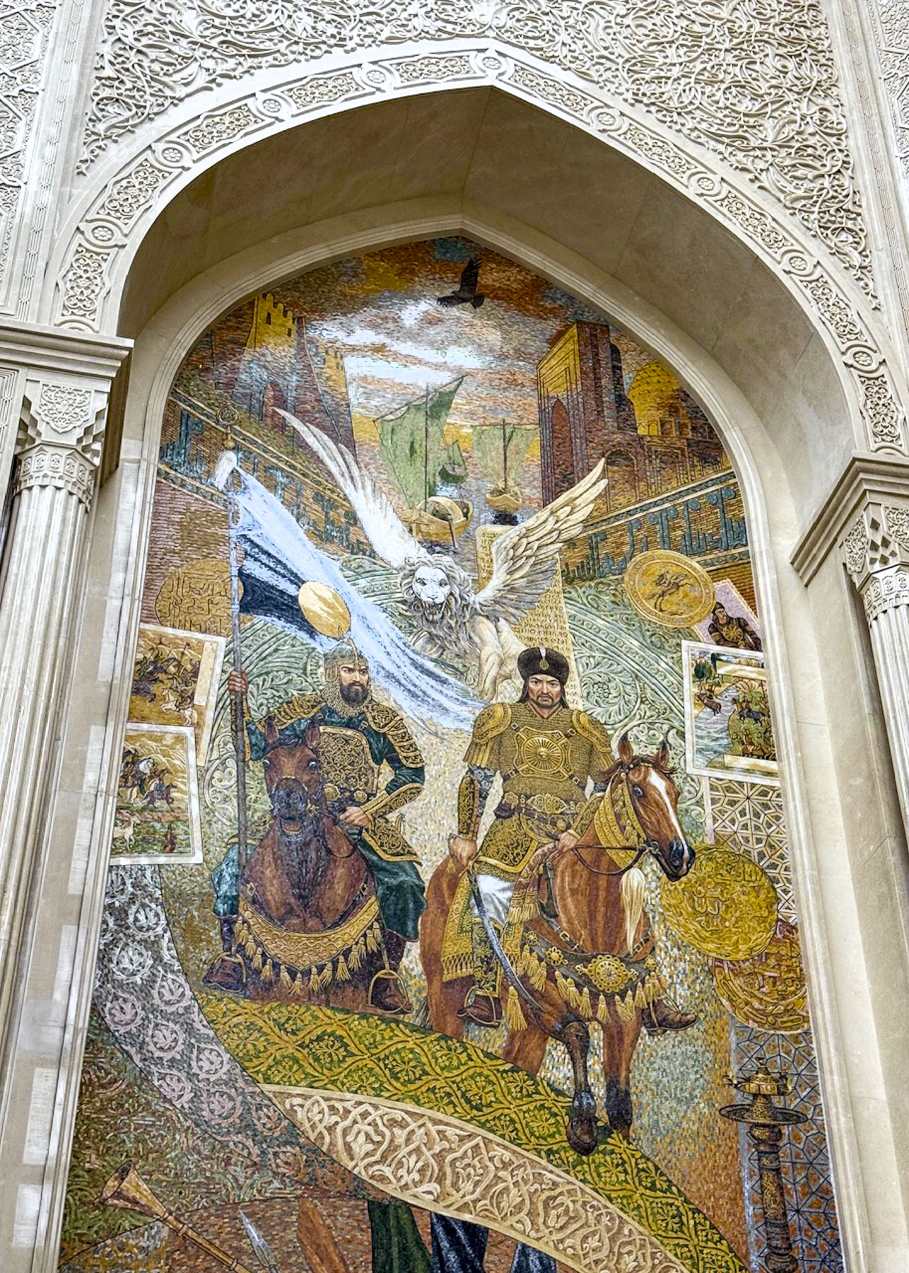
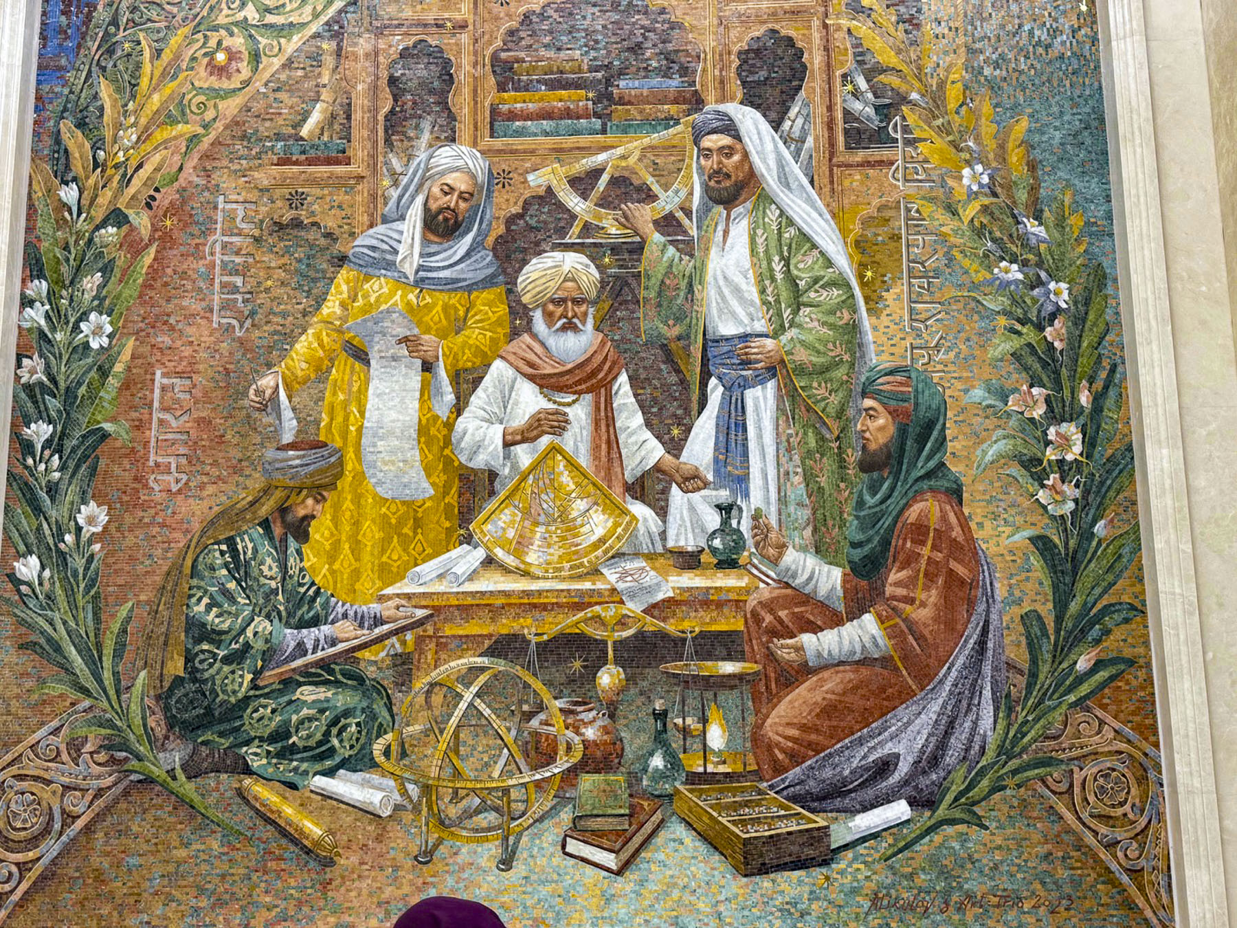
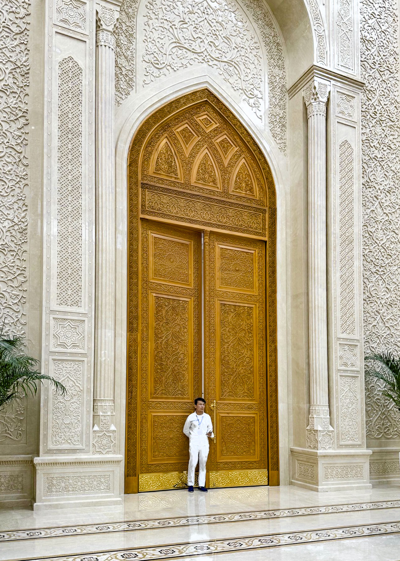
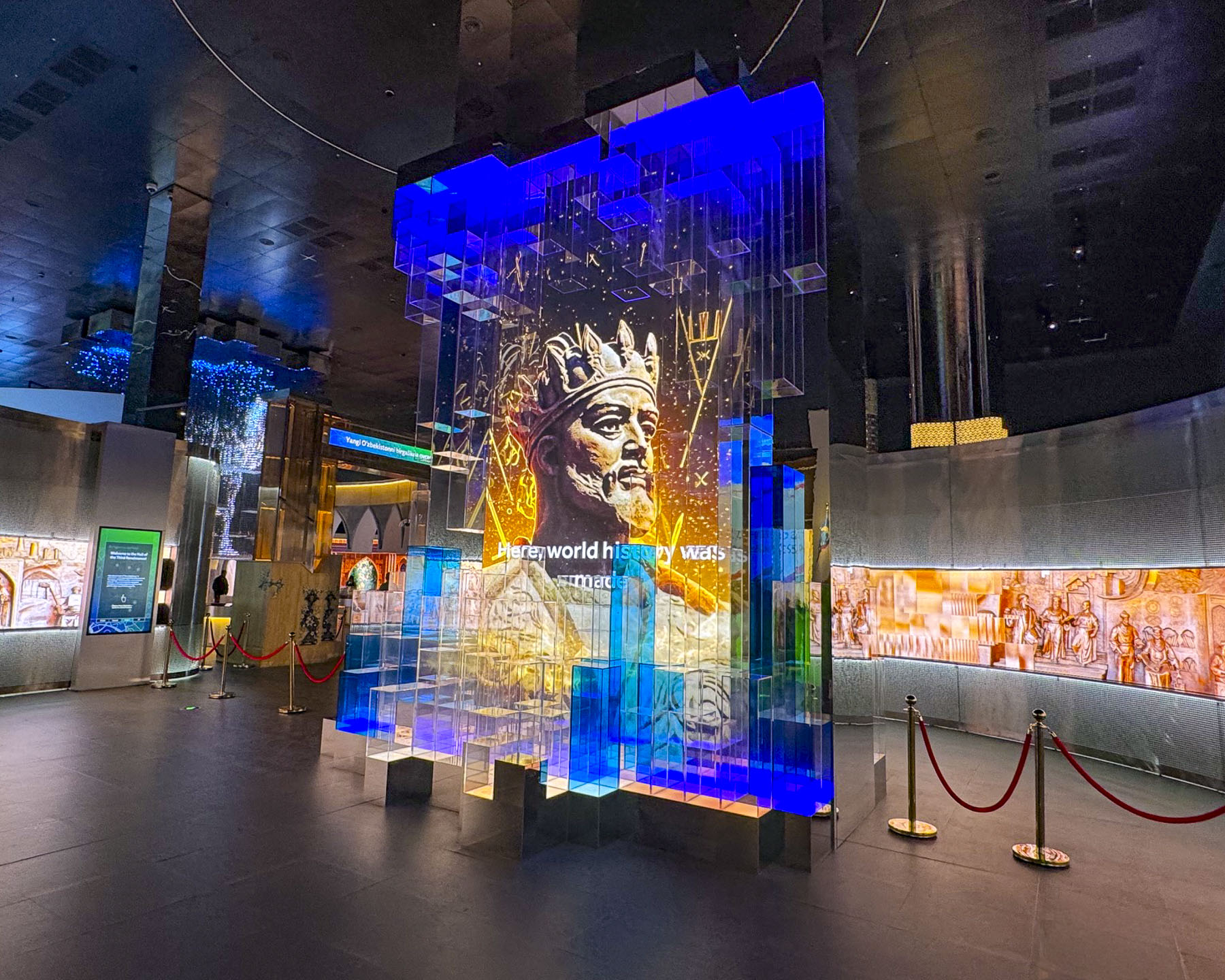
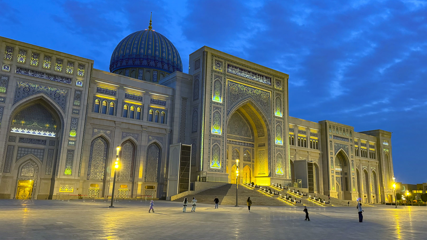
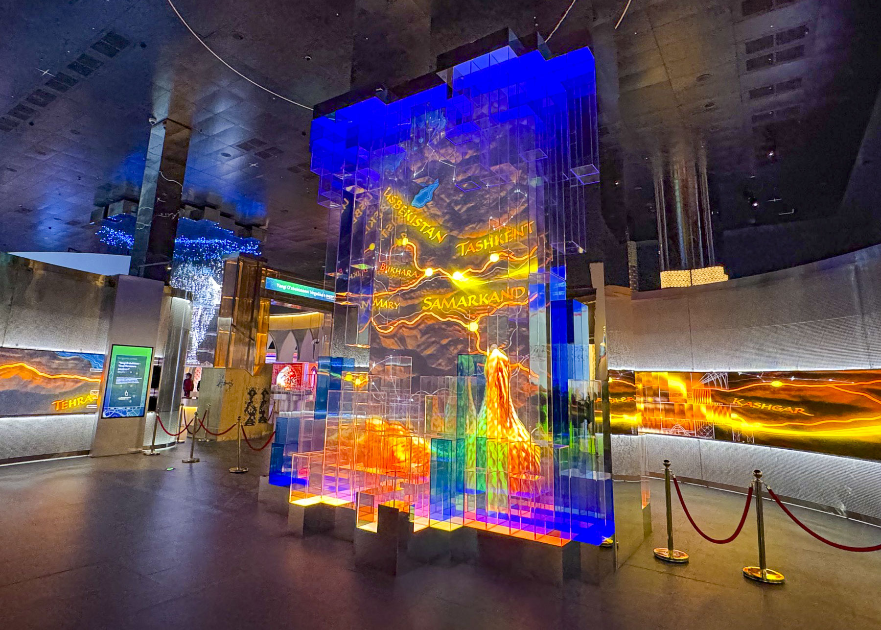
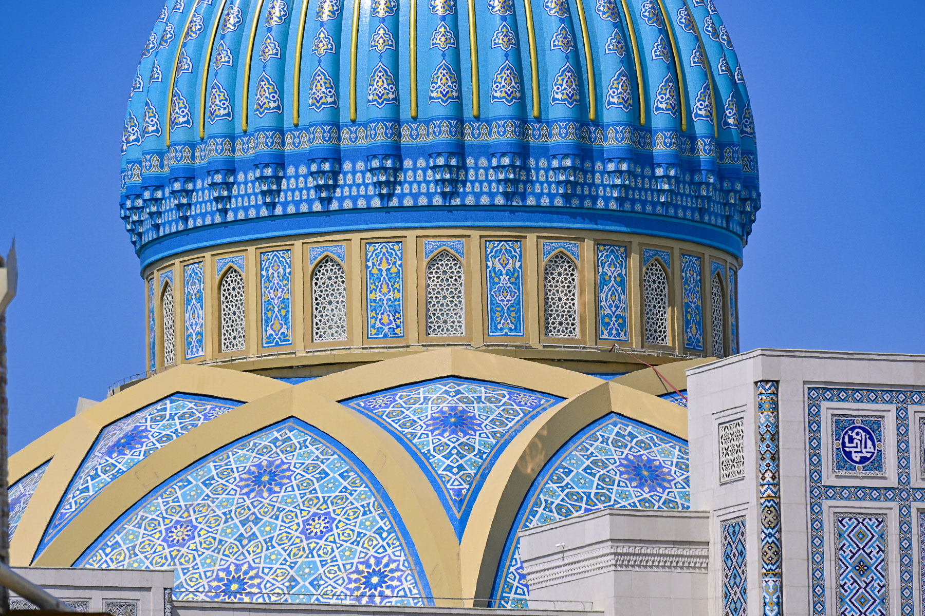
Next to the Hazrati Imam Complex is the Islamic Civilization Center, a newly opened museum, “conceived under the vision and leadership of Uzbekistan’s President Shavkat Mirziyoyev in 2017. The Islamic Civilization Center was envisioned to be more than just a museum, but function as an international hub for science, culture and learning, combining the richest treasures of pre‑Islamic and Islamic heritage of Uzbekistan with modern digital technologies and academic research.” The center’s striking design took inspiration from the architectural masterpieces constructed by the Timurid Empire in the 15th and 16th centuries.

The ICC was not on our radar when we planned our trip to Uzbekistan, but we were delighted to find that the center stays open until 10pm every day, and seeing that the queue for entrance into the museum was very short we spontaneously purchased tickets. Upon entering the building folks were divided into small tour groups determined by the language they spoke and then led through the exhibits with a bilingual guide.

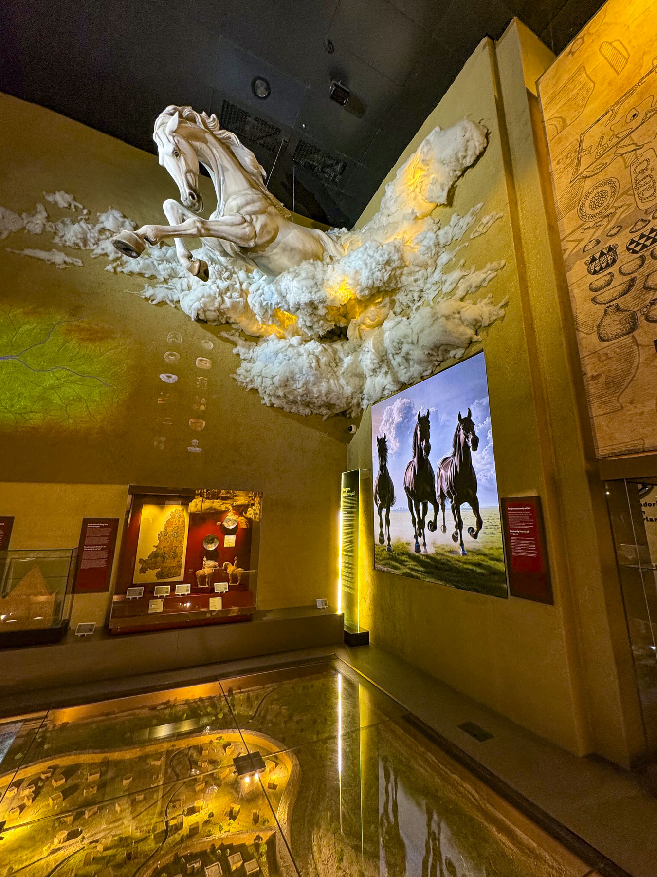
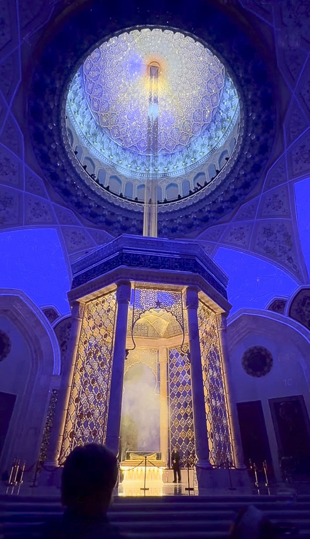
It’s a huge building with over 2,000 historical items, manuscripts, and cultural artifacts on display, 743 of which have been repatriated from international collections, and a 45,000-book research library. It was a fascinating tour that lasted about two hours and ended in the Quran Hall with a dramatic multimedia event where sacred verses of the Quran were projected onto a digitally created night sky in the 65m (213ft) tall dome, directly over the treasured 7th-century Uthman Quran, and a holographic beam of light descends from the heavens to spotlight the manuscript, representing divine revelation.

Though the constitution of Uzbekistan defines the country as a secular state, there are some concerns about how heavily religious freedoms and activities are restricted and monitored by the government in Uzbekistan. The Islamic Civilization Center is part of Uzbekistan’s efforts to reclaim its history and Islamic heritage for the next generation, information which was repressed during the 67 years the country was under the Soviets Union’s control.

Exiting the building just before sunset, we had the opportunity to take some night photos of the dramatically illuminated building before enjoying dinner several blocks away at the Khan Ahmat, an upscale eatery.

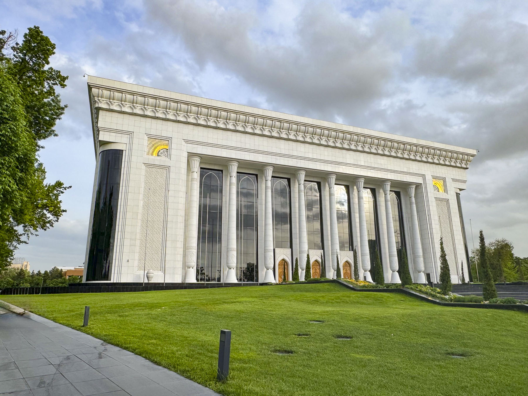
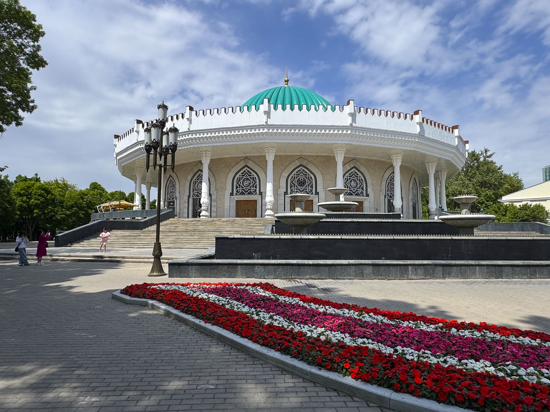
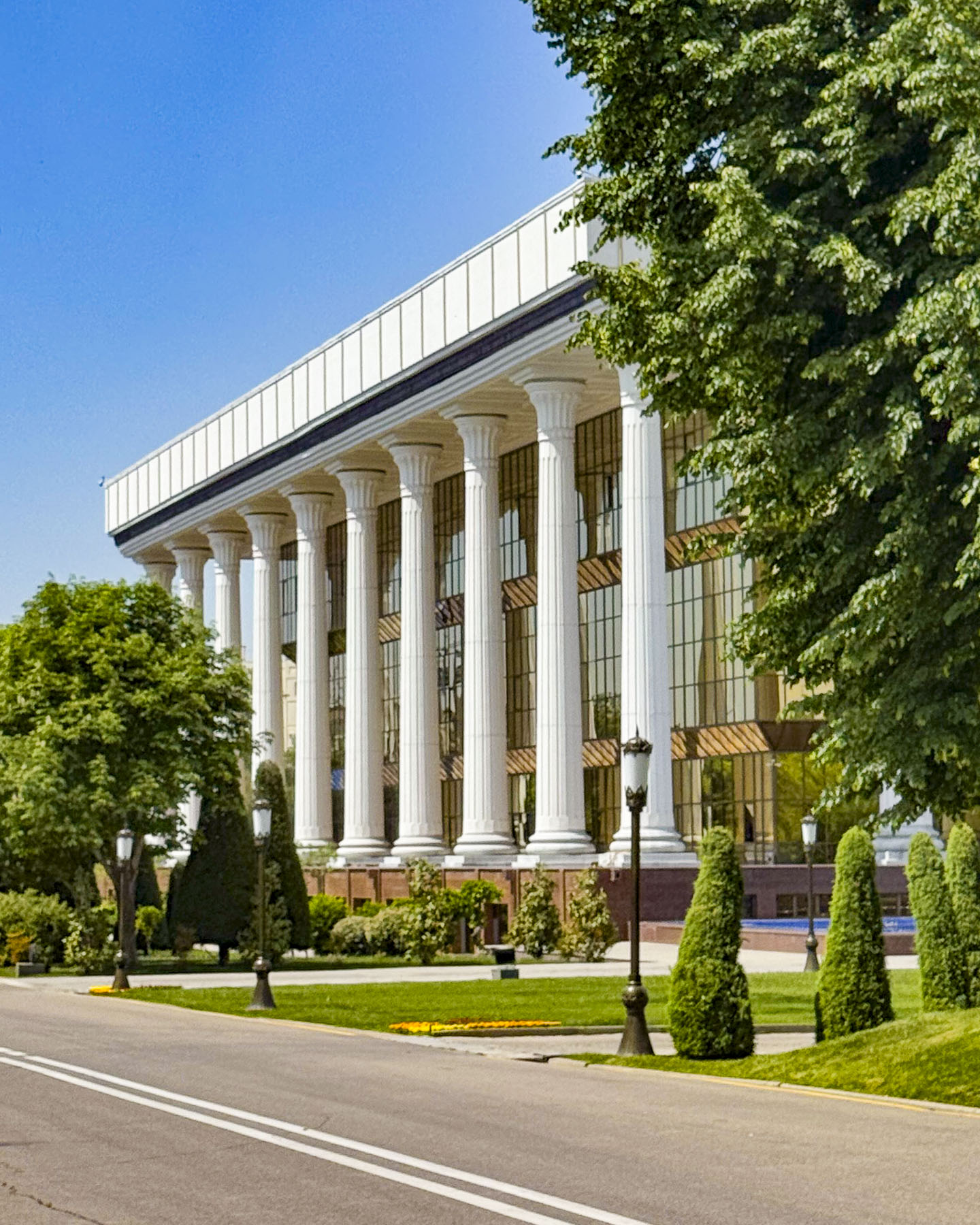
The next day we set out to see the landmarks next to our hotel before exploring farther afield – the Palace of International Forums Uzbekistan, is a modern conference hall opened in 2009, marking the 2,200th anniversary of Tashkent, and the 18th anniversary of the country’s independence; the circular shaped State Museum of the Temurids, which houses a collection of artifacts relating to the 14th century ruler Tamerlane; the Yuridik Instituti (the Tashkent State University of Law) housed in a late 19thcentury building. It is one of the few examples in Tashkent of Tzarist Russia Emperial architecture to survive the 1966 earthquake.

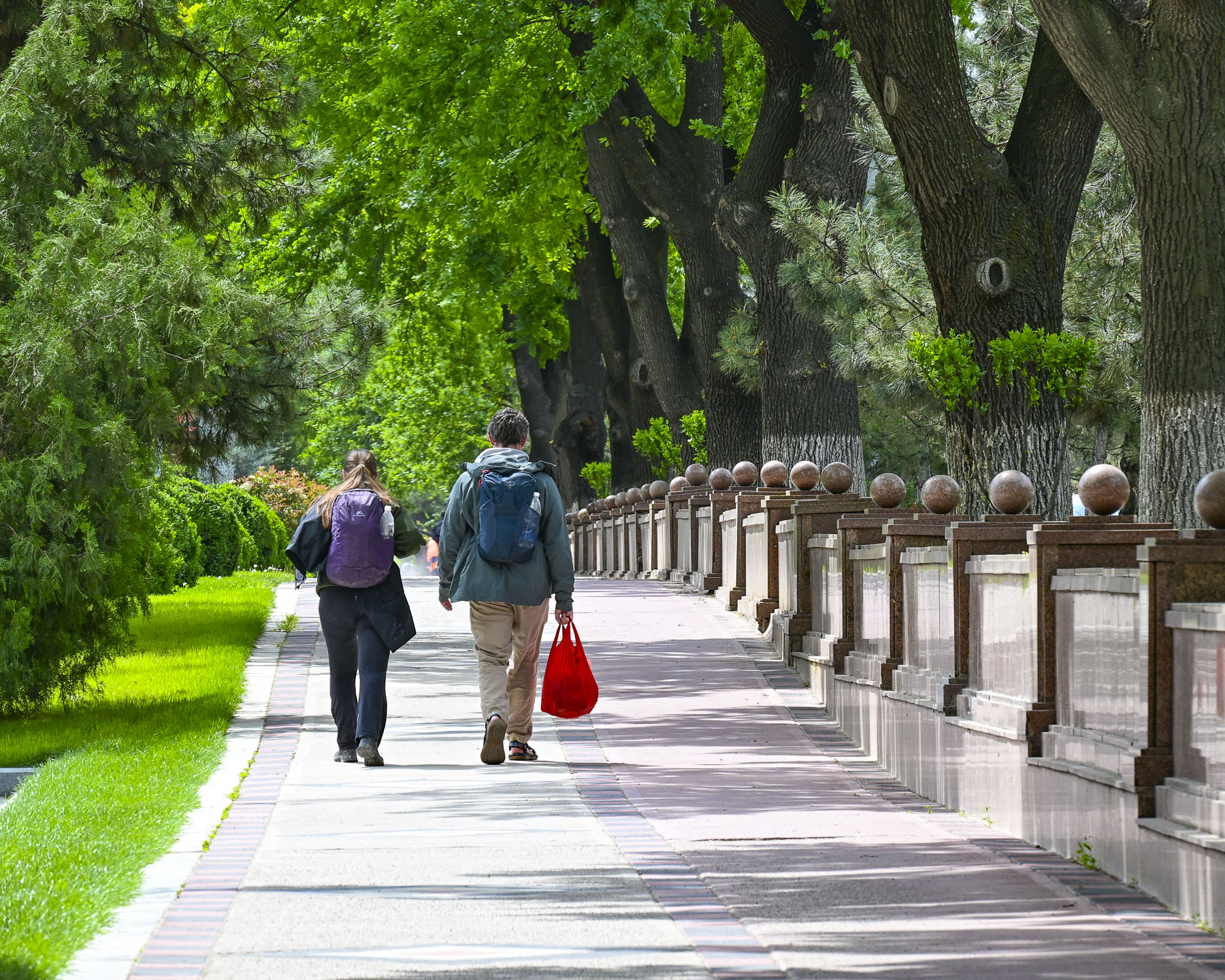
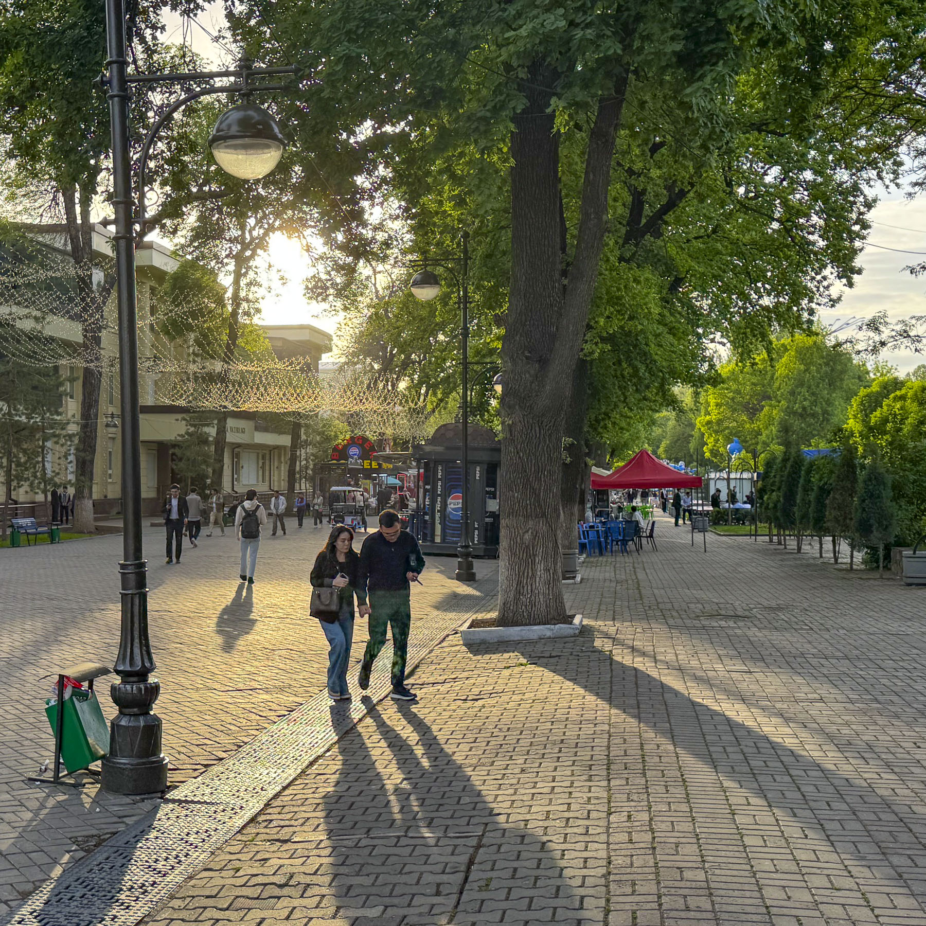
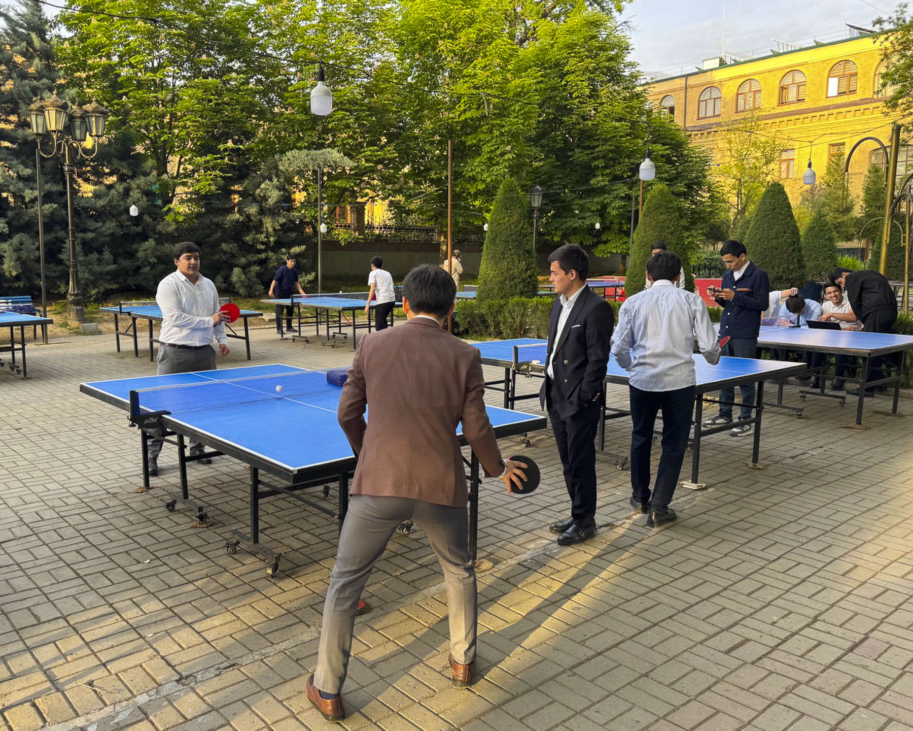
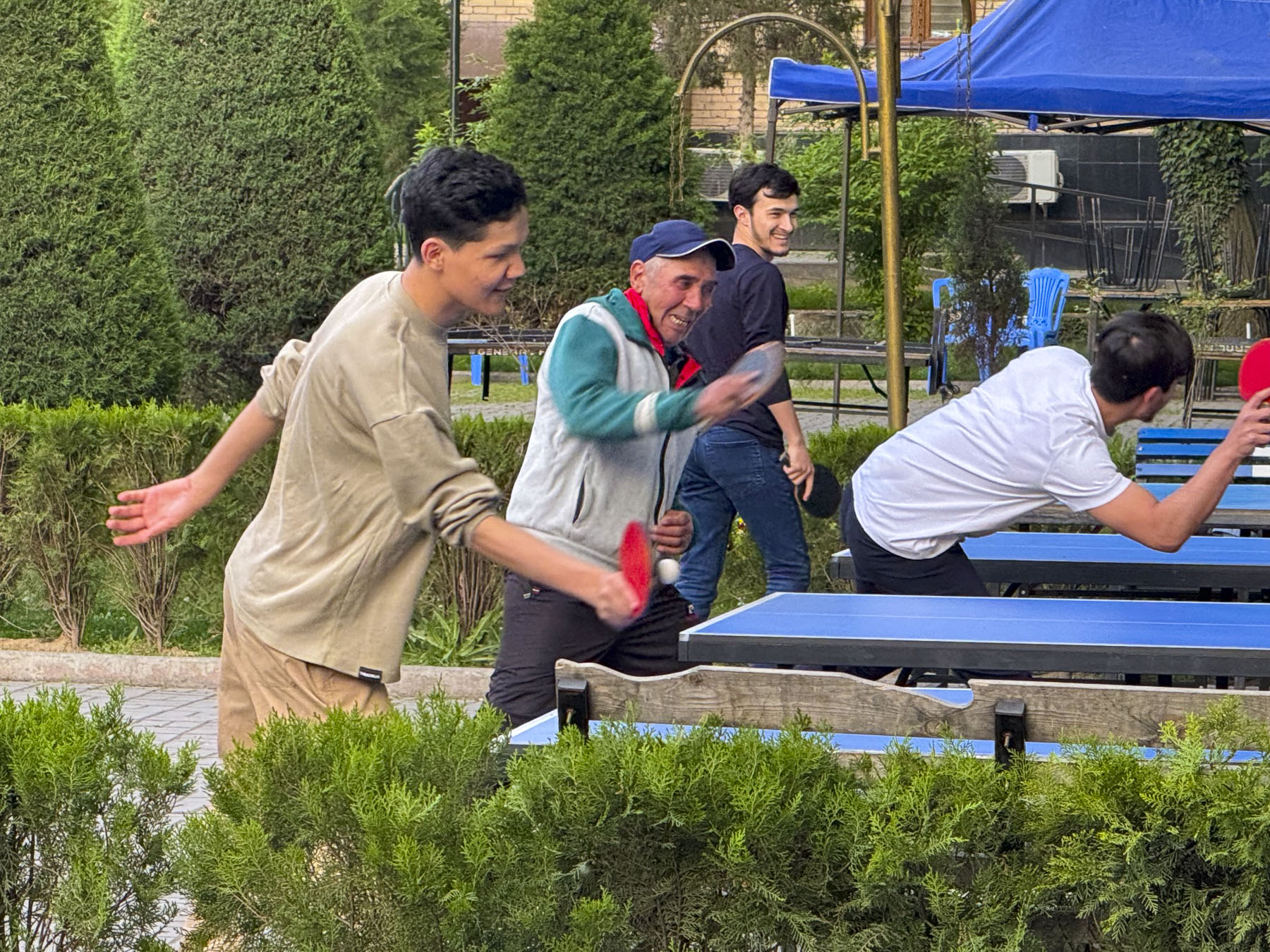
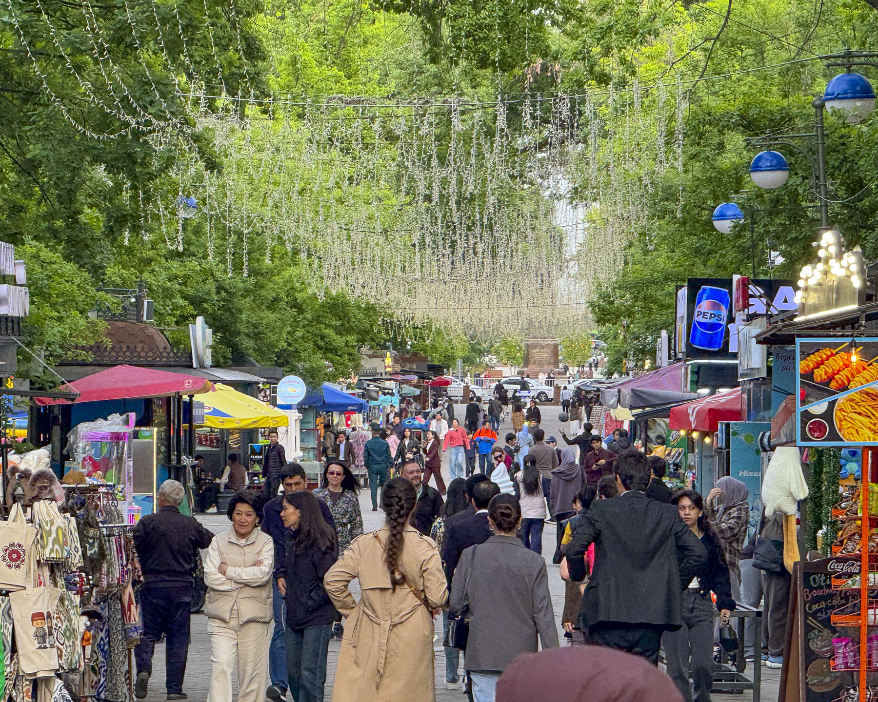
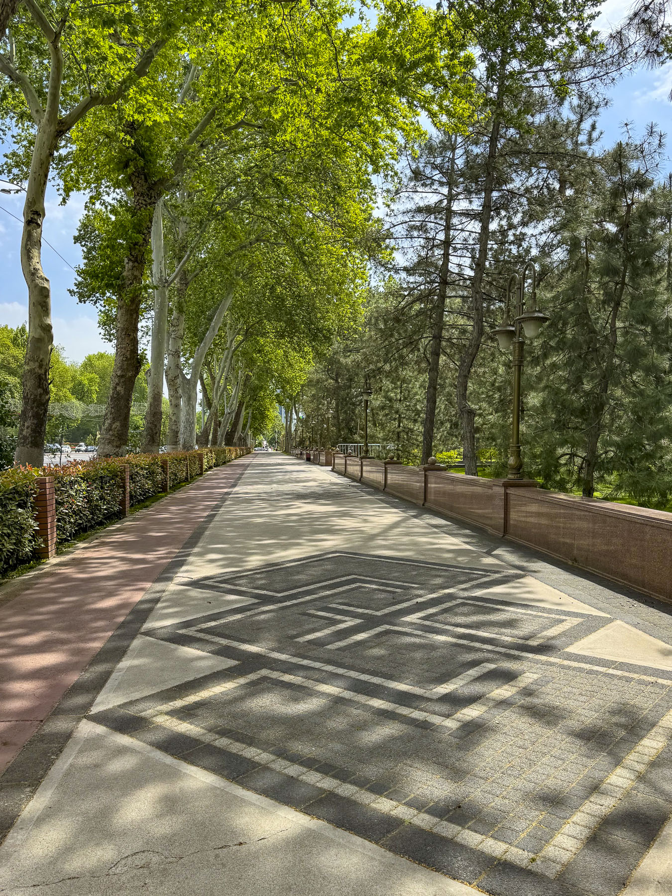
Turning the corner past the school we entered Sailgokh Street, a wide, treelined 1km (6/10mi) long, pedestrian-only boulevard that links Amir Timur and Independence Squares, that’s locally known as Broadway. Sunlight reflected through party lights strung across the street that was lined with food stalls and outdoor seating. Behind them students from the university were challenging their professors to games of ping-pong at numerous tables along the sidewalk. Caricature artists whiled away the time waiting for customers to sit in front of their easels as parents watched their young children scoot about in electric toy cars. It’s a popular destination to grab an inexpensive meal or dine at one of the fancier restaurants along the walkway.

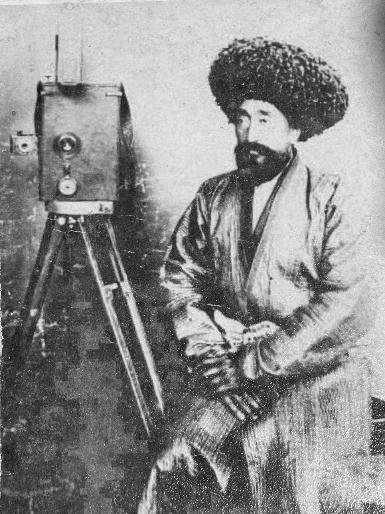
Surprisingly on this street in 1928 Tashkent was on the cutting edge of technology, when a crowd had gathered to watch the first-ever telecast showing a moving tram, made with a device called a Telephot, created and patented by Boris Grabovsky, a student at Tashkent University, and the son of the famous Ukrainian poet, Viktor Popov. Unfortunately, by 1930 he was forced by Soviet officials to stop working on television technology.

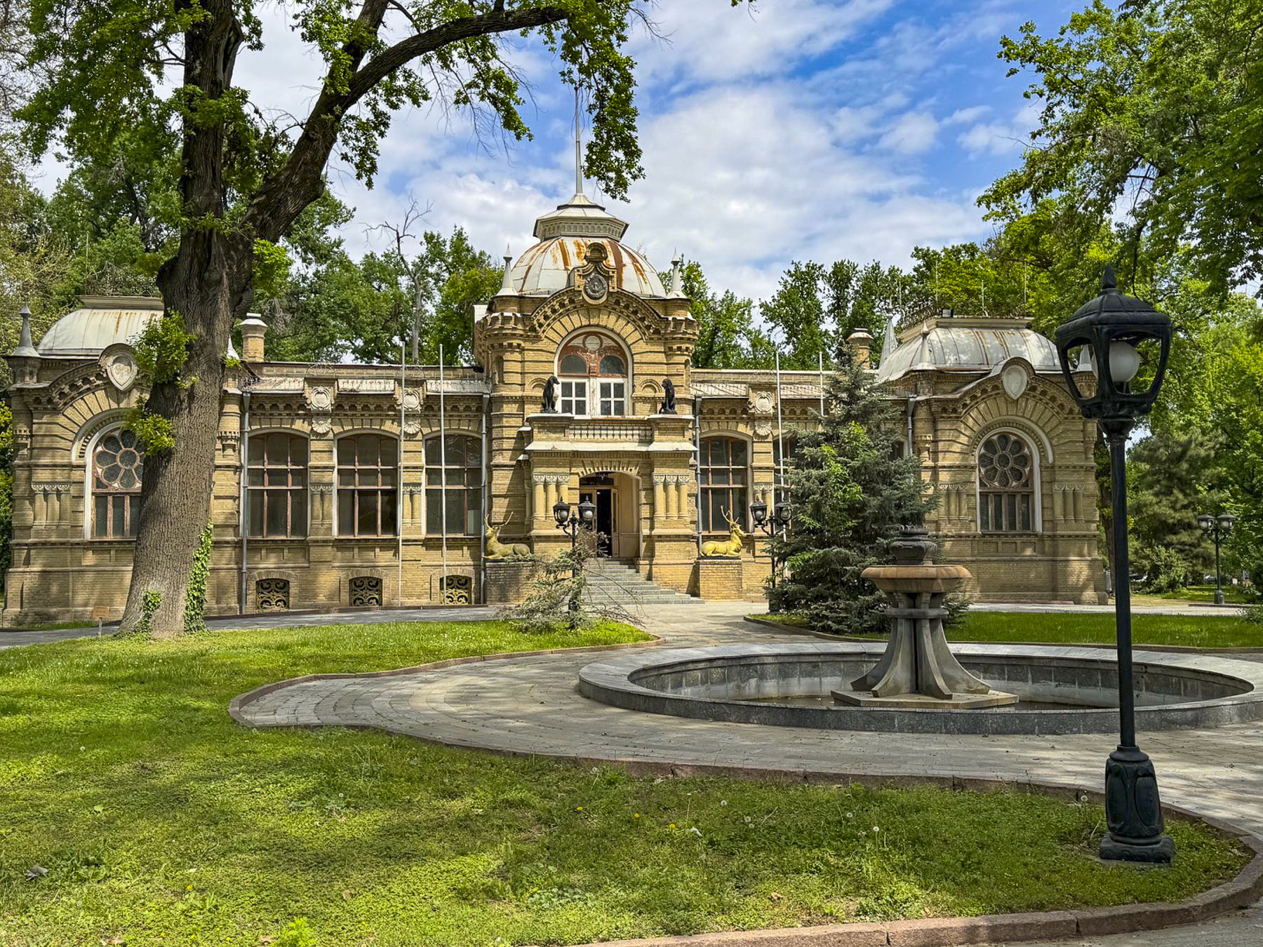
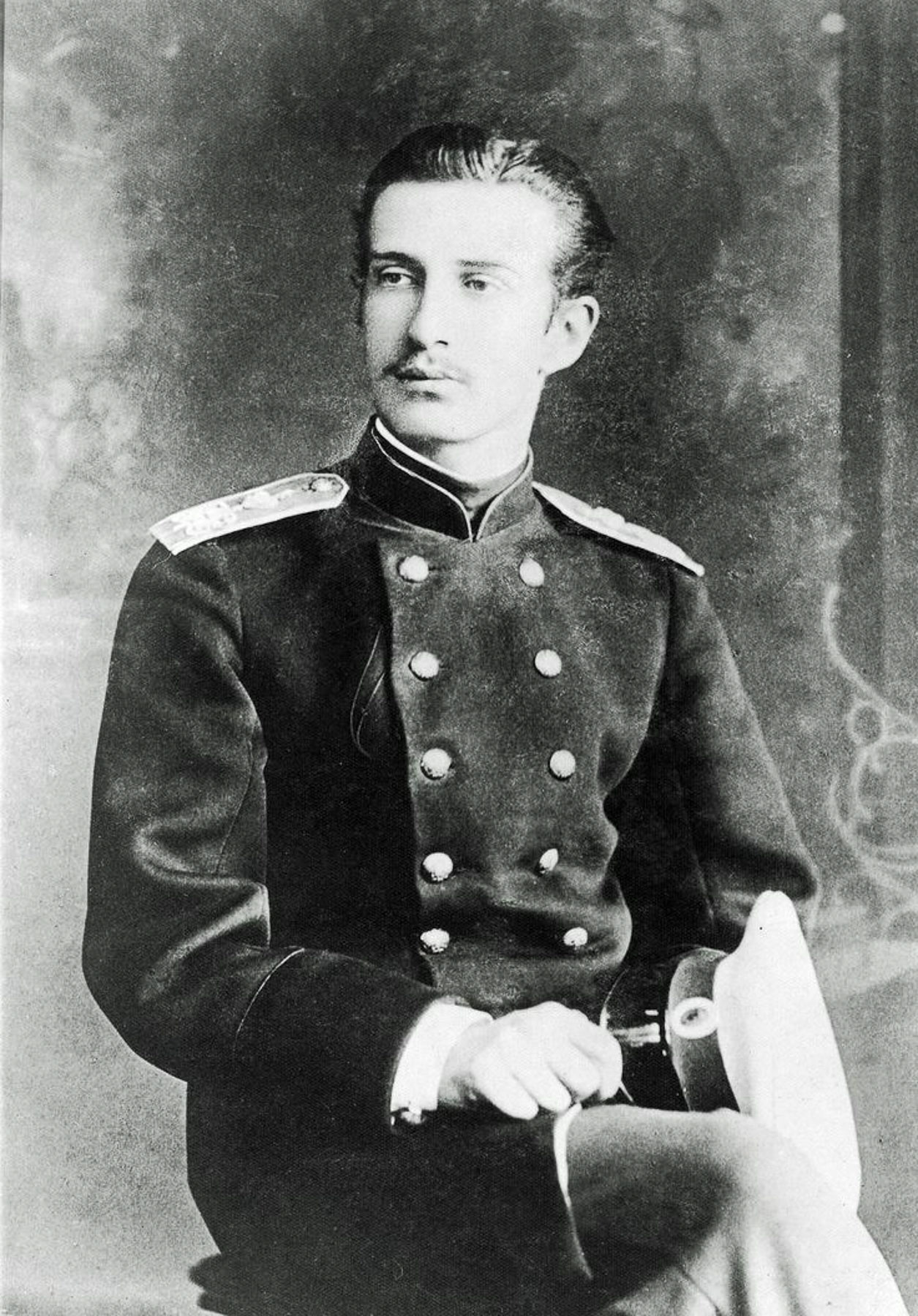
Farther along was a very attractive small royal palace built in the late-19th century and early Art Nouveau style in 1891.  It was the home of Grand Duke Nicholas Constantinovich who was permanently exiled to Tashkent by the Russian royal family for stealing valuable diamonds from an icon belonging to his mother, so he could lavish extravagant gifts upon his American mistress! Let’s talk about the punishment fitting the crime here. The entrances are flanked by bronze sculptures of deer and hunting dogs, a reflection of the Grand Duke’s passion for hunting. He was by no means a pauper during his punishment, and received a gracious royal stipend which he invested in cotton mills, a soap factory, and the city’s first cinema. To furnish his prison palace he was allowed to bring his collection of Russian and European artworks from St. Petersburg with him into exile. Using profits from his local business ventures he continued to acquire new pieces of European art, rare books, and priceless artifacts. Before his death in 1918, he graciously bequeathed his art collection and palace to the city of Tashkent, to become the foundation for the State Museum of Arts of Uzbekistan collection. During the early Soviet era the palace was used as a museum to display his collection but later was transitioned into an after-school activity center for young Soviet Pioneers. Sadly, the palace was closed for renovation when we visited.

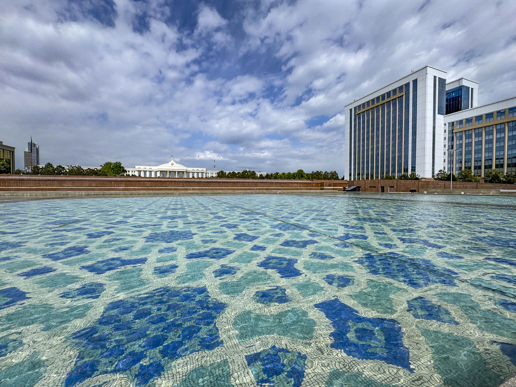
Crossing under Sharaf Rashidov Avenue we reached the large reflecting pool of the Mustakillik Fountain in front of the building housing the offices of the President of the Republic of Uzbekistan. Unfortunately, all the fountains we passed in Tashkent in mid-April were off. We can only speculate how stunning they must be when they are shooting water skyward.

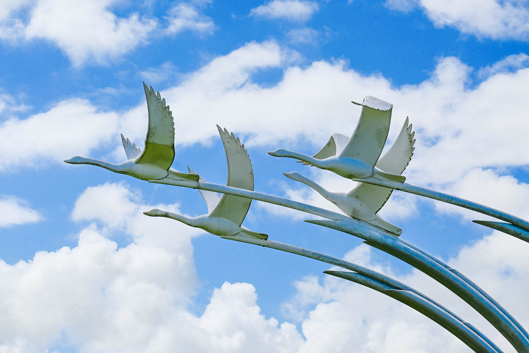
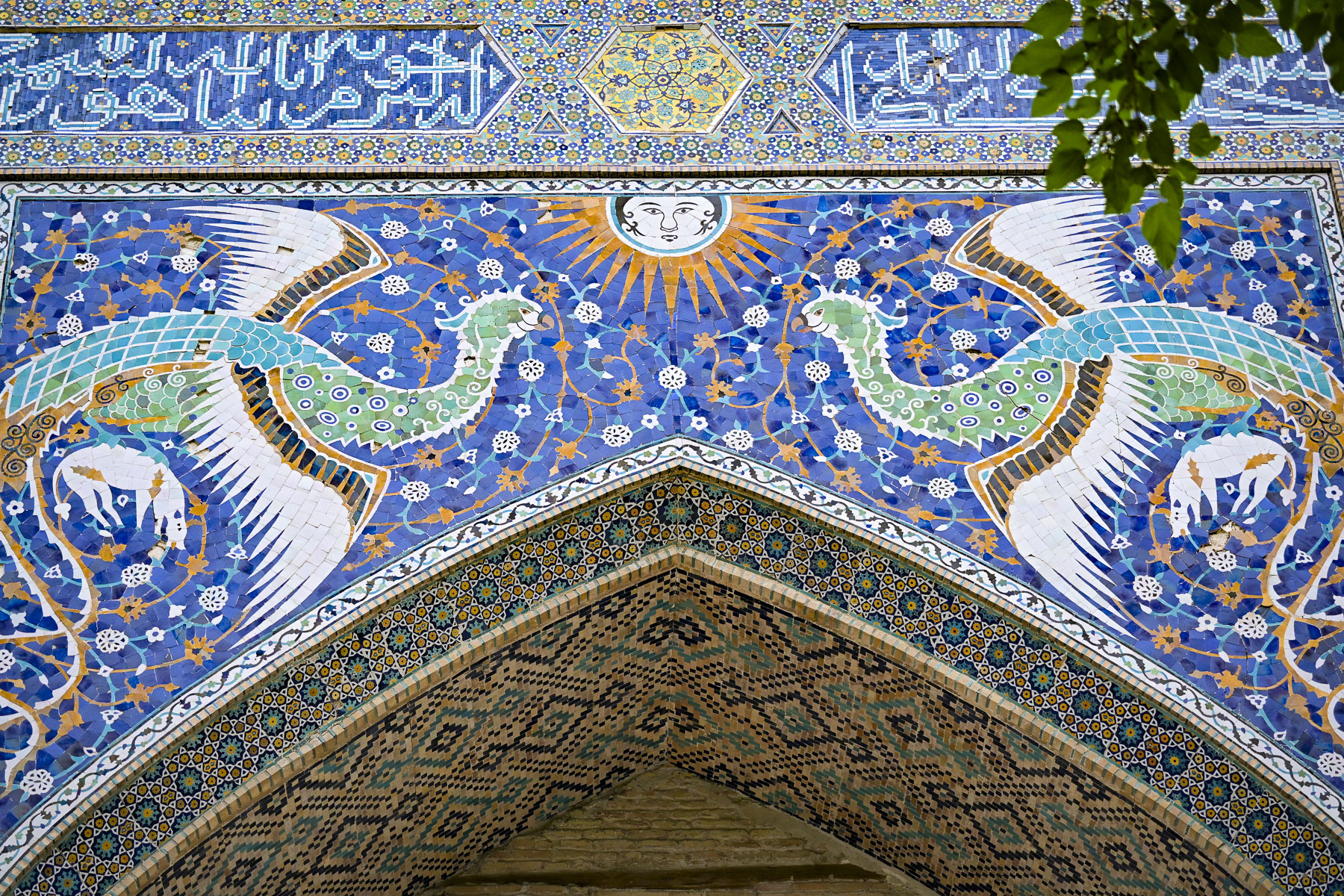
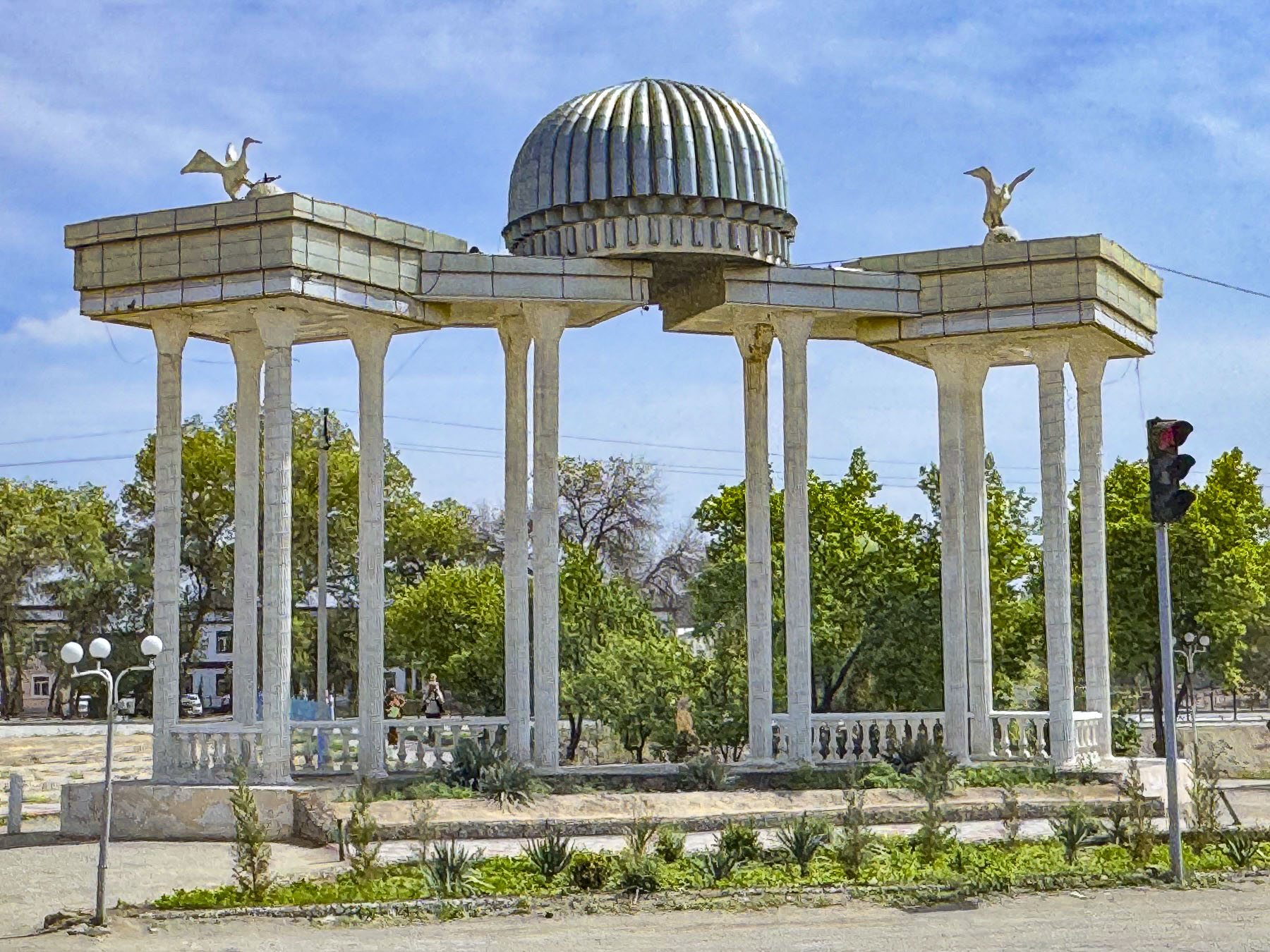
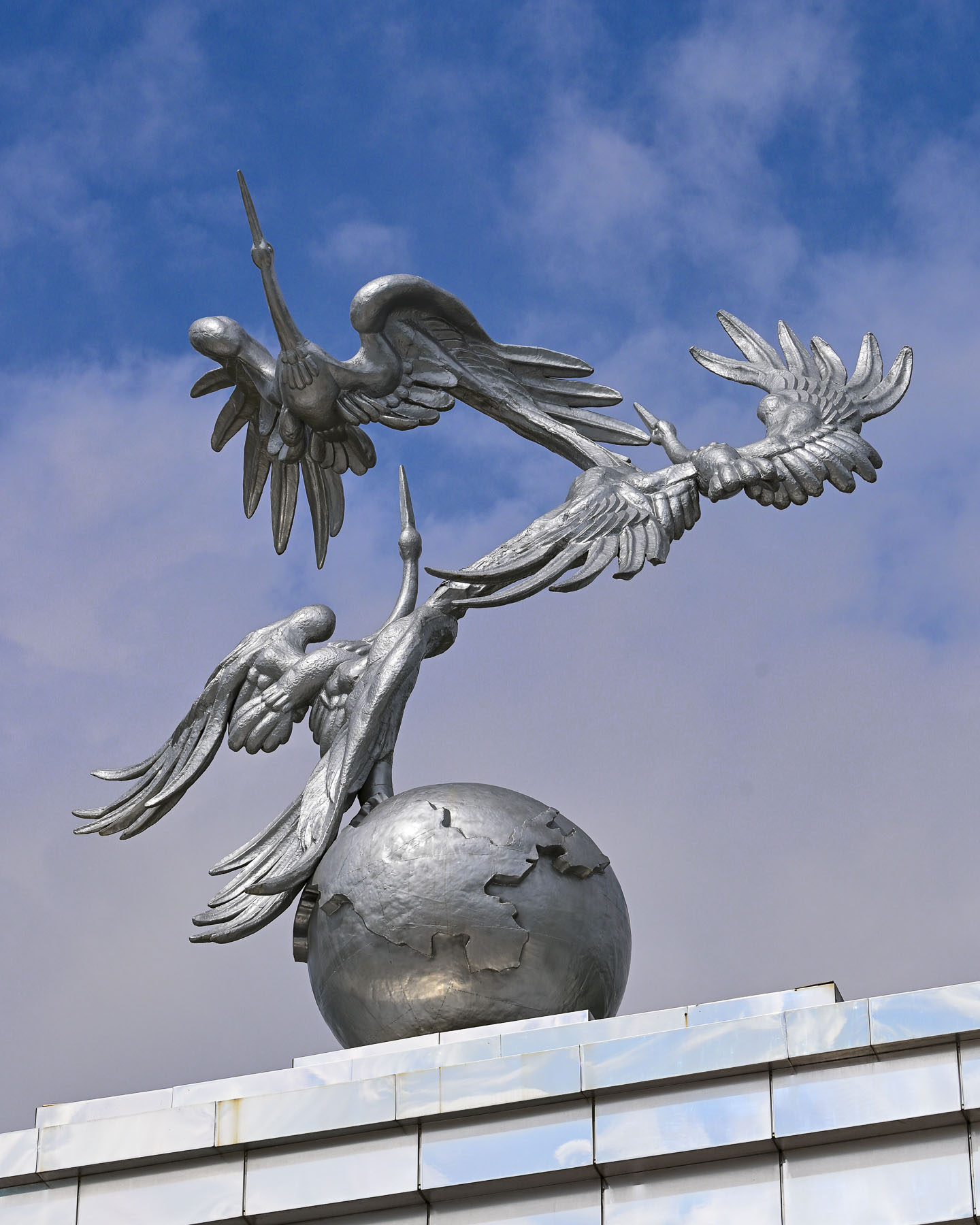
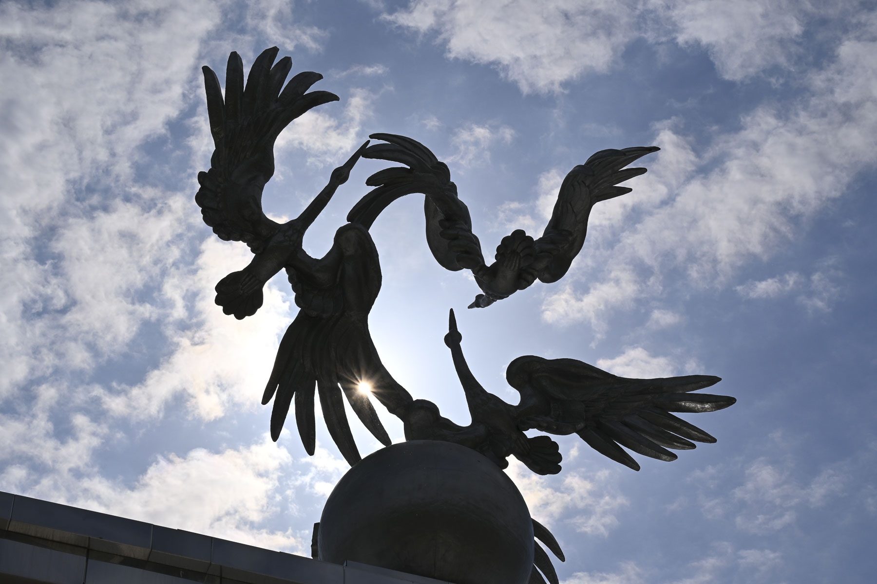
A short walk away was Independence Square where more dry waterworks paralleled the Arch of Ezgulik, a 150m (492ft) long archway held aloft by 16 white marble columns and crowned with a beautiful sculpture of three giant storks circling a globe as they soar skyward. Storks are a prominent theme on the top of many important buildings in Uzbekistan, and in Uzbek folklore they symbolize humanism, peace and prosperity.

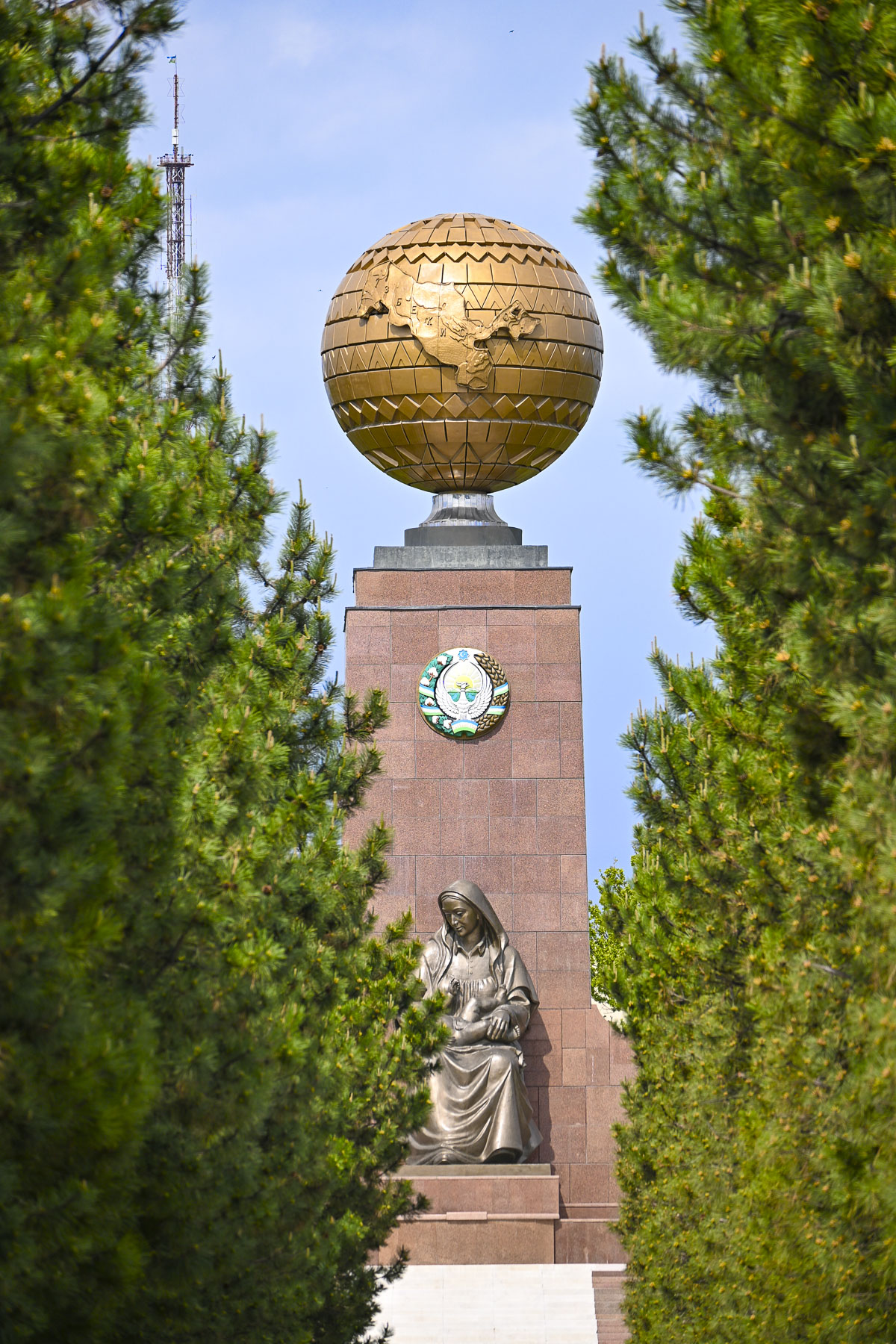
Beyond the arch, down a narrow evergreen-lined walkway, was the Monument of Independence, a tall obelisk with a globe atop it, the map of Uzbekistan chiseled into its center. At the base of the monument is a statue of an Uzbek woman cradling a baby, called the Happy Mother that “symbolizes the Motherland, national rebirth, and hope for a prosperous future for the next generation.”

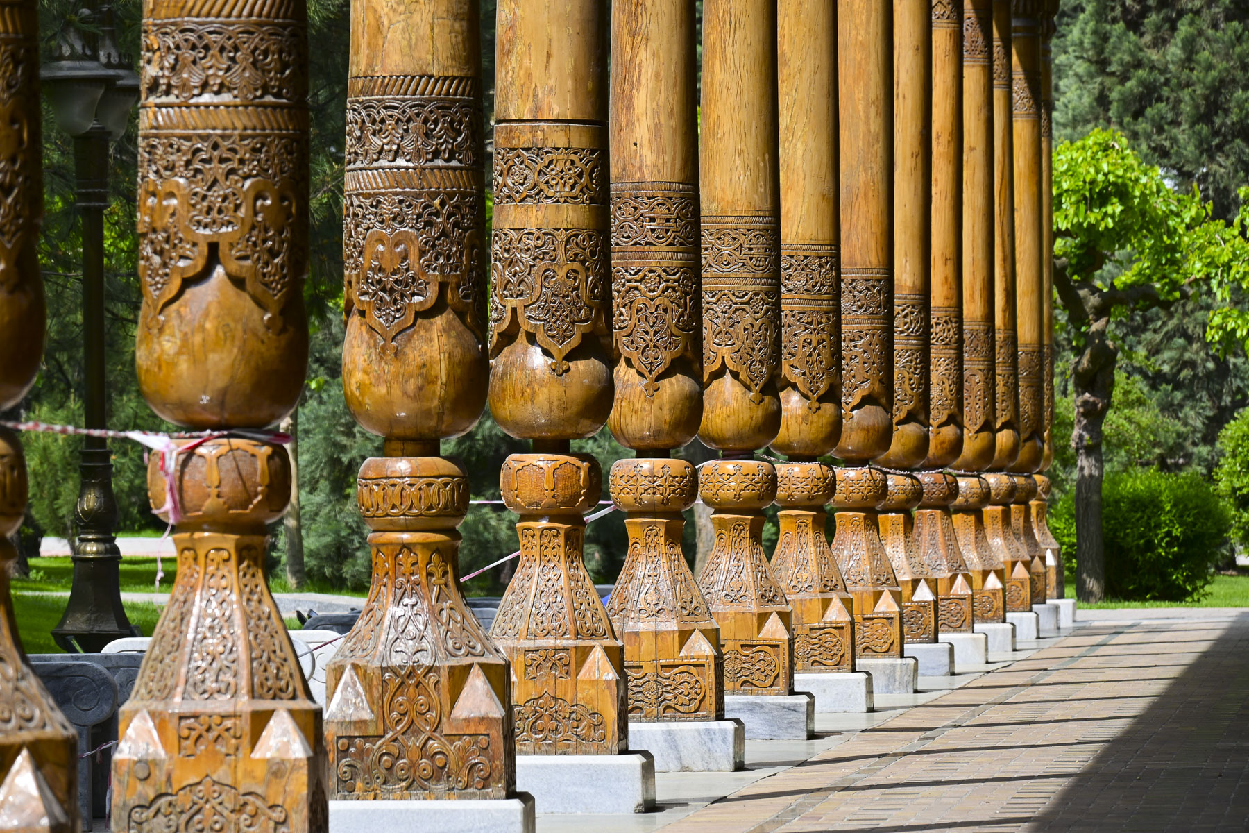
Continuing on we entered Memorial Square where an elegant, long, open-sided wooden building stood, surrounded by traditional Navoi-style carved wooden pillars, called the Memory Corridor. It holds Memory Books which contain the names, inscribed in gold lettering, of over 400,000 Uzbek soldiers who died during World War II.

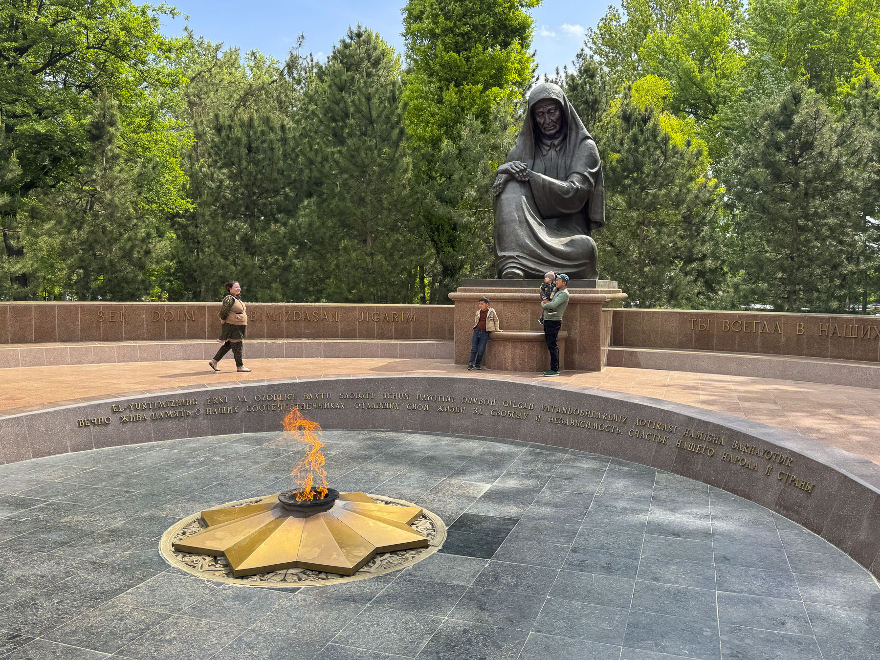
Across from it was a large statue called the Grieving Mother that overlooked an eternal flame. It was a very somber memorial and hardly a whisper could be heard from the observers.

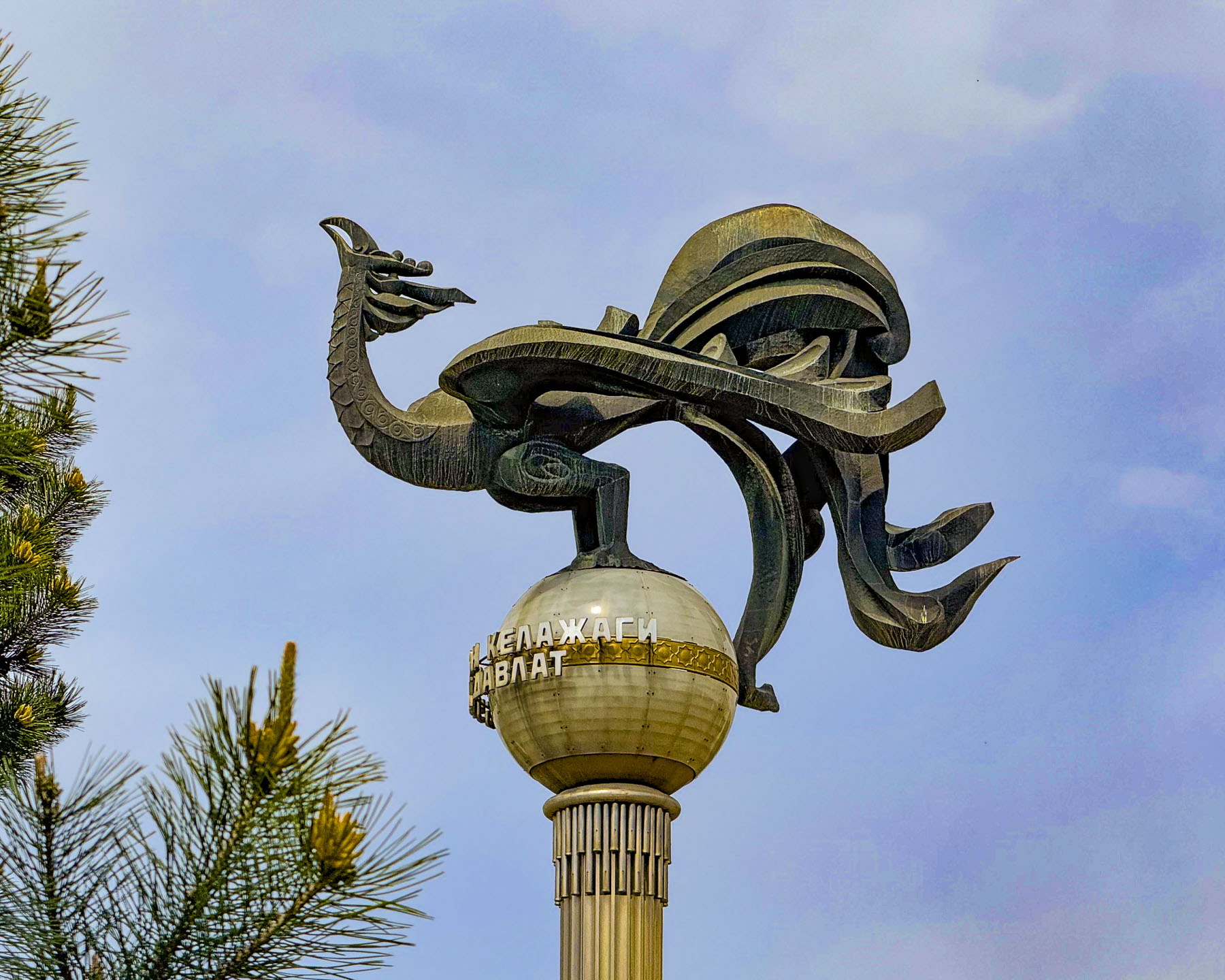
Progressing along Sharaf Rashidov Avenue toward the Monument to “Courage,” we passed the Turkistan Concert Hall, where a stylized statue of a majestic stork is perched on top of a tall column.

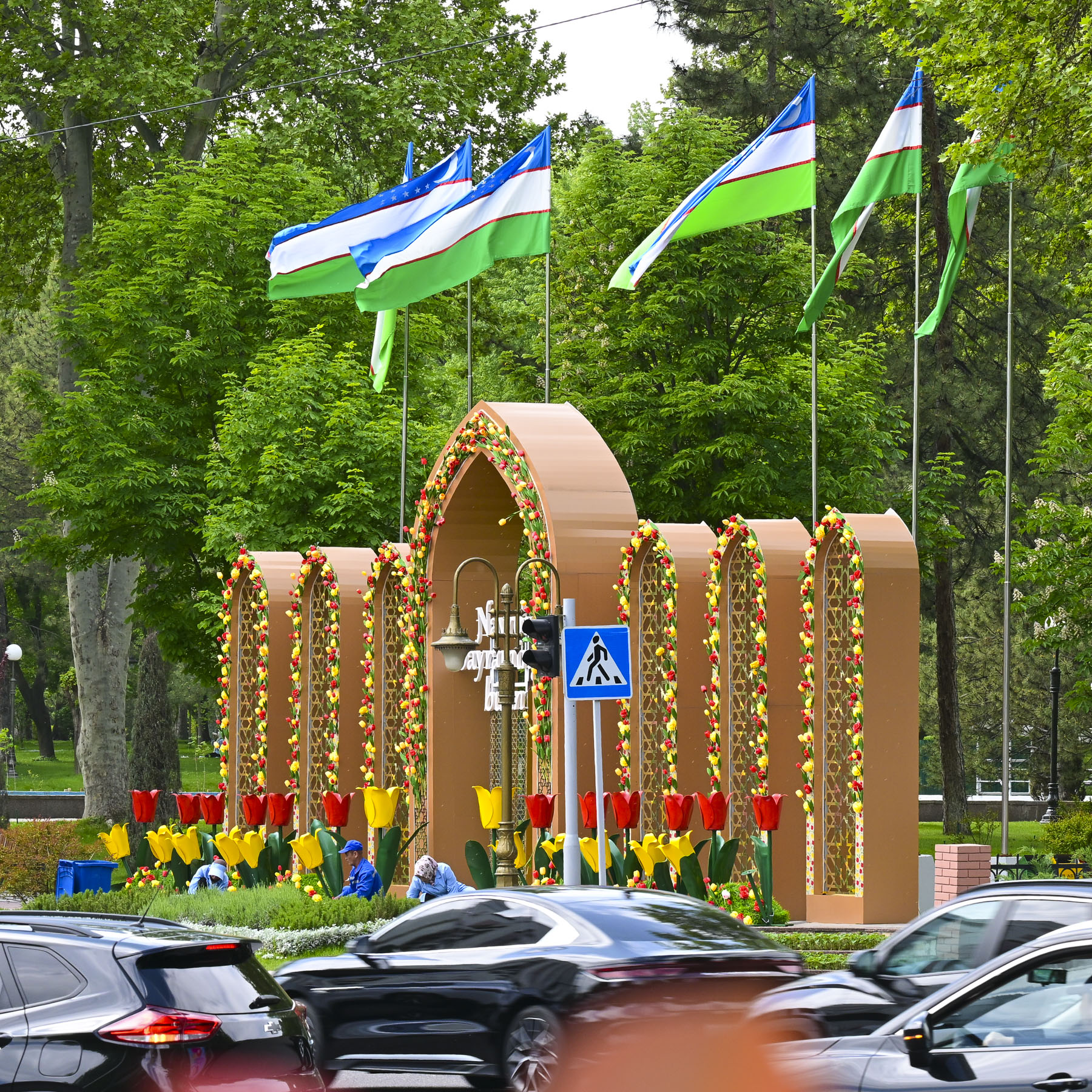
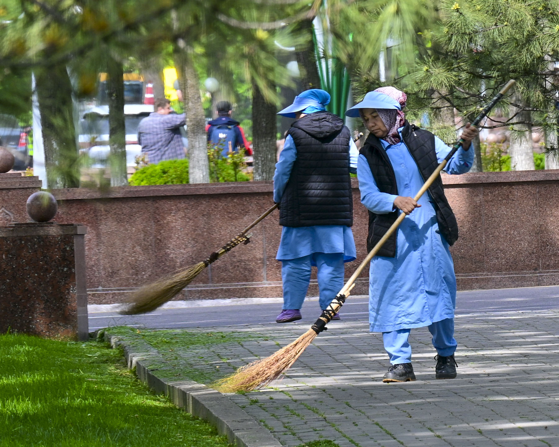
Along the way we noticed that everywhere we walked there was a definite sense of “pride in ownership.” The city was immaculately clean. Street sweepers with traditional brooms called supurgi, made with bundles of twigs tied to a wooden handle, were always out and about, as were the city’s landscapers who seemed to be everywhere planting decorative flower beds and pruning. When they were done in one area, they packed up their tools and brooms and hopped onto a city bus to go to the next location needing tending.

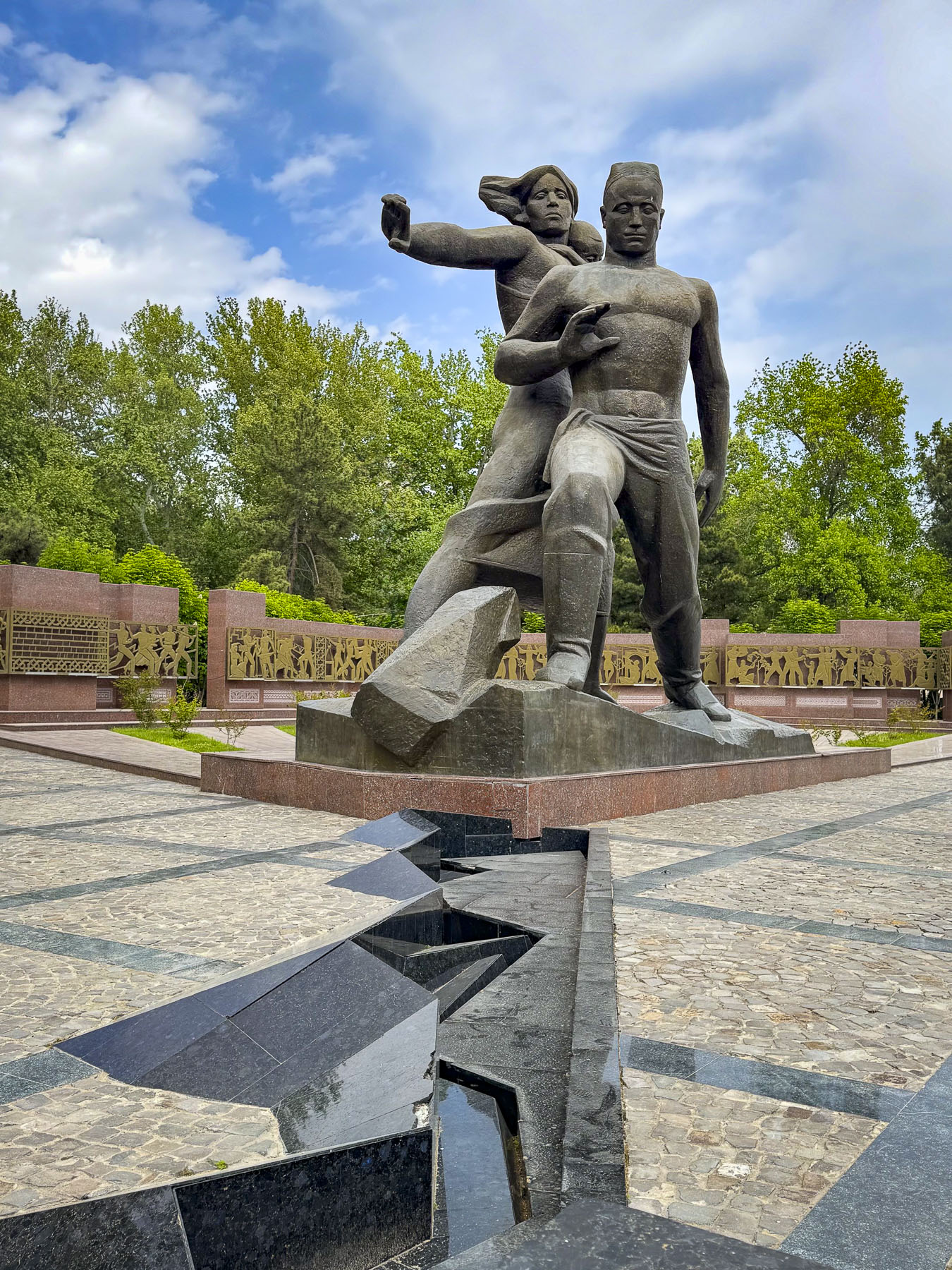
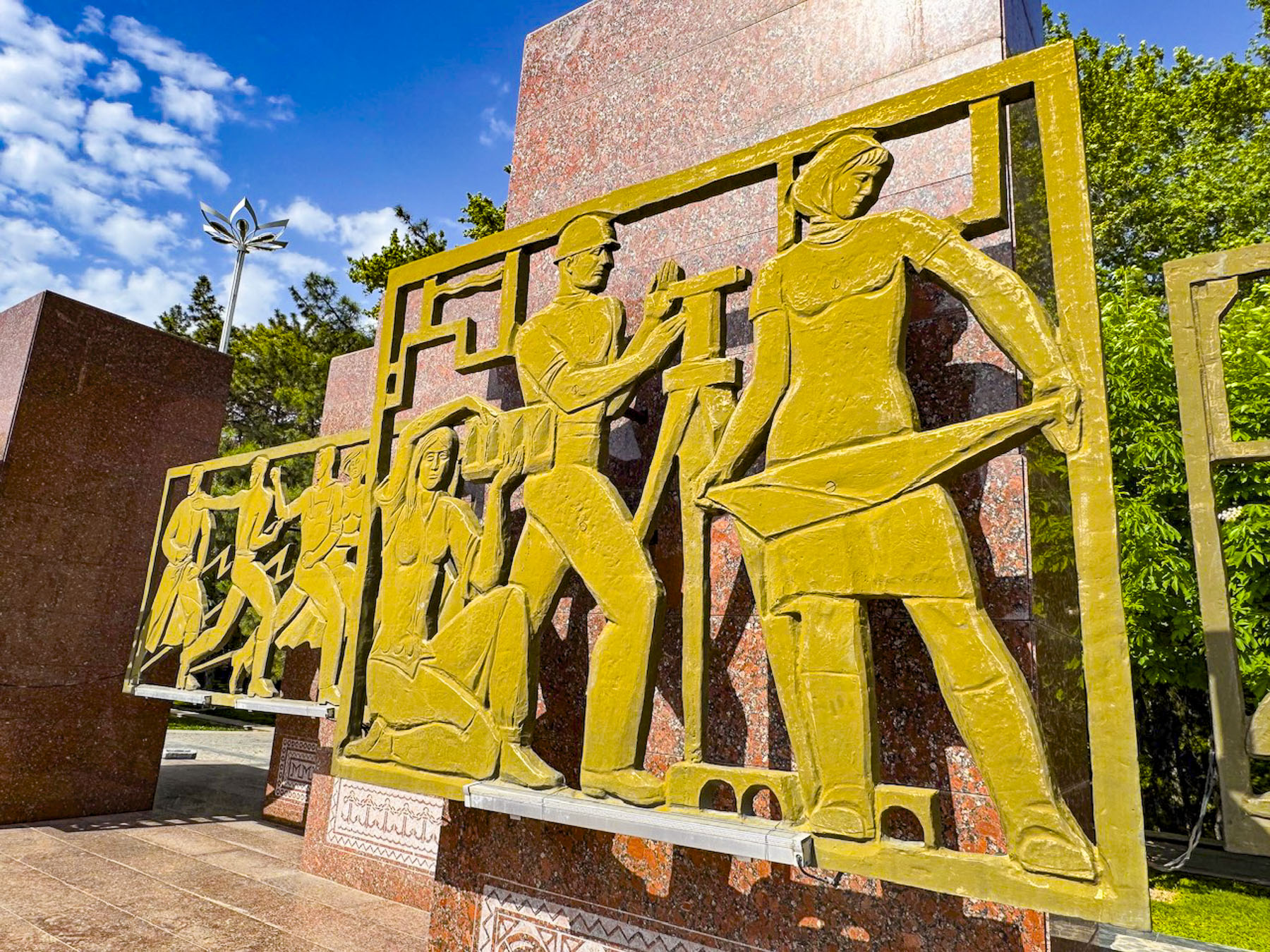
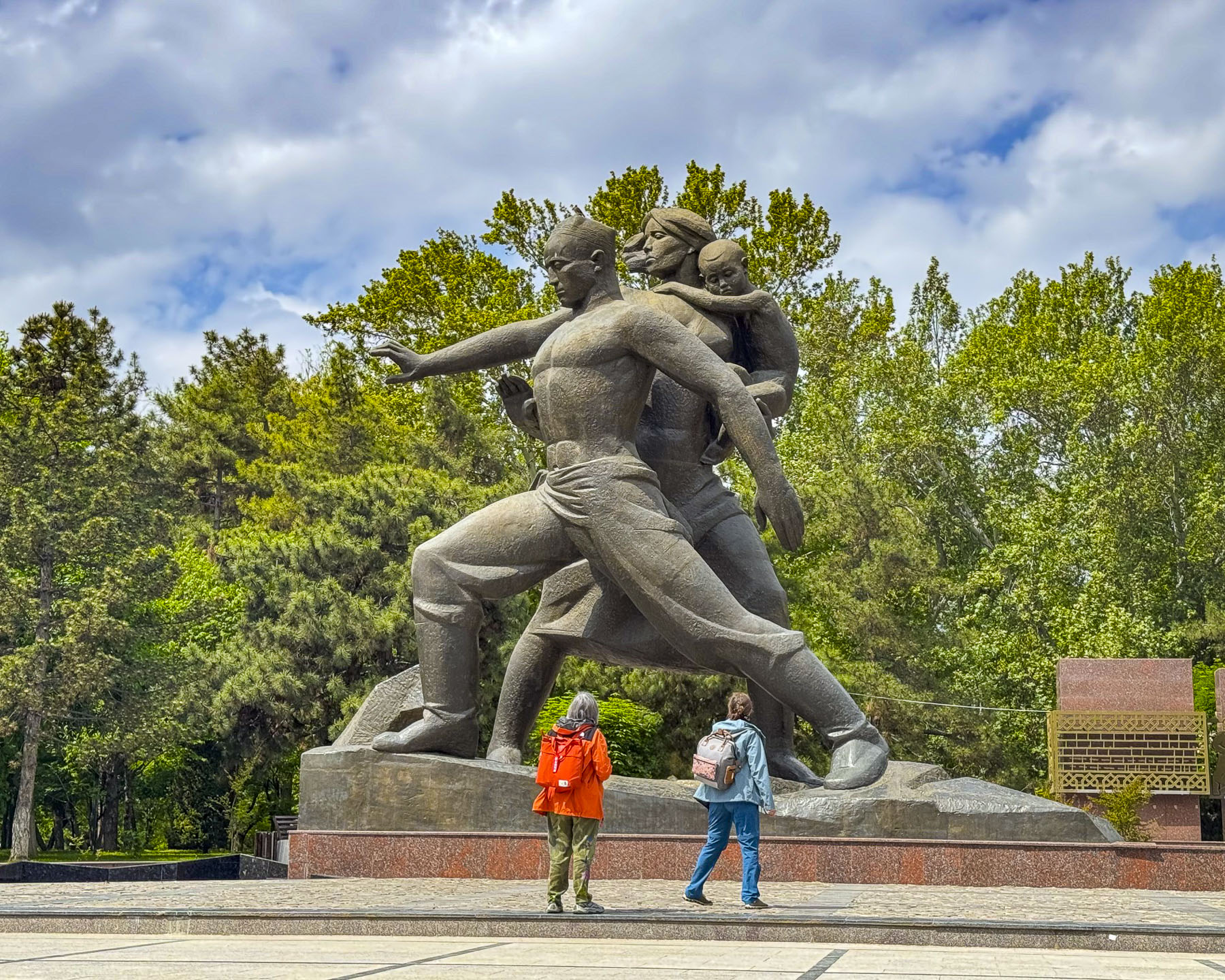
The Monument to “Courage” is a gigantic statue of a family, erected in 1976 on the tenth anniversary of the April 1966 earthquake that commemorates the victims, as well as collective efforts of Tashkent’s survivors and the thousands of workers who arrived from across the Soviet Union to rebuild the city from the rubble. At the foot of the sculpture is a recreated fissure in the earth’s crust that is believed to be directly above the epicenter of the 5.2 magnitude earthquake that rattled the earth for 11 seconds and had nearly 1,000 aftershocks. Behind the statue is a wall of 14 stelae with stylized bronze bas-relief sculptures depicting the reconstruction efforts of the workers and volunteers who rebuilt Tashkent, from literally the ground up. 

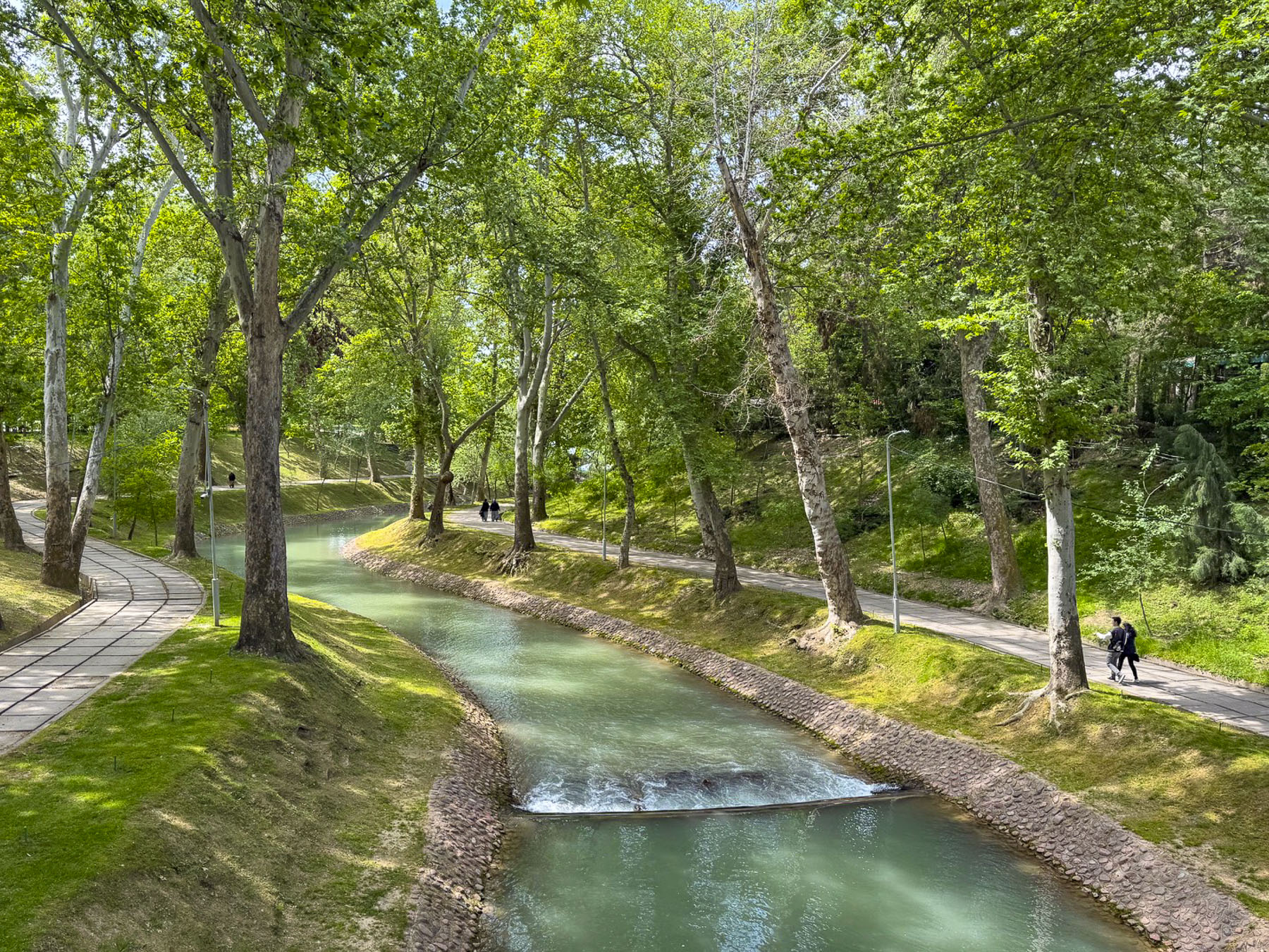
A sidewalk next to the stelae leads to Museum of Olympic Glory and crosses over a bridge above the scenic Anchor Canal as it weaves through a quiet woodland before the museum.

Walking from Independence Square along Sharaf Rashidov Avenue to the Monument of Courage, and then following Navoi Avenue, and Mustaqillik Ave back to our hotel, the new design of this “model Soviet city” was particularly apparent with the wide treelined streets, and tall apartment buildings well-spaced apart.

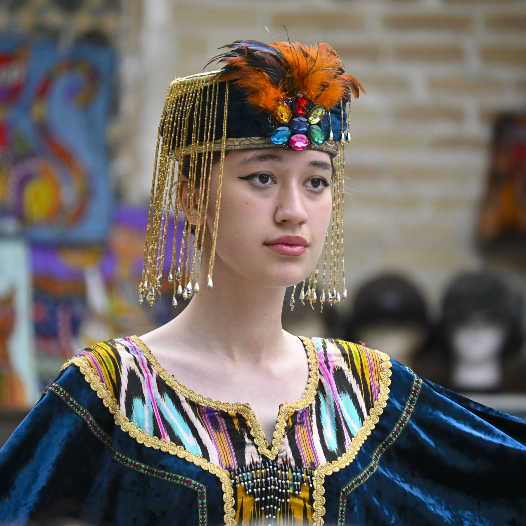
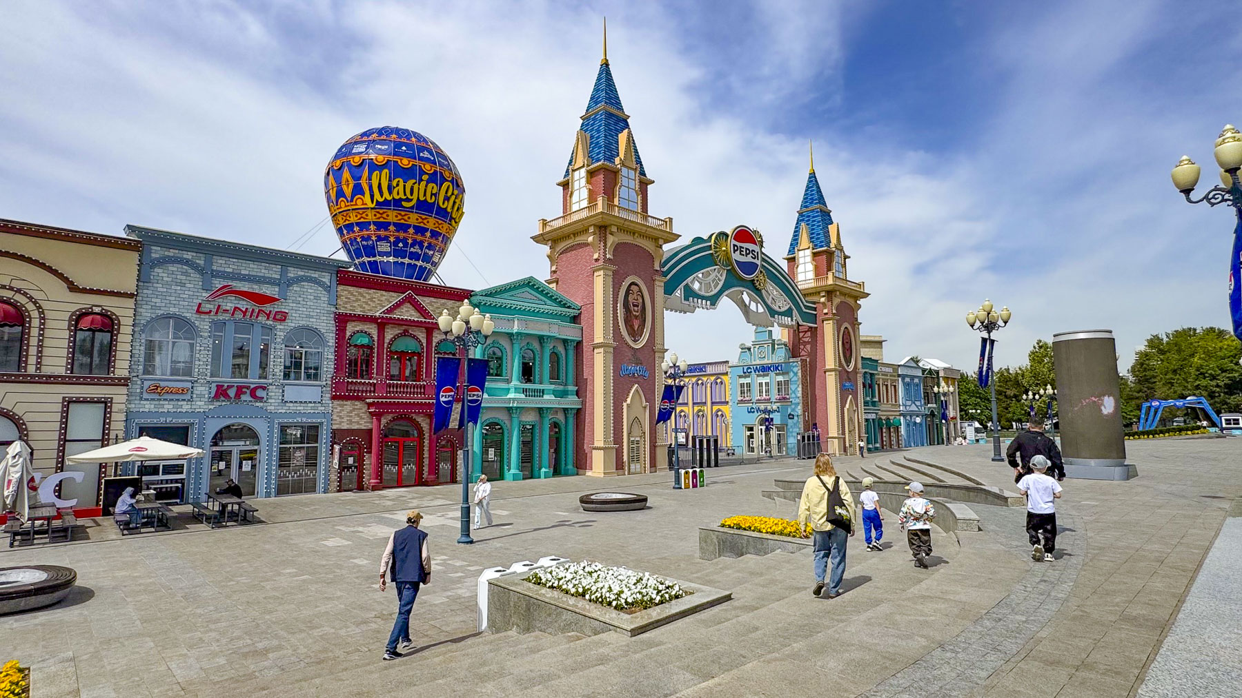
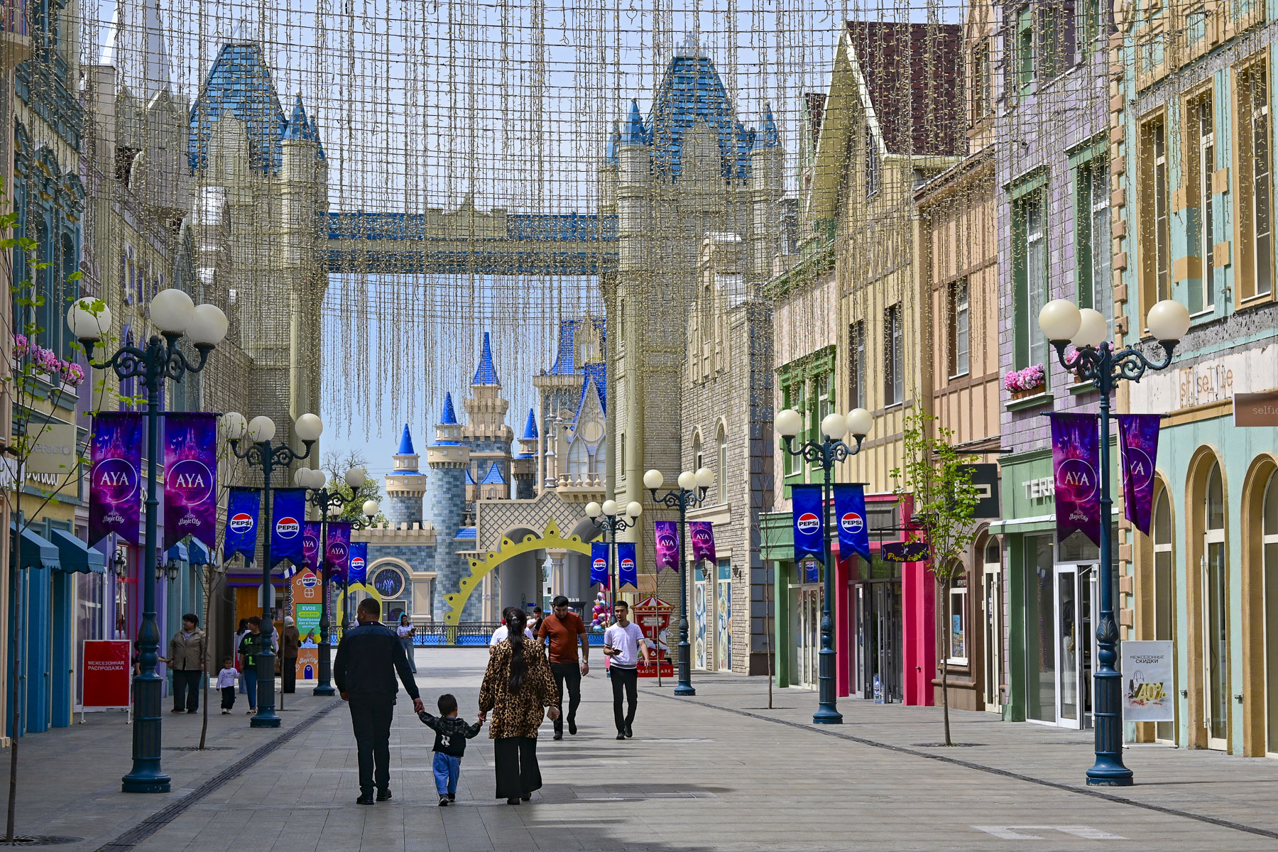
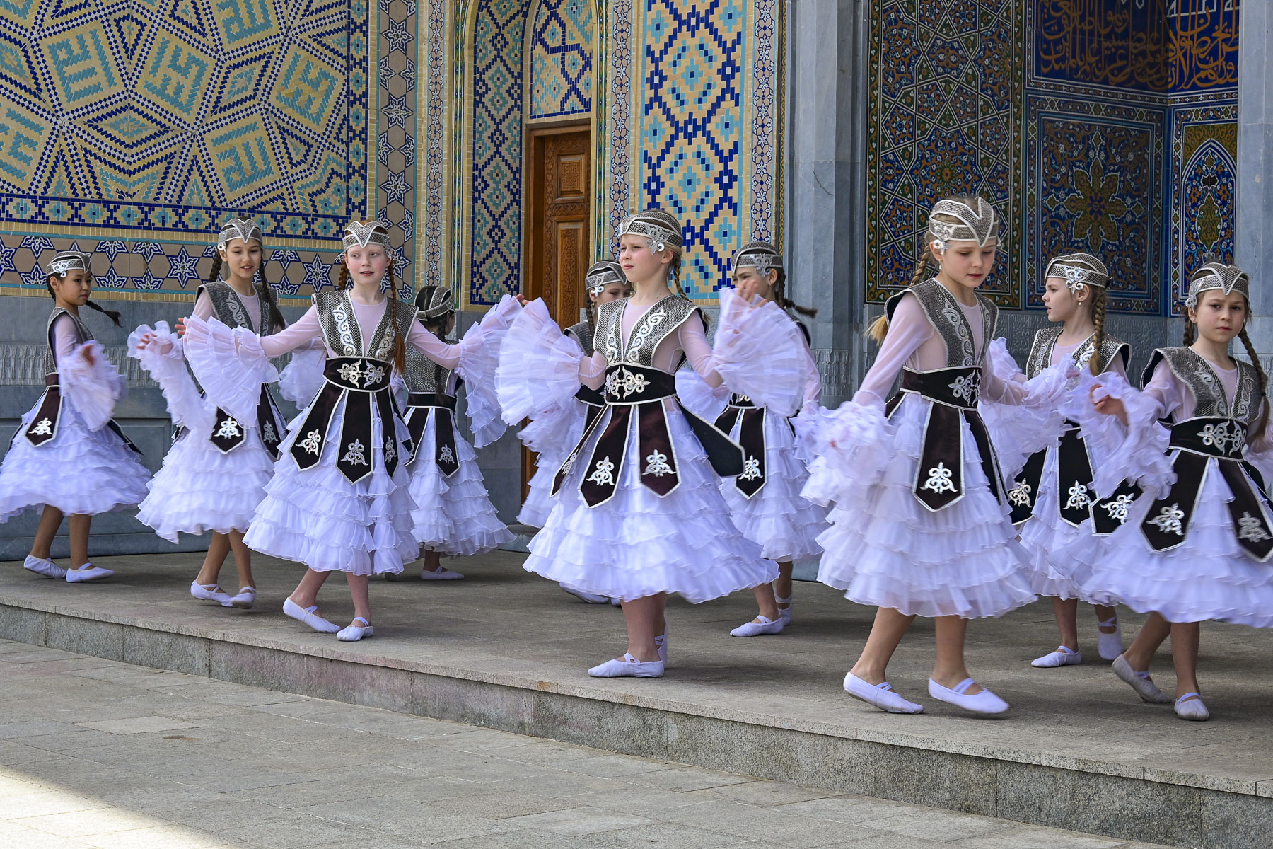
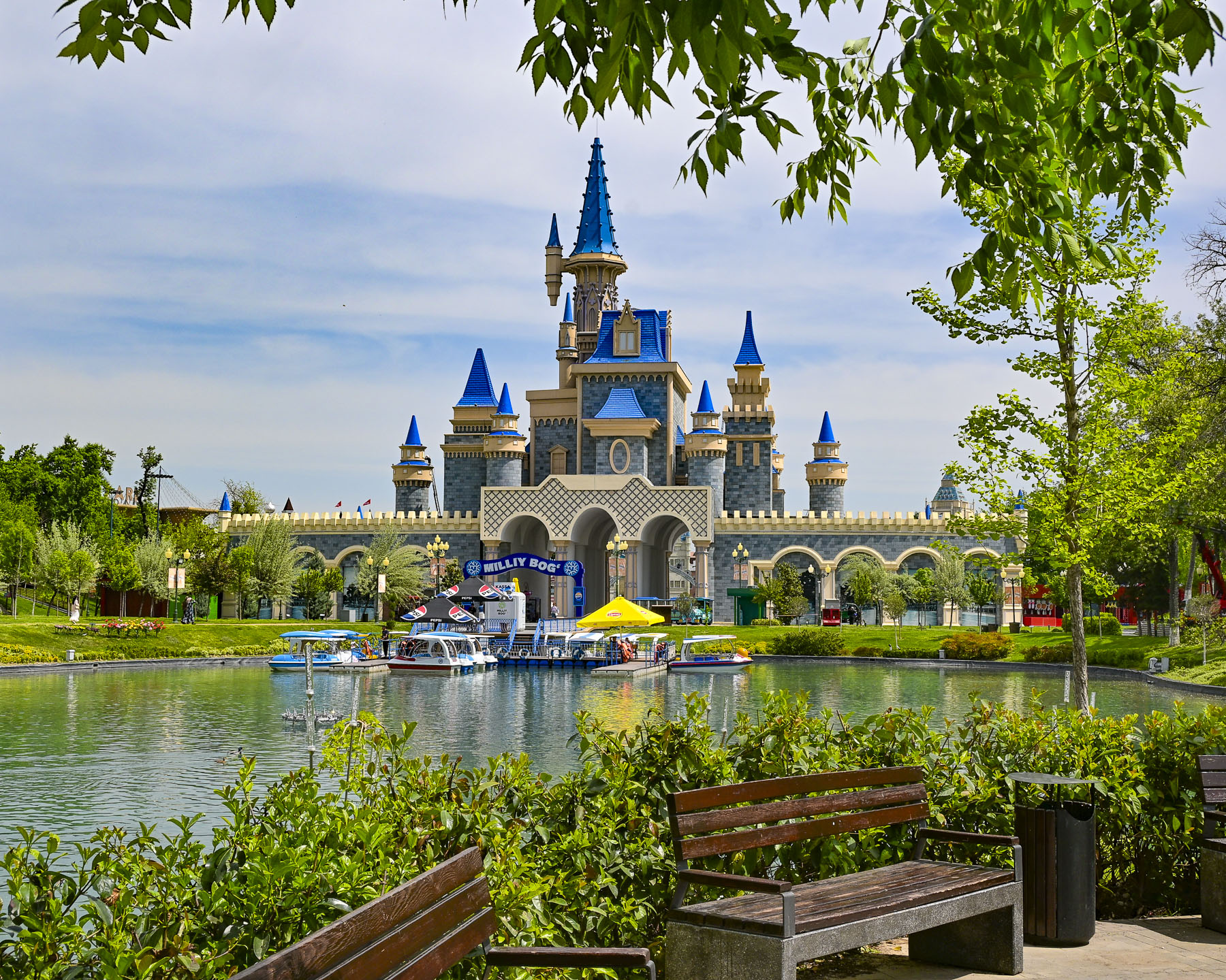
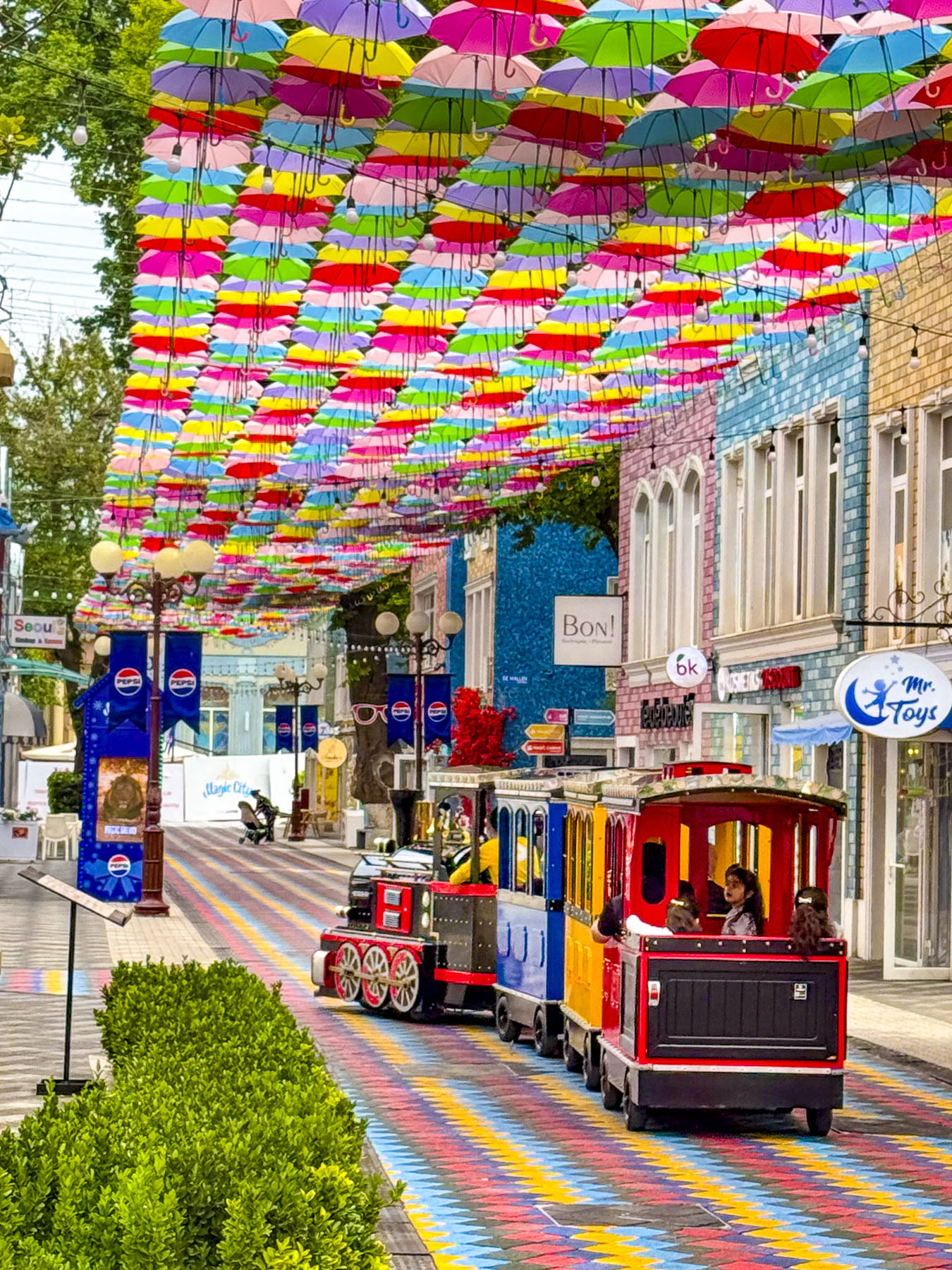
On our last full day in Tashkent we took advantage of multiple inexpensive YandexGo rides and zipped across the city to various destinations. Our first stop, which we had passed earlier in the week, was Magic City Park, an open-air shopping and entertainment complex, that as the name suggests borrows heavily from the mouse kingdom, and seemed very out-of-place in downtown Tashkent. Mid-morning, we had the place almost entirely to ourselves, except for a girl’s dance group practicing their routine in traditional dress.

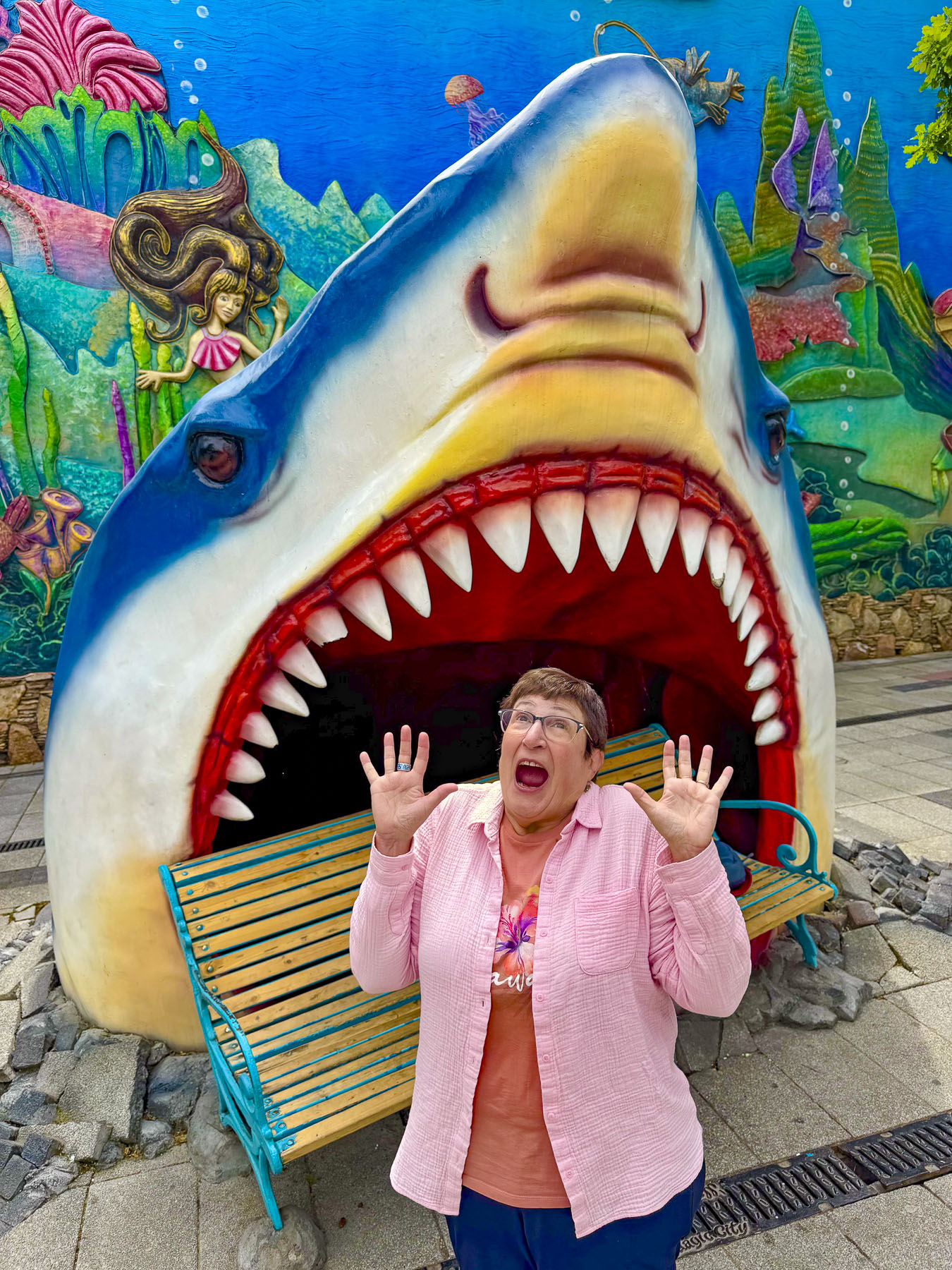
It was a quiet morning, and we enjoyed walking down a colorful painted and umbrella- covered street, making folks smile as we hammed it up in the mouth of Jaws!

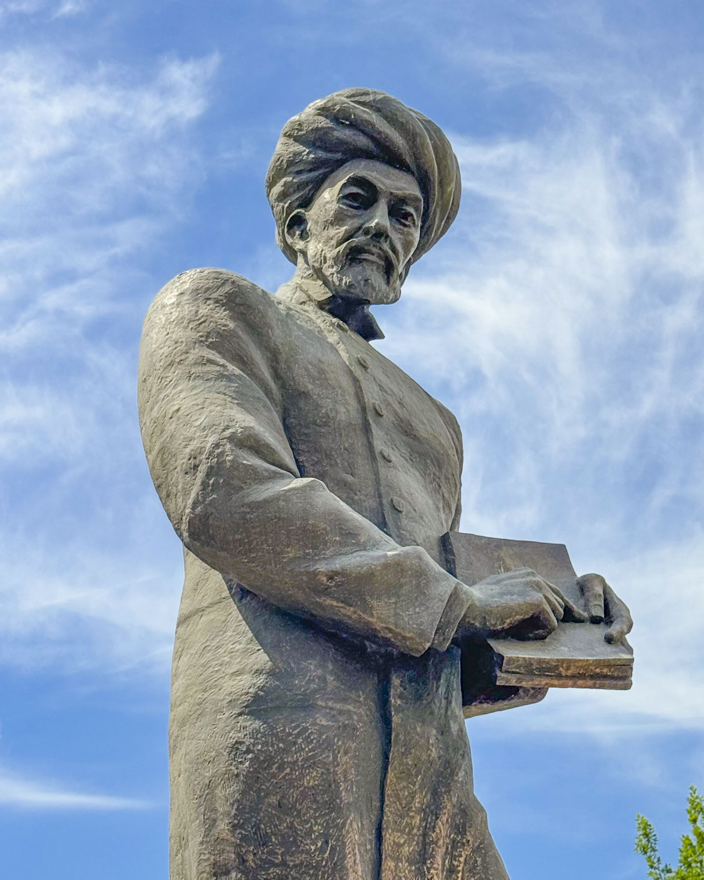
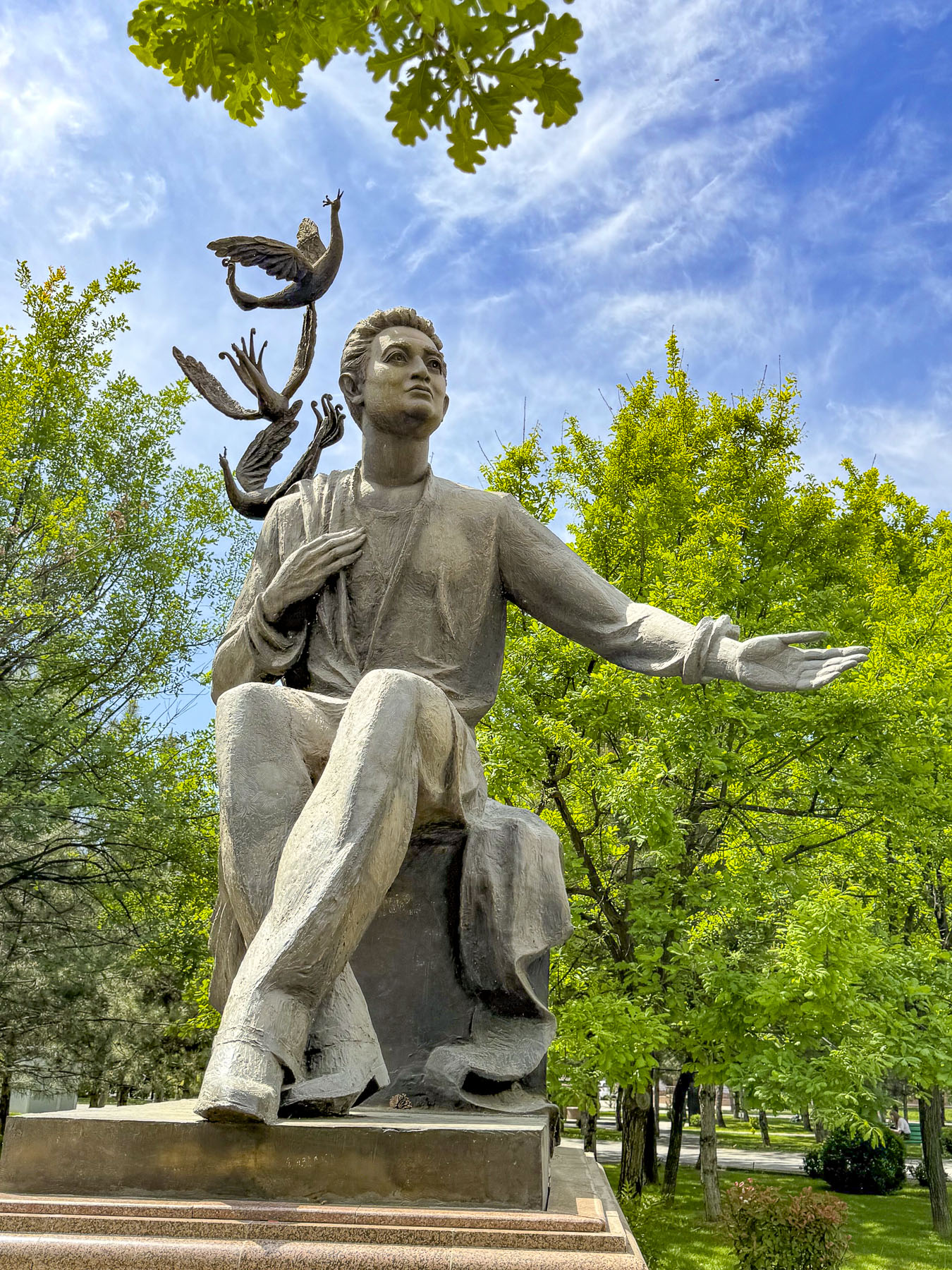
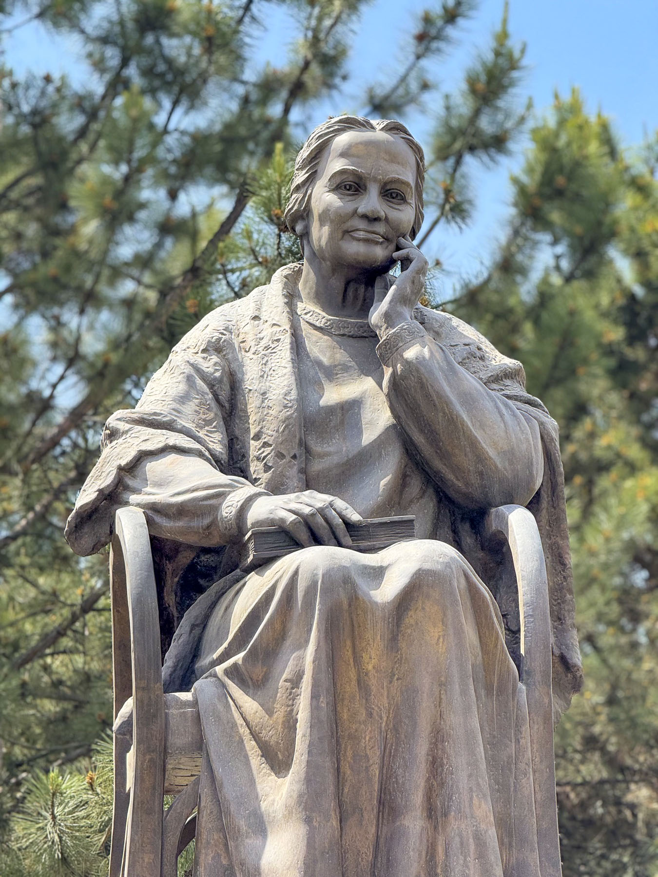
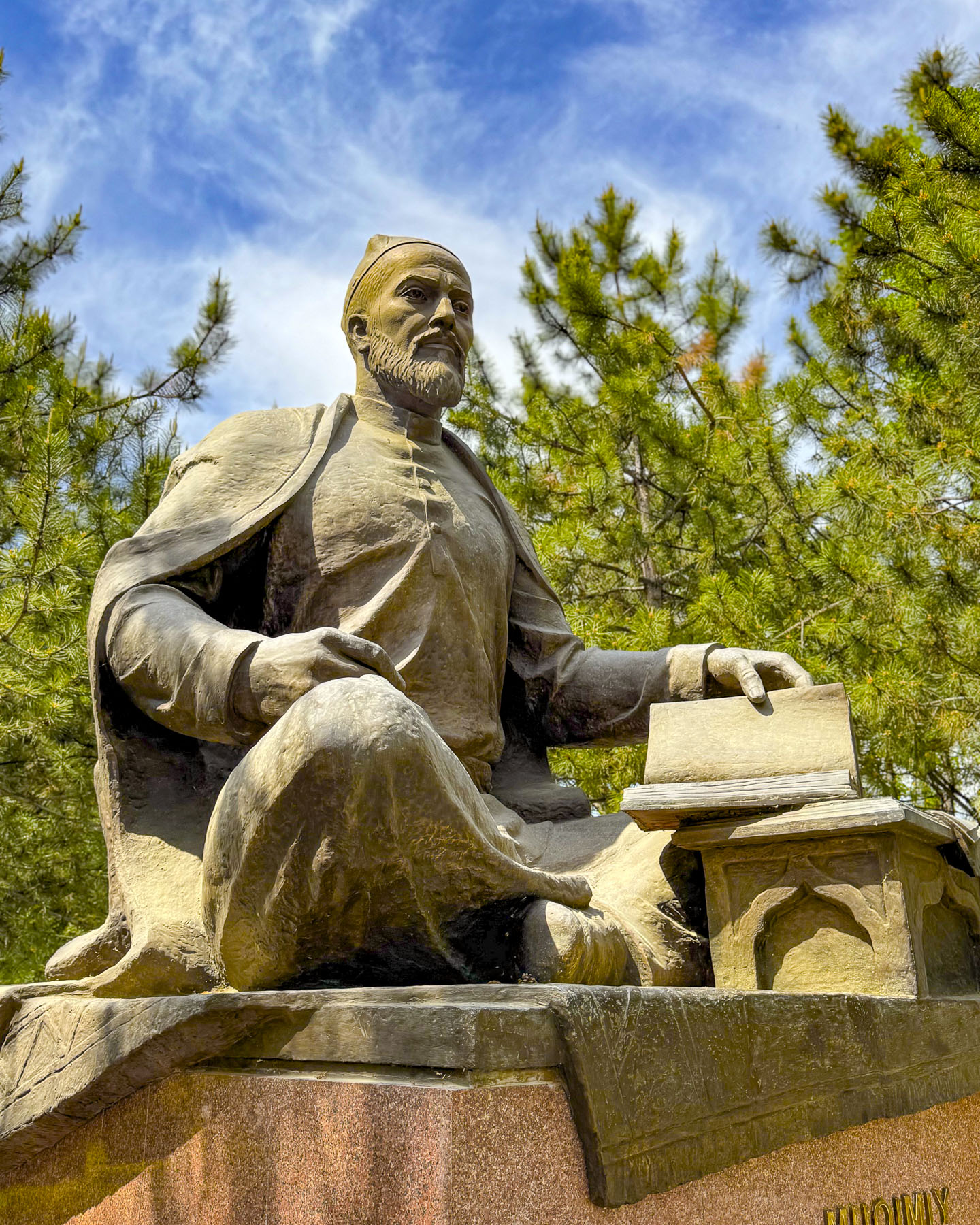
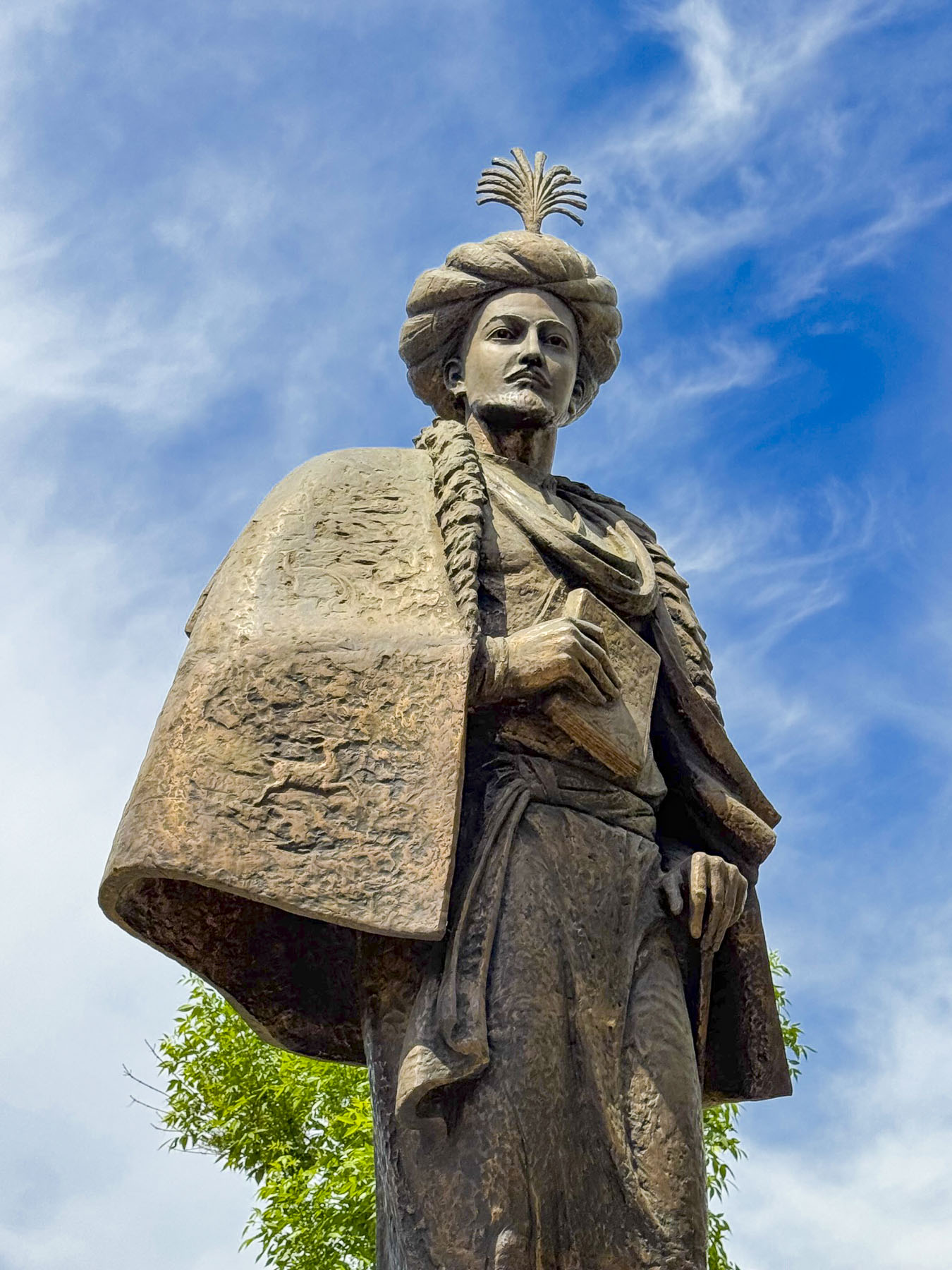
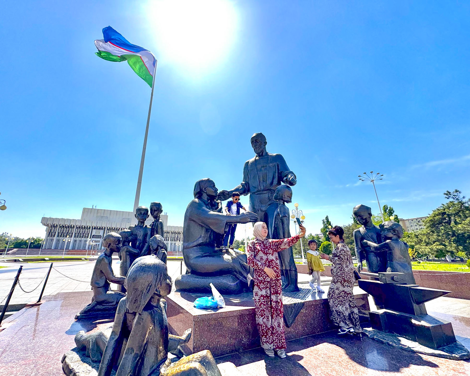
Behind Magic City is Milliy Bog, a large open area national park with statues of important Uzbeks along lanes that lead to the Tashkent Museum of State History; the 19th century Abul-kasim Sheikh Madrasah, which once held a sacred relic of the Prophet Muhammad; the Legislative Chamber of the Oliy Majlis; the Friendship of the Nations concert hall; and the Shomakhmudovs Monument, erected in 1982, as a symbol of wartime generosity and unity.

The monument commemorates a local blacksmith, Shaakhmed Shamakhmudov, and his wife, Bahri Akramova, who during World War II adopted 15 orphaned children of various ethnicities. They were only a small portion of the over one million refugees evacuated from the Soviet Union to Uzbekistan to receive food and shelter, an event that caused many to call it “the city of bread.”

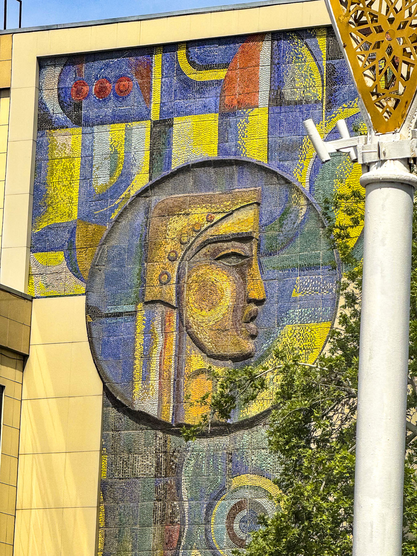
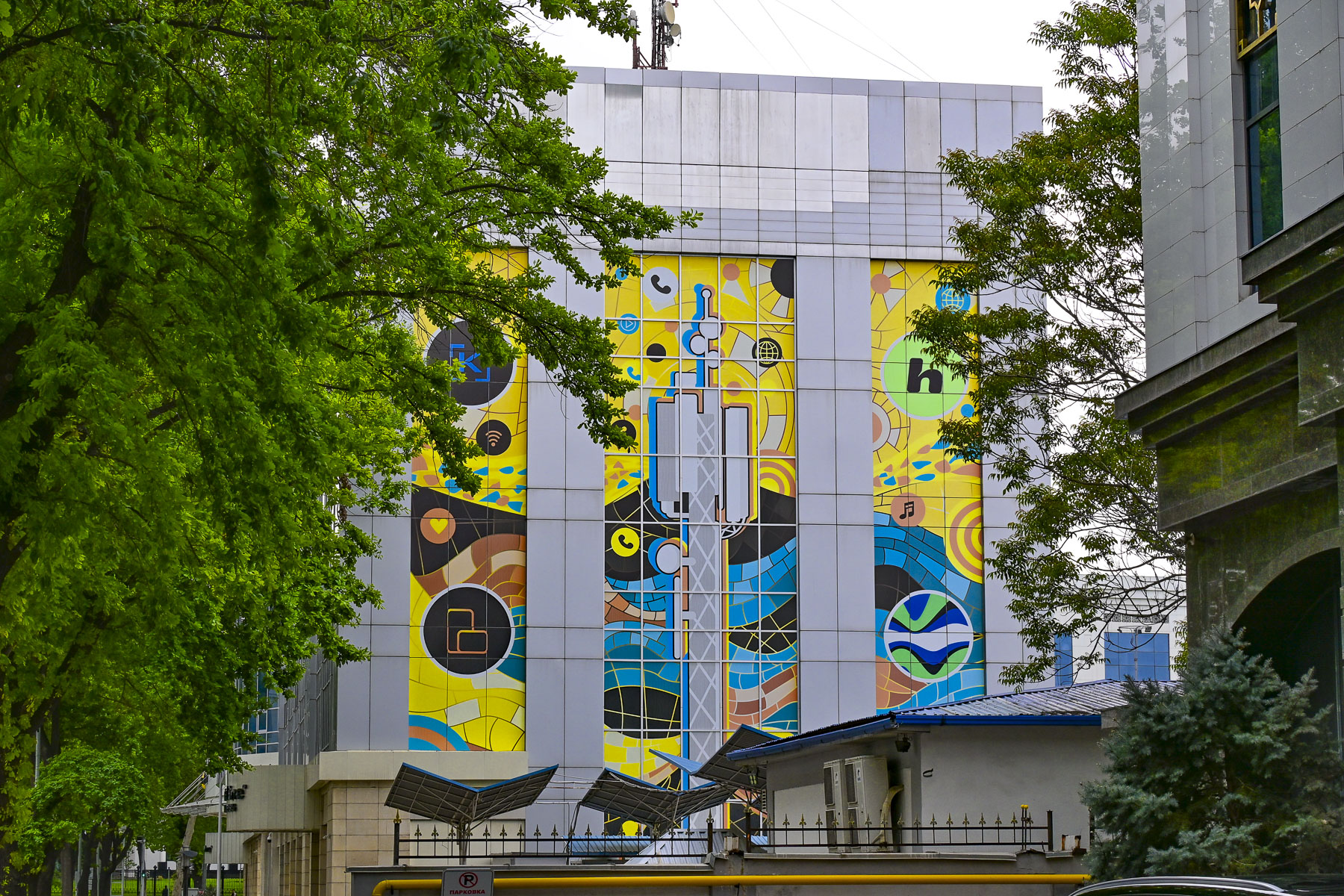
From there we traveled far across Tashkent to a beautiful park across from the Tashkent Television Tower that hosts the Museum of Victims of Political Repression. Along our route we passed many examples of older apartment buildings designed with that harsh “Soviet Brutalism” ethos, and only softened by Uzbek tile murals at both ends.

Life in Uzbekistan during Russian times was not easy and the museum documents the hardships and atrocities committed against the Uzbek people, starting with Imperial Russia’s colonization of the country, where the best farmland was given to Russian settlers, through the communist Soviet Union era. Many exhibits draw on information culled from the former KGB archives.

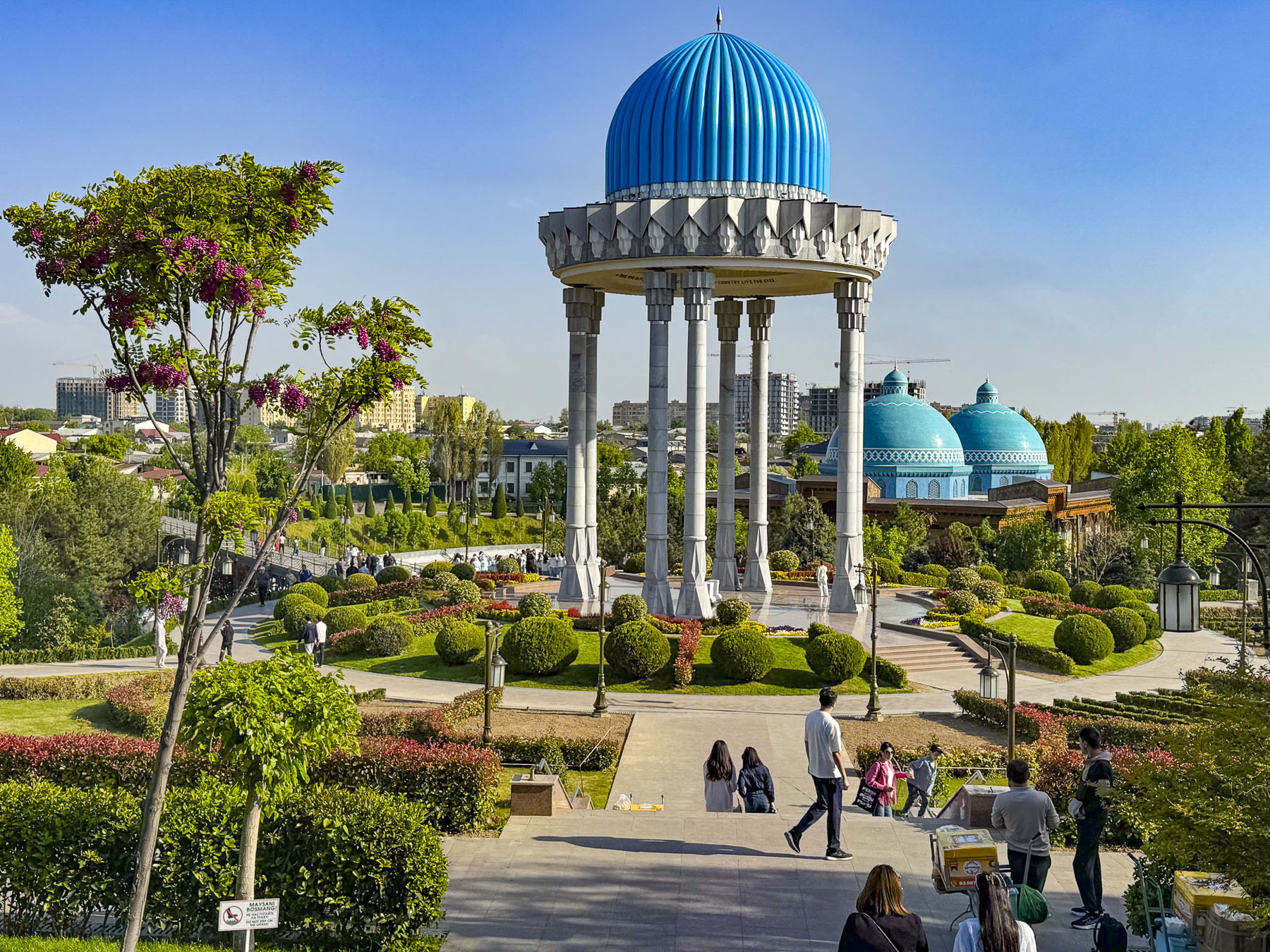
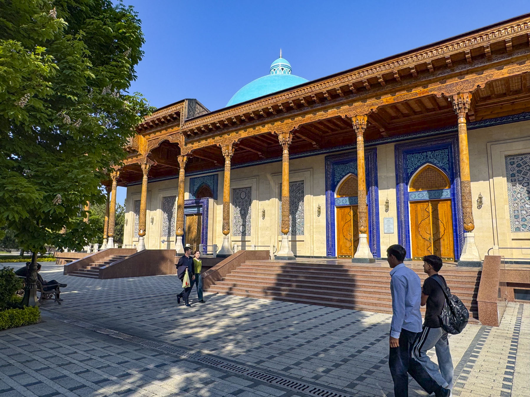
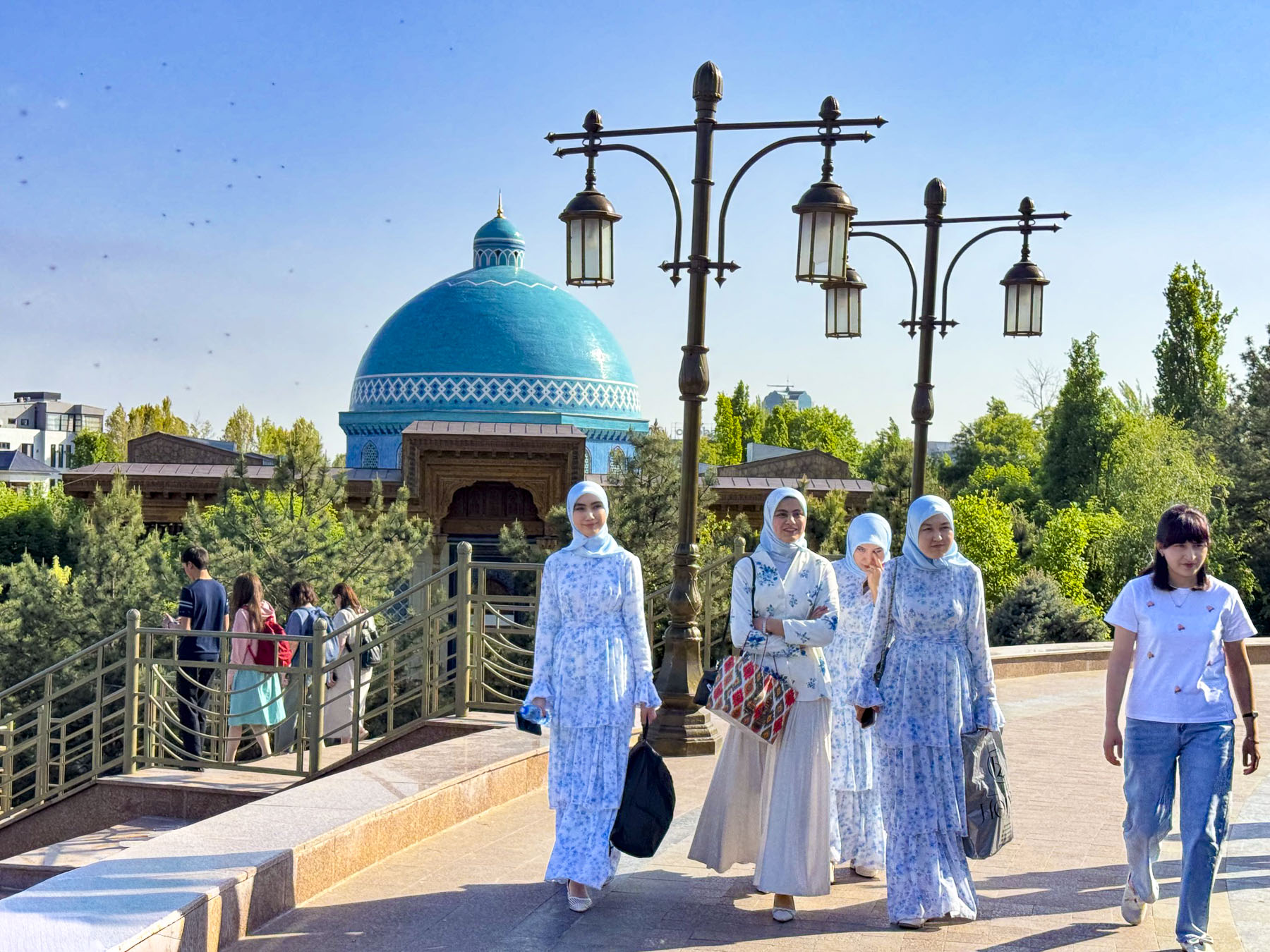
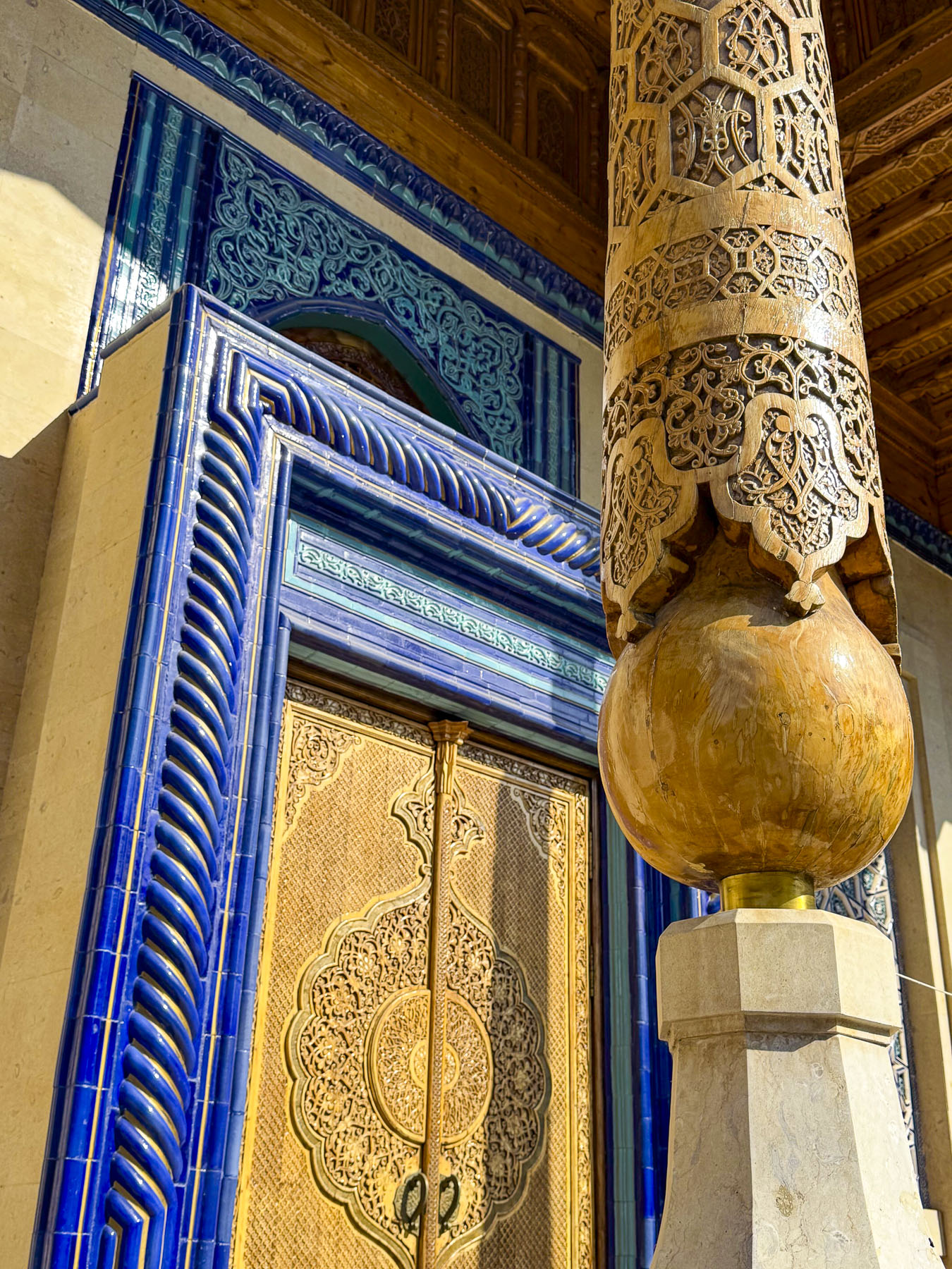
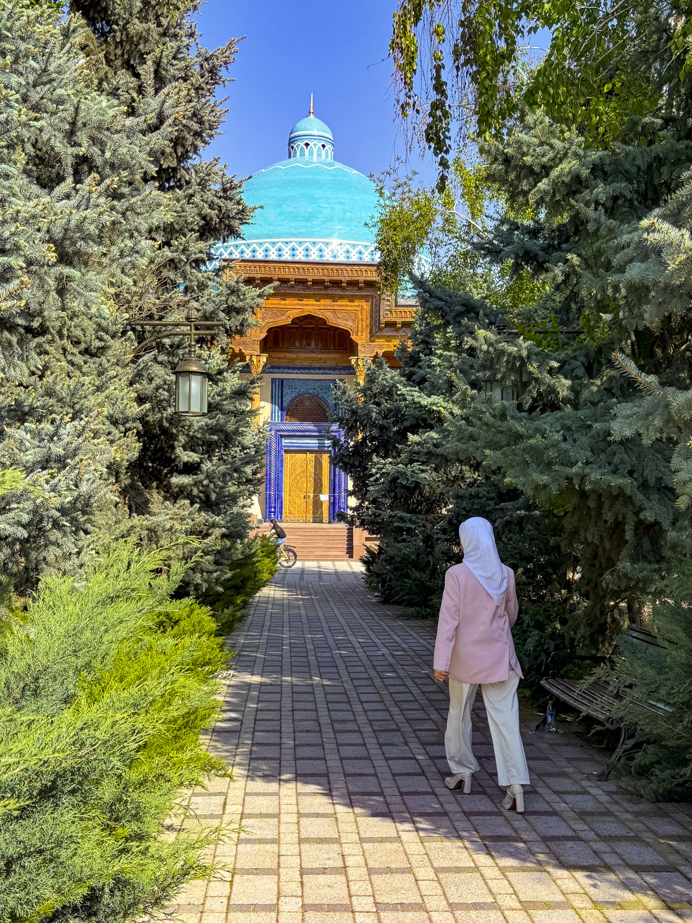
The blue domes of the museum purposely resemble an ancient mausoleum as the building is constructed over the site where the Soviets executed “enemies of the people” during the 1930s. Across the country over 100,000 people were arrested, and over 13,000 of them were shot. Trees in the park symbolically come from the gulags around the country where folks were imprisoned. During World War II ethnic groups that allegedly collaborated with the Soviet Union’s enemies were deported en mass to Siberia.

Outside, the man-made river that runs through the park is symbolically shaped like a Greek meander, to symbolize the eternal flow of life. Under the park’s tall rotunda is a nephrite tomb with the inscription in Arabic, English and Uzbek: “The memory of those who died for their country will live forever.”

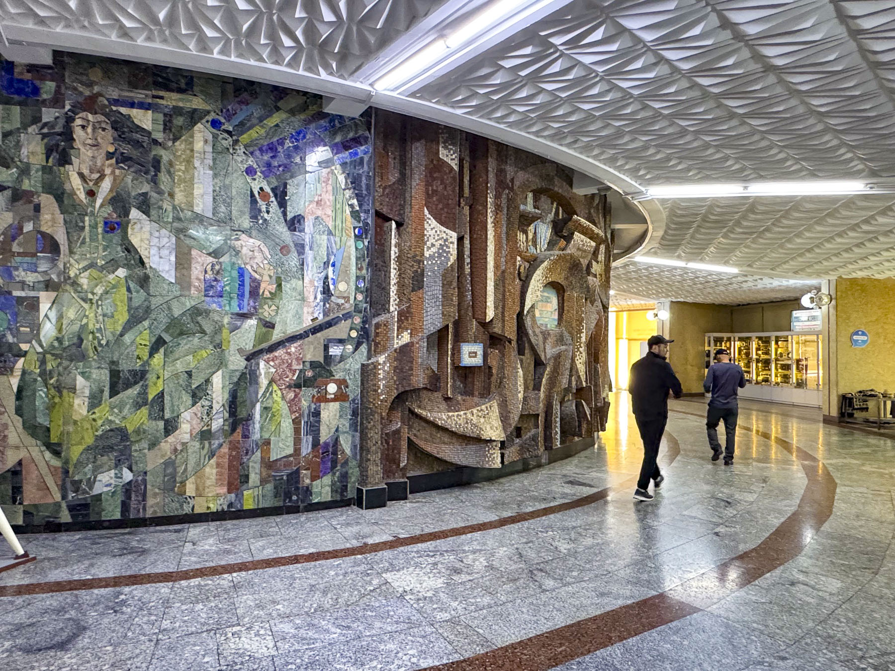
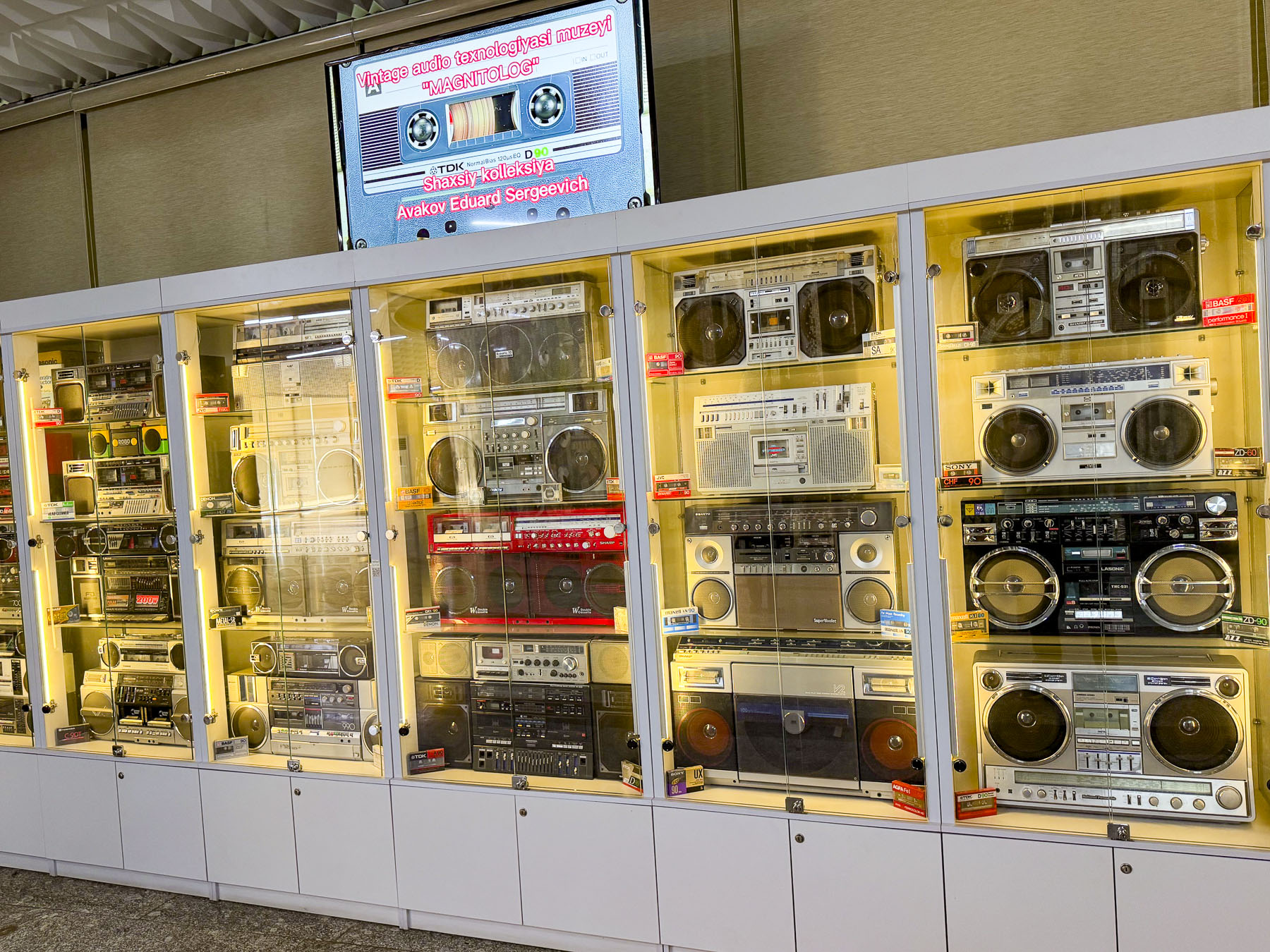
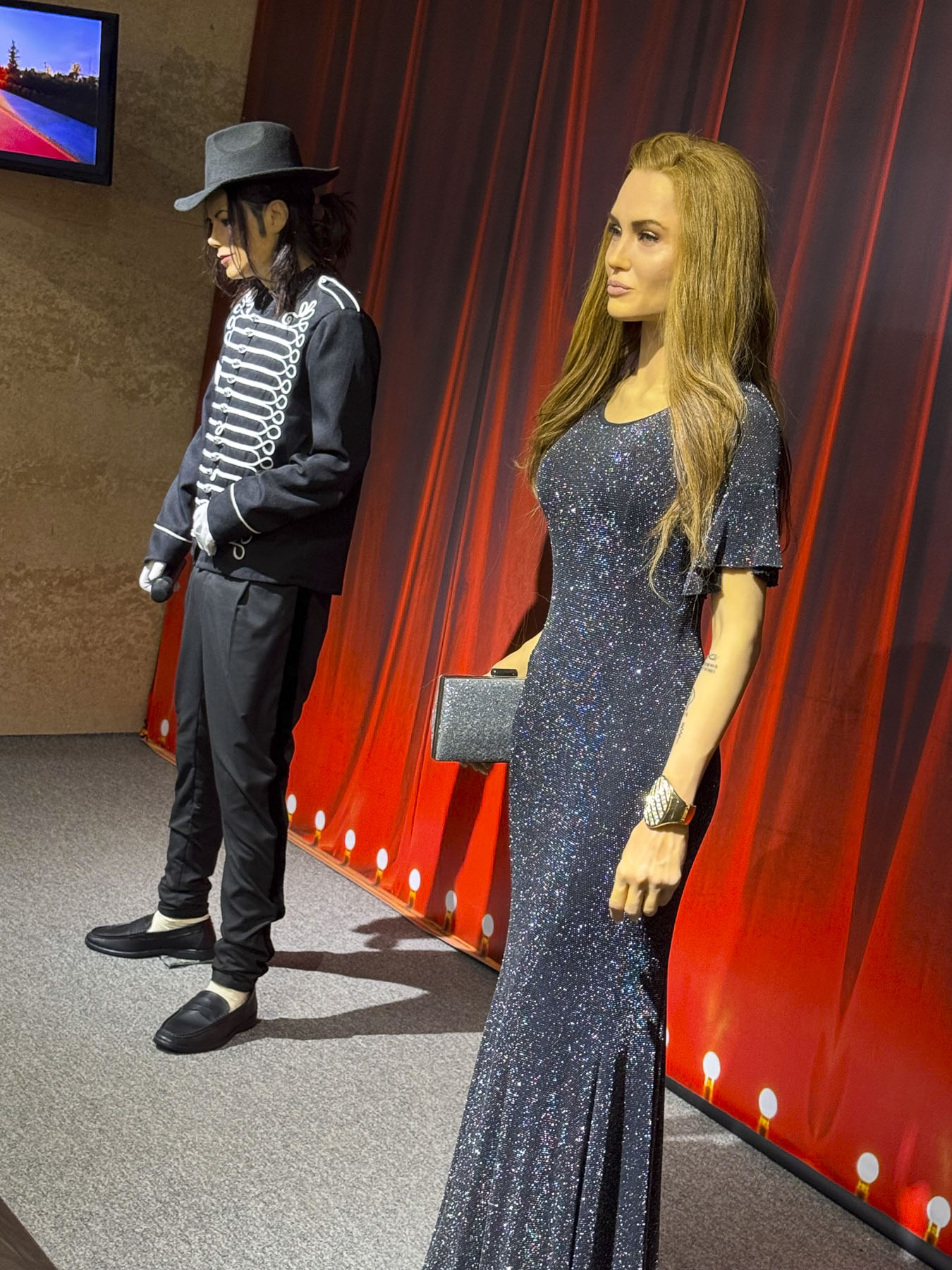
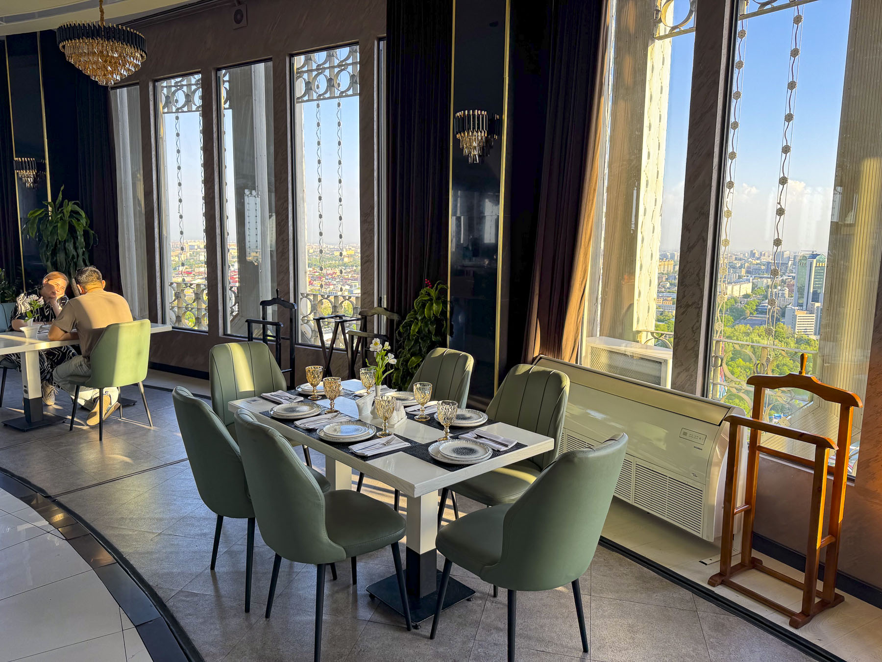
Across the busy road was the Tashkent Television Tower, the tallest freestanding tower with a height of 375m (1,230ft) in Central Asia since its opening in 1985. To get to the elevators that take you up to an observation deck and revolving panoramic restaurant at 104m (341ft) above the ground we had to walk along a long corridor lined with models of other significantly tall television towers around the world, a display of archaic boom boxes, an abstract tile mosaic mural and the wax museum likeness of Michael Jackson and maybe the doubleganger of Melania Trump? The restaurant was enjoyable, though expensive for cake and coffee.

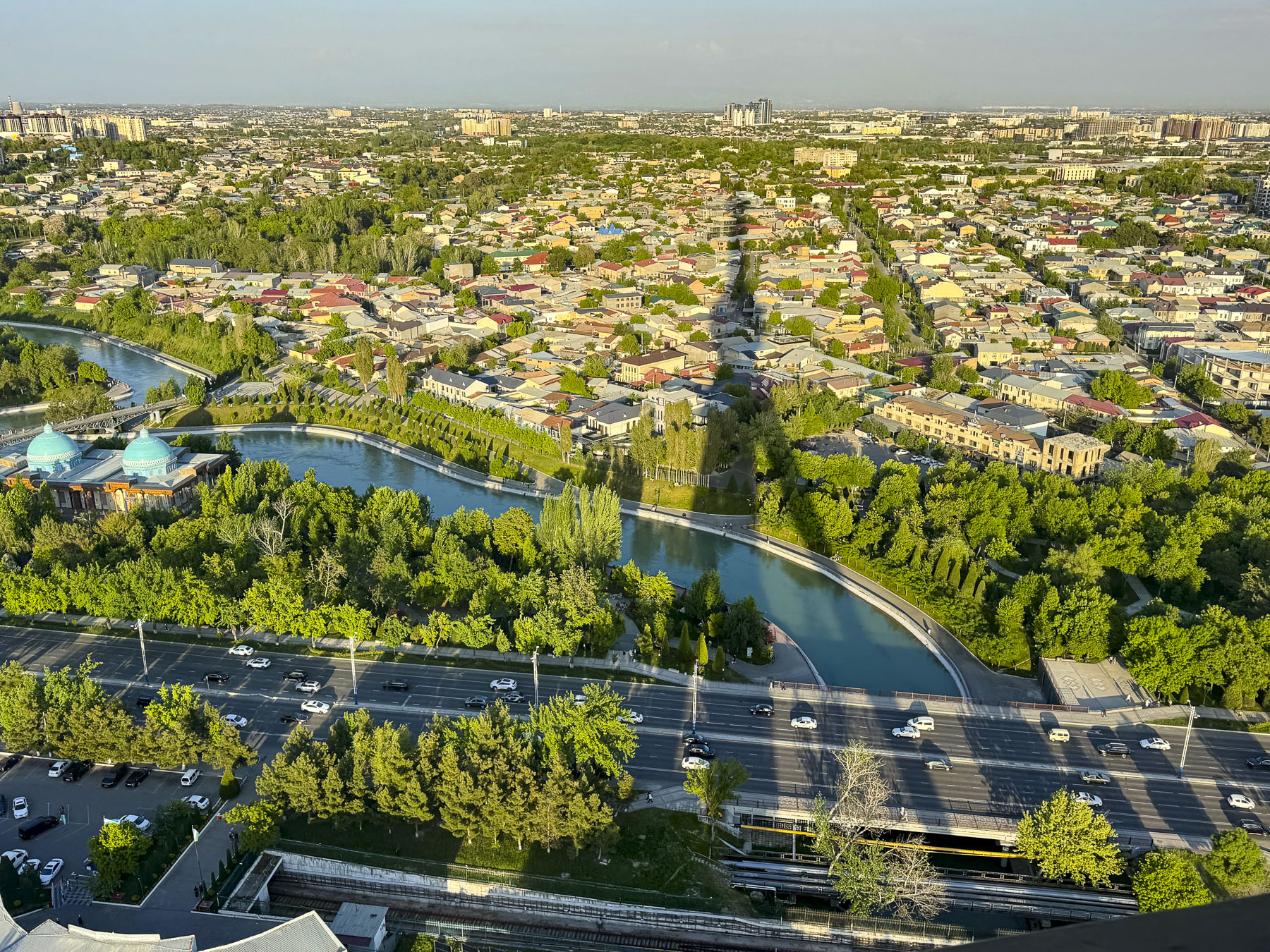
However, the views from the observation deck out over metropolitan Tashkent were fantastic, especially where we would see the shadow of the tower cast across the landscape.

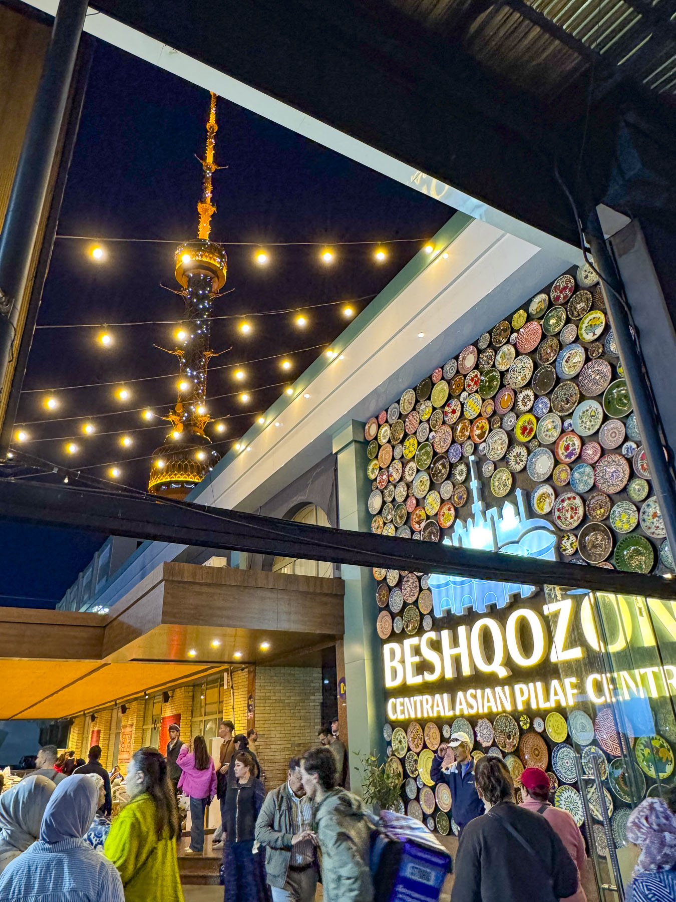
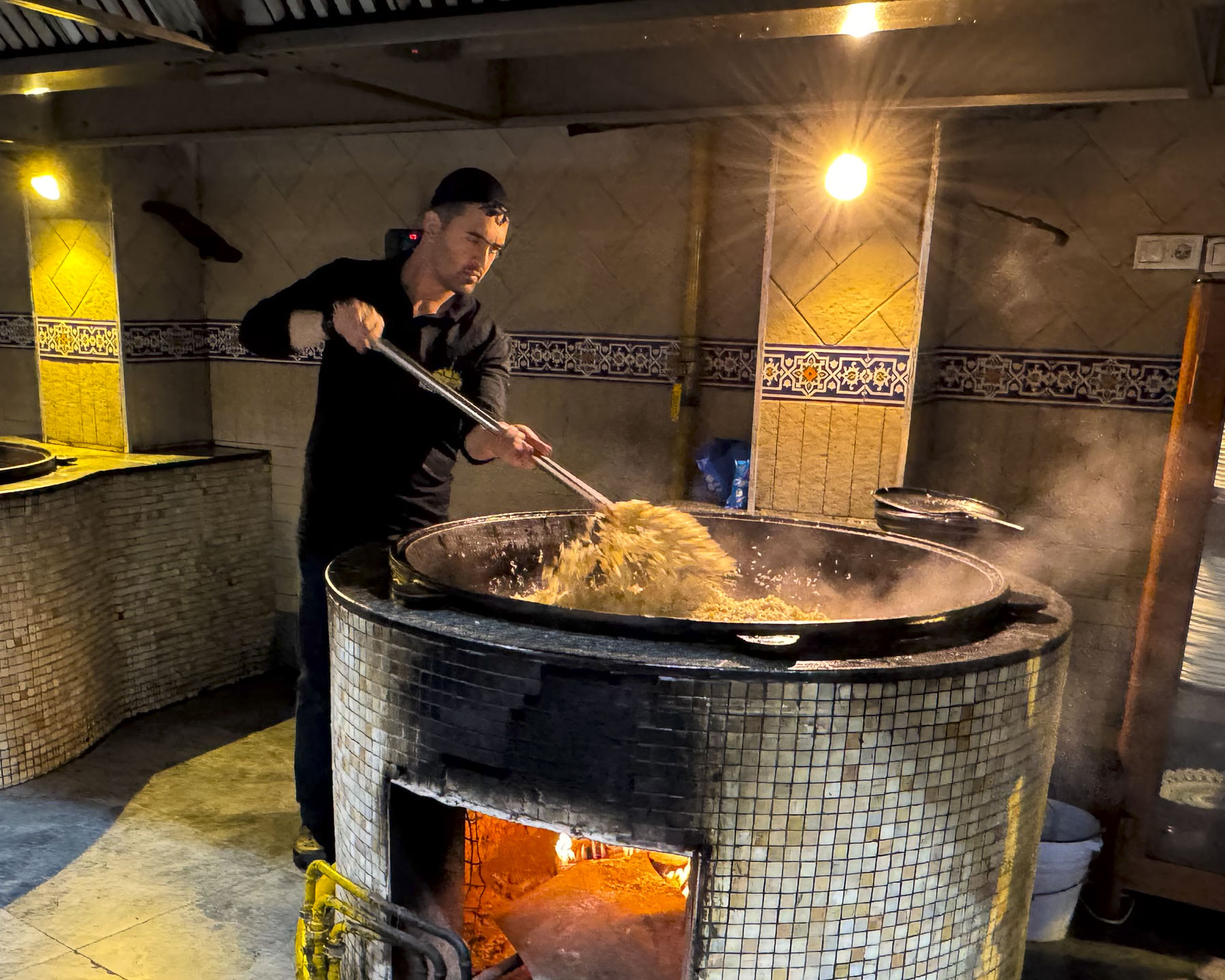
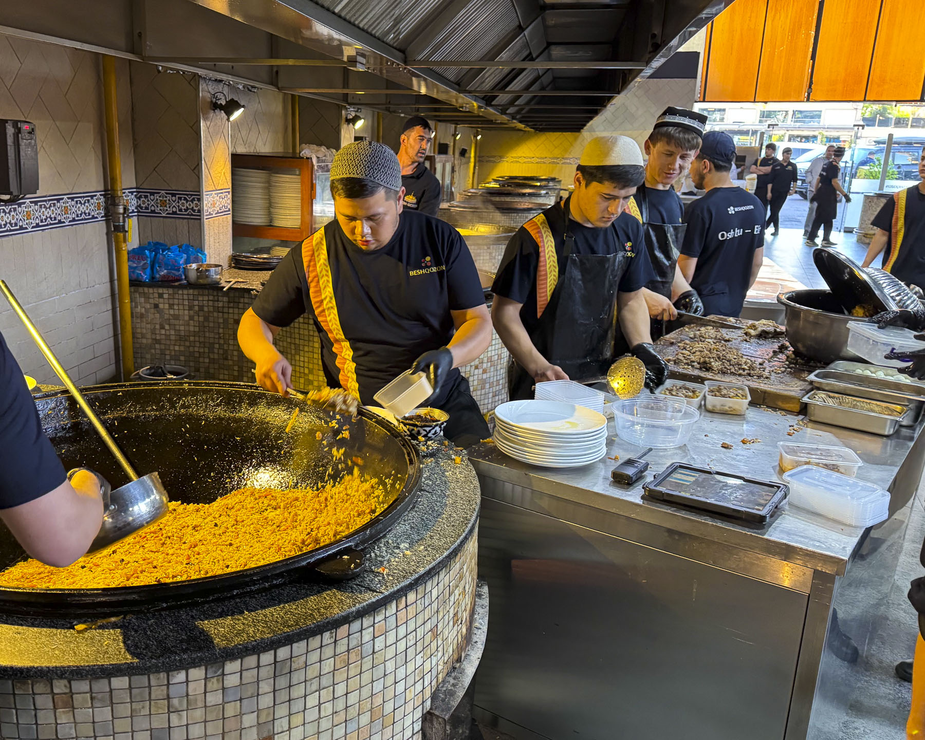
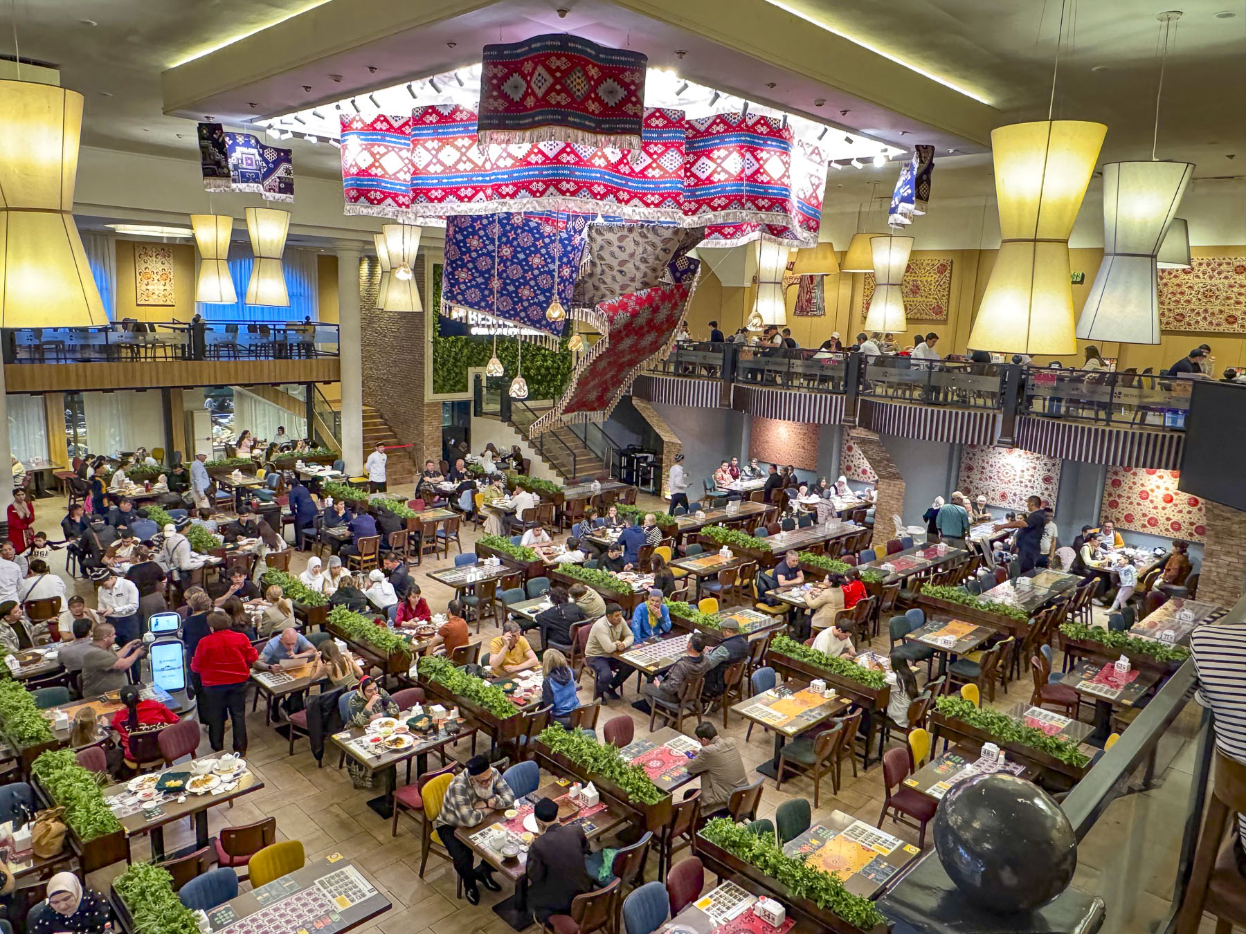
We ended our evening and last day in Tashkent with a short walk to Besh Qozon, a tremendously popular, large, fun restaurant that is known for its Plov, Uzbekistan’s celebrated rice dish. The dish is traditionally prepared by men, and at Besh Qozon visitors are allowed to walk through open kitchen and watch the cooking of several different variations of the recipe being stirred in huge caldrons, and the continuous baking of fresh non.

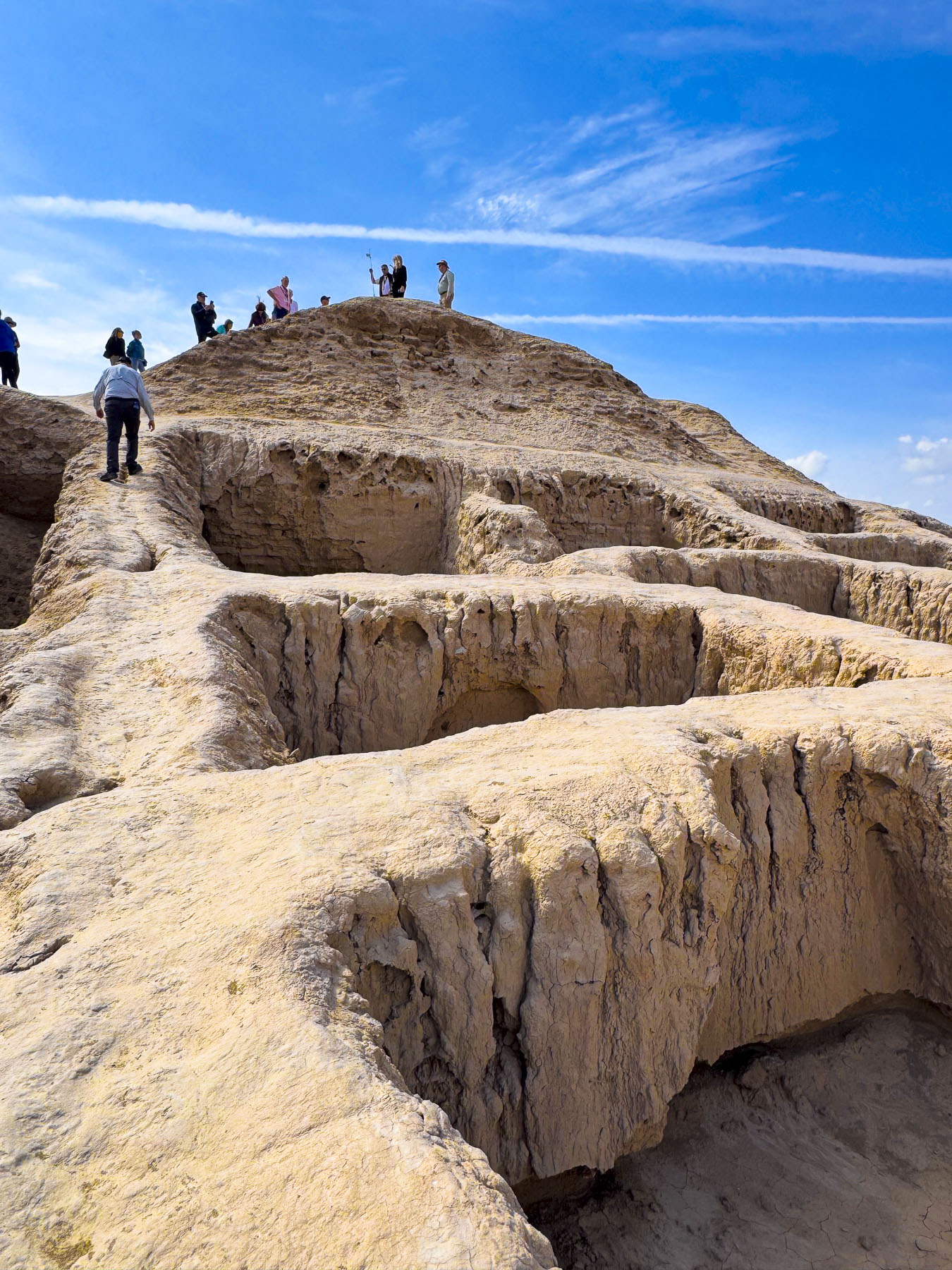
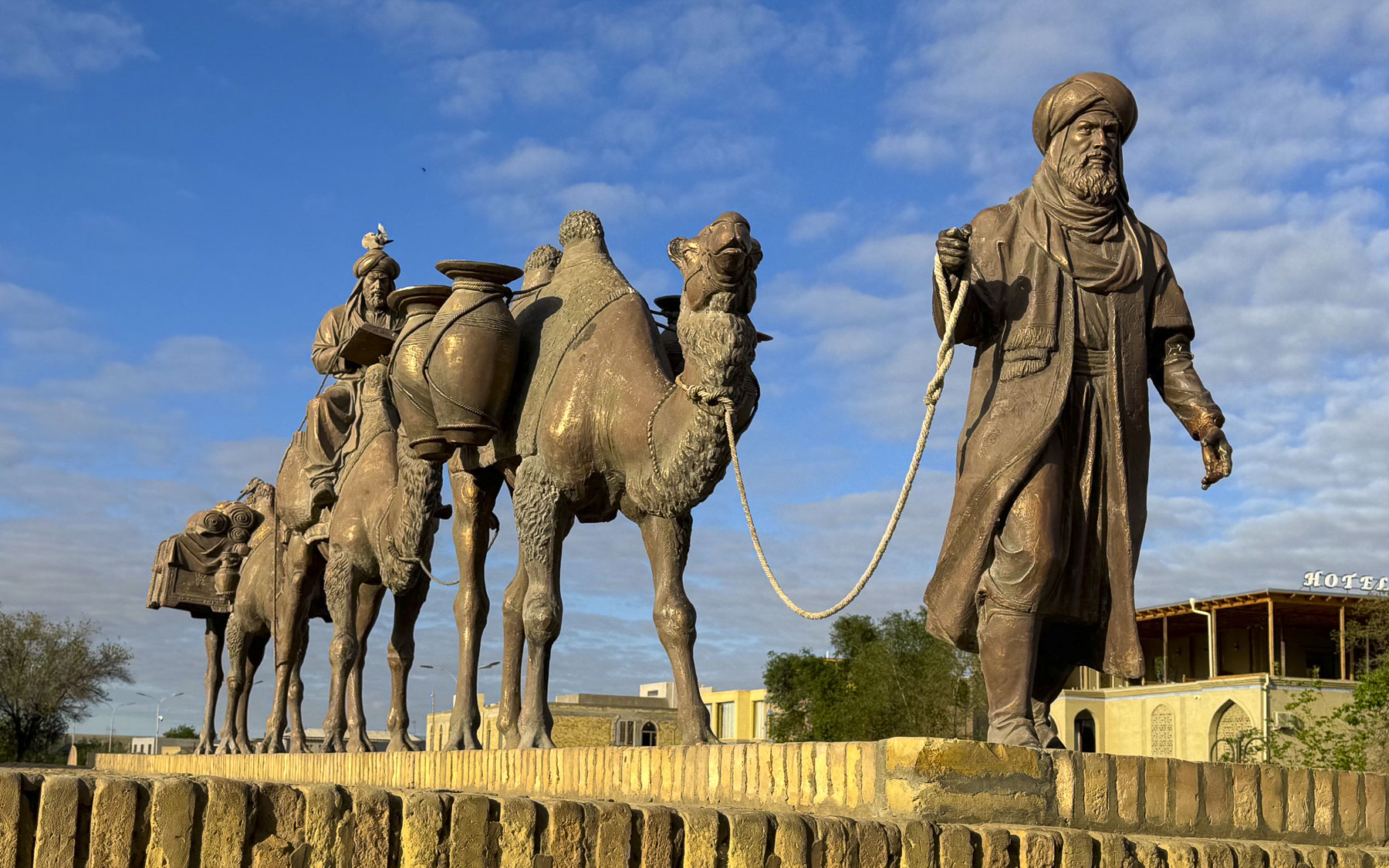
The first known settlers in Uzbekistan were Persian nomads who settled around the oases in the vast Kyzylkum Desert during the in the 8th–6th centuries BC. The desert covers most of central Uzbekistan, stretching from Khiva in the western part of the country to Samarkand in the east. Many of these oases became crucial caravanserais, fortified waystations, to protect the camel caravans along the Silk Road. Others like Samarkand, Bukhara, and Khiva grew into rich influential regional seats of power called khanates.

 In 329 BC Alexander the Great spent two years marching across Uzbekistan in an exhausting campaign to defeat a Persian rebellion, and only left after what legend claims was a love at first sight romance with a local princess named Roxane led to a strategic alliance with her father. The legend of Roxane remains alive in Uzbekistan, with many distinguished families in the region still claiming their lineage from the marriage of Alexander to Roxane, before he set off to conquer India.

In the west we often associate the history of the Silk Road, a 6,400km (4,000mi) camel tract, with the travels of Marco Pollo across central Asia to China in the 13th century. But its history started much earlier in the 2nd century BC, when a Chinese emperor of the Han dynasty sent imperial envoys across Central Asia to establish formal trade routes and military alliances against the Huns. These agreements of safe passage resulted in silk and porcelain from China reaching the eastern-most regions of the Roman empire by 25 BC. On their return journey caravans took glassware, linen, wool and cotton to the Far East.

The Huns never invaded China, but did conquer much of Central Asia, and established a stronghold in southern Uzbekistan during the 4th and 5th centuries. Trade along the Silk Road ebbed and flowed through invasions and peace. Arab conquests swept through Central Asia, bringing the Arabic language and Islamic religion to oasis cities like Bukhara and Samarkand in the 7th–8th Century AD. The Mongol armies of Genghis Khan brought massive destruction to the region in the early 1200s.

By the late 14th century, the region was the central hub of trade and ideas at the crossroads of the known world at the time, and experiencing a renaissance of art, science, and Islamic architecture under the enlightened rule of Emir Timur. By the 16th century the successive invasions of Turkic and Mongol nomadic tribes had ended. The invaders from 92 tribes, as legend believes, had settled and intermingled with the local folk and established what eventually would be recognized as the Uzbek identity.

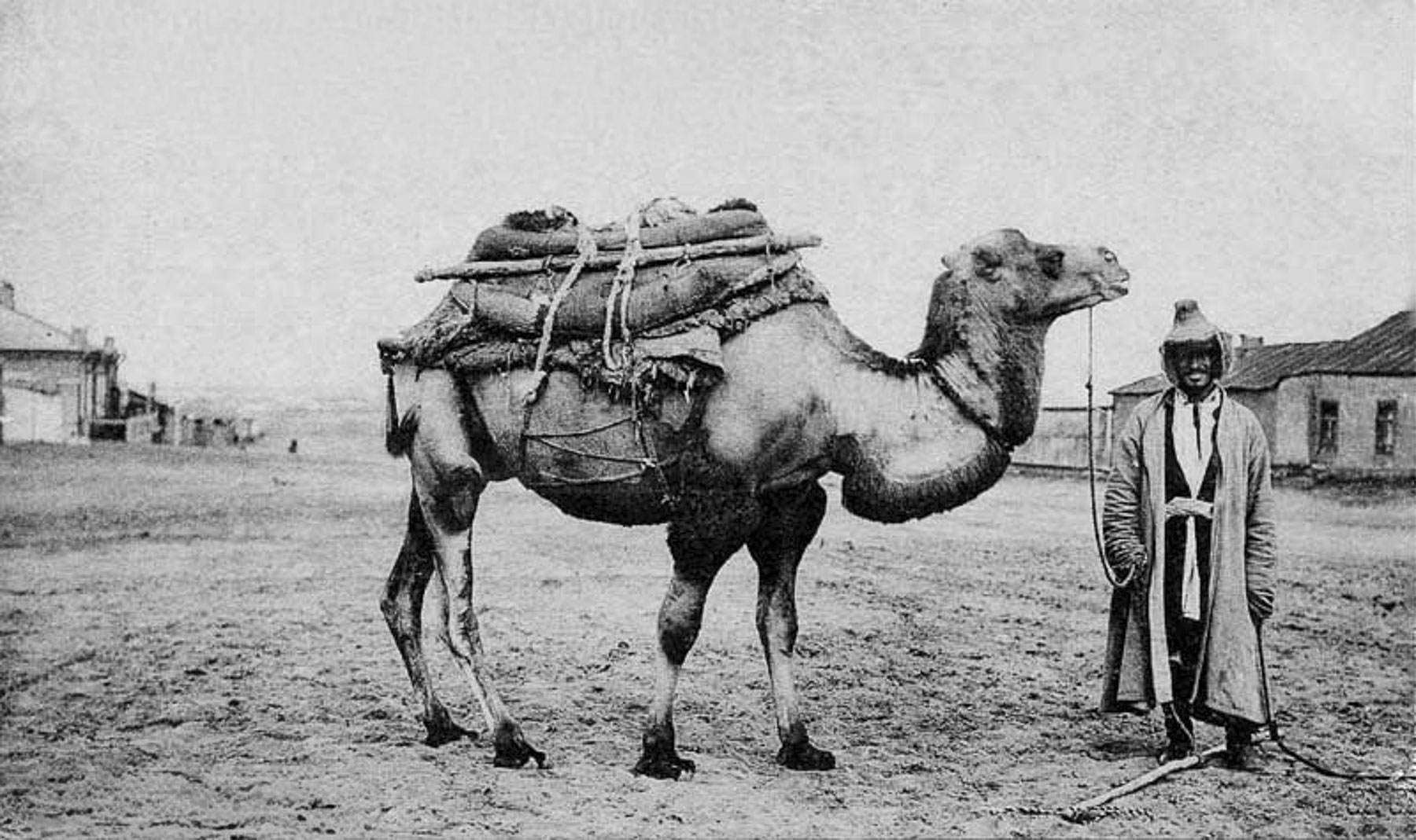
By the 16th century Spanish and Portuguese Navigators were mapping maritime trade routes across the Indian Ocean to India, Southeast Asia, the East Indies, and China. These nautical routes from Asia to Europe were significantly faster and safer than transporting goods via the Silk Road and trade on the overland route slowly diminished. Regional caravans still plied the deserts of Central Asia, taking supplies to isolated settlements well into the 1930s, but stopped when a growing road network ended the camel caravan era.

Without this international trade flowing both ways through Uzbekistan the armies of the Tashkent, Bukhara, and Khiva Khanates fell in succession from 1865 to 1873 to the technologically superior firepower amassed against them by Czarist Russian Empire in a drive to secure the region’s natural resources, mostly cotton, for the Russian economy. The Khanates retained figurehead monarchs, but all political and economic decisions were controlled by Moscow, which developed Tashkent as its administrative center. Czarist rule quickly forced all viable agricultural lands to be planted with cotton. This valuable crop, often called “white gold,” was then exported from Uzbekistan to the mills of the Russian homeland on the newly built Trans-Caspian Railway that connected Tashkent to the eastern shores of the Caspian Sea. Train ferries then shuttled the freight cars across the water to Baku, Azerbaijan for the last leg of journey. Trains returned to Uzbekistan with colonizers from Ukraine, Belarus, and regions around St. Petersburg and Moscow, who displaced Uzbeks and were given the best agricultural lands. Until this cotton monoculture was forced upon the farmers in Uzbekistan the country was agriculturally self-sufficient but soon relied on imported grains from other regions in the Russian Empire.

After Russia’s communist revolution ended in 1922, Uzbekistan was incorporated into the USSR, the Union of Soviet Socialist Republics, as the Uzbek Soviet Socialist Republic. Communist authoritative rule expanded the cotton monoculture with extensive irrigation systems using water diverted from the Amu Darya and Syr Darya rivers, the source waters of the inland Aral Sea. This environmental mismanagement caused the sea, once an important fisheries resource, to lose over 90% of its volume and transformed the vital waterbody into the new Aralkum Desert within five decades.

Life in Uzbekistan during the Soviet communist era was harsh. While basic housing, medical and education needs were met, there was rampant underemployment, widespread poverty, lack of foodstuffs in the markets, and political and religious repression. During the yearly cotton harvests Uzbeks, including children, were forced to spend 15 – 60 days in the fields picking the “white gold.” Schools and universities across the country were closed, and even teachers, doctors and nurses were not exempt from participating. Refusal could result in the loss of your job or expulsion from higher education.

Over one-hundred years of combined Russian Empire and Soviet rule ended in 1991 when Uzbekistan proudly declared its independence as the Soviet Union was dissolving.

Till next time,

Craig & Donna

Road Tripping Through Andorra: Fall Foliage, Snowy Mountains, Shopping and a Spa

Ever since grade school, where my history teacher displayed a large rollup chart of Europe unfurled in front of the classroom, I’ve always had an interest in maps. They were proof that a world existed beyond my town. Amid that patchwork of countries were small swatches of color that looked unintentional, like drops of paint that hadn’t been touched up and absorbed into the colors around them. These oddities, it turned out, were Vatican City, Monaco, San Marino, Liechtenstein, Malta, and Andorra, the largest splotch of all. They were small medieval-era feudal states that kept their independence through alliances, and existed as protectorates or as dependent territories for a while. Over time, treasuring their independence, they have chosen to remain independent microstates.

That map and watching the television reruns of the pioneering broadcast journalist and explorer Lowell Thomas’s High Adventure program on the weekends sparked within me a curiosity about the world that, thankfully, has never faded.

“You’re going where?” our friends asked. “Andorra. It’s a small, beautiful country in the Pyrenees Mountains between Spain and France.” “We’ve never heard of it!” A fact I imagine Pliny the Elder also expressed with “where in Hades is Andorra?” and could explain why, even though the area of Andorra had Roman military posts since the 2nd century  BC to thwart hostile Northern tribes from crossing the Pyrenees, it was not included in his writings about the Iberian Peninsula in his voluminous Natural History books.

After landing in Barcelona and renting a car, we followed route C-16 north and headed to Llívia, another oddity on the map. It’s a Spanish exclave in the Pyrenees, near Andorra, that is totally surrounded by France, the result of the Treaty of the Pyrenees, signed in 1659, that ended the 24-year Franco-Spanish War (1635–1659). In the treaty, Spain ceded 33 villages in northern Catalonia to France, establishing the Pyrenees Mountain Range as the natural border between the two countries. Llívia, however, was officially granted the status of a town back in 1528 by the Holy Roman Emperor Charles V (aka Carlos I of Spain). With this loophole in the treaty, Llívia was excluded from the treaty’s transfer clause and became a unique Spanish exclave surrounded by France, only 168km (104mi), a 2.5-hour drive from Barcelona.

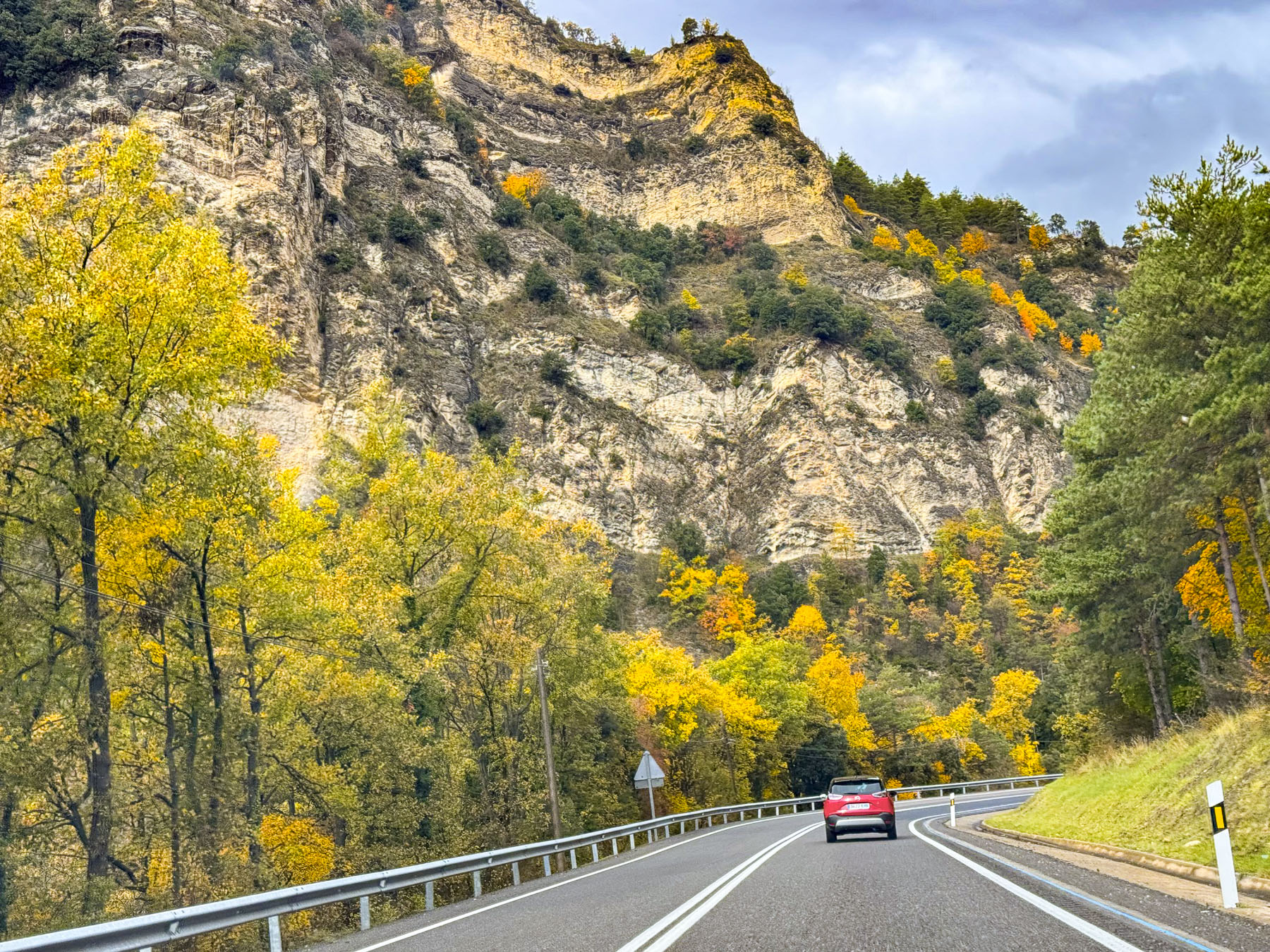
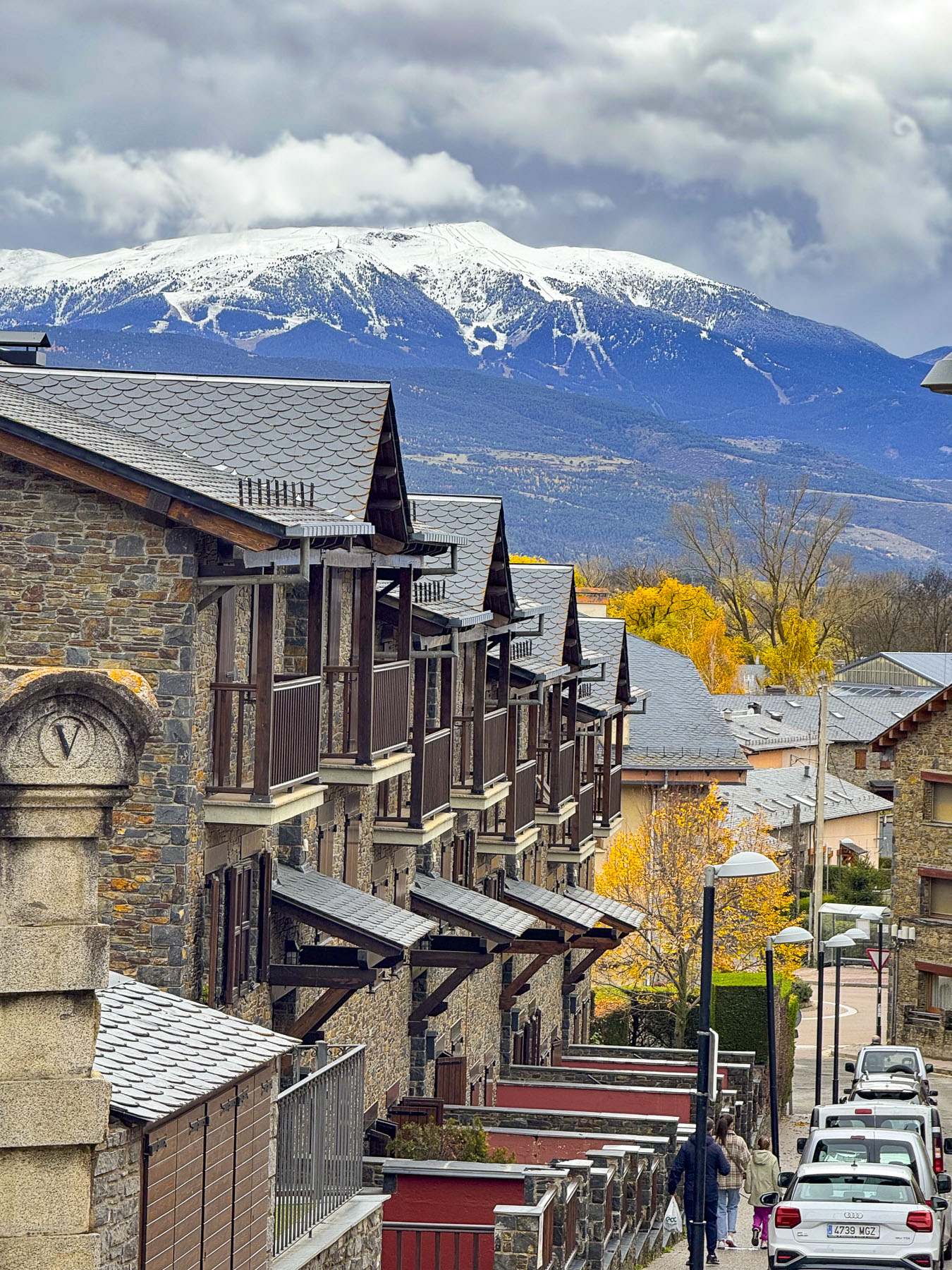
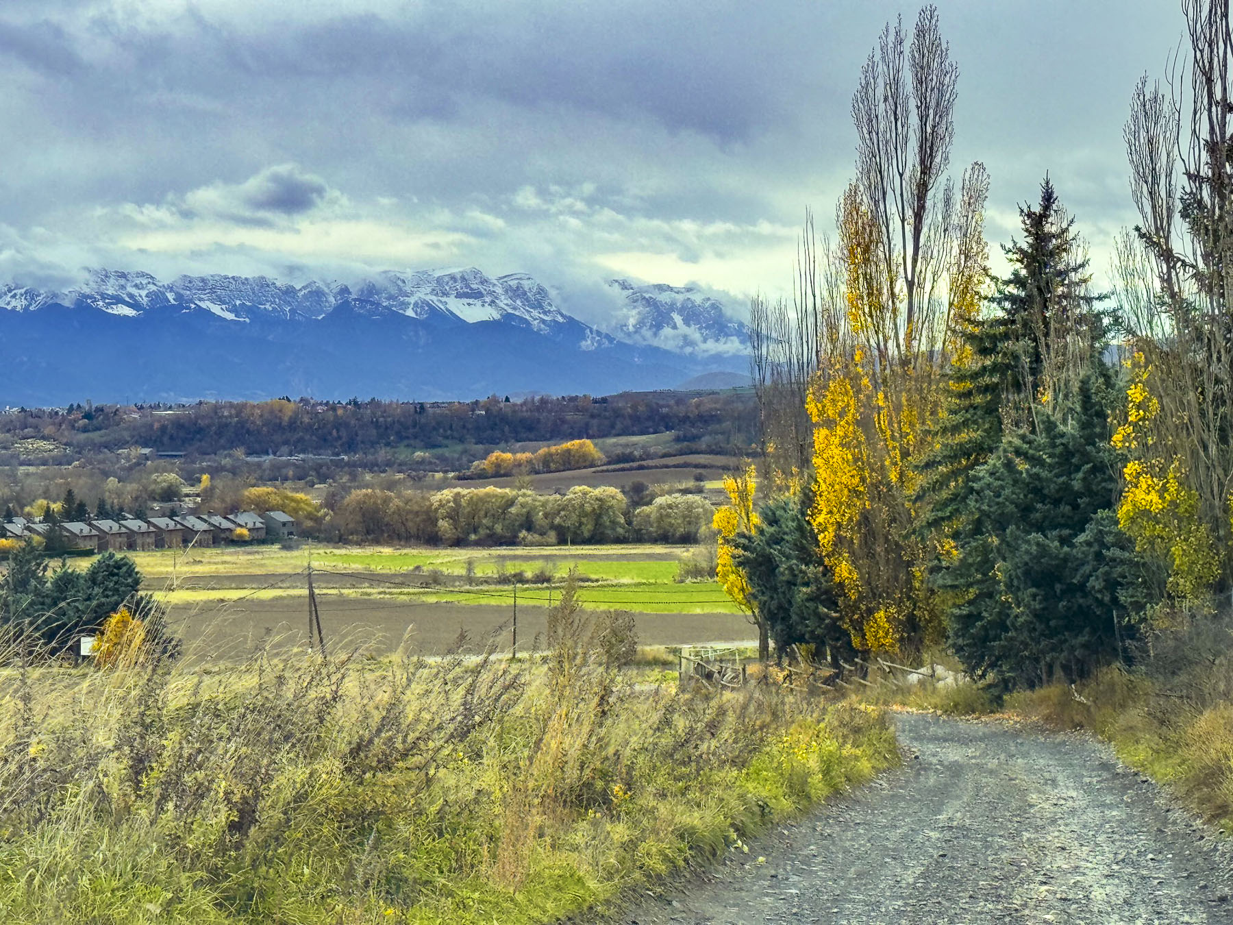
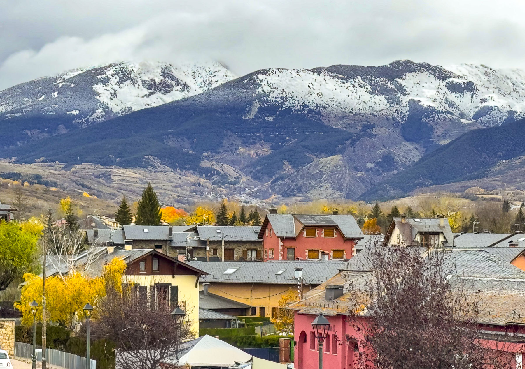
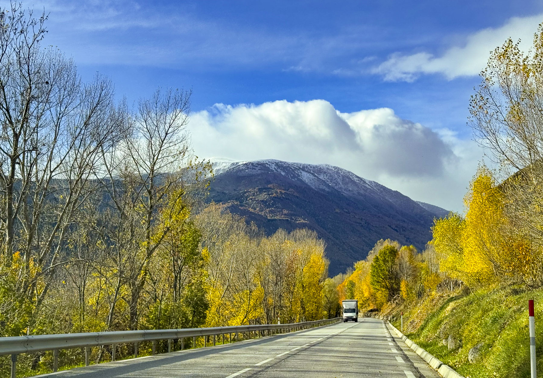
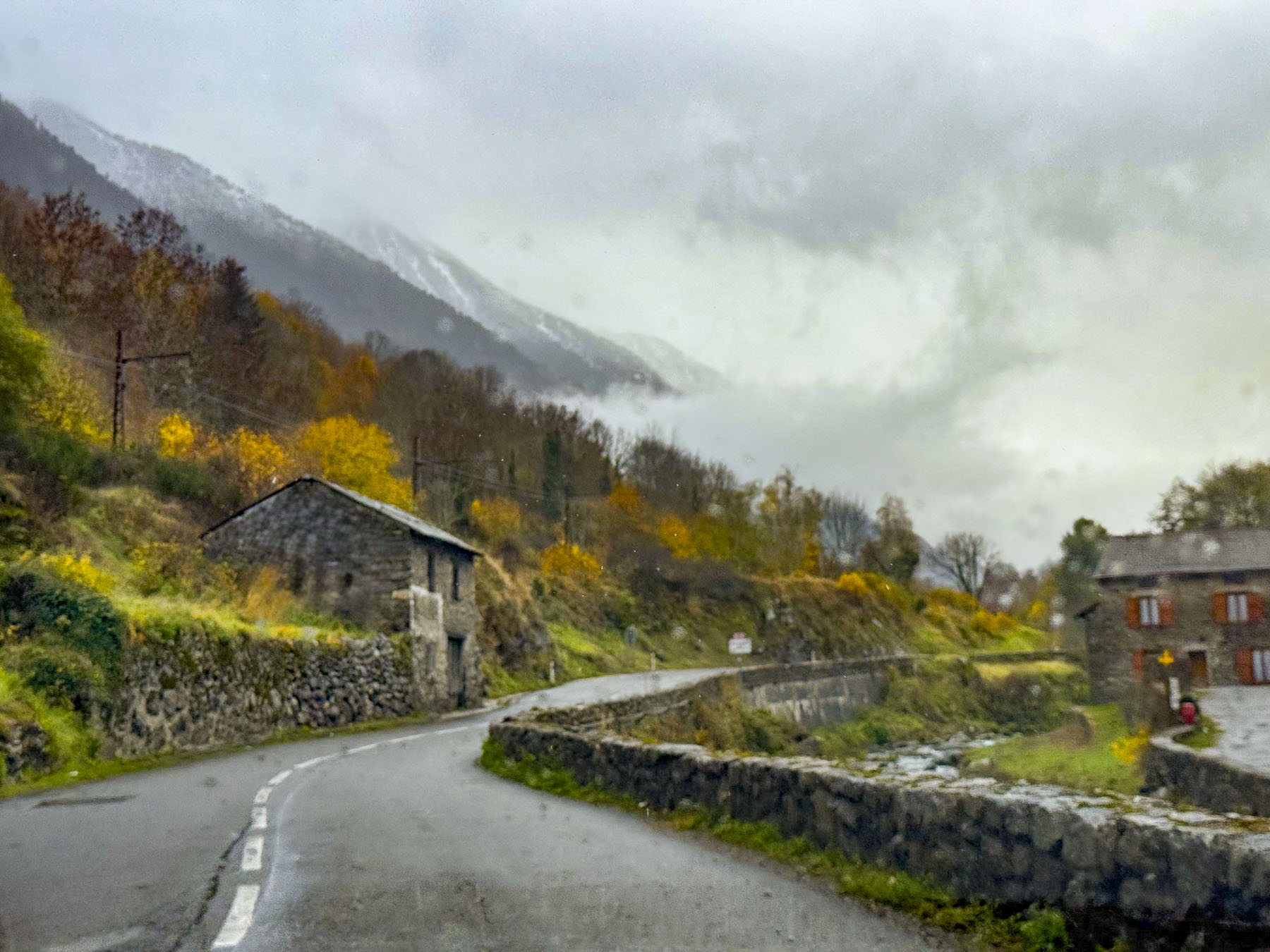
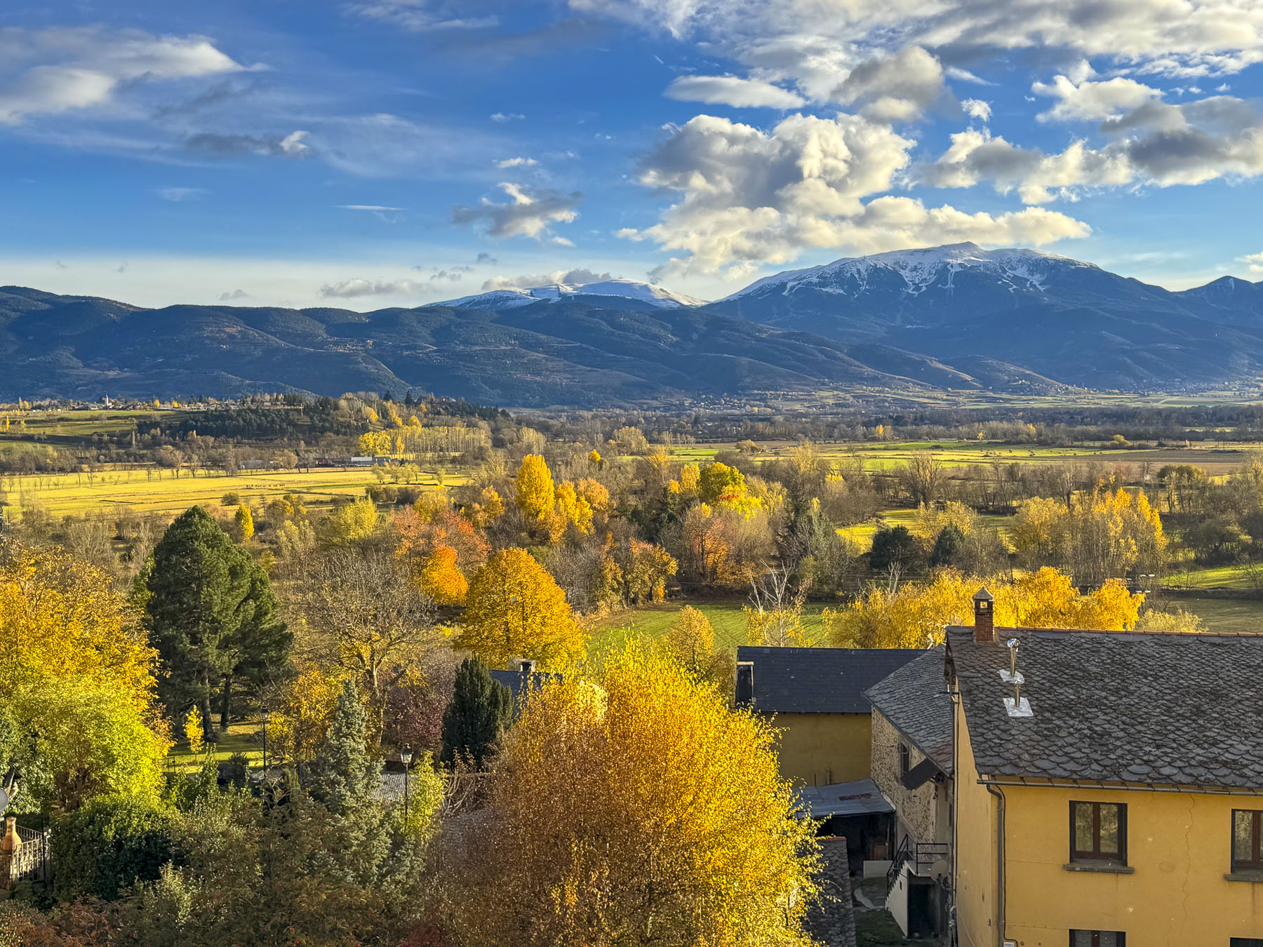
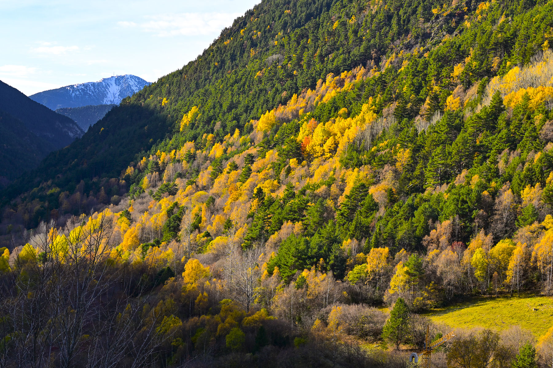
In early November our ride through the countryside was still graced with autumn colors. Our route plateaued onto the Cerdanya, a wide fertile plain surrounded by mountains that separate Andorra from Llívia, and we got our first glimpse of peaks covered with a light dusting of early snow. It was overcast and colder than we expected. It rained occasionally. The sun came out brilliantly, only to disappear behind storm clouds. It was that type of day.

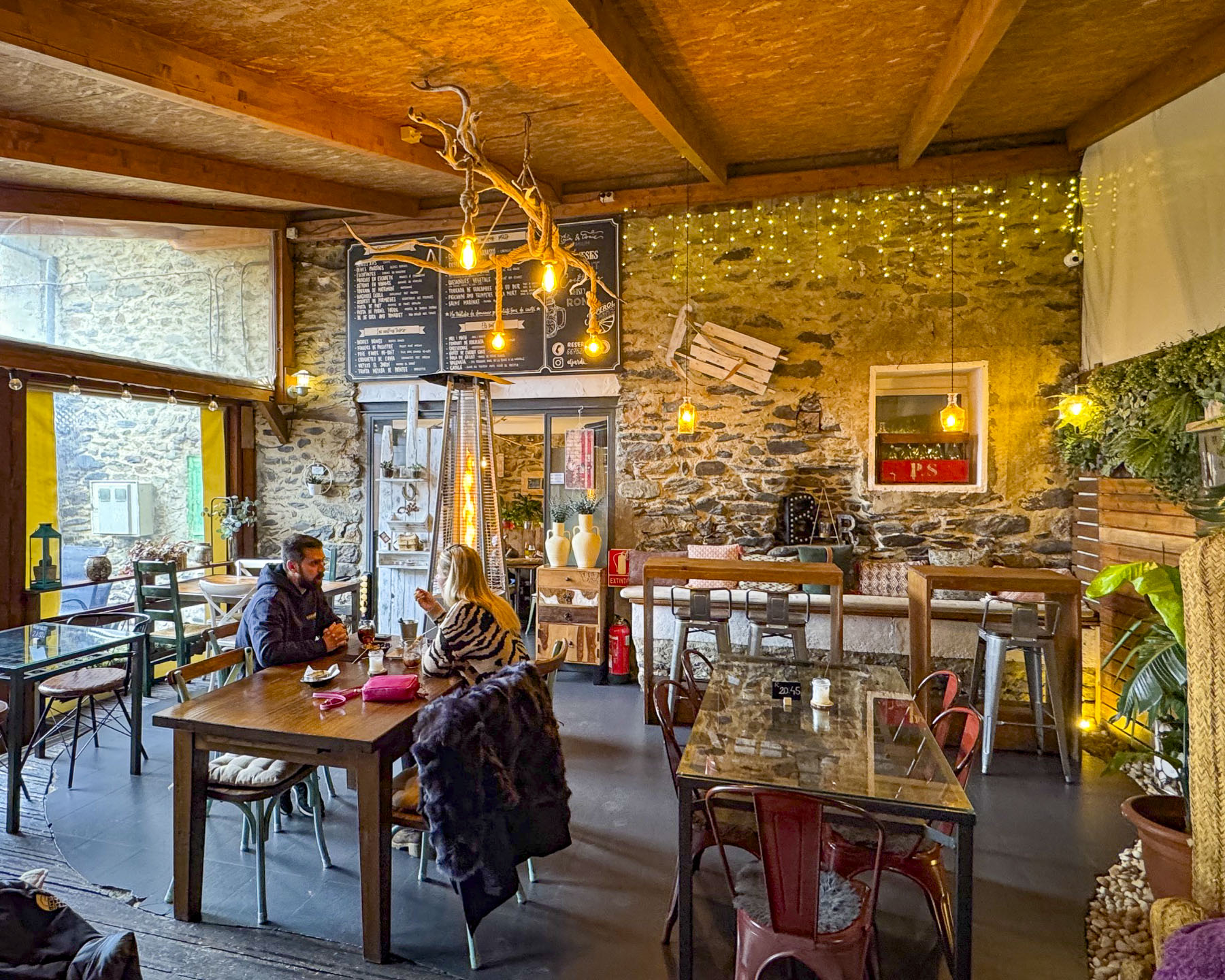
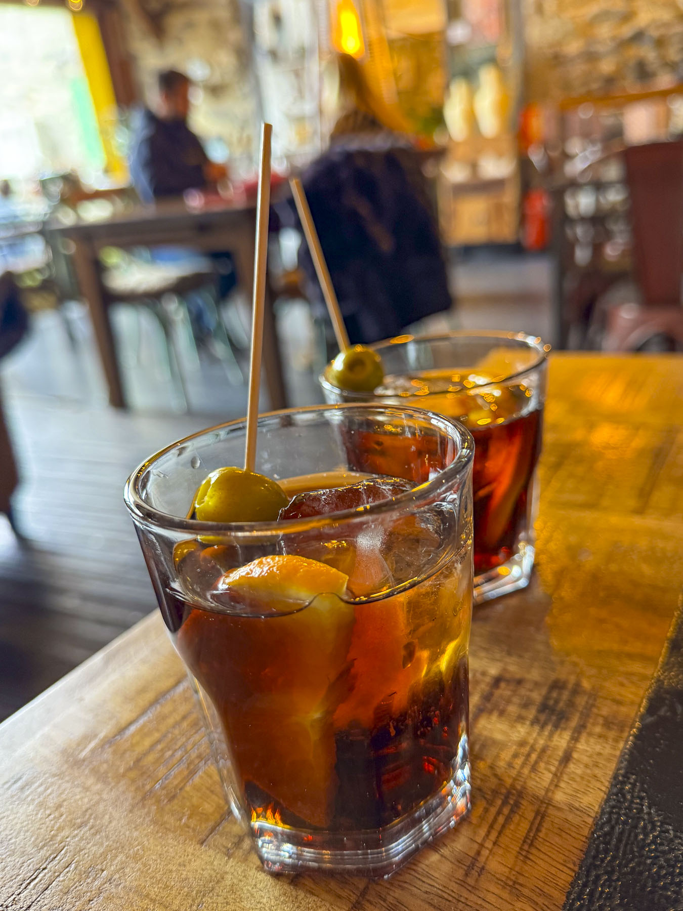
It was once a small village until the Romans colonized the area in the 1st century BC and named it Llívia of in honor of Livia Drusilla, the influential wife of Emperor Augustus. The outpost’s importance as an administrative and commercial center on the Pyrenees frontier grew when gold was discovered in the Cerdanya valley. On the outskirts of the town, archaeologists have uncovered the ruins of a substantial Roman forum and temple. Unfortunately, time restraints prevented us from climbing to the ruins of the Castell de Llivia, for a panoramic view of the town. The hilltop has been fortified since antiquity. The last castle stood until the French King Louis XI ordered it destroyed in 1479. We consoled ourselves with a hot lunch, and a glass of vermouth, interestingly garnished with olives, by a fireplace at El Jardi, a small tavern.

The shortest route into Andorra, without tolls, was along the N-260 which would have brought us into Andorra through its southern border with Spain and then straight up the Gran Valira valley to Andorra la Vella, the capital and the country’s largest city. But we chose a slightly longer route deeper into France along the N-20 where we hoped to cross the steep mountains along the N-22 and Andorra’s CG-2 into the northern part of the country, but our plans required a U-turn when we reached the exit, and found the road closed with traffic barricades due to a landslide that blocked the route further along in the mountains – a  traffic condition that our map app did not show.

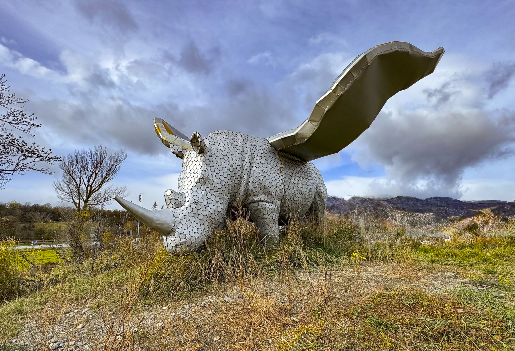
We had hoped to reach our hotel in Andorra la Vella before sunset, but our plans were now akilter and we needed to backtrack to the intersection of N-20 in Ur, France, where a whimsical sculpture of a winged rhinoceros stood atop a small hillock in front of a Carrefour supermarket. Fortunately, the morning’s clouds had given way to a glorious sunny afternoon. Just south of Andorra’s border was La Seu d’Urgell, Spain. Crowned by its hilltop cathedral, the city looked intriguing. Little did we know at the time that the city and its church were an integral part of Andorra’s history.

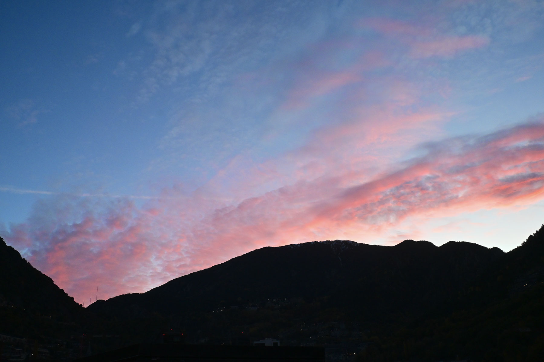
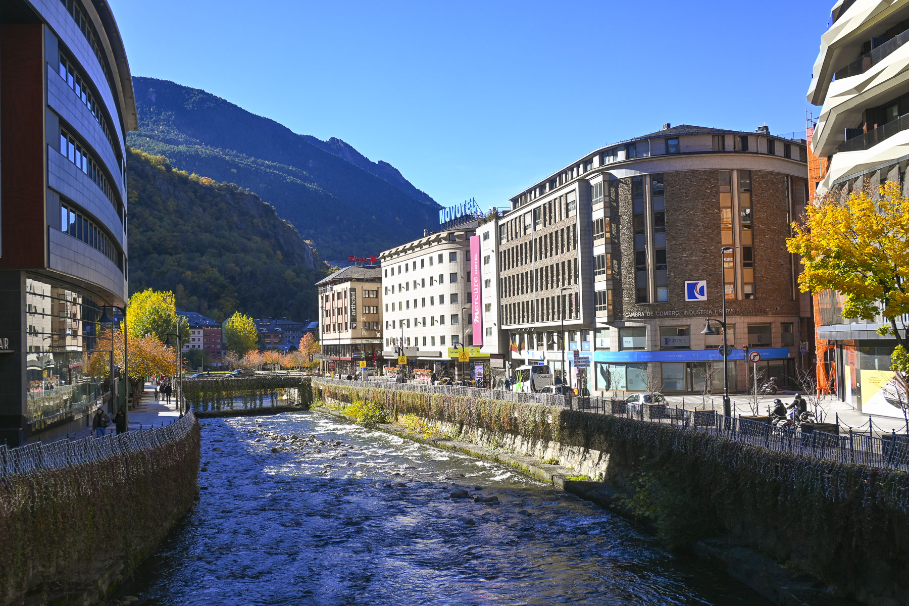
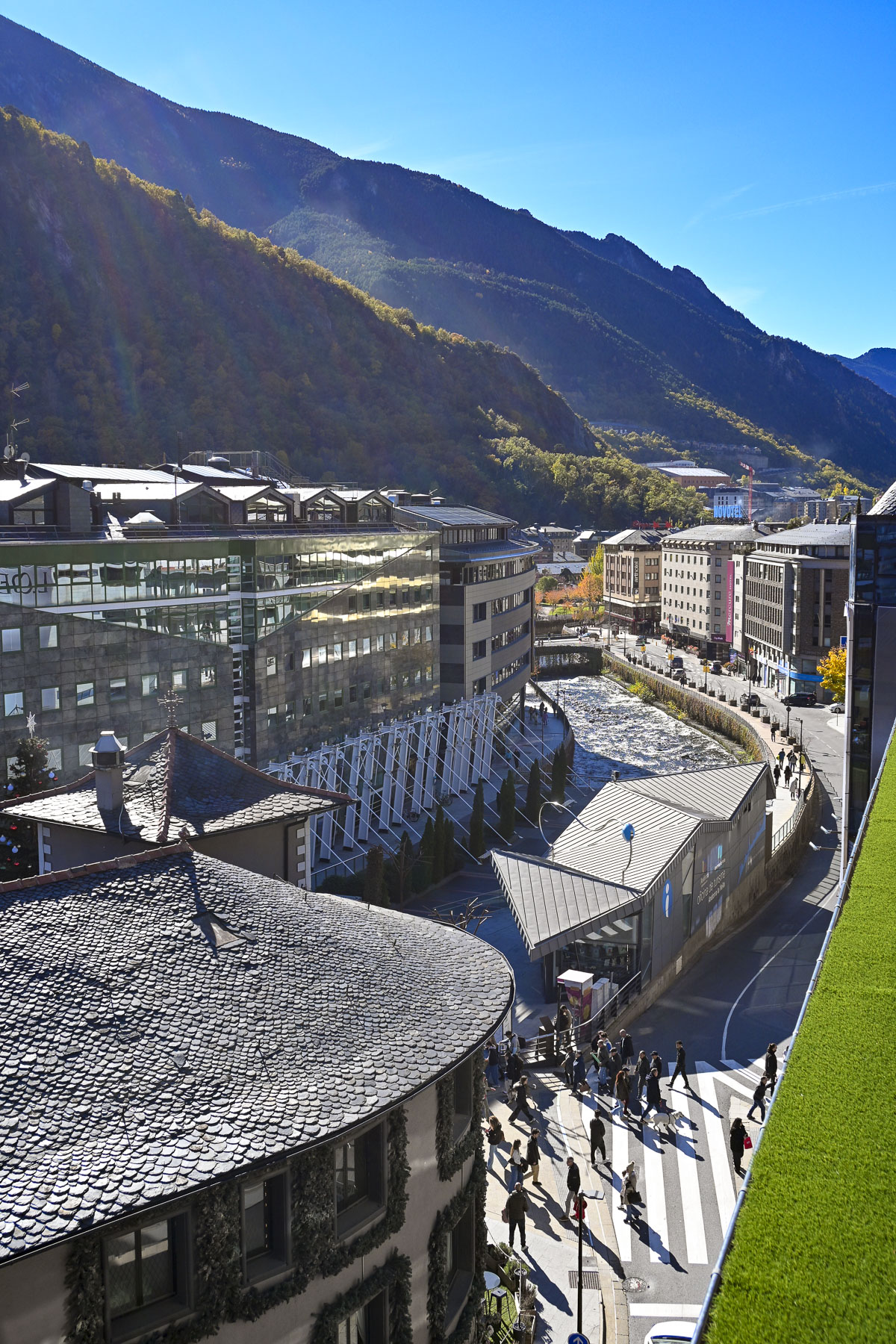
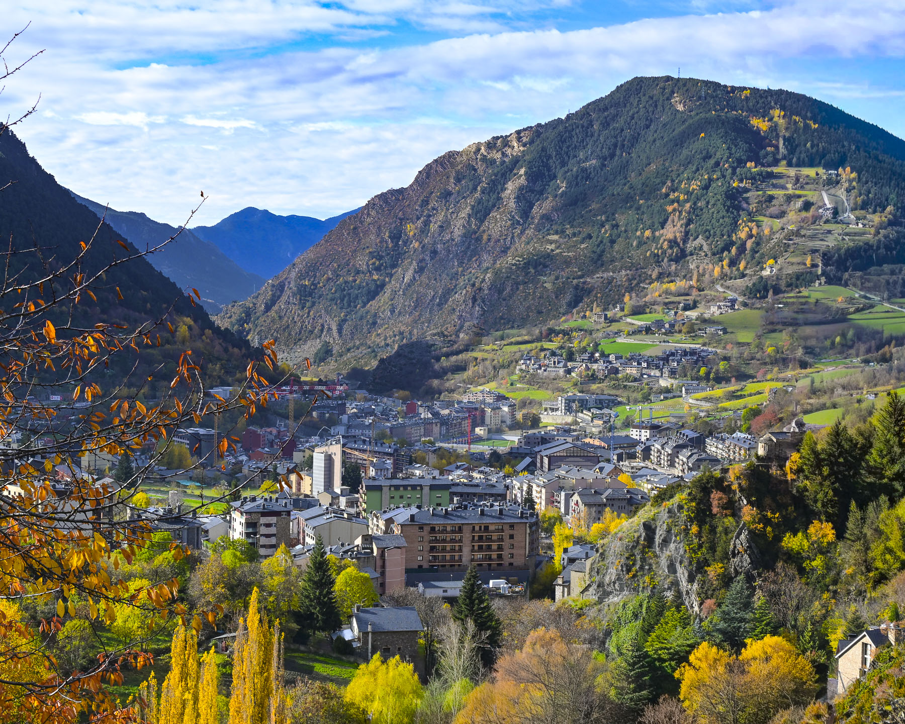
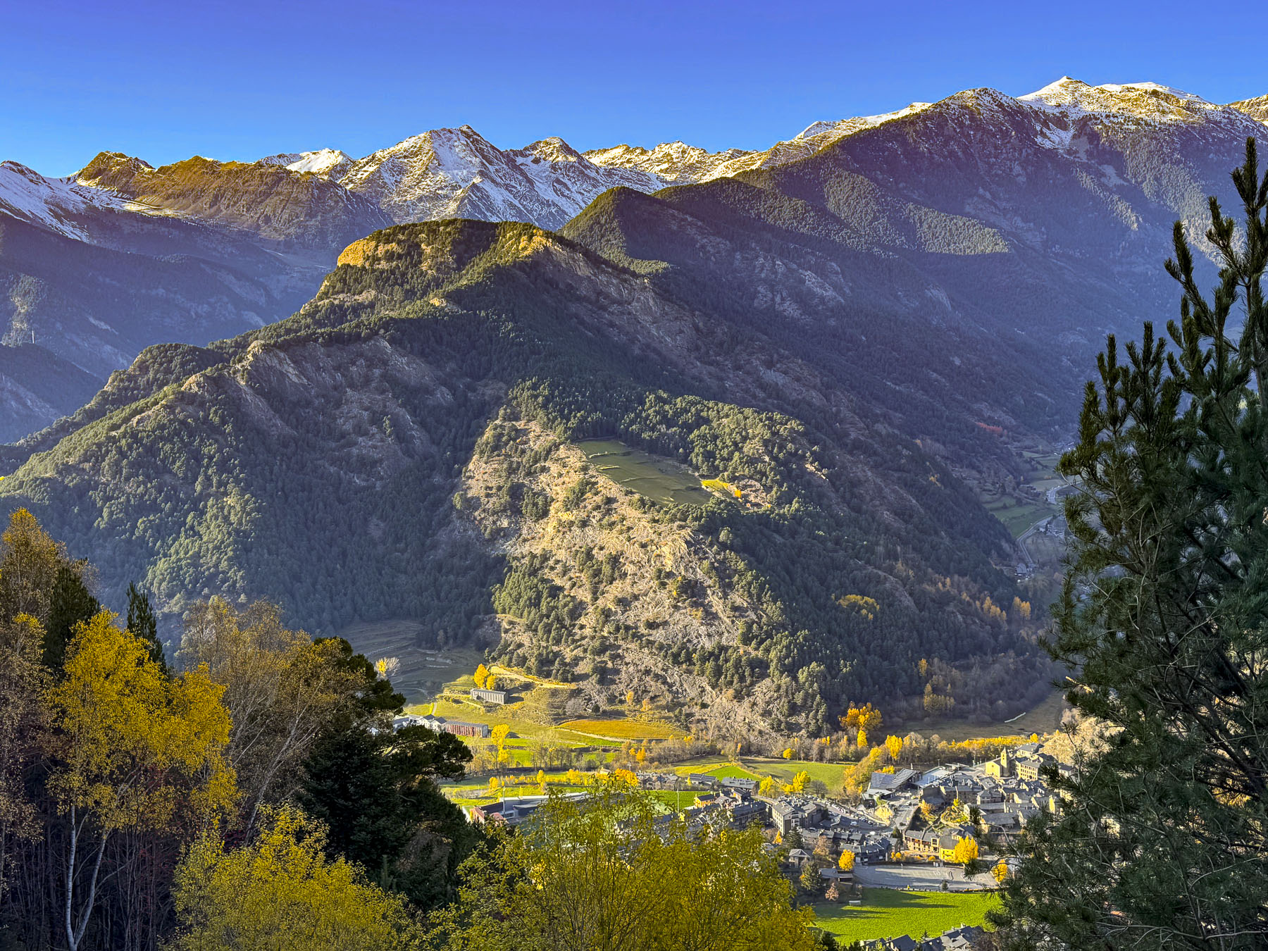
Surrounded by steep mountains, darkness descends early in the Gran Valira valley that shelters Andorra la Vella. The city, Europe’s highest capital at 1,023m (3,356 ft), straddles the Gran Valira River, and is a convoluted zig zag of one-way streets that hug the mountainside, but we found our hotel, the NH Andorra La Vella, relatively easily. They had a limited number of paid parking spaces, which we found very handy. After dropping our bags in the room, we went out to explore the city that was bustling with nighttime shoppers. Shopping seemed to be the national sport for visiting couples, if the number of folks carrying shopping bags on the street is any measure.

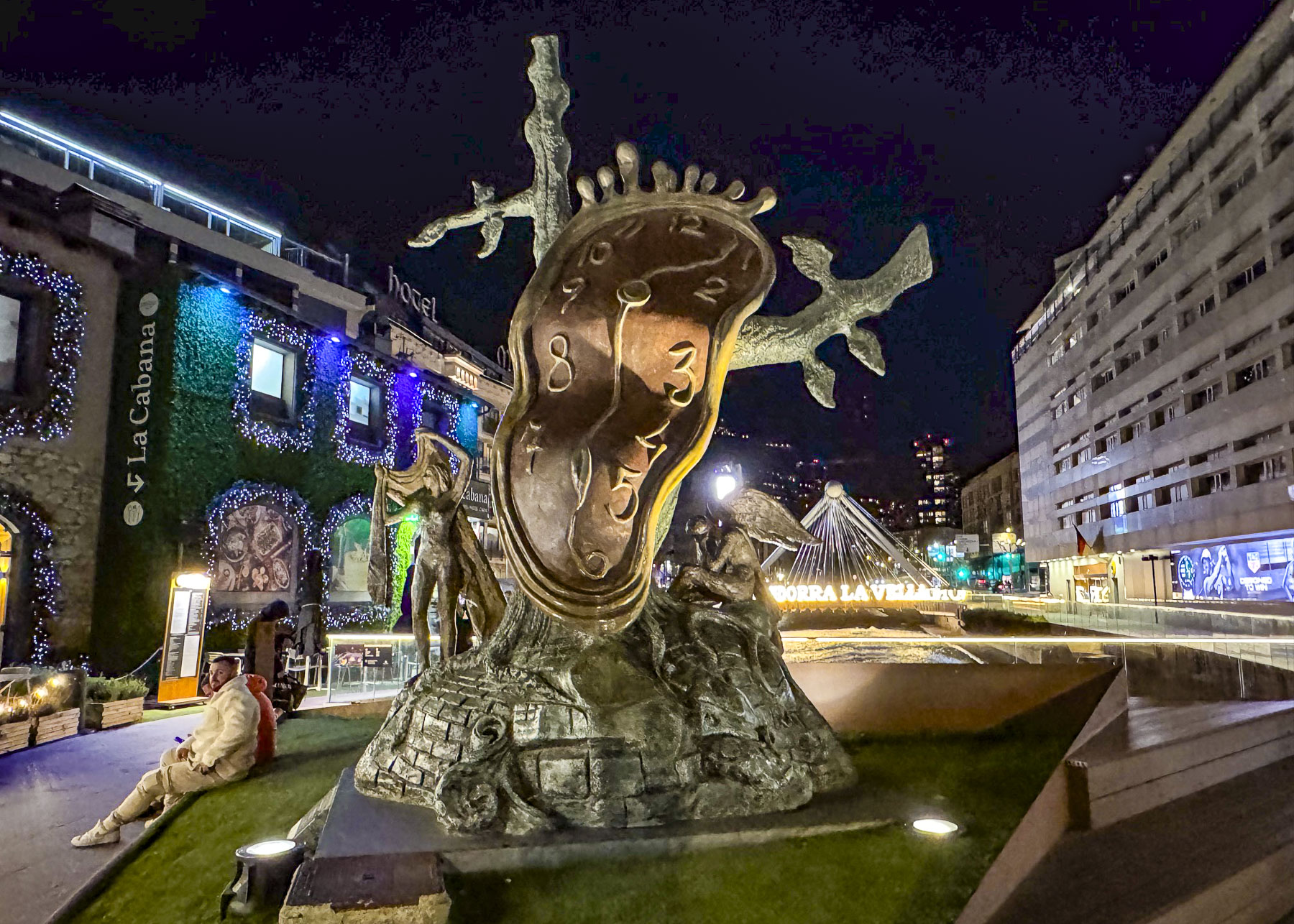
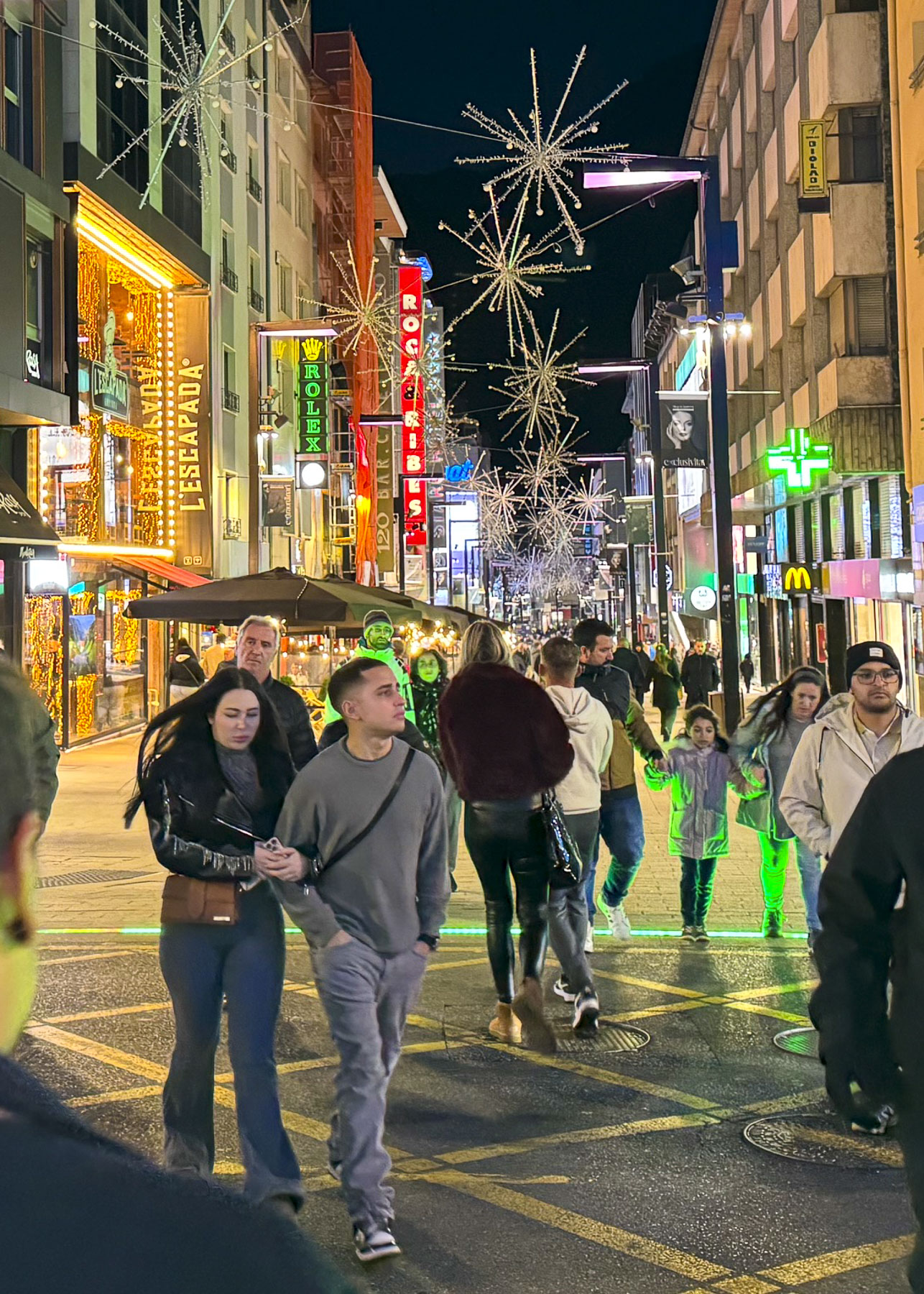
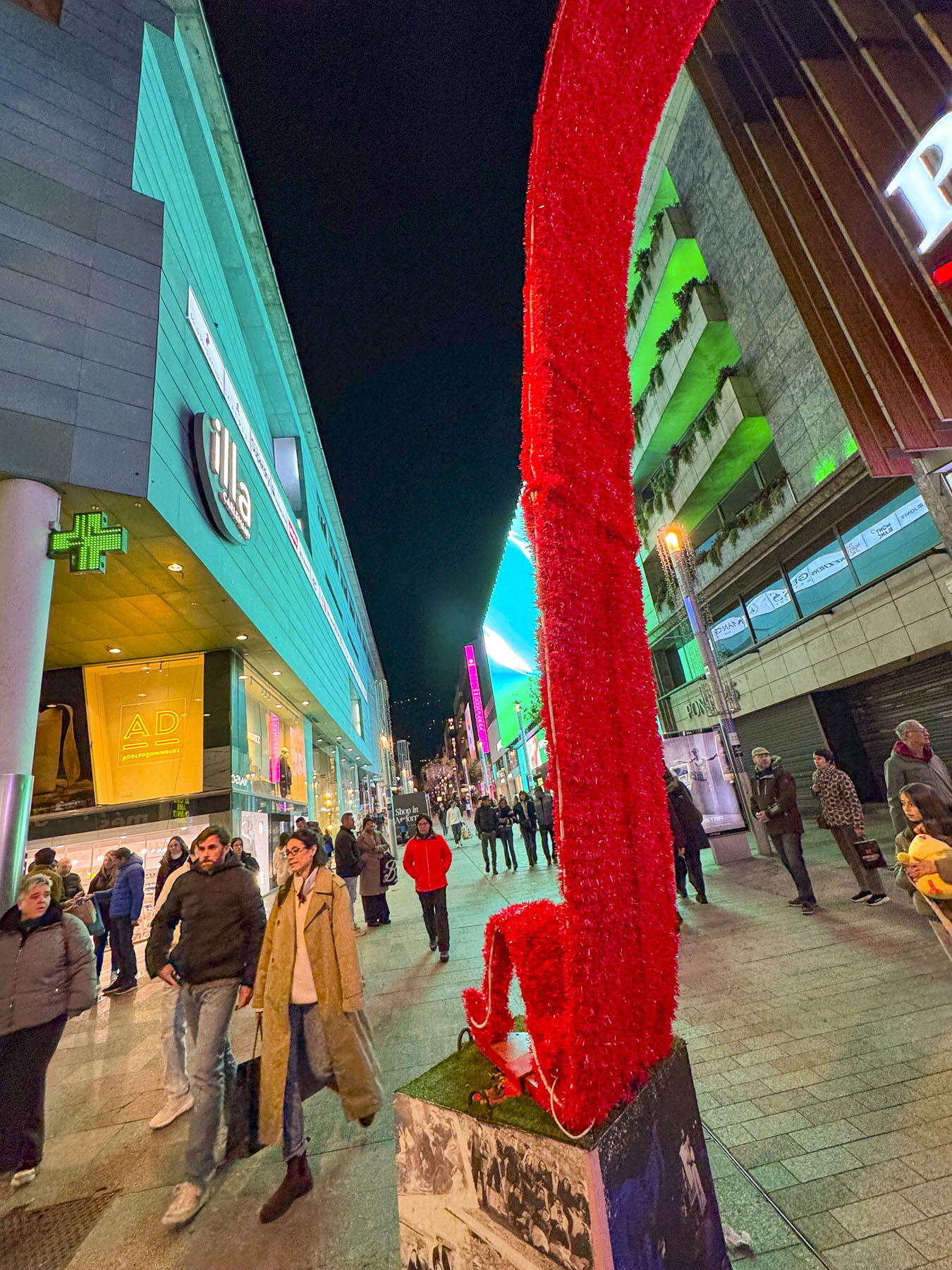
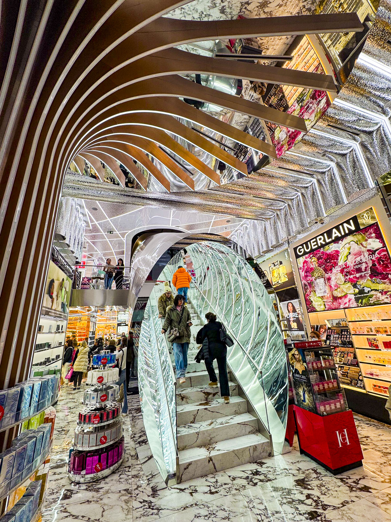
The hotel was conveniently located near Salvador Dali’s the La Noblesse du Temps, The Nobility of Time, a surrealistic sculpture of a melting clock draped over a gnarled tree, that is meant to be interpreted as a “commentary on the fluidity of time, and time’s inescapable mastery over humanity.” The artwork stands in a small plaza at the foot of Avinguda Meritxell, the shopping mile, a pedestrian-only gauntlet of upscale duty-free shopping that starts in the capital and continues into the neighboring town of Escaldes-Engordany.

We followed the flow and window-shopped. The aroma of roasting chestnuts and sweet potatoes filled the air as we wandered. Chestnuts yes, but we hadn’t seen sweet potatoes being offered as street food before during our travels in Spain and Portugal. Their traditional popularity is tied to the autumn Catalan festival of La Castanyada, which is celebrated around All Saints’ Day in early November, when the nutrient-dense tuber was roasted to sustain families through long night vigils and religious services honoring the dead.

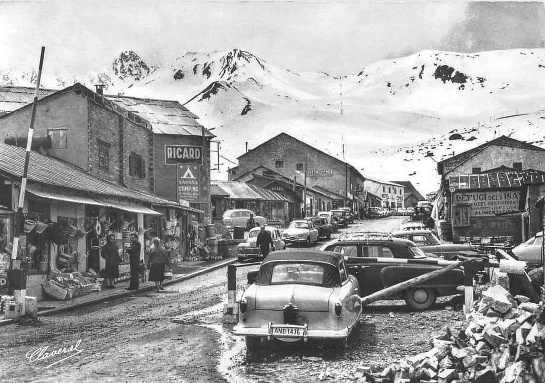
With a population of 27,000 in the capital, and 84,000 folks and over 1200 shops countrywide, Andorra has approximately one store for every 70 residents, one of the highest store-to-citizen ratios in the world. The duty-free shopping concept was developed in the 1950s to help Andorra’s burgeoning tourist industry that centered around skiing. This didn’t really take-off until car ownership exploded across France and Spain and folks made road trips into the country to stock up on inexpensive alcohol, cigarettes and luxury goods that were heavily taxed in their countries.

In early November, sunrise was around 07:45 AM, but with Andorra la Vella being located in a narrow valley surrounded by steep mountains, the first rays of sunlight didn’t brighten our hotel room until 10:30 AM.

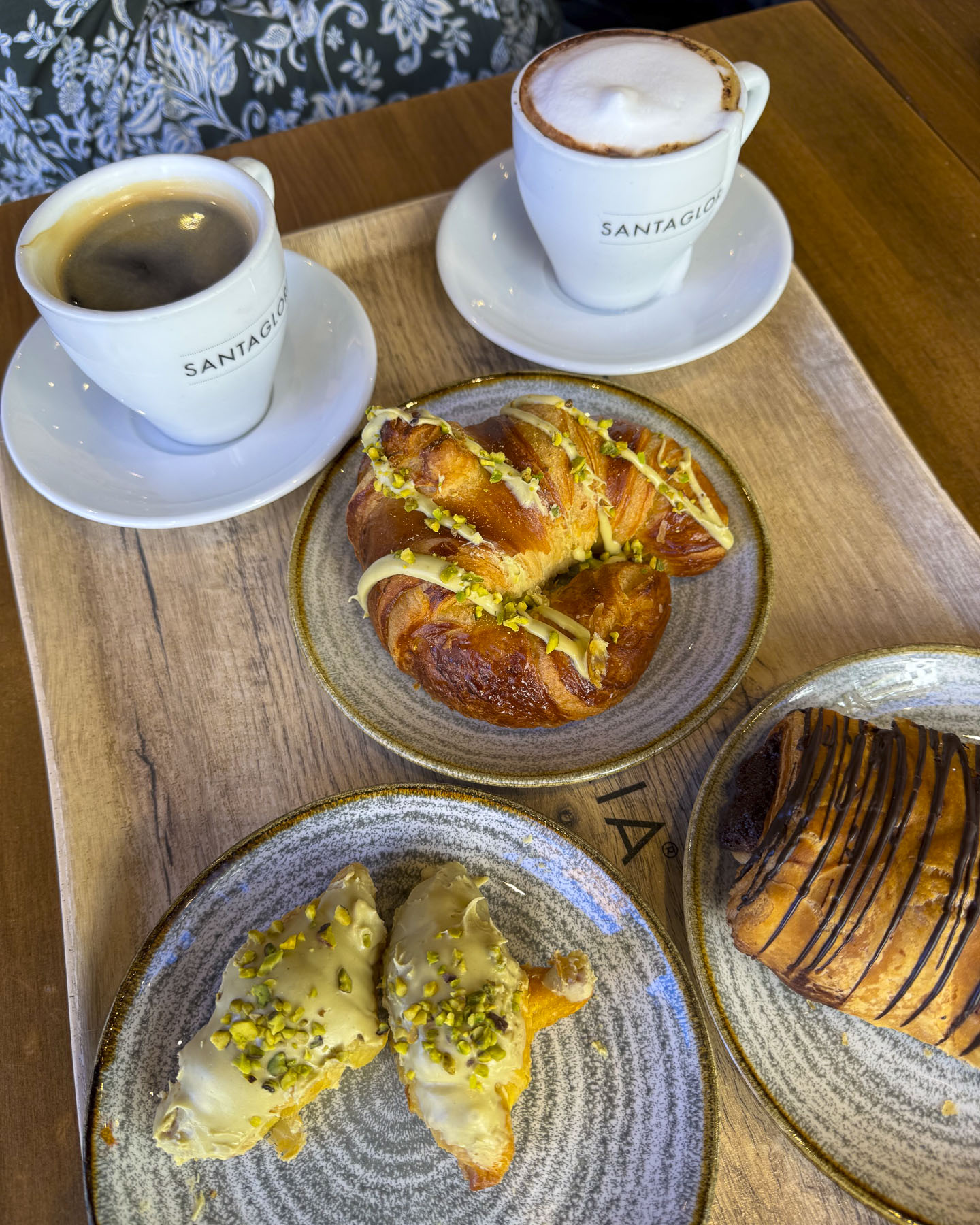
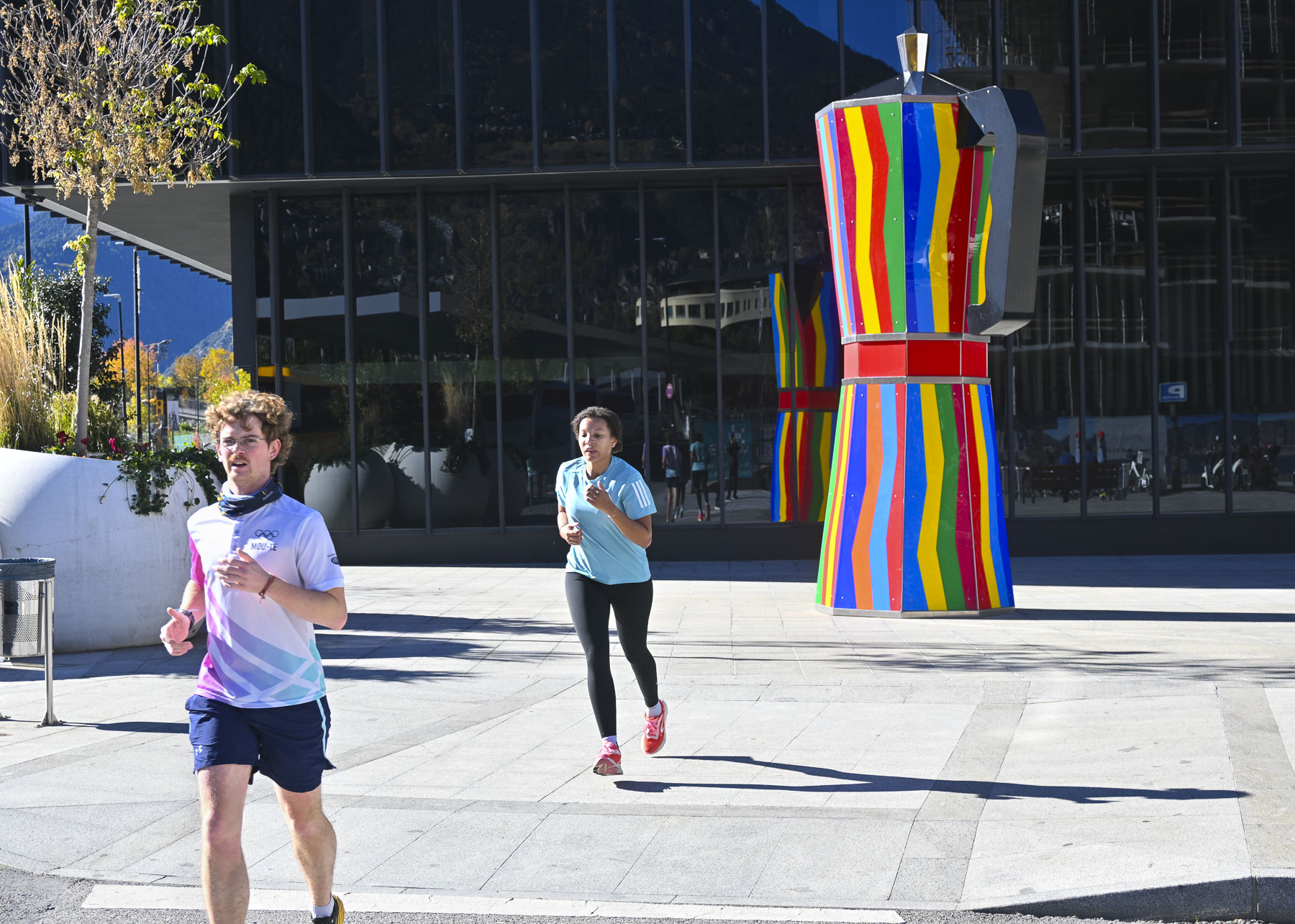
We had breakfast at Santagloria Coffee & Bakery, where we indulged in wonderful pistachio cream filled croissants; it was extremely budget friendly. We then set out on a pathway along the Gran Valira River to explore the city. We followed it through riverside parks and plazas until we found a sculpture of a colorful large espresso moka pot. You have to love a country like this that embraces whimsical art.

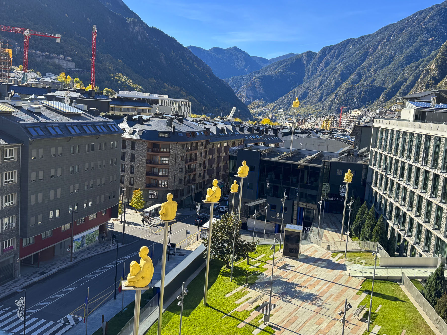
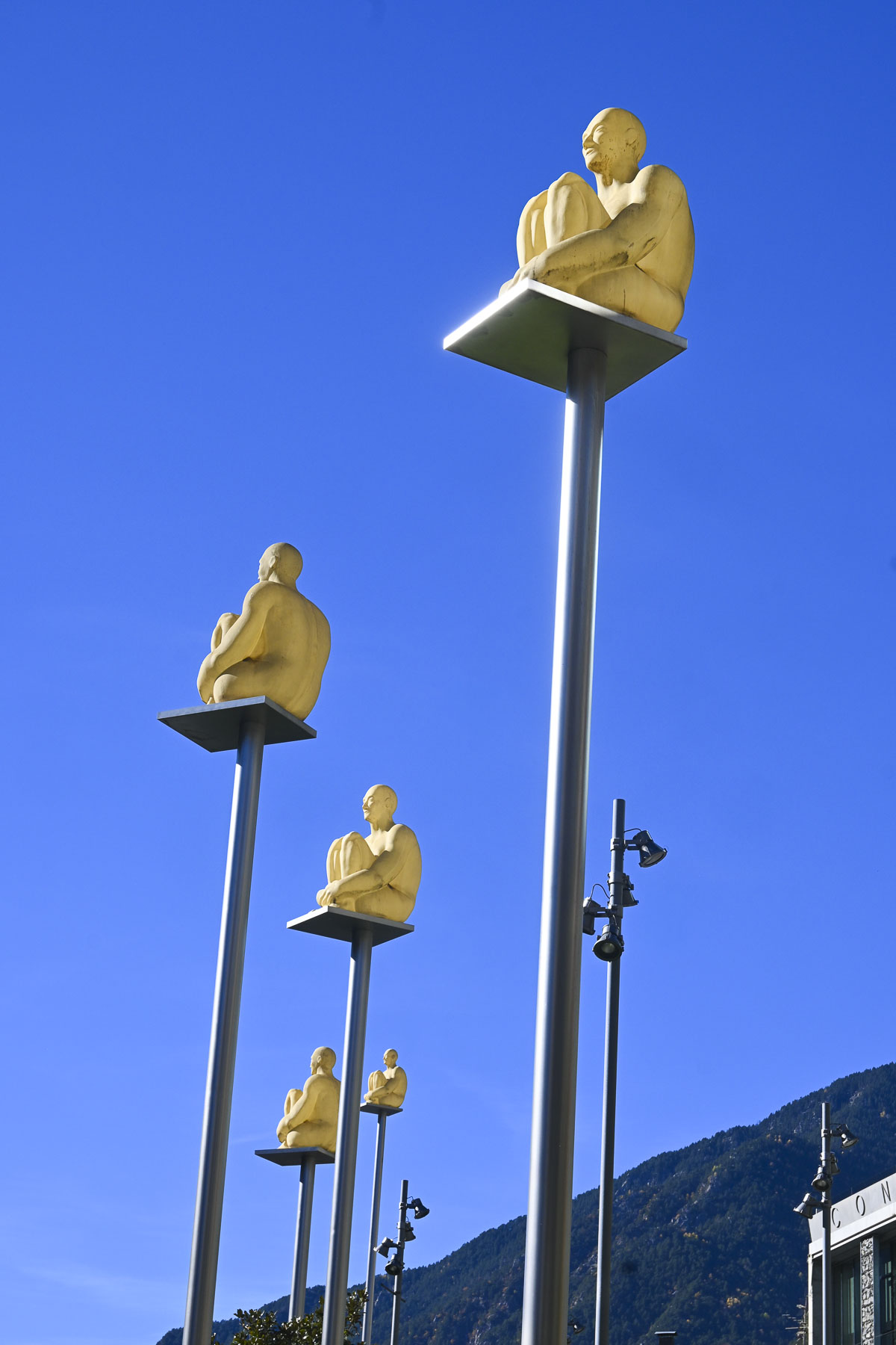
We then circled back and came across an interesting sculpture installation in Plaça Lídia Armengol called the Seven Poets. The artwork created by the Catalan artist Jaume Plensa, consists of seven pale yellow figures, sitting cross-legged on tall, slender poles. The meditative figures represent the unity of Andorra’s seven parishes and are appropriately installed in front of the country’s parliament.

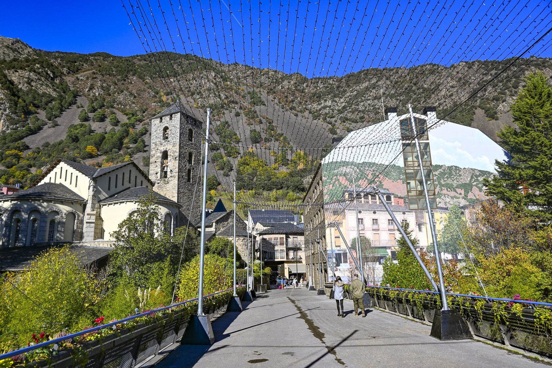
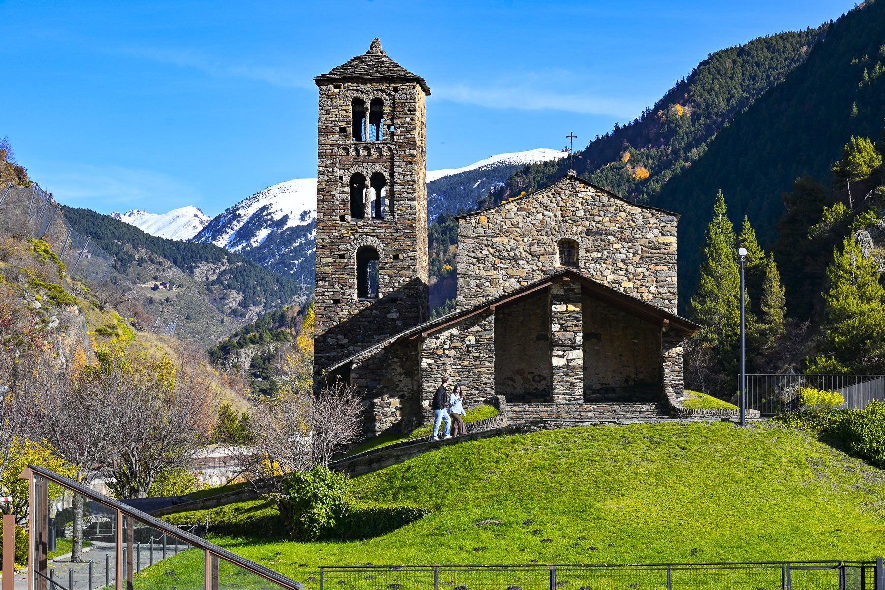
Up a steep sidewalk from there was Plaça del Poble, a massive rooftop plaza built atop a architectural complex that houses government offices, and a multi-level public parking garage. It was a popular place for families to bring their young children with small bikes to pedal around safely. It also had a nice alternative view of the Seven Poets and access across the Rambla Molines bridge to the 11th century. St Esteve of Andorra Church.

Afterwards we looped back down Av. Meritxell, and wandered through the large multi-level Pyrénées Andorra department store. Offering the widest selection of merchandise under one roof, along with a gourmet supermarket on the top floor, it is considered the flagship shopping destination in Andorra.

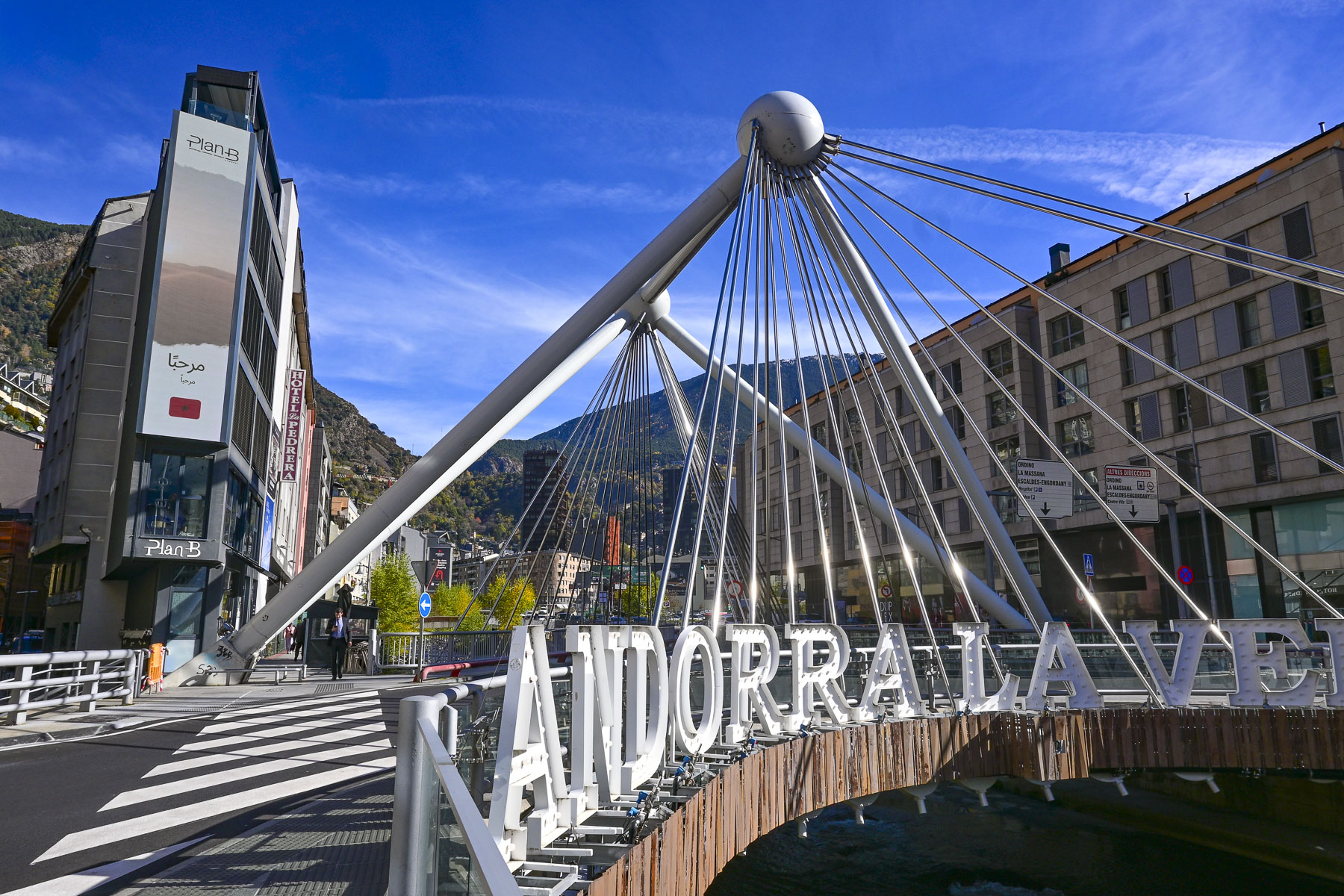
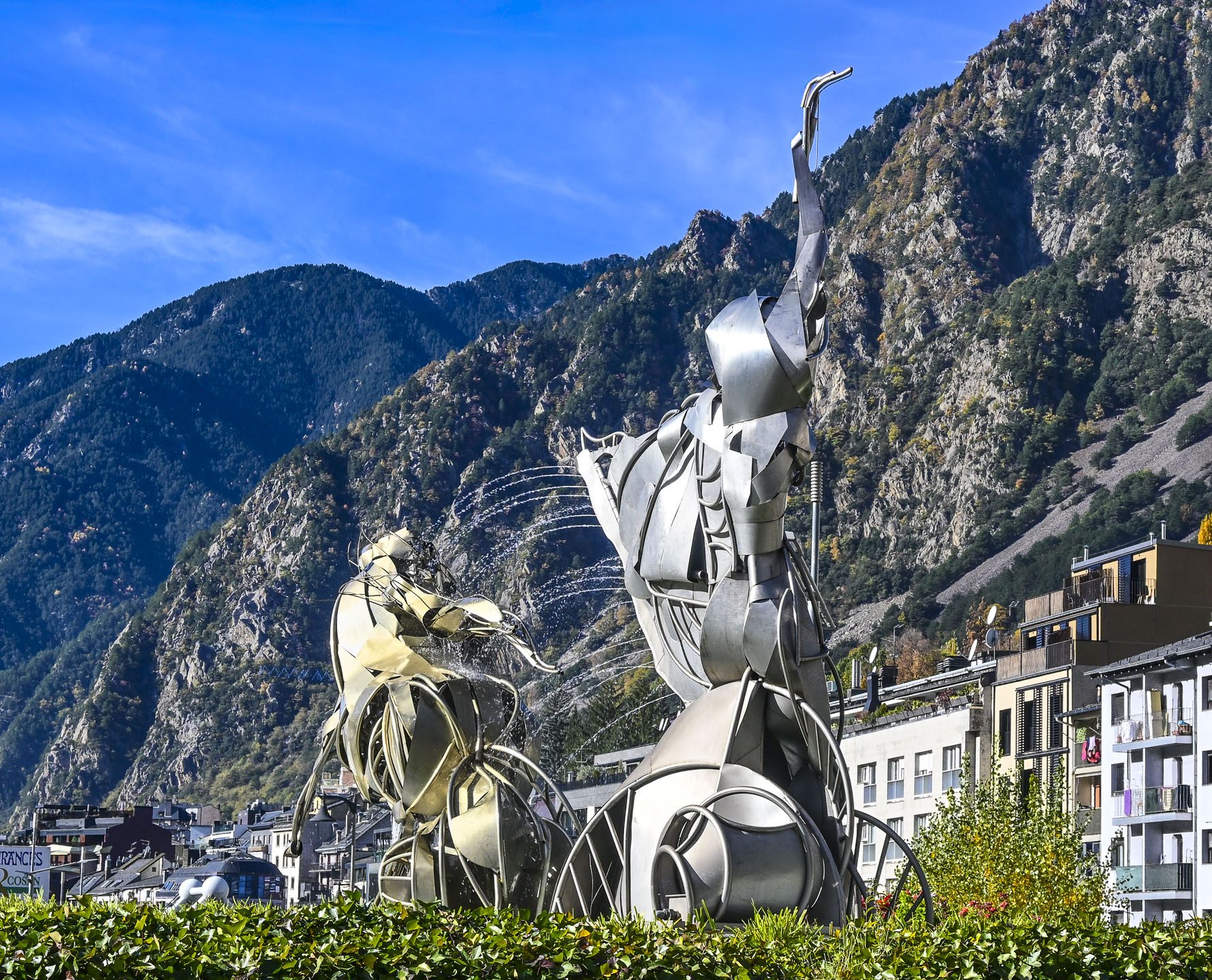
Later we continued past Dali’s melting clock, and the often-photographed Pont Andorra la Vella bridge, and a modern sculpture centered in a roundabout on the way to the Caldea Spa.

The unique piece of contemporary art is called the Calidea i la Dama del Gel. It’s a collaborative work by the Andorran sculptor Ángel Calvente Gutierrez whose Calidea figure was inspired by myths and legends of water. While the Dama de gel, the Ice Lady, created the Catalan artist Philippe Lavaill depicts a mythological sylph on a horse.

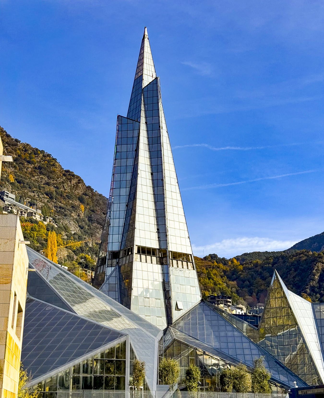
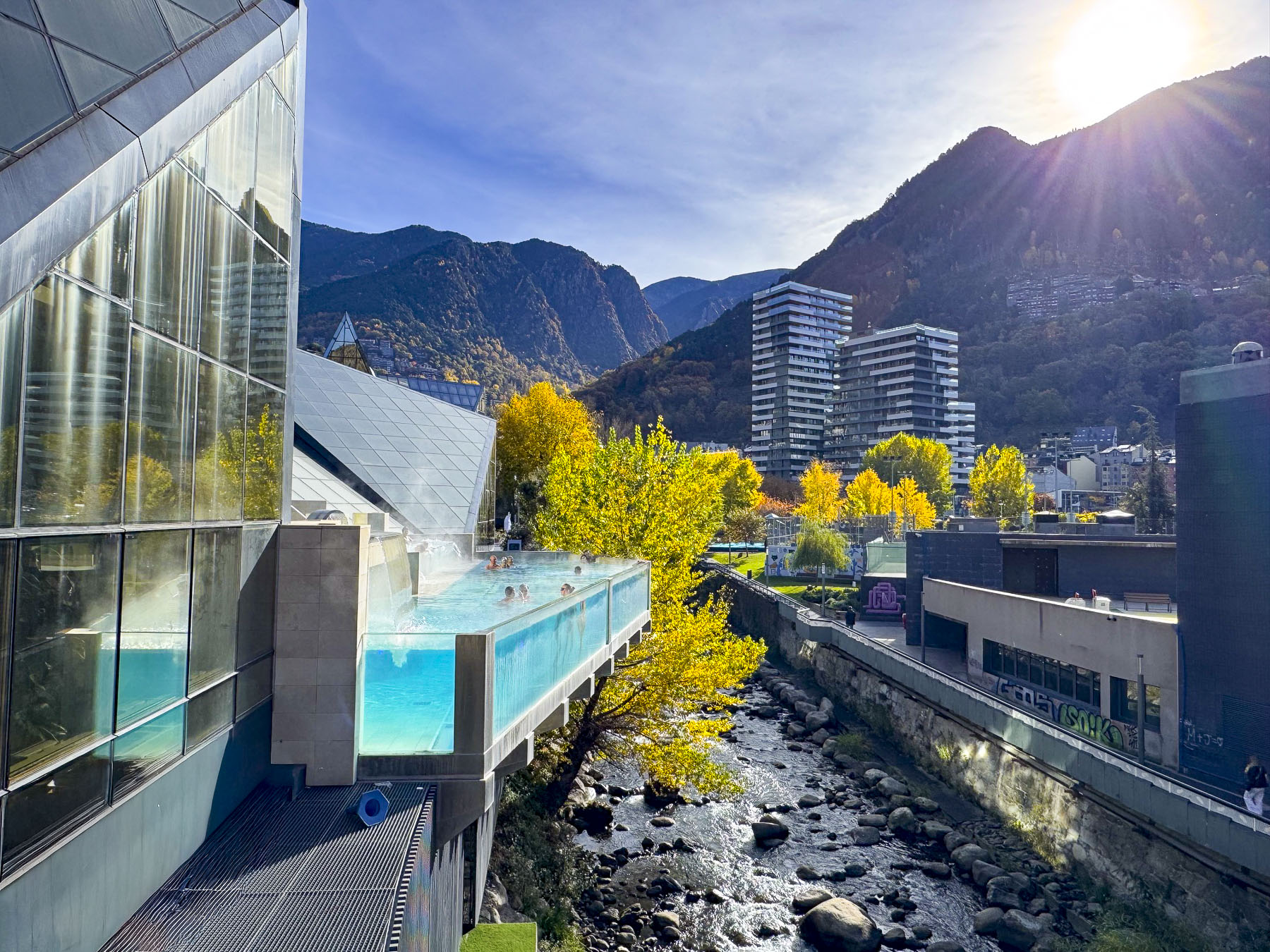
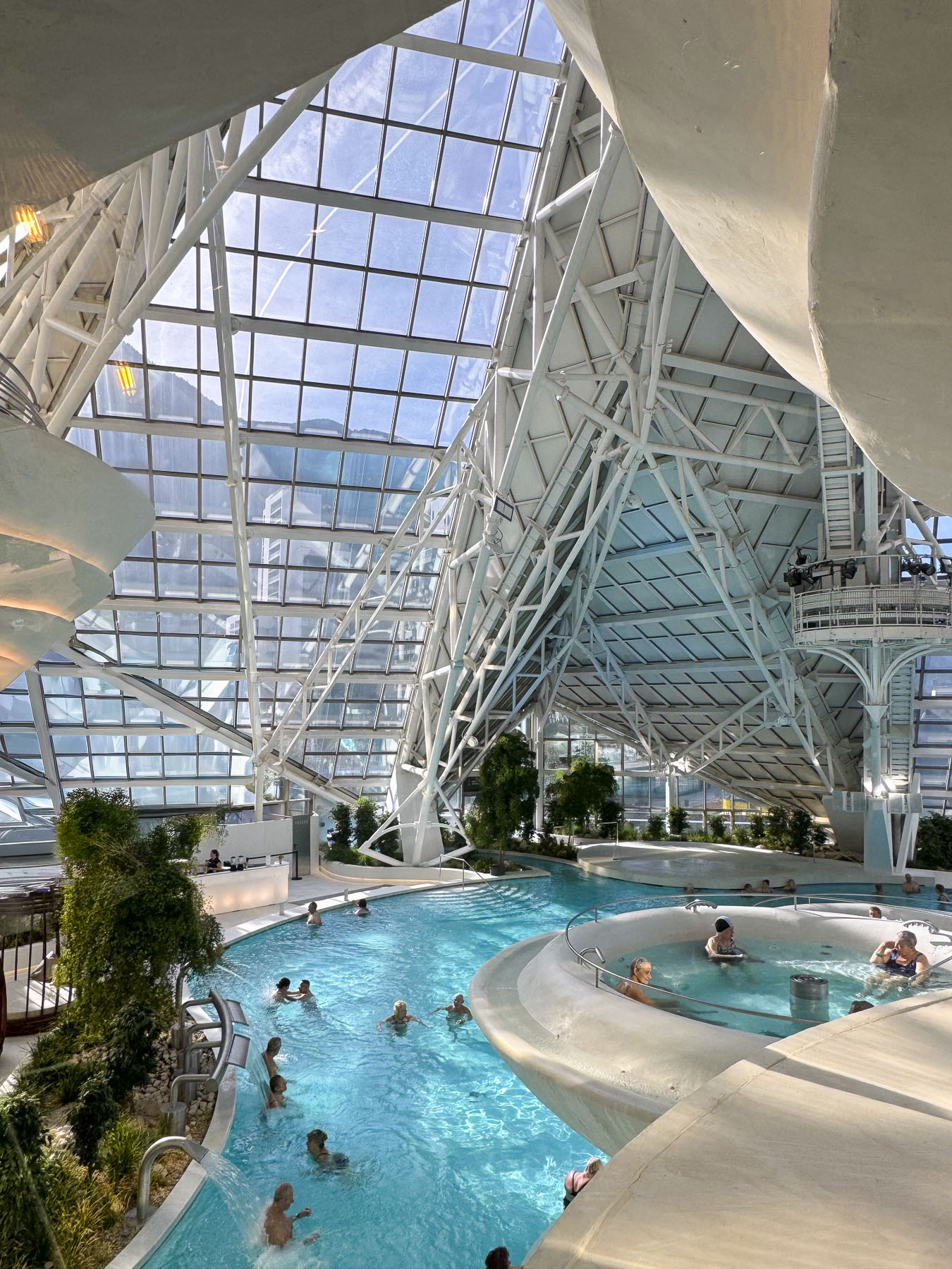
Housed in a slender eighteen story, 80m (262ft) tall glass pyramid finished in 1994, the Caldea Spa is one of Andorra’s most notable landmarks, and the tallest building in the country.

As we neared the tower a dramatic glass walled swimming pool cantilevered out from the building’s side, over the Valira d’Orient River. Funnily, only the swimmers’ bobbing legs as they stood along the glass wall were visible from our perspective on the street. Across the street we glimpsed, through a window, a quartet performing for the residents of a senior’s home. We didn’t want to participate in any spa activities, but we did have lunch in their restaurant that overlooked the lush inviting pool.

Afterward, as we returned to the hotel, we walked around a sports complex where other retirees were enjoying tennis lessons on a beautiful sunny autumn day. For dinner that evening we joined the long queue, a few doors down from our hotel, in front of the Crepería de la Rotonda, a hole-in-the-wall takeaway window. It is popular for its delicious and inexpensive crepes, one of the best values in Andorra, and for the uniquely entertaining customer service style of the owner, who has an Instagram account with 140,000 followers. Think Seinfeld’s soup Nazi character.

Visigoths controlled the area of Andorra after Rome fell in the 2nd century AD, a period in which Christianity continued to spread across the peninsula. Later it was under the control of the Kingdom of Toledo, then the Catalan Diocese of Urgell. In the 700s Moors crossed the Strait of Gibraltar from Morocco and conquered a significant part of the Iberian Peninsula. North across the Pyrenees Mountains, Charlemagne, Charles the Great, ruled as King of the Franks, and united most of western Europe into the Carolingian Empire.

Tradition believes Charlemagne granted a charter to the Andorran people as reward for fighting with his troops against the Moors near what is now Cerdanya, the wide fertile plain surrounded by mountains just to the east of Andorra in modern-day Spain. With this charter the area of Andorra fell under the rule of the Catalonian Counts of Urgell, and became a territory in the Frankish Marca Hispanica, a military buffer zone established after the failed Moor invasion of France. Andorra was one of twelve Marca Hispanicas created in the Pyrennes Mountains by Charlemagne, but the only one that wasn’t eventually absorbed into France or Spain but survived as an independent country through crafty political machinations. In 988 the Counts of Urgell traded their Andorra territory to the Bishops of Urgell for land in Cerdanya. All was peaceful for 100 years until the Counts wanted to reclaim the territory. Seeking to avoid a war with the Counts, the Bishop of Urgell asked the Lord of Caboet for protection, to which he agreed in return for co-sovereignty of Andorra in 1095, establishing the country as a feudal protectorate with the signing of two treaties called Pareatges. Through various Royal marriages over the centuries this side of the co-sovereignty and feudal protectorate survived various wars, revolutions, and changes in government and is now held by the current President of France. The co-sovereign of Andorra has been a ceremonial title since 1993 when the country’s first democratic constitution was ratified.

Andorra pretty much survived through the centuries as an isolated, subsistence farming community by growing grain crops (only 2% of the mountainous terrain is arable), trading wool or cheese with nearby Catalan towns, and smuggling goods between Spain and France. Many of those ancient smuggling routes through the mountains have now been mapped and incorporated into a 275 km (170 mi) long network of popular hiking trails, that draws tourists to Andorra in the summer. These trails were especially useful during WW2 when they were used to smuggle weapons to the French resistance, and help downed Allied airmen and Jewish refugees escape Nazi-occupied Vichy France into neutral Spain.

During the early 1930s Andorra’s population was estimated to be under 10,000 as waves of emigrants fled the country to pursue better opportunities abroad. This population crisis threatened the existence of the country. It was a pivotal decade for the country, but things improved substantially when the FHASA (Forces Hidroelèctriques d’Andorra) hydroelectric plant project was conceived as a catalyst for modernizing the country and spurring Andorra’s economic growth. It was a massive infrastructure project that electrified the country both physically and metaphorically. The surplus power was exported via high-voltage lines to Spain and France, establishing a crucial, steady stream of foreign currency revenue for the tiny Andorran economy. The dam’s construction also brought the first paved roads to a country that until then relied solely on walking and pack animals to navigate the steep terrain, providing a vital connection for the isolated country that’s too mountainous for an airport or train connections to the outside world. Workers that came from Spain and France brought new ideas with them, which resulted in the Revolution of 1933, led by the Young Andorrans, a trade union that called for political reforms and the right to vote for all Andorrans. The country’s new banking sector grew with this influx of wage earners and also benefited substantially from the surge of refugees, from both sides of the Spanish Civil War in 1936, that sought shelter in the country. The unregulated banking sector grew for decades and was recognized as tax haven for wealthy individuals to hide accounts. This continued until 2015 when a large Andorran bank was accused of being used primarily for money laundering, and international pressure forced immediate reforms and regulations to the country’s financial institutions.

The country’s new roads ended the centuries of isolation and now allowed it to promote itself as a unique tourist destination in the Pyrenees Mountains that offered duty-free shopping, as well as skiing. And a flourishing counter-culture that allowed access to cinematic films and literature banned in Spain during Francisco Franco’s dictatorship, only a short drive away from Barcelona and Madrid. Andorra’s first ski resort, the Pas de la Casa–Grau Roig, opened in 1957. Today there are four modern ski resorts in the country with over 303km (187mi) of slopes, that can be reached by ski lifts that can swiftly transport up to 156,000 skiers per hour to their summits.

Surprisingly, Andorra only has 270km (167mi) of road of which 198km (123mi) are paved, and 8.2km (5mi) of tunnels to connect its communities in the steep mountain valleys. This includes the Envalira Tunnel which connects northern Andorra to France. With an elevation of 2,052m (6,732 feet) it is the highest toll tunnel in Europe.

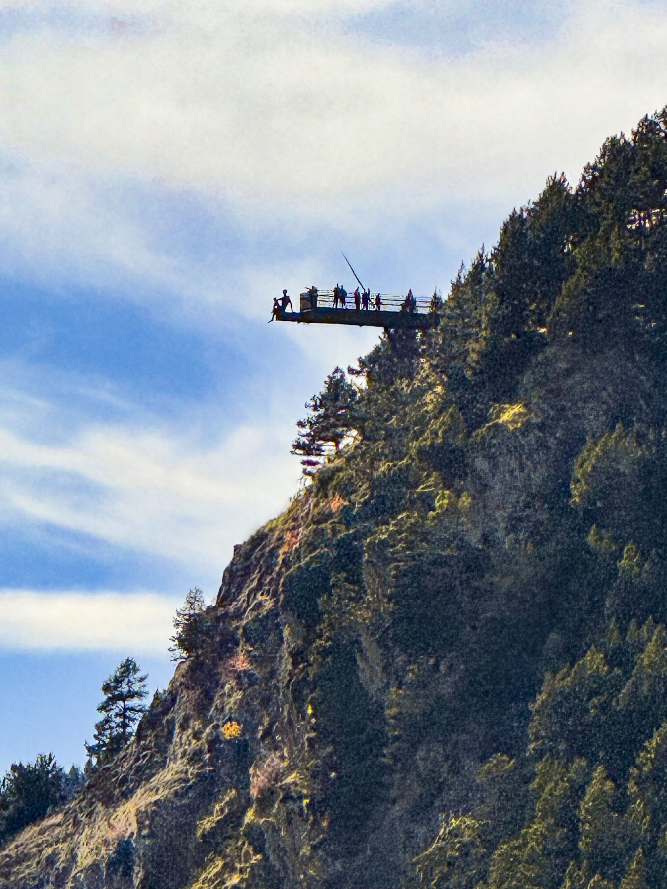
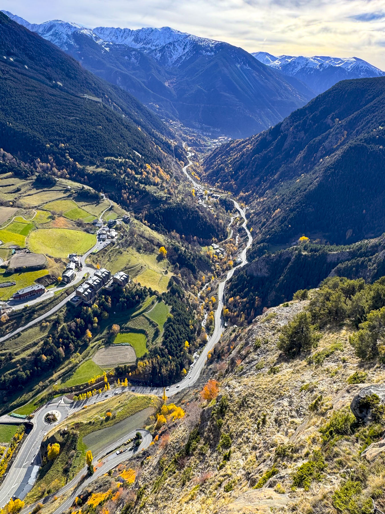
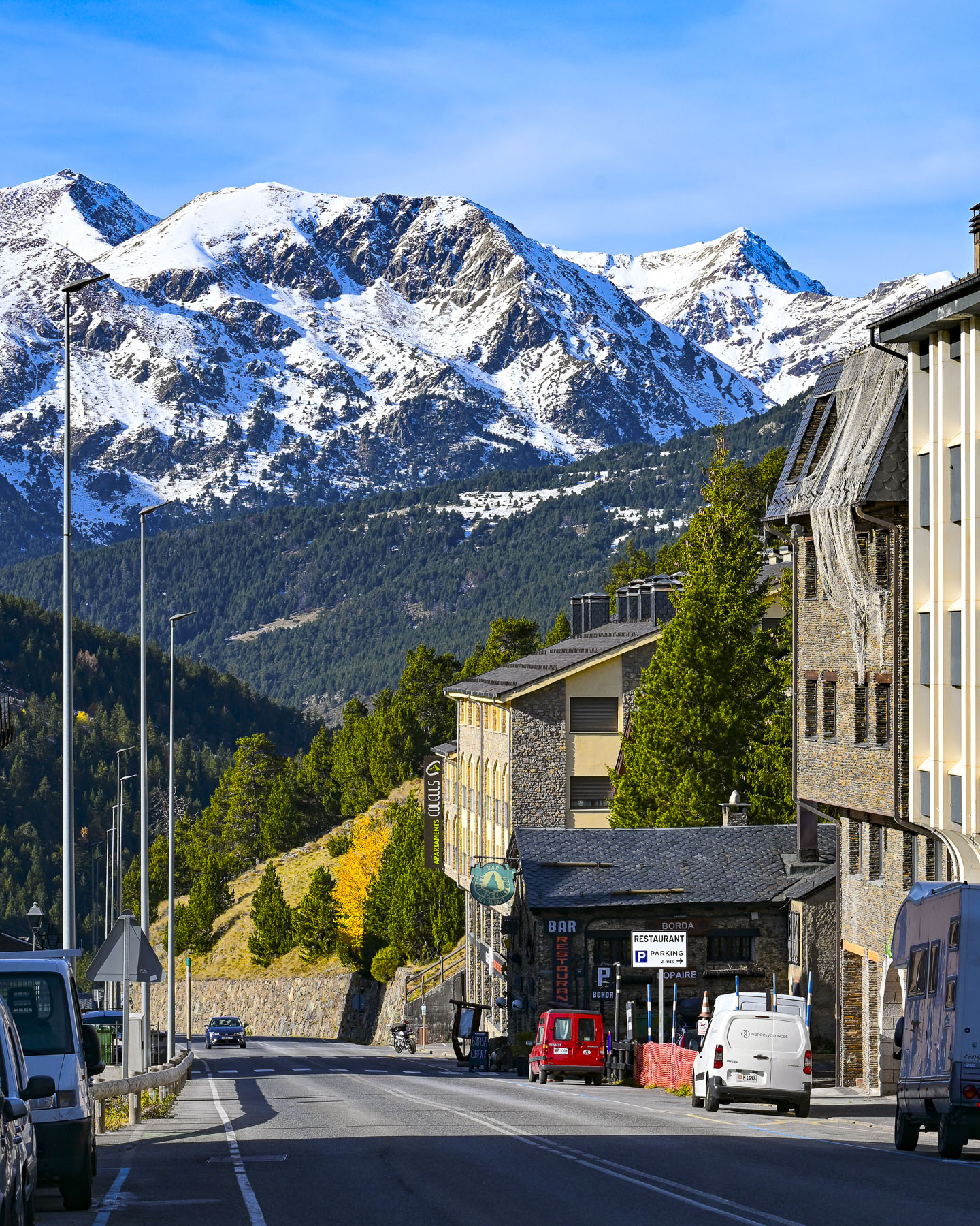
During our short time in Andorra we tried our best to see as much of the country as possible. For our first day trip from the capital, we followed the CG-2 north through the towns of Encamp and Meritxell in the spectacular Valira d’Orient river valley to Canillo, where we found the Petit Mercat, a small café still open in the off-season. Their coffee was good and they had a nice selection of premade sandwiches. From the parking lot across the street, we could see the terrifying height of the cantilevered observation deck of the Mirador Roc Del Quer jutting out over the valley, our ultimate destination.

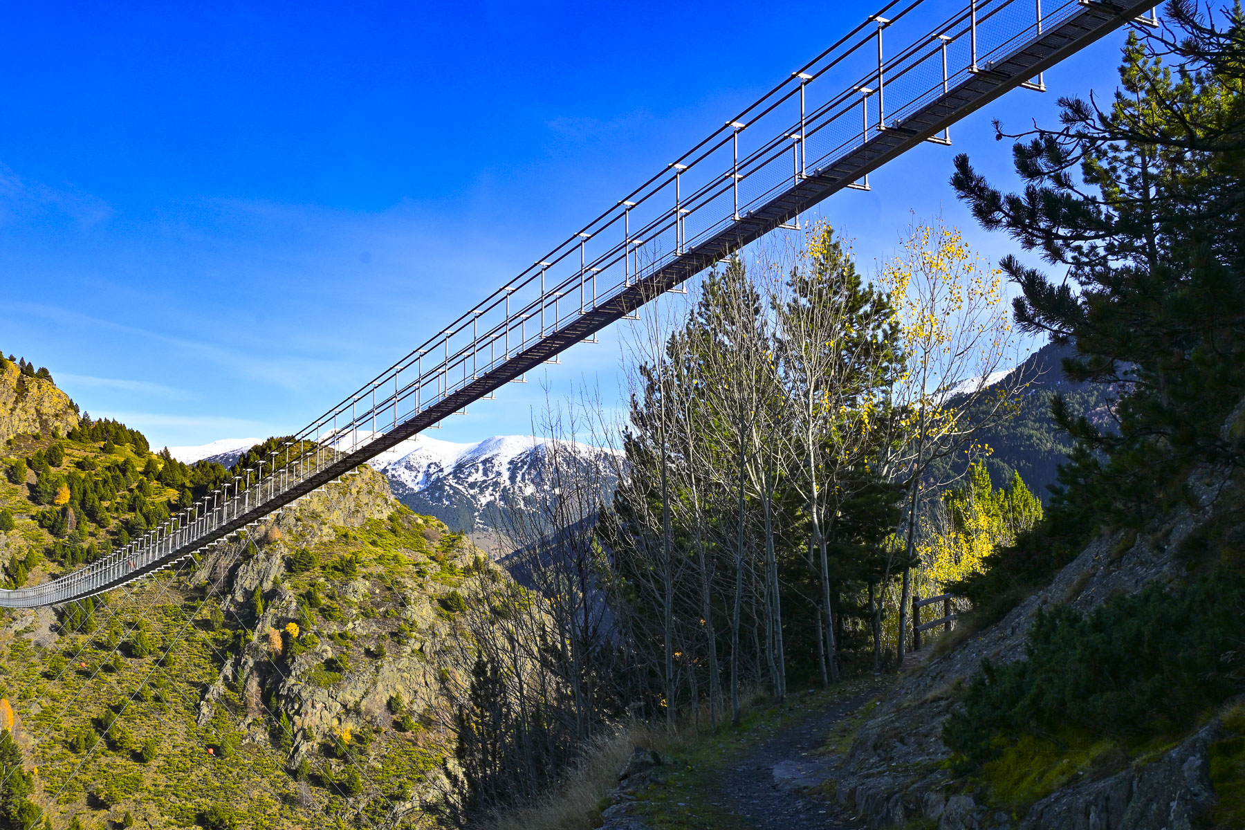
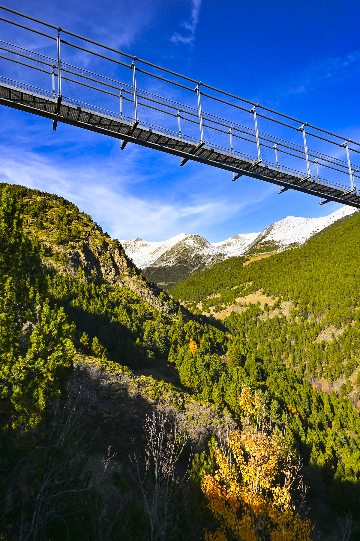
But first we wanted to see the Pont Tibetà Canillo, a modern steel, Tibet-style footbridge that is over 600m (1970ft) long, and is suspended 150m (490ft) above the Vall del Riu. We knew the bridge was closed this time of year, but we wanted to see it as the views of the mountainside along the long walk to the bridge were very nice. During the warmer months there is a shuttle bus from Canillo for hikers, as there is very limited parking along the shoulder of the road.

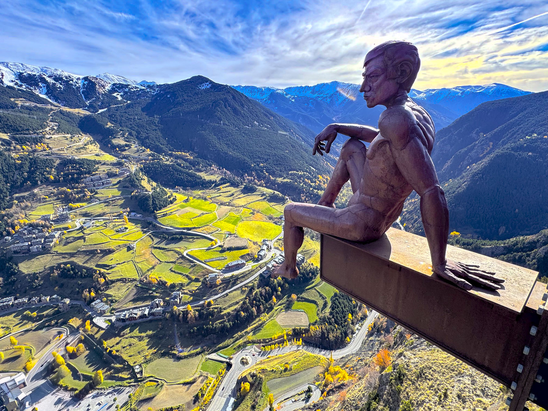
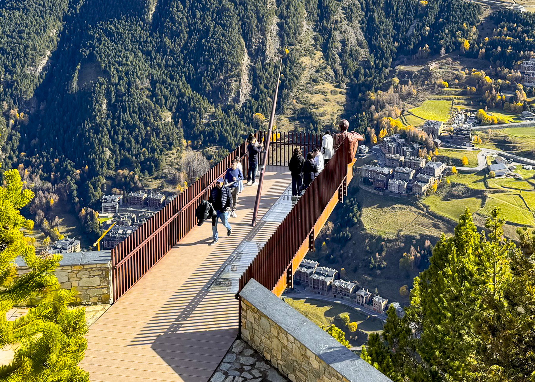
Farther up the mountainside there was free parking a short walk away from the Mirador Roc Del Quer;the shuttle bus only goes to Pont Tibetà Canillo. Here a 12m (40ft) long glass observation deck seems to float dizzyingly in the air 500m (1640ft) above the town of Canillo and the river valley below. The views up and down the valley were fabulous.

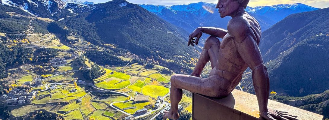
At the far end of the mirador is a sculpture of a fearless man contemplating casually on the edge the abyss. Perhaps the figure is contemplating his ancestors, nomadic hunter-gatherers, who first entered Andorra’s valleys as the glaciers retreated at the end of the Ice Age. It’s called El Pensador, The Ponderer, and was created by the Argentinian sculptor Miguel Ángel González in 2016.

There was still enough snow on the ground from an earlier winter storm for Donna and I to make snowballs and playfully throw them at each other. The afternoon was sunny and delightfully warm enough to eat outside at the site’s restaurant, that doubled as the ticket office.

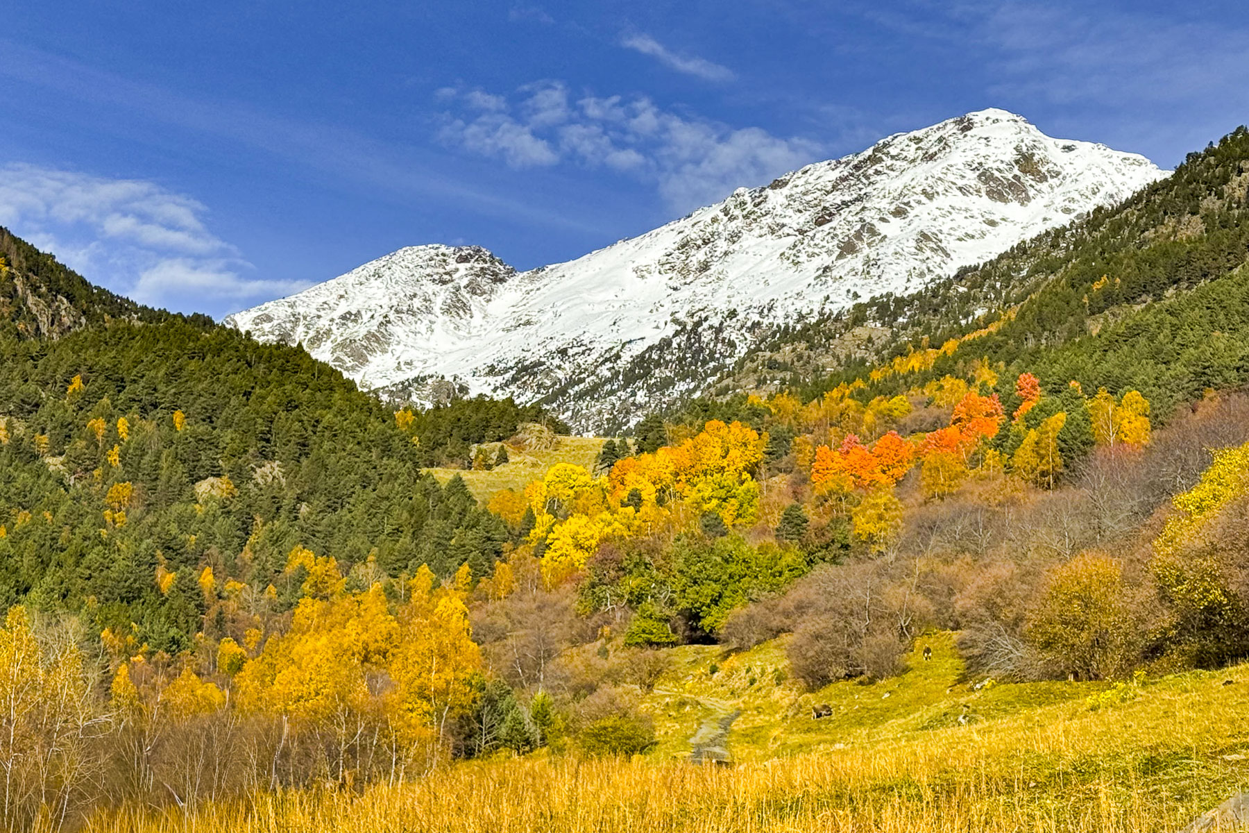
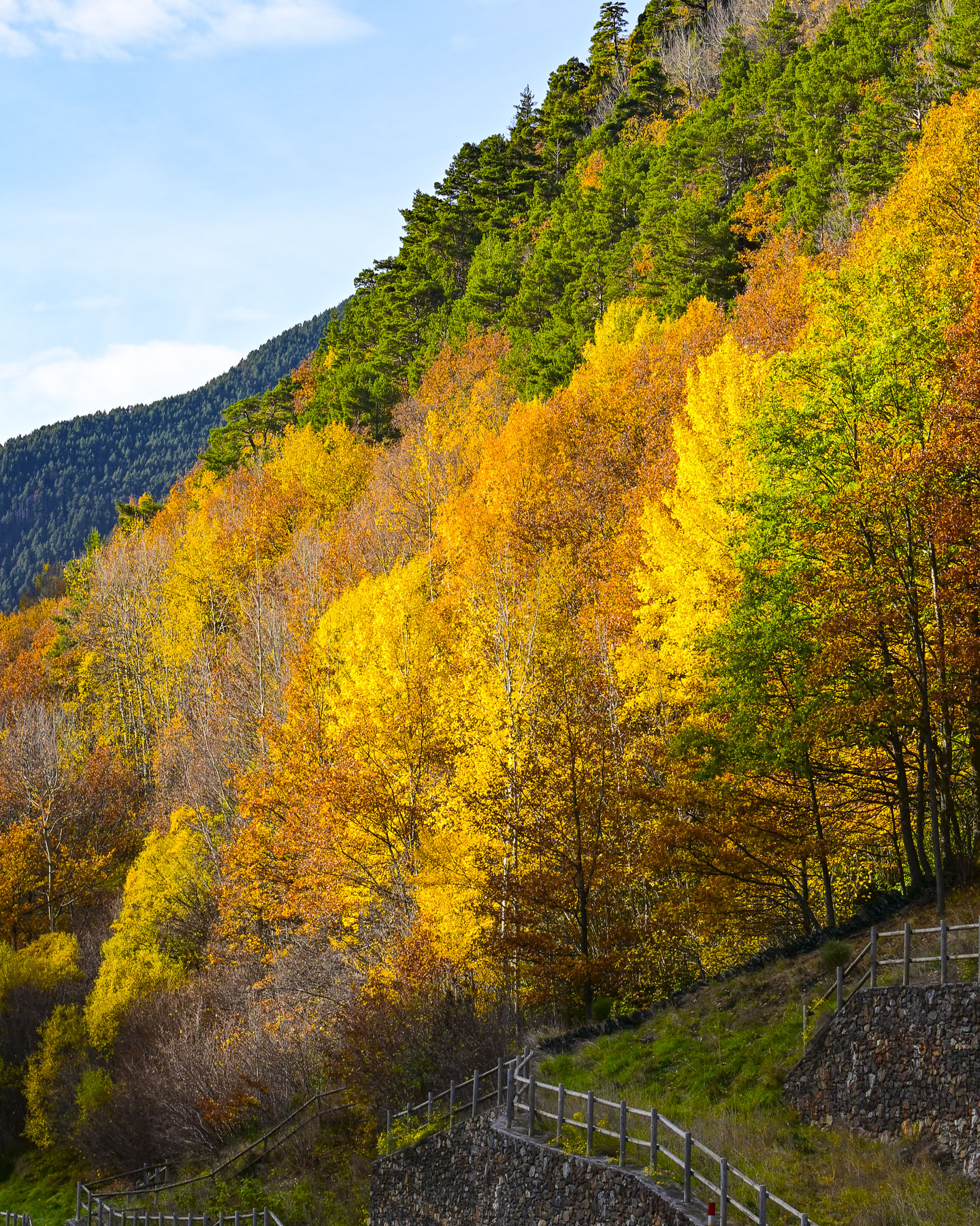
Continuing in the car we drove over the mountaintop, a beautiful drive through autumn colors, that descended into Ordino, and the Valira del Nord river valley.

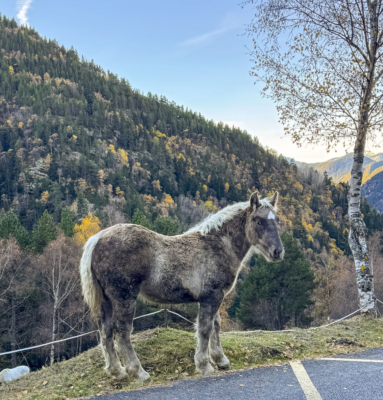
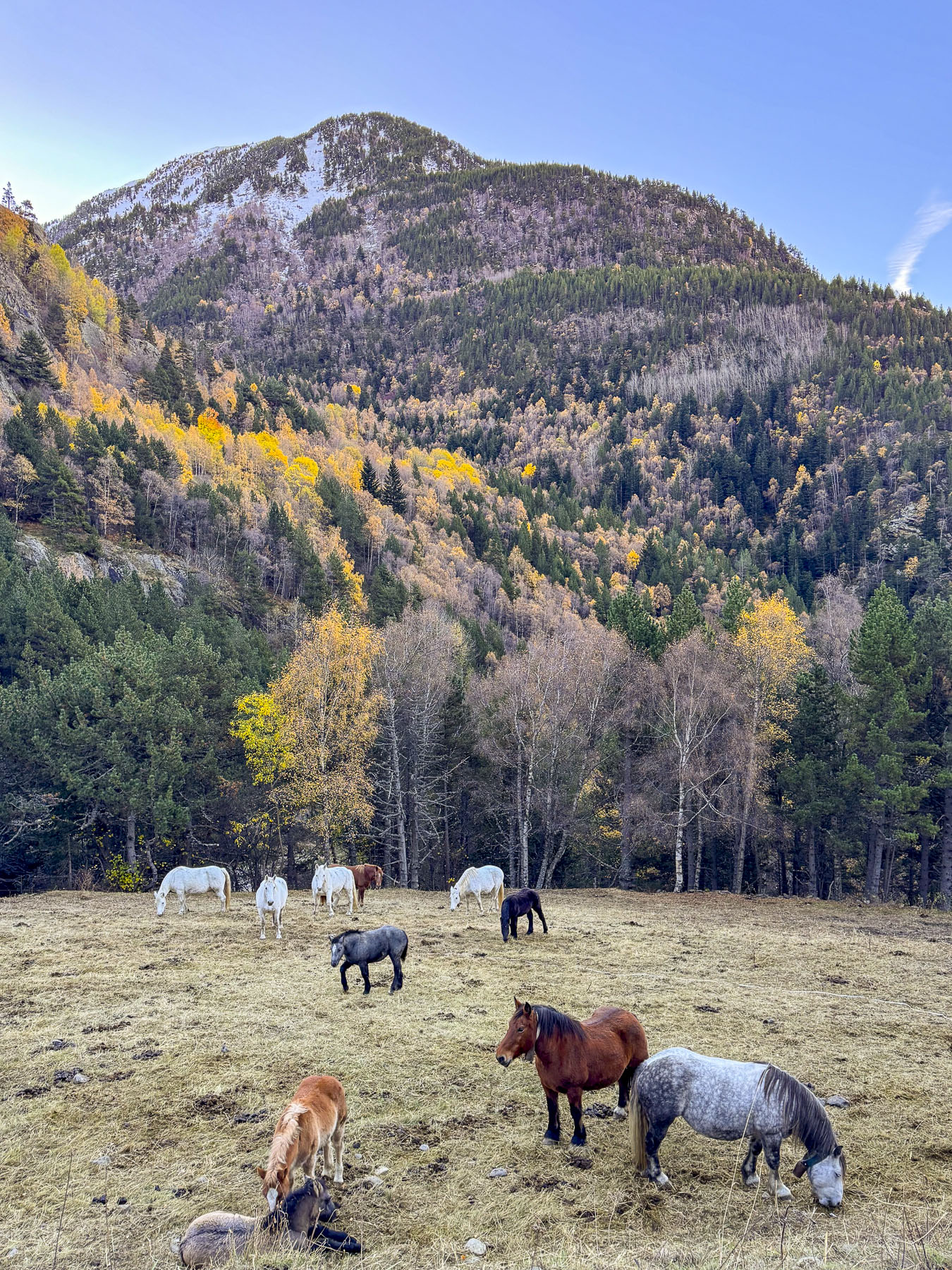
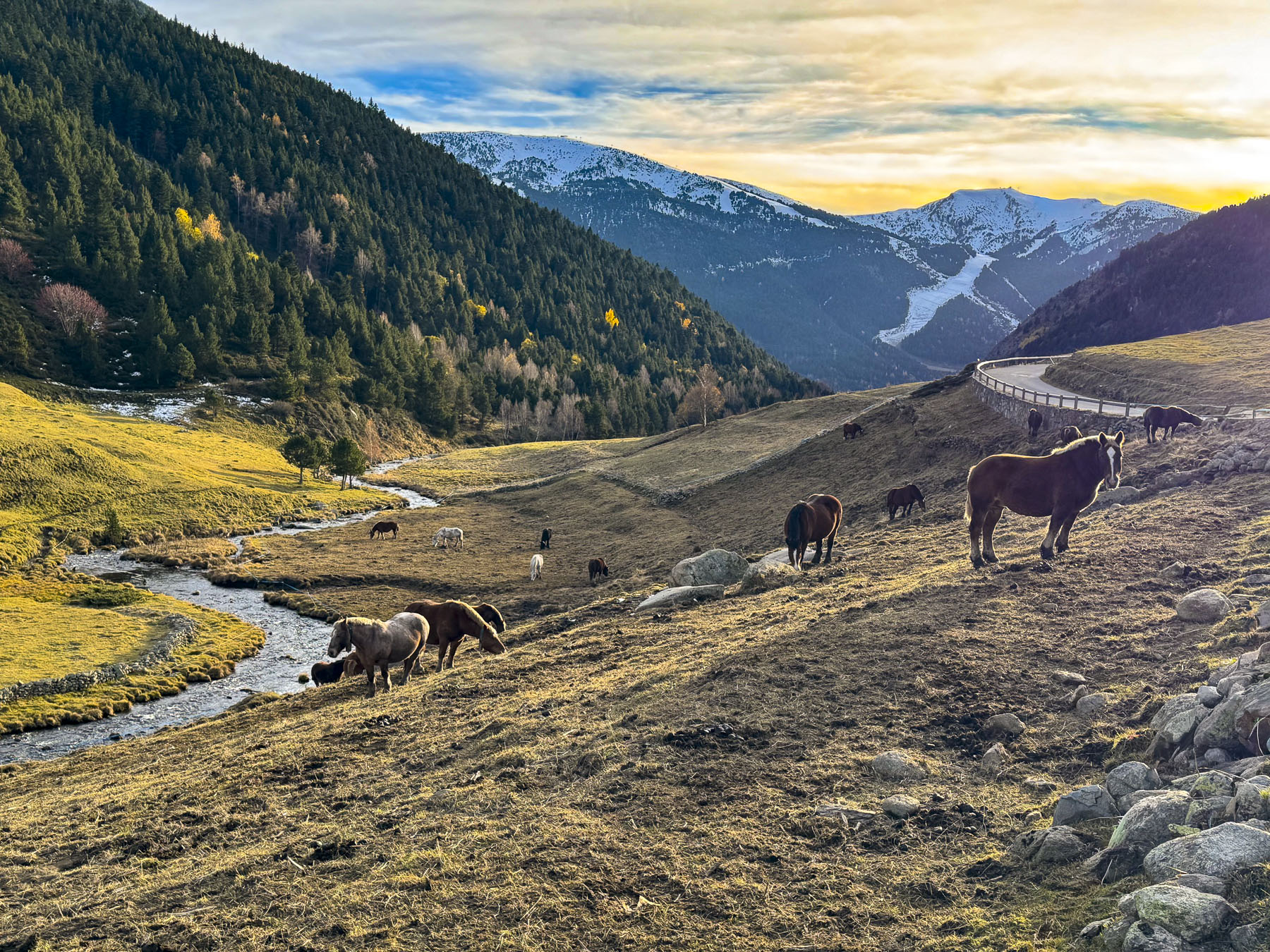
The next day we returned to Ordino and drove along the CG-3 until we took a spur road into the Parc Natural de la Vall de Sorteny. We had hoped to visit the Mini Jardí Botànic, an alpine garden that features over 300 species of Pyrenean flora, including medicinal, edible, and endangered endemic plants. Unfortunately, it was too late in the season and the road to it was gated. But nearby we could hear animal bells echoing in the crisp mountain air and we spotted horses grazing in a frost-covered meadow.

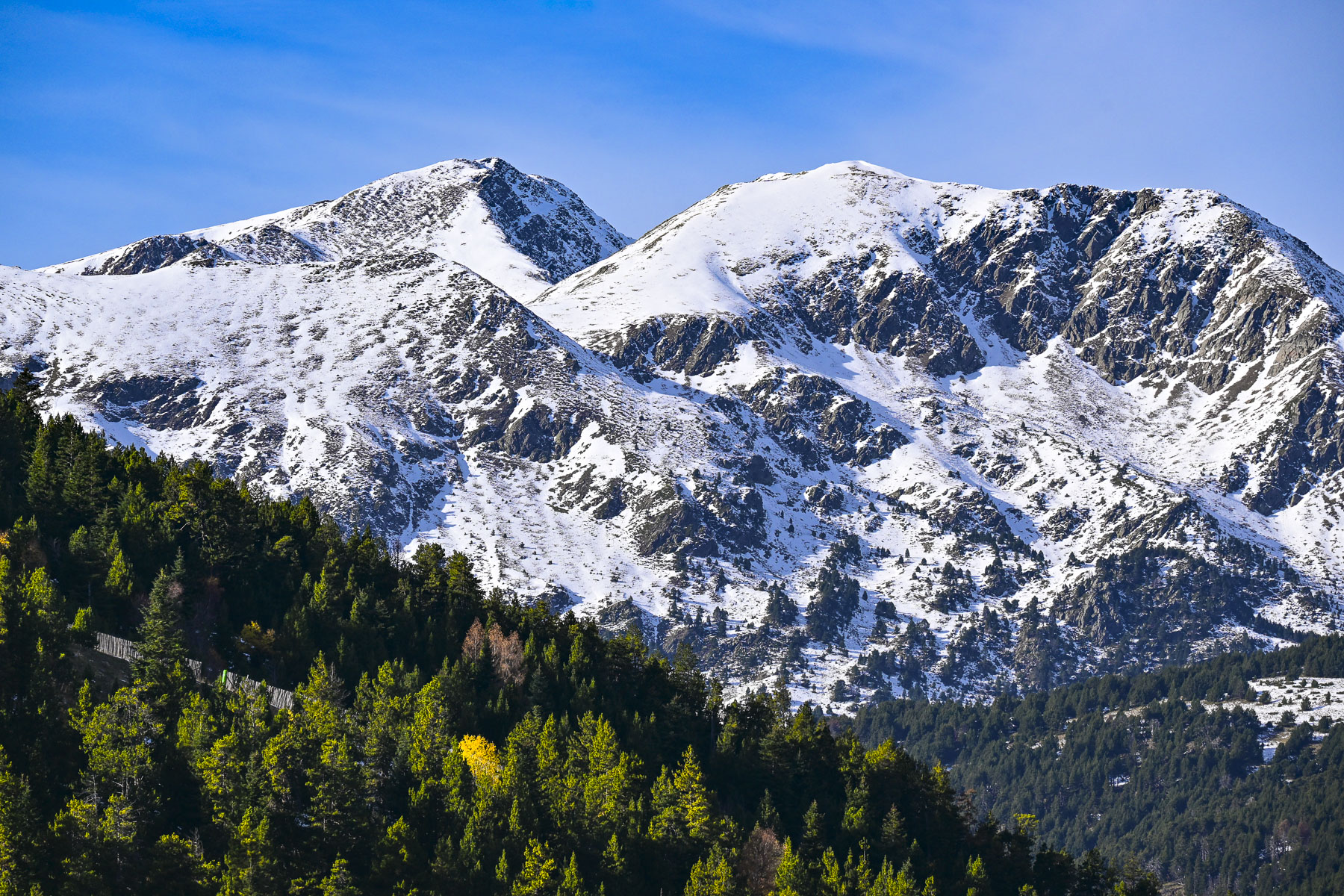
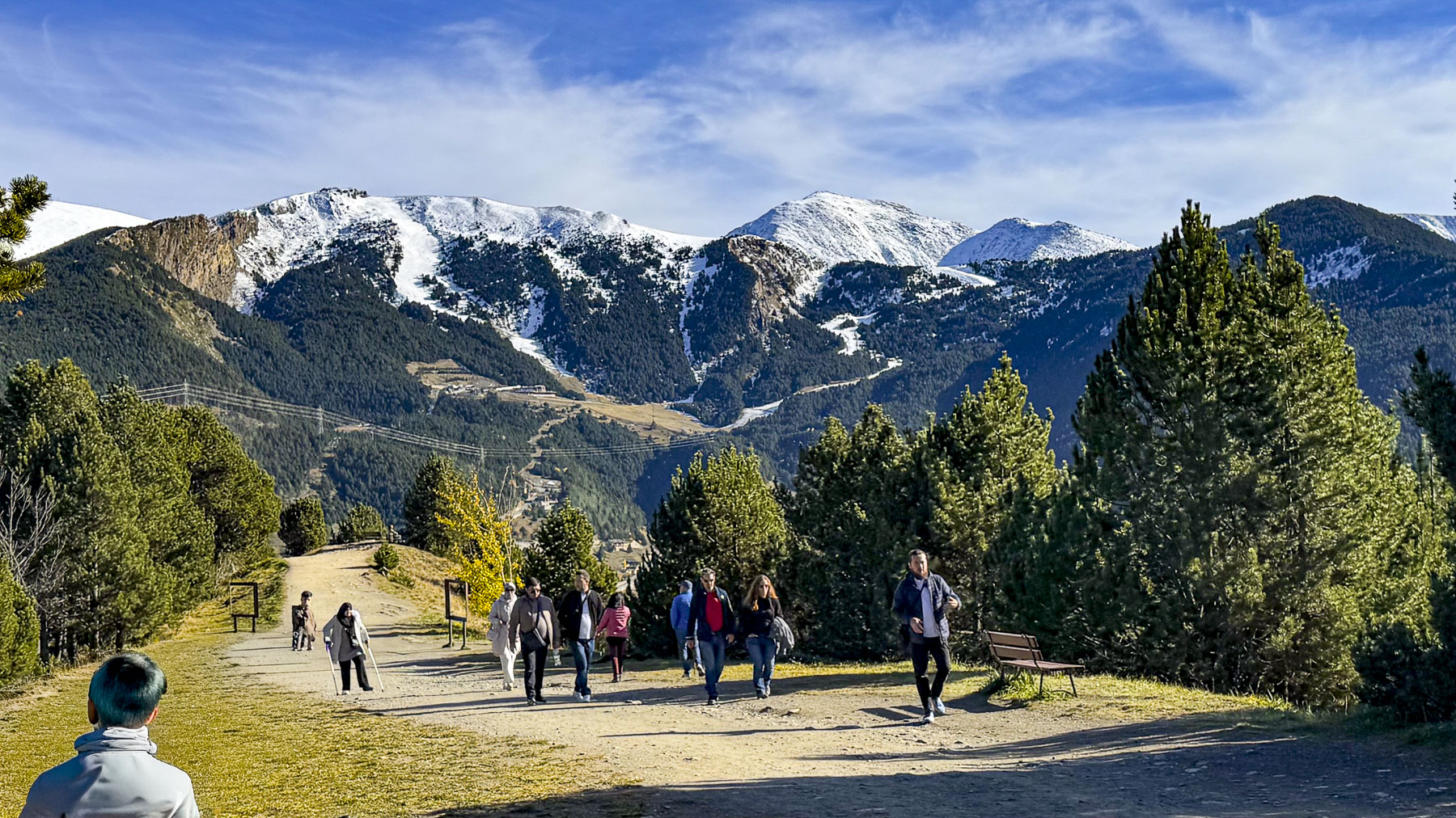
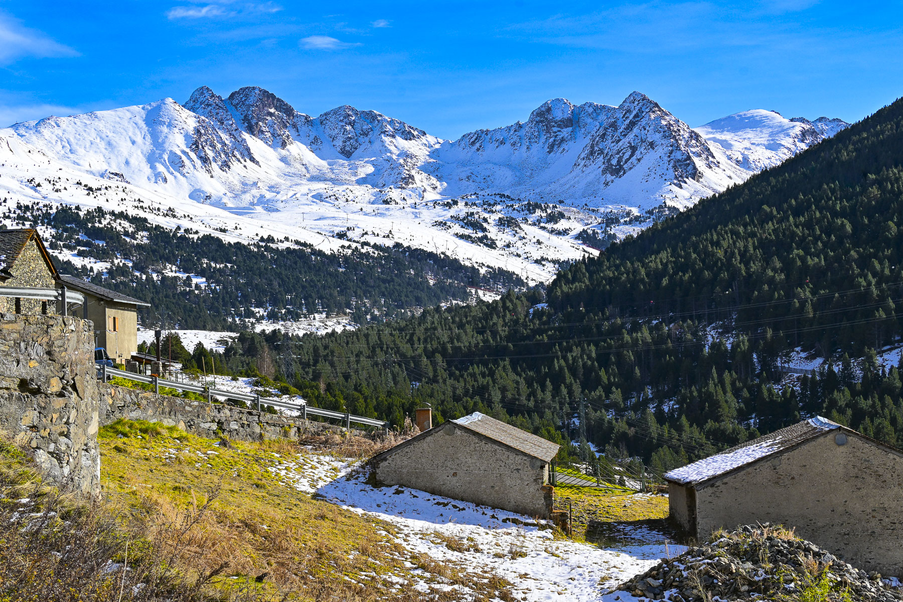
Returning to the main road we ventured past the small village of El Serrat to the Ordino Arcalís Ski Resort where preparations were under way to open the slopes later in the month. With its north facing slopes that peak at 2,625m (8,612 ft) the resort has the longest ski season in Andorra and is popular with freeriders – those who enjoy the adventure of skiing in the resort’s backcountry powder. The views from the resort were pretty impressive too.

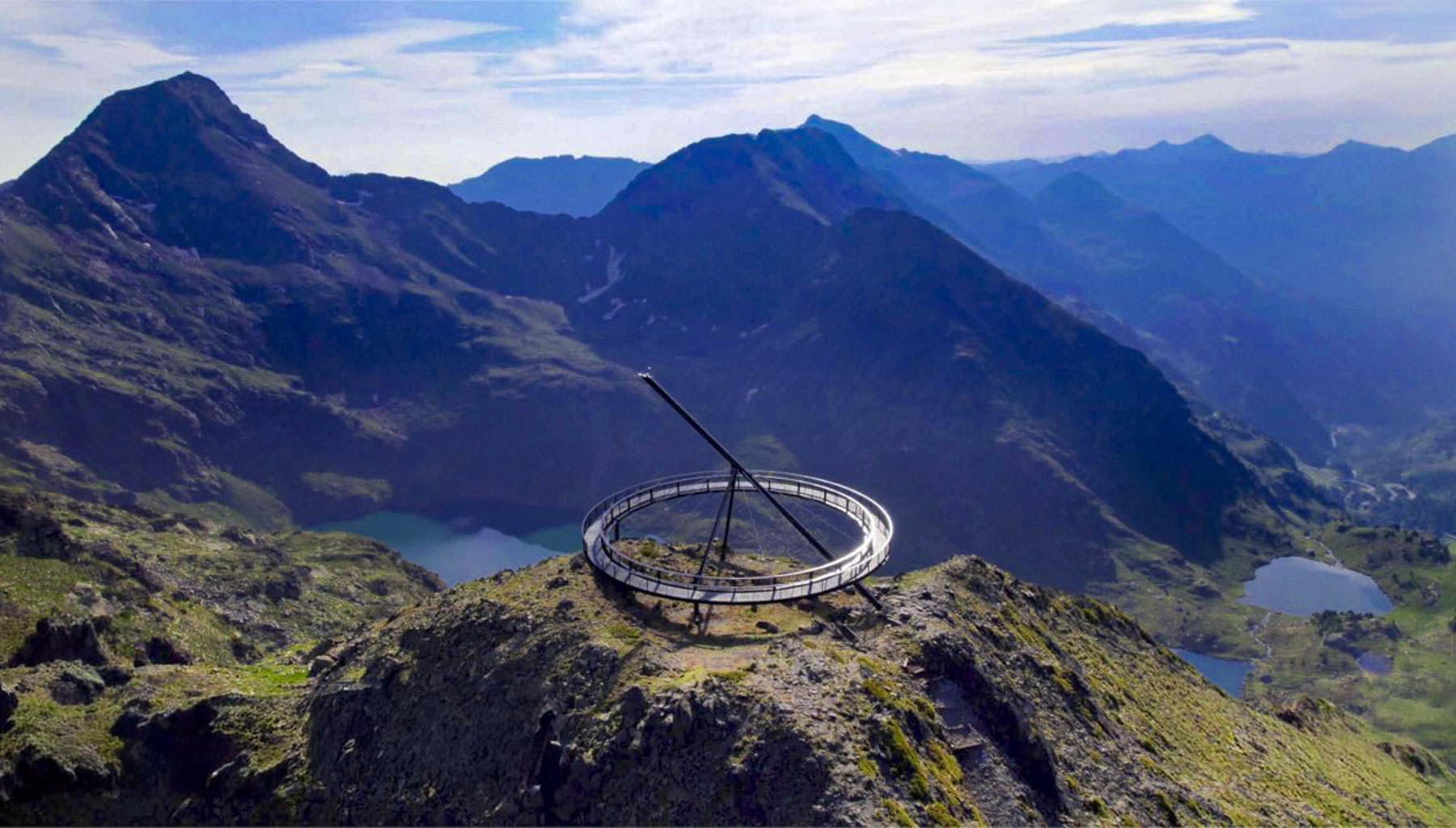
The big disadvantage of traveling in the shoulder season is many sites, restaurants and  hotels are closed, as was the case with the high mountain road past the Ordino Arcalís Ski Resort that ends at the trail head to the Mirador Solar de Tristaina, a massive circular, suspended metal ring built atop the Peyreguils peak on Andorra’s border with France, that servers as a sundial. With an altitude of 2,701 meters (8,861 feet) the mirador offers panoramic views of the three Tristaina glacial lakes and the Ordino valley. During the warmer months it can be reached via the resort’s Tristaina Gondola.

On our last full day in Andorra, we headed north along the CG-2 again. Past Canillo the road rose steadily above the valley floor through El Tarter, and the Grandvalira Ski Resortto Soldeu, the northernmost town on the CG-2 in the Valira d’Orient before the highway splits to the CG-2A, the entrance of the Túnel d’Envalira that leads to France, and the old serpentine CG-2 that winds through the mountains.

This route crests the highest road pass in the Pyreenes at 2.408m (7900ft) above sea level, a vertical ascent from Andorra la Vella of 1,294m (4245ft) in 25km (15mi) before reaching the small, isolated town of Port d’Envalira, on Andorra’s frontier, where the Pas de la Casa, part of the Grandvalira Ski Resortthat connects the mountains slopes from Canillo to Port d’Envalira with a huge interconnected network of ski lifts, The resort is popular with beginning and intermediate level skiers for its gentler slopes.

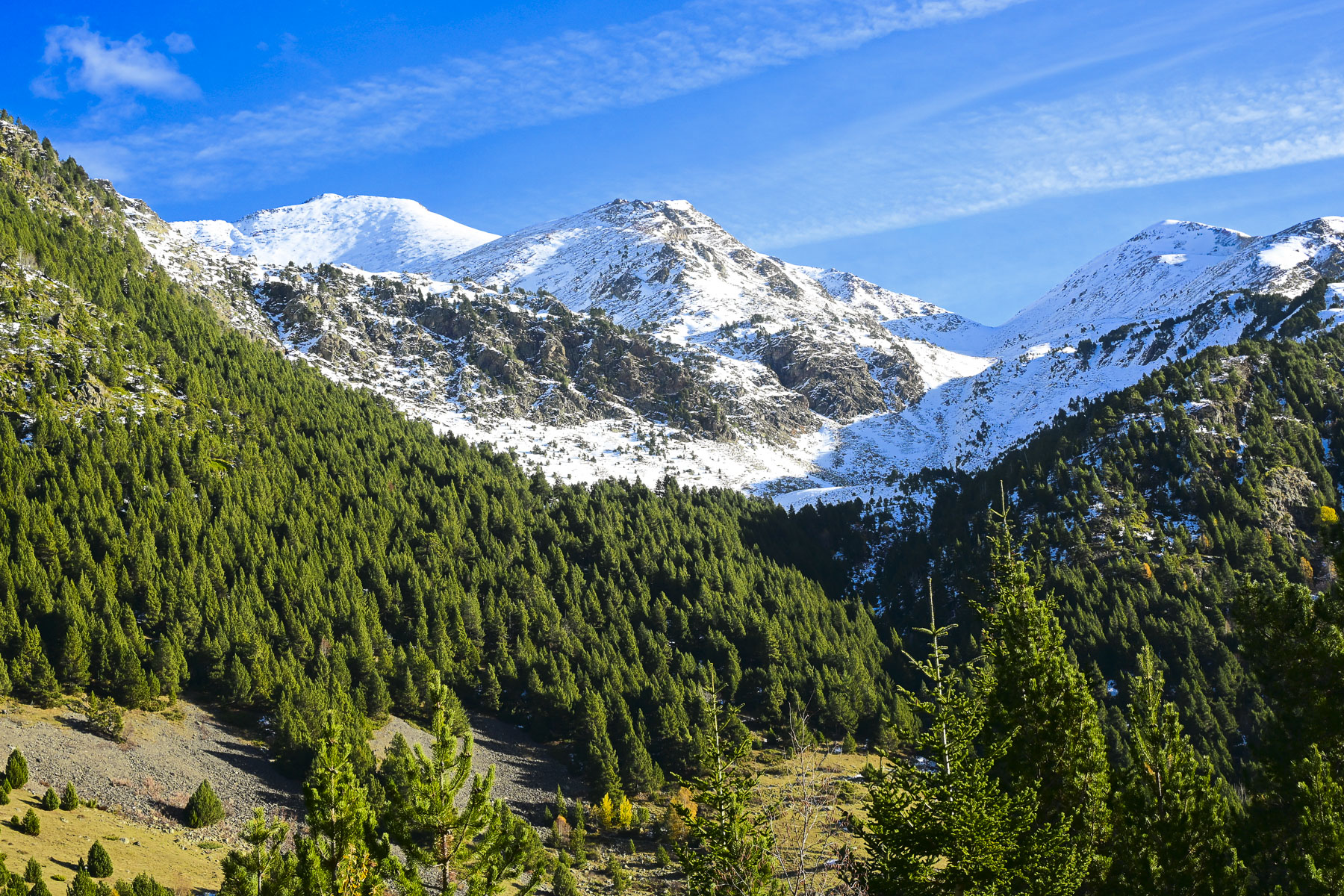
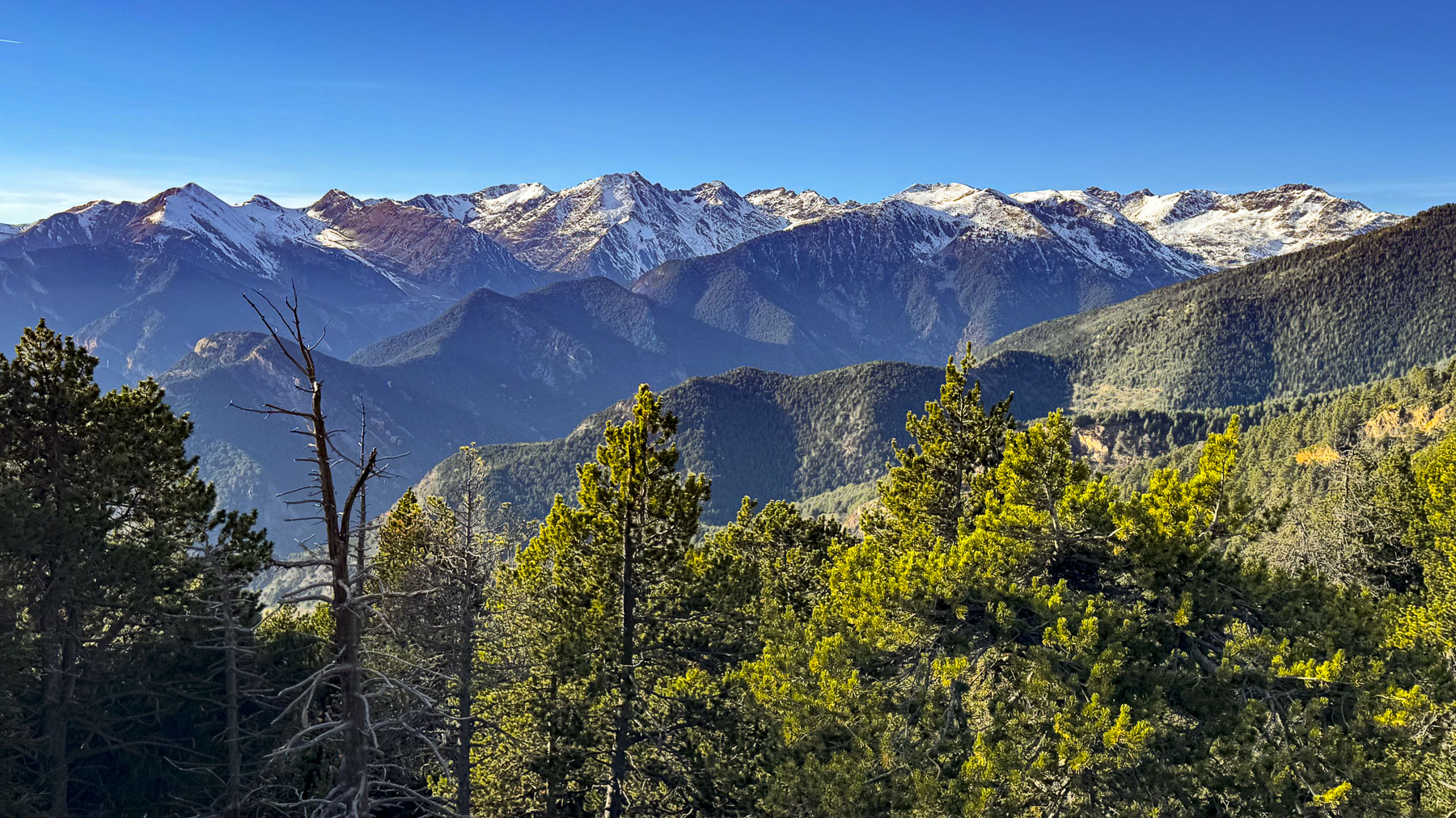
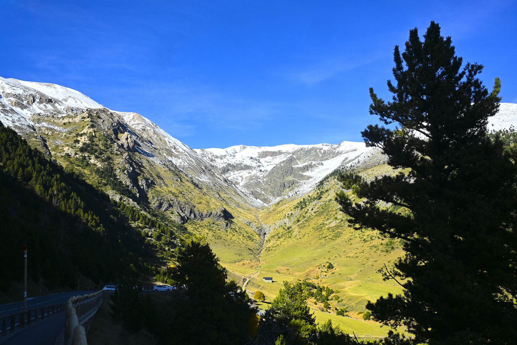
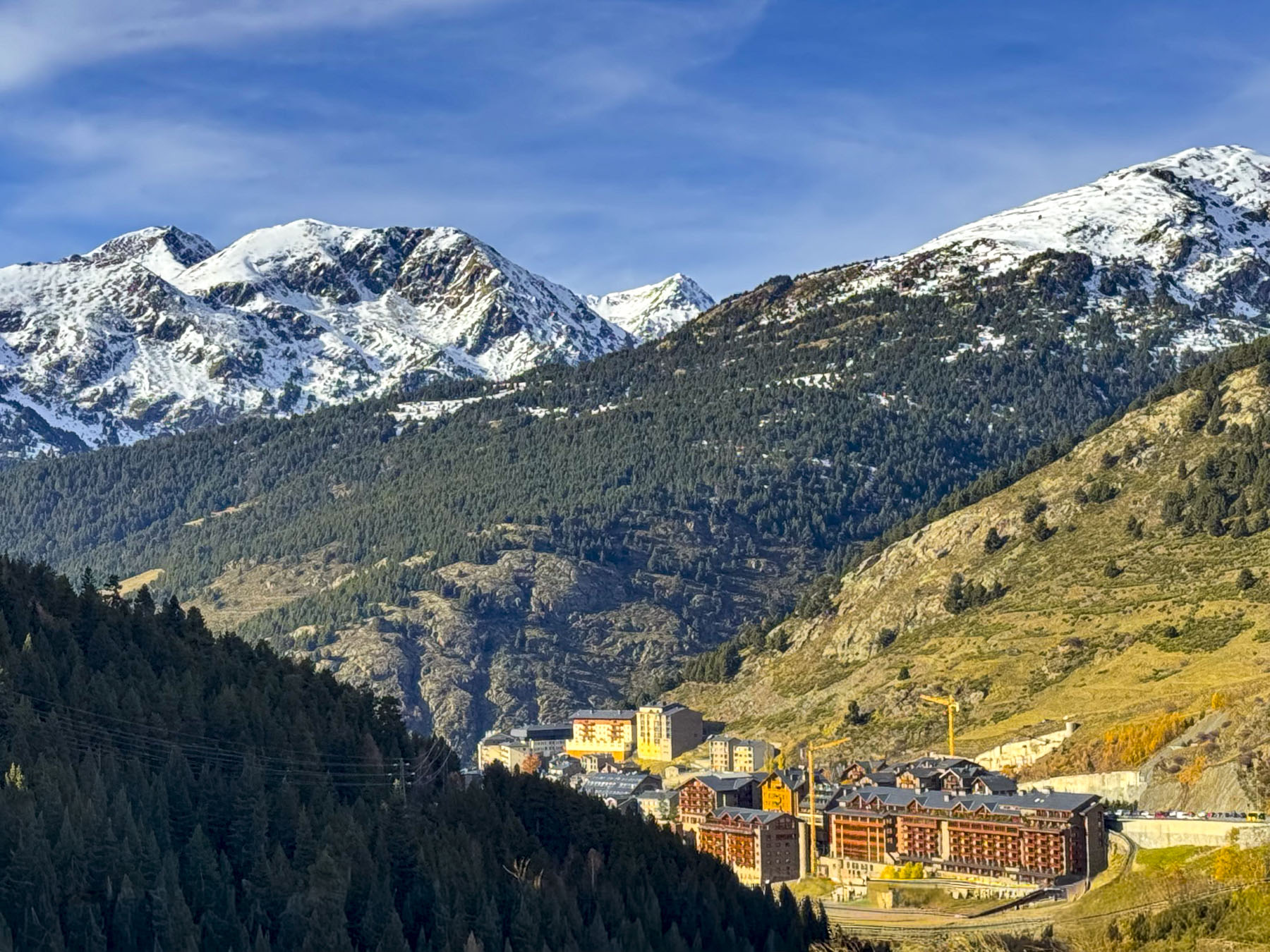
Heading back through Soldeu, the views looking down at the valley surrounded by steep mountains covered with a light snowfall were amazing and we stopped frequently to take photos as we headed to the Vall d’Incles, a tranquil valley with rolling meadows.

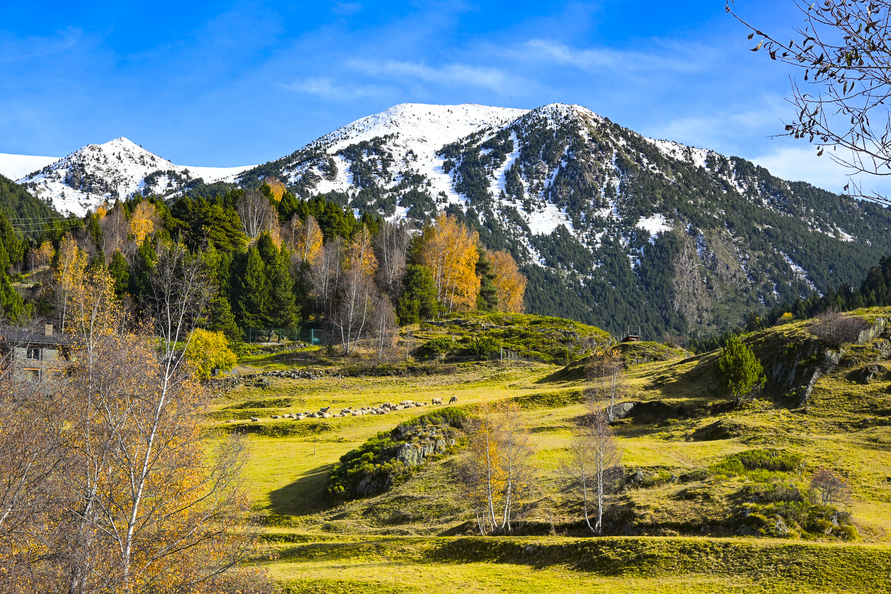
The valley is also the primary gateway for the Andorran Camí de la Transhumància, the traditional moving of livestock up into high-altitude mountain pastures in the spring and then back down to the valley floors in the autumn. The seasonal herding of livestock here is a UNESCO-recognized heritage practice that preserves mountain biodiversity and ancestral shepherding traditions. The valley was also an important transfer point for Andorran smugglers to offload the contraband they had carried from France across the Port d’Ingles mountain pass.

After parking the car at the far end of the valley, we had hoped to do a short hike a little farther up the valley to the Pont del Travenc, an old stone bridge across a mountain stream. Unfortunately, melting snow rendered the track a muddy mess and we contented ourselves with a picnic in the parking lot.

The next morning we were on the road, back to Barcelona before sunrise to catch our flight to Gran Canaria Island to relax in warmer temperatures that hovered around 22C (72F) during the day.

We had a wonderful time exploring Andorra in the November shoulder season. It was slightly colder than we expected, but we had sunny days, and there were surprisingly few cars on the road outside of Andorra la Vella. Though the country is only 2.5 hours from Barcelona, it often gets overlooked as a destination, but there is plenty to do, beyond shopping, if you like hiking and skiing. The concentration of so much gorgeous scenery in one small country is amazing, and inspiration enough to plan a visit.

Till next time,

Craig & Donna

P.S. Andorra has excellent international bus service to the airports and train stations in Barcelona, Spain and Toulouse, France. As well as a reliable local bus service with 7 routes that connect all the towns and ski resorts in the country.

Cambodia: Life Along the Mekong & Tonle Sap Rivers or A Beautiful Country Full of Surprises

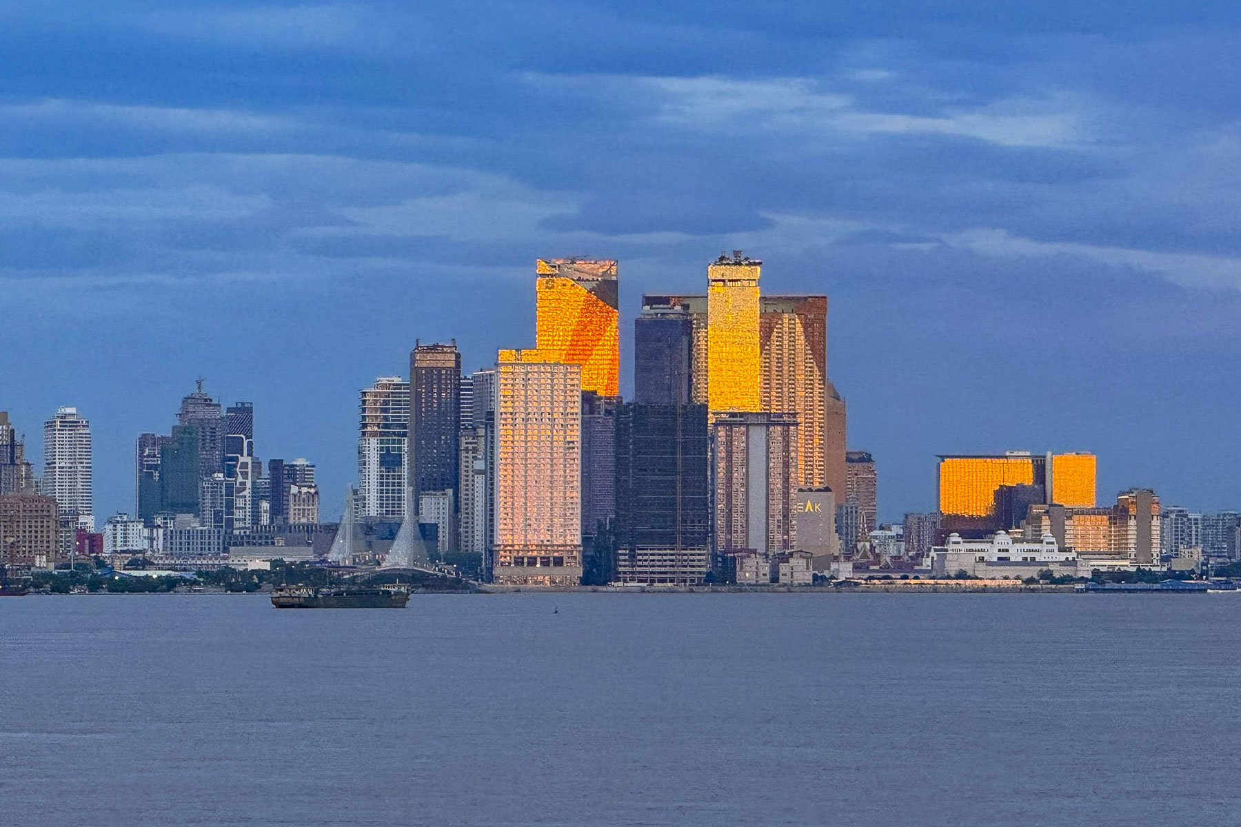
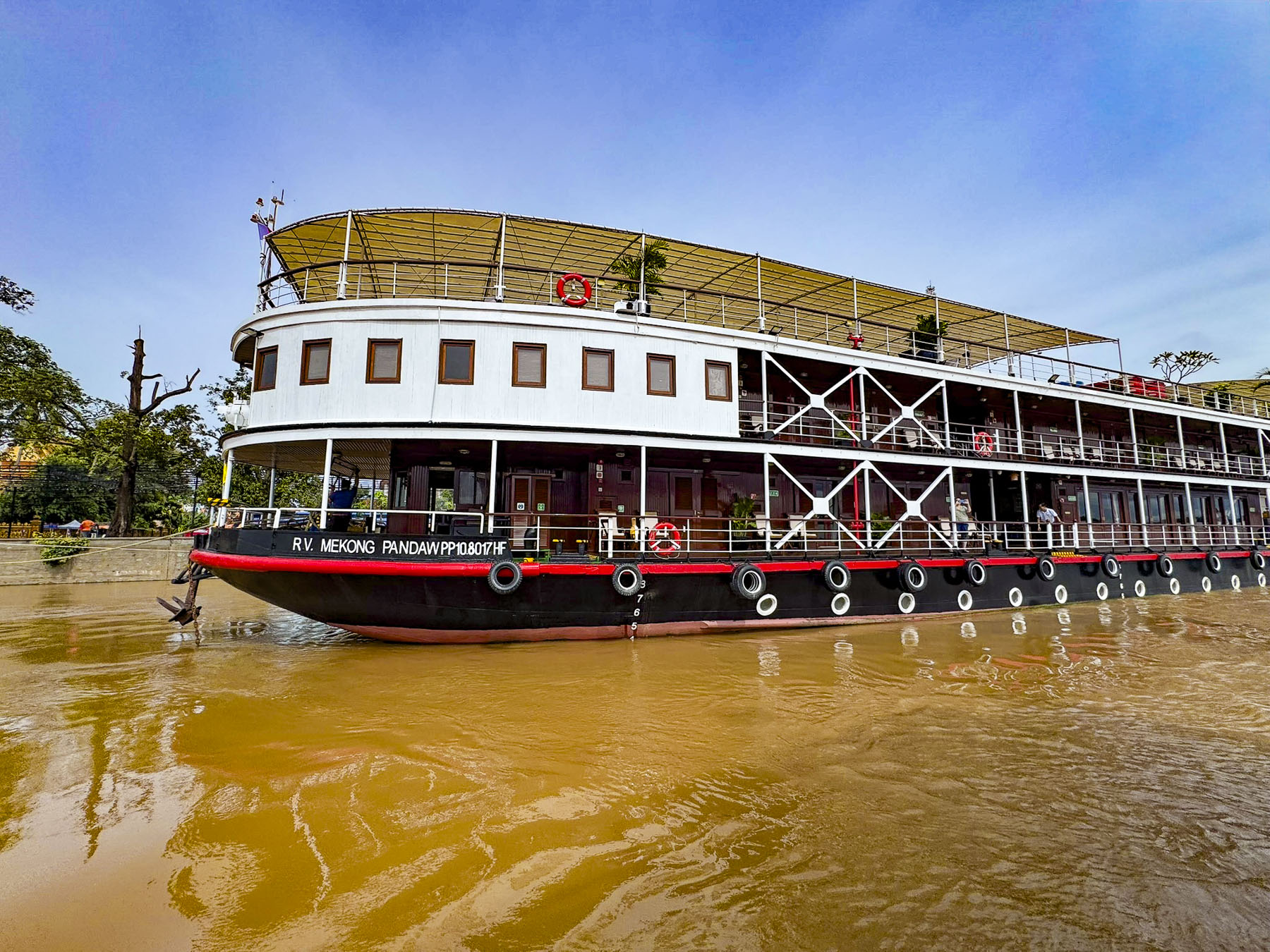
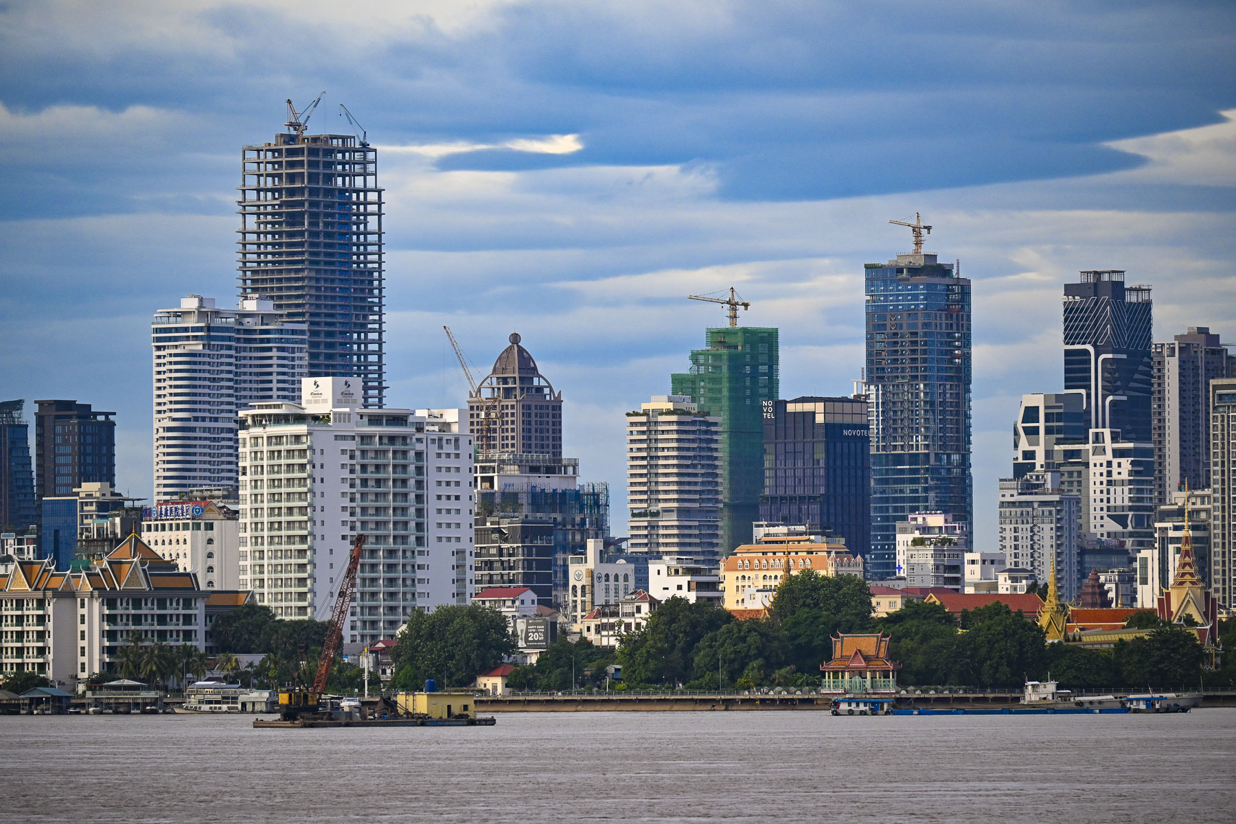
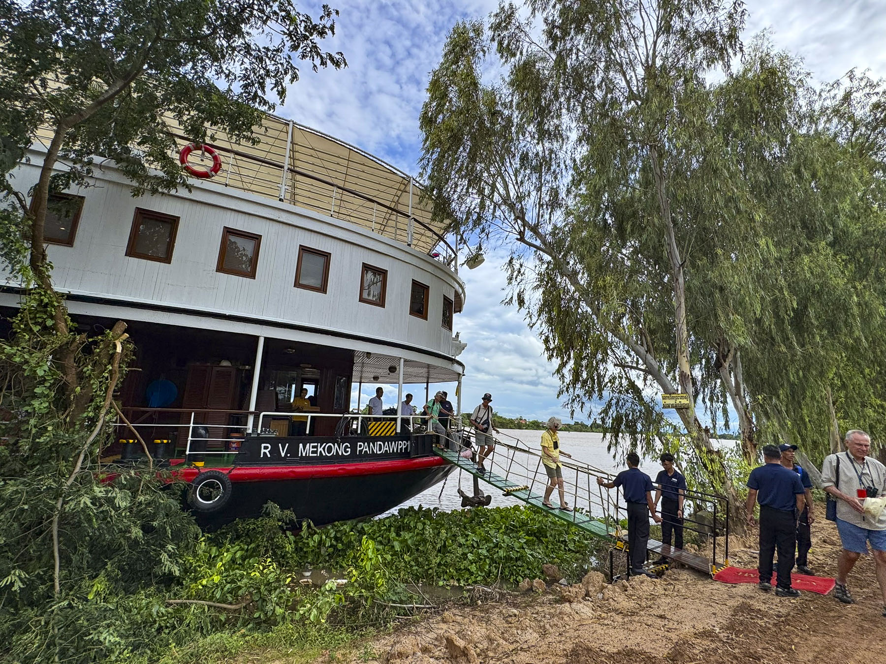
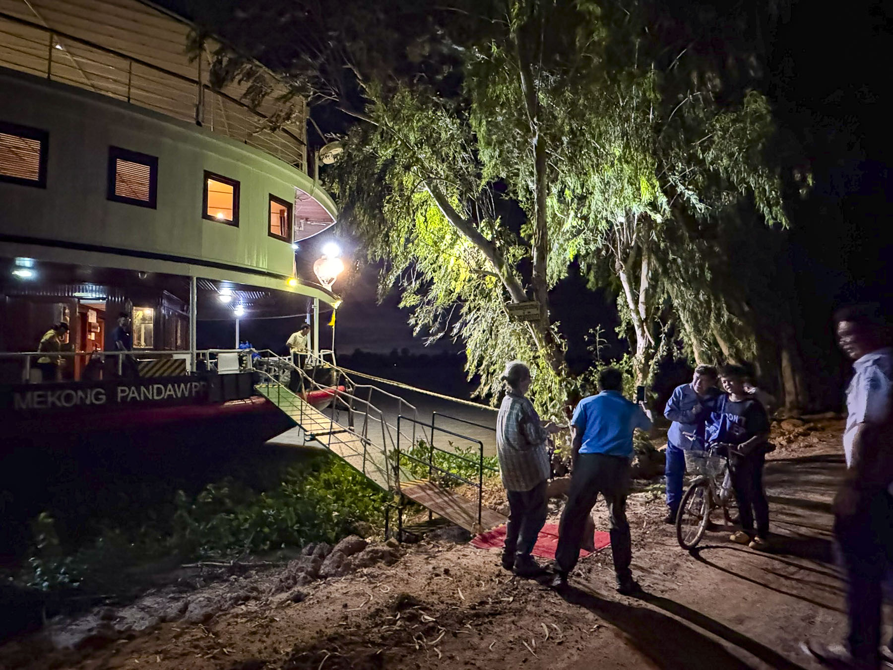
In the golden morning twilight, the skyscrapers of Phnom Penh gleamed like a set of gold capped teeth revealed by the broad smile of a person awakening to a spectacular new day. It was the consequence of a torrential monsoon storm, with I swear horizontal rain, the evening, before that abruptly shortened an otherwise delightful happy hour on the sun deck of the RV Mekong Pandaw. Overnight as we sailed to Phnom Penh the storm cleared the sky for a beautiful sunrise. Our cruise had departed Ho Chi Minh City three days earlier during the last week of September, which was nearing the end of Southeast Asia’s monsoon season, and the mornings were heavily overcast until today.

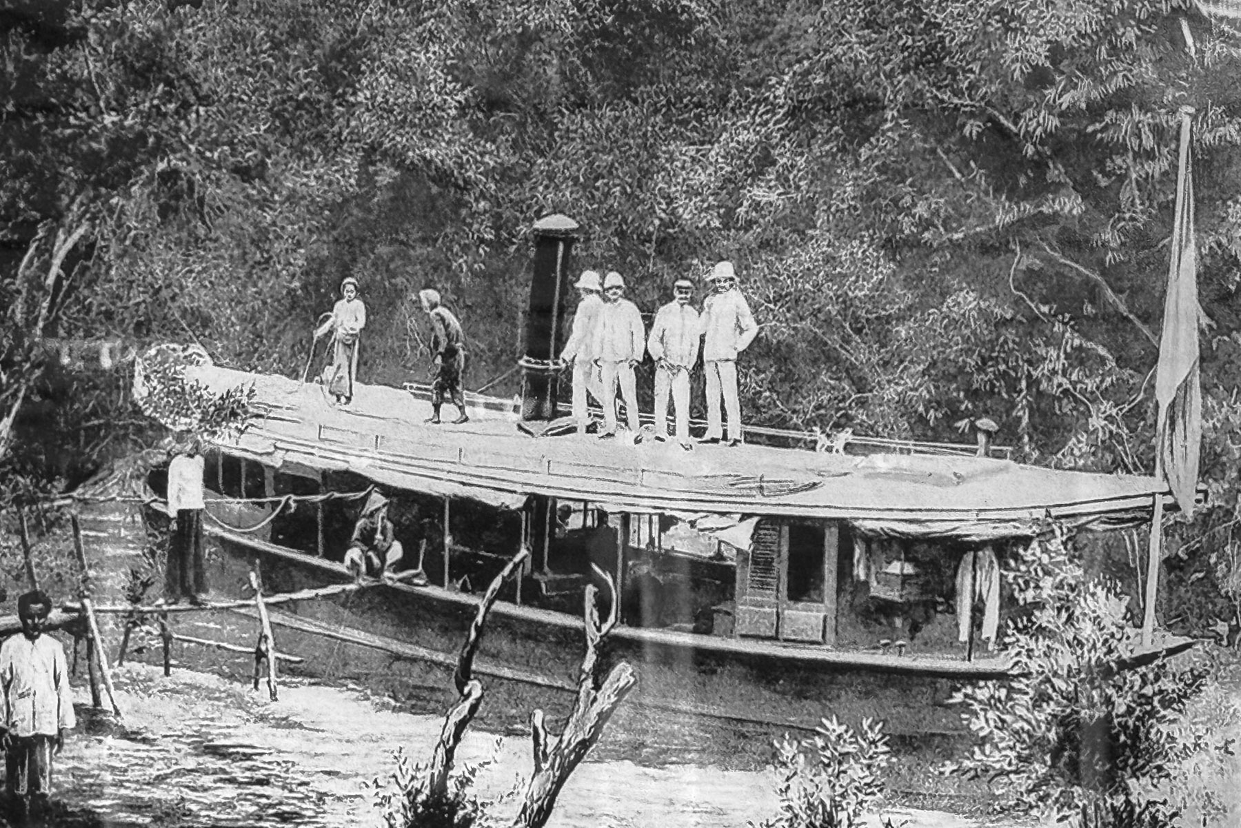
The forty-eight passenger river vessel is a classic shallow draft, teak and brass finished riverboat, based on historical designs of colonial era river ships that once plied the waters of the Mekong Delta and southeast Asia from the late-1800s to the 1930s, and was built specifically for the luxury river cruise provider Pandaw. We had signed on for their Four Country 21 Night Combo Cruise, which would take us up river into Cambodia, then connect us with flights to Thailand and the resumption of the cruise, on the smaller Pandaw RV Laos downriver from the golden triangle, where the borders of Myanmar, Thailand, and Laos meet along the Mekong River, in Chiang Khong, Thailand.

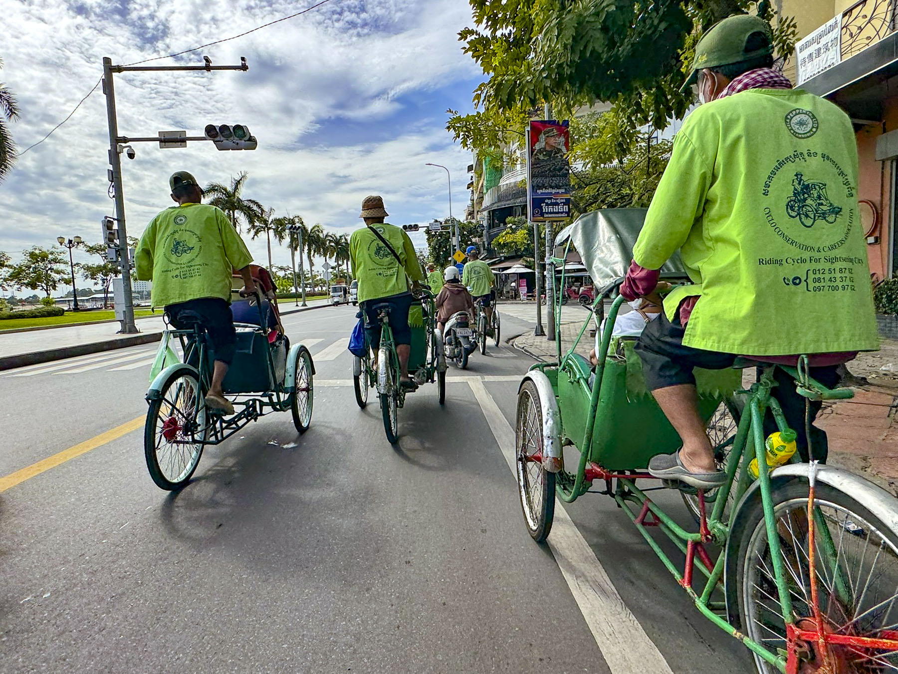
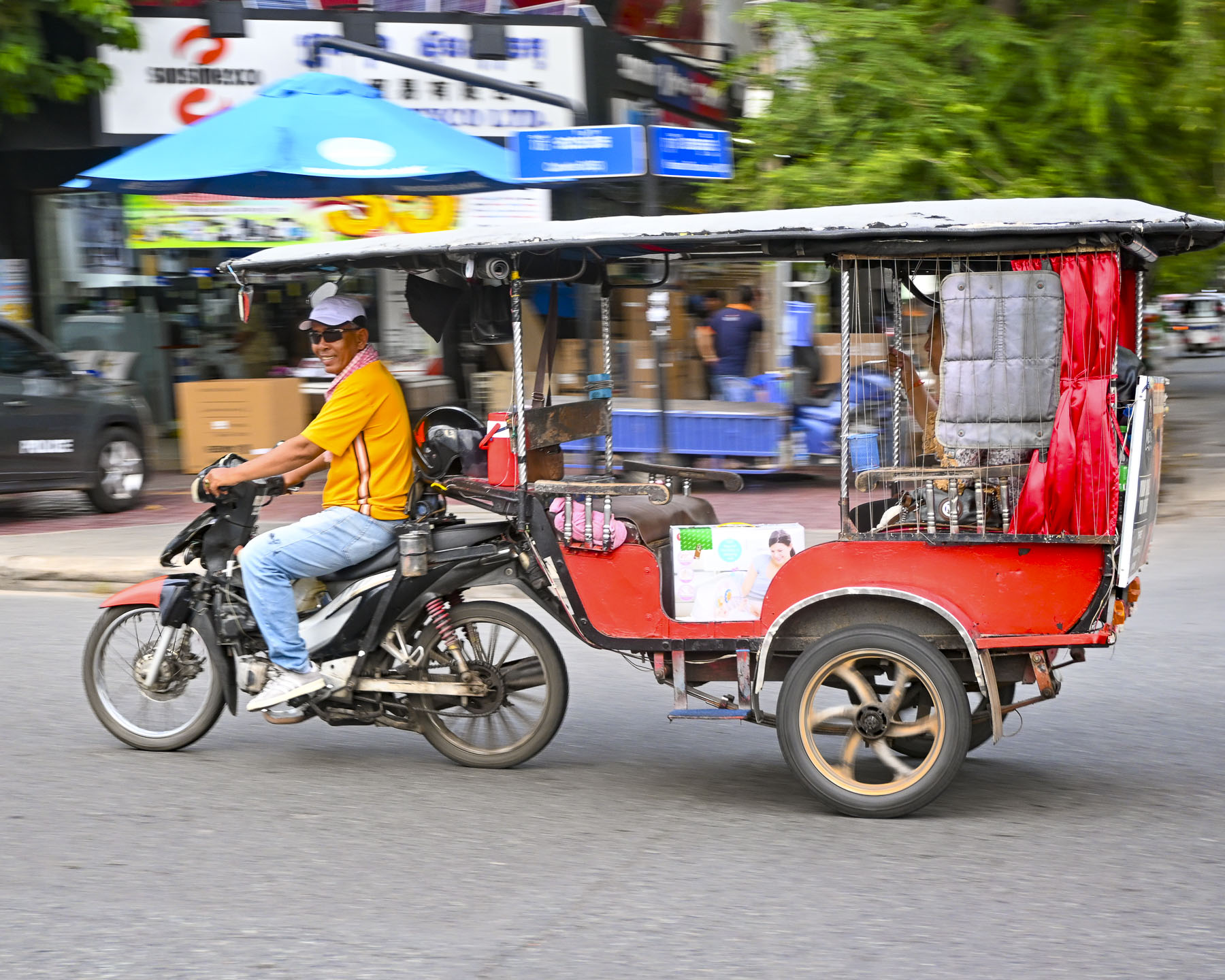
Waiting for us as the boat docked along the city’s quay on the Tonle Sap River, just upstream from its confluence with the Mekong River, was a row of rickshaw tricycle taxis or cyclos, set against Phnom Penh’s rapidly expanding skyline dotted with construction cranes. In times past, the cyclo was the predominant mode of transportation around the city but now are mostly used by tourists for scenic tours that weave through its streets.

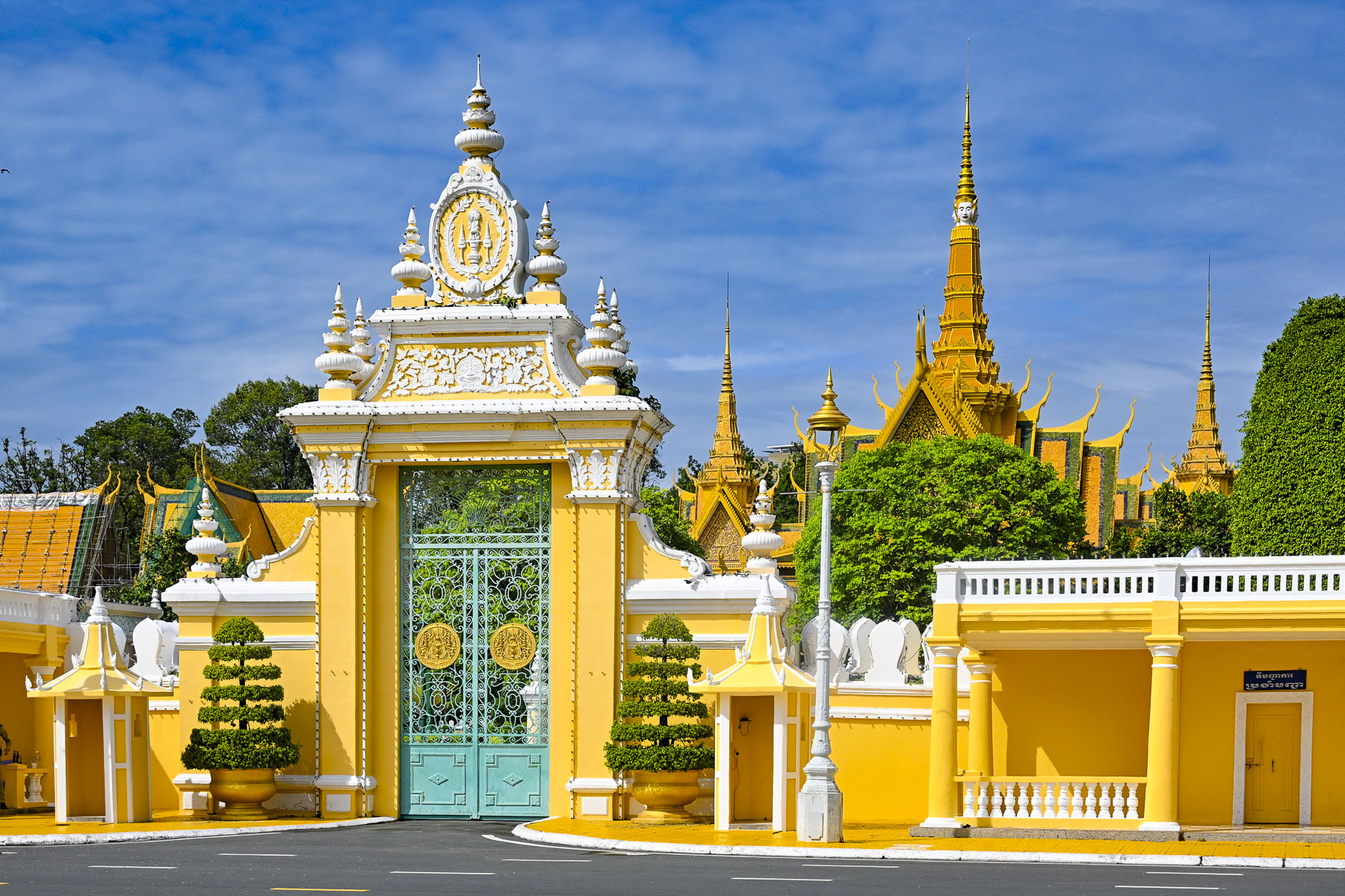
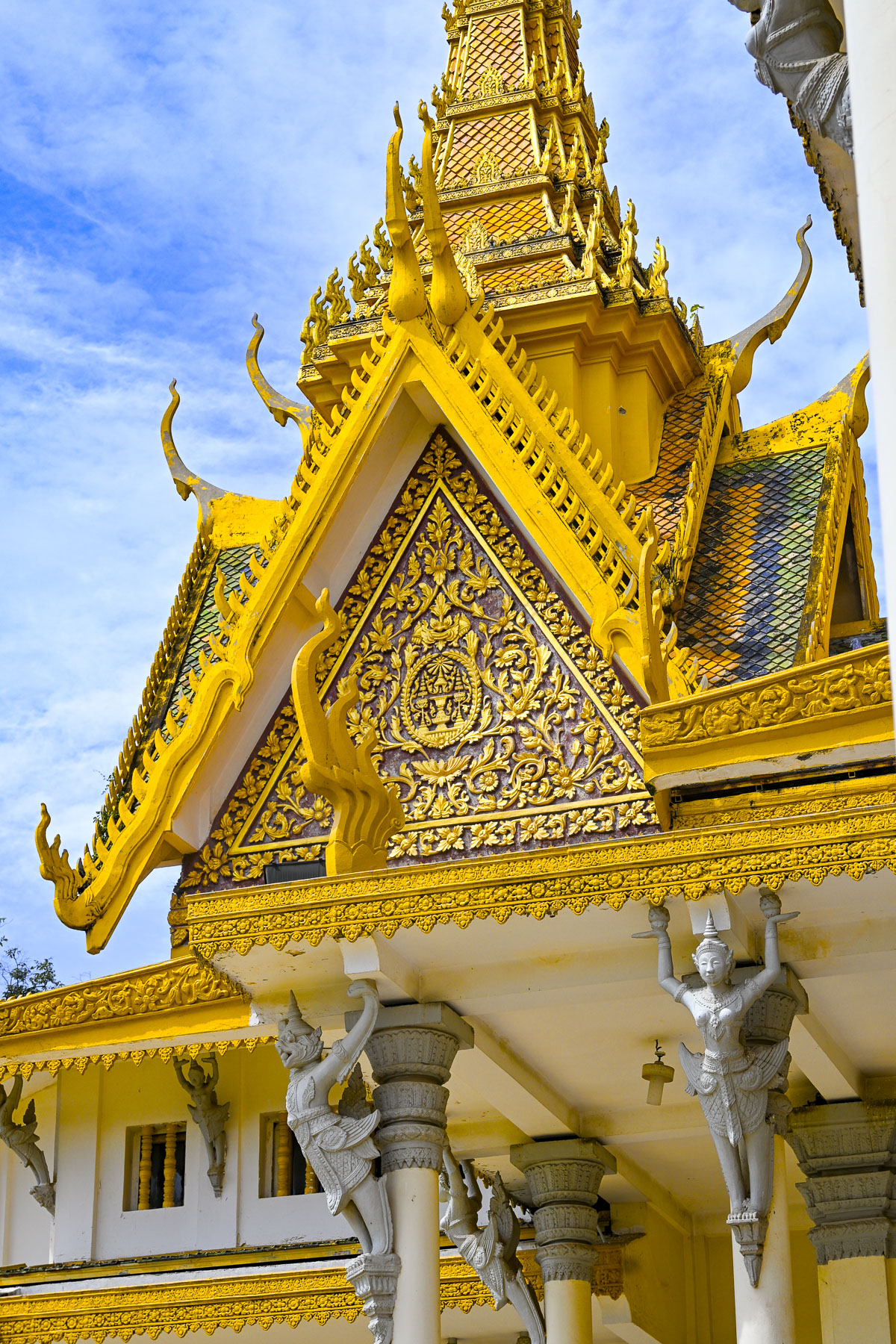
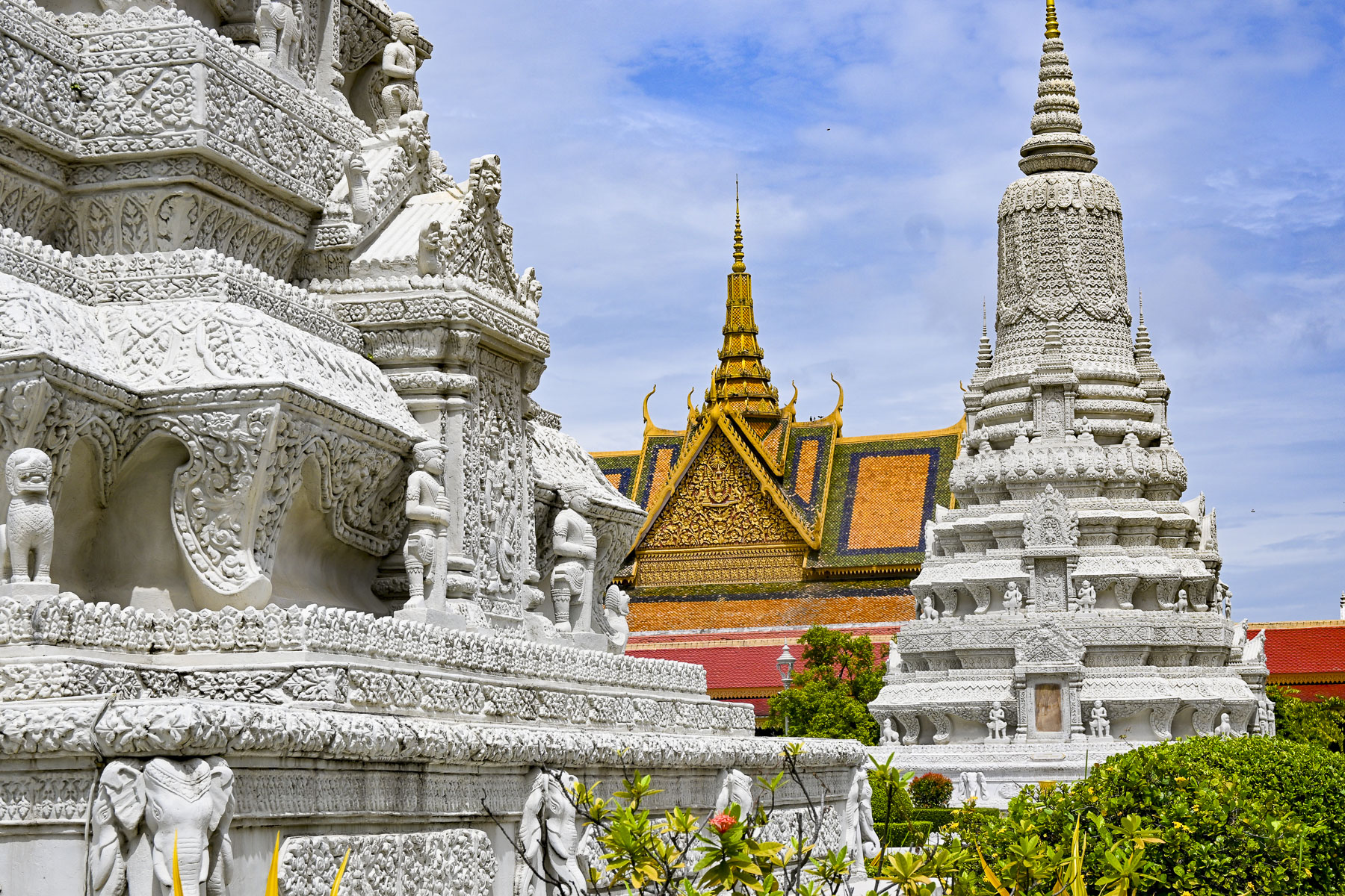
We whizzed through traffic past the National Museum to the Royal Palace of Cambodia, a richly ornamented grand palace complex built in the 1860s, on the site of an earlier citadel, for Cambodia’s royal families. The palace’s architecture leans heavily on influences from Ankor Wat, a massive 12th-century religious monument that is Cambodia’s most famous attraction.

The palace’s formal and ceremonial buildings feature golden spires atop steeply pitched stacked roofs, orange in color to symbolize prosperity, with highly decorated upturned finials and gables that characterize Khmer architecture. The spires on the rooftops represent Mount Meru, the sacred center of the universe in Hindu and Buddhist cosmology.

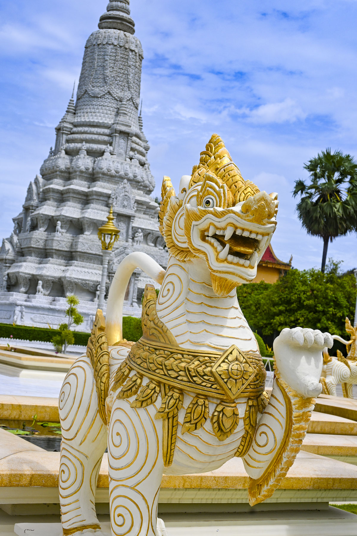
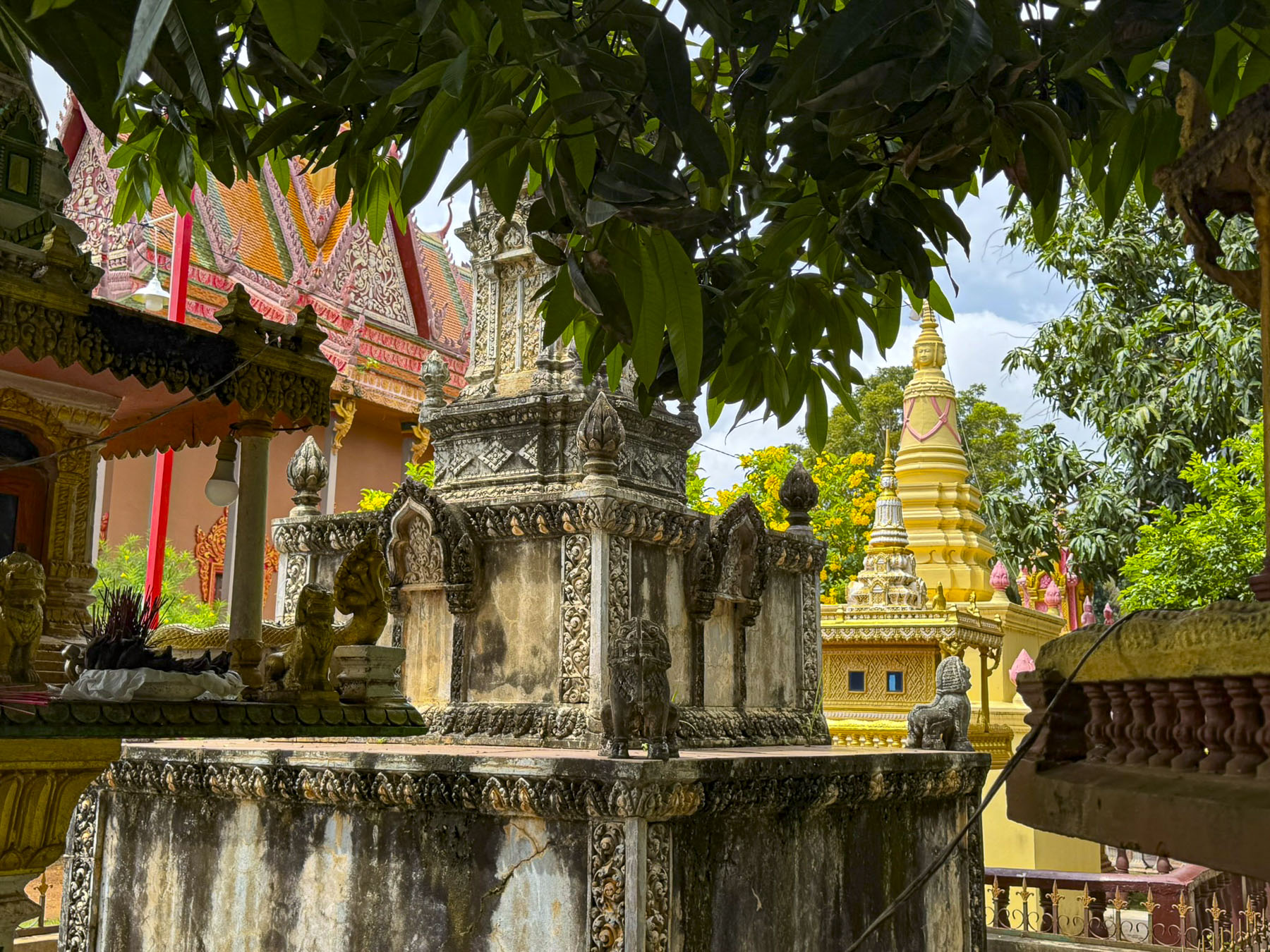
The grounds also have several large pyramid and cone shaped sandstone stupas carved with elaborate high-relief sculptures of gods, floral patterns, and legendary creatures. 

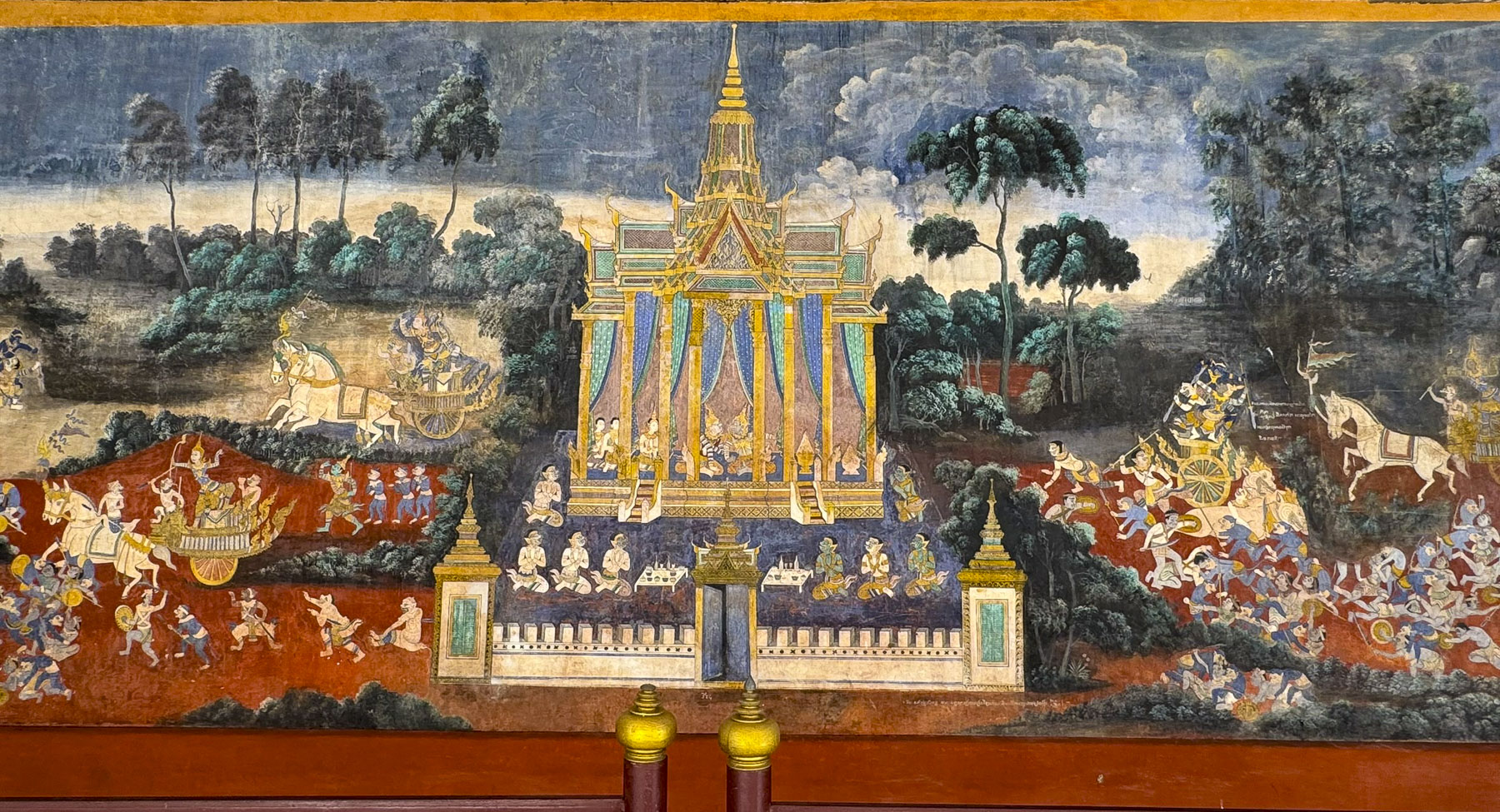
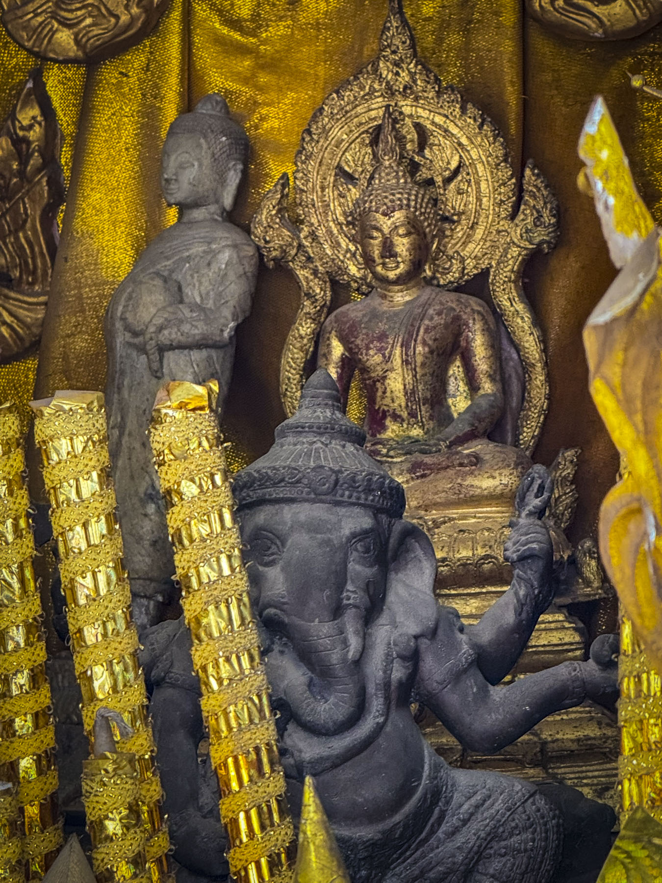
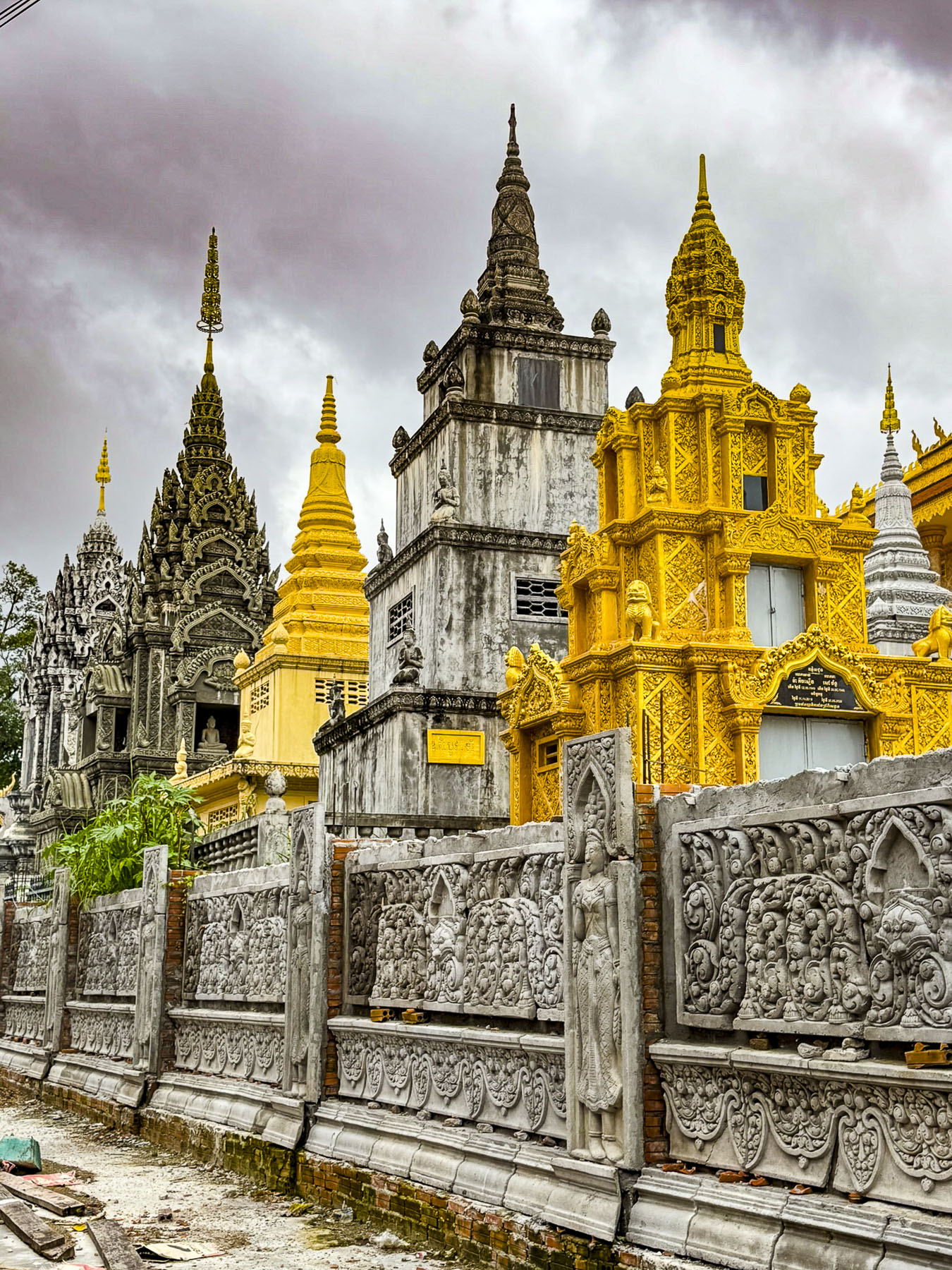
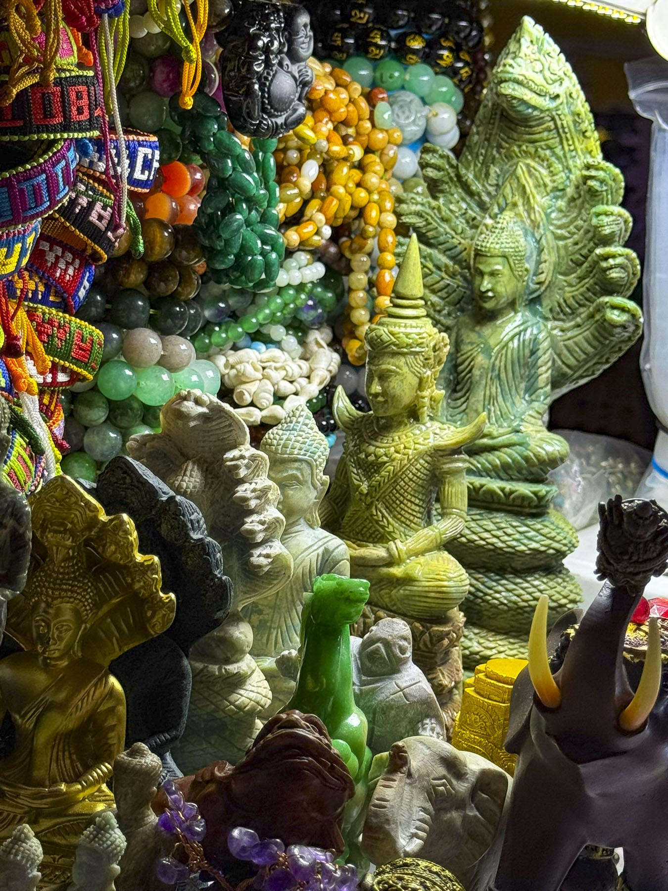
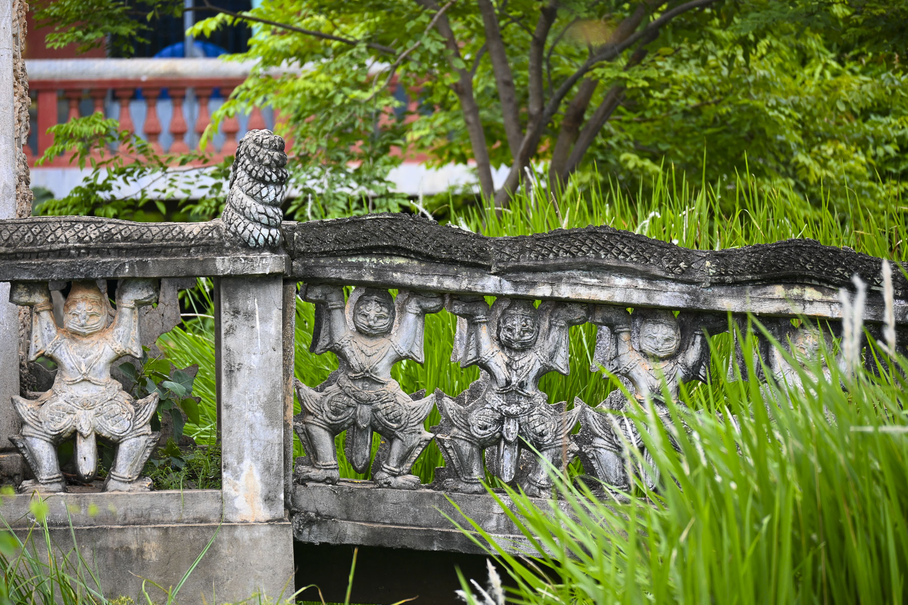
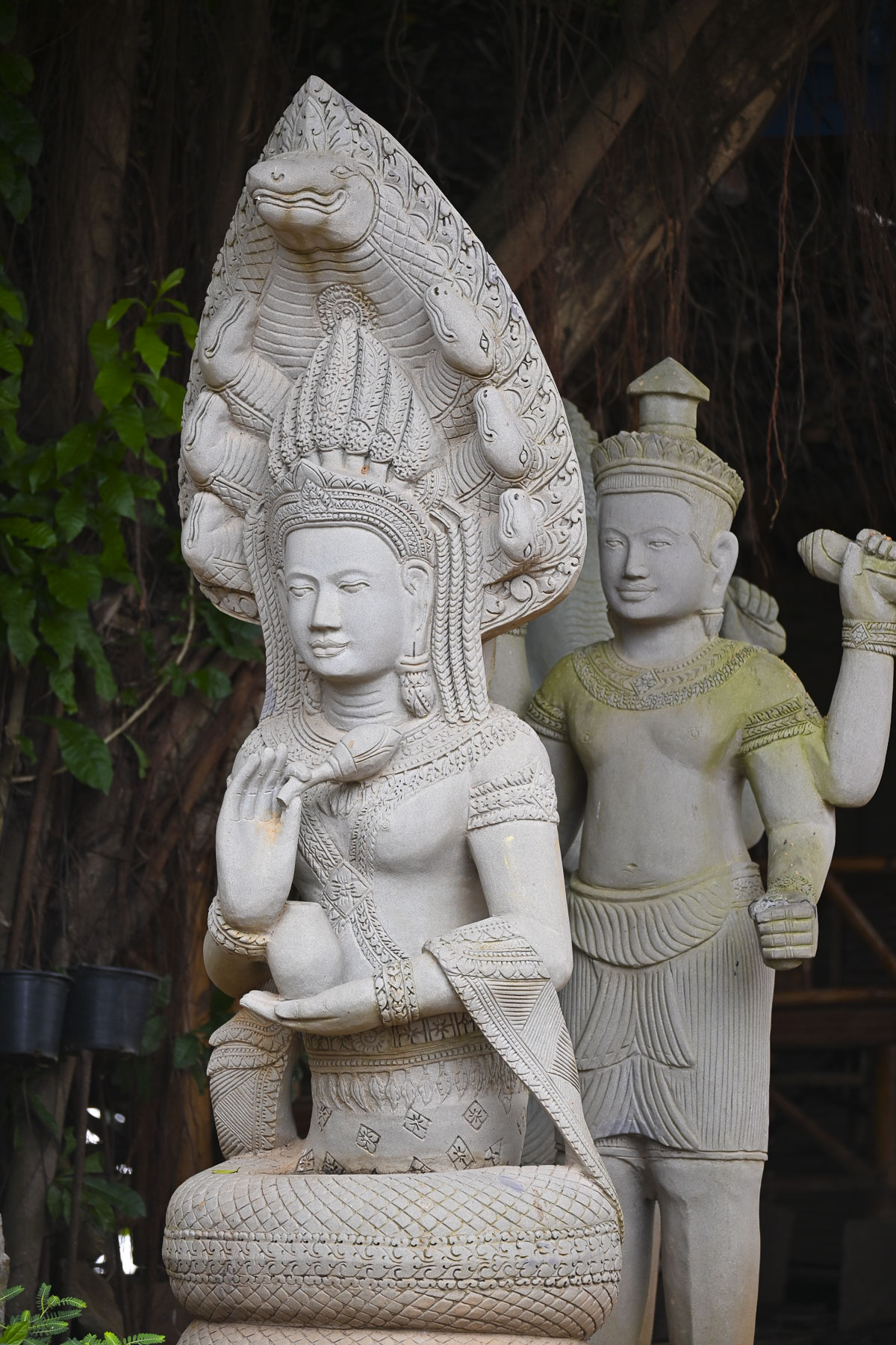
Across the site are sculptures of fearsome mythological animals depicting Naga (seven-headed serpents), Singha (guardian lions), and Kala (fearsome faces), which symbolize protection, power, and the bridge between human and divine realms. There were also some interesting ancient murals depicting significant events in the country’s history. And surprisingly several tranquil spots to rest and contemplate.

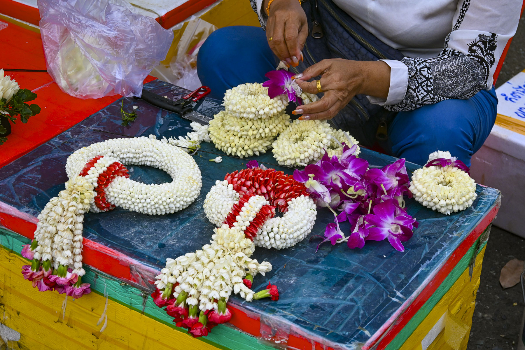
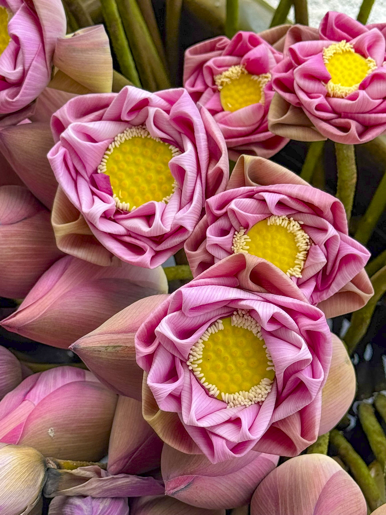
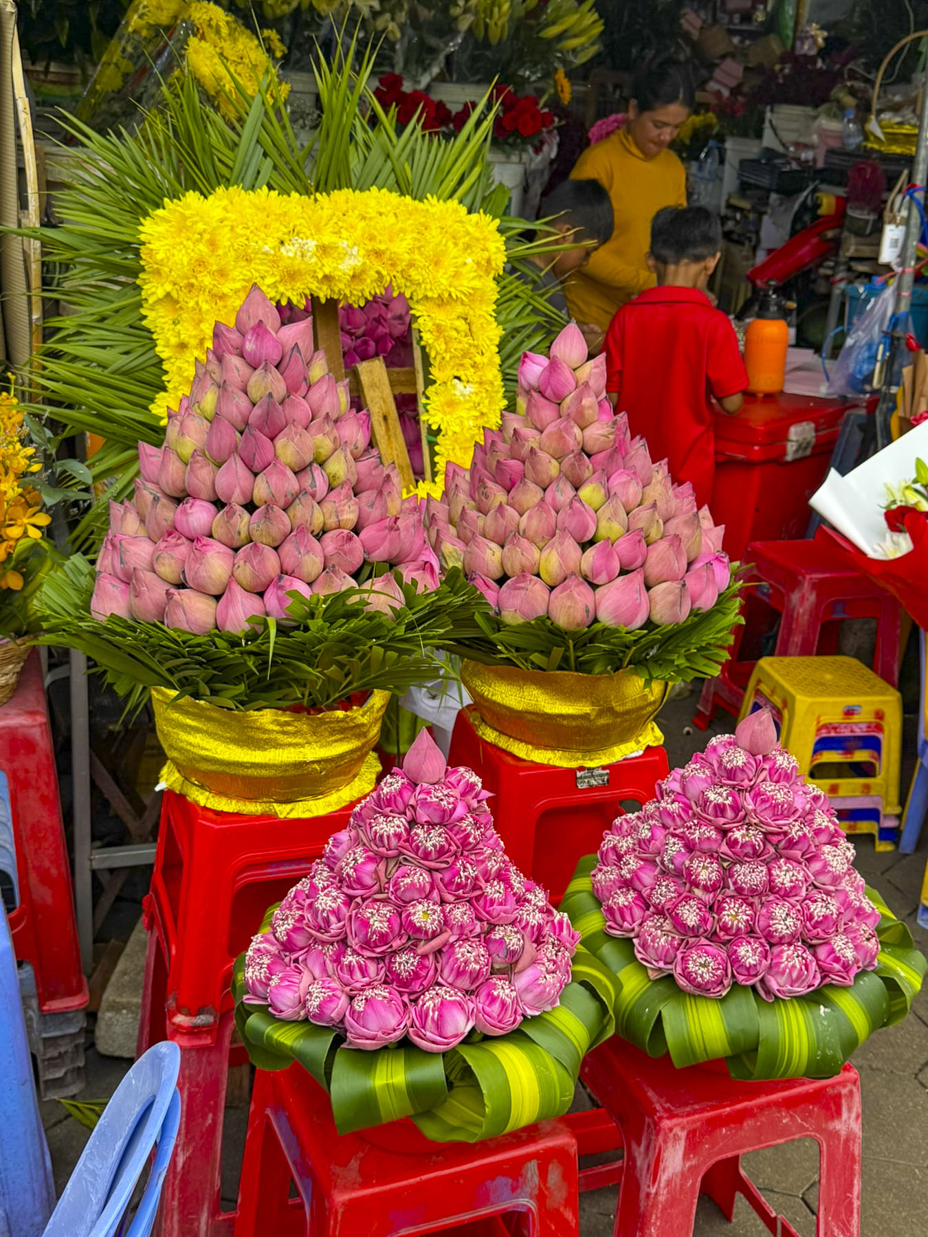
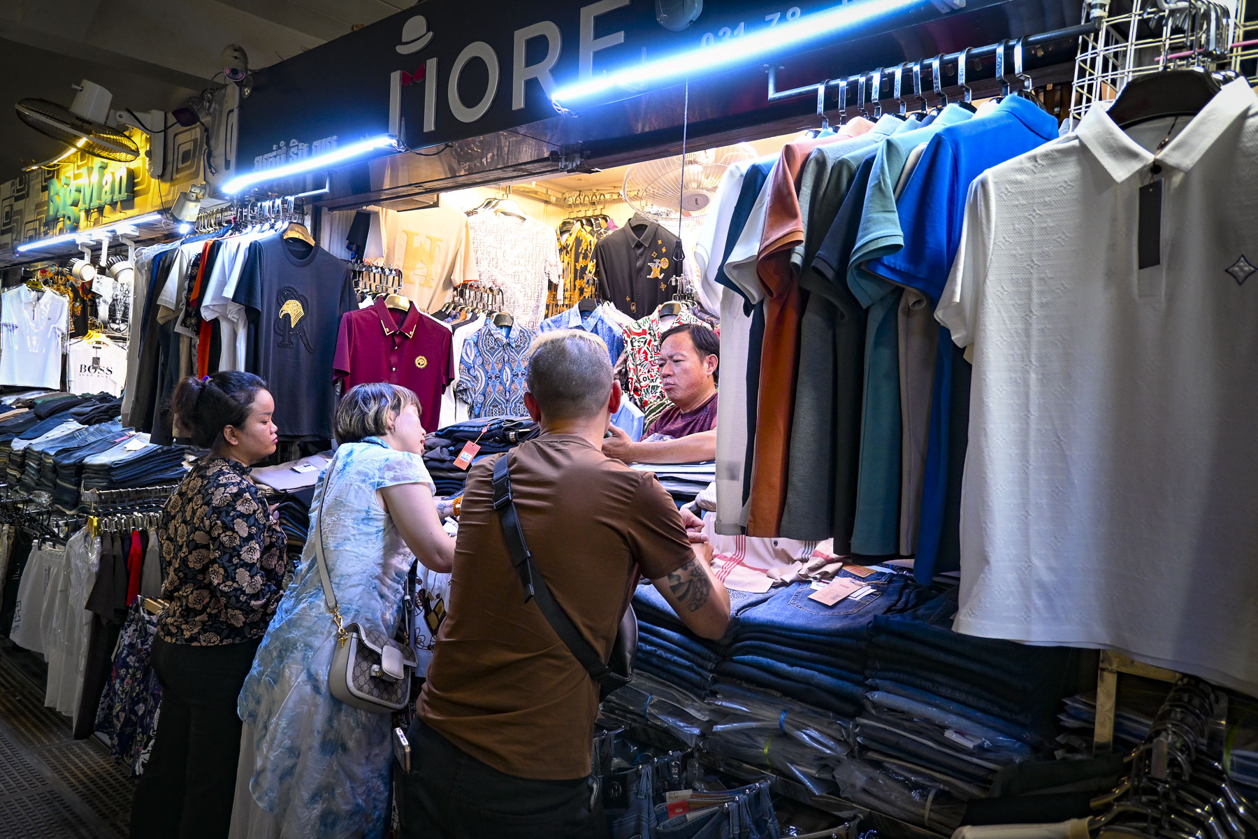
By midmorning that day in late September the temperature was in the mid – nineties, 35C, and the humidity was terrible. Some relief was found in the shade of the central market where some folks sought out the post office and a pharmacy while others wandered through the tightly packed clothing stalls. We didn’t find the shopping particularly interesting, but the flower market with its vendors making floral temple offerings of maali (garlands), and Kantong (small bowls made of banana leaves containing flowers, incense, and candles) was colorful, and intriguing. The Cambodian art of Lotus flower folding is a cherished, ancient art form where the green outer petals of a lotus bud are meticulously peeled back and folded, creating intricate, rose-like shapes that symbolize purity, devotion, and enlightenment. The market was beautifully full with these floral displays that represent a spiritual offering to Buddha. The ritual of daily offerings placed in home shrines and pagodas to honors ancestors, bring blessings, and symbolizes enlightenment, and is ingrained in the culture of Southeast Asia.

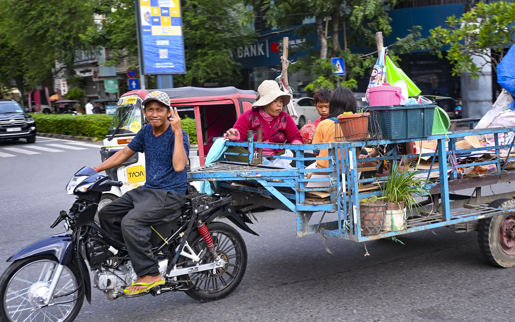
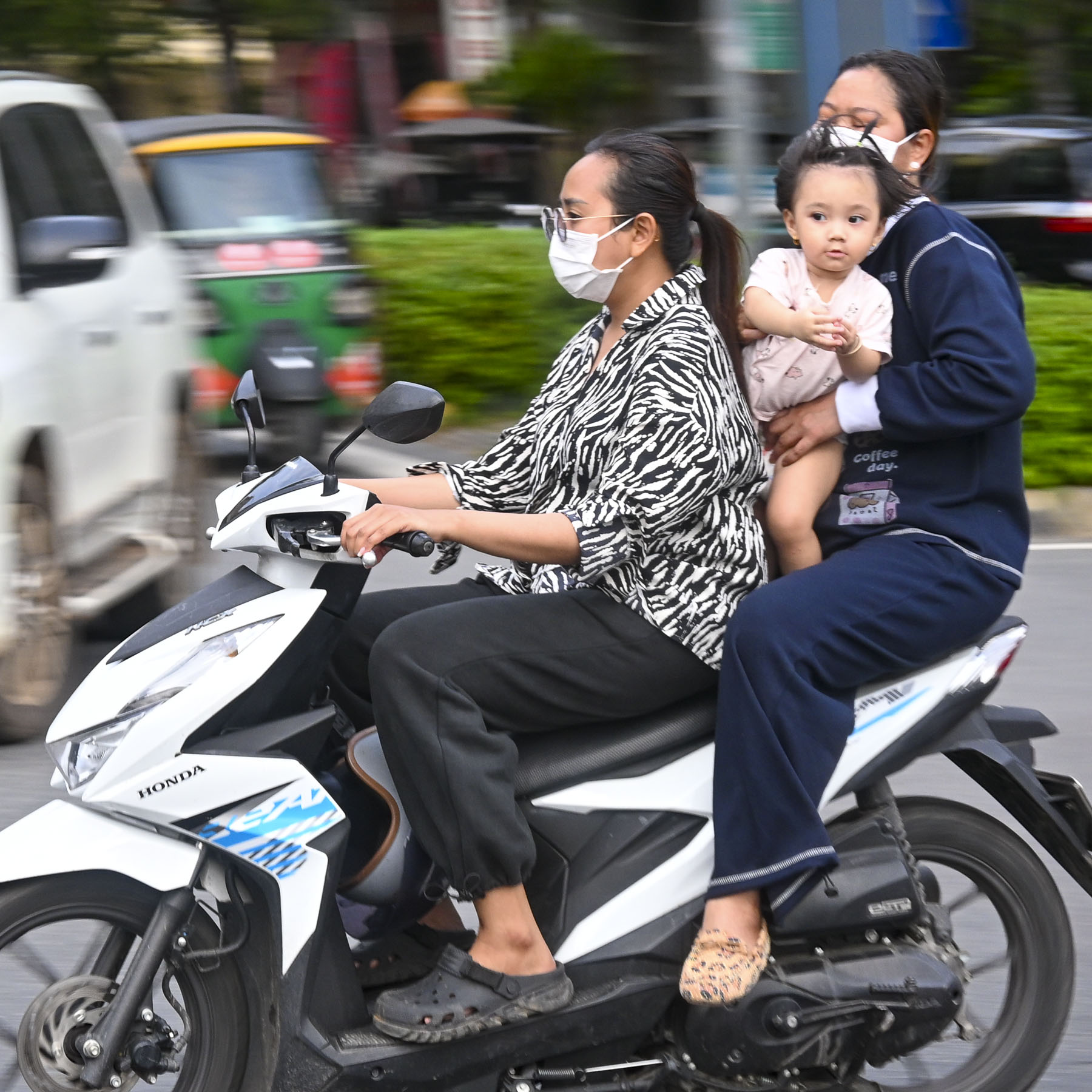
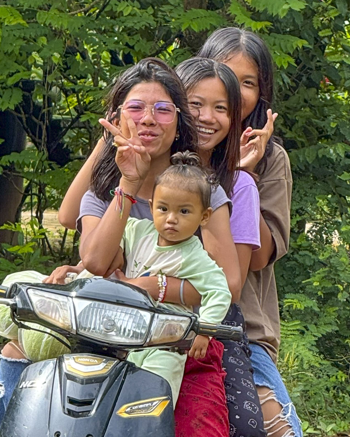
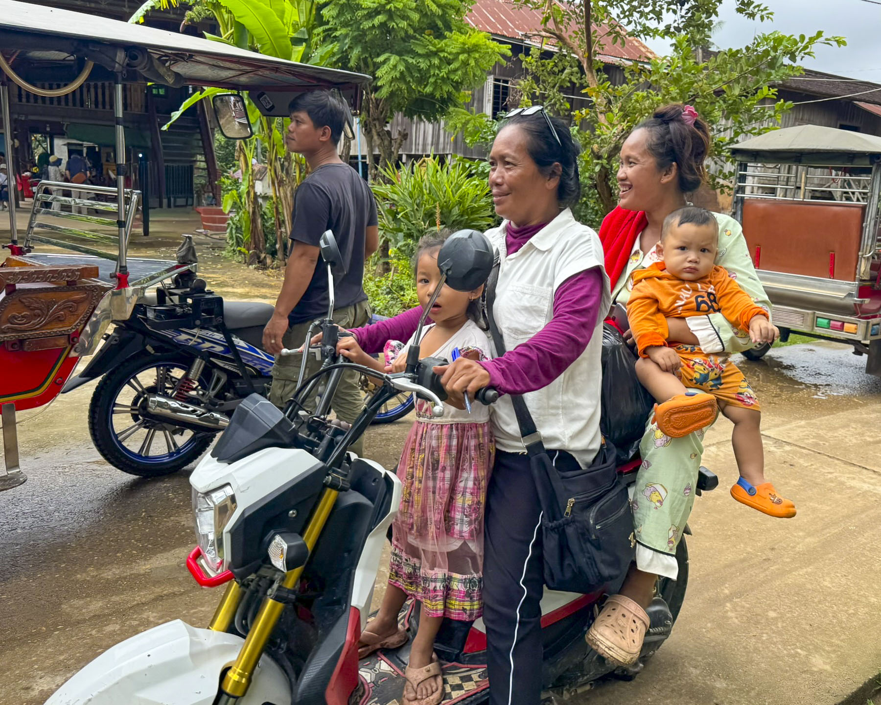
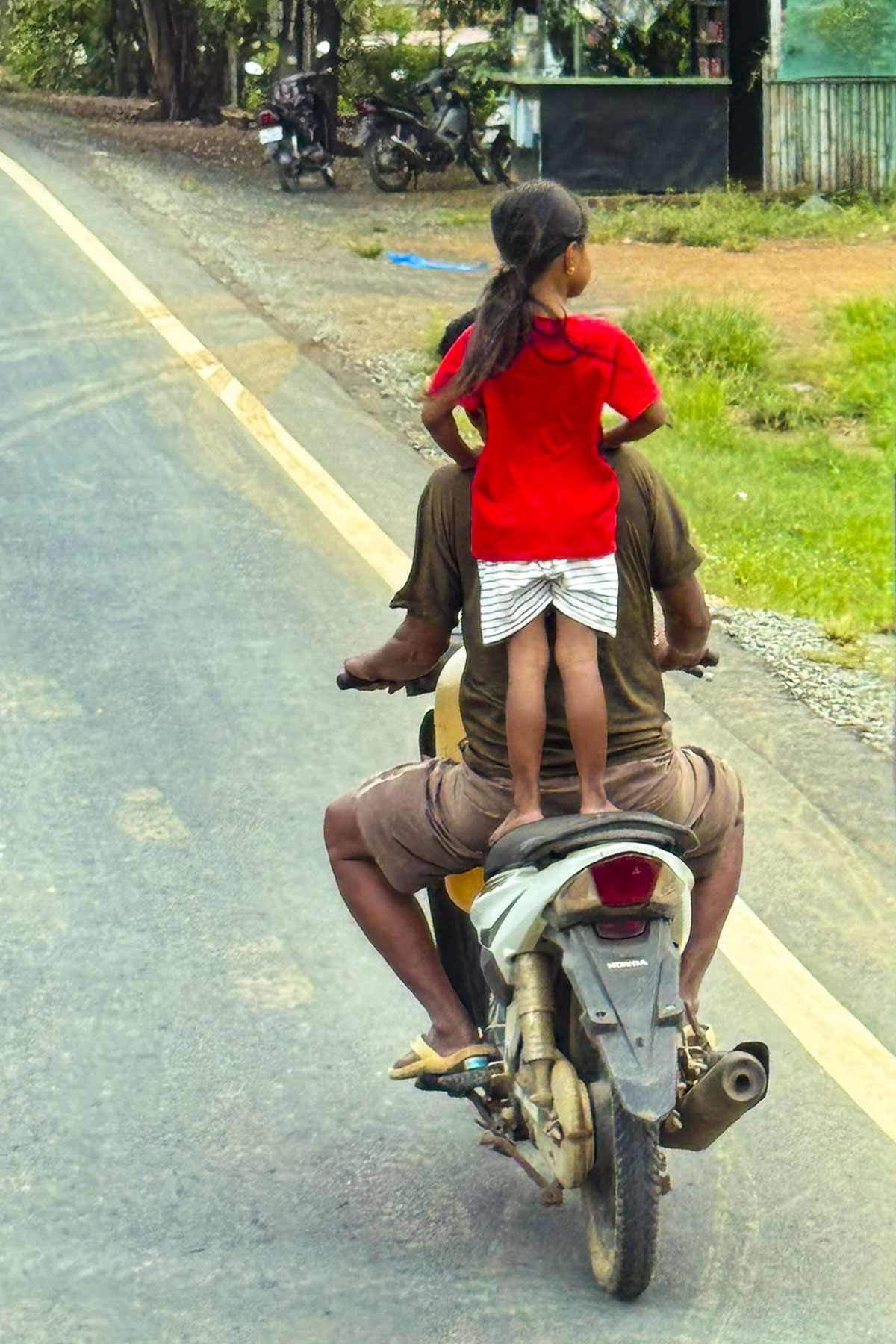
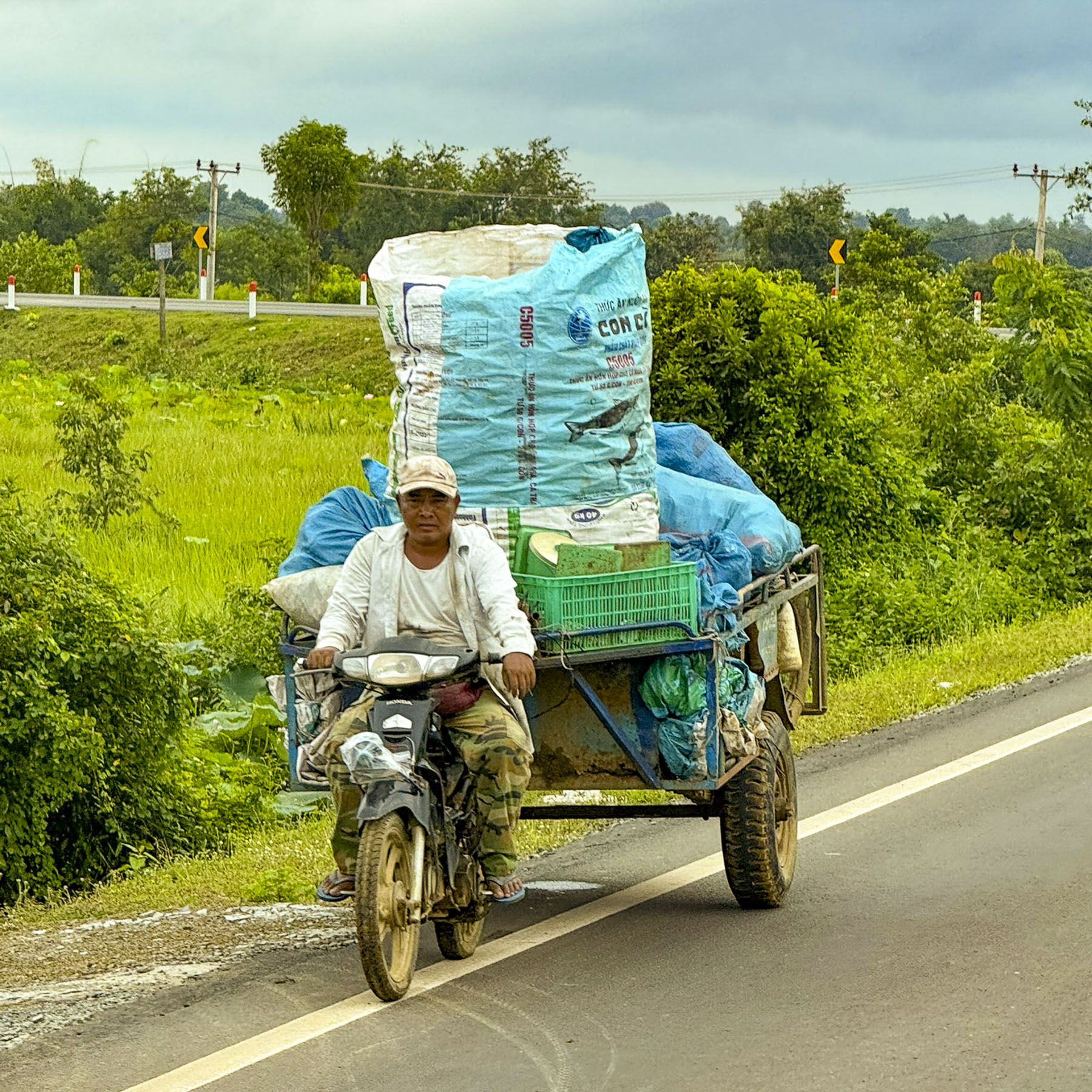
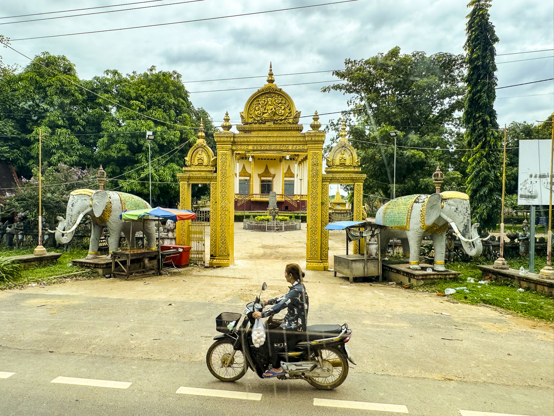
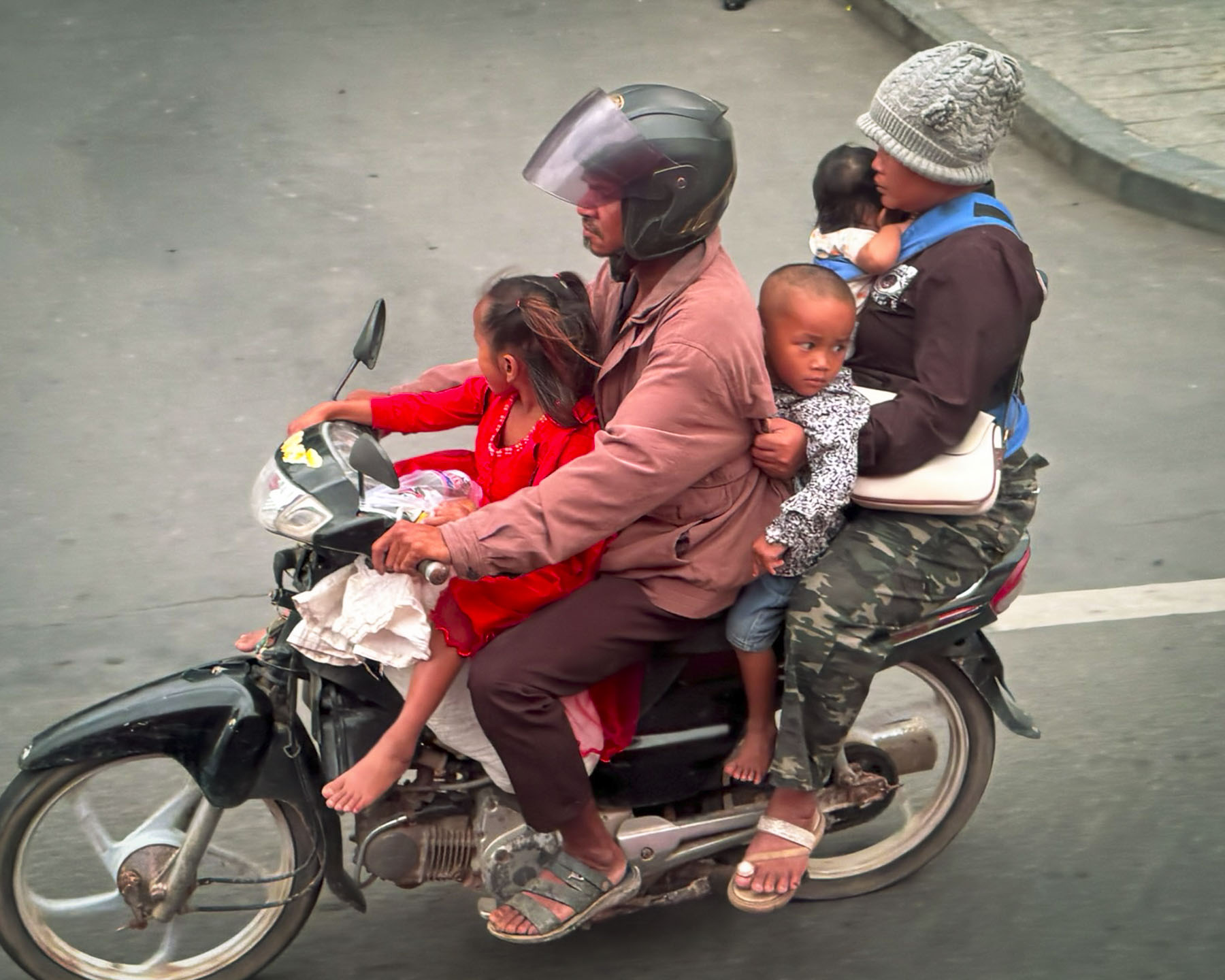
The market was also a good place to watch life go by on the street, especially the scooters and the configuration of families they seemed to effortlessly carry.

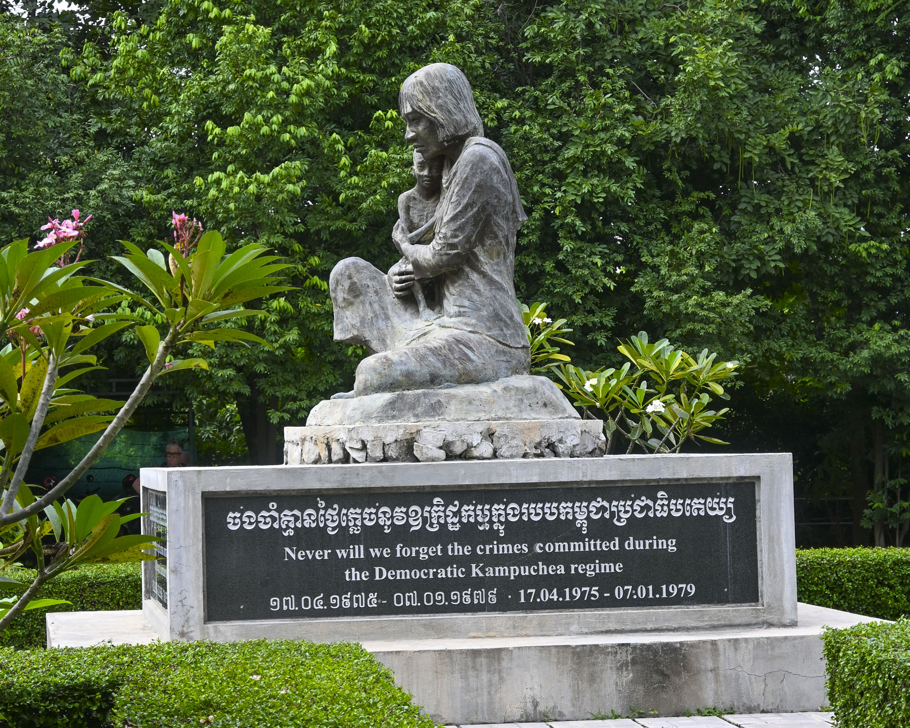
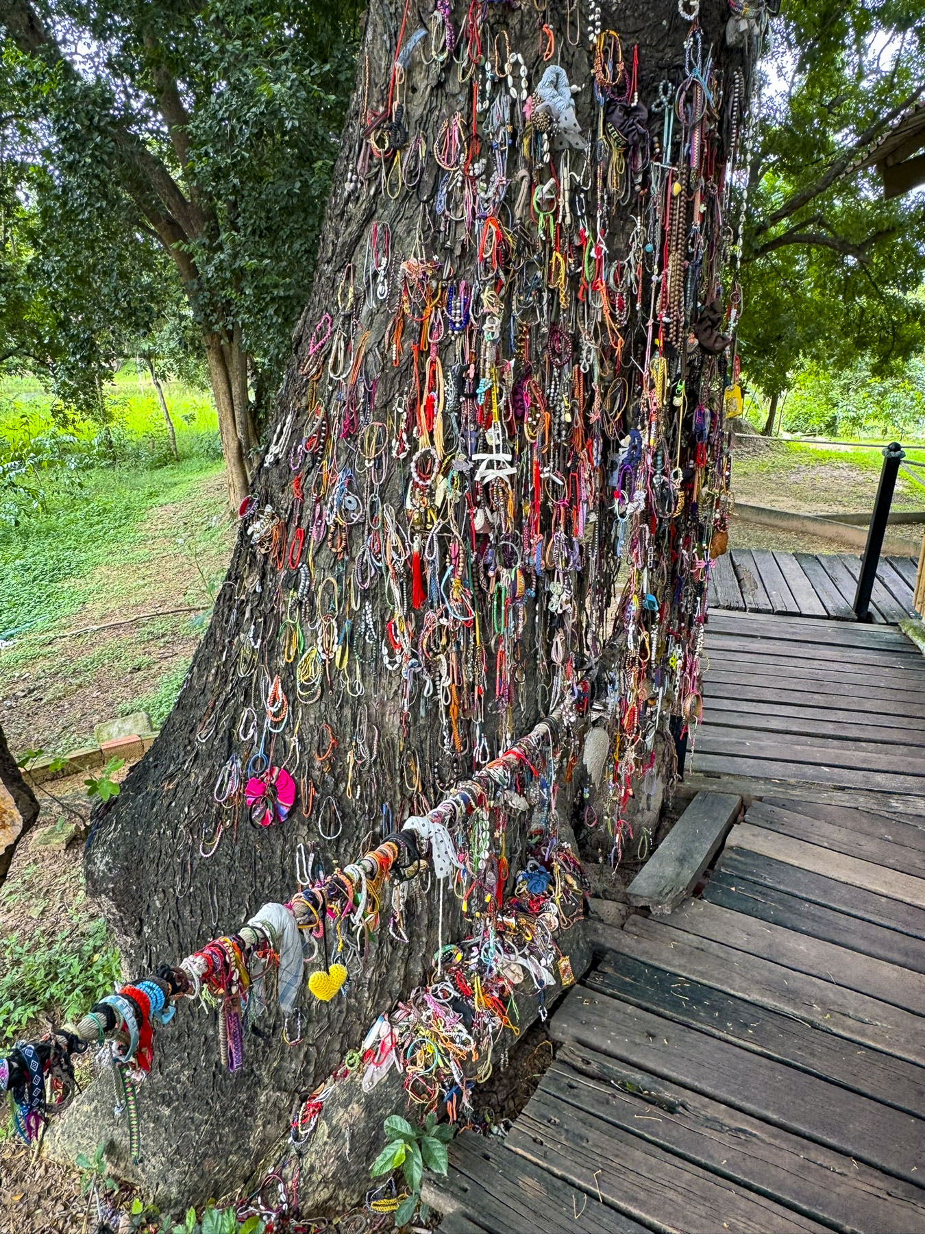
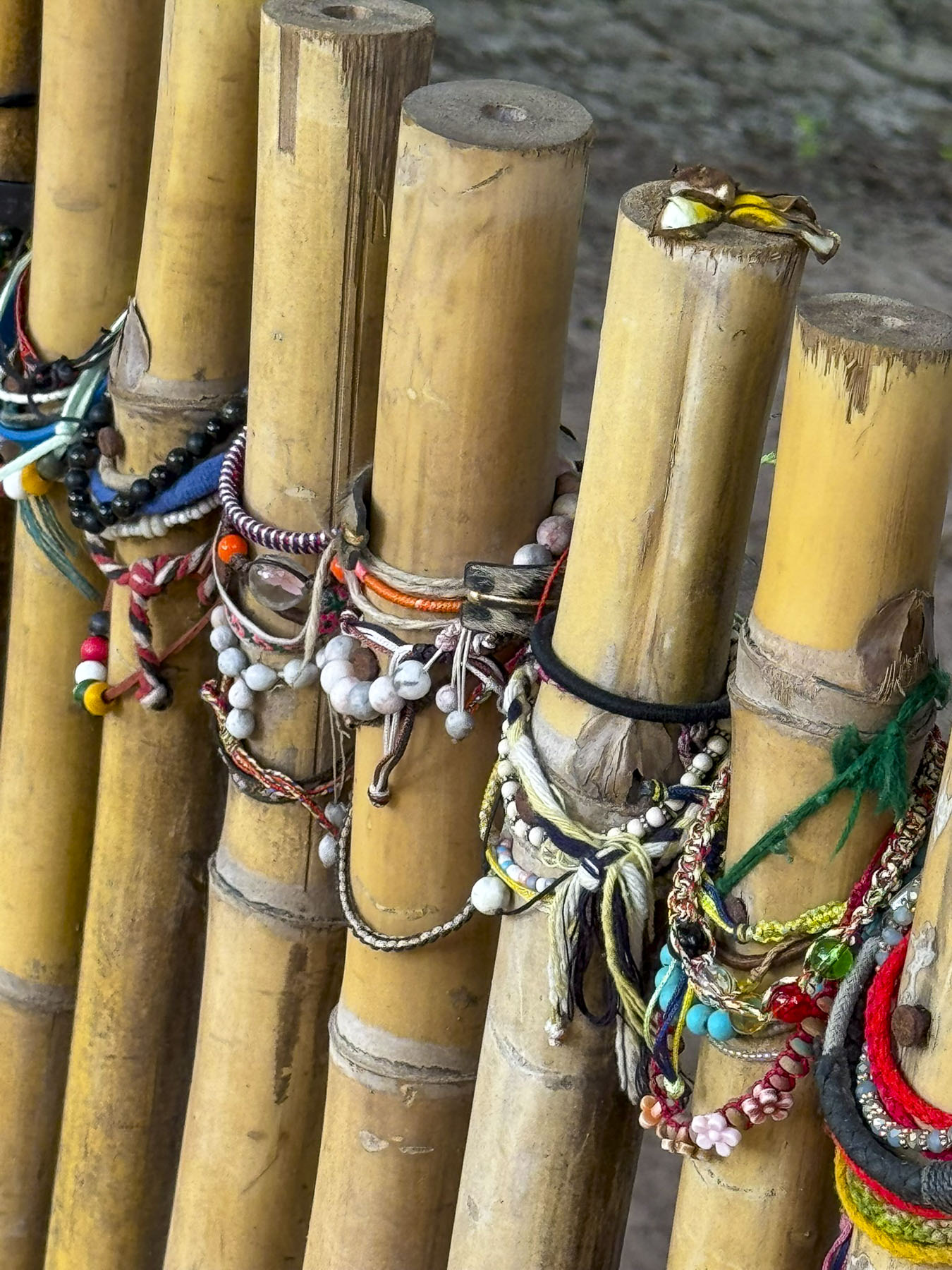
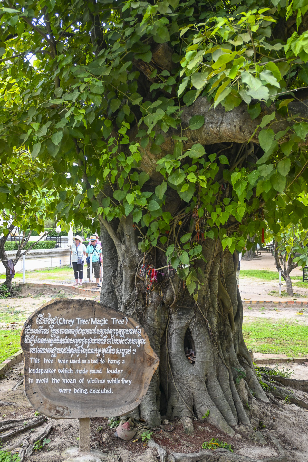
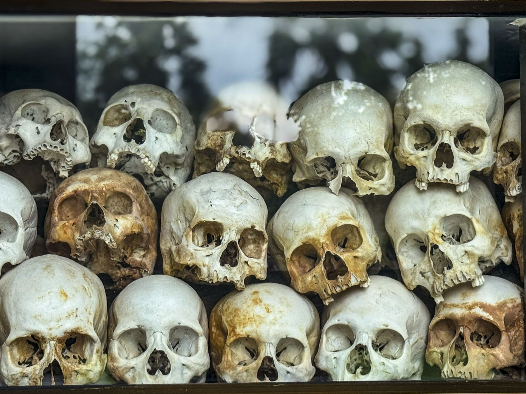
It’s always great to escape to an exotic new destination and see only the good stuff, but there’s always history. Cambodia’s recent history is difficult to ignore, and we encountered it later that afternoon we went to the Choeung Ek, “Killing Fields,” memorial near Phnom Phen. Horrifyingly, these areas and their mass graves were all across the country between 1975 and 1979 when the Khmer Rouge regime under the leadership of Pol Pot killed nearly 2 million people, roughly 25% of Cambodia’s population, through forced labor, starvation, and execution. At the height of this nightmare, folks living in the country’s large towns and cities were forcibly relocated to rural labor camps to work in the fields. There the regime targeted the country’s city dwellers, professionals and intelligencia. The cruelty of the regime was relentless, with children brainwashed to execute their own parents. All in a delusional vision to create an agrarian utopia.

The terror didn’t end until Vietnam invaded the country and installed a pro Vietnamese government, after brutal Khmer cross border attacks. Following the collapse, many former Khmer Rouge leaders were eventually brought to justice, with major leaders being jailed in 2014 by a United Nations-backed tribunal. The murder of the county’s teachers, engineers, and doctors fundamentally halted Cambodia’s development for decades as other countries in the region prospered. The trauma of those years has marked a generation of survivors with untreated PTSD. Today, over 60% of Cambodia’s population is under 30, with no direct memory of the atrocities committed against their families. After all that, it is amazing to see how far the country has come and how welcoming the folks are.

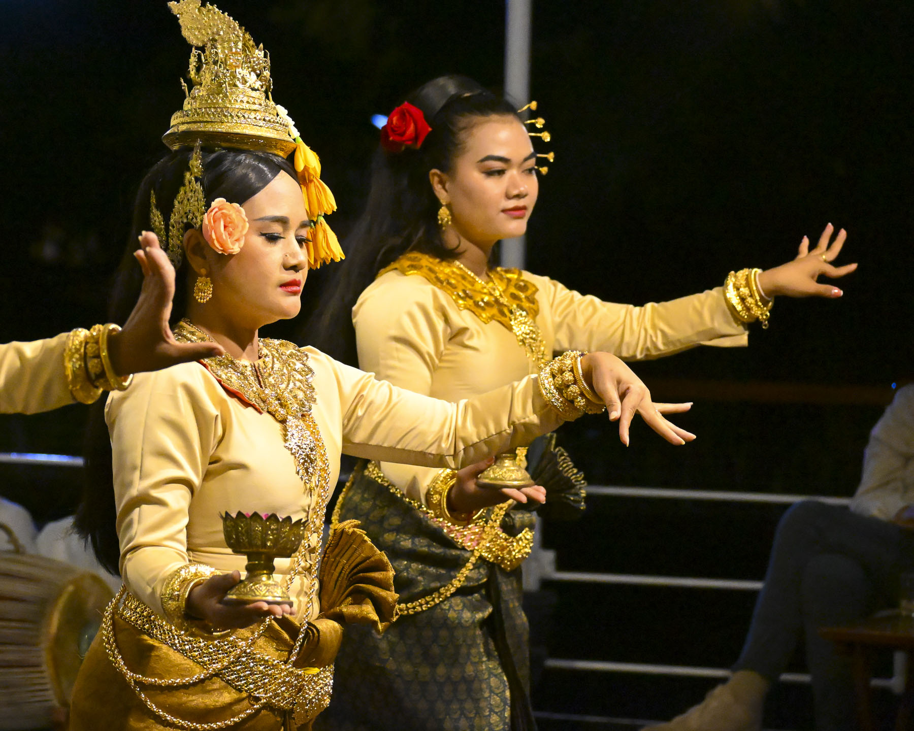
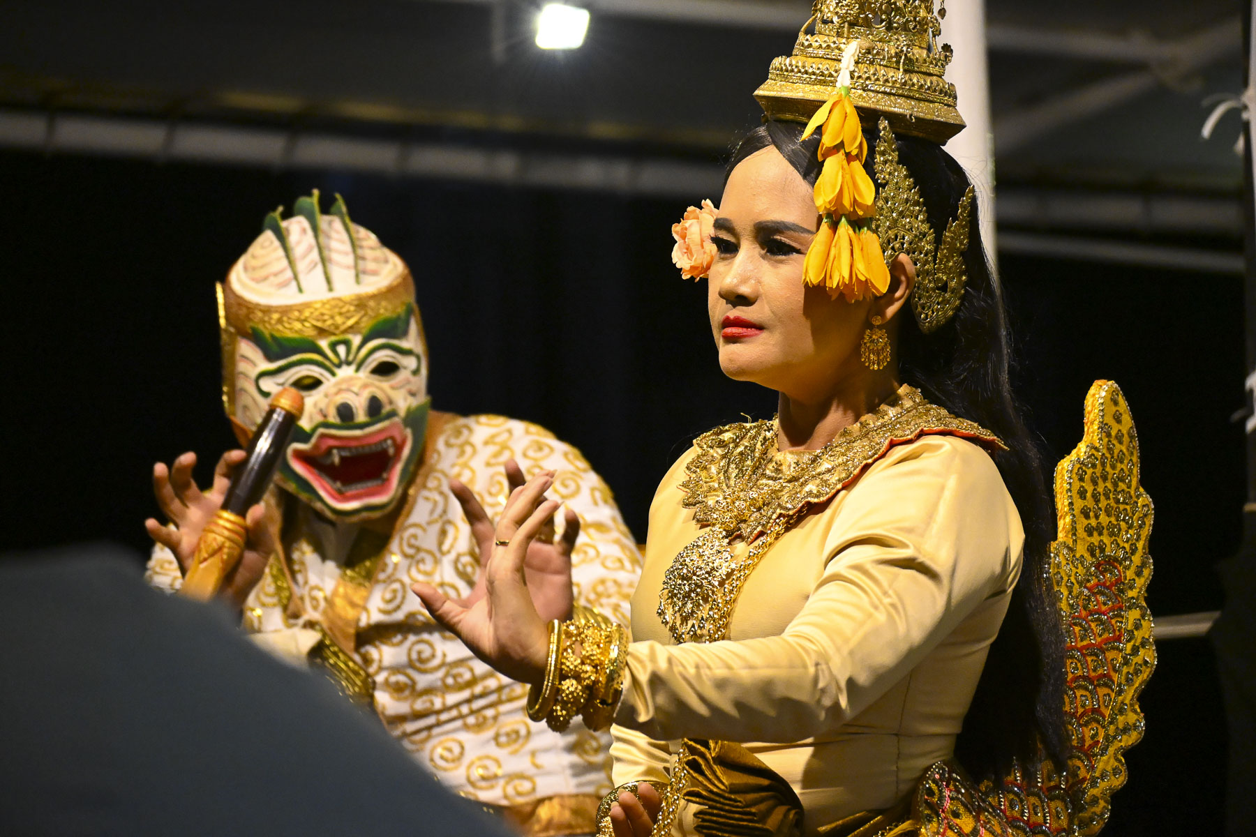
That evening on board a troupe of traditional Khmer dancers and musicians performed. It was an intriguing evening watching several Apsara dances, a style known for its slow, graceful, and highly symbolic hand gestures, that through motion depicts spiritual devotion, as well as to illustrate the Reamker (Glory of Rama), a 16th-17th century Cambodian epic poem that is an adaptation of the Indian Ramayana, that blends “Hindu cosmology with Buddhist themes of karma and dharma. It follows Prince Preah Ream (Rama) and his loyal brother Preah Leak (Lakshmana) as they battle the demon king Krong Reap (Ravana), who kidnapped Preah Ream’s wife, Neang Seda (Sita).

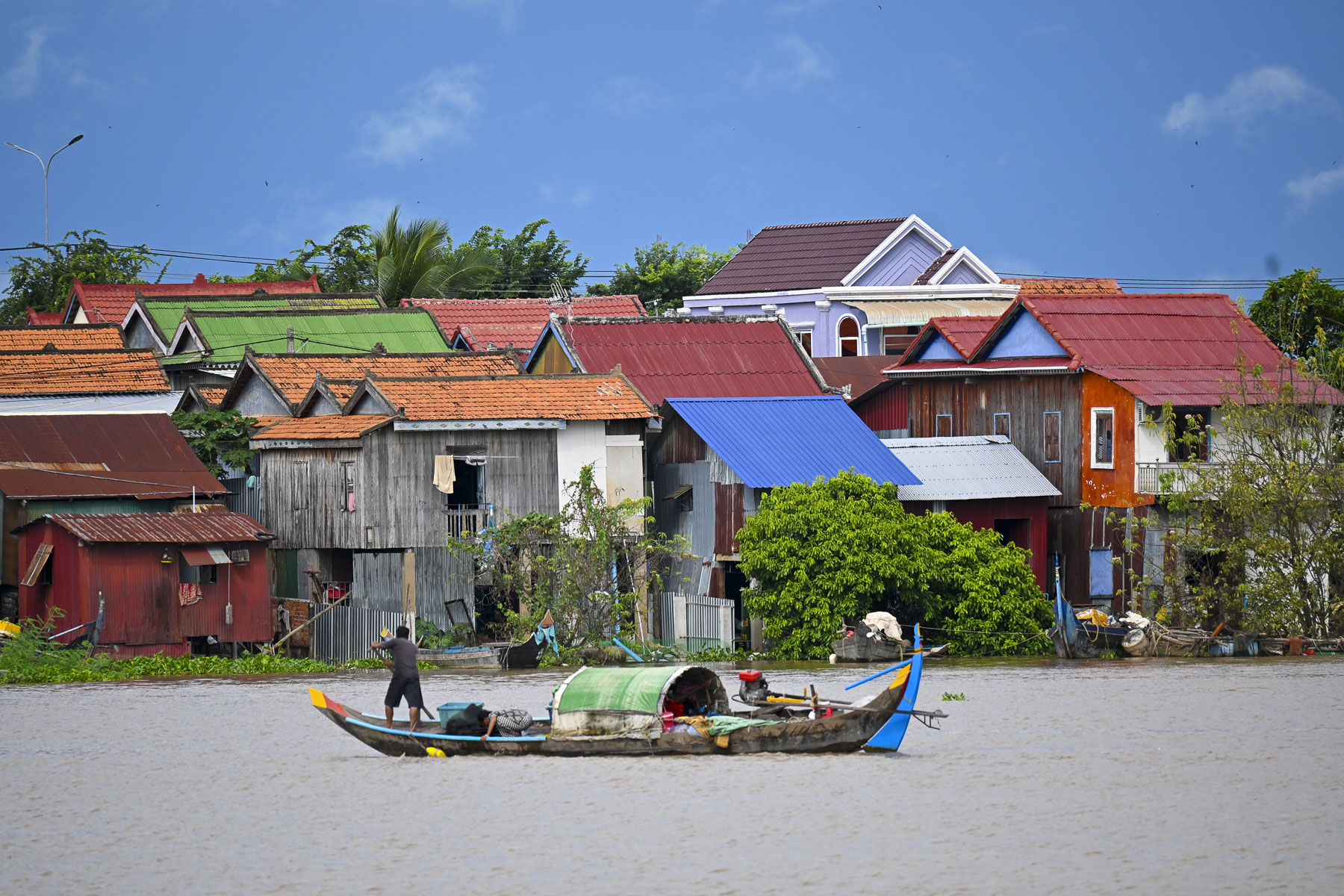
The next morning at sunrise our boat left the quay and headed upstream on the Mekong, the start of a journey to explore rural Cambodia, to the riverport town of Peam Chi Korng where we traveled by tuk tuk to an outlying pottery village. That early in the morning the river was busy with small ferries taking folks to work in the city, as long-tail boats raced by colorful shanties that reached down to the river edge.                                                                                                                                                                                                                                                                  

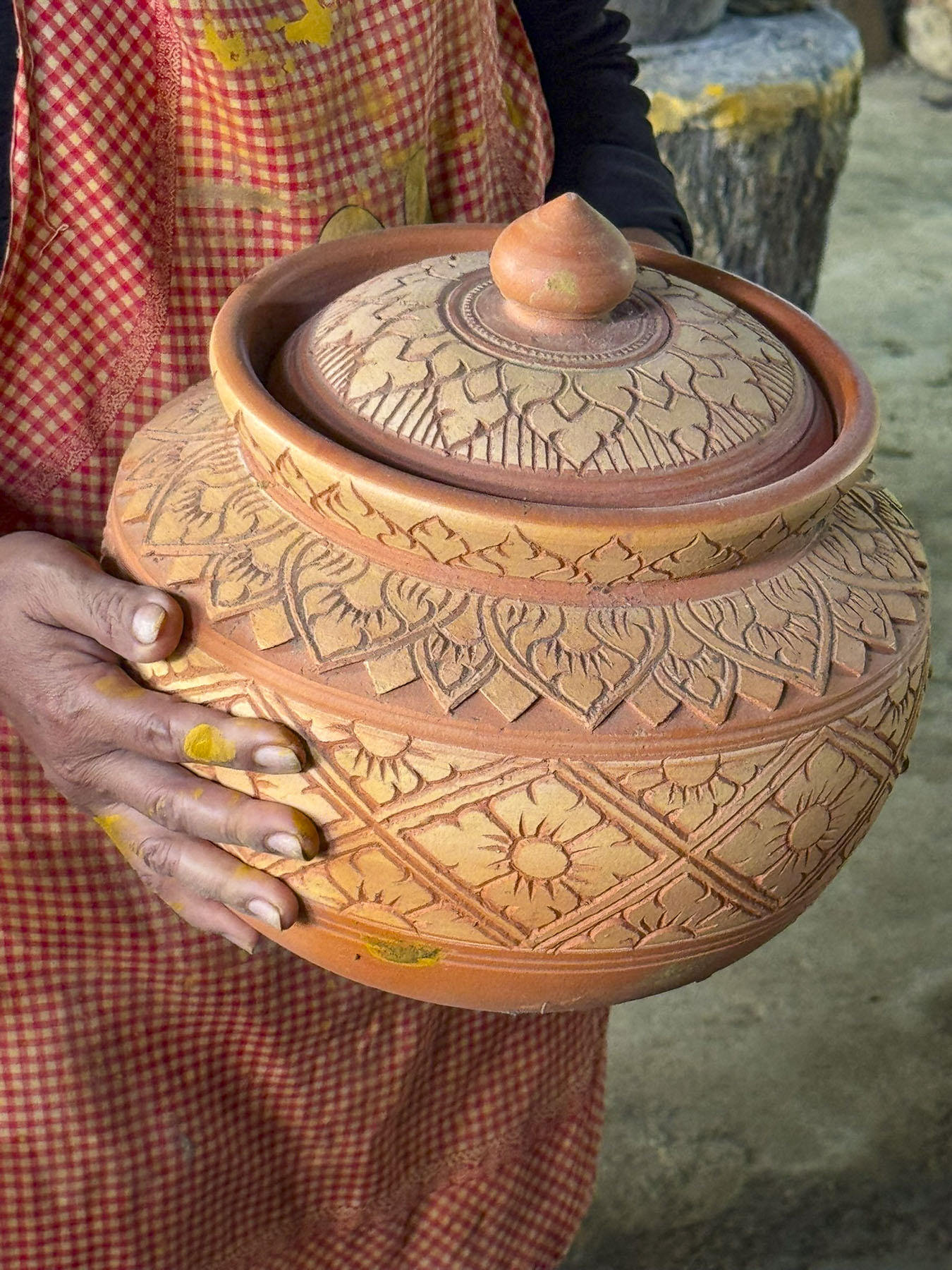
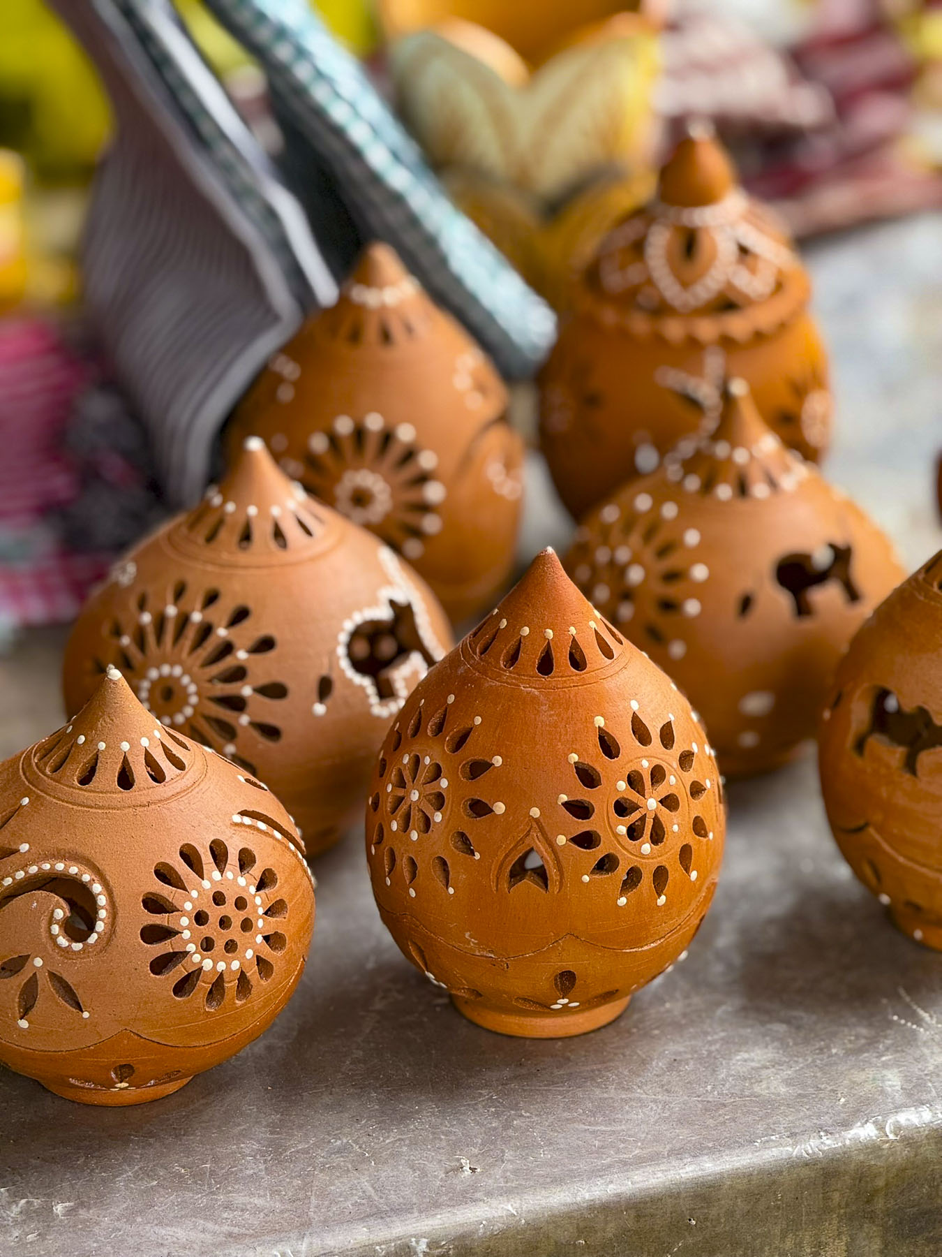
Here we visited a family that made large decorative pots and vessels as well as ceramic souvenirs that are sold in Phnom Phen, and a traditional charcoal burning ceramic stove called a Changkhran Lao that’s wrapped in metal to help it keep its structural integrity. Our guide was doing a wonderful job eliciting smiles from the families’ elders as we sat on long wooden benches and listened to a translated presentation.

Behind, younger children had also gathered to watch their visitors, and giggle as kids do, only to be silenced by the wave of the speaker’s hand. Later he demonstrated how quickly a pot could be created by hand coiling, and his son demonstrated climbing a palm tree for our group.

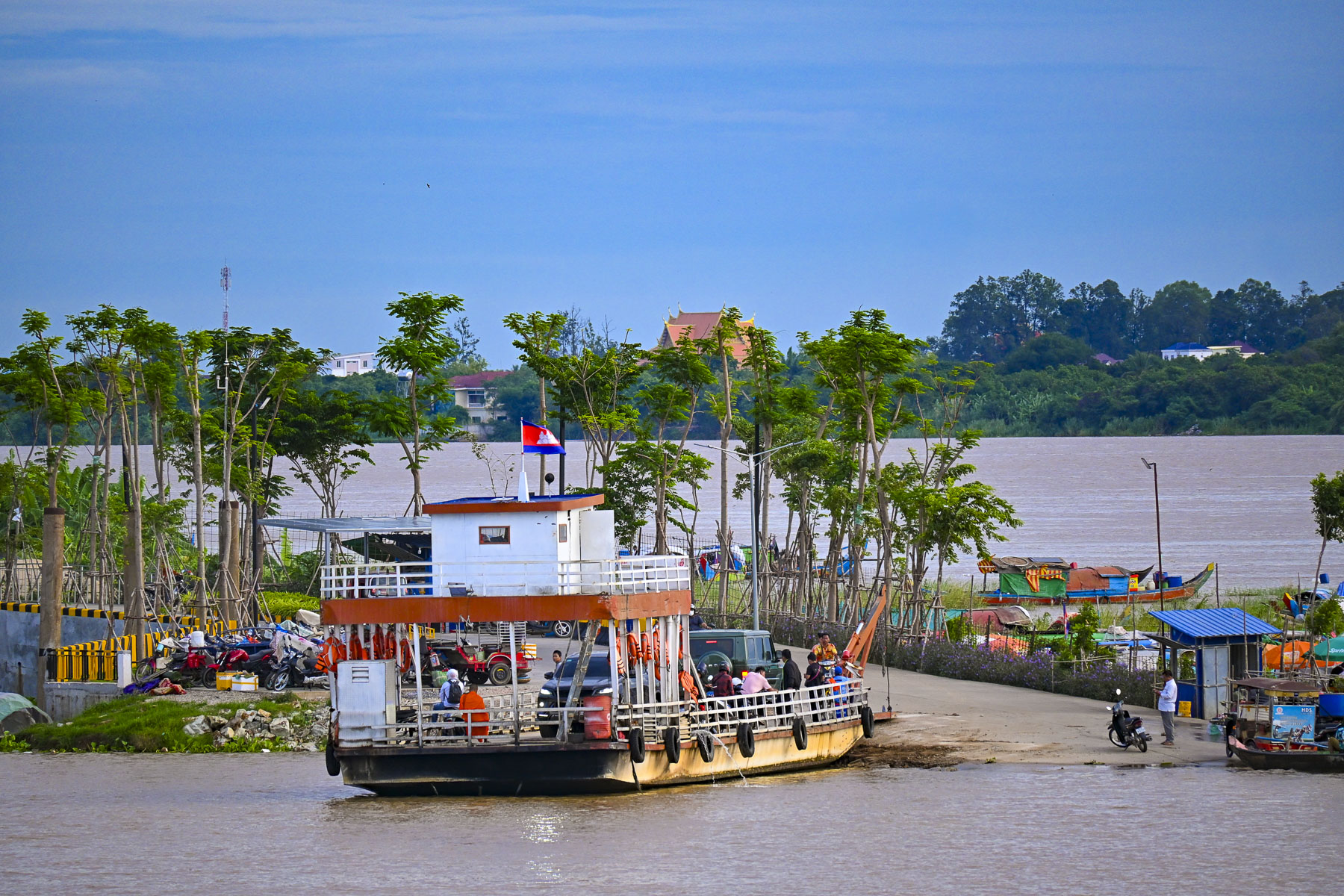
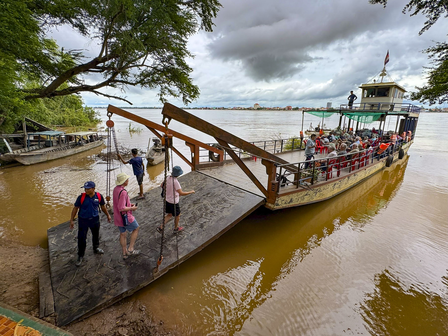
A small local passenger ferry pulled up alongside the RV Mekong Pandaw the next morning after we docked in Kratie to transport us to Koh Trong Island across the river. It’s a small tear-shaped island in Cambodia’s Kratie province that is the home to fishermen and farmers who tend rice paddies and pomelo citrus orchards.

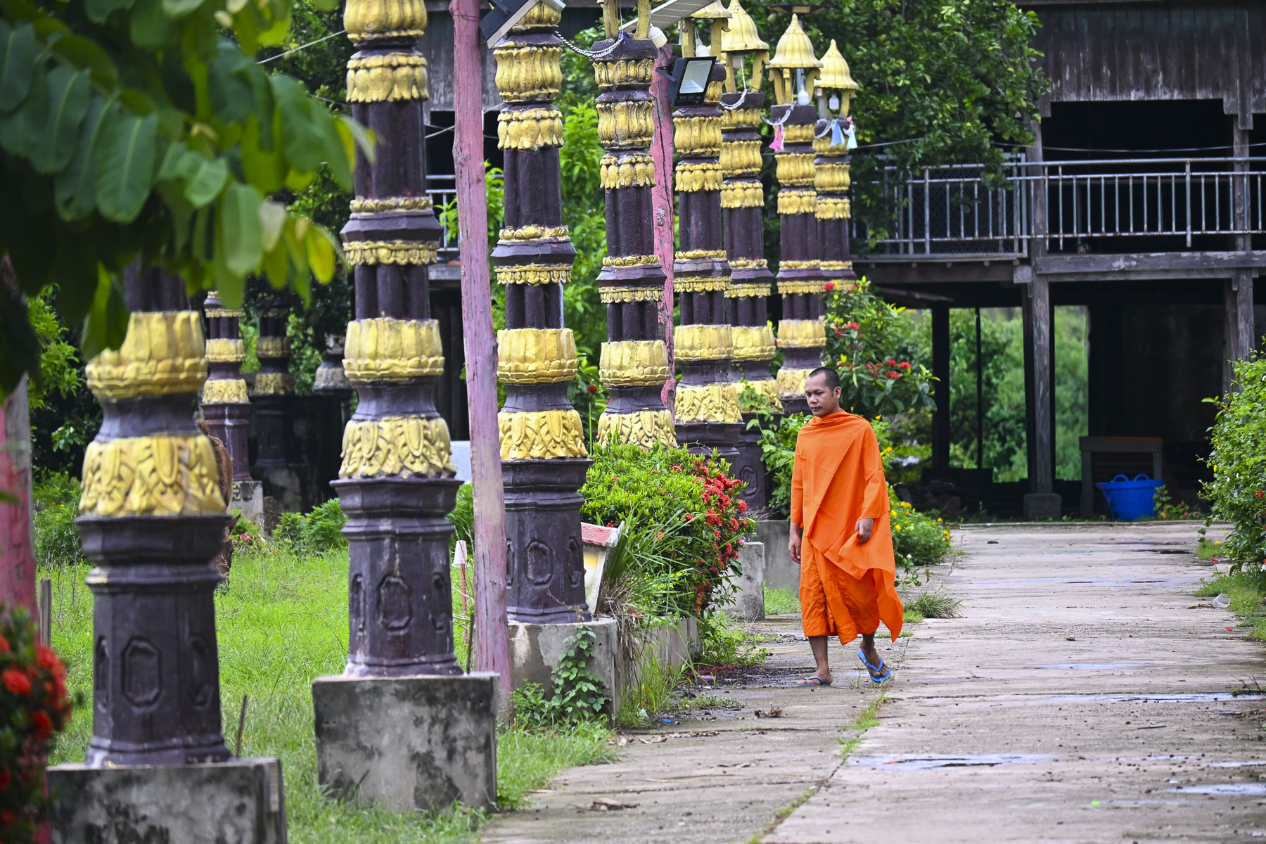
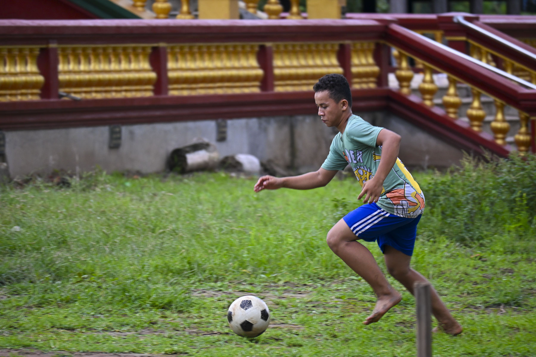
The islanders also promote an authentic community-based tourism initiative that offers homestays and bicycle rentals. The monsoon flood waters on the lower part of the Mekong River had begun to recede weeks earlier so our ferry dropped its boarding ramp onto a steep embankment in front of the island’s elephant guarded Santheati Baram Pagoda, and a cluster of small basic shops. Outside the temple a small group of kids were kicking a soccer ball around as an orange robed monk walked nearby.

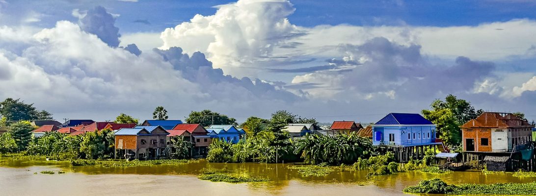
Villagers warmly greeted us as we walked along the island’s only lane for a short distance to view the community’s unique stilt homes that are purposefully built to be lifted by the men of the village, and moved when needed to avoid flood waters.

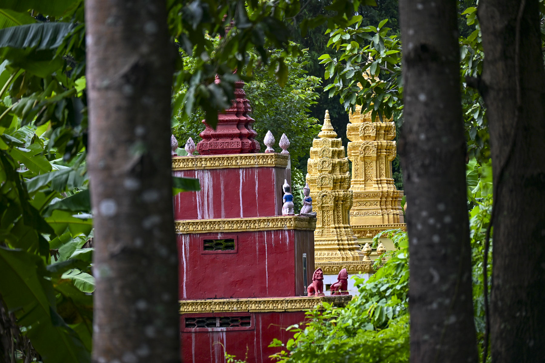
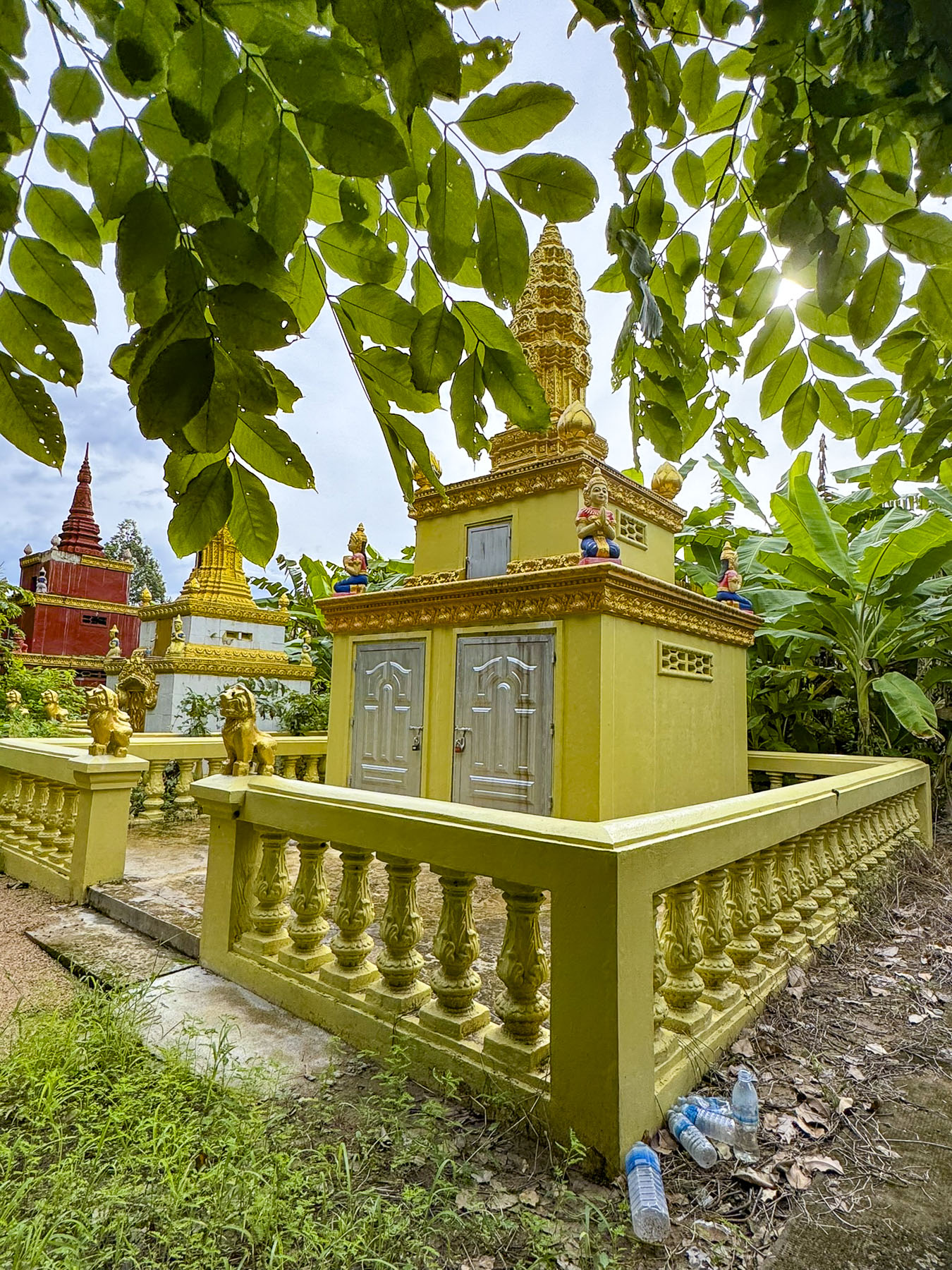
A small caravan of tuk tuks took us to the Kbal Koh Pagoda on the north end of the island, the first on the 10km (6mi) loop which circles the island. Built in the early 1800s, the historic pagoda is surrounded by banana trees and is located across from the verdant rice paddies that run down the center of the island. The simply adorned pagoda gracefully showed its age with a weathered patina courtesy of the numerous monsoons it has withstood. Behind the temple, nearly obscured from view by banana trees, was a row of brightly colored steeple-shaped burial stupas, mausoleums, called chedi.

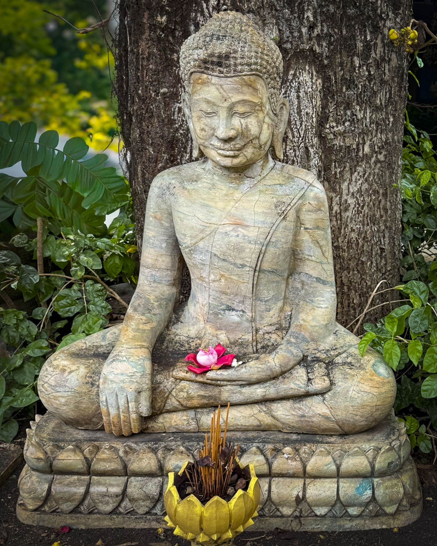
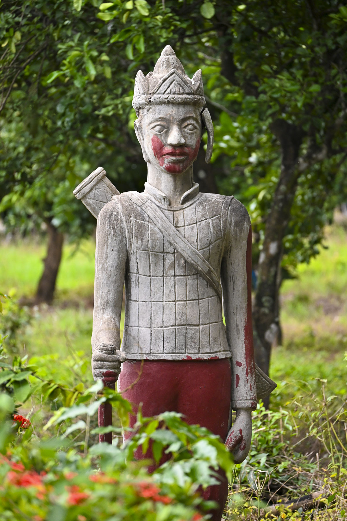
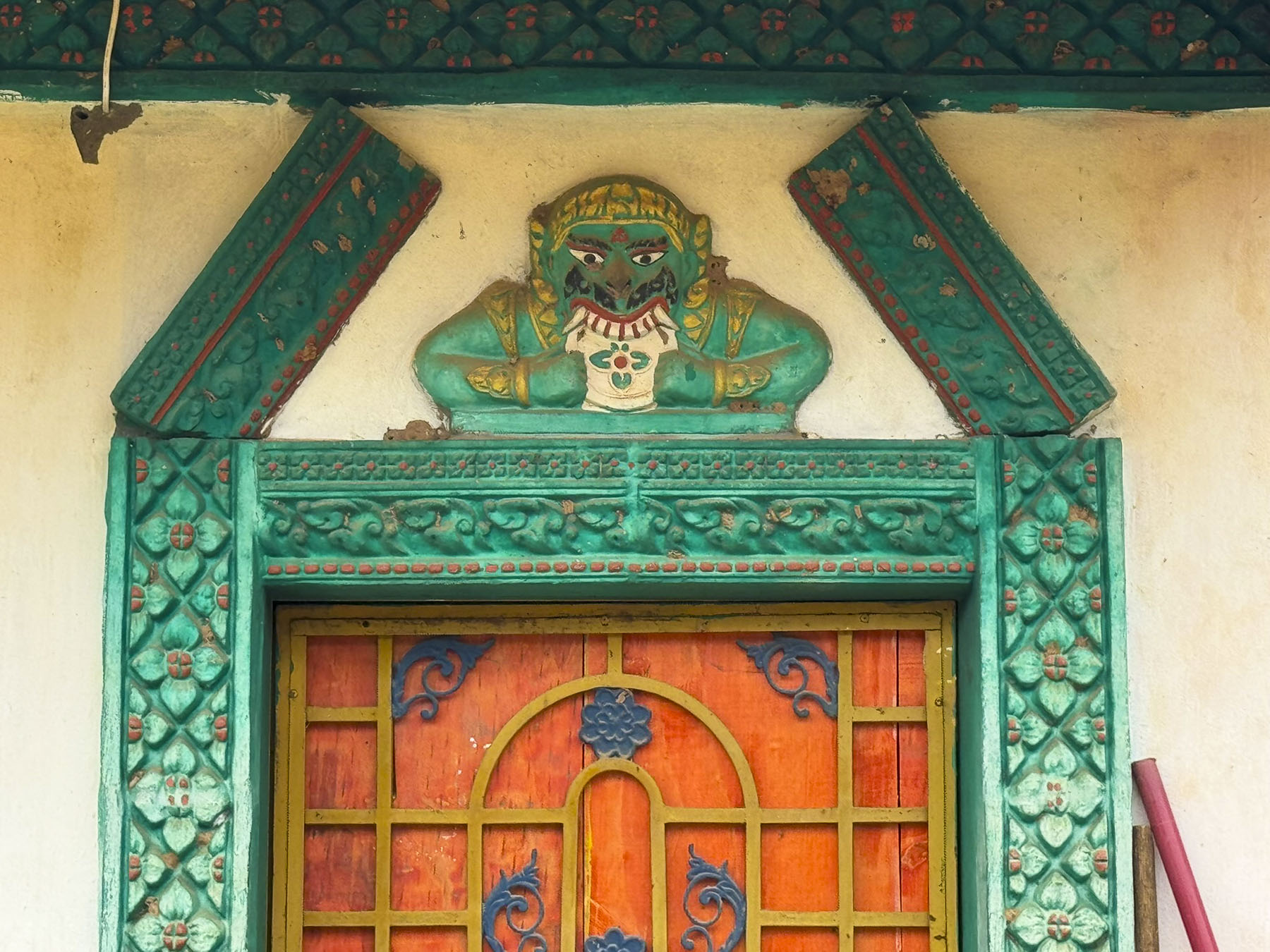
On the grounds in front of the temple were two statues of sacred white elephants and various Bodhisattvas, compassionate helpers, on the path to enlightenment who stay in the world to assist others. Along with other sculptures depicting Buddhist Protectors and Guardians whose fierce looks deters negative powers. A multiheaded Snake Being called a Naga King guarded the stairway to the pagoda to protect the Dharma, the Budha’s sacred teachings.

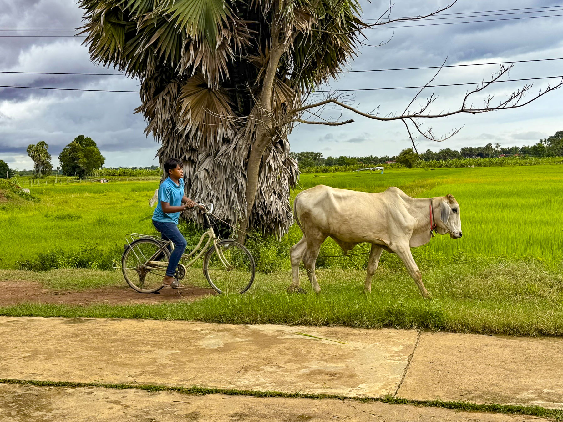
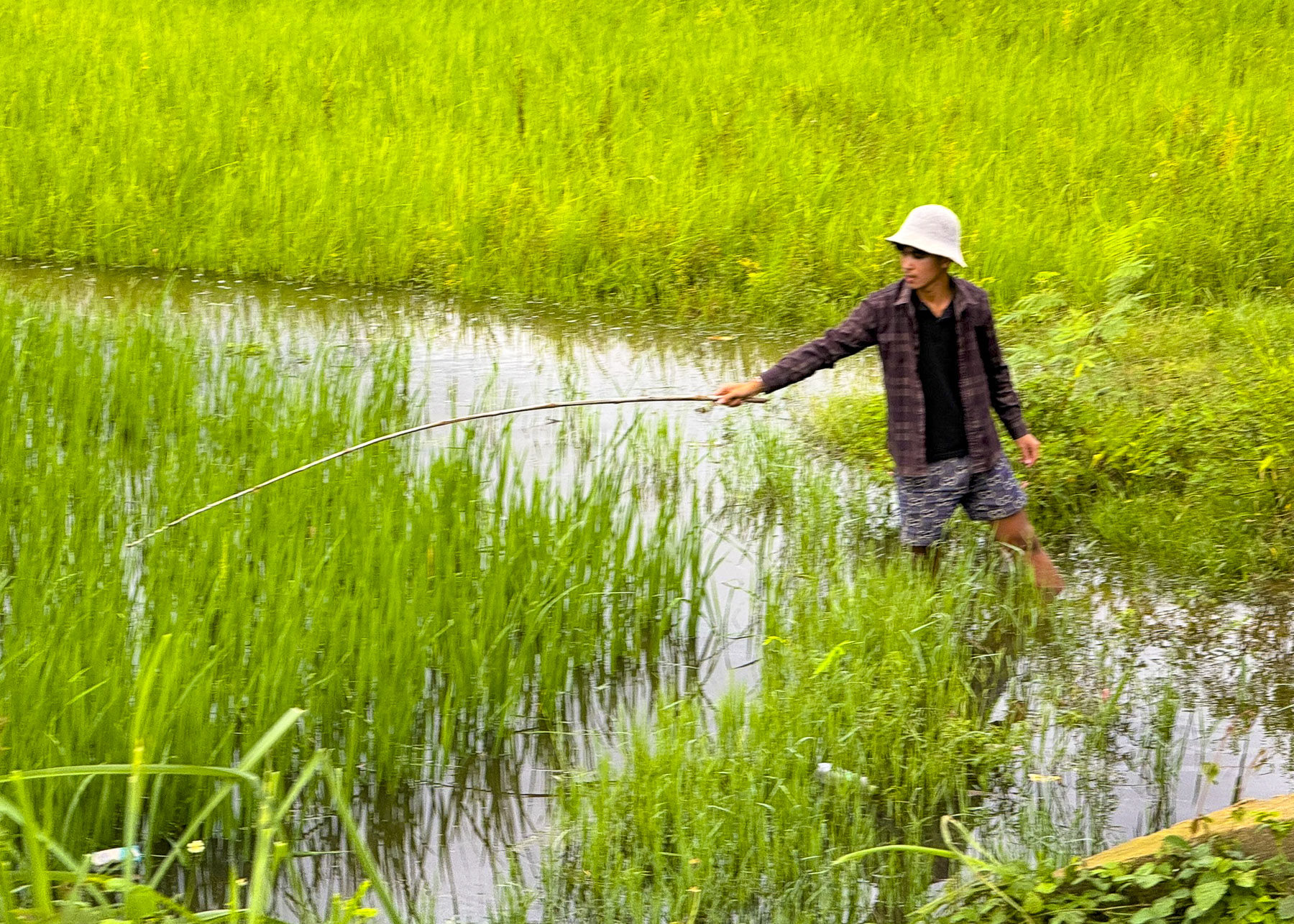
Nearby a young man guided a cow along the path, and teenagers played volleyball on a hard packed dirt court. Farther along a man fished from a low bridge over a stream that flowed through the rice fields. These vignettes of rural life were the charm of Koh Trong Island and Kratie province.

That afternoon back in Kratie we explored the town on our own. Just down from our docking was the Krong Kracheh Pagoda, an important community center where the town’s lay people can study Buddhism. It’s quite a pretty temple known for its pink walls and is surrounded by several grand stupas that are the final resting place for several generations of post-Angkorian royalty.

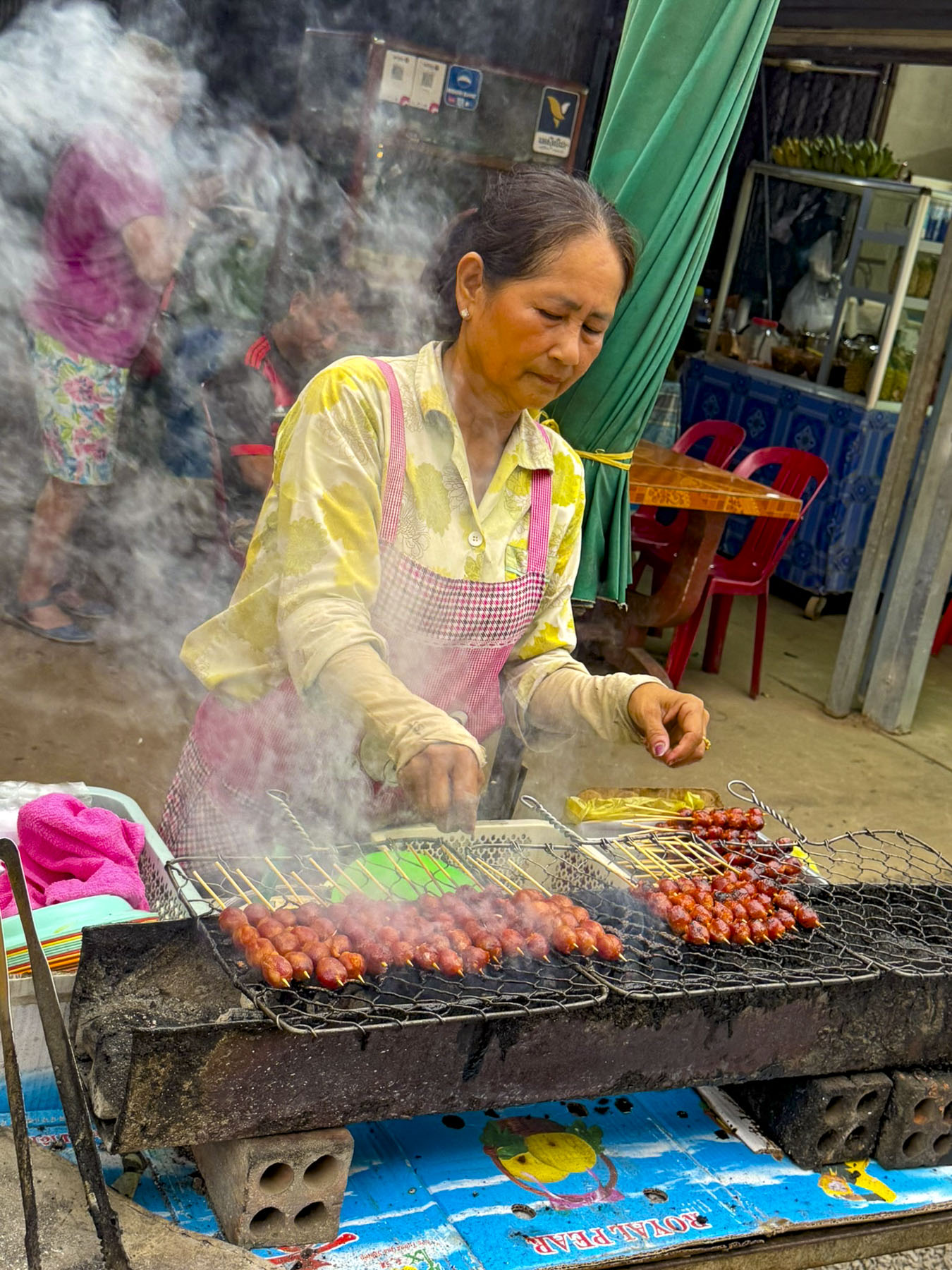
Two blocks away from the temple was Kratie’s central market, a huge, covered pavilion that occupies an entire city block. Think of a Costco super store on steroids, with merchandise of every sort stacked floor to ceiling along aisles as wide as a single shopping cart, operated by nearly 100 different vendors. This is an authentic, vibrant local market, there’s nothing touristy about it. If you can’t find what you need here it probably doesn’t exist.  The outside of the building is surrounded by numerous fruit and vegetable stands piled high with produce. Truly a vegetarian’s paradise. Fresh fish and seafood is also abundant as well as fresh poultry and meat. Some of the vendors kept these things cool under ice, while others swatted flies away from the exposed offerings. The smoky grill stands along the street stay open late into the evenings.

The narrow beam and shallow draft of Pandaw’s river vessels make visiting many remote areas along the Mekong River feasible, but north of Kratie the river becomes unnavigable to cruise boats all the way to Vientiane, Laos, adistance of roughly 850km (530mi) due to shallow waters, ever changing sandbars, numerous rock hazards, and the massive Khone Waterfalls, located near the Cambodia-Laos border.

While unsuitable for larger boats, this section of the river is the perfect habitat and a protected zone for the Irrawaddy freshwater dolphin, an endangered species. With a big bulbous head and short dorsal fin, they look significantly different from saltwater dolphins. Sadly, there are only an estimated 117 Irrawaddy dolphins left in Cambodia, but the population has been rebounding in recent years due to enhanced conservation efforts. Fortunately for us a large group of dolphins live in several deepwater pools near the town of Kampi, just north of Kratie.

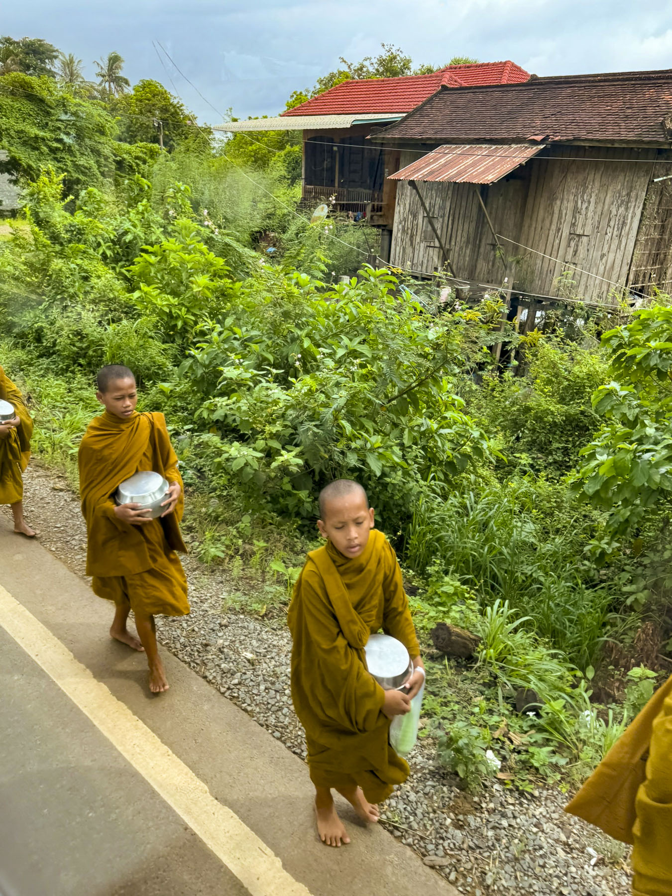
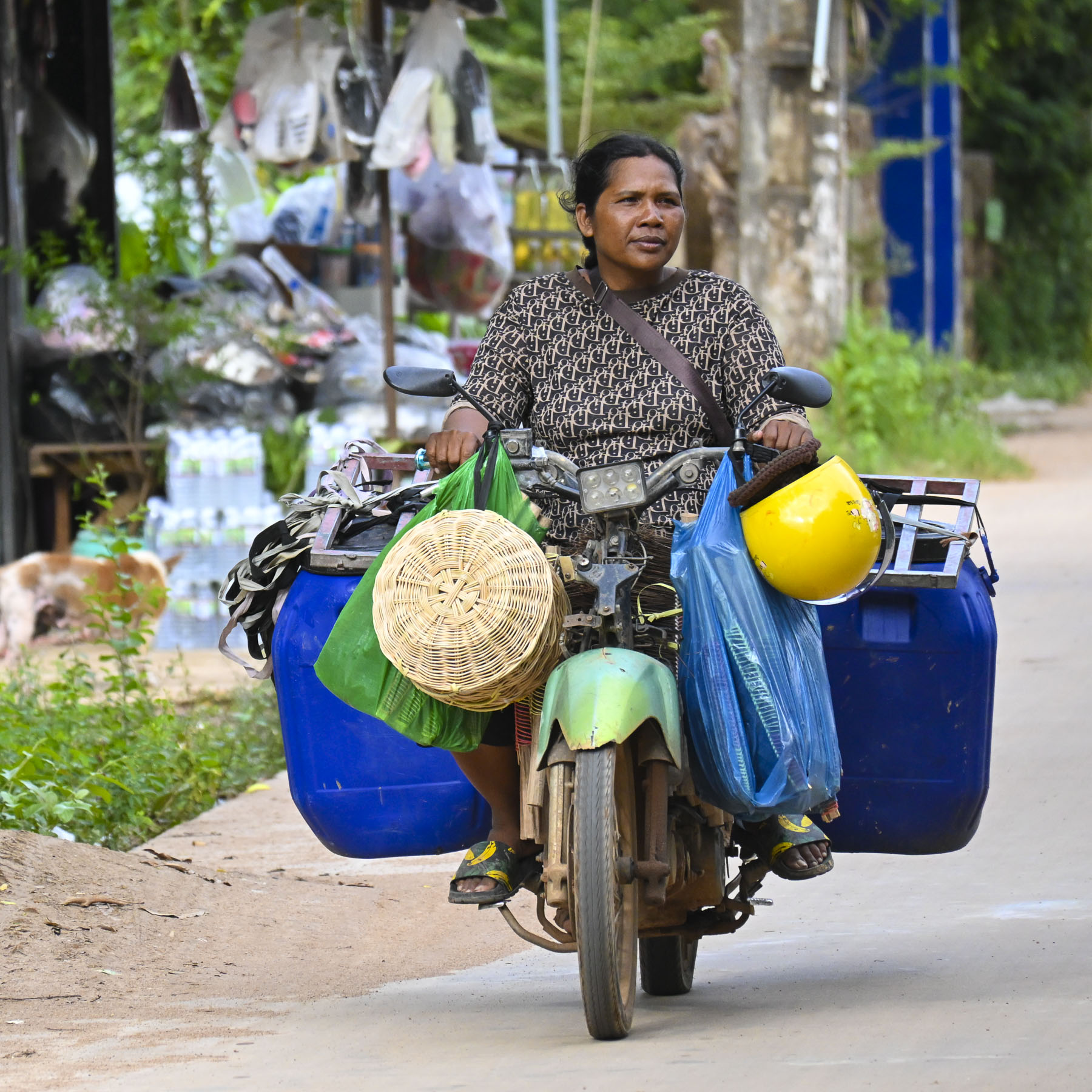
Viewing rural life along river has its advantages, but traveling by bus to Kampi did provide us with a different perspective. We passed motorcycle vendors laden beyond belief with merchandise, young monks walking along the shoulder of the road as they returned to their monastery, homes on stilts, and all sorts of traffic violations that would incur huge fines in the states.

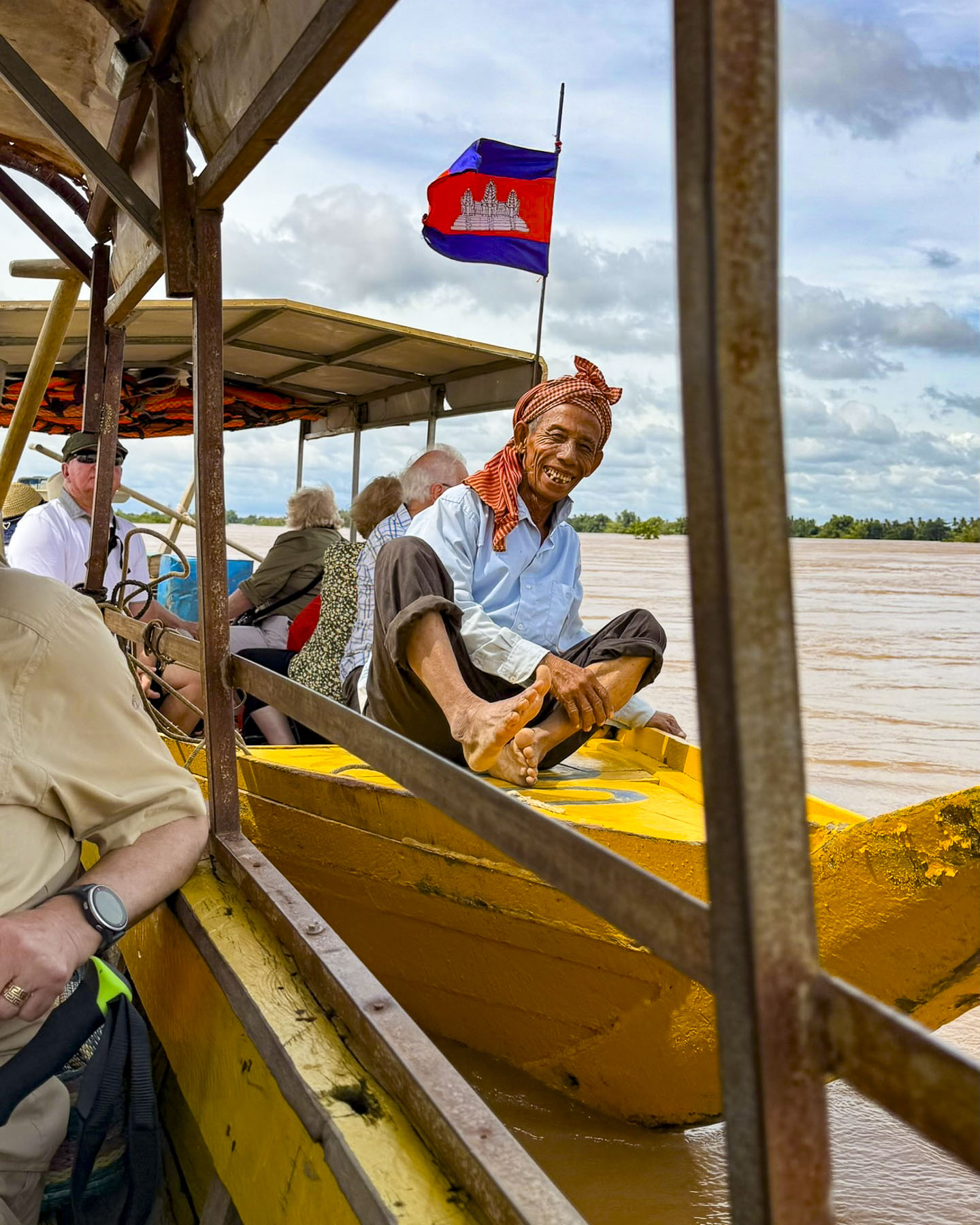
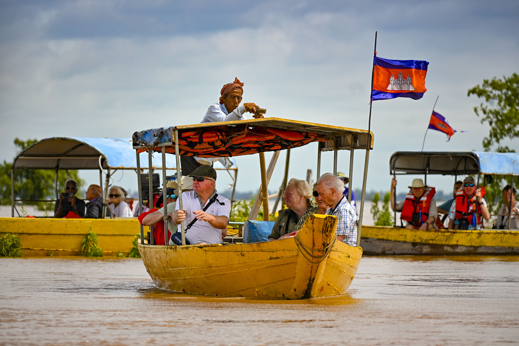
Reaching the dock in Kampi we were divided into several groups to board small boats. Our boatman was very friendly and made sure we all wore the required life vests, but he wasn’t particularly diligent about balancing the weight on the boat for an even keel and we got underway in a rather tipsy fashion before our group of eight took the initiative to redistribute the load ourselves.

As we traveled to the dolphin pools the Mekong widened, and houses along the river edge disappeared. It was a lengthy boat ride and wonderfully tranquil, as we trailed our fingers into the cool river, passing kayakers paddling, and getting closer to nature as we reached the dolphin pools which are adjacent to the Prey Lang Wildlife Sanctuary. The reserve is Cambodia’s largest national forest, and with roughly 500,000 hectares (1,235,527 acres) it’s Southeast Asia’s largest lowland evergreen forest, and the home to 400 different animal species, that includes Pileated Gibbon, a herd of wild Asian Elephants, Malayan Sun Bear, wild cattle, Sunda Clouded Leopard, and Great Hornbills to name only a few.

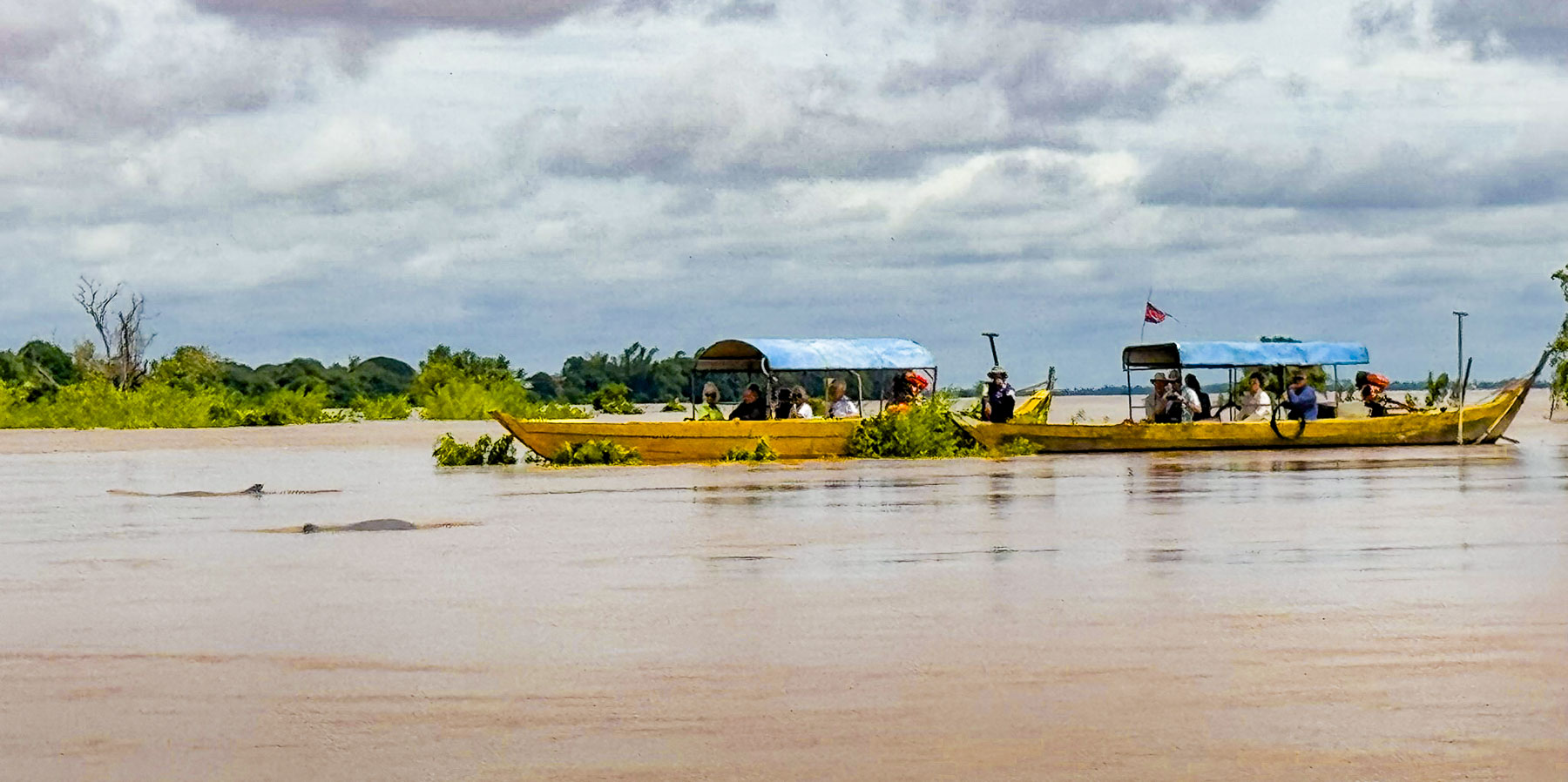
The dolphins were very elusive, and we sat quietly in the boat for quite some time before a pair of dolphins gently broke the surface of the water a distance away for a brief moment. We are not sure how many different dolphins we saw, but their surfacing became more frequent, though they were extremely difficult, almost impossible to photograph. Still the experience was very entertaining. Across Southeast Asia and Cambodia the dolphins are considered symbols of good fortune and prosperity. Many folks living along this stretch of the Mekong River also believe that the Irrawaddy dolphins are sacred, protective spirits, and reincarnations of their ancestors.

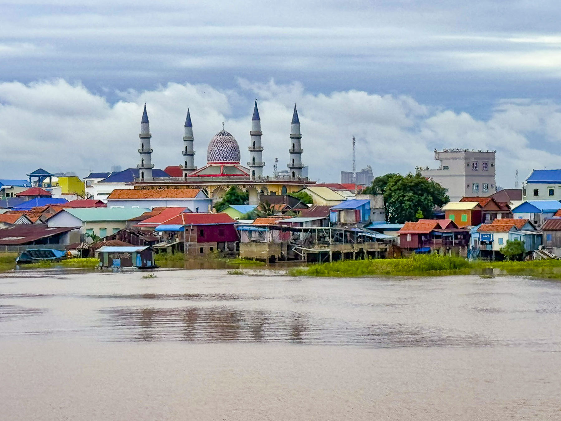
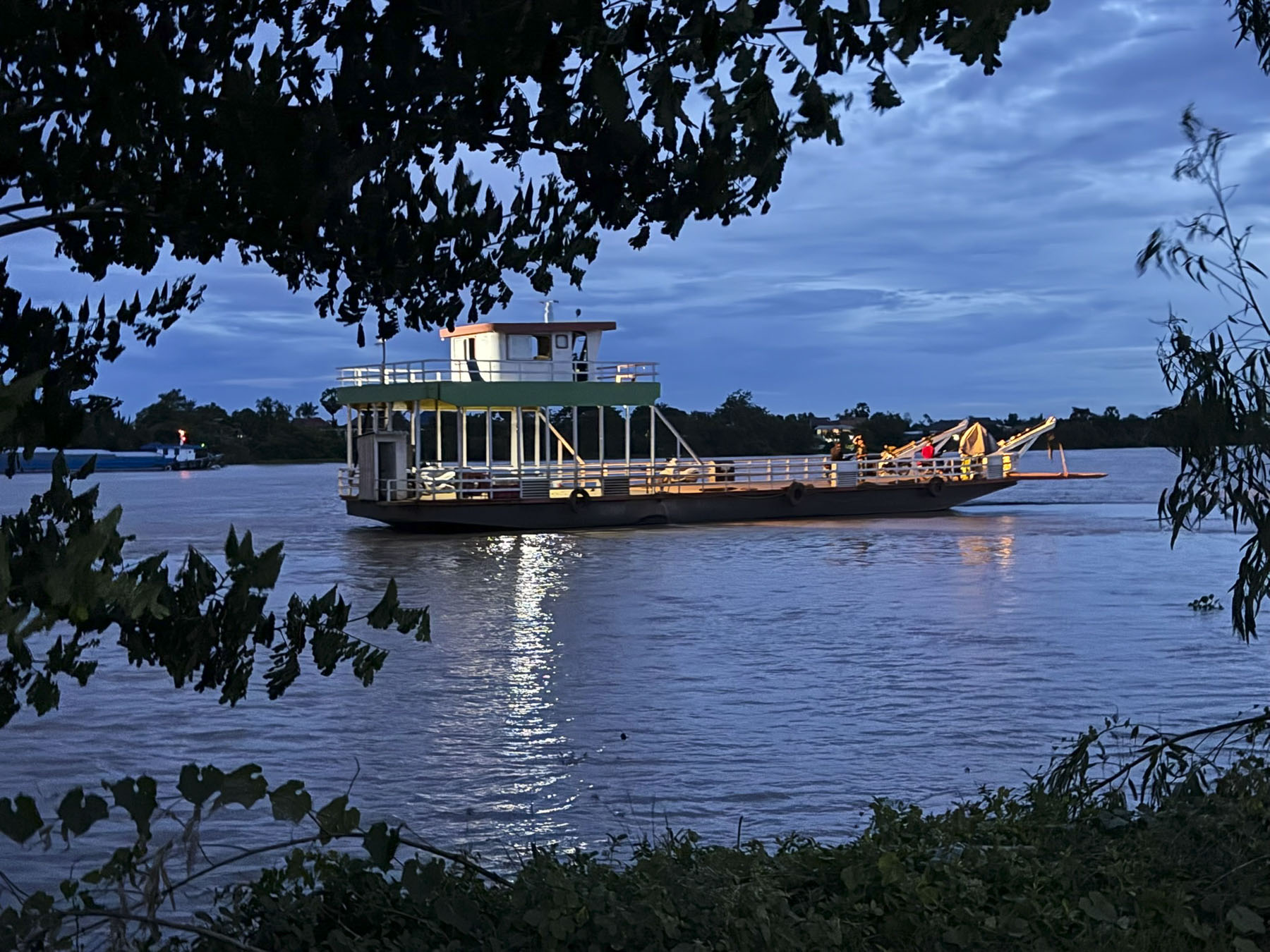
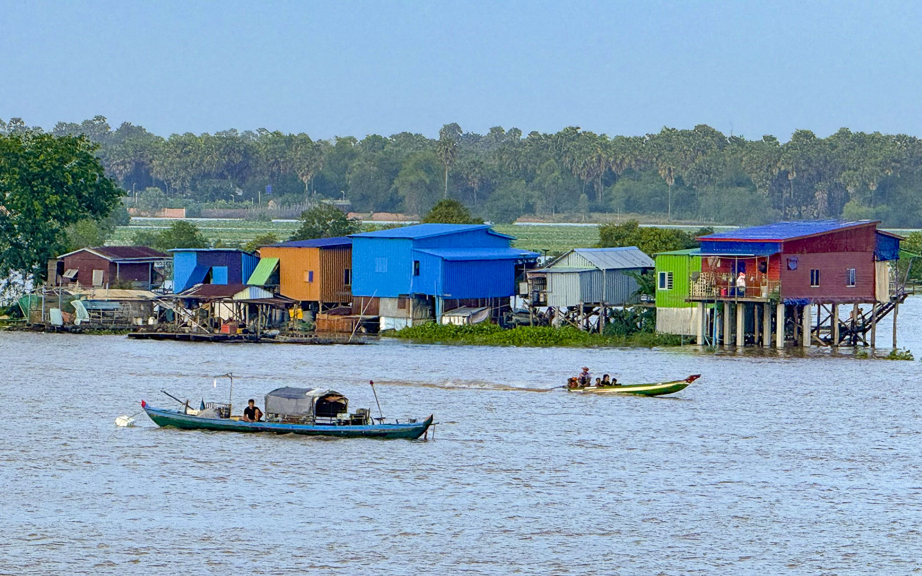
Later that afternoon, we set sail downstream back along the Mekong toward Phnom Penh to moor overnight and then continue upstream the next morning on the Tonle Sap River to visit the silversmith workshops and Buddhist pagoda in Chey Odam. This section of river was lined with colorful shanty houses, and occasionally the minarets of a mosque or a church steeple protruded from the riverscape. 

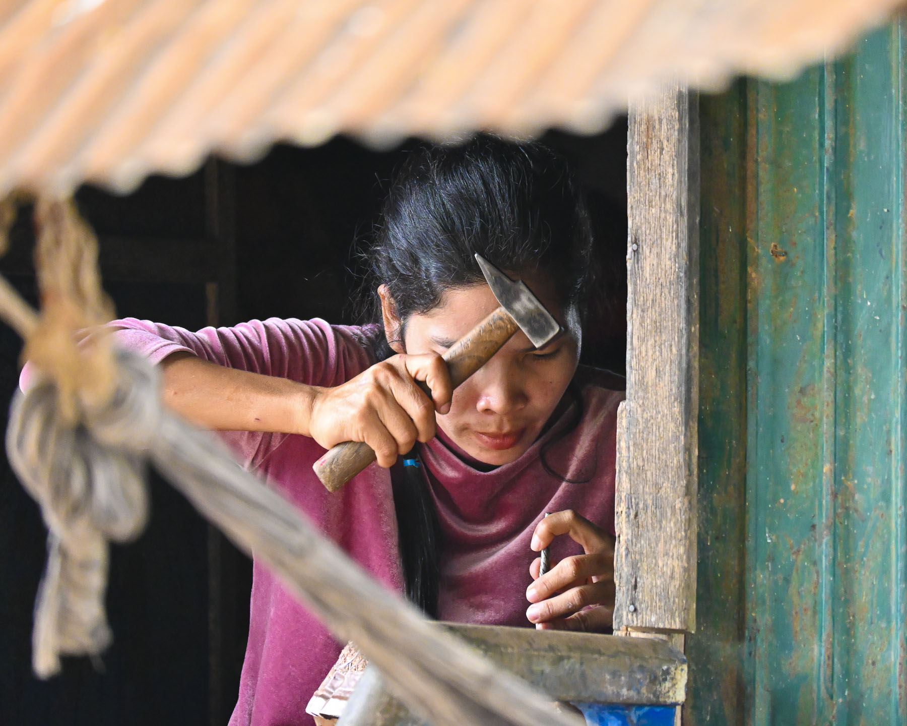
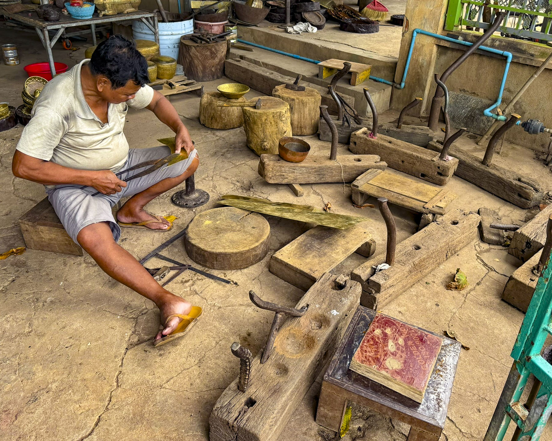
The ping of a cacophony of unsynchronized hammers surrounded us as we walked along Chey Odam’s main street which paralleled the river and is lined with metal workshops of various sizes. Across the river on a distant hill, we could see the stupas of Phnom Phreah Reach Throap, a sacred mountain that was home to Cambodia’s royal capital for nearly 250 years until 1866.

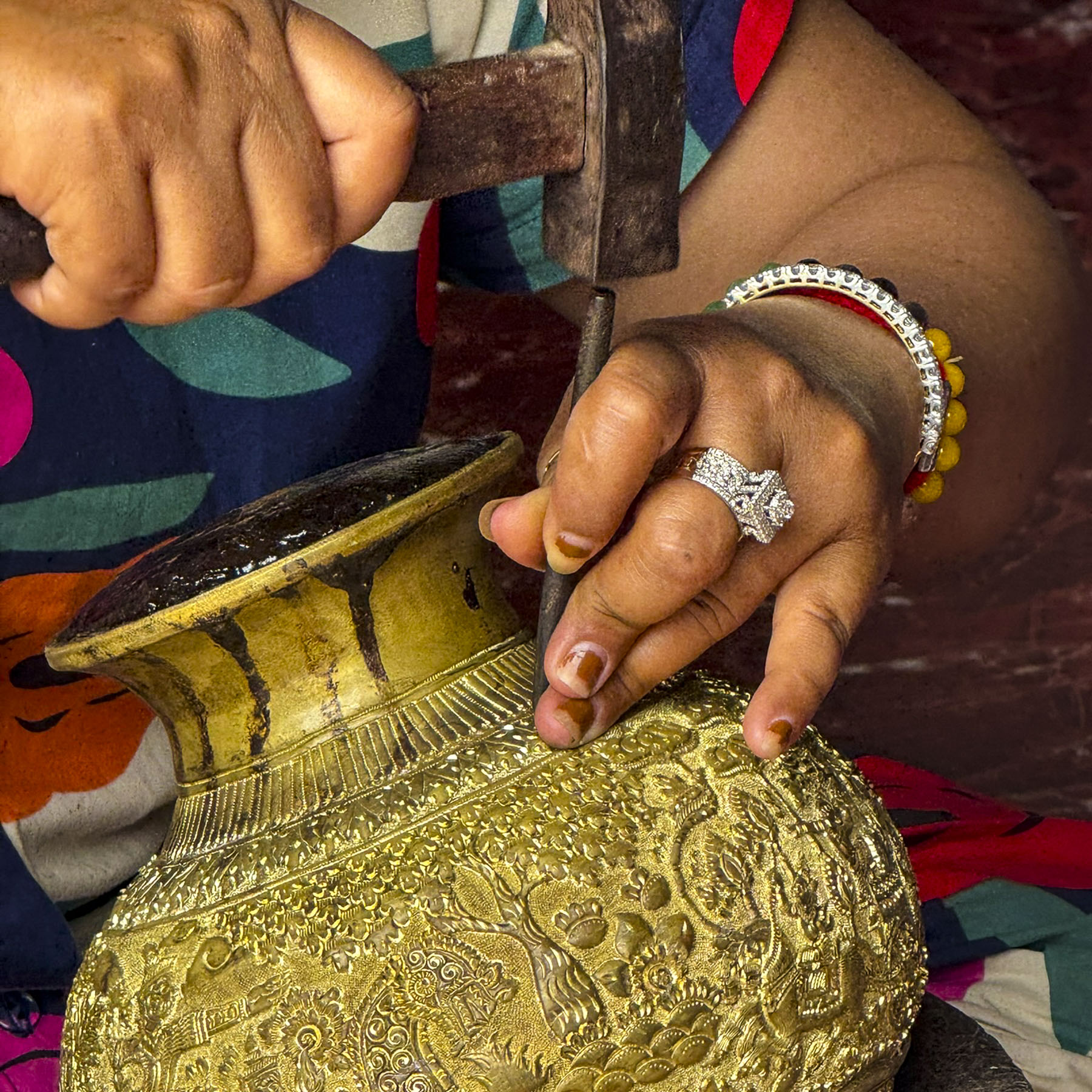
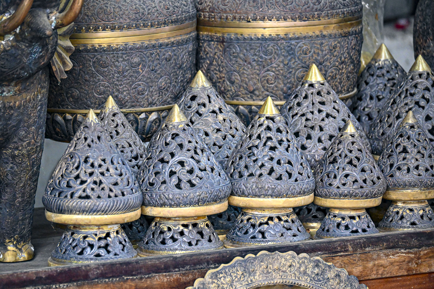
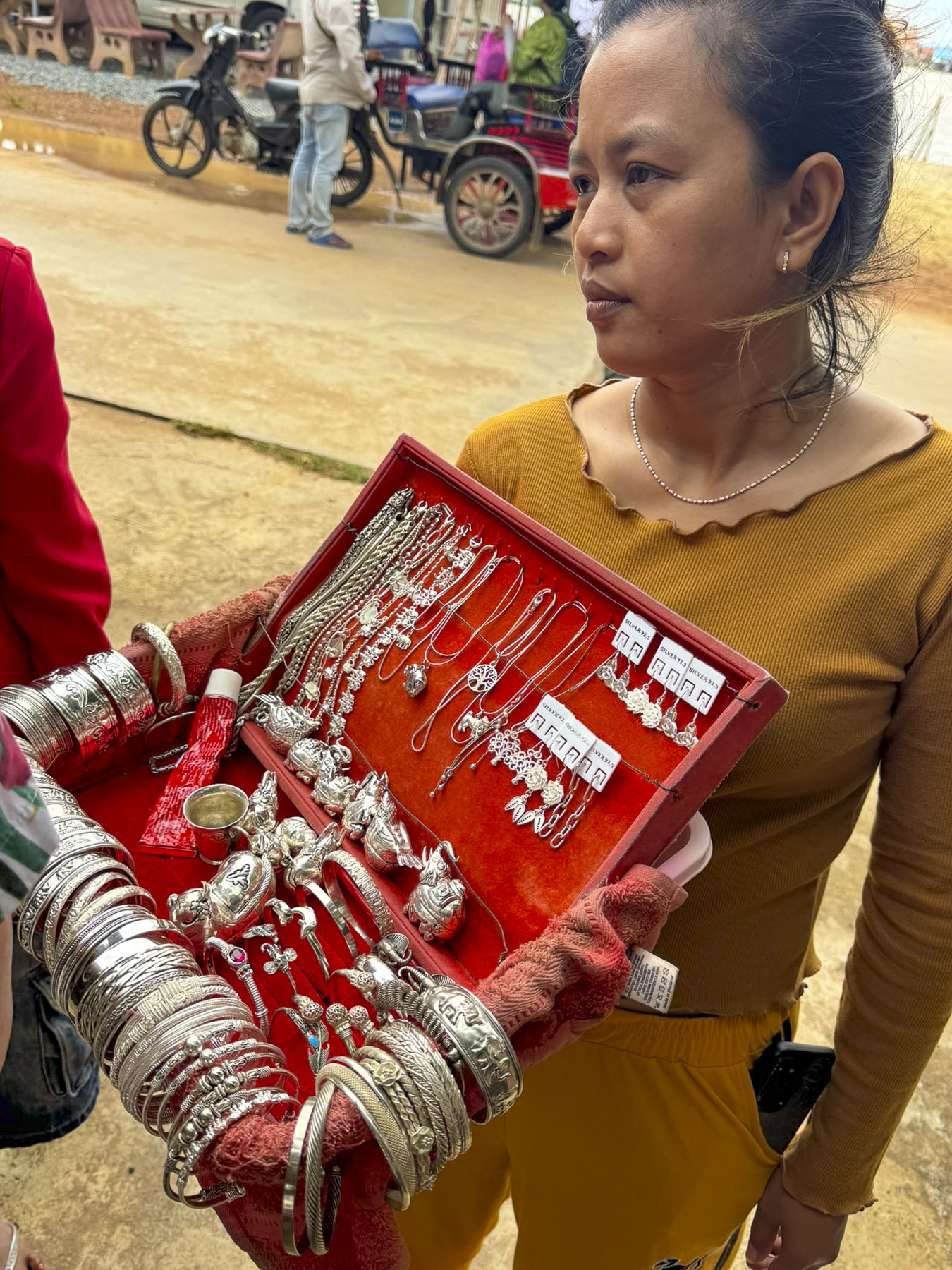
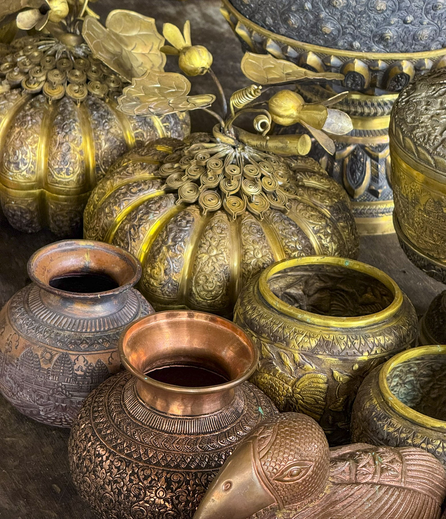
This was the most touristy of places we visited with each workshop having displays of their craft for sale. But it was still interesting as the skilled artisans create everything by hand using hand-hammered repoussé and chasing techniques, crafting intricately decorated brass or copper plates and bowls to Betel sets, and silver jewelry. We thought the prices were fair, so we shopped for our young granddaughters. Of course, credit cards were accepted.

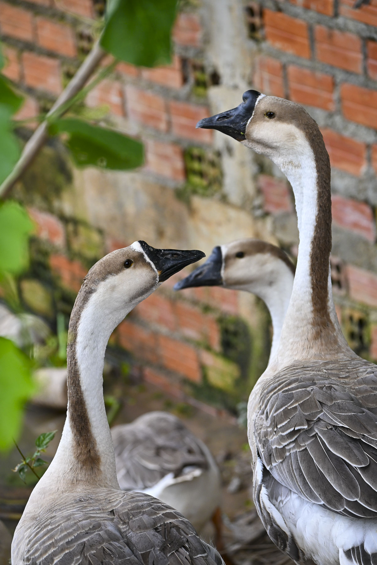
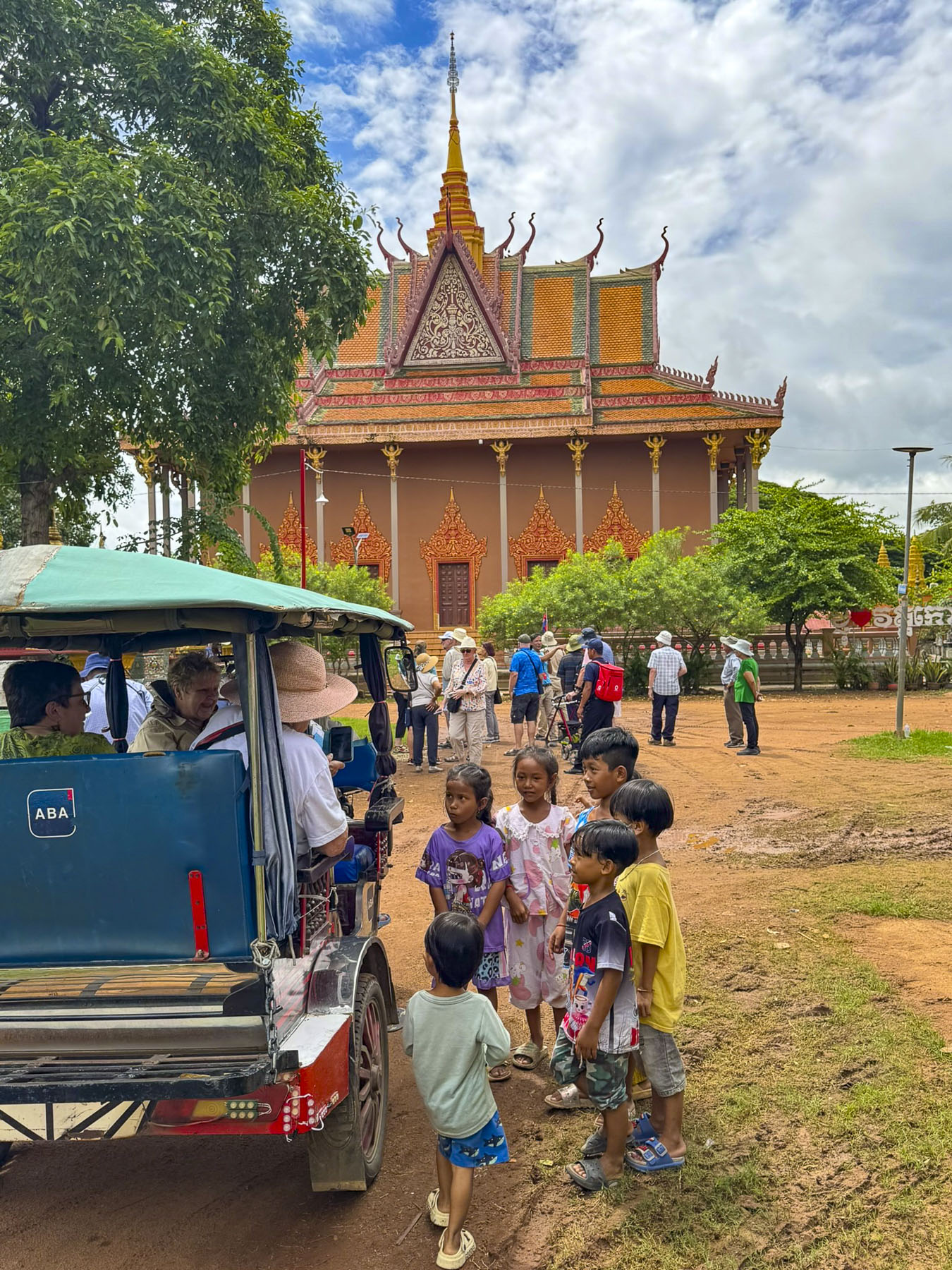
Geese waddled freely along the road as our group walked to the outskirts of town. We seemed to become a group of pied pipers as we swept up a band of children that followed us to the Moni Sakor temple. Reaching the pagoda, and with smiles all around, the kids suddenly lined up and sang the Cambodian national anthem.

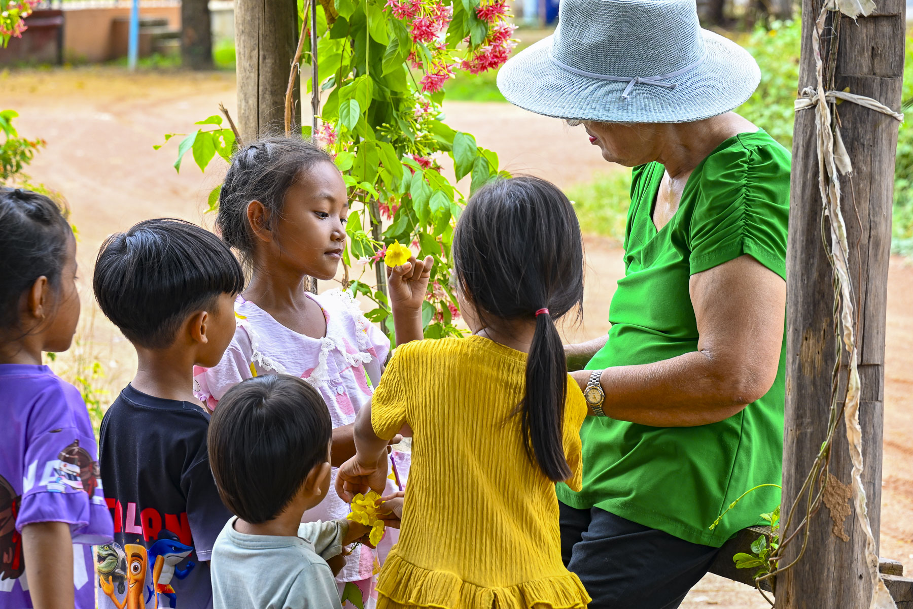
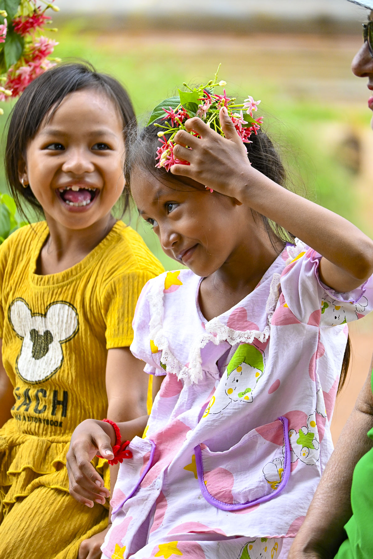
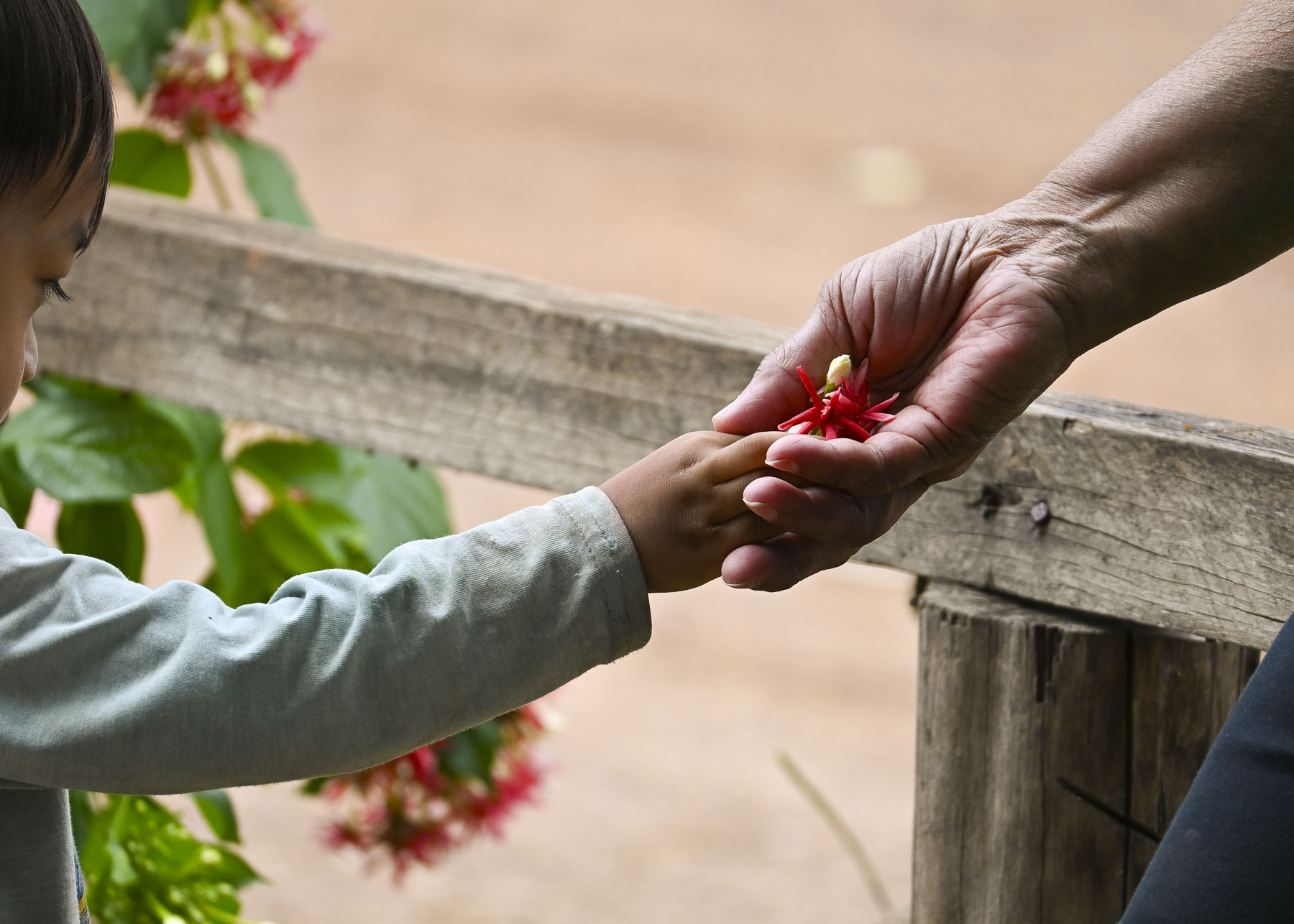
It was a rustic temple with a collection of Buddhist sculptures and colorful stupas on its grounds. While we rested under a shade tree one of the small girls in the group entertained us and her friends by making cat woman like claws on her fingers with yellow trumpet flowers. Across the road a three-wheeled flatbed motorcycle vendor went door to door selling fresh produce, and un-iced fish and meat in the morning sun.

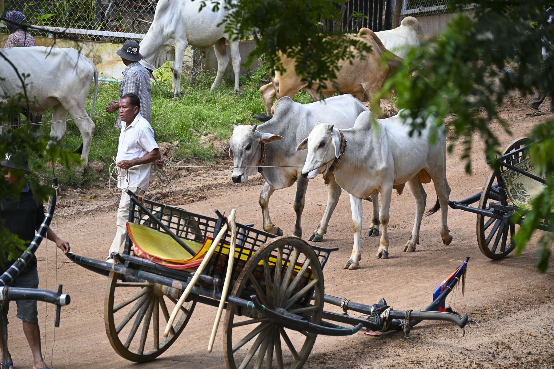
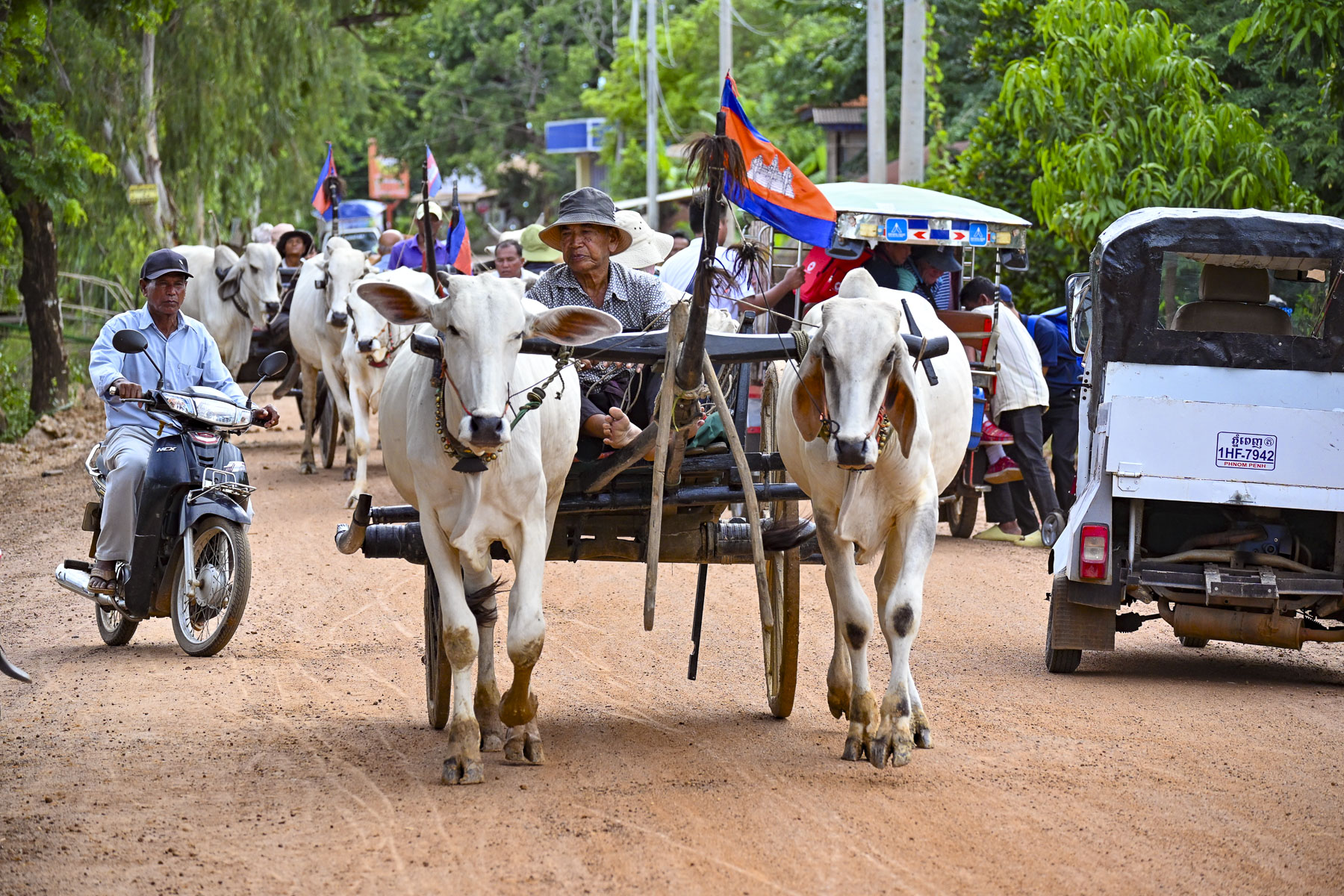
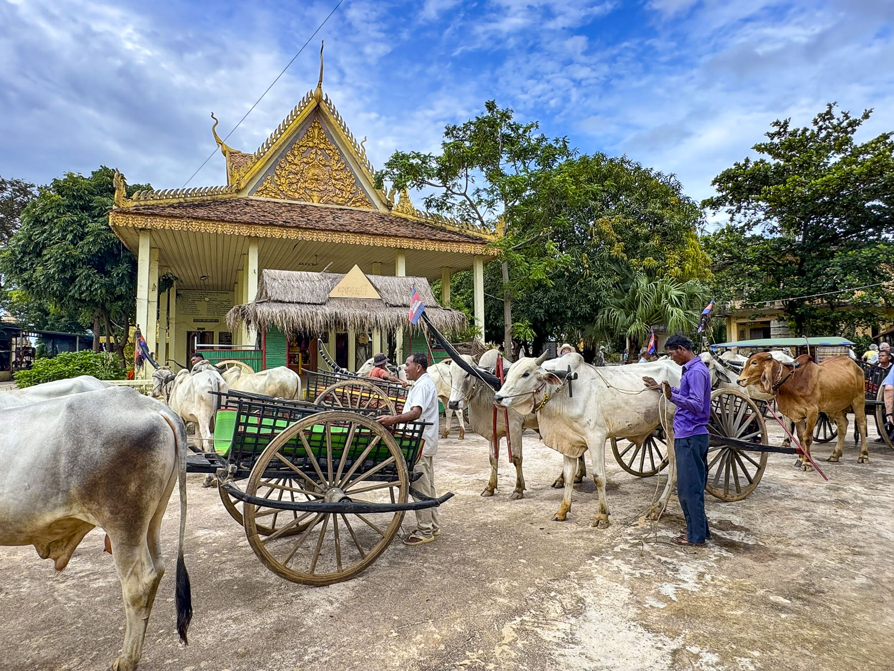
Later that afternoon after sailing upriver the crew tied the boat to trees along the riverbank outside the small town of Kampong Tralach and lowered the gangplank to a line of waiting oxcarts. Our traditional mode of transportation through the town to the Kampong Tralach Kraom Pagoda that was a local tourist initiative, that helped the drivers buy their own ox and cart.

I walked ahead to take some photos of the line of oxcarts. Several had passed by already, but there was one stubborn beast that refused to move until one of the carts behind him tried to pass by. Suddenly it seemed to be a chariot race, with whooping and hollering as the two oxcarts lurched forward. As fun as it was, the folks in the back of the carts held on tightly, worried that they would be shaken out of the speeding cart like fortune sticks.

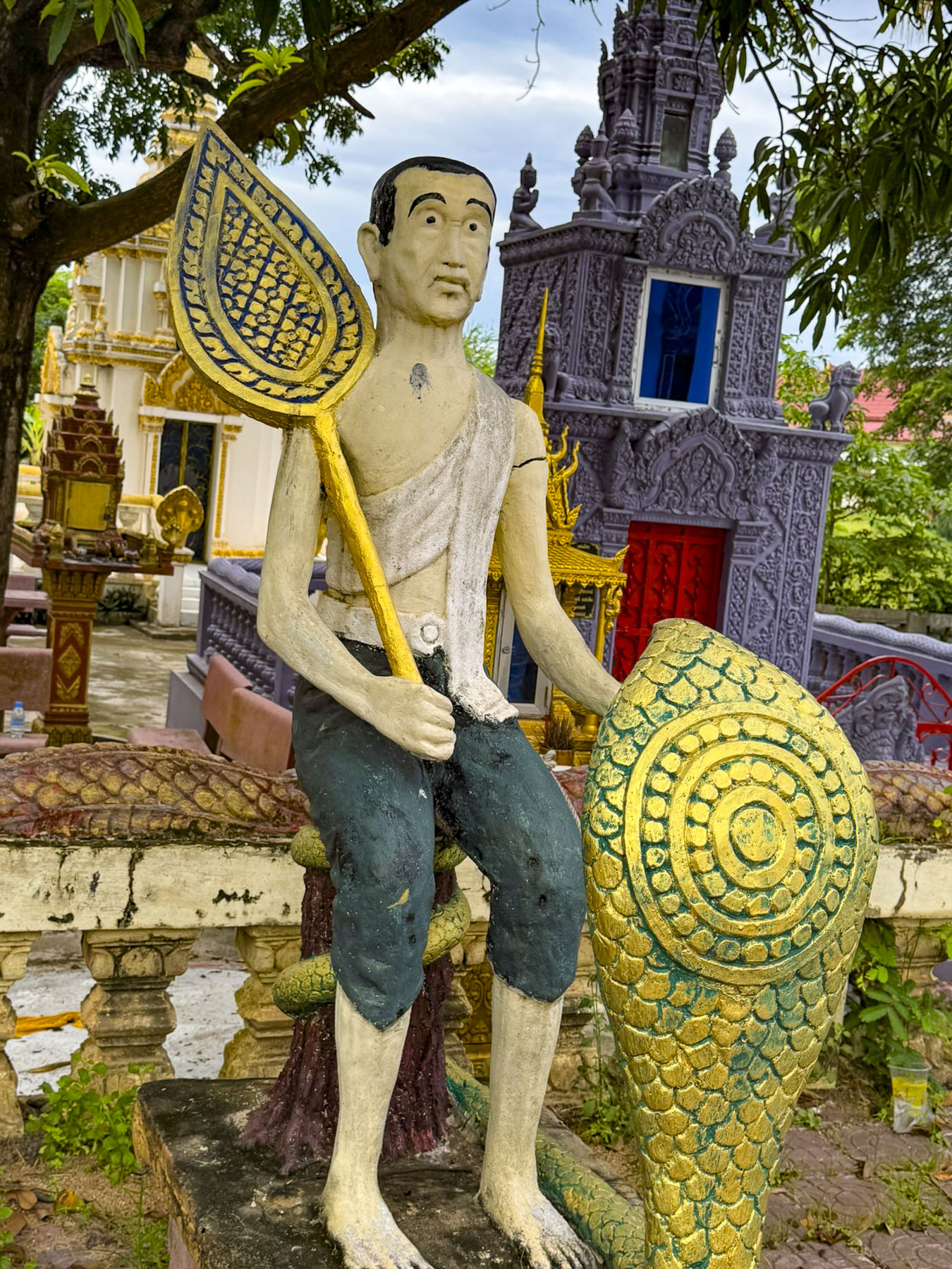
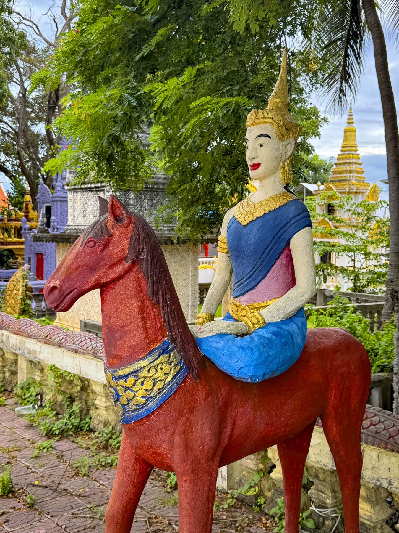
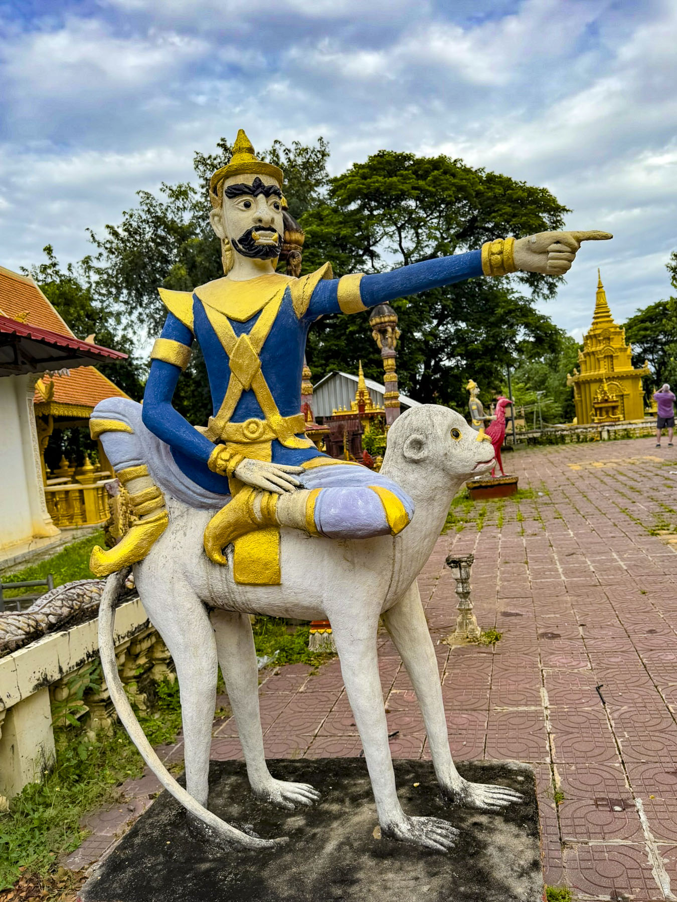
The jolting ride ended with a circling of the carts, in front of the beautiful monks’ dwelling, in the courtyard of the Kampong Tralach Kraom Pagoda. Though the real attraction of the site was the old Buddhist temple located behind it, that wasn’t particularly well-maintained. Like the two other temples we visited days earlier the exterior of the pagoda showed the challenges of building maintenance in the heat, humidity and monsoons of Southeast Asia. On the raised terrace surrounding the pagoda were a collection of folk-art style sculptures depicting Buddhist protectors and guardians that gave no hint of the treasure that awaited us inside.

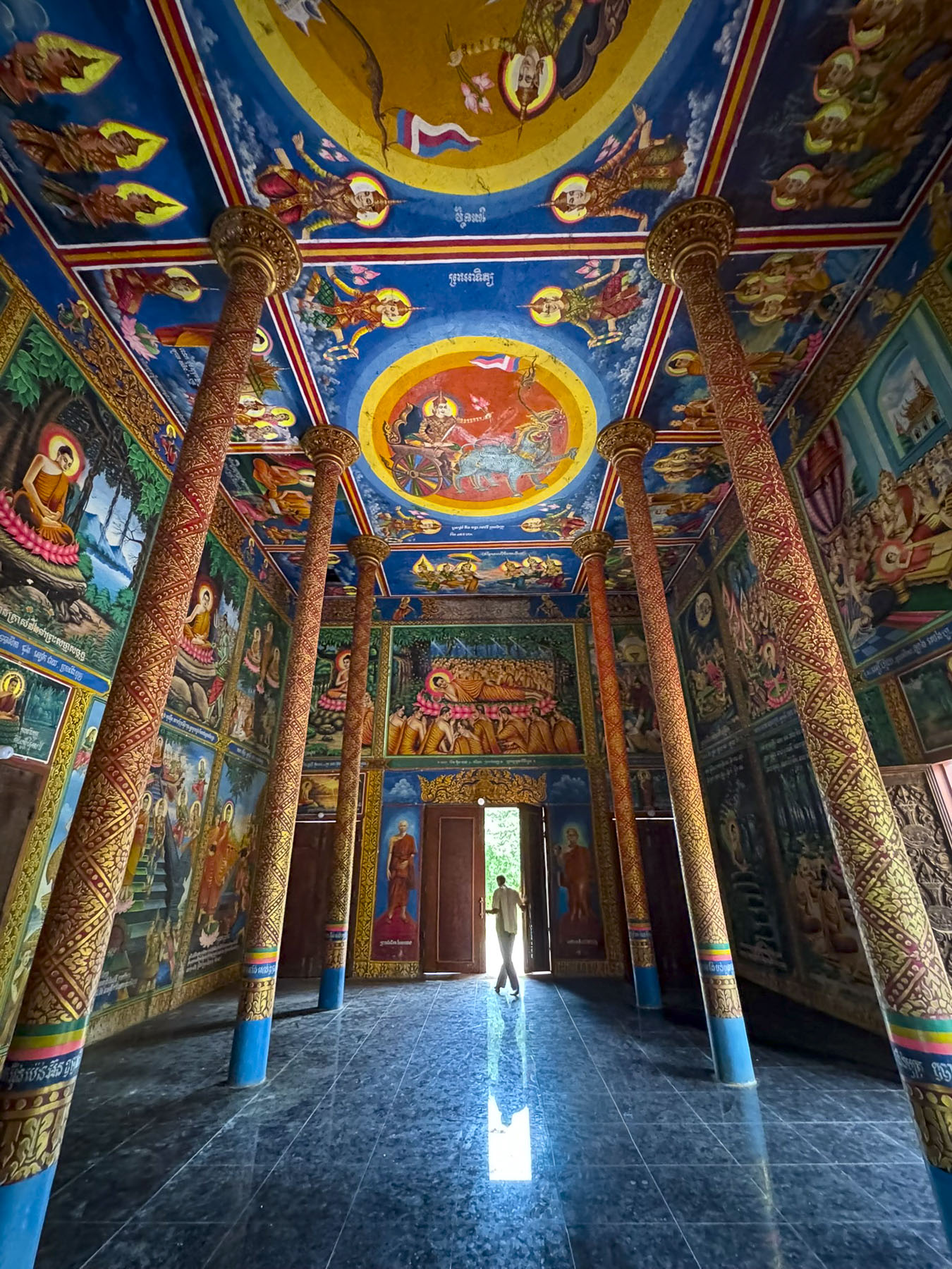
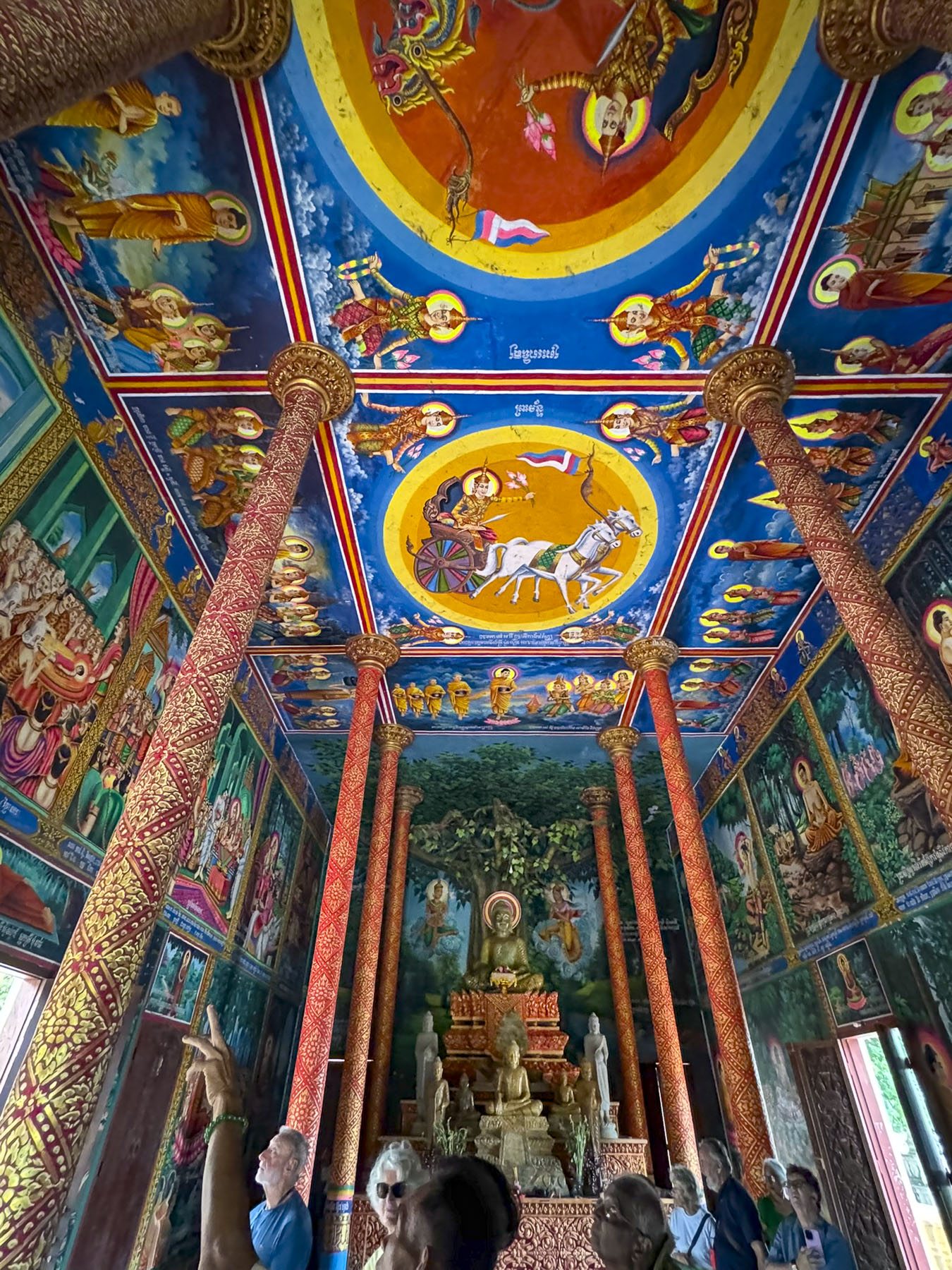
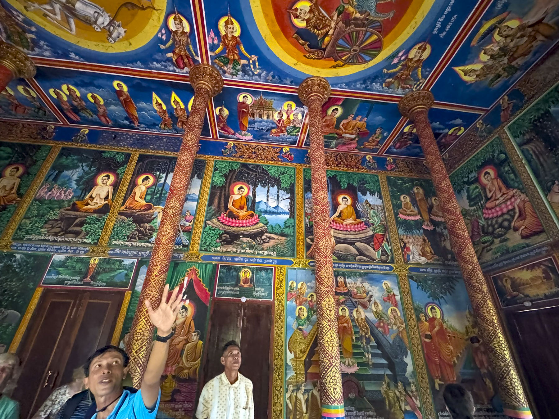
The temple’s interior was astonishing, with every surface of the walls and ceiling covered in beautiful murals depicting the life and teachings of Buddha. This hidden gem struck us as being the Cambodian equivalent to the Sistine Chapel! Fortunately, this temple was open when we visited, but it made us wonder what we missed at the other two which were not.

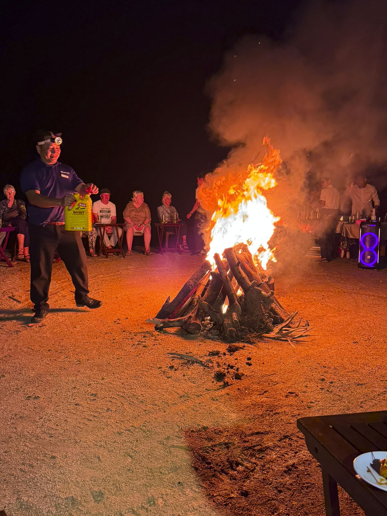
That evening our boat stayed tied to the riverbank, and we had a bonfire in a vacant lot nearby where the crew had invited a few of the townsfolk to join us. With wet kindling from an earlier rain, it was a smoky affair, but folks’ spirits weren’t dampened and there was a lot of joyful dancing. 

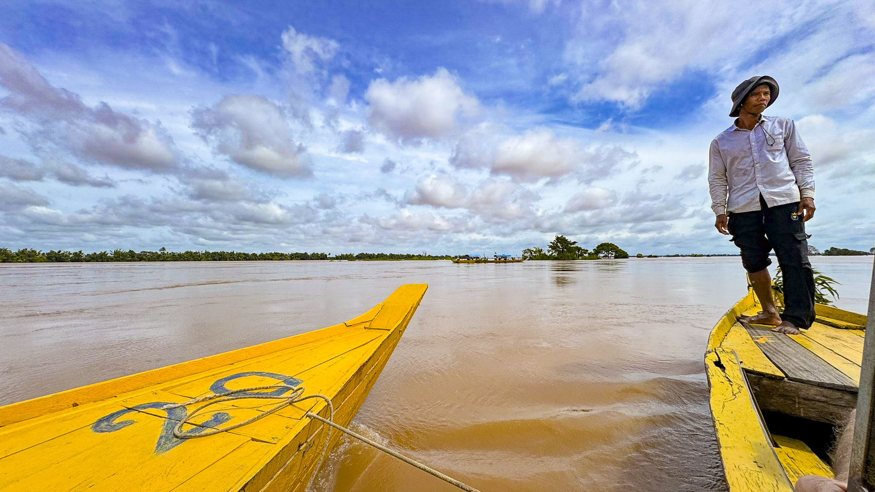
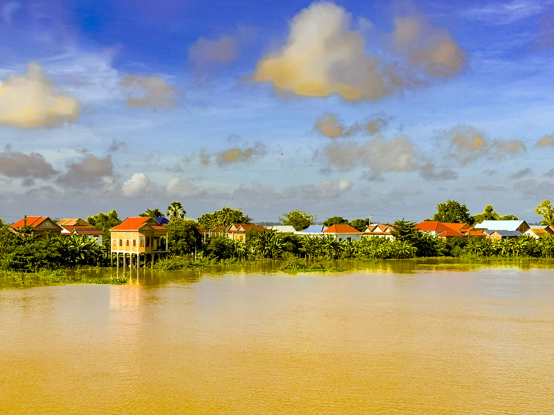
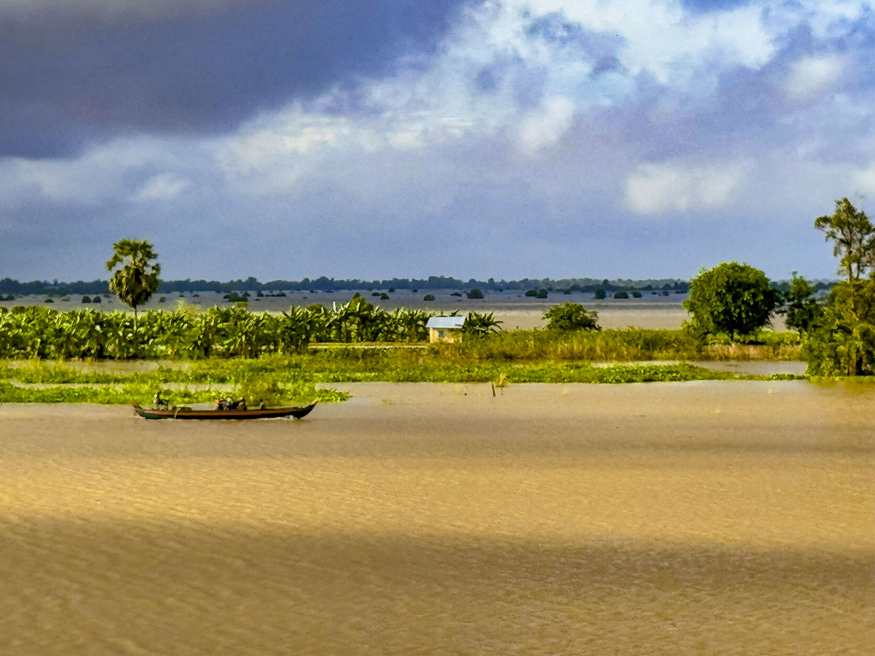
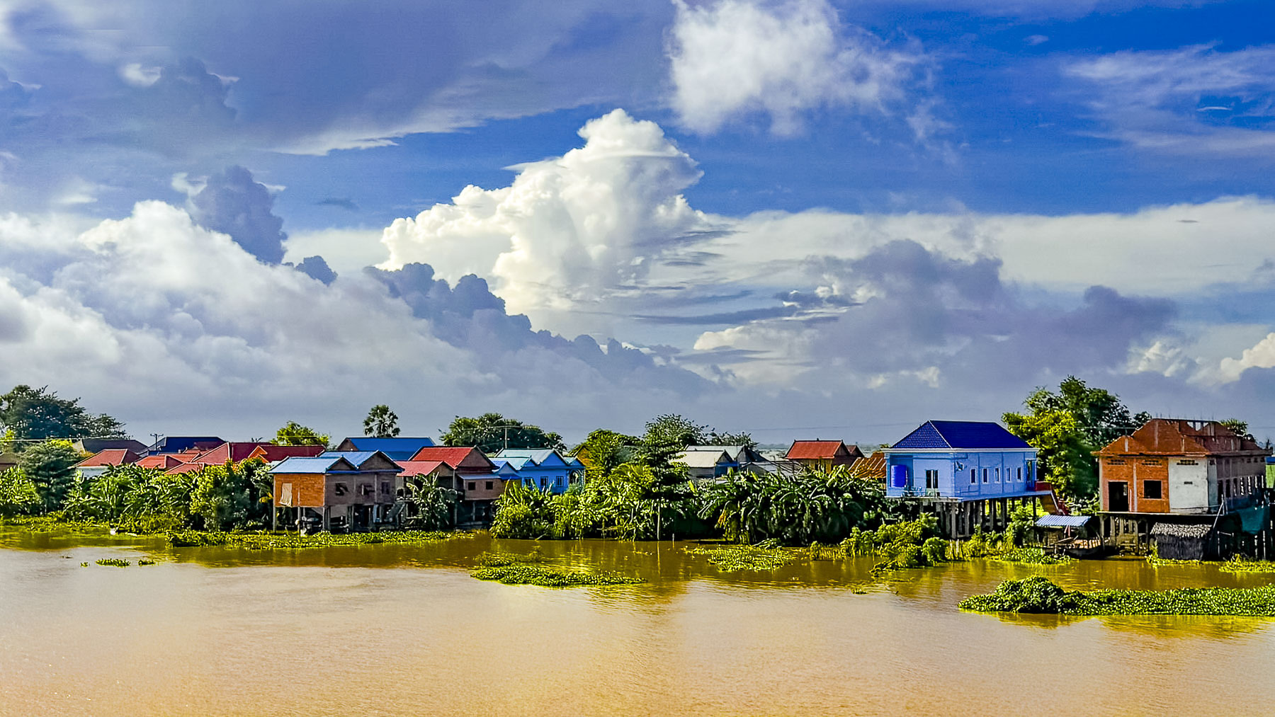
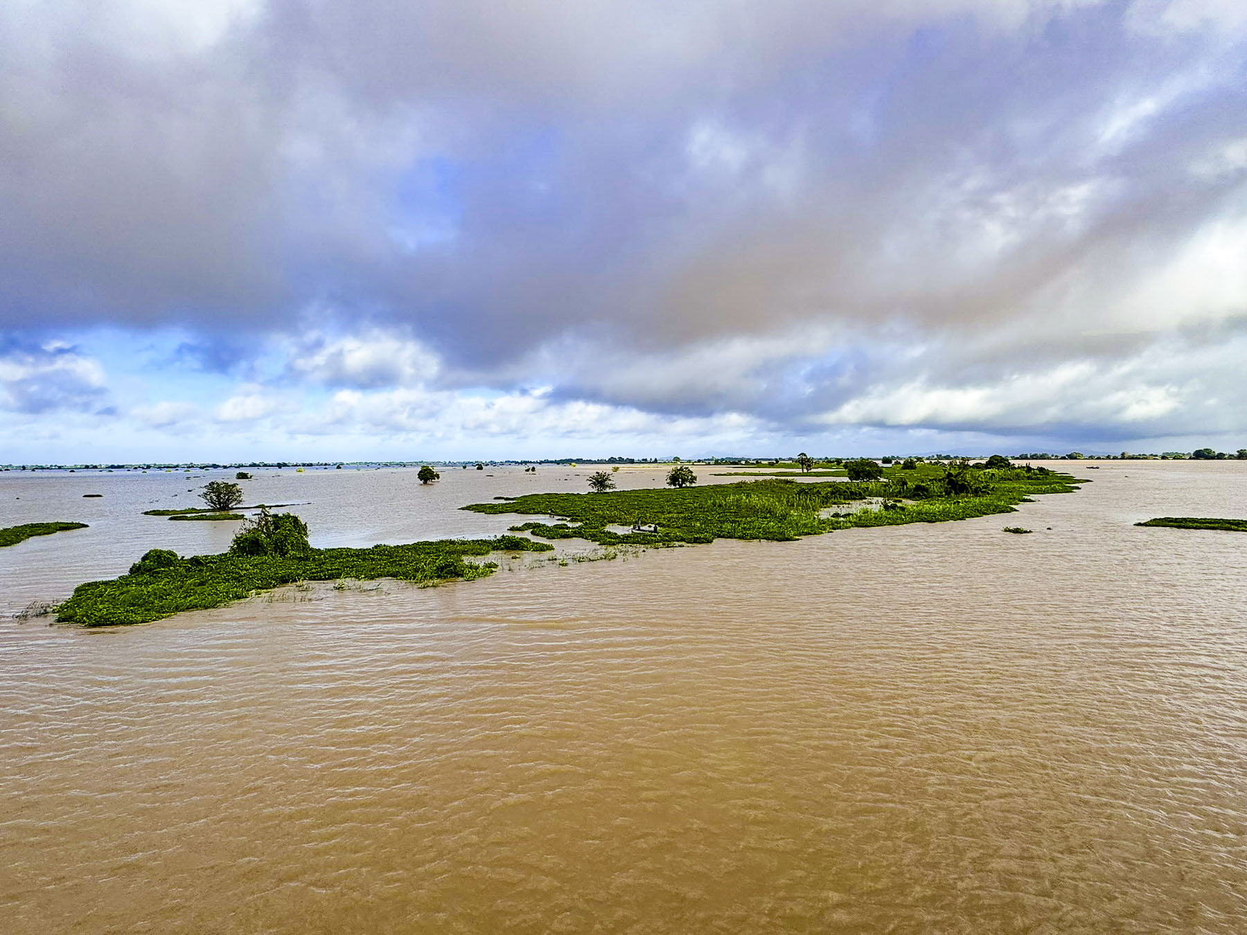
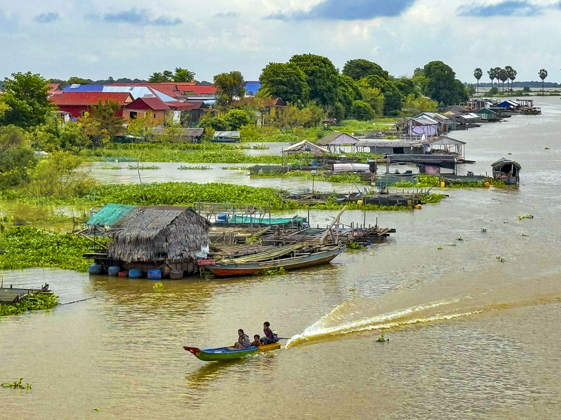
The next morning, we continued cruising north on the Tonle Sap River. The high riverbanks from the earlier part of our trip now disappeared as the river broadened into a wide floodplain that covered the roads. Only the telephone poles along their edge offered guidance to where they were. Fast long-tail boats were more prevalent now as scooters were stored away on higher ground until the dry season.

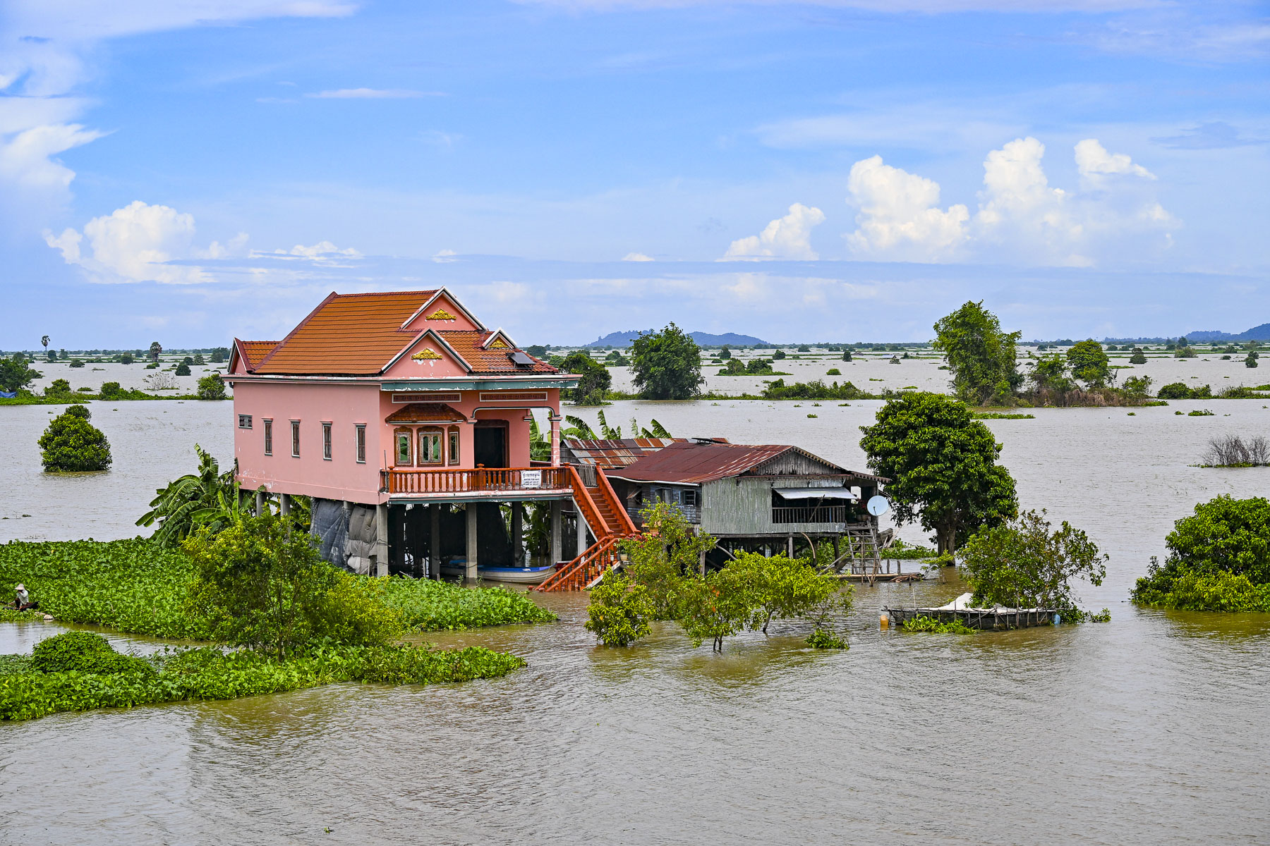
Here homes on stilts are surrounded by monsoon floodwaters for six months, from June to November when the Mekong River expands 45-fold, overflows and forces the waters of the Tonle Sap to back-flow into its lake. This in turn forces it to expand in size 4x from its dry season size of 3,000 square kilometers (1,200 square miles) to 15,000 square kilometers (5800 square miles) and cover the surrounding countryside with flood waters to the depth of 9m (30ft) or greater.

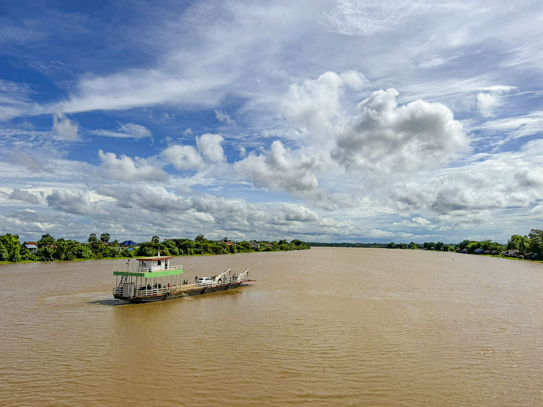
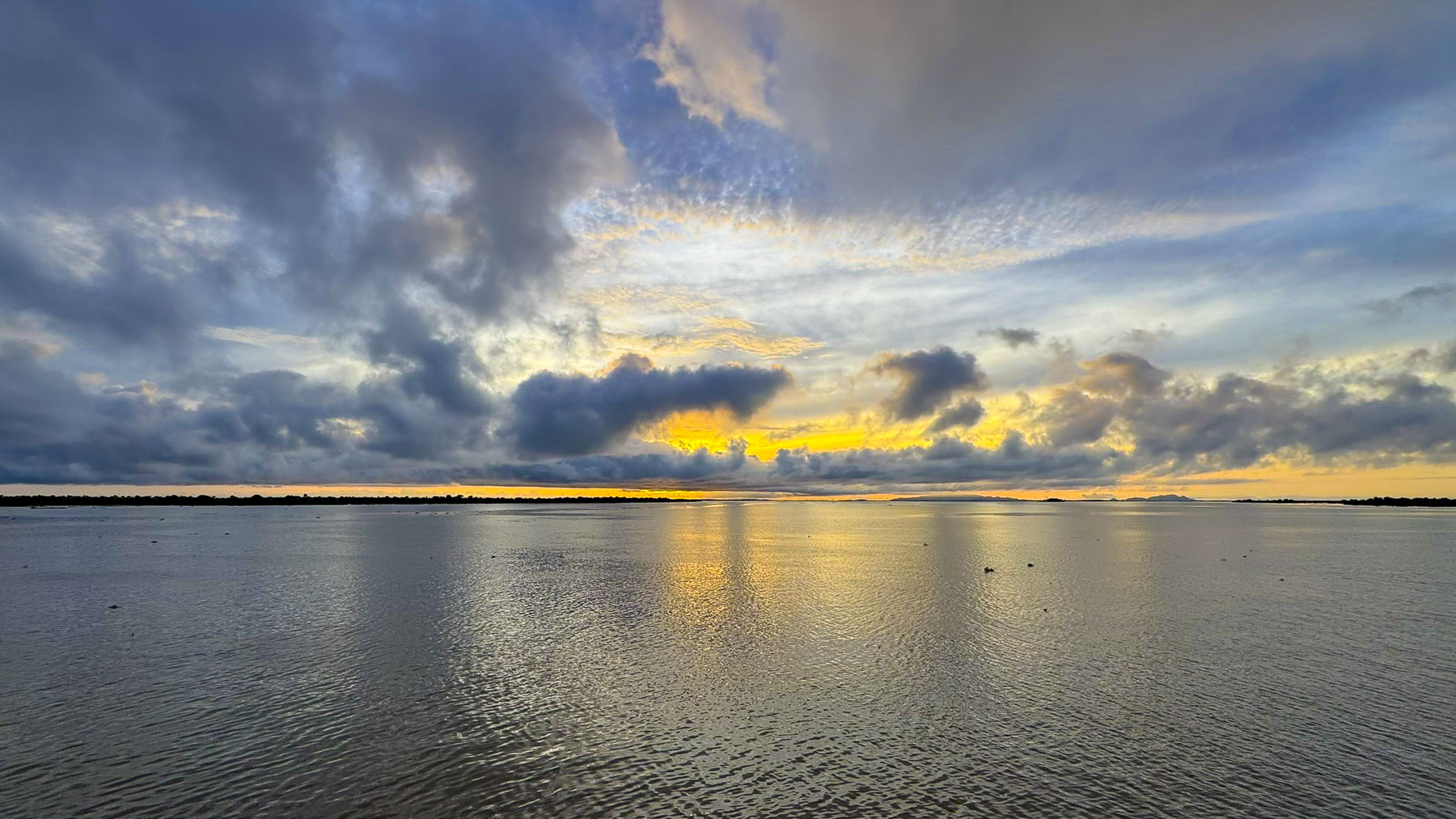
The weather since our departure from Phom Phen had been rather unpredictable, with overnight rains and heavy morning mists and cloudy afternoons, but today the weather was brilliant and the river was café au lait colored, and extended to the horizon all around us. The tranquility of watching this broad waterscape and sky change throughout the next two days was one of the trip’s serene pleasures.

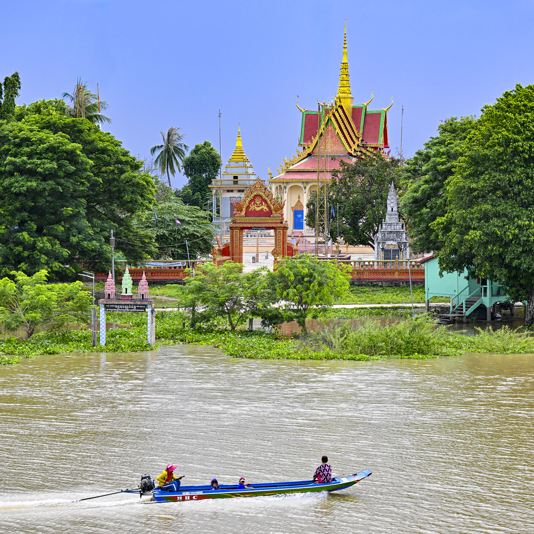
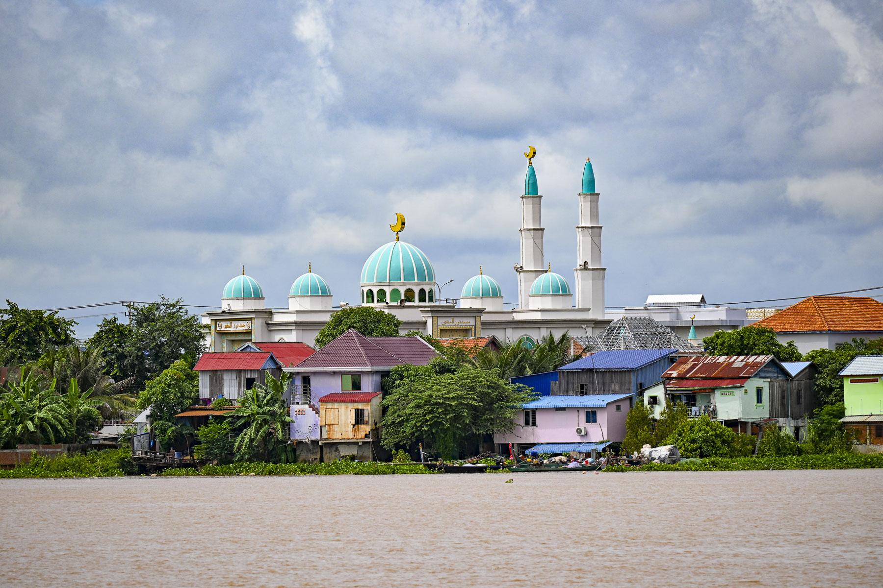
We sailed past villages with temples and mosques. The number of mosques surprised us, but there has been an Islamic presence in Cambodia since the 10th century and today Muslims compose three percent of the country’s population with the majority concentrated along the Tonle Sap and Mekong Rivers.

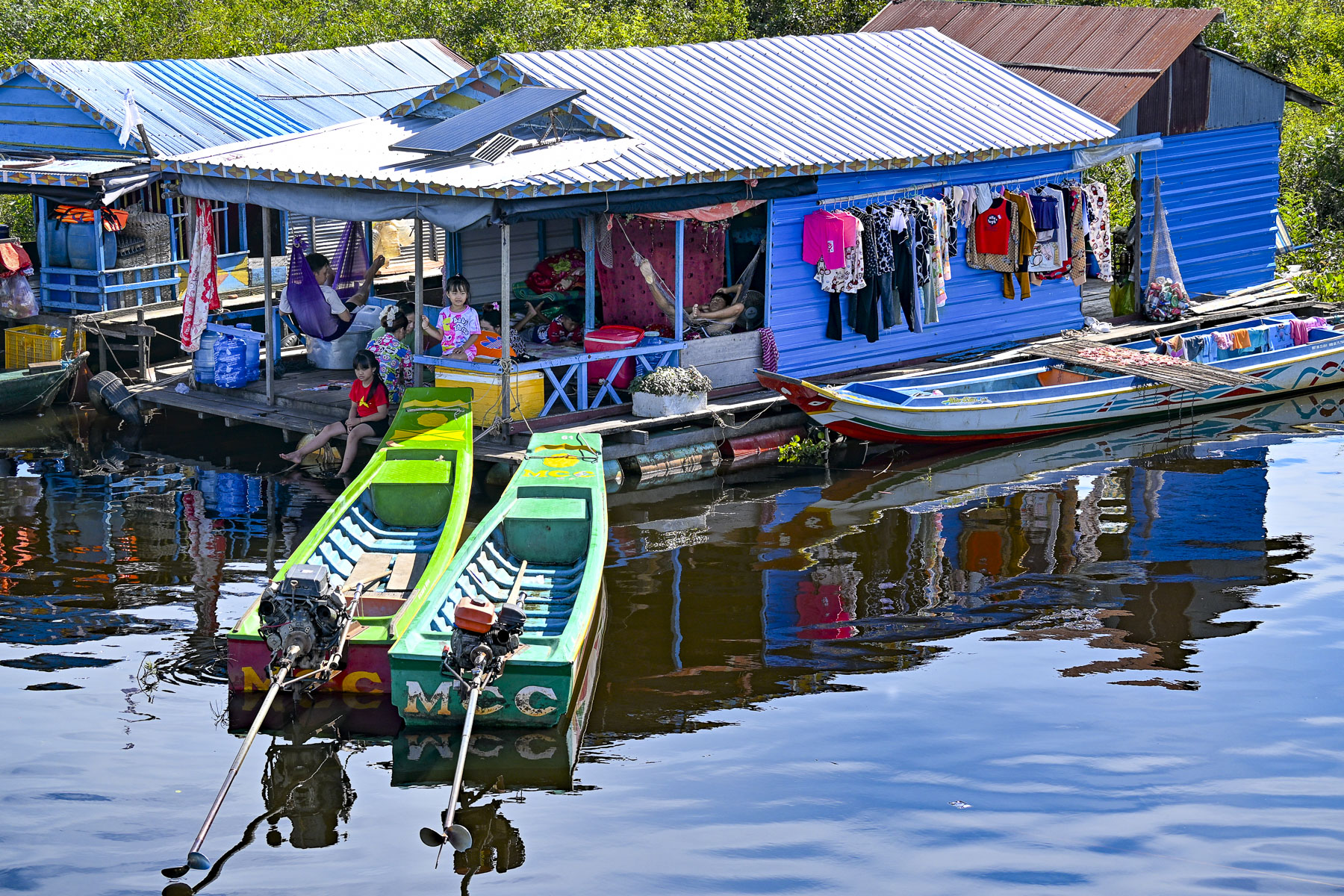
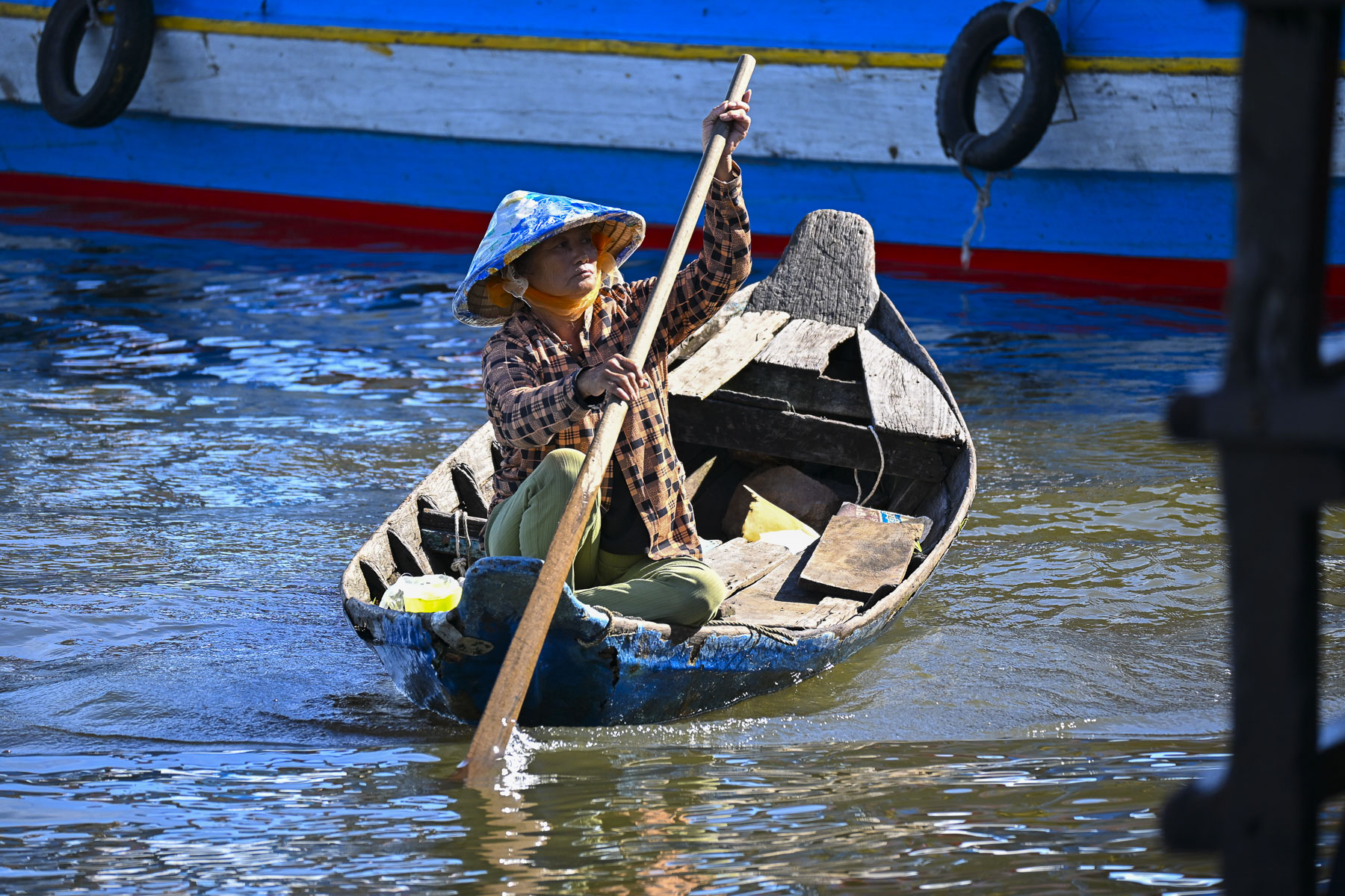
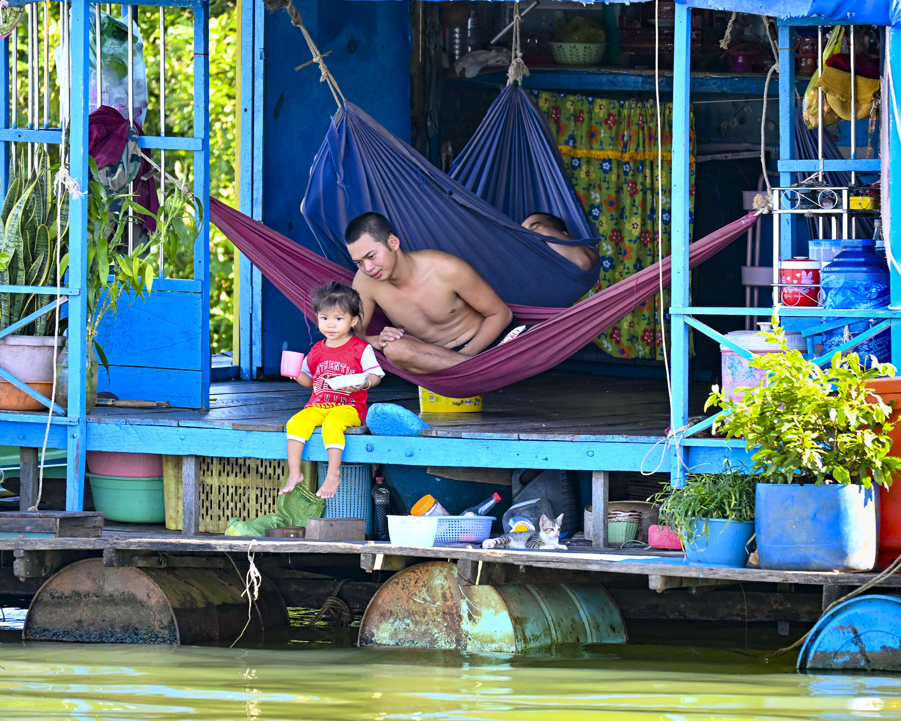
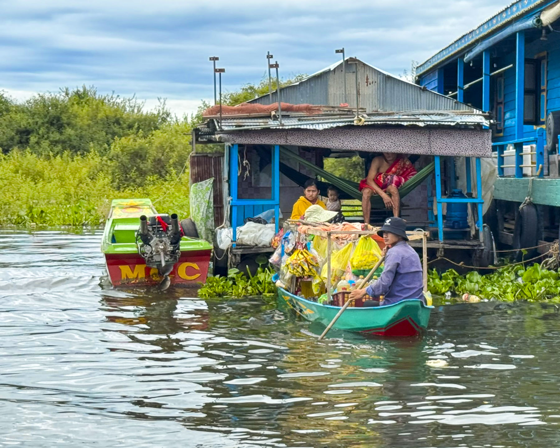
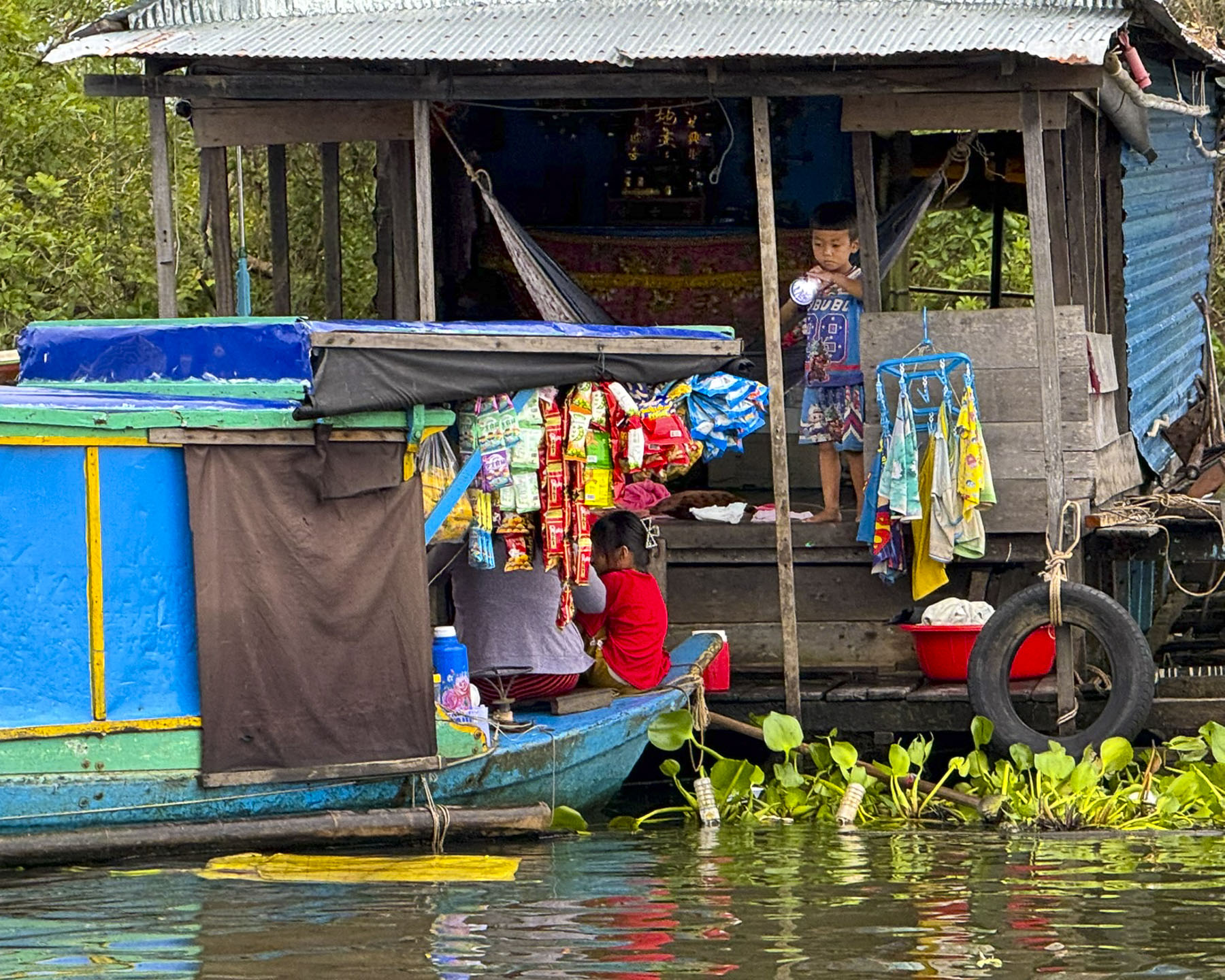
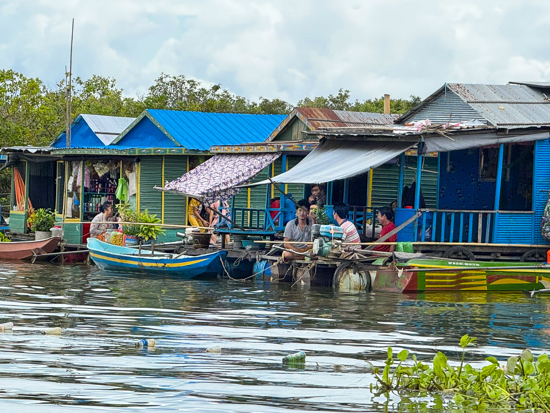
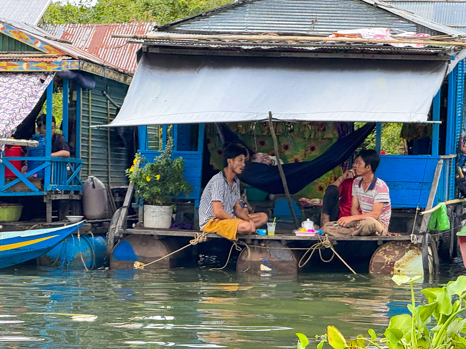
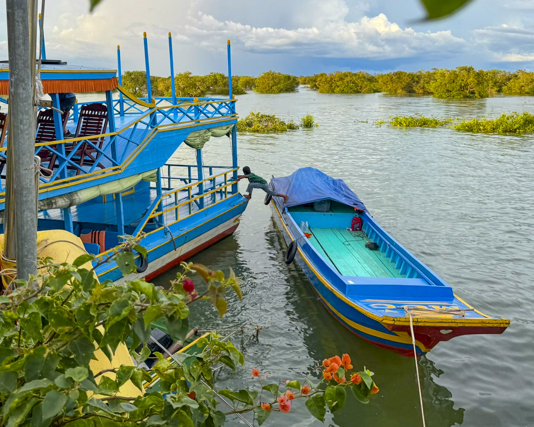
More of the small sampans we passed now were covered and appeared to be floating homes, with small children aboard and cooking platforms at the rear. Fishermen set their nets with the help of their wives.

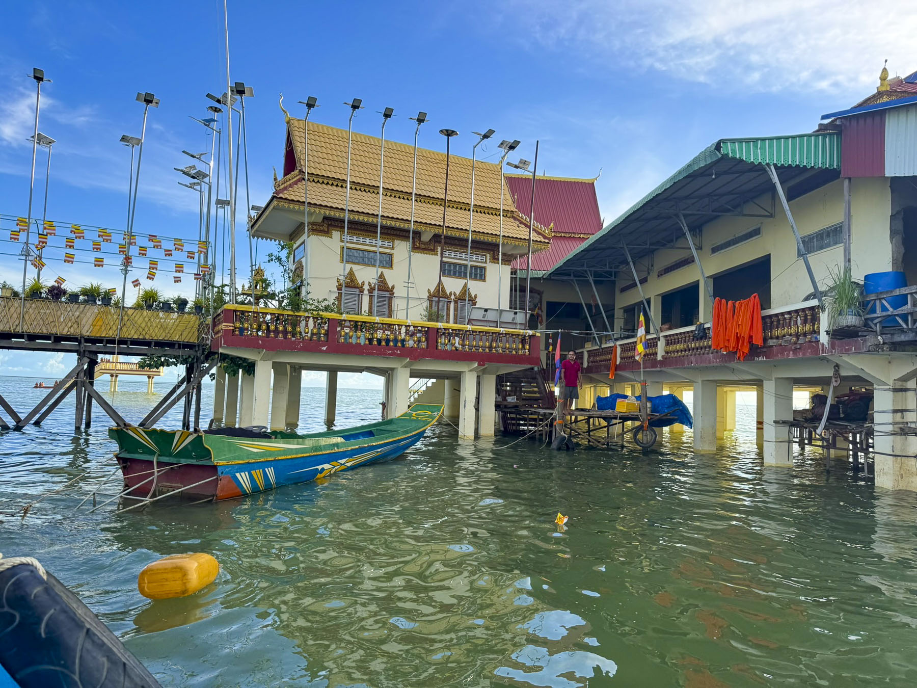
We anchored in the lake offshore Chong Khneas, a Vietnamese refugee floating village near the mouth of the Siem Reap River. It’s a fully functioning community with a floating school, church and markets that get paddled between the homes. That supports itself from fishing on the lake and tourist tours. It started in the mid-1970s as a safe haven for migrants in Cambodia to avoid persecution from Pol Pot’s Khmer Rouge.

Though many of the refugees have been in Cambodia for two generations they have a precarious legal status that denies them citizenship and the right to own land, and cuts them off accessing any state sponsored social programs, forcing them to live in floating homes or marginalized, informal communities. This is due to a deep-seated historical prejudice between the two countries which have often been in conflict with each other. Sadly, the beauty of their floating village makes it too easy for visitors to overlook the complexity of their situation.

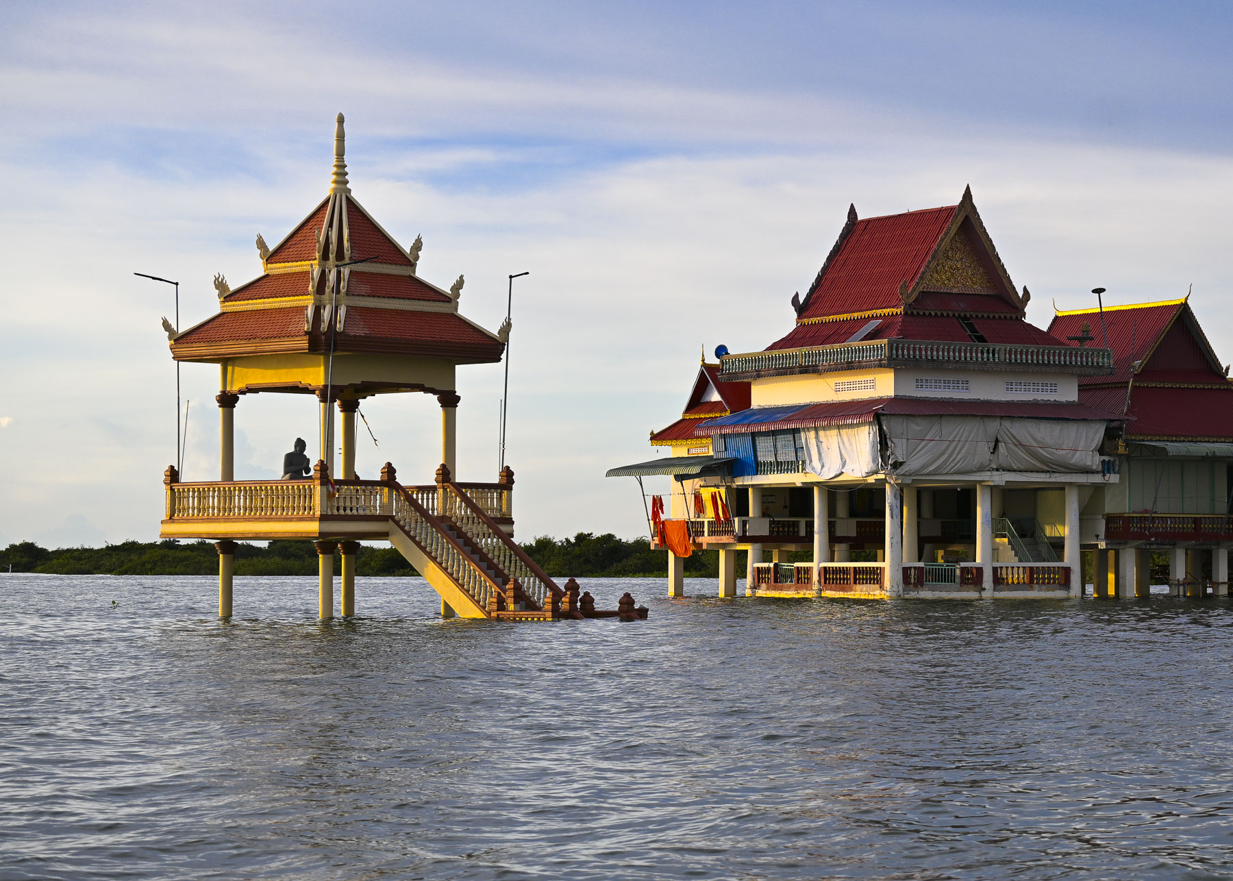
Nearby on stilts was a Buddhist temple surrounded by flood waters. During the dry season it is partially accessible by land when you follow Rt63 south from Siem Reap and then walk across a wide sand bar, but now we needed the local boatmen to ferry us over.

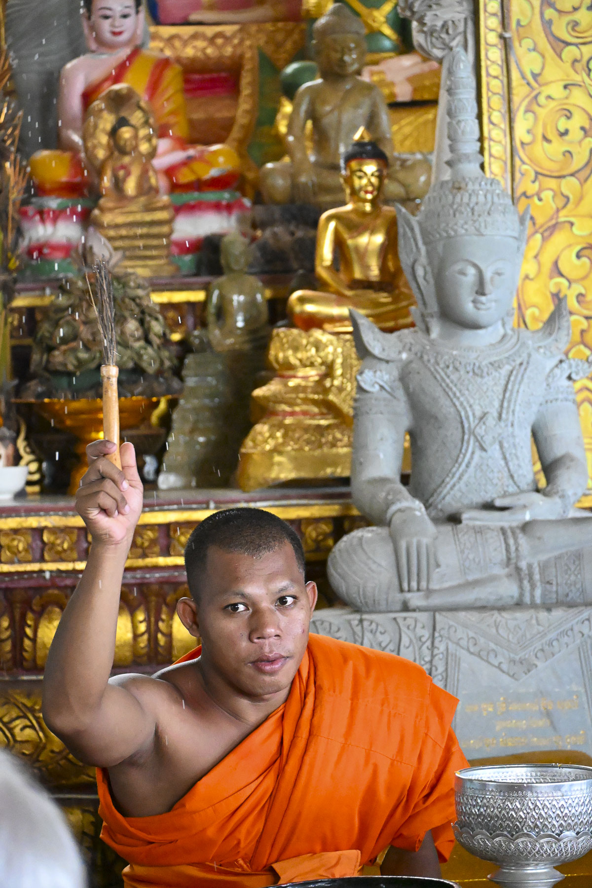
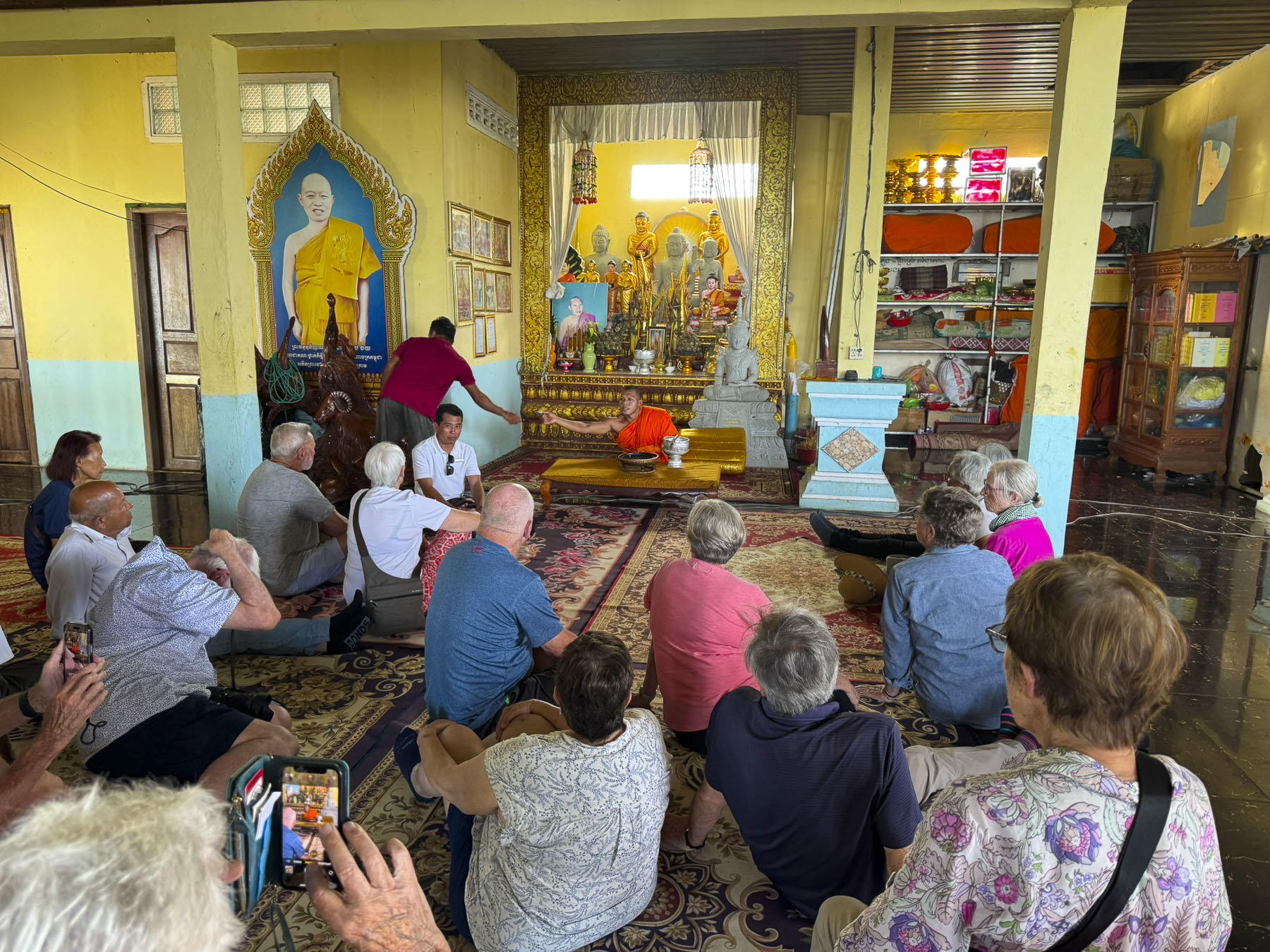
From what our tour guide explained, this was the first time a group of westerners had ever visited the temple where young monks are sequestered away to study the teachings of the Buddha. Through our guide’s translation the monk answered questions from our group and with the wave of his hand blessed us with sprinkles of water from a Kusha grass stick. Outside, the boatman’s young son entertained himself by jumping from one boat to another.

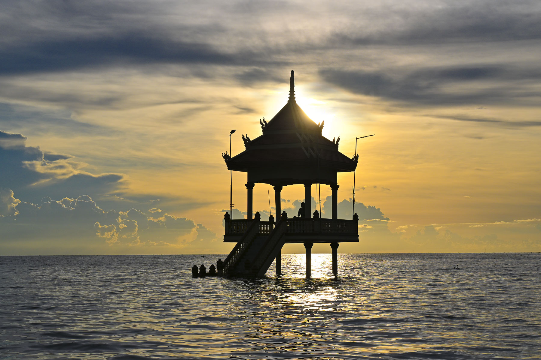
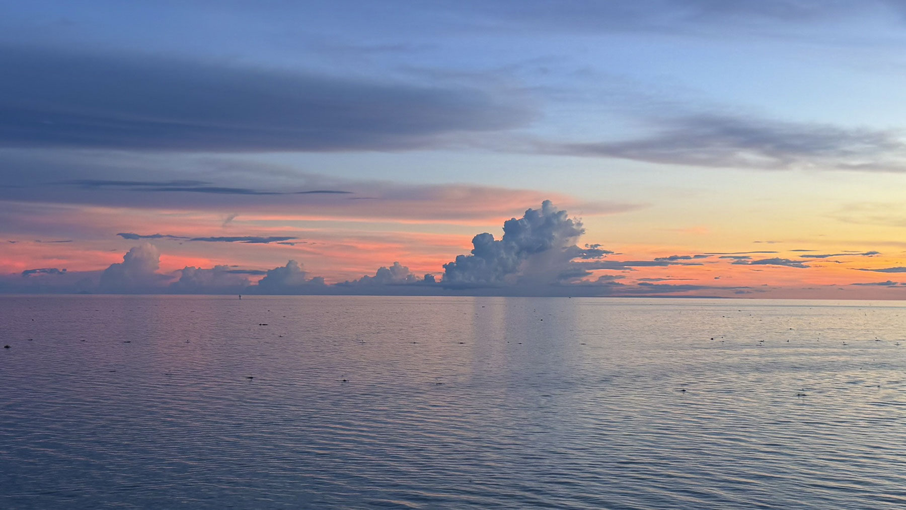
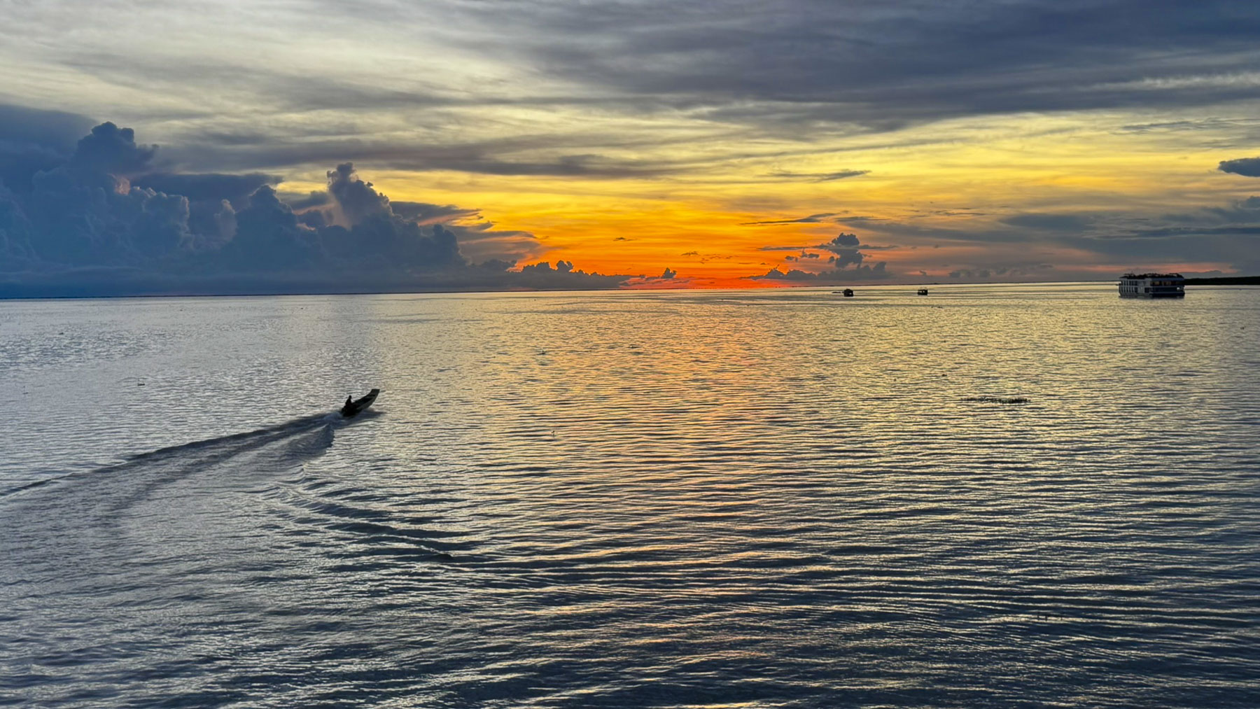
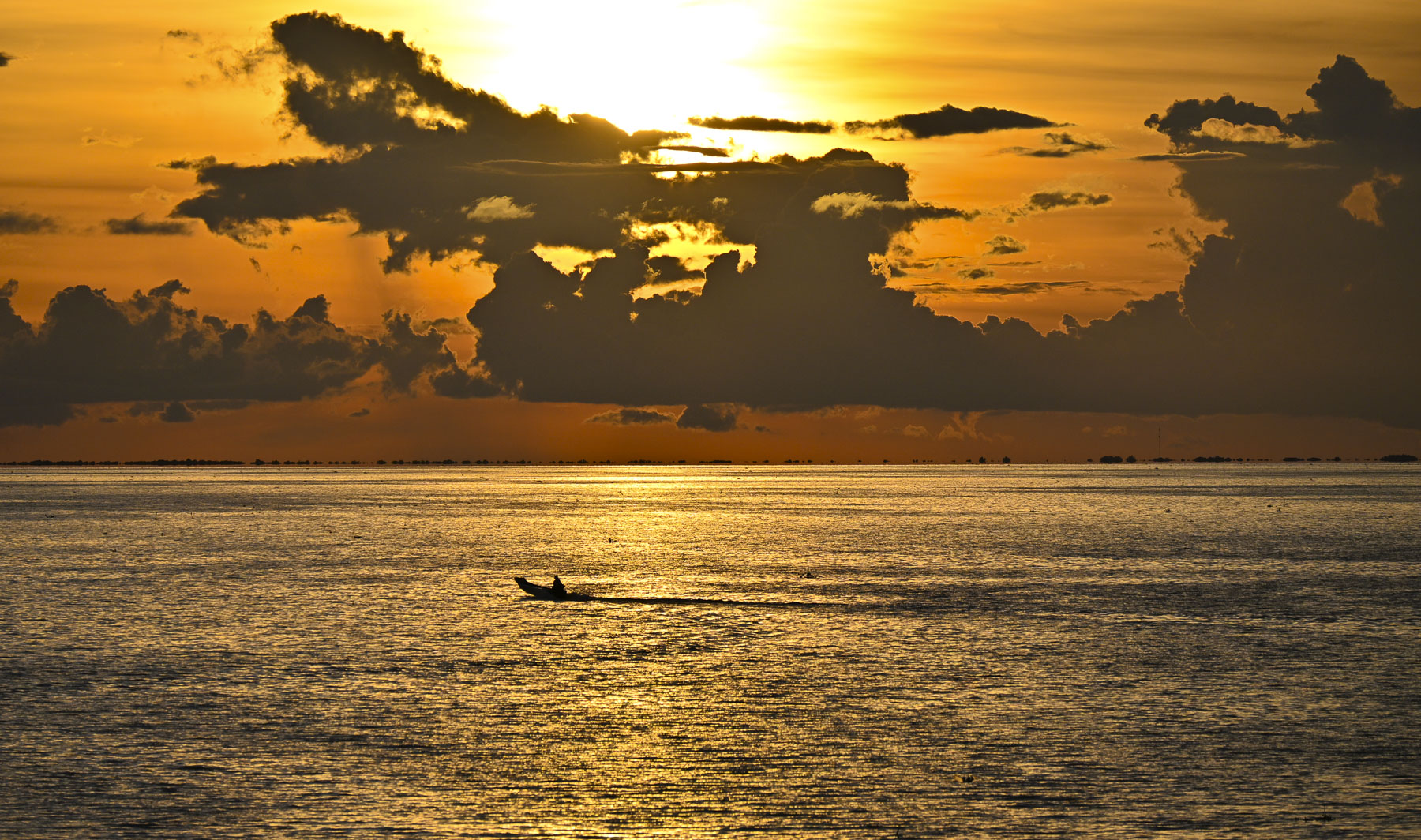
Earlier that morning our guide was admiring the day and the clouds floating over the lake and said, “there will be a nice sunset tonight.” His prediction was right on, and it was the perfect ending for our adventures in Cambodia.

Till next time,

Craig & Donna

A Balkans Road Trip Part 7: Sarajevo, Bosnia and Herzegovina – Beautiful and Resilient

Traveling south from Zagreb on the E70 we headed to the Gradiška border crossing into Bosnia and Herzegovina. With the European Union’s open border policy there is a seamless transition driving from one country to the next, but until Bosnia & Herzegovina acquires full EU membership, which is expected to happen by 2030, the old fashioned ‘show your papers,’ is required. With two loud thumps our passports were marked with a Croatia Exit stamp and returned to us along with the vehicle registration, and the insurance “Green Card,” from the rental agency allowing us to take the car into a non-EU country. Crossing the Sara River, we repeated the formalities with the border guards and received our Bosnia and Herzegovina entry stamps. We are rather fond of passport stamps considering most countries now rely on electronic records and don’t stamp at all.

We had an extra early start from Zagreb that morning, as the drive on the toll road to Saravejo takes about six hours, but we wanted to take a longer route through the countryside first to see several sites. And still hoped to make it to the “City of Spirit and Hope” before nightfall.

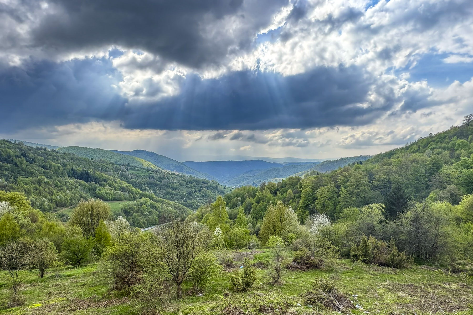
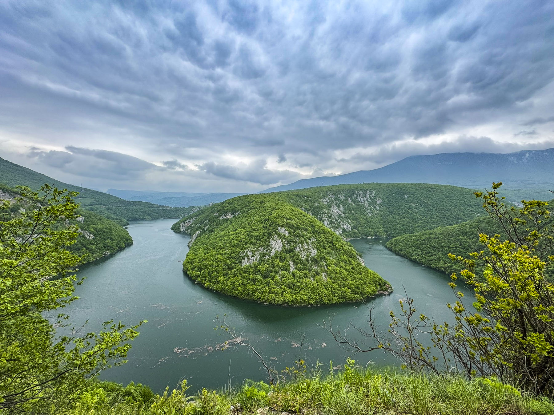
Small villages and farmland surrounded us quickly as we left the congestion of the border crossing behind. Our route the M16/E661 beyond Banja Luka hugged the narrow road beneath a steep cliff that paralleled the Vrbas River. Fields and rolling hills on the other side of the river were fresh with spring greenery. It wasn’t until we reached the Vrbas River Mountain View that the road widened enough to stop for a scenic overview. On the map this looks like an official overlook, but in reality, it’s a small, rough unpaved section of widened shoulder without a guardrail. You can’t actually see the river from the road at this point, but we drove past and did a U-turn so we could pull into it safely. Walking as close to the edge as we dared revealed a spectacular panorama of a horseshoe shape bend in the river.

Turning, we rose into the mountains and reached Mrkonjić Grad, a fairly good size town in this semi-rural area, and stopped for a moment at Храм Светог Саве Мркоњић град, the orthodox Temple of Saint Sava. Construction of this stunning gold domed church started in the mid-1930s, but was interrupted by World War Two, communist rule, and the Balkans war in the 1990s. Post-war reconstruction efforts finished the church in the early 2000s.

Luckily our timing was perfect as a large tour bus was just pulling away from Mlinčići, a collection of historic windowless wooden watermills, on the rapids below lake Plivsko Jezero. They date from the 16th century Ottoman Empire during which they were communally owned by extended family clans for their personal use, though they were occasionally rented out to other farmers for the payment of a ‘grain tax.’  With industrialization they fell into disuse and were abandoned, almost lost to history, until they were declared a national monument, and restored in 2009.

Earlier, as we drove to the Mlinčići we passed the lakefront restaurant Plaža, which looked like a perfect place for lunch. It was surprisingly busy for a Monday, but for many folks it was a vacation week between the Catholic and Orthodox celebrations of Easter. It was a pleasantly sunny day and warm enough to dine outside on the restaurant’s patio. Afterwards we strolled along the lake’s promenade where rental boats remained firmly tied to the dock, awaiting the tourist high season to begin later in the spring. Onward we stopped at Most Jubavi, the town of Jajce’s bridge of love, built across the top of a wide waterfall. It’s a beautiful setting with the boardwalk curving through a lush landscape of trees and rushing water.

The water from Plivsko Jezero flows downstream to Jajce, where it cascades thunderously 22m (72ft) from the 50m (164ft) wide Plivski Waterfall, at the confluence of the Pliva and Vrbas rivers. On the hill above the falls was the town’s citadel. It was constructed in the 14th century when Jajce was the capital of the Bosnian Kingdom. The fortress fell to the Ottomans in 1463, but was retaken by Hungarian King Matthias Corvinus in the following year. Jajce famously resisted for another 63 years before becoming the last town in Bosnia to fall to the Ottoman Empire 1527. 

Golden light warmed the late afternoon view of Sarajevo from our room at Kibe Mahala as shadows lengthened with the setting sun. It is primarily known for its well-regarded restaurant that features a selection of Bosnian dishes and lamb roasted on a spit, but it is also a smartly designed three-room boutique hotel with a modern aesthetic appeal that reflects Sarajevo’s culture. Free parking was a tremendous bonus, but because the hillside roads above the city were so narrow we relied on the expertise of taxi drivers to slalom us downhill to Baščaršijski trg, the historic heart of old Sarajevo.

Baščaršijski trg is a long narrow V shaped plaza, once the old daily market. At its center was a Sebilj fountain, a wooden kiosk covered well, where during the country’s Ottoman era was manned by Sebiljdžija, workers who received wages from the Voivode, mayor, to dispense free water to thirsty passersby.

Today Baščaršijski trg is lined with cafés and tourist shops, but still retains an exotic aura of east meets west, the merging of cultures, like Istanbul. The square was quite busy when we arrived, and we sat outside at a café, only to learn they served nothing but coffee or tea. The owner pointed to the bakery across the street and told us it would be okay to bring our purchase back and enjoy it at their table. We both crossed to the Bakehouse Edin, as the responsibility of choosing tasty delights for the first time in a new country is too much to bear for one individual. Really, we both can’t resist bakeries, and take every opportunity we get to investigate one. Hence, “our walk a little then café” philosophy. The café owner was delighted to see us when we returned.

It was a leisurely morning, and we enjoyed watching life go by on the square. Across the way families fed a large flock of pigeons and posed enthusiastically with the birds fluttering to perch on their arms and heads. Occasionally, something would spook the flock, and they would rise in unison to circle above the minaret of Baščaršijska Mosque, prompting some folks to cover their heads in anticipation of a bird bombing, though we didn’t hear any screeching to indicate disaster had struck.

Romans, Goths and finally the Slavs with the establishment of the Kingdom of Bosnia in the 7th century have influenced the region, but it wasn’t until 1415 that Sarajevo is first mentioned in historical records as Vrhbosna. It was only later in that century after the Turks conquered the region that the town’s name was changed to Sarajevo and it grew into an important trading center on the caravan route from Istanbul to the Adriatic coast. The town hosted numerous caravanserais, inns where merchants slept and stabled their horses, but only the Morića han (1551) survives and now shelters shop, restaurants and Caffe Divan.  Here we enjoyed the Ottoman-style ambiance and the tradition of ćejf, the art of lingering over coffee to savor life with friends, and the Rahat Lokum, Turkish Delight, which is always eaten before sipping Bosnian coffee. We also tried Ziam’s coffee, a large coffee with milk that is sprinkled with Nesquik, which is a popular order.

Many of the old lanes in the city are named for craftsmen who practiced their skills in workshops along the street. Just off Baščaršijski trg was Kazandžviluk, the old coppersmiths’ alley, where fine Bosnian džezva, traditional long handle coffee pots, cups and plates are still hammered with intricate designs.

The pedestrian only historic old town is made for wandering, one intriguing lane opening to another. Sarači seemed to be Sarajevo’s main lane and we followed it along to the shady courtyard of Gazi Husrev-beg, a 16th century mosque. In the center of the courtyard was the Šadrvan, a marble washing fountain used by worshippers for ritual ablutions before prayer. It was covered with an elaborate wooden octagonal pergola. In the background beyond the mosque’s wall was Sarjevo’s 17th century clock tower. It features gilded clock faces, on all four sides, synchronized to lunar time, in which the hands indicate 12 o’clock at the moment of sunset, the time of the Muslim Maghrib prayer.

This was a very interesting part of the old town, with many significant historical sites close to each other which include; Gazi Husrev-Beg’s Library (1537), the 16th century barrel-vaulted grand bazaar, the ancient Mezarje u haremu džamije Ferhadija cemetery & mosque, the Morića han caravanserais, the 1860s Serbian Orthodox Church of the Nativity of the Theotokos, the Museum of the Jews of Bosnia and Herzegovina, the Srebrenica Genocide Memorial, and Katedrala Srca Isusova, the Sacred Heart Cathedral, a 19th-century Gothic-style church which Pope John Paul II visited in 1997, to promote reconciliation after the Bosnian War.

During the Ottoman rule of Bosnia, Sarajevo attracted a diverse community of Orthodox Christians, Catholics and Jews. They were, however, treated as second class citizens and faced social restrictions forbidding them from carrying weapons, riding horses in public, or building houses and churches taller than those of Muslims. Men were additional required to pay theJizyataxin lieu of military service. Only Christian families were subjected to the Devshirme, a “Blood Tax,” where children were taken from their families, forcibly converted to Islam, and trained to become elite Janissaries, soldiers, or high-ranking government officials. These additional burdens to families encouraged many to convert to Islam.

Passing through the old bazaar, we admired some of the work of the silversmiths. This trade  has been thriving since the Middle Ages in Bosnia when silver mines were a major source of income for Bosnian kings. A piece of fine filigree jewelry made the perfect souvenir.

We crossed the Miljacka River and walked along the shaded riverside promenade to a café at the Music Pavilion in At Mejdan park, which dates from 1913. The park was a quiet oasis where families strolled with children, couples relaxed in each other’s arms and pensioners played chess at tables under the trees. Views back across the river showcased a blend of the city’s architecture that spanned the centuries from the Ottoman era to modern times, though the most predominant are the ones constructed in the 19thcentury European style during the Austro-Hungarian era.

From the promenade we could also see the Latin Bridge, the site where Austro-Hungarian Archduke Franz Ferdinand was assassinated on June 28, 1914, by Gavrilo Princip, a member of the revolutionary group Young Bosnia, whose members were mostly Serbs, Croats, and Bosniak students who sought to end Austro-Hungarian rule and unite Bosnia with Serbia and Yugoslavia. The event triggered World War I, the dissolution of the Austro-Hungarian Empire, the creation of the Kingdom of Yugoslavia, which included Serbia, Bosnia, Croatia, Montenegro, Slovenia and North Macedonia. While Sarajevo was part of Yugoslavia, Gavrilo Princip was celebrated as a hero and the Latin Bridge was renamed in his honor. With Bosnia’s independence the bridge has regained its original name.

Subsequently, the origins of nearly a hundred years of almost continuous wars, occupations and suppression across Europe, can be traced back to this event. The region’s death and destruction finally ended after the Balkan Wars were resolved with the signing of the Dayton Accords in 1995, an agreement which established a complex government with equal representation for Bosniaks, Serbs, and Croats in Federation of Bosnia and Herzegovina.

Farther along the riverside was Sarajevo’s City Hall, a late 19th century Moorish Revival style building with ornate geometric patterns and horseshoe arches. It was built during the Austro-Hungarian era to reflect Sarajevo’s importance as a cultural crossroads in the Balkans.

Later back in our hotel room we could hear the evening prayer, as the muezzin called from the city’s minarets, and it echoed across the valley. There is believed to be close to 100 mosques across Sarajevo, and from our hillside location we were amazed by the number of minarets we could see dotting the surrounding landscape.

The next morning we decided to drive up Mt. Trebević, 1,629m (5,345ft) which we could see from our hotel room, to visit the site of 1984 Winter Olympic Game’s luge and bobsleigh competitions. It was an exciting event and the first time a Communist Bloc country hosted the Winter Olympics, which Donna and I remember watching on TV (that seriously dates us). Exciting not just for the tremendous speed of the sledders, but also for the background color commentary about a part of the world behind the “Iron Curtain,” that had mosques and minarets that we associated with deserts of Arabia, not snow-covered mountains. It was a part of the world unknown to us at the time, and it looked enthralling. Sadly, this location and the other mountaintop Olympic venues around Sarajevo were seized by Bosnian Serb forces during the 1990s war and used as artillery positions to bombard Sarajevo during the Serbs’ four-year siege of the city.

First, we had hoped to see an old 16th century Ottoman era high-arched stone span across the Miljacka River on the outskirts of the city, but the traffic in that direction came to a total standstill, and folks were turning around to find alternative routes. We decided to do the same and followed our Maps app’s directions up the steep mountainside along roads that twisted through small neighborhoods where round traffic mirrors were mounted on the side of homes to see oncoming cars around blind corners. The road continued to narrow and steepen to the point that we thought if we ever had to stop, we’d never get going uphill again, until the grade lessened and we passed the last house to drive through the forested hillside.

We stopped halfway up the mountainside to check out two battle-scarred buildings in a lush green meadow and happened upon a family of four having a picnic. The kids sprawled on the blanket, intent upon their electronic gamepads, while their mom set everything in order and their dad grilled in the shadow of one of the war-torn buildings. Everyone waved as we walked by. A few minutes later as we were walking in the lower part of the field the woman called to us as she crested the hillside, and she happily handed us a large Ćevapi, – small, skinless, charcoal grilled minced meat sausages, stuffed into a large Somun, a soft bread similar to pita, and garnished with finely chopped raw onions, ajvar (roasted red pepper sauce) or kajmak (a clotted cream spread). It’s the national dish of Bosnia and a specialty in Sarajevo. Though we didn’t share a common language multiple thank-yous were said and smiles shared all around. Her Ćevapi was so good! Coincidentally, only the day before we had promised ourselves we would have to taste one of those wonderful local dishes. The reason – the enticing aroma of grilled meats wafting from Ćevabdžinica Petica Ferhatović, considered to be the best Ćevabdžinica in Sarajevo, as we walked along Bravadžiluk.  It caused us to pause and check out what everyone was enjoying. If we hadn’t eaten a half hour earlier, we would have stopped, and we told ourselves we’d have to definitely try Ćevapi later.

Covered with bullet holes and graffiti, the bobsleigh tracks, former symbols of international goodwill, are now grisly reminders of the brutal conflict that killed 11,000 people living in Sarajevo during the four-year siege of the city.

We continued on to the summit terminal of the Mt. Trebević ski lift where there were some spectacular views. The ski lift operates year-round and its lower terminal, Sarajevska žičara, is only a 9-minute walk from Sarajevo’s City Hall.

Later we had lunch atop the mountain at Hotel Pino, an attractive contemporarily designed 22 room lodging set in a forest clearing, before heading back down into Sarajevo to the Yellow Fortress, an Ottoman era cannon embattlement on Jekovac hill.

The panoramic views out over Sarajevo were beautiful in the late afternoon light and encompassed six centuries of the city’s history, from its earliest mosques on Baščaršija square to its modern skyline growing on the western horizon. A small café atop the roundel encouraged us to linger as we attempted to count the number of minarets scattered across the valley and hillsides and waited for the sun to set.

We thoroughly enjoyed visiting this resilient exotic city where everyone we encountered was so nice to us. We highly recommend visiting Sarajevo, as it is an engaging and very budget-friendly destination.

Till next time,

Craig & Donna

P.S. There are more than 20 museums in Sarajevo, with over 12 of them acknowledging the suffering which occurred during the Bosnia War. A few of them are: the Siege of Sarajevo Museum, Sarajevo Tunnel of Hope (Tunel Spasa), Museum of Crimes Against Humanity and Genocide, War Childhood Museum, and Galerija 11/07/95, a gallery-museum dedicated to the victims of the Srebrenica genocide.

A Balkans Road Trip Part 5: Slovenia – Into the Kamnik-Savinja Alps to the Logar Valley

Days earlier, atop the ramparts at Ljubljana Castle, we got our first glimpse of the Kamnik-Savinja Alps, a rugged sawtooth mountain chain that lies north of the city, along the Slovenia – Austrian border in the Solčava region. The range’s three highest peaks, Mt. Grintovec (2,532m), Mt. Jezerska Kočna (2,539m), and Mt. Skuta, (8,307m) still glimmered with snow in early April.

Within the mountain range is Logar Valley, a 7 kilometer (4.3 mile) long alpine glacial valley, surrounded by equally tall sheer summits. Inside the picturesque valley there are trails between Rinka Waterfall (90m – 295ft), the tallest falls in Slovenia, and three other ones that cascade from the mountainsides. It is 1.5 hours from Ljubljana, and we planned to visit the valley during a travel day. Later, backtracking from the mountains, we stayed in Kamnik for two nights before continuing on to Zagreb.

Along our route into the mountains, we stopped to visit the Volčji Potok Arboretum, a large formal garden, only 30 minutes from the city. The park’s tulips beds were in full bloom, and we were just about to purchase our entrance tickets when we were caught in a sudden downpour. Unfortunately, it didn’t look like the weather was going to improve quickly. Crossing our fingers, we hoped the mountains would be storm free, and we continued on.

Past Kamnik, the road slowly rose from the plain into the foothills as it followed the Kamniška Bistrica river, swollen with snow melt. The fresh greenery of spring covered the hillsides. Fruit trees flowered in roadside orchards. Twisting and turning along switchback roads, we drove higher, only to descend into small valleys sheltering tiny hamlets with only a handful of homes and always a church, before ascending again.  

A sign pointed the way to Velika Planina, a vast alpine plateau in Slovenia’s Kamnik-Savinja Alps, where traditional transhumance herders  continue to graze cattle and sheep seasonally on the high-elevation pastureland from June to September. In planning our trip to Logar, we had considered going to Velika Planina, but to do it justice required a longer visit to the area. It’s one of the dilemmas of planning a trip: what to include, what to pass, what’s research for the future or a simply a teaser, needing a sequel to complete your odyssey.

Eventually the road leveled and followed the Savinja River as it coursed through a narrow gorge, where in certain sections rock ledges loomed ominously low over the road, and we wondered if any campervans had ever lost their roofs along the way.

Signs pointed to the Austrian border, but we turned and sharply climbed to Razgledna Točka pri Klemenči Domačiji, the Lookout Point at the Klemenča Homestead, our destination before entering the valley below. The vantage point overlooking the working farm and mountains is 1,208 meters (3,963 feet) above sea level and is along the Solčava Panoramic Road, a 37km (23mi) scenic route that weaves through spectacular alpine views and past tracs that lead to self-sustaining high mountain farms. The view over the valley surrounded by multiple 2300m (7500ft) mountains, their peaks still hidden by clouds, was stunning.

Like an old-fashioned trading post, the last chance for supplies at the edge of the frontier, was its modern equivalent, a vending machine with dried sausages, cheese rounds, and sandwiches made at the Klemenča Homestead.

Next to it was a whimsical statue of Lintver, a Slovenian folklore dragon associated with the Logar Valley and the Solčava region. Centuries-old legends tell of his role in shaping the area’s valleys and landmarks. Nowadays in Slovenia, the dragon symbolizes the powerful and beautiful forces of nature.

We coasted slowly through the beautiful wide grassy valley to its terminus, the trailhead for the Rinka Waterfall. Though it was only a twenty-minute trek from the parking area, we passed on the opportunity and had a late lunch at Penzion Kmečka Hiša Ojstrica. Their  outside deck was open, and we enjoyed a tasty meal while warming in the afternoon sun, if only for a brief moment, before heading to Kamnik for the night. Really, exploring the area in depth requires several days, especially if you want to do any hiking. The park’s website is a good resource for accommodation in the valley and surrounding area.  

It was pouring again as we reached Kamnik. Totally unprepared for this deluge, we parked as close to the entrance of Guest House Pri Cesarju as we could. Kindly, the proprietor of the hotel and pizzeria where we were staying ran to assist us with umbrellas as we unloaded our luggage. After a chilly day, it was nice to relax in the comfortably warm restaurant with a glass of local red wine and delicious pizza. The weather the next morning was perfect with a sunny blue sky. A nice change from the cloudy weather pattern that had been over the area for several days.

We drove to Kaminska Pekarna, a hidden gem of a bakery and confectionery, on the side of town nearer Ljubljana. We had discovered it the day before while seeking to satisfy our “drive a little then café’, caffeine cravings. It’s a very simple shop, with only a dozen tables inside, and few outside, under the building’s overhang for the smokers, but it was very busy with local folk, and their sweet and savory pastries were scrumptious. Over our two days in Kamnik we stopped there three times. It was that good, and extremely budget friendly. Parking near the old town is very limited, but it was the shoulder season, and we thought we found a good centrally located spot down a quiet side street. More on that later.

Kamnik is a historic town, one of Slovenia’s earliest, first mentioned in historical records in 1061. By the early 13th century, it had grown into a bustling crafts and market center on the trade route between Hungary and the Adriatic, and it was granted formal town status.

For a time, its importance in Slovenia rivaled that of Ljubljana’s and the town boasted two castles, minted its own coins and was granted a Franciscan monastery, which is still in use. Now in ruins, Stari grad, the old castle, commanded the tall hill across the Kamniška Bistrica river from the village. The tongue of a modern cantilevered viewing deck at the site can been seen from town, but the site was not open in early April when we visited Kamnik. In the center of town Mali grad, the little castle, stands on a small knoll that overlooks what would have been the main routes through the medieval town.

Though this castle was also closed, the path to it led through a nice, shaded park and offered several great views of the red-roofed town with the beautiful Kamnik-Savinja Alps in the distance. A teenage girl, playing hooky from school and enjoying the tranquility of the location, lounged on the castle’s steps, absorbed by her reading.

The warm sunny day called for a gelato, and we stopped at a small café’ with outdoor tables, at the top of Šutna Street. Once the town’s main thoroughfare, it is now a colorful pedestrian lane lined with an assortment of well-preserved homes and guild buildings, dating as far back as the 14th century.

Along the way was the Immaculate Conception Parish Church, a Gothic structure with later Baroque additions, notable for its freestanding bell tower.

At the bottom of the Šutna treet was a life-size silhouetted profile of a distinguished man. The commemorative inscription next to it told the story of Rudolf Maister, a nationalist hero, who was born in a house on this street in 1874. Choosing a military career, he rose to the rank of Major in the Austro-Hungarian Empire, in which Slovenia was a province at the time, while serving on the front near Graz, Austria. At the end of World War One, when the “Great Powers” were redrawing the maps of Europe, on his own initiative he disobeyed orders to turn the town over to German-Austria troops. Rallying 4000 loyal Slovene troops to support him he secured Styria, the region south of Graz to be Slovenia’s northern border and part of the newly formed State of Slovenes, Croats and Serbs, which united with the Kingdom of Serbia into the Kingdom of Serbs, Croats and Slovenes, which eventually became Yugoslavia. He was an interesting individual who was also recognized for writing two volumes of poetry and starting a military orchestra.

A short distance away in a plaza across from the bus station was Kip Mamuta, a life size bronze sculpture of a woolly mammoth. It commemorates the 1938 discovery of a nearly complete mammoth skeleton, unearthed by workers expanding a bridge, in nearby Nevlje. The site upon further archaeological excavation was determined to be a Paleolithic hunting settlement dated to be around 20,000 years old. The skeleton is on exhibit in the Natural History Museum of Slovenia in Ljubljana. Returning to the car hours later, we realized we had parked down a restricted residential road, which just happened to have its gate up when we drove through earlier that day. Now the automated gate was closed and we were trapped. Waiting patiently until a local resident exited, we followed close behind. Kamnik is a charming small town which we had mostly to ourselves in early April, and we found it very easy to explore fully in a single day. Every September the town hosts the Days of National Costumes and Clothing Heritage, Slovenia’s largest ethnological festival, featuring a grand parade, historical costumes, reenactments, traditional music, dance, regional crafts, and local food.

Finicky weather resumed the next morning as we headed to Cistercijanska Opatija Stična, the Cistercian Abbey of Stična, a 12th century walled monastery along the A2 which we were following to Zagreb, Croatia. It is Slovenia’s oldest operating monastery, though only 14 monks remain, a vast difference from the hundreds that lived there during the Middle Ages and supported the abbey’s vast land holdings and 300 churches in the region. The Cistercian Order is an offshoot of the Benedictine Order, that follows a return to a stricter, simpler monastic life based upon a self-sufficient agrarian orientation, emphasizing austerity, manual labor, solitude, and a balance of prayer and work. During the early years of the monastery, it acted like an agricultural college, where the hard-working monks shared their advanced ideas of crop rotation, irrigation systems, better iron ploughs, selective breeding, and new crop varieties. “They revolutionized the local agriculture,” and contributed to the prosperity of the area by not requiring the local peasants on their granges to pay the annual tithe.

The order’s influence grew with time and the monastery evolved to support a traditional school as well as a music school, herbal pharmacy, and a library where manuscripts were copied. The Stiški Rokopisi, Stična Manuscripts, a famous series of illuminated medieval manuscripts, were written in the mid-1400s by the abbey’s monks, not in Latin as was the tradition, but in the Slovenian language, one of the first such books of the time.  

During the Middle Ages the monastery was located on the Slovenia frontier, an area that separated the Christian northern Balkans from the Ottoman Empire. Turkish raids in the area were a common occurrence, and even though the abbey was enclosed within a defensive wall it suffered severe damage during attacks in 1475 and 1529. The abbey continued to prosper until 1784 when Joseph II, the Holy Roman Emperor and ruler of the Habsburg Monarchy, confiscated the lands of monasteries in his realm, and forced monks and nuns into “useful” state-approved roles. The abbey was returned to the Cistercian Order 1898.

According to the abbey’s records there has been an herbal pharmacy in the monastery since the 15th century, which gathered and used the region’s 400 medicinal plants. This tradition was revived again after 1898 and grew in importance under the direction of Father Simon Ašič (1906-1992). The pharmacy was especially useful during World War II, when many sick refugees sought help from Father Simon. Because of the war, medicines were in short supply, but he was able to help many people with his herbal preparations. Always recording the recipes and results, he published his knowledge in three books. The abbey honored his legacy in 1992 with the founding of SITIK, an herbal products company that sells items prepared according to the original recipes of Father Ašič.

We visitied the abbey’s church, the Our Lady of Sorrows Basilica, once one of the largest in Slovenia. The sanctuary and its cloister were very interesting to explore. Something that we never noticed before in a church was that the confessionals all had small red and green lights on them to indicate which ones were in use.

Regrettably, we missed the tour of the herbal pharmacy, but we did get a small brochure, with some of Father Ašič’s herbal recipes.

Zagreb beckoned. On we went.

Till next time,

Craig & Donna

P.S. Each year in the fall, the village of Stična hosts an arts festival known as Festival Stična

A Balkans Road Trip Part 4: Slovenia – A Day Trip from Ljubljana to Lake Bled

Enchanting photographs of Lake Bled and the Church of the Assumption of the Blessed Virgin Mary on its island pulled us into the countryside like a magnet, its attraction drawing us away from Ljubljana to visit the iconic pilgrimage site that’s become a symbol of the natural beauty that awaits visitors to Slovenia.

Via the E61 toll road from Ljubljana, Lake Bled is an easy and quick day trip from Ljubljana, but we chose a route through the foothills of the Julian Alps, an immense area that stretches to the northwest from Skofja, a charming town with medieval roots.

Škofja Loka, the “Bishop’s Meadow,” was founded on the hillside above the confluence of Selška and Poljanska Sora rivers, by a 973 AD land grant to the Bishops of Freising from the German king and Holy Roman emperor, Otto II. By the mid-1200s it was busy walled market town with Skofja Loka Castle towering over it.

The town has persisted through a turbulent history; having survived a devasting 1511 earthquake, and after fires in 1690 and 1698, it rose from its destruction like a phoenix. The picture image of the town today stems from this last rebuilding and the removal of town’s ramparts in 1768.

In Selška Sora’s new town we had coffee at the Art Café and sat outside on its porch, even though it was a chilly day, to enjoy the ambience of the town. Across the street from the cafe was a small memorial park Aleja zasluženih, the Alley of the Deserving. It featured a row of unique artistic busts portraying influential notable people of the area.

Driving across the countryside, every hilltop we saw seemed to be crowned with a small church, which is not surprising considering Slovenia has nearly 2,900 of them. Twenty-four-hundred of them are still actively used, but many of the older churches in rural areas have congregations of fewer than fifty, some even smaller than twenty. With fewer priests nowadays Sunday services are rotated between communities. Our backroads route from Selška Sora to Lake Bled through the area’s foothills was designed to see several of these old chapels in the countryside.

Steep switchback roads climbed into forests which opened to rippling pasturelands as far as the eye could see in the tiny hamlet of Jamnik., on a ridge before a backdrop of the distant Karavanke Mountain range, was the Church of St. Primož and Felicijan which stands quietly as if in reverence, placed upon a ridge; the distant Karavanke mountains, a massive range that forms a natural boundary between Slovenia and Austria, create a backdrop for this lovely church.

It’s a beautiful setting on the Jelovica Plateau which local folk refer to as the “Balcony above Gorenjska,” the name of the surrounding region. First mentioned in the 15th century, the church was named for Saints Primus and Felician, two brothers and early Christian converts who were martyred by beheading in Rome by the decree ofEmperor Diocletianaround 286 AD. It is said that the church holds their relics and has become a pilgrimage site, and in “Slovenian folklore and religious tradition, these saints are often viewed as “guardians” of the landscape. Their hilltop sanctuary serving as a beacon during turbulent times, including the Turkish invasions, reinforcing their role as symbols of Slovenian faith and cultural identity against external threats.”

Regrettably, beauty doesn’t exclude tragedy and several clandestine mass graves from the end of World War II are located near Skofja Loka. They were the work of Josip Tito’s communist partisans who targeted groups due to their ethnicity, or were members of the Slovene Home Guard, an anti-communists force, civilians marked as “class enemies,”[or victims of political purges. Sadly, across Slovenia, 750 of these secret burial sites, concealed by various communist regimes from 1945 to 1990, have been located by the Commission on Concealed Mass Graves in Slovenia, since the country’s 1991 independence.

The road crested and then began a long twisting descent to Kropa, a picturesque village nestled at the head of a lush green valley. During the Medieval Era the village was a prosperous center for the hand forging of nails, which were sold all across Europe. Every July the village hosts an Iron Forging Festival, where folks can watch blacksmiths demonstrate their ancient crafts.

Driving down the hill through the center of Bled, the Church of the Mother of God on the Lake appears perfectly placed in the center of a waterscape surrounded by the foothills of the Julian Alps. Even though we’ve seen thousands of pictures of this iconic setting over the years, nothing replaces the appreciation of this glorious location better than standing on the shoreline and gazing across the glacial waters for ourselves. The scene was visually stunning.

We drove to the far side of the lake where there was a paid parking lot near two restaurants on the lakefront. Then walked back along the road and a section of boardwalk to a panoramic viewpoint. Licensed oarsmen, called pletnars, stood on the stern of their traditional flat-bottomed wooden boats and rowed their passengers, with twin oars, gondola style across the lake to the island. Bled Castle commanded a cliff face on the horizon. A 6 km (3.75 mi) road circles the lakefront, and past where we parked is seasonally closed to allow folks to walk along this narrower section and enjoy the scenery without having to be concerned about cars.

There are many beautiful landscapes around the world – the luck of nature perhaps, or are they perhaps the hand of divine intervention? Which leads me to wonder, when the first pagan temple was constructed on the island in Lake Bled, did the builders appreciate the beauty of the setting, or was the hard-to-reach setting chosen to create a symbol of faith that required effort to reach, reflecting devotion and commitment? Archeological evidence suggests that the island first hosted pagan rituals during the Bronze Age. Later with Slavic migration into the area during the 7th century AD, a temple dedicated to Ziva, the pagan goddess of life and fertility, was established. During the 8th century the local population converted to Christianity and built the island’s first church dedicated to the birth of Mary atop the ruins of the pagan temple. Renovations to the original church followed in the 15th and 17th centuries, when its famous “wishing bell tower,” and staircase was built. Today, the island remains a symbol of fertility and love; it is a popular wedding spot where grooms traditionally carry their brides up the 99 stone steps to the church for good luck.

After walking along the lake we drove to Caffe Peglez’n, where we were lucky to find metered parking nearby. We chose this café for lunch specifically to try its Blejska kremšnita, Bled cream cake, which combines delicious layers of custard and whipped cream between a crisp crust dusted with powdered sugar.  Theirs is reputed to be the best in Slovenia. We were not disappointed.

Afterwards we finished our day trip at Bled Castle, Slovenia’s oldest fortress, built in 1011. Located high on a rocky promontory, it has a commanding view of the lake from its terrace, and an interesting museum that highlights Slovenia’s history and culture.

Lake Bled was a phenomenal destination, and in hindsight I wished we had spent 2 nights there to fully experience the mood of the lake as the light changed throughout the day.

Till next time,

Craig & Donna

Croatia Road Trip Part 2: The Istria Peninsula – Plitvička Jezera, Pula, and Rovinj or Waterfalls, Roman Ruins & a Saint

We experienced an infinite palette of blues spread across the sea, sky and waterfalls of Croatia, as if they were an artist’s inspiration, but in fact were mother earth’s creation. The emerald green, turquoise and azure arteries of the rivers were particularly enthralling; they shimmered with the changing light, almost glowing, as they coursed through their surrounding landscapes. The intense colors are the result of limestone and other mineral deposits that line the waterways, and the angle of sunlight on the water. This majestic display of nature’s wonder is on display at Plitvička Jezera National Park, just two hours from Zadar. 

Created in 1949, Plitvička Jezera was Croatia’s first national park and protects a massive 296.85 km2 (114.61 sq mi) area, situated on a plateau in the mountainous Dinaric Alps of central Croatia, that separate the inland region of the country from the Adriatic coast.

The park has 16 terraced lakes with numerous waterfalls of various heights which folks can view via a series of meandering boardwalks built across the shallow pools below each cascade. The park service has organized these walkways into eight different touring routes/programs.

We visited the park on the Wednesday before Easter, a school vacation week, and the park was busy, but not overwhelmed with visitors. Those in the know arrived early, as convenient parking vanished quickly, and it was a very long walk to the ticket booth.

We chose route E, a three hour, 5100m (3mi) circular walk through the Upper Lakes section past Veliki prštavac, and Mali Prštavac falls to Lake Prošćansko, that included a short boat ride across Kozjak Lake at the beginning and end of the trek.

The falls were enthralling, flowing like delicate veils across the rock face of the hills. The boardwalks above the crystal-clear pools were narrow, and for the most part without railings except for sections of stairs that ascended a hillside. But the walk was very easy, and we encountered folks of all different ages, and parents carrying young children.

In mid-April the foliage on the trees in the park was just beginning to leaf out, making it the perfect season to view the falls without them being hidden by trees. Trying to take photographs of the falls, midday, without people in them was nearly impossible, and you need to be at the park before most folks arrive to accomplish that.

Our destination for the end of the day was the Hotel Katarina in Selce, a modest-sized resort village, on the Adriatic. The two-hour drive first took us through mountains covered in pine forests along Rt D52, past small villages where all the homes still had cords of wood for their fireplaces and wood stoves stacked high. Descending the mountains, the landscape slowly greened and transitioned to a rolling pastureland dotted with cows and sheep. Freshly turned gardens along the way were already planted with spring onions. Some of the small farms had roadside stands offering honey and homemade cheese for sale. It was a very pretty drive, but the roads were narrow and did not have any shoulder area to pullover to safely take photographs. Intersecting D23, we continued our descent to the coast through thinning forests then Garrigue, an evergreen shrubland well suited for the region’s hot dry summers.

We reached the coast at Senj, the oldest town on the North Adriatic coast, with a history that goes back 3,000 years. The town is located on a crescent shaped bay under the watchful eye of the Nehaj Fortress, a 16th-century bastion that helped to keep the Croatian town independent during the centuries of Ottoman and Venetian aggression in the Adriatic Region. Unfortunately, we didn’t have time to visit the castle, which also hosts an annual three day Renaissance festival called the Days of Uskoks every July. But we did enjoy a short walk along its waterfront before continuing on.

Large modern hotels like the Hotel Katarina, which cater to tour groups, are not our first choice when we travel, but unfortunately during the shoulder seasons along the Adriatic coast many of the hotels that would normally be open during the summer are closed, and options are limited. But the hotel’s location for a one-night stay, in the town of Selce, worked well with our driving plans, as we headed to historic town of Pula, on the Istrian Peninsula.

The hotel was directly across from a promenade, alive with a chorus of wonderful song birds, which we followed the next morning.  At the town’s port the walkway widened into a small plaza planted with tulips and centered with a large Easter Egg, called a pisanice.  

These fiberglass eggs are painted by local artists with themes that reflect the Croatian Christian traditions, and celebrations of Spring. There were numerous restaurants along the quay, but only a few of the smaller cafés were open this time of year. Even though the morning was overcast, the town’s small harbor was a colorful scene of boats and waterfront buildings.

Our drive north from Selce mostly hugged the coast and was reminiscent of Italy’s Cilento Coast along the Mediterranean in the Campagna region. We found the towns and glimpses of the sea along the Croatian coast fascinating and started to think about future return trips to the area. 

We would enjoy time  to explore in depth not just the small coastal villages like Bakar, where just beyond the village some of the bus stops along the road are covered with murals that reflected the areas maritime heritage, and Mošćenička Draga, beautifully set on a small cove, but also some of the less mentioned larger coastal cities like Jadrolinija and Opatija, which were fashionable Habsburg-era resorts in the 19th century and still retain their fine architecture. We regretted that we only had time to drive through these areas.

The Istrian Peninsula is known for the high quality of its olive oils, wine and regional cuisine which spans from light seafood entrees to hearty meat dishes and stews, the first of which we tried at Tri Murve in Plomin. I wish we could say that this was a well-researched choice, but it was a spontaneous stop, to satisfy a mutinous co-pilot, but we were pleasantly rewarded with a very wonderful lunch. On this chilly day, the temptation to linger here was overwhelming.

The top of Pula’s ancient Roman colosseum surged above the trees as we drove into the center of the port city. Rome’s presence in the city dates back over 2,000 years, but legend believes the city’s founding was a thousand years earlier and linked to the mythological Greek hero Jason and the Argonauts who sailed into the northern Adriatic Sea to escape the pursuit of the Colchians. The Colchians, exhausted after years of pursuing the Argonauts, feared returning home without the Golden Fleece, and founded Polai, the City of Refuge.

In the mid-1500s when Pula was part of the Venetian Empire plans were proposed to dismantle the arena and rebuild it in Venice. But they were rejected after the passionate arguments of Venetian senator Gabriele Emo, who is remembered with a plaque in the stadium. Though his efforts did not stop the removal of stones to build other structures in Pula which continued well into the 18th century. The arena, a masterpiece of Roman engineering, was originally built to seat 23,000 spectators, and is used to host a variety of events that range from film festivals to concerts and soccer matches, though its seating capacity has been reduced to a safe 7,000.

We thought we were in luck when we found a spot in an untended parking lot atop the hill near the Citadel of Pula, and the Monastery of St. Francis, only two blocks from our lodging at Luxury Flats. However, as we were lifting our luggage from the trunk a parking attendant appeared and informed us the lot was reserved for local residents with permits and we would be ticketed, but he was very gracious and gave us 15 minutes to get our bags to the apartment before we needed to move the car to a municipal paid parking lot across from the Roman colosseum, that he suggested. Finding parking for a rental car is always a task in small European cities. This one was reasonably priced, charging hourly during the day, but free after 18:00 until 8:00 the next morning. 

The small studio apartment we rented was modern and had a shared balcony which overlooked an orchard with a garden area that was once tended to by the nuns of the Monastery of St. Francis, next door. The monastery was built by the Franciscan Order in the 1300s and served the religious needs of the community until the country’s communist era. When the complex was then used as a military barracks, then kindergarten, before being returned to the Franciscans in 1992.

While our flat was adequate for our 3-night stay, we wouldn’t describe it as luxurious, but its location on a steep lane in the center of the historic district was excellent, being only a short walk away from everything in Pula. Wanting to take advantage of the sunny afternoon that appeared as we entered the city, we were soon out and about, walking past colorful homes and flowering wisteria along the road to the Citadel of Pula or Kaštel, as it is locally known.

The star shaped bastion was built by the Venetian Empire in the 1500s over the ruins of an earlier Roman fortress and partially used some of the stones from the old colosseum in its construction. It has a commanding view of the harbor and the town surrounding it, and was actively used as military installation by the Austrians during WWI, who built an extensive network of tunnels under the castle known as the Zerostrasse. The tunnels were later expanded upon by the Italians during WWII, and later still, by Yugoslavia’s communist regime, to shelter 50,000 people. Unfortunately, the tunnels were closed when we visited Pula. Near the Zerostrasse’s entrance, at the bottom of the hill behind the Kaštel, there are also the ruins of a small Roman era amphitheater and museum with historical artifacts from the period. The Gate of Hercules and remnants of Pula’s ancient defensive wall are nearby.

Earlier at the Kaštel, we had noticed large idle shipping cranes in the harbor, remnants of Pula’s once important shipping industry. Now from a window in our apartment, as the night sky darkened, we could see the “Lighting Giants” as they are called, lit with colorful lights.

The next morning, in search of breakfast, we headed to Gradska tržnica, Pula’s traditional daily market where the seafood and meat vendors are indoors and the produce and flower sellers are setup outdoors in a shaded park. All the produce in the market looked extraordinary, and we were tempted to purchase some foodstuffs to cook later, but our apartment only had a coffee maker. Excellent pastries and coffee were found at Mlinar, an Adriatic region bakery chain, which we ended up visiting frequently during our road trip through the Balkans.

Our route took us through the Arch of the Sergii (29 BC), a Roman triumphal arch, and main gate through Pula’s defensive wall, which once stood around the city.  The ramparts were dismantled in the early 19th century, when Pula was an important naval base for the Austrian Empire, and the prosperous city needed room for expansion.    

Back-tracking through the arch we walked along the pedestrian only Sergijevaca Street, Pula’s main shopping lane, to the old Roman Forum.  After 2000 plus years, the plaza is still surrounded with ancient buildings that include the 2BC Temple of Augustus, and a 13th century Communal Palace, now used as Pula’s City Hall, and remains the center of activity in this historic town. Cafés with outdoor tables lined the perimeter of the square, though the popularity of each seemed to change during the day as people sought tables in the sun to help relieve the chill of an April day. Across from a busker, folks queued up to lend an artistic hand to the painting of two large fiberglass pisanice, Easter Eggs, as part of a fund-raising event.

Farther along the lane, which is now called Kandlerova, curved with the base of the hill below the Kaštel, and opened into a smaller plaza in front of the Cathedral of the Assumption of the Blessed Virgin Mary, Pula’s main church. It was constructed in the 4th century over the foundation of an earlier Roman temple dedicated to the mythological god Jupiter. In the early 1700s, masons reused stones taken from the colosseum to construct the free-standing belltower in front of the church.

Next to the church was Park Jurja Dobrile, a quaint patch of greenery across from the promenade that stretches along the harbor.

It was very easy to enjoy Pula’s sites in a day and a half, so the next morning we set out for a day trip to Rovinj, less than an hour away. Olive groves and farmland graced our route through the verdant Istrian countryside.

In the fields just beyond Vodnjan we noticed small round stone structures with conical roofs called Kažun. They were very similar to the Trulli we saw several years ago in the Puglia region of southern Italy. Though they share the dry-stone construction technique used to build the Trulli, the Kažun in the Istrian region are much smaller, and were mainly used to store crops, keep animals, and provide temporary shelter for farmers.

Like Pula, parking in Rovinj was limited and the large municipal lot, on the quay nearest to the old town, filled up quickly, even during the shoulder season. Fortunately, we found a parking lot on Vijenac braće Lorenzetto, a little farther away.  From there it was a steep uphill walk until we reached Crkva sv. Franje, the Church of St. Francis, and its Franciscan Monastery which date from the early 1700s.

The rattling of suitcases pulled across ancient cobblestones by vacationers heading to their hotels accompanied us downhill. Surely an annoying sound, and we wondered if it was any better or worse than the hoofs of donkeys or horses, and wagon wheels clattering across the stones centuries ago.

This lane from the church passed several restaurants, but the wonderful aroma originating from Fish House Rovinj encouraged us to stop for lunch. It’s a tiny no frills seafood bar with limited seating on bar stools inside and along the wall outside. All the fish is locally sourced and purchased fresh every morning at the docks. We tried fried calamari, grilled shrimps and fish tacos. Every dish was delicious. Their staff were very nice, and the menu was extremely budget friendly considering Rovinj is a top tourist destination. The place should definitely be considered a destination spot when visiting Rovinj.

The attraction of Rovinj is its beautiful location on a small headland, that juts out into the northern Adriatic Sea, every square foot of which is covered with picturesque buildings which cascade down to the water’s very edge. The iconic picture of this 16th century merchant and fishing town is taken from the sea and captures the town, centered with the belltower of St. Euphemia’s Church at its apex, as if it was an island floating effortlessly on a horizon that seamlessly merges the sea and sky. The town was in fact an island until it the channel separating it from the mainland was filled in 1763, when the town was part of the Austrian Empire.

We had hoped to take our own pictures of the town from the sea, but the weather we felt was too cloudy to justify the expense of the boat trip. We contented ourselves instead with wandering along the harbor front before entering the old town through Balbi’s Arch, an old  Venetian gate, to the once walled citadel, before following the twisting stone lanes up to St. Euphemia’s Church.

The old town was charming, and while many of the alleys have been gentrified with upscale shops and lodging above them, several retain a rawness, similar to the historic quarter in Naples, Italy.

The lanes to the top of the hill twisted and rose before ending at a large plaza in front of the church. This church was constructed in the mid-1700s, to accommodate the growing city, over the foundation of a small church dedicated to St. George which was built in the mid-300s when the region adopted Christianity.

But part of the reason for the new church was to honor the miracle of St. Euphemia, a 4th century martyr, executed by the Eastern Roman Empire in Constantinople, before the empire adopted Christianity. The legend of St. Euphemia’s sarcophagus arrival to Rovinji  begins during the 700s Iconoclast heresy, when Emperor Constantine V, ordered her relics thrown into the sea. One hundred years later “fishers early one morning discovered a marble sarcophagus which had floated ashore like a stone ship. The townsfolk enlisted their strongest men, horses and oxen attempted  to pull the tomb off the beach, but to no avail.  

Miraculously, the saint presented herself to the crowd and singled out a small boy and said, “I am Euphemia of Chalcedon and I have engaged Jesus by blood. You will pull the stone ark with your body to the church at the top of the hill.” Awed, the crowd parted and watched the child pull the amazing weight of the tomb uphill. There priests slid off the tomb’s top and revealed the motionless body of a beautiful 14 year old girl. Next to her was a scroll of parchment paper with these words written on it: Hoc est corpus Euphemiae Sancte. “This is the body of Saint Euphemia.” Saint Euphemia is now the patron saint of Rovinj and her feast day is celebrated every September 16th, the day her sarcophagus floated ashore.

We had great experiences in Pula and Rovinj, and enjoyed learning about their fascinating history and legends.

Till next time,

Craig & Donna

The North Coast 500, kind of – Part 2: Glencoe to the Isle of Skye or Castles, Lochs and Legends

Rain pounding on the skylight woke us and revealed a grey day with not an inkling of sun in the sky. A real “drookit” of a day our innkeeper called it at breakfast. The tumultuous weather in the highlands is always a topic of conversation. “When the sun shines it’s glorious. For the other 364 days of the year we Scots amuse ourselves with over 100 Gaelic words to describe the variety of rain, and 421 words to describe the intricacies of snow.” It was a form of entertainment for our ancestors as they sat around the fire at night, in their ancient turf and creel houses, he related with a smile. With the way the weather blows in off the Atlantic Ocean, it’s possible to experience the four seasons in one day in the highlands. It’s a “dreich” day this morning – gloomy, damp, and grey – but the sun will most certainly shine later between sporadic showers. “It’s God’s way of cleaning the coos.”

True to his prediction the sun broke through clouds that were being torn apart by the wind as we stopped along Loch Lochy to photograph the multi-hued pinks, whites and magentas of the wild bush vetch growing along the side of the road. On the loch a sailboat was running downwind at a good clip with only its mainsail set. Our plan for the day was to head north from Glencoe along the A82 before following the A87 west through the highlands and across Loch Alsh to the Isle of Skye and end the day in Portree.

As the road turned west, we turned to the right and followed signs to Invergarry and Glengarry Castles down a narrow lane through an old growth forest. The ruins of Invergarry Castle eventually revealed itself from behind a curtain of woods. Sunlight cascaded through ruins. Only a few walls of Invergarry Castle remain, but in its glory it was a five story L-shaped structure with a six story tower, and seat of the Chiefs of the Clan MacDonell of Glengarry, a powerful branch of the Clan Donald. Clan legend believes that in the early 1600’s the stones for the castle’s construction were passed hand to hand by a chain of clansmen from the mountain Ben Tee, five miles away. The castle had a short and turbulent history. Oliver Cromwell’s troops attacked the MacDonnells for supporting King Charles I and burned the castle in 1654 during the Engilsh Civil War. Rebuilt, the MacDonnell’s castle was used by the Jacobites in the 1715 and 1745 rebellions. Bonnie Prince Charlie visited the castle after raising the Scottish flag on the shore of Loch Shiel at Glenfinnan when he returned from France, and again, to rest, after his devastating defeat at the Battle of Culloden in 1746. As part of a systematic suppression of the Highlands the castle was destroyed again, but two walls refused to fall, as if symbolizing the Scots’ refusal to yield the British crown.

The castle was abandoned, and by 1760 the chief of the Clan MacDonell was in the new Invergarry House, just a short distance away from the ruins of the castle. In 1960s Invergarry House was reborn as the Glengarry Castle Hotel.

“Drive a little then café,” is our motto on road trips to break up our drives and Glengarry Castle was the perfect stop for our mid-morning caffeine compulsion. To describe Glengarry as a castle might be stretching it a little. It’s beautiful building, more accurately described as an estate home or chateau. It’s now a lovely hotel that harkened back to the reserved elegance of an earlier era. From its comfortable sitting room we enjoyed our coffees, and watched several boats motoring along Loch Oich. We lingered. From north to south the lochs Ness, Oich, Lochy, and Linnhe connect to one another via a series of locks along the Caledonian Canal which traverses the highlands to form a sixty-mile long intercoastal waterway that starts in Inverness and ends at Fort William, connecting the North Sea to the Atlantic Ocean. Conceived to give employment to highlanders displaced during the clearances, the canal was constructed in the early 1800’s and was designed to accommodate large merchant sailing ships. The canal reaches its highest point, 106 feet above sea level, at Laggan, between Loch Oich and Loch Lochy. One of the canal’s significant engineering feats is Neptune’s Staircase, a series of eight step locks near Fort William.

We rejoined the A82 for a few minutes before turning onto the A87 and followed it west along a route that paralleled the River Garry, before rising higher into the mountains and reaching the river’s source, Loch Garry. The views of Loch Garry under clearing storm clouds were spectacular, and we stopped several times, but the most rewarding photograph was taken from a farmer’s gate that led to an open field, high above the loch.

From the rocky beach at Loch Cluanie it was apparent that our luck with the weather was changing, and that “tha stoirm mhor ann,” was brewing with darkening clouds.

It was a real pish-oot by the time we sought sustenance at The Pitstop at Kintall, across the road from Loch Duich.  It’s one of the few eateries along the A87, and the folks that run it are good-humored angels. Their wings were especially visible the day we stopped. The small restaurant was full of people seeking shelter from the storm. Just inside the door, a large queue of dripping wet folks huddled, and created a loch size puddle as they waited for tables. On a nicer day the restaurant’s picnic tables outside would have easily accommodated everyone. Fortunately, the kitchen was quick, and folks didn’t linger. Their coffee was good, and the food was delicious.

The rain was lessening when we spotted the St Dubhthac’s Church on a small hill above Loch Duich and did a quick U-turn to investigate its ruins. It’s a pretty setting atop the hill with views of the loch and mountains covered in the purple heather blooms of summer. The exact date the church was built is unknown, but it’s believed to have been constructed in the 11th century shortly after Dubhthac a popular priest, and great missionary walker venerated for his evangelistic efforts, visited the area. An ancient cemetery, the Clachan Duich Burial Ground (“clachan” meaning stone or church in Gaelic) surrounds the ruins, and was the traditional burial place for many Clan Macrae chiefs over the centuries.

After the Battle of Glenshiel in 1719, the church was used to treat wounded Jacobite soldiers. Consequently, British troops later torched the church in retaliation. The church was eventually rebuilt and used into the 1850’s, but was left to neglect after the “clearances” reduced the area’s population. Today modern pilgrims can follow the St Dubhthac Way through Glen Affric via Chisholm’s Pass, along what is believed to be the evangelist’s original path through the highlands.

Fickle weather continued to plague our day, but we weren’t deterred from enjoying the moody weather when we visited Eilean Donan Castle, one of the Scottish Highland’s most iconic sites. Having invested in some good quality Gore-Tex rain gear that actually kept us dry made all the difference. And what better way to experience the harsh conditions of life in medieval Scotland than on a cold stormy afternoon in the highlands. Seems many other tourists felt the same way, and the parking lot for the castle was nearly full. https://www.eileandonancastle.com/?s=tickets

Eilean Donan means “Island of Donan” and refers to St Donan, an Irish missionary, who lived on the small island for a short time while he traveled through the western highlands and isles introducing Christianity to the Picts in the beginning of the 7th century. Later the island held an early Pict fort.

In the12th century a larger castle was built on the strategically located tidal island, situated at the confluence of three sea lochs: Loch Duich, Loch Alsh, and Loch Long, to defend the area from the frequent Viking raids that were happening at the time.

By the 14th century the castle was the western stronghold of the Clan MacKenzie and their allies Clan MacRae. Siding with Robert the Bruce, the MacKenzies granted him refuge at the castle after his defeat at the Battle of Methven in the early 1300’s, before he became the King of Scotland.

These were brutal and lawless times in the highlands and vividly illustrated in a gruesome event in 1331 when fifty “mysdoaris” (mis-doers) were gathered and executed, their heads then put on pikes along the castle’s walls to deter others from wrongdoing and assure the Warden of Scotland, who’s visit prompted this massacre, that there was law and order in the region.

During the unsuccessful Jacobite Uprising of 1719, Spanish troops allied with Bonnie Prince Charlie and exiled King James II were garrisoned in the castle. That May three Royal Navy frigates sailed into the lochs and bombarded the castle. After the Spanish forces surrendered, the British sailors used 343 barrels of gunpowder that the foreign troops left behind to blow the castle to smithereens. Some believe the ghost of a fallen Spanish soldier still haunts the isle.

The castle was left in ruins for nearly 200 years before Lt Colonel John Macrae-Gilstrap bought the island in 1911, and with the help of Farquhar MacRae set about rebuilding it over the next twenty years. Not knowing what the original castle actually looked, it’s believed Farquhar envisioned it in a dream. Surprisingly, years later when old plans of Eilean Donan were discovered in the ancient archives of Edinburgh Castle, his vision was confirmed as true to the original design. The only addition was the multi-arched stone footbridge we were about to cross above seaweed covered boulders exposed with the low tide. Wonderfully evocative on a moody rainy day, the views of the castle surrounded by water and mountains on a sunny day must be spectacular. No wonder it’s one of Scotland’s most photographed treasures.

It continued to be a dreich afternoon as we followed the A87 over the Kyle of Lochalsh, the narrow strait that separates the Isle of Skye from the Scottish mainland. The Sligachan Old Bridge was our last stop of the day before reaching Portree. It was designed by the famous Scottish architect Thomas Telford, better known for Dean Bridge in Edinburgh and the locks of Neptune’s Staircase on the Caledonian Canal, and it was built in 1810 with rocks collected from the river over which it spans. There is a mystical quality to the often mist-covered landscapes on the Isle of Skye. Fabulous tales of faeries and myths of ancient warriors inhabiting the land have been passed along by oral tradition throughout the Highlands and the Hebrides Islands since primitive folks first settled the region around 7000BC.

Two legends are associated with the River Sligachan. The first is the ferocious battle between Scáthach, the chief of a tribe of skilled female warriors, who had a fearsome reputation and was said to be stronger than any man, and Cú Chulainn, an Irish hero and demi-god who sailed to Skye to prove his strength against her. The battle raged for weeks. The earth shook as their weapons struck the ground, creating rivers and mountains across Skye as they wrestled in combat.

The second legend is the tale of the magical powers of the River Sligachan, when Scáthach’s daughter, Uathach, was granted eternal beauty and wisdom by following the guidance of faeries to dip her head into the icy water of the River Sligachan, for a very specific seven seconds and then let the water on her face air dry. It’s not as easy as it sounds considering the temperature of the water and that you have to get on your hands and knees to accomplish it. But she succeeded and was given a vision that the aroma of a wonderfully cooked meal would entice Scáthach and Cú Chulainn to stop battling. It worked and the combatants, realizing they were starving, called a truce.

Afterward Scáthach agreed to train the Irishman in her ways of warfare at her “Fortress of Shadows” on a remote windswept headland on Skye’s Sleat Peninsula. But the tale doesn’t end and continues to become a juicy Iron Age soap opera with Cú Chulainn seducing Uathach and killing her husband, then having a child with Scáthach’s sister and rival Aífe. Of course there are many versions of this ancient folk tale. The ruins of Dunscaith Castle, the 14th century stronghold of the Clan MacDonald, are believed to be the setting for this epic story.

The river valley and mountains west of the old bridge are called the Cuillin, an expansive area of pristine beauty with over 20 Munros, mountains over 3,000 feet high. South of the bridge the Collie and MacKenzie Statue, marks a trailhead into the wilderness, and commemorates the mountaineer and guide who mapped hiking routes across the Cuillin range and climbed many of Skye’s rugged mountains in the late 1890’s and early 1900’s.

Winds change the weather quickly on the Isle of Skye and by the time we reached Portree and checked into the Rosedale Hotel, located along the harbor’s waterfront, the sky was clearing. It was the height of the summer season and unfortunately, we couldn’t reserve a room with a harbor view, but we were quite happy with our accommodations otherwise.

Each morning at breakfast, the sweet waitresses gave us the table with the best view of the harbor, as if in recompense for our view-less room. Free parking along the quay is possible, but it’s almost impossible to find a space. The hotel did provide directions to the free municipal lot across from Phil the Barber and the Portree Community Centre on Park Road, a short distance away, that worked out quite well.

Later, we shared a seafood platter at Sea Breezes, a small restaurant in one of the colorful 19th century buildings along the harbor front, where it’s recommended to be among the first in line when it opens at 5 PM. Our meal was delicious and featured locally sourced sea trout, mussels, and scallops harvested from the waters around Skye that morning.

https://www.rosedalehotelskye.co.uk/              https://sea-breezes-skye.co.uk/

It was long wet afternoon after we lost the morning sunshine, and we hoped for better weather in the days ahead. But as our hotelier reminded us “today’s rain is tomorrow’s whisky.”

Till next time, Craig & Donna

An Albanian Road Trip: Lin, Lake Ohrid & the Monastery of Saint Naum

Our planned route for a 3-week trip around Albania looked like a large numeral 6. After starting in Tirana, we’d head south to Berat, and Sarande, before cutting across the southeastern part of the country to Gjirokaster, Leskovik, Korçë, and Lin, on Lake Ohrid. Of course, there were numerous other stops and detours along the way, which we wrote about in our earlier blogs. But the road from Korce to Lin passed through the small city of Pogradec on the southern shore of Lake Ohrid, only 9 miles from the border with North Macedonia. From there the 10th century Monastery of Saint Naum was only minutes away. “It’s so close, and we have the car. It’s an opportunity we’ll regret not taking.”  Let’s go, we both agreed. Many day trips to the monastery originate in Tirana, but if you have a rental car, it’s less expensive than taking an organized tour. Albania and North Macedonia are not part of the European Union Schengen program, which permits unrestricted passage through member nations’ borders without stopping at a border checkpoint for a passport stamp. Traveling between Albanian and North Macedonia is done the old fashion way. Not all car rental companies in Albania allow their cars to be driven into North Macedonia. Notify the car rental company when making the reservation that you want to drive to into North Macedonia, as there are some documents needed from the car rental company: a Green Card, which is proof of international car insurance; permission from the car rental country that they are allowing the car to be driven in North Macedonia; and an International Driver’s License in Latin characters in case it is requested. At the border be prepared to show all travelers’ passports and pay a Border Crossing Fee.

Grey skies hung low over Pogradec as we headed east along SH64. Occasionally we passed abandoned Cold War era concrete bunkers along the lakefront. These were remnants of Albania’s communist dictator Enver Hoxha’s paranoia, which convinced him that Albania was surrounded by enemies, and that Pogradec would be prepared to resist an amphibious attack.

The border crossing at Tushemisht – St. Naum went very quickly, with only a few questions about our intended destinations and length of stay in North Macedonia. Minutes later we entered the manicured grounds of Saint Naum’s Monastery. Our first impressions were that we had arrived at a resort or theme park the way the souvenir shops and restaurants lined the midway as we headed to the ancient monastery.

It was built by Saint Naum, in 905, during the later part of his life, after he had spent decades spreading Orthodox Christianity and literacy throughout the Balkans as a follower of Saints Cyril and Methodius. Past the souvenir shops, boat rentals were available for rowing on the amazingly clear waters of the Black Drin spring. Its waters emerge through an underground stream from Lake Prespa, located higher in the mountains, before they flow into Lake Ohrid.

Getting closer, we crossed a footbridge and encountered our first of several splendid peacocks, roaming freely about the complex. Then there were only directional signs pointing the way around the multistory, three-star Hotel Saint Naum, which encircles the monastery on three sides, and obscured any distant view of the monastery, which commands a small knoll on the lake edge. Saint Naum is recognized as a miracle worker and healer who cured the sick as soon as they looked him in the eye. This belief in his ability to heal has inspired Christian and Bektashis Muslim pilgrims to visit the site since his death in 910. The veneration of the saint’s relics is believed to help those suffering from psychological and fertility issues.

Eventually, we found a very ancient door into the courtyard where the monastery stands overlooking Lake Ohrid. Little remains left of the original monastery. After five centuries, the current church was built atop the old monastery’s original foundation.

The interior of that 16th century church survives, but the exterior design and brickwork has been renovated numerous times over the years, and hardly shows its age. Unlike the ancient churches nearby in Voskopojë, Albania, which still carry every wound inflicted upon them over the centuries.

Inside the chapel is quite small, but richly decorated with warmly polished, intricately carved woodwork, and a gilded iconostasis created by local Macedonian craftsmen in the early 18th century. The religious frescoes that adorn the walls of the chapel were painted in 1806 by Trpo Zograf of Korçë. Many of the lower parts of the murals have been worn away by the touches of the faithful seeking blessings.

Leaving the site, we descended the knoll in a different direction and happened upon the Church of Saint Petka at the base of the hill. It’s a charming petite chapel that serves as the monastery’s baptistry. Brilliantly colored Orthodox iconography covers every inch of the walls from floor to ceiling in a celebration of faith. A comparison between the two churches was inevitable, and led us to reflect upon what the interior of the older church might have looked like ages ago.

The restaurants at the monastery complex were too overpriced for what they served, so we headed back to Pogradec for lunch. During the high season, mostly Albanian vacationers are drawn to the city’s long sandy beach along Lake Ohrid, the largest on the lake, and support a thriving hotel, and restaurant scene.

But in late April many were still closed, and some of the ones which were open didn’t have any customers. So, we opted for lunch at Pizza Restorant Artist, on Rruga Reshit Çollaku, across from the waterfront. The place was fairly busy, and to our great joy they offered an amazing variety of Italian dishes and pizza. It was some of the best Italian food we’ve had outside of Italy, and very budget friendly. Parking on the street was a little unusual as there was an authorized parking attendant that watched several blocks and ran up to us to secure payment when we pulled into a space. He gave us in return a receipt for display on the dashboard. After lunch a window display in a shop next to the restaurant caught our attention. It was the workshop of Pirro Icka, a fourth-generation woodcarver, according to the plaque in the window. Unfortunately, the shop was closed, but the window display featured some wonderfully intricate carved pieces, which would have been the perfect Albanian souvenir.

Late in the afternoon we arrived at Lin. It’s a small, isolated village on a headland that protrudes into Lake Ohrid, like a thumb up on a closed fist. We took a few minutes to scout along the narrow lane that runs the length of the village and passes a mosque and church, before it dead ends between homes near the tip of the headland. We had passed the arrow pointing to House 1960, our lodging for the night, but did not know where to park. The village seemed empty, and we had not encountered any other cars along the lane. So, I waited while Donna followed a walkway between homes and returned a few minutes later with one of our hosts, Emory. His wife, Merita, was waiting for us when we arrived at their home, an older village house, that the couple had renovated with help of their adult sons. The inn was very nice and our room stunning with a high cathedral ceiling.  Accented with gorgeous blond wood trim, it was bright and airy. In late April all the small restaurants were still closed, but Merita offered to cook meat or lake fish, caught that morning, for our dinner. The Lake Ohrid brown trout accompanied with homemade pickled vegetables was delicous.

Fishermen from Lin and other villages in Albania and North Macedonia, which surround the lake, set out early every morning in small boats to catch trout, which has been considered a delicacy, and a staple in the local communities since ancient times. Recently discovered submerged archeological evidence of a community that lived in stilt houses above the lake dates to 6500 BC, and confirms Lin as one of the oldest communities in Europe. The weather still hadn’t cleared as we went to bed, but we kept our fingers crossed for better conditions in the morning.

A brilliant blue sky greeted us and prompted a quick decision to trek to the far side of the headland before breakfast. The trail started where the lane dead ended and wove between several homes before we were out of the village. Walking along the lakeshore, the blues of the lake blended seamlessly into the sky. On the landward side the headland towered over us as we rounded the shoreline. The path was only as wide as our feet and somewhat treacherous at certain points, when a section required a rock scramble across it. The shoreline between the lake and the headland eventually widened to reveal farm plots, separated by rows of rough stone walls. Our host had mentioned the evening before that the folks of Lin pride themselves on being nearly self-sufficient. That it was an ethic and skill passed down over the generations, because of the village’s remote location. It’s a beautiful but not a particularly easy trek to the farm plots on the lakeshore, and yet we saw several older villagers carrying their tools on their daily trek to their garden plots.

Continuing back to the village we worked our way to the apex of the headland, where the ruins of a 6th century Byzantine church are cordoned off to protect a very large and well preserved intricate floor mosaic from an earlier Roman temple. Signage on the fence details the site and mentioned that the mosaics, which are unprotected from the elements, are currently covered with sand to protect them from further deterioration. The information plaque also mentioned that the mosaics are uncovered twice a year for public viewing and included the phone number of the local caretaker.

The panoramic views out over the lake from the top of the peninsula were amazing. The lake’s clear water sparkled, and dozens of small fishing boats rocked gently on small waves that rolled across its surface. No wonder Lin and its surroundings are part of the Natural and Cultural Heritage of the Ohrid Region, an UNESCO site, which recognizes the importance of the unique aquatic ecosystems surrounding the clearest and deepest lake, reaching depths of 945 ft, in the Balkans. Lake Ohrid is thought to be one of the oldest bodies of fresh water in the world, and supports a diverse variety of 1200 different plant and animal species, 200 of which are endemic to the lake.

Walking downhill back through the village we stopped to photograph a scene. It was only when we started walking again that I caught some motion in my peripheral vision and saw the freshly slaughtered cow hanging from a sturdy tripod stand, with three villagers attending to it, in front of a store that had a coffee shop sign above its door. They waved. A little farther down the lane, we passed an older woman walking up the hill carry small buckets of milk.  She must have been 15 years older than us, but she was a hearty soul and ended up lapping us three times.  When we returned to the inn Merita had some freshly baked bread and muffins waiting for us, along with a fig jam, made with the fruit from the tree in the front yard, feta cheese, butter, yogurt, and eggs sourced from various neighbors. We enjoyed our short time in Lin and wished that we had made plans to stay longer.

Back on the highway, the road rose into the mountains and we pulled over for one last look. In the fields outside the village a row of Hoxha’s bunkers sporadically emerged from the soil like mushroom caps, near where the marine archeologists discovered the submerged village on pilings.  Perhaps Hoxha’s paranoia was justified, but he was several millennia late.

Till next time, Craig & Donna