Estonia Part 1: Tallinn – Captivating, Charming & Caffeinated

Why Estonia? We are sure folks can relate, our pockets aren’t as deep as we’d like, but that doesn’t keep us home. A low budget, off-season destination is more attuned to our lifestyle anyway. So, when an under $400, September fare from New York City to Tallinn, Estonia popped up in our email we jumped at it after some research confirmed we could find some very nice hotels from $50 to $100 per night, often with breakfast included. Exploring the lesser visited Baltic countries of Estonia, Latvia, and Lithuania also fulfilled our desire to extend our travels beyond western Europe, which previously had been very Mediterranean-centric. Living in the very hot and humid southern United States is also affecting our decisions concerning vacation destinations, as we are now seeking alternative destinations as a result of climate change. The heat of a southern summer often continues into September and October, with temperatures at home in Georgia often in the high nineties. Estonia offered a wonderful reprieve from the sweltering summer heat with a daily high average of 14°C (57°F).
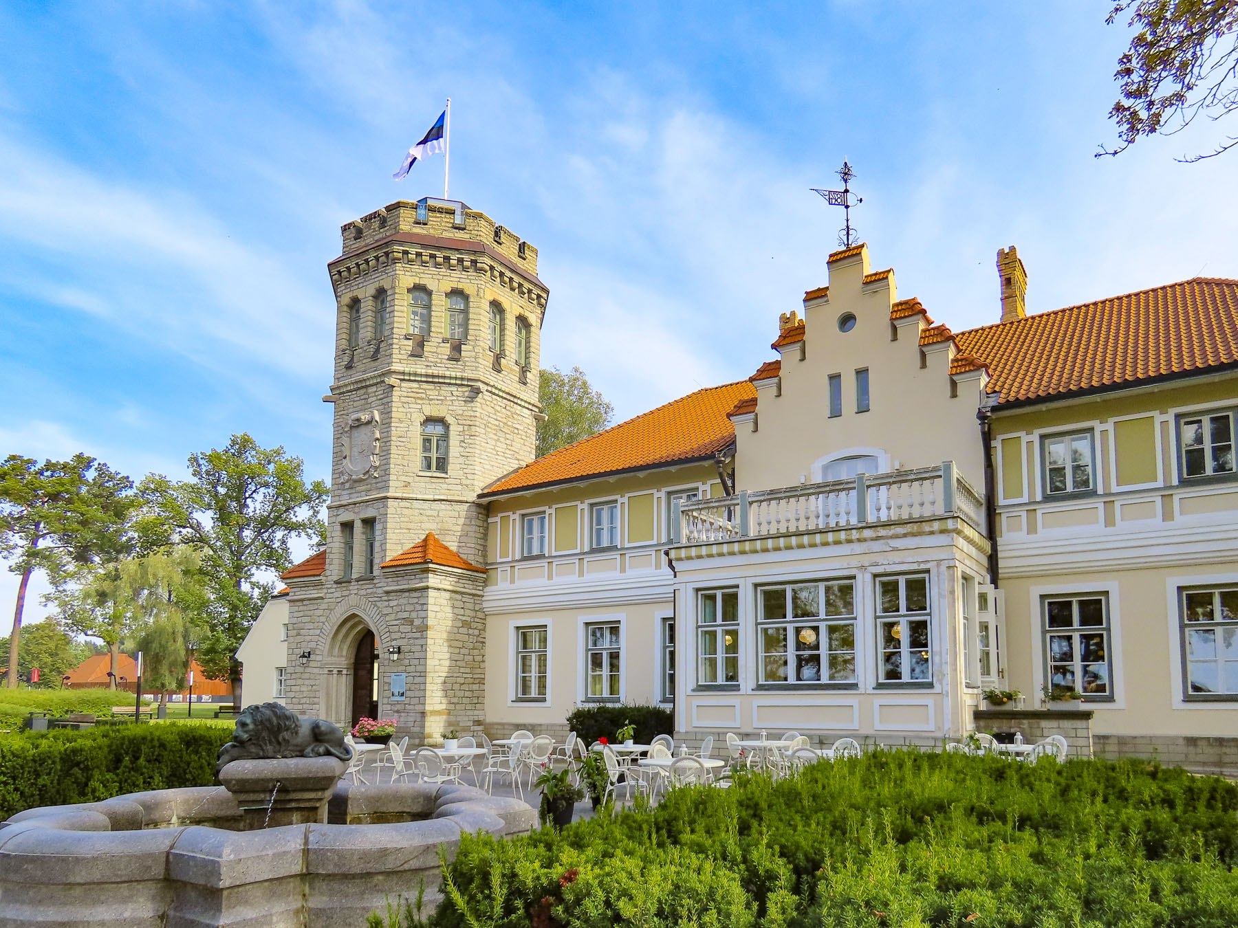
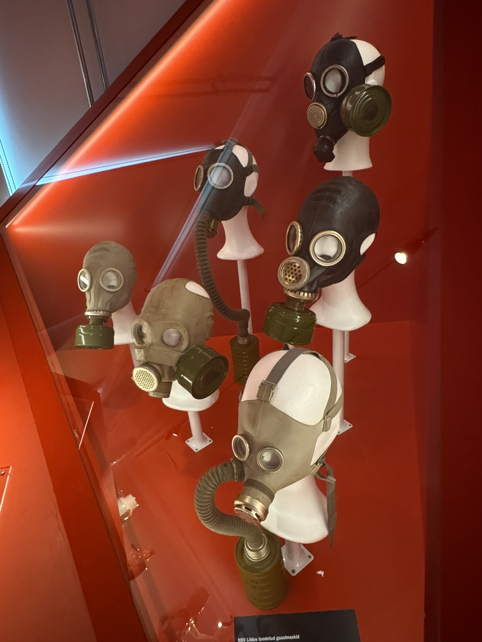
The history museum at Maarjamäe Castle was an unusual first stop for us after picking up our rental car at the airport. But it was the closest we’d be to it during our three-week road trip through Estonia, Latvia, and Lithuania. The museum is in a renovated 17th-century chateau, which was left to ruin for decades during the communist Russia occupation of Estonia. It is beautifully set on a bluff across from Tallinn Bay, and was built by the Brotherhood of Black Heads, a professional association of unmarried ship owners, merchants and foreigners dating from the 14th century, as a summer retreat.

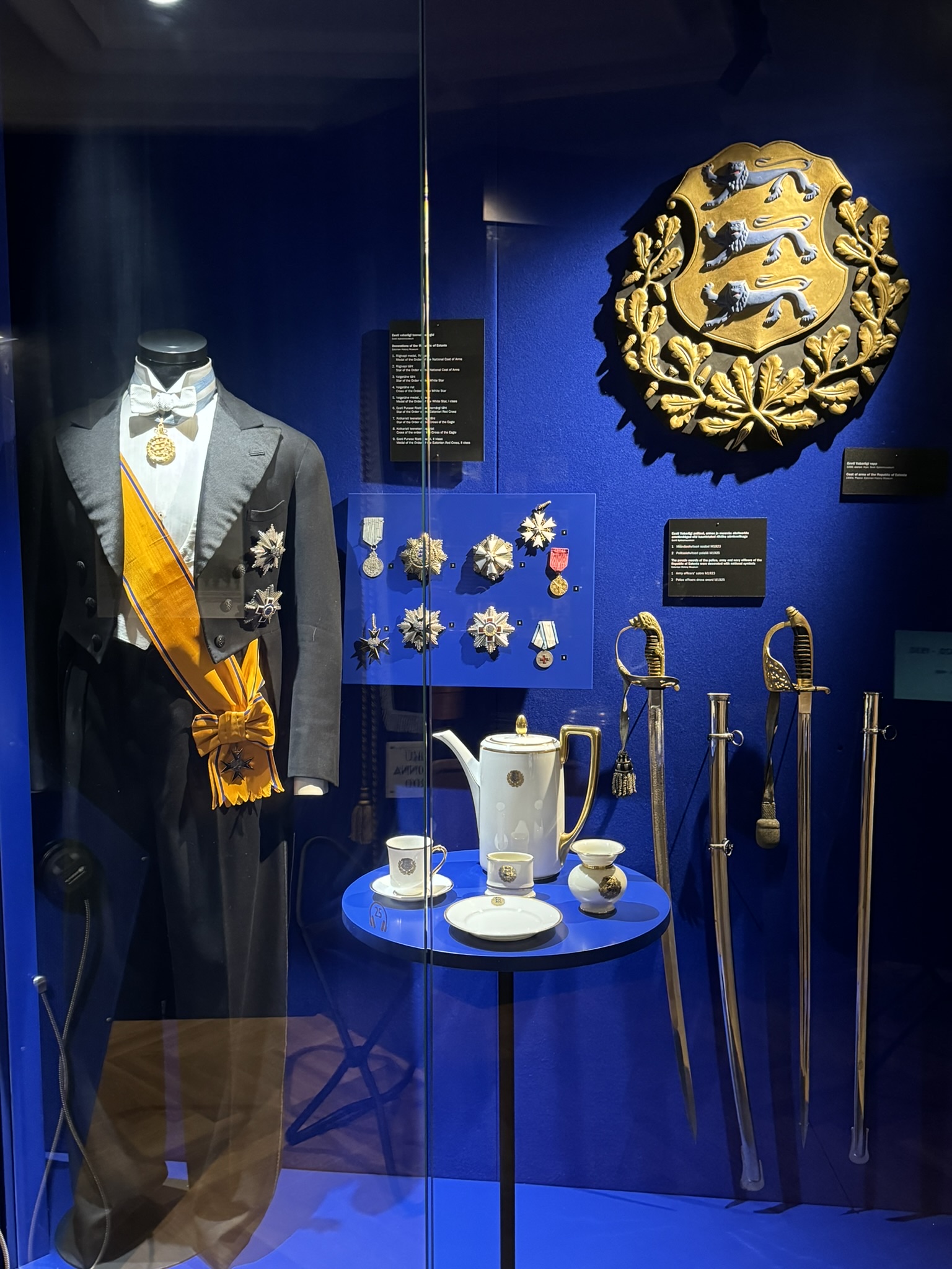
Today the museum’s permanent exhibit, My Free Country, explores 100 years of modern Estonia’s history, from its 1918 declaration of independence from Russia, and the following War of Liberation, through twenty years as a sovereign nation before being invaded by Nazi Germany and communist Russia during the Second World War. The fifty years of brutal Russian occupation after World War II and communist propaganda are also covered, up to Estonia’s 1991 second declaration of independence from Russia, which was overwhelmingly supported by 78 percent of Estonians. It’s a difficult mission to reconcile the terror of the communist years into a bright, hopeful future, but historical research, as well as oral histories, document forced resettlements to Siberia and imprisonment in labor camps during the Soviet reign of terror, when Estonians were prisoners within their own country and shot if they tried to escape. The exhibit highlights a proud history of an unrelenting desire for freedom, which prevailed under the worst conditions. A history that, it is hoped, the younger generation of Estonians, who have not experienced communism, never forgets. As one quote on an exhibit referring to Russia said, “Nothing good ever comes from the east.”

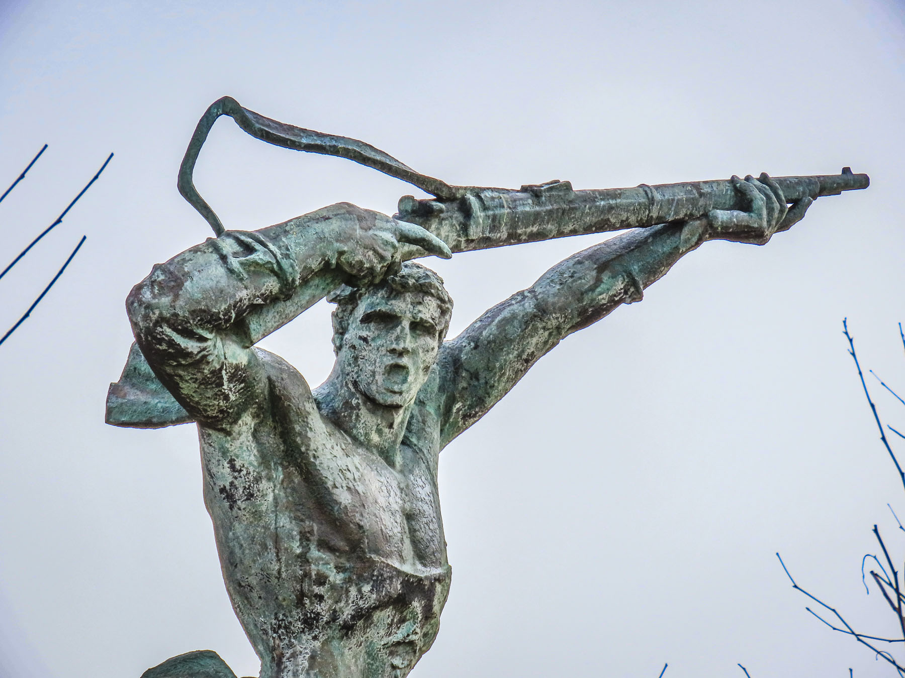
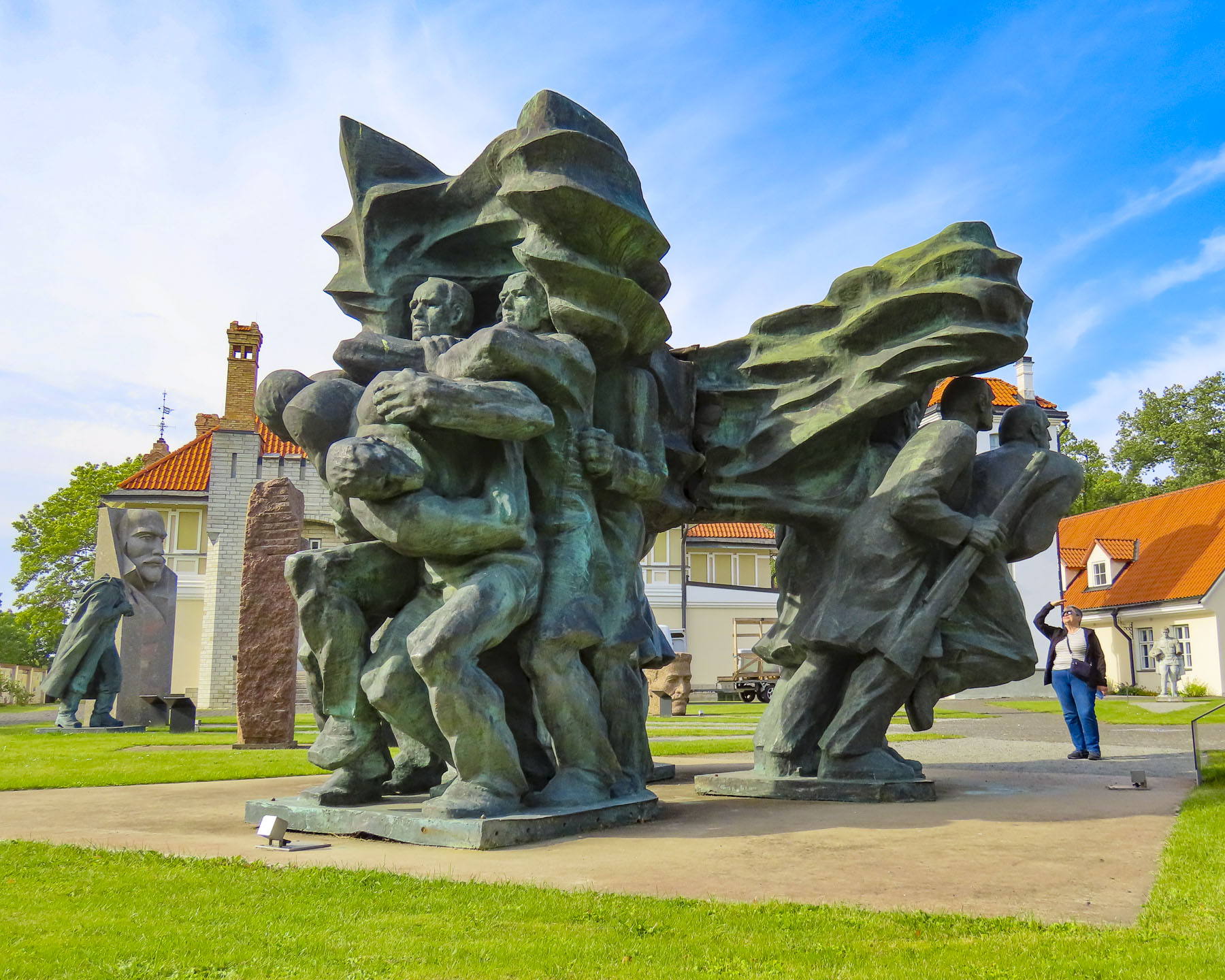
After the 1991 independence, colossal, large-scale Russian propaganda sculptures, which once dominated prominent public spaces across the country, were removed from view but not destroyed, as they are part of Estonia’s history. However, they were erected behind the museum in a space fittingly called, with Estonian humor, “the Soviet Statue Graveyard.”
Our first lunch in Estonia was at the museum’s café, Maarjamäe Resto, an unexpected culinary delight, which could be considered a destination in and of itself.

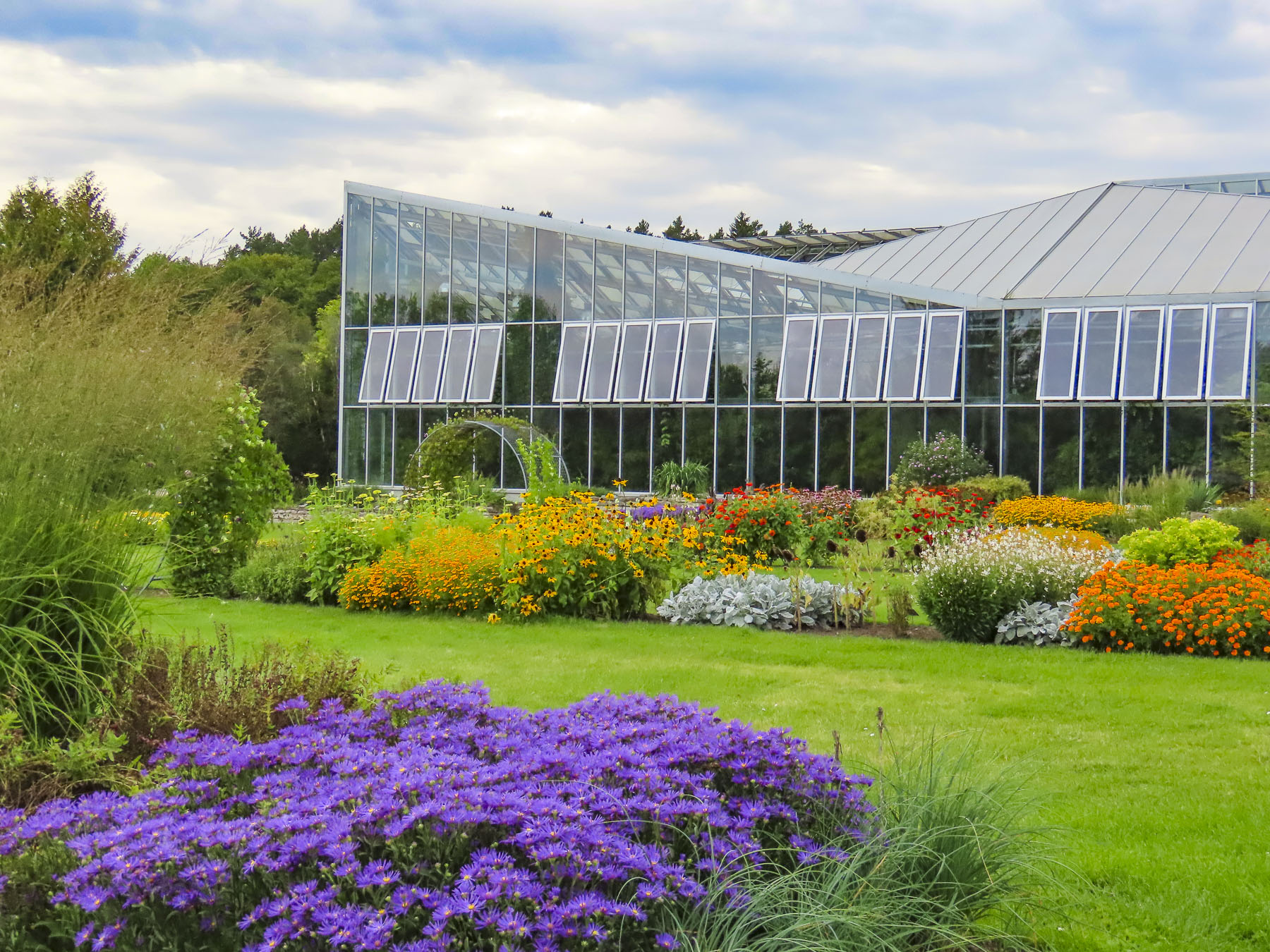
It was still too early to check in to our hotel in Tallinn, so we headed nearby to the Tallinn Botanic Garden, a large park with an extensive greehouse. The grounds were quite pleasing with their plantings, and the greenhouse with its various collections of tropical plants was very interesting. Though in the section filled with cactuses from around the world, Donna, ouch!, accidently brushed one with her hand and imbedded some spines into her skin. Not a huge issue when you are home and have the proper tools to pluck the pesty spines from your skin and relieve the discomfort, but when you are traveling, it’s another issue entirely.
Fortunately, the barista operating the café in the greenhouse had dealt with this before, and he ran out to his car to fetch a roll of good old-fashioned duct tape to grasp those microscopic thorns. He was very nice, a 30ish Italian man who during conversation jokingly related that being a part time medic was not part of his job description when he was hired, and visitors getting pricked with cactus thorns happens more often than you would think.  We were curious how a warm-blooded southerner ended up in the northern Baltics. “You know there is always a woman to blame, and I followed my love back to her Estonian homeland.” We asked if he missed the warm Mediterranean weather and la dolce vita. Yes, the weather is nicer, so we visit my family, but life is better here in Estonia as there are more opportunities for those willing to work and get ahead. Estonia is leaps and bounds ahead of the other European countries in embracing digital technologies. So much so that the government considers internet access a fundamental right and ensures that everyone across the country, even on the smallest islands, has reliable internet, and offers digital literacy programs for the technology challenged. The government also endorses working from home remotely, and offers an Estonian Digital Nomad Visa. “Estonia is very big in cybersecurity, and this enables every person, business, and government institution to be connected. We are one of the most digitally advanced countries, and we can even vote securely online in Estonia.” This digital future contrasted with as well as complemented the vibrant centuries-old walled city of Tallinn.

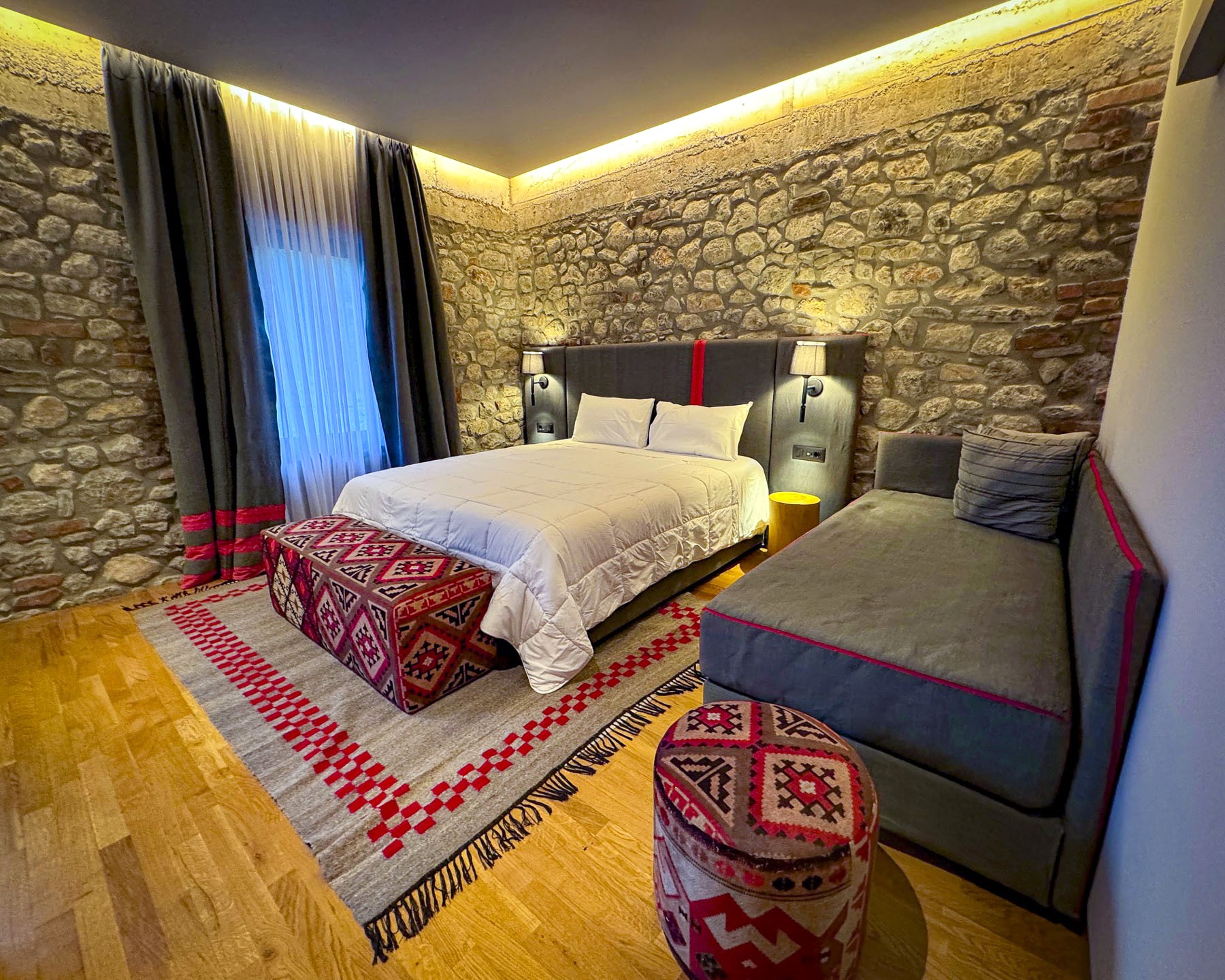
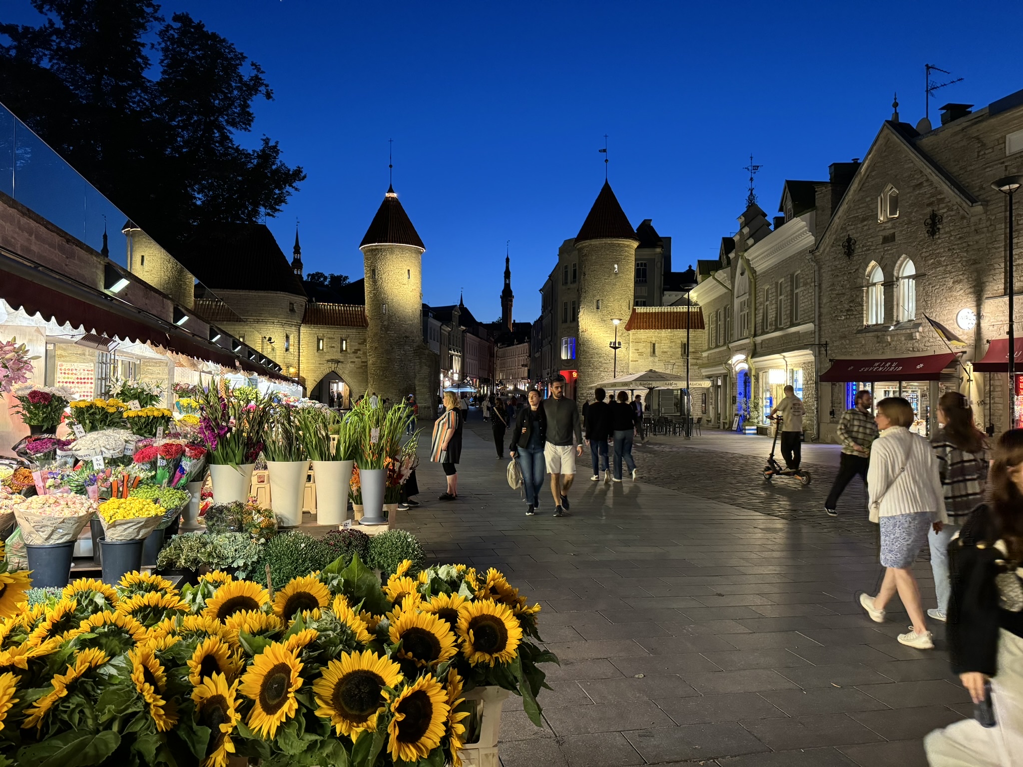
Despite not having particular plans for Tallinn, we knew we would enjoy exploring the city as soon as we saw the ancient architecture along the way to our hotel. Having a rental car and finding a hotel with free parking is difficult in any city, but we scored big withTaanilinna Hotell. The hotel was in an excellent location, just on the opposite side of the old town’s historic ramparts, and a short walk from the 14th-century stone towers of the Viru Gate’s flower market.

Google Maps got us close, but the hotel was a little difficult to find, and we mistakenly drove through a pedestrian only area; fortunately, there were few people about. In order to find the hotel, we parked and walked down the street, when we spotted the hotel’s sign, which was set back from the lane. It’s a modest hotel, and the staff was very nice. We enjoyed a quiet 4-night stay.
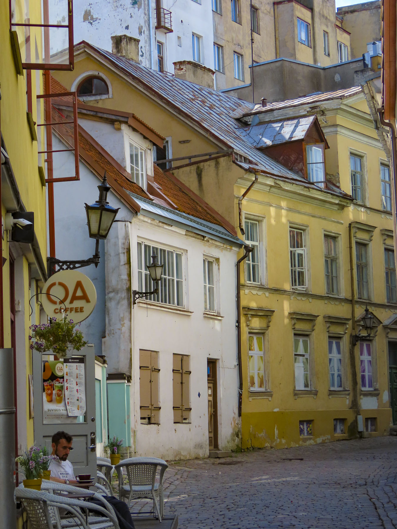
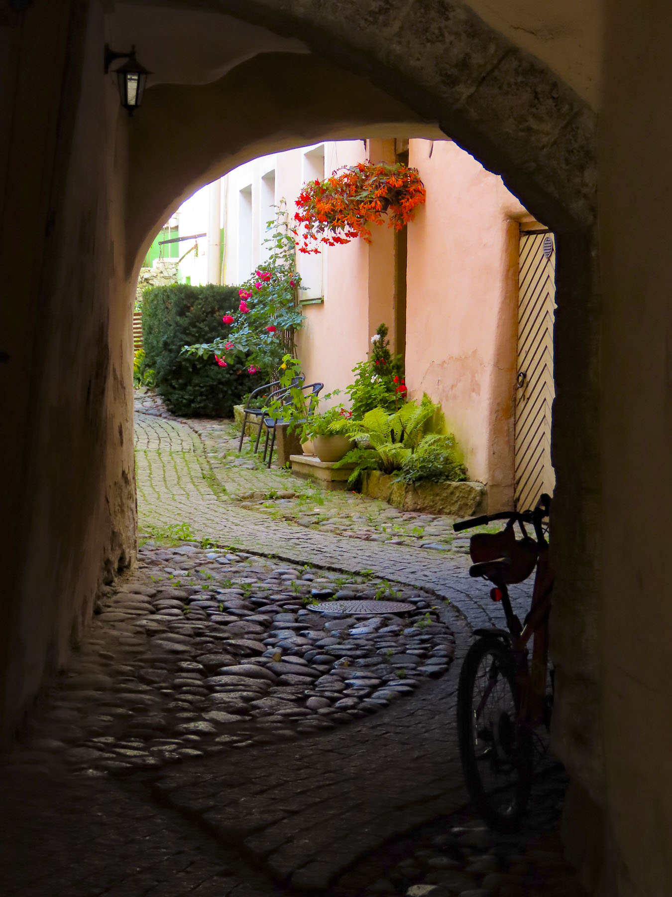
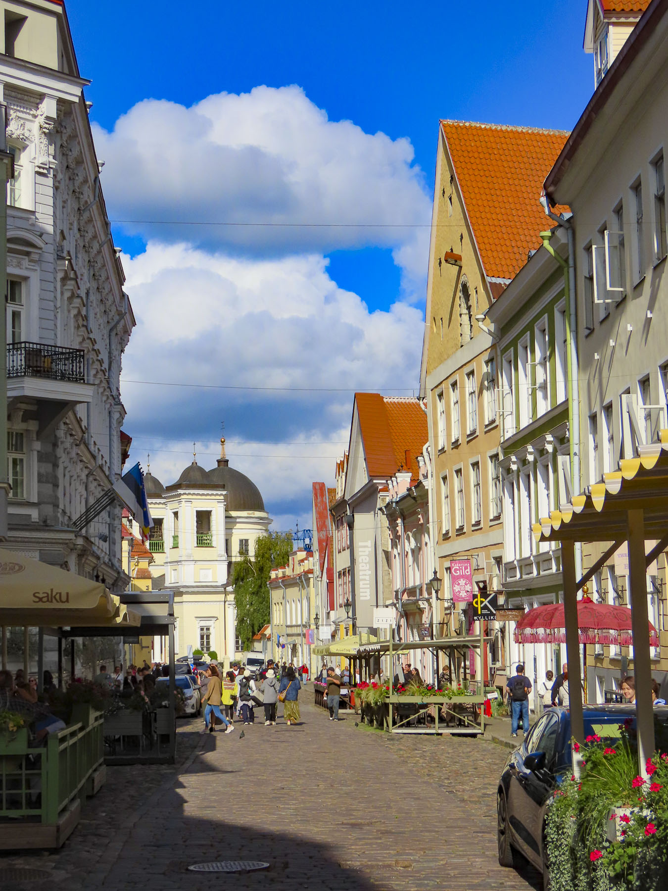
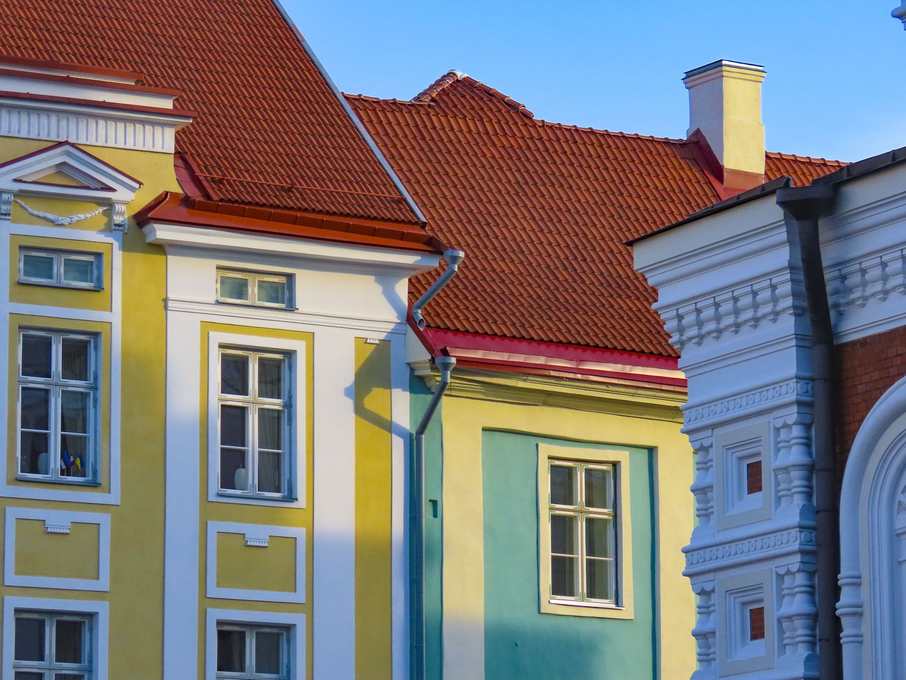
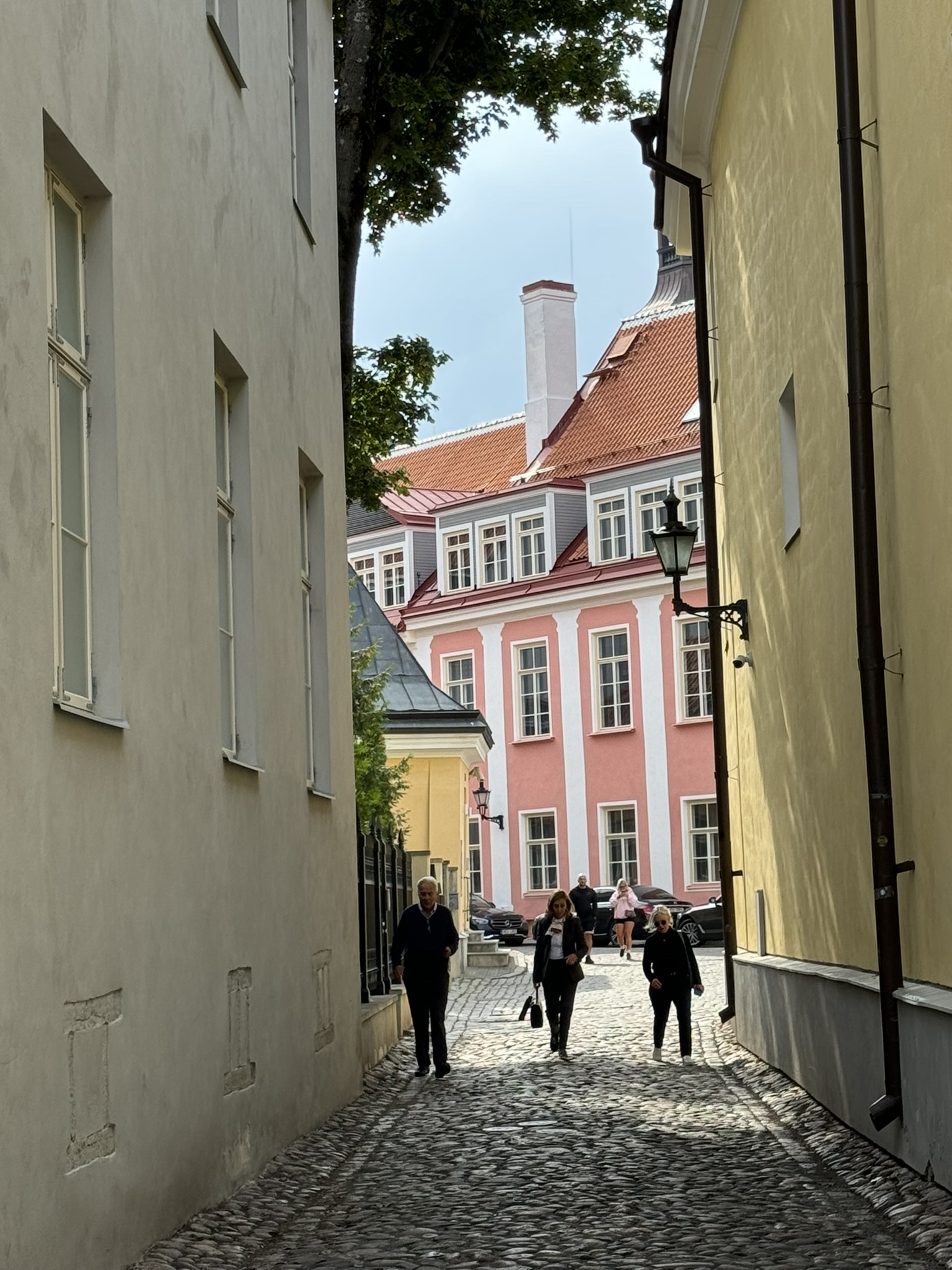
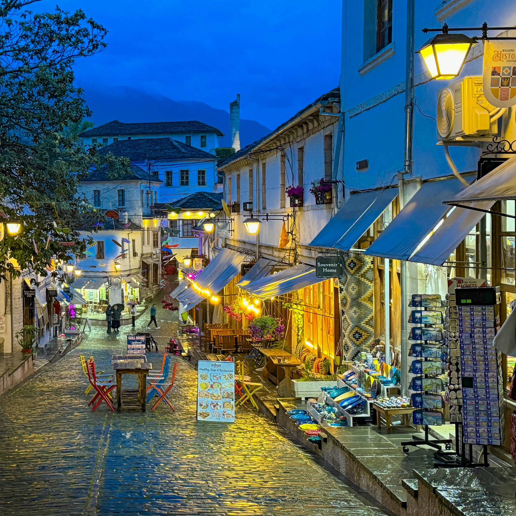
With Tallinn’s old defensive wall only a stone’s throw away, history surrounded around us, and we quickly set out to explore and to find a place for dinner as twilight descended on the old town. Our wandering took us down various lanes, past distinctive centuries-old 4 to 5 story tall buildings that served, as was the medieval custom of the time, as the multifunctional home/warehouse/offices of wealthy merchants.

Lights twinkled on and illuminated the cobblestones in a golden glow. I know it’s cliché, but our first impressions of Raekoja Plats, the Town Hall Square, anchored with its soaring 64M (300FT) tall 13th-century watch tower, were beautiful, charming and magical. We were disappointed to learn that the tower is only open from the beginning of June to the end of August. We love a good tower climb!
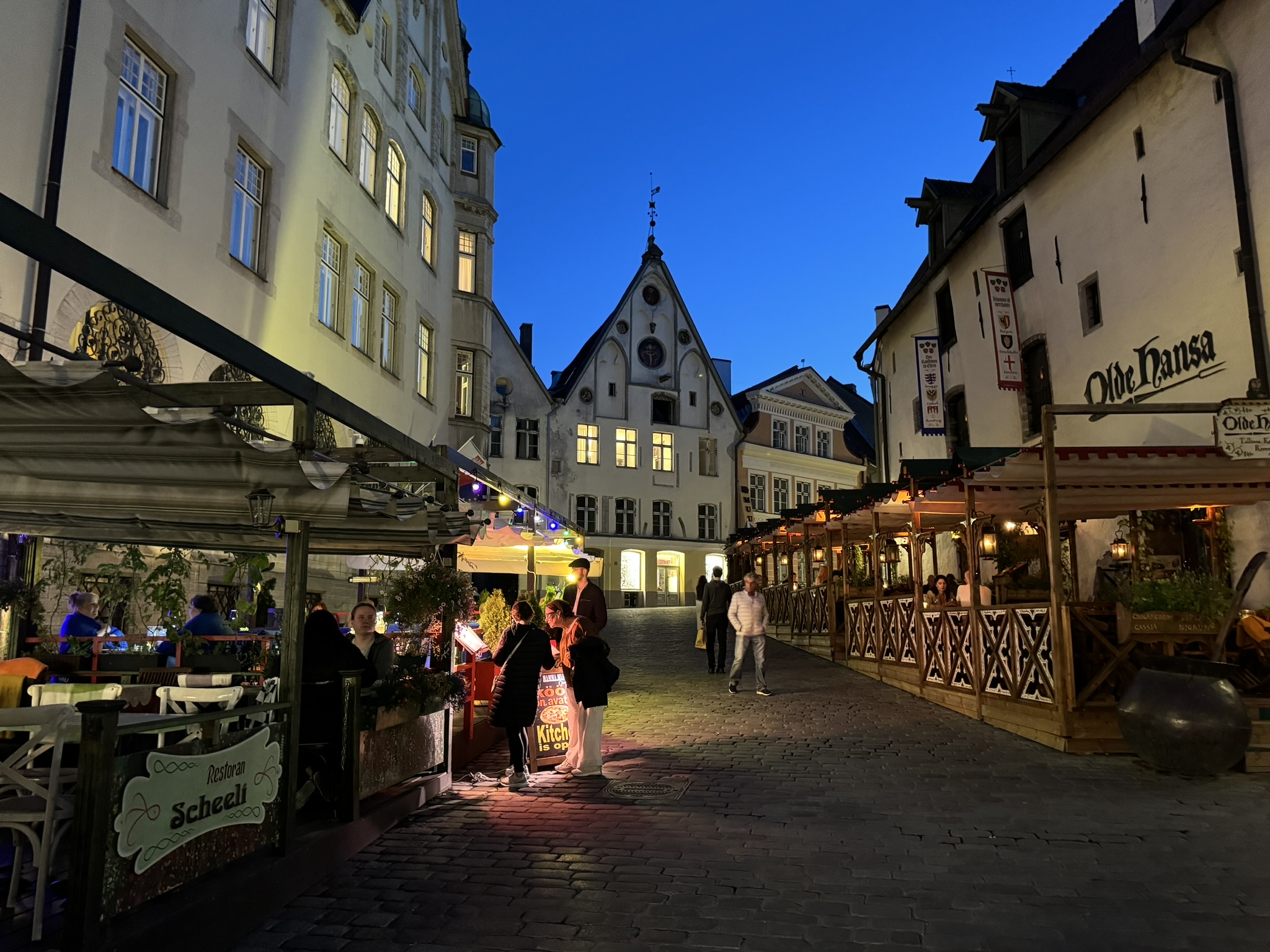
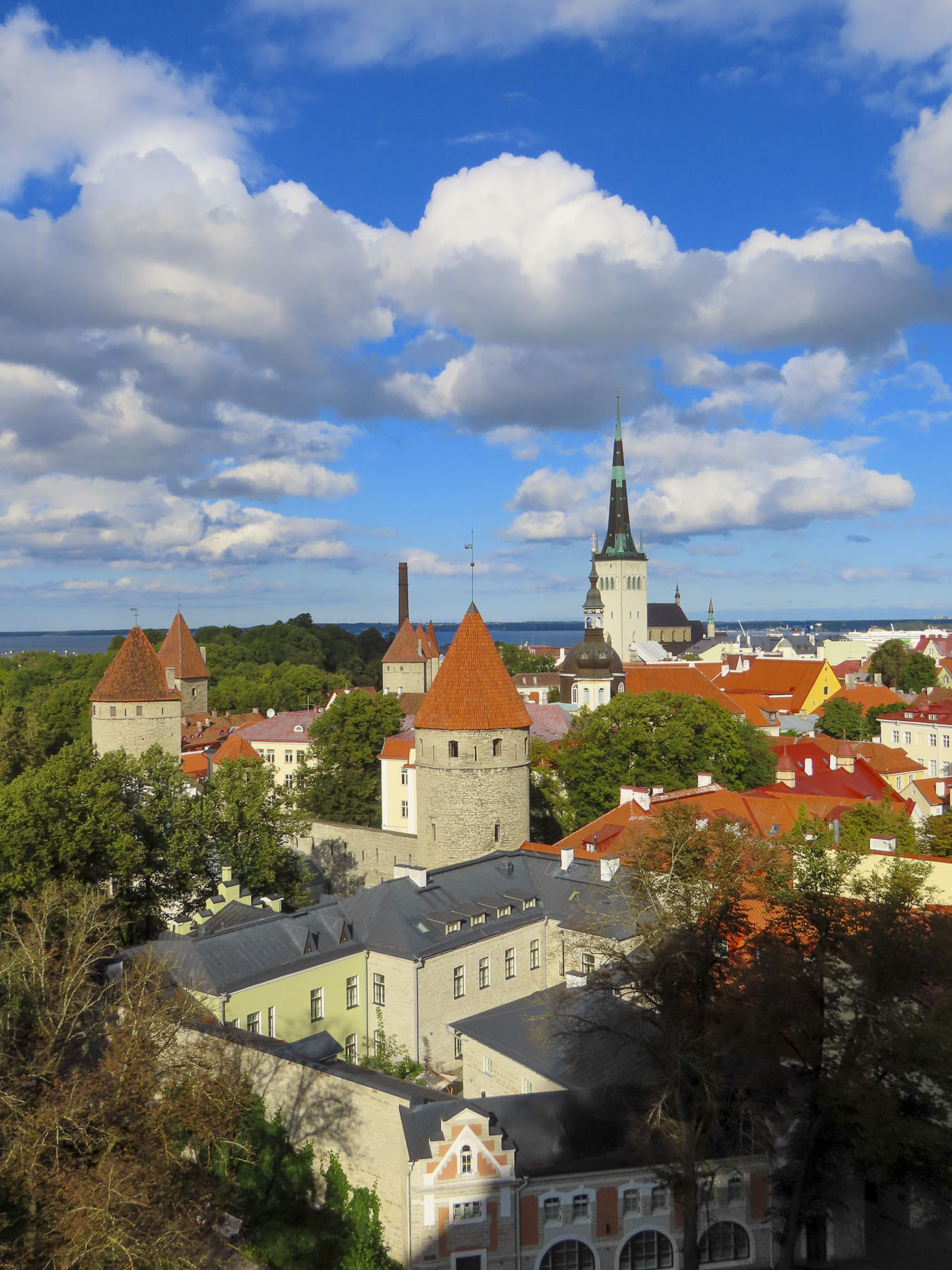
Still retaining its original footprint, Tallinn is one of Europe’s best preserved medieval cities, with 26 watchtowers along its ancient ramparts and city gates, topped with distinctive cone-shaped red roofs.  The walled city still encircles a vibrant and active community, which supports a lively arts scene, along with a robust nightlife.

Its preservation seems surprising for a city that has stood at the crossroads of conflict since it was founded by a Danish King in the early 1200s. In addition to the Danes, Tallinn has been ruled by the Brotherhood of the Sword, the Teutonic Order, the Holy Roman Empire, the Swedish Empire, Czarist Russia, Nazi Germany, and the Soviet Union. The city’s prosperity and resilience throughout the centuries is testimony to the strong spirit of the Estonian people. 

One of the nice things we enjoy about staying in one place for several days is the opportunity to experience the locale as it quietly awakens with the sun. Whether it is cloudless blue skies or a place cloaked under clouds with folks huddled under umbrellas to ward off the rain, a place breathes and its mood changes by the hour, from day to day. The destinations on our walks were always different, but we often crossed the same lanes and stopped to photograph something different that caught our eye, which we hadn’t noticed before.

Old town Tallinn is mostly flat and is a wonderfully walkable city. There is a short uphill stretch to Toompea Hill (the upper city), where we visited the Kiek in de Kök Museum, the Bastion Tunnels, and Neitsitorn, the Maiden’s Tower. During the 1700s when the towers lost their military significance they were often repurposed as private apartments, with a craftperson’s workplace on the lower level, and rooms above. During both world wars the tunnels were used as air raid shelters. While the towers were lived in continually, most famously by the Estonian painters and twin brothers, Kristjan and Paul Raud, until the 1960s, when the city deemed them unsafe for habitation.  Abandoned, the towers became a destination for homeless squatters and Estonia’s emerging counterculture. The extensive tunnels were an area the police refused to go. A popular, unlicensed bar opened in the tower on New Year’s Eve in 1980. Unfortunately, it didn’t survive the economic turmoil of the era as the Soviet Union began its descent into a failed state.

After an extensive multiyear renovation, the Kiek in de Kök Museum opened in 2005. The Maiden’s Tower now hosts a new Neitsitorn café, which has a nice view out over the Danish King’s Garden, and the ghostly blackened bronze statues of three monks named Ambrosius, Bartholomeus, and Claudius. Legend holds that they occasionally appear spectrally in the garden, though the only thing that appeared the morning we visited was a sleek red Ferrari 296 GTB that was the center of a photo shoot. The tower also has the re-created art studio of the twins, Kristjan and Paul Raud. The tunnels under the ramparts have been creatively reenvisioned and now house a variety of interactive digital multimedia and historical exhibits.

A walkway along the ramparts between the towers at the museum led to an exhibit about Tallinn’s café culture. Though the first coffee house opened in the town of Narva in 1697, Tallinn didn’t get its first café until 1702 when one opened on Town Hall Square. The oldest still-operating café dates from 1864, when the renown marzipan bakery, Maiasmokk, decided to offer coffee to go along with their tasty, sweet treats. After 160 years the Maiasmokk Café, even surviving nationalization during the Soviet occupation, is still open and a beloved cultural institution in Tallinn. Most of the exhibits address Tallinn’s café culture during the repressive communist era, when going to a café to share a coffee was one of the few recreational activities people could afford. With our “walk a little then café” philosophy for exploring a city, we felt we had found kindred spirits in Tallinn.

Decades later Estonian’s infatuation with coffee continues. This cultural obsession was fully on display when Estonian singer Tommy Cash performed “Espresso Macchiato,” during the finals for Estonia’s 2025 Eurovision contest and came in third place! Though in Italy some humorless Italians didn’t like the caffeinated cliches and called for the song’s banning.
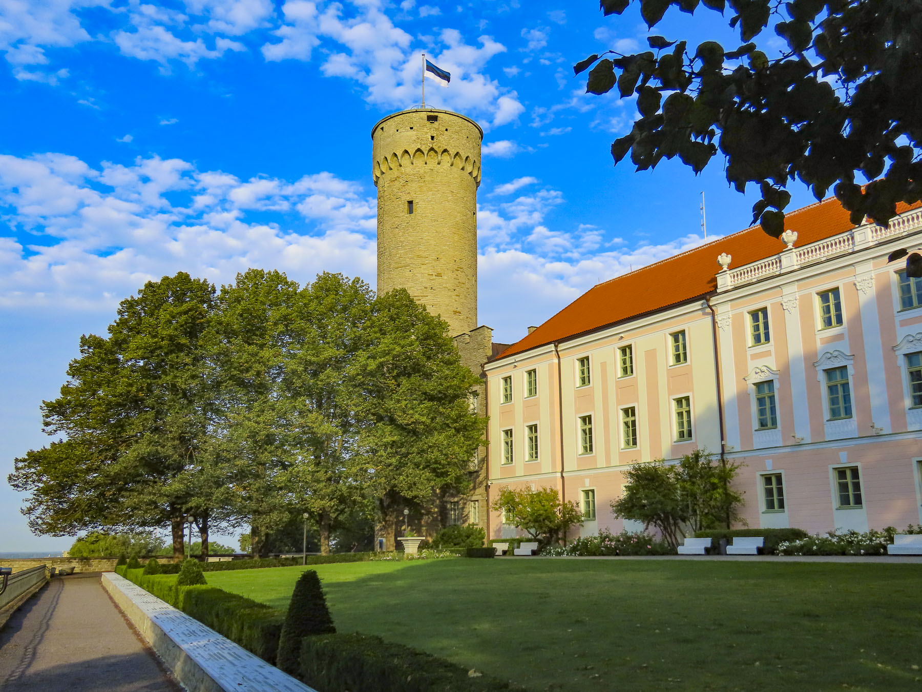
Other points of interest on the hill included the onion-shaped spires of the Russian Orthodox Alexander Nevsky Cathedral. It’s across the street from the pink building that houses the Estonian Parliament. (A very good eye-level view of the cathedral can be seen, on the uphill walk, from the restored bell tower of the mid-1400s St. Nicholas’ Church.

He was the patron saint of merchants and seafarers. It was formerly one of the wealthiest churches in Tallinn until it was severely damaged by WWII bombing. Fortunately, many of its fine ecclesiastical art works, acquired from the art capitals of Europe during the Hanseatic era, had been removed from the church for safekeeping at the start of World War II.  Now restored after a 30-year long renovation, the church serves as the Niguliste Muuseum, and exhibits the works that survived that cataclysmic war. Fortunately, the 105 meters, 345 ft, tall spire has an elevator that whisked us to the viewing deck.)

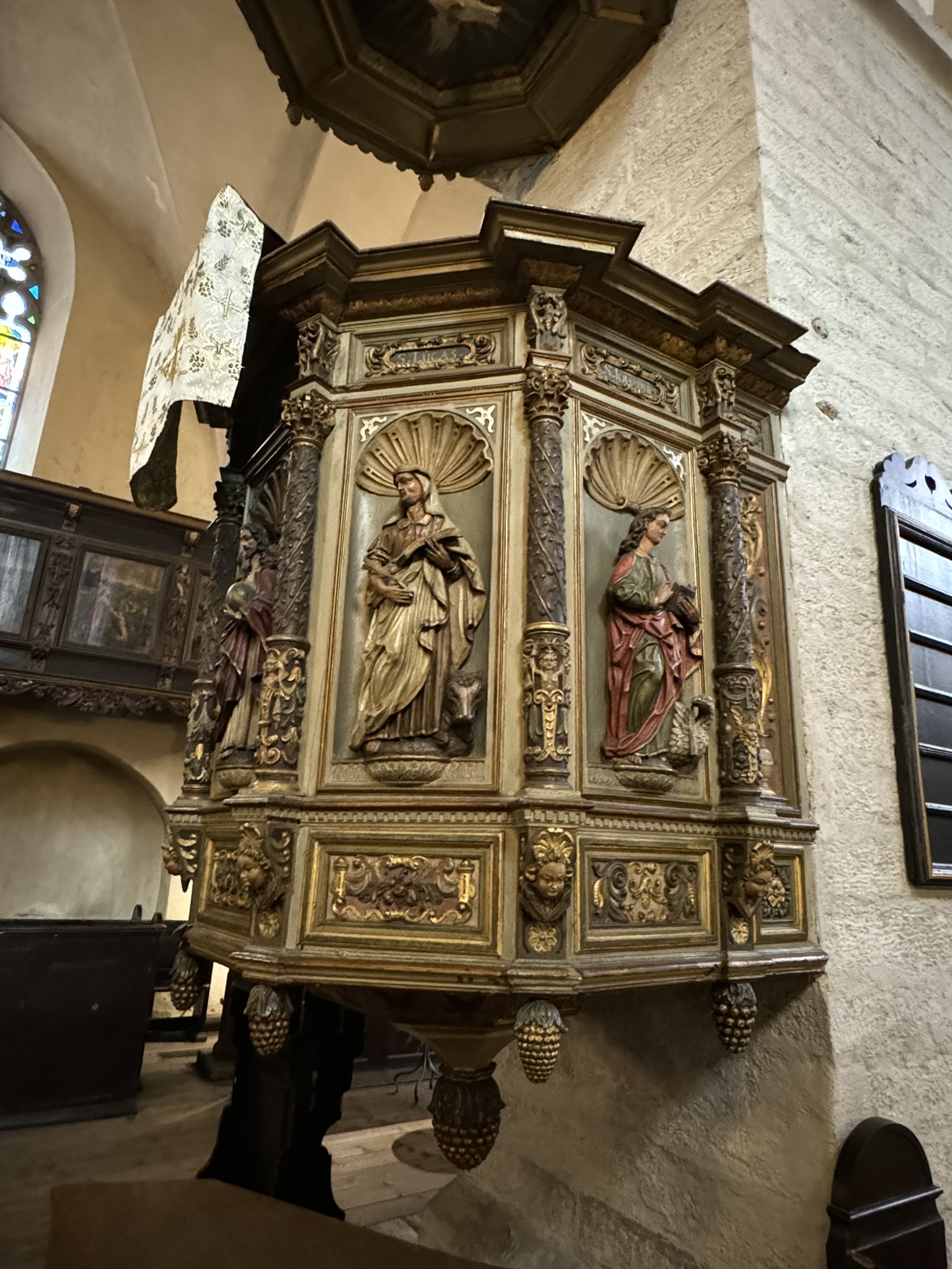
Farther along in one of Tallinn’s oldest churches, the 13th century St Mary’s Cathedral, there is a unique private worship box, totally enclosed with shaded windows, built directly across from and on the same level as the pulpit. Jokingly, we speculated it was designed for a wealthy patron so he could fall asleep and snore, without embarrassment, as the priest orated endlessly.

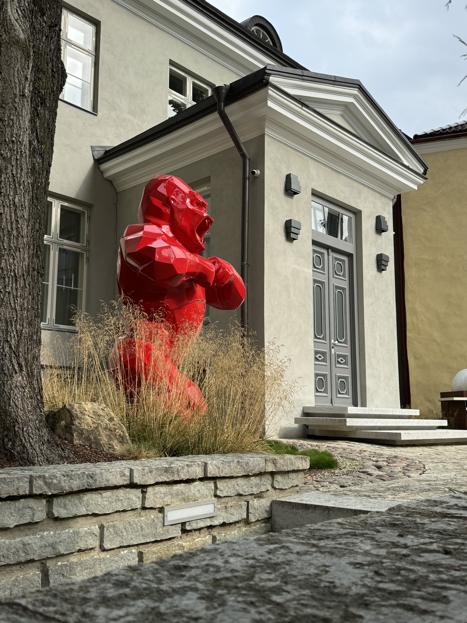
The hill also has the best vantage point for cityscapes of Tallinn’s historic skyline, the Patkuli Viewing Platform, and a mysterious red gorilla, that seems incongruously out of place. But we will leave him for you to find.
Stairs from the viewing platform ascended back toward the lower town, and we were close to Balti Jaama Turg, the Baltic Station Market. It was Tallinn’s first train station constructed in the 1860s, and became a market hall in 1993. A major renovation in 2017 totally revamped the three-level market, which has become a magnet for residents and tourists seeking a lively venue filled with diverse international eateries, antiques vendors, clothing shops, and food stores.

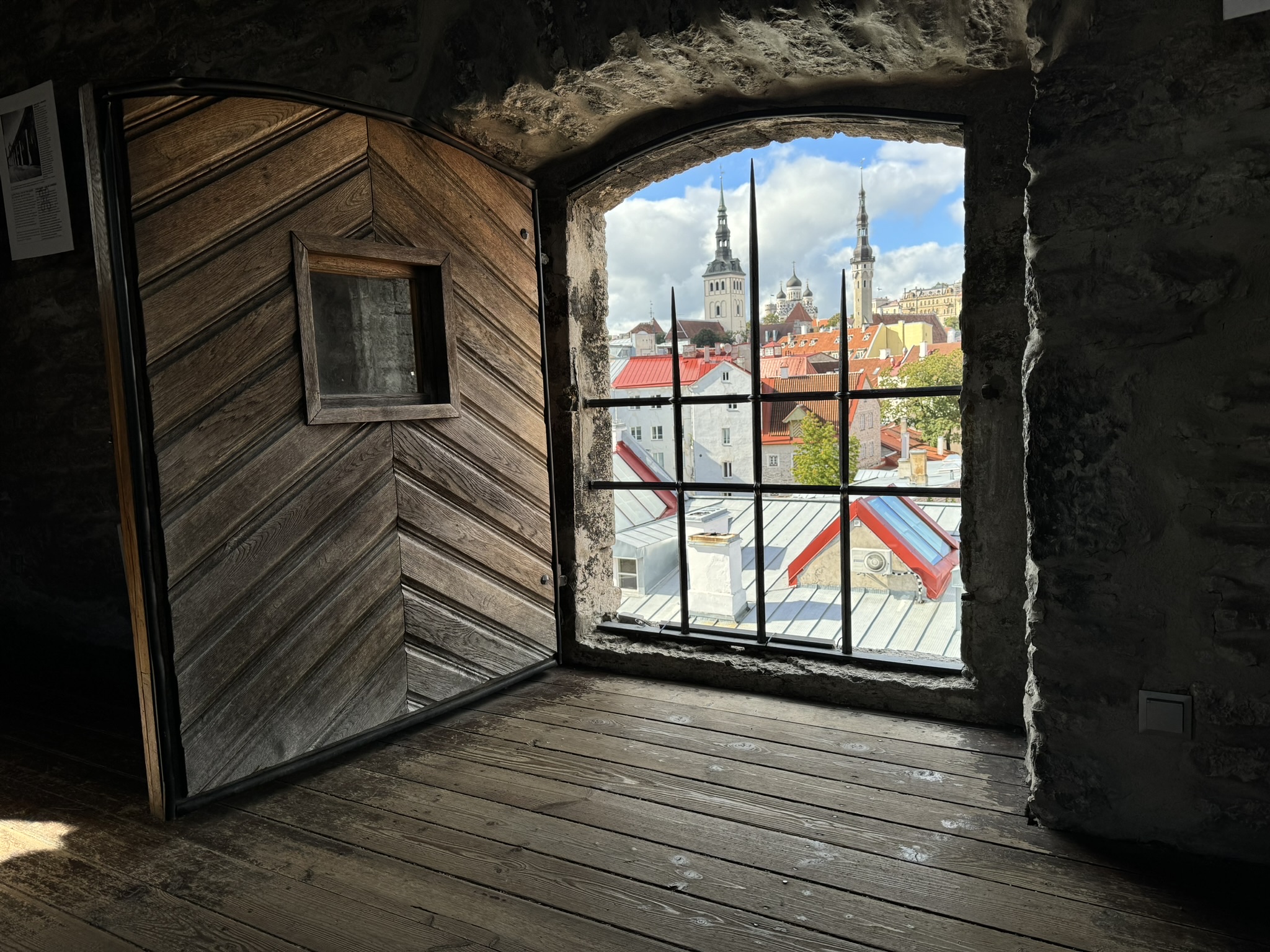
The next day, closer to our hotel, we wandered about, climbed more towers, walked along arched and tunneled alleyways, and descended into a cellar or two. Our walk along Müürivahe Street to the Hellemann Tower and Town Wall Walkway was quite interesting. The real prize was the view from the tower window towards Town Hall Square – it was a panorama filled with red tiled roofs and steeples.

Across from it was the Dominican Convent built in 1246. It was the oldest monastery in Tallinn and supported the adjacent St. Catherine’s Church which was completed in the early 1300’s. The convent couldn’t exist solely on the alms it collected, but the friars were an industrious group who supported themselves as farmers, and traders of fish, while also operating a brewery that sold four different kinds of beer, while they spread the gospel. “The monastery also drew profit from the veneration of relics,” and at one time, records suggest, they had “twelve silver reliquaries containing the heads of saints, with each head reputed to cure a different set of diseases.”
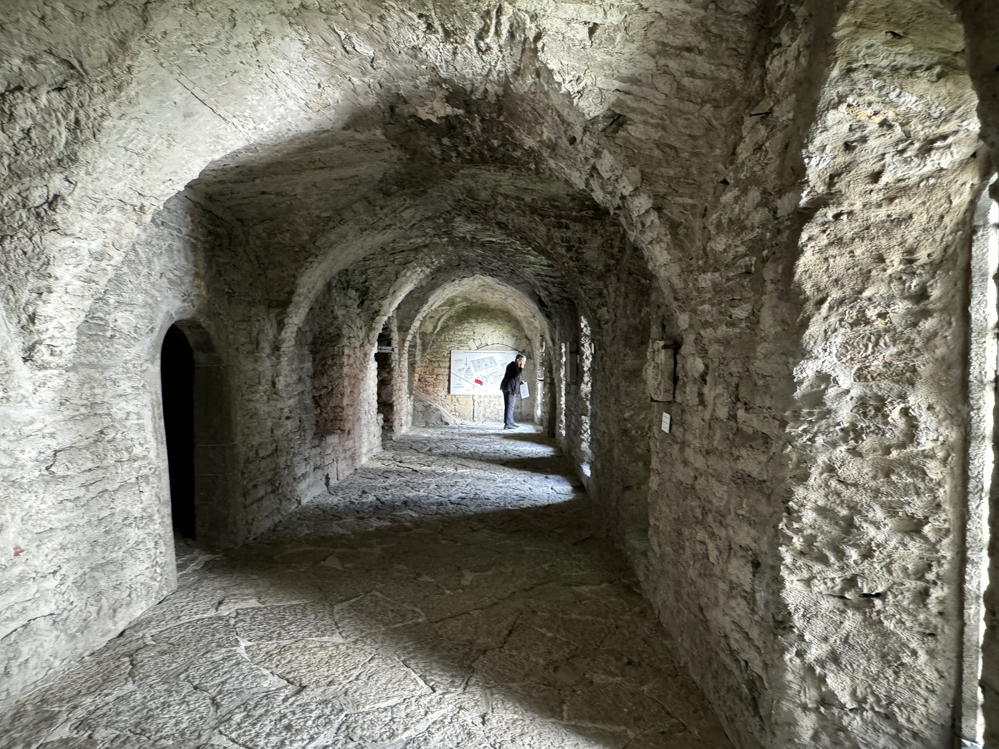
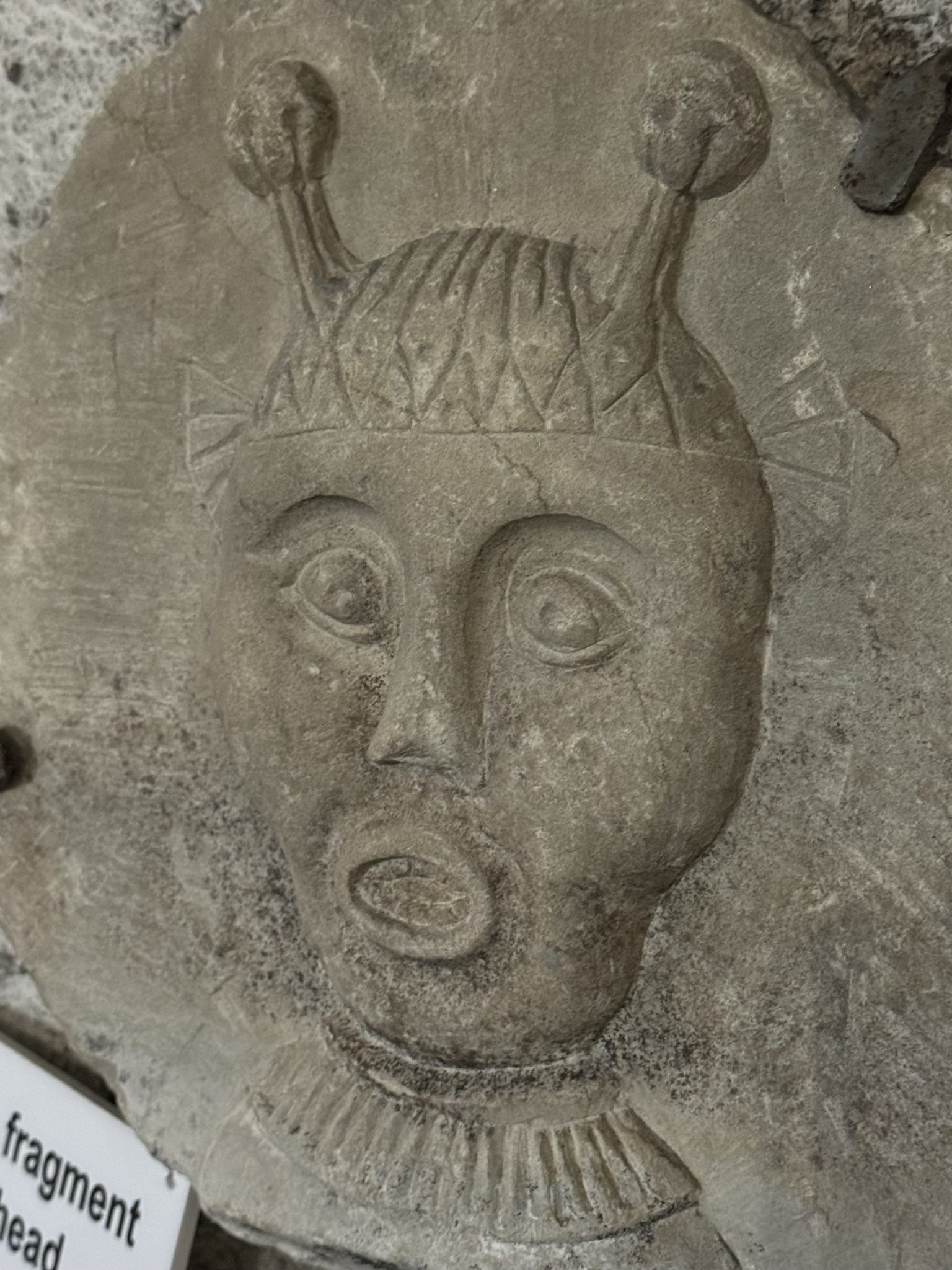
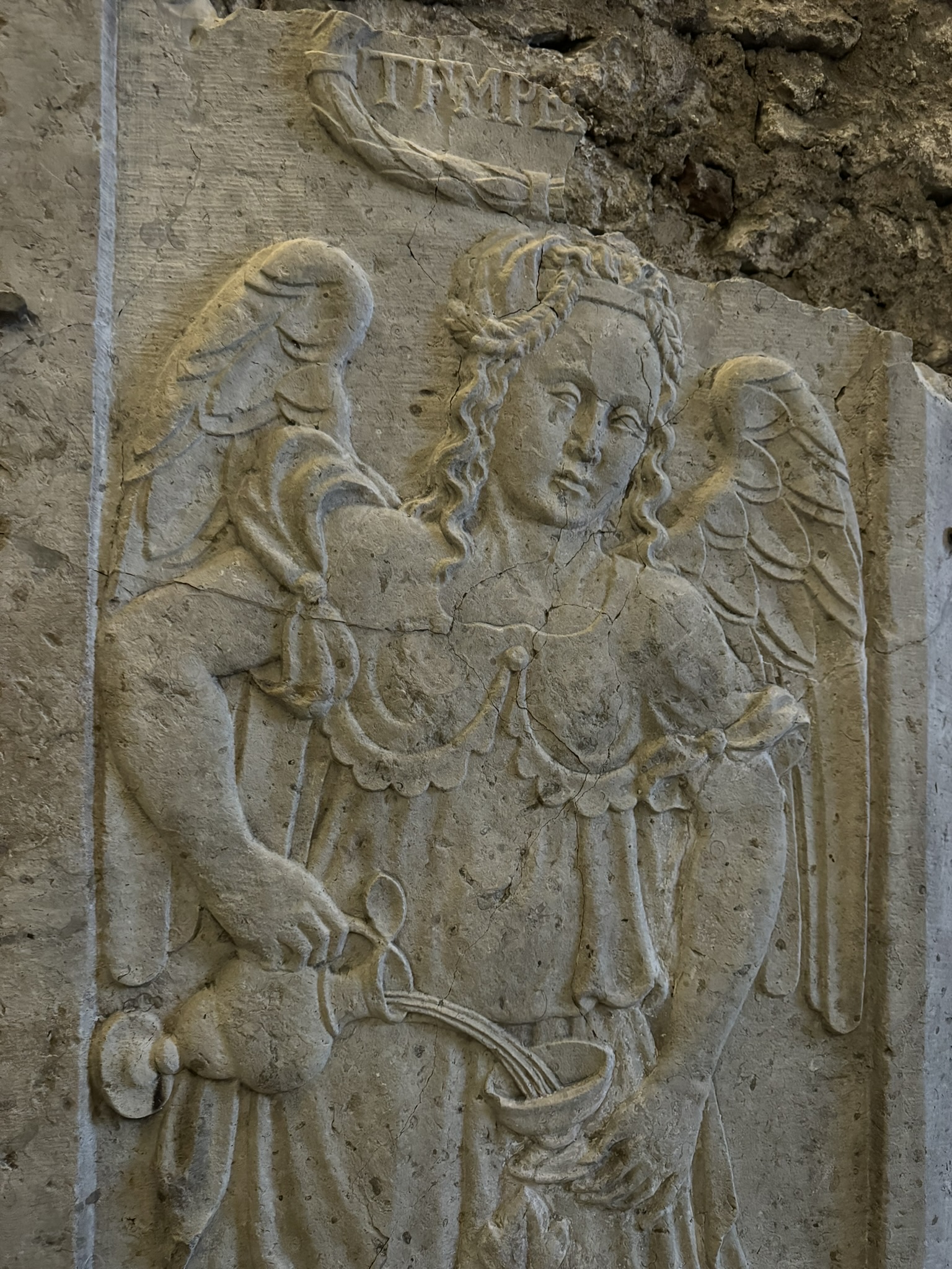
But everything came to an abrupt end during the Protestant Reformation in 1524 when a Lutheran mob ransacked the church and monastery, and the friars were expelled from Tallinn. A partial restoration was undertaken in 1954, and it’s now a museum, which also hosts art exhibits. Its rough stone chambers and some fine carved stone works were intriguing. We didn’t notice any fireplaces, which left us wondering how difficult living within these spartan walls must have been.
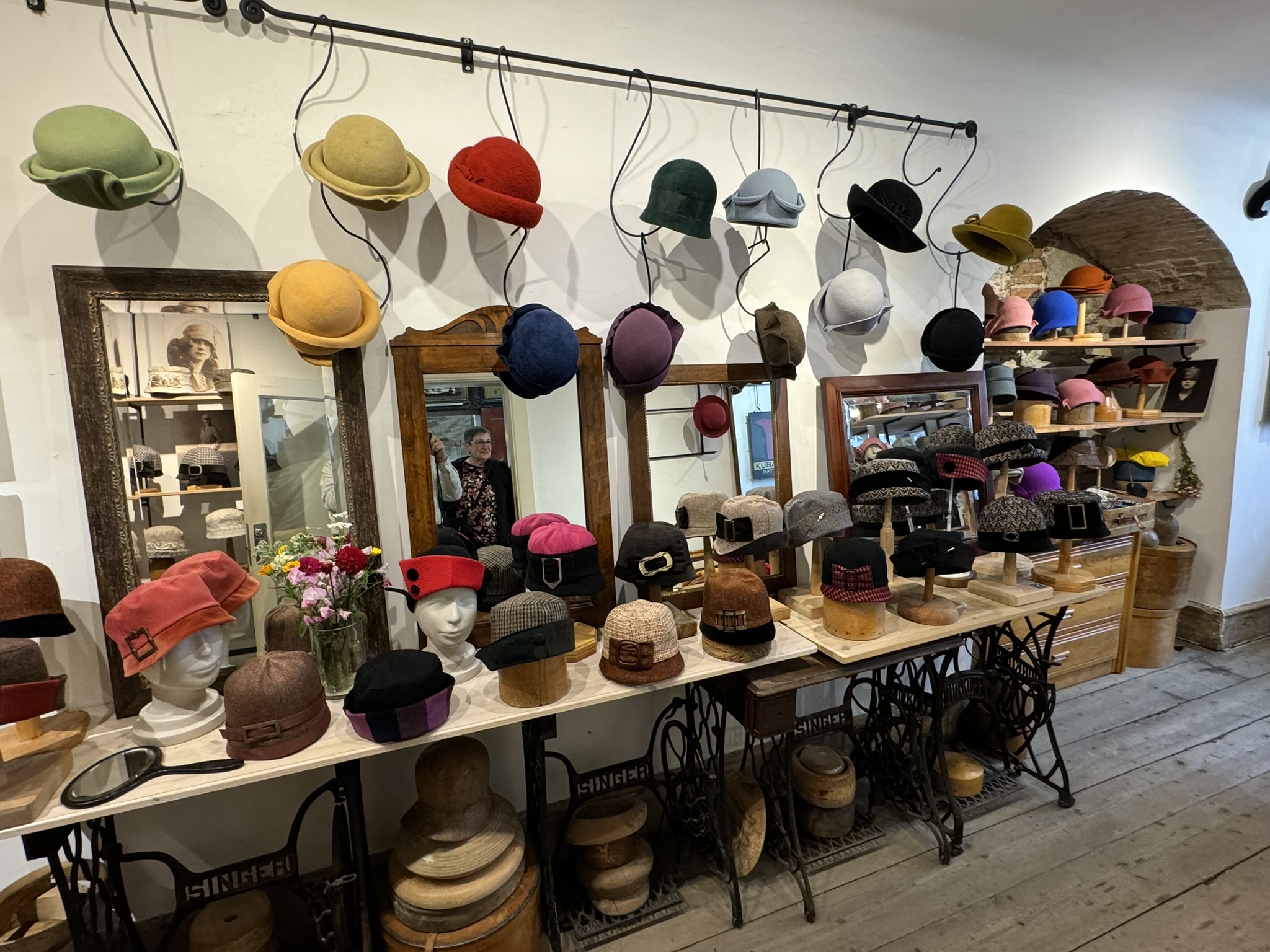
Next to the monastery is Katariina käik, St. Catherine’s Passage, an old medieval lane that separates the church from the surrounding buildings. Today it’s lined with restaurants offering Estonian cuisine, and artisanal crafts shops, featuring the talented women of the Katariina Gild who craft jewelry, weavings, ceramics, blown glass, and leatherwork. At the far end of the lane, under the arched entrance off Vene Street we found the Restaurant Munga Kelder to be a nice place to dine.

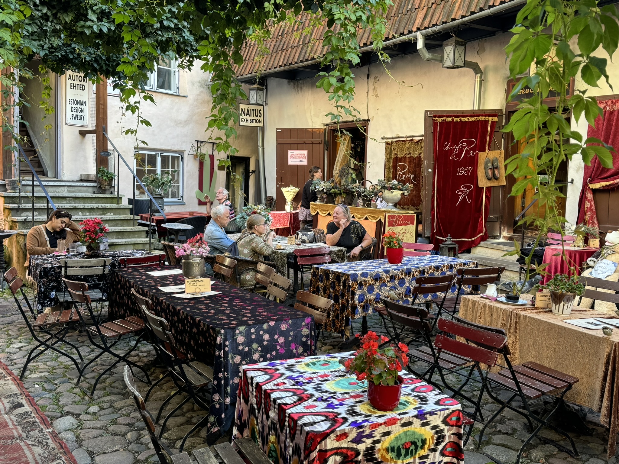
Within earshot of a town crier’s call was the Masters’ Courtyard. It similarly has unique craft vendors, but also has a restaurant that fills the courtyard with rustic tables covered with colorful tablecloths, which gives the courtyard a joyful, boisterous look.
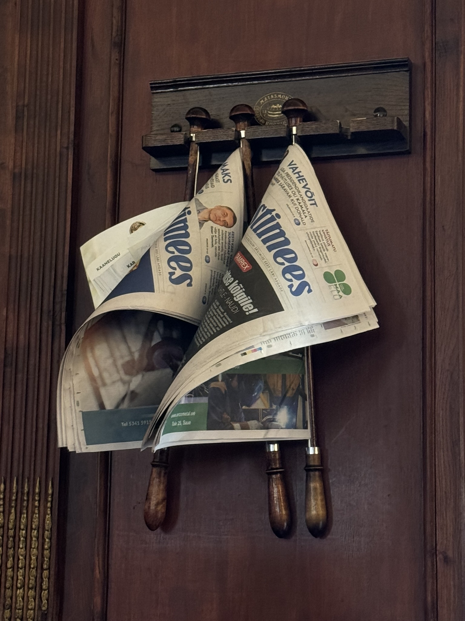
Marzipan lovers, we had to stop one afternoon at the Maiasmokk Café. The ambiance in the front room was very old school with an ornate ceiling, and mirrored walls with polished wood trim and newspaper hooks! When’s the last time you’ve actually seen a newspaper? Their colorful back room is a temple to marzipan with display cases showcasing the sweet crafted into figurines and other shapes.  The variety was just mind boggling. And if your timing is right you might be able to see them being made.

With our sugar cravings satiated, we checked out Tallinn’s Great Guild Hall, directly across from the café. It featured several floors of interesting exhibits dedicated to the city’s history and trade guilds.

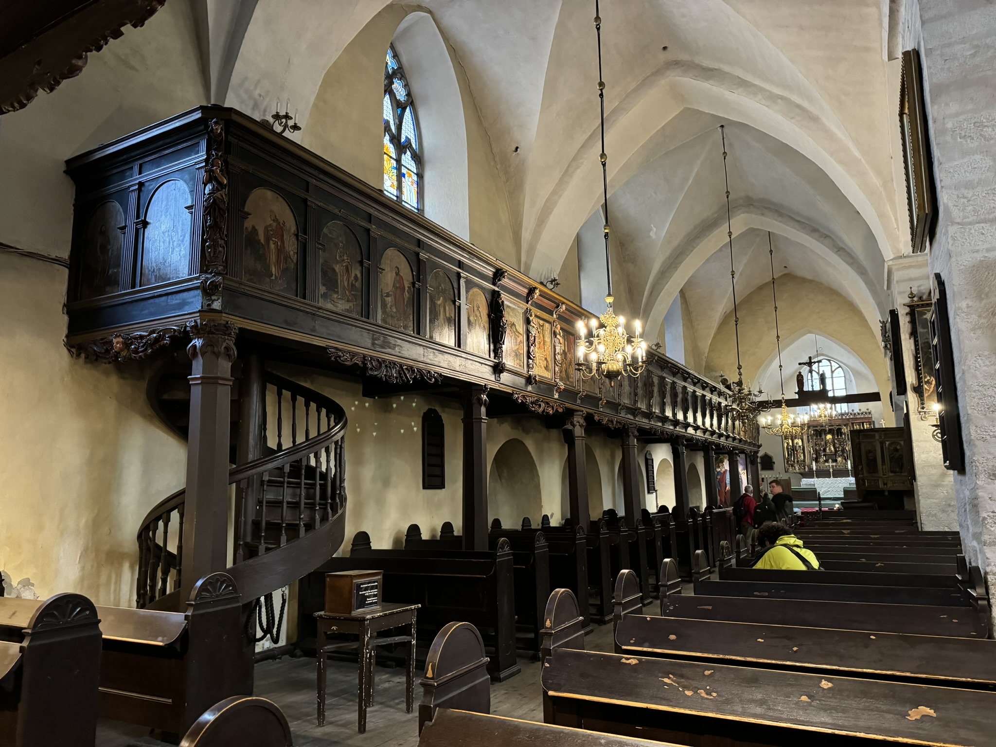
Across from the guild hall and the café is the Church of the Holy Spirit. During the medieval era it was the main church for everyday folk in Tallinn, and the first chapel to offer masses in Estonian, not German or Latin as was the tradition of the other churches in Tallinn at the time. With its stark white interior and original dark wood ornamentation, it is one of Tallinn’s least altered churches.
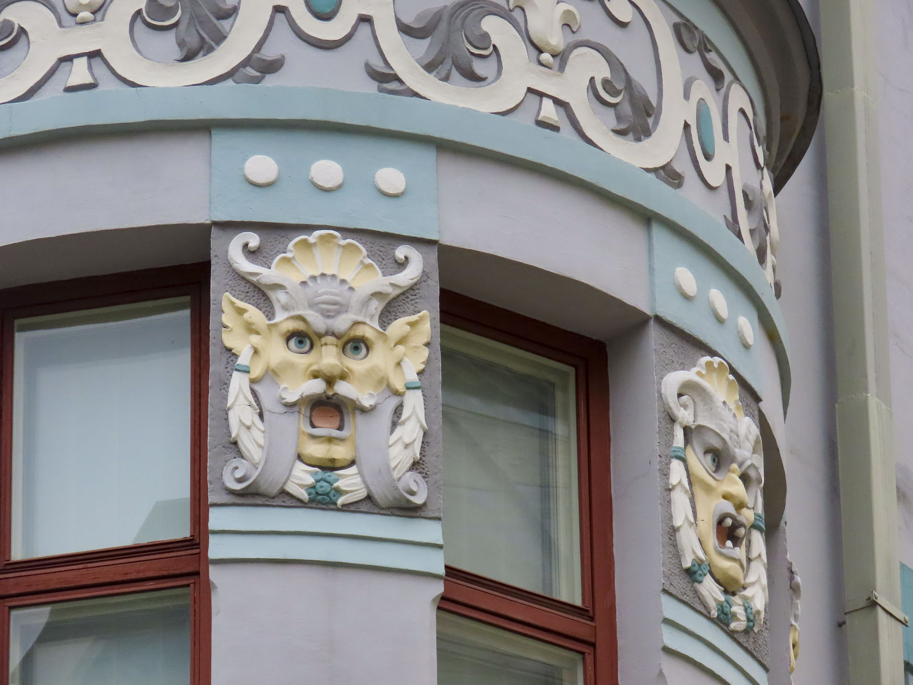
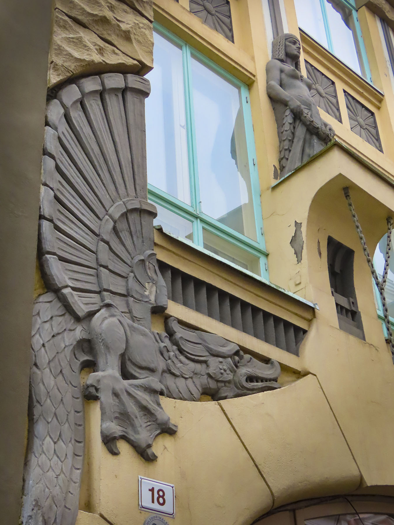
There were several other interesting facades down the street from the Great Guild Hall.
Tallinn has a rich nautical heritage that started during the early Viking era in the 6th-century when the area that would become Tallinn was a stop on the Baltic trade route that connected Sweden to Constantinople.  The area of Tallinn traded furs and bog iron for wine, spices, glass, and jewelry. Shortly after the Danes established rule over northern Estonia in the early 1200s, Tallinn now a larger port city, joined the Hanseatic League, a confederation of medieval trading cities located along the Baltic and North Sea coasts. The Dutch, German and Swedish merchants of this association brought several centuries of prosperity to the city that’s still reflected in the fine examples of merchants’ houses and guildhalls that line Pikk Street. The league’s maritime trading also supported ship building which remained a vital industry through the Soviet Era which saw the shipyards build warships and submarines for the Russian navy.

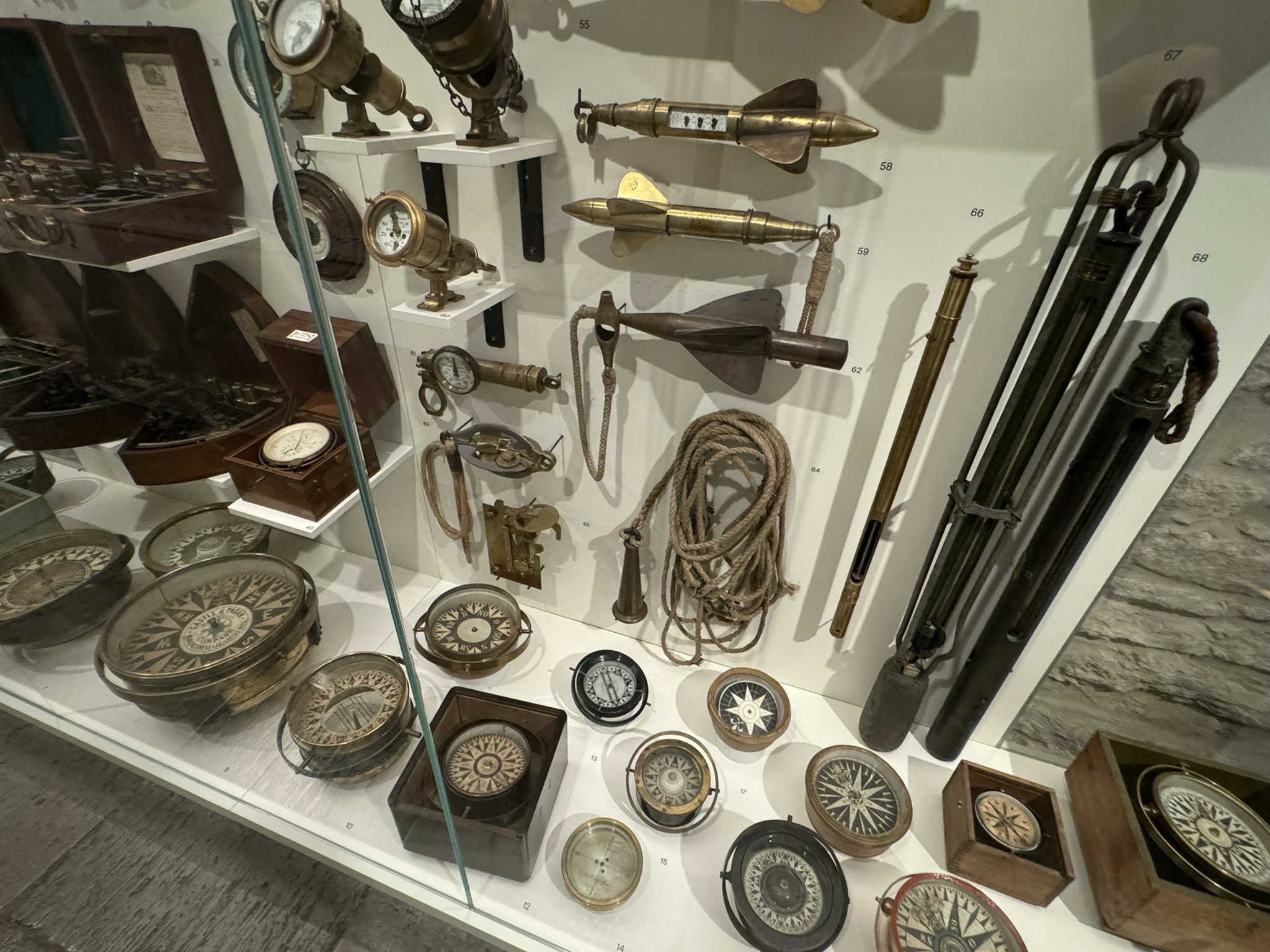
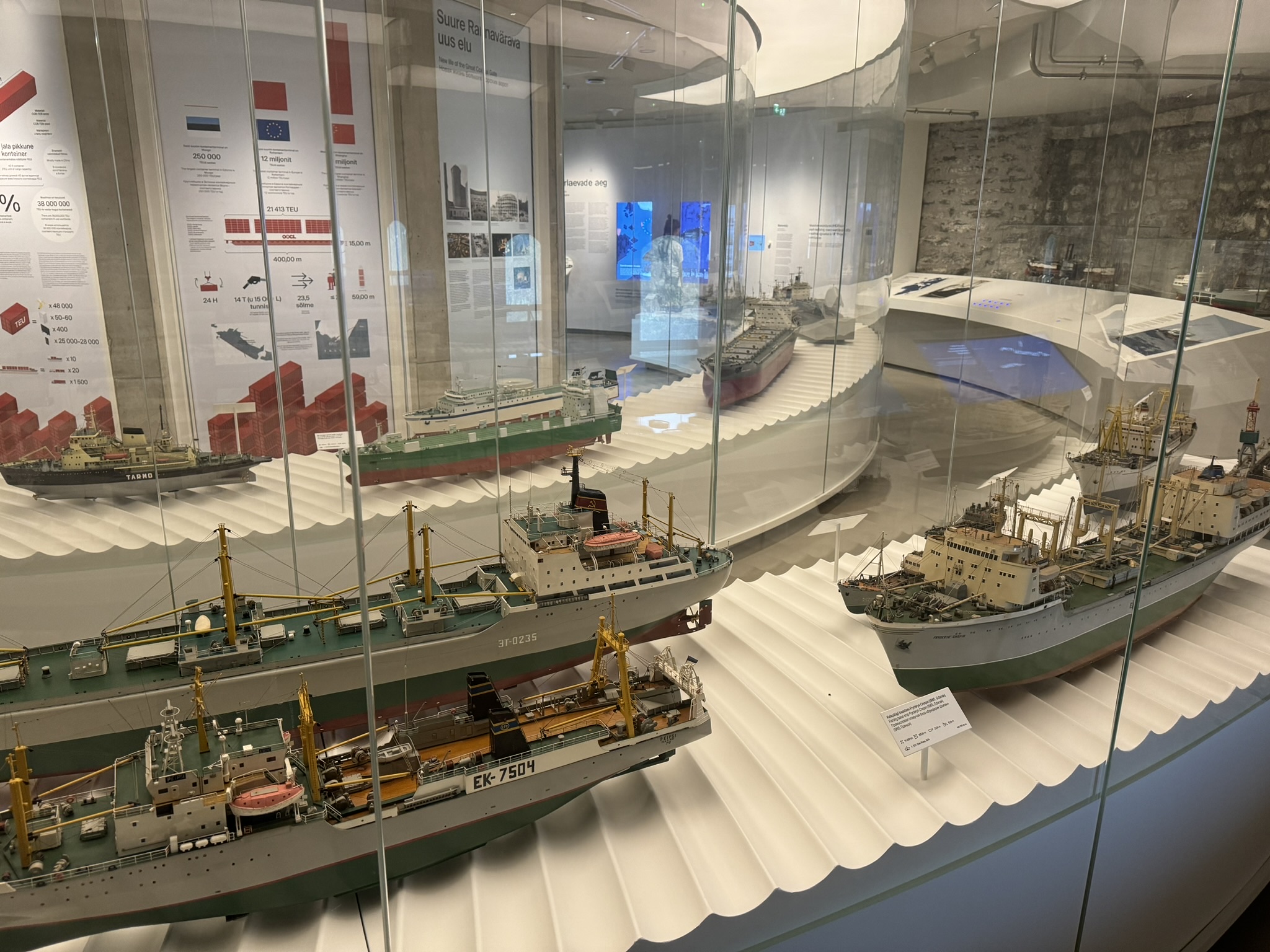
The importance of Tallinn’s maritime history is well told with two museums in the city.  One is housed in a squat, round, 16th-century cannon tower called Fat Margaret, which once guarded the port, but now is a modern, state of the art museum, with ship models, interactive displays, and the hull of an excavated wooden shipwreck to view.   

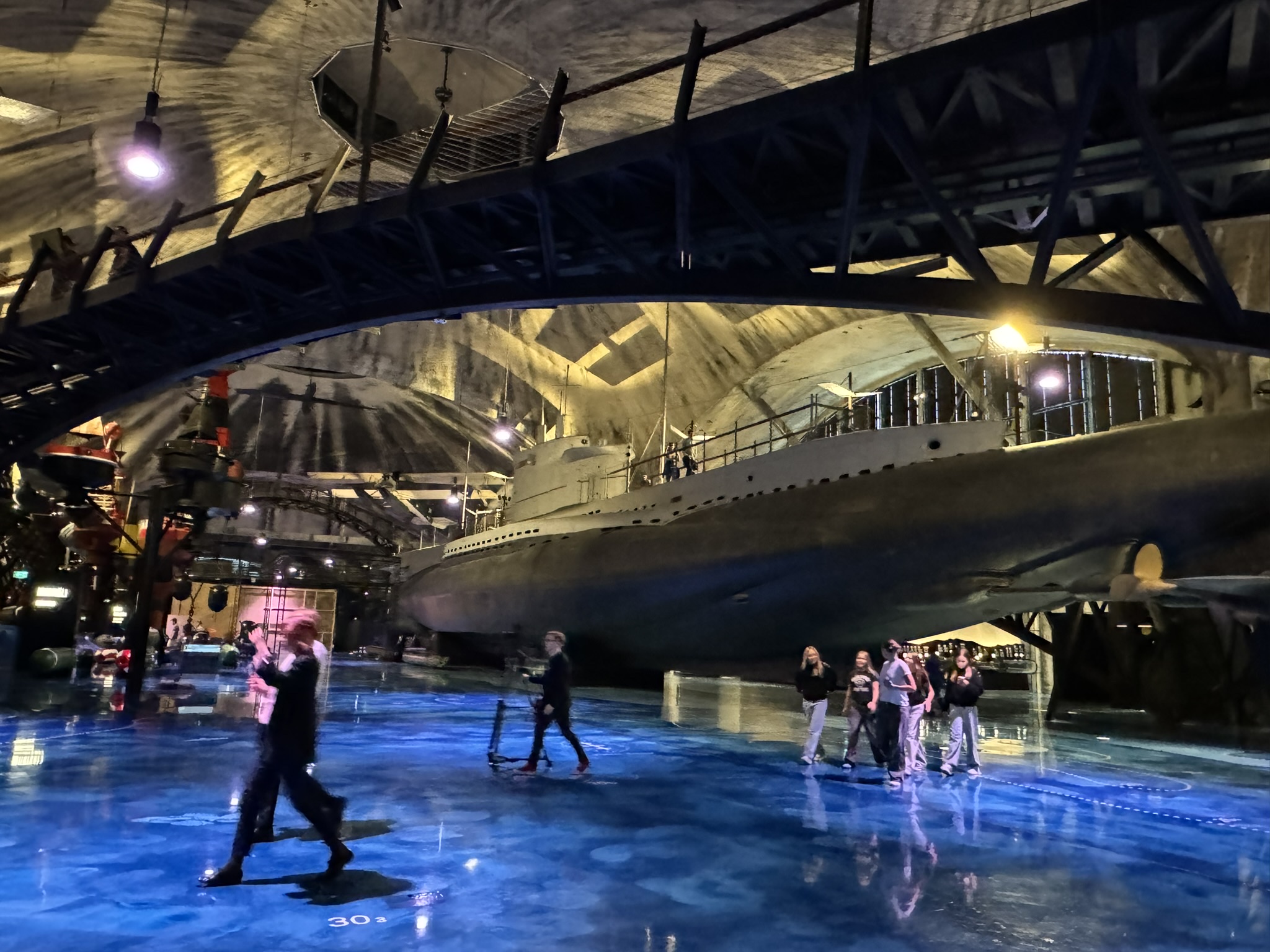
Its sister museum is on Tallinn’s waterfront at the Lennusadam Sea Plane Harbor. It was raining heavily the day we visited, so we didn’t see the historic ships docked outside, but we did enjoy the full-size boats on display inside the old seaplane hangar. Especially the submarine Lembit, built in Tallinn and launched in 1936, which was the pride of the Estonian Navy.

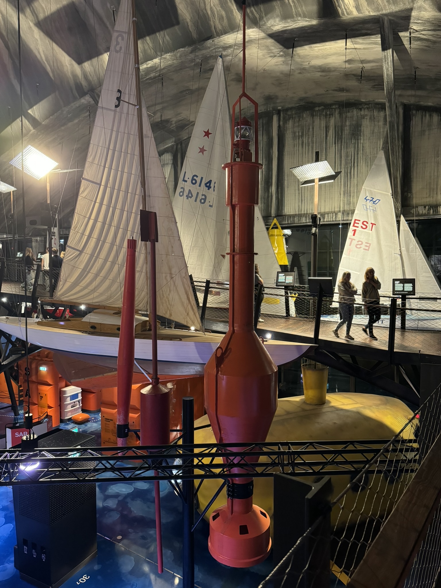
The large concrete hangars themselves are noteworthy, as the three connected shells were the largest reinforced concrete domes in the world, without any central support columns when their construction started in 1912. They were ordered built by Russian Tsar Nicholas II to shelter the seaplane squadron that was part of Peter the Great’s naval forces. It’s a cavernous space with a seaplane hanging from the ceiling, and where you can actually walk under a submarine. The museum also had a nice café which overlooked the exhibits.

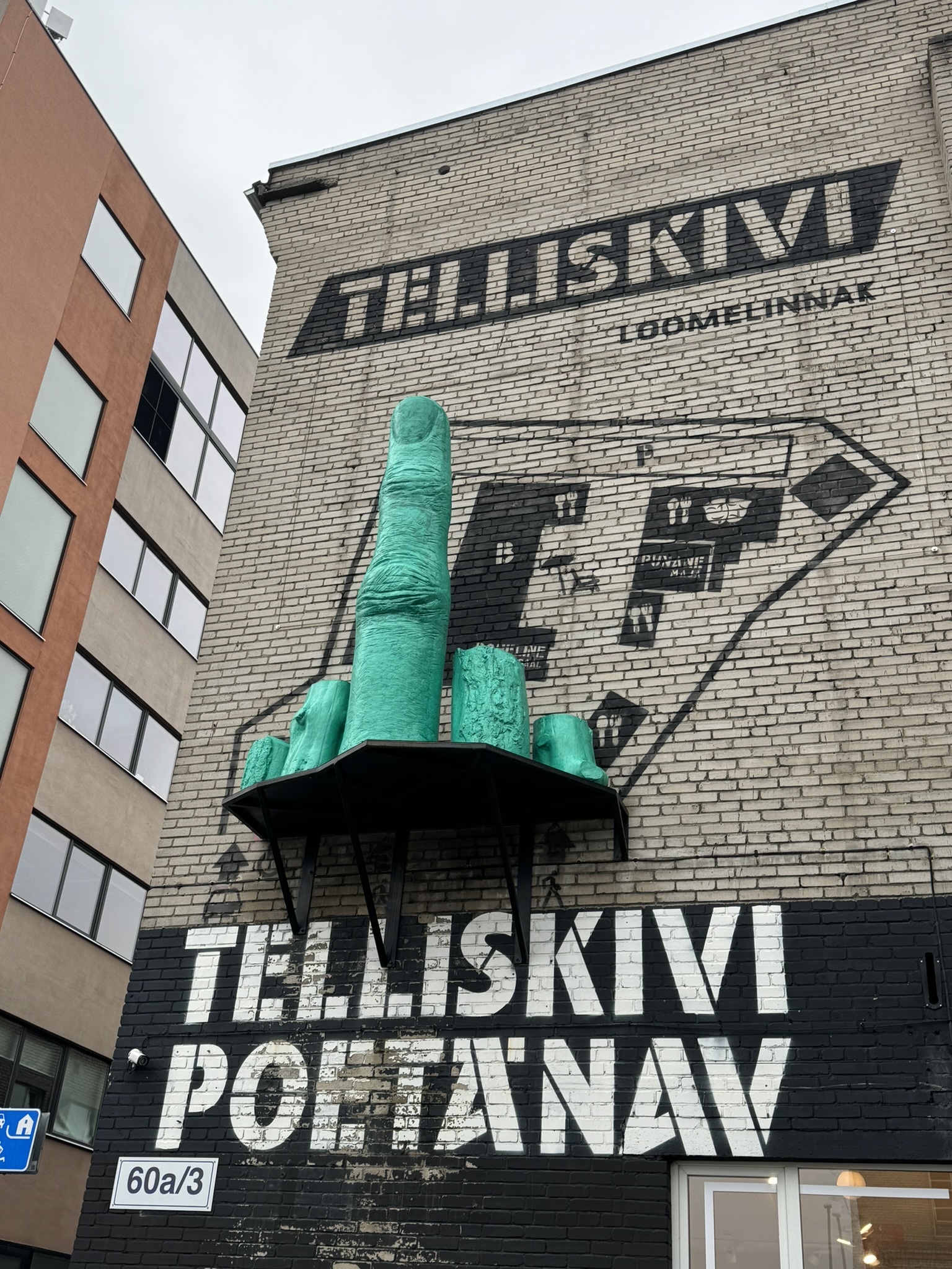
When the weather was inclement or the walking distance too great, we used Uber to get around. The service worked very well for us in Tallinn. Getting to Telliskivi Loomelinnak, the Telliskivi Creative City, from the Lennusadam Sea Plane Harbor was one of those occassions and it worked perfectly.

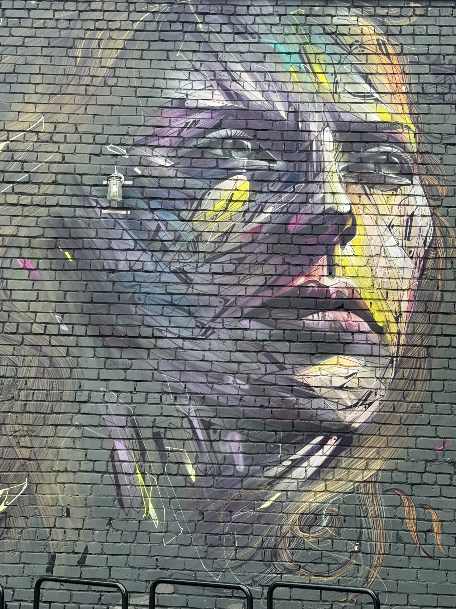
It’s an old, street-mural covered industrial site that’s been revamped into a hip entertainment and nightlife destination with theaters, galleries, restaurants, and bars. It was a fun place to explore, but I think we skewed the demographics a little bit.

 Till next time, Craig & Donna

P.S. We purchased Tallinn Cards to use during our stay in the city and found it to be quite beneficial and cost effective. The card offered access to over 50 museums and attractions, free travel on public transportation, and discounts on sightseeing tours.

Driving the North Coast 500 – Part 7: Duncansby Head Lighthouse To Loch Ness or Castles, Myths & Bagpipes

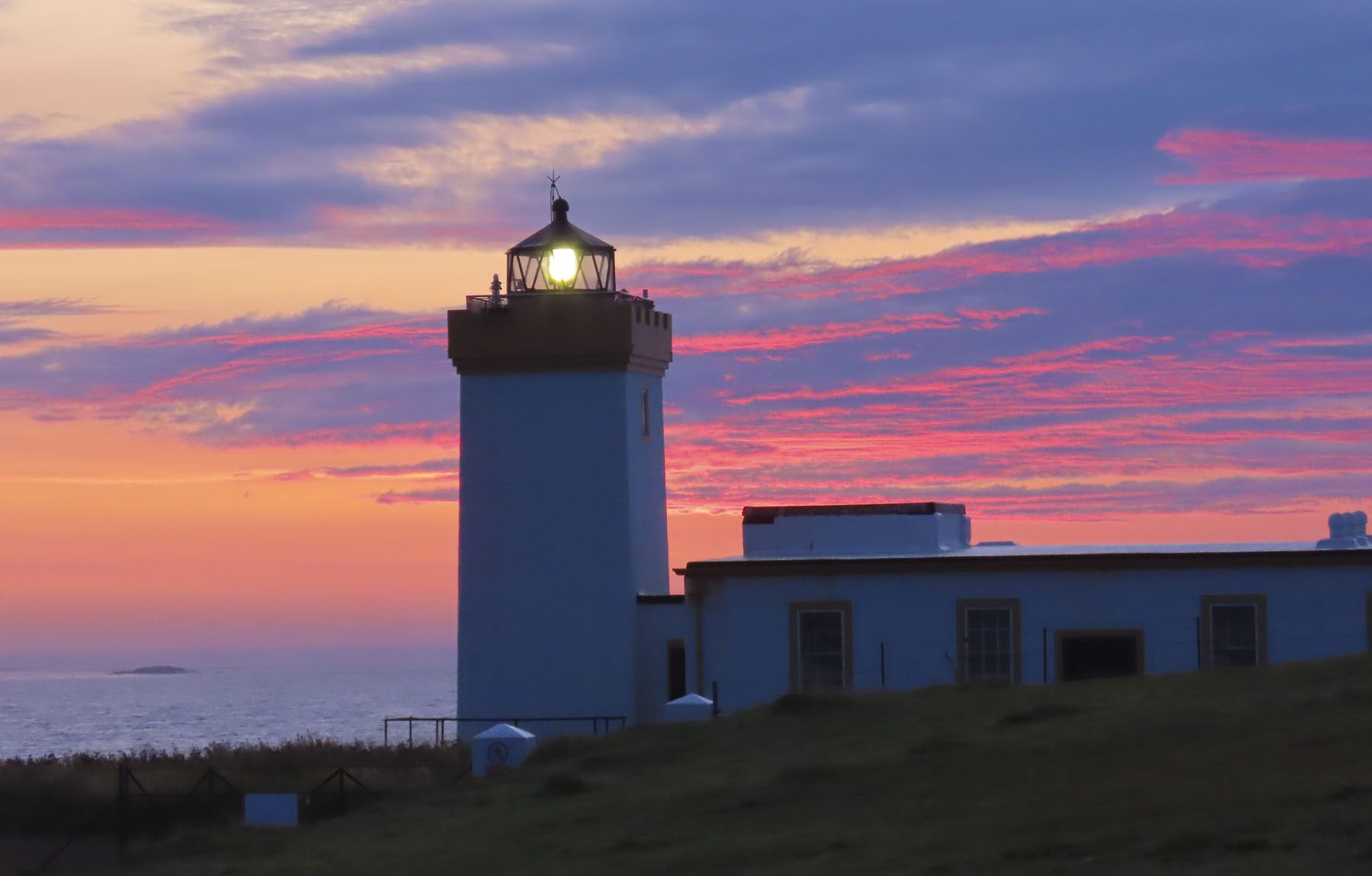
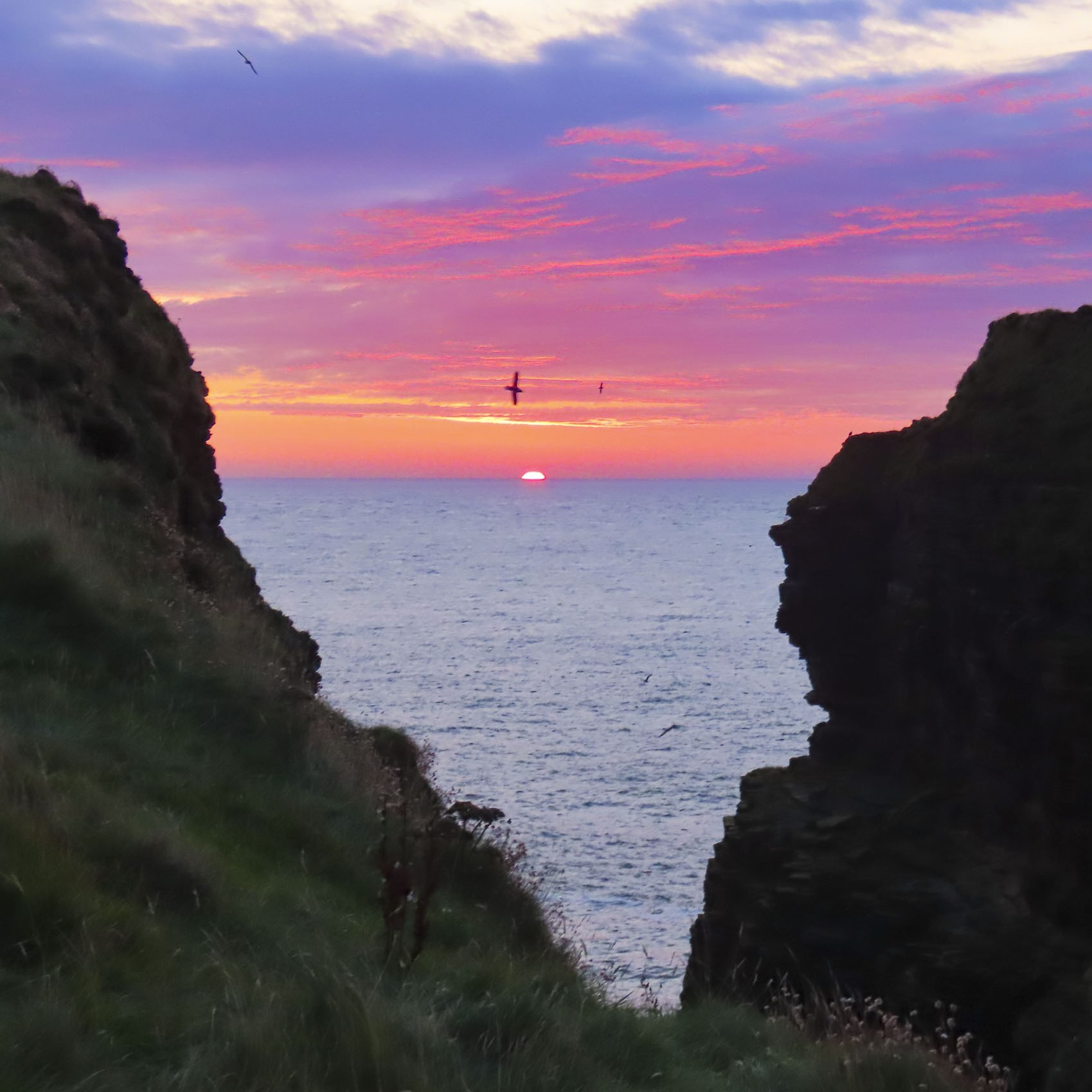
A small flock of sheep, sleeping on the tarmac, scattered when we rounded a bend to Duncansby Head Lighthouse before the crack of dawn. The pinnacle stood silhouetted against a brightening sky of pink, amber and blue, as the sun crested the horizon over the North Sea.

We followed the trail along the cliffs towards the Duncansby Stacks and passed a spot where we imagined an ancient Norse god had wielded a broadaxe and severed the bluff in two. The stacks were glowing red in the early morning light as Kittiwakes and Guillemots swooped along the cliff face, which stretched south for miles.

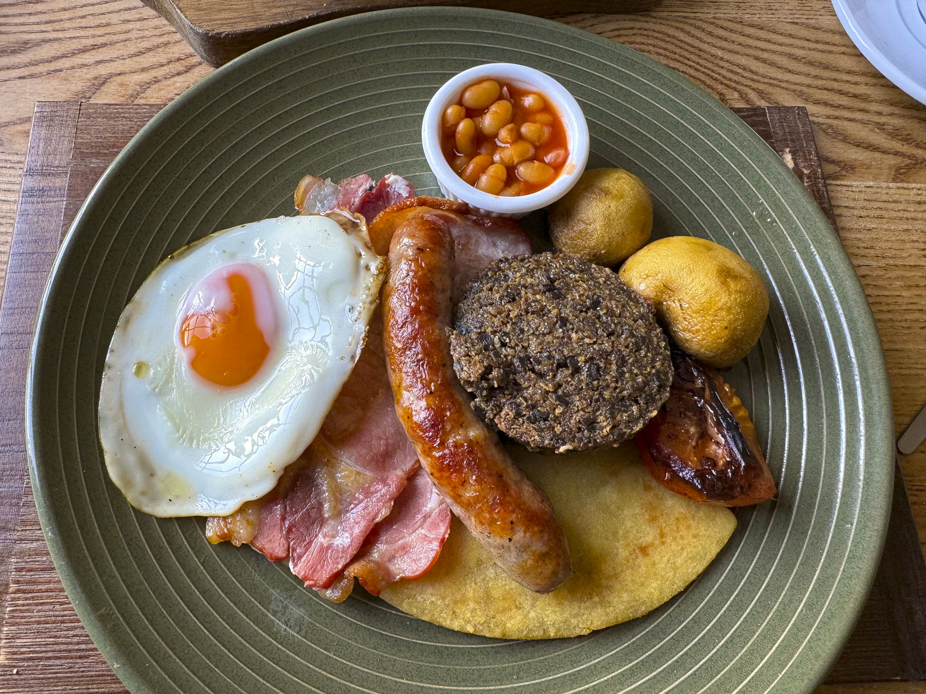
Following a delicious hardy breakfast, we packed our bags and said goodbye to the innkeepers at the John o’ Groats Guest House, one of our nicest stays while in the Scotland, then began the final leg of our NC500 tour and headed south along the A99 and A9 to Dunrobin Castle & Gardens, before spending the night in Strathpeffer. A pleasant distance of only 113 miles, which took us all day with all the photo stops we made. But that’s the way we roll.

There’s a debate about the best way to drive the North Coast 500 and the consensus seems to be that exploring it in a counterclockwise direction leaves the breathtaking scenery of the west coast for the last part of your trip.

We did the opposite and followed the NC500 clockwise, heading south from Inverness to Edinburgh, then west through the highlands to the Isles of Skye and Lewis & Harris before returning to the mainland and heading north to Durness and John o’ Groats, before heading south along the North Sea Coast of Scotland. We found the scenery breathtaking.

Our only complaint was the lack of official scenic pullovers, as we often had to park at the entrance to a farmer’s pasture or on a side road, and walk back along its shoulder to the spot we wanted. Fortunately, there were few cars on the road, because we stopped numerous times.

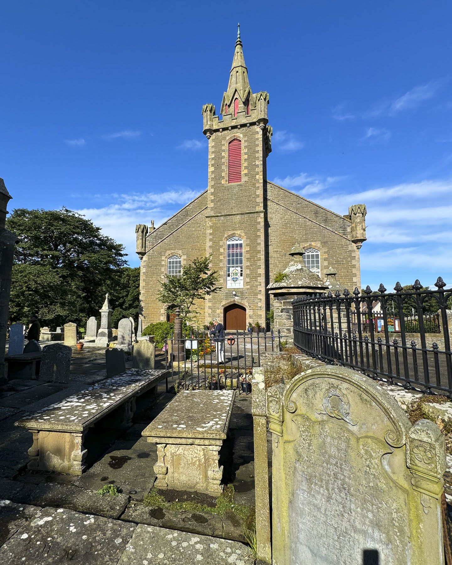
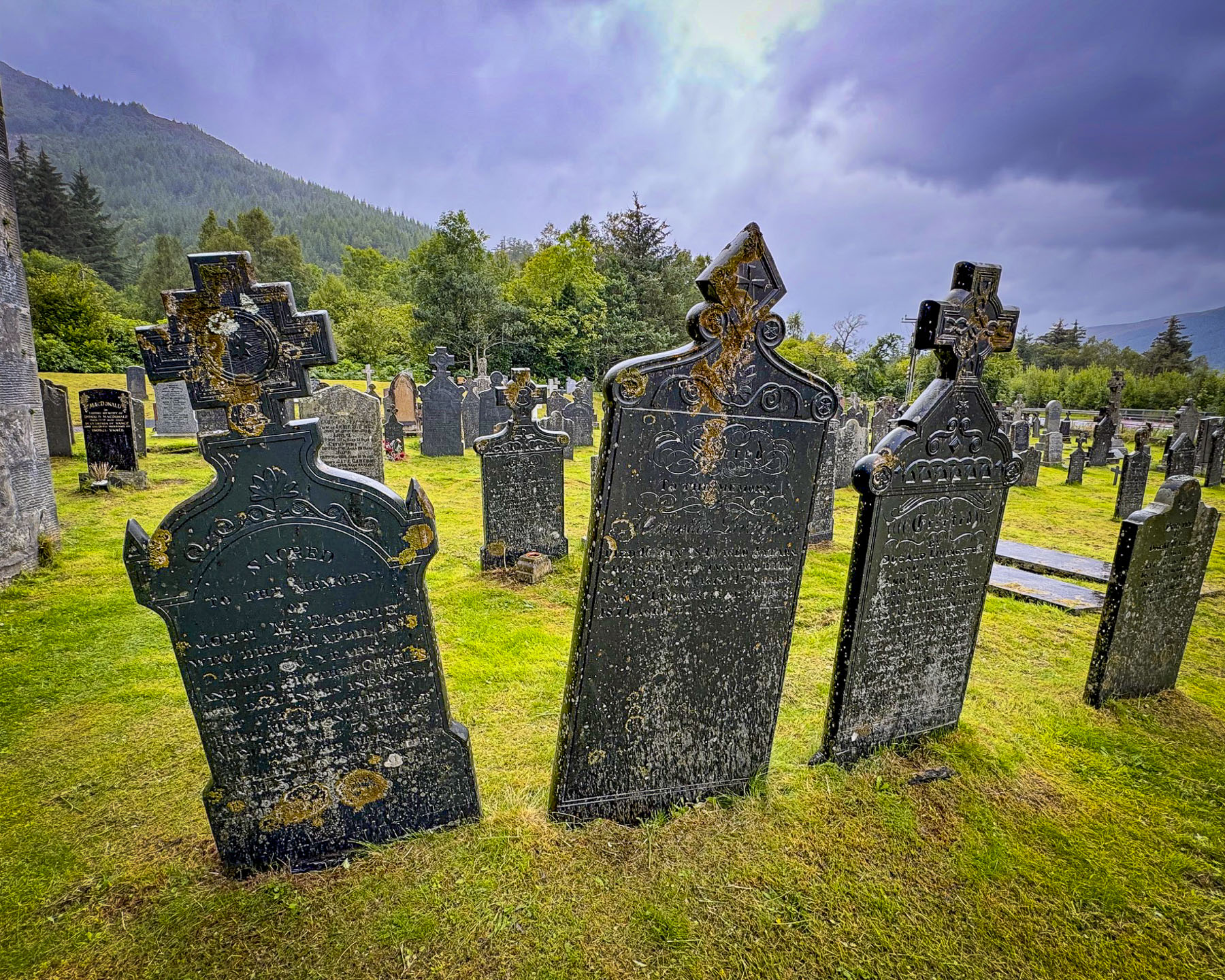
At Wick we visited the Old Parish Church and wandered amid its ancient gravestones, the oldest of which dates to 1639. The present church was built in 1862 over the foundations of two earlier churches, the earliest dating to the 12th century. A prideful lot the Wicks were, and they didn’t take kindly to anyone disparaging St. Fergus, their church’s patron saint. History tells of an Archdeacon, a noted reformer, who visited the parish in 1613 and vented his wrath on a beloved image of St Fergus in the old church, attacking and defacing it. The congregation was incensed, and the Archdeacon might have met his maker on the steps of the altar if the local sheriff hadn’t escorted him out of town. But he only got as far as the Wick River when he was ambushed and drowned.  During the following enquiry, “witnesses swore on oath that they had seen the ghost of St Fergus astride the unfortunate minister holding him down in the river.”

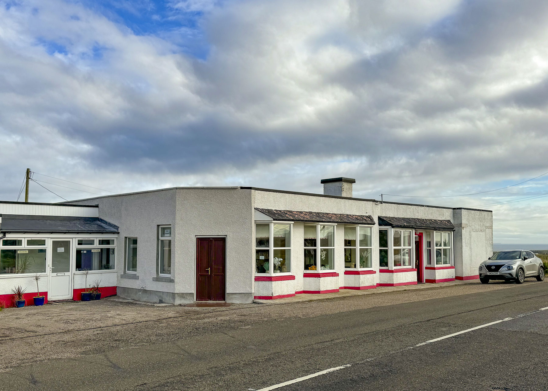
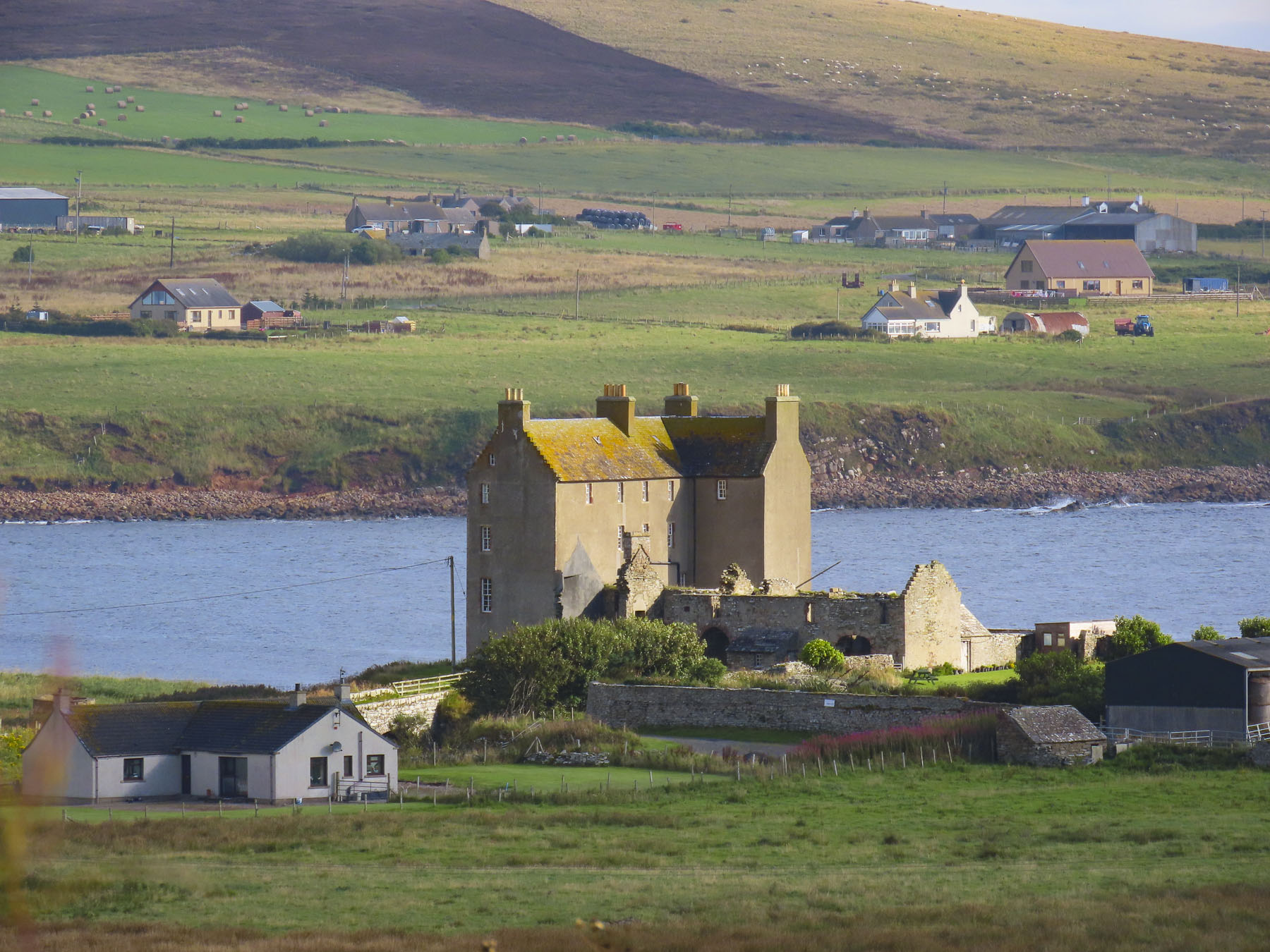
Clan Gunn Museum & Heritage Centre is beautifully set on the coast.

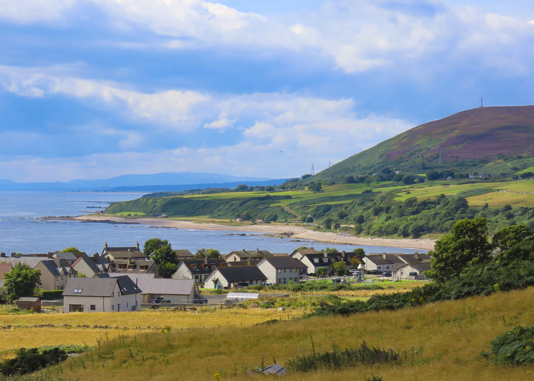
There are few natural harbors along Scotland’s North Sea coast. Ferocious storms blowing in off the sea required many villages to build stout seawalls to prevent their fishing boats from being smashed against the rocky coast. One such place was the tiny Latheronwheel Harbour. We had it all to ourselves when we visited on a Wednesday in August.

Crossing the River Helmsdale, we stopped at the Emigrants Monument which graces a hilltop that overlooks the village of Helmsdale nestled against its river and the sea. It’s a heart-rending tribute to those who were forced from their homes and livelihoods during the Clearances. The inscription on the monument, in Gaelic and English, reads:

“The Emigrants commemorates the people of the Highlands and Islands of Scotland who, in the face of great adversity, sought freedom, hope and justice beyond these shores. They and their descendants went forth and explored continents, built great countries and cities and gave their enterprise and culture to the world. This is their legacy. Their voices will echo forever thro the empty straths and glens of their homeland.”

It was commissioned by Dennis MacLeod. The son of a war-widowed crofter, he emigrated from Scotland to South Africa and made his fortune in mining.

Dunrobin Castle & Gardens was our main destination for the day, but our hopes were temporarily dampened by a sudden heavy rain. Fortunately, after we ran through the storm to the entrance, the sky cleared.

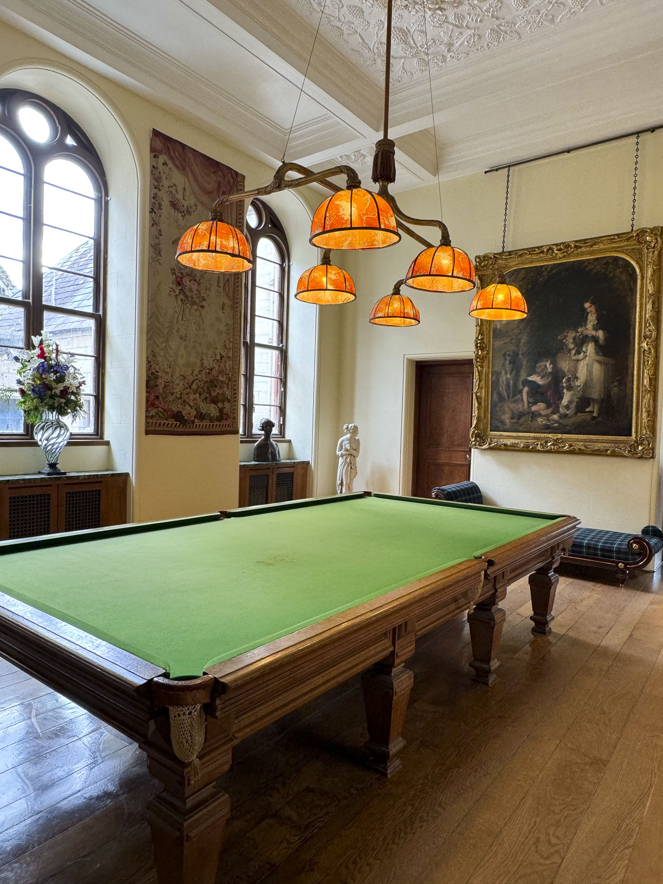
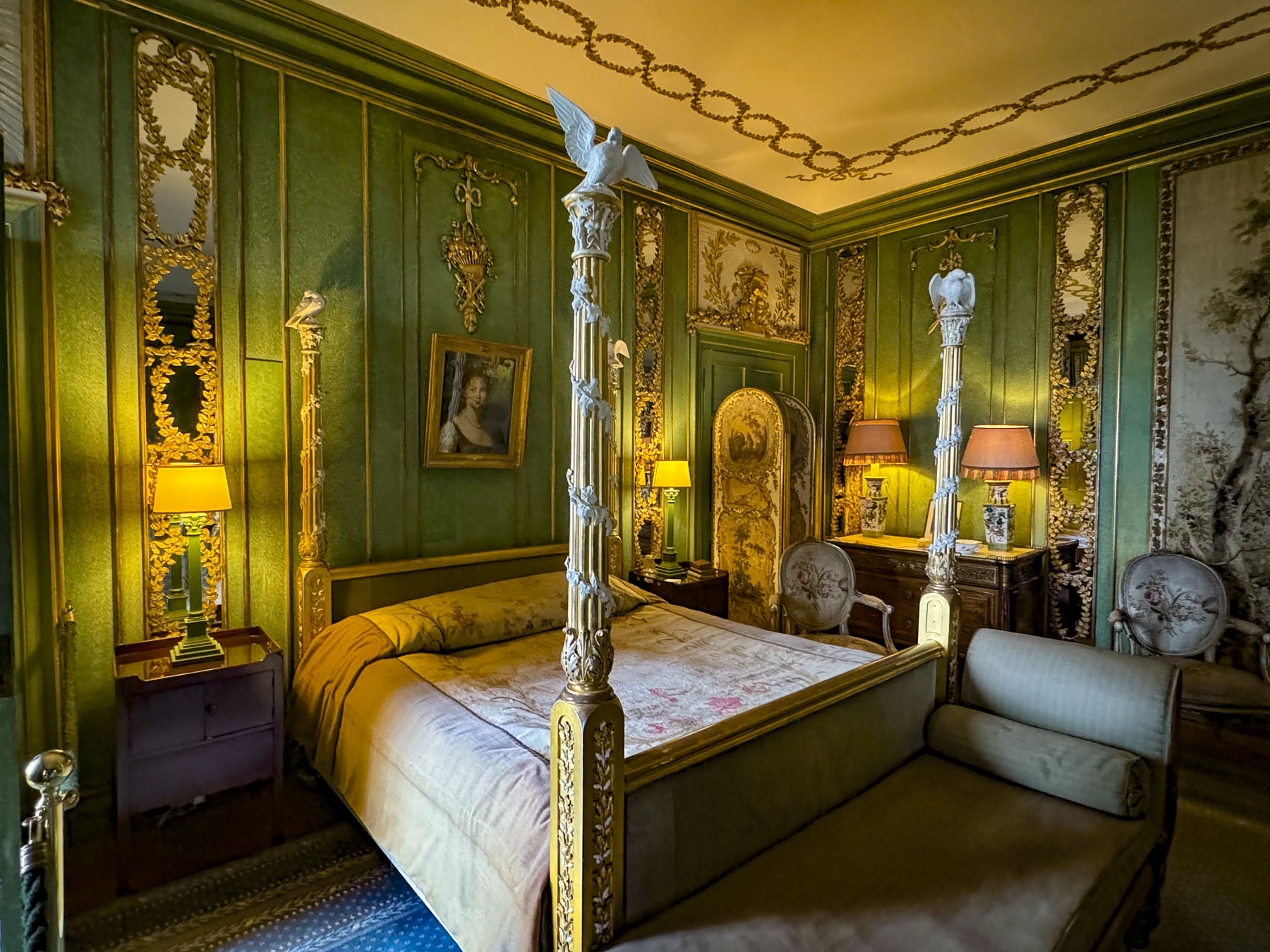
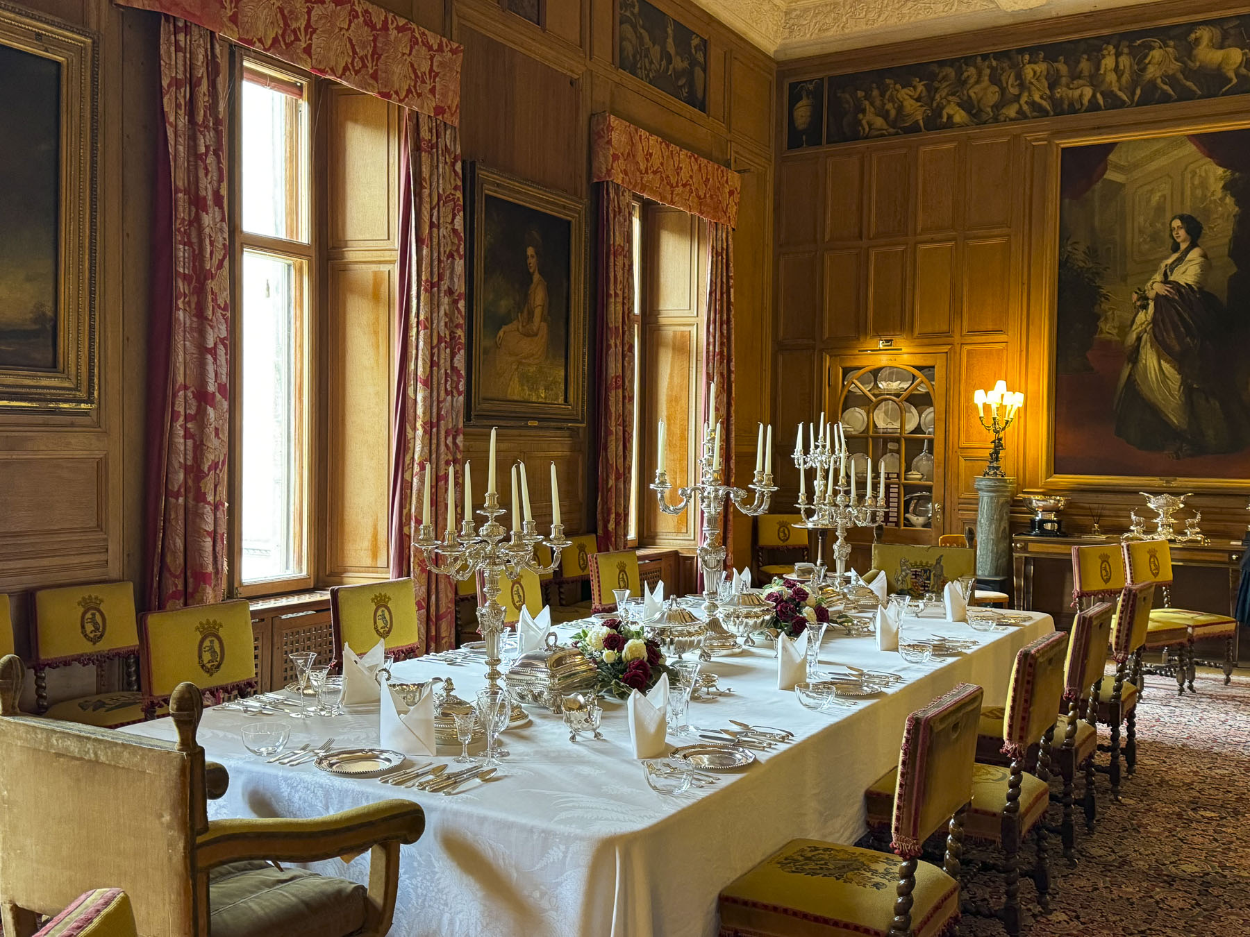
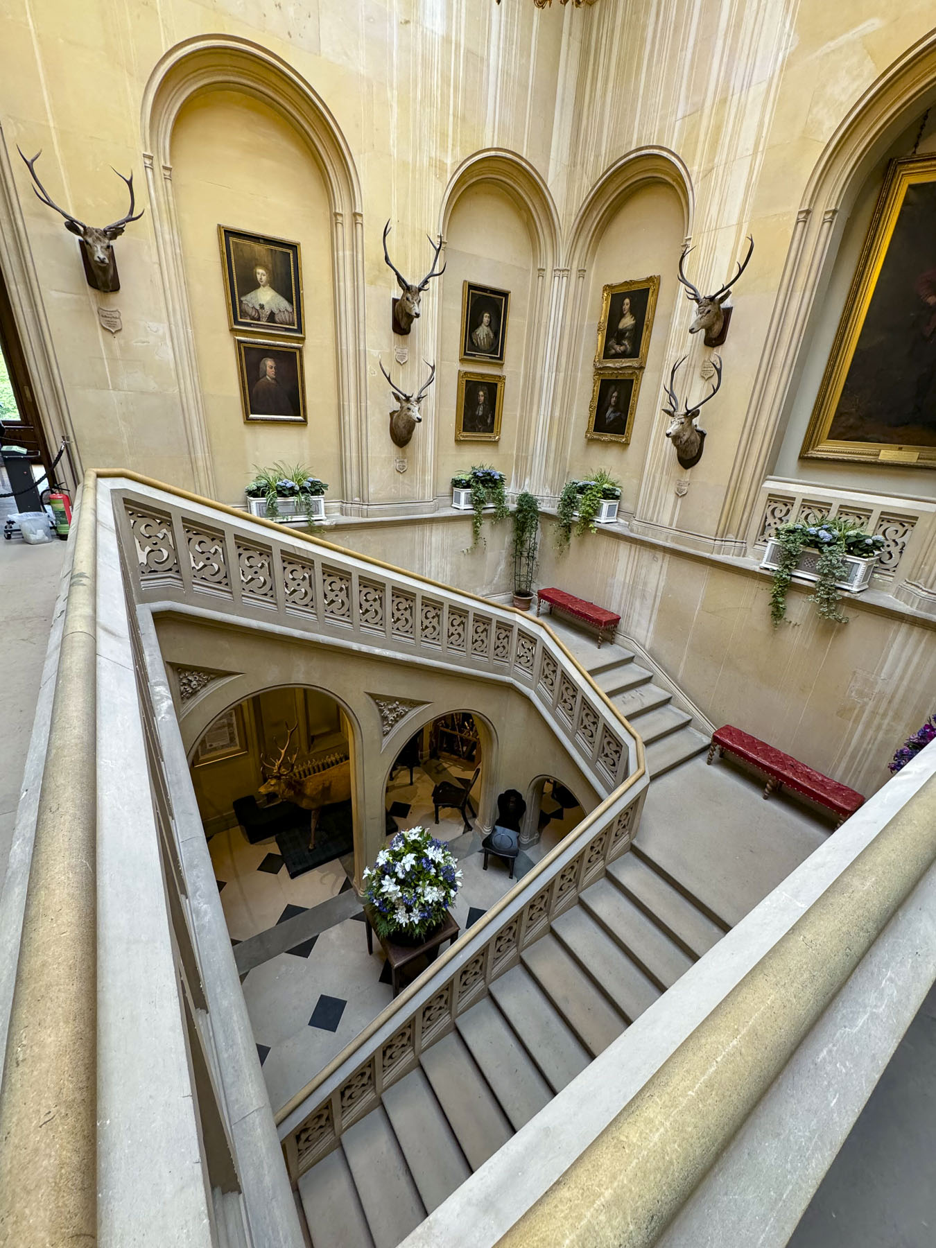
The castle is one of the best-preserved examples of how the landed nobility extravagantly lived. A castle has stood on this site overlooking the Dornoch Firth and the North Sea since the Earldom of Sutherland was created in 1235. Only a few walls of the ancient castle’s keep remained after extensive renovations and expansion in the 1700 and 1800s. The result was a French style chateau with towering conical spires and 189 rooms. Amazingly, the beautiful estate has remained the seat of Clan Sutherland for 800 years and is today owned by the 25th Earl of Sutherland.

Our self-guided tour (there were staff along the way to answer any questions) through the

exquisite rooms of this immense family home was very interesting. And it does feel like a family home, opulent but not pretentious. It was significantly nicer than the royal Palace of Holyroodhouse in Edinburgh.

As gardeners, we delighted in wandering through the Versailles-inspired oasis of flower beds and fountains.

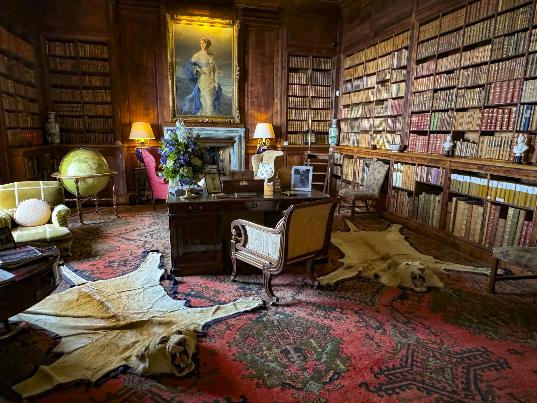
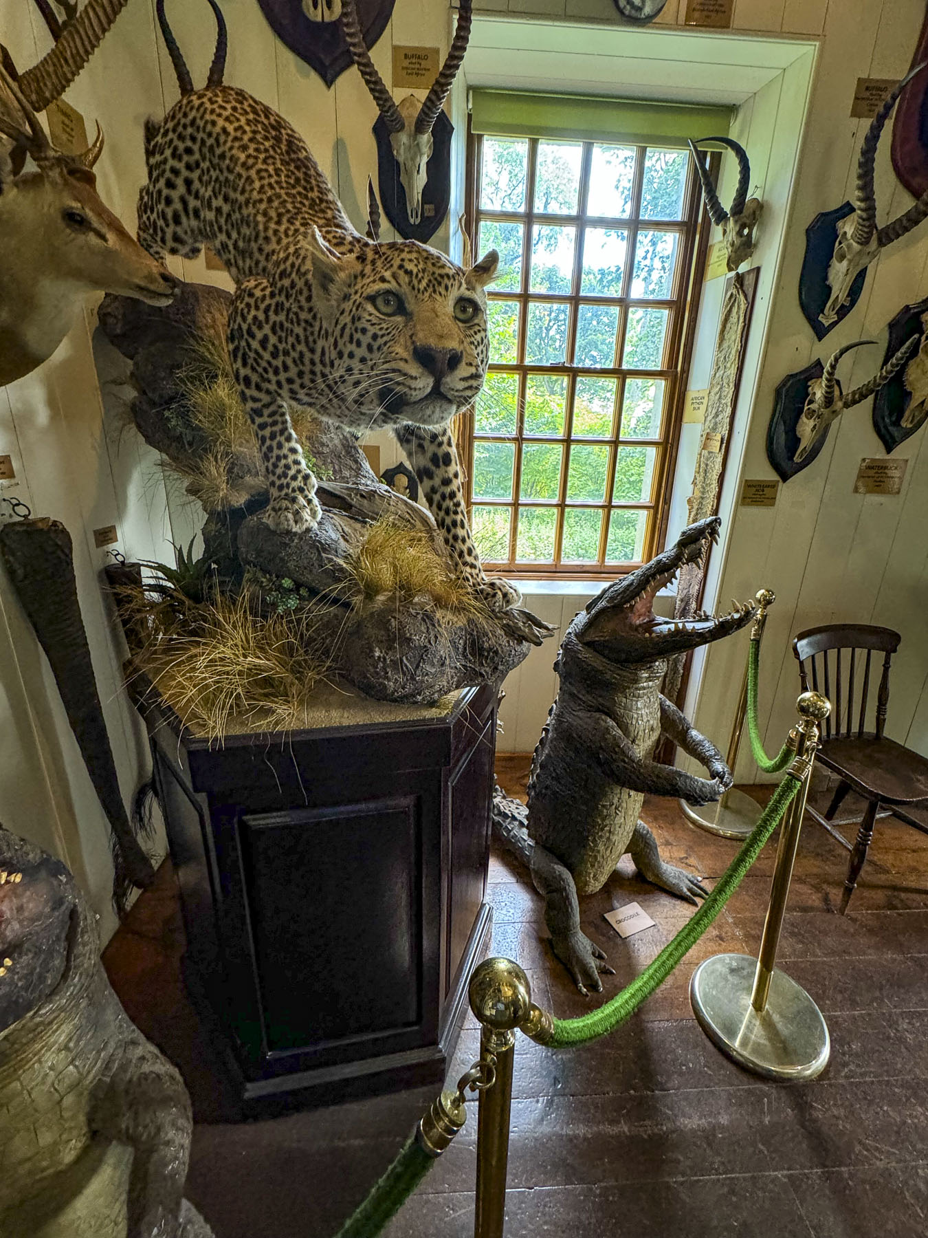
Off the garden was the estate’s former two-story summer house, now a museum that displayed a notable collection of Pictish Stones, along with a variety of ethnographic items collected from travels around the world, and animal head trophies from safaris in Africa. 

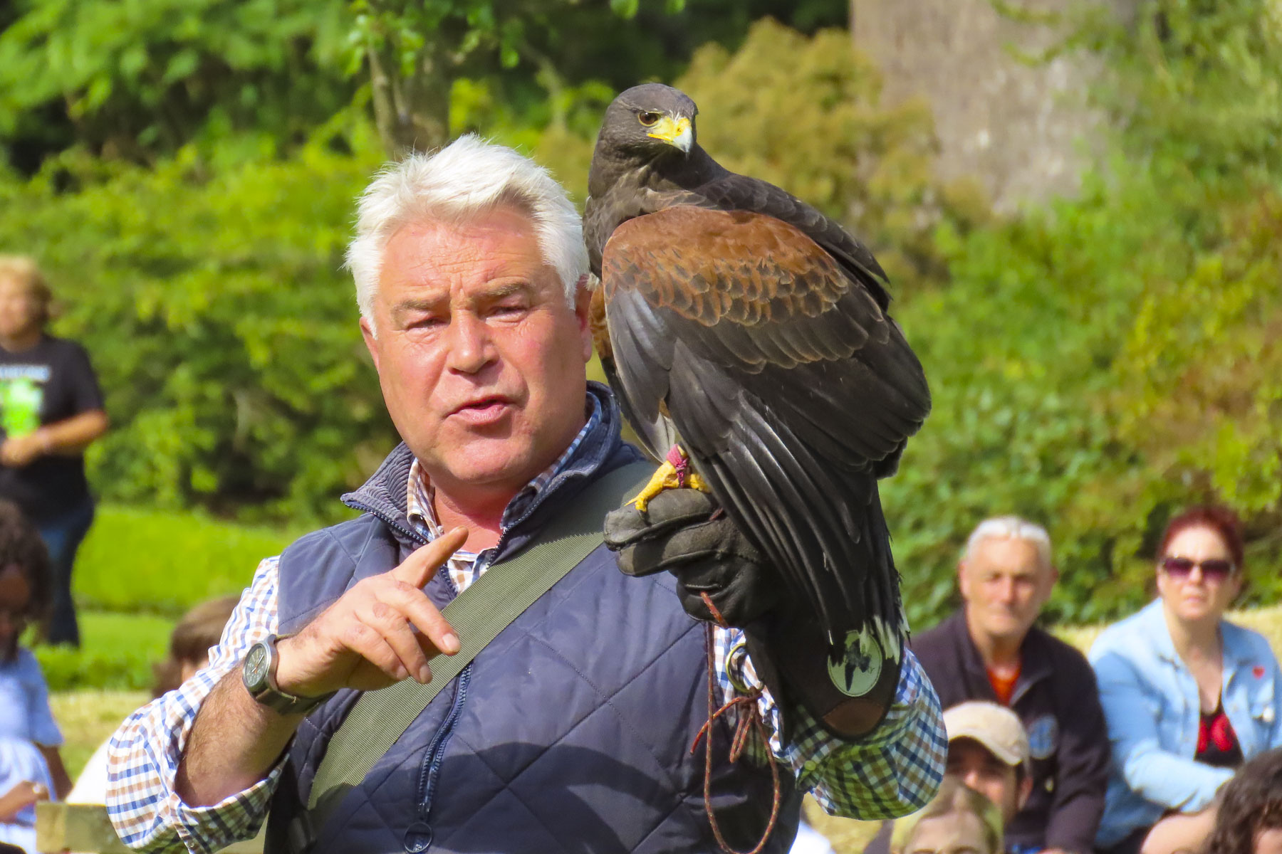
At the lower end of the garden, we watched the castle’s resident falconer demonstrate and explain the ancient art of falconry as a Harris hawk, Gyrfalcon and Peregrine swooped low over the gasping audience. It was a very entertaining and informative show.

Farther south we turned off the A9 and headed to an early dinner at the Surf and Turf in Dornoch, a small town that traces its roots back to the 8th century. We discovered the Surf and Turf through one of the Instagram feeds we follow. The reviews were quite favorable and pictures of the seafood looked delicious, but we didn’t realize it was a takeaway shop. Luckily for us, they had a long bar with stools along one wall. The fresh fried fish, calamari and mussels we ordered were excellent and all locally caught.

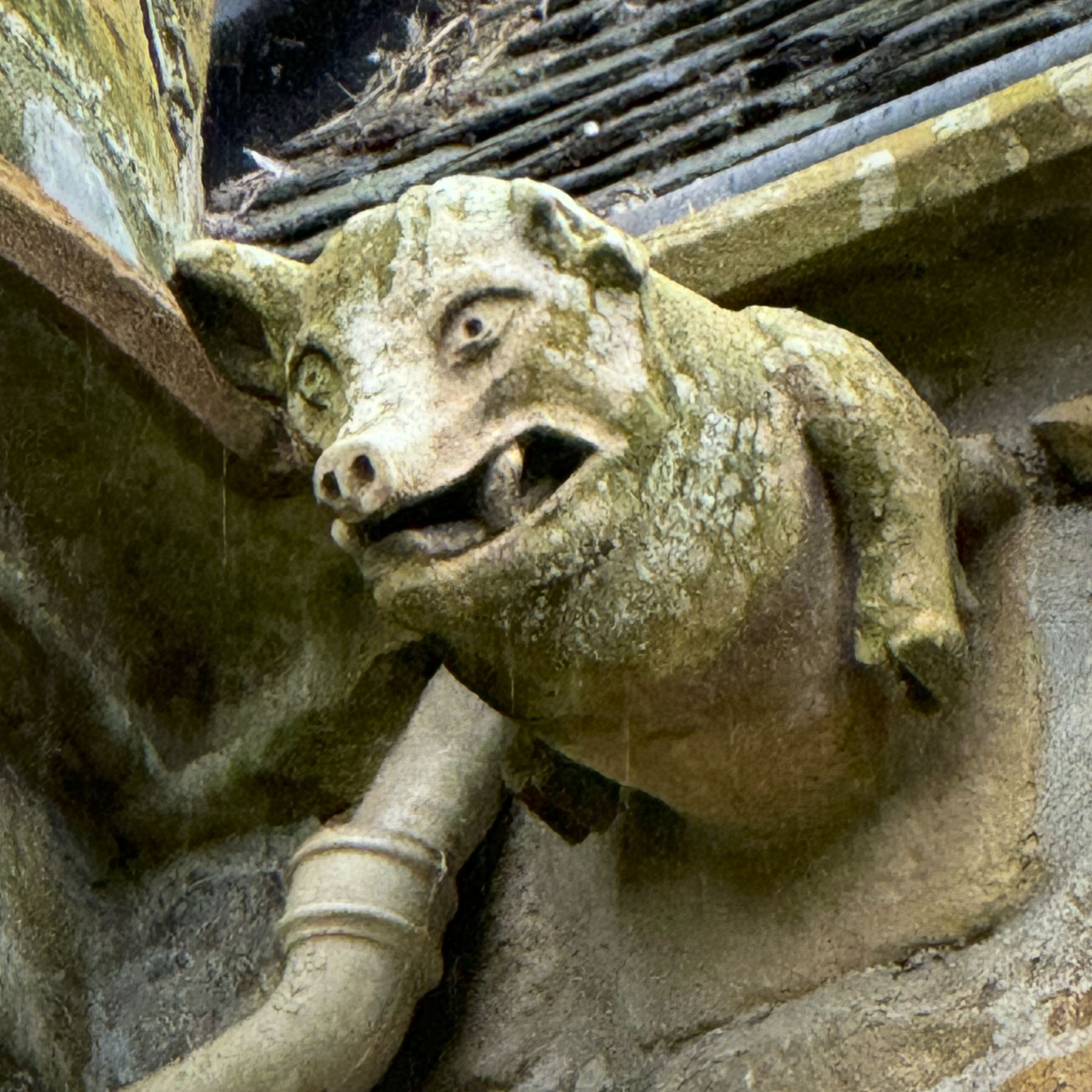
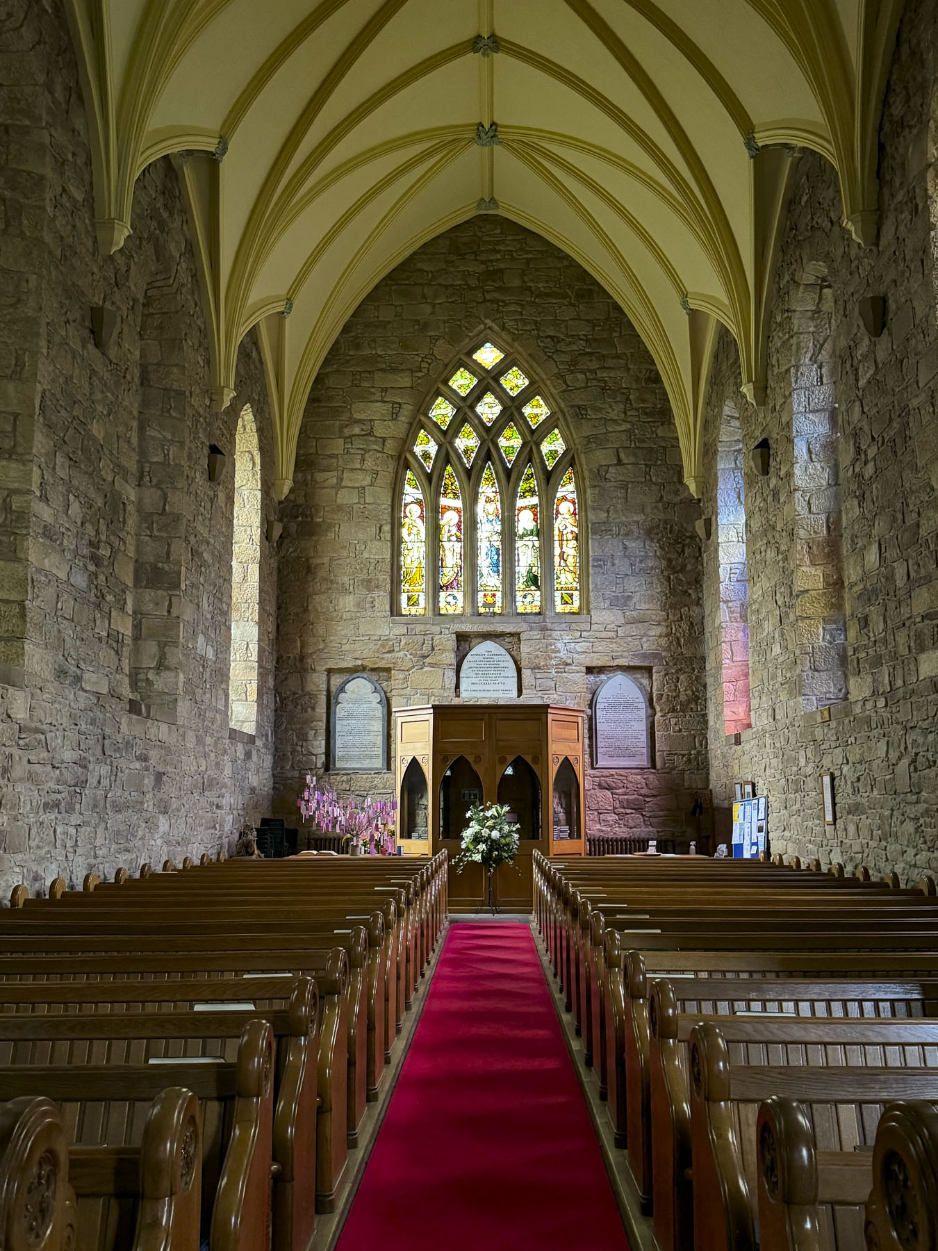
The Dornoch Cathedral was just around the corner, and we spent a while studying the grotesque ancient gargoyles and stone interior of the church, which held its first service in 1239. During the medieval era the gargoyles were believed to portray evil spirits, which were driven from the church by ringing its tower bells.

In 1245 the 1st Earl of Sutherland was buried in the cathedral, the first of many Sutherlands  to be entombed in the family vault under the sanctuary floor. Three centuries later the church was left in ruins after fire destroyed the nave and roof during a climatic feud between Clan MacKay of Strathnaver and Clan Murray of Dornoch. Fifty years later only the roof over the chancel and transept walls were replaced. The cathedral remained partially renovated for another 300 years until 1835, when the Duchess of Sutherland financed a full restoration. Light poured through 27 stained glass windows and brilliantly illuminated the church’s interior. Three of those windows, with the themes literacy, music, and peace, were donated to the church in 1926, in the memory of the famous Scottish-American industrialist, Andrew Carnegie, who summered nearby at his baronial estate, Skibo Castle.

Also of interesting note, the last burning at the stake of a witch in Scotland happened in Dornoch in 1727.  Janet Horne, a local woman, was accused of turning her daughter into a pony and riding her around the highlands to perform her witchcraft. The Scottish Witchcraft Act of 1563 was repealed in 1736. The singer Madonna had her son Rocco christened in the cathedral in 2000, before her wedding ceremony to Guy Ritchie at Skibo Castle.

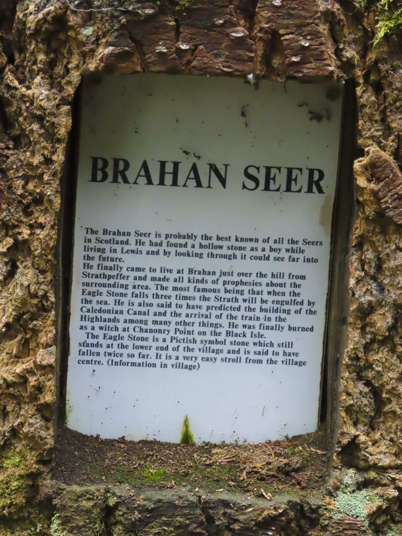
We ended our day in the quaint village of Strathpeffer, a Victorian era spa town whose sulphurous spring waters were touted as a cure for many ailments. A railway line reached the town in the late 1800s, and it became an easy destination for wealthy Victorians who sought “to take the waters.” Our hotel, the Highland Hotel Strathpeffer was one of those grand, four-story wood paneled, railway hotels built to ease spa-goers’ visits to the village. It’s glory years now a distant memory, the hotel still has its original warm wood paneling, but our room was very spartan, and a far cry from what we imagined were its luxuries during its heyday. During World War I the hotel was requisitioned as a convalescent military hospital, and in the Second World War served as a naval training school.

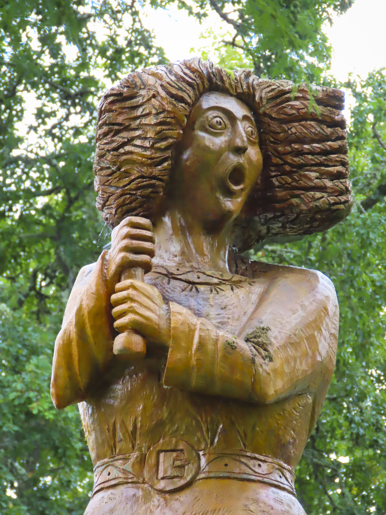
The village was very charming with a visually pleasing assortment of well-kept Victorian architecture. The old train station now hosts the Highland Museum of Childhood and a nice cafe. Across the street from our hotel the town’s original pavilion was recently renovated and once again hosts music and theater events, along with weddings, and exhibitions. Behind the pavilion is a small whimsical sculpture garden with five 13ft tall wooden sculptures of mythical figures from Celtic, Viking and Pictish legends. They were created by Allister Brebner, a local woodcarver with a workshop in the old train station, from the trunks of giant Douglas Fir trees, harvested from the Highland’s forests.

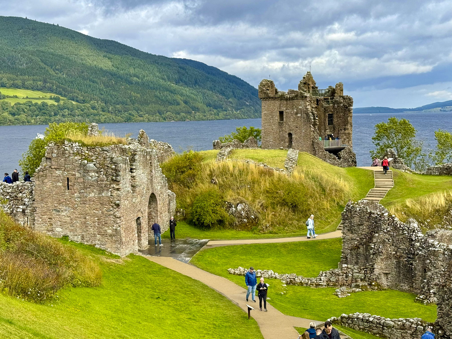
Is a tour of the Scottish Highlands really complete without visiting Loch Ness? We didn’t want to have any regrets, so on our last full day in Scotland we headed to Urquhart Castle and hoped to catch a glimpse of the fabled serpent so we could tell our young grandchildren, with our fingers crossed and a wink of the eye, that we had indeed spotted and encountered the creature and tried to wrestle it to ashore. I had his head and Donna his tail, but the slippery slimy thing was wildly thrashing about, and we lost hold of him, and in a final splash he vanished. An epic fish story about the one that got away is always good for a child’s imagination.

The castle commands a strategic point that juts out into Loch Ness, the natural geographic dividing line between the northern and southern Highlands. Built in the 13th century, it was one of Scotland’s largest fortifications and had a tumultuous 500 year history as it was captured then retaken numerous times during the Wars of Scottish Independence. Finally British soldiers blew it up in 1692 as they retreated to prevent the Jacobite army of Bonnie Prince Charlie from occupying it. On the grounds is a full-sized working recreation of a medieval trebuchet, a catapult-like siege engine that used a counterweight to hurl large stones against castle walls. Unfortunately, they were not demonstrating its use when we visited. Urquhart Castle, along with the Glenfinnan Viaduct for the Harry Potter train, were the busiest attractions we visited while in the Highlands. The rest of the time it felt like we had the Highlands mostly to ourselves. This was wonderful considering we drove the NC500 during the summer high season in August.

Our last stop before catching an evening flight from Inverness Airport was in Drumnadrochit, a crossroads village at the foot of a bridge that crosses over the River Enrick. We drove through it on the way to Urquhart Castle, earlier that morning, and thought it would be a nice place to break for lunch.

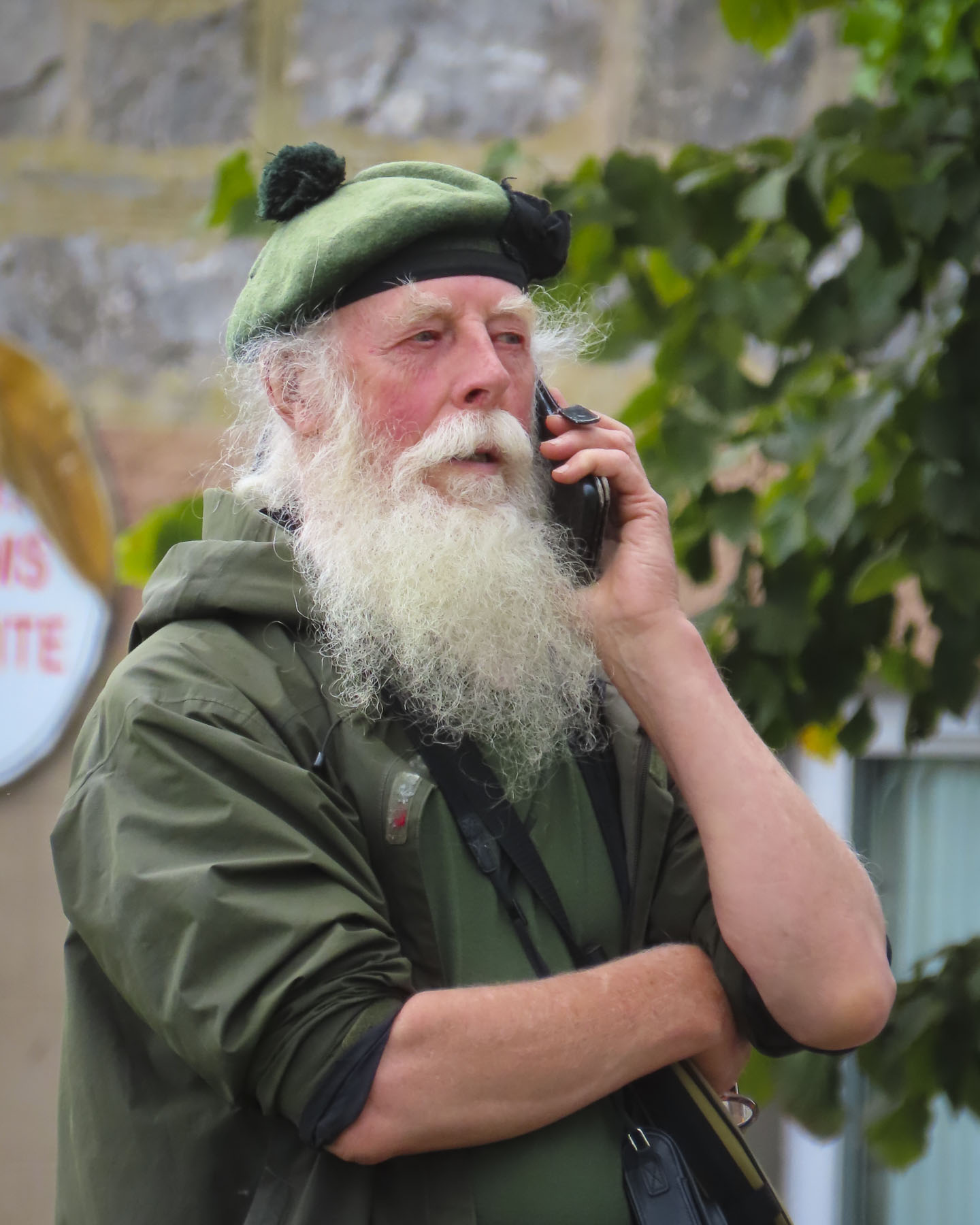
A young bagpiper commanded the village green as we settled into an outside table at The Fiddler’s Highland Restaurant to people-watch for a while. We were a little melancholic that our trip was finally coming to an end after driving a big loop around the Highlands, an area blessed with an amazing array of beautiful mountains and seascapes. The wizardly spell cast by the pipes was hard to break as we departed.

My heart’s in the Highlands, my heart is not here,

My heart’s in the Highlands, a-chasing the deer;

Chasing the wild-deer, and following the roe,

My heart’s in the Highlands, wherever I go.

The poem was written by Robert Burns

Till next time, Craig & Donna

The North Coast 500, kind of – Part 1: Edinburgh to Glencoe

Traditionally the North Coast 500 is a 516-mile tourist route that hugs the vast coastline of northern Scotland, and in its serpentine course includes some of the most scenic seascapes and landscapes on the planet, and in the Scottish Highlands as well. Maps show it as a large roughly circular route that starts and ends in Inverness, as our trip did, but bypasses Edinburgh and Glencoe since they are farther south. In planning our trip, we used the traditional NC500 as inspiration for preparing our own itinerary that included Edinburgh, Skye, the Isle of Lewis and Harris, and the Orkney Islands. Ultimately, we drove 1,430 miles over 15 days. Roughly 95 miles per day, which was a very manageable pace and offered plenty of opportunities to visit sites and explore. We used Arnold Clark for our car hire and were quite pleased with their pricing and service. Visit Scotland has a great website that outlines 15 other scenic driving routes that will get your wheels spinning. We hope you enjoy this first part of trip that we fondly call the D&C1430.

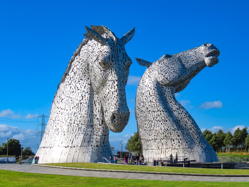
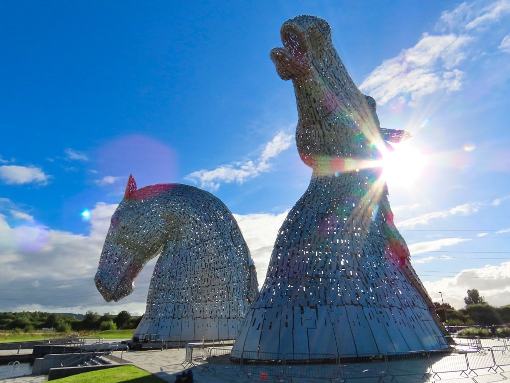
By this point in our trip, we had already been in Scotland for four days, but really considered this the first day of our Highlands adventure. Leaving Edinburgh and the Fringe Festival behind us, we zipped past the Kelpies. You have to be mindful of the speed limits while driving on the roads in the United Kingdom, as there are speed cameras everywhere. But it seems to be a lenient system where your speed is averaged between two points, so if you enter the camera zone above the speed limit you have a chance to compensate for the error by slowing down. Five months on and we have not yet received any notices of fines, but it did take some getting used to.

The morning was gray. The plan for the day was to visit several intriguing sculptures around Cumbernauld, head to Stirling Castle, and spend the night in the small village of Kippen. Luckily, we had stopped at the Kelpies several days earlier, on a beautiful afternoon, as we drove into Edinburgh. The 100ft tall equestrian statues are located in Helix Park at the confluence of the Clyde Canal and the River Carron. The steel horseheads are the largest in the world, and were created by the internationally acclaimed Scottish sculptor, Andy Scott. They are based on Scottish folklore;  a kelpie is a dangerous shape-shifting water spirit that appears on land as a horse, who entices its unsuspecting victim to ride on its back, only to be sped away to a watery grave. 

We used to purchase guidebooks to research our travels, but now rely mostly on internet research and Instagram. We have found Google Maps to be a great tool and use it to find many points of interest that seem to fly under the radar. We highlight them as favorites on the app and then connect the dots for our itinerary.

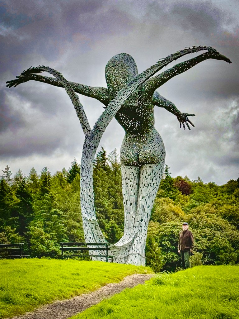
That’s how we planned our first stop of the day at another artwork conceived by Andy Scott – Arria, the Angel of the ‘Nauld,’ or the Steel Mermaid. The sculpture appeared quickly above the tree line along the M80 then vanished from view like a mirage. There was not any signage to the sculpture, but we eventually found ourselves at the back corner of the Eastfield Cemetery in Cumbernauld, where a path led through the woods to the 33ft tall steel figure.        

The graceful sweep of the split tail combining as one is meant to represent the original meaning of Cumbernauld. In Gaelic ‘Comar nan Allt’, means the merging of water, which represents the town’s two rivers flowing into the Forth and Clyde.  The figure offers, with outstretched arms, the rivers as her gift of life to the earth. Encircling the base of the sculpture is the poem by ‘Watershed’ by Jim Carruth.

The first sounds spoken, from the spring’s core, are of a new beginning, of people and place,

a poetry that bubbles and gargles to the surface, to leave this watershed, flow east and west,

in a rush of words, that tumble and fall, to join the conversations, of two great rivers,

a voice calling out, I belong I belong, adding to the language of sea and ocean.

The name was chosen from a local school competition. Arria was the mother of the Roman Emperor Antoninus Pius, who in AD 142 built a series of forts along the Antonine Wall which crossed Scotland from the River Forth to the River Clyde and marked the Roman Empire’s most northern frontier. The Romans only held it for thirty years before Scottish tribes forced them to flee to safety farther south behind Hadrian’s Wall.

A short distance farther on we pulled down a narrow country track bordered by fields and horse pastures to a trailhead for Croy Hill, where soldiers were once stationed in a fort along the Antonine Wall. The only remainder of that era is an 18ft tall steel sculpture of a Roman centurion, created by the Edinburgh artist, Svetlana Kondakova, in 2021. Today 78 miles of trails along the wall welcome distance hikers, dog walkers and equestrians to explore the ancient history of the area.

Hunger called and we found refuge along a quiet pedestrian lane in Kilsyth, at Scarecrow Bar & Grill. It had friendly staff, good food, and was a nice place to relax before heading to Stirling Castle.

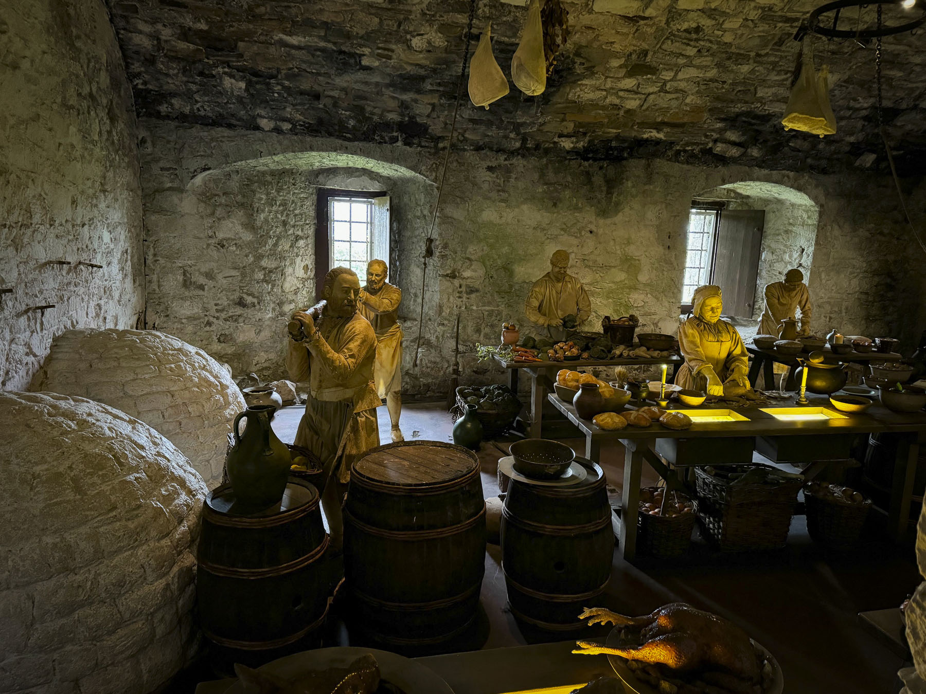
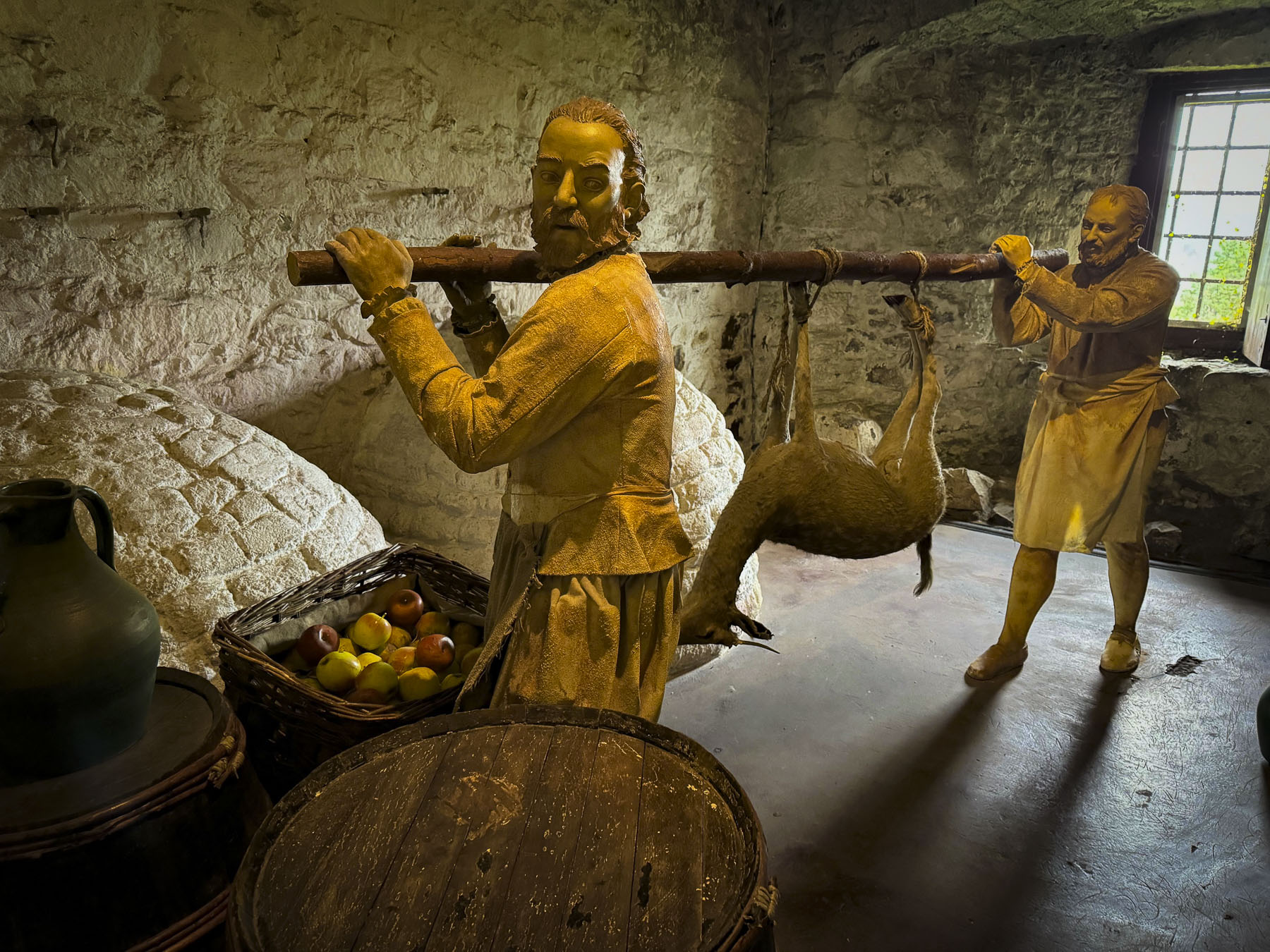
The Saturday crowd was tapering off by the time we arrived, around 3:00 pm, and we were able to park conveniently at the top of the hill next to the entrance. The ancient castle was entwined throughout Scotland’s epic history. Situated dramatically on a volcanic outcrop, the castle was built in the early 1100’s to guard the shallowest fording point across the River Forth, which divides the lowlands from the highlands. Over the centuries nearly ever Scottish monarch has paced the halls and ramparts of this mighty castle. Alexander I, Mary Queen of Scots, James IV, V & VI, William Wallace, Robert the Bruce, Margaret Tudor, and Bonnie Prince Charlie are just a few of the dozens of Kings and Queens who have called the castle home and most likely cursed the food, from the dungeon like kitchen, along with the wet weather and wind, while warming their bones next to one of the castle’s numerous fireplaces.

Many reconfigurations and additions have happened to the castle over the centuries. One of the most significant was the building of the Great Hall by James IV in 1501. This cavernous structure measuring, 138ft by 47ft, has five walk-in fireplaces, and a unique hammer beam roof, which resembles the inside of a wooden boat hull,. It was used to host royal banquets, weddings, christenings and meetings of state. One lavish event featured a specially built wooden boat with 40ft tall masts, and 36 brass canons, which were fired in celebration. After the smoke cleared and the guests stopped coughing, a seafood banquet was served from it. And, I’m assuming, the party planner lost his head the next day. Centuries later it was used as a stable before being renovated and used as a military barracks until the 1960’s.

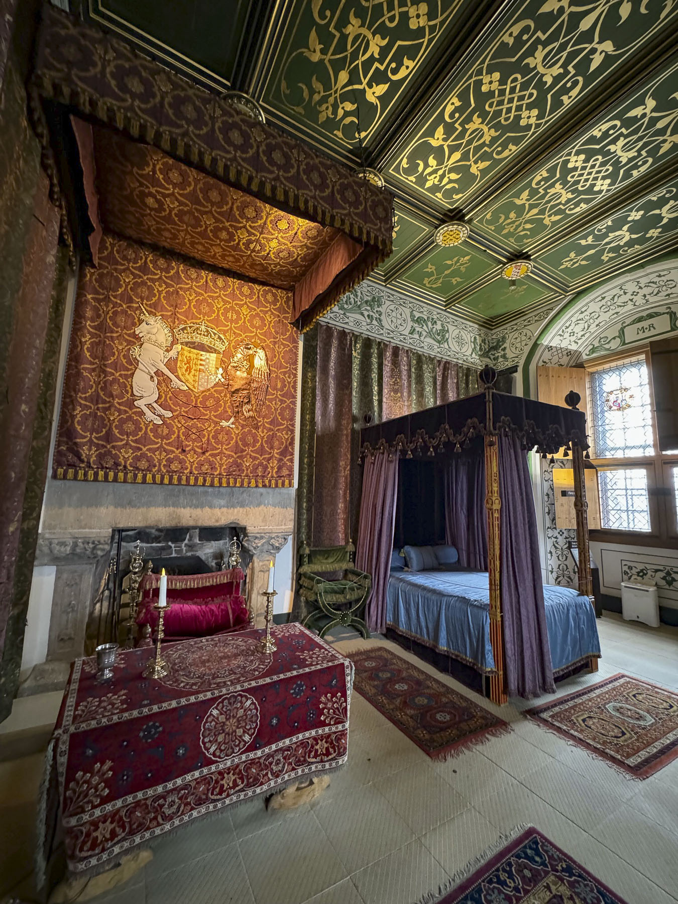
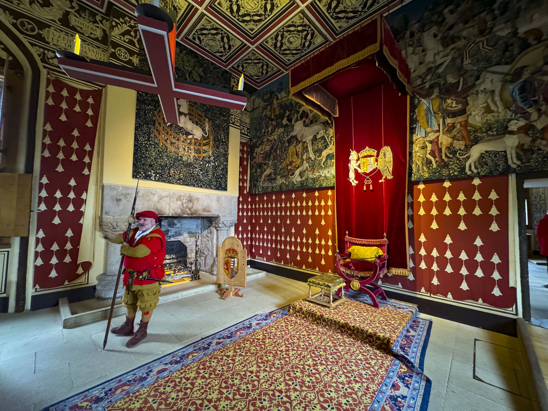
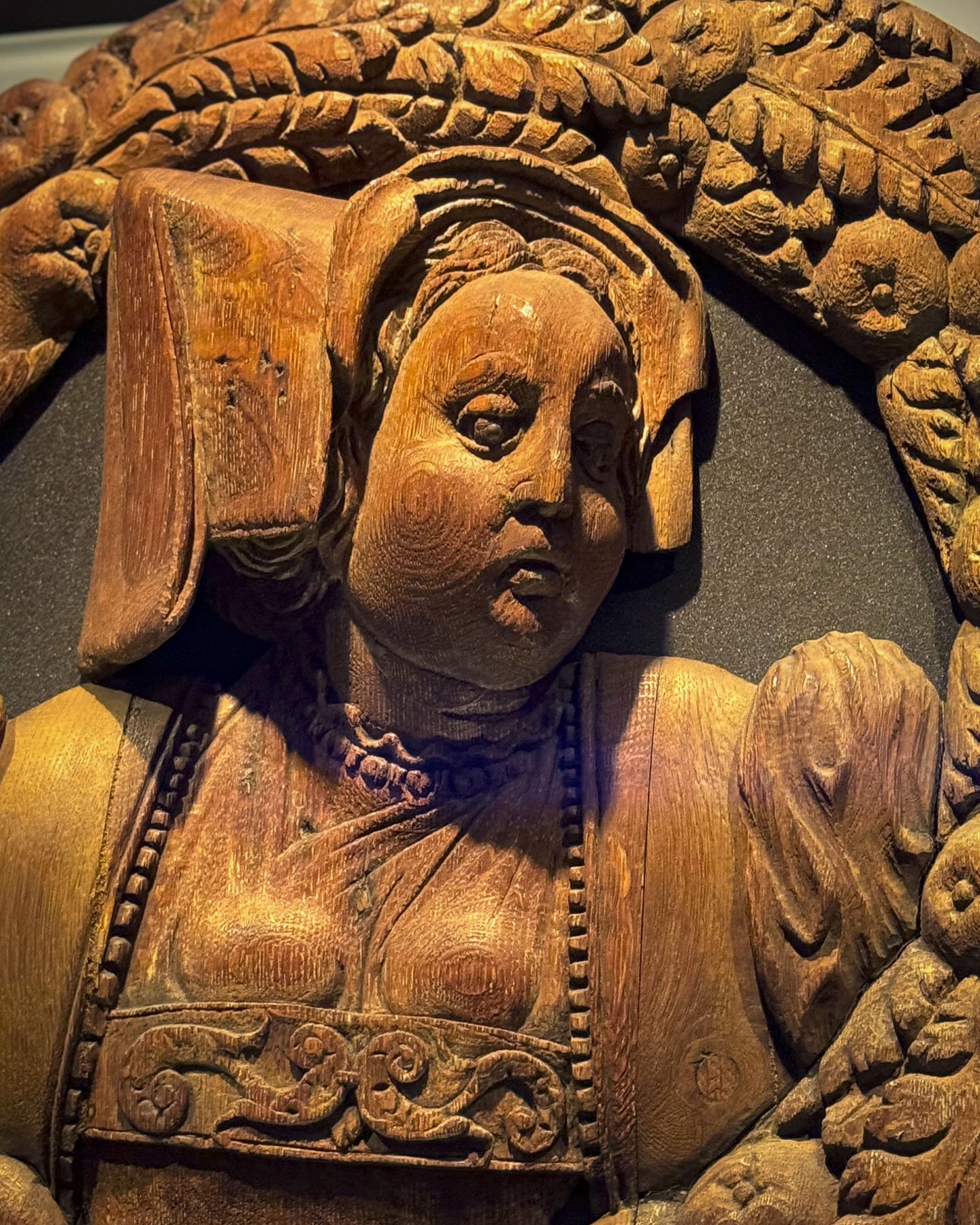
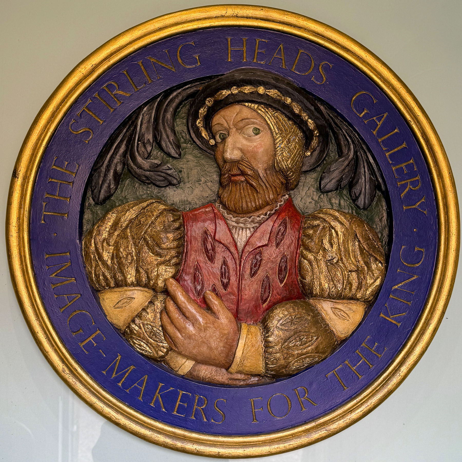
Touring the rooms of the palace was the highlight of our visit to Stirling Castle. They were noticeably better furnished than Edinburgh Castle and the Palace of Holyroodhouse. Gorgeous tapestries were displayed throughout and the ceiling of one main rooms featured replicas of the famous 37 “Stirling Heads.” They were quite an unusual embellishment for a royal residence, depicting mythical heroes, historical Scots, and everyday people.

The original three-foot wide portrait medallions, often referred to as “Scotland’s other Crown Jewels,” were carved from solid oak in the 16th century, and are on exhibit in the castle’s gallery. The new medallions, installed on the ceiling in 2011, were painstakingly recreated over a six-year period by the master wood sculptor John Donaldson and then painted in a renaissance style, appropriate to the era, by artist Graciela Ainsworth.

It’s always debatable how far out we should make our hotel bookings. Six months out for hotel reservations is what we normally do, and it usually works very well, but surprisingly to our dismay most of our first-choice hotels in prime locations were already fully booked by then. 

Which is how we arrived at The Inn at Kippen in time for dinner. Kippen is a quaint crossroads village west of Stirling and was a wonderful off-the-beaten track discovery. The first public record of Kippen appears in the 1300’s when the village church is mentioned. But its heyday was in the 18th century when it was stagecoach stop along a military road between Stirling and Balloch.

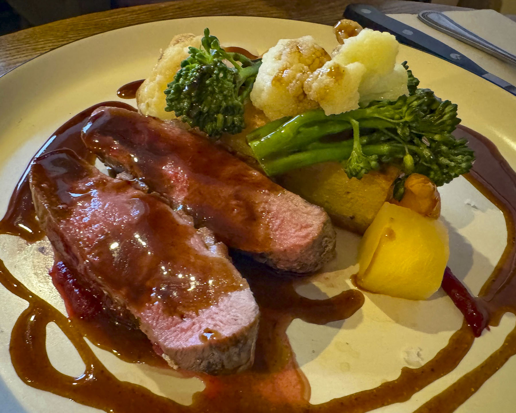
The Kippen is a historic coaching Inn and continues the friendly tradition of welcoming travelers, with a dog-friendly bar and restaurant on the first floor and five well-appointed rooms on the second. The hosts pride themselves on sourcing all meats, fish and produce locally and the menu changes accordingly with the seasons. Our dinner, as well as breakfast the next morning, was delicous.

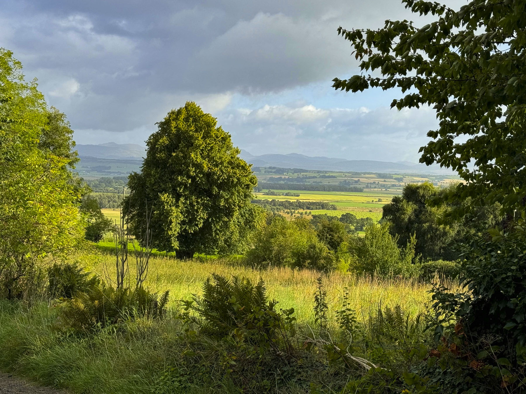
A bright early sunrise encouraged us to quickly dress and amble around the quiet village, and enjoy views pf the countryside before breakfast. We then continued our drive west into the Highlands.

Glencoe was the day’s ultimate destination, but with us it’s never a straight drive. We are always zigging, zagging, detouring and stopping for photos along the way. The view as we crossed a bridge over the Eas Gobhain, a river that flows from Loch Venachar into Callander, was beautiful, so we U-turned and parked. Our timing was perfect, as we caught photos of kayakers out for a Sunday paddle.

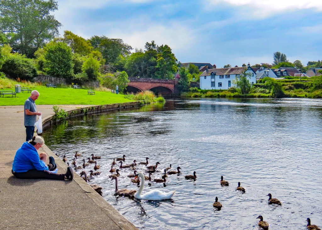
Afterwards, we stopped at a riverside park called the Meadows that was a popular spot for feeding the ducks and for fishing from the riverbank.

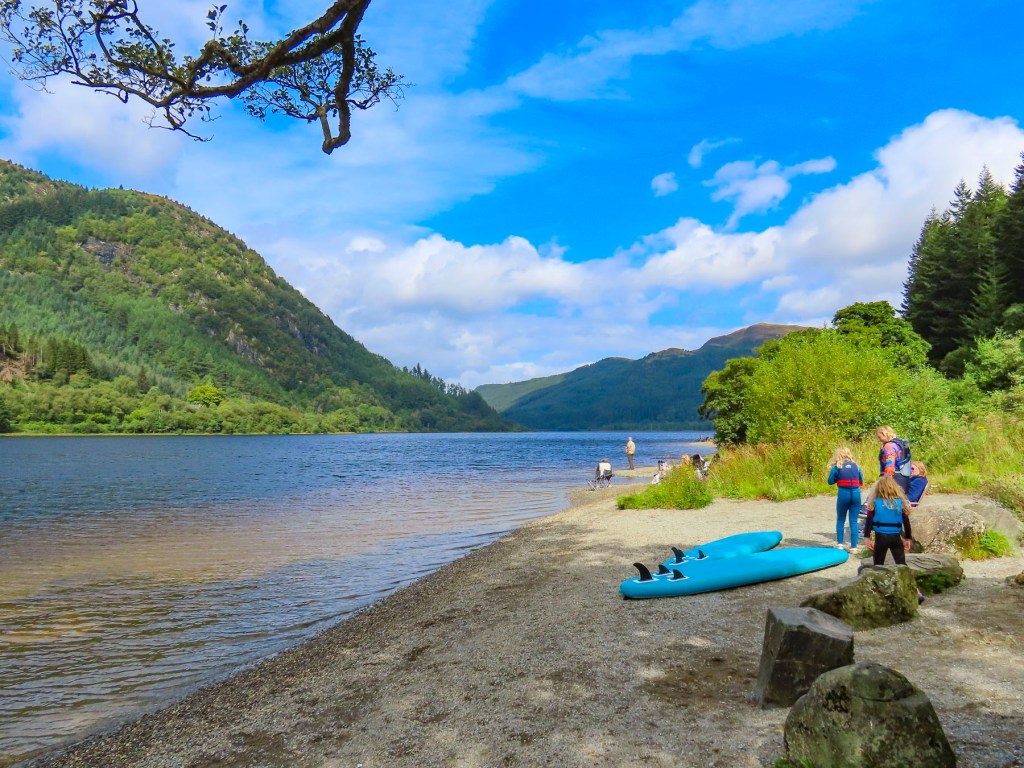
The A84 is the main route into the Highlands from Stirling and passes through Callander. We followed it west through a rolling landscape that gently changed to mountains covered by pine forests. Brilliant sunlight reflected off the water and glistened through the trees as we stopped at Loch Lubnaig. Our first Highland loch! We were captivated by the crystal blue lake shimmering in the sun, before a background of verdant mountain and clear sky.

We had read about the Highlands being unbearably full of tourists during the summer months, but hadn’t really noticed it until trying to find a parking space. This became a recurring issue during our trip. While the roads were not congested, the small parking areas were, and there was often a queue for a spot if you arrived later in the day.

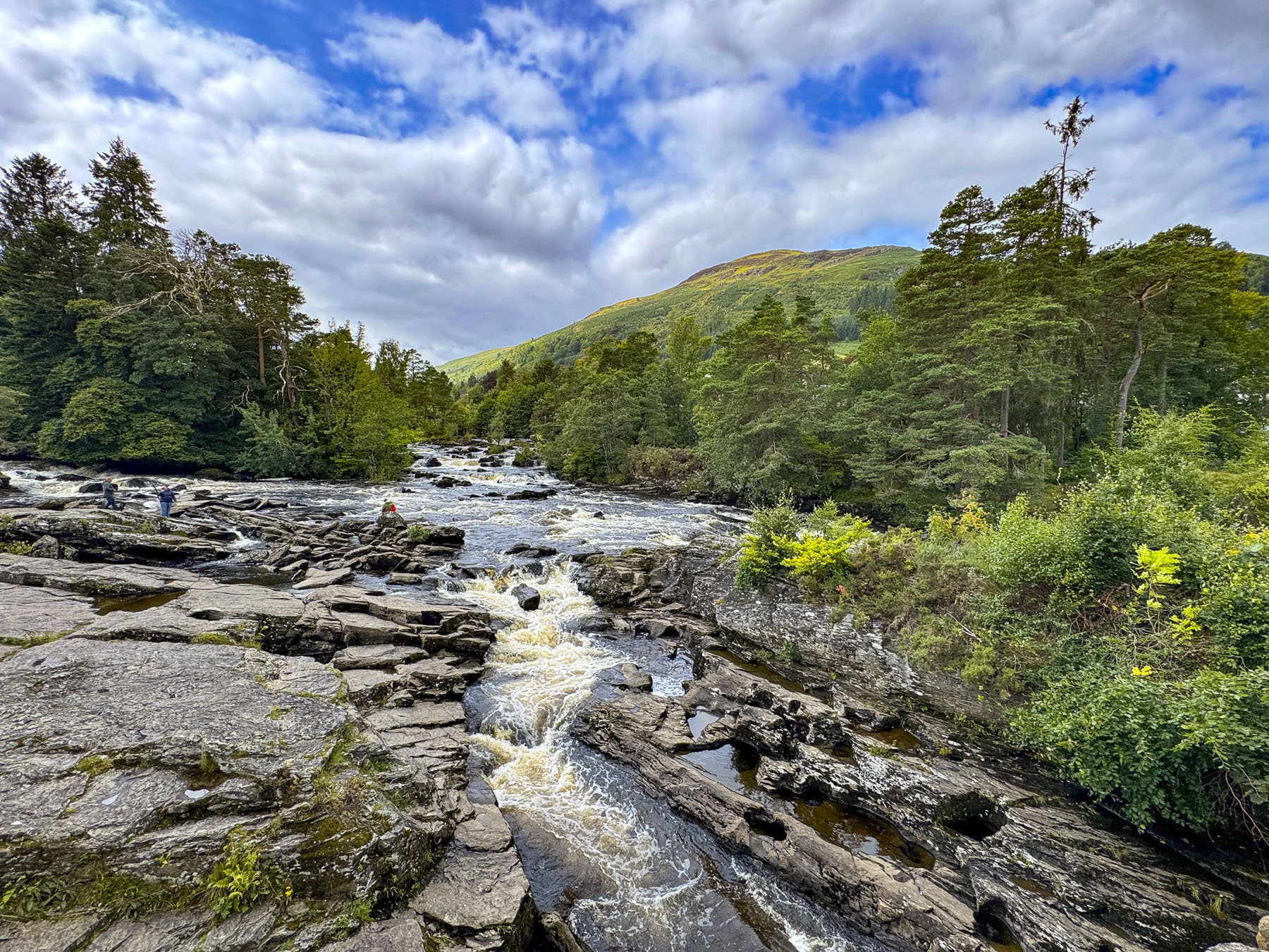
We veered off the route to see the Falls of Dochart, and the Clan Macnab Burial Grounds on an island in the river at the village of Killin. While many local folks apologized for the unusually rainy August weather, it was surely beneficial to the rivers, which were running high, and the spectacular waterfalls.

The earliest note of the Clan Macnab goes back to 1124 during the reign of David I, the 9th King of Scotland. It was a rather violent clan known for beheading its defeated enemies, which is rather surprising considering the clan descended from an Abbot of Strathfillan. But occasionally they backed the wrong cause and famously fought against Robert the Bruce in 1306, and subsequently forfeited most of their extensive territory, which encompassed land between the village of Tyndrum and the south-west corner of Loch Tay, until their property rights were reinstated by King David II in 1336.

Across the Highlands, the clans notoriously pillaged villages and stole livestock from each other in a vicious cycle of attack and revenge. One episode is best illustrated in a description, by the Clan Macnab Society, of the Battle of Glenboultachan in 1522 between the Macnab and the Neish clans, after the Neishes initiated a major raid on the Macnab herds. “As the Macnabs rushed downhill they threw away their plaids and, naked apart from their brogues, flung themselves upon the Neishes. The Neishes threw off their plaids as well, and soon the glen was packed with naked, screaming warriors locked in mortal combat.” I can only image they wished to keep their clothes from being shredded. Ninety years later, only two young Neishes survived the swords of the Macnab’s after a retaliatory attack for a Christmas season ambush. The A85 now passes the site at Little Port Farm where the epic fight took place. 

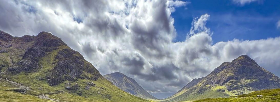
As we continued west the pine covered slopes faded from green to hills and moorlands covered in the pink, purple, and lavender colors of flowering heather shrubs in full bloom, and the yellow and amber of late summer grasses. Vast areas were a treeless wilderness without signs of habitation. The clouds slightly thickened and their shadows raced across the panorama. Patiently we waited with our cameras ready at the Buachaille Etive Mòr car park for the sun to break through and were rewarded with dramatic shots of endless landscape. We stopped along the way so many times that it seemed we were not making any progress toward Glencoe. 

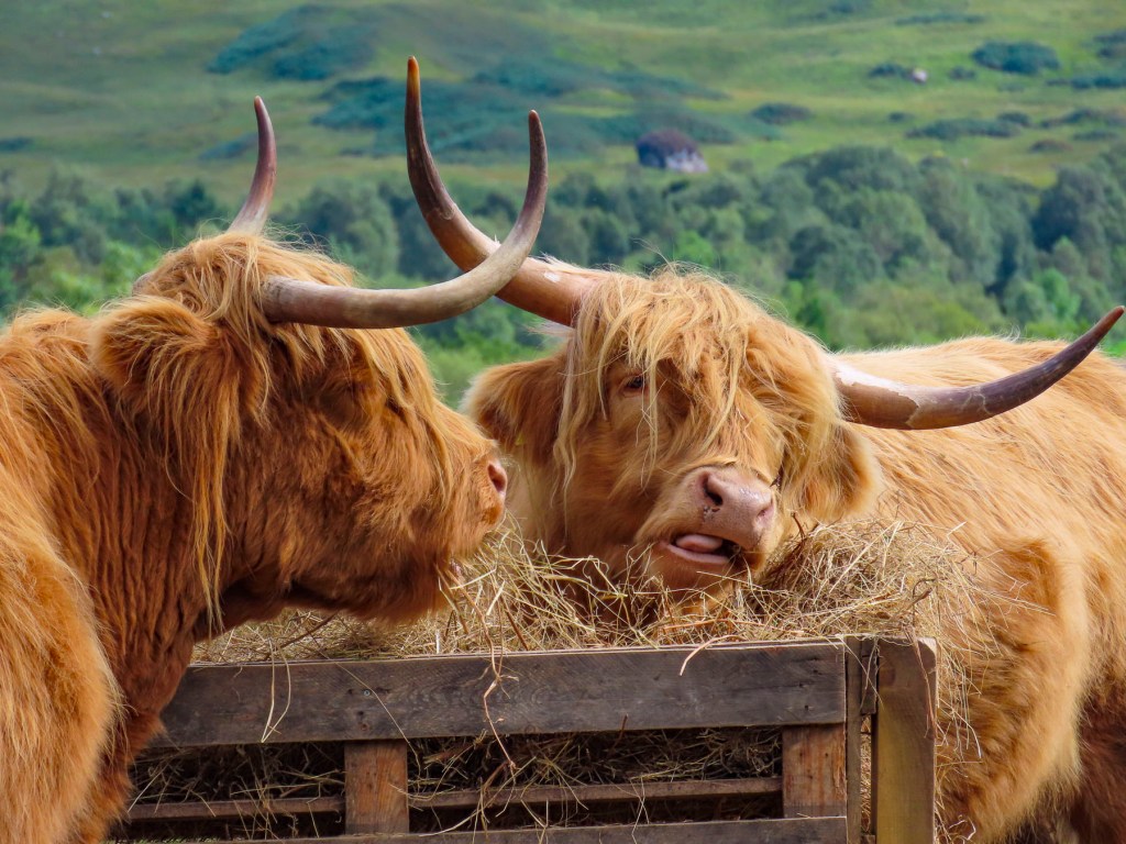
At the National Trust for Scotland – Glencoe Visitor Centre we encountered our first highland cows, or hairy coos as the Scots like to say. With how heavily these wonderful animals are used in advertising to promote Scottish tourism, we thought there would be abundant herds of the coos everywhere. But that was not the case, and based on our experience, I swear these two hairy coos were the only ones in the Highlands. We did see some from a great distance in the northern Highlands later in the trip, although they were so far away that they could have been plywood silhouettes of the beasts. And I can just imagine an elderly pensioner exclaiming to his wife, “those silly tourists stopped again to take photos of our fake coos. If I had a Two pence for every time someone stopped, we’d be vacationing on the Rock of Gibraltar this winter.”

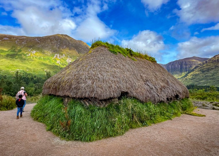
Beyond the coos stood a re-creation of an ancient highlander turf and creel house. Sturdy log framing was built atop thick walls of insulating turf and then covered on the inside with a basket-like weaving of freshly cut and still pliable ‘green’ wood. The steep roof framing was then covered with a thinner layer of turf and thatched with heather. The dwellings had high peaked interiors and were built without windows or a chimney. The only ventilation for the cooking fire, in an open stone hearth, was through one or two low entries that would be covered with skins to protect the inside from the fierce wind, snow and rain of the highlands, along with attempting to contain the heat thrown off by the fire inside. In an 1822 letter to a friend, a Londoner traveling through the region snarkily described a creel house, “smoke came pouring out through the ribs and roof all over; but chiefly out at the door, which was not four feet high, so that the whole made the appearance of a fuming dunghill.”

It was in homes like this creel house that one of the greatest atrocities against the Scots was committed by the English. On February 13, 1692, in Glencoe, Clan MacDonald extended their hospitality and opened their homes to 120 Redcoats. On orders sent from John Dalrymple, the Earl of Argyll, the night before, the soldiers were ordered to “kill all,” and “not to trouble the government with prisoners,” at 5 the next morning. The Earl of Argyll suspected the chief of the clan opposed the new monarch William III, and the MacDonald Chief was not prompt in pledging allegiance to the new king, after James II was deposed during the Glorious Revolution of 1688, for supporting the Catholic religion. It was also an opportunity for the Earl, a Campbell, to settle a long-standing clan feud with the MacDonalds.

Thirty-eight innocent men, women, and children were massacred as dawn broke. Another forty died in the snow as they fled into mountains trying to escape. After the tragedy, several British army officers were court martialed for refusing to follow the heinous order. The poor Earl, who was also the Secretary of State for Scotland at the time, was only told to resign. It’s difficult to imagine that this tranquil valley holds such tragedy. This verse from the poem Glencoe by Douglas Alexander Stewart, says it well. 

Sigh, wind in the pine,
Cover it with snow;
But terrible things were done
Long, long ago.

A memorial to the MacDonald Clan stands on the Upper Carnoch road in the village.

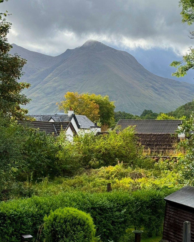
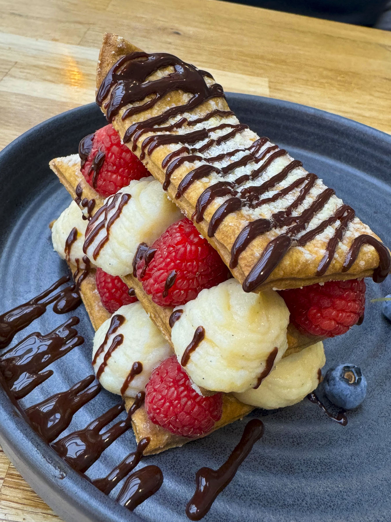
After we settled in at the Beechwood Cottage B&B for a two-night stay, and admired the view of Sgorr na Ciche mountain from our window, our host offered to make early dinner reservations for us, relating that during the high season, the restaurants fill quickly and it’s not like Edinburgh where things stay open late. In Glencoe everything closes early and without dinner reservations, there is usually an impossible queue. Following her recommendation, we enjoyed the view of Lock Leven from the restaurant at the Isles of Glencoe Hotel, while having a wonderful dinner and a decadent dessert.

We should have listened more closely to our host’s tip about parking at the Glenfinnan Viaduct to photograph the old Jacobite Steam Train, often referred to as Harry Potter’s Hogwarts Express. Our host suggested it would be wise to arrive an hour before the train is scheduled to cross the bridge, as there are usually hundreds of folks wanting to do the same thing, and it takes a while to hike up the hill to find the right observation point. Well, we were the last car in line before they closed the gate to the Glenfinnan Car Park. Folks who were willing to walk a greater distance back resorted to all sorts of creative and illegal parking along the shoulder of the road. We searched for a while, but the historic area never envisioned the mass tourism that the Harry Potter train brings to the region when the line was constructed in the 1880’s. It began to rain.

For Plan B we backtracked to the Corpach Caol shipwreck on the shore of Loch Linnhe, near the Caledonian Canal Locks, just west of Fort William. The rain lessened as we walked across the locks and along a stoney beach to the evocative wreck silhouetted against Ben Nevis, the tallest mountain in the United Kingdom. The wreck of the old fishing trawler has rested on the beach since 2011, when a fierce storm broke the boat from its mooring, miles away, farther down the loch in Camusnagaul Bay, where a new owner was renovating it to liveaboard.

Afterwards we headed back, across the canal, to a small café for coffee and a reprieve from the rain that had started again and decided to try our luck one more time at the Glenfinnan Viaduct. We planned to be there very early for the afternoon crossing of the train. We secured a parking space easily enough, even though it was beginning to rain harder, and followed the other mad fools as intent as we down a long heavily mudded track. It rained harder. And harder. We thanked our lucky stars that we had invested heavily in completely waterproof jackets for this trip. The rain finally deterred us from continuing up the slope to those spots from which all the iconic photos of the steam train puffing across the curve of the viaduct are taken. Instead, we claimed a spot, under a tree, along the stream that runs through a valley, and stood there stoically like hairy coos in a drenching downpour. That in Gaelic is called a Goselet. One of the infinite number of words that the Scots use to describe their finicky weather.  It was a bust! The train stopped mid span for a minute, for us paparazzi-like tourists to snap away, but the sky was so grey and low that the steam from the engine was indiscernible from the gloom. Our young grandson, having just finished reading all the Harry Potter books, was delighted to see our photos that we texted to him later that day.

By the time we finished a late lunch at The Lochy, a nice unpretentious pub, with some very good value daily specials, the morning storm had cleared, and we headed back to Glencoe. We didn’t get far before we came to a halt at the lowered gates of a railroad crossing. Imagine our surprise when  the Jacobite Steam Train passed in front of us in all its steaming glory in the bright afternoon sun.

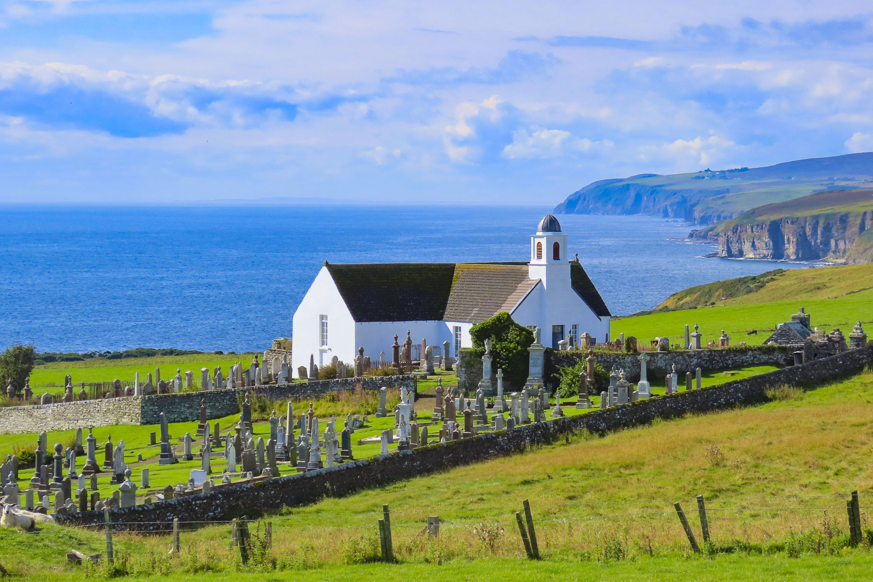
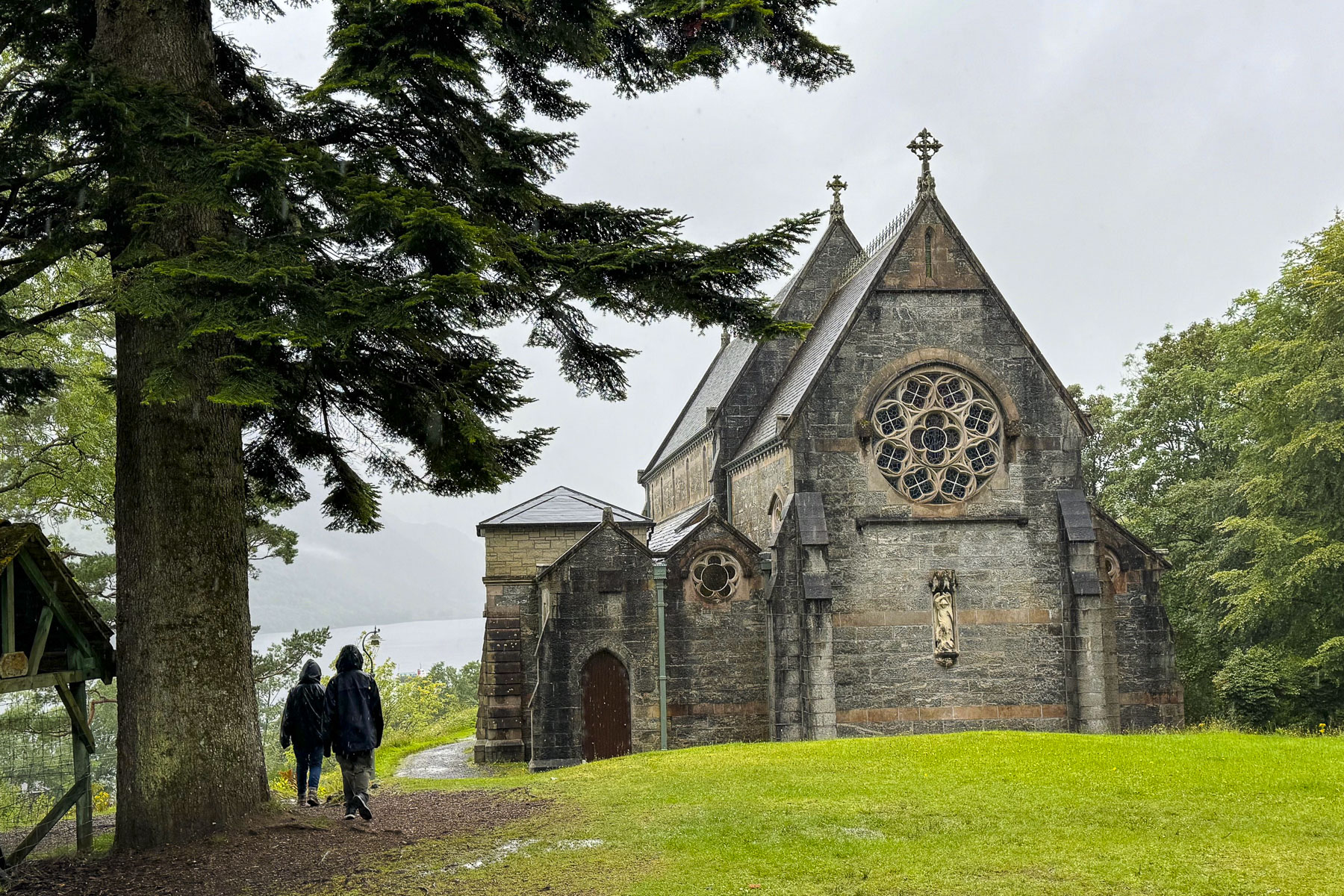
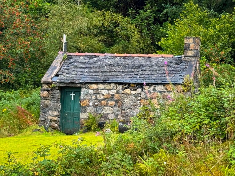
We capped the day wandering about closer to Glencoe, exploring various shorelines and St. John’s Scottish Episcopalian Church in Ballachulish. The original church on the site is actually the smaller stone building to the left. It was a storage shed before it was donated to the church and consecrated for use as a sanctuary in 1770. The larger old stone church was built in 1842 and is surrounded by an interesting cemetery.

Till next time, Craig & Donna

Timetable for the Jacobite Steam Train

The Scotland Explorer Pass helped with the price of admission to many sites across the country.

Visit ScotlandWhere to see Highland cows in Scotland

An Albanian Road Trip: Theth – Majestic Isolation in the Accursed Mountains & A Castle in Kruje

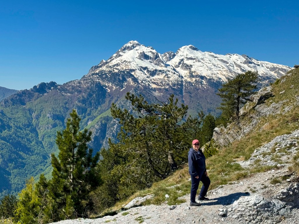
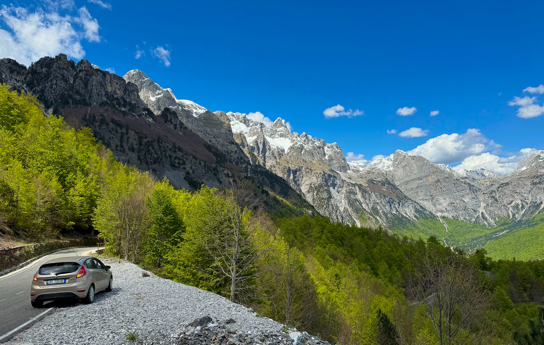
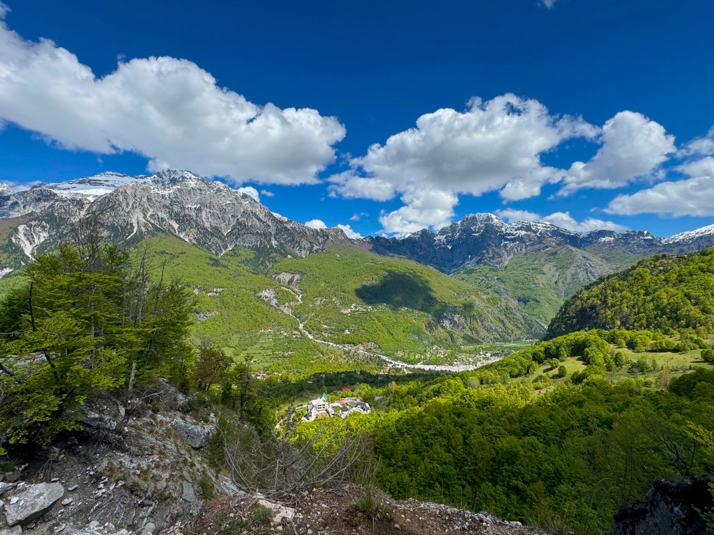
The day was crisp, the sky a clear blue, the mountains beautiful with their peaks still covered with late spring snow. We zigged and zagged our way along the infamous SH21, higher into the mountains, around many challenging blind corners and switchbacks. In spots the road narrowed to a single lane, but there were pullover areas to allow for oncoming cars to pass.  Fortunately, in late April we had the roads and the overlooks in this pristine region mostly to ourselves. The views were breathtaking. A half-hearted complaint if any, there just were not enough places to stop safely to enjoy the picturesque landscapes.

After cresting the Thore Mountain Pass, at 5,547ft the highest along the route, we stopped at the Monument commemorating Edith Durham, a British anthropologist who championed Albanian independence in the early 1900’s, and was lovingly called, “Queen of the Highlanders.” After that we could have coasted all the way into Theth, like Olympic bobsledders, but we were very judicious with braking.

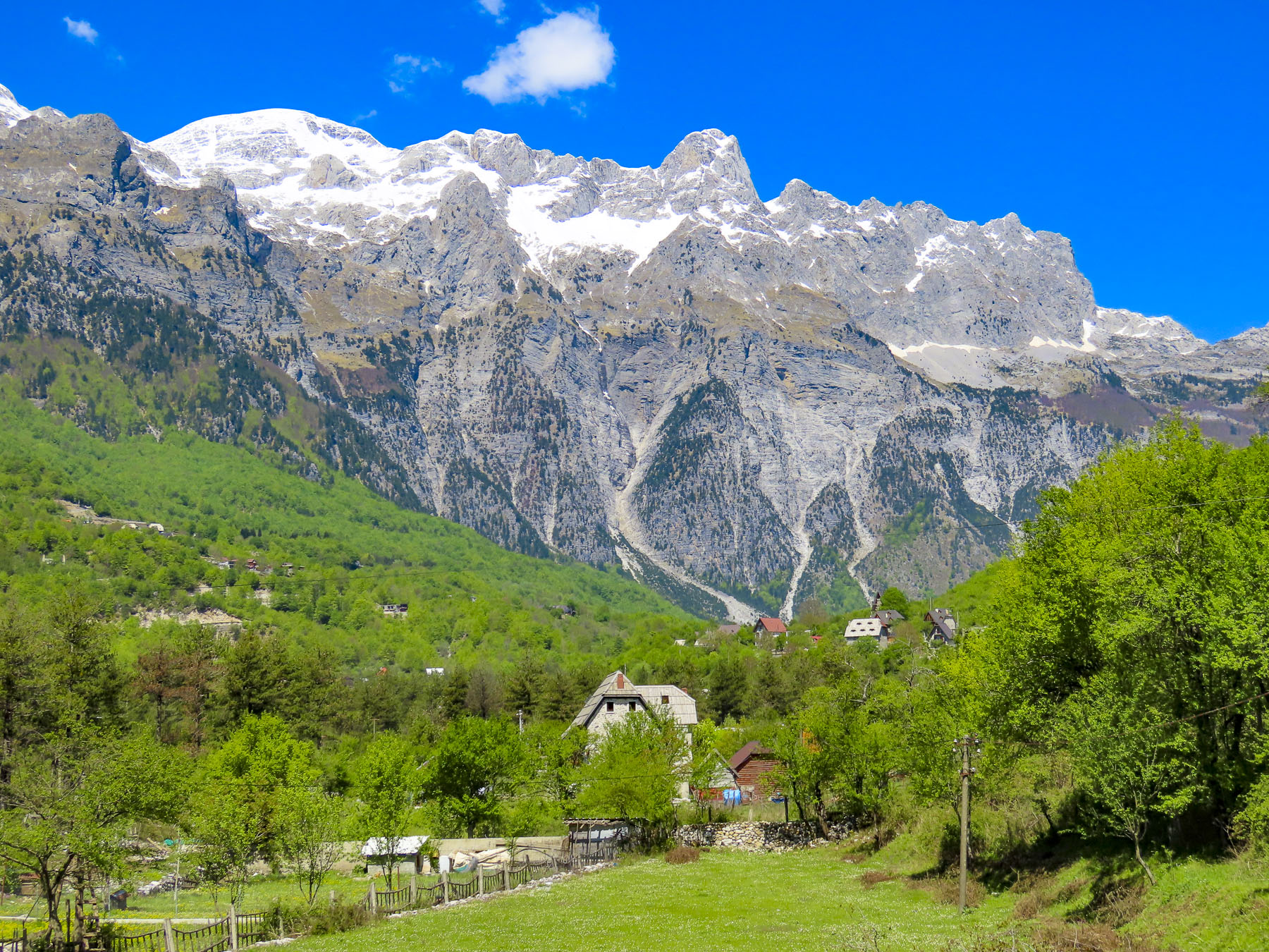
Centuries ago, the inhospitable, saw-toothed mountains of northern Albania were a sanctuary for folks fleeing invaders. It’s a massive area at the southern end of the Dinaric Mountain Range, with nearly twenty mountain peaks having 9000 ft high summits, and it encompasses the border region where Albania, Montenegro, and Kosovo meet. The Dinaric Mountains are the spine of the Balkans, stretching from Slovenia through Croatia, Bosnia and Herzegovina, Serbia, Montenegro, and Kosovo before ending in Albania, where today they are called the Albanian Alps. A much friendlier name to encourage tourism than the Accursed Mountains, or “Bjeshkët e Namuna” as the original Albanian name goes.
There are three prevalent legends as to how the mountains got that original title, but hardship is at the core of each. One of the earliest legends credited the creation of the torturously steep mountains to the Devil when he escaped from Hell for a day. While there are streams and waterfalls throughout the mountains, they are not easily accessible and are often dry during the summer months. These dry conditions explained the tale of a mother fleeing her burning village. Her husband was killed in the fighting with Ottoman invaders, and she took her children into the mountains to save them from being forcibly converted to Islam. The days were hot, the terrain steep and unforgiving; her children were thirsty after three days without any water. Distraught, she cursed the mountains for causing their suffering. It’s also believed that soldiers struggling to cross the treacherous mountain terrain cursed the steep slopes, and most likely used many foul adjectives to make their point.

Footpaths and donkey trails were the only way into Theth for a millennium. The village didn’t have a school until 1917. The American Red Cross arrived in Theth in 1921 to help expand the educational opportunities in the Shala Valley. The American journalist Rose Wilder Lane tells of this school building mission in her 1922 book Peaks of Shala. Communication with the modern world didn’t expand until the first dirt track, a single lane, serpentine road that crested numerous mountain passes, was carved into the side of the masiffs that isolated the remote valley in 1936. It took another thirty years before the village received electricity in 1966.  

It is difficult to find accurate figures on the ancient population of Theth, which in some instances includes the entire Shala valley and its nine hamlets, and at other times just the village of Theth itself. But it’s thought that at the end of Albania’s Communist regime in 1991 the remote area had a population of roughly 3000 folks in 700 households, though it is much less today. Interestingly, most of these villagers claim Zog Diti as a common ancestor of the Shala tribe or clan. Oral tradition relates that the name Shala is derived from shalë, a saddle, a gift he was given by his brothers, when led his family into the northernmost reaches of the Shala Valley. They fled from the region of Pashtrik, during the Ottoman invasion of Albania in the early decades of the 15th century to preserve their Catholic faith.

A road changes everything. While it brought progress in its early years, it eventually was the route of exodus for families seeking non-agrarian jobs for themselves and better educational opportunities for their children. It was extremely difficult to recruit teachers to live in the “wilderness.” Currently Theth has about 370 summer residents that return to support the tourist season, but only a hearty, resourceful handful of residents winter over in the often snowbound valley.

Today the village, with its modest tourist infrastructure, is the jumping off spot to pursue outdoor activities in the northern Albanian park system that includes Nikaj-Mertur Regional Nature Park, Valbona Valley National Park, and Theth National Park. This vast area encompasses many diverse ecosystems that include oak and beech forests at lower elevations that transition to pine trees and scree-covered slopes the higher up the mountains you go. The region is home to over 50 bird species, including kestrels and eagles. And if you are lucky enough you can spot gray wolves, wild goats, brown bears, and roe deer.

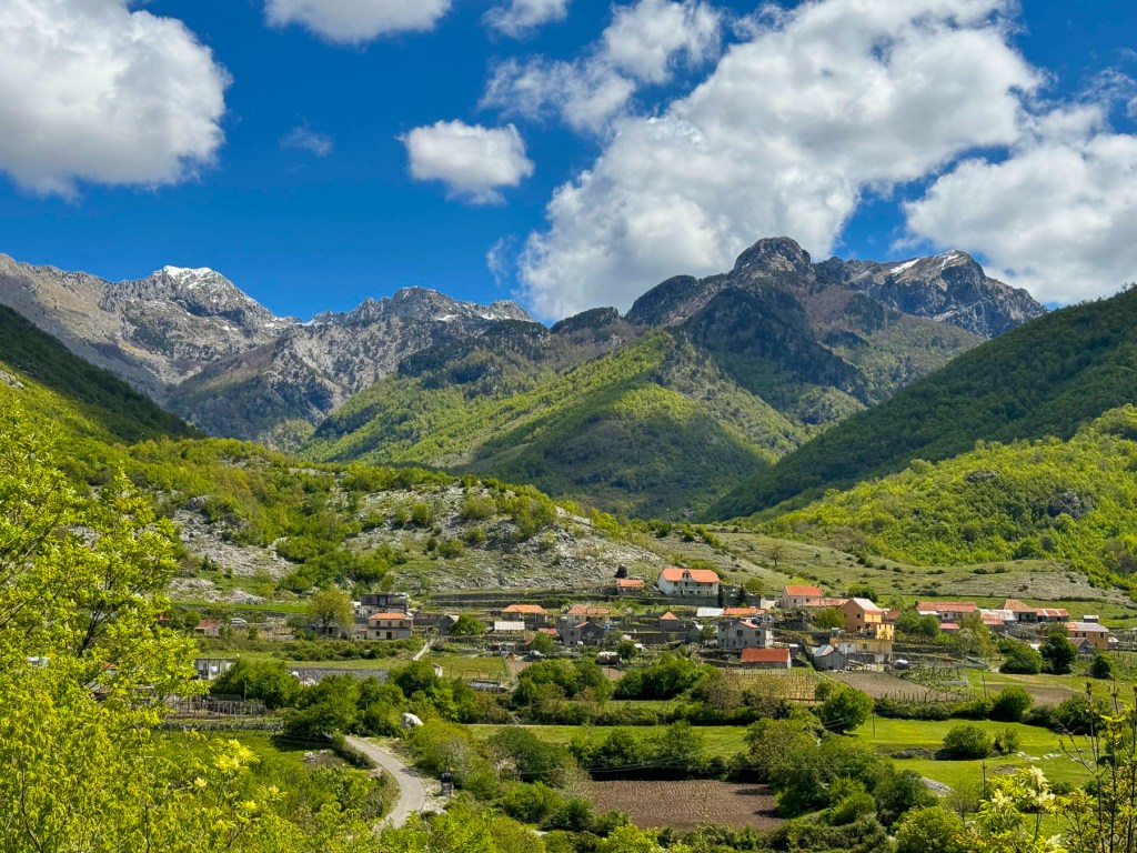
We arrived at the Royal Land Hotel & Restaurant as the shadows were lengthening and the sun skimmed the snowy ridge across the valley from the hotel. Just a week earlier the hotel had reopened for the season, and we, along with several other couples, were some of the hotel’s first guests of the year. After checking in, we sat at picnic tables on the terrace outside, sipping glasses of their homemade red wine, and watching the inn keeper’s son rototill the fertile dark soil of a garden plot. The sky stayed light for several more hours, but the sun had disappeared behind the mountains behind us. The lodge is very rustic with fourteen cedar-planked rooms, and a glass enclosed dining area, where each table has fantastic views of the surrounding mountains. The Inn’s restaurant is open to the public, as are most of the hotel restaurants in the valley. The family that owns the hotel was very friendly and helpful. Their breakfast buffet and home cooked dinners were delicious, with many of the items on the menu homemade or locally sourced. The sky was clear that evening and the stars brilliant across the night sky. Early the next morning, moonlight filled our room.

Hiking is the main activity in the Shala Valley, and we eagerly headed down into the village to explore the valley. Many folks choose to trek the popular Theth to Valbona trail, a nine-hour hike one way, covering 11 miles that takes you through a pristine high alpine wilderness. Being the city folks we are, we stayed in the relatively flat flood plain of the Lumi i Shalës which tumults from its source in the mountains north of the village. Near the bridge that crossed the river we spotted an understated monument that upon closer inspection commemorated the schools built by the American Red Cross in the Shala Valley.

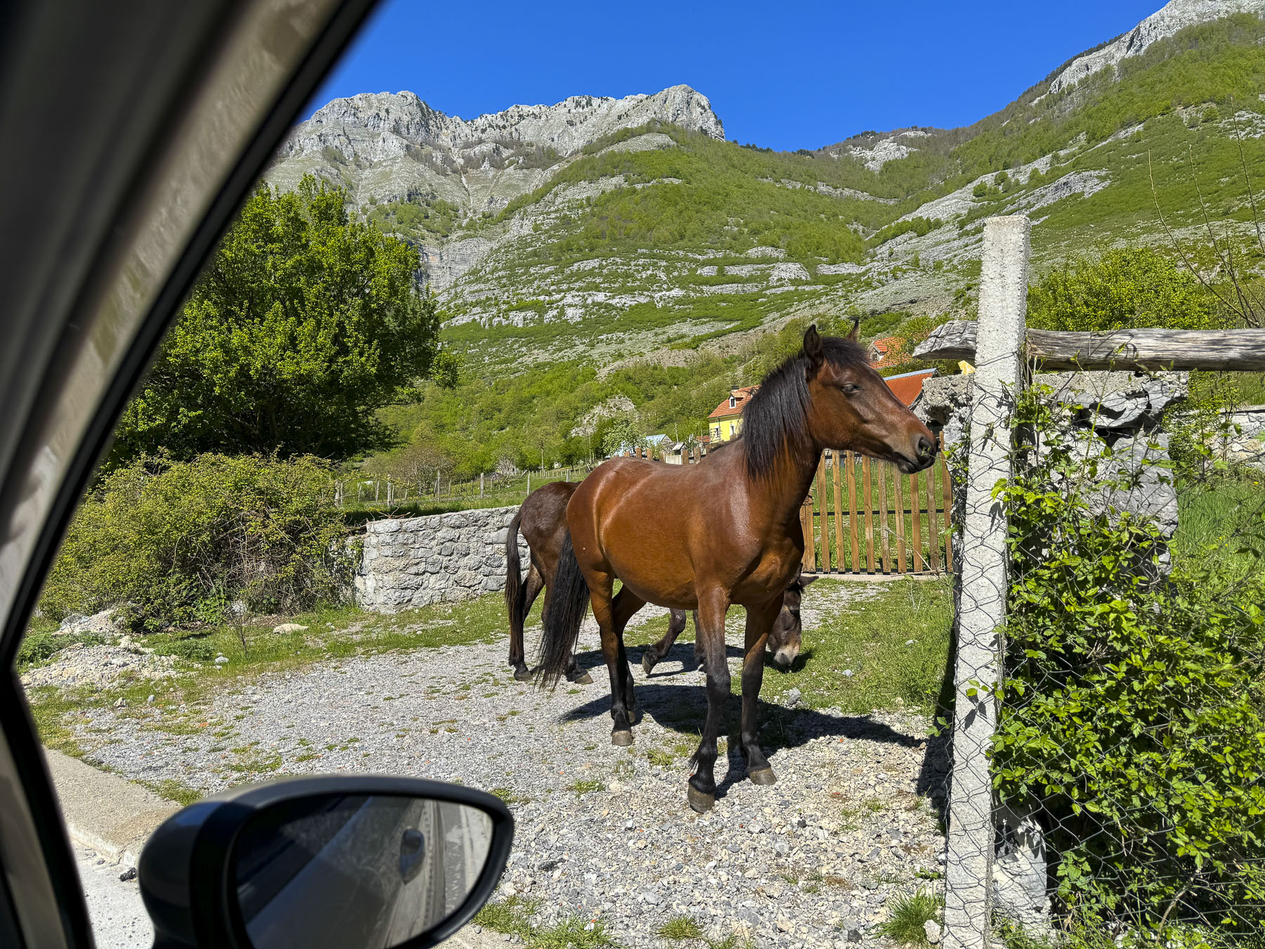
Farther along we reached Kisha e Thethit, Theth’s iconic church, and could hear music softly emanating from the Sunday service being held inside. Built in 1892, the church is a strong stone building with a steeply pitched roof, and a belltower, that looks like a small medieval castle, ready to withstand a siege. Though, during Albania’s communist era, the building was used as a health center. Nearby a sign pointed the way to the trailhead for the Theth – Valbonë hike. Sheep contentedly grazed as their shepherd checked his cell phone. Untethered horses sauntered nearby.

From the church we could see Kulla e Pajtimit, the Reconciliation Tower, or “Lock-in Tower,” and headed there. The formidable two-story stronghold, with three small windows, was built four centuries ago, and served a dual purpose; to provide shelter for the villagers in times of trouble, and to serve as the reconciliation tower, a neutral ground where disputes within the village were resolved by a council of elders. In more serious cases that involved a murder or threat of murder for revenge, the accused party would be locked in the tower for fifteen days as a cooling off period, while the elders tried to reconcile all parties affected by the crime.

This millennia old tribal custom was widespread throughout Albania and was part of the “Code of the Mountains,” that was passed down through an oral history tradition from generation to generation until it was codified in the 15th century by Lekë Dukagjini, an Albanian nobleman and contemporary of Skanderbeg, an Albanian hero. Since then, the tribal laws have been known as the Kanun of Lekë Dukagjini. The kanun has an extensive set of 1263 rules that cover everything from beekeeping to marriage and honor. It is most famously known for obligating families to partake in gjakmarrja, (blood feuds), that permitted koka për kokë (a head for a head), and hakmarrja, (vendettas), to maintain honor by seeking revenge. The heavy hand of Albania’s communist government had some success in outlawing this practice, but unfortunately, it’s still an issue for law enforcement today.

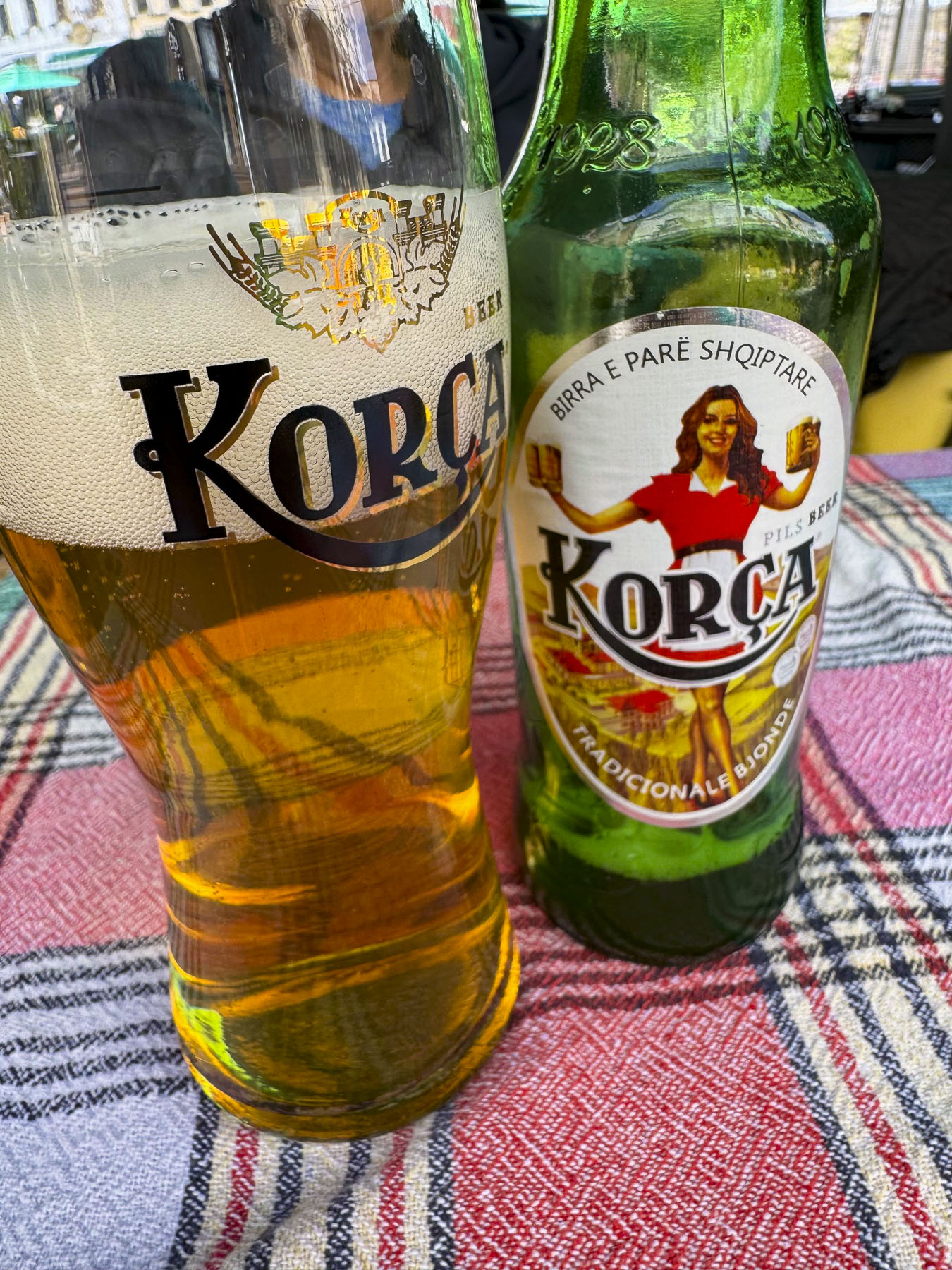
Later we stopped for lunch at the Thethi Paradise restaurant and enjoyed fresh trout, grilled lamb, and a few Korça beers, at an umbrella covered table on the patio.Surrounded by mountains from end to end, the Theth Valley was absolutely stunning and serenely tranquil in its “majestic isolation,” borrowing a phrase from Edith Durham.

The next morning, we retraced our drive across the mountains to Shkodër before continuing south to the Lezhë Castle and Kruje, where we spent the night. The drive out of the valley was just as beautiful as the drive in.

Our only companions on this quiet stretch were a flock of sheep being herded down the road, and a sow followed by her piglets crossing behind her. The drive was uneventful until the bridge over the river ahead of us was closed for road repairs, and we were directed to follow a deeply rutted farm track through the countryside for several miles. The road surface was so unforgiving that the car bottomed out several times regardless of how slowly we were going. At this point we didn’t have a cell signal, and there were no other detour signs, so we had to dead reckon our way back to the highway. The rental car company had cautioned us that they prohibited driving on dirt roads, and that we would be fined if their satellite tracking recorded us doing so. We kept our fingers crossed.
It was easy to spot Lezhë Castle, perched high on a hill, from miles away. Though getting there was a little more challenging and involved driving on some of the steepest roads we ever encountered. Think hills of San Francisco steep, but worse.

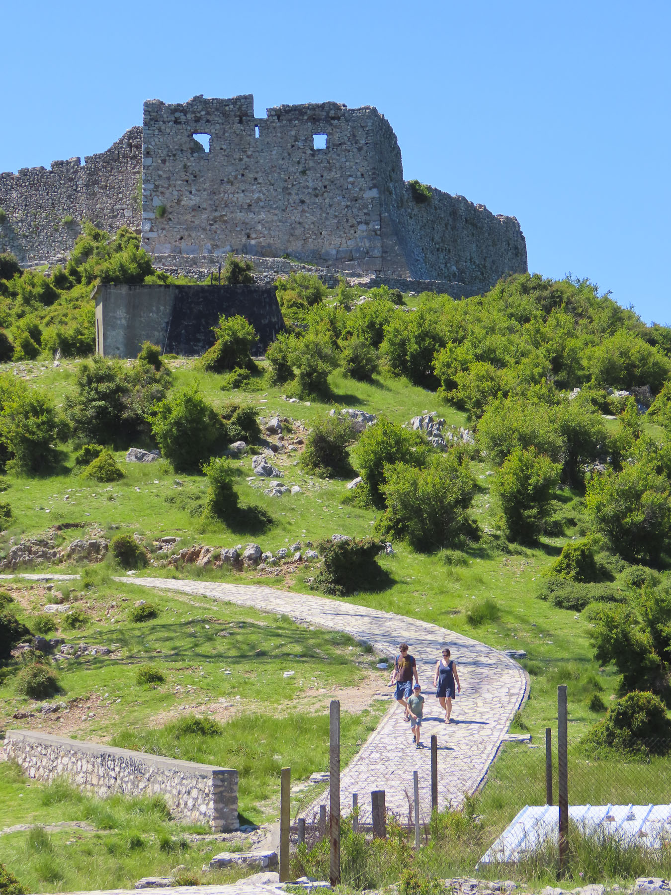
The castle had a commanding view of the surrounding terrain, though especially important was its western vista, where ships on the Adriatic Sea could be spied before they reached Albania’s shore. It was in this castle in 1444 that Skanderbeg, Albania’s national hero, rallied his countrymen to resist the occupation of the country by the Ottoman Empire. The best view of the castle was from the parking area. The area behind the walls is left in a rather rustic state with tumbled ruins and cisterns to explore. Overlooking the sea, we enjoyed a picnic lunch in the shade of the ramparts. 

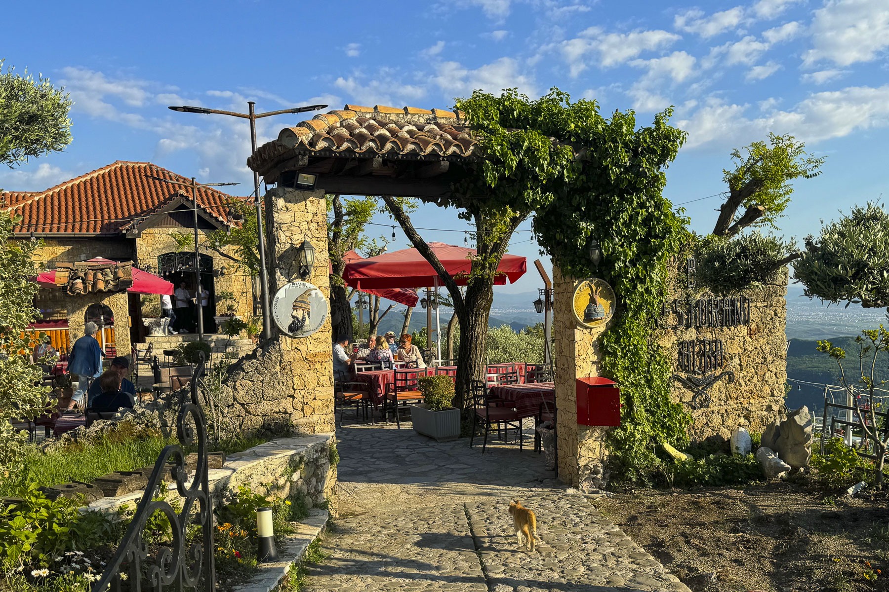
The hillside town of Kruje, set high above the Tirana Valley, was our last destination in Albania. On our way to the Hotel Panorama we passed a large statue of Skanderbeg astride his steed, which commanded an overlook in a city park.

Albania’s national identify, a spirit of perseverance and resistance, is intimately linked to Skanderbeg and Kruje, his hometown. Born into the noble Kastrioti family during the early 1400’s, his parents were forced to give him to the Ottoman Empire as part of Sultan’s devşirme system. This “child tax” was to ensure a family’s loyalty to the sultan. Only one son could be taken. These children were then taught the Koran, given an education, and raised as Muslims, before being sent to serve in the Ottoman Empire’s Janissary corps, a highly trained infantry. Skanderbeg excelled as a skilled Ottoman soldier and rose through the ranks. But after a 1443 battle in Serbia he renounced Islam and escaped back to his homeland and reclaimed his title. A year later he led a league of Albanian Princes in revolt against the Ottoman occupiers. For over twenty years he rallied his fellow Albanians to repel 13 invasions, and was considered a hero throughout a Europe that feared the expansion of Islam across the continent. The citadel in Kruje was his headquarters during this time and endured three intensive sieges. Ten years after Skanderbeg’s death the castle fell and the Albanians relinquished their independence to the Ottomans for 400 years.

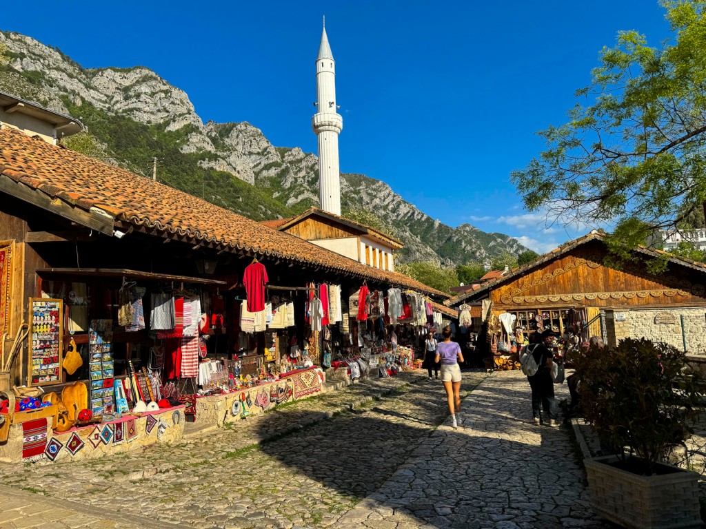
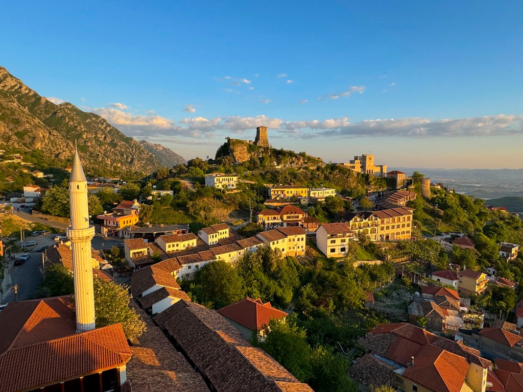
Its name said it all, and the Hotel Panorama’s guest rooms and rooftop terrace were the perfect spot for views out over the town’s ancient caravan market and Kruje castle. An arched stairway descended under the hotel from the main street and led to the historic bazaar, which is over 400 years old. A 16th century minaret towered above us.

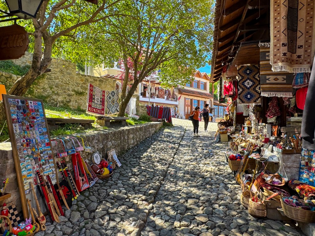
It’s believed to be the most historically accurate representation of an ancient marketplace in Albania, with its cobbled street centered with a drainage divert and canvas awnings hung from the shops, to protect shoppers from the midday sun.

In centuries past it would have had a full array of merchants offering a wide assortment of ancient everyday items, and luxuries crafted in faraway lands. Today, it’s a gauntlet of tourist themed merchandise, but we found one hidden gem, the Berhami Silver shop. The proprietor and sole craftsman, specializes in unique, intricately woven filigree jewelry.

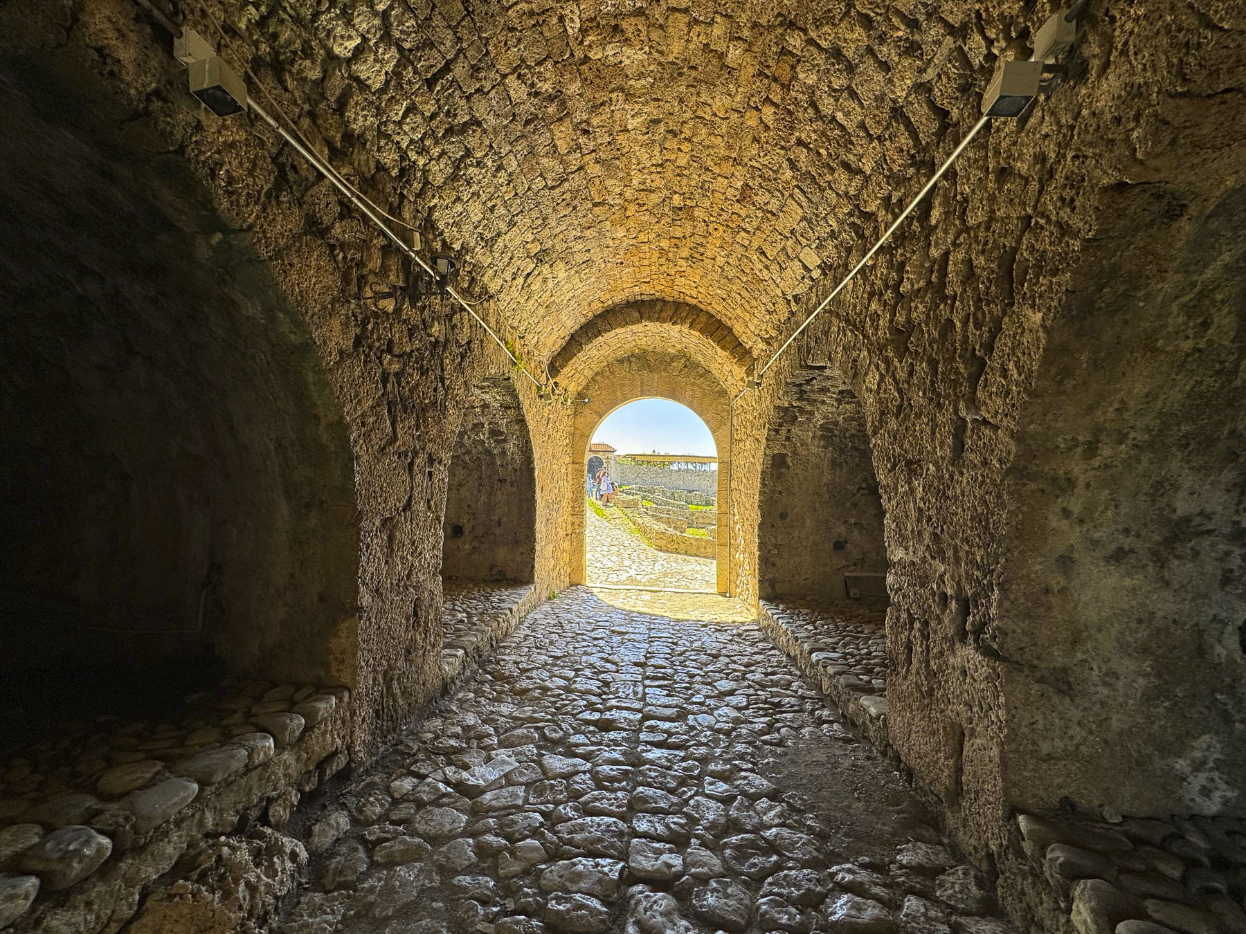
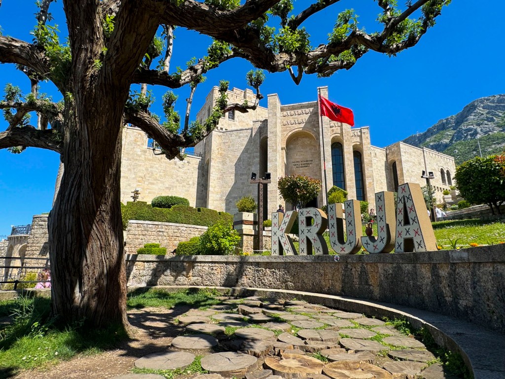
We shielded our eyes from the bright sun as we left the long, arched tunnel through the ramparts, and looked up at the Skanderbeg National Museum. Built in a historical style to reflect its surroundings, it was a majestic sight, its sandstone blocks glowing in the afternoon sun, and the red and black Albanian flag full out in the breeze.

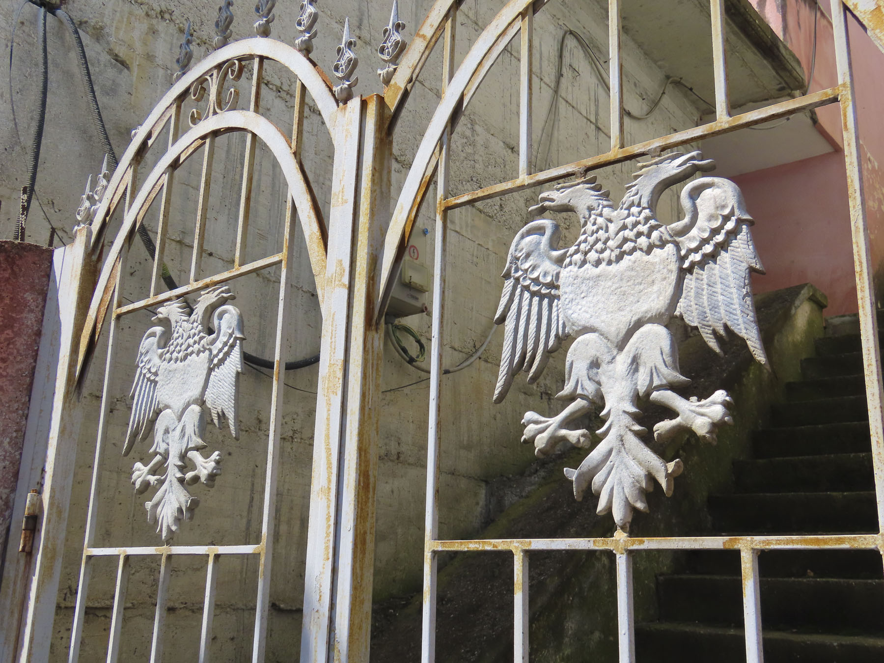
Its exhibits feature artifacts from Skanderbeg’s era and Albania history. One of the most intriguing displays was a replica of the hero’s signature goat head-topped helmet. Albania’s flag evolved from the two headed eagle on the Byzantine Empire’s flag which flew over Albania from the 4th to 14th centuries.

The double eagle heads symbolized the unity between the Orthodox Church and the Byzantine Empire. The black eagles above the Kastrioti family coat of arms on a crimson background became the flag of rebellion when Skanderbeg raised it above Kruje in 1443. Its colors black and red represent the strength, bravery and heroism of the Albanian people.

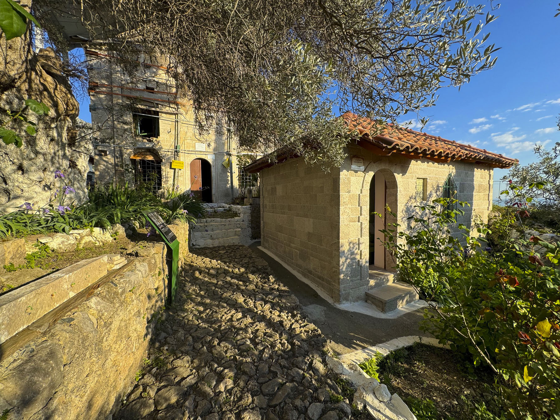
Above the castle we rested outside at a small café with an expansive panoramic view. Unaware of castle’s closing time we headed down the slope to the Tekke of Dollma, a small Bektashi Sufi shrine that contains the tomb of the mystic leader, Baba Shemimi. We reached the gate of the tekke’s courtyard just as the caretaker was about to lock the door for the day.

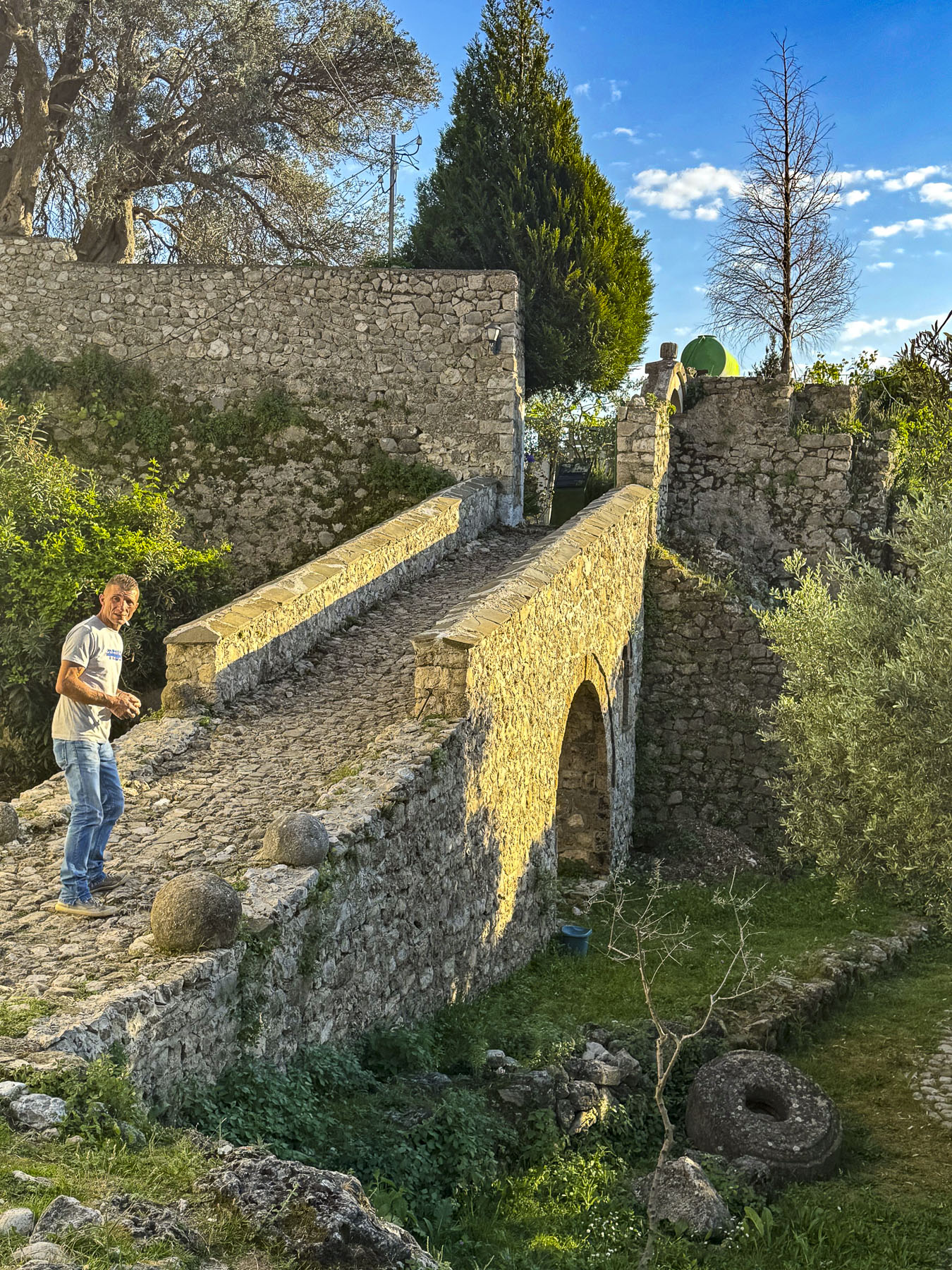
Graciously, he let us stay for a few minutes. The building was still under repair from the 2019 earthquake, but still very interesting. Legend believes the ancient olive tree in the courtyard was planted by Skanderbeg. The castle was a wonderful site to explore, and if we had had more time, we would have visited its ethnographic museum.

The sun was casting a golden glow across the hillside by the time we reached the rooftop terrace of our hotel. We clinked glasses and reflected back upon a fabulous vacation exploring Albania.

Till next time, Craig & Donna

An Albania Road Trip: On the road to Shkodër or Olives, Castles, and Lamb

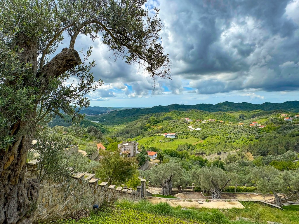
Ancient, gnarled olive trees covered the sharp slopes on either side of the road, along a narrow razorback ridge. Their silver-gray olive leaves undulated with light from a morning breeze. Some of the older trees are 3000 years old, and the fruit from the trees is believed to make the best olive oil in Albania, and is sought after by connoisseurs and chefs. An elderly man herded a small flock of sheep across the road, a common occurrence in rural Albania where it seems there is more four-legged traffic than cars.

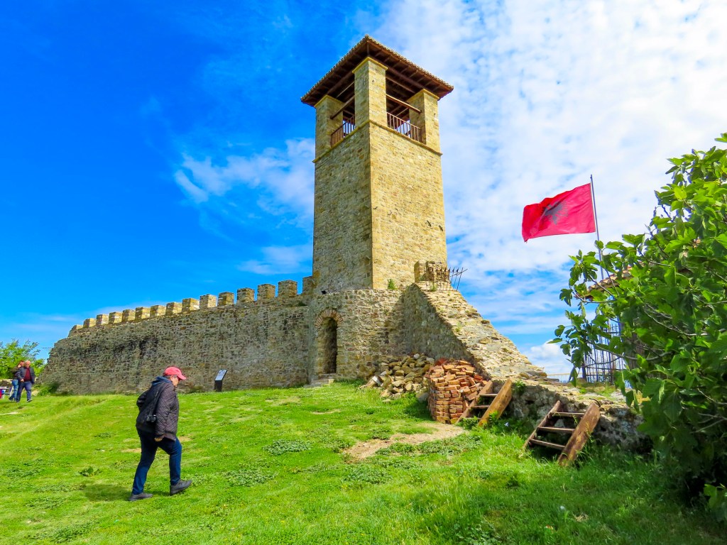
We parked and walked up a short steep lane, past a school where a coed basketball game was enthusiastically underway, to the ridge’s 1300ft summit and the Preza Fortress. The stronghold was built in the mid 1400’s and played an important role in the Albanian resistance to Ottoman rule.

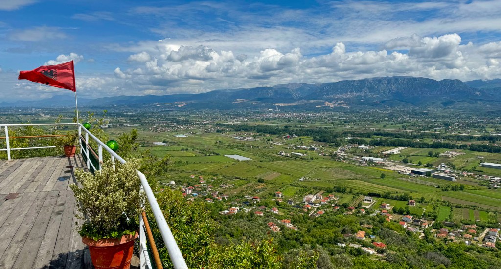
It was once a massive compound with commanding views of the broad plane of the Tirana Valley to the east. This valley was the favored north-south route for invaders, and was the fertile breadbasket of Albania since the Iron Age. Mid-week in late April we had the site to ourselves except for a group of older men, seemingly an old boys’ club, enjoying each other’s company, tucked away in a small outbuilding with a large glass window through which we could see them playing cards, drinking coffee, and reading the newspaper. Unfortunately, only one tall watch tower remains of the compound, but the panoramic view was fantastic.

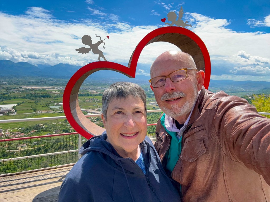
Bar Kalaja e Prezës is the restaurant at the site and was a great place to relax with a coffee and absorb the serenity of the landscape from their terraces. There was also a very large lover’s heart perched on the overlook that was the perfect spot for an Instagram photo.

We had left Durrës earlier that morning, headed toward the northern city of Shkodër, and followed the A1 north. We had been in southern Albanian for the prior two weeks and were surprised now by the amount of traffic congestion along this main artery. It was mostly due to the construction project widening the two-lane road, and the economic activities of businesses, with parking lots right next to the road which creaed all sorts of mayhem – cars were pulling off and onto the highway. There were few traffic lights. One section of the road was lined with folks selling parrots and chickens right from the curbside, while at another point men on either side of the road carried puppies up and down the traffic, offering them for sale. Fruit and vegetable stands were a common occurrence. As we’ve mentioned in our earlier blogs, we found Albanians to be very friendly. But put them behind the wheel of a car, and there is an aggressive personality shift, where they throw the driving rules out the window. I know this is a sweeping statement, but when you experience the roads firsthand, you’ll understand, and any Albanian citizen will agree with me. Driving in Albania was a blood sport – the automotive version of rugby.

The one big plus of driving along Albania’s main roads was the superb quality of restaurants attached to gas stations. In the states these are often fast-food chains or “greasy spoons,” that serve caloric, processed foods. Albanians take their cuisine quite seriously, and we found it nearly impossible to have a bad meal in the country. The key though to these roadside restaurants is to pick one where the parking lot is almost full. It’s always a good sign that the place is busy with satisfied customers. The restaurant Autogrill Emanuel, along the SH1, in Balldren was a wonderful find, and a great place for lunch. The façade was ho-hum, it is after all located at a gas station, but the inside was pleasant, and the tables were covered with linen tablecloths.

Near closing time we arrived at Rozafa Castle, parked and started to walk around a small hill that obstructed our view of the fortress. It quickly became apparent that it was too long of a trek uphill, and it would diminish our time exploring the site. Several cars passed us coming downhill and we realized we just might get lucky finding a place to park nearer the entrance. Fortunately, that was the case, but even so it was still a strenuous walk to the center of the citadel.

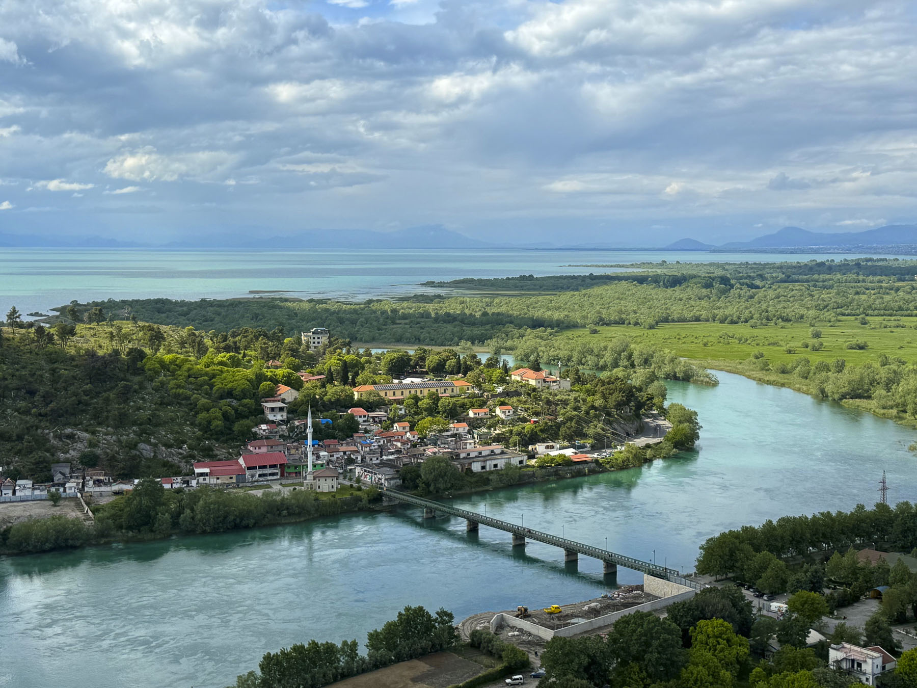
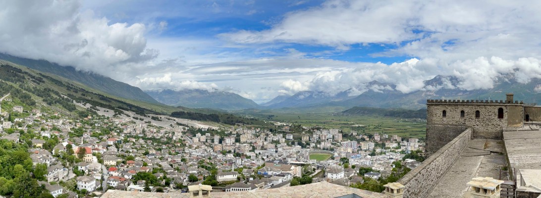
The views were fantastic. We could see for miles around, especially out over Shkodra Lake where the mountains of Montenegro rose on the northern horizon. To the east the small metropolis of Shkoder spread imposingly across the flatland beneath the foothills of Albanian’s beloved Accursed Mountains. While the panorama to the south encompassed the meandering Drin River.

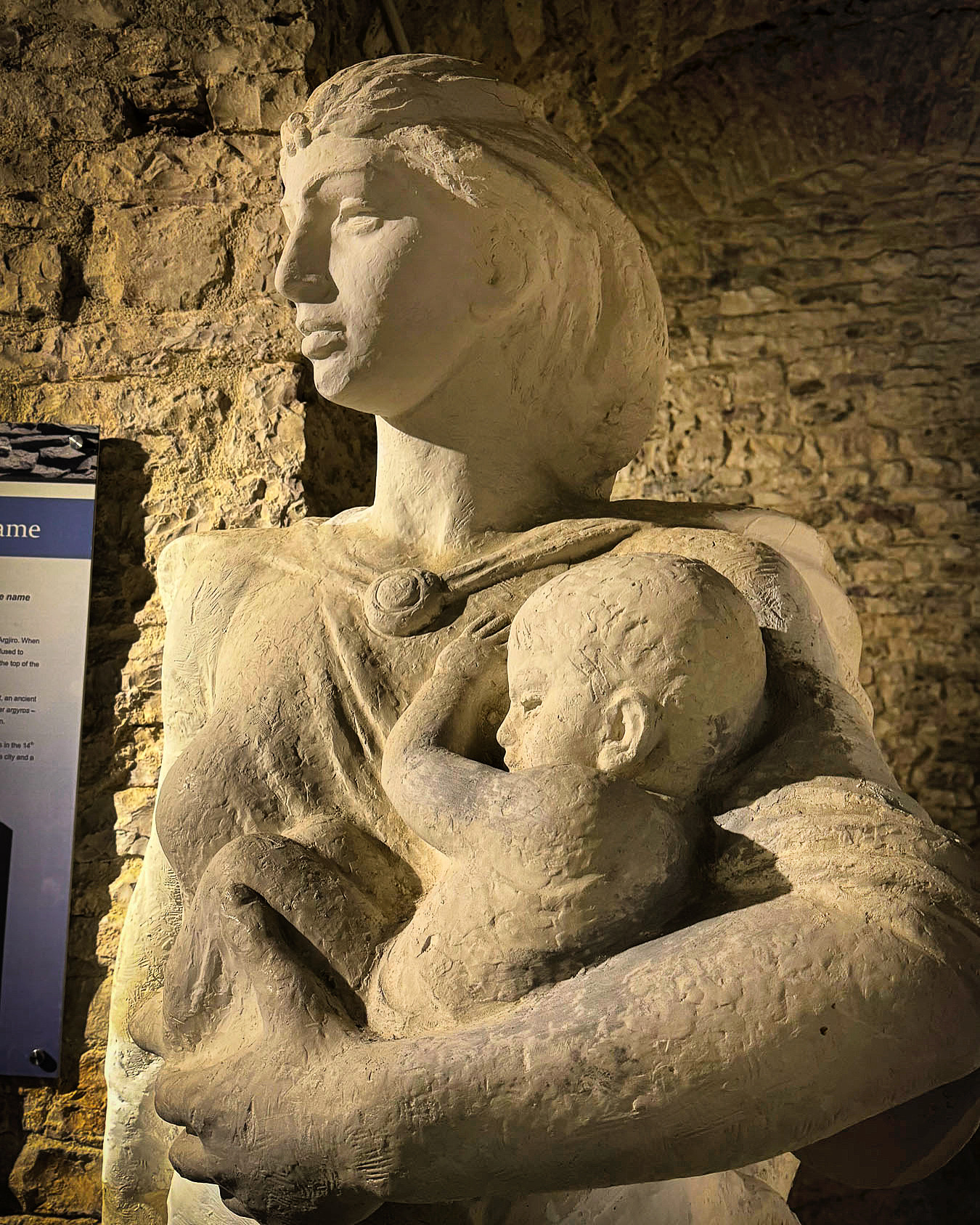
The first fortifications on the hill date to the Illyrian kingdom during the 4th century BC, though archeological discoveries confirm the hilltop had inhabitants since the Bronze Age. Albania folklore is full of tales of stoic women sacrificing for their country. Though the legend of how Rozafa Castle received its name is one of the more tragic and involves human sacrifice. The tale goes that construction of the castle was beset with difficulties, walls collapsed, workers died. An oracle was consulted and advised that a woman be entombed in the castle’s wall to appease the Gods. Rozafa, a young mother, was chosen, and as the legend goes, willingly participated as long as her chest was left exposed for her infant to breastfeed. For ages afterward it was believed that the liquid dripping from the limestone stalactites on the ceiling of the ancient Illyrian gateway to the fortress was the entombed mother’s milk, and that the castle was alive with her spirit.

The Roman Empire defeated the Illyrians, and over the following centuries the fortress was controlled by an ever-evolving list of rulers that included the Byzantine Empire, Kingdom of Serbia, Lordship of Zeta, Principality of Zaharia, the Venetian Empire, the Ottoman Empire, the Pashalik of Scutari, and the Kingdom of Montenegro.  T

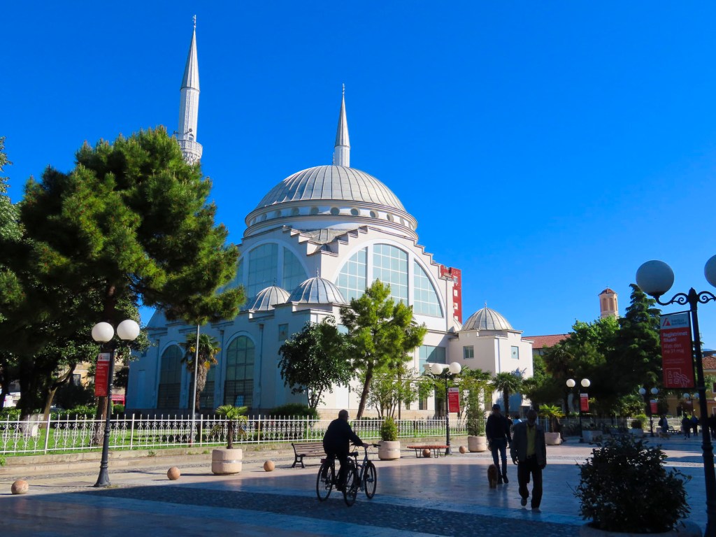
We were taken by the beauty of the old town at the Migjeni roundabout, where an intriguing cityscape included Ebu Beker Moosque’s minarets, and Kisha Katolike Frencekane’s belltower; crenellates and fountains revealed themselves. Shkodër today is Albania’s fifth largest city with a population of 102,000. Though thriving today, the city has had a tumultuous history. Most poignantly in 1967, the Communist dictator Enver Hoxha declared Albania an atheist state and banned the practice of all religions. Churches and mosques were seized and converted to other uses or destroyed. Religious leaders were executed or imprisoned for decades in brutal labor camps and prisons to break their faith. The communist regime viewed anyone who believed in religion as an enemy of the state. Family members of the accused were victimized as well, with the denial of educational opportunities, and decent jobs. Consequently, the citizens of Shkodër who cherished their religious harmony and embraced each other’s Muslim and Christian traditions, in a city where it was not uncommon for members of the same family to practice different religions or intermarry, suffered greatly under communism.

The most poignant insult was the creation of the National Museum of Atheism, an anti-religious propaganda center, in the city. While the borders of Albania were closed to the outside world, even the cities within the country were isolated from each other, and Shkodër sat alone and inaccessible in the northern part of the country. Any news it received of events in southern Albania was heavily censored. Even folks that were “free” likened it to living in a penal colony, as the town had 23 prisons, and nearly every family had someone in jail. The Sigurimi, the communist secret police, had a heavy presence in the city, and encouraged informants to denounce anyone, even for simply wearing a religious cross. Similar to Bunk’Art 2 in Tirana, the site of the Witness and Memory Museum in Shkodër documents the atrocities the communists committed against the townsfolk, in a confiscated Catholic school that was operated as an interrogation center.

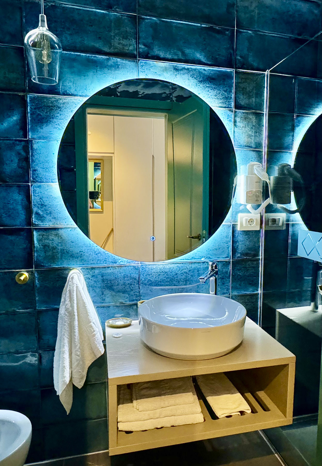
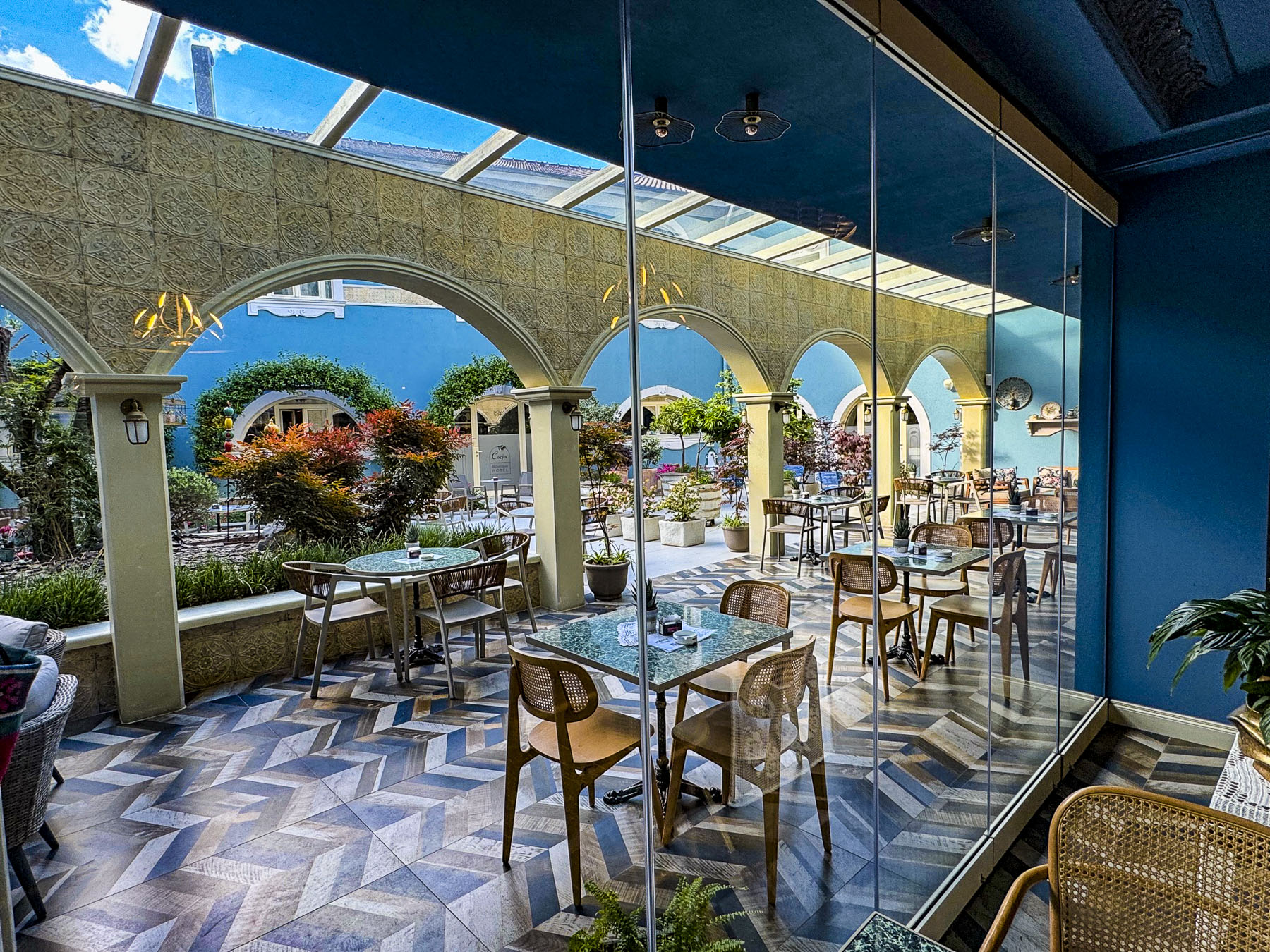
The Çoçja Boutique Hotel was only a few minutes from the roundabout, had underground parking, and most importantly was a short walk away from the pedestrian only streets Rruga Kolë Idromeno, and Rruga 28 Nëntori. We are not sure why this small 17-room hotel is only rated three-stars, but it was one of the nicest hotels we have ever stayed in. It’s a newer building that’s exquisitely well decorated, and our bathroom was a modern wonder. The staff was also very nice.

Ten thousand undergraduates attend the University of Shkodër, and the cosmopolitan city’s streets are full of students pedaling across the town’s flat roads. Their presence contributed greatly to Shkodër’s youthful contemporary vibe, that’s much different from the rest of the country. In the evenings the restaurants and cafés along the pedestrian mall were filled with their energetic enthusiasm.

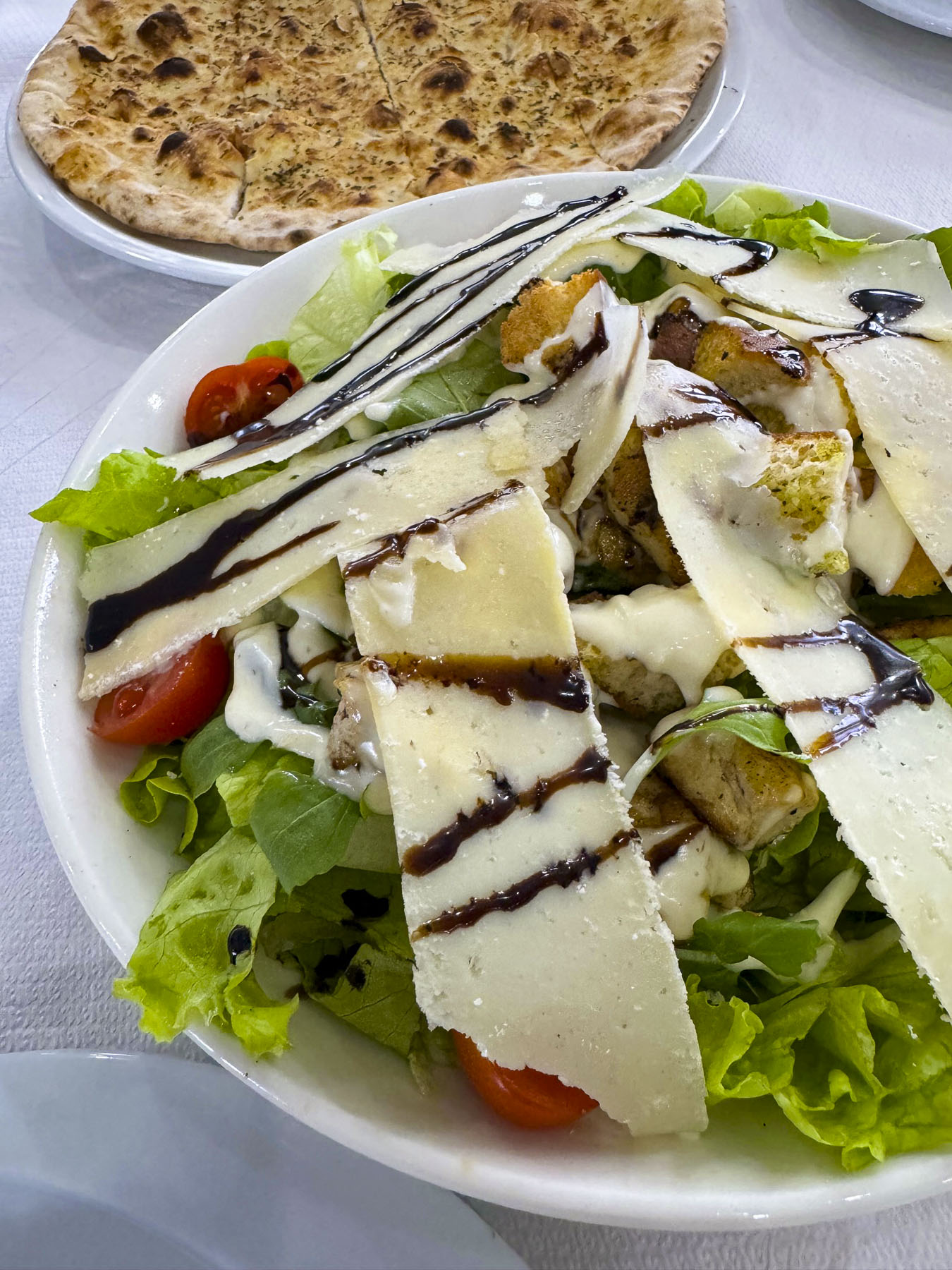
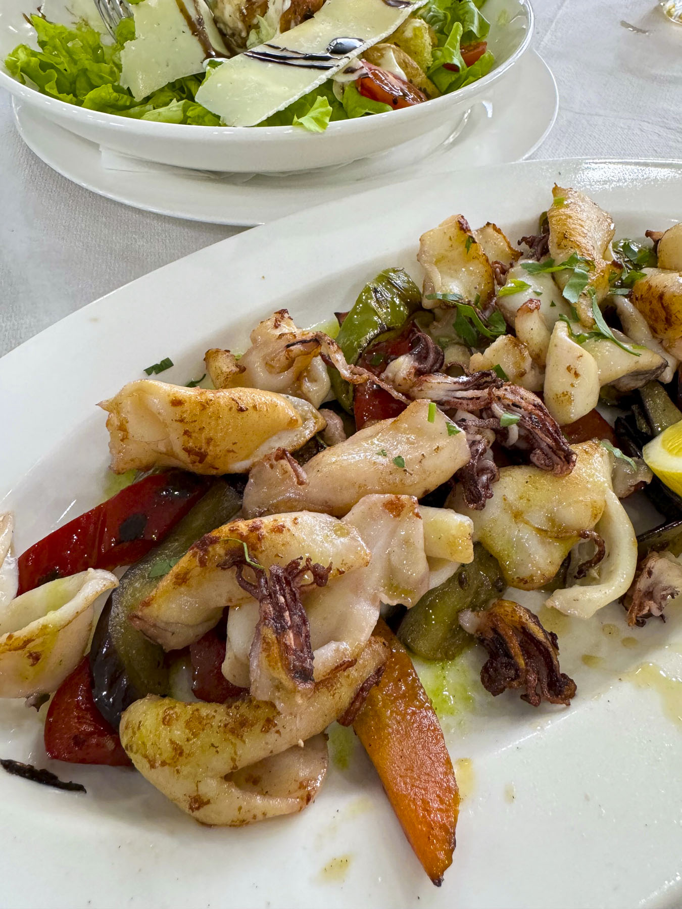
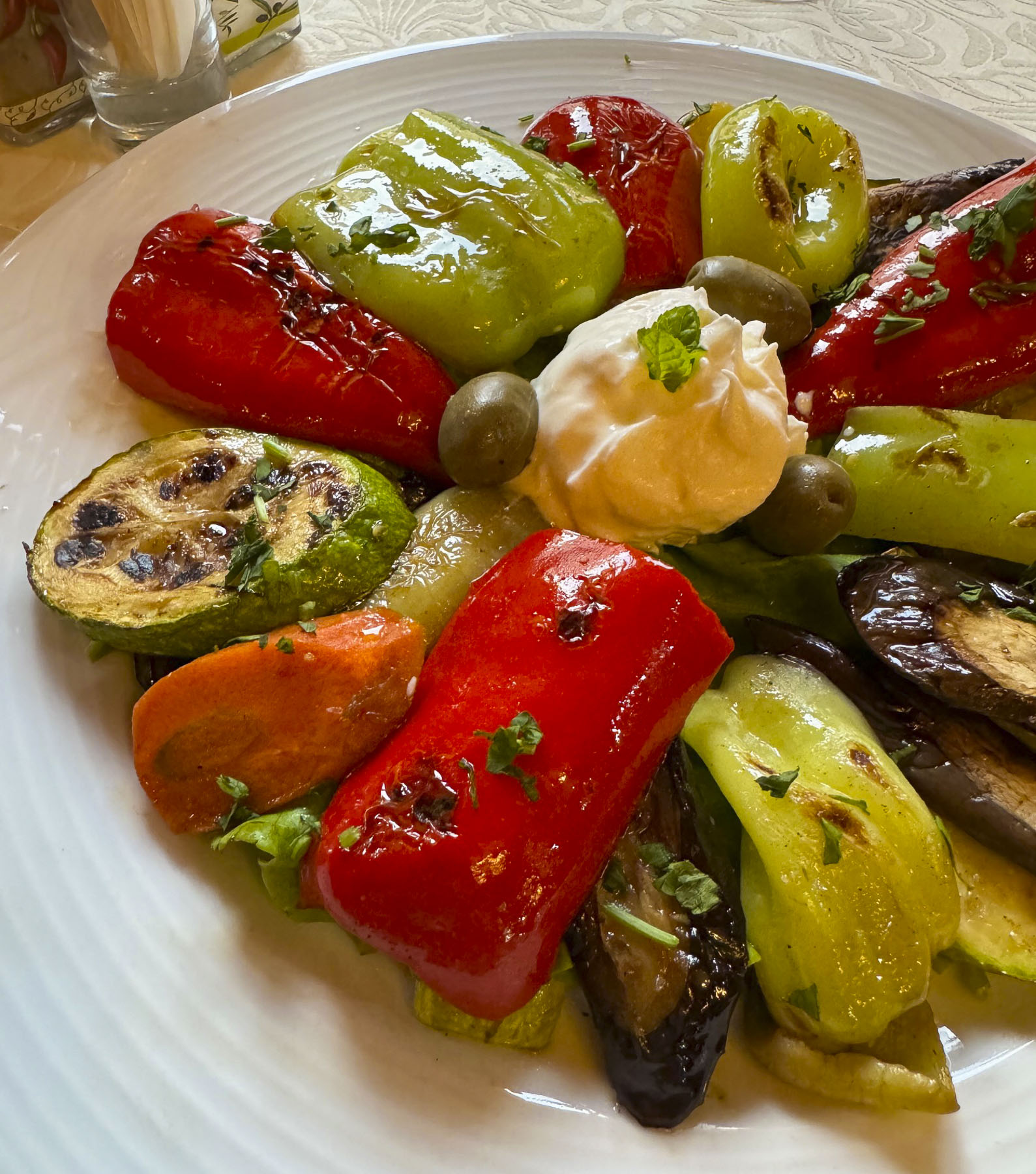
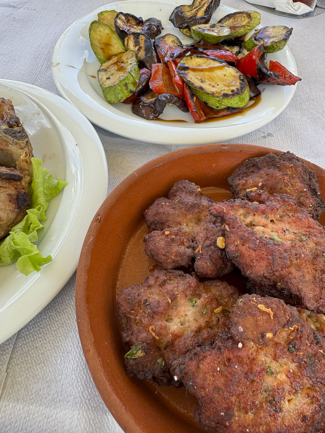
We took advantage of a warm night and enjoyed eating outside on the second-floor balcony, which overlooked the mall, at Bar Restaurant San Francisco, on Rruga Kolë Idromeno. I tried the traditional Shkodër specialty, Tavë kosi, made with lamb, yogurt, eggs, garlic, and oregano, while Donna ordered baked lamb with rice. Roasted vegetables and the house wine accompanied our dinner. All were quite good. We ordered lamb frequently while traveling around Albania, as in the states it is not offered in many restaurants, and when it is it’s very expensive.  

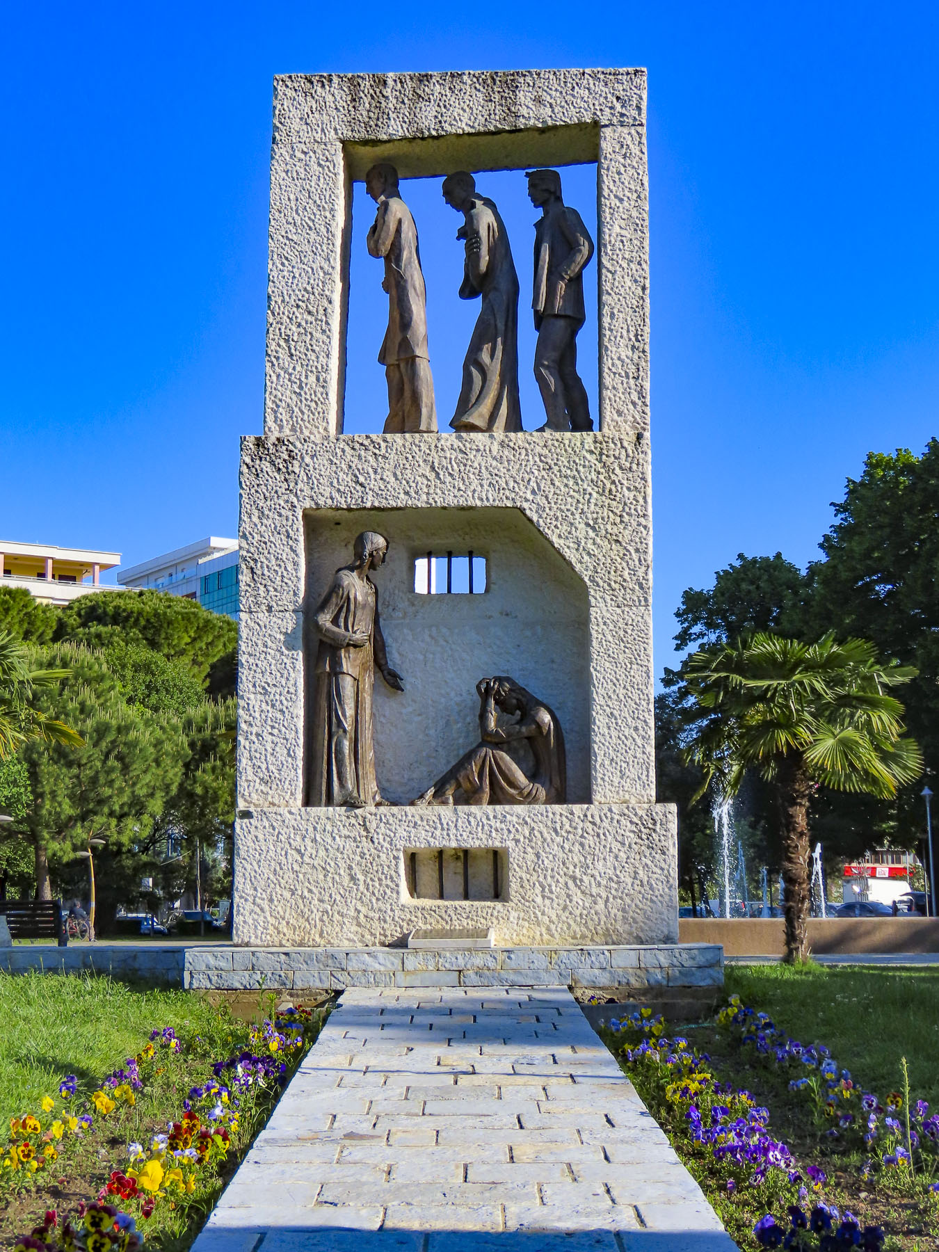
The next morning, we strolled in the opposite direction down the shaded Rruga 28 Nëntori, where preparations were underway for the 11th annual Hemingway Jazz Fest & Swing Marathon, that’s held at the end of April. Unfortunately, we were not in Shkodër for it, but it would have been really nice to watch folks cutting loose. Towards the end of our walk, we reached Shatërvani Park, where there were several sculptures.

One was a whimsical and retro collection of towering, stylized dandelions, which I haven’t been able to find any information about. Nearby, across from the City Hall, stood the Monument Dedicated to the Victims of Communist Persecution.

A plaque near the sculpture states it’s dedicated to the sacrifices, and resistance the people of Shkodër made during the communist dictatorship. This is the first memorial of its kind in Albania and considered long overdue. Many think it is an important first step towards reconciling the atrocities of Albania’s communist past with survivors of the nightmare.

In hindsight two nights in Shkodër wasn’t enough time to adequately explore the city. An extra day would have allowed time to visit some of the museums in the city.

Till next time, Craig & Donna

On the Road to Durrës, Albania: or Lady Bugs, Metallic Men and a Beautiful Seaside City

Loose gravel gently slid down from the top of the earthen embankment along the road. It was the “heads up!” prelude to a small herd of goats scurrying down the slope to cross the road ahead of us. The last to cross was a young yearling goat, unsure of his footing. It was a transition day for us. We had left Lin, on the shore of Lake Ohrid, near the border with North Macedonia, earlier that morning to drive to Durrës, on the Adriatic Sea. The journey of only 90 miles, 142 km, was our longest single drive in Albania, and can be accomplished in three hours, if so desired. But with us there is always something that piques our interest and requires a detour or U-turn.

Much of the SH3 highway that connects Lin, through Elbasan, to Durrës traverses a sparsely populated remote region of Albania. Occasionally, in what seemed the middle of nowhere, we passed enterprising farmers who had set up temporary produce stands perched atop the road’s guardrails, their donkeys tied nearby. Sadly, factories abandoned after the fall of communism littered the countryside. In Prrenjas though, the artist Eljan Tanini whimsically covered the towers of a defunct nickel mine with 1,380 charming ladybugs, a symbol of good fortune and hope for the future.

On the outskirts of Elbasan we stopped for a snack at the Elita Grill, a newly opened restaurant. It was a very attractive, contemporary space, which stood as a nice counterbalance to the rustic region we had just driven through. The pastries and coffees were very good, and the prices budget friendly. Across the street, the dome of a larger-than-average Cold War era concrete bunker inched above a mechanics shop.

Entering Elbasan we passed the Xhamia e Nazireshës mosque. Across the street from it, a dreamy street mural of a child playfully dancing amidst clouds graced the side of an apartment building. Unfortunately, the traffic was too congested in this spot, and we didn’t stop. An abandoned train track paralleled most of our route from Prrenjas to Elbasan. The rail line once carried nickel ore to the Kombinati Metalurgjik, a huge industrial complex that was built with cooperation from Chairman Mao’s Chinese Communist Party in the 1970’s. The site, easily seen from the highway, now lies in ruins and is a popular spot for amateur industrial archeologists. But at its height it employed 12,000 people and produced the iron, steel and cement for Albania’s 173,000 military bunkers ordered built by the paranoid communist dictator Enver Hoxha, who feared invasion from everyone. We were getting hungry as we reached Tirana. While there were numerous lunch options available, we wanted something with easy on and off access, close to our route. With a quick google search we chose the restaurant Xhafa, which had an outside patio on a hillside that overlooked Tirana. From our experiences across Albania we found that the food was delicious no matter where we stopped. As it was here. Leaving the restaurant, we noticed a large futuristic metallic head in front of an office building next door. We are not sure, but we think the sculpture can be accredited to the Albanian sculptor, Ilirjan Xhixha.

We continued our westerly drive along SH3 until signs for Durrës directed us onto SH2. We wished we had been prepared with our cameras for what emerged next. Across the highway, the most unusual building crowned a small hill. It was seven stories tall, with a neoclassical birthday cake-like façade. On the multi-level corners of the building larger than life statues of the Illyrian Kings stood, as if they were surveying the landscape. Centered atop the colossal building was a mammoth sculpture of the great warrior Skanderbeg, the famous 15th century commander who united Albanians to rebel against the Ottoman Empire. This grand building, with its Las Vegas-type schmaltz, was the Amadeus Palace Hotel. If you enjoy quirky, off-beat things, this might be a place to check out.

We arrived in Durrës late in the afternoon, just in time to see a passenger ferry from Italy enter the harbor, as we drove along the waterfront. Parking with a rental car is always a concern, but we had asked the hotel, Ventus Harbor, where to park. “During the April shoulder season there is plenty of free parking available close to the hotel,” was the response. We are always skeptical of these easy answers, and there was street parking a short distance from the hotel. Though there was an informal parking assistant waving to drivers coming down the street, pointing as to where to park or wait as a cement truck driver readied a delivery to a construction site. We tipped him and hoped for the best. At the reception desk we told them where we left the car, and they said it would be okay, but we could also park on the pier which led to the floating hotel if we preferred. While that option was closer, it required driving through a small, pedestrian-filled shopping mall. The car stayed where we left it and was fine for two days.

Though the futuristically designed Ventus Harbor appears to float above the Adriatic Sea like a spaceship, it is in fact built securely atop pilings pounded into the seabed and connected to shore via a narrow, 300ft long suspension bridge. The hotel’s refreshing uniqueness, which contrasts so distinctively with the stone castles and villages of rural Albania, was our main reason for choosing to stay there.

Towards sunset we headed to the promenade along the seafront and were engulfed by families and friends enjoying the xhiro, the Albanian tradition of an evening stroll to relax and socialize. Fishermen cast the last lines of the day into gentle waves as we walked towards the setting sun and the Sfinksi, a small concrete step pyramid where folks gathered to watch the sun dip below the horizon as the sky faded from a fiery orange to the blue of the evening.

The city’s night skyline slowly awakened with lights, before the stars shined. It was a warm April evening and we slept well with the door to the balcony open, listening to the water lap against the pilings below us.

After breakfast we walked along the promenade into Durrës’ historic old town, which has been centered around the harbor since time immemorial. It has been Albania’s economic engine and vital link connecting Europe to Asia Minor since Greece established a trading colony there in 7th century BC. An Illyrian Kingdom followed in the 4th century BC. But it was the Roman Empire which left the most significant impact. The Romans turned the ancient town, now Illyricum, into a vital trade and military hub with the creation of the Via Egnatia, a cobbled road that crossed 700 miles through the rugged Balkan mountains to Thessaloníki, Greece, and Constantinople. Troops, merchants and religion flowed across its path. The Apostle Paul traveled this route to Durrës in the 1st century, a time when Christians were still thrown to the lions for entertainment in the coliseum across the Roman Empire. Upon the Western Roman Empire’s collapse in 476, the Byzantine Empire filled the void until the tumultuous Dark and Middle Ages brought a succession of invaders to the region. Visigoths, Huns, Bulgarians, Slavs, Normans, and Venetians conquered and fled until the armies of the Ottoman Empire arrived in the 15th century. Austria ruled for a time during WWI. Mussolini’s Fascist troops landed in the port at the start of WWII. The Albanian’s communist partisans defeated their opponents after WWII. In 1967, as if needing to put a sword into the heart of any remaining hope the people of Albania had, the communist dictator, Enver Hoxha, banned all religions, and proclaimed, in the city where the Apostle Paul preached, that Albania is “the first atheistic state in the world.” The city and country has had a turbulent history to say the least.

“Walk a little, and the café,” is a philosophy we like to indulge in, and after our stroll along the promenade past statues of gladiators, liberation fighters, and modern art we needed a break to savor a fine Spring day before reaching the ruins of the city’s ancient Roman amphitheater. The amphitheater was the largest in the Balkans and capable of holding 20,000 spectators.

We passed through a gate in the last remaining section of a defensive wall that once encircled the city. The city’s first ramparts, which stood 40ft tall and stretched for three miles around the core of Durrës, were built by the Byzantine Emperor Anastasius I, a native son, in the 5th century AD. The walls were later expanded and improved upon by the Venetians with stones repurposed from the amphitheater after it suffered irreparable damage from a devastating earthquake in 1267. During the Ottoman era homes were built over the site. Surprisingly, they were rediscovered in 1966 by archeologists surveying the area to identify sites that might be of interest to western tourists. Based on the size of its ruins, the amphitheater must have been magnificent. Sadly, the site has not been improved, and sits surrounded by apartment buildings, but it is on the short list of sites for future inclusion in the UNESCO World Heritage program. Oddly, archeology and building concrete bunkers across Albania were two of Enver Hoxha’s passions.

From the amphitheater it was only a short stroll to the Bulevardi Epidamn, Durrës’ prettiest avenue. It’s not a particularly long street, but its pleasant five blocks are lined with stately palm trees, that give it a splendid Costa del Sol vibe.

We followed it until we reached a well-preserved Venetian Tower, that was once part of the defensive wall that encircled the city, across from the harbor. It was an interesting plaza with more statutes commemorating partisan heroes and a gleaming metal sculpture of Redon, the Illyrian god of the sea, which was strikingly similar to the statue in Tirana. This statue, which nicely blends modern technology with the historical past through its use of materials, was also created by the Durrës-born artist, Ilirjan Xhixha.

Before returning to the waterfront, we detoured back towards the amphitheater, where earlier we had passed a tiny window-in-the-wall bakery, confidently named Bule’s Best Byrek in Town, and single handedly run by the formidable Bule. We bought several byrek and enjoyed them as we picnicked along the coast. The cheese and spinach ones were our favorites, and indeed were delicious, and so inexpensive. Go early, as they sell out quickly.

It was still the Spring shoulder season, and many restaurants stayed closed until the warmer weather in May arrives. We had crisscrossed Albania for two weeks by this time and were familiar with prices, but the night before we choose to dine at slightly upscale establishment, for a nice seafood dinner, that received good reviews. While our dinners were tasty, the portions were smaller than what’s typically Albanian. And it was the first time that we felt there was some tourist price-gouging happening.

For our last night in Durrës we decided to go no-frills. After much hemming and hawing we entered the Hepta Grill, a Greek fast-food restaurant, located at the base of the walkway that led to our hotel. The place was lively, the staff was nice, and the food was perfect. We left thinking we could enjoy living in Durrës.

Till next time, Craig & Donna

An Albanian Road Trip: Voskopoja and Korce – Snowy Mountains, Ancient Churches & a Skyscraper 

“The old timers say on a stormy day like this you can hear their cries on the wind when you pass through Borove,” our host commented mysteriously as he learned of our plans to drive along the SH75 towards Voskopoja and then Korce. Evidence of Albania’s new investments in its road infrastructure to support tourism in southeastern part of the country were visibly apparent, with bridges being repaired, as well as sections of the road being widened, and repaved along our serpentine route through beautiful, forested mountains. The mountains finally receded behind us as we coasted downhill into a wide valley with gently rolling hills.

As we rounded a bend, a tall brooding silhouette loomed over the road. The statue of two resistance fighters captured in a decisive moment of attack commemorates the July, 1943 partisan ambush of a German troop convoy through the valley, near the hamlet of Barmash. The battle raged for hours and left 60 enemy soldiers dead, and numerous vehicles destroyed.  Sadly, the second part of this event revealed itself several miles away in the larger village of Borove. Here stairs on the outskirts of the village quietly led to the top of a knoll and the Memorial i Viktimave të Masakrës së Borovës. This heart-rending site contains the graves of 107 men, women and children massacred the next day when Nazi troops returned to the area and set their village ablaze in retaliation. It’s a moving memorial, and we stayed until a pounding rain forced us back to our car.

Farther along we passed through Ersekë. It’s one of Albania’s highest towns, sitting at an elevation of 3,445 ft on a high plain, in the shadow of the Greece’s Pindus mountain range. This southeastern part of Albania is very remote, and the village so close to the Greek border, that during the communist era villagers were prevented from leaving the town, on the fear that an abandoned village on the border would invite Greek expansionism. The town is most noticeable for its well-maintained communist era minimalistic architecture.

Reaching Korce we turned west onto SH63 and headed back into the mountains, our destination, the ancient Orthodox churches of Voskopoja. Light rain turned into 3 inches of wet snow as we drove higher into the mountains. This didn’t particularly faze us as we both have decades of experience driving on wintry roads in northeastern United States. But the drastic change of weather did, considering 10 days earlier, when we arrived in Tirana we rejoiced in 80F weather for several days earlier in the month. The saving grace – there were literally no other cars on the road.

On a snowy Sunday afternoon in late April we practically had the whole town to ourselves. It was quite serene and beautiful with the fresh snow clinging to the trees, and tufts of spring greenery poking through the snow on the ground. We found Saint Nicholas Church and gingerly made our way down the puddled walkway to shelter under the exonarthex and shake the snow off our jackets before entering the sanctuary.

The walls of this covered porch area were painted with illustrative religious stories designed to visually educate the illiterate, warn the sinners, and inspire the devout, before entering the church. Sadly, the frescoes show the scars from being vandalized during the Ottoman era, but their beauty is still evident.

We had expected a caretaker to be present, though no one was around, but the door to the church was unlocked and we entered. The ancient cavernous space was barley lit with only two bare bulbs and the light from several small windows, but it was enough to see that every surface of the whole interior was beautifully illuminated in ancient orthodox iconography.

Liturgical music was faintly audible in the background as we admired the artisitic vision and faith that inspired this moving creation. Constructed in 1721, the frescoes are attributed to the painter David Selenica, and his assistants, the religious brothers Constantine and Christos.

This team also famously painted religious iconography in the monasteries on Mount Athos. It’s amazing the church survived several centuries of turbulent history, only to be atrociously used as a storage depot during the communist era. The church, as beautiful as it is, was also a little spooky with centuries of candle soot covering the walls and gilded wood-carved iconostasis. Afterwards we headed to Kisha e Shën Mëhillit, the Church of Saint Michael, 1722, just on outskirts of the village and found it surrounded with scaffolding. Though disappointed, this was an encouraging sign that restoration was under way. Unfortunately, the road leading to the Church of St. Elija, the last church built in Voskopoja in 1751, was under repair and a muddy mess that deterred us from reaching it. But we did get to view the Shënepremte Church perched on a hill above an old Ottoman era bridge. By mid-afternoon our stomachs were growling and we feared there wouldn’t be a place open to eat in the village. (This is an issue during off-season travel when many establishments close. It’s wise to bring snacks along.) Luckily, we found the Taverna Voskopojë open, and full of activity that Sunday afternoon. Their lakror, a pastry-style traditional Albanian pie, filled with ground meat or vegetables, is common to the Korçë region, and was delicious. The house wine was also very good.

First mentioned in 14th century historical records, Voskopoja was once one of the largest cities outside Istanbul, and the most important trading, cultural and religious center in the Balkans from the 1600’s to the 1800’s. It was during this height of prosperity that the city had an estimated population of between 30,000 – 60,000 and supported 26 Orthodox churches richly decorated with Byzantine frescoes; the only printing house in the Balkans; and a New Academy or Greek school. Its influence and wealth stemmed from metal smithing, wool processing and tanneries. Merchandise from these industries supplied the traders that traveled along the Tsarigrad Road. The road was an old caravan route that connected Rome to its colonies in Sofia and Plovdiv, Bulgaria, before reaching Tsarigrad, the Slavic name for Constantinople. In later centuries the route passing through Voskopoja connected it to the Venetian ports on the Adriatic Sea and Belgrade.

The armies of Rome, the Huns, and the Ottoman Empire also followed this route through Albania and in the process brought new ideas and religions with them. During the Middle Ages the Christian Byzantine Empire encouraged the spread of the Eastern Orthodox religion into the Balkans along the ancient trade route, which was most famously followed by the early evangelists Cyril and Methodius. They made tremendous inroads with the pagan Balkan tribes by leading Mass, not in Latin, but in the Slavic language, an act many church leaders in Rome considered blasphemous at the time.

Voskopoja flourished peacefully under the Ottoman Empire’s millet system, where “Christians and Jews were considered dhimmi, protected, under Ottoman law in exchange for sworn loyalty to the state and payment of the jizya, a religious tax on non-Muslims,” until the 1768. Then the Russian-Ottoman war fueled an anti-orthodox sentiment and the government in Istanbul allowed Voskopoja in 1769 to be sacked and burned by Muslim tribes from the Dangëllia region around Përmet. The city was rebuilt, but twenty years later it was attacked, and razed to the ground again by the notorious Albanian warlord, Ali Pashë of Tepelena in 1789. After this the town never recovered its former glory and folks moved away to Korce and Berat, or farther afield into Bulgaria and Romania. It received additional damage during World Wars I & II. The final blow came in 1960 when a massive earthquake leveled many of the centuries-old churches, leaving only 5 standing in various states of disrepair. Today, the surviving churches are listed on the World Monuments Fund’s Watch List of 100 Most Endangered Sites. Only 600 year-round residents live in Voskopoja now, but this hidden gem is slowly being rediscovered and recognized as an interesting tourist destination for its many cultural and outdoor activities.

We drove back towards Korce under clearing storm clouds which dramatically revealed freshly snowcapped mountains dappled in sunlight. Situated in a wide fertile valley surrounded by the Morava mountains, Korce and the lands surrounding it were once the property of a feudal family in medieval times. Like Voskopoja, it benefited from trading with the caravans that trekked across routes to Thessaloniki in Greece, Istanbul and Southern Russia.

Traces of this industrious past can still be found along the cobbled lanes in the town’s colorful, old bazaar section, where deep-rooted merchants and craftsmen now share the lanes with cafes and chic shops.

A short walk away is Albania’s second oldest mosque, the Iljaz Mirahori. It’s named after the founder of Korce, and dates from 1496. Its original minaret was taken down during the communist era and not rebuilt until 2014.

The wide pedestrian mall, Bulevardi Shen Gjergji, which runs through the center of the city, along with the town’s many parks, helped Korce earn the moniker as “the Paris of Albania,” after the city was occupied by French troops during World War I.

With French support the local region existed briefly as the Republic of Korçë, from 1916-1920. In 1887, Mësonjëtorja, or the Albanian School, opened its doors to students on Bulevardi Shen Gjergji and taught students the Albanian language. This was a milestone in the Albanian National Awakening movement of the late 1800’s because until then giving lessons in the Albanian language was done in secret since Turkish was the official language under Ottoman rule.

Across from the pedestrian mall the Katedralja Ortodokse “Ringjallja e Krishtit,” aka, the Orthodox Cathedral “Resurrection of Christ,” grandly commands a plaza. Constructed in 1995, in Byzantine Revival-style, it is the largest orthodox church in Albania and replaces the St. John Church, which Albania’s former communist regime destroyed in 1968. It has a splendid interior covered with vibrantly new, orthodox religious imagery.

Anchoring the far end of the plaza, like a lighthouse on the ocean, is a modern seven-story skyscraper, the Sky View Hotel. It is the tallest building in Korce, and its architecture is very incongruous with the rest of the city, but that difference makes it very refreshing, and symbolizes Korce’s progressive future. It also had the best vantage points from its top floor restaurant, and our room, for taking pictures of the church and the surrounding snowcapped mountains. During our stay there we were surprised to learn that we were the hotel’s only guests on a Sunday and Monday in late April. Our room was very comfortable, and we enjoyed our stay. Additionally, it was very budget friendly, free parking was available on the street, and the staff was very nice.

The next morning, we drove into the foothills above Korce to the small village of Mborja. It took only 8 minutes to get there, but when we entered the Church of St. Mary it seemed like every minute of travel time transported us back a century. There is not a definitive record of when the Church of St. Mary was built, but it’s believed the small church was first constructed in 896 to honor Pope Clement I, and is the oldest Orthodox church in Albania. Later renovations were added in the 14th century.

We had entered the small, fenced yard that surrounds the church only to find its door locked tight. Luckily, two local women were walking by and acknowledged our dilemma with that global twist of the wrist, as if opening a door with a key. They motioned for us to wait and then headed downhill to the small produce shop we had just driven by. A few minutes later the guardian appeared. An elderly gentleman, he silently unlocked the door for us and invited us in. It was a small space, made even smaller by a solid stone wall with a half door in it which led to the altar.

It was difficult to bend so low, but I crouched down and entered. Donna followed. Whack! Ouch! “What happened?” “I cracked my skull on the door jamb!”  Sympathetic to her injury, I tried to comfort her and divert her attention. “Babes, that was the kiss of God.” “Really!” “Yes, it’s in recognition for those twenty-four years of devoted service as a Methodist minister.” “Go away.” “Remember the Lord does work in mysterious ways.” A gentle elbow to my gut silenced me. Low doors were a common design feature of ancient churches built in areas prone to conflict.

The feature was used to prevent an invader from entering the sanctuary on horseback and defiling it. The compact interior was dark, but there was just enough light to see iconography on all the walls and the dome. The frescoes in the church are believed to be from the late 1300’s, and are in remarkably good condition, but the painter is unknown. The church is also an Orthodox pilgrimage site on Christ’s Ascension Day.

It was still well before noon when we reached to Kryqi Moravë, the Morovian Cross, which dramatically commands a mountain ridge above Korce. We had spotted it from miles away the other day as a ray of light caught it just right through clearing clouds. The parking area for it was only a 15 minute drive from Mborja. But the steep climb to the large cross and small chapel of Saint Elias on the ridge top took another 20 minutes.

The panoramic views over Korce, its valley, and the freshly snowcapped mountains were fantastic. You could literally see for miles all around. Back at the parking area we warmed ourselves with delicious cappuccinos at the Restaurant La Montagna. It’s a popular spot for folks to eat after spending a day hiking in the mountains.

On the way back downhill, we stopped at the Martyrs’ Cemetery on the hillside above Korce. It’s a beautiful location high above the city. The slope is lined with the simple graves of Albanian partisans who fought around Korce in WWII for the liberation of the country from German occupation. All the graves face west toward the setting sun. Many of the gravestones only contain a first or last name, and the year of death, the fighter’s year of birth unknown.

At the foot of the cemetery a monumental communist-era statue of a resistance fighter, with arm raised and fist clenched, stands victoriously over the city. It’s a powerful reminder of the ultimate price the partisans paid for what they thought would be a better future. These propagandistic communist statues can be found all around Albania and portrayed the communists as liberators, not the oppressors they truly were, who sent any political opposition to forced labor camps on trumped up charges of treason, and shot citizens who tried to escape the hardships of the regime for a better life elsewhere. It’s possible to walk from the city to the cemetery up a long stairway that starts at the top of Rruga Sotir Mero. Though the better way is to take a taxi up and walk down the stairway.

On the way back into the city for lunch in the old bazaar, we passed the Birra Korca. It’s Albania’s oldest brewery, capping its first bottles in 1928, and miraculously survived the communist decades as a state-owned business, though they ignored the old adage, “We know God loves us because he gave us beer.” The brewery and the city also host an annual Korca Beer Festival every August. It’s a week-long, city-wide event that draws thousands of folks to Korce.

In the old bazaar we sat outside at Taverna *Pazari i Vjeter* in a warm afternoon sun, and ordered, of course, two Korca beers, and some traditional dishes. Afterwards the waiter brought us Shahine plums. They are small sour green plums served as a digestive, and they were very tasty, much like a green apple. It was the first and only time they were offered to us in Albania, but if you have a chance to try them, go for it.

Till next time, Craig & Donna

An Albanian Road Trip: Gjriokaster, Përmet and the Vjosa Wild River National Park

Traveling north or south in Albania is easy, as the roads follow the lay of the land between mountain ranges that run parallel with each other. Heading east away from the coast towards villages and small towns farther inland is a bit more difficult. Destinations that appeared relatively close on a map, from a bird’s eye view, often became a driving marathon following routes north or south until the rugged massifs conceded a mountain pass that was suitable for a road to be constructed across. Road tunnels did not exist during the communist dictatorship of Enver Hoxha. Though tunnels were extensively built across the country as part of Hoxha’s “bunkerisation” program, which constructed an estimated 173,000 military bunkers across the country. Fortunately, as tourism has blossomed, Albania has invested in its roadway infrastructure, and our route to Gjirokaster from Sarande benefited from it. We were able to traverse our way across the deep gorges of the Mali i Gjerë range along the recently opened Kardhiq-Delvin road and scoot under the 7,000 foot high massif through the mile long Skërfica tunnel. It was a beautiful and dramatic stretch of roadway with expansive views at every curve.

There is nothing subtle about Gjiokaster; it’s a gorgeous place. The ancient town’s beauty startled us like a slap across the face, as soon as we turned off the main road. The town rose from the Drino River valley up the steep eastern flank of the Mali i Gjerë mountains. Large fortified tower houses, known as kullëh, dating from the 17th and 18thcenturies, followed the topography and were built randomly across the slope, as if they were stepping stones across a river. These small family fortresses were built to protect against foreign invaders and violent feuds between Albanian clans. 

Gjirokaster Castle centered the landscape atop a long thin ridge that protruded from the lower slope of the mountain. At the castle’s apex the red and black flag of Albania blew full out in the wind, its colors vividly contrasting against the verdant hillside.

Little is known about Gjirokaster’s early history, though archeological evidence suggests that the area has been inhabited since the 5th century BC, and that a smaller fortification in the 2nd century BC existed where Gjirokaster Castle now stands. Gjirokaster isn’t mentioned in any historic records until 1336 when a Byzantine chronicler noted it. By the early 15th century, the region was under Ottoman rule and Gjirokaster was an administration center. The town’s residents prospered from their industriousness in embroidery, silk, wool, flannel, dairy products, and livestock. The notorious Albanian brigand, warlord, and Ottoman governor, Ali Pasha of Tepelenë – more about him later – acquired control of Gjirokaster in 1811 and built the magnificent castle/fortress that crowns the city.

We were able to find parking on the street near the castle’s entrance, just after the site opened. Unfortunately, we were in the ticket queue behind a large student group on a school outing. But the line went quickly, and the students soon vanished into the cavernous lower level. Its high arched ceiling resembled the interior of a medieval cathedral more than any fortress we’ve toured previously. This was the ancient storeroom, barracks, and stable area. Today the open undercroft is used to display a collection of antiquated artillery pieces, tanks, and antiaircraft guns, that have been used in the conflicts of the past 200 years that have engulfed the country. Farther on there are rooms with exhibits about Albania’s complicated history over the centuries, the WWII resistance and folklore heroes. Especially moving was the tale of legendary Princess Argjiro, who, with her young son in her arms, is believed to have jumped from the castle wall to their deaths, to avoid imminent capture by the Ottomans.

Not wanting to miss anything, we climbed stairs in the museum and followed signs to a small military museum, that had an extensive collection of ancient swords, rifles and pistols. But, on our return walk we noticed a small discreet sign that pointed to the prison.

This part of the fortress was added in 1932 by King Zog, who ruled Albania from 1922-1939. The later communist regime under Hoxha filled it with political prisoners. It was a chilling experience walking the hallways and entering the cells where prisoners slept on the floor, without blankets, through the cold winter months.

The top level of the castle features a clock tower and also offers a fantastic 360-degree panoramic view of the Drino River and the Mali i Gjerë mountains.

Oddly, on display is the fuselage of an American fighter jet, whose pilot flew off course while flying over the Adriatic Sea in 1957 and violated Albanian airspace.

The pilot was forced to land at Tirana airport by two Albanian jets that intercepted it. These were the Cold War years, and the incident fueled Enver Hoxha’s paranoia that the West was going to invade Albania at any moment. He also used the event to further justify his “bunkerisation” of the nation. The castle is also the amazing venue for Albania’s National Folklore Festival. This event is held every five years and was first orchestrated in 1968 to celebrate the despot’s 60th birthday, in his hometown. An Albanian postage stamp, with his portait, issued in1968 also commemorated the occasion. After the castle we walked a short distance towards the mountains, to lunch nearby at Taverna Tradicionale Kardhashi. The restaurant is just 200ft past the intersection where several restaurant hustlers tried to steer us to different establishments. The owner was a gregarious fellow, and delights in sharing the tasty Albanian specialties that his nënë and gjyshja must have created in the kitchen. Our lunch was wonderful and very reasonably priced.

After lunch it began to rain as we headed to check-in at our lodging for the night, the Hotel Bineri. The hotel is conveniently located near the center of the Gjirokaster’s old town, and we specifically chose it because they offered parking. A huge part of Gjirokaster’s charm comes from its meandering archaic footprint that follows the natural lay of the land, but driving to the hotel along the town’s ancient cobbled alleys, that were built for horses drawing farm carts, was a nerve-wracking experience. Our mapping app was totally confounded by the one-way roads, and lanes wide enough to start down but then ended at a set of stairs or required K-turns to negotiate. We tried multiple routes. The fact that it was raining didn’t help. The one saving grace was we did not encounter any cars coming downhill as we were going up. This was such a relief as there was no room to pull over, and it would have required us to back down the alley. The lane ended as we reached the hotel. It was not obvious where to park, and we didn’t want to get ticketed, so Donna trekked up a tall flight of stairs to reception to inquire about it. It seemed the hotel was short staffed during the shoulder season, and the cleaning staff was manning the front desk. Eventually it was conveyed that Donna should inquire at the bar, across the street from the bottom of the stairs. “No problem, park behind my SUV over there.” But this was a difficult task that required us to pull forward and then reverse up a switchback driveway that paralleled the alley we had just driven up. There was barely enough room to squeeze by the SUV and there was no wall to prevent me from mistakenly putting two wheels over the edge. And did I mention it was heavily raining?

The Bineri is a very stately hotel, and our room was very nice, with great attention paid to fine woodworking throughout. However, we were dismayed when we realized a rambunctious student group shared the floor with us. After dinner the rain had stopped, and we wandered along the cobblestones of the five lanes that converge in the center of the old town. The stones still glistened from the earlier rain and reflected the lights of the shops and restaurants still open. The clock tower at the castle was illuminated against a royal blue night sky.

I’m hard of hearing, but Donna is a very light sleeper, and we inquired about a room change to avoid the loud students, only to be told the hotel was full. They graciously offered us a bottle of white wine and delicious orange peels soaked in honey for dessert, which we enjoyed in the restaurant until it quieted upstairs. Considering the price of our room, we are not sure if this was fair compensation for a poor night’s sleep. It was the third week of April, and overnight the rain had turned to snow on the higher elevations of the mountains around Gjirokaster. They brilliantly glistened in the morning sun. A week earlier, when we landed in Tirana, it was 80F for several days.

Very often gas stations along the roads in Albania are attached to a restaurant, and sometimes there will be a hotel too. These are not the iconic American greasy spoons, associated with truck stops. We found them to be surprisingly nice places to dine, especially if their parking lot was busy. The BOV station on the way to the Castle of Tepelena, was an exceptional place to stop. We enjoyed coffee on their patio which had a tremendous view of the confluence of the Drinos and Vjosa River.

The Castle of Tepelena dramatically commands a cliff face above the Vjosa River Valley. It’s a supremely strategic location with views of the valley extending for miles north and south. The flat river plane was a natural highway that has funneled invaders into the Balkans since antiquity.

A Byzantine fort first occupied this spot and was later expanded by the Ottomans and Ali Pasha. Ali Pasha was a figure in Albanian history, with an interesting background story. He was born in 1740, nearby in the small hamlet of Beçisht, into a family of notorious brigands. He followed his family’s business plan until the Ottomans, who embraced a philosophy of if I can’t defeat you, I will employ you, hired him into the administrative-military apparatus of the empire. A savvy and talented individual, Ali rose through the ranks and was eventually appointed Pasha of the region, the Ottoman equivalent of a governor, in 1788. He benefited from Albania’s remoteness from Constantinople and governed the region as an autonomous despot intent on enriching himself and his clan. He was intelligent, charming, charismatic, ruthless, and brutal. Captured enemy leaders were roasted alive. Men from rebellious villages were executed, the women and children sold into slavery to intimidate other villages into submission during the day while he entertained the likes of British poet Lord Byron and the French diplomat François Pouqueville in the evenings. He was a political opportunist who allied himself with anyone he thought served his interests. By 1819 Sultan Mahmud II had had enough of Ali’s deceit. Ali was captured and shot after a long siege of Ioannina, in Greece. His head was sent to the sultan and was publicly displayed, on a platter, in the sultan’s Constantinople palace.

Sadly, only the defensive walls that encircled the 10-acre fortress remain. Its mosque, barracks, and stables, along with Ali’s palace, which Byron one described as “splendidly ornamented with silk and gold,” have been lost to earthquake damage, and battles during WW1 and WW2. Now streets lined with small homes course through the site. Tepelena itself is a quaint town that’s worth exploring.

We had gotten off to an early start, as our destination for the end of the day was the Melesin Distillery in Leskovik, near the border with Greece, which also offered stylish, luxurious rooms. It was only 56 miles, 90 km, from the Tepelena Castle, but with a break for lunch and a stop at the Kadiut Bridge in the Langarica Canyon, it would take all day.

From Tepelena we followed the winding SH75 south along the Vjosa River Valley. It was a beautiful stretch of road, and we stopped many times to take landscape photos along the way. The valley narrows near the village of Këlcyrë, where in 198 BC the battle of the Aous raged between armies of the Roman Republic and the Kingdom of Macedon. It was an epic confrontation, and “the river ran red with the blood of 2000 dead and wounded.”

Aous is the ancient name for the Vjosa River which originates in the Pindus mountains of Greece, but from the Albanian border to the Adriatic Sea it’s called the Vjosa. The 168-mile-long waterway and its many tributaries are among the last free-flowing, wild rivers in Europe.  And since March 2023, 50,000 acres have been protected as the Vjosa Wild River National Park to ensure that the rivers within its boundary will never be dammed, mined, or dredged.

Across the river, overnight snow had covered the Nemërçka mountain ridges, and the pure white snowcap gleamed between a deep blue sky and verdant mountain slopes. On the other side of the road, we spotted the green domes of Teqja e Baba Aliut, a Bektashi (an Islamic Sufi mystic order,) pilgrimage site in the remote mountaintop village of Alipostivan. The site commemorates Baba Aliut, a ledendary figure who is believed to have ridden a white horse from Mecca to Albania, to save the country from paganism. Key supporters of the the Albanian National Awakening Ba Baba Abdullah, and Baba Dule Përmeti are also buried at the site. Knowing about the shrine now, I wish we had included it in our plans.

We reached Përmet around noon and headed to Guri i Qytetit, a very large bulbous rock that protrudes from the terrain along the river, like a wart on a witch’s nose. It’s a geological feature unique to Përmet with stairs that lead to the top, where we interrupted two young teenagers sharing their first cigarettes as they sat on the ruins of an ancient watch tower. There was a great view of the Vjosa River and the town.

Nearby we found Sofra Përmetare, a small restaurant that was booming with a Saturday lunch crowd, and we needed to have our coffee outside before an inside table was ready. Our lack of Albanian didn’t faze the owner, and he proudly called his son over to explain the menu to us. His English was excellent, explaining that he studied it in school and watched American TV programs. We really enjoyed Albanian food, and appreciated that vegetable dishes were always available, and that French fries didn’t automatically accompany every meal. In the more rural parts of the country it’s important to carry cash, as many restaurants, shops, and gas stations do not accept credit cards.

The side road cut through a wide valley planted with orchards and field crops. We were headed to the Ottoman-era Kadiut Bridge, built in the 1600’s across the Lengarica River as part of a caravan route that connected the Albanian coast through Përmet to Korce, Thessaloniki, and Constatinople. Locally, oxen laden with timber cut in the mountains hauled their loads to Përmet, the quickly growing regional center, over the bridge.

The old stone Ottoman bridges are truly graceful with their high arch design. But the real draw for folks to the bridge are the Llixhat e Bënjës, thermal hot springs at its base. Even in mid-April there was a sizeable crowd in various stages of undress enjoying the warm water.

On the Saturday afternoon that we followed the SH75 to Leskovik there was very little traffic, but we did notice a number of roadside memorials to the victims of car accidents. While Albanians are very friendly, they are extremely aggressive drivers who, I speculate, pour raki on the driver’s rule book, set it afire with a cigarette, and toss it out the window while they are driving. A newly paved roadway rose into the mountains and we stopped at a scenic overlook, where a historic plaque noted another Battle of the Aous was fought in the valley below the towering Nemërçka mountains in 274 BC between the armies of King Pyrrhus of Epirus (Greece,) and King Antigonus II Gonatas of Macedon.

The road wound, zigged and zagged, climbed, and fell through tall pine forests that covered the mountain slopes before it summited and continued its winding descent to Leskovik. The drive along the river and through the mountains was beautiful and the area is full of potential for outdoor enthusiasts to enjoy rafting, camping and hiking in the Vjosa Wild River National Park.

Under a stormy sky when we arrived, it was difficult to believe that the Ottomans established Leskovik as a summer resort for wealthy officials who owned estates in the region when it was under their control. Fortunately, we were pampered with a wonderful stay at the Melesin Distillery, truly a five-star boutique hotel in the wilderness of southern Albania. Its eight guest rooms upstairs are well designed, and nicely appointed with stylish furnishings, and great amenities.

The distillery makes raki with locally harvested grapes, and gin flavored with juniper berries hand-picked in the mountains. Grapes have been grown in the region for centuries and the area’s wineries were productive and known for producing a strong red wine from Mavrud, an indigenous grape varietal, during the communist years.

But after the fall of the regime in the 1990’s and the economic collapse that followed, many people moved away to find work abroad, and the vineyards surrounding Leskovik were abandoned or destroyed. The Melesin Distillery along with the Max Mavrud Winery are hoping to reinvigorate the area’s historic winemaking tradition. Our dinner was excellent, as was our breakfast the next morning. On the plaza in front of the distillery there is a fountain shaped like a wine cask at the base of a stately tree, and a statue of Jani Vreto renown as an important figure in the Albanian National Awakening in the 19th century, and his epic poem, Histori e Skënderbeut, History of Skanderbeg, dedicated to Albania’s national hero.

The Melesin Distillery in Leskovik was the perfect way station before we continued onto Voskopoja for its Orthodox churches, and Korce.

Till next time, Craig & Donna

P.S. We only scratched the surface of GjiroKaster, and should have planned for a two night stay in the beguiling town.

Albania Road Trip:   Apollonia & Upper Qeparo – A Journey Back Through Centuries

We slowed to let a shepherd guide his flock across the road to Apollonia. An hour earlier the sky was brighter as we left Berat. Our intention for the day was to visit the Archaeological Museum of Apollonia before heading to Vlora, on the coast, and then continuing south to the Llogara Pass, for epic views of the Adriatic Coast before reaching our accommodation in Upper Qeparo, a semi-abandoned, old Albanian village, for the night. But the deepening grey sky was concerning. The sheep were now grazing on tufts of grass, growing in between parked cars, in the dirt parking lot at the foot of the hill below the archaeological park. A short uphill walk got our circulation going and brightened our mood.  A large group from a bus tour followed their pennant waving guide uphill, towards ruins still hidden from view.

We turned in the opposite direction to investigate the Sleeping Saint Mary Church and its Ardenica Monastery, and entered its courtyard through an arched gateway with a heavy wooden door.  Outside the refectory museum, staff had propped up large sections of a mosaic floor and were cleaning them with soapy water and a scrub brush.

The church and monastery date to 1282 when the Byzantine Emperor, Andronikos II Palaiologos, ordered their construction to celebrate his army’s victory over the Angevins during the defense of Berat a year earlier. Stones for the church, monastery and the other buildings that form a large defensive courtyard were quarried from the ruins of ancient Apollina.

As we walked around, it was interesting to see parts of old pillars, capitals and decorative elements randomly used amongst stone blocks to build the exterior walls. The Albanian national hero Skanderbeg and his bride Andronika Arianiti celebrated their marriage vows here in 1451.

It was this historical fact, and a fast-thinking priest, in 1967, that saved the church from the communist wrecking ball of Enver Hoxha’s atheist campaign to destroy churches across the country. The monastery building now houses a fascinating collection of antiquities from Illyrian, Greek, and Roman occupants of the city.

Founded in the 6th century BC, Apollonia was a prosperous seaport on the Adriatic Sea at the mouth of Vjosa River, and a strategic link on the Via Egnatia, a Roman road constructed in the 2nd century BC that connected the seaport to Constantinople, through what are now the modern countries of Albania, North Macedonia, Greece, and Turkey. The ancient city also grew wealthy from a trade route that followed the Vjosa River valley south and ended in Thessaloniki, Greece, on the Aegean Sea. At its height Apollonia was surrounded by two miles of defensive walls that protected a population of 60,000. The importance of the city slowly faded after a 243 AD earthquake altered the course of the Vjosa River and Apollina’s large harbor, which could hold 100 ships at a time, began to fill with silt. The city was eventually abandoned in the 4th century.

The archeological park is a vast site spread across rolling hills, but today the Temple of Apollo, with only its front façade intact, is the most complete ruin. Walking up the slope behind the temple, a panoramic view revealed fertile farmland separated from the Adriatic Sea by low hills, some of which had a series of doors carved into their hillside.

These are some of Hoxha’s estimated 750,000 military bunkers that the paranoid dictator built across Albania. At the top of the hill there was a very tranquil looking outdoor café/restaurant, that we pegged as the perfect spot for a break, but unfortunately it was still closed in mid-April when we visited. Fortunately, there was a second restaurant closer to the church that served excellent coffee, and was much appreciated on this chilly, damp day.

The weather refused to cooperate with our plans to explore the waterfront in Vlora, Albania’s third largest city, and we opted instead to have a quick lunch before driving on. Parking in this beach town can be particularly challenging, even in the shoulder season, and we opted for a cash-only, pay as you enter, parking lot. Surprisingly, the attendant was unable to break the bill we gave him, and he told us to wait as he disappeared around the corner at the end of the block in search of change. There were many expensive lunch options on the elegant, palm lined Rruga Aleksandër Moisiu, which hugged the beachfront in front of towering apartments. But this was lunch and it was just too dreary to sit outside. Fortunately, we stumbled across Taverna Dangëllia, a delightful place with an open grill, that was reassuringly busy on a weekday afternoon. We ordered a variety of traditional Albanian dishes, all delicious and inexpensive. Charmingly though, the one quirky thing about the place was the DJ, who fell asleep in his chair, as his music selections played on. Maybe Raki is the new melatonin.

While we were looking forward to some great views of the Adriatic from the route through the Llogara Pass, the grey day was challenging for landscape photography, and we decided to take a faster, more inland drive to Upper Qeparo along SH76. It was a more interesting drive than we had anticipated through the Shushices River Valley before crossing over the mountains to the Adriatic coast near Himarë.

We were zipping along when we suddenly passed a colossal arched memorial set back from the road. A quick U-turn brought us back to the Drashovica Monument. Erected in 1980, the monument was designed in the soviet art style that celebrates the collective effort and commemorates the Albanian resistance fighters who in 1920 liberated Vlora from the WW1 Italian occupiers who refused to leave, thereby defeating Italy’s plans to annex the country. The monument also commemorated the Battle of Drashovica in 1943, where communists and nationalist guerilla fighters united to defeat a larger German force, during a battle that lasted 20 days. Albania has a long history of fighting for its freedom, starting with Skanderbeg’s resistance to the Ottoman invasions in the 15th century and culminated with Albania liberating itself, without the help of the Allied armies, from Nazi occupation during WWII. Behind us an elderly man led a donkey down the embankment of the river toward the water.

Farther along we stopped at a narrow, suspended footbridge that hung over the river. It was a rickety lifeline to small hamlets tucked into the mountains across the river, the footbridge being their only route to the outside world. Though by the sheer number of sheep droppings at the beginning of the walkway it’s a fair assumption that shepherds move their flocks of sheep across it when they switch grazing pastures. That would have been quite a sight to see.

Just down from the bridge, set against a mountainous background, was a small cemetery with interesting headstones. Carved or etched into the granite blocks were photographic quality portraits of the deceased. Some were just tight headshots, while others were full length pictures that captured the individual in their traditional wardrobe. We found these stone tributes very moving.

We passed several other footbridges in various stages of collapse, as if they had been caught in destructive floodwaters. There was also an ancient stone bridge in the village of Brataj that I wish we had investigated, but the footpath down to it looked a little too rough for us to navigate. Shepherds ushering their livestock across the road were frequent occurrences. Though the most memorable herder was the gal in pink slippers urging her sheep into a different pasture.

An Albanian standoff happened in the middle of a bridge as a herd of cattle stopped traffic in both directions and refused to budge from the double yellow line, their owner nowhere in sight to encourage them to mosey along.

On the coastal road a small directional sign warned of the approaching turn to Upper Qeparo. We hesitated to commit as the lane looked more like a driveway between two buildings than a road suitable to follow up into the mountains. We cautiously followed the narrow sinuous road, dotted with homes built into the steep hillside covered with ancient olive trees, uphill around blind curves. We began tooting our horn occasionally now to warn any oncoming cars of our presence, after barely avoiding a fender-bender moments earlier. It was difficult enough on this roughly paved track to reach the village and we speculated about the villagers’ hardships when they only had donkeys or horses to traverse the mountain.

Somehow the host of the small guest house we had made a reservation with overbooked, and by the time we arrived all the rooms were taken. Luckily for us, her neighbor Veronika, the owner of Te Rrapi I Veronikes restaurant across the street, also rents rooms above the tavern, and had one available for the night. The room, although basic, was immaculate, and the gleaming floors were so clean we couldn’t bear to walk on them in our dusty shoes. We left our dirty footwear at the front door, and our hostess seemed to appreciate our nod to her high standards of cleanliness.

There was still plenty of time before dinner to explore, and we set off. The ancient village is set atop a 1500’ high haystack-shaped hill surrounded by steep mountains covered in scree, like an isolated volcanic island surrounded by ocean. Across the ravine on the outskirts of the village, the stone ruins of a small outpost called the Ali Pasha’s Tower, and the town’s cemetery above it, almost dissolved into the landscape in the late afternoon light. Mention of the ancient village first appears in Ottoman records of 1431, and then 1583 when it’s noted the village had 50 homes. Though archeological evidence unearthed at Karos Castle, just a short distance beyond the tower, suggests that the area has been inhabited since the Iron Age.

Sadly, the village has endured an exodus since the late 1950’s when the Albanian government built the road along the coast, thereby providing services and infrastructure to a new village, lower Qeparo, which boosted its residents’ economic prospects. The aftermath of Albania’s economic collapse in 1997 forced most of the remaining townspeople of Upper Qeparo to emigrate to countries in Europe or overseas for better economic opportunities. The old folks who stayed relied mostly on remittances from abroad to survive. The future prospects for Upper Qeparo are improving, with more tourists now frequently visiting this charming village, and former residents returning after years working abroad and reinvesting in it.

A large Billy goat commanded a boulder above us when we turned to wander the labyrinth of alleys that comprise the old town. Like a sentry, he eyed us but let us pass unchallenged. Occasionally we cut a path through abandoned homes with their roofless rooms opened to the elements, carefully placing our steps to avoid falling through any deteriorated floor beams. Sometimes we passed a freshly painted door boasting new brass hardware. A look up revealed new windows and a renovation proudly underway.

Farther along a cow, chased by her owner, entered the alleyway through the door of a long vacant home. The interior opened to the sky, and grass as thick as pasture grew where the floor used to be. Every now and then, between the buildings, we glimpsed distant views of the Adriatic Sea far below. Fig trees opportunistically grew through open windows, and untended olive trees arched over our heads. A few teenagers lazily kicked a soccer ball against the belltower base of St Mary’s Church, constructed in 1796.

Veronika didn’t offer a menu, but she enthusiastically invited us back into her kitchen where she explained the traditional dishes that she had created that day for dinner, and we were not dissappointed. Later, on the restaurant’s veranda, we capped a great day with a splendid dinner and glasses of Veronika’s husband’s homemade raki. We slept well.

Till next time,  Craig & Donna