
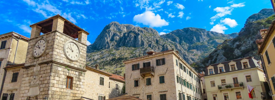
Twenty-four hours out of Africa we were finally unloading our bags from the taxi, under tall palm trees across from a beautiful harbor. In front of us stood the Sea Gate, the 16th century arched entrance through ancient stone fortifications and the winged lion of St. Mark. Both were constructed in 1555 when this port city was under Venetian rule.

With little difficulty we found our host and followed her through the ancient portal under a relief sculpture of the Madonna and Child, flanked by St. Bernard and St. Tryphon, the town’s patron saints. There was a small rectangular slit underneath the stone carving where prayers were once placed. “Now it’s used as a complaint box by local residents!” our host joked.


The archway perfectly framed a quaint plaza, The Square of the Arms, lined with shops and restaurants set dramatically under the backdrop of St. John’s Castle, Kotor Fortress, which towers protectively over the city. Within the walled city it’s a wonderful pedestrian-only maze of narrowing alleys that weave about. Our second-floor apartment was at the intersection of several of them and overlooked a view of the restaurants on Plaza Tripuna.
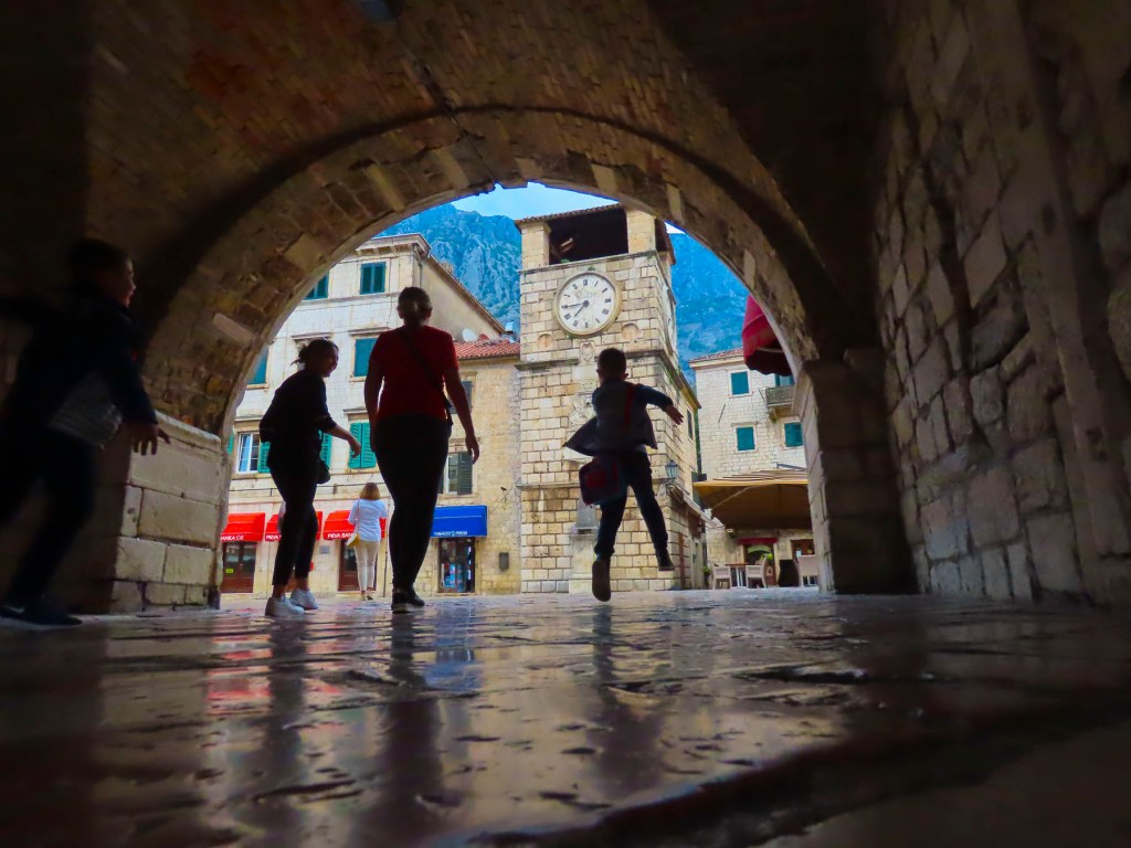
After six weeks of continuous travel we were looking forward to being rooted for a while in an apartment, returning to our immersive travel philosophy. With a spacious living room, kitchen, hot water, and live saxophone music six nights a week, we were ready for this month of R&R in Kotor. Though by the third night the saxophonist had played the identical repertoire each appearance, without changing its sequence. We were doomed to a Bill Murray-like Groundhog Day scenario, until he took three days off and was temporarily replaced by a young violinist. She was a breath of fresh air.


But, with any new destination there is the urge to explore. Outdoor dining was still in full swing and perfect, since the hottest days of summer were long gone by mid-September. After lunch our first mission was to find a grocery store to get some basic essentials – wine, coffee and some breakfast items for the next day before we crashed from a long travel day. Through the North Gate and across the Scurda River we found Voli and Aroma grocery stores.
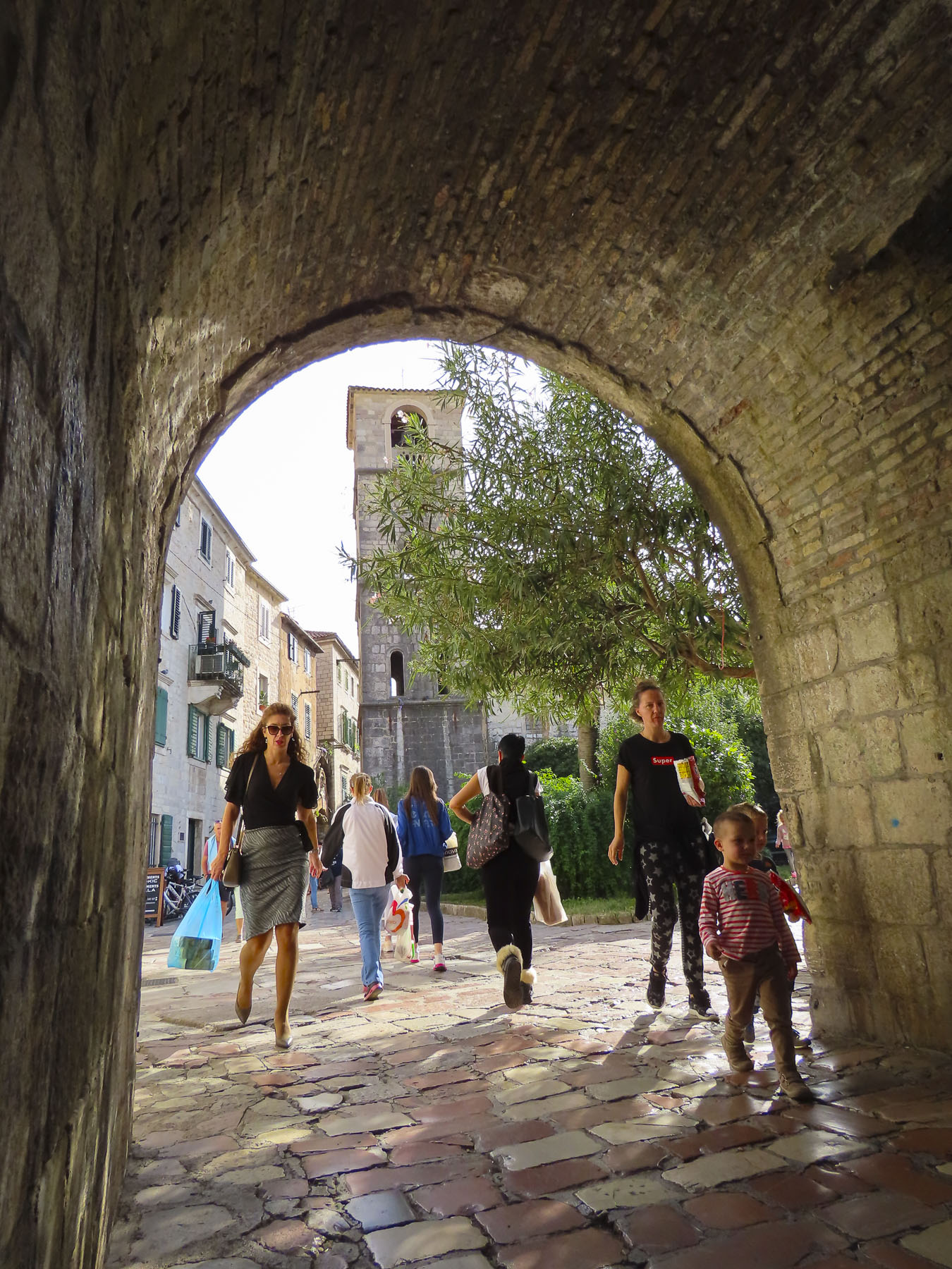

The second, lone mission, was to find the laundry service as our cloths were about to walk away on their own in protest. Before our host departed, she confirmed there was a laundry service, but wasn’t sure exactly where, as she didn’t use it, only that it was outside the city walls somewhere along the road that followed the bay. She waved vaguely in the general direction of the South Gate. It was a pleasant walk past the vegetable vendors in the daily market, outside the city walls, laden with fresh fruits and vegetables and FIGS!! (Our decision to call Kotor home for a month was instantly reinforced by this discovery.) Further on there was an Idea supermarket and the Sladoja mesara meat shop and grill restaurant. I walked all the way to the bus station and back tracked without spotting the laundry. Not one to accept surrender, I asked a woman exiting an apartment building with my laughable Serbian, praonica? (laundromat in Serbian.) I also showed her a slip of paper with it spelled out, just in case. Saint Jude must have been watching. She not only spoke English, but happened to work there and was returning from her lunch break. Nearing home, I found the only bakery within the old town just around the corner from our apartment and was able to pick up some wonderful fresh breads and baked goods at very reasonable prices. This became a regular stop during our stay.


Instead of ticking off destinations and sights within a short period of time, it was good to be back on track with our slow travel approach to seeing the world. Yes, we still want to see everything a locale has to offer, but at a reasonable pace with a walk a little, then café style repeated throughout the day. This approach allowed us to enjoy the Adriatic lifestyle by immersing ourselves into the ambience of Old Town Kotor for a month.
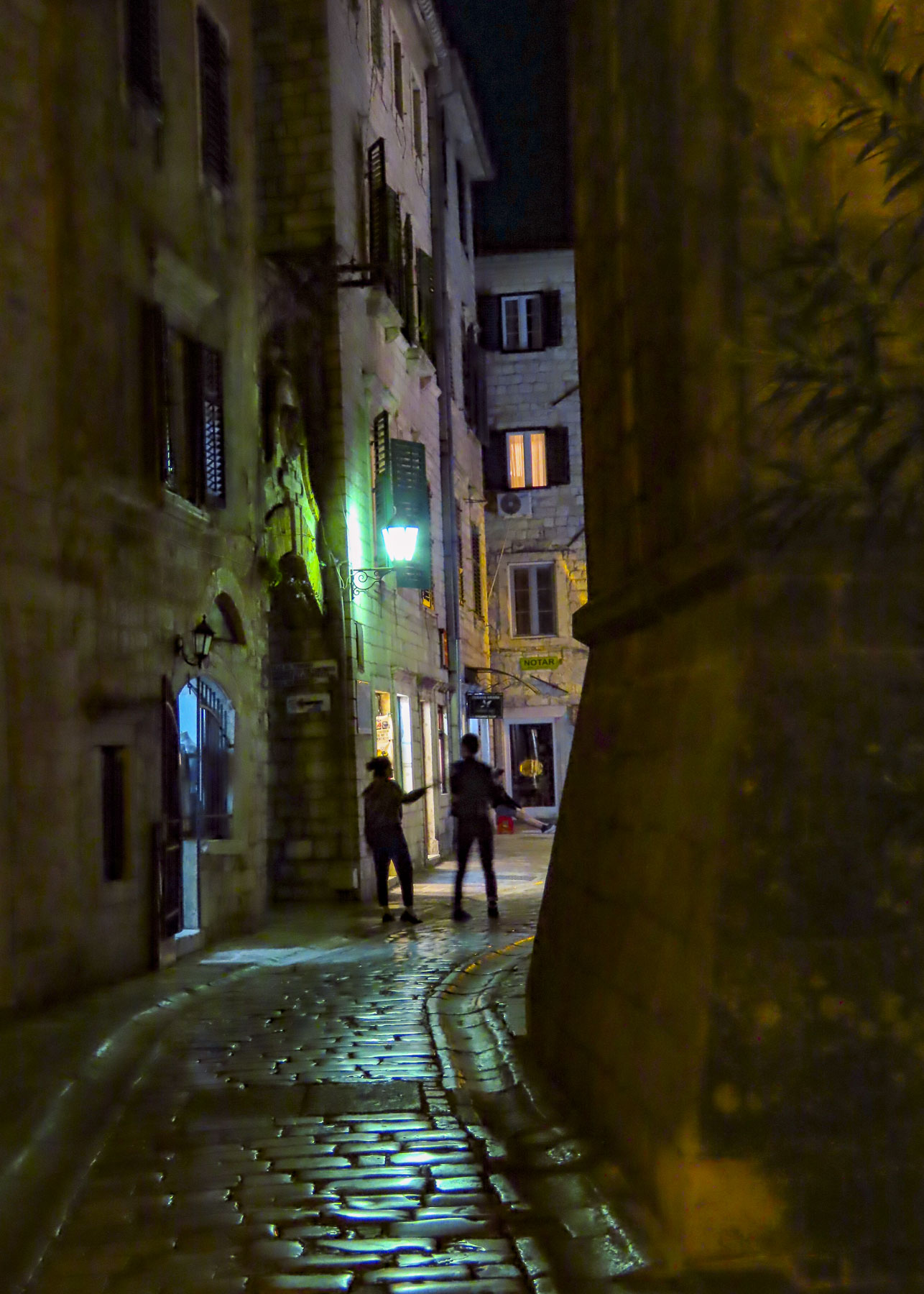

Surrounded by its ancient walls, the village really was the perfect size, impossible to get lost within and full of interesting finds and eateries. If we started our day early enough, we caught pleasant glimpses of parents walking their children through the ancient gates to school, and vendors delivering the day’s supplies by pushcart down the tight, cobbled lanes, hard work for sure.


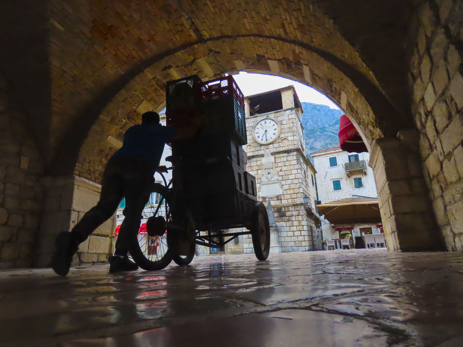
Exploring the alleyways that twisted through the town, we found unique architectural details, remnants from past empires and seafaring wealth.


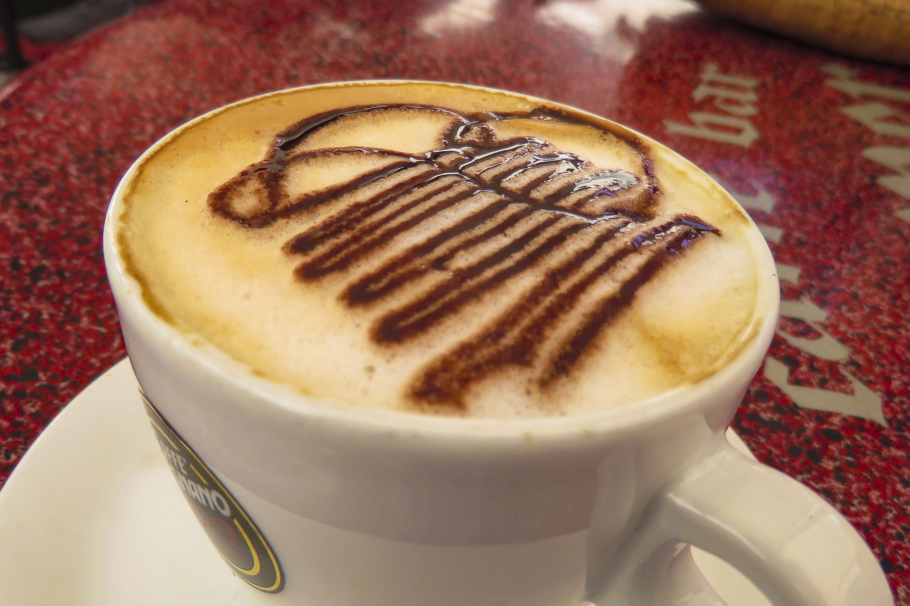
The alleys led to small intimate plazas with umbrellaed tables and entertaining street musicians. Caffe bar Perper on Pjaca od Salate made very good cappuccinos and every morning two singers sang a medley of Balkan folk songs with a sprinkling of western tunes thrown in. Across the plaza Konoba Scala Santa, the oldest restaurant (1931) in Kotor offered regional specialties and a rustic interior with a fireplace on those rainy fall nights that chased us inside.

After coffee one morning we followed the steep stairs off Pjaca od Salate past old stone homes (wondering how folks do it when we saw a baby stroller on a landing) built into the hill to the entrance of Kotor Fortress. 1350 steps to the top – we could do it! Fortunately, we chose a cool day. It was a challenging trek over a rough stone path and stairs still in need of repair from the 1979 earthquake that struck the city.

Fortifications have loomed over Kotor since Illyrian times, 4th century BC until 167 BC, with additions made by Roman emperor Justinian I in the 6th century. The Venetian Empire expanded the fortifications further in the 16th century. It’s their stones that we were tripping over. Our effort was rewarded with spectacular views of the city, bay and old caravan trail from the serpentine path that twisted all the way to the top.
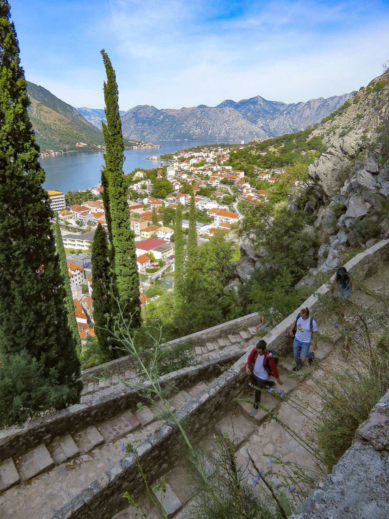
As formidable and imposing as the fortress looked, it has been seized several times during conflicts with the Ottoman, French and English. Good walking shoes and water are a must for this going. 650 steps up the Church of Our Lady of Remedy marks the halfway point and is a good place to rest and enjoy the view for a while. The small chapel was built by survivors of the 1518 plague to honor the Holy Mother.

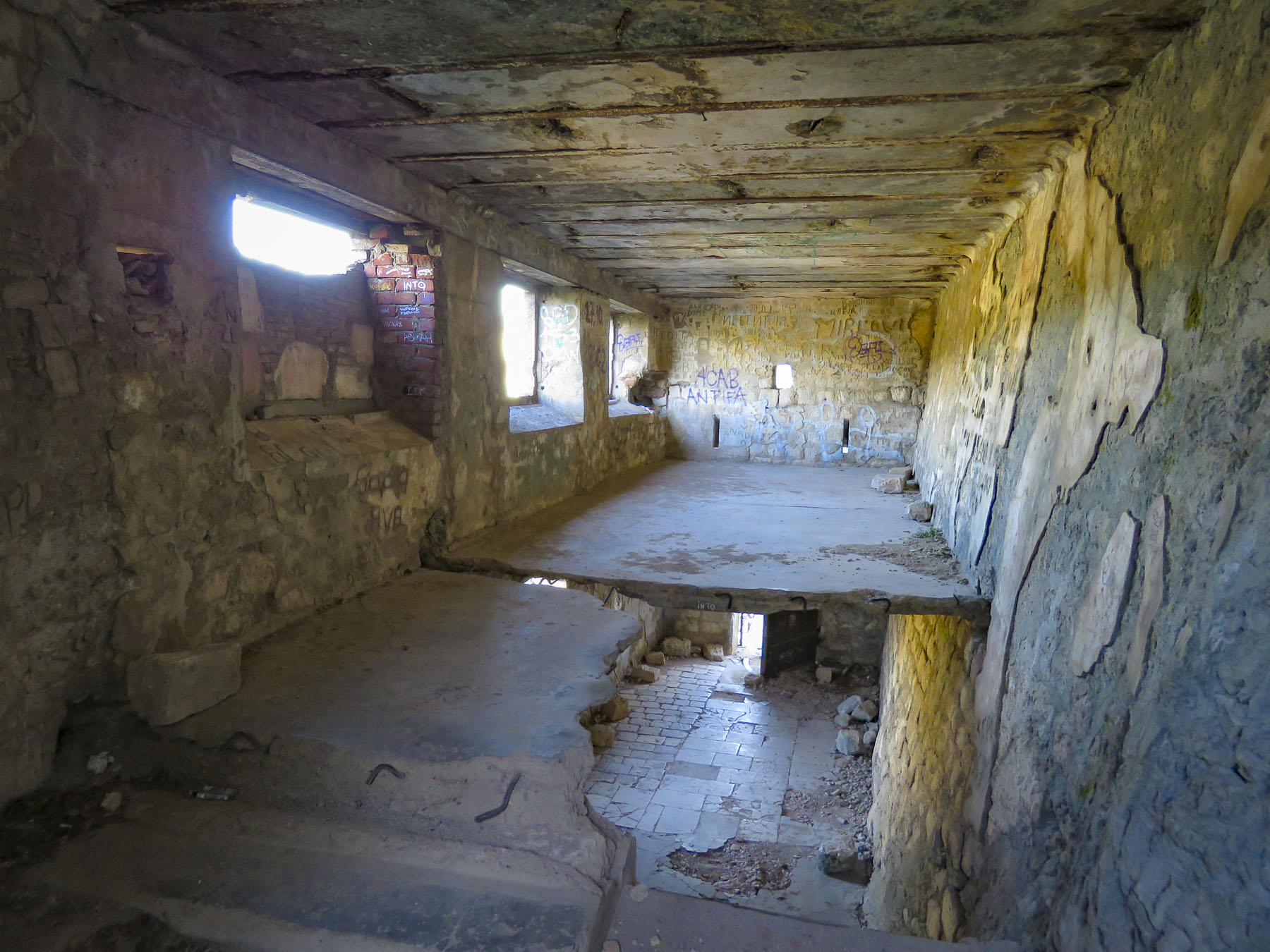
In 1979 an extremely destructive magnitude 7.0 earthquake devasted old town Kotor and many similar towns along the Montenegro and Albanian coastline which was then part of Yugoslavia, leaving 100,000 people homeless. All the stone buildings suffered some form of damage and the city was closed to the public for ten years during its restoration. Some signs of the earthquake damage are still visible, most noticeably block-long 19th century Austrian Prison that has large cracks in its exterior walls and the sky visible through its roof.


The churches in the historic center also suffered extensive damage. Their facades have been fully restored, but their ornate interiors were destroyed beyond repair. The interiors are noticeably less ornate than similar era churches in Europe, with only fragments of relief carvings and frescoes remaining, hinting at their former beauty. Priče o Potresu / The Earthquake Stories is a 2020 documentary by Montenegro director Dusan Vulekovic about that destructive natural disaster. Severe earthquakes also struck Kotor in 1563 and 1608.

The one drawback of Kotor is that it’s a busy cruise port with four or five large cruise ships disgorging thousands of passengers between 10am and 3pm every day until the end of the cruising season. But they followed a limited circuit and if we planned around them, they were barely noticeable. By October first only one or two cruise ships were anchoring in the bay each week.

Often referred to as Europe’s southernmost fjord, the walls of Kotor bay are so high and steep that they cast shadows late into the morning and early in the afternoon over the city. This is a tremendous help in moderating the heat of the Adriatic summers. Its unique geography makes it the most naturally protected harbor along the Adriatic coast, providing safe anchorage for sailors since the beginning of boat building, several millennia ago.


There were a variety of water tours available and we opted for one that took us to Our Lady of the Rocks and Perast. The legend of Our Lady of the Rocks starts in the 15th century when two brothers, fishermen from Perast, found an icon of the Virgin on a rock protruding from the center of the bay. Fulfilling the Virgin’s request of them to build a church in the bay, they began transporting stones by boat from the shore and dropping them in the bay. Soon others followed. Today there is a small Catholic church on the island and a festive boat procession every July called Fasinada that keeps the tradition alive.


The views from the bell tower of St. Nikola Church over the quaint village of Perast and the open expanse of Boka (Kotor) Bay were tremendous. It was a wonderful, beautiful day on the water that ended hours later in agony, as we both succumbed to food poisoning from lunch. Fortunately, Donna found a visiting Doctor service that provided an English-speaking physician who made house calls. After a midnight knock on the door and a short consultation we were advised to hop in his ambulance for an intravenous treatment at the local clinic. It turns out that we had visited this clinic ten days earlier for treatment of a sinus infection and pinkeye that Donna caught before we left Ethiopia. After our hour and half treatment, we felt one hundred percent better and were discharged at 1:30AM onto a deserted sidewalk with no assistance offered to get us back to town. It was too far out of town to consider walking and considering we were still recovering, we waited patiently as the occasional car sped past Finally a taxi zoomed by and, hearing my booming shout of “TAXI!” the driver hit the brakes and did a U-turn.


Our travel insurance covered the hospital visits, though the claims were cumbersome to file. (Keep your airline tickets for proof of travel.) Amazingly, the hospital treatment, including transport by ambulance, was only €50 each – extremely affordable compared to medical care in the United States. Likewise, the prescriptions we filled the next day were easily paid for out-of-pocket. It is worthwhile to compare the cost of drugs that you regularly purchase in the United States with what they cost overseas when traveling. There is an outstanding difference, with foreign prices being much lower and many not requiring a doctor’s prescription. Just check Google for the correct name of the drug for the country you are in.


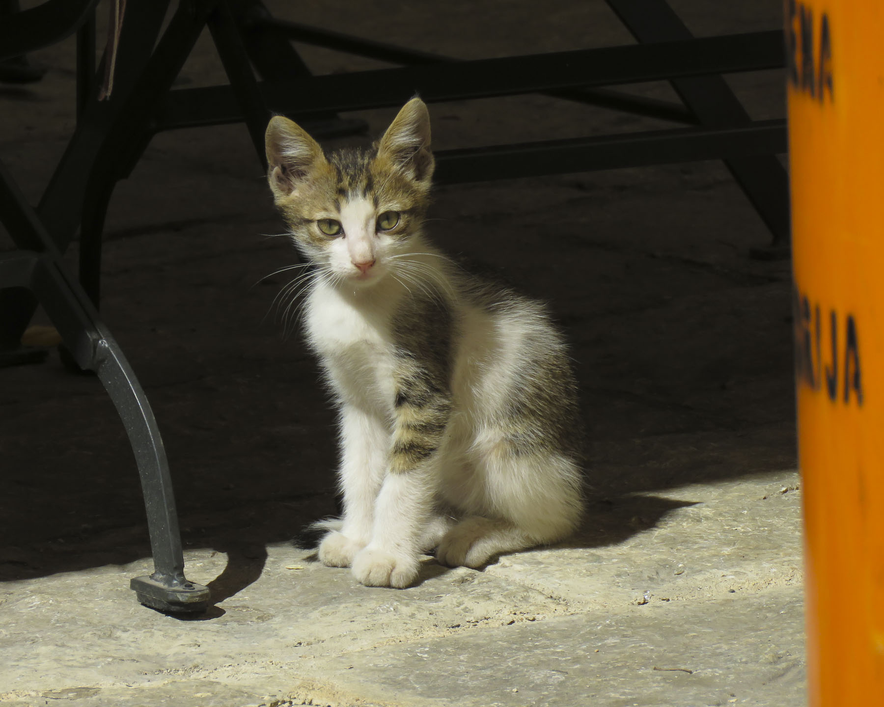

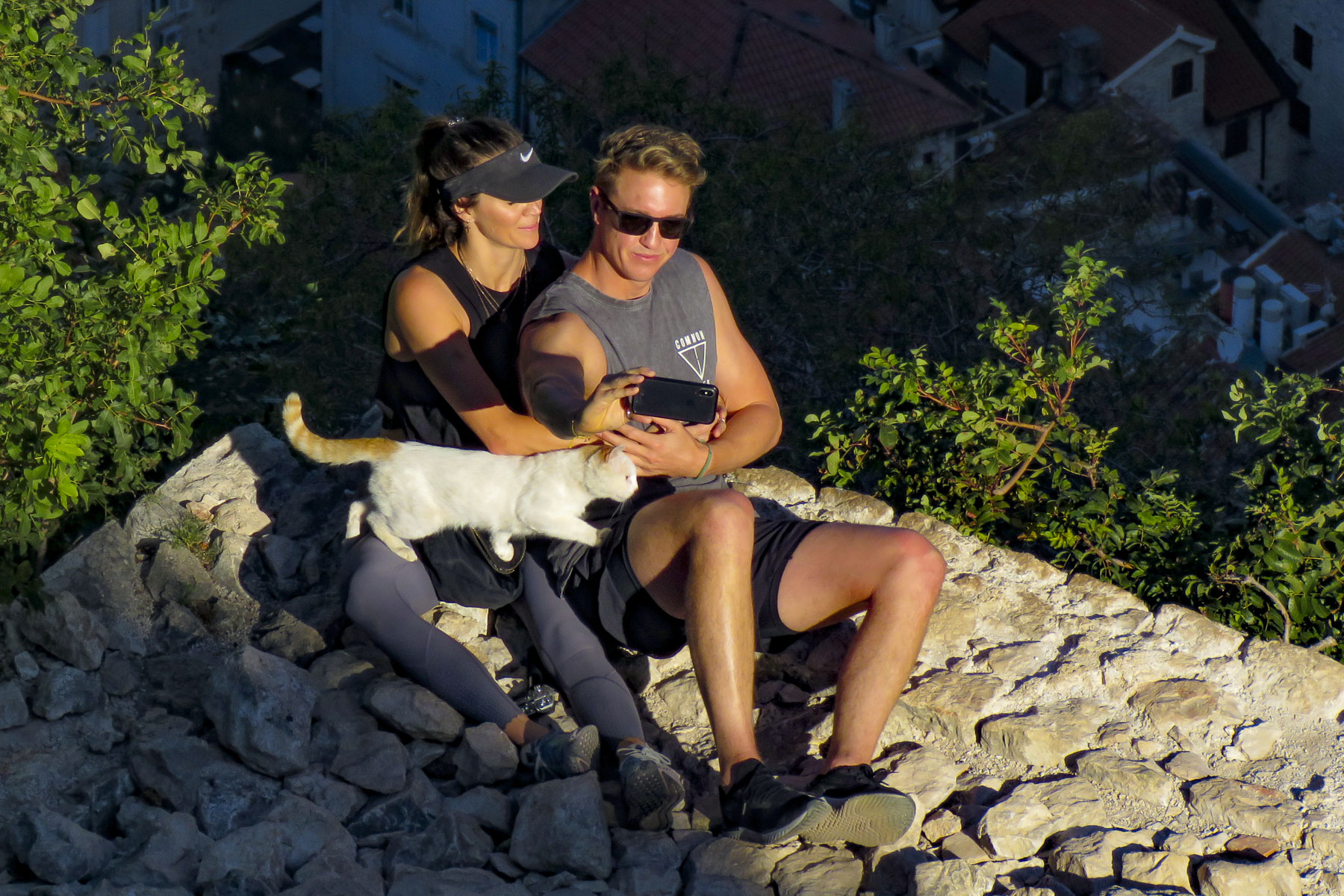
The old town is also famous for its colony of “Kotor Cats,” descendants of ratters taken to sea by sailors to control rodents on board their ships. As we walked around town, we noticed small trays of cat food placed about for them. Kotor Kitties is a non-profit organization started by an American visitor to Kotor several years ago that provides food, veterinarian care and neutering for the famous felines.

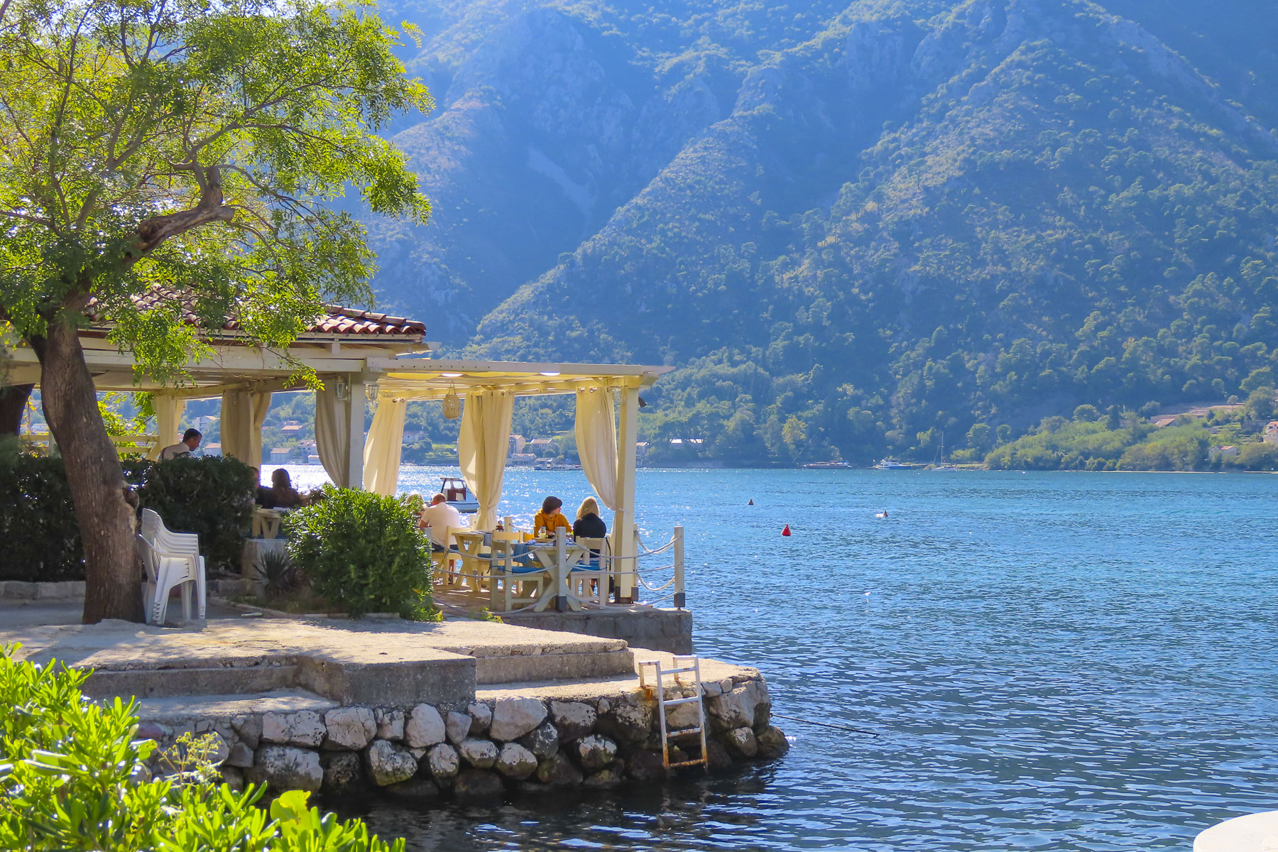
Our wanderings expanded to include longer treks along the picturesque roads that followed the shoreline of the bay. Walking only minutes from old town along Put I Bokeljske Brigade on the bay’s eastern shore put us in a more relaxed world with pebbled beaches, small marinas, waterfront restaurants, private homes and small boutique hotels along the water. Though the bay water was still warm enough for swimming, the area was very quiet at the end of September, with most of the small hotels posting “rooms available” signs in their windows. Many of the beach facilities pulled in their cabanas and rental kayaks with the end of the cruise boat season, which coincides with the beginning of the rainy fall season. Fortunately, the restaurants were still open along this route and several of them enticed us enough to revisit this seven-mile roundtrip walk to the village of Dobrota weekly.


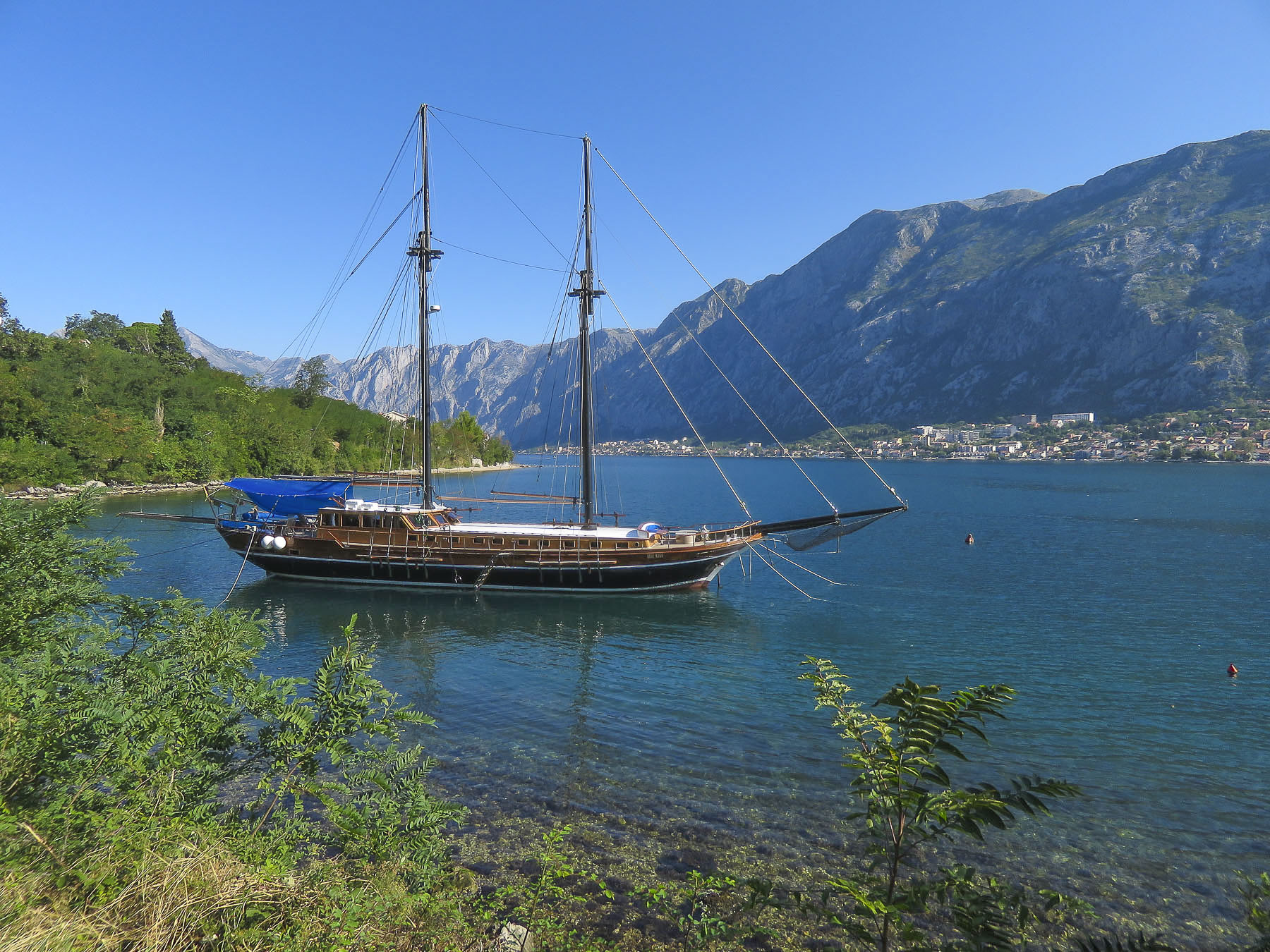
The western shoreline along the bay was equally enticing with its small coves that sheltered yachts at anchor, and the historic churches of Crkva Sv. Ilije in Gornji Stoliv and the parish church of Prcanj, Bogorodicin Hram, offered wonderful views of the bay from the top of its monumental stairs leading to the church. There were also some nice quirky finds along this route: props that looked like they were once used in a local carnival.




Montenegro is a small country; besides being known for its fabulous Adriatic coast, it has an equally impressive mountainous interior only a short distance inland from Kotor that can be visited on day trips. There were numerous tour operators around town that all offered basically the same excursions. We chose one to Durmitor National Park that included stops at the dramatic Most na Đurđevića Tari bridge that spans the turquoise waters of the Tara River. Visits to Black Lake, Lake Slano and the cliffside Ostrog Monastery would round out the day.

It was late September now and the chill of fall was in the morning air. Optimistically I wore sandals, anticipating a warm and sunny afternoon as it was the day before. As we drove into the mountains, the clouds thickened and the temperature dropped to the point were when we stopped at a small shopping center for a rest break I ran into a shoe store to buy a pair of heavy socks, much to Donna’s amusement.

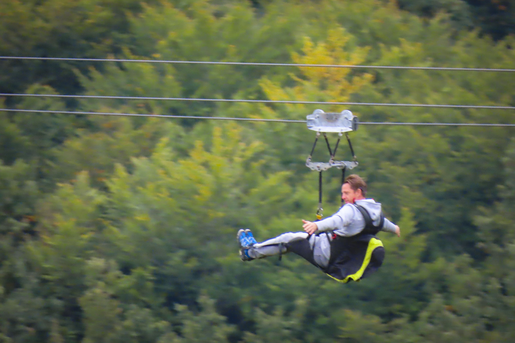
The mountain vistas along the drive to Djurdjevica Tara bridge were fantastic and we arrived in time for some in our group to zip-line across Europe’s deepest canyon (4300 ft) and the turquoise waters of the River Tara – the “tear of Europe,” below.


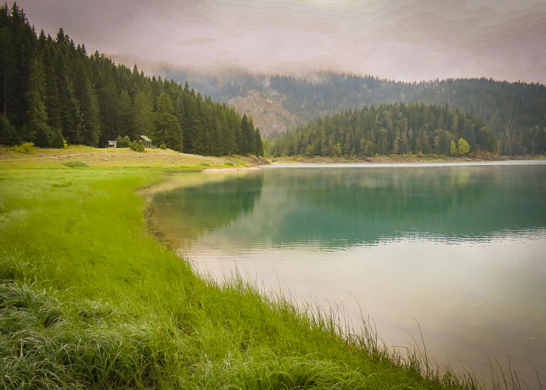
An easy hike through old growth forests around Black Lake followed lunch at a waterside restaurant.


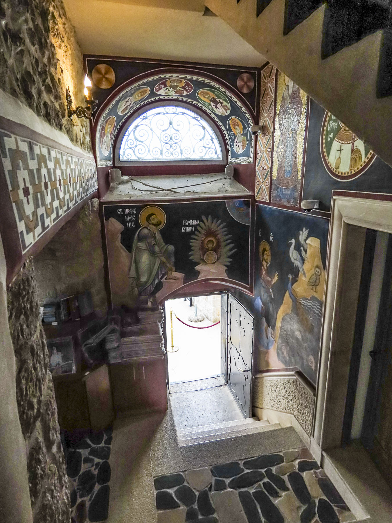

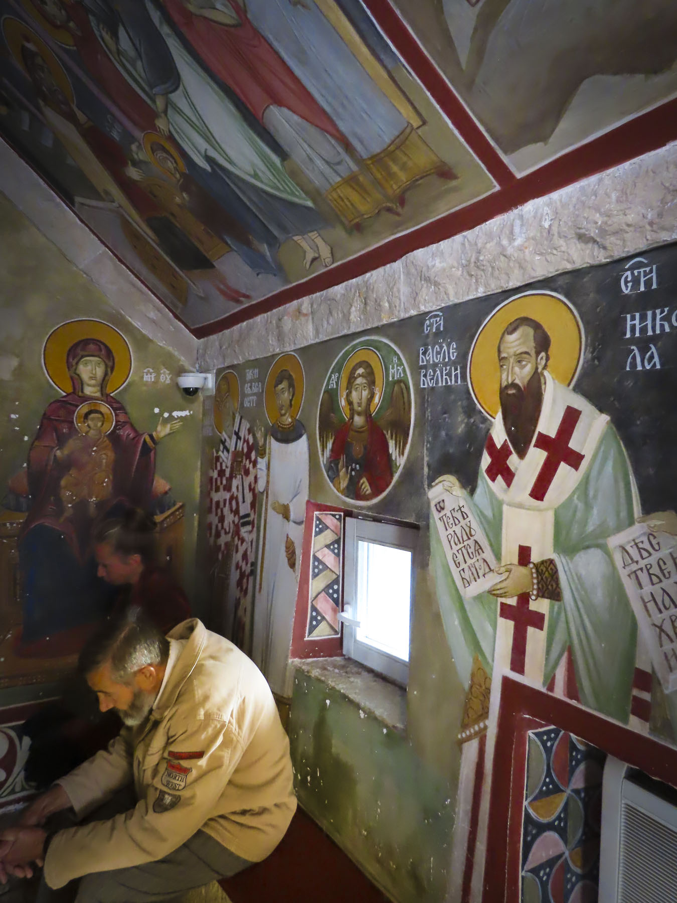
The last stop of the day was at Ostrog Monastery which expanded around a cave church that was built high into the mountains in the 1600s by Vasilije, the Bishop of Herzegovina and later known as St. Vasilije, to escape Ottoman raiders. Upon his death his body was entombed in the church and legend says his mortal remains have miraculous healing powers. Over the centuries, the monastery has become a pilgrimage site for Orthodox Christians, Catholics and Muslims, drawing 100,000 visitors annually. Additionally, the monastery is also known for its unigue religious frescoes, which were painted directly onto to the surface of the cave, following their natural curvature. Our guide had timed our visit perfectly to coincide with the 5:00 PM mass. It was a moving experience to hear the liturgy sung and projected from loudspeakers out over the valley as the sun was setting.
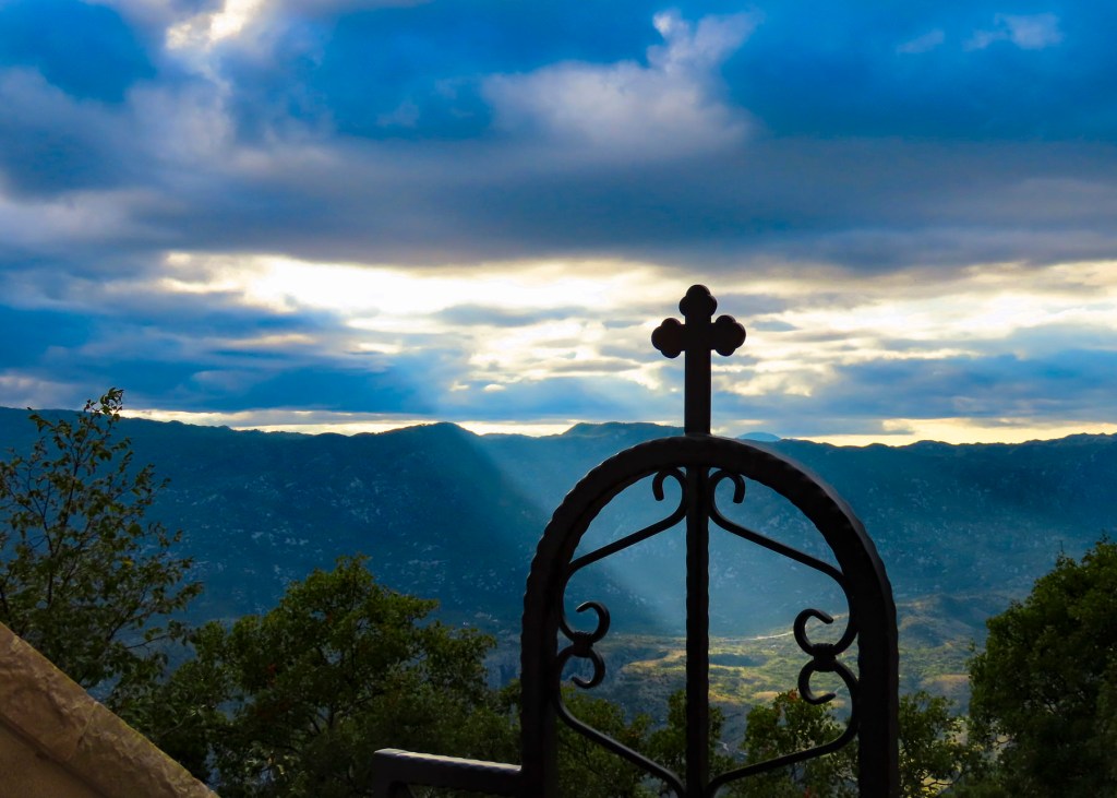
The last stop of the day was at a scenic overlook above Kotor Bay. Montenegro packs a magnificent amount of beauty into a small country and should be on everyone’s radar for an affordable, budget friendly destination.

A week later we rented a car to explore parts of Montenegro on our own.
Till next time, Craig & Donna


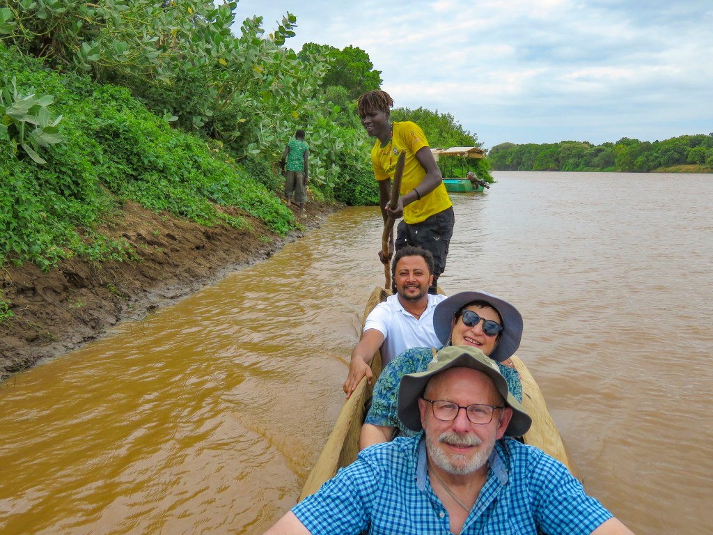


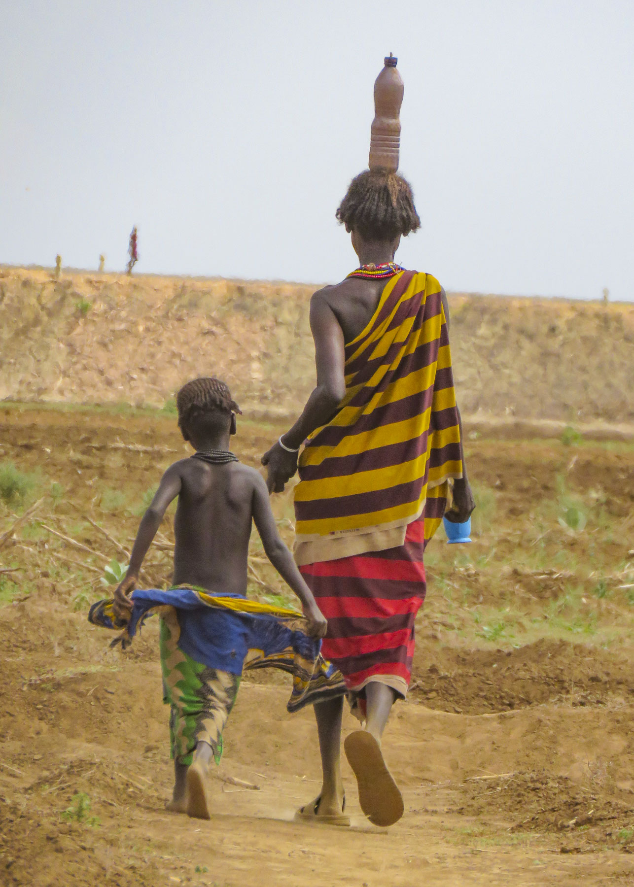



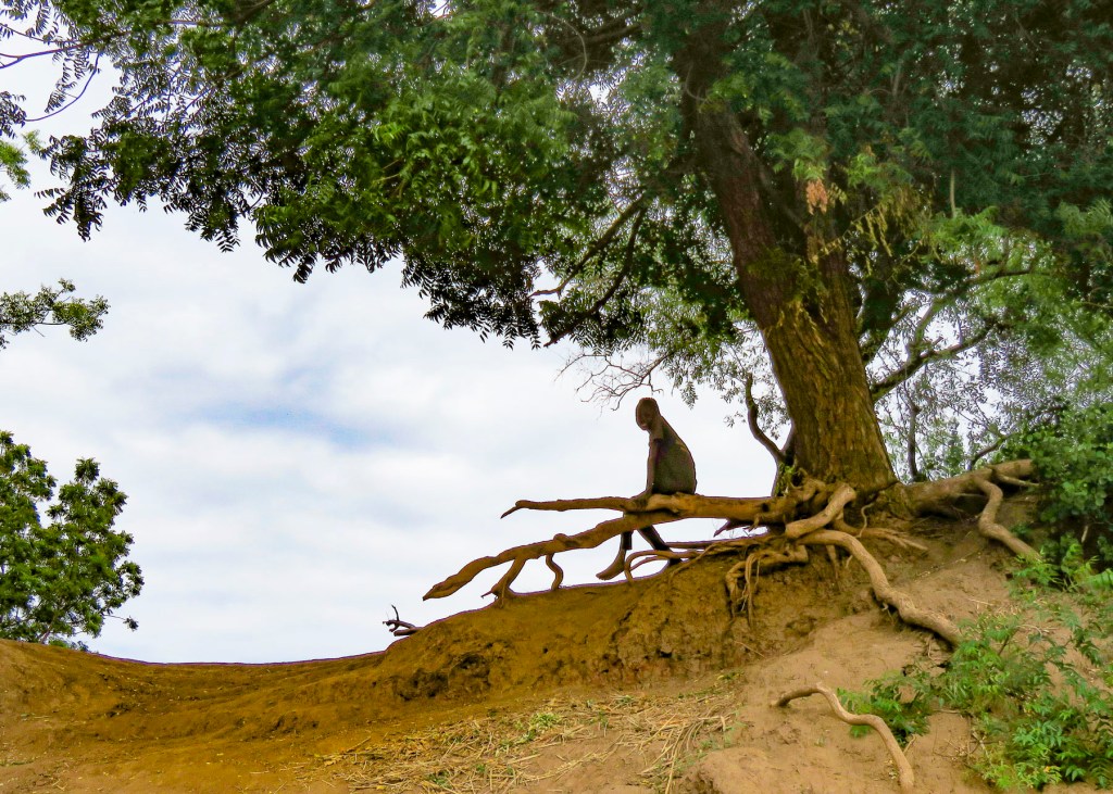

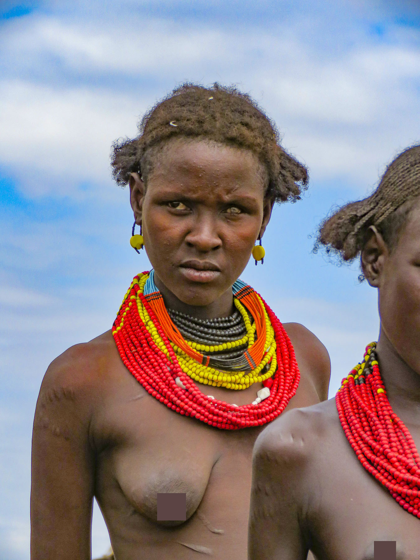



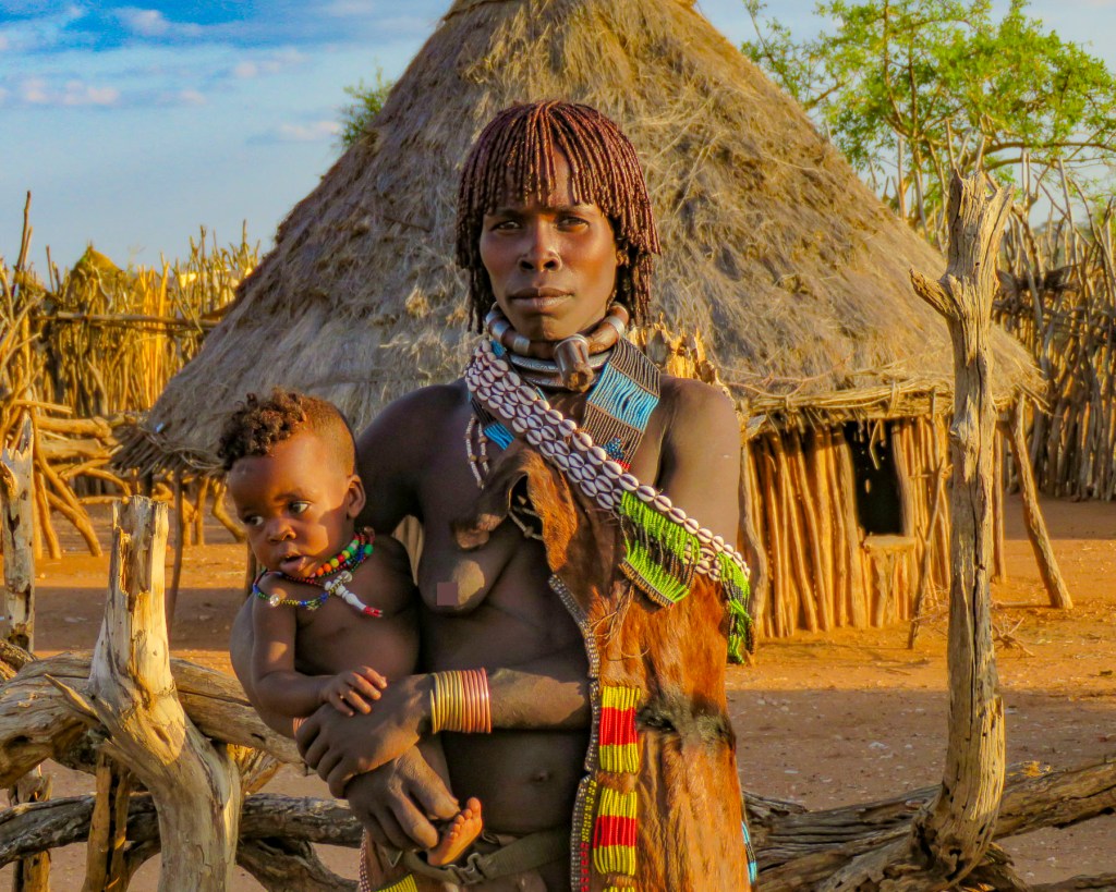
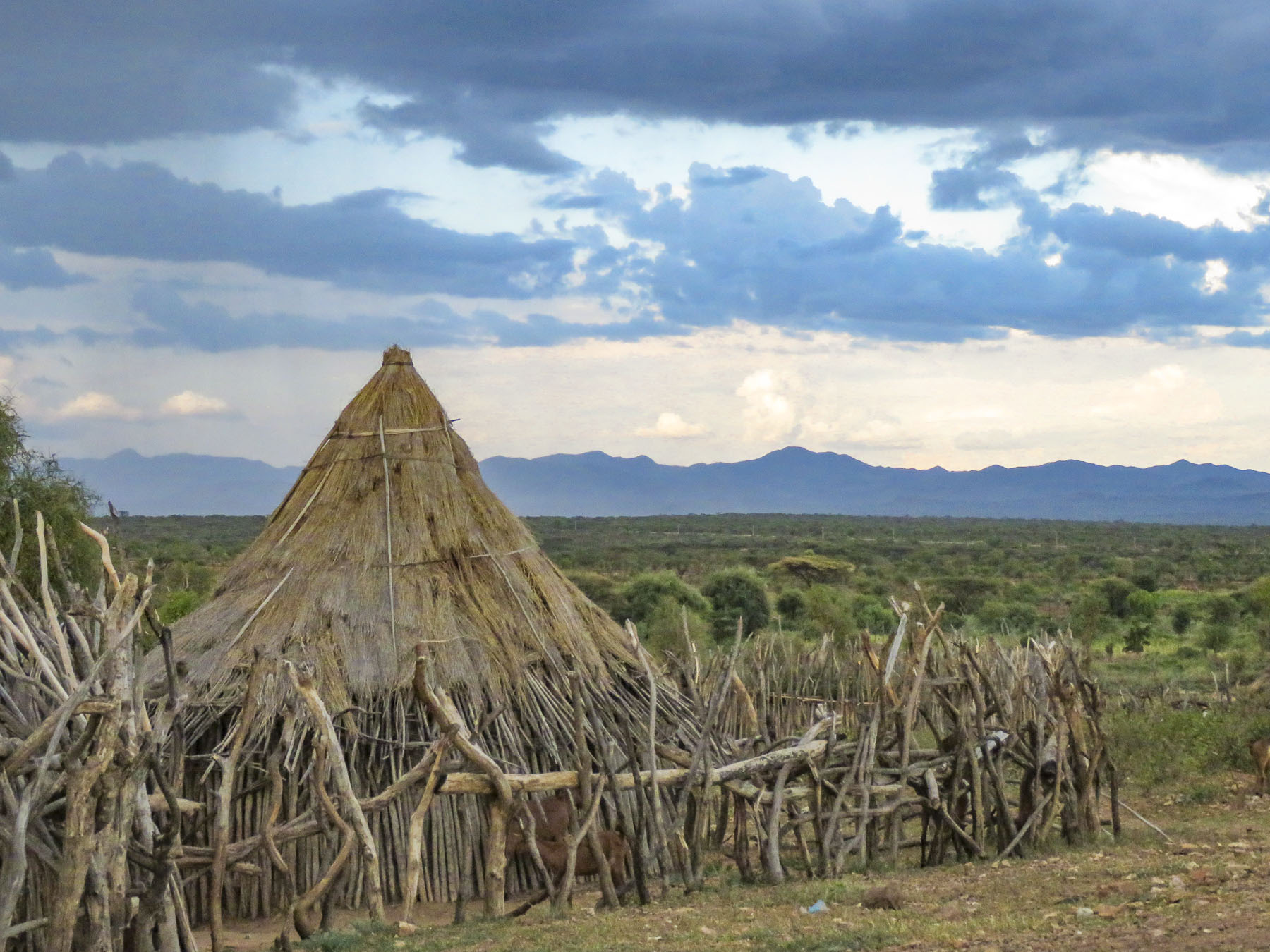
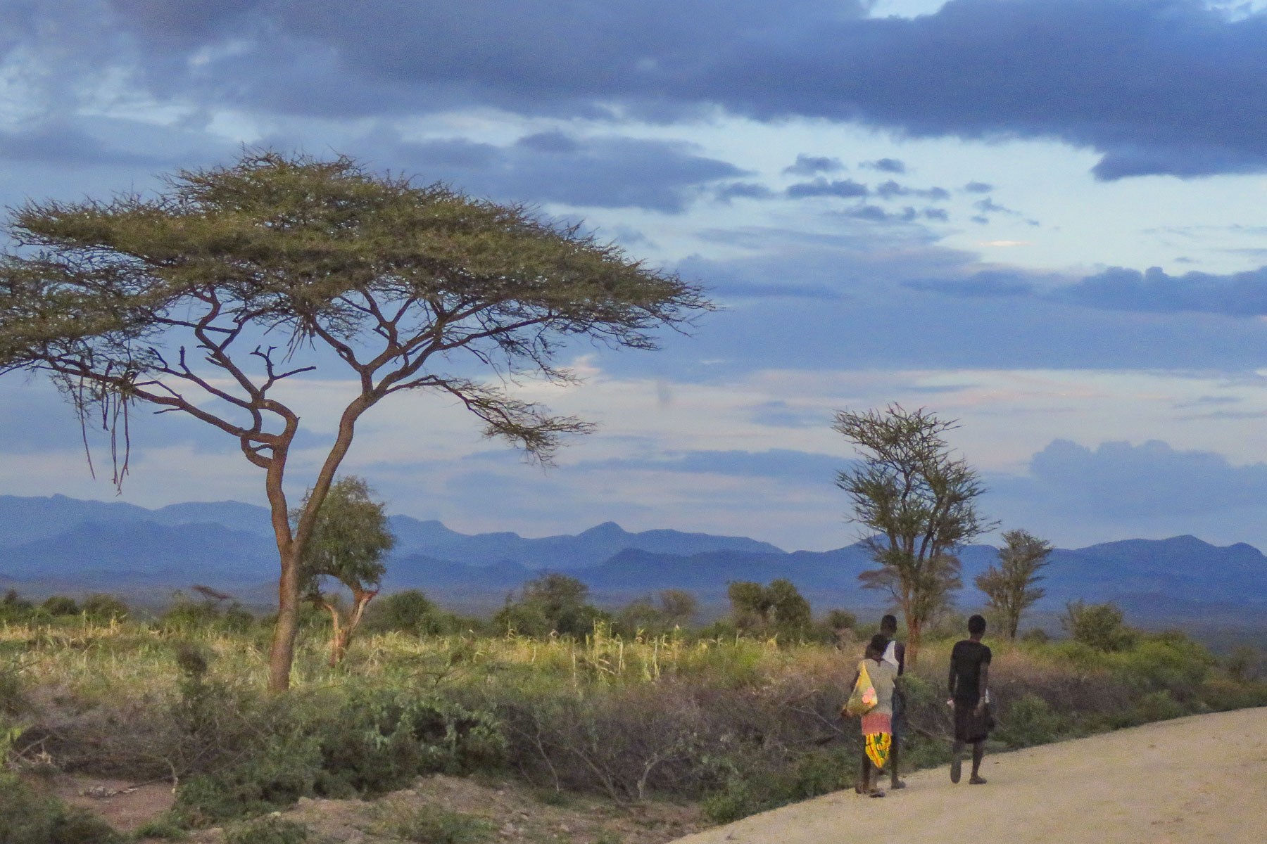




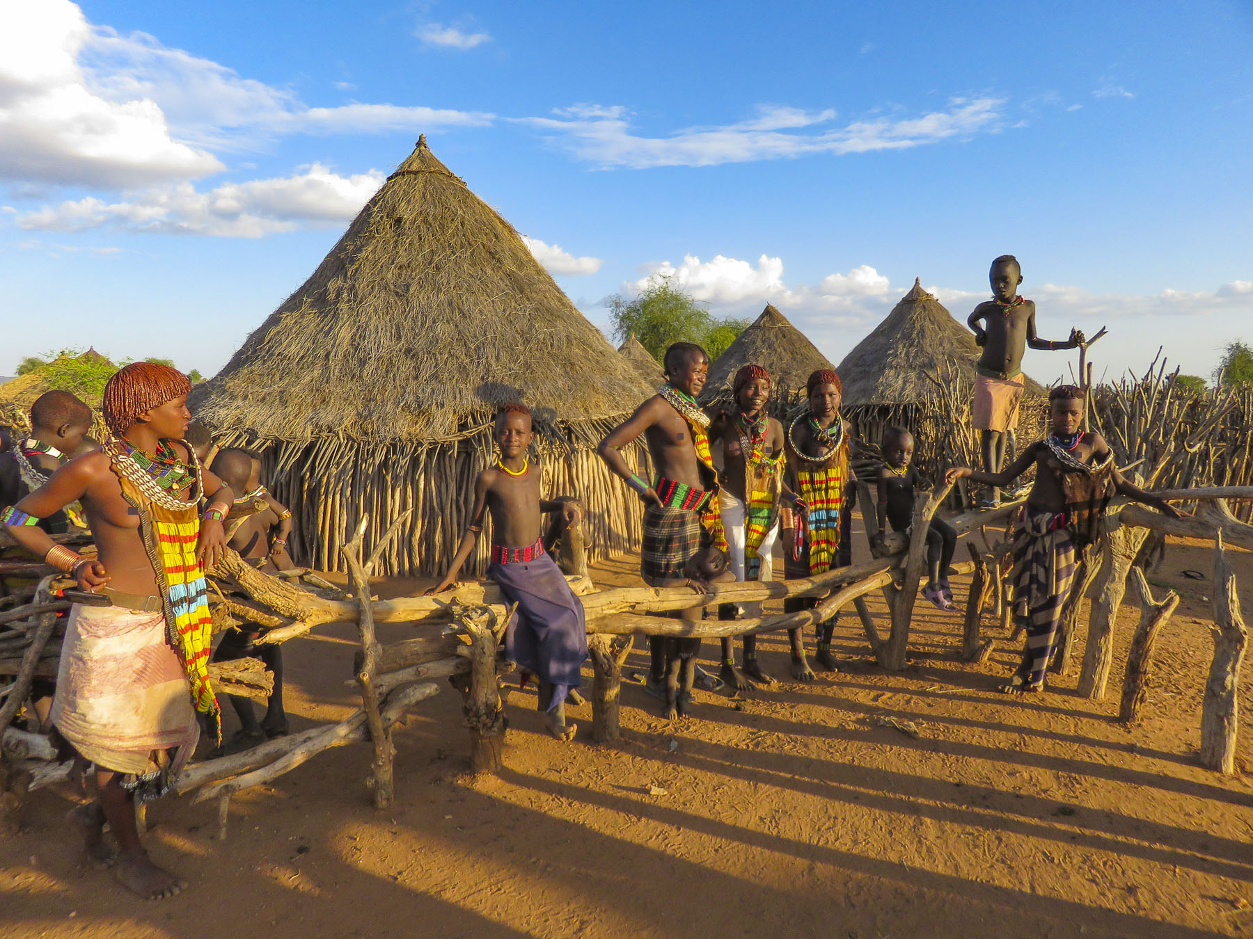






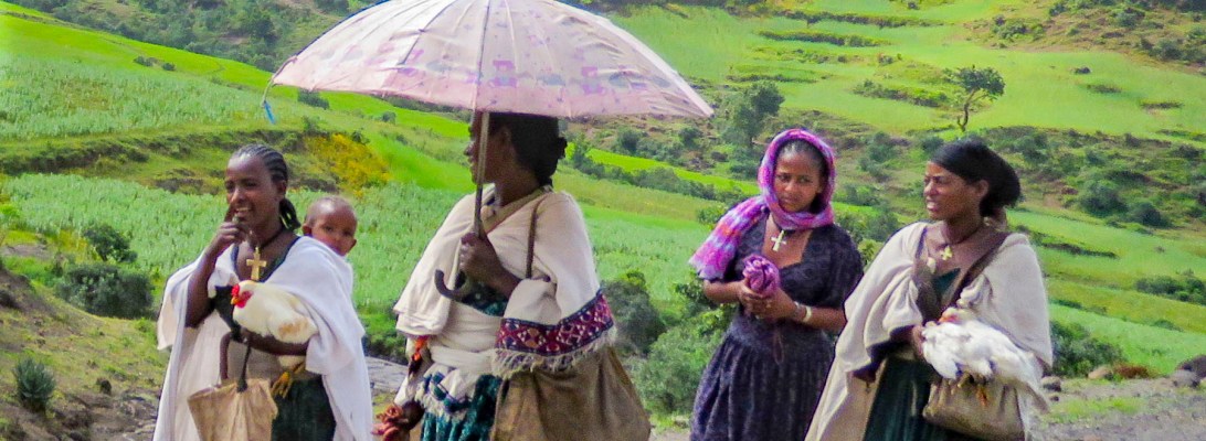
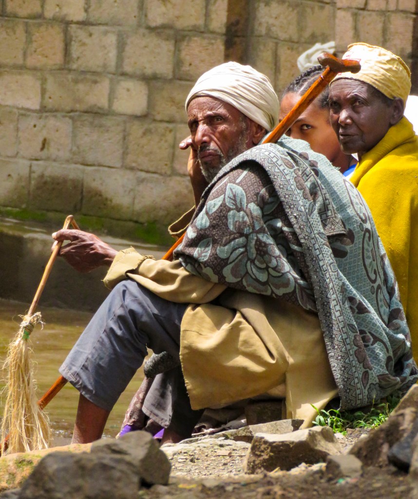
 Walking, walking, walking! The countryside is full of folks out and about on their feet. There is a rural minibus network connecting larger villages once a day, and Lalibela has tuk-tuks, of course. But mostly, whether it’s due to lack of affordability or availability, people walk to and from everywhere. Sometimes it is necessary to travel great distances to accomplish simple, everyday tasks like gathering water, heading out to tend a remote field, going to market, or even farther to visit a doctor.
 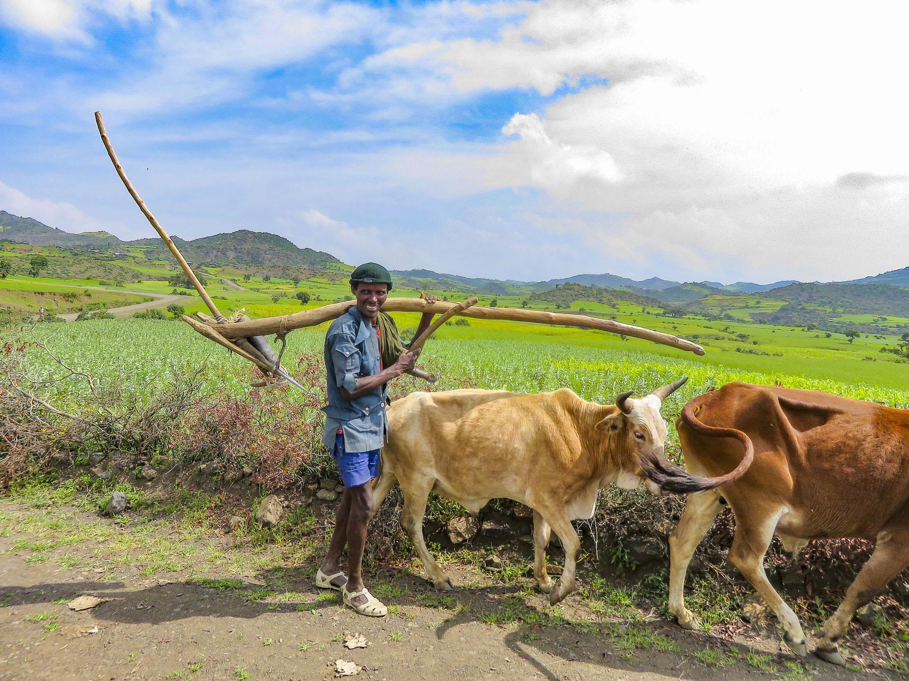 In the rugged agrarian highlands surrounding Lalibela, all the fields are tilled by farmers walking behind teams of oxen, as it has been done for centuries, on farmland passed down through a communal hereditary system called rist.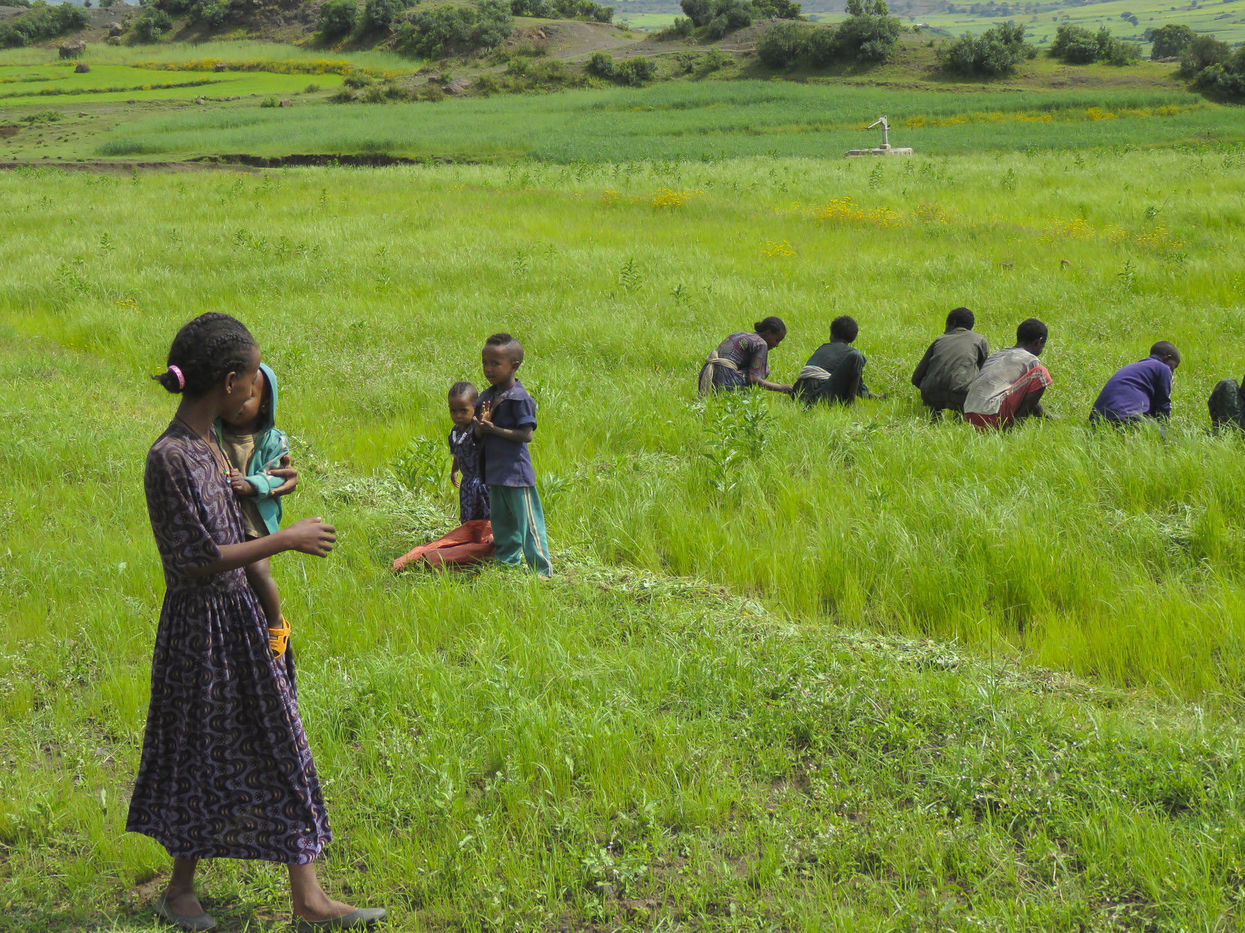





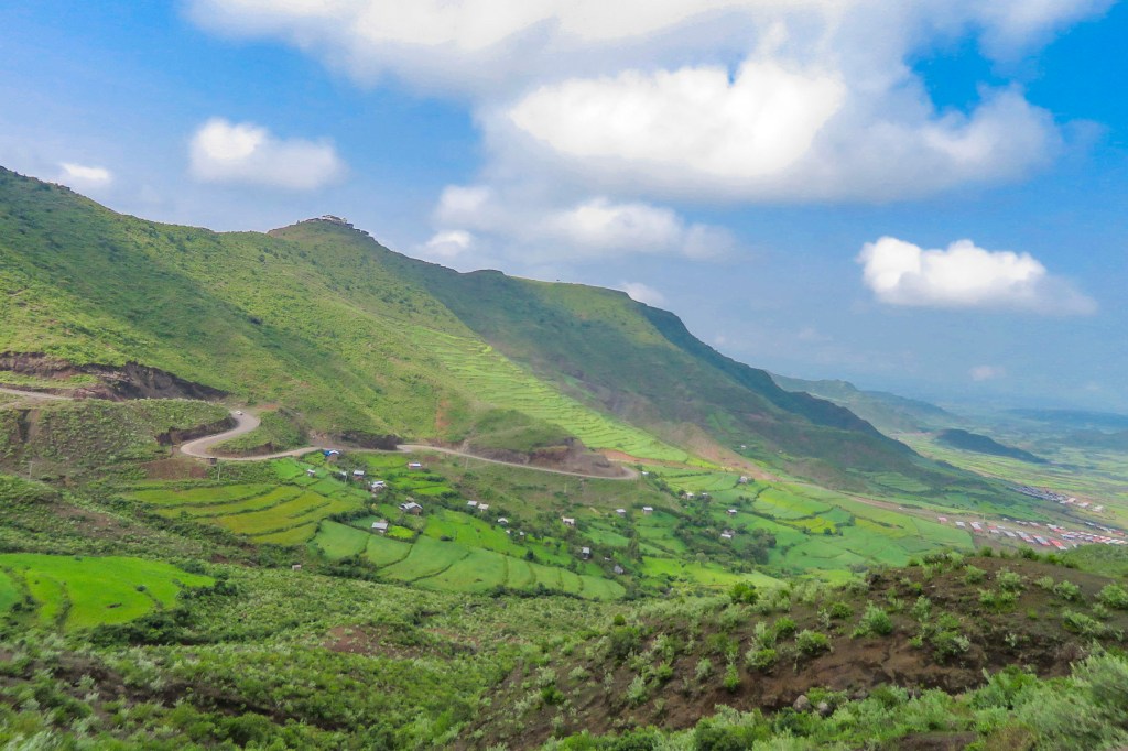
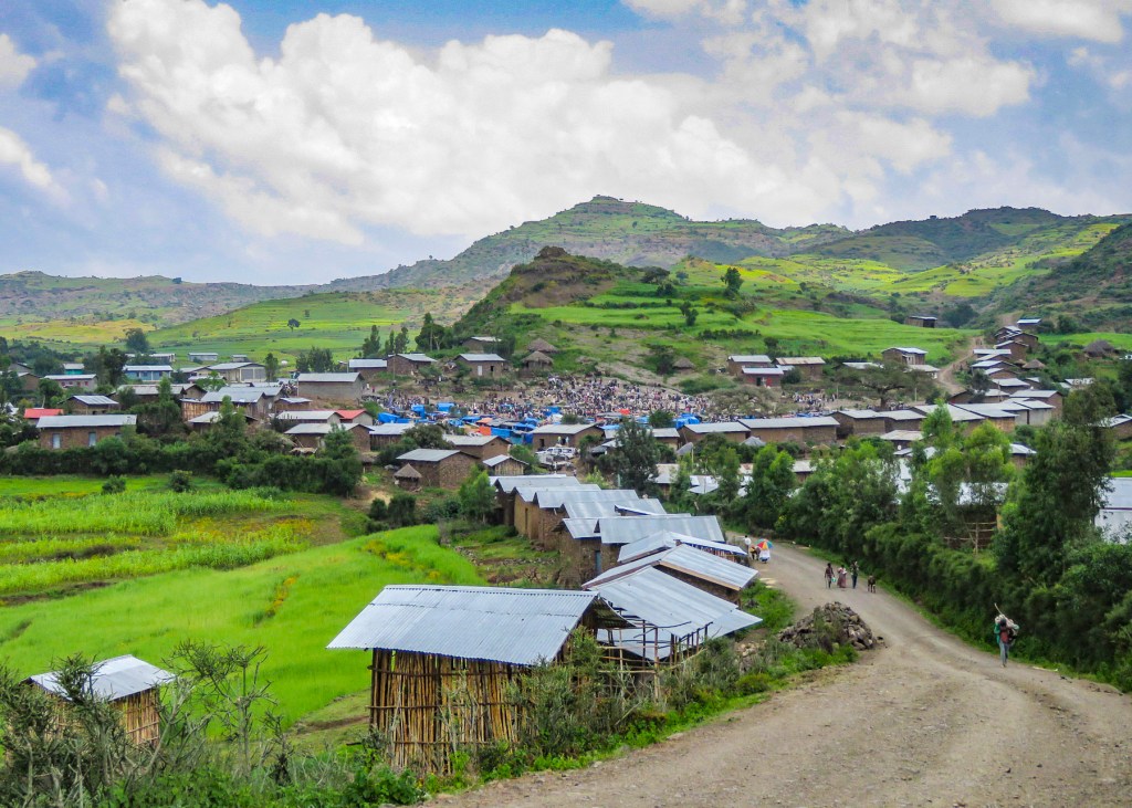
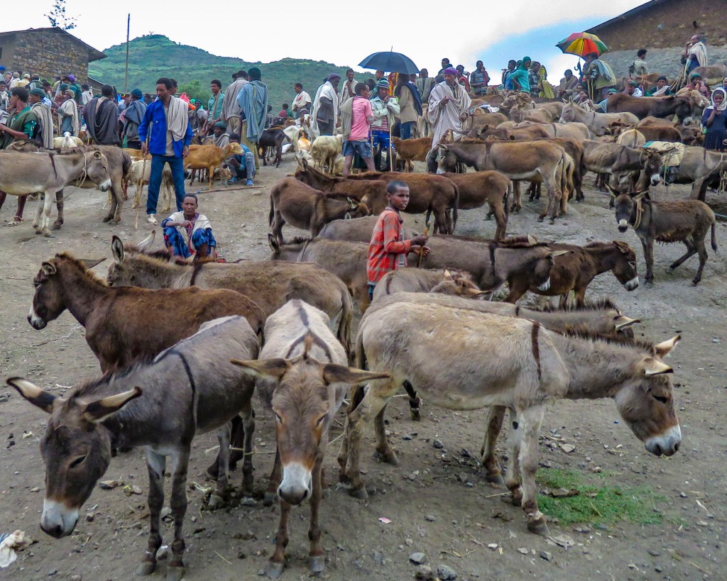


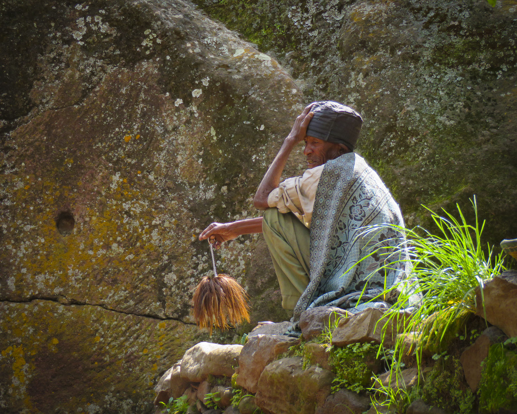



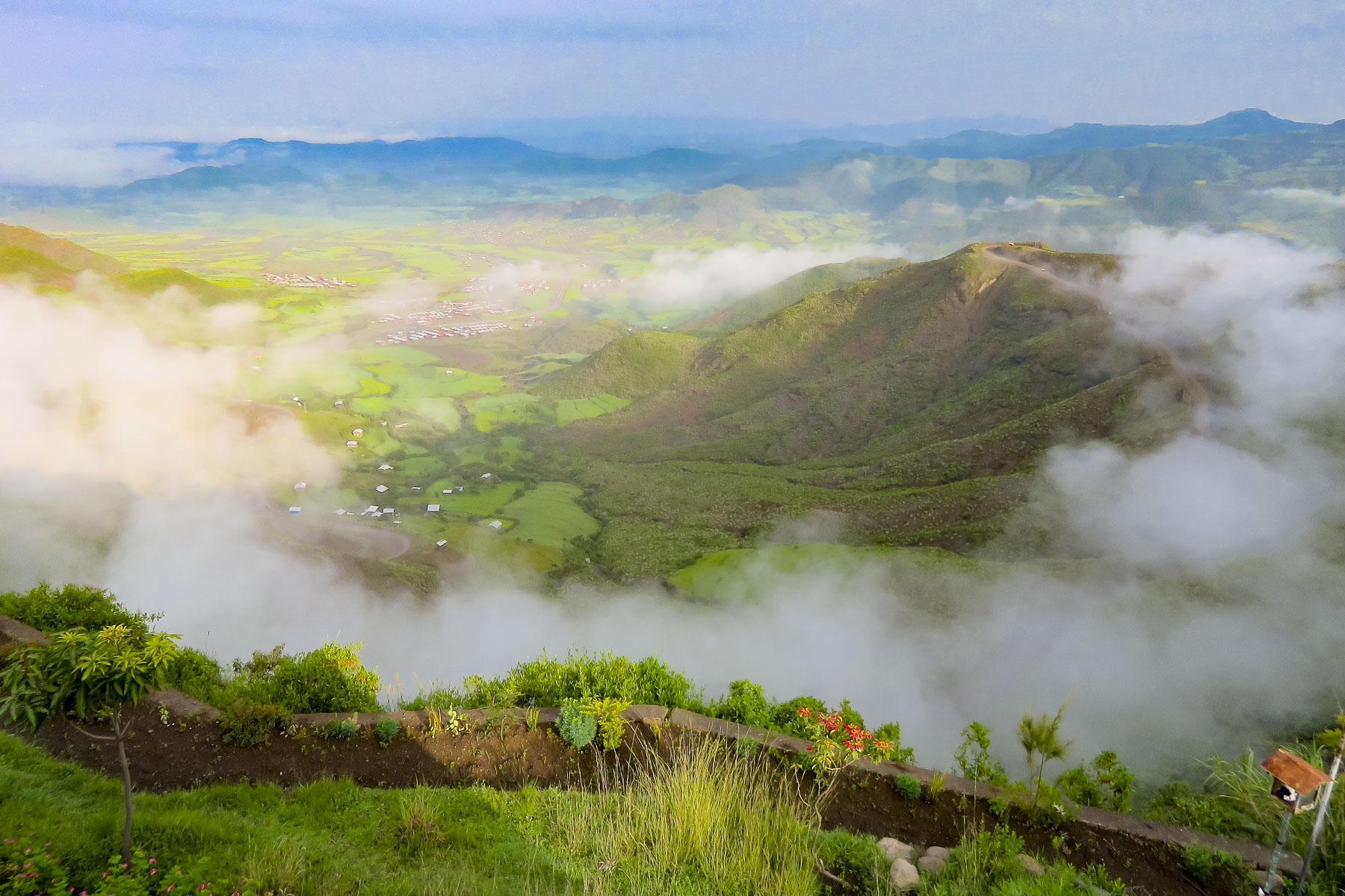 We started our day listening to bird calls and watching the morning clouds burn off from the valley below our hotel as the sun rose higher into the sky. The


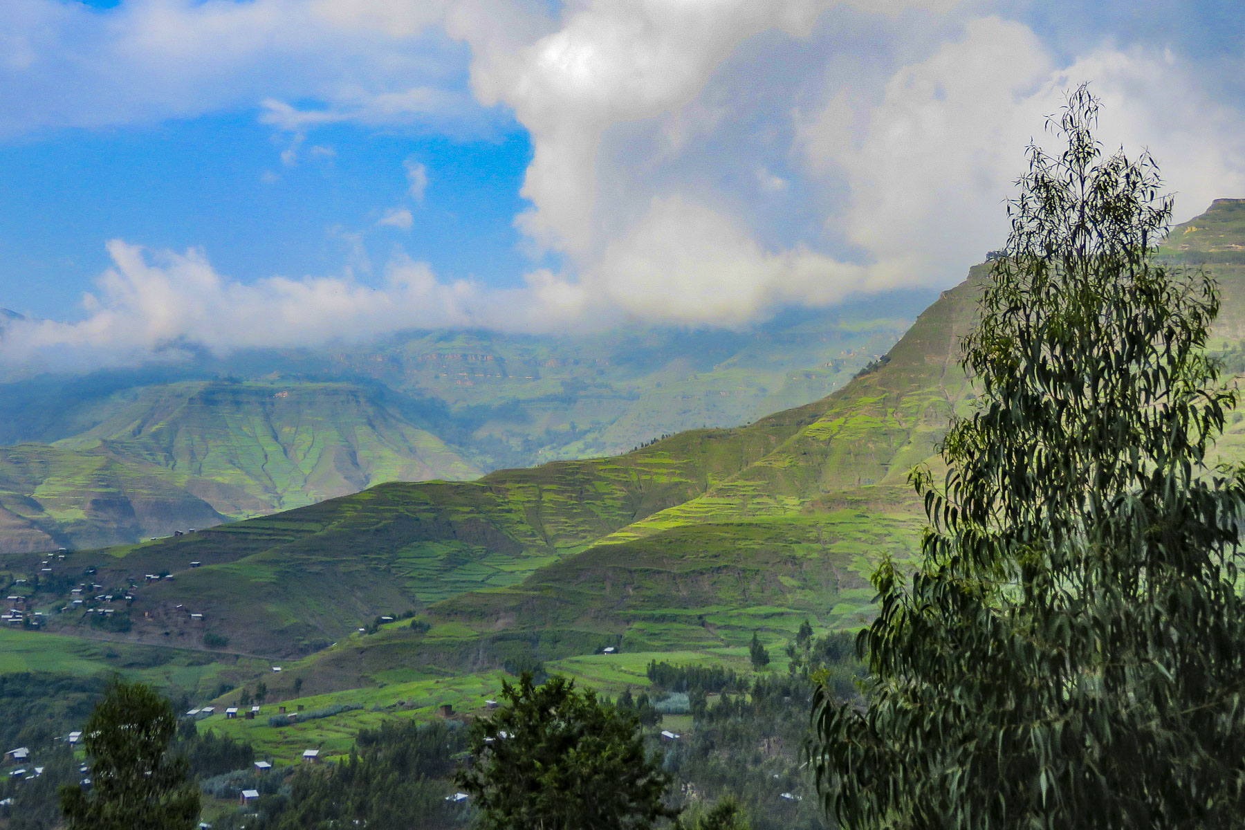
 The shops were busy, and the roadside Ping-Pong games were in full swing as we departed Lalibela. The road into the mountains rose quickly from Lalibela into a semi-forested landscape. Too steep for crops, the land was used for cattle, which grazed on clumps of wild grasses on the hillside. We stopped at one clearing for the view and noticed a herder gently nudging his cows away from recently planted tree seedlings. “This is part of our government’s commitment to reverse deforestation and help mitigate climate change. It’s called the
  “On July 29th Ethiopians planted 350 million trees in a single day, a world record!” he proudly shared. “The farmers know how important this is and help shoo the cattle away, but the government has also chosen a tree seedling that doesn’t taste good.” This annual Ethiopian project is part of the African Union’s
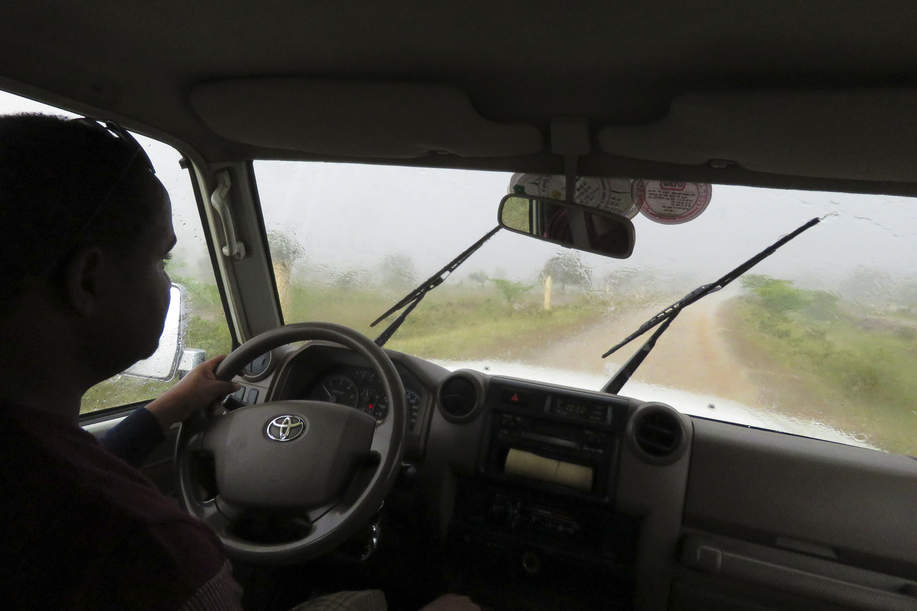
  The road deteriorated after this, with deep mudded ruts tossing us from side to side regardless of how slowly we navigated through, over or around them. Our “rattled tourist syndrome” is the most appropriate way to describe the ride, while optimists might refer to it as an an “African deep tissue massage.” We were the only truck to park at the trailhead to the Asheten Mariam Monastery and were greeted with children selling handicrafts, and young men renting walking sticks and offering to accompany us on the hike.
 Confident in our abilities we declined, but they tagged along anyway. This was a good thing. What our guide had forgotten to mention was that there was a short steep section at the beginning of the hike, before it leveled off. Within minutes, between the altitude and the terrain, our hearts were pumping and my wife, who struggles with asthma, was gasping for breath. We are unfortunately not the 7 second 0-60mph vroom, vroom of a 1964 Corvette anymore, but more like the putt-putt of a classic Citroën 2CV. We get there, eventually. So, our guide, forgetting his youth and our age, led the way from a distance, as if he was channeling
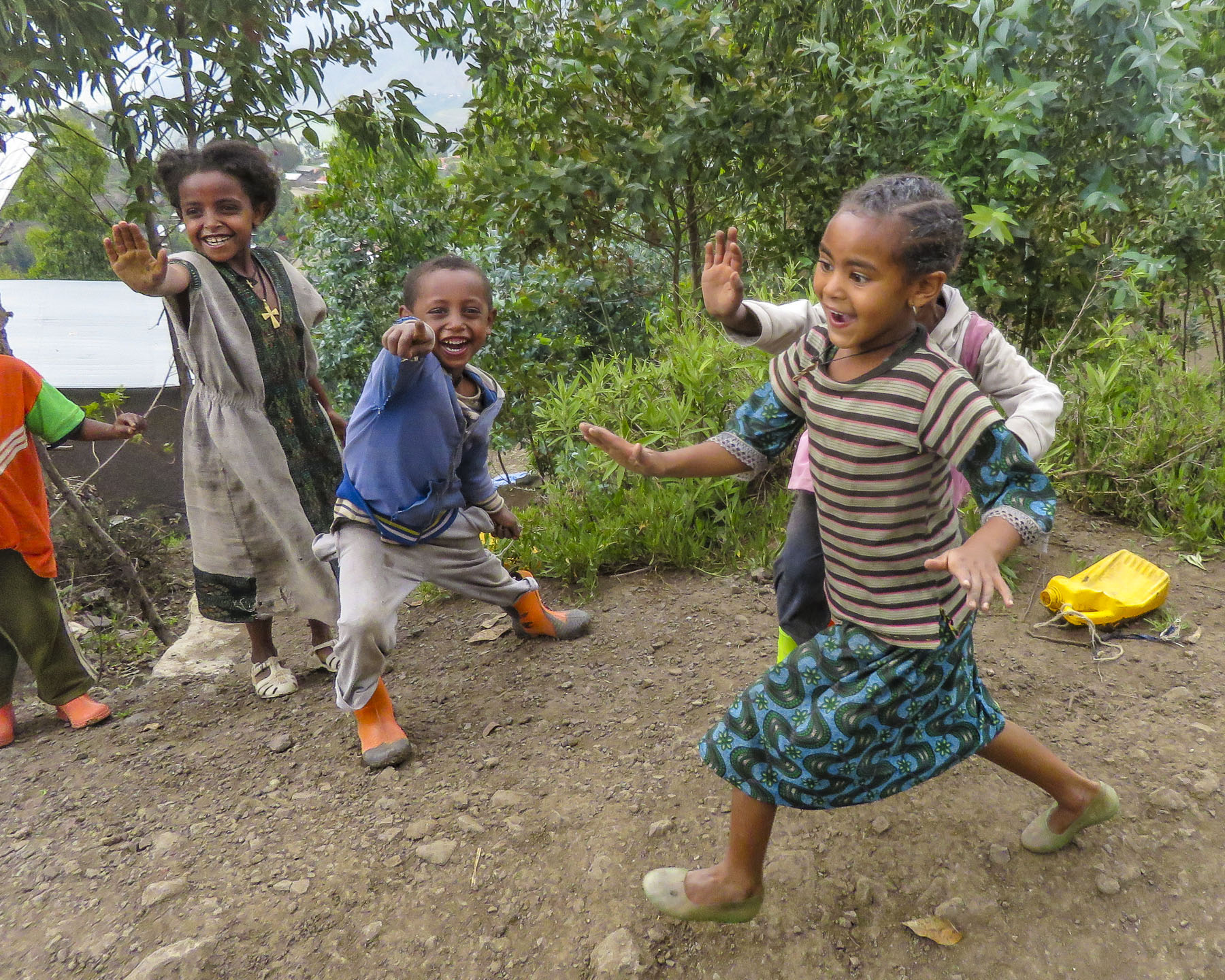
  It was at this point that my wife spoke up. “Girma, you must think of me as the same age as your mother.” Instantly, his attitude became very solicitous, and he smilingly offered her a hand or other assistance at every opportunity. We marveled at the agility of the local kids. They nimbly scampered up and down the trail, easily outdistancing us, in order to set up their little trailside displays of carvings and beadednecklaces. When we didn’t purchase at first, they simply packed up and reappeared further up the trail. We had to reward such perseverance with a couple of purchases.
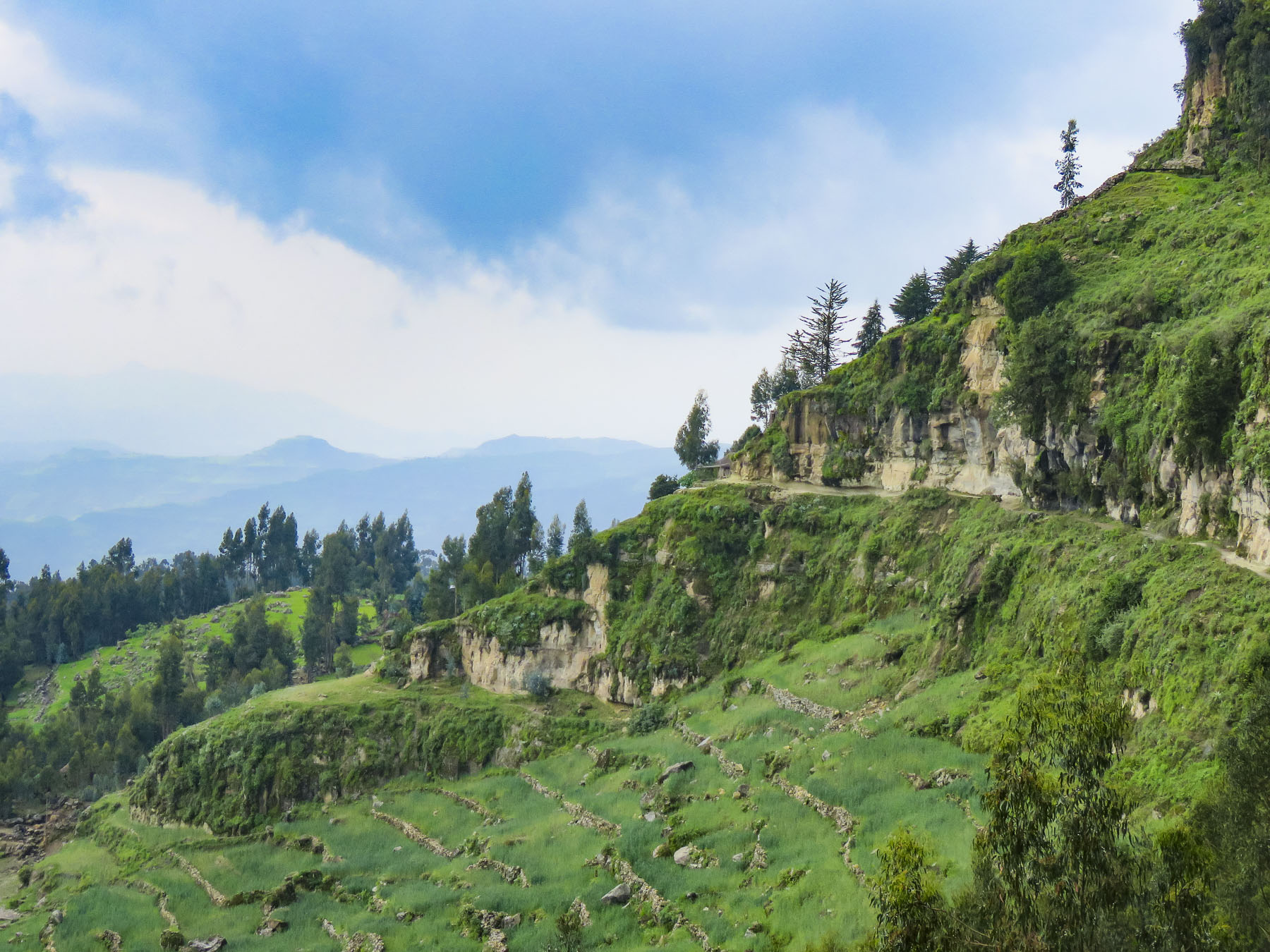 Meanwhile, we regained our pace as the trail leveled off and tracked along the base of a cliff face that fell away to terraced farmland far below. The incline of the trail continued to rise; the walking sticks were now invaluable in helping us steady our footing on the rough path. Around a curve the trail abruptly narrowed at a sheer rock wall broken by a vertical chasm, slightly wider than our shoulders.


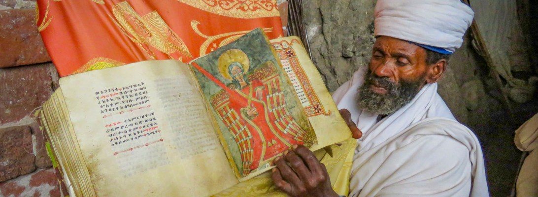
 Imprinted at the bottom of a page in one ancient text were the thumbprints of the ten scribes who helped copy the book. Legend has it that it was the first church ordered built by King Lalibela during his reign in the twelfth century and that his successor, Na’akueto La’ab, who only ruled for a short time, is buried there.


 Coming to the end of the road, we could see the monastery dramatically situated behind a small waterfall, in a long shallow cave at the bottom of a cliff.

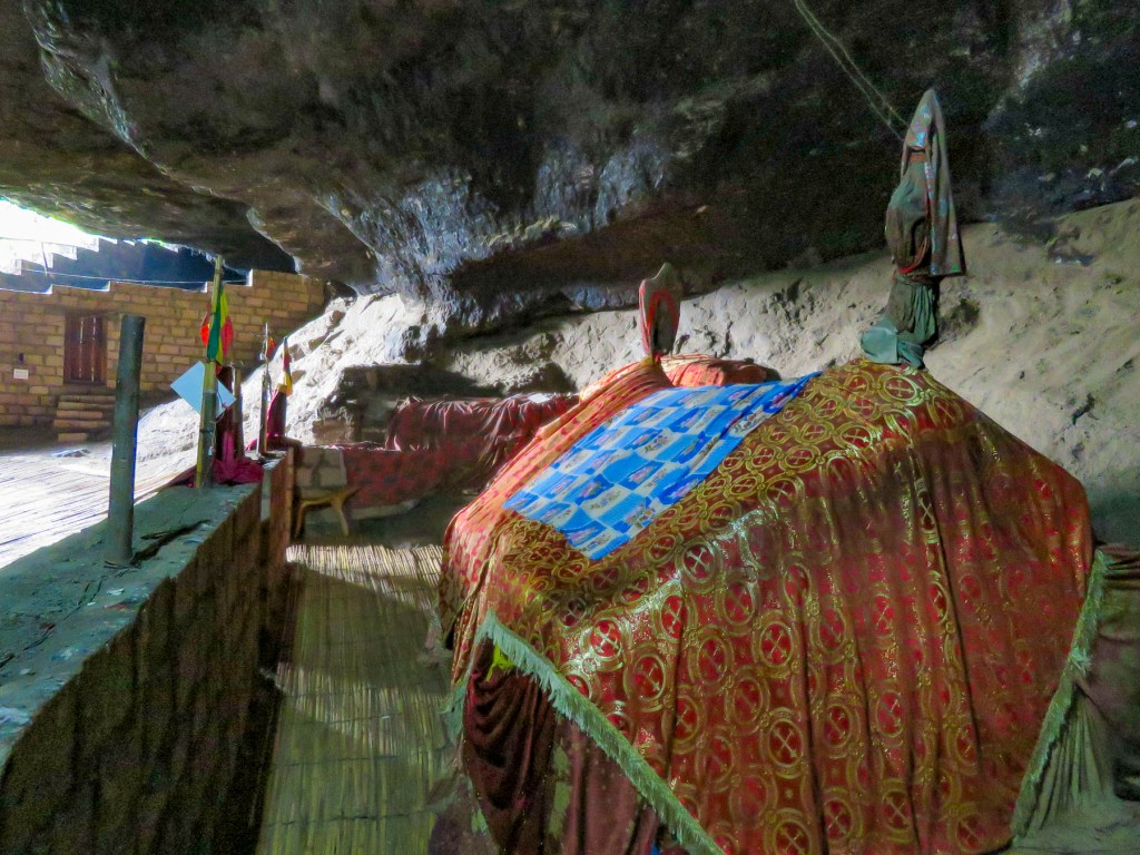
 Stone bowls smoothed from centuries of use sat in various places on the rough floor to collect the water seeping from the cave’s ceiling one drip at a time. It gets blessed by the priest and used as Holy water, continuing a tradition from the 12th century when King La’ab ordered the monastery’s creation.


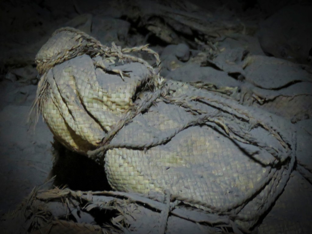
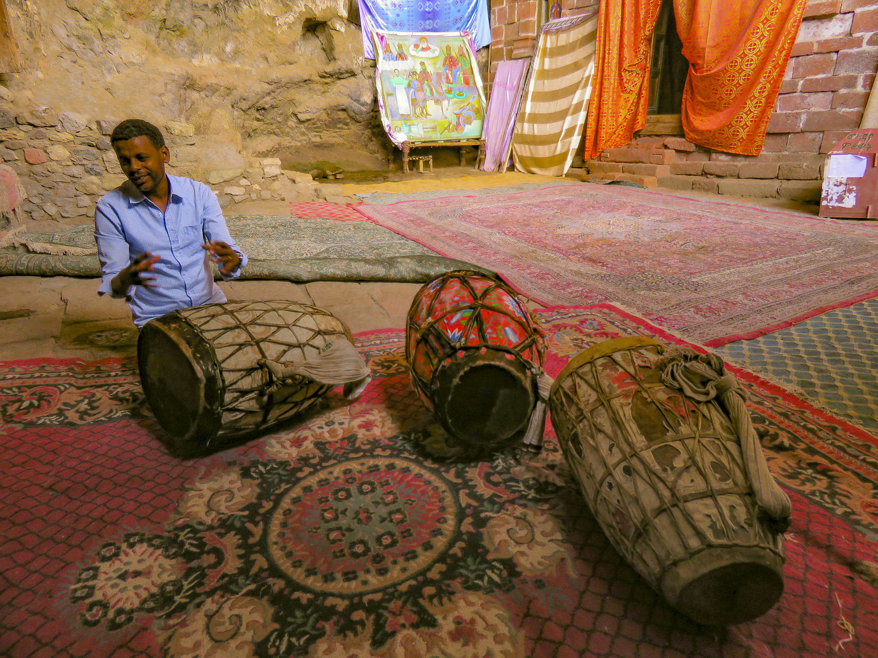 In the learning area, layers of carpet attempted to smooth an uneven, rocky floor where the novitiates sit to learn the ways of the orthodox church. In the corner rested several large ceremonial drums used during worship services. Picking one up our guide beat out a rhythm that would normally accompany liturgical chanting, or Zema, by the young monks. We’ve noticed that the treasures of the Ethiopian churches are not determined by their monetary value and locked securely away, only to be used on religious holidays, but by their spiritual connection. Precious, irreplaceable, ancient bibles and manuscripts, lovingly worn and torn as they are, continue to be used every day, as they have been for the last nine-hundred-years.
 It is well worth the effort to visit these remote churches and monasteries. The physical strength required and hardships endured to build these remote churches as a testament of faith continues to be inspiring.

 Often overshadowed in recent decades by its East African neighbors recognized for their safaris, Ethiopia has been known to Western culture for millennia. It was first mentioned in the Hebrew Bible, around 1000 BC (3,000 years ago!), when the Queen of Sheba, hearing of “Solomon’s great wisdom and the glory of his kingdom,” journeyed from Ethiopia with a caravan of treasure as tribute. Unbeknownst to Solomon their union produced a son, Menilek, (meaning son of the wise man). Years later, wearing a signet ring given to him by his mother, Menilek visited Jerusalem to meet Solomon and stayed for several years to study Hebrew. When his son desired to return home, Solomon gifted the Ark of the Covenant to Menilek for safe keeping in Ethiopia, and to this day it is said to reside in the Church of Our Lady Mary of Zion, in Aksum, where only a select few of the Ethiopian Orthodox church can see it.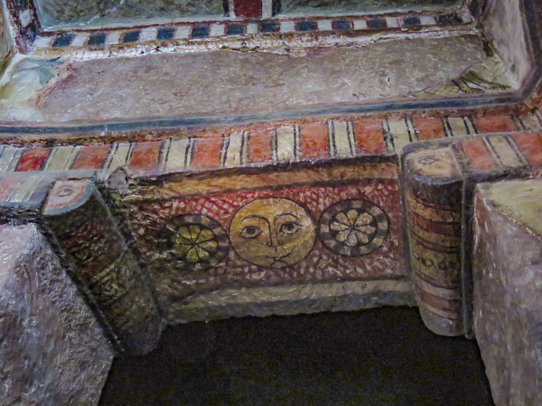
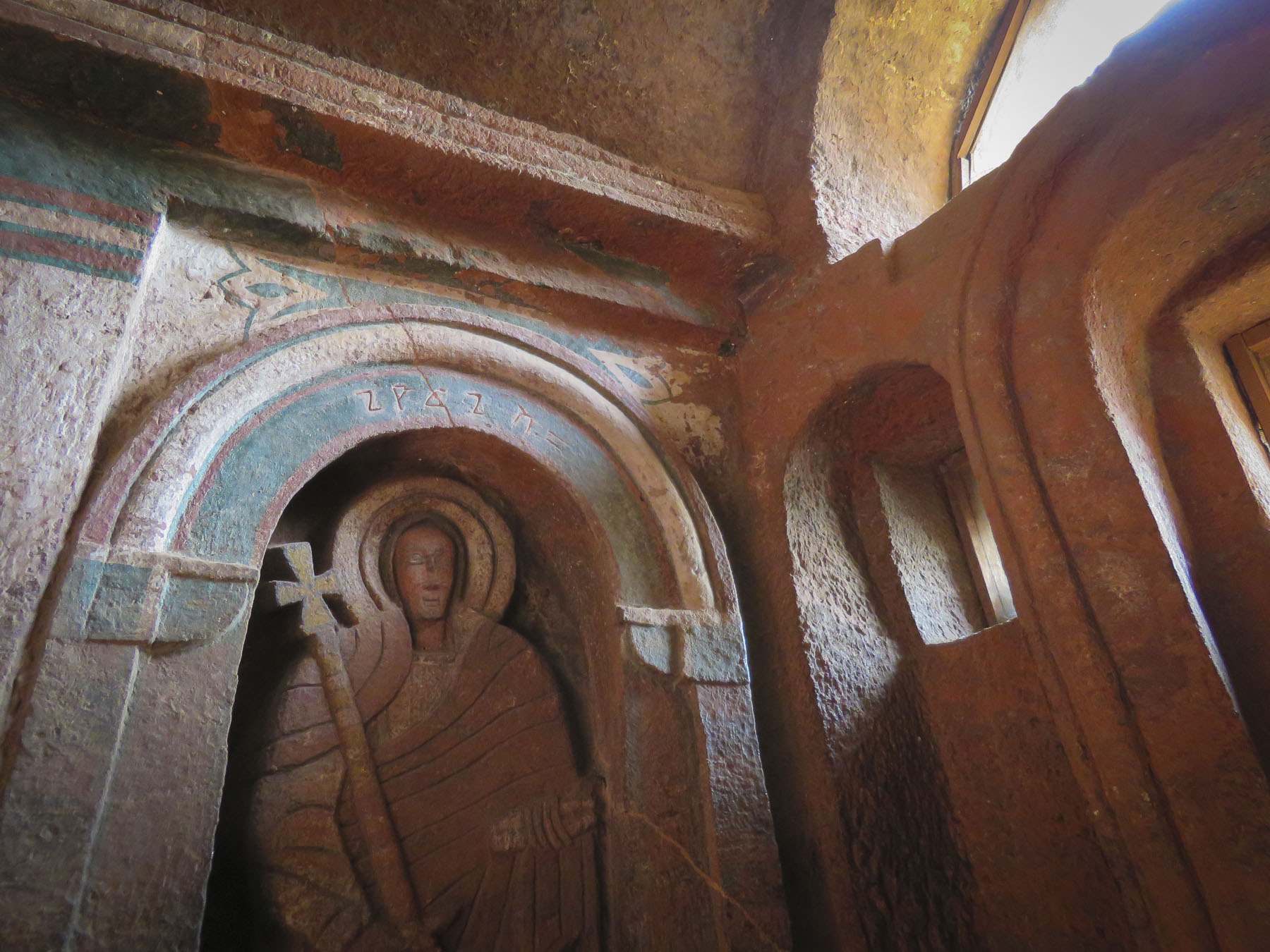


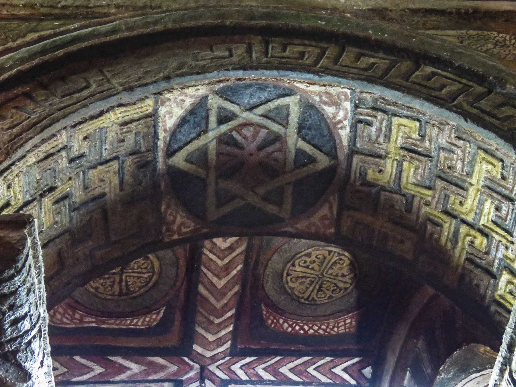 With the Ethiopian Orthodox Church having a site in Jerusalem since the sixth century, Ethiopian pilgrimages to the Holy Land, which took six months, were common until the route was blocked by Muslim conquests in 1100s and the journey became too hazardous. As it became surrounded further by Muslim territories, the country sank into isolation from Europe. Ethiopia’s early history and its connection to Judaism and Christianity is a twisting tale, like caravan tracks across the desert, meeting then disappearing behind sand dunes, the story buried by the blowing sands of time.
 Distraught by this, King Lalibela commissioned eleven architecturally perfect churches, to be hewn from solid rock, to serve as a New Jerusalem complete with a River Jordan for pilgrims to visit. He based the designs on memories of holy sites from his own pilgrimage to the Holy Land as a young man.
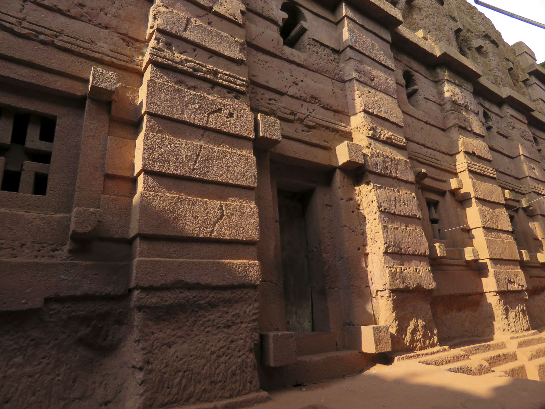 Considering the limited availability of tools in the 1100s, I can’t imagine what a daunting task this must have been. I’m sure the chief architect said, “you have to be kidding.” It’s believed that 40,000 men, assisted by angels at night, labored for 24 years to create this testament to their faith. Masons outlined the shape of these churches on top of monolithic rocks, then excavated straight down forty feet to create a courtyard around this solid block. Doors would then be chiseled into the block and the creation of the church would continue from the inside, often in near total darkness.


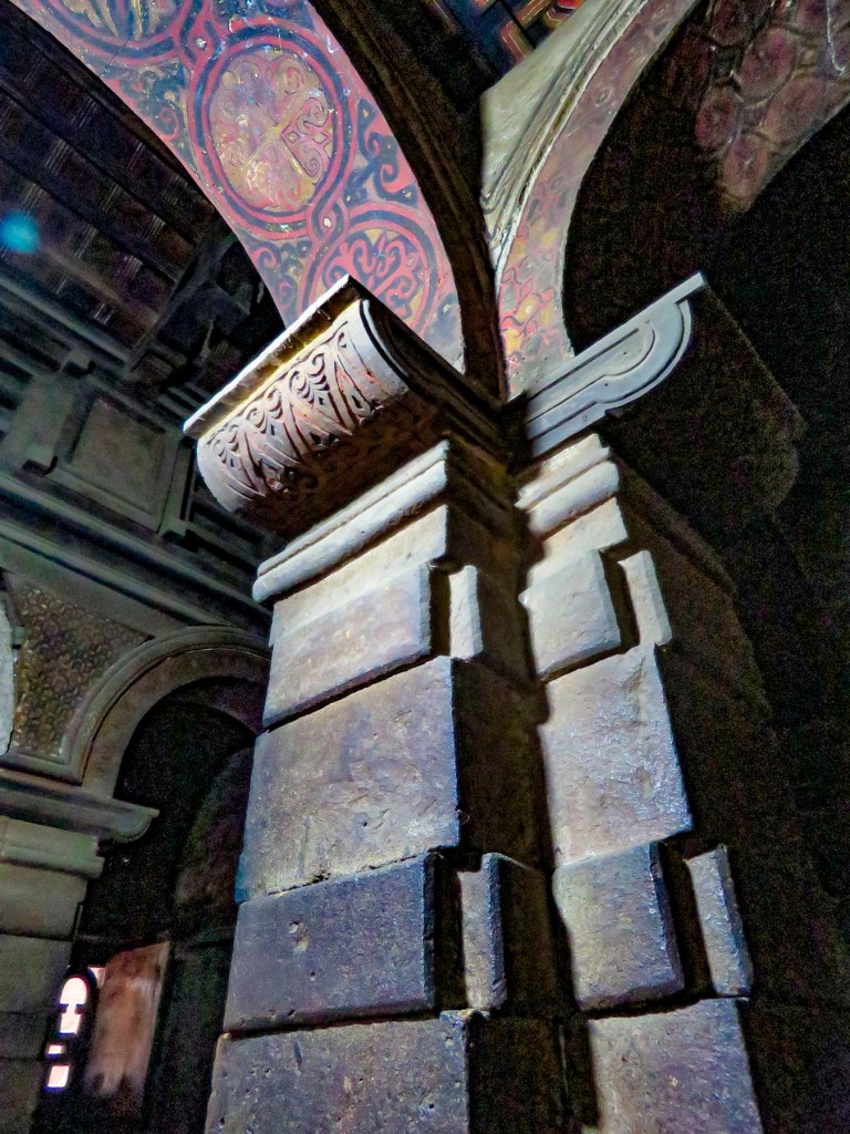
 Women worshippers traditionally enter through a separate door and pray apart from the men. Inside, thirty-eight stone columns form four aisles and support a stone ceiling that soars overhead. After walking for days or weeks to reach Lalibela, often fasting the entire time, the journey ends here for many pilgrims, in hopes of receiving a blessing or cure from touching the Lalibela Cross and offering prayers.


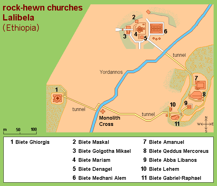


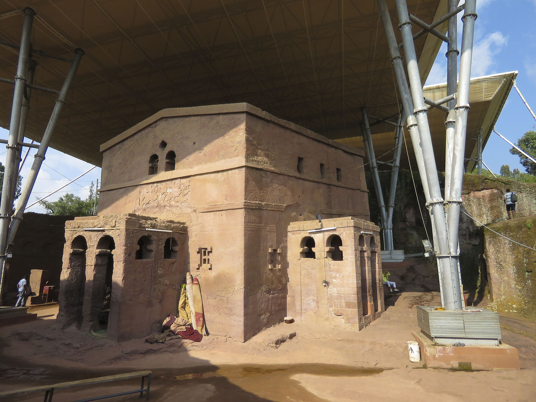 The next morning, we completed our tour of the cluster of the southern of the rock churches: Beta Emmanuel (Church of Emmanuel), Beta Abba Libanos (Church of Father Libanos), Beta Merkurios (Church of Mercurius) and Beta Gabriel and Beta Rafa’el (the twin churches of Gabriel and Raphael.)

 It’s important to remember that this is not a museum with ancient artifacts and manuscripts in glass cases, but an active holy site where the ancient manuscripts are still used daily, and it is home to a large community of priests and nuns. It has been a destination for Ethiopian Orthodox pilgrims in the northern highlands (elevation 8,200’) for the last 900 years and continues to be visited by tens of thousands of pilgrims annually.
 Leaving the churches behind, we walked through an area of ancient two story, round houses called Lasta Tukuls, or bee huts, built from local, quarried red stone. Abandoned now for preservation, they looked sturdy, their stone construction distinctive from the other homes in the area that use an adobe method.
 Today roughly 100,000 foreign tourists, in addition to Ethiopian pilgrims, visit Lalibela annually, a far cry from its near obscurity 140 years ago. Located four hundred miles from Addis Ababa, it is still far enough off the usual tourist circuits to make it a unique and inspiring destination.


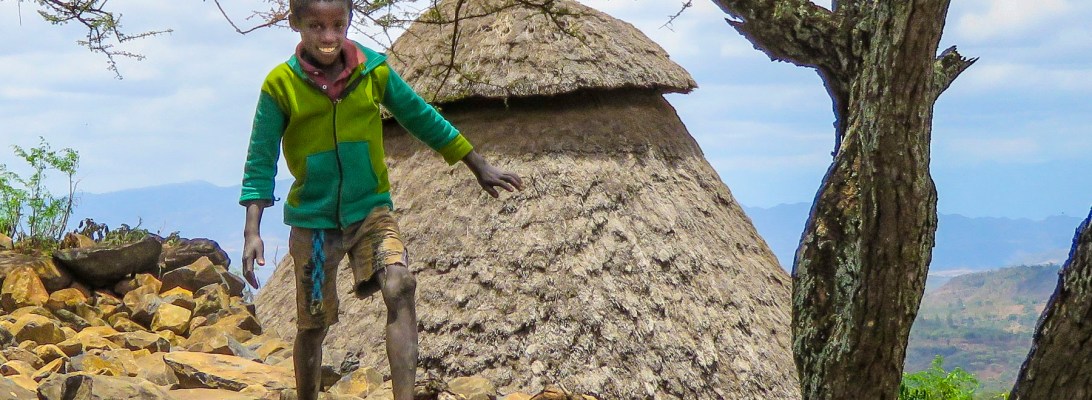
 The highlands area is home to the Konso people who are renowned for their ringed hilltop villages, fortified with stone walls. They have developed terraced farming techniques to survive in a semi-arid, rock strewn and hilly territory for almost seven-hundred years.
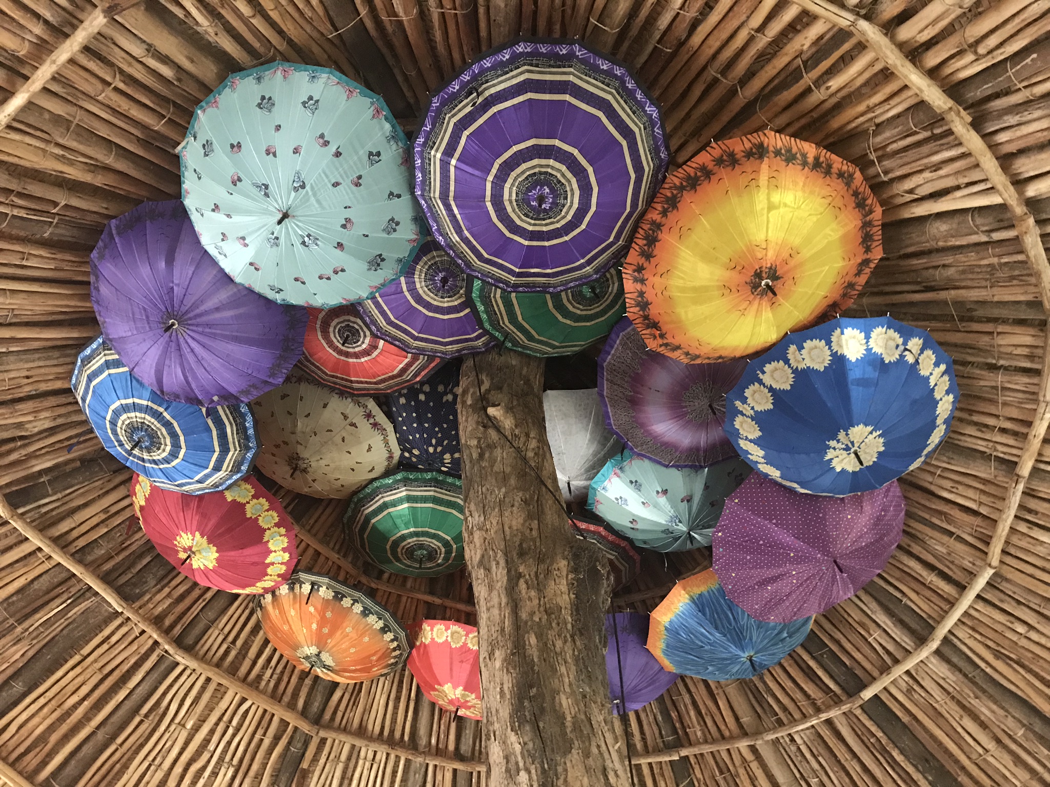
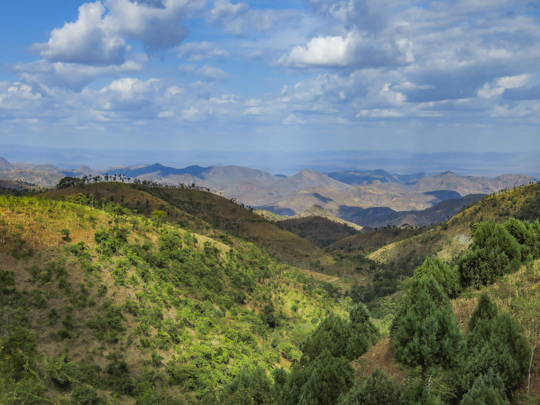 As we entered the town of Konso, bundles of candles miraculously appeared from under our guide’s seat and we stopped to donate them to a young man collecting offerings in front of his Ethiopian church. This was the guide’s ritual when we changed territories and it continued throughout our trip. It was a common sight to see small groups of parishioners walking along the road holding up a picture of a beloved saint and umbrellas for shade.


 As we walked to the center of the village young children following us jumped from rock to rock, along the tops of the tall walls built to protect the village, as we made our way along the path below.

 Each ring also has a community area called a mora; this is a large thatched roof structure with an open lower level and an enclosed upper platform where the married men and bachelors of the village sleep.
 More importantly it provides a shaded meeting place where men play gebeta. It’s considered the oldest board game in the world and is played simply with stones, beans or seeds being moved around holes in a board with the goal to capture as many of your opponent’s pieces as possible. Each village is also divided into two zones and a man born in one zone must always have his homestead in that zone.
 The Konso also erect generation poles, called olahita, which are raised every eighteen years. The olahita are made of cedar trees taken from the kala, a sacred forest. Gamule village had eighteen olahita which dates the village to be nearly 400 hundred years old. Sadly, the oldest central poles have succumbed to termite damage and rot over the centuries. The oldest village in the Konso region is Dokatu which has 43 olahita. Near the olahita was the village ceremonial daga, a large rock, that teenage boys lift over their heads to prove their manhood and eligibility for marriage. The Konso also carve waka, grave makers, in rough likeness of the deceased. These were originally placed at the grave sites in the sacred forest, but have now all been brought back into the village to deter looting. Each village is surrounded by a dina, or grove of trees, which acts as a buffer between the village and agricultural terraces. This buffer of trees was meant to inhibit attack on the village and provide an area close to the settlement where folks could forage for firewood. There are 36 paletas, with populations ranging from 1,500 to 3,000 in each village, scattered across the Konso territory.

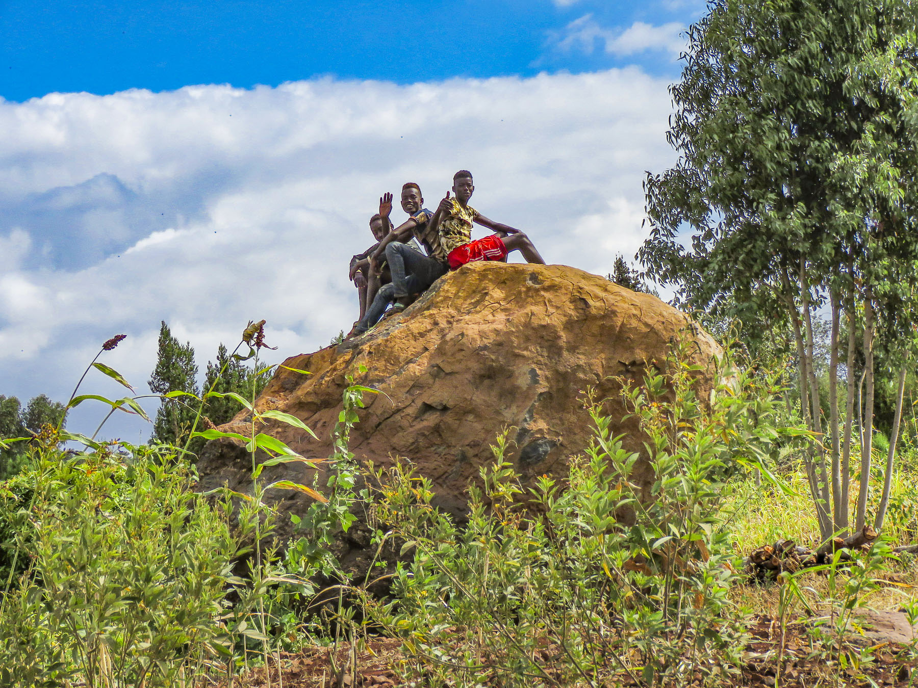
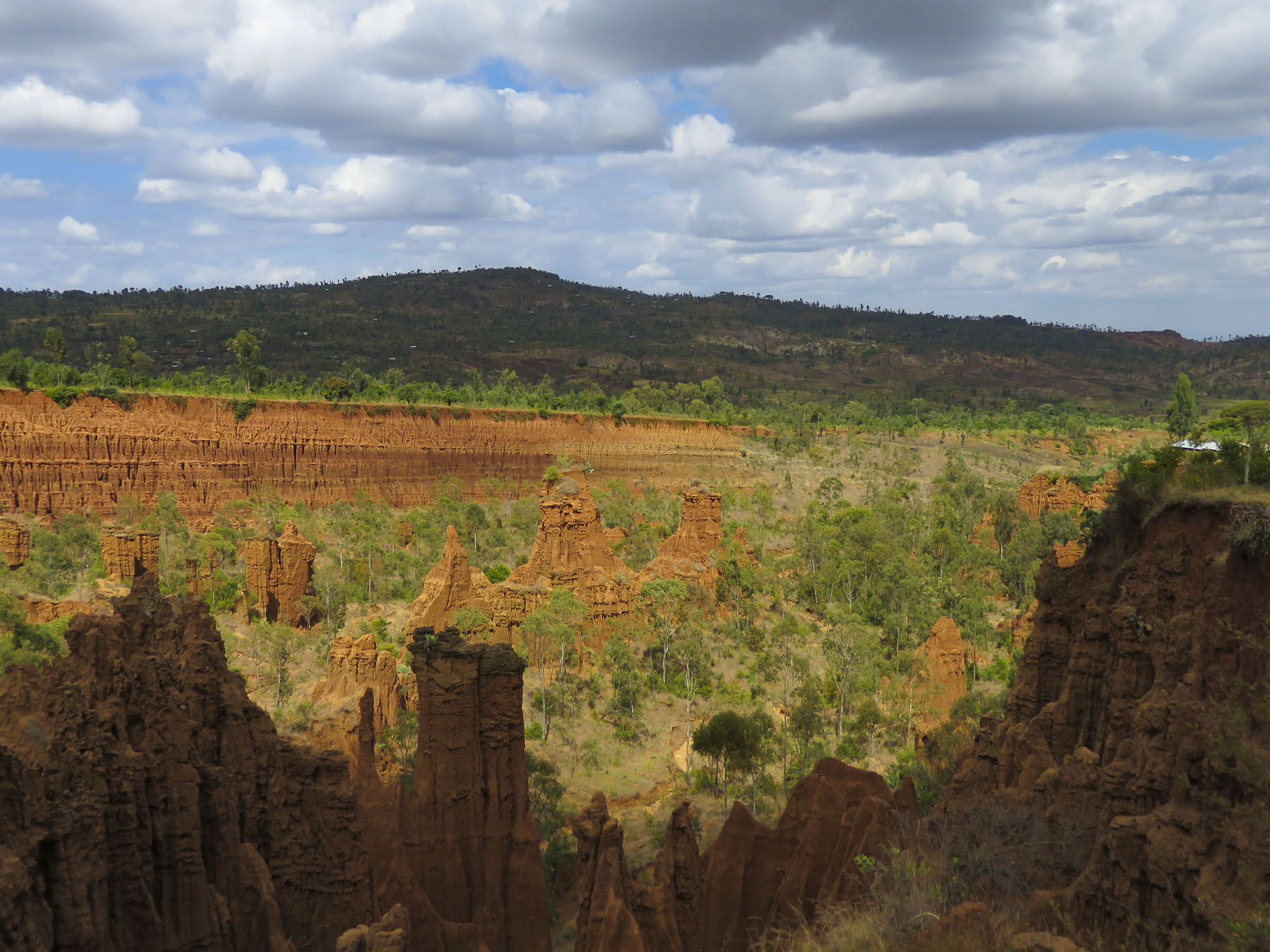 We didn’t really see the NYC comparison, but the landscape was interesting in that it contrasted sharply from the surrounding terrain. And the encompassing territory is beautiful with vistas of rolling hills. Driving away a group of young men were perched on a lone boulder, just passing time.
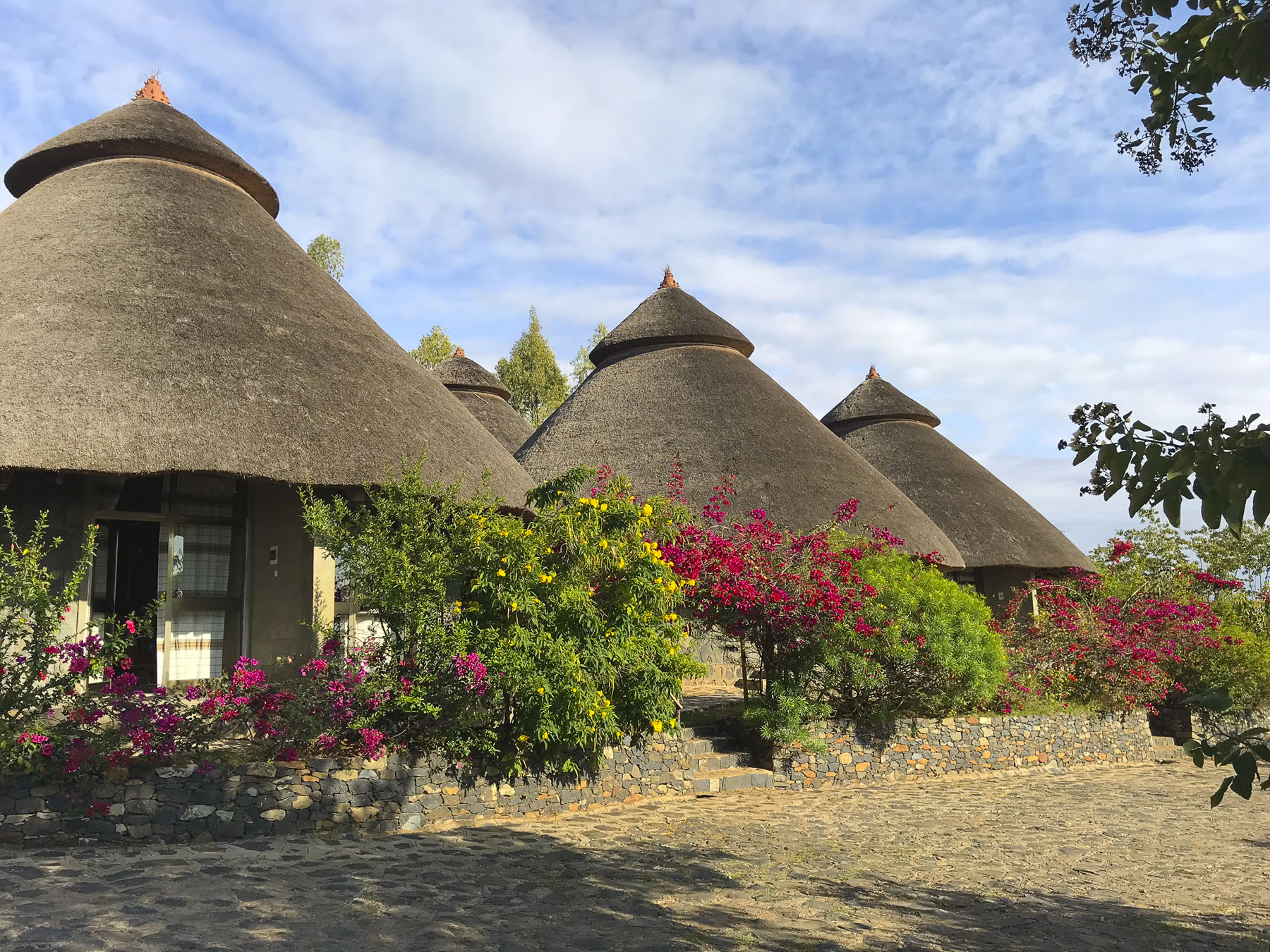
 We arrived late in the afternoon to the Konso Korebta Lodge, situated high on a hill. It was a relatively new complex with attractive, circular stone huts topped with steep thatched roofs and beautiful plantings of bougainvillea. Desperately needing showers, we were flummoxed when the tap was dry and headed to reception to see what was up. Unbeknownst to us it’s common practice at hotels throughout the countryside to only turn on the electricity and water between 6:00 – 9:00 in the morning and 6:30 – 10:00 in the evening to conserve resources.
 Thankfully, the staff called the owner to get permission to start the generator early for us. Back seat driver that I am I thought our driver drove fast, safely but fast to cover the great distances we had to travel. So, we were surprised the next afternoon when he was tootling along very slowly to get back to the hotel. Evidently the hotel owner made it very clear to our guide that he would not turn on the generator early again.

 Market days are huge events in the rural areas and folks from various tribes travel for miles to attend them.
 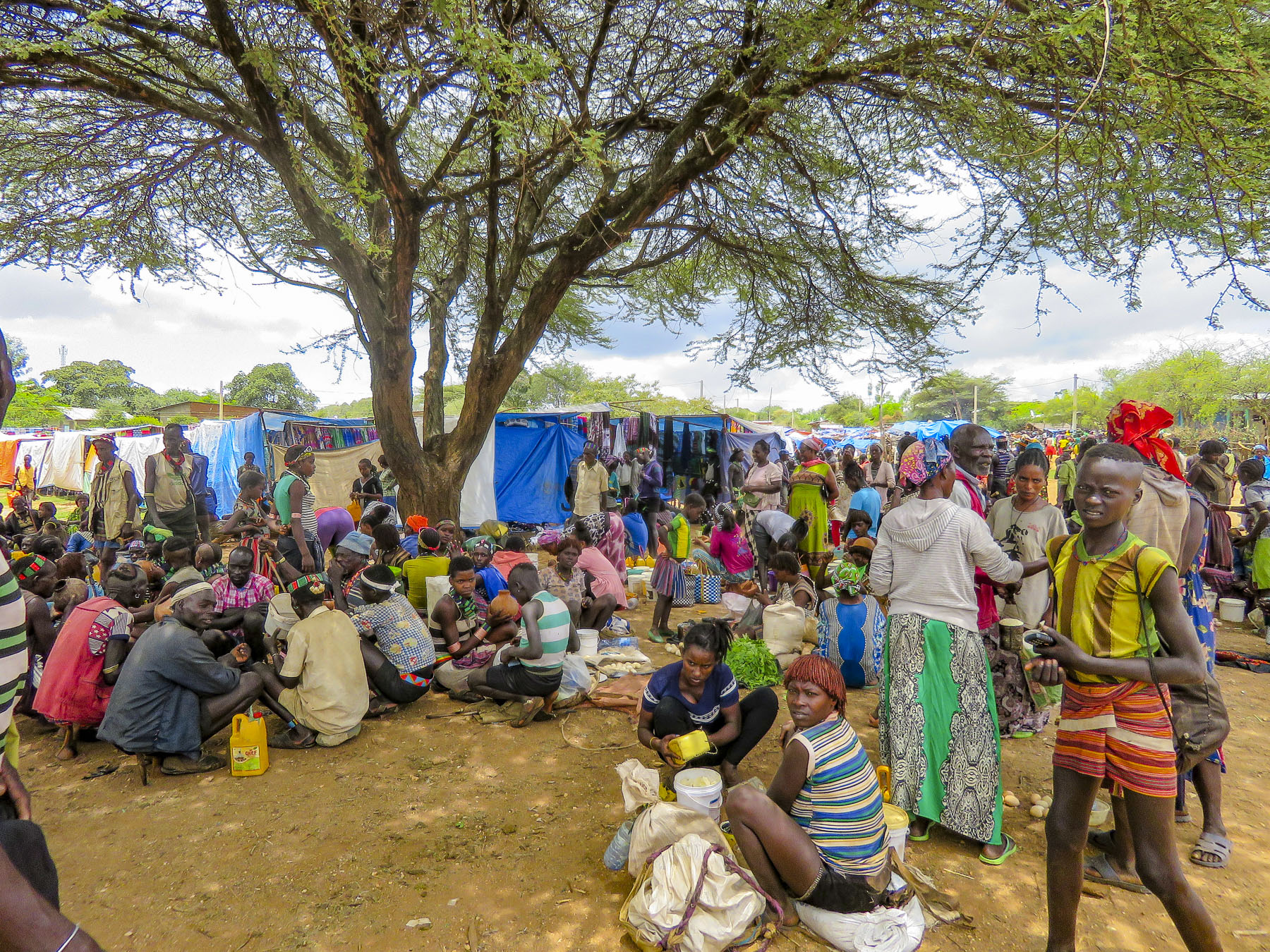 Not just to buy or trade supplies; it’s also a cherished opportunity for men and women to socialize with friends and extended family from other villages, often in raucous beer halls which could be in a makeshift shed or more often a spot under a large shade tree that serves a local brew.


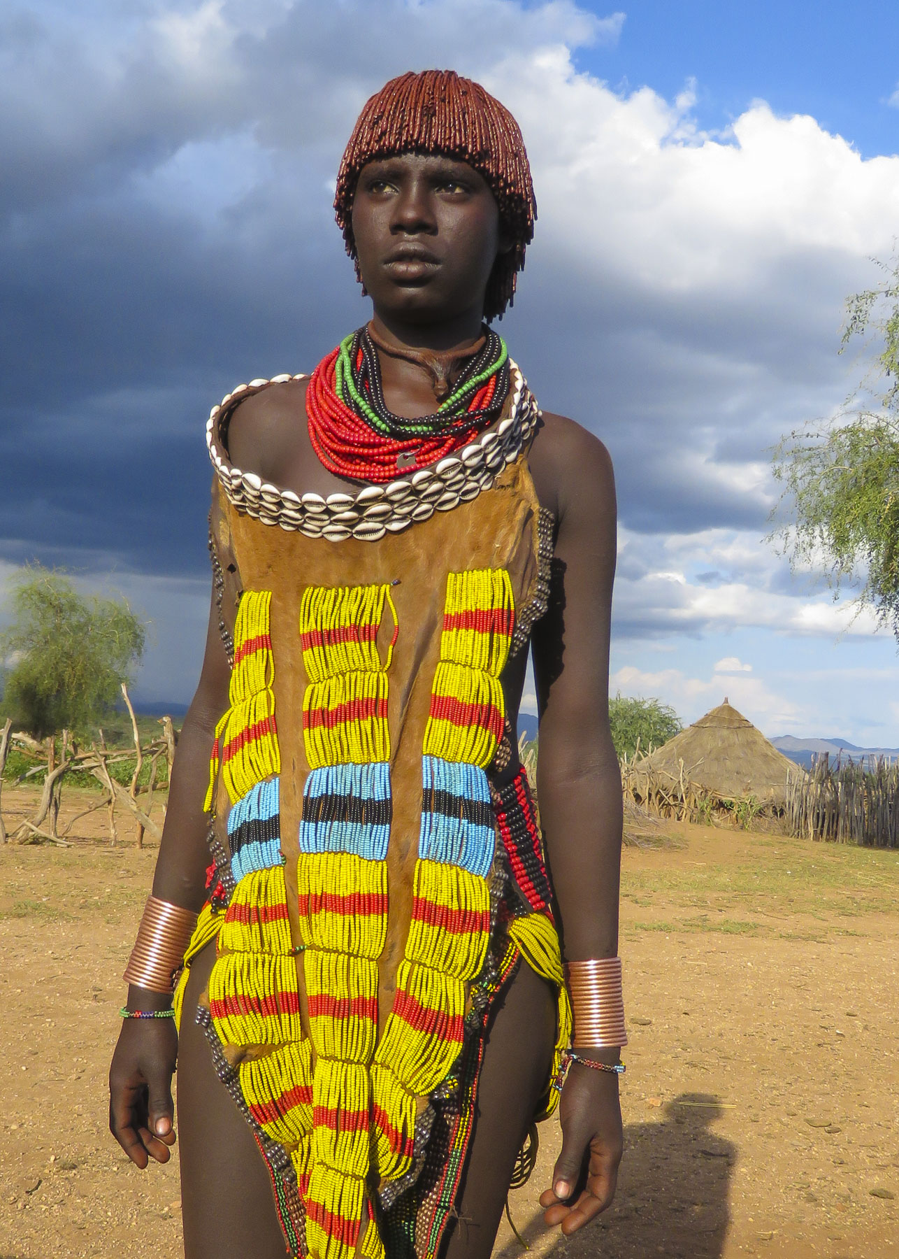
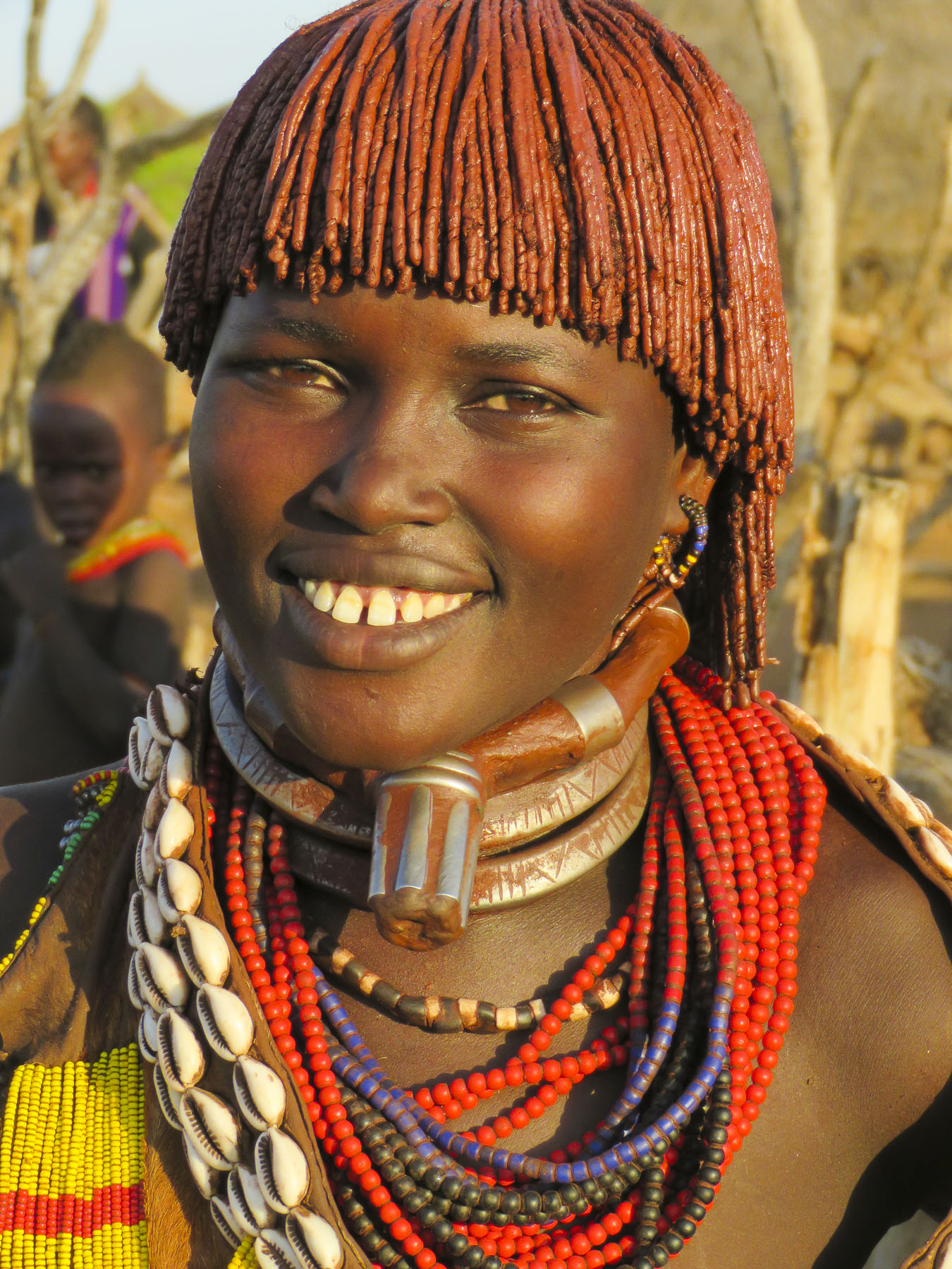
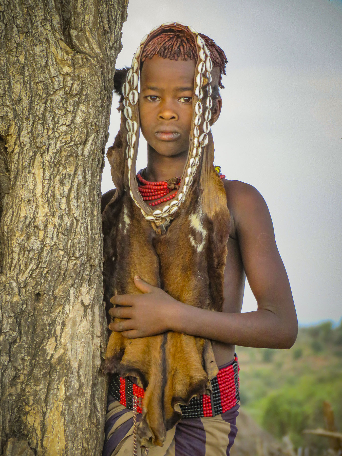
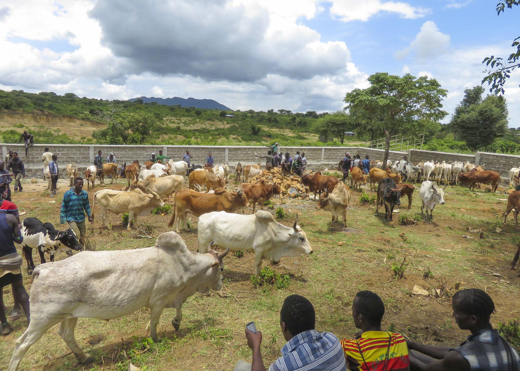 We were able to take many candid photos as we followed our guide through the market to its various parts. Ceramic pots, handmade tools, ropes and leather goods produced by different tribespeople were available as were pots, pans, cloth and sandals produced in China.


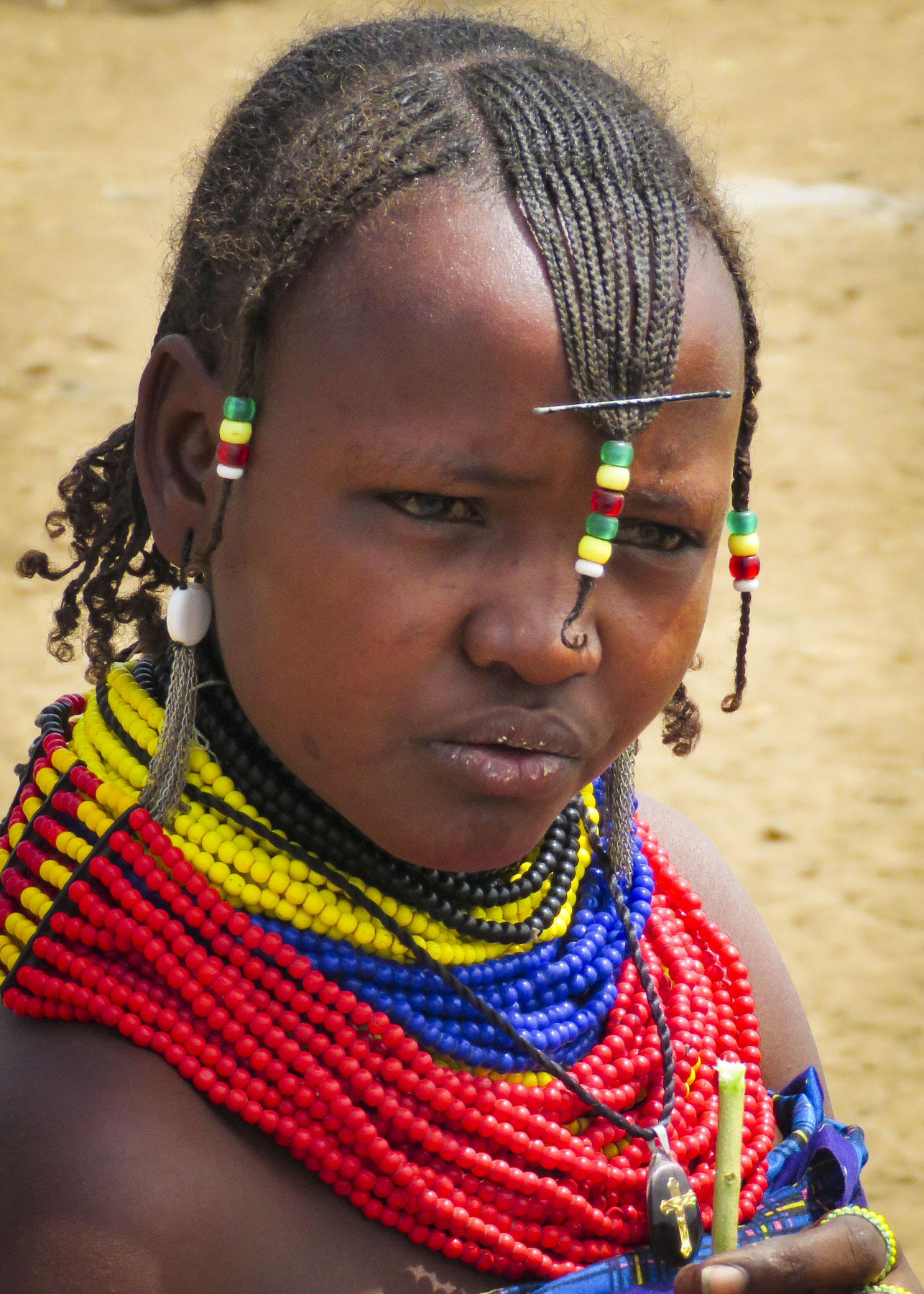
 Many folks were very receptive to this and our guide would negotiate a fee. And even though we paid for the privilege to take their photo, they seemed pleased that we admired their style. A few, however, angrily waved us away.


 Pulling over occasionally to take photos from scenic overlooks along this isolated track, we were always surprised when, in the middle of nowhere, a young man selling souvenirs would emerge from the shade. Later we would come across an enterprising group of young stilt walkers urging tourists to stop for photos – and of course we did.
 Entering Jinka, we noticed signage for the International Airport (BCO, though we are pretty sure you can only fly in from Addis Abba.) We might have arranged our trip differently if we had known this previously as it would have eliminated two eight-hour drives from and to the capital. Note: if you fly into Ethiopia on a ticketed Ethiopian Airways flight you are able to purchase


 The area in the northern part of the Greater Rift Valley, known today as the Omo Valley region of Ethiopia, has been at the crossroads of humankind for many millennia. In 1967 Dr. Leaky discovered fossil bone evidence, recently re-dated by scientists to be 195,000 years old, of early Homo sapiens near Kibish, Ethiopia, several miles west of the Omo River near where the borders of Sudan, Kenya and Ethiopia meet. The first migrations of early man out of Africa occurred 60,000 years ago as they followed the Omo River north through the Great Rift Valley to the Red Sea. At its narrowest point, where it meets the Gulf of Aden, they crossed to continue their migration through Arabia and eventually into Europe and Asia. The region was once rich with African wildlife, and Arab towns along the northern East African coast of Somalia and Kenyan were sending hunting parties into the interior for elephant ivory, rhino horn and unfortunately slaves since around AD 1000.


 Things change, but the proud peoples that live in the Omo Valley are trying to retain their way of life amidst external influences they can’t control, as tourists and construction crews course across their territory. Tempers flare when trucks and buses carrying supplies and workers to the agricultural plantations strike and kill cattle. Drivers are required to stop and immediately pay the herder for his loss, but many never do. Consequently, the local tribe will block the road and demand payment until the issue is resolved.
 A good night’s sleep at the


 The 2019 rainy season was good; unfortunately, this is often not the case. There was no water infrastructure in most of the small towns and villages we passed through, forcing folks to gather water from local streams and rivers.
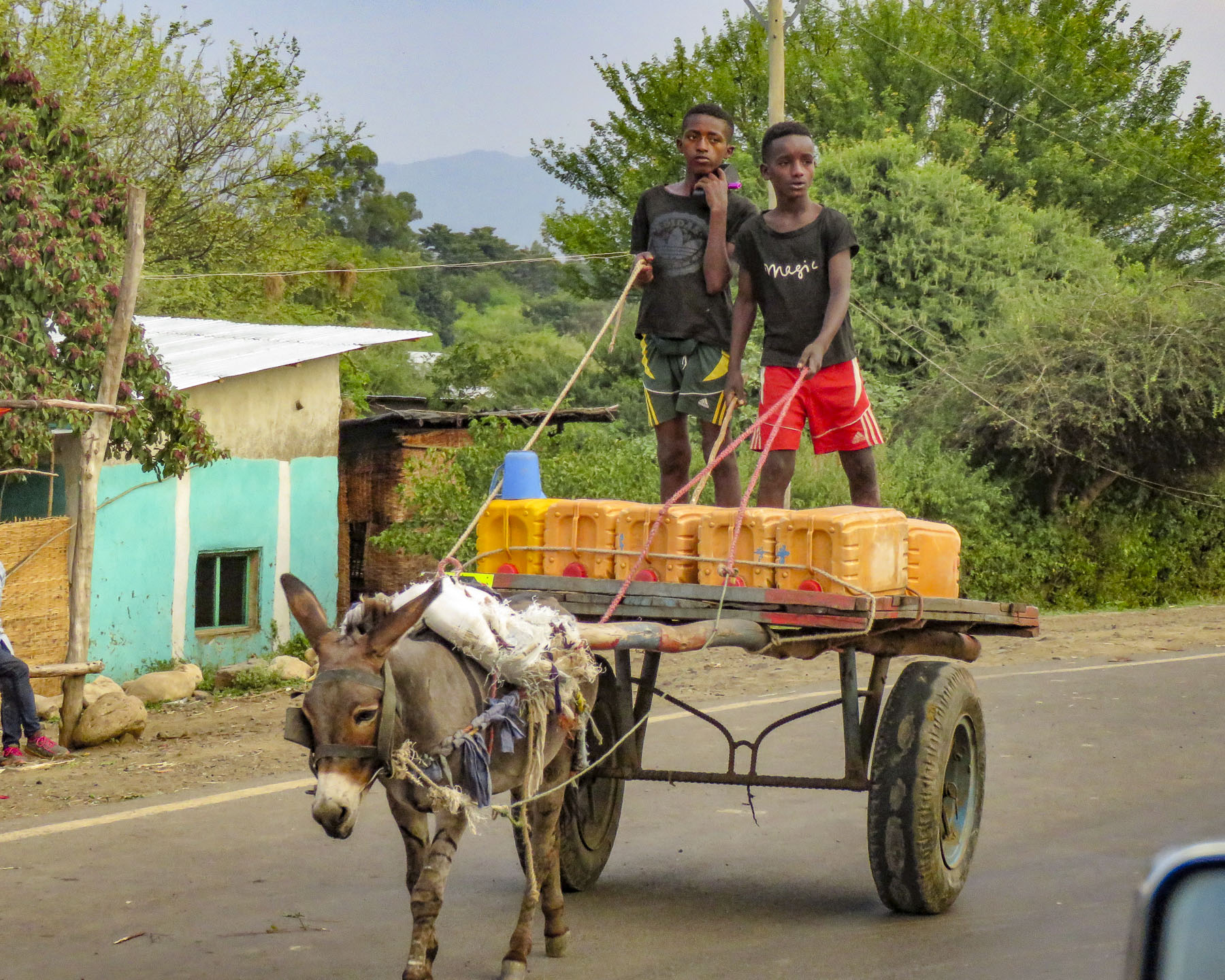 It was a constant sight: women carrying yellow water jugs along the side of the road back to their homes, or if they could afford it, having it delivered by donkey cart. The terrain varied tremendously, with full rivers on one side of a mountain range and dry on the other side. These conditions forced people to dig into the riverbed in search of water.

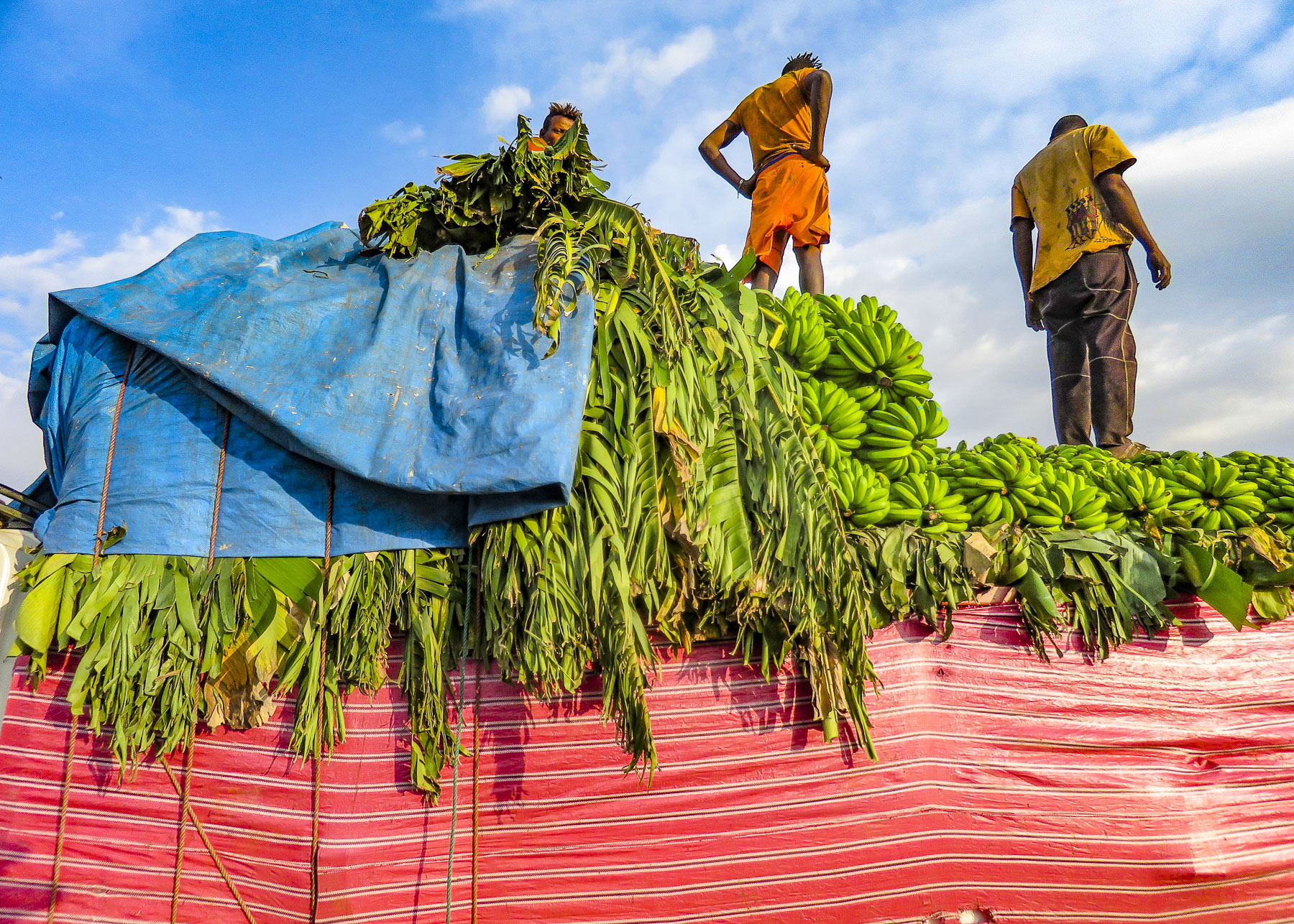 Since Ethiopia is close to the equator, the daylight hours do not vary seasonally. The sun rises quickly in the morning and seems to drop from the sky at the end of the day. By the time we reached the
  At breakfast we watched thick-billed ravens in aerial combat as they rode the thermals just off the restaurant’s terrace. Nearby a staff member stood ready to chase away baboons if they got too close to the customers’ tables.

 As we entered the village, compounds ringed with woven rattan walls held back tall Enset plants, better known as false banana, also called the “tree against hunger.” This plant is an important staple that is drought resistant and can be harvested year-round. Starch from the plant is scraped from its fibers and fermented in the ground for three months or longer and used to make kocho, a type of flat bread.
 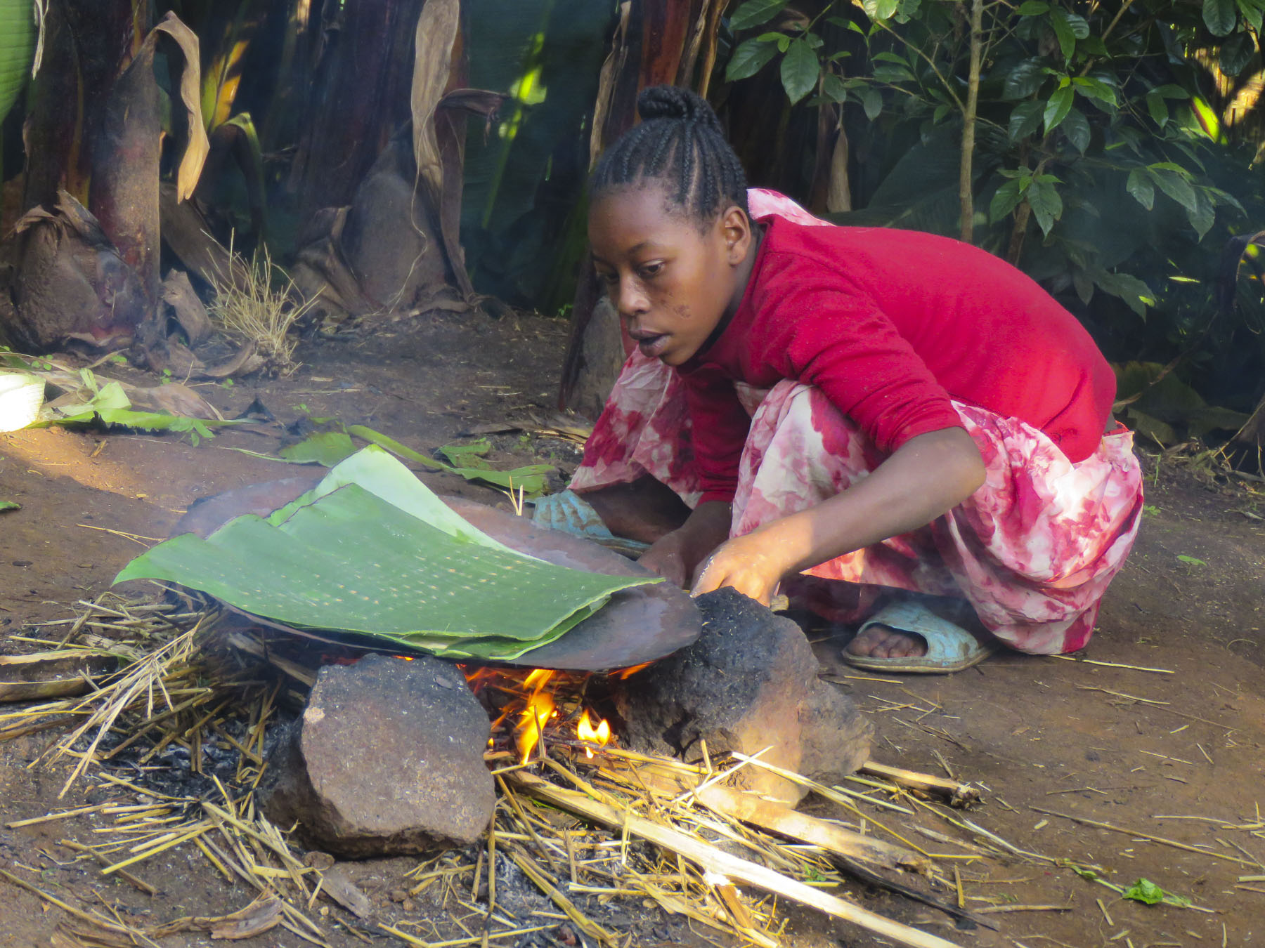 Fibers from the plant are used to make rope or coffee bean bags, and the leaves are fed to farm animals. We arrived on market day, and an entire hillside about the size of three football fields was covered with activity. From a distance it looked like an animated impressionistic painting, with undulating dots of color dancing under a blue sky.
 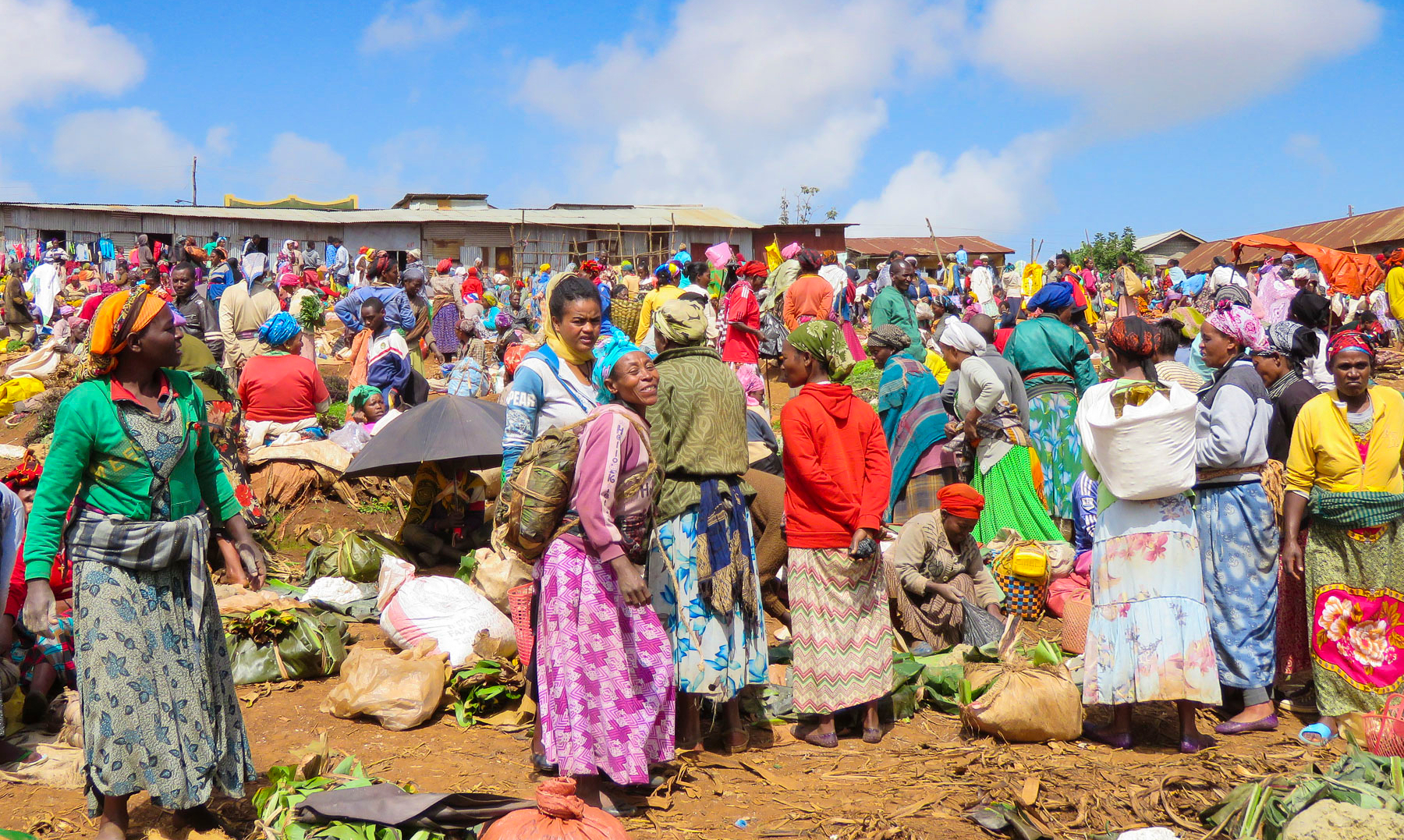 Sellers of charcoal, sugarcane, vegetables, and a multitude of other goods all had their wares spread out on cloths covering the ground. Men played foosball or ping-pong under the few shade trees that ringed the field.


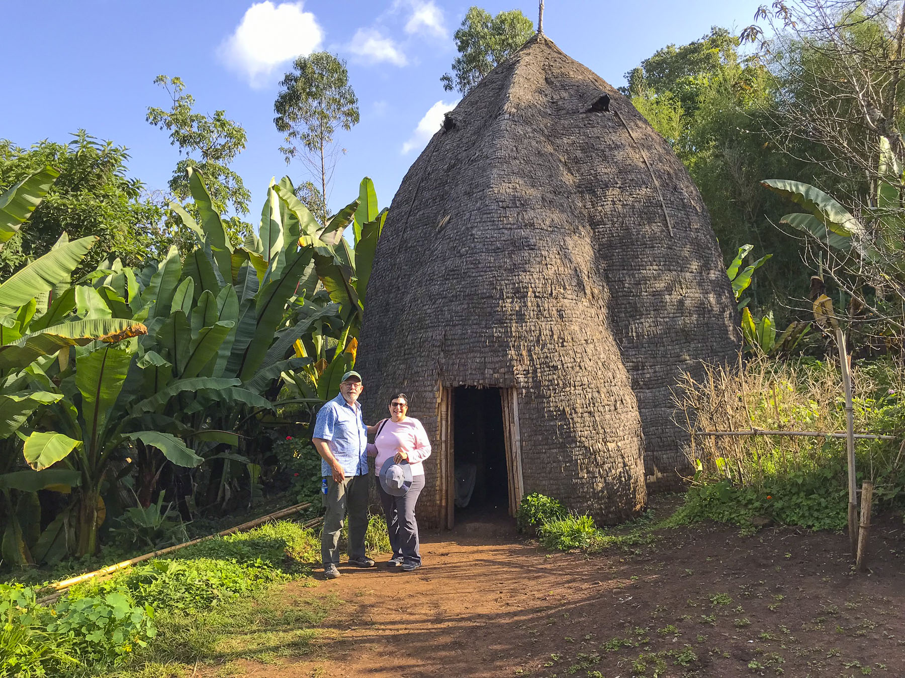 Men of the Dorze tribe traditionally do the weaving, while the women are responsible for spinning the cotton that the family grows and uses. The colorful textiles they create are highly prized all over the country.
 Back in Arba Minch we stopped at the Lemlem restaurant for a lunch of local lake fish before checking out the crocodiles on Chamo Lake. The lightly fried fish were served whole, while the sides were scored into squares which we picked off with our fingers. It was delicious. Another side of the restaurant served freshly butchered, grilled meat.


 “Sorry for the late pick-up, but the road was full of tuk-tuks carrying families to the university stadium up the street for a graduation ceremony,” Ephrem offered as he bundled us into the Land Cruiser and handed us large bottles of water. “It’s hot where we are going today.”

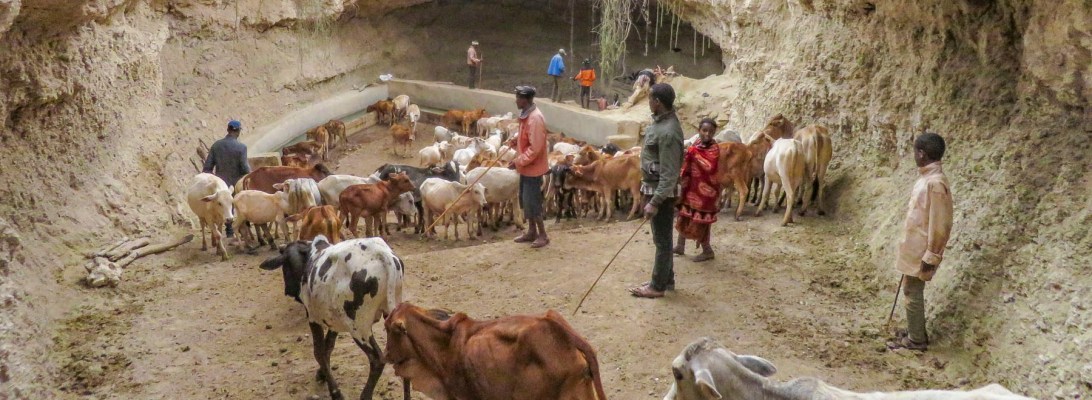
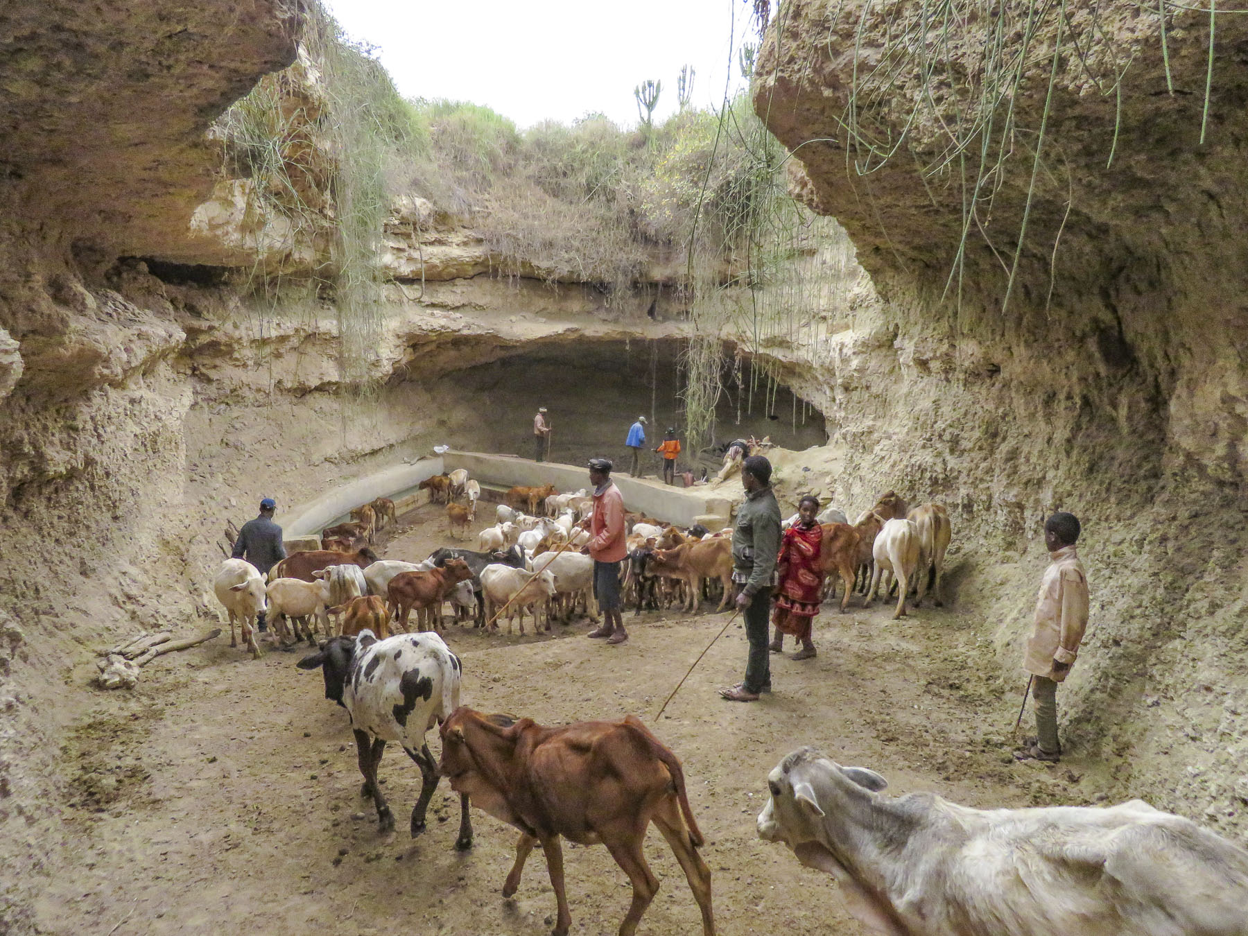 We trailed a young Borena girl herding a small group of cattle down a slowly inclined, dusty trench deeper into the earth. It was impossible to avoid cow patties as we steered clear of an exiting herd. Thirty feet below the surface, the trench ended in a bowl shape with a water trough where cattle were drinking. Rhythmic voices emerged from a shallow cave behind the trough. Climbing worn stone steps, we came to a narrow landing above the trough,


 A short drive away, our last stop of the day was a well-kept Borena village surrounded by an ochre landscape under a perfect blue sky. Women do the heavy lifting in the villages, building the huts, tending children and crops, and spending a substantial amount of time foraging for firewood and gathering water from far off sources. While the men spend their days moving their cattle across different grazing lands.
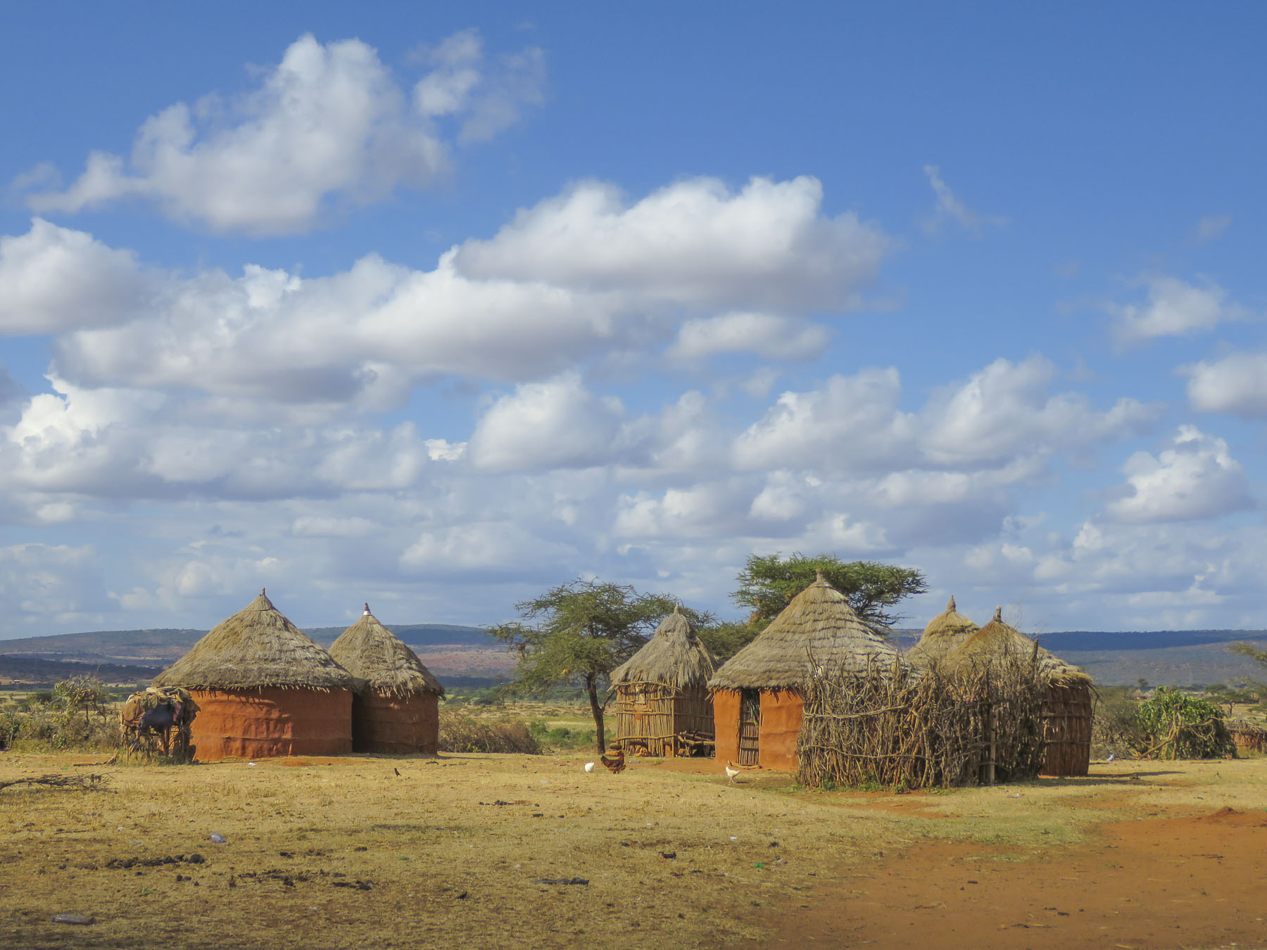 Women rule their homes and determine who can enter, even prohibiting spouses. “If her husband comes back and finds another man’s spear stuck into the ground outside her house, he cannot go in,” our guide conveyed.


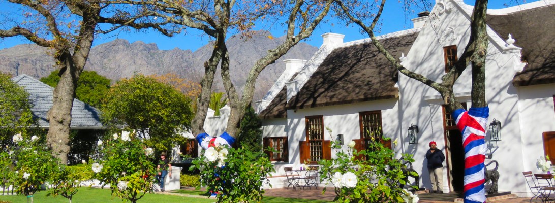
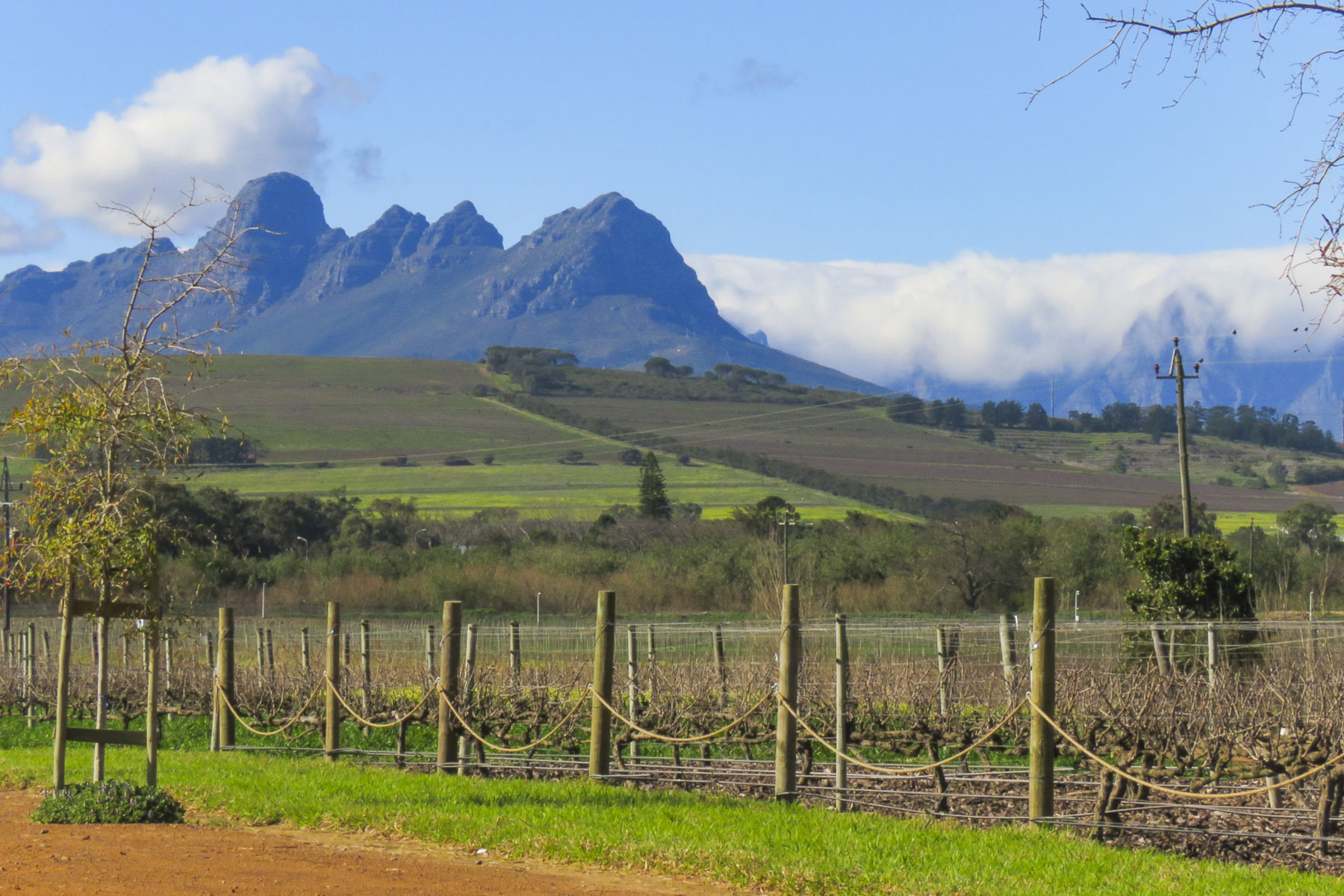 We planned a long weekend to celebrate
  But first we had to get there. Just before our exit off the N2, the silhouettes of several tall sailing ships broke the horizon as if they were crossing an inland sea. Imagining a pirate swinging from a yardarm, we did a quick double take and followed a side road down to the entrance of
  Across the street from the movie studio, our wine tasting started at


 Our room was spacious and comfortable, bigger than several studio apartments we have rented. We spent a little time walking around the pond, watching the weaver birds dart in and out of their hanging nests, before the sunset.


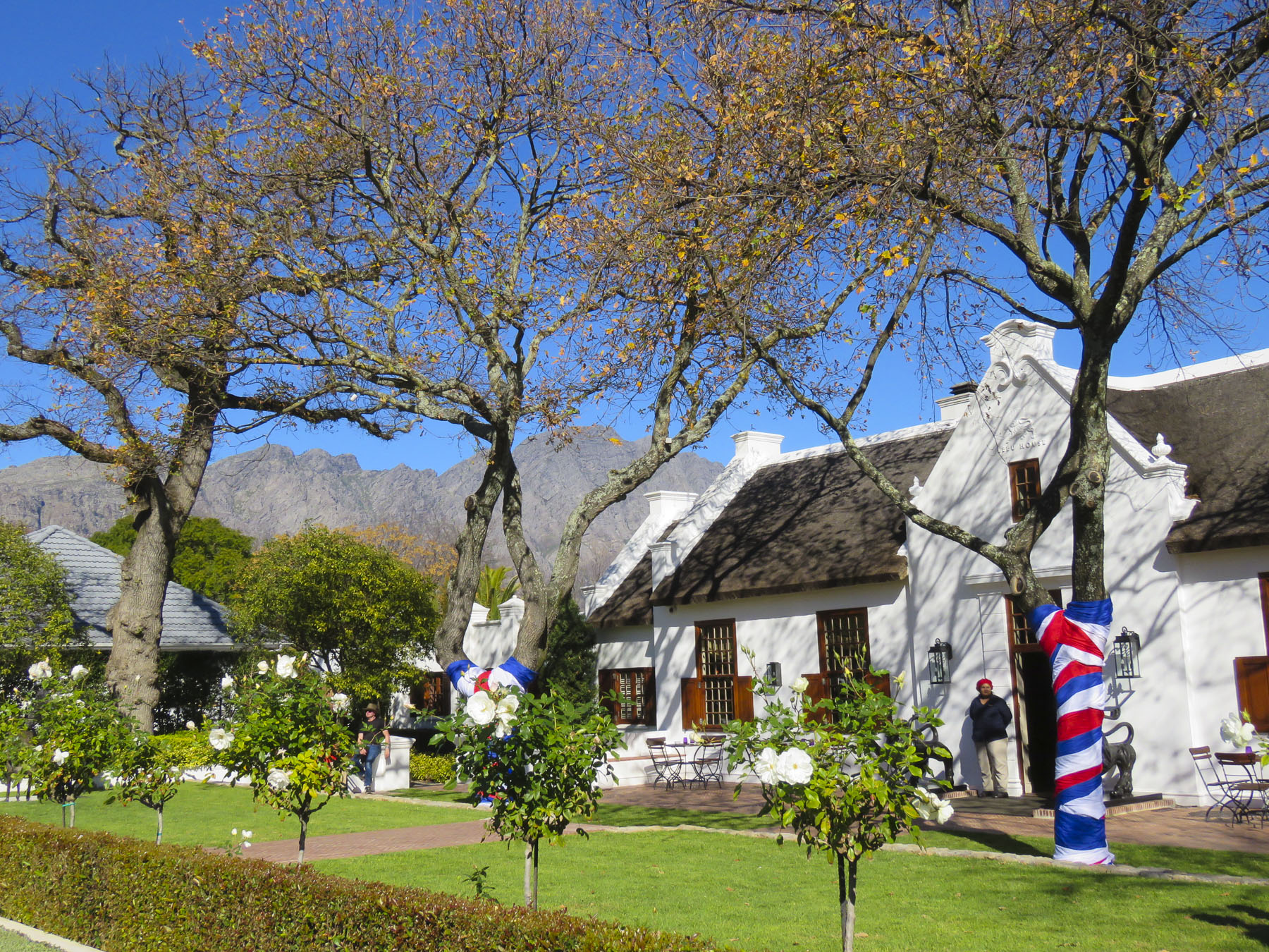 We followed the queue of beret wearing Francophiles draped in colors of the flag, past a vintage car show and a very competitive barrel rolling contest, to the Food & Wine Marquee, where our tickets included a live concert by South African rocker Karen Zoid, two very nice wine glasses, tasting coupons and R20 vouchers to use towards the purchase of food or bottles of wine.


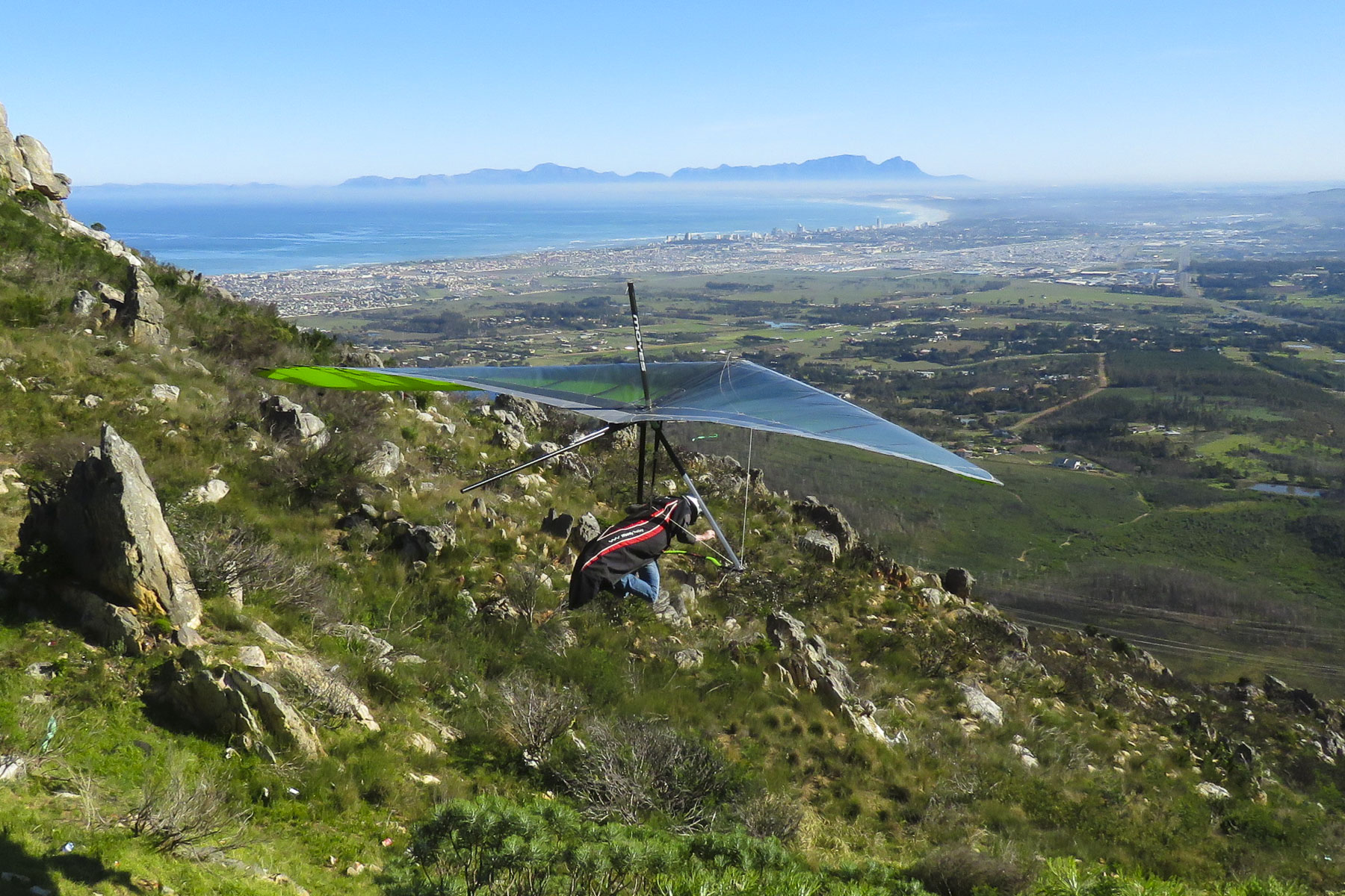 Luck was with us when we pulled into the Sir Lowry’s Pass View Point, in time to see several paragliders launch from the steep slope of the overlook. The view toward the town of Strand, on False Bay, with its long sandy crescent of beach, was incredible. Further on fruit orchards lined both sides of the road for as far as we could see. The valley’s unique climate, cooler and wetter than the surrounding region, is perfect for the local orchards to blossom. Today the Elgin region produces 65% of South Africa’s export crop of deciduous fruits.
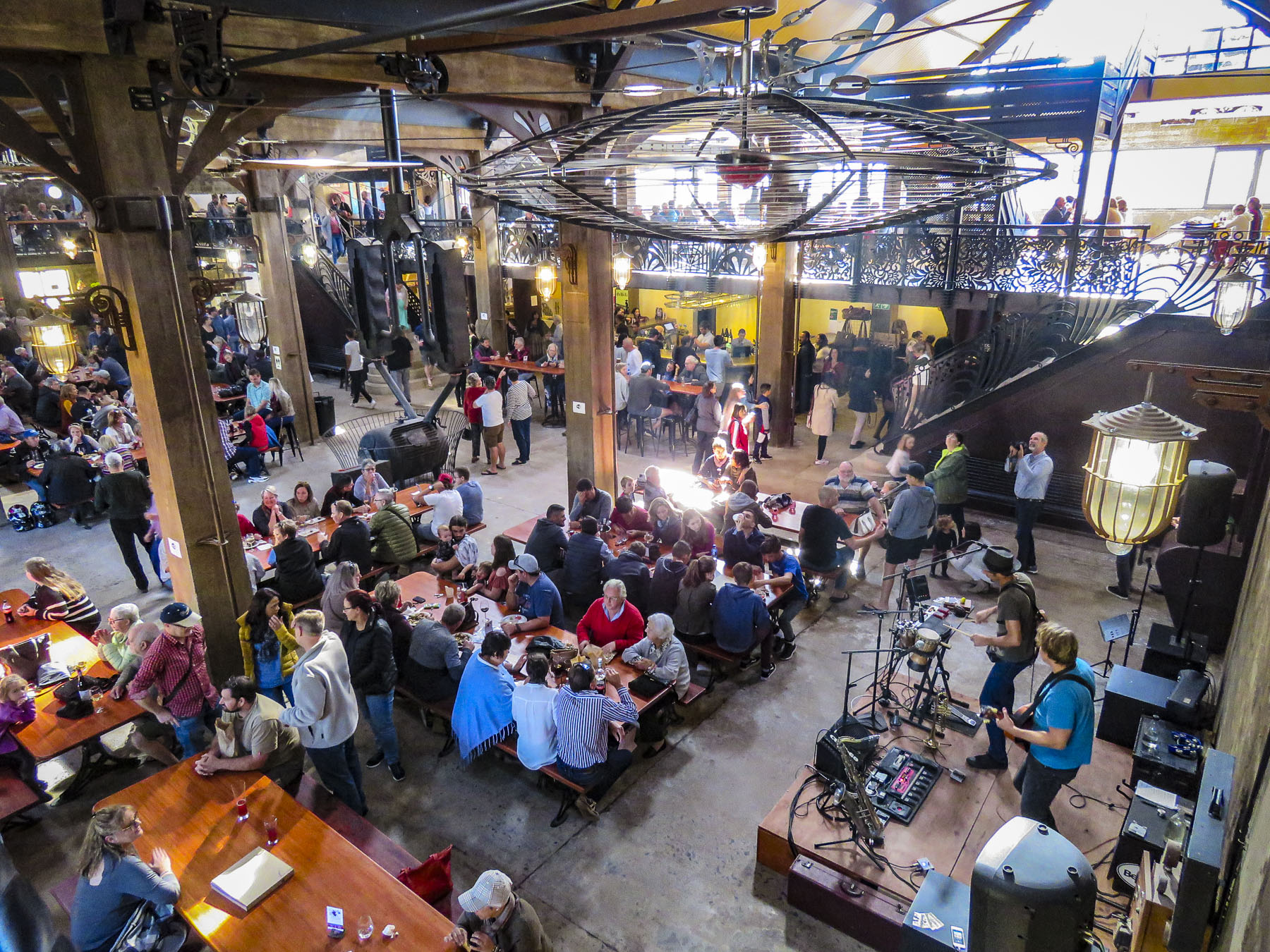 We were working our way to the
  Located directly across the street from the ocean, the
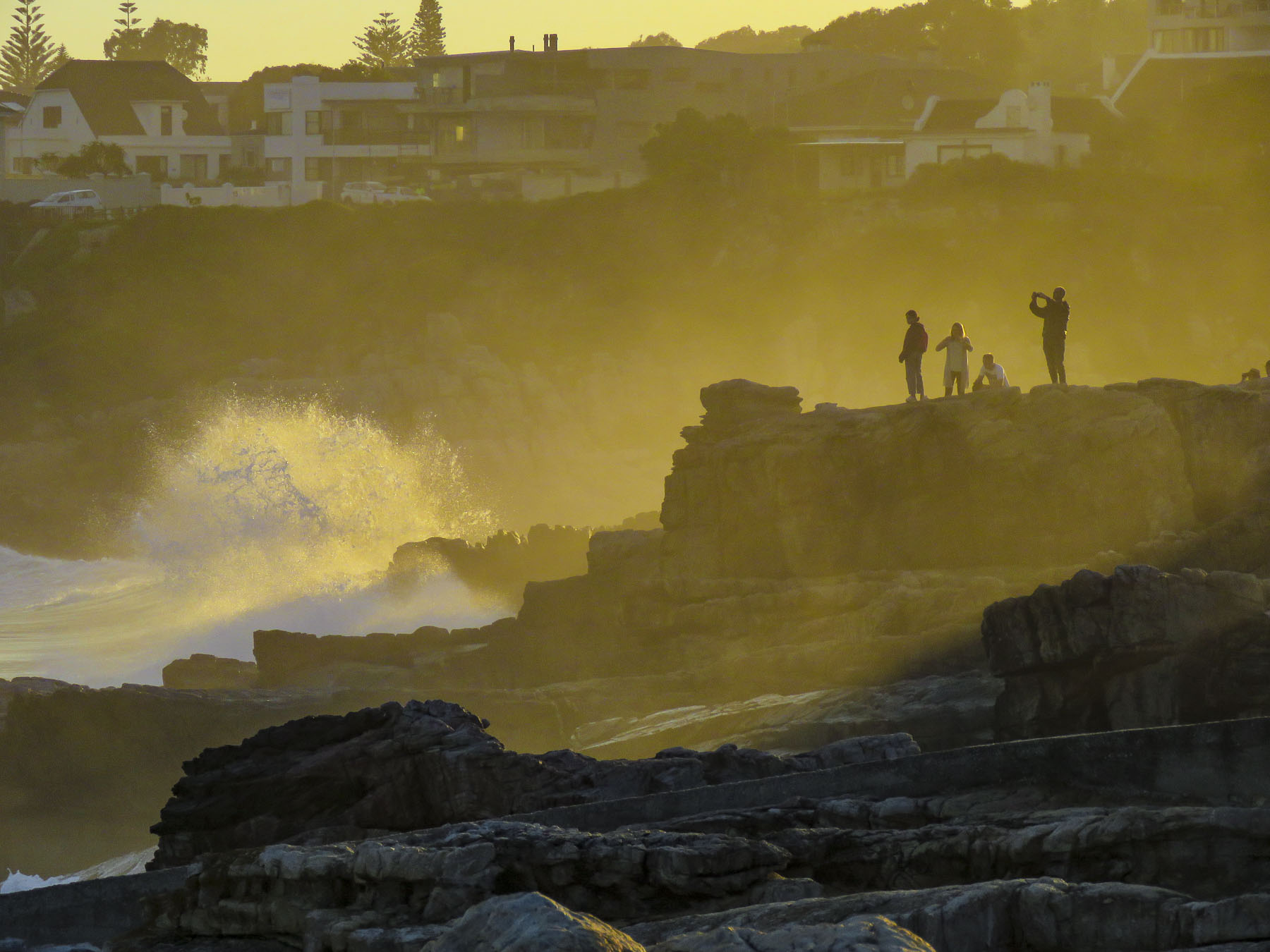
  Walker Bay’s thunderous waves crashing against the rocky coastline were spectacular with their large sprays as we walked along the Hermanus’ Cliffside Path to Gearing’s Point, a scenic overlook, hoping to spot whales. Our Cape Town friends had mentioned that it’s often possible to sight Southern Right Whales from the shore here during their June to November calving season, after which they head back to the waters of Antarctica.
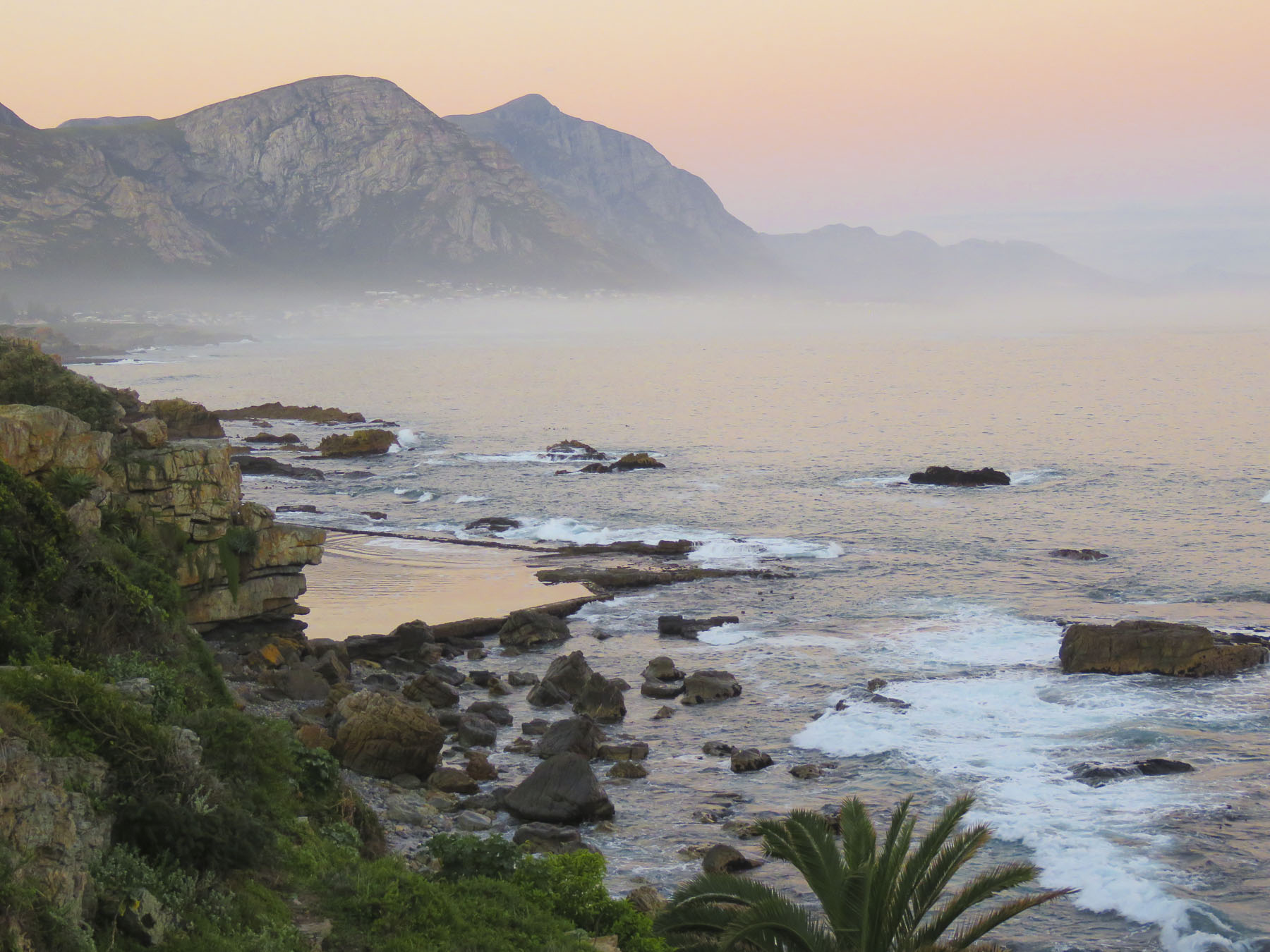
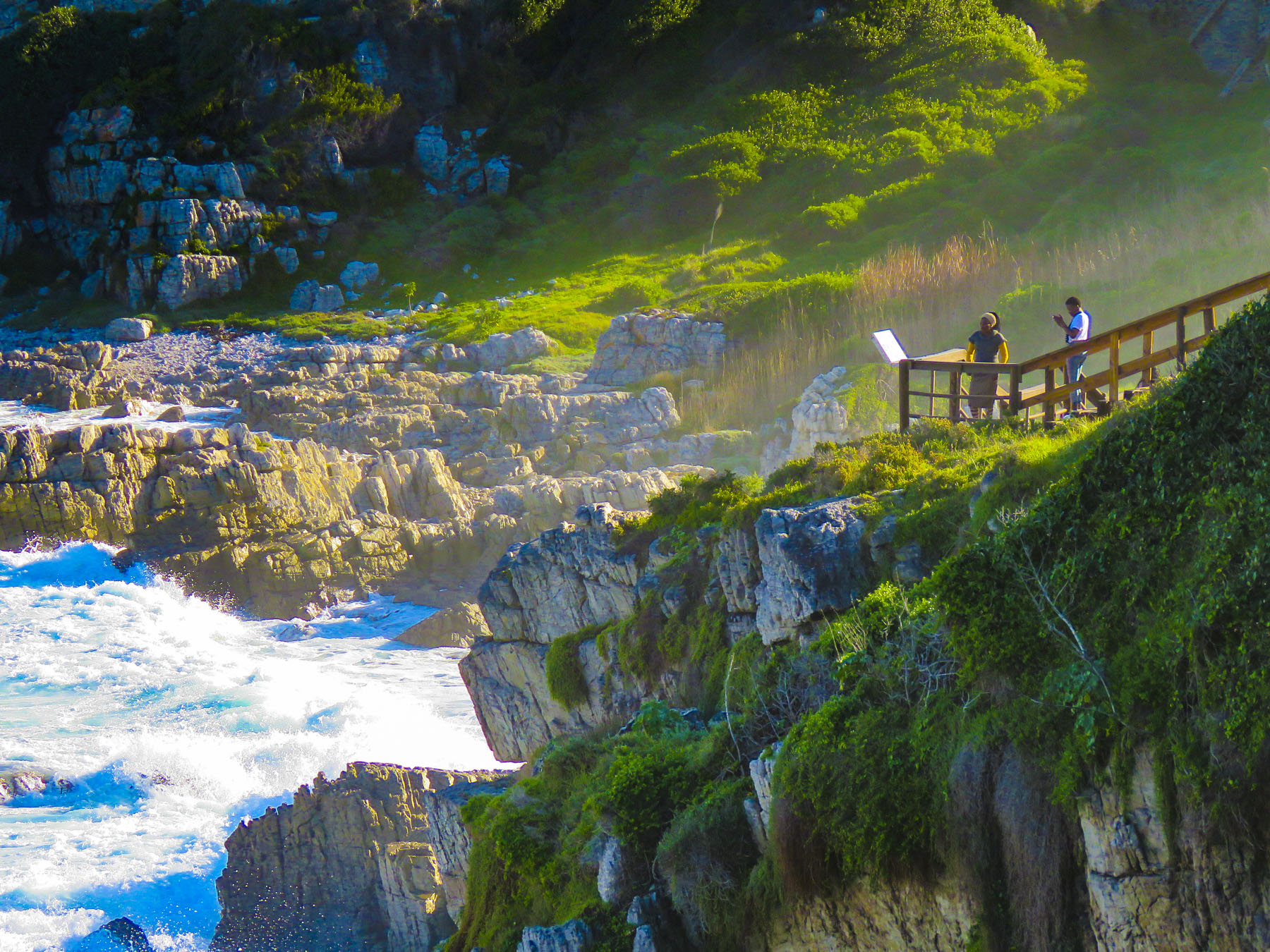 It’s a well-defined trail, with cement, dirt and boardwalk sections, that starts at the village’s New Harbor and hugs the coast for 7.5 miles, ending at the Klein River Estuary. Five miles of the path are wheelchair accessible. In some places it passes under trees twisted to grow almost parallel to the ground, by the fierce South Atlantic winds that blow in from Antarctica.

 The seascapes from the cliffside path were beautiful, but we hadn’t spotted any whales and the village’s whale crier wasn’t sounding his kelp horn. Yep, what started as a publicity stunt has become tradition and Hermanus has had an official, and the world’s only, whale crier since 1992.
  In 2016 the movie The Whale Caller was adapted from South African author Zake Mda’s 2005 novel, of the same name, which has the whale crier as the central character.

 With skipper Emile at the helm, the first mate tossed the mooring lines to the dock and we departed onto a gently rolling sea. Phillip, a registered naturalist with a delightful wry sense of humor shared his love of the sea with us. “There’s a good chance we’ll see Southern Rights today. We spot them by their distinctive V-shaped blow and the callosities (clusters of barnacle like growths) on their heads. We may also see Africa Penguins, Fur Seals, Dolphins, migrating Humpback Whales and resident Bryde’s Whales.” Psyched now, all eyes scanned the horizon for any telltale signs of these gigantic, yet elusive creatures.

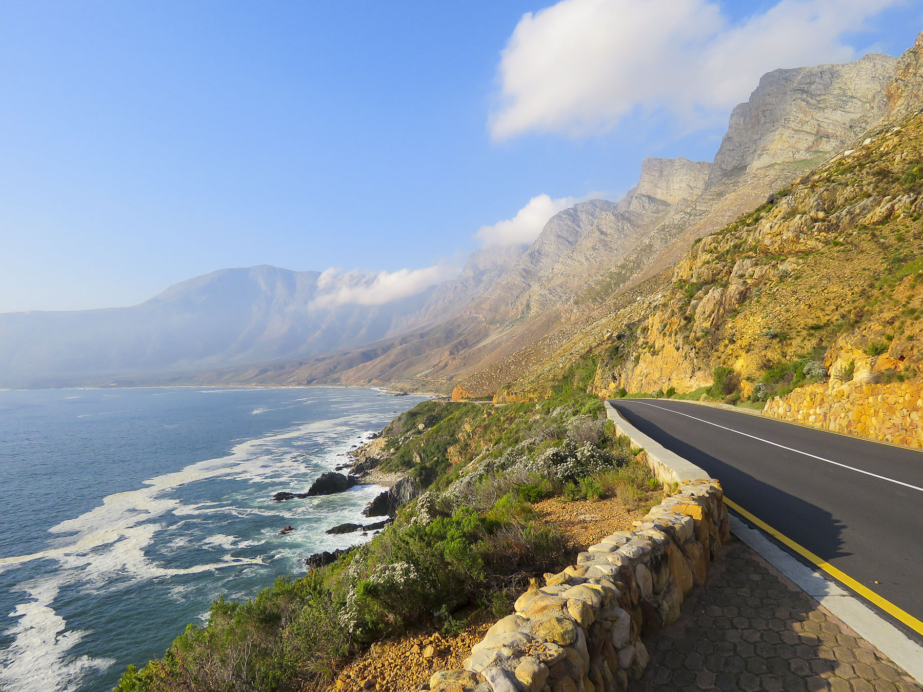 Heading back to Cape Town late the next day, we followed the scenic R44 coastal road through the seaside villages of Kleinmond, Betty’s Bay, Pringle Bay and Rooi-Els as the golden hour was approaching.
 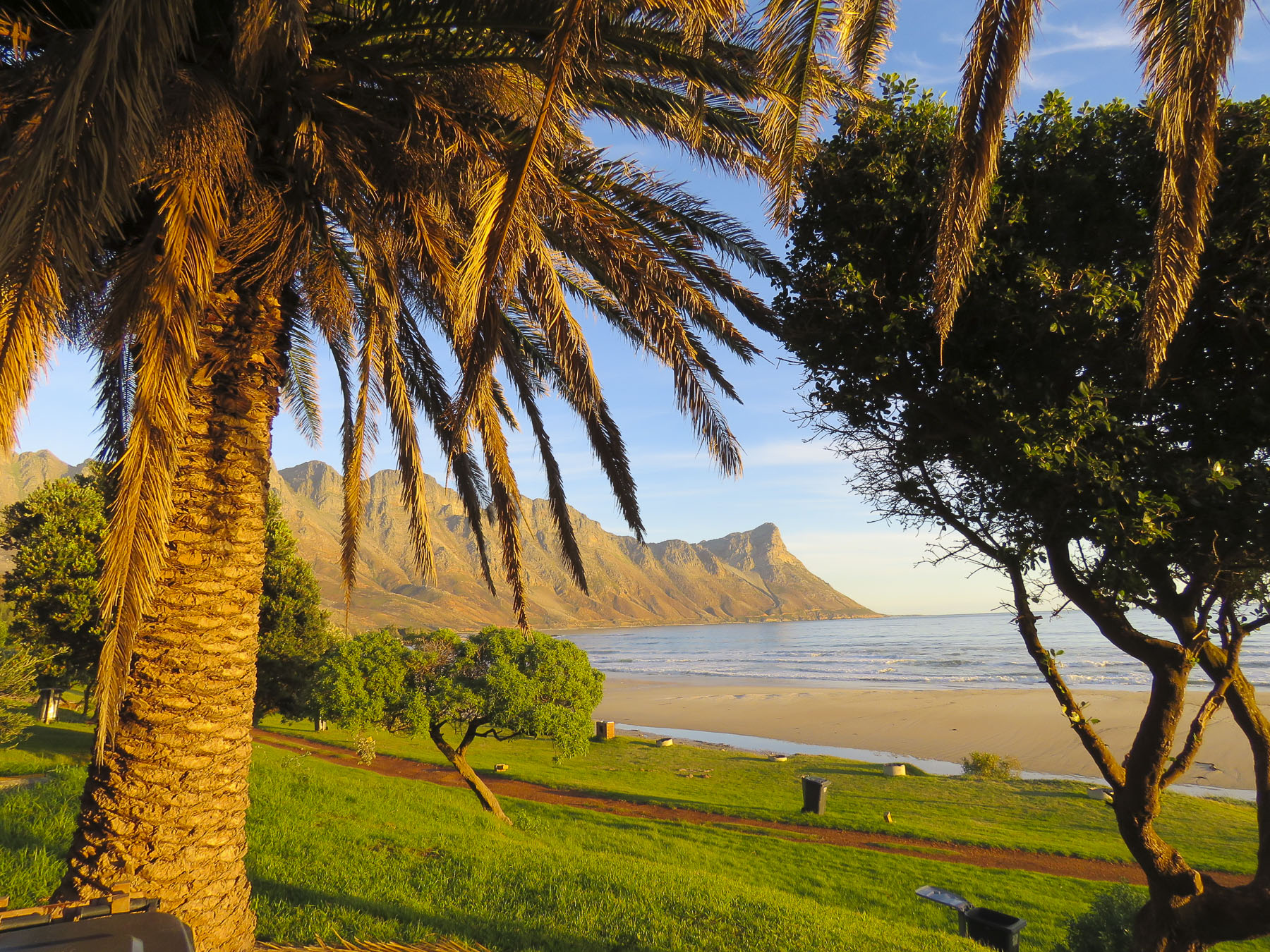 Each turn of the road offered a dramatic view of the coast and we stopped many times for photos. We merged back onto the R2 at Gordons Bay just after sunset for the ride the rest of the way back to the city.


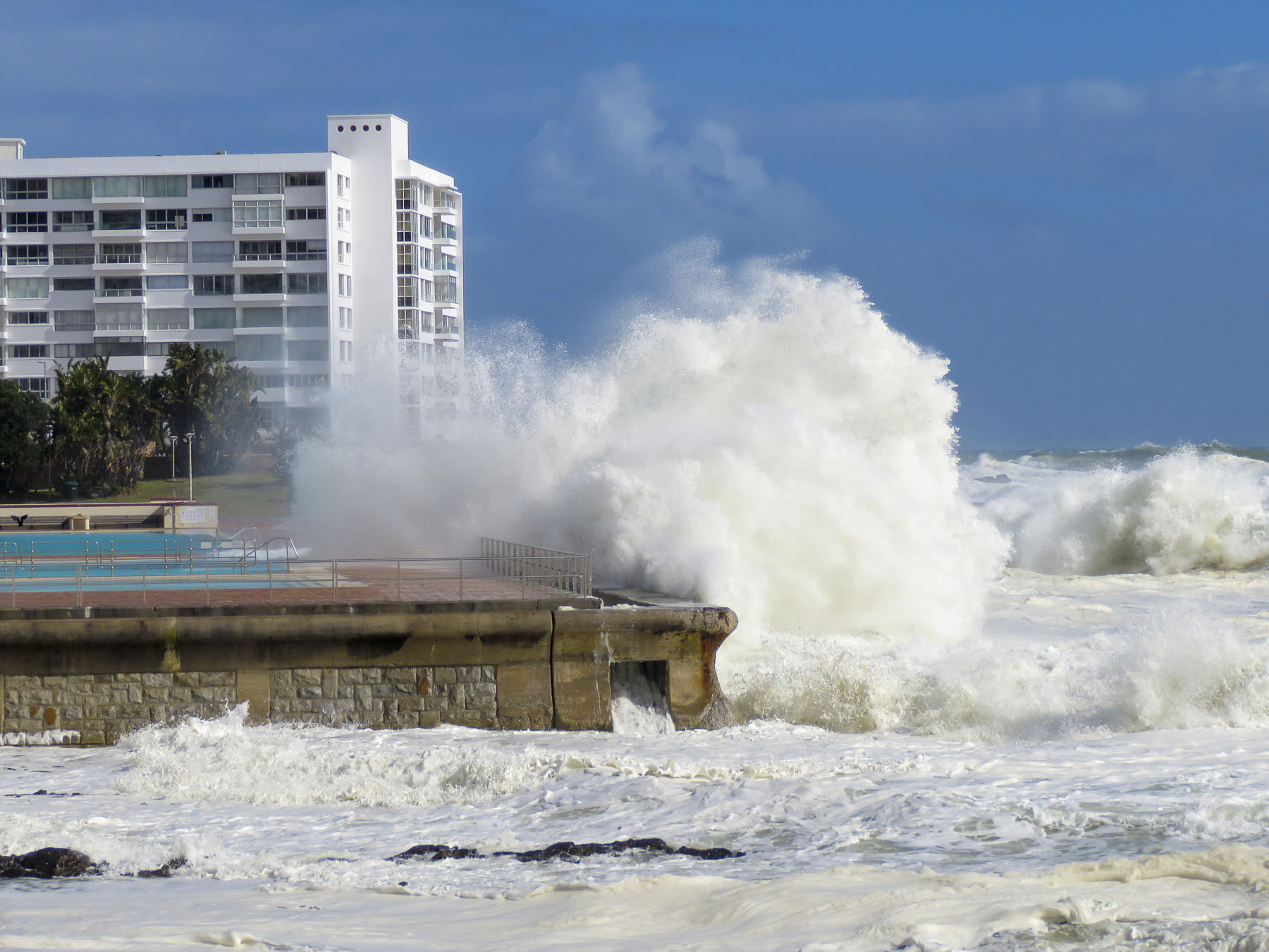 After our last apartment in the “Mother City,” on Bree Street, we moved to the Sea Point neighborhood and as its name suggests, it hugs the coastline under Signal Hill and Lion’s Head Mountain. Finding the ideal apartment for our last 30 days in Cape Town required a bit of detective work on our part though. One of the draw backs of using Airbnb is that it does not provide the specific address of a property until you actually book it. So, while the interior photos of a listing might be charming, its exact location could be anywhere within a five-block radius of a dot on the map, unless the host gives hints in the apartment description.
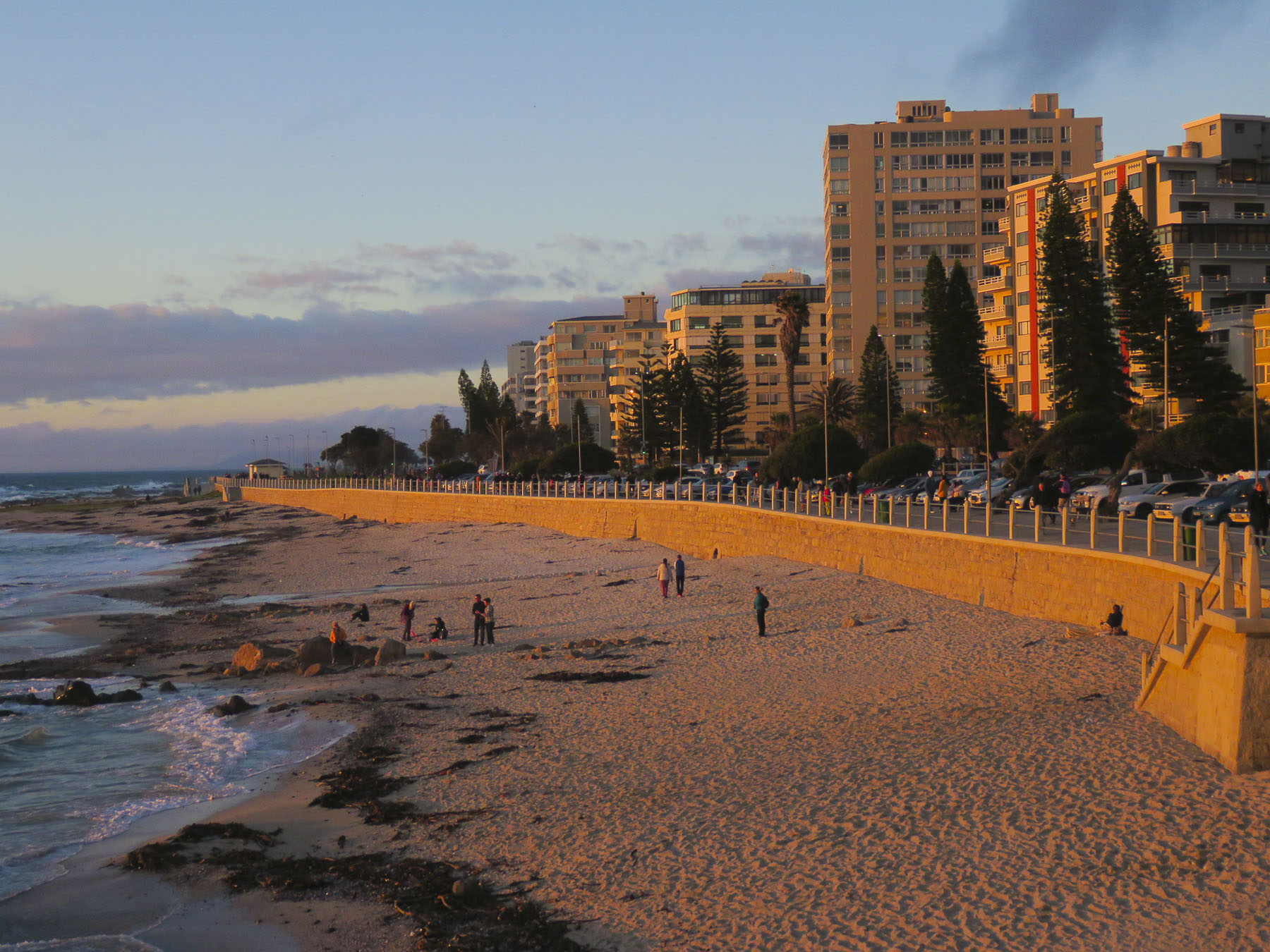 In Sea Point this could mean on the water or nowhere near it. But with a little sleuthing regarding our final three choices, we were able to determine which one was right on the waterfront. Our reconnaissance of the neighborhood paid off and we booked a sixth-floor one-bedroom apartment with a terrace, that had an ocean view for dramatic sunsets and inland views of the paragliders launching from Signal Hill.
  It was the perfect location across from the Sea Point promenade. The lively Mojo Market, with numerous food stalls and live music seven nights a week, was just around the corner. Here we enjoyed the best fresh oysters and mussels in sauce at The Mussel Monger & Oyster Bar while sipping South African wine or local craft beers as the nightly band played.
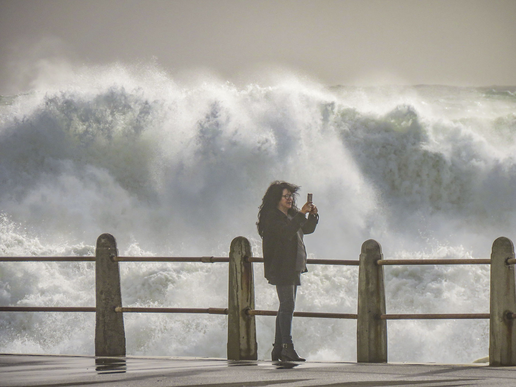
 It’s actually possible to walk along the promenade from the V&A Waterfront all the way to the Camps Bay Beach. It’s a little over six miles in length, but it’s a popular stretch of sidewalk, which locals call the Prom.


 Weather permitting, paragliders seemed to launch in rapid succession all day long from Signal Hill, first riding the thermals along the ridge towards Lion’s Head before turning back and gracefully spiraling down over the rooftops of Sea Point to land in a grassy park next to the promenade.
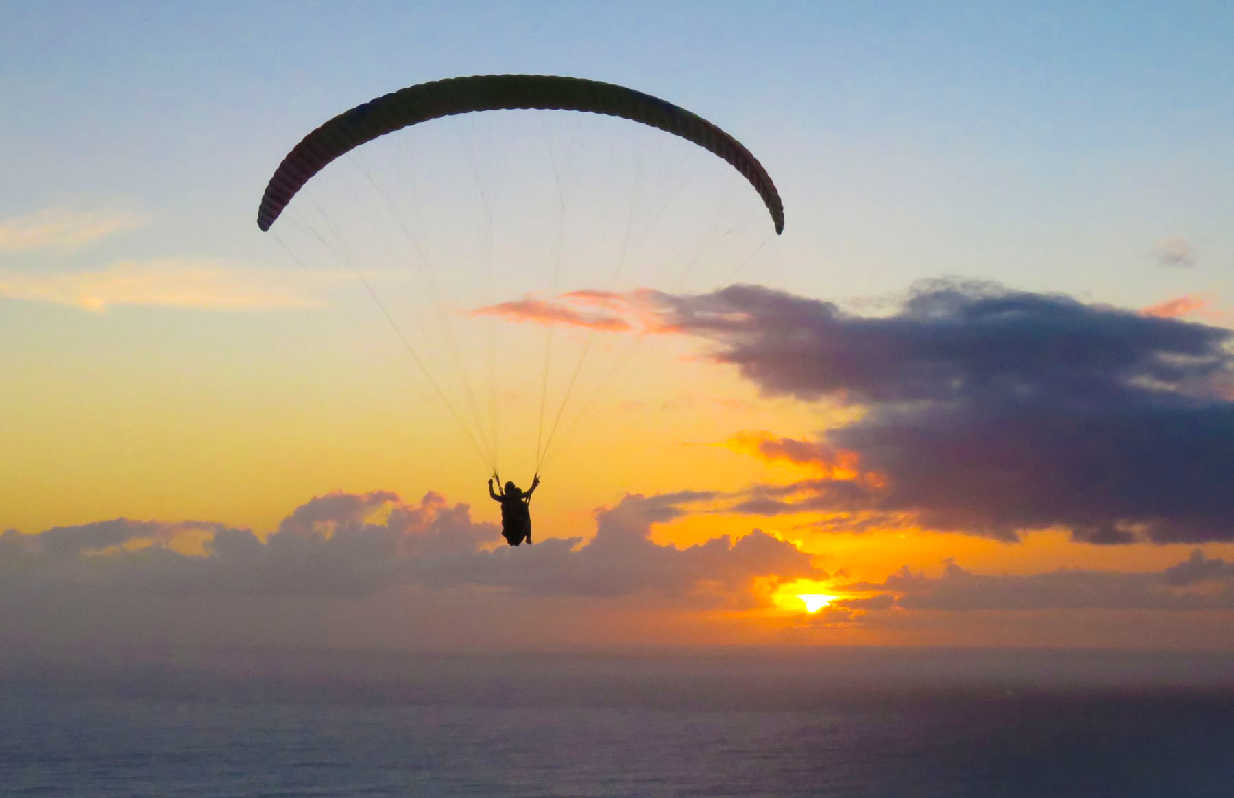 We transitioned easily into our new neighborhood, finding three grocery stores and
  Cape Town artists will paint anywhere and the walls of the underground parking garage at the Pick ‘n Pay – Sea Point were the perfect canvases for some incredibly talented street muralists. Sadly, we don’t think enough folks see these hidden works of art.


 In Hout Bay, time flew by at the


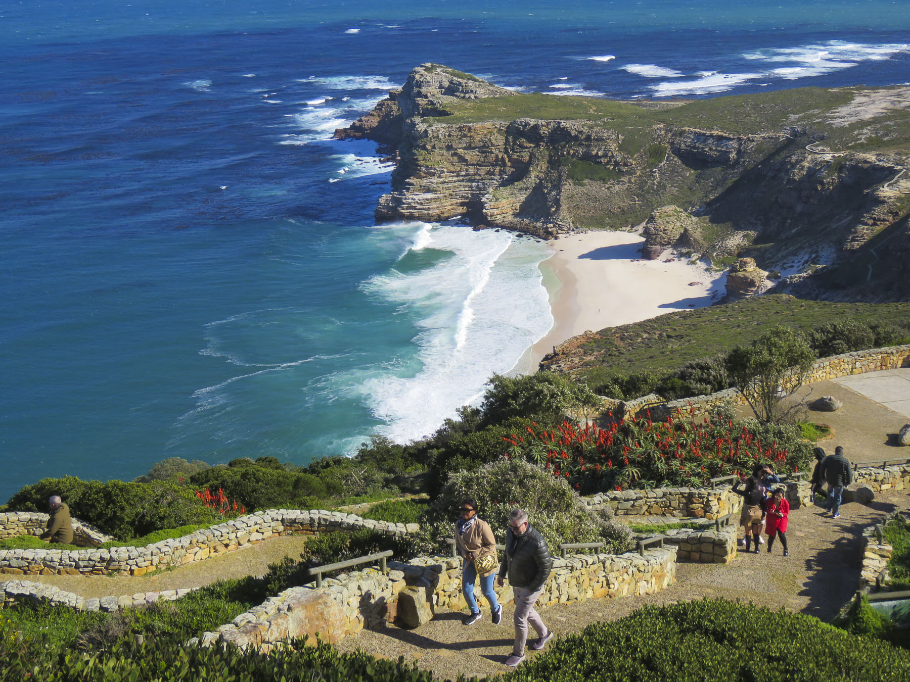
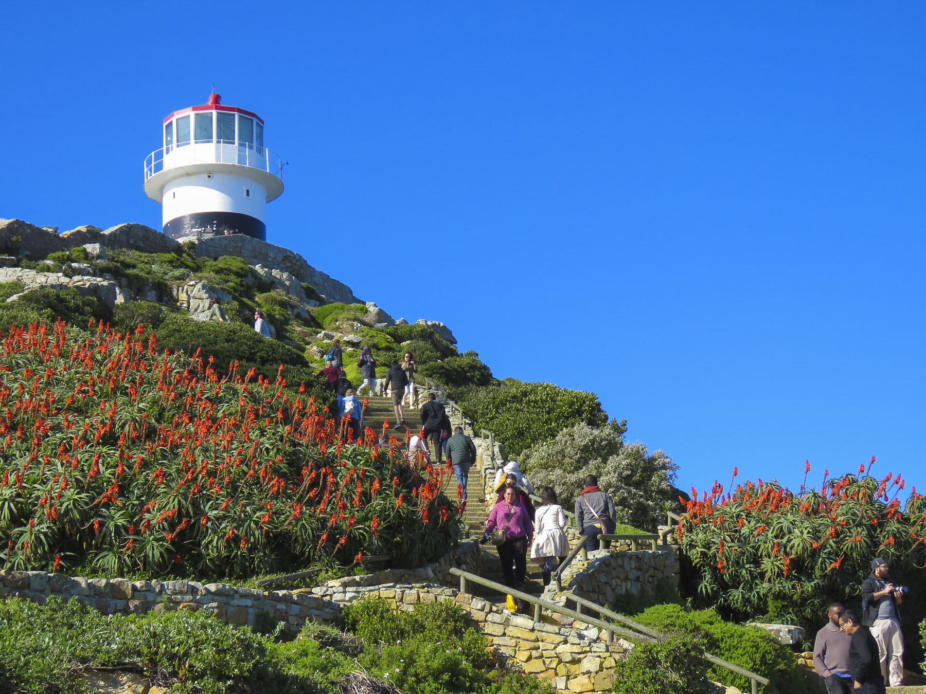 The wind was so strong it made it impossible to hold the camera steady. We soaked in the views as long as we could before the buffeting winds forced our retreat. Sitting outside at the snack bar we were astonished to witness a baboon snatch an ice-cream cone from a young boy and then gobble it up with great delight.
 We revisited the Simon’s Town area several times, because to see all the spots that interested us required more than one day. The big draw to Simon’s Town was the Boulders Penguin Colony. This is a restricted reserve where visitors must stay on the boardwalk in the viewing areas. Our timing was perfect as penguin chicks had recently hatched and could be seen at the nests snuggling against their parents for warmth. The beach was full of activity, with different groups of penguins doing their best Charlie Chaplin struts into or out of the turquoise waters of the bay.


 One morning in late July we opted to try a whale watching tour again, this time from the Simon’s Town waterfront, hoping to see some tail slapping or breaching action that was elusive in Hermanus earlier. Alas, we only viewed one tail slap on this trip. As much as the tour operators want you to believe July is a good month for viewing whales, based on our disappointing experiences we’d suggest waiting till later in August or September for more certainty when larger whale pods return to the waters of False Bay. But it was a smooth day at sea, cruising along a dramatic coast and we did get to view a large colony of sea lions on some offshore rocks.


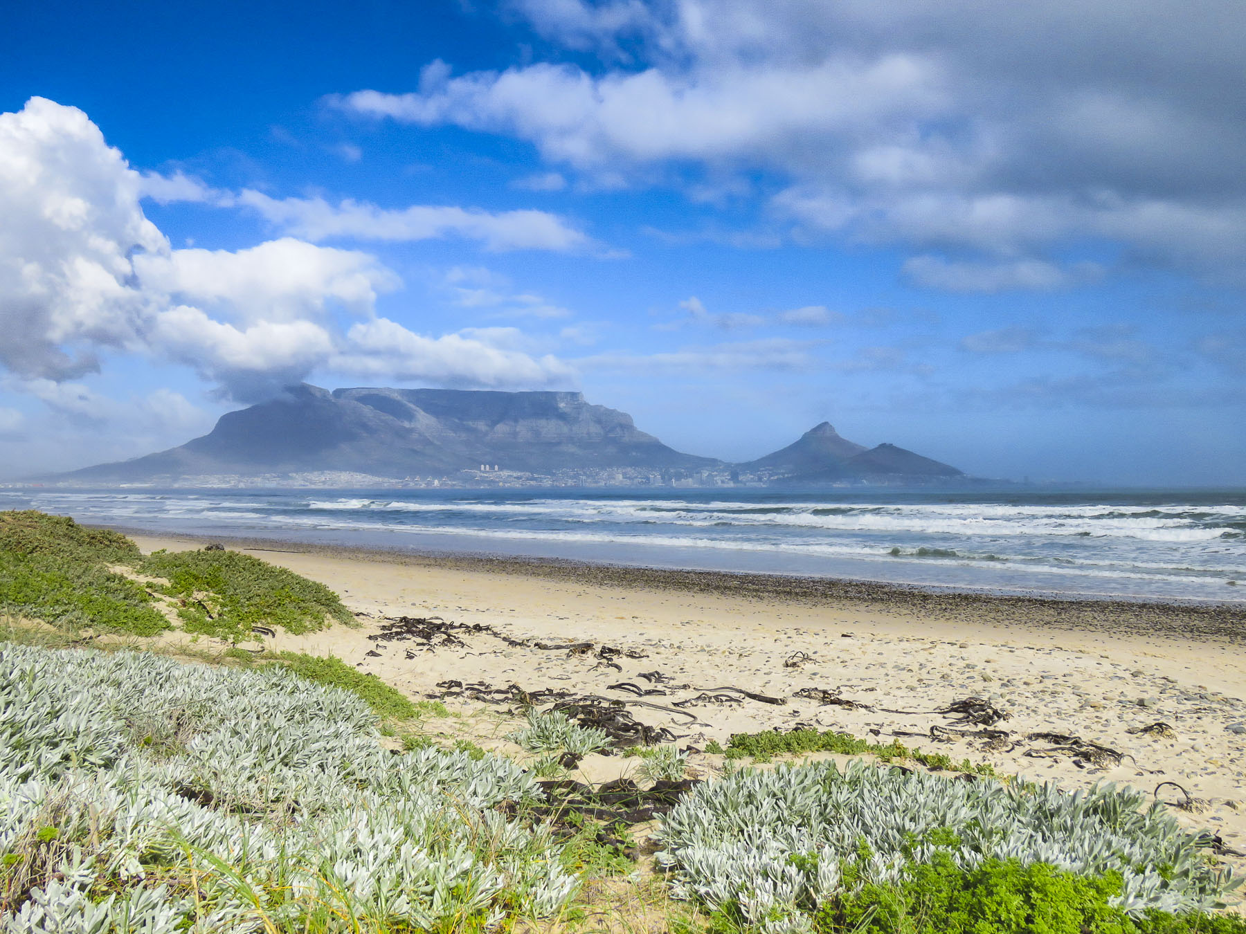 Once outside of Cape Town the R27 cut a desolate track through a rolling landscape of open fynbos with scarcely a tree to be seen. Every so often the head of an antelope or ostrich could be seen emerging above the bushes on either side of the road. The heather clad landscape eventually gave way to pastureland speckled with sheep and wheat fields.
 Paternoster is one of the Western Cape’s oldest fishing villages, dating from the early 1800s, and is said to have gotten its name from Portuguese sailors who evoked the Lord’s Prayer to save themselves from shipwreck off its coast. The area was first explored when Vasco da Gama landed nearby in Helena Bay, in 1497. By then the area had been inhabited by the indigenous Khoisan for thousands of years. Hunter-gatherers, they harvested dune spinach, an local vegetable, from the beaches, and shellfish from the area waters, and they left behind middens that have been estimated to be 3,000-4,000 years old. The harvesting of the ocean’s bounty continues, with fishermen still launching their small boats into the sea from the beach and returning with fish and lobsters. As you pull into the village it’s not unusual to see fishermen selling their day’s catch from five- gallon buckets at the town’s intersections, where they hoist live lobsters aloft and yell “kry hier kreef!”, Afrikaans for “get some lobster here.” Aside from the picturesque whitewashed and thatched roofed fisherman’s cottages along a white sand beach dotted with boulders, there’s not much to this sleepy fishing village, except for some reportedly excellent seafood restaurants that were unfortunately closed the winter day we visited.
 A short way out of town we followed a dirt road to the Cape Columbine Lighthouse. Built in 1936, on an outcropping of boulders called Castle Rock, it’s one of the last manned lighthouses in South Africa. “Seniors are free,” the lighthouse keeper, a senior himself, announced, as he pointed us to a set of stairs that eventually led to a very tall, steep wooden ladder. The panoramic view from the top was brilliant and, as expected, breathtaking. Getting down was a little more challenging than getting up. It was a kind of “make it or break every bone in your body if you don’t” situation. We’ve found in our travels around the world that folks in other countries can do all sorts of risky things, that in the states wouldn’t be allowed for safety concerns. Overseas it’s all about being responsible for your own safety. “See you at the bottom,” Donna said as she agilely maneuvered on to the ladder. “One way or another,” I grimaced in response. For me, with a fearful respect for height, it was all about that first step down.


