Sicily Part 2: To Cefalu and Palermo – Wandering Through the Centuries

The weather in mid-November was still nice; most of the days were sunny, but cooler.  Sometimes a damp dreary, grey day snuck in and reminded us that winter did come this far south as was the occasion when we started our drive to Cefalu. It was honestly just plain yucky! On the wet roadtrip south, we passed two men selling roasted chestnuts and plastic, one-liter bottles of Vino Novello, young wine, or the Italian version of Beaujolais Nouveau, made from an accelerated fermentation process that eliminates the aging normally associated with vinting wines. With a quick u-turn and purchase our spirits were immediately lifted, as the aroma of the freshly roasted chestnuts filled the car. They took the chill off the day.  The bottles of wine would wait until Palermo.  This continues a tradition started years ago, stopping at roadside stands for any type of food, craft or wine purchase.  Some days we made very slow progress indeed.

Heading inland from the coast road we followed the A19 west across the desolate, mountainous interior of Sicily past sporadically placed hilltop villages of various size.  Calascibetta was particularly impressive from the road; its recorded history dates to its Arabic settlement in 851 AD. An area of 300 rock-cut tombs, Necropoli di Realmese, and a warren of cave dug dwellings at the Byzantine Village of Vallone Canalotto called for further exploration. “Next time,” we agreed as we raced to spend the afternoon in Cefalu.

On the Sicilian list of most beautiful villages, it is also thought to be one of the inspirations for the coastal village “Vigata” where our favorite fictional detective, Salvo Montalbano, created by Andrea Camilleri, enjoys quietly eating his beloved Sicilian dishes on his patio overlooking the beach. A step above the typical crime novel, Andrea Camilleri’s inspector Montalbano critically confronts Italy’s difficult political and social issues.

A graceful, curved beach, with ancient stone homes built to the Tyrrhenian Sea’s edge, under a bold headland defines Cefalu’s beauty. Offshore lie the Aeolian Islands, a volcanic archipelago.

The town’s first settlement was atop the nearly inaccessible 1200ft tall promontory that dominates this spur of land that protrudes into the ocean like a bent knuckle. A new town was established on the coast under the cliff face when the Normans captured it from the Arabs in 1063 and proceeded to anchor the new village with a cathedral that was built to fulfill a promise to the Holy Savior by Roger II, the King of Sicily, upon his survival of a vicious storm at sea that cast him ashore at Cefalu.  Started in 1131, the fortress-like church, with Arab influenced architectural elements, took over 100 years to construct and was finished in 1240.

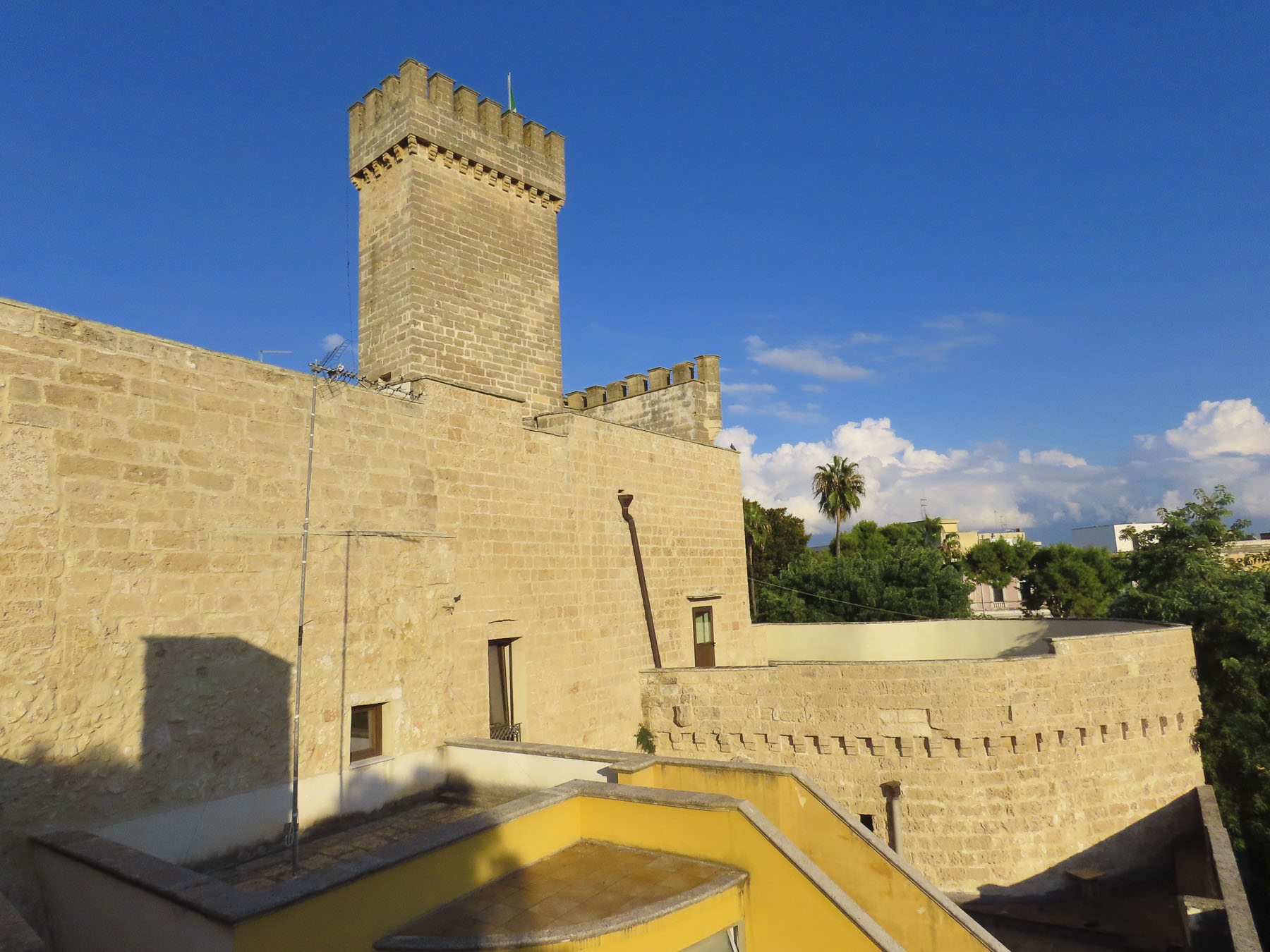
A handful of tourists sheltered under the tent of a café on the plaza in front of the Cefalù Cathedral, trying to ward of the November chill with coffee or wine.  Unfortunately, the church was closed and we were unable to view its Byzantine mosaics. A trailhead on Via Pitre leads to the top of the massive promontory that towers over the town.  Paths connect the ruins of a Greek temple dedicated to Diana that dates to the 9th century BC, as well as a Saracenic castle.  The panoramic views of the Cefalu and the Sicilian coast are phenomenal.

A plastic curtain at the restaurant shielded us from a sudden downpour as we sat enjoying pizza, just above the gentle lapping waves.  By the end of lunch, the rain had lessened to a misty drizzle and we ventured forth, with our umbrellas at the ready, down slick cobbled lanes to a wide, curved stone staircase.

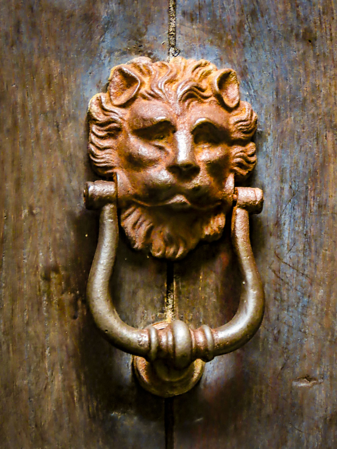
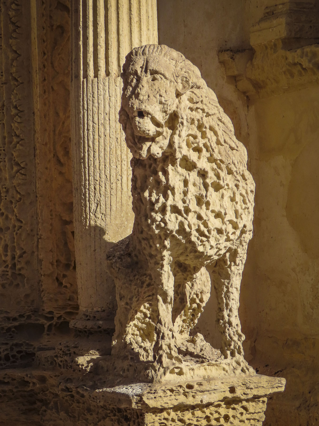
Legend says the waters of the Cefalino River that feed the The Lavatoio Medievale, a medieval washhouse, were created from the tears of a nymph mourning the loss of her lover.  The waters originate six miles away in the Madonie Mountains near the village of Gratteri and flow under the streets of Cefalu before reaching the sea. Lion-headed spouts filled a series of stone basins that the town’s women used from their construction in 1665 until the last traditionalist scrubbed clothes there in the 1990s. An ancient stone plaque at the top of the stairs is inscribed with the saying “Here flows Cefalino, healthier than any other river, purer than silver, colder than snow.”

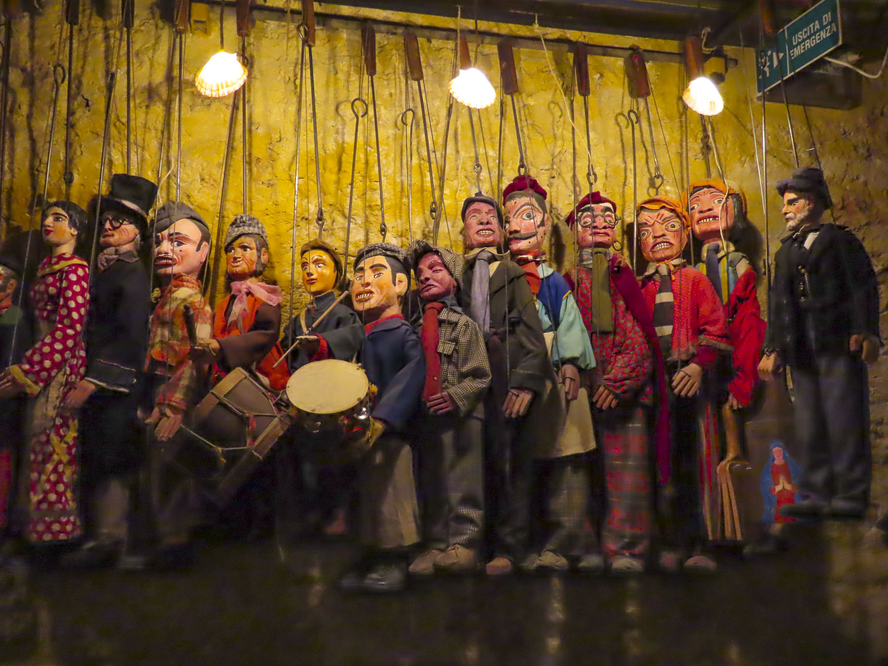
Our stay on Via Bara All’Olivella, a street known for its Opera dei Pupi, puppet theatres, was on the edge of Palermo’s historic district and near the classical Massimo Theater. Craftspeople carve and dress the puppets with fine cloth and metal armor, and their workshops can still be visited along the lane. The shows, which can last two hours and have three acts, re-tell the legends of medieval Christians kings, chivalric knights, damsels in distress, and Saracen nobles, with a supporting cast of sorcerers, witches, dragons, giants, and various other evil doers. Sicilian puppetry is a dying art and has been recognized by UNESCO an “Intangible Cultural Heritage.”

Sicily and Palermo have a long, convoluted history with the city as the capital of the Kingdom of Sicily when the Normans ruled.  Later it was a sister city to Naples when it was part of the Kingdom of Naples. Eventually the distinct regions finally agreed to be called Kingdom of the Two Sicilies in 1816, until the unification of Italy in 1870.  The prestige of both cities is seen in the wealth and the number of their churches.  And there really are a lot of them.

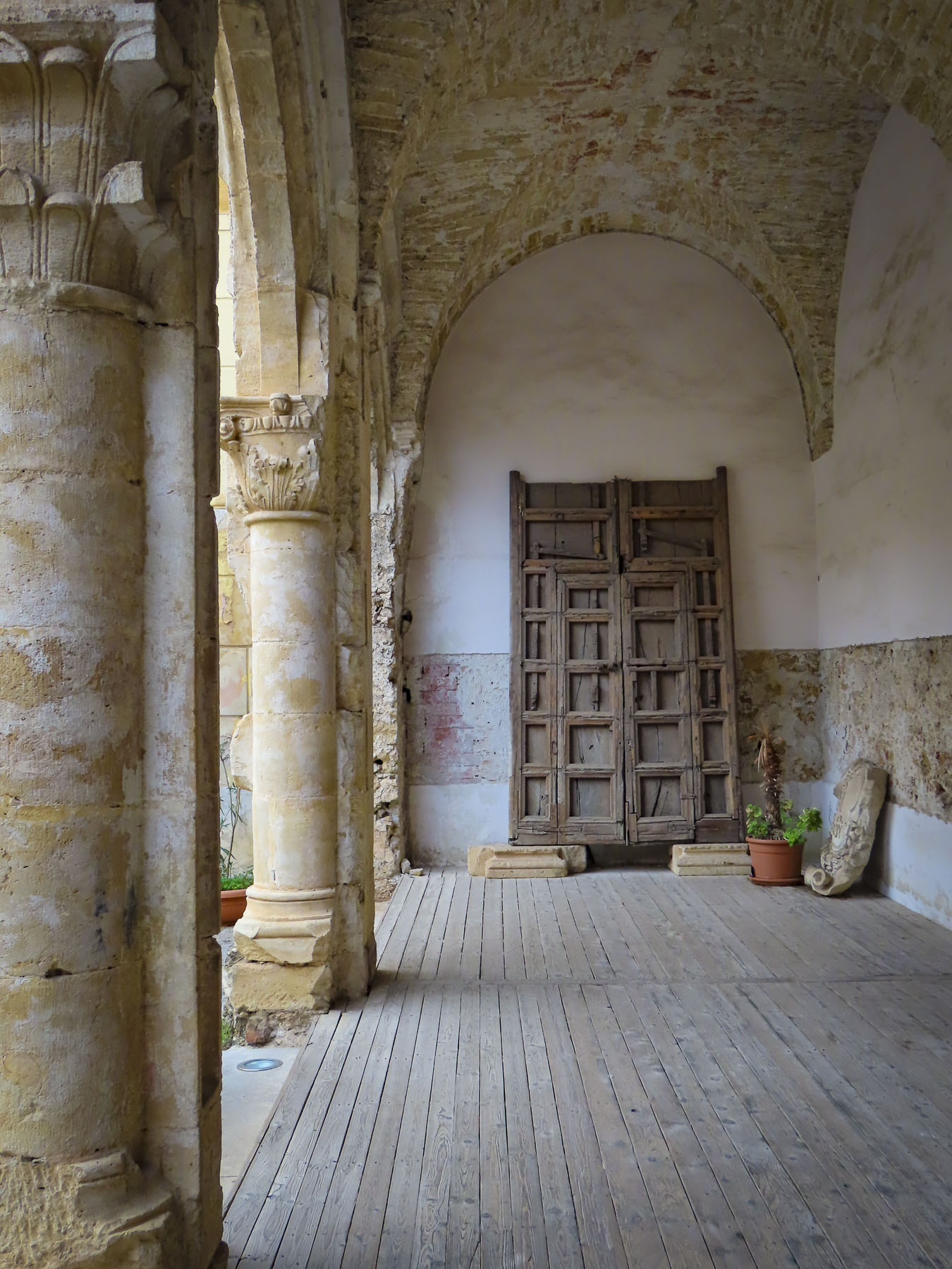
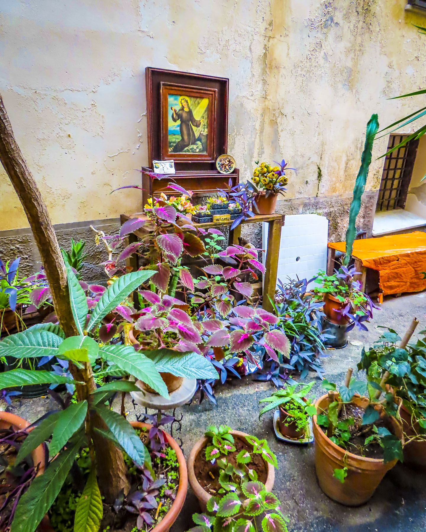
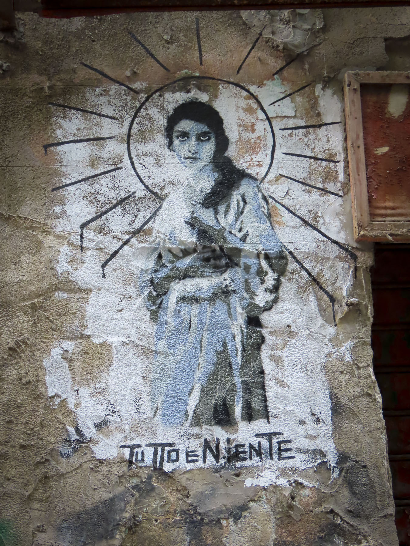
Like Naples, this large urban center has fallen on hard times in recent decades.  In the historic center the landmarks have been maintained, but the remaining residential areas have been allowed to deteriorate to the point where the crumbling buildings seem to cry out for restoration.  With oases of beauty scattered about between gritty and raw neighborhoods, Palermo stands in stark contrast to the experience of Cefalu and Taormina.  This doesn’t mean that it wasn’t enjoyable and interesting. On the contrary, along with being fascinating and different, it was a very urban experience!  Plotting our routes between churches exposed us to high culture and art along with the rough-and-tumble ambience of the city, sprinkled with graffiti, as we wandered the streets.
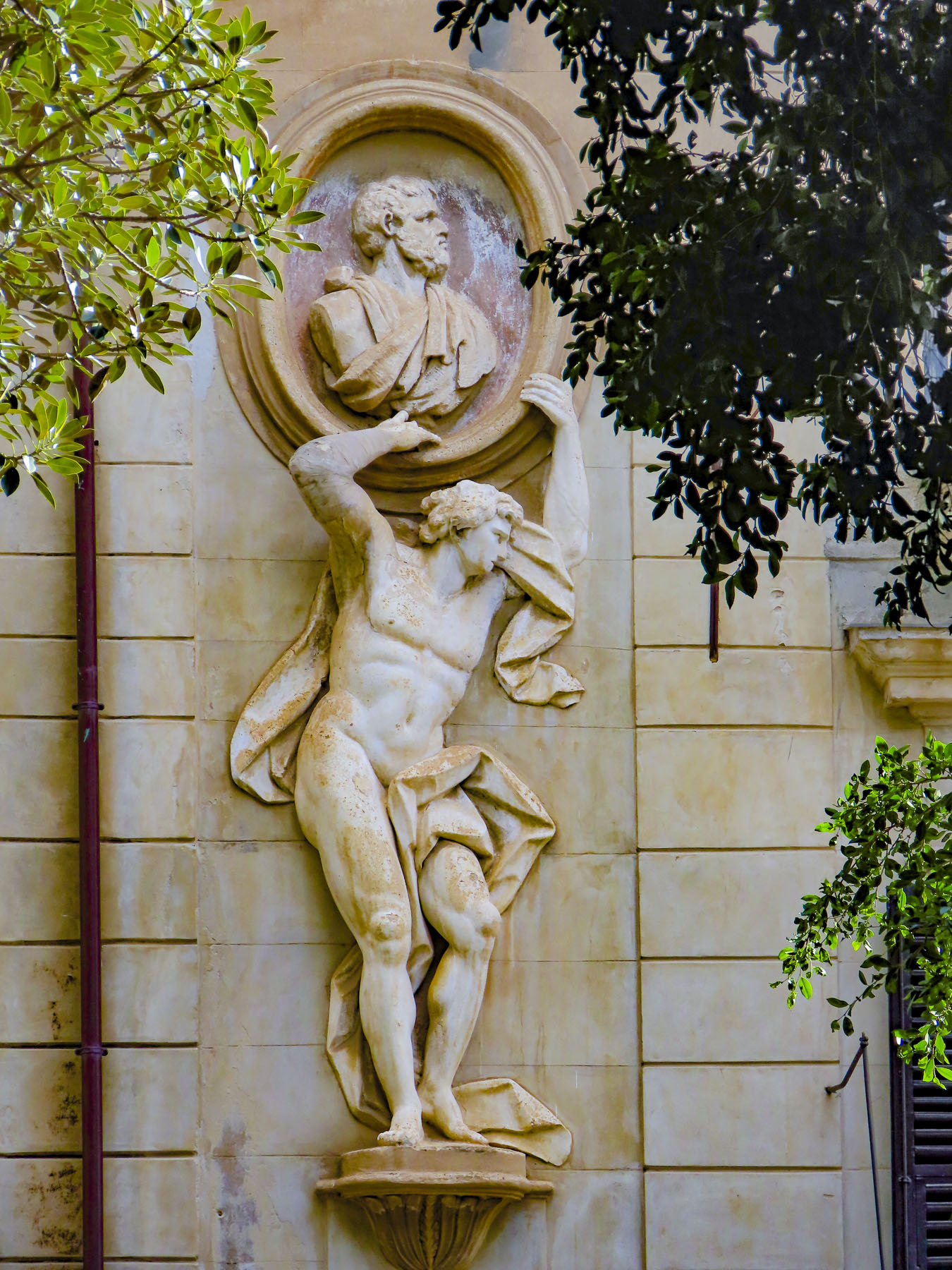
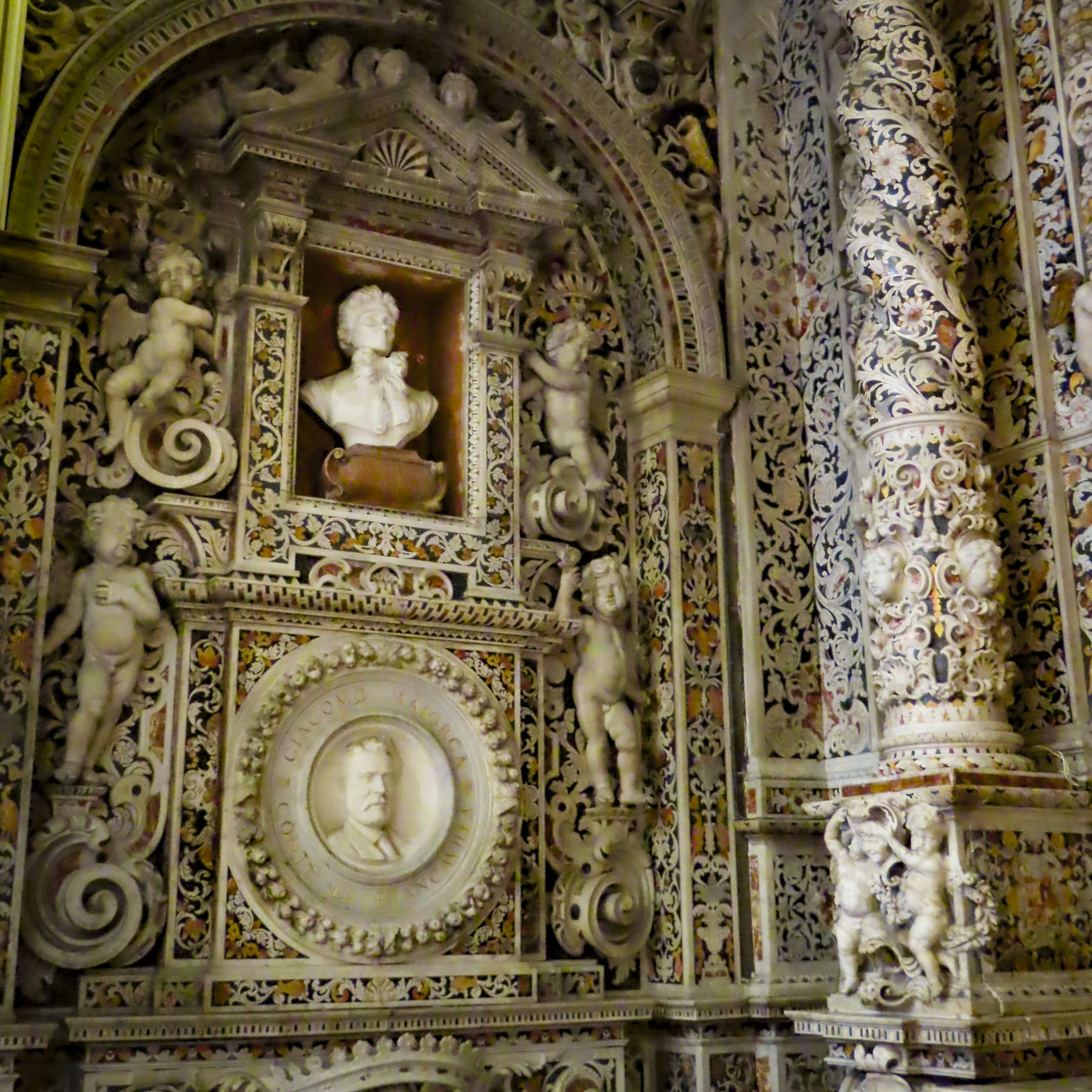
Only a few blocks away from our lodging, we started our morning at Chiesa di San Domenico. It has under undergone many incarnations since the Dominicans commissioned the first church in 1280. The Baroque façade and interior are the result of an expansion in the 1700s. With the burial of many notable Sicilian artists and politicians within its wall, it is recognized as the “pantheon of illustrious Sicilians,” and continues this tradition with modern heroes, most notably the tomb of anti-mafia prosecutor Giovanni Falcone, who was assassinated by organized crime in 1992, and which still receives tributes.

Somehow, we ended up on the top floor of the department store next to the church. Surprisingly, it had a nice café and patio with a view of the Colonna dell’Immacolata on the piazza and the gateway to the La Loggia quarter, one of the original Palermo neighborhoods.

The colorful Vucciria Market on Piazza Caracciolo and the decaying remnants of past glories on the surrounding streets led to the fountain on Piazza Garraffello.  Built in 1591, its beauty was overshadowed by the street art on the grim encircling buildings and haphazardly parked cars that nearly obscured it from view. The area was very quiet when we strolled through but is known for its raucous nightlife that lasts until morning. 

Across from the port a heavenly aroma emerged from a small storefront that was doing an active business. The place got its name from its specialty, Pani câ Meusa – Porta Carbone, a street food sandwich famous in Palermo that is made with boiled and then fried cow spleen and cow lung, grated caciocavallo cheese and lemon, served on a sesame roll.  We thought its strong and rich flavor was a taste that might take a lifetime to acquire.
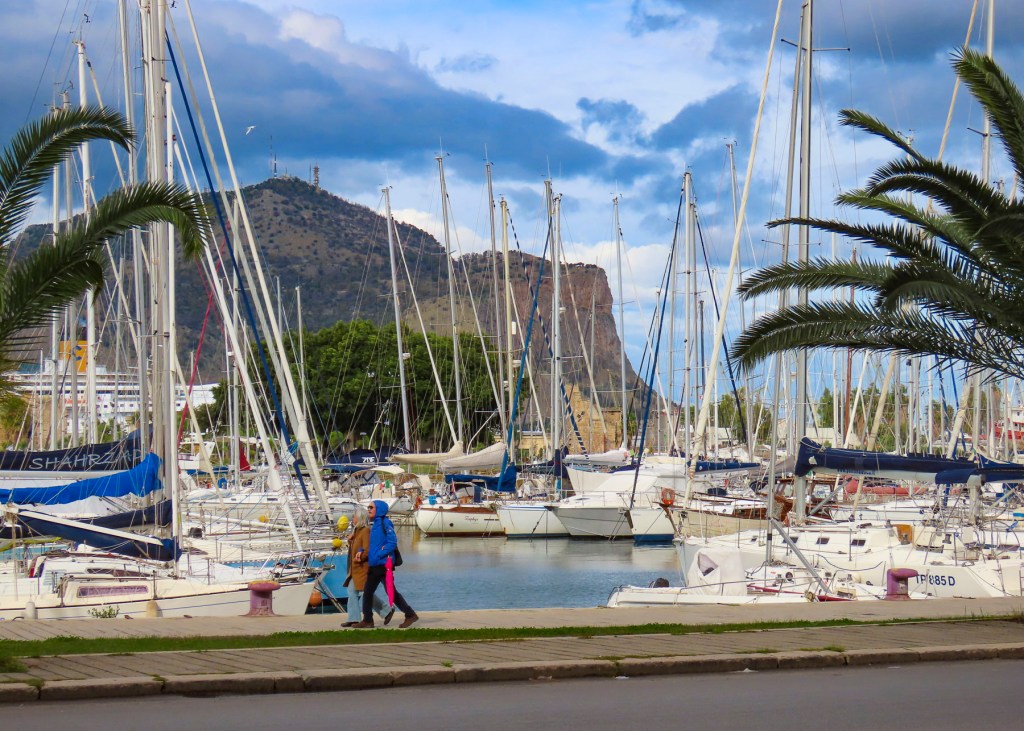
Two blocks away, the Giardino Garibaldi’s stately centuries-old specimen trees anchored a neighborhood of fine palazzo now functioning as museums and university buildings. 

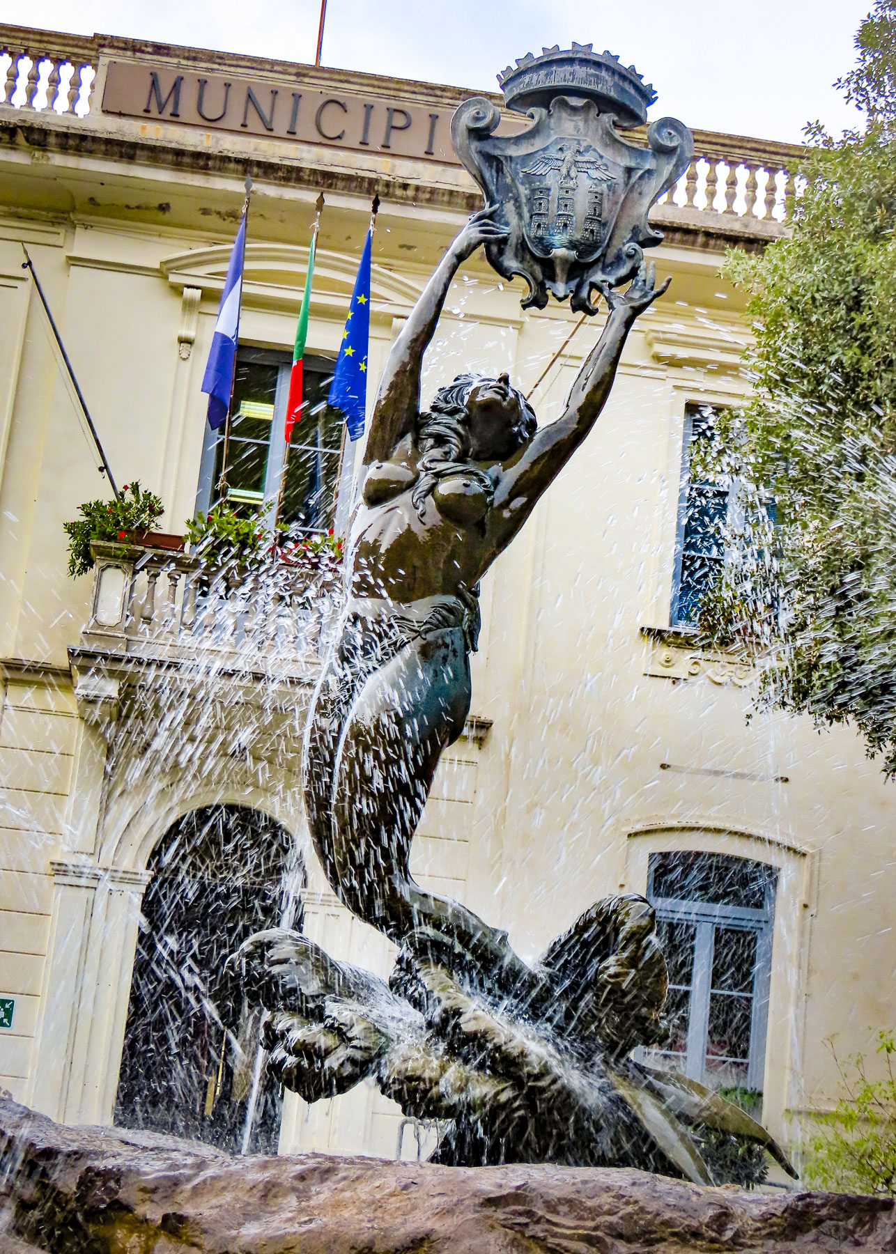
Around the corner a large, tall-wheeled float shaped like boat, called a Carro Trionfale, was on display in front of the municipal office. On top was a statue of Santa Rosalia, a 12th century hermit who is credited with saving the city from the plague when a relic of the saint was paraded three times around the city in 1624.  The highlight of her weeklong festival, held every July, is the procession when the carro is pulled through the streets by teams of men from the Cathedral of Palermo to the waterfront.  Every year a different district gets the honor of hosting the carro until the next festival.

Farther afield, our wanderings took us down blocks that seemed to retreat further back in time with every step. We saw contemporary street art on urban housing projects within steps of a ghostly unfinished renaissance cathedral, the Santa Maria Dello Spasimo. Started in 1506, it was never completed and now is used as an open-air theater and concert venue.  The juxtapositions of the treasured and the forgotten in Palermo are stunning.
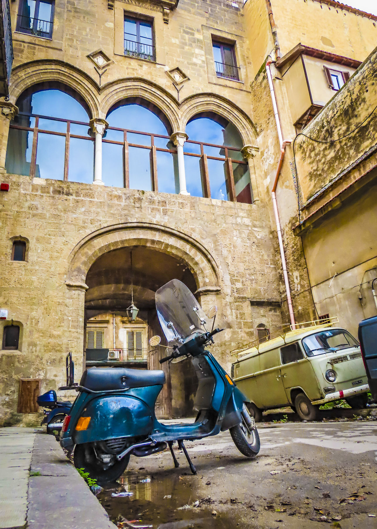
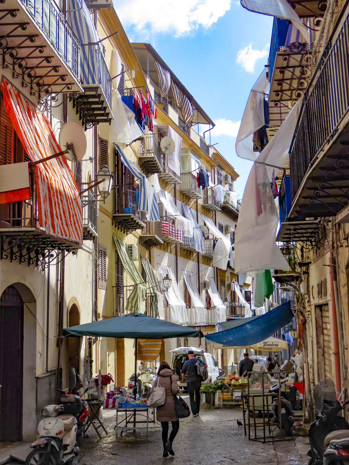
The warren of narrow lanes off the Il Capo district between the Massimo Theater and the Cattedrale di Palermo were ripe for exploration.  Off Via Volturno, two stone columns with decorative capitals, Porta Carini, grace the entrance to the Mercato del Capo, one of the oldest outdoor markets in the city.  Built before 1310, the columns symbolize the neighborhood’s grand past that’s difficult to visualize amidst the colorful canvas awnings of the raucous street vendors.

Nearby is the site of the brutal assassination of Carabinieri General Dalla Chiesa, an anti-mafia investigator, his wife and a police escort. They were murdered by AK47 wielding gunmen on motorcycles one night in 1982. This vicious event epitomizes the Mafia war or Mattanza, the Slaughter, that gripped Palermo and the whole of Sicily from the 1970s to the 90s with thousands of homicides of rival mafioso foot soldiers, journalists, politicians and judges.  Fortunately, things are vastly different now.

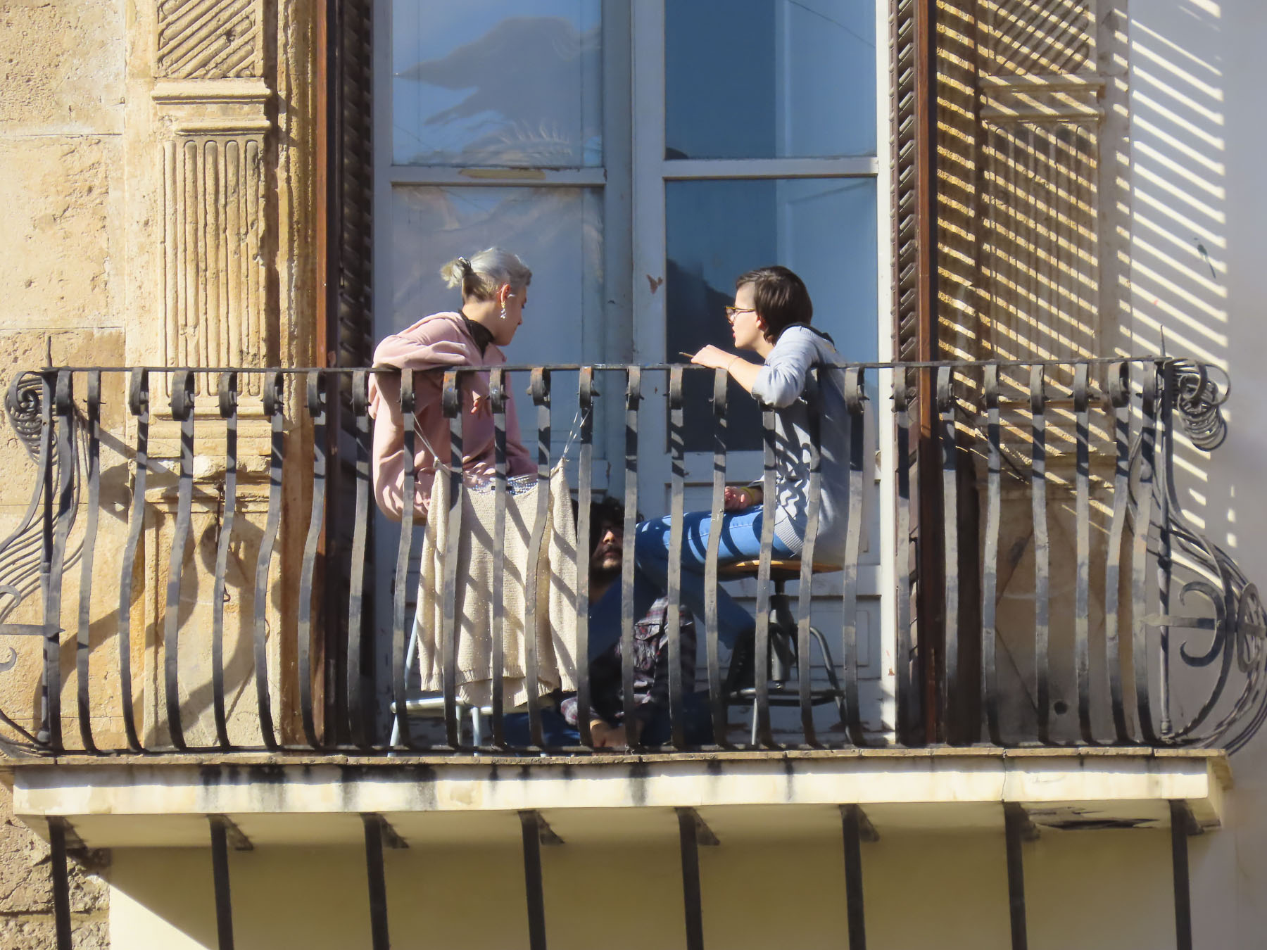
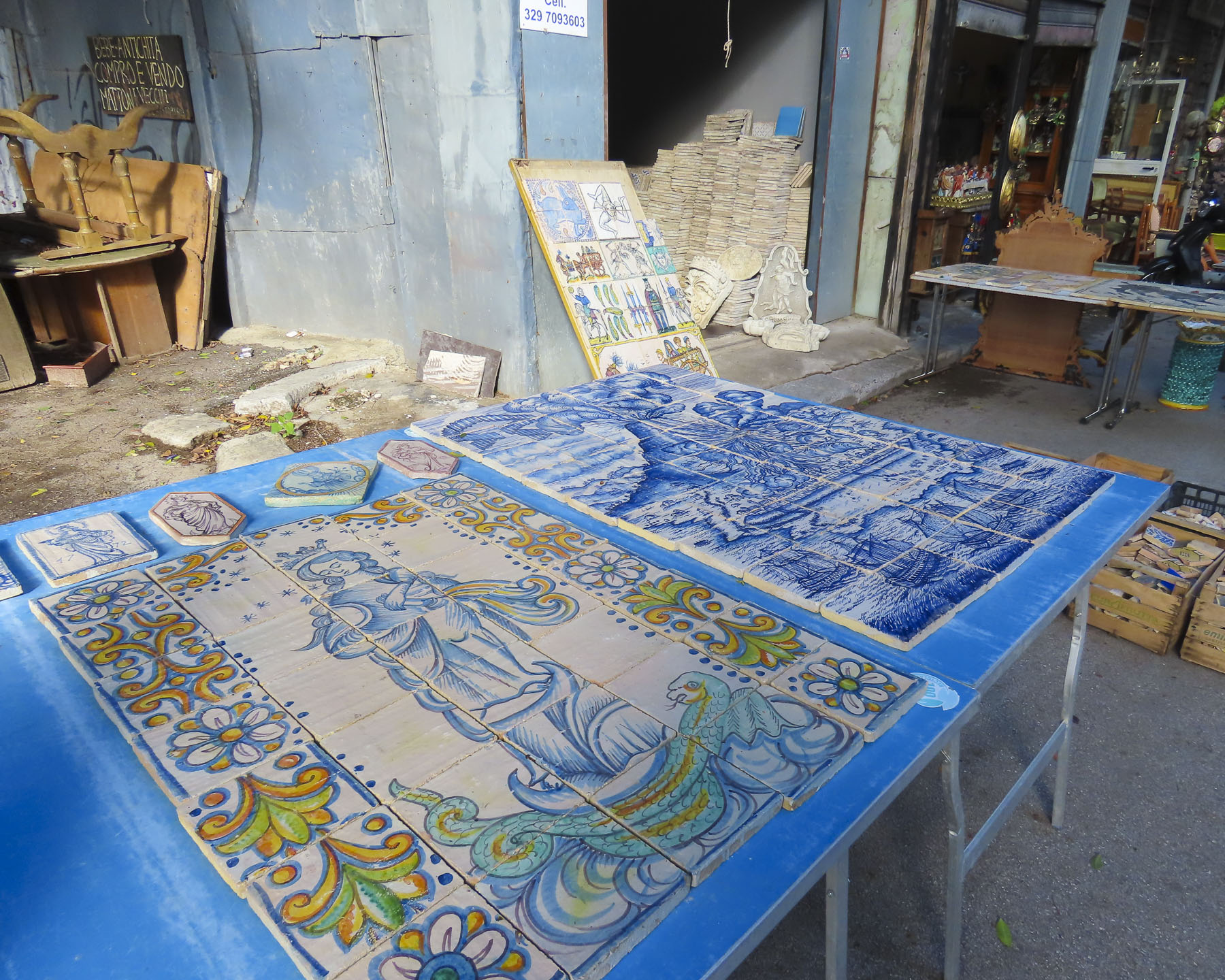
Farther along, the street narrows enough that from their balconies, neighbors can easily talk to one other across the lane. At Piazza Domenico Peranni haphazard stalls, some with trees growing through the roofs, house a permanent flea market filled with dusty curiosities.
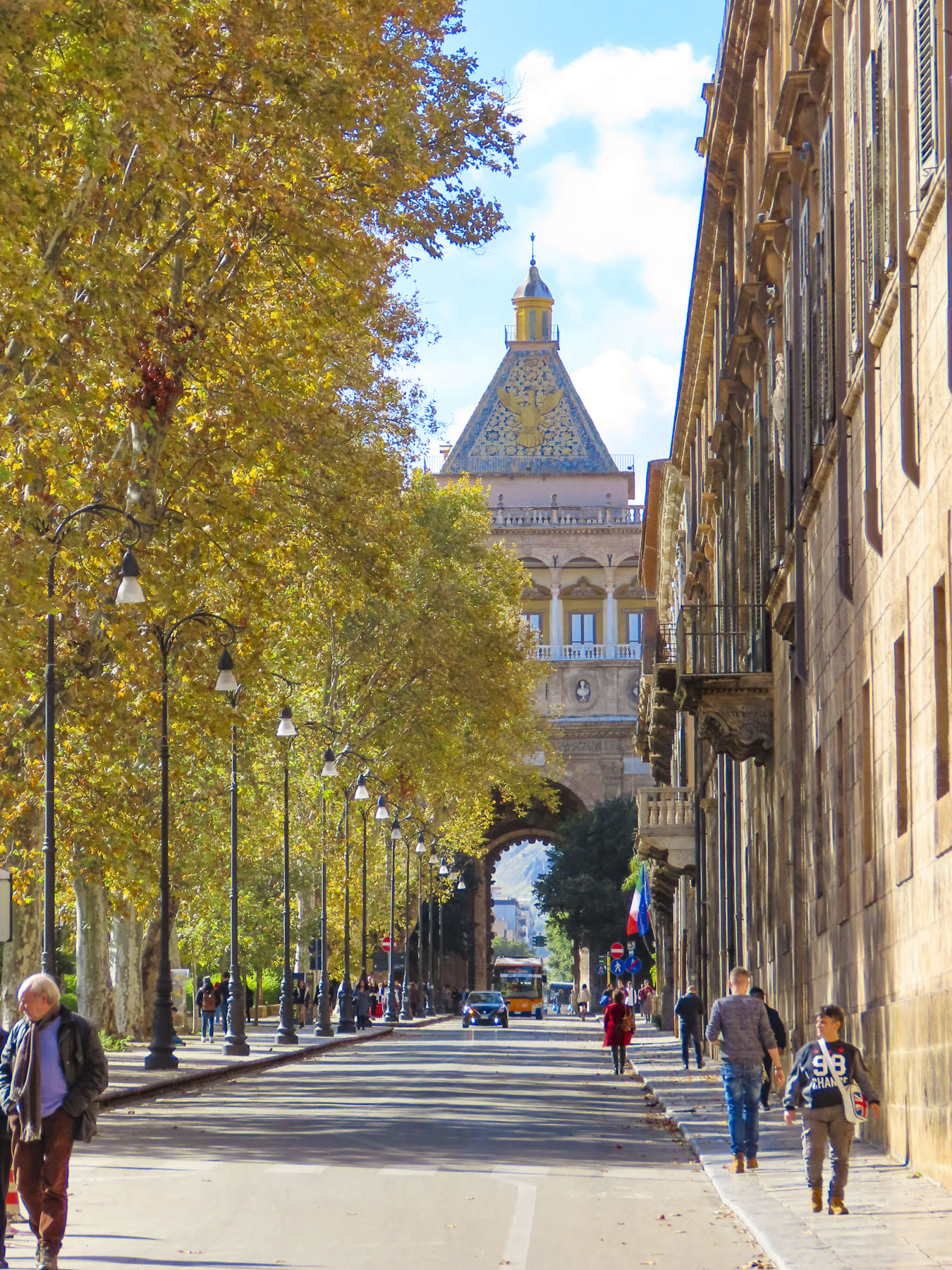
Every seat of power in antiquity had a triumphal arch to signify its greatness, and Palermo’s is certainly unusual with its columns depicting turbaned Arab slaves. The Porta Nuova gateway was reconstructed in 1570 to celebrate the 1535 triumph of Charles V, Holy Roman Emperor, over Ottoman forces in Tunis. Landing in Palermo after his victory, the monarch paraded 14,000 Arab slaves through the city. Standing next to Palermo’s Royal Palace, the Palazzo dei Normanni, the 140ft tall monument was part of the defensive wall that once surrounded the city.

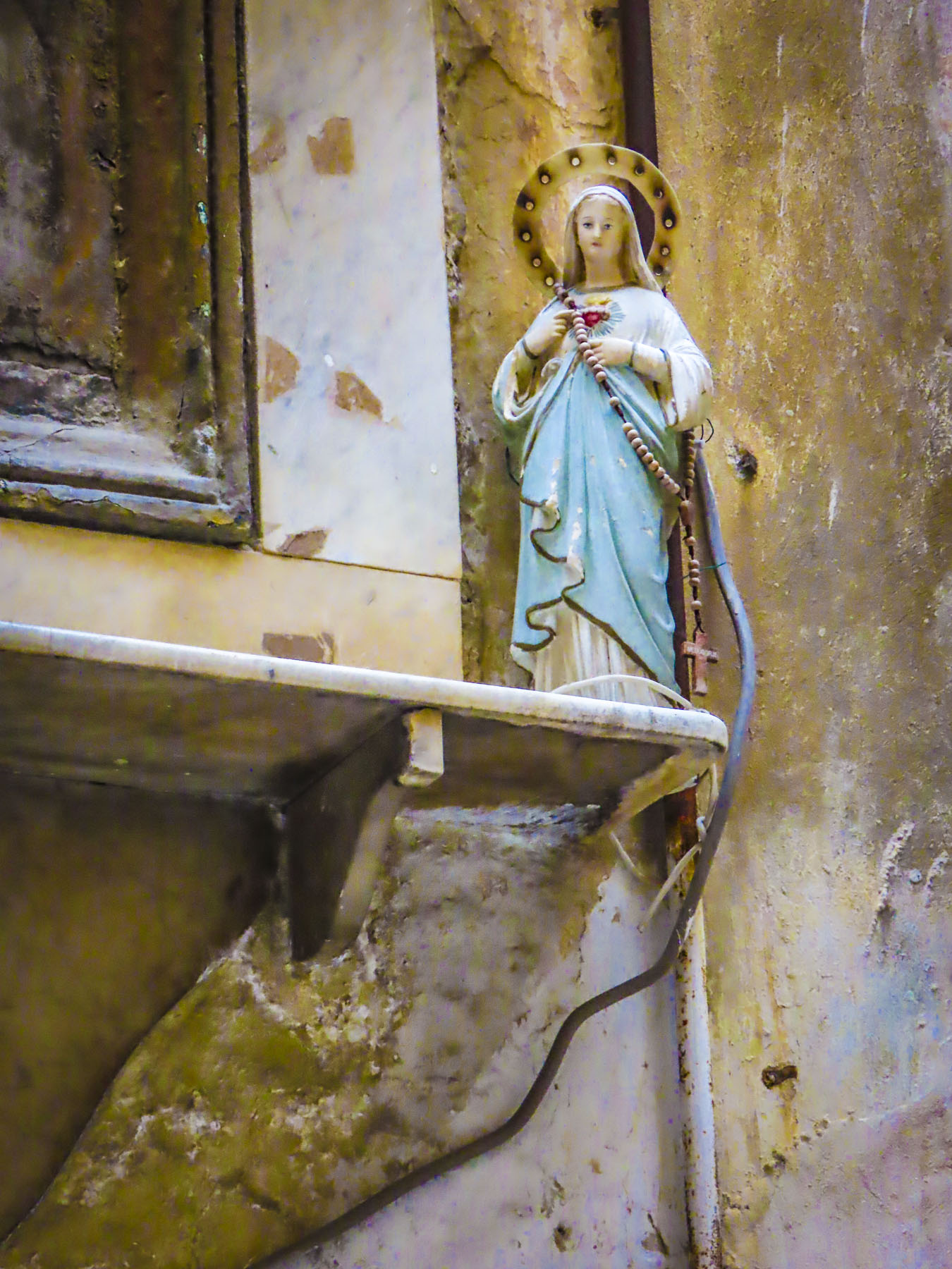
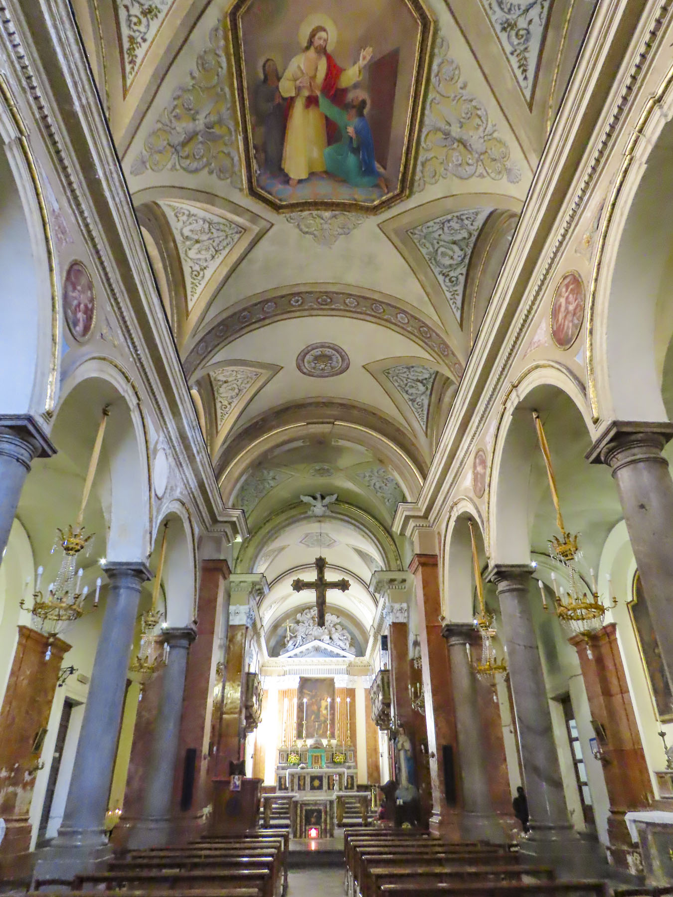
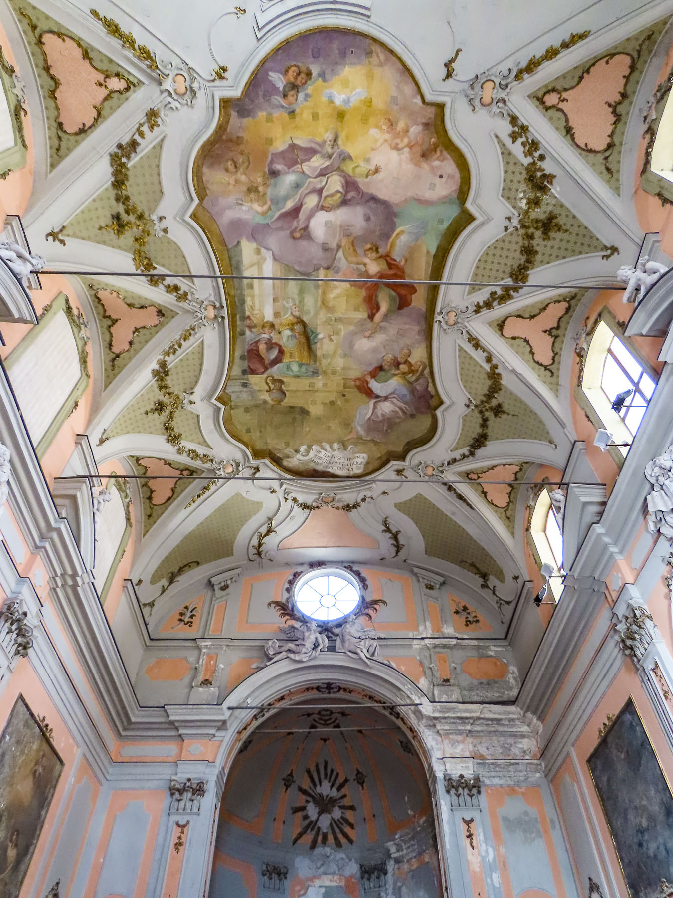
When the Normans won Palermo in 1072, it is believed they found 300 mosques in the ancient city and proceeded to change them all to churches, many sponsored by baronial families. Grand, lesser and forgotten, it was nearly impossible to avoid the churches as we walked through the historic district. Many were closed, but the larger ones still open to tourists were all different and magnificent.

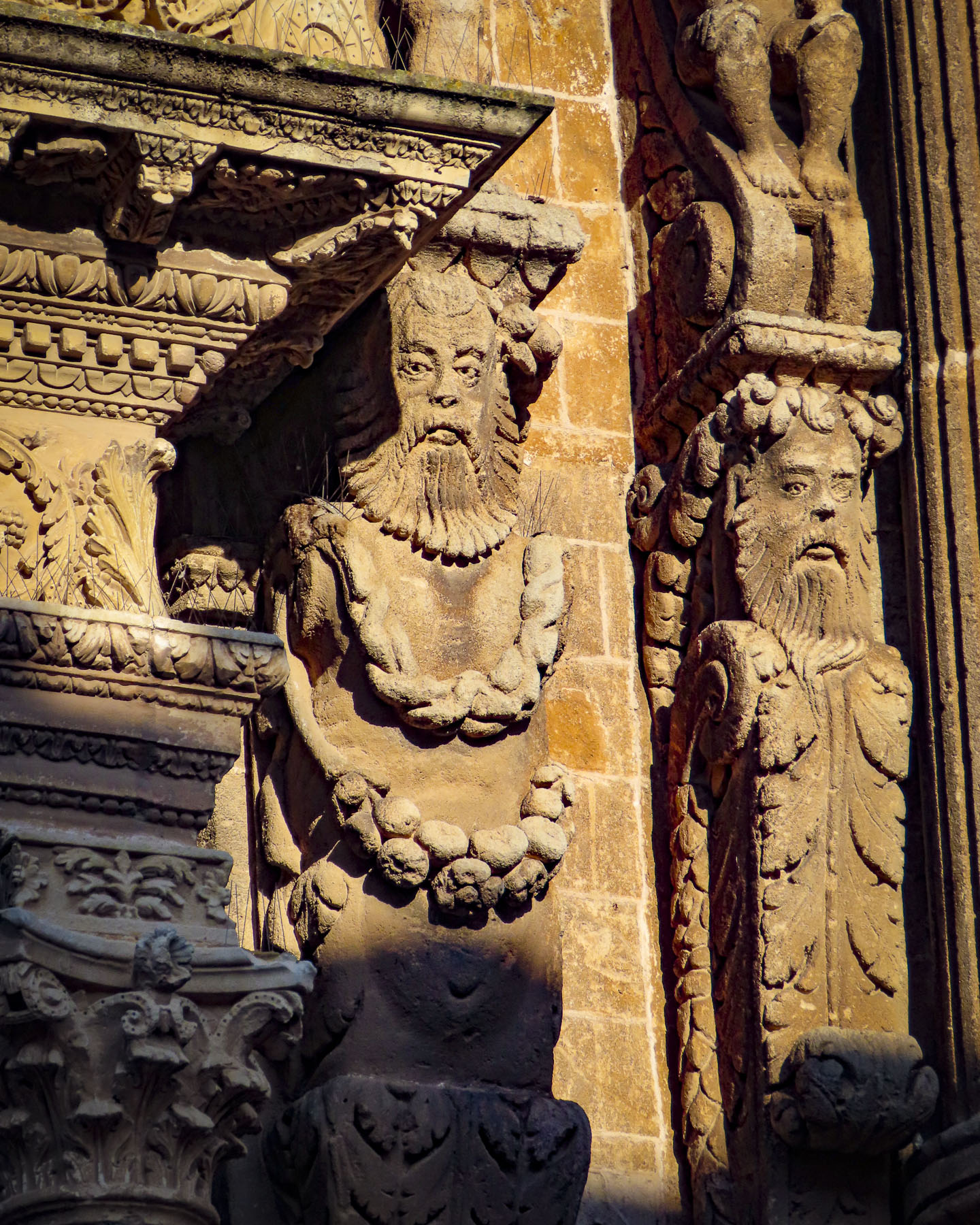
The Cathedral of Palermo is definitely one not to miss. It was constructed by the Normans in 1184 over a mosque that was built atop the ruins of an earlier Christian church.  It’s undergone many architectural alterations over the centuries, embracing Arabic, Gothic and Renaissance influences which have combined to create a visual compelling architectural façade with numerous interesting details. 

The cavernous inside is rather plain in comparison to some of the richly decorated interiors of other Palermo churches. The piazza in front of the church is perfectly scaled for viewers to appreciate the grandeur of the church behind it.  The roof, tombs and treasury of the cathedral are all accessible for a fee, while entrance to the church is free.

If you are short of time head to the Quattro Canti (Four Corners) intersection of Corso Vittorio Emanuele and Via Maqueda. It is the heart of Palermo’s historic district.  A short walk took to us to the fanciful Fontana Pretoria, a tiered fountain from the 1500s, which is bedecked with mythological figures.

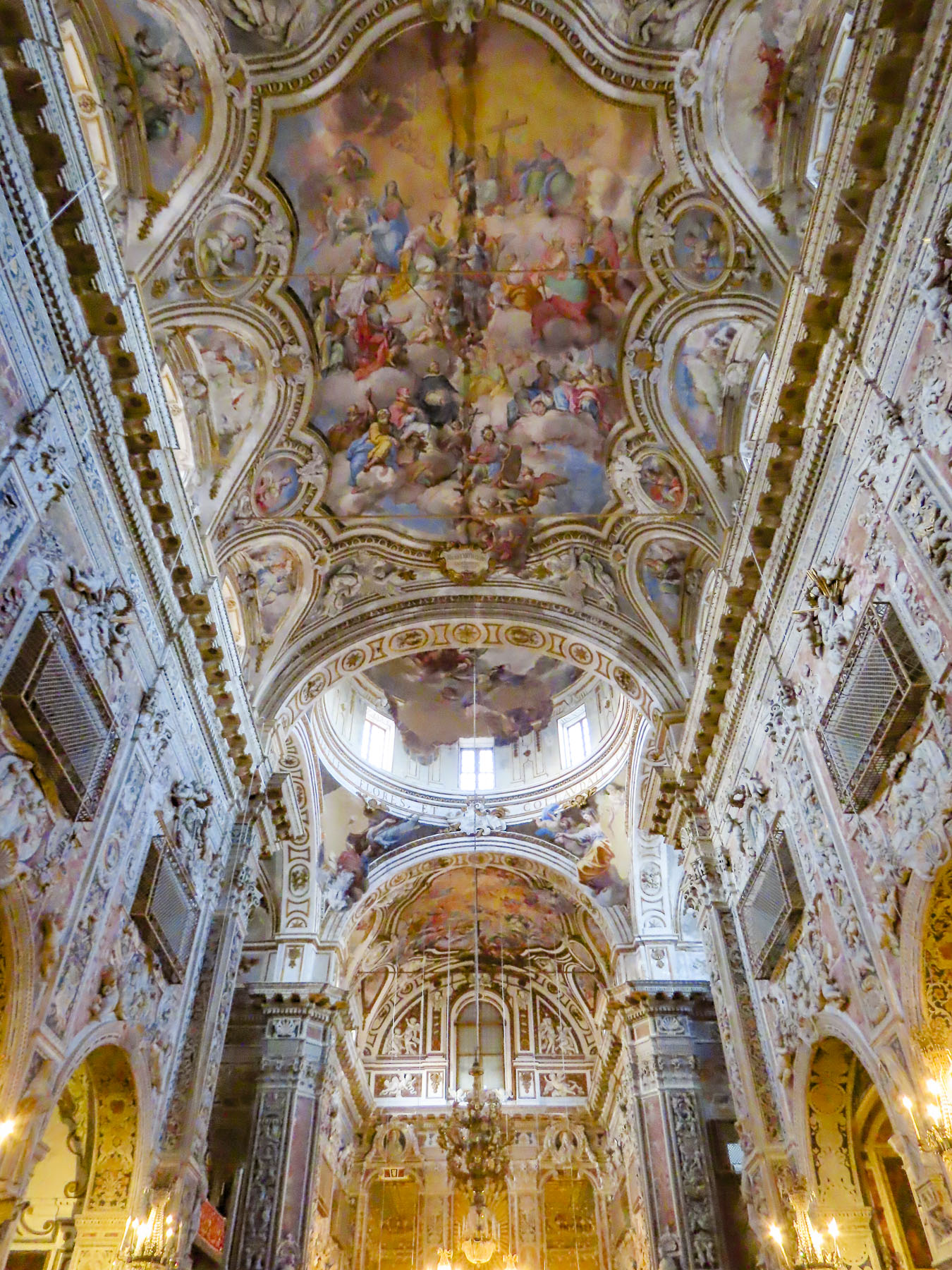
Beyond it three ancient churches ring Piazza Bellini, and back-to-back visits of all three then required Bellini cocktails to loosen our stiff neck muscles afterward to reground us after this celestial bliss.  The Church and Convent of Santa Caterina d’Alessandria was originally built as a hospice in the 1300s.  Its caverneous, highly decorated Baroque interior, with every surface sculpted or painted with cherubs, angels, saints and martyrs celebrating the heavenly kingdom, was built for the cloistered Domenican nuns from wealthy and noble families who arrived a century later, only to close the hospital and open a bakeshop, “i Segreti del Chiostro – the secrets of the cloister,” instead. Hey, everyone enjoys a good cookie, and the nuns are still turning out traditional Sicilian baked marzipan sweets like frutta di Martorana today, from the convent’s original recipes. Near the entrance to the convent its original ruota, a small wheel-like door, is still in use. Through it the cloistered nuns can pass baked goods while remaining unseen, and poor mothers could anonymously leave babies for adoption. The last nuns left the monastery in 2014 and it was opened to the public in 2017.
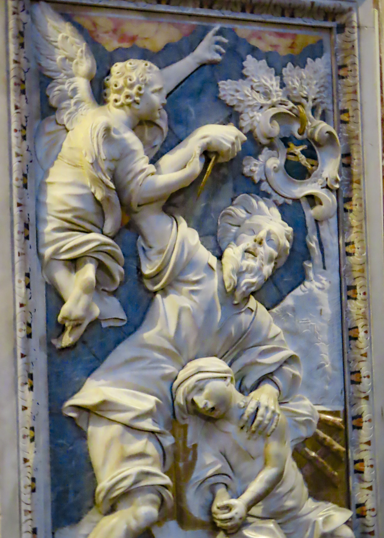
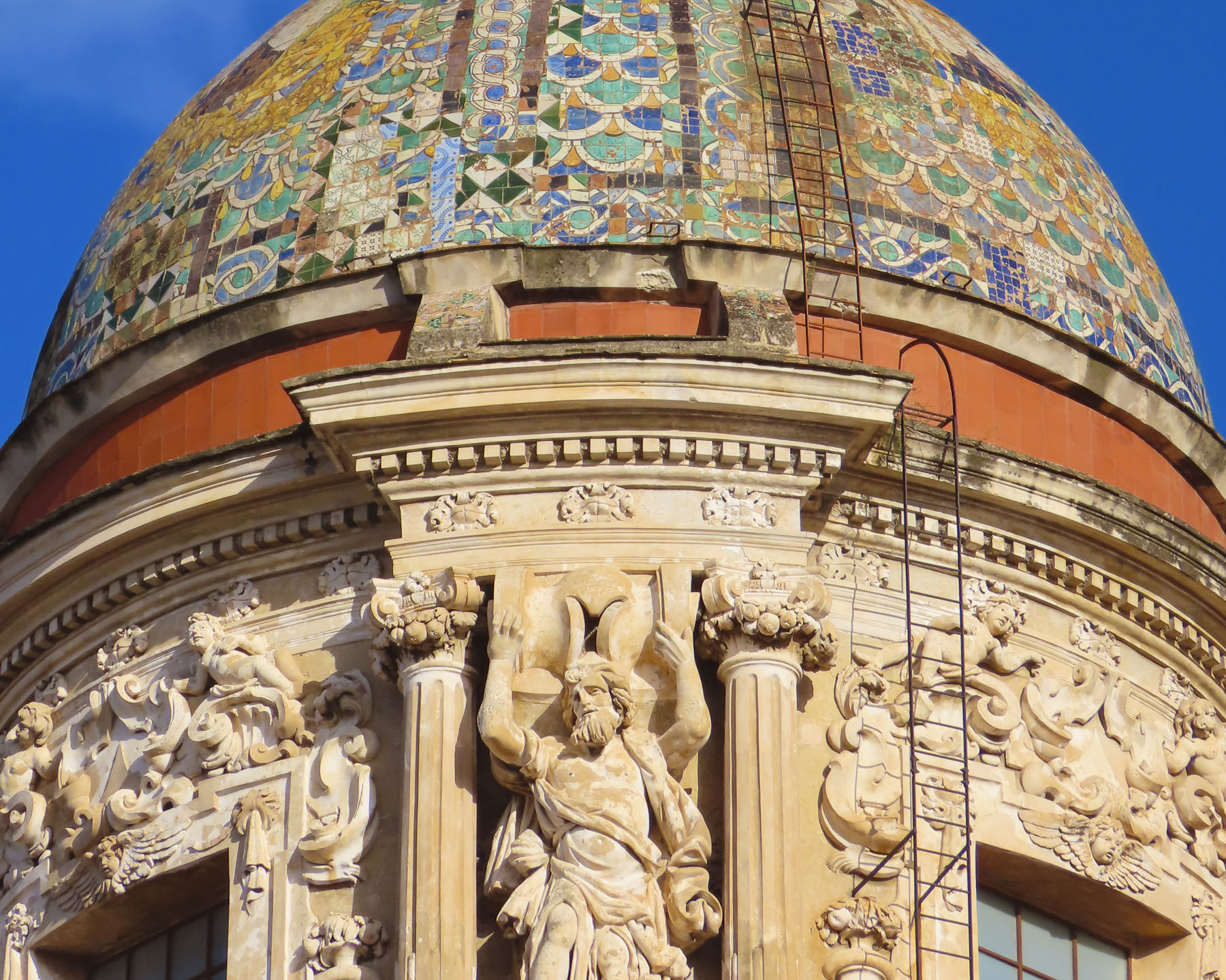
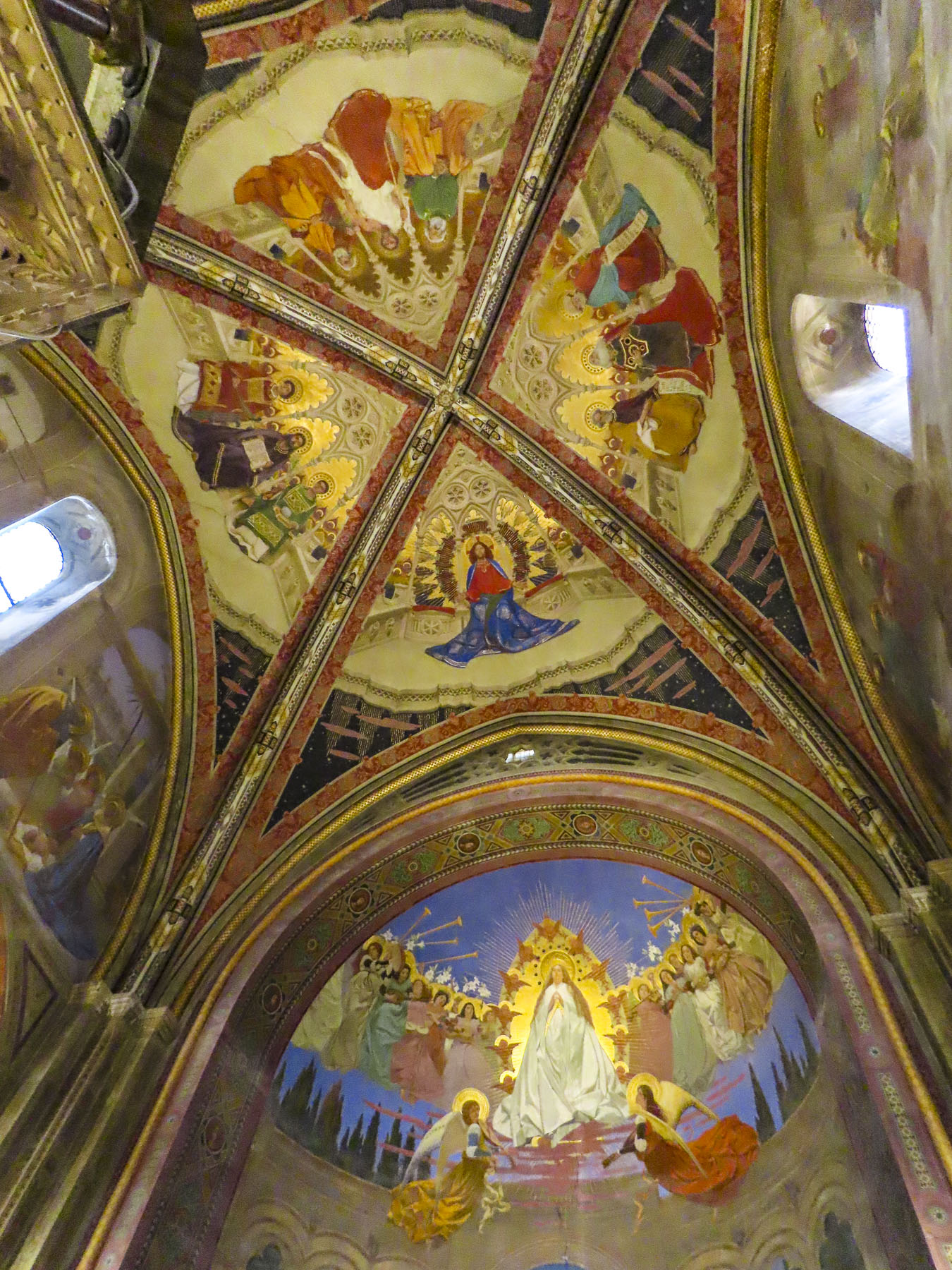
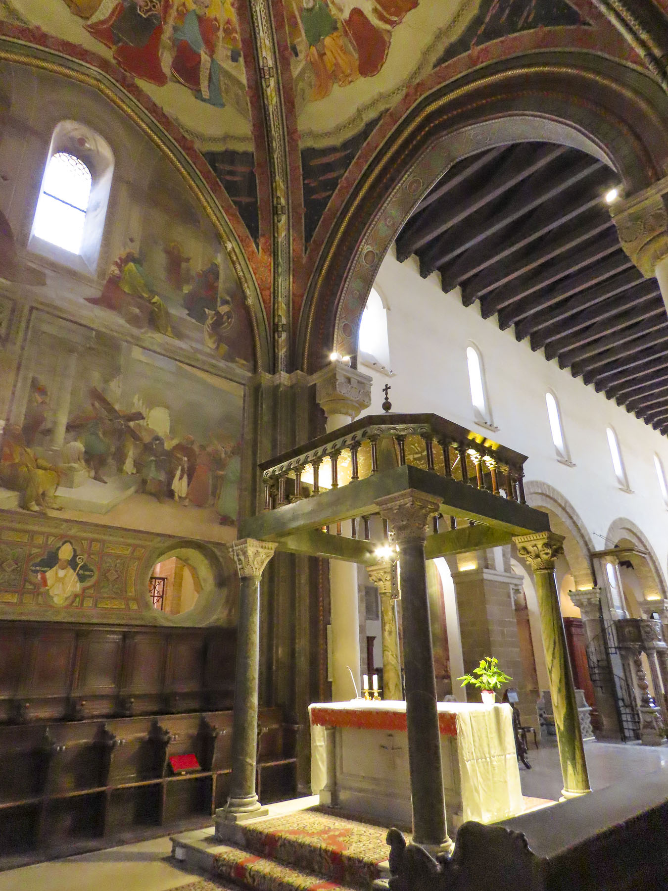
Across the piazza stands Santa Maria dell’Ammiraglion, named after the Norman admiral, who commissioned it in 1143.  Its exterior is a hybrid of Baroque and Romanesque styles with Arab influences. Inside, golden Byzantine mosaics cover the walls, arches, and domes.

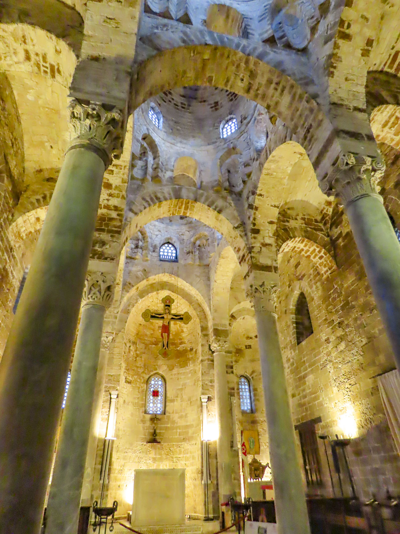
The Arab-Norman architecture continues next door with the fortress-like Church of San Cataldo. The smallest church on the square, its austere block shape has three red bulging domes of Arabic style on the roof.  During the 18th century it was unceremoniously used as a post office until its façade was restored in the 19th century and the building annexed to Santa Maria dell’Ammiraglion.  Without clues to its original interior decoration the inside has been left unadorned, just bare stone.
We only scratched the surface of places to explore on an island that we found enchanting and fascinating.  It could take a lifetime to experience all it has to offer – an interesting idea. We hope to return one day. 

The wing of the plane dipped one last time to reveal the turquoise waters along the Sicilian coast as we headed for Northern Italy.

Till next time, Craig & Donna

Sicily Part One: Taorima and Castiglione di Sicilia – Sunny Ancient Lands

The clickity clack of our suitcase wheels reverberated through the Porta Catania, the ancient gate through a defensive wall that once encircled the town, as we pulled them past the 14th century Duomo of Taormina, over cobblestones polished smooth by centuries of use and time.  Adorned with crenelations, the church looks more like a fortress than sanctuary and seems at odds with the playful Baroque fountain in the plaza across from it.

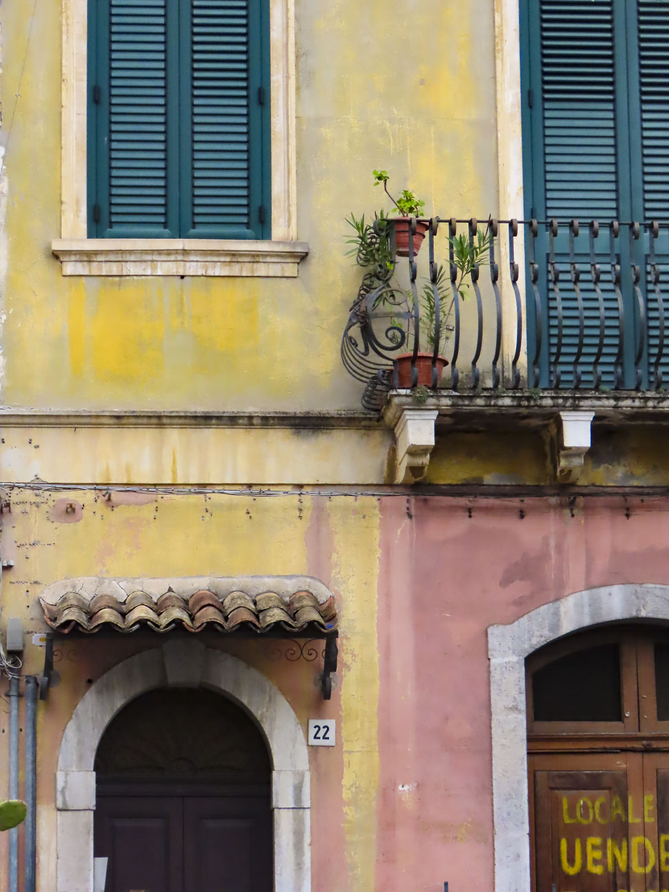
Lined with colorful shops Corso Umberto, barely wide enough for a horse cart, connects the two old entrances to the city and is pedestrian only. The adjoining steep, staired alleys were sized just right for the width of a donkey.

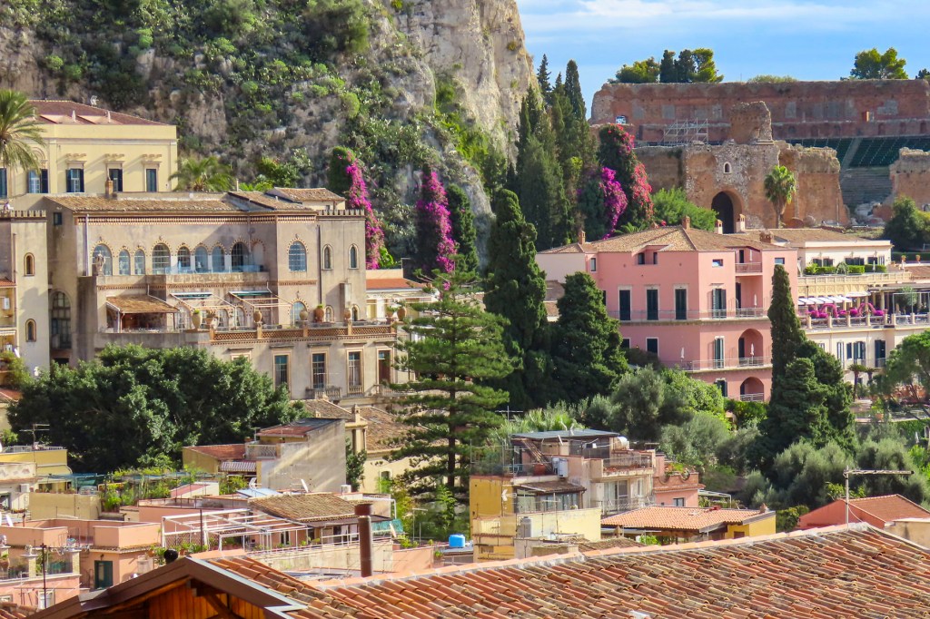
Meeting us at the corner, our young host graciously carried our bags up the passageway and to the third-floor room we had rented in a newly renovated guest house.  It was a compact space, but it would work if we sucked in our stomachs. Effortlessly, he trotted up two more flights to the rooftop where he showed us the kitchen, as well as distant views of the Teatro Antico di Taormina, the castle above town, and Mount Etna, all bathed in the last of the sun’s rays. 

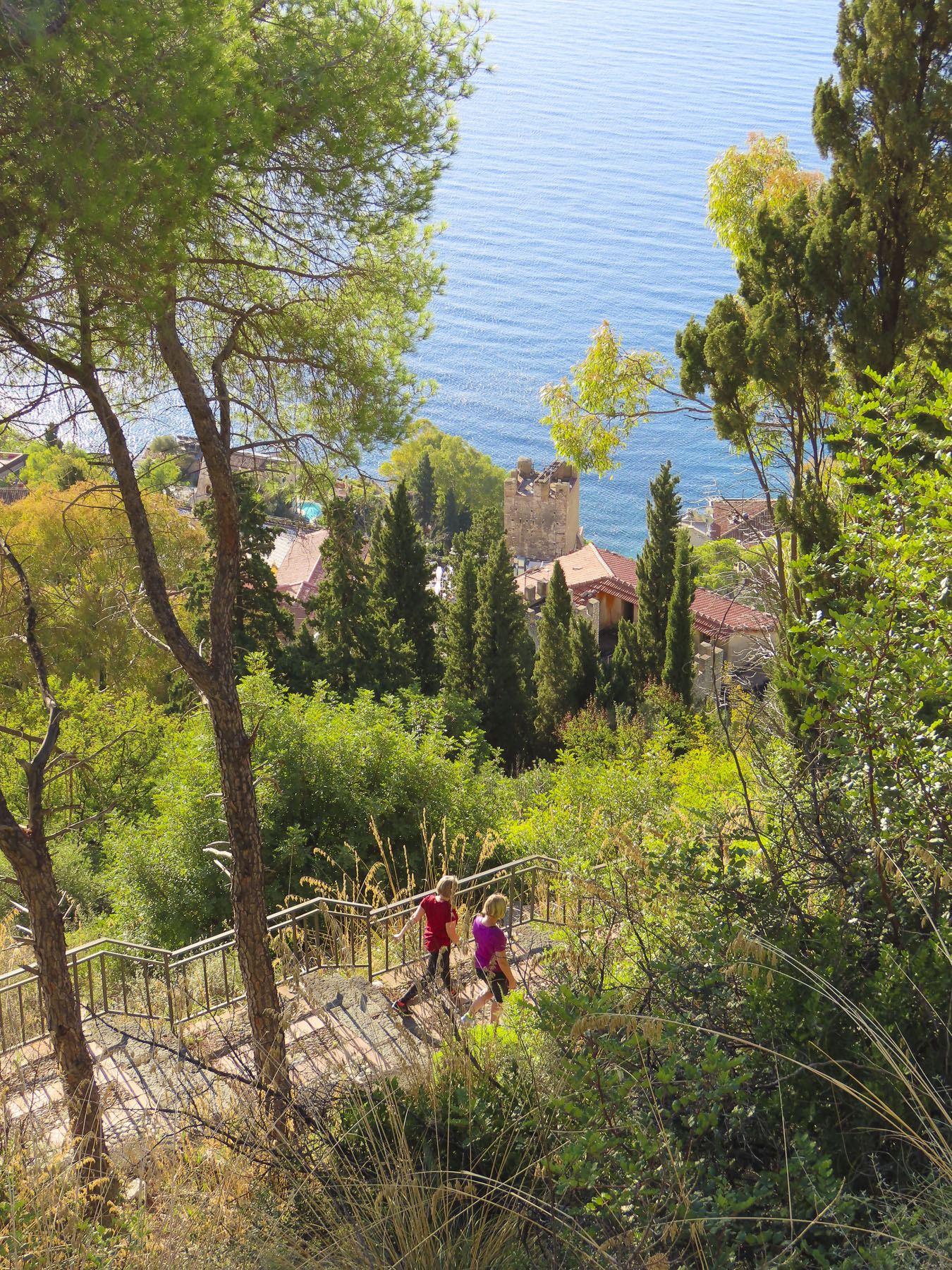
The next morning, before the day became too hot, we followed a steep switch-backed trail up the side of Mount Tauro to the Chiesa Madonna della Rocca and the Saracen Castle.  The Arab fortress is believed to be built over an ancient Greek acropolis. Unfortunately, it was closed due to disrepair, but the panoramic view of Naxos on the coast with Mt Etna in the background was phenomenal.

Sicily’s history follows Mount Etna’s turbulent eruptions – quiet for long periods then thrown into turmoil by foreign invasions.  Hanging off the toe of Italy, its large land mass pinches the Mediterranean Sea to the point that the island is only 372 miles from North Africa’s Tunisian coast. For ancient mariners sailing East to West or South to North it was unavoidable, and they collided with it.  Its easy location at the crossroads of the Mediterranean brought Phoenicians, Greeks, Romans, Vandals, Ostrogoths, Byzantines, Arabs, Normans, French, Germans, British, and Spanish for varying lengths of conquest and cultural influence. It’s an interesting gene pool for sure. 

Appreciating a good beach when they found one, the Greeks rowed ashore and established their first colony, Naxos, on the island in 734 BC.  Later siding with the city state Athens in a war against Syracuse, upon defeat the city was completely destroyed in retaliation. The survivors fled to the high ground and founded Taormina.  Visitors continue to be dazzled by their vision to dramatically construct an amphitheater on the edge of a cliff towering over the sea with Mt. Etna, an active volcano, in the background.  

Finally, Piedmontese volunteers, the red shirts of Northern Italy, invaded to unite Italy. Commanded by Giuseppe Garibaldi, the army defeated the Kingdom of Sicily whose territory extended across the boot of Italy and North to Naples.

But before that Taormina with its multiculturalism was a required stop on the “Grand Tours” of the 18th and early 19th centuries once it was mentioned by Johann Wolfgang von Goethe in his Journey to Italy. Paris, Venice, Florence, Rome, Naples and Pompeii, Athens, Istanbul, Cairo and Seville were also treasured destinations.  Remember, this was the time when all land travel was by horse-drawn carriage and water crossings by sailing ships. Think of it as an extended gap year, when young aristocrats were sent abroad for two to four years to sharpen their sensibilities and further their knowledge of the arts, antiquities and the classics.  Taormina’s big draw though, over those other sophisticated cities, was its clifftop location high above the Mediterranean that caught the cool breezes blowing in from the sea during the summer.

The Nordic invasion continued with landscape painter Otto Geleng. Exhibitions of his paintings in Paris and Berlin left critics saying such landscapes couldn’t exist and that he had an “over-active imagination.” He encouraged all his doubters to see Sicily for themselves, then returned to Taormina and opened the town’s first hotel, Timeo, in a renovated palace. His vision inspired a wave of artists, writers, and actors to visit.  In the 1920s D.H. Lawrence lived there. The books In Cold Blood and Breakfast at Tiffany’s were written by Truman Capote during his stay on the island.

The town can really name drop some famous visitors: Salvador Dali, Orson Welles, Cecil Beaton, Jean Cocteau, Rita Hayworth, Greta Garbo, Elizabeth Taylor, John Steinbeck, Cary Grant and Tennessee Williams have all worked on their tans in the golden rays of the Mediterranean sun here. 

The Taormina Film Festival, now in its 67th year, still premieres movies every June on a large outdoor screen set up in the 2300-year-old Greek amphitheater.  It attracts a new generation of sunscreen-wearing A listers: George Clooney, Catherine Zeta-Jones, Nicole Kidman, Russell Crow, Leonardo DiCaprio and Salma Hayek. Imagine watching Spiderman: Far from Home there, as Mt. Etna sputters trails of lava into the night sky in the background. Aside from the film festival, the amphitheater hosts a vast number of concerts and stage productions throughout the year.

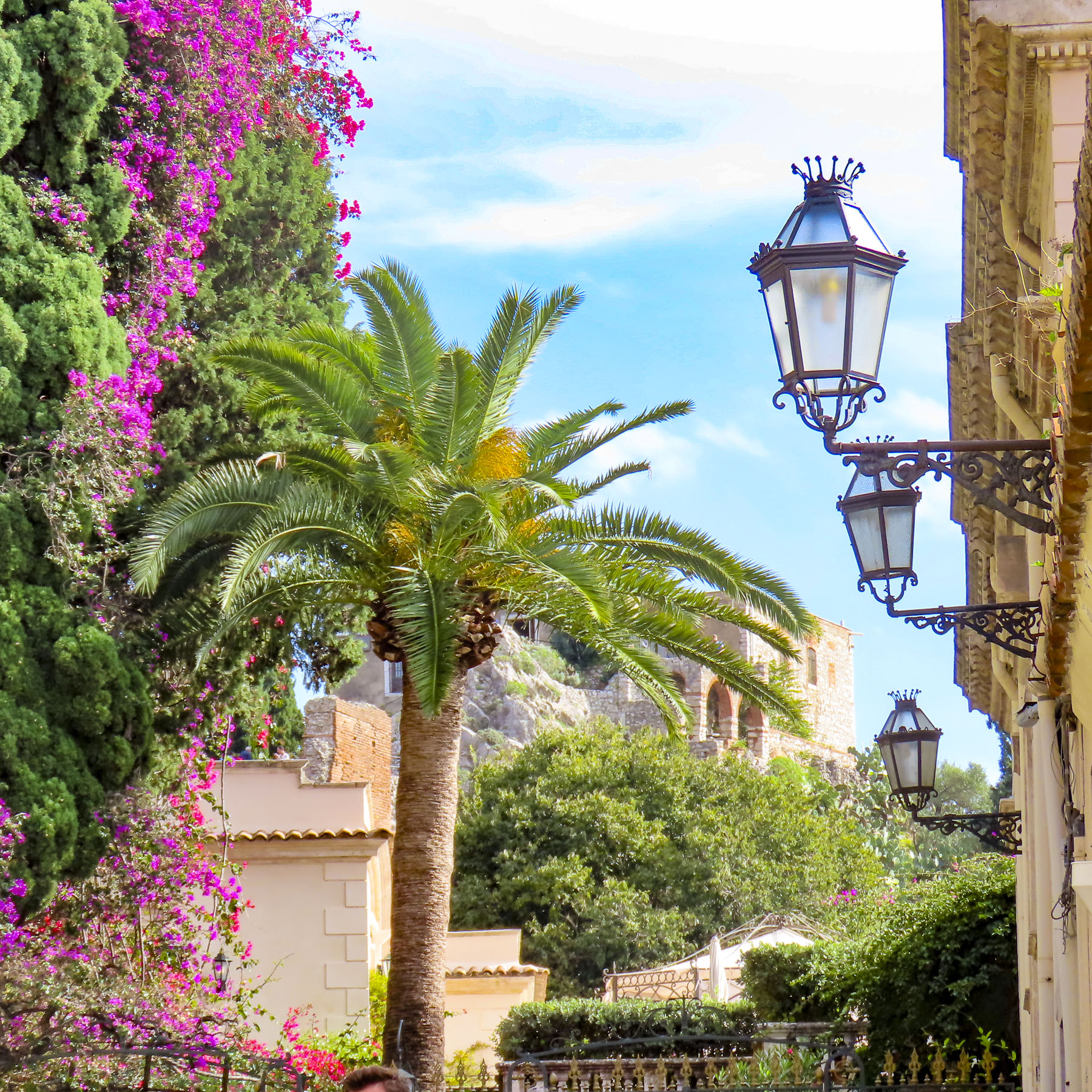
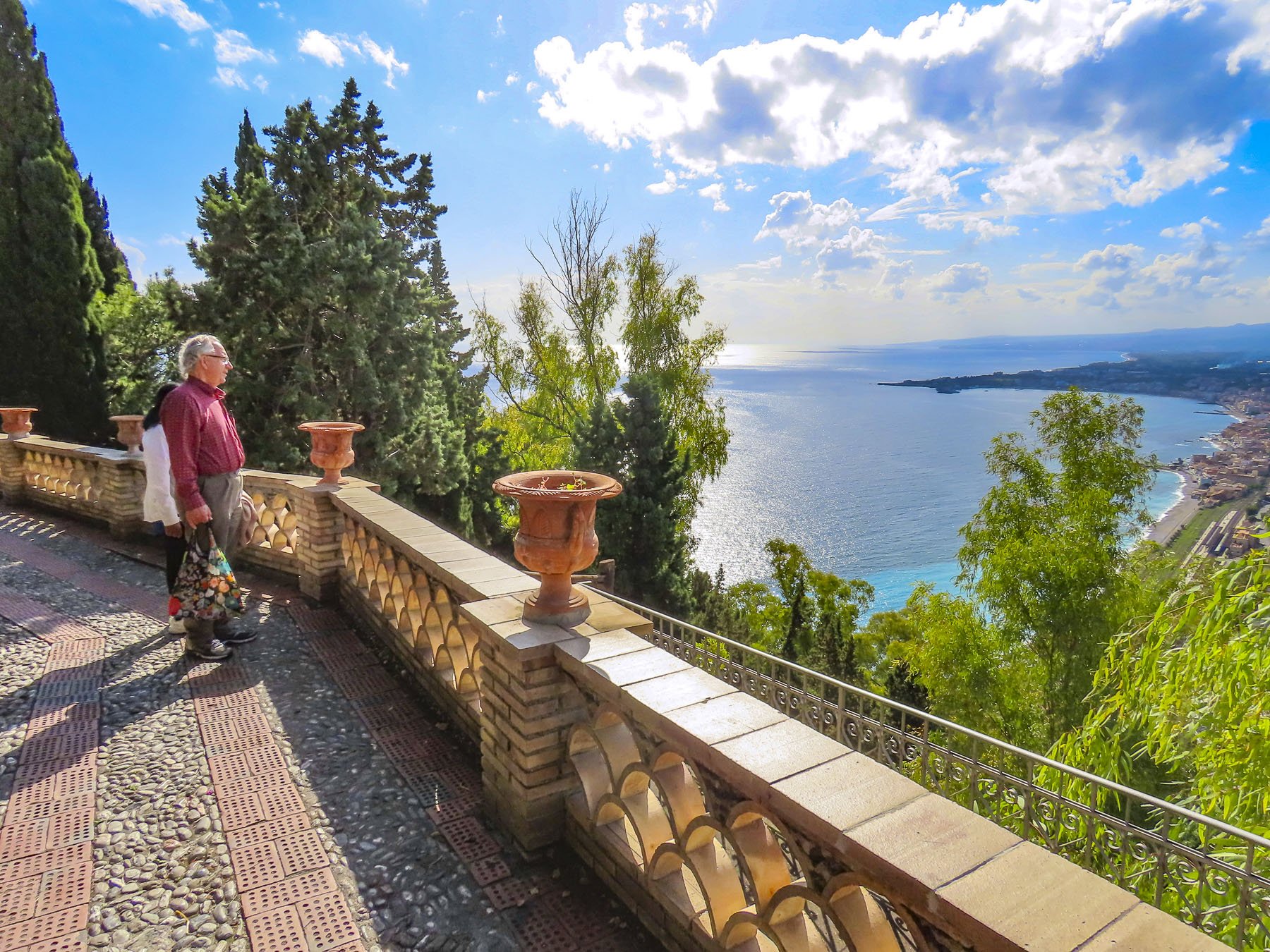
Not being on any lists, including Interpol’s or the FBI’s most wanted, we enjoyed a still warm early November day as we wandered through the Giardino Storico Ex Villa Trevelyan, now the town’s public formal garden, but once the grounds of a villa owned by a Scottish noblewoman. Lady Florence Trevelyan fled rumors of an affair with King Edward VIII, settled in Taormina and eventually married the mayor.  During our visit, intricately stoned paths along the cliff edge, with views of the sea, were still lush with blooming bougainvillea and hibiscus. Eventually they led to fanciful, ornamental architectural constructions called Victorian follies.

Rambling on, we passed an antique Rolls Royce being readied at the Grand Hotel Timeo to whisk the bride and groom away after their destination wedding. 

From the top row of seats at Teatro Antico di Taormina, the views continued to be enthralling; Mt. Etna was perfectly framed by the ancient columns of the stage. 

In the other direction, the coast toward Spisone dazzled in the afternoon sun.  Inland, the homes of Castelmola were precariously balanced to avoid sliding off their treacherous slope. 

A stay isn’t complete in Taormina without multiple strolls along Corso Umberto in the mornings for café and pistachio pastries, and later in the day for pistachio Aranchino or gelato.

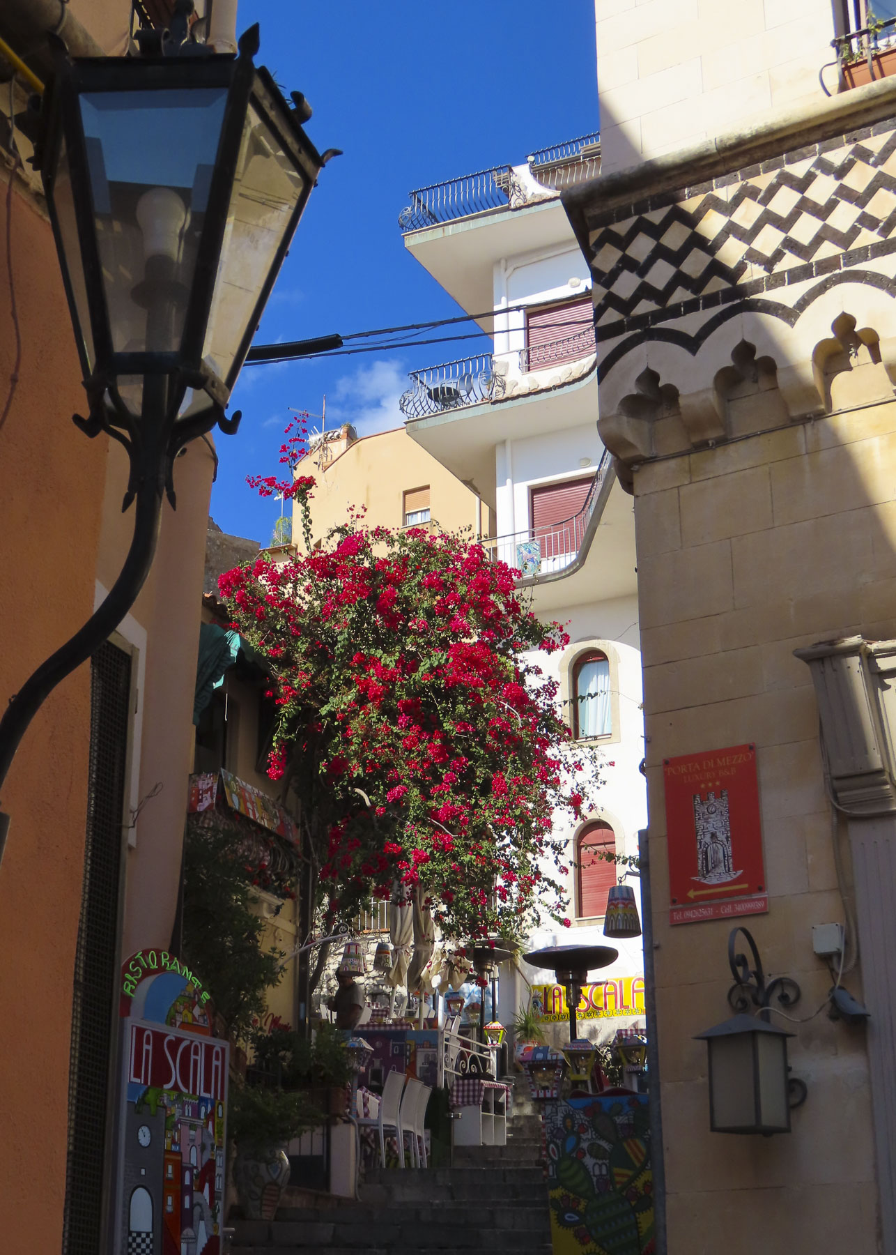
The broad expanse of Piazza IX Aprile, adjacent to the Porta di Mezzo clock tower and the elegant Baroque Church of San Giuseppe draws a large crowd at sunset to admire the view, and is the perfect spot to enjoy a classic Aperol spritz. 

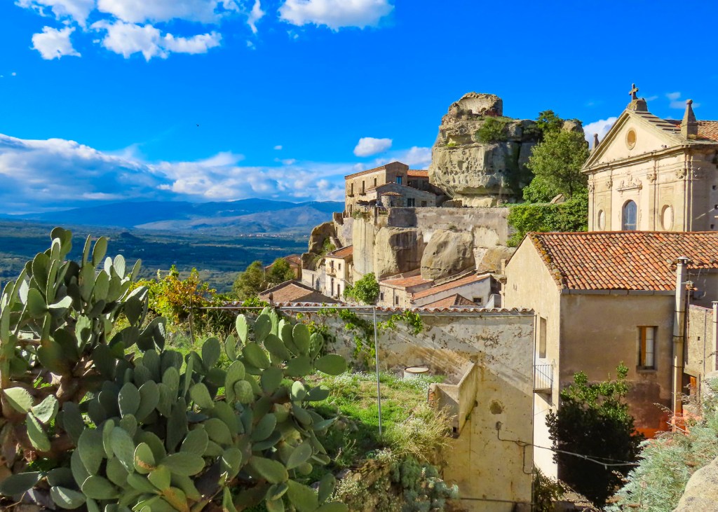
Located in the foothills surrounding Mt. Etna, Castiglione di Sicilia is on the list of most beautiful villages in Sicily. Less than an hour from Taormina, it beckoned us to visit. The scenic drive along SS185 through the Alcantara Valley was uneventful.  The fields were dormant now and farm tractors were parked to await the spring planting season. The multiple arches of Ponte San Cataldo, a historical railway bridge, graced one curve of the road.  It was now a bridge to nowhere, the train tracks at both ends long ago removed for scrap. Villages we passed showed barely any signs of life beyond a barking dog or two. 

Numerous signs for campgrounds and agrotourism farms along the route promised outdoor enthusiasts escape from city life.  Turning onto SP7i we eventually passed the rustic 12th century Norman Chiesa Di San Nicola, then crossed a small bridge over the Alcantara River, within sight of Castiglione di Sicilia.  Fed by snow melt from Mt. Etna and Nebrodi Mountains, the Alcantara River is one of the few rivers in Sicily that flows all year-round.  Over the millennia the cool waters of the river have carved a dramatic gorge through lava fields left from Mt. Etna’s volcanic eruptions.  Hiking trails above the gorge and swimming in its cool natural pools are popular summer activities in the region.

Commanding the high ground helped increase your chance of survival in the days when pillaging and plunder ruled the land.  Defenders hoped that attackers would tire and move on to an easier target. From the road in the valley, Castiglione di Sicilia looked formidable, with Castello di Lauria commanding the promontory like the rock of Gibraltar. 

Driving into the center of the village, mid-week in the off-season, we nearly had the whole village to ourselves. It felt deserted, almost as if the village had been sacked and the residents had been taken captive. We followed a warren of narrow alleys and stairways around the upper village until we reached Castelluccio, the ruins a of Byzantine tower, in a small park with an overview of the village. 

From here we spotted the belltowers of six ancient churches and monasteries that dot the hilltop. The oldest, Chiesa San Pietro, dates to 1105. Castelluccio, slightly lower than Castello di Lauria, would be our highest point in the village, since the castle was closed in the off-season. That’s the one disappointment we experience when traveling in the off-season – many points of interest are closed due to a lack of tourists.  It’s the old double-edged sword, less crowding versus less accessibility.  For the most part we are okay with this and enjoy wandering to soak up the ambiance of a locale.

A looping around the huge monolithic rock, Via Edoardo Pantano brought us to the foot of Castello di Lauria, the 12th century Norman fortress built upon earlier Greek and Roman battlements. The views of the Alcantara Valley were beautiful from this vantage point. Farther on the Basilica of Maria Santissima della Catena stood atop a wide staircase at the end of a quiet plaza. The patron saint of the town, she is believed to have saved Castiglione di Sicilia from the wrath of Mount Etna on many occasions.  Her feast day is celebrated every May with a procession through the village. 

It was mid-afternoon by the time we were ready for lunch, and our options had dwindled dramatically since arriving.  Only La Dispensa dell’Etna was still open with all the inside tables taken by a large party.  Interestingly, part of the floor of the restaurant has glass tiles that allow you to look down onto artifacts discovered during a renovation. It was a little chilly for outside dining, but we enjoyed, with the guidance of our waiter, several specialties of the Alcantara Valley. The addition of wonderful home-made house wines from the regional grapes, Nerello Mascalese and Carricante, native to the slopes of Mt. Etna, combined with the delicious food made this one of our most pleasurable meals in Sicily.  Following the Etna Wine Path might be the catalyst for future visits to Sicily. 

Till next time, Craig & Donna

South to Sicily: Part Two – Maratea to the Toe of the Boot

Normally in November we’d head to warmer climes south of the equator, but it was payback time for an extended stay in Africa, and the Italian homeland of Donna’s ancestors was calling.  We’d realized for awhile that Italy was going to be the most expensive part of our two-year journey.  Even with a very favorable exchange rate, traveling through Italy in the off-season was the best way for us to afford this portion of the trip. We’d keep our fingers crossed about Italy’s rainy season. Grey clouds hung low and were as thick as tiramisu as we neared Paestum.  Known for its ancient Greek temples dating from 550 BC, we had planned to stop there, but the day was just too damp and dreary. We drove on to Maratea.

The weather improved, with the sun occasionally making an appearance as we turned off the E45 and headed west, through a rural hilly landscape covered with trees and olive orchards, to the Tyrrhenian coast. Here again most hotels and restaurants were closed for the season, but we found a very nice, four-room Bed & Breakfast in Acquafredda, just above Maratea.  This part of Basilicata resembled the Amalfi Coast with its narrow cliff-hugging road and rocky coves.  It’s one of the regions where Italian families head to escape the crush of foreign tourists that descends on Italy during the summer months. It also makes Basilicata one of the few Italian provinces that borders two seas. The road narrowed to a single lane as we entered the old village.

Fortunately, Donna spotted the traffic light that dictated the direction of traffic flow through the narrow passage before an oncoming bus would have forced us to back down the lane.  We had a little difficulty finding La Giara until we realized it was down at the end of a rutted farm lane more suitable for a tractor than a sedan.  Run by a gracious older couple who patiently dealt with our rudimentary Italian, the inn was wonderful, with our upstairs room having a view of the distant sea. We were the only guests. The turquoise waters and the pebbly, black sand beach of Spiaggia Acquafredda were a short walk away from the inn. We had the shoreline to ourselves one crisp morning as we walked along its frothy surf.

The sun’s golden rays were now shining on the sea as we drove along the serpentine road into Maratea for dinner. We’ve found that even though many tourist establishments are closed in the off-season there is always someone who stays open year-round to cook for his friends and neighbors.  And with their reputations online with a discerning community we’ve found that these very local places are inexpensive and great.  Ristorante Pizzeria Sapore Di Mare did not disappoint us with its variety of fresh seafood and pasta dishes, and we ended up having three meals there over two days.  Blame it on the off-season.   There were not any streetlights or shoulders along this cliff hugging road. Fortunately, there was a solid stone guardrail and no oncoming traffic when we rounded a curve and our car’s headlights lit up a man and woman raking hedge cuttings into the middle of our right lane.  A quick zig zag avoided catastrophe as screams filled the night air inside and outside of the car. Our hearts were pounding after such a close call!

Breakfast the next morning was delicious though a little strained by our lack of Italian until the husband’s eyes widened when we expressed interest in the olive oil that was served with the homemade bread. Pridefully he brought us small tastings of different olive pressings. A large olive orchard was their true livelihood, and this time of year they were busy harvesting the first olives of the season and pressing them for this coveted golden liquid.

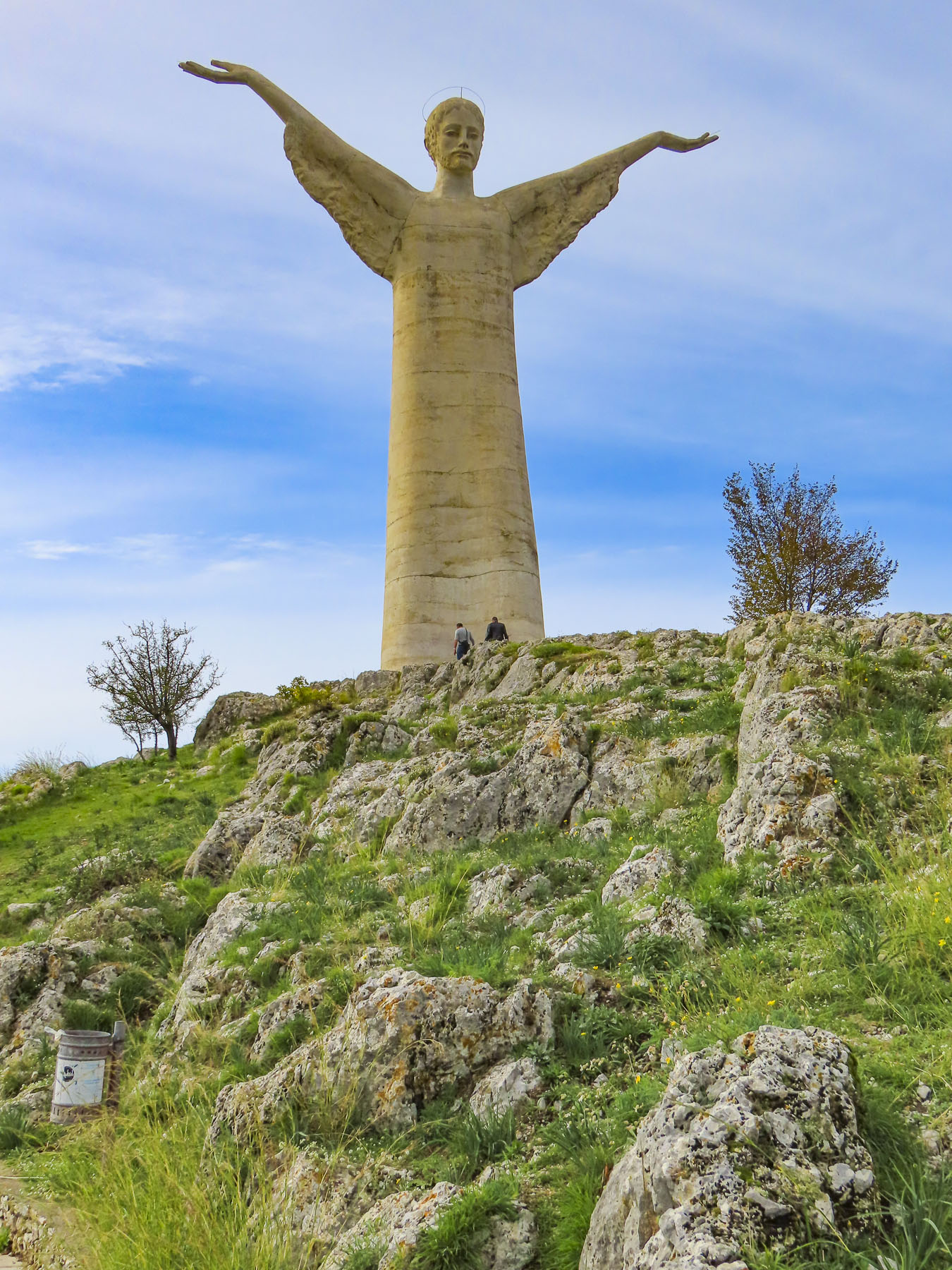
We hadn’t done much research on this part of our trip, only knowing that we would encounter some stunning coastline, so we were pleasantly surprised when we found ourselves in the picturesque, man-made harbor of Marina di Maratea.  A small port, with an assortment of pleasure craft and fishing boats, it embraces the coast under a towering 2113-foot-high Monte San Biagio. The mountain is topped with a statue of Christ the Redeemer that is visible for miles along the Tyrrhenian coast.

The day was brilliant and with café on the quay at the aptly named Bar Del Porto we planned our ascent of Monte San Biagio. We were relieved to find we could drive to the top of the mountain, a revered pilgrimage site that celebrates the fourth century martyr San Biagio who is credited with several miracles in Maratea, the most important of which was shielding the town from Charles VIII’s French cannon fire during an attempted invasion in the 1400s. As proof of his intervention, next to the altar in the basilica there is a cannonball with a mysterious fingerprint pressed into the iron; it is believed to be San Biagio’s, left there when he deflected the shot with his hands. Legend states that his relics arrived in Maratea in 723 when a ship carrying them from Turkey to Rome for safety was mysteriously stopped by a bright beam of light from the sky; the vessel was unable to sail forward until the relics of the saint were removed from the ship and brought to the mountaintop. A church was then built over the ruins of an ancient Greek temple dedicated to the pagan goddess Athena.  Maratea celebrates San Biagio’s feast day every May by carrying his silver statue from the basilica in a processional, on the shoulders of teams of men, down the steep mountainside trail. It is a journey of 4-5 hours into the center of town, through streets filled with the faithful, to Maratea’s oldest church, Saint Vitus, built in the 9th century. 

During the high season you are not permitted to drive all the way to the basilica. Instead, for a small fee, a shuttle bus delivers you to the church. In November luck was with us and we were able to zoom up the elevated switchbacks that seemed to float ethereally above the steep slope to the parking lot.  The only other vehicle in the lot was a truck belonging to workers repairing the church roof. Regrettably, mid-week, the church was closed.

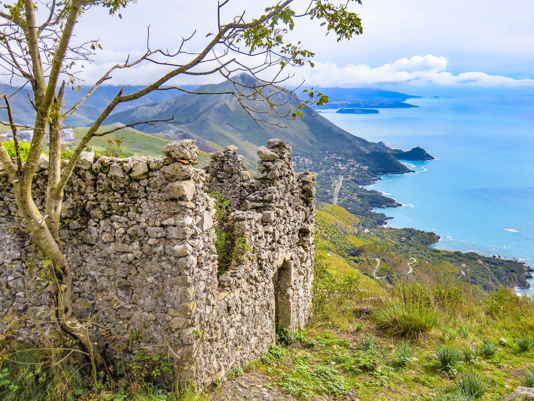
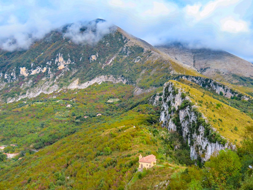
A gentle sloped walkway led to the summit past the stone ruins of old Maratea. Founded by Greeks over two-thousand years ago, they occupied the hilltop for centuries before the lower village was built in the 11th century to accommodate an expanding populace.  The landscape around the ruins was dotted with fragrant wild fennel for which Maratea got its name (from the Greek word marathus, wild fennel.) In the mountains behind the church the clouds were almost low enough to cover the tiny Hermitage of Our Lady of the Olive Trees that sits isolated in the rugged terrain.

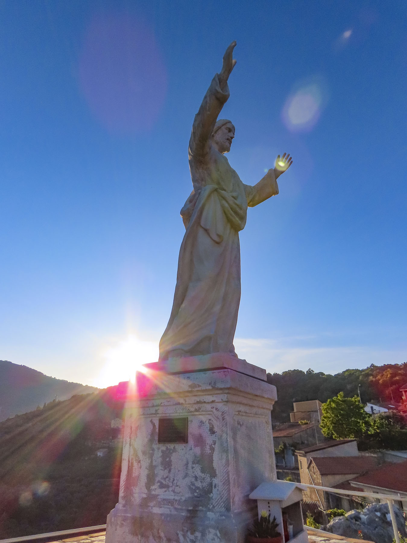
In 1963, Italian sculptor Bruno Innocenti was commissioned to create a statue of Christ to crown the summit.  His youthful portrayal of Jesus without a beard, made from poured concrete mixed with crushed marble from the famous quarries in Carrara, faces East, inland toward the rugged mountains and the church that holds San Biagio’s relics.  Standing 70ft high with an arm span 62ft wide, it is the fifth tallest statue of Christ in the world.

The views up and down the rugged coastline and inland were spectacular. Maratea is also known as “the Holy City of Southern Italy,” so named because the small town has 44 churches. We were excited when we spotted several tiny bell towers in the distant village from the overlook.

We spent the rest of the afternoon exploring the newer village which lines the slope of a valley that leads to the sea. Archeological evidence found in local caves reveals that the area has been inhabited since the Stone Age.

Far below the Statue of Christ the Redeemer, steep cobbled alleys branched off the main road and wove their way up the lower slope of the hill, past centuries-old homes worn by the elements.

Occasionally trees and vines sprouted through the cracked sidewalks and clutched the walls. It felt like the village was deserted. Nearing the end of the day we found a wonderful vantage point to capture the silhouette of the village and the valley against a colorful sunset.

Only a two-hour train ride from Naples, Maratea, Basilicata’s “pearl of the Tyrrhenian Sea” has stayed off the radar of foreign tourists and remains “the Amalfi without the crowds,” and one of “Italy’s best kept secrets.” It’s definitely an area worth exploring in greater depth.

The next morning, we contemplated driving 2.5 hours along the scenic coast to Lamezia Terme, where we would connect to route E45 and continue south through the Calabria region to the ferry port in Villa San Giovanni, on the toe of the boot, across from Sicily. 

Fearing I would insist on stopping too many times along the coastal route to take pictures, we opted to head inland for the drive instead.  The day got warmer as we proceeded further south through a verdant landscape of rolling hills covered with olive trees or freshly tilled fields.

Spotting the seaside town of Scilla from the highway, we decided to detour for awhile since we were making good time. Famous in Greek mythology for its legendary sea monster, Scylla, the town is set dramatically high on the cliffs that front the sea. Castello Ruffo commands a hooked promontory below the town.

Its defenses that once protected the village from invasion are now just a historic backdrop for a wide crystalline beach that sparkled brilliantly in the afternoon sun.

Back on the highway we stopped to refuel and have lunch before boarding the ferry in Villa San Giovanni to cross to Messina, Sicily.  Back in the states we would only eat at a highway rest stop if we were desperate. In Italy, we eagerly searched for them, since there we found them to be gourmet havens for travelers. They serve delicious plain or grilled panini, pizza, and of course good espresso.  They also usually have an interesting assortment of snacks for later, as well as the usual assortment of souvenirs. Yes, magnets and coffee mugs. But also a candy known as Pocket Espresso! After making our purchases, we picnicked under a tree on the edge of the parking lot which overlooked the Strait of Messina.

The powerful currents that race through this narrow strait have been legendary since the time of Homer, when Greek sailors first started to explore the unknown waters around southern Italy.  The dangerous opposing currents on either side of the strait personified in the Odyssey as the mythical sirens Scylla and Charybdis who lured unwary mariners to their deaths in their turbulent waters.  The phrase “between Scylla and Charybdis,” refers to being stuck in a difficult situation with poor options, similar to the common expression, between a rock and a hard place.

After stopping to get our ticket stamped, we drove aboard the Giuseppe Franza, operated by Caronte & Tourist, and parked on the car deck amidst a variety of large commercial and private vehicles. We stood outside on the passenger deck as the ship’s powerful engines easily pushed the 308ft ferry, capable of carrying 600 passengers and 120 cars, off the dock for the forty-minute crossing to Messina.  So different from the ancient Greek bireme that Odysseus’s men would have rowed on their journey.

Our destination was the coastal town Taormina. Fortunately, we didn’t have to row there.

Till next time, Craig & Donna

The Road to Naples – Driving Through Basilicata & Campania: Searching for Family History

To the south, the Ionian Sea sparkled in the distance as we left Alberobello behind and headed west along the E90.  Our destination in three days’ time – Naples. There was some family history to investigate before that, though, and we set the GPS course to Sassano on a journey to explore the ancestral village of Donna’s maternal grandmother. On the far side of Basilicata, the small hilltop village sits just inside the border of the Campania region.  This would be the culmination of a trip planned years ago, that was originally going to be shared with her mother, before her passing.  Nearer to Naples, we also planned to visit Volturara Irpina, the birthplace of her paternal grandfather. 

Our road trips rarely involved a direct route between destinations and this held true as we turned away from the coast and followed the E847 through the Basento River Valley into the rugged mountains of Basilicata.  Ancient hilltop villages crowned the ridges on either side of the roadway, each looking worthy of future investigation. The Basilicata region has been referred to as “Italy’s best-kept secret” by the New York Times, but it was once the realm of roving bands of brigands. Highwaymen of legend made traveling in the region notoriously unsafe after the unification of Italy in the 1870s.

Under the Royal House of Bourbon, southern Italy fought against unification.  After the war the residents were disenfranchised by unfulfilled promises; with support from Bourbons in exile and the church, which had much of its lands seized, many in opposition to the new government headed to the hills.  These brigands were informally comprised of people with different motives. Former soldiers, some nobles, criminals, peasants, and farmers filled their ranks. The most famous one, Carmine Crocco, aka Donatello, led a band of two thousand men. Your criminal is my guerilla-fighter hero. I guess it depends on which folksongs you listen to.  The region was remote, and severely poverty stricken. During the fascist era of the 1930’s and 40’s, the Basilicata region was used as an open-air prison, where political dissidents were sentenced to exile in remote villages – Italy’s Siberia.

With mountains deforested of wood for fuel, poor soil conditions for farming, an illiteracy rate of seventy percent, bleak employment opportunities in other industries and a central government dominated by northerners that ignored the region, four million Italians chose prospects for a better future and emigrated to the United States between 1880 and 1924.  Others headed to Brazil, Argentina, Canada, Australia and South Africa.  It wasn’t unusual for emigrants from the same village to head to the same new cities overseas where they continued the tradition of campanilismo, the spirit of “loyalty to those who live within the sound of your village’s church bells.” Chicago, Boston, Baltimore, Philadelphia and New York all drew huge concentrations of new immigrants eager to prosper, and societies like the Italian Welfare League helped folks adapt to a new home in a foreign country.

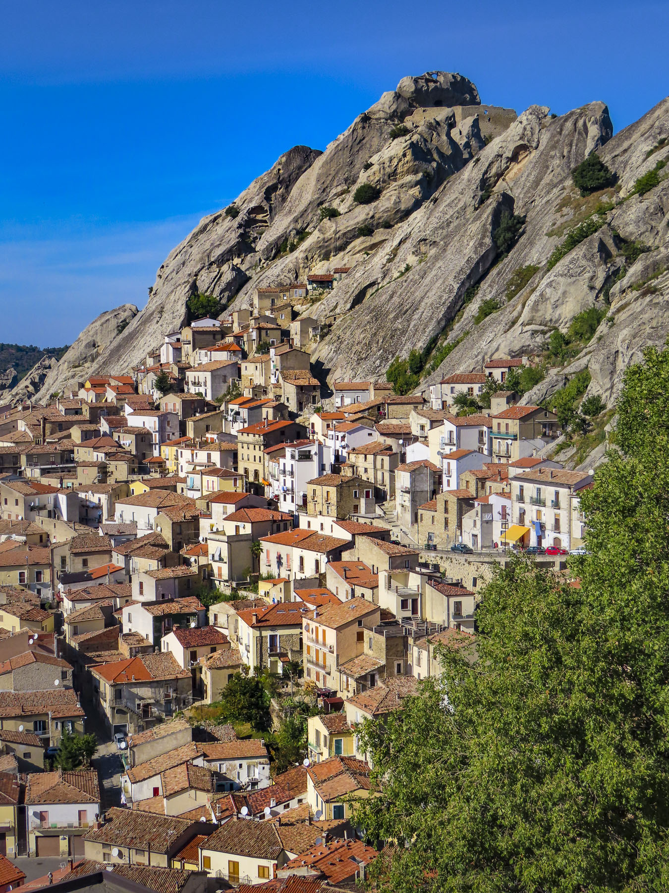
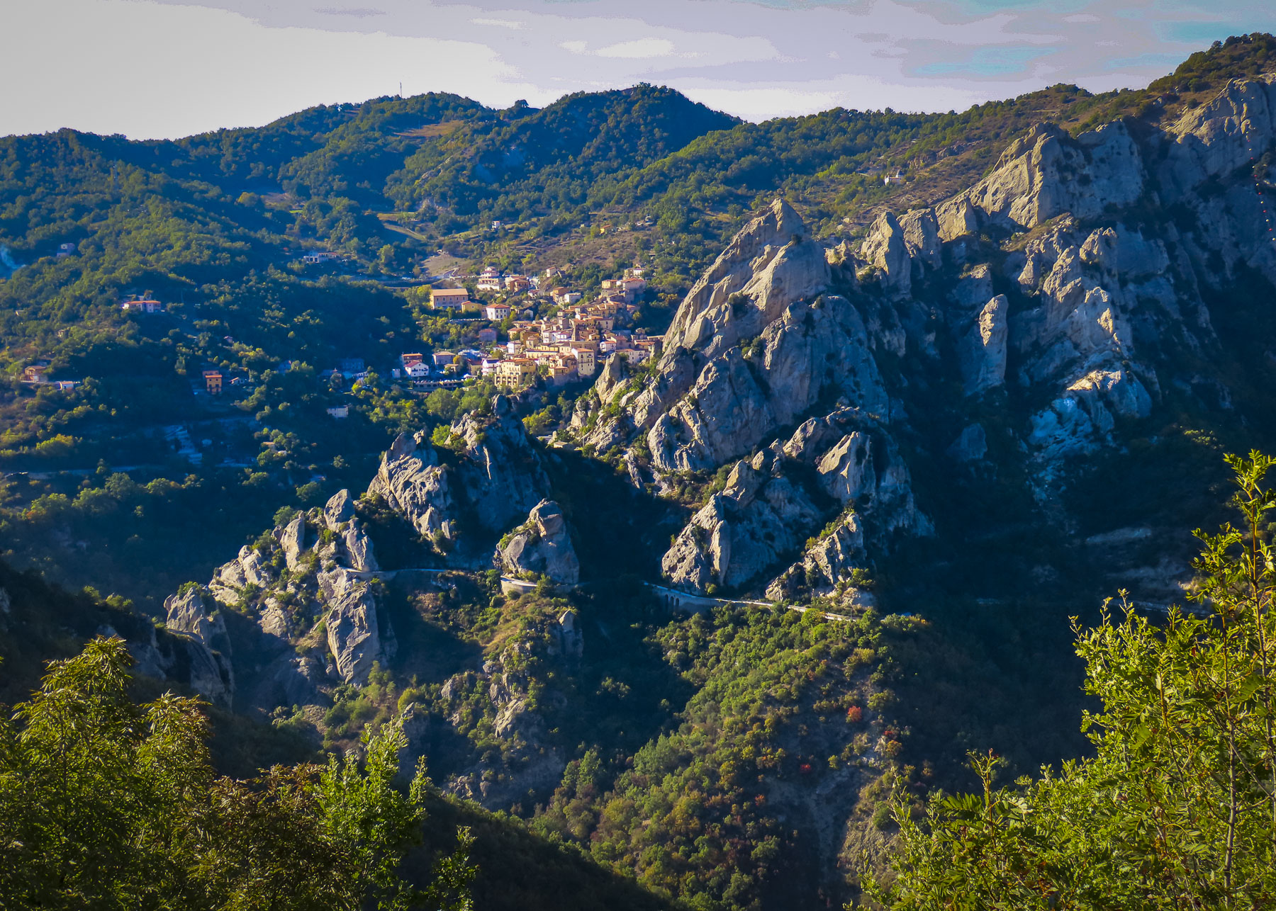
Castelmezzano, castle in the middle, between Albano di Lucania and Pietrapertosa, was our first stop. Descendants of 6th century Greek settlers in the Basento Valley fled to safety in the jaws of the Lucanian Dolomites when Saracen invaders from North Africa forced the local populace from the river valley into the mountains. The smooth sides of the tall, steep tooth-shaped outcroppings that protected the villages of Castelmezzano and Pietrapertosa were perfect for villagers to roll boulders down onto their attackers. 

The same mountains offered safe haven to the brigands of the late 1800’s.  Today the area, only two and a half hours from Naples, is part of the 67,000 acre Parco Regionale di Gallipoli Cognato, a mountainous park with wolves, foxes, porcupines, and wild boar that is a magnet for outdoor enthusiasts who enjoy camping, hiking, biking and rock climbing. 

The area is stunningly beautiful with its unique rock formations, lush forests, olive groves, vineyards, and pastures. During the spring and summer, the small villages of the region host colorful Marriage of the Trees Festivals that combine ancient pagan rites with Catholicism to celebrate fertility and hope. Mid-week in the middle of November the area was nearly deserted, and unfortunately there were not any cafes open. Hopefully, it would be different on the weekends. 

Back on the highway we speculated how interesting a future trip would be, zigzagging back and forth across the valley to explore every hilltop village, large and small. There were so many of them!  We still regret not stopping in Brienza to walk through the historic district at the foot of its 7th century castle, after its profile suddenly burst forth and filled the windscreen as we rounded a curve.

The sun was just setting as we pushed the button on the driveway gate to Affittacamere – Nonno Domenico, located in the valley below Sassano.  Check-in was smooth, but establishing our internet connection required first the involvement of the innkeeper’s teenage son and then his older sister. In the off-season, prospects for dinner were extremely limited. Though Google Maps showed many restaurants in the area, they were closed for the season. After driving around searching, we ended up having a delicious, no-frills dinner at the local pizza parlor. 

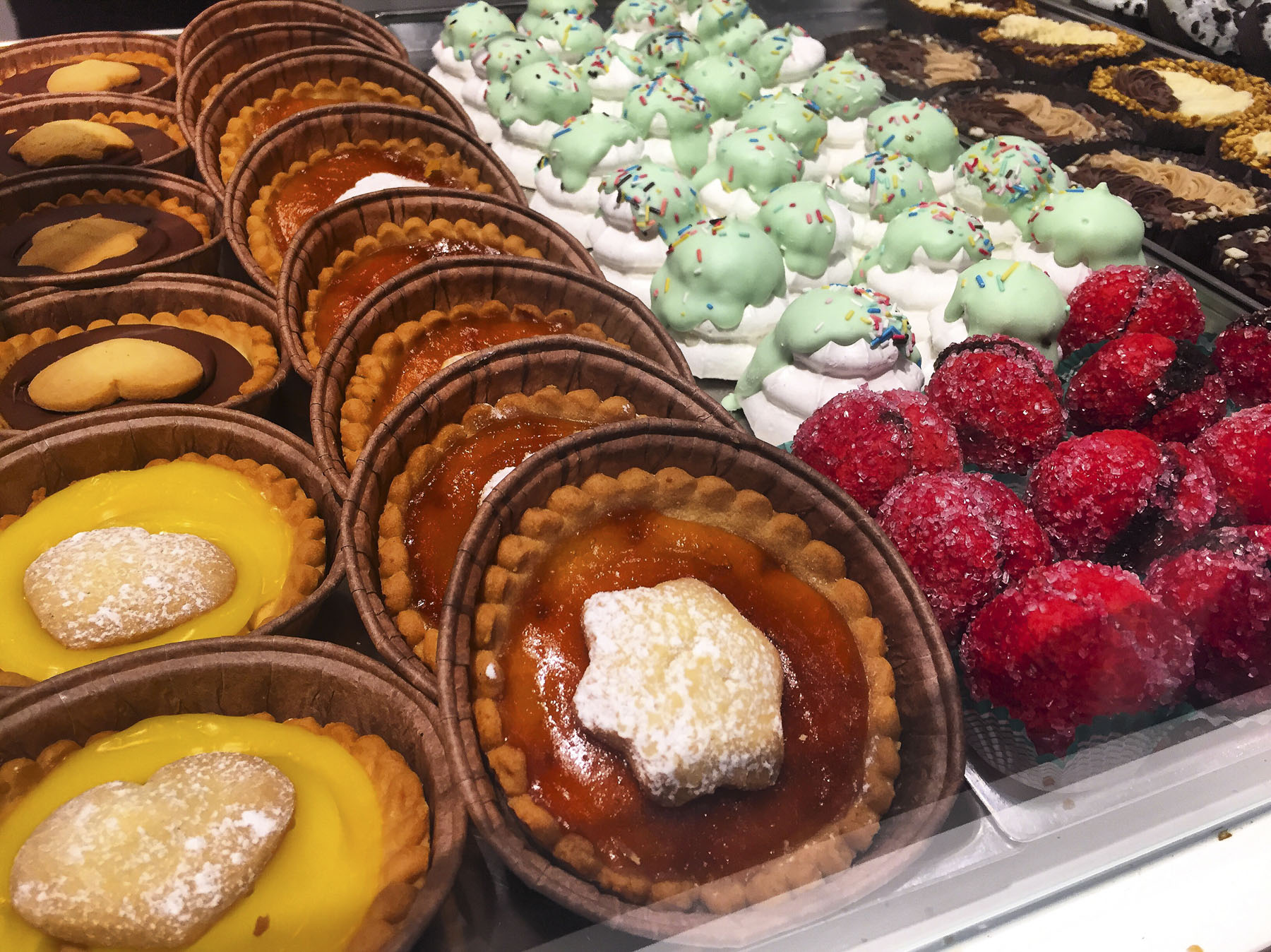
We scored big time the next morning for breakfast with our discovery of Pasticceria Tropiano Peccati di Gola & Dintorni. This bakery and café is run by two brothers, Cono and Franco, who are devoted to guiding their customers through the “consumption of sinful delicacies and coffees.”  They offer baked goods of a quality you would expect to find in Naples or Florence, not in the remote area surrounding Sassano. 

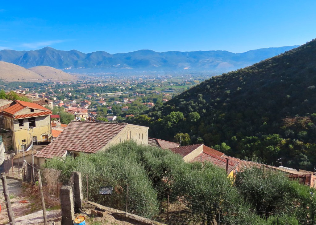
The village of Sassano rose sharply from the flat, flood plain of the Tanagro River in the Vallo di Diano, the lower slope of Monte Cervati checkered with the stacked profiles of dwellings built of stone and capped with red tile roofs. 

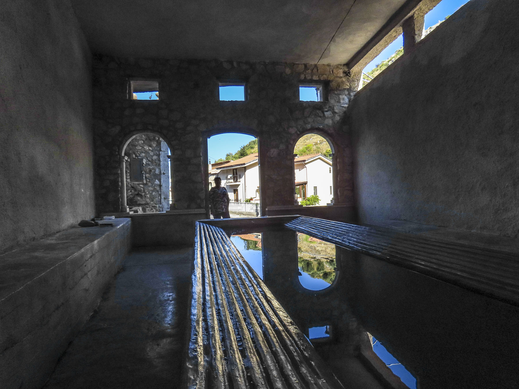
At the foot of the hill, the spring-fed communal laundry looked newly renovated, with updated washbasins and scrub racks.  Empty laundry detergent bottles indicated recent use.  Outside we refilled our water bottles from an ever-flowing fountain built into the terraced wall.  Basilian monks have been credited with the first construction of a fountain on this site in the 10th century when the village was founded. It’s difficult to believe in this day and age that such facilities are needed and still used. But it reflects the past poverty of the region and the plight of the elderly who still use it.  Just imagine the task of carrying a basket of wet laundry uphill, back to your home to dry.

The lane into the village rose slowly to the small central plaza, Piazza Giuseppe Mazzini, where most of the buildings looked permanently shuttered.  We parked in front of a long-closed butcher’s shop which stood yards from a war memorial that listed the village’s men that did not return from two world wars.  The only sign of life emanated from a tiny bar across the cobbled square, where the barista made small talk with an elderly pensioner sipping prosecco, while warming himself at a sunny table.  We ordered café and planned our morning. Could we find Donna’s grandmother’s home here? 

There are only steep, narrow streets called “carrare,” meaning only as wide as a cart, here. In the early 1900s they would have been filled with farm carts, donkeys, chickens, and a milk cow if you were well off.  Somewhere in the family archive, a photo exists of a young woman returning from the forest with a huge bundle of foraged wood tied to her back.  Water was gathered from the village well and carried home. Extremely hard work and no way to avoid it.

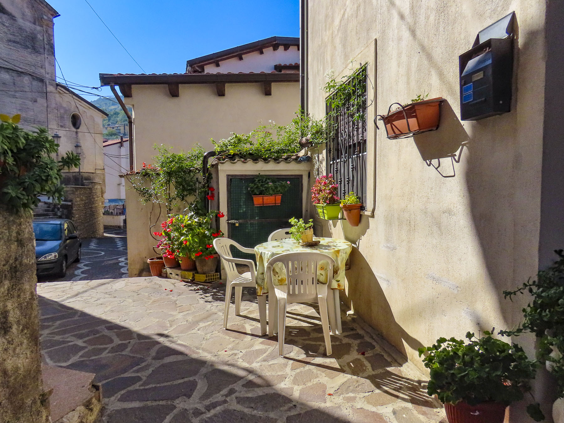
Via San Biagio was a short distance away from the plaza and as steep as expected; it curved its way uphill to a small neighborhood church bearing the same name.  Time has not been kind to the homes on the street. Many showed sign of neglect, with broken stairs and windows along with cobwebbed locks on doors that that looked like they had not been opened in decades. Donna had notes written by her mother, who had passed away only the year before our trip. The familiar clear handwriting stated that Christina D’Alessio DeGondea had lived at Number 10 San Biagio. But Number 10 didn’t exist, only Numbers 9 and 11. A mystery. Perhaps Grandma’s birthplace had been destroyed. 

With a copy of her grandmother’s baptismal certificate in hand, we backtracked past the café to the Church of San Giovanni Evangelista. The 16th century church that stands today was built atop the ruins of an earlier 11th century church destroyed by fire.  Unfortunately, the church and its office were closed during the midweek, the population of the village today only supporting Sunday services, and we missed the opportunity to view its preserved baroque frescoes.  We did catch a glimpse of its notable wooden crucifix by peering through the church’s keyhole. 

Only two hours from Naples and just one hour from the Mediterranean, parts of Sassano are showing signs of renewal with gentrification of some of the architecturally unique homes and those with views of the valley.

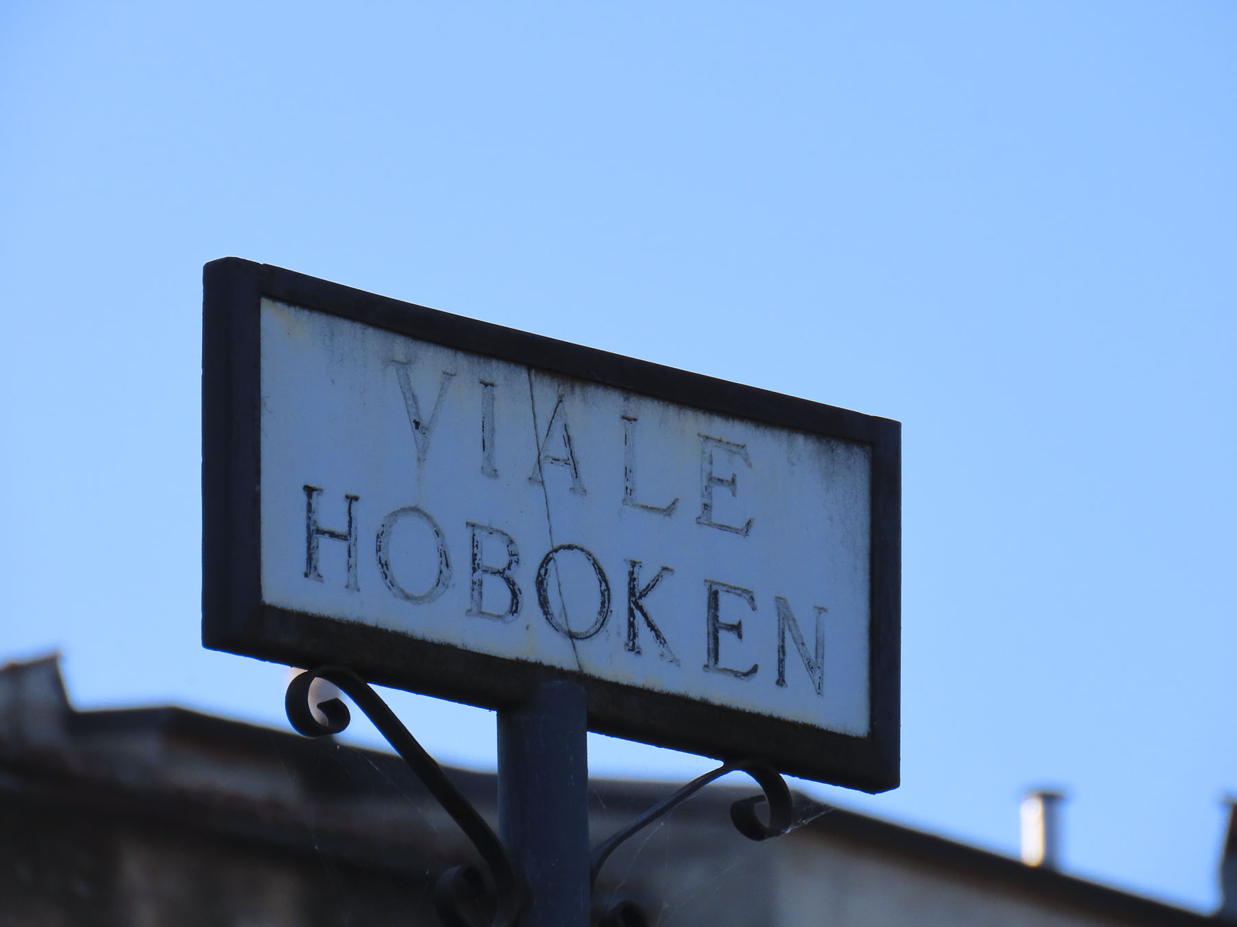
Walking along we came to a street named Hoboken, a city in the shadow of the Statue of Liberty only a short ferry ride away from Ellis Island and the promise of new life in America. At a small square we found a mural dedicated to those that emigrated from the village; we sat for a while and wondered about life here in the past. 

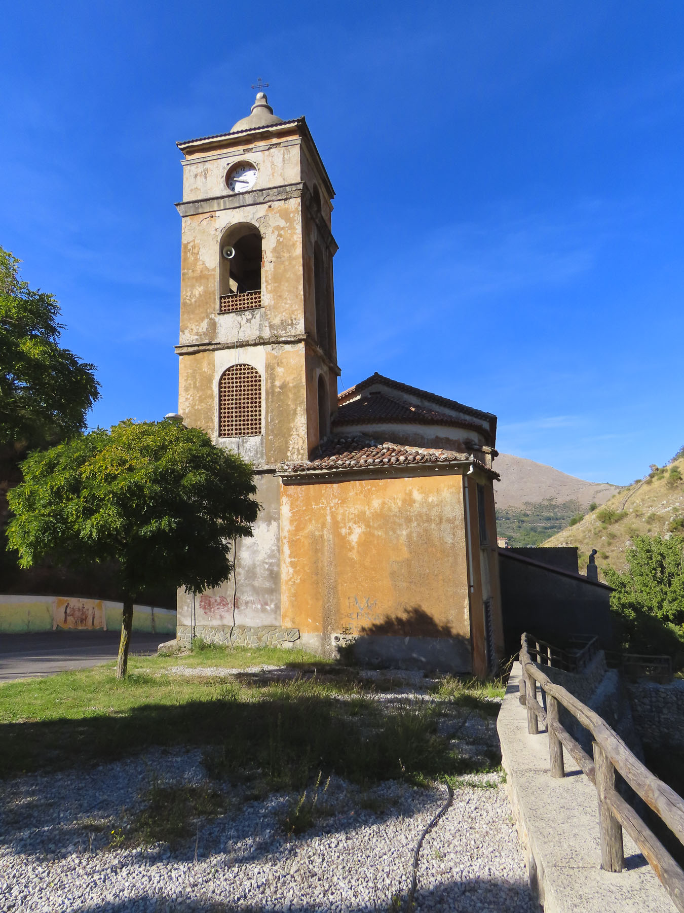
For a small village there was an amazing number of churches, but that is true of most towns in Italy. One of our favorites was the Chiesa San Michele. Located on a ridge across from the village, it had a panoramic view of Sassano and was a perfect spot for our picnic lunch. 

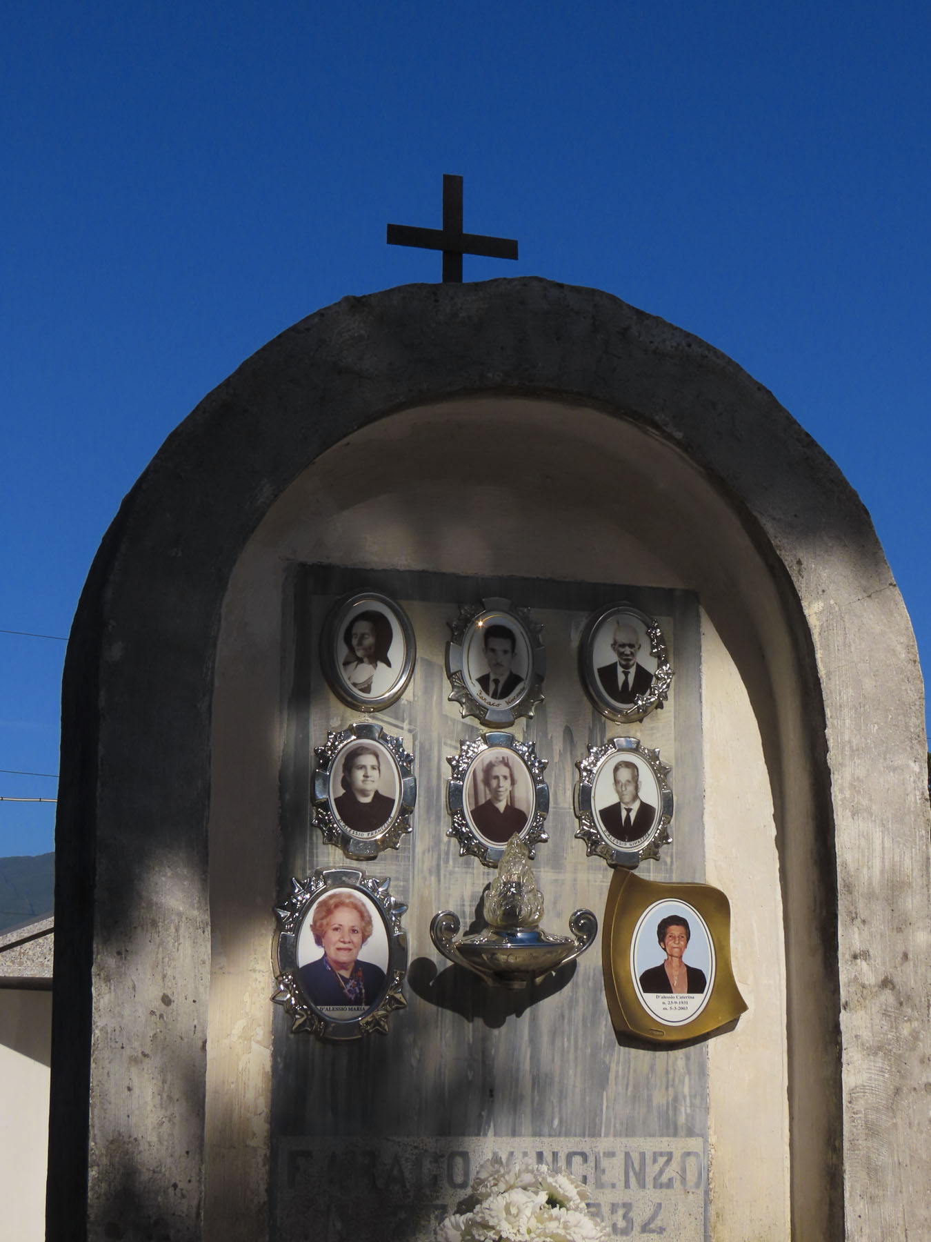
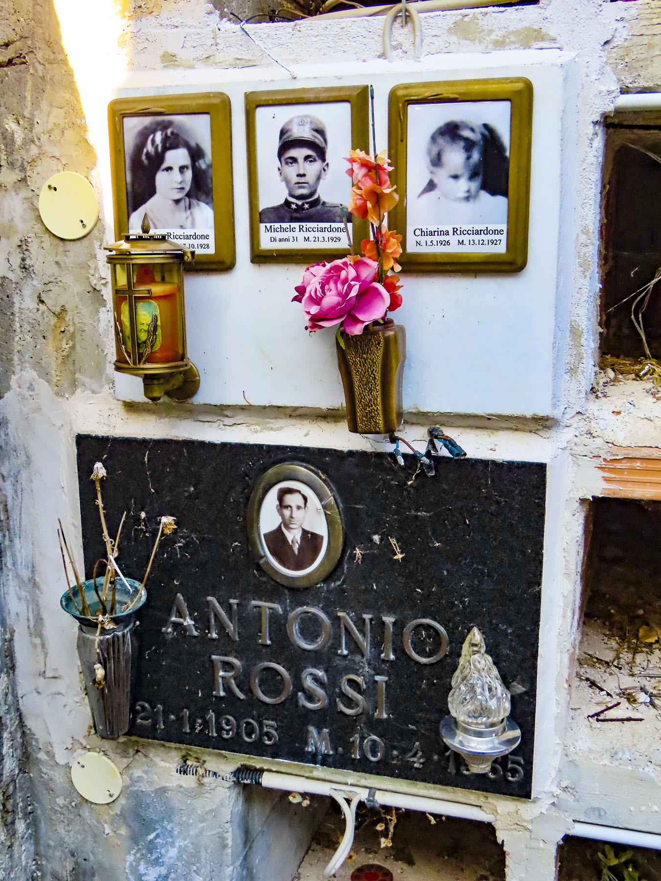
Cilento and Vallo di Diano National Park, the mountainous area around Sassano, is also known for its variety of wild orchids, containing 54 of the 120 varieties found in Italy. Earning the village’s second name “paese delle orchidee” – village of the orchids. It sounds so pretty, and it’s the perfect excuse to return when they are in bloom. Afterwards a caretaker at the town’s cemetery helped us search for family headstones.

The next day we drove to the neighboring town of Monte San Giacomo to explore the village of Donna’s maternal grandfather, Nunzio DeGondea. Larger, the village looked significantly more prosperous, with several small cafés and an open restaurant, Dei Tigli Di Totaro Domenico.

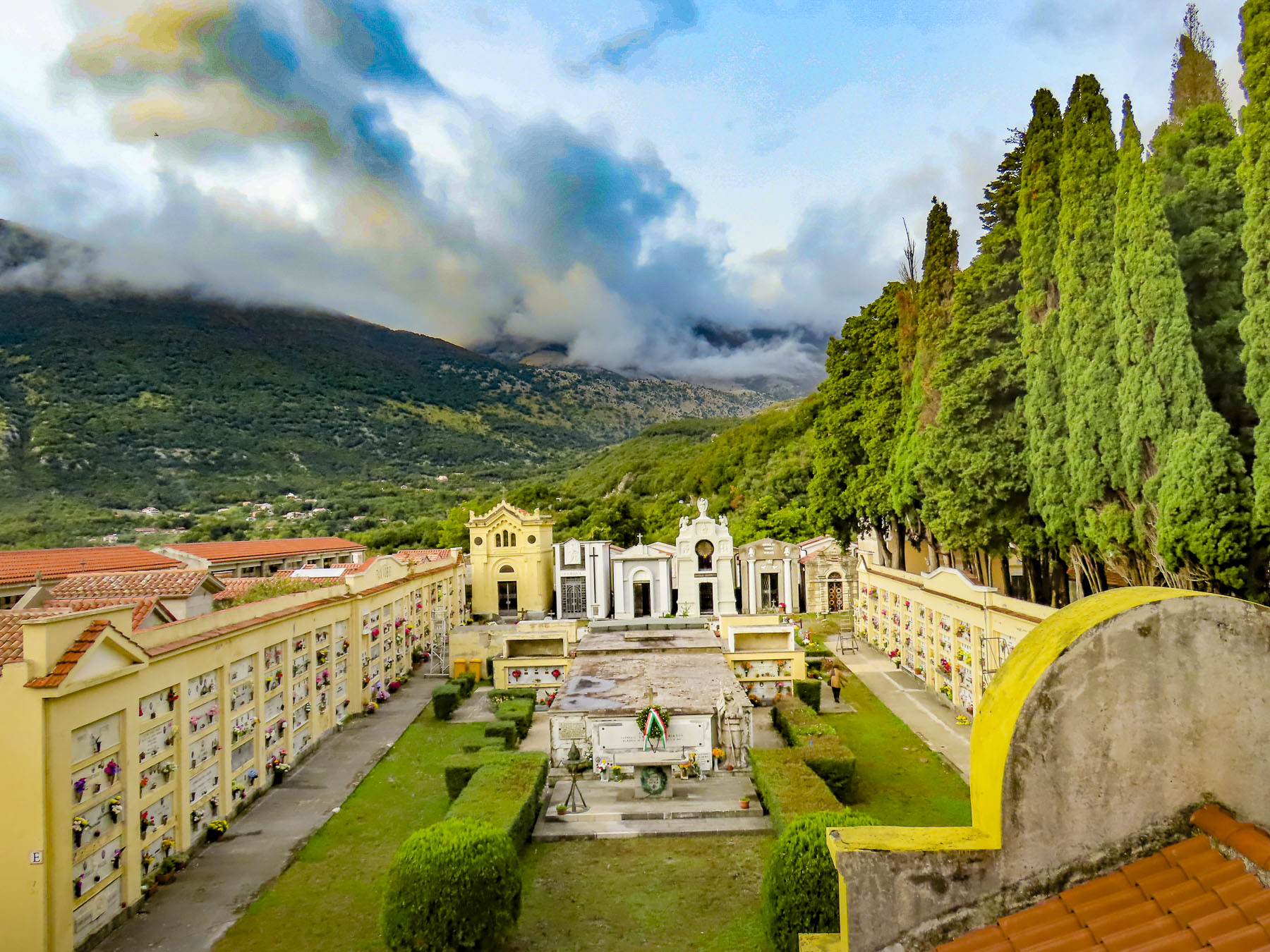
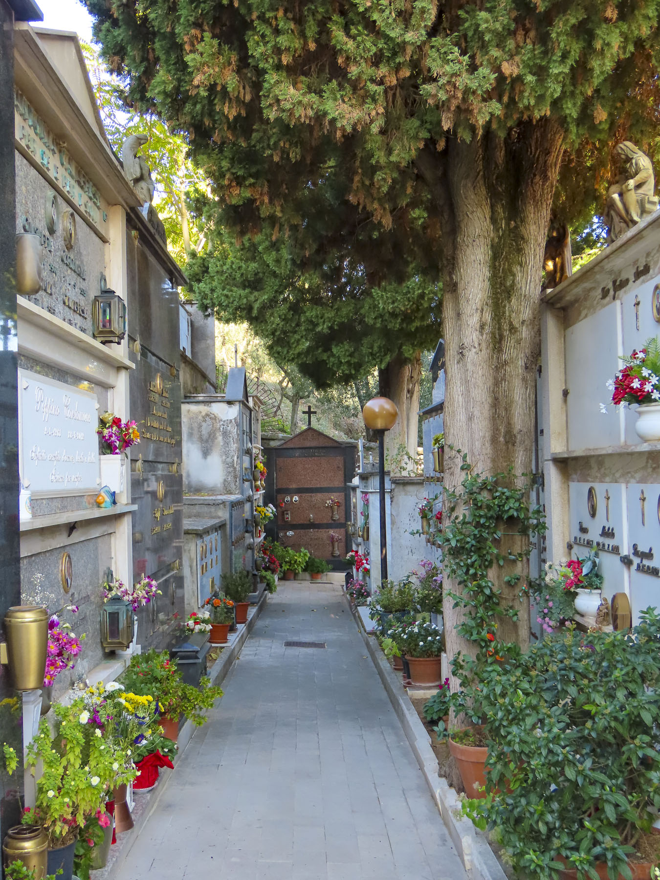
Without much to go on we worked our way to the town cemetery near the Santuario Di Sant’Anna on the outskirt of town to search for his family name.  As cemeteries go it was gracefully beautiful and very tranquil, though family history eluded us.  At the Sant’Anna, Donna held me by the belt as I leaned as far as I could over a low wall to pick plump ripe figs from a wild tree.

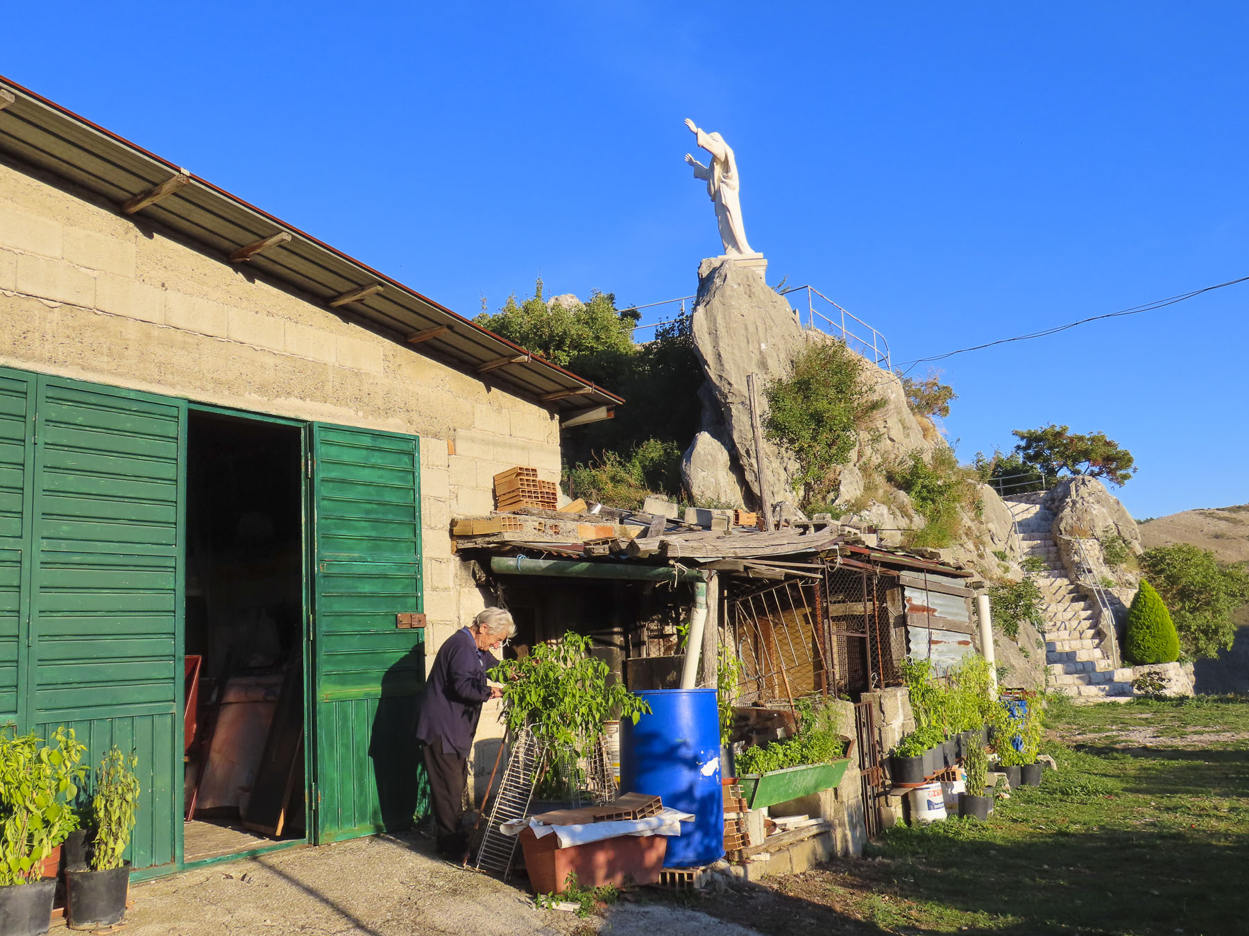
Later we searched for a large statue of Christ that we had spotted from a lower road as we drove into town earlier.  It was a good excuse for a leisurely drive around, exploring. Eventually, down a dead-end near the Chiesa Madonna di Loreto, we found it.

Not much is known about the origins of Quaglietta Castle, but it is thought to be a Norman feudal fort from the 11th century. And as intriguing as it looked from the road, I had to fight the impulse to follow the exit ramp. Next time!

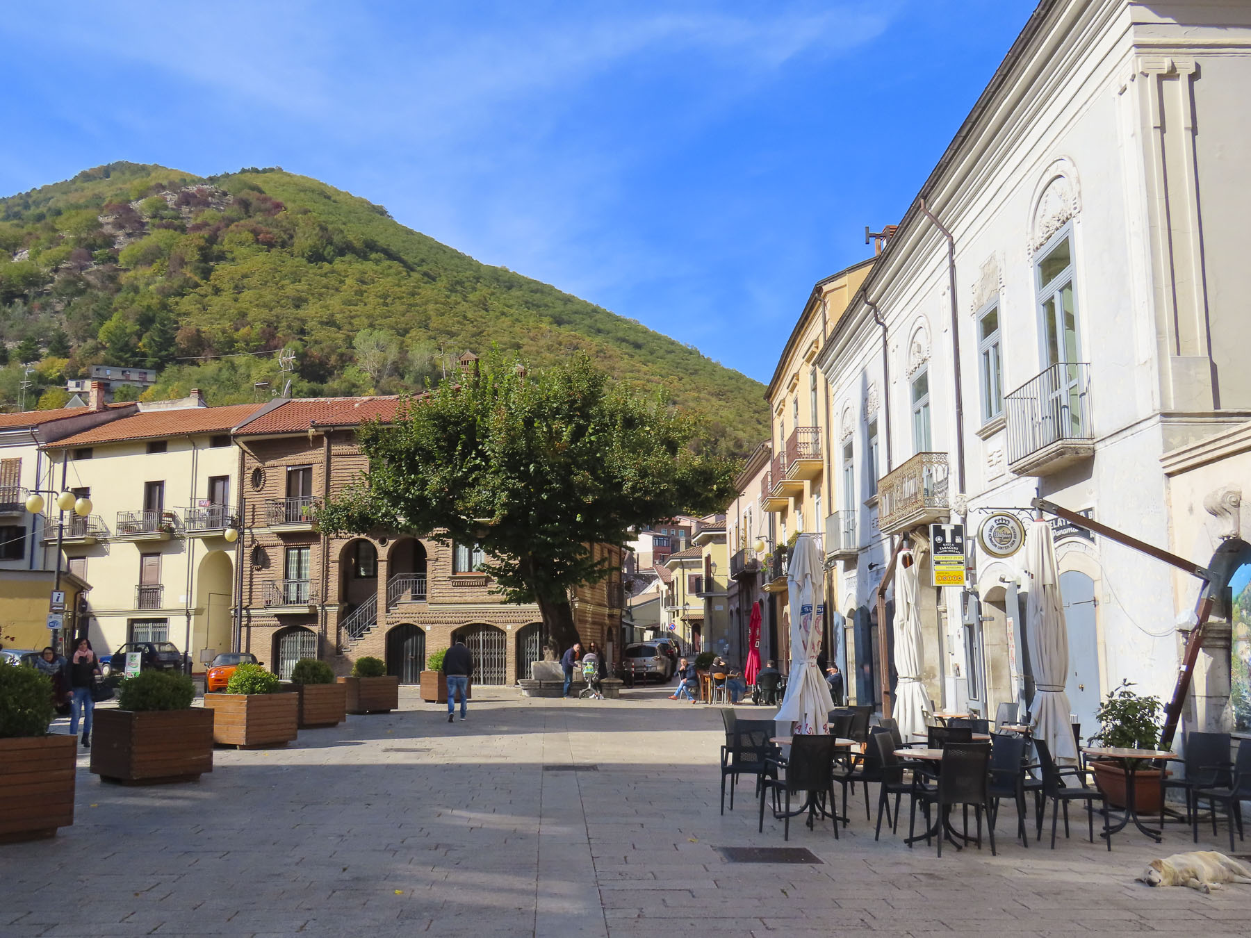
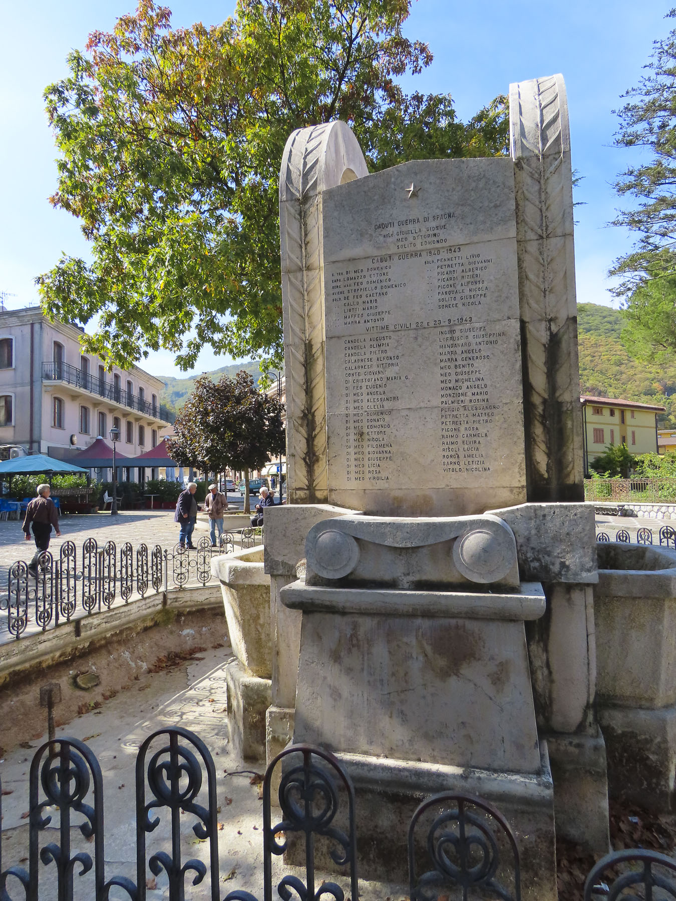
Our desire to reach Naples before sunset required an early start to leave enough time to visit Volturara Irpina, roughly translated as “valley of vultures,” due to a large population of the birds that once inhabited the area until the 1900’s. The village of Donna’s paternal grandfather, or as I referred to it, DiMeo-ville. Farmacia DiMeo, Avvocato DiMeo, Clinica Medica DiMeo were all businesses lining the main boulevard and plaza around town hall. We had found her people! Folks were cordial, and since we were obviously foreigners, a few stopped to chat with us. When Donna introduced herself to one gentleman, he smiled. Making a sweeping gesture with his arm, he proclaimed, “Multo DiMeo!” Closer to Naples, the town had the feel of a relatively affluent commuter suburb. In the town park a monument paid tribute to the men of the village who died in the world wars, and the September 23, 1943, allied bombing, due to Nazis troops in the area, which caused sixty civilian deaths.  Many DiMeos were among those lost that day.

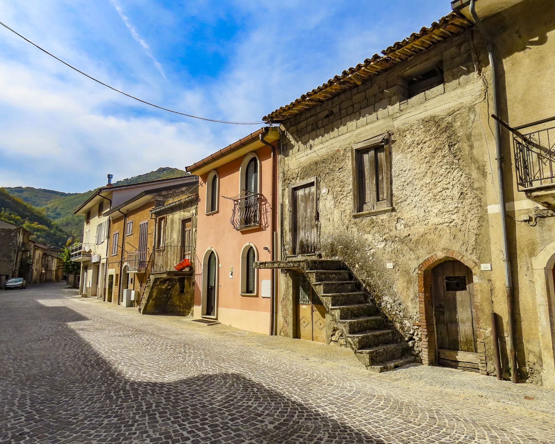
Once again, we tried to locate the home where Grandpa DiMeo lived before emigrating. We visited the town hall, but our lack of an extensive Italian vocabulary prompted the receptionist at town hall to call for assistance.  In a hopeful frame of mind, we followed a kind woman, slightly older than us, back to the archives where she opened a safe-like door and leafed through the century old, dry and torn pages of several thick volumes of town records, taking notes as she went.  We were still having difficulty communicating, though the gist of it was “your grandfather came from a neighborhood on that side of town,” as she pointed the way.  “The streets are still there; however, the names were changed decades ago.”  With several “mille grazie,” a thousand thank yous, followed by hugs all around (after all, this is Italy) we headed to of all places – Via Alessandro DiMeo. Of course! It was a long, quiet residential street with modest, well-kept older homes on the edge of town. Only a few homes looked like they had been forgotten.  What was confusing though was that off the main road there was a parallel lane and several dead-end spurs that all went by the name Via Alessandro DiMeo.  Walking the street, we stopped to take a photo of some just-harvested walnuts which an elderly man had placed in the sun to dry.  Asking of our interest in the area, he led us further down the road pointing to where the grocer and tailor shops used to be, though he did not know any DiMeos still in residence there. Parting, he insisted we take some walnuts with us. 

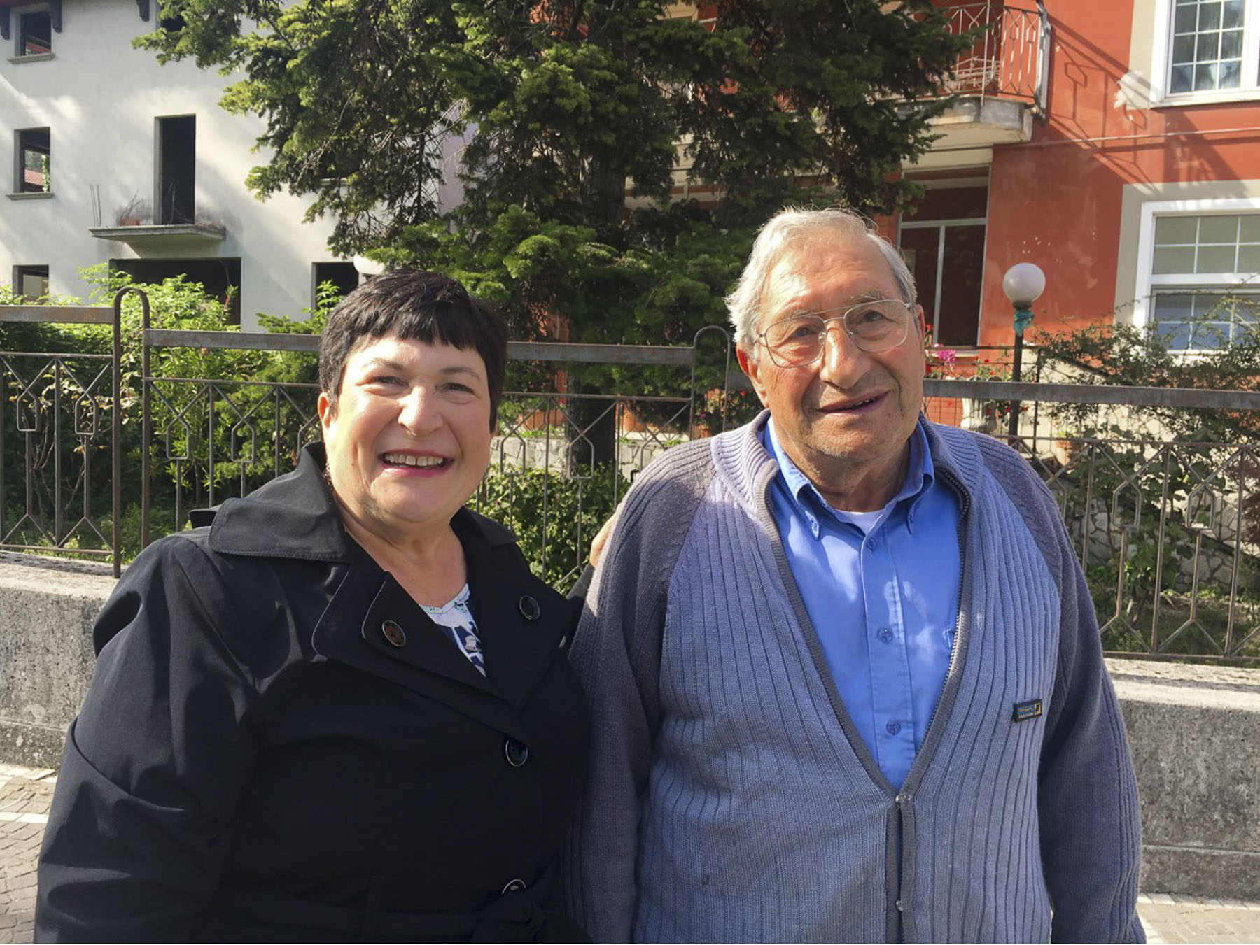
Slowing to find a parking space near the McMany Scottish Pub & Pizzeria I suddenly yelled “I just saw your Dad!” “What do you mean?” Donna responded in surprise. “That man could have been his twin – same hair, same nose. He even wore the same glasses. We have to ask him if he’s related.” Parking was not easy, so we circled the block, only to have lost him. The search began and fortunately two blocks on the gentleman had stopped to speak to a friend.  We quickly double-parked and introduced ourselves the best we could as he was saying goodbye to a younger man. “Ciao, il mio cognome è DiMeo,” Hello, my last name is DiMeo. His friend had stayed when he saw us approaching and interpreted our tale for him as best he could. 

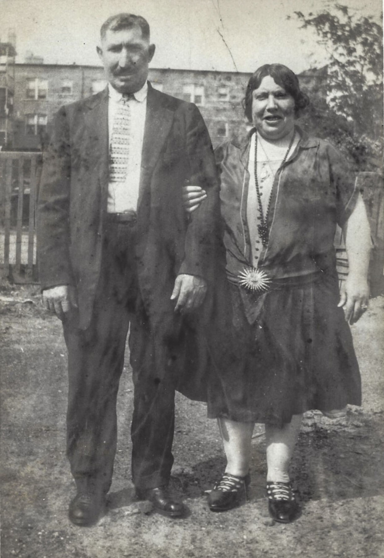
Unfortunately, he had been born in a different region and there were not any DiMeos in his family tree, which was difficult to believe. He kindly posed with Donna for a photo, so we could show the folks back home. For those of you who knew Donna’s father, do you see the resemblance to the gentleman in the above right photo? The old photo on the left is Donna’s paternal grandparents, Domenico and Filomina DiMeo.

Till next time, Craig & Donna

Puglia – Alberobello Part 2: Lecce and Nardo – The Florence of the South

“Signor, mio gattino si è nascosto sotto la yuan automobile ed è salito nel motore.” Roughly translated it means – Sir, my kitten ran under your car and is hiding in the engine! My racing imagination added, I will paint a pagan symbol on your car and you will be cursed for the rest of your life if she is hurt.  I exaggerate a little in jest just so you understand this was a crisis!

The night before we had agreed on an early start to Lecce to rendezvous with our friend Giulia for a day exploring her adopted city.  To help move the day along I offered to retrieve our rental car, which was parked a good distance away, uphill, across from the trullo-shaped Church of Saint Anthony of Padua which crowned the hill.

Donna is the designated linguist of the family. I on the other hand have been lovingly accused of slaughtering a fine romance language with just the utterance of a single word, on more than one occasion.

So, when I heard, “Signor, mio gattino si è nascosto sotto la yuan automobile ed è salito nel motore,” I smiled, as I really didn’t understand a word.  But two very worried young girls and their grandfather were standing next to the car and pointing at the engine.  They had placed a saucer of milk and some cat food near the front tire. I understood and joined the older girl who was on ground, looking under the car and meowing for her kitten, quite convincingly I might add. With no sign of a tail dangling from the undercarriage, I popped the engine hood expecting to find the kitten. Nothing.  I slammed the engine hood hoping the loud sound would jolt her from her hidden perch. Still nothing!  The way the car was parked close to an ivy-covered wall I wasn’t convinced that the kitten hadn’t scampered away unseen earlier.  They were signs of growing concern written on the girls’ faces and a growing crowd of onlookers.  Miming turning the ignition key, I conveyed that I needed to start the car and move it around the corner to jump the curb in order to get better access to the engine from below.  Hesitantly, I turned the starter and was deeply relieved when there weren’t any shrieks of horror from the girls or any fur flying. 

With my entourage trailing along, I drove the car around the corner and put two wheels up over the curb to give me just enough room to shimmy underneath for a closer look.  Fortunately, by this time Donna and Gary were rounding the corner in search of me. Much skinnier and a cat lover, Gary was enlisted to wiggle on his back underneath the car. “I don’t see anything. She’s not here.” I frowned, the girls frowned. “Keep looking.” Time passed. “I see her! she’s tucked up very high – let me have some food.” A few moments later, “I have her!” Beaming with joy, the girls and grandad took the kitten to the quiet sidewalk across the street and set her down on the ground.  Almost immediately, to everyone’s horror, the kitten dashed back across the road. The girls screamed and, oblivious to the traffic, dashed into the street in hot pursuit. The terrified kitten once again raced into her hiding place in the engine!  Mercifully, the second rescue was much faster, and with the kitten firmly in the hands of a local woman who assisted, we jumped into the car and sped away to Lecce.

After circling the port city of Brindisi, the highway (SS613) was a straight shot, past the Mura Urbiche architectural complex that highlights remnants of a once formidable city wall that encircled Lecce, to Giardini Pubblici Giuseppe Garibaldi pretty much in the center of the city.

Even though Lecce is located in the middle of the Salento Peninsular, that is often called the “heel of Italy,” the city has had a long bond with the sea.  Legend has it that the King of Crete, Idomene, was blown off course and shipwrecked here while returning home from the Trojan War.  He married the local Salento King’s daughter, Euippa, and named their newborn girl Lecce, after his Lycia homeland in the eight century BC.

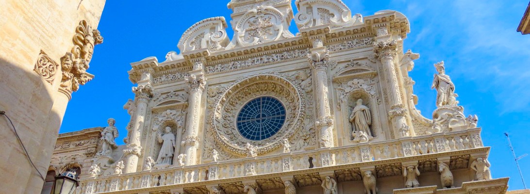
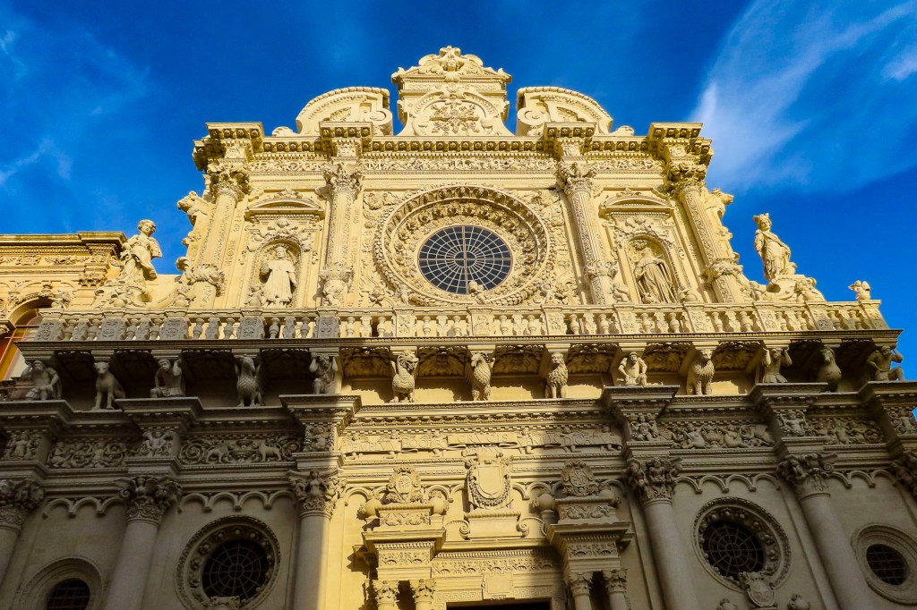
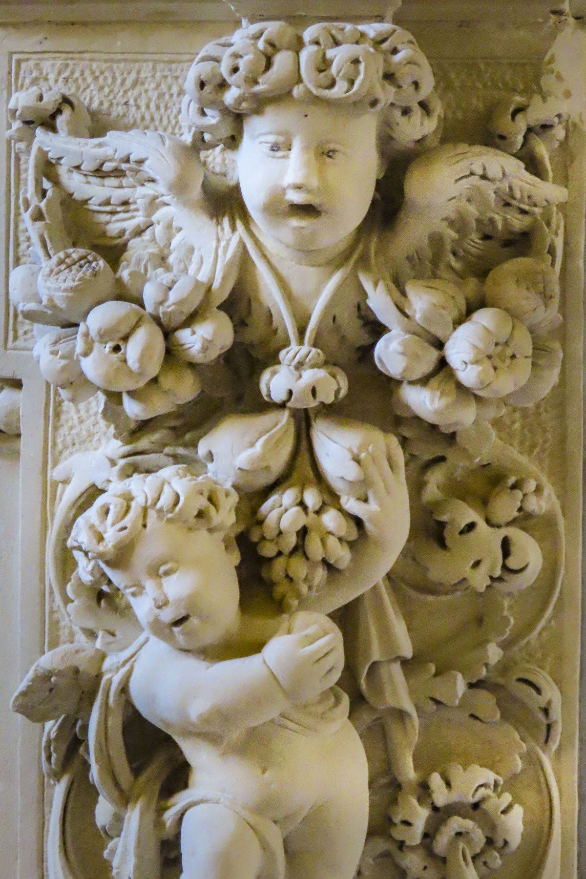
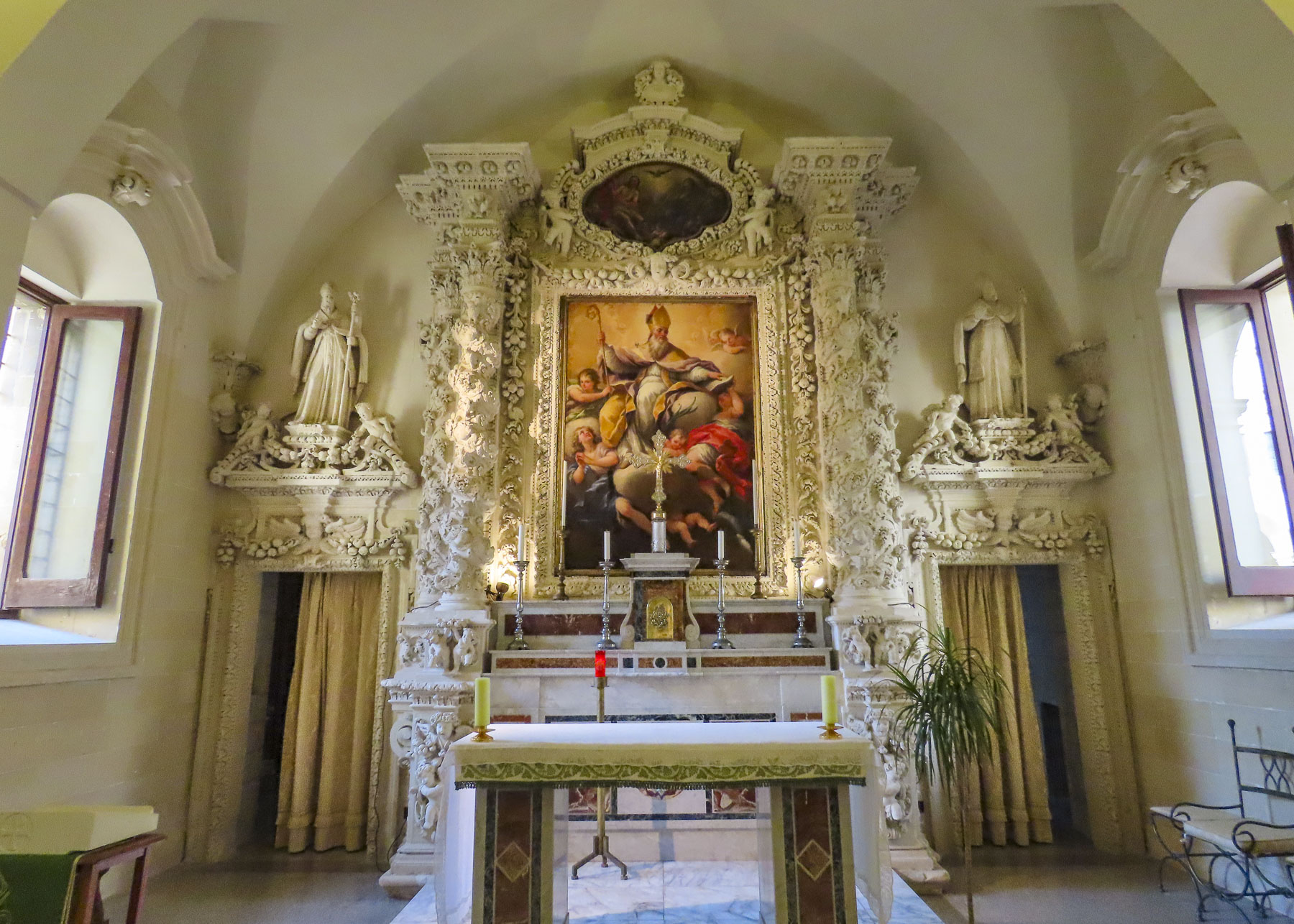
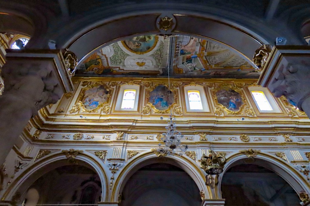
Meter parking was available near the Garibaldi Garden, but we opted to find a 24-hour garage so that we wouldn’t have to worry about time.  Lecce has a population of approximately 96,000 folks, 16,000 of which are students. Their presence was evident with in the jovial sidewalk café life we passed as we headed to meet Giula at the tourist information office on Piazza Sant’Oronzo.  We entered the pedestrian-only historic center through an arched gate that led through the 17th century Palazzo dei Celestini’s impressive, cloistered courtyard. Once the private retreat of nuns, it now seats the regional government. Next door stands the Basilica di Santa Croce with its elaborate façade of carved demons, ogres, gargoyles, and beasts.  It’s enough to send any parishioner questioning his faith inside to seek sanctuary.  Fortunately, our timing to visit Lecce was perfect, as just the month before the façade of the basilica was still under wrap from a multi-year renovation project to freshen the sculptures after centuries of erosion.  Its architect Giuseppe Zimbalo took full advantage of the abundant local rock, called Lecce Stone, with its warm color and malleable characteristics.  His opulent Baroque style along with the lavish designs of his contemporaries is credited with earning Lecce the distinction of being “The Florence of the South” during the 17th century.  The talents of the city’s stone carvers rivaled those in Firenze. 

We had a few minutes to view ruins of the 2nd century Roman Amphitheatre that was undiscovered until construction in 1900 unearthed it. Its full size wasn’t realized until further excavation in 1938 determined it could seat 24,000 spectators.  We think it’s wonderful that ancient archeological discoveries are still happening in cities that have been continuously lived in for over two thousand years.

After joyfully greeting Giulia and making introductions all around, we sat at an outdoor café on the edge of the piazza and relished hearing each other’s adventures over the past year.  “The best way to experience the ambience of historic Lecce is to just wander slowly, discover the small details, touch the walls, enjoy the brilliant light and the warmth of the buildings,” Giulia offered as she stood to lead us through the past glory of Lecce. We followed her along shaded lanes, nearly empty of tourists in late October, past Baroque churches and shops shuttered for the afternoon siesta, still a time-honored tradition in southern Italy. “It’s quiet now, but in the evenings the historic district is transformed into a spirited hot spot. The passegiata brings families into the streets, and later the university students keep it lively with their barhopping.”

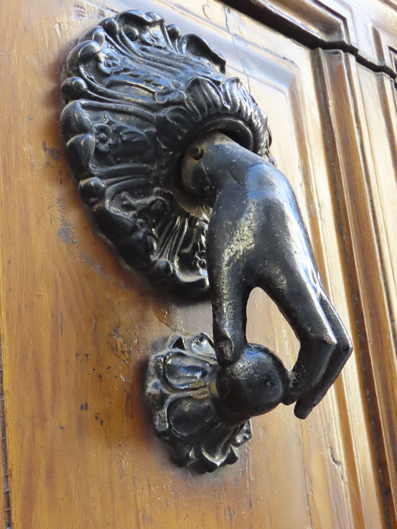
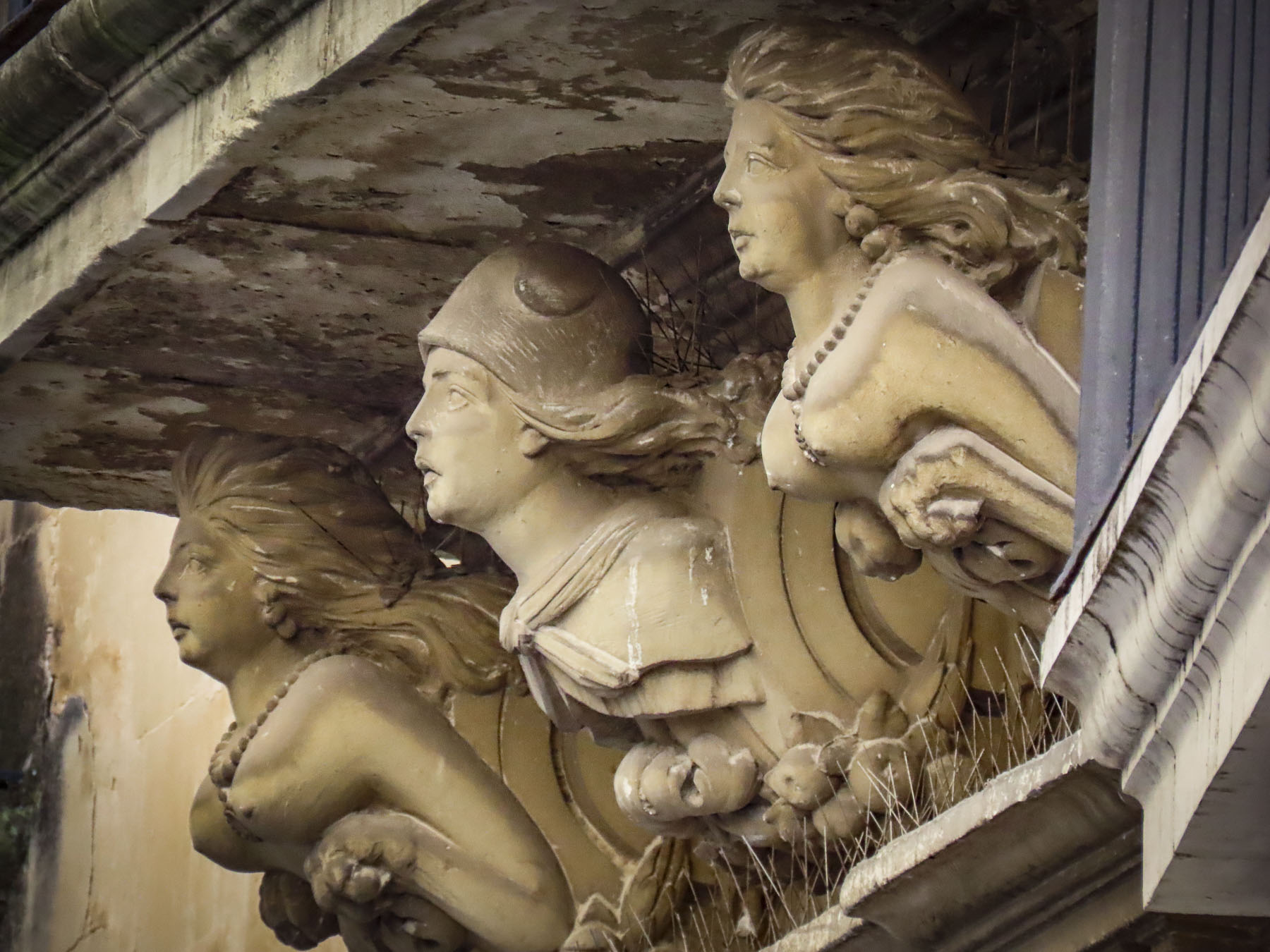
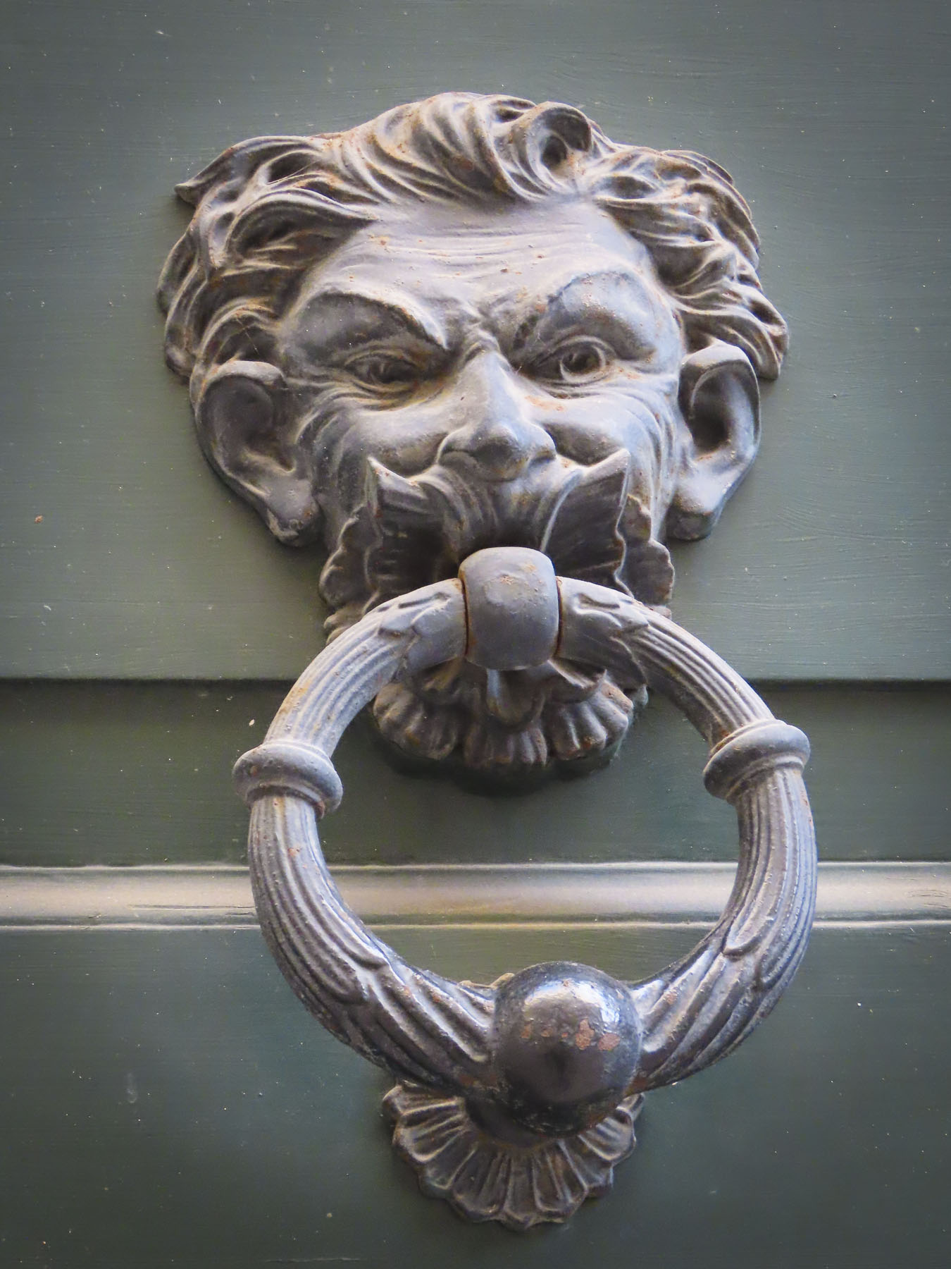
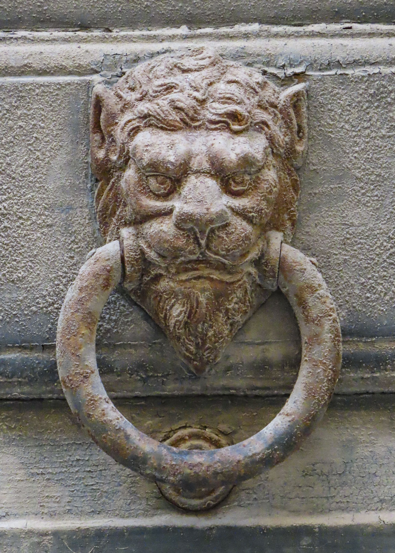
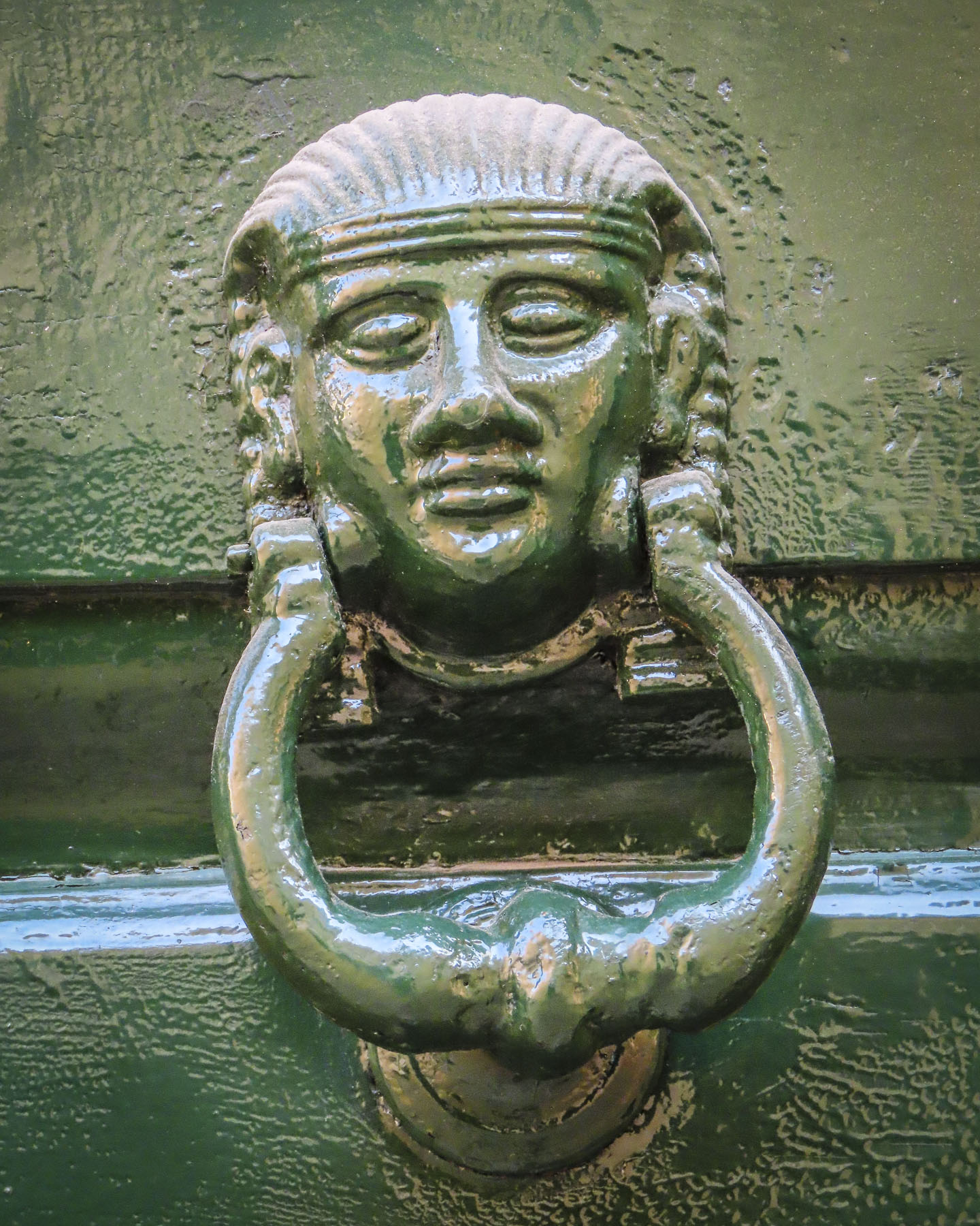
Large palazzo, with their arched entrances wide enough for a horse drawn carriage, lined the larger streets. Above, stone buttresses carved with gargoyles and animals supported balconies over the street. Interesting antique door knockers beckoned passers-by to rap on ancient doors, some so covered with cobwebs we wondered how many decades ago they we last used. We resisted the temptation.

As we turned a corner, the large Piazza del Duomo spread out before us.  Unlike other piazza in Italy where there are multiple entrances and shops, this piazza only has one way in and out.  The Lecce stone facades of the Museo di Arte Sacra (once a seminary,) Palazzo Arcivescovile (formerly the Bishops’s residence,) and Cathedral of Maria Santissima Assunta with its belltower enclose the plaza on three sides, giving it the ambience of a tranquil cloister.  The first church on this site was built in 1144 and repaired several times over the next 500 years until 1659 when hometown master architect Giuseppe Zimbalo was commissioned to rebuild the cathedral and design the freestanding 230ft tall belltower in the “Baroque of Lecce” style he helped popularize.  His burial under the altar of the cathedral reflected the honor accorded him.

Sitting on the steps of the museum, we admired the warm glow of the late afternoon light as it lit the walls across the piazza. “I would love to live there,” Giulia said, as she pointed to a small, corner terrace brilliant in the sun on an old building at the entrance to the piazza. I think there was a collective “ah, yes;” we understood.

Later in the week Giulia invited us all to visit her in Nardo, her family’s hometown.  It would be our farthest point south on the “heel of Italy.” The GPS directions from Alberobello suggested the fastest route to Nardo through Lecce, but we chose an alternative route that gave us our first glimpse of the Ionian Sea. Following backroads, we drove through vineyards and olive orchards.  Many of the orchards, though, were suffering from a deadly olive tree disease caused by a bacteria, xylella fastidiosa, that is ravishing southern Puglia and its important olive oil industry.  To curb the bacterium’s further spread drastic measures have been implemented. Infected trees and those within 150ft of it are culled from the orchard. Unfortunately, it has radically changing the landscape and farmers’ lives.

We met Giulia and her family at their winery on Via A. Volta, located just outside the historic district. Giulia’s grandfather started Cantine Bonsegna in 1964. Today her father and uncle continue vinting wines in a 1930’s era industrial building on one of the main thoroughfares of Nardo.  Wines from their vineyards in the countryside are brought into town, then pressed and fermented at the rear of the building, where they cork about 150,000 bottles of wine a year, while the front serves as a retail store.  On the second floor a wine bar is open in the evenings and specializes in small plate fare.  Their Danze della Contessa, Dances of the Countess, label was inspired by Giulia’s love of ballet. We might be slightly prejudiced, but we thought their wines were very enjoyable and definitely worth a visit to taste some fine regional wines and buy a case or two, maybe three. We purchased several bottles to enjoy during our trip, and were disappointed to learn that the Bonsegna label was unavailable in the US.

Heading into the historic district we were treated to a festive lunch at the Hostaria Corte Santa Lucia, a local favorite that specializes in “the forgotten recipes of the Salento region.” Plate after plate of mouthwatering local specialties were placed before us; our young men did justice to the platters, but were soon groaning for mercy as more and more food appeared. Mr. Bonsegna wouldn’t hear of us paying the bill, and afterward our boys marveled at the warmth and hospitality our host showed to us. “It is the Italian way,” Donna explained. “This is how I grew up – family and friends are lovingly embraced, and everyone is fed!”

We followed Giulia’s father into the old town, hugging the shade to avoid the intense sun still strong in late October.  The colors of the buildings were softer here, pastel colors chosen to reflect the nearby sea and surrounding farmlands.  Being close to Lecce, Nardo shared a similar history and the Baroque style adorns many of the town’s ancient churches.  The façade of the Church of Saint Dominic is the best example of that opulent exterior decoration, and was the only wall to remain standing after a 1746 earthquake.  

The Cattedrale di Nardo was our destination.  Partially damaged in the upheaval that shook the region, half of the 11th century church needed to be rebuilt.  Interestingly the effects of this could be seen as we looked down the center nave of the church.  The arches on either side reflected different styles.  The surviving arches were slightly pointed at their apex, while the newer ones are completely curved, a fine detail that Mr. Bonsegna enthusiastically revealed.  Farther inside, original medieval frescoes survived, untouched from the catastrophe, while along the outer wall 19th century murals replaced ones lost to the earthquake. 

Nearby the Guglia dell’Immacolata, a 100ft tall ornately carved baroque spire dedicated to the Virgin Mary, centers Piazza Antonio Salandra. “The piazza is jammed with people every December 8th to watch a fireman climb to the top and place a wreath of flowers on Mary’s head, to honor the Immaculate Conception,” Giulia shared as we crossed the piazza to a still-flowing, ancient public water fountain decorated with a relief carving of a bull. 

Legend says the fountain marks the spot where 3000 years ago settlers watched a large wild bull scuff the earth and uncover a natural spring.  Behind us stood the small Church of San Trifone, built in the 1700’s to honor the martyr who saved Nardo from an infestation of caterpillars. We were disappointed that an explanation of this odd plague was not provided.  Most likely it was an infestation of oak processionary caterpillars. Contact with their toxic hairs can trigger an asthma attack, but most often results in a severe, blistering rash that lasts for weeks. “We have it all here and yet we are still far off the tourist track,” Giula happily joked. “We get very few foreign visitors, and rarely, if ever, Americans.”

Heading back to the car we stepped through the heavy wooden door of the Aragonese Castle of Nardo. Formerly the private residence of the 15th century Acquaviva family, rulers of the fief of Nardò, a reward from King Ferdinand II of Naples.  Today the once moated fortification serves as the city’s town hall.

A very enjoyable day was celebrated and “till next time” was said over coffee before we said our farewells and drove to the seashore to find one of the numerous watch towers that were built along the Ionian coast to warn the country of imminent invasion. 

The sun was setting as we came to a stop behind a car about to turn onto the coast road. A car on the opposite side of the road turned the corner and stopped to wave at the person in front of us. Quickly both parties were out of their cars, hugging and chatting away, oblivious to us. I rolled down my window and photographed the dark silhouette of a square “Nardo tower” against an orange sky. No impatient honking, just enjoying life in Nardo.

Fino alla prossima volta – till next time,

Craig & Donna

Puglia: Alberobello – Trulli, Troglodytes and the Sea

One of the characteristics we most appreciated about traveling through Europe was the ready availability of a cup of delicious coffee, even in the most unexpected of places. The bar on the ferry from Dubrovnik to Bari came through with two tasty cappuccinos the morning after our overnight passage in a windowless cabin. As a hazy sunrise dawned over the Adriatic Sea, we sipped our revitalizing espresso and milk while the ship docked in Bari, capping an otherwise uneventful crossing to the Puglia region – “the heel of Italy” or the “spur of the boot.” 

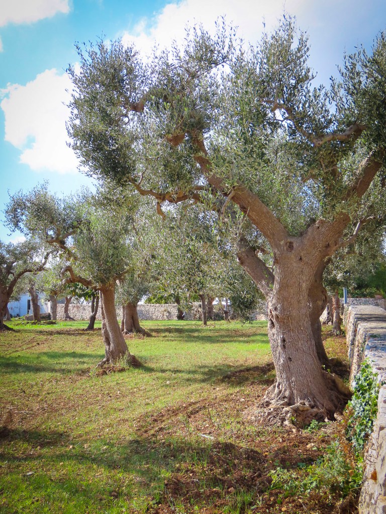
Behind the wheel of our rental car, we passed through verdant olive groves in the Valle d’Itria, alternately known as the Valle d’Trulli or the Valley of Ancient Olive Trees. Olives trees are celebrated for their age in the region, and several top two thousand years old.  One ancient millennarian called the Elephant is 3,000 years old. The orchards on either side of the road were busy with workers covering the ground under the trees with collection nets in preparation for the olive harvest.

A little aside – we are olive aficionados. All things olive we enjoy. We have even brined our own, ordering California olives, then scoring and soaking them for three months in salt water to remove the extremely bitter oleuropein.  As tasty as they are after this process, they are downright vile beforehand, which has always made me wonder how it was determined that they were edible.  Did a starving hunter-gatherer pluck a floating olive from a salt marsh and make the discovery of a lifetime?

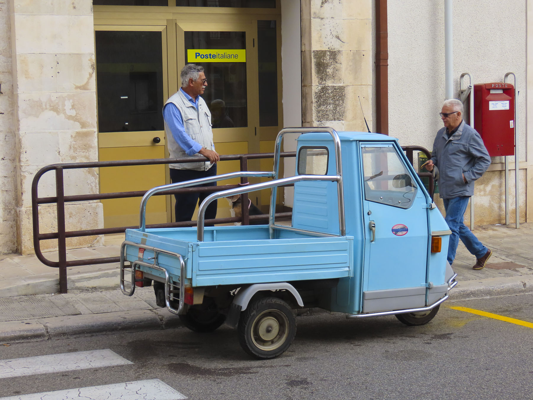
Farther along we sped past a farmer selling yellow melons from the back of his three-wheeled Piaggio Ape, a small truck that is ubiquitous throughout the farmlands of Italy. We did a quick U-turn to buy two from him, and they were delicious.  Our progress slowed through another small town as a brass band led funeral mourners across the road ahead of us.

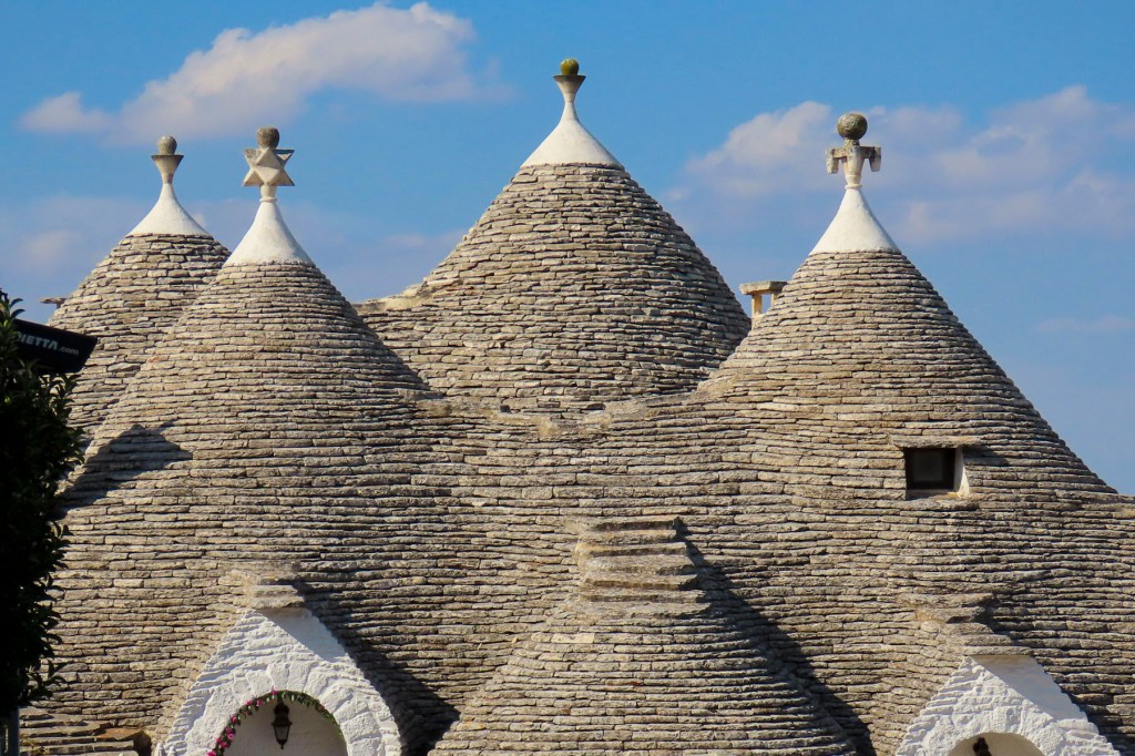
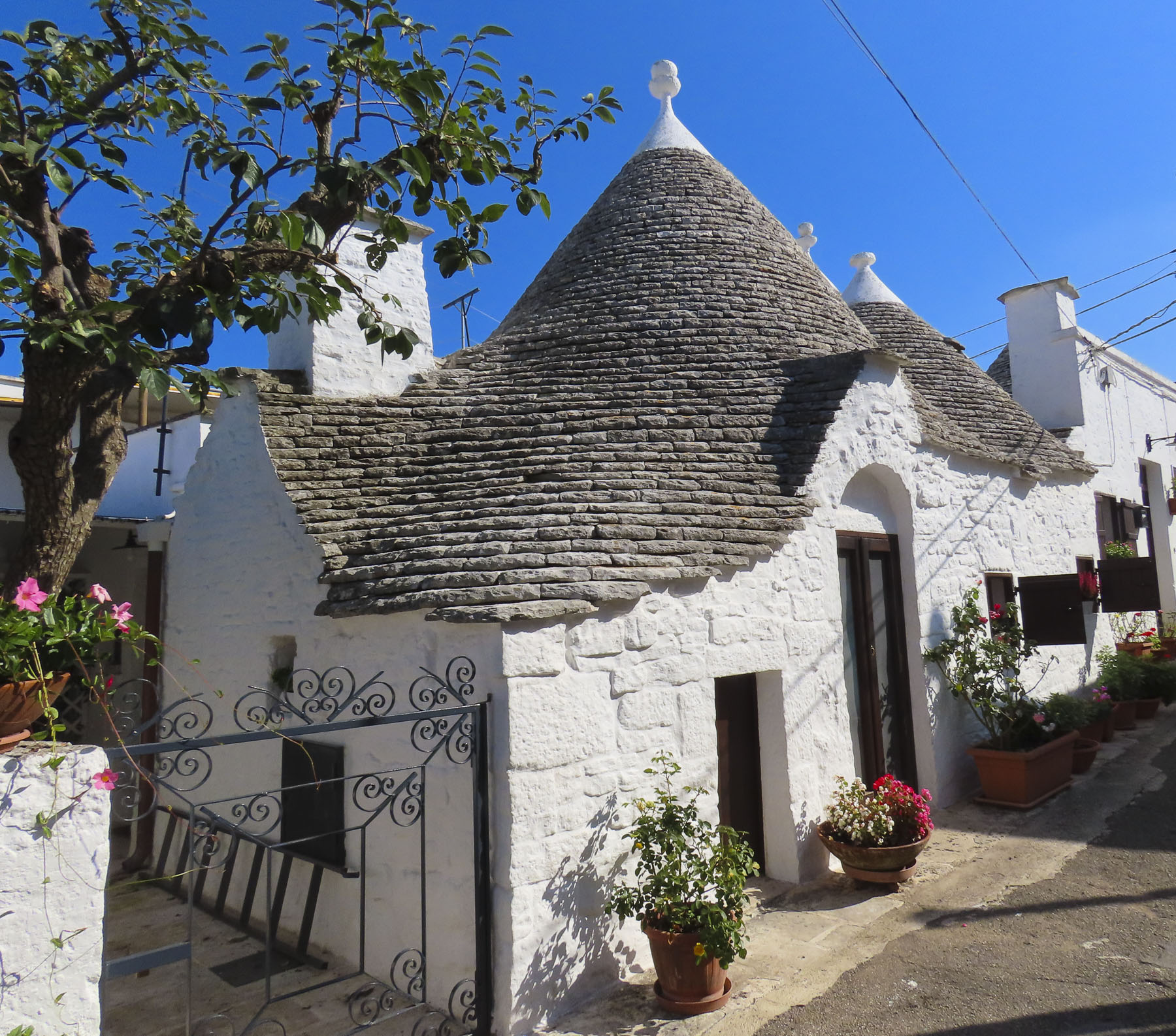
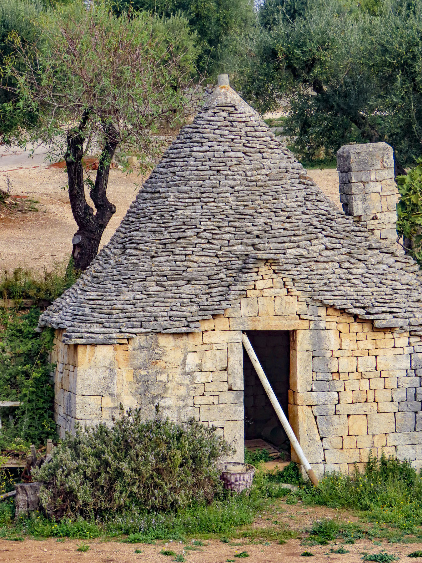
Our destination was Alberobello, to meet up with three of our sons and especially to live in a trullo for a week.  This was the culmination of a decades-long desire ever since becoming aware of these enchanting, whitewashed dwellings capped with conical-shaped stone roofs with a pinnacle at the top.

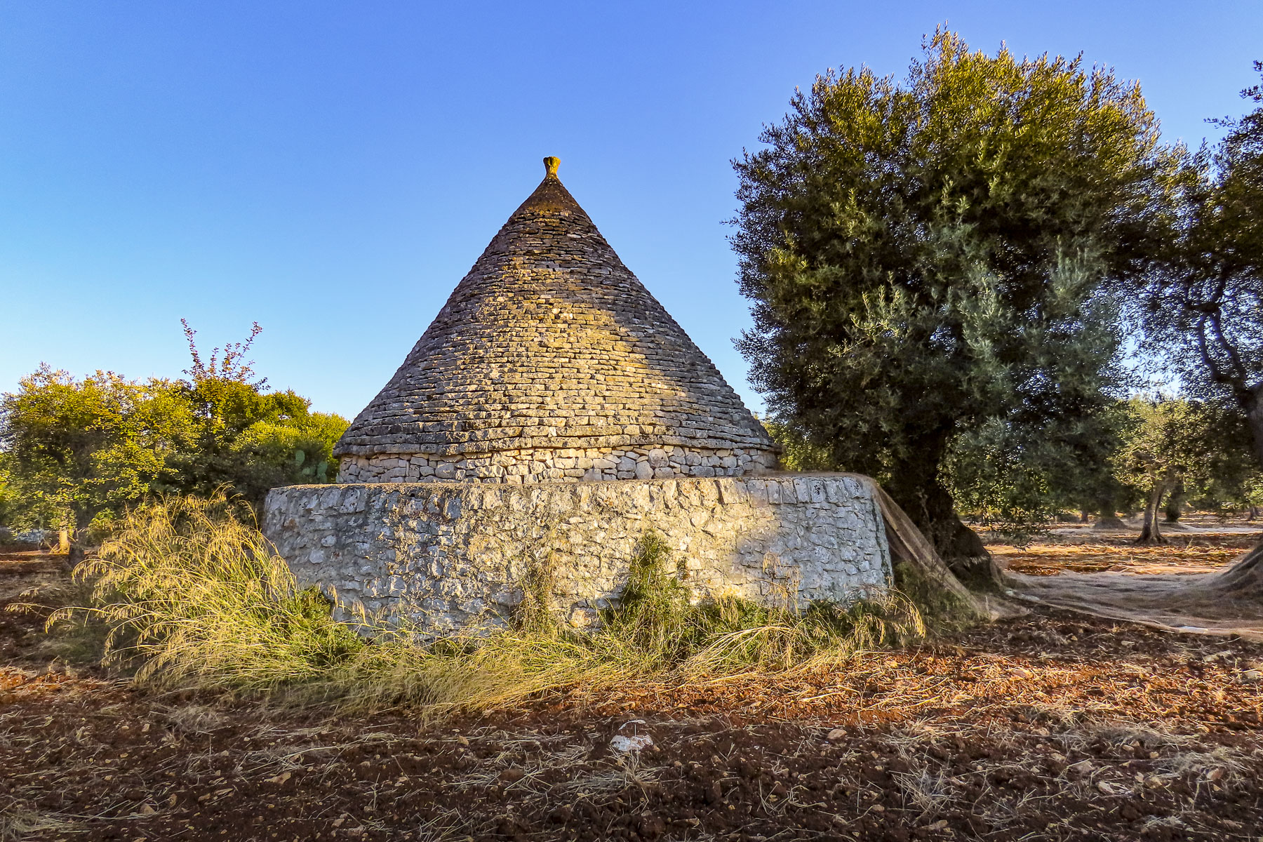
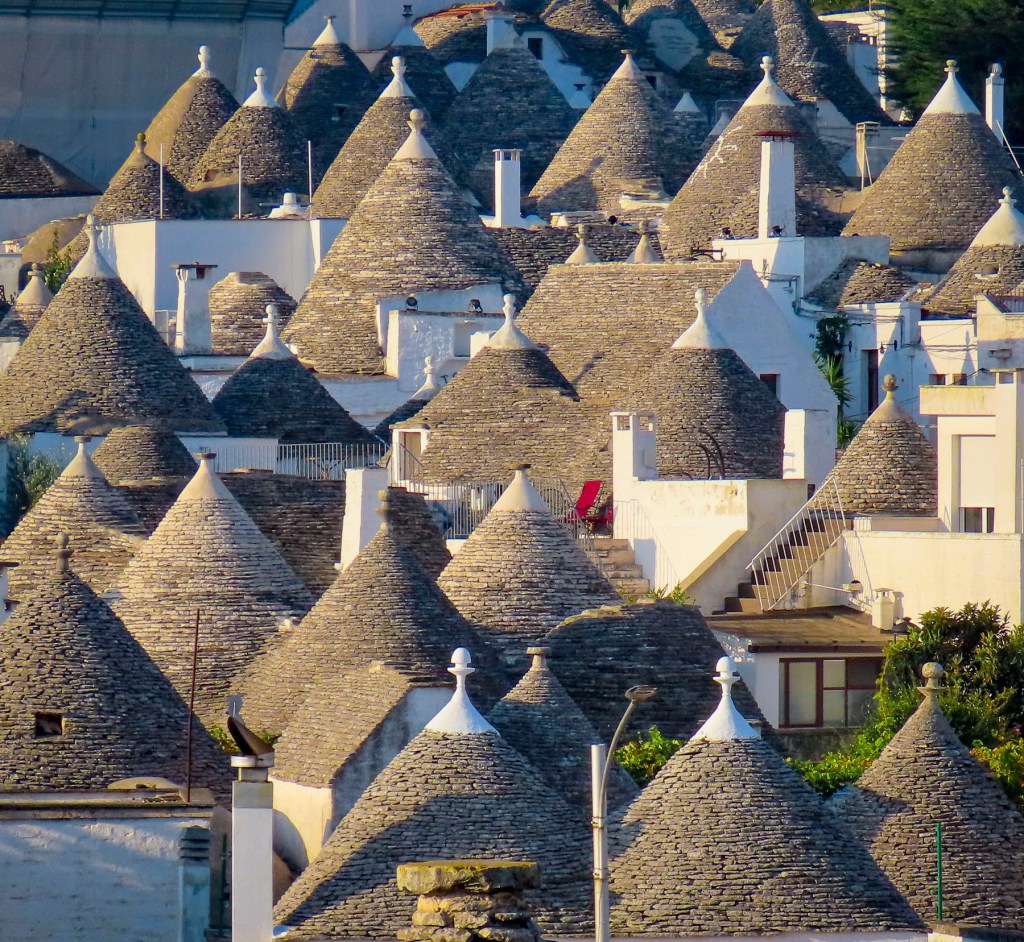
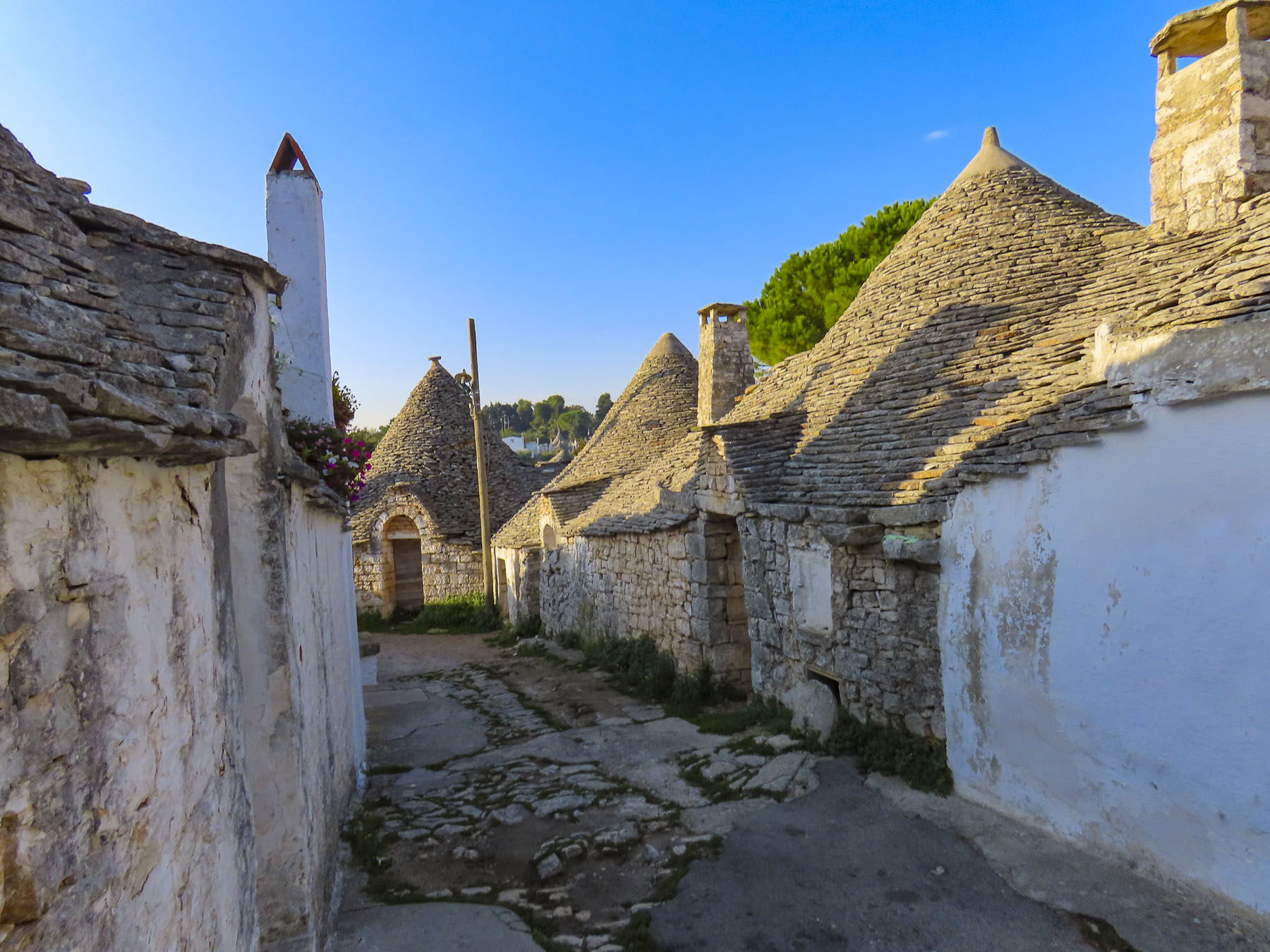
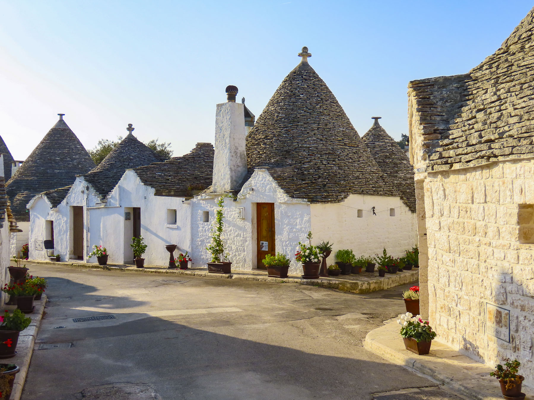
Trullo comes from the Greek word for circular domed construction, tholos.  But it is thought the “a secco” style, without mortar construction technique, was brought to Puglia by North African invaders when Sicily was under Arab rule in the mid-800s or even earlier. As the Valle d’Itria surrounding Alberobello was deforested (albero bello translates as “beautiful tree”) to make way for cultivated crops and olive orchards, the building material of choice was the abundant limestone rocks removed from the fields or the wells dug beneath their homes.  The flat stones, called chiancarelle, are precisely pitched so that rainwater runs off the roof and the interior remains dry.  Their local design was firmly entrenched in the 14th century when the King of Naples granted the desolate Alberobello region to the first Count of Conversano as reward for service during a crusade. 

In a ploy to recruit tenant farmers from neighboring regions the feudal landlord offered trulli with the caveat that when the king’s tax collector visited the area, homes would be destroyed by the count’s horsemen using a rope to pull the pinnacle, a key stone, from the roof, collapsing it.  The homes could then only be rebuilt when the tax collector was safely far away.

This miserliness inflicted upon the already hard lives of the peasant farmers was to avoid payment of “new settlement” taxes by the feudal lord.  No wonder there were constant peasant uprisings. This threat literally of “the roof coming down on your head” was used to intimidate or evict rabble rousers and farmers who didn’t pay their crop share to the landowner.  As peasants’ rights changed over the centuries the homes became more permanent, though tenant farming was common in Italy until the end of WWll.

Our Airbnb trullo was located on one of the narrow, steep lanes of the Monti district not far from the Church of Sant’Antonio with its steeples mimicking the stone roofs of the surrounding homes. It was a compact space with two small bedrooms and combo kitchen/living room area.  When the front door was closed it felt like a snug cave, but fortunately the entry had a classic beaded curtain over it as a privacy screen that let in plenty of light and air when the door was open. 

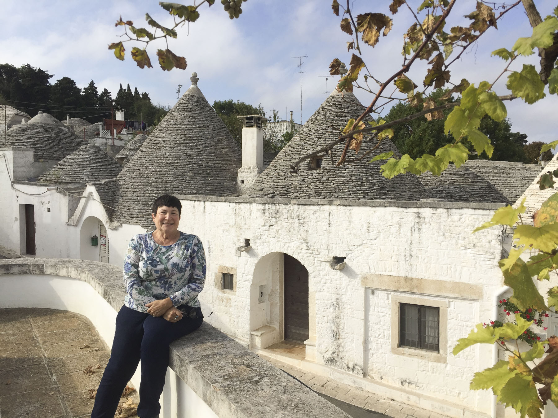
The charm here was a vertical ladder that led to a hatch which opened to a rooftop patio with a grapevine, chairs, a table, and a clothesline. It was delightful and we made daily use of it, bringing coffee up the ladder in the morning and then wine to enjoy while watching the sunset. Immersing ourselves totally in the local lifestyle, we flew our laundry from the clothesline, like a proud flag symbolizing our occupation. 

It took the better part of a day to coordinate the arrival of our tribe; Craig and Gary stayed with us, while Jack and his partner Brian stayed near Matera. The plan was to tour Alberobello, visit Matera in the neighboring Basilicata region together and then spend a day in Lecce with our friend Giulia, whom we met at the very beginning of our journey, fourteen months earlier in Ecuador.

Many visitors savor all of Alberobello’s magic in one day, but if you don’t like changing hotels frequently, like us, it was also the perfect spot to base further exploration of Puglia, which is what we intended to do.

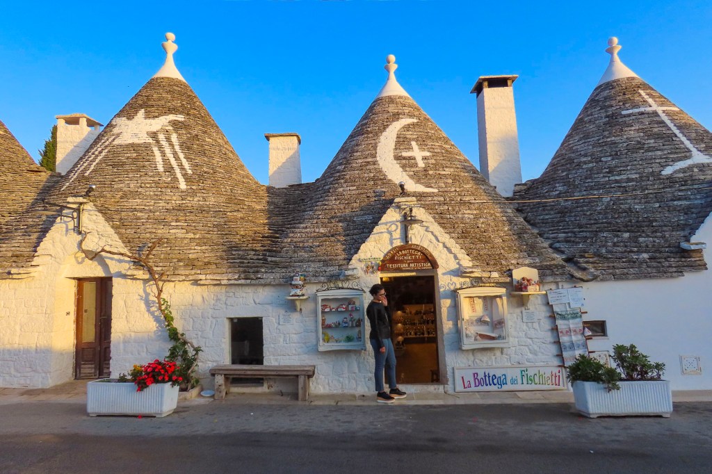
There are over one thousand trulli in the Monti district spread across seven narrow streets that twist and turn in an enchantingly confusing way, yet the area was small enough that we were never really lost.  Early in the mornings or late in the day the neighborhood had a unique ambience, with its cobbled lanes, whitewashed walls and pointed stone roofs painted with various religious, astrological, or folkloric  symbols. The latter were meant to ward off evil or ensure a bountiful harvest. Similarly, there are different thoughts about the meaning of the various shapes of the pinnacles atop the roofs. I prefer the theory that they represent the ancient stone mason’s calling card. Most of the trulli have now been converted to shops, restaurants, small inns, and rental properties. 

Across the main road at the bottom of the hill we climbed a shallow slope to a second, smaller borghi, or neighborhood, equally charming but with a more residential flavor than the Monti. The Aja Piccola is comprised of about four hundred trulli.

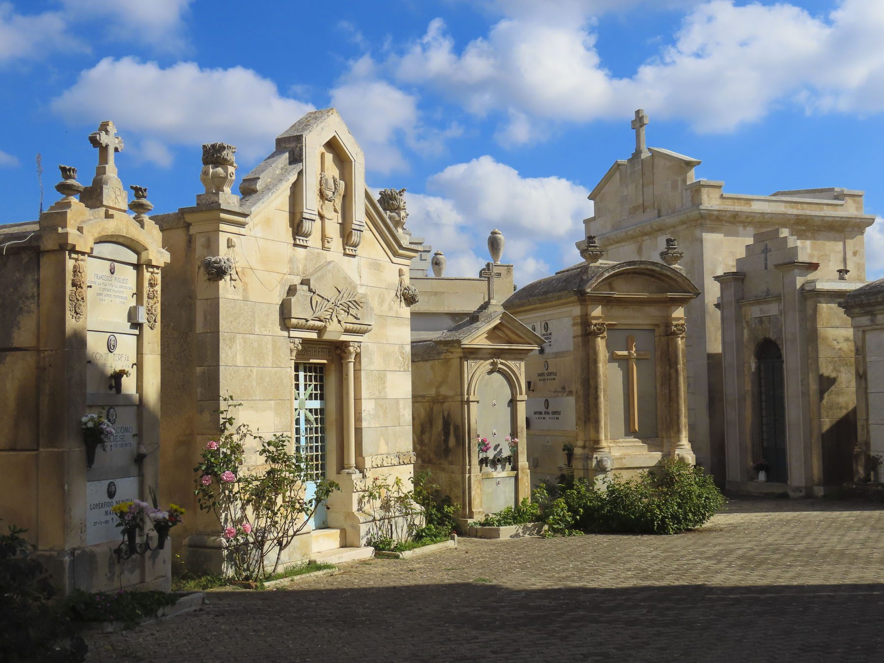
Farther afield on the outskirts of town we walked through Alberbello’s central cemetery.  Spanning centuries with classic tombs and modern mausoleums, the graveyard architecture presented a strikingly distinct dichotomy to the rustic trulli.

It was backroads through farmland most of the way to Matera, past larger trullo with multiple rooms, each represented by its conical roof. Some along the way were abandoned or used as barns, while others were pristinely refurbished and doubled as the farmer’s home or agrotourism business.

Matera sprang to notoriety in 1945, at the end of WWII, with the publication of Carlo Levi’s novel about his political exile to the region, Christ Stopped at Eboli, when Mussolini was in power.  He described the squalid conditions in which peasants lived together their farm animals: they inhabited caves, without electricity or running water, and diseases ran rampant.  The Italian government was internationally embarrassed by the neglect the sassi of Matera received, and in a restitution effort, relocated the entire population of some 16,000 cave dwellers from 1,500 sassi, small caverns, to a new town built on the plateau above the honeycomb of caves.

Archaeologists have determined through excavations that Matera grew from a series of water-eroded caves along the walls of the Gravina River canyon, which were first inhabited sporadically 9,000 years ago during the Stone Age.  Permanent populations have existed here since 3,000 BC, making it one of the oldest continuously inhabited settlements in Europe. 

The Romans declared Matera a town in 251 BC. Centuries later the safety of cave dwellings appealed to many during the turbulent dark ages and the populace grew as folks expanded the natural caves and randomly dug new sassi, above and below their neighbors, from the soft rock of the canyon walls.  During the Middle Ages the prosperity of the city supported many churches and convents.

In the 1200s the Cathedral of Saint Mary ‘della Bruna,’ Saint Eustace, and the Church of Saint John the Baptist were built on opposite sides of the ravine.  Prosperity continued in this area into the early renaissance.  The exterior of the some of the sassi were squared off and ornately carved with columns, while others were expanded with additional rooms and vaulted ceilings.   

Political intrigue over the centuries put Matera on the losing side of several rebellions against the various Kings of Naples. The coup de grace came in 1860 after unification with the Kingdom of Italy, when many of the lands and properties owned by the church in the Basilicata region were confiscated and sold off to wealthy aristocratic families. With support from the church, peasant opposition to the broken promises of the new Italian government grew and soon the countryside was controlled by roaming bands of brigands.  The province was too dangerous to travel through, further isolating Matera even though it was the capital of Basilicata.  Many decades of governmental neglect followed and pushed Matera into major decline.

For three decades the sassi were an abandoned no-man’s-land, the caves used as drug dens and warehouses for smugglers until the first gentrifications began with several small boutique hotels in the 1980s.  During years of renovation and exploration, 150 cave churches, 90 wine cellars and numerous cisterns have been rediscovered after the removal of debris and muck from their last use as barns and stables.

The uniqueness of Matera’s “spontaneous architecture” as it is officially called was recognized in 1993 when UNESCO named it a World Heritage site.  Further interest followed, after Matera was used as a film location to double for ancient Jerusalem in several movies: The Passion of the Christ (2004), King David (2005), and The Nativity Story (2006.) Even some scenes from the 2017 Wonder Woman were filmed there. In 2019 Matera received distinction as a European City Capital of Culture.  Today sixty percent of the sassi of Matera have been restored into small hotels, shops, galleries, and digital workspaces.  

When we arrived in Matera the historic area was hidden from our view by the buildings of the new town on the plateau above the Sassi district. We made our way to Piazza Vittorio Veneto while searching for stairs down into the ancient district. There was a tremendous WOW! factor when we emerged from a narrow alley onto a scenic panorama above the old town, the city’s silhouette frozen in time.

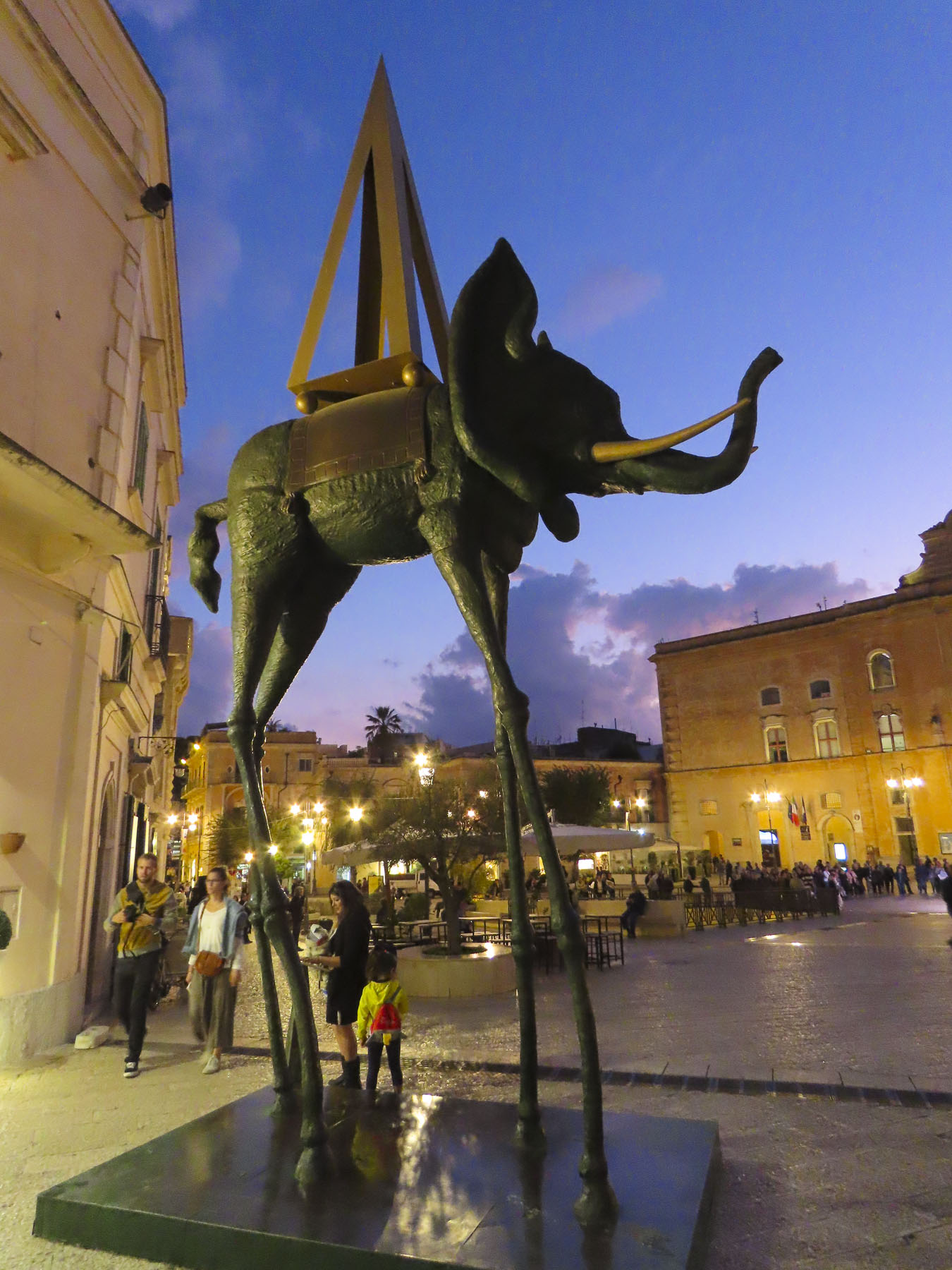
Around the city large surrealist sculptures by Salvador Dali stood in wonderful, whimsical juxtaposition to the surrounding monochromatic walls of the city. One day was not enough to uncover all the mystery that Matera had to offer. Hopefully, we will return in the future. 

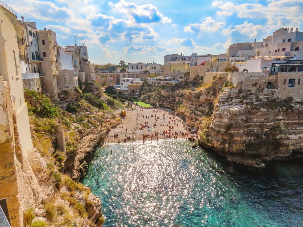
A day at the beach, more like a day on the cliff above the beach, drew us to Polignano a Mare on Puglia’s Adriatic coast.  It’s a picturesque town known for its dramatic buildings balanced on a cliff edge that follows the sea, thirty feet below. 

The rock face is incredibly soft and over time sections have fallen into the sea creating grottos, under the homes above, that can be toured by boat.  White-pebbled Lama Monachile is a classic, small Italian beach nestled between cliffs, from which the brave dive into the calm turquoise waters of the cove. 

The quaint historic district is relatively small, and homes are painted in cooling colors which echo the sea. Alleys meander to small piazzas above the water, each with a unique view of the cliff and just large enough to support a small café with a few outside tables.  It was a brilliant sunny day, pleasantly uncrowded, and the weather was gentle enough that we could dine outside in a sunny spot during our November visit. 

Till next time, Craig & Donna

Kotor Part 4: The Ladder of Kotor, Camel Tracks and Pirates

The water barely ripples on the inner reaches of Boka Bay when a storm rages across the Adriatic Sea. The steep walls of the fjord created the perfect harbor to shelter ancient fleets of merchant sailing vessels. Three-thousand years ago starting with Greek triremes and later Roman galleys, the vessels carrying goods through the Adriatic to ports along the Mediterranean were mainly rowed.  The ancient Greeks mostly relied on free men as paid rowers while the Romans used slave labor to expand their empire and propel their merchant fleets.

The city of Kotor was essentially a land locked island until an ancient foot path was widened by the Romans in the 1st century into a cobbled road, six to eight feet wide in many places, with stone retaining walls that zigzagged up the mountain four miles and climbed 3100 ft in altitude, about a five- hour trek.  Going downhill was much faster and more difficult for the camel trains. The danger here was if the camels were going too fast and couldn’t round the tight switchbacks, lost their balance and fell off the trail to their deaths.  The camel wranglers definitely had a difficult task on this route. The caravan trail remained the only land route into Kotor until 1897, when the Austrians built the road that now leads from Kotor to Cetinje.

This early example of infrastructure improvement resulted from Rome’s war against the Illyrian Kingdom after it refused to stop their piracy of Roman merchant ships. The empire determined that an overland trade route connecting to Constantinople/Istanbul and the Silk Road from China was needed as a safe alternative.  Eventually a spiderweb of caravan trails and Roman roads spread across the Balkans. Cilician pirates in the eastern Mediterranean were also creating havoc, at one point kidnapping a young Julius Caesar on a voyage to Rhodes. Piracy continued to be a problem for the Venetians with Omis pirates in the 11th to 13th centuries and later Uskok buccaneers from Croatia pillaged along the Adriatic until the 1600s.  Barbarossa, the notorious Ottoman pirate, commanded a fleet of swashbucklers that were the scourge of the Mediterranean at this time, raiding Spanish and Venetians merchant vessels and selling Christians into slavery. European empires also tolerated and endorsed pirates as long as they were “our pirates.”  Piracy persisted on the waters of the Adriatic and Mediterranean for so long because the rugged coastline had many small islands and hidden inlets to shelter the pirates.

Romanticized views of pirates persist today with the popular adventure movie franchise Pirates of the Caribbean, featuring a beguiling Captain Jack Sparrow, and the TV series Black Sails.  Interestingly there is a Japanese anime film about fictitious air piracy on the Adriatic Sea called Porco Rosso which is based on a 1992 short graphic novel called Hikōtei Jidai (飛行艇時代, The Age of the Flying Boat). It’s entertaining and worth checking the Porco Rosso film trailer.

The afternoons in mid-October were still quite hot so we planned for an early start from our apartment in the center the historic district.  This coincided with the young parents of old town escorting their children through the still shadowed alleys to the Vrata od Škurde, the River Gate, which was constructed in 1539 to celebrate a naval victory over Barbarossa, now an Ottoman admiral. We found ourselves behind an orthodox priest holding the hand of his daughter as we crossed the first and then second bridge that spanned the Scurda.  The Scurda is a wide, shallow stream that bubbles to the surface from beneath the tall rock escarpment that the Ladder of Kotor climbs and flows into Boka Bay. This area on the far side of the bridge was for centuries the market for all the goods brought down the trail from afar or from farms in the mountains to be sold or bartered for.

The old caravan trail starts behind the waterworks where the underground spring emerges and zigzags often in the tight confining space at the bottom of the gorge. The trail continued in the shadow of once towering fortress walls now humbled by earthquakes before the ravine widened out and the distance between the switchbacks increased.  There are seventy switchbacks in total if you chose to trek all the way to Krstac pass where the trail ends near Restaurant Nevjesta Jadrana. Here you can zipline over part of the trail you just hiked up, or catch a taxi or local bus back to Kotor or onto Cetinje.  Hiking back to Kotor is also an option for the hardy.

Our plans were more modest, just wanting to hike to a vantage point above the Castle of San Giovanni, Kotor Fortress, for views over the bay.  The cobbled road and retaining walls have seen better days having been damaged in the 1979 earthquake.  While the fortress has been repaired, maintenance of the caravan trail has been forgotten.  Though many sections of it are in better shape than the stairs to the Castle of San Giovanni and not as bad as some city sidewalks across Europe. Still you need to be aware of your footing and wear sturdy shoes.

It was a gentle hike through a rock-strewn hillside dotted with grasses, small shrubs, occasional pomegranate trees and wild thyme.  Off in the distance unseen donkeys could be heard braying. The pomegranates were just ripening, but were all teasingly just inches out of reach, too far from the trail’s edge.  The views were fantastic from many spots and there were two rustic taverns to stop at along the way to rest.  The lower one was closed for the season, but the higher one referred to as the Cheese Shop, on Google maps, is located where the trail veers off towards the deserted village of Spiljari, which is located under the back ramparts of San Giovanni Fortress. 

I think we were the innkeeper’s first customers of the day, and we ordered two espressos while we rested on the shaded porch.  After serving us he crossed to a refrigerator on the other side of the room to get himself a shot of chilled rakija. Being a good host, he offered us some. It was ten in the morning.  We politely declined. Though I’m sure it would have had wonderful medicinal qualities in case of any mishaps.

The village of Spiljari is over 1,000 years old and was abandoned when its water source went dry. Now trees grow between the half walls of a dozen buildings and the ruins of the Church of St John remain standing.  The ruins of the church alone are worth the detour. 

Slowly decaying, colorful remnants of what one only could imagine were beautiful frescoes remain on walls open to the weather. 

From here you can see a ladder to a small portal in the side wall of the fortress. The Ladder of Kotor? We are not sure if the name refers specifically to this or to the climb in general.  Years ago, this was an alternative entrance into the fortress.  Now it is strictly an exit point for those who have paid the €8 entrance fee to the fortress and walked up the stairs from old town and wish to return to Kotor by the caravan trail.  Though you might be able to purchase a cold drink from an ice cooler manned by the ladder attendant.  

The sun was high in the sky when we made it above the castle and the view was spectacular. We sat for a while and imagined the history of the trail: how it conveyed ideas, merchandise, pilgrims and invaders over the centuries. 

Notably in the 1830s a team of fifty men carried an Italian billiard table up this track to the rightfully named Biljarda House, home to the beloved prince bishop and poet Petar II Petrovic. (Just imagine the amount of cursing involved in that endeavor.)  Years later when Petar II Petrovic was on his deathbed a procession carried him up this same track to the historic old capital, Cetinje.  A few months later Montenegrins would carry his successor and nephew Danilo II Petrović-Njegoš to Cetinje to rule.

And although we took many photographs on the trek up, we took even more of the ever changing view as we descended back into town.

Till next time, Craig & Donna
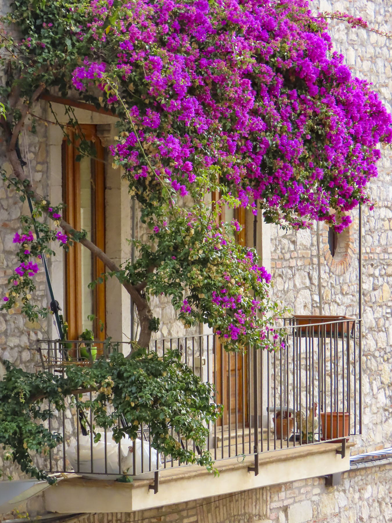
Kotor Part 3: Herceg Novi – Serenading the Ghosts

The days were noticeably cooler now, with a morning mist hanging on the water as we sped around Kotor Bay on the local bus to Herceg-Novi (€3 one way) for the day. The narrow two-lane road hugged the coastline and in spots jutted out over the water to circumvent a sheer rock face.  When the landscape widened enough, houses were built on every patch of useable land in small clusters or standing alone.  At the farthest end of the bay we watched oyster farmers raft between their rows of buoys that marked the submerged delicacy growing in the depths below.

Further along the Lepetani – Kamenari Ferry (€4.50 per car, €1 for a bicycle, people free) offered a shorter and faster route that bypassed Kotor for travelers wanting to stay along the highway that hugged the Adriatic coast from Albania to Croatia.

Unlike Kotor and Budva, which were both built on flat coastal terrain, Herceg-Novi was built on a steep slope that runs many miles inland to the summit of Mount Orjen. The mountain, part of the coastal Dinaric Alps, is Montenegro’s tallest peak, which at 6210 ft is 500 ft taller than the more famous Mount Lovćen (5738 ft).  The town existed as a small fishing village for several hundred years until its first defensive walls were raised in 1382, making it one of the youngest and most fought-over fortified cities along the Adriatic coast. 

The old town is long and narrow, climbing up the hill from the water’s edge like an index finger poking out of the sea, making it a much harder city for the Omis pirates to attack.  Let’s face it, Mediterranean diet or not, it’s much more difficult to properly sack, pillage and plunder a city when you are exhausted from running up steep flights of stairs.  Though it wasn’t always the pirates that folks worried about.

The Turks built Kanli Tower on the highest point in the city after they defeated the Byzantines in 1482, only to be ousted by the Spanish for a brief stint of gentrification in 1538 when they quickly constructed Hispaniola Fortress higher up the mountain, to no avail; the keys of the city were returned to the Turks two years later.  The Venetians had their turn also, strengthening walls and building towers that survived until the devastating 1979 earthquake.  Its turbulent history also included the Austrian, Russian, French and Germans, all battling for beach chairs along the Herceg-Novi riviera.  Fortunately, the communists didn’t see the need to impose their minimalistic architecture on such a beautiful swath of earth and left it alone.  The people of the communist block were not as fortunate.

We were only an hour from Kotor when the bus pulled into the station above old town Herceg Novi, the last stop before the border with Croatia.  Walking downhill, we came upon the daily market, Gradska Pijaca Herceg Novi, and took the opportunity to purchase the makings for a picnic lunch. Bread, cheese, figs and a huge pomegranate filled our knapsack.  Old Town is of course surrounded by the apartment buildings of the new town, a pretty gentrification which has sprawled horizontally between the sea and the highway above town, hugging the hill for views of the bay.

The lane ended in Nikole Đurkovića Square in front of the ancient Sahat-Kul clock tower and gate, built by the Ottomans in 1667, that leads into the historic district.  Once through the gate, the dark passage opened onto palm-treed Belavista Square lined with cafes and umbrella tables. St. Michael Archangel Church anchored its center.  The style of this relatively modern church, built in 1911, is defined as Eclecticism, after its incorporation of architectural influences that reflected Herceg Novi’s diverse history.  Byzantine, Gothic, Romanesque, Islamic and Serbian Orthodox inspirations all blend seamlessly together. 

The old town was very quiet, and we had the narrow alleys and stairs to the Sea Fortress, the first fortification in Herceg Novi, practically to ourselves.  At the old town’s southernmost point, the massive stone wall of the fortress protrudes several stories high from the sea, like the bow of a cruise ship.  Its canons are quiet now, but during the summer tourist season it hosts citadel-top concerts and a film series from the spot where the guns once guarded the bay. 

We chose not to walk down to the harbor, saving our strength instead for the longer one-mile walk to the Savina Monastery. The monks sure did know how to pick locations for inspiration. The first stones of one of three churches were laid in 1030, and the setting above Kotor Bay is glorious. 

Being a Saturday, it was wedding day and we arrived just in time to watch a flag-waving crowd and brass band escort the bride and groom to their get-away car.  Moments later another wedding party arrived to celebratory horns. 

Next to the cathedral where the weddings were being held, the smallest and oldest church, Sveto Uspenje Bogorodice (St. Falling into Sleep of Holy Mother of God) has fascinating, ancient frescoes depicting the life of Christ.  Stairs in the hillside led to a cemetery above the monastery with beautiful views. 

The route back was relatively flat and took us through a pretty neighborhood filled with flowering shrubs to a smaller gateway into the old town, nearer the stairs to the Kanli Kula Fortress or Bloody Tower.

Built by the Turks in the 1500s, it was also believed “that the door to the castle opens only one way – to leave it alive was impossible.” Even with walls sixty feet wide in some places, the fortress was damaged in the 1979 earthquake that ravaged Montenegro.  During reconstruction, its courtyard was converted into an amphitheater with 1,000 seats for concerts and theater productions; perhaps the music soothes the restless souls of the ghosts still wandering the dungeon. Name and reputation aside, the views from the fortress walls were beautiful.

Walk a little, café, walk a little more. Today a long climb back to the bus station awaited us after that last sip of espresso.

Till next time, Craig & Donna

Kotor Part 2: Road Tripping Through Montenegro – Mountains, Icons, and the Sea

With the assistance of our host, we rented a car and planned a four-day road trip heading up into the mountains before ending along the Adriatic coast, then returning to Kotor.  A great distance wasn’t covered, but the variety of scenery was amazing and the driving challenging in places.

Since our first cars as kids, Donna and I have been stick-shift/manual transmission aficionados, with fond memories of the rust bucket Fiats we both drove. We’ve also driven regular sedans up and down rutted, rock strewn dirt roads normally traversed by 4×4 SUVs while being told “you won’t make it in that.” 
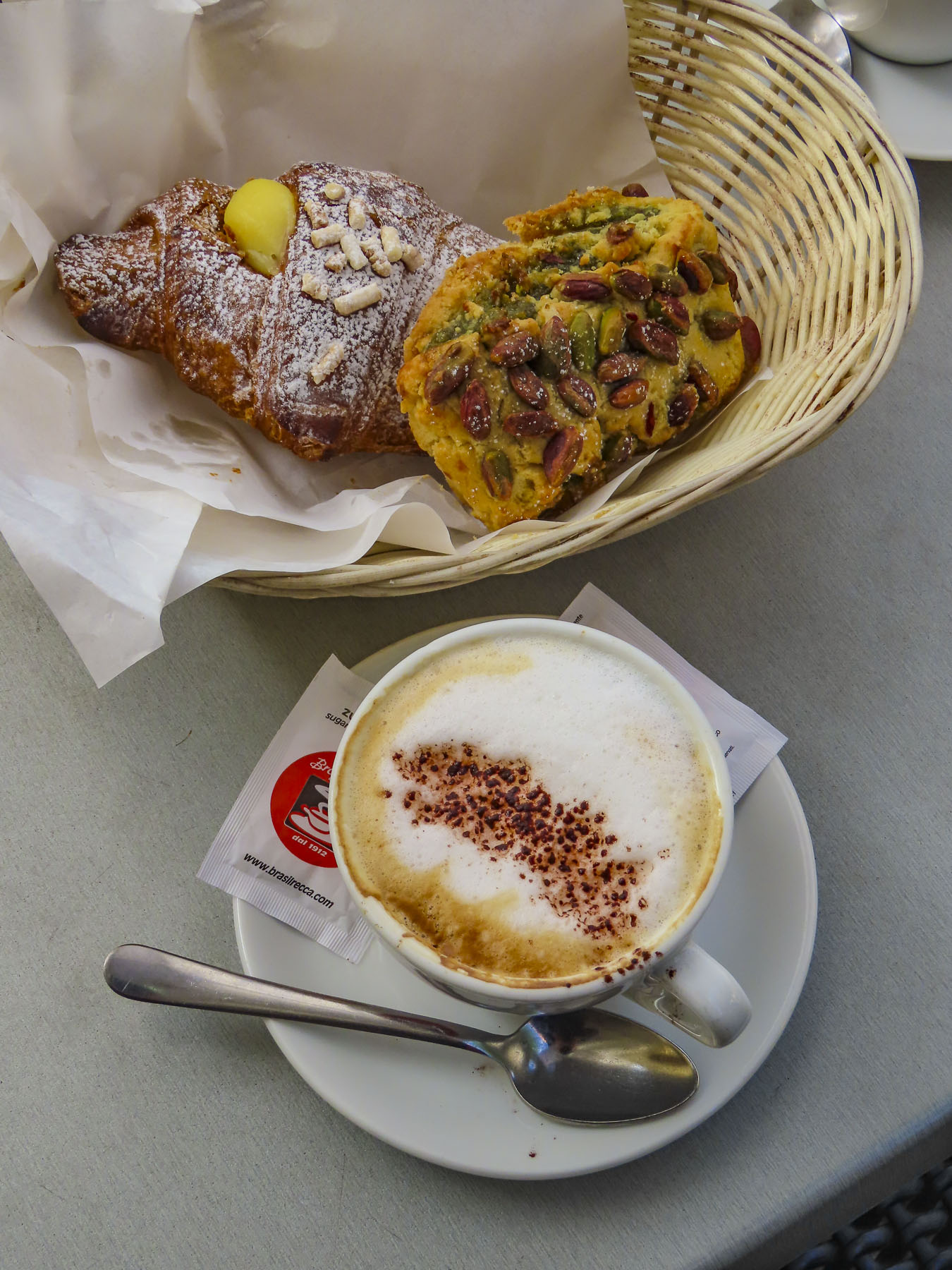
“Where are you heading to?” “Lovcen National Park will be our first stop.” “Be careful the roads are narrow and there are twenty-one switchback curves on the way.  You might want to consider the longer route, it’s more relaxing,” the rental agent cautioned as he assessed our age and abilities. “We understand the views are dramatic along the way,” I responded as he handed over the keys while Donna playfully poked at me for them.  Of course, I stalled the car backing out of the parking space, much to the attendant’s secret delight, I think.  With a zoom zoom in mind and the windows down, we waved our thank you, only to stall again as we drove away. Hey, it was a high clutch! Some days just start that way.

Whether it’s from the bell tower in Perast or from the top of St. John’s Fortress, it’s impossible to escape glorious views of Kotor Bay once you gain any elevation.  Only minutes from old town our route along Montenegro P1, also called the Kotor Serpentine Road, did not disappoint.  The question was, how many times would we stop to take photos?  Fortunately, there were few other cars on the road that day and we were able to pull over at the switchbacks that had room to park.  Harrowing though was encountering large construction trucks and buses barreling downhill towards us, which often required pulling over as far as we could on the already narrow one lane road or reversing downhill to a wider section of paving.  To say that guardrails were lacking in many places is an understatement. For centuries, the only overland route into Kotor was the old caravan trail which dates to Roman times. It wasn’t until the 1880s, when Montenegro was part of the Austrian Empire, that an easier wagon route between the seaport of Kotor and mountainous towns of Njeguši and Cetinje was carved from the mountainside. Paved now, that old wagon track was essentially the same route we drove.  Eventually we came to a stop behind a local bus which was offloading hikers at Restaurant Nevjesta Jadrana which is the starting point for hiking the old caravan trail downhill into Kotor. 

If you are a hairpin-turn fanatic click on this link https://www.youtube.com/watch?v=DD5u7WKHiYQ for an interesting video of this thrilling drive. And to our surprise it’s on a “most dangerous roads” list!

Warrior, poet, Prince-Bishop and ruler of Montenegro from 1830 to 1851, Petar II Petrovic Njegos captured the essence of Serbian culture and life in several epic poems that put Serbian folk tales and history to verse. “What Shakespeare is to England, Njegos is to Montenegro,” gives a clue to his influence on Serbian culture.  In his will he requested Montenegrins bury him in the church on the summit of Mount Lovcen, from which “all the lands of Montenegro can be seen.”  On his last days the people lovingly carried him from Kotor to Cetinje, the old capital, along the ancient caravan trail that climbed from Kotor. Interestingly, this act of devotion didn’t seem to be enough, and, perhaps insecure of his legacy, he threatened to curse and haunt them if his last wish was not fulfilled.  Ascending the steep stairs to his mausoleum atop the mountain, we understood why he was so insistent in his demand. The 360-degree panoramic view was in so many ways breathtaking.  A warm day bayside in Kotor can be extremely chilly on the peak of Mount Lovcen with its 5738 ft elevation, so layer up accordingly.  Descending the stairs, we stopped at the appropriately named Lookout Restaurant, which offered delicious local cuisine, very reasonably priced.

Podgorica, the capital city of Montenegro, would be our destination at the end of the day, but before heading that way we detoured over to Lake Skadar National Park. Specifically, to see the beautiful horseshoe bend of Rijeka Crnojevića, the river of Crnojevića, from the Pavlova Strana Viewpoint which from Mount Lovcen is accessed by turning onto a dirt road off the M2.3. (Why the decimal point, really? There’s no 2.1 or 2.9 road that I can see on the map, but I digress.) This was a narrow track that had us wondering if we made the right decision. Our logic seriously questioned again when we reached a stalemate with an oncoming car traveling uphill. The road was so tight I was hesitant to reverse, fearing scraping the car paint and the other driver refused to budge. Somehow the locals know if you are not from around those parts! I blinked first and cautiously backed up until the road was barely wide enough for two cars to squeeze by.  Continuing to descend toward the lake, several of the switchback curves were so tight they required 3 point turns to maneuver around the corner. Our persistence though was eventually rewarded with a great view of the river. 
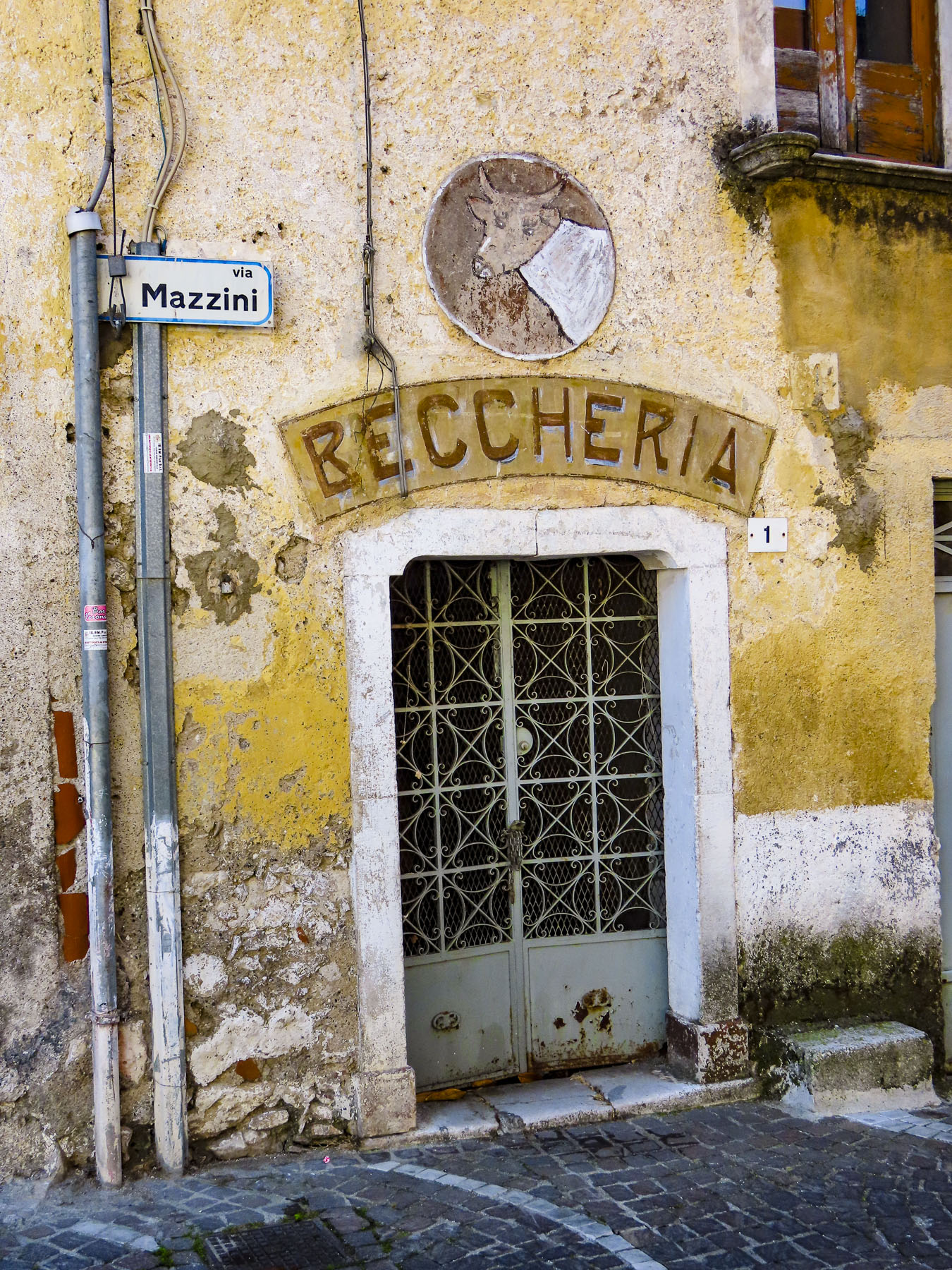
Relieved to hit a larger paved road, we continued towards the small village of Crnojevića. The weather was brilliant, and we spontaneously decided to opt for a short boat tour along the river.  It was mid-week and near the end of the season, and we were pleased that we had the boat all to ourselves. 

It was a relaxing reprieve, silently traveling upon the water, passing under old stone bridges and watching the birds and swans along the water’s edge.  Next to the boat launch, Restaurant Mostina offered shaded outdoor dining and a beautiful view of the river.  We lingered as long as time allowed, wanting to reach Podgorica well before dark. Fortunately, it was only forty minutes away.

We arrived late in the afternoon and followed our GPS directions into the city and were totally surprised when our route turned into a pedestrian only boulevard after 5 PM, with families pushing strollers down the center of the avenue and waving frantically to make us aware of our mistake. Without difficulty we quickly corrected our error. Having the freedom to roam is wonderful with a rental car, the only drawback really is parking. And finding an affordable, convenient hotel in a city with free parking is a challenge.  The three-star, business class Hotel Kerber fit the bill, though finding the parking lot required that the receptionist walk us out the back door and point to the parking entrance under a building on the block behind the hotel. 

Exploring the city early the next morning, we walked over the Morača River via the Milenium Bridge, one of the city’s most prominent landmarks.  Its futuristic cable-stayed bridge design is so strikingly different from the architecture in the rest of the country.

In the park across the river we found the statue of Vladimir Vysotsky, a beloved Russian poet and songwriter whose verses were deemed subversive by communist authorities and barred from publication. The Bob Dylan of Montenegro, he gained fame by distributing illegal homemade recordings of his songs and performing in clubs across the communist block during the Cold War. Montenegrins loved his music and he loved them. “I regret in this life that I don′t have two roots, and I can′t name Montenegro as my second homeland.” – Vladimir Vysotsky.

The big draw for us to Podgorica was Саборни храм Христовог Васкрсења, the Cathedral of the Resurrection of Christ for us non-Serbian speakers.  It’s an inspiring new Serbian Orthodox church that was consecrated on October 7th, 2013, the 1700th anniversary of the Edict of Milanin 313 AD, which was an agreement between the Western Roman Emperor Constantine I and the Byzantine Emperor Licinius that decriminalized Christian worship.

Every interior surface of basilica is covered with brilliant Orthodox iconography on gold backgrounds or has controversial murals that reflect history.  The one depicting Tito, Marx, and Engels burning in hell is poignant commentary on communism’s oppression and anti-religion stance that affected millions in eastern Europe.  There are other contemporary political frescoes interwoven throughout the traditional iconography that are difficult to spot, but that’s part of the thrill of discovery.

To this day, the artist has chosen to remain anonymous. The architect, Dr. Predrag Ristic, is credited with building 100 orthodox churches, and took inspiration for the exterior of the church from the medieval design of the Cathedral of St. Tryphon in Kotor, with its prominent arched entry way and twin towers. 

Our destination lunch spot for the day was Restoran Nijagara, located only a short distance before the Vodopad Nijagara waterfall on the Cemi River.  The waterfall was beautiful and easily accessible from the shaded, riverside dining on the restaurant’s deck. Ducks floated lazily by while children playfully splashed in the crystal-clear water.

We planned on being along the Adriatic coast for sunset, but still had plenty of time for a stop in the lakeside village of Virpazar, which is a popular point for boat tours of Skadar Lake National Park. The small town had a wonderful ambience with umbrellaed restaurants, streets full of people, colorful boats tied up along its quay. A dramatic memorial to the liberation partisans of WWII anchored the waterfront, with Besac Castle rising above it in the distance.  The castle is a short distance from town and has splendid views of Lake Skadar.

We continued along the lake road towards the small historic village of Godinje with its ancient, cojoined stone houses set on the mountainside.  The village is unique because each home has an underground passage connecting it to its neighbors.  This was developed to defend the village from Ottoman raiders.  The tunneling system was so extensive that townspeople could go from one end of the village to the other without being seen by their enemy.  There are many small vineyards in this region, featuring wines vinted from the native-to-Montenegro Vranac grape varietal. Some wineries offer tastings along with food.  Reservations are highly recommended, especially on the weekends. Unfortunately, we did not have time to linger longer, but we did purchase homemade grape brandy from a woman selling it from a small roadside stand in front of her home.

The views of the Adriatic coastline as we drove north along the E80 were incredible, though there weren’t nearly enough pullover spots for photographs.

We arrived at the Hotel Adrovic in Sveti Stefan with plenty of time to get settled before watching the sunset, with classic Aperol spritzes from their rooftop restaurant. 

We put a lot of research into selecting this hotel, primarily for its view of Peninsula Sveti Stefan and it did not disappoint.  We enjoyed an incredible ocean view room with a balcony, including breakfast and free parking, for a very reasonable $80.00 per night.  Later that night a lively wedding party danced to Montenegrin hits in the restaurant’s banquet room until the early hours of morning.  

Budva was an easy twenty-minute drive the next morning.  The walled town is one of the oldest cities on the Adriatic coast, dating to the 5th century BC with Illyrian tribes settling the area and later colonization by the Greeks as an important trading port.  Its history mirrors Kotor’s with conquest by the Roman empire in the 2nd century BC, followed by the Byzantines, Venetians, Ottoman and Austrian empires all ruling for various lengths of time. And let’s not forget the French, Germans and Russians who settled in for short stays.

The historic, walled old town is much smaller that Kotor, but still fascinating. The town’s fortified walls sit right on the edge of the Adriatic with the tall walls of the citadel rising directly from the sea. The views over church spires of the old town and the coastline were beautiful. It’s from this vantage point that we decided to check out the colorful umbrellas of Mogren Beach across the water. There are actually two pebbled beaches set under towering cliffs separated by a protruding cliff face.  Connecting them is a rough tunnel through the rock called the “Door in Stone.”

It was an easy walk along the ocean edge on a paved path with railings, past the Ballet Dancer Statue set on a rock in the water. There is some debate about whether the female figure, sculpted by Gradimir Aleksich, is a dancer or gymnast as she is not clothed, leading some to have nicknamed the bronze statue, “The Girl Who Lost the Swimsuit.” Idealistically he based his graceful creation on the legend of a local young woman who danced on the rocks every day waiting for her fiancé, a sailor, to return from the sea.  Years passed, yet she continued to hope for his return, and she danced every day until her death. For the people of Budva the statue represents love, loyalty and fidelity, attributes that have served Montenegrins well through their turbulent history.

Back at our hotel, the sparkling blue waters of the beach below us called.  This part of Montenegro’s coast is very steep, but stairs from the hotel weaved down to the ocean far below.  Walking down would have been easy.  Returning – forget it!  The parking lot by the beach was outrageously expensive for a short visit, so we opted to park like the locals, which took some creativity, and found a spot under a heavily laden olive tree.  It was the last weekend in October, and the water was still warm enough to swim in.

The tall mountains along the coastline here cast a long shadow over the water at sunrise. We sat quietly on the balcony with the morning’s first cup of coffee and watched the sunlight slowly reveal the red roofs, then warm stone colors of what was once a 15th century island fortress – Sveti Stefan.  The small, private islet today is an upscale resort that is connected to the mainland by a small peninsular. It’s an exclusive and dramatic setting, but we had the better view. 

On the beach, workers were digging the umbrella anchors out of the sand as others rowed into the ocean to retrieve the string buoys that defined the swimming area.  Offshore the crew of a sailboat was pulling anchor in preperation to set sail. It was officially the end of the summer season and time for us to be moving on.  We got our swim in just in time.

Till next time, Craig & Donna