Road Tripping Through Andalucia: The Pueblos Blancos of Ubrique, Villaluenga del Rosario and Arcos de la Frontera

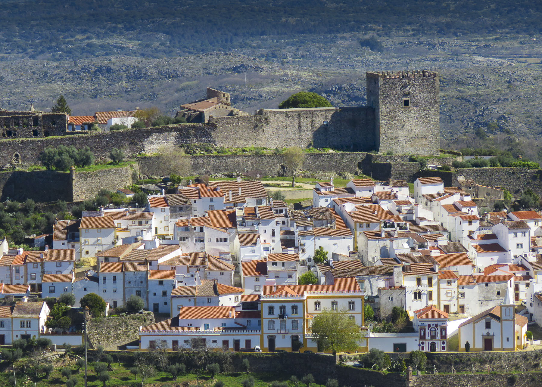
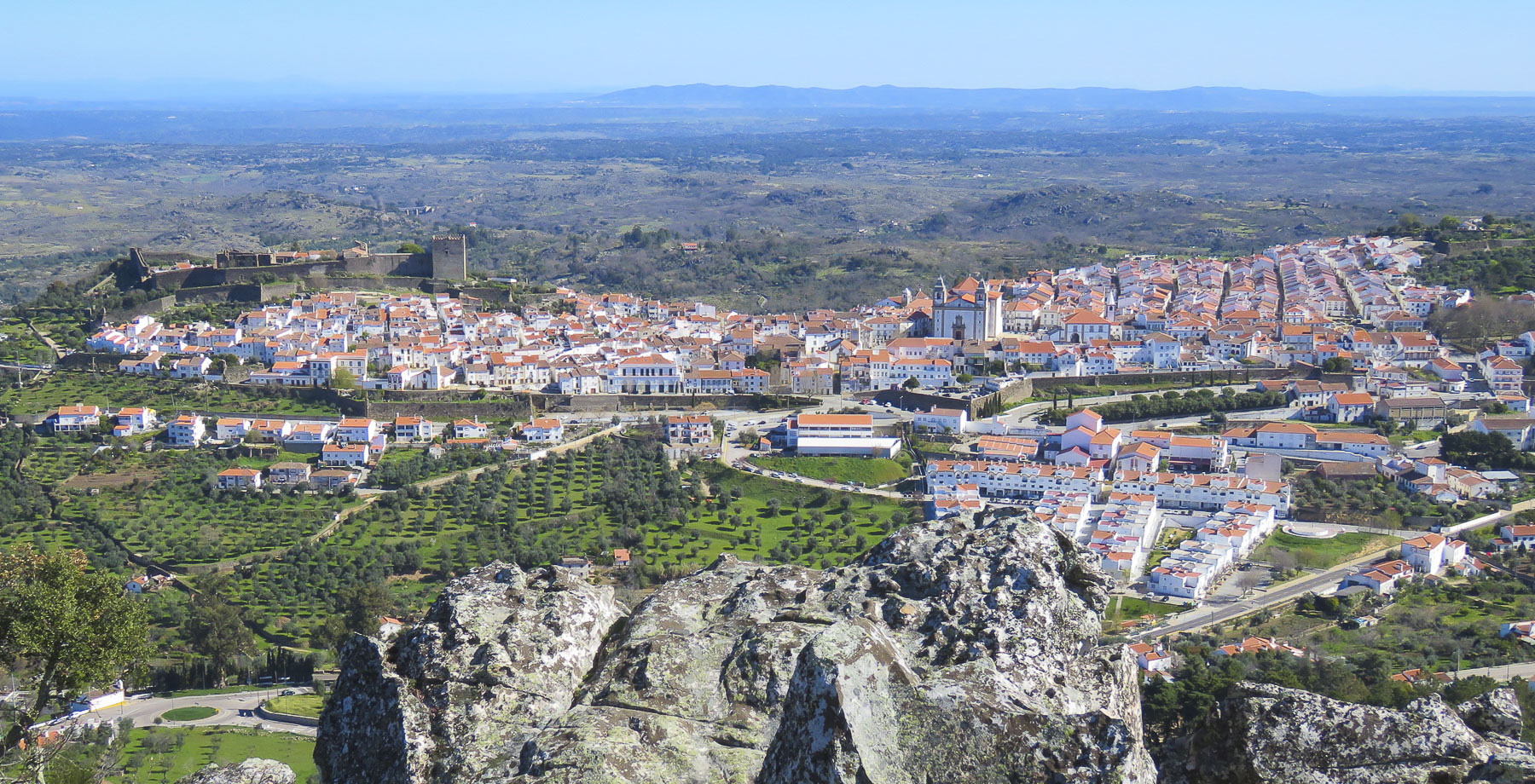
Just below the northern horizon, a white brushstroke highlighted the verdant canvas before us as we savored the view from the top of the castillo in Castellar de Frontera one last time. That swath of white slowly changed into Jimena de la Frontera as we drove closer. One of Andalucia’s famed Pueblos Blancos, the village is set on the hillside below the ruins of its ancient castle which once protected it.

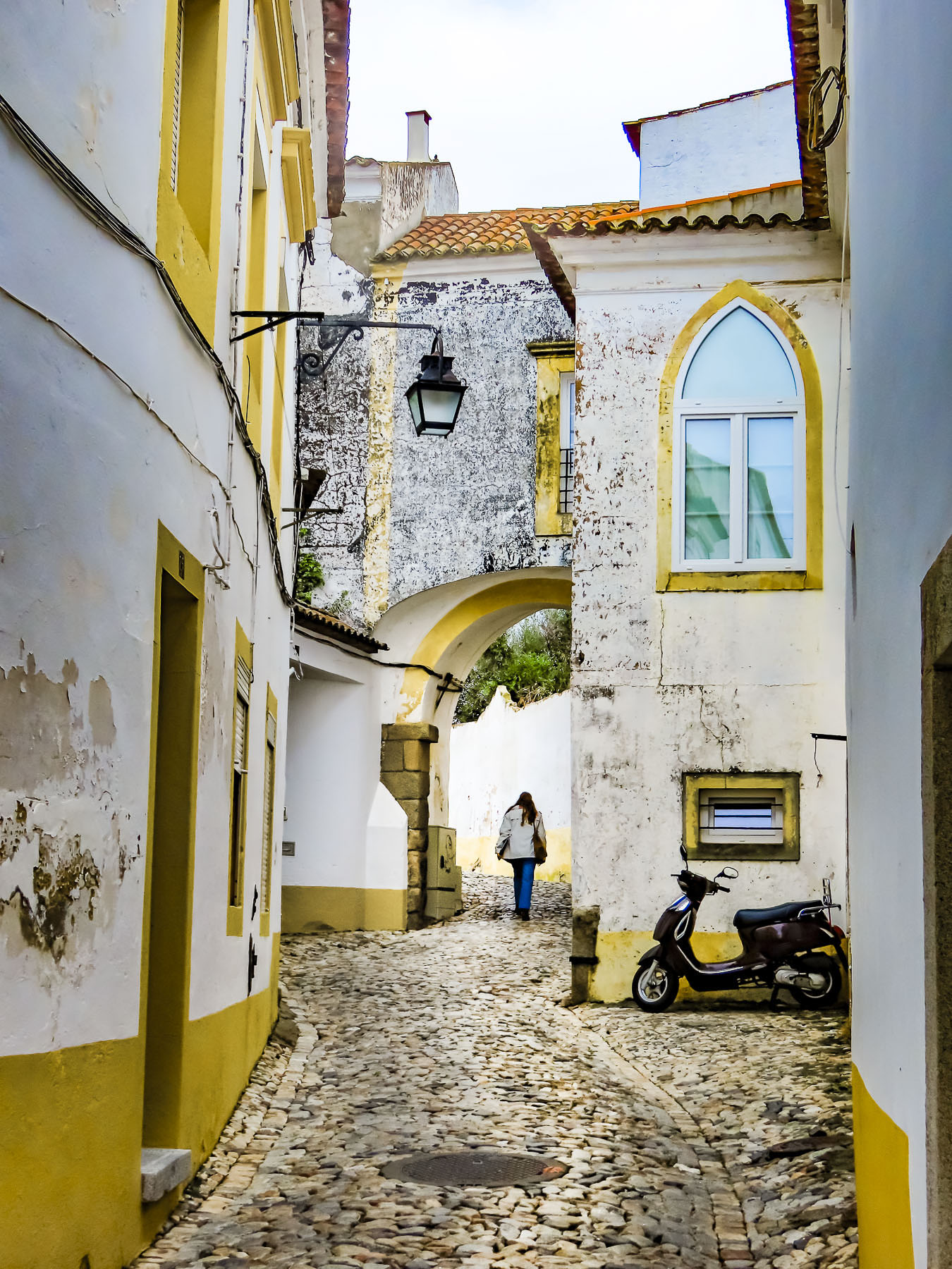
In ancient times the homes in villages featured roughhewn stone masonry. Lime paint was a luxury, until its use was greatly expanded during the mid-1300’s when a bubonic plague pandemic swept through the Mediterranean countries. Residents of villages were required yearly to cover the outside and the interiors of their homes and churches with a limewash, known for its natural anti-bacterial and insecticidal properties, in an effort to reduce the spread of disease. Community inspections were done, and folks were fined for noncompliance. This mandated conformity was eventually appreciated as an aesthetically pleasing look and a symbol of meticulous tidiness. Fortunately, the custom stayed and has become an iconic signature of southern Andalusia.

Villaluenga del Rosario was our ultimate destination for the day, but before that we would be driving through the expansive forests of Parque Natural Sierra de Grazalema and stopping along the way in Ubrique, and Benaocaz. All pueblos blancos, though all different in size, setting and atmosphere. According to our maps app the trip would take 2 hours. But it was a glorious 58-mile sinuous route through the mountains, and with several stops it took us most of the day.

The vast 130,000-acre Parque Natural Sierra de Grazalema, with peaks reaching 5400 feet, is one of the wettest areas in Spain, receiving almost 80 inches of rain a year. This is surprising, considering that many areas in Andalucia are often used to replicate the American southwest for European filmmakers. These wet conditions over many millennia have created a dramatic karstic landscape of shear mountains, lush valleys and caves, especially Pileta Cave with its 30,000 year old prehistoric paintings. The park’s lower elevations feature forests of cork oak, carob, hawthorn, and mastic. Higher slopes transition to a landscape of gall oaks and Spanish fir, a tree species that survived the last Ice Age. This ecosystem supports a diverse fauna that contains 136 species of birds, most notably a large population of griffon vultures, and 42 mammal species, that include foxes, badgers, roe deer, otters, and Spanish ibex. And in ancient times it was the refuge of wild, now extinct, aurochs, the ancestor of the famous Spanish Fighting Bulls, toro bravo. The park has been a UNESCO Biosphere Reserve since 1977.

Farmers still harvest cork and olives amidst the rocky terrain and graze cattle, sheep, and goats within the park. This practice made for an interesting encounter when we rounded a curve and faced a VERY LARGE BULL standing in the middle of the road, adjacent to some pasture. We stopped, looked around for his farmer, but there was no one in sight. It was obvious he was the king of this domain, with no intention of moving aside until he felt like it. Slowly we inched forward and watched him eye us until he decided to saunter across the road and let us pass.

Ubrique is a large thriving town with 17,000 inhabitants set in a valley surrounded by tall peaks and steep scree slopes, its homes built above and around boulders too large to move. The town’s prosperity comes from its fine leather workshops, which account for 60% of the townspeople being employed directly or indirectly in the creation of leather products. It started simply enough with leather cases and pouches to carry tobacco and the Precise, a heavy-duty strap that allowed workers to safely carry silex stones and iron bricks.

By the mid-1700s their fine leather products and artisanal craftsmanship was recognized across Europe which fueled an export industry. The good fortunes of the town continued to grow until the mid-2000 when clients seeking higher profit margins moved their leather goods production to China and other Asian countries. Fortunately, their exodus did not last long, and they returned to Ubrique when they realized that the excellent craftsmanship in this small Andalucian town could not be rivaled by cheap labor. Today Ubrique is considered the “artisanal leather capital, “ for high-end fashion brands like Chloe, Gucci, Hermes and Louis Vuitton. “So many stores, so little time.” Of course, we shopped! The decision-making process was painful, but Donna managed to select one single beautiful purse to take home.

In March the twisting roads, higher into the mountains, were nearly void of traffic. Occasionally a campervan passed. Reaching Benaocaz, we parked and strolled through a nearly empty town square in search of coffee. It was a quiet weekend afternoon in the shoulder season, and few people were about, but luckily, we happened to come across Restaurante Nazari, a rustic restaurant with outside tables that had a view of the valley below the town.

Villaluenga del Rosario was only a little farther, and higher into the mountains. The village is dramatically set along one side of a narrow green valley at the base of a sheer mountain massif. The lane to our inn, the Tugasa La Posada, looked too narrow to drive down, and I was concerned about getting to a point that required backing up. A difficult task in an alley barely wider than our rental car, and there was plenty of parking above the village.  La Posada wonderfully reflects the typical inn of centuries past, with a large tavern, featuring regional recipes, on the ground level and a handful of rooms above.
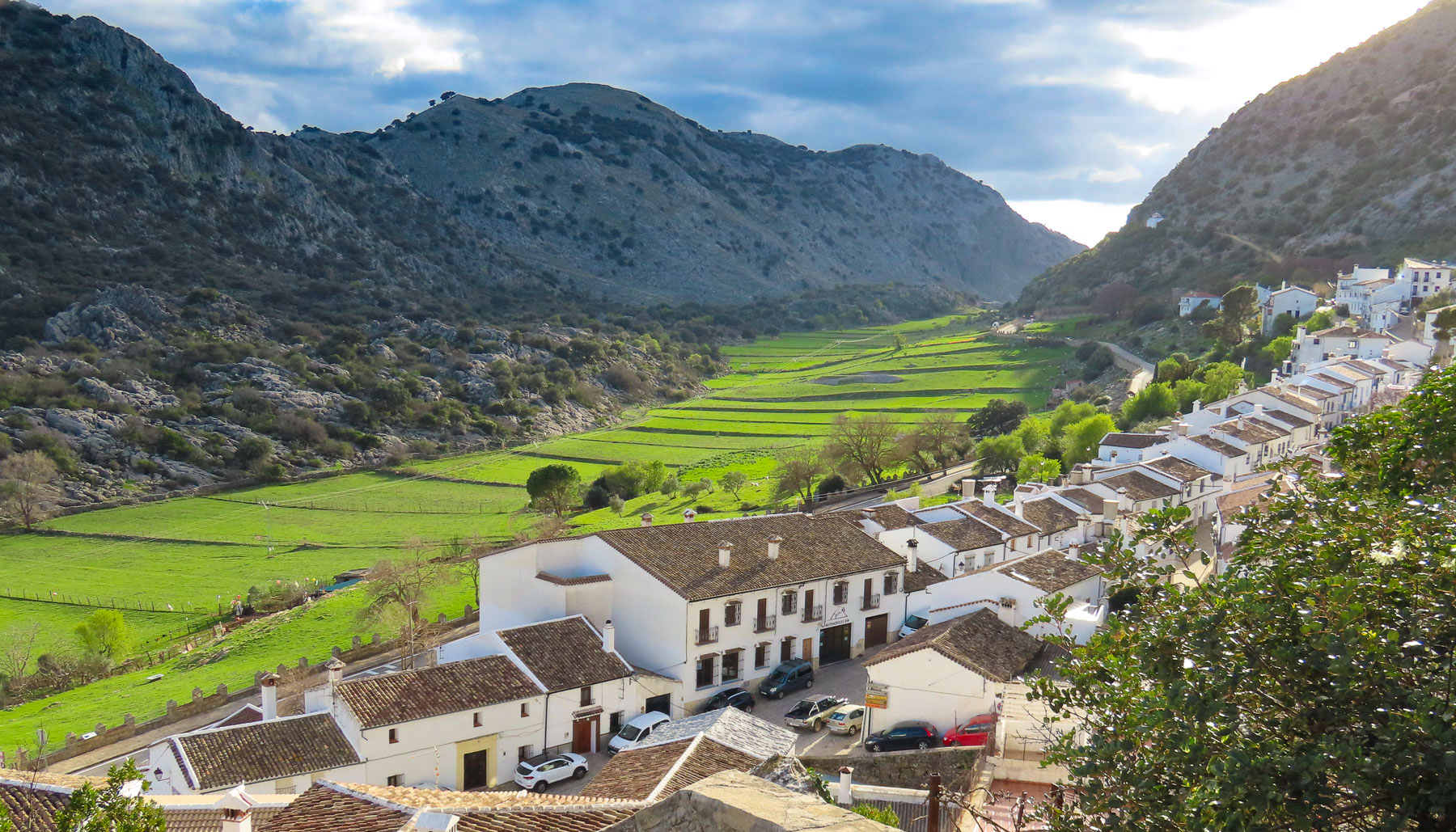
Several things are unique to this pueblo: Snowy winters are common in the Sierra de Grazalema Natural Park’s highest village, situated at an elevation of 2800ft. It is also the smallest village in the Province of Cadiz, with only 438 residents. And the village has a unique octagon shaped bullring, built around a natural rock formation, that is the oldest in Cadiz Province, dating from the mid-1700s. The exact year of construction for the bullring isn’t known, as the town’s archives were lost in a 1936 fire. Located on an important cattle trading route through the mountains, the bullring was also used as a corral during livestock festivals.
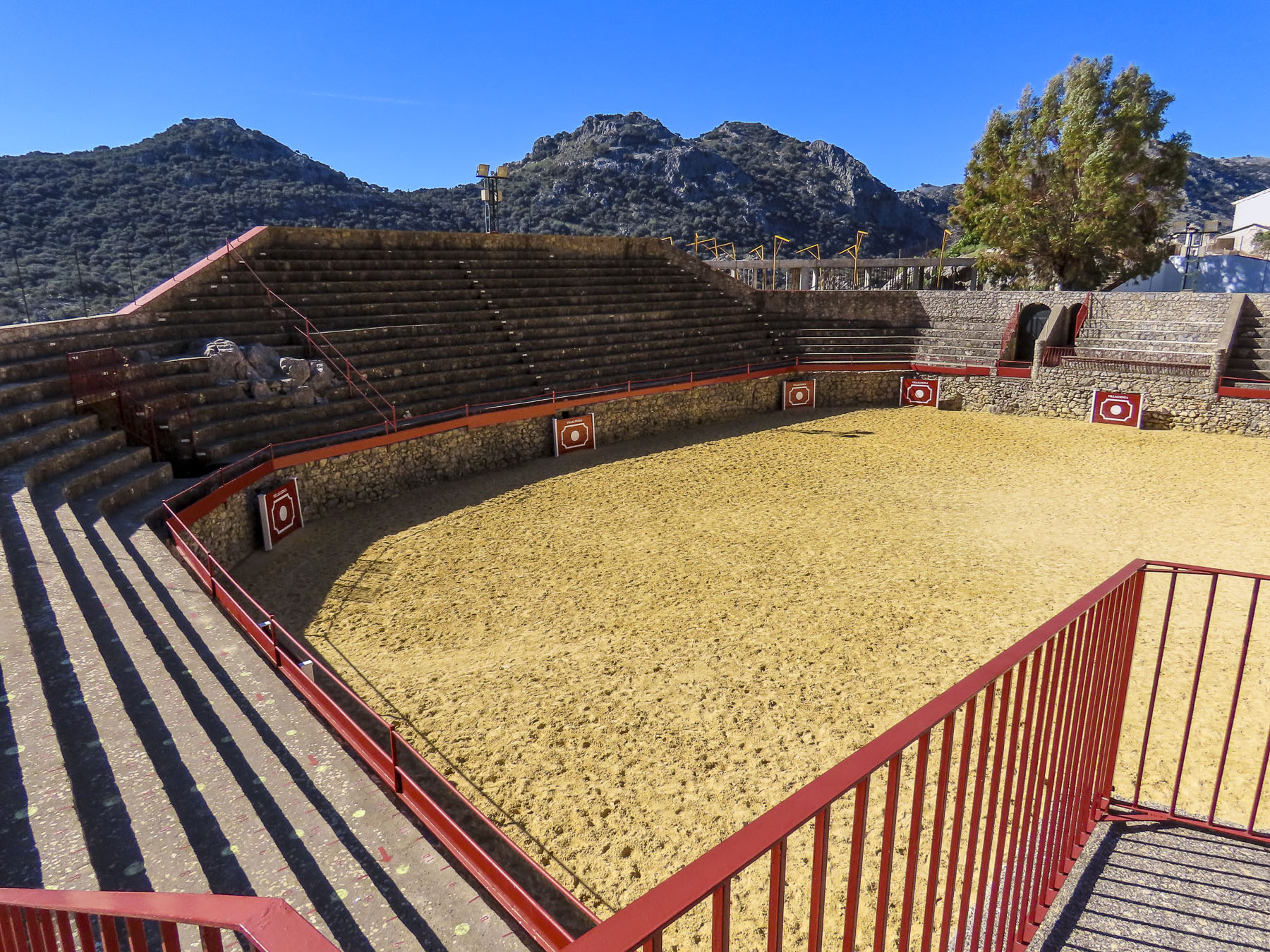
But before domestic cattle were raised in the area, prehistoric people used to pursue auroch, a wild bull that lived in the Sierra de Grazalema until it was hunted to extinction in the Middle Ages. Nearby in Cueva de la Pileta, primitive cave paintings of bulls have been dated to the Paleolithic era 27,000 years ago. The famous fighting bulls of Spain, Toro Bravo, descend from this primal auroch lineage that once roamed wild. Ancient pagan festivals often conducted a running of the wild bulls, tethered to a group of men by a long rope, through their villages before a ritual sacrifice.  “Toro de Cuerda'”(Bull on Rope) festivals, are thought to be the foundation of the modern Spanish Bull Fight, and are still held in Villaluenga del Rosario, Grazalema, and Benamahoma. With the advent of Christianity some of these pagan elements were incorporated into church celebrations of a pueblo’s patron Saint. In Grazalema the early church Christianized the practice and includes the Feast of the Bull in celebrations to the Virgen del Carmen every July. Benamahoma’s “Toro de Cuerda” is held in August during their festival to honor the town’s patron saint, Anthony of Padua.
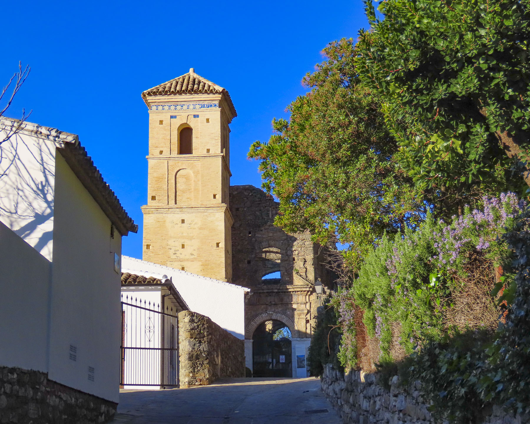
This tranquil village has gone through some turbulent times in its past. Villaluenga del Rosario, known for its woolen textiles in the 17th century, did not escape Napoleon’s destruction as his troops retreated across the mountains after they abandoned their siege of Cadiz in 1812. French troops sacked the village and torched the old Church of El Salvador. Now only the walls and roof arches remain, open to the sky. The sanctuary is now used as a cemetery.  The economy declined throughout the region in the 1800s and early 1900s, and the mountains were beset with bandits. Notoriously, José María El Tempranillo and Pasos Largos, the most infamous of the Sierra’s outlaws, would frequent the village and hideout in the surrounding caves. They are celebrated as Robin Hood bandoleros, robbing the wealthy and redistributing their stolen goods to help the poverty-stricken locals – Andalucia’s mountain justice. These same caves in the 1930s would shelter Republican resistance fighters escaping Fascist troops during the Spanish Civil War. A hiking trail, Los Llanos del Republicano, from the village to caves is named after them.


The rural population continued to emigrate, contributing to further economic deterioration until the villages’ employment prospects improved with the opening of a cheese factory, Queso Payoyo, in 1997. The Payoyo goat is an ancient breed from the Sierra de Grazalema and considered endangered. Since Queso Payoyo opened 25 years ago, its goat and sheep cheeses have received 175 national and international awards. Thirty-five farms now supply Payoyo goat and Merina grazalemeña sheep milk to the cheesemaker. Their shop just across the road from the village seems to be a Mecca for cheese aficionados. Open seven days a week, we were surprised to find it packed with customers early on a Sunday morning, when we stopped to buy some cheese before we headed to Benamahoma.

It was a beautiful crisp spring day, and we enjoyed a slow walk uphill into the village. Next to the Plaza de las Huertas the façade of the Ermita/mezquita de San Antonio, a church/mosque, visually represents Benamahoma’s complex cultural identity, with Moorish horseshoe-shaped arches and three golden spheres topped by with a gold crescent, typically seen on minarets, atop its tower.
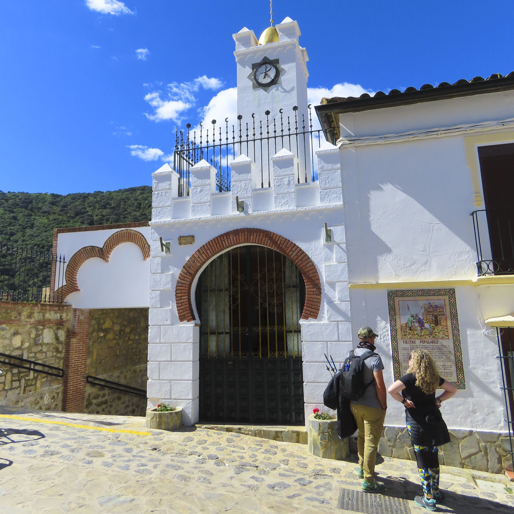
This region in Spain has a very complicated history, beginning with Alfonso X’s Reconquista which started in the mid-1200s, paused, then continued for the next 400 years with his successors. Benamahoma was the last Moorish village in the mountains to have its inhabitants expelled from the region in 1609, eighteen years after Grazalema’s Muslim villagers were forced out, though the hamlets are only nine miles apart. Their reprieve was caused by the fact that although Alfonso X and later Kings achieved military victories, they did not have enough troops to garrison each village, nor sufficient numbers of willing Christian settlers from Northern Spain to repopulate the conquered towns. Consequently, to keep the economy of the area going and subjects to collect taxes from, Moors were allowed to stay as long as their local Princes swore allegiance to a Christian King and declared themselves loyal vassals.  This did not always go smoothly and there were rebellions. Most famously the Mudéjar Revolt in 1264, when the towns of Jerez, Lebrija, Arcos, and Medina-Sidonia were recaptured and occupied by Moors for several years before Christian armies secured the towns once again. 
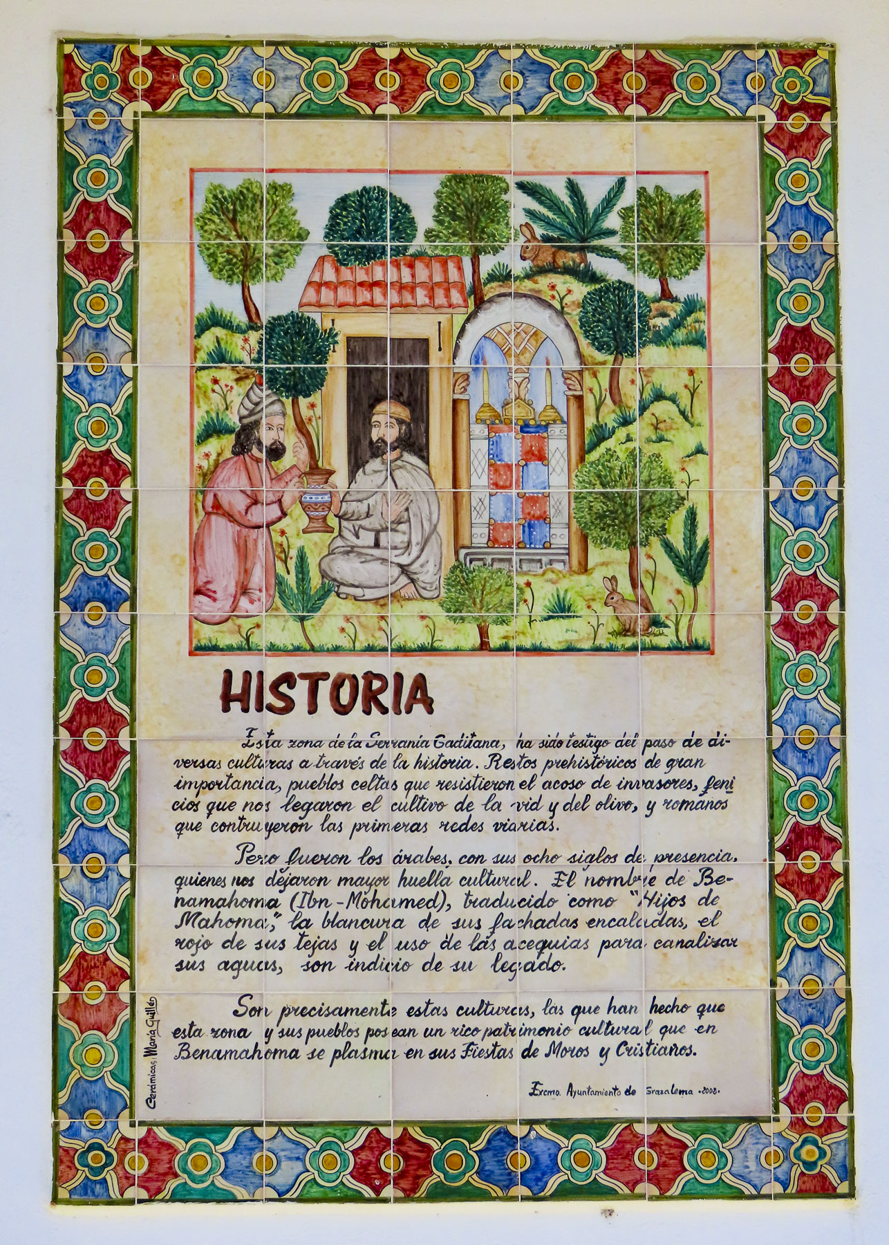
Benamahoma’s historic, pragmatic tolerance is celebrated the first weekend every August with a Moros y Cristianos Festival. Carrying swords, shields and blunderbusses, historical reenactors dressed in period clothing parade through the village to the bullring, where they then engage in mock hand-to-hand combat. The battles are won with the capture of an image of San Antonio de Padua by the Moors on Saturday and then won by Christians on Sunday with the rescue of his image. Many of the positions in the opposing armies are hereditary, the tradition being passed down from father to son, through the generations. Benamahoma is the only village in western Andalucia which celebrates this festival.

This village’s remoteness in the Sierra de Grazalema did not protect it from the atrocities committed during the Spanish Civil War. Near the bullring, in the Parque de Memoria Historica, silhouettes stand where villagers once stood against a wall before they were massacred by Fascists. Sadly, this memorial is also near the village’s second church, the Iglesia de San Antonio de Padua.
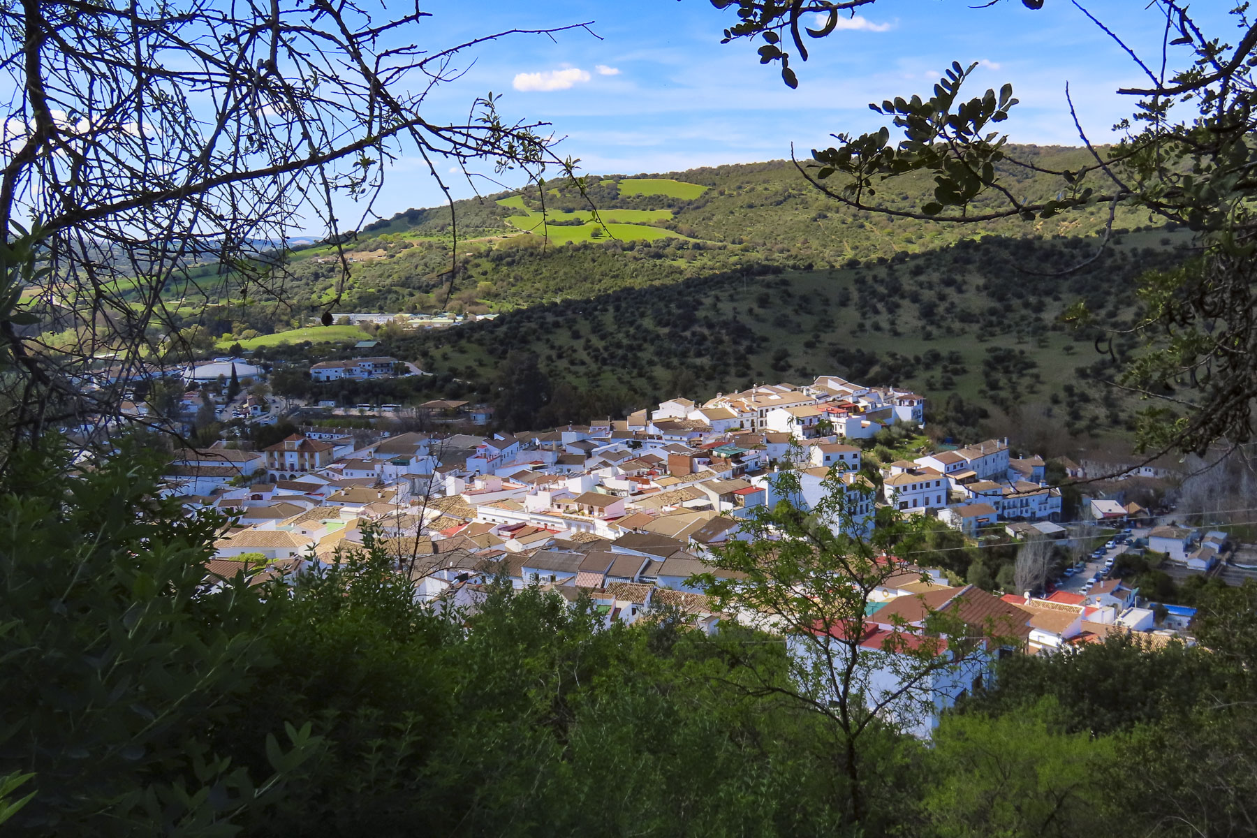
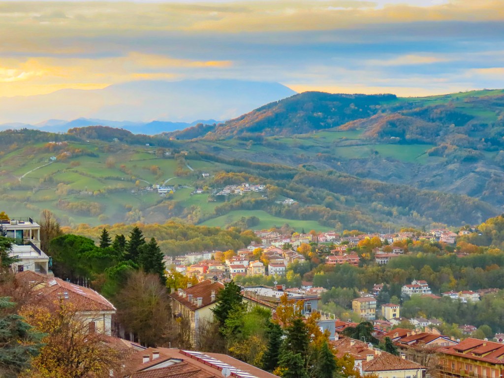
Backtracking as we headed to Arcos de la Frontera, we stopped at a radio station above El Bosque. A trail behind its tall antenna offered the perfect vantage point to capture a photo of the village below. We did not stop in El Bosque, but after catching glimpses of the village as we drove through, in hindsight we wished we had.  But there was a time constraint, we wanted to spend the afternoon exploring Arcos de la Frontera, before flying on to Barcelona the next morning. 
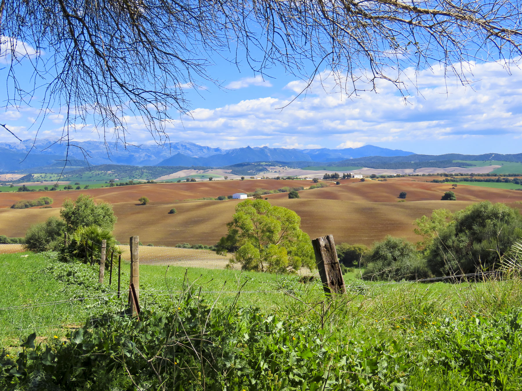
The A-372 between El Bosque and Arcos de la Frontera has to be one of the prettiest stretches of highway anywhere. With the reflection of the Sierra de Grazalema in our rearview mirrors, we wished we could have lingered longer.

I’ve always loved maps for researching routes, finding obscure sites, and figuring out the best vantage point to capture a landscape from. This brought us to our first two stops at the Molino de Angorrill, an old mill, and the Mirador Los Cabezuelos, before we entered the hilltop citadel. Both places along Guadalete River had wonderful views of the ancient city.
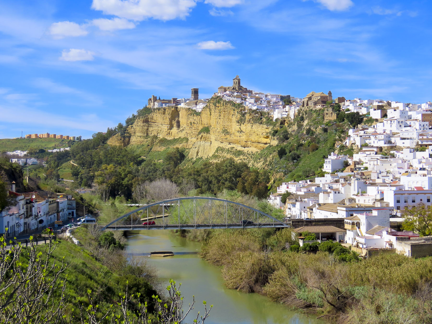
After this our map app failed us when it suggested we head the wrong way down a one-way calle into the village. We eventually found an underground parking garage at Parque El Paseo and towed our suitcases uphill to the Parador de Arcos de la Frontera.

It was LONG walk, but of course we stopped frequently to take photos. Located next to the 500-foot-high Mirador Plaza del Cabildo and adjacent to the Basílica de Santa María de la Asunción and the Castillo de los Duques de Arcos, the hotel was a perfect base for a one-night stay. Formerly the Casa del Corregidov was an Andulcian palace before it was acquired by the government and renovated to be a parador in 1966.

Arcos has always been a favored spot, appreciated for its access to abundant water sources and its easily defensible position atop a cliff face. It has hosted settlements since the Neolithic period, Bronze Age, Tartessians, Phoenicians and Romans periods.

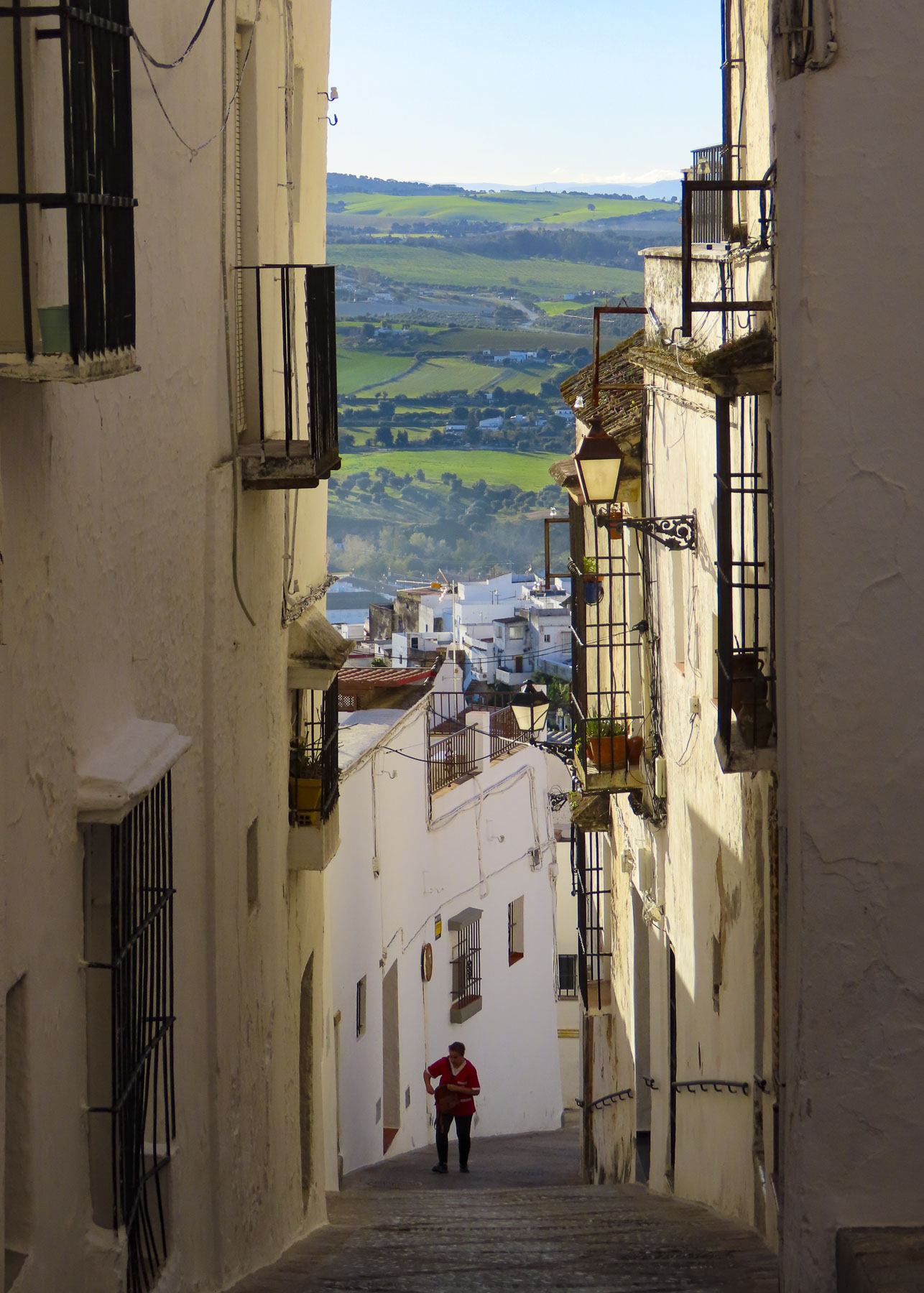
The village continued to grow under the Moors and while the facades and interior of buildings in this ancient town have changed over the centuries the original Arab footprint of the village, with its exceedingly narrow lanes has remained the same.

The view from the mirador and the hotel’s patio were phenomenal during the golden hour. As the sun was setting, a large flock of storks appeared over the bell tower of the Basilica and circled for about fifteen minutes before flying away. It was a magical experience that nicely capped our short time in Arcos.

The next morning, we watched the sun rise over the Sierra de Grazalema and the village’s church steeples from our hotel room, before wandering through the village’s ancient lanes one last time.

Till next time,

Craig & Donna

A New Mexico Road Trip: Earth, Sky, & Art

One of the things we enjoy most about traveling is picking the brains of folks we’ve had the pleasure of meeting throughout our journeys. Whether it’s a tip from a car rental agent about an isolated restaurant in the Azores or from a young Italian attorney who shared her love of Cadiz, Spain, with us, we try to follow through. Sometimes acting immediately, but mostly tucking the tips away into the deep recesses of our minds to consider in the future.

When the same question is asked of us about the best places to see in the United States, Albuquerque, Santa Fe and Toas in New Mexico immediately top our list as the most unique destination in the USA. Maybe I’m a little cynical with an over-simplified view that the United States is mostly a homogenized mass of sameness that spans 3000 miles from the Atlantic to Pacific, mostly sharing the same landscapes, urban architecture, and strip malls with the same ubiquitous retailers – Home Depot, Starbucks, Panera, Pizza Hut and McDonalds – from coast to coast. Yes, the same is true, though to a much smaller degree, of the urban sprawl that surrounds Albuquerque. Though here you’ll find Blake’s Lotaburger, frito pies, piñon coffee, frybread-style sopapillas, and pozole (a hominy dish) along with parking lots filled with roasters full of Hatch green chilies every September when the harvest comes in and that wonderful aroma fills the air. We hope these photos and this story pique your interest in New Mexico, an endlessly beautiful, culturally diverse, artistic, and quirky place that is truly the “Land of Enchantment.” And a destination we always enjoy exploring.

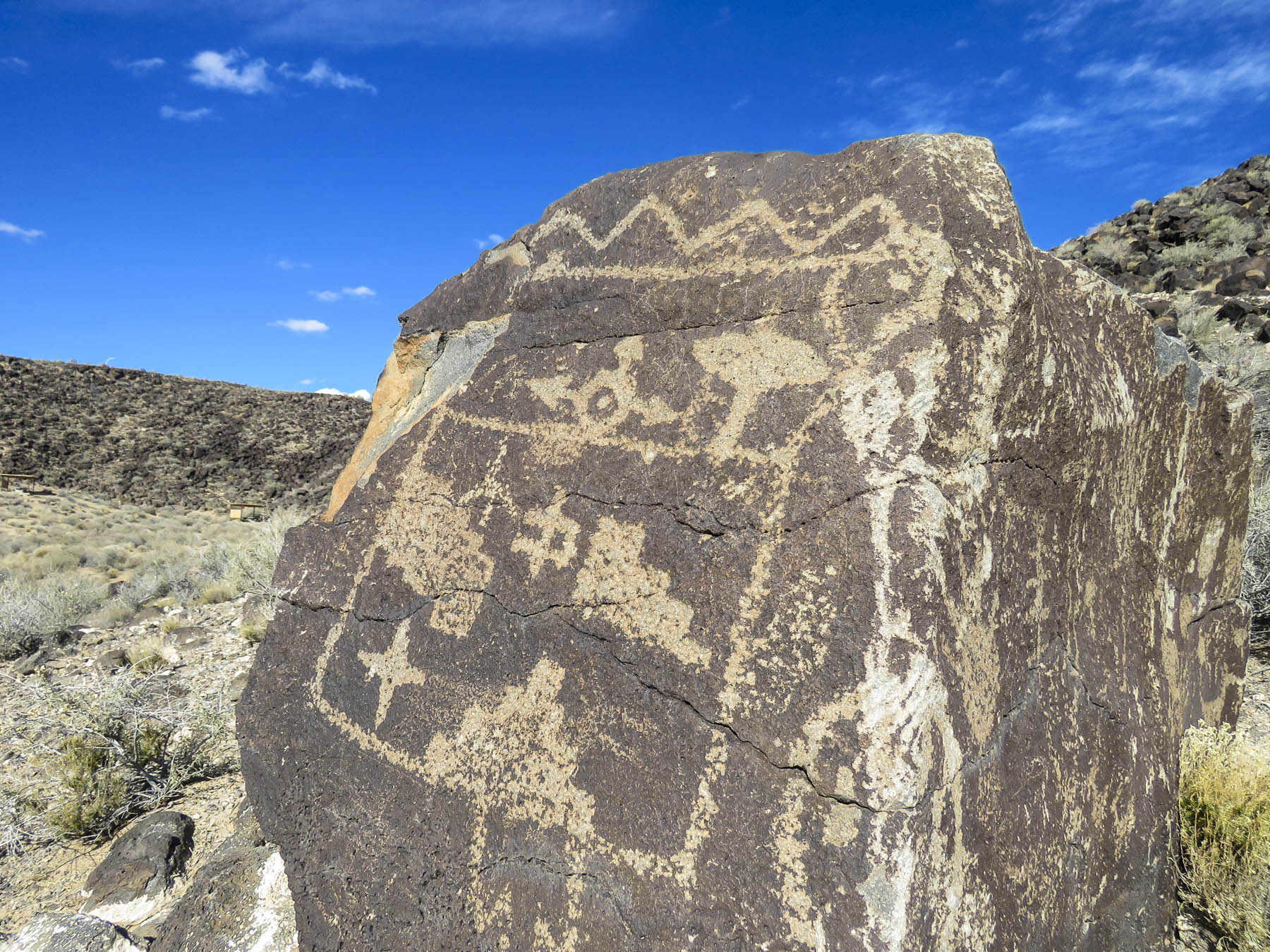
Start in the Petroglyph National Monument, then follow Central Ave (Old Rt66), from the original adobe buildings of Old Town, circa 1706, east across town up to the Knob Hill area around the University of New Mexico and beyond to the Tijeras Pueblo Archaeological Site and the beginning of The Turquoise Trail. You will have spanned several millennia from the oldest petroglyphs dating from 2000 BC to the present and a blending of cultures that is refreshing. It’s a remarkable stretch of history for a young country that typically dates itself to the English colonies of Jamestown – 1607, and Plymouth – 1620.

A 2013 archeological excavation in northern New Mexico unearthed stone tools used to butcher a mammoth, and radiocarbon testing dated them to be 36,000 years old. These tools are attributed to some of the first people that migrated across the Bering Sea from Asia, the ancestors of Native Americans. Jump forward 35,000 years and you have pueblo Indians living in settlements along the Rio Grande Valley and across northern New Mexico. Their first contact with Europeans comes with a back story and cast of characters worthy of the best fiction writers.

It starts with orders from the Holy Roman Emperor Charles V (Charles I of Spain) to Álvar Núñez Cabeza de Vaca (from Jerez de la Frontera, near Cadiz, from that great tip earlier) authorizing him to colonize the region between Río Soto la Marina, Mexico, and what is now Tampa, Florida, a distance of 1500 miles. Tragically believing the distance between the two was only 45 miles, Cabeza de Vaca landed north of Tampa in April 1528 with 300 men and forty horses. Unable to rendezvous with their ships, the expedition was doomed. Traveling west across the top of the gulf towards the nearest Spanish settlement of Tampico, Mexico they encountered alligators, venomous snakes, and hostile natives. They were captured, enslaved, beset by disease-bearing mosquitos; they crossed numerous creeks, swamps and rivers. By the time they reached the “Isle of Misfortune,” Galveston, Texas a year later, only 15 remained.  They crossed the Rio Grande near El Paso. With the help of friendly tribes, Cabeza de Vaca and three others, Alonso del Castillo, Andrés Dorantes de Carranza, and his slave Esteban the Moor survived an eight-year Homeric ordeal, that took them across the Mexican desert to the Pacific Ocean before being reunited in 1536 with their compatriots in Mexico City. The three Spaniards were rewarded with titles and land by the King. Cabeza de Vaca became the Viceroy of Paraguay, gained political enemies and was unjustly tried in Spain and imprisoned in North Africa. It is not known if Esteban the Moor was granted his freedom, but he was not forgotten.

De Vaca and his fellow survivors had returned with legends heard from the Indians they encountered of fabulous riches farther inland. These stories of insurmountable wealth were still fresh in everyone’s minds two years later when Friar Marcos de Niza (from Nice, France) arrived in Mexico City after leading the first groups of Franciscans into Peru with Spanish conquistadors to conquer the Inca civilization. In hope of finding the fabled “Seven Cities of Gold,” a treasure that allegedly rivaled that of the Aztecs and Incas civilizations, the Viceroy of Mexico planned an expedition headed by Friar Marcos de Niza, along with Esteban the Moor who had the most knowledge of the area’s tribes, and their customs. It seems from reading various accounts that Esteban led, and Friar Marcos followed. They both were the first foreigners, a North African slave and a European, to explore the area we now recognize as the American Southwest. This is 27 years before the founding of St. Augustine, in Florida in 1565. Friar Marcos claimed Esteban the Moor was killed near a Zuni pueblo when he reached one of the “cities of gold.” Marcos also claimed to have seen a city larger than Mexico City, with buildings nine stories high glittering on the horizon. Dream, mirage, a pueblo glowing like a sunset – a lie? Wanting to avoid Esteban’s fate, the Friar ventured no further and returned to share his exploits in Mexico City. The lust for gold was consuming and a year later, in 1540, Francisco Vázquez de Coronado led an expedition of 400 hundred soldiers with 1500 native porters and Friar Marcos north again to attain that treasure. And boy was he miffed when they reached the Zuni tribe and found nothing but a “poor pueblo.” Accusing Friar Marcos of lying, he sent him back to Mexico. Coronado’s expedition would stay in the region for two years, traveling in several smaller groups west as far as the Grand Canyon and east into Texas and Kansas. They never discovered gold though they did travel through areas where it would be discovered centuries later. They returned emptyhanded. It would be 53 years before Spaniards ventured north again.

In 1595 King Philip II of Spain chose Don Juan de Oñate to colonize the upper Rio Grande valley. In 1598 he led an expedition north that included 20 Franciscan missionaries, 400 settlers, 129 soldiers, 83 wagons, plus livestock, with the stated mission from the Pope to spread Catholicism. But there was still hope that the evasive “Seven Cities of Gold,” would finally be discovered. Fording the Rio Grande near present day El Paso, he proclaimed all the lands north of the river “for God, the Church, and the Crown.” Life in the new territory under Oñate was severe. Some settlers urged a return to Mexico when silver was not discovered, and Oñate executed the dissenters. Pueblos that refused to share winter food stocks needed for their own survival were brutally suppressed into submission. The Spanish imposed the encomendero on the pueblo tribes. This was a colonial business model that granted conquistadores or ordinary Spaniards the right to free labor and tribute from the indigenous population. In return Nuevo México encomiendas were obligated to “instruct the Indians in the Roman Catholic faith and the rudiments of Spanish civilization.” The free land and free Indian labor promised with the encomendero was also used as a recruiting tool to encourage settlers to venture north from Mexico. The pueblos did not submit willingly; any resistance was forcibly repressed until the Pueblo Revolution in 1680. Four-hundred Spaniards died, including 21 priests, but there were almost 2000 Spanish survivors. Warriors followed the fleeing refugees all the way to El Paso to ensure their expulsion from Indian territory. But by then there were three generations of intermarriage, along with shared ideas, technology and customs.

When the Spanish returned 12 years later, they did not try to reimpose the encomendero, and returning missionaries displayed more tolerance of indigenous religious beliefs. Spain instead sought to enlist the Pueblo tribes as allies to resist French and British empire expansion farther west. The vast area claimed by Coronado and Oñate became part of the United States with the Treaty of Guadalupe Hidalgo, which ended the Mexican-American War in 1848. It’s a fascinating multilayered history that continues to contribute to New Mexico’s uniqueness.

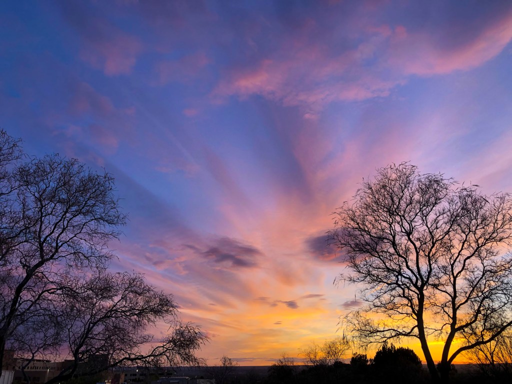
But enough about history. Land at the Albuquerque International Sunport, rent a car and hit the road. Head north on Rt25, with the Sandia Mountain Range glowing in the late afternoon light on your right and a spectacular sunset in the west. This sublime experience could be the beginning of a long love affair with the state, as it was for us. The expansive vistas and sky, along with incredible light and dramatic ever-changing weather out here are just awesome, especially if it’s your first time to the Southwest. Fair warning: the state can become addictive with endless ways to satisfy your wanderlust.

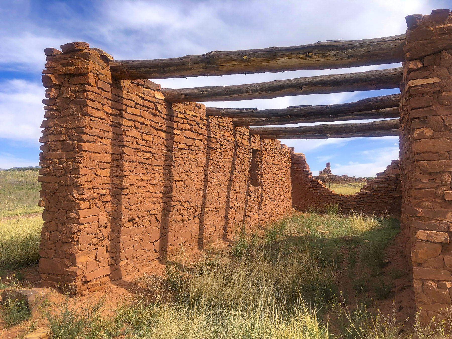
The ruins of the old Spanish missions in the Salinas Valley and Mountainair are south of Albuquerque. Route 40 East will take you to the beginning of the Turquoise Trail, a splendid backroad route that gracefully curves, rises and falls through the rugged foothills of the Sandia and Ortiz mountains as it follows NM14 north for 65 miles. Pass through the historic towns of Golden, Madrid, Cerrillos and San Marcos just south of Santa Fe. Follow Route 40 West to see the amazing rock drawings at the Petroglyph National Monument or continue farther to the Zuni Reservation, mentioned earlier.

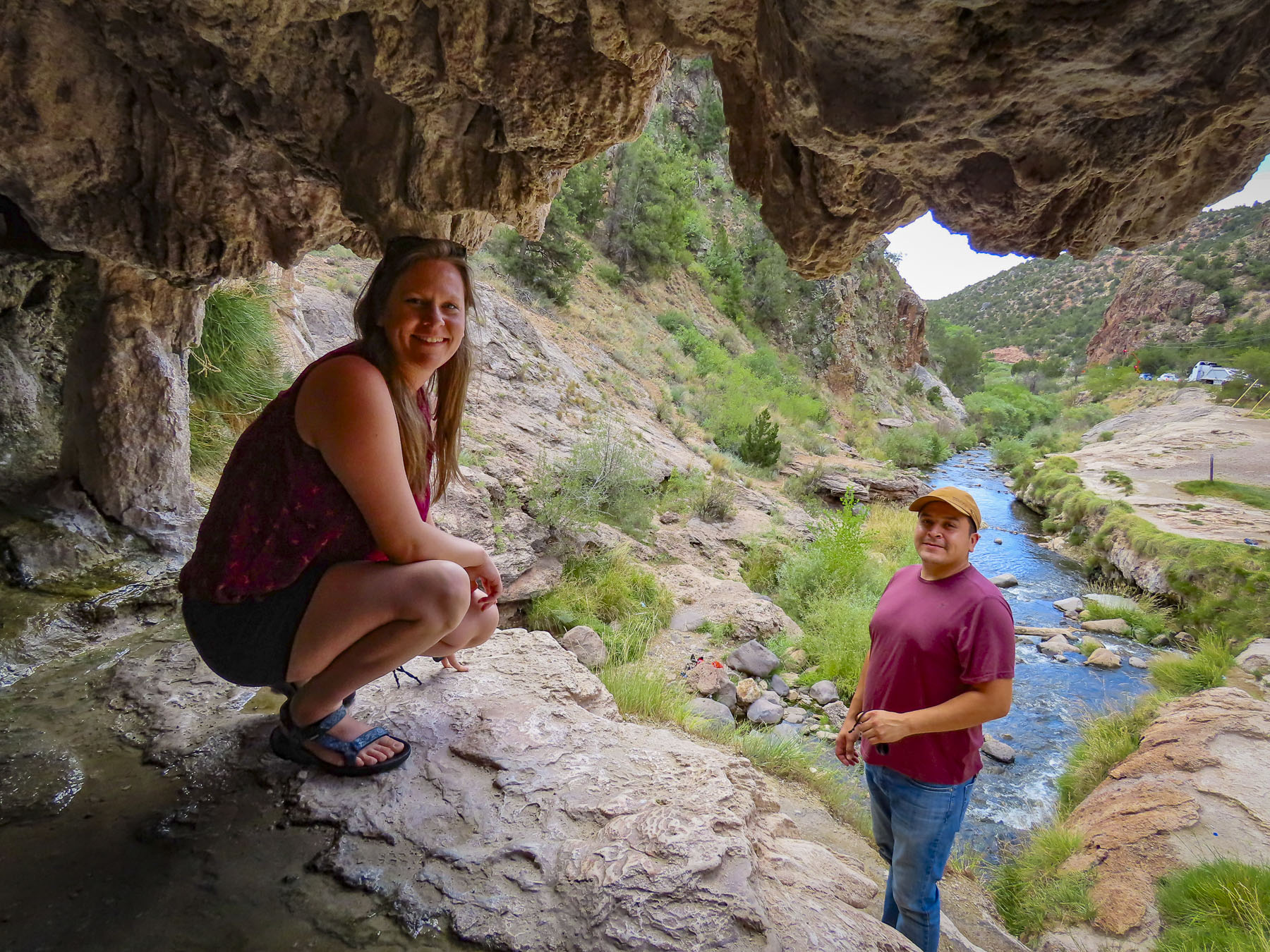
Veer off Rt25 and head to Jemez Springs where you’ll find, red rock canyons, old logging roads and hot springs. Farther along in the Valles Caldera National Preserve you can see herds of elk grazing in a 13-mile-wide meadow that is now all that remains of a collapsed volcano cone after a massive ancient eruption.

Nearby the 11,000-year-old cliff dwellings carved into the canyon walls of Bandelier National Monument are a must stop. There are plenty of interesting detours and quirky stops to make along the way.

Santa Fe and Toas lie in the mountains farther north of Albuquerque and have been popular destinations with artists and writers since the early 1900s – D.H. Lawrence, Georgia O’Keefe and Ansel Adams and many others enjoyed the vibrant Indian and Hispanic cultures. Today Hollywood stars like Julia Roberts, Val Kilmer, Ted Danson, and Oprah Winfrey have homes in the area.

The city retains it early Spanish heritage with historic adobe buildings surrounding Santa Fe Plaza. The Indian market is still held under El Portal in front of the Palace of the Governors, the oldest continually occupied public building in the United States, since its construction in 1610.

The region continues to support artists and craftspeople with numerous galleries, festivals, and fairs. A stretch of 80 art galleries in old adobe buildings along Canyon Road belies its ancient roots as part of El Camino Real, The Royal Road, that ran 1600 miles to Mexico City. Famously Spanish settlers from Mexico introduced chili peppers into the region via this ancient trade route.

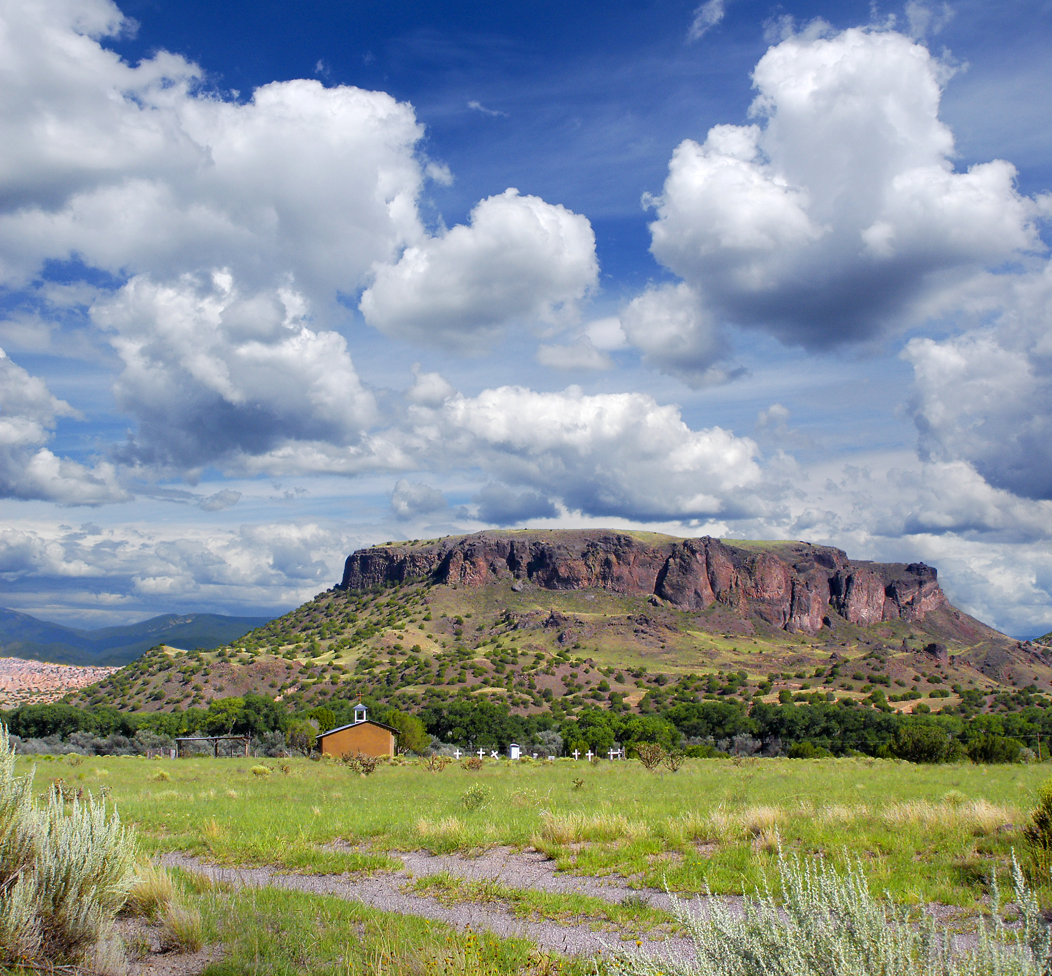
The landscapes north of Santa Fe continue to be intriguing, with Black Mesa, sacred to Native Americans, and the Puye Cliff Dwellings which run along the base of a mesa for over a mile. Stairs and paths cut into the cliff face led to adobe structures atop the mesa’s plateau. East of Espanola, the Santuario de Chimayo, built in 1816, still attracts pilgrims seeking miraculous cures from its “healing dirt.”

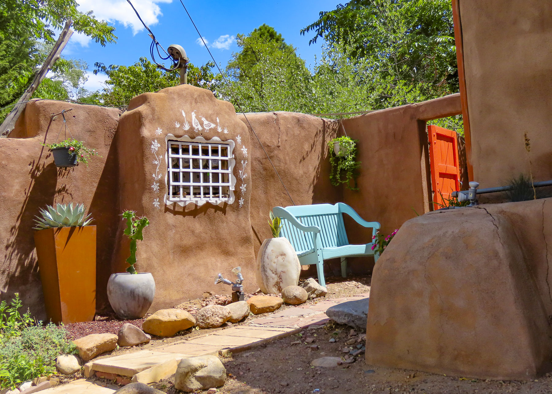
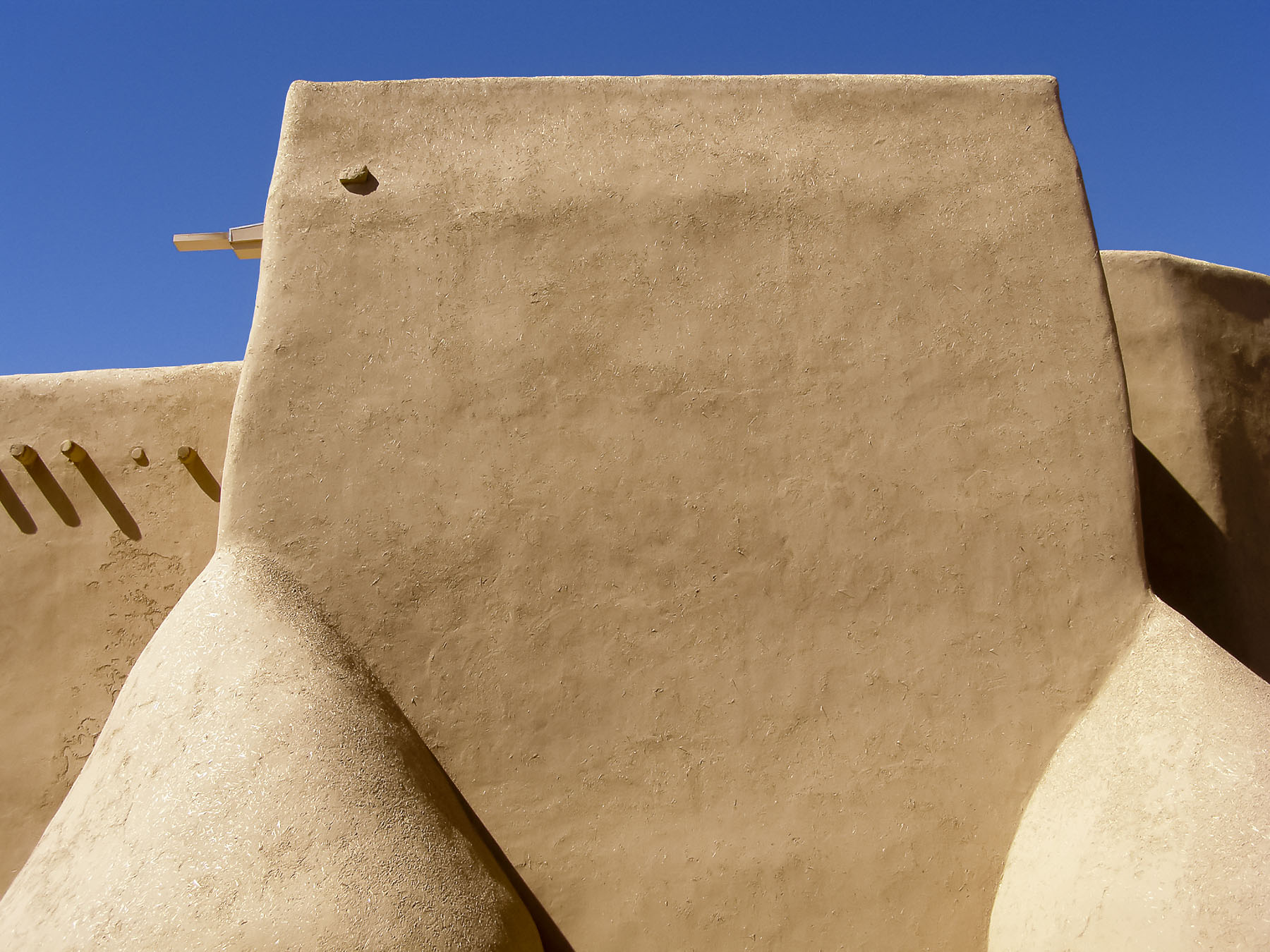
Heading into the mountains of northern New Mexico, the durability and sustainability of well-maintained adobe structures are evident in the elegant San Francisco de Asis Catholic Mission Church in Rancho de Taos, which dates from 1772.

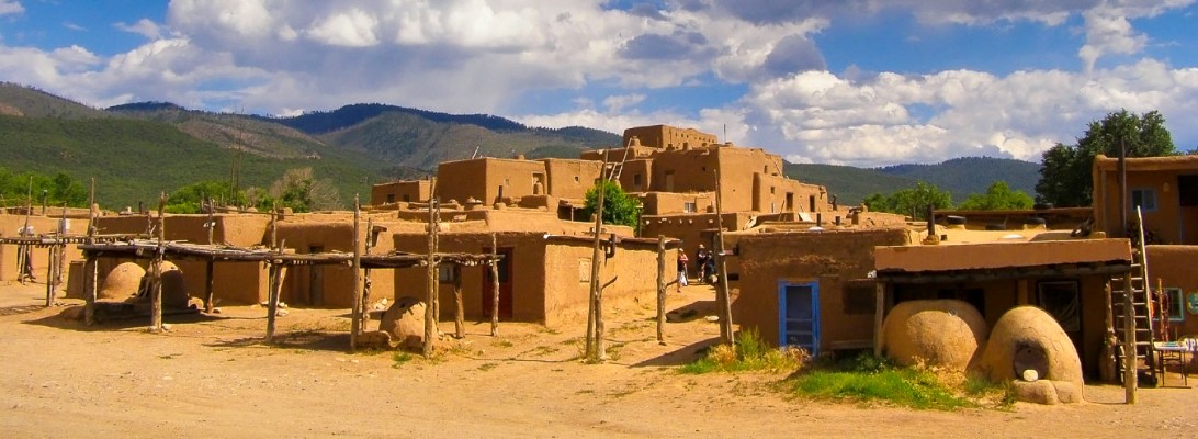
Impressive Taos Pueblo, a multi-storied residential complex, has been continually occupied since its construction in the 1400s. Today nearly 150 people continue to live traditionally in the pueblo, as their ancestors did, without running water or electricity.

Nearby the Rio Grande River Gorge fractures the earth like a lightning bolt. The view from the center of the bridge looking down into the chasm is magnificent and terrifying. Farther north as the river rises from the gorge it has a totally different character as it meanders through the high desert.

While this far north, it’s worth the effort to visit the Great Sand Dunes National Park and Preserve, located just across the state line in southern Colorado.

Over many thousands of years, sands blown across the high desert plains accumulated at the base of the Rocky Mountains here to form the tallest dunes in North America.

Wave when you see us!

Till next time, Craig & Donna

Nicaragua: The Dioromo Hipica – a Horse Parade

Celebrating the equestrian lifestyle has been a Spanish tradition since the Middle Ages and followed early Spanish colonists across the Atlantic to Central and South America in the 1500s. In Nicaragua the tradition lives on in beloved hipicas, horse parades.

There are numerous Hípica festivals, held in towns large and small, across the country throughout the year. They are usually the main event of a town’s festivities marking their patron saint’s day. By pure luck, one February, we were able to experience the Dioromo Hipica which is one of many activities held to honor La Virgen de Candelaria in the small village of Dioromo, eleven miles away from Granada.

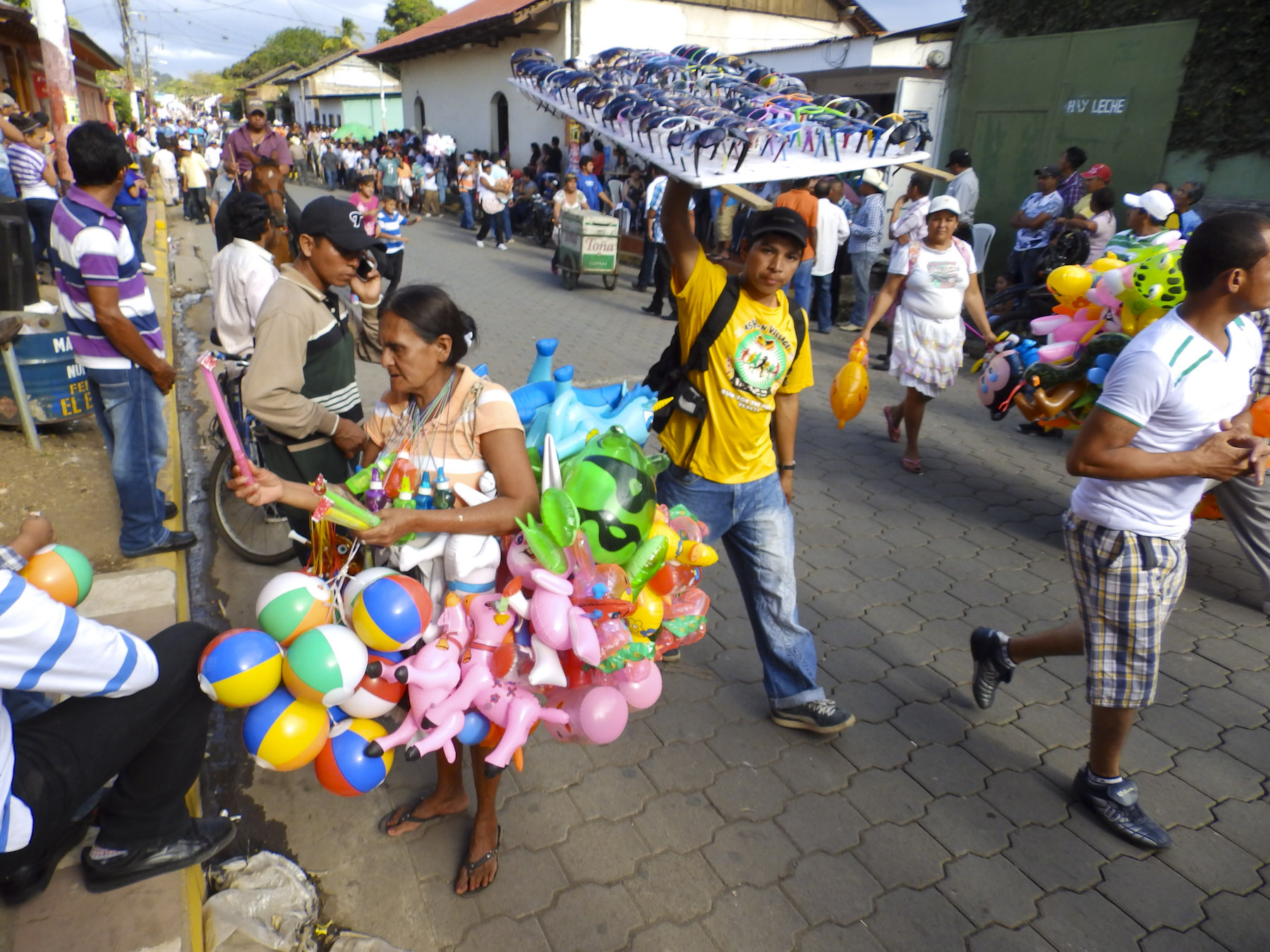
This was a wild and crazy event, with hundreds of cowboys, dancing horses, a bull riders, and pickups trucks loaded with brass bands parading through the village. The streets were crowded with onlookers.

Because we were standing close, we were occasionally smacked by a horse tail. There were life-size toy horses for kids to sit on and get their photo taken by their parents; small amusement rides and food stalls surrounded the town plaza.

Baile de Las Negras dancers in painted masks and ornate costumes performed before a large crowd in front of the church. Down the side streets a group of men carried aloft a tall statue of the Virgin door to door, to bring blessings to the households.

I think we were the only gringos there experiencing this wonderful local event.

Till next time, Craig & Donna

Portugal Road Trip Part 6: South Along Portugal’s Frontier Castles to Evora

Let’s face it, sometimes the weather just sucks! It was so abysmal we were tempted to stay wrapped in our blankets and sip coffee, but our travel plans dictated otherwise.  We try to avoid really long drives, but sometimes you just have to. Today was one of those days. Six hours of driving from Santa Maria de Feira across the country, west to east, to the Portuguese frontier. Stopping at Castelo Mendo then heading south to Sortelha Castle before reaching Castelo de Vide, where we would spend the next two nights. We had visited this region bordering Spain several years earlier, exploring Marvão, Monsanto and Castelo Branco, and found the quiet walled villages and hilltop castles intriguing and full of fascinating history.

Normally we like to use Google Maps’ “avoid tolls” filter, because tolls along with gasoline are excessively expensive in Europe. We’ve followed its suggested routes to some off-the-beaten-path discoveries; however, this time it doubled the length of the journey. So, we kept to the highways. In Lisbon we had asked the car rental agent about paying tolls which eventually boiled down to: you need to stop at any CTT Post Office, give the agent your car registration number and pay the tolls only for the dates you have rented the car. It was actually an easy and inexpensive process.

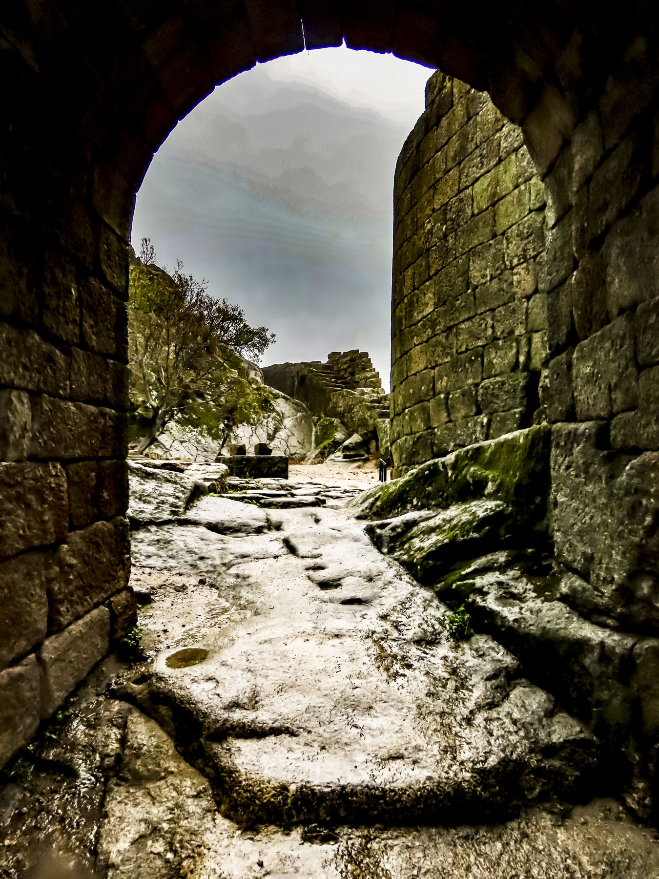
The intermittent rain had stopped, but a moody gray sky still hung over Castelo Mendo as we walked through the Portas da Vila, the ancient gate, guarded by two towers and two now well-eroded zoomorphic sculptures of wild boar, which are believed to date from an early Iron Age settlement. Solid two-story homes lined the way. The first floors, now shops closed for the off-season, were once used as barns for animals, while the upper levels were used as living space for the families. Our footsteps echoed down the hard stone alleys as we made our way to the hill where the castle once stood, we passed the communal oven, the pillory, and the portal to a foundling wheel (a turnstile where unwanted babies were anonymously placed. It was used until 1867.)

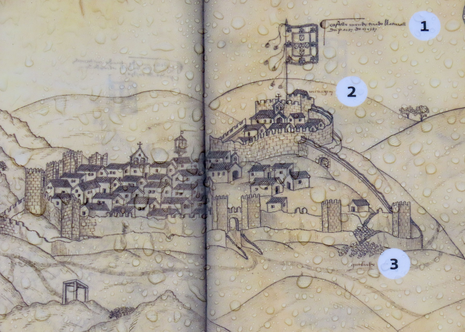
On the ruins of earlier Bronze Age and Roman fortresses a large castle, with six city gates and two rings of defensive walls and towers, was ordered built in 1229 by D. Sancho II. It must have been a sight to behold as the village was granted a charter to host an eight-day-long triannual fair. This was the first fair to be held on a regular basis in Portugal. The castle’s strategic importance was soon forgotten after the permanent border with Spain was established in 1297 with the Treaty of Alcanizes, and over time the immense walls were dismantled. The stones were carted away to build homes in the expanding and prosperous village. Now on the crest of the hill only the ruins of the citadel’s church remain standing.

We were navigating a switchback curve off of N324 which we had followed south from Castelo Mendo when we spotted the Castle of Sabugal high on knoll above the Coa River. Looking very impressive from a distance, we noted the castle for future travels. The weather too inclement to stop on the shoulder of the road to take a photo.

The storm had steadily worsened all afternoon. By the time we reached the Castelo de Sortelha it was raining “estava chovendo cães e gatos.” Fortunately, it was mid-week and every sane person was inside with their feet by the fire enjoying a glass of port. Except for this “madman,” which is how my loving wife occasionally refers to me.

I’ve always enjoyed weather and spent three years before retirement, as a mailman delivering mail in all sorts of weather. “Neither snow nor rain…” I was unfazed. Donna sat out this lunacy. But you never know if you’ll get a chance to come back! Tucking my camera deep under my coat, I ventured forth. I returned soaked. Really it was just an excuse for a double ration of Port that evening. To say the least, the photos are moody.

Fortunately, the door was quickly opened at A Burguesa Guesthouse and a friendly voice welcomed us with “Please come in, let me take your bags,” as we were ushered inside out of the rain. We know we’re getting older when the young receptionist at the guesthouse whisked our bags up the stairs two steps at a time. “Maybe I should start dying my grey?” “You might need to shave a few years off while you’re at it,” Donna replied jokingly with a smile. A few moments later the hostess returned with an umbrella and directions for parking our car which was blocking the narrow, deserted lane in front of the guesthouse.

“Follow the lane, anywhere around the plaza, the parking is free.” One of the things we’ve come to appreciate while driving through Portugal is that parking, outside of the larger cities, is relatively easy and free. Unlike Italy where you practically need to have a separate budget just to park the car. When I returned our hostess kindly offered to dry our coats for us, which we greatly appreciated. Originally a large family residence with a workspace on the lower level, A Burguesa was lovingly restored into a spacious inn featuring eight guest rooms, pool, terrace and views of the village’s castle.

Castelo Vide first came to our attention several years ago, when we were driving north from Marvao to Castelo Branco. Its red roofed, white stuccoed buildings and prominent castle covering a hillside looked so appealing we hoped to return. We did detour at the time to the Ermida de Nossa Senhora da Penha, a small chapel in a cork forest. Located high on a ridge opposite the village, it offered an outstanding view. If the weather is nice, it’s definitely worth a visit. Farther along there is still visible on this lane a section of old Roman road that crossed this region 2000 years ago.

Vide, as it was known before its castle was built, has been an important town since the Romans settled the area in 44 BC, when it was a vital stop on the trade route between Merida, Spain and the Atlantic coast. Eventually the Moors ruled the area from the 7th until 12th century. It wasn’t until 150 years after the Reconquista in 1310 that King Dom Dinis ordered a new castle built, and the growing town became Castelo Vide.

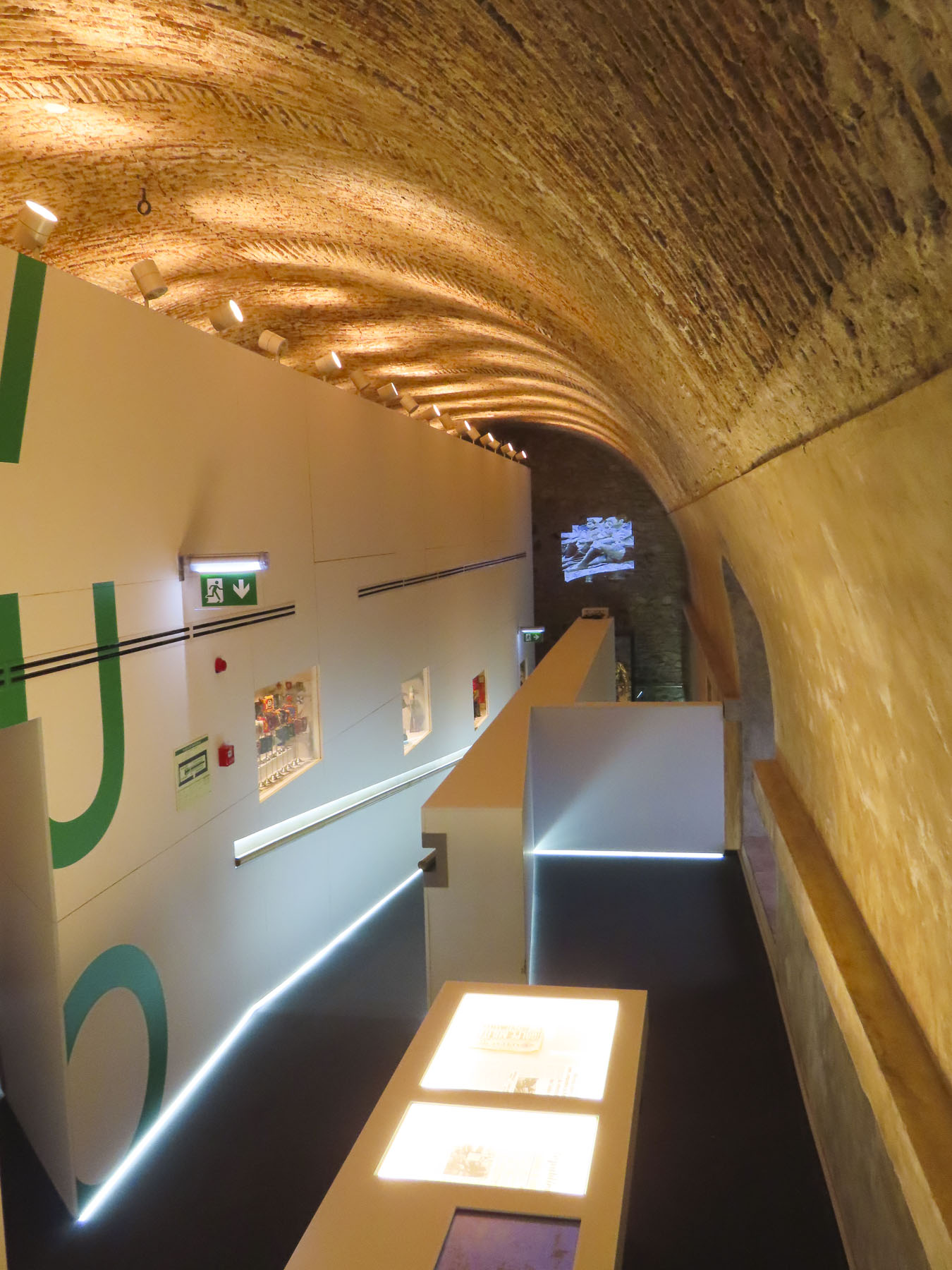
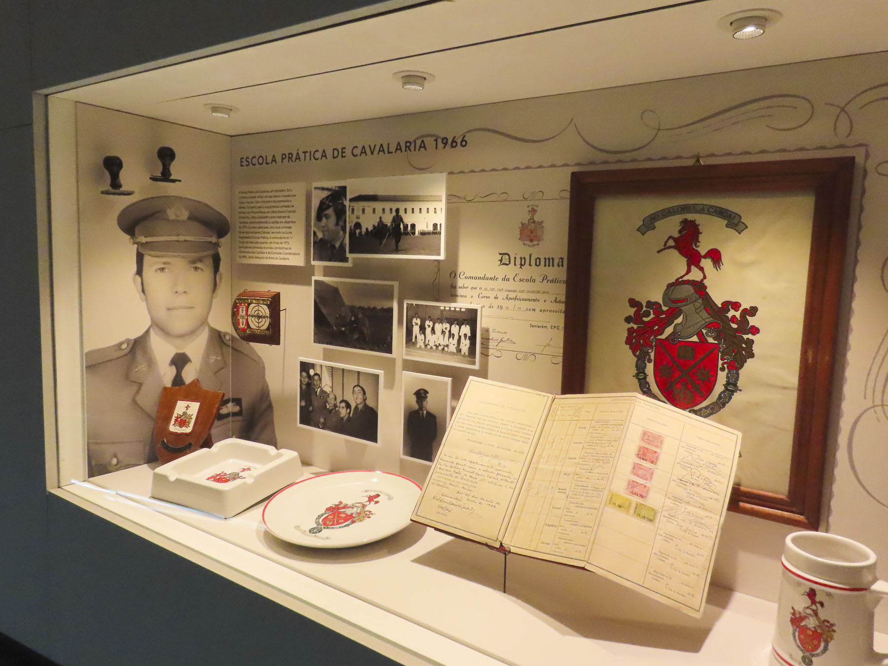
This castle is where King Dinis negotiated his marriage to his future queen, Isabel of Aragon. The castle still commands the hilltop today, though now the medieval fortress has been renovated into a museum and civic center. At the time we visited it showcased an interesting exhibit about Portugal’s Carnation Revolution in 1974, which ended a forty-year military dictatorship.

Seven hundred years ago the homes of the walled enclave that surrounded the castle keep represented a medieval who’s who of wealthy merchants influential enough to secure shelter behind the fortress walls. The intimate narrow passageways and ancient archways of this still inhabited enclave were intriguing to wander through.

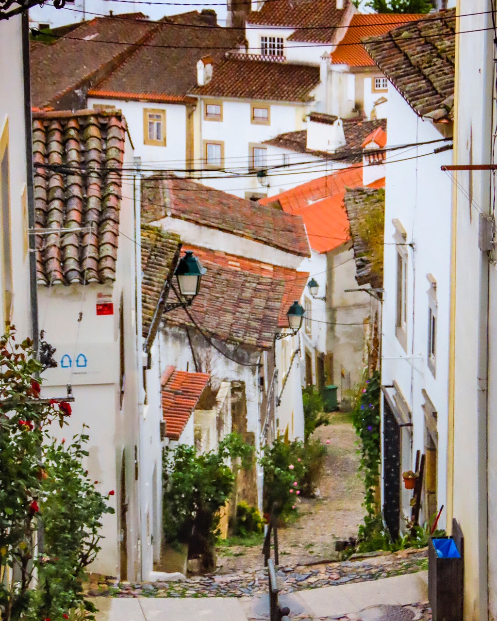
On the slope below the castle, steep alleys spiderweb down the hillside. While it was a vigorous trek to the top, the descent was equally challenging, with the concern that if we lost our balance on the wet cobblestones, we would bounce downhill like soccer balls. I exaggerate only slightly. The ambiance of this neighborhood was equally interesting – flowers seemed to grow from solid rock in the crevasses between street and homes. On homes in this neighborhood, Gothic style granite casings still survived and framed many doors and windows. Some homes left doors ajar for family pets to wander in and out, or to share their parakeets’ songs with the neighbors.

We followed a lane across the slope to Sinagoga de Castelo de Vide, a residence before its use as a modest Jewish temple. It’s thought to be one of the oldest existing pre-expulsion synagogues in Portugal, that dates from the 13th century. It’s now a museum that chronicles Jewish life in the region. Vide’s Jewish Quarter expanded significantly after Spain expelled its Jewish citizens in 1492. While Portugal was more tolerant of their religion, they were still required to live apart and encouraged to convert to Christianity.

At the bottom of the Jewish Quarter, the Fonte da Vila, a marble sixteenth century Renaissance fountain, centers the village’s old market square. The mineral water flowing from it was renowned for allegedly curing a variety of ailments from diabetes to high blood pressure.

The narrow lanes of the old town eventually funnel into the Praça Dom Pedro V, a stately plaza featuring the town hall and Igreja Matriz Santa Maria da Devesa. These “newer” historic buildings and the homes on the surrounding wider streets date from the town’s prosperous 17th and 18th centuries.

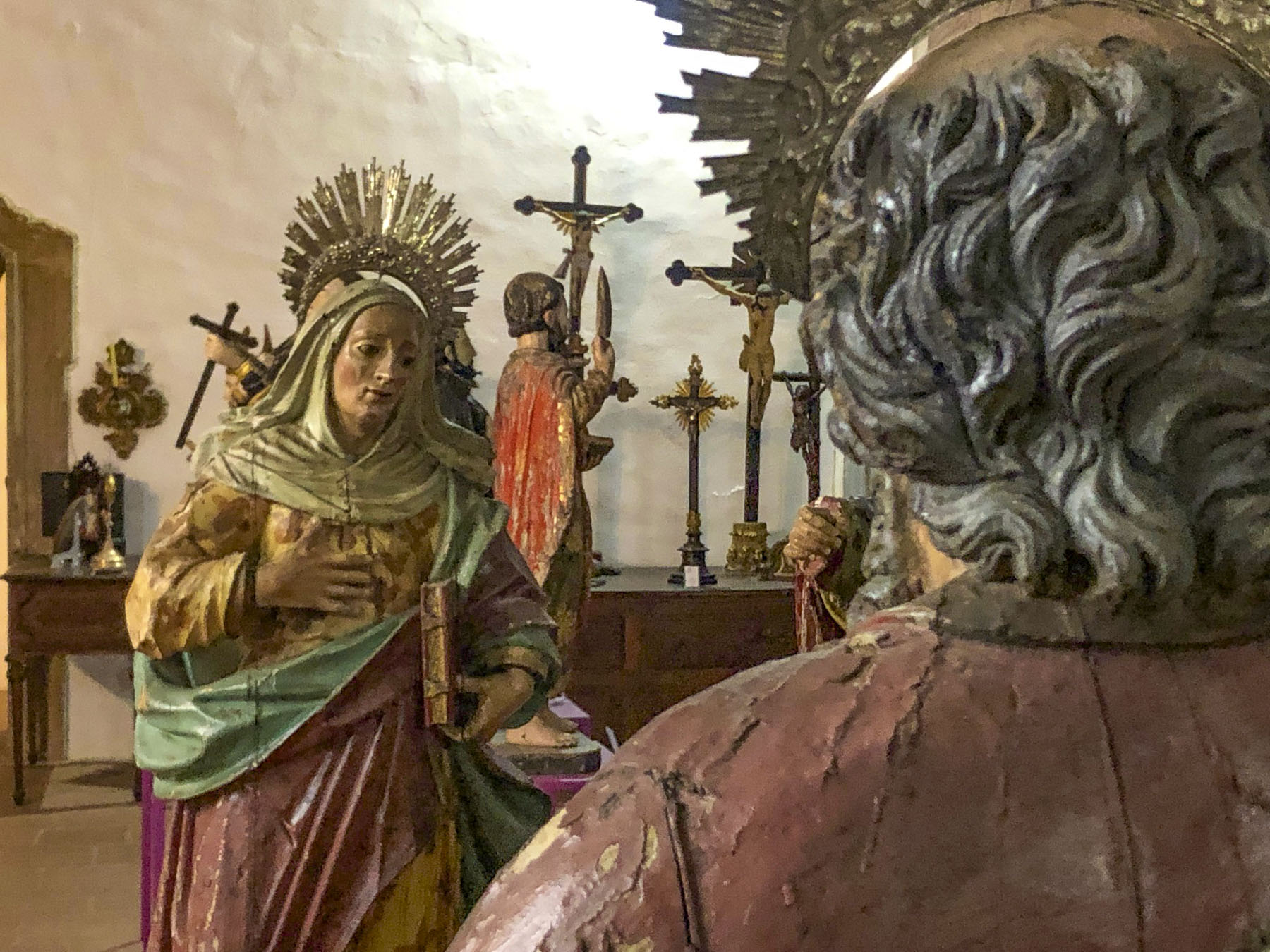
While the interior of the town’s church is very modest, the old choir loft, balconies and bell towers have been converted into a simple museum displaying a wealth of ancient religious art and sculpture. If you have ever wondered what happens to the contents of all the small, abandoned parish churches you’ve driven past, here’s your answer. Well, hopefully they end up in a splendid museum like this one that has become the religious art repository for the region. A gem of a discovery and the perfect way to spend a wet afternoon for only 1€.

The next morning a favorable weather report promising sun encouraged us as we continued south to Evora. Only a few miles out from Castelo Vide we detoured for a quick stop at the Ponte Romana da Portagem. A modest four-arched stone bridge, built in the 1400s over an earlier Roman crossing, its tranquil location spanning the Sever River obscures a turbulent past. It was here that King John II of Portugal built a tower with a tollgate in front of the bridge to collect a tax from the Jewish people expelled from Spain. A small refugee camp grew along the riverbank for those who couldn’t afford the tax. It’s believed 15,000 Jewish refugees eventually crossed the bridge.

The high arches of an ancient aqueduct, the Aqueduto da Água de Prata, spanned our route into Evora. This was a critical infrastructure project in the 1500s when King John III ordered it built to relieve the near constant drought conditions of the city that was quickly becoming a center of commerce and education in the Alentejo region, with the establishment of the Colégio del Espiritú Santo, University of Evora, in 1557. Of Lisbon’s Tower of Belém fame, military architect Francisco de Arruda was chosen to design the aqueduct. The mammoth project stretched a formidable 11 miles from the Divor River through a series of tunnels and over elevated arches, some 85 feet tall, spanning valleys and plains, before bubbling forth in the public fountains across Evora. Seems “location, location, location,” has been a housing mantra for centuries and as available land within the walled city disappeared, homes and stores were built under the aqueduct’s arches.

We knew when we planned this trip that parking in Evora would be an issue, but we were fortunate to find The Noble House which had a limited number of parking spaces available for 10€ a day. It wasn’t going to break our budget and it was well worth the convenience for two nights. The 24-room boutique hotel, as its name suggests, was in the 1400s an aristocrat’s family home. The hotel has been meticulously renovated to a historical standard that kept many of the building’s original stone arches, azulejos tiles and vaulted brick ceilings in place. For the level of comfort provided, and the convenient location, it was a tremendous value. During the shoulder season rooms are often available for under 100€ per night, breakfast included.

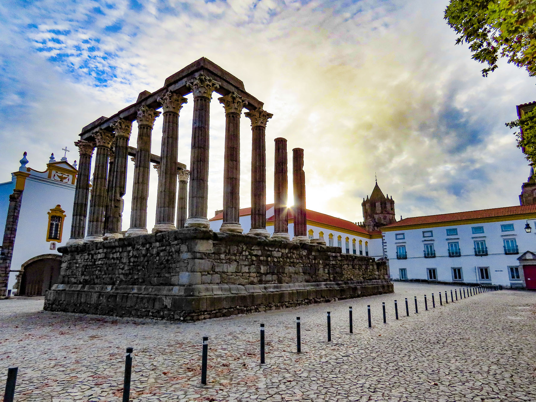
Wandering through the ancient city, we were charmed by its ambience, and the way in which archaic architectural styles harmoniously blended. At the city’s center, Roman first century ruins of the Temple of Diana share the acropolis with the 14th century gothic Catedral de Évora, the largest medieval church in Portugal.

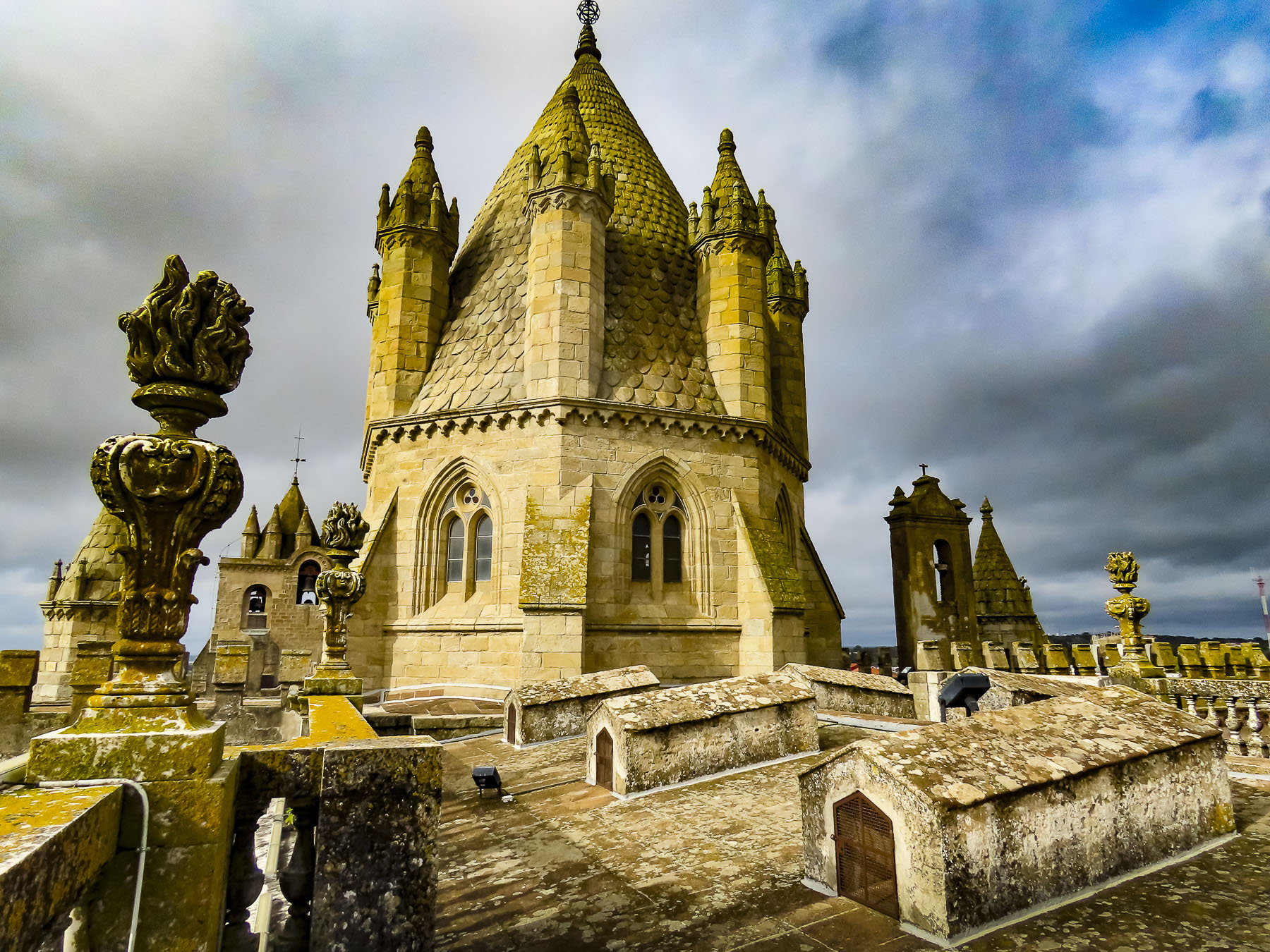
We climbed to the cathedral’s roof, the highest point in Evora, for brilliant panoramas of the city.

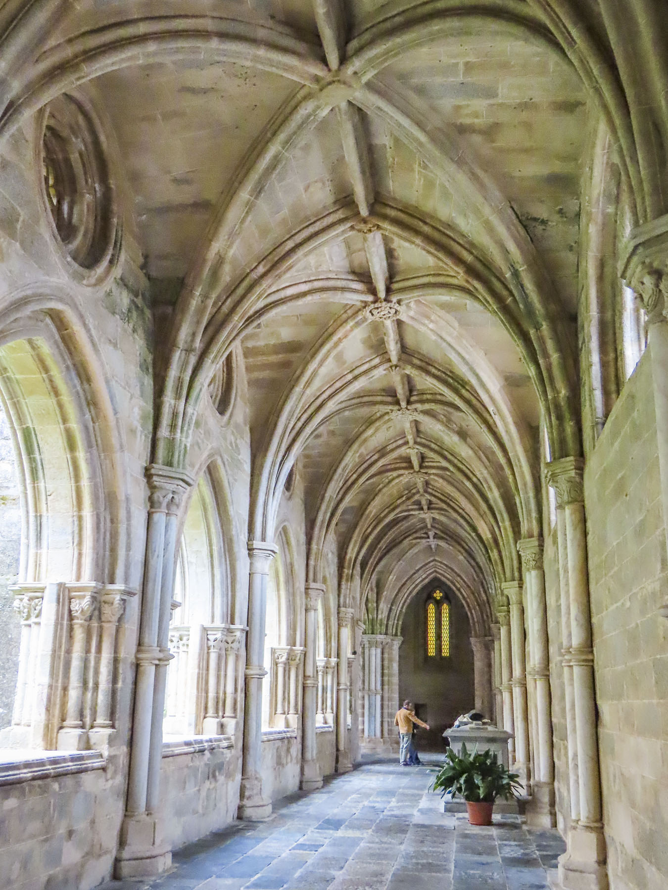
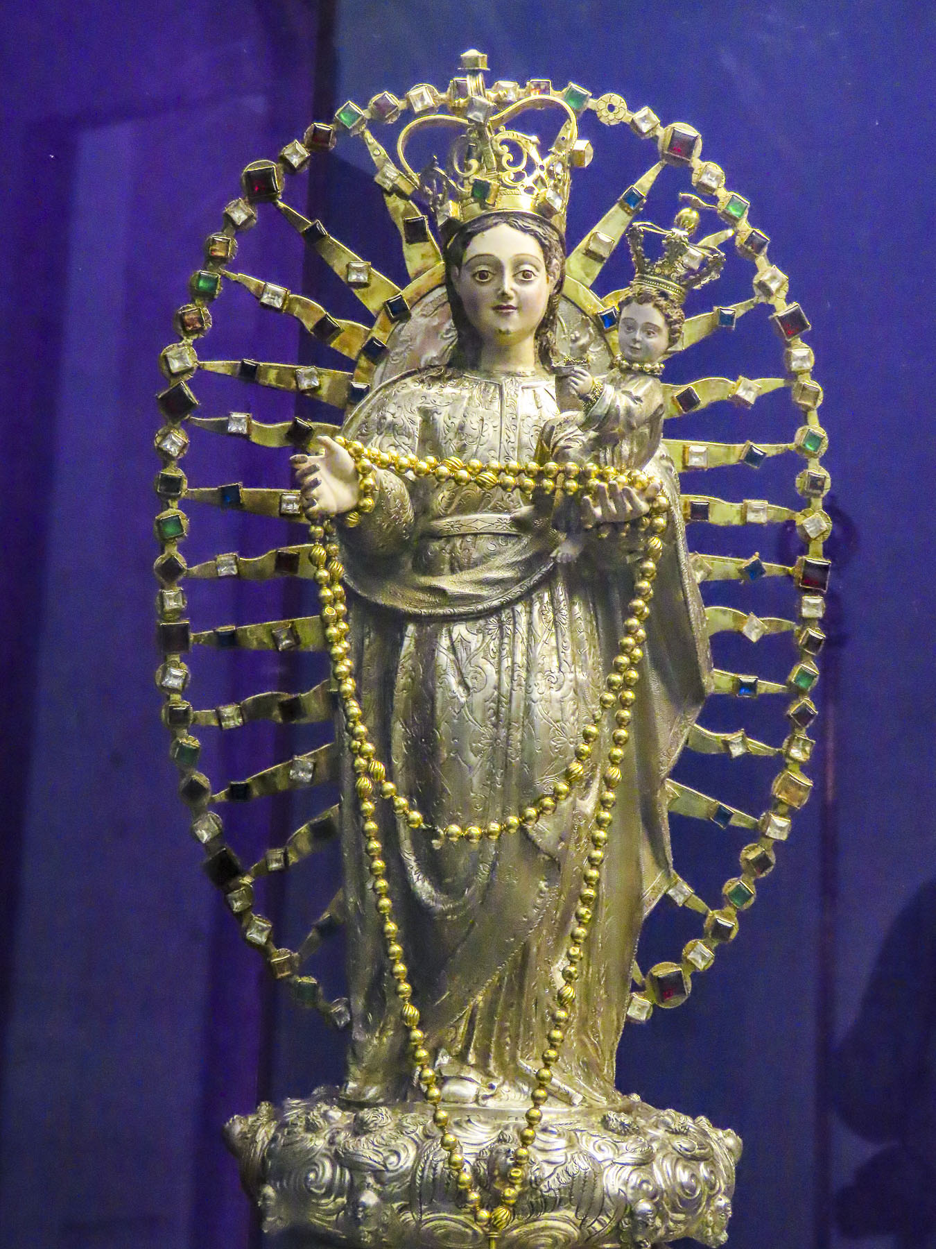
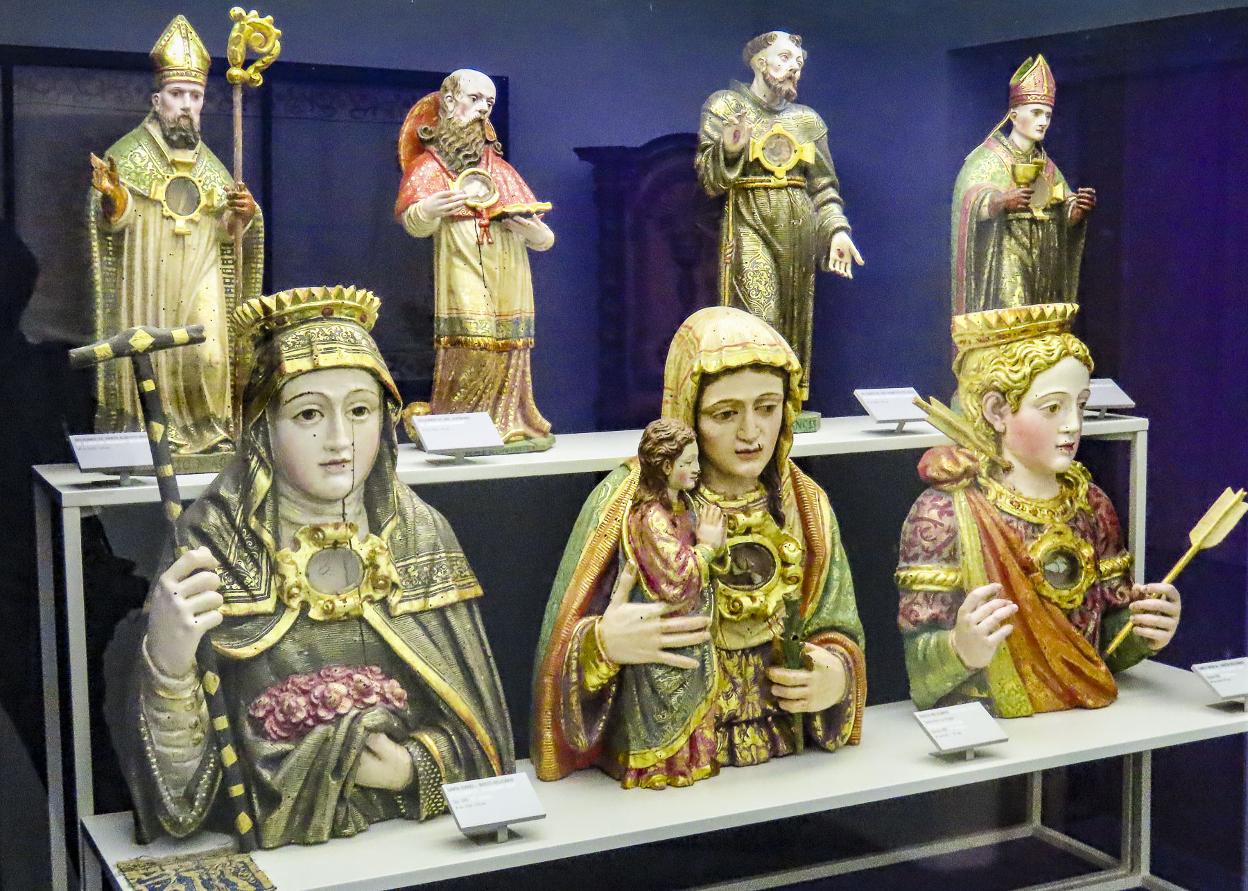
The cloister attached to the cathedral now houses a museum exhibiting the church’s ecclesiastical treasures, displayed in spaces that were once monks’ cells.

The Miradouro do Jardim Diana at the other end of the acropolis was a fine spot for a café break and also people watching.

Wine tastings featuring Alentejo vintages produced in the region surrounding Evora are a popular activity within the city. It’s not really our thing, but on the spur of the moment we stopped in the Ervideira Wine Shop, made a reservation, and returned later for a private wine tasting. Our knowledgeable host walked us through a tasting of five delightful Ervideira vintages. It was a very enjoyable experience and we purchased two bottles to accompany us to the Algarve.

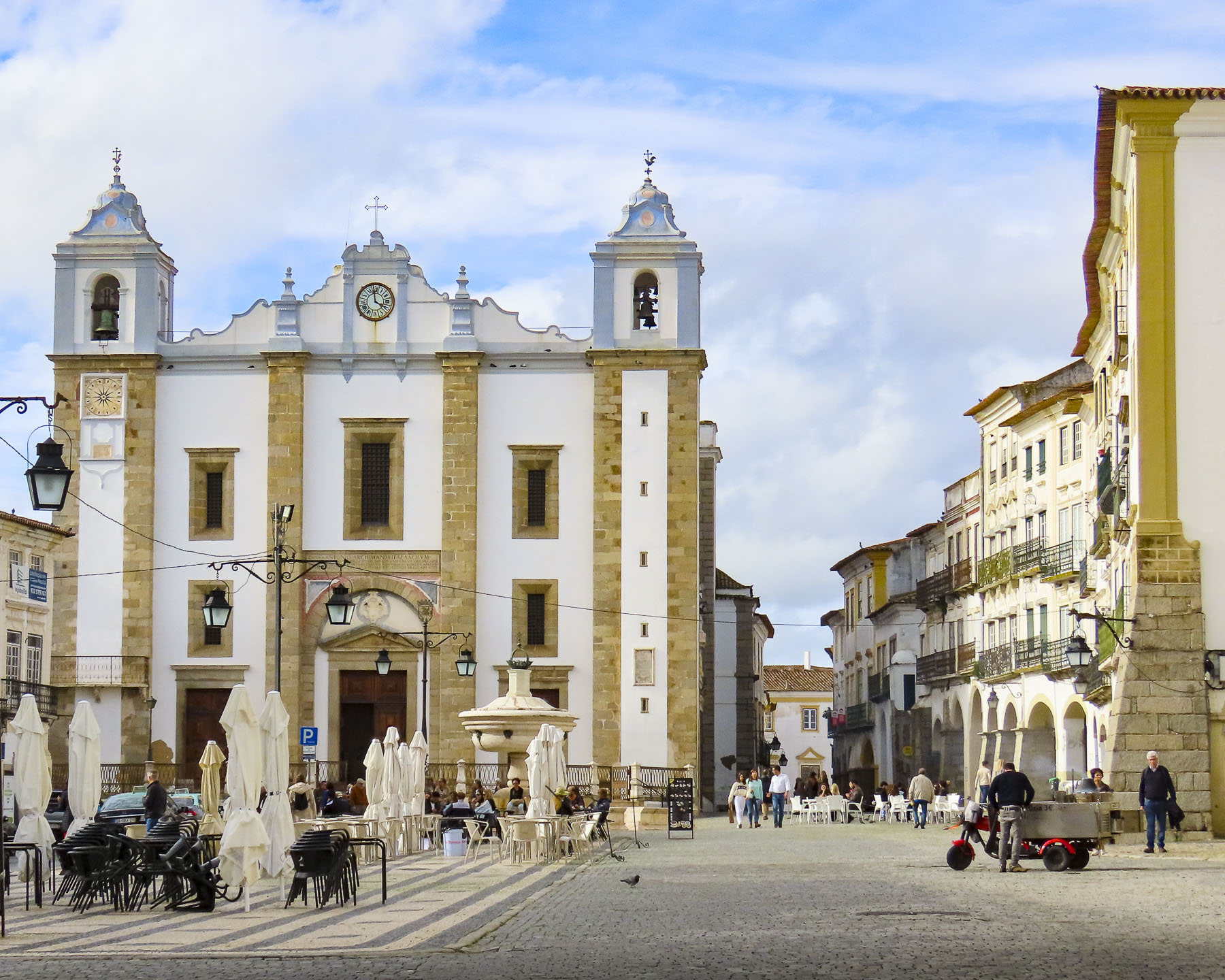
Luckily, we were strolling along the arcade covered sidewalk that parallels Praça do Giraldo when the sky burst open with a sudden downpour. The timing was perfect as we had stopped in front of the Cafe Arcada, which was packed with locals eager to take part in its sumptuous lunch buffet. It’s definitely worth checking out and very budget friendly.

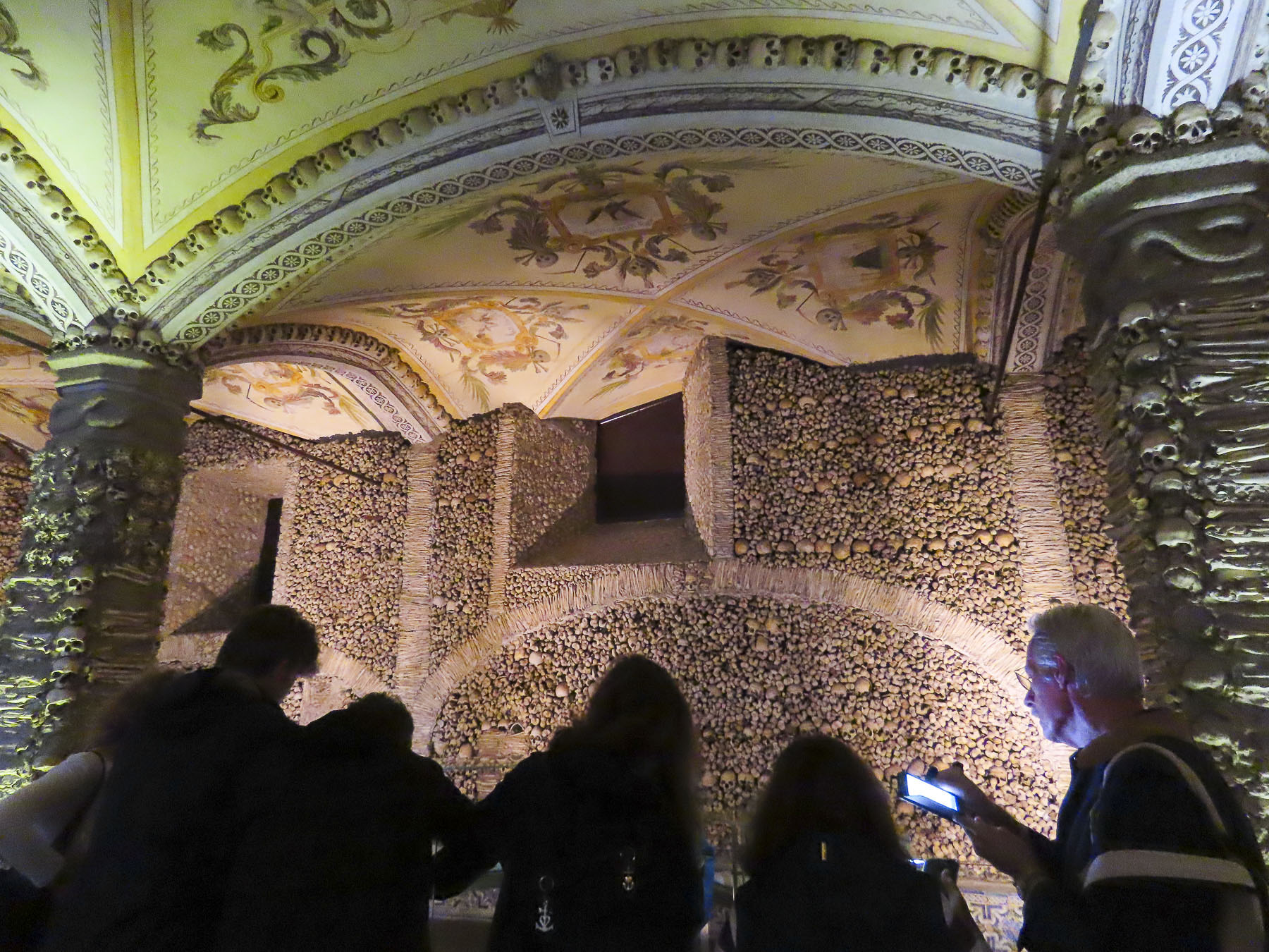
Walk a little then café is the philosophy we follow when exploring a city. With that in mind we continued the next morning to wander our way slowly towards the museum of the Igreja e Mosteiro de São Francisco and next to it – cue creepy music – the Capela dos Ossos, Evora’s Chapel of Bones.

“Nos ossos que aqui estamos pelos vossos esperamos.” It’s hoped this odd welcoming inscription, translated as “We bones that are here, for your bones we wait,” above the entrance to the ossuary will lead visitors to contemplate the ephemeral nature of life. Attached to the Mosteiro de São Francisco, the bones chapel was built by three Franciscan monks in the late 1400s as a way to respectfully reintern 5000 dead that were being exhumed from Evora’s overflowing cemeteries to make room for the newly departed. A wedding service was in progress at the Iglesia de São Francisco when we exited. Something old, something new. Life goes on.

Afterwards, we crossed to the municipal market and browsed amongst the vendors for some fruit, cheese, sausage and of course irresistible Portuguese olives for a picnic lunch in the Jardim Público de Évora, only a short walk away.

Heading back into the center of the historic district we passed the Igreja da Graça. This 16th century church has a unique façade that features four, very large-muscled Atlas figures sitting on the corners of the roof. We assumed the interior would be equally as interesting, but it’s not open to visits as it is currently used as a chapel for the Portuguese Armed Forces.

Back at the acropolis, we toured the Museum Frei Manuel do Cenáculo, named for the 18th century monk/archeologist who later became archbishop of Evora. It’s an eclectic collection featuring Roman and Visgoth antiquities gathered by Cenáculo, period furniture, and four centuries of ecclesiastical art from extinct churches of the region. It was a fascinating exhibit.

The weather was finally improving. We were ready to work on our tans. Tomorrow the Algarve.

Till next time, Craig & Donna

This website, The Historical Villages of the Portuguese Frontier might whet your curiosity to explore the region.

Portugal Road Trip – Part 5: Braga, Vila do Conde & Santa Maria de Feira

My wife and I occasionally discuss the destinations we’ve enjoyed the most and which we’d enthusiastically like to return to. We can truly say we’ve enjoyed every place we’ve chosen so far, but aside from Italy, the land of Donna’s people, being a must, Portugal and Guatemala top the list. They are both wonderfully interesting destinations with fascinating locations and cultural events to experience. With budgeting an important consideration for our travels, both Portugal and Guatemala are pocket friendly destinations. But, with the Euro currently at a favorable exchange rate, Portugal is a tremendous bargain. Throw in the fact that the weather, cities, beaches, and countryside are beautiful, along with a welcoming environment, great food and wine, well we should really emigrate there.  Alas, we’ve never really wanted to be fulltime expats. We’ve opted instead for a return visit to this splendidly diverse country when an airfare deal appeared on our travel alerts.

The city of Braga first popped onto our radar while we chatted with a PSP officer at a Tourism Police Station in Lisbon several years ago as we filed a stolen a passport and wallet report. Conversing as he speedily typed away, asking how we were enjoying Portugal. “What are your plans after Lisbon?” “Drive north to Porto for several days,” we responded. “Ah! Nobody goes above Porto. It’s as if the country stops there. The Minho region of northern Portugal is beautiful with mountains and trees, very different than south of the country and the food is better,” he joked and smiled. “You should visit Braga.” The idea stuck. Later suggestions gleaned from the blog Beyond Lisbon, written by Cátia, who espouses the lesser-known destinations, traditions and delightful quirkiness of her country, helped inspire our route through northern Portugal. Armarante, Guimaraes, Braga then farther north to Lindoso, a stone’s throw from the border with Spain, before returning to the coast above Porto. Two days later our friendly policeman emailed to notified us that the passport and wallet had been recovered. Minus the cash, of course, but we were relieved.

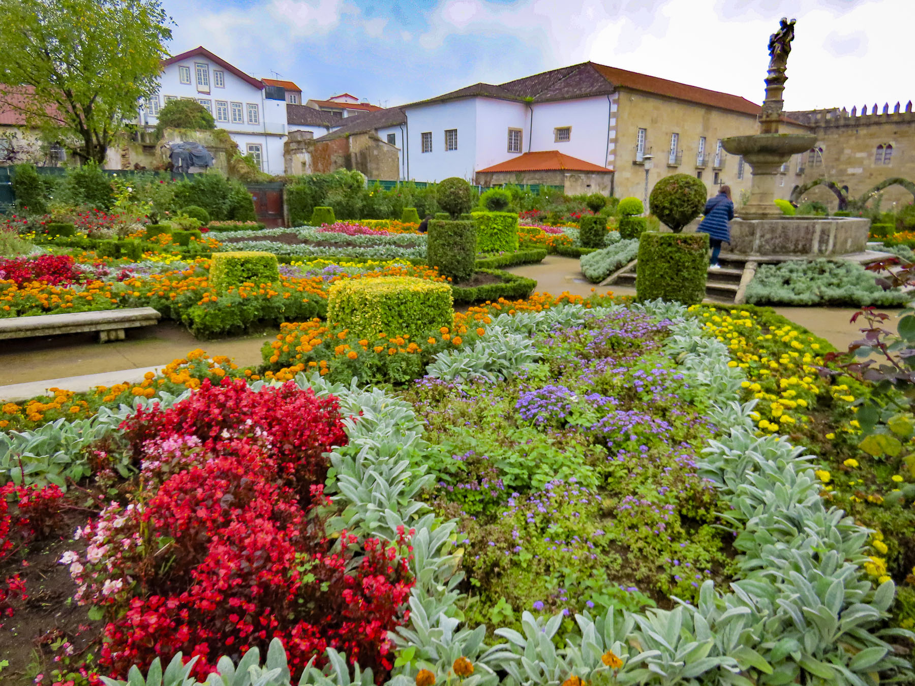
The rain had finally stopped, and the sun was beginning to break through by the time we reached Braga, encouraging us to make a short foray into the centro histórico before ending the day at Bom Jesus do Monte. Braga’s main garden, the Jardim de Santa Bárbara, was surprisingly only added to historic city’s landscape in the 1950’s. A relatively modern intervention, it benefits from its location adjacent to the crenellated walls of Archiepiscopal Palace of Braga, that dates from the 14th century.  Four stone arches are the only reminders of a larger structure with a library containing many historical documents that was lost in an 1866 fire.

Important since its founding in 16 BC, as Bracara Augusta, where five Roman roads converged, Braga today is Portugal’s fourth largest city and a vital metropolis for commerce and education. The city has had a complex relationship with country since 1112 when Count D. Henrique and Countess D. Teresa donated the city to the Catholic Church, creating an ecclesiastical fiefdom that lasted until the 1700s. 

In 1128 the city/church was given the privilege to mint its own coinage as reward for supporting D. Afonso Henriques’ revolution against his mother, the Countess D. Teresa, for Portugal’s independence from Spain. Local wars occasionally erupted between Dukes and various Archbishops over the following centuries.

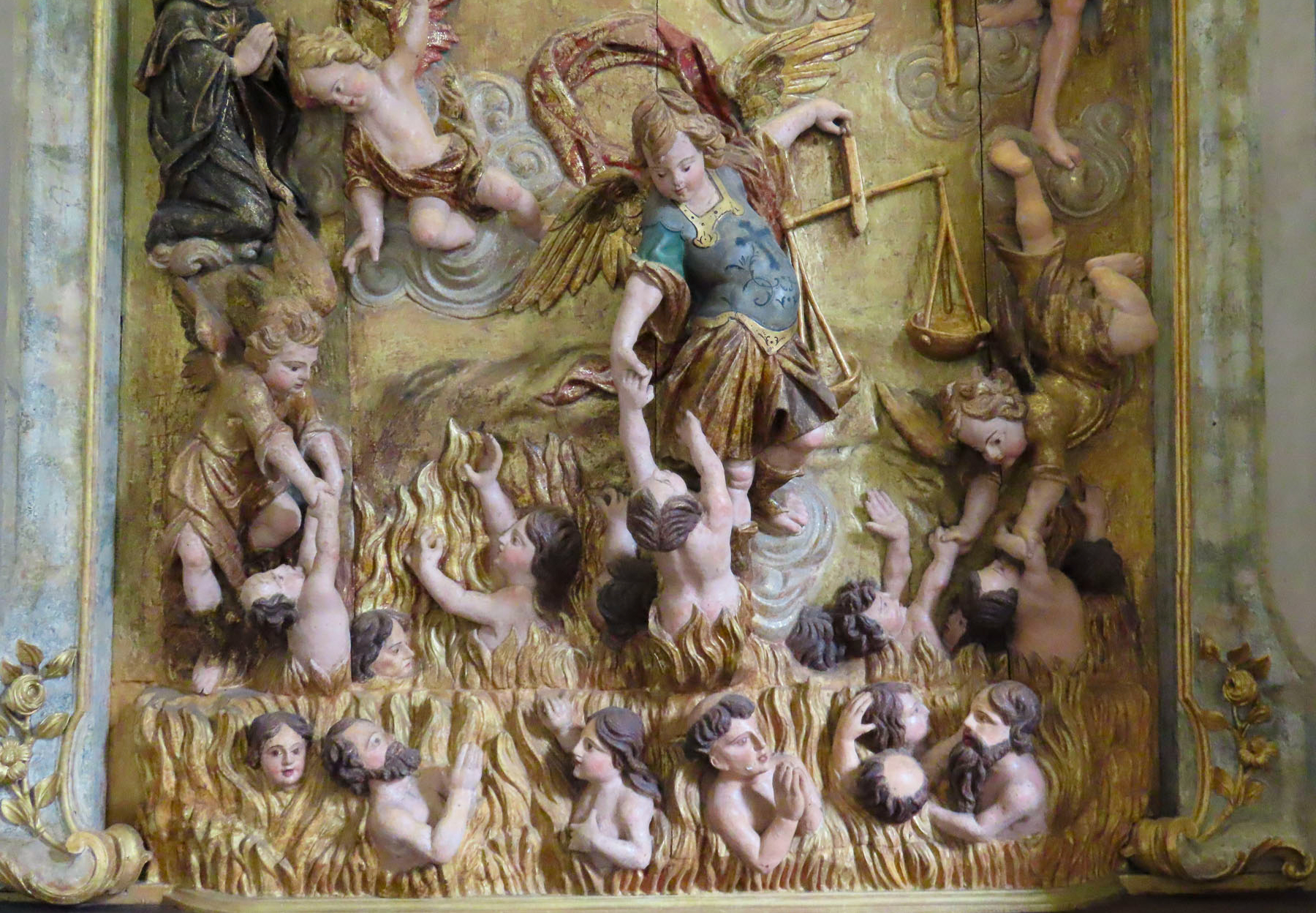
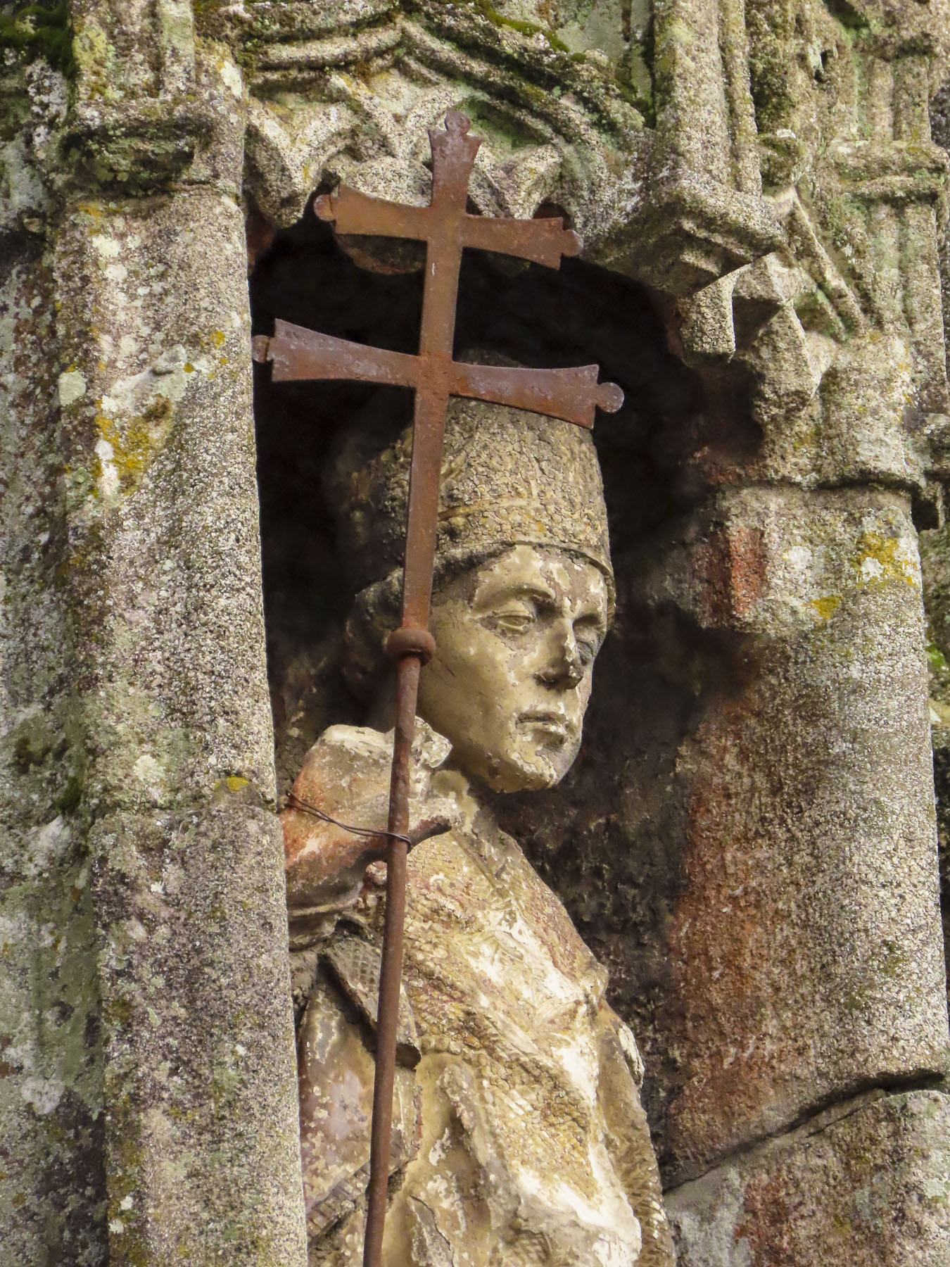
Count D. Henrique’s and Countess D. Teresa’s tombs are in the Braga Cathedral. The first cathedral built in Portugal, it was consecrated in 1089, inspiring the Portuguese expression “older than the Sé de Braga.” A courtyard scattered with centuries old architectural remnants funneled us into the Cloister of Santo Amaro, which now serves as a museum that displays the church’s vast treasury. The church’s Romanesque and Baroque styles coexist seamlessly after centuries of renovation. The interior is very transfixing with Baroque gilding and mirrored twin organs that seem to float above the central nave. 

It was approaching sunset when we arrived at Bom Jesus do Monte. The neoclassical church with its famous baroque staircase has become an iconic symbol of Braca, since its completion in 1811. Some pilgrims call it the sacred way, others the stairway to heaven. The devout will climb its 573 stairs to the sanctuary at the top on their knees. Each landing features a fountain and allegorical sculptures.

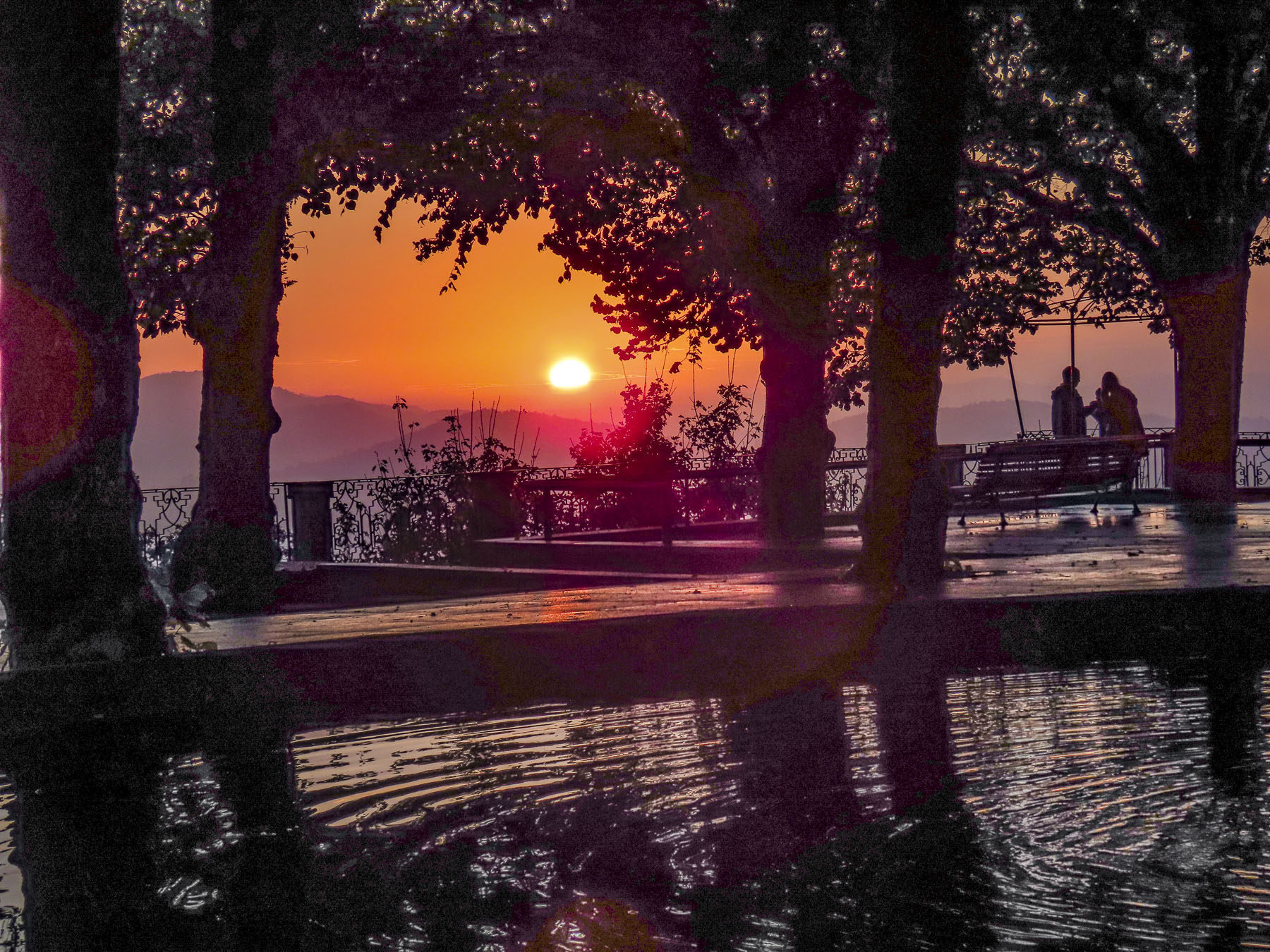
Our timing was perfect. Parking was easily available at the summit, the bus tours all gone for the day. Only a handful of folks remained, enjoying the beauty and tranquility as the sun set.

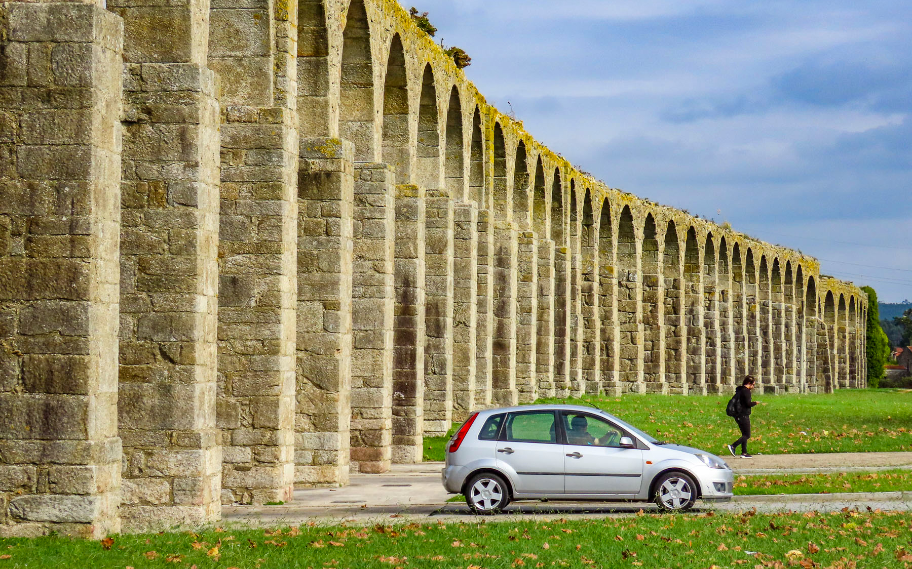
A north south transition day for us, we set off early to our first stop, the coastal town of Vila do Conde, on the Atlantic Ocean, just above Porto. As if by magic a tall stone aqueduct suddenly appeared before us, and it paralleled our route for quite a distance into Vila do Conde. We mistakenly assumed it was of Roman construction. We learned later that the 999 arches were built in the 16th and early 17th centuries to supply water to the Santa Clara monastery from a hilltop spring in Terroso, three miles away. Though the aqueduct could have benefitted from some Roman engineering after the first section was abandoned because the water flowed the wrong way. Later 46 arches collapsed during a storm.

One of the largest and wealthiest convents in Portugal, the Santa Clara monastery housed 100 nuns. It was founded in 1318 by Afonso Sanches, son of King Dinis and brother to King Afonso IV the Brave. The convent still commands a prominent hill above the city and is undergoing extensive restoration to become a Lince Hotel & Spa.

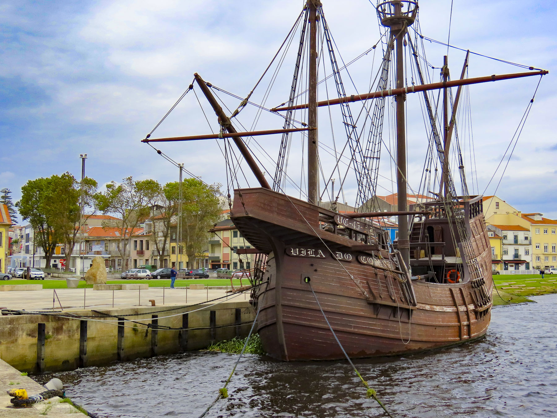
We were delighted to see the ocean again. Portugal’s lovely and easily accessible coastline is one of the reasons we enjoy the country so much. The town is graced with two beaches, Praia Azul and Praia da Senhora da Guia. Both are only a twenty-minute walk from the center of the town. But it was too cold and windy to enjoy the beach, so we walked along a riverfront park towards the old town. An ocean port city, Vila do Conde’s prosperity came from its shipbuilding industries during the Age of Discoveries.

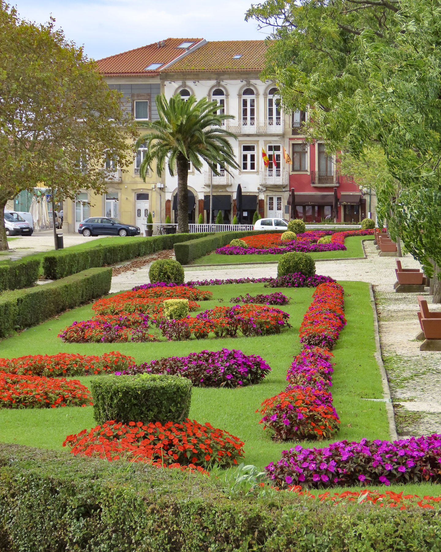
Farther along we rested at a café across from the Praça da Republica, a beautiful park with brilliant flowers still blooming in October. Following the streets inland we explored the narrow lanes around the Igreja Matriz de São João Baptista which centers a plaza atop a small knoll in the middle of the historic district.

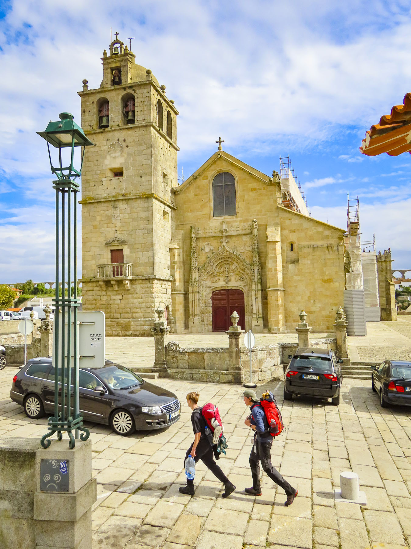
It’s a popular resting spot for pilgrims trekking the coastal camino route from Porto or Lisbon to Santiago de Compostela, Spain. From here we spotted the final length of aqueduct that terminated at the convent. We decided to investigate. 

The aqueduct towers over homes in this neighborhood located on the slope before the convent. Beyond them the crenelated walls of the convent’s Gothic church reflect the time it was built in the 1300s when Viking raids were a recent memory and Spanish invasion was a constant threat. The view of the red roofed city and riverfront from the miradouro next to the convent was spectacular.

Years ago we used to keep magazine and newspaper articles filed away as research for future travels. That slowly evolved to email folders with links to stories and computer bookmarks for favorite travel websites. Now Google Maps and Instagram feeds spark interest for places to visit.  That’s how the Igreja Matriz de Santa Maria de Válega with its colorful tiled exterior wall came to our attention. The church’s unique beauty earning it the nickname “the Sistine Chapel of Portugal.” A half-hour south of Porto, the church is located at the crossroads of Válega, a small rural farming community.

The church was not always this stately. Its history starts in 1150, when a wealthy family built a small private chapel above the ruins of an earlier temple. From 1288 to 1583 it was part of the Monastery of São Pedro de Ferreira.  In 1756, the Diocese of Porto started renovations and building expansions that would last over 100 years. Surprisingly, the tile façade and interior were relatively modern alterations that were installed in 1959, along with a ceiling crafted from exotic Brazilian woods. The exquisite larger-than-life tiles depict stories from the life of the Virgin Mary and other biblical scenes. They were crafted by the Aleluia Cerâmicas of Aveiro, a local company that still creates unique tiles for customers around the world. 

Although it’s an off the beaten path destination, it’s worth the effort to see this truly unique church. If it helps to influence your decision, Flor De Valega is a mouthwatering pastry shop a short walk away. You won’t be disappointed!

Our last stop of the day would be the Castle of Santa Maria de Feira, only twenty minutes away, before spending the night in the town below it. We arrived forty-five minutes before closing. How disappointing, because the castle looked intriguing and it was beginning to rain harder. A shortened visit would have to do. The line at the ticket counter wasn’t advancing as the lone ticket agent was busy selling souvenirs to a tour group that was just finishing a visit. Kindly, a security guard waved us along and we agreed to return in a certain amount of time and pay on the way out. The castle was fascinating.

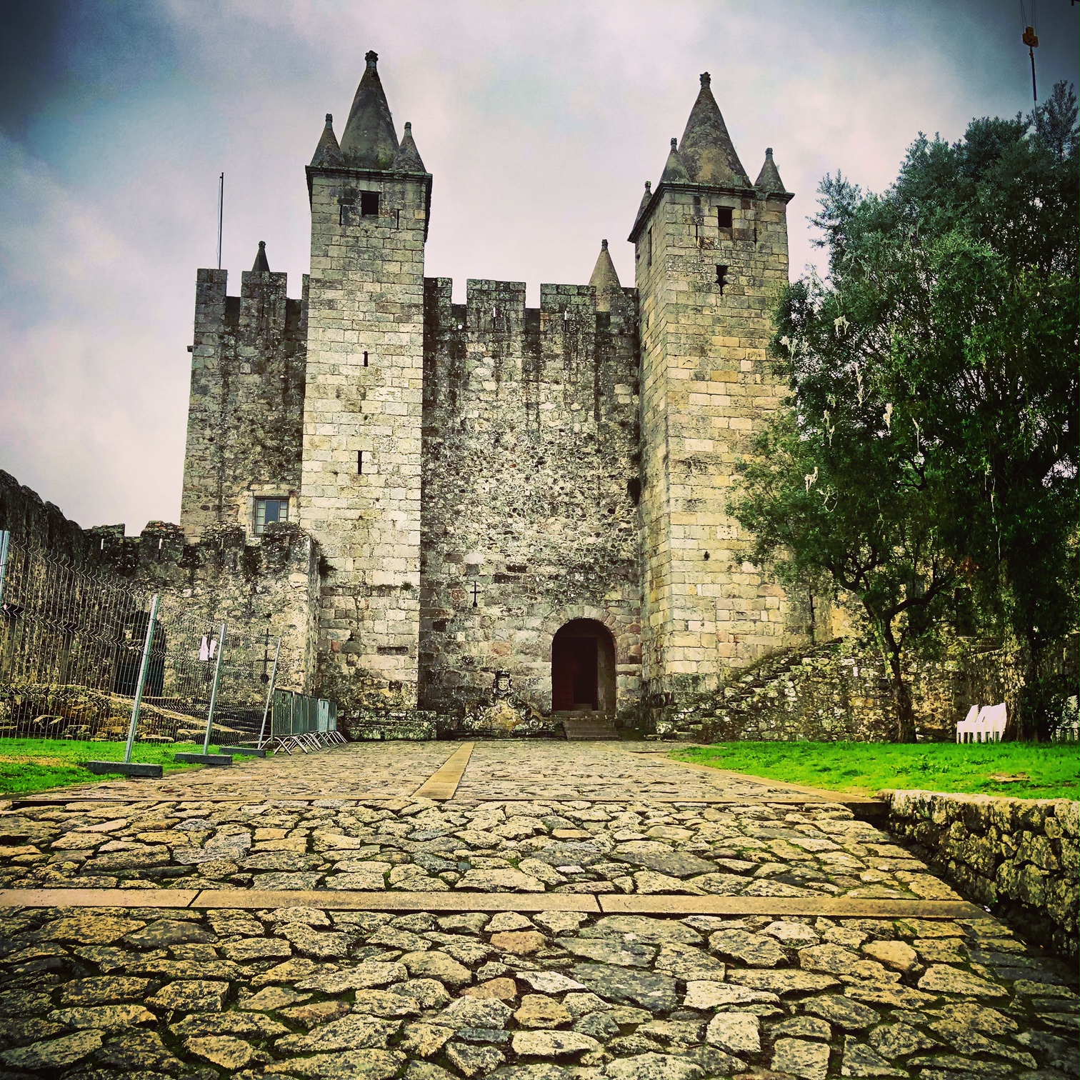
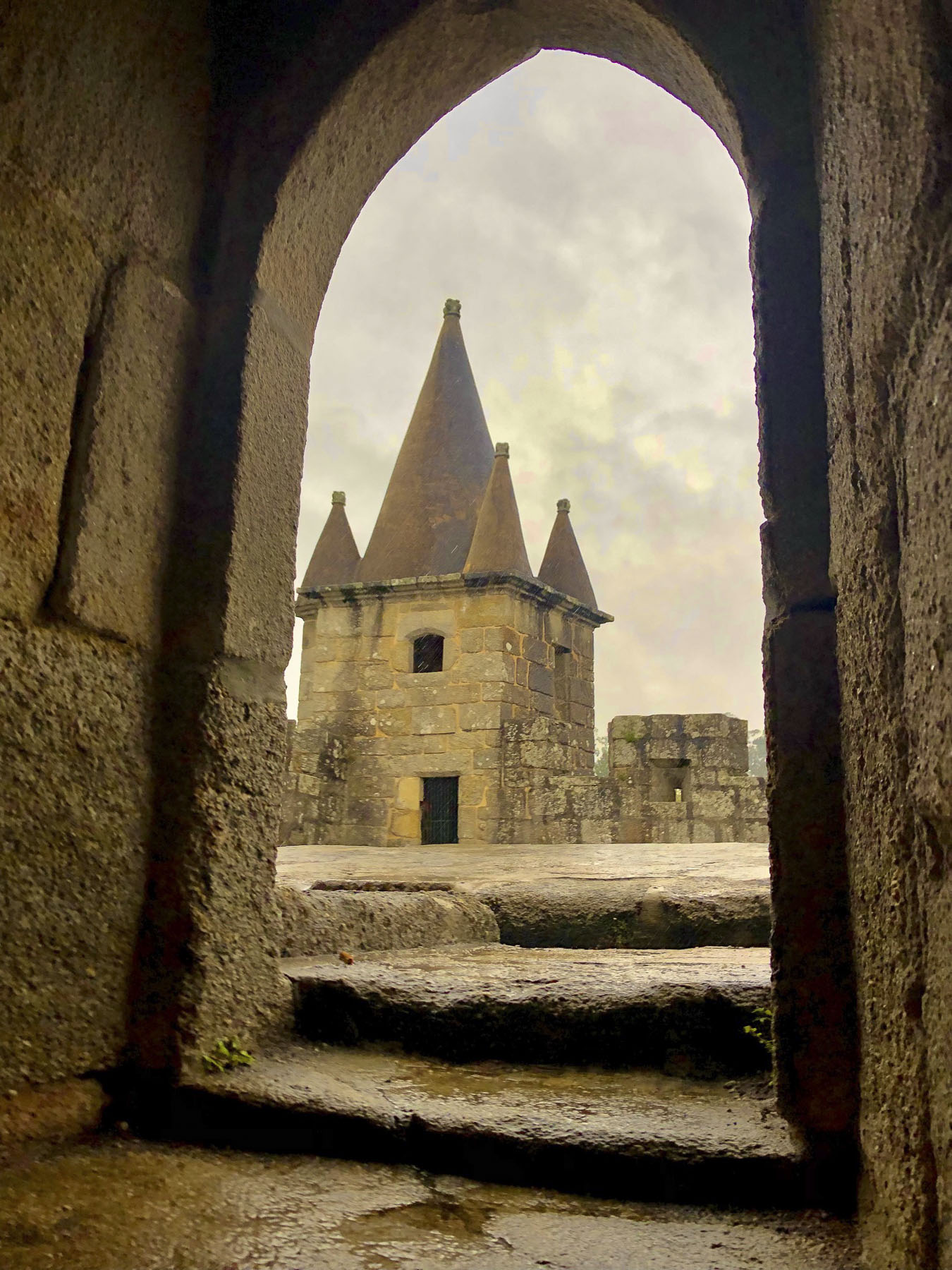
The castle sits on the apex of a now wooded hill, in a beautiful park, though back in the Middle Ages the hillside was devoid of trees, giving the soldiers in the fort a better view of any approaching enemy.  This was the frontier, a war zone between Christian Spain, later Christian Portugal and the Moors. Twice in 1100 the castle was sacked by the Moors and then liberated by Portuguese forces. This borderland saw continual conflict until the Arabs were driven decisively from Coimbra, only sixty miles away, in 1139.  Large medieval trade fairs held next to the castle earned the village the distinction of being named Santa Maria de Feira. In 1448, King D. Afonso V gave the battle-worn castle to Fernão Pereira on condition that he repair the fortifications. “Hey Fernão, do I have a deal for you.” His modifications of thickened walls, a barbican, spired towers and a large keep with fireplaces and terrace still stand, and are what visitors to the castle see today. After a fire in 1722 the castle was abandoned and left to ruin. In 1839 it was bought by a private citizen at public auction. Serious rebuilding began in the early 1900s and it was reopened to the public in 1950.

To our surprise, the gate of the barbican was locked with a heavy chain when we tried to leave. Our hearts skipped for a moment when we thought we’d be sleeping overnight on the cold stone floor of the castle’s keep. The anxiety was relieved a few moments later when the guard returned from making his final inspection to ensure nobody gets locked in. Reminding him we still had to pay he smiled and waved us away, happy to end his day a little early and get out of the rain. Every August the town and castle host a ten-day Renaissance festival called Viagem Medieval that is regarded as one of the best reenactment events in Europe.

We hadn’t stayed in a hostel in years, but our private and modern room with ensuite bath at the boutique Hostel da Praça, in the historic center, was a bargain at €50. Parking was free at the municipal lot a short walk away.  As we walked across town to dinner that rainy night, the reflections from the old streetlights onto the cobblestones was evocative of the Middle Ages when the town’s nightwatchman lit torches hanging from sconces along the street.

Till next time, Craig & Donna

Portugal Road Trip – Part 1: Searching for Templar Castles

“It’s okay, you can just ignore that caution light on the dashboard. It never goes off.” “Do you have another car?” “No.” All rental cars appear equally perfect when you are making comparisons and a final selection from a website. Staying within our budget, we chose an off-airport car rental agency with good reviews, that picked us up at the arrivals terminal and sped us away to our awaiting wheels, for €12.50 a day.  The Fiat Panda assigned to us had been driven hard and put away wet, you might say. Reviewing the preexisting body blemishes with the rental agent resulted in a cartoon of the car that looked like it had been ambushed in a gangster movie and sprayed with machine-gun fire, including the roof. Nevertheless, the engine sounded fine, and our twelve-day journey began, driving in a large figure-eight, north to south route, around Portugal. Our first destination – Castelo de Almourol, before arriving in Tomar. But by the afternoon of day three we were referring to our car as the Portuguese version of the American rent-a-wreck concept. When driving through the mountains, on the way to a schist village, every warning light on the dashboard started blinking violently in Portuguese. If we had been flying an airplane, we would have donned parachutes and bailed out.  The engine sounded fine, so we flew on.

Not being sure what is open during the week in the off season, we headed for the Miradouro do Almourol, an overlook above the island that the castle commands. Located on the south side of the Tagus River, it’s not particularly easy to get to. But my wife and I enjoy the off the beaten track routes that take us through less traveled countryside. Crossing the Tagus River, we followed the N118 north into the Alentejo (beyond the Tagus) Region through flat farmlands and wine estates dating back to the 1700’s. The red wines of the area vinted with the Portuguese varietals Castelão, Trincadeira, and Touriga Nacional are acquiring international recognition now, as are the regions white wines made with Antão Vaz, Arinto, and Fernão Pires grapes.

The drive was slowed occasionally by tremendously large John Deere combines, the width of the entire road, as farmers drove them between different fields waiting to be harvested. Seasonal spring floods that replenish the soil have made this river plain an important area for cereal crops and wheat since the Roman times. Our walk a little then café philosophy quickly transformed into drive a little then café when we did our first U-turn of the trip as we passed a small place that had a tractor parked in front. Our espressos only €.70 each. It was nice to be back in Portugal.

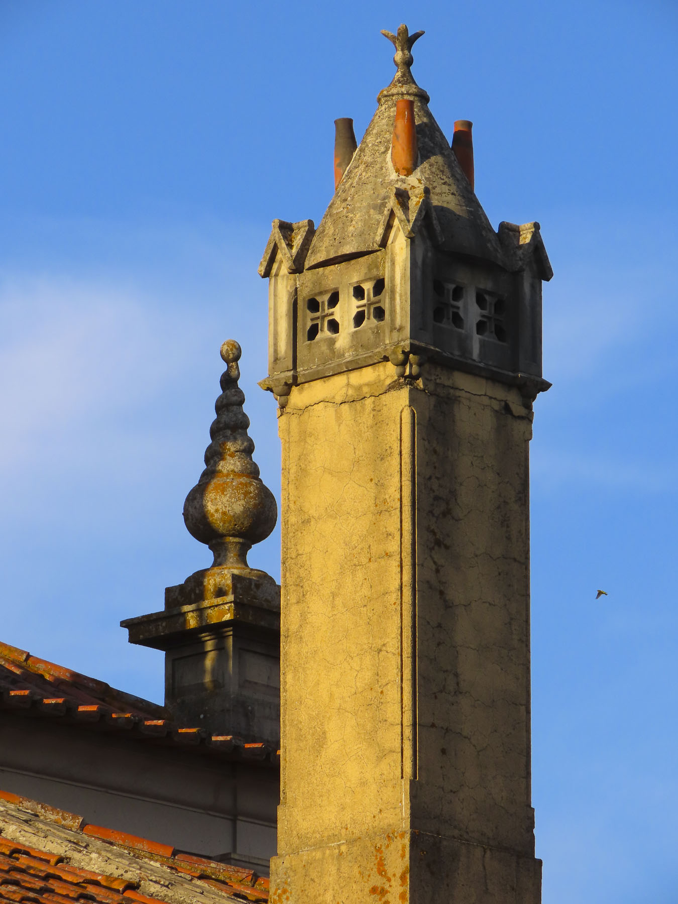
The wetlands of the Tagus River valley are ideal for bird watchers looking for black-winged stilt, marsh harrier, purple heron, pratincole and Kentish plover. Occasionally we spotted storks atop centuries-old chimneys of abandoned homes, resting in new nests that were stacked like pancakes atop older ones before continuing their winter migration south to Africa. Quiet lanes, faded sun-bleached pastels, and centuries old weather-worn buildings dotted the landscape. Bullrings, Praça de Touros, still stand in Chamusca and Salvaterra de Magos, and the latter’s traffic circle has a large sculpture of a cavaleiro and bull to celebrate the tradition. Though interest in bullfighting has been waning since Queen Maria II of Portugal banned the spectacle in 1836 with the argument that it was “unbefitting for a civilised nation,” it regained popularity in the Alentejo region after the fights were reinstated in 1921, and the climatic killing of the bull was outlawed in 1928.

Before we reached the castle, we stopped for lunch along the riverfront in Arripiado at the ABC Bar Café. It was a tranquil spot with a boardwalk that had a view of the Tagus River and the small village of Tancos across the water. Small boats offer rides to Almourol Castle from the Arripiado riverbank here.

With its striking island location, just below the junction of the Zezere and Tagus rivers at Constância, Almourol Castle is one of the most picturesque medieval fortresses in Portugal.

Constância was once an important fishing village during the Middle Ages where it was said the rivers there were “two-thirds fish and one-third water.”

As with most things ancient on the Iberia Peninsula, the castle’s history started with an early tribe. The Lusitanians built a small fortress on the island as protection against the Romans in the first century B.C.E. Visgoths, Vandals, Alans and Moors followed until it was captured by the Portuguese during the Reconquista in 1129 and subsequently entrusted to the Knights Templar to rebuild for defense of the frontier border at the time.  It eventually lost its strategic relevance and was consequently abandoned. Various phases of reconstruction began in the mid-1900s. 

Train service to Tancos, Castelo de Almourol and the hilltop village of Constância is available from the Santa Apolónia Station in Lisbon. The trip takes about an hour and a half.   

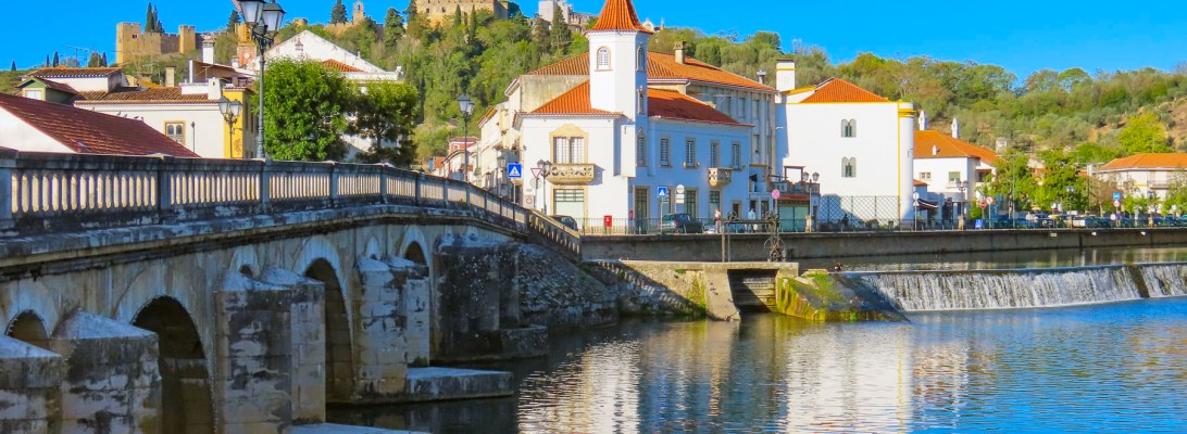
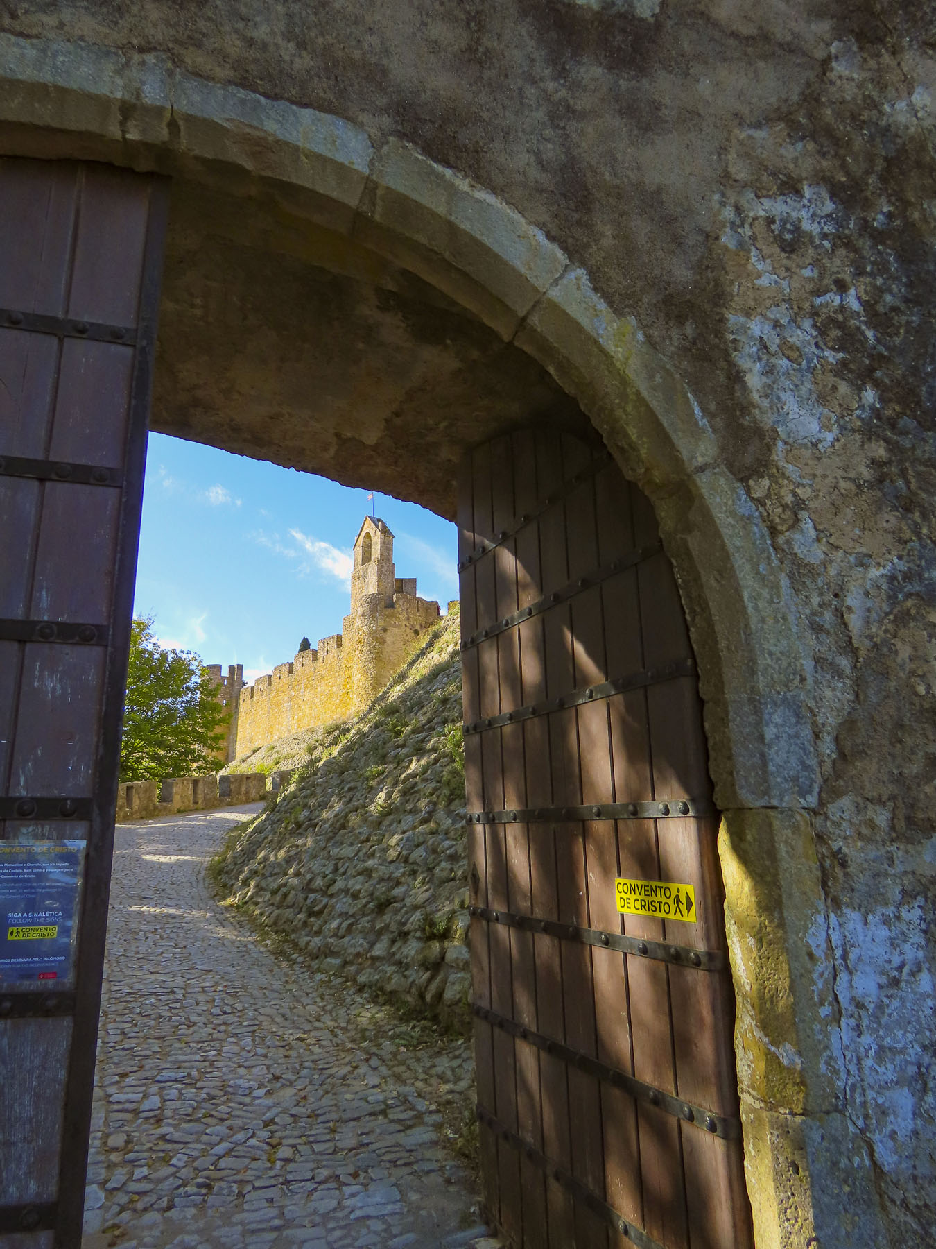
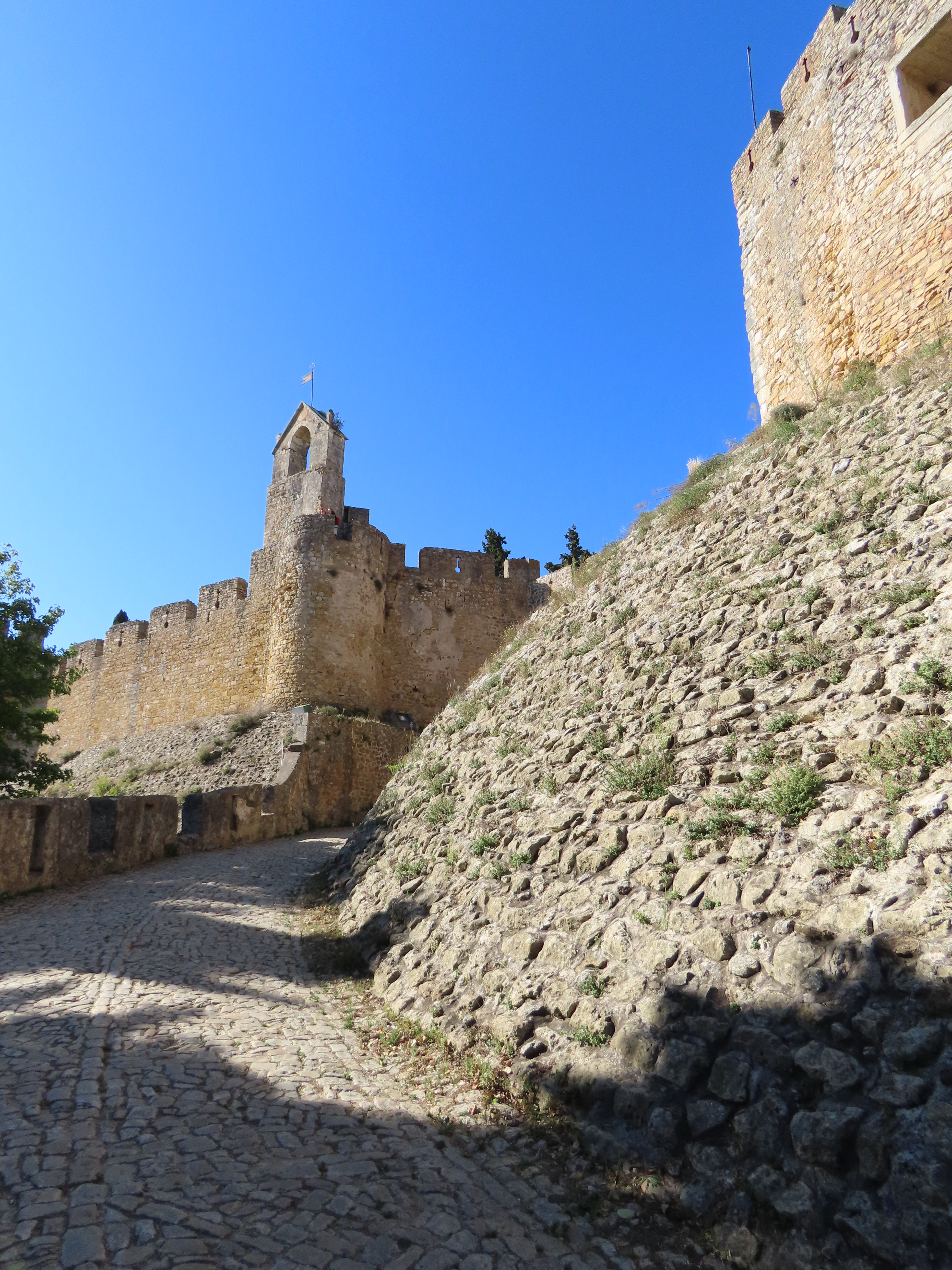
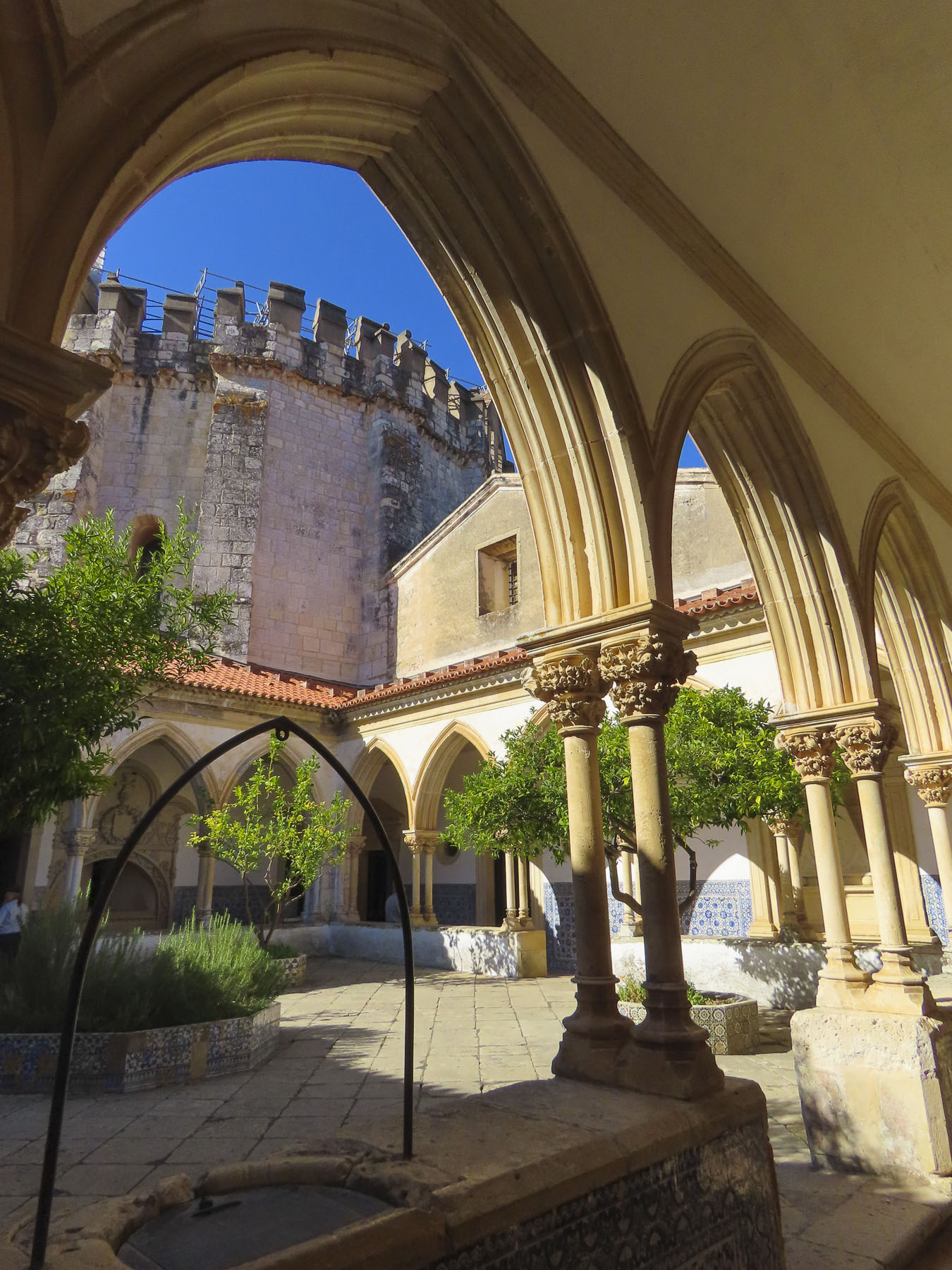
We arrived in Tomar just as the late autumn sun was low in the sky and beginning to cast lengthening shadows on the forested slope that led to the jewel that crowns this quaint village.  We followed the winding cobbled lane to Castelo de Tomar and only got a brief glimpse of the castle through its outer gate as the heavy wooden door was closed for the day with an echoing clang. The castle combined seamlessly with the Convento de Cristo next to it and creates an immense structure that’s best observed from a distance to appreciate its scale. Admiring the expansive view from the miradouro in front of the castle, we made plans to return the next day via a tuk-tuk taxi, from the town square.

This beguiling medieval village with its narrow lanes and tranquil riverside location discreetly hides its outsized contribution to the history of Portugal.

It starts with those mysterious Knights Templar when in 1159 the first King of Portugal, D. Afonso Henriques, granted land to Gualdim Pais, the fourth Grand Master of the Knights Templar in Portugal as reward for their military prowess and religious zeal during the Portuguese wars for independence and the subsequent Reconquista. When the town was first founded, the population was so minuscule, most of the villagers lived behind the castle’s defensive walls.

In 1160 Gualdim Pais order the construction of a monastery and fortified citadel that would be known as the Convent of Christ, a combination of a fortress and a monastery, that is sometimes referred to as the Convent of Christ Castle. The convent’s most interesting feature is a round sanctuary with an ornate ceiling soaring over a central altar, its design said to be influenced by the Church of the Holy Sepulcher in Jerusalem.  Legend states that the knights attended mass on horseback here, the open circular design facilitating the horse’s easy entrance and exit. Famously in 1190, outnumbered Templars defeated a larger Muslim army after their six day siege of Castelo Tomar failed.

Founded in 1118 and slowly gaining recognition from their vowed mission to protect pilgrims journeying to the Holy Lands, the Knights received Papal endorsement in 1139. Pope Innocent II’s Papal Bull sanctioned the Templars as “an army of God,” and provided them special rights that included exemption from paying taxes, allowed them to build their own oratories, immunity from local laws, freedom to cross borders, and obedience only to the Pope. With this blessing Pope Innocent ll made the first papal monetary gift to the Templars. Now a church-endorsed charity, they began receiving land, money, businesses and young nobles from wealthy families who were enthusiastic to find glory in the crusades and willingly donated their assets in order to take the vows of poverty, chastity, piety, and obedience.

Today the Templars most likely would have been charged with running a racketeering enterprise which forced pilgrims and others to pay for protection services they have not requested. This protection was usually from the very people who were demanding the money in the first place.

Things were going well for the Templars across Europe until 1307 when King Philip lV, heavily indebted to the Templars from a war against England, lobbied the Holy Church to disband the Knights Templar as it was a state within a state with its own military, preached heresy and practiced idolatry.

The Templars’ fatal day (eerie music, please) was Friday, the 13th of October 1307. Early that morning all the Templars in France were arrested as enemies of God. Upon torture many falsely confessed and were burned at the stake.  A month later Pope Clement V, a relative of King Philip, decreed that the rest of the Catholic kingdoms in Europe should arrest the remaining Templars and seize their properties. All complied except Portugal!

King Dinis of Portugal did not believe the charges leveled against the Templars, remembering instead their service to a fledging country, and offered sanctuary to knights that had escaped capture.  He then persuaded Pope Clement to support the creation of a new organization, the Order of Christ, into which he transferred all the Templars’ wealth and holdings. The new Order’s mission was now the liberation of the Iberian Peninsular from the Moors and wars against Islam in Africa.

Same group with a new name, but to ensure that the deception of the Pope succeeded, the headquarters of the new order were established, almost in exile, 210 miles away in Castro Marim, a frontier town on the Guadiana River, that serves as the border with Spain.

One hundred years later Dom Henrique of Portugal, Duke of Viseu, better known as Prince Henry the Navigator, allowed the Templars/Order of Christ to return to their former seat of influence in Tomar.  Here they now helped Prince Henry the Navigator establish a medieval think tank: a research institute dedicated to developing navigational tools for a ship to determine its accurate position at sea, relying on the Arabic studies of astronomy, mathematics, trigonometry, which were farther advanced than European knowledge at the time.

The Order of Christ succeeded the Knights Templars as the country’s banker and financed building the fleets of ships needed at the beginning of Portugal’s nautical age of discovery. As rewards, fleets of caravels with white billowing sails boldly embellished with the distinctive red cross of the Order (perhaps the first attempt at global branding) carried explorers down the west coast of Africa and around the Cape of Good Hope into the Indian Ocean in 1487. Portugal’s age as an expanding empire had begun!

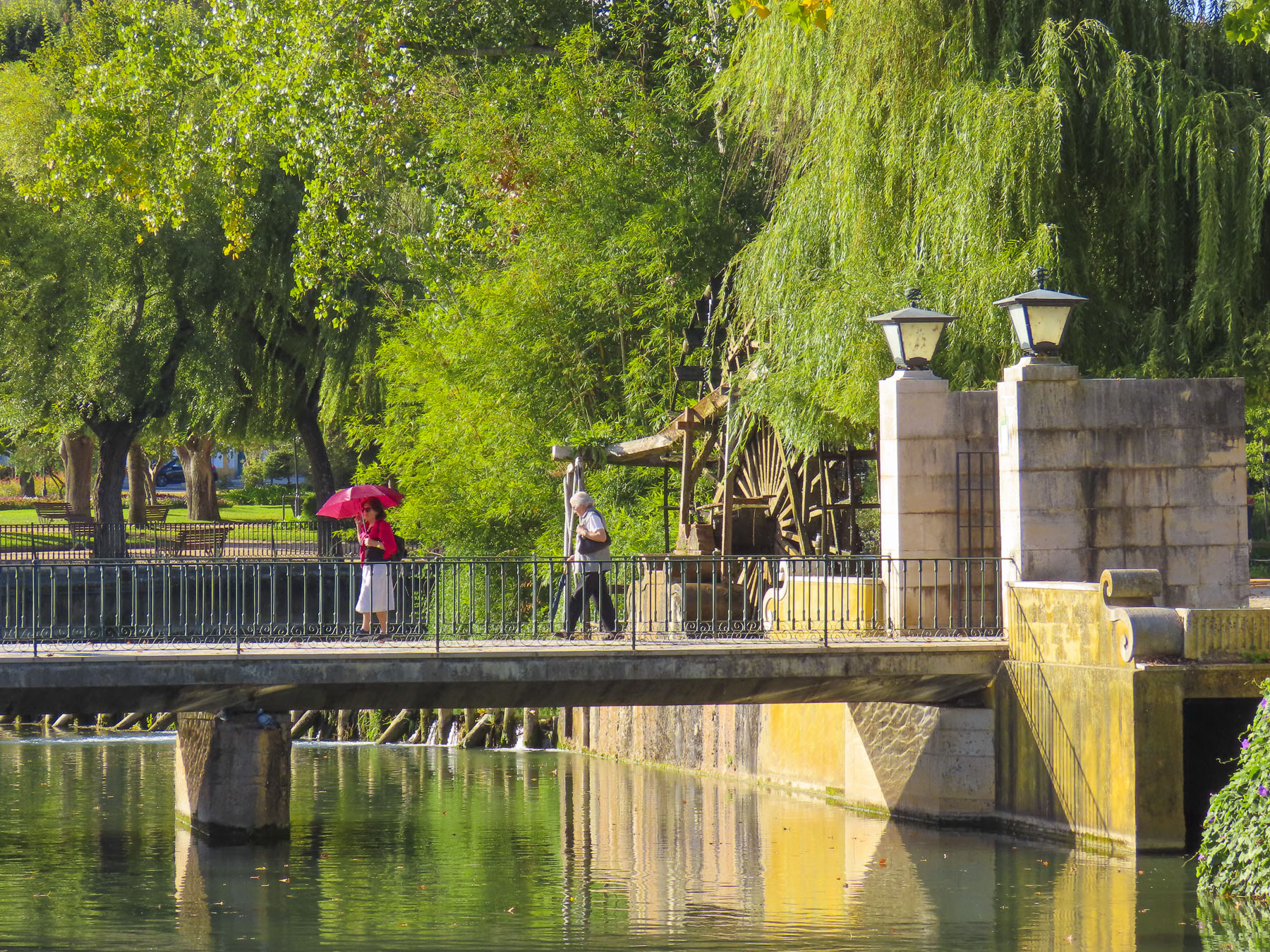
Wandering the cobbled lanes of the old town in mid-October, we seemed to have the whole village to ourselves. Later, as the day was perfect, we walked along the Nabao River, crossing a small footbridge in Parque do Mouchão. The view back toward the village was sublime with ducks slowly trailing ripples through the mirrored reflections of the buildings in the water.

Till next time, Craig & Donna

Lodging: Casa dos Ofícios Hotel

Dining: Restaurant Beira Rio and Sabores ao Rubro

Havana, Cuba: Beautiful in neglect

The amber glow of sunrise warmed the waterfront as our ship docked.  Its upper deck provided us a view of the port as if we were seagulls soaring above the first commuter ferries of the day crossing the harbor.  Along the water, buildings wore a tired facade of montage color and aged textures. Beautiful in neglect. These were our first impressions of Havana. The few buildings under renovation were easy to spot with their fresh coats of paint. The domes of the Russian Catedral Ortodoxa Nuestra Señora de Kazán, built to celebrate Soviet – Cuban friendship glistened in the sunrise, its onion shaped domes an odd juxtaposition, accented the balmy Caribbean skyline.  We’d be spending two full days in Havana.

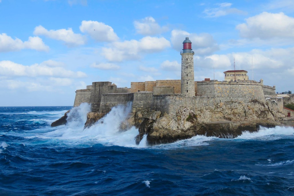
By the time Nevada legalized gaming in 1931, Havana, once nicknamed “the Paris of the Caribbean” was already a well-established tropical get-away for gambling, especially if you lived in the wintry northern parts of the United States.  Havana’s balmy weather and swaying palms contrasted nicely against Las Vegas’ dusty strip in the desert where tumbleweeds blew across the sidewalks. In the 1950s, fifty dollars could purchase a three-day package tour to a Havana casino that included airfare, entertainment, food and hotel. Cruises to Havana from Miami were also possible aboard ships like the 725 passenger S.S. Florida for $46.00. For an additional $35.00 you could take your car along if you wanted to explore the “700 miles of Cuban highways,” a travel brochure from the time advertised. Cruise ships arriving at night were occasionally treated to displays of fireworks over the centuries old Castillo De Los Tres Reyes Del Morro and the highrise apartments along the Malecon as they entered the harbor. It was city of Jazz clubs, high rollers, zoot suits, large finned Cadillacs and mobsters. Headliners like Frank Sinatra, Dizzy Gillespie, Eartha Kitt, and Nat King Cole drew folks to the casinos controlled by New York, Chicago, and Miami crime syndicates.

Mafia payoffs to the rampantly corrupt regime of Cuban dictator Fulgencio Batista and his associates allowed their casinos, brothels and drug running operations to flourish unimpeded. As flashy as the casinos were, the sugar industry dominated ninety percent of the rural Cuban economy for decades and was the largest employer in the countryside until sugar prices collapsed.  That along with government policies that ignored its impoverished citizenry bred increased discontent as the disparity of wealth between the rural poor and the Havana elite grew intolerable. The jungled mountains of the islands’ interior sheltered Fidel Castro and his armed revolutionaries. 1959 was their year. Batista and his cronies fled to the Dominican Republic. Afterwards all homes, properties, businesses, and cars were nationalized.  An exodus of the Cuban middle class followed with approximately 1.4 million people heading to the United States to reestablish their lives.

While Europeans and Canadians have long traveled to Cuban government-run tourists’ resorts along the coast, we were visiting the island on a cruise during that first window of opportunity which opened to Americans between 2016 – 2019, before access was unfortunately tightened again.  Recently the travel restrictions to Cuba have once again been loosened.

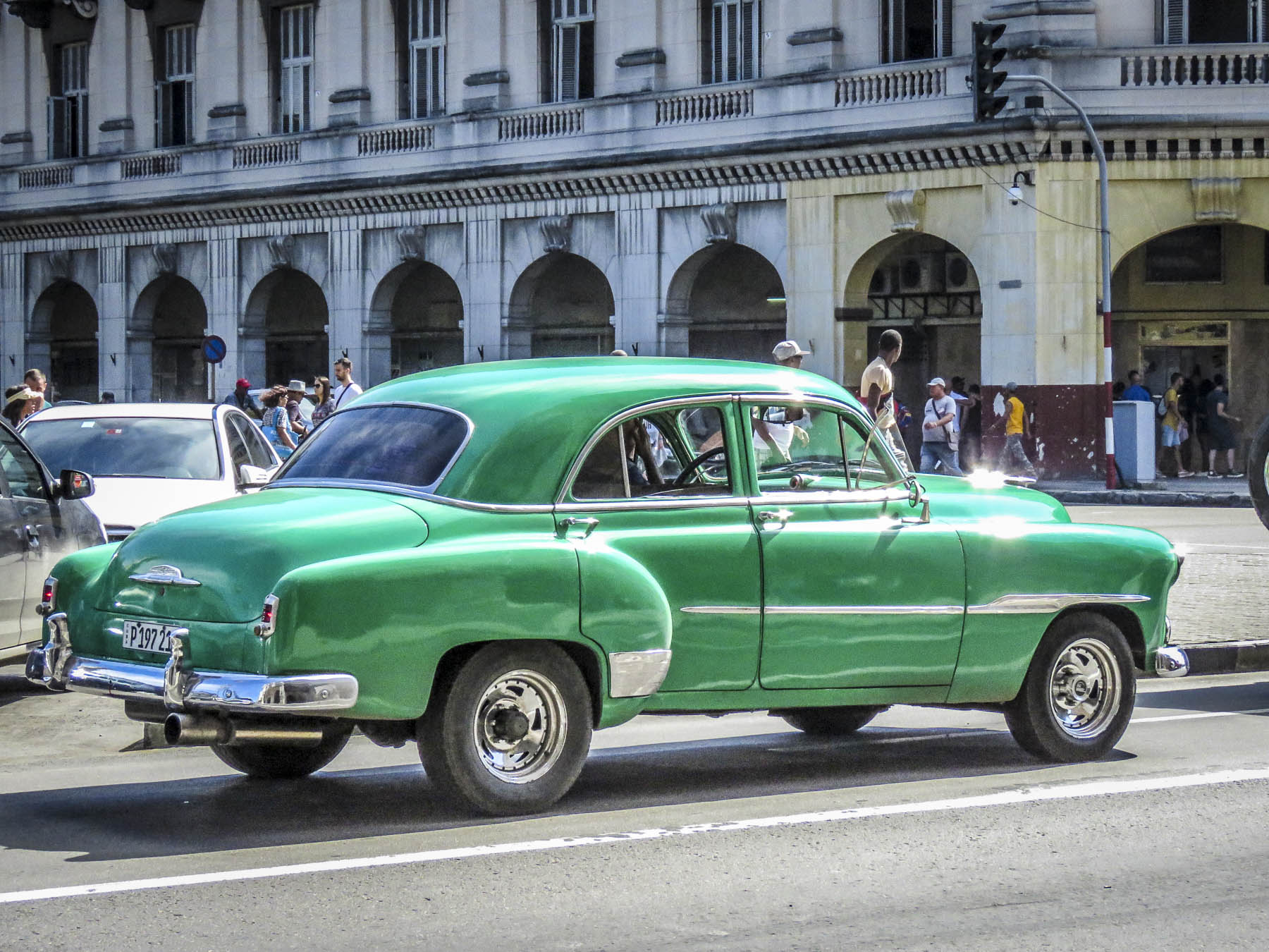
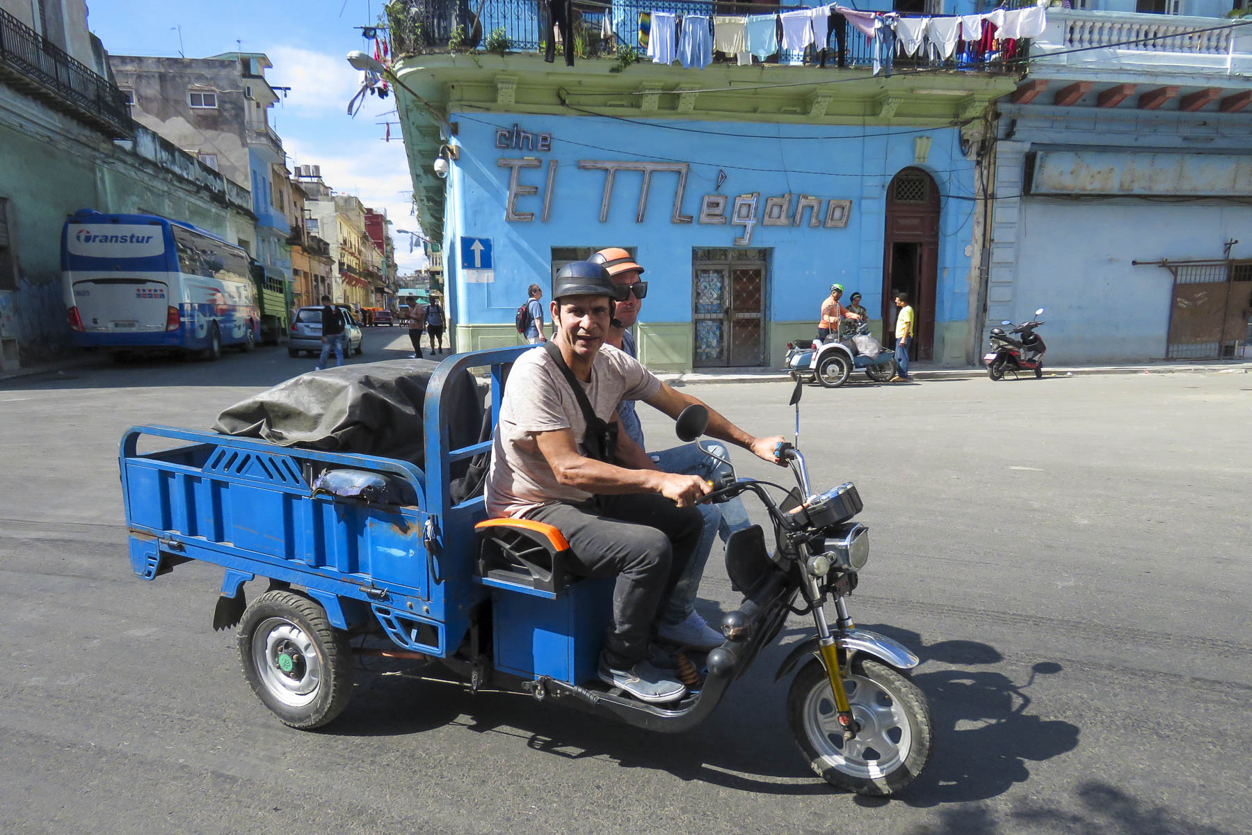
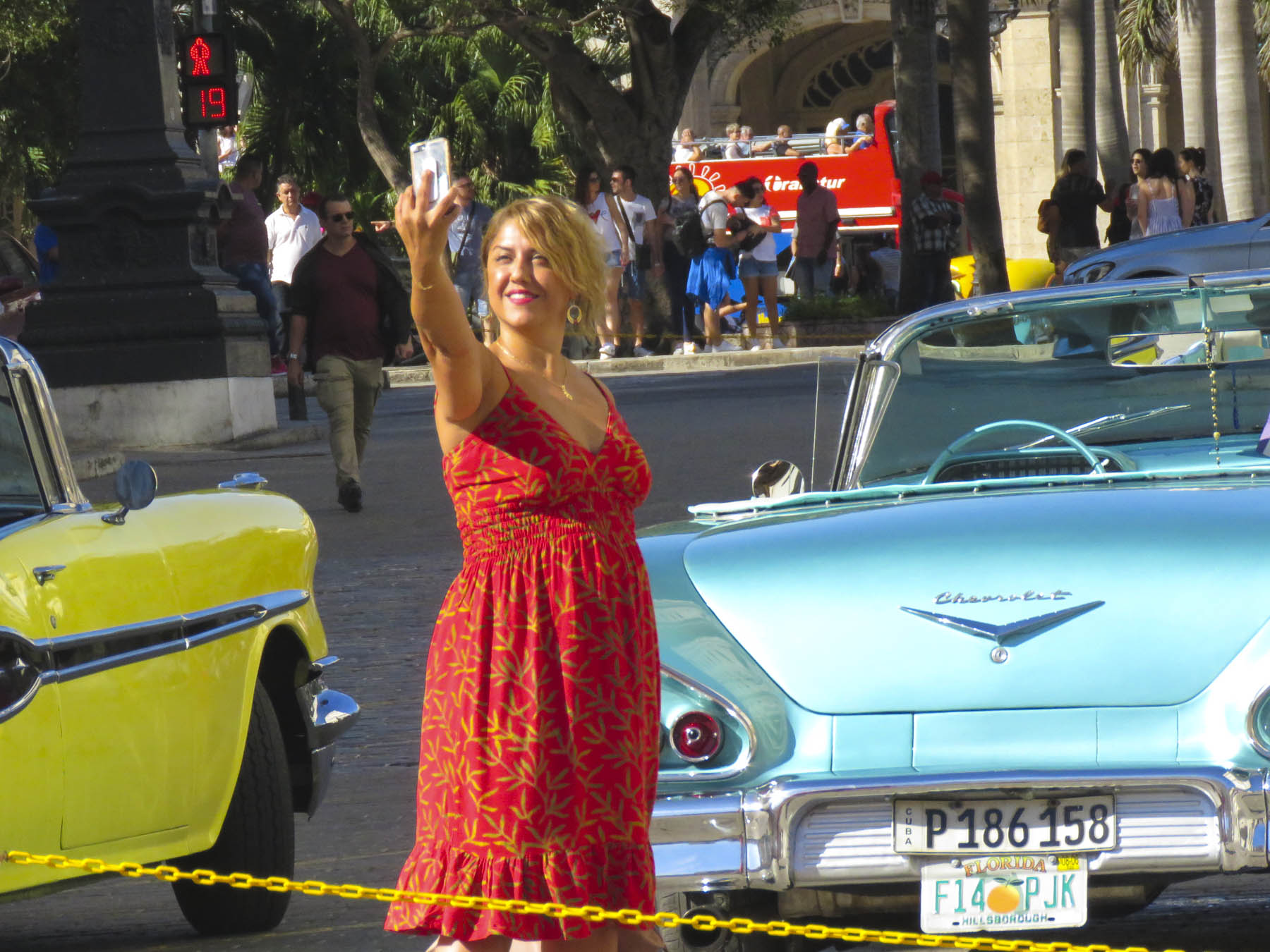
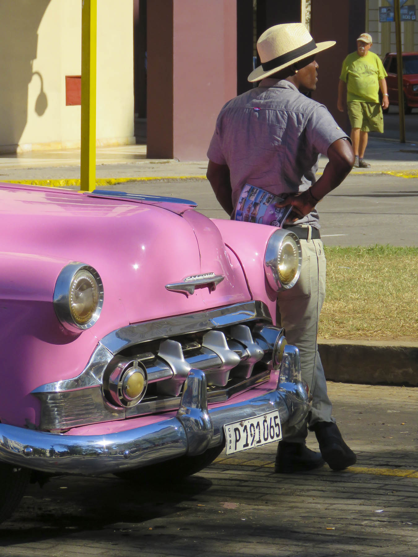
Rush hour in Havana happens whenever the cruise ships disgorge their passengers onto the waterfront to walk into the city center, catch their bus tours or to snag a ride in one of those classic cars from the late 1950s. There are literally thousands of antique cars still on the roads in Cuba, jury-rigged to keep running and often repainted with house paint that reflects the bright ambience of the Caribbean. 

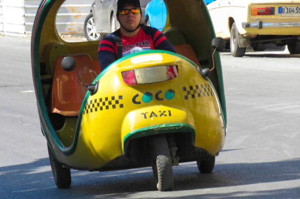
Depending on where you are in the disembarking queue these beautiful classics, especially the convertibles, might already be tooting around Havana with other tourists and you might have to opt for a coco taxi.  These entertaining rickshaw type taxis are covered in a bright yellow, fiberglass shell and have seating for three across the rear axle. When it rains, you are going to get soaked as we did when we got caught in a downpour. The return ride was definitely more comfortable after several Cuba Libre cocktails. 

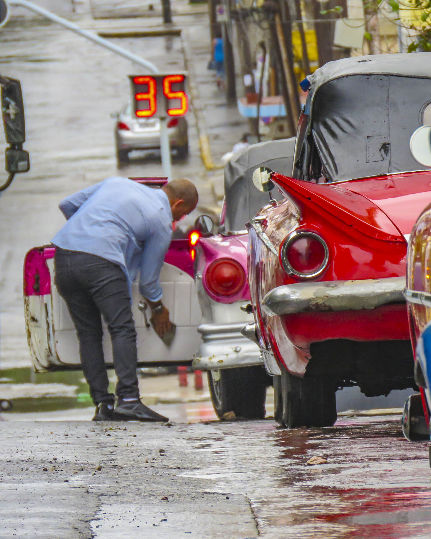
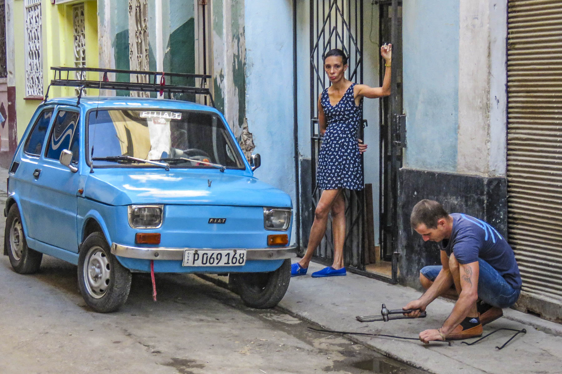
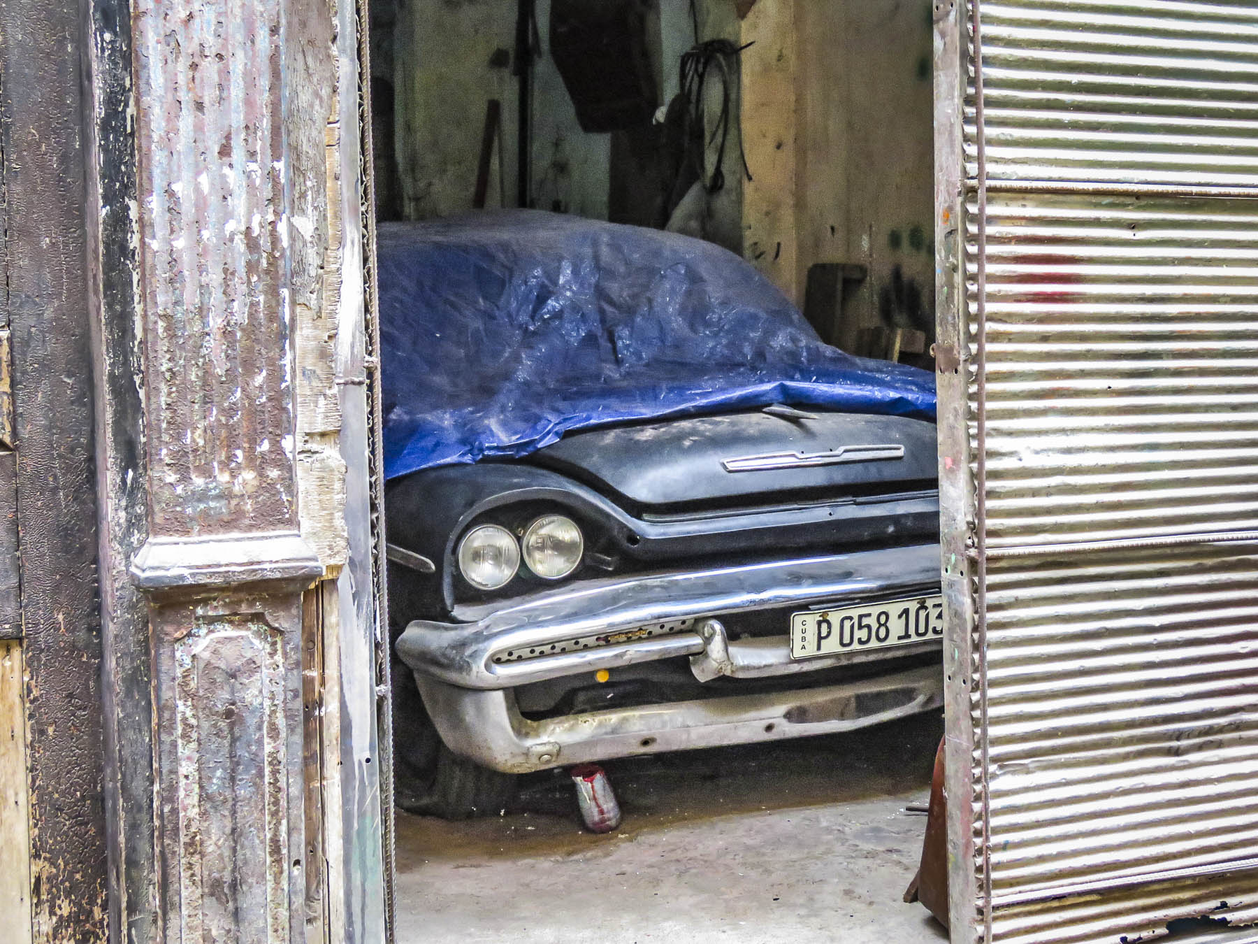
Down the side streets of the city, it wasn’t unusual to see these vintage cars raised on cinderblocks, their hoods open as amateur mechanics tinkered away to keep their classic beauties running. There are about 60,000 old American cars still on the road in Cuba. Most date from the 1950s, but there are still Packards, Cadillacs, Dodges, Chevys, Studebakers and Fords from the 1940s and 30s that are still road worthy.  This is an amazing testament to the talent of Cuban mechanics that have been “MacGyvering” the repairs with makeshift parts since the revolution ended in 1959, when the U.S. trade embargo began and Cuba banned the import of American products. While some cars look to be in mint condition, often the interiors are taped together, door handles are missing, and the windows don’t roll up. Engines don’t last forever and it’s not uncommon to swap engines between the American makes and models. Sometimes even the motors from Russian Volgas and Ladas work their way under the hood of Fords and Chevys. Fiats and Peugeots were imported after the revolution but proved to be not as durable as the American models. 

With the nationalization of property in 1959 the nicer cars of the wealthy who fled were assigned to government officials, doctors, renown celebrities and famous athletes. Regulations prohibiting the ownership of cars were eventually changed to allow Cubans to freely purchase older cars brought to the island before the revolution. Often cars are family heirlooms that have been handed down from generation to generation, with fathers teaching sons the intricacies of keeping the cars running. It’s extremely rare to find new automobiles in Cuba as the government imposes very high taxes on car imports, rendering them highly unaffordable for the vast majority of Cubans.

The ingenuity of Cuban mechanics can surely teach us a thing or two about sustainability. Wonderfully many of these resourceful home mechanics have kept these automotive treasures alive and have created an income for their family by offering rides in their classic cars to tourists. “There are no junkyards in Cuba; everything is still driven.”

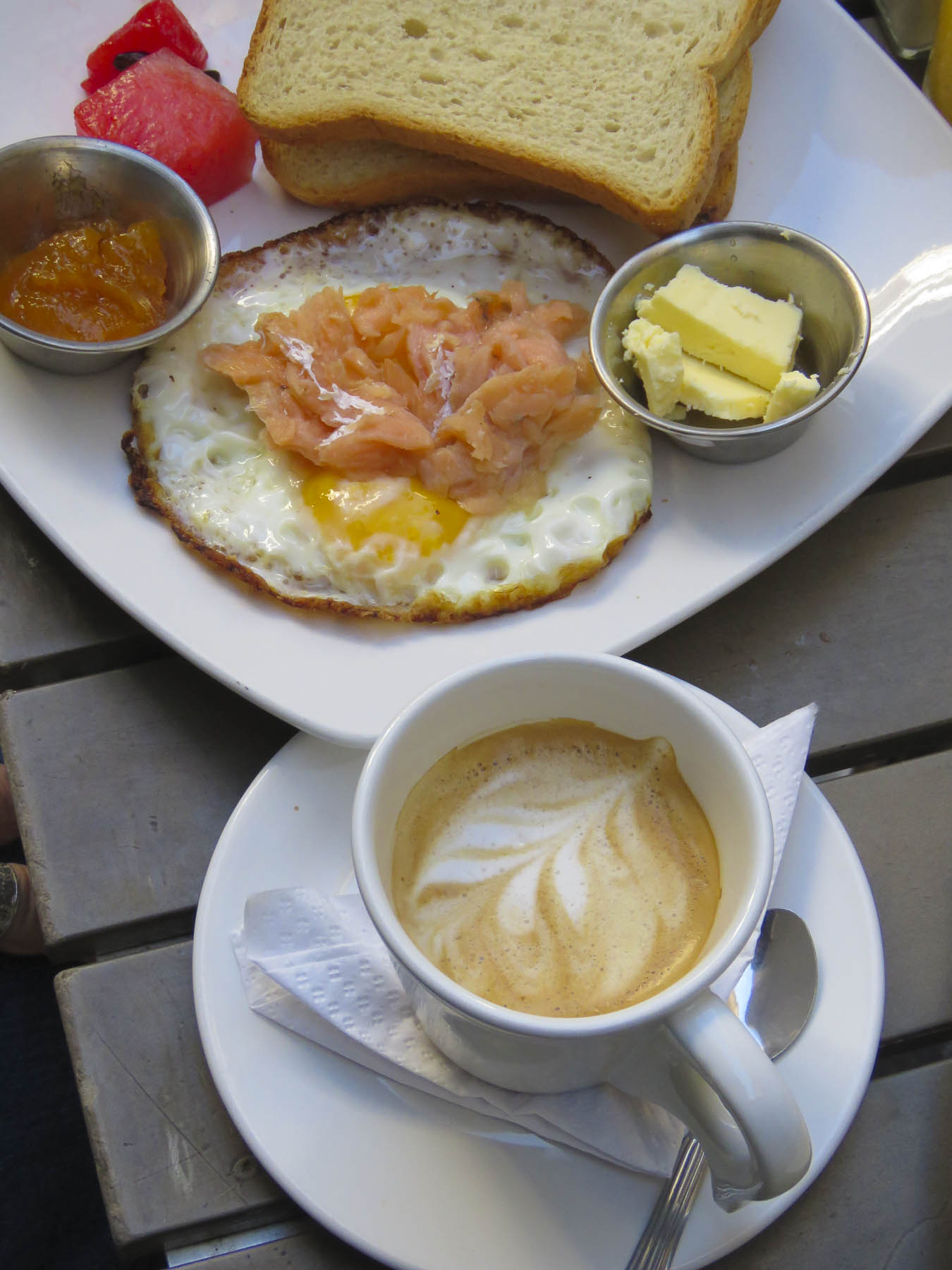
Flagging down a Cadillac convertible, we took a ride along the Malecon seafront before breakfast at a paladare recommended on TripAdvisor.  Paladares are small privately run restaurants, usually operated out of the chef’s home, that have been allowed to open as Cuba relaxes its ban on private enterprise in the country.  Typically, their menus change daily depending on what is available at the markets.

After breakfast, our original plan was to walk to Havana’s Central Park to join a tour of the city with a Guruwalk guide. Unfortunately, we arrived late and missed the group. Unfazed, we decided to wander on our own around the city.

Parque Central is the nucleus of a daily classic car show with the old cars neatly lined up for tourists to choose which nostalgic Ford or Chevy they want to cruise around the city in.  Length of the trip and price can be bargained for with each driver.

Across from the park, sparkling from the completion of a recent renovation, the ornate baroque façade of the Gran Teatro de La Havana drew our attention. Built in 1838, it’s a cavernous structure that can seat 1,500 people and is home to the Cuban National Ballet Company.  President Obama addressed the Cuban people from its stage in 2016 and the biennial International Ballet Festival of Havana is hosted here.

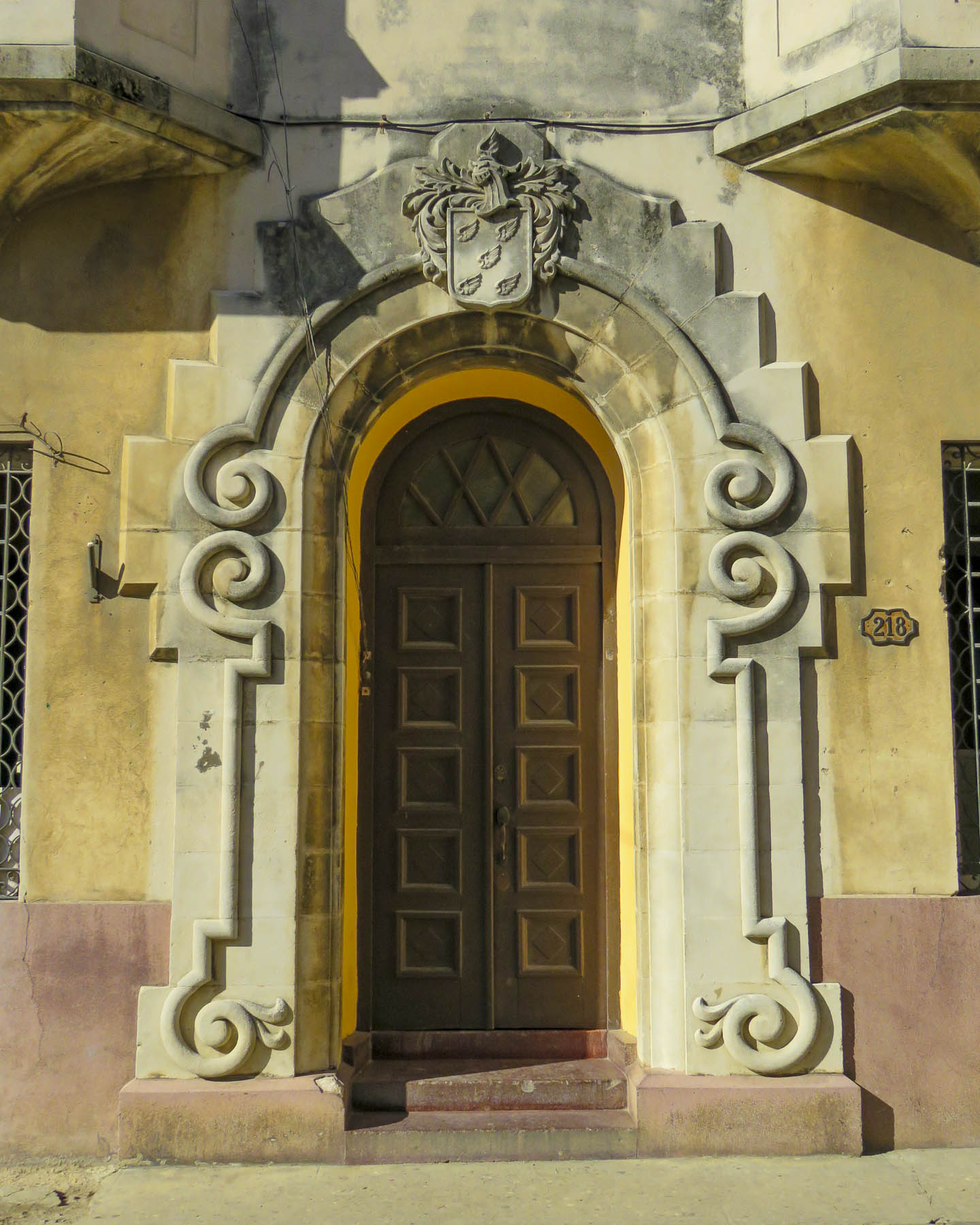
While many hotels and historic public buildings immediately surrounding Havana’s Central Park have been pristinely renovated, you need only to walk a half block down any side street and it’s obvious that the maintenance of the city has been neglected for decades. With many of the buildings in central Havana dating from the 1800’s, most are severely showing their age. Signs of structural neglect were endemic.

This quote I found sums up concisely the housing situation. “In Cuba, everything belongs to everyone and no-one at the same time and if a building is ‘collectively-owned’, it’s understood that the State is the one responsible, but the government doesn’t have the resources for maintenance.”

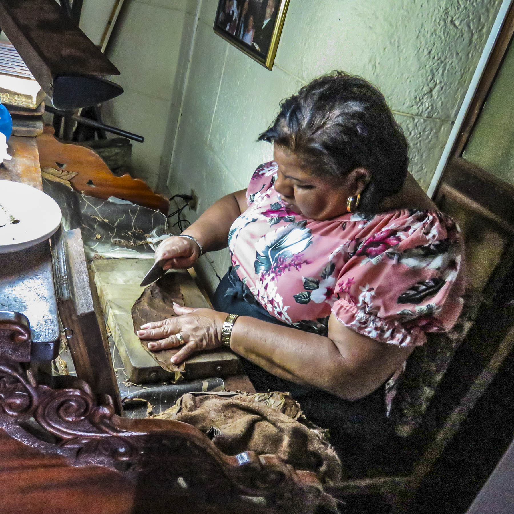
We worked our way towards Real Fábrica de Tabaco Partagas, a historic cigar shop and factory dating to 1845, located behind the Capitolio Nacional de Cuba, a near replica of the United States’ capital building, only larger and with a higher dome. A tour of the cigar factory, where 500 people sort, grade and roll tobacco leaves into world famous habanos, cigars, was not available the day we visited, but we were able to watch a cigar rolling demonstration.

Asking for a recommendation for a place to eat enroute back to the harbor the salesman at the cigar shop suggested Tablao de Pancho, Grupo El Guajirito. Along the way a pleasant young woman, sensing we might be lost, spoke to us in excellent English and offered to guide us to the restaurant. She declined a tip for her assistance, so we asked her to join us for lunch instead. She quietly saved half her meal to take home to her child, because her ration card did not provide for enough food.

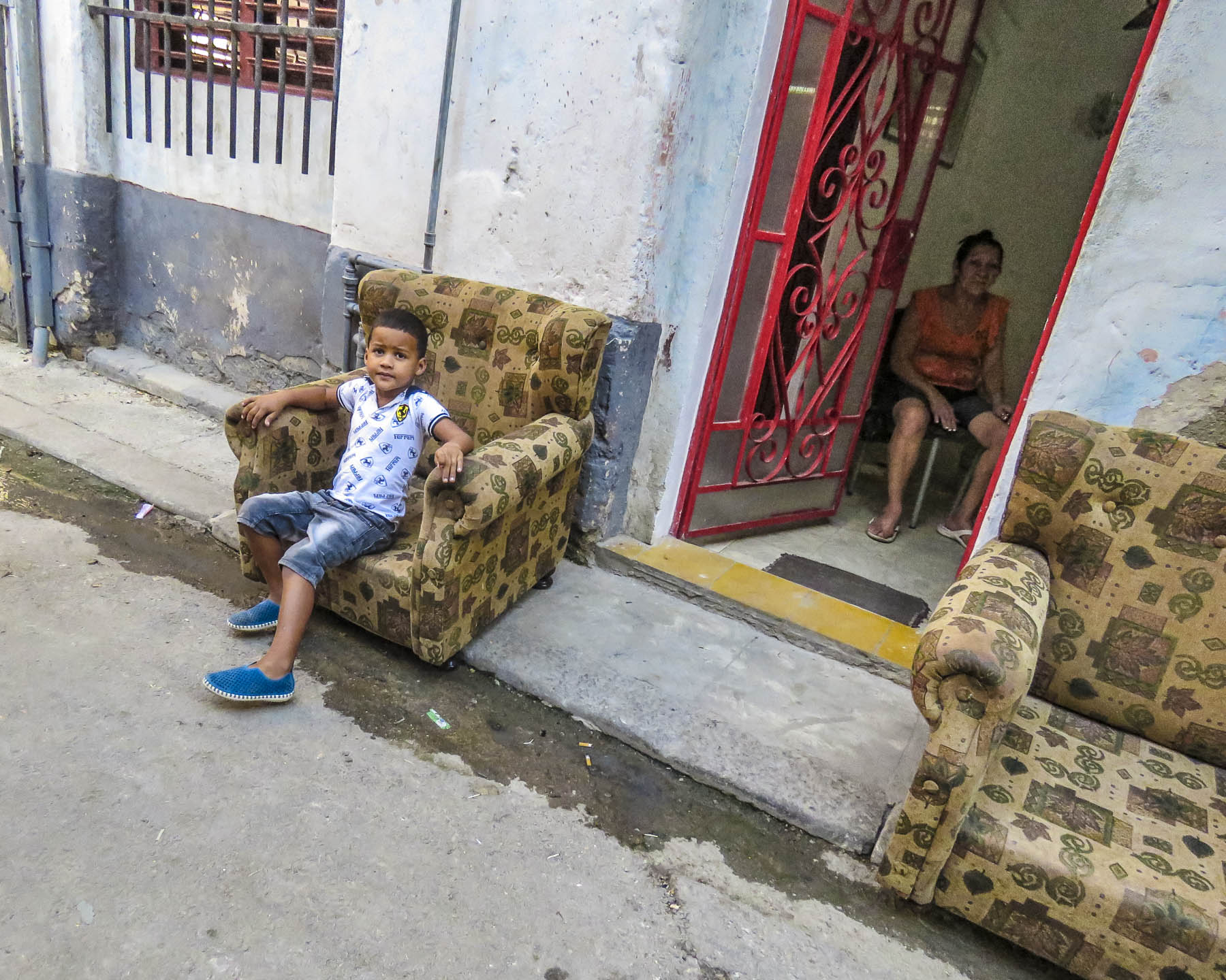
Life and business are conducted on the streets of the neighborhood with most doorways and shallow balconies harboring tenants trying to stay cool. A mattress maker refurbished rusted bedsprings on the sidewalk. Vegetable cart vendors pushed their wagons around the blocks. The scarcity of some the smallest luxuries and basic necessities is visible and there was a sense of waiting, but what for was difficult to determine. The hardships of life that the residents of the city endure under a failed socialist revolution are still very much in evidence in the forgotten, gritty side streets of the capital.

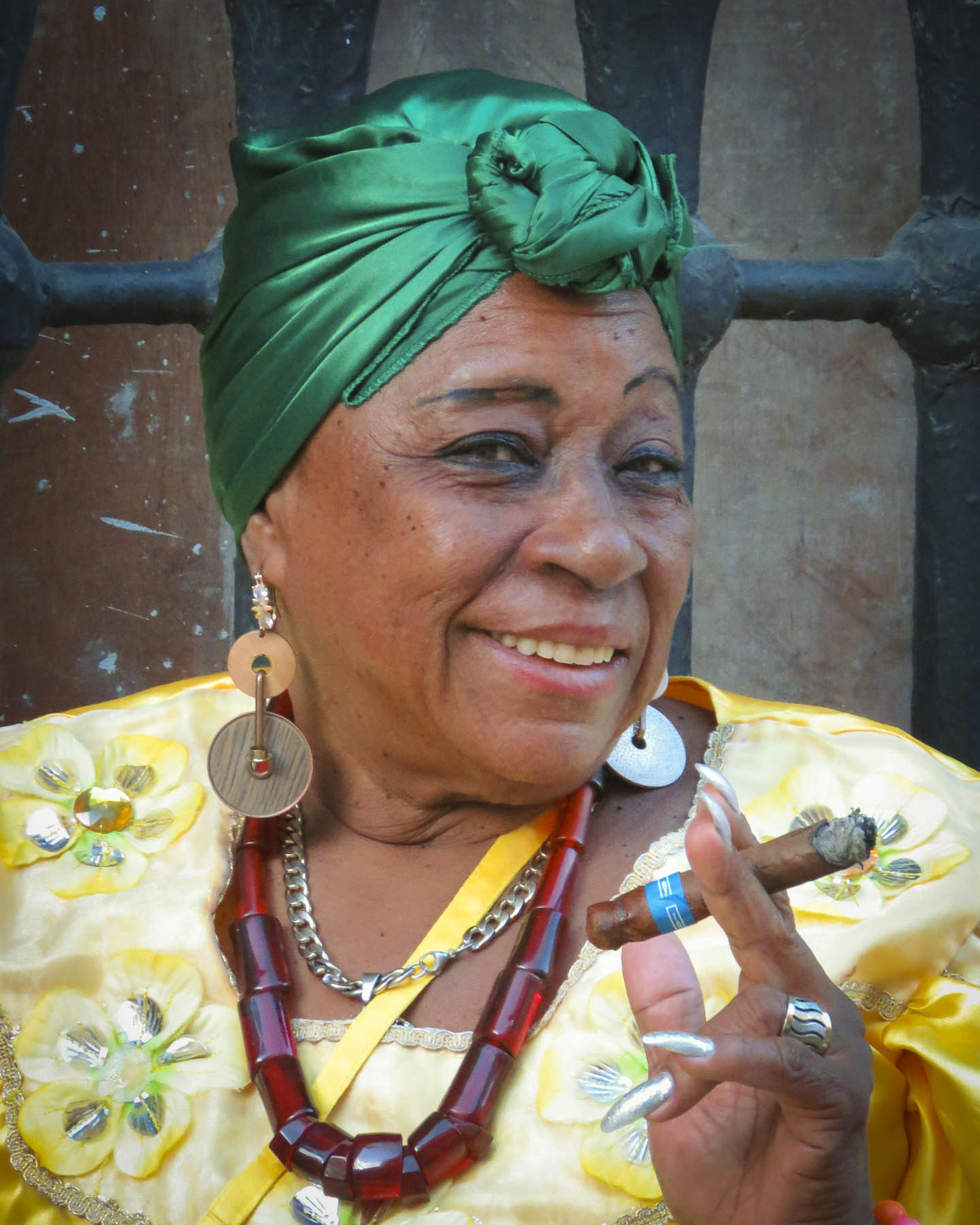
The cigar chomping aficionado in our group was determined to purchase the legal limit of Cuban habanas that were permissible to bring back to the states at the time, so three of us crammed into a coco taxi, a not particularly macho ride to cruise in along the Malecon.

Our destination was the Hotel Nacional de Cuba for a smoke and a glass of rum. A historic 1930s hotel and casino, before the revolution it attracted American celebrities like Erroll Flynn, Gary Cooper, Rita Hayworth, Fred Astaire, Ava Gardner, Marlon Brando, and Walt Disney. Now the hotel annually hosts the Festival de Cine Nuevo Iberoamericano and claims Michael Keaton, Francis Ford Coppola, Leonardo DiCaprio, and Steven Spielberg as past attendees.

Later that afternoon, behind the 1500s era Castillo de la Real Fuerza, a star shaped fortress that protected the colonial harbor, we wandered through the Old Havana district, still lively since the days when treasure laden Spanish galleons from the New World stopped in Havana before voyaging back to Spain.

Latin music filled Obispo Street and Calle O’Reilly, the two main boulevards, the later named to honor Alejandro O’Reilly, an Irish born soldier who fought for Spain during the British siege of Havana in 1762. This neighborhood is alive with street buskers and has an entrepreneurial spirit that’s visible in many the restaurants, galleries and shops that line the sidewalks here.

Our ship listed heavily as gale force winds churned the sea as we left the shelter of the harbor and passed the solid stone walls of the Castillo De Los Tres Reyes Del Morro.

Across the water large waves crashed against the seawall that protects the Malecon from collapsing into the sea.

It’s all too easy to romanticize poverty in an exotic destination that’s veiled by swaying palm trees and a pristine Caribbean sky.  The people of Cuba deserve better from their government. Watching the skyline of Havana fade in the twilight we wondered if Cuba’s sea change was coming.

Till next time,

Craig & Donna

Verona – Courtesans, Hermits and Grappa

Occasionally, I will suggest we return to a place we have visited before, to relive that good time and explore the things we missed previously, or if it was a super affordable destination.  “The world is so big. I’d rather go someplace new,” is often Donna’s response, said with a sweet smile.  But “the rule” doesn’t apply to Italy! – the land of her people.  I’ve lost count of the number of times Donna has been there, but I maintain I’ve followed along often enough to receive honorary citizenship. Let’s face it, Italy is a great place to explore, which led us to Verona, again, for a night. Anyway, it was sort of on our roundabout way to Milan.

It was late afternoon when we arrived at the budget friendly Accommodation Verona, (yes, that is the correct name) on the edge of the historic district. We double parked while the proprietor took our bags upstairs. He then hopped in the passenger seat to show the way to the underground car park and the hotel’s newly purchased garage spaces, with overhead doors to totally secure your wheels, which he was immensely proud of. It was a bit of a hike from the hotel, but the car was safe in the parking garage equivalent of Fort Knox.

The sun was brilliant on Verona’s ancient colosseum while we sipped Aperol spritzes and shared a pizza at an outdoor restaurant on Piazza Bra, as shoppers strolled amidst the nearby Christmas market. Gone were the fake gladiators and other street entertainers who left when the weather turned colder.

It was a vastly different dining experience compared to our first dinner in Verona years ago.  Travel novices then, we were constantly referencing a travel guide by an American, that recommended sights, hotels and restaurants. With book in hand that suggested the restauranteur would treat us well and offer special prices to loyal readers of said guide, we found a delightful place on a quiet lane lined with outdoor tables and twinkling lights.  “Who?” was the response when we mentioned the guidebook. A large antipasto, charcuterie board, wine and “special price” were all agreed upon. Or so we thought.

It was one of those long, delightful European dining experiences, where the table was ours for the evening. The dinner and ambiance were great! Eventually our amiable host, carrying the largest bottle of grappa we’ve ever seen, presented a small wooden box containing the bill. “Please enjoy as much of the grappa as you like.” Drink this to ease the shock of the bill, would have been a more accurate invitation.  Grappa is a regional pomace brandy, distilled from the seeds, stems and skins left over from the winemaking process. Production is centered nearby around the aptly named village of Bassano del Grappa. This is strong stuff that, in a pinch, Italian farmers have used to fuel their tractors. A good dent was put into that bottle of grappa, as we were eventually the last to leave. Fortunately, our hotel was a short, though not very straight, giggly walk away.  Sleep was unjustly cut short the next morning when at sunrise, the glass recycling truck in the alley under our hotel window loudly emptied a dumpster of wine bottles to haul away.  The brash rattling sound of glass bottles crashing was excruciating and reverberated off the narrow alleyway’s walls for what seemed an eternity.  Thank God for espresso and Saint Drogo, the patron saint of coffee baristas. (I do not make these things up!)    

Normally hidden in deep shadows, Renaissance era wall paintings decorating ancient buildings were now revealed in the last of the afternoon’s light. Likewise, the lowering sun highlighted the fine relief sculptures adorning many of the city’s ancient buildings.

By dusk we were standing along the Adige riverfront watching the last rays of the day’s sun color the sky above the arched 14th century Castelvecchio Bridge.  Attached to the Castelvecchio fortress, the bridge was intended as an escape route for the feudal lords to flee across in case of a popular uprising or coup d’état to seek safety in the Tyrol mountains, north of the city, and for the prince’s courtesans to discreetly exit the castle.

The lights of the city’s Christmas tree shined brightly through the twin arches of the Porta Borsari; built by the Romans in the 1st century AD, it was the main entrance to this once walled city. Nearby, Caffè Borsari beckoned, with its extensive list of creative coffee beverages. Maestros of the espresso machine, the baristas here are artists.

The next morning was overcast as we drove across the Adige River and made our way up a serpentine road through a forested hillside, to the esplanade in front of Castel San Pietro for the panoramic view of Verona, and its iconic Ponte Pietra bridge below.  A wonderful feat of ancient engineering first crossed in 100 BC, it has had a troubled existence, with multiple collapses caused by flooding over the centuries, and intentional destruction by the retreating Germany army in WWII. Through the various reconstructions, the builders have remained faithful to the original Roman design of five different sized arches with apertures above the pilings. The present castle on the hill was built by the Austrians in 1851 as a barracks, replacing a 400-year-old fortress blown up by Napoleon’s army in 1801. For the hearty, there are stairs from the bridge that lead to the mirador, or the Funicolare di Castel San Pietro that will whisk you to the top of the hill, should you wish to avoid the muscle aches.

The dull sun barely broke through the clouds, but the filtered light created a serene scene reminiscent of an impressionist painter’s pastel hued landscape, soft and atmospheric.

Rounding a curve on the SS12, as we headed north, we caught our first glimpse of a snow-capped Mt. Baldo, brilliantly white against a clear blue sky. Our destination was the remote and isolated Santuario Madonna della Corona.  A pilgrimage site since 1522, legend holds that on the eve of the Ottoman invasion of Rhodes, with 400 warships and 100,00 troops, the sanctuary’s statue of the Madonna was carried miraculously by an angel from the Mediterranean island to a shallow cave on a Mount Baldo cliff edge, home to a hermitage for holy men, for safe keeping.

Spiazzi, the village above the sanctuary, was nearly a ghost town when we arrived mid-week in November. We found the empty parking lot for the church and high-season shuttle bus that was not running, but aside from that there was no other signage pointing the way. Taking a guess, we turned down a very narrow country lane and headed down hill, stopping when we reached a farm stand where a stoic woman, bundled up against the cold, was selling alpaca wool, sheared and spun from her flock which was corralled nearby.  Stopping, we asked if we were headed the right way and how long she would be open. A little farther on we came to the first Passion of Christ station on the Sentiero del Pellegrino, the Pilgrim’s Path.  The series of life-sized bronze sculptures depicting the stations of the cross took the devoted Italian sculptor Raffaele Bonente thirty years to create.  Whether you walk along or drive the paved road or hike the steep staired path, the stations are positioned where the routes intersect. 

In the off-season, without any other vehicles on the road, it was easy to stop and take photos of the church that tenaciously clings to the cliffside, between heaven and earth, 2539ft above the Adige Valley. In high season the turn-around at the church is reserved for the shuttle bus, but off season we parked next to one other visitor.

The original dangerous path along the cliff edge has been obscured over time through multiple improvements and the approach to the terrace in front of the church is now through a rough-hewn tunnel carved into the cliff. Tranquility reigns here. The views across the valley were phenomenal and accompanied only by the sound of a gentle wind rustling through the forest below.  The spiritual devotion and shear physical effort to build a church in such a difficult spot attests to the deep faith and dedication of the builders. For hikers, the Sentiero del Pellegrino continues down the slope, through the valley to the village of Brentino.

Following the same route back to Spiazzi, we stopped at the alpaca farm and purchased some much-needed heavy weight alpaca wool socks, to help keep our feet warm.  Early on in our two-year journey Donna decided to start crocheting in the evenings. Wool has been purchased for various projects, mostly gifts, in Ecuador, Guatemala, Portugal, South Africa and now Italy, from an off-the beaten-path farm stand on a remote mountainside.  It was late afternoon now, but fortunately the Albergo Trattoria Speranza, located at the crossroads of Spiazzi was still serving food and has rooms if you want to stay overnight in the hamlet.  A good meal restored us for the drive to Lake Garda.

With night drawing in earlier now we reached the lakeside village of Garda at twilight.  Sunset colors lingered in the sky as we walked along the marina. A few fishermen were still casting, hoping for that last bite, and small boats gently rocked on the ripples of Lake Garda. 

The lights of a Christmas market set up along the lakefront drew us further down the promenade.  Wonderful aromas drifted from the various food stalls, making what to choose for dinner even more difficult. Mulled wine and porchetta sandwiches capped the evening.

Till next time, Craig & Donna
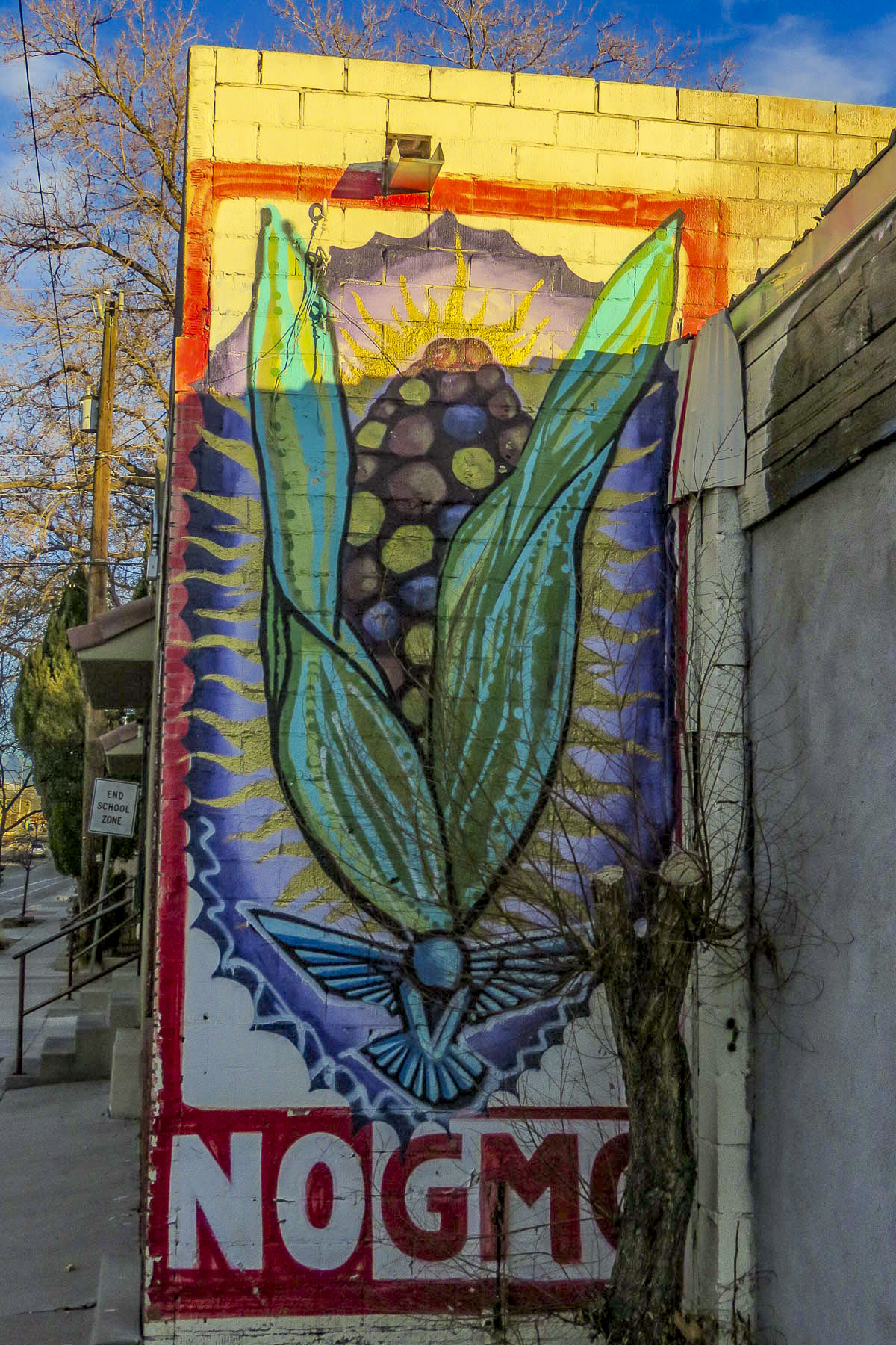
Ravenna and San Marino – Golden Tiles & Mountain Vistas

A curtain of fog blanketed our route as we traversed the Po River Valley and crossed into the Emilia-Romagna region on our way to Ravenna. The purpose – to see some of the finest Byzantine mosaics outside of Constantinople, present day Istanbul, which was once the seat of the Eastern Roman Empire. Not to be outdone, Ravenna’s golden mosaics rival Constantinople’s and were created in the 5th century when Ravenna was the capital of the Western Roman Empire after Rome’s demise. Eight churches have been recognized by UNESCO for their cultural significance as “Early Christian Monuments of Ravenna.”  Most of them are credited to a building boom by Justinian I after a reconquest of the city from the Ostrogoths in 535 that solidified Byzantine power on the Italian Peninsula along the Adriatic coast.

The valley had been the breadbasket of Northern Italy for several millennia when the Etruscans and Romans first started to drain the wetlands to expand areas for cultivation to support a growing populace aligned with city-states of the region. The spring floods from the snow melt of the Alps, Apennines and Dolomite mountain ranges replenish the valley’s fertile soil every year before pouring into the Northern Adriatic Sea.

With the belief that the valleys are always greener on the other side of the Alps, invading armies contested the area for centuries. French kings, German tribes, Galls, Hannibal with eighty war elephants, Goths, Attila the Hun, Papal armies, and Napoleon have all wanted this green acreage, and were willing to shed blood for it.

The fog had lifted, but it was still a moody day as we entered the Basilica di San Vital. The unique octagonal church was one of Justinian’s first commissions to celebrate Christianity in the city on a grand scale. The splendor of its lofty mosaics that rise from the floor, on all sides, to encompass the domed ceiling are dazzling. The golden tiles warmly reflecting the ambient light even on a dreary day.

Byzantine mosaics evolved from the Greek use of different colored river stones to create sturdy designs in ancient roads. Durable marble was preferred for its vast array of colors and was used for interiors floors in palaces.  Lasting centuries, these intricate designs are often referred to as “eternal pictures.”

The Byzantine artists’ innovation was to use physically lighter and more fragile material such as different colored glass pieces and mother of pearl, along with incorporation of gold and silver leaf. The color palette expanded with the refinement of glazed tiles.

A short distance behind the basilica stands the Mausoleo di Galla Placidia, intended as the final resting place for Teodosius the Great’s daughter. It was never used as a tomb, as she died in Rome.  The small, modest brick structure is designed in the shape of a Latin cross and is inspirationally decorated as a “prelude to paradise.” A surprisingly intimate and tranquil space, it is one of the oldest religious monuments in Ravenna dating to 430 AD.

A short walk across town, the Cattedrale della Risurrezione di Nostro Signore Gesù Cristo or Duomo of Ravenna, the Baptistery of Neon, and the Archiepiscopal Museum of Ravenna all share the same campus. Though considerably newer, the 18th century Duomo is built over the ruins of an early fourth century church and retains several early side chapels and fifth century sarcophagi.

Behind the cathedral the former bishop’s residence has been converted into a museum displaying a diverse collection of religious relics. The highlight though was the exquisitely mosaiced sanctuary, the Chapel of St. Andrew.  It was built in 495 AD for the private use of Ravenna’s archbishops.

The museum directly behind the cathedral was also interesting. with its diverse collection of religious relics and an exquisite private chapel for the bishop.

The real reward for the trek across town was the early fifth century Baptistry of Neon.  The octagon-shaped brick building appears to have settled into the ground, but in actuality, centuries’ worth of construction detritus from earlier settlements in Ravenna have raised the surrounding terrain ten feet since the structure was built. This necessitates the occasional raising of the entrance.

At the baptistry it’s all about the magnificent mosaics that adorn the dome. Above arched windows, the center medallion features John the Baptist christening Jesus in the River Jordan, followed by an encircling outer ring that depicts the twelve apostles. Astonishingly, most of the original mosaic work survives and is still intact. During a minor 19th century restoration, a mosaic artist freelanced with creative license and added the bowl that St. John is using to pour water – a scandal at the time.

The tall ridge of Monte Titano rose above the gentle hills of the Emilia-Romagna countryside surrounding San Marino like a tall ship’s white sail on the ocean; its three fortress towers mimicked the crow’s nest atop a schooner’s mast.  The towers served the same purpose: as lookout posts, to spot any approaching threat. They have served the Republic well since its founding in 301 AD, when the Christian stonemason Marinus, who was later beatified as San Marino, fled Rimini to avoid the Diocletianic Persecutions.  Also known as the Great Persecution, it was the last and harshest repression of Christianity in the Western Roman Empire before it was accepted as the state religion in 313 AD.  The rugged terrain of the mountain provided safe refuge for the small community of followers who built a small chapel and monastery. As the community grew, a governing system evolved that included representation of each family by the head of the household in an assembly called the Arengo.  Representatives were summoned to the meetings by the ringing of the church bell. This eventually changed to a Grand and General Council which elected two Captains Regents for six-month terms. In 1861 the tiny constitutional republic bestowed honorary citizenship on Abraham Lincoln. In his acceptance letter he wrote, “Although your dominion is small, your State is nevertheless one of the most honored, in all history. It has by its experience demonstrated the truth…that Government founded on Republican principles is capable of being so administered as to be secure and enduring.” On the 150th anniversary of Lincoln’s death, in 2015, San Marino minted a ten-euro commemorative coin that highlights the great orator’s words to the tiny republic: “Great and Good Friends.”

Giuseppe Garibaldi and a band of followers received refuge in San Marino before the tide of the unification movement turned in his favor. In the 1870’s, San Marino was asked to join with the rest of the Italian peninsula. However, the good will engendered by their gracious treatment of Garibaldi prevented the tiny republic from suffering invasion after they politely declined.

Along with Andorra, Monaco and Liechtenstein, San Marino is a surviving example of a medieval city-state that was once quite common throughout Europe and especially the Italian peninsula. In such esteemed company, one would expect the place be expensively exclusive. That would have held true if we had visited during the high season. But that’s not the case in November when cold winds whip across Monte Titano. With some internet sleuthing, Donna found us a great rate at Hotel Rosa San Marino.
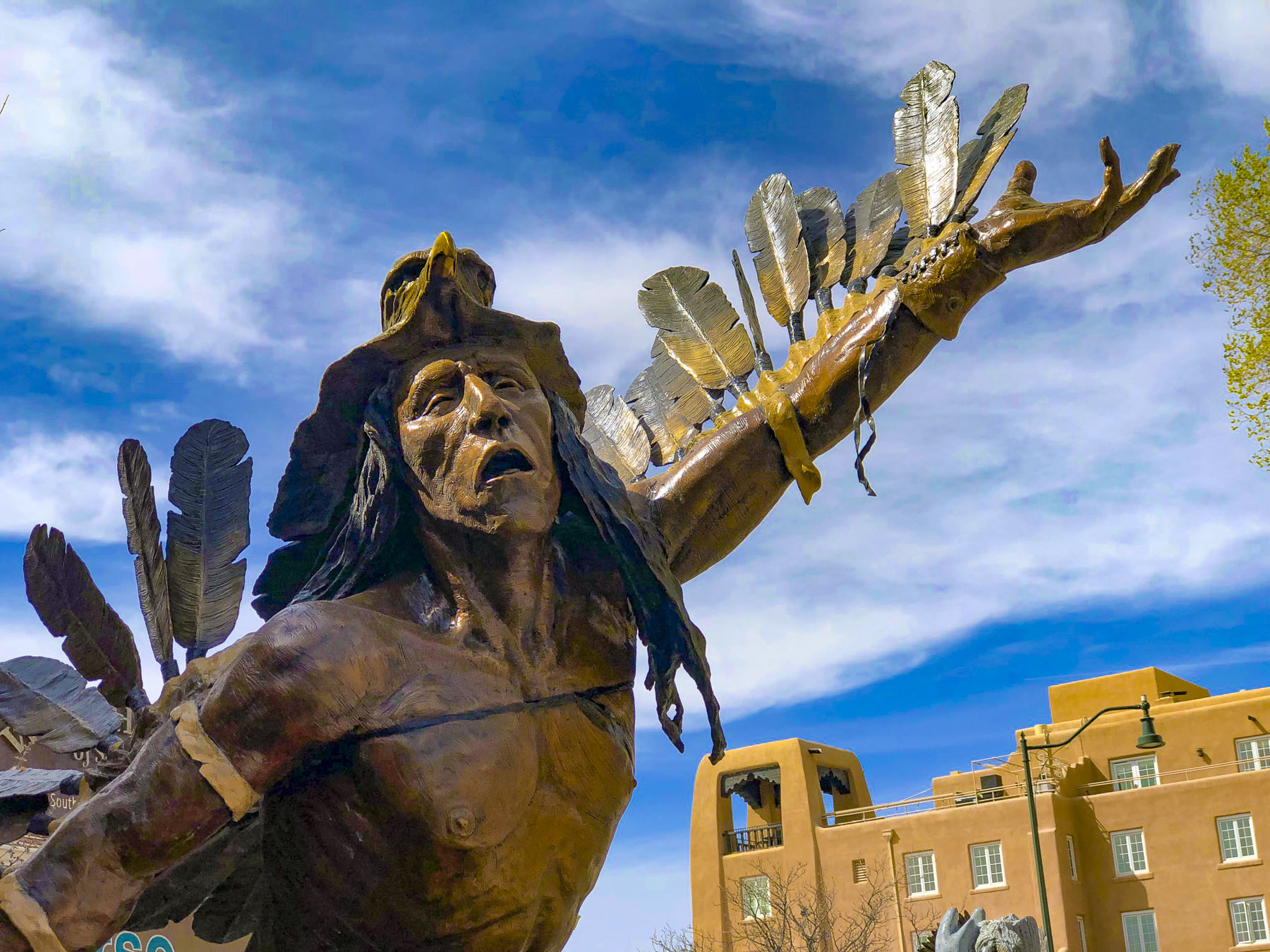
The last vestiges of autumn colors still clung to the trees that lined our serpentine route up the mountain that ended at one of the ancient city gates through a crenelated wall.  The hotel had assured us that parking was available on site when we made the reservation several months prior, but a traffic sign warned that vehicles were prohibited and to proceed no farther.  With a quick phone call to the hotel they confirmed that they would register our car with the city and that we could drive through the gate and into the historic district without any worries. 

With a few tight turns between buildings, we drove higher and literally parked beneath the Guaita Tower, San Marco’s first tower and iconic fortress built in the 11th century.  Only a few steps from the paths along Monte Titano’s ridgeline, the hotel was in an ideal location to explore the mountaintop city and had wonderful views from its balcony.

The next morning, we braved the chill wind and climbed to the top of the tower. Donna loves these vertical expeditions. Steep ladders, crumbling fortress walls, and cliffside trails don’t intimidate her. I on the other hand have a healthy fear of heights and am only emboldened with a camera in hand in order to pursue the best photo ops. Spots along the ridge trail connecting the towers were challenging for me, but extremely rewarding for the views.

The panoramic, birds-eye-views from the tower were phenomenal and well worth my shaky knee syndrome while on the ladder to the top. The region of Montefeltro spread out below us toward all the compass points. Northward and south the gentle valleys and hills of Emilia-Romagna were saturated with the earthen tones of autumn. To the east the Adriatic coastline near Rimini shimmered on the horizon and it’s said on the best days you can see the mountains in Croatia.  To the west the borders of Tuscany, Marche and Umbria straddled the rugged Appenine mountains around the Regional Natural Park of Sasso Simone and Simoncello.  During the day the towers were manned by lookouts for signs of any approaching armies and at night to spot their campfires.

To get to the second and third towers we had to pass through defensive wall that protected the core of ancient village and cross an arched stone bridge, called the Witches Path, Passo delle Streghe, above a deep gorge that divides the ridge. It gets its name from the howling winds that whip through the high, narrow gorge and sound like voices. Allegedly, during the Dark Ages a coven of witches practiced their black magic here. More accurately though, suspected witches in San Marino were thrown to their deaths from the cliff edge. Falesia, the 13th century second tower, was built on the highest point of the ridge (2,425 ft) and used to house a garrison of crossbowmen. It now houses a military museum that showcases ancient weaponry, but was unfortunately closed for repairs during our November visit.

A small door through the Falesia’s outer wall connected to a rugged cobbled path that continued to Terza Torre, the third tower or Montale. The slender 14th century tower stands alone in a wooded area on the bow of the ridge. Built as a lookout tower and prison, the only door to the structure is twenty feet off the ground where prisoners were thrown into one large pit in the tower’s foundation.  This tower has never been open to tourists, but the scenery along the trail makes it well worth the visit.  Challenging trails off this path circumnavigate Monte Titano and eventually lead to the valley below.  The early morning and sunset light on the mountain are totally different and enhance a romantic ambience that is especially rewarding for photographers.

Fortunately, at the other end of the tower path there were many restaurants with indoor and outdoor seating.  Opting to eat outside on a breezy day, so that we could continue to enjoy the view, we lucked out and were able to get a table along the cliff edge that was out of the wind. Another advantage to November travel is that merchants are gearing up for Christmas. The town was very pretty with its holiday decorations, and we were just a bit early for the Christmas market, although the cute little cottages were already set up. Donna had fun browsing the shops, and found a nice commemorative: a roof tile with a miniature Christmas scene built into it.
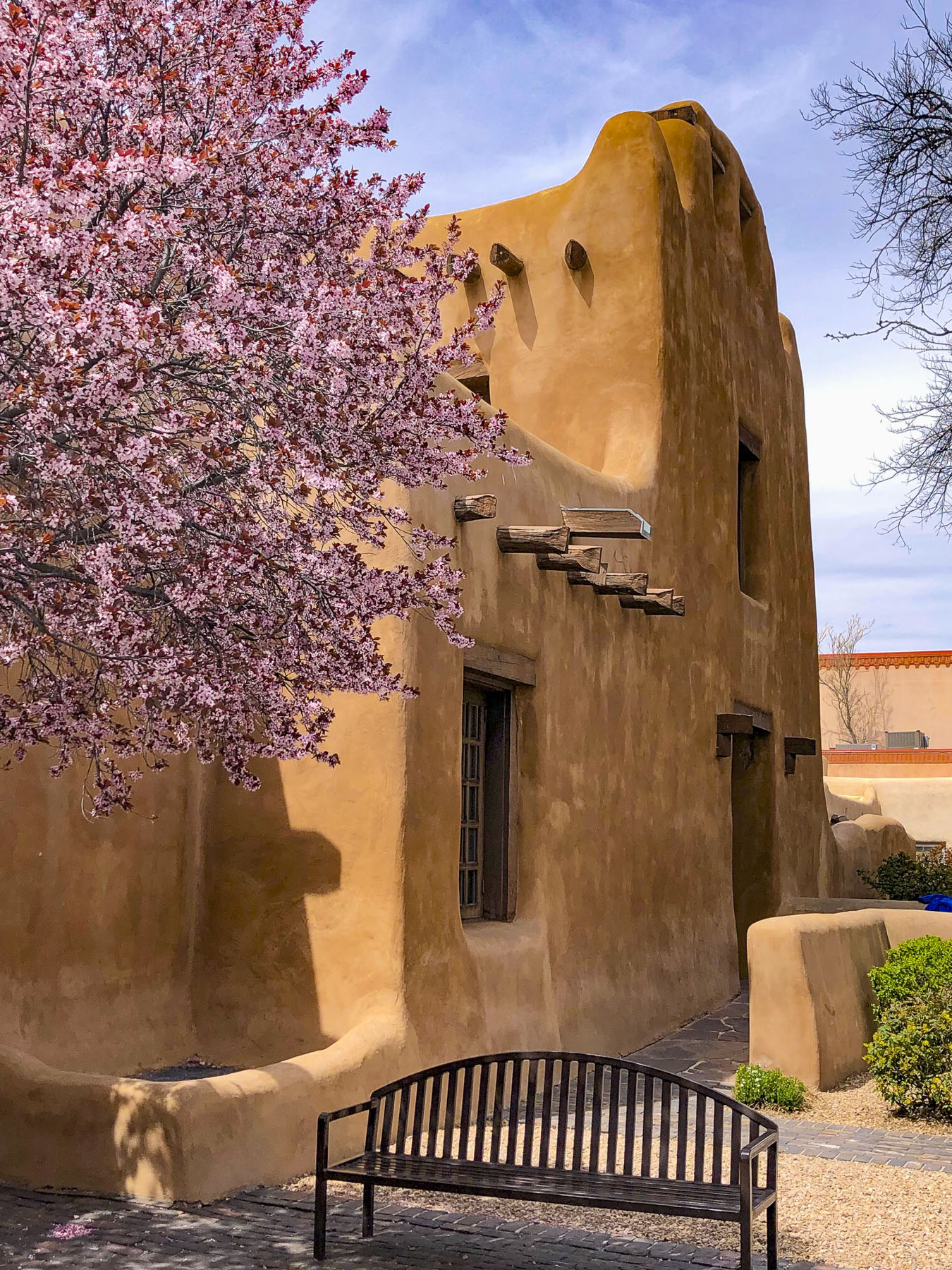
The next morning it almost seemed easier to walk the ridge trail than the steep streets of San Marino’s historic center that were giving our calf muscles a workout.

The Basilica di San Marino and the much smaller Chiesa di San Pietro stand next to each other on Piazzale Domus Plebis.  Encompassing the mountain into its structure, Chiesa di San Pietro originally dates to the 600s and has a carved stone recess that legend believes was San Marino’s bed when he first sought sanctuary on the mountain.  The basilica was rebuilt in 1826 in a Neoclassical style over the ruins of an earlier 4th century church. In the church, relics of San Marino are safely kept under the altar.

Following narrow lanes we came to the Funivia · Città (Libertà), a cable car, that can whisk tourists up or down the mountain in two minutes, to the parking lot by the Castle of Borgo Maggiore. At this end of the city the wide terrace of Contrada del Pianello offered different yet equally enthralling vistas of the surrounding countryside. The panoramas were especially dramatic late one afternoon, when the sun broke through the cloud cover and cast dramatic shadows cross the countryside.

There is no passport control when you enter San Marino from Italy, which is disappointing if you enjoy getting those passport stamps as reminders of your travels, but for diehards like us, the San Marino Tourist Office, located by the cable car station, will stamp your book for five euros.

San Marino has some interesting public sculpture and the first piece we encountered was in a small park plaza across from the tourist office. The Alle Vittime Del Bombardament, depicts a young woman rescuing a small child. It commemorates the bombing of the country, a neutral territory, in June 1944 when allied forces mistakenly believed the German Army had retreated onto Monte Titano. Two hundred sixty-three Sammarinese were killed during that air raid.

Working our way to the Museo di Stato, the National Museum, we passed the old stone quarry where the country’s crossbowmen, a military unit formed in 1295, once trained. It’s still used by The San Marino Federation of Crossbowmen, a group of ceremonial crossbowmen, musicians and flag-wavers who now entertain at festivals in Renaissance dress. Further along, just before the Palazzo Pubblico, San Marino’s capital building where the Captains Regents and the Grand Council conduct the business of the country, more whimsical sculptures graced a small area with benches. 

Piazza della Libertà in front of the Palazzo Pubblico gets its name from San Marino’s own version of Lady Liberty. Sculpted from brilliant white Carrara marble, the Statua della Libertà depicts a striding female warrior, carrying a flag-draped spear and extending a hand in peace, with the three towers of Monte Titano as her crown. It was donated to the country in 1876 by German Countess Otilia Heyroth Wagener, a former Berlin ballerina, who married an Italian nobleman. This was ten years before the French Statue of Liberty was finished in New York harbor.

Adjacent to the entrance of the National Museum, the Grande Statua Nudo Femminile or the “Great Female Nude Statue,” (this title creates such an unflattering visualization for a tranquil figure and anyway the sculpture is only 5.5ft tall) by Italian sculptor Francesco Messina stands in front of the Cassa di Risparmio della Repubblica di San Marino, a bank. The bronze was purchased to celebrate the bank’s 100th anniversary.  I can just imagine the discussion around the board of directors table, “Profits are up this year, we should invest.” “Yeah, big nude sculptures are symbolic of banking success, financial stability!” “One would look good in front of the building.” “Okay, let’s vote.” I’m being sarcastic, of course, though San Marino does have liberal banking regulations and welcomes offshore accounts from wealthy individuals looking to hide their assets.
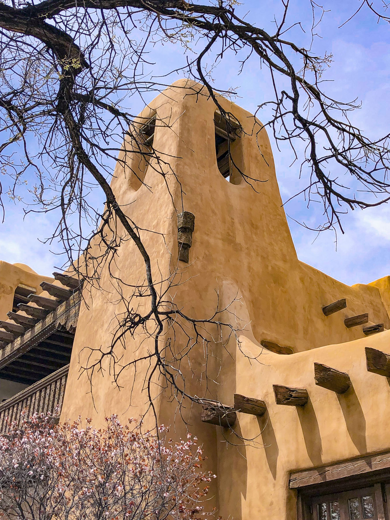
The Museo di Stato, the National Museum, has an interesting collection of archeological items discovered on Monte Titano and its surrounding territory that spans its early history, along with art and religious items.  We were not aware of it at the time, but San Marino offers a museum pass for 8€ that allows you visit all seven of the country’s national museums. It is a very good value.

It was a long uphill walk back to our hotel, but well worth it to enjoy the quaint lanes of this unique republic one last time before our departure the next morning. If you are looking for an aerial experience over the Italian countryside without renting a helicopter, a trip up Mount Titano in San Marino might fit the bill.

Till next time, Craig & Donna