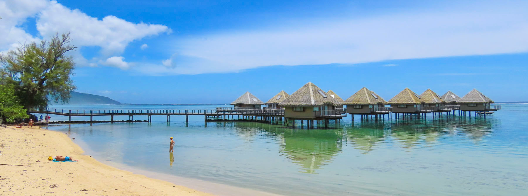
Road Trip Tahiti: Black Sand, Waterfalls and Sunsets or Enjoying a Week in Paradise

“What do you think about Tahiti?” Donna asked.  “I haven’t, honestly – it’s not on my radar.” “There’s this very good airline points sale to Papeete. I think we should go!” And so, we made it happen.  It’s one of our great pleasures in retirement, the ability to indulge our desire to see the world. Though the statement that Tahiti was not on my radar might not be exactly true.  James Michener’s Tales of the South Pacific might have been the first book I freely chose to read as a teenager, fifty-plus years ago; the catalyst was my dad’s dream of building a sailboat to sail around the world. Frustratingly, our sailing never extended beyond Long Island Sound, but the lifelong desire to explore had been instilled in me.

It was a long sixteen-hour flight from the east coast of the United States to San Francisco with a final connection to Papeete on Tahiti in French Polynesia. Arriving just before 9:00pm, we opted to taxi to our three-night apartment rental, Little Home Tahiti, a small studio apartment chosen for price, onsite parking, and short walking distance to the car rental agent – Tahiti Rent.

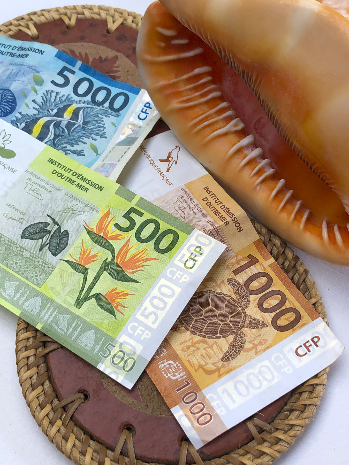
Checking into Little Home Tahiti was a bit unusual: instructions to access the key to the apartment building and garage door fob from a key box were hanging from a traffic signpost in front of the building (our payment, Tahiti has the prettiest currency, was to be placed there too.) The next morning, after excellent coffees at Kaūa’a Tahiti, just around the corner (they roast the coffee beans in the café), we walked a few short blocks to the Marché de Papeete, the town’s old central market.

The 2-story building still has several fruit and vegetable vendors, fish mongers and exotic flower stalls. Most of the space is now, though, is filled with folks selling handicrafts, souvenirs, and Tahitian black pearls, for the tourist trade. Afterwards we picked up our rental car – an easy procedure, with the caveat that we would need to vacuum out the beach sand, before returning the car. We thought this was an unusual request, as most car rental companies that we’ve used have provided this service. Not being local, I asked where I would accomplish this and was informed most gas stations have vacuums available. Easy enough in theory, but nine days later after stopping at five different gas stations, I was not able to find a vacuum pump. Upon returning the car the rental agent was ready to charge us an additional fee for a small amount of sand, difficult to avoid on Tahiti, on the car’s front floor, until I pointed out that we interrupted him from vacuuming a car when we pulled into the lot.

While the airfare to Tahiti, the largest island in French Polynesia, was relatively low, restaurants and hotels in this isolated paradise in the middle of the Pacific Ocean are expensive. This is the direct result of having to import nearly everything from France, China, the United States, Australia and New Zealand. So, to keep within a reasonable budget for nine nights, we chose to stay in three different self-catering apartments across the island. We’ve always enjoyed checking out the local grocery stores and markets during our travels, and enjoy cooking in. Food trucks were mentioned as a budget friendly alternative to restaurants; although good, we found these to be not nearly as inexpensive as you would think. Surprisingly, freshly caught tuna and mahi-mahi were reasonably affordable in restaurants and stores. We enjoyed preparing it several times during our stay.

Papeete, the capital of French Polynesia, is a small city with a population of roughly 27,000. Its popularity as a booming destination was never envisioned and the traffic in paradise is just as bad as NYC’s at rush hour, since most of the island seems to drive to work here. To help alleviate the morning and evening congestion they use a road zipper, moveable barrier systems, to reconfigure the incoming and outgoing lanes of traffic at rush-hour. The city’s antiquated footprint was inherited from the days when the town was viewed as only ever being colonial backwater.  Fortunately, the town is thoroughly walkable.

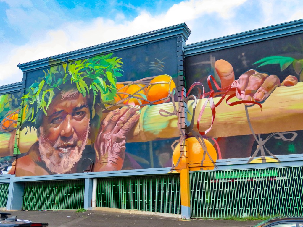
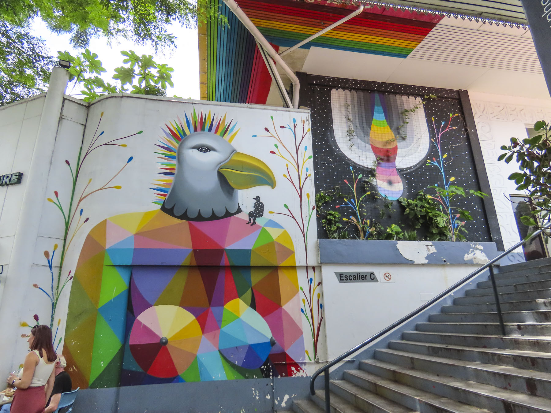
Surprisingly wonderful street murals grace the side of many otherwise dull city walls. Many of these beautiful pieces of art were sponsored by the Ono’u Festival, a street art event that has been held in Papeete since 2014. We used this street art map to help plot our walks around the different areas of the city. There are murals spread all across the city, but several of our favorites were located along the Rue Mgr Tepano Jaussen near the Cathédrale Notre-Dame de Papeete, a French colonial era church from 1875.

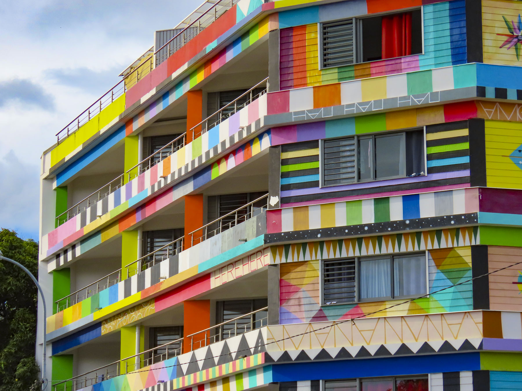
Closer to our temporary home, the Résidence Paraita, an apartment building, was totally immersed in an abstract design by the Spanish street artist Okuda, which we could see from the balcony of our apartment.
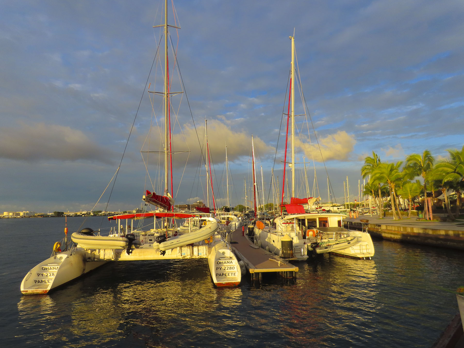
We also enjoyed the walk along the waterfront promenade to Pā’ōfa’i Gardens and the Papeete Marina, where it was interesting to see the different home ports painted on the stern of wandering sailors’ boats. San Francisco, Sydney, Barcelona, Paris, Rio. The boat crews enjoying a safe anchorage before continuing their journey.

Further along we had drinks at the over-water tiki bar of the Restaurant Le Moana and watched with amazement as the bay in front of us filled with just off from work Tahitians who took to the water in Polynesian outrigger canoes, called “va’a,“ and larger longboats, practicing in preparation for a number of races around the islands that take place each year.

The longest and largest, with over 100 teams participating, is the Hawaiki Nui Va’a Race, in which six-person crews paddle across 79 miles of ocean in three days. Starting in Huahine they visit Raiatea, and Tahaa before beaching their canoes on Bora Bora.

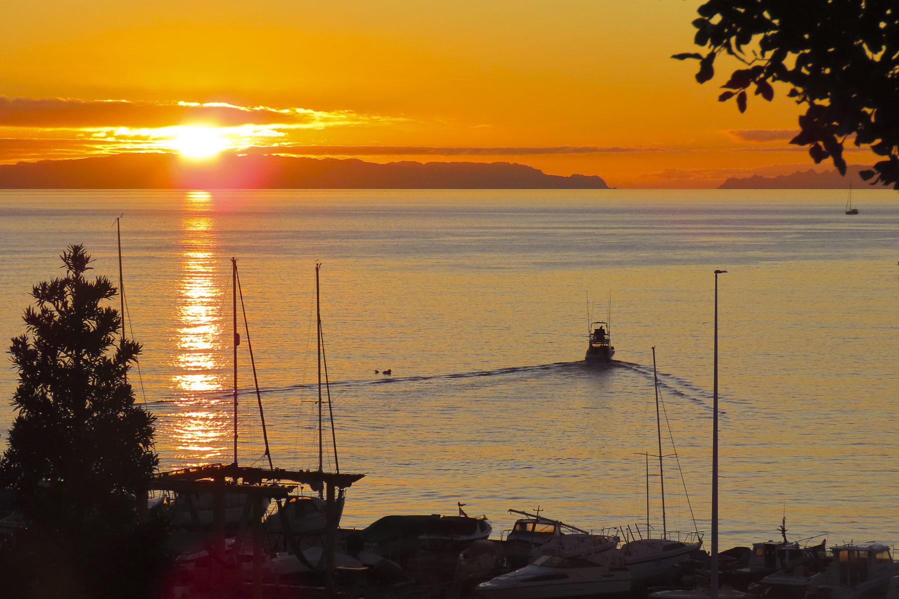
This is one of many races around Tahiti keeping alive the nautical heritage of their Mā’ohi, ancient ancestors’ incredible ocean-going feats in search of new horizons. Folks stayed on the water until sunset, one of the most colorful we experienced while on the island. The last of the day’s inter-island ferries sailed toward the sunset.

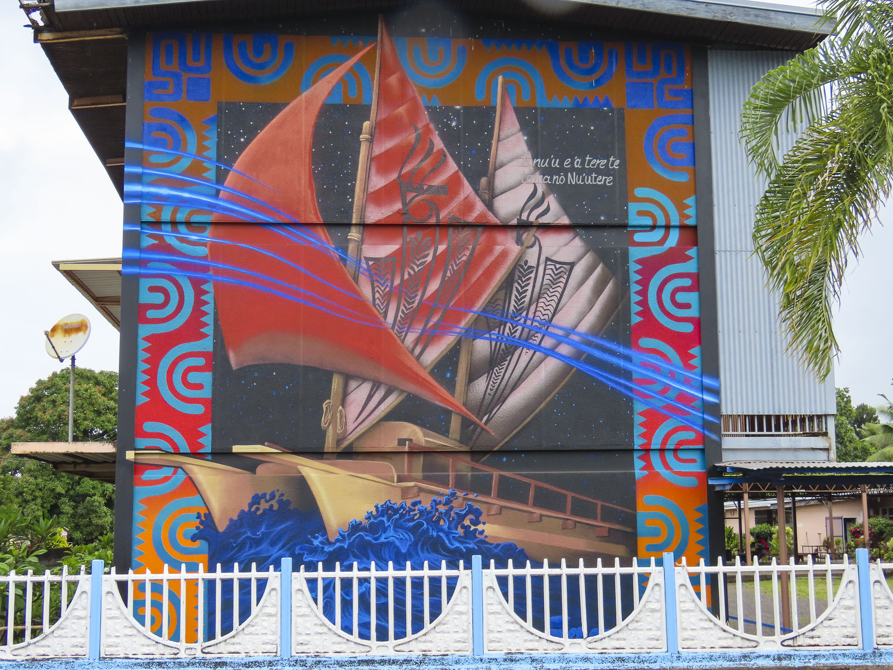
Also on the waterfront in Place Jacques Chirac is a full-size replica of an ancient Polynesian wa’a kaulua, a double-hulled, long distance, sailing canoe. Just looking at it made us realize what an amazing accomplishment it was for the early Polynesians to cross vast stretches of unforgiving ocean.
Walking back through town we stopped at Vini Vini Fish N’Chill for dinner. It’s a small casual place, with inside and outside tables, that grew as an off-shoot from the families long-line fishing fleet and serves poke bowls, tartines – a French open face sandwich with various toppings, sushi and of course burgers. Occasionally they’ll host a ukulele band outside on the sidewalk.

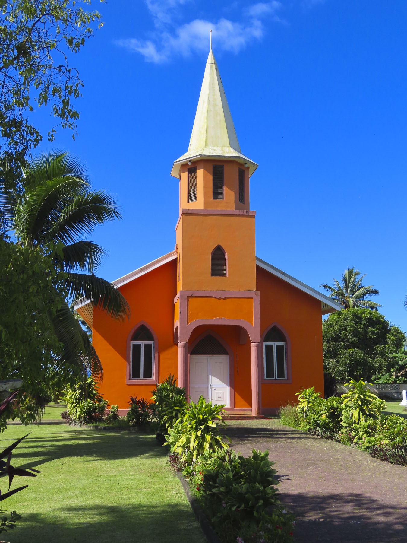
Outside Papeete the traffic eases tremendously and we took several short day-trips out into the surrounding area, traveling along the north coast to the Pointe Vénus lighthouse in Māhina. Built in 1867, on a black sand peninsular that juts into Matavai Bay, it was the first lighthouse built in the South Pacific and equipped with a powerful beam that could be seen by ships 215 miles out to sea. It takes its name from an event on Captain James Cook’s first voyage around the world, when on June 3rd, 1769, Cook and his accompanying astronomer Charles Green set up equipment to observe the transit of Venus, a small black dot, travelling across the Sun. From the shore here looking north the blues of the sea gradated seamlessly into the sky, a vast endless emptiness that Polynesians explored and found Hawaii, 2600 miles away, 1200 years ago. The brightly painted Église Getesemane de Mahina along the road to the lighthouse was definitely a worthy photo stop that epitomized the Tahitian celebration of color.
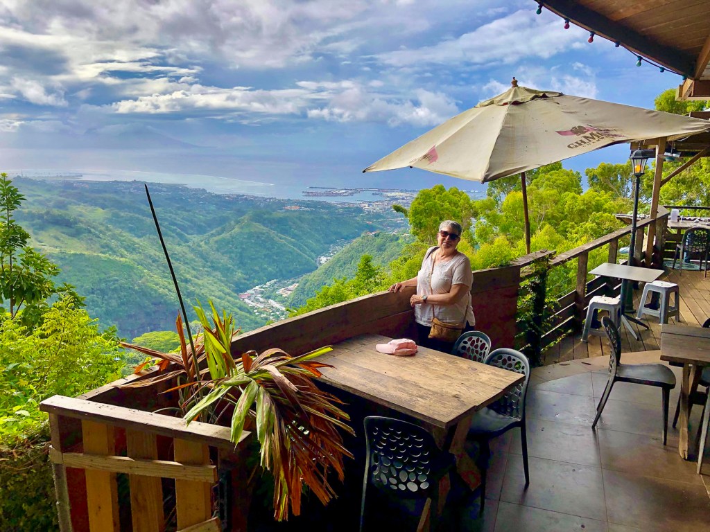
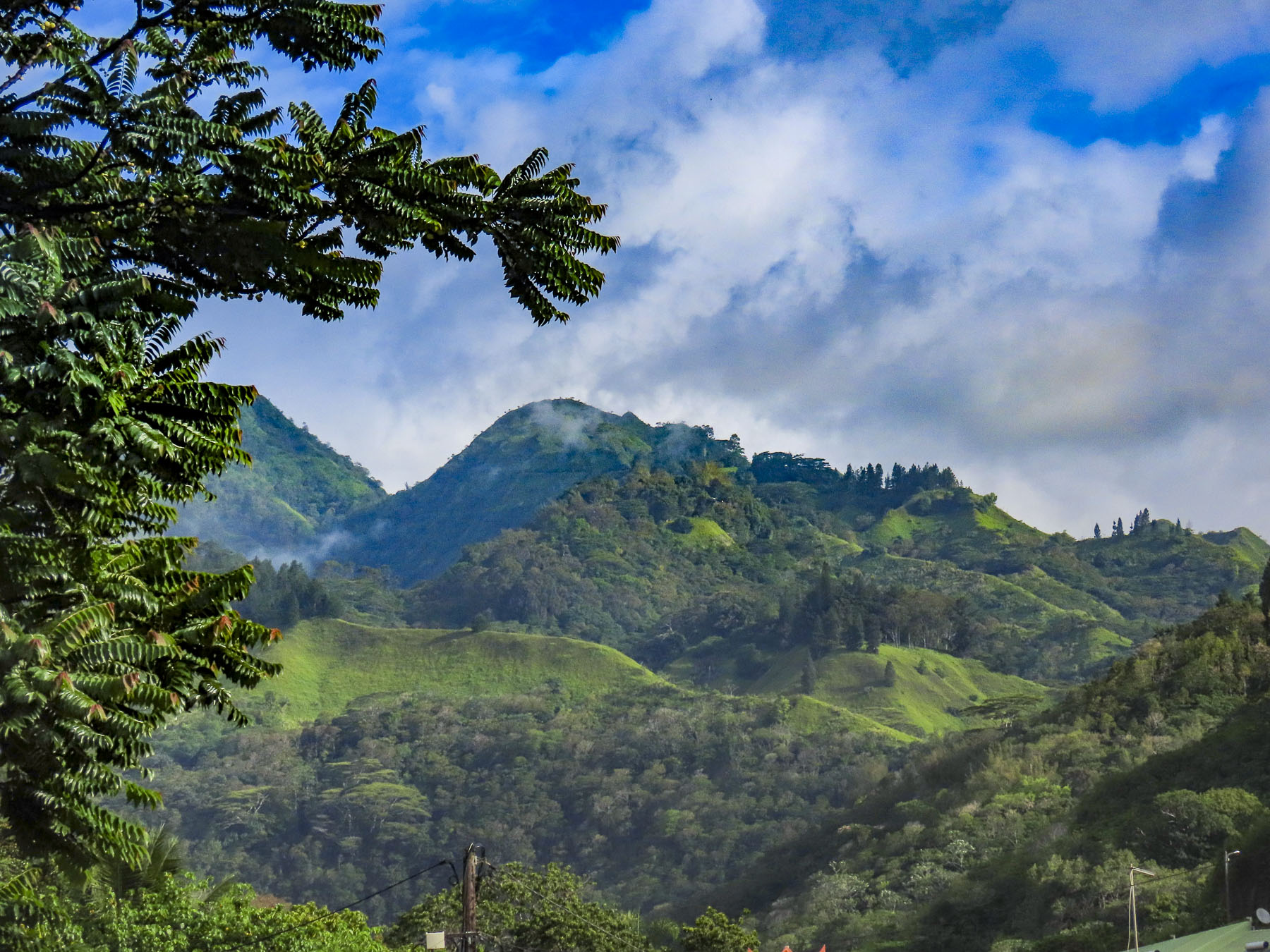
Later we headed to the O Belvédère, a remote French restaurant, located in the foothills of 7,352 ft Mount ‘Orohena, the island’s tallest peak and the highest mountain in French Polynesia. The restaurant is only open for lunch and dinner Friday – Sunday. Unfortunately, we visited earlier in the week, but the staff kindly let us take in the breathtaking views, over the rugged foothills which extend to the coast, from its balconies.

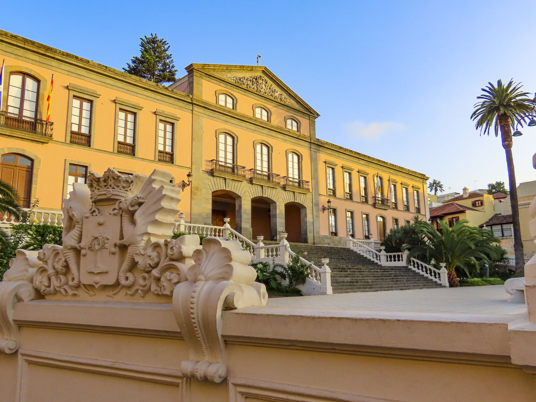
It’s definitely a destination restaurant and part of its allure is the harrowing 3.5 mile drive, not for the faint of heart, up a single-track, heavily potholed road through dense jungle-like forest that dead ends at the restaurant. There was barely room for the rare oncoming car to pass. It’s not a drive we would undertake in the dark. Guided hikes to Mount ‘Orohena and 4×4 safaris into the mountains can be arranged through local tour operators, as there are not any roads that cross Tahiti’s mountainous interior. One the way back to Papeete we passed and then circled back to photograph the Mairie de Pirae, the local town hall, a beautiful example of French colonial architecture that seemed out of place on the tropical island.

The morning of our checkout from Little Home Tahiti, just as we had finished our coffee and zippered the suitcases, the power to our building went out. Not usually a big deal, but we were staying on the 5th floor and the car was in the underground parking. The heat and humidity builds quickly in the tropics without A/C. We called our host for a situation update, only to be informed that it was an island wide power outage, something that, it turns out, happens rather frequently. The big question for us, was the electric gate to the underground garage functioning? We were reluctant to walk down seven flights with only the emergency stairwell lights and the weak flashlights on our cell phones. After an hour of indecisiveness, I slowly carried our suitcases downstairs to the car and was very relieved to find the gate wide open. I parked the car on the street, called Donna and relayed, “We’re free – let’s go!”

The intersections required caution as the traffic lights were also down, but once we followed Route 1 away from Papeete the prevalence of traffic circles was a blessing. From the air, the island of Tahiti is shaped like a flounder or beaver with a larger upper body and smaller tail. Similar to the way Tahiti Nui, the larger main island, connects to the smaller Tahiti Iti, at the narrow Taravao isthmus. It’s difficult to get lost on Tahiti considering the ring road, Route 1, is only 72 miles long and transverses a narrow coastal plain that encircles the island and separates the ocean from the abruptly steep mountainous interior. The road starts and ends in Papeete, with short spurs down the east and west coasts of Tahiti Iti. It’s a modest distance that we gave ourselves seven days to cover, split between exploration of the island and R&R. Our target at the end of the day, after multiple stops, Soul Rise in Nutae on Tahiti Iti, a rustic attached bungalow, with a private cabana and shared pool, for three nights.

Following the ring road east we stopped at the Arahoho Blowhole. It’s a geological curiosity, as it’s not the usual type of blowhole that exists right at the ocean’s edge and water is pushed up through a crack in the rock. Here water is vented quite a distance inland from the sea as a fine mist after being pushed back forcefully by the waves through an ancient, long and narrow lava tube. The park here has picnic tables and a black sand beach that surrounds a small cove that’s popular with surfers.
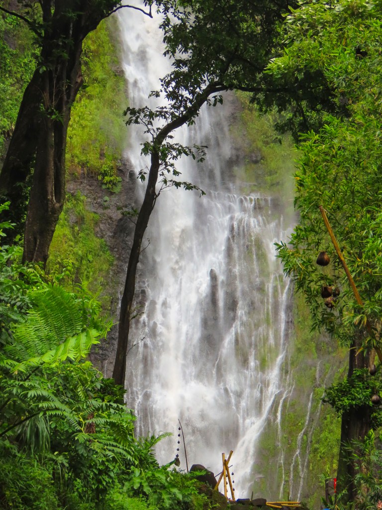
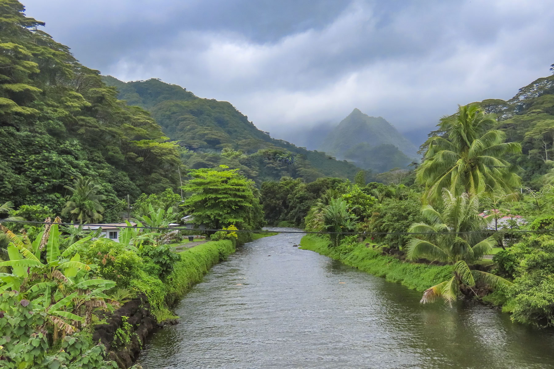
Located at the end of the road, almost directly across the street from the blowhole, the Fa’aruma’i Waterfalls were beautiful. This first was an easy walk from the parking area, but the second two are reached by an eroded and rocky trail that took some effort for us to negotiate before crossing a rickety suspension bridge and climbing farther into the hills. There were numerous photo stops along this drive, especially at the bridges over the rivers, that give a glimpse into Tahiti’s rugged, verdant interior.
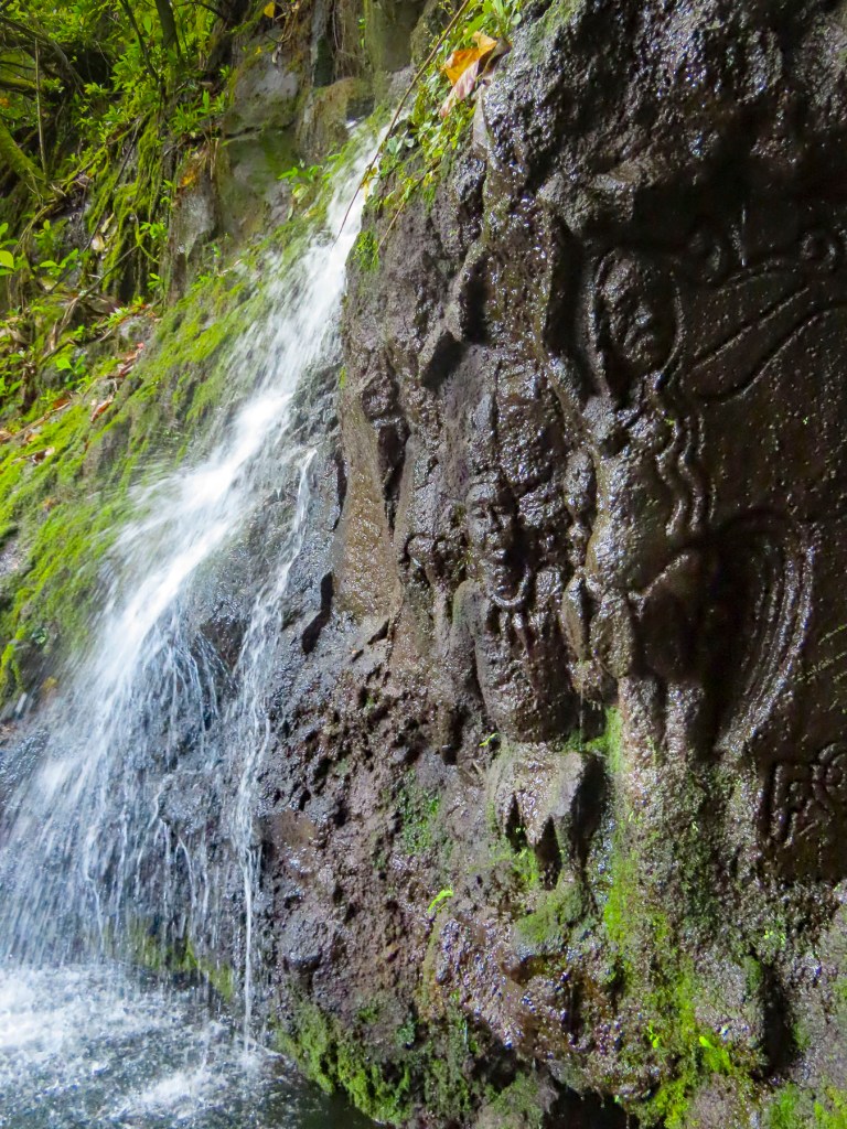
Closer to Tahiti Iti, La Cascade de Pape’ana’ana was a hidden gem barely visible from the road. It’s a mysterious site with figures of a tribal chief and a woman carved into the stone face of a small waterfall. No one knows when or who created it. There were numerous waterfalls and beaches along the east coast of Tahiti Nui just waiting to be explored.
We reached Taravao late in the afternoon, at the time when most restaurants are closed until dinner. We opted to eat at the local McDonalds, something we rarely do, especially when traveling abroad. But we were pleasantly surprised with tasty McWraps, and the coffee was good. But one of the memorable things about this stop was the appearance of a young father and his daughter dressed in matching pinks tutus, enjoying each other’s company and lunch together. It’s not something every dad would do, and I would have loved to know the backstory, but I admired him for his self-confidence, and that he didn’t perceive this playfulness as eroding his masculinity, just a desire to please his little girl. Something I can relate to.
Afterwards we stopped at the local Carrefour, which was as fully stocked as any supermarket in France, though the prices were through the roof, as high as if we were living in Paris. We purchased tuna, mahi-mahi, some vegetables, salad, and a fresh baguette for dinner. Croissants and French style pâtisseries were gathered for breakfast. A bottle of French rose’ and a 6 pack of locally brewed Hinano beer rounded out our purchases. Curiously, the beer’s distinctive and elegant “vahine” logo of a Tahitian woman wearing a red pareo was painted by a fellow from Sweden in 1953.

With the groceries put away and the beer in the fridge, we cooled off in the pool. Tahiti was one of our warmest vacations with daily temperature in the mid-80Fs, with high humidity. Usually we target locales with spring-like weather. Fortunately, along the coast there was always a cooling breeze blowing in from the ocean.
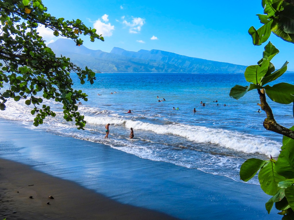
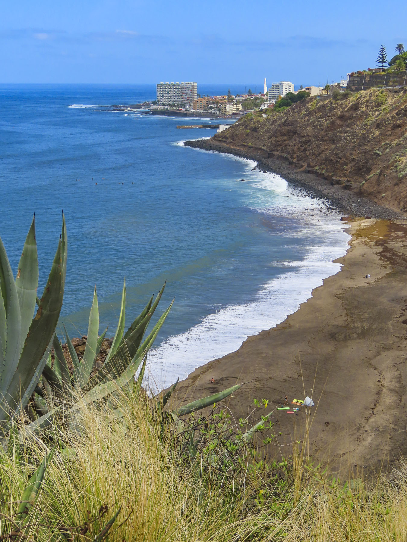
The next morning, we walked a short distance and crossed the road to a black sand beach, created eons ago from volcanic eruptions. Following the local folks’ example lead we rinsed off after our swim under a pipe, driven into the hillside like a spout into a barrel, gushing spring fed water from the highlands.

Later we headed to Tautira for lunch at Le Bout du Monde, which sounds so elegant in French, but translates as “The End of the World,” and aptly describes the locale, with the coast of South America nearly 5,000 miles east. The road literally stops here, as there is not a coastal plain around the southern tip of Tahiti Iti that is suitable for a road. The mountains descend into the sea here. Folks live along this isolated eastern coast but need to use boats to get to their homes. Rustic simplicity best describes Le Bout du Monde, with its walk-up ordering window, and wallboard menu. There were several dishes listed, but I think they only serve the catch-of-the-day. Picnic tables were around the back under shade trees at the edge of the ocean. Only us and another couple were there. The fish was delicious!

Afterwards we took our time walking along Tautira’s beautiful black sand beach set against the mountains. On the way home we noticed people standing by the roadside in front of their homes. Some were holding umbrellas to shield themselves from the intense sun. Soon a van stopped and handed the people waiting a paper bag, with tan colored oblong shapes protruding from the top. Aha! We realized folks had been waiting for their rural baguette delivery, fresh from the bakery. It’s so wonderfully French.

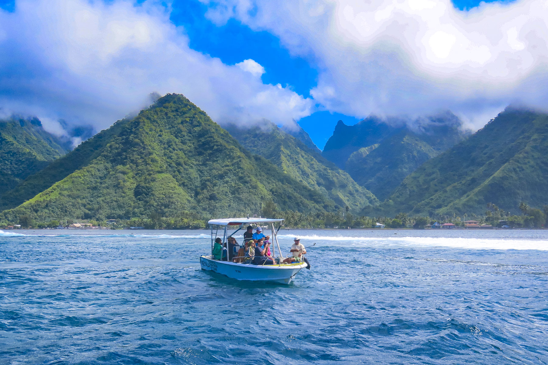
We have never surfed, though we were intrigued by the spectacular photos captured of the surfers riding the famous Teahupo’o Barrel Wave, located off the west coast of Tahiti Iti. The next morning, we drove to the village of Teahupo’o on the opposite side of Iti, where there are a number of boat operators, and booked a tour with Michael, the owner of Teahupoo Excursion Taxi Boat.
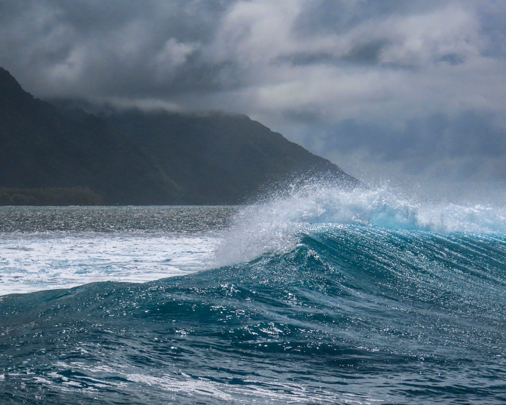
Though the conditions were not right to form the famous curl that day, we still enjoyed our time on the water and the dramatic perspective it provided looking back at the mountainous coastline. The 2024 Summer Olympic Surfing event will be held at Teahupo’o.
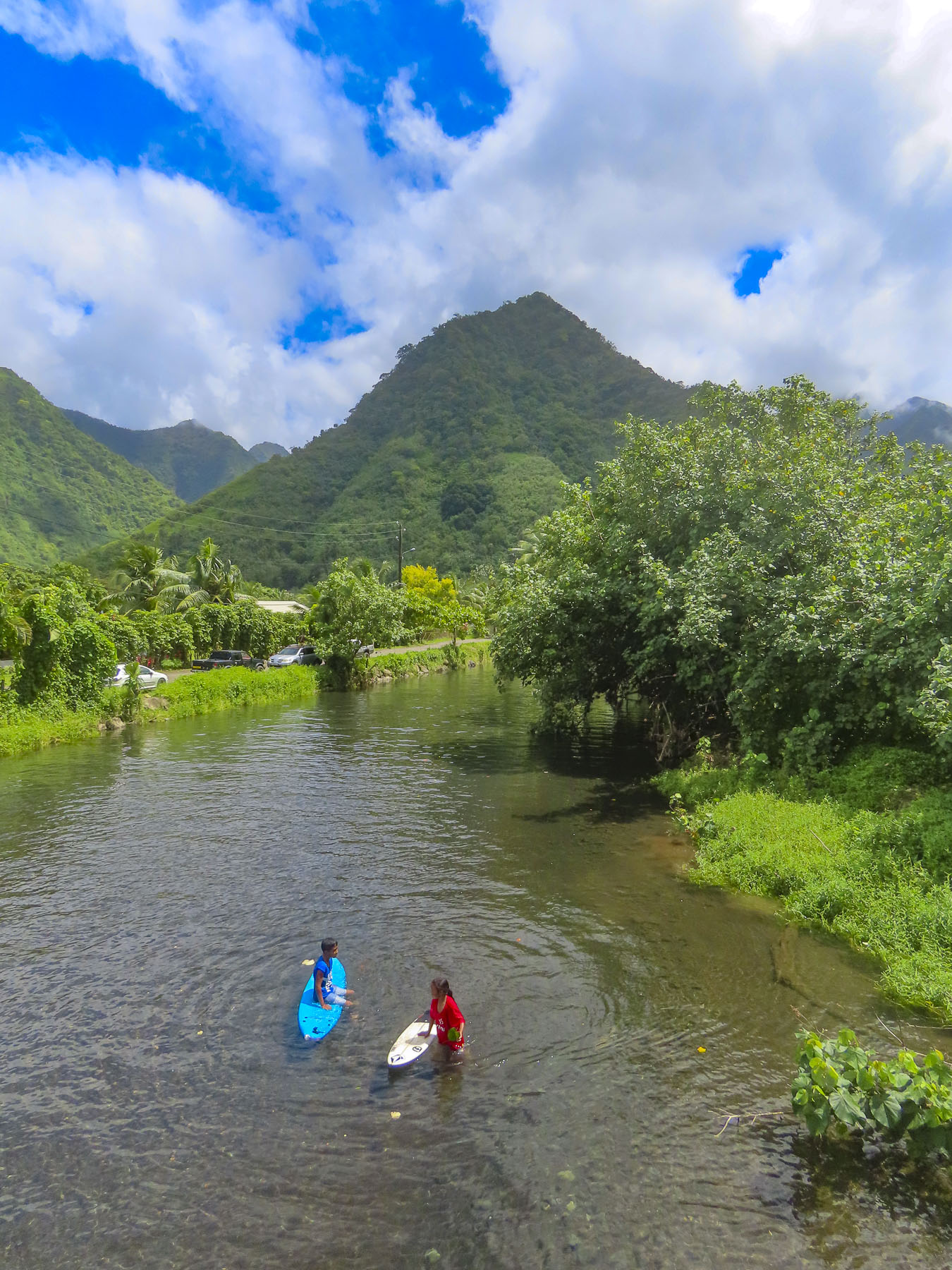
Afterwards we enjoyed a scenic drive to the Belvédère de Taravao in Iti’s highlands. The inaccessible Mount Ronui, standing at 4370 feet, is the highest point on Tahiti Iti. The Belvédère de Taravao, at 1800 feet, offers an expansive view of the Taravao isthmus that includes the east and west coasts of Tahiti Nui.
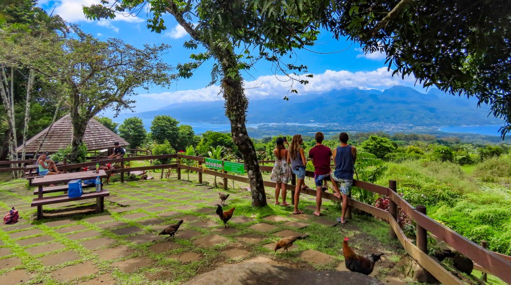
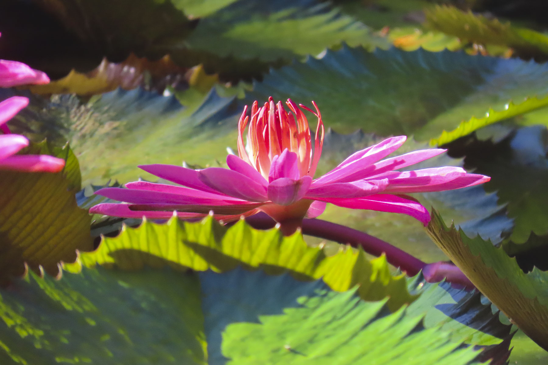
For the last four days we headed back to Tahiti Nui and drove along the west coast towards Papeete, stopping to take pictures numerous times. Gardneners ourselves, we especially enjoyed the Water Gardens Vaipahi and the Grottes De Mara’a, where we followed the paths through colorful specimen plantings and noticed, not for the first time, the ubiquitous free range roosters, hens, and chicks that seem to roam everywhere in Tahiti.
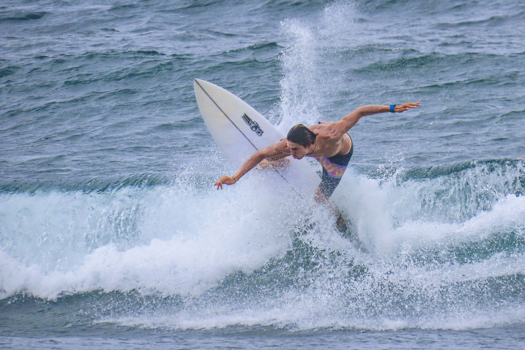
At Taharuu Beach we practiced our sports photography skills, capturing surfers riding the waves, an activity we could spend hours engrossed in, but the weather just wouldn’t cooperate fully.
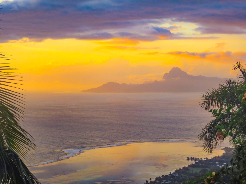
Later that afternoon we arrived at Bungalow Poerava in Punaauia and were blown away by its dramatic location. It’s a small apartment next to the owner’s home that’s cantilevered out over a steep hillside.

This construction gave it a splendid Robin Crusoe treehouse feel. It had a fully equipped outdoor kitchen, and porch and seating area boasted a view of Moorea in the distance. It was one of the nicest apartments we’ve every stayed in during our years of travel. Oh, and it had an avocado tree laden with fruit hanging over the entry stairs. We didn’t want to leave!

Normally we never just stay still and chill while traveling, but the setting here was perfect for kicking back, reading and enjoying a glass of wine on the shaded deck. We explored the surrounding area in the mornings but made sure we were back to enjoy the sunset.
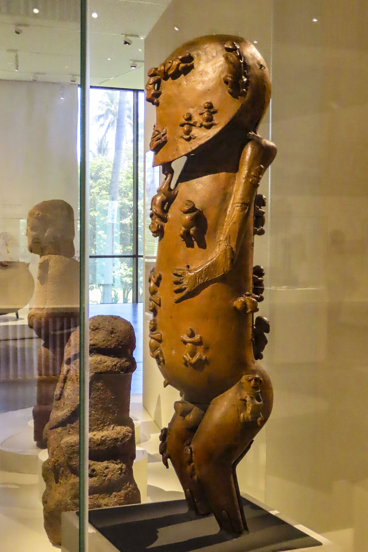
We divided our mornings between exploring cultural sites and swimming at beaches sheltered by the island’s surrounding reefs before returning for the day. The Museum of Tahiti and The Islands is a Polynesian ethnographic museum and has a fascinating collection of ancient artifacts collected from across the Tahitian islands. Later we enjoyed the food trucks at Parc Vaipoopoo, before enjoying the soothing bath-like waters of the Plage publique de Toaroto’s white sand beach.
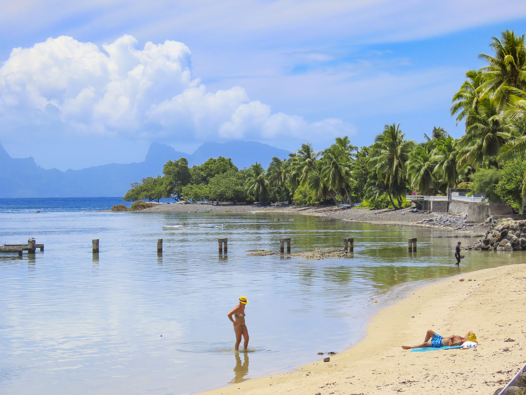
The next day at ‘Ārahurahu Marae, an ancient Polynesian place of worship, a striking stone moai guarded the entrance to the religious site. Though smaller than its famous cousins on Easter Island, there was a definite resemblance. A large marae, an ancient ceremonial altar, constructed from lava stones and coral was at the rear of the site, where human sacrifices were once held centuries ago.

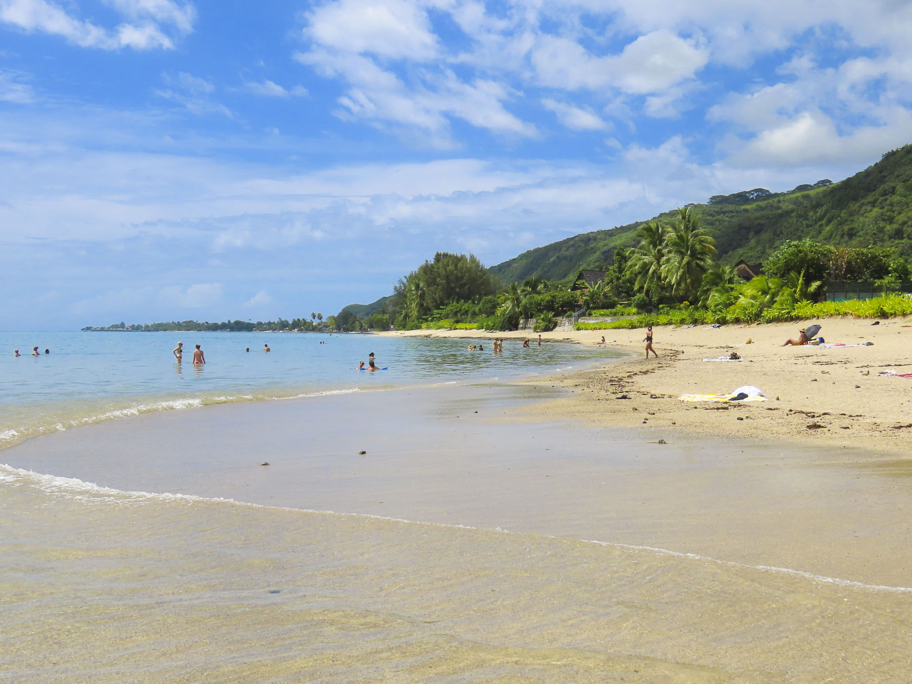
Afterwards we savored our last swim on Tahiti in the gentle waves of Plage Vaiava. Tomorrow we would head to the Port of Papeete to board Variety Cruises’ Panorama II for a sailing adventure to Bora Bora.

Till next time, Craig & Donna

Tenerife; Miradors, Miradors, & More Miradors

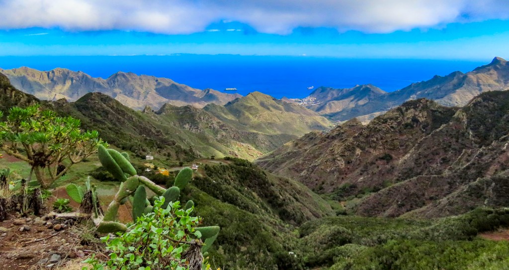
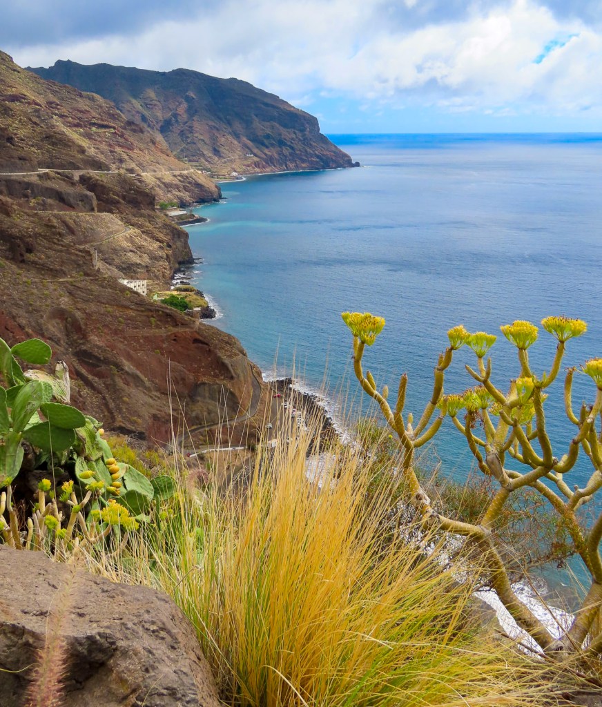
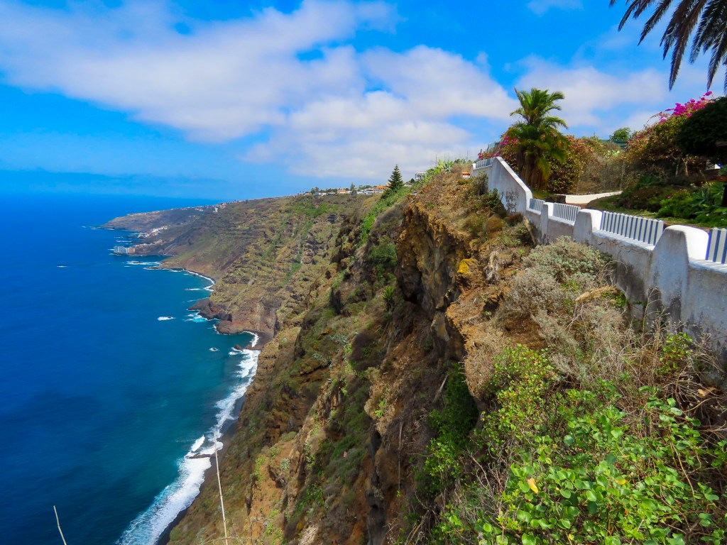
You’ve landed, rented a car, checked into your hotel. Then what? Where to? It seems the more we’ve traveled and the older we’ve become, the less we plan. Throw a dart at the map? Often, how blue the sky is is the determining factor. That can be tricky in Tenerife where the weather changes quickly multiple times a day. But when in doubt, choose a mirador, any mirador. We figured enroute to them we’d pass other wonderful discoveries that would spur us to detour and investigate, rounding out what we saw of the island. Let your adventure around Tenerife begin. Here’s twelve of the miradors and viewpoints we enjoyed.

Mirador Punta del Fraile

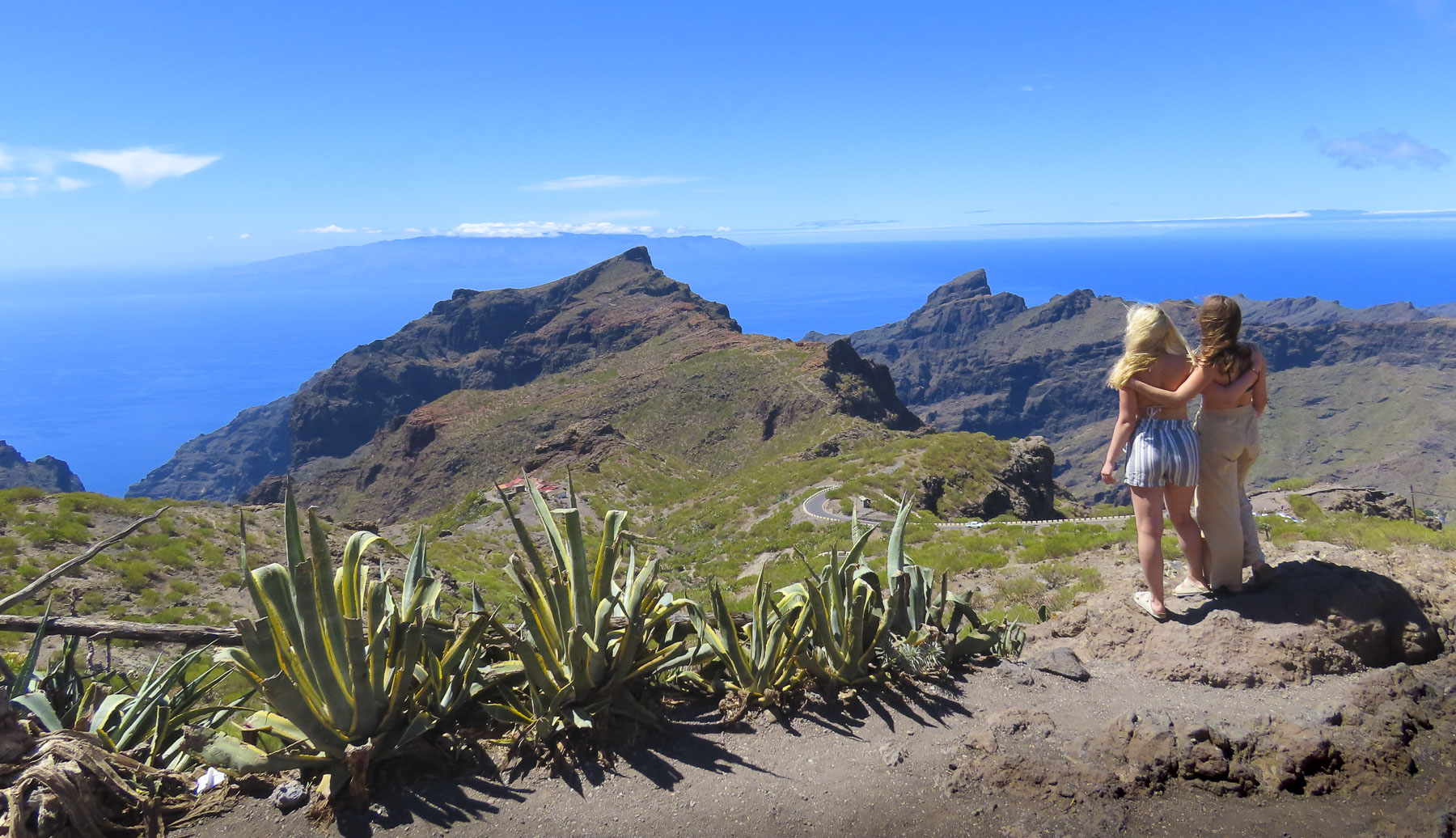
Located on the outskirts of Buenavista del Norte, a manned roadblock across the pavement required us to park. It was about a thirty minute, moderately strenuous uphill walk, and the views along the way were awesome. It was well worth our effort. Reaching the mirador, gale force winds whipped through a cut in the rock which the road followed down to the lighthouse at Punta de Teno, three miles away. Behind us a large cliff face blocked most of the view of the Teno headland.

Nearby Buenavista del Norte is delightful old village with a historic church and memorial to a locust plague in 1659.

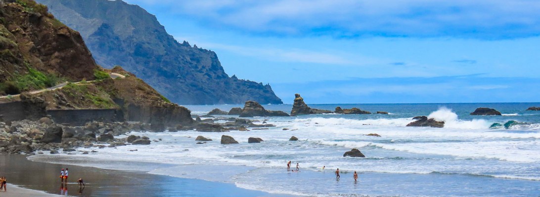
Playa del Roque de las Bodegas & Mirador de Playa Benijo

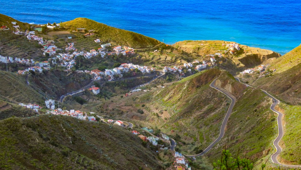
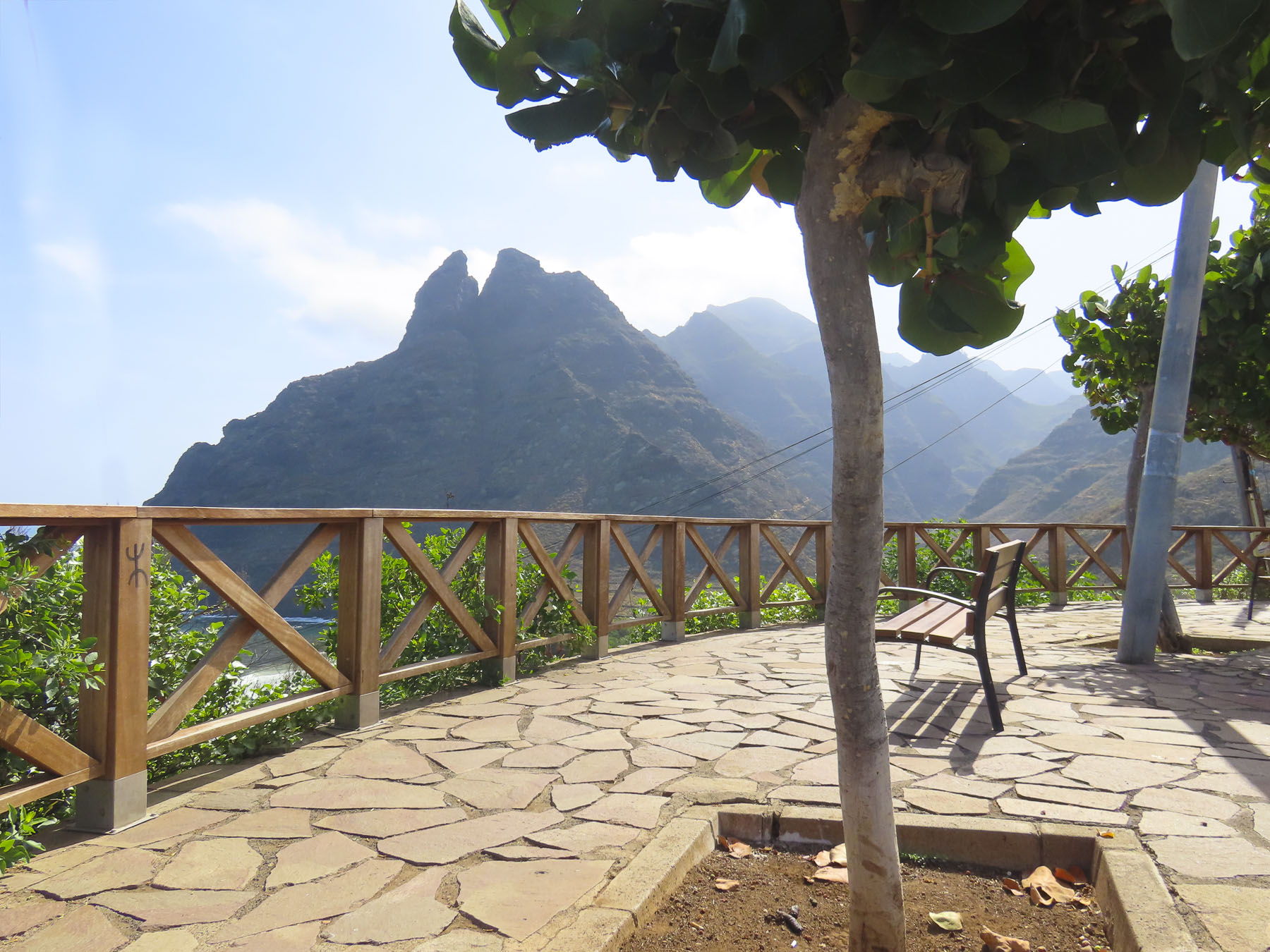
Any resemblance to a straight road disappeared as we turned onto TF-12 to work our way across the island to Playa del Roque de las Bodegas and the Mirador de Playa Benijo. The distances between sites on Tenerife are relatively short as the crow flies, but the roads are narrow and serpentine, so the driving is slow, even though not many cars are on the roads. Rising into the mountains, the terrain changed from arid brown to verdant green. The views along the way of isolated villages hugging the steep slopes were tremendous and there are multiple places you’ll want to stop for photos.

Our intent was to drive all the way to the El Draguillo Mirador, as our GPS map led us to believe it was feasible, but the road ended at a very small gate in a muddy car park with a sign that said only residents of the village were allowed to drive past this point. Evidently this is the starting point for El Draguillo trail, a 6-hour hike.

The parking lot was jammed full, and it took a serious multipoint K turn to get us out. We recovered nicely though by having a great lunch nearby at La Venta de Marrero, a cliffside restaurant with a fabulous view of Playa de Benijo, below.

Mirador Playa de las Teresitas

Only twenty minutes from Santa Cruz de Tenerife, the island’s largest city and capital, the Mirador Playa de las Teresitas seems a world away with tremendous views south of the coast.

Turn around and walk a few yards back along the road for a spectacular view of the black sand beaches Playa de Las Gaviotas and Playa Cueva del Agua.

La Barada

Set on a steep hill, the restaurant La Barada, just a short distance off TF-5, is technically not a mirador, but it is a very popular place due to its glass pier that is cantilevered dramatically out over the countryside from the restaurant. It offers an amazing bird’s eye view of the coast with Pico del Teide in the distance. The food was also very good and the terrace was alive with boisterous activity the afternoon we stopped. 

Mirador de Cherfe

Sitting atop a mountain pass, this mirador has expansive views of the sea. It was also one of the busiest miradors, with vendors selling lava trinkets, and many tourists stopping on the way to or from Masca, like us.

Oh, the thrills of driving in the mountains of Tenerife were just beginning!

Pico del Teide: Mirador de los Poleos, Mirador de Samara & Mirador de La Ruleta

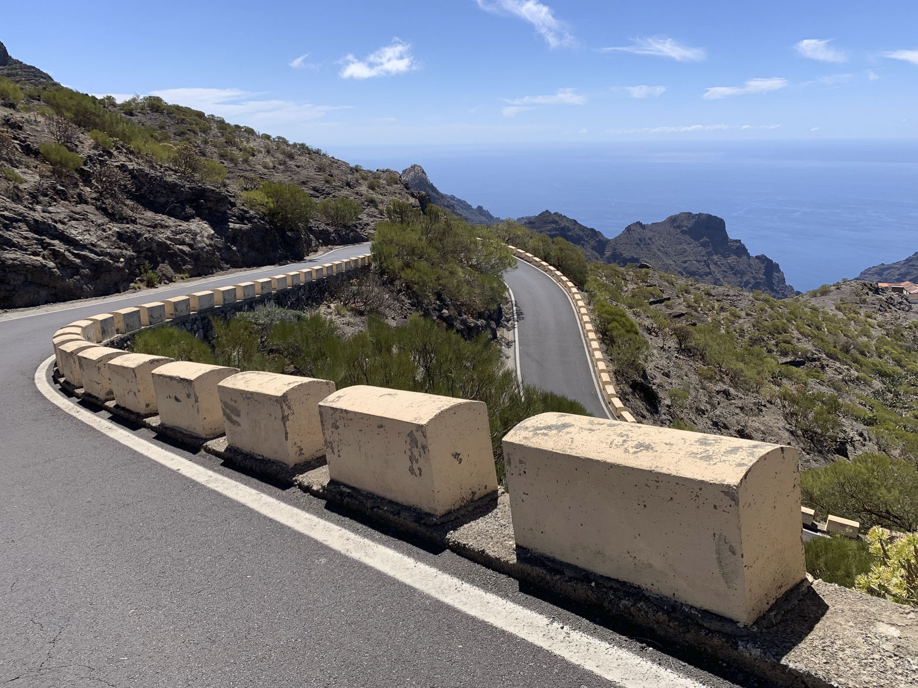
Venturing into the foothills, our drive continued along TF-38 and traversed ever-changing, diverse bio-systems as we left the arid shrub-covered lowlands behind and climbed into hillsides covered with pine forests. It was a well paved but narrow serpentine road, without any shoulder, that required constant vigilance. The mouths of ancient lava tunnels were visible from the road, but there was no room to pull over and stop for photos until we reached the Mirador de los Poleos.

Beautiful, inhospitable, Death Valley-esque, lunar or Martian, however you choose to describe the varied topography that surrounds Pico del Teide, it’s enthralling and fascinating. So much so that filmmakers have used the location for scenes in several block buster films: One Million Years B.C. – 1966, Planet of the Apes – 1968, Clash of the Titans – 2010 and its 2012 sequel Wrath of the Titans and in 2023 the Last Triala, a Star Wars fan film. 
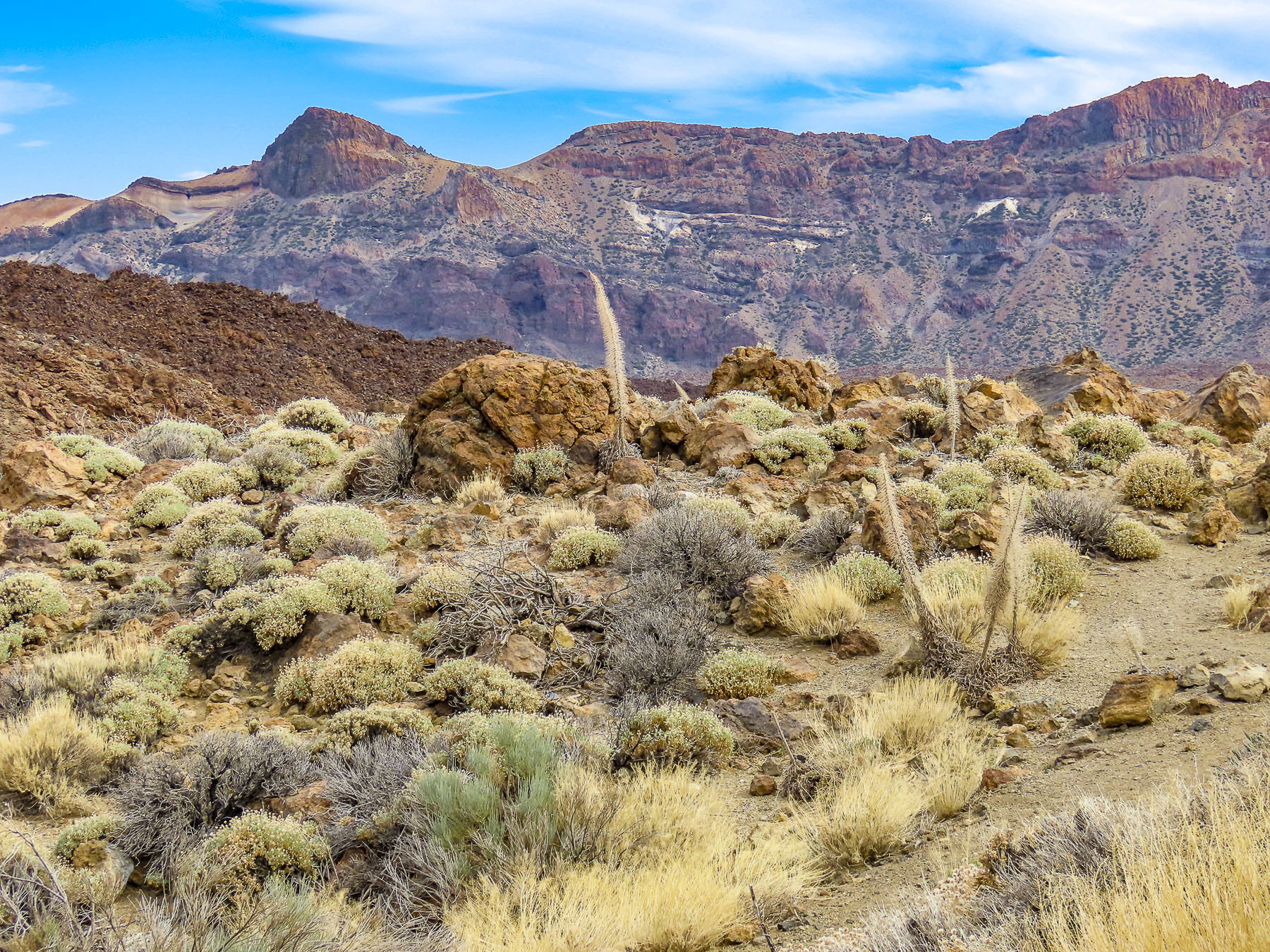
TV episodes of Doctor Who, The Dark Along the Ways and season 2 of The Lord of the Rings: The Rings of Power have incorporated Tiede’s environs into their productions.

Jardines del Marquesado de la Quinta Roja

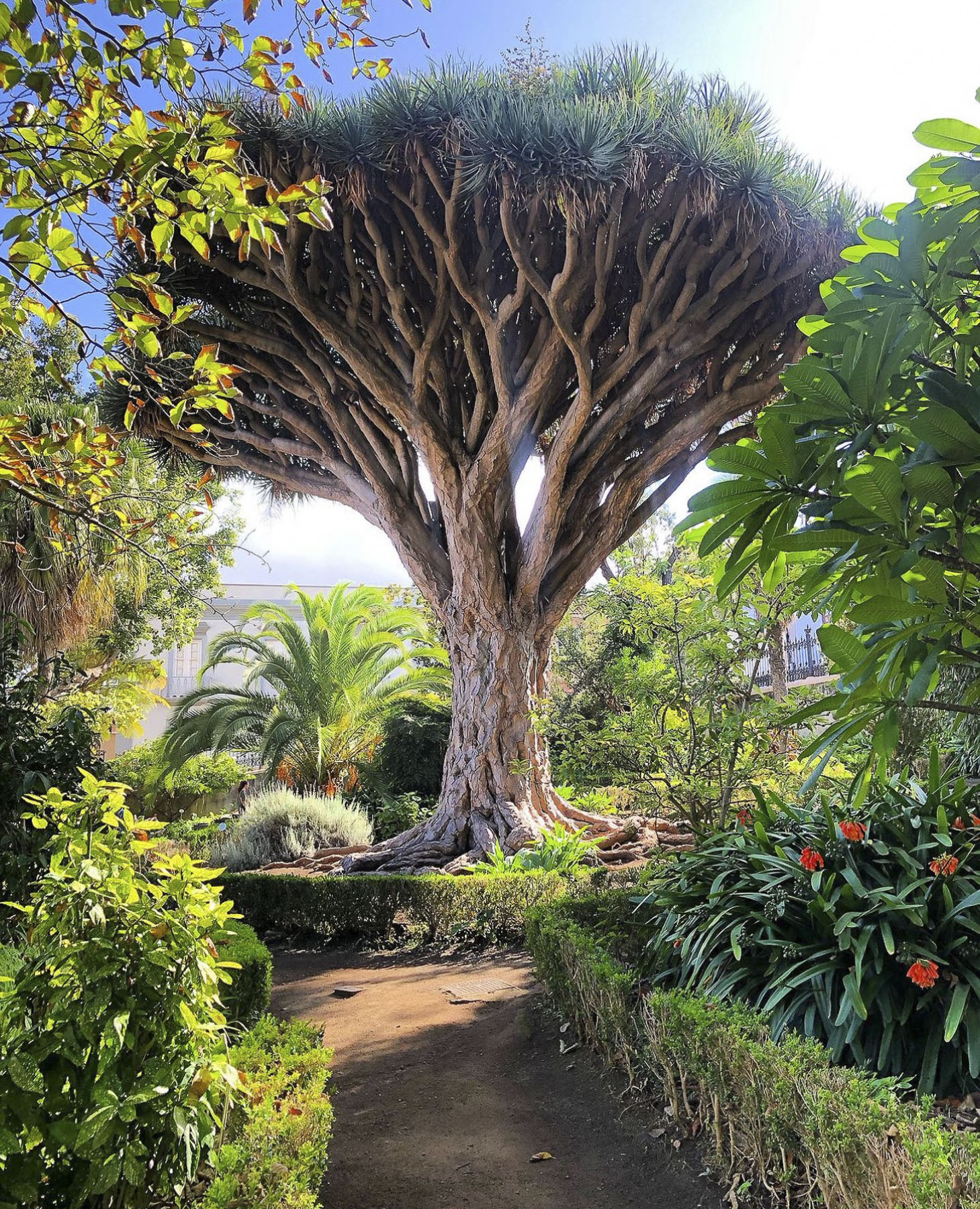
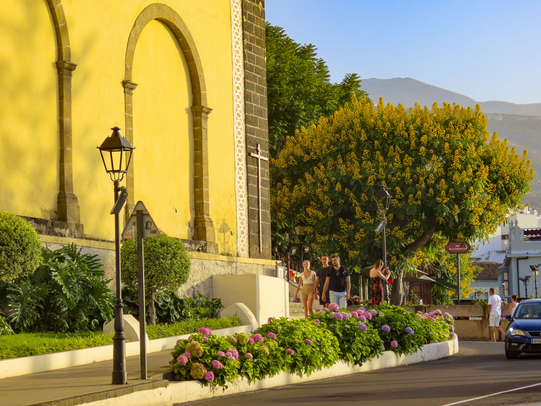
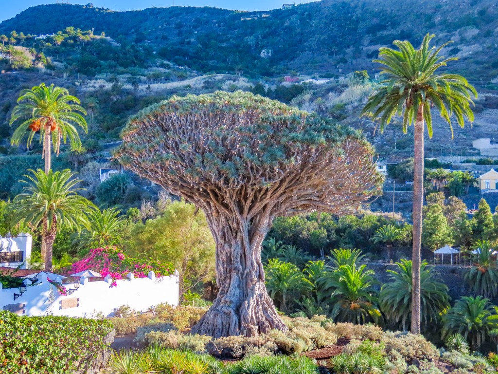
Any visits to La Orotava should start at the Jardines del Marquesado de la Quinta Roja. Constructed in 1883, it’s a beautiful French-style, terraced, formal garden with a view over the town and the distant sea. A smaller but older (1788) sister park next to it, the Hijuela del Botánico, features a towering dragon tree and other plantings of specimen trees collected from Spain’s former colonies. After coffee at the garden’s café, it’s an easy walk downhill in La Orotava’s historic center.

Mirador La Garañona

Is set dramatically atop a 1000ft sheer cliff, in El Sauzal, with a tremendous view of the coast below. The park’s shaded paths lead to a delightful small café perched at the cliff edge. We lingered and soaked in the view.

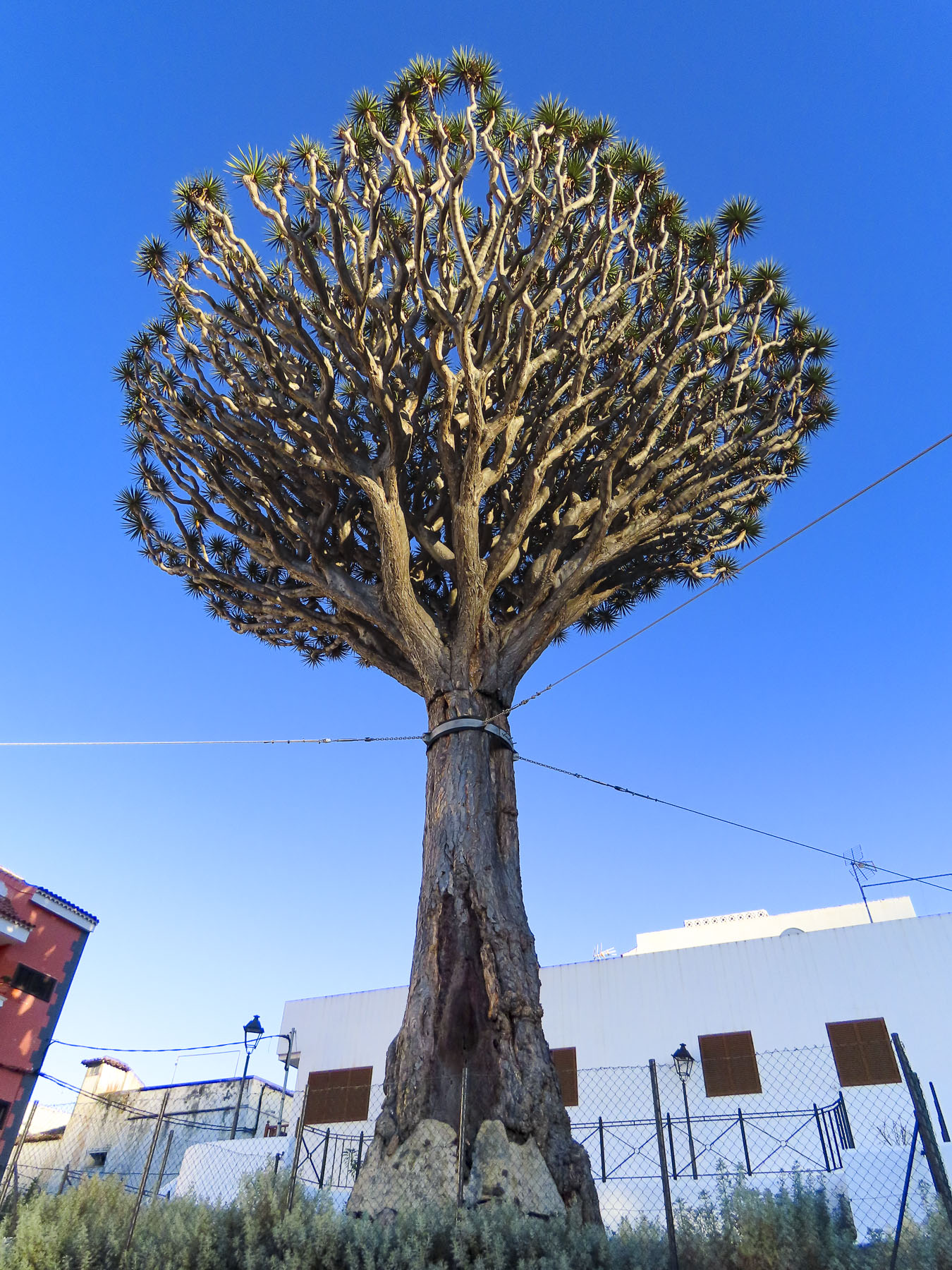
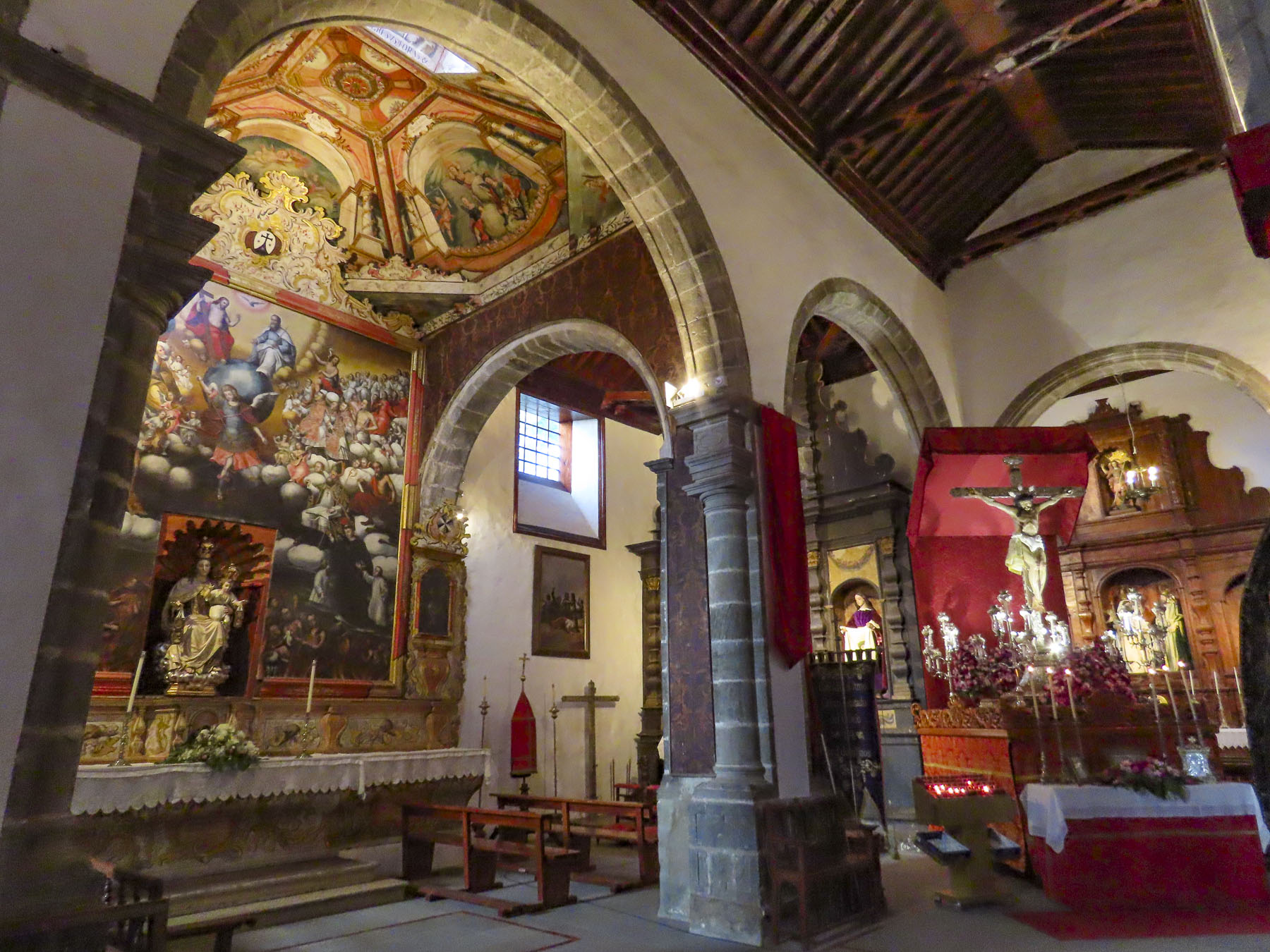
The Iglesia de Santa Catalina is nearby. It’s a classic, white-washed church from the early 1500s and picture perfect with its magnificent dragon tree in front. Nearby the Restaurante el Calvario is a great place to stop for a delightful meal.

Mirador Roque Grande

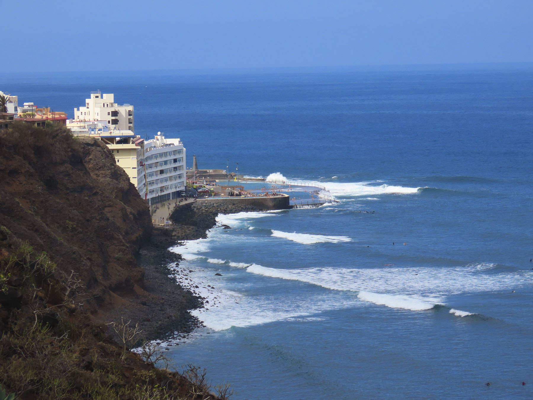
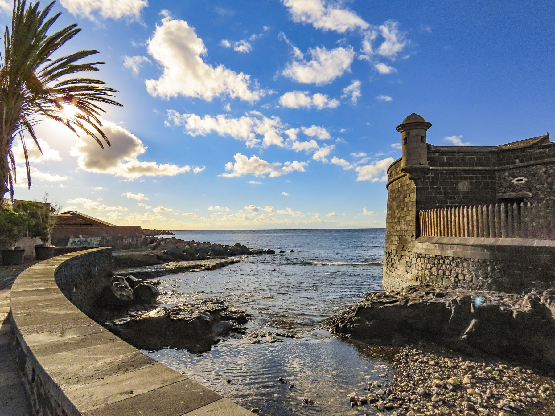
The waterfront in Puerto de la Cruz is beautiful and there are numerous miradors, beaches and tidal pools along the coast where you can swim. We strolled along the promenade above the black sand beaches at Playa Maria Jiménez, and Playa Chica to El Castillo San Felipe, a small block fortress built in the 1600s to prevent pirates or the British from landing on the beach there.

We lunched at a restaurant on the boardwalk under umbrellas just yards from the surf. Stopping at the Mirador Roger Piedra Gorda and Mirador Roque Grande rounded out the afternoon. Though parking was a challenge at both spots, we think the effort was worth it for the dramatic seascapes we viewed.

Mirador del Emigrante

The views driving into Garachico are impressive, and we stopped several times before entering the old town. As prosperous as the Canary Islands are today, we were reminded by the statue at the Mirador del Emigrante that life here was not always easy.

This poetic description by Fernando García Ramos, the sculptor, explains for the viewer the meaning behind his statue of a walking man – with a hole in his chest, as if in his heart – holding a suitcase. “The figure is scanning the horizon, in a daring position, as if pretending to jump over the sea, with a suitcase in hand, and many more suitcases in a series as a chain behind him; these suitcases behind him surely mean the memories, the sadnesses, the nostalgia, the girlfriend, the mother, the sisters, the families that are left behind by an emigrant who takes a new life, who jumps over the infinite sea, in search of a new life in strange and distant lands.”
Mirador Caribe at the Palmetum

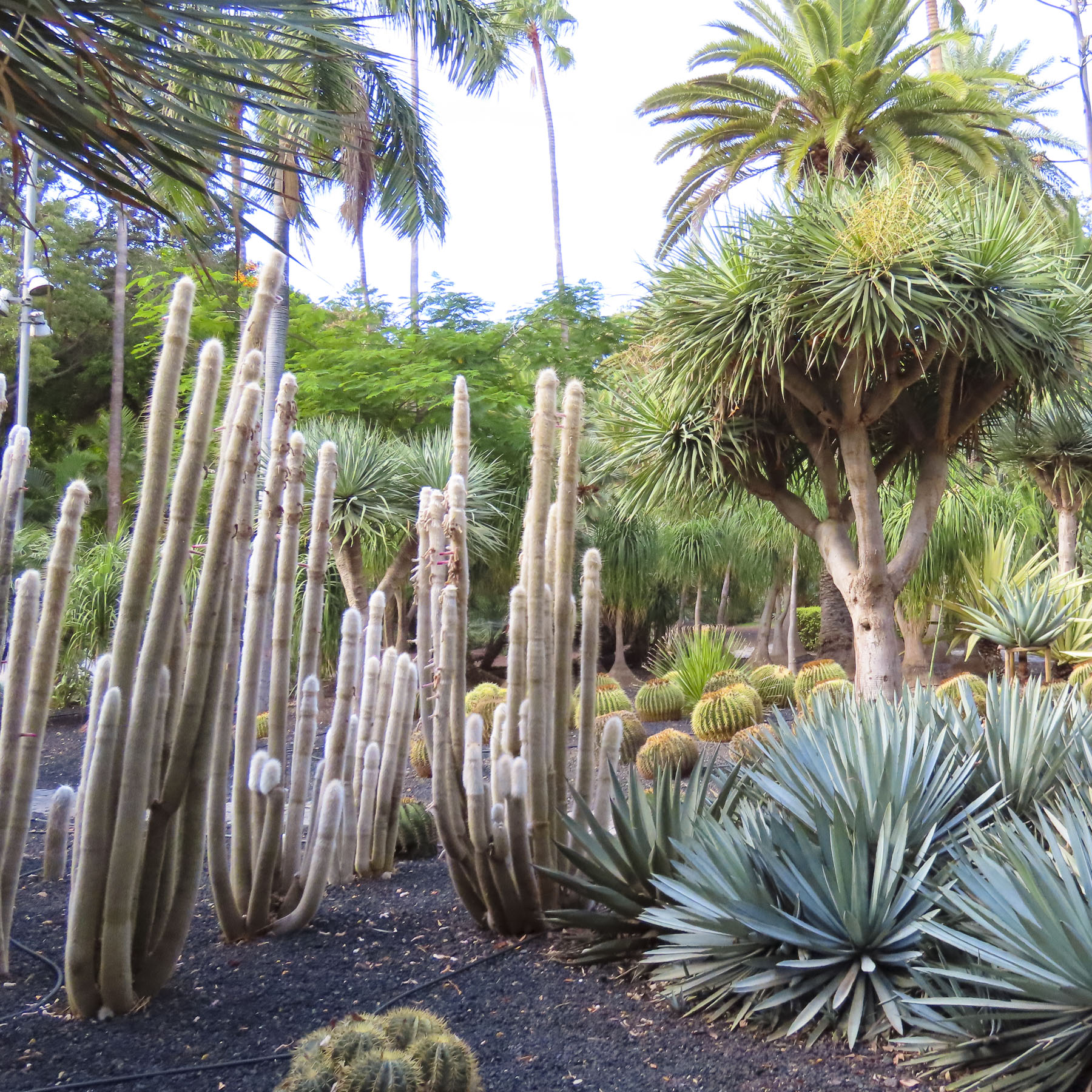
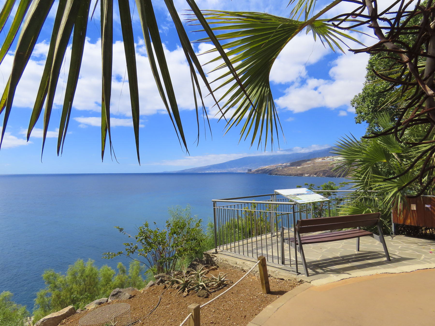
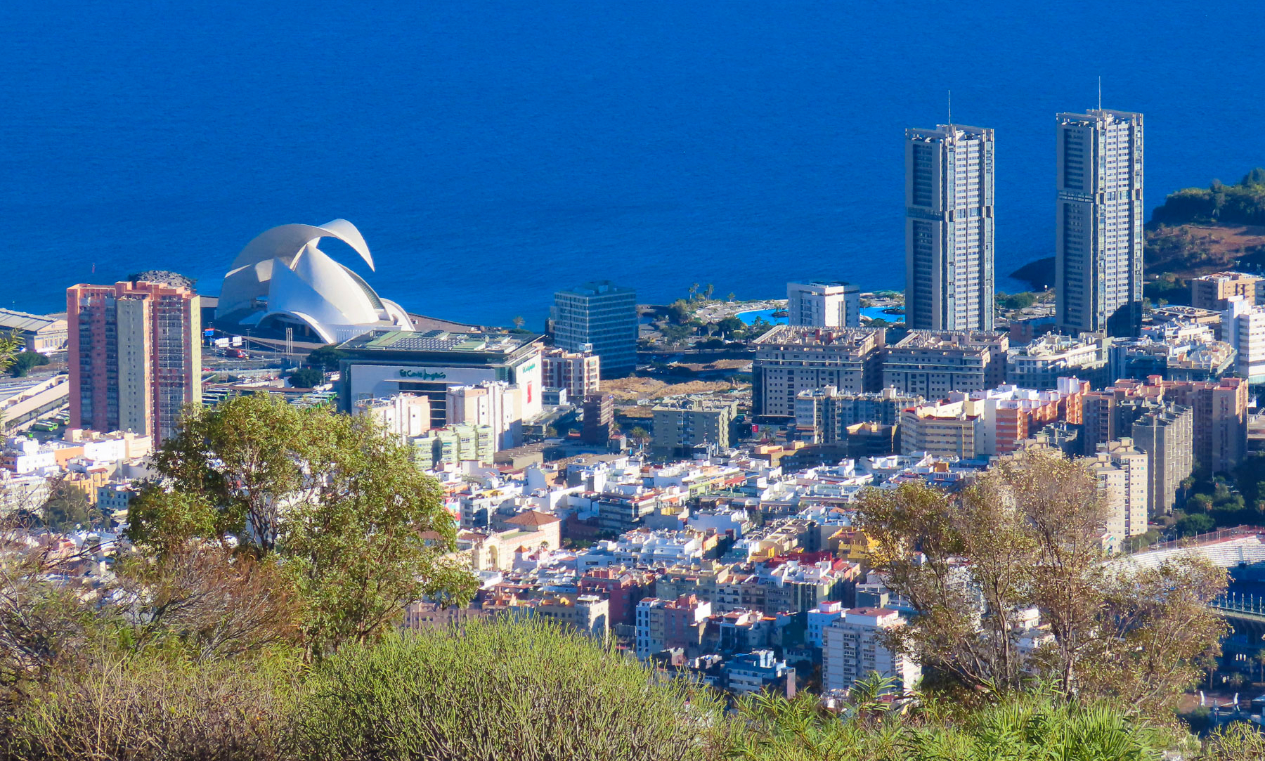
Reaching the Mirador Caribe at the Palmetum, we were rewarded with an expansive view of the city and Auditorio de Tenerife.  A botanical garden, the Palmetum was started in 1995 atop 30 acres of reclaimed land that was once a landfill. Now it’s filled with nearly a thousand palm trees gathered from around the world. It’s a spectacular place.

Playa del Médano

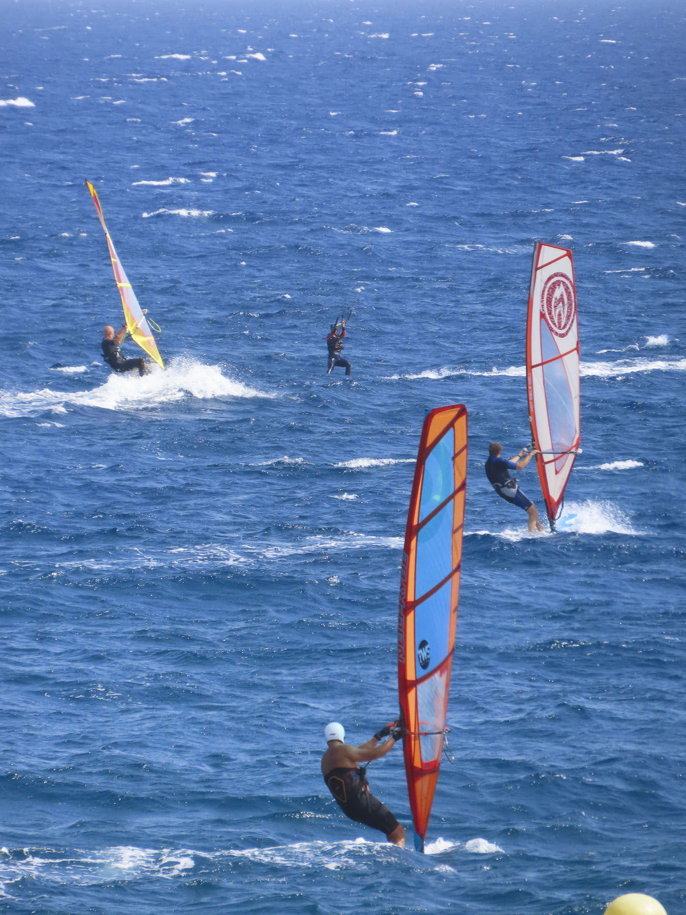
For our last full day on Tenerife we headed to El Médano to be nearer the airport for our flight the following morning. Arriving late in the afternoon to Playa del Medano, we entertained ourselves watching wind and kite surfers speed across the whitecaps. The more experienced kiters crested the waves and performed aerobatics before splashing back into the sea. Closer to town, families favored the gentler waves, wider beach, and a view of Montaña Roja volcano on the horizon. Tables at eateries along the boardwalk were quickly filling as the golden hour approached. A crescent beach, gentle waves, good wine and delicious seafood – is there a better way to end the day? We’ll miss Tenerife.

We hope you found the photos inspirational for planning a trip to Tenerife.

Till next time, Craig & Donna

Tenerife Part 4: Pico del Teide, La Orotava, Puerto de la Cruz & Beyond

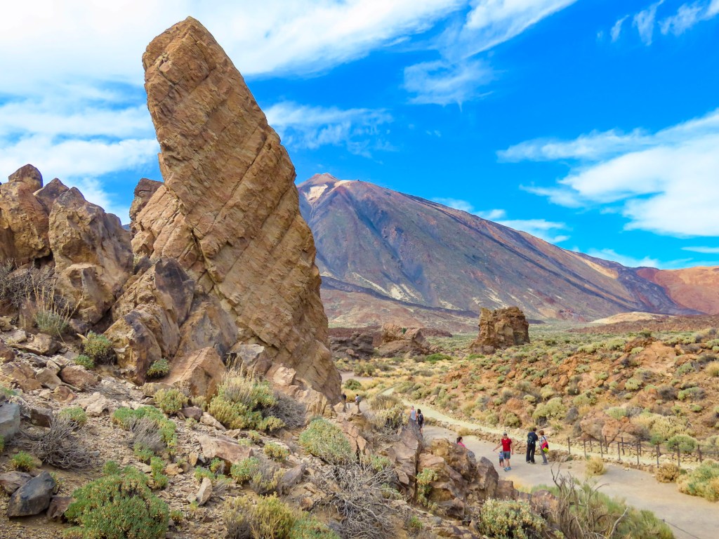
The silhouette of the ancient volcano mesmerized us. Even in the dark blues and blacks of the night the volcano’s majestic silhouette loomed large above Icod de Vinos. Later the moon rose and contributed a magical otherworldliness to our vista. During the winter when its 12,000 ft summit is snow covered and there is a full moon, it’s said to shine like the beacon of a lighthouse that can be seen from the coast of Morocco. The aboriginal Guanches believed Pico del Teide held up the sky and placed offerings on the volcano’s slopes to appease Guayota, an evil deity they believed responsible for its volcanic eruptions. We made our own photographic pilgrimage to Teide as we drove to the Hotel Alhambra in La Orotava, our base for the remainder of our vacation. Though not the most direct route from Icod de los Vino to La Orotava via Pico del Teide it was, I can assure you, the most interesting.

Teide is still considered an active volcano and while its cone hasn’t erupted in the last 850 years, side vents on its slopes have spewed destructive massive lava flows across its slopes in 1492, which Columbus noted in his logbook as he sailed on his maiden voyage of discovery, 1704,1705, 1706, 1798 and 1909. Our route on TF-5 cut across the lava field left from the 1909 El Chinyero vent eruption. Now over one-hundred years later new growth pines are just beginning to emerge from this carnage. Their verdant green needles, a refreshing sign of life in an otherwise barren landscape. Crossing the ridge of the mountains we descended into Santiago del Teide. The main road was lined with several inviting spots to stop for café! (We didn’t realize at the time, but this was also our last chance for lunch, as many places normally open in high season are closed or only open on the weekends in the shoulder seasons.)

After coffee we visited the town’s church, Parroquia de San Fernando Rey. It’s a small, whitewashed structure constructed in the late 1600s and has an interesting collection of religious art. Across the street stands a life-size statue called “the brave Guanche,” dedicated to Alonso Diaz, a goatherd, who in 1509 stood up for his rights and successfully petitioned Spain’s King Fernando the Catholic for justice, after 200 goats were stolen from him by a Spanish conquistador. By royal decree the goats were returned.

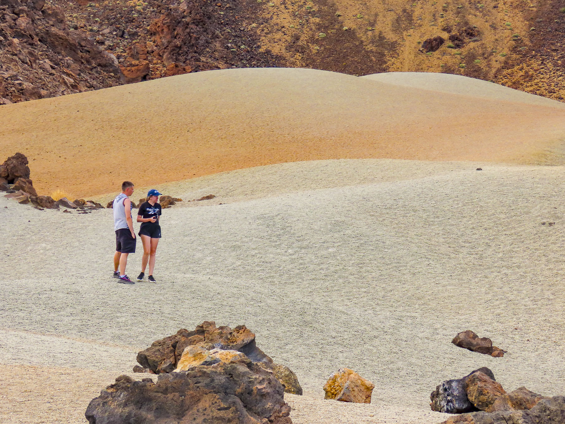
Venturing into the foothills, our drive continued along TF-38 and traversed an ever-changing, diverse bio-system as we left the arid shrub-covered lowlands behind and climbed into hillsides covered with pine forests. It was a well paved but narrow serpentine road, without any shoulder, that required constant vigilance. The mouths of ancient lava tunnels were visible from the road, but there was no room to pull over and stop for photos until we reached the Mirador de los Poleos. Here the raw beauty in these charcoal-colored landscapes flourished beneath the Chinyero Volcano, and we had a chance to walk across the lunar-like terrain, part of the immense lava field from its 1909 eruption. Dotted with huge boulders, it was difficult to comprehend the ferocious forces required to expel these massive rocks from their subterranean origin.

Continuing on, we had encountered what we thought was fog until, to our surprise, we emerged above the clouds at Mirador de Samara.

This area is also very popular for hiking, with many very obvious trails crisscrossing through a young forest emerging from the volcanic soil left from Pico Viejo’s last, 92 days long, eruption in 1798.

Approaching noon, we turned toward Vilaflor, the highest village, at 4600ft, on Pico del Teide’s southern slope and surrounded by vineyards. The surrounding wineries produce some of Tenerife’s best wines from Listán Negro, Malvasia, Negramoll, and Listán Blanco grapes. And are embodied with a distinctive terroir from the warm climate and fertile volcanic soil. The weather had suddenly turned gray and dreary. More frustrating though, the wineries we had planned to visit were closed mid-week during the shoulder season. Fortunately, we happened upon Mar de Nubes, a craft store and café run by a friendly young married couple from Tenerife and the States. The shop features only handicrafts made by Canarians and local wines and artisanal beers. Of course, we shopped.

Beautiful, inhospitable, Death Valley-esque, lunar or Martian, however you choose to describe the varied topography that surrounds Pico del Teide’s, it’s enthralling and fascinating. So much so that filmmakers have used the location for scenes in several block buster films: One Million Years B.C. – 1966, Planet of the Apes – 1968, Clash of the Titans – 2010 and its 2012 sequel Wrath of the Titans, and in 2023 the Last Triala, a Star Wars fan film.  TV episodes of Doctor Who, The Dark Along the Ways and season 2 of The Lord of the Rings: The Rings of Power have incorporated Tiede’s environs into their productions.

Driving back up the mountain we continued on to view the large sculptural outcroppings at the Mirador de La Ruleta and the desert-like dunes of the Siete Cañadas hiking area, before following the long downward grade of the road to La Orotava. We speculated that if you dropped a soccer ball at the top of the slope, it would bounce downhill continually until it splashed into the ocean at Puerto de la Cruz, roughly 23 miles away. Our route along TF-21 cut through forests ravaged by the wildfires of 2023. The blackened trees were the only scars in the otherwise pristine wilderness of the Tiede’s northern slope in Parque Natural Corona Forestal.

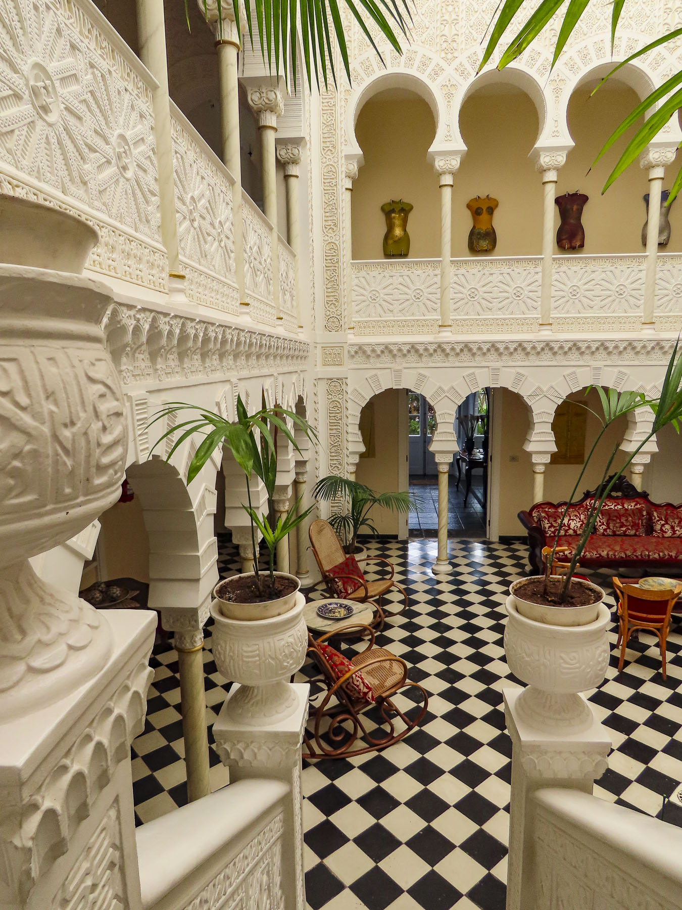
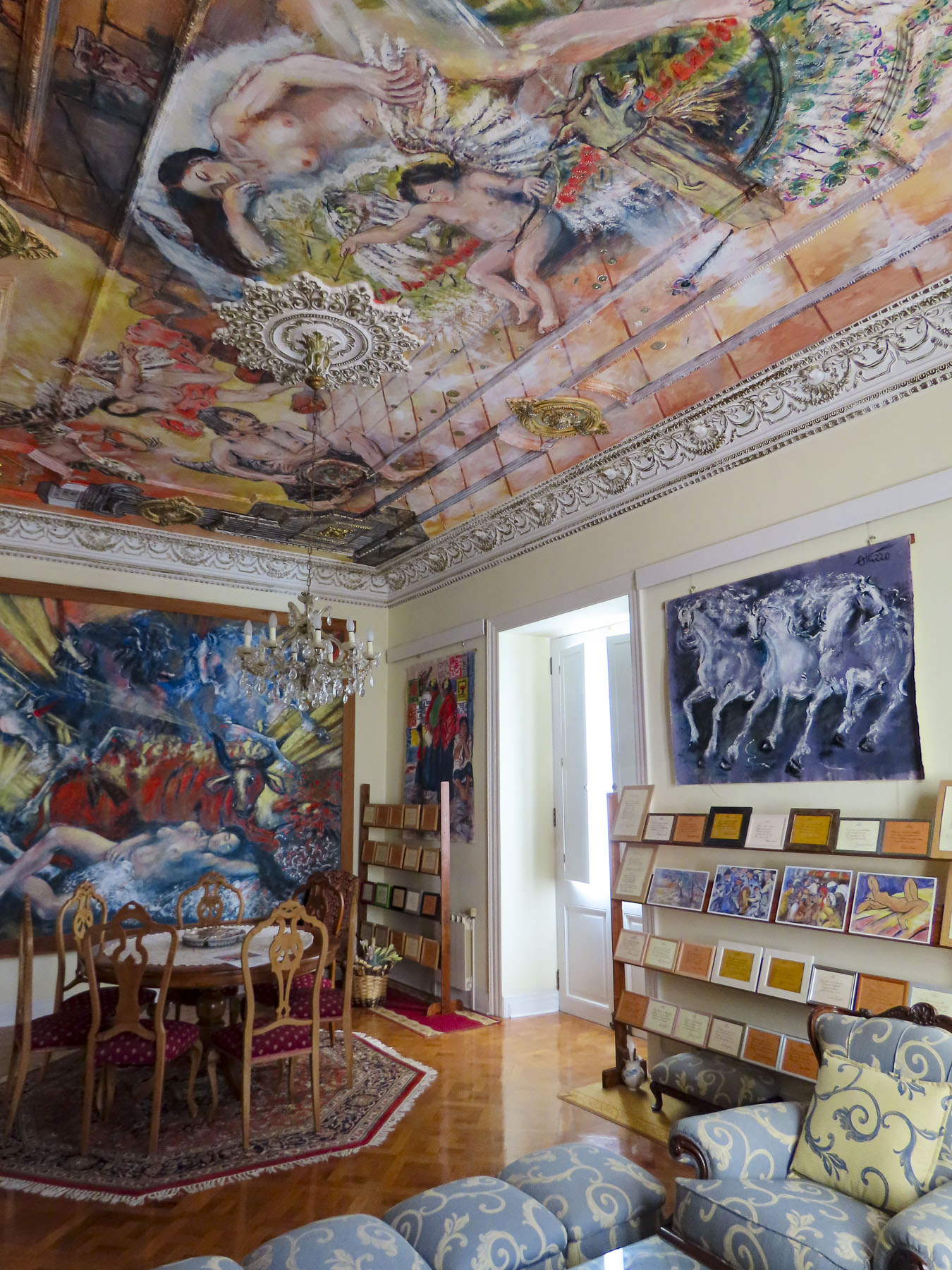
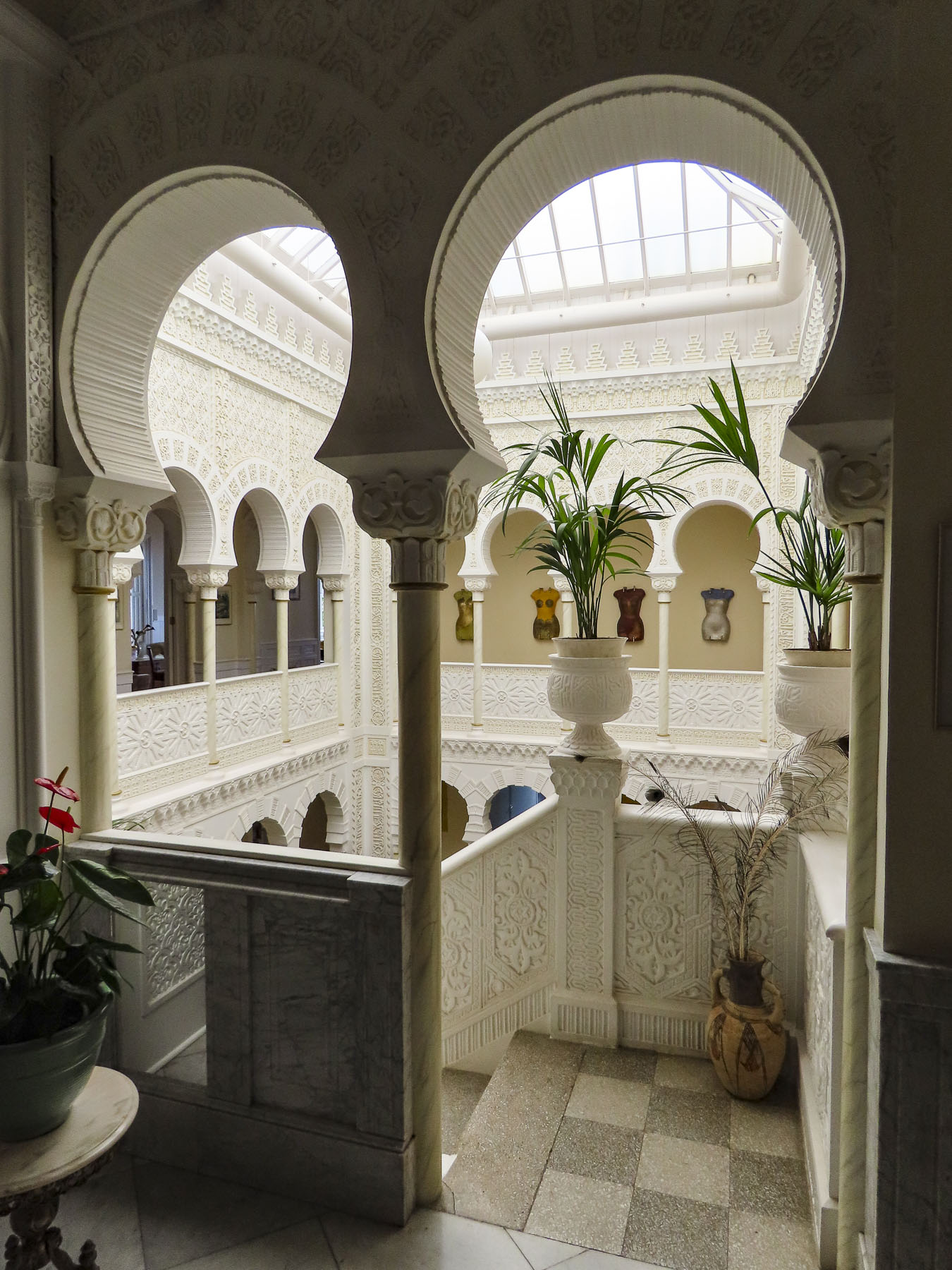
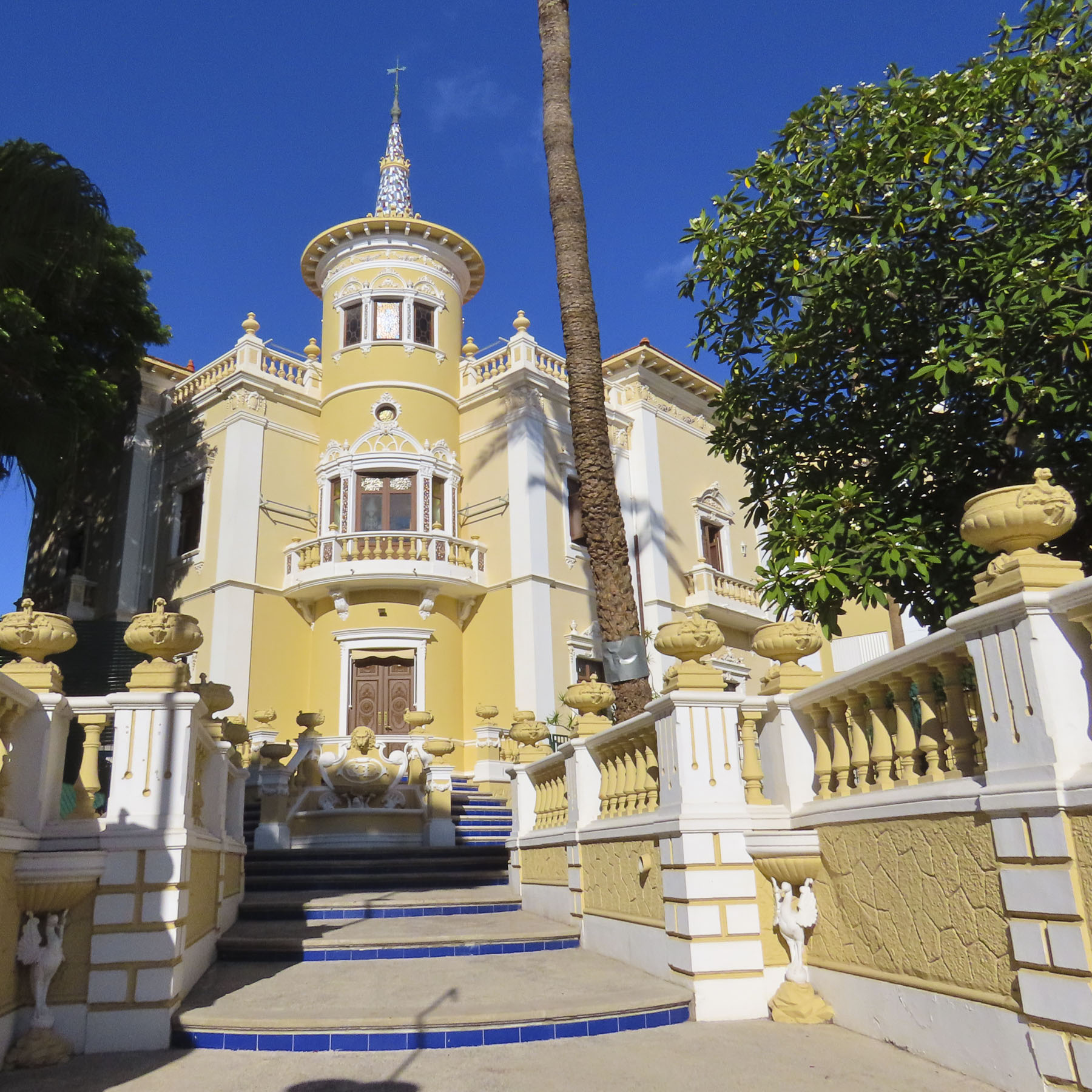
Late in the day we coasted into our parking space in front of Hotel Alhambra. Parking on the streets in La Orotava is free, but it’s a competitive sport. We chose to stay at this hotel for its distinctive architecture and location in the historic center. While the exterior of the 500-year-old dwelling is quietly classical, the interior walls of its Canarian-style courtyard were beautifully transformed in 1925 with intricate floral and geometric Nasrid art designs, created with gebs plasterwork and enclosed under a high glass roof. An eclectic decorating theme is highlighted with frescos by Maestro Antonio Otazzo, a local self-described painter, sculptor, musician, philosopher, and poet. As if being followed by a friendly giant, Pico del Teide was in our line of sight when we opened the shutters on our room’s window.

La Orotava was rather easy to walk around if we were walking across the slope, but after several days our hamstrings and calves were sore, though our butts were firmer. “Walk a little then café,” as we say was the perfect approach to exploring this wonderful town.

Along with San Cristóbal de La Laguna, it’s considered to be one of the prettiest towns on Tenerife.

Getting to the higher points in town we asked the hotel to call for a cab, for a quick ride to the Jardines del Marquesado de la Quinta Roja. Once part of an estate, it’s named after the noble interred in the park’s marble mausoleum; as a member of the Masonic Temple his family was not allowed to bury him in the town’s catholic cemetery. Constructed in 1883, the garden is a beautiful French-style, terraced, formal garden with a view over the town and the distant sea. A smaller but older (1788) sister park next to it, the Hijuela del Botánico, features a towering dragon tree and other plantings of specimen trees collected from Spain’s former colonies.  And if you are in awe of dragon trees, as we are, the Villa de La Orotava Dragon Tree Tour might be for you.

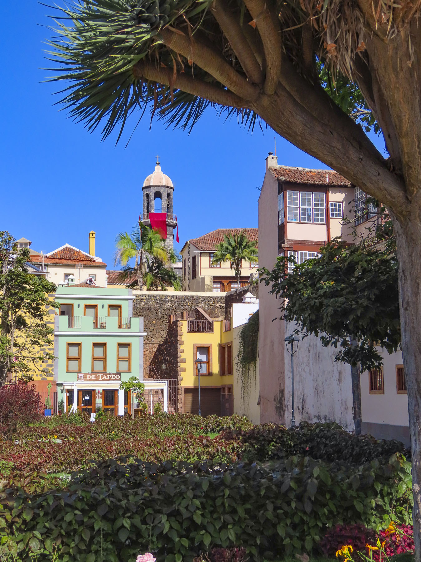
From the gardens we wandered downhill along cobbled lanes, past wonderful examples of colorful Canarian architecture, into the historic old town, which is centered around the Nuestra Señora de la Concepción. Started in 1516, it is the town’s oldest and largest church, with its colorful dome giving the town its iconic skyline.

But La Orotava’s history starts early in 1496 with the final defeat of Tenerife’s aboriginal Guanches at the battle of Aguere, after which their leader committed suicide by jumping off a cliff in nearby Tigaiga. “To the victor go the spoils,” and the fertile lands of the Guanche kingdom of Taoro were awarded to the nobles, conquistadors and financiers who participated in the Spanish victory.

The rich soil of the hillside was perfect for the cultivation of sugarcane and the steep streams from the mountain were soon harnessed to run sugar and lumber mills. Prosperity followed. Ice from Mt. Tiede chilled the drinks of the town’s wealthy.

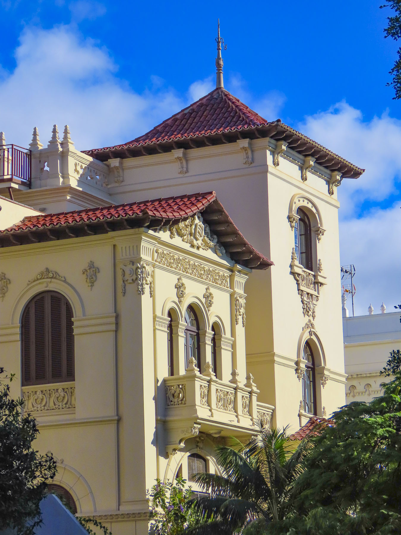
Landowners and merchants built large family mansions in a style which would become known as Canarian, which feature interior courtyards and distinctive facades with decorative wooden balconies and the family’s Coat of Arms prominently facing the street. Convents housed the daughters from families that didn’t want to diminish their wealth by paying the dowry for the girls’ wedding, as was the custom of the time. 

Vines and wine replaced sugar cane and ruled the town’s economy in the 17th century. In the mid-1800s, the textile mills of Europe were searching for different dyes, and mealybugs or cochineal were bred in cactus around La Orotava and harvested to obtain a crimson dye, produced from an acid that the bug makes to fight off predators. Since the late 1800s, vast banana plantations thriving on Tenerife’s mineral-rich volcanic soil continue to bring prosperity to the island and La Orotava, enabling the community to restore its historic buildings.

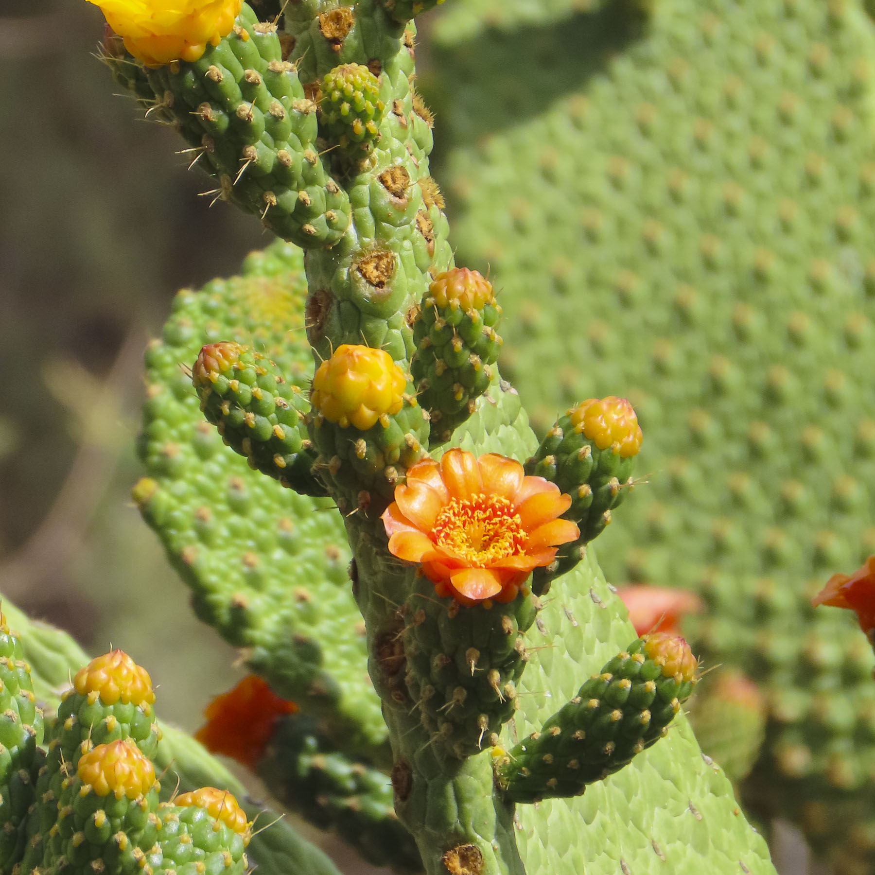
Not wanting to miss anything on Tenerife, we planned day trips from La Orotava around visiting coastal miradors and following any whims along the way. The Mirador Punta Del Hidalgo was not our favorite photographic destination, but we did enjoy stopping at the crescent shaped, black sand beach at Playa del Arenal in Bajamar, and a farmer’s market, Mercadillo del Agricultor in Tacoronte. Here we purchased some pastries for a snack and some Tuno Indio juice made from the purple fruit of the Canarian Red Prickly Pear. The cactus was brought to the Canary Islands from the Americas centuries ago and has been used in Canarian folk medicine to lower blood sugar and treat other ailments. It also has antiviral, anti-inflammatory, antioxidant, and anti-ulcerogenic properties. It tastes pretty good.

Afterwards we headed to the Mirador La Garañona in El Sauzal. Set dramatically atop a 1000ft sheer cliff, there’s a tremendous view of the coast below. And the park’s shaded paths led to a delightful small café perched at the cliff edge. We lingered and soaked in the view.

On the way to the mirador, we whizzed passed a small neighborhood restaurant set by itself on a corner, and decided to try it on our return trip. But first we had one last stop to make on the way at the Iglesia de Santa Catalina. It’s a classic, white-washed church from the early 1500s and picture perfect with its magnificent dragon tree in front.

Lunch at Restaurante el Calvario was delightful, with excellent house wine and menu featuring traditional Canarian dishes. A young friendly staff, tolerant of our poor Spanish, contributed to a very enjoyable afternoon.

Puerto de la Cruz, just down the hill from La Orotava, was the destination for our last day trip. Originally a small fishing village, the town grew in importance after the main harbor on the north coast of Tenerife in Garachico was filled with lava from a 1706 volcanic eruption. Close to La Orotava, it also benefited from that town’s thriving economy, with the export of sugar, wine and bananas from its port. It has been a popular vacation spot since the Victorian era. Now it attracts visitors and expats from across Europe, drawn to its cosmopolitan vibe, wide beaches, quaint historic center, numerous parks, and vast array of restaurants.

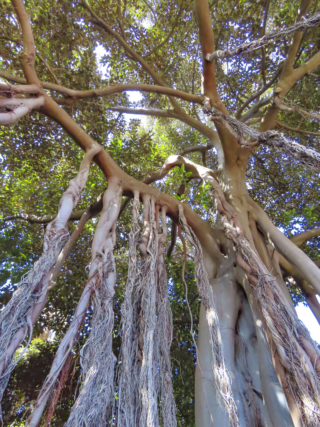
Giant three-hundred-year-old fig trees, planted when the park first opened in the 18th century, are king here. Shaded pathways thread through a cornucopia of verdant jungle, flowers, and water garden. We enviously wished that we could grow everything in our garden at home.

In the historic center we had coffee across from the majestic Iglesia de Nuestra Señora de la Peña de Francia and afterwards were able to catch a glimpse of a bride and groom taking their vows. Their antique wedding car waiting under gently swaying palm trees on the plaza in front of the church.

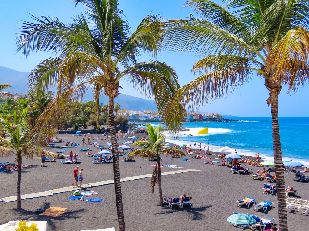
The waterfront in Puerto de la Cruz is beautiful and there are numerous beaches and tidal pools along the coast where you can swim. We strolled along the promenade above the black sand beaches at Playa Maria Jiménez, and Playa Chica to El Castillo San Felipe, a small block fortress built in the 1600s to prevent pirates or the British from landing on the beach here. We lunched along the boardwalk under umbrellas just yards from the surf.

Stopping at the Mirador Roger Piedra Gorda and Mirador Roque Grande rounded out the afternoon. Though parking was a challenge at both spots, we think the effort was worth it for the dramatic seacapes we viewed.

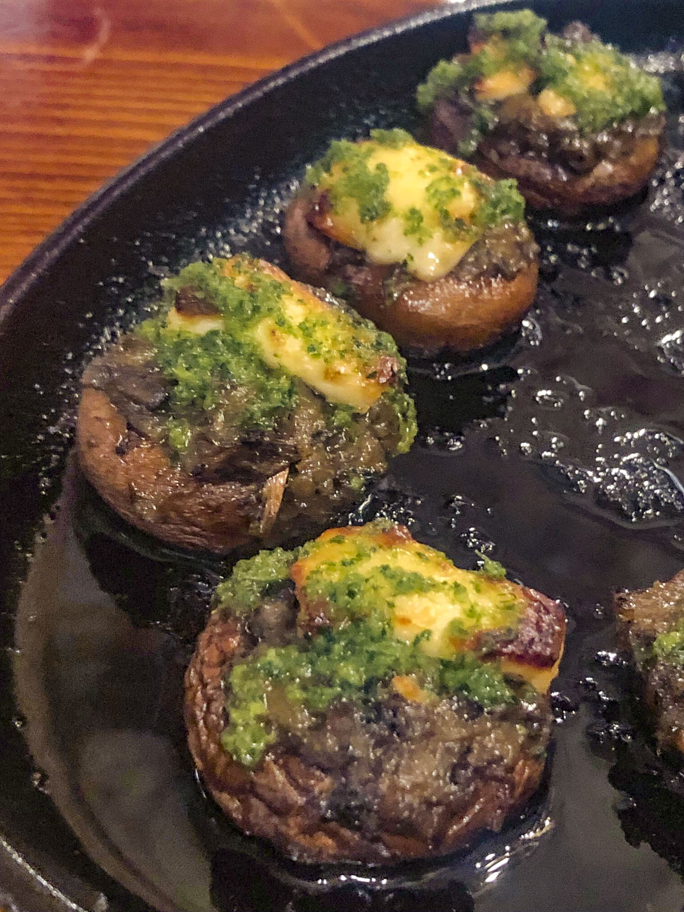
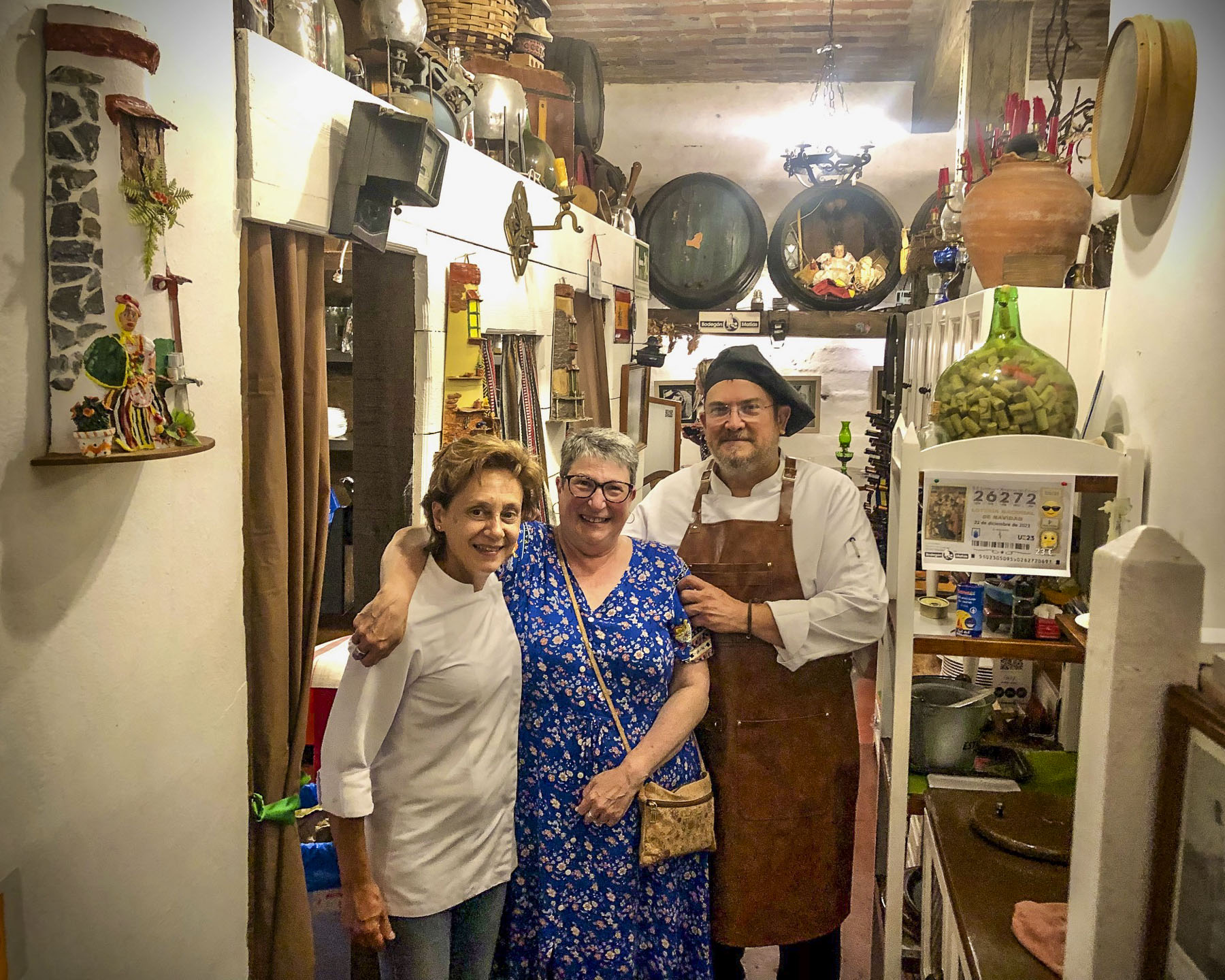
That evening we drove up into the hills above La Orotava and enjoyed a great meal at Bodegón Casa Matías. It’s a rustic establishment, decorated with wine barrels and antique farming tools to acknowledge the history of the region. The chefs and owners, a vivacious husband and wife team, are part of Tenerife’s farm to table movement, sourcing only local meats, including rabbit and goat, fish, cheeses, and seasonal vegetables for their traditional Canarian recipes.

For our last full day on Tenerife, we headed to El Médano to be nearer the airport for a flight the following morning. Arriving late in the afternoon to Playa del Médano we entertained ourselves watching wind and kite surfers speed across the whitecaps. The more experienced kiters crested the waves and performed aerobatics before splashing back into the sea.

Closer to town, families favored the gentler waves, wider beach, and a view of Montaña Roja volcano on the horizon. Tables at eateries along the boardwalk were quickly filling as the golden hour approached.

A crescent beach, gentle waves, good wine and delicious seafood – is there a better way to end the day? We’ll miss Tenerife.

Till next time, Craig & Donna

Tenerife Part 2: Icod de los Vinos or Colonial Charm, Dragon Trees, and Miradors

Departing Santa Crux de Tenerife, we drove along the TF-5 towards Icod de los Vinos, our base for the next several days as we explored the lower part of the north side of the island. A compass orientation doesn’t accurately describe how Tenerife is split into north and south regions, but Pico del Teide and its rugged highlands roughly divide the island into the dryer South, which faces Africa and catches the westerly blowing Sharqī, a hot wind from the Sahara, while the North of the island is shielded by Pico del Teide from the hot winds blowing west from Morocco, is wetter from Atlantic Ocean storms.

We are not really resort and beach people; there’s that getting sandy issue that deters us. We do enjoy a close proximity to the ocean and beautiful seascapes, both of which were easily attainable on the north side of Tenerife. We figured that the best way to do this was to chase miradors. And there wasn’t any shortage of them on the island. We figured enroute to them we’d pass other wonderful discoveries that would spur us to detour and investigate, rounding out what we saw of the island.

Set on a steep hill, the restaurant La Barada, just a short distance off the highway, was our first stop. Though technically it’s not a mirador, it is a popular place due to its glass pier that is cantilevered dramatically out over the countryside from the restaurant. It offers an amazing bird’s eye view of the coast with Pico del Teide in the distance. The food was also very good and the terrace was alive with boisterous activity the afternoon we stopped. 

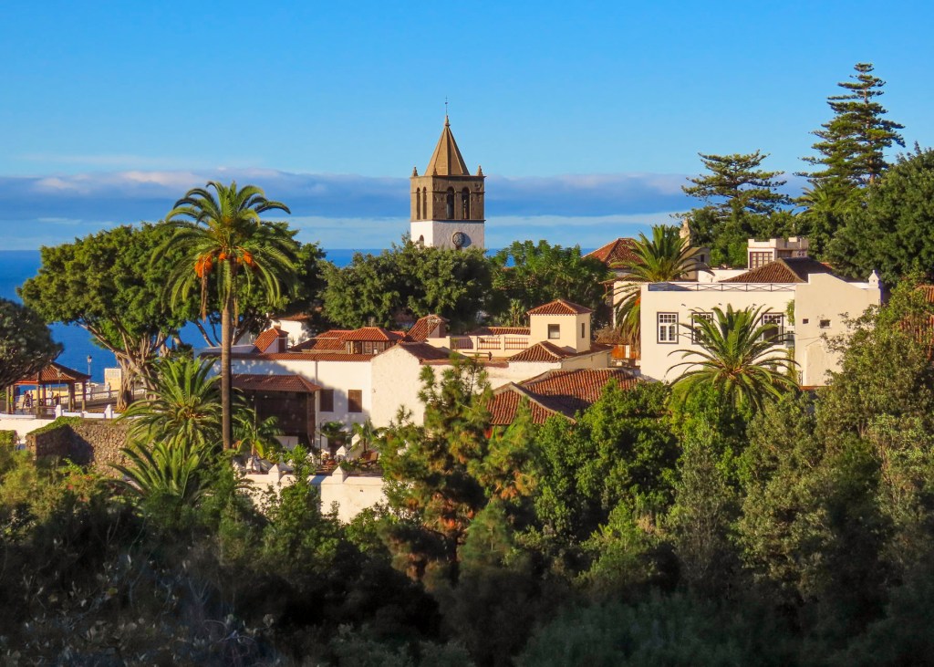
We arrived late in the afternoon to our lodging at Hotel Emblemático San Marcos in iIcod de los Vinos. Located on a steep narrow street, it was a challenge to park close to the buildings on the driver’s side and still have enough room to get out of the car, but the parking was free and right in front of our hotel. Built in the early 1700s as a private mansion, it exemplified typical Canarian architecture of the period with its courtyard and meticulously crafted interior, rich with polished wood. The view from our room over the red tiled roofs of Icod extended to the sea.

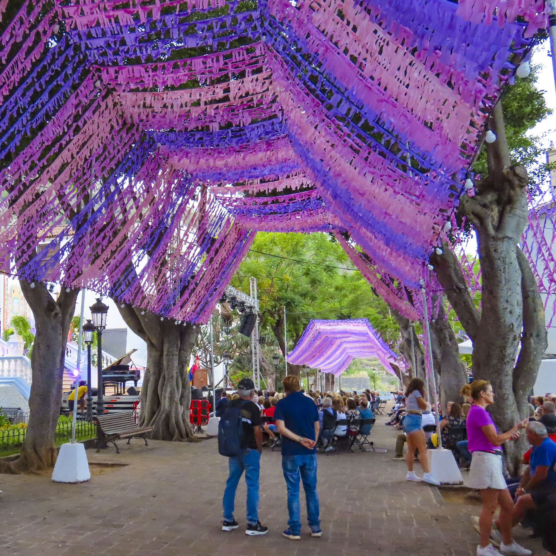
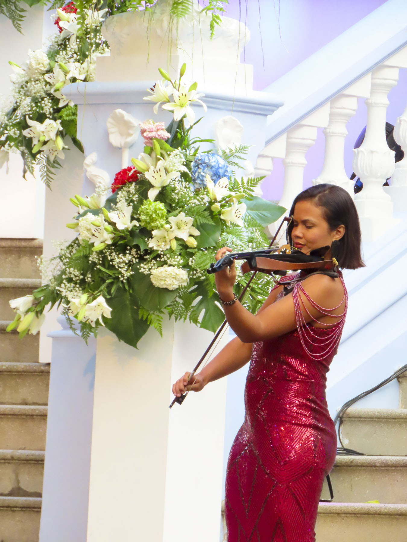
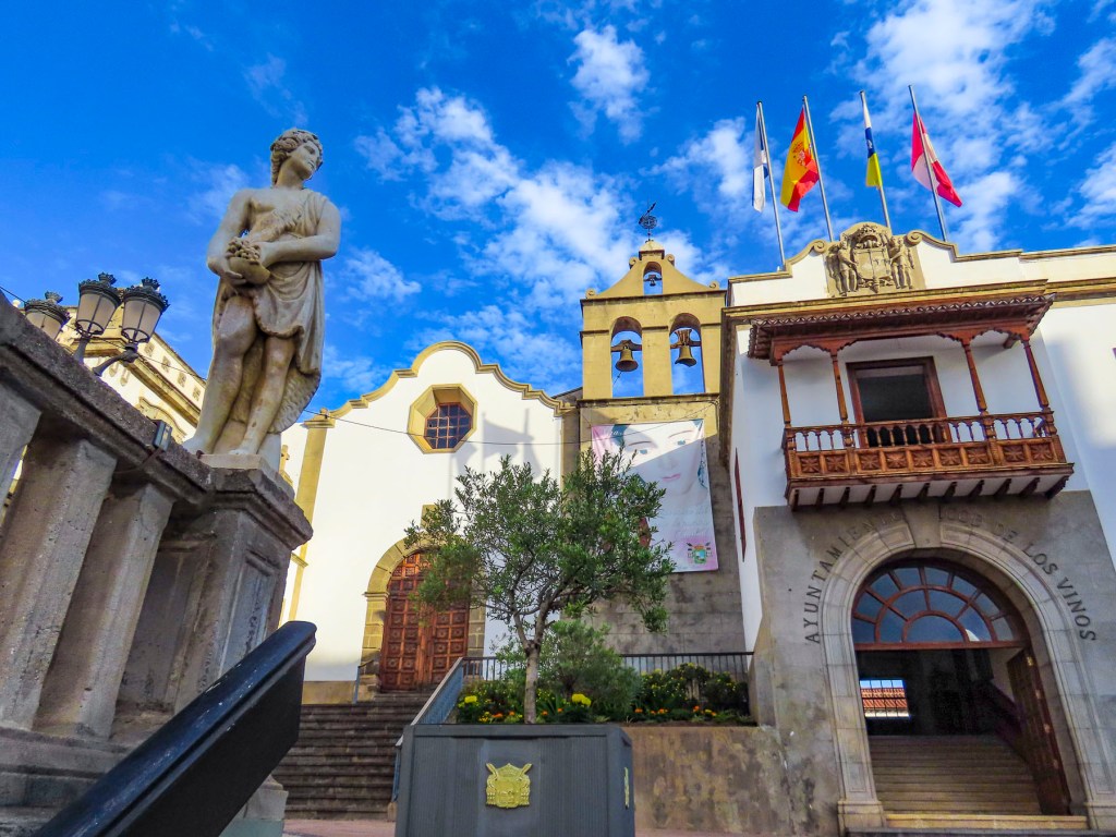
Still early in the evening, we headed uphill to explore the historic center of the town and to our delight happened across an outdoor concert in the festively decorated plaza next to the Iglesia Mayor de San Marcos. The performances were part of the town’s September’s month-long Christ of Calvary celebrations. Legend says that when the conquistadors first landed on the beach here in the late 1400s they discovered a statue of San Marcos awaiting them. A fortuitous omen that promptly required a church be built. A century later the church was beautifully expanded to what it is today.

As the evening was darkening, we caught our first glimpse of El Drago Milenario. Believed to be 1000-years-old, it is the largest dragon tree on Tenerife. With over 300 branches, and a circumference of 66 feet, it’s a lofty 70 feet tall.

Beloved by the folks of Icod de los Vinos, the tree’s image is included on the town’s coat-of-arms along with Mount Tiede which also towers over municipality.

In centuries past trees harvested from the mountain’s slopes were sledded down the steep ancient roads of the old town, all the way to the harbor, where prosperous shipbuilders used them in the construction of naval vessels that participated in the ill-fated Spanish Armada of 1588. This unique sledding tradition is still kept alive every November with the La Fiesta de las Tablas, when younger folks speed down Plano Street on tablas, polished planks of wood, that often become airborne with their riders when they hit bumps in the road. Unfortunately, we did not witness this fiesta, but the video clips on YouTube are amazing. The cleared slopes around the town now host orchards, vineyards and banana plantations.

That evening we watched the climax of the festival – a spectacular fireworks display – from the balcony of our room. Throughout the night church bells continued to ring out loudly at odd times with seemingly random numbers of chimes. A curious oddity at the end of a wonderful day.

The weather was brilliant and the next morning we set out to visit the Mariposario del Drago, a large glassed enclosed tropical greenhouse that has a butterfly breeding program. Being gardens we find butterflies very entertaining. The experience here was delightful, and elicited smiles from everyone when a butterfly landed on them.

Across the street from the Mariposario, the El Drago Milenario stands behind a high walled and gated fence. The small admission fee to the park is well worth it to support the town’s effort in keeping this goliath of a tree alive. But, if you’d rather skip the expense and put it towards coffee or lunch, there’s an enticing café named Casa del Drago, with a good view, right next door. Farther uphill along Calle San Antonio there is Drago junior, a magnificent younger dragon tree that, according to legend, the town seized from its owner when he tried to cut it down in a fit of rage.

Fortunately, this part of the historic town center is relatively flat and the walking was easy as we headed back to admire the plaza around the Iglesia Mayor de San Marcos in the daylight and the church’s 16th, 17th, and 18th  century religious art.

Afterwards we strolled along the town’s old lanes until we reached city hall and the Iglesia de San Agustin, both of which are dramatically set on a small plaza at the top of a set of ancient stairs. The church dates from the late 1500s and was originally part of the first convent built in the town by the order of Los Augustinos.

The road to Playa de San Marcos in the harbor of Icod is spectacular with views of the coast. It was here, in this sheltered bay, one the few natural harbors on Tenerife’s north coast, that the Saint’s venerated statue was discovered in a cave along the cove.

We found it best to just find a place to park and then walk to the vantage point that interested us. During the September shoulder season when we visited, tourists were scarce and finding parking was relatively easy.

Early the next morning we headed towards Puerto de Santiago on a route that took us to the mountain ridge above Icod. The final destination of the day would be the isolated village of Masca. A serpentine drive from Icod led to a hairpin turn that fed us into Vieja a la Vega, a very narrow steep lane, but really more like an alley lined with homes. This was one of the steepest roads we’ve ever encountered, requiring us to downshift to second gear for the long and seemingly endless ascent to the main road at the top. Fortunately, we didn’t encounter any cars coming downhill, as there was literally no room to pass. At the top we intersected the TF-5 and followed it through an old growth forest covered with stately pine trees. Continuing on, the road traversed a Martian like landscape. A huge lava field that was the result of Volcano Chinyero‘s last eruption in 1909. The terrain became noticeable drier as we crossed the mountain and descended into Santiago del Teide.

The roads to Pico del Tiede, Masca, and Puerto de Santiago converge here, making it the perfect spot for a café break before continuing down to the Mirador Archipenque to view Los Gigantes, a stretch of tall cliff face that dramatically rises straight up from the sea.

From here you can also see two of the other Canary Islands, La Gomera, and La Palma on the horizon.  For centuries Santiago was a quaint fishing village, but it has embraced tourism and now draws folks enchanted by its natural beauty and striking location along the coast. Its harbor from November to February is also a popular hub for whale watching excursions to depart from.

Backtracking through Santiago del Teide we turned into the mountains and followed a long stretch of twisting and turning road to the Mirador de Cherfe. Sitting atop a mountain pass, it has expansive views to the sea. It was also one of the busiest miradors, with vendors selling lava trinkets, and many tourists stopping on the way to or from Masca, like us. Oh, the thrills of driving in the mountains of Tenerife were just beginning!

The isolated hamlet of Masca seems to be a mecca for folks wanting to get into the more remote parts of Tenerife. With limited parking options, we had to wait for a space to become available only to realize after we walked into the hamlet that all the restaurants were closed on Monday. Yikes!

With growling stomachs, we continued on. Starvation was thwarted in El Palmar at the Restaurante El Rincón La Abu, a wonderful establishment where we were the only customers late in the afternoon. The house wine and our meals, pork cheeks in sauce and chicken breast stuffed with serrano ham and spinach, were excellent. We appreciated that we never felt rushed to finish, but we did notice when we were getting into our car that they were locking up for the afternoon. When home our routine finds us having lunch late in the afternoon, but this wasn’t always possible on Tenerife where many of the restaurants close at 2 or 3pm and then reopen later.

It took us awhile to adjust to this earlier lunch schedule. Continuing on we stopped to observe the Montaña Zahorra, an ancient lava dome from which its fertile soil was quarried in the 1960s, 70s and 80s. The distinctive pie shapes of the excavations represented the individual owners’ mineral rights.  

Exuberant like rally drivers, we felt victorious from a day well spent and headed back to Icod de los Vinos to enjoy a glass of local wine on the balcony of our room and watch the moon rise over the foothills above the town.

Till next time, 

Craig & Donna

Tenerife Part 1: Santa Cruz de Tenerife & San Cristóbal de La Laguna: Old & New, Rugged Mountains & Seascapes

Bright sunlight filled the jet’s cabin as our pilot dipped the plane’s wing into a descending curve that revealed an arid rugged coast, bound by surf and azure waters. Tenerife! The walk to the car park under gently swaying palm trees was refreshingly balmy, a good omen for our visit.

Heading north on TF-1 in our rental car, views of picturesque small villages along the coast awakened our expectations for the days ahead. Our 14 days on Tenerife were divided evenly between stays in Santa Cruz de Tenerife, Icod de los Vinos and La Orotova, with multiple day trips planned from each town to explore the island in depth. Traveling during the September shoulder season, we were able to find some very good pricing for stays at the Iberostar Heritage Grand Mencey, Hotel Emblemático San Marcos, and the Hotel Alhambra.

Three hotels with distinctive character. Santa Cruz de Tenerife was our first destination, the island’s capital; it is a surprisingly large yet intimate, historic and cosmopolitan port city that offers ferry service to several of the other Canary Islands.

The volcanic seven island archipelago is closer to the coast of Morocco than the Iberian Peninsula. Discovered and populated by folks of Berber origin known as the Guanches around the 5th century B.C., It’s thought their indigenous Canary culture developed in isolation over the next 2000 years until Spain’s Age of Discovery sent fleets of ships south along the African coast in the early 1400s. In 1492, after sailing south from Spain, Christopher Columbus’s fleet of three ships and his intrepid explorers stopped in the Canary Islands to resupply their fresh water and food before catching the favorable, westward-blowing trade winds that carried them across a vast ocean to the discovery of the New World. Tenerife was the last island to succumb to Spanish rule in 1496 after the Guanches were forcefully defeated. For the next 400 years the islands played a crucial role in the colonization of the Americas, sending settlers to help establish Caracas, Buenos Aires, Montevideo, and San Antonio, Texas, along with exporting the first banana plants and sugarcane seeds to the islands in the West Indies. Potatoes and maize, new foods from the Americas, arrived first in the Canaries along with treasure ships laden with silver and gold destined for Spain. The importance of the islands to the Spanish crown was noted by the English privateer and favorite royal bad boy Sir Francis Drake, who found the weather so much more agreeable than England and attacked them in 1586 and 1595. Dutch privateers along with Barbary and French pirates also attacked the islands frequently.

Situated along the tree lined Rambla de Santa Cruz, with its wide pedestrian walkway that runs down the center entire length of the boulevard, the Iberostar Heritage Grand Mencey blended effortlessly into the beautiful 19th architecture that surrounds it. While parking on the street in Santa Cruz de Tenerife is free, there is tremendous competition in finding a space, so we opted to use the hotel’s garage during our stay. Fortunately, our lodging was only a fifteen-minute walk from the city center. It was an ideal location to explore the city from.

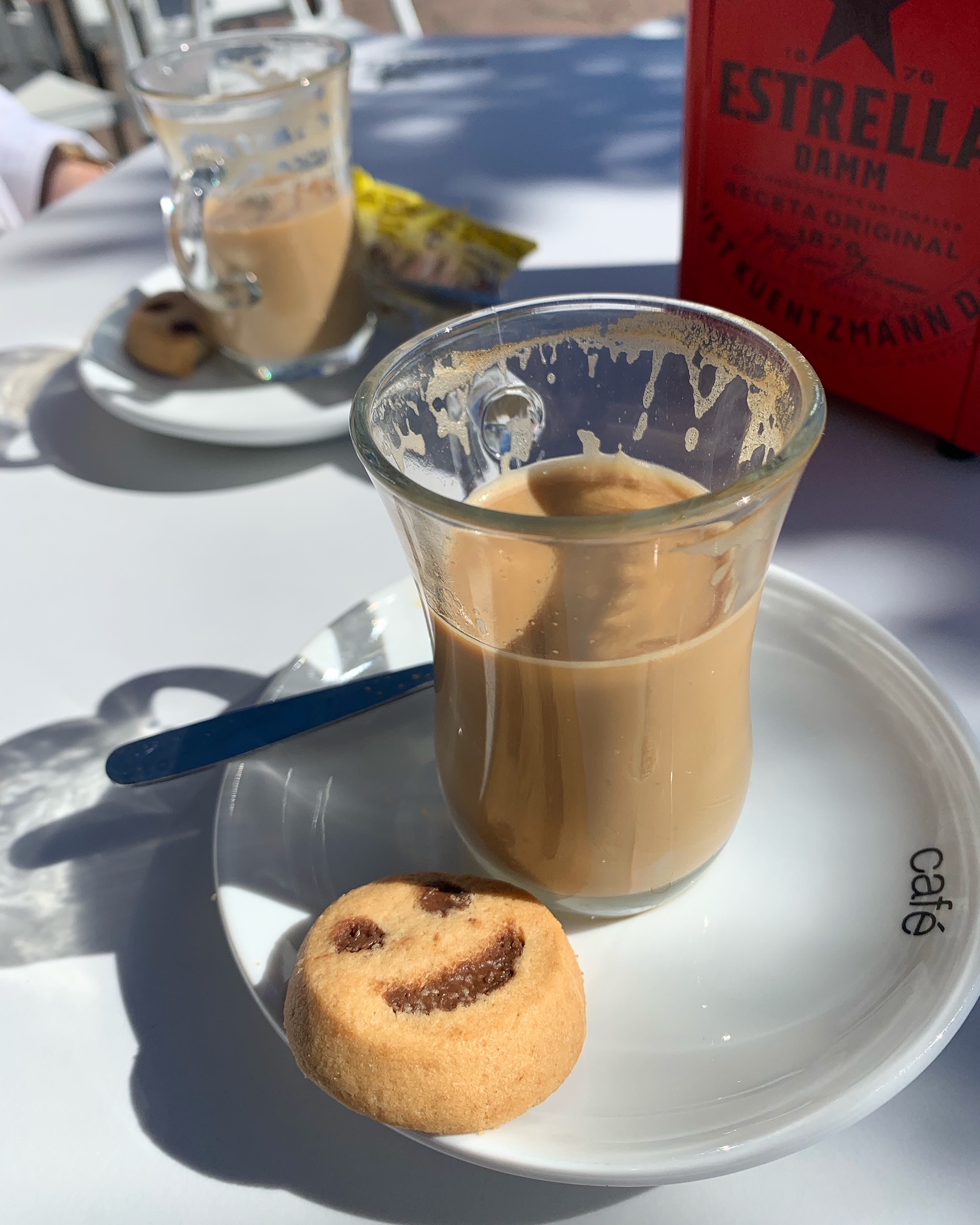
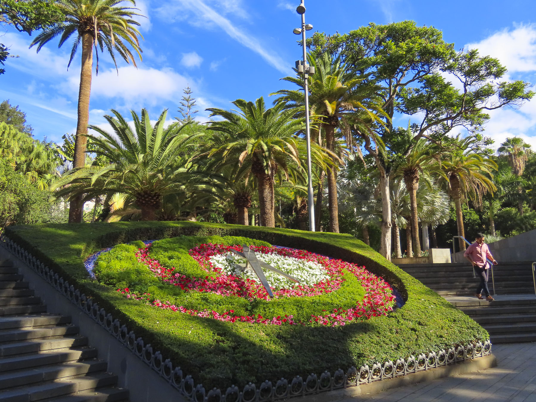
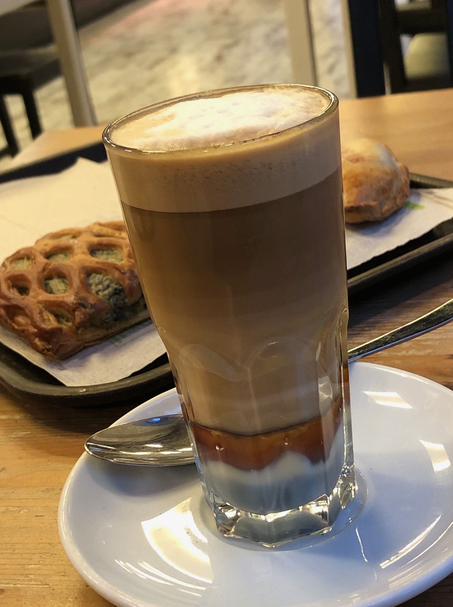
Adjacent to the hotel, the Parque García Sanabrias provided a tranquil sanctuary under a canopy of old growth trees. It’s a huge city park with different gardens, monumental sculptures, and several eateries, and is popular with folks seeking a place to exercise or relax. It’s here that we were first introduced to café leche y leches, a visually attractive layered coffee that was originally created in Santa Cruz de Tenerife early in the 1900s. Surely it was an act of divine inspiration that led to its creation at the Bar Imperial for a loyal customer who always requested the same special coffee. Made with whole milk, condensed milk, espresso, and cinnamon, its popularity quickly spread across the Canaries. Made with an additional shot of Liquor 43, it’s called a “Barraquito,” in honor of the customer who inspired the drink’s creation.

Walking through the city on the way to the harbor and the Palmetum one day revealed a vibrant combination of old and new. Beautiful historic buildings and grand sculptures dotted our route. We were surprised to find that the city also has a modern tramline, the Tranvia de Tenerife, that connects its outer neighborhoods and La Laguna to the city center and port area.

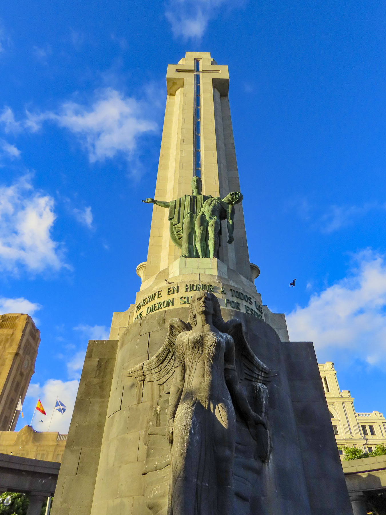
Reaching the Plaza de Espana, we paused to contemplate a tall obelisk, the Monument to the Fallen. A controversial piece today, it was erected in 1947 during the dictatorship of General Franco, and sadly dedicated to the victors in the Spanish Civil War. In 2019 a local government commission determined that the forced labor of political prisoners was used to construct it. And the “monument violates the Law of Historical Memory, and it needs to undergo a resignification process.” Nearby stands a contemporary sculpture called “Lo llevo bien,” or “I’m doing well,” by Julio Nieto, a Basque artist based in Tenerife. It’s a 16-foot-tall stainless-steel sculpture shaped like a humanized tree. A re-interpretation of Atlas carrying the world on his shoulders, Nieto’s piece symbolizes “the optimism of the human being, who, despite all his thoughts, carries it well.”

Looking back at the city from the park’s edge, the rectangular modern shapes of the city contrasted sharply with the jagged silhouette of the rugged Tenerife mountains behind them.

We walked along the waterfront to the Auditorio de Tenerife Adán Martín, Santa Cruz’s iconic landmark, an auditorium and arts center, designed by the Spanish architect Santiago Calatrava. Its ultramodern design reflects Tenerife’s prosperity and optimism for the future.

From there it seemed as if we were walking back through time as we passed the Castillo de San Juan Bautista, a short circular fortress constructed in 1640s to defend Santa Cruz from pirate and British attacks, and the Ermita de Nuestra Señora de Regla, a small church that dates from this era.

Reaching the Mirador Caribe at the Palmetum, we were rewarded with an expansive view of the city with Auditorio de Tenerife, and Parque Maritimo iCesar Manrique. A botanical garden, the Palmetum was started in 1995 atop 30 acres of reclaimed land that was once a landfill. Now it’s filled with nearly a thousand palm trees gathered from around the world and other plantings. It’s a spectacular place.

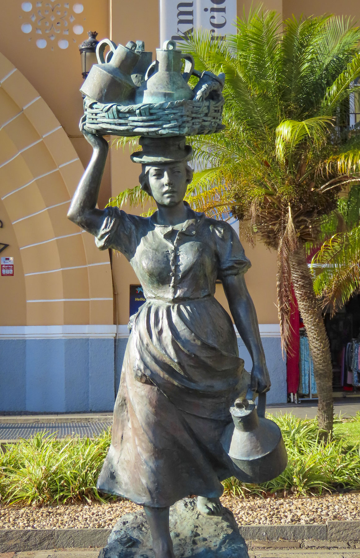
Heading back through the city, we stopped at the old-town market Nuestra Señora de Africa; it’s a sensory experience with colorful fruit displays, aromas of fresh baked goods and the clattering of commerce. Originally an open-air market, it was reconfigured in the 1940s. Built in a neo-colonial style, its arcaded shops and plazas attract locals and tourists. Outside the main entrance two statues reminded us of the old way of life on Tenerife when men still rowed heavy wooden boats through the surf to fish and women called Lechere would walk from village to village with baskets balanced on their heads, carrying jugs of milk to sell.

We finished our walk to the hotel down the wide pedestrian walkway in the center of Rbla. de Sta. Cruz, so we could get a better look at some of the interesting architecture that we passed when we first drove through town.

The weather on Tenerife can be fickle, sunny, foggy, rainy, and cloudy all within the same hour, as it was when we headed northeast early the next morning to the small village of San Andrés for breakfast, before visiting Playa de Las Teresitas, a wide manmade beach of imported yellow sand built behind a series of protective breakwaters. Across from the small café where we had breakfast under a threatening sky stood the ruins of Castillo de San Andrés, a small round fortress built to deter pirates from landing and ransacking the village and Santa Cruz. As British troops attempted to land in 1797 and seize Spanish treasure from the Americas, it’s believed a canon shot from this fortress wounded the famous Admiral Horacio Nelson, causing the amputation of one arm. This cannon is oddly on exhibit in the museum at the Castillo de San Cristobal in Santa Cruz. During the 18th and 19th centuries flooding from the stream next to the castle undermined its foundation causing it to split into almost even pieces, like a cake sliced in half.

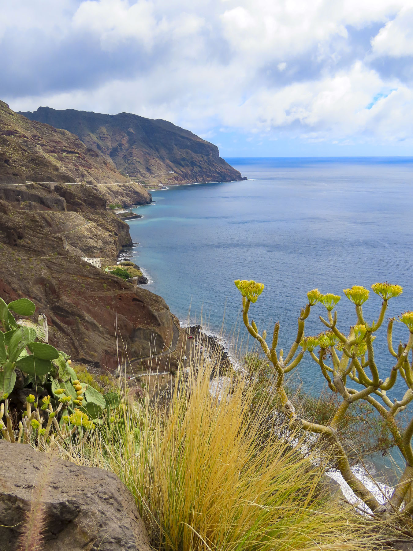
Above the beach the Mirador Playa de las Teresitas offers tremendous views south of the coast. Turn around and walk a few yards back along the road for a spectacular view of the black sand beaches Playa de Las Gaviotas and Playa Cueva del Agua.

Any resemblance to a straight road disappeared as we turned onto TF-12 to work our way across the island to Playa del Roque de las Bodegas, the Mirador de Playa Benijo and continue onto the El Draguillo mirador in an isolated hamlet in the Anaga Rural Park.

Distance between sites on Tenerife are relatively short as the crow flies, but the roads are narrow and serpentine, so the driving is slow, even though not many cars are on the roads. Rising into the mountains, the terrain changed from arid browns to verdant greens. The views along the way of isolated villages hugging the steep slopes were awesome.

Our intent was to drive all the way to the El Draguillo Mirador, as our GPS map led us to believe was doable, but the road ended at a very small gate in a muddy car park with a sign that said only residents of the village were allowed to drive past this point. Evidently this is the starting point for the El Draguillo trail, a 6 hour hike. The parking lot was jammed full and it took a serious multipoint K turn to get us out. We recovered nicely though by having a great lunch nearby at La Venta de Marrero, a cliffside restaurant with a fabulous view.

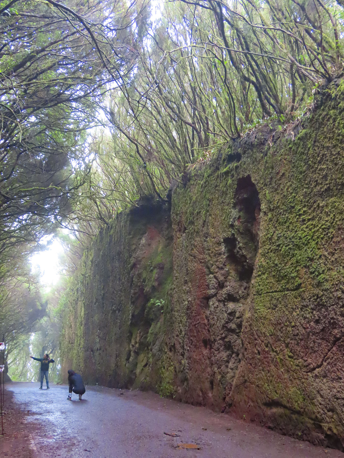
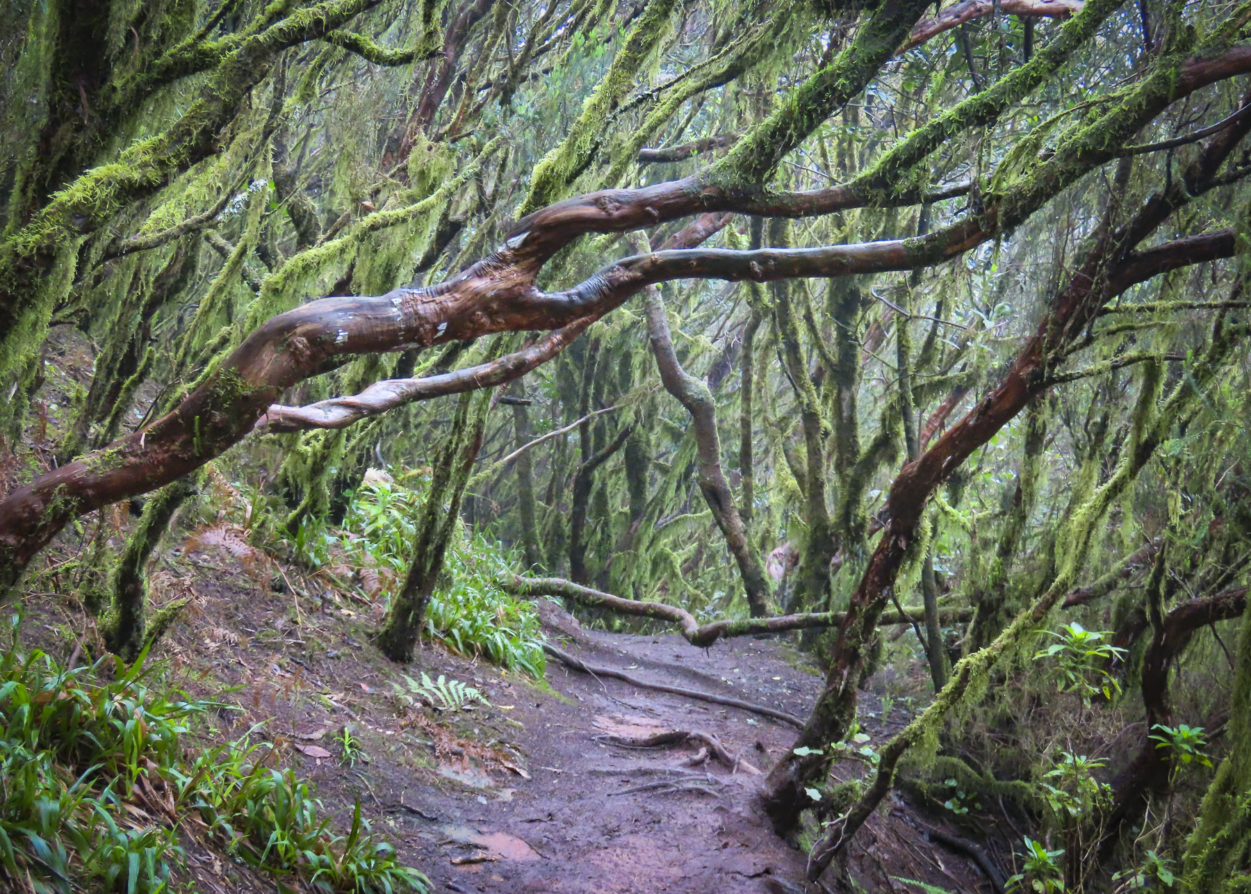
Scenes obscured by fog and low clouds as we drove across the mountainous interior that morning were now brilliant in the afternoon sunlight as we headed toward the Túnel de las Hadas. It’s a mesmerizing channel covered with moss, that was cut through the surrounding laurel forest. It is located in the Parque Rural de Anaga, which is recognized as a biosphere reserve with the largest number of endemic plants in Europe. The fog rolled in again and it was enchanting.

Our last day trip from Santa Cruz was to San Cristobal de La Laguna, an old colonial city that on its founding in 1497, after the defeat of the indigenous Guanche kingdoms, became Tenerife’s and the Canary Archipelago’s first capital. The village at first grew haphazardly around the Iglesia de la Concepción.

These first dwellings, built mostly of reeds, were ordered to be replaced in 1502, as their building material threatened to destroy the growing town if it ever caught fire. By this time La Laguna was the largest city in the Canaries with 6000 thriving inhabitants, two large churches and several monasteries. The city leaders adapted a plan Leonardo Da Vinci created for the city of Imola, Italy, as a blueprint for their city. Local son and Jesuit missionary José de Anchieta is credited with the inspiration to use this design of La Laguna when he founded the cities of Sao Paulo and Rio de Janeiro, Brazil, in the mid-1500s. The priest is highly revered on Tenerife and a venerated wooden sculpture of him from the Cathedral of La Laguna is carried in procession through the streets every June 9th.

On the flip side of good there is always bad, and San Cristóbal de La Laguna also recognizes another historical figure from their city, Amaro Pargo, a famous corsair, from, as the Spanish like to call it the “Golden Age of Piracy,” who savaged ships flying the British and Dutch flags sailing to their colonies in the West Indies. With a reputation as notorious as Sir Francis Drake’s, he was also recognized for his services by the Spanish crown and was declared a Caballero hidalgo, a knighthood, in 1725. He was also a merchant with many business interests and during his time the richest man in the Canary Islands, who was also highly regarded for frequent and large religious donations. He had an interesting relationship with a nun from the Catedral de San Cristóbal de La Laguna, Mary of Jesus de León y Delgado, who he credited with saving his life during a fight in Cuba by her ability to bilocate. Sister Mary is an interesting individual in her own right, credited with miracles, acts of healing, clairvoyance, levitation, psychokinesis, and stigmata. Sister Mary’s incorrupt body is preserved in the Monastery of St. Catherine, where she lived for 63 years, without ever leaving. Every 15 February her ornate glass-covered coffin, gifted by Amaro Pargo, is placed on display in the convent. With 1,251 miracles attributed to her, she has been nominated for canonization.

Though La Laguna is over 500 years old, it hosts a 300-year-old university with nearly 25,000 students that keeps it young at heart. Vibrantly colored buildings are interlaced between traditional examples of Canary architecture that feature wooden balconies that face the street and have deep courtyards to provide a shady sanctuary from the midday sun. The city’s major buildings incorporate a variety of styles that have been trendy across the centuries.

Older Gothic, Baroque, and Renaissance style buildings dot the historic center, while Neoclassical elements are present in the newer 18th century buildings that were built around the city’s core. In other words, there’s a delightful hodgepodge of architectural styles to enjoy.

Some of the older buildings have now been re-envisioned as exhibition spaces, as was the deconsecrated Ermita de San Miguel, which hosted a show of 3D printed sculptures when we visited. Others are now hotels or restaurants. The historic core of the city is pedestrian only and as we like to say “walk a little then café” is the best way to explore it.

Returning to Santa Cruz, we detoured into the mountains above the city to Parque de Las Mesas for an expansive view of the city below us. Brilliant in the afternoon sun.

Till next time,

Craig & Donna


Madeira: Pico Ruivo, Santana & Faial or Summits, Valleys and Stones

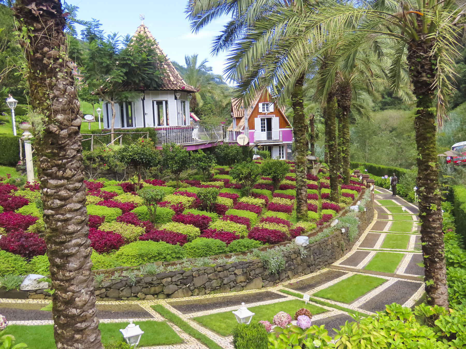
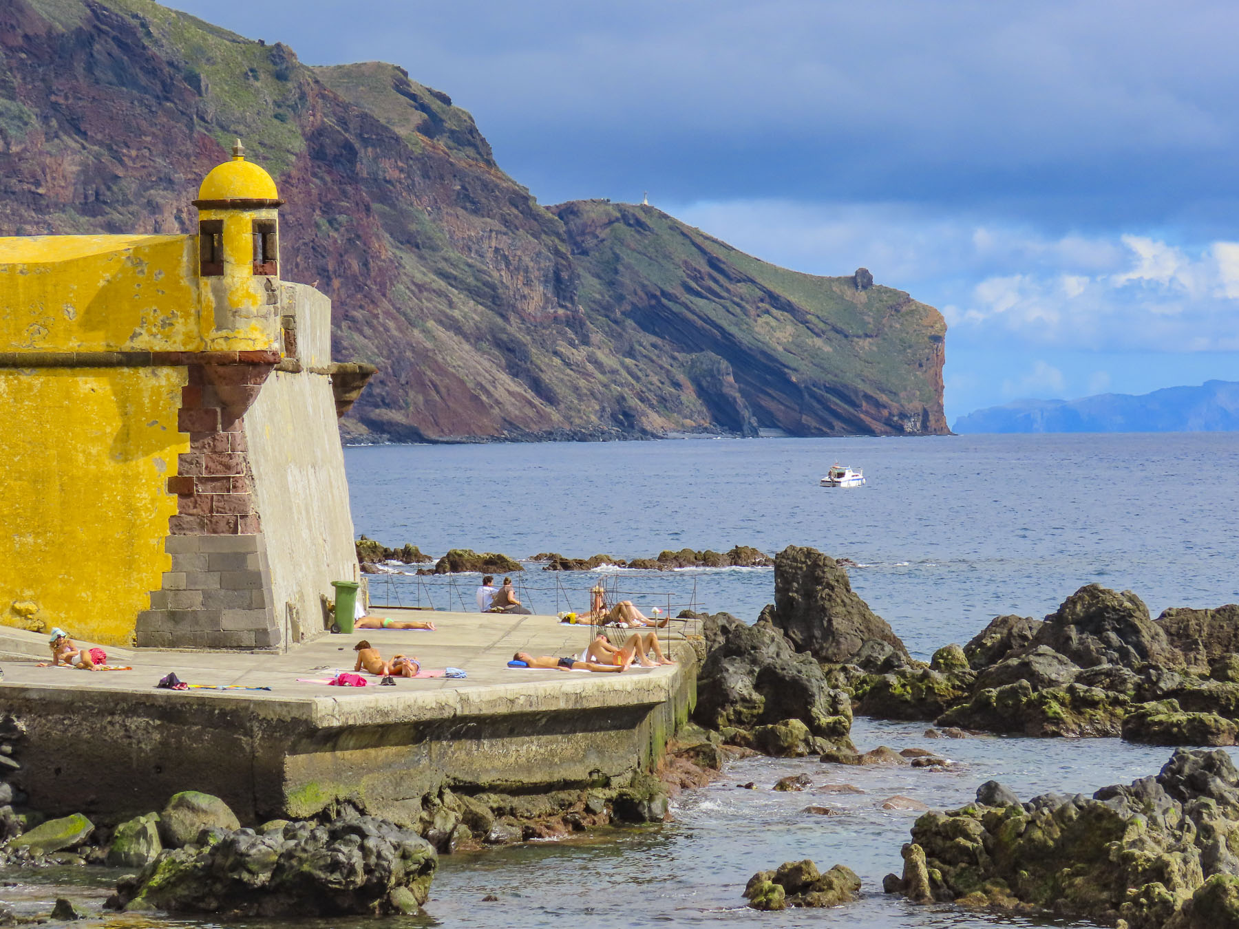
We imagine it’s possible to enjoy a full week pleasantly wandering the quaint streets of old town Funchal, basking in the sun and swimming in front of Forte de São Tiago, while venturing no farther afield than the Monte Palace Tropical Garden.

But the real beauty of Madeira lies in its rugged seascapes and mountains. The mountains admittedly aren’t that tall if you compare them to the Swiss Alps or American Rockies.

The highest, Pico Ruivo, reaches 6100 feet, nearby Pico do Areeiro is a tad shorter at 5,965 feet, and you can drive to its summit. A popular though arduous trail connects the two summits that are often above the clouds. In January and February, the sub-tropical island’s peaks can be snowcapped, and parents take off from work to bring their kids into the mountains to make snowballs and snowmen. There really aren’t foothills before the mountains. They appear to have been thrust violently upward from the earth’s crust like a knife thrower targeting a loaf of bread. They are tremendously steep and majestic, and you can experience them up close through various hikes or simply driving across the island’s numerous switch-back roads. Madeira in many aspects is similar to California, with a landscape where it is feasible to experience mountains and ocean in the same afternoon. On Madeira though it’s within the same hour.

The weather constantly changes on Madeira. The opposite of what’s forecast quite often is what happens, as it was the morning we looked up at a small patch of blue sky, teasing us with a shaft of sunlight while we waited in the parking lot atop Pico do Areeiro for our small group of intrepid hikers to gather. It was also a good twenty degrees chillier than Funchal and we quickly layered up. The clouds descended. A light rain began. Rain ponchos appeared. Visibility was 100 feet. Not the best conditions, but it was a non-refundable tour and our international group of seventeen stoically set forth into the clouds.

Commonly known as the “Pico to Pico” or the PR1 hike, it’s a semi-difficult 5-mile trek with a 1000 ft altitude gain. The route balances across narrow ridgetops and follows cliffside trails, climbs steep stairs and ladders, and passes through narrow rock-hewn tunnels before summiting Pico Ruivo. It then descends to the Achada do Teixeira parking lot for the return shuttle to Funchal. The path is improved in many sections with cobbled pavers and hand railing, but in other parts it was a muddy, puddled mess.

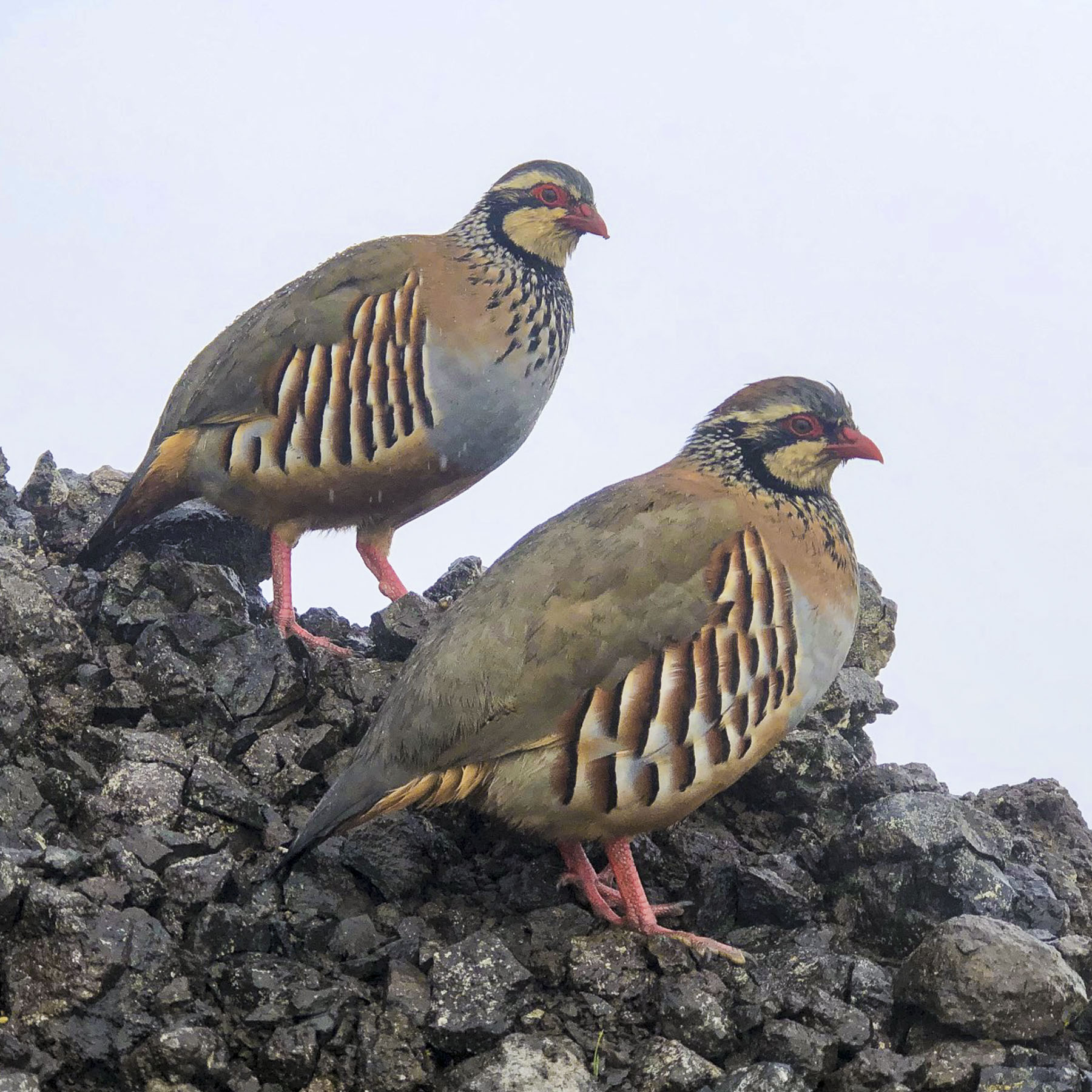
With the rain the trail was slippery and slow going. Unfortunately, the low cloud conditions didn’t allow for spectacular panoramas. But even with the dismal weather we were able to capture some photos that are evocative of the day. Spotting the well named red-legged partridge was a highlight of the trek. If you choose to do this hike, be prepared, wear sturdy shoes or hiking boots, bring extra clothing to layer up, plenty of water and lunch. Personally, I think this hike is too strenuous for older folks, especially if you are an inexperienced hiker. Back at our hotel, glasses of Madeira helped alleviate our chill.

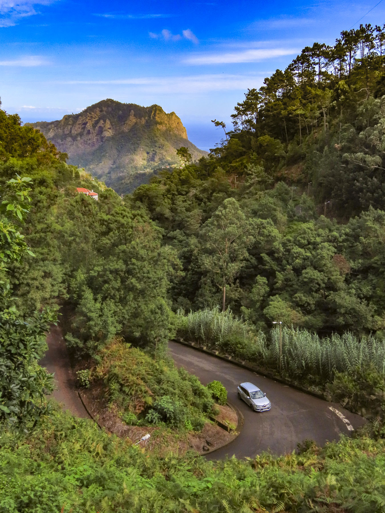
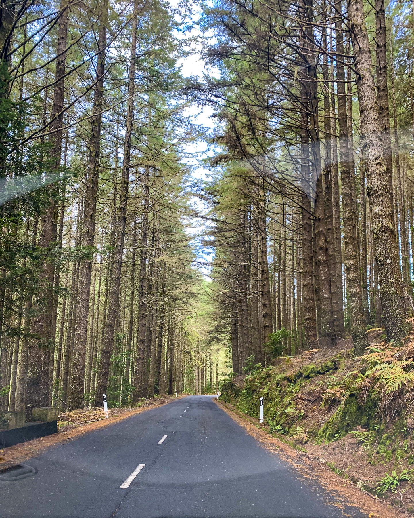
We continually drove back and forth over the mountains. Many times, we partially retraced a previous route only to turn onto narrower country lanes and zig zag to a miradouro or destination that beckoned for a photo op. As birds fly, the distances are short around the island. Not so with the roads.

The Museu Família Teixeira was one such detour. It’s an interesting family museum that displays the older way of life on the island. One fascinating piece was the old wooden grape press on display, which looked like an ancient Roman catapult, more capable of destroying fortress walls than crushing wine grapes. The grounds of the family estate are also exquisitely landscaped as a living memorial garden to a lost son.

Afterwards we worked our way along the backroads through Faial to Santana then headed west down a long single lane road that eventually ended in the Parque Florestal das Queimadas. The full parking lot was quite the contrast to the desolate road we had just traveled.

Beyond the parking area there was a picnic area in a fairytale-like grove with two quaint thatched cottages, the smaller one serving as a snack bar. This is the trail head for the PR9 Levada do Caldeirão Verde, one of the easiest and flattest levada walks on Madeira that ends at a hundred-foot-tall waterfall cascading into a natural amphitheater. Unfortunately, we only followed the path next to the irrigation channel a short way before a sudden downpour turned us back.

Later that afternoon we drove down a well-worn track that followed the shallow Ribeira de São Jorge through a rugged narrow gorge. The road ended just before a footbridge that led to a freshwater lagoon, created by the river’s rushing water, just shy of the ocean. Above the lagoon was a restaurant with outside tables around a pool that had nice views of the surrounding hills and the sea.

Some of the first sugar mills on the island were built in this valley during the early 1500s. It was a good location with an abundant source of river water channeled into the mills to spin their grindstones. The king of crops was eventually dethroned and today all that remains are the Ruínas de São Jorge, Ruins of St. George – a few stone walls, and an arched portico that faces the sea.

Driving back to Funchal at the end of the day, the coastline at Faial called for some last photos we couldn’t resist.

There’s a countless number of miradouros on Madeira and it was so tempting to turn at each sign indicating a view. But leaving a few unexplored provides a good excuse to plan a return to this spectacular paradise.

Till next time, Craig & Donna

Madeira: Sao Vicente, Porto Moniz & the Fanal Forest – Mountains, Waterfalls and Waves

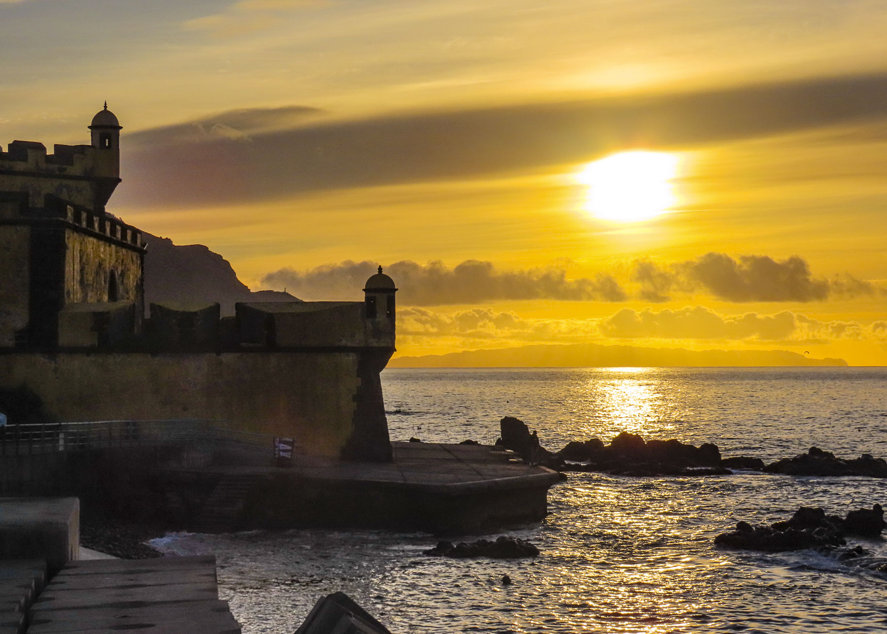
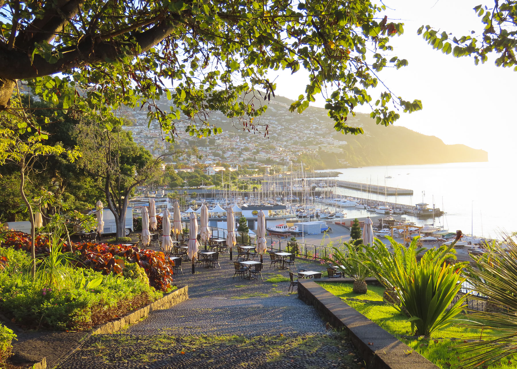
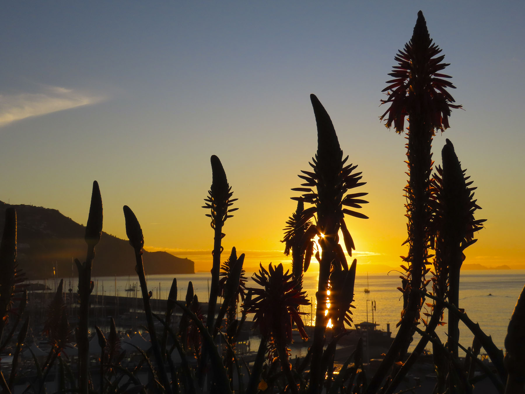
Often, we started our mornings at Forte de São Tiago on Funchal’s seafront to watch the sun rise over the ocean. But turn around and fog could be rolling down the slope of the hills above the city. The weather can be fickle on this mountainous, beautiful island. Though with its numerous microclimates created by the rugged terrain, it would usually be sunny someplace. A fifteen-minute drive in any direction and the weather could be totally different, as was often the case.

While it’s possible to enjoy an entire stay on the sunnier and dryer south side of the island, where Funchal is located, the dramatic mountains and deep valleys of the interior, which stretch the length of the island and the northern coast, are spectacular destinations.

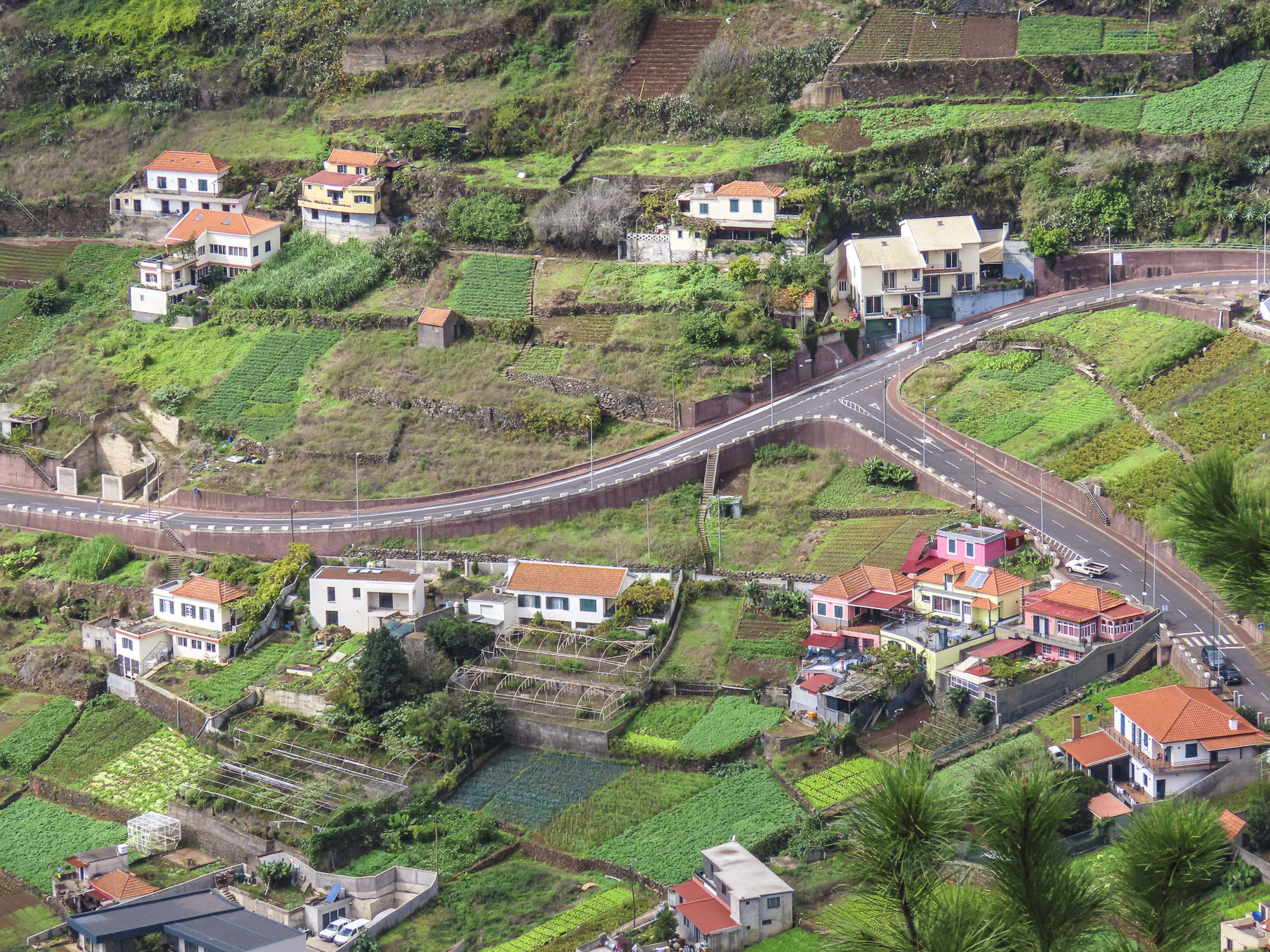
As rugged as Madeira is, man has left his mark on the landscape with terracing and irrigation channels, called levadas. They’ve been an integral part of island life since 1420 when the first settlers were recruited to the uninhabited island, and impossible to avoid. With a landscape covered with virgin forests, experienced lumbermen from the Minho region, farmers and terrace builders from the Douro valley, and fishermen from the Algarve, all seeking better fortunes, were recruited to the island by the promise of land if they worked it for five years.

With a plume of black ash rising from it, Madeira from the sea must have looked like a volcano erupting. Slash and burn fires started to clear the land reportedly lasted for seven years. By the mid-1400s, soil erosion became a problem; largescale slash and burn fires were prohibited and cleared land on the slopes had to be terraced immediately. The felled trees were a valuable export to ship builders in Europe. The enriched soil from the fires was perfect for the introduction of sugar cane, which quickly became the island’s main export. Slaves from west Africa were brought to the island to sweat out this economic expansion.

To support the expanding villages, hamlets, and agricultural terraces, narrow irrigation channels called levadas were arduously cut into the mountains to divert water around the island, from the wet northern side to the dryer southern side. Their water was also used to turn the waterwheels of the first lumber, flour, and sugarcane mills on the island. Close to five-hundred miles of levadas cover this mountainous island that is roughly thirty-four miles long and fourteen miles wide.

Madeira wine replaced sugarcane when Madeira lost market share to the larger sugarcane plantations of Brazil and the Caribbean. Madeira’s a small island with a large agricultural punch. Today it’s well-watered terraces support wine grapes, banana and flower exports to Europe, as well as the cultivation of other exotic fruits like custard apple, passion fruit, tamarillo, avocado, papaya and mango.

The clouds were slowly being torn apart. Shafts of light dramatically illuminated the valley as we drove north across the island to Sao Vicente. It’s a compact village centered around its church. Nearer the ocean, we explored an ancient lava tube that led down to the sea.

Surf pounded against a rocky beach across the road from a truly amazing bakery, Padaria do Calhau. Something we didn’t expect to find, but if you need an excuse to visit, a coffee and pastry at Padaria do Calhau should suffice. Heading west, just outside of town and before you enter a tunnel, the Cascata Água d’Alto tumbles down next to the road. Unfortunately, there is not any convenient parking here.

Following the ER101 west towards Porto Moniz there were a number of beautiful waterfalls on the way. First the Córrego da Furna waterfall will be on your left and has a small, unmarked parking area across from it. Then just past the picturesque village of Seixal with its black sand beach, there is the Cascata da Ribeira da Pedra Branca on an old coastal road.

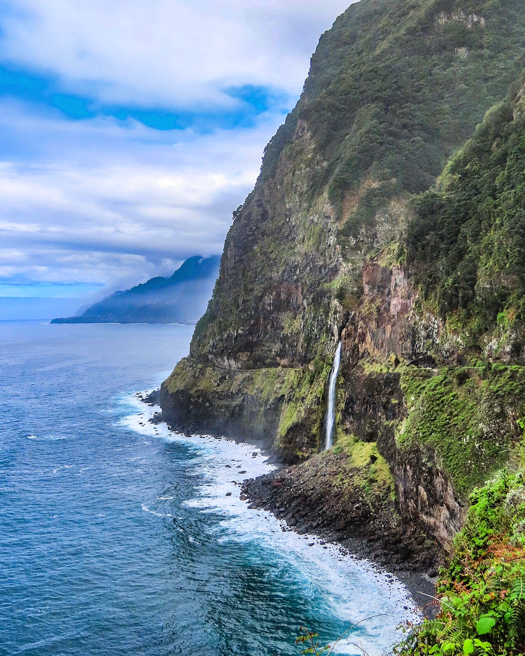
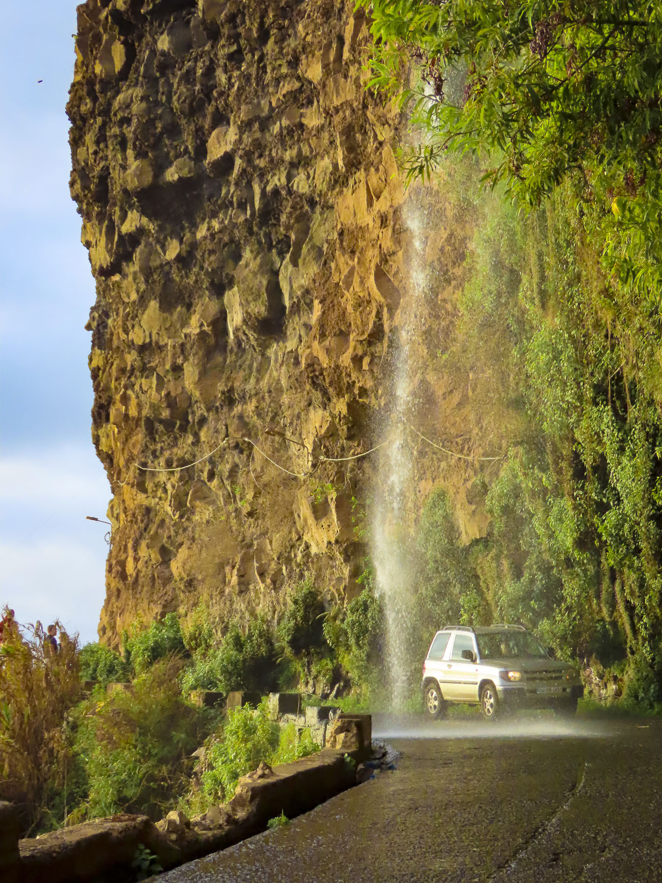
But farther along the most iconic of all of Madeira’s waterfalls is the Véu da Noiva, or bridal veil. It’s a beautiful waterfall that tumbles over a rockslide that permanently closed a section of the old coastal road. It’s a popular stop with plenty of parking, that’s perfect for lingering.

Before Porto Moniz the longest river on Madeira, the Ribeira da Janela, empties into the sea over a rocky, boulder-strewn beach. Tall, eroded sea stacks stand like sentinels amid a crashing surf only a few yards from the shore. We had lost the sun by this time, but the seascape was just as dramatic, nonetheless.

Madeira’s shoreline is very rugged; most of its beaches are pebbly rather than sandy. Then there are spots where over the eons the waves have eroded away the volcanic rock and created natural rock tidal pools along the coast.

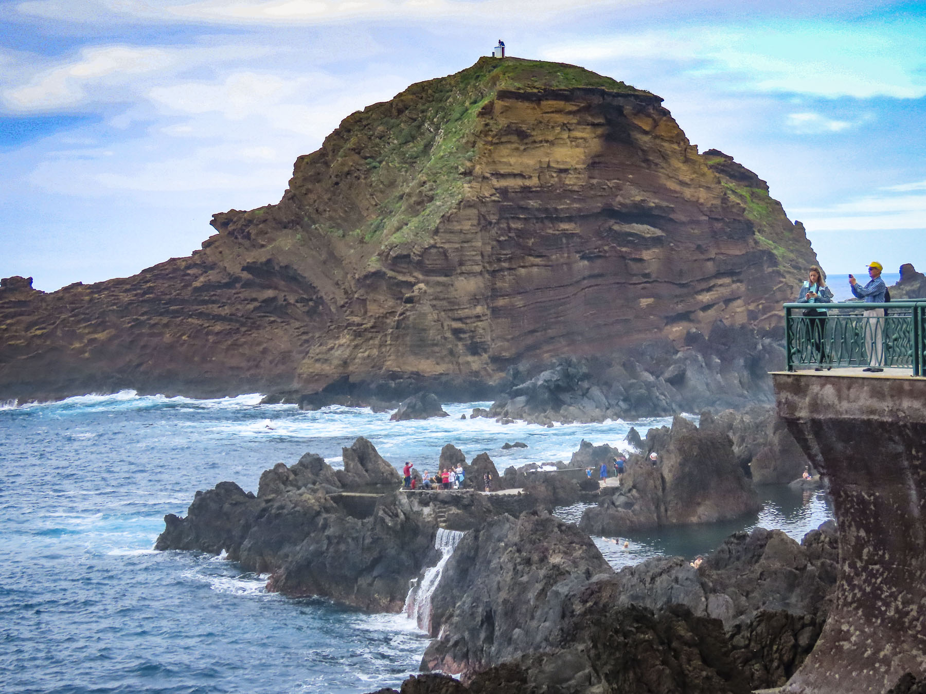
Porto Moniz at Madeira’s northwestern tip is a popular destination for swimming safely in these coastal pools, set dramatically against a background of crashing waves. The pools have been enhanced over time, with steps into the water, sidewalks between swimming areas, and some areas being dammed to create deeper pools. There is modest entrance fee of 1.50€ per person, but it’s one of the best bargains on the island.

After a late lunch we retraced our route to Ribeira da Janela and followed a narrow secondary road over a stone bridge and through the small hamlet of pastel-colored homes set against verdant fields, into the cloud-shrouded mountains.

Whether it was cloudy or foggy we’re not sure, but it was perfectly misty as we pulled into the parking area for the Florestal do Fanal. Roughly 37,000 acres of primal laurel forest, and open woodland, the largest in Europe, it covers the mountainside 3500 feet above sea level. A short walk into the woodlands set us in an atmospheric wonderland of huge windblown trees with gnarled twisted trunks and crooked branches, covered with moss and lichens.

Other hikers and wandering cows vanished into and reappeared out of the mist as we wandered through the silent woods. Mysterious, eerie, or benignly moody are apt descriptions for this intriguing laurel forest that is a photographer’s delight.

Driving back to Funchal we crested the ridgeline of the mountains that divides northern Madeira from the south and suddenly we were driving above the clouds.

Till next time, Craig & Donna

Madeira: Pirates, Wine & Flowers or Everywhere There’s a Miradouro!

“Could you recommend any restaurants for lunch?” The young car rental agent seemed surprised, at first, that we asking her opinion. “Where are you staying. What do you like?” “In the center of Funchal. Meat, fish, we enjoy everything,” I replied. “Hah, most places in Funchal will be closed for the mid-afternoon break by the time you reach town, but nearby, though it’s in the opposite direction, there is Restaurante Snack-bar Frente Ao, one of my favorite places.” And so, our Madeira adventure began with a delicious lunch in a no-frills local place. Tasty grilled limpets in a buttery garlic sauce started our meal. A traditional Polvo a Lagareio, baked octopus with potatoes, and scabbardfish served with fried bananas followed. It was scrumptious, heavenly, you get my point, it was really GOOD!  Outside, planes flew close to the water on their final approach to FNC, across a panorama of the coast that stretched all the way to the headland of Ponta de São Lourenço.

Our first short drive to the restaurant revealed a verdant, lush tropical island bursting with flowering plants, and mountainous with steep ravines that descended into the ocean, like the radial arms of a spider’s web, from a central ridge that runs the length of the island. Colorfully painted homes with red tiled roofs dotted the countryside like swathes of pigment in an impressionist painting. There are few direct, only circuitous routes, where even the bridges and tunnels, some almost 2 miles long, curve to follow the contour of the land. Banana groves large and small dotted every plot of land between the homes that covered the hillsides. Three vintage cars zoomed by.

Portuguese sailors blown 300 miles off course by a violent storm as they explored the west coast of Africa in 1418 discovered a small uninhabited island, with a sheltered anchorage, where they rode out the storm. In thanks they christened the island Porto Santo, Holy Harbor. They noted in a ship’s log that on the western horizon a “dark monstrous shape loomed.” A year later they returned. Wood, madeira, from its virgin forests was the island’s first exports. The trees were so tall and straight that they allowed the Portuguese to design larger, sturdier ships, which Vasco da Gama’s fleet used to sail to India in 1497.

Felling trees for export opened the hillsides for extensive terracing of the lower slopes in the mid-1500s, when sugar cane became the prized export. Later grapes were introduced, and Madeira wine was born. Both crops thrived with irrigation provided by an extensive series of arduously cut, narrow channels called levadas, which traverse the rugged terrain and divert water from mountain streams to the agricultural terraces across the island. Their water was also used to turn the waterwheels of the first mills on the island. Close to five-hundred miles of levadas cover this mountainous island that is roughly thirty-four miles long and fourteen miles wide.

With Madeira wine came the English, who believed that fortified wines improved with age on long ocean voyages. Sailing to their various colonies in the Americas, English naval and merchant ships would sail south from England to catch the trade winds blowing west off Morocco. Fortuitously, Madeira was a well-placed port of call to resupply. With full sails and barrels of Madeira wine in the ship’s hold, they’d reach the Caribbean in a month’s time. Farther on, in their New England colonies, members of the Continental Congress toasted the signing of the Declaration of Independence in 1776 with Madeira wine. While being notoriously at odds with Spain for centuries, the Brits and the Portuguese have the world’s oldest alliance which stems from the Treaty of Windsor in 1386 and was fortified, port glasses raised, with the marriage of King John I of Portugal to a daughter of John of Gaunt, Philippa of Lancaster. This treaty of mutual support has lasted over 630 years. Cheers!

Captain Cook and Charles Darwin both visited at the beginning of their explorations. Napoleon in 1815 stopped for a final supply of Madeira wine while enroute to his permanent exile on St Helena. With the advent of steamships, Madeira became a destination for the well to do of Europe. Before the quay was constructed, historical photos show merchants rowing long boats laden with supplies out to ships anchored in the harbor, and returning with visitors to disembark on Funchal’s rocky beach. Doctors recommended its good fresh air for patients convalescing from tuberculosis. Winston Churchill visited in 1950, painted seascapes and stayed at Reid’s Palace, a Madeira institution since 1891 that still serves afternoon high tea.  He left the island with a reputation that it was for stogey old folks, that remained for decades.

But with Portugal joining the European Union in 1986, it enabled a massive investment in infrastructure that united all parts of the island that were previously inaccessible by overland routes. The small island now has over 100 tunnels and bridges, along with seven cable car routes scattered around the island. Across from the cruise terminal at the base of Santa Catarina Park, there is a relief statue set into a granite embankment that commemorates the men who toiled to build the island’s tunnels and terraces.

Flat land is a rarity on Madeira, as is landfill, the lack of which required the airport runway extension in 2000 to be uniquely expanded over the ocean on 180 concrete columns, each of which are 230-foot-tall, for a total length of 9,000 feet. It felt like we were going to land on an aircraft carrier. Fifty-eight cities in twenty-one countries now have direct flights to the island. Cruises to the island continue to be popular and in 2022 Madeira was voted by the World Cruise Awards the Best Cruise Destination in Europe. Madeira has now reinvented itself into a destination packed with outdoor activities that include sailing, whale watching, surfing, paragliding, scuba diving, and mountain hikes for all levels of fitness.

Our hotel, São Francisco Accommodation, was a modest three-star hotel centrally located in Funchal’s historic old town. The big pluses for us were its elevator, underground parking lot across the street, and its location. The most interesting parts of Madeira’s capital city were within walking distance of our lodging. We were set for the week!  We chose to stay in Funchal because it is the island’s largest city, with enough things to do locally so we wouldn’t feel the need to go elsewhere. The car was for day trips to explore the rest of the island.

One afternoon we were drawn down the street by the sound of classical music flowing from the park around the corner from the hotel. Folks casually filled a small amphitheater in the midst of a manicured garden. Next to the bandstand a small kiosk offered a table.  We ordered drinks and enjoyed the afternoon entertainment. At the bottom of the park people mingled around a line of classic cars parked along the street.

Delightfully, Madeirans out of necessity have inadvertently created a sub-culture of serious vintage car enthusiasts. Importing cars to the island has always been very expensive. Consequently, automobiles have become family heirlooms. Many of them are passionately maintained or restored and passed down through the generations. So common is the practice that over 800 vintage cars are registered on this small island. Their enthusiasm is celebrated each year with the Madeira Classic Car Revival, a three day event that culminates with a race along the Praça do Povo waterfront every May.

Several mornings we were up before dawn to walk along the waterfront in search of the ultimate sunrise shots with the unpopulated islands Selvagens and Desertas silhouetted on the horizon. We were not disappointed.

There were numerous interesting photo opportunities from the marina to Forte de São Tiago, which was built in the early 1600s in response to two brutal attacks by pirates. French pirate Bertrand de Montluc assaulted the town in 1566 with three ships. Mayhem ensued as his cut-throats   rampaged and plundered the streets for fifteen days. Then Barbary pirates with eight ships ransacked Funchal in 1617 and took 1200 people back to Algiers as slaves. Now, under the ramparts of the fort, pensioners enjoyed ritualistic morning swims along a peaceful, pebbly Praia de São Tiago.

Around the corner from the fortress at the Miradouro do Socorro, a pretty arbor frames the view of the sea and the Complexo Balnear da Barreirinha, a waterfront day resort where you can rent a lounger and swim in their pool or the sea. Across the street the Igreja de Santa Maria Maior, a small parish church, serenely graces the neighborhood.

Heading back into town we walked along the Rua de Santa Maria, a narrow alley known for the uniquely painted doors on homes, galleries and restaurants that line the street.  To see many of the doors you have to visit the street early before the shops open them for the business day.

In front of the Mercado dos Lavradores, the town’s old central market, there is a bronze statue depicting a merchant driving a team of oxen pulling a flat wooden pallet loaded with barrels of wine. Versions of these toboggans fitted with wicker chairs were called Carro de Cesto. Until roads were introduced in 1904 to accommodate the first cars brought to the island, this was the preferred downhill method of public transport, as a wheeled cart might run away uncontrollably if there was a mishap.

Today, at the steps before the Nossa Senhora do Monte Church, toboggans filled with tourists are pushed downhill by two men, Carreiros, donning wicker hats and traditional white outfits. Hold on, the steep serpentine course is over a mile long and the sleds can go almost 25 miles an hour! There are no brakes, only the special, rubber-soled shoes the carreiros wear, and stopping is accomplished by dragging their feet along the road to slow the toboggan. It’s a popular activity easily combined with a cable car ride from the Funchal waterfront to the Monte Palace Tropical Garden.

Though when we visited we chose to use our car instead of taking the cable car to Monte. We didn’t realize when we started but the google map route we followed to the garden was up one of Funchal’s steepest streets. The Caminho de Ferro takes its name from the old funicular train tracks upon which the road was paved. It runs for two miles straight up a hill with a twenty-five-degree slope and gains nearly 2000ft in altitude. I was doing fine driving uphill in second gear until we encountered a semi-blind cross street that did not have a stop sign, only a large traffic mirror. This was something I hadn’t encountered before, so I came to a complete stop. The incline of the road was very steep at this point, and I had difficulty getting the car moving again without rolling back too far. Ultimately after several frustrating minutes I rolled the car back perpendicularly to the road, got the car in gear and powered slowly through the intersection. Fortunately, there is very little car traffic on the side roads in Funchal and we lucked out in finding a parking space near the garden. The return route into the city center, down streets so narrow it required pulling the mirrors in, was equally challenging.

In the 1700s the hillside that the garden covers was a private estate with a small chateau. Later it functioned as a grand luxury hotel. In 1987 the entrepreneur Jose Manuel Rodrigues Berardo acquired it and transformed it into a serene Japanese themed botanical garden and opened it to the public. It’s a beautiful tranquil landscape, but it’s best to arrive early or late to avoid a crowd. There is also collection of contemporary Zimbabwean stone sculptures from the 1960s and a cave created to display a spectacular mineral collection gathered from around the world.

Slightly smaller and lower on the slope the Jardim Botânico da Madeira is also worth a visit to experience its stunning formal garden with a view of the Funchal coastline, and paths that weave through various plantings. There is also a nice cafe with a terrace that has one of the best views of Funchal.

However, if you enjoy orchids the place to head is the Quinta da Boa Vista. It’s a quirky plant nursery that has been operated by several generations of the Garton family and has hundreds of different orchids. As we entered the first greenhouse, an eager attendant waved us over and encouraged us to smell a delicate plant she was holding. An Oncidium Sharry Baby, it had a delicate chocolate aroma. It was delightful. With two stunning botanical gardens in Funchal and smaller ones seeded around the island, Madeira justly earns its nickname as “The Floating Garden of the Atlantic.”

Earlier we had spotted the hulking edifice of the Fortaleza de São João Baptista do Pico. A 17th century stronghold, it was built high on a hill, 350 feet above Funchal’s waterfront to deter pirate attacks. It’s a wonderful destination within town, with a nice children’s playground and café outside the fortress battlements. The view out over the city and ocean was spectacular.

Other mornings we explored closer to home heading to the Igreja de São João Evangelista, on Funchal’s central plaza. Built by Jesuits in 1629, it is known for the fusion of its Mannerist exterior with a lavish Baroque interior.

We climbed to the church’s roof for an exceptional view of the old town. Funchal’s City Hall is adjacent to the church and has a stately courtyard centered around a unique fountain depicting Leda and the Swan. An odd choice we thought for decorating a municipal building.

But Funchal is very supportive of public art and we passed many interesting sculptures along our walks. The historic old town with its cobbled lanes lined with centuries old buildings and churches was a delight to explore.

One morning we photographed small boats leaving the port at sunrise from Parque de Santa Catarina, which commands a bluff across from the cruise terminal.

From the park we walked along Rua Carvalho Araujo up into São Martinho, an upscale area anchored by Reid’s Palace. Occasionally we popped into the hotels that faced the water to check out their views.

But there is more to this island than just Funchal, so we hopped in the car for farther explorations west along the coast. Our first day trip was on a Saturday afternoon to Câmara de Lobos, famous as a favorite spot for Winston Churchill to paint. A newly married couple was taking wedding photos amid the colorful small boats pulled ashore as young children splashed and played with their dog in the shallow surf  that splashed against the boat ramp.

Parallel parking on a steep incline was challenging, but it’s a skill that’s required on Madeira, and came in handy when we reached the Cabo Girão Skywalk, one of the highest cliffs in Europe. Relatively close to Funchal, this is a popular destination and there was actually a traffic jam as cars and buses creatively parked. This glass bottomed miradouro seems to hover miraculously over fertile fields that grow grapes and tomatoes nineteen-hundred feet below. Nearby the Cabo Girão cable car, originally built to help farmers bring their crops up from the fields, can whisk you down to a secluded beach. We have a healthy fear of heights and instead continued on.

I wasn’t fast enough with my camera to grab a photo of a paraglider swooping low over our car as he landed along the stoney beach at Cais da Fajã do Mar. High above us a group of paragliders swirled on warm thermals and we waited for them to descend, but they kept floating back over the ridge.

We meandered farther west to the beach and harbor, dramatically wedged between ocean and mountain, in Estreito da Calheta.  This is a largely human-altered section of the coast with a breakwater protecting Praia da Calheta, created with imported sand, and harbor next to it. We ate lunch on the promenade across from the marina.

Heading back to Funchal later that afternoon we made a final stop in Ponta do Sol, and were able to find sanctioned parking in one of Madeira’s older, now decommissioned traffic tunnels. Walking out to a small headland we had late afternoon refreshments on a terrace with a brilliant view of the coastal village.

“Roll up your window.” “Wait, you’re not going to…” Yee haw! I yelled and we laughed while a thunderous cascade of water splashed off the roof of our car as we drove under the Cascade of Angels waterfall.

Till next time, Craig & Donna

Havana, Cuba: Beautiful in neglect

The amber glow of sunrise warmed the waterfront as our ship docked.  Its upper deck provided us a view of the port as if we were seagulls soaring above the first commuter ferries of the day crossing the harbor.  Along the water, buildings wore a tired facade of montage color and aged textures. Beautiful in neglect. These were our first impressions of Havana. The few buildings under renovation were easy to spot with their fresh coats of paint. The domes of the Russian Catedral Ortodoxa Nuestra Señora de Kazán, built to celebrate Soviet – Cuban friendship glistened in the sunrise, its onion shaped domes an odd juxtaposition, accented the balmy Caribbean skyline.  We’d be spending two full days in Havana.

By the time Nevada legalized gaming in 1931, Havana, once nicknamed “the Paris of the Caribbean” was already a well-established tropical get-away for gambling, especially if you lived in the wintry northern parts of the United States.  Havana’s balmy weather and swaying palms contrasted nicely against Las Vegas’ dusty strip in the desert where tumbleweeds blew across the sidewalks. In the 1950s, fifty dollars could purchase a three-day package tour to a Havana casino that included airfare, entertainment, food and hotel. Cruises to Havana from Miami were also possible aboard ships like the 725 passenger S.S. Florida for $46.00. For an additional $35.00 you could take your car along if you wanted to explore the “700 miles of Cuban highways,” a travel brochure from the time advertised. Cruise ships arriving at night were occasionally treated to displays of fireworks over the centuries old Castillo De Los Tres Reyes Del Morro and the highrise apartments along the Malecon as they entered the harbor. It was city of Jazz clubs, high rollers, zoot suits, large finned Cadillacs and mobsters. Headliners like Frank Sinatra, Dizzy Gillespie, Eartha Kitt, and Nat King Cole drew folks to the casinos controlled by New York, Chicago, and Miami crime syndicates.

Mafia payoffs to the rampantly corrupt regime of Cuban dictator Fulgencio Batista and his associates allowed their casinos, brothels and drug running operations to flourish unimpeded. As flashy as the casinos were, the sugar industry dominated ninety percent of the rural Cuban economy for decades and was the largest employer in the countryside until sugar prices collapsed.  That along with government policies that ignored its impoverished citizenry bred increased discontent as the disparity of wealth between the rural poor and the Havana elite grew intolerable. The jungled mountains of the islands’ interior sheltered Fidel Castro and his armed revolutionaries. 1959 was their year. Batista and his cronies fled to the Dominican Republic. Afterwards all homes, properties, businesses, and cars were nationalized.  An exodus of the Cuban middle class followed with approximately 1.4 million people heading to the United States to reestablish their lives.

While Europeans and Canadians have long traveled to Cuban government-run tourists’ resorts along the coast, we were visiting the island on a cruise during that first window of opportunity which opened to Americans between 2016 – 2019, before access was unfortunately tightened again.  Recently the travel restrictions to Cuba have once again been loosened.

Rush hour in Havana happens whenever the cruise ships disgorge their passengers onto the waterfront to walk into the city center, catch their bus tours or to snag a ride in one of those classic cars from the late 1950s. There are literally thousands of antique cars still on the roads in Cuba, jury-rigged to keep running and often repainted with house paint that reflects the bright ambience of the Caribbean. 

Depending on where you are in the disembarking queue these beautiful classics, especially the convertibles, might already be tooting around Havana with other tourists and you might have to opt for a coco taxi.  These entertaining rickshaw type taxis are covered in a bright yellow, fiberglass shell and have seating for three across the rear axle. When it rains, you are going to get soaked as we did when we got caught in a downpour. The return ride was definitely more comfortable after several Cuba Libre cocktails. 

Down the side streets of the city, it wasn’t unusual to see these vintage cars raised on cinderblocks, their hoods open as amateur mechanics tinkered away to keep their classic beauties running. There are about 60,000 old American cars still on the road in Cuba. Most date from the 1950s, but there are still Packards, Cadillacs, Dodges, Chevys, Studebakers and Fords from the 1940s and 30s that are still road worthy.  This is an amazing testament to the talent of Cuban mechanics that have been “MacGyvering” the repairs with makeshift parts since the revolution ended in 1959, when the U.S. trade embargo began and Cuba banned the import of American products. While some cars look to be in mint condition, often the interiors are taped together, door handles are missing, and the windows don’t roll up. Engines don’t last forever and it’s not uncommon to swap engines between the American makes and models. Sometimes even the motors from Russian Volgas and Ladas work their way under the hood of Fords and Chevys. Fiats and Peugeots were imported after the revolution but proved to be not as durable as the American models. 

With the nationalization of property in 1959 the nicer cars of the wealthy who fled were assigned to government officials, doctors, renown celebrities and famous athletes. Regulations prohibiting the ownership of cars were eventually changed to allow Cubans to freely purchase older cars brought to the island before the revolution. Often cars are family heirlooms that have been handed down from generation to generation, with fathers teaching sons the intricacies of keeping the cars running. It’s extremely rare to find new automobiles in Cuba as the government imposes very high taxes on car imports, rendering them highly unaffordable for the vast majority of Cubans.

The ingenuity of Cuban mechanics can surely teach us a thing or two about sustainability. Wonderfully many of these resourceful home mechanics have kept these automotive treasures alive and have created an income for their family by offering rides in their classic cars to tourists. “There are no junkyards in Cuba; everything is still driven.”

Flagging down a Cadillac convertible, we took a ride along the Malecon seafront before breakfast at a paladare recommended on TripAdvisor.  Paladares are small privately run restaurants, usually operated out of the chef’s home, that have been allowed to open as Cuba relaxes its ban on private enterprise in the country.  Typically, their menus change daily depending on what is available at the markets.

After breakfast, our original plan was to walk to Havana’s Central Park to join a tour of the city with a Guruwalk guide. Unfortunately, we arrived late and missed the group. Unfazed, we decided to wander on our own around the city.

Parque Central is the nucleus of a daily classic car show with the old cars neatly lined up for tourists to choose which nostalgic Ford or Chevy they want to cruise around the city in.  Length of the trip and price can be bargained for with each driver.

Across from the park, sparkling from the completion of a recent renovation, the ornate baroque façade of the Gran Teatro de La Havana drew our attention. Built in 1838, it’s a cavernous structure that can seat 1,500 people and is home to the Cuban National Ballet Company.  President Obama addressed the Cuban people from its stage in 2016 and the biennial International Ballet Festival of Havana is hosted here.

While many hotels and historic public buildings immediately surrounding Havana’s Central Park have been pristinely renovated, you need only to walk a half block down any side street and it’s obvious that the maintenance of the city has been neglected for decades. With many of the buildings in central Havana dating from the 1800’s, most are severely showing their age. Signs of structural neglect were endemic.

This quote I found sums up concisely the housing situation. “In Cuba, everything belongs to everyone and no-one at the same time and if a building is ‘collectively-owned’, it’s understood that the State is the one responsible, but the government doesn’t have the resources for maintenance.”

We worked our way towards Real Fábrica de Tabaco Partagas, a historic cigar shop and factory dating to 1845, located behind the Capitolio Nacional de Cuba, a near replica of the United States’ capital building, only larger and with a higher dome. A tour of the cigar factory, where 500 people sort, grade and roll tobacco leaves into world famous habanos, cigars, was not available the day we visited, but we were able to watch a cigar rolling demonstration.

Asking for a recommendation for a place to eat enroute back to the harbor the salesman at the cigar shop suggested Tablao de Pancho, Grupo El Guajirito. Along the way a pleasant young woman, sensing we might be lost, spoke to us in excellent English and offered to guide us to the restaurant. She declined a tip for her assistance, so we asked her to join us for lunch instead. She quietly saved half her meal to take home to her child, because her ration card did not provide for enough food.

Life and business are conducted on the streets of the neighborhood with most doorways and shallow balconies harboring tenants trying to stay cool. A mattress maker refurbished rusted bedsprings on the sidewalk. Vegetable cart vendors pushed their wagons around the blocks. The scarcity of some the smallest luxuries and basic necessities is visible and there was a sense of waiting, but what for was difficult to determine. The hardships of life that the residents of the city endure under a failed socialist revolution are still very much in evidence in the forgotten, gritty side streets of the capital.

The cigar chomping aficionado in our group was determined to purchase the legal limit of Cuban habanas that were permissible to bring back to the states at the time, so three of us crammed into a coco taxi, a not particularly macho ride to cruise in along the Malecon.

Our destination was the Hotel Nacional de Cuba for a smoke and a glass of rum. A historic 1930s hotel and casino, before the revolution it attracted American celebrities like Erroll Flynn, Gary Cooper, Rita Hayworth, Fred Astaire, Ava Gardner, Marlon Brando, and Walt Disney. Now the hotel annually hosts the Festival de Cine Nuevo Iberoamericano and claims Michael Keaton, Francis Ford Coppola, Leonardo DiCaprio, and Steven Spielberg as past attendees.

Later that afternoon, behind the 1500s era Castillo de la Real Fuerza, a star shaped fortress that protected the colonial harbor, we wandered through the Old Havana district, still lively since the days when treasure laden Spanish galleons from the New World stopped in Havana before voyaging back to Spain.

Latin music filled Obispo Street and Calle O’Reilly, the two main boulevards, the later named to honor Alejandro O’Reilly, an Irish born soldier who fought for Spain during the British siege of Havana in 1762. This neighborhood is alive with street buskers and has an entrepreneurial spirit that’s visible in many the restaurants, galleries and shops that line the sidewalks here.

Our ship listed heavily as gale force winds churned the sea as we left the shelter of the harbor and passed the solid stone walls of the Castillo De Los Tres Reyes Del Morro.

Across the water large waves crashed against the seawall that protects the Malecon from collapsing into the sea.

It’s all too easy to romanticize poverty in an exotic destination that’s veiled by swaying palm trees and a pristine Caribbean sky.  The people of Cuba deserve better from their government. Watching the skyline of Havana fade in the twilight we wondered if Cuba’s sea change was coming.

Till next time,

Craig & Donna