
Auckland’s skyline soon vanished from our rearview mirror as we drove through the high-density suburbs that ringed the city, but the developments soon thinned and the landscape transitioned to gently rolling farmlands, still a lush pastoral green at the end of a southern hemisphere summer in February.
Our ultimate destination was the Cape Reinga Lighthouse on the very northern tip of the sparsely populated Aupōuri Peninsula, on Aotearoa (“land of the long white cloud”), the ancient Māori name for New Zealand’s north island before it came to describe the entire country.
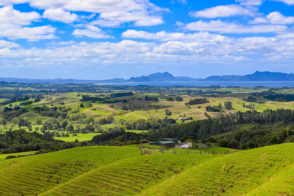
It was a 423 km (263mi) 6 hour drive from Auckland’s airport, which we planned to break up with two nights in Whangarei along with two nights in Taipa, which would be our base for driving to Cape Reinga and exploring the northern region. The traffic was light and the scenery was pleasant, but we didn’t get our first taste of the epic landscapes we expected until reaching the Brynderwyns Scenic Lookout, about 90 minutes from Auckland. With rolling hills in the foreground receding to distant mountains above Bream Bay and Whangārei Harbour, the panoramic view was spectacular.
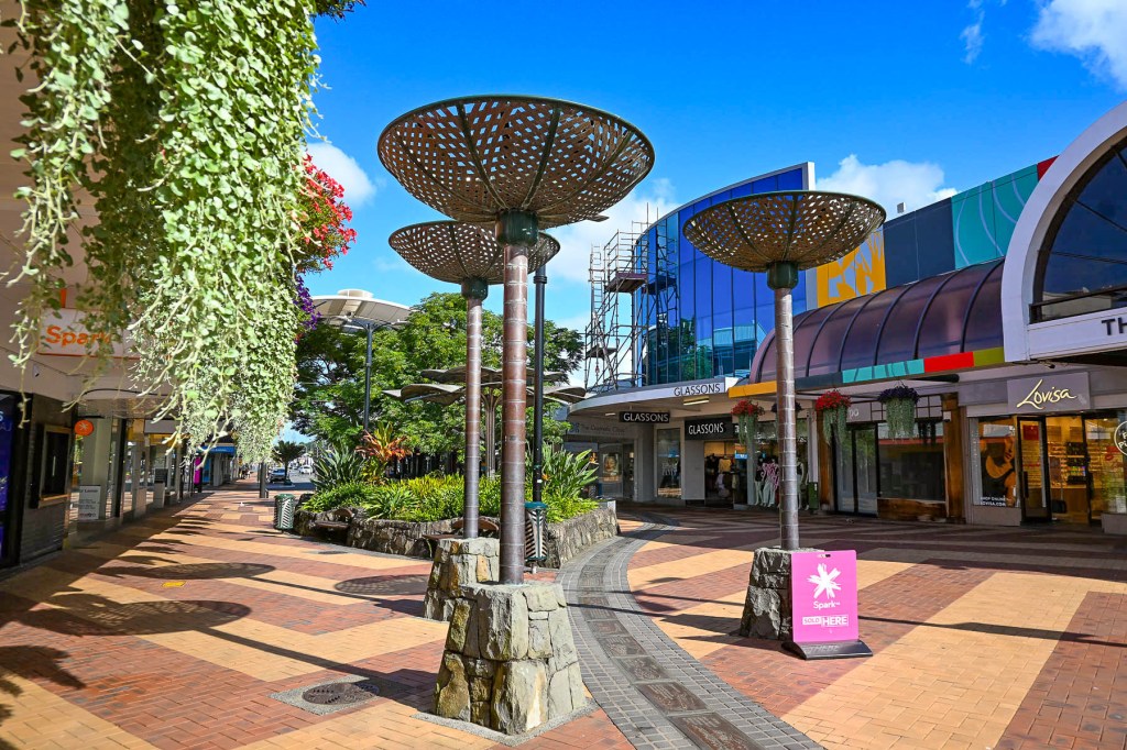
Getting off Rt1 we drove into Whangarei, a riverfront city that is the regional capital of New Zealand’s Northland area, where the decades old facades of the buildings gave the town an antique feeling, a backwater lost in time; we wondered if we should have planned differently. Fortunately, after checking into our hotel, the Quest Whangarei, and walking around the quaint downtown area, our opinion changed.
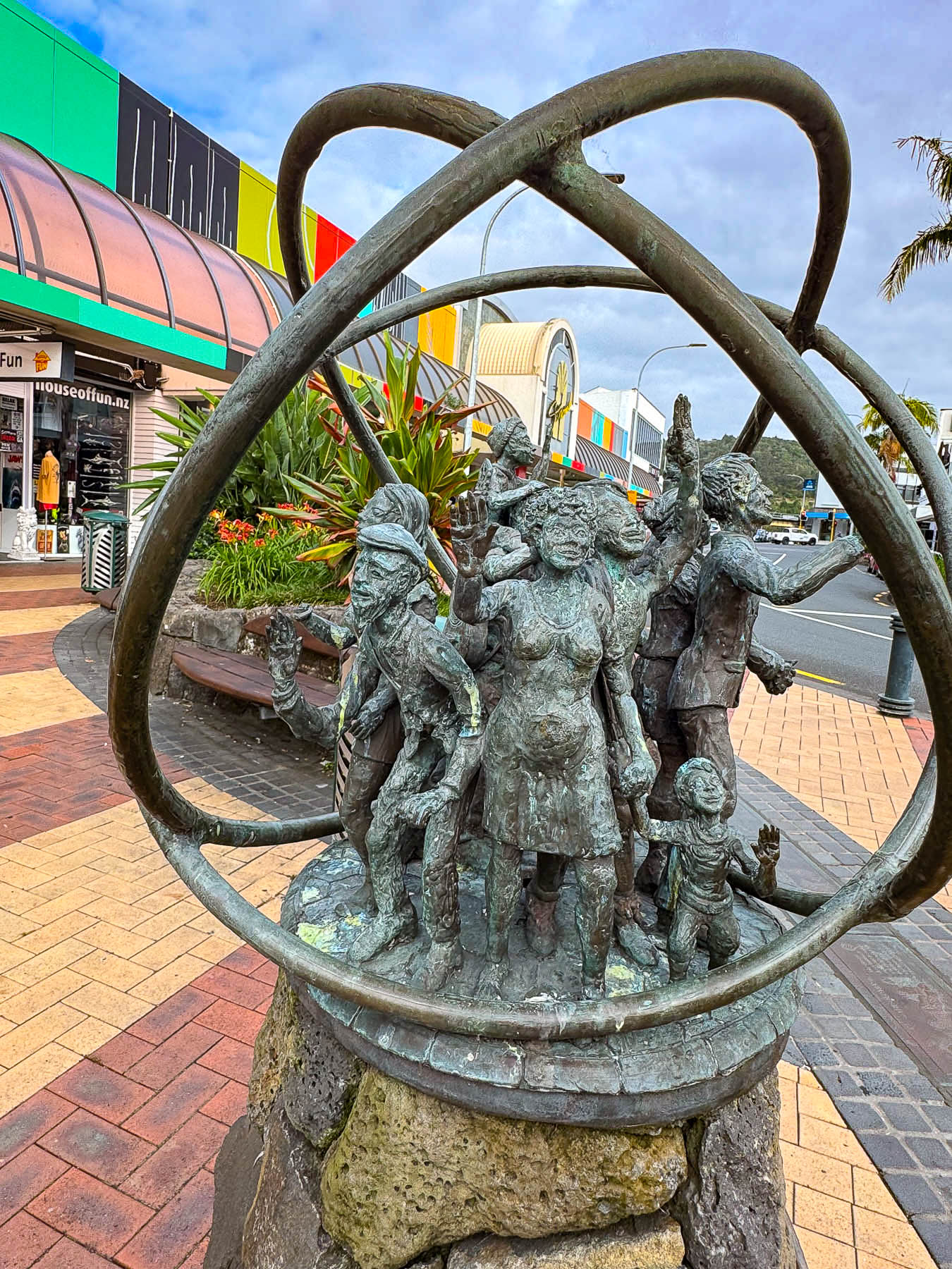
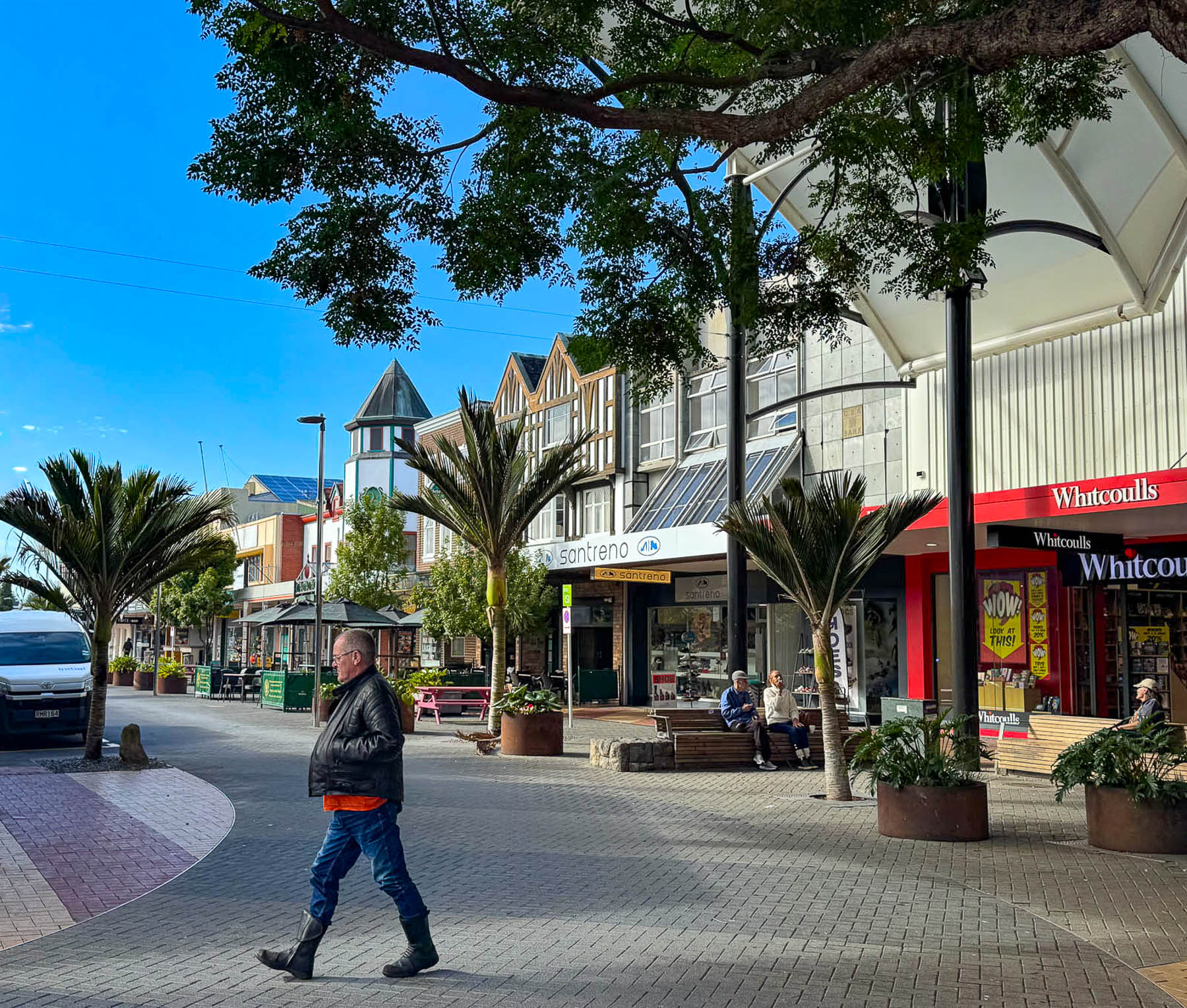
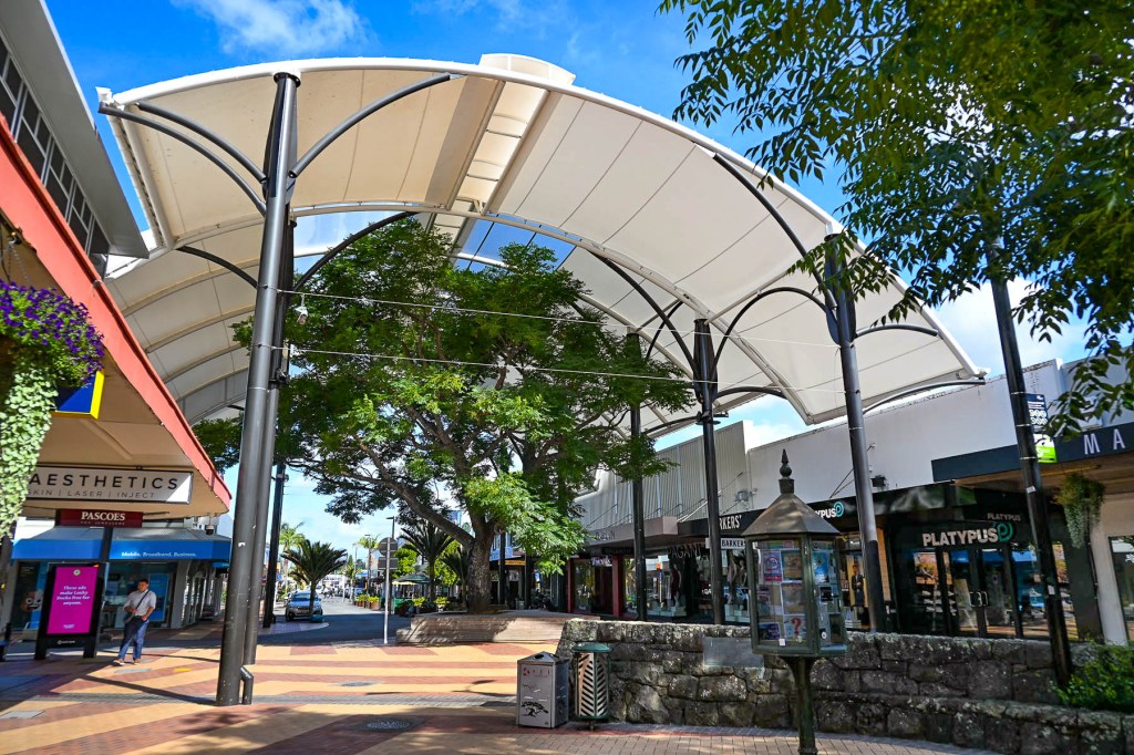
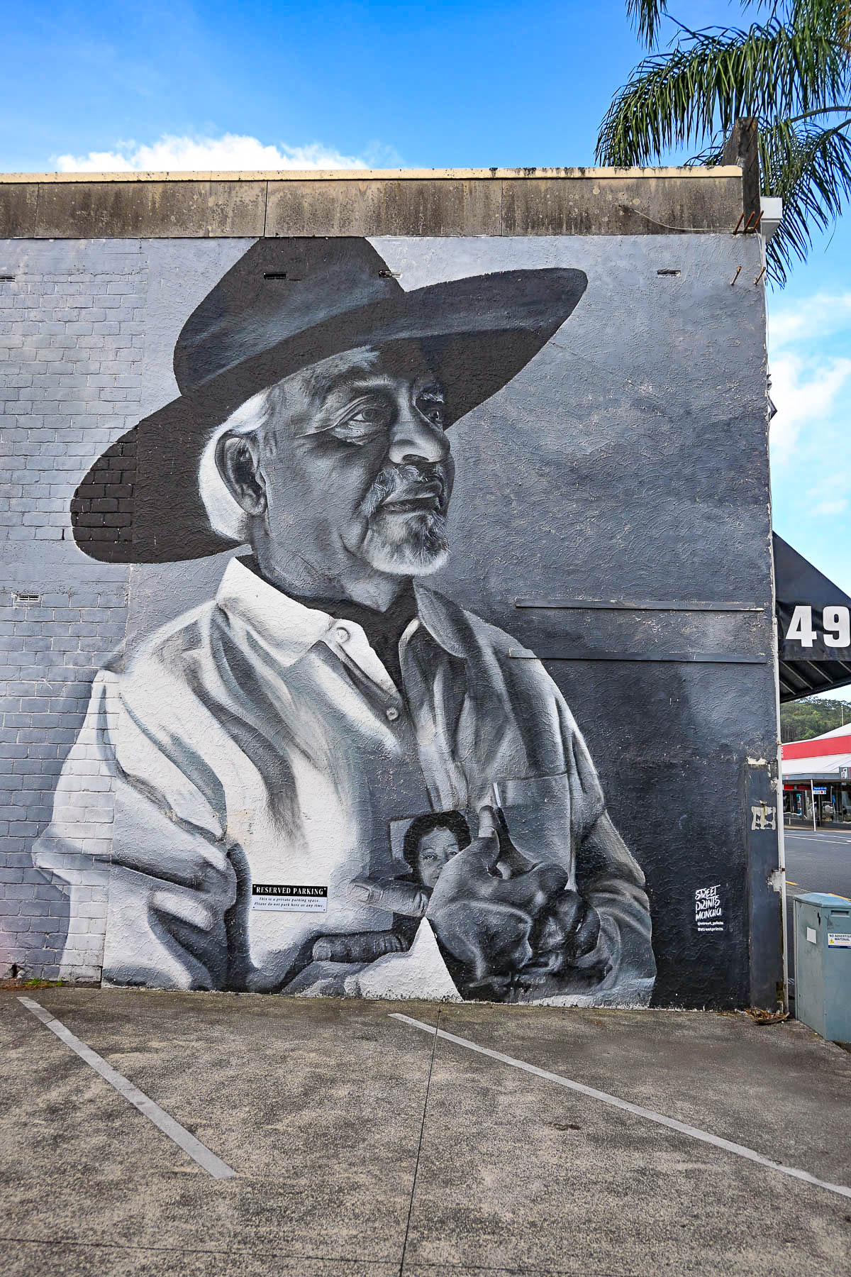
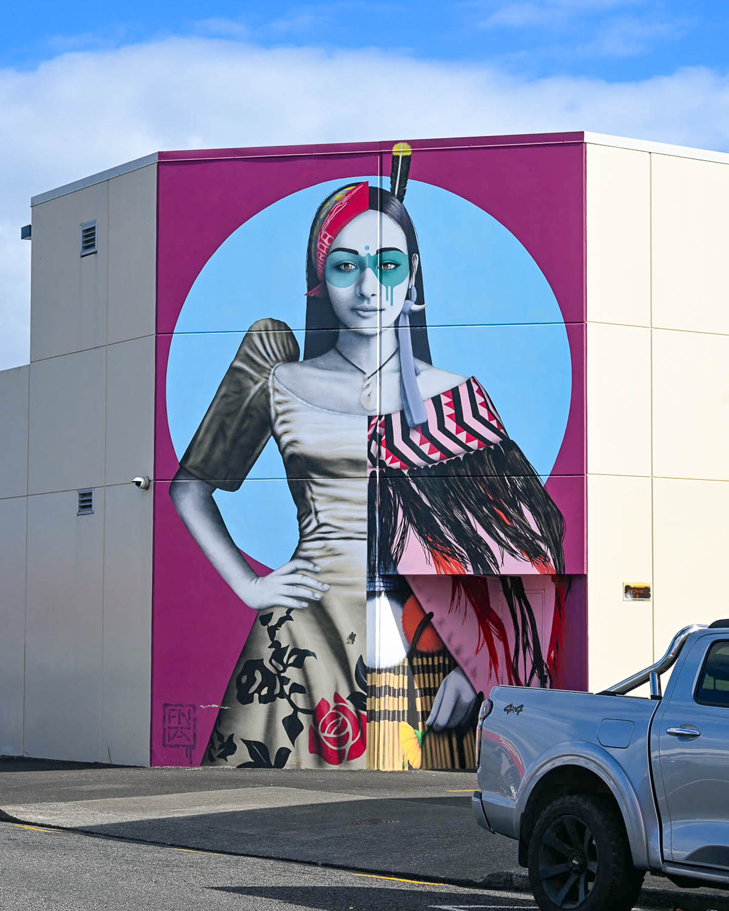
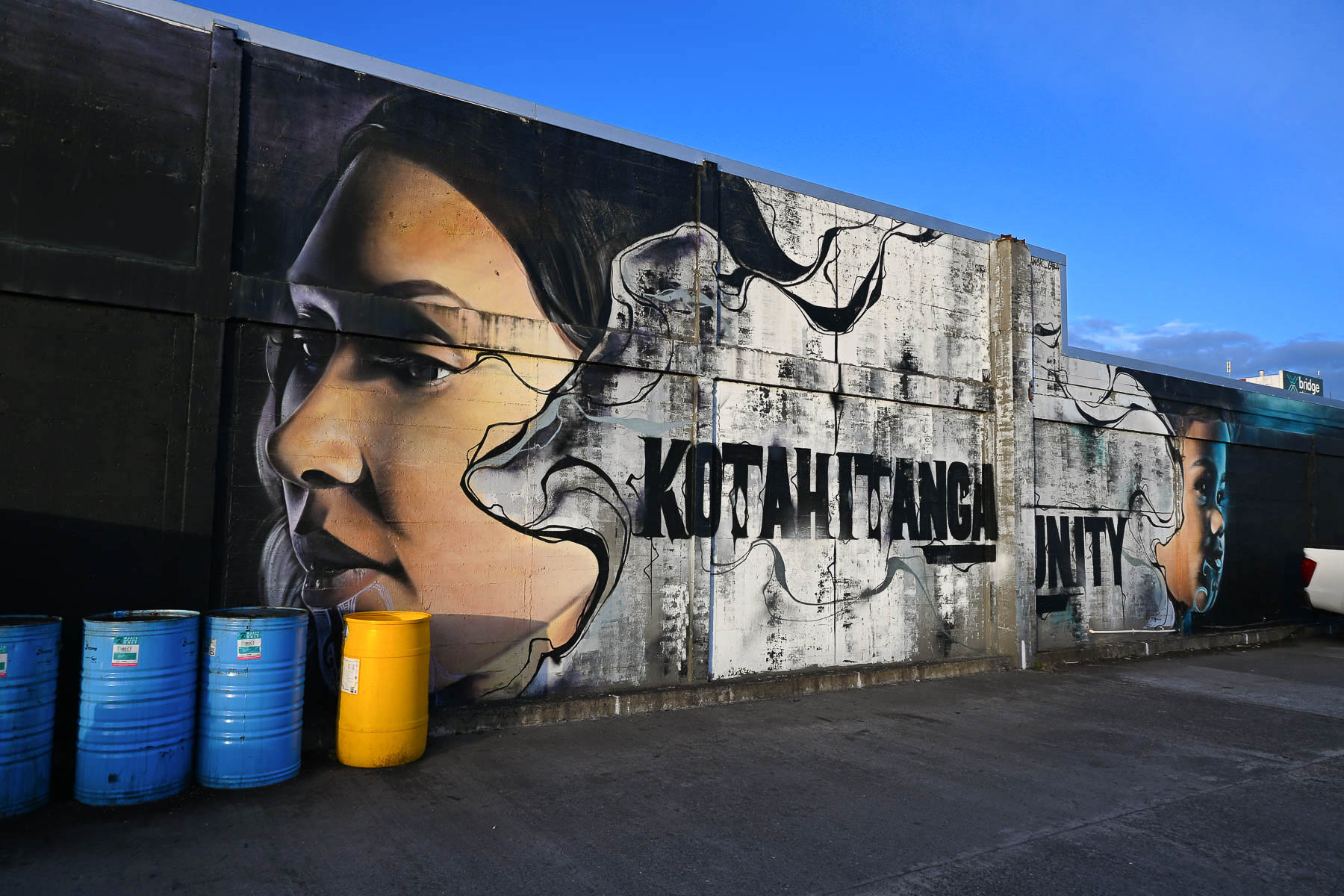
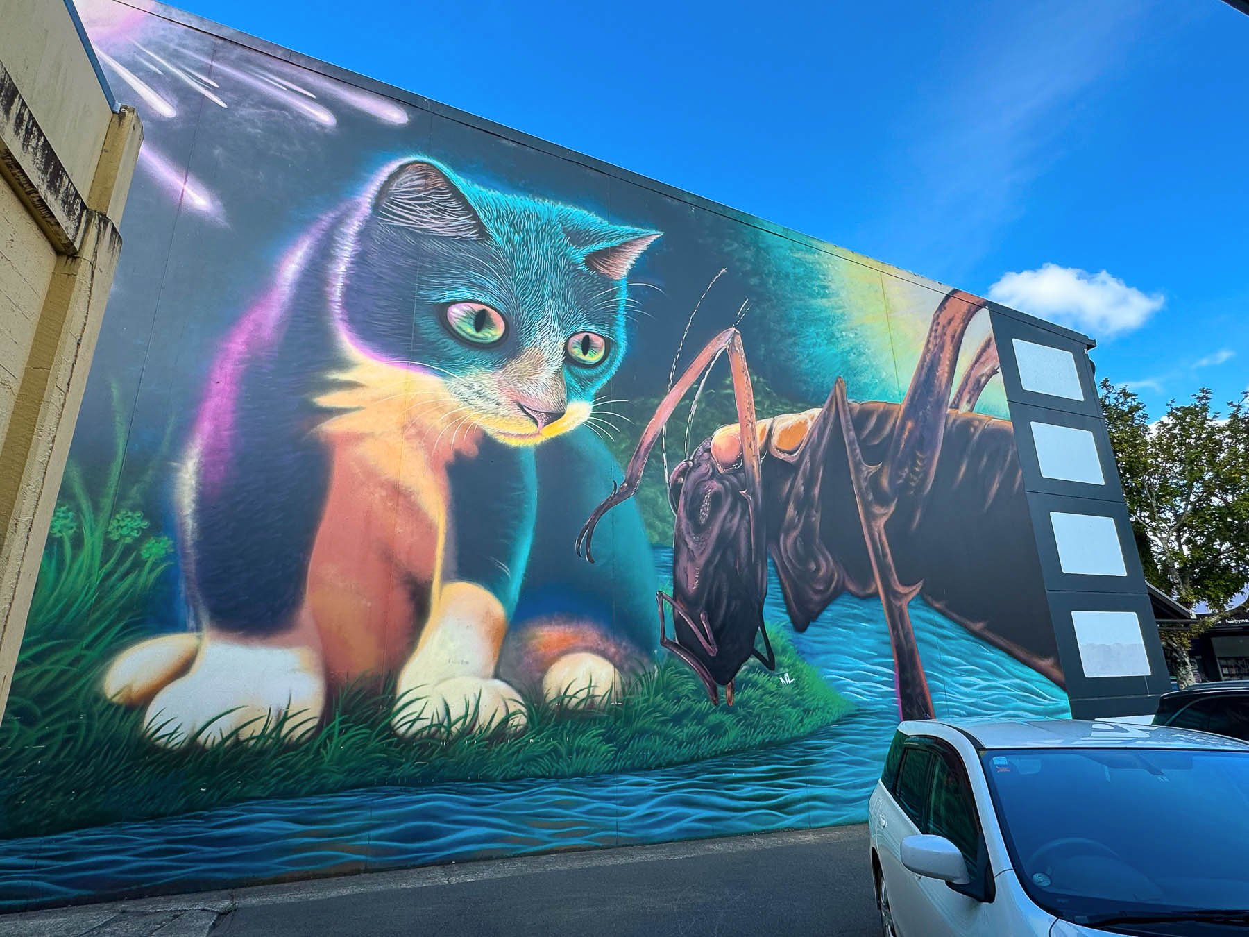
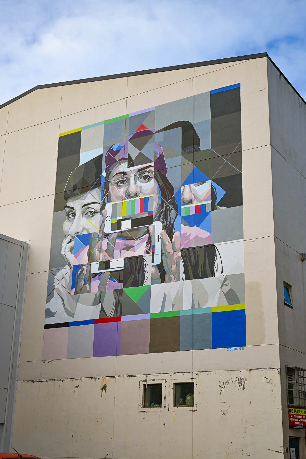
We were quickly enthralled with the frozen in time aspect of the architecture that spanned from the 1940’s to the 1980’s, which were reinvigorated with colorful, contemporary street murals, sporadically located around the historic downtown area that also gave it a youthful vibe. The artistic endeavor was started in 2019, when some of the world’s best street artists took part in the Street Prints Manaia, International Art Festival in Whangarei, and created 15 large scale art murals based on the theme “Tuia te muka Tāngata” “Weaving the Threads of Humanity.” The city even has a mapped walking tour to fifteen of these wonderful murals, several of which we saw from our hotel room that overlooks a small alley.
Long before Europeans arrived, the Whangārei Harbor and its surrounding coastline were heavily populated by various Māori tribes. During war councils, massive gatherings of their war wakas would fill the width of the Hatea River, the canoes close enough that warriors could run almost across them from one shoreline to another. Across the river atop Mount Parihaka, one of the Māori’s largest fortified villages (pā) had a commanding view of the Whangārei Harbour from which they spotted Captain James Cook’s ship and crew aboard the Endeavour, the first Europeans to sight the entrance to Whangārei Harbour on the 15th of November 1769. Cook’s crew were also the first Europeans that the Māori people of the region ever encountered.
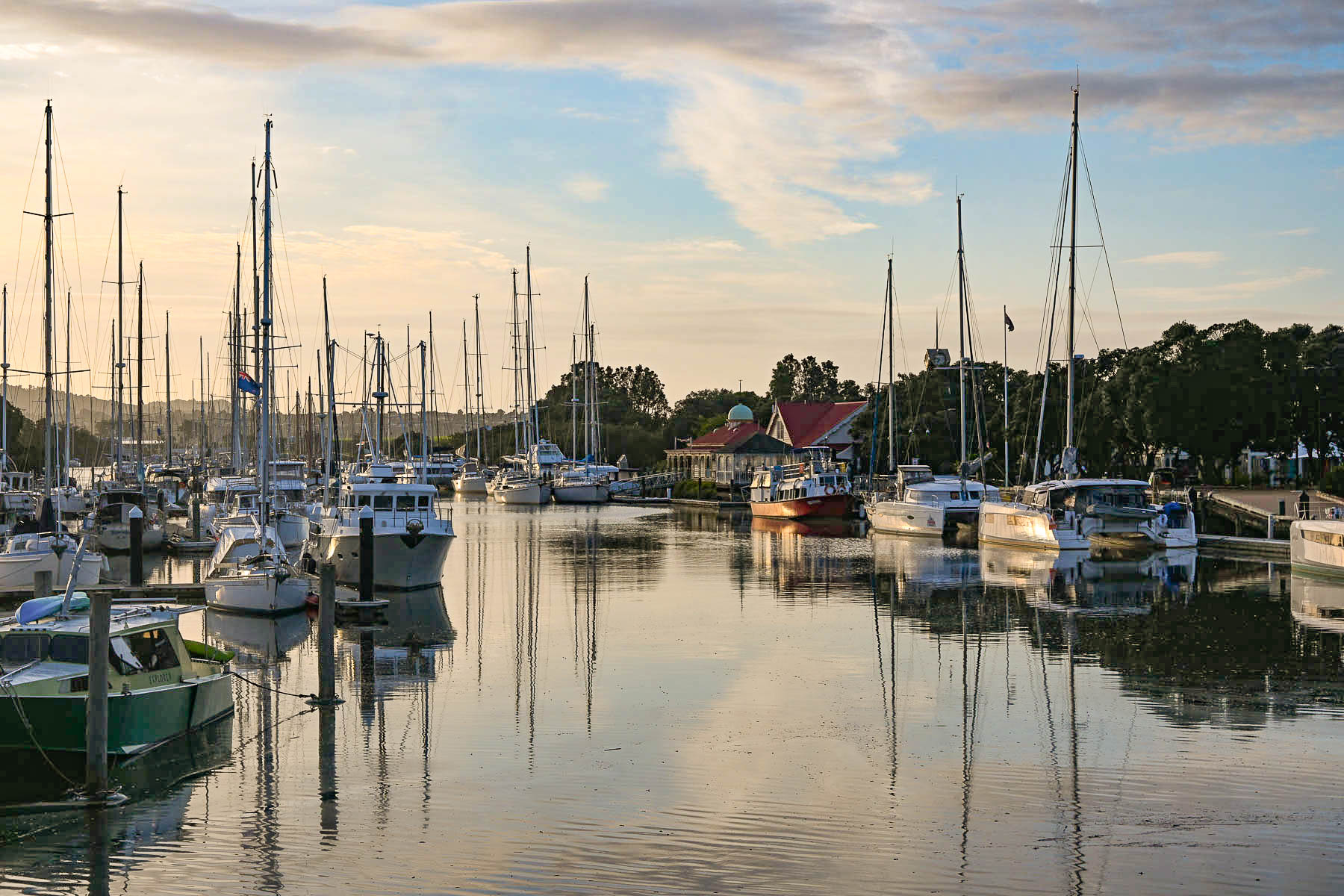
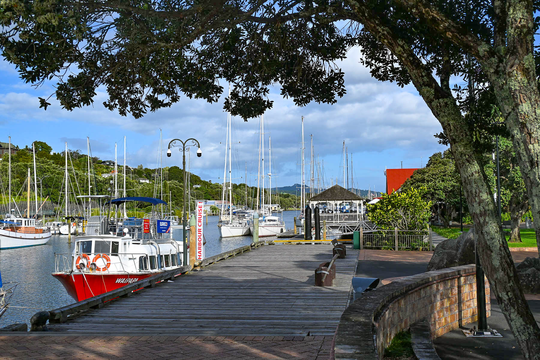
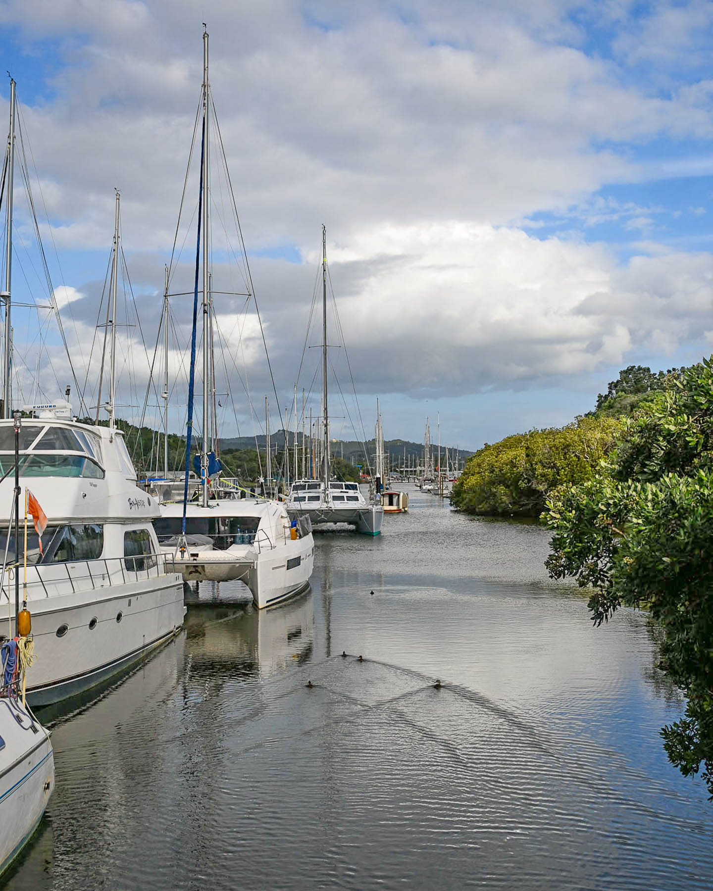
The early 1800’s was a turbulent time in the region with the English and Māori elbowing each other for control of the land, and settlers fled, not returning to the region in significant numbers until the late-1850s, when the lucrative kauri timber and kauri gum trade, along with exporting coal, revitalized the local economy. During the late 19th and early 20th centuries, Whangārei evolved from a logging camp into a bustling, but isolated maritime port. Things improved tremendously when the North Auckland Railway, a year-round passenger and freight line, reached the town in 1925. Though poor seasonal roads into the area continued to hamper the town’s growth until an all-weather road was built in 1934, spurring three decades of growth that resulted in Whangārei being designated at city in 1964.
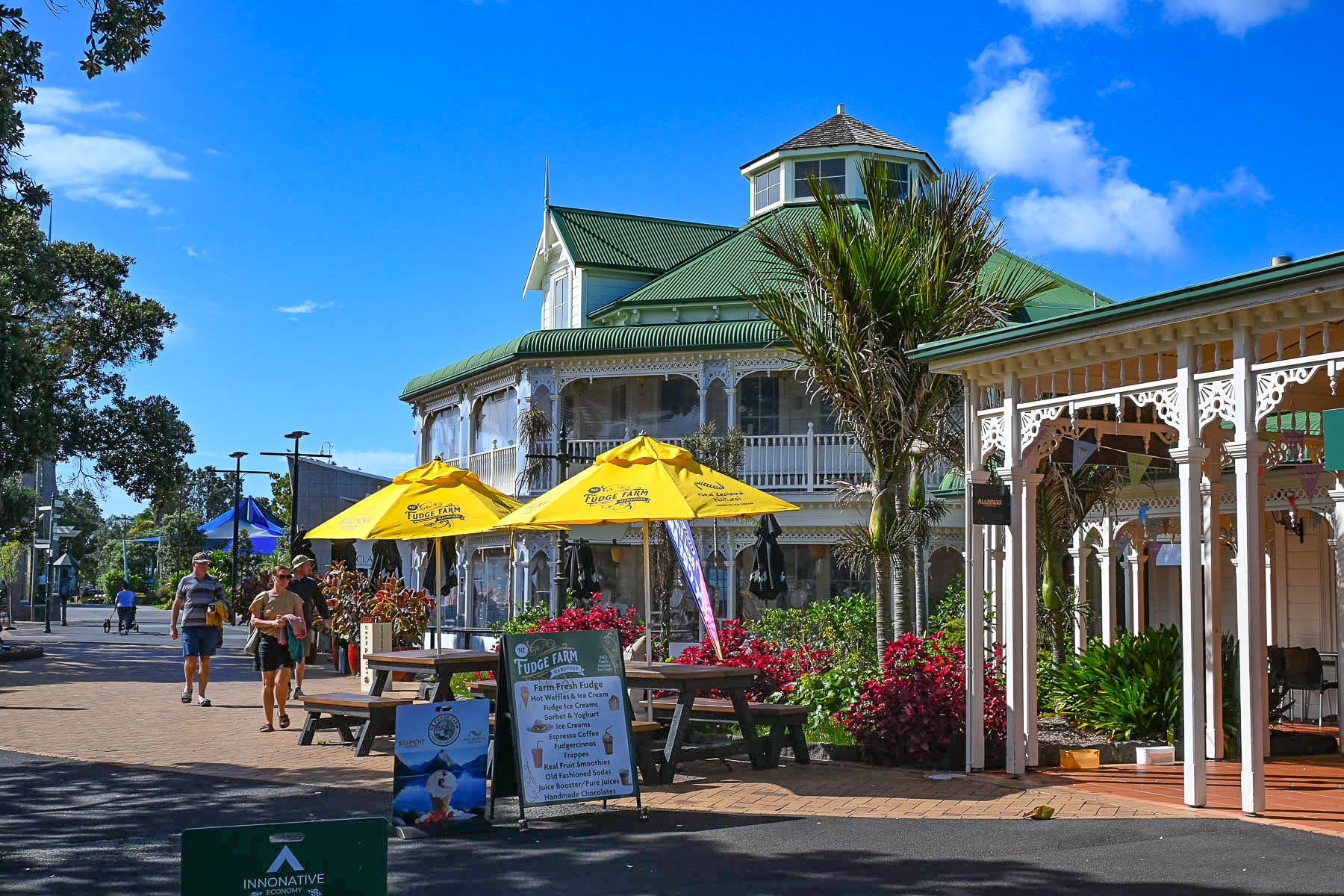
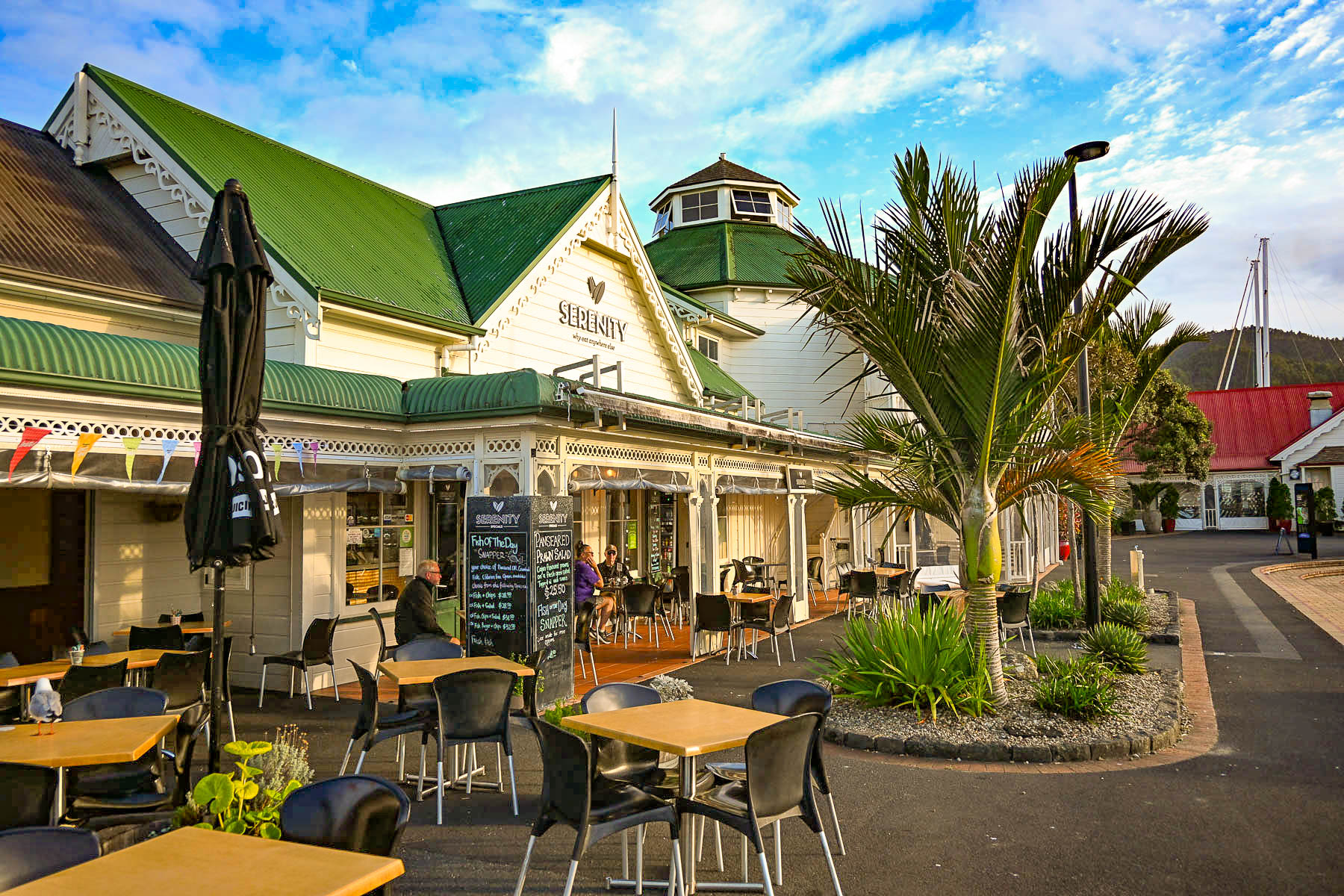
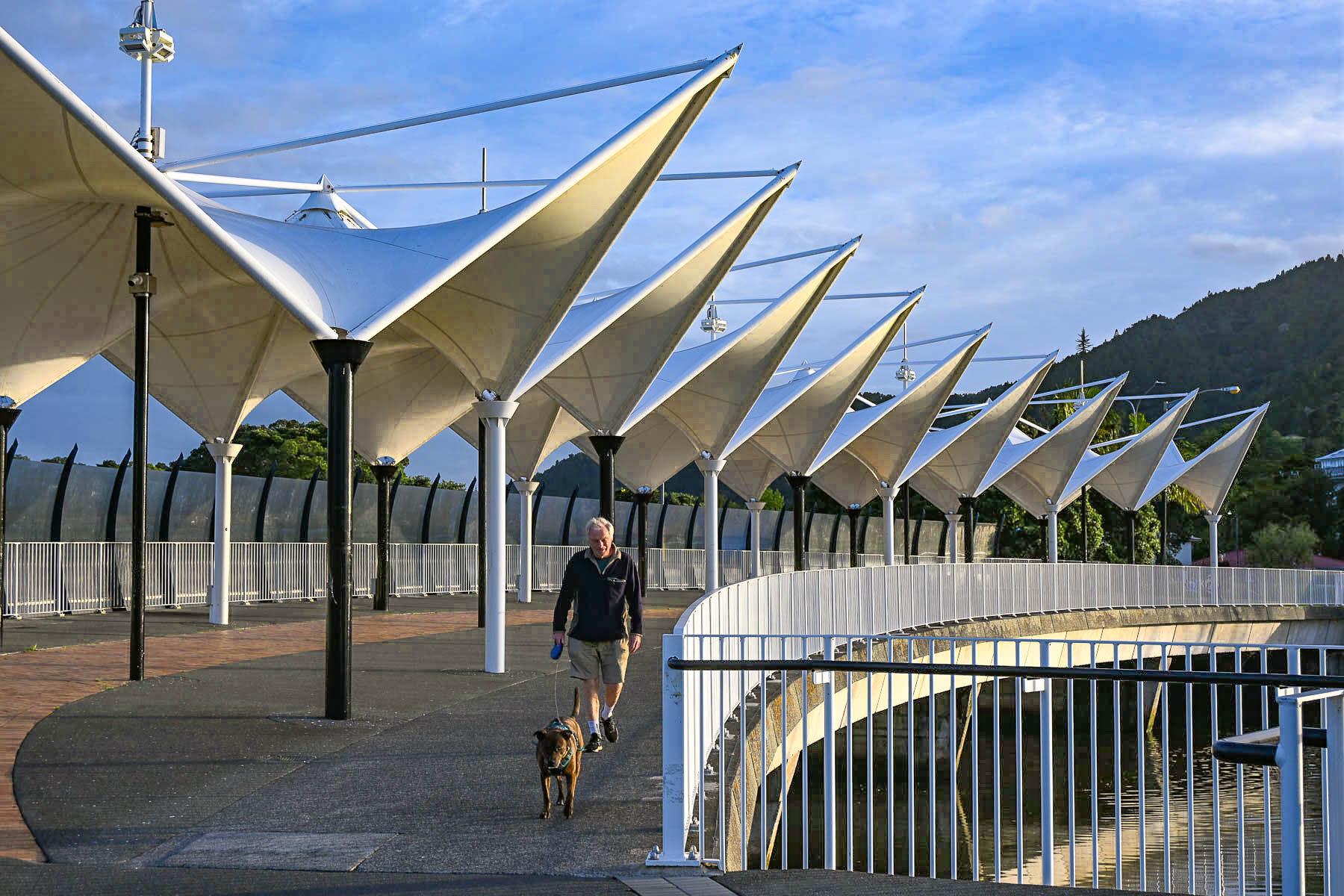
By the 1990s the economy had changed and the city was shifting its focus away from maritime industries to focus on tourism and culture. The old commercial port at the Town Basin was extensively gentrified into a picturesque waterfront dining, shopping, and marina precinct. This cultural evolution culminated with the opening of the iconic Hundertwasser Art Centre in 2022, which embraces the internationally acclaimed artist’s philosophy that “The straight line is godless and immoral. The geometric straight line is not a creative line, it is a duplicating line, an imitating line, not existing in nature.”
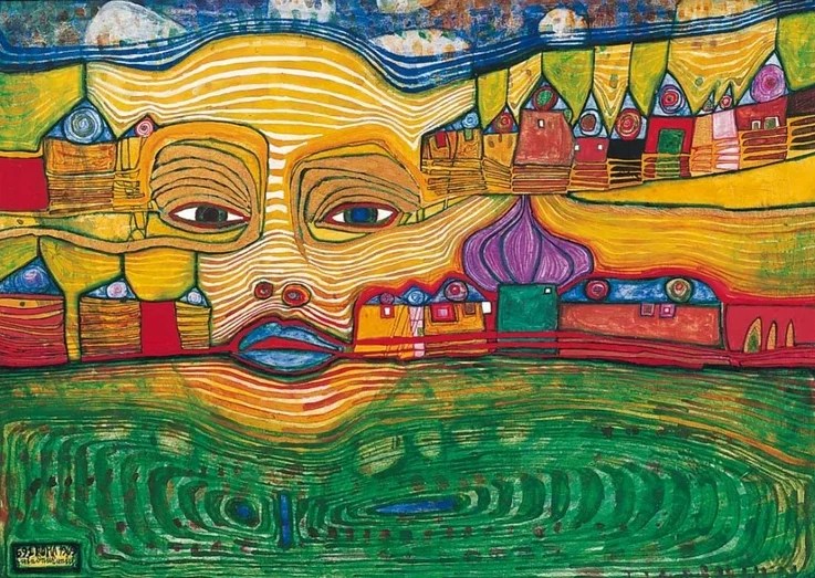
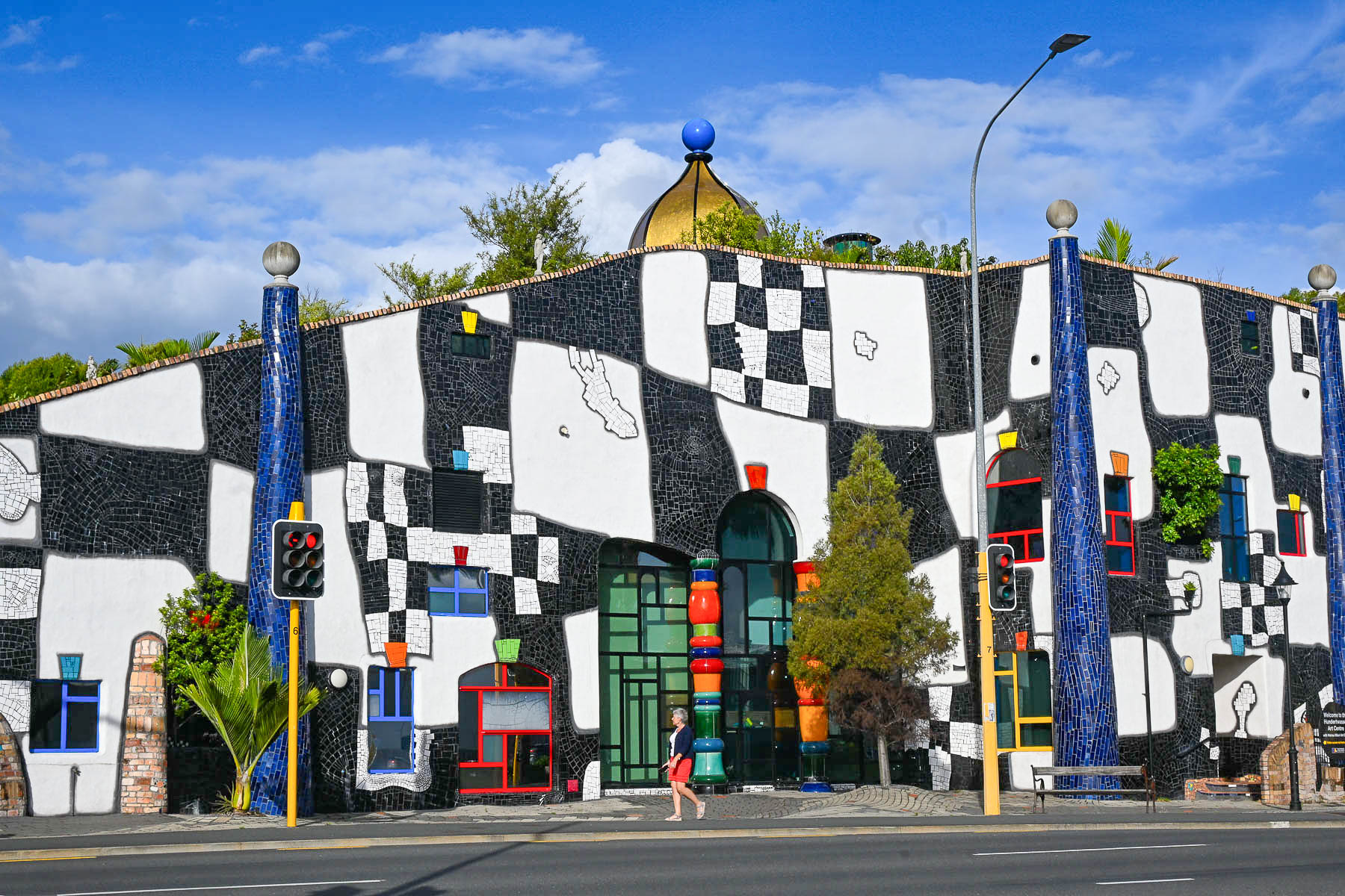
Happening upon this museum was serendipitous, as I first learned of Friedensreich Hundertwasser’s work in the 1970s, when the flamboyant artist was living on a canalboat in Venice and I owned an artbook of his paintings. He first arrived in New Zealand in 1973 for the opening of an exhibit of his work arranged by the Auckland City Art Gallery, and quickly fell in love with the country and found ideological kinship with the Māori culture, “sharing a deeply aligned worldview centered on interconnectedness, environmental guardianship, and the rejection of rigid human boundaries.” The Hundertwasser museum also houses the Wairau Māori Art Gallery, the first dedicated public Māori art gallery in Aotearoa.
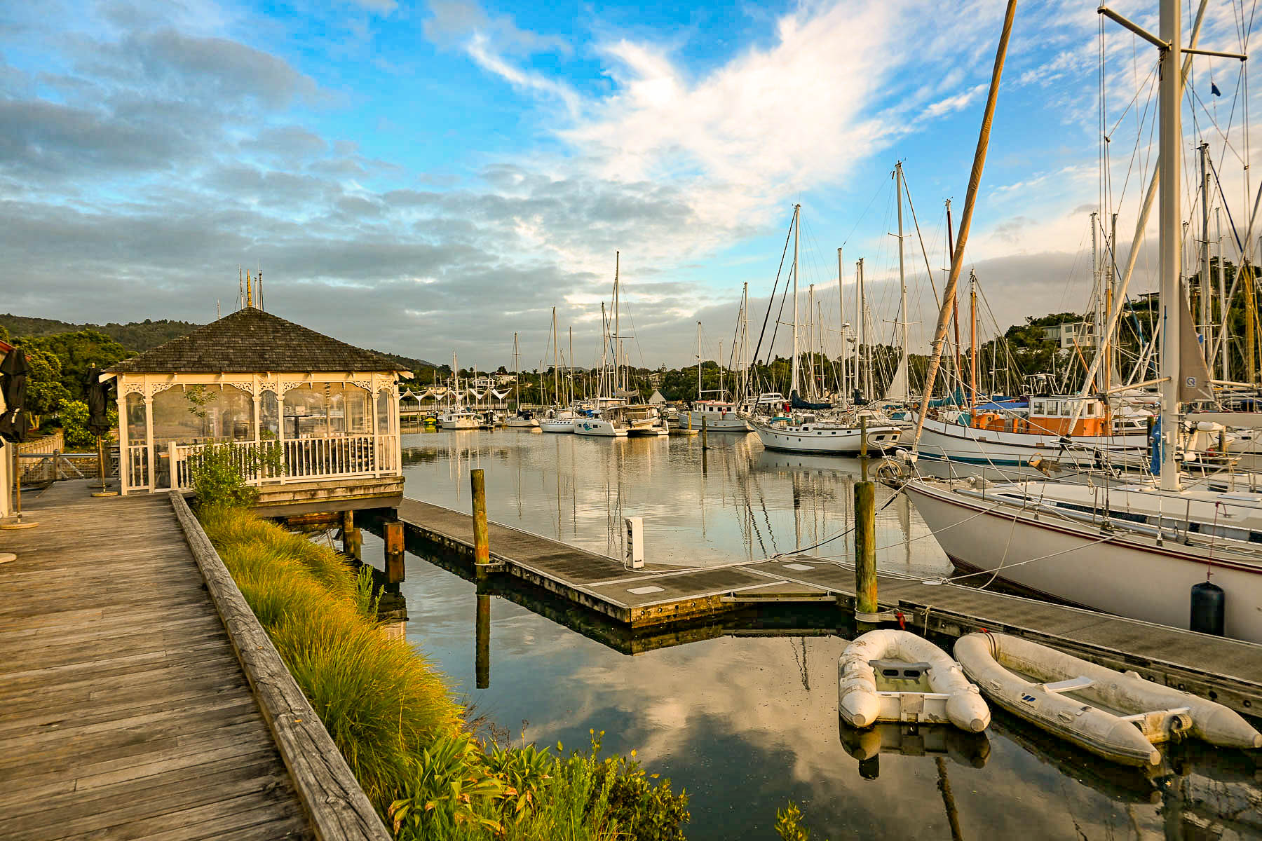
We found Whangārei to be a laid-back, underrated hidden gem that was perfect for a two night day stay on our way to Reinga Peninsula.
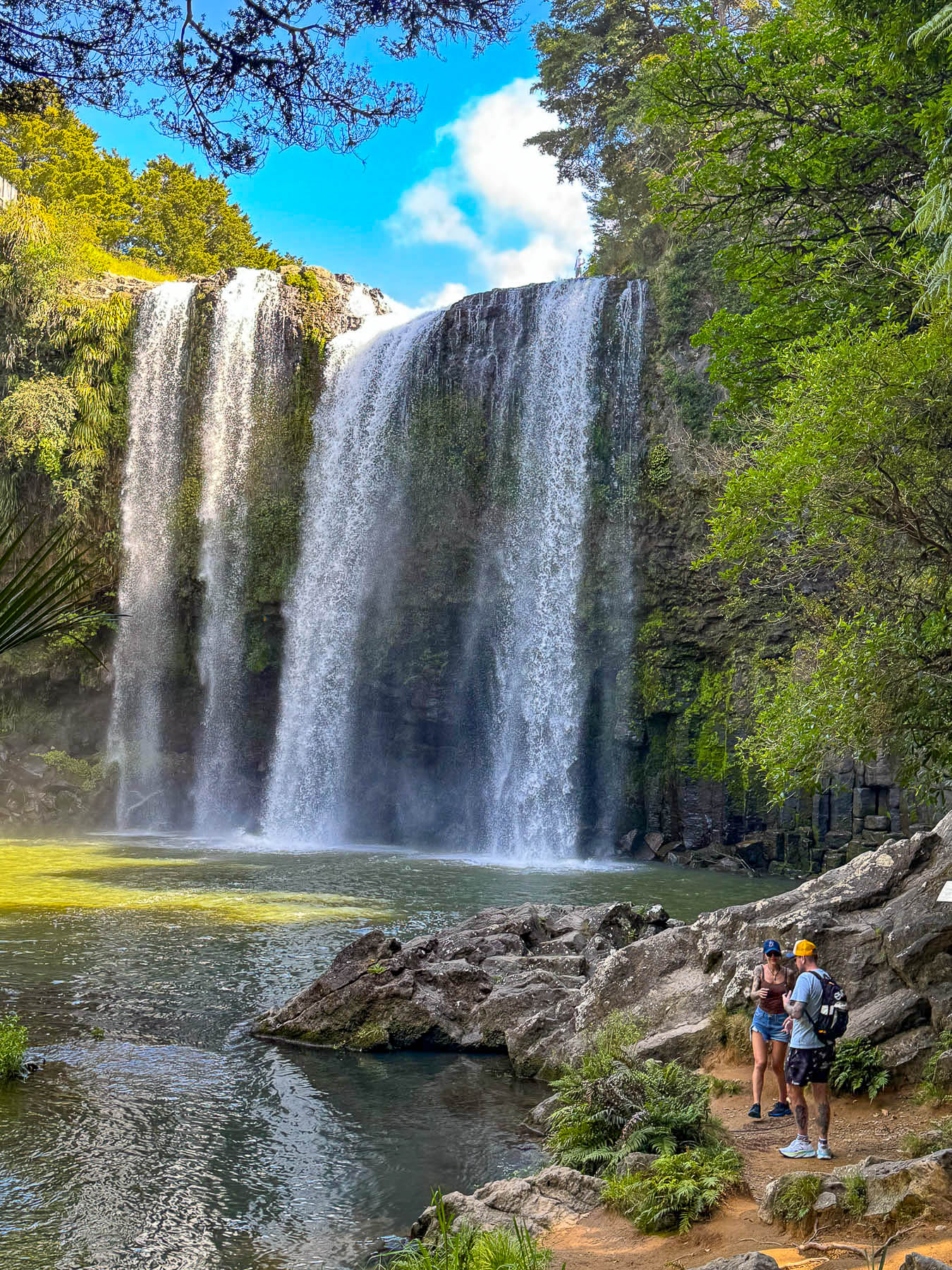
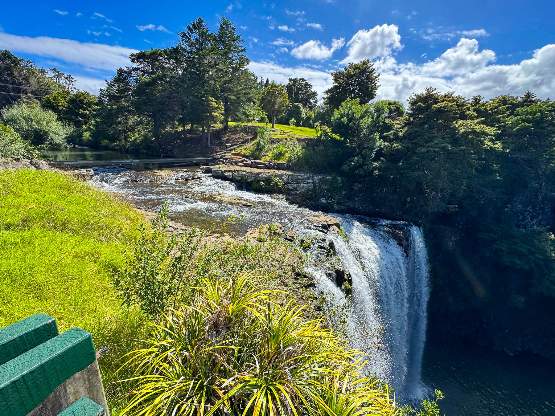
The next morning as we left the city, we visited the Whangarei Falls, a short distance outside of town, and one of New Zealand’s most easily accessible waterfalls, with the parking area a short walk away. It’s a beautiful 26 m (85 ft) tall curtain waterfall, with an upper viewing platform and a pathway down through a thick forest to the base of the dramatic falls.
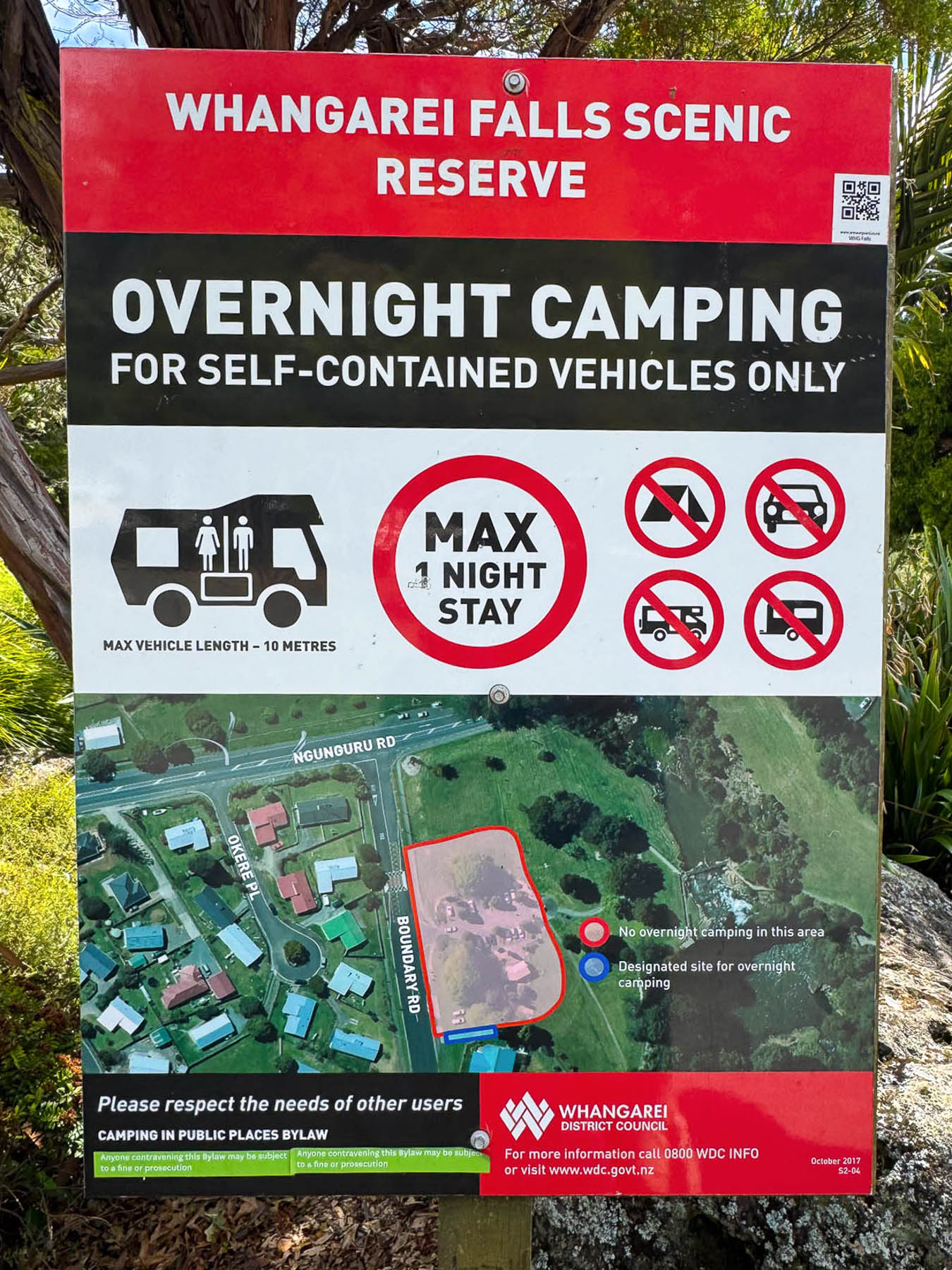
The parking lot was a moderate size with several Freedom Camping spots reserved for camper vans. “I wish we did this 30 years ago,” I said to Donna. With a smile and a gentle elbow to the ribs she replied, “more like fifty.” It’s a great program that allows folks doing extended grand tours around New Zealand the ability to budget travel. Restrictions vary from site to site and several apps, such as CamperMate, Rankers Camping NZ, and WikiCamps NZ offer maps and reviews of approved Freedom Camping areas.
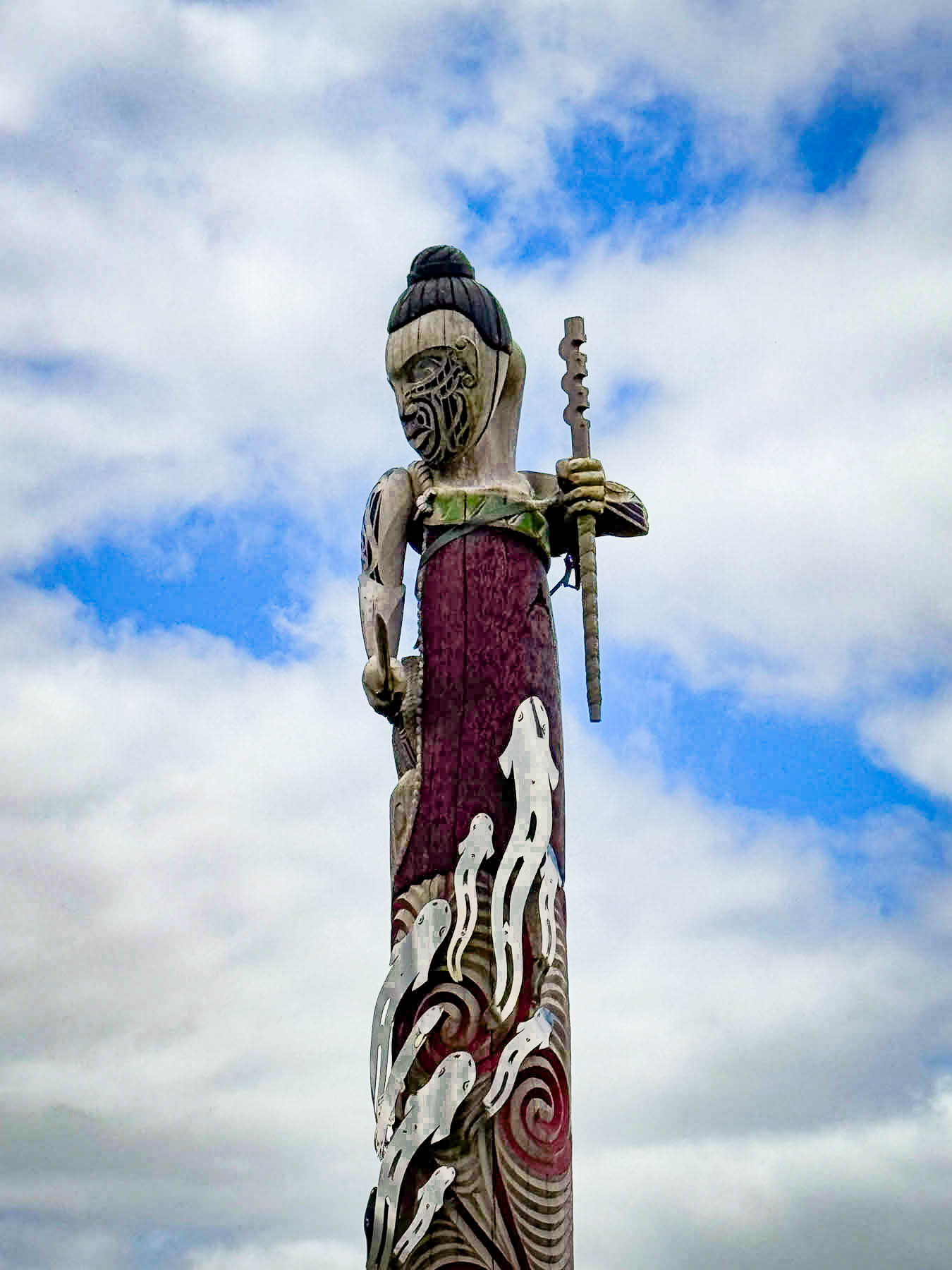
Later that morning we u-turned to investigate a tall traditional Māori wood-carved pou we had just zipped by as we entered Te Tai Tokerau, the northlands region, near Maromako. Pou (or pouwhenua), which are often compared to totem poles, are traditionally used as territorial boundary markers or to designate significant Māori sites. Carvings on the poles depict, “ancestral figures, lineages, and tribal histories, reflecting a profound relationship between the ancestors, the natural environment, and the tangata whenua (people of the land).” This pou, created by Arapeta Te Hauhau and Shane Whatarau, portrays the Māori tūpuna (ancestor) Kahukuri, who conquered the rohe, region, of Ngāti Hau, a vast area between Whangārei and Hokianga, farther north.
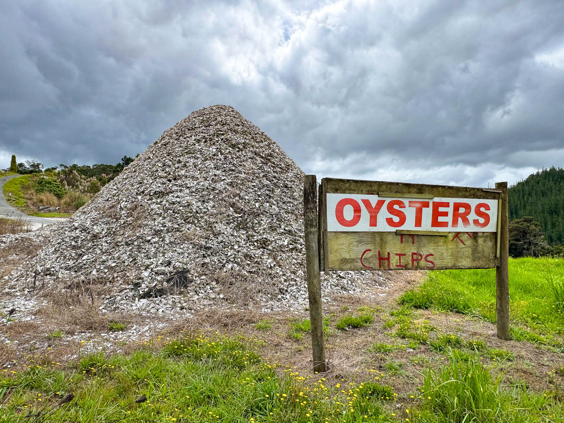
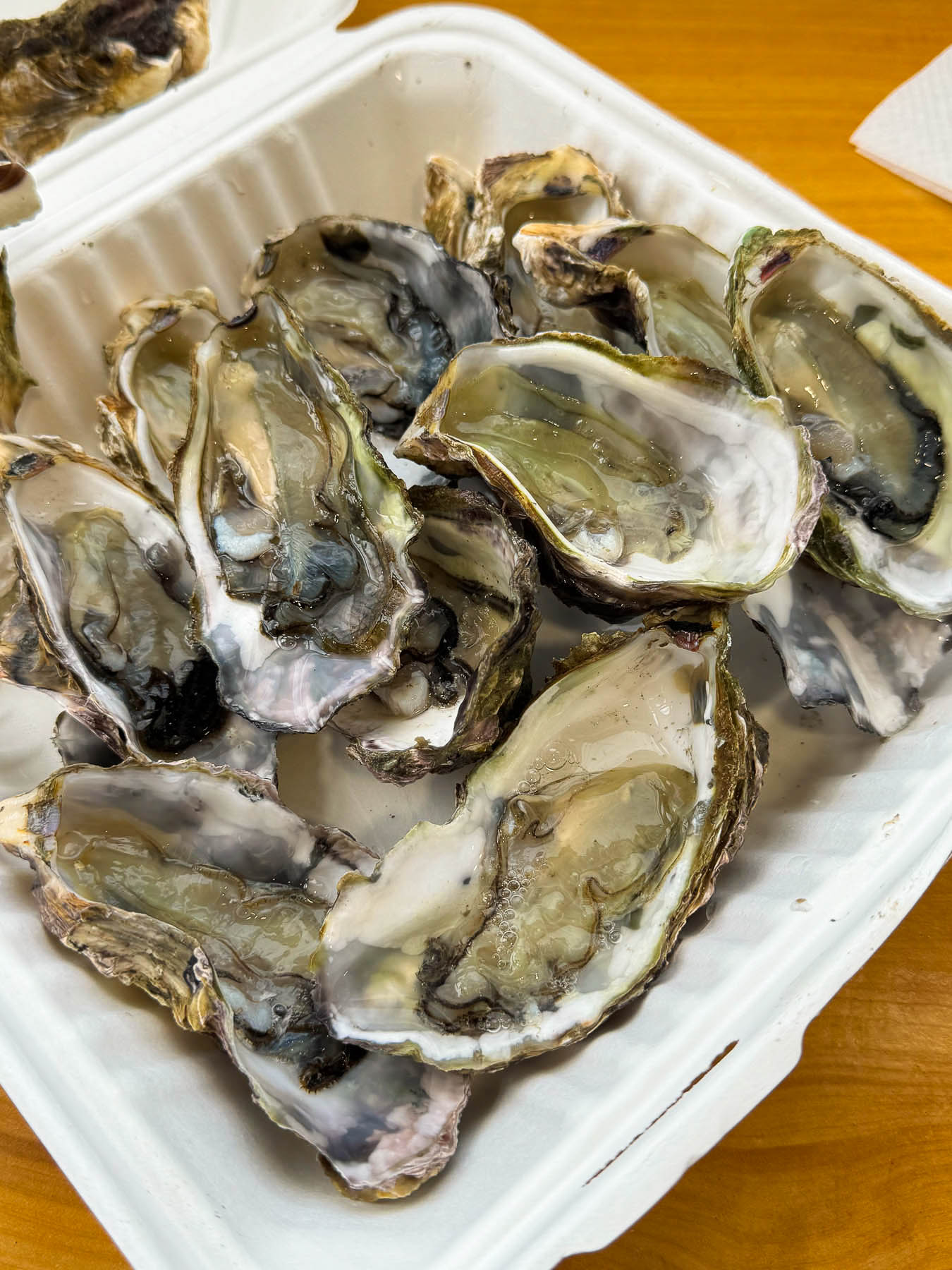
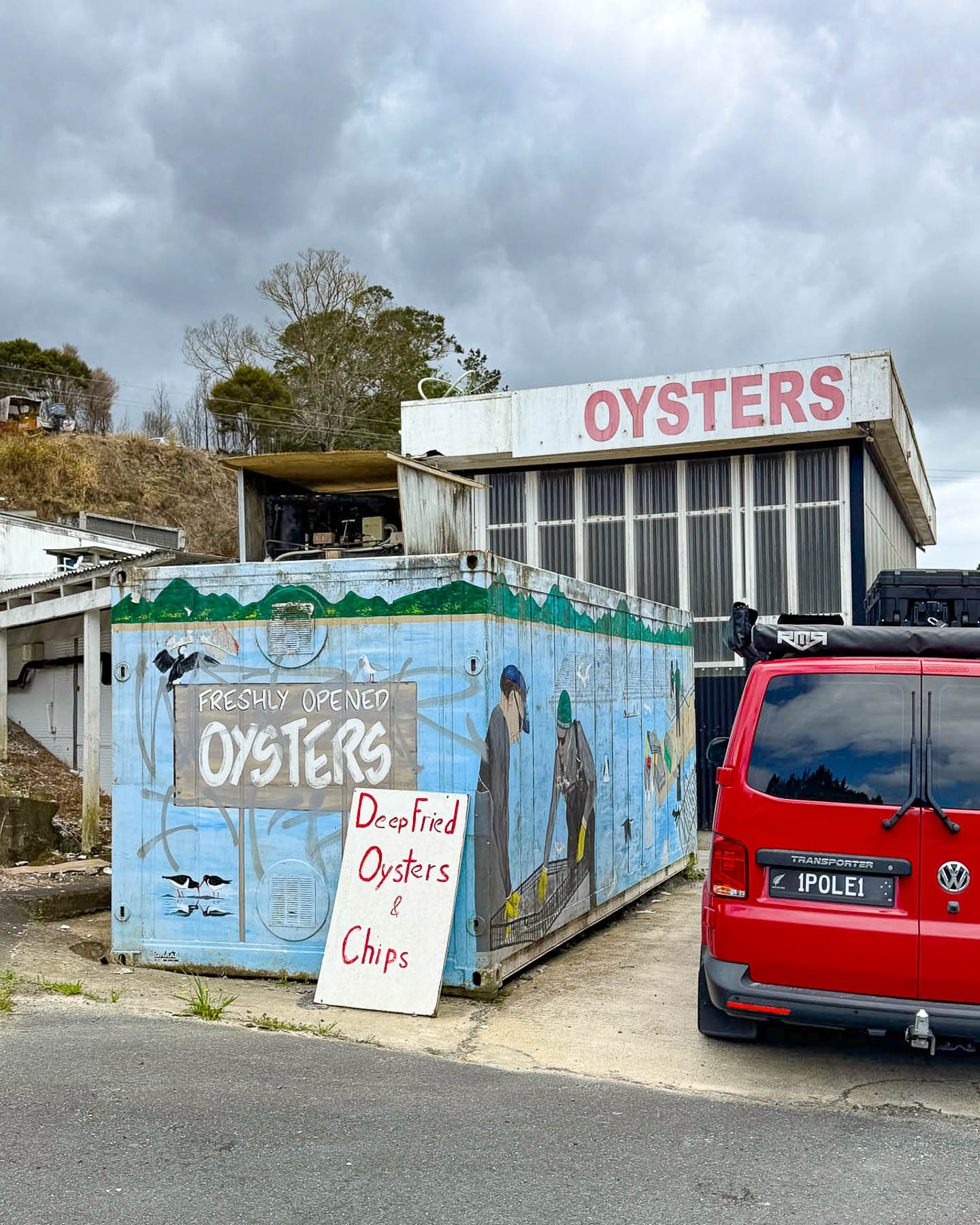
Continuing on we were urged to stop when we saw a huge midden pile of oyster shells next to a nondescript roadside shack that offered only oysters and chips. It was mostly a take-away shop with a few well-worn tables and chairs, but we immensely enjoyed our pre-lunch snack of fresh raw oysters. If you are an ostreophile, New Zealand is a great destination as the cold waters that surround the islands allow oysters to be harvested nearly year-round. We were now in the Bay of Islands area of the Northland Region and we could turn onto Rt 11 to travel along the coastlines of Waikare and Rawhiti Inlets to the Haruru Falls and the Waitangi Treaty Grounds, where the controversial first accord between the British Crown and the Māori people was signed in 1840. It was controversial because the Māori received an interpretation of the treaty in which they believed they were of equal standing to the Crown of England and not subjects as the English treaty stated. Māori disillusionment with the treaty quickly grew and was the catalyst for the Northern War in 1845. Though it only lasted ten months, it was the first of a number of major conflicts that continued sporadically to 1872, that arose after the signing of the treaty.
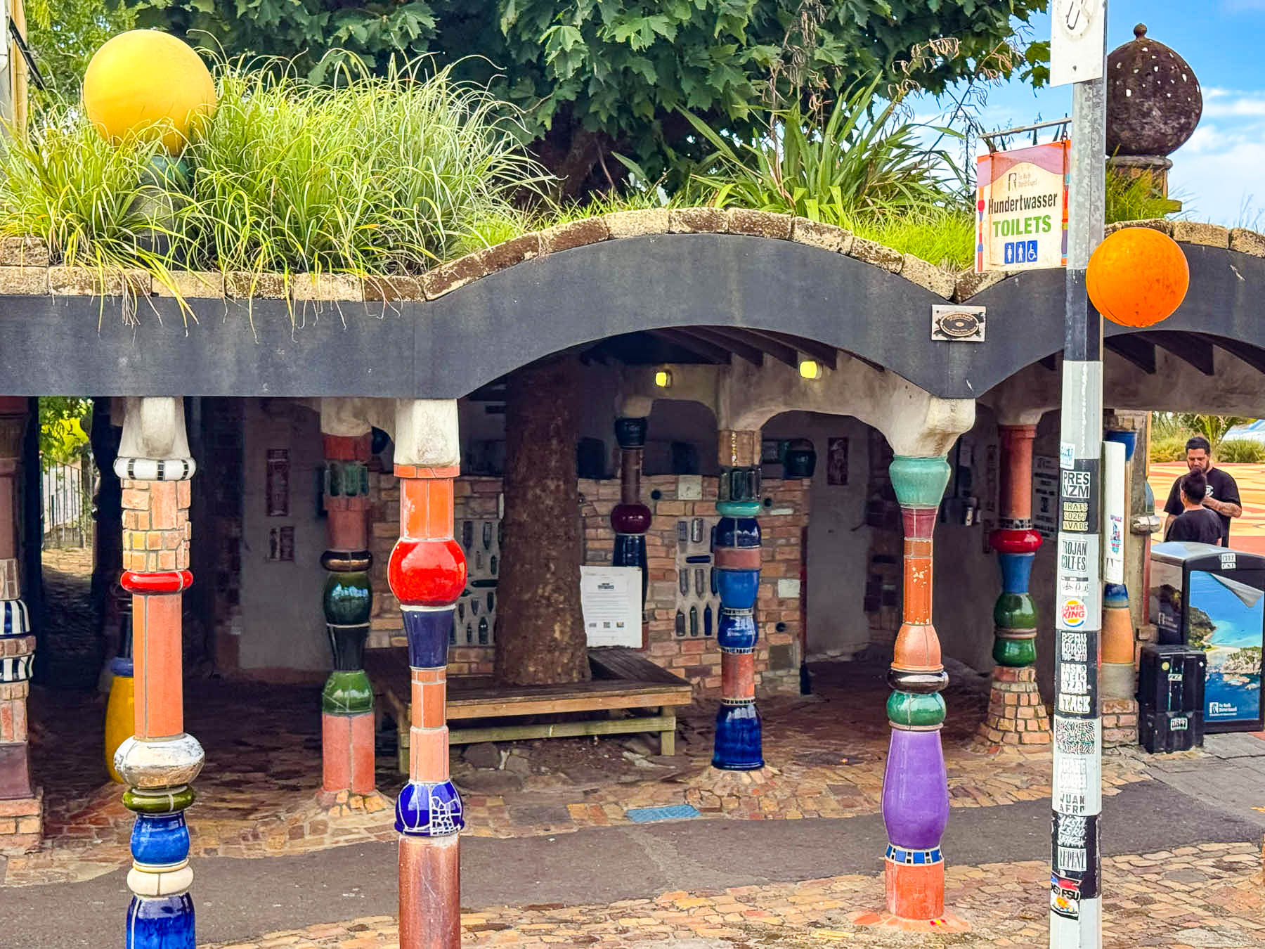
A site marker pointing the way to the Hundertwasser Public Toilets in Kawakawa caught our eyes and we couldn’t resist a quick detour. Yes, a quirky decision for an equally quirky destination. We do not do a lot of extensive research ahead of time beyond mapping out our routes to the major destinations and our hotels. Leaving the day’s drive a combination of sites picked the night or a day before and leaving plenty of time for spontaneous detours.
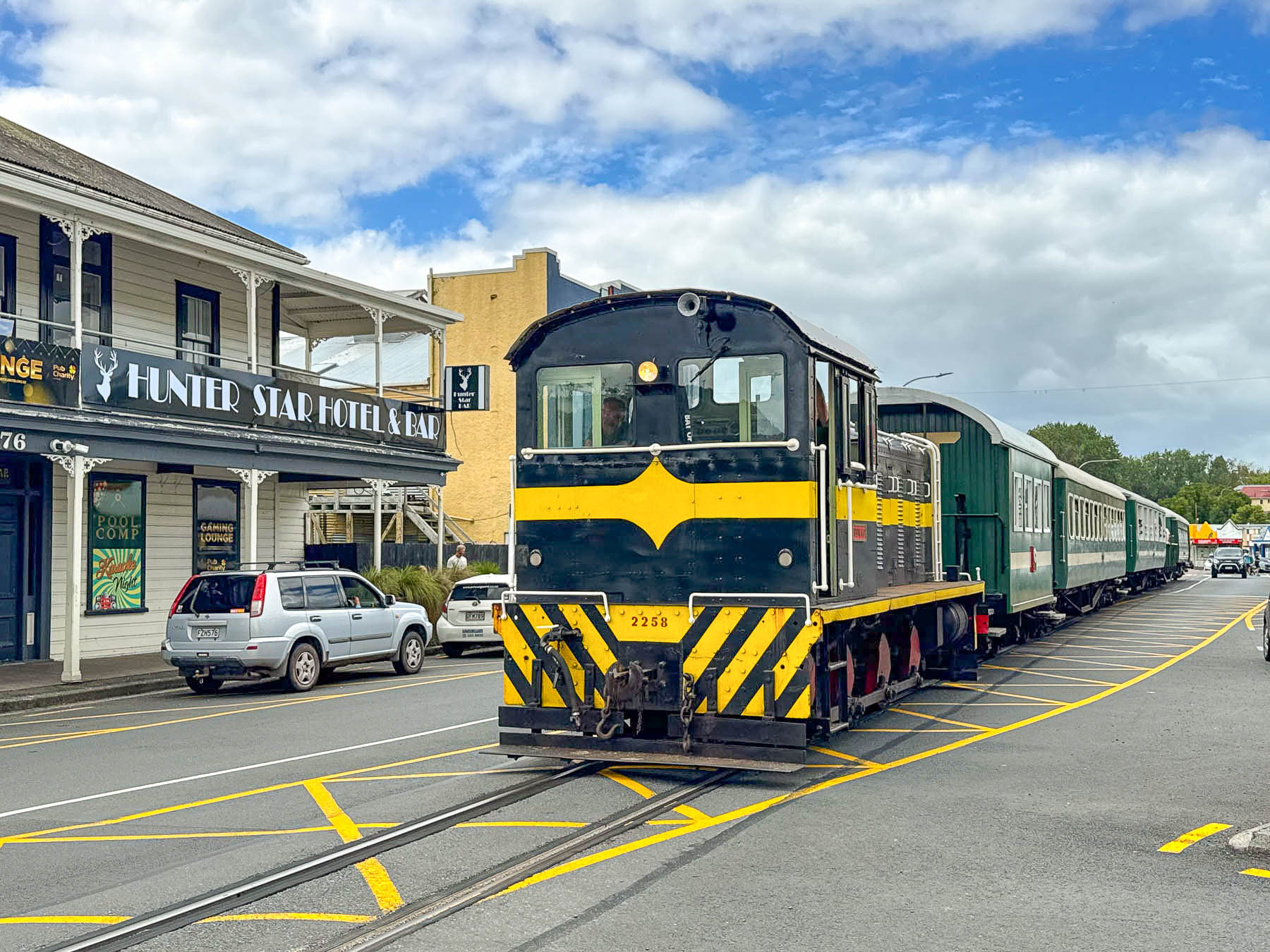
Surprisingly there was no train crossing gate when we entered Kawakawa, as a slow-moving locomotive pulling a few passenger cars entered the road and caused traffic to momentarily stop. We followed behind the Bay of Islands Vintage Railway’s train as it slowly rolled down railroad tracks centered in the town’s wide main street until it verged into an old railyard.
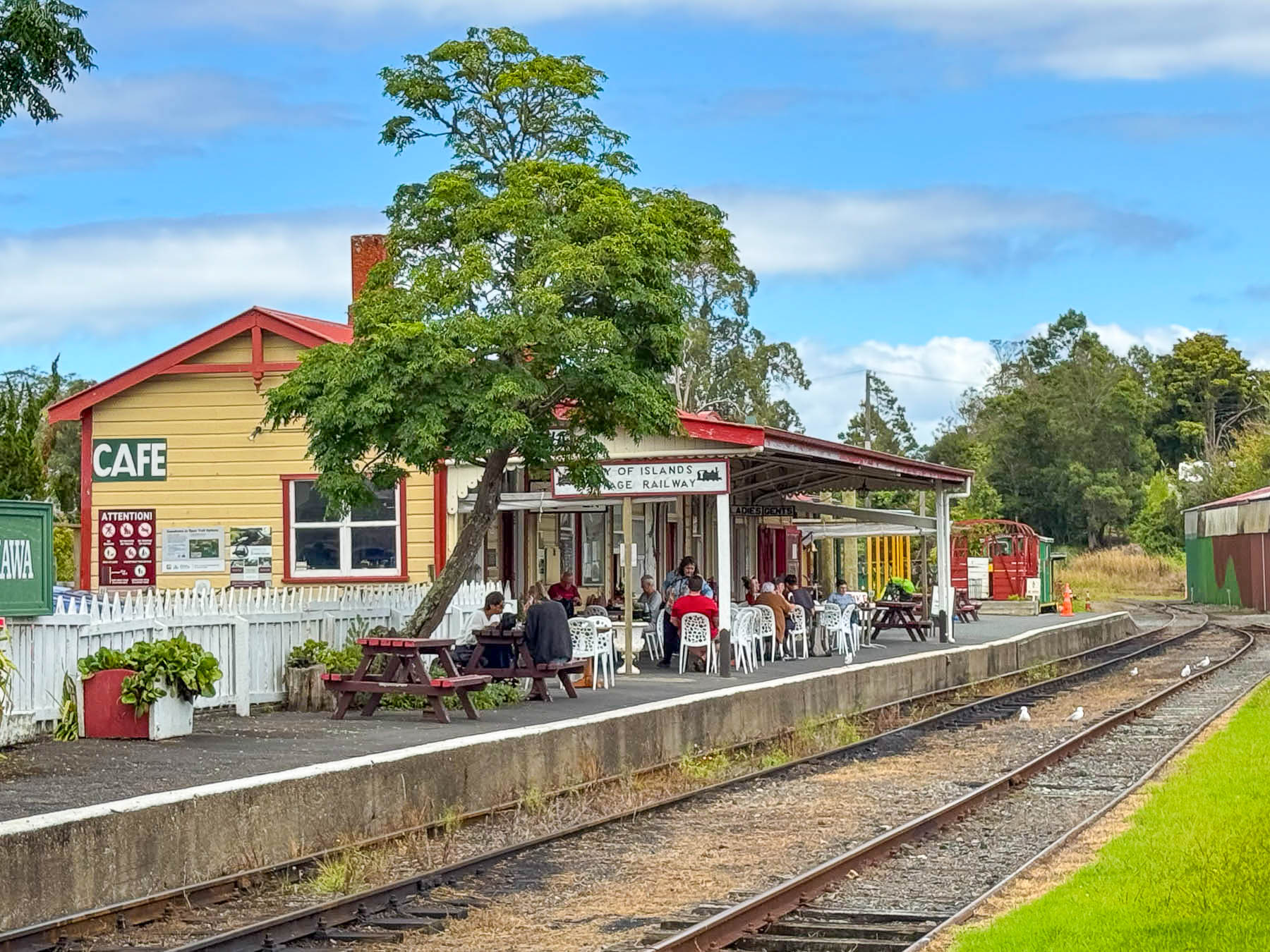
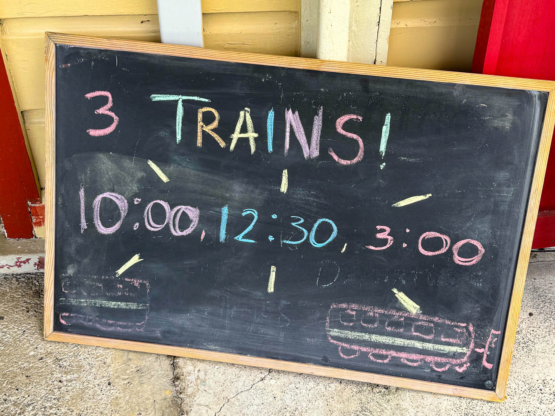
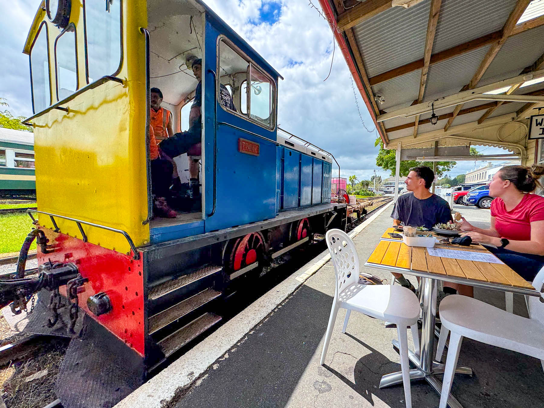
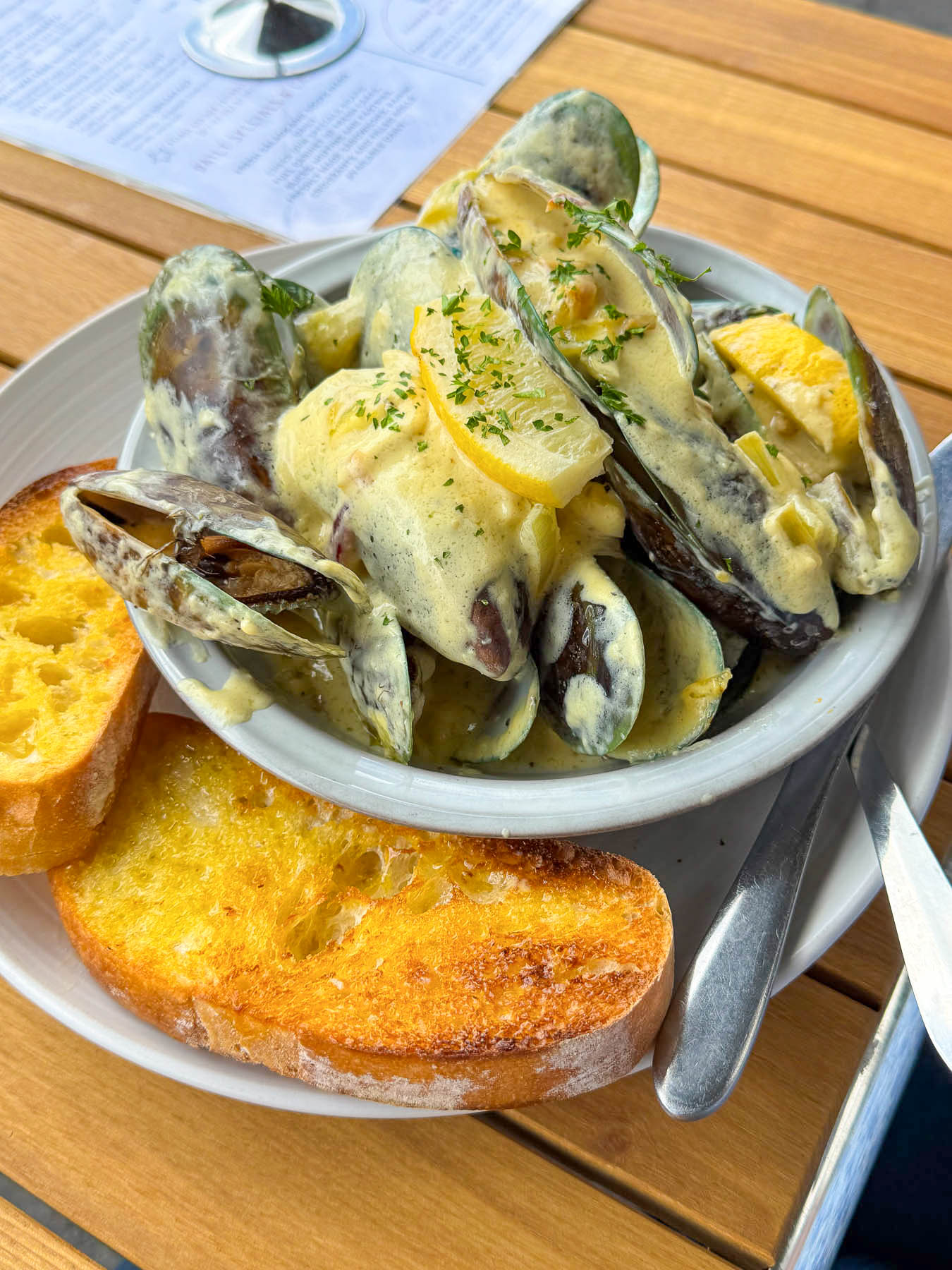
Parking in town was very limited and I didn’t want to try my left-hand side of the road parallel parking skills just yet. So, we ended up parking outside the railyard, which conveniently had a highly praised restaurant, the Railway Station Cafe, with favorable reviews on Google maps. It’s a quaint place with tables outside on the train station’s old platform, just inches away from the rolling stock. We enjoyed a lunch of local mussels served with a cream based white wine and garlic sauce, along with a scrumptious homebaked chocolate muffin for dessert. A placard announced the train’s departure schedule and we realized we had time to explore the town a little, so we made a spontaneous decision to take the day’s last excursion at 3pm.
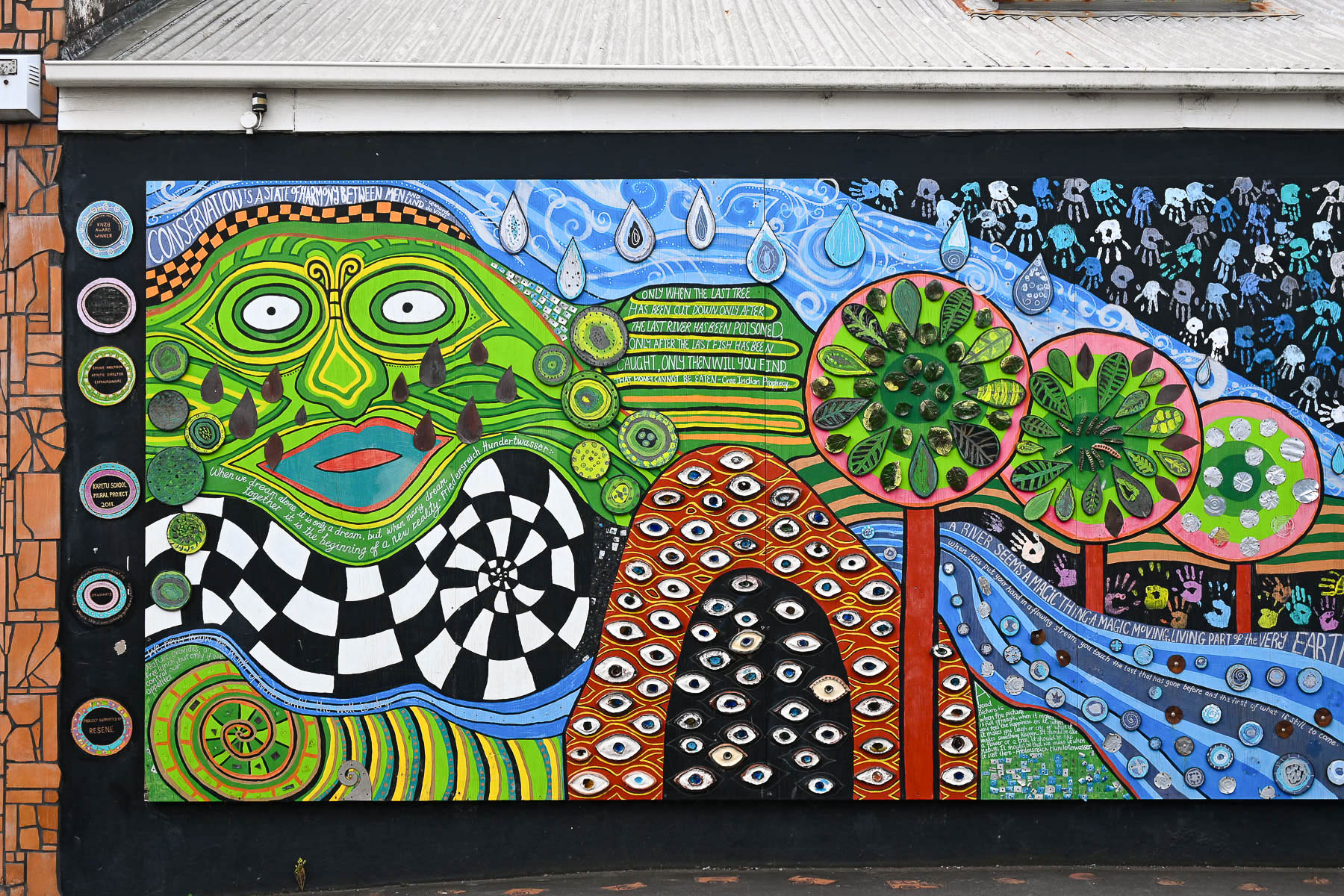
We didn’t realize when we toured the Hundertwasser museum that the artist spent much of the last three decades of his life living and working in Northland Region around the Bay of Islands, until his death in 2000. Living only 20 minutes from Kawakawa he visited often, and had some aesthetic influence on the town, which can be seen in certain murals, sidewalk benches, the town library, and the public toilet. In the 1990s Kawakawa was struggling as a bypassed “thoroughfare” town. Approaching Hundertwasser, local business owners hoped a unique, artist-designed landmark would turn the town into a tourist destination rather than just a quick stop on the way further north, and he was asked to redesign the old concrete block building.
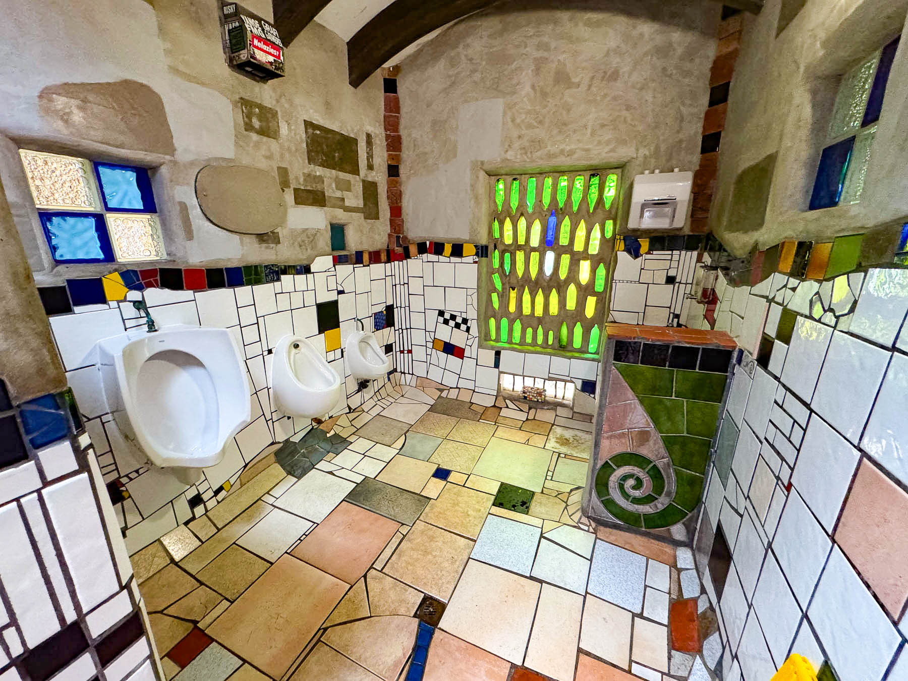
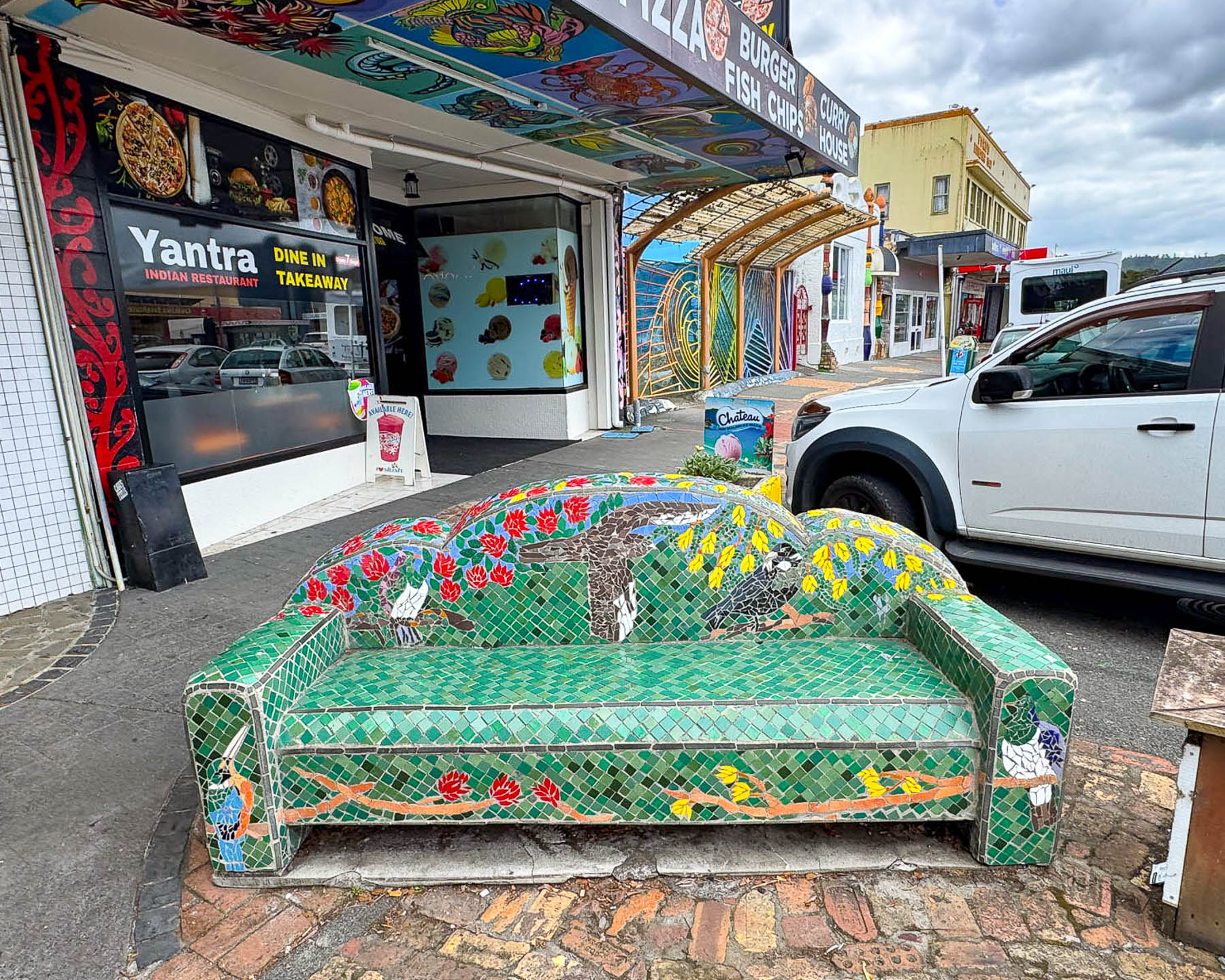
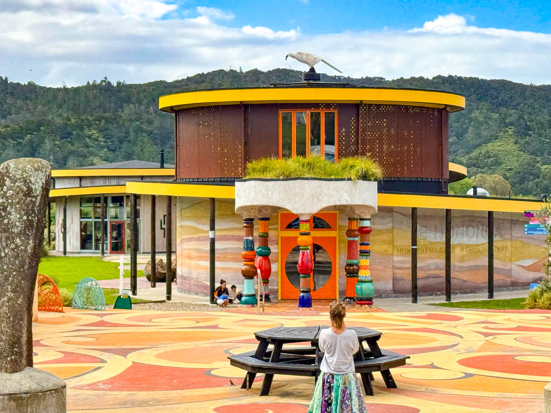
He agreed and donated his services to the community as an “architectural doctor” to cure an ugly structure by merging it with nature (incorporating uneven floors, a living tree roof, local recycled bricks, glass bottles, and hand-made student tiles. He believed “community ownership” of the project would directly foster local pride and prevent vandalism and insisted that local craftsmen, students, and volunteers help build it. Honestly, it is a really quirky destination, and aesthetics have changed over the years. We expected something different, but elements of his philosophy can still be seen today in new earth homes being constructed across the globe. His former home on Waikare Inlet is now a museum called Living Hundertwasser, that we did not get the chance to see.
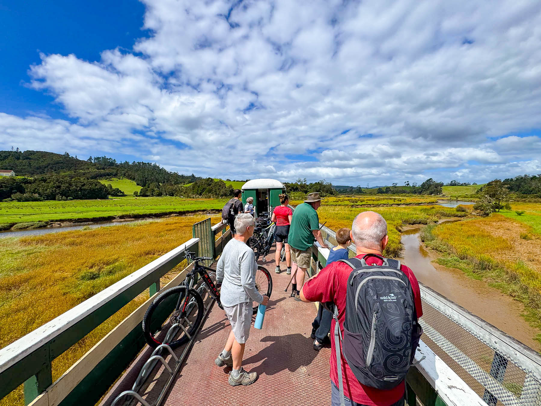
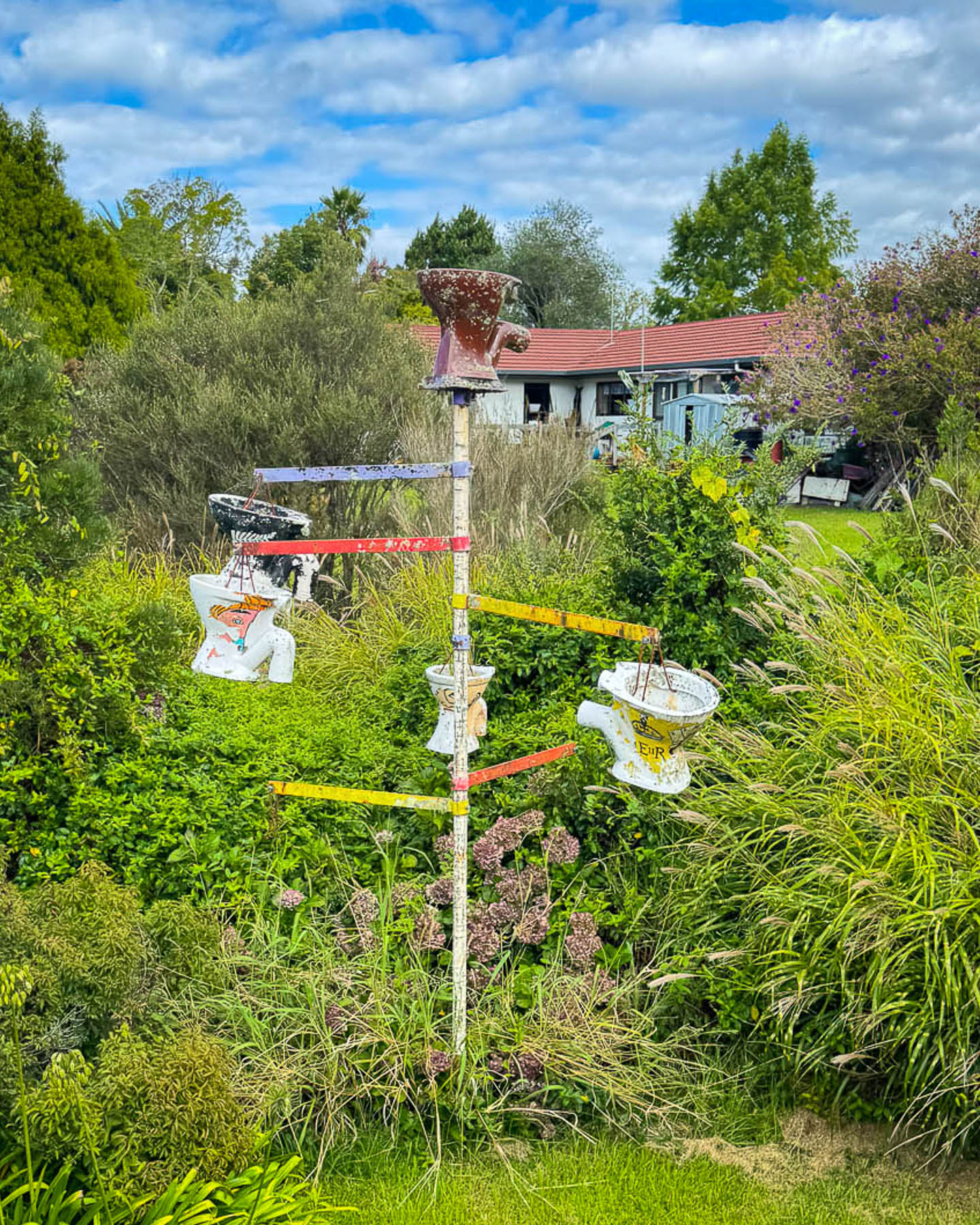
Boarding an open carriage on the Bay of Island’s train we stood with the other passengers as the train traveled back down through the center of Kawakawa. A minute outside of town we were transversing open fields and passing eccentric way markers like a totem of hanging old toilet bowls erected in someone’s backyard. As we traveled along, one of the volunteer conductors told the history of the line as we struggled to listen above the click-clack of the iron wheels. The oldest passenger line on the North Island was started in 1867 after coal was discovered in a gully outside Kawakawa and a horse tramway was built to pull passengers and carriages of the ore from the mine to Derricks Landing on the Kawakawa River, to be loaded onto shallow draft boats.
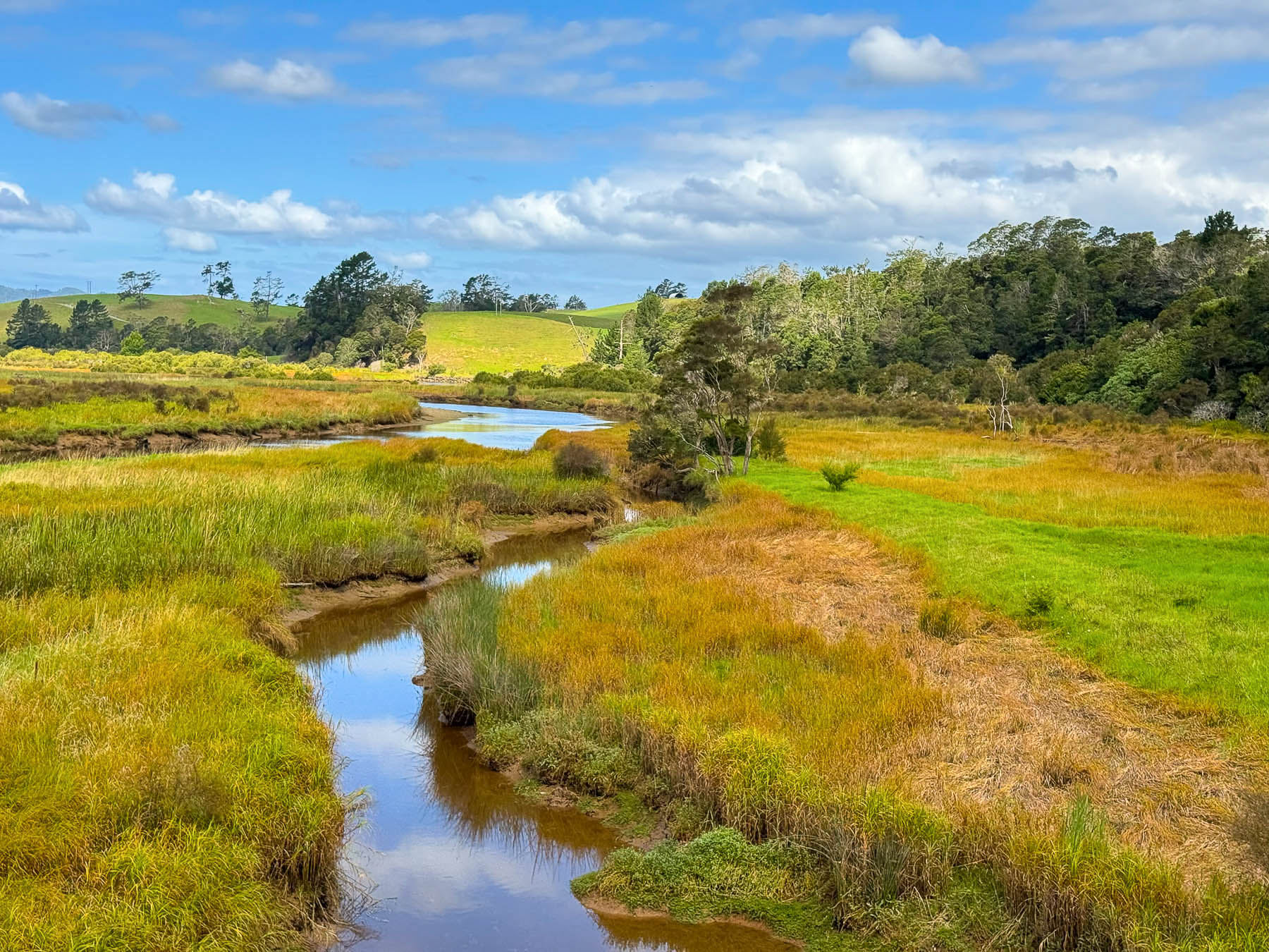
The coal mine became so important that in the early 1870s steel railroad tracks were laid through the center of town and a bridge across the river was built to extend the coal and passenger line to the deepwater port in Ōpua to access larger ships. The tracks eventually linked into the wider North Auckland Line and Kawakawa was a stop for the famous Ōpua Express which ran between Auckland and Ōpua from 1925 to 1956. Passenger service along the route stopped in the 1970’s as the roads in the northland improved and more folks bought cars. Freight service continued on the tracks into the mid1980s until modern containerized shipping forced its discontinuation.
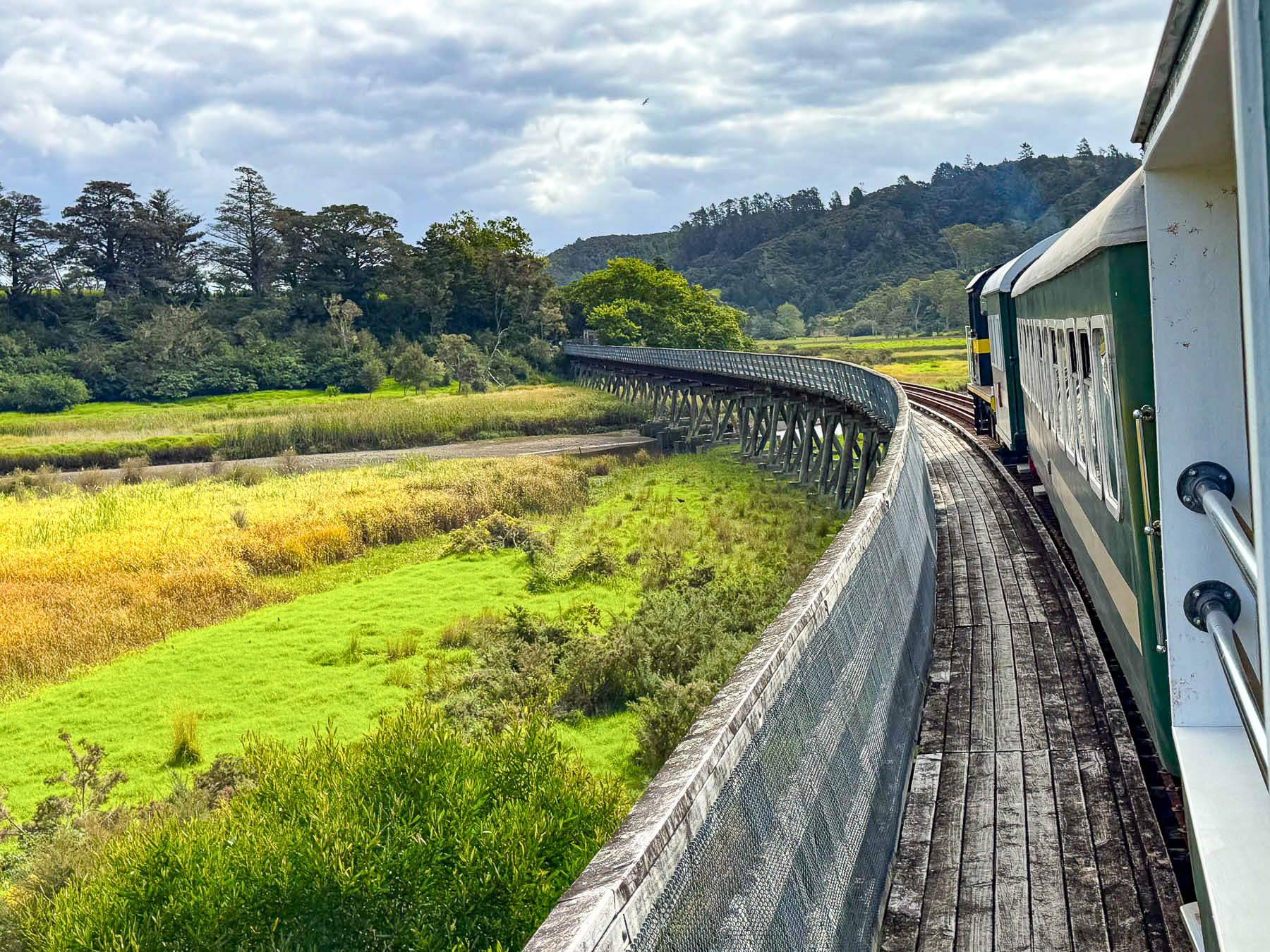
During our pleasant two-hour journey across fields, marshlands and forests we got our first exposure to the Kiwi sense of humor, which is typically dry, self-effacing, and delivered with a straight face. When sharing one of the construction highlights of the “World Famous in New Zealand” railroad, the conductor mentioned “it has the longest curved wooden bridge in the Southern Hemisphere.” If you blinked you might have missed it.
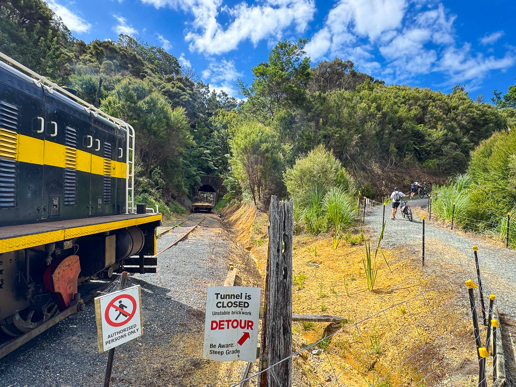
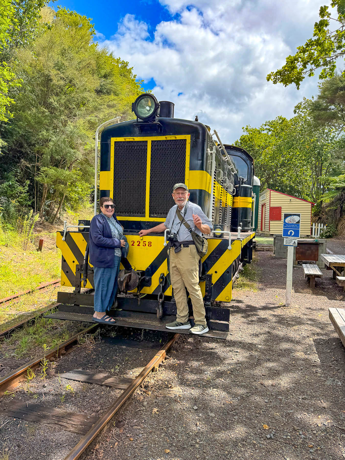
Our halfway point ended at the Whangae Tunnel station, where a collapsed ceiling blocked the route. Here, folks with bikes who got on the train at the Taumārere Station to cross the marshlands, got off of to continue pedaling towards Ōpua, along one of the most popular routes mapped in the Twin Coast Cycle Trail guide.
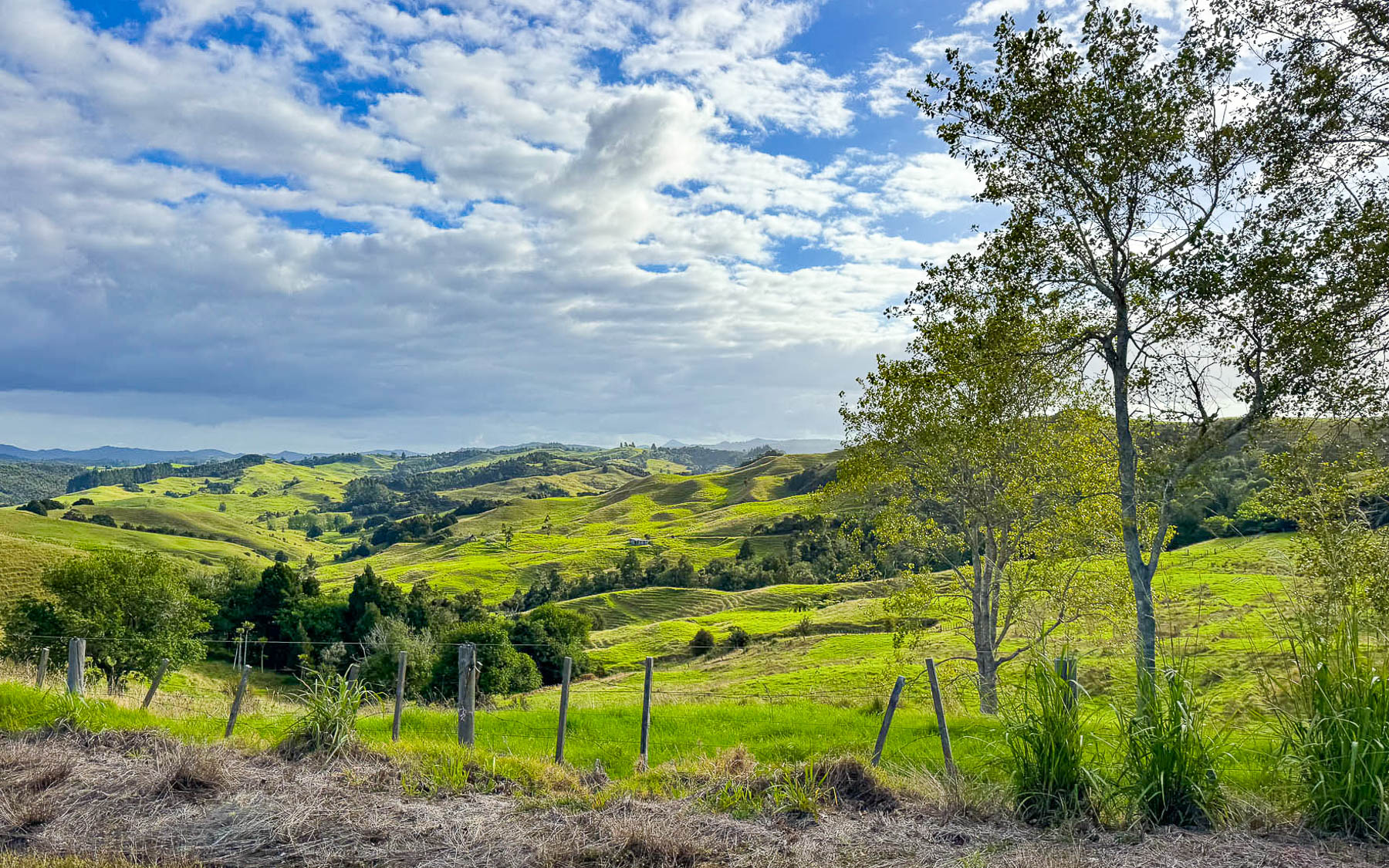
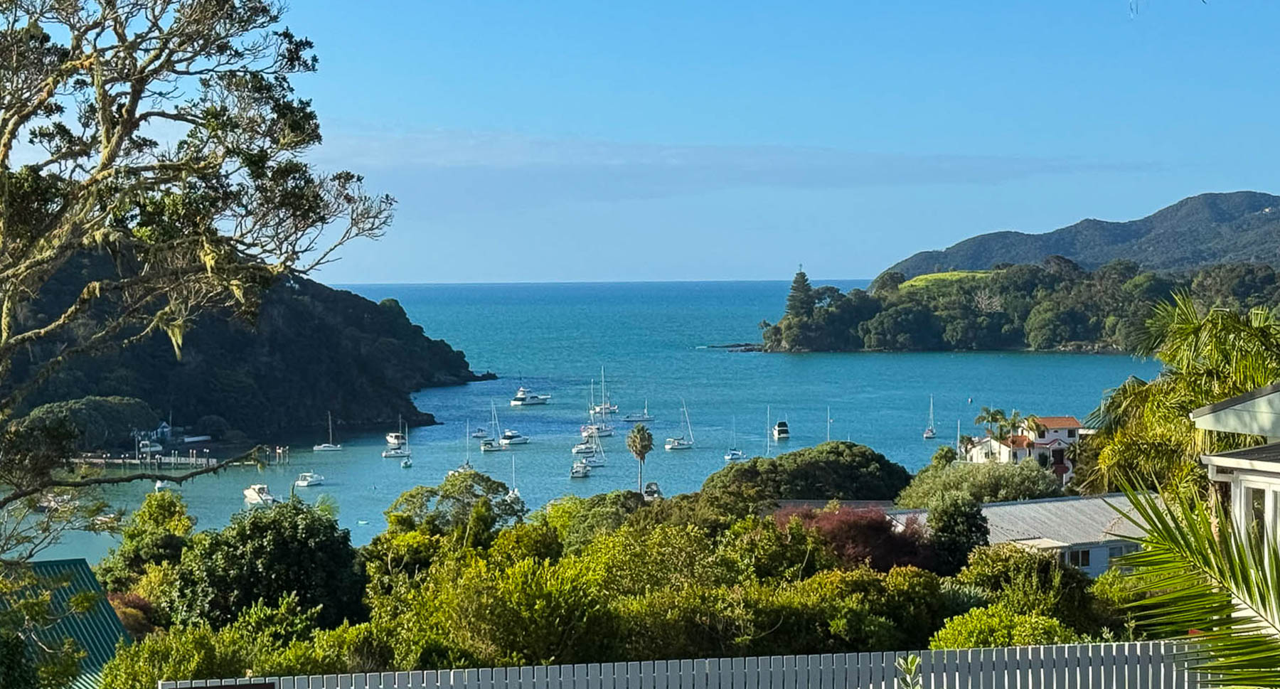
It was very late in the afternoon when the train returned the station and we continued our journey west along Rt1 to Pakaraka, before turning onto Rt10 to our final leg of the drive to our lodging for the night and next day at the Taipa Beach Resort hotel. According to our apps map it was about 98km (58mi) away, about an hour and fifteen minutes if we zipped straight through. But we drove slowly instead to enjoy the beautiful landscapes of the Northland region and then seascapes along Pekapeka and Mangonui Harbour as we were driving, and stopped often to take photographs. There were also a couple of construction zones where flagmen narrowed the road to one lane and alternated the flow of traffic, which delayed us. Fortunately, the southern hemisphere’s summer sunset was about 8:15 in mid-February as we drove towards the tip of the North Island.
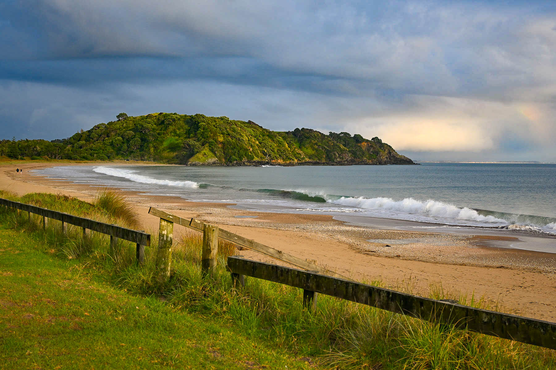
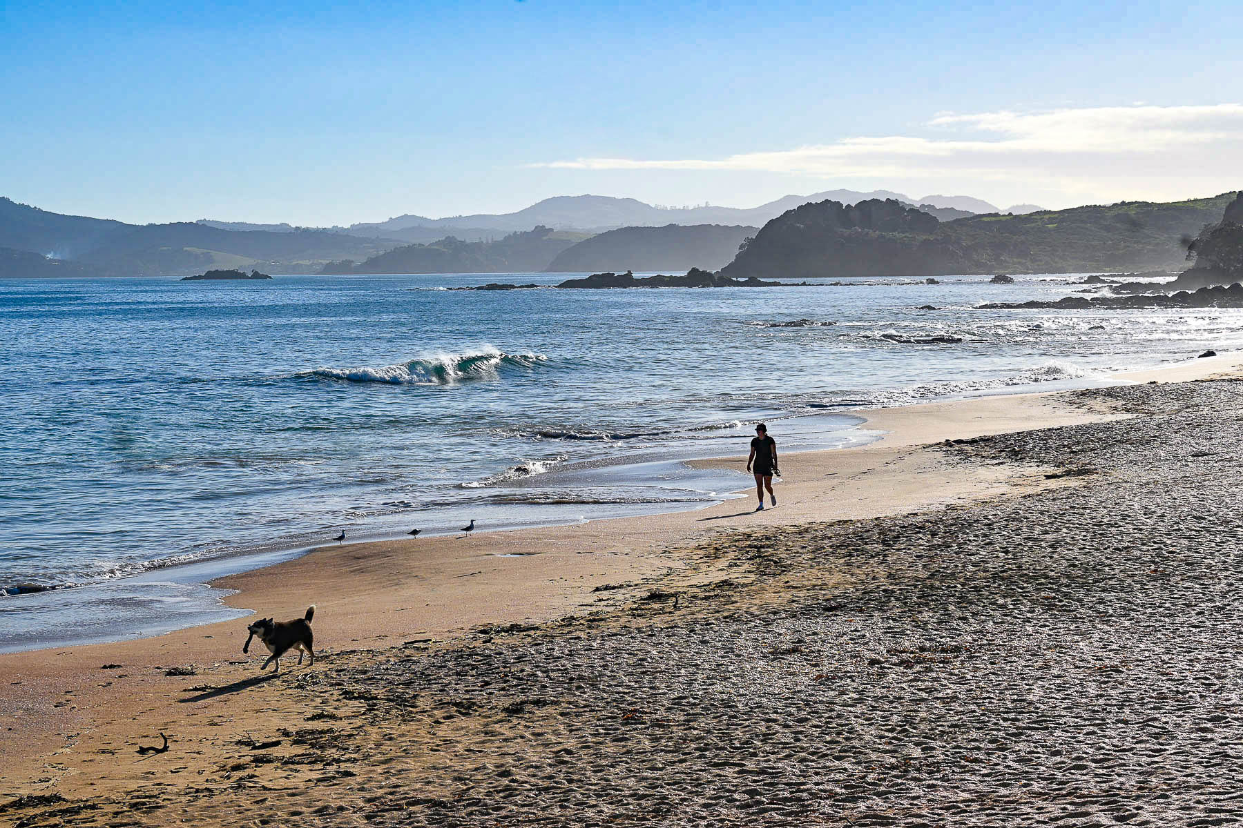
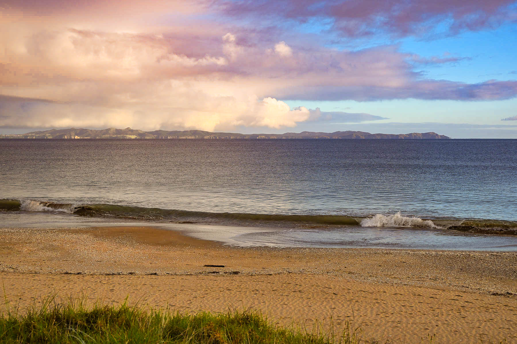
We arrived at the hotel, set across a narrow road from the beach on Doubtless Bay, just in time to enjoy the golden hour as the sun illuminated the waves and cast long shadows of folks walking their dogs across the sand. Silhouetted on the horizon, across Doubtless Bay were the hills of the Karikari Peninsula. The bay owes its unusual name to Captain James Cook, who, in December 1769, was prevented from sailing his ship, the Endeavour, closer to the coast. After observing it from afar, he wrote in his journal “that it was doubtless a bay.”
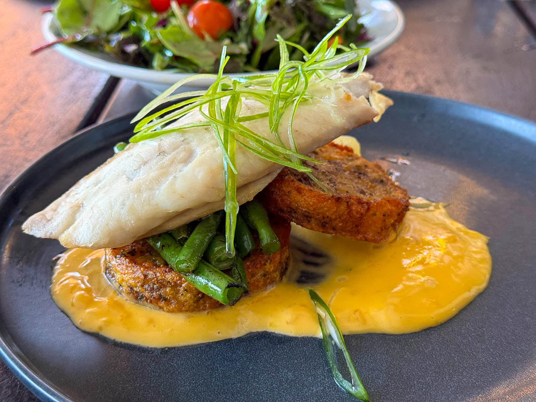
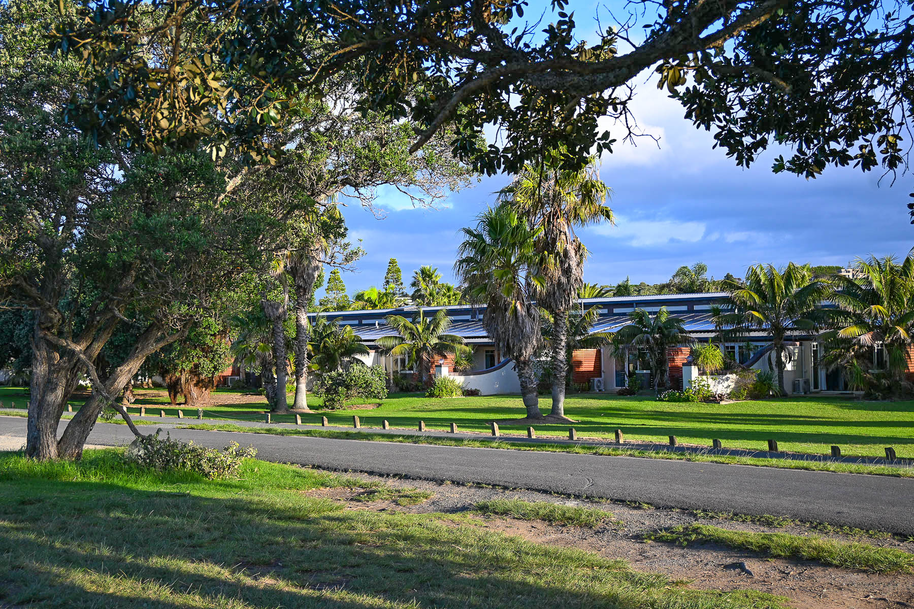
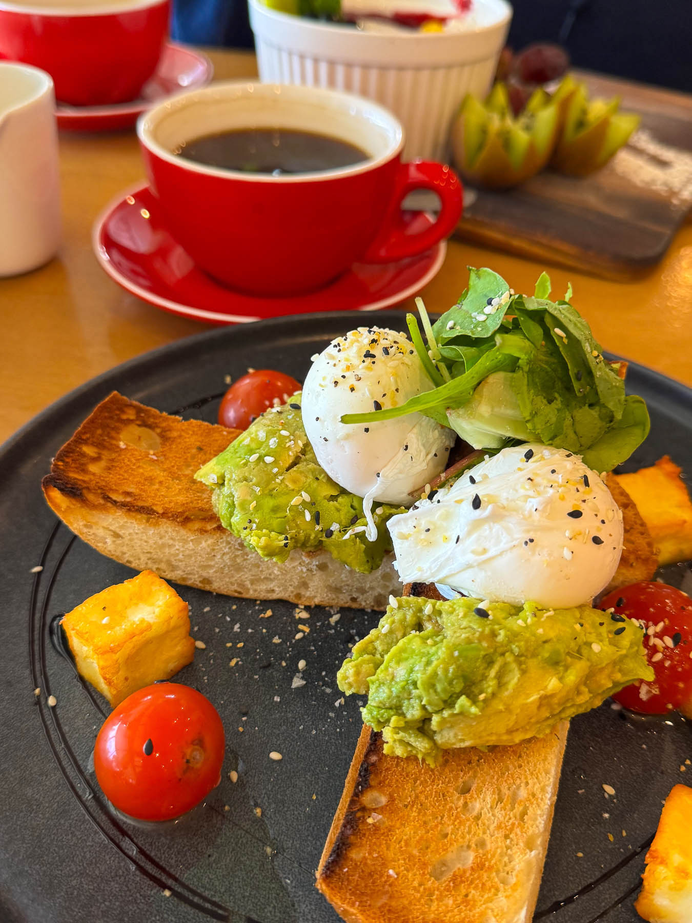
Only a few strides from the ocean, our beach-facing room was very spacious and comfortable. Relaxing on our patio with a glass of wine that evening, listening to the waves crash against the beach, provided a tranquil ending to our day. The other major draw for staying at Taipa Resort were the good reviews its restaurant received, which made life very easy at the end of two long days. The hotel was a great base for our day trip to Cape Reinga, 126 km (78mi) about two hours away, and Ninety Mile Beach on the Aupouri Peninsula the next day. It’s hard to choose whether the sunset or morning light on the beach was more beautiful, but we enjoyed both during our stay.
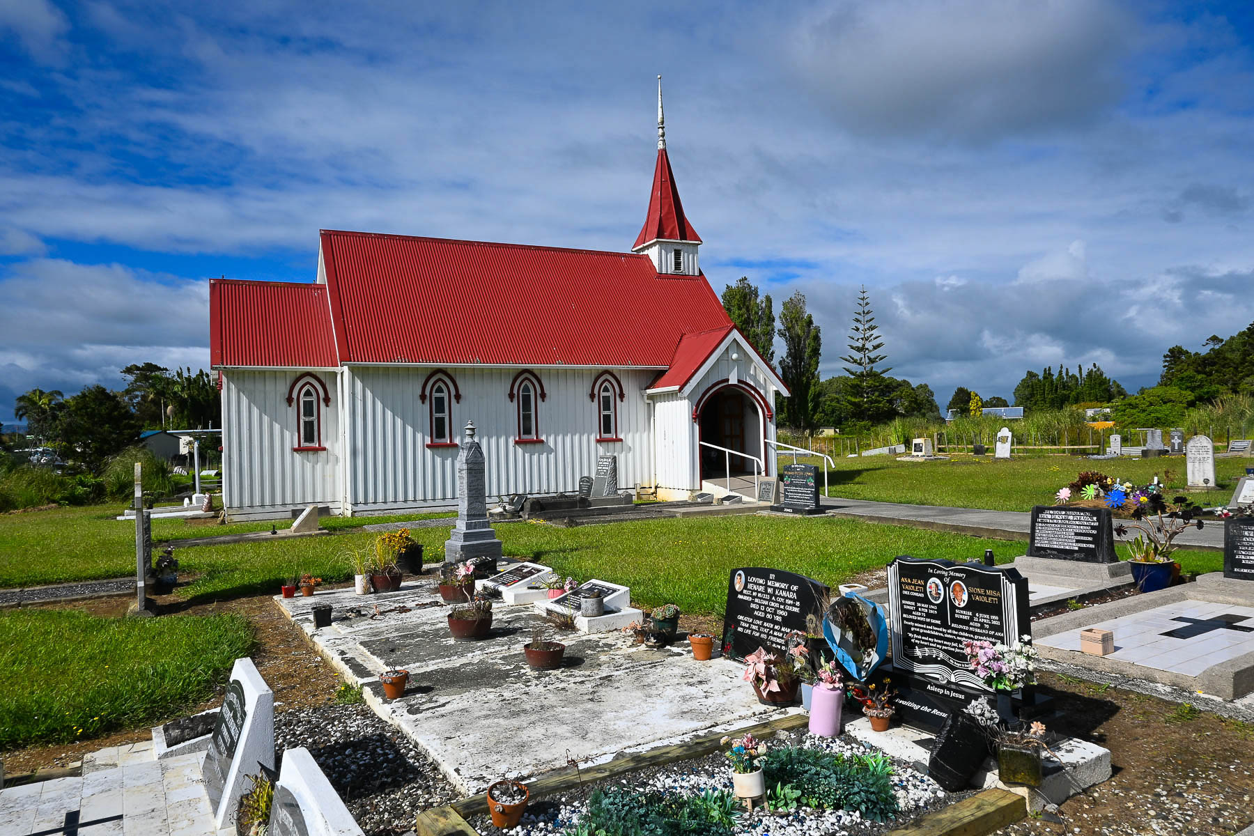
After a promising sunrise the weather turned finnicky after we stopped in Awanui to photograph the St Josephs Anglican Māori Church, consecrated in 1887. It’s a pretty white church with a red roof, and a picturesque cemetery along the road. Many of the gravestones showed beautiful portraits of the deceased, and shared information about their lives. One we found especially touching was erected for a drowning victim, by his twin brother, mourning his death on what would have been their 50th birthday. The Māori inscription at the end reads, may peace prevail.
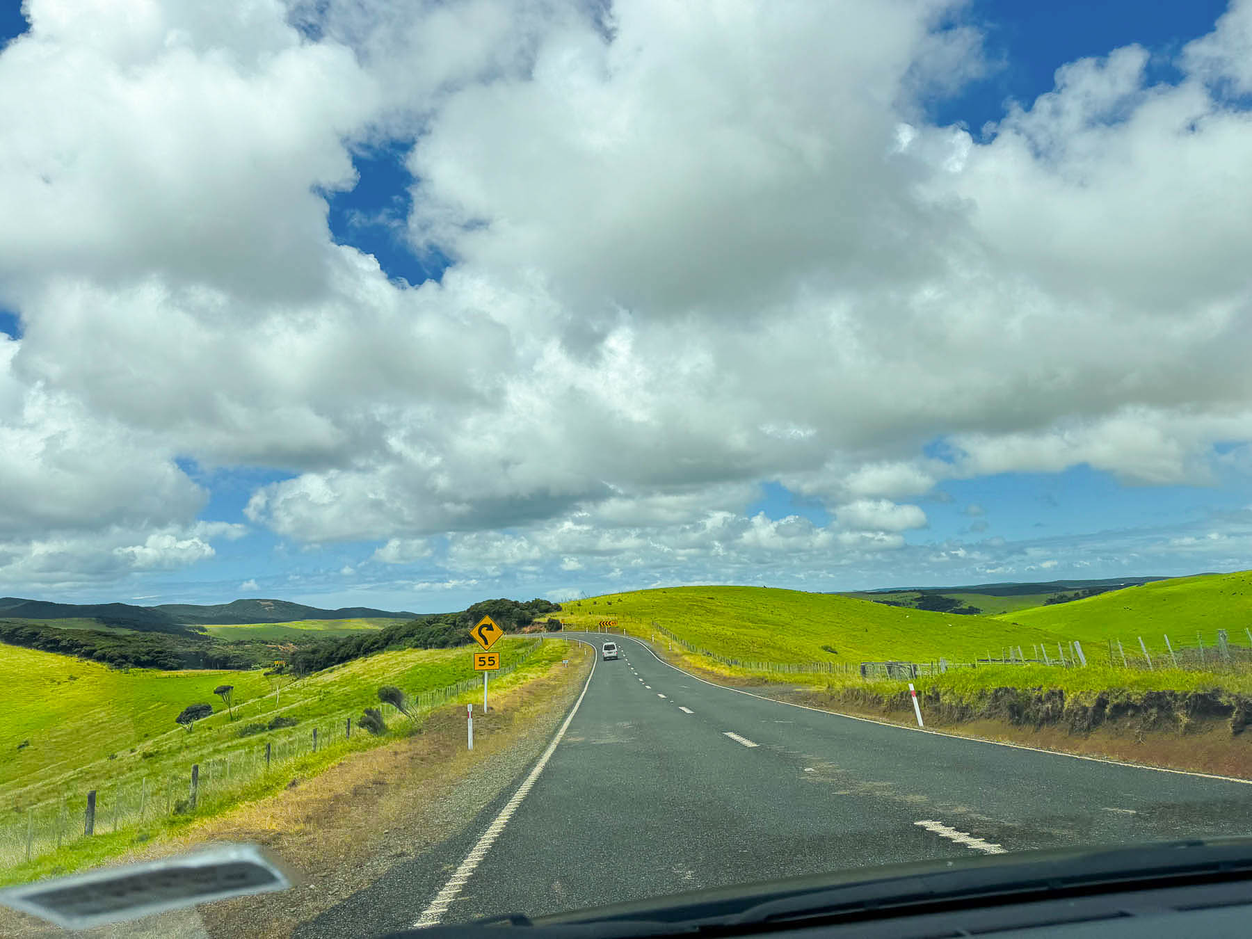
The drive to the cape was an endless landscape of very hilly cattle and sheep pastures on both sides of the road that followed the spine of the terrain up the center of the peninsula. Storm clouds raced across the sky with occasional downpours dampening our hope for the day until the sky brightened and sunshine eventually won the day. Though February is typically one of the Northland’s driest months, the narrow Aupouri Peninsula gets buffeted with strong winds blowing in off the Pacific Ocean and Tasman Sea, and occasionally sees the tail end of subtropical storms.
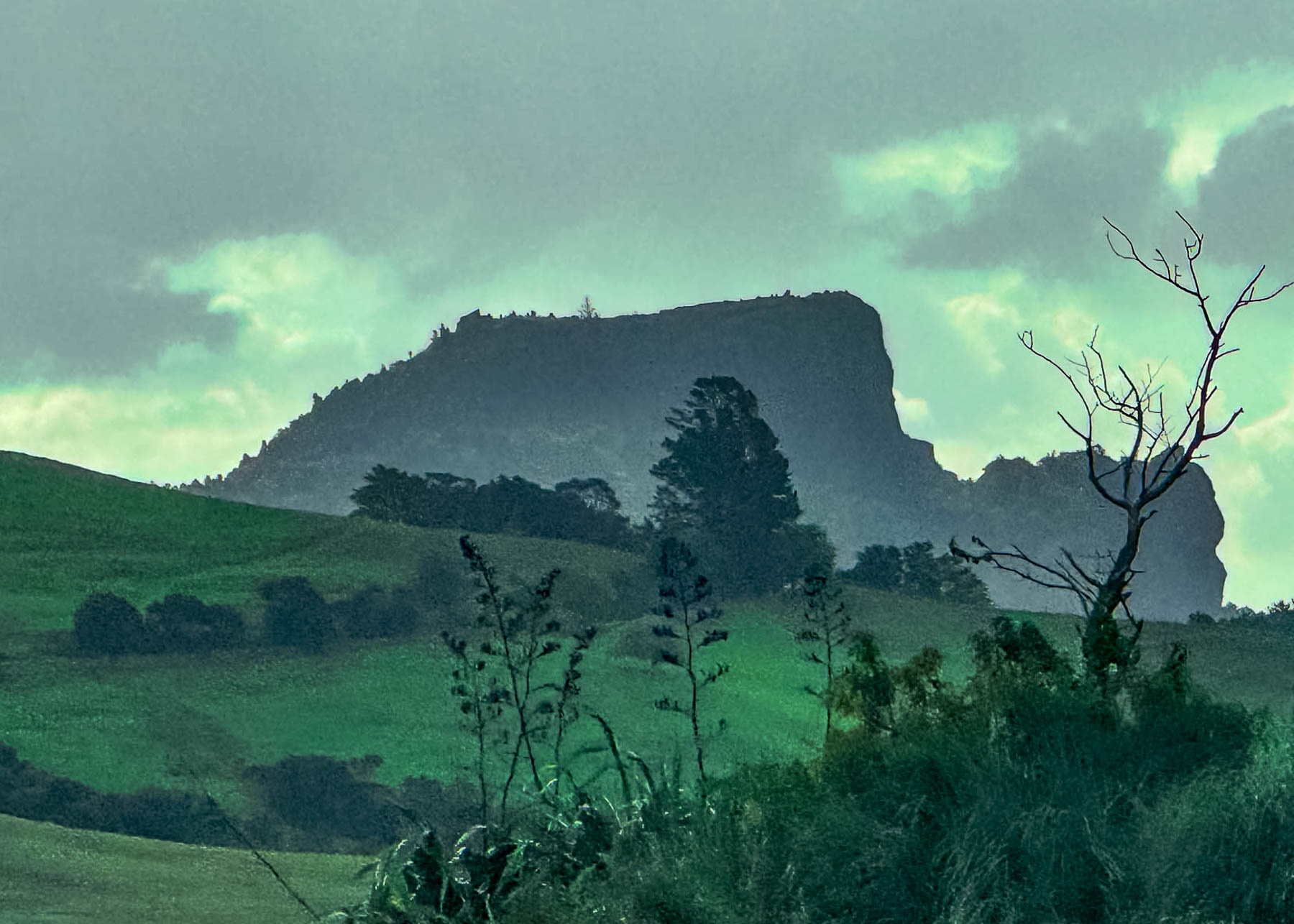
The Northland area is widely celebrated as New Zealand’s only region with a subtropical climate, earning it the nickname “The Winterless North”. Due to its northerly latitude, low elevation, and surrounding ocean waters, the region enjoys warm, humid summers from December–February averaging between 22°C and 26°C (72°F to 79°F), with mild frost-free winters hovering between 14°C and 17°C (57°F to 63°F). This mild year-round weather is the perfect climate for growing a variety of fruit and berries, and we passed a number of kiwifruit, citrus, and avocado orchards, as well as an olive orchard. Self-serve honesty boxes, “Avo” stands, were ubiquitous along the road. Loving avocados, we bought some at a stand. Disappointingly though, a week later they were still as hard as a cannonball. There were even orchards and farm stands selling corn and watermelons along the way.
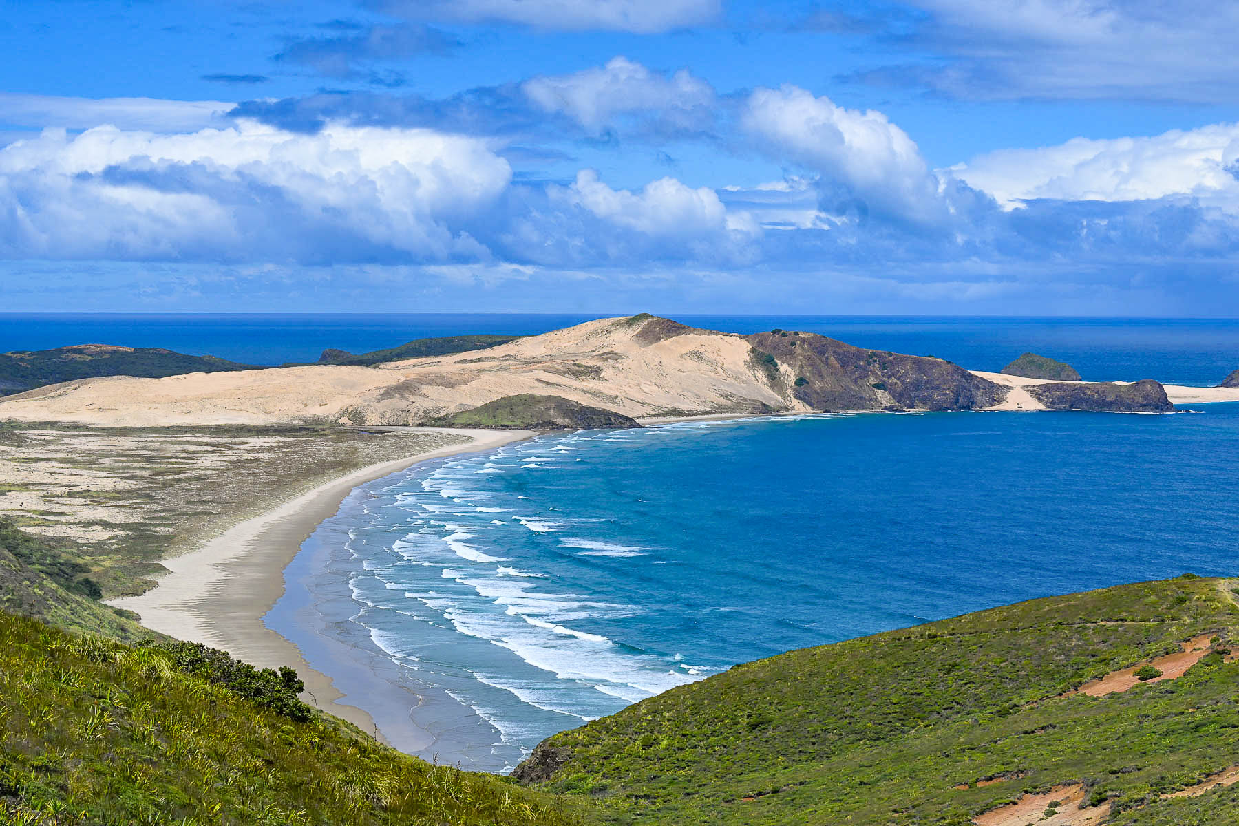
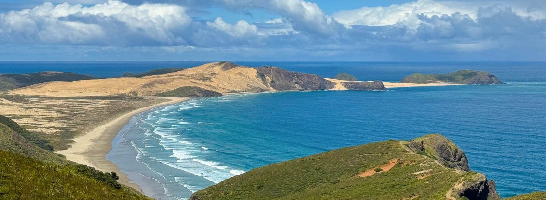
The day was brilliant as we neared the cape and we stopped to photograph the graceful curve of the Cape Maria Van Diemen Beach. It was named by the Dutch explorer Abel Tasman upon its discovery in 1643 for Maria van Diemen, the wife of Anthony van Diemen, the Governor-General of Batavia (now Jakarta) in the Dutch East Indies. It is one of only two geographic features in New Zealand that still retain the original names given by Tasman, alongside the Three Kings Islands, which the Māori call Manawatāwhi.
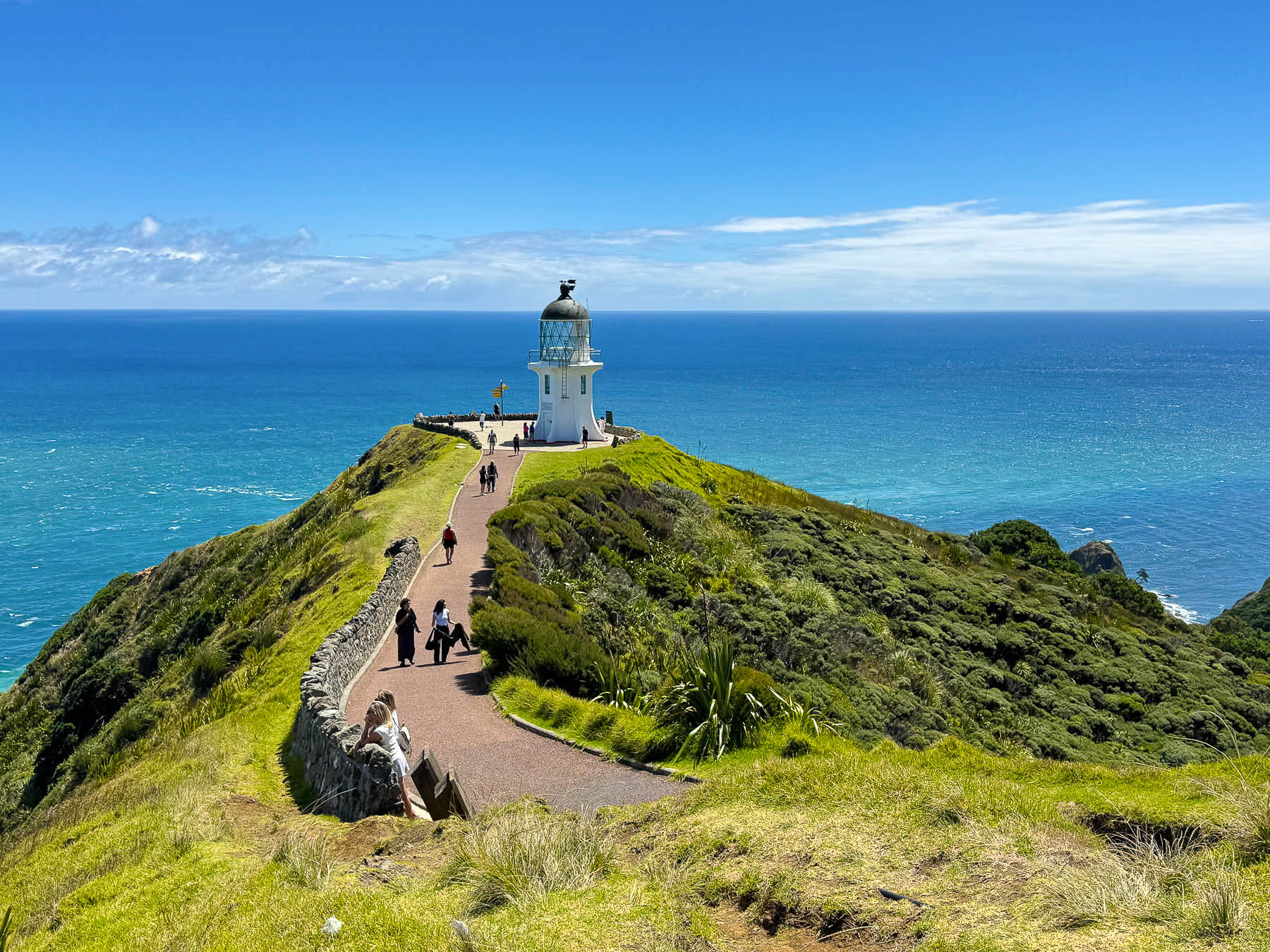
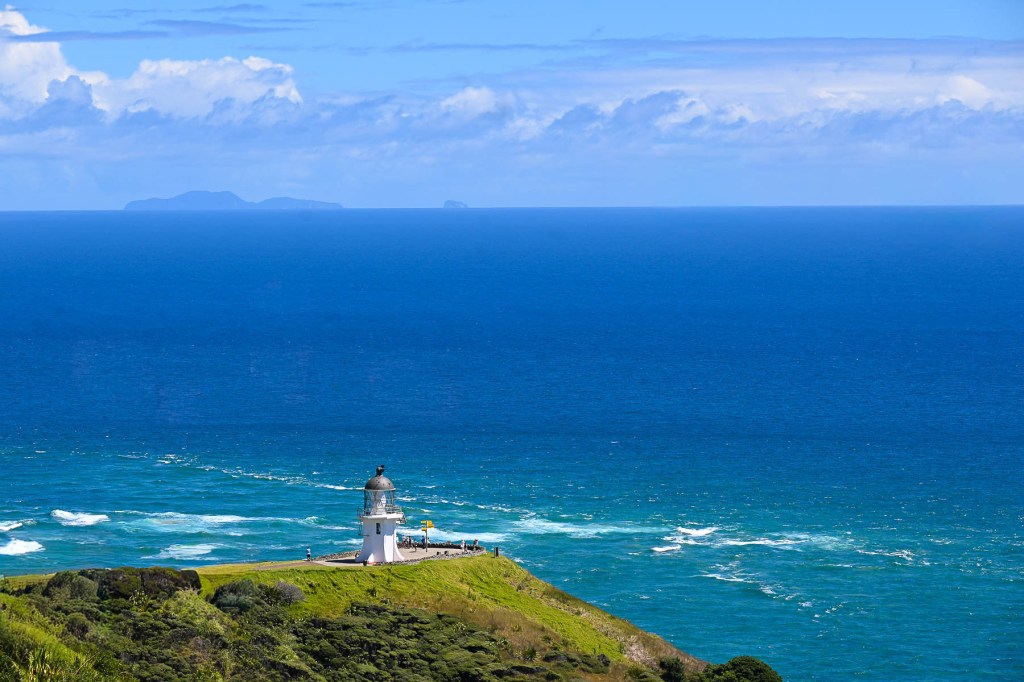
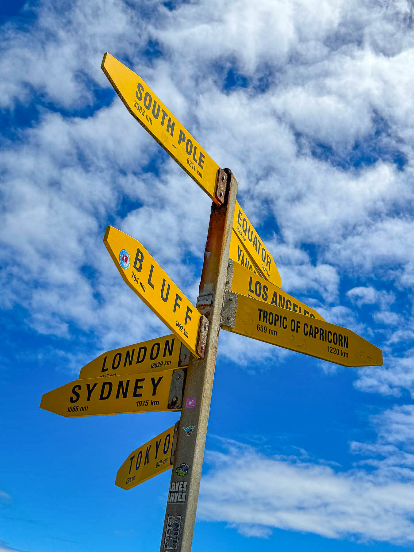
We thought we had the road to ourselves that mid-week morning and were surprised to find the parking area for the lighthouse packed when we arrived. Fortunately, we only had to wait a few minutes for a spot to open. The views are spectacular, and well worth the twenty-minute windy and winding walk to the Cape Reinga Lighthouse, the north island’s most northern point, and one of New Zealand’s most iconic landmarks, since its construction in 1941. Just as interesting though is the headland, where the turbulent waters of the Pacific Ocean and Tasman Sea collide just offshore; in Māori tradition it is their most spiritually significant place in New Zealand. The cape takes its name from the Māori phrase Te Rerenga Wairua, which means “the leaping place of the spirits.”
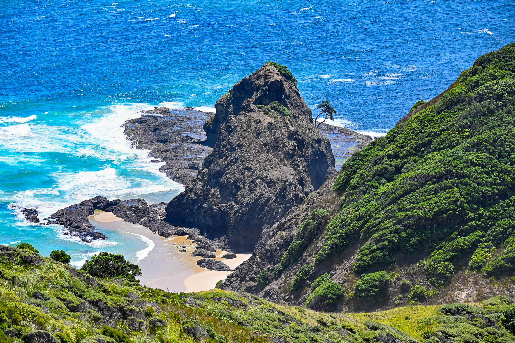
“It is here that after death, all Māori spirits travel up the coast and over the wind-swept vista to an ancient pohutukawa tree clinging to a rock on the headland of Te Rerenga Wairua. They descend into the underworld (reinga) by sliding down the tree’s root into the sea below. The spirits then travel underwater to Manawatāwhi, the Three Kings Islands, where they climb out onto Ohaua, the highest point of the islands and bid their last farewell before returning to the land of their ancestors, Hawaiiki-A-Nui.”
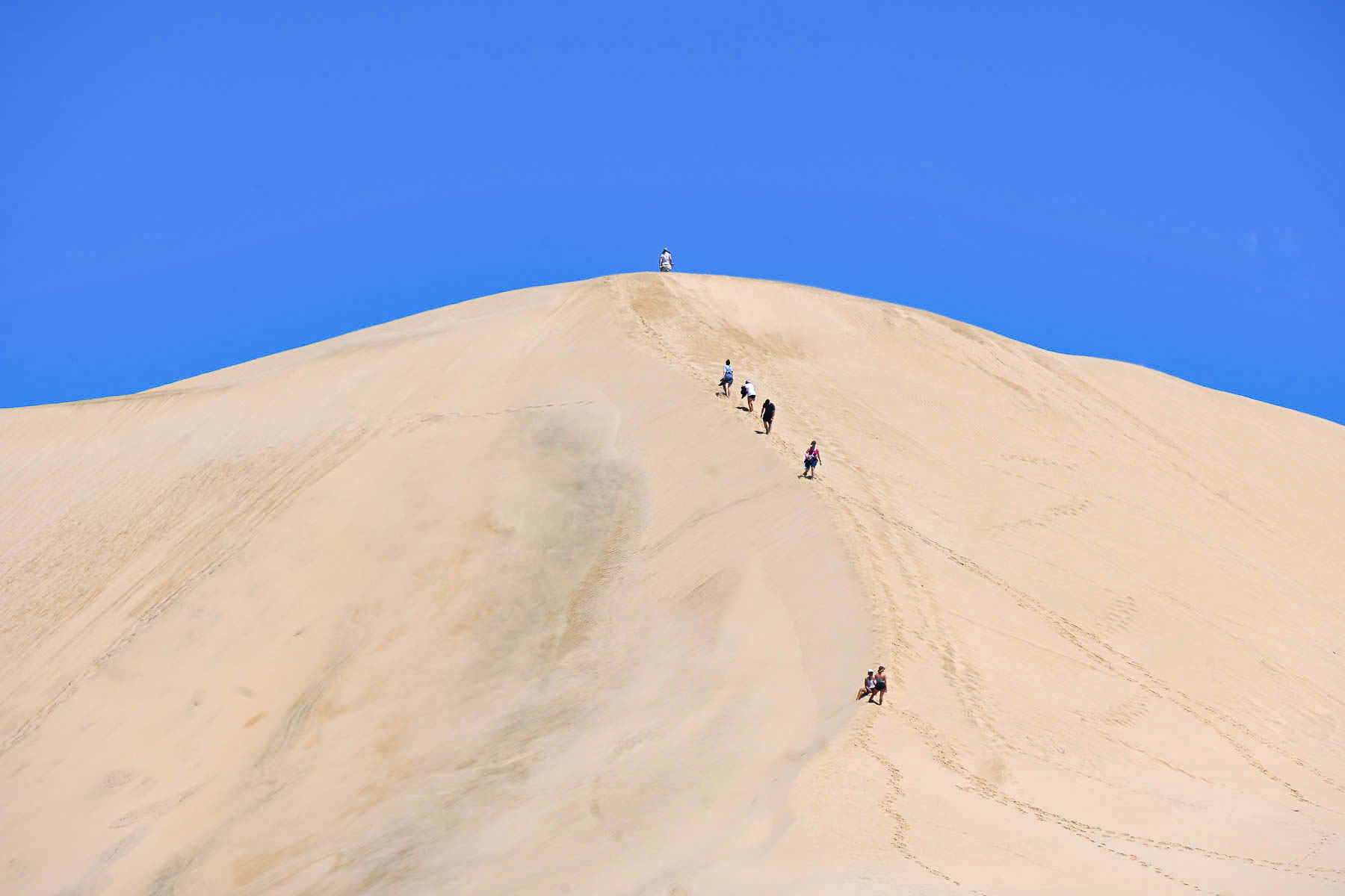
Heading back down Rt1 towards Ninety Mile Beach we stopped at the Giant Sand Dunes in the Te Paki Recreation Reserve. It’s a mammoth stretch of sand that is about two miles long and a mile wide. We followed a narrow trail to a shallow tributary that separated the scrub forest from the dunes, some of which are very steep and 150 m (500 ft) high. We didn’t have time to go any farther, but we did watch several groups with small sleds, which can be rented in the parking area, cross the stream to sandboard down the dunes.
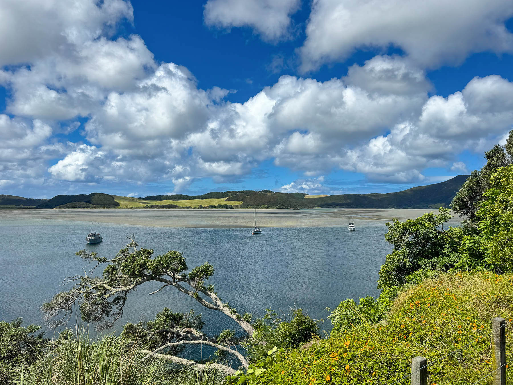
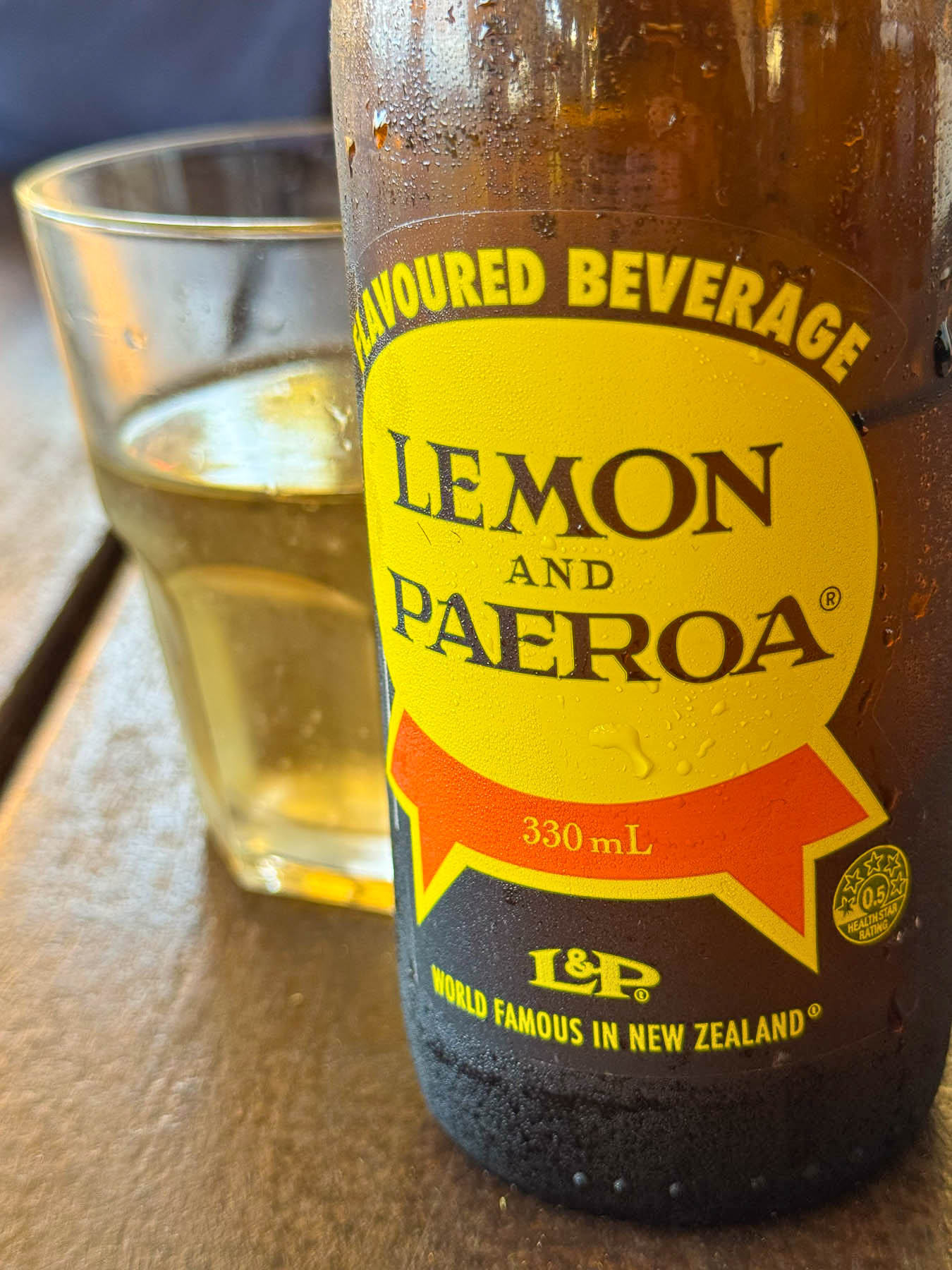
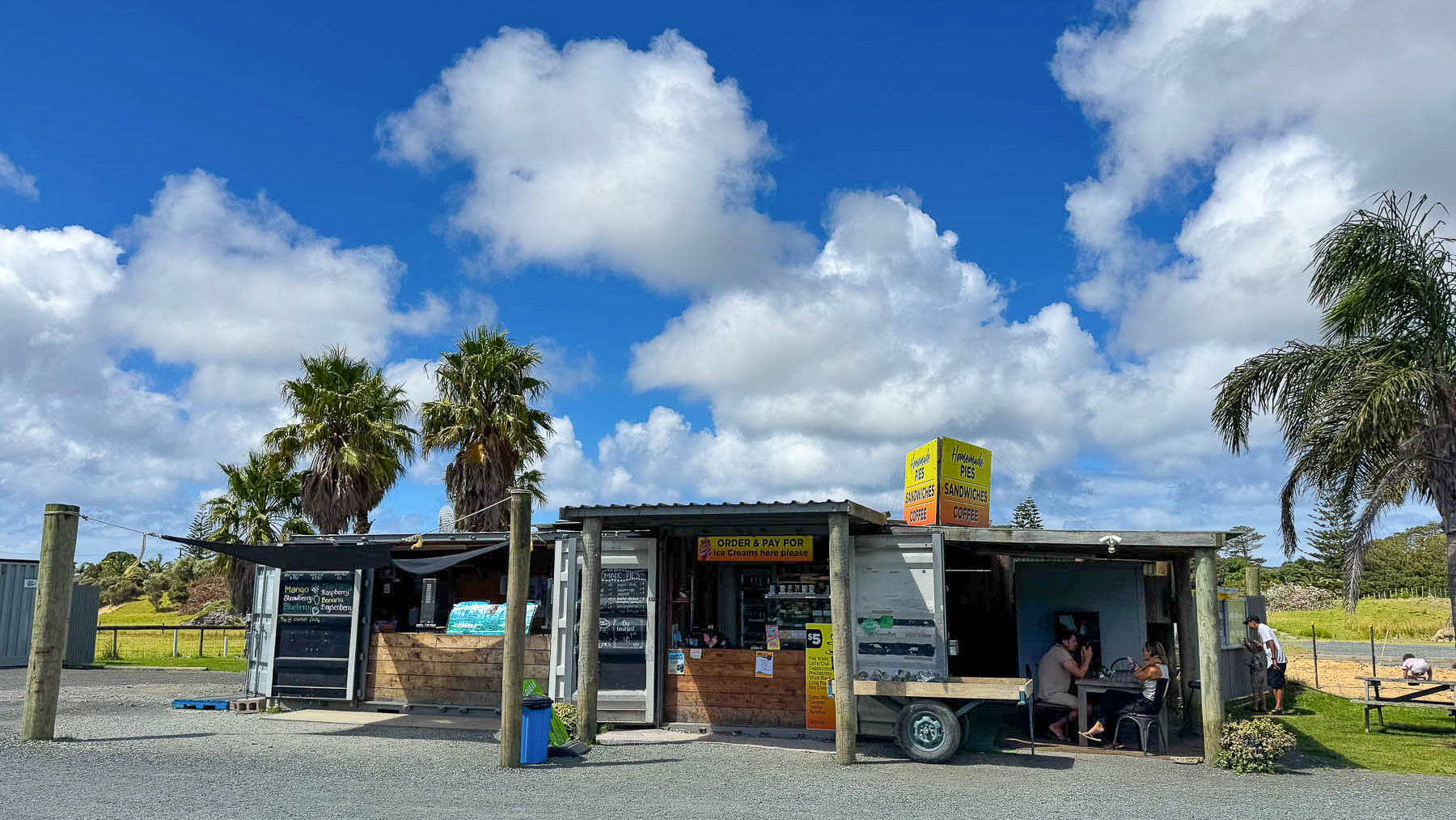
Later we pulled over at Honey Bee Takeaways, a small roadside storefront in a converted shipping container, with shaded picnic tables under a corrugated tin roof. We shared a table with a French couple, and chatted about their three-month long slow-travel Freedom Camping trip around New Zealand. Lunch was delicious with two beef pies of steak and oyster, and mince and cheese, along with fish & chips, coffee and our first taste of “World Famous in New Zealand,” Lemon & Paeroa, widely known as L&P, a refreshing lightly carbonated drink. And yes, they do sell honey.
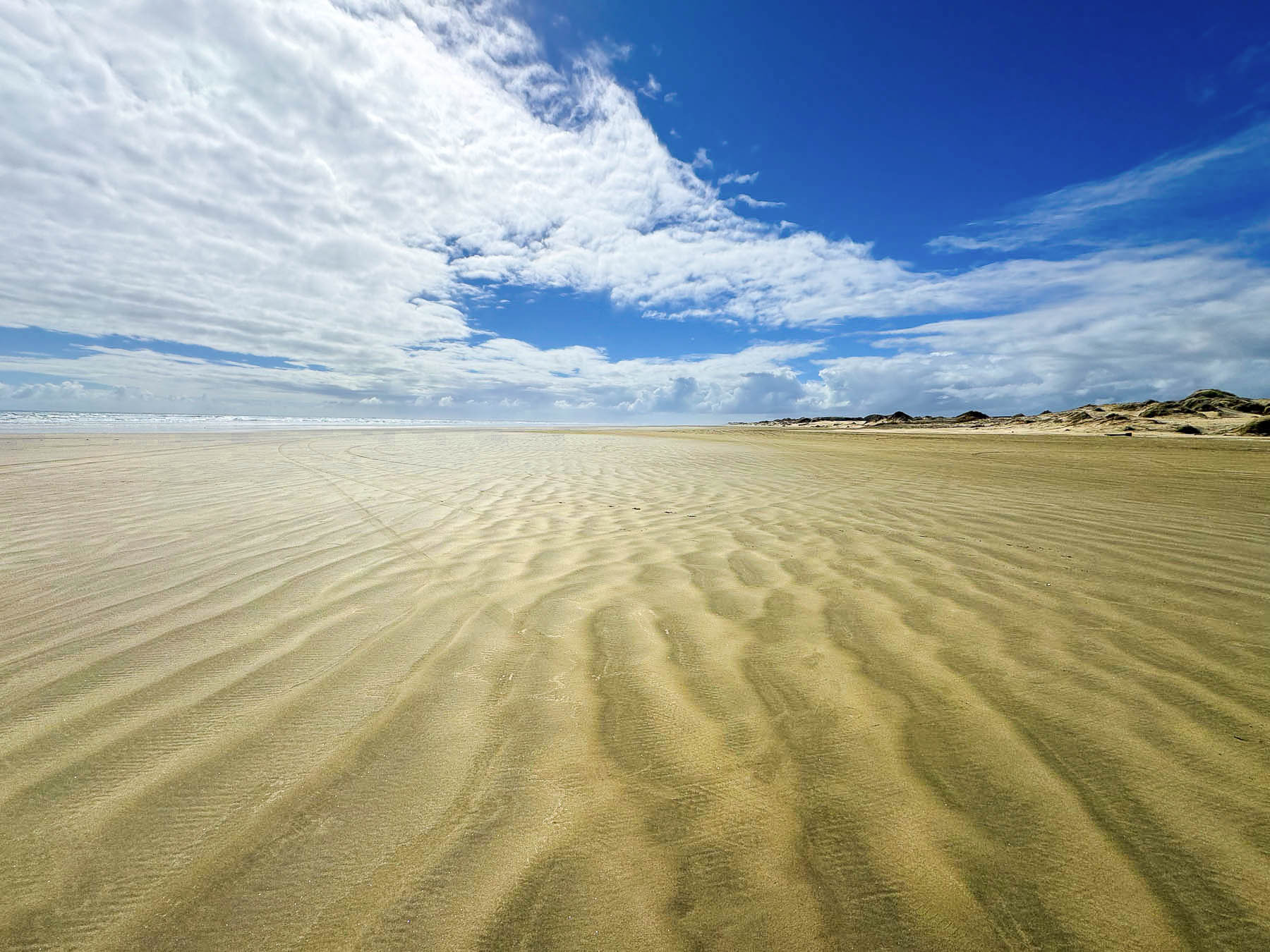
South of the town of Pukenui we followed the sign for Ninety Mile Beach and turned onto Whalers Road, then Hukatere Road, both lined with tightly spaced tall, trimmed Monterey Cypress, planted as boundary markers and windbreaks to protect crops from soil erosion and animals from the strong gale winds that frequently blow across the peninsula. The road eventually turned to rough gravel as it passed through pine plantations, and our going slowed as the car kicked up stones and dust before we reached the low sand dunes that separated the parking area from the beach. There is a gap between the dunes where folks with 4×4 vehicles can drive onto the beach, as it is officially classified as a public highway, and travel the full length of Ninety Mile Beach, which is actually 88 km (55 mi) long. An inaccurate measurement derived from early settlers on horseback, when it took them three days to ride the length of the beach. They knew a horse could easily cover 30 miles in a day, but they didn’t take into account the horse’s slower pace on the soft sand. The mistake was not realized until the peninsula was surveyed many years later, but the name had stuck.
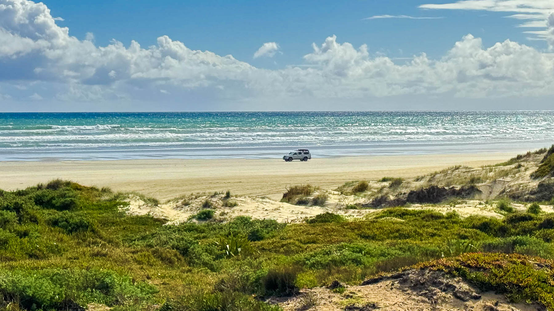
It’s a beautiful wild windswept beach that is spectacular vastness of sand, sky and sea. If you want to consider staying over, the Hukatere Lodge – Camping Ground, is within walking distance of the beach.
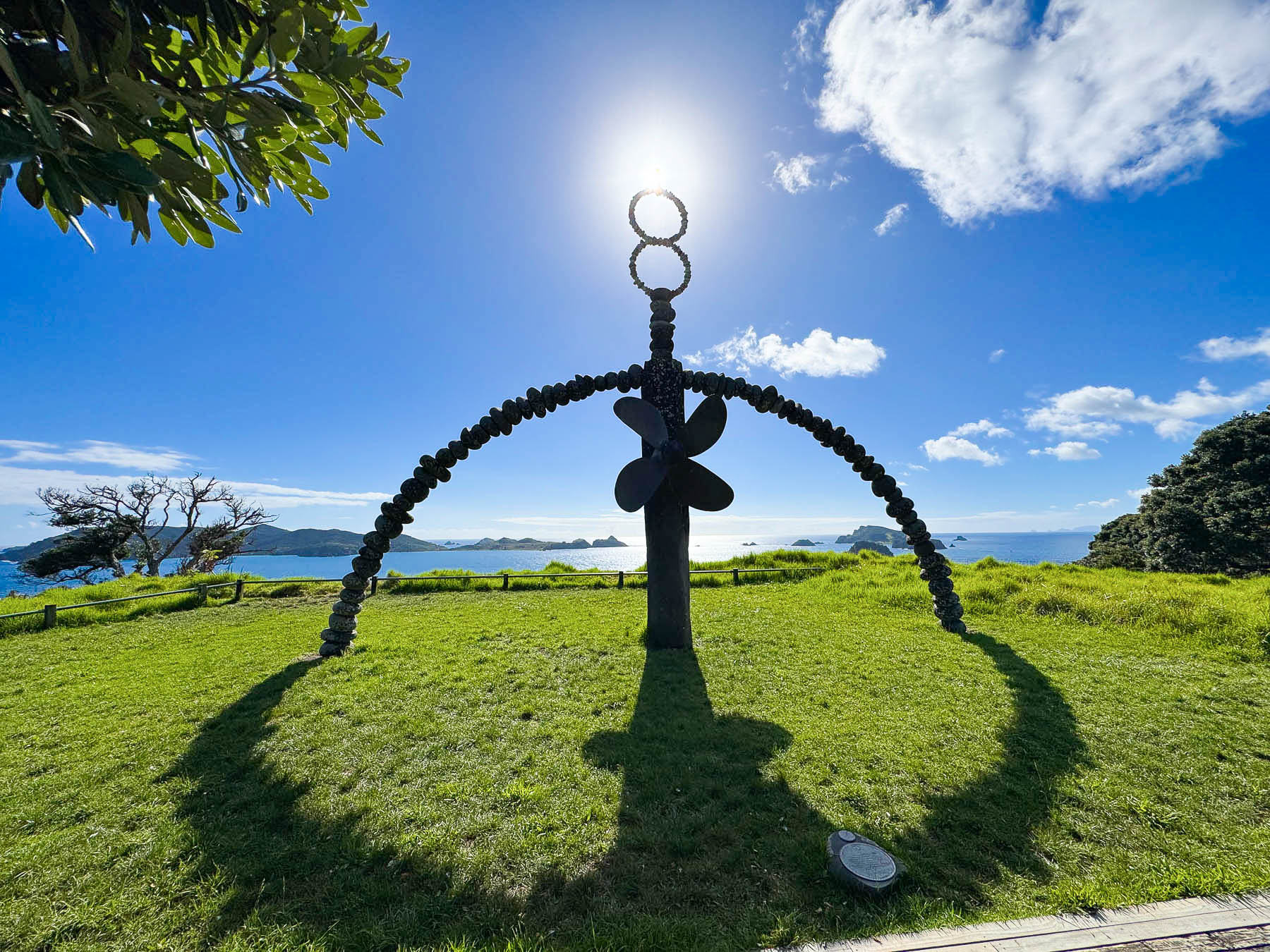
It’s always a balance with trips, whether to do single nights along a route or plan some long transition days so you can have more time in particular spots. The next morning we started the longest transition drive of our eight day road trip around the northern half of the island. Driving 440km (273 mi) south from Taipa to Hamilton, a trip that would take us all day, after one major stop to see the Rainbow Warrior Memorial.
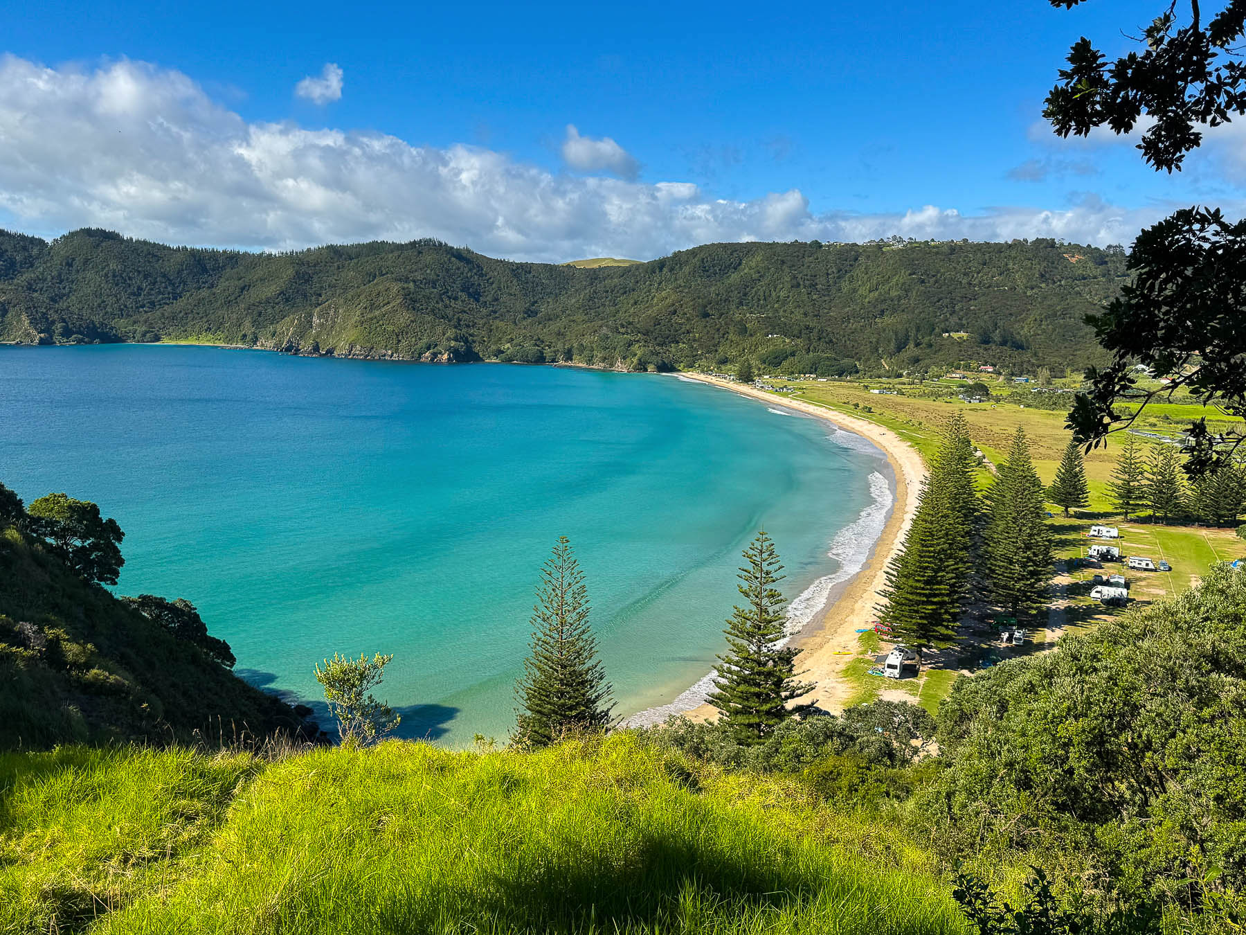
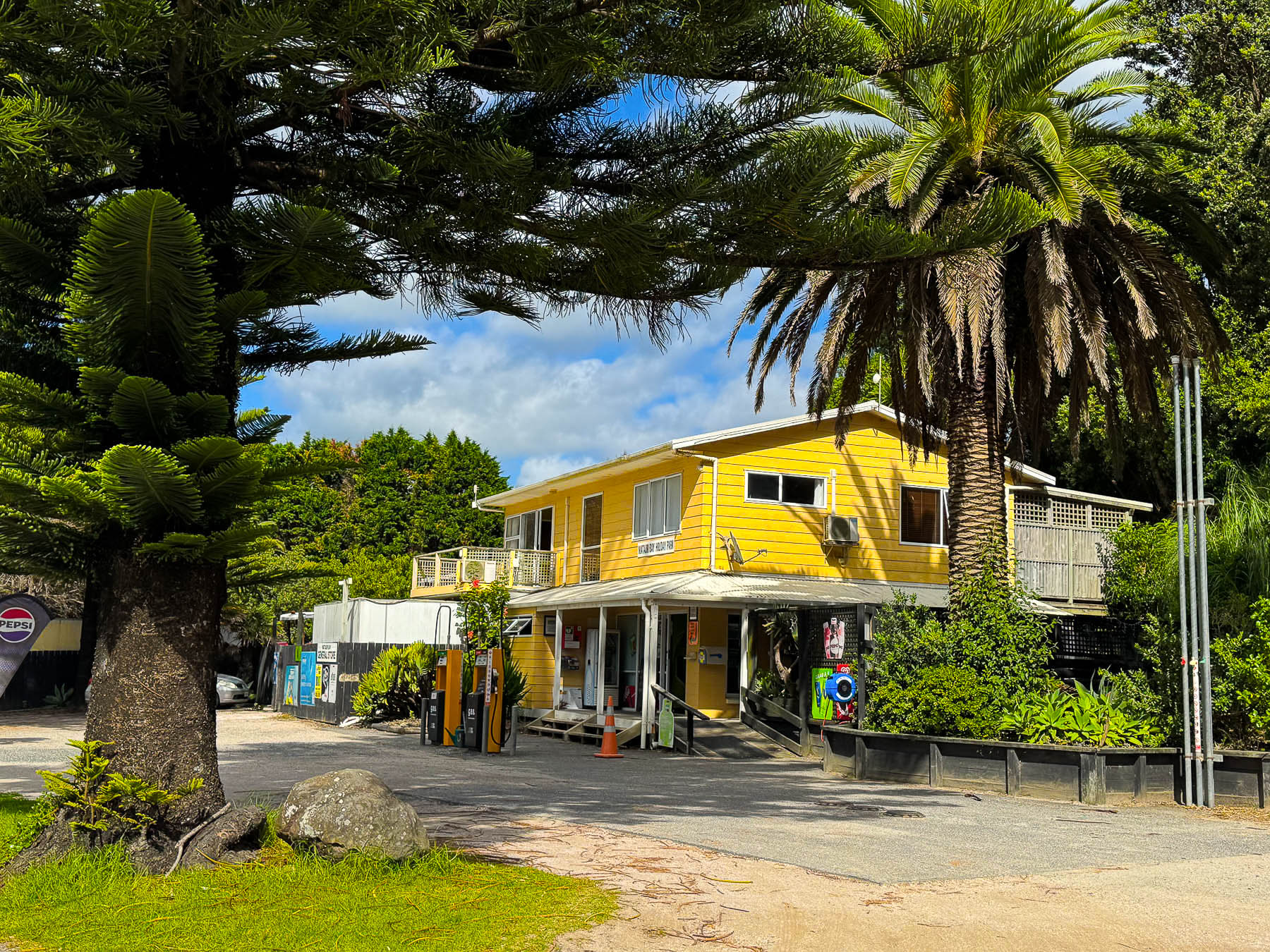
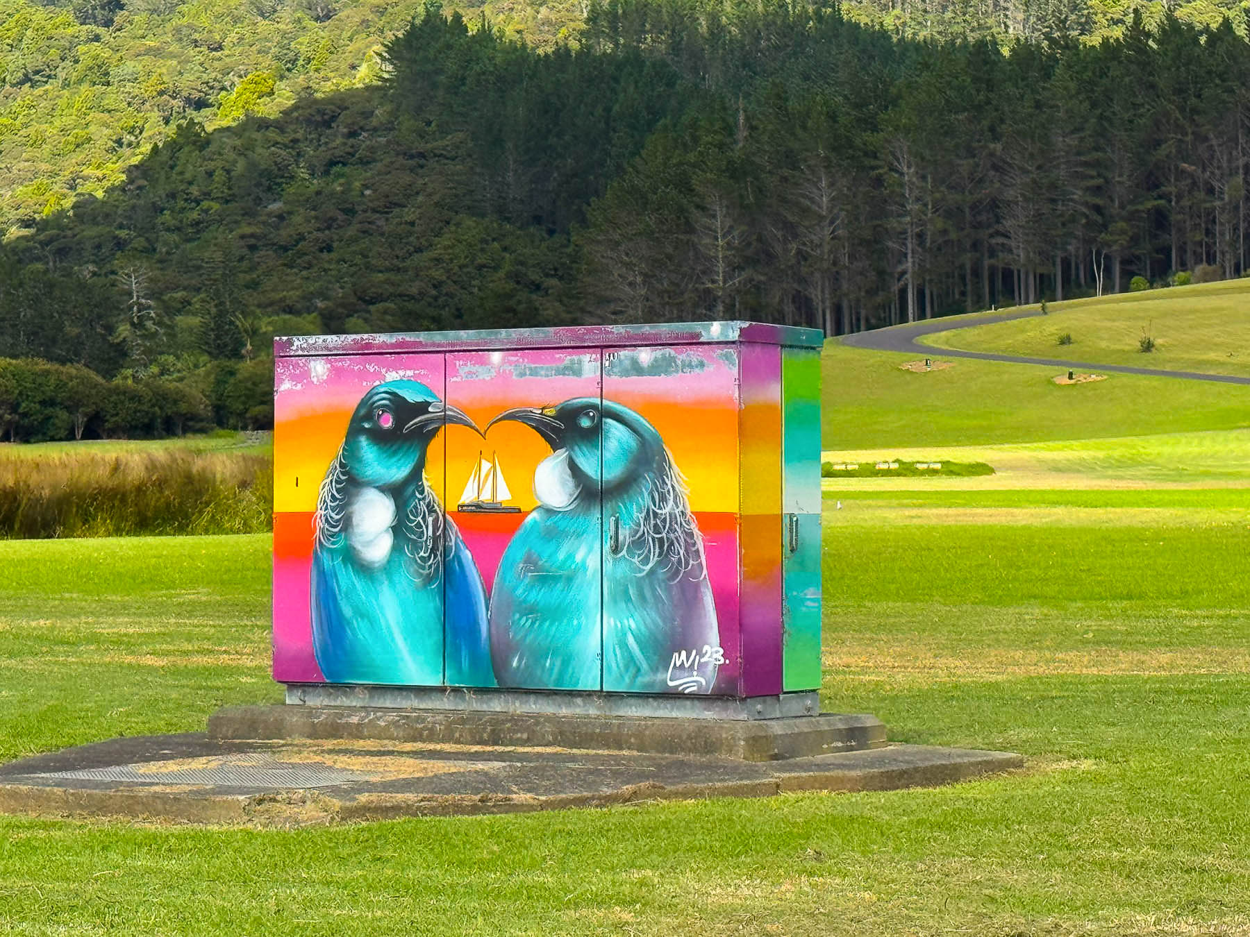
About an hour into our trip we turned off Rt10 near Orotere and followed the road to the Matauri Bay Holiday Park, a stunningly beautiful campground on the bay, where we registered and paid a small parking fee so we were in closer walking distance to the memorial which is located atop a very steep headland, with gorgeous views over the bay.
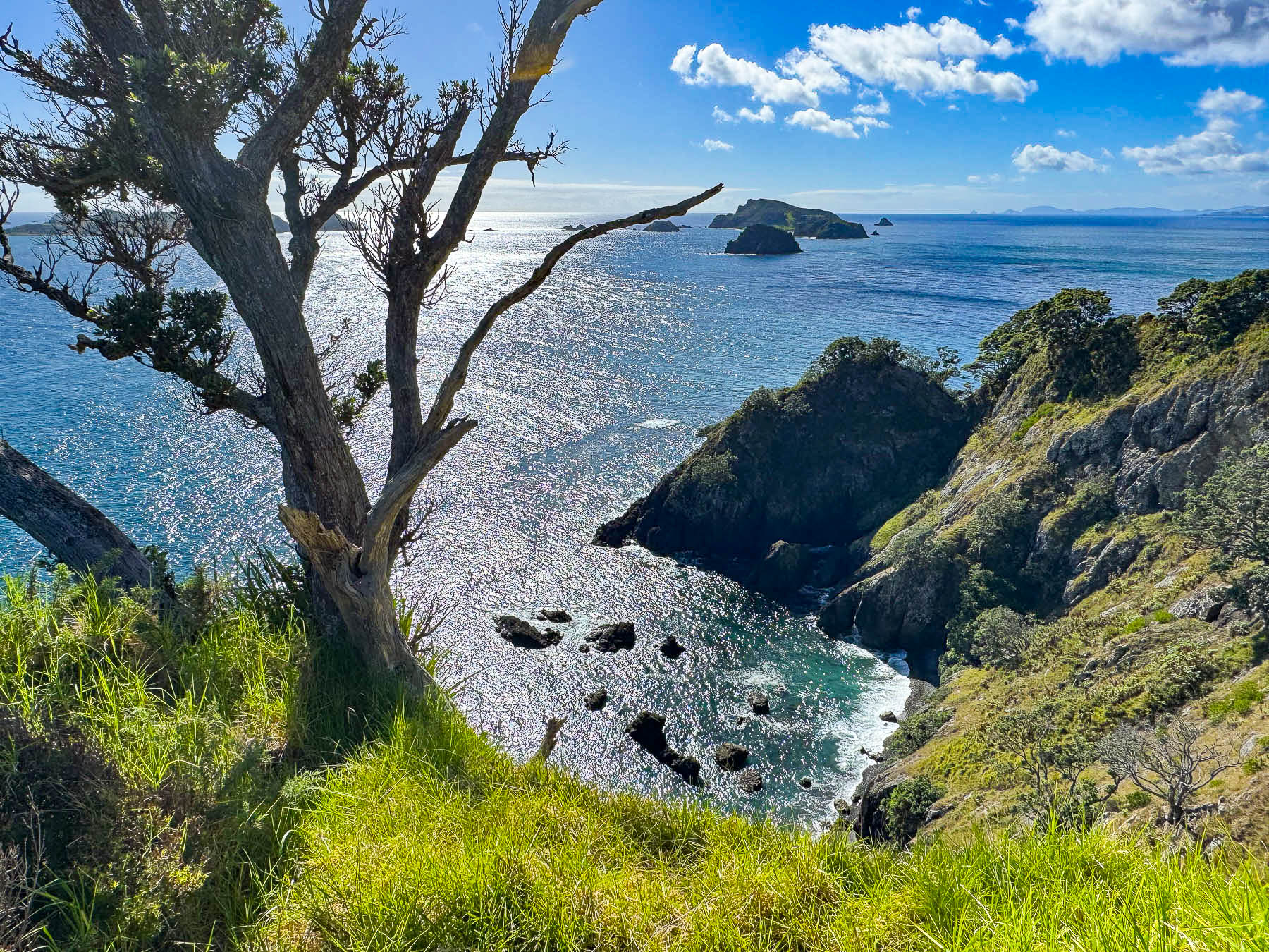
The site commemorates the sinking of the environmental group Greenpeace’s ship, the Rainbow Warrior, which was bombed by French secret service agents in 1985. The attack on the ship, which resulted in one death, was designed to thwart the group’s campaign to end nuclear bomb testing in the Pacific. The group’s flagship vessel was intended to lead a flotilla of private yachts to Moruroa Atoll, in an attempt to disrupt French military nuclear experiments. The attack rallied environmental organizations around the world and the planned flotilla sailed to the atoll and succeeded in halting nuclear testing for 10 years in the region. France’s final test occurred in January 1996, after which the country signed the protocols of the Treaty of Rarotonga (South Pacific Nuclear Free Zone Treaty) and dismantled its testing facilities.
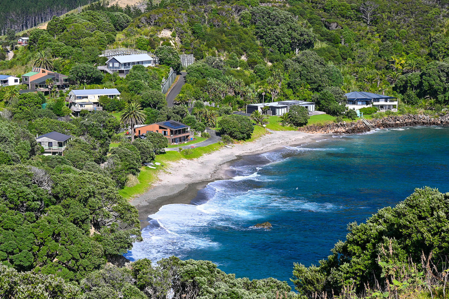
Deemed unseaworthy, the Rainbow warrior was scuttled in 1987 offshore near Motukawanui Island to create an artificial reef in Matauri Bay, and its now a popular spot for fishing and diving. The memorial created with local stone and pieces of the ship by the New Zealand artist, Chris Booth, serves as a memory to the disastrous event that became a defining moment in the New Zealand’s modern history, which fostered a stronger, more independent national voice and self-reliance in foreign policy. One of the things we admire about New Zealanders is their tremendous respect for the environment. It can be seen in so many ways, but most noticeably in the towns and countryside, which were litter free.
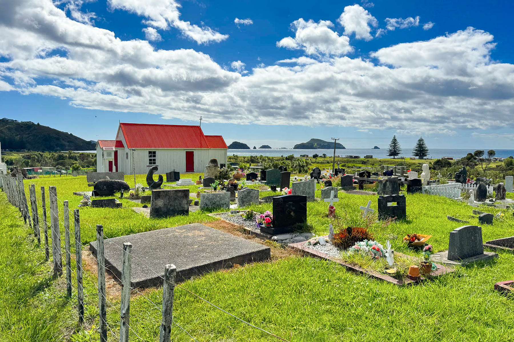
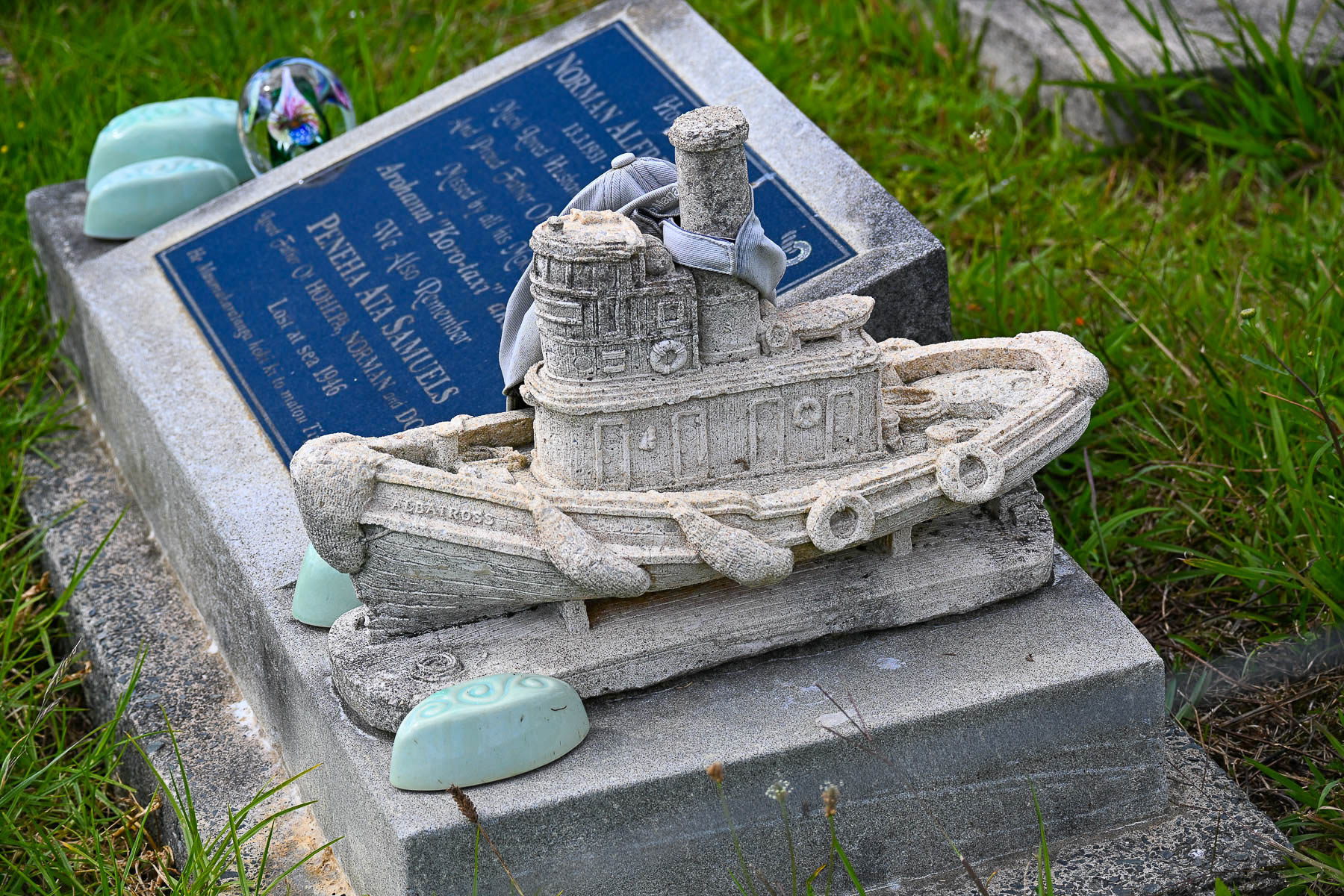
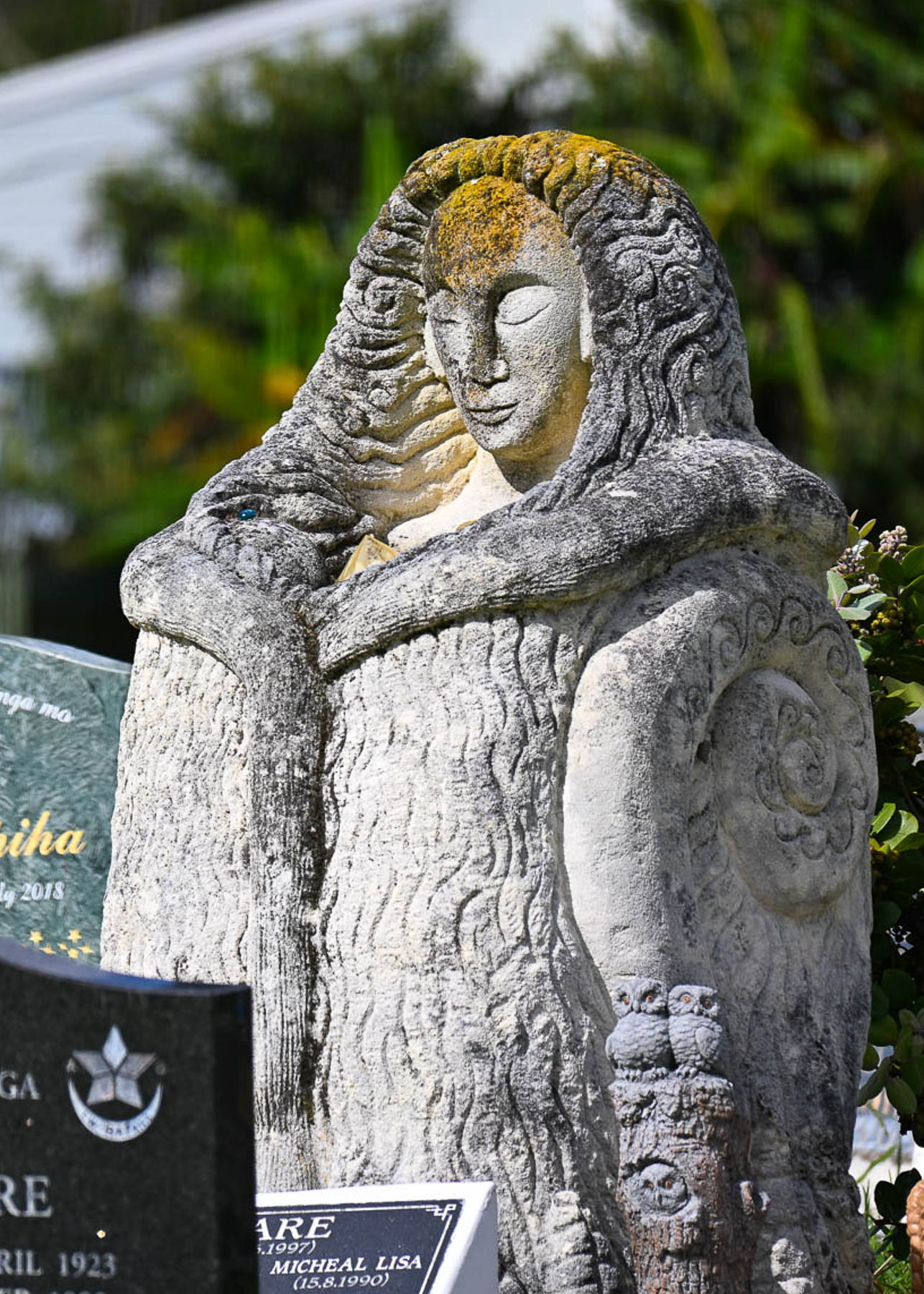
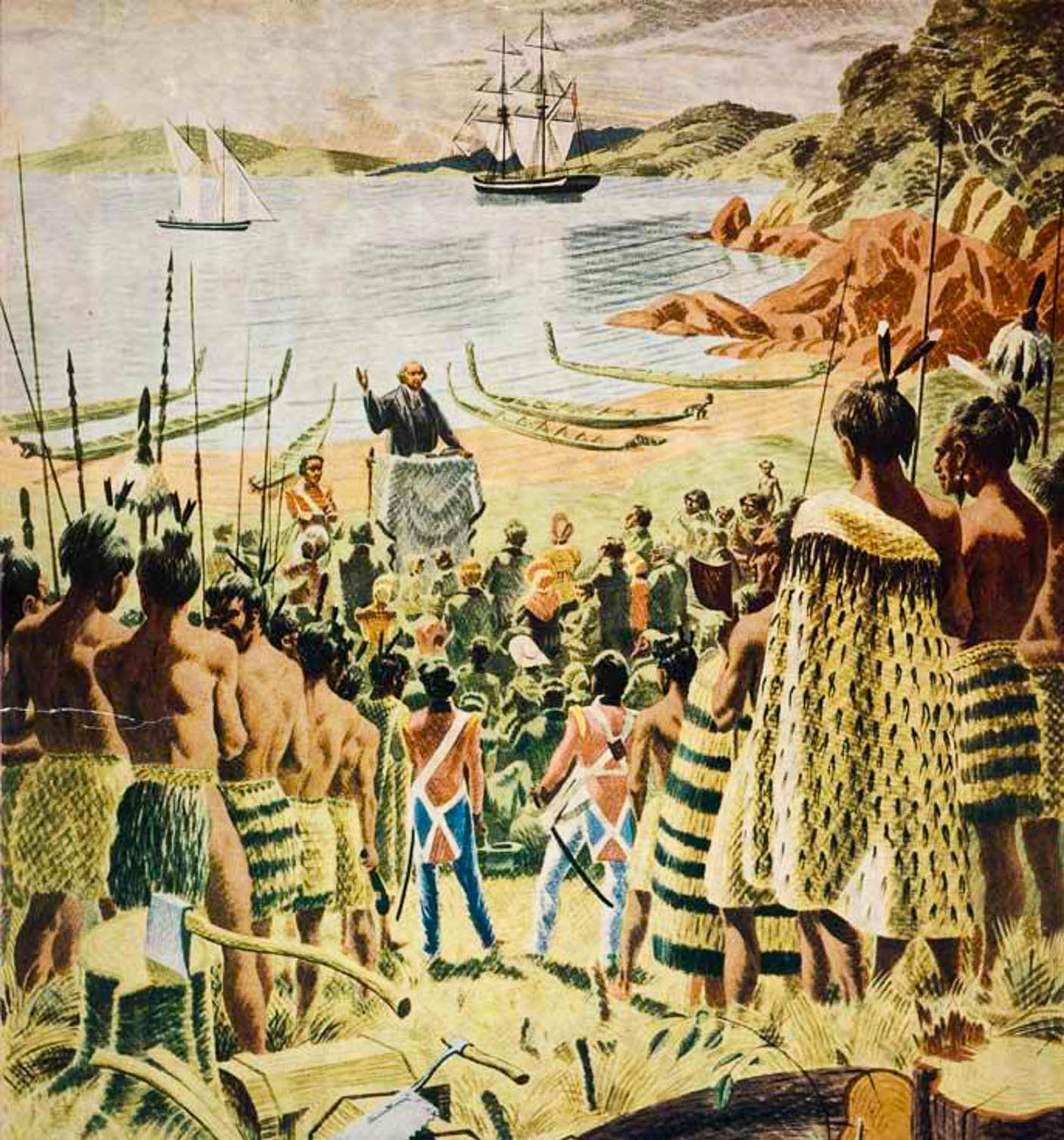
Leaving the campground, we stopped at Te Tou O Taki church, which was built in 1896 to commemorate the beach landing in 1814 of a group of Anglican missionaries led by Reverend Marsden to establish New Zealand’s first mission station. The reverend later that year held the island’s first Christmas service on a beach in the Bay of Islands, that was attended by settler families and roughly 300 to 400 Māori, with a local chief translating the service for them. The interior of the church is supposed to contain beautiful Māori carvings representing Māori legends and whale tails which represent the Māori relationship with the sea. Unfortunately, it was not open when we stopped, though there were some interesting headstones in the cemetery.
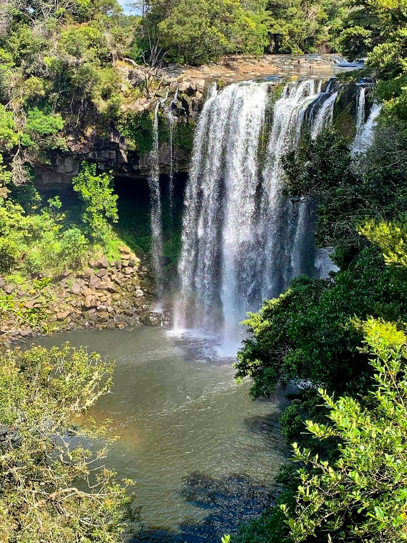
We didn’t realize it at the time, but just minutes off RT10 near Waipapa was Waianiwaniwa, Rainbow Falls, a spectactular 27 meters (89 feet) tall cascade, that I wish we had stopped at. On the way to or from Cape Reinga, the climb to the Rainbow Warrior Memorial or the short hike to Rainbow Falls would be great additions to an itinerary.
On to Hamilton.
Till next time,
Craig & Donna


