We had hemmed and hawed for years about the best time to visit Ireland. The summer for sure, but the price of tickets to Dublin always seemed too steep in the high season. The Irish weather in April can be cool and wet, so we were thrilled when a good price on airfare popped onto our screen for a May departure and we planned a 16-day road trip around the northern part of the Wild Atlantic Way. It’s an epic journey along Ireland’s Atlantic coast that starts in the town of Kinsale in County Cork and runs along the island’s scenic coast for about 2,500 km (1,553 mi), passing through nine historic counties, before ending in Muff on the Inishowen Peninsula, a short distance away from Londonderry, Northern Ireland, which is part of the United Kingdom, and the city from which we chose to start our journey along the western edge of Europe.
But for us, for practical purposes, our version of the Wild Atlantic Way started 77 km (48 mi) east in Ballycastle, Northern Ireland, since we wanted to include a beautiful stretch of Northern Island’s Causeway Coast in our route south to Westport in County Mayo, Ireland.
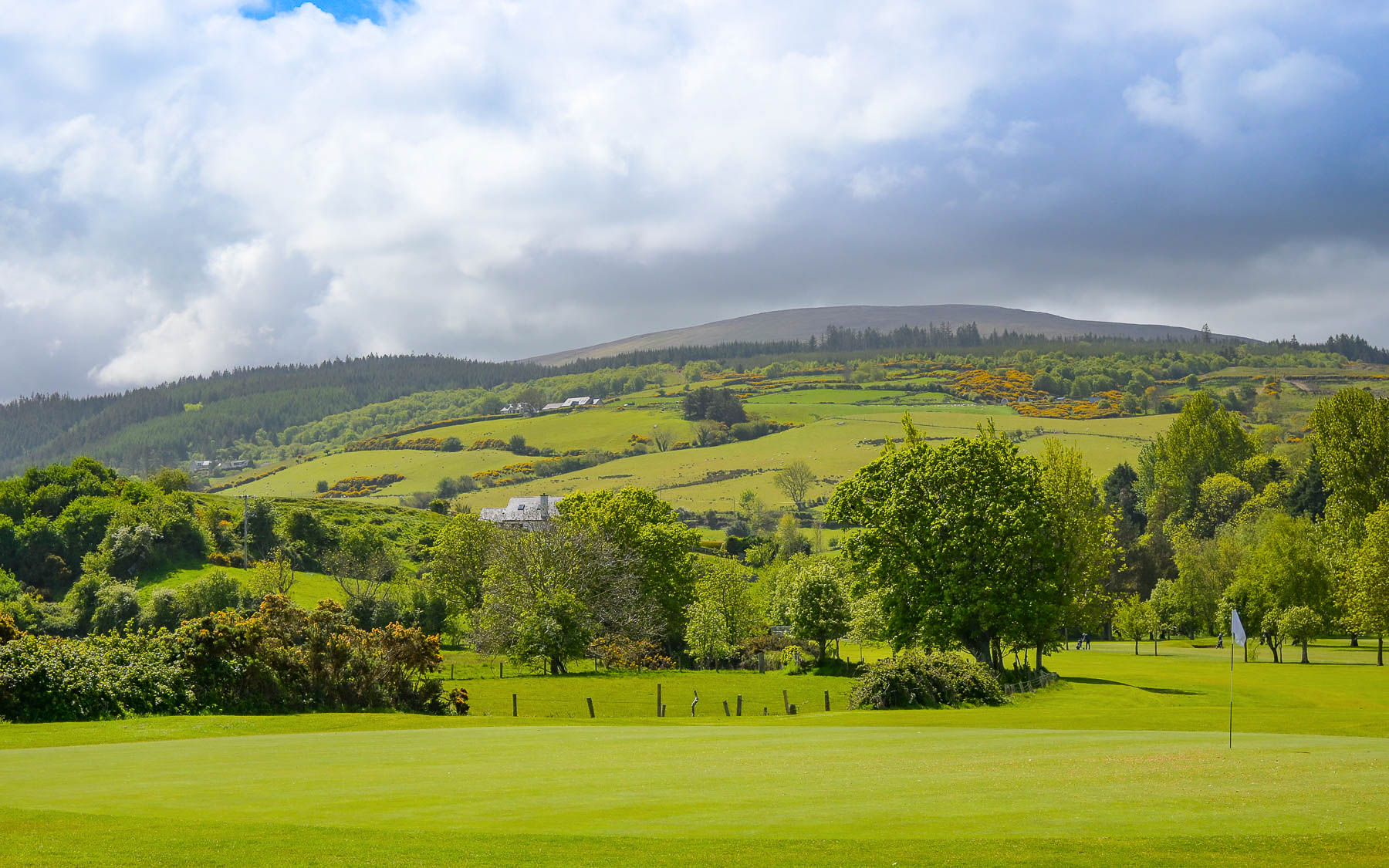
The runway was still wet from a clearing morning storm as we landed in Dublin, and we took it as a promising sign for our days ahead. Within minutes of leaving the airport in our rental car, we were on a secondary road, way too narrow for the oversized trucks that straddled the yellow line, and were our oncoming traffic, as we cut through the countryside to the M2/N2. Following the highway north we crossed the River Blackwater and the border into Northern Ireland at Aughnacloy, where the town’s Wednesday market lined both sides of the main street. Since the United Kingdom with Brexit left the European Union in 2020 it has not been part of the Schengen Zone, and even though United Kingdom/Northern Ireland share an open border with Ireland, foreign visitors are required to apply for an UK ETA – electronic travel authorization, that is valid for two years, before entry into the country, and which they have to be able to show.
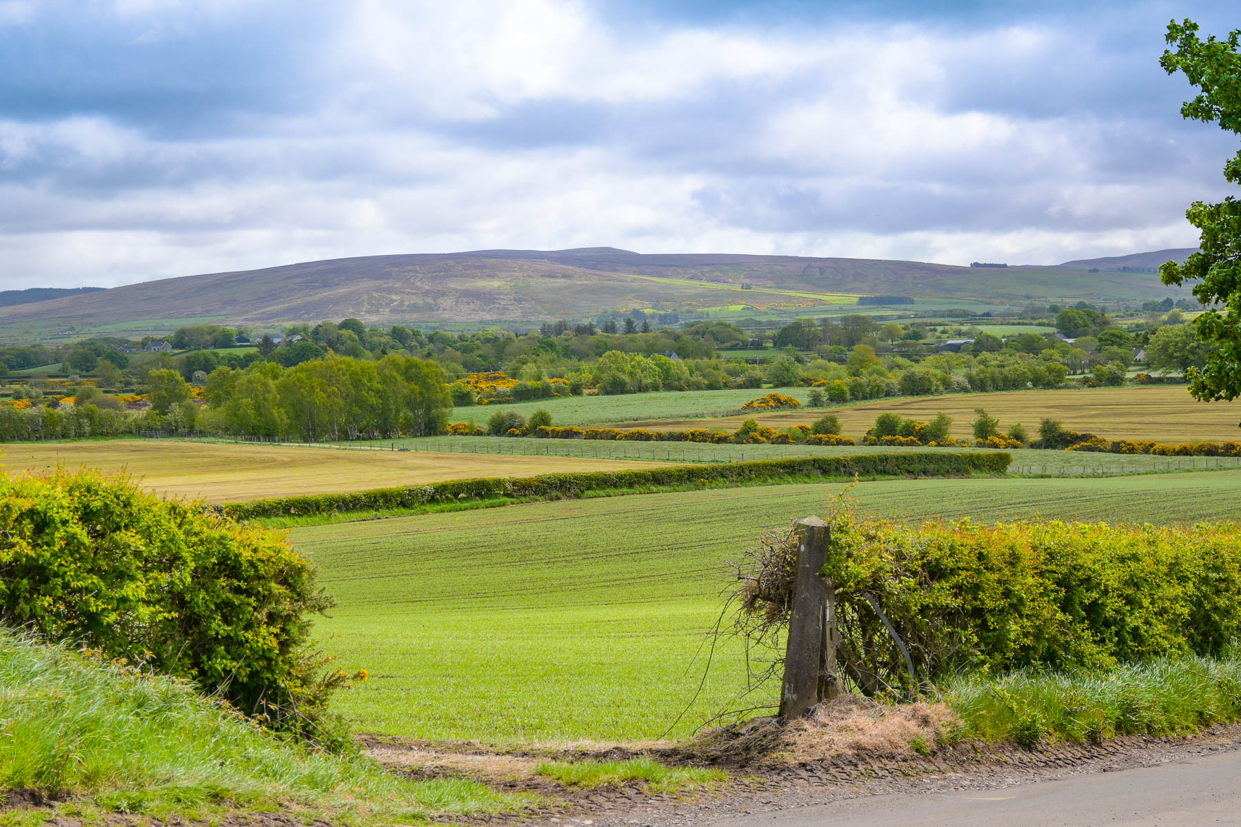
The countryside along the way was lush with the fresh greens of Spring, and flocks of sheep with newborn lambs playfully dancing about dotted the pasturelands. Near the Ulster American Folk Park on the A5 the landscape was particularly beautiful where the Strule River curved close to the road. Along the way we noticed some of the road signs to Londonderry had the London part spray painted obliterated. Historically the town was first known as Derry, but later renamed Londonderry after the town’s walls were rebuilt with the help of London merchant guilds after a clan rebellion burnt the city on 1608.
Entering the city, we were still on the east side of the River Foyle and headed to Ebrington Square to see the Peace Bridge. The plaza was the former site of a 19th century star shaped stone fortress, and HMS Ferret, an important World War II Royal Navy base during the Battle of the North Atlantic. Centuries earlier it was the location from which Jacobite Forces loyal to the recently deposed Roman Catholic convert James II, King of England, Ireland and Scotland, bombarded the city during the Siege of Londonderry in 1689. Since the 1530s when King Henry VIII broke ties the Vatican, practicing Roman Catholicism became illegal, and Catholic worship was suppressed as England and Scotland pursued a Protestant doctrine during the English Reformation. As a result, King James II was ousted from power by the Parliament of England, and the English throne was offered to his Protestant daughter Mary and her husband William III of England. After a short exile in France, James landed in Kinsale with 6,000 French soldiers. He conquered Dublin and marched north with an newly recruited army of Irish and Catholics and the French force across the northern province of Ulster. The situation was different in Ireland where most of the population was Catholic and hoped that James would re-grant their lands, which had been confiscated from them by the English Crown after the Cromwellian conquest of Ireland (1649–53) and given to Protestant settlers from Scotland and England.
But fearing persecution, Protestant settlers fled to the safety in the walled city of Londonderry before James’ Jacobite army arrived and demanded their surrender. Cries of “no surrender,” bellowed from the walls and James’ troops stretched a blockade chain across the river to prevent provisions from reaching the city by sea. The siege of the city ended when a convoy of supply ships broke the chain across the River Foyle. It had lasted 105 days and saw the death, mostly through starvation and disease, of over 5,000 of the city’s inhabitants and refugees who sought shelter in the city. Eleven months later the English army of King William III decisively defeated James II’s Jacobite and French force at the Battle of the Boyne, after which James fled to France and never returned. But it was the continuation of a series of conflicts in Ireland that have spanned over 400 years.
After the Irish War of Independence, 1919-1921, the Anglo-Irish Treaty provided independence for 26 counties, mostly Catholic, which constituted the Irish Free State. While six counties, mostly Protestant, chose to remain a part of the United Kingdom and formed Northern Ireland. “Since the 1689 siege, an influx of migrants, especially during and after the great famine of the 1840s, had created a Catholic majority in Londonderry, and it was situated right on the border with County Donegal which was in the new Irish Free State. The town was now in the unenviable position of being a city with a Catholic majority on the border with a Catholic country but ruled by a unionist Protestant government,” that used ward gerrymandering to ensure that they maintained control of the local municipal elections and police force. This lack of Catholic political representation led to severe discrimination against the Catholic population all across Northern Ireland in housing, jobs, and voting rights.
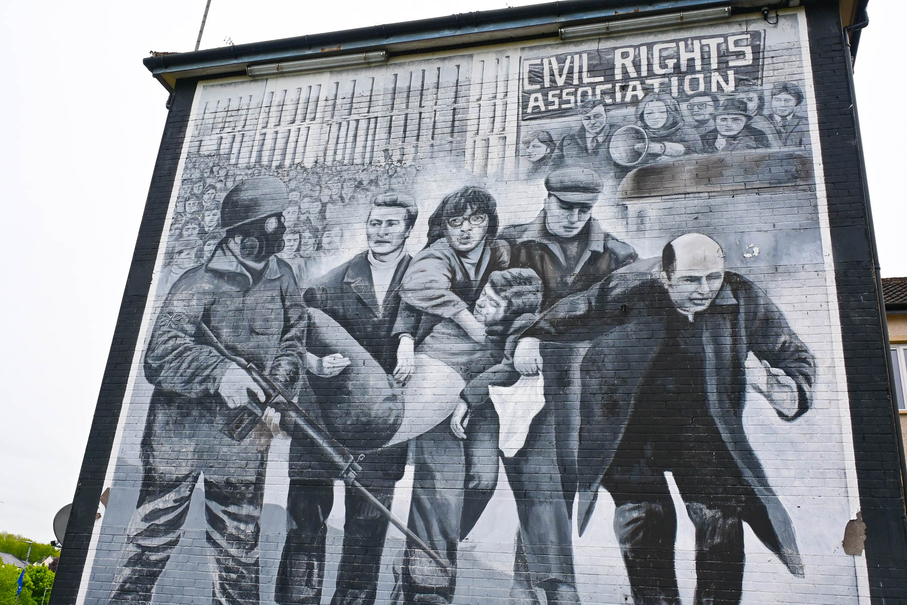
Discontent with the system boiled to a head in 1972 when “Catholic nationalists in Derry organized a march to protest the British internment policy, but the military was called in with armored vehicles to shut it down. When protestors didn’t disperse, the troops opened fire with rubber bullets and then live rounds. Thirteen protestors were killed and 17 wounded in a tragedy known as “Bloody Sunday.” “The Troubles came to an end, at least officially, with the signing of the Good Friday Agreement in 1998, which created a framework for political power-sharing and an end to decades of violence.” For a travel blog this is a complex issue to address, but we feel that if we are going to visit a country or city we have a responsibility to know some of its history regardless of how difficult the issue might be.
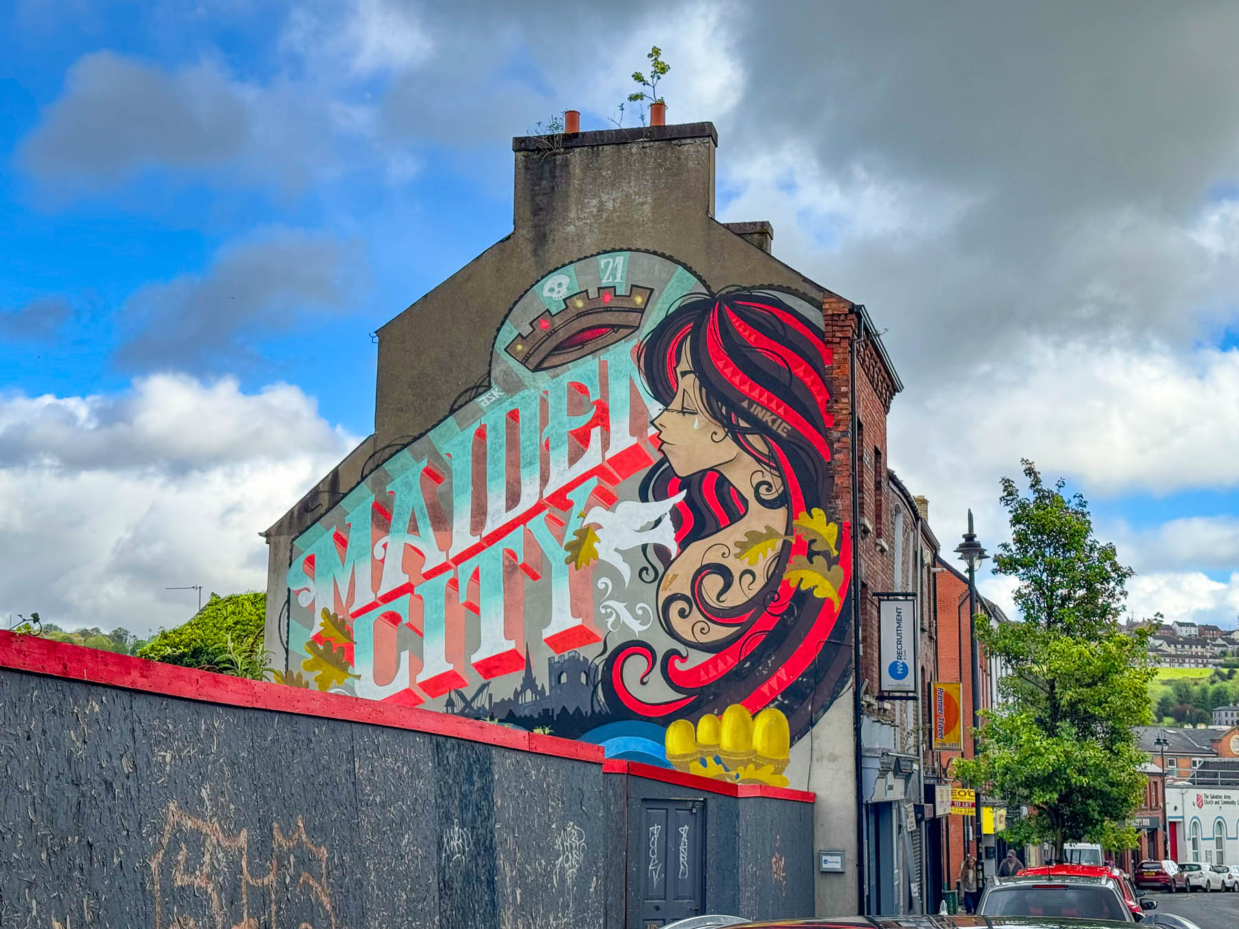
The legal name of the city has been Londonderry since King James I granted it a royal charter in 1613. In 1984 the nationalist-controlled city council chose the shorter, traditional Irish name “Derry” to reflect the historic culture of the town before the British colonized the area. Derry/Londonderry the name depends on your “nationalist” or “unionist” views while others call it “The Slash” or “Stroke City” to avoid taking a political side. The city is also nicknamed the “Maiden City” by virtue of the fact that its walls were never breached during the Siege of Derry.
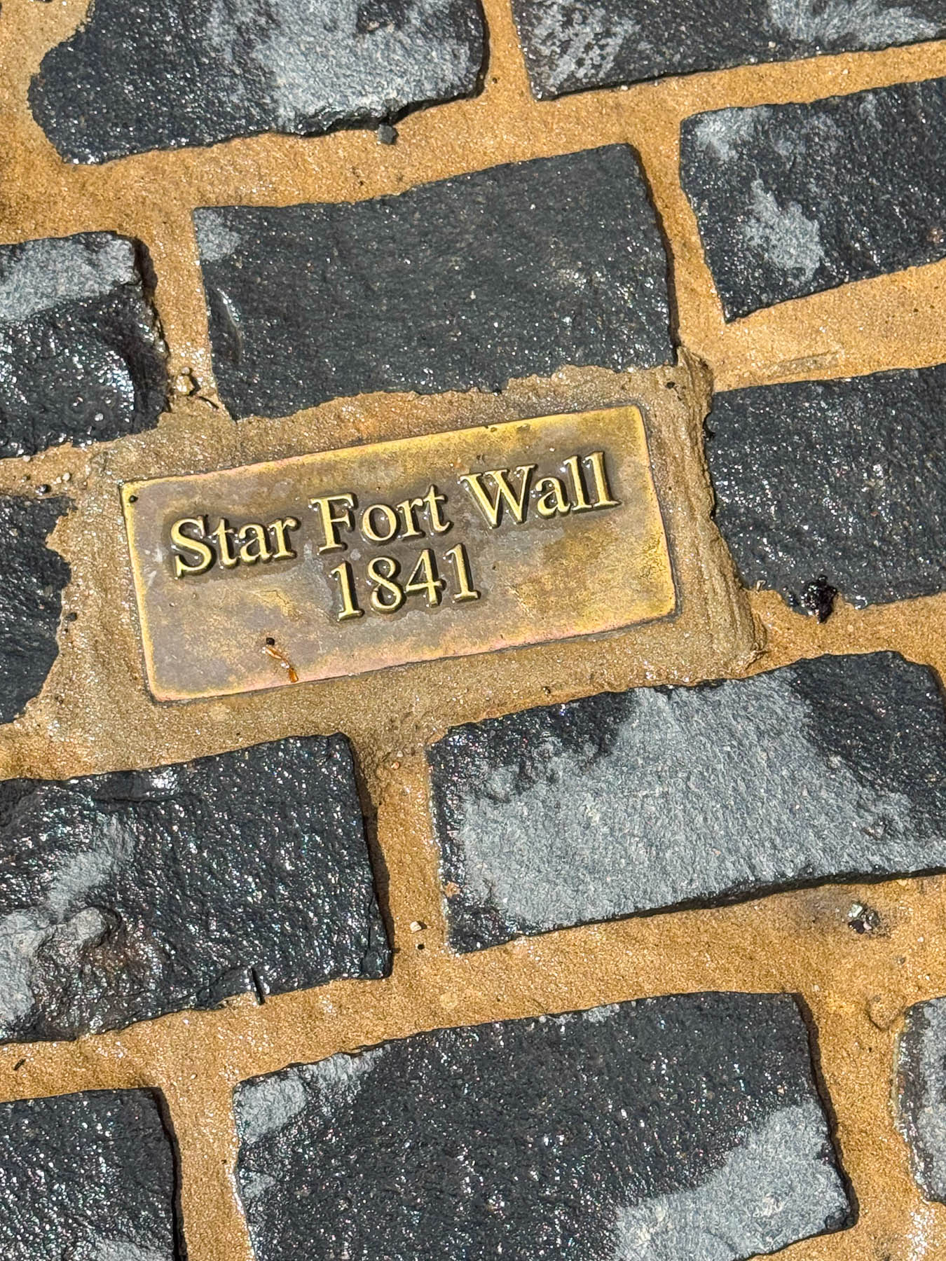
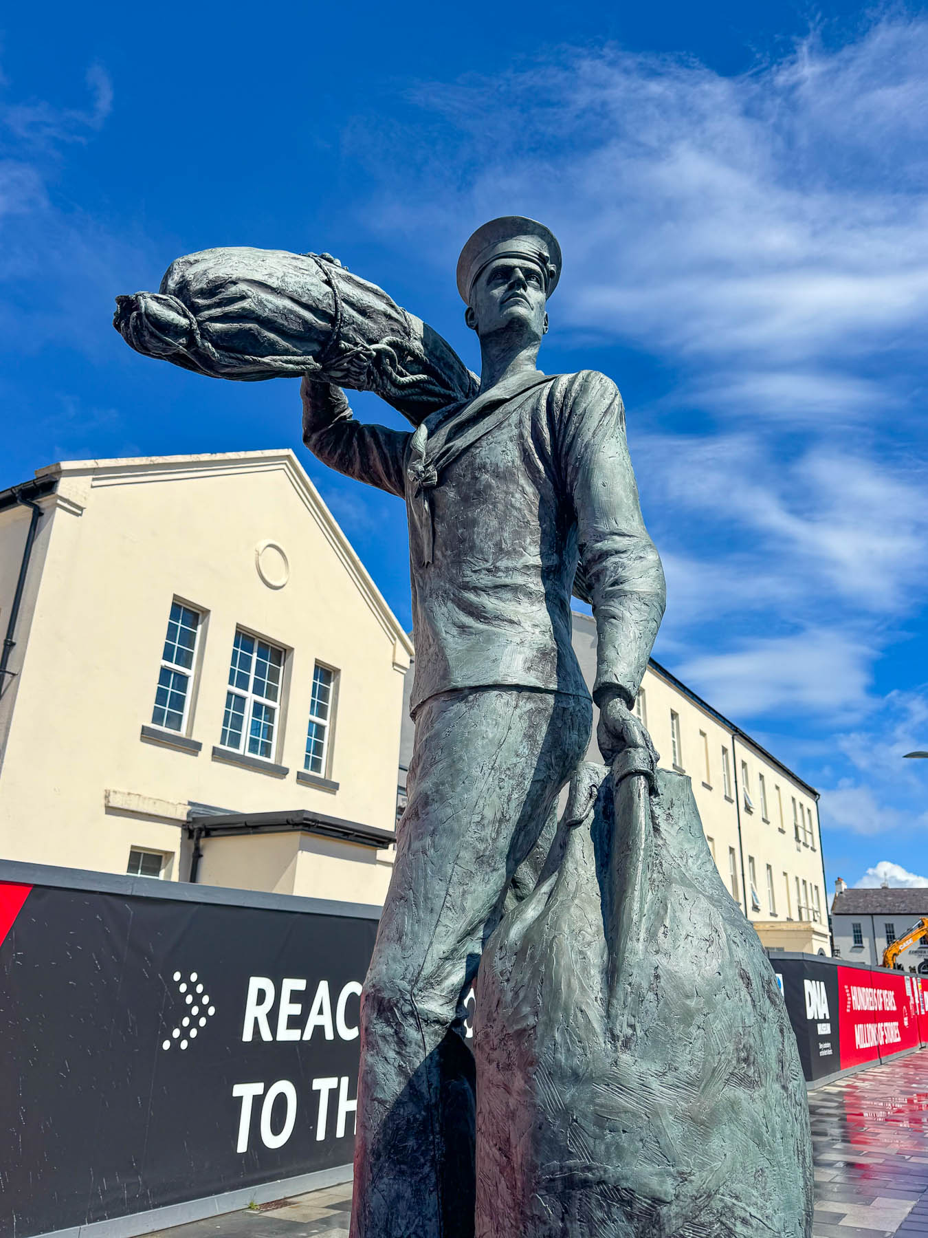
Today the only reminder of Ebrington Square’s past military use are a few walls from the old stone fort’s, along with a naval cannon, and a bronze sculpture of a young, uniformed sailor carrying a duffel kit bag, called The International Sailor, which honors the Allied service members and civilian merchant mariners who fought and lost their lives during the Battle of the Atlantic in World War II.
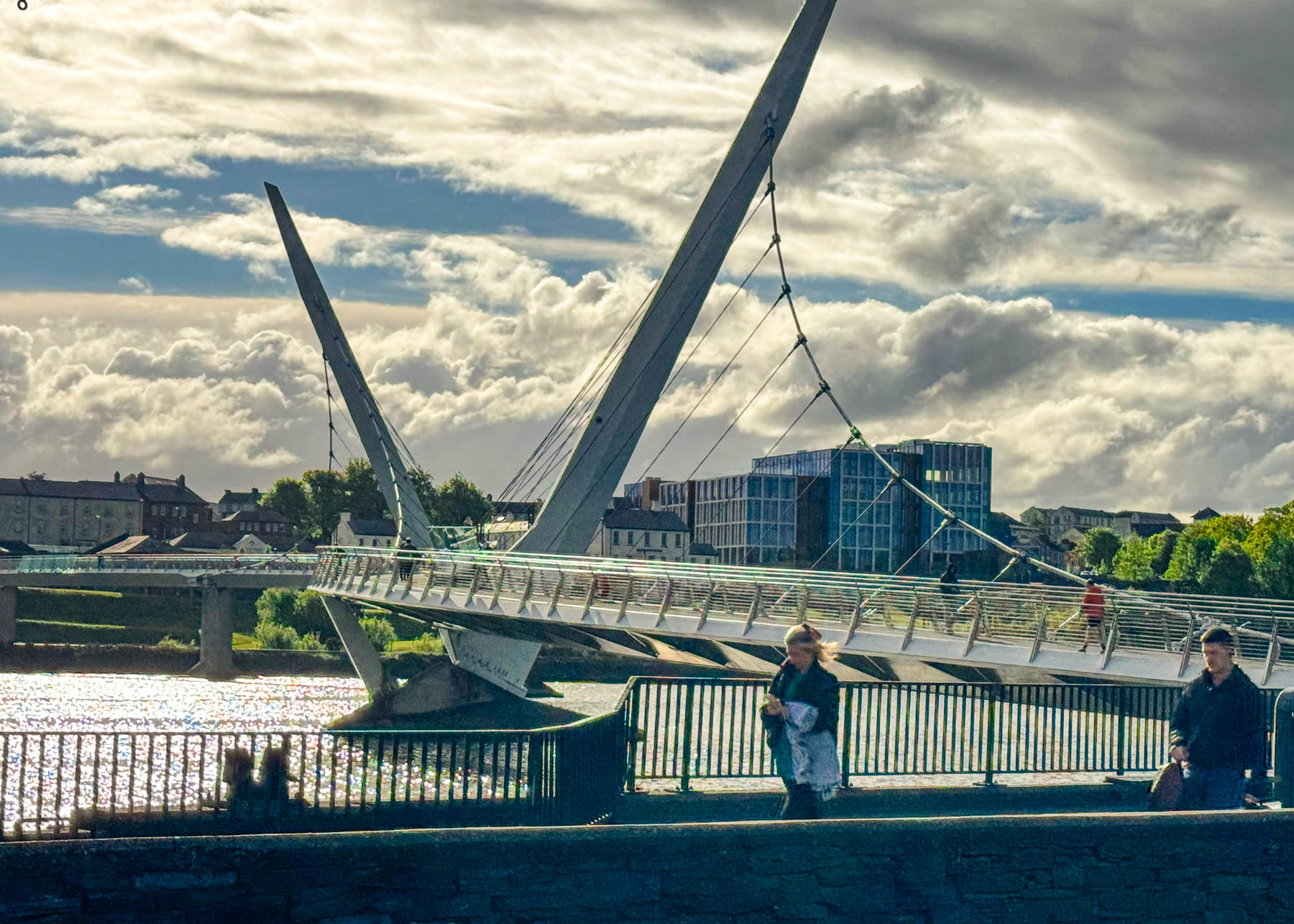
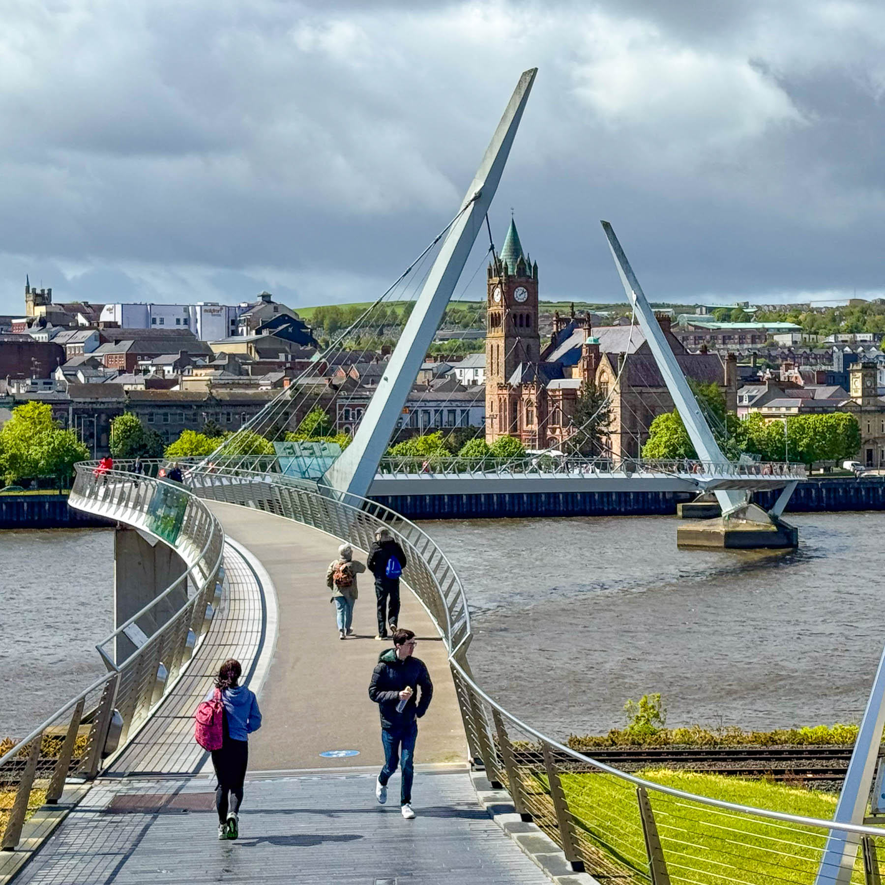
Overlooking the graceful curve of the Peace Bridge and Stroke City across the river, the city takes full advantage of the beautiful site to host a series of festivals and concerts throughout the year. The pedestrian-only bridge with its two sloping suspension pillars and fluid curving walkway opened in 2011. The design of its pillars is meant to symbolize a reconciliatory handshake between two distinct communities and the winding walkway to be interpreted as the path to peace: never completely straight, involving twists, turns, and adjustments along the way. Over the years the folks of the city have embraced it as “a symbol of a new beginning here in Derry,” and “catalyst for change in the city.” A long list of dignitaries from around the world, including former United States President Bill Clinton and the Dalai Lama who have walked across the span to promote peace.
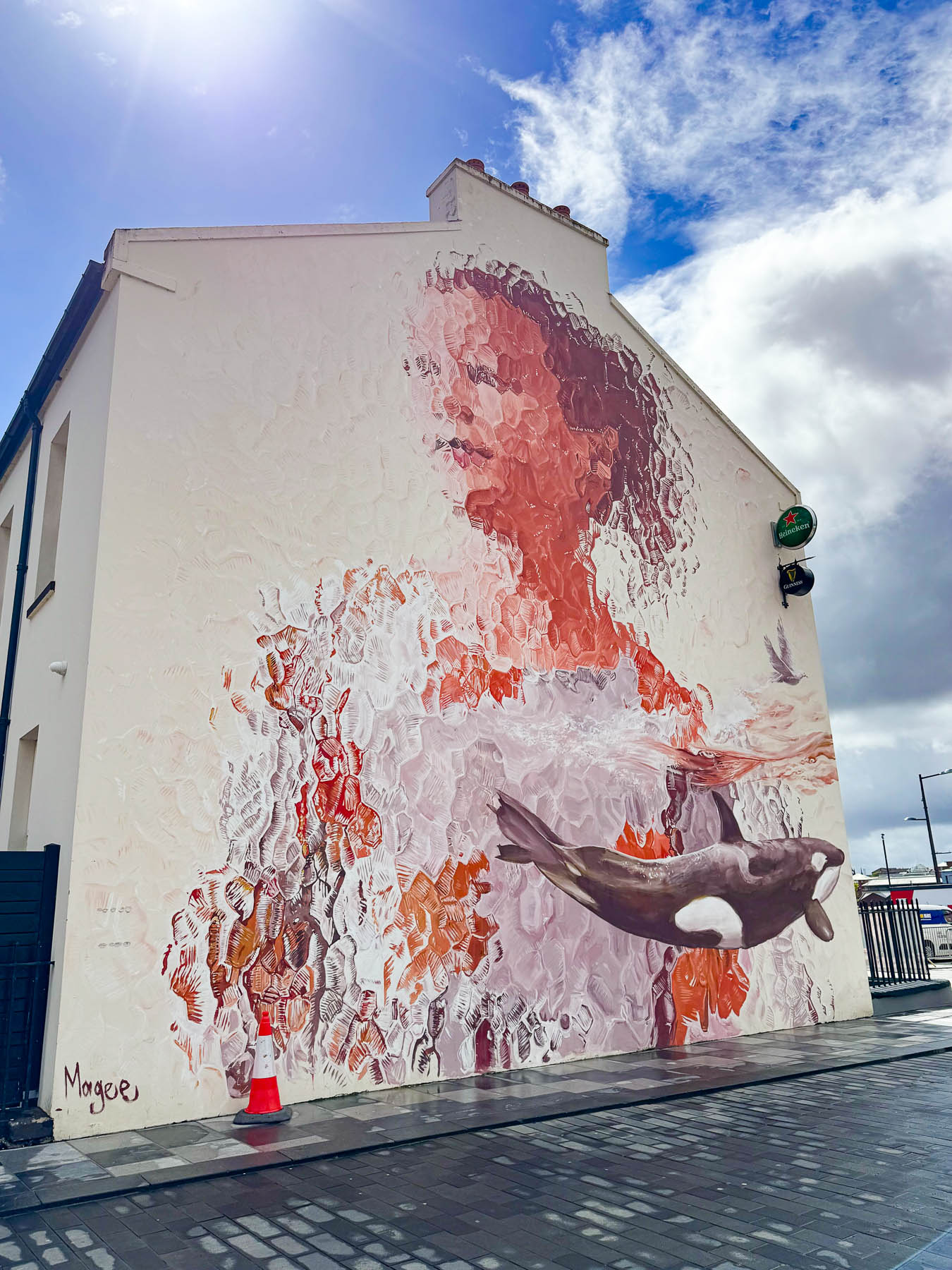
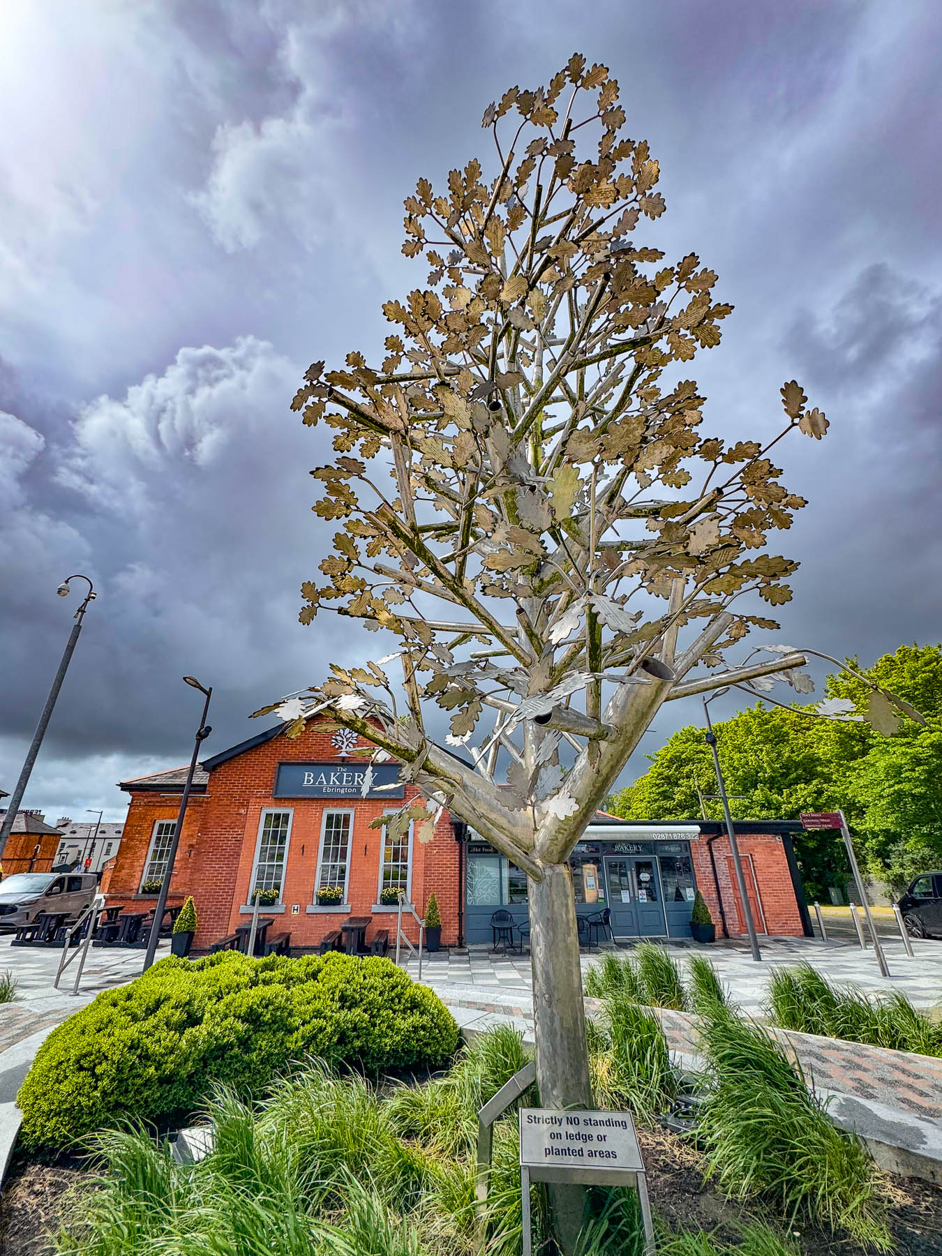
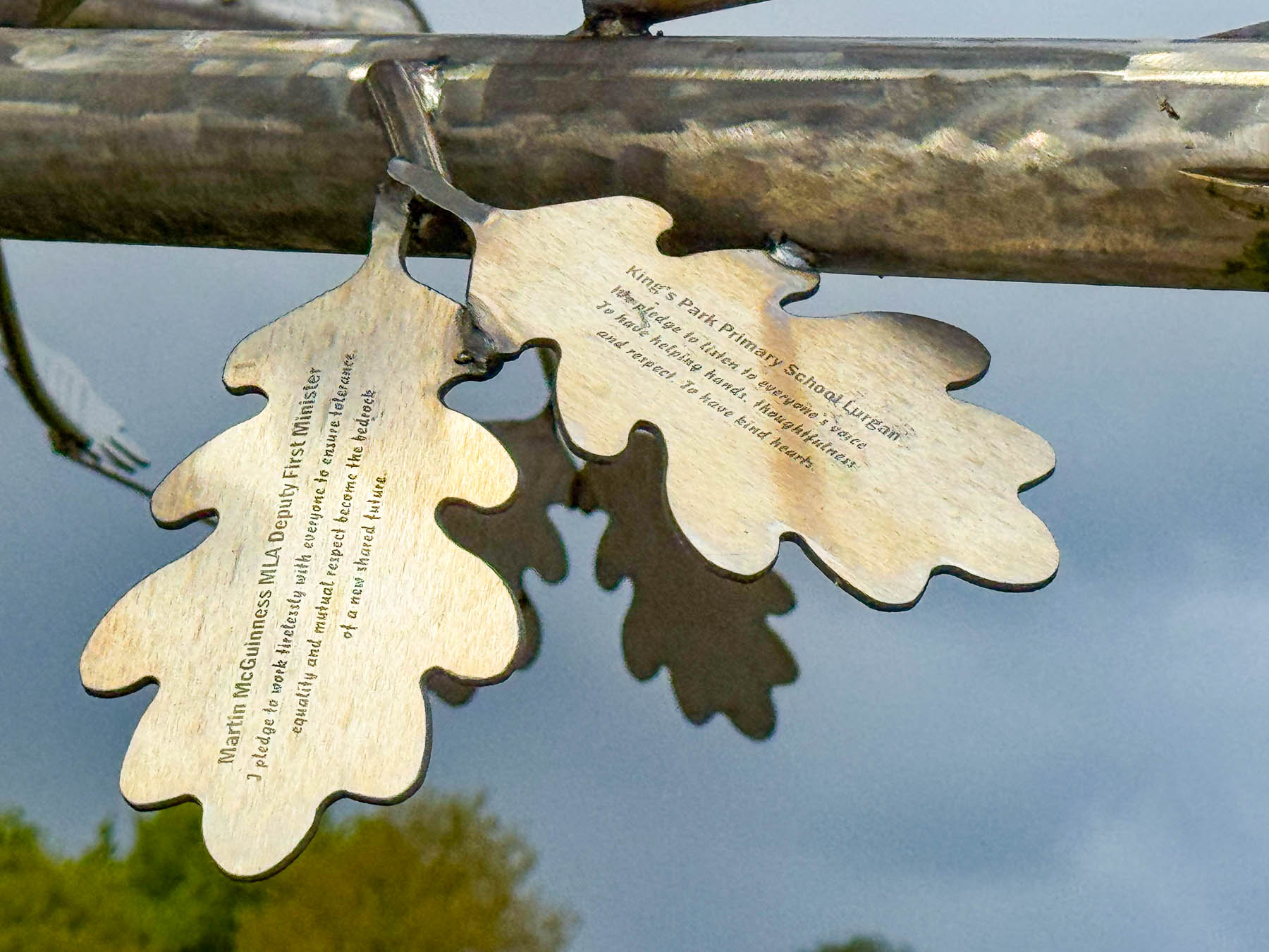
Heading back to the parking lot, we stopped at the Peace Pledge Tree in front of The Bakery Erbington across from a colorful street mural. The sculptural tree was the initiative of Co-operation Ireland and has over 400 pledges from schools, churches and organizations promising to support equal rights and a peaceful future.
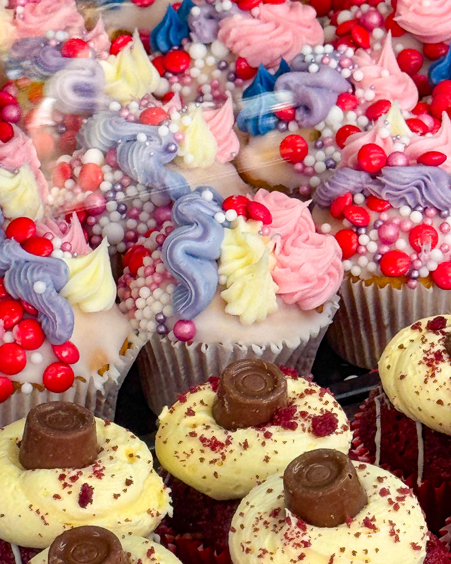
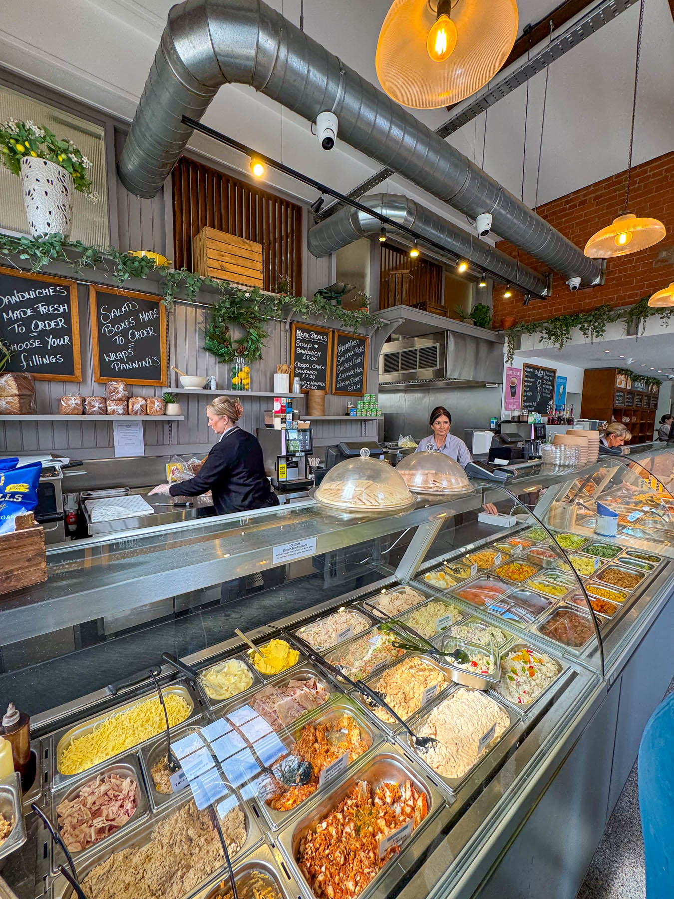
The bakery was geared for takeaway food and only had a few stools along their window seating, but it did have a nice array of baked goods and a deli section for sandwiches and hot food options, so we perched along the window seat for a quick and tasty lunch.
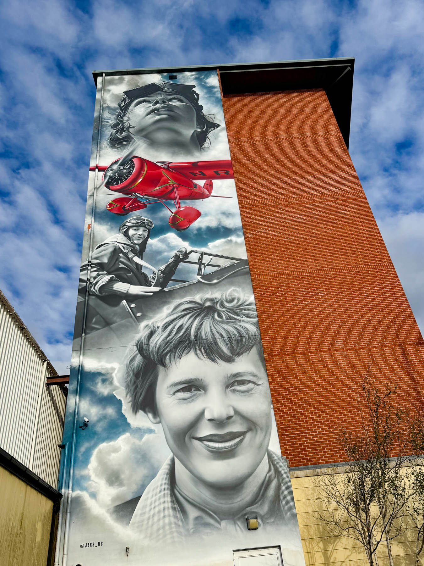
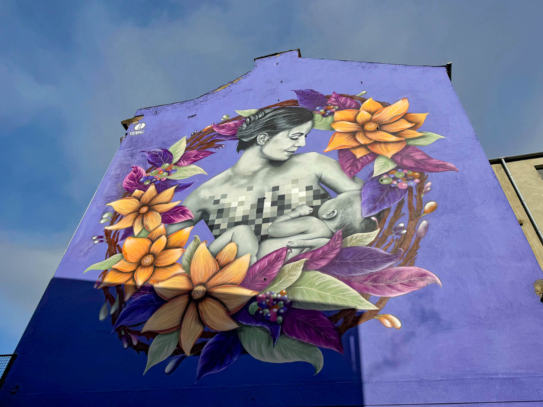
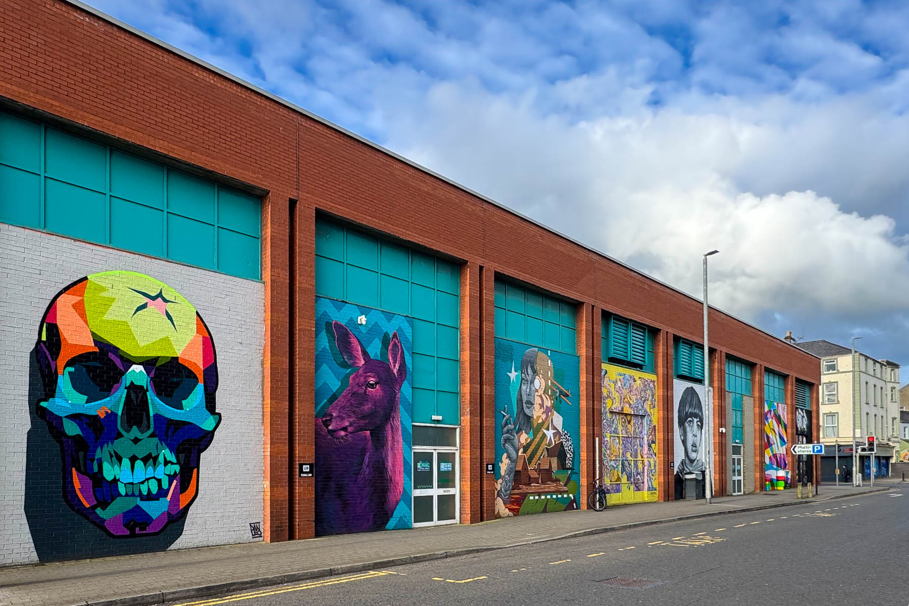
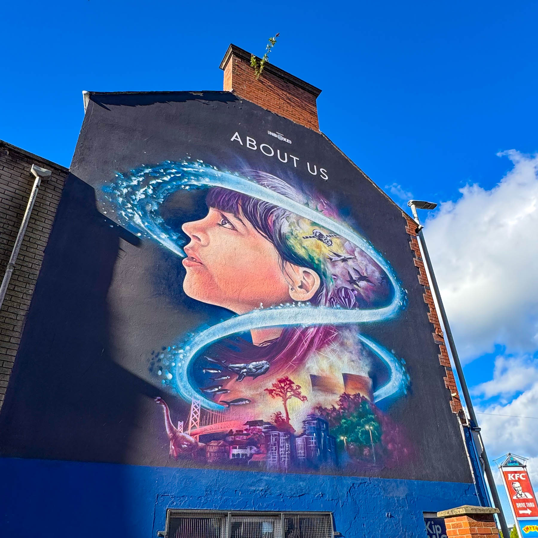
Continuing on into the city I had to circle the block around our hotel several times and got our first introduction into the city’s various political and artistic street murals. There were plenty of spaces available but being a newbie to driving on the left, I was looking for a space big enough for me to pull into without having to try to parallel park.
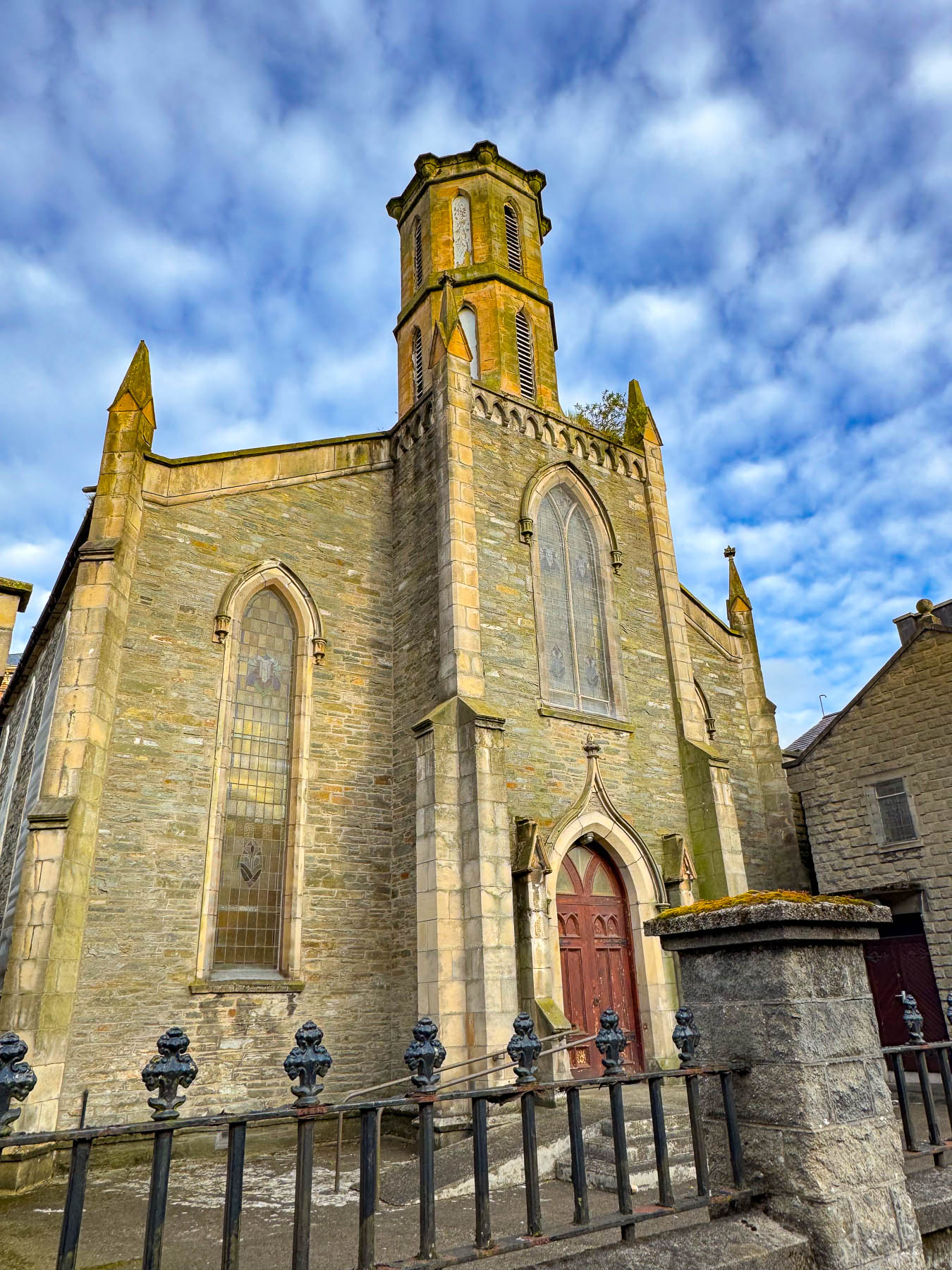
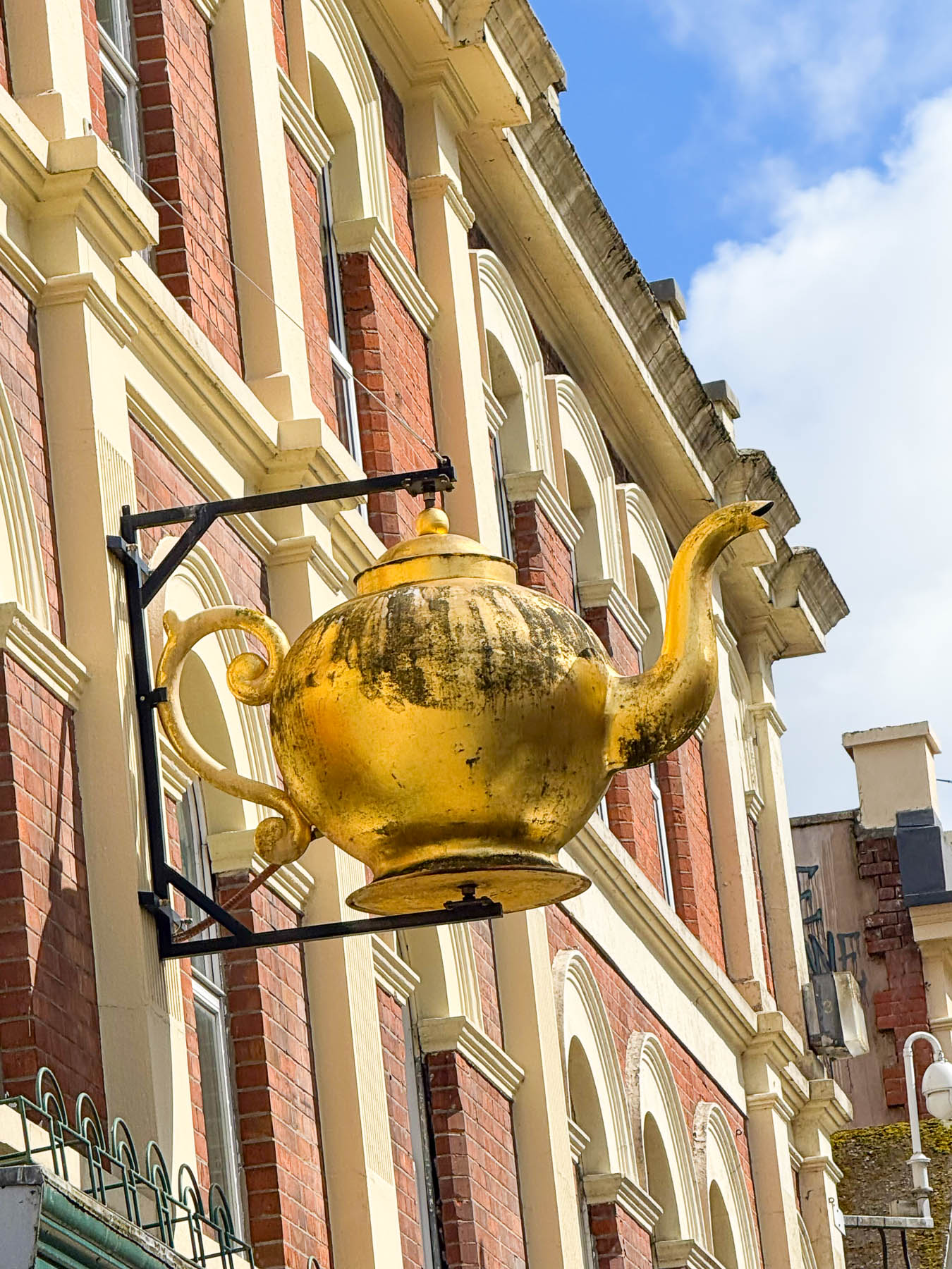
The Holiday Inn Express Derry – Londonderry was our base for four nights to explore Derry and the Northern Ireland seascapes. We had tried to find a hotel in the historic center of the old walled city, but prices were high and parking was an issue. The Holiday Inn had secure discounted parking available across the street next to a Tesco Superstore, making stocking up on snacks very easy. And it was only a 10-minute walk from The Diamond, the historic heart of Londonderry, and the central square around which the original fortified city was planned in the early 17th century. Amazingly, Derry is the only walled city in Ireland with its ancient walls still fully intact.
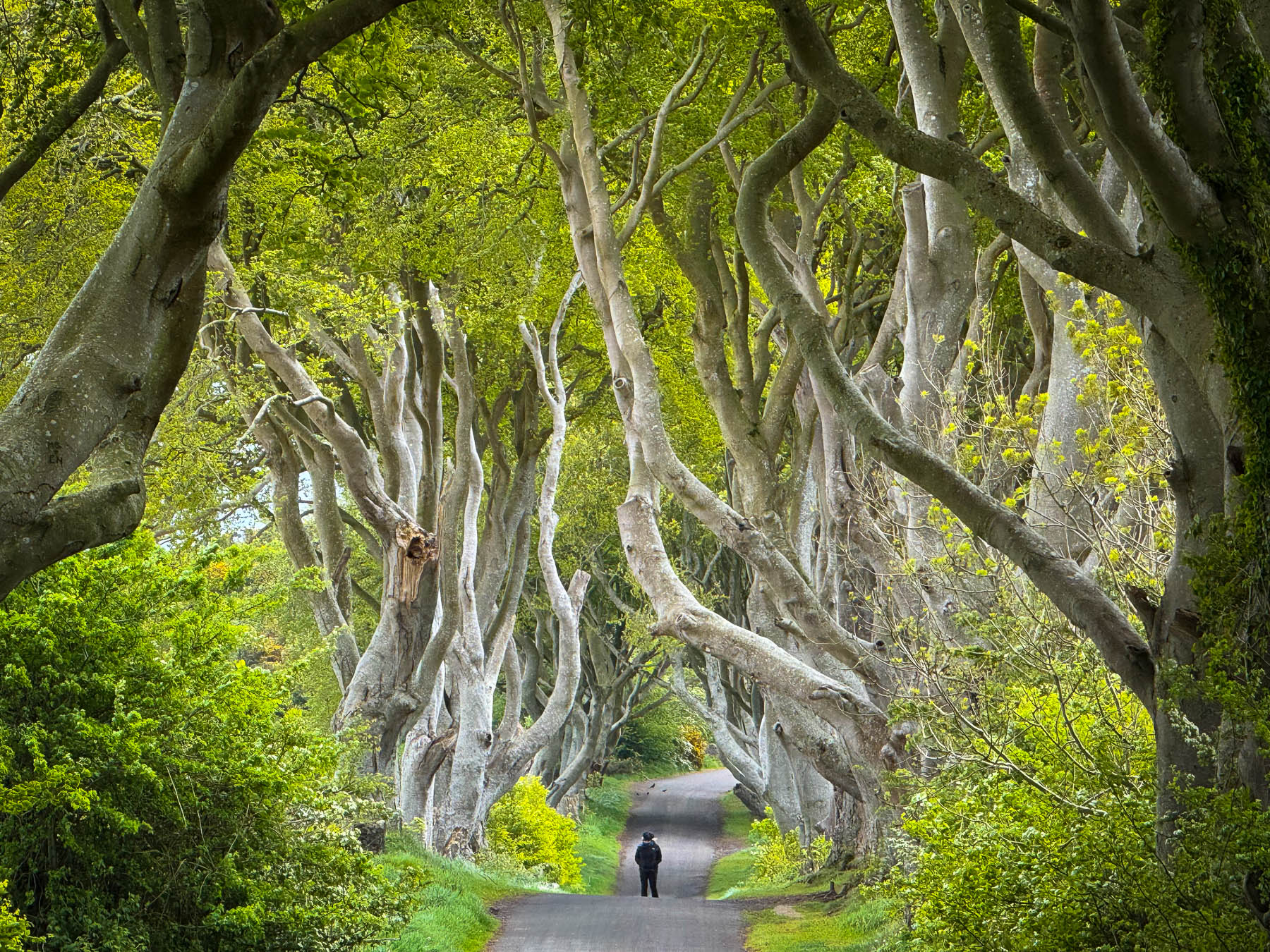
Keeping an eye on the weather forecast, we headed out early the next day to the Dark Hedges, an hour’s drive away. It’s a tunnel-like avenue of tall twisting beech trees, planted in the 1700s, that is very atmospheric, and a popular spot to walk through. It’s free, but parking along the street is prohibited and restricted to a cash only paid parking lot. Even though it was mid-week in Spring shoulder season, twenty minutes after we arrived at 9:00 AM it was noticeably busier. Our best advice is to arrive early or late to avoid crowds.
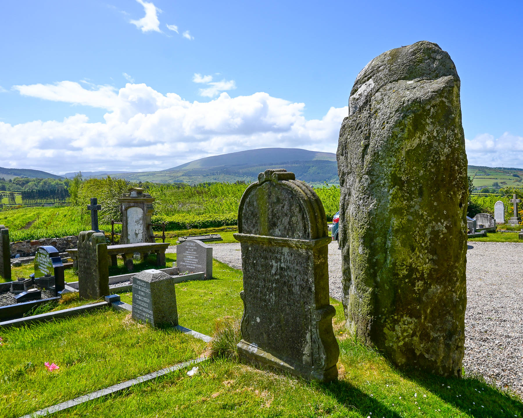
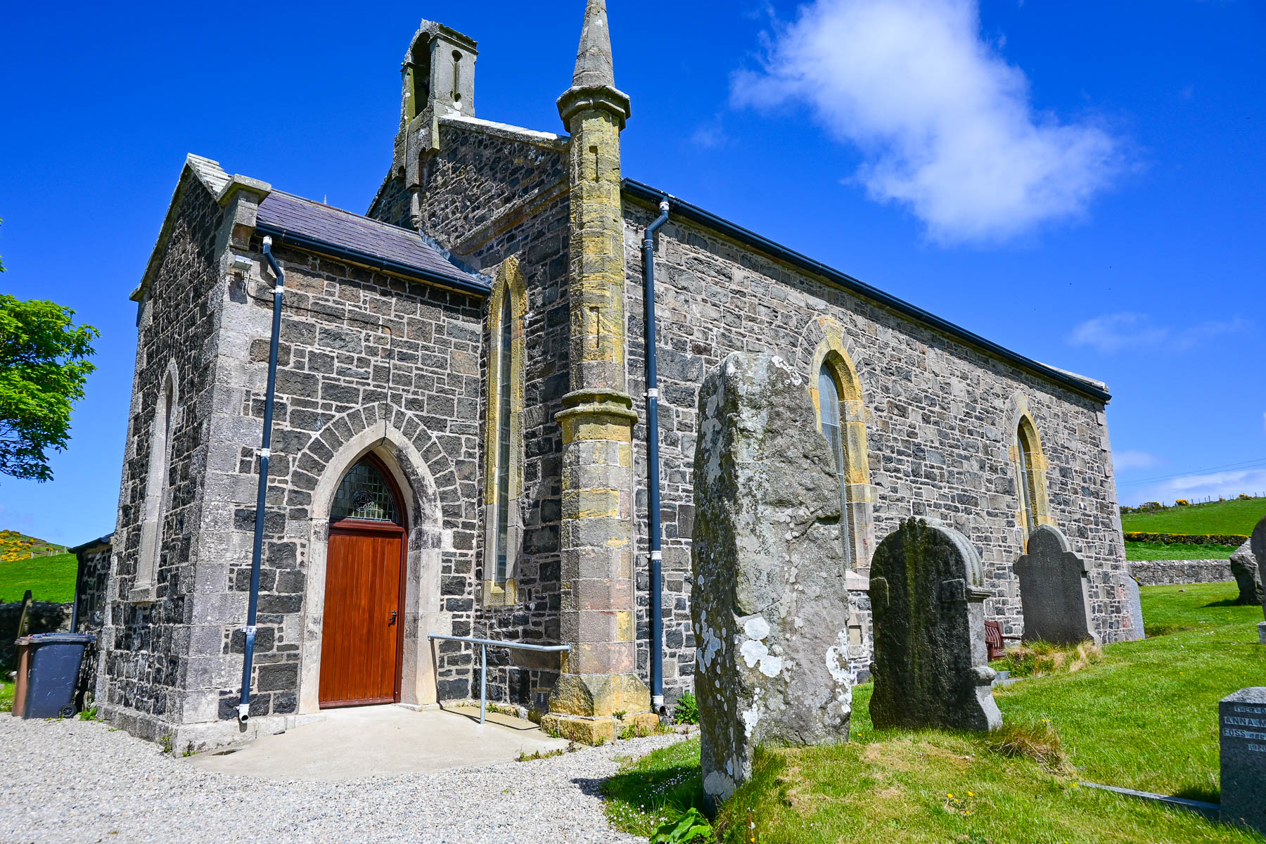
Continuing on we drove down Castle Street in Ballycastle, but missed an opportunity to capture a picture of the Holy Trinity Church at the bottom of the street. It is a small stone church built in the mid-1700s as a private chapel, that was perfectly framed by the colorful buildings along the descending road. We were intent on finding the Ballynaglogh Standing Stones in the graveyard at the Church of Ireland in Culfeightrin parish. We’ve had a fascination with the ancient megaliths since visiting the Calanais Standing Stones on Lewis and Harris Island in Scotland, several years prior. We thought it was unusual for a church to be built next to a standing stone, but in Ireland early Christian churches were often built next to standing stones to “Christianize pre-existing pagan sacred spaces and ease the transition for local populations.”
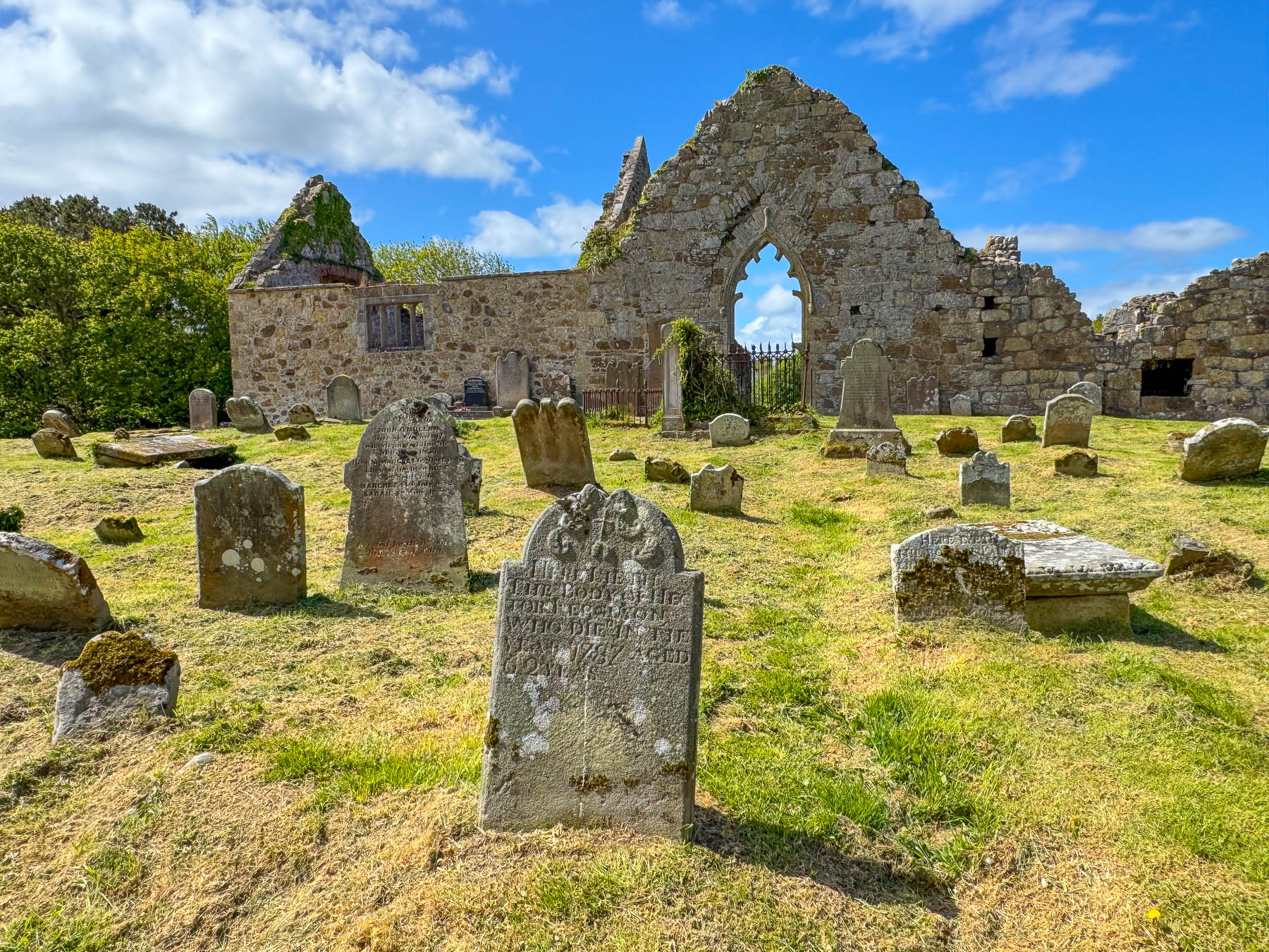
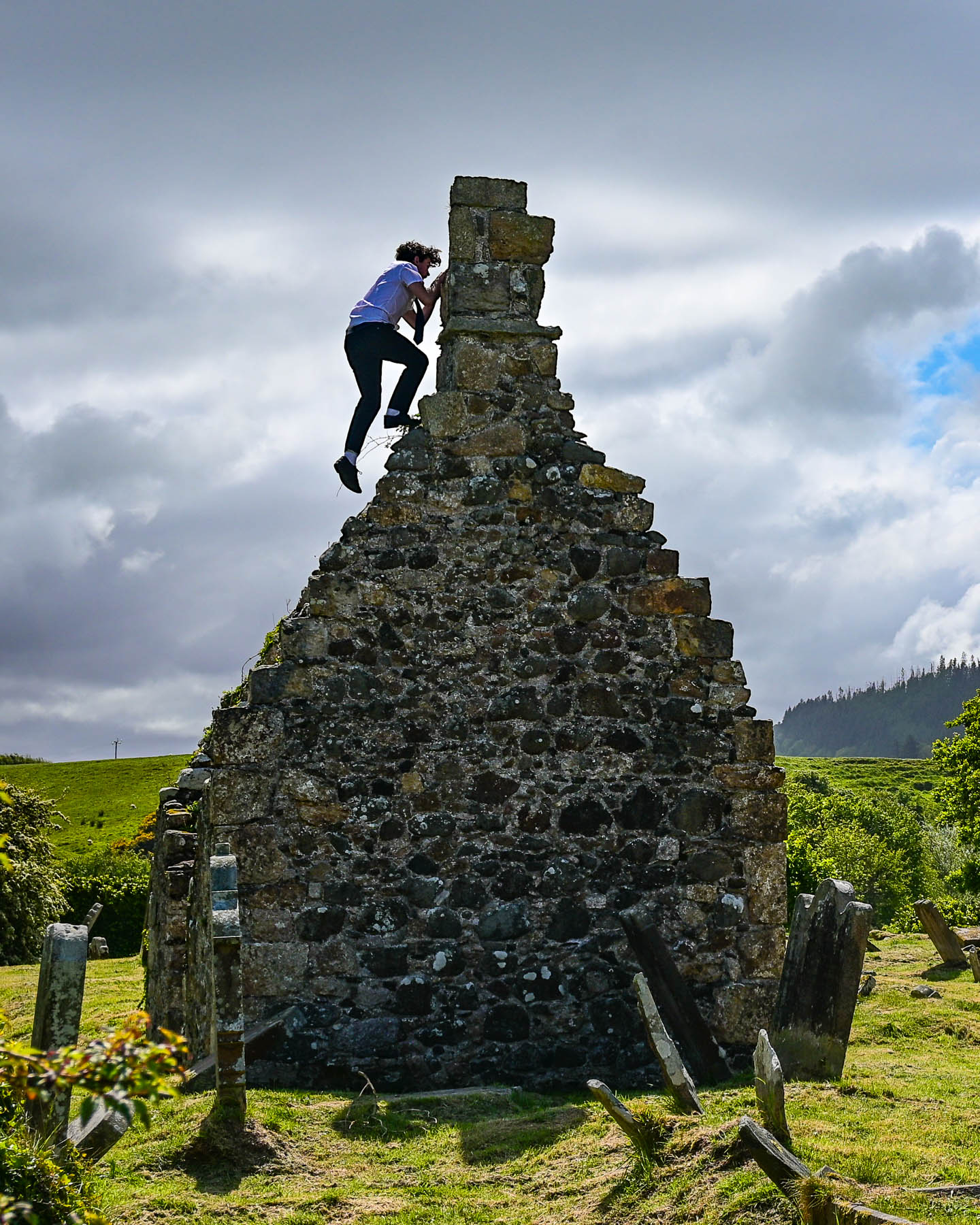
Heading back to Ballycastle Donna noticed the silhouette of the abandoned Bonamargy Friary and we stopped to explore the site. It was an interesting ruin, surrounded by ancient headstones, all tilting in different directions from slowly settling into the earth. The friary was founded by the MacQuillan clan in 1485 and thrived for a century before it was destroyed in 1584 during inter-clan warfare with the expanding MacDonnell clan, who eventually seized control of the area in the late 1500s. Amongst the ruins a small group of teenage boys, still in their pinstriped school uniforms, amused themselves and us as they attempted to climb the chimney of an abandoned outbuilding.
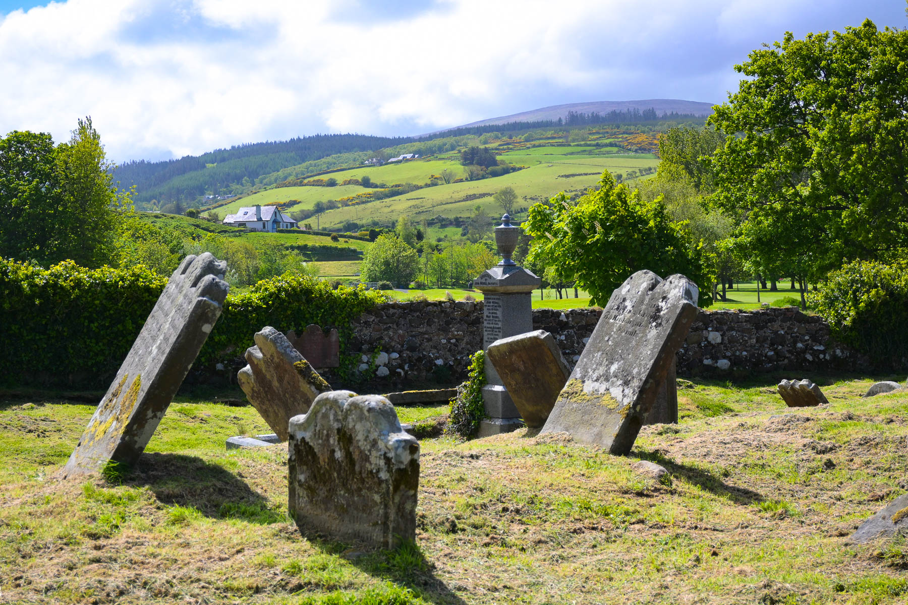
The “Black Nun” is an interesting legend associated with the site and tells the tale of Julia MacQuillan, a 17th century noblewoman and religious recluse who lived in isolation among the ruins. “Known locally as the “Black Nun” for her dark attire and solitary piety, she became famous for her local prophecies. According to tradition, she asked to be buried at the church entrance so visitors would walk over her grave, marked today by a distinctive round-headed stone cross.
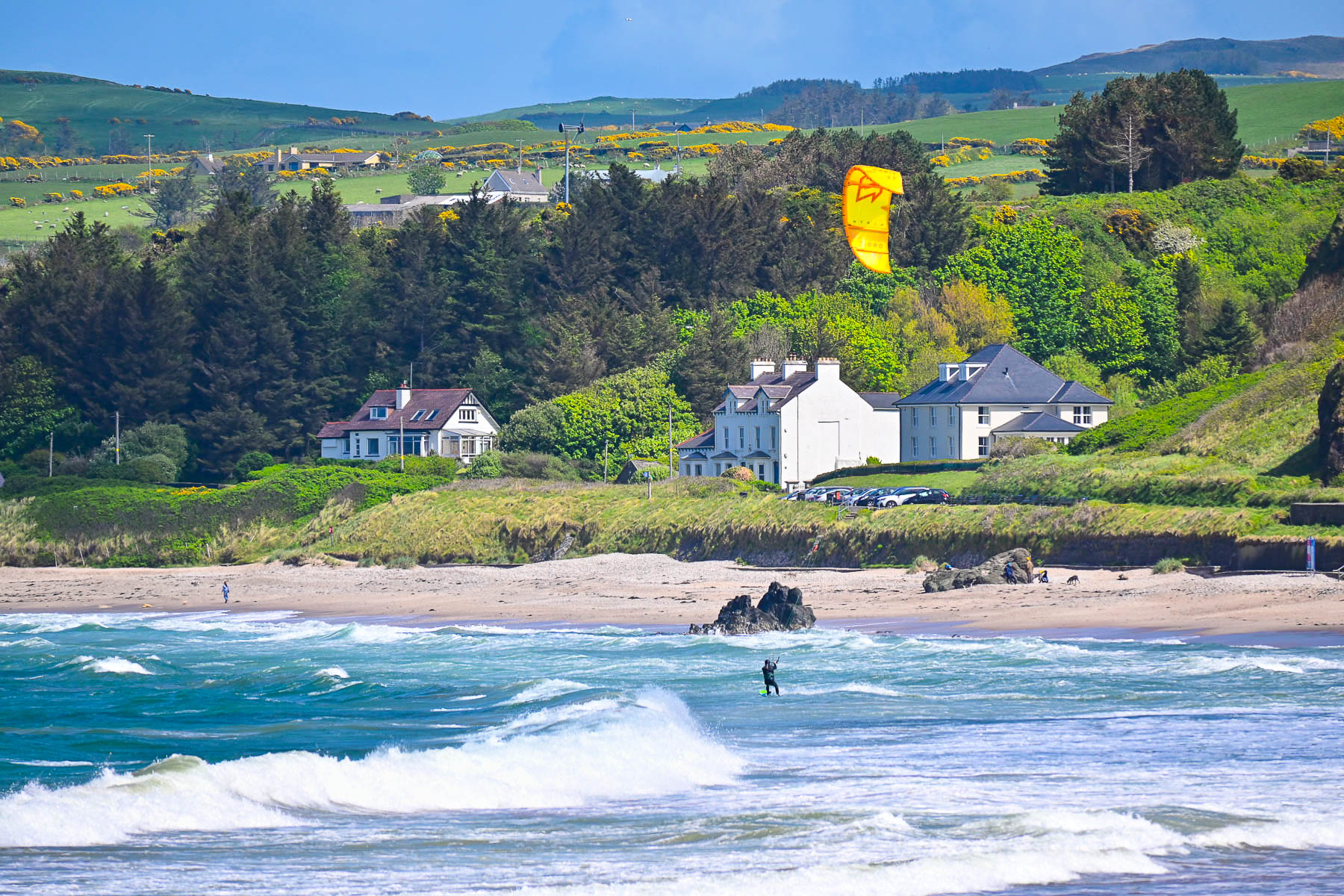
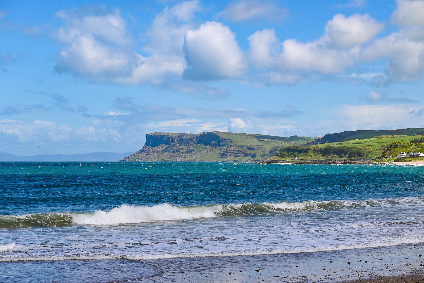
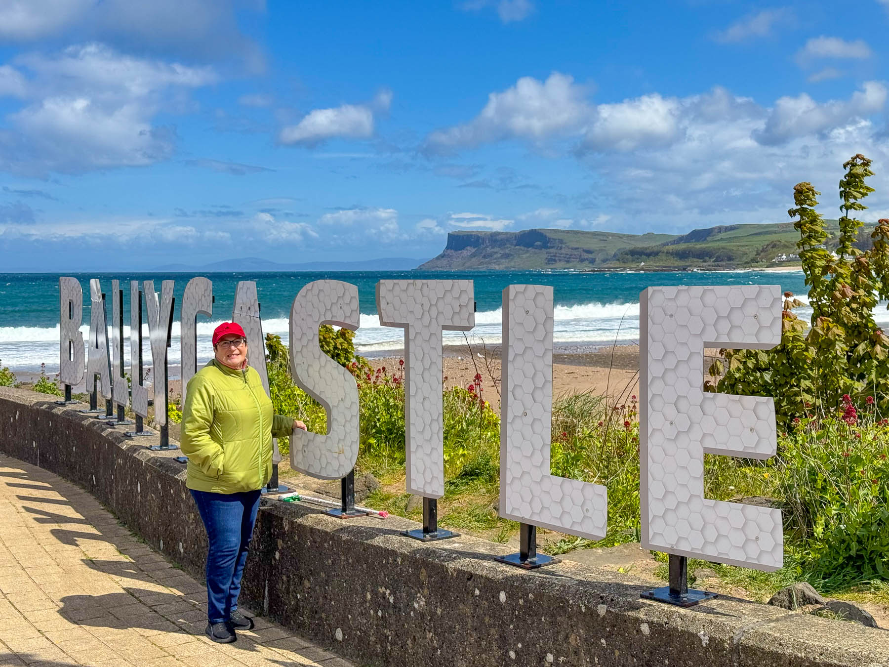
Arriving at Ballycastle’s harbor we walked along the promenade that overlooked Fair Head and a wide beach called the Strand. Offshore a kitesurfer was enjoying the blustery winds that enabled him to become airborne as he crested the rolling waves.
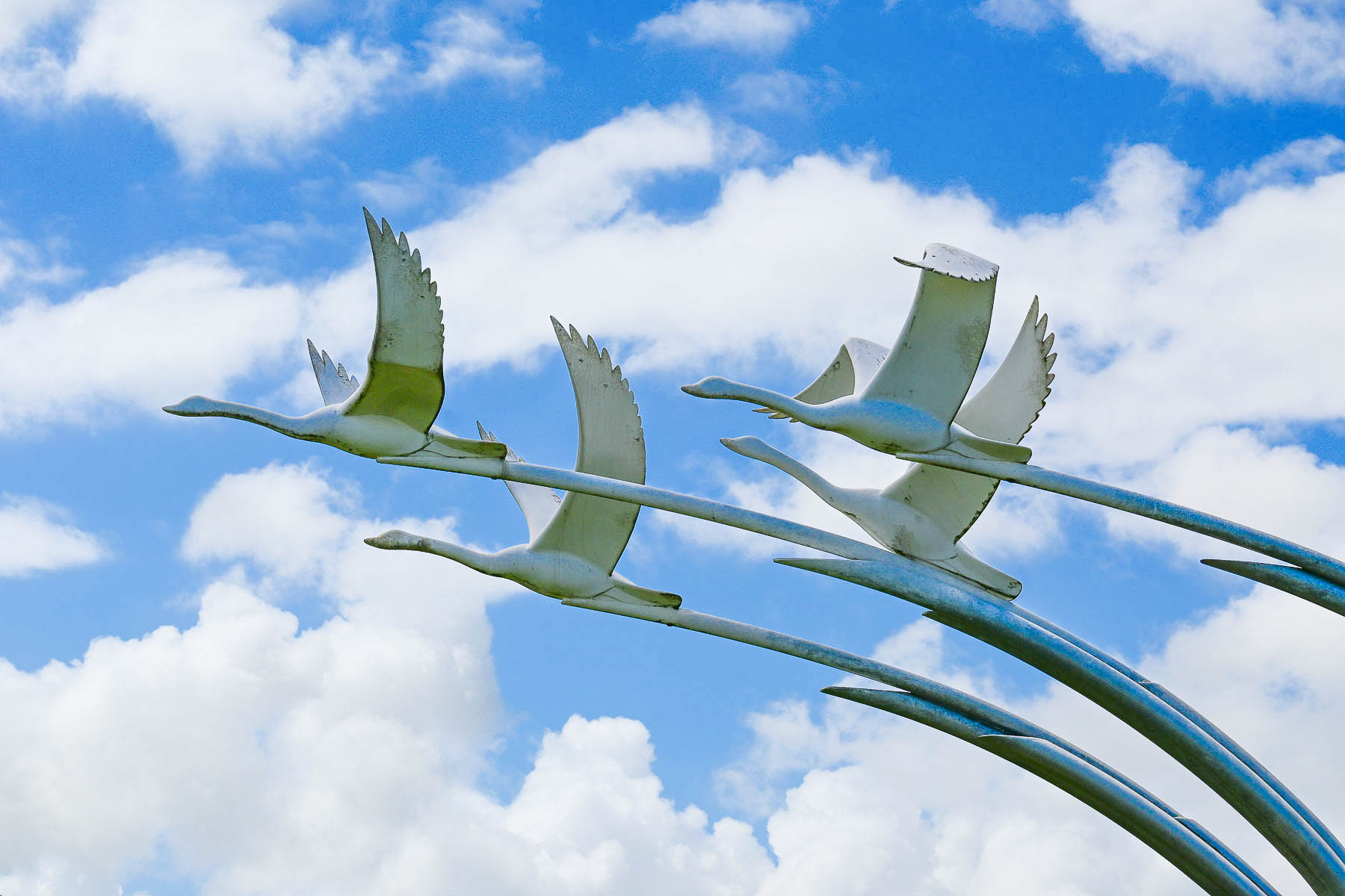
Next to the walkway was a graceful sculpture of four flying swans called the Children of Lir. And of course, being Ireland, it relates to the old Celtic mythical tale of “King Lir who had four children—Aodh, Fionnula, Fiachra, and Conn—with his beloved wife before she died. The King remarried and the children’s jealous stepmother used magic to transform the four children into swans and condemned them to spend 900 years under the spell. According to the lore, the children found sanctuary just offshore on Rathlin Island, where they eventually returned to human form at the end of their lives.”
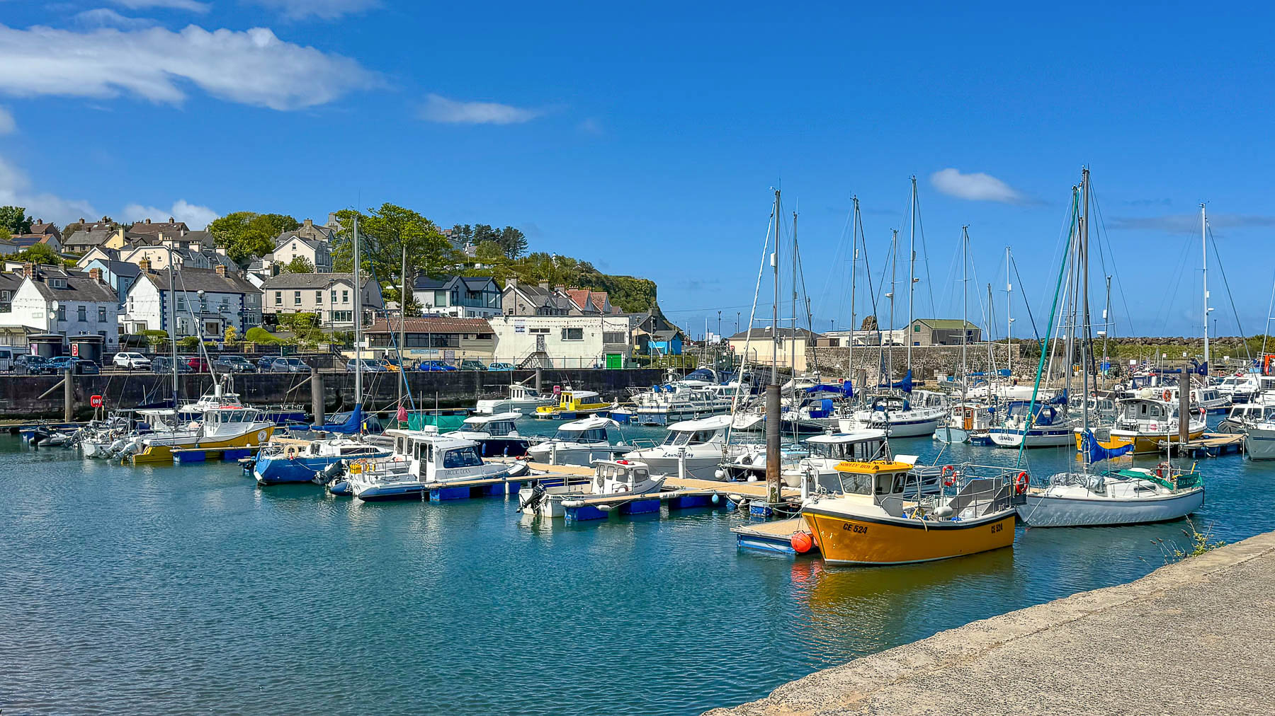
Across from the harbor buses were lined up and we feared the restaurants would be full of tour groups, but we found a small authentic local establishment called the Promenade Café, where we enjoyed a very good Fish n’ Chips lunch and an Aero Mint cheesecake that was so good. For the uninitiated, Aero is a local brand of chocolate bar that is unavailable in the US, and we have become quite fond of the mint version, and brought home a half dozen bars or so.
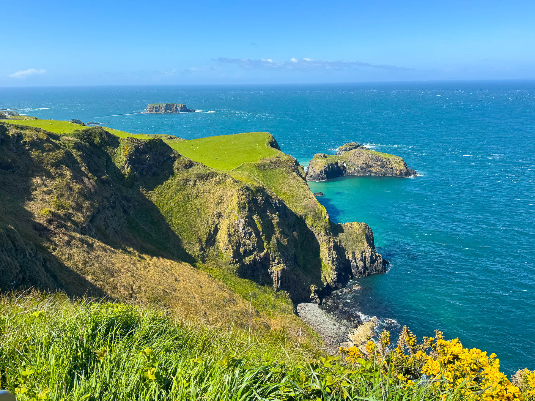
After lunch we followed the B15 along the coast west toward Londonderry and stopped just a few minutes outside of Ballycastle at the Portaneevy Viewpoint. Getting out of the car I was totally unprepared for the gale force wind that sent my hat scurrying across the grass. Yellow Gorse covered parts of the cliff face and occasionally we’d catch their scent of coconut in the air. In the distance was the Carrick-a-Rede Rope Bridge, a 20 meter (66 ft) long Tibetan style bridge that hangs 30 meters (98 ft) above the sea and treacherous rocks below. It was first erected by salmon fishermen in 1755. The name, from the Gaelic ‘Carraig-a-Rade’, means ‘The Rock in the Road’, an obstacle for the migrating salmon as they search for the river in which they were born. It’s a very popular National Trust destination and online prebooking is essential if you want to walk across the bridge.
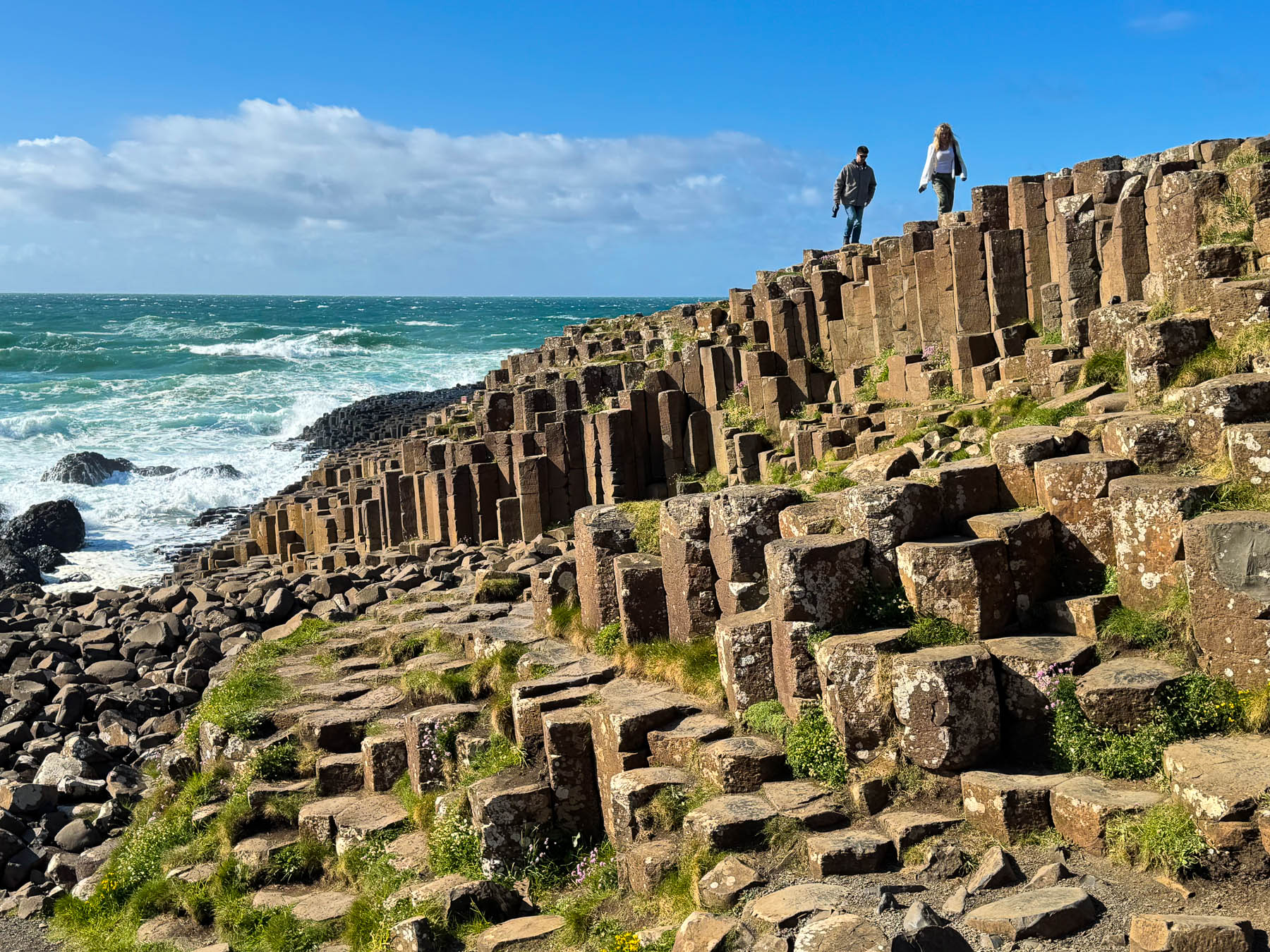
Our ultimate destination for the afternoon was the Giant’s Causeway, only fifteen minutes farther west if we drove straight there. This stretch of coastline from Ballycastle to the Giant’s Causeway is known as the Causeway Coast of County Antrim and was amazing for the number of beautiful seascapes only minutes apart from each other and we stopped at every opportunity.
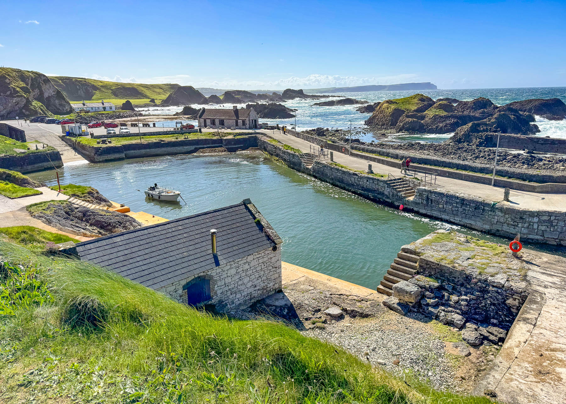
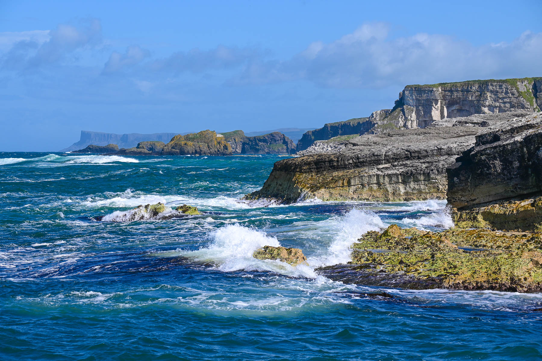
We were hoping to get a cup of coffee at Roark’s Kitchen along the quay at Ballintoy Harbour, but found it still closed in mid-May. There is limited parking around the harbor which is a popular spot for fans of the Game of Thrones TV show to walk along the shoreline at low tide to Dragonstone Beach.
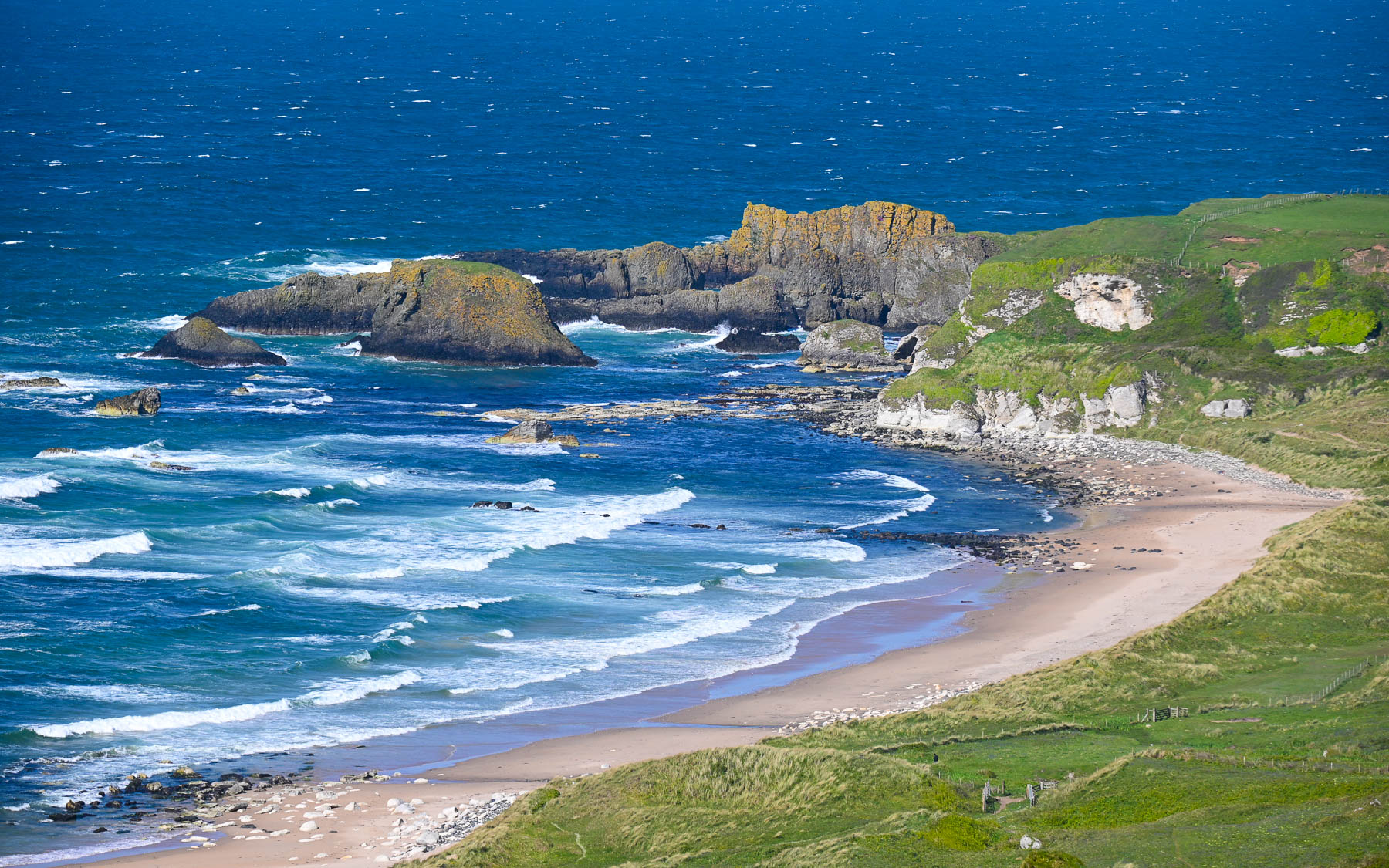
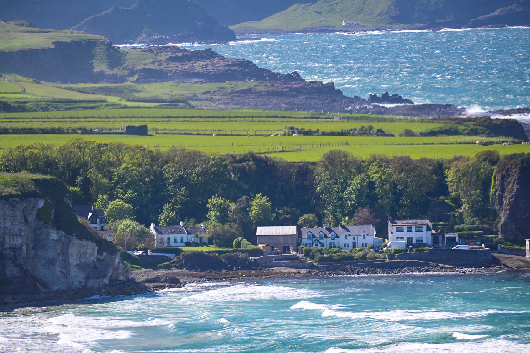
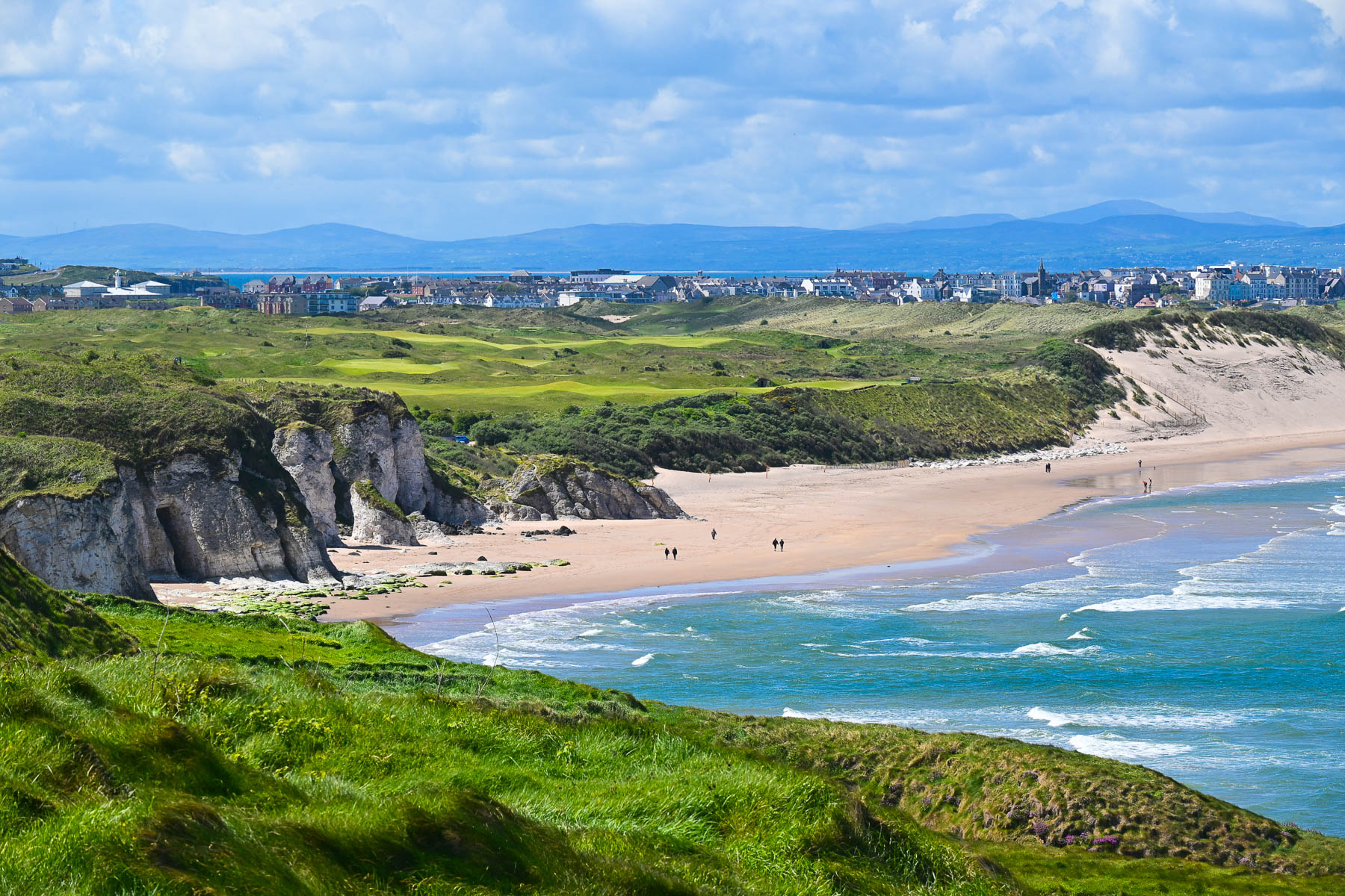
The viewpoint above Whitepark Bay Beach had a spectacular view of rolling lines of waves crashing into the beach with the small fishing hamlet of Portbradden Harbour tucked under limestone cliffs and a receding coastline in the background.
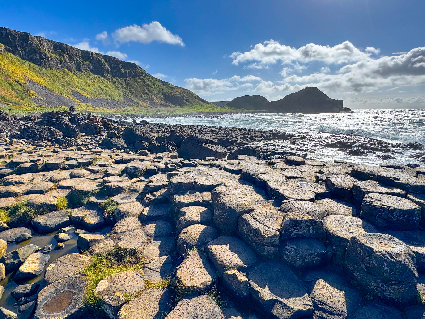
We reached the parking lot at the Giant’s Causeway Visitor Center a few minutes after it had closed and watched the last shuttle bus of the day depart. The National Trust attendant assured us not to worry, less expensive paid parking was available at the The Causeway Hotel next door to the Causeway’s Visitor Center, and that the price of parking could be put towards drinks. It was a good deal that we enjoyed later in the historic lodge.
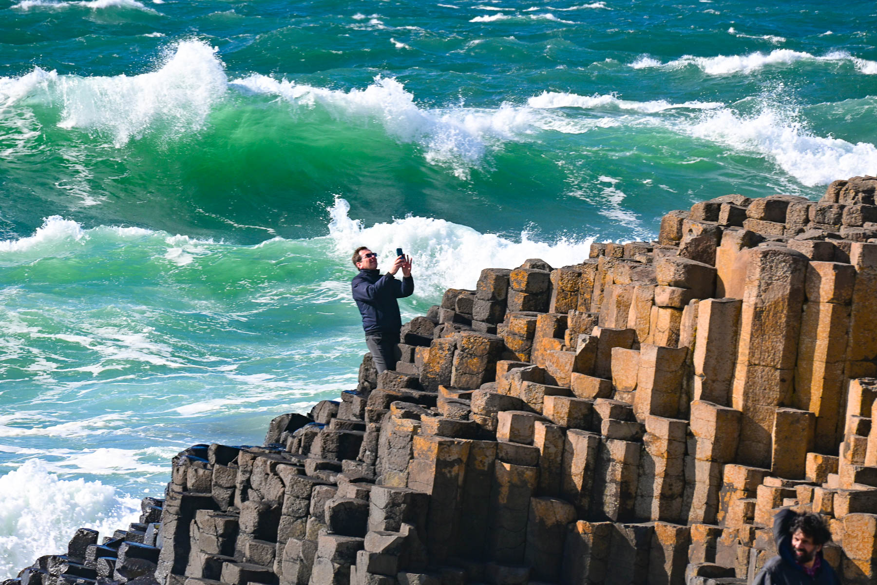
As it is a natural public coastal area the site is accessible 24 hours a day and in mid-May sunset was around 9:30 in the evening, which left us plenty of time to walk the 1.3 miles to the steppingstones. Going downhill was easy, but the long uphill climb afterwards was slower.
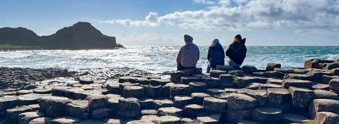
The estimated 40,000 distinctive hexagonal (six-sided) pillar-like columns which make up the causeway were formed approximately 50 to 60 million years ago by intense volcanic activity and the slow cooling of molten lava which created stress cracks in the rock to create their unique shape. It’s a remarkable seascape that left us in awe of the power of Mother Nature.
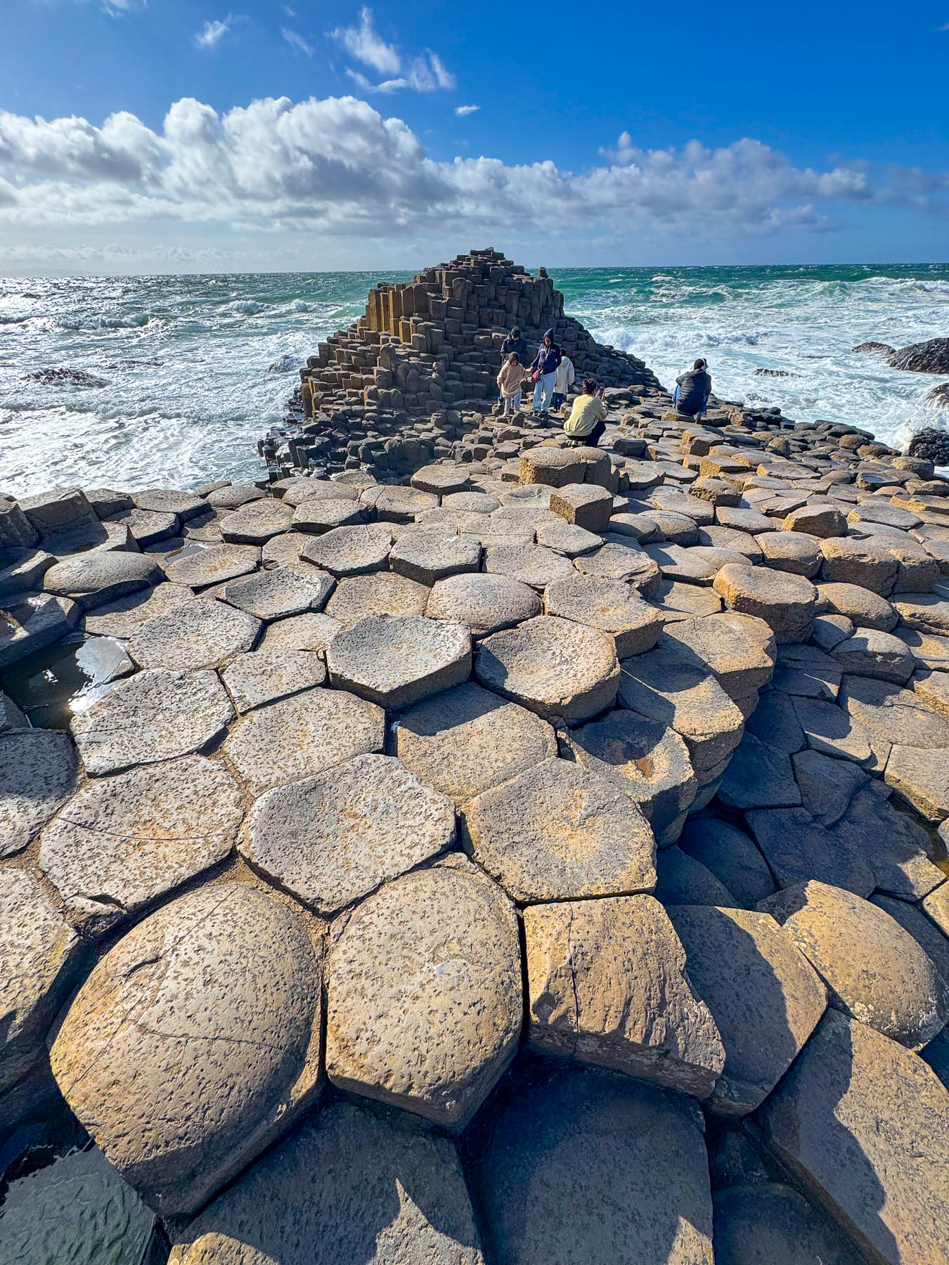
Legend credits the creation of the causeway to the Irish giant Fionn mac Cumhaill (Finn McCool), you have to love his name, who ripped up chunks of the Antrim coast and tossed them into the water to create a bridge to reach Scotland, where he planned to fight the massive Scottish giant Benandonner, who had been bellowing insults at him from across the waves.
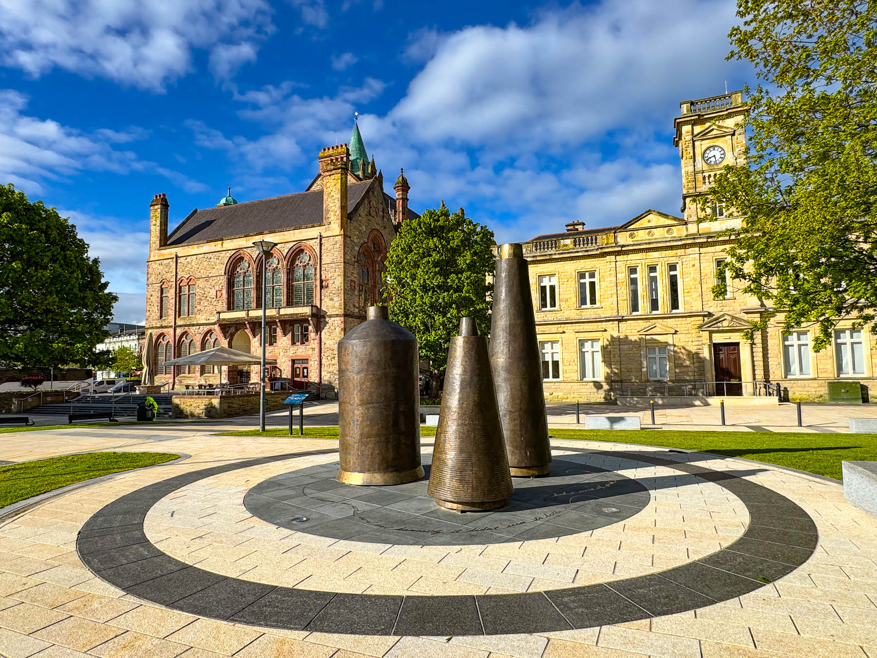
The following day we explored Derry/Londonderry, walking first to Harbour Square, near the old Guildhall, one of Derry’s iconic landmarks. There stands a large bronze sculpture of three spools of thread that honors the thousands of women who made Derry’s historic shirt-making industry a global leader in textile production during the 19th and 20th centuries. It is a very pretty setting along the riverfront with the neo-gothic style Guildhall, that dates from 1887. The building also features a 144-foot-tall clock tower modelled after London’s Big Ben, and an organ with 3,132 pipes installed in 1914.
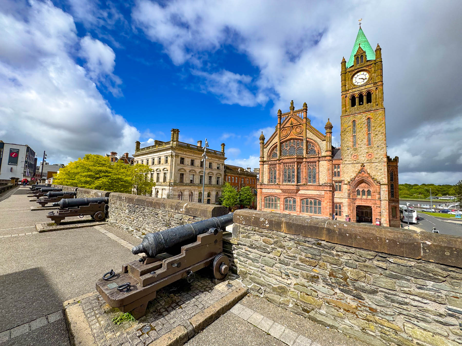
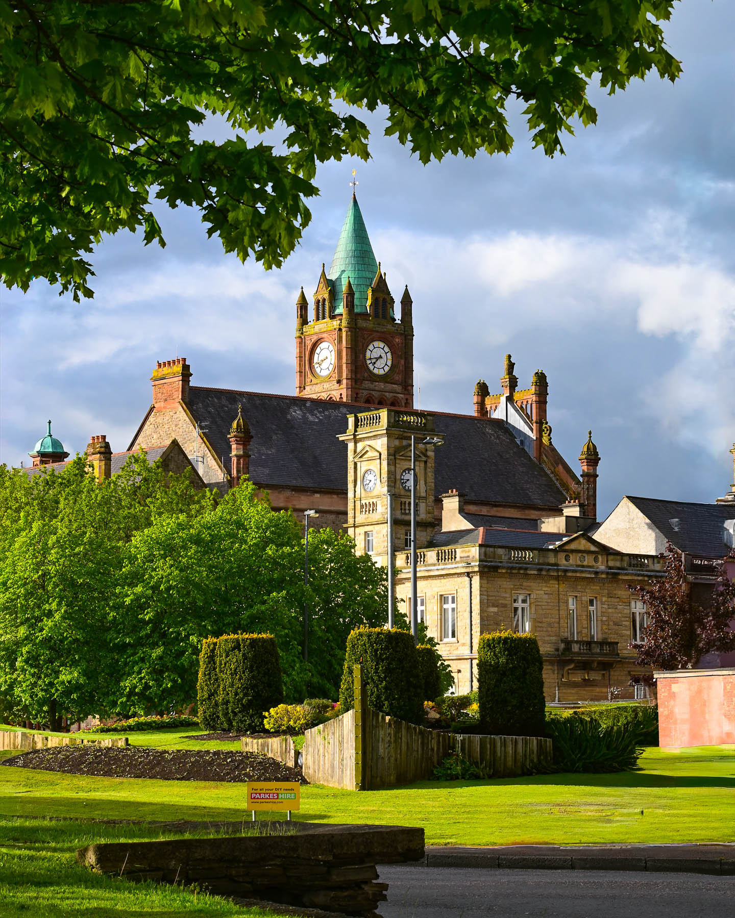
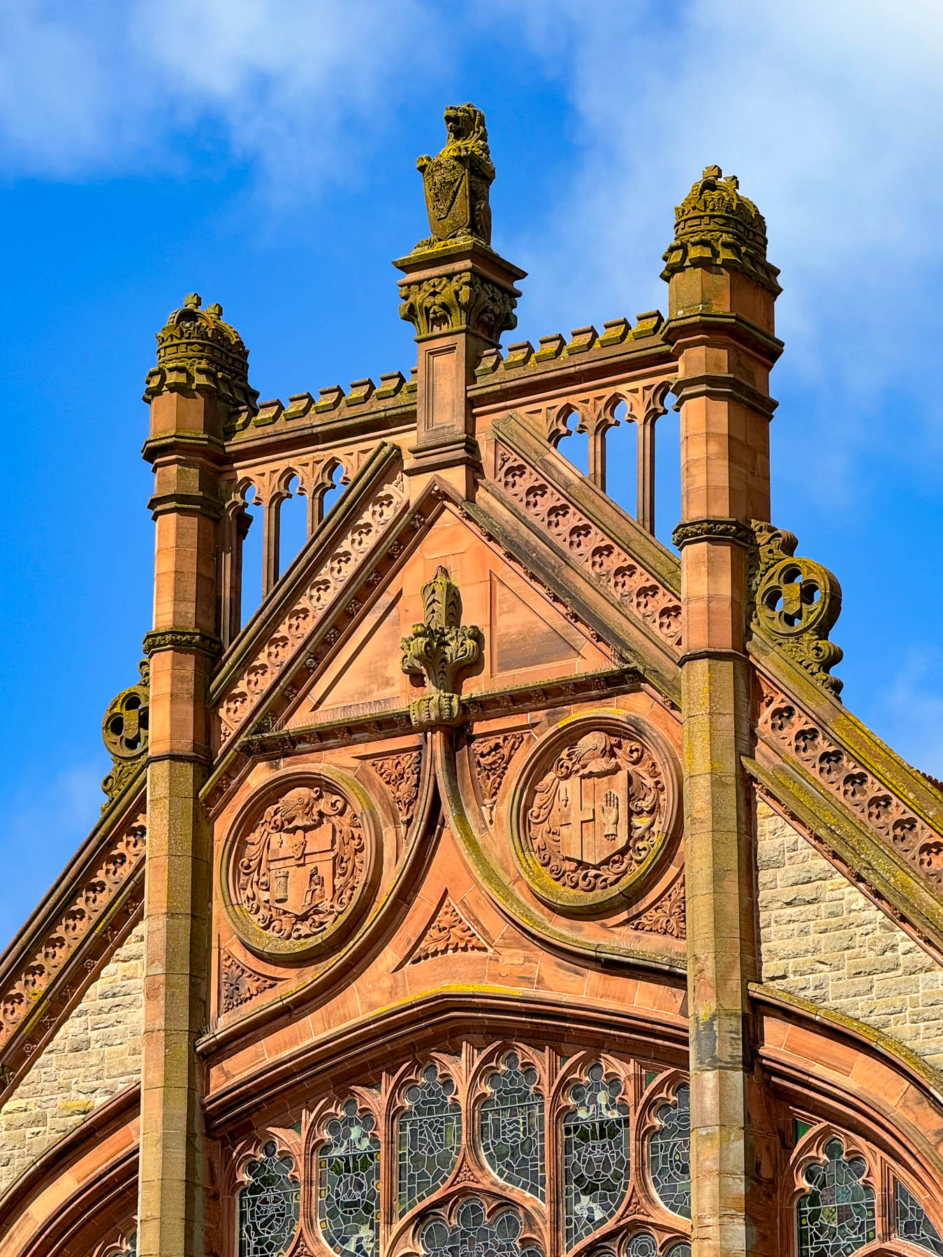
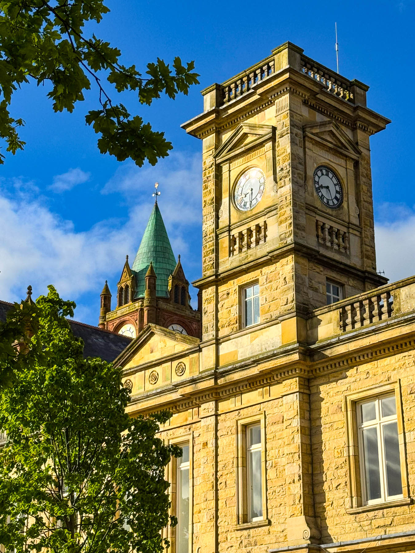
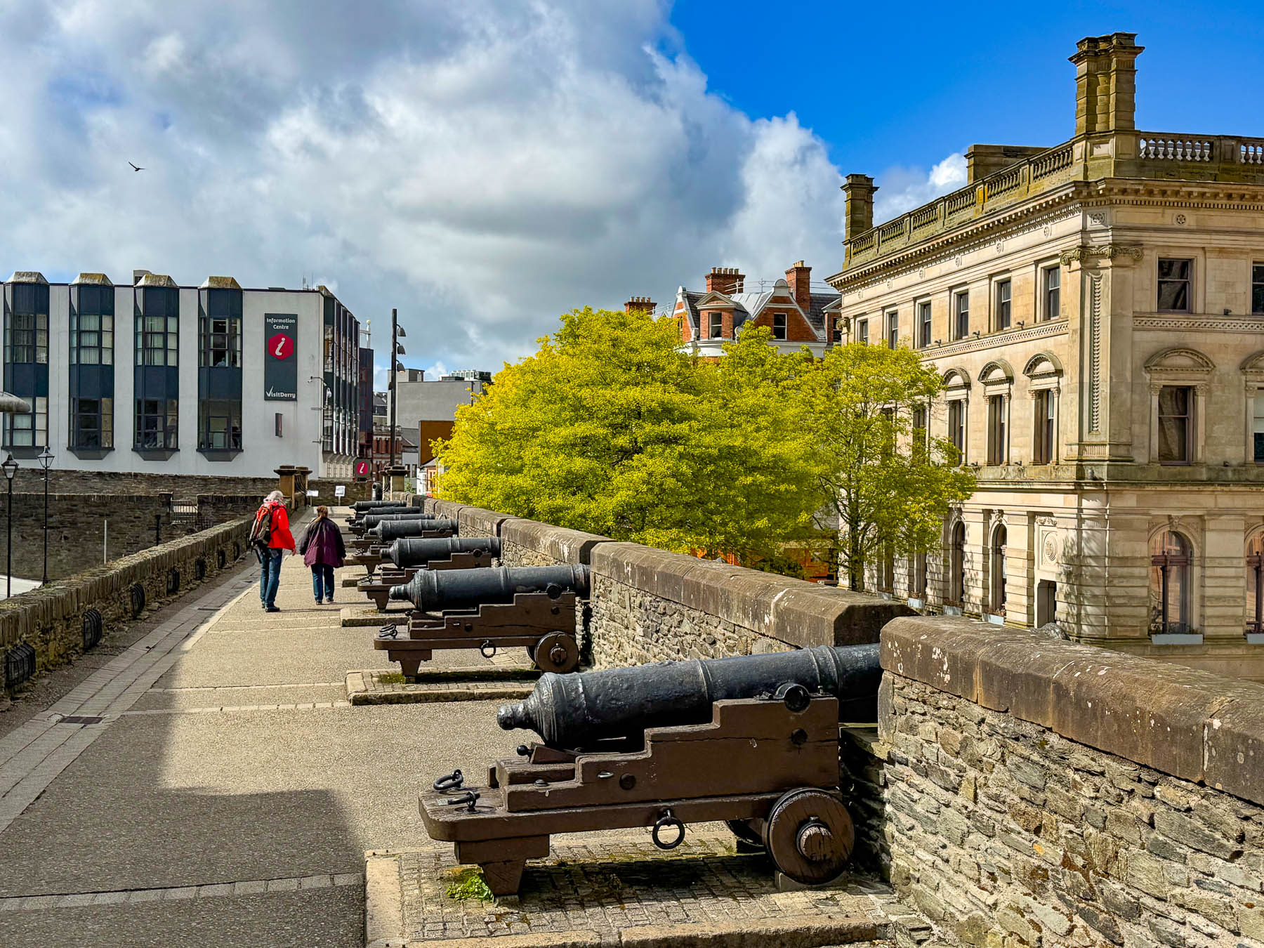
Across from the Guildhall are the ancient ramparts of the old walled city, which originally had four gates to the citadel with roads that intersected at the center of the town at The Diamond. But we entered the town through the Magazine Gate, added to the walls in 1865 to access stairs which lead to the cannon deck atop the ramparts and overlooked the Guildhall and Erbington Square across the river.
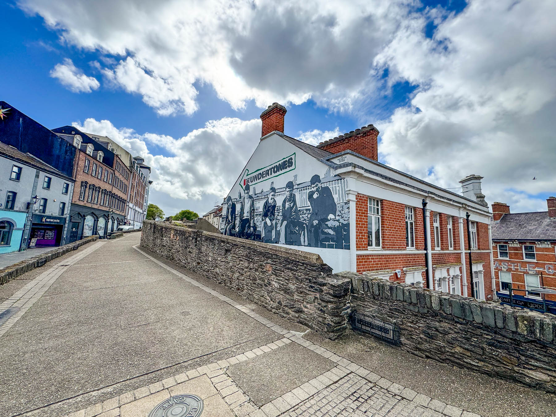
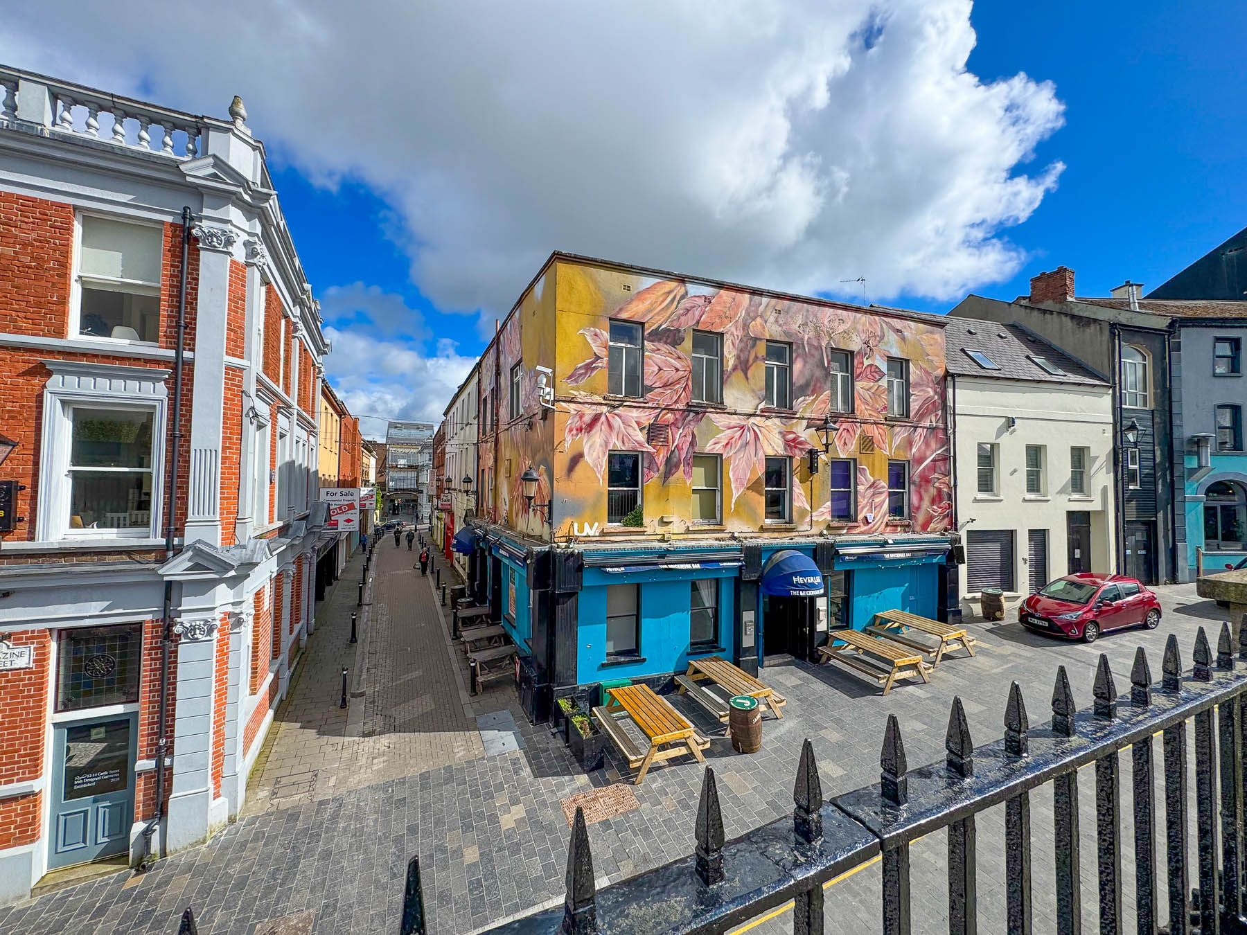
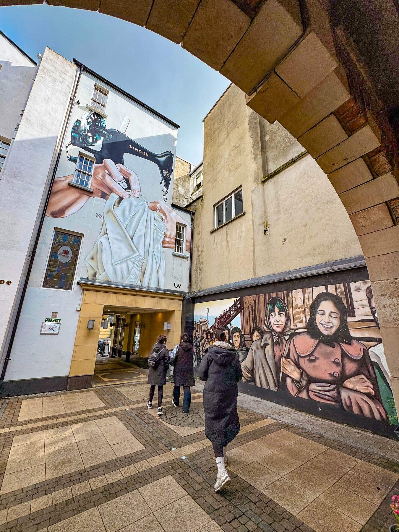
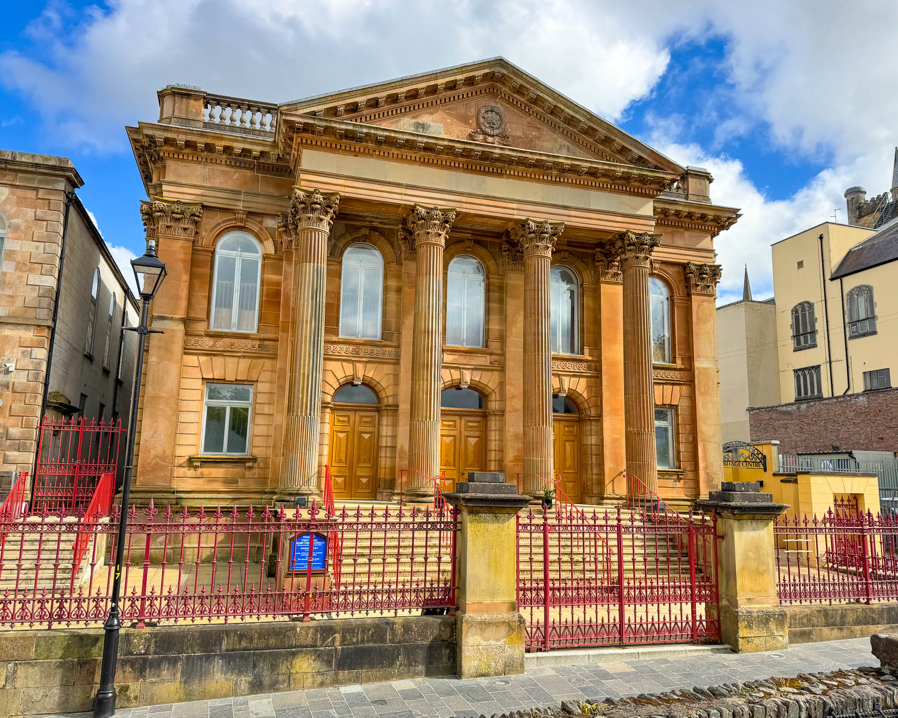
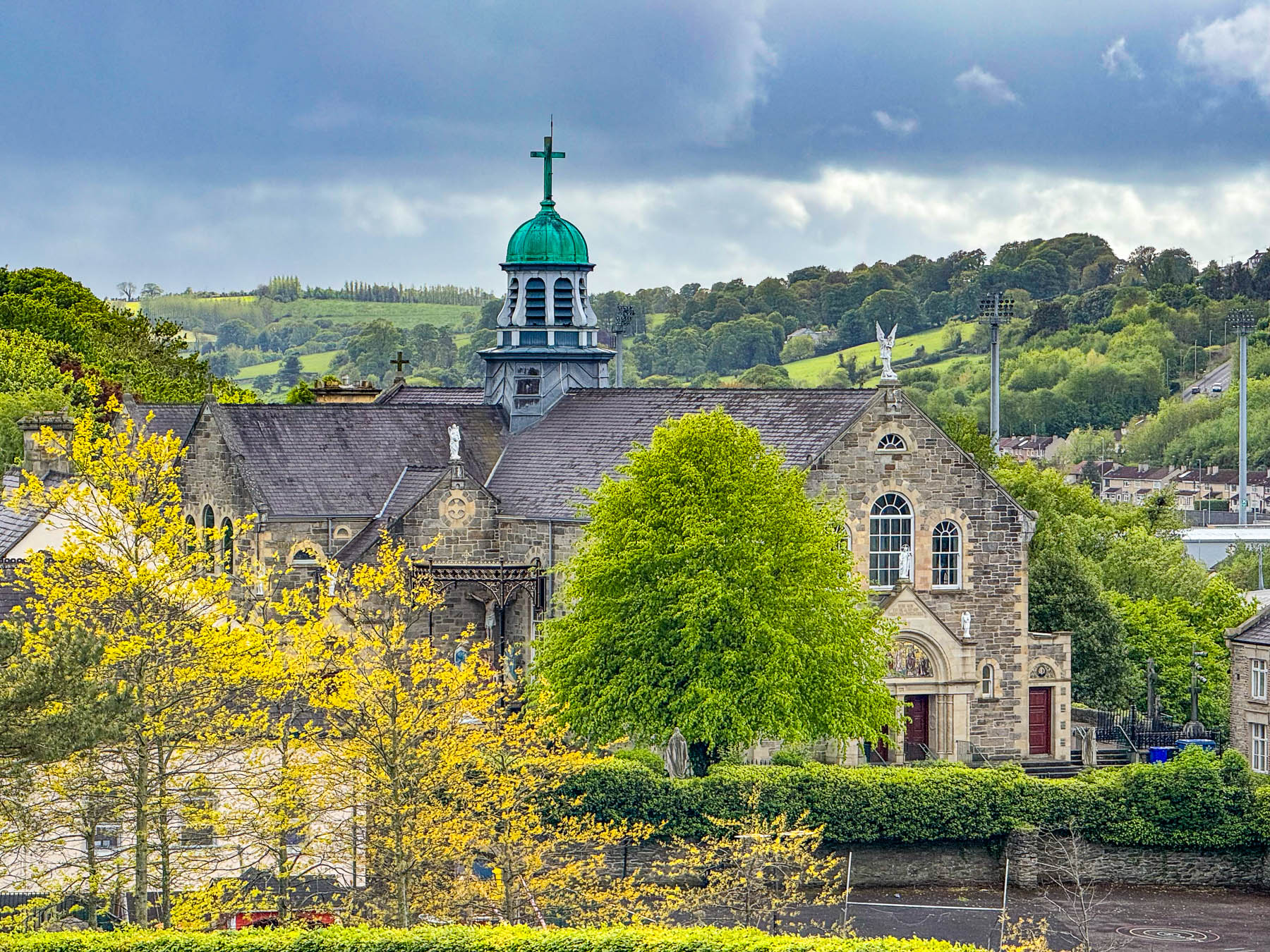
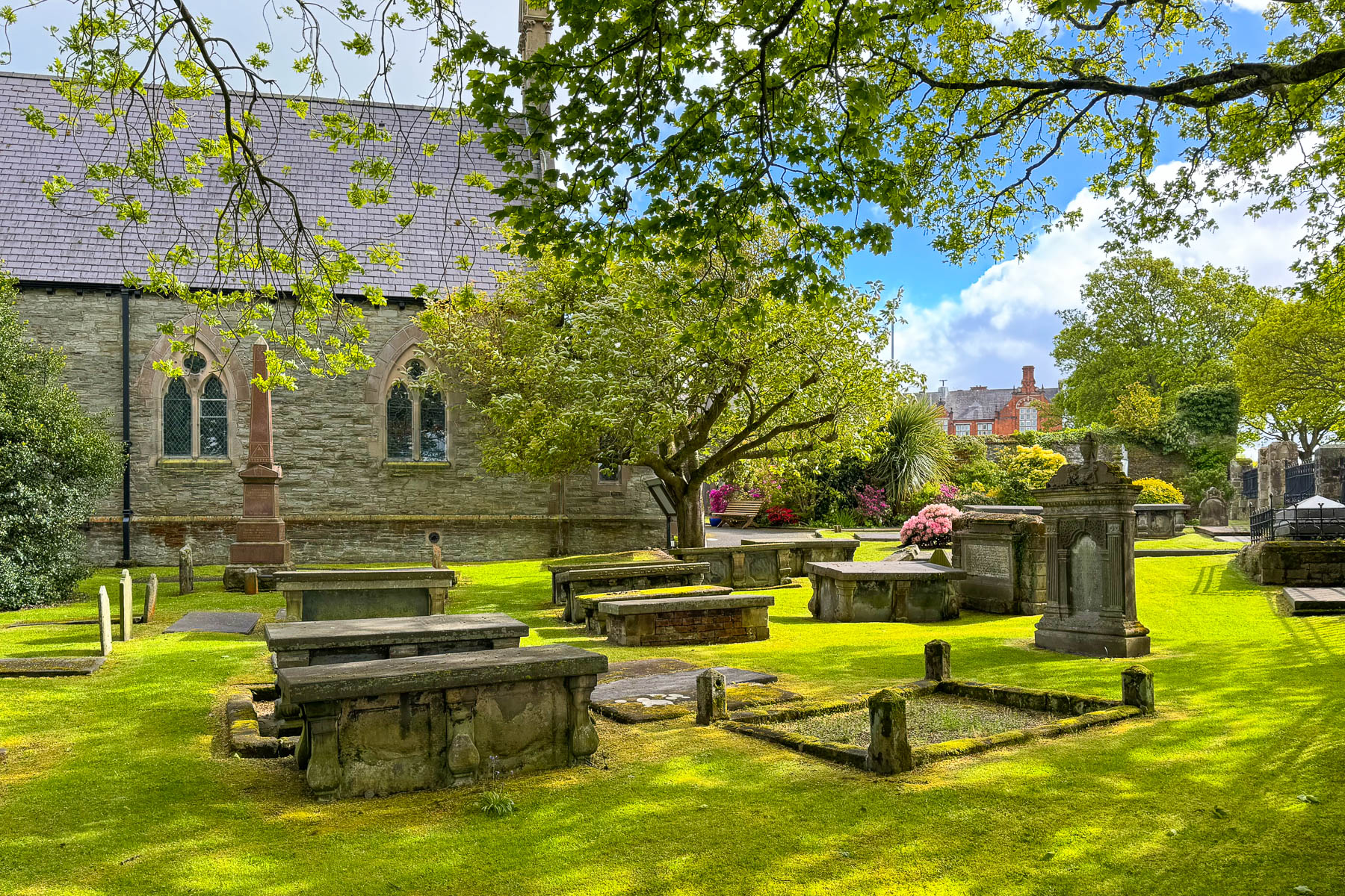
The 1.6 km (1.0 mi) long walkway atop the defensive wall was pleasantly wide and was a great vantage point from which to view the various parts of the city as we followed it completely around the old town.
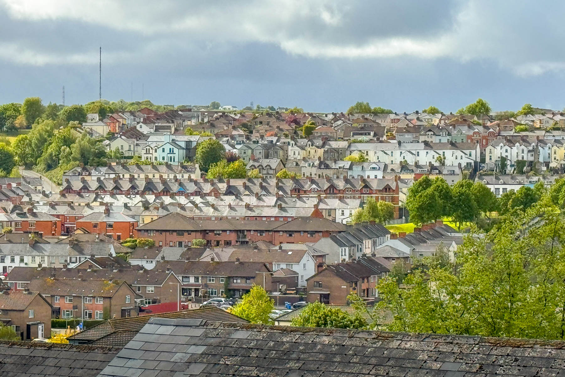
One section of the wall overlooked Rossville Street in the Bogside neighborhood, where the tragedy of Bloody Sunday unfolded in 1972.
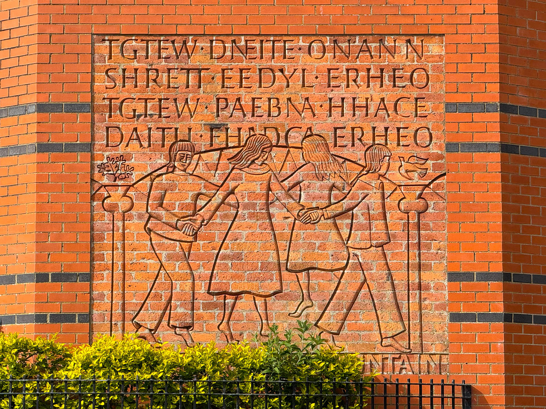
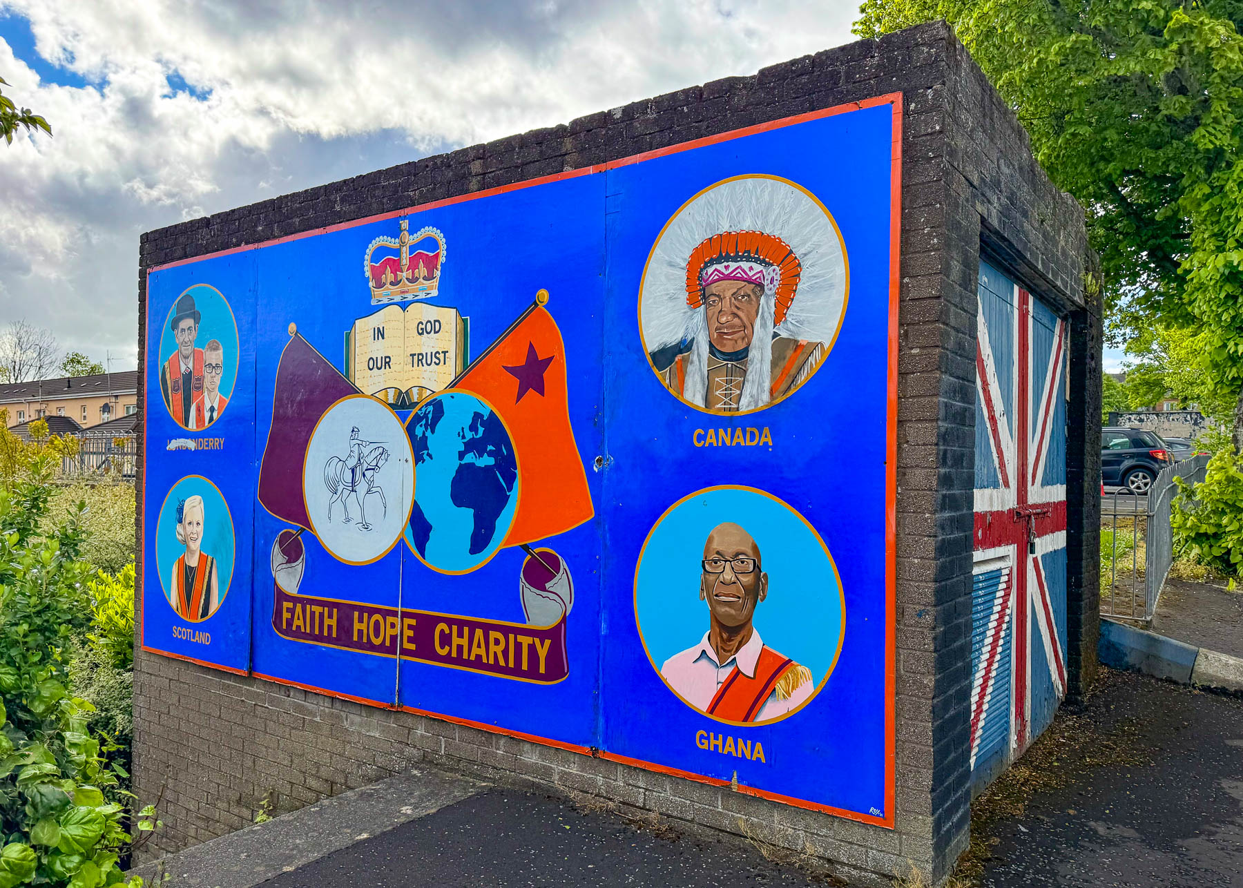
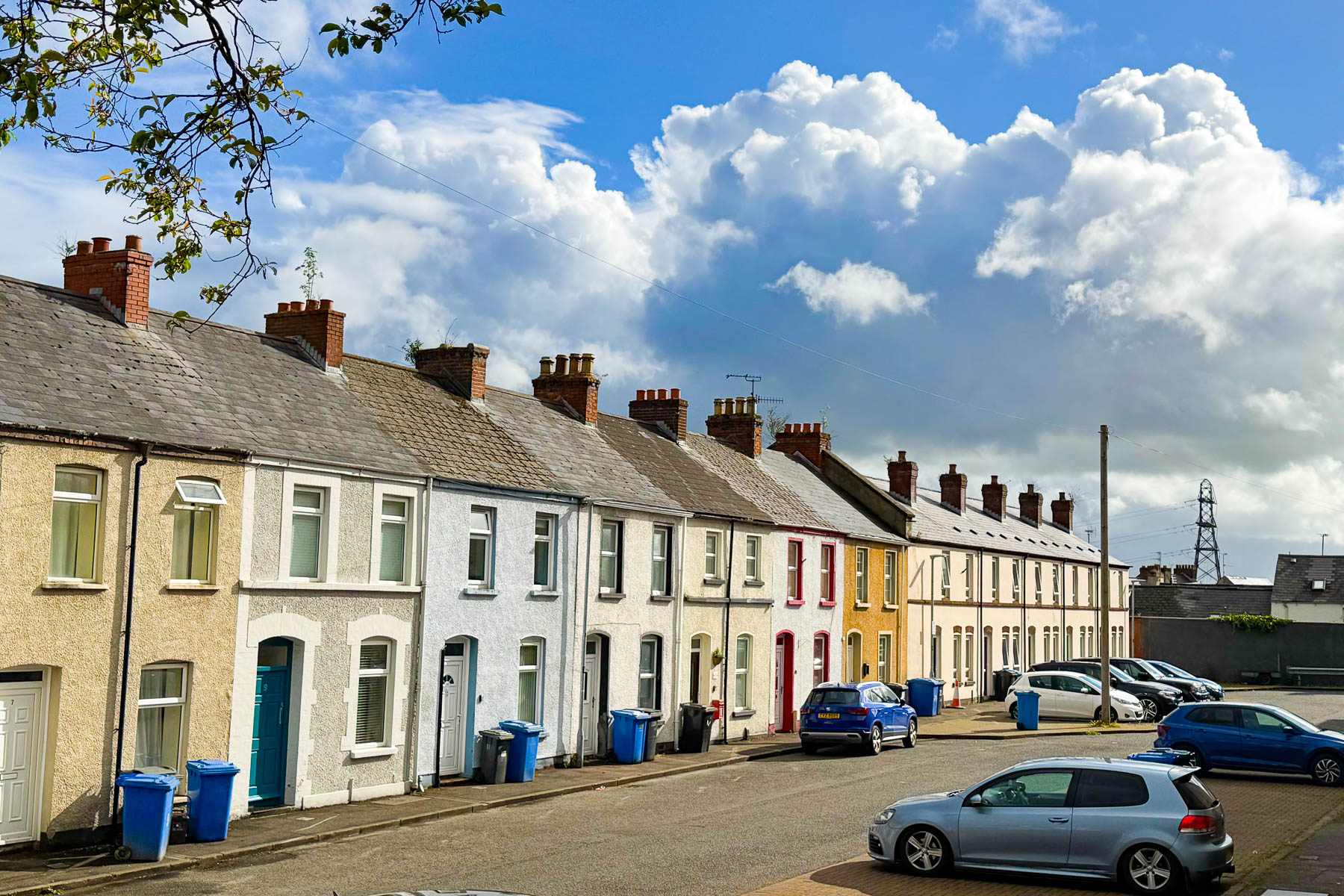
We stopped often to take photographs and detoured down various flights of stairs when our map showed other points of interest nearby.
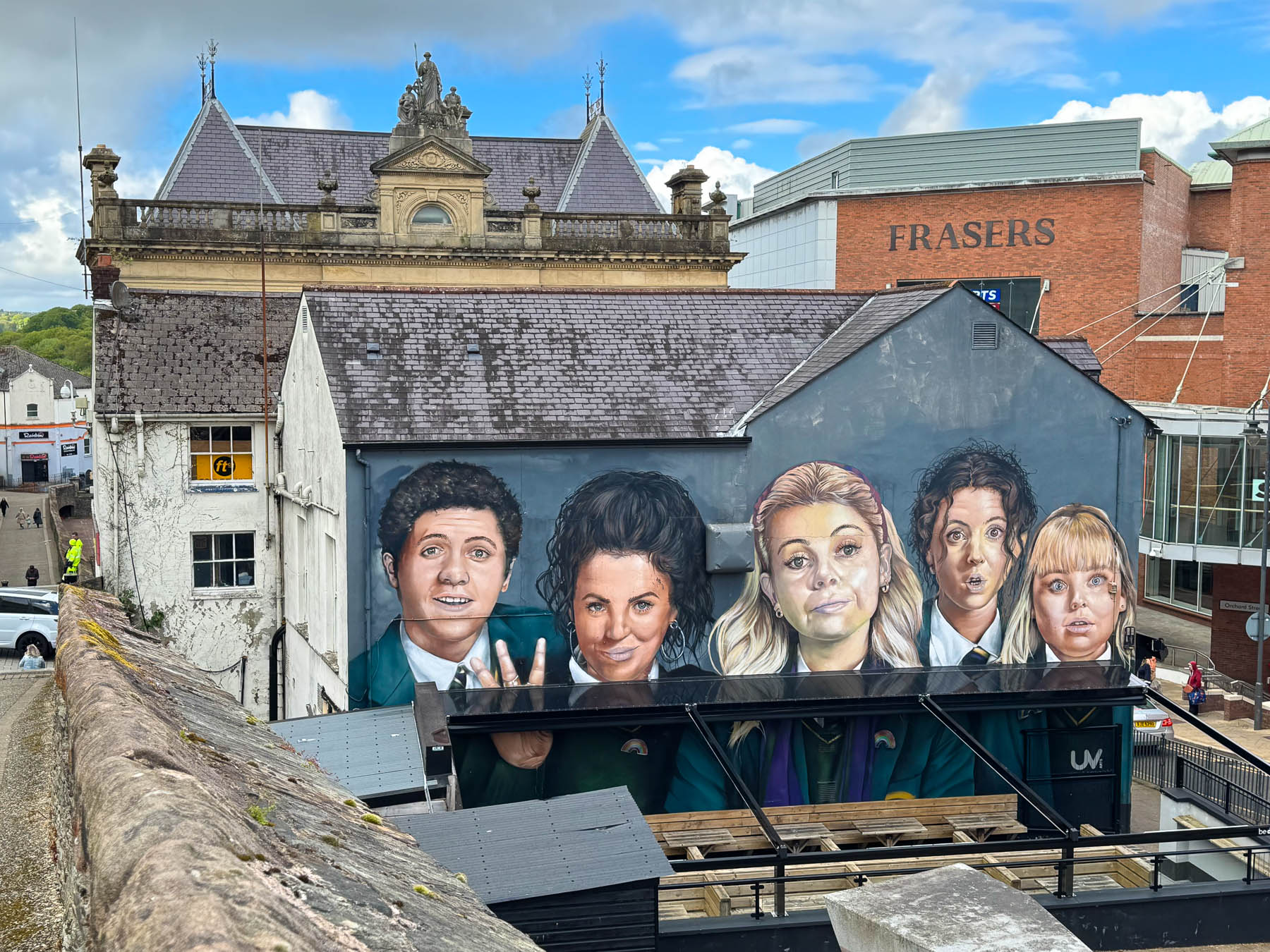
Father around the city’s contemporary history was celebrated with a mural of the “Derry Girls,” a hit British-coming-of-age sitcom that aired from 2018-2022. The plot follows “four teenage girls and their friends as they navigate the universal awkwardness of being sixteen while attending a fictional Catholic secondary school against the heavy backdrop of military checkpoints and political conflict during the final years of the Troubles.”
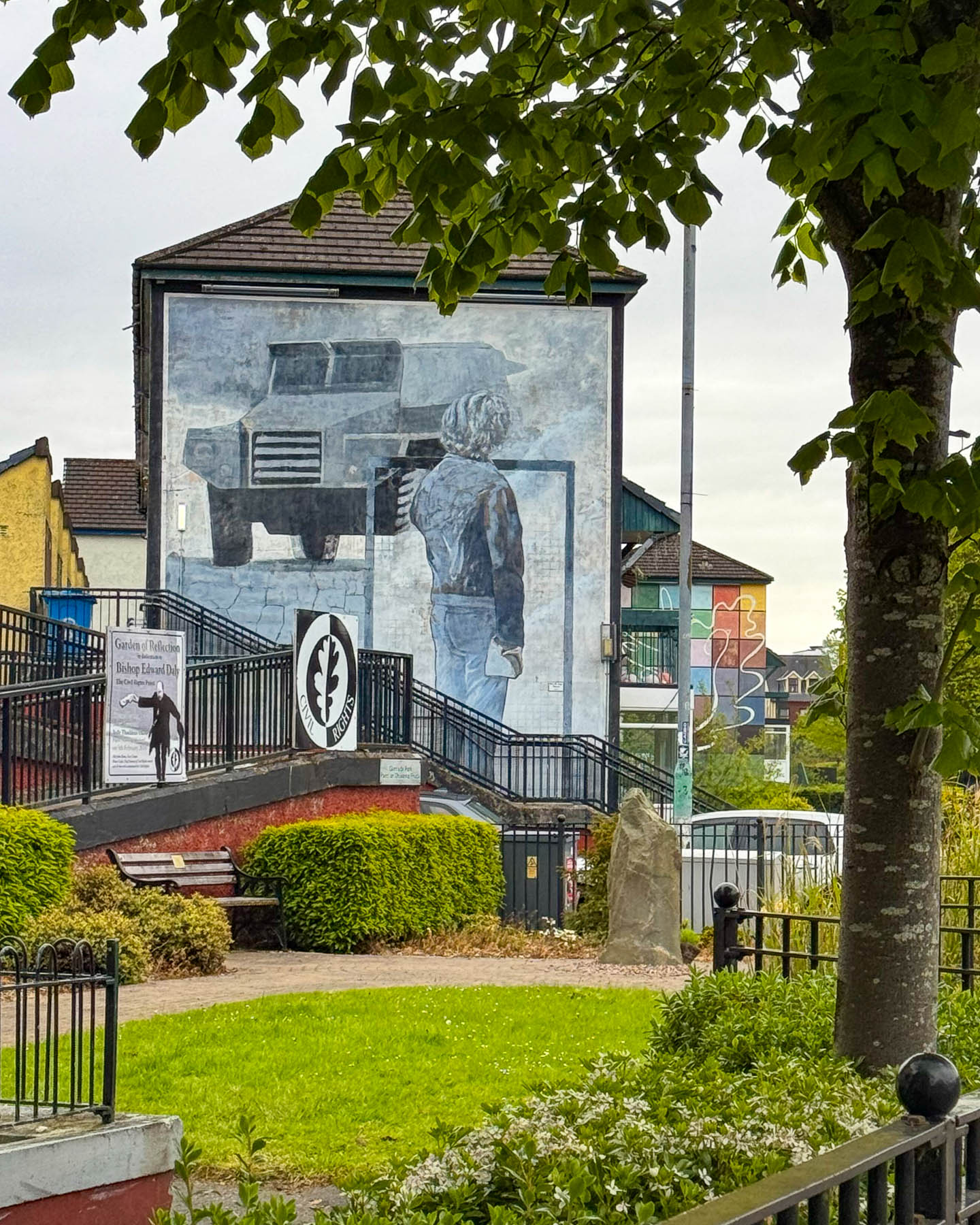
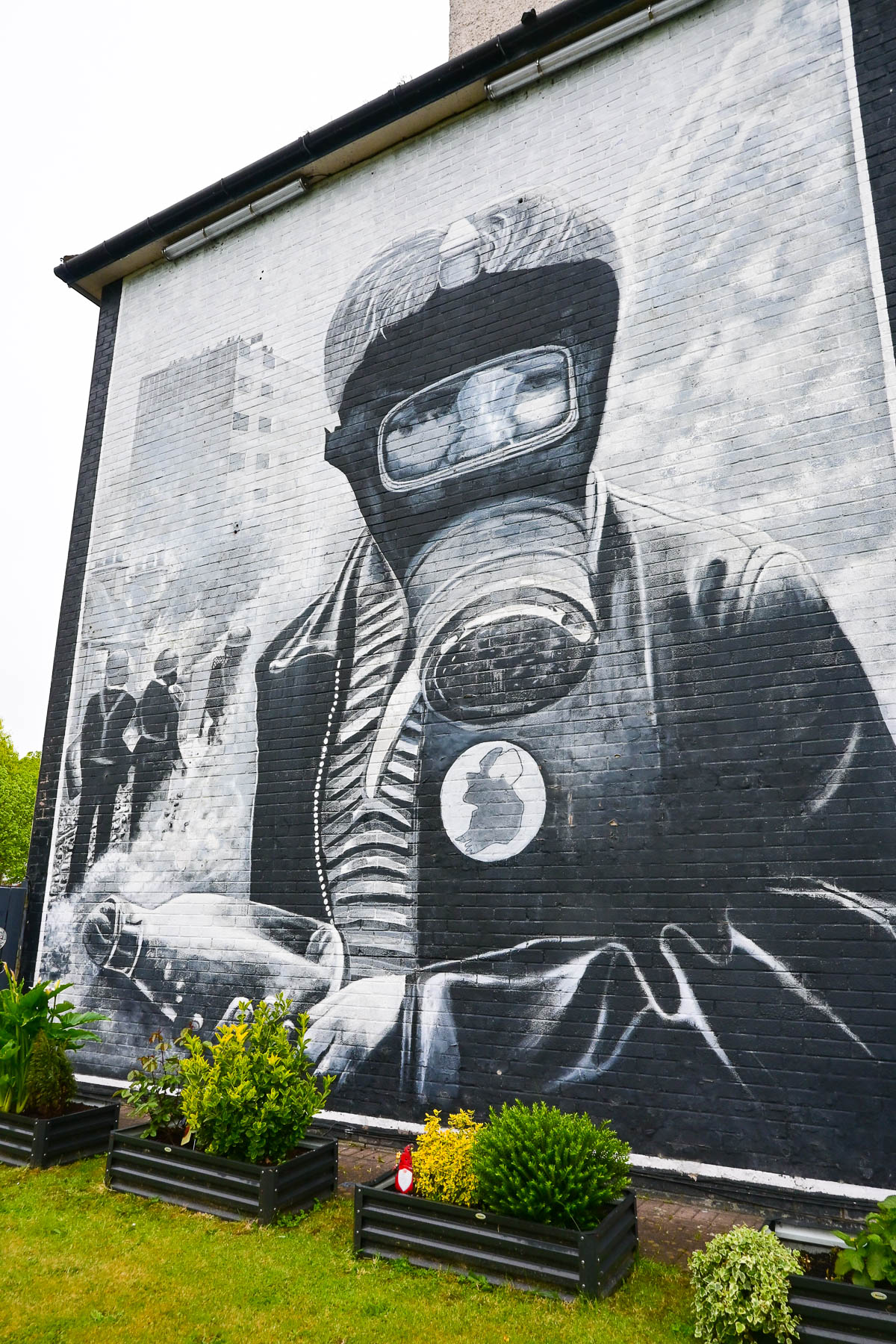
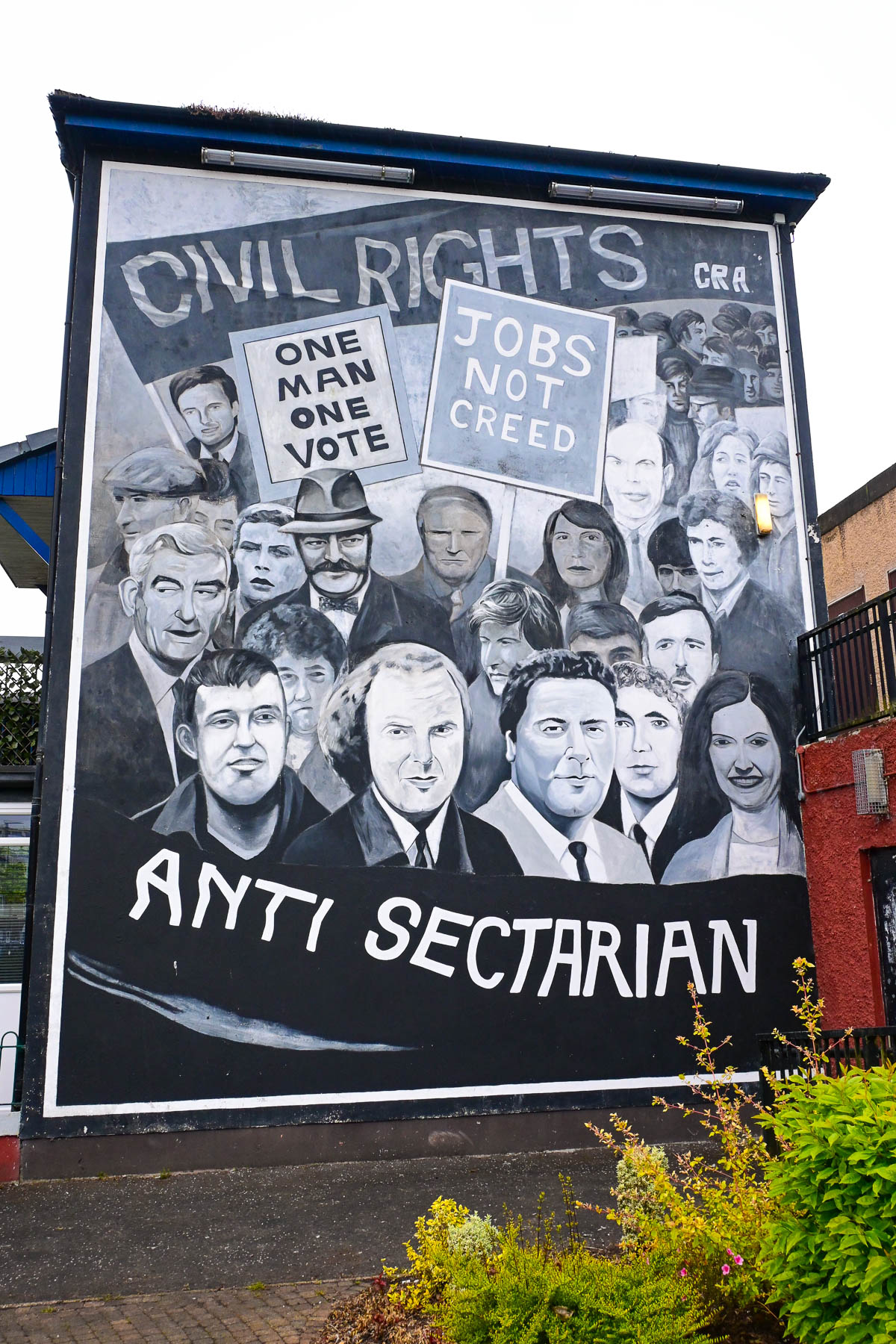
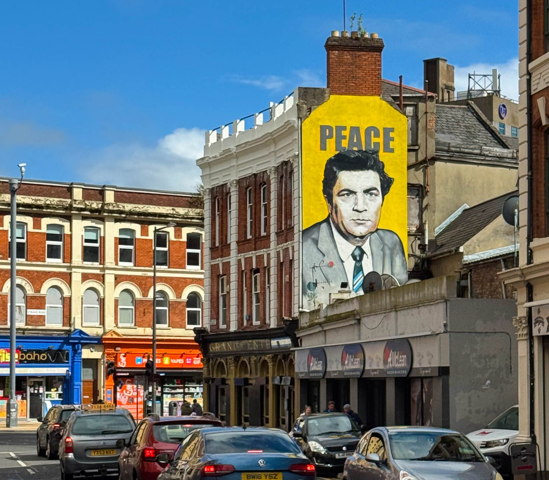
Later the sunny morning seemed to symbolically turn grey as we walked through the area and viewed the thought-provoking street murals that memorialize community members lost during the Troubles, and are a somber reminder of the violence that hatred breeds.
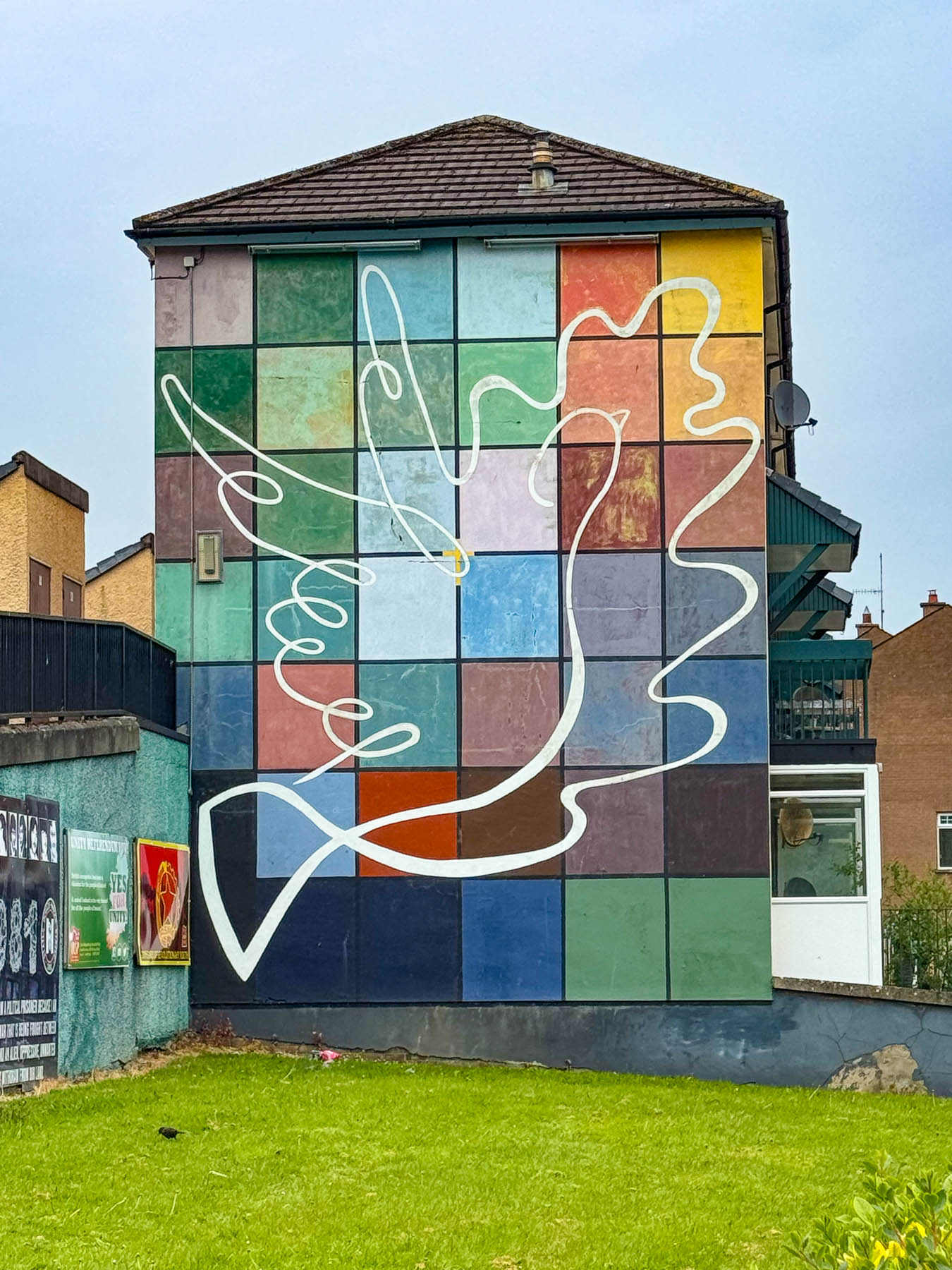
“Derry features the Troubles on its official tourism platforms to frame its history as an educational journey from conflict to peace and reconciliation. Not to glorify the violence, but to showcase the local community’s resilience and showcase how the city has moved past decades of sectarian division to support “Peace Tourism,” which recognizes the Troubles era as an integral part of the city’s identity with a forgive but never forget philosophy while celebrating modern coexistence.”
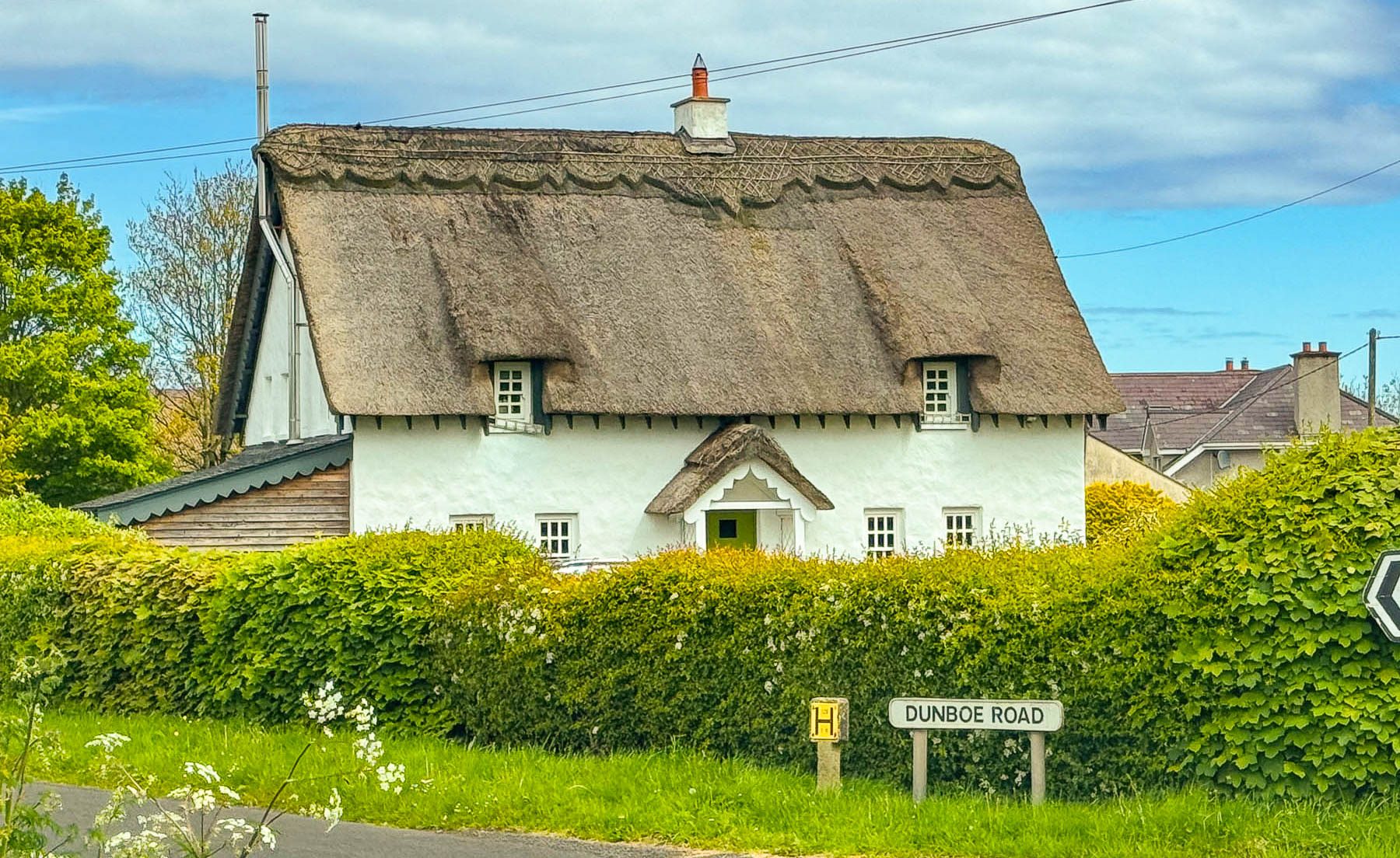
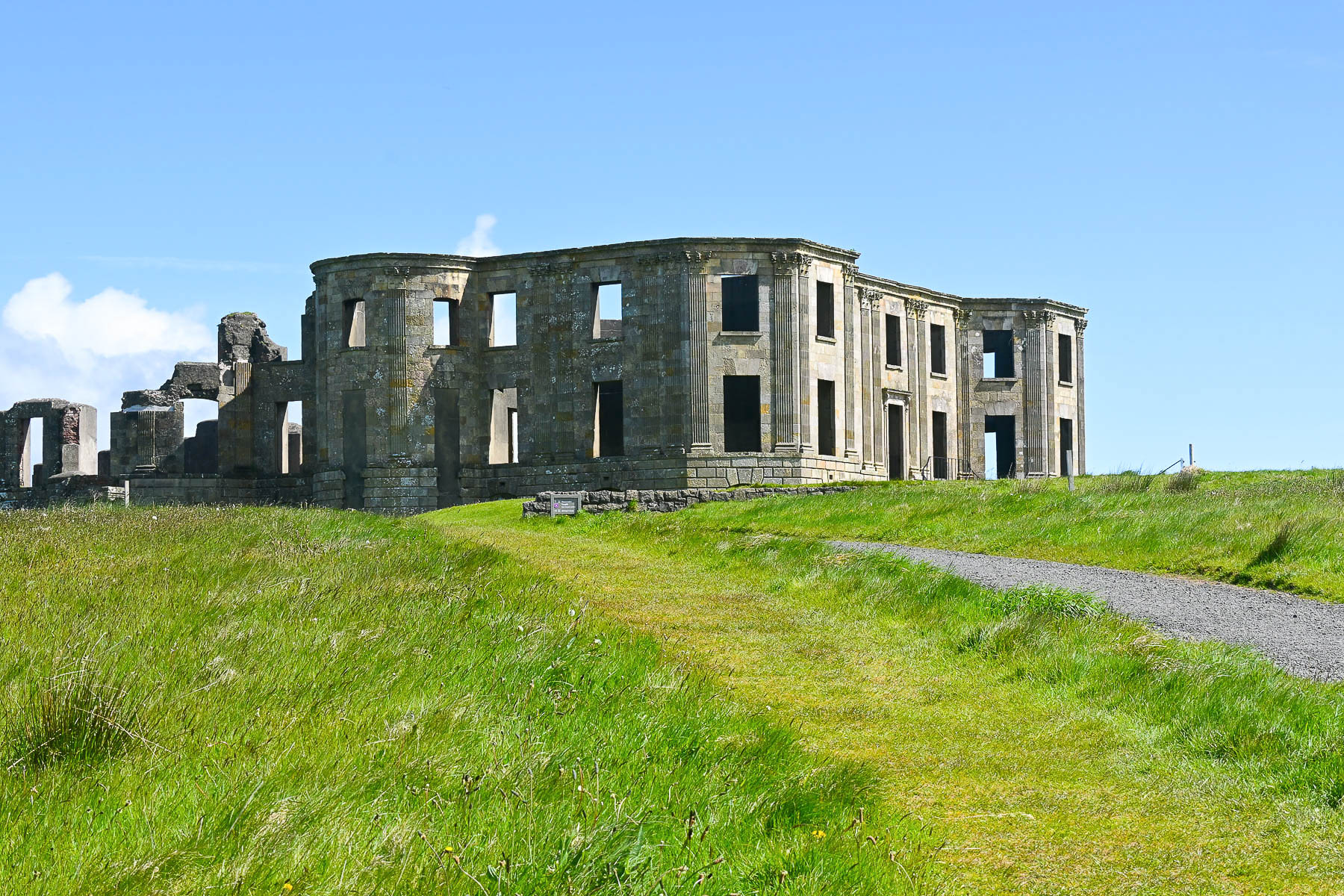
Out again early the next morning we set off to see the Mussenden Temple and Downhill Demesne, on the western end of the Causeway Coast. It is a massive, grand 18th-century clifftop estate built by the eccentric Frederick Hervey, the 4th Earl of Bristol and Bishop of Derry. The palatial Italian style villa, with 27 bedrooms, was built by the Bishop in 1774 , with inherited funds, on 160-hectares (400 acres) of land atop cliffs that abut the North Atlantic Ocean.
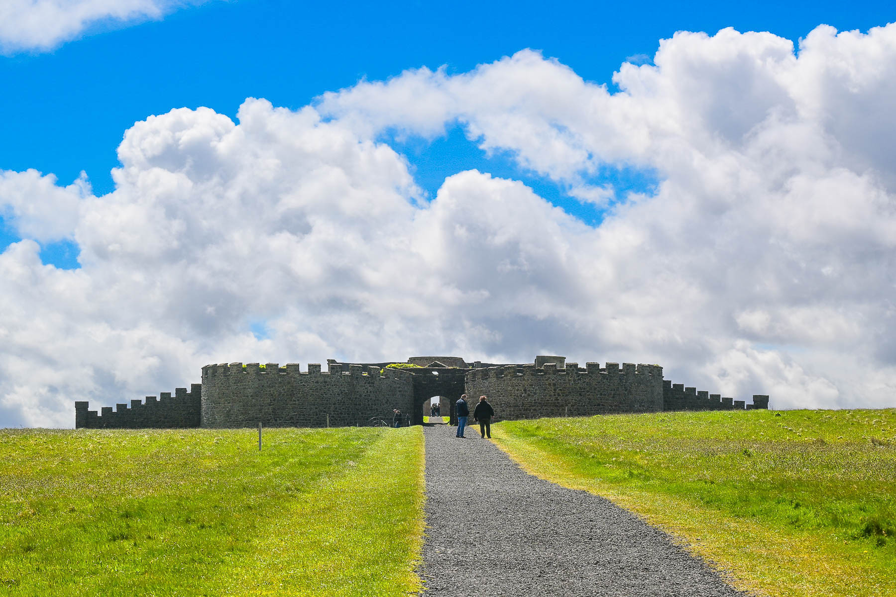
A walkway leading to the cliffs was flanked with two buildings that displayed his extensive collection of Renaissance art. The outside walls of this structure facing the ocean resembled castellated fortress walls with buttresses; this was an illusion to deter the French from invading Londonderry from along this coat, that the Bishop was apprehensive about. Interestingly the mansion also featured the first patented flush toilets, a considerable innovation at the time of the installation at Downhill.
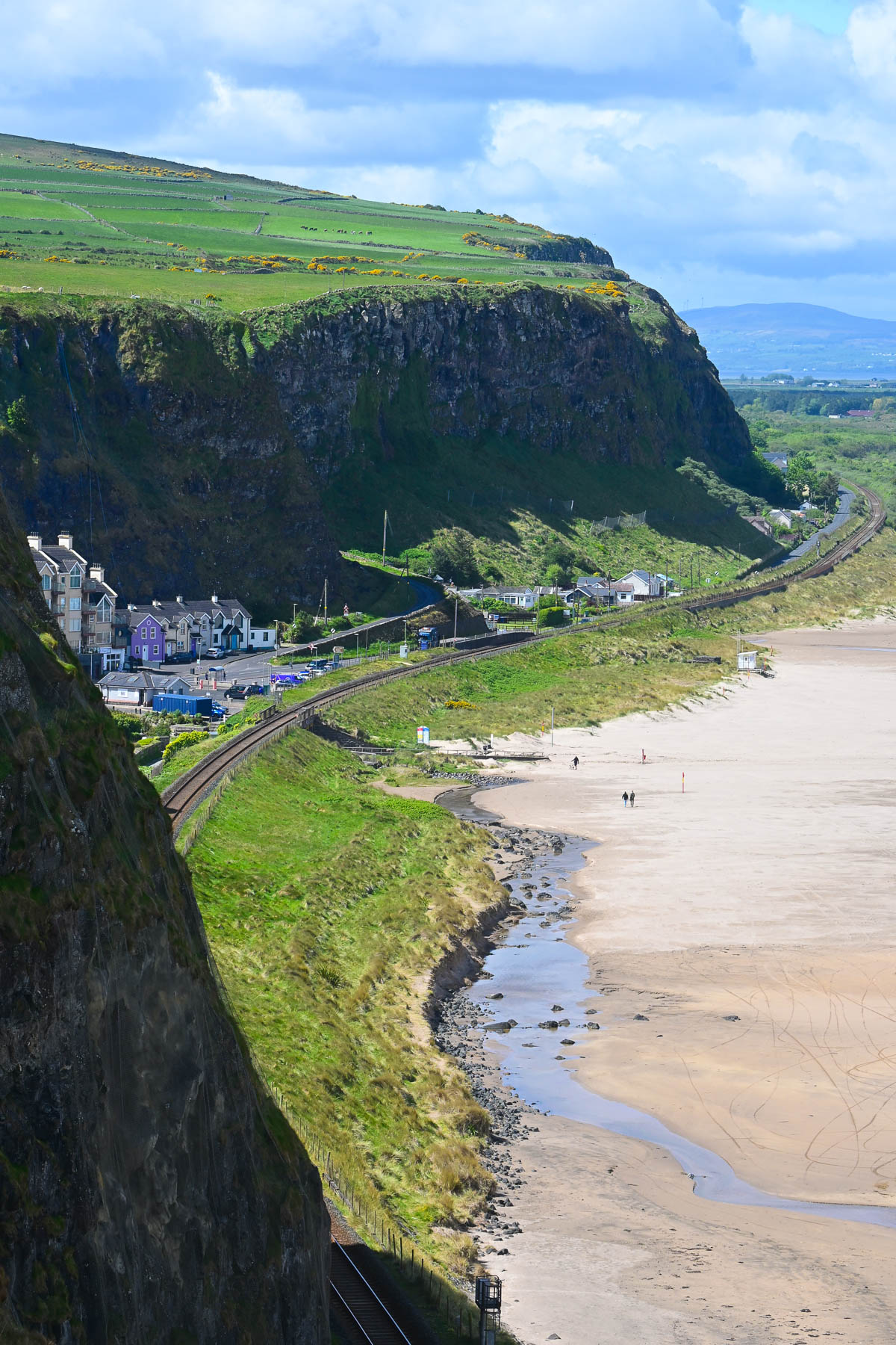
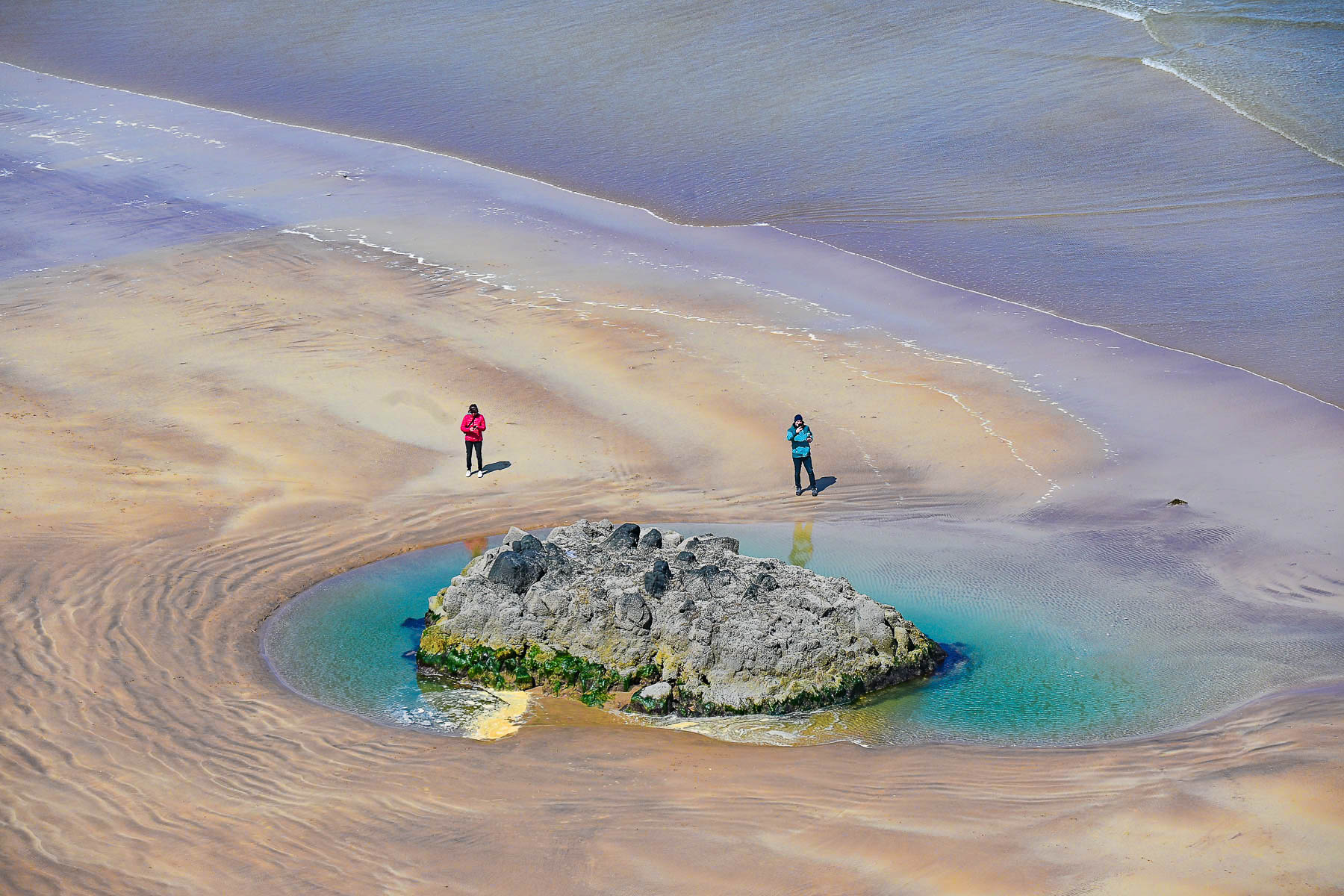
A major fire destroyed most of the house in 1851, which led to a smaller redesign and rebuilding in the1870s. The Bishop’s heirs continued to live at the estate until the Irish War of Independence started in 1919 when they packed up everything and never returned. During World War II the mansion was requisitioned to billet Royal Air Force (RAF) servicemen and women, after which it fell into heavy disrepair until the National Trust stabilized the ruins in the 1980s when it acquired the site.
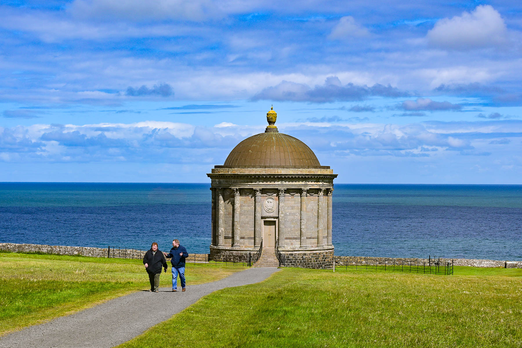

Along the 37 meter (120 ft) high cliff the Bishop built the Mussenden Temple, an iconic circular building modeled after the Temple of Vesta in Italy, that was used as a library and a retreat for the Bishop’s niece, Frideswide Mussenden, to enjoy the expansive view of the coast. It’s the only original structure of the estate still standing. Originally when it was built, the temple was about 10 meters (33ft) from the cliff edge, but coastal erosion now threatens its collapse and continual efforts are underway to stabilize the cliff face.
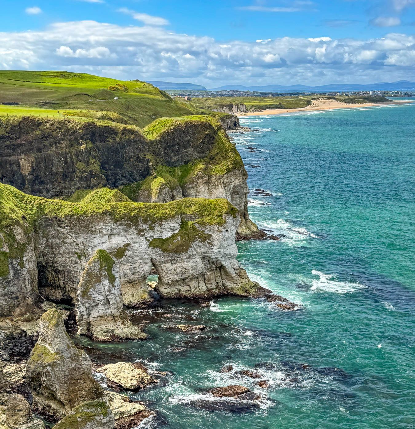
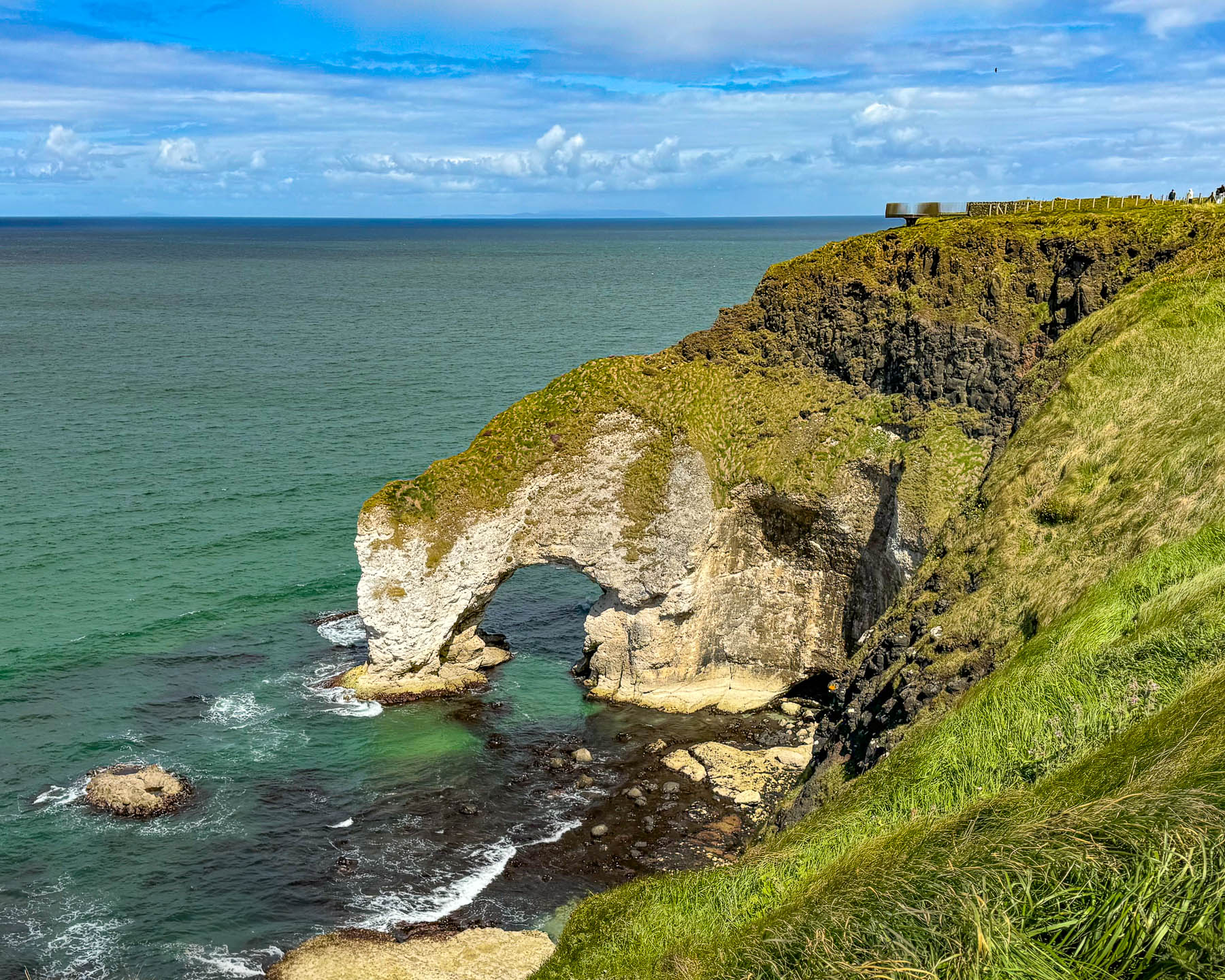
Heading east along the coast the views were as exhilarating as the day before and we stopped whenever there was a wide enough shoulder along the road before reaching The Wishing Arch. It was a well-developed site with a dramatic cantilevered viewing platform extending over the cliff and had a great view west of the sea arch and the coast looking back towards White Rocks Beach and Portrush.
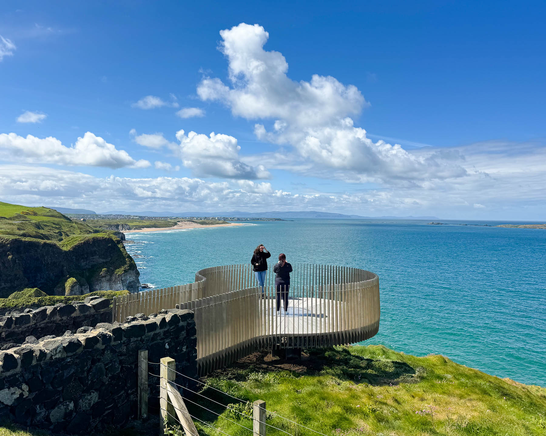
Local lore believes that if you gaze through the natural stone arch with a pure wish in your heart, the crashing waves will carry your hope out to sea until the time is right for it to become a reality. Looking east, the ruins of a castle were barely visible.
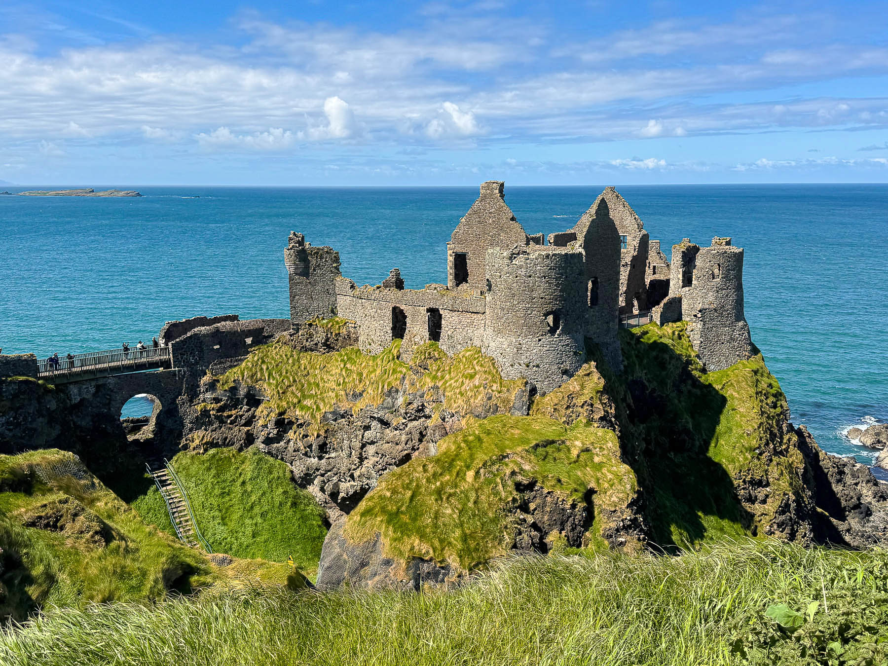
Dunluce Castle was only a few minutes further along. Dramatically set on a rocky outcrop, only reachable across a drawbridge, the castle has a long history which starts in the 1200s when it was first built by Richard de Burgh, the 2nd Earl of Ulster. By the early 1500s the MacQuillan clan held the castle but lost it in battle to the MacDonnells, who established a small village next to it on the mainland. Though it was a relatively secure haven from attack, the castle was under constant siege by fierce North Atlantic storms which eventually caused part of the fortress to collapse into the sea in 1639. The small village was razed during the Catholic rebellion in 1641, but the fortress and the Scottish settlers who defended it remained unscathed. On the wrong side against England, the clan was evicted from their lands and the castle was left to ruin. Local Folklore tells that the kitchen of the castle “suddenly plunged into the churning sea, with a loud crack of the rock, as the preparations for a lavish feast were underway. All the cooks and servants were swept away in the crashing waves except for one young kitchen boy, who survived because he was sitting on a bench in the only corner of the room that remained anchored to the solid rock.”
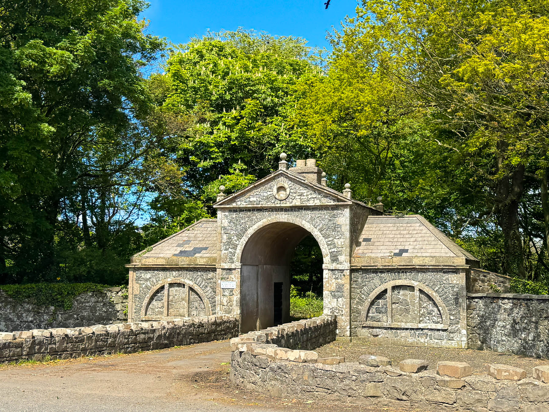
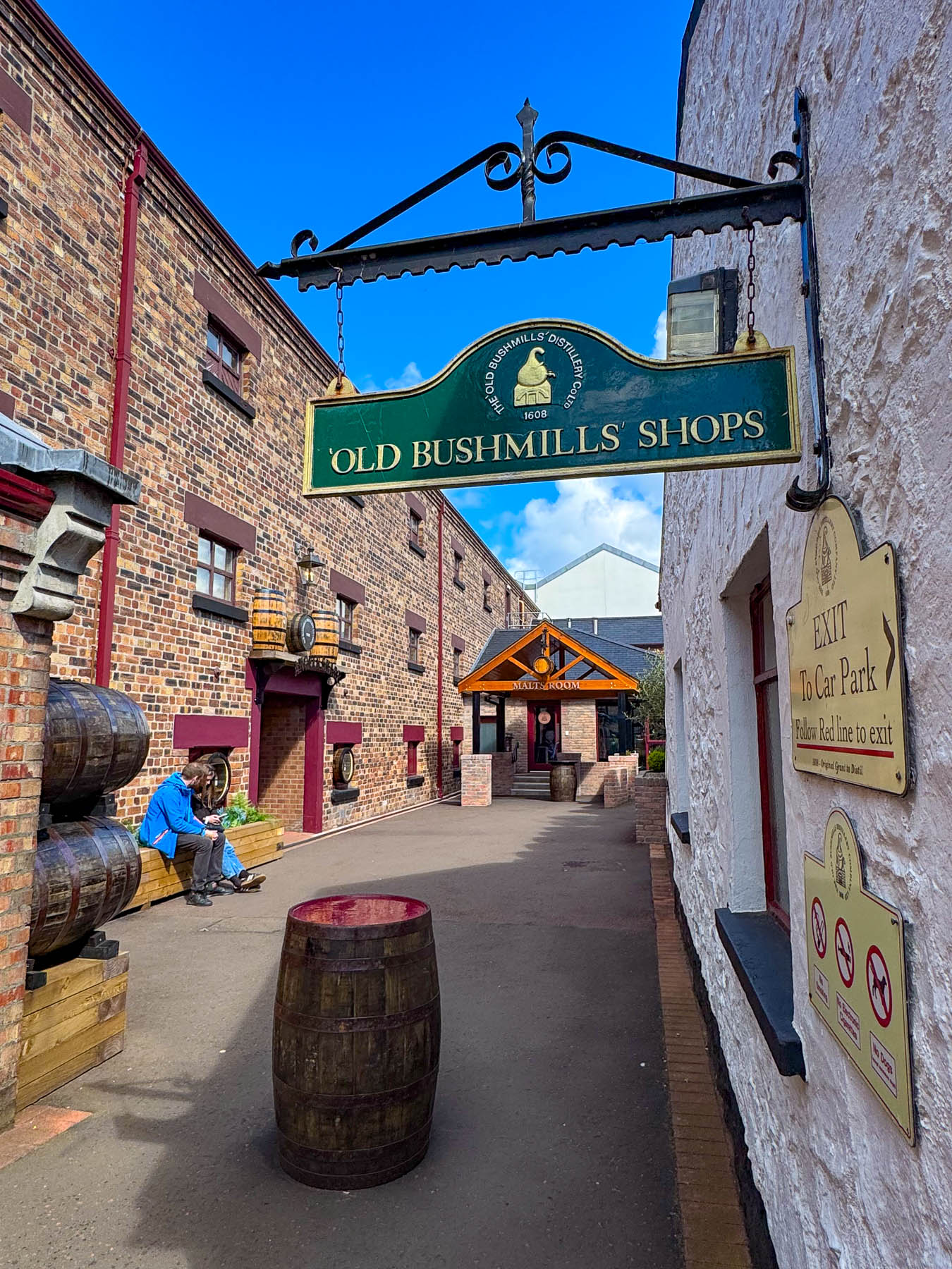
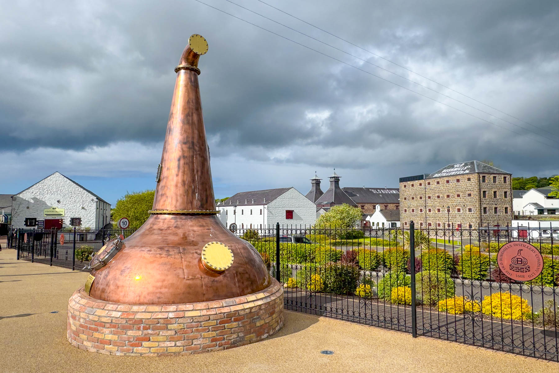
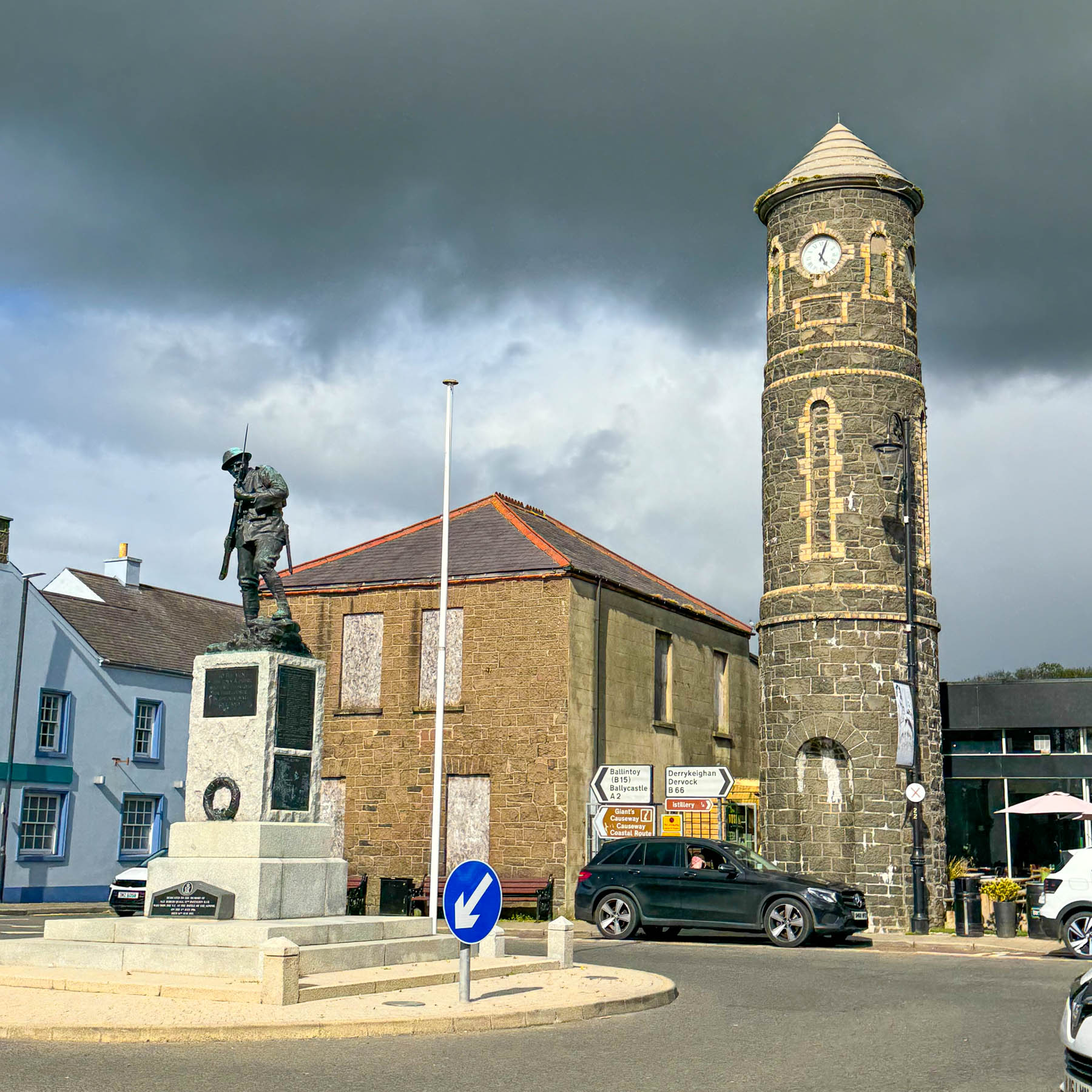
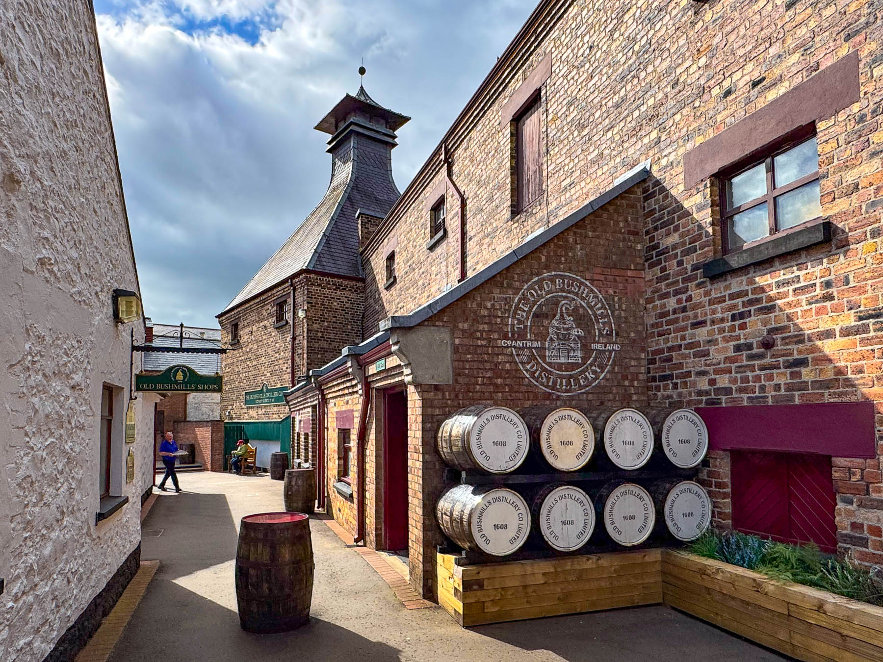
Afterwards we headed for a late lunch in the small village of Bushmills, before continuing on to a whiskey tasting at Old Bushmills Distillery, the world’s oldest licensed whiskey distillery since 1608. We did not go on the popular tour of the distillery. If you plan to do so, Bushmills highly recommends making an online booking ahead of time to secure your spot. Since we were driving we contended ourselves with a slow three whiskey sampler that included: Bushmills Black Bush – described as “A rich blend with a high proportion of malt whiskey aged predominantly in Oloroso sherry casks, offering deep dried-fruit and spice flavors: Bushmills 10-Year-Old Single Malt – aged in bourbon and sherry barrels, providing notes of ripe fruit, chocolate, and nutty malt, along with: Bushmills 12-Year-Old Distillery Reserve – matured predominantly in Spanish Oloroso sherry casks, with ex-bourbon barrels playing a minor, supporting role; it has notes of dark dried fruits like raisins, figs, plums, and sugared apricots, along with a distinct nuttiness resembling roasted hazelnuts, almonds, and sweet marzipan.”
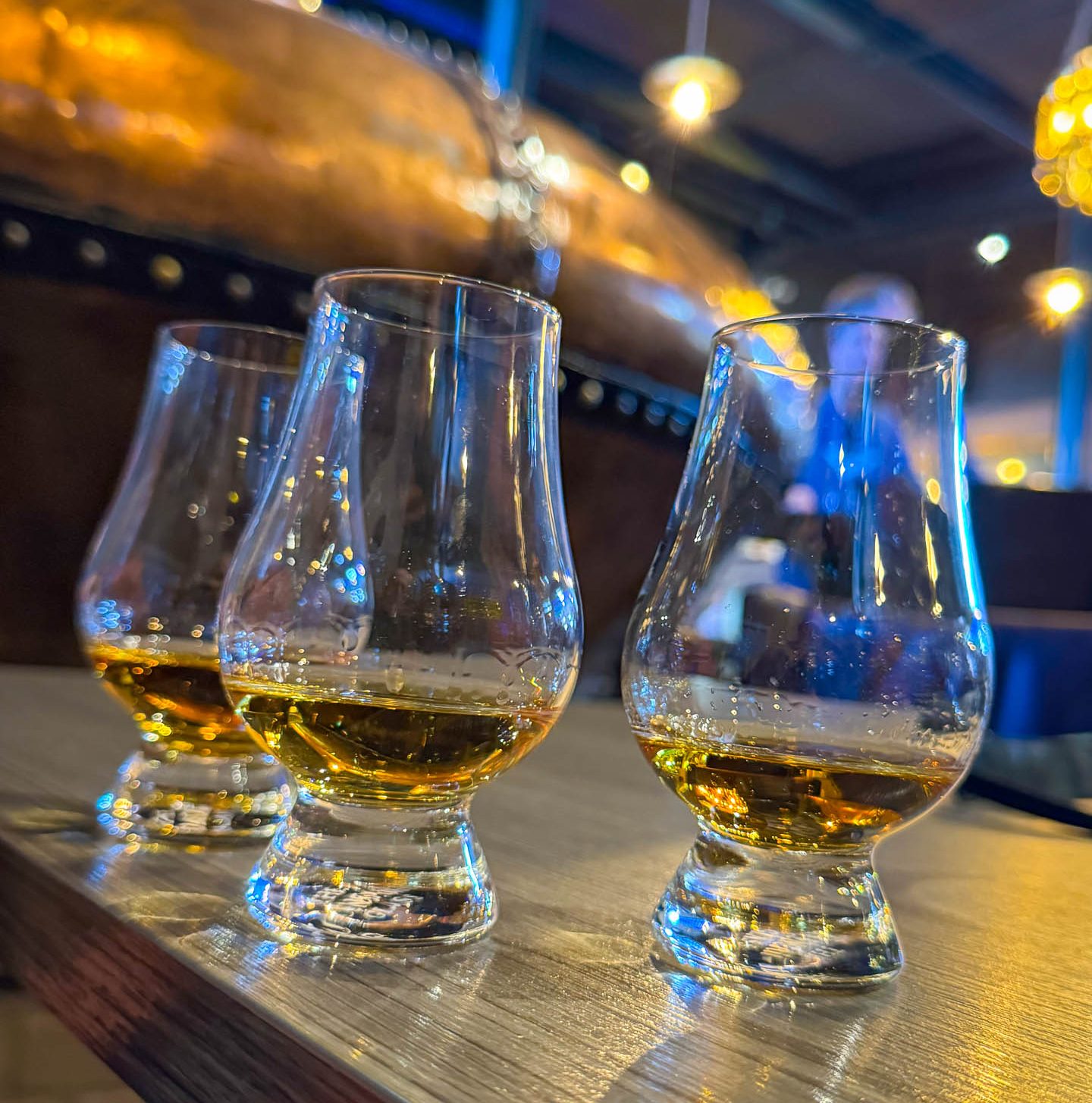
I’ve never been one to wax poetic about wines or spirits, so it’s simply the aroma, taste and smoothness for me, and with that criteria the Bushmills 10-Year-Old Single Malt was definitely the preferred whiskey.
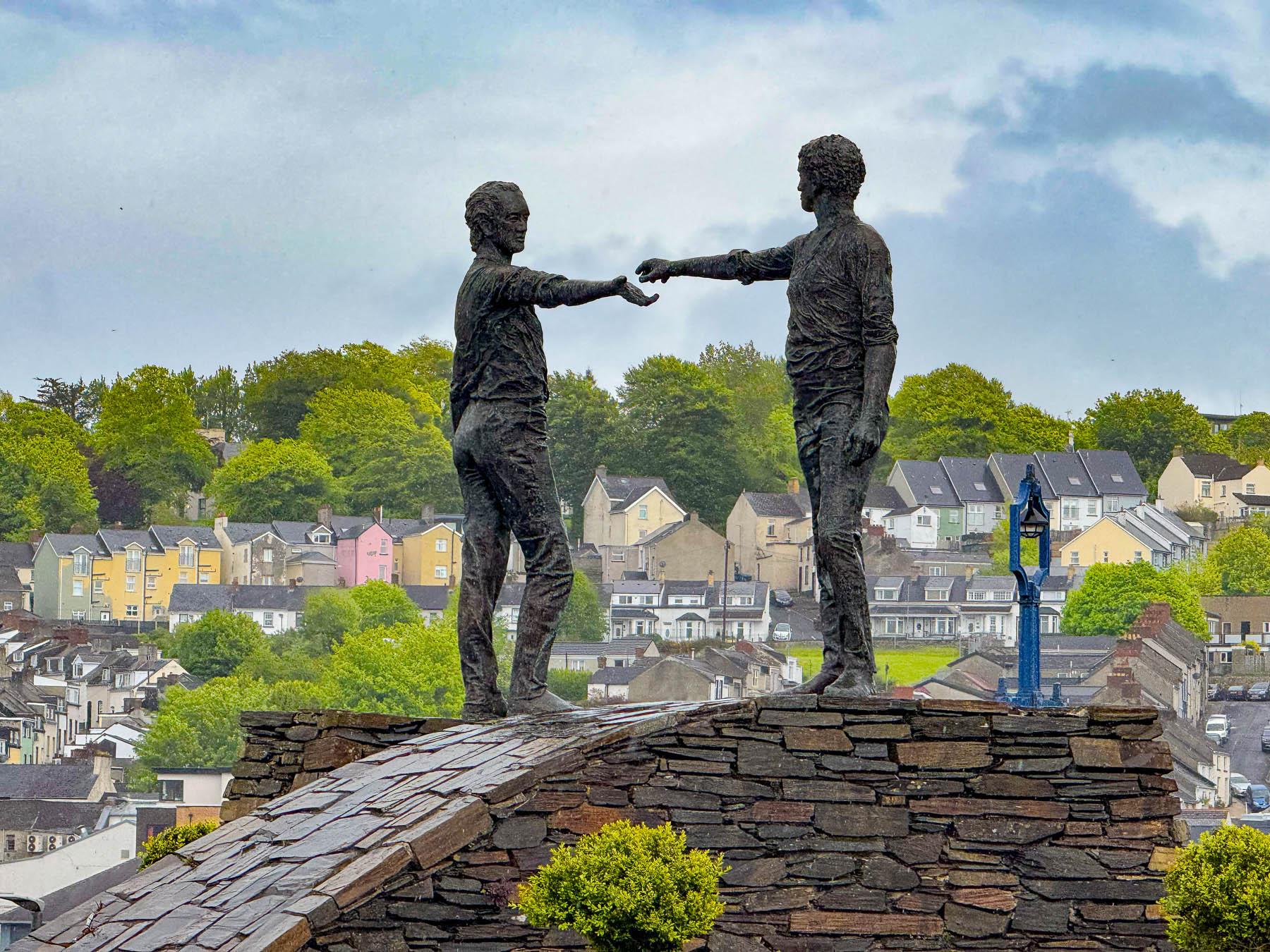
Taking a longer route back into Derry we crossed the Craigavon Bridge to see the Hands Across the Divide statue created by the local sculptor Maurice Harron. It was erected in 1992, twenty years after the tragic events of Bloody Sunday and depicts two men reaching out toward one another just about to shake hands “Reflecting the difficult, ongoing journey toward total peace, leaving room for future unity.”
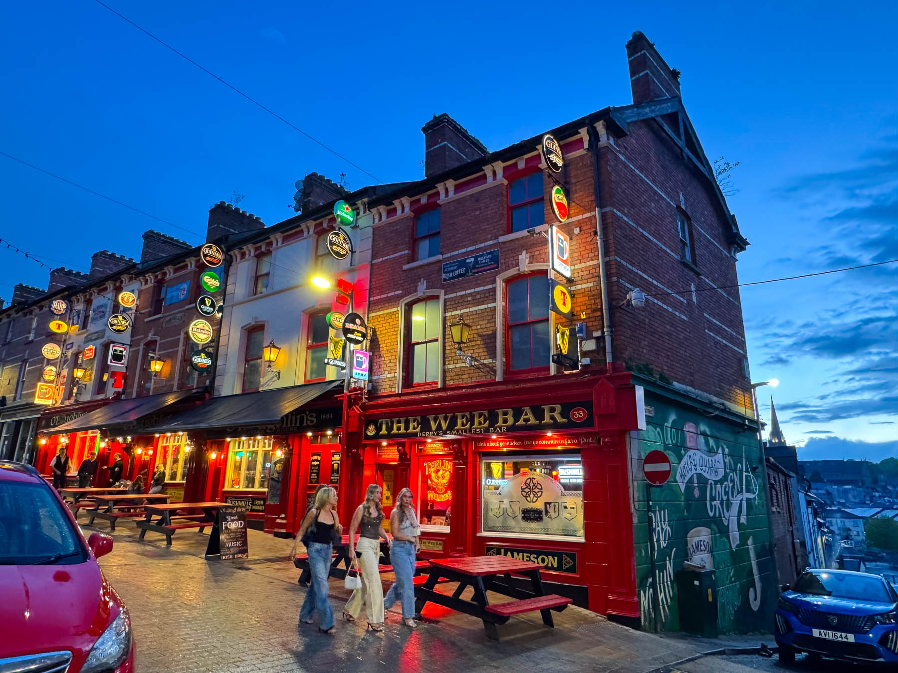
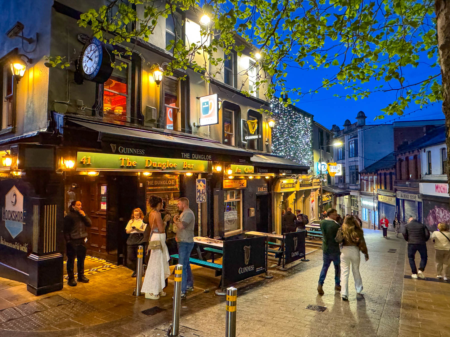
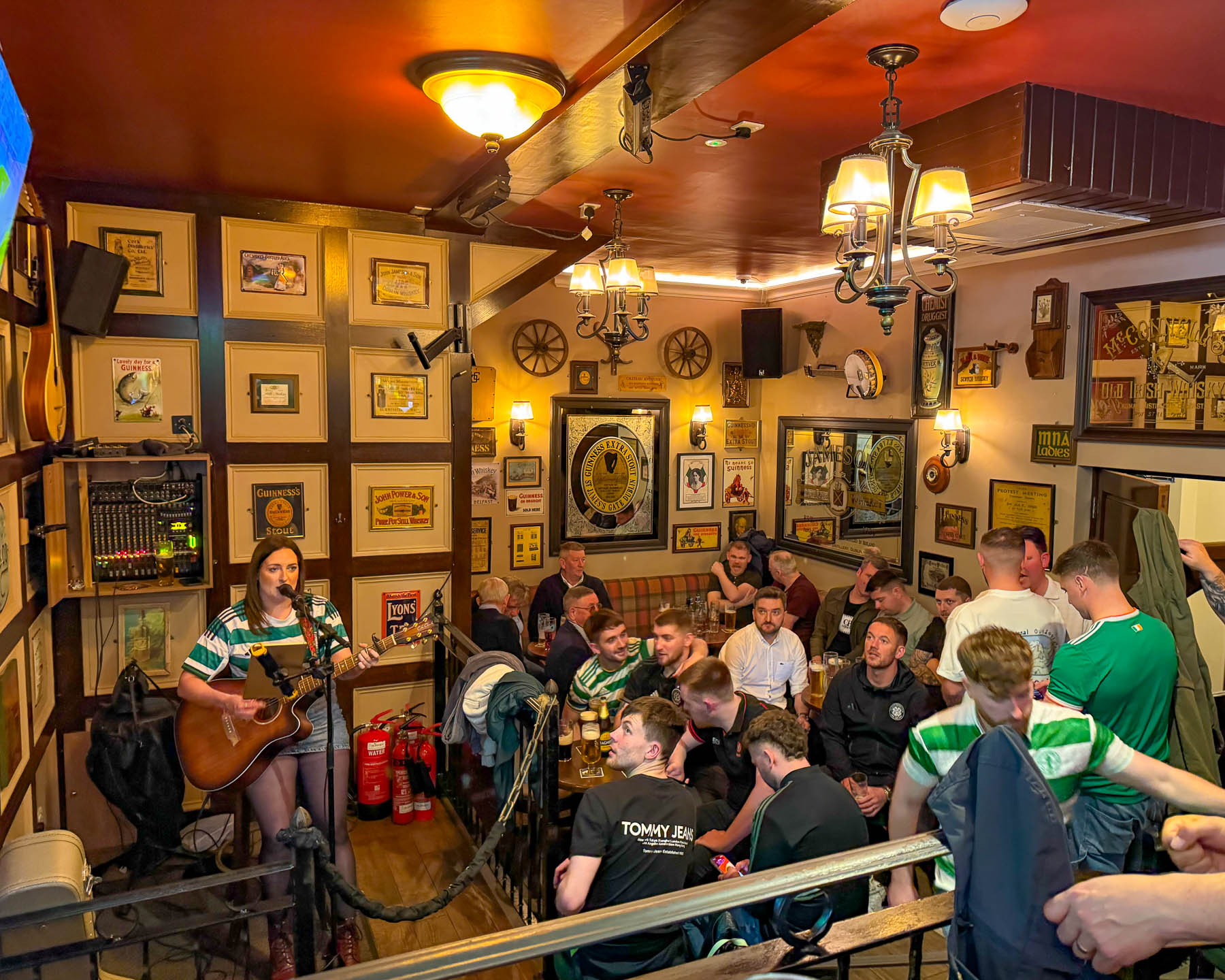
It was a Saturday night, and we followed a youthful crowd up Waterloo Street, passing colorful facades and numerous traditional Irish bars with music drifting into the street, which have contributed to the lane’s designation as the hub for the city’s vibrant nightlife. The bars were packed with jubilant patrons, with the overflow gathering in small groups on the cobblestones. We eventually found the vibrant red façade of O’Loughlin’s Irish House bedecked with neon beer medallions advertising the drafts that they can pull. Surely, it was more touristy than any self-respecting local would dare step into, but it had live music and a warm, spacious interior that appealed to us. We didn’t order dinner right away, preferring to toast with our Gunnesses, and enjoy the music.
Till next time,
Craig & Donna