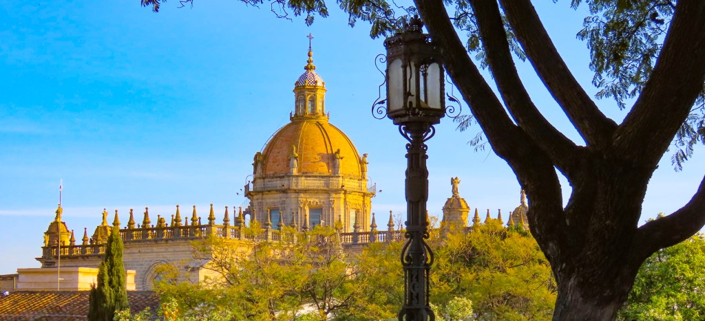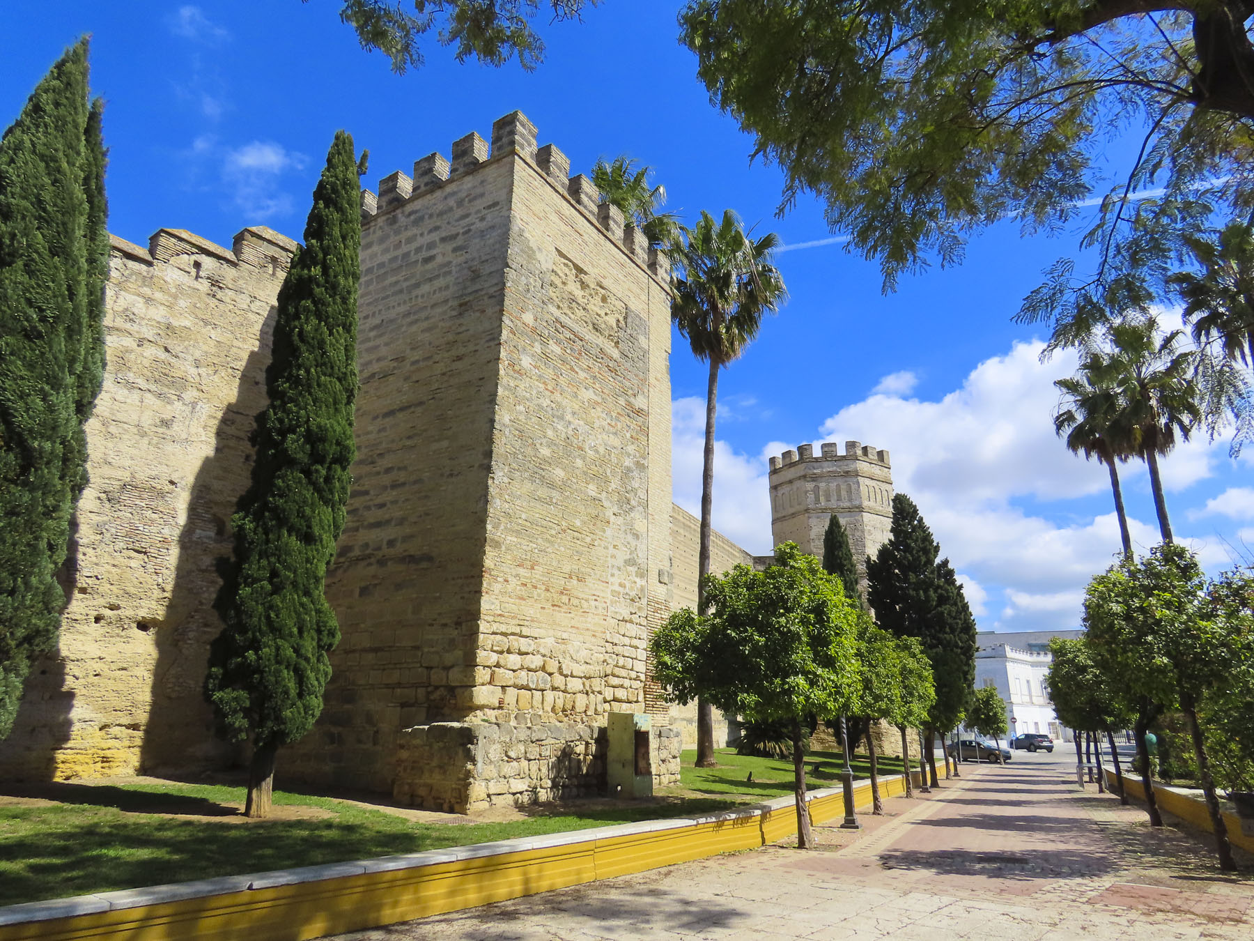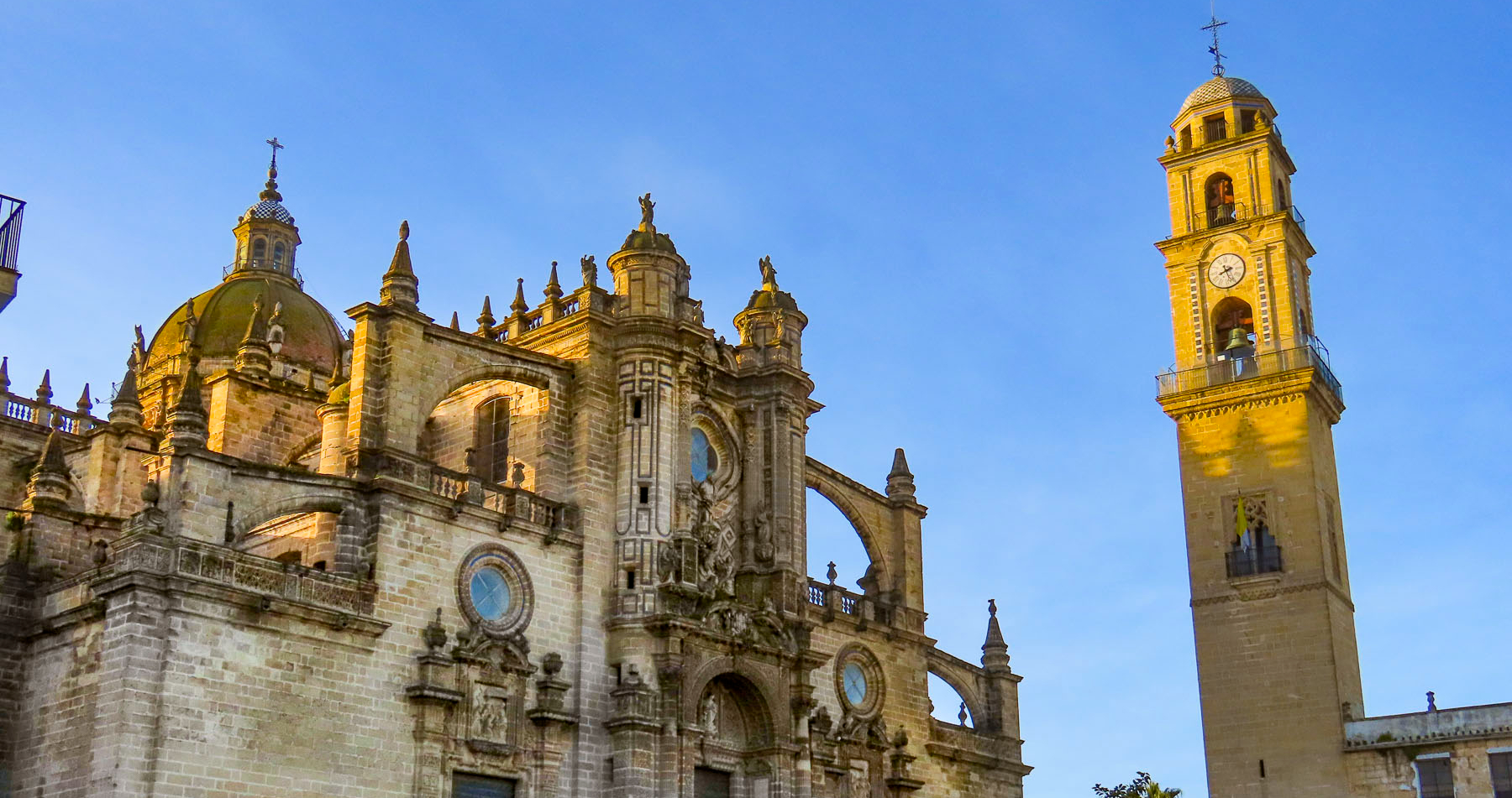
With a leisurely departure from Jerez de la Frontera, we headed towards Cadiz for four nights before continuing our road-trip through the southwest corner of Andalucia. Our friend Giulia had shared her fond memories of Cadiz with us several years ago and we were finally on our way to experience the charms of this coastal city ourselves. Situated on a narrow peninsula that juts into the Atlantic Ocean, the city’s small size appealed to us. “You won’t need a map!” Donna teased, referring to my inclination to track our every route. While the city does have several beach areas, only one, La Caleta is in the Casco Antiguo, old town district.
We decided to have lunch along Andalucia’s Atlantic coast before we reached Cadiz and followed the signs to Vistahermosa, an upscale neighborhood in El Puerto de Santa María that has a crescent shaped beach. It’s a wide stretch of golden sand, with the ruins of an old fortress at one end and a marina at the other.
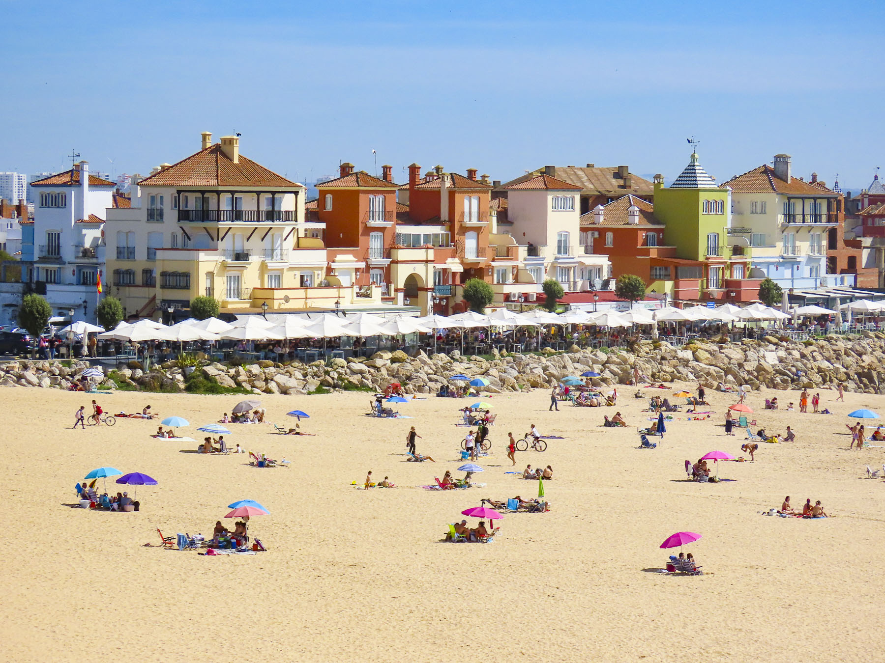

The Sunday afternoon in March when we visited, folks were sunbathing and swimming. Offshore boaters, kite surfers, and a sailing class were enjoying the gentle waves of Cadiz Bay. We parked at the marina and strolled along the restaurants and homes that lined the breakwater until we decided on Sotavento Puerto Sherry, which offered some shade from the intense afternoon sun.


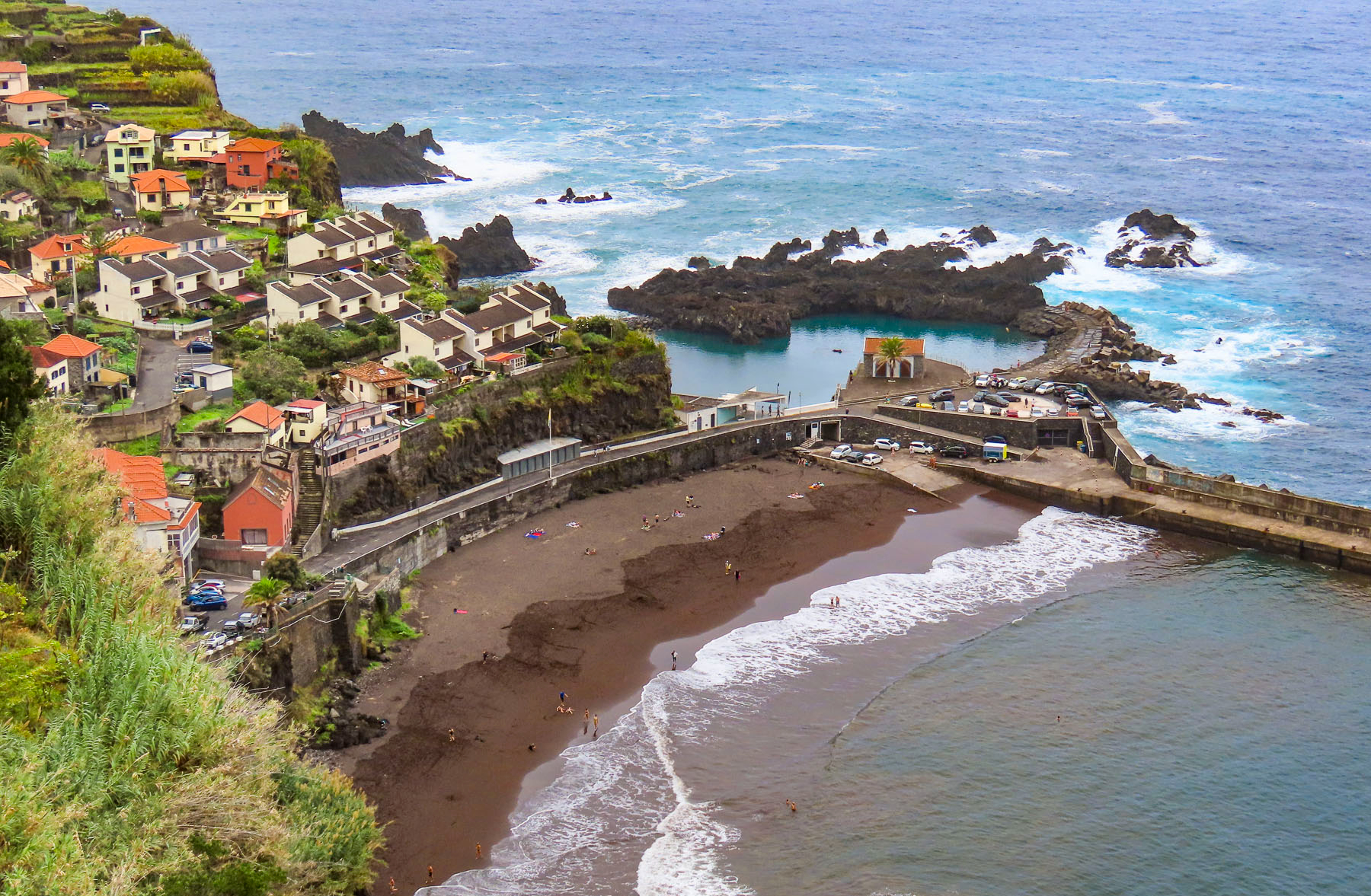
Afterwards we headed to the lighthouse that marks the entrance to the marina. If you ask locals where the best beaches in Spain or Europe are, they’ll spread their arms wide to encompass the north and south vistas along the coast and say, “aquí mismo,” right here, proud of the fact that their beaches are consistently awarded numerous Blue Flags, a European Union award for water purity and beach cleanliness, in the Mediterranean region. Though it shares the same climate as the Costa del Sol on Spain’s Mediterranean coast, with 300 days of sunshine annually, the Atlantic coast beaches have stayed relatively undiscovered by mass tourism. This is attributed to the provinces’ wilder, windswept coastline, with many nature preserves and few large tourists resorts.


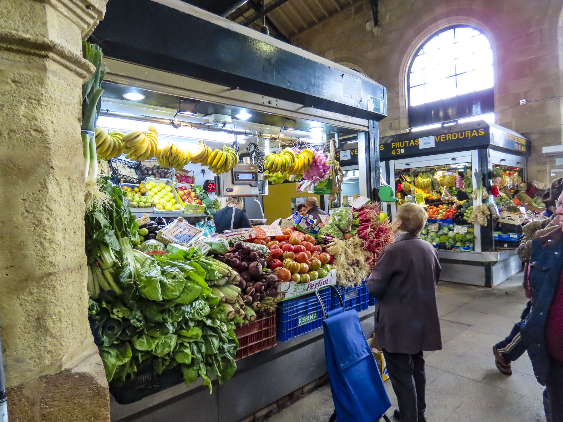
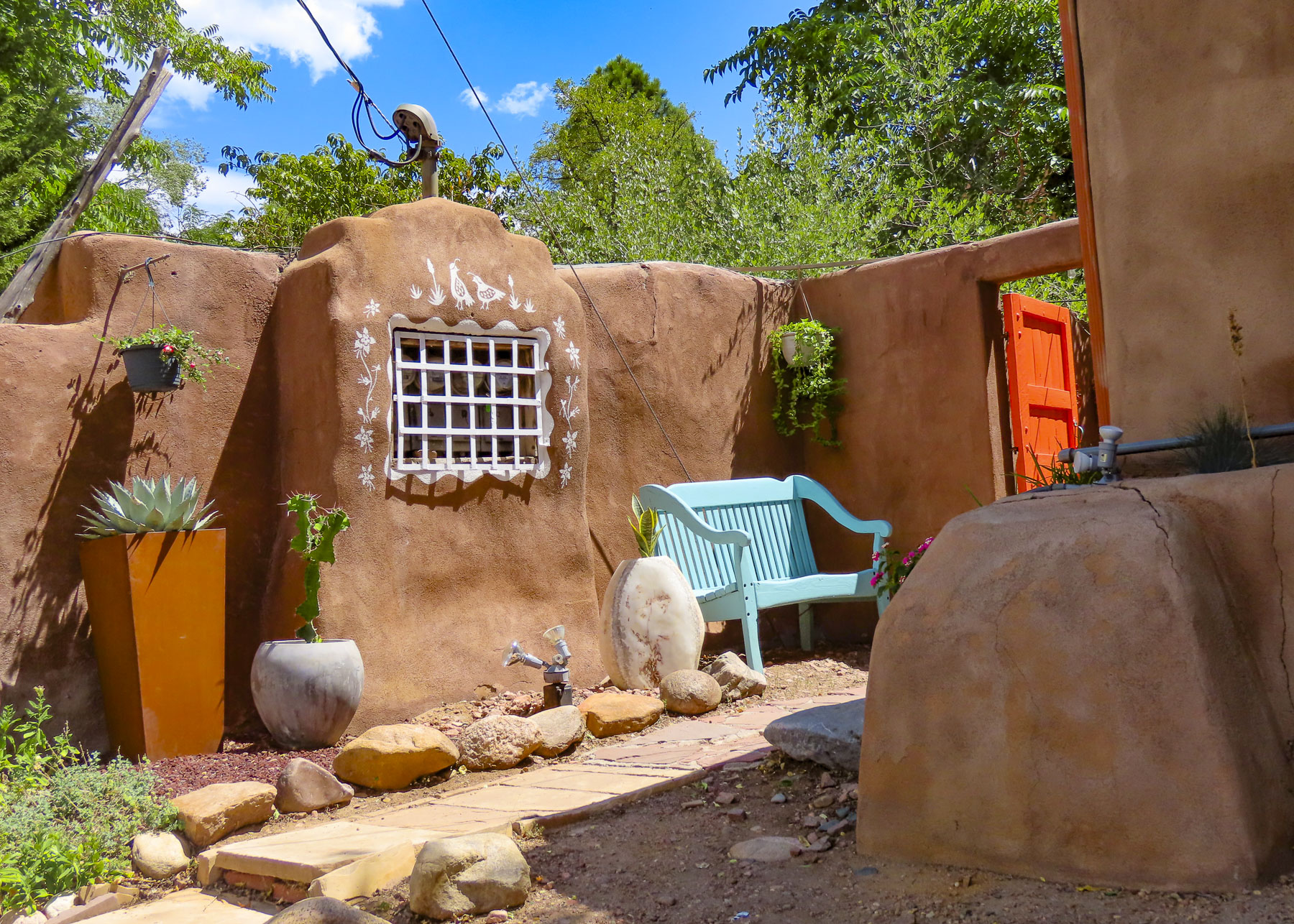
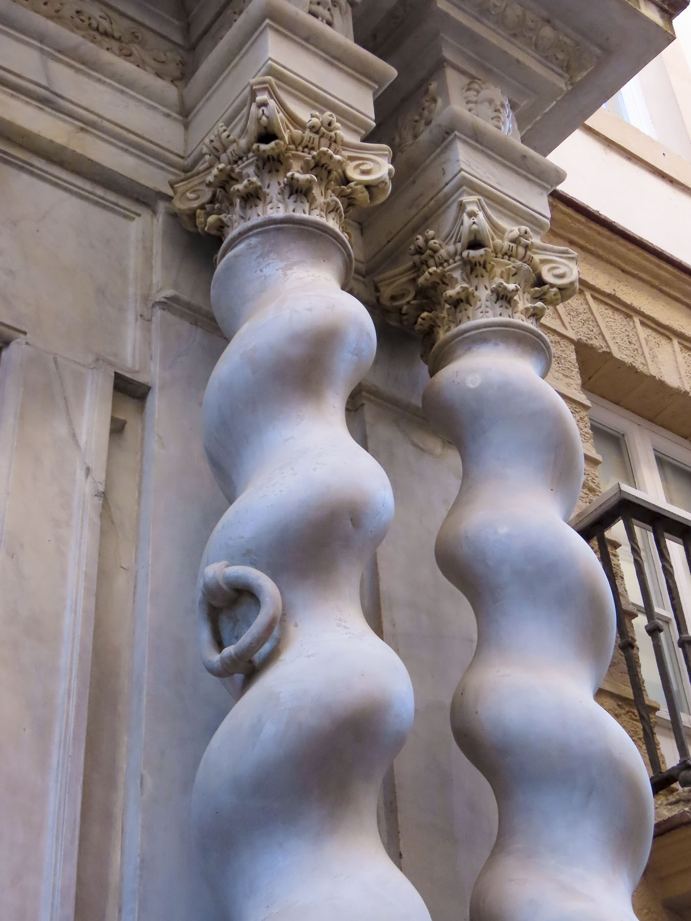
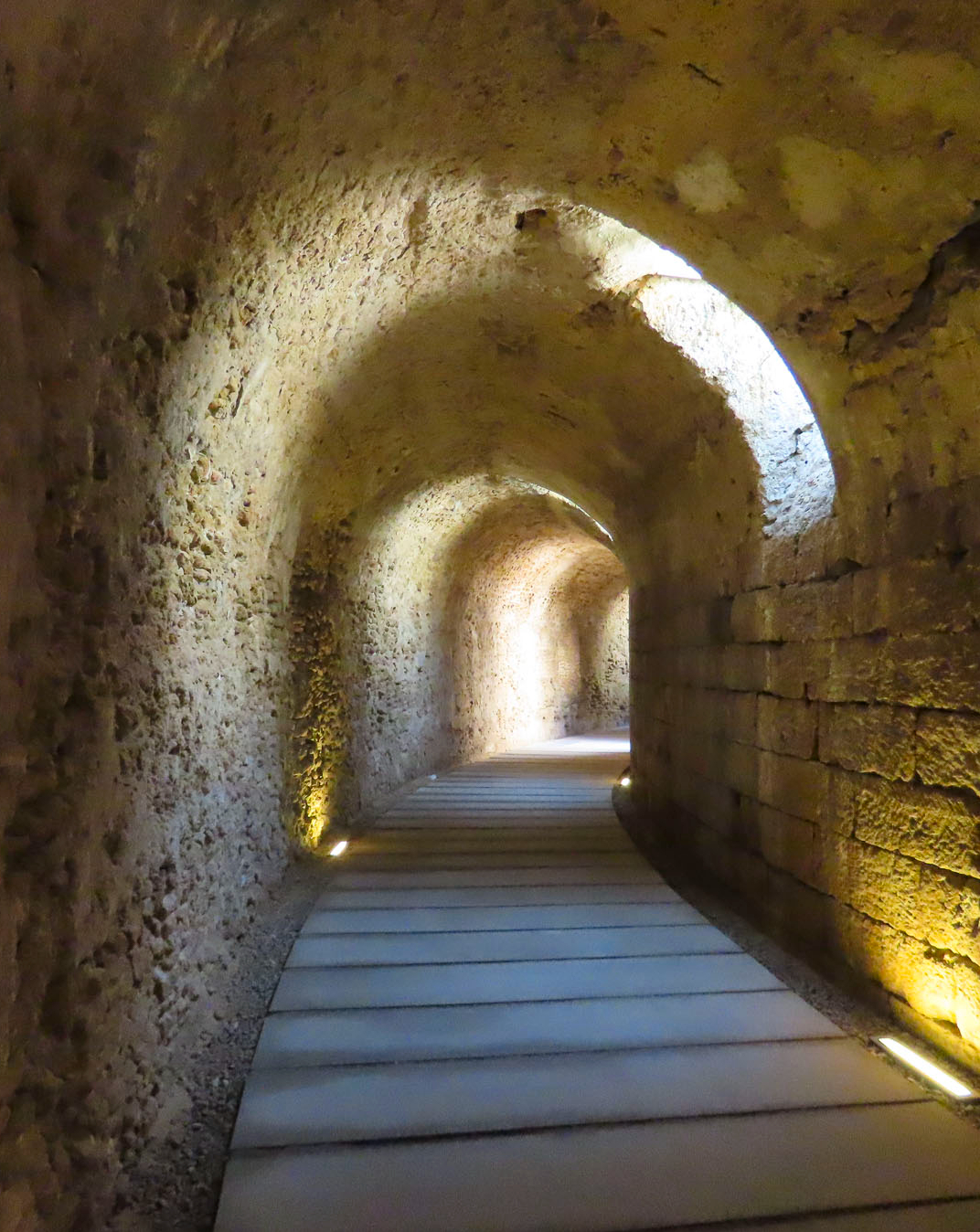
When you look at a map of old town Cadiz the streets appear to be laid out in a slightly modified grid pattern. In actuality they are a confusing array of one-way streets that inhibit easily circling around the block. Fortunately, there is very little auto traffic through the historic district, as there are no sidewalks and folks treat the calles as pedestrian only thoroughfares, stepping into doorways for the occasional delivery vehicle to pass. There are expensive parking garages scattered about the city; however, if you are willing to walk a little farther, the least expensive parking areas are near Parque Genovés.


We were delighted when the elevator doors opened onto a rooftop terrace and we realized that our room was on the hotel’s top floor, which we shared with one other guest room and an outdoor bar that was closed until the high season started later in the Spring. For under $100 a night our room, with sitting area, large bath, and private patio at Hotel Las Cortes De Cádiz was an incredible value in mid-March.

Breakfast was not included, but we had a coffee maker and I always enjoy photographing sunrise, then wandering about in the early morning hours looking for a neighborhood pastelería. Our sweet tooth was not dissappointed in Cadiz.


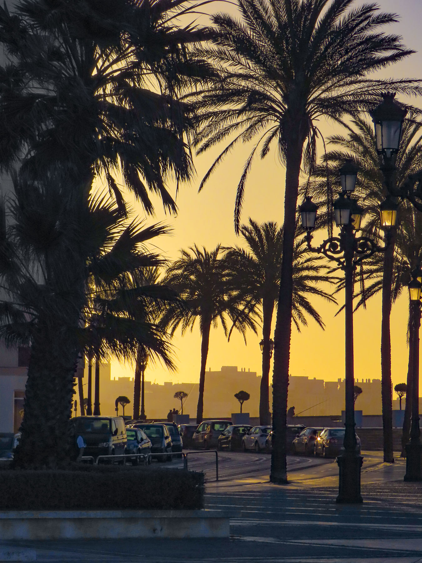
While many of the calles in Cadiz are strictly utilitarian aside from their fascinating architecture, the plazas, parks, and some strictly pedestrian only lanes are lined with palm trees, and a variety of other specimen trees collected from Spain’s far-flung empire, which lasted from the 16th to 18th century.
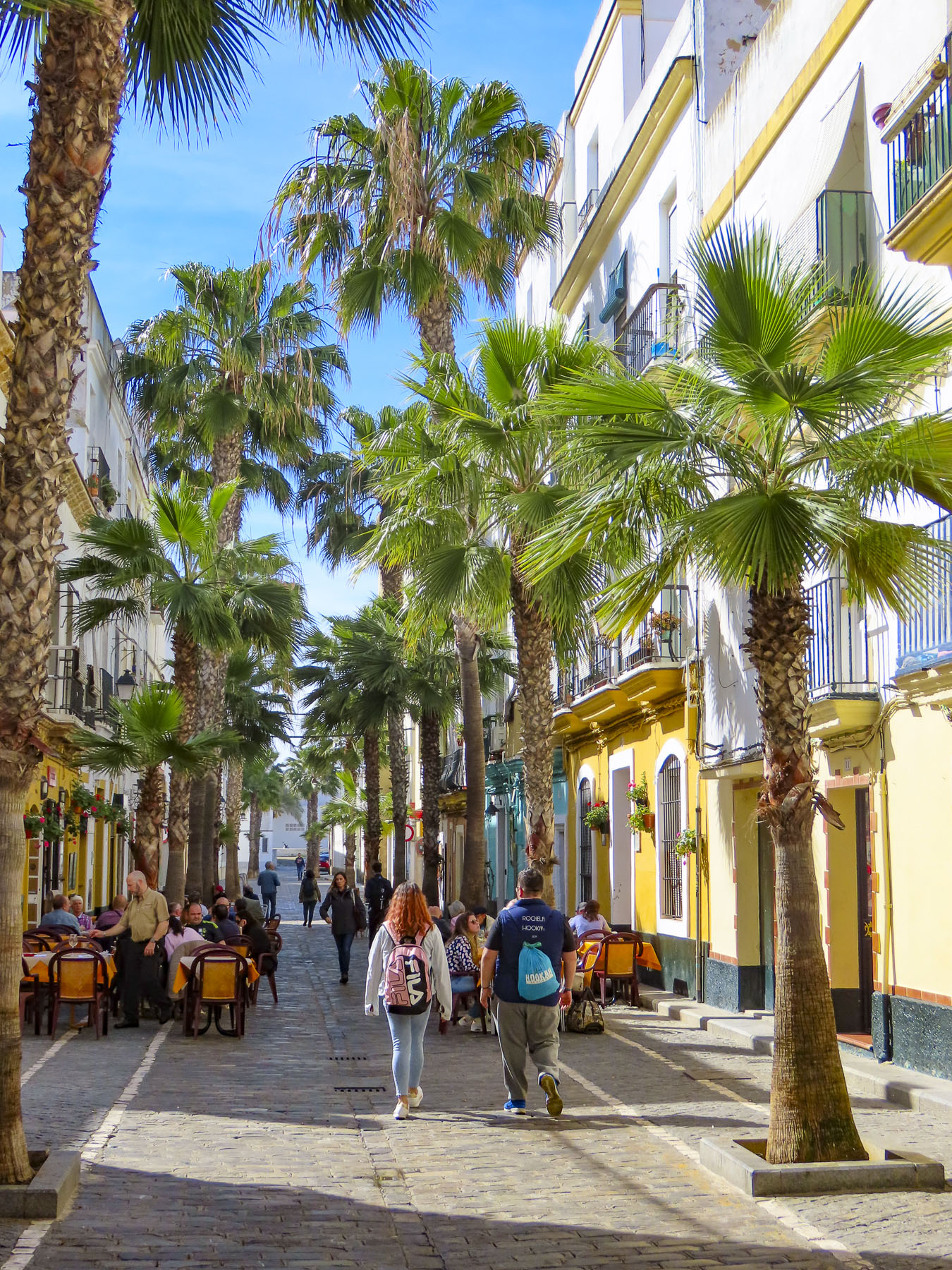
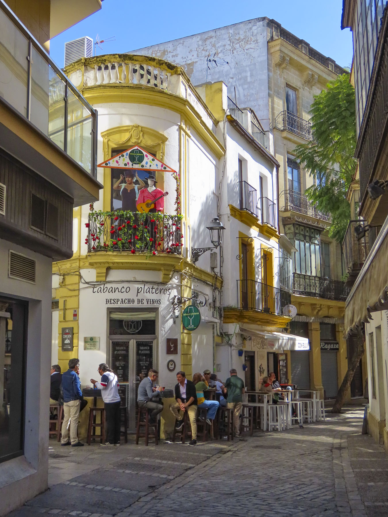
Calle Virgen De La Palma is particularly attractive with its tall palms lending a Caribbean vibe to this quiet barrio that has two of Cadiz’s best tapas bars and restaurants, Taberna Casa Manteca and Restaurante La Isleta de la Viña.


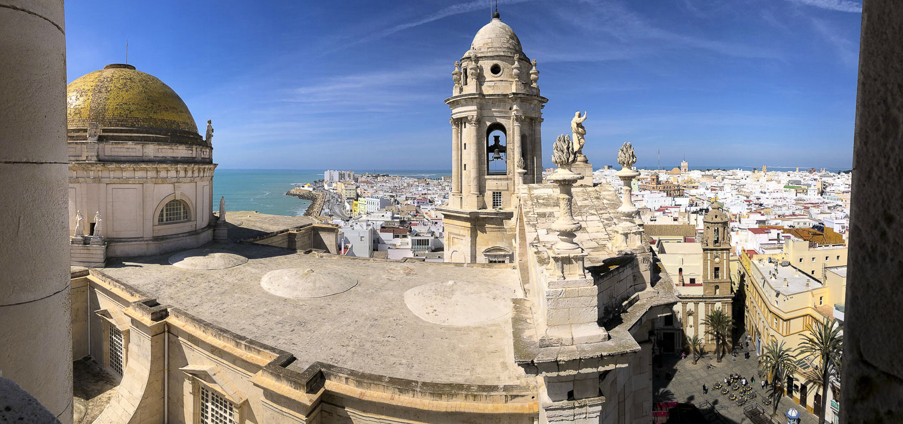
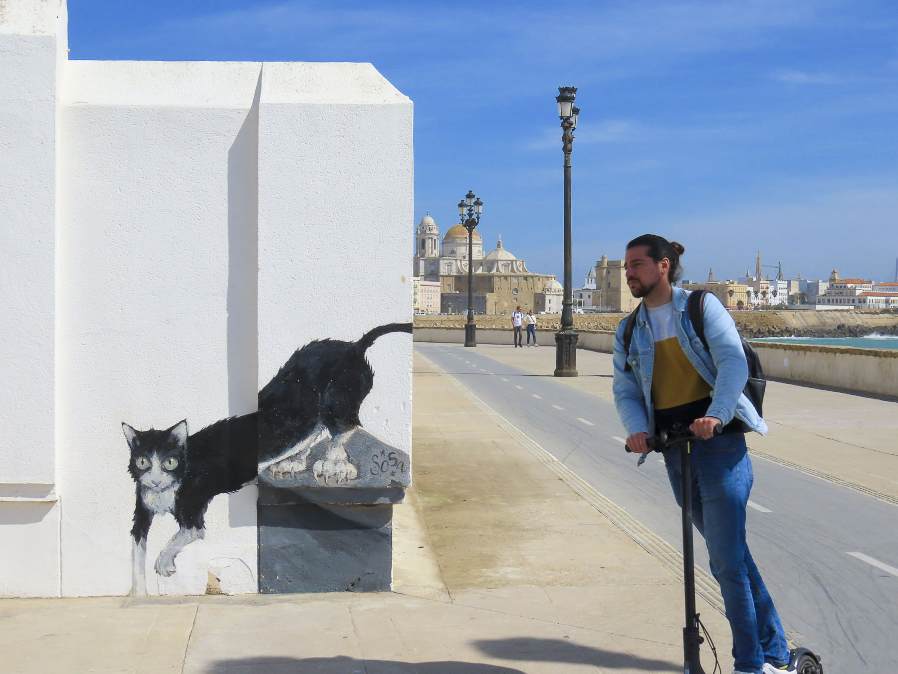
Plaza de Mina, Plaza de San Juan de Dios, and Plaza de la Catedral are especially beautiful, with the latter two also providing an Island flare to the stately stone buildings surrounding them. The Caribbean ambiance is so intense that the barrios of Cadiz are often used by the movie industry as a location stand-in for Cuba. Parts of 007: Die Another Day (2002,) were filmed at Cadiz’s La Caleta beach and Malecon.

There were two islands, separated by a natural narrow channel near La Caleta beach that extended to what is now the cruise ship harbor, when the Phoenicians landed 3000 years ago, making this the oldest continually inhabited city in western Europe. Over time the detritus of ancient Phoenician, Greek, Carthaginian, Roman, Visgoth, and Moor civilizations filled the canal and connected the two pieces of land.

Some interesting notes from the history of Cadiz:
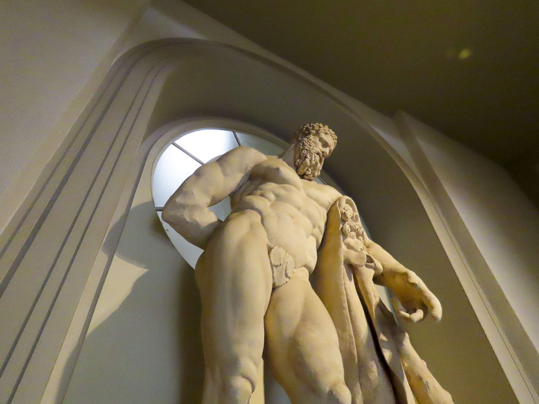
In Greek mythology Hercules needs to travel to an island called Erytheia, beyond the Pillars of Hercules, to slay the three-bodied, winged monster, Geryon. The Pillars of Hercules were thought to be the Rock of Gibraltar in Spain and Jebel Musa in Morocco at the mouth of the Mediterranean Ocean, and represented the end of the known world at the time. Cadiz is believed to be Erytheia.

Hannibal famously departed Cadiz in 218 BC with his calvary of elephants to trek across the Iberian Peninsula, the Pyrenees Mountains, and the Italian Alps to battle the Roman Empire.
During Spain’s Age of Discovery, Christopher Columbus set sail to the New World from Cadiz on his second and fourth voyages. As Spain’s closest deepwater port to its new colonies in the Americas, it subsequently became the home port of the Spanish treasure fleet and the city prospered for several centuries.
England’s favorite bad boy, Sir Francis Drake, attacked Cádiz in 1587 and pirated away 3,000 kegs of sherry, starting Britain’s long obsession with the Andalucian wine. This event prompted the city to build better fortifications.
1596 was a bad year for Cadiz. An Anglo-Dutch fleet of 150 ships with 15,000 men captured Cádiz, burning 685 homes and the old Parroquia de Santa Cruz Cathedral before they left. But the Spanish treasure ships they were after were purposely sunk by the Spaniards in the Bay of Cadiz, where the gold and silver was later recovered.

In 1805 smoke from the Battle of Trafalgar, a decisive naval engagement between a British Fleet, commanded by Admiral Lord Nelson, and a combined French and Spanish Fleet, could be seen on the horizon from Cadiz.
During the Napoleonic Wars, Cadiz successfully resisted French invasion and served as the capital of Spain for a short time.
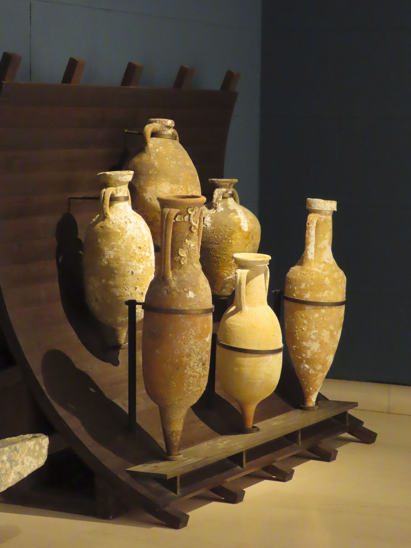
In 1887 two large 5th century BC Phoenician stone sarcophagi were discovered at the Cadiz shipyards.

Construction crews in 1980 unearthed the ruins of a 1st century BC Roman amphitheater. Estimated to seat 10,000 spectators, the theater was one of the largest ever built in the Roman Empire.

I find these recent archeological findings fascinating, in the sense that there are still discoveries about the extent and complexity of ancient civilizations to be made, even though we’ve been living atop them for centuries.

The Cadiz Museum is a great destination and has a very interesting collection of ancient Cadiz artifacts on display. Its location on the verdant Plaza de Mina surrounded by several cafés and the excellent restaurant Mesón Cumbres Mayores was a huge bonus. At the restaurant we shared a delightful experience with a young Spanish/American couple from Oregon who were back in the woman’s hometown visiting family. “You must try the Chicharrones.” We never could have imagined that pure fat is a gourmet delight! Pork belly cooked with spices and garlic, then pressed and chilled, before being sliced paper thin, and served with a squeeze of lemon and a dash of salt. Pared with a nice Andalucian wine, it was Heaven! Obviously, this artery clogger is a tapas to share in moderation.


The urban footprint of Cadiz that we see today is a result of the reconstruction of the city after its 1596 sacking. Resilient, Cadiz was like a phoenix that continued to rise from the ashes and thrive through 200 years of pirate raids and war. Such was the power of the Spanish throne’s, “Casa de Contratación,” a contract with a city that allowed it to impose a tax of 20% on all goods, including gold and silver entering Spain from the New World colonies.
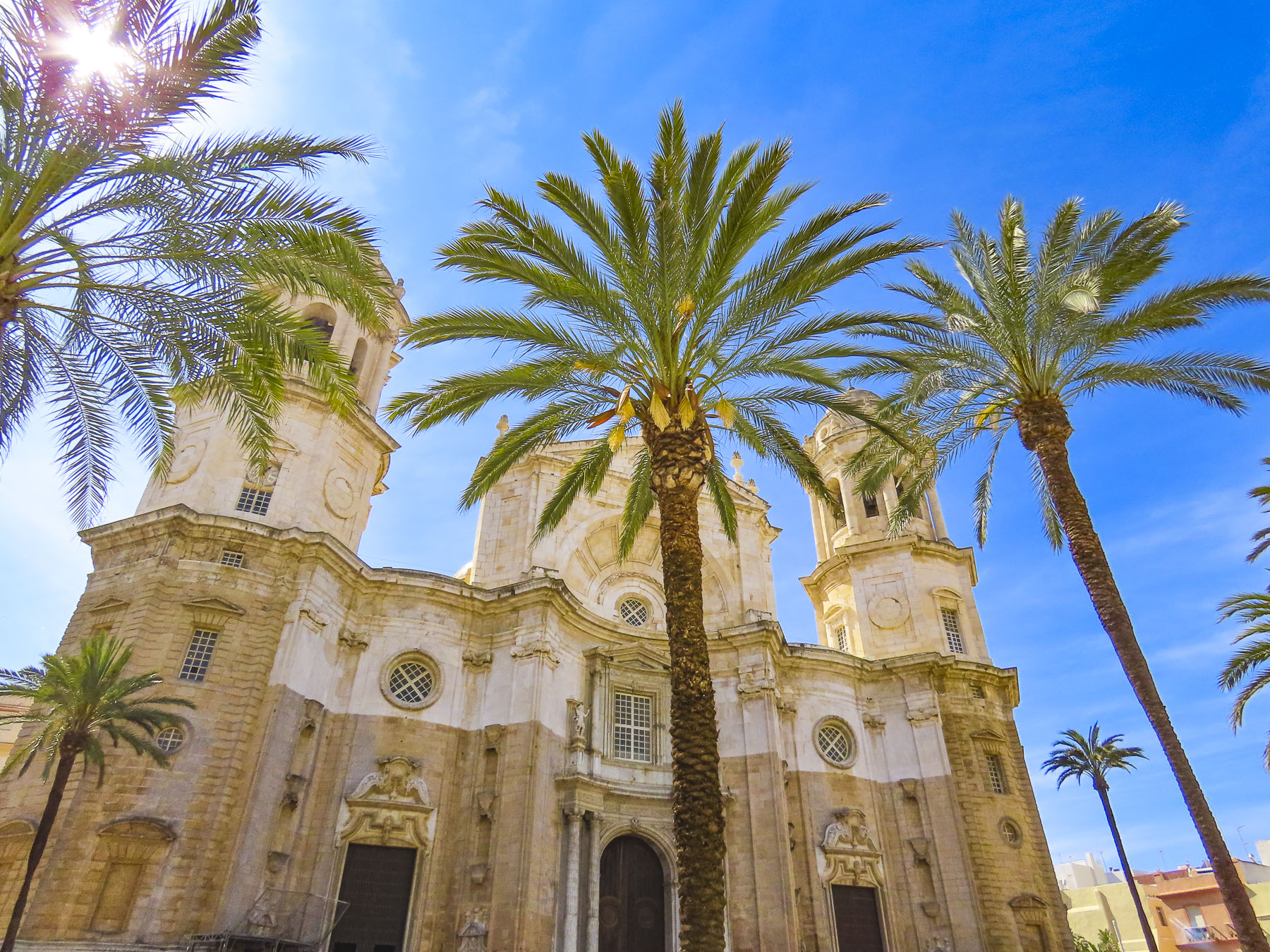
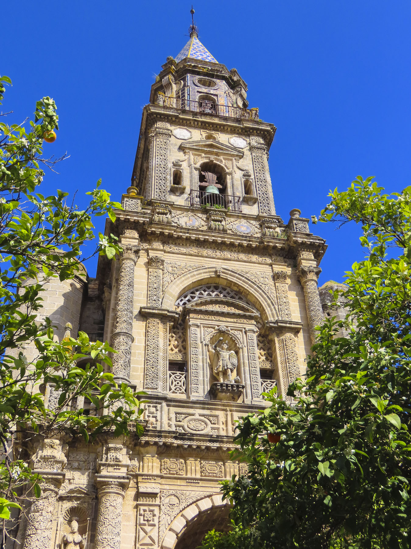
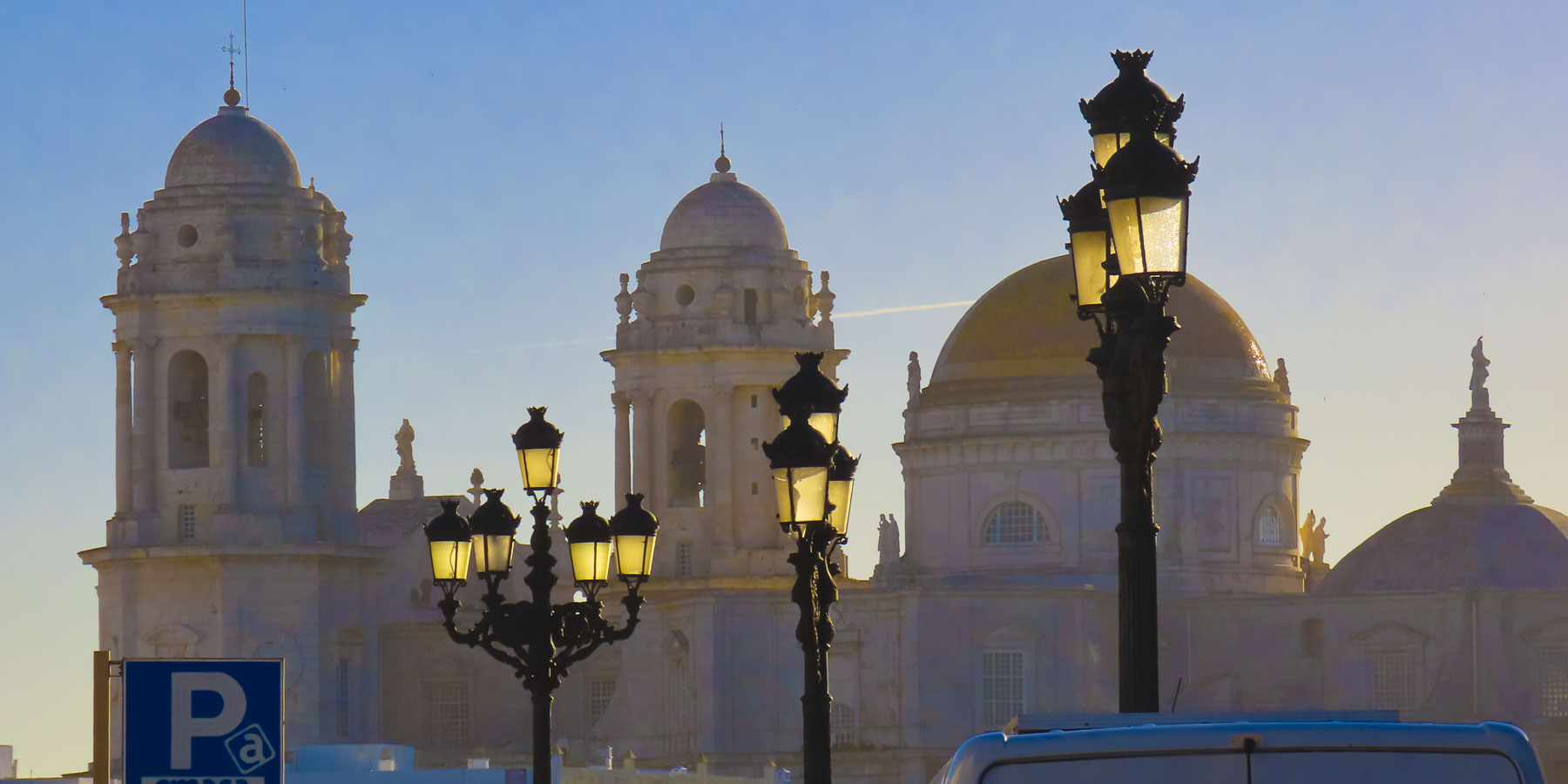
Seville previously held this coveted right before it was granted to Cadiz in 1717. With this new wealth the construction of the Cathedral of Cadiz or, as it was often called, “The Cathedral of The Americas,” was started in 1722.

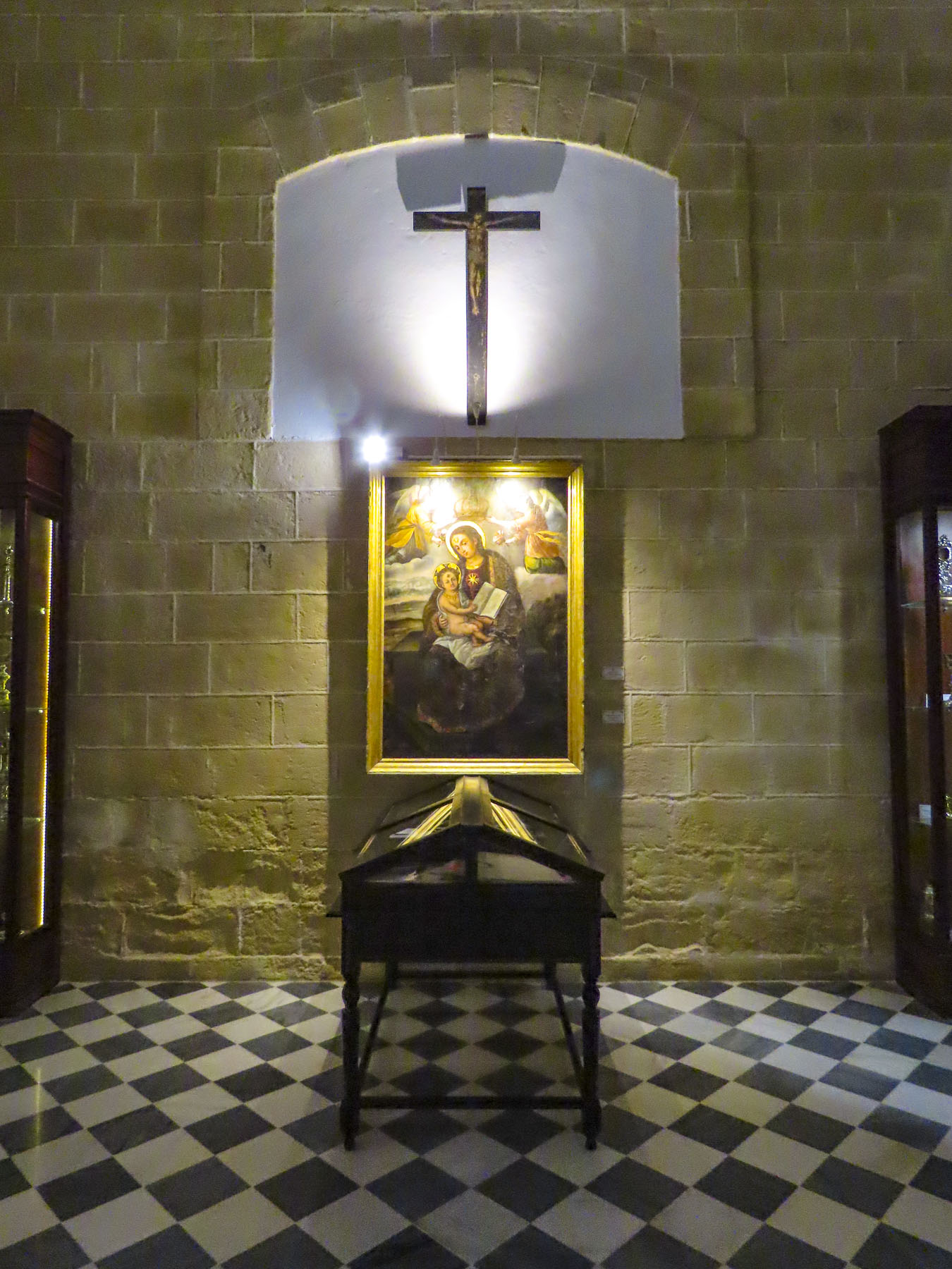
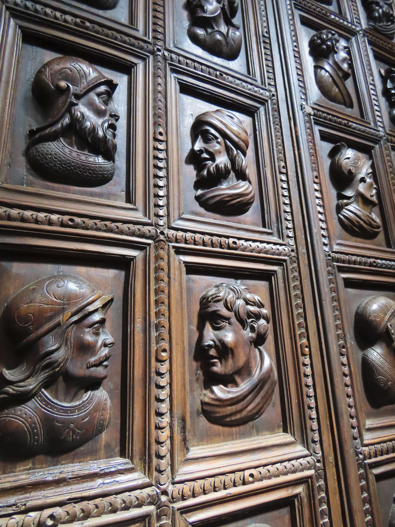
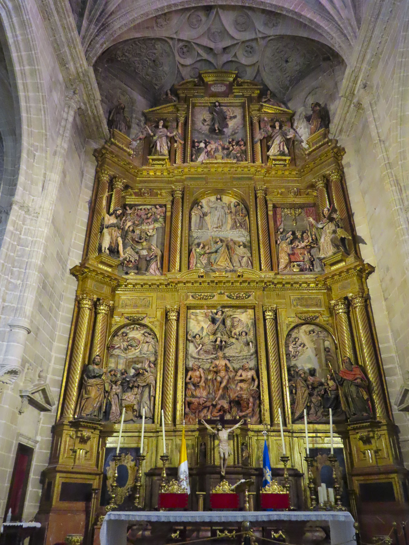
The church is a huge, cavernous space in need of some maintenance as evidenced by the construction netting suspended below the arched ceiling, which still allowed smaller pieces of plaster to fall through and splinter on the marble floor. The ornately carved choir stalls are a masterpiece of wood sculpture.
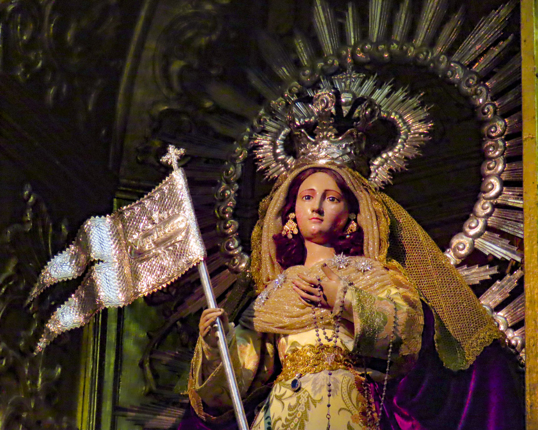
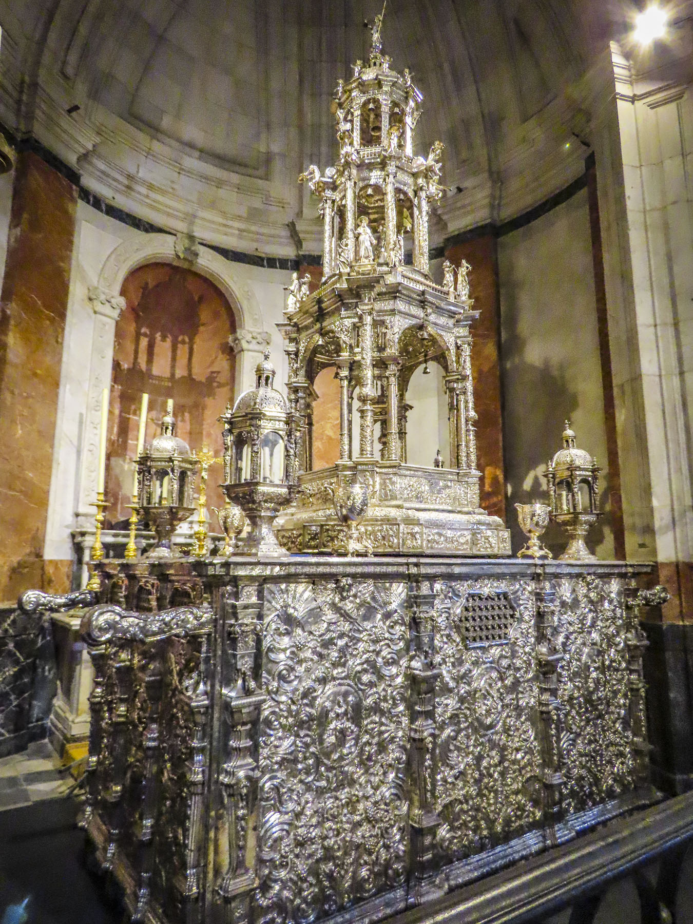
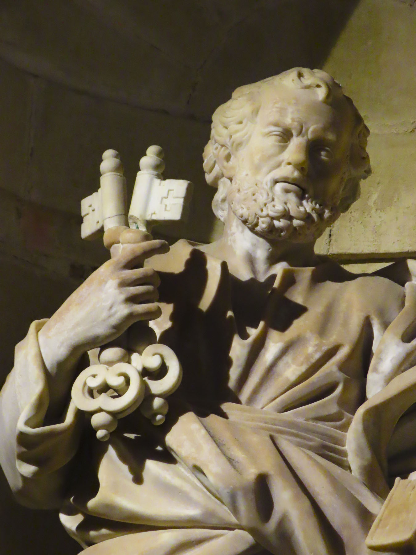
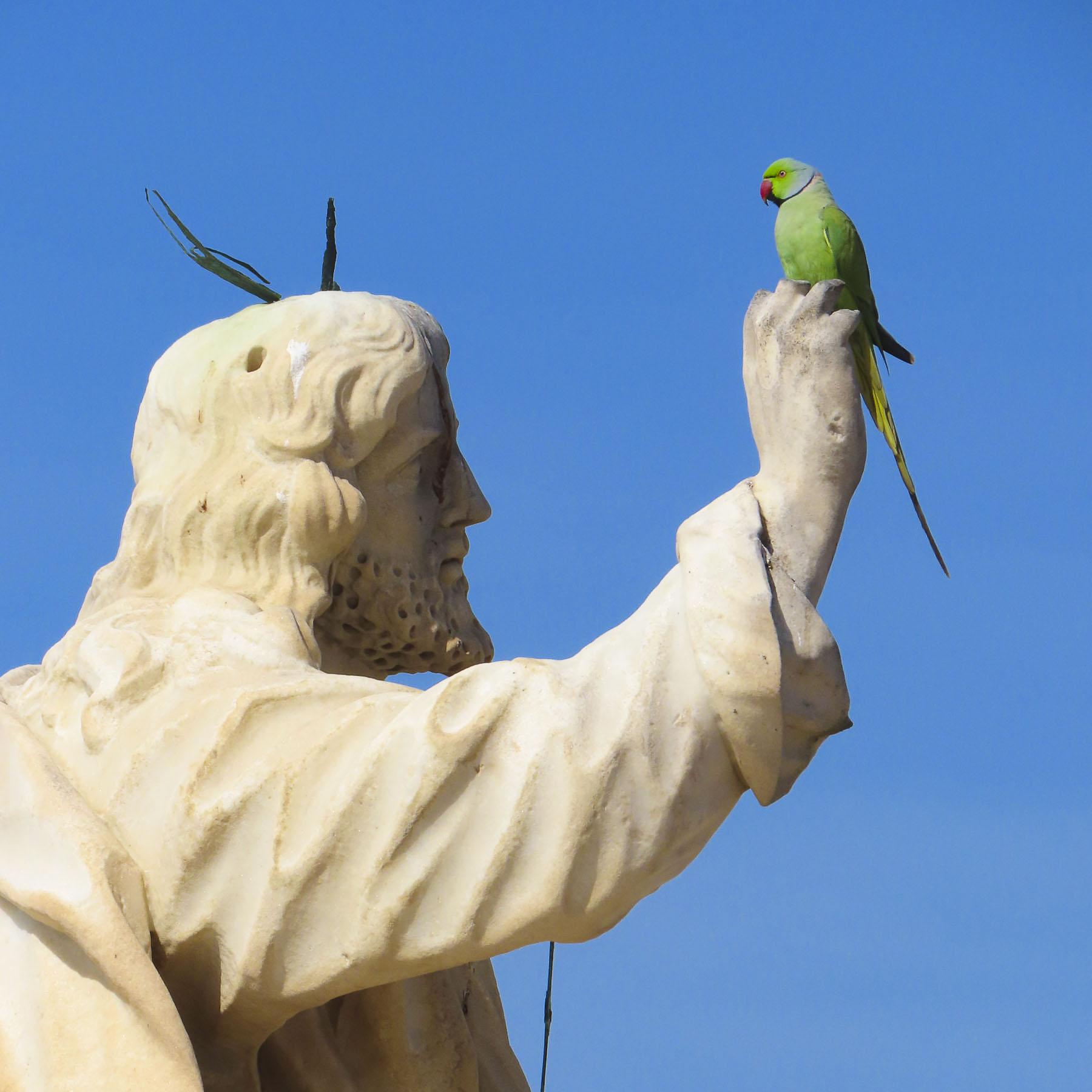
In one side chapel there is a huge ceremonial monstrance crafted with an estimated 800lbs of silver from the New World. There are also many other notable works of religious art scattered throughout this chamber. It’s definitely worth the effort to walk to the top of the church’s Levante Tower for the best panoramas of Cadiz from the highest point in the Casco Antiguo.

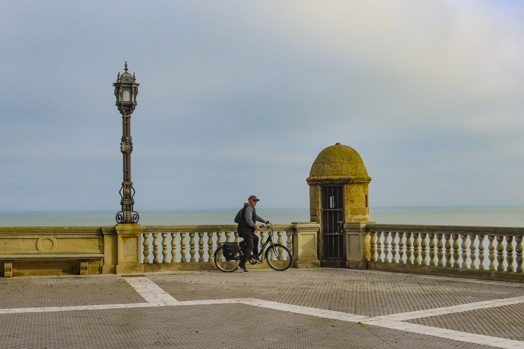
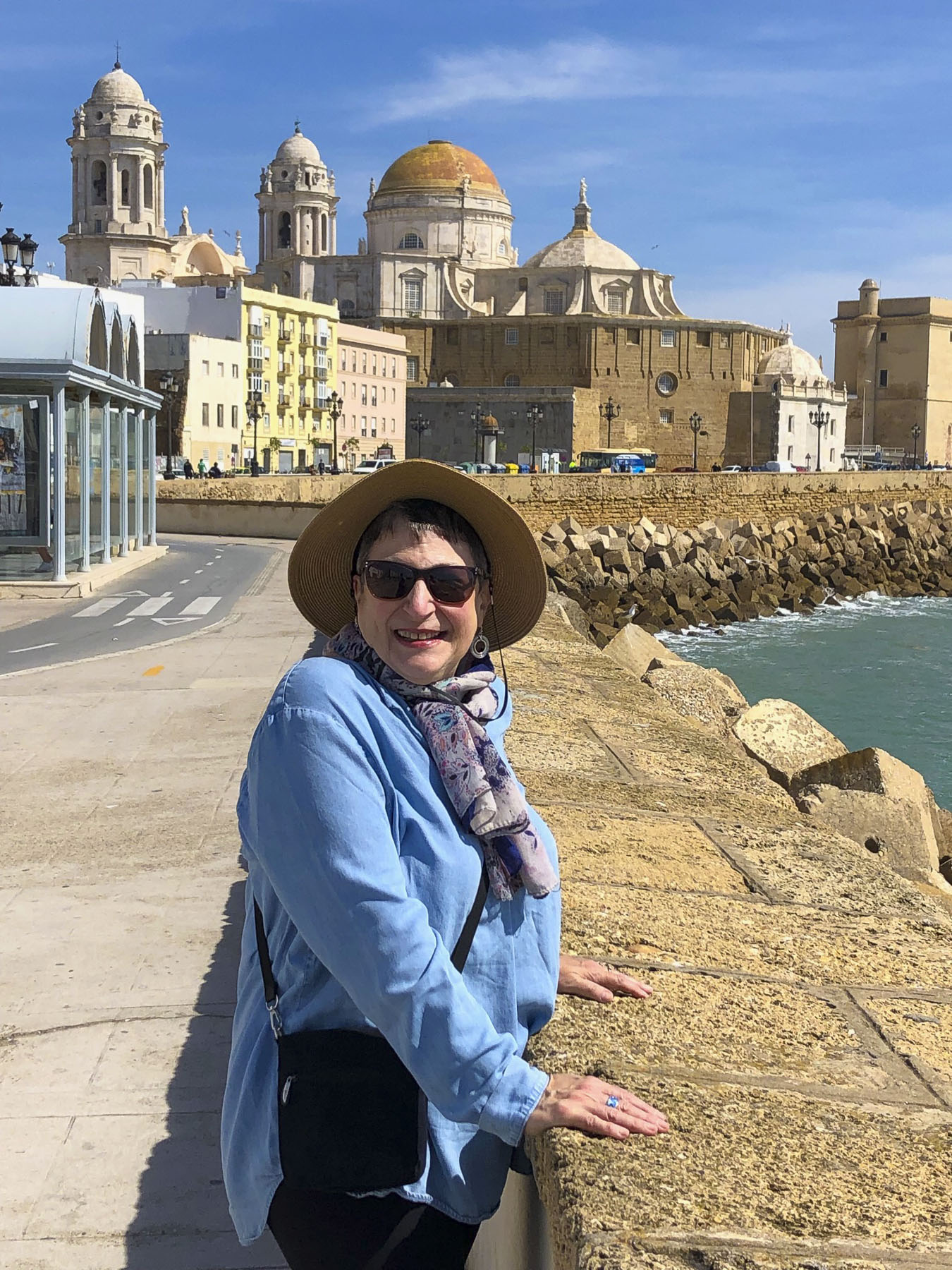
One of the nicest ways we experienced Cadiz was to walk along its seafront Malecón, a wide sidewalk that runs almost completely around the peninsula. The speedy can do it in a day. But why? Walk a little then café is our mantra.


We enjoyed the brisk salt air and occasionally detoured when something caught our interest. Here we enjoyed the iconic view of the Malecón being caressed by waves as the Cathedral dominated the skyline behind it.


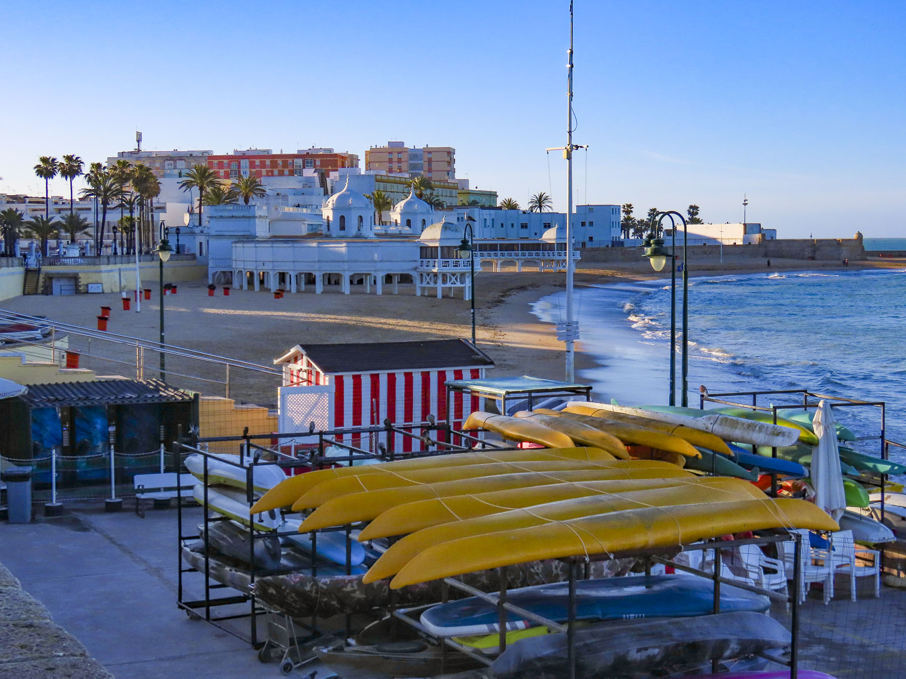
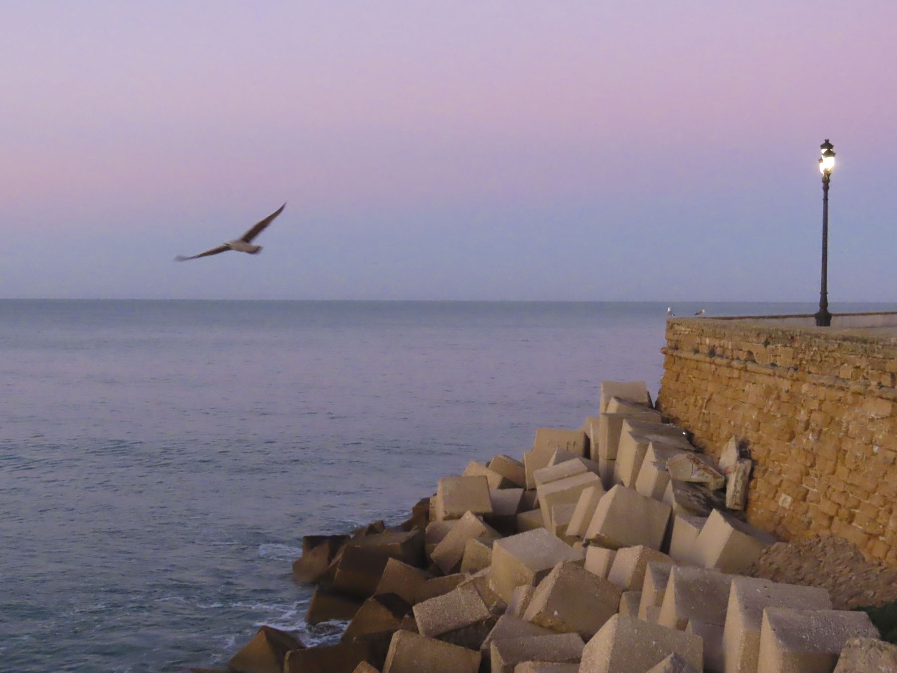
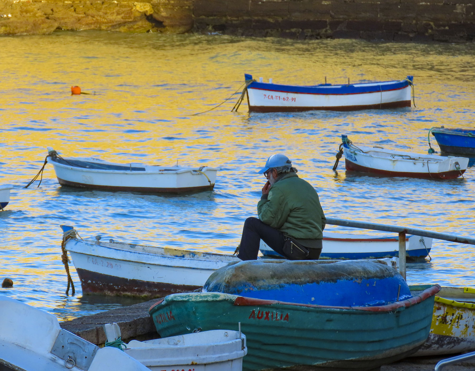
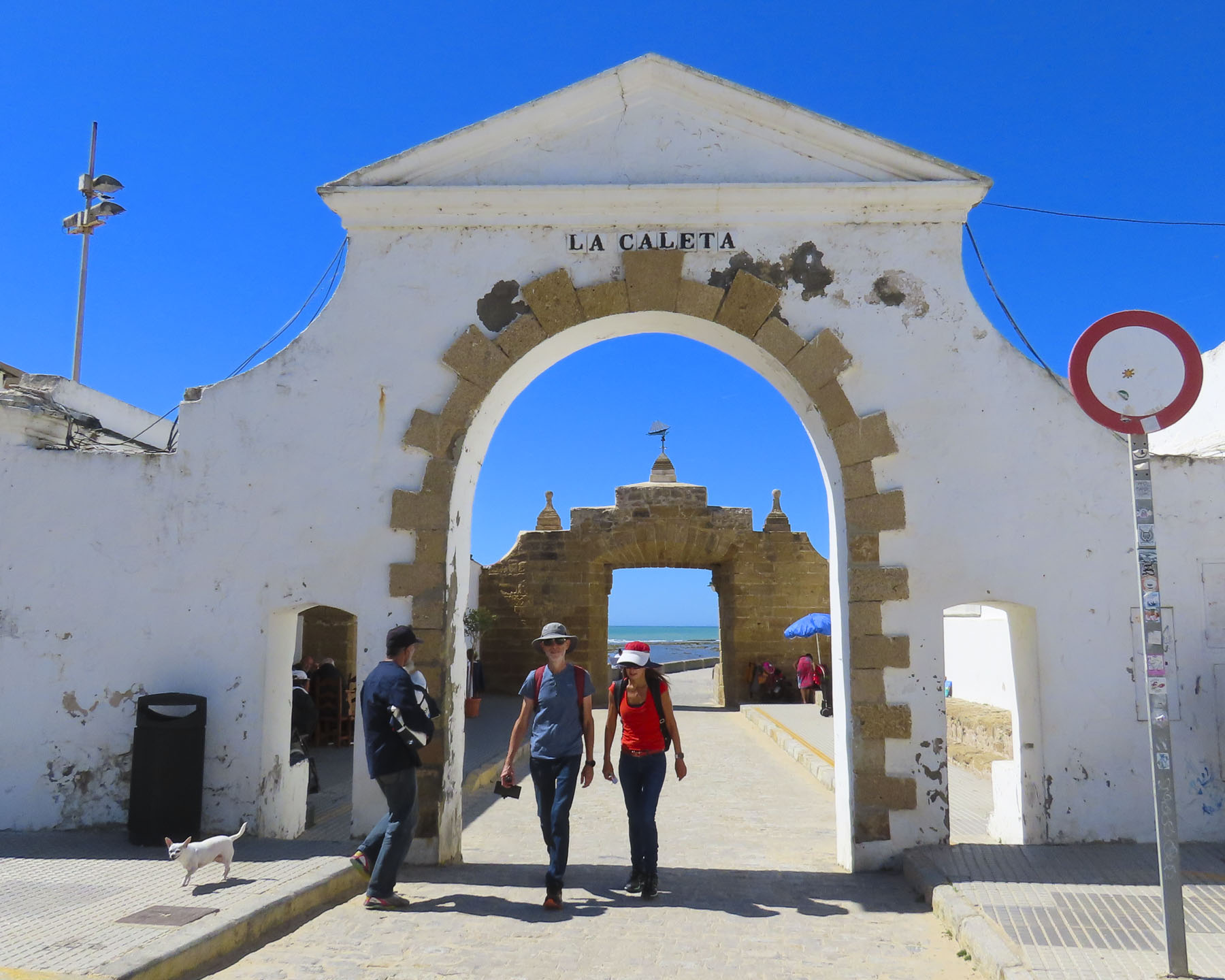
At La Caleta beach there are many chiringuitos, typical Spanish beach bars, for food, beer or a spritz. It’s okay to linger and people watch; we never were encouraged to move along. The beach is guarded by two ancient fortresses. The Castillo de San Sebastian is far offshore but can be reached on foot via a long causeway across the shallows that gets pounded with surf. Onshore the Castillo de Santa Catalina commands the beach and has been recommissioned as an exhibit space for modern art and concerts. On the sunny afternoon in March when we visited, the beach had a good number of sunbathers enjoying a nice spring day.


Farther along, the Parque Genovés is noteworthy for a grotto, waterfall and a stately promenade of topiary evergreens that could rival Versailles.

Cadiz’s love of botanical gardens continues in the elegant Jardines de Alameda Apodaca which features formal walkways with monuments and statues, as well as fountains and pergolas. Along the waterfront, pensioners jangled fishing rods into the ocean in hopes of enticing fish to bite. There are also several grand centenarian ficus trees, with enormous branches that provide abundant shade, in this tranquil seaside park. Across from the park the pastel façade of the Iglesia del Carmén is noteworthy. While Cadiz has many churches, it is difficult to enter them, since most are open only for morning and evening mass.


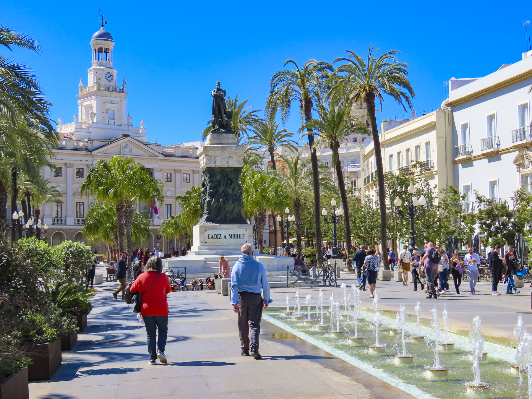
Monuments celebrating the 1812 Constitution of Cádiz, Spain’s first short-lived constitution, stand in Plaza de Espana. For Europe it was a liberal document that established equality between Spanish-born Spaniards and citizens from their foreign colonies, ended feudalism, abolished the Spanish Inquisition and limited the power of the monarchy. When King Ferdinand VII returned to the throne in 1814, after the defeat of Napolean, he abolished the constitution and reinstated an absolute monarchy.


If you were a wealthy 17th century merchant in Cadiz it was popular to have a mirador tower atop your home, from which you could scan the harbor with a spyglass looking for ships that were important to your trade. Often the tops of the towers were festooned with the flags of various nations, colonies or family’s coat of arms, for a sea captain to identify and head to when he finally came ashore with news of his cargo. There were originally 160 of them in Cadiz. Several of the remaining ones can be seen from Plaza de Espana.
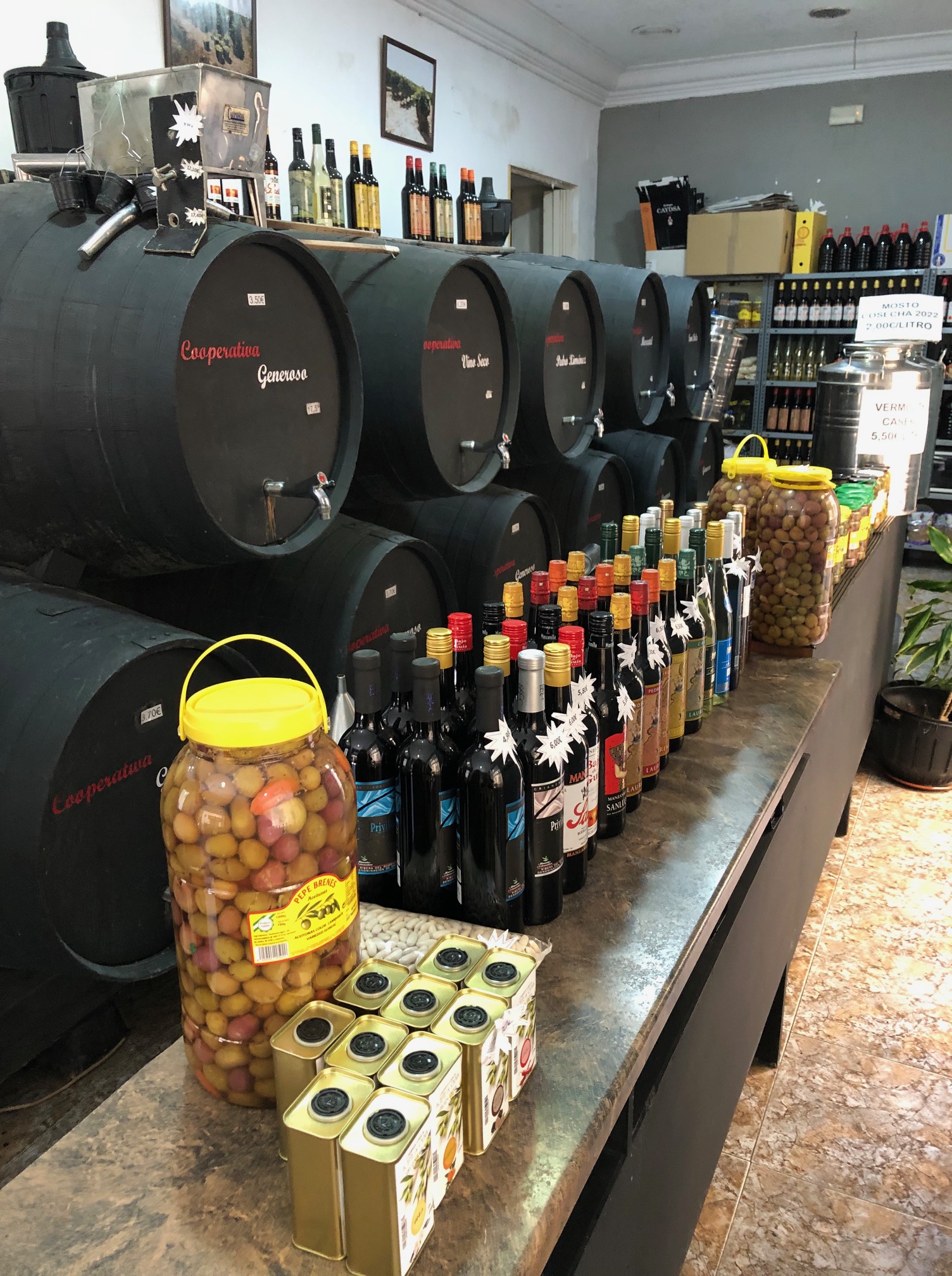

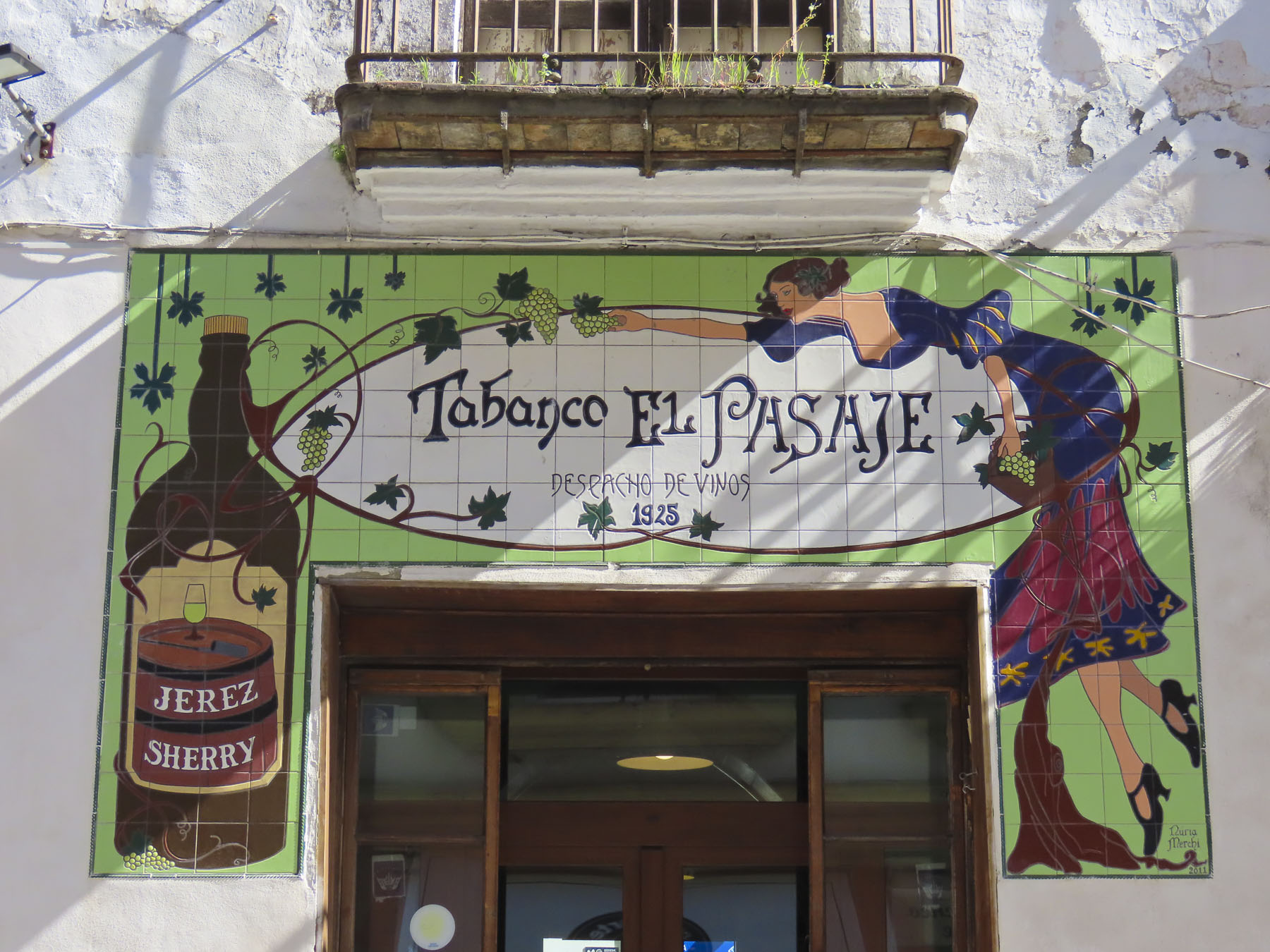
Walking back to our hotel later, we discovered a fantastic small wine shop, the Despacho de Vino Virgen de la Caridad, that specializes in Andalucian sherry, vermut and wine. Here they will fill your empty water bottles directly from the casks of wine behind the counter.
Cadiz with its touch of the Caribbean was the perfect sunny, friendly, seaside Andalucian town for us.
Thank you, Giulia, for the tip.
Till next time,
Craig & Donna