

We always have a wonderful time in New Mexico, but often we’ve too easily fallen into the fastest route, the Albuquerque to Santa Fe rut. Heading north on Rt25, with the Sandia Mountain Range glowing in the late afternoon light on your right and a spectacular sunset in the west is a sublime experience, worthy of inclusion into the “wonders of the world.” The sky and light out here are just awesome, especially if it’s your first time to the Southwest. Aside from traveling north through Jemez Springs, Valles Caldera and Bandelier National Monument, all great destinations admittedly, there are not many alternative routes to Santa Fe, unless you are willing to circumnavigate northern New Mexico for days and hundreds of miles, which is a great alternative and may inspire future adventures.

Instead of following the “westward ho!” from cowboy movies of our youth, we headed east out of Albuquerque eighteen miles on Interstate 40/Route 66 to the Tijeras Pueblo Archaeological Site and the beginning of the Turquoise Trail National Scenic Byway. The trail is a splendid backroad route that gracefully curves, rises and falls through the rugged foothills of the Sandia and Ortiz mountains as it follows NM14 north for 65 miles. Passing through the historic towns of Golden, Madrid, Cerrillos and San Marcos just south of Santa Fe.

Archeological evidence found at multiple sites in Tijeras Canyon traces early habitation going back 9,000 years, near the end of the last Ice Age. The Pueblos people and their first permanent dwellings date to the 10th century AD.
It’s believed that Tijeras Pueblo was built in the early 1300s and had 200 rooms in terraced buildings arranged in a U-shape pattern around a central kiva. The settlement only flourished for about 100 years before it was abandoned in the 1400s due to extended periods of drought and raids from nomadic Plains Indian tribes. The Spanish tried to encourage settlement of the area in 1763 with the Carnuel land grant, but that failed after repeated raids by Comanche, Kiowa, and Plains Apache Indians forced settlers to flee. Permanent resettlement didn’t occur until 1819 when the Spanish made peace with the tribes.
Sadly, today all that is left of the Tijeras Pueblo is a terribly eroded mound of rubble with a self-guided trail that winds through the ruins. There is a small museum attached to the Park Ranger Station, which is only open on weekends.
If you haven’t taken the Sandia Peak Tramway, due to the fear of heights or its expense, you can still enjoy the view with your feet firmly planted on the ground. Follow NM14 north, turn left in the village of San Antonito onto Sandia Crest Road, and follow the signs to the 10,678-ft summit. Entrance to the park is free, but there is a small parking fee at the top. The views across Albuquerque are fantastic!

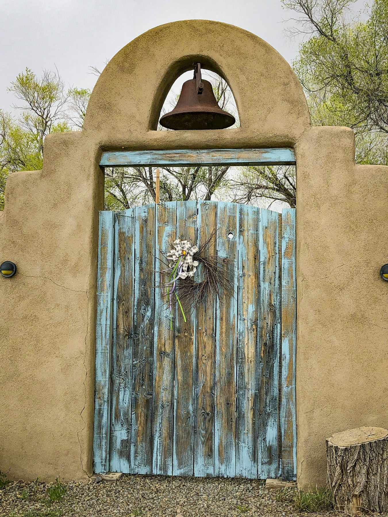
Past San Antonito the desolate, sparsely populated nature of the old west returns, with open vistas and greater distances between dirt tracks that spur occasionally left or right from the road and lead who knows where.
Legends of “Seven Cities of Gold,” and treasure that was rumored to rival the Aztec’s wealth brought Francisco Vazquez de Coronado with 2000 conquistadors north from Mexico City in 1540. On the Rio Grande north of present-day Albuquerque, Coronado commandeered a pueblo as headquarters for his expedition. His men spent two years searching an unknown region that spanned from Texas and Kansas to the Grand Canyon, searching for gold. He never found any because the Pueblo tribes attributed no value to it. Turquoise was the gold they mined for. Spiritual properties attributed to the stone are courage, good fortune and protection of the wearer in battles. The stone was a valuable trading commodity and pieces of Cerrillos Turquoise have been found by archeologists at indigenous sites in Canada and Aztec and Mayan tombs in Central America. Two years later Coronado returned to Mexico empty handed, though his camp was only 30 miles from the stream where this precious mineral glittered in the water.

In 1825, decades before the California Gold Rush, when New Mexico was still part of the Spanish Empire, the mineral placer gold was discovered in Tuerto Creek which ran down from the Ortiz Mountains. Two rough mining camps grew into small villages named El Real de San Francisco and Placer del Tuerto. Built with adobe bricks in 1830, the San Francisco de Asis Catholic Church congregation sought to soften the rough mining town’s edges.
This first discovery of gold west of the Mississippi brought prosperity to the villages for several decades. The Treaty of Guadalupe Hidalgo ended the Mexican-American War in 1848 and allowed the New Mexico territory to be annexed to the United States and the villages were combined and renamed Golden. At its zenith, the town supported many businesses, several saloons, a stock exchange, school, and post office. By the mid-1890s the luster of gold had worn away and ranching had become the dominant enterprise. Folks moved away for better opportunities; the last nail in its coffin and the beginning of its transition to a ghost town was the closure of its post office in 1928.
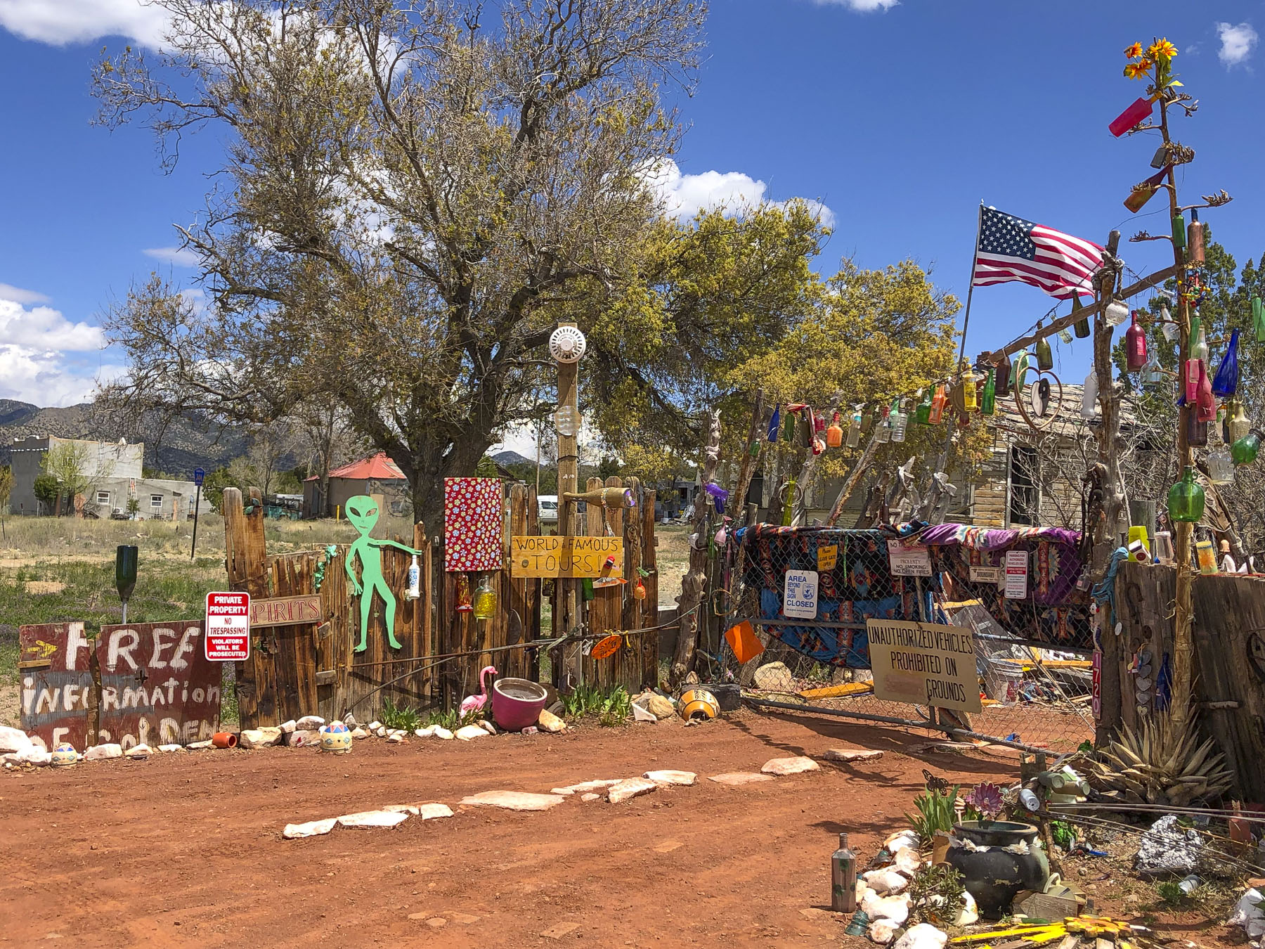
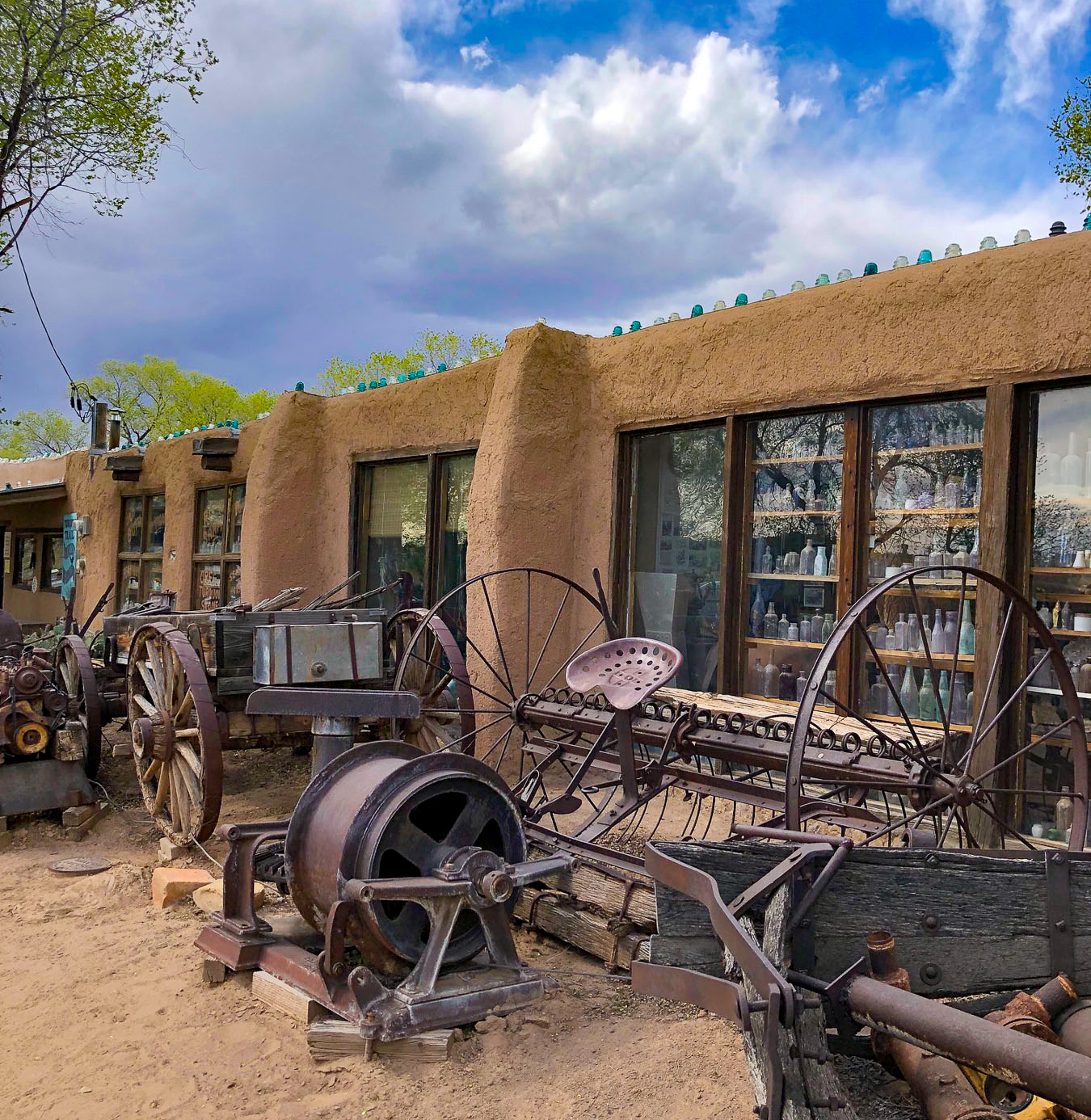
Not much has changed since then for Golden. If you blink you’ve driven through it. But the quirky Bottle House is worth a quick stop and sets the tone for the area that’s full of independent, eccentric, and colorful personalities. The towns along the Turquoise Trail all share similar once-prosperous histories followed by decades of decline, until a slow rediscovery began in the 1970s. It started to attract folks and artists drawn to the ruggedness and beauty of the terrain, those seeking an alternative lifestyle, wanting to live off-the-grid, or just wanting to be left alone. Evolution happens and of course there are now more homes, restaurants, RV parks, small museums, shops, and galleries. But fortunately, there seems to be some unspoken agreement between the old timers and newcomers to keep the area “historically quaint and Old West,” as if time has stopped. You’ll have to drive to Albuquerque to find a strip mall.

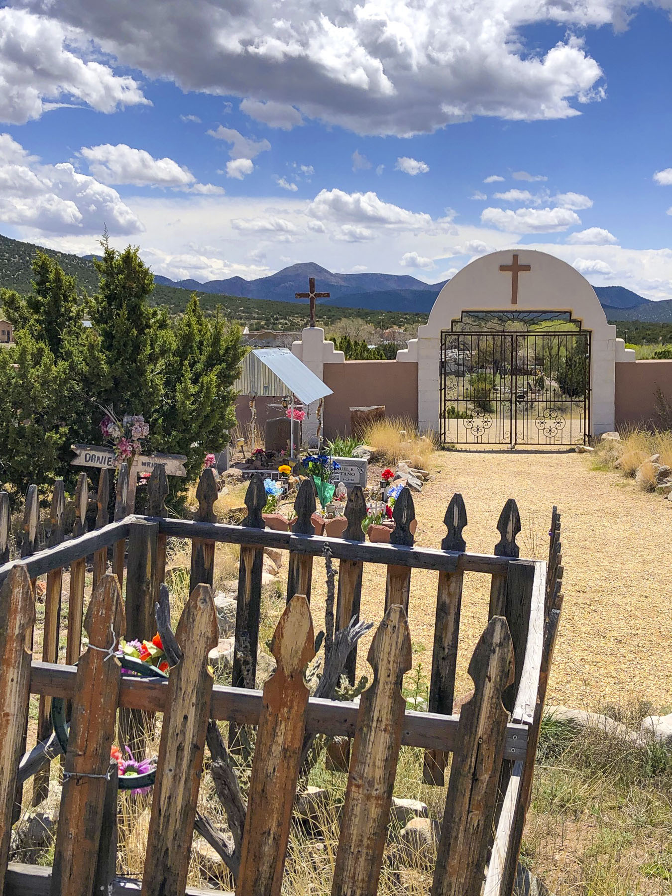
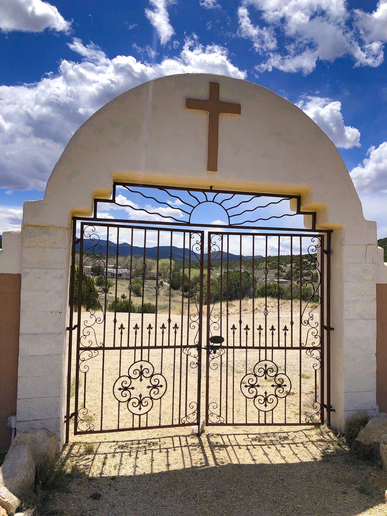
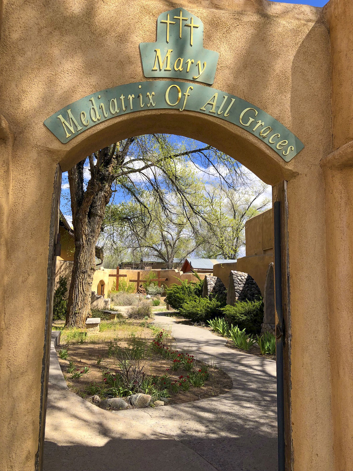
A short distance farther along, the San Francisco de Asis Catholic Church and cemetery still stand and command a small knoll above the road. Its original adobe bricks were covered with a concrete veneer during a 1960’s restoration. But walk around the back of the church and it’s possible to see them where the veneer has broken away. The church supports a small congregation and holds mass on Saturdays at 4:00 pm. Annually, every 1st Saturday of October, the church hosts the Fiesta de San Francisco de Assis which begins with a 11:00 am mass, followed with the blessing of the graves in the cemetery and a procession lead by Matachines dancers.

The vistas between the towns are epically endless and evoked thoughts of how folks centuries ago managed to survive on this wild frontier. Drive too fast and you’ll whiz by many interesting roadside attractions.


Compared to Golden, Madrid is a metropolis! Coal was discovered in the Ortiz Mountains during the mid-1800s, spurring a squatter’s camp called Coal Gulch. MAD-rid, not Ma-DRID, was founded in 1869. So much coal was being mined that the Santa Fe railroad constructed a spur down from Cerrillos into the town in 1892. We wet our whistles on the patio of the Madrid Brewing Company & Museum, in front of an ancient steam train with what we must say was one of the best craft beers we’ve tasted.


It’s difficult to believe that at its zenith the town once boasted a population greater than Albuquerque’s 3000 folks in 1906. All the small claims were eventually consolidated into the Albuquerque and Cerrillos Coal Company. It became a company town and the extraction of coal from the hills surrounding the town was king. The company provided the booming town and its employees with everything.

Houses were bought in Kanas, disassembled, and shipped on the railroad to Madrid to satisfy the demands of a growing population. The company built a community center, school, and hospital. Most importantly, after it burned down on Christmas Day in 1944, the company rebuilt the Mineshaft Tavern, with its famous 40′ long bar where miners could stretch out after a long shift hunched over underground. The first lighted baseball field west of the Mississippi was built for the town’s minor league baseball team, called the Madrid Miners. Electricity produced at the local coal fired power station ran the mines and was provided free to all the residents of the town. Free electricity encouraged extravagant Christmas light displays that drew in visitors from afar to see lights that covered every building and were strung up the mountainside.


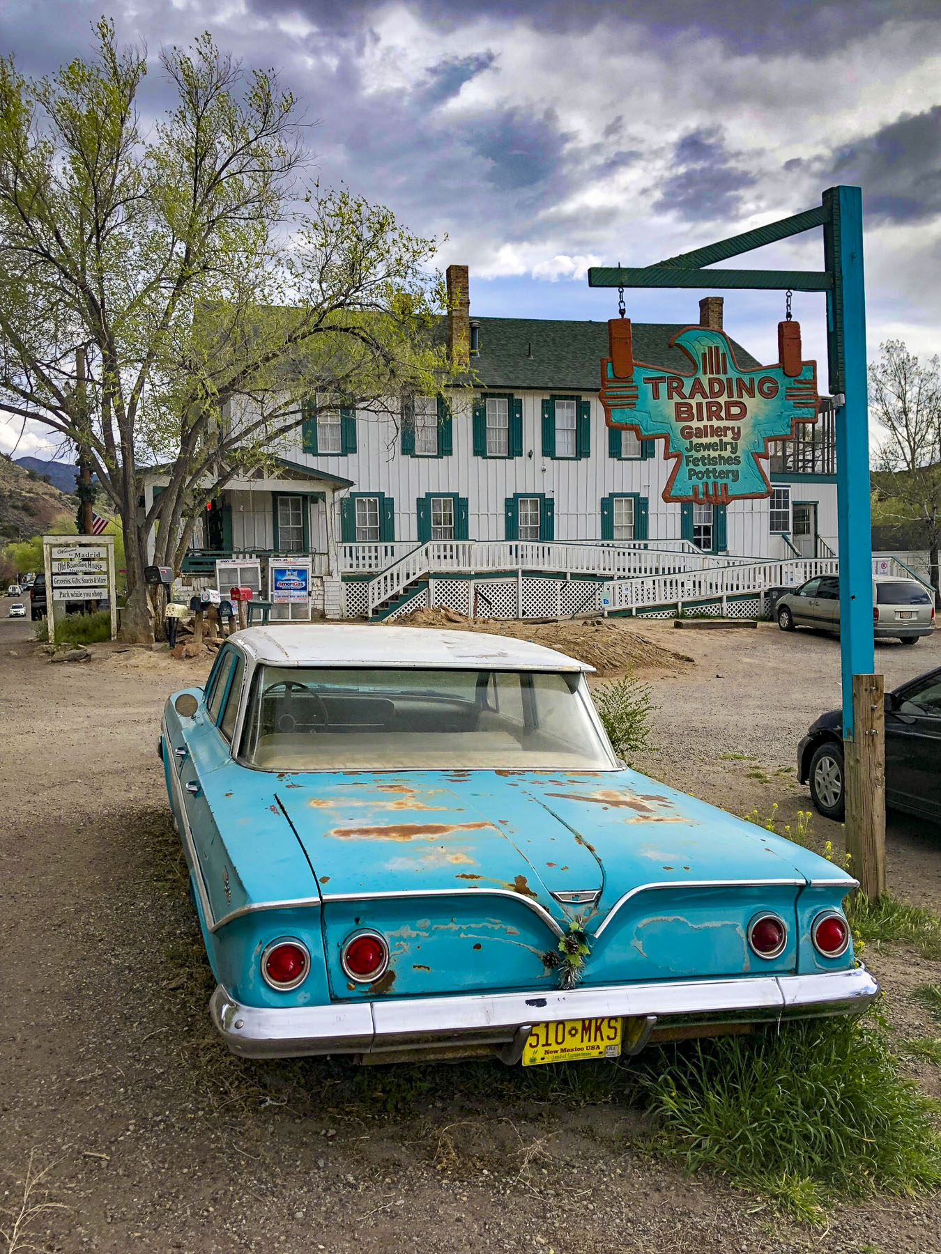
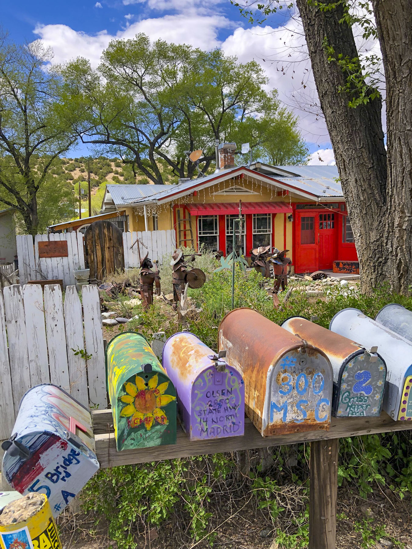
The company brought 160,000 gallons of water daily by train tank cars into the town and legend says every home had a green lawn. The price of coal collapsed in the 1950s when natural gas was beginning to be piped into homes, and the company and town’s economy collapsed as well. In 1954 the entire town was offered for sale for $250,000.00 in the Wall Street Journal. There were not any buyers. Except for a few squatters, the town sat abandoned for twenty years until it was decided to sell the company homes one at a time. Studios, shops, museums, restaurants, and galleries now line the 20 mph main stretch. Packed with tourists on the weekends, it’s almost impossible to find a place to park. Like the rebuilt bar, the town today is a phoenix risen from the ashes.
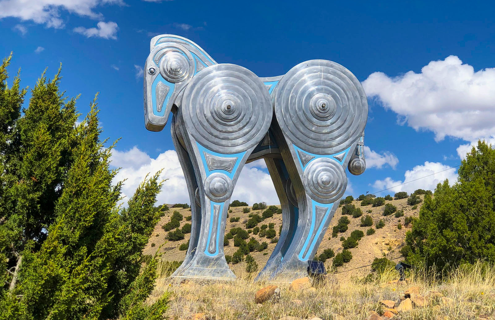
Just north of Madrid, a huge contemporary metal sculpture similar to a Trojan Horse highlights the landscape. You can’t get very close to it, as there’s no visible gate and it’s behind a rancher’s barbed wire fencing. As of this writing I haven’t been able to identify the artist. The sculpture is intriguing, and its placement is mystifying. Other artists have also placed their creations along the drive.


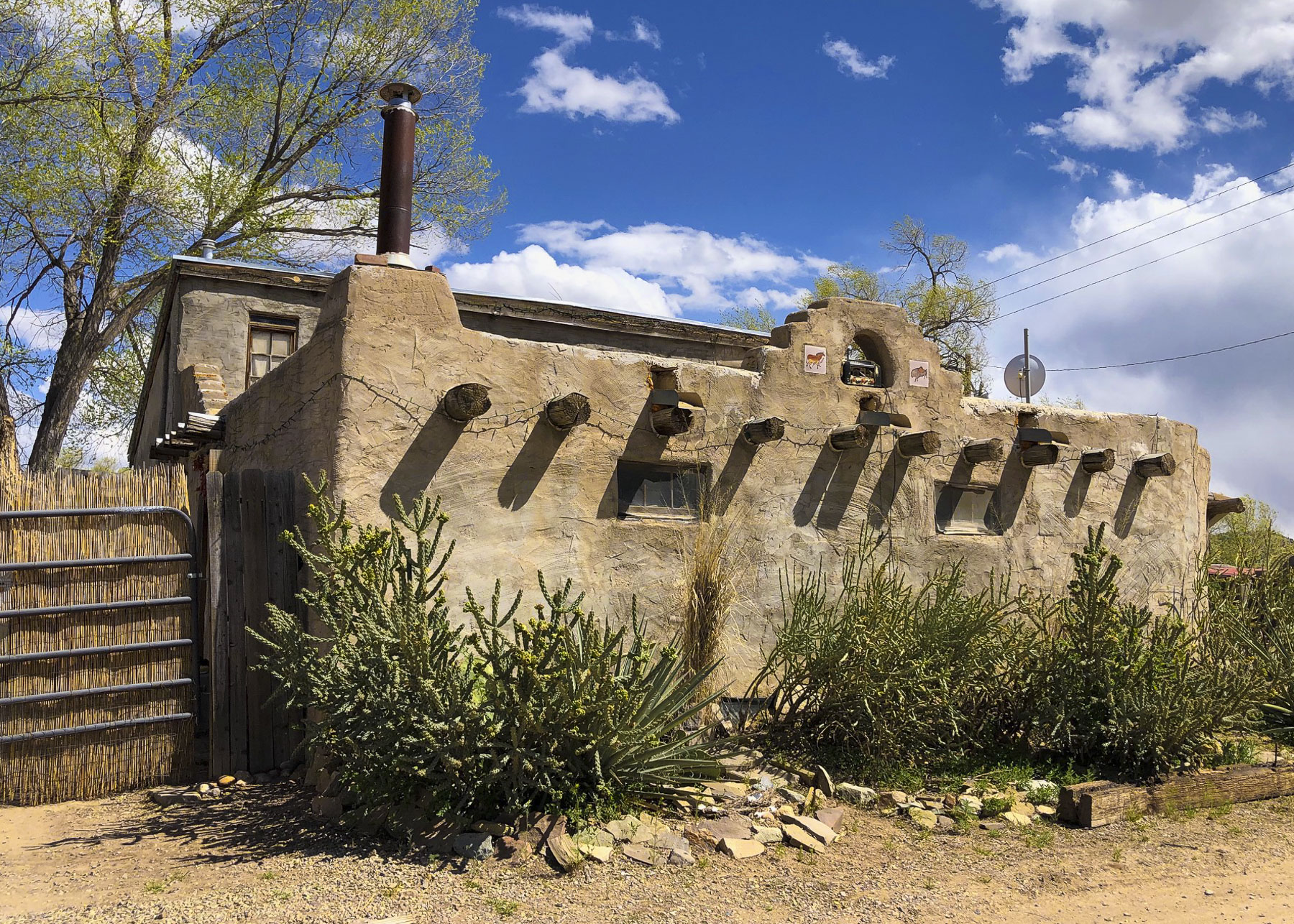
The turn for Cerrillos lies just beyond the bridge that crosses the over the Arroyo Viejo, a seasonal creek. It’s the only town on the Turquoise Trail that you have to turn off NM 14 to reach. That half-mile journey takes you back 150 years to a village with dusty dirt roads, wide enough to turn around a team of horses and a wagon. Cerrillos retains its old west authenticity, with many original adobe structures and 1800s era rough-hewn lumbered storefronts. It is deemed so authentic, many western movies have used the town for their location shoots, most notably the 3:10 to Yuma (2007) starring Russell Crowe and Christian Bale, along with Young Guns (1988) which had a huge famous cast that starred Jack Palance, Kiefer Sutherland, Lou Diamond Phillips, Emilio Estevez, Charlie Sheen, and a cameo appearance by Tom Cruise as a soldier shot in the climatic scene. The action comedy with Clint Eastwood Every Which Way but Loose (1978) was also filmed here. A few miles away John Wayne filmed The Cowboys (1972) in San Marcos.


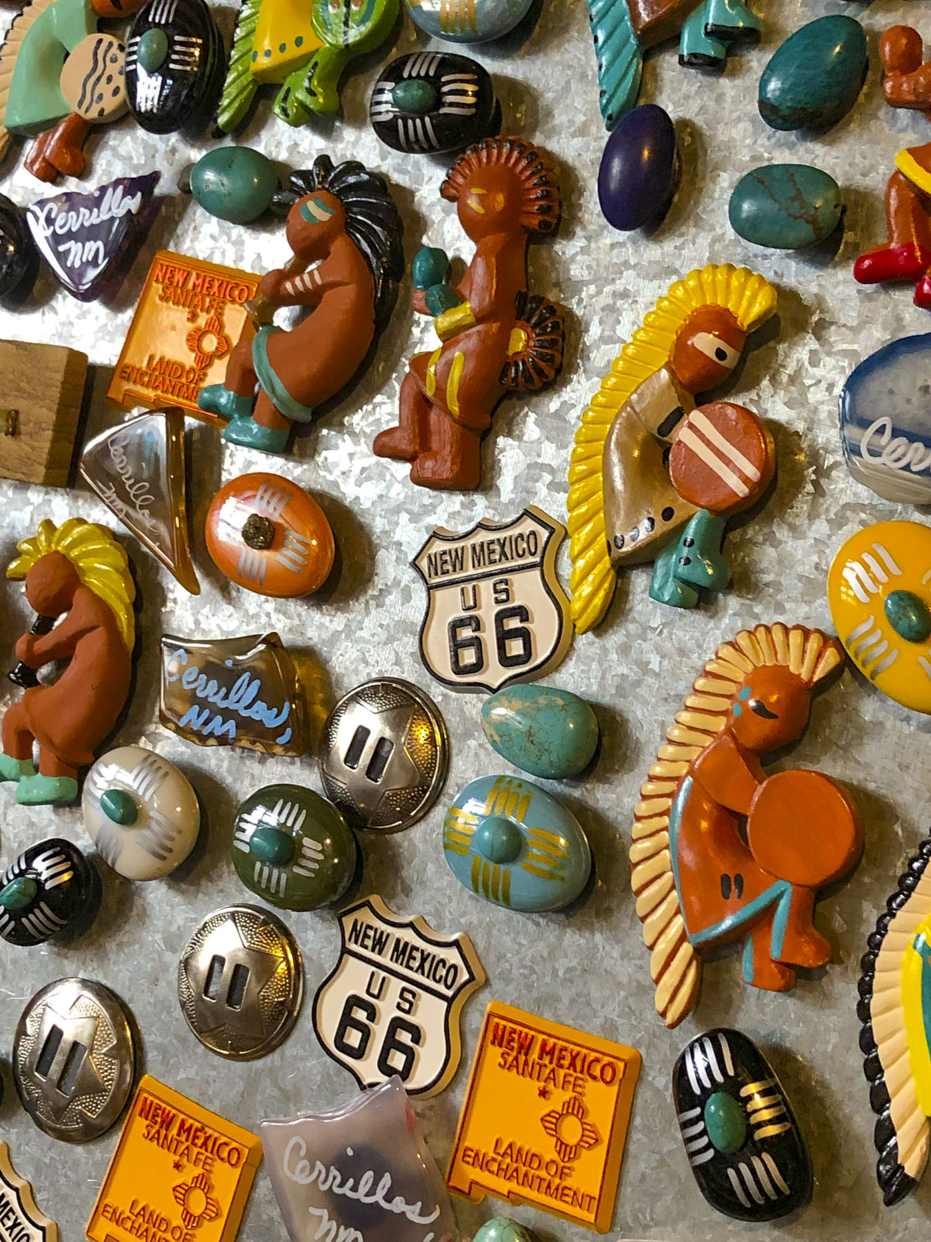
Pueblo Indians had been conducting small open pit mining with hatchets on Mount Chalchihuitl, which is now part of Cerrillos Hills State Park, since the 900s. The stone was gathered for its believed sacred properties, along with lead sulfide, which was the source of glaze paint used to decorate native pottery. Spanish settlers arrived in the 1600s and mined the same hills for silver. There was an uneasy coexistence, and silver mining ceased with the Pueblo Rebellion in 1680. Small mining efforts returned to the area after the Spanish renewed efforts to live peacefully with the Pueblo tribes. New Mexico was a United States territory when gold was discovered around Cerrillos in 1879. The railroad arrived in 1880. The boom town supported thousands of miners with 4 hotels, 5 brothels, 21 saloons, and an opera house which once hosted a performance by the famous French stage actress and singer “the Divine Sarah,” Sarah Bernhardt.


Four thousand prospecting pits, mine shafts and holes were dug in the area by 1884. The town’s prosperity and recreation attracted outlaws like the Ketchum Gang, Silva’s White Caps and Billy the Kid. Cowboys from Cerrillos were recruited to join Teddy Roosevelt’s Rough Riders for their campaign through Cuba during the Spanish American War. The president of a gold and silver mining company began promoting turquoise and silver Jewelry to visitors arriving by train. Tiffany & Co. at one point even owned their own mine to provide the stone for their booming turquoise jewelry sales that lasted into the 1900s. The St Joseph Catholic Church standing today was built in 1922 and replaced an earlier 1884 structure. A Methodist Church graced the other end of town. It was never a ghost town, but slowly, one by one, the area’s mining operations played out and closed until only several hundred people remained in the area.

Mid-week in early spring, the only door that swung open was at the Casa Grande Trading Post and Cerrillos Turquoise Mining Museum which has a mind-boggling array of displays and trinkets. It is a large 28 room adobe hacienda that looks like it has been there for centuries. But in fact the owners, Todd and Patricia Brown, along with family and friends, started construction in the 1970s that eventually utilized 65,000 handmade adobe bricks.

Some Interesting highlights from the Cerrillos Historical Society include:
1888 – The dark stain on the floor of Dr. Palmer’s second-floor office, the relic of Black Jack Ketchum’s bullet wound, is the local must-see attraction. The first meeting of the Cerrillos Masonic Lodge is held at the Palace Hotel in their upstairs room.
February 19, 1890, 11am – Nelly Bly, the famous New York World reporter was racing back to New York on her round-the-world-in-80-days journey (she made it in 72 days, 6 hours, 11 minutes, 14 seconds). Her train stopped at Cerrillos only long enough to take on water. The 67 miles from Albuquerque to Lamy by rail was done at the breakneck speed of 46 miles an hour!


August 1892 – The new railroad spur to Coal Gulch is completed and the town of Madrid is born.
1899 – The Cochiti Gold Mining Company builds an Edison coal-fired dynamo at Madrid, which provides Cerrillos with its first electric lights. Those were the days!


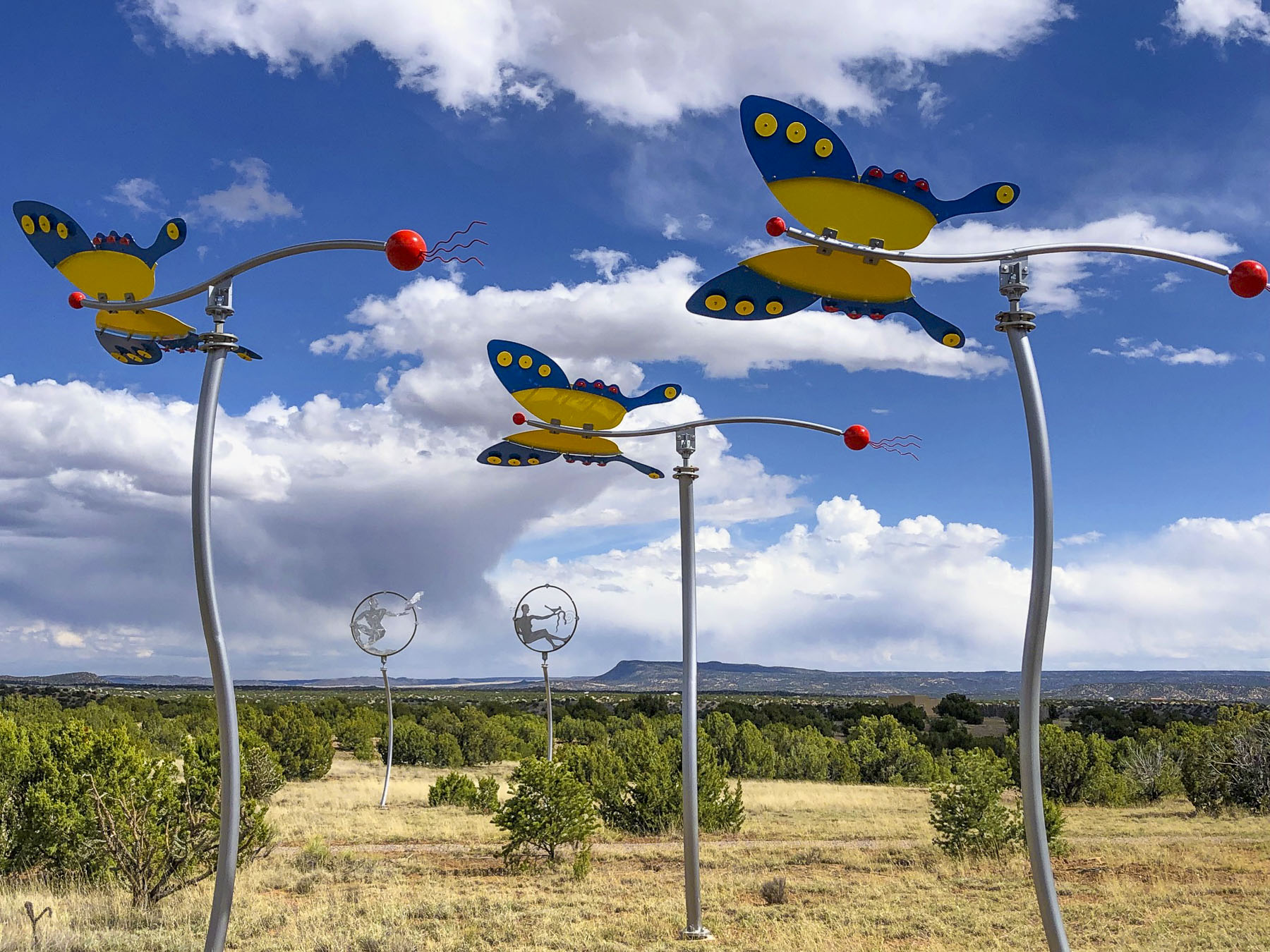
Just past an interesting geological rock formation called Garden of the Gods, we reached our farthest point north and turned around on the Turquois Trail in San Marcos at the intersection with the road that leads east to Galisteo and eventual the pueblo ruins at Pecos National Historical Park. Along the road here are some whimsical wind sculptures created by David Hickman.

We could have continued north on NM14 to Santa Fe, but we chose to return to Albuquerque via Madrid and stop for a crisp cold beer at the Mine Shaft Tavern and stretch our legs.
Till next time,
Craig & Donna

