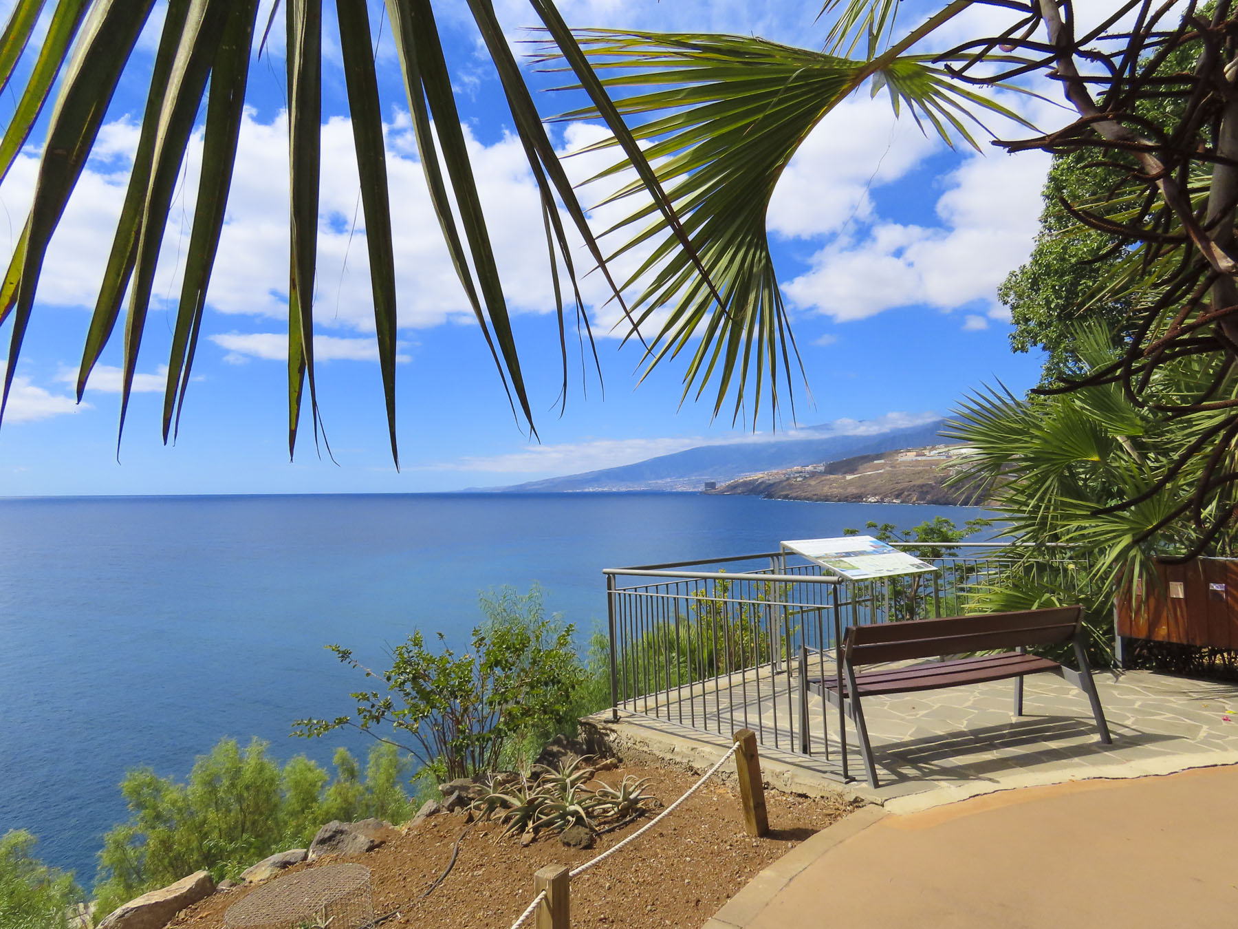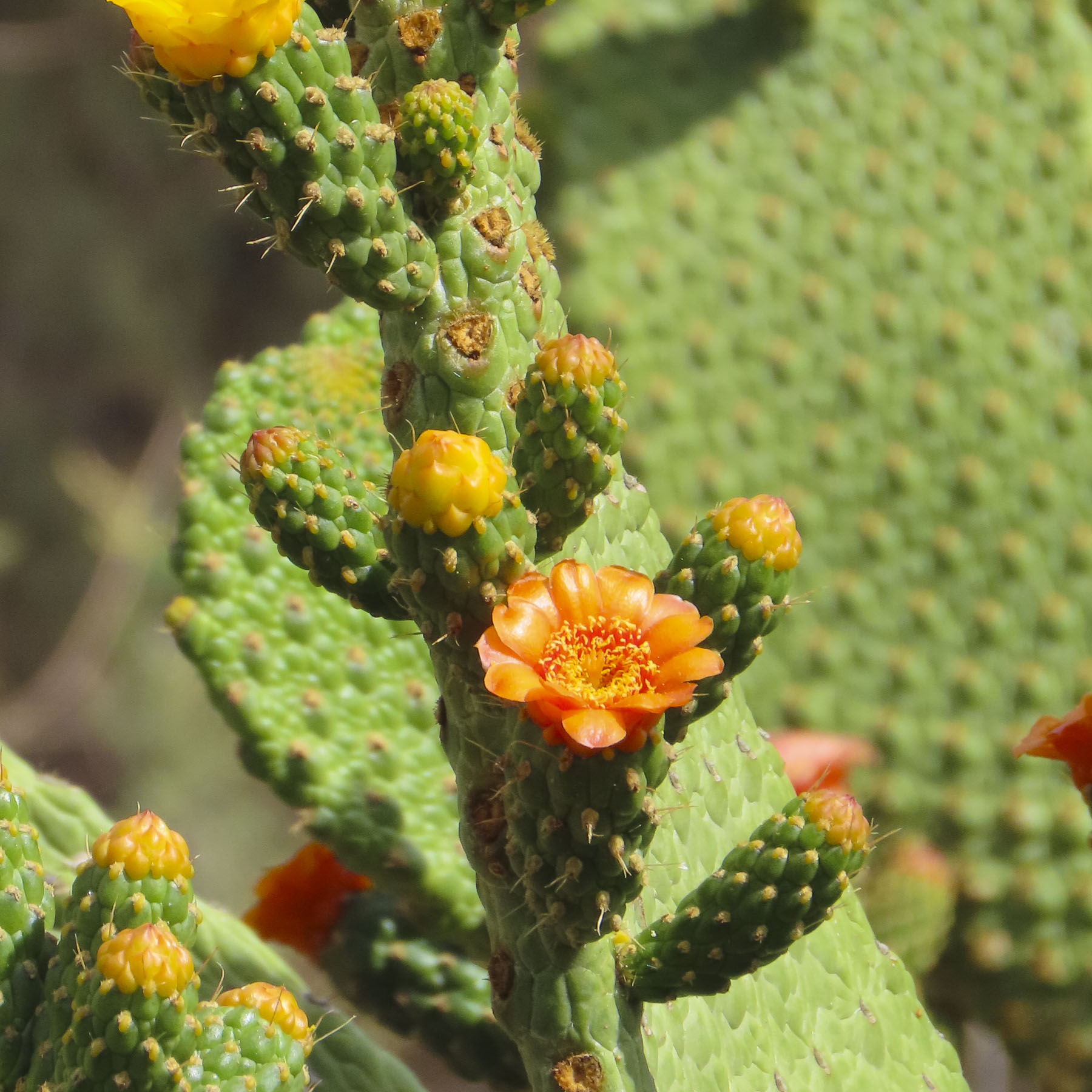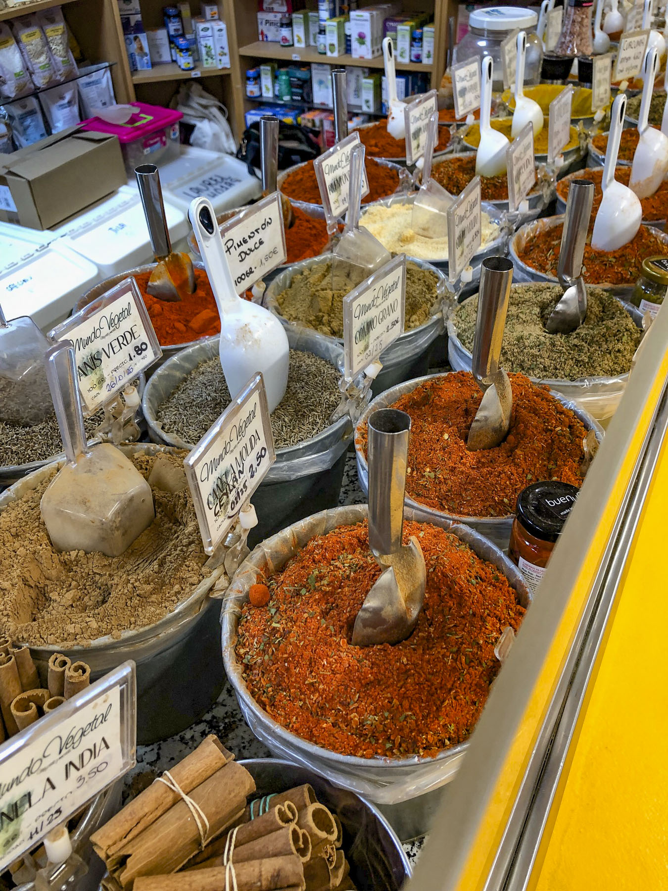
Gran Canaria: Sunny, Volcanic & Diverse

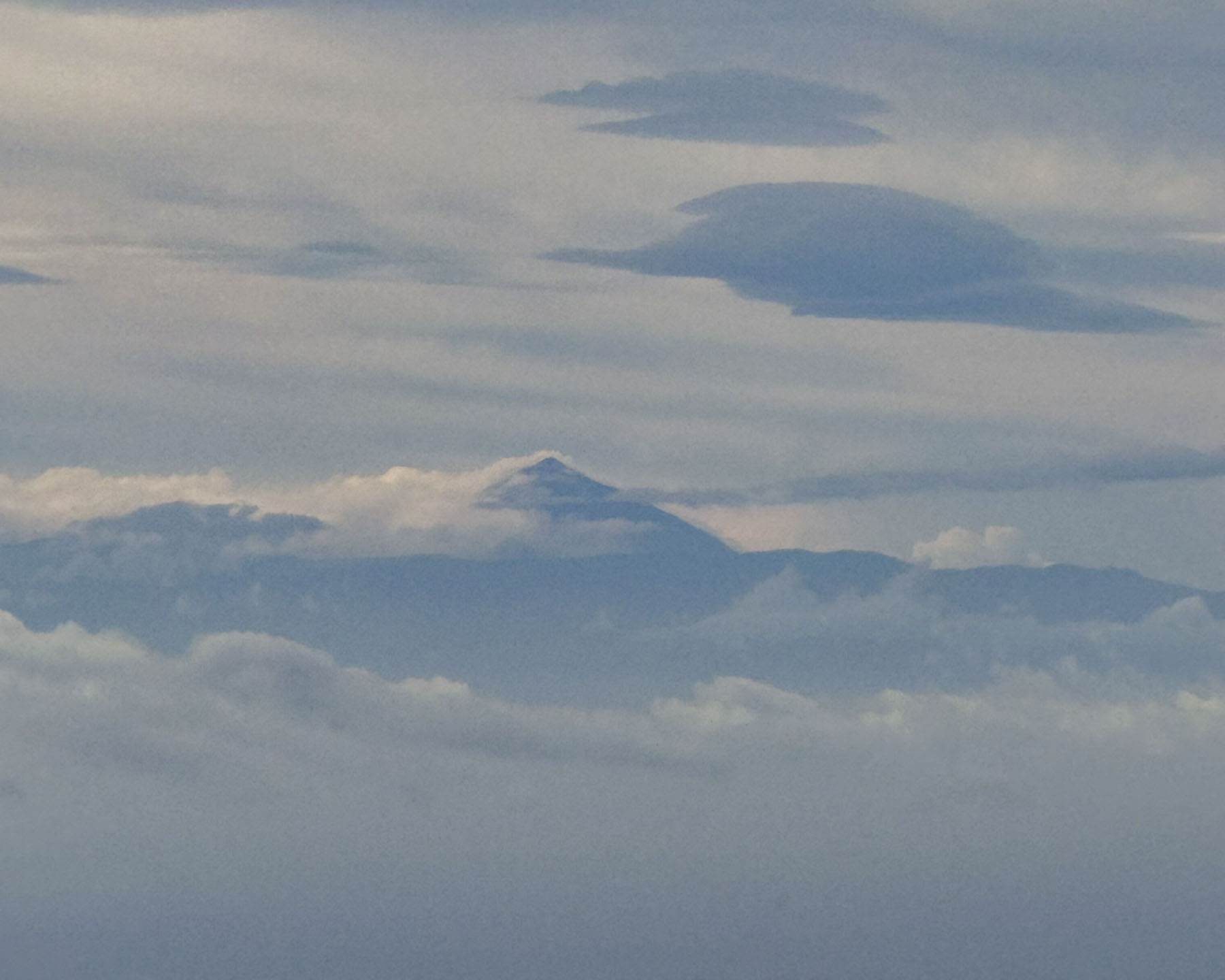
The cone-shaped summit of Mount Teide poked through hazy blue clouds. At 3,715m (12,000ft), it is Spain’s highest mountain, it’s not on the Iberian Peninsula, but on Tenerife in the Canary Islands. For centuries, the iconic landmark was the first sight of land for sailors returning from the newly discovered Americas.  Now tourists get the pleasure of seeing this majestic peak after flying 2,170 km (1,350 mi) south over the Atlantic Ocean from Barcelona to Gran Canaria Island, 280 kilometers (175 mi) off the coast of southern Morocco.  
Our desire to flee the hot and humid weather of the southern United States, which usually lasts until beginning of December, coupled with a reasonable airfare, was the catalyst for the trip. And escape we did, initially to Andorra, that beautiful small, isolated microstate in the Pyrenees Mountains between France and Spain. Our day had started hours earlier in the chilly mountain predawn as we fled the cold Andorran mountains, that the week before received an early November covering of snow, to Gran Canaria. The Canary Islands’ third largest landmass in the eight-island archipelago, is often referred to as the “land of eternal Spring.”
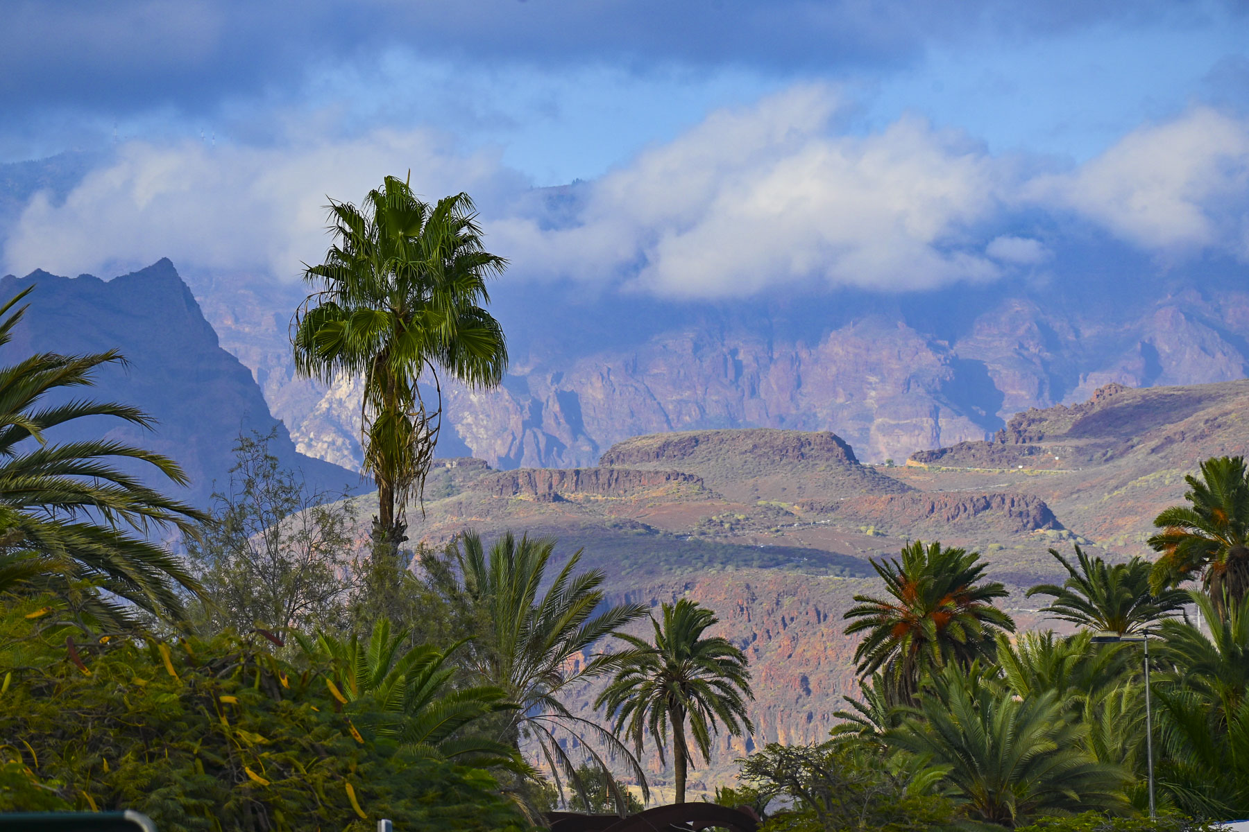
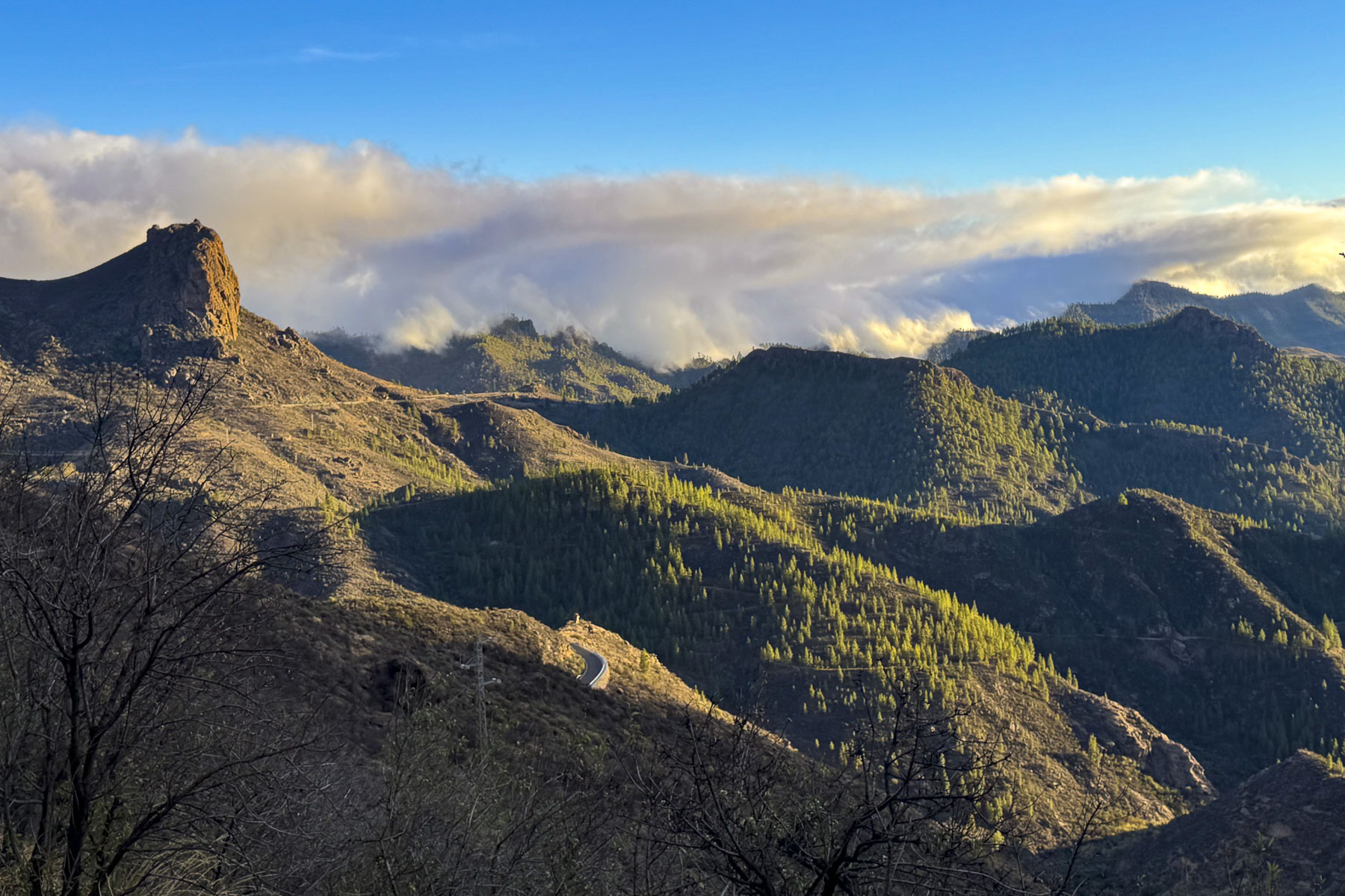
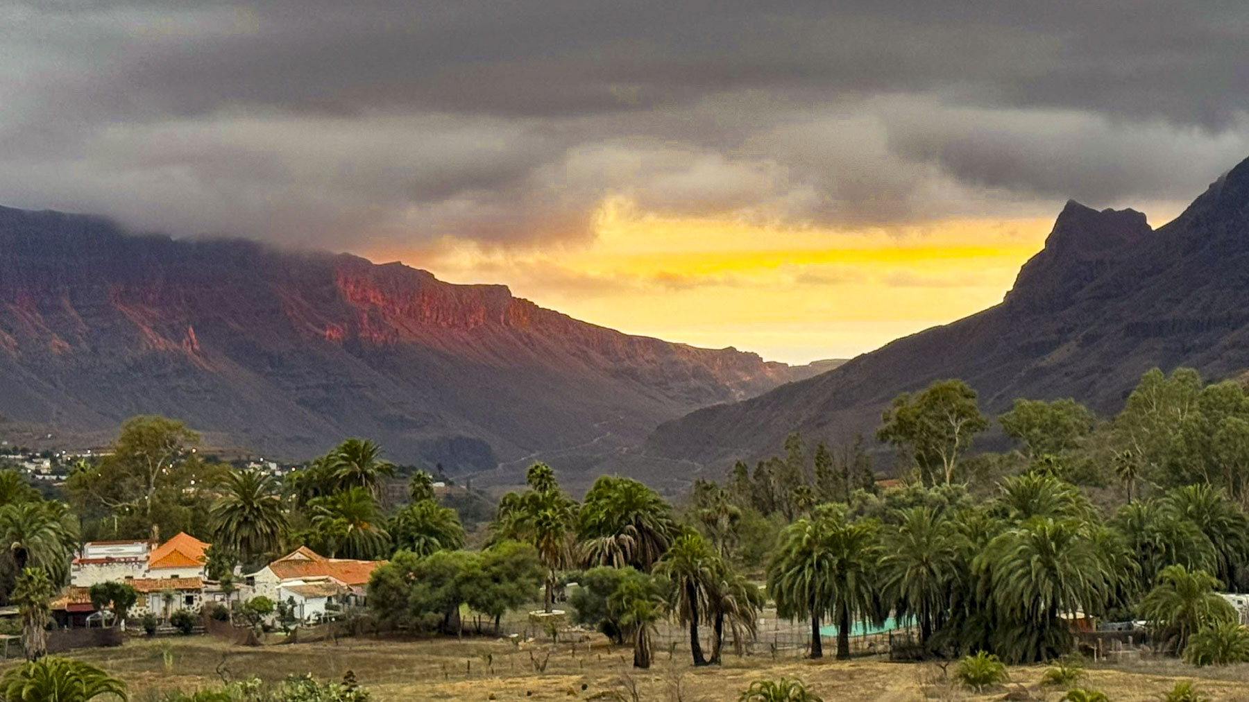
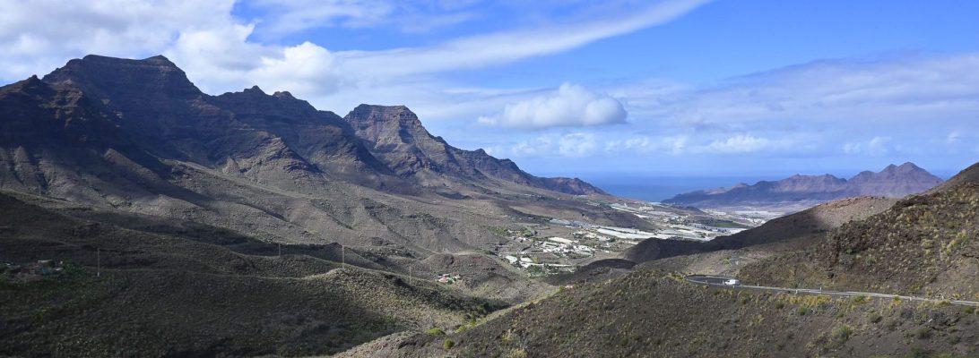
Driving south along the GC-1 from the airport toward Maspalomas, the island’s Montañas Sagradas mountain range dominated the inland view. Though Pico de las Nieves, the tallest peak in the range, is only half the height of Mount Teide, the mountain range’s sheer austere ruggedness was beautiful, and so close.
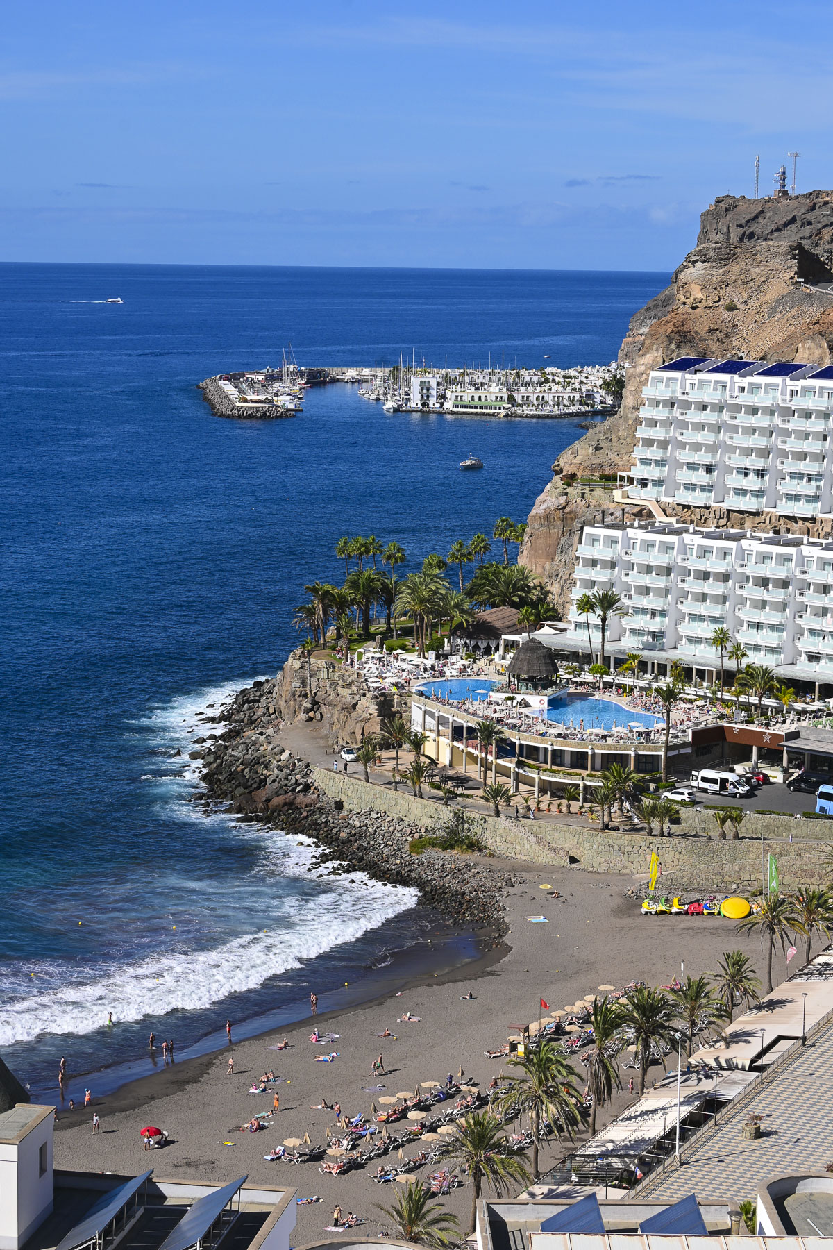
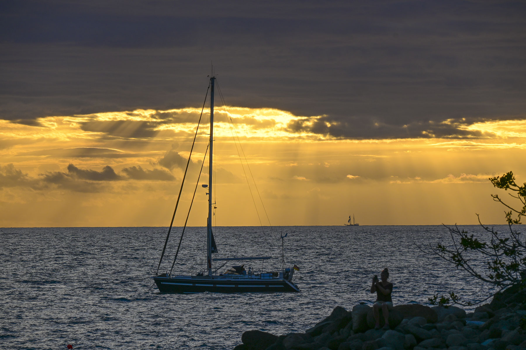
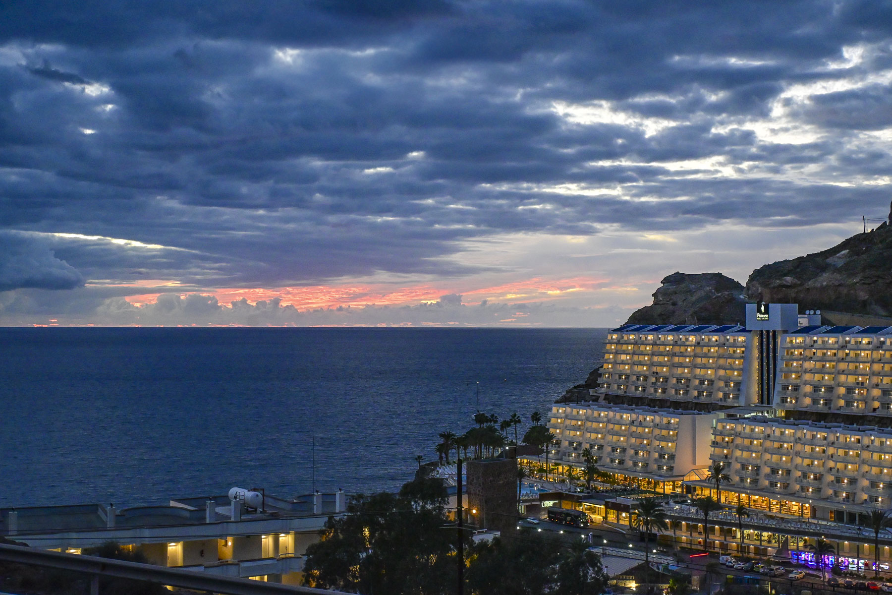
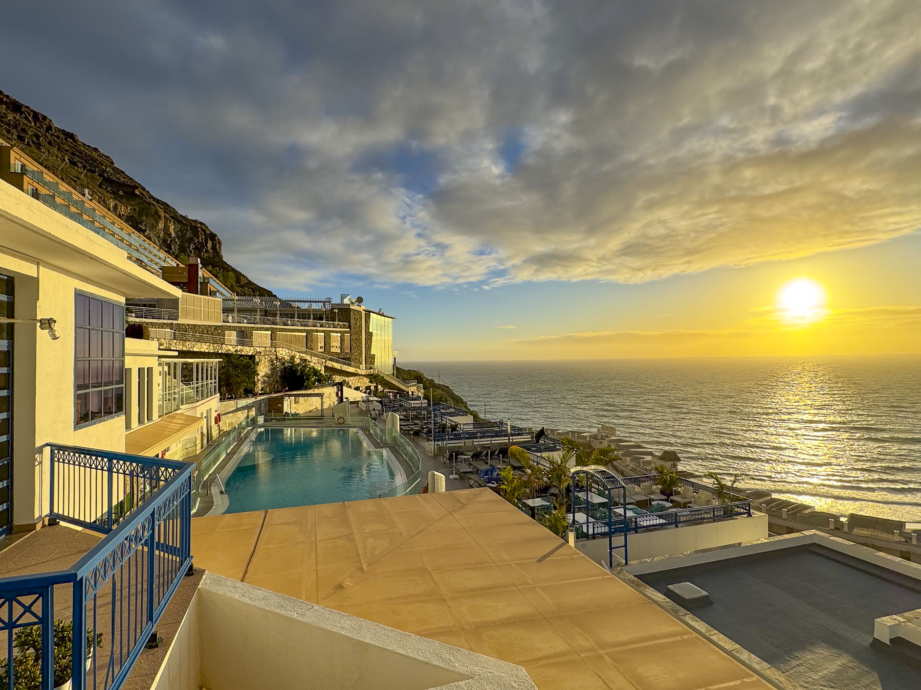
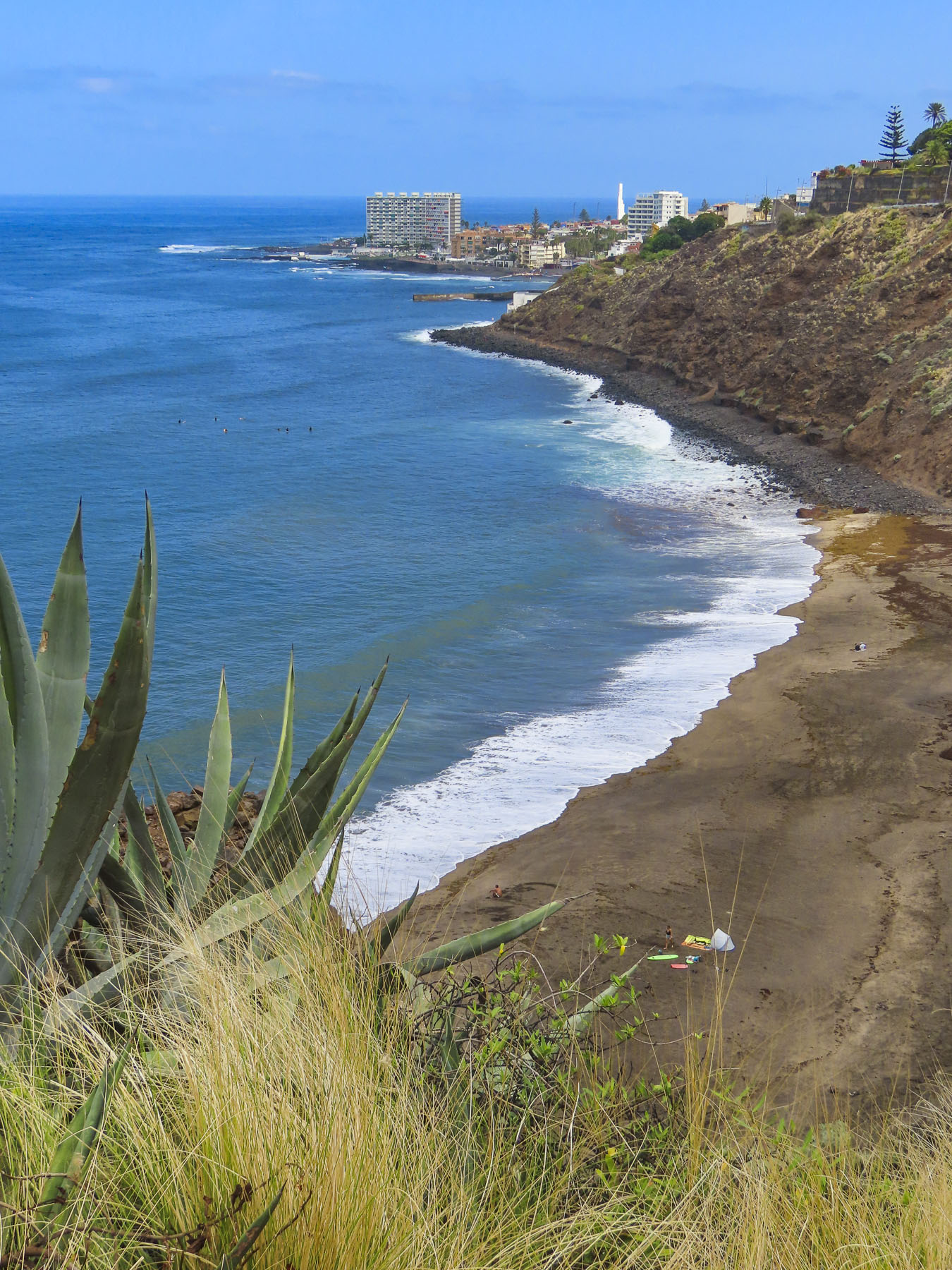
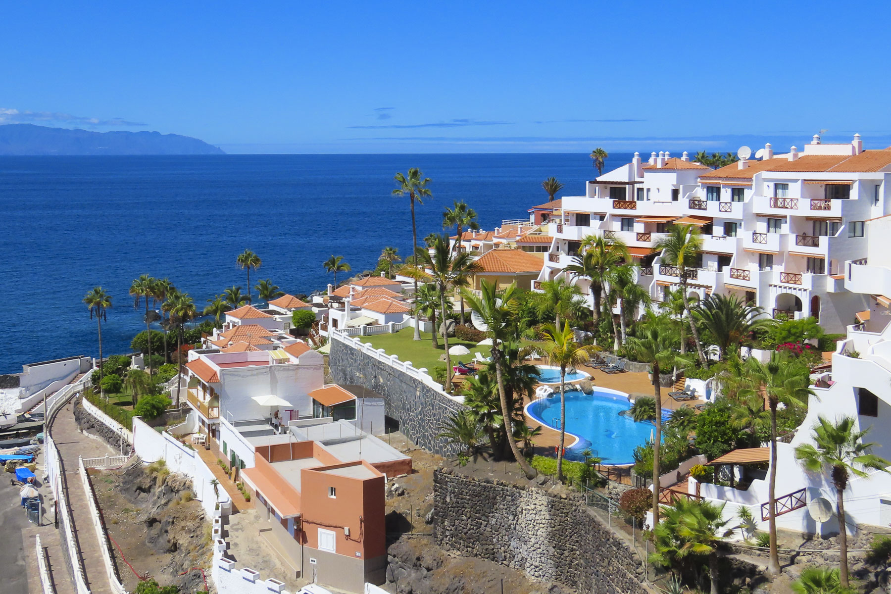
Our destination for nine days: Taurito, on the island’s southwest coast, one town over from Puerto de Mogán, and Club Cala Blanca,  a stunning apartment-style hillside resort, with views of the ocean and a black sand beach, folks in the pool, and not a snowball in sight. This would be a very liberal interpretation of a staycation for us, something unheard of until now in our travel vocabulary.  Usually, our lengthiest stay in any one place is four days, but we used this opportunity to also get some dental work done while enjoying a region blessed with over 320 sunny days per year, and weeks of cloudless skies. The island chain’s perfect year-round weather is the consequence of the aptly named Canary Current bringing cooler water from the North Atlantic Ocean south around the islands. This moderates the hot winds, known as the Calima, that blow west from the Saharah Desert. This perfect meteorological balance provides Gran Canaria spring-like conditions year-round, while refreshing trade winds that blow storms in from the Atlantic Ocean get blocked by the mountains and keep the northern part of the island wetter and greener with forests, than the southern part of the island.
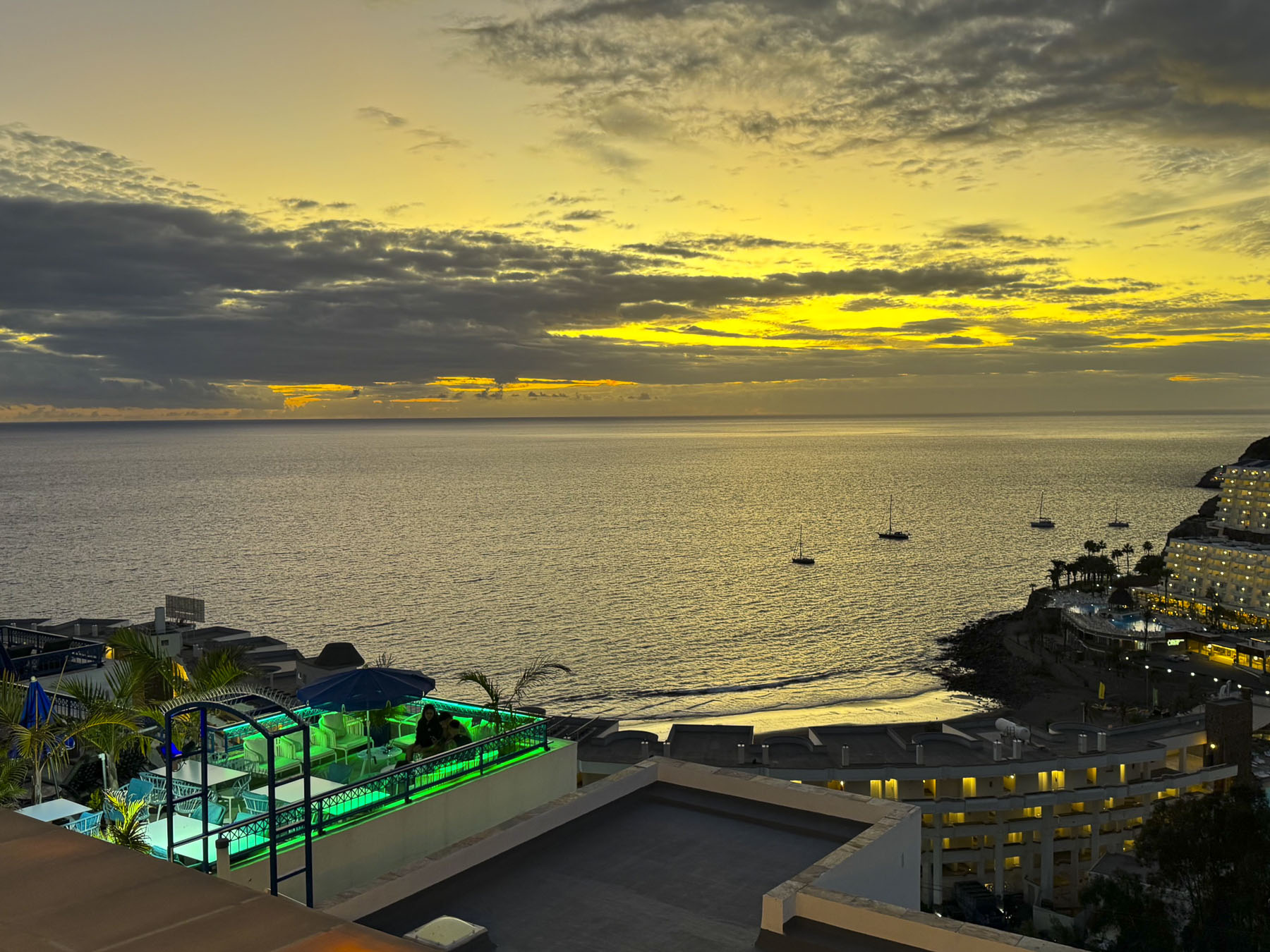
With favorable weather year-round, Gran Canaria’s high seasons are geared to Northern Europe’s holiday and school vacation schedules, rather than seasonal weather changes. The island’s shoulder seasons run in the Spring from March to May and in Autumnfrom September to November. We were delighted there were fewer tourists about during our visit, as it made finding parking much easier.  The only drawback was that some of the restaurants were only open on weekends.
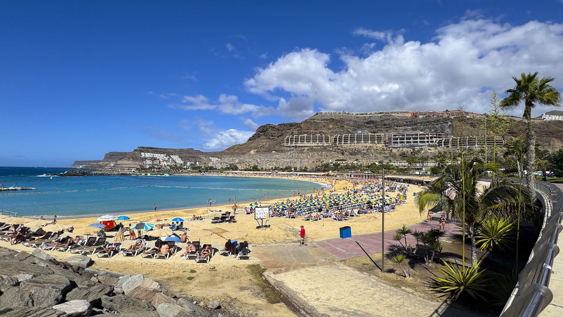
Ironically, on our first full day on the island we headed off early to see the dentists at the Clinica Margarita in Maspalomas, where, over the course of three visits during our stay on the island we had an extraction, fillings, and a crown replacement. We gave ourselves enough time that morning to enjoy part of the coastal road, Carr. Mogán, from Taurito to the Playa de Amadores in Puerto Rico. The Playa de Amadores was a beautiful white sand, crescent moon shaped beach that looked so inviting, with plenty of folks enjoying the sea temperatures that still averaged 22C (71.5f) in mid-November.
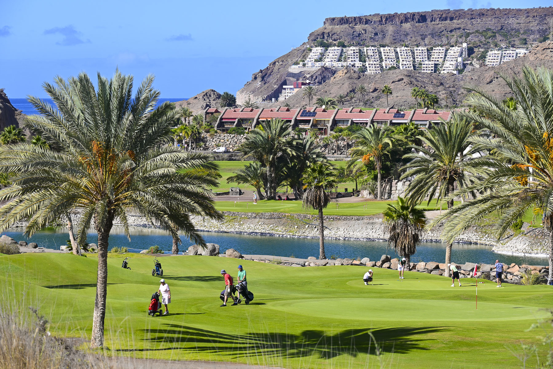
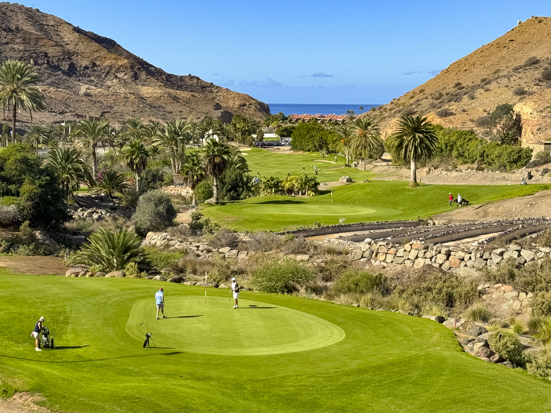
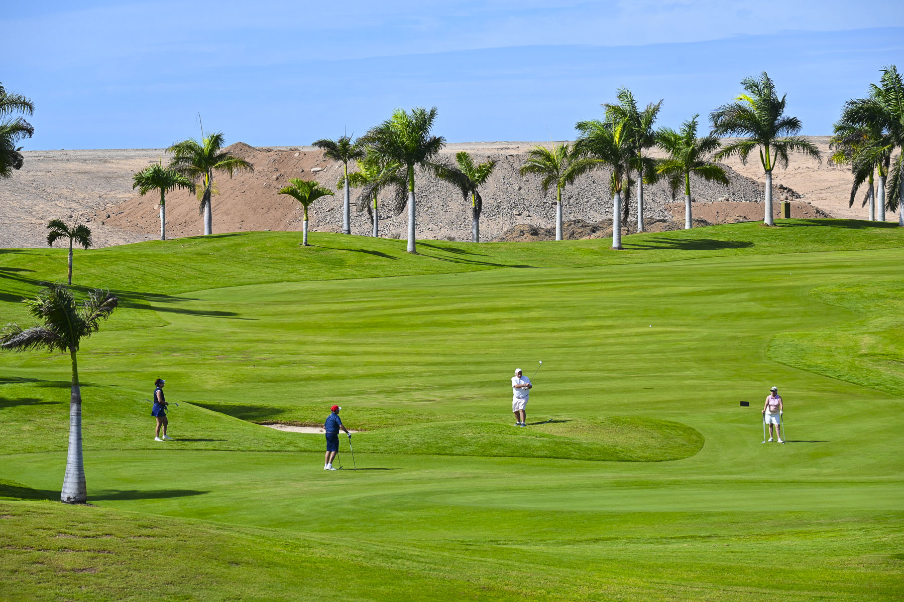
Heading to the GC-1 highway we passed the Anfi Tauro Golf, a strikingly lush green 18-hole golf course, surrounded by arid hills void of vegetation. It’s one of eight golf courses found across the island, but their presence is often protested by environmental groups because of the amount of irrigation water pulled from the local aquifers to keep the fairways verdant, on an island with limited water resources. The golf industry defends itself by noting that approximately 80% of courses in the Canary Islands use treated, reclaimed wastewater. Still environmentalists argue that producing this reclaimed water is energy-intensive and a better use would be to divert the water for agricultural use.
We embrace dental tourism because visiting the dentist in the United States is outrageously expensive, with dentists wanting to have their patients leave their offices with a set of Hollywood choppers, and the corresponding bill. I’ve often felt that when dentists in the states looked at my teeth, they calculated that they could retire early if I got all the procedures they suggested. We found Clinica Margarita online and were impressed from the start by the initial emails from Rebecca, the patient care specialist, to the services provided to us by Dr. Álvaro Martín Mingorance and Dr. Vibeke Lorentsen, in their state-of-the-art clinic. They have a very professional team, and the cost was much less expensive than having the dentistry done in the United States.
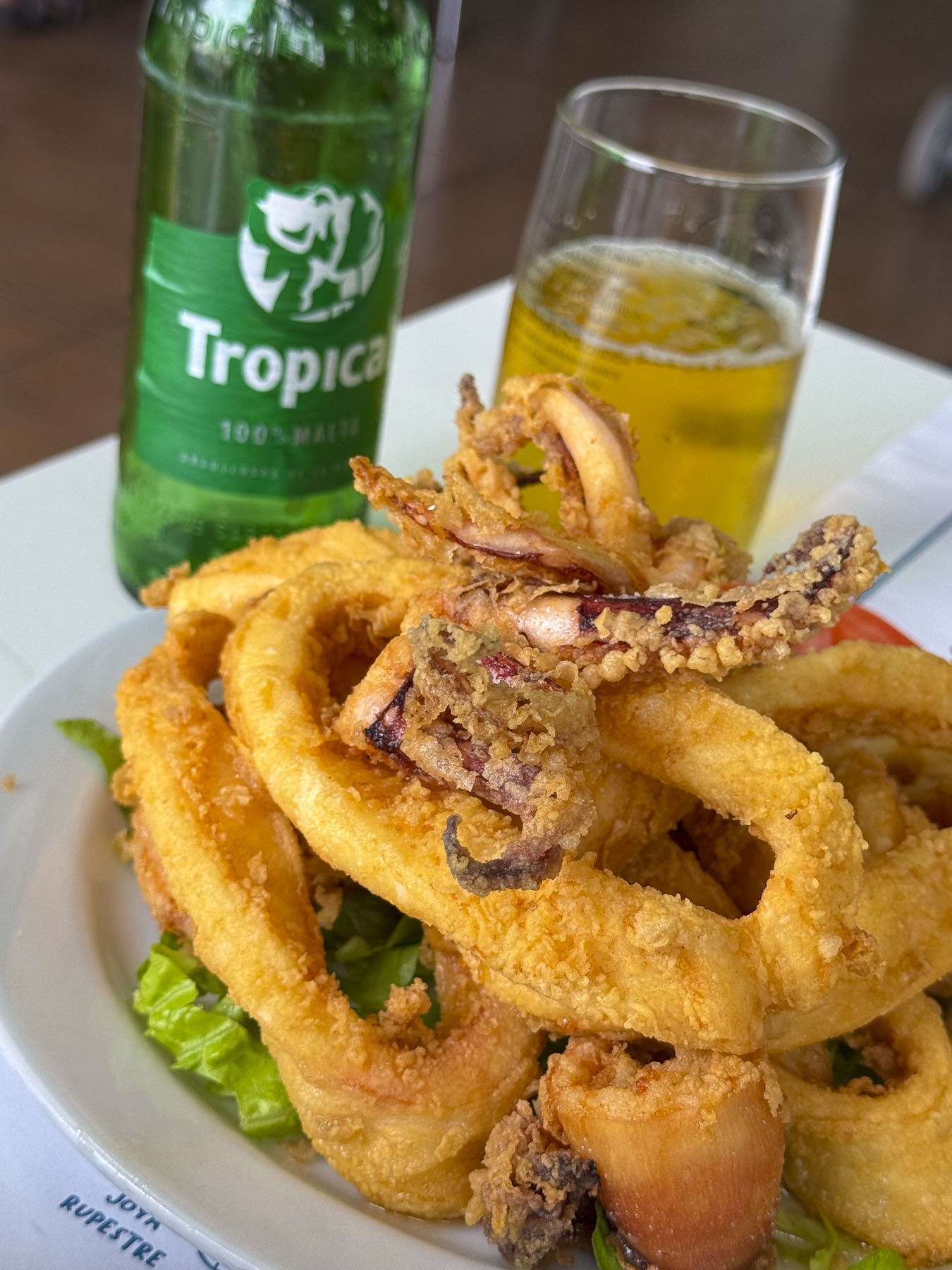
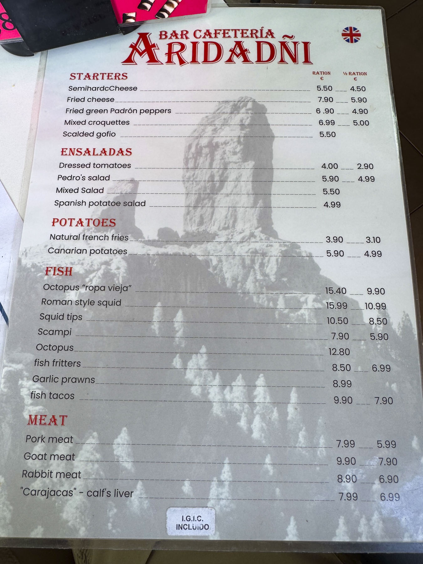
Rebecca was also quite nice in offering tips on local restaurants to try. The first, the Bar Aridañy Montaña Blanca, was right around the corner. It was a small neighborhood restaurant that was bustling with activity at lunchtime, with folks enjoying their meals. The décor was simple, but the waitress was welcoming, the atmosphere perfect, and our tender fried calamari paired with the locally brewed Tropical beer, fabulous!
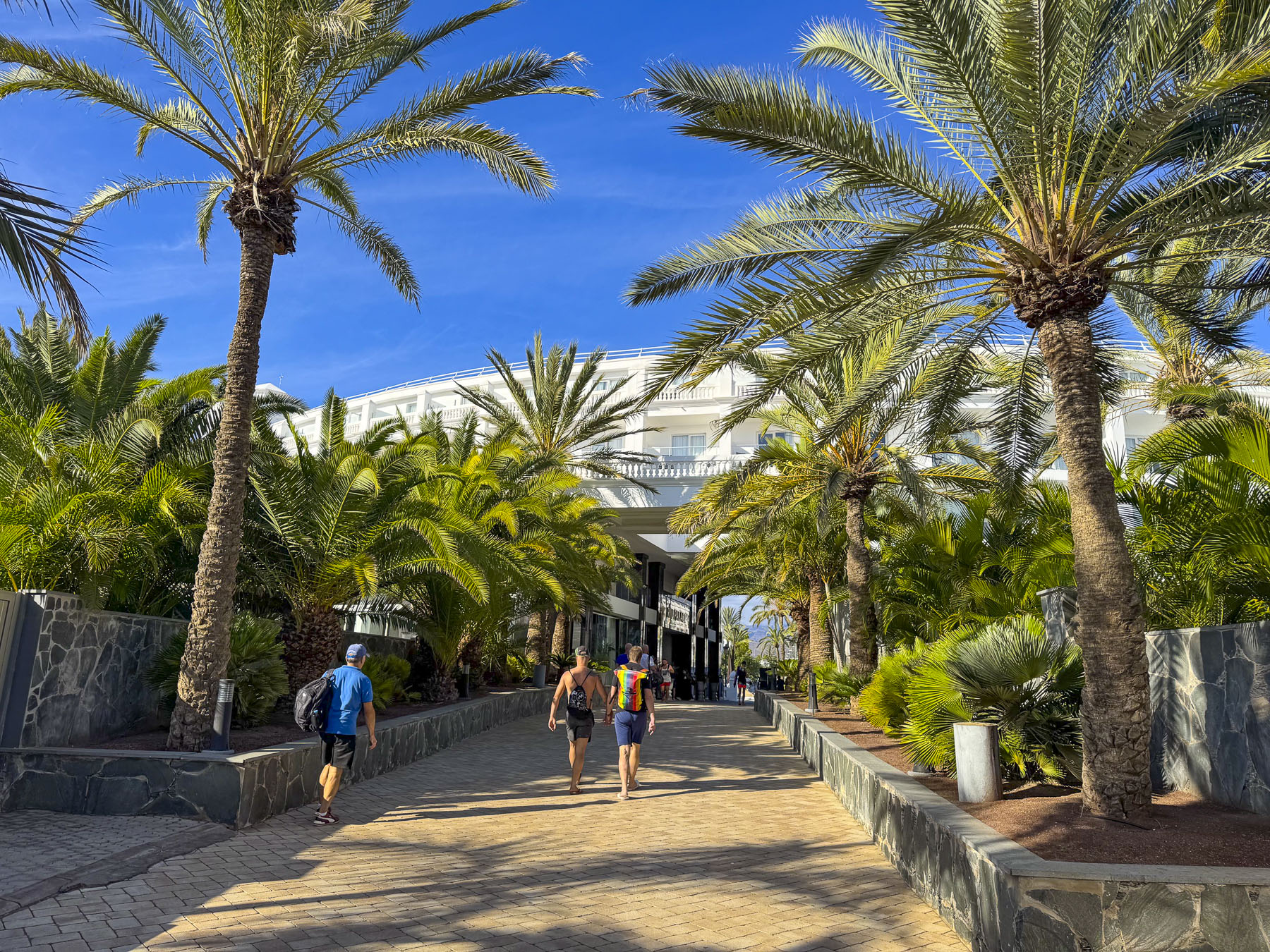
Afterwards, we headed to the promenade that overlooks the Dunas de Maspalomas, across town, several miles away on the coast. Walking down Av. de Tirajana, we noticed that news crews were setting up to cover an event, that we later learned was the Gay Pride Walk, part of weeklong activities of Winter Pride Maspalomas. It’s a yearly event and one of the major LGBTQ+ autumn festivals on the European calendar.
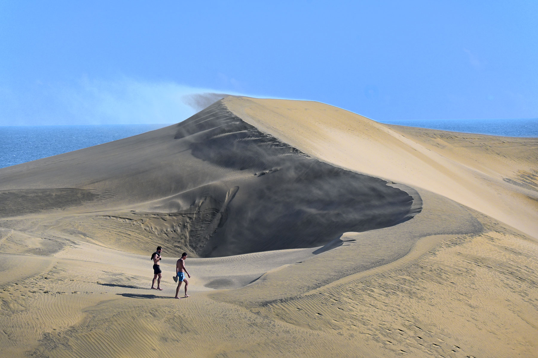
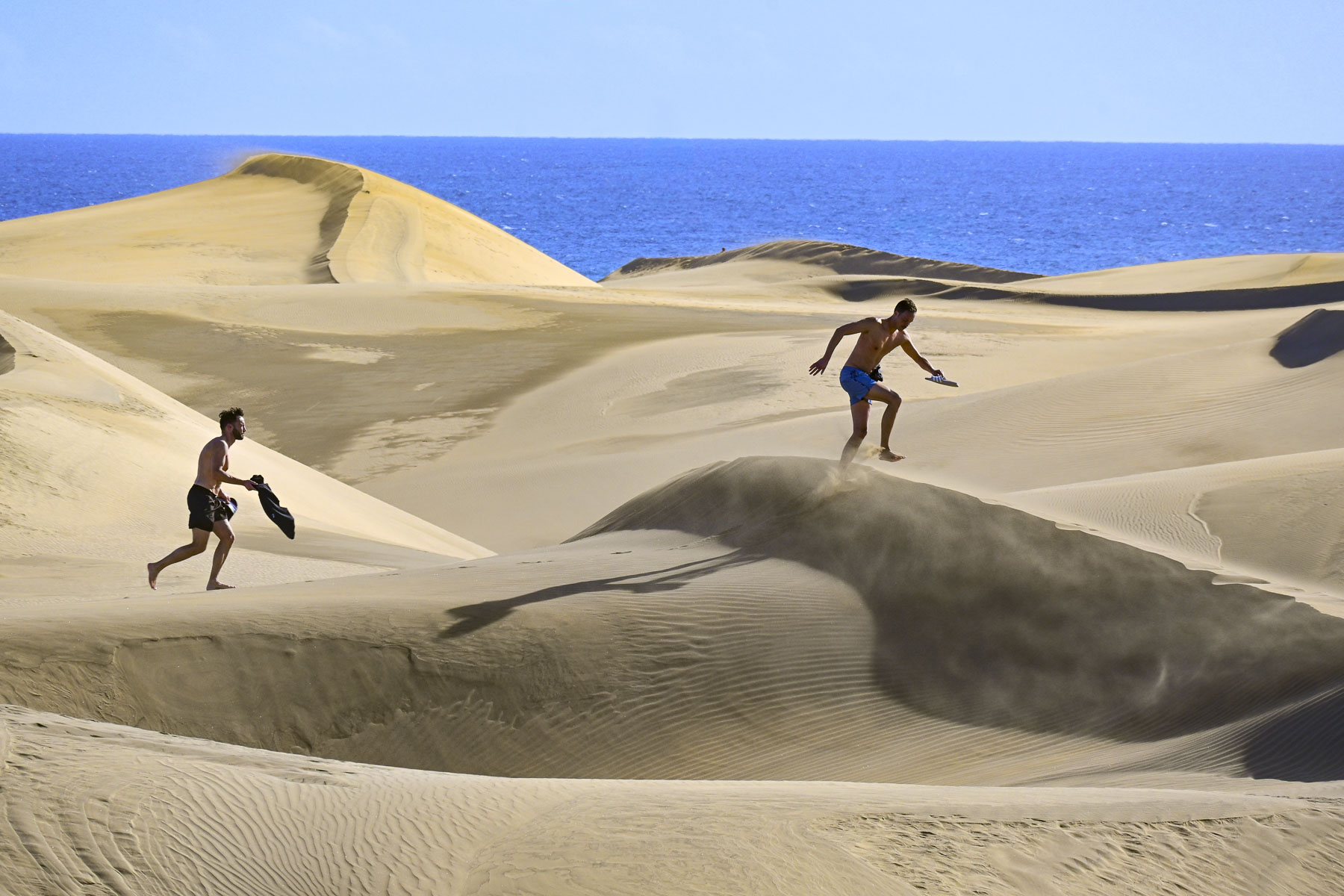
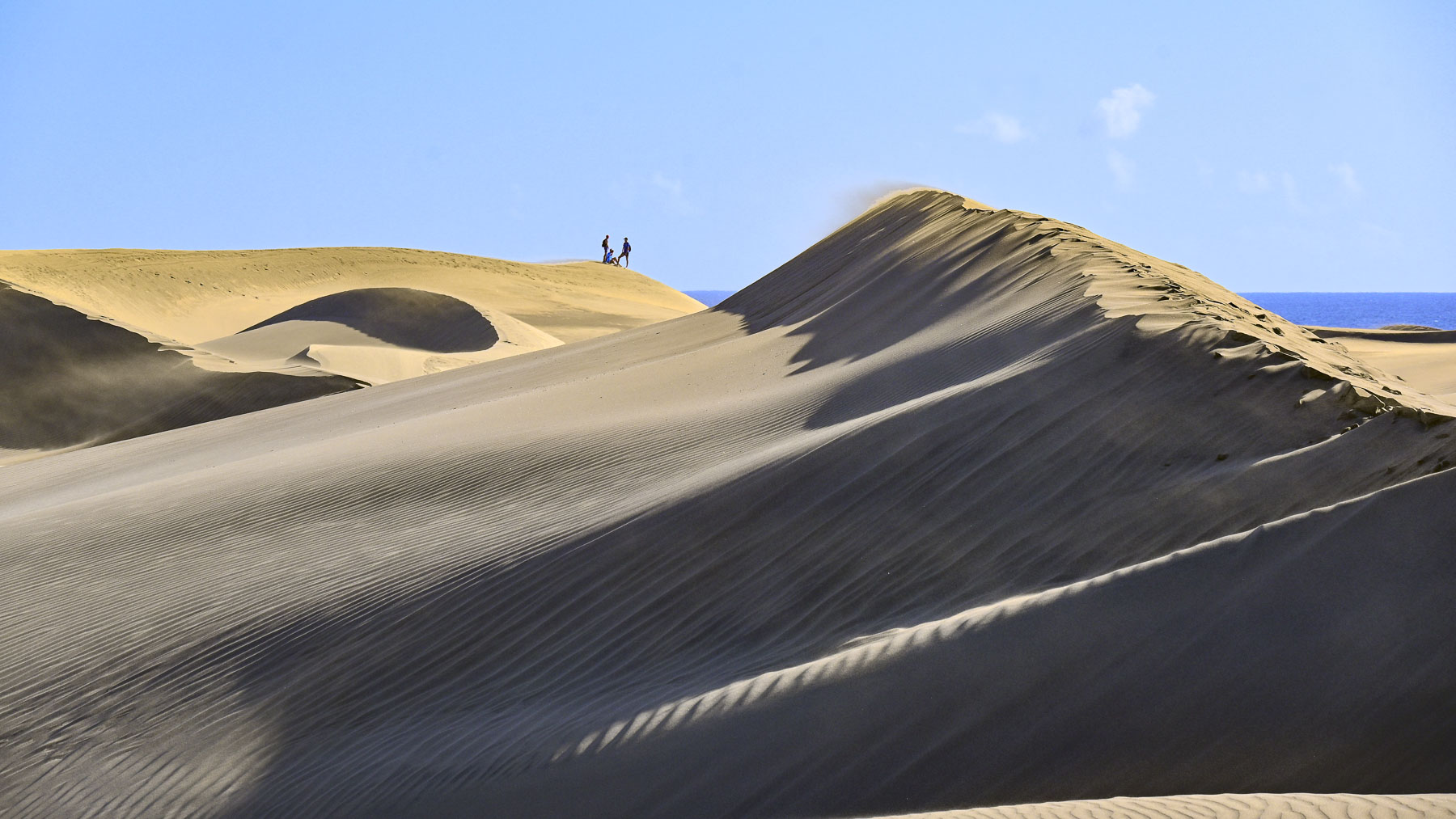
The dunes, with their origin in the Ice Age, are an amazing vast track of ever shifting sands, shaped by the trade winds, that cover over 404 hectares (1,000-acres), and separate the town from the sea. It was a photographer’s paradise with unlimited compositions. You can even plan your own Laurence of Arabia experience riding camels across the dunes with Camello Safari Duna Oasis.
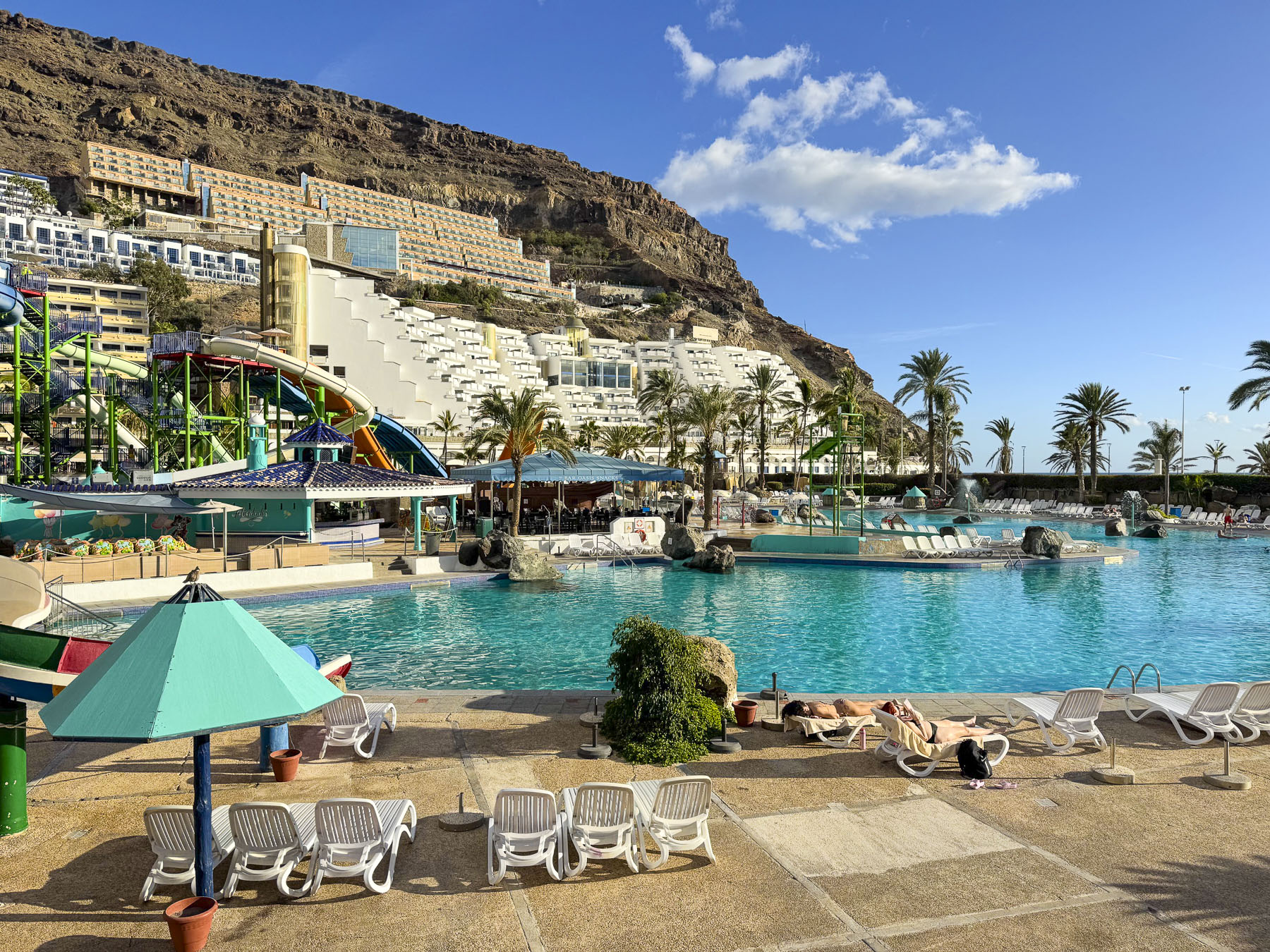
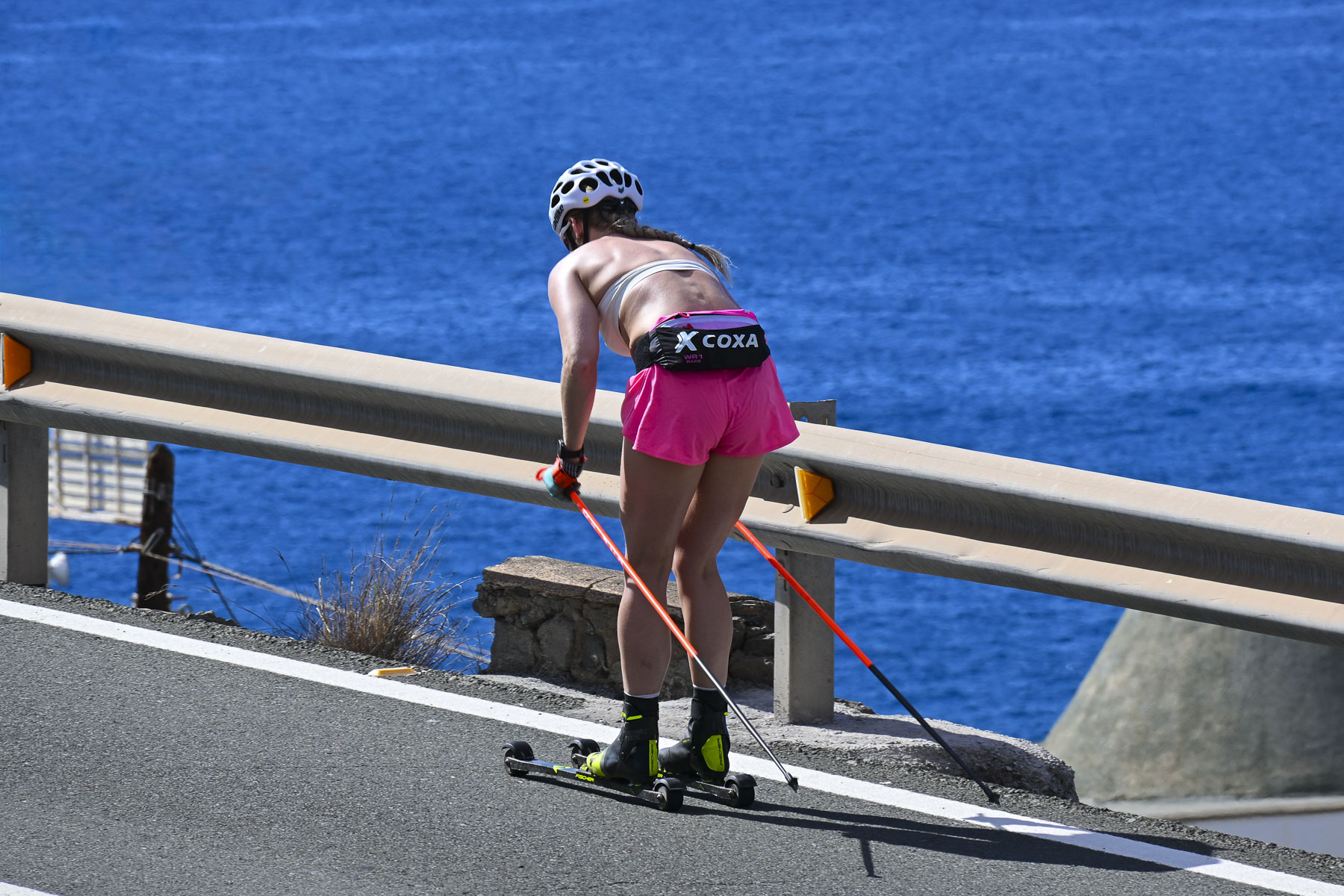
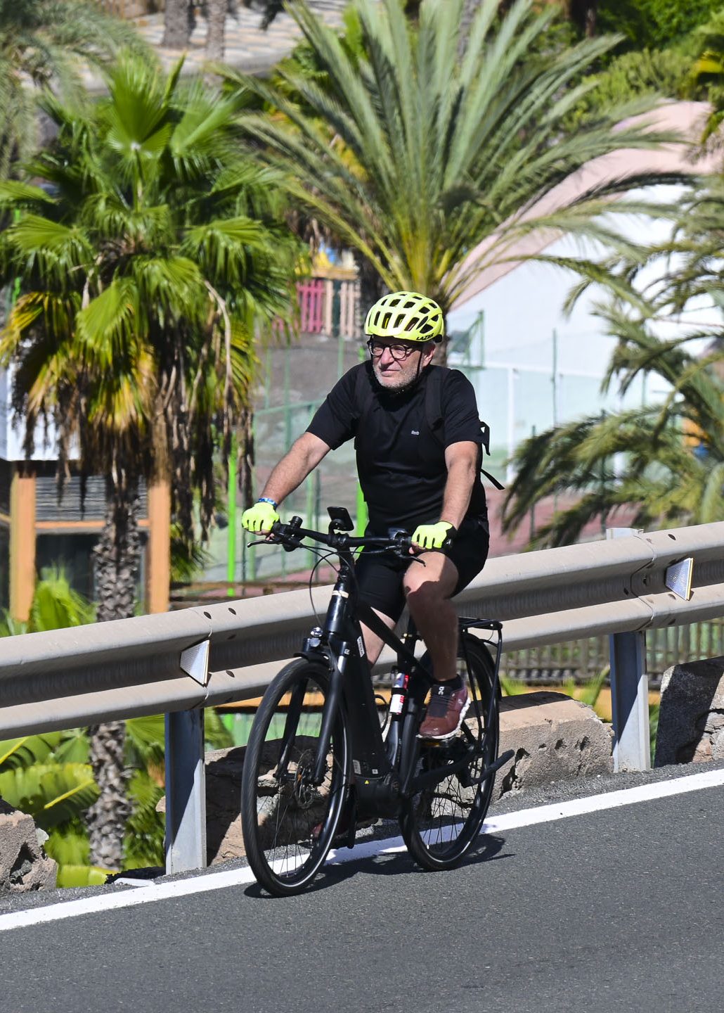
Staying home the next day, we lounged on our balcony, watching cyclists and rollerskiers pump up the long incline of the coastal road, before driving down into Taurito for lunch.  Four large tourist hotels with clubs and a casino, along with the massive Lago Taurito Water Park,dominate the approach to the beach. Street parking was limited even in the quieter November shoulder season, though the waterpark was still open this time of year, and there was only a handful of tourists enjoying the amenities all to themselves. It looked like a wonderful place for families with children to spend an activity-filled day.
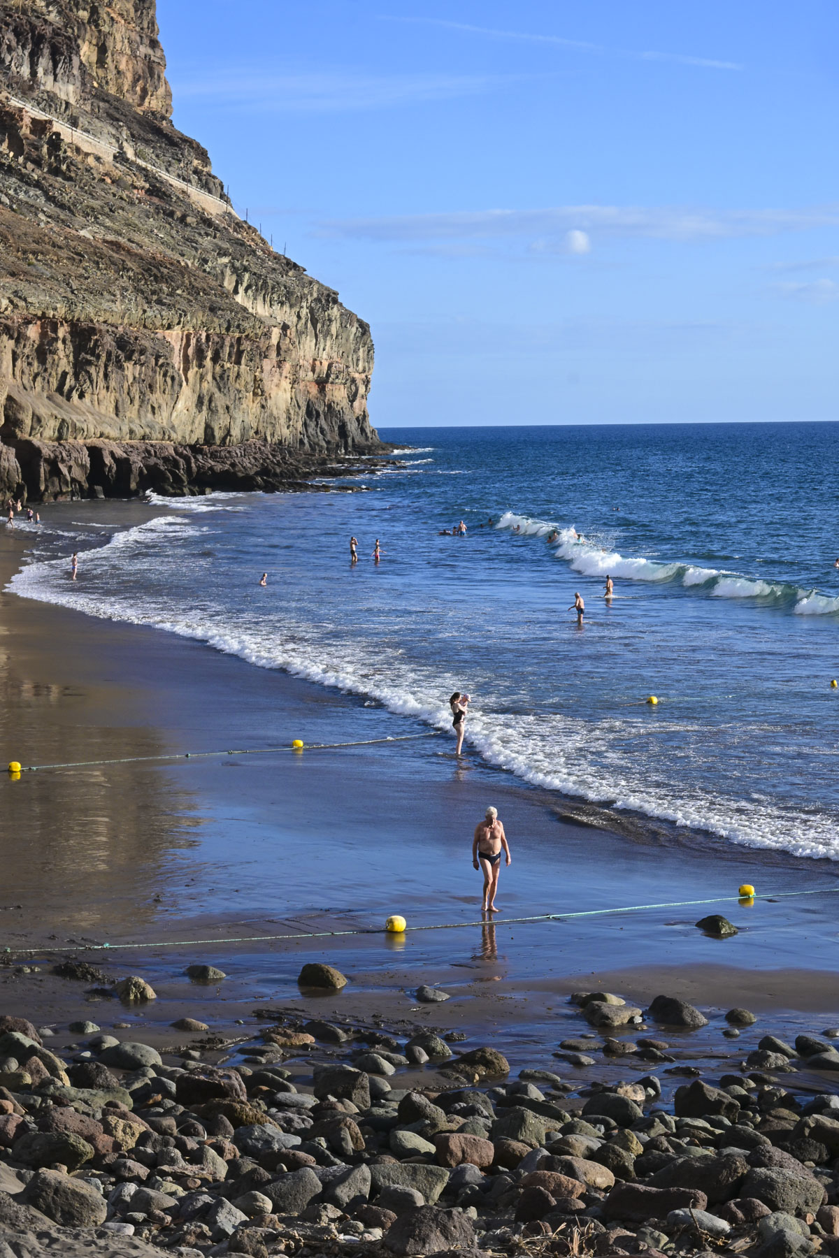
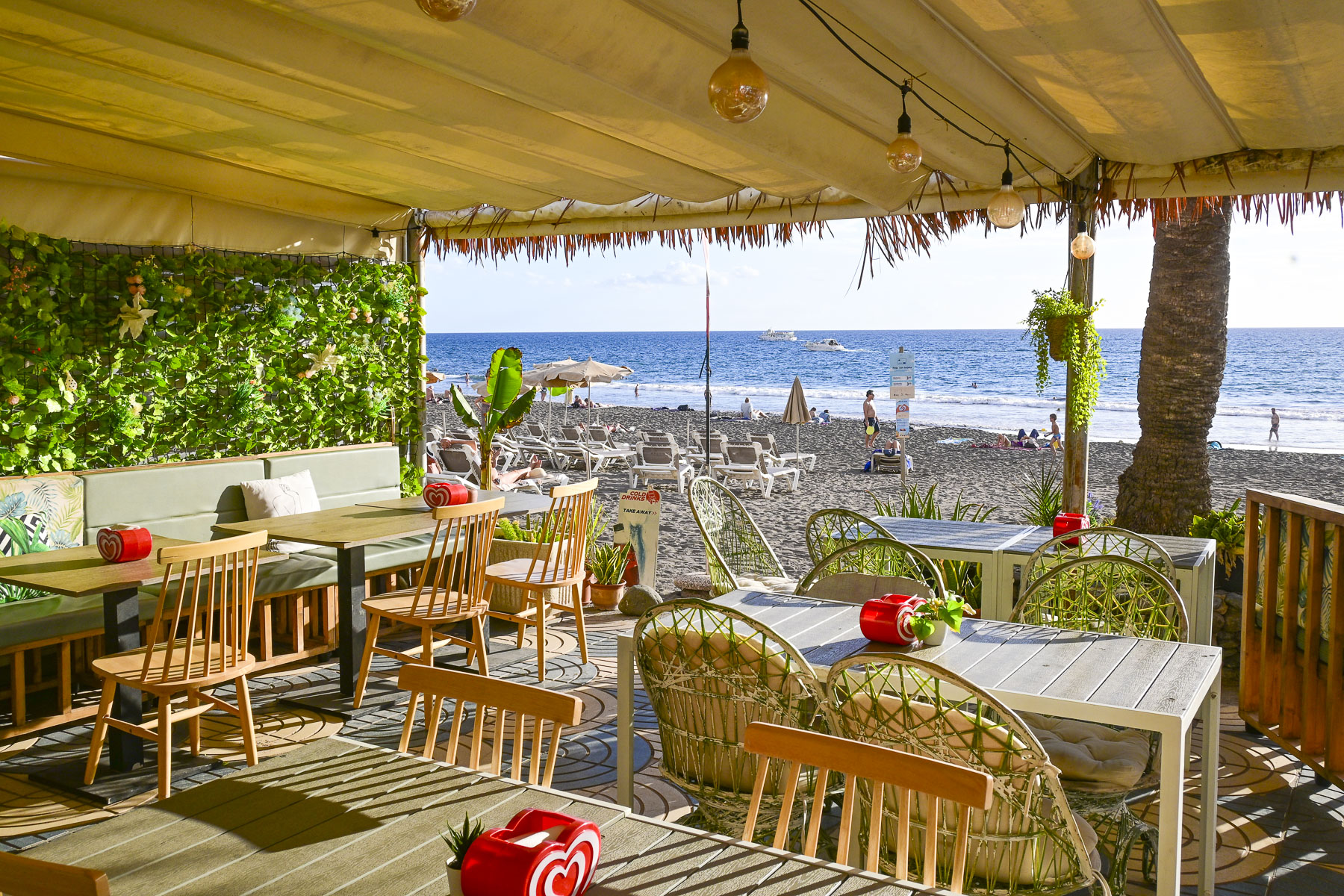
At the head of the beach was a short promenade lined with a few shops and restaurants that only had outdoor seating. We chose one with the most diners, always a good sign when in doubt. The black sand beach under towering cliffs was very beautiful.
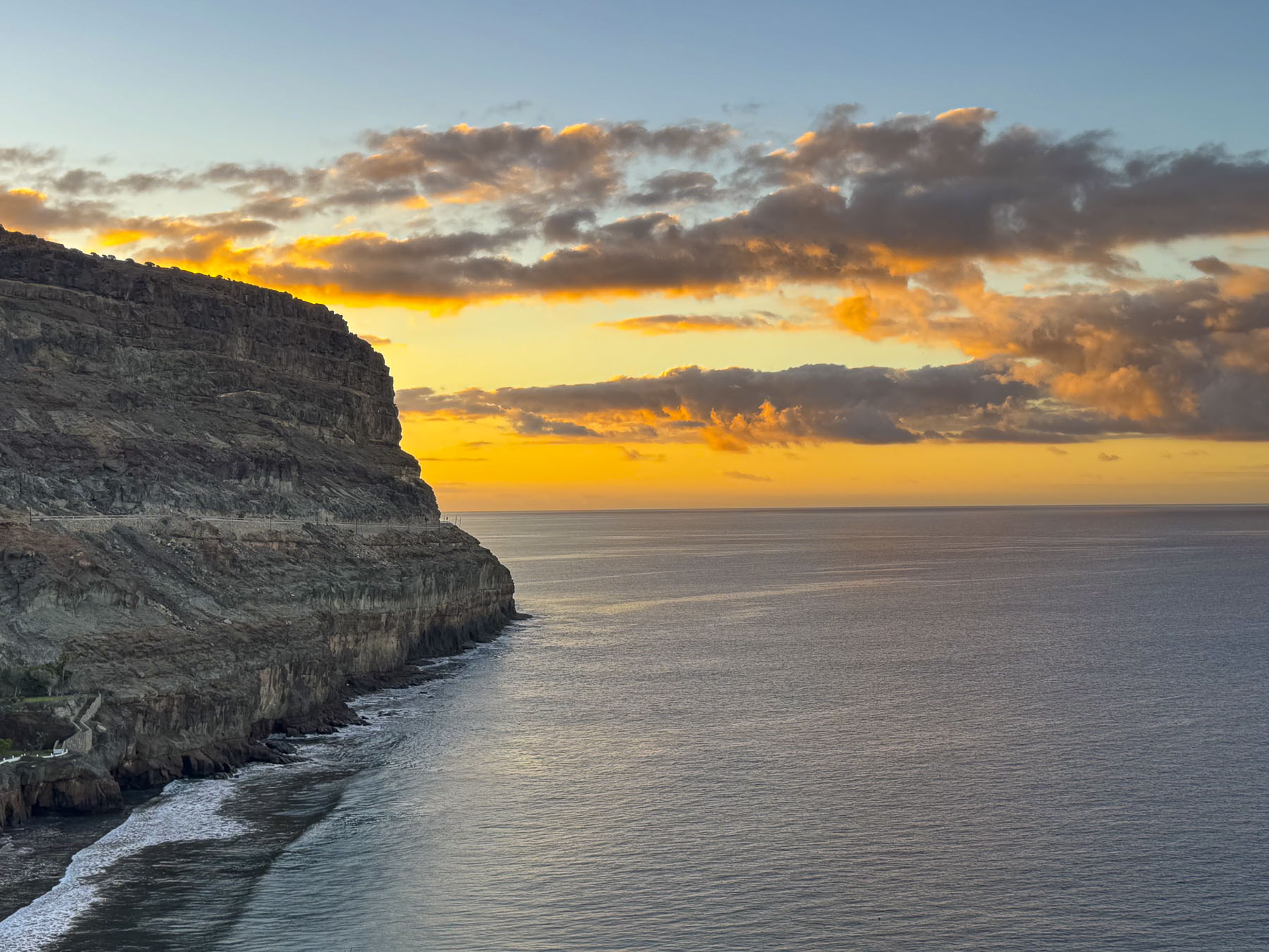
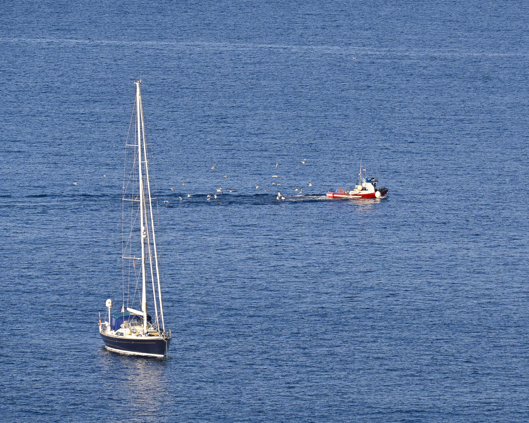
From our balcony the next morning we watched the sunrise cast the morning clouds a pastel pink against the soft blue sky. On the calm sea a flock of gulls trailed the wake of a fishing trawler heading back to Puerto de Mogán to offload its catch.
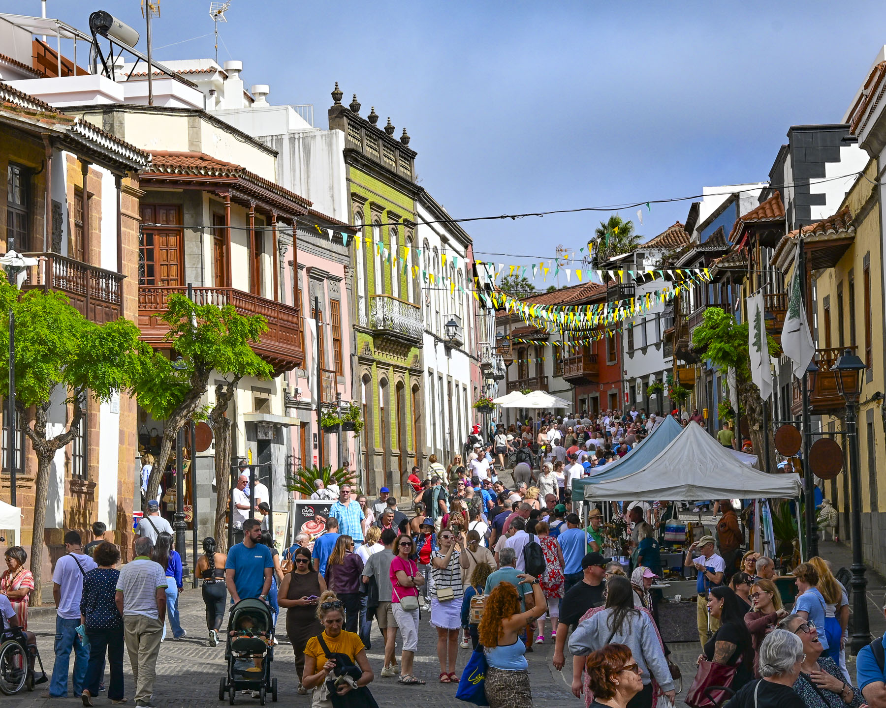
We are not really inclined to sit still for too long, so that Sunday we headed into the mountains to browse the weekly Mercadillo de Teror, 87km (54mi) away on the northern part of the island, slightly over an hour drive. The weather along the coast was very pleasant as we followed the GC-1 past the cosmopolitan city of Las Palmas. With a population of approximately 384,000, it is the largest city in the Canary Islands and is the co-capital (along with Santa Cruz de Tenerife) of the autonomous Spanish archipelago. Las Palmas’ importance dates back centuries to when its harbor, the Puerto de La Luz, was a vital resupply point for maritime expeditions during Spain’s Age of Discovery in late 15th to 17th centuries. Over the course of hundreds of years, the port has become an important shipping hub in the global economy, and today connects the island to 510 ports in 135 countries. This global connectivity has contributed to making modern Las Palmas a vibrant, energetic city with a diverse multicultural population that’s made up of folks from Spain’s former colonies across the globe, northern European expats, and long-established Asian merchants. The sailors, traders, and vacationers that came liked the weather, and stayed if they could. We originally made plans to stay in Las Palmas; however, this idea changed when we decided to devote more days to getting our dental work done. Disappointingly, we did not have time to visit the city properly. But what we’ve heard and read about the city sounds intriguing, and it’s just the right excuse to return to Gran Canaria one day.
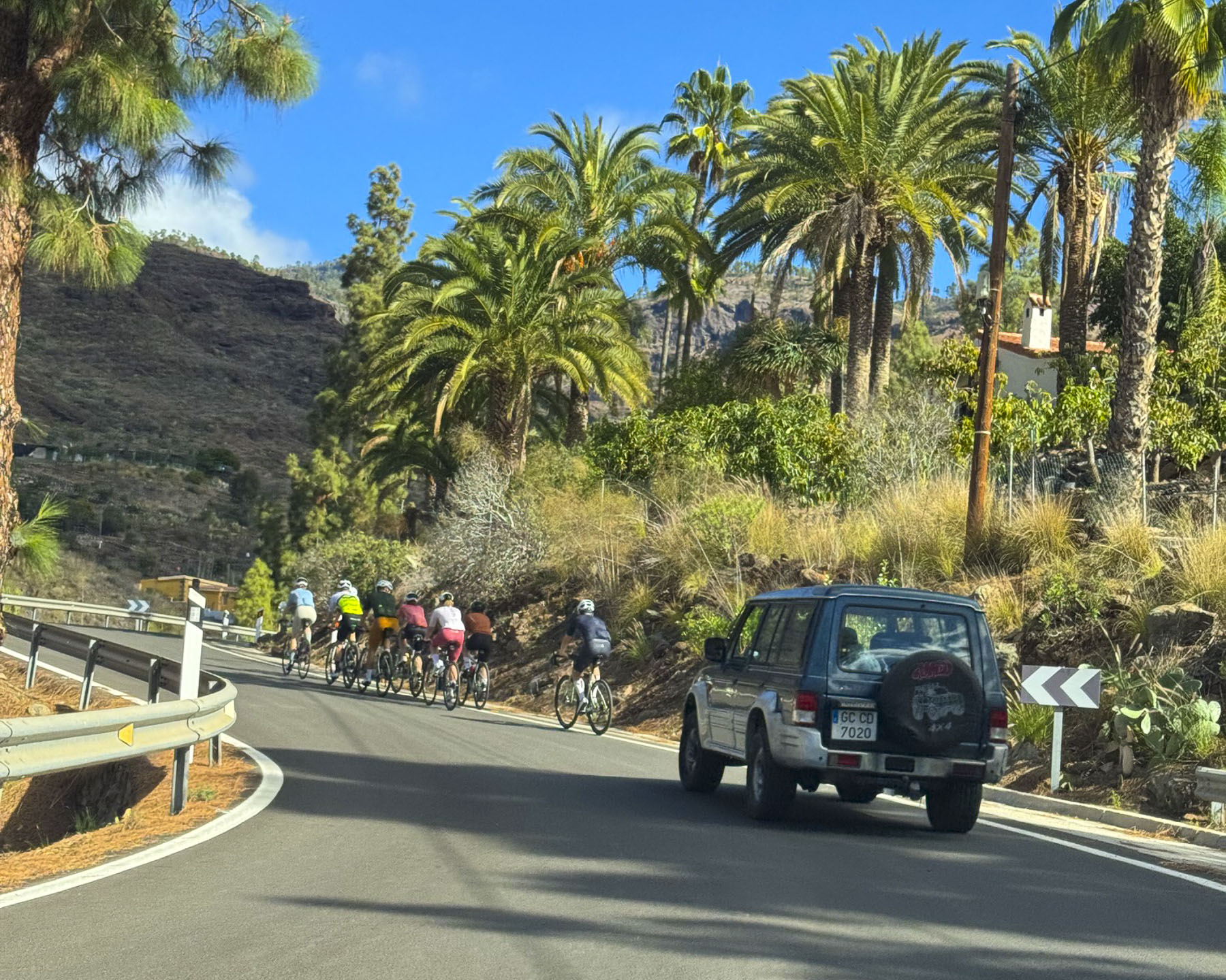
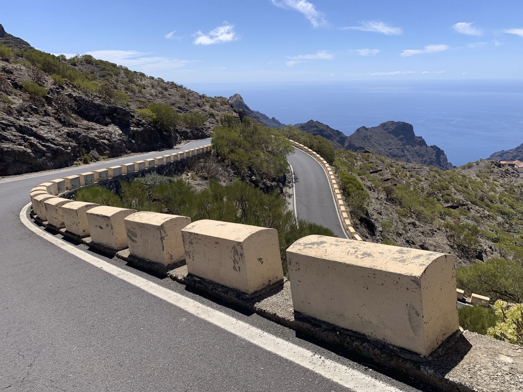
The GC-1 is an excellent 4-lane highway that connects towns along the coast, but once we turned off it to head into the island’s mountainous interior our journey slowed on the narrow serpentine roads, with limited opportunities for passing, and we crawled at a snail’s pace when stuck behind a campervan or worse, a pack of cyclist.
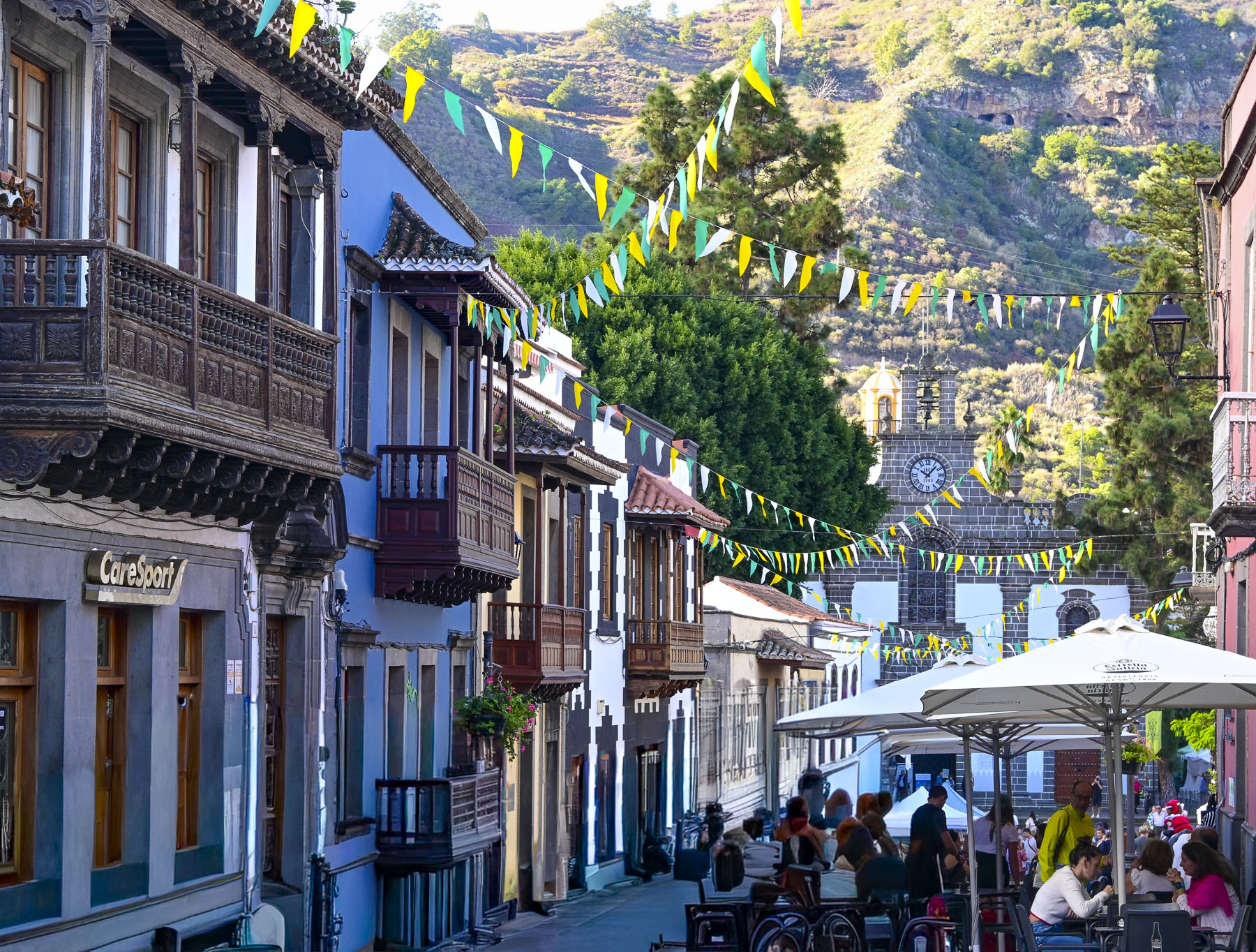
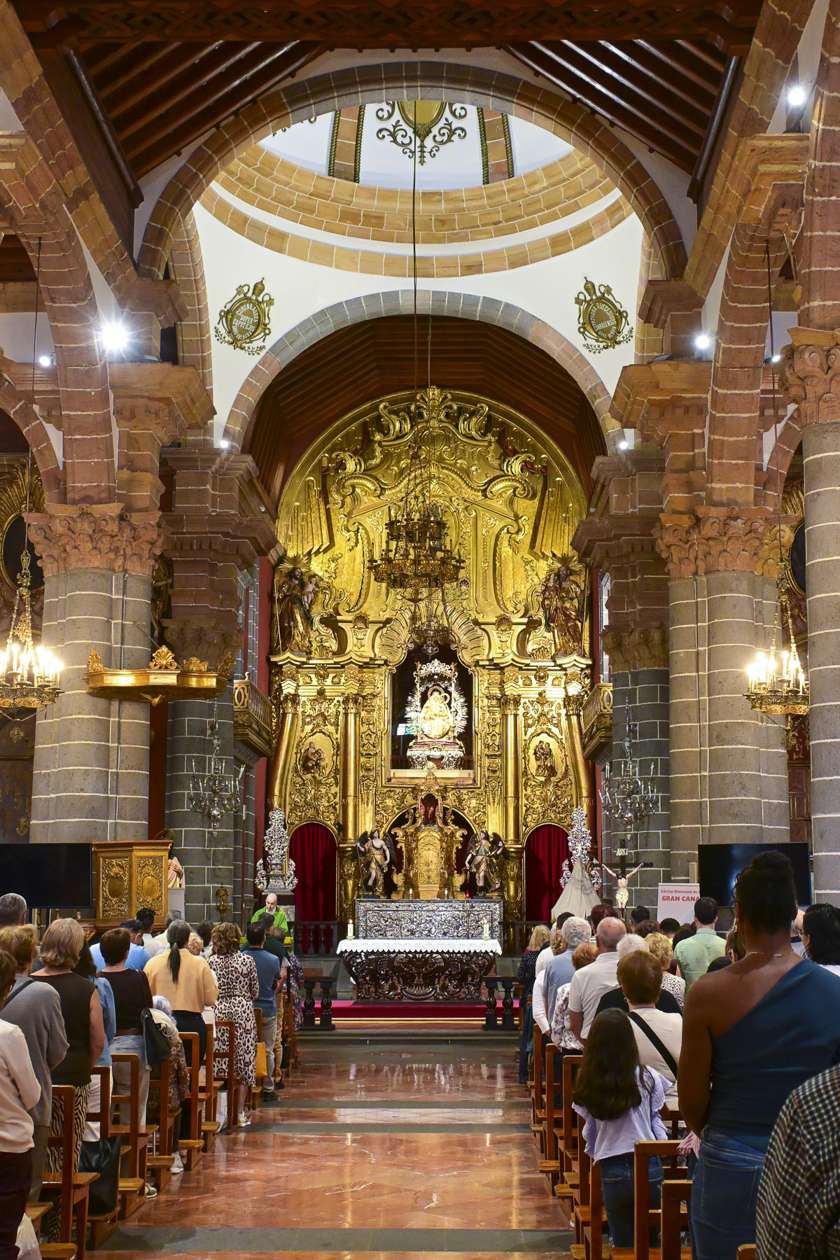
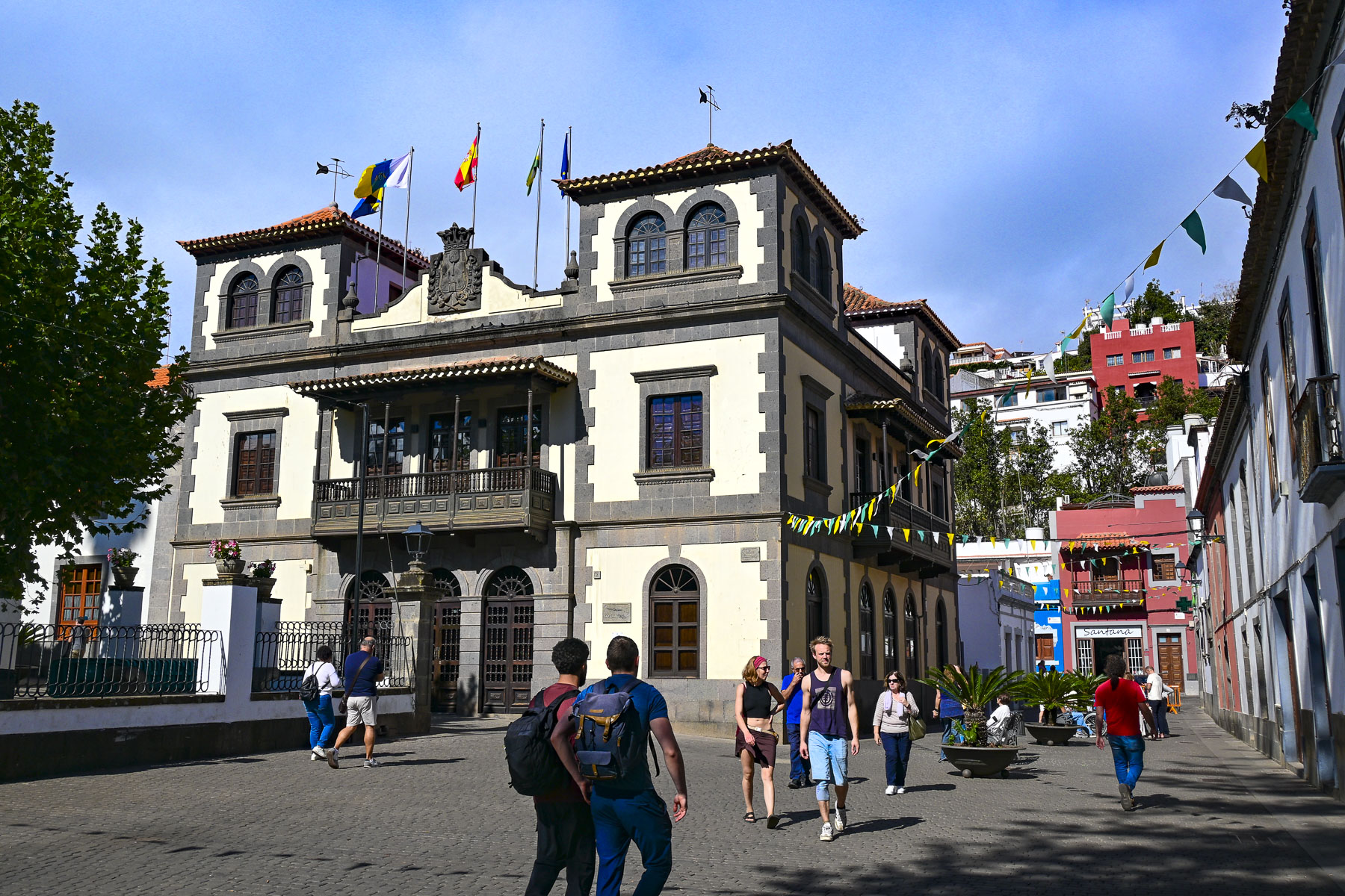
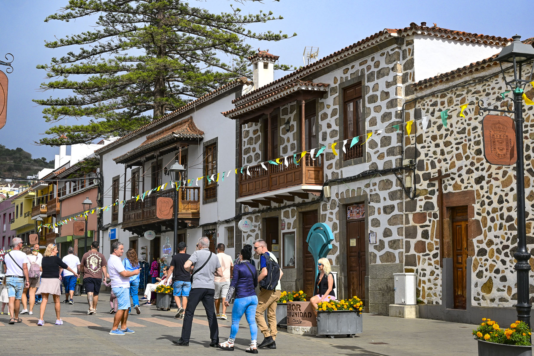
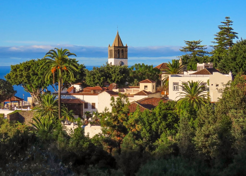
Arriving to Teror mid-morning, we were fortunate to find one of the last parking spaces in a grassy lot several blocks downhill from Calle Real de la Plaza. Calle Real is the main lane through the town’s historic center and is lined with traditional brightly colored Canarian homes, that have carved wooden balconies over the street. The calle ends at the plaza around the 18thcentury Basílica de Nuestra Señora del Pino, which was built on the site where tradition holds the Virgin Mary appeared in 1481 to a group of shepherds in a pine grove. The town quickly became an important religious site, with an Episcopal Palace, and the Cistercian Monastery to support pilgrimage activities. The octagonal yellow tower on the corner of the basilica represents the architectural style of an earlier church that was on the site.
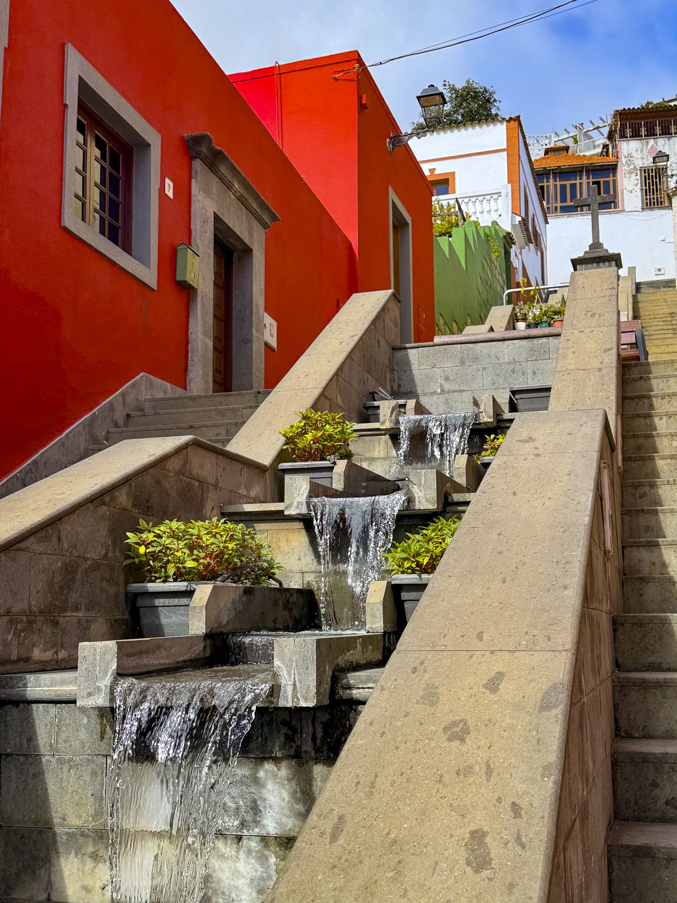
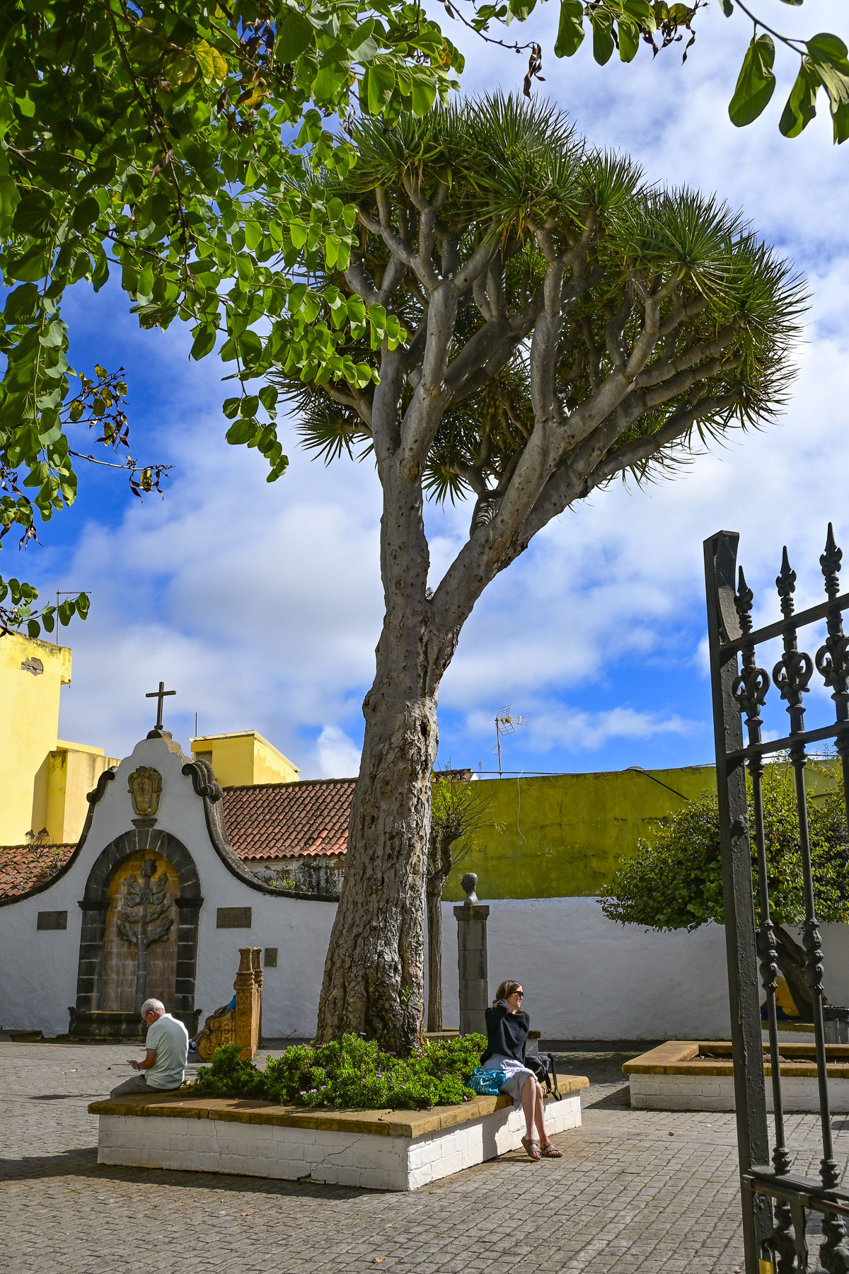
Across from the church at the far end of Calle de la Diputación, is a stepped cascading waterfall that’s lined with parallel stairways that connect the lower and upper historic quarters of the town. Most importantly they lead to the Cistercian Monastery, where the sequestered nuns sell convent-made truchas de batata (sweet potato pastries), bollos de anís (anise rolls), mazapanes (marzipan), and mantecados (shortbread) through a torno, a revolving wooden turntable built into a wall cabinet, with doors on both sides to keep the nuns hidden from view.
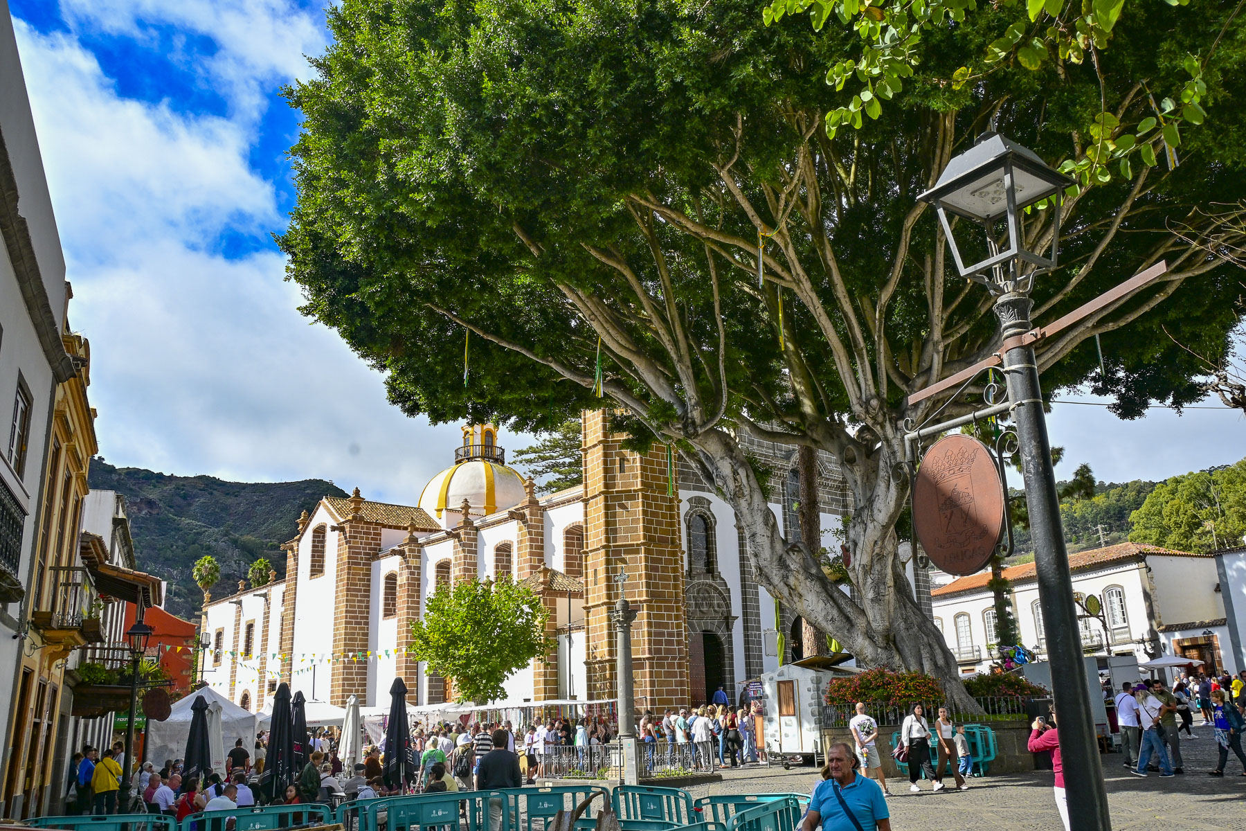
The street market totally encircled the church and was packed with shoppers strolling among cheese makers, food stalls, craft stands, and clothes racks. Cheese is our weakness, and being able to sample a variety of the artisanal cheeses Gran Canaria is famous for landed us in queso heaven. So interesting are the cheeses made on Gran Canaria there’s even an official Cheese Trail that folks can follow, to eleven cheesemakers located in three regions across the island. These artisans produce cheeses from the raw milk of goats and sheep. And to help folks pair a locally vinted wine with the cheeses, there’s an official Gran Canaria Wine Route, theRuta Del Vino de Gran Canaria, that explores the different terroirs of eleven vineyards hidden in the rugged volcanic landscape of the mountains across the wetter northern part of the island. Here the winemakers grow around forty different varieties of grapes, that have adapted well to the island’s 14 distinct microclimates. Twenty-five are local varietals such as the red grapes Listán Negro, Tintilla, Malvasía Rosada, and the white grapes Marmajuelo, and Malvasía Volcánica whose purity and longevity are unique in the world and recognized under the DO Gran Canaria designation. We could have bought a suitcase full of cheese, but we restrained ourselves and only bought a wedge each of goat and sheep cheese, and a bottle of red wine.
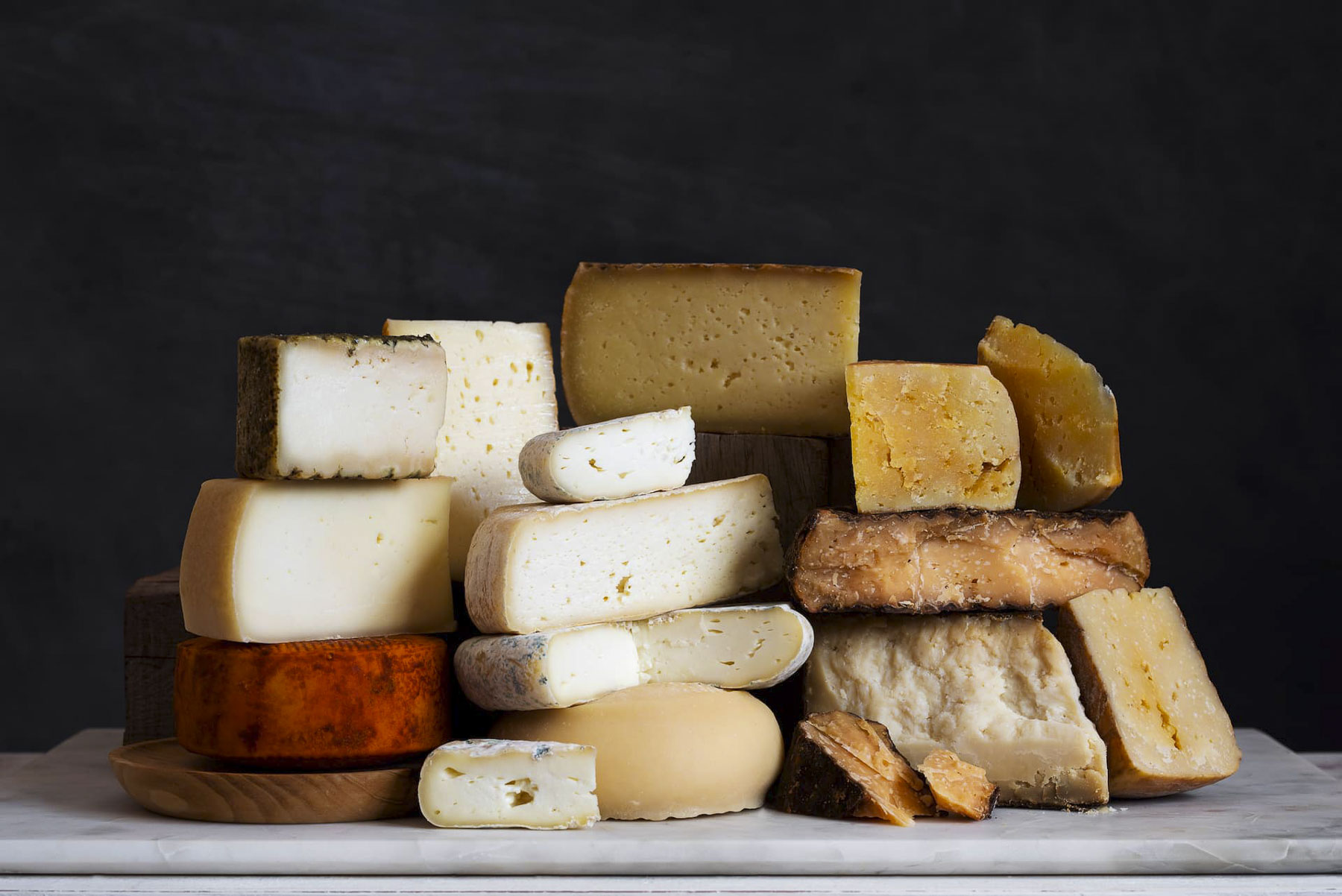
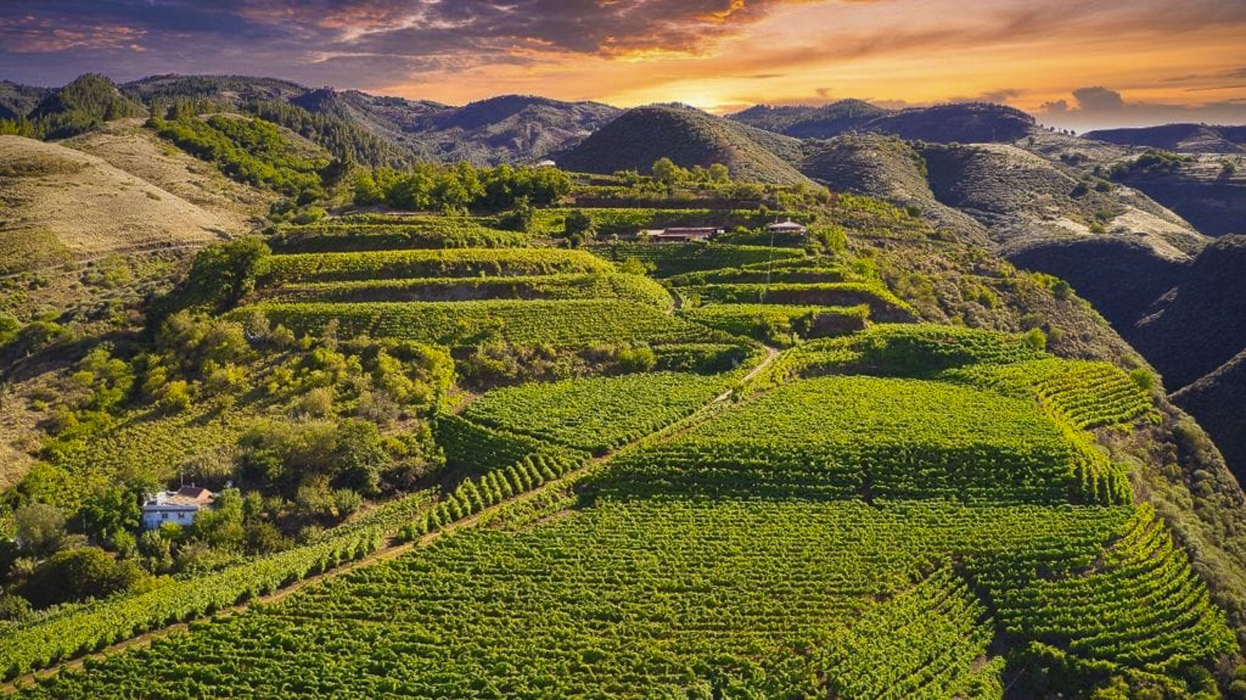
Photographs from official Gran Canaria Wine Route, and the Ruta Del Vino de Gran Canaria, courtesy of The Gran Canaria Tourist Board.

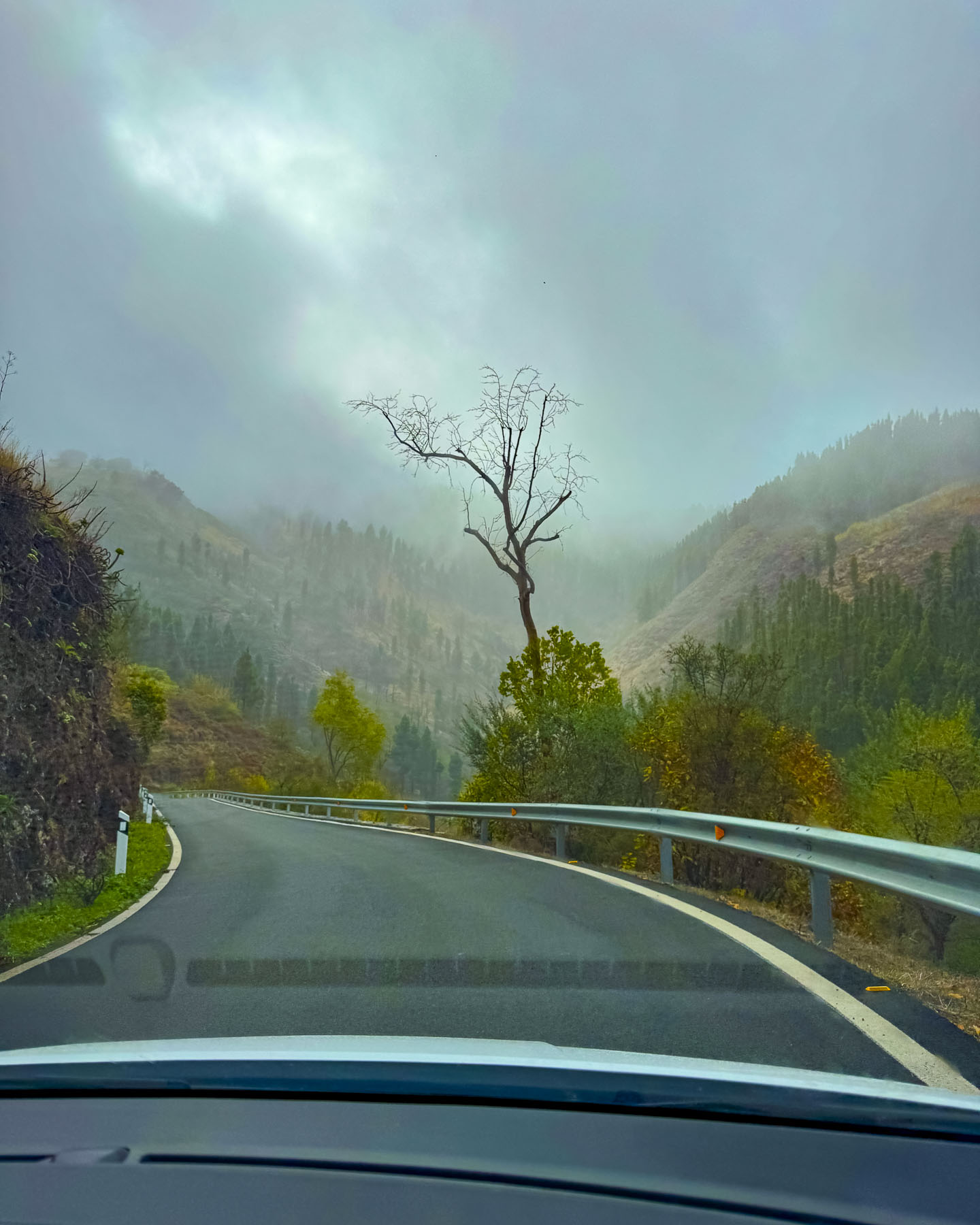
By the time we left Teror the sunny morning had vanished as we followed a road that zigged and zagged as we drove higher and farther into the mountains. We had originally planned to go to the mirador atop Pico de las Nieves, but the weather was fickle and changed with each curve around the mountainside. Altering our plans, we continued on to Artenara, an hour’s drive still deeper into the mountains, on a route that took us through the towns of Valleseco, and Lanzarote. Along the way we noticed many cars parked precariously along the side of the narrow road as it passed through woodlands. These cars, it turned out, belonged to families that were foraging in the forests for wild mushrooms and fallen chestnuts; it’s a traditional activity that has been passed down through Canarian generations for centuries. In one town the sale of a fine stallion was being finalized with a test saunter along the side of road.  Unfortunately, that afternoon the clouds were low in the sky, and the views from the miradors we stopped at, while interesting, vanished into the misty horizon. We could only speculate how spectacular the panoramas would be on a sunny day.
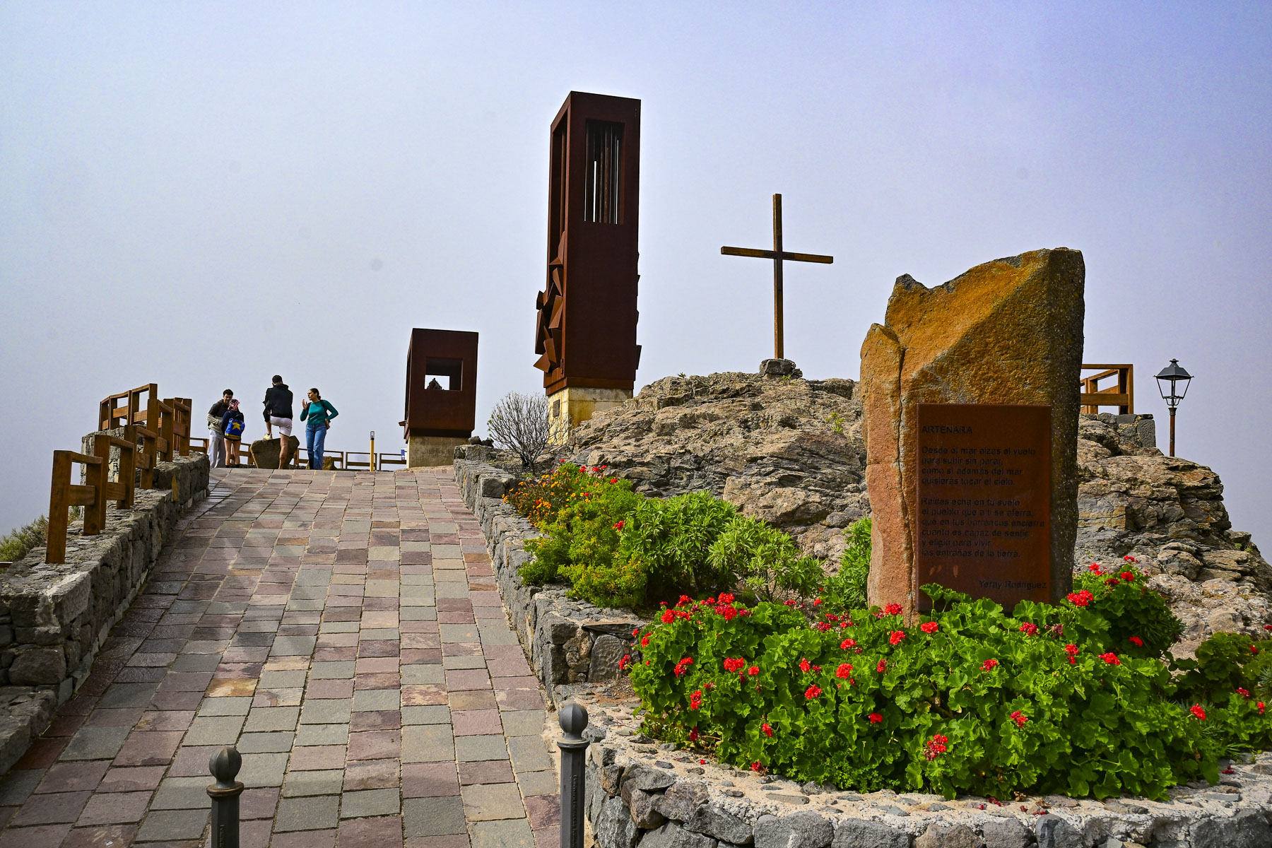
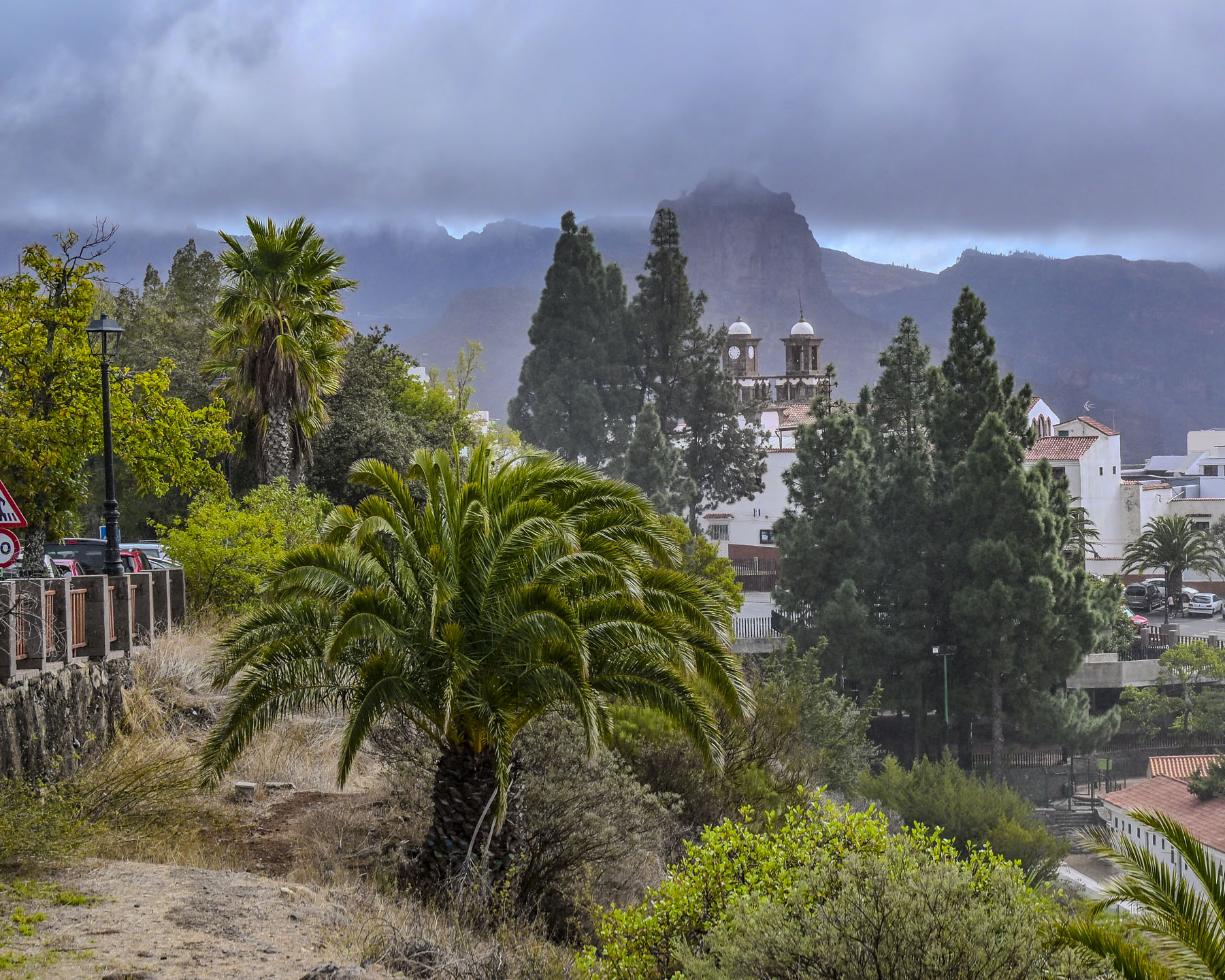
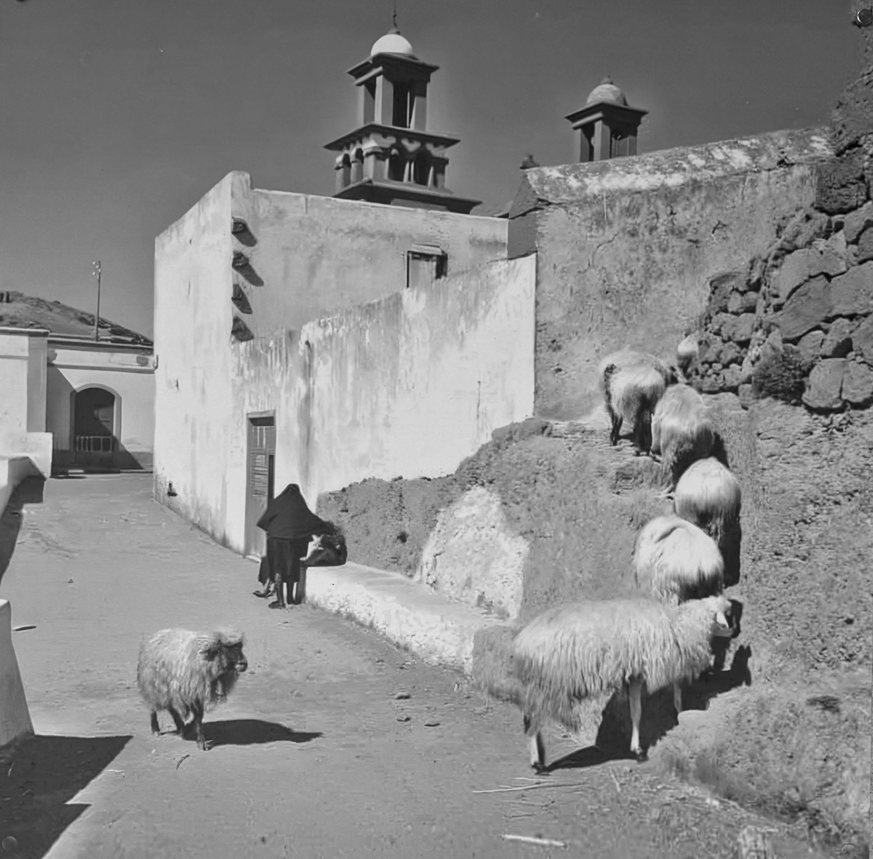
Reaching the outskirts of Artenara, the highest village on Gran Canaria at 1,270m (4,170ft) above sea level, we stopped at Mirador De La Atalaya which had a nice view of the old colonial town’s church framed with trees against a mountainous background.
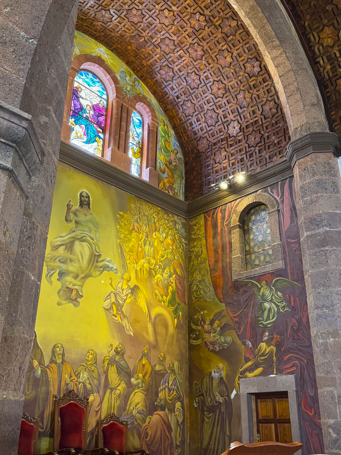
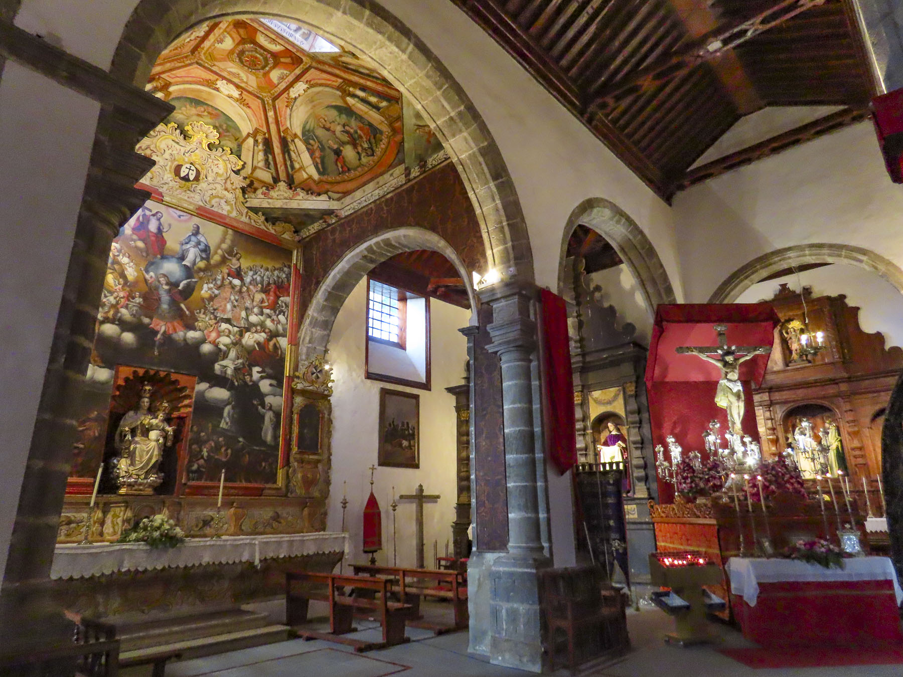
As we crossed the town square a sudden down pour sent us scurrying into the Iglesia de San Matías, where the warm light of the cathedral’s stained-glass window helped take the mountain chill off the day. Initially the temple was a small hermitage built in 1630, but after going through a long period of deterioration and ruin, the current three-nave temple was built in 1870, with the construction of the towers being completed in the mid-twentieth century. The beautiful murals in the church are the last works of the painter José Arencibia Gil, a Gran Canarian who, sadly, died before finishing them.
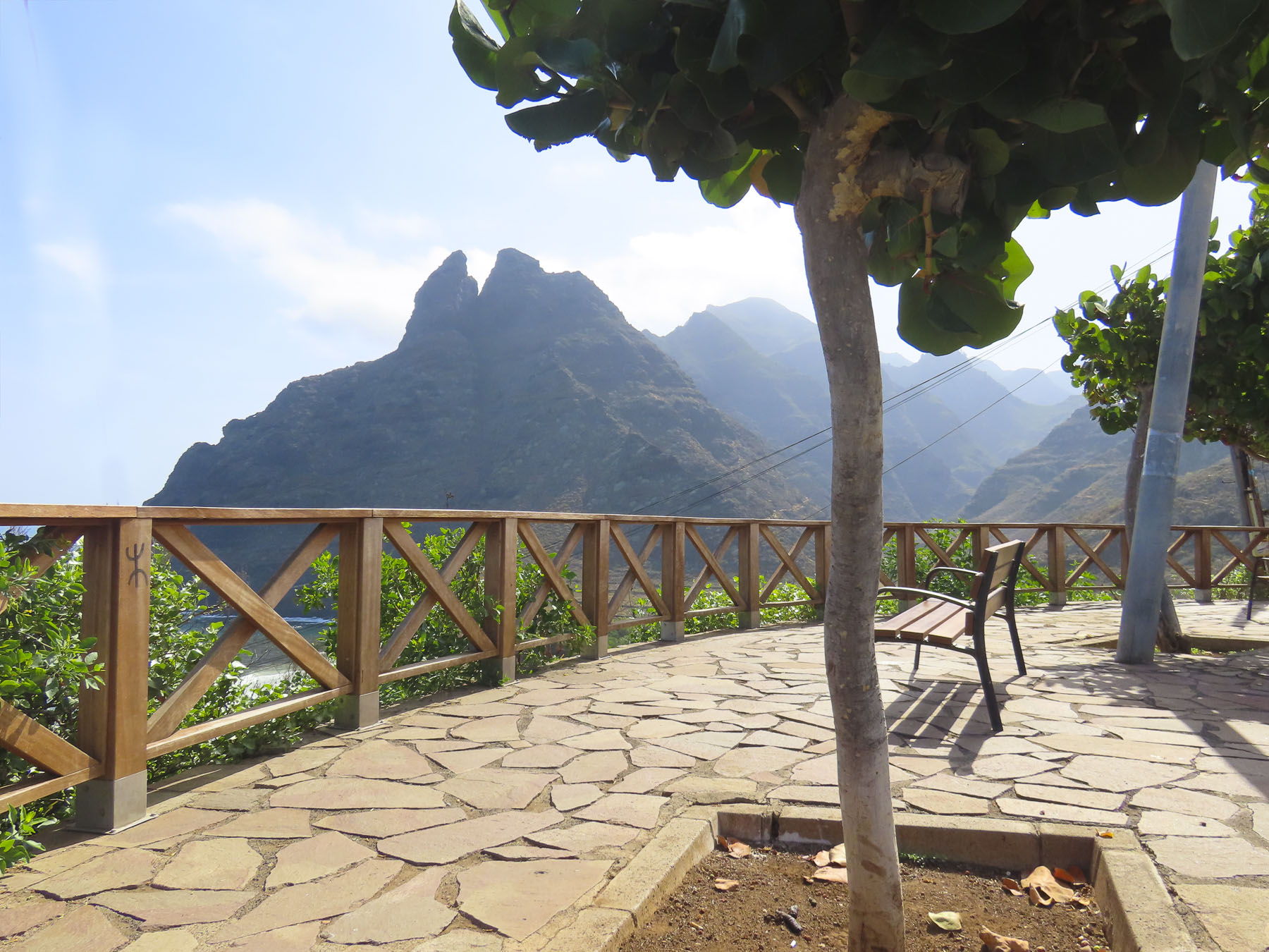
Up from the church was the Mirador de Unamuno that overlooked the deep volcanic Caldera de Tejeda, a massive basin stretching 28km by 18km (17mi by 11mi), that’s ringed with rugged peaks, steep gulleys, and several of the island’s iconic sacred rock formations, including Bentayga and Nublo Rocks. The mirador is named after the Spanish writer Miguel de Unamuno (1863-1936), who described the panorama as a “petrified storm of fire and lava”. If only the day had been sunny for us! There were, hopefully, signs the storm would clear.
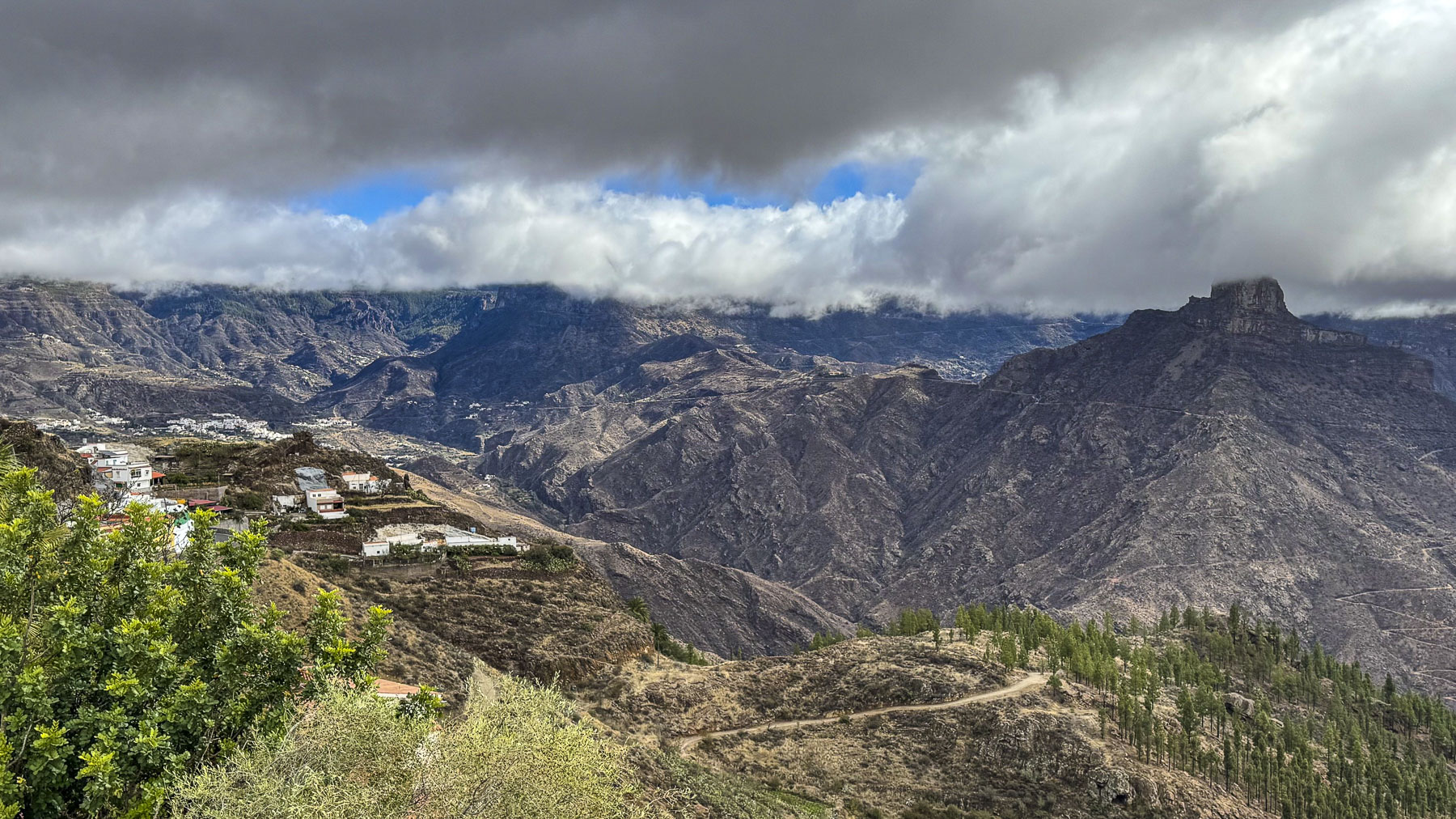
Volcanic eruptions that started 10 million years ago and lasted to 20BC created the island’s dramatic peak, ridges and ravines.  Before the Spanish arrived in the 1400s the Montañas Sagradas were home to the cave dwelling indigenous Guanches, a Berber people, whose priests conducted seasonal solstice ceremonies in the majestic mountains. The mountains’ Spanish name refers to the importance of the snowcapped peaks as a life source of water on the arid island. This snowy resource was critically important to the island’s early settlers, who shoveled winter snowfall into pits and dams called neveras, an early island infrastructure project that started in 1694 by order of the Catholic Church. These small reservoirs were built on the northern, shady sides of the steep ravines that never got sunshine so the collected snow would melt slowly and be used for drinking and watering crops. “The snow was collected by laborers using wooden shovels and wicker baskets, making real mountains of snow. It was then put into rectangular boxes of wood or cork, stacked in rows in the neveras, then covered with layers of straw.” In Las Palmas ice was delivered in panniers wrapped in straw and covered with blankets, from the Pico de las Nieves snow pit by horseback, a six hour journey across the rugged mountains. The ice was used to lower the patient’s temperatures during epidemics of yellow fever and cholera, as well as “chill the beverages of the upper class.” The need to carry ice down from the mountains lasted until in the early 20th century, when electrical refrigerators were brought to the island.
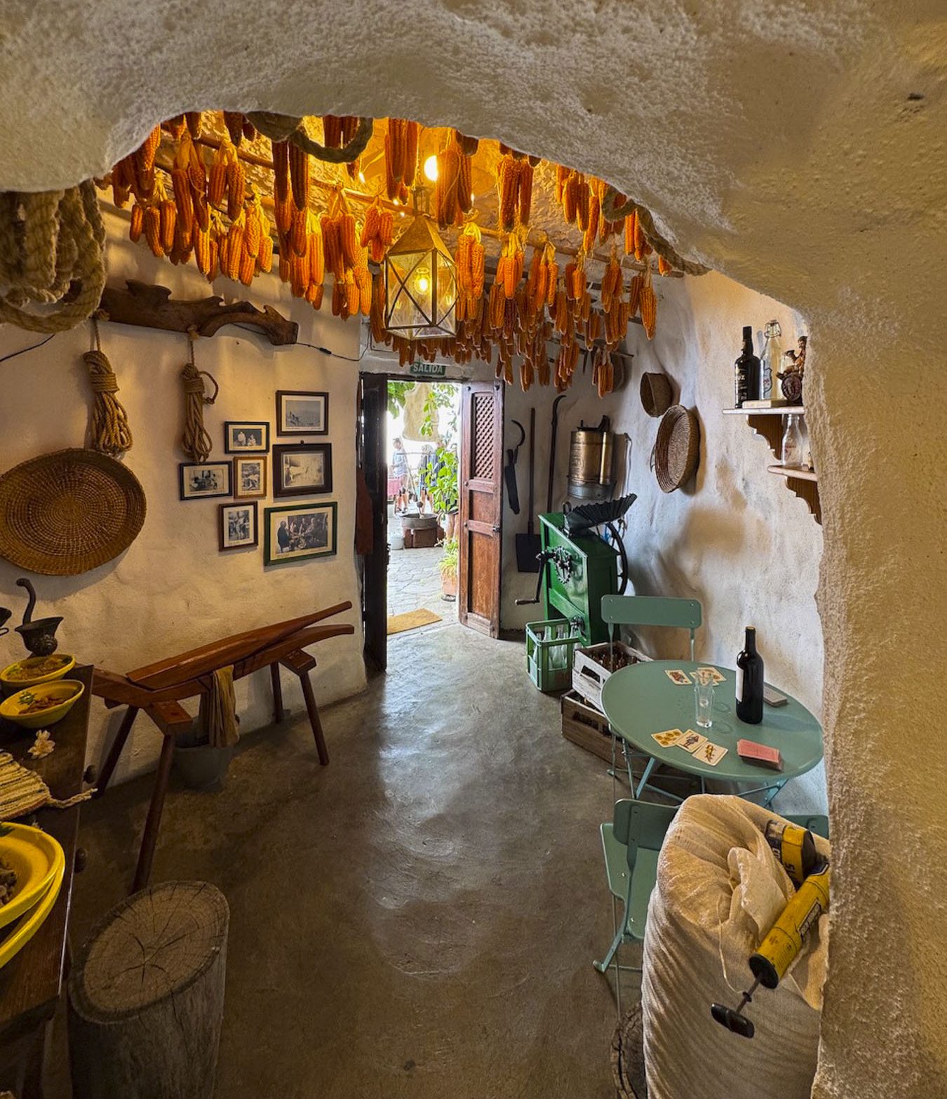
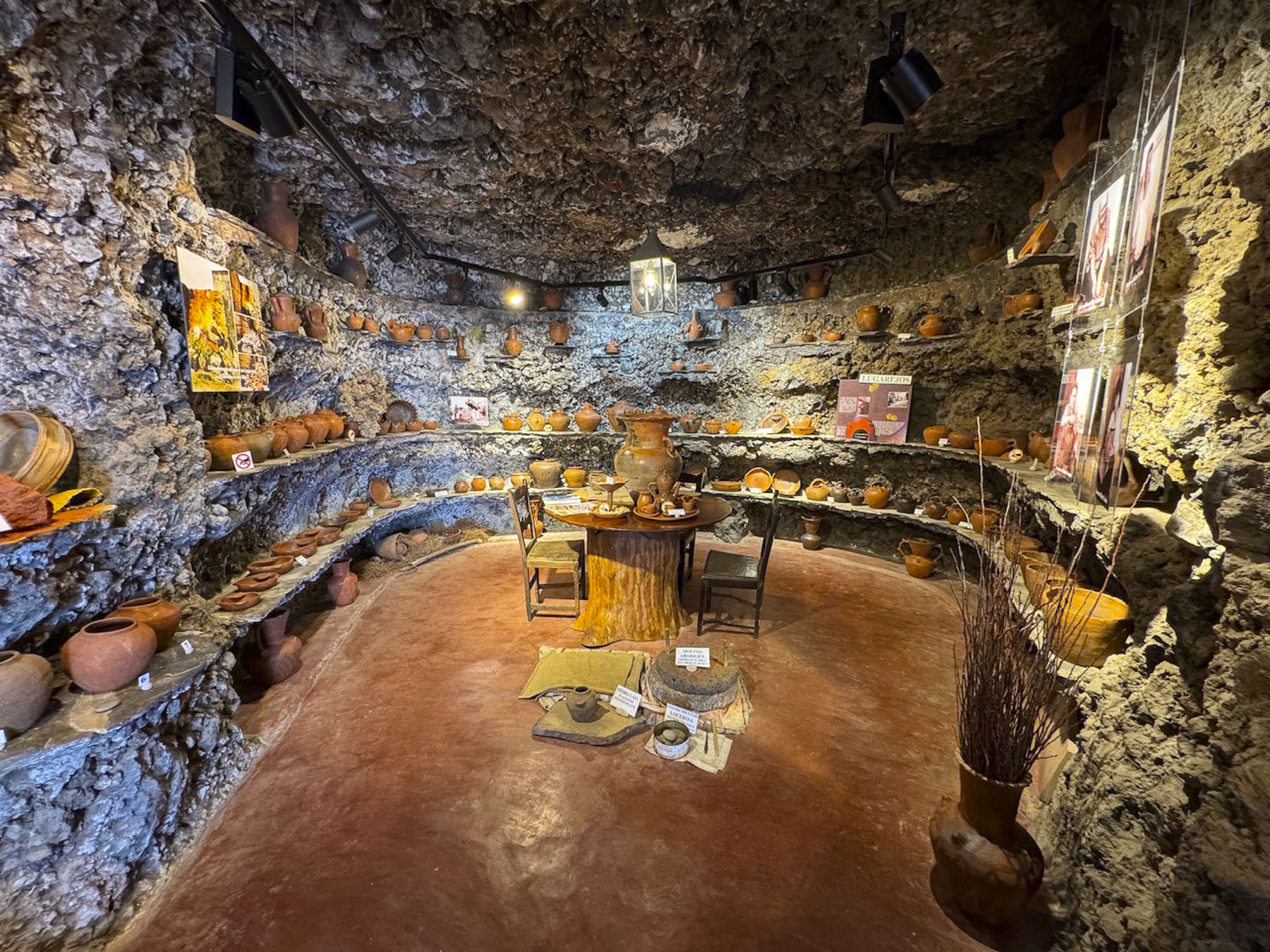
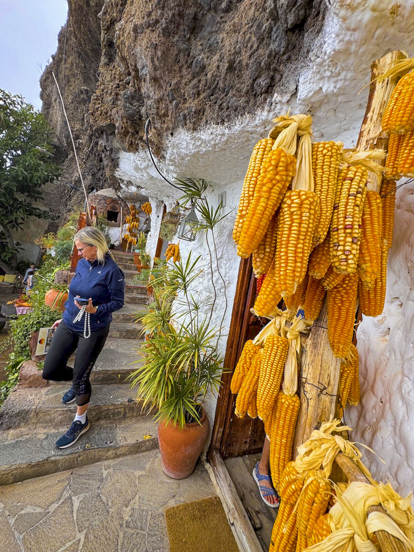
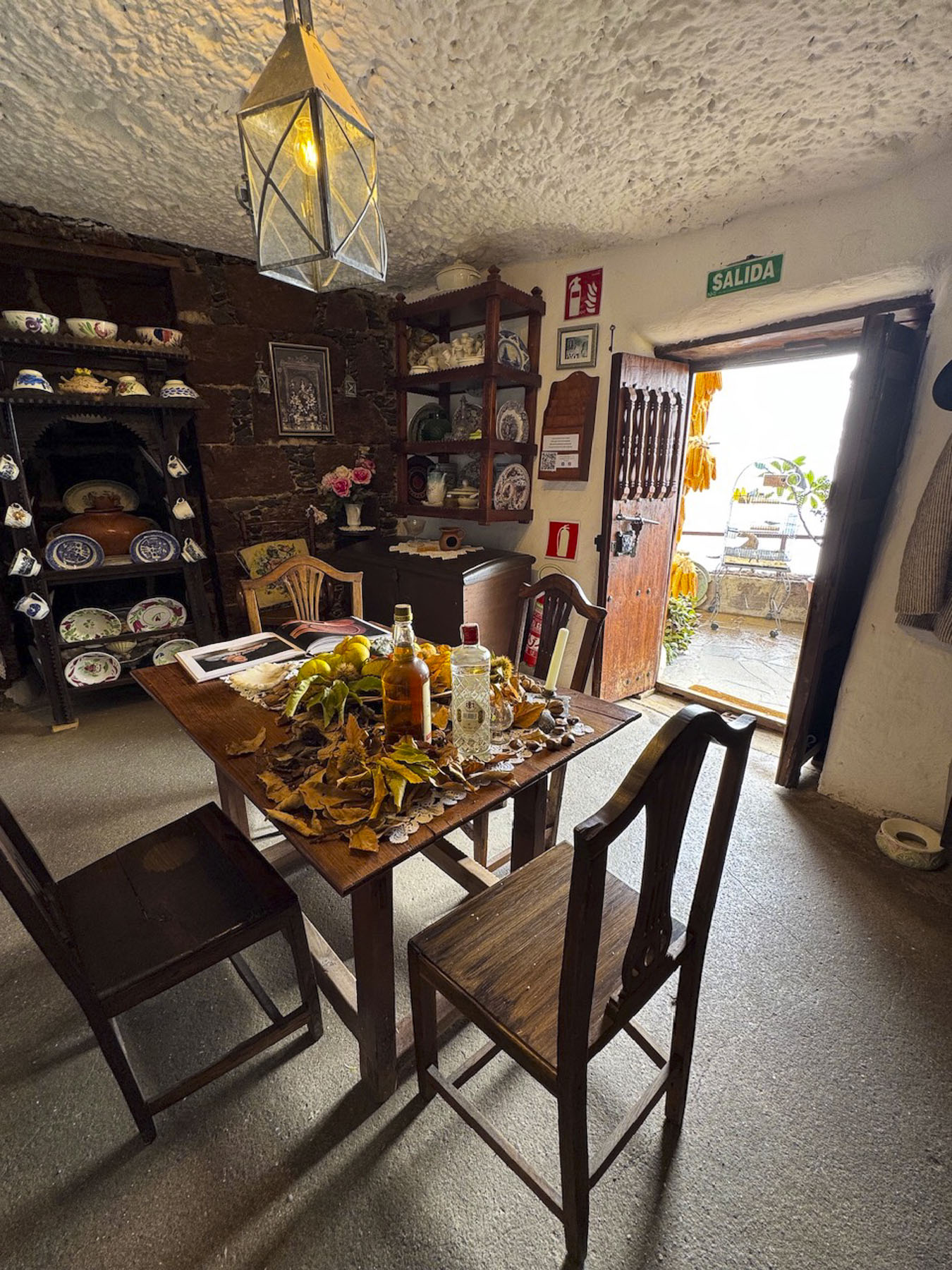
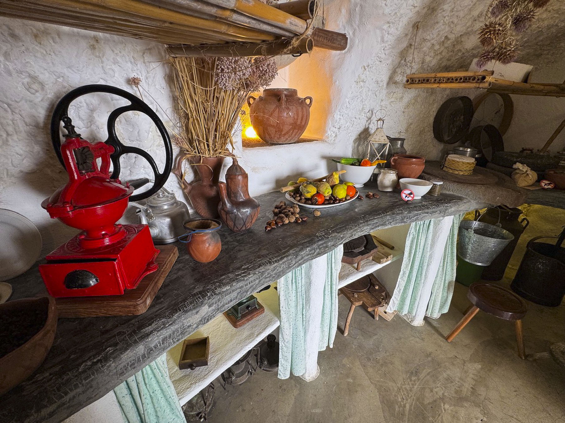
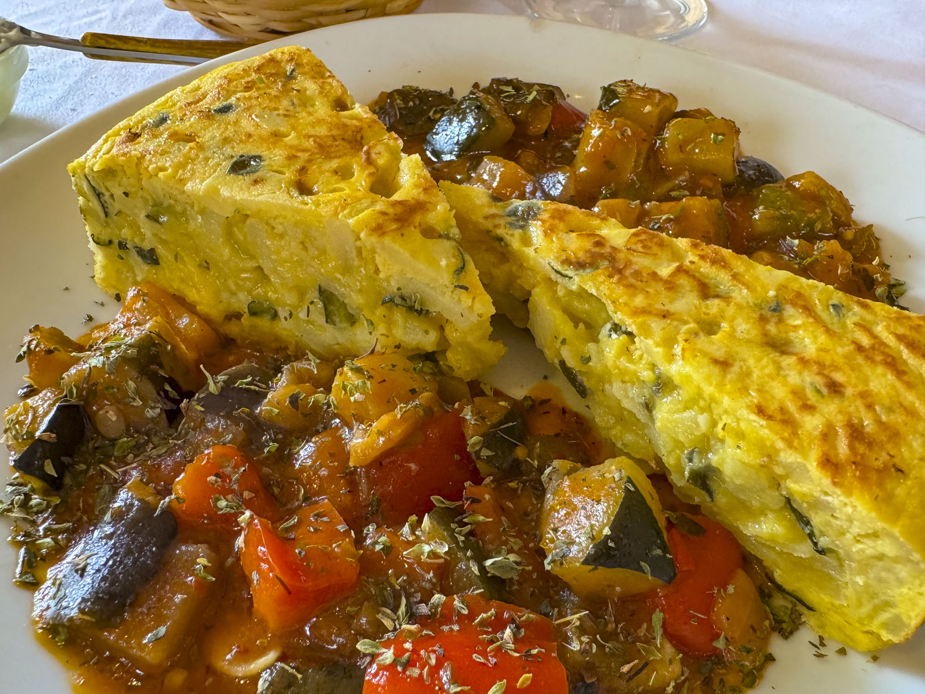
A short distance from the mirador was the Ethnographic Museum of the “Cave Houses” of Artenara, a cluster of three cave dwellings, that had their origin with the pre-Hispanic troglodytes that originally lived in the rough caves dug into the volcanic rock mountains. Over the centuries the caves were improved, and were occupied until the early 1990s, when they were bought by the town council to become a museum. All things considered these modern caves looked pretty comfortable, if you could ignore the lack of indoor plumbing. Nearer to Las Palmas there are several other troglodyte sites across the island, including Barranco de Guayadeque, Quatro Puertas, and Poblado de Acusa Seca, and Cuevas del Rey, all places to consider visiting if you’re into cave dwellings. Afterwards, we stopped next to the church for lunch at Arte-Gaia Restaurante BioTasca, a small rustic tavern with only a handful of inside tables, but on sunny days their seating spills out onto the plaza. They had a wonderful menu featuring local Canarian dishes and wines.
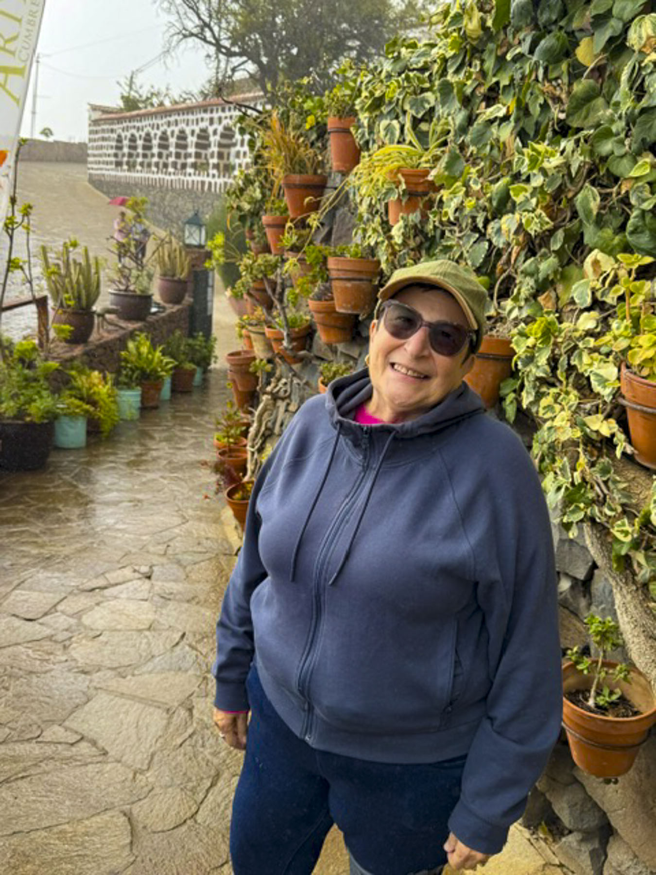
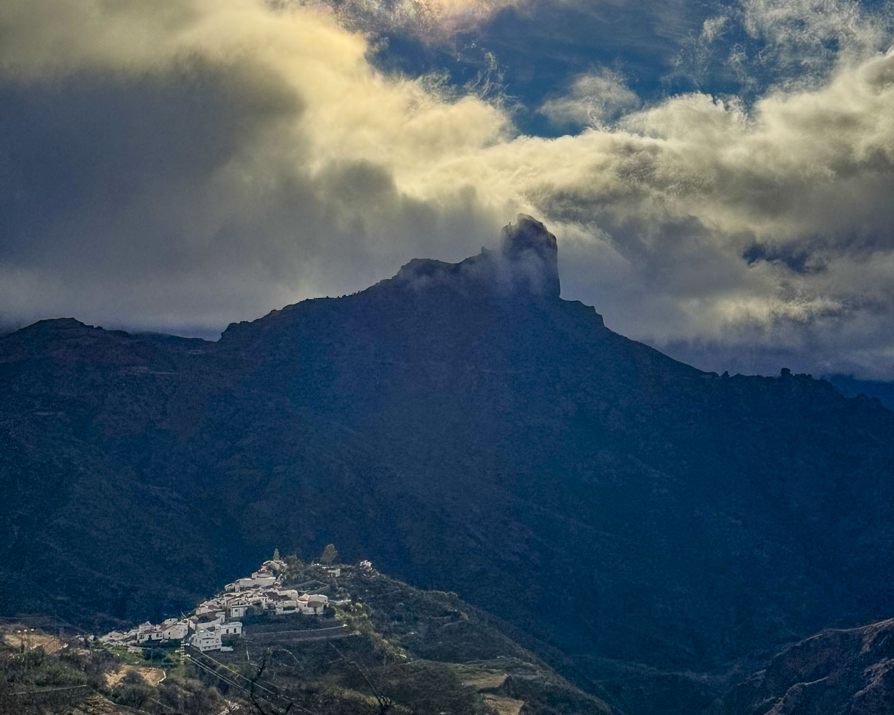
Past Artenara we started our loop back to the coast on GC-60 which took us by Tejeda, a whitewashed hamlet, that’s considered the prettiest village on Gran Canaria. It’s set dramatically near the towering pinnacle of Roque Bentayga, a 1,404-meter-high volcanic rock formation, that served as a sacred sacrificial site for the island’s ancient Guanche people.
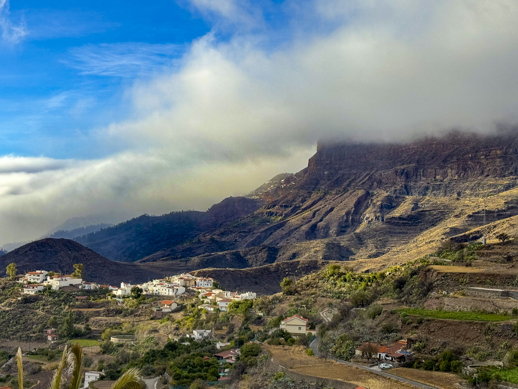
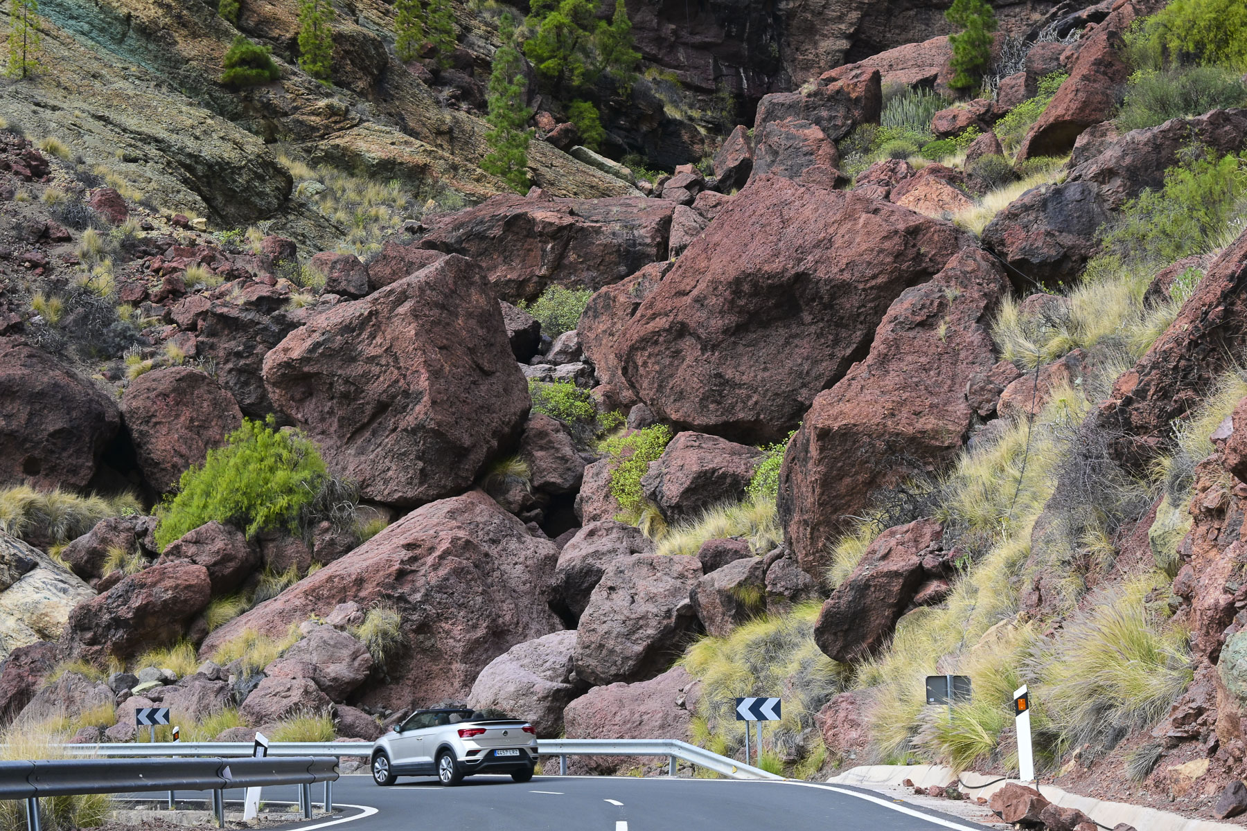
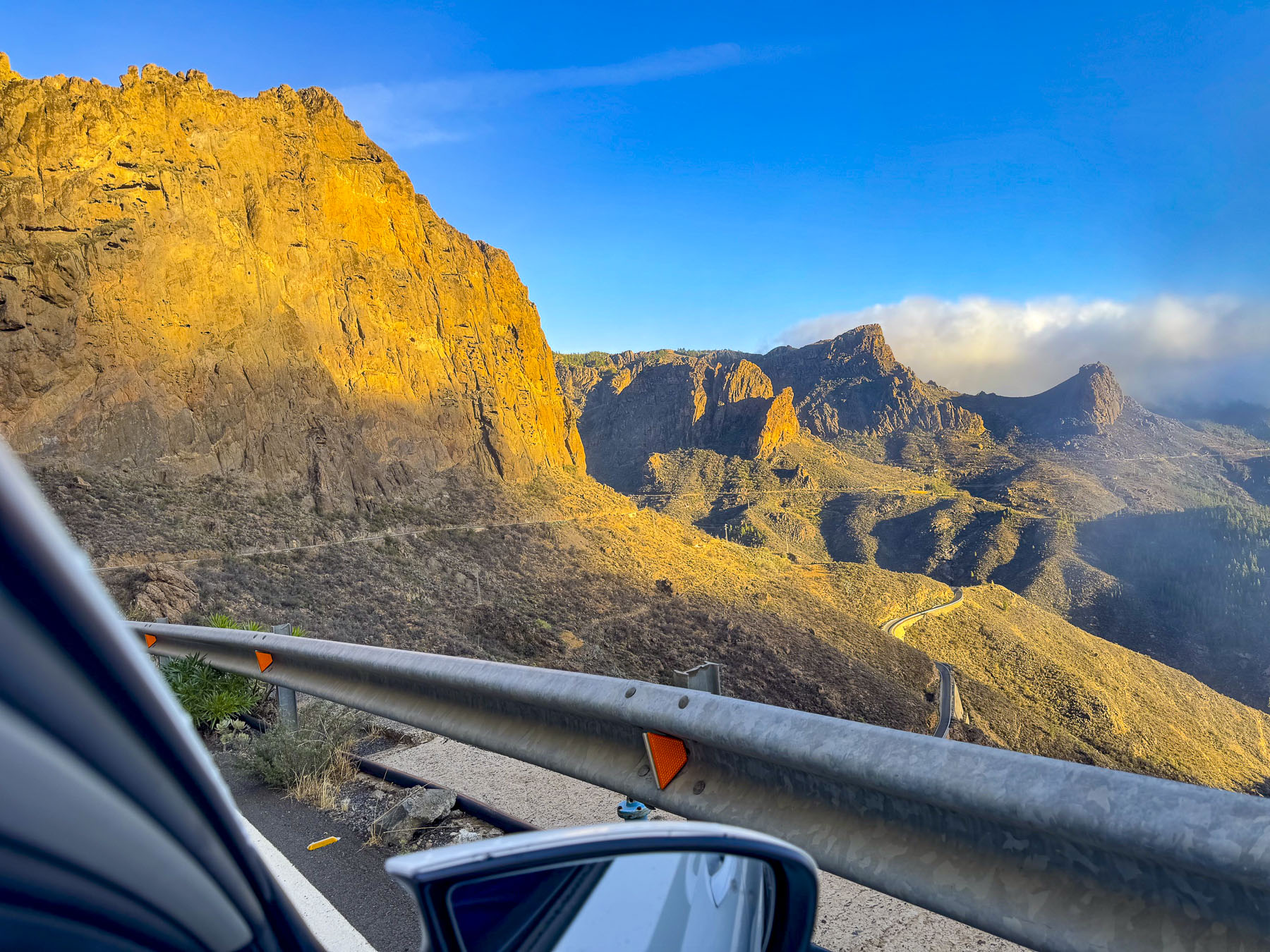
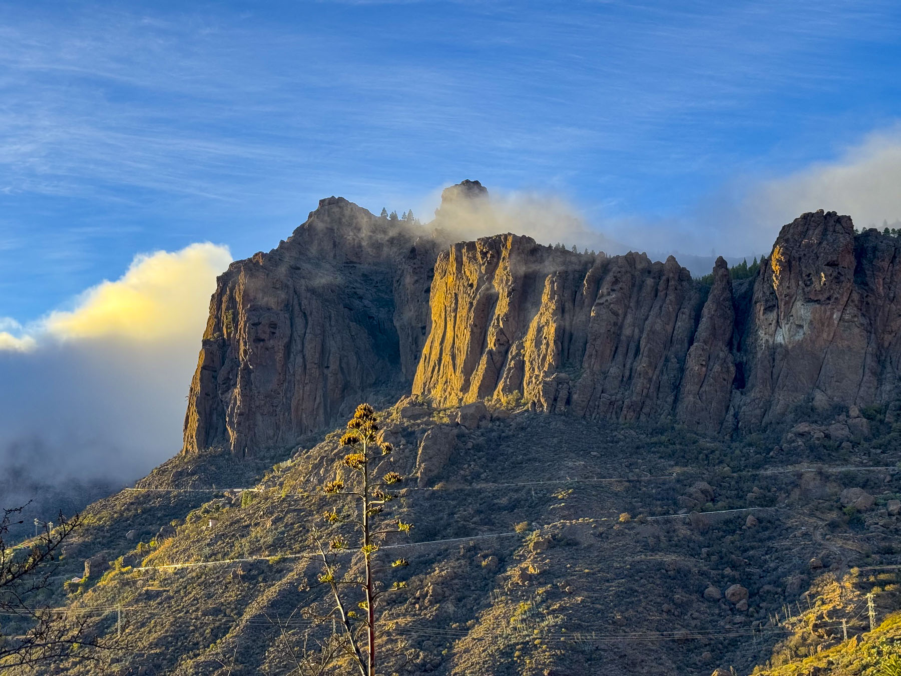
Finally, the clouds broke during our descent along a never-ending set of switch-back curves lined with soaring rockfaces on one side and plunging gorges on the other. The afternoon now offered the first views of how dramatic this violently hewed mountainscape actually was, after spending the earlier part of the day seeing its features softened in clouded light. There were not nearly enough miradors to stop at to soak in the tremendous views that transfixed us.
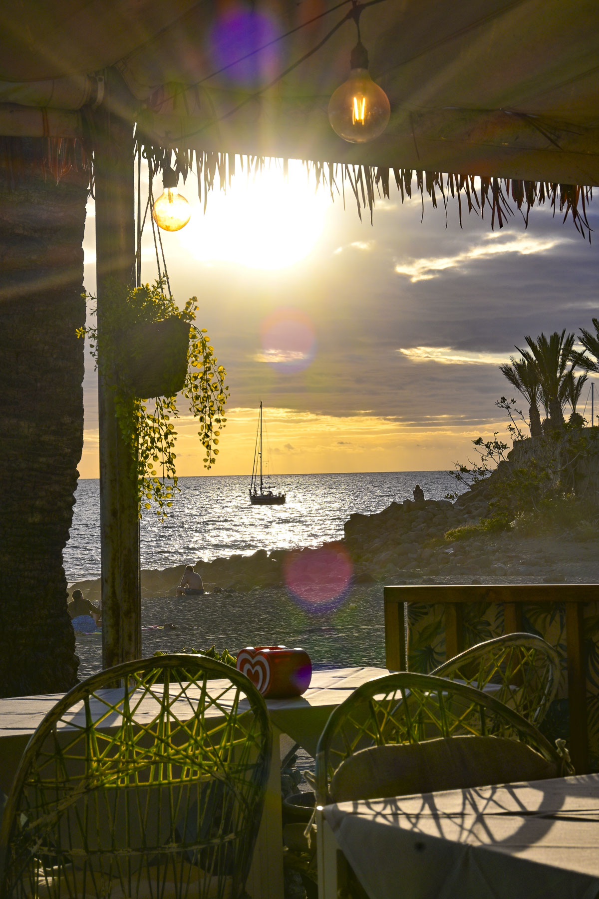
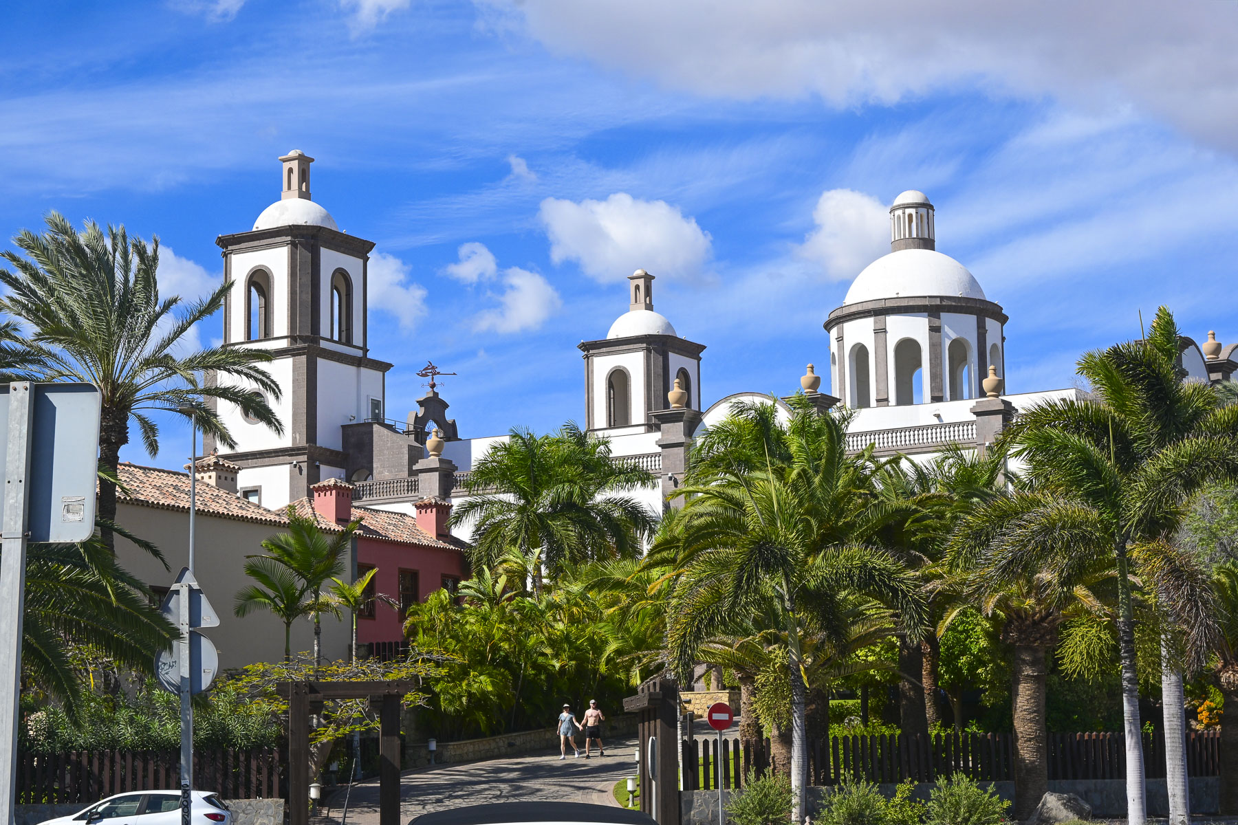
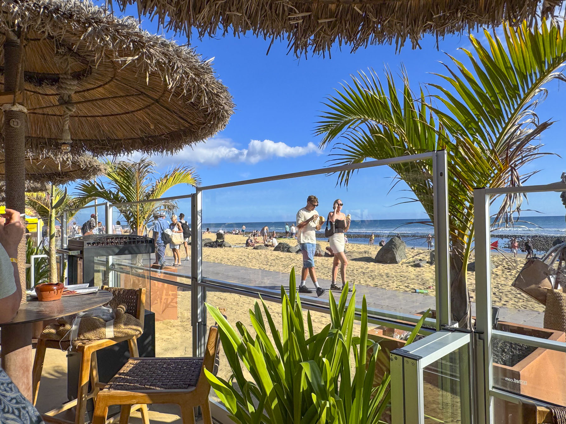
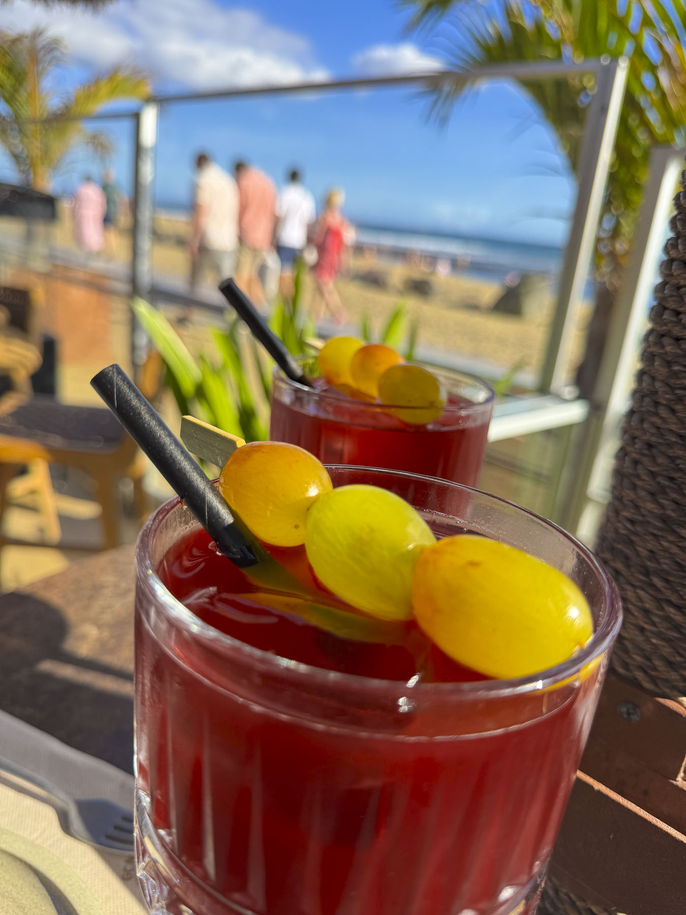
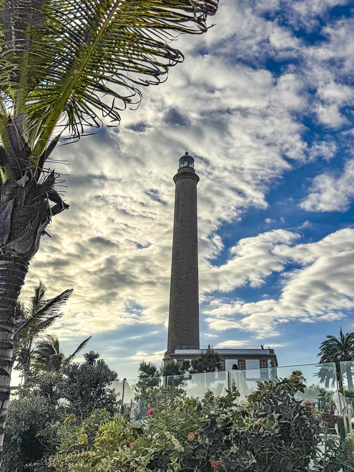
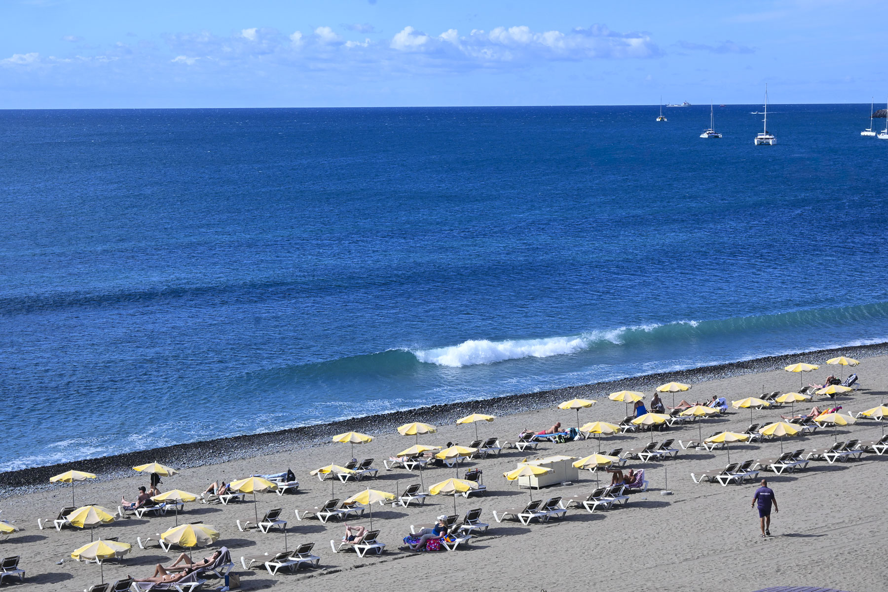
Rebecca’s tips for where the locals go took us past the luxury resort Lopesan Villa del Conde, that was purposely built to resemble a traditional Canarian village, complete with a façade of a church with belltowers.  Farther on, the Meloneras Golf Club beautifully overlooked the ocean and the wide Playa de las Meloneras beach. Before we reached the El Senador Restaurant & Beach House on west end of the Dunas de Maspalomas promenade, near the Faro de Maspalomas lighthouse. Mid-afternoon tables with views of the beach were open, and we spent a delightful time just sipping our drinks and people watching.
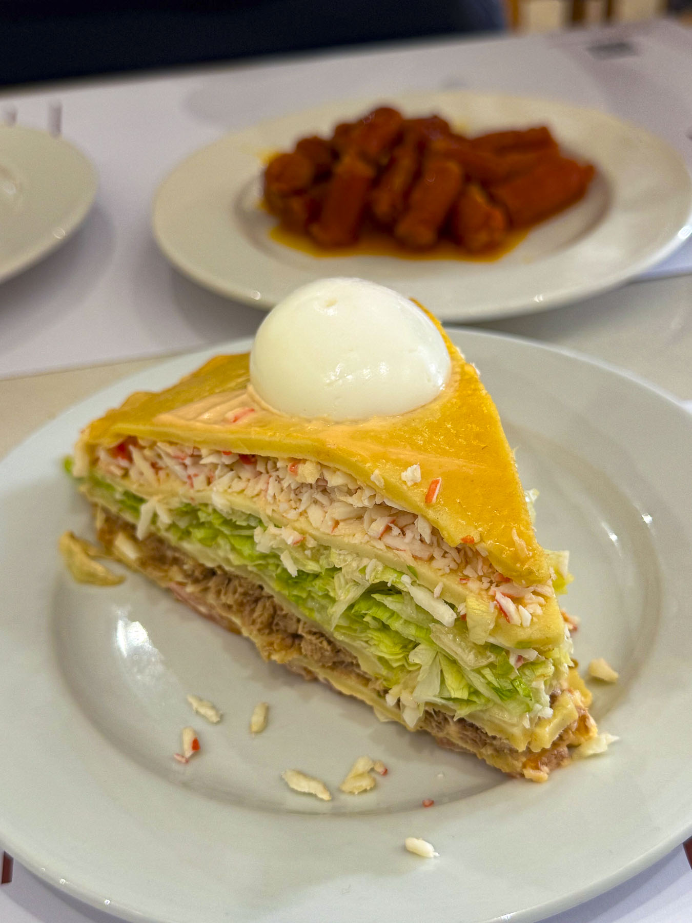
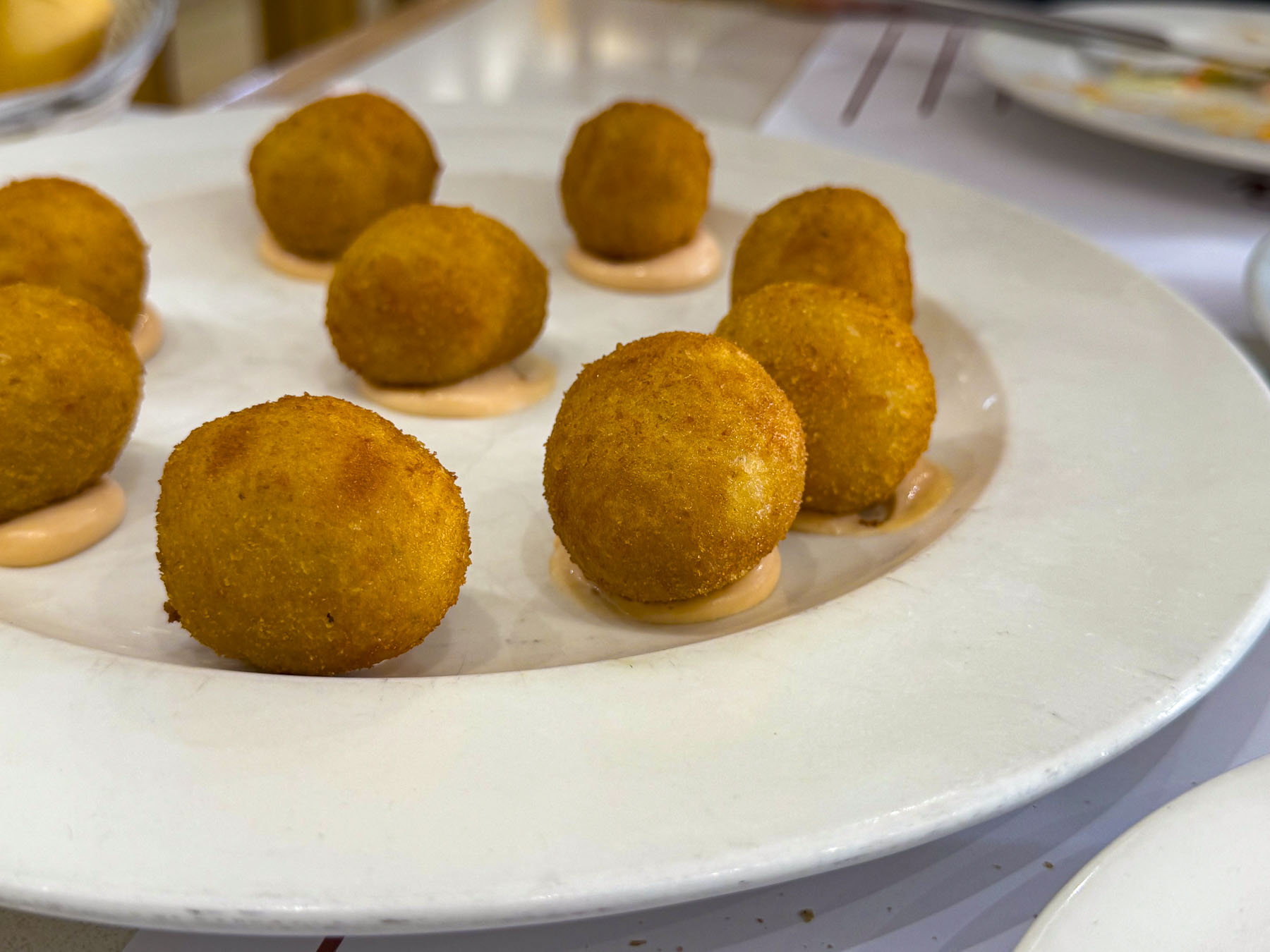
We ended our day with an early dinner at La Tapita Los Jose’s, an upscale neighborhood tapas bar far from the Meloneras beach areas. The food and local wine were very good, the vibe relaxing, another good recommendation.
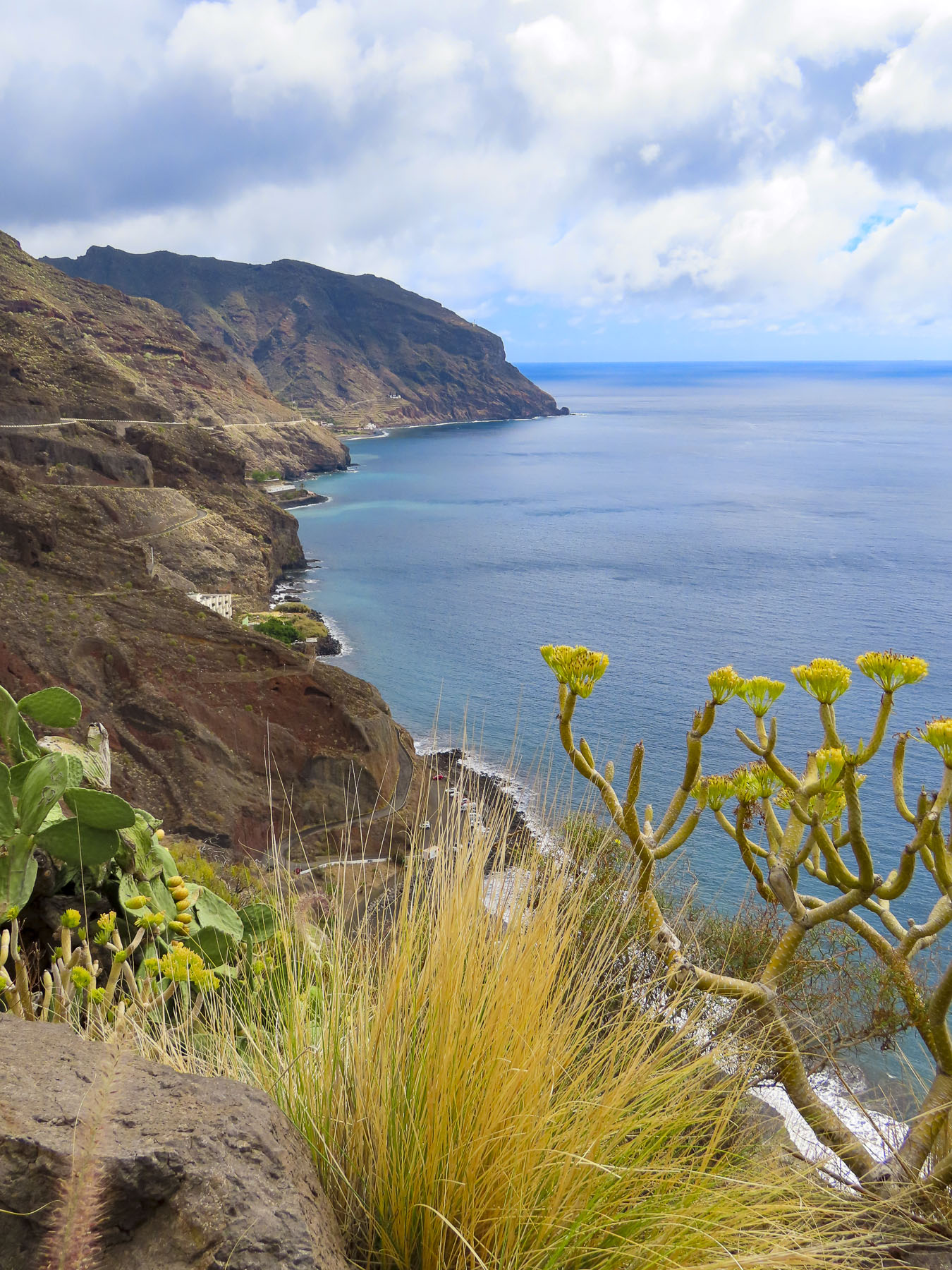
On the opposite hillside across from our hotel, we could see pedestrians walking along a road that curved up the hill, but we never saw a car. This was part of coastal road (GC-500), a quick route with wonderful views, that used to connect folks in Taurito to Puerto de Mogán, until 2017 when several dangerous rockfalls from the towering coastal cliffs above the road forced the local authorities to block the road permanently with a substantial wall that folks can walk to, but can’t climb over. Recently funds have been approved to excavate a tunnel between the two towns to speed transit.
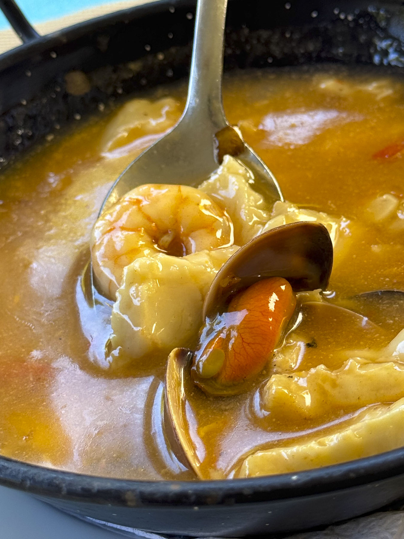
Deciding to have lunch in Puerto de Mogán we needed to get on the GC-1 for a convoluted route that required us to drive east for several miles before doing an U-turn, and then driving west again past Taurito to the exit for Puerto de Mogán. A trip of twenty minutes that will be reduced to seven with the new tunnel.
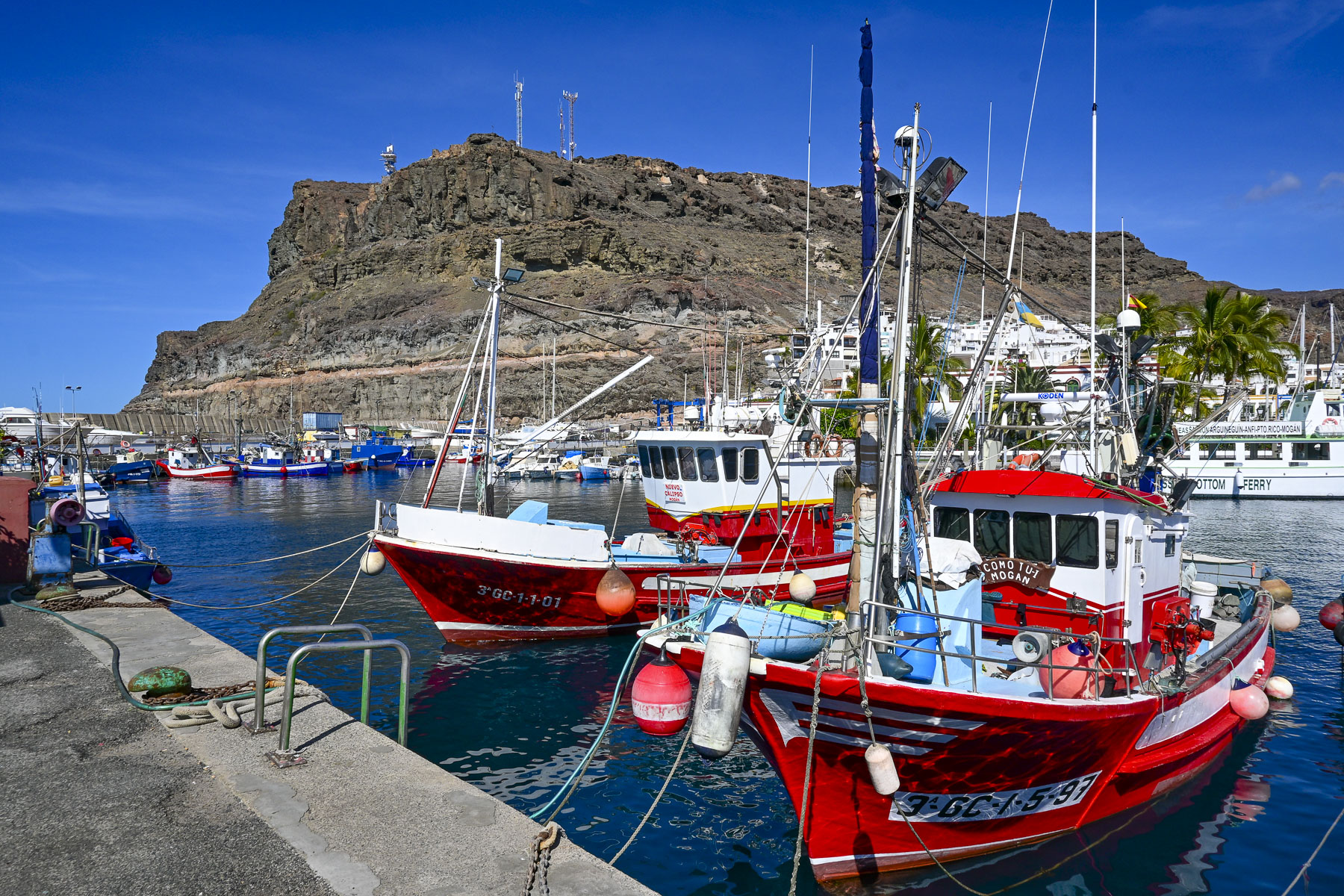
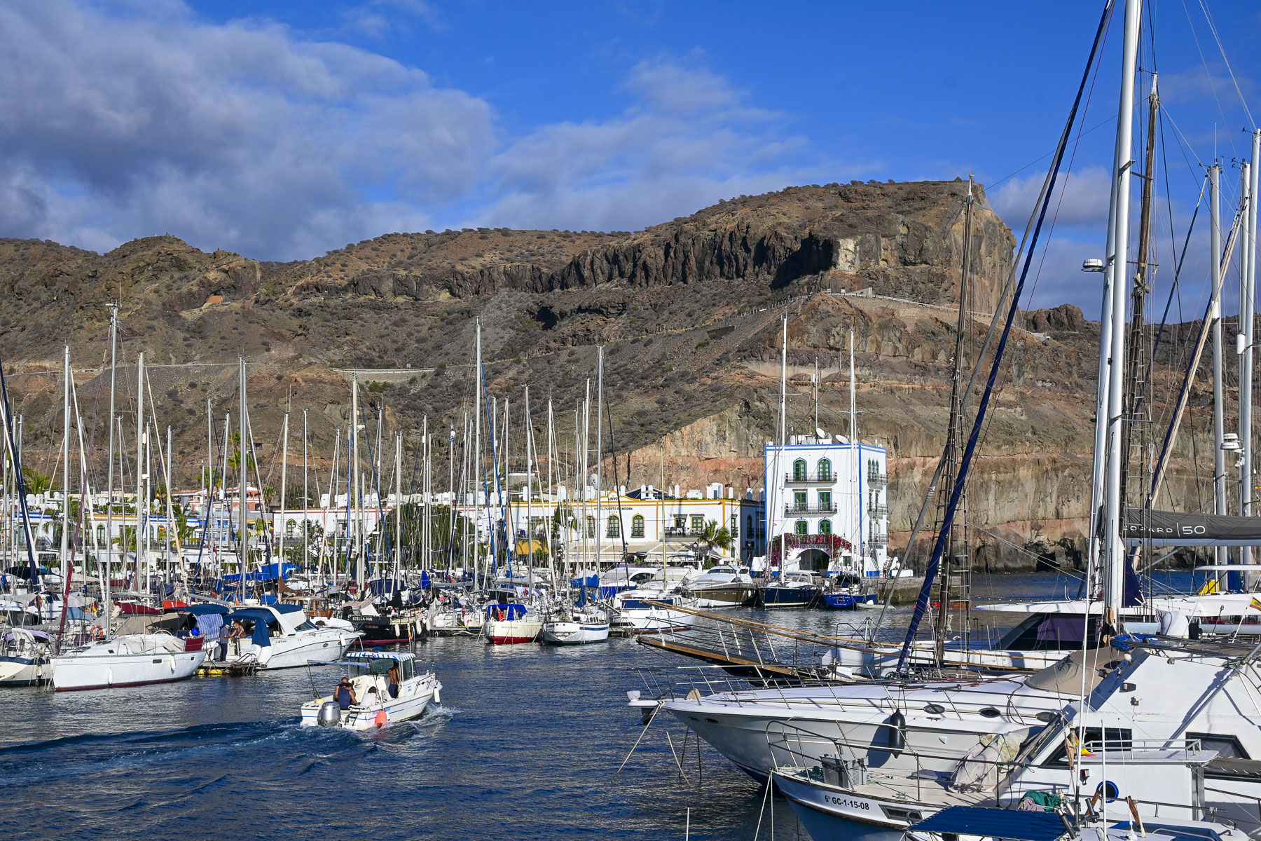
Puerto de Mogán started as a poor fishing village, where men pushed their small boats into the surf from a rocky shoreline, until a major redevelopment project in the 1980s constructed new apartment blocks designed to look authentically old, the breakwater, and a marina with over 200 berths.
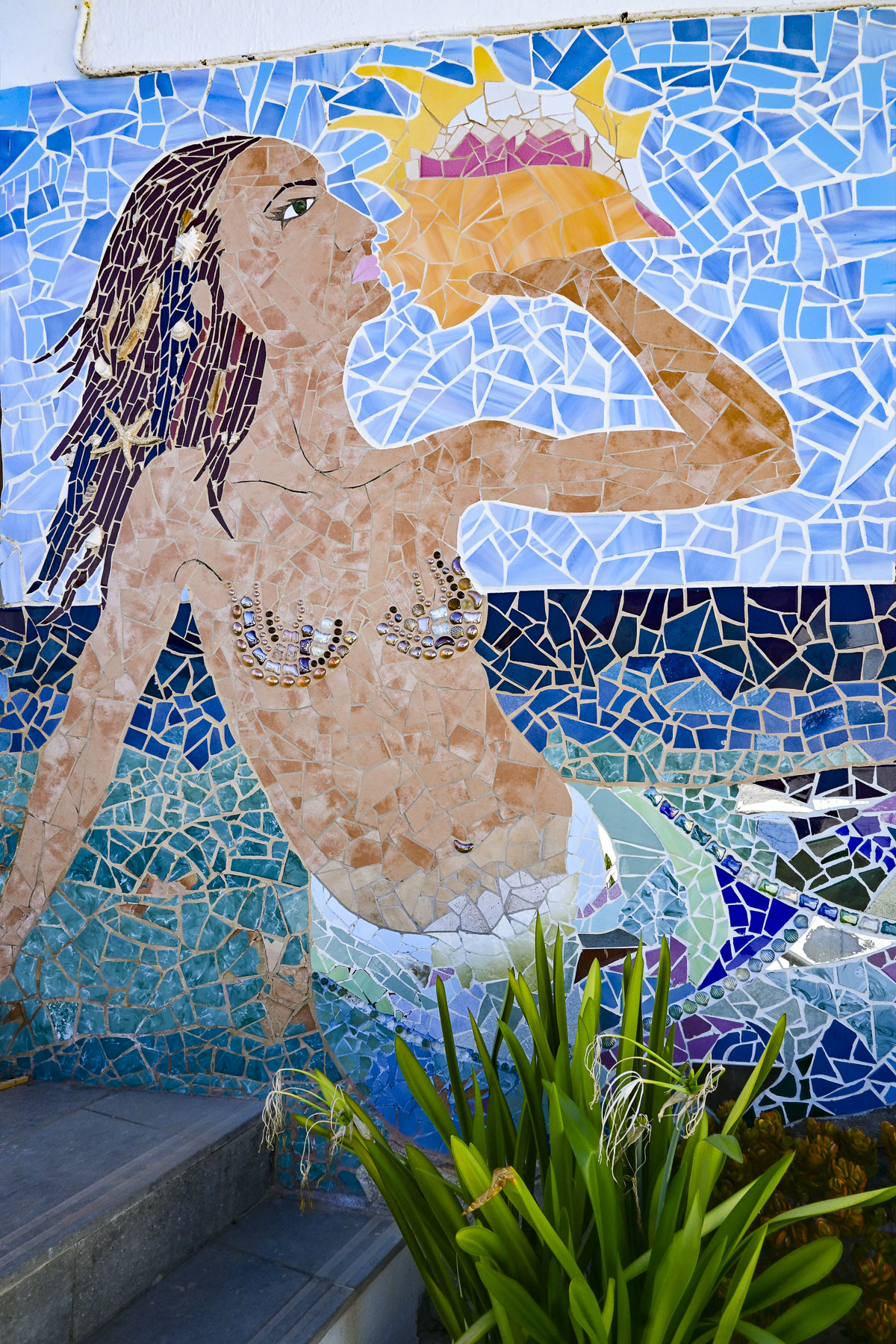
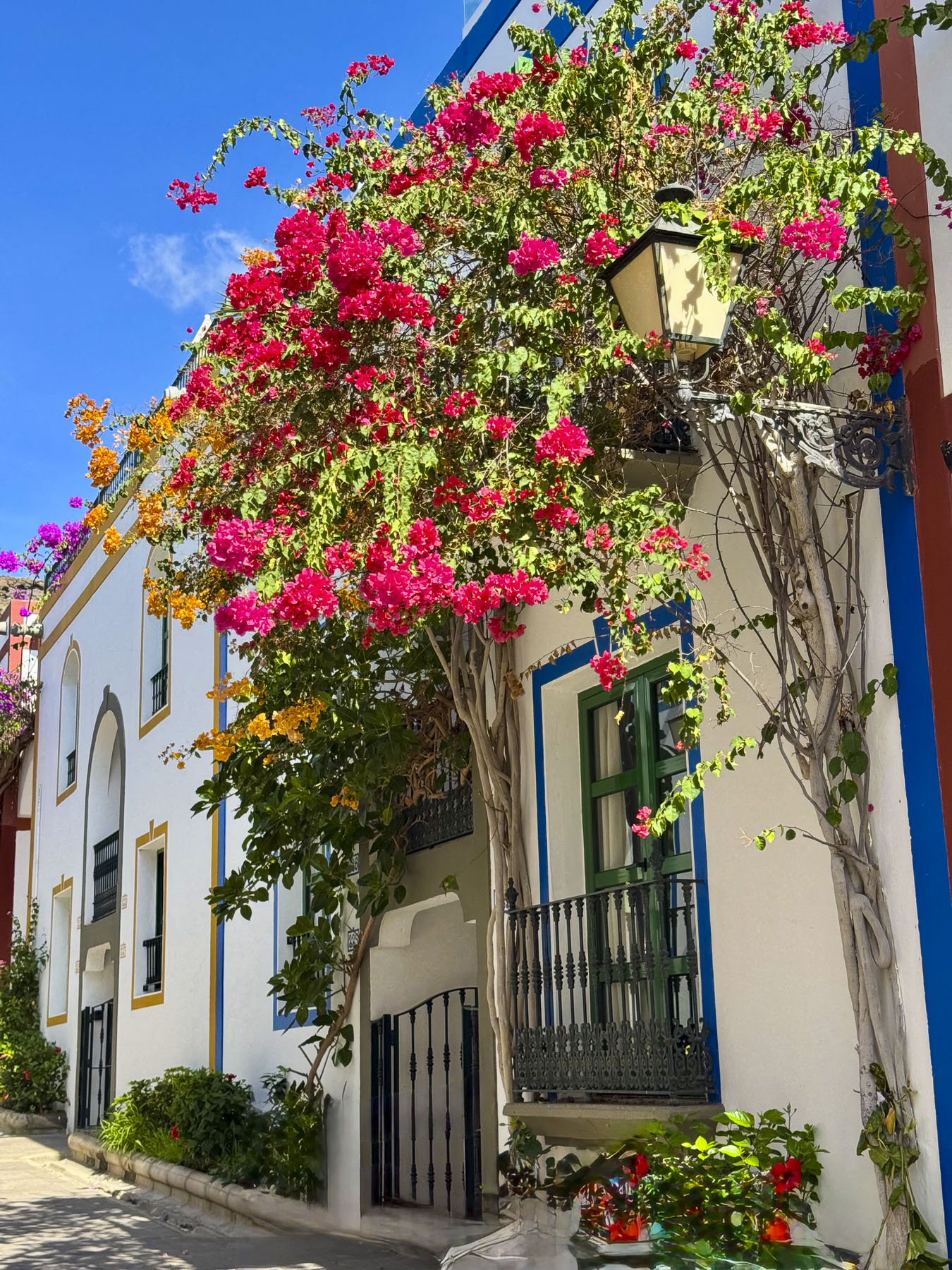
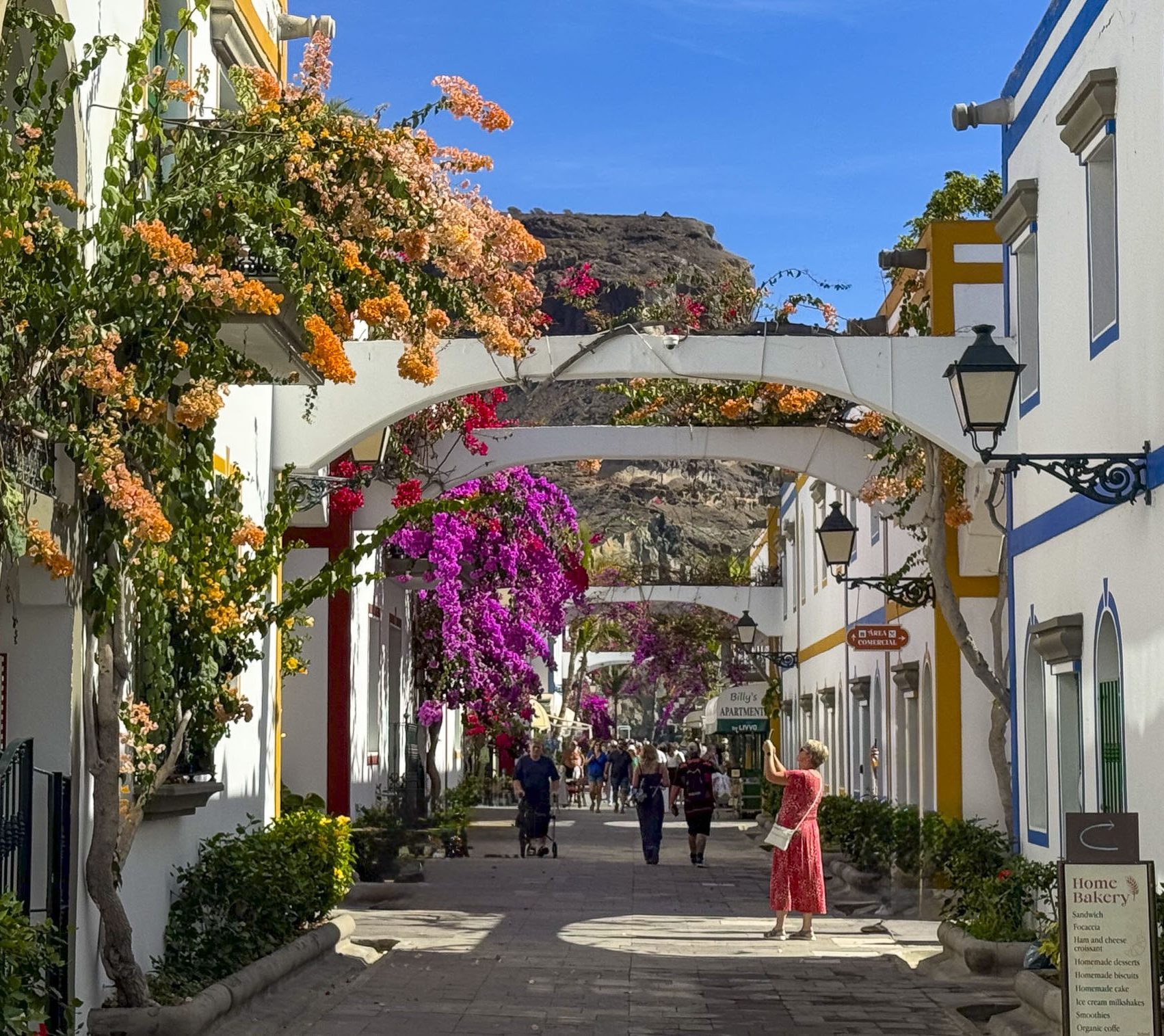
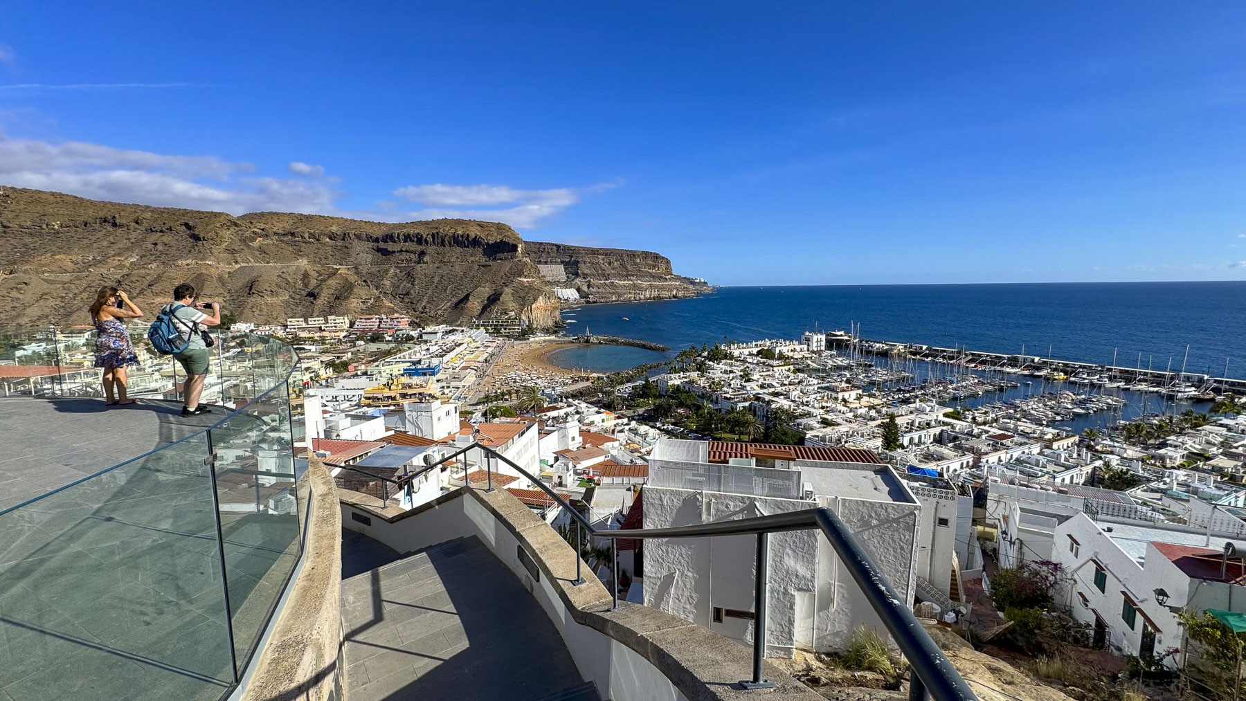
New hotels and the half-moon shaped Playa de Mogán, constructed with sand imported from the Sahara Desert, soon followed. Today Puerto de Mogán, with its whitewashed homes and lanes shrouded with blossoming bougainvillea, is considered Gran Canaria’s prettiest coastal village. Some folks call the town with its small bridges over several narrow canals, “Canaria’s little Venice,” but it’s more a phrase coined by an over-zealous travel agent, than based on reality. But still, we thoroughly enjoyed wandering along the harbor, and through narrow hillside alleys of the historic quarter to the Mirador de Puerto de Mogán for a fantastic view out over the town and sea. It would be a great spot to see the sunrise.
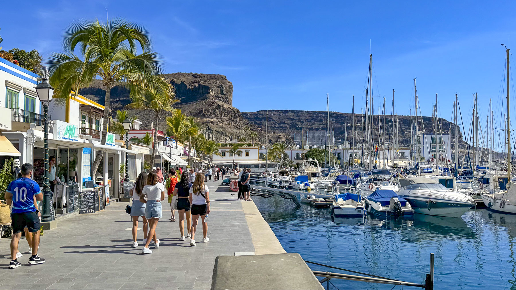
On Fridays the town hosts Gran Canaria’s largest weekly market, with roughly 250 vendors that sprawl out across the town to the marina, and along the harbor wall. Parking is challenging in the small town, but ferry services to Puerto de Mogán from the coastal towns Arguineguín, Anfi del Mar, and Puerto Rico, are a stress-free option that many tourists utilize.  
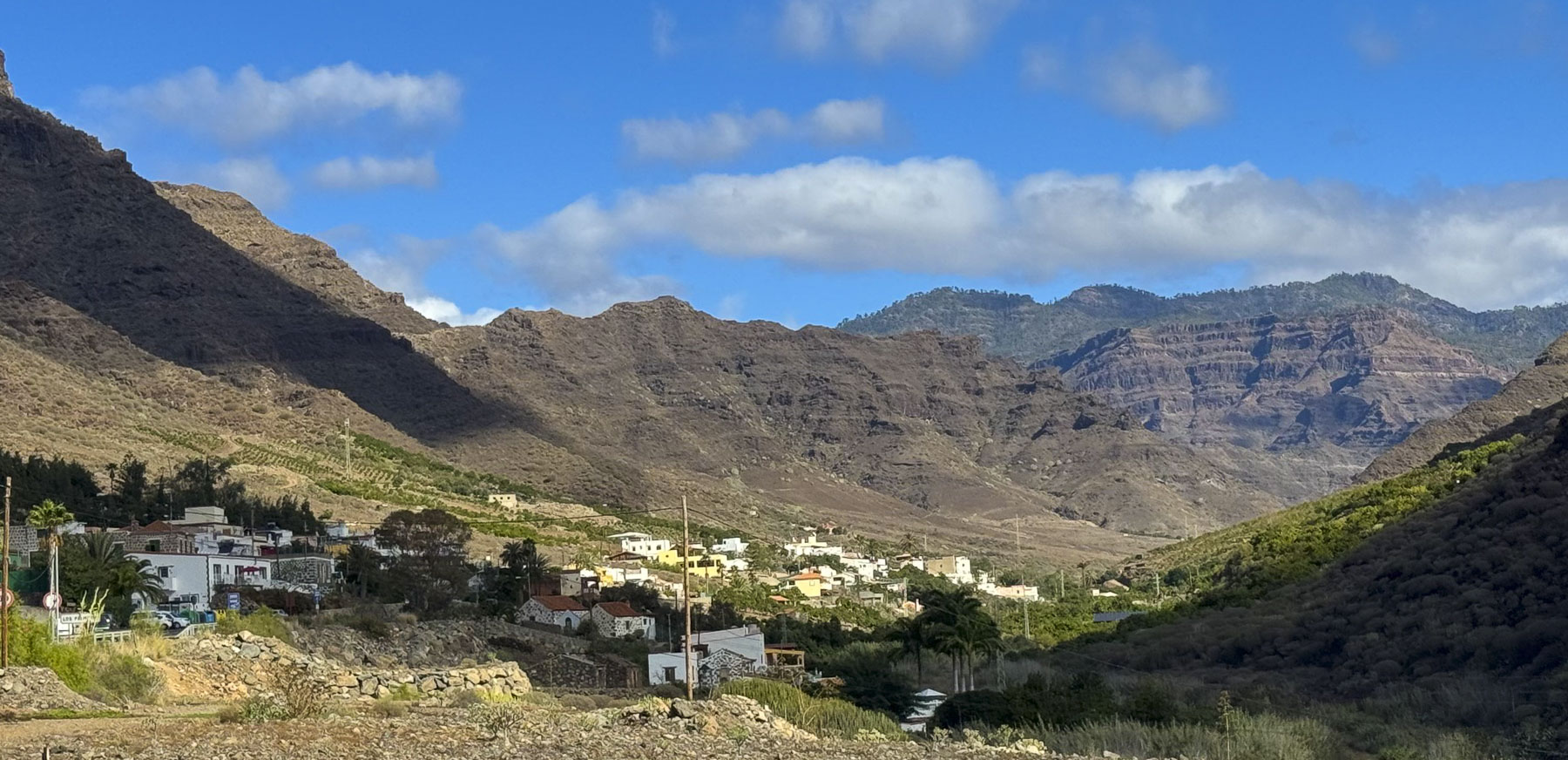
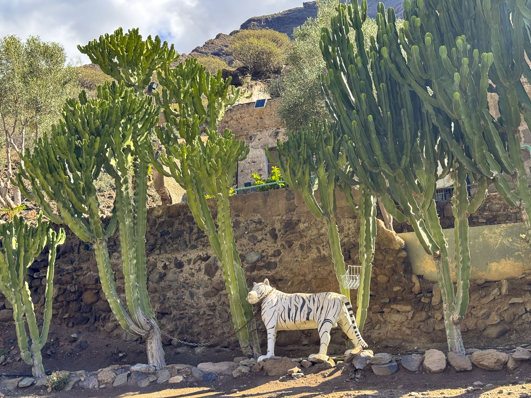
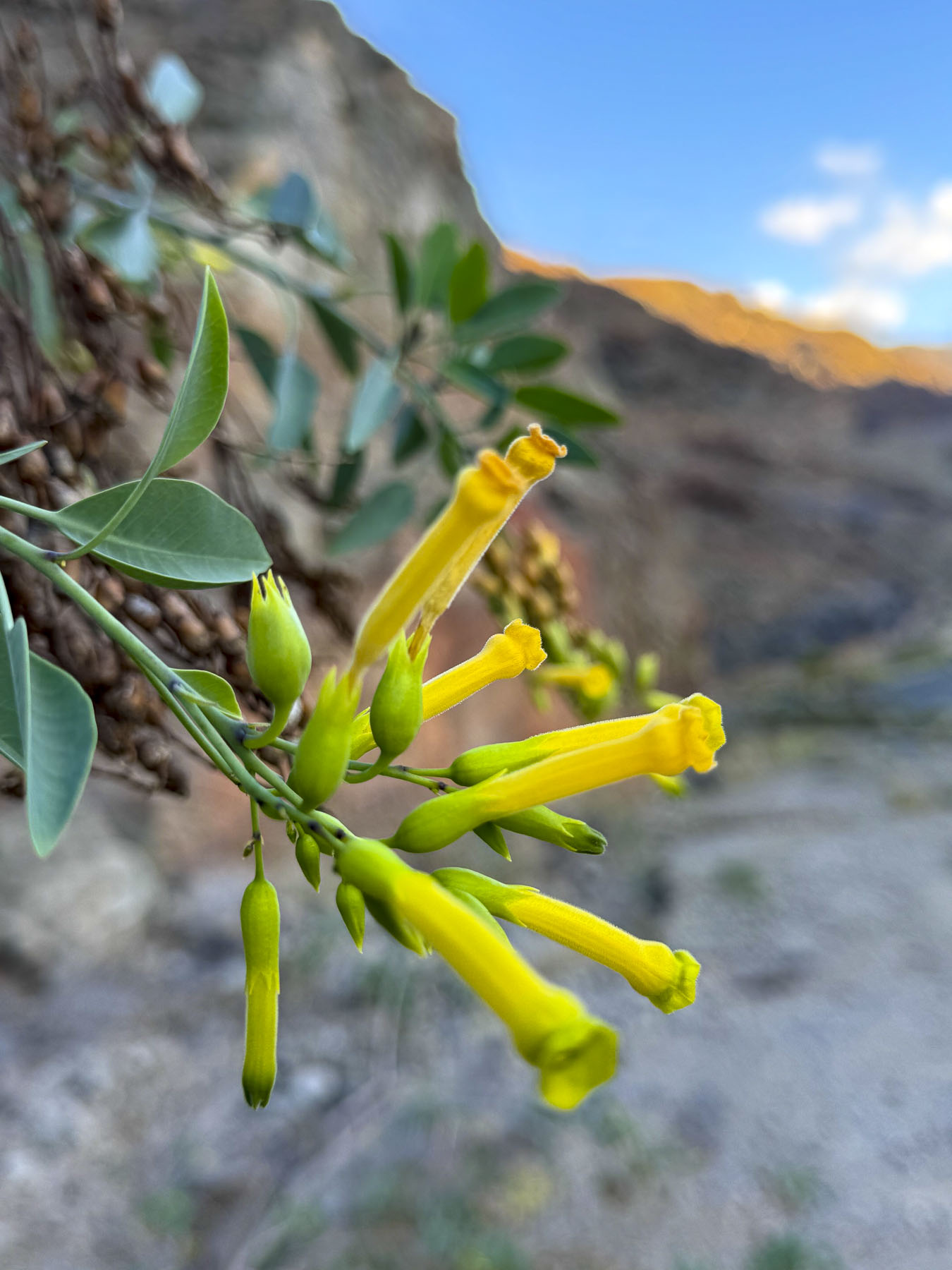
On the last day before leaving Gran Canaria we headed to the Mirador del Balcón, on the island’s western coast, 54km (34mi) away. An hour’s drive without stopping, but what is a day without a journey that’s just as nice as the destination? Our route took us west to the end of the GC-1 then north on the GC-200 through a wide dry valley covered with endemic Cardonal cacti and tabaibales shrubs, native plants that tolerate the semi-arid environment well. Clusters of yellow-trumpeted, wild Esperanza also dotted the landscape. Native to the Americas, it found its way to Gran Canaria centuries ago and is now naturalized across the island.
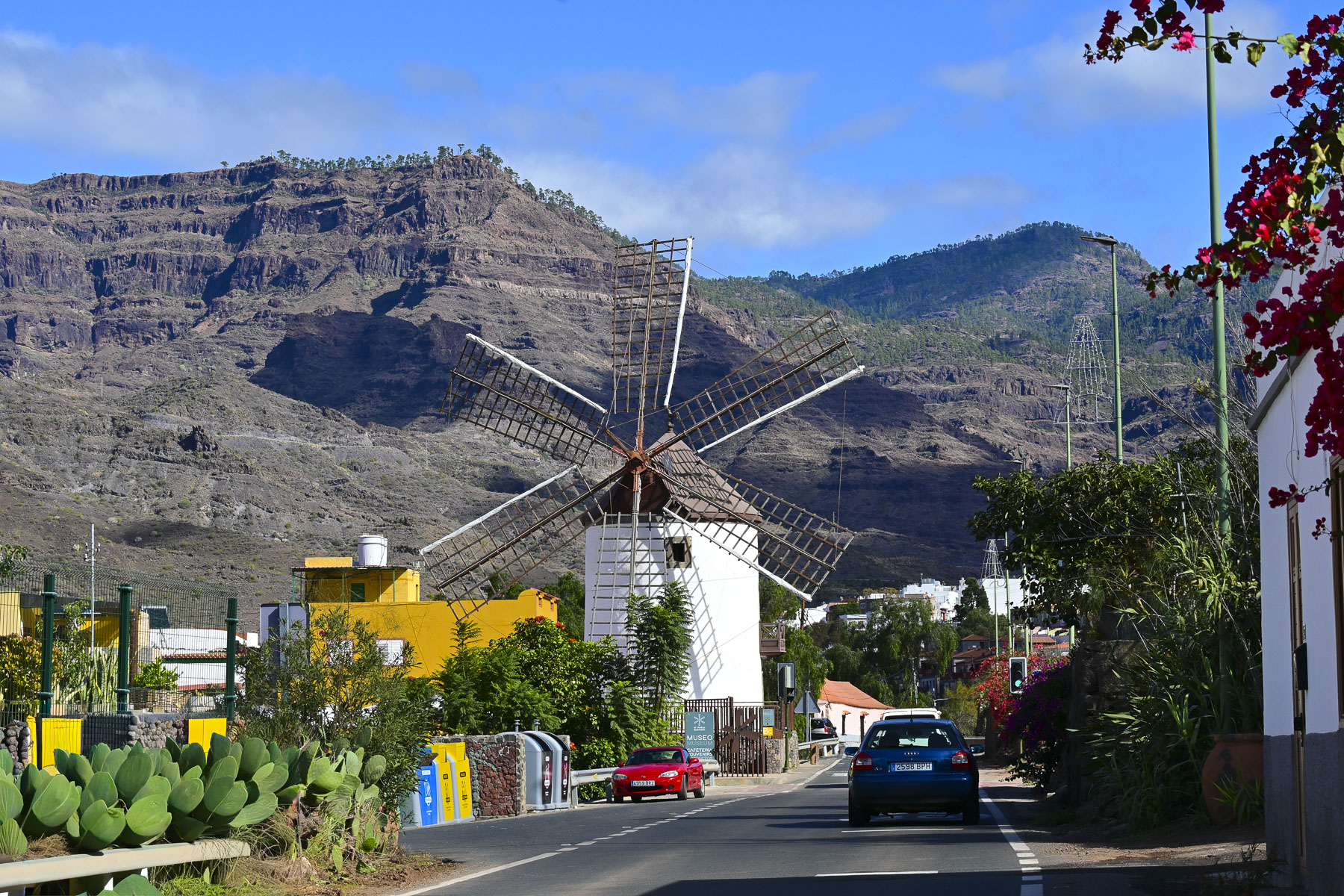
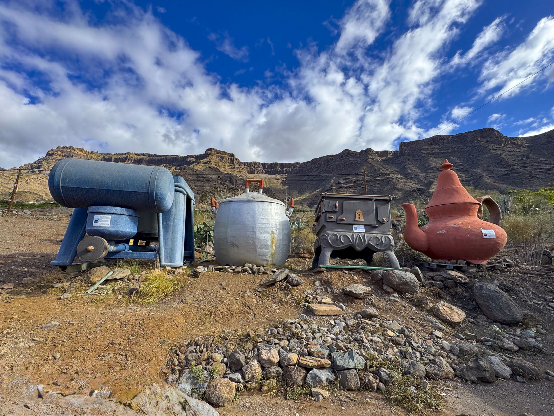
In Mogan, the Molino Quemado, Burnt Mill, a 19th century windmill towered above the road. There used to be nearly 100 windmills across the island that ground toasted grain into “gofio.” Often called the Canary Island’s “superfood,” gofio is a whole-grain, stone-ground product, with a nutty flavor, that retains the nutrients of the entire kernel: it is served like mashed potatoes, in soups as a thickener, or kneaded with honey and nuts into Pella, round dough balls. The mill is used now as a heritage museum, and has a nice café, surrounded by a quirky garden filled with Alice in Wonderland-sized everyday items.
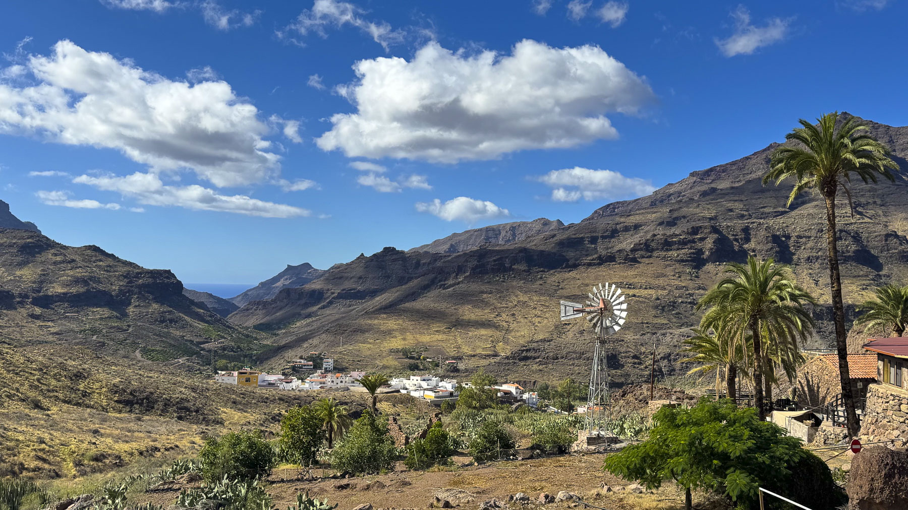
As we drove higher into the mountains a scene with a classic farm windmill reminded us of the American Southwest, and views down the steep ravines revealed oases of greenery, where farms straddled the streambeds.
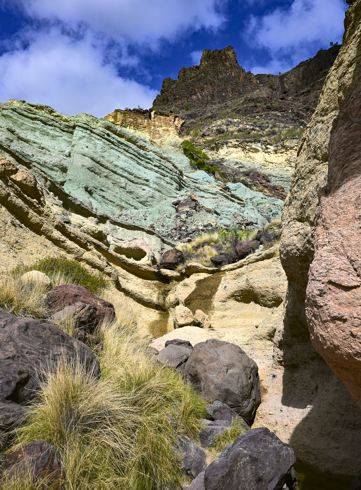
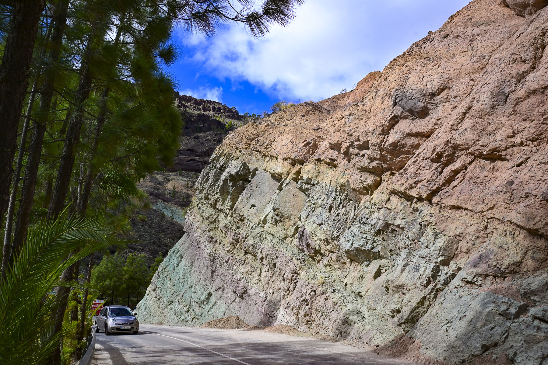
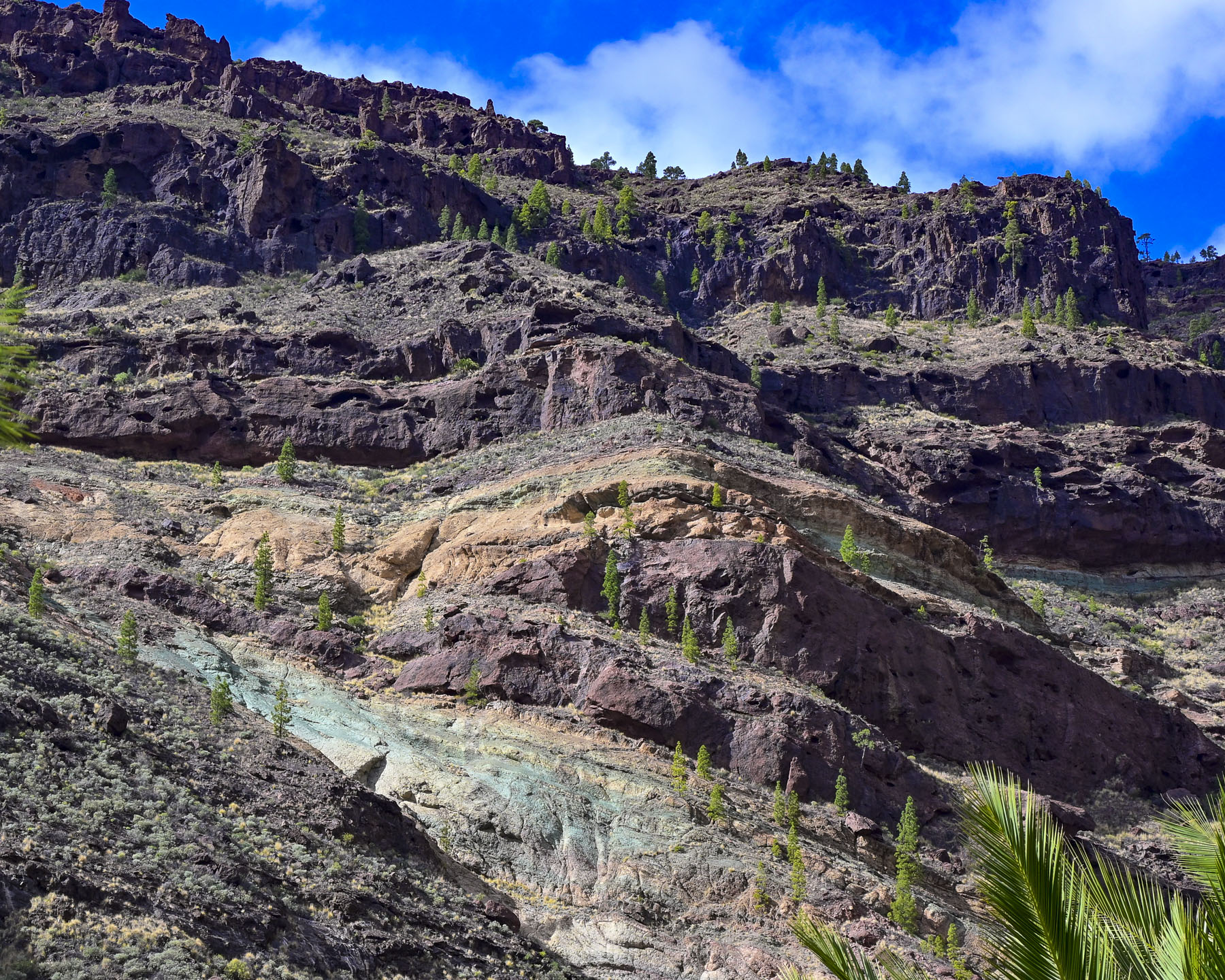
Farther along intriguing stratum of rainbow-colored rock at the Los Azulejos de Veneguera Nature Preserve called for further investigation and we scrambled a short way up a gully. The colors of the rock were the result of volcanic action millions of years ago when supercharged hot water and gases permeated and altered the minerals within the rocks.
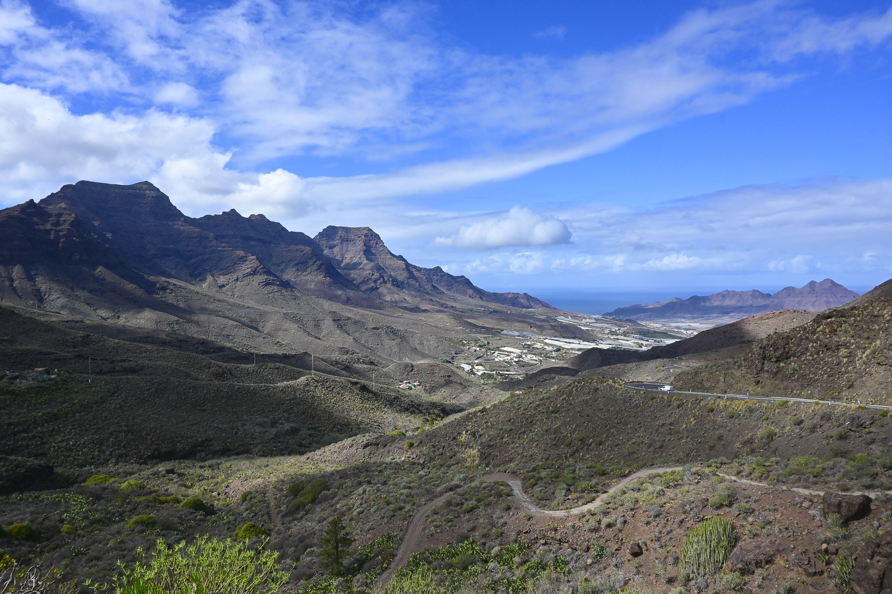
Stopping at the Mirador de San Nicolás provided us with a sweeping view of the La Aldea Valley all the way down to Los Caserones and the sea. Descending into the valley revealed its lower slopes were covered with white-tarped greenhouses. Farmers here mostly grow tomatoes in the rich volcanic soil, but cucumbers, bananas, zucchinis, and tropical fruits are also grown in the fertile valley.
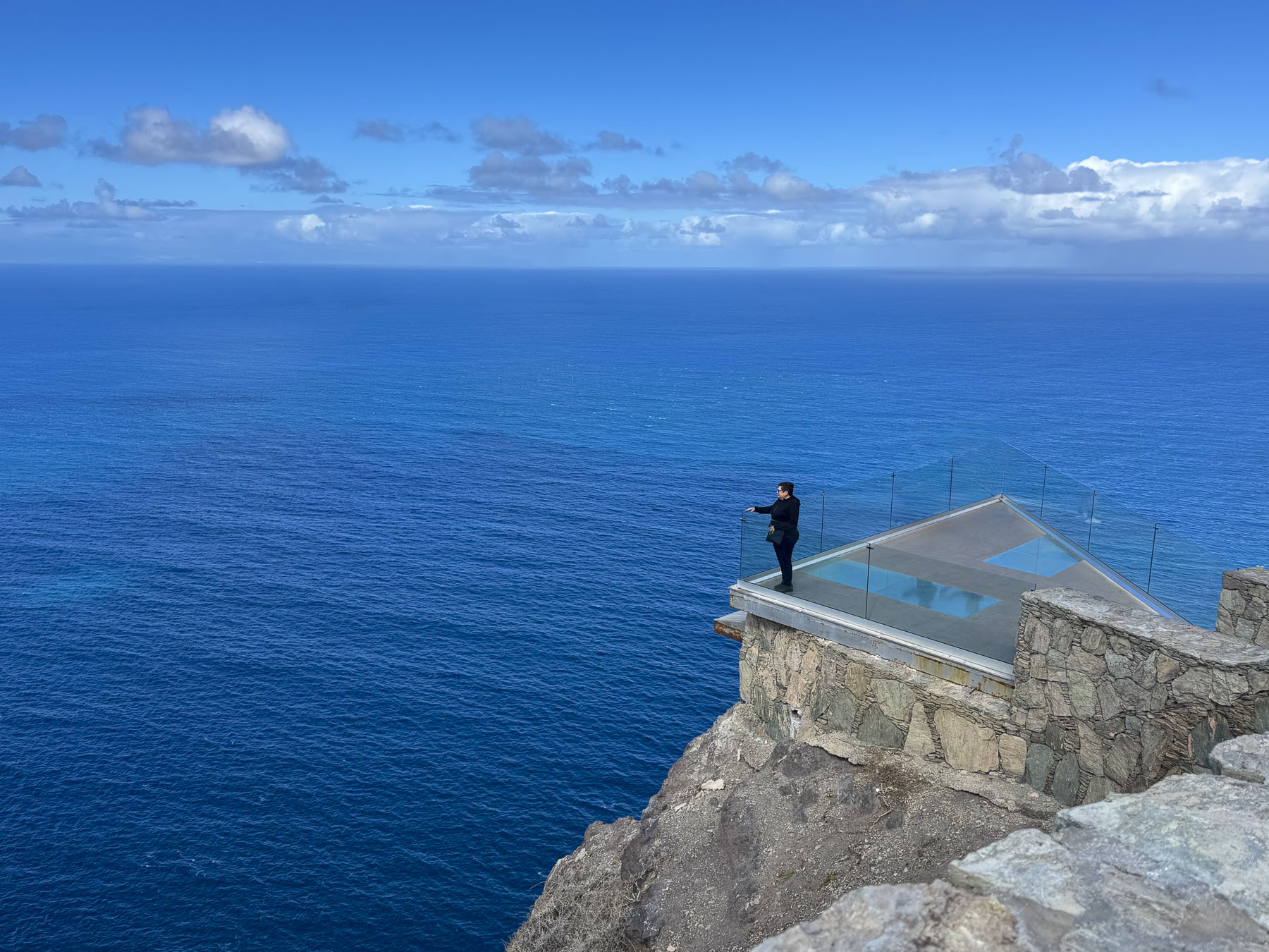
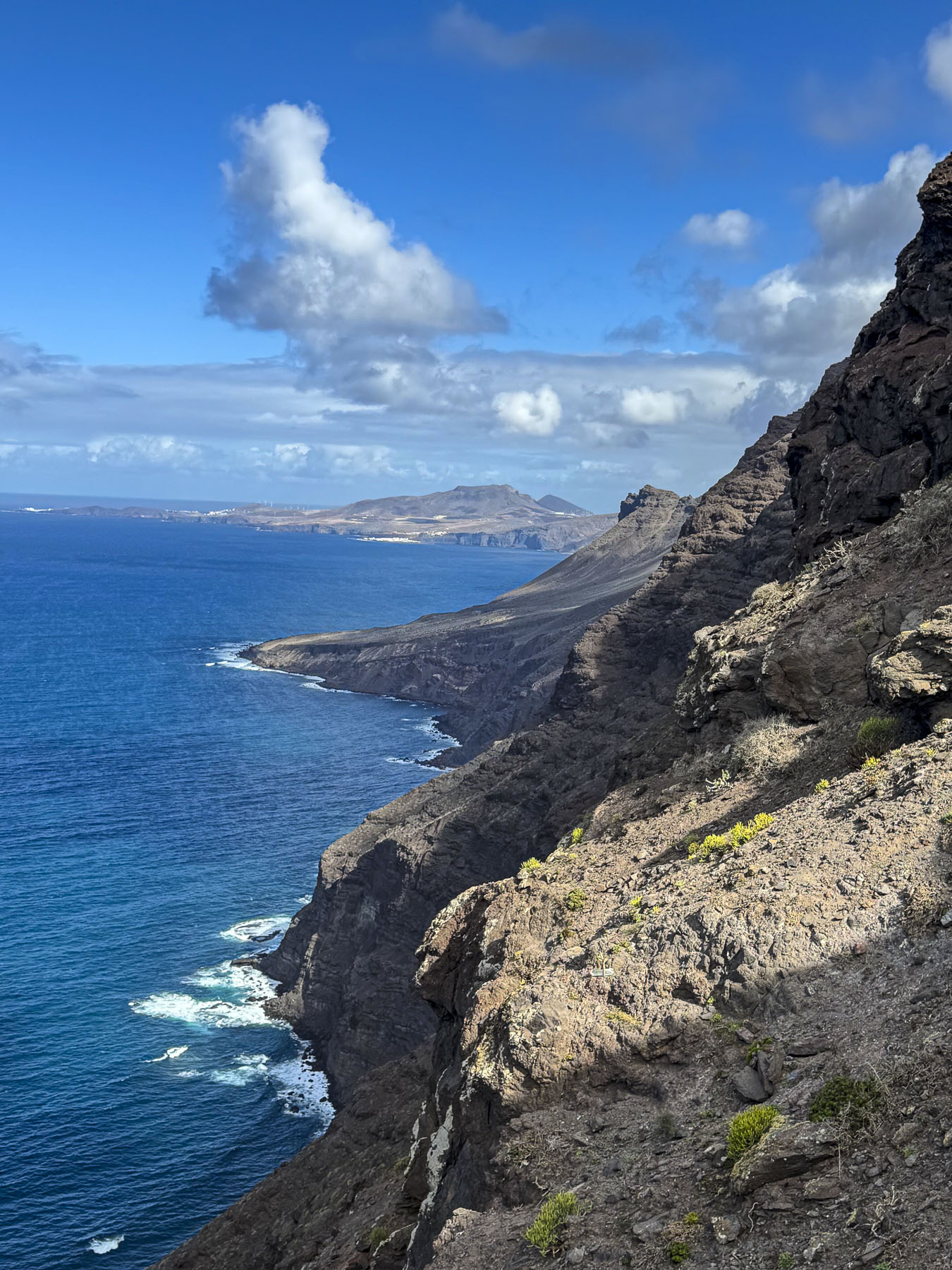
Parking was limited at the Mirador del Balcón, but we only had to wait a few minutes before a space opened up. The dramatic overlook is cantilevered out from the cliff face on a section of the coast with towering cliffs, and spiking peaks nicknamed the “Dragon’s Tail.” If you look over the glass railing, waves crashing against the rocks are a dizzying 350m (1148.29ft) straight down. The views up and down the coast were breathtaking. It was a good way to end our time on this wonderfully engaging island.
In hindsight we should have stayed on the island for a few more days, using Las Palmas as a base to explore the northern inland region and coast.

Till next time,

Craig & Donna

Tenerife; Miradors, Miradors, & More Miradors

You’ve landed, rented a car, checked into your hotel. Then what? Where to? It seems the more we’ve traveled and the older we’ve become, the less we plan. Throw a dart at the map? Often, how blue the sky is is the determining factor. That can be tricky in Tenerife where the weather changes quickly multiple times a day. But when in doubt, choose a mirador, any mirador. We figured enroute to them we’d pass other wonderful discoveries that would spur us to detour and investigate, rounding out what we saw of the island. Let your adventure around Tenerife begin. Here’s twelve of the miradors and viewpoints we enjoyed.

Mirador Punta del Fraile

Located on the outskirts of Buenavista del Norte, a manned roadblock across the pavement required us to park. It was about a thirty minute, moderately strenuous uphill walk, and the views along the way were awesome. It was well worth our effort. Reaching the mirador, gale force winds whipped through a cut in the rock which the road followed down to the lighthouse at Punta de Teno, three miles away. Behind us a large cliff face blocked most of the view of the Teno headland.

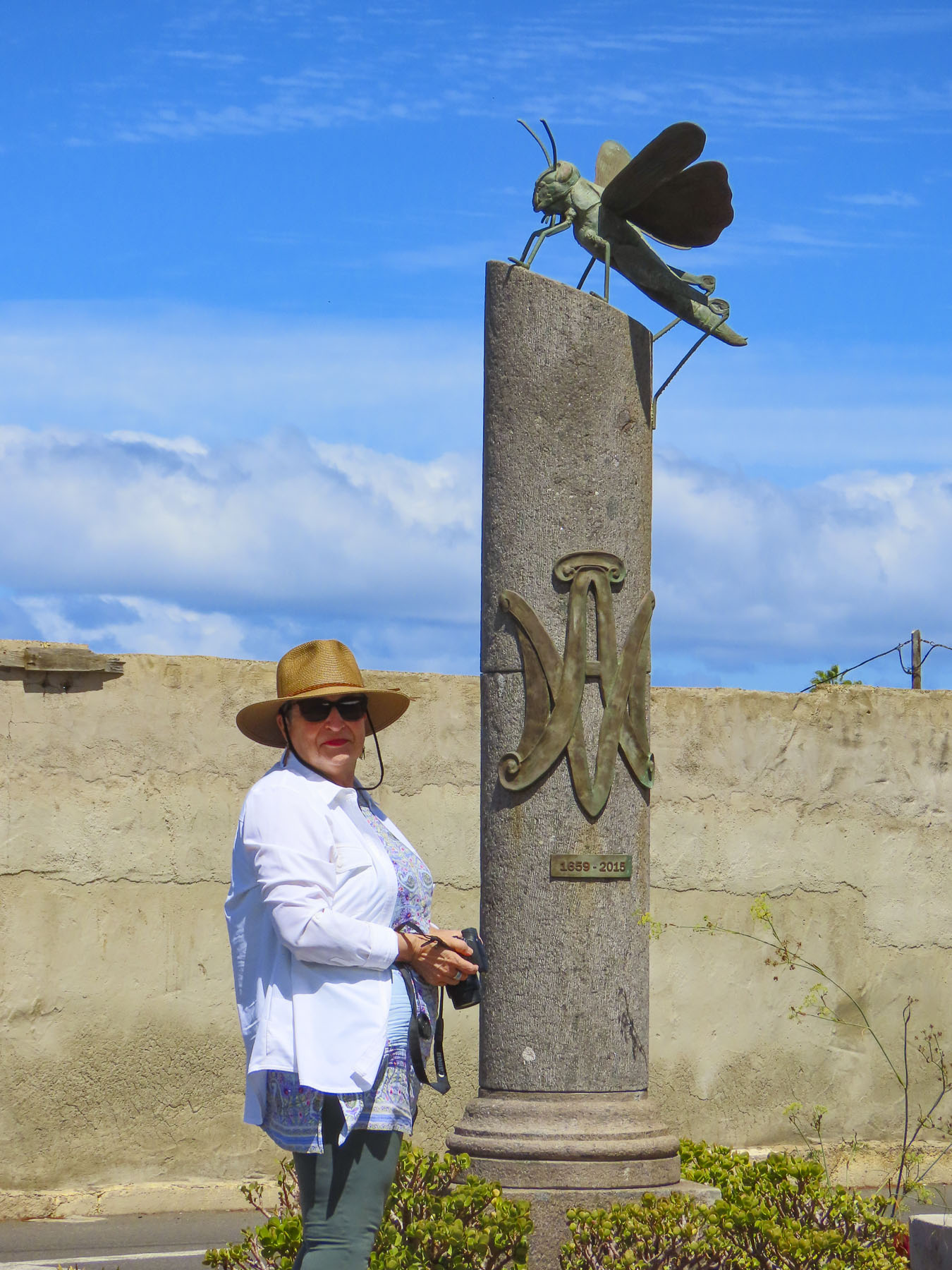
Nearby Buenavista del Norte is delightful old village with a historic church and memorial to a locust plague in 1659.

Playa del Roque de las Bodegas & Mirador de Playa Benijo

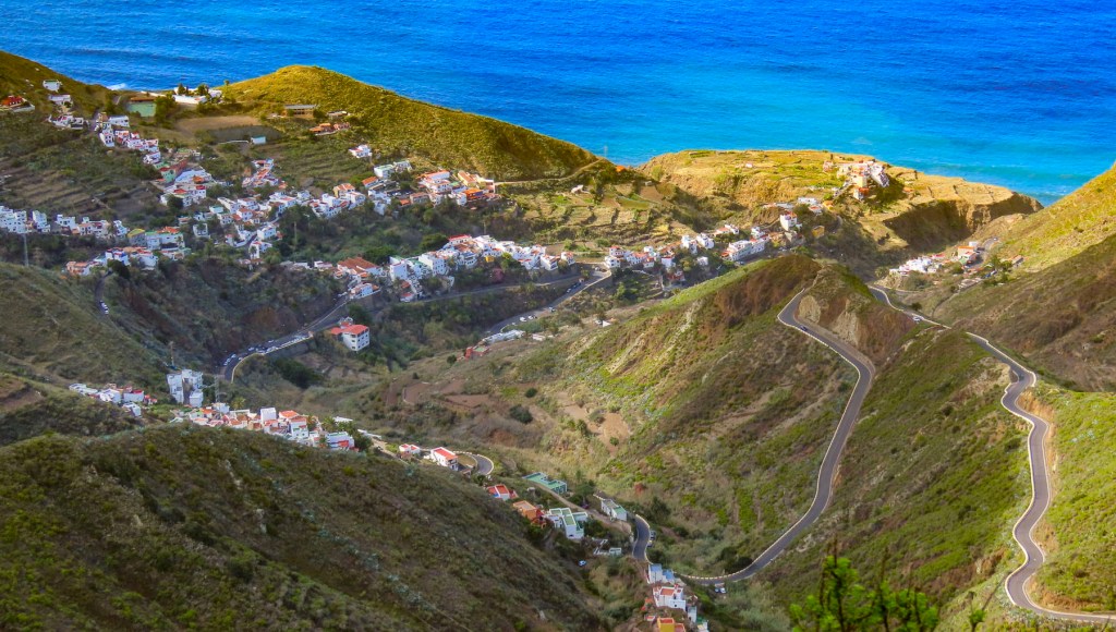
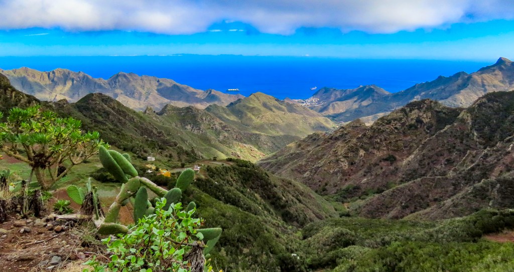
Any resemblance to a straight road disappeared as we turned onto TF-12 to work our way across the island to Playa del Roque de las Bodegas and the Mirador de Playa Benijo. The distances between sites on Tenerife are relatively short as the crow flies, but the roads are narrow and serpentine, so the driving is slow, even though not many cars are on the roads. Rising into the mountains, the terrain changed from arid brown to verdant green. The views along the way of isolated villages hugging the steep slopes were tremendous and there are multiple places you’ll want to stop for photos.

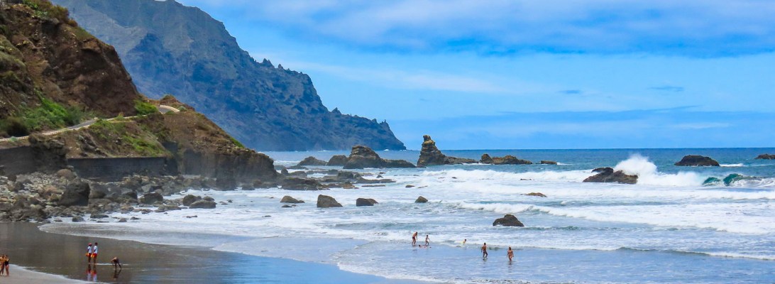
Our intent was to drive all the way to the El Draguillo Mirador, as our GPS map led us to believe it was feasible, but the road ended at a very small gate in a muddy car park with a sign that said only residents of the village were allowed to drive past this point. Evidently this is the starting point for El Draguillo trail, a 6-hour hike.

The parking lot was jammed full, and it took a serious multipoint K turn to get us out. We recovered nicely though by having a great lunch nearby at La Venta de Marrero, a cliffside restaurant with a fabulous view of Playa de Benijo, below.

Mirador Playa de las Teresitas

Only twenty minutes from Santa Cruz de Tenerife, the island’s largest city and capital, the Mirador Playa de las Teresitas seems a world away with tremendous views south of the coast.

Turn around and walk a few yards back along the road for a spectacular view of the black sand beaches Playa de Las Gaviotas and Playa Cueva del Agua.

La Barada

Set on a steep hill, the restaurant La Barada, just a short distance off TF-5, is technically not a mirador, but it is a very popular place due to its glass pier that is cantilevered dramatically out over the countryside from the restaurant. It offers an amazing bird’s eye view of the coast with Pico del Teide in the distance. The food was also very good and the terrace was alive with boisterous activity the afternoon we stopped. 

Mirador de Cherfe

Sitting atop a mountain pass, this mirador has expansive views of the sea. It was also one of the busiest miradors, with vendors selling lava trinkets, and many tourists stopping on the way to or from Masca, like us.

Oh, the thrills of driving in the mountains of Tenerife were just beginning!

Pico del Teide: Mirador de los Poleos, Mirador de Samara & Mirador de La Ruleta

Venturing into the foothills, our drive continued along TF-38 and traversed ever-changing, diverse bio-systems as we left the arid shrub-covered lowlands behind and climbed into hillsides covered with pine forests. It was a well paved but narrow serpentine road, without any shoulder, that required constant vigilance. The mouths of ancient lava tunnels were visible from the road, but there was no room to pull over and stop for photos until we reached the Mirador de los Poleos.

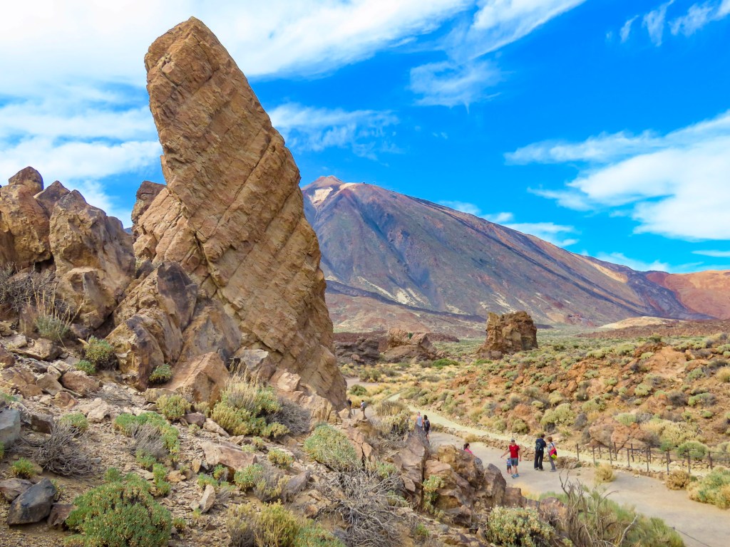
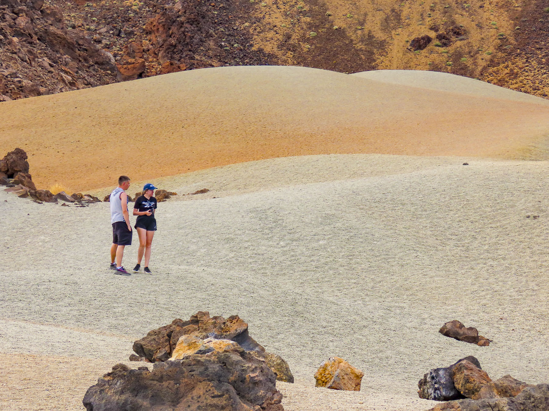
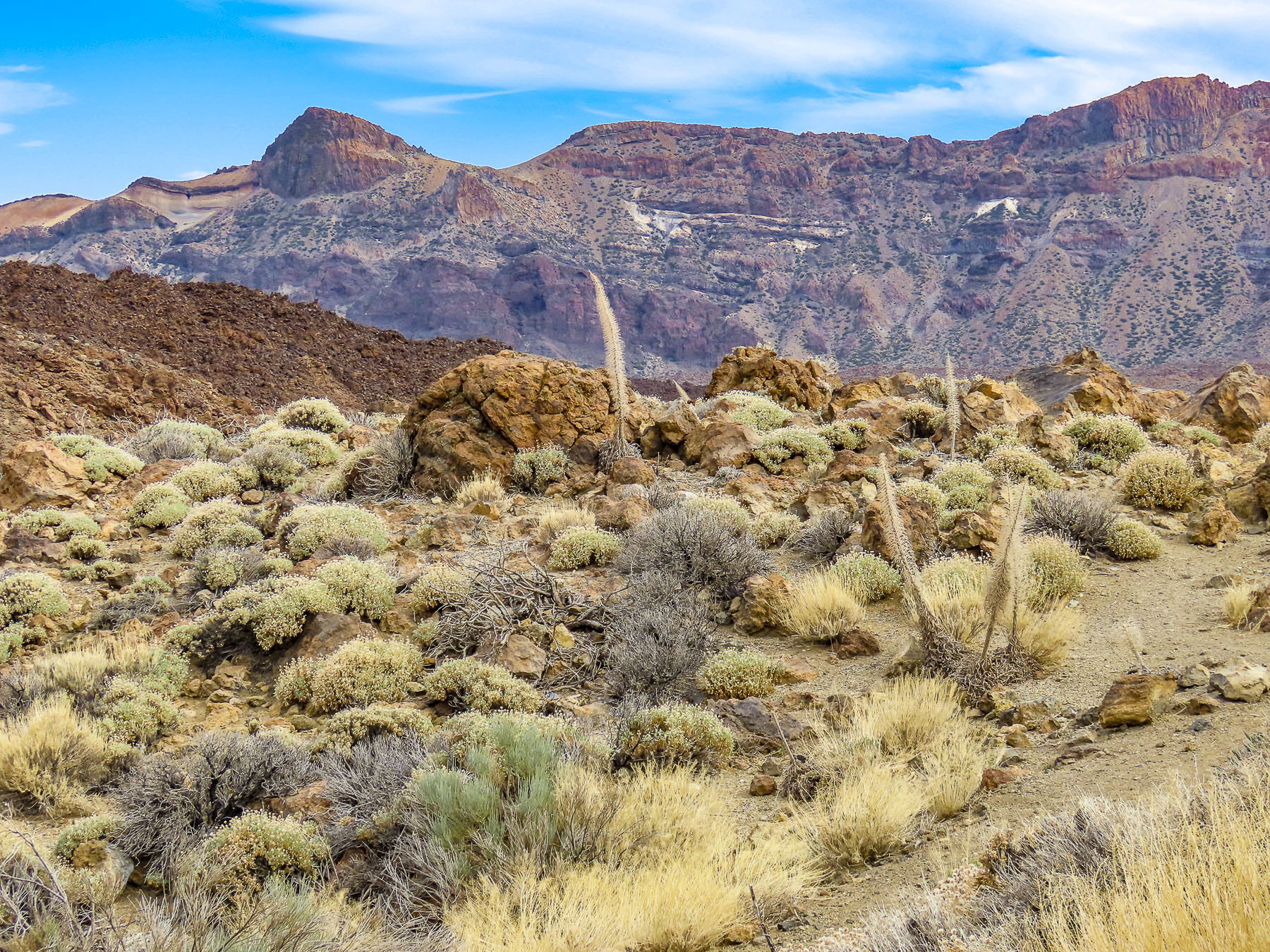
Beautiful, inhospitable, Death Valley-esque, lunar or Martian, however you choose to describe the varied topography that surrounds Pico del Teide, it’s enthralling and fascinating. So much so that filmmakers have used the location for scenes in several block buster films: One Million Years B.C. – 1966, Planet of the Apes – 1968, Clash of the Titans – 2010 and its 2012 sequel Wrath of the Titans and in 2023 the Last Triala, a Star Wars fan film. 

TV episodes of Doctor Who, The Dark Along the Ways and season 2 of The Lord of the Rings: The Rings of Power have incorporated Tiede’s environs into their productions.

Jardines del Marquesado de la Quinta Roja

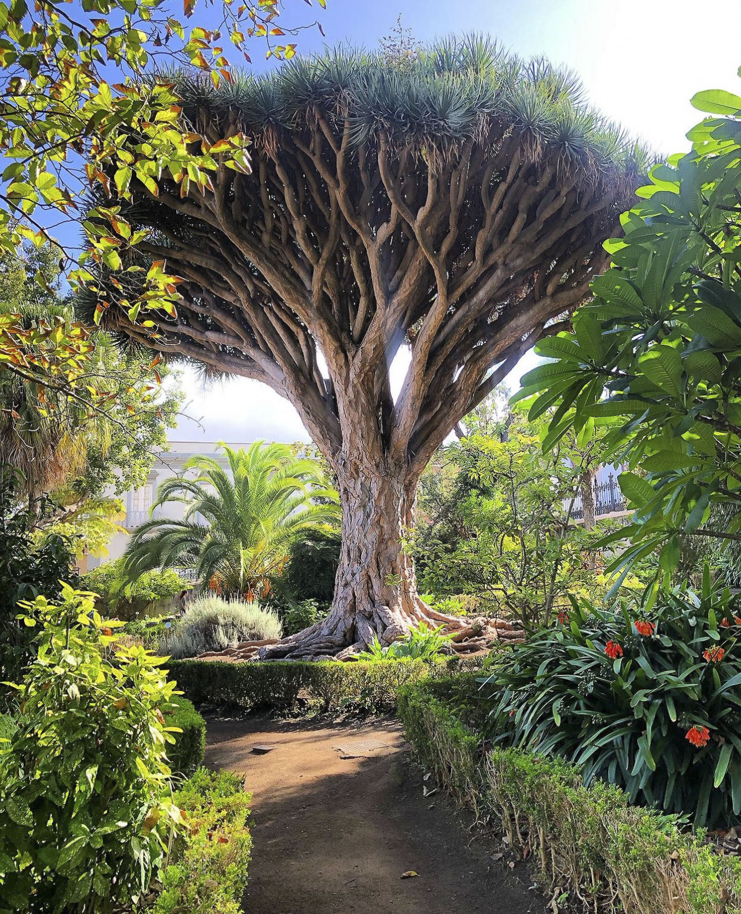
Any visits to La Orotava should start at the Jardines del Marquesado de la Quinta Roja. Constructed in 1883, it’s a beautiful French-style, terraced, formal garden with a view over the town and the distant sea. A smaller but older (1788) sister park next to it, the Hijuela del Botánico, features a towering dragon tree and other plantings of specimen trees collected from Spain’s former colonies. After coffee at the garden’s café, it’s an easy walk downhill in La Orotava’s historic center.

Mirador La Garañona

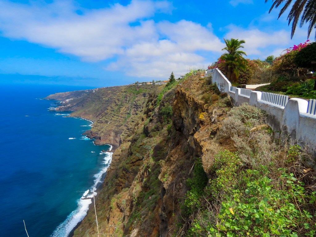
Is set dramatically atop a 1000ft sheer cliff, in El Sauzal, with a tremendous view of the coast below. The park’s shaded paths lead to a delightful small café perched at the cliff edge. We lingered and soaked in the view.

The Iglesia de Santa Catalina is nearby. It’s a classic, white-washed church from the early 1500s and picture perfect with its magnificent dragon tree in front. Nearby the Restaurante el Calvario is a great place to stop for a delightful meal.

Mirador Roque Grande

The waterfront in Puerto de la Cruz is beautiful and there are numerous miradors, beaches and tidal pools along the coast where you can swim. We strolled along the promenade above the black sand beaches at Playa Maria Jiménez, and Playa Chica to El Castillo San Felipe, a small block fortress built in the 1600s to prevent pirates or the British from landing on the beach there.

We lunched at a restaurant on the boardwalk under umbrellas just yards from the surf. Stopping at the Mirador Roger Piedra Gorda and Mirador Roque Grande rounded out the afternoon. Though parking was a challenge at both spots, we think the effort was worth it for the dramatic seascapes we viewed.

Mirador del Emigrante

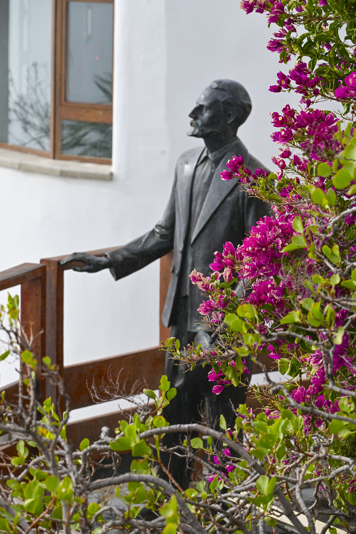
The views driving into Garachico are impressive, and we stopped several times before entering the old town. As prosperous as the Canary Islands are today, we were reminded by the statue at the Mirador del Emigrante that life here was not always easy.

This poetic description by Fernando García Ramos, the sculptor, explains for the viewer the meaning behind his statue of a walking man – with a hole in his chest, as if in his heart – holding a suitcase. “The figure is scanning the horizon, in a daring position, as if pretending to jump over the sea, with a suitcase in hand, and many more suitcases in a series as a chain behind him; these suitcases behind him surely mean the memories, the sadnesses, the nostalgia, the girlfriend, the mother, the sisters, the families that are left behind by an emigrant who takes a new life, who jumps over the infinite sea, in search of a new life in strange and distant lands.”

Mirador Caribe at the Palmetum

Reaching the Mirador Caribe at the Palmetum, we were rewarded with an expansive view of the city and Auditorio de Tenerife.  A botanical garden, the Palmetum was started in 1995 atop 30 acres of reclaimed land that was once a landfill. Now it’s filled with nearly a thousand palm trees gathered from around the world. It’s a spectacular place.

Playa del Médano

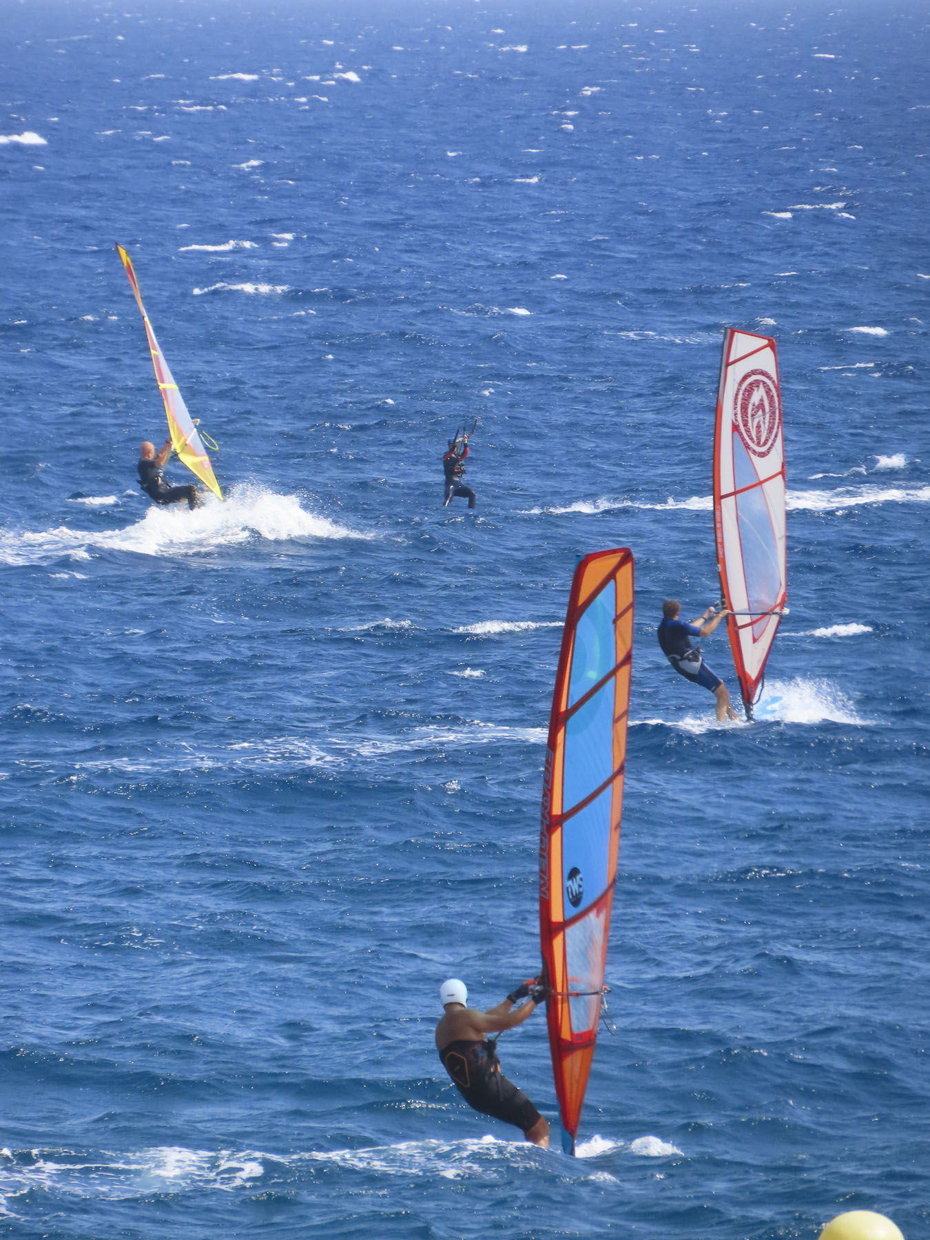
For our last full day on Tenerife we headed to El Médano to be nearer the airport for our flight the following morning. Arriving late in the afternoon to Playa del Medano, we entertained ourselves watching wind and kite surfers speed across the whitecaps. The more experienced kiters crested the waves and performed aerobatics before splashing back into the sea. Closer to town, families favored the gentler waves, wider beach, and a view of Montaña Roja volcano on the horizon. Tables at eateries along the boardwalk were quickly filling as the golden hour approached. A crescent beach, gentle waves, good wine and delicious seafood – is there a better way to end the day? We’ll miss Tenerife.

We hope you found the photos inspirational for planning a trip to Tenerife.

Till next time, Craig & Donna

Tenerife Part 4: Pico del Teide, La Orotava, Puerto de la Cruz & Beyond

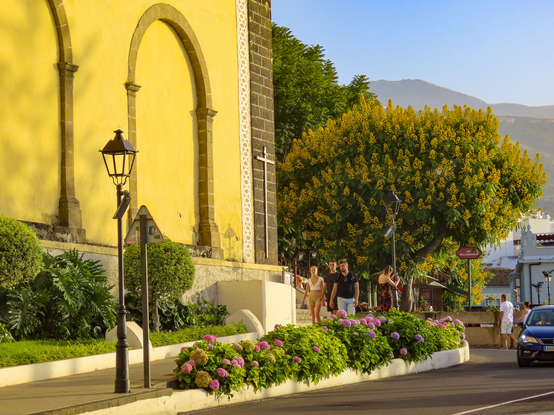
The silhouette of the ancient volcano mesmerized us. Even in the dark blues and blacks of the night the volcano’s majestic silhouette loomed large above Icod de Vinos. Later the moon rose and contributed a magical otherworldliness to our vista. During the winter when its 12,000 ft summit is snow covered and there is a full moon, it’s said to shine like the beacon of a lighthouse that can be seen from the coast of Morocco. The aboriginal Guanches believed Pico del Teide held up the sky and placed offerings on the volcano’s slopes to appease Guayota, an evil deity they believed responsible for its volcanic eruptions. We made our own photographic pilgrimage to Teide as we drove to the Hotel Alhambra in La Orotava, our base for the remainder of our vacation. Though not the most direct route from Icod de los Vino to La Orotava via Pico del Teide it was, I can assure you, the most interesting.

Teide is still considered an active volcano and while its cone hasn’t erupted in the last 850 years, side vents on its slopes have spewed destructive massive lava flows across its slopes in 1492, which Columbus noted in his logbook as he sailed on his maiden voyage of discovery, 1704,1705, 1706, 1798 and 1909. Our route on TF-5 cut across the lava field left from the 1909 El Chinyero vent eruption. Now over one-hundred years later new growth pines are just beginning to emerge from this carnage. Their verdant green needles, a refreshing sign of life in an otherwise barren landscape. Crossing the ridge of the mountains we descended into Santiago del Teide. The main road was lined with several inviting spots to stop for café! (We didn’t realize at the time, but this was also our last chance for lunch, as many places normally open in high season are closed or only open on the weekends in the shoulder seasons.)

After coffee we visited the town’s church, Parroquia de San Fernando Rey. It’s a small, whitewashed structure constructed in the late 1600s and has an interesting collection of religious art. Across the street stands a life-size statue called “the brave Guanche,” dedicated to Alonso Diaz, a goatherd, who in 1509 stood up for his rights and successfully petitioned Spain’s King Fernando the Catholic for justice, after 200 goats were stolen from him by a Spanish conquistador. By royal decree the goats were returned.

Venturing into the foothills, our drive continued along TF-38 and traversed an ever-changing, diverse bio-system as we left the arid shrub-covered lowlands behind and climbed into hillsides covered with pine forests. It was a well paved but narrow serpentine road, without any shoulder, that required constant vigilance. The mouths of ancient lava tunnels were visible from the road, but there was no room to pull over and stop for photos until we reached the Mirador de los Poleos. Here the raw beauty in these charcoal-colored landscapes flourished beneath the Chinyero Volcano, and we had a chance to walk across the lunar-like terrain, part of the immense lava field from its 1909 eruption. Dotted with huge boulders, it was difficult to comprehend the ferocious forces required to expel these massive rocks from their subterranean origin.

Continuing on, we had encountered what we thought was fog until, to our surprise, we emerged above the clouds at Mirador de Samara.

This area is also very popular for hiking, with many very obvious trails crisscrossing through a young forest emerging from the volcanic soil left from Pico Viejo’s last, 92 days long, eruption in 1798.

Approaching noon, we turned toward Vilaflor, the highest village, at 4600ft, on Pico del Teide’s southern slope and surrounded by vineyards. The surrounding wineries produce some of Tenerife’s best wines from Listán Negro, Malvasia, Negramoll, and Listán Blanco grapes. And are embodied with a distinctive terroir from the warm climate and fertile volcanic soil. The weather had suddenly turned gray and dreary. More frustrating though, the wineries we had planned to visit were closed mid-week during the shoulder season. Fortunately, we happened upon Mar de Nubes, a craft store and café run by a friendly young married couple from Tenerife and the States. The shop features only handicrafts made by Canarians and local wines and artisanal beers. Of course, we shopped.

Beautiful, inhospitable, Death Valley-esque, lunar or Martian, however you choose to describe the varied topography that surrounds Pico del Teide’s, it’s enthralling and fascinating. So much so that filmmakers have used the location for scenes in several block buster films: One Million Years B.C. – 1966, Planet of the Apes – 1968, Clash of the Titans – 2010 and its 2012 sequel Wrath of the Titans, and in 2023 the Last Triala, a Star Wars fan film.  TV episodes of Doctor Who, The Dark Along the Ways and season 2 of The Lord of the Rings: The Rings of Power have incorporated Tiede’s environs into their productions.

Driving back up the mountain we continued on to view the large sculptural outcroppings at the Mirador de La Ruleta and the desert-like dunes of the Siete Cañadas hiking area, before following the long downward grade of the road to La Orotava. We speculated that if you dropped a soccer ball at the top of the slope, it would bounce downhill continually until it splashed into the ocean at Puerto de la Cruz, roughly 23 miles away. Our route along TF-21 cut through forests ravaged by the wildfires of 2023. The blackened trees were the only scars in the otherwise pristine wilderness of the Tiede’s northern slope in Parque Natural Corona Forestal.

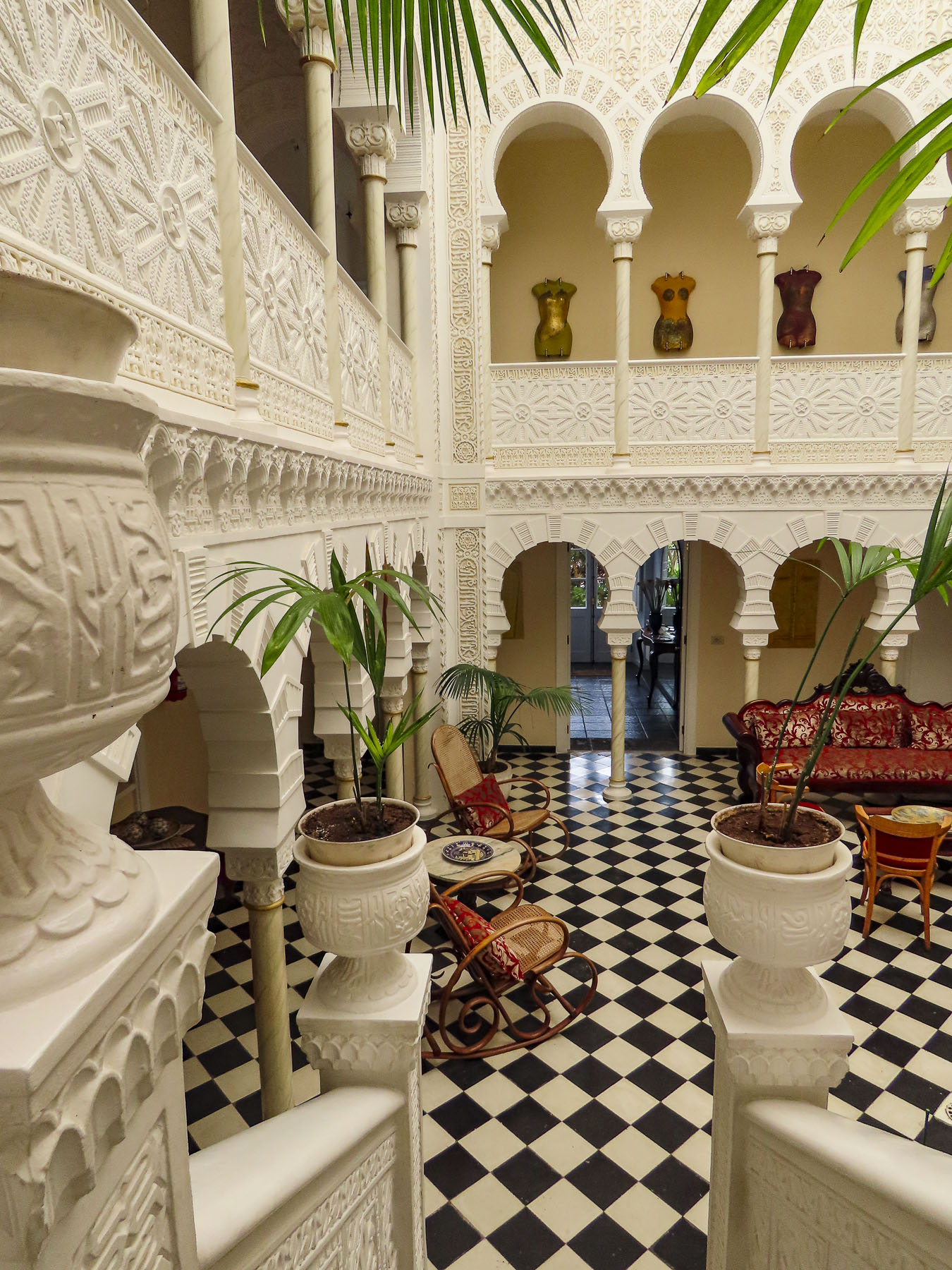
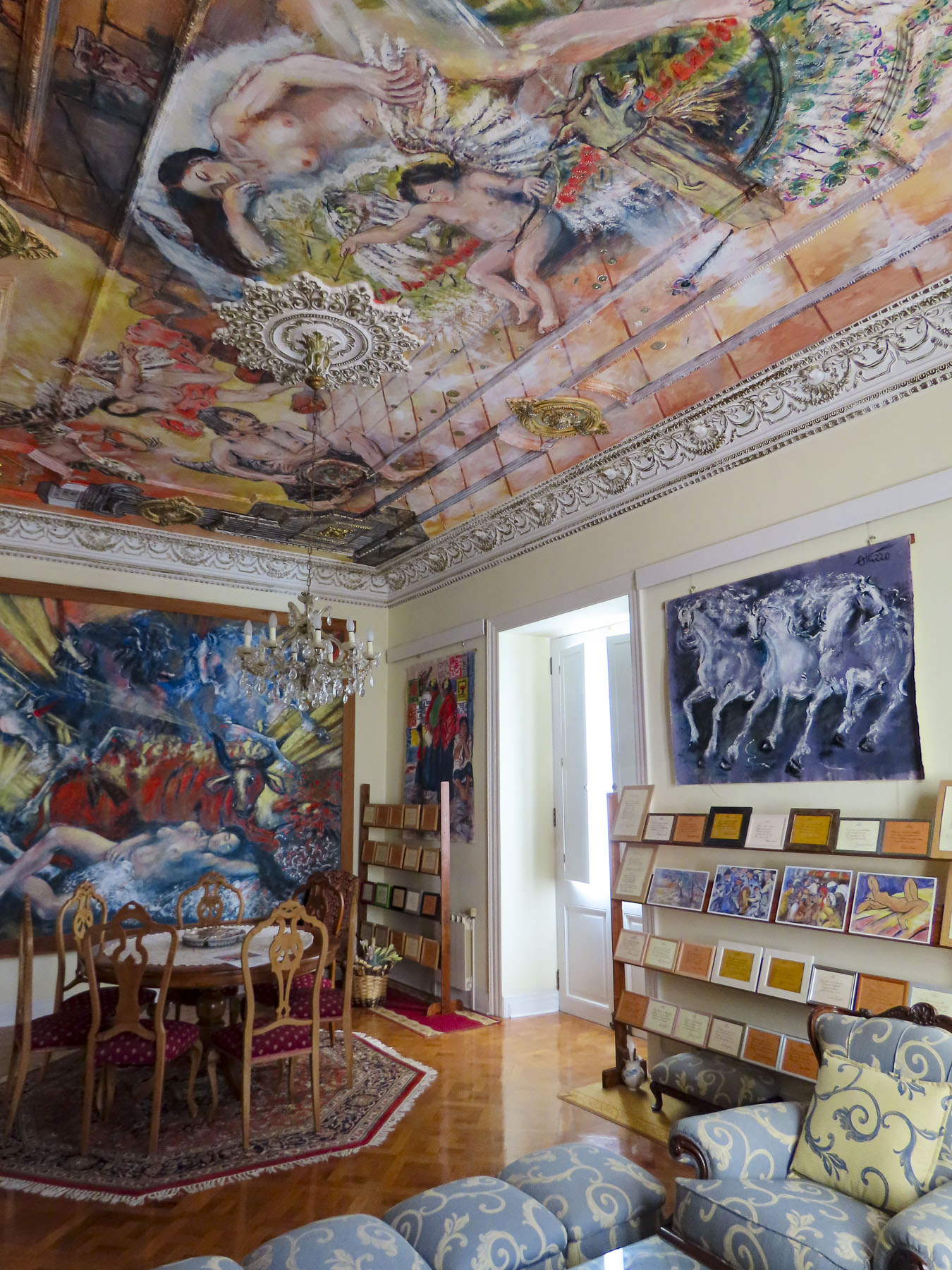
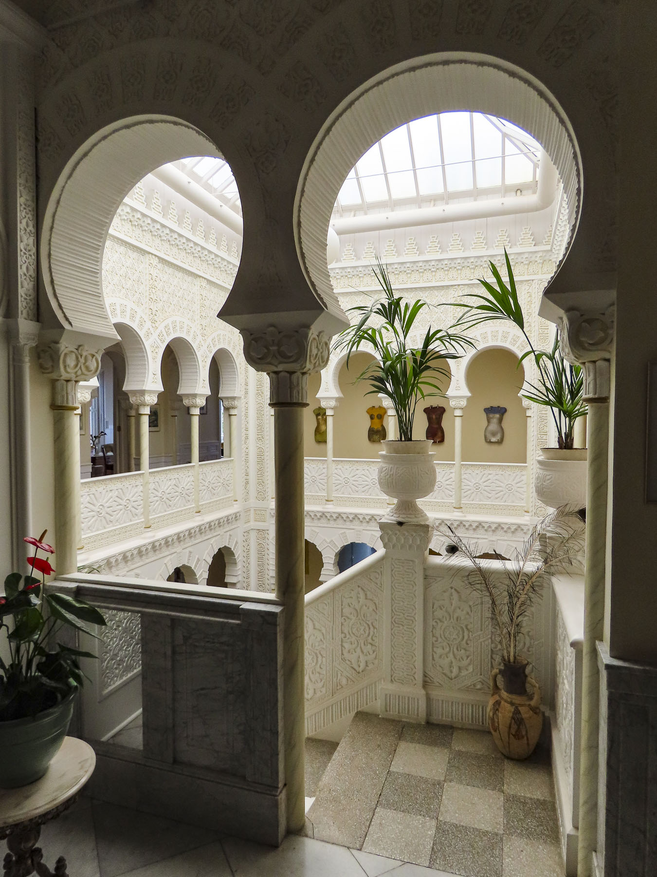
Late in the day we coasted into our parking space in front of Hotel Alhambra. Parking on the streets in La Orotava is free, but it’s a competitive sport. We chose to stay at this hotel for its distinctive architecture and location in the historic center. While the exterior of the 500-year-old dwelling is quietly classical, the interior walls of its Canarian-style courtyard were beautifully transformed in 1925 with intricate floral and geometric Nasrid art designs, created with gebs plasterwork and enclosed under a high glass roof. An eclectic decorating theme is highlighted with frescos by Maestro Antonio Otazzo, a local self-described painter, sculptor, musician, philosopher, and poet. As if being followed by a friendly giant, Pico del Teide was in our line of sight when we opened the shutters on our room’s window.

La Orotava was rather easy to walk around if we were walking across the slope, but after several days our hamstrings and calves were sore, though our butts were firmer. “Walk a little then café,” as we say was the perfect approach to exploring this wonderful town.

Along with San Cristóbal de La Laguna, it’s considered to be one of the prettiest towns on Tenerife.

Getting to the higher points in town we asked the hotel to call for a cab, for a quick ride to the Jardines del Marquesado de la Quinta Roja. Once part of an estate, it’s named after the noble interred in the park’s marble mausoleum; as a member of the Masonic Temple his family was not allowed to bury him in the town’s catholic cemetery. Constructed in 1883, the garden is a beautiful French-style, terraced, formal garden with a view over the town and the distant sea. A smaller but older (1788) sister park next to it, the Hijuela del Botánico, features a towering dragon tree and other plantings of specimen trees collected from Spain’s former colonies.  And if you are in awe of dragon trees, as we are, the Villa de La Orotava Dragon Tree Tour might be for you.

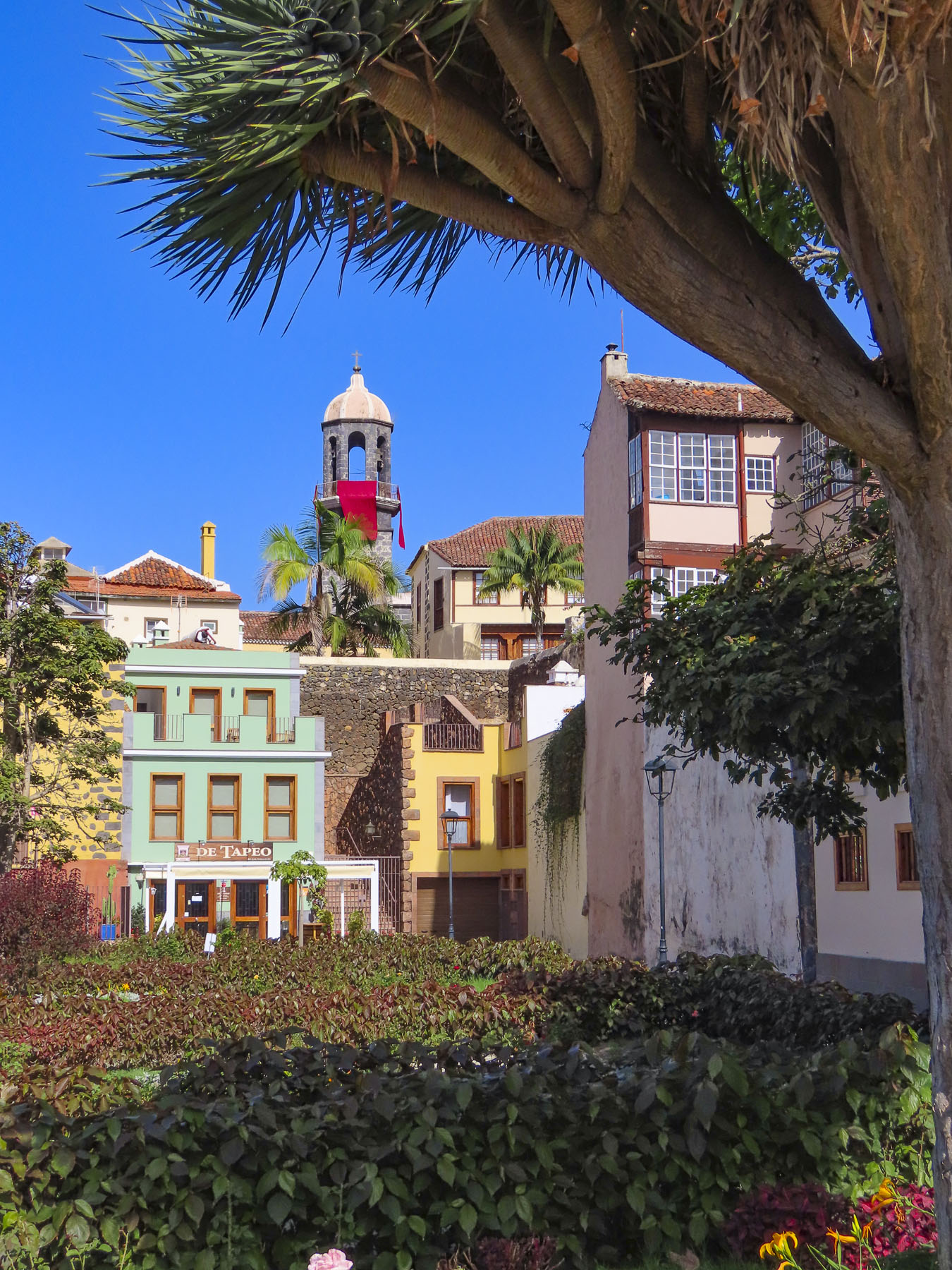
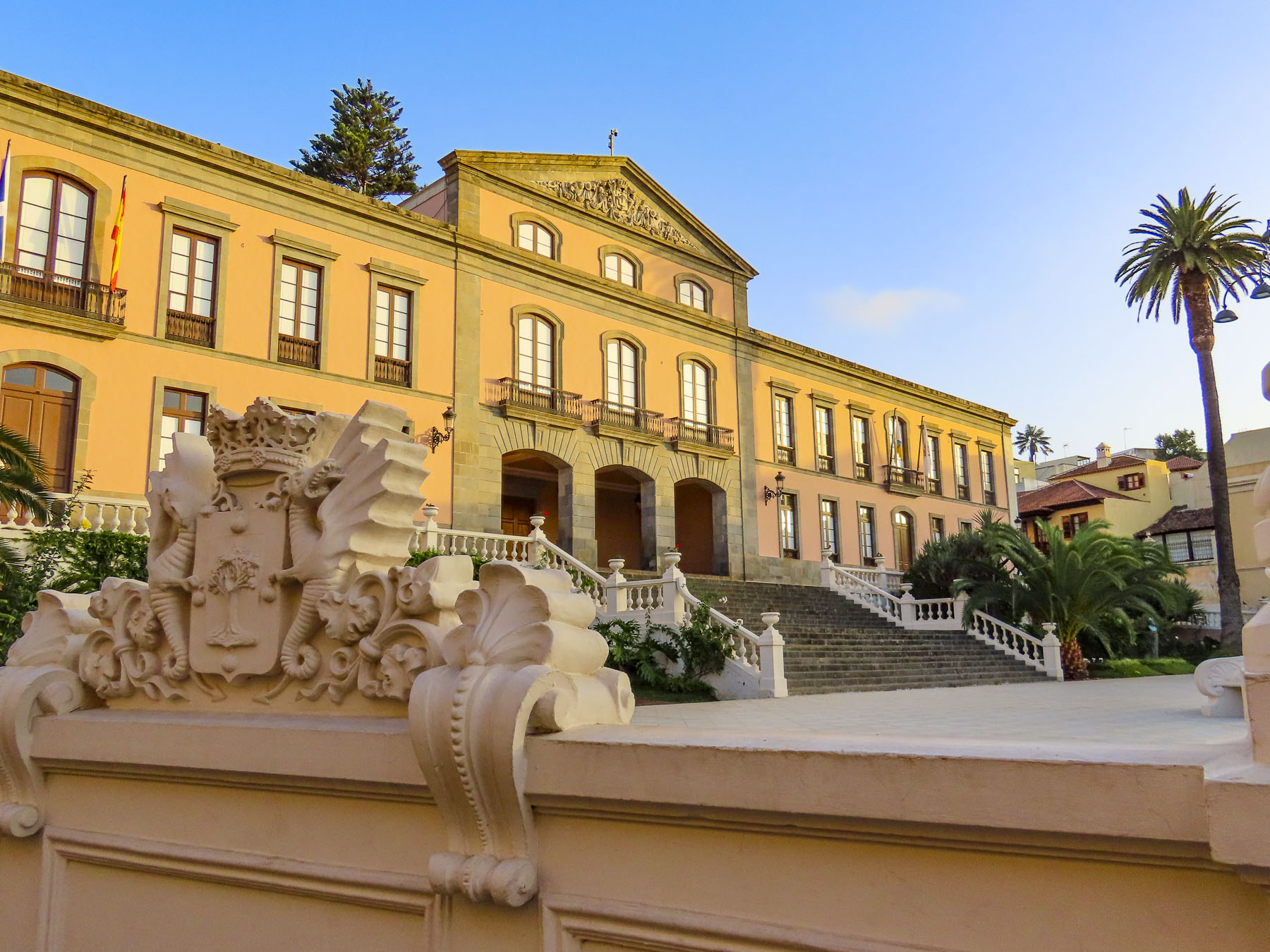
From the gardens we wandered downhill along cobbled lanes, past wonderful examples of colorful Canarian architecture, into the historic old town, which is centered around the Nuestra Señora de la Concepción. Started in 1516, it is the town’s oldest and largest church, with its colorful dome giving the town its iconic skyline.

But La Orotava’s history starts early in 1496 with the final defeat of Tenerife’s aboriginal Guanches at the battle of Aguere, after which their leader committed suicide by jumping off a cliff in nearby Tigaiga. “To the victor go the spoils,” and the fertile lands of the Guanche kingdom of Taoro were awarded to the nobles, conquistadors and financiers who participated in the Spanish victory.

The rich soil of the hillside was perfect for the cultivation of sugarcane and the steep streams from the mountain were soon harnessed to run sugar and lumber mills. Prosperity followed. Ice from Mt. Tiede chilled the drinks of the town’s wealthy.

Landowners and merchants built large family mansions in a style which would become known as Canarian, which feature interior courtyards and distinctive facades with decorative wooden balconies and the family’s Coat of Arms prominently facing the street. Convents housed the daughters from families that didn’t want to diminish their wealth by paying the dowry for the girls’ wedding, as was the custom of the time. 

Vines and wine replaced sugar cane and ruled the town’s economy in the 17th century. In the mid-1800s, the textile mills of Europe were searching for different dyes, and mealybugs or cochineal were bred in cactus around La Orotava and harvested to obtain a crimson dye, produced from an acid that the bug makes to fight off predators. Since the late 1800s, vast banana plantations thriving on Tenerife’s mineral-rich volcanic soil continue to bring prosperity to the island and La Orotava, enabling the community to restore its historic buildings.

Not wanting to miss anything on Tenerife, we planned day trips from La Orotava around visiting coastal miradors and following any whims along the way. The Mirador Punta Del Hidalgo was not our favorite photographic destination, but we did enjoy stopping at the crescent shaped, black sand beach at Playa del Arenal in Bajamar, and a farmer’s market, Mercadillo del Agricultor in Tacoronte. Here we purchased some pastries for a snack and some Tuno Indio juice made from the purple fruit of the Canarian Red Prickly Pear. The cactus was brought to the Canary Islands from the Americas centuries ago and has been used in Canarian folk medicine to lower blood sugar and treat other ailments. It also has antiviral, anti-inflammatory, antioxidant, and anti-ulcerogenic properties. It tastes pretty good.

Afterwards we headed to the Mirador La Garañona in El Sauzal. Set dramatically atop a 1000ft sheer cliff, there’s a tremendous view of the coast below. And the park’s shaded paths led to a delightful small café perched at the cliff edge. We lingered and soaked in the view.

On the way to the mirador, we whizzed passed a small neighborhood restaurant set by itself on a corner, and decided to try it on our return trip. But first we had one last stop to make on the way at the Iglesia de Santa Catalina. It’s a classic, white-washed church from the early 1500s and picture perfect with its magnificent dragon tree in front.

Lunch at Restaurante el Calvario was delightful, with excellent house wine and menu featuring traditional Canarian dishes. A young friendly staff, tolerant of our poor Spanish, contributed to a very enjoyable afternoon.

Puerto de la Cruz, just down the hill from La Orotava, was the destination for our last day trip. Originally a small fishing village, the town grew in importance after the main harbor on the north coast of Tenerife in Garachico was filled with lava from a 1706 volcanic eruption. Close to La Orotava, it also benefited from that town’s thriving economy, with the export of sugar, wine and bananas from its port. It has been a popular vacation spot since the Victorian era. Now it attracts visitors and expats from across Europe, drawn to its cosmopolitan vibe, wide beaches, quaint historic center, numerous parks, and vast array of restaurants.

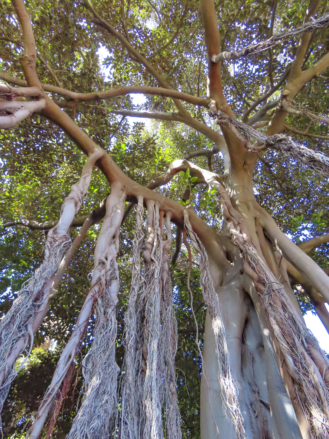
Giant three-hundred-year-old fig trees, planted when the park first opened in the 18th century, are king here. Shaded pathways thread through a cornucopia of verdant jungle, flowers, and water garden. We enviously wished that we could grow everything in our garden at home.

In the historic center we had coffee across from the majestic Iglesia de Nuestra Señora de la Peña de Francia and afterwards were able to catch a glimpse of a bride and groom taking their vows. Their antique wedding car waiting under gently swaying palm trees on the plaza in front of the church.

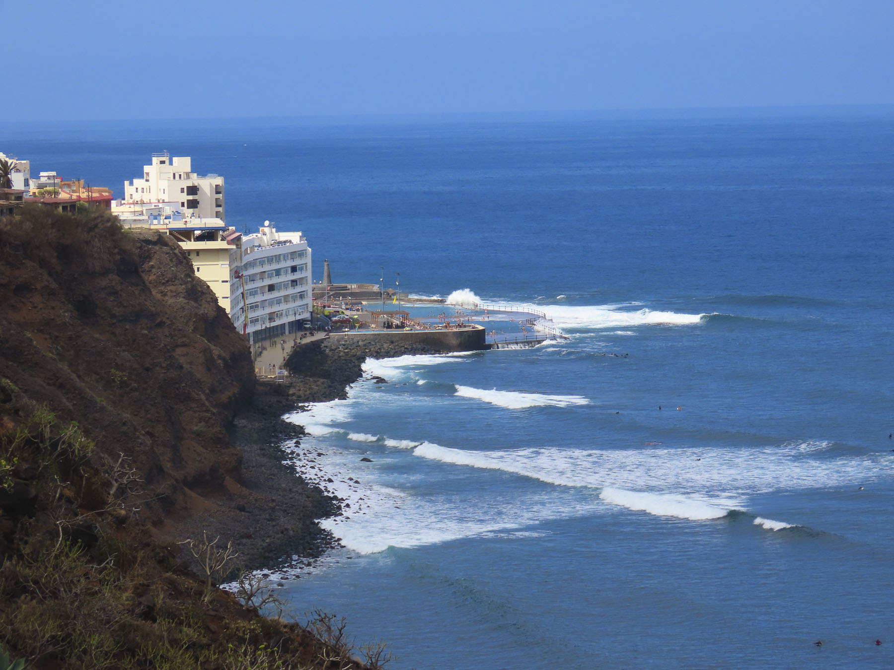
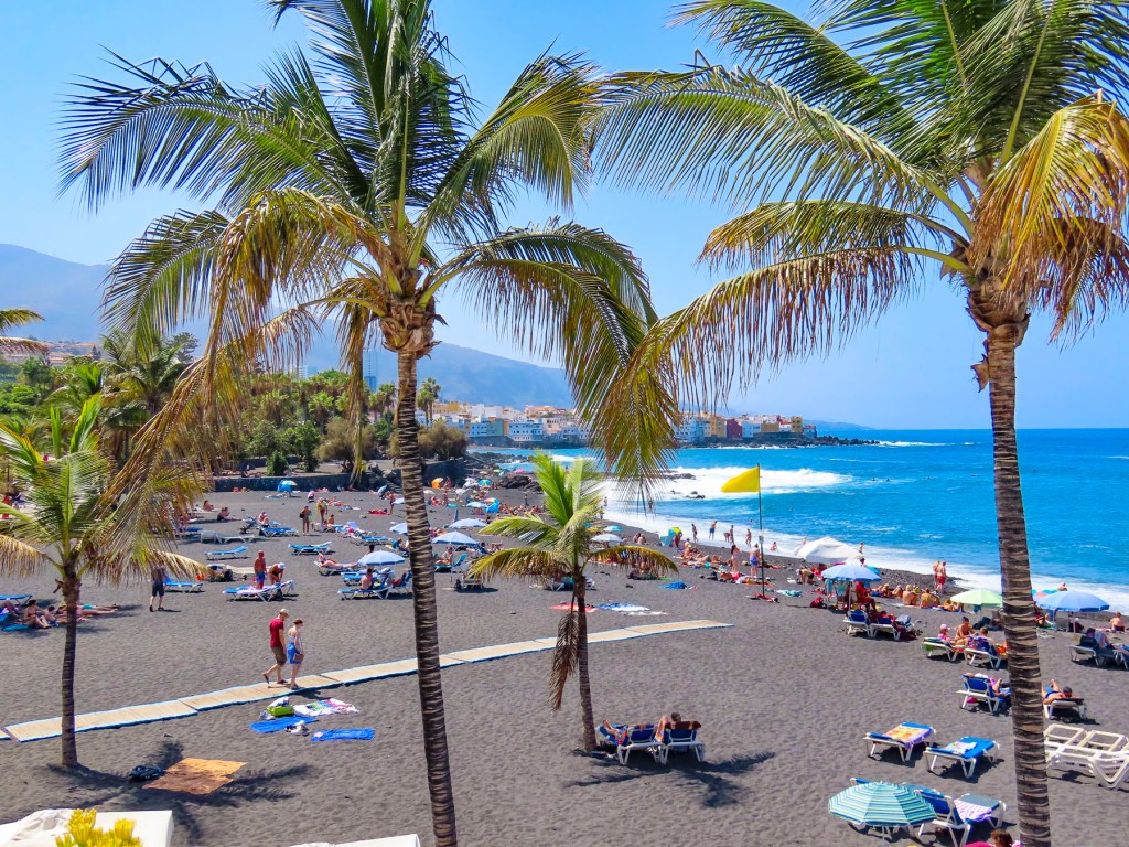
The waterfront in Puerto de la Cruz is beautiful and there are numerous beaches and tidal pools along the coast where you can swim. We strolled along the promenade above the black sand beaches at Playa Maria Jiménez, and Playa Chica to El Castillo San Felipe, a small block fortress built in the 1600s to prevent pirates or the British from landing on the beach here. We lunched along the boardwalk under umbrellas just yards from the surf.

Stopping at the Mirador Roger Piedra Gorda and Mirador Roque Grande rounded out the afternoon. Though parking was a challenge at both spots, we think the effort was worth it for the dramatic seacapes we viewed.

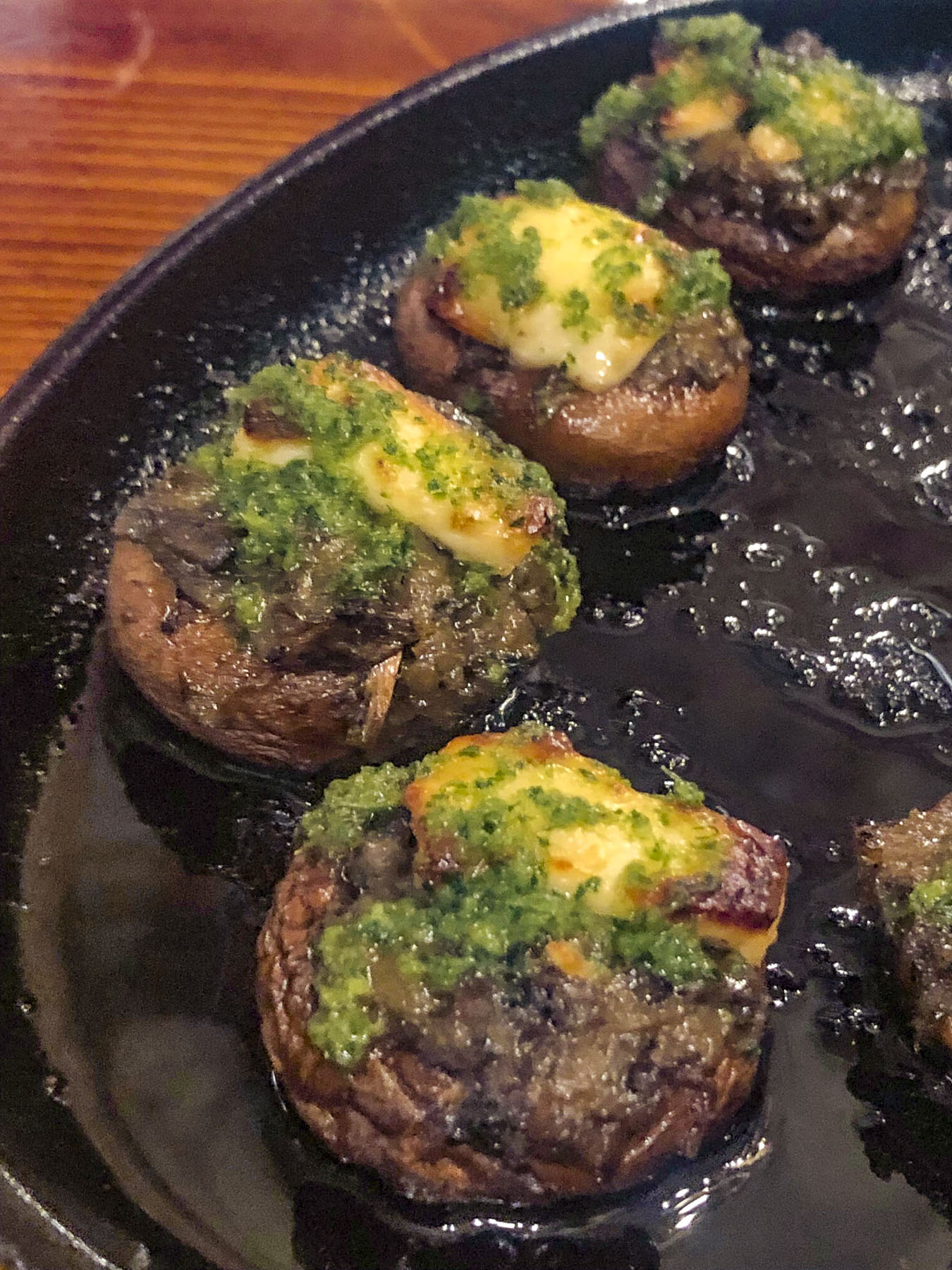
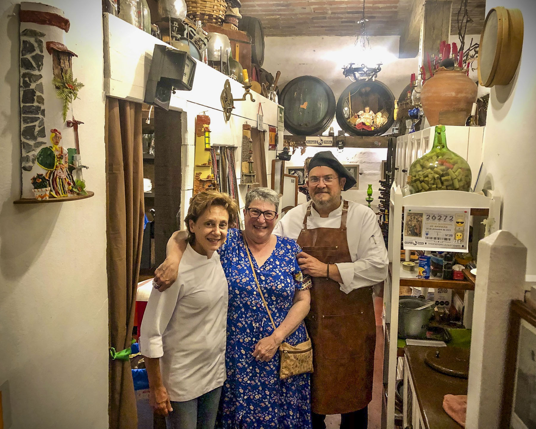
That evening we drove up into the hills above La Orotava and enjoyed a great meal at Bodegón Casa Matías. It’s a rustic establishment, decorated with wine barrels and antique farming tools to acknowledge the history of the region. The chefs and owners, a vivacious husband and wife team, are part of Tenerife’s farm to table movement, sourcing only local meats, including rabbit and goat, fish, cheeses, and seasonal vegetables for their traditional Canarian recipes.

For our last full day on Tenerife, we headed to El Médano to be nearer the airport for a flight the following morning. Arriving late in the afternoon to Playa del Médano we entertained ourselves watching wind and kite surfers speed across the whitecaps. The more experienced kiters crested the waves and performed aerobatics before splashing back into the sea.

Closer to town, families favored the gentler waves, wider beach, and a view of Montaña Roja volcano on the horizon. Tables at eateries along the boardwalk were quickly filling as the golden hour approached.

A crescent beach, gentle waves, good wine and delicious seafood – is there a better way to end the day? We’ll miss Tenerife.

Till next time, Craig & Donna

Tenerife Part 3: Garachico & Buenavista del Norte – A Wonderful Coastal Drive

Our drive along the coast started in the small harbor of Icod de los Vinos. From the start the sea vistas were beautiful, with crisp clarity and saturated blues and brilliant white breakers crashing against the rocky coast. The lighthouse on the remote headland Punta de Teno was our destination. Though only sixteen miles away, it took a good part of the morning with all the frequent photo stops we were making as we proceeded. The spectacular scenery along this short drive rivals the Pacific Coast Highway in California and Chapman’s Peak Drive outside Cape Town, South Africa or the Amalfi Coast of Italy. Just epic!

A few minutes from Icod de los Vinos along TF-42, we stopped at Mirador El Guincho which overlooks the coastal homes, banana plantations, and the new Port of Garachico. Constructed in 2012 behind a large breakwater, it is the only harbor on the north side of Tenerife. Beyond the harbor the extinct volcano Montaña de Taco highlights the horizon, its crater now used as a reservoir.

Enthused by what we glimpsed as we passed through Garachico, we decided to keep with our original plan to go to our farthest destination first and then return later to linger in the quaint town.

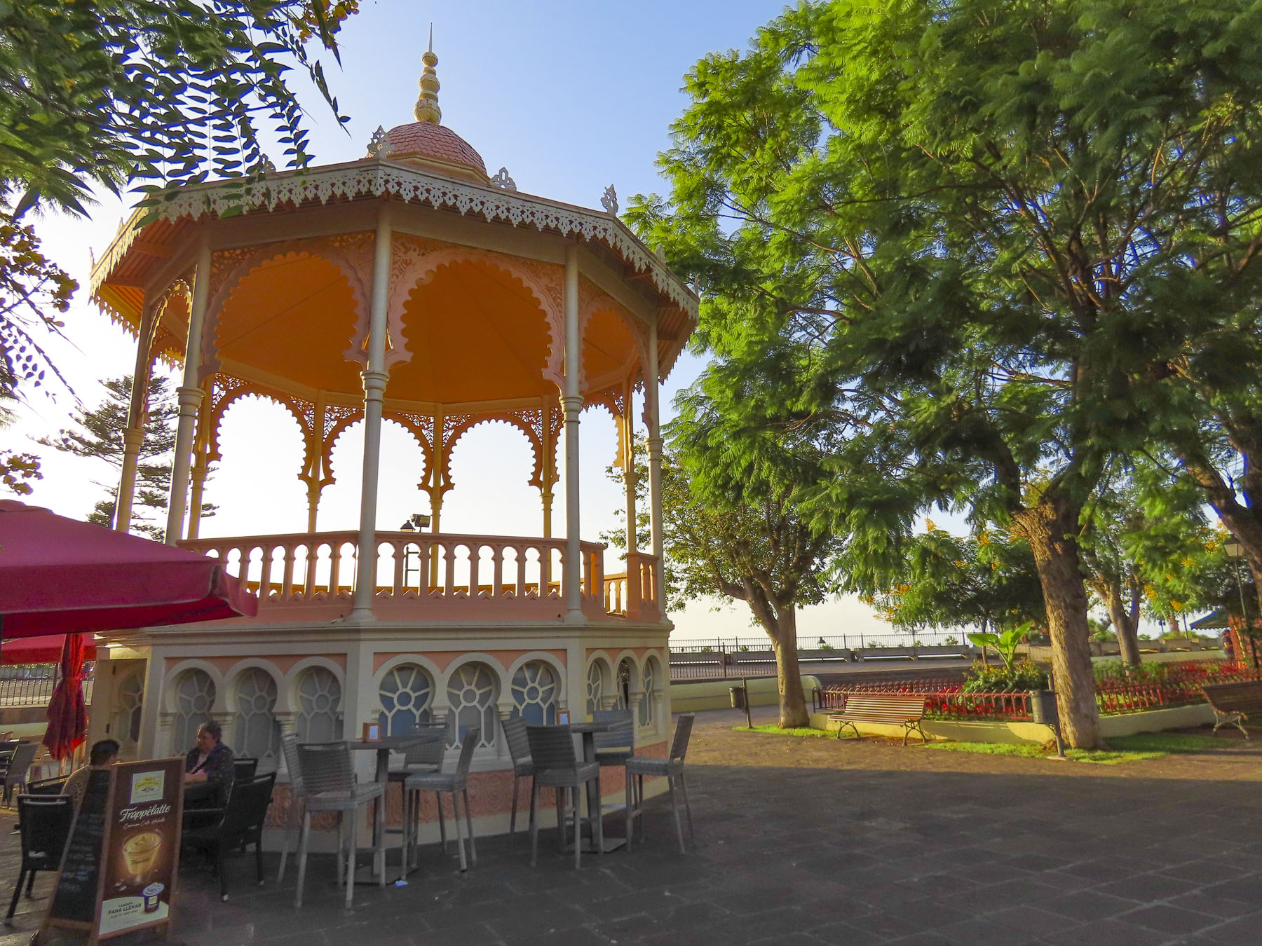
“Drive a little, then café.” We were ready to stop by the time we reached Buenavista del Norte and easily found parking around the Plaza de los Remedios. Sitting in the shade, we ordered coffees from the café under the park’s gazebo. It’s a classic Canarian town with colorful two and three story homes. What’s unusual though is the town sits on flat land! Something that is in short supply on this mountainous island. It’s only access to the sea was from the small rocky landing at Playa de las Barqueras, where for centuries supplies were rowed ashore from passing merchant ships. Nearby set along the dramatic coastline is the Buenavista Golf Course, designed by the famous Spanish golfer, Seve Ballesteros.

The Church of Nuestra Señora de los Remedios stands across from the plaza and has played a significant role in the town’s history since its cornerstone was laid in 1516, most importantly when the townspeople filled the church in 1659 and prayed to the statue of La Virgen de los Remedios to stop a plague of locust which was ravaging their crops. According to history the plague stopped. Sadly in 1996, that historic statue and many other centuries-old religious treasures were lost in a fire that destroyed the church.

It’s very easy to speed by and miss, but on the outskirts of town on Cruz de Toledo at its intersection with TF-445 there is a statue of a locust atop a tall column with the anagram of the Virgen de los Remedios, and the dates 1659-2015 which commemorate that event. Every fifth year a procession from the church carries the virgin’s statue out to the locust monument. 

We continued towards Punta de Teno only to be stopped by a manned roadblock across the pavement, just shy of Mirador Punta del Fraile. Only buses and taxis were allowed to travel the road farther; we weren’t told why. Even Google map drivers have been prohibited from making the journey. There was a small dirt parking area next to the gatehouse and we could see a few folks walking the long incline to the mirador. We followed. It was about a thirty minute, moderately strenuous walk, and the views were awesome. It was well worth our effort. Gale force winds whipped through a cut in the rock which the road followed down to the lighthouse at Punta de Teno, three miles away. Behind us a large cliff face blocked most of the view of the Teno headland. It’s a barren peninsular without tourist amenities, just a lonely lighthouse and modern wind turbine farm, the blades of which must turn furiously 24hrs a day, if it’s as blustery there as it was at Mirador Punta del Fraile. Hold your hats!

The views returning to Garachico were equally as impressive as the morning sights, and we stopped several times before entering the old town.

As prosperous as the Canary Islands are today, we were reminded by the statue at the Mirador del Emigrante that life here was not always easy. This poetic description by Fernando García Ramos, the sculptor, explains for the viewer the meaning behind his statue of a walking man – with a hole in his chest, as if in his heart – holding a suitcase. “The figure is scanning the horizon, in a daring position, as if pretending to jump over the sea, with a suitcase in hand, and many more suitcases in a series as a chain behind him; these suitcases behind him surely mean the memories, the sadnesses, the nostalgia, the girlfriend, the mother, the sisters, the families that are left behind by an emigrant who takes a new life, who jumps over the infinite sea, in search of a new life in strange and distant lands.”

Occasionally we spotted colorful red rock crabs scurrying about as walked along the waterfront to the Castillo de San Miguel, a square block fortress built from quarried lava rock in 1575 to protect Garachico’s port from French, Dutch and Arab pirate attacks, along with the threat of British invasion.

For two hundred years Garachico’s harbor was the most important commercial port in the Canary Islands. Its citizenry accumulated wealth through prosperous imports and exports from Spain’s New World colonies and Europe. It was a prestigious town with many warehouses and shops, fine homes, convents, and churches.

This ended on May 5th, 1706, when Volcan Arenas Negras, a vent volcano on Mt. Tiede’s lower slope, erupted and spewed lava down a ravine that led directly into the town and harbor. Amazingly, no lives were lost, but a great number of the town’s historic buildings as well as four convents were destroyed, buried under lava that flowed into the town for nine days. Buildings close to the lava flow caught fire and burned to the ground. The fortress narrowly escaped, but it lost its relevance when the harbor was filled with lava and ships could no longer anchor there. With the loss of the harbor, merchant ships shifted to Puerto de la Cruz, folks left and Garachico evolved into a fishing village until the tourist economy on Tenerife took off in the 1960’s, embracing tourism so enthusiastically that the town recently constructed an ocean front municipal pool open to all along the promenade.

Walking into the center of town, we admired several noteworthy historic buildings:, Convento de San Francisco (1524,) and its church the Iglesia de Santa Cruz de Tenerife; Casa Palacio de Los Condes de La Gomera (1666.) They still stand around a beautiful, shaded gazebo in the Plaza de la Libertad.

Walk a little then café.

Till next time, Craig & Donna

Tenerife Part 2: Icod de los Vinos or Colonial Charm, Dragon Trees, and Miradors

Departing Santa Crux de Tenerife, we drove along the TF-5 towards Icod de los Vinos, our base for the next several days as we explored the lower part of the north side of the island. A compass orientation doesn’t accurately describe how Tenerife is split into north and south regions, but Pico del Teide and its rugged highlands roughly divide the island into the dryer South, which faces Africa and catches the westerly blowing Sharqī, a hot wind from the Sahara, while the North of the island is shielded by Pico del Teide from the hot winds blowing west from Morocco, is wetter from Atlantic Ocean storms.

We are not really resort and beach people; there’s that getting sandy issue that deters us. We do enjoy a close proximity to the ocean and beautiful seascapes, both of which were easily attainable on the north side of Tenerife. We figured that the best way to do this was to chase miradors. And there wasn’t any shortage of them on the island. We figured enroute to them we’d pass other wonderful discoveries that would spur us to detour and investigate, rounding out what we saw of the island.

Set on a steep hill, the restaurant La Barada, just a short distance off the highway, was our first stop. Though technically it’s not a mirador, it is a popular place due to its glass pier that is cantilevered dramatically out over the countryside from the restaurant. It offers an amazing bird’s eye view of the coast with Pico del Teide in the distance. The food was also very good and the terrace was alive with boisterous activity the afternoon we stopped. 

We arrived late in the afternoon to our lodging at Hotel Emblemático San Marcos in iIcod de los Vinos. Located on a steep narrow street, it was a challenge to park close to the buildings on the driver’s side and still have enough room to get out of the car, but the parking was free and right in front of our hotel. Built in the early 1700s as a private mansion, it exemplified typical Canarian architecture of the period with its courtyard and meticulously crafted interior, rich with polished wood. The view from our room over the red tiled roofs of Icod extended to the sea.

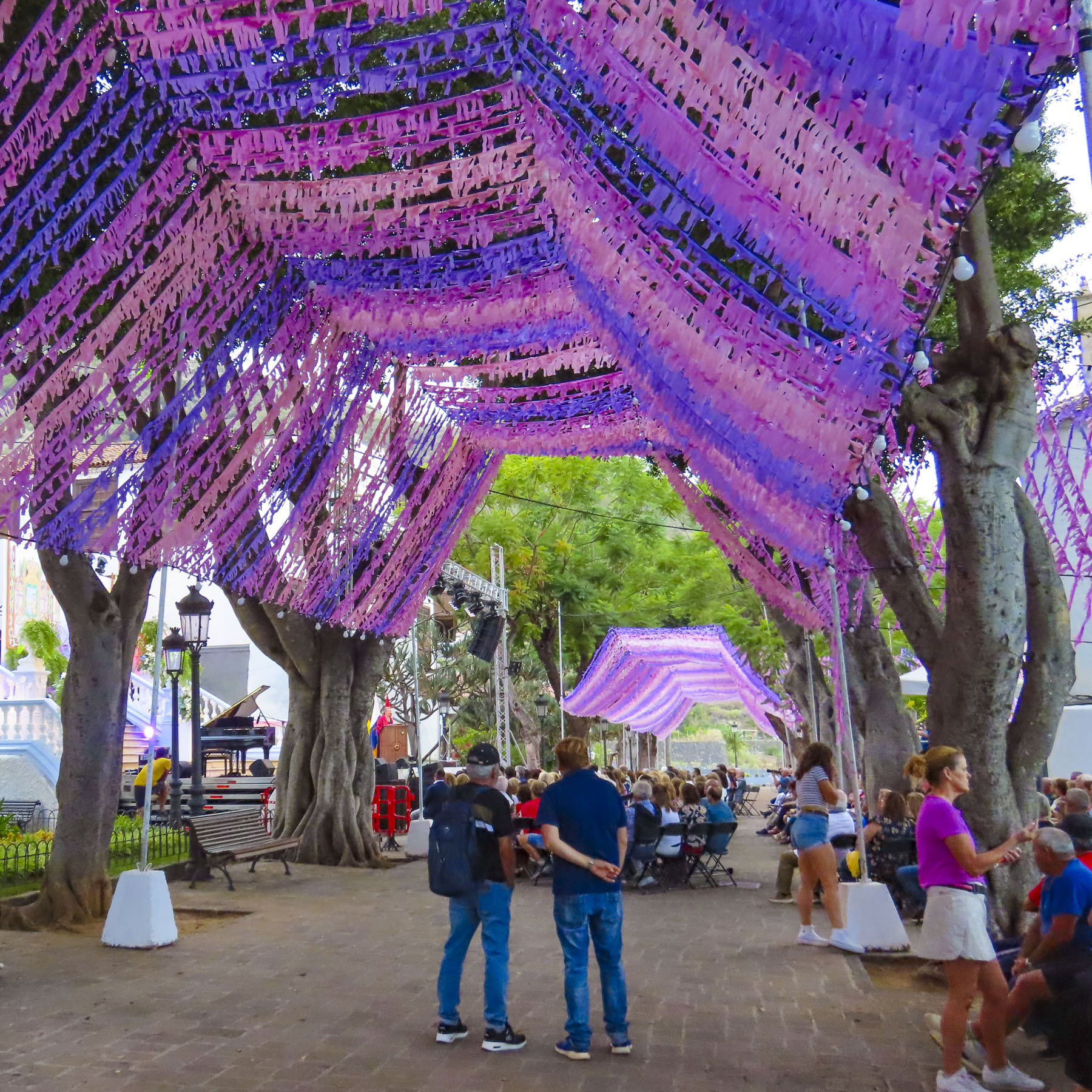
Still early in the evening, we headed uphill to explore the historic center of the town and to our delight happened across an outdoor concert in the festively decorated plaza next to the Iglesia Mayor de San Marcos. The performances were part of the town’s September’s month-long Christ of Calvary celebrations. Legend says that when the conquistadors first landed on the beach here in the late 1400s they discovered a statue of San Marcos awaiting them. A fortuitous omen that promptly required a church be built. A century later the church was beautifully expanded to what it is today.

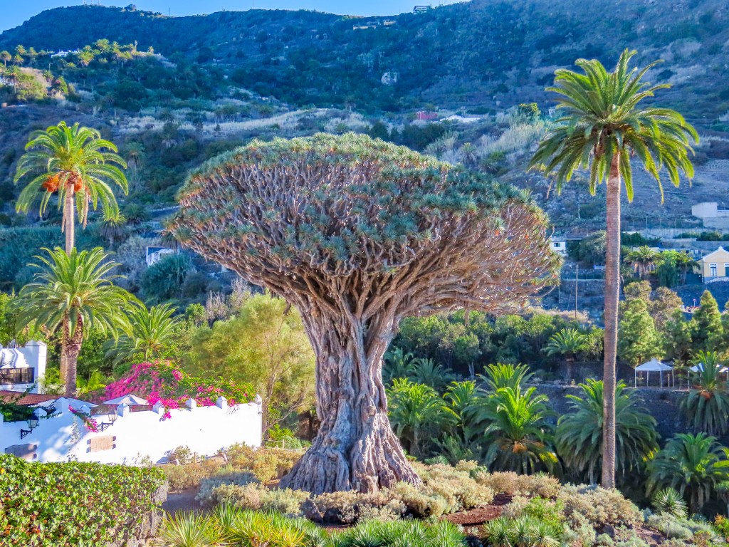
As the evening was darkening, we caught our first glimpse of El Drago Milenario. Believed to be 1000-years-old, it is the largest dragon tree on Tenerife. With over 300 branches, and a circumference of 66 feet, it’s a lofty 70 feet tall.

Beloved by the folks of Icod de los Vinos, the tree’s image is included on the town’s coat-of-arms along with Mount Tiede which also towers over municipality.

In centuries past trees harvested from the mountain’s slopes were sledded down the steep ancient roads of the old town, all the way to the harbor, where prosperous shipbuilders used them in the construction of naval vessels that participated in the ill-fated Spanish Armada of 1588. This unique sledding tradition is still kept alive every November with the La Fiesta de las Tablas, when younger folks speed down Plano Street on tablas, polished planks of wood, that often become airborne with their riders when they hit bumps in the road. Unfortunately, we did not witness this fiesta, but the video clips on YouTube are amazing. The cleared slopes around the town now host orchards, vineyards and banana plantations.

That evening we watched the climax of the festival – a spectacular fireworks display – from the balcony of our room. Throughout the night church bells continued to ring out loudly at odd times with seemingly random numbers of chimes. A curious oddity at the end of a wonderful day.

The weather was brilliant and the next morning we set out to visit the Mariposario del Drago, a large glassed enclosed tropical greenhouse that has a butterfly breeding program. Being gardens we find butterflies very entertaining. The experience here was delightful, and elicited smiles from everyone when a butterfly landed on them.

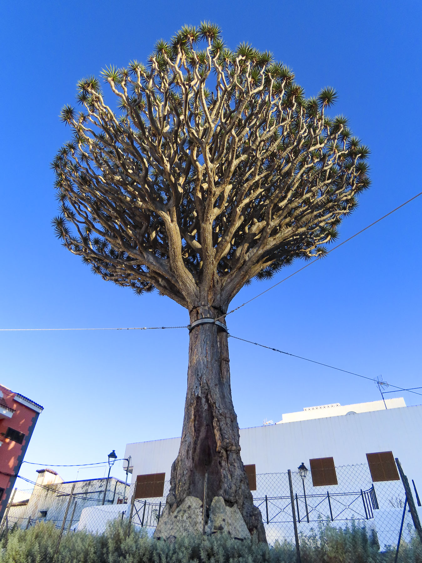
Across the street from the Mariposario, the El Drago Milenario stands behind a high walled and gated fence. The small admission fee to the park is well worth it to support the town’s effort in keeping this goliath of a tree alive. But, if you’d rather skip the expense and put it towards coffee or lunch, there’s an enticing café named Casa del Drago, with a good view, right next door. Farther uphill along Calle San Antonio there is Drago junior, a magnificent younger dragon tree that, according to legend, the town seized from its owner when he tried to cut it down in a fit of rage.

Fortunately, this part of the historic town center is relatively flat and the walking was easy as we headed back to admire the plaza around the Iglesia Mayor de San Marcos in the daylight and the church’s 16th, 17th, and 18th  century religious art.

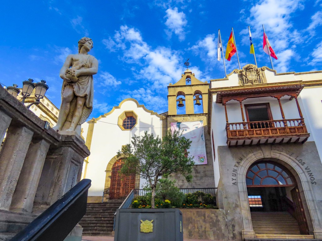
Afterwards we strolled along the town’s old lanes until we reached city hall and the Iglesia de San Agustin, both of which are dramatically set on a small plaza at the top of a set of ancient stairs. The church dates from the late 1500s and was originally part of the first convent built in the town by the order of Los Augustinos.

The road to Playa de San Marcos in the harbor of Icod is spectacular with views of the coast. It was here, in this sheltered bay, one the few natural harbors on Tenerife’s north coast, that the Saint’s venerated statue was discovered in a cave along the cove.

We found it best to just find a place to park and then walk to the vantage point that interested us. During the September shoulder season when we visited, tourists were scarce and finding parking was relatively easy.

Early the next morning we headed towards Puerto de Santiago on a route that took us to the mountain ridge above Icod. The final destination of the day would be the isolated village of Masca. A serpentine drive from Icod led to a hairpin turn that fed us into Vieja a la Vega, a very narrow steep lane, but really more like an alley lined with homes. This was one of the steepest roads we’ve ever encountered, requiring us to downshift to second gear for the long and seemingly endless ascent to the main road at the top. Fortunately, we didn’t encounter any cars coming downhill, as there was literally no room to pass. At the top we intersected the TF-5 and followed it through an old growth forest covered with stately pine trees. Continuing on, the road traversed a Martian like landscape. A huge lava field that was the result of Volcano Chinyero‘s last eruption in 1909. The terrain became noticeable drier as we crossed the mountain and descended into Santiago del Teide.

The roads to Pico del Tiede, Masca, and Puerto de Santiago converge here, making it the perfect spot for a café break before continuing down to the Mirador Archipenque to view Los Gigantes, a stretch of tall cliff face that dramatically rises straight up from the sea.

From here you can also see two of the other Canary Islands, La Gomera, and La Palma on the horizon.  For centuries Santiago was a quaint fishing village, but it has embraced tourism and now draws folks enchanted by its natural beauty and striking location along the coast. Its harbor from November to February is also a popular hub for whale watching excursions to depart from.

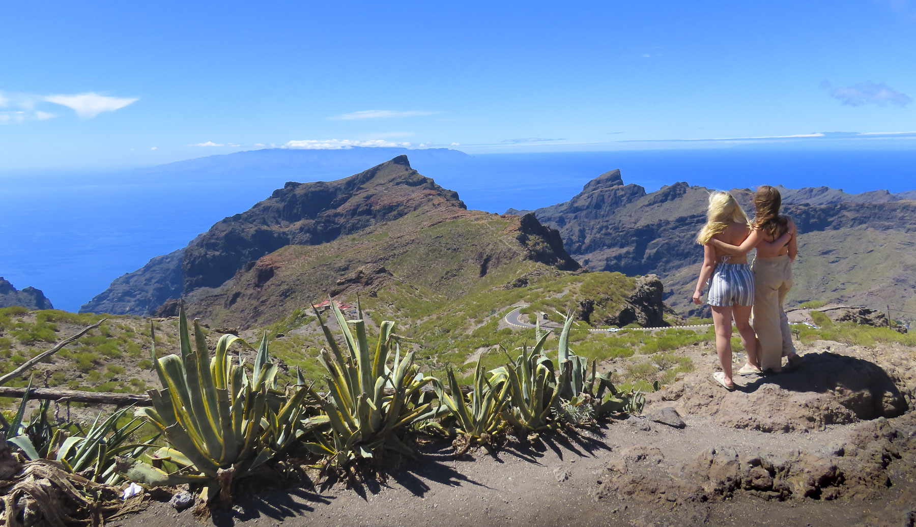
Backtracking through Santiago del Teide we turned into the mountains and followed a long stretch of twisting and turning road to the Mirador de Cherfe. Sitting atop a mountain pass, it has expansive views to the sea. It was also one of the busiest miradors, with vendors selling lava trinkets, and many tourists stopping on the way to or from Masca, like us. Oh, the thrills of driving in the mountains of Tenerife were just beginning!

The isolated hamlet of Masca seems to be a mecca for folks wanting to get into the more remote parts of Tenerife. With limited parking options, we had to wait for a space to become available only to realize after we walked into the hamlet that all the restaurants were closed on Monday. Yikes!

With growling stomachs, we continued on. Starvation was thwarted in El Palmar at the Restaurante El Rincón La Abu, a wonderful establishment where we were the only customers late in the afternoon. The house wine and our meals, pork cheeks in sauce and chicken breast stuffed with serrano ham and spinach, were excellent. We appreciated that we never felt rushed to finish, but we did notice when we were getting into our car that they were locking up for the afternoon. When home our routine finds us having lunch late in the afternoon, but this wasn’t always possible on Tenerife where many of the restaurants close at 2 or 3pm and then reopen later.

It took us awhile to adjust to this earlier lunch schedule. Continuing on we stopped to observe the Montaña Zahorra, an ancient lava dome from which its fertile soil was quarried in the 1960s, 70s and 80s. The distinctive pie shapes of the excavations represented the individual owners’ mineral rights.  

Exuberant like rally drivers, we felt victorious from a day well spent and headed back to Icod de los Vinos to enjoy a glass of local wine on the balcony of our room and watch the moon rise over the foothills above the town.

Till next time, 

Craig & Donna
Tenerife Part 1: Santa Cruz de Tenerife & San Cristóbal de La Laguna: Old & New, Rugged Mountains & Seascapes

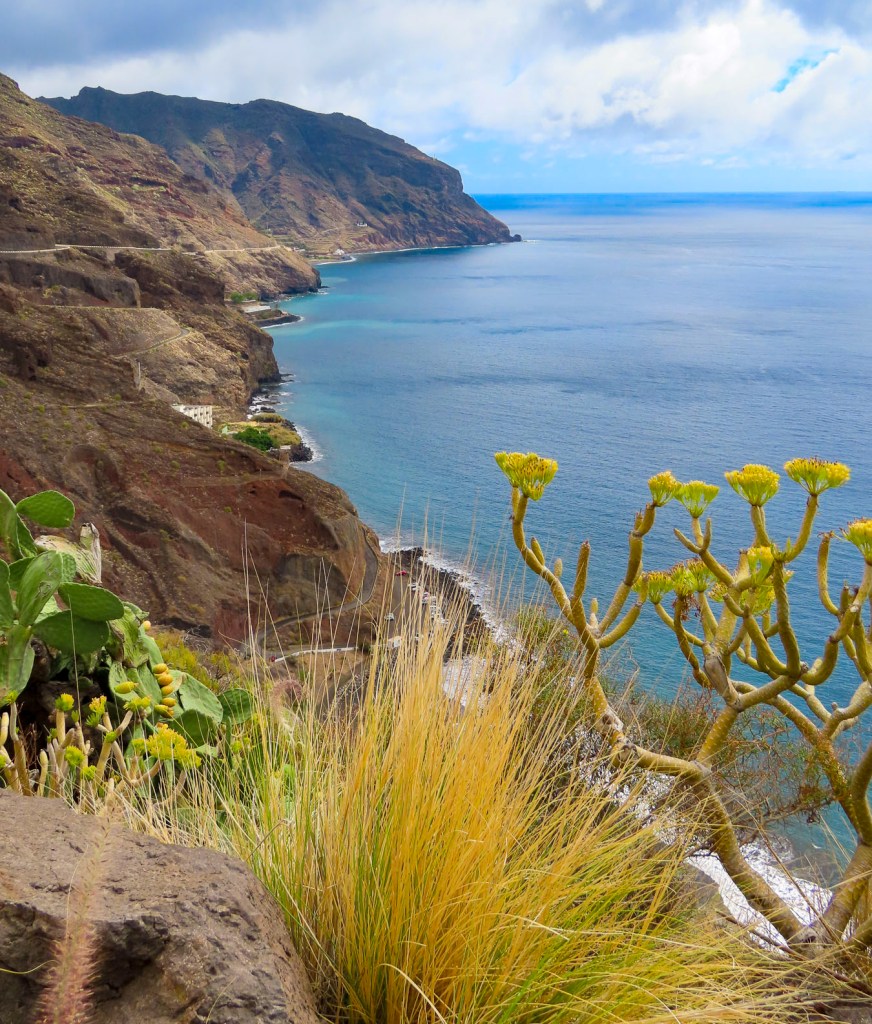
Bright sunlight filled the jet’s cabin as our pilot dipped the plane’s wing into a descending curve that revealed an arid rugged coast, bound by surf and azure waters. Tenerife! The walk to the car park under gently swaying palm trees was refreshingly balmy, a good omen for our visit.

Heading north on TF-1 in our rental car, views of picturesque small villages along the coast awakened our expectations for the days ahead. Our 14 days on Tenerife were divided evenly between stays in Santa Cruz de Tenerife, Icod de los Vinos and La Orotova, with multiple day trips planned from each town to explore the island in depth. Traveling during the September shoulder season, we were able to find some very good pricing for stays at the Iberostar Heritage Grand Mencey, Hotel Emblemático San Marcos, and the Hotel Alhambra.

Three hotels with distinctive character. Santa Cruz de Tenerife was our first destination, the island’s capital; it is a surprisingly large yet intimate, historic and cosmopolitan port city that offers ferry service to several of the other Canary Islands.

The volcanic seven island archipelago is closer to the coast of Morocco than the Iberian Peninsula. Discovered and populated by folks of Berber origin known as the Guanches around the 5th century B.C., It’s thought their indigenous Canary culture developed in isolation over the next 2000 years until Spain’s Age of Discovery sent fleets of ships south along the African coast in the early 1400s. In 1492, after sailing south from Spain, Christopher Columbus’s fleet of three ships and his intrepid explorers stopped in the Canary Islands to resupply their fresh water and food before catching the favorable, westward-blowing trade winds that carried them across a vast ocean to the discovery of the New World. Tenerife was the last island to succumb to Spanish rule in 1496 after the Guanches were forcefully defeated. For the next 400 years the islands played a crucial role in the colonization of the Americas, sending settlers to help establish Caracas, Buenos Aires, Montevideo, and San Antonio, Texas, along with exporting the first banana plants and sugarcane seeds to the islands in the West Indies. Potatoes and maize, new foods from the Americas, arrived first in the Canaries along with treasure ships laden with silver and gold destined for Spain. The importance of the islands to the Spanish crown was noted by the English privateer and favorite royal bad boy Sir Francis Drake, who found the weather so much more agreeable than England and attacked them in 1586 and 1595. Dutch privateers along with Barbary and French pirates also attacked the islands frequently.

Situated along the tree lined Rambla de Santa Cruz, with its wide pedestrian walkway that runs down the center entire length of the boulevard, the Iberostar Heritage Grand Mencey blended effortlessly into the beautiful 19th architecture that surrounds it. While parking on the street in Santa Cruz de Tenerife is free, there is tremendous competition in finding a space, so we opted to use the hotel’s garage during our stay. Fortunately, our lodging was only a fifteen-minute walk from the city center. It was an ideal location to explore the city from.
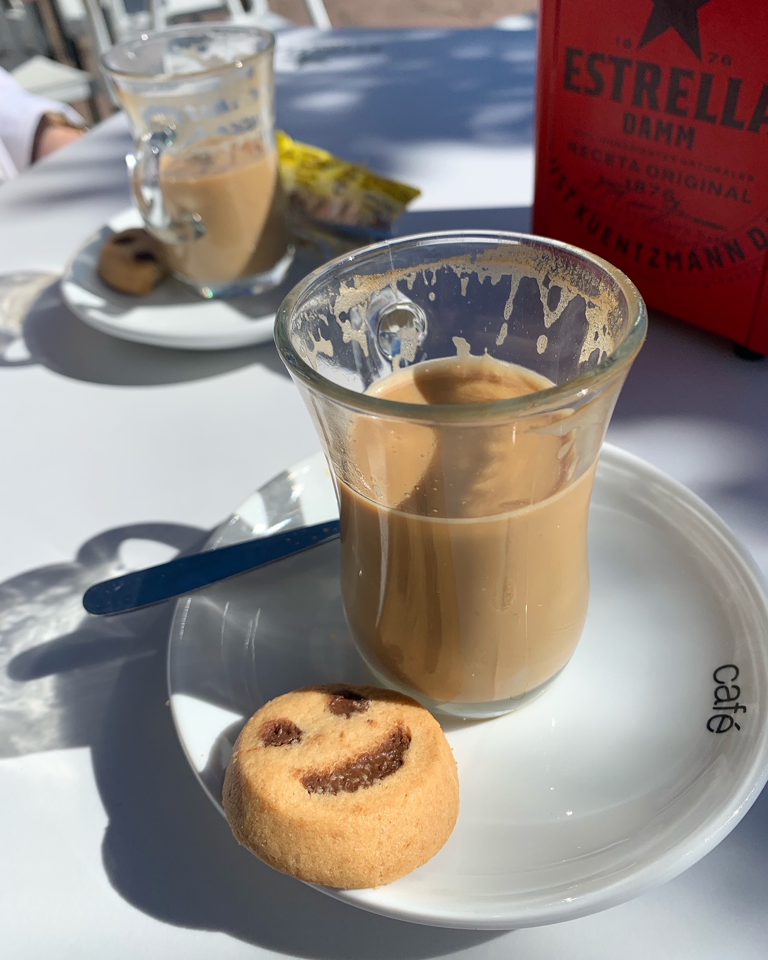
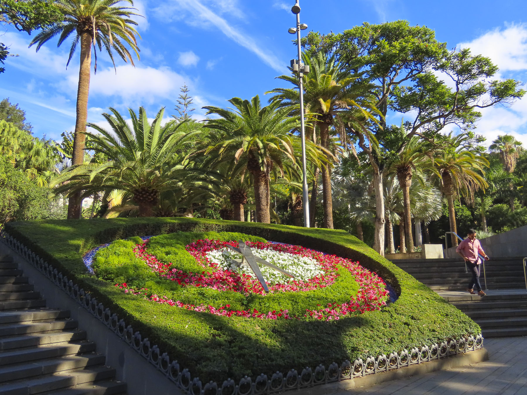
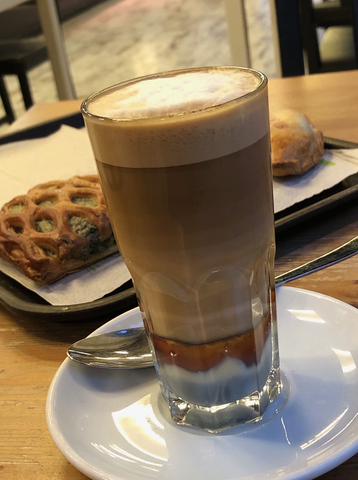
Adjacent to the hotel, the Parque García Sanabrias provided a tranquil sanctuary under a canopy of old growth trees. It’s a huge city park with different gardens, monumental sculptures, and several eateries, and is popular with folks seeking a place to exercise or relax. It’s here that we were first introduced to café leche y leches, a visually attractive layered coffee that was originally created in Santa Cruz de Tenerife early in the 1900s. Surely it was an act of divine inspiration that led to its creation at the Bar Imperial for a loyal customer who always requested the same special coffee. Made with whole milk, condensed milk, espresso, and cinnamon, its popularity quickly spread across the Canaries. Made with an additional shot of Liquor 43, it’s called a “Barraquito,” in honor of the customer who inspired the drink’s creation.

Walking through the city on the way to the harbor and the Palmetum one day revealed a vibrant combination of old and new. Beautiful historic buildings and grand sculptures dotted our route. We were surprised to find that the city also has a modern tramline, the Tranvia de Tenerife, that connects its outer neighborhoods and La Laguna to the city center and port area.

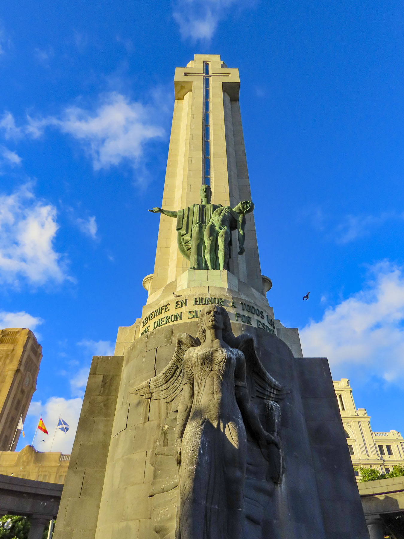
Reaching the Plaza de Espana, we paused to contemplate a tall obelisk, the Monument to the Fallen. A controversial piece today, it was erected in 1947 during the dictatorship of General Franco, and sadly dedicated to the victors in the Spanish Civil War. In 2019 a local government commission determined that the forced labor of political prisoners was used to construct it. And the “monument violates the Law of Historical Memory, and it needs to undergo a resignification process.” Nearby stands a contemporary sculpture called “Lo llevo bien,” or “I’m doing well,” by Julio Nieto, a Basque artist based in Tenerife. It’s a 16-foot-tall stainless-steel sculpture shaped like a humanized tree. A re-interpretation of Atlas carrying the world on his shoulders, Nieto’s piece symbolizes “the optimism of the human being, who, despite all his thoughts, carries it well.”
Looking back at the city from the park’s edge, the rectangular modern shapes of the city contrasted sharply with the jagged silhouette of the rugged Tenerife mountains behind them.

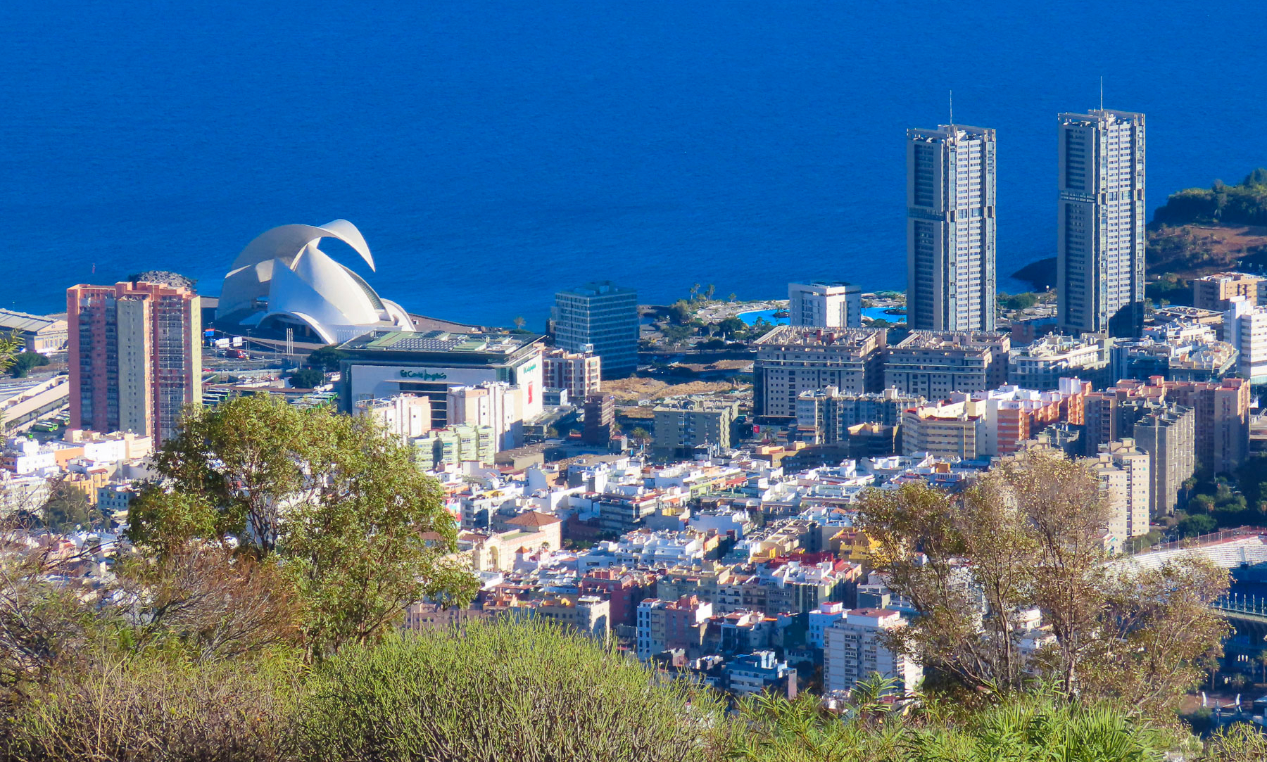
We walked along the waterfront to the Auditorio de Tenerife Adán Martín, Santa Cruz’s iconic landmark, an auditorium and arts center, designed by the Spanish architect Santiago Calatrava. Its ultramodern design reflects Tenerife’s prosperity and optimism for the future.

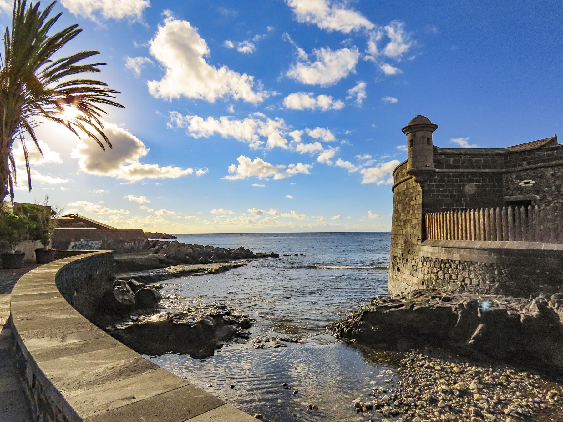
From there it seemed as if we were walking back through time as we passed the Castillo de San Juan Bautista, a short circular fortress constructed in 1640s to defend Santa Cruz from pirate and British attacks, and the Ermita de Nuestra Señora de Regla, a small church that dates from this era.

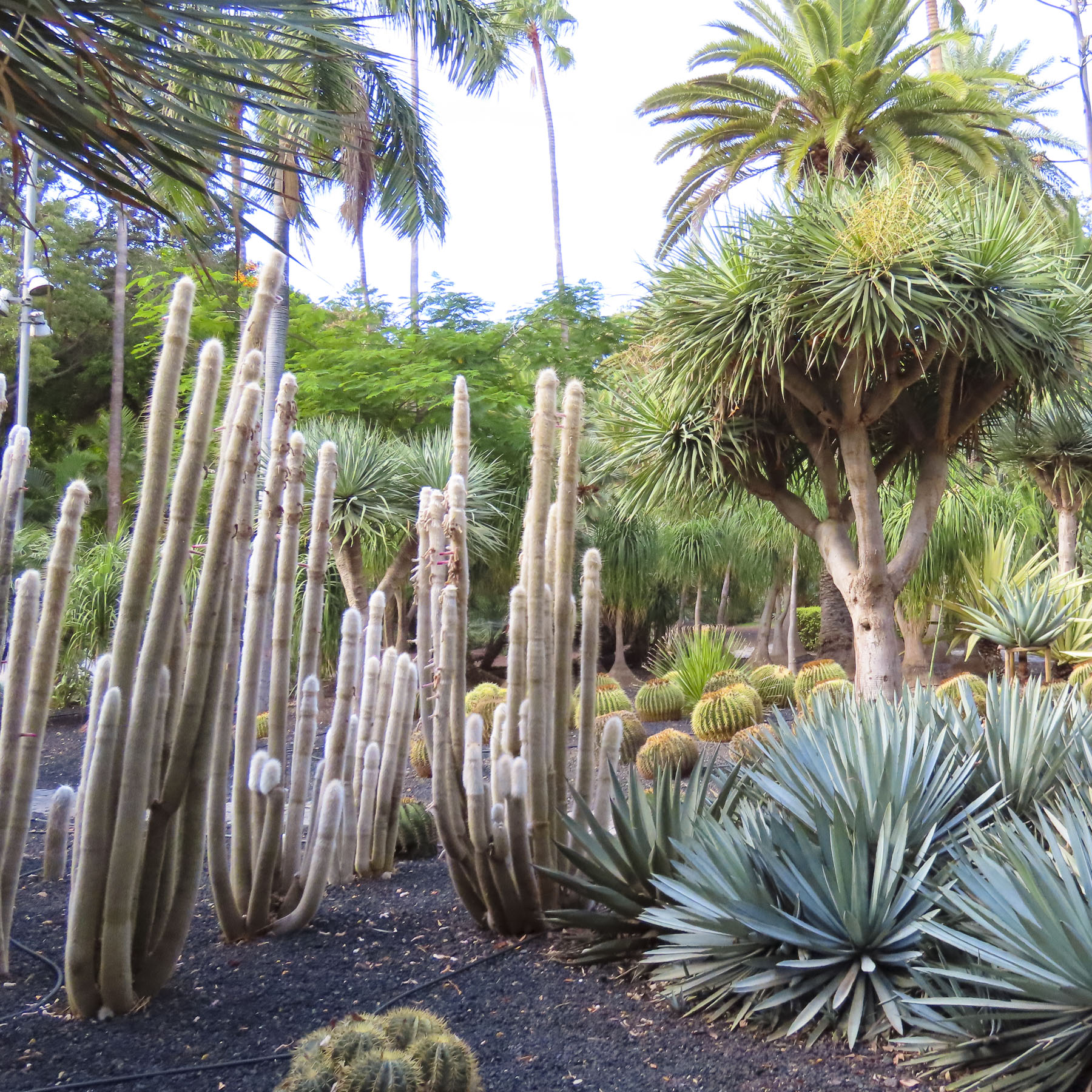
Reaching the Mirador Caribe at the Palmetum, we were rewarded with an expansive view of the city with Auditorio de Tenerife, and Parque Maritimo iCesar Manrique. A botanical garden, the Palmetum was started in 1995 atop 30 acres of reclaimed land that was once a landfill. Now it’s filled with nearly a thousand palm trees gathered from around the world and other plantings. It’s a spectacular place.

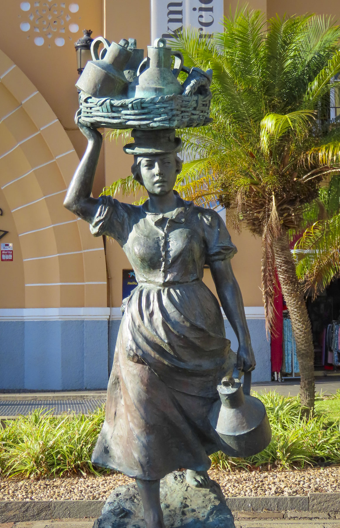
Heading back through the city, we stopped at the old-town market Nuestra Señora de Africa; it’s a sensory experience with colorful fruit displays, aromas of fresh baked goods and the clattering of commerce. Originally an open-air market, it was reconfigured in the 1940s. Built in a neo-colonial style, its arcaded shops and plazas attract locals and tourists. Outside the main entrance two statues reminded us of the old way of life on Tenerife when men still rowed heavy wooden boats through the surf to fish and women called Lechere would walk from village to village with baskets balanced on their heads, carrying jugs of milk to sell.

We finished our walk to the hotel down the wide pedestrian walkway in the center of Rbla. de Sta. Cruz, so we could get a better look at some of the interesting architecture that we passed when we first drove through town.

The weather on Tenerife can be fickle, sunny, foggy, rainy, and cloudy all within the same hour, as it was when we headed northeast early the next morning to the small village of San Andrés for breakfast, before visiting Playa de Las Teresitas, a wide manmade beach of imported yellow sand built behind a series of protective breakwaters. Across from the small café where we had breakfast under a threatening sky stood the ruins of Castillo de San Andrés, a small round fortress built to deter pirates from landing and ransacking the village and Santa Cruz. As British troops attempted to land in 1797 and seize Spanish treasure from the Americas, it’s believed a canon shot from this fortress wounded the famous Admiral Horacio Nelson, causing the amputation of one arm. This cannon is oddly on exhibit in the museum at the Castillo de San Cristobal in Santa Cruz. During the 18th and 19th centuries flooding from the stream next to the castle undermined its foundation causing it to split into almost even pieces, like a cake sliced in half.

Above the beach the Mirador Playa de las Teresitas offers tremendous views south of the coast. Turn around and walk a few yards back along the road for a spectacular view of the black sand beaches Playa de Las Gaviotas and Playa Cueva del Agua.

Any resemblance to a straight road disappeared as we turned onto TF-12 to work our way across the island to Playa del Roque de las Bodegas, the Mirador de Playa Benijo and continue onto the El Draguillo mirador in an isolated hamlet in the Anaga Rural Park.

Distance between sites on Tenerife are relatively short as the crow flies, but the roads are narrow and serpentine, so the driving is slow, even though not many cars are on the roads. Rising into the mountains, the terrain changed from arid browns to verdant greens. The views along the way of isolated villages hugging the steep slopes were awesome.

Our intent was to drive all the way to the El Draguillo Mirador, as our GPS map led us to believe was doable, but the road ended at a very small gate in a muddy car park with a sign that said only residents of the village were allowed to drive past this point. Evidently this is the starting point for the El Draguillo trail, a 6 hour hike. The parking lot was jammed full and it took a serious multipoint K turn to get us out. We recovered nicely though by having a great lunch nearby at La Venta de Marrero, a cliffside restaurant with a fabulous view.

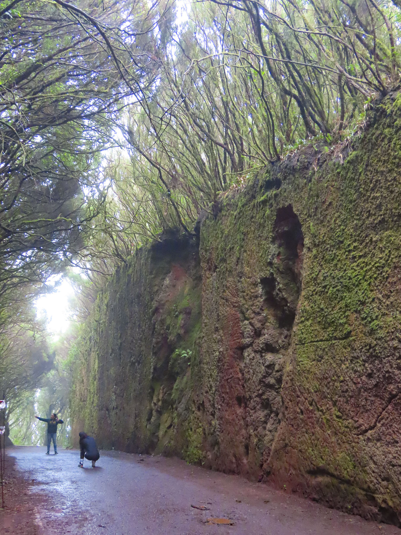
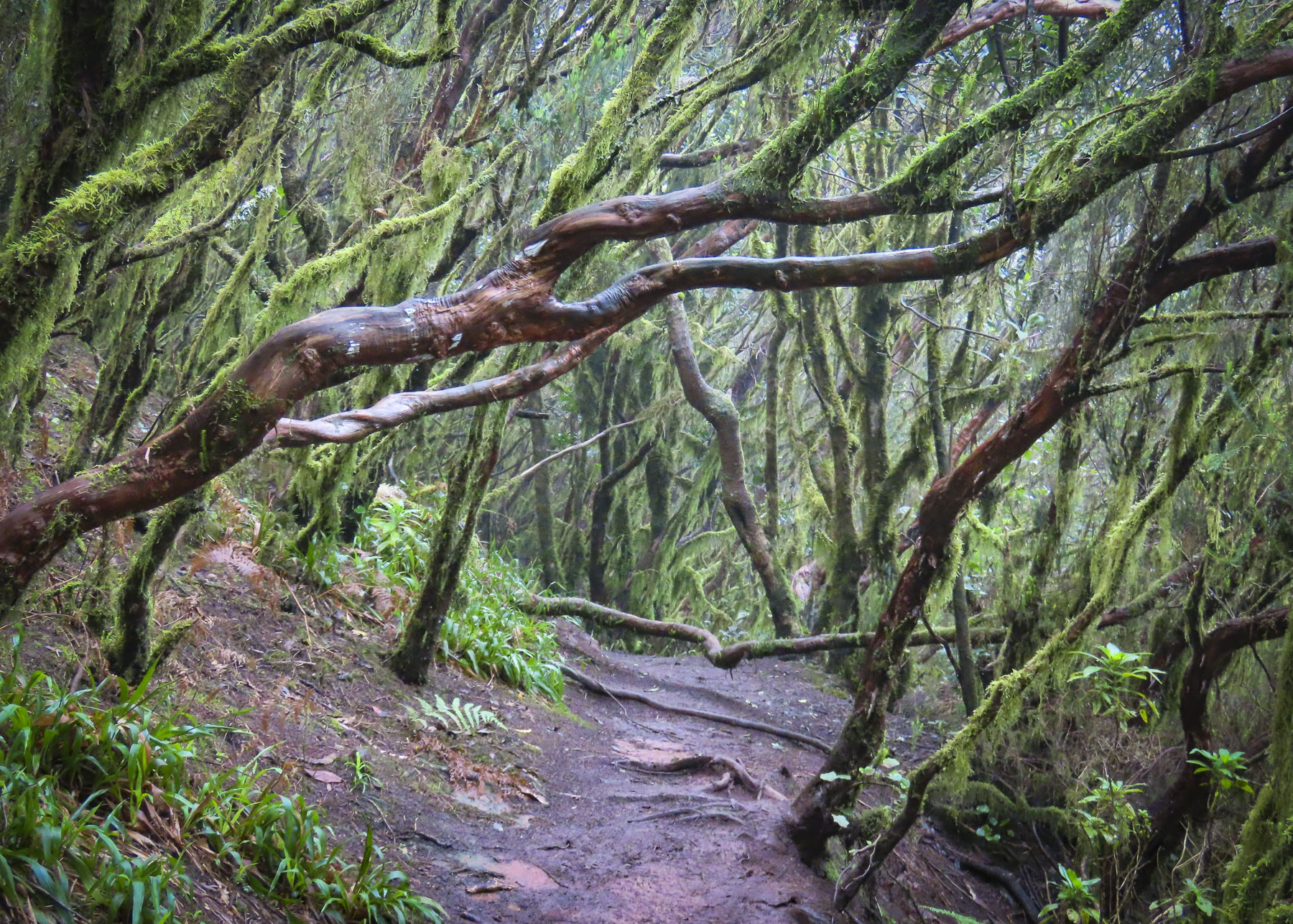
Scenes obscured by fog and low clouds as we drove across the mountainous interior that morning were now brilliant in the afternoon sunlight as we headed toward the Túnel de las Hadas. It’s a mesmerizing channel covered with moss, that was cut through the surrounding laurel forest. It is located in the Parque Rural de Anaga, which is recognized as a biosphere reserve with the largest number of endemic plants in Europe. The fog rolled in again and it was enchanting.

Our last day trip from Santa Cruz was to San Cristobal de La Laguna, an old colonial city that on its founding in 1497, after the defeat of the indigenous Guanche kingdoms, became Tenerife’s and the Canary Archipelago’s first capital. The village at first grew haphazardly around the Iglesia de la Concepción.

These first dwellings, built mostly of reeds, were ordered to be replaced in 1502, as their building material threatened to destroy the growing town if it ever caught fire. By this time La Laguna was the largest city in the Canaries with 6000 thriving inhabitants, two large churches and several monasteries. The city leaders adapted a plan Leonardo Da Vinci created for the city of Imola, Italy, as a blueprint for their city. Local son and Jesuit missionary José de Anchieta is credited with the inspiration to use this design of La Laguna when he founded the cities of Sao Paulo and Rio de Janeiro, Brazil, in the mid-1500s. The priest is highly revered on Tenerife and a venerated wooden sculpture of him from the Cathedral of La Laguna is carried in procession through the streets every June 9th.

On the flip side of good there is always bad, and San Cristóbal de La Laguna also recognizes another historical figure from their city, Amaro Pargo, a famous corsair, from, as the Spanish like to call it the “Golden Age of Piracy,” who savaged ships flying the British and Dutch flags sailing to their colonies in the West Indies. With a reputation as notorious as Sir Francis Drake’s, he was also recognized for his services by the Spanish crown and was declared a Caballero hidalgo, a knighthood, in 1725. He was also a merchant with many business interests and during his time the richest man in the Canary Islands, who was also highly regarded for frequent and large religious donations. He had an interesting relationship with a nun from the Catedral de San Cristóbal de La Laguna, Mary of Jesus de León y Delgado, who he credited with saving his life during a fight in Cuba by her ability to bilocate. Sister Mary is an interesting individual in her own right, credited with miracles, acts of healing, clairvoyance, levitation, psychokinesis, and stigmata. Sister Mary’s incorrupt body is preserved in the Monastery of St. Catherine, where she lived for 63 years, without ever leaving. Every 15 February her ornate glass-covered coffin, gifted by Amaro Pargo, is placed on display in the convent. With 1,251 miracles attributed to her, she has been nominated for canonization.

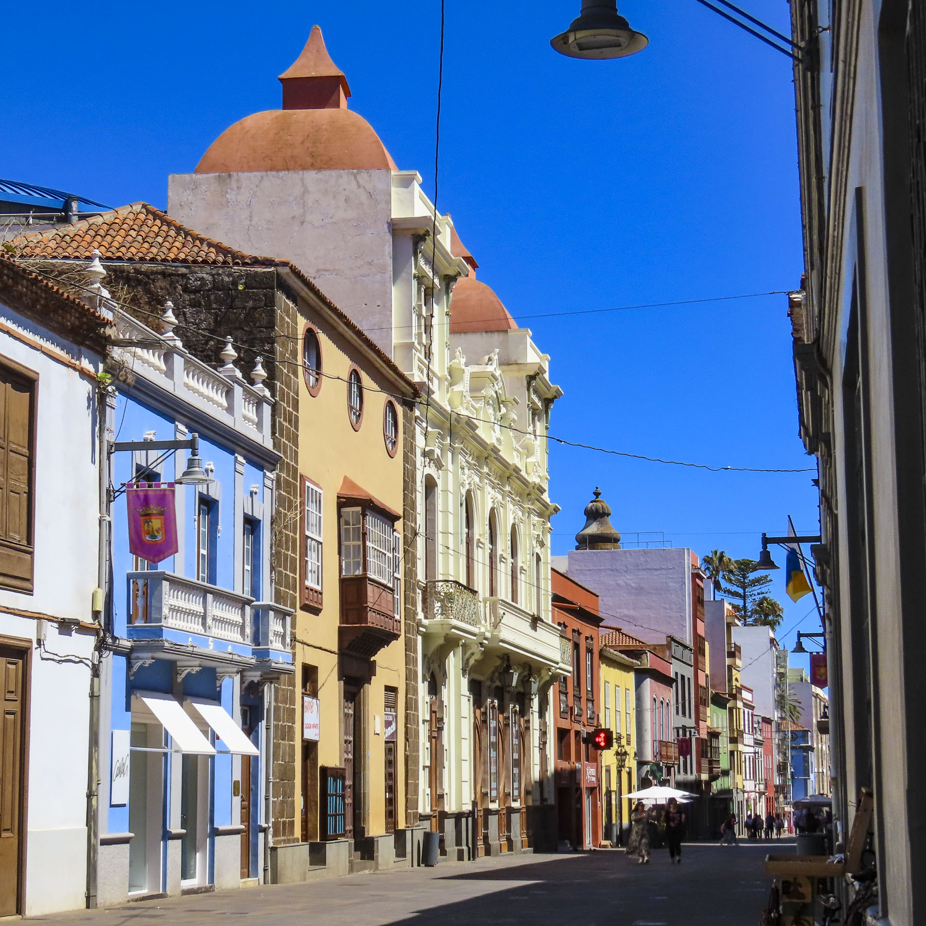
Though La Laguna is over 500 years old, it hosts a 300-year-old university with nearly 25,000 students that keeps it young at heart. Vibrantly colored buildings are interlaced between traditional examples of Canary architecture that feature wooden balconies that face the street and have deep courtyards to provide a shady sanctuary from the midday sun. The city’s major buildings incorporate a variety of styles that have been trendy across the centuries.

Older Gothic, Baroque, and Renaissance style buildings dot the historic center, while Neoclassical elements are present in the newer 18th century buildings that were built around the city’s core. In other words, there’s a delightful hodgepodge of architectural styles to enjoy.

Some of the older buildings have now been re-envisioned as exhibition spaces, as was the deconsecrated Ermita de San Miguel, which hosted a show of 3D printed sculptures when we visited. Others are now hotels or restaurants. The historic core of the city is pedestrian only and as we like to say “walk a little then café” is the best way to explore it.

Returning to Santa Cruz, we detoured into the mountains above the city to Parque de Las Mesas for an expansive view of the city below us. Brilliant in the afternoon sun.

Till next time,

Craig & Donna