Ever since grade school, where my history teacher displayed a large rollup chart of Europe unfurled in front of the classroom, I’ve always had an interest in maps. They were proof that a world existed beyond my town. Amid that patchwork of countries were small swatches of color that looked unintentional, like drops of paint that hadn’t been touched up and absorbed into the colors around them. These oddities, it turned out, were Vatican City, Monaco, San Marino, Liechtenstein, Malta, and Andorra, the largest splotch of all. They were small medieval-era feudal states that kept their independence through alliances, and existed as protectorates or as dependent territories for a while. Over time, treasuring their independence, they have chosen to remain independent microstates.
That map and watching the television reruns of the pioneering broadcast journalist and explorer Lowell Thomas’s High Adventure program on the weekends sparked within me a curiosity about the world that, thankfully, has never faded.
“You’re going where?” our friends asked. “Andorra. It’s a small, beautiful country in the Pyrenees Mountains between Spain and France.” “We’ve never heard of it!” A fact I imagine Pliny the Elder also expressed with “where in Hades is Andorra?” and could explain why, even though the area of Andorra had Roman military posts since the 2nd century BC to thwart hostile Northern tribes from crossing the Pyrenees, it was not included in his writings about the Iberian Peninsula in his voluminous Natural History books.
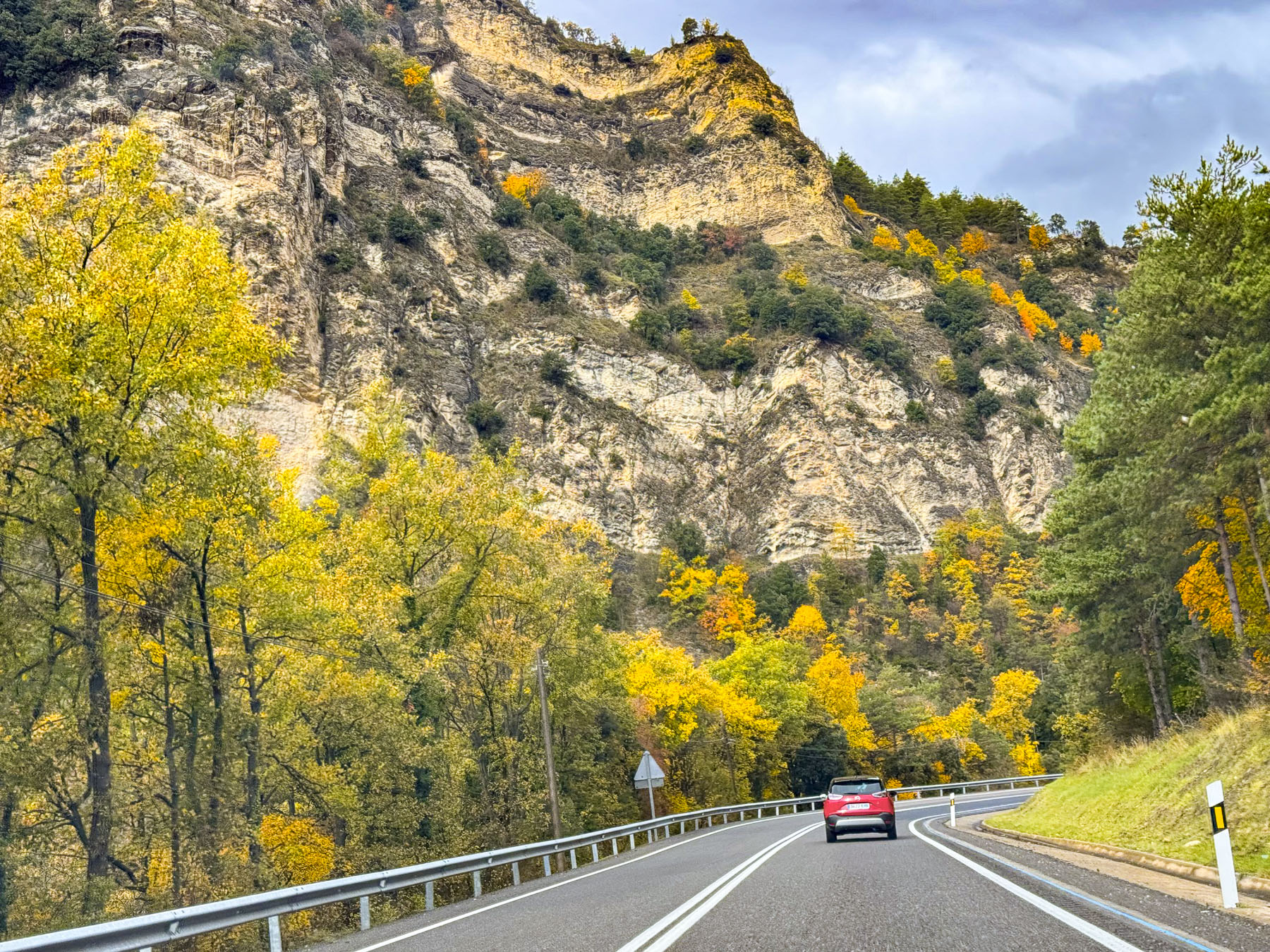
After landing in Barcelona and renting a car, we followed route C-16 north and headed to Llívia, another oddity on the map. It’s a Spanish exclave in the Pyrenees, near Andorra, that is totally surrounded by France, the result of the Treaty of the Pyrenees, signed in 1659, that ended the 24-year Franco-Spanish War (1635–1659). In the treaty, Spain ceded 33 villages in northern Catalonia to France, establishing the Pyrenees Mountain Range as the natural border between the two countries. Llívia, however, was officially granted the status of a town back in 1528 by the Holy Roman Emperor Charles V (aka Carlos I of Spain). With this loophole in the treaty, Llívia was excluded from the treaty’s transfer clause and became a unique Spanish exclave surrounded by France, only 168km (104mi), a 2.5-hour drive from Barcelona.
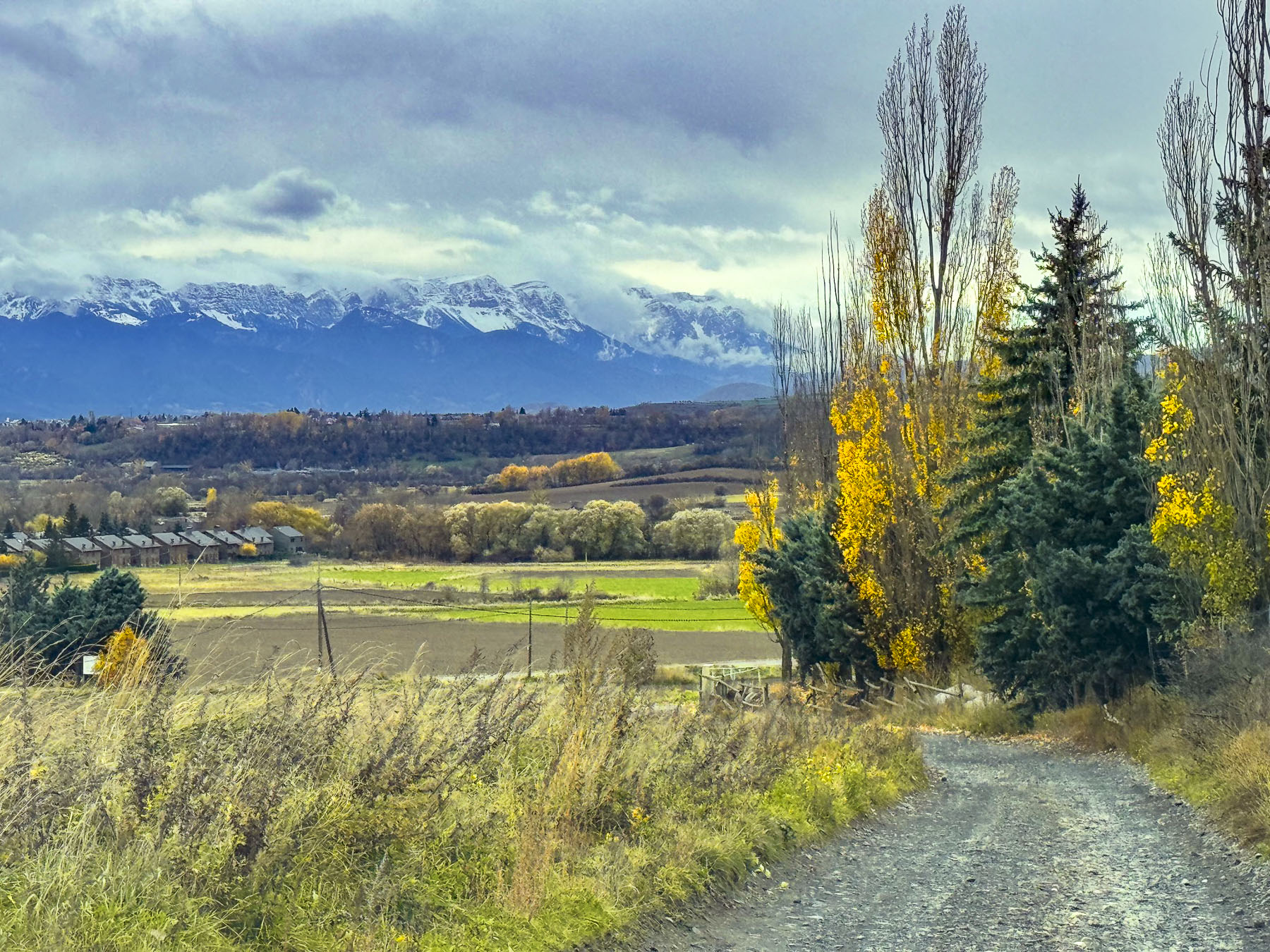
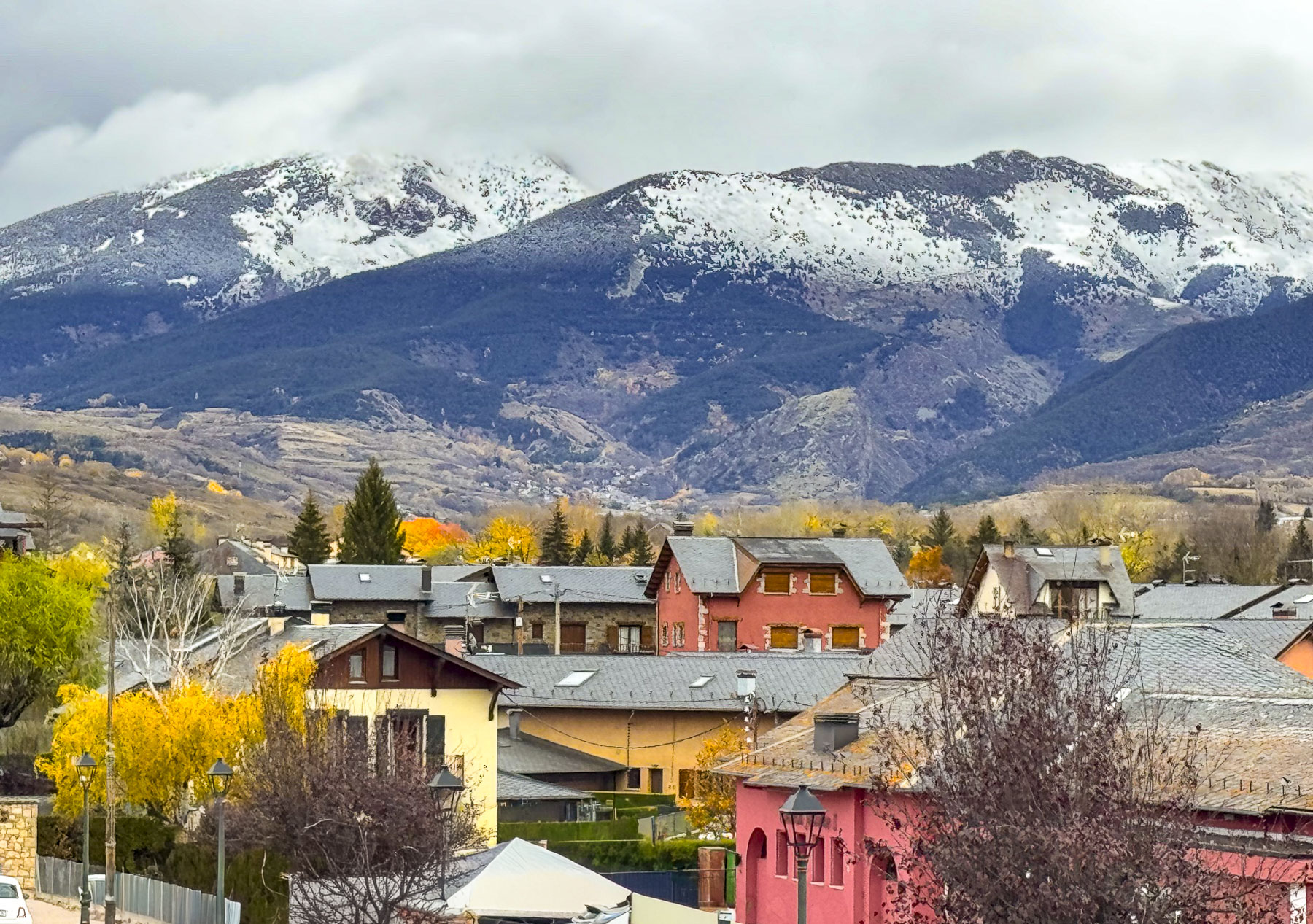
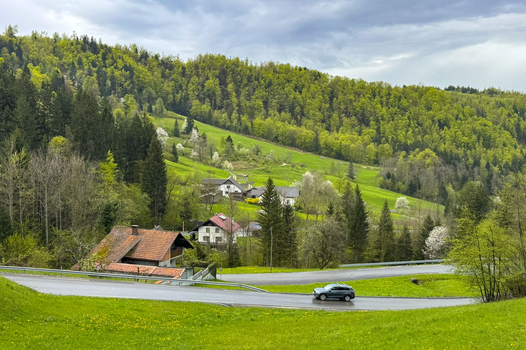
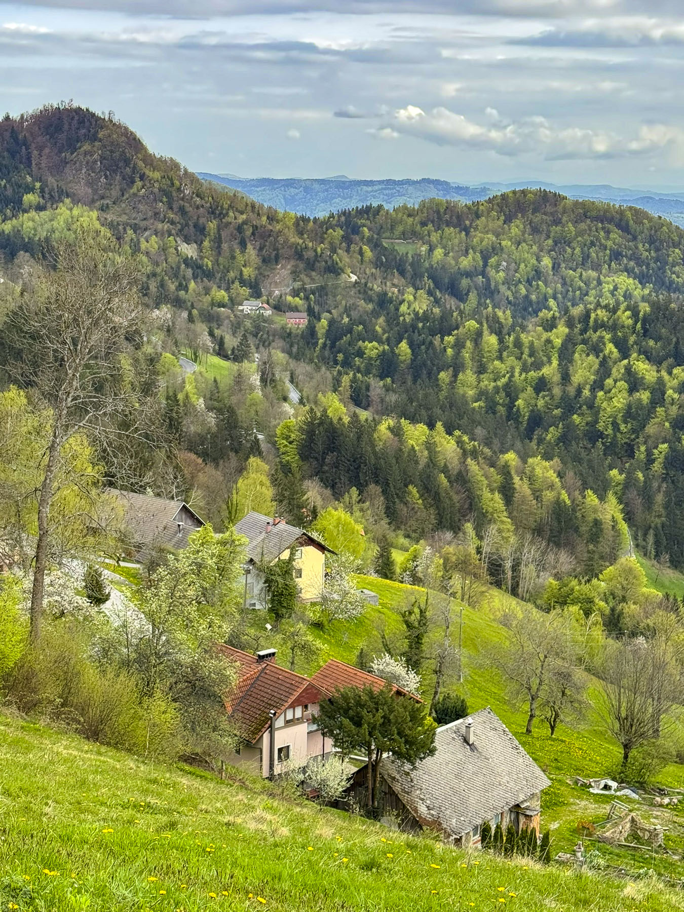
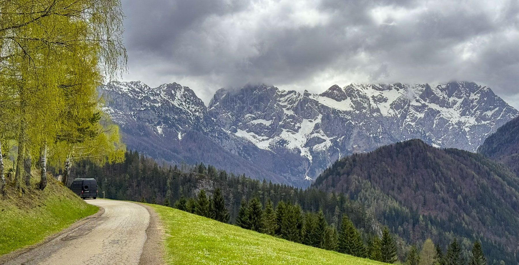
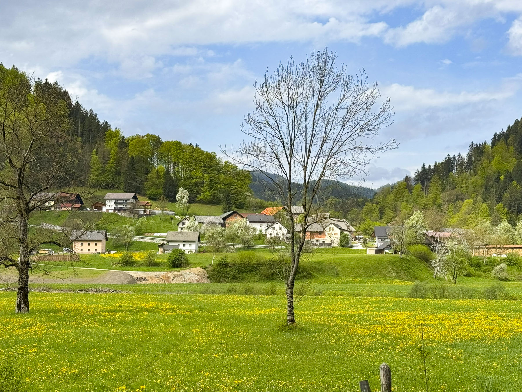
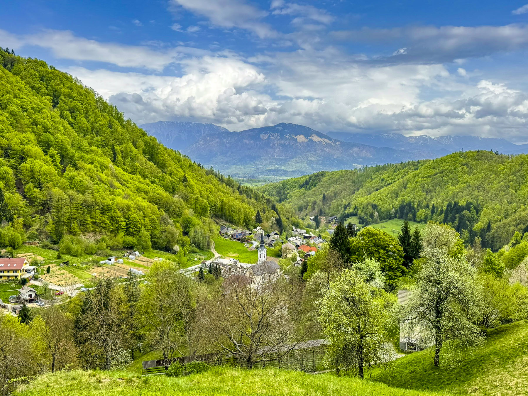
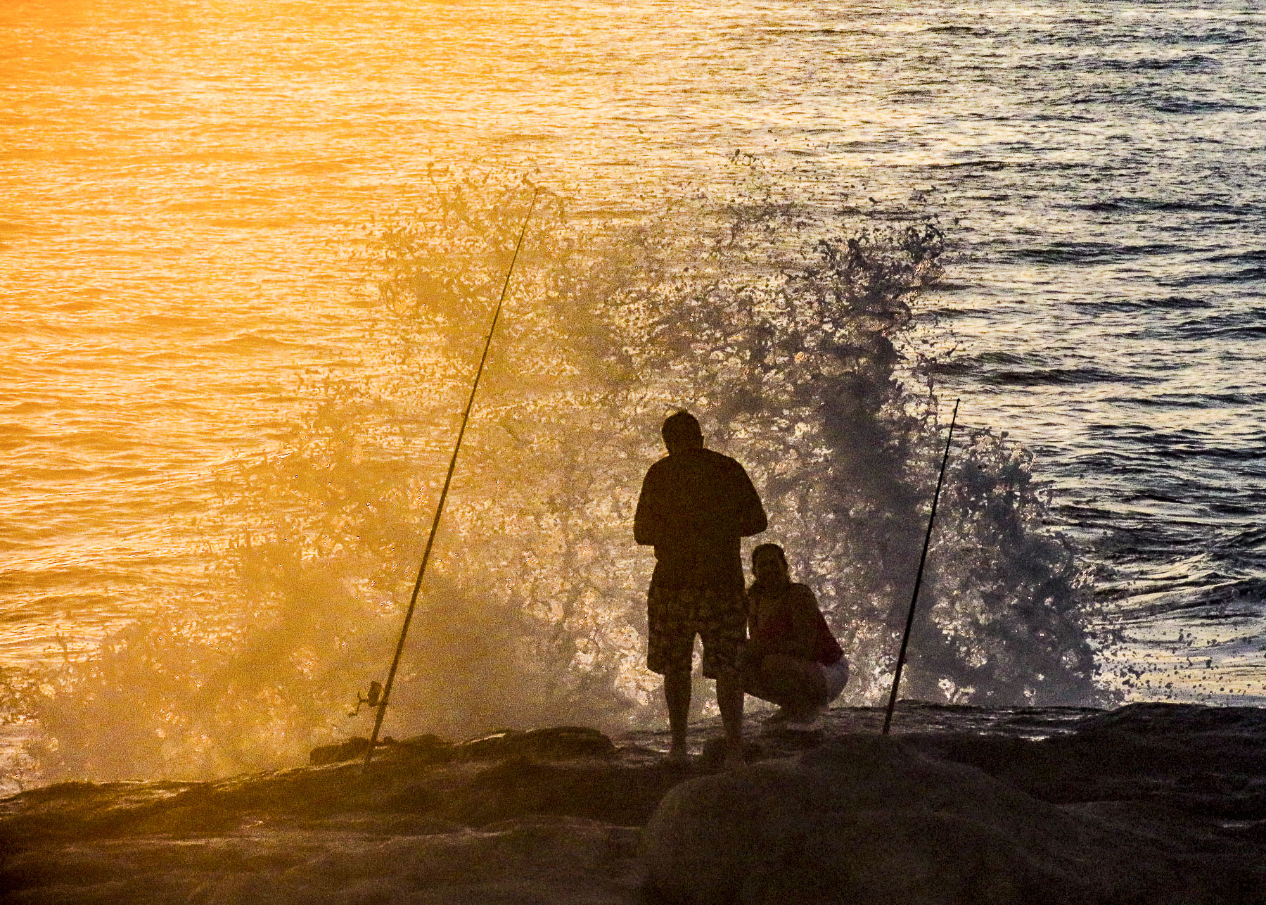
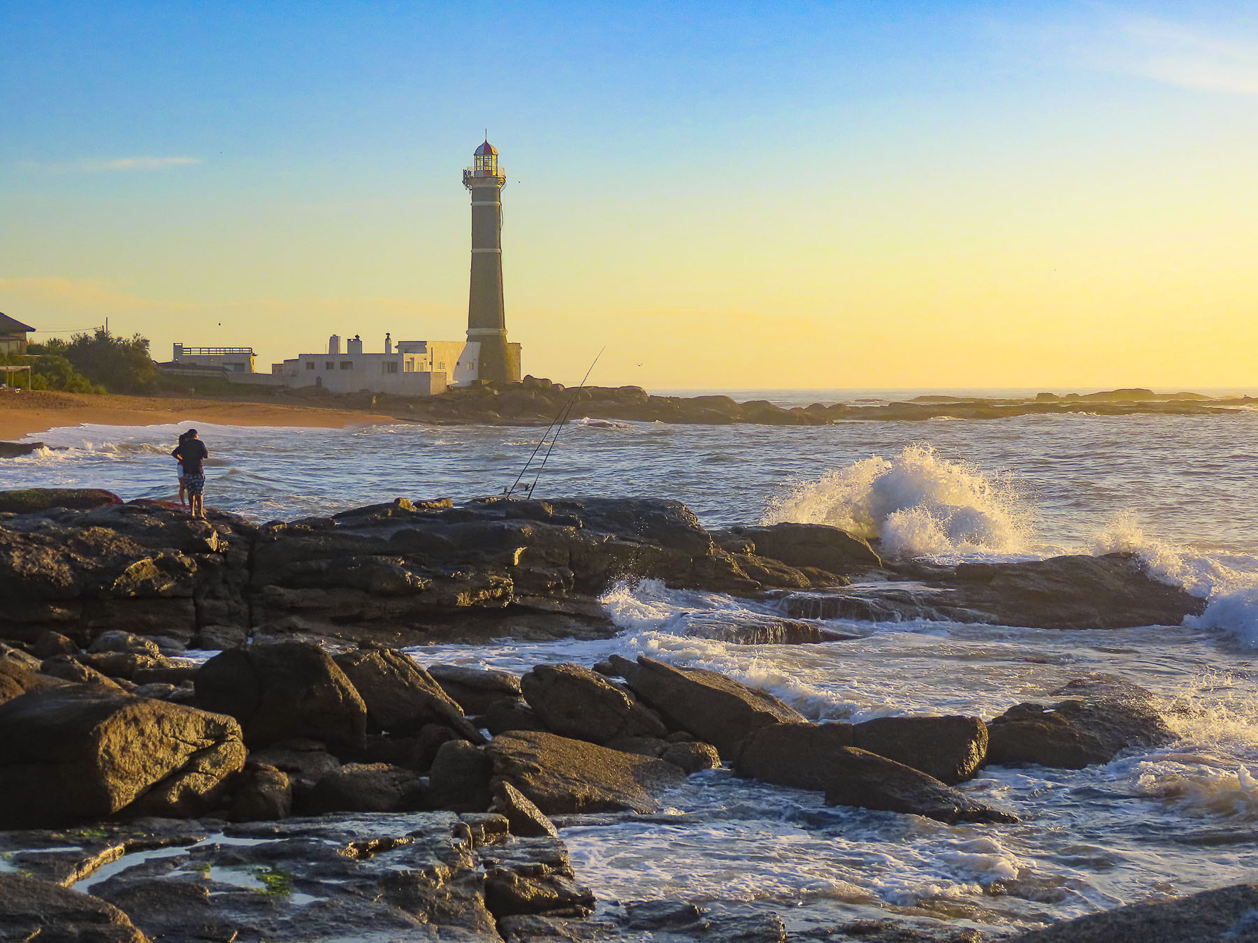
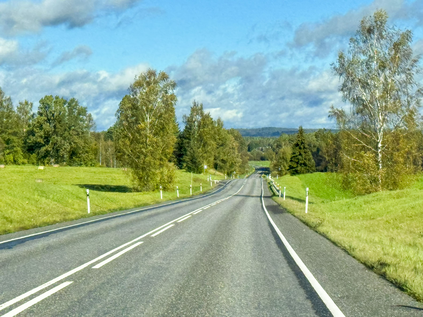
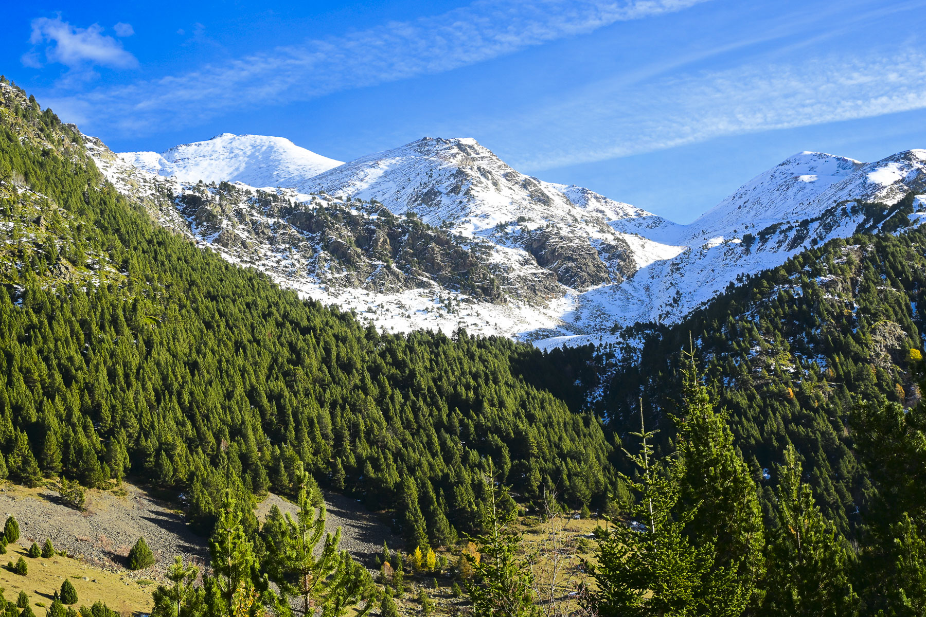
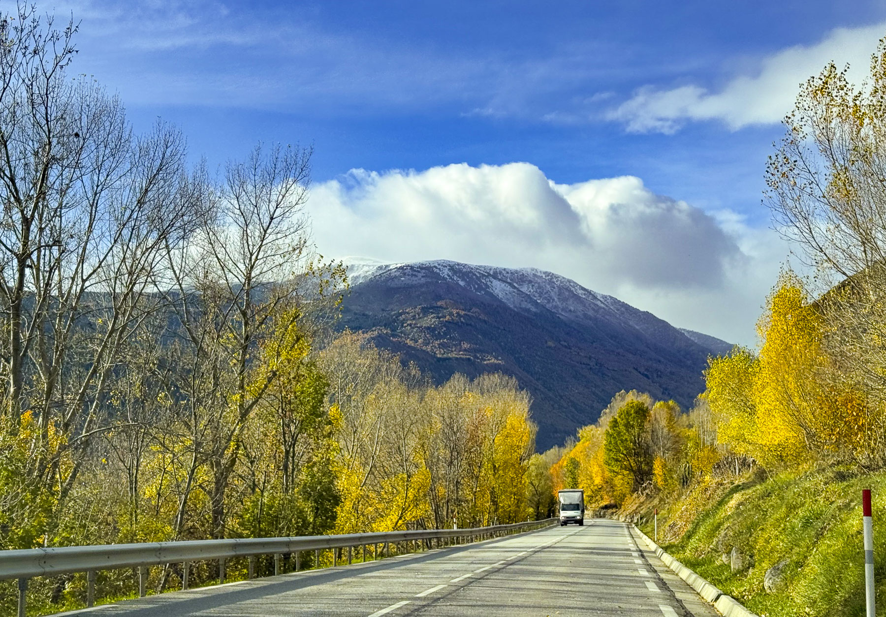
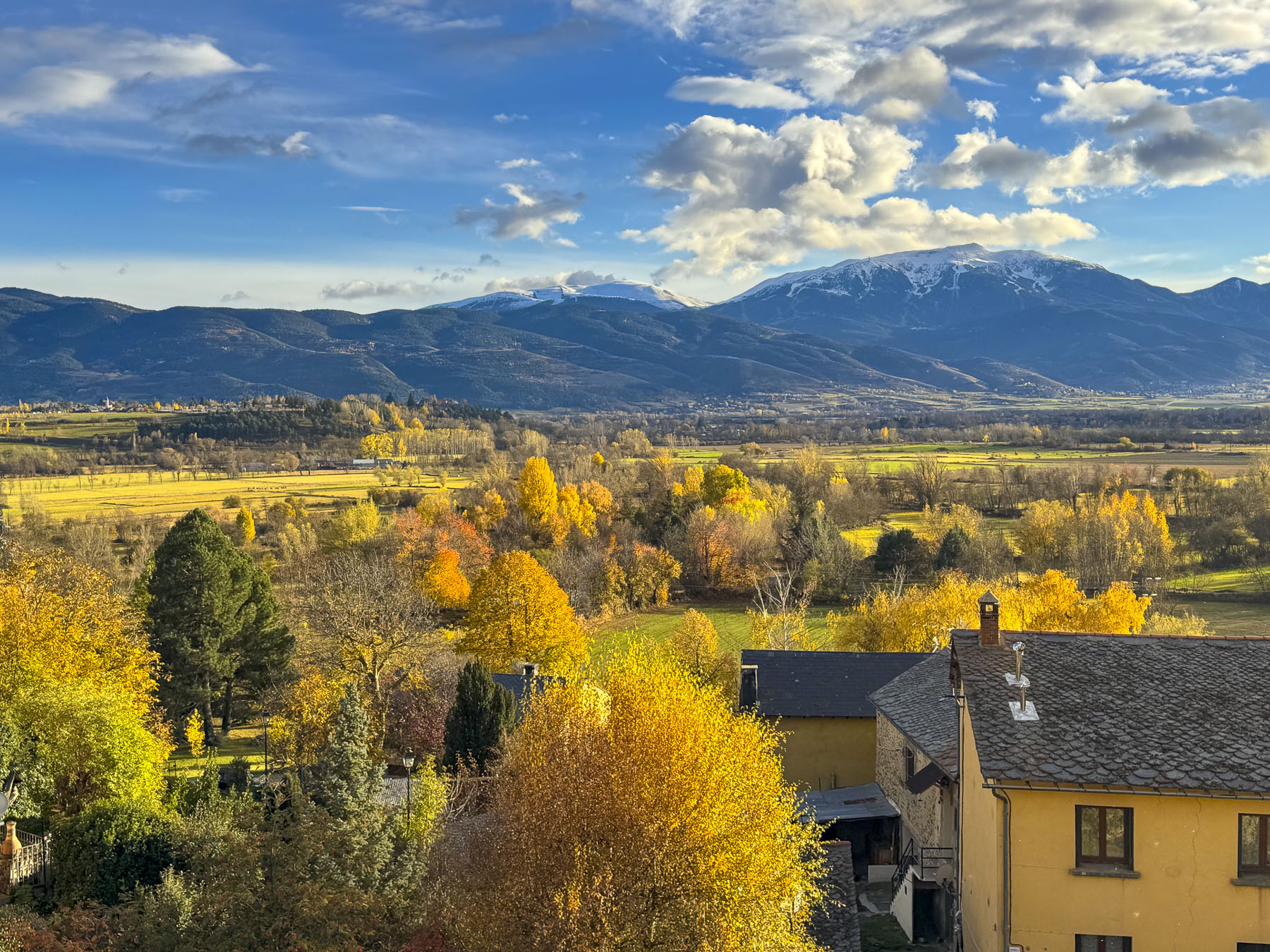
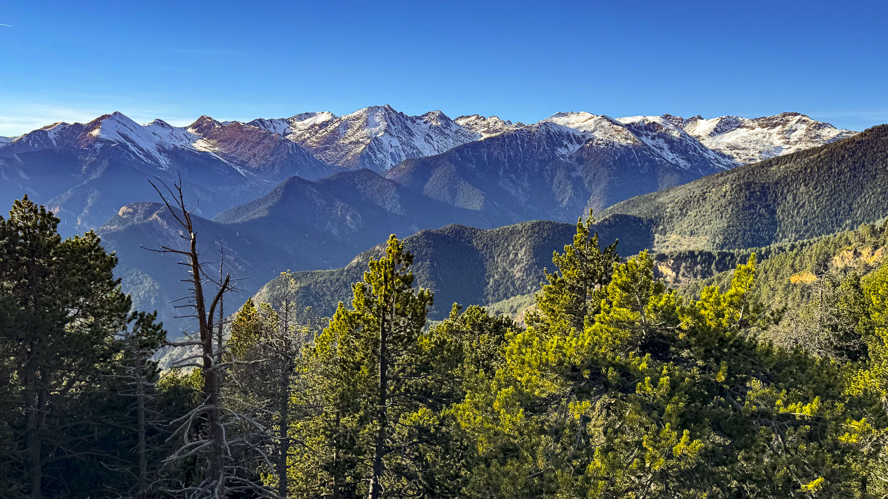
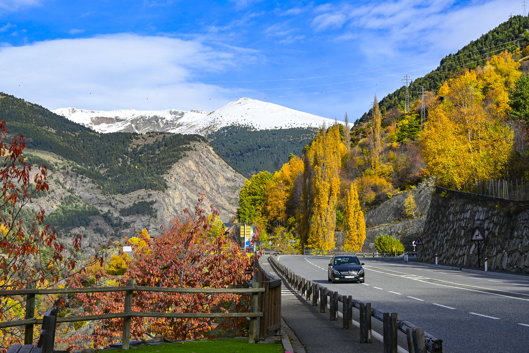
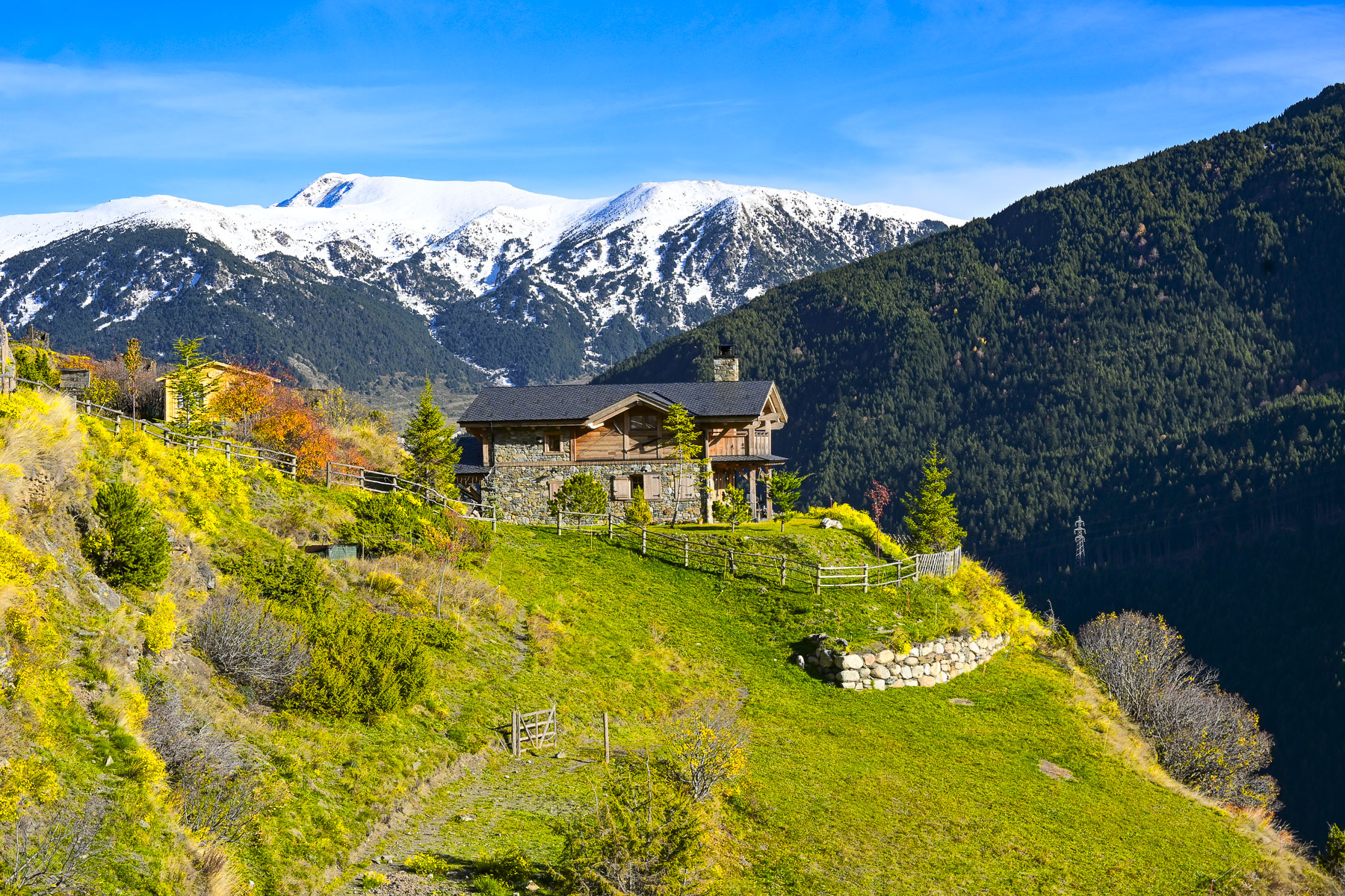
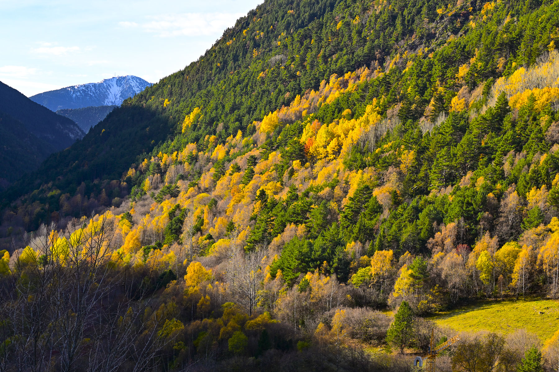
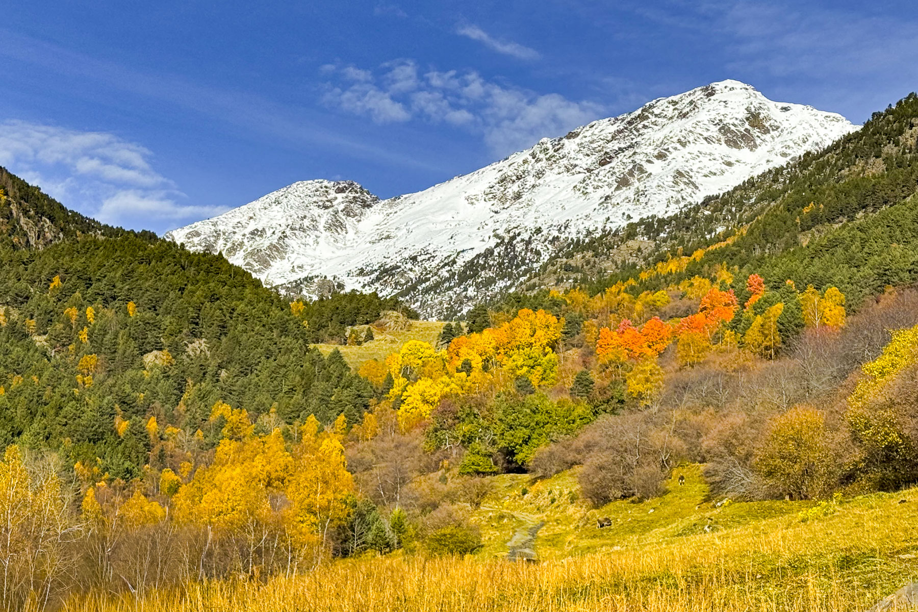
In early November our ride through the countryside was still graced with autumn colors. Our route plateaued onto the Cerdanya, a wide fertile plain surrounded by mountains that separate Andorra from Llívia, and we got our first glimpse of peaks covered with a light dusting of early snow. It was overcast and colder than we expected. It rained occasionally. The sun came out brilliantly, only to disappear behind storm clouds. It was that type of day.
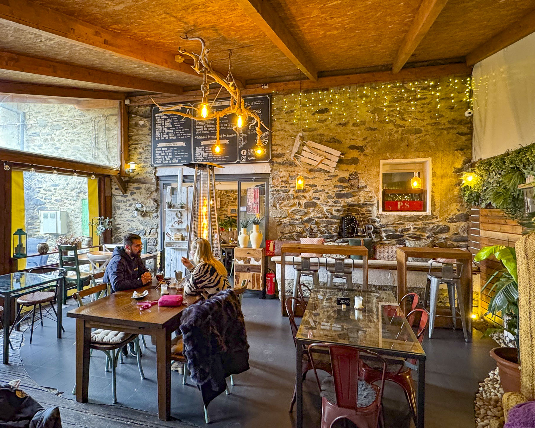
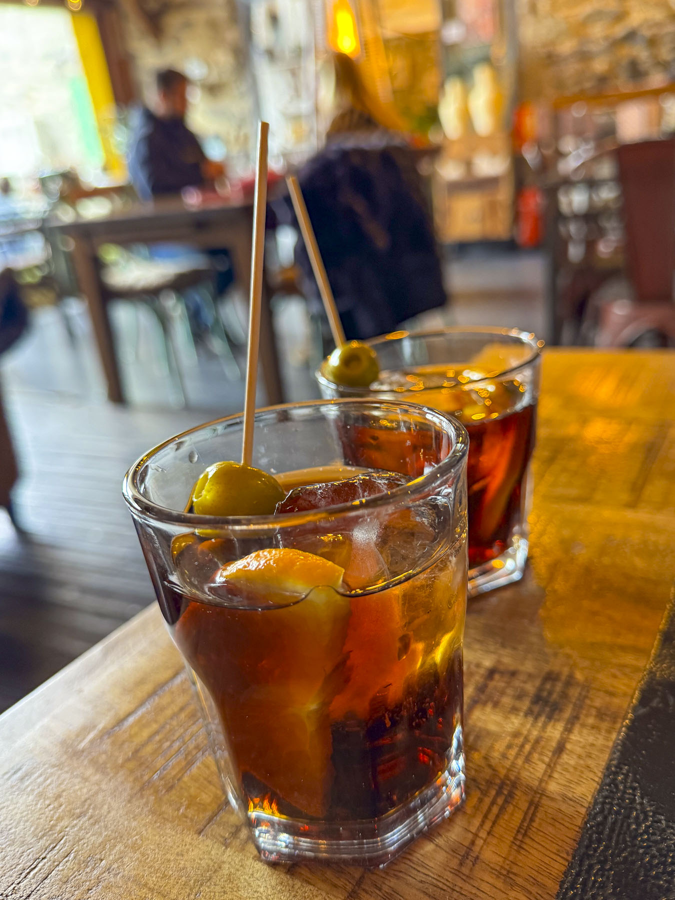
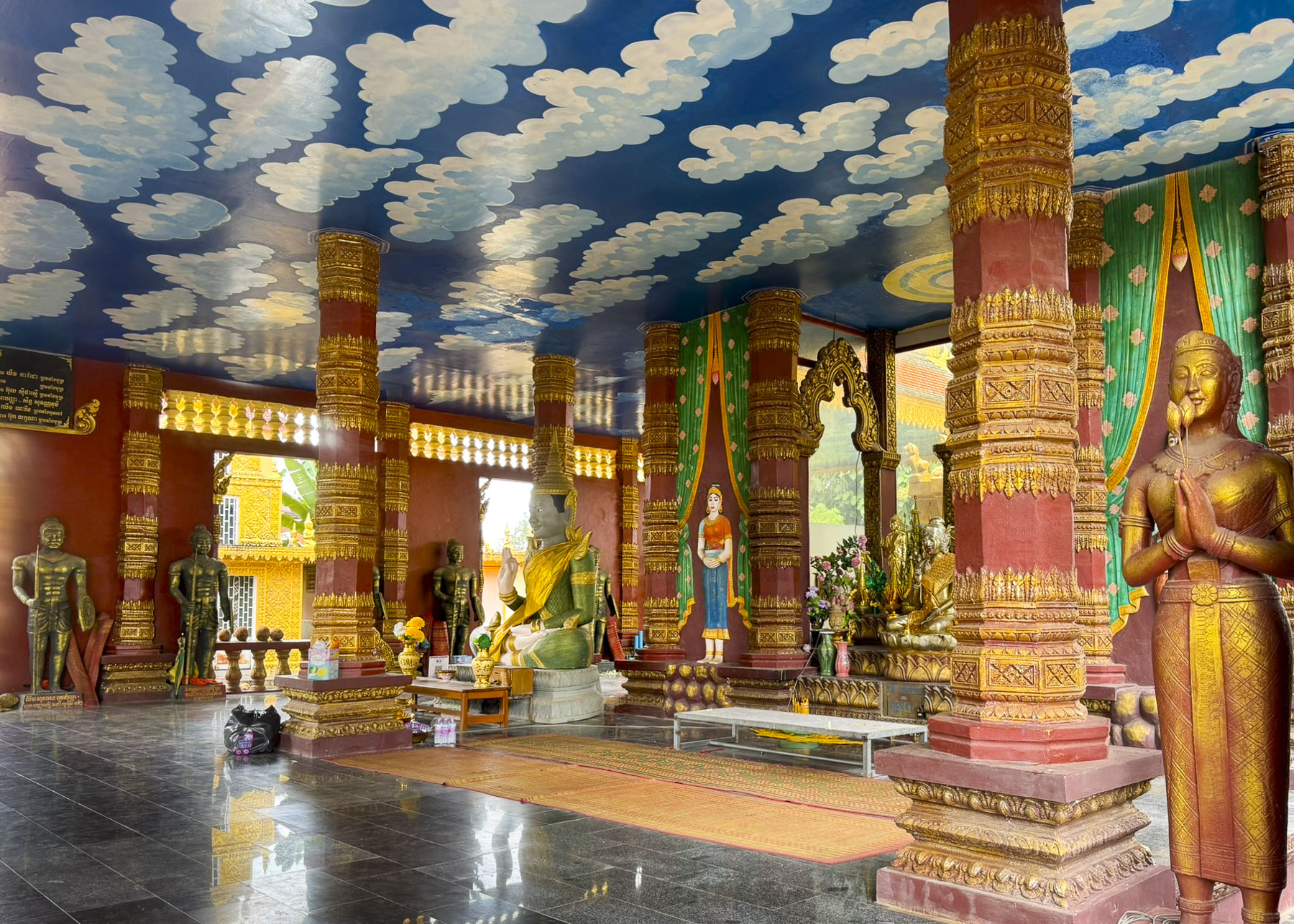
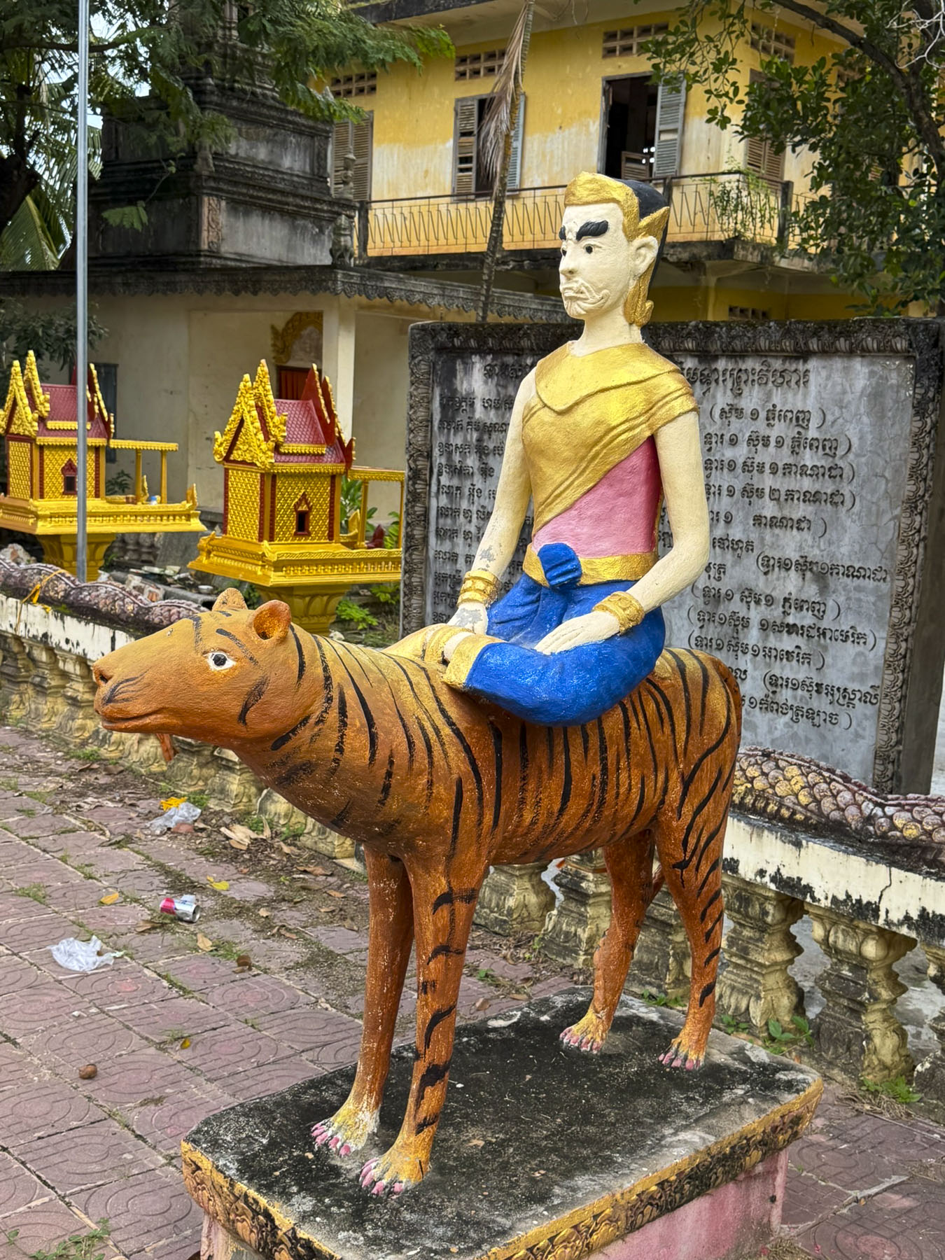
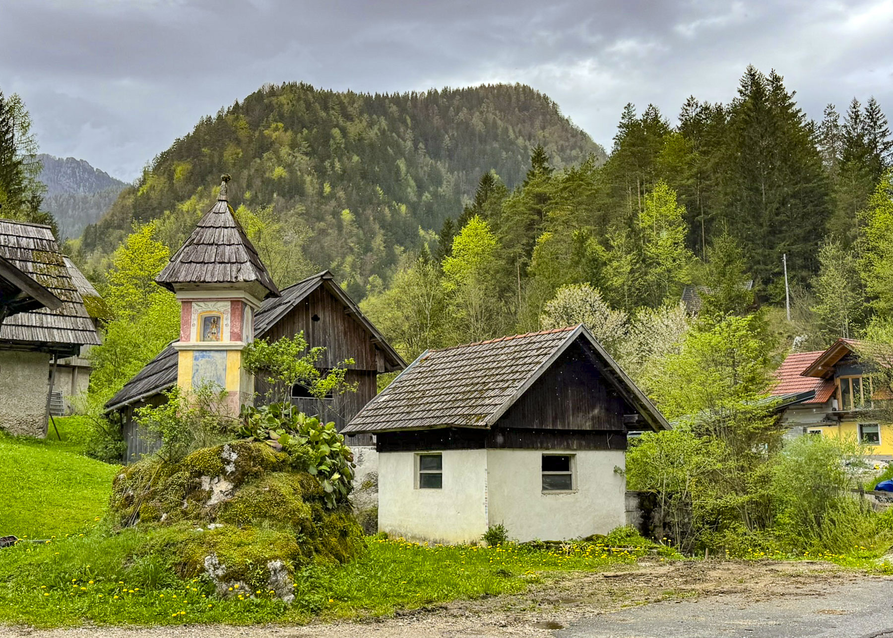
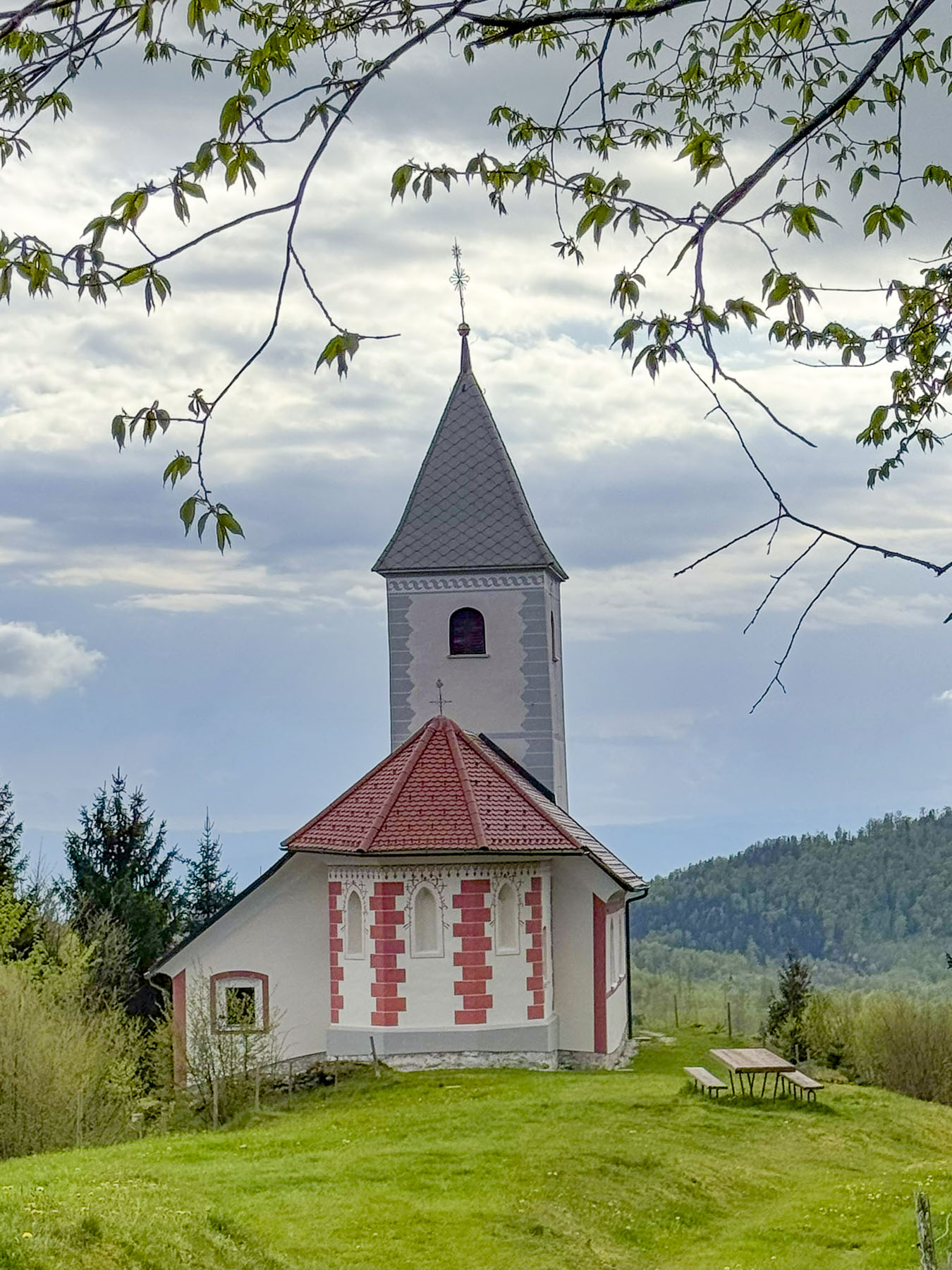
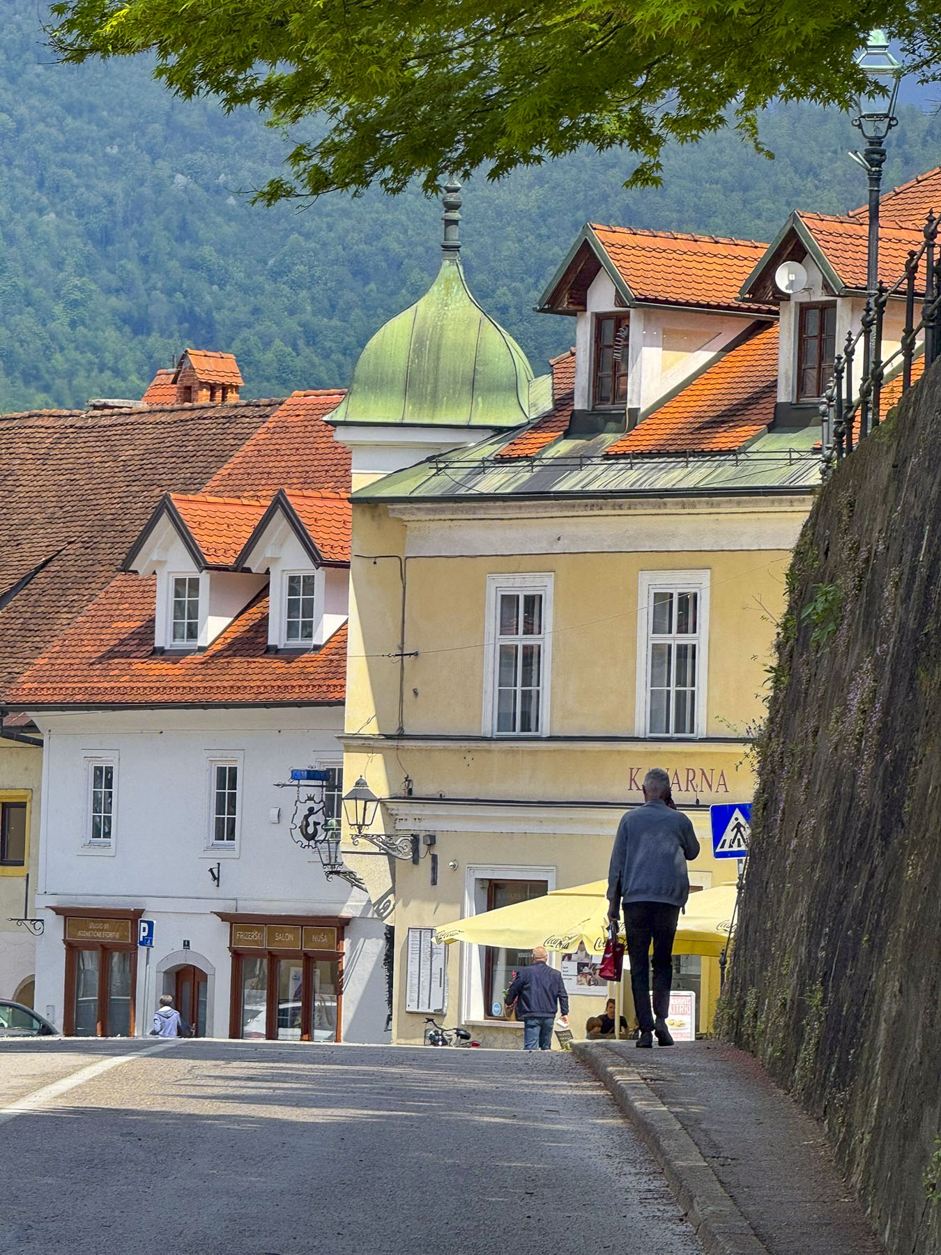
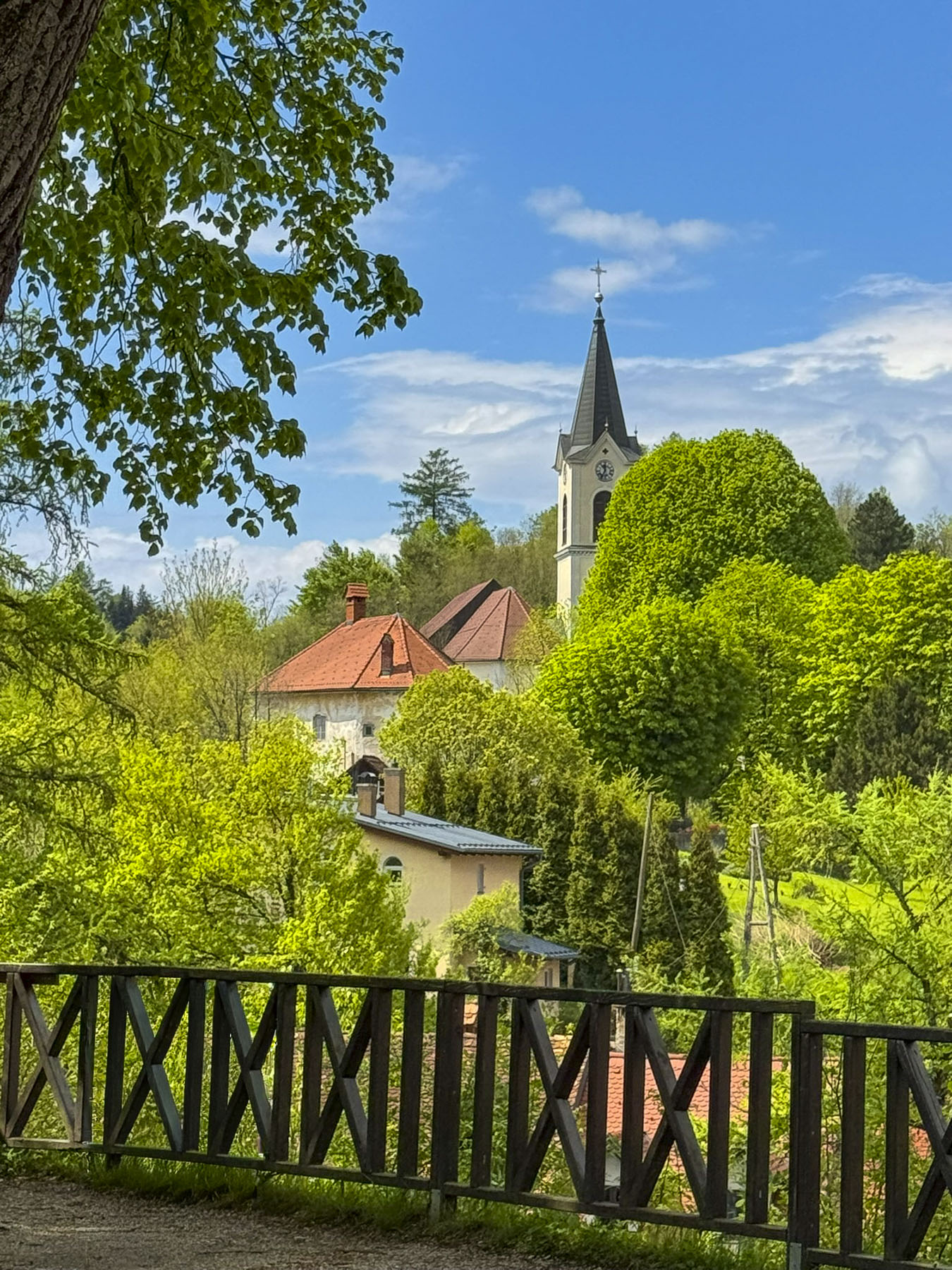
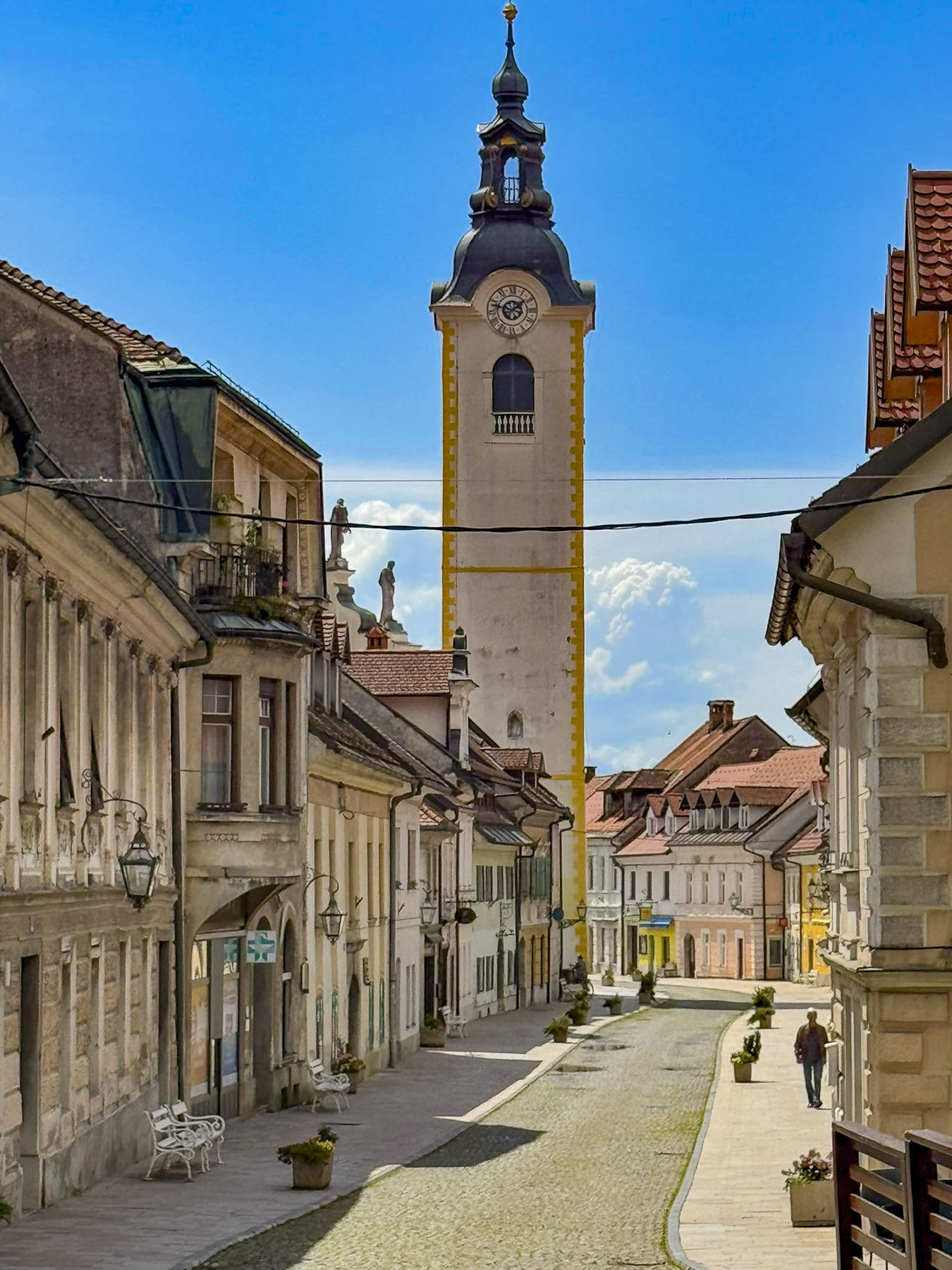
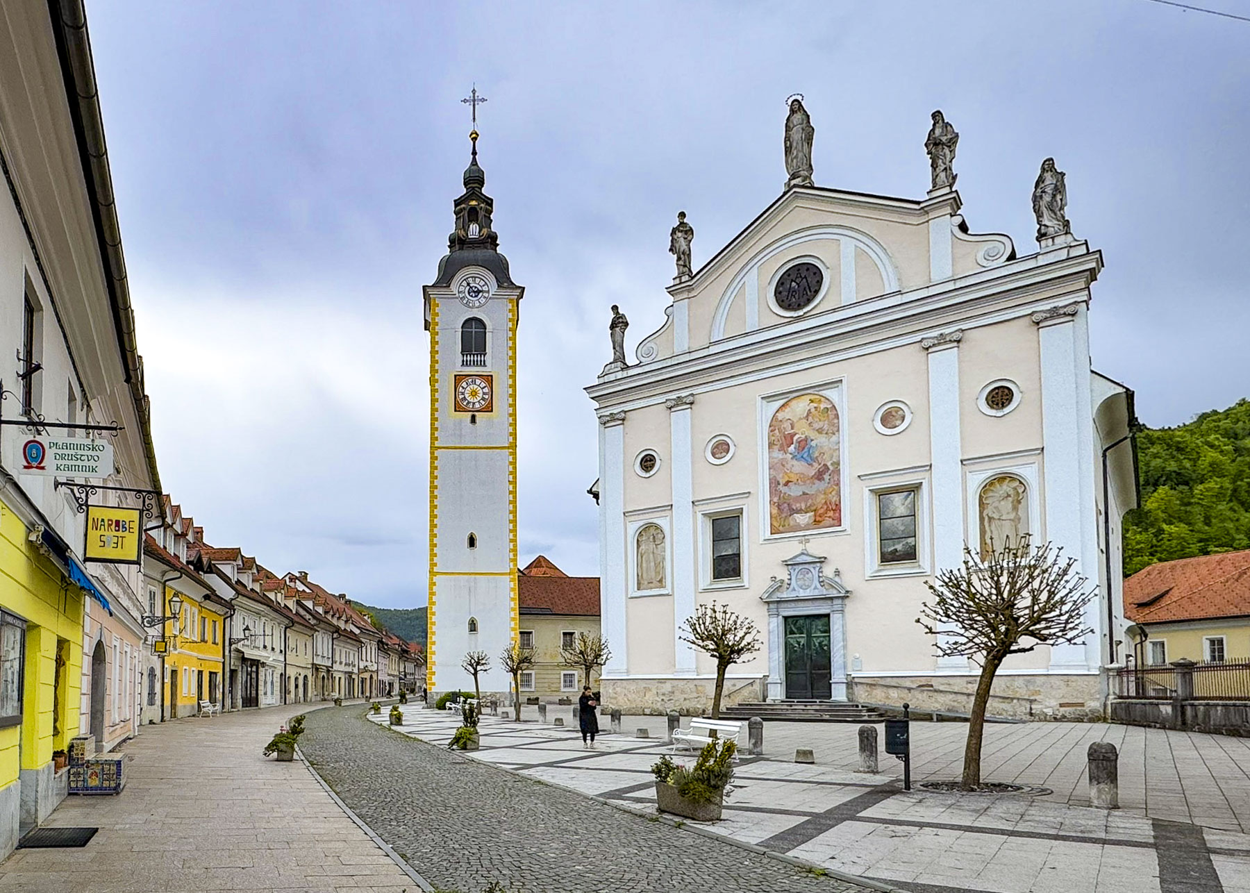
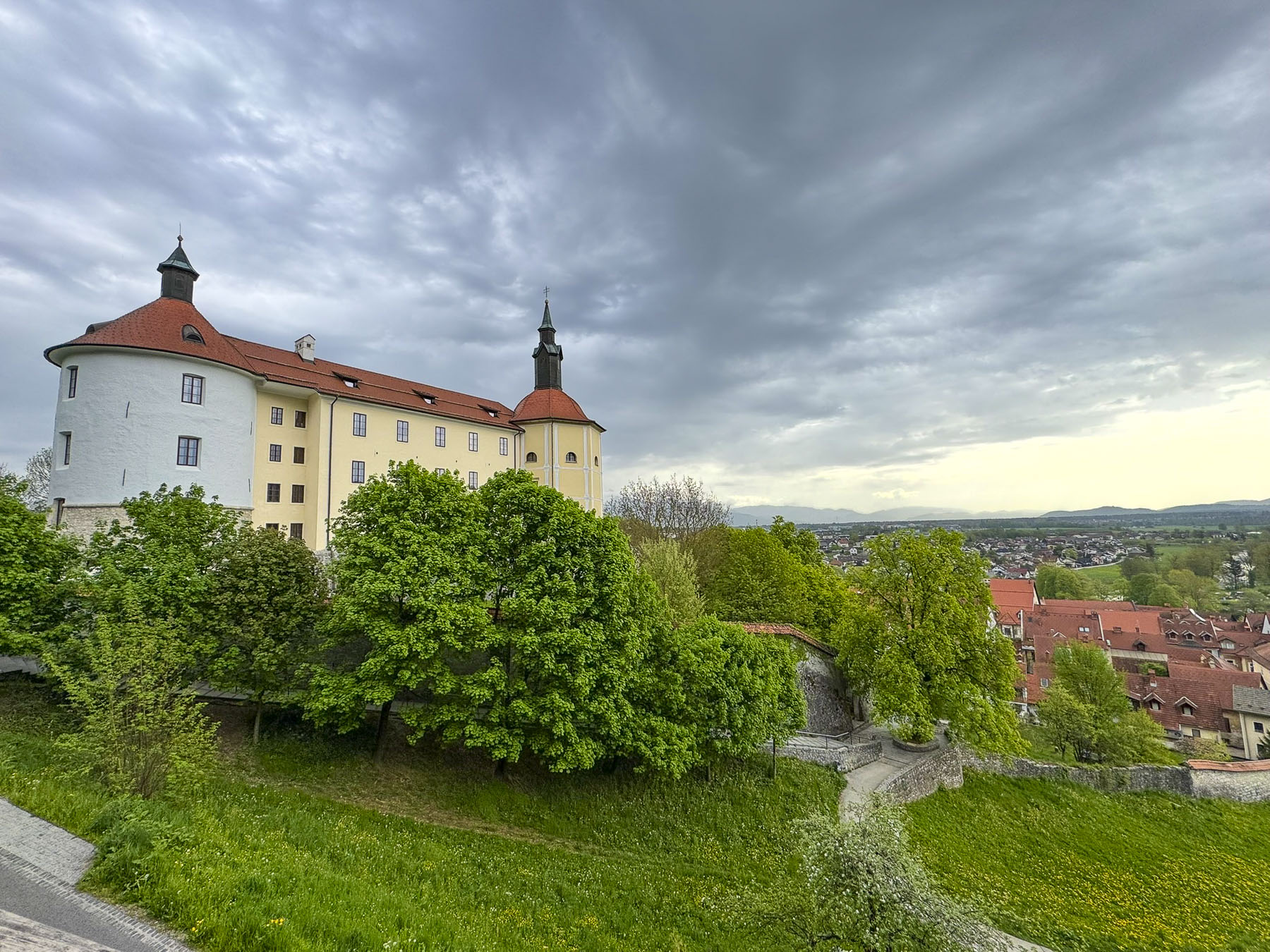
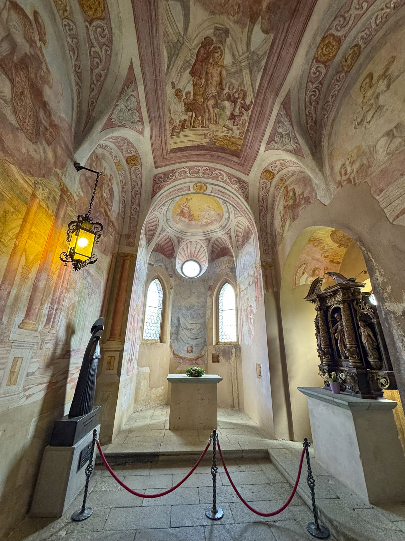
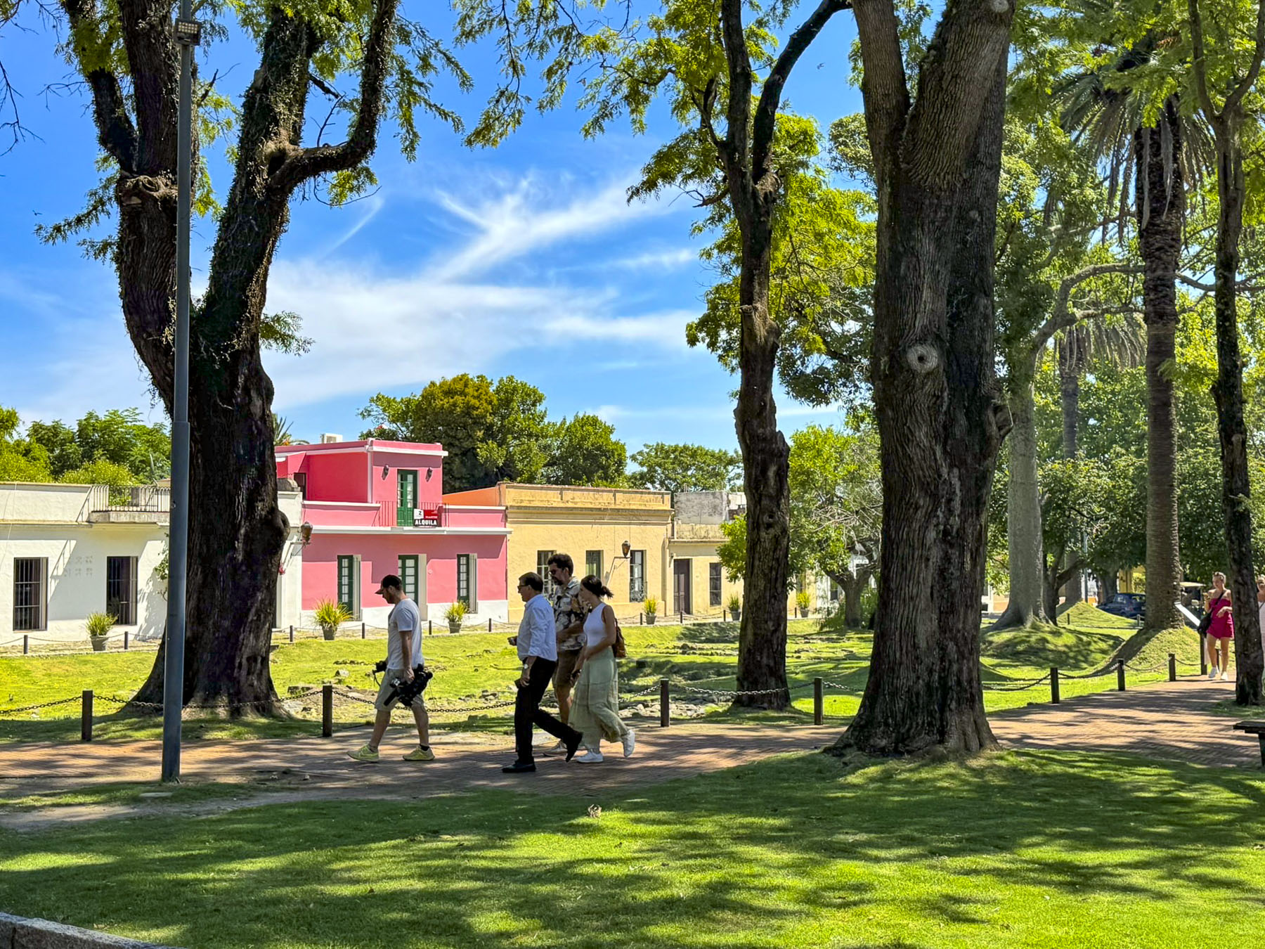
It was once a small village until the Romans colonized the area in the 1st century BC and named it Llívia of in honor of Livia Drusilla, the influential wife of Emperor Augustus. The outpost’s importance as an administrative and commercial center on the Pyrenees frontier grew when gold was discovered in the Cerdanya valley. On the outskirts of the town, archaeologists have uncovered the ruins of a substantial Roman forum and temple. Unfortunately, time restraints prevented us from climbing to the ruins of the Castell de Llivia, for a panoramic view of the town. The hilltop has been fortified since antiquity. The last castle stood until the French King Louis XI ordered it destroyed in 1479. We consoled ourselves with a hot lunch, and a glass of vermouth, interestingly garnished with olives, by a fireplace at El Jardi, a small tavern.
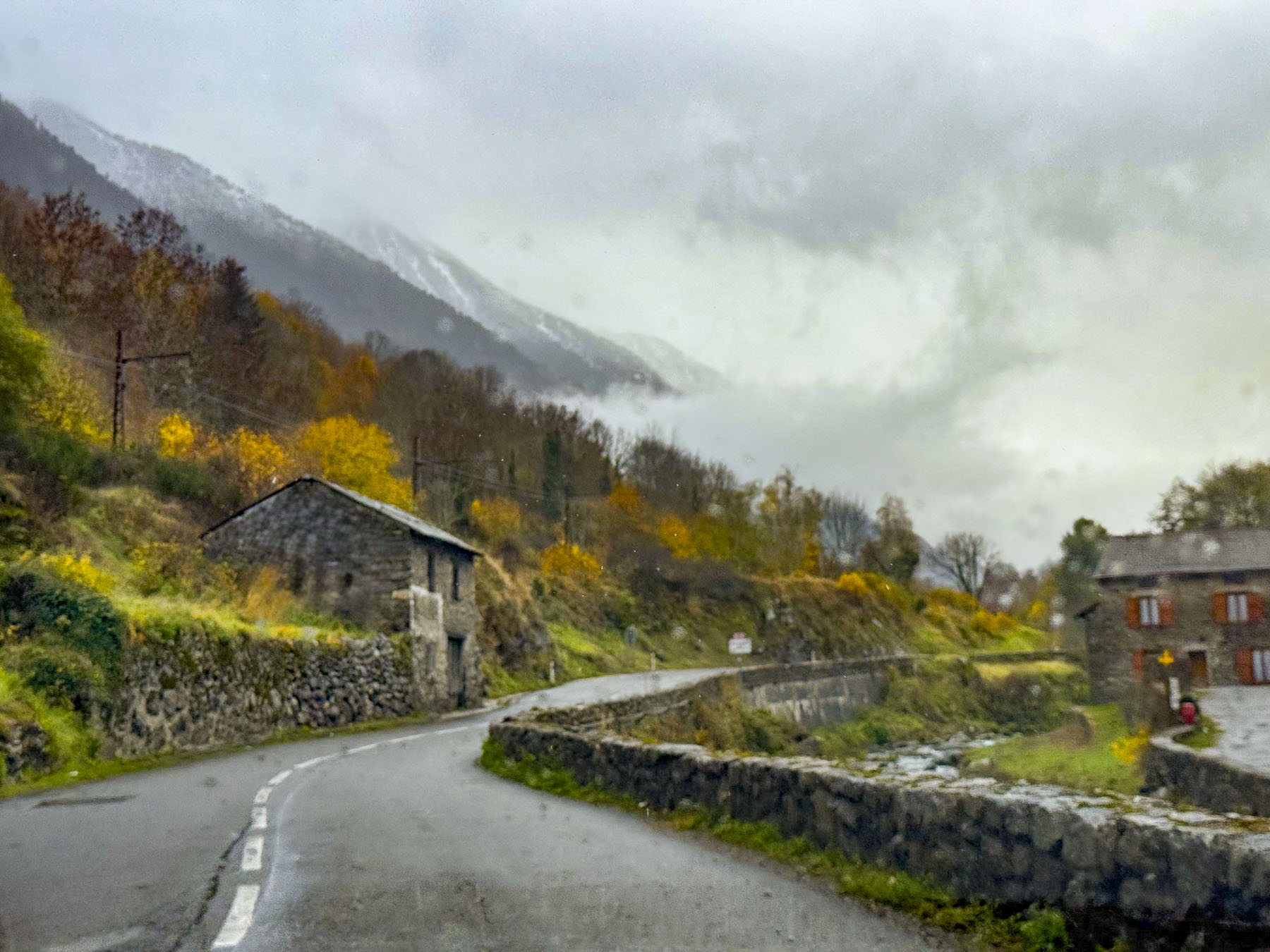
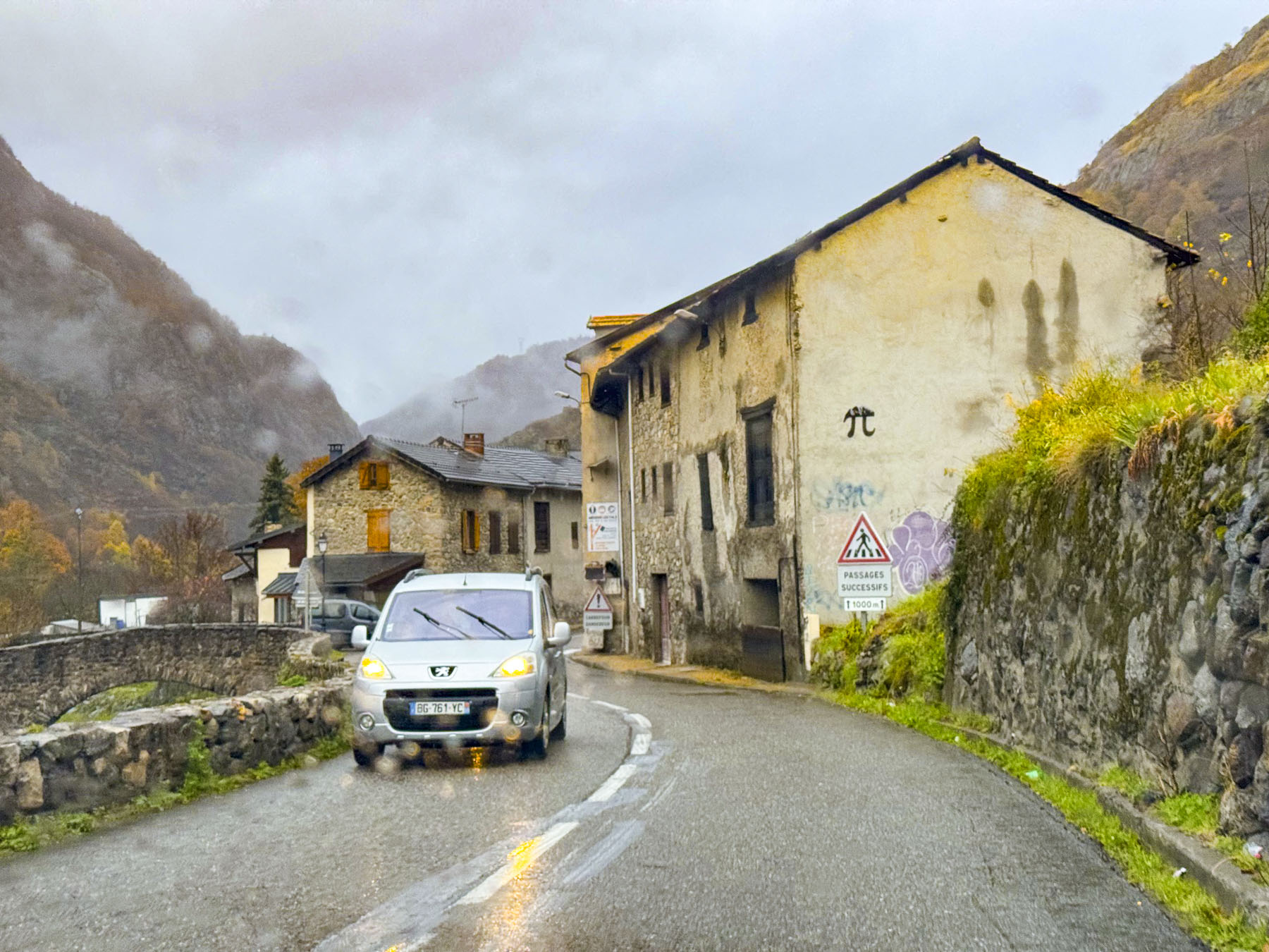
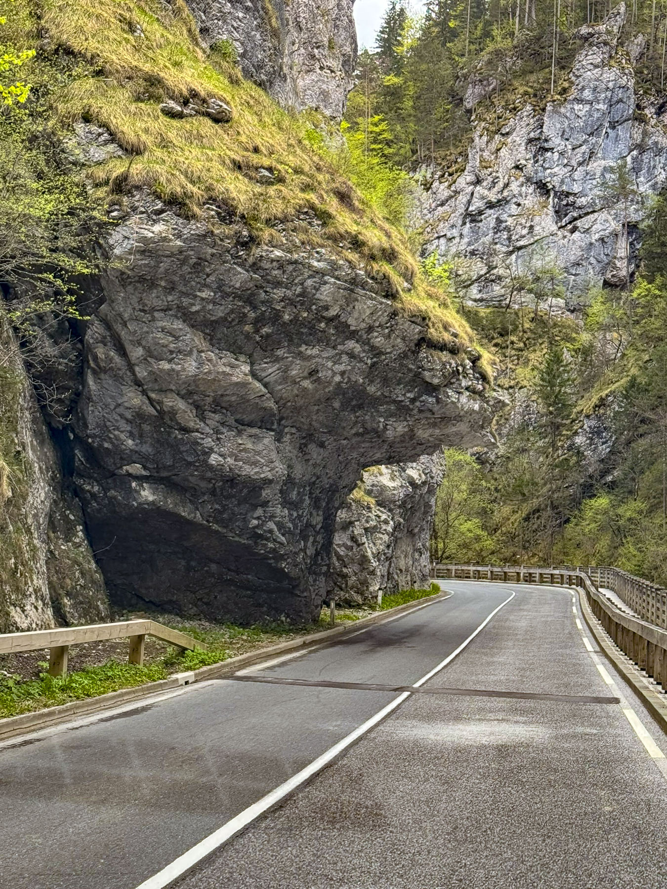
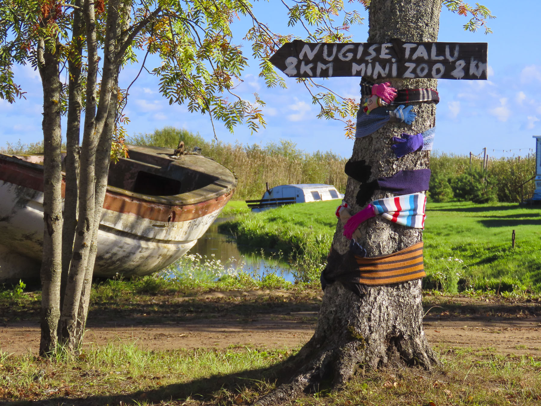
The shortest route into Andorra, without tolls, was along the N-260 which would have brought us into Andorra through its southern border with Spain and then straight up the Gran Valira valley to Andorra la Vella, the capital and the country’s largest city. But we chose a slightly longer route deeper into France along the N-20 where we hoped to cross the steep mountains along the N-22 and Andorra’s CG-2 into the northern part of the country, but our plans required a U-turn when we reached the exit, and found the road closed with traffic barricades due to a landslide that blocked the route further along in the mountains – a traffic condition that our map app did not show.
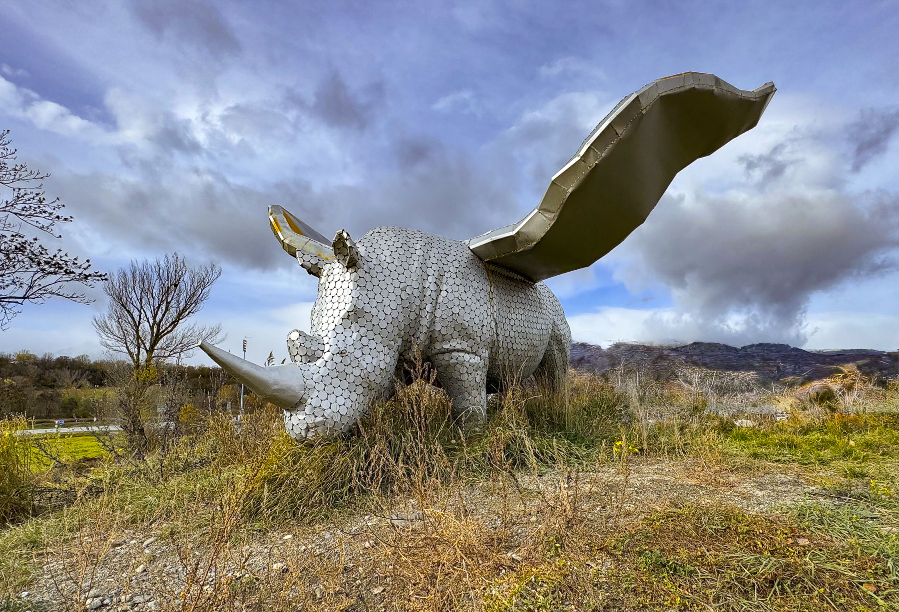
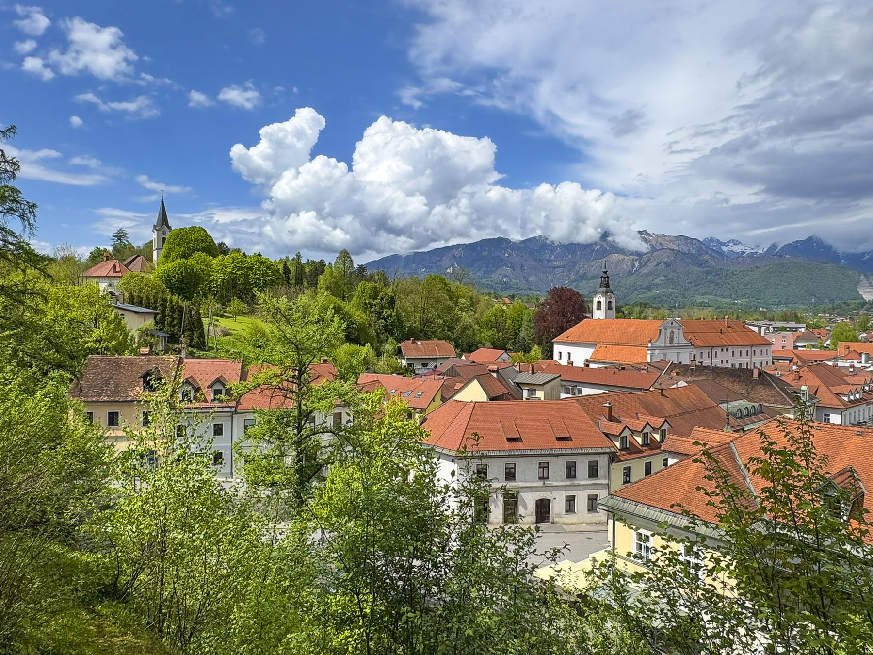
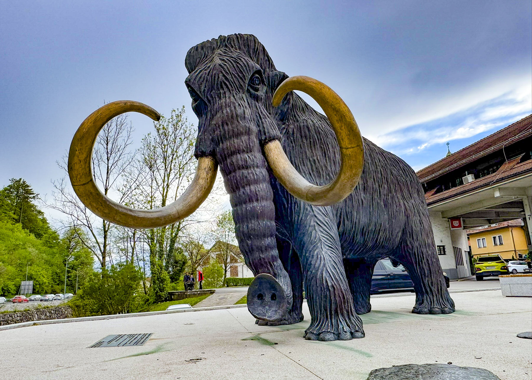
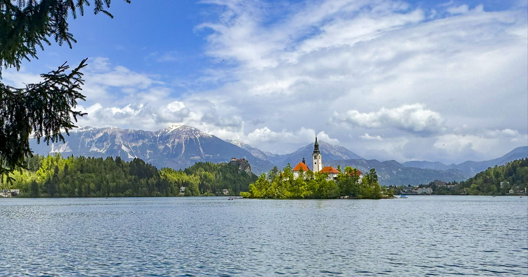
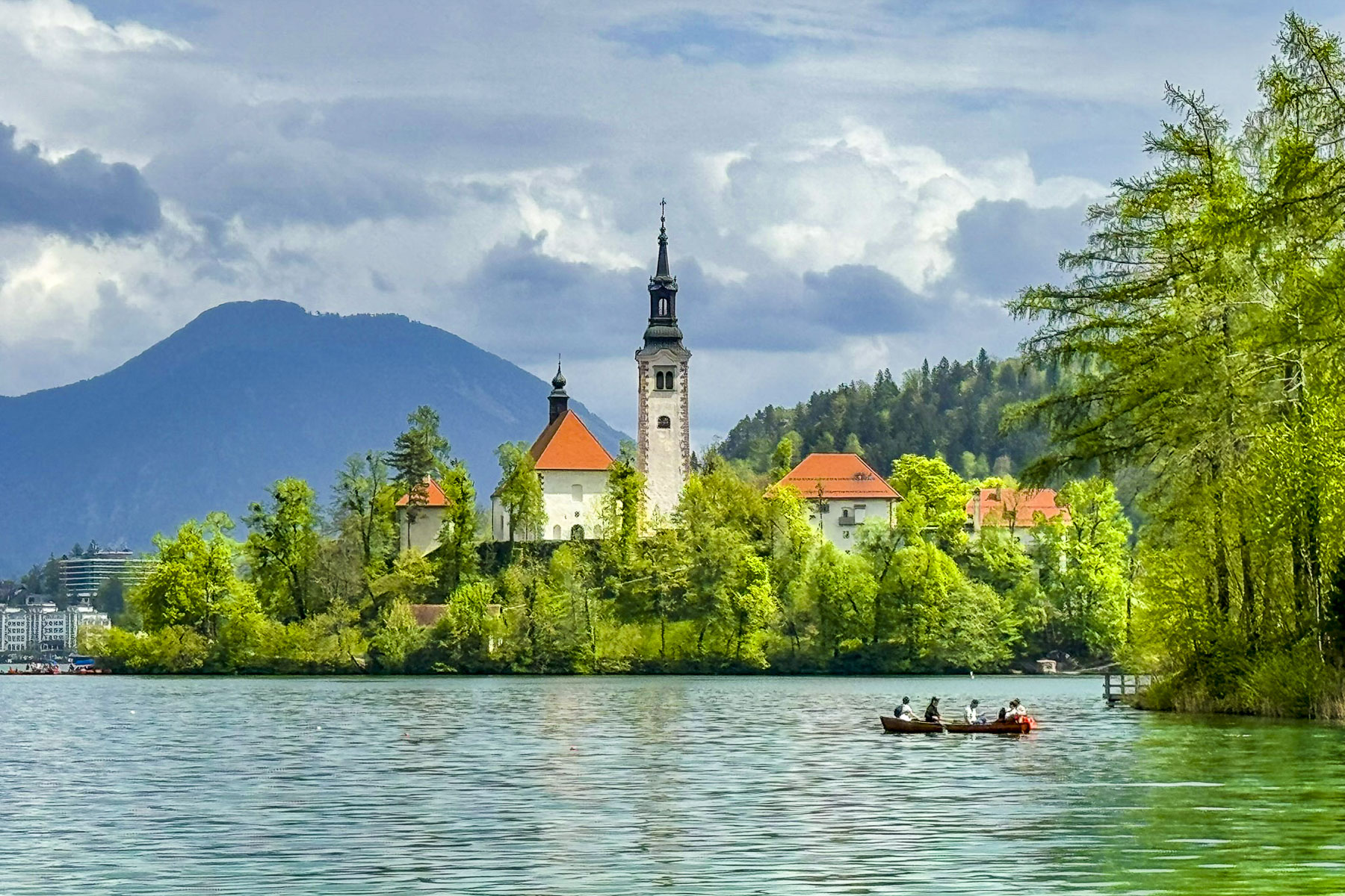
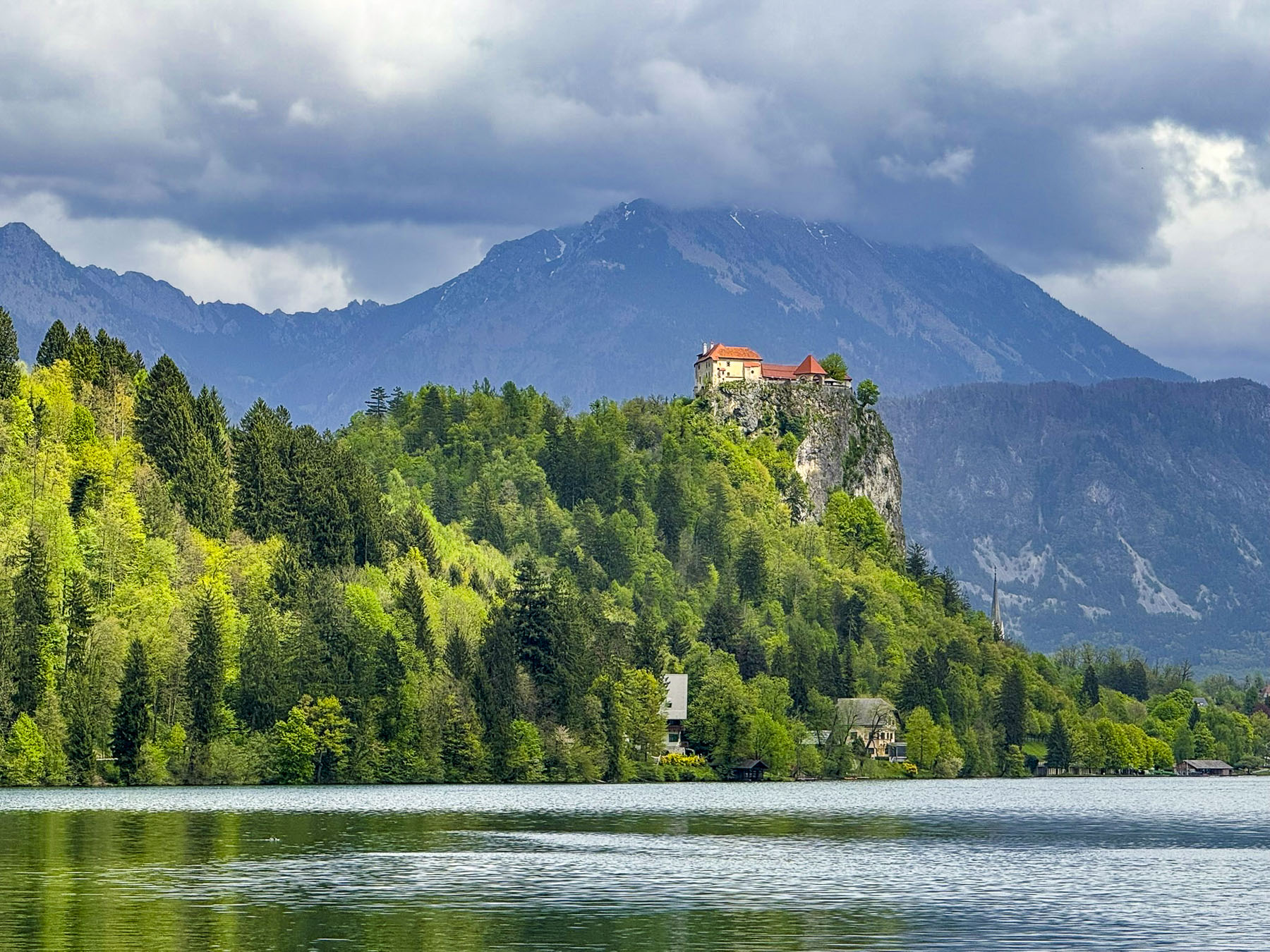
We had hoped to reach our hotel in Andorra la Vella before sunset, but our plans were now akilter and we needed to backtrack to the intersection of N-20 in Ur, France, where a whimsical sculpture of a winged rhinoceros stood atop a small hillock in front of a Carrefour supermarket. Fortunately, the morning’s clouds had given way to a glorious sunny afternoon. Just south of Andorra’s border was La Seu d’Urgell, Spain. Crowned by its hilltop cathedral, the city looked intriguing. Little did we know at the time that the city and its church were an integral part of Andorra’s history.
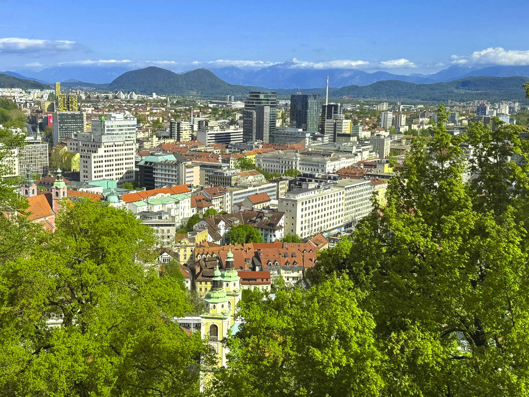
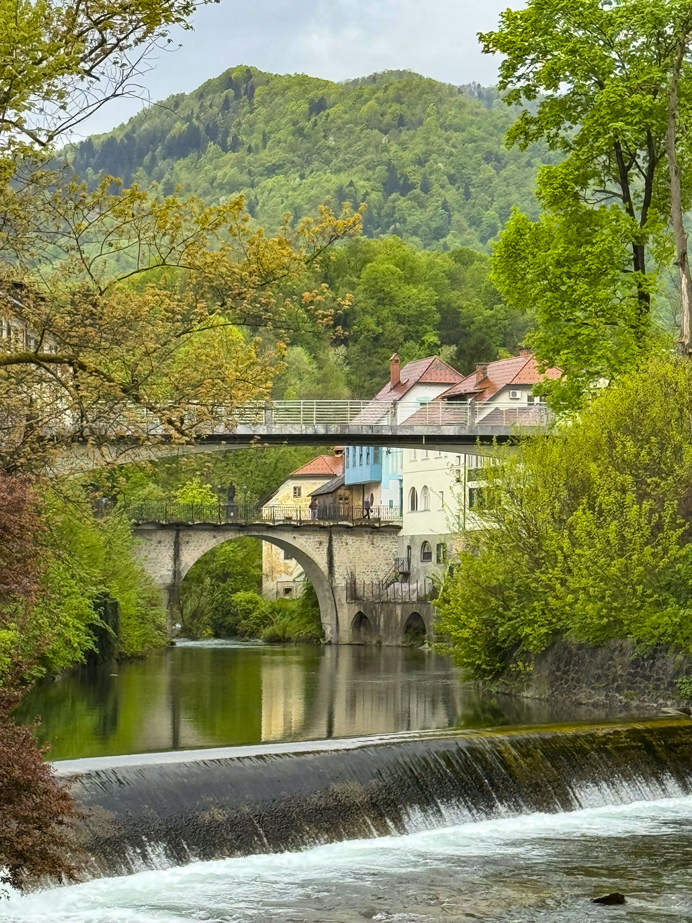
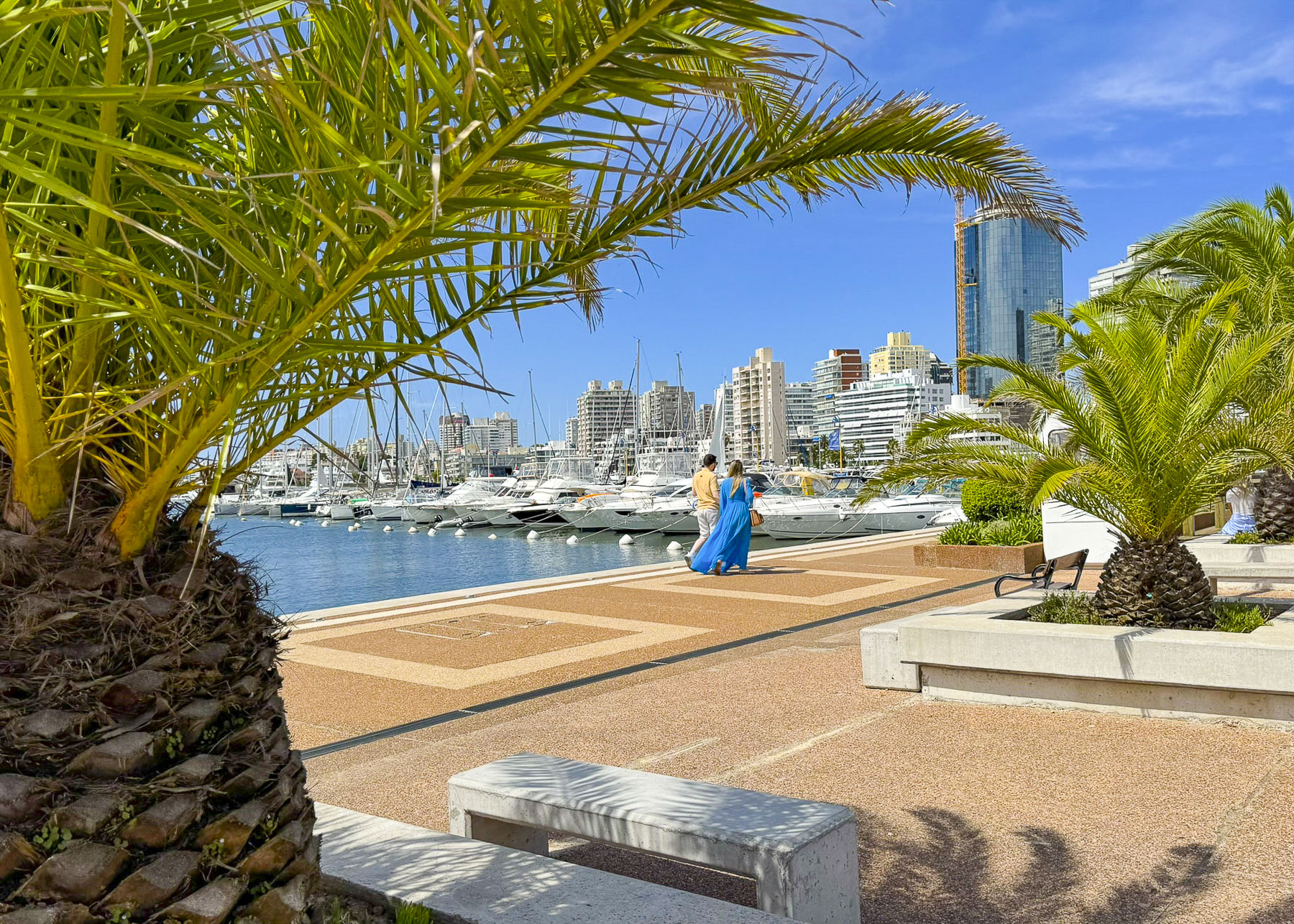
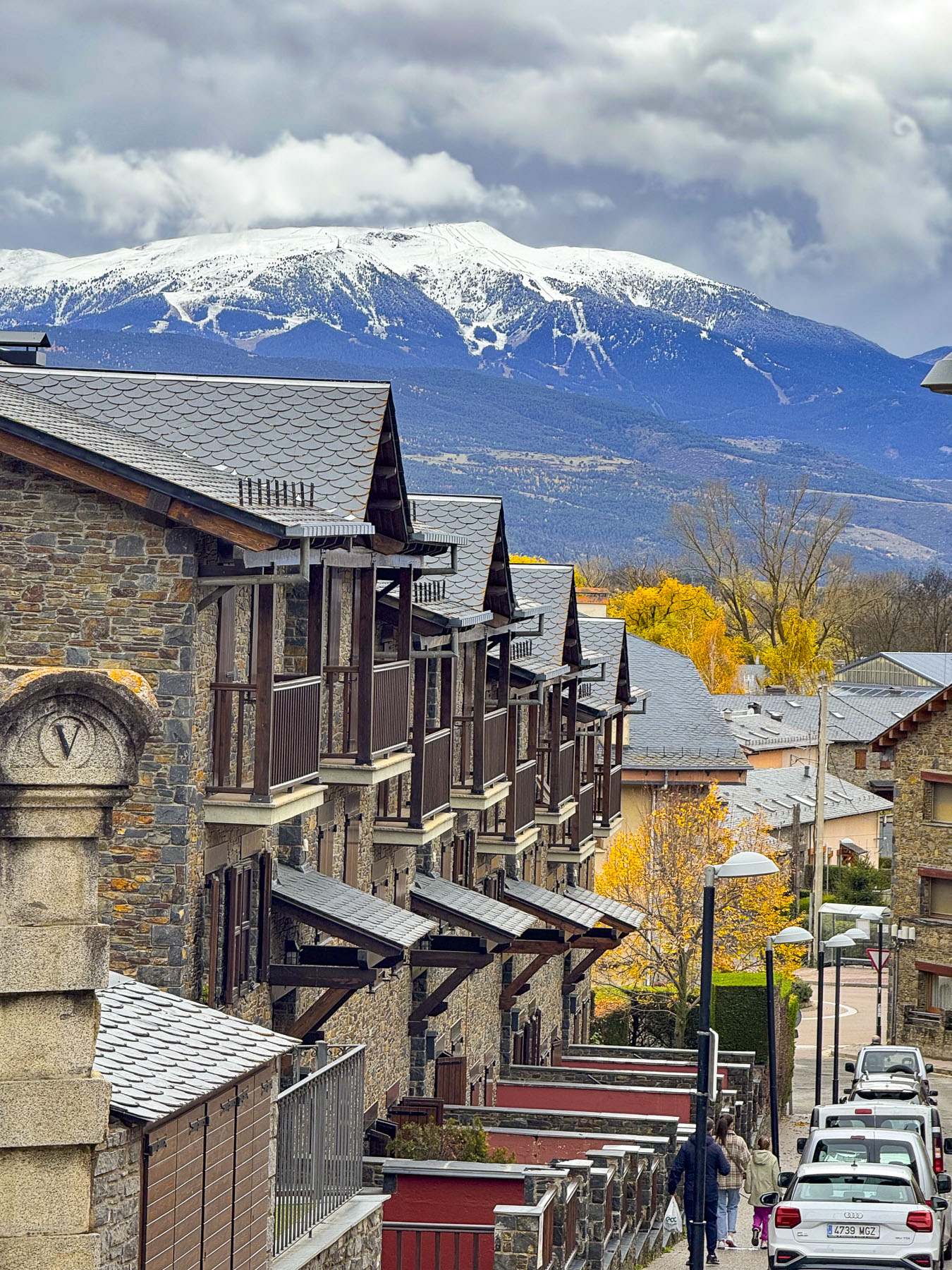
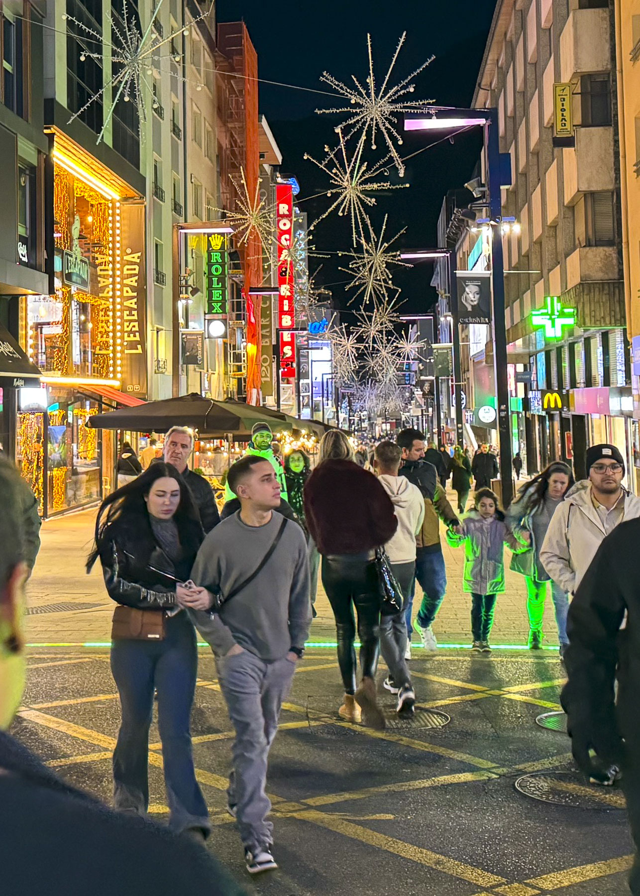
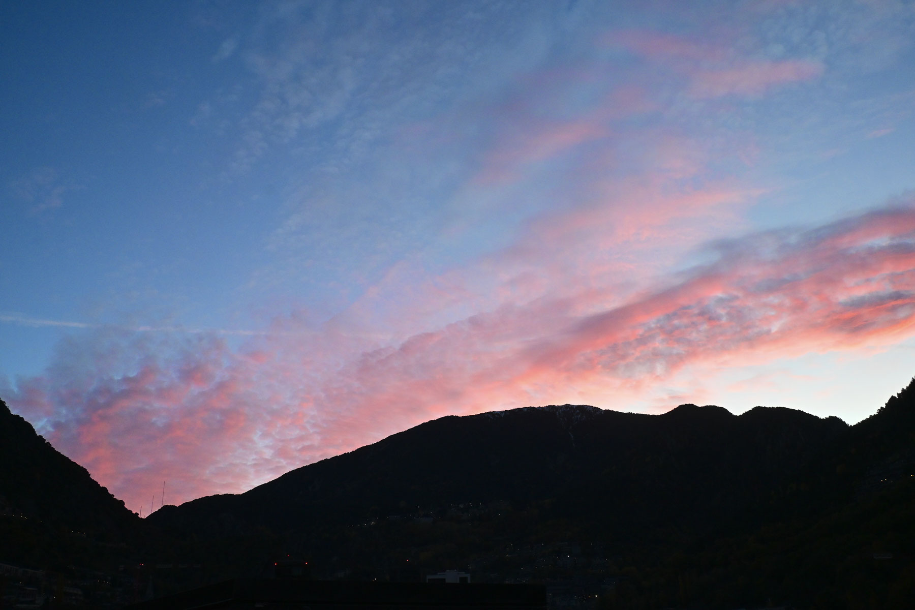
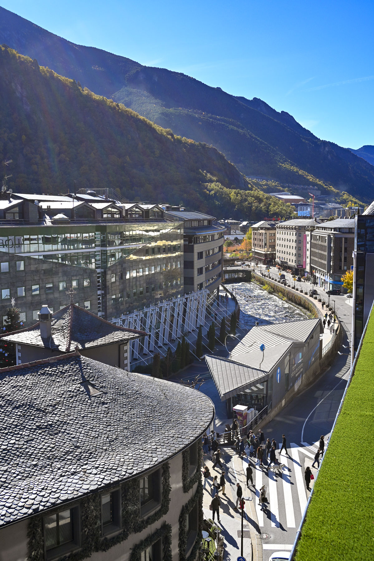
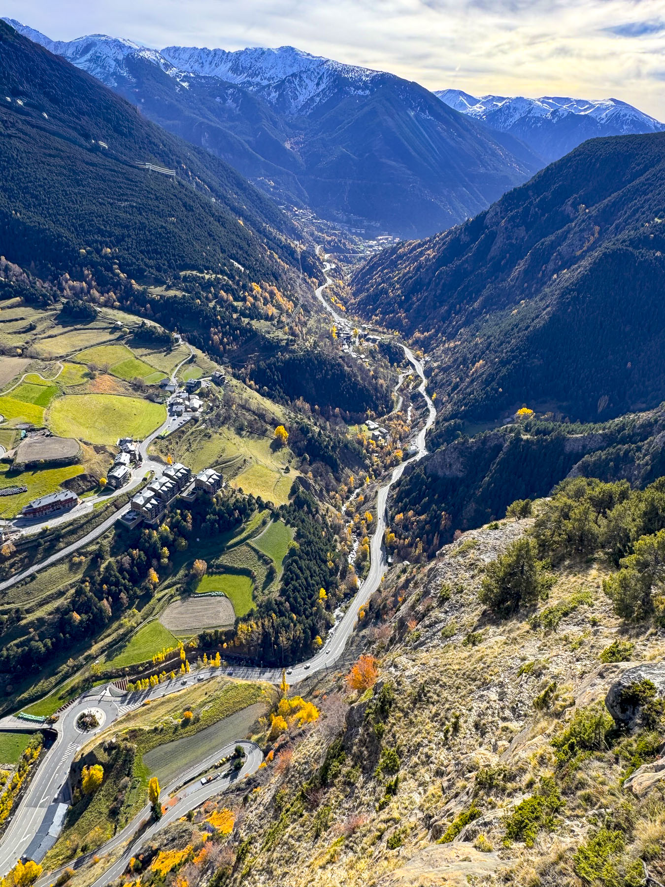
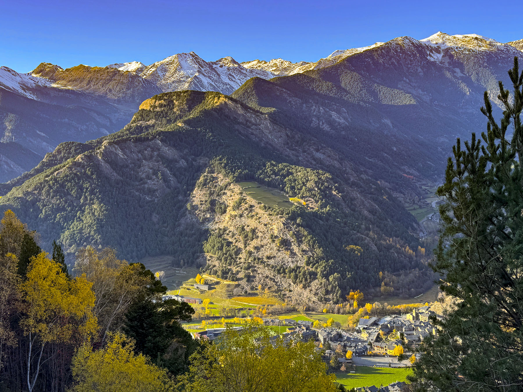
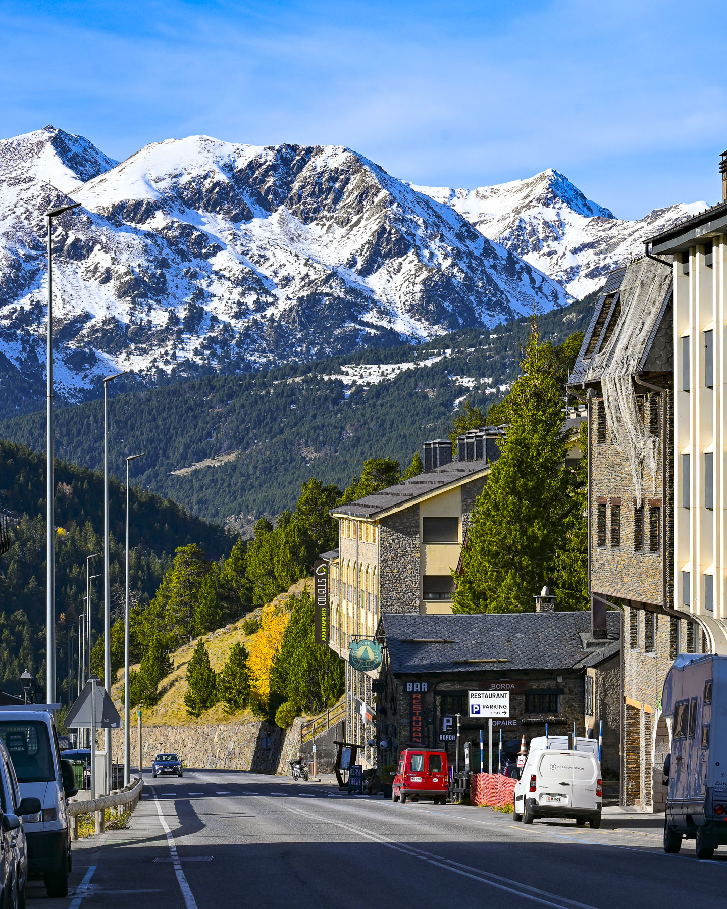
Surrounded by steep mountains, darkness descends early in the Gran Valira valley that shelters Andorra la Vella. The city, Europe’s highest capital at 1,023m (3,356 ft), straddles the Gran Valira River, and is a convoluted zig zag of one-way streets that hug the mountainside, but we found our hotel, the NH Andorra La Vella, relatively easily. They had a limited number of paid parking spaces, which we found very handy. After dropping our bags in the room, we went out to explore the city that was bustling with nighttime shoppers. Shopping seemed to be the national sport for visiting couples, if the number of folks carrying shopping bags on the street is any measure.
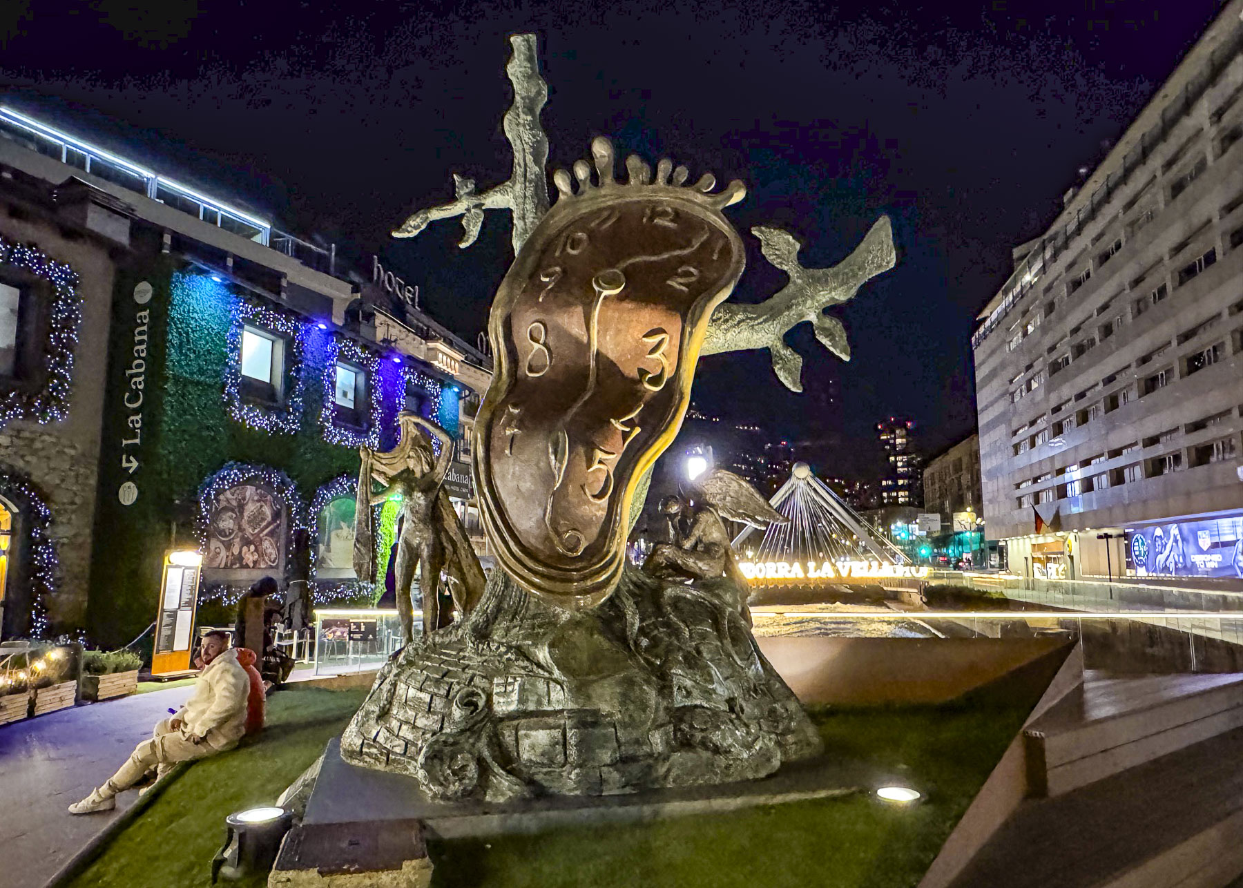
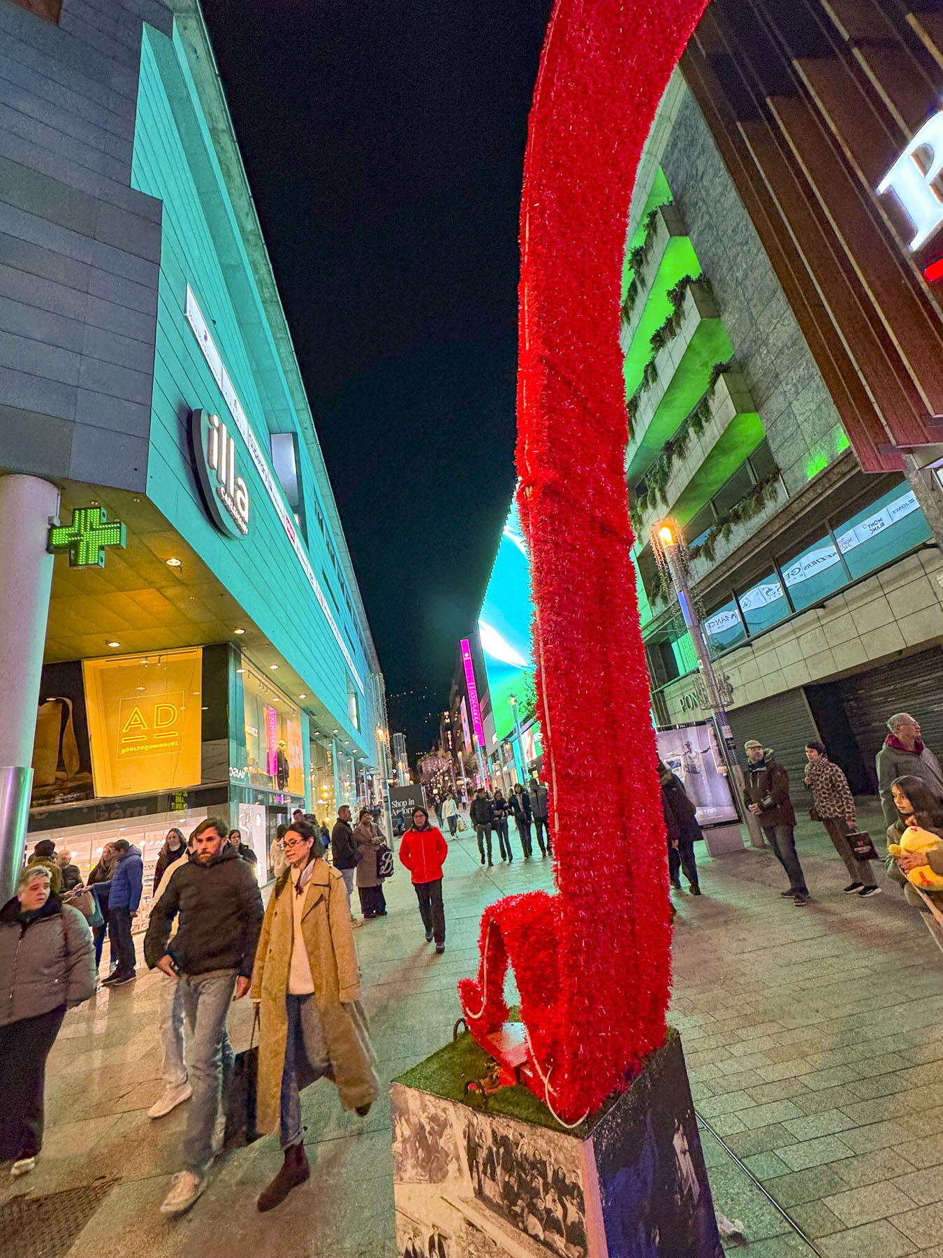
The hotel was conveniently located near Salvador Dali’s the La Noblesse du Temps, The Nobility of Time, a surrealistic sculpture of a melting clock draped over a gnarled tree, that is meant to be interpreted as a “commentary on the fluidity of time, and time’s inescapable mastery over humanity.” The artwork stands in a small plaza at the foot of Avinguda Meritxell, the shopping mile, a pedestrian-only gauntlet of upscale duty-free shopping that starts in the capital and continues into the neighboring town of Escaldes-Engordany.
We followed the flow and window-shopped. The aroma of roasting chestnuts and sweet potatoes filled the air as we wandered. Chestnuts yes, but we hadn’t seen sweet potatoes being offered as street food before during our travels in Spain and Portugal. Their traditional popularity is tied to the autumn Catalan festival of La Castanyada, which is celebrated around All Saints’ Day in early November, when the nutrient-dense tuber was roasted to sustain families through long night vigils and religious services honoring the dead.
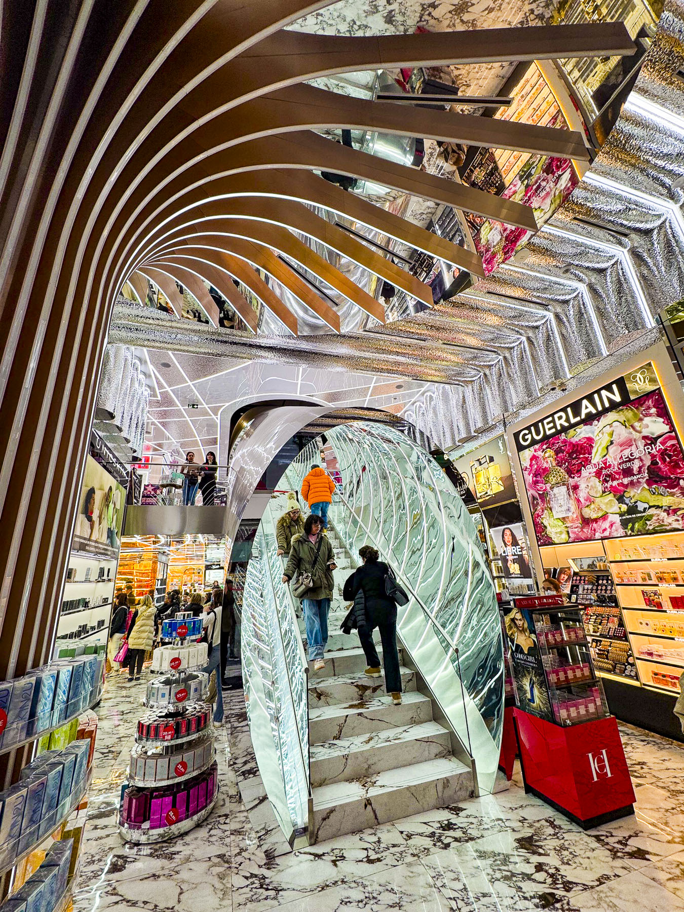
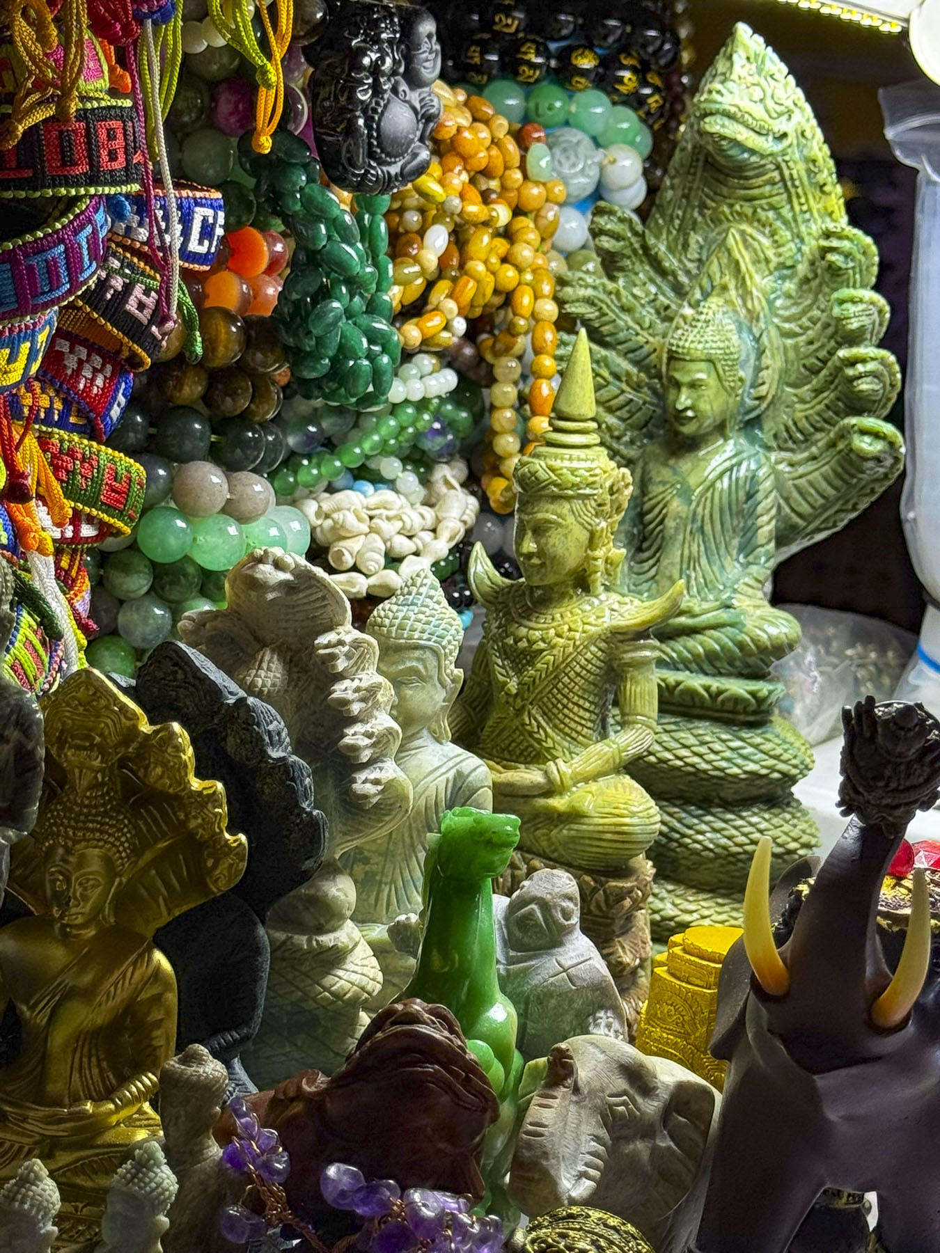
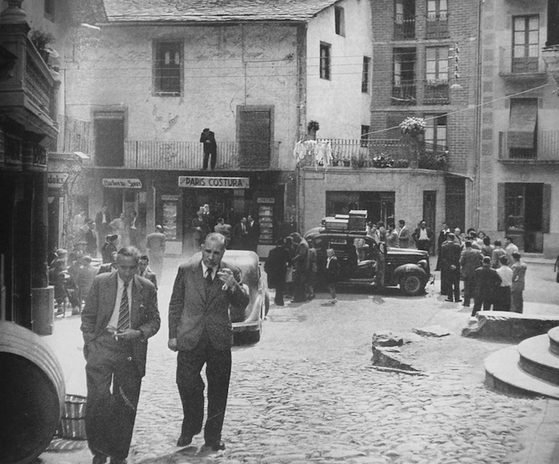
With a population of 27,000 in the capital, and 84,000 folks and over 1200 shops countrywide, Andorra has approximately one store for every 70 residents, one of the highest store-to-citizen ratios in the world. The duty-free shopping concept was developed in the 1950s to help Andorra’s burgeoning tourist industry that centered around skiing. This didn’t really take-off until car ownership exploded across France and Spain and folks made road trips into the country to stock up on inexpensive alcohol, cigarettes and luxury goods that were heavily taxed in their countries.
In early November, sunrise was around 07:45 AM, but with Andorra la Vella being located in a narrow valley surrounded by steep mountains, the first rays of sunlight didn’t brighten our hotel room until 10:30 AM.
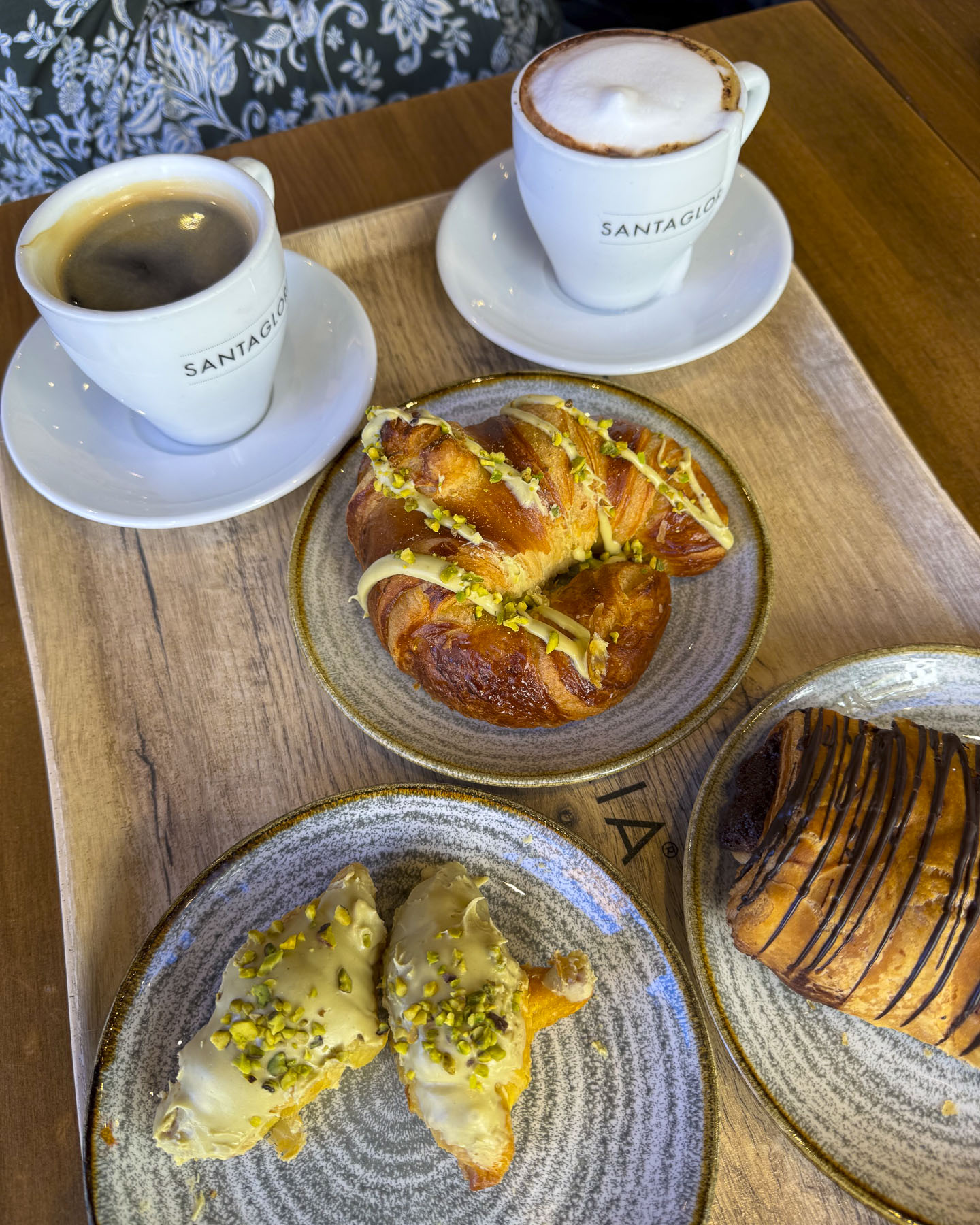
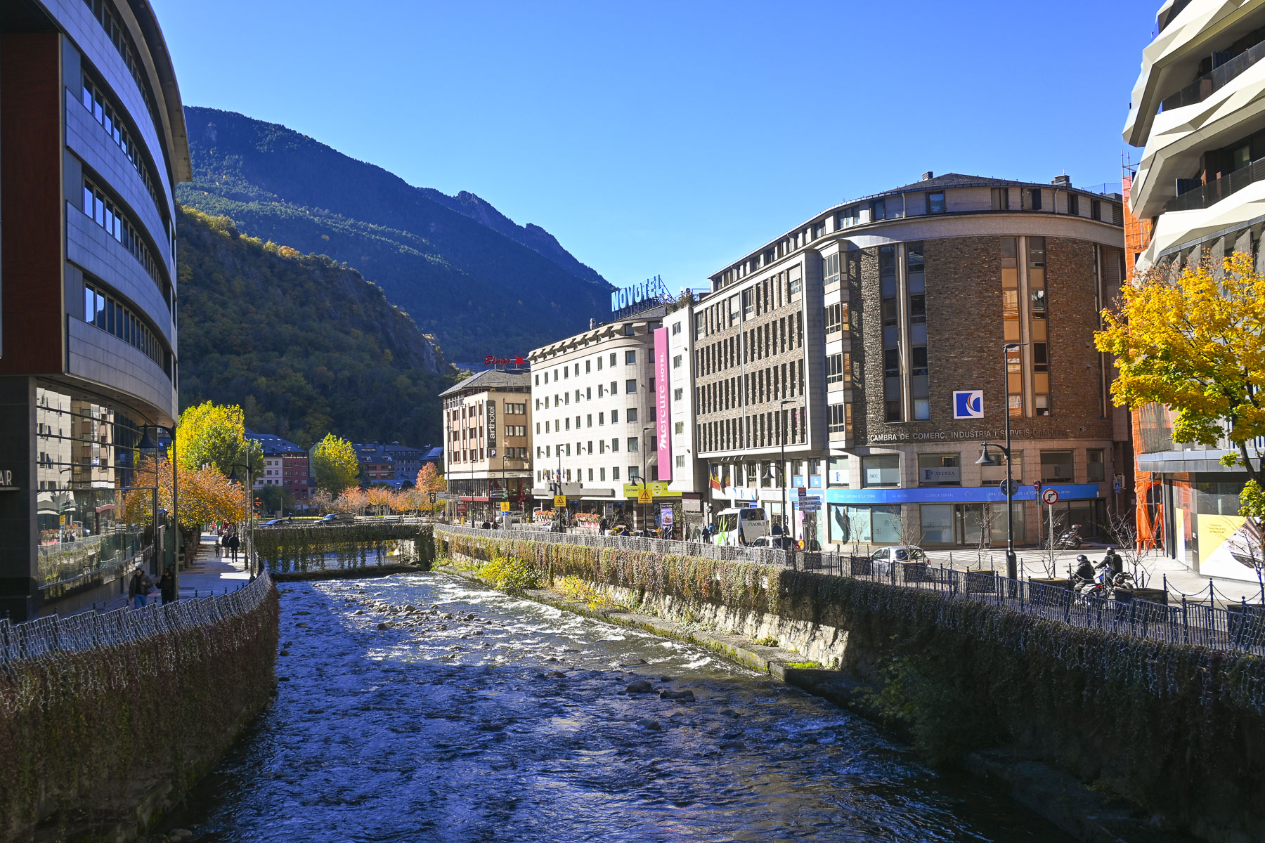
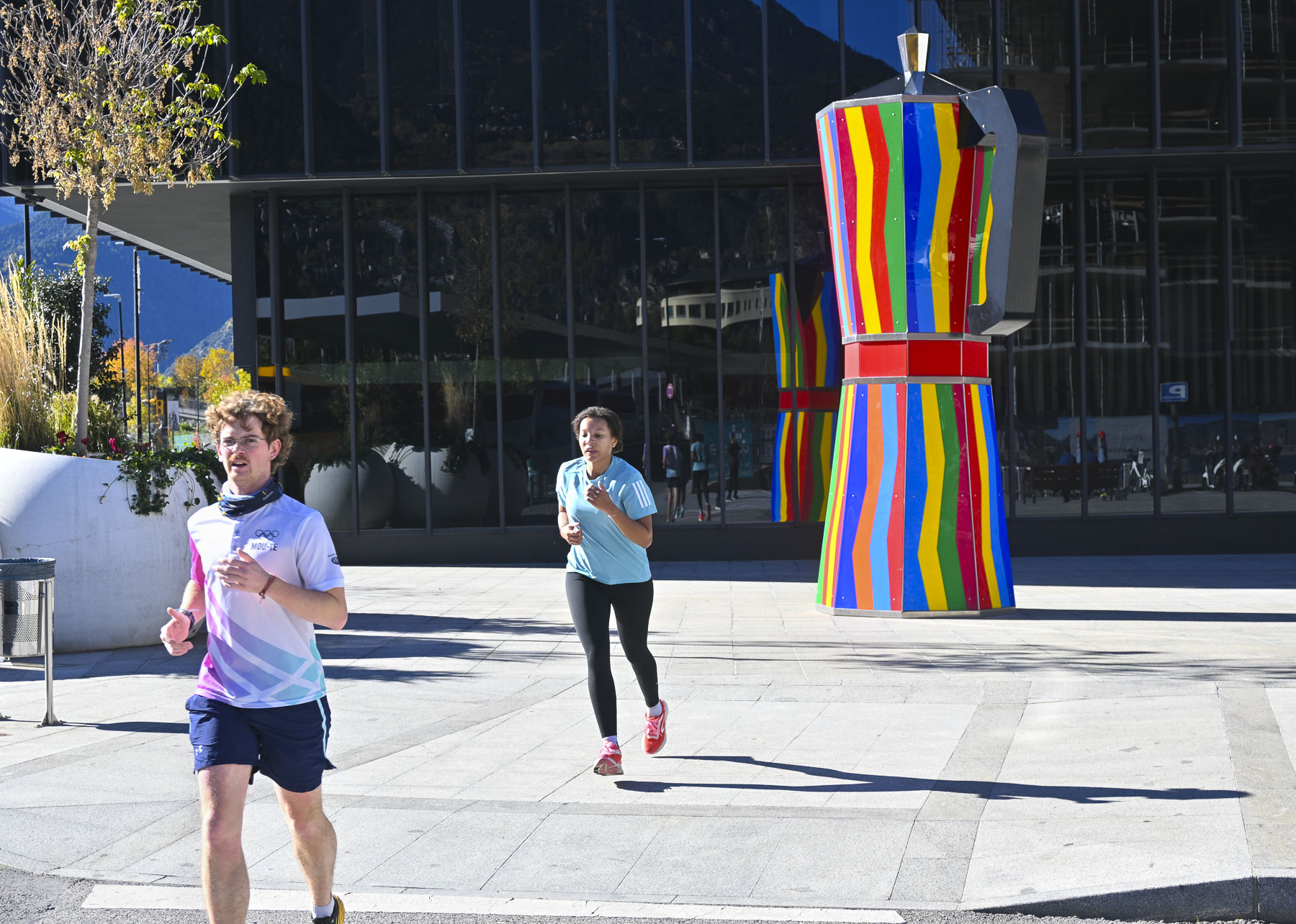
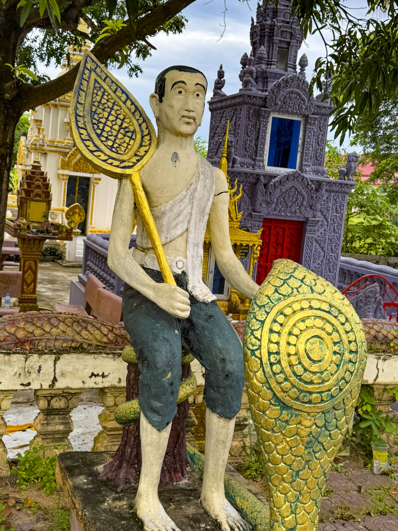
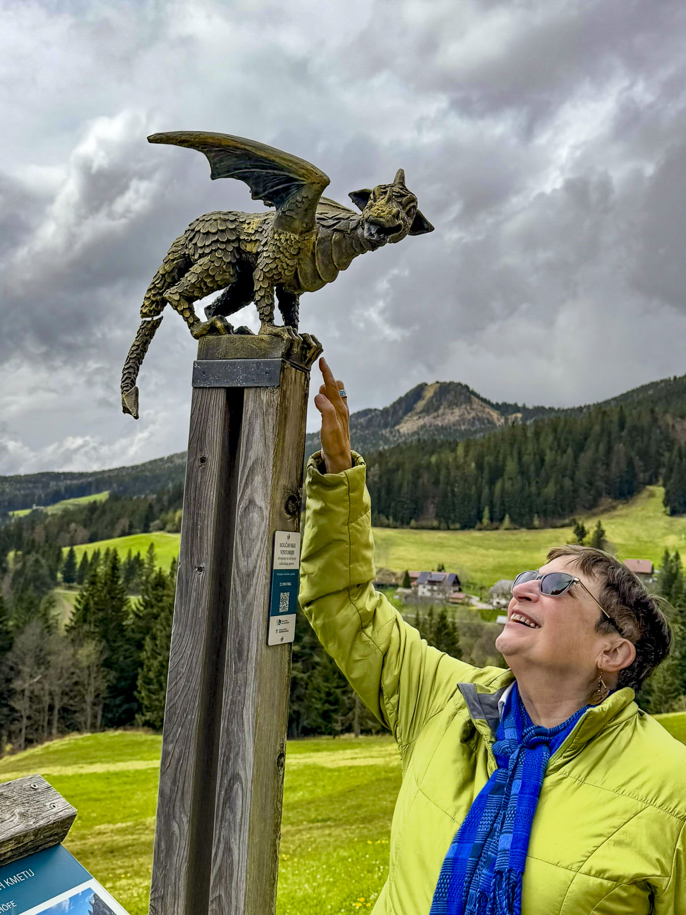
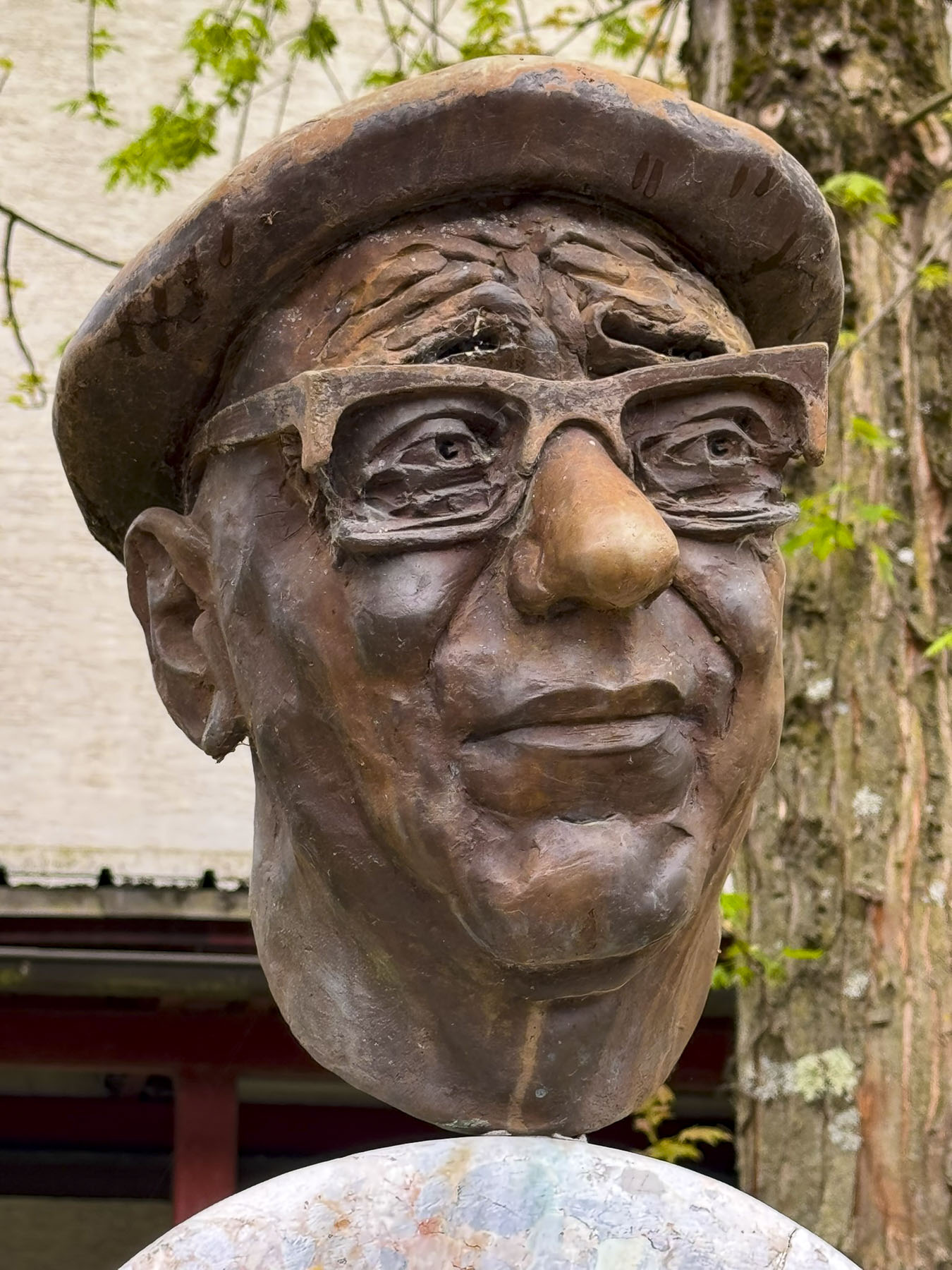
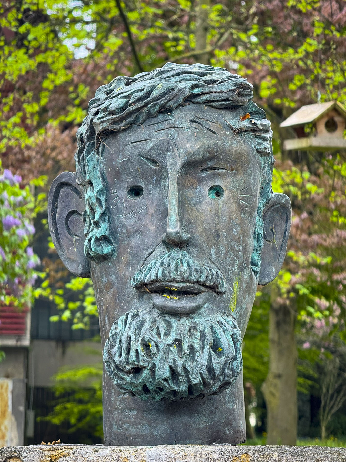
We had breakfast at Santagloria Coffee & Bakery, where we indulged in wonderful pistachio cream filled croissants; it was extremely budget friendly. We then set out on a pathway along the Gran Valira River to explore the city. We followed it through riverside parks and plazas until we found a sculpture of a colorful large espresso moka pot. You have to love a country like this that embraces whimsical art.
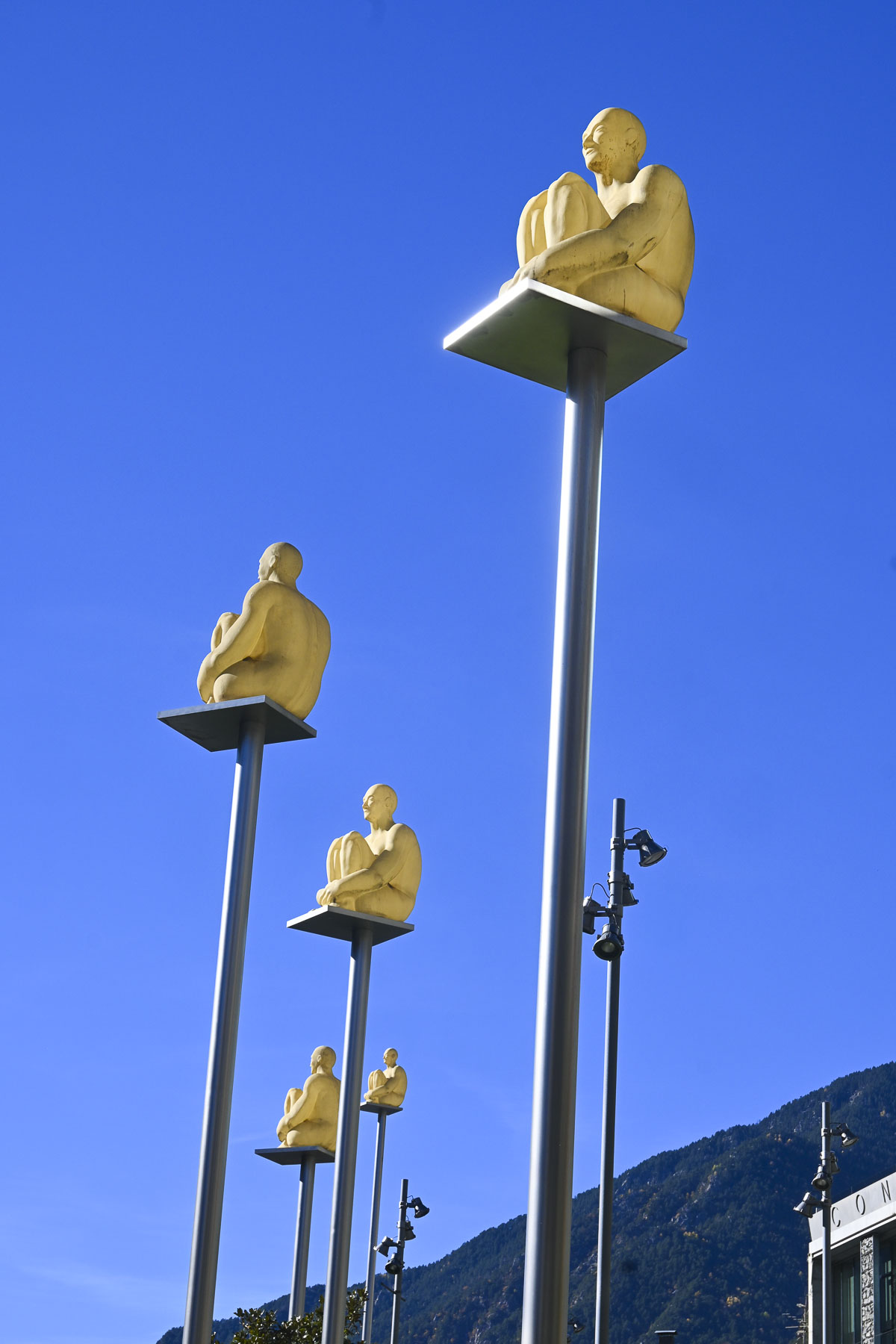
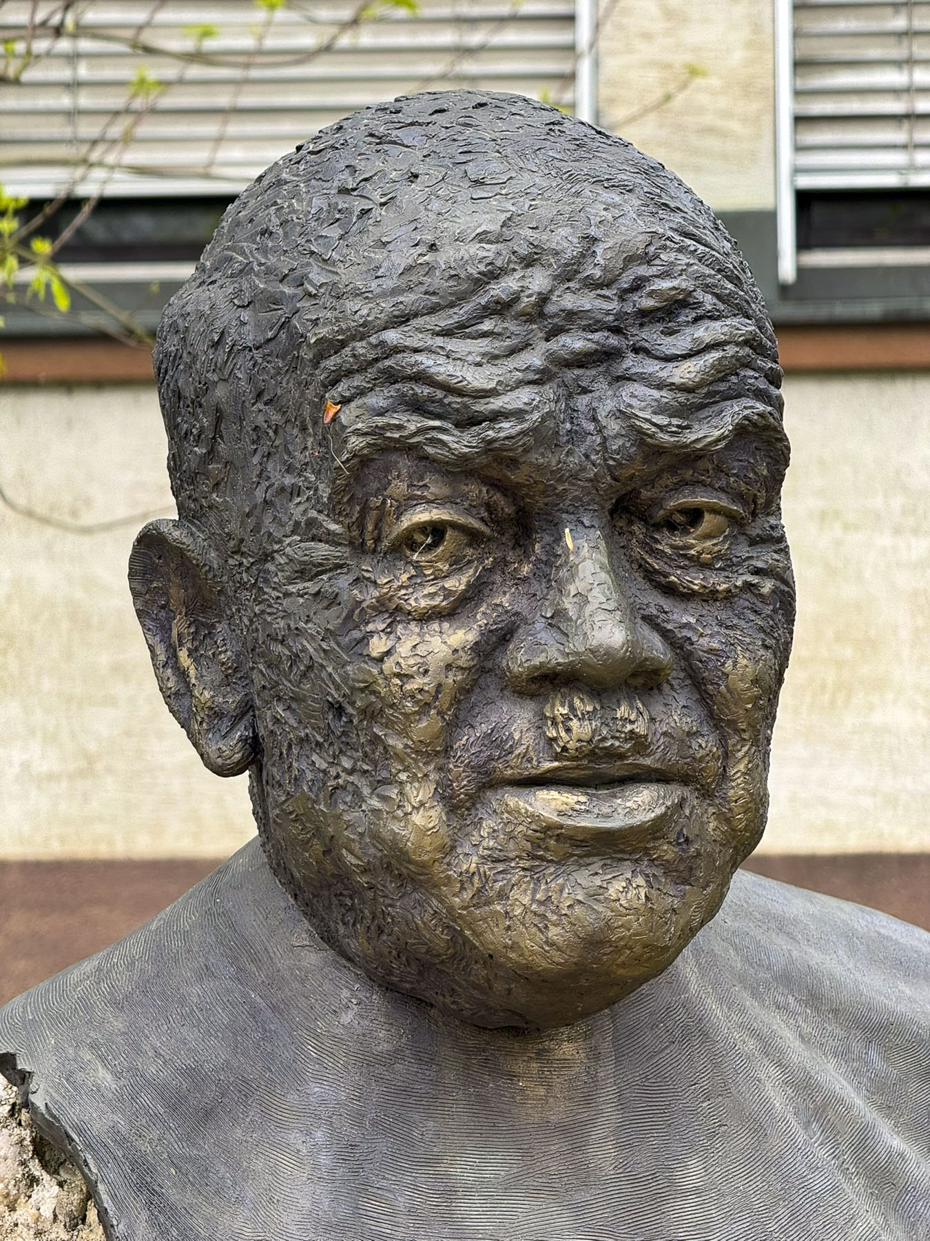
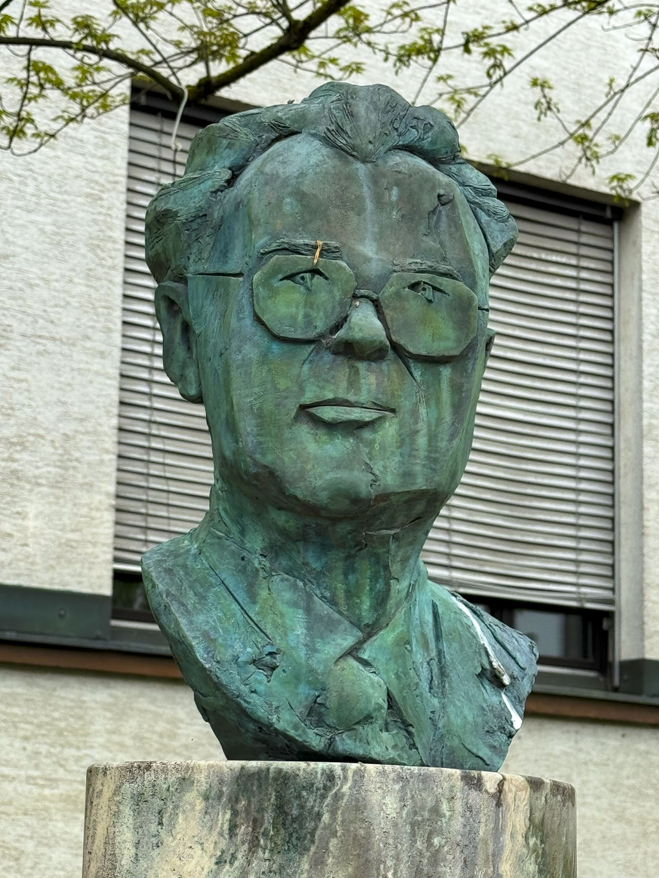
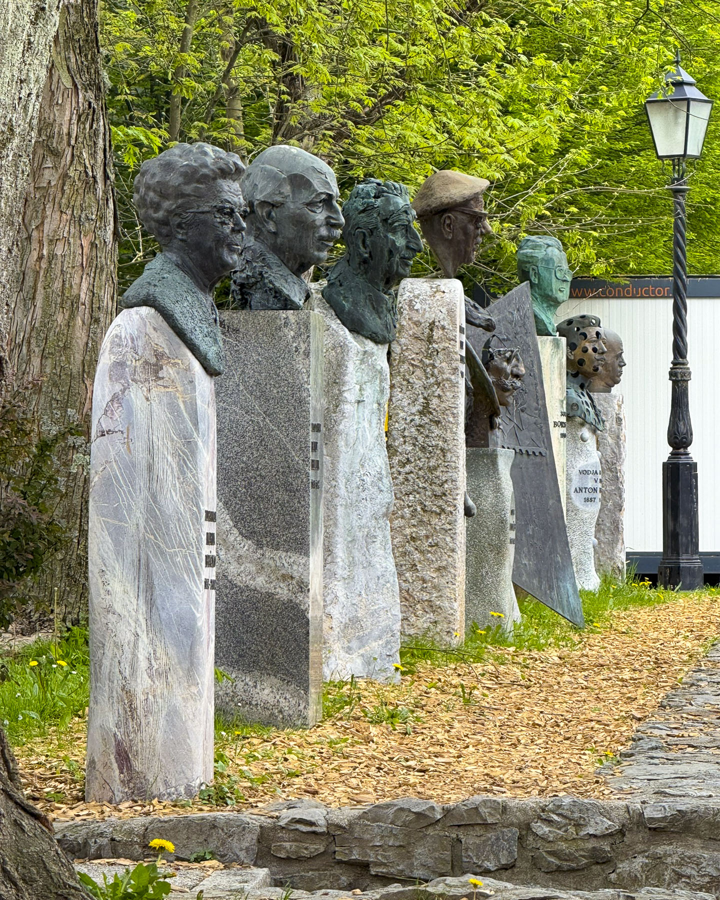
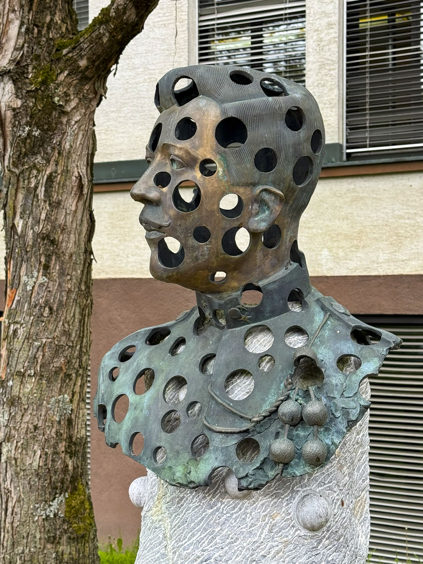
We then circled back and came across an interesting sculpture installation in Plaça Lídia Armengol called the Seven Poets. The artwork created by the Catalan artist Jaume Plensa, consists of seven pale yellow figures, sitting cross-legged on tall, slender poles. The meditative figures represent the unity of Andorra’s seven parishes and are appropriately installed in front of the country’s parliament.
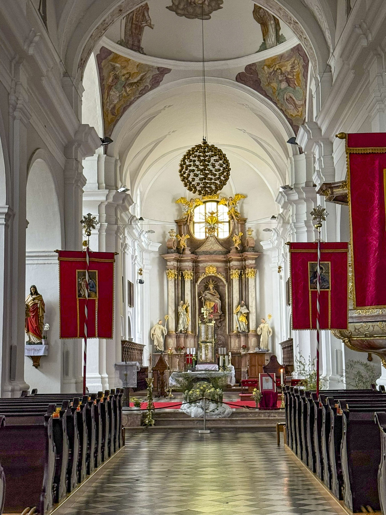
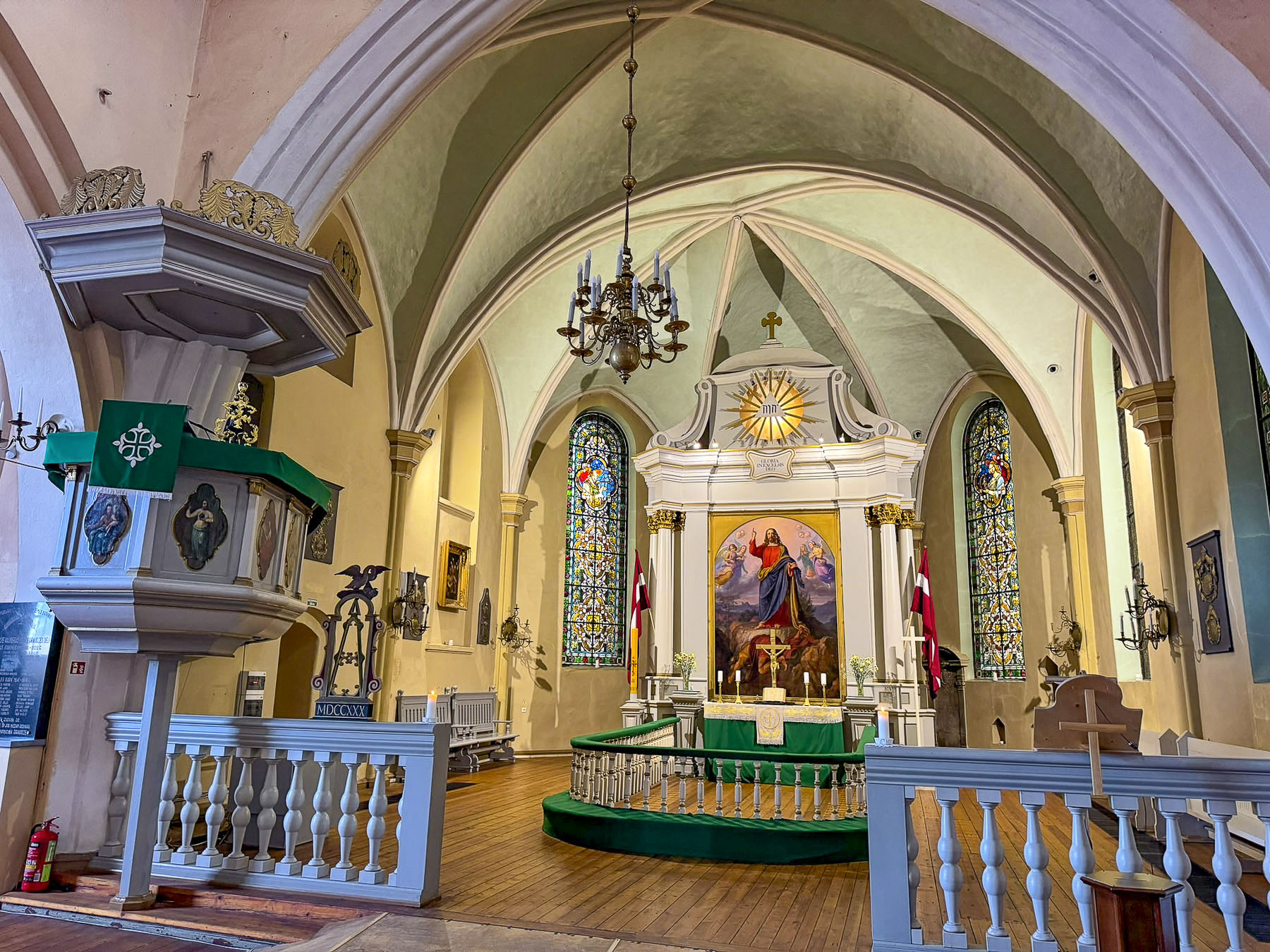
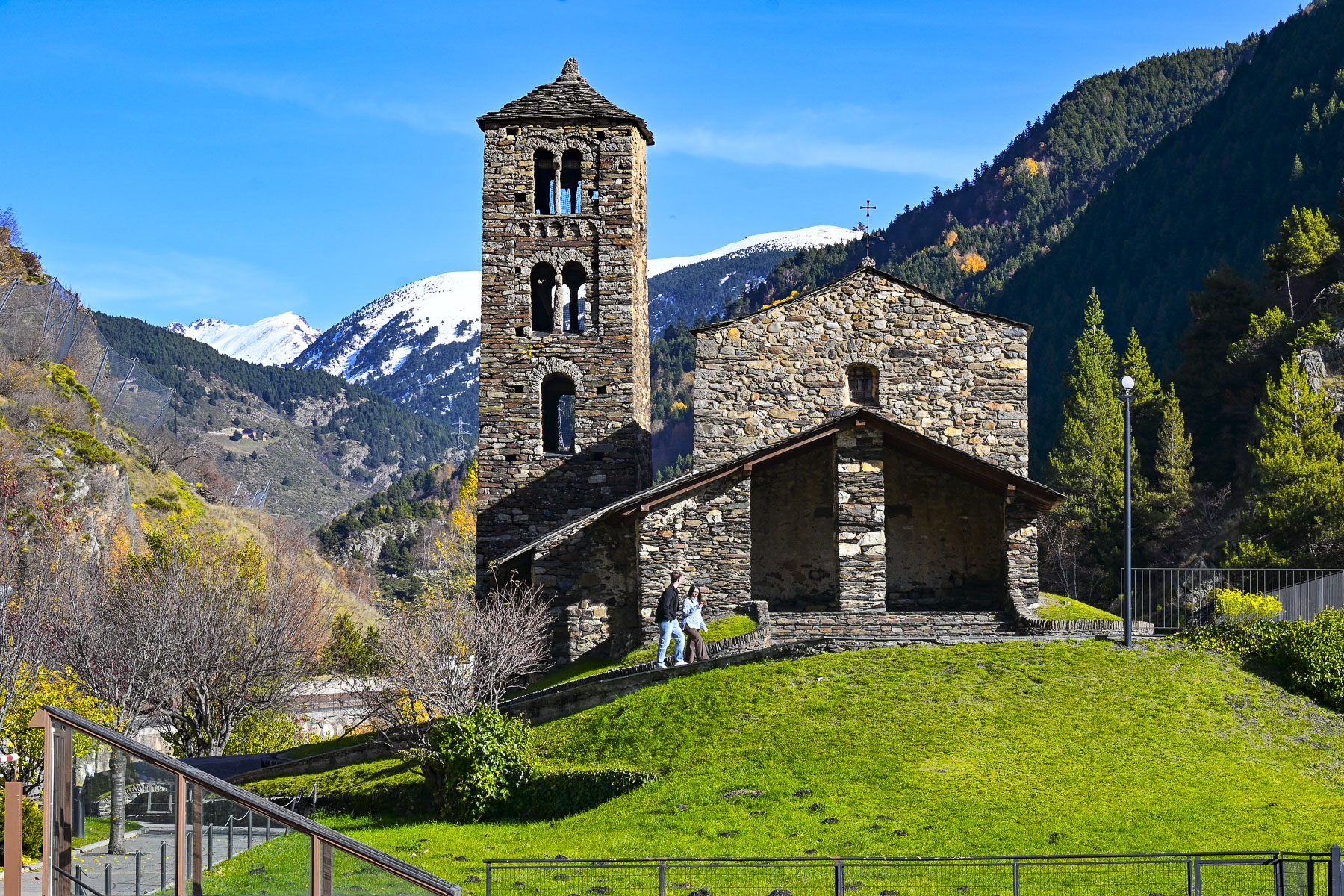
Up a steep sidewalk from there was Plaça del Poble, a massive rooftop plaza built atop a architectural complex that houses government offices, and a multi-level public parking garage. It was a popular place for families to bring their young children with small bikes to pedal around safely. It also had a nice alternative view of the Seven Poets and access across the Rambla Molines bridge to the 11th century. St Esteve of Andorra Church.
Afterwards we looped back down Av. Meritxell, and wandered through the large multi-level Pyrénées Andorra department store. Offering the widest selection of merchandise under one roof, along with a gourmet supermarket on the top floor, it is considered the flagship shopping destination in Andorra.
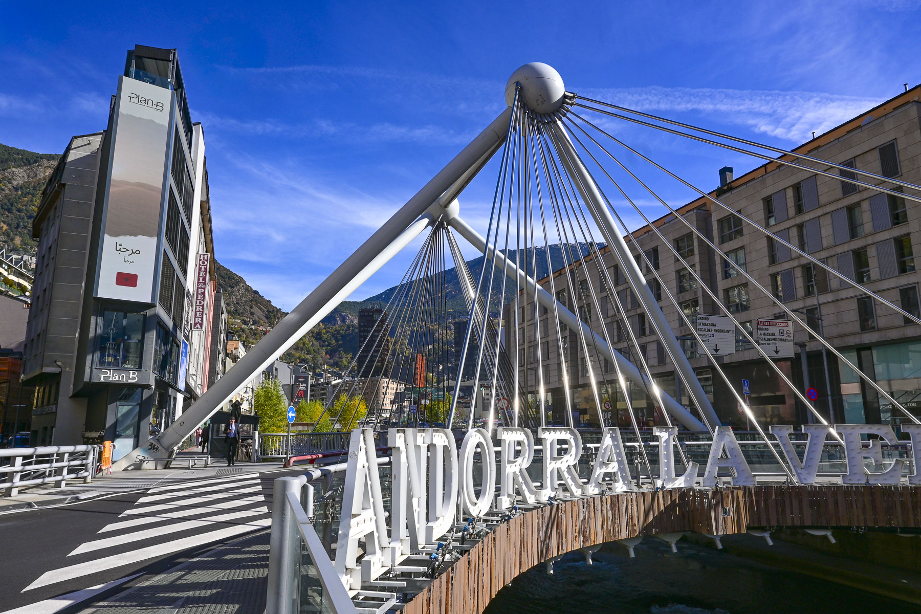
Later we continued past Dali’s melting clock, and the often-photographed Pont Andorra la Vella bridge, and a modern sculpture centered in a roundabout on the way to the Caldea Spa.
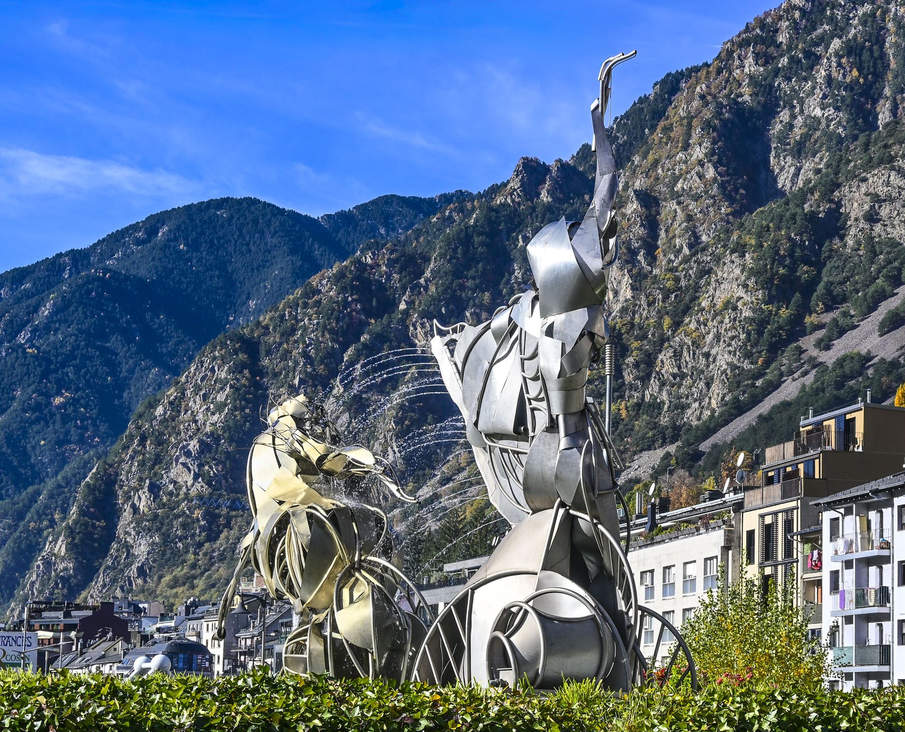
The unique piece of contemporary art is called the Calidea i la Dama del Gel. It’s a collaborative work by the Andorran sculptor Ángel Calvente Gutierrez whose Calidea figure was inspired by myths and legends of water. While the Dama de gel, the Ice Lady, created the Catalan artist Philippe Lavaill depicts a mythological sylph on a horse.
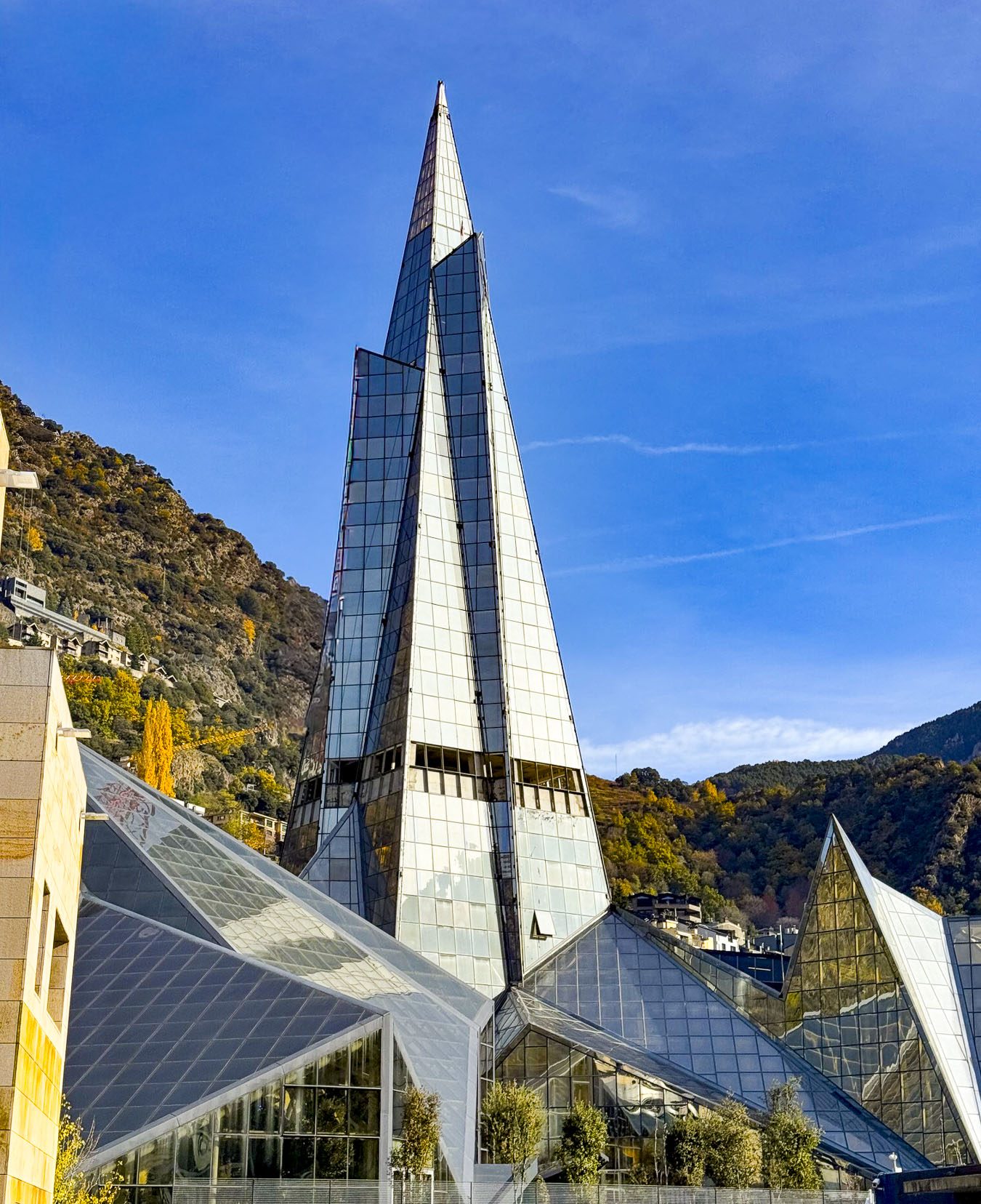
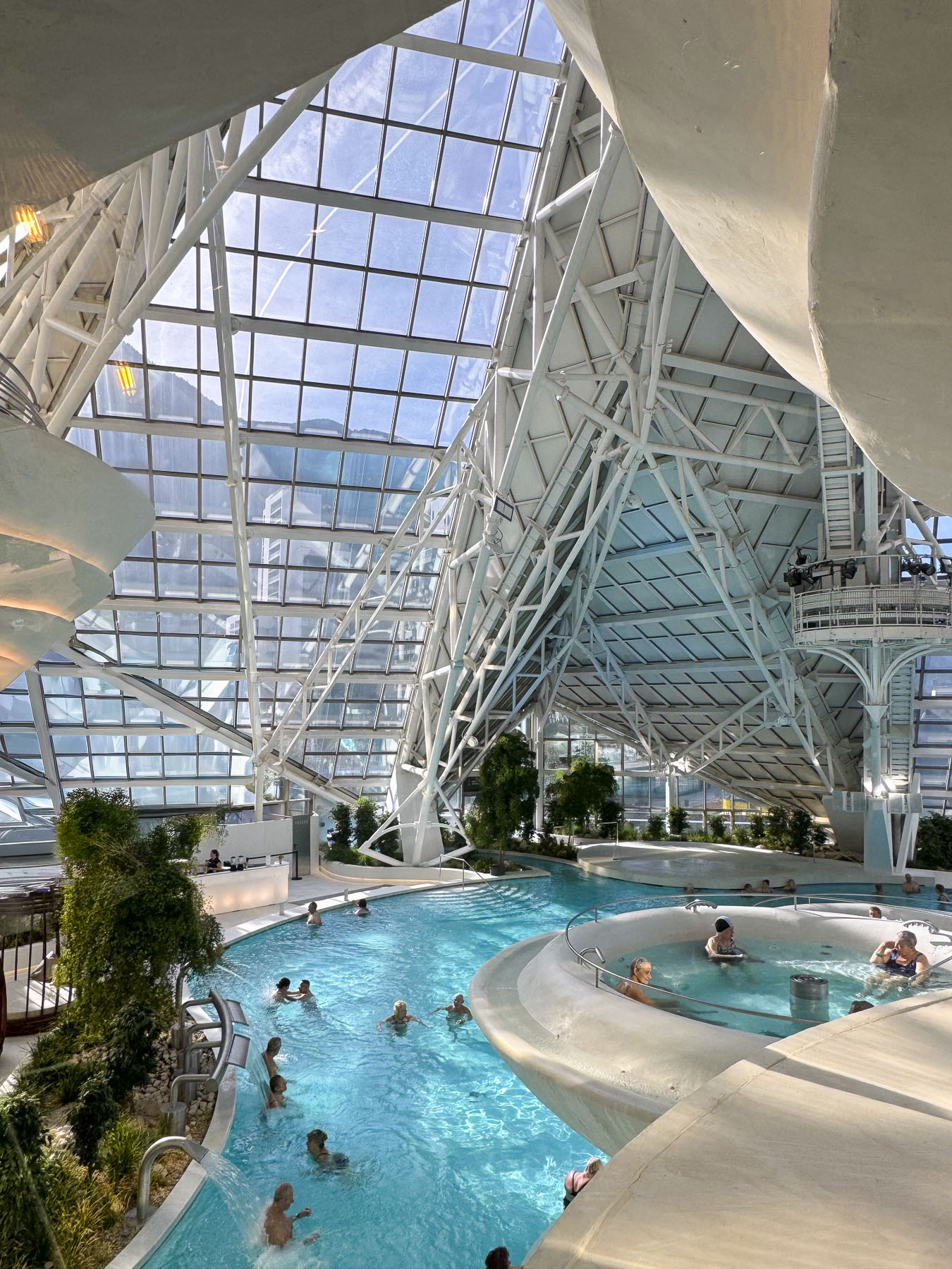
Housed in a slender eighteen story, 80m (262ft) tall glass pyramid finished in 1994, the Caldea Spa is one of Andorra’s most notable landmarks, and the tallest building in the country.
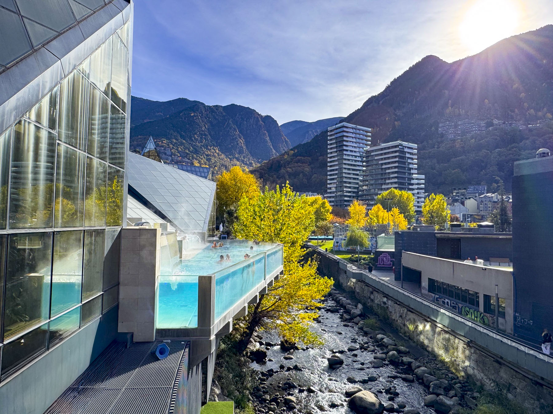
As we neared the tower a dramatic glass walled swimming pool cantilevered out from the building’s side, over the Valira d’Orient River. Funnily, only the swimmers’ bobbing legs as they stood along the glass wall were visible from our perspective on the street. Across the street we glimpsed, through a window, a quartet performing for the residents of a senior’s home. We didn’t want to participate in any spa activities, but we did have lunch in their restaurant that overlooked the lush inviting pool.
Afterward, as we returned to the hotel, we walked around a sports complex where other retirees were enjoying tennis lessons on a beautiful sunny autumn day. For dinner that evening we joined the long queue, a few doors down from our hotel, in front of the Crepería de la Rotonda, a hole-in-the-wall takeaway window. It is popular for its delicious and inexpensive crepes, one of the best values in Andorra, and for the uniquely entertaining customer service style of the owner, who has an Instagram account with 140,000 followers. Think Seinfeld’s soup Nazi character.
Visigoths controlled the area of Andorra after Rome fell in the 2nd century AD, a period in which Christianity continued to spread across the peninsula. Later it was under the control of the Kingdom of Toledo, then the Catalan Diocese of Urgell. In the 700s Moors crossed the Strait of Gibraltar from Morocco and conquered a significant part of the Iberian Peninsula. North across the Pyrenees Mountains, Charlemagne, Charles the Great, ruled as King of the Franks, and united most of western Europe into the Carolingian Empire.
Tradition believes Charlemagne granted a charter to the Andorran people as reward for fighting with his troops against the Moors near what is now Cerdanya, the wide fertile plain surrounded by mountains just to the east of Andorra in modern-day Spain. With this charter the area of Andorra fell under the rule of the Catalonian Counts of Urgell, and became a territory in the Frankish Marca Hispanica, a military buffer zone established after the failed Moor invasion of France. Andorra was one of twelve Marca Hispanicas created in the Pyrennes Mountains by Charlemagne, but the only one that wasn’t eventually absorbed into France or Spain but survived as an independent country through crafty political machinations. In 988 the Counts of Urgell traded their Andorra territory to the Bishops of Urgell for land in Cerdanya. All was peaceful for 100 years until the Counts wanted to reclaim the territory. Seeking to avoid a war with the Counts, the Bishop of Urgell asked the Lord of Caboet for protection, to which he agreed in return for co-sovereignty of Andorra in 1095, establishing the country as a feudal protectorate with the signing of two treaties called Pareatges. Through various Royal marriages over the centuries this side of the co-sovereignty and feudal protectorate survived various wars, revolutions, and changes in government and is now held by the current President of France. The co-sovereign of Andorra has been a ceremonial title since 1993 when the country’s first democratic constitution was ratified.
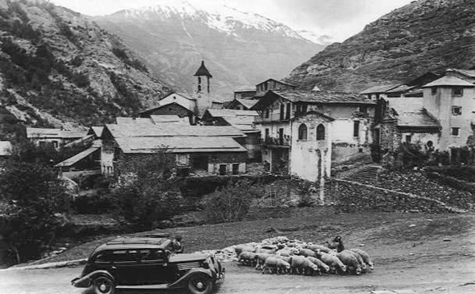
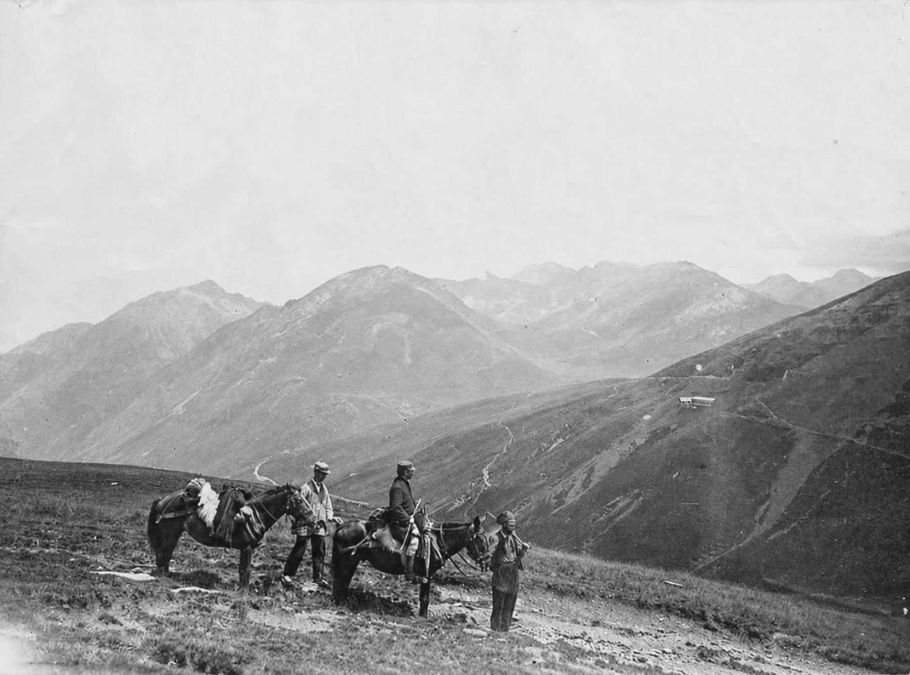
Andorra pretty much survived through the centuries as an isolated, subsistence farming community by growing grain crops (only 2% of the mountainous terrain is arable), trading wool or cheese with nearby Catalan towns, and smuggling goods between Spain and France. Many of those ancient smuggling routes through the mountains have now been mapped and incorporated into a 275 km (170 mi) long network of popular hiking trails, that draws tourists to Andorra in the summer. These trails were especially useful during WW2 when they were used to smuggle weapons to the French resistance, and help downed Allied airmen and Jewish refugees escape Nazi-occupied Vichy France into neutral Spain.
During the early 1930s Andorra’s population was estimated to be under 10,000 as waves of emigrants fled the country to pursue better opportunities abroad. This population crisis threatened the existence of the country. It was a pivotal decade for the country, but things improved substantially when the FHASA (Forces Hidroelèctriques d’Andorra) hydroelectric plant project was conceived as a catalyst for modernizing the country and spurring Andorra’s economic growth. It was a massive infrastructure project that electrified the country both physically and metaphorically. The surplus power was exported via high-voltage lines to Spain and France, establishing a crucial, steady stream of foreign currency revenue for the tiny Andorran economy. The dam’s construction also brought the first paved roads to a country that until then relied solely on walking and pack animals to navigate the steep terrain, providing a vital connection for the isolated country that’s too mountainous for an airport or train connections to the outside world. Workers that came from Spain and France brought new ideas with them, which resulted in the Revolution of 1933, led by the Young Andorrans, a trade union that called for political reforms and the right to vote for all Andorrans. The country’s new banking sector grew with this influx of wage earners and also benefited substantially from the surge of refugees, from both sides of the Spanish Civil War in 1936, that sought shelter in the country. The unregulated banking sector grew for decades and was recognized as tax haven for wealthy individuals to hide accounts. This continued until 2015 when a large Andorran bank was accused of being used primarily for money laundering, and international pressure forced immediate reforms and regulations to the country’s financial institutions.
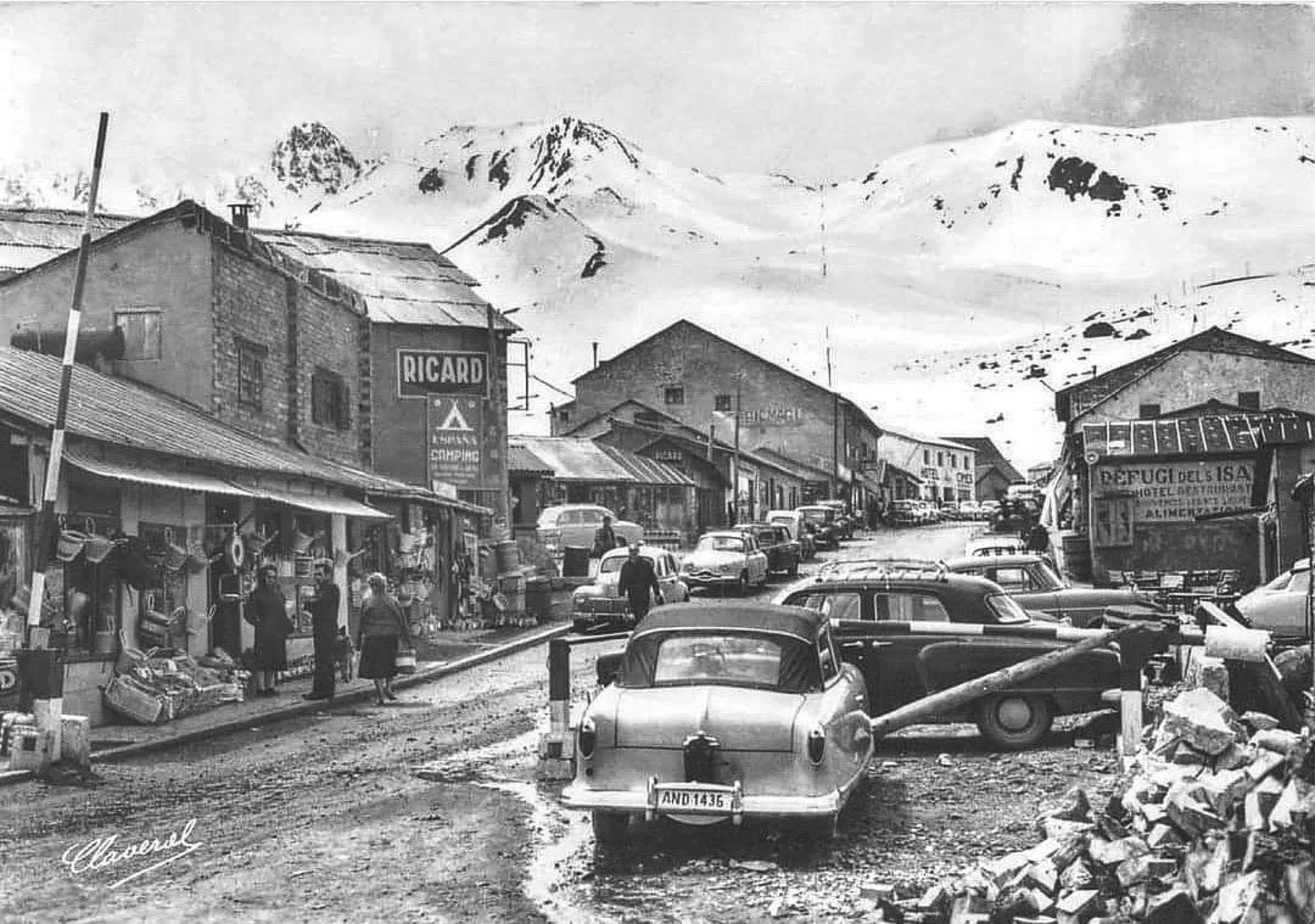
The country’s new roads ended the centuries of isolation and now allowed it to promote itself as a unique tourist destination in the Pyrenees Mountains that offered duty-free shopping, as well as skiing. And a flourishing counter-culture that allowed access to cinematic films and literature banned in Spain during Francisco Franco’s dictatorship, only a short drive away from Barcelona and Madrid. Andorra’s first ski resort, the Pas de la Casa–Grau Roig, opened in 1957. Today there are four modern ski resorts in the country with over 303km (187mi) of slopes, that can be reached by ski lifts that can swiftly transport up to 156,000 skiers per hour to their summits.
Surprisingly, Andorra only has 270km (167mi) of road of which 198km (123mi) are paved, and 8.2km (5mi) of tunnels to connect its communities in the steep mountain valleys. This includes the Envalira Tunnel which connects northern Andorra to France. With an elevation of 2,052m (6,732 feet) it is the highest toll tunnel in Europe.
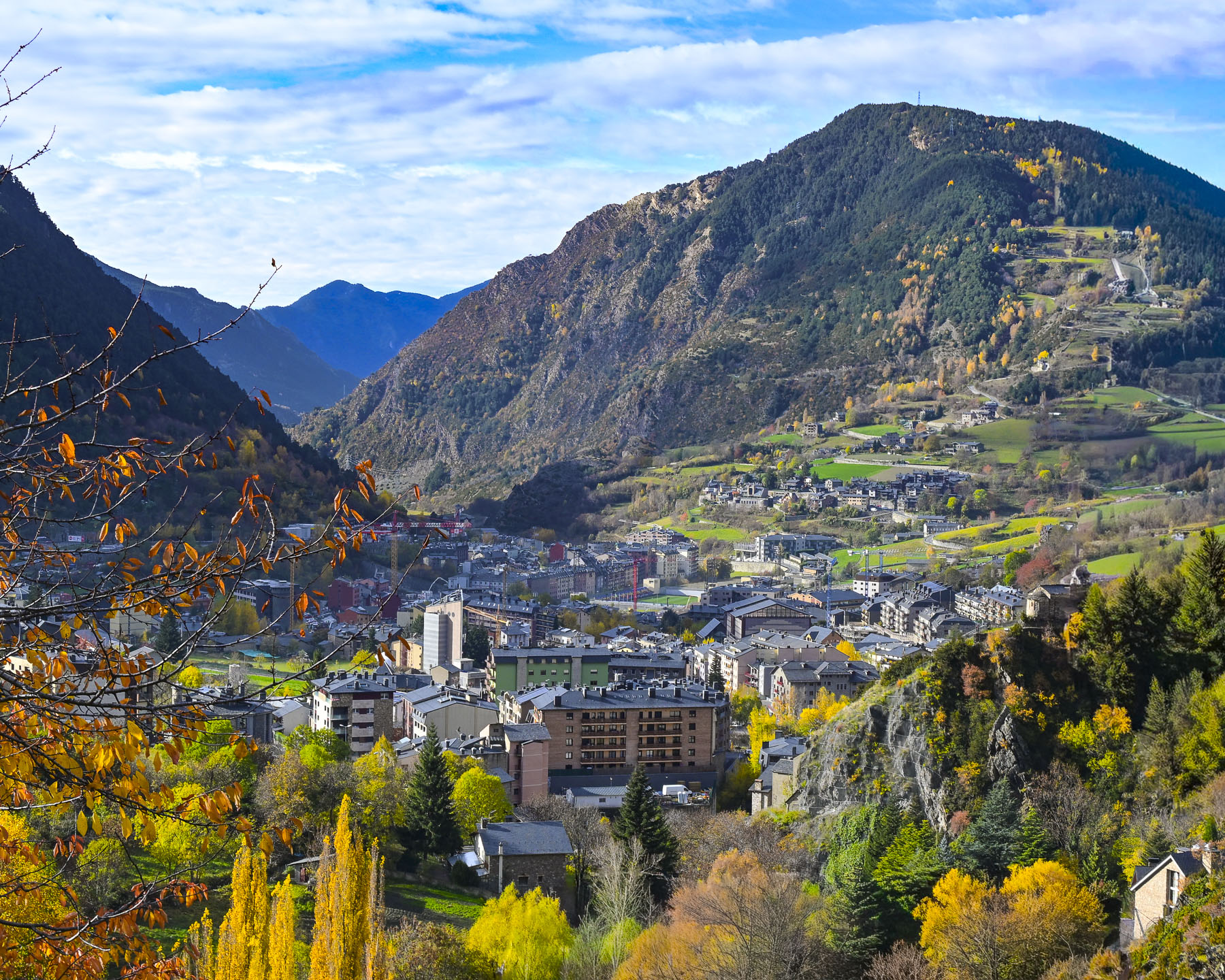
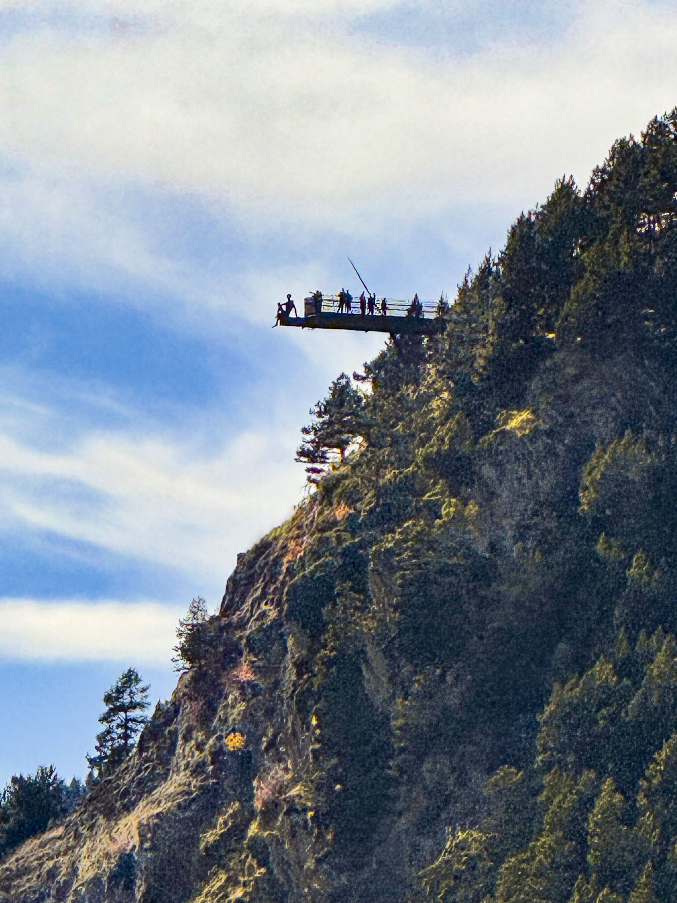
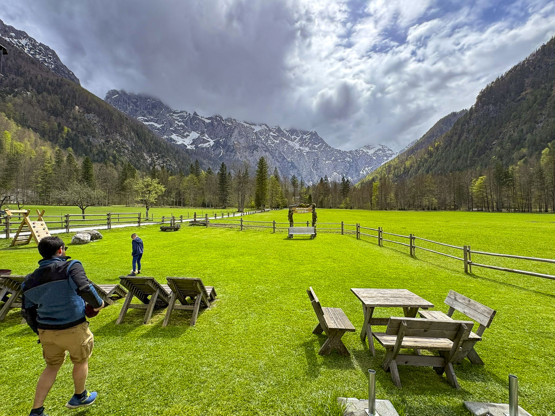
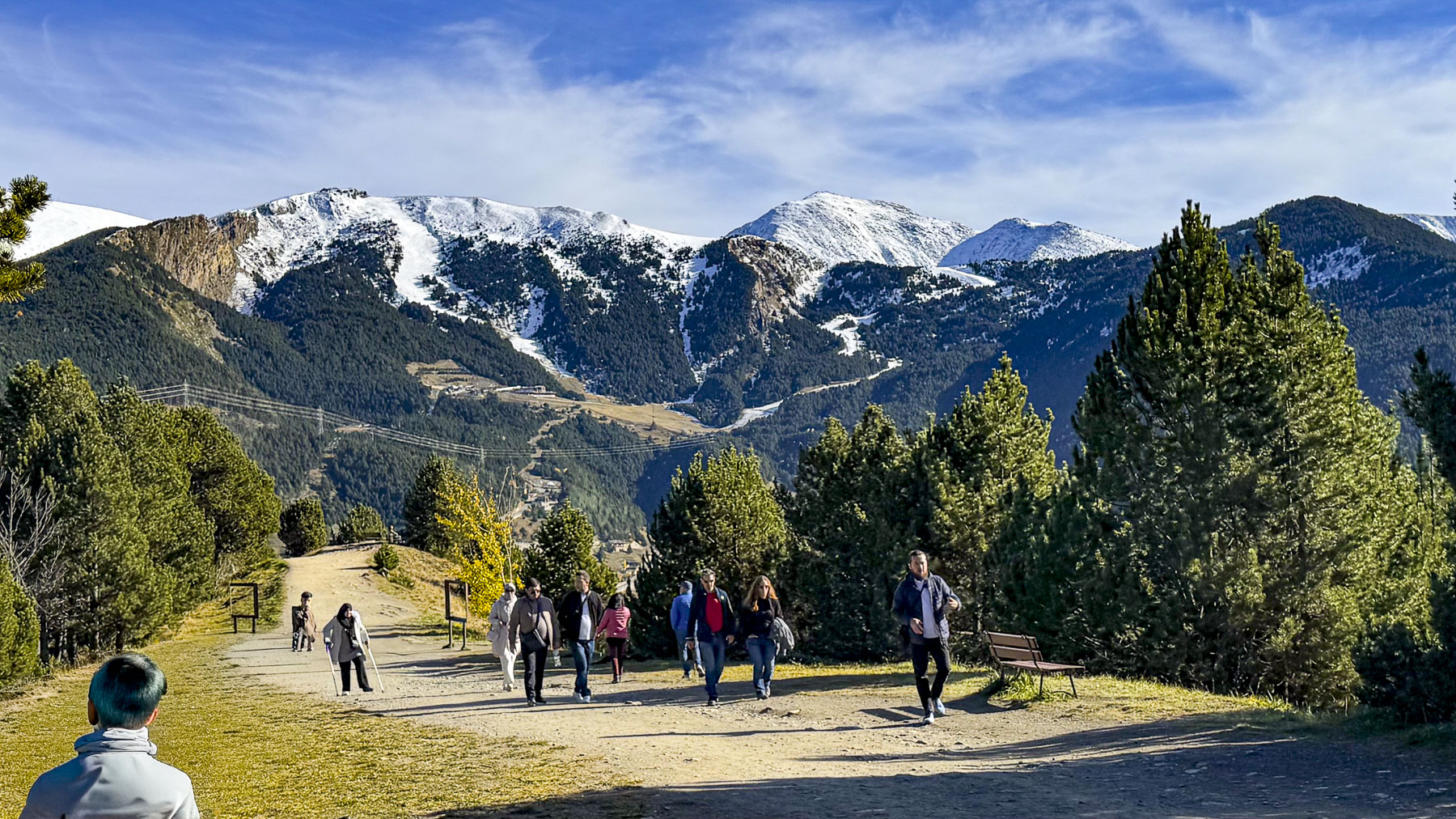
During our short time in Andorra we tried our best to see as much of the country as possible. For our first day trip from the capital, we followed the CG-2 north through the towns of Encamp and Meritxell in the spectacular Valira d’Orient river valley to Canillo, where we found the Petit Mercat, a small café still open in the off-season. Their coffee was good and they had a nice selection of premade sandwiches. From the parking lot across the street, we could see the terrifying height of the cantilevered observation deck of the Mirador Roc Del Quer jutting out over the valley, our ultimate destination.
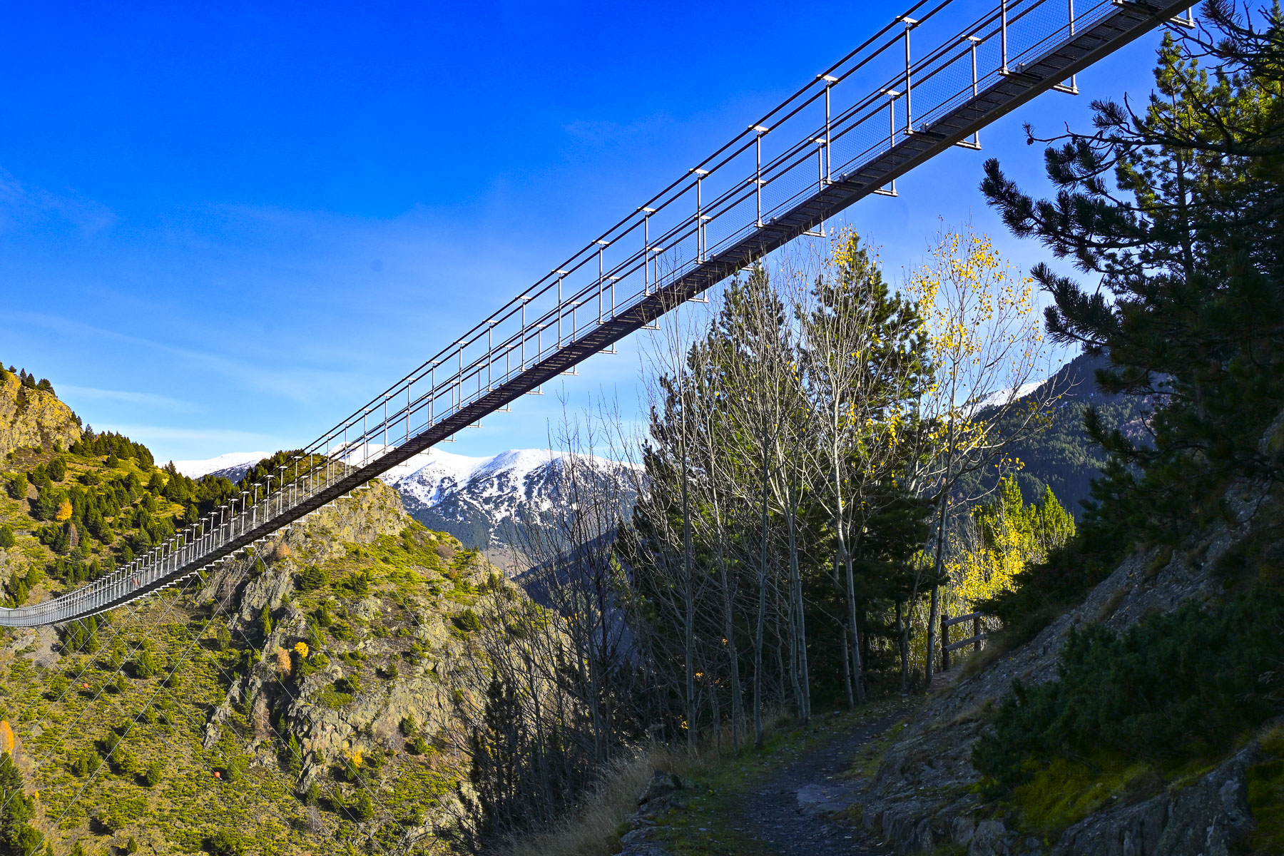
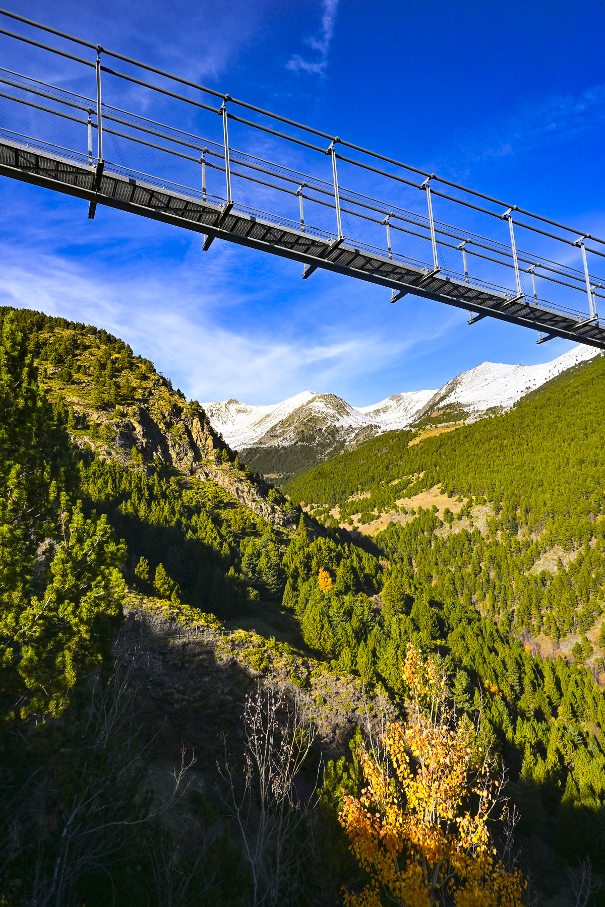
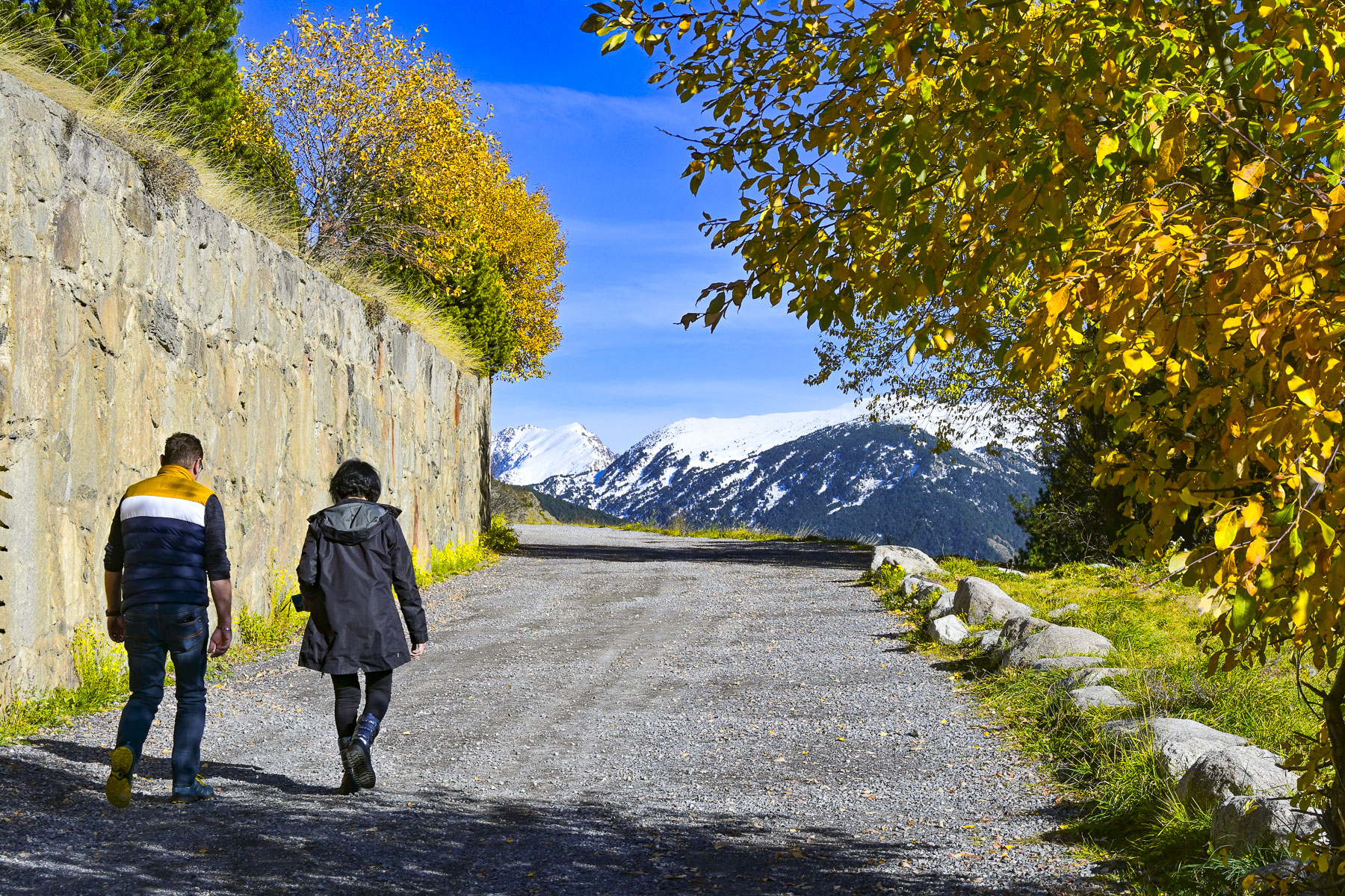
But first we wanted to see the Pont Tibetà Canillo, a modern steel, Tibet-style footbridge that is over 600m (1970ft) long, and is suspended 150m (490ft) above the Vall del Riu. We knew the bridge was closed this time of year, but we wanted to see it as the views of the mountainside along the long walk to the bridge were very nice. During the warmer months there is a shuttle bus from Canillo for hikers, as there is very limited parking along the shoulder of the road.
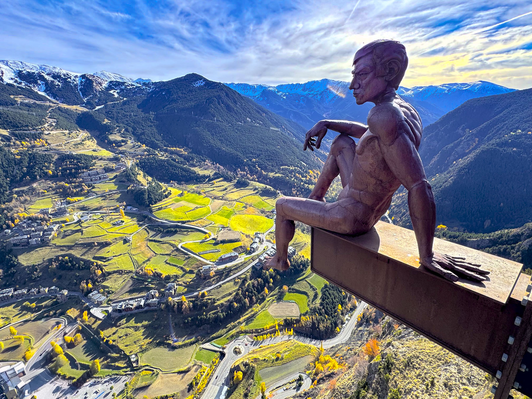
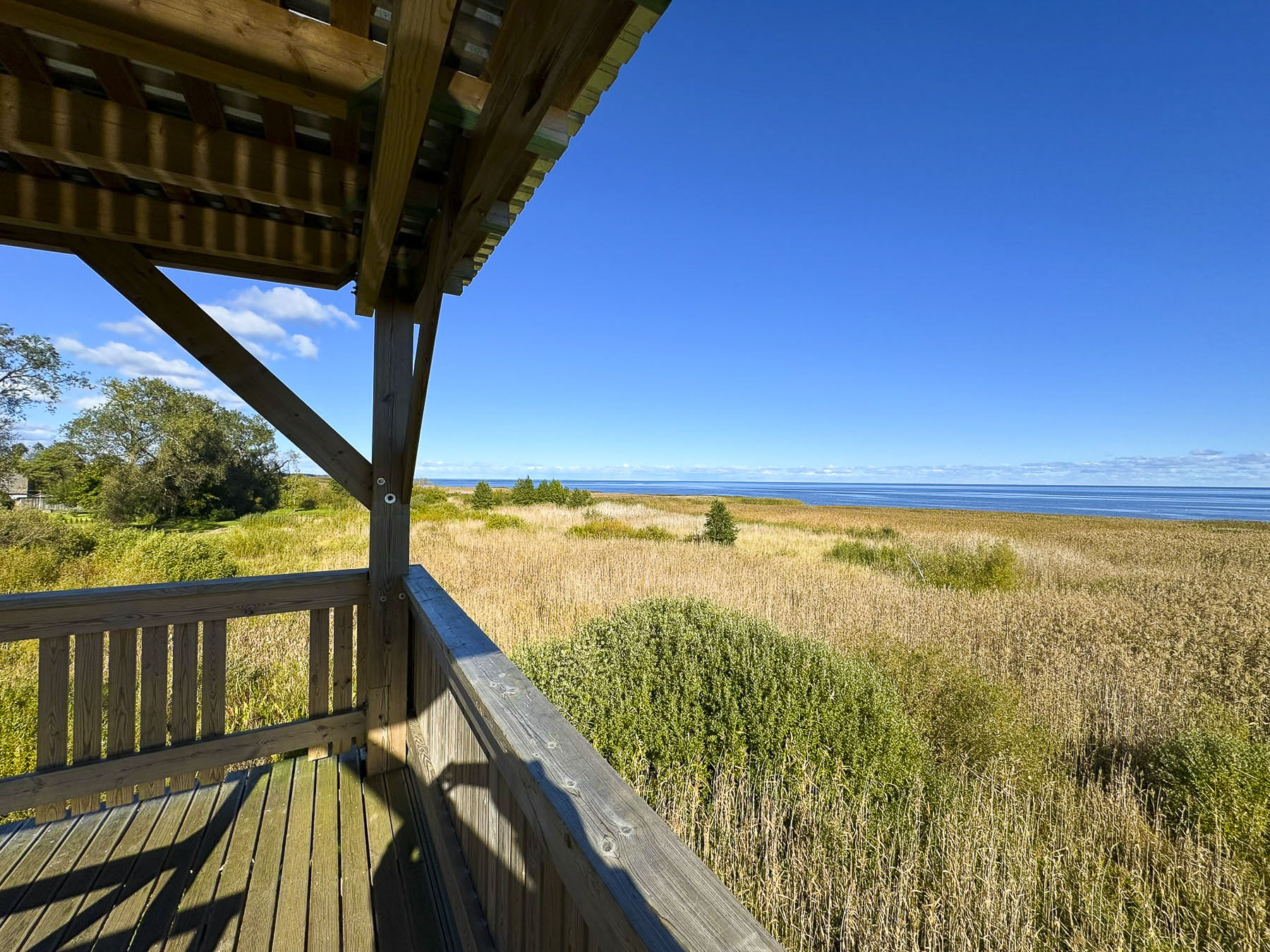
Farther up the mountainside there was free parking a short walk away from the Mirador Roc Del Quer;the shuttle bus only goes to Pont Tibetà Canillo. Here a 12m (40ft) long glass observation deck seems to float dizzyingly in the air 500m (1640ft) above the town of Canillo and the river valley below. The views up and down the valley were fabulous.
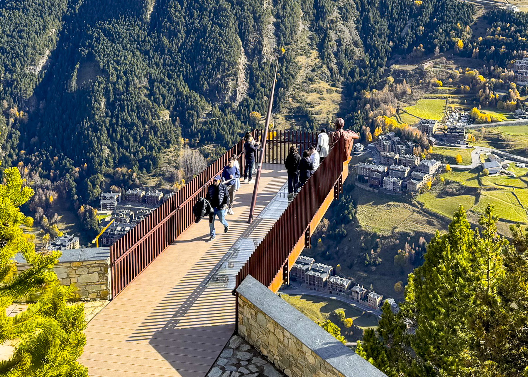
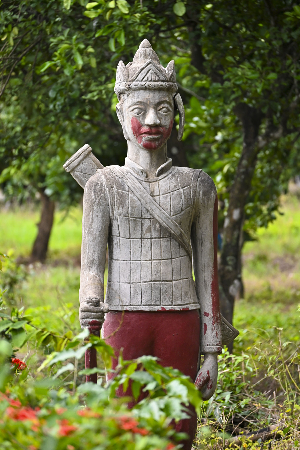
At the far end of the mirador is a sculpture of a fearless man contemplating casually on the edge the abyss. Perhaps the figure is contemplating his ancestors, nomadic hunter-gatherers, who first entered Andorra’s valleys as the glaciers retreated at the end of the Ice Age. It’s called El Pensador, The Ponderer, and was created by the Argentinian sculptor Miguel Ángel González in 2016.
There was still enough snow on the ground from an earlier winter storm for Donna and I to make snowballs and playfully throw them at each other. The afternoon was sunny and delightfully warm enough to eat outside at the site’s restaurant, that doubled as the ticket office.
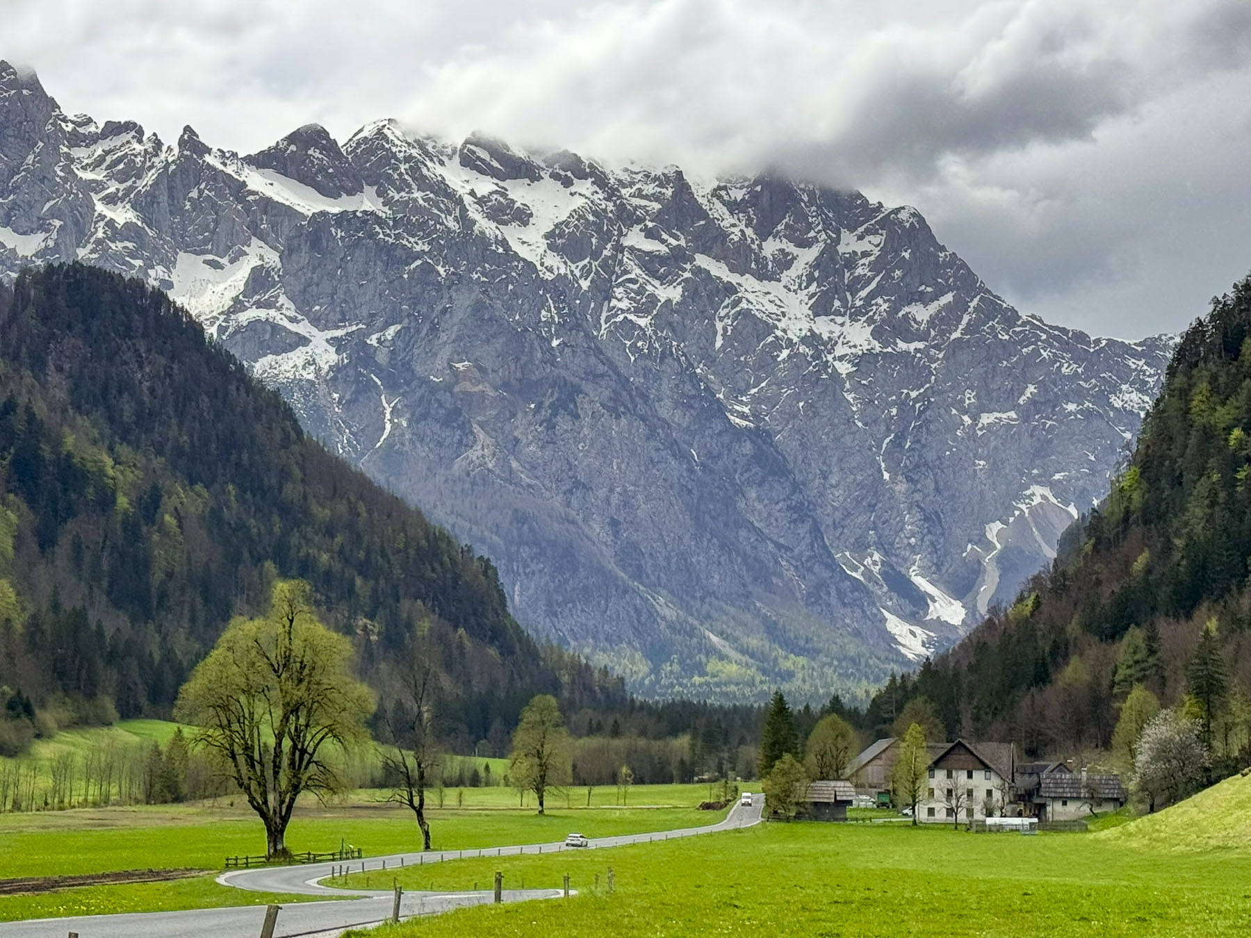
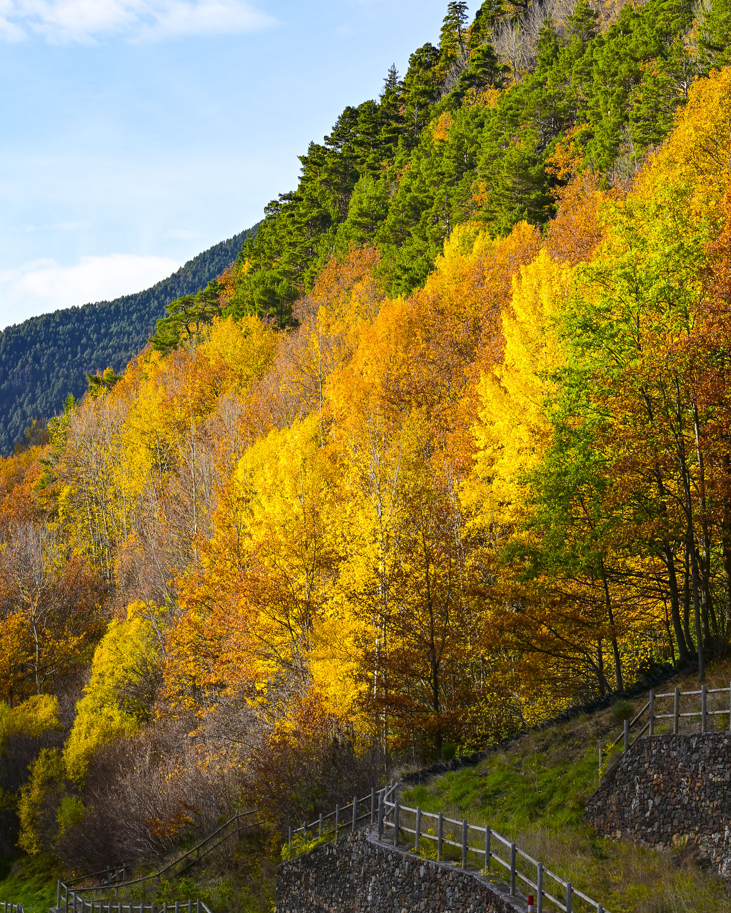
Continuing in the car we drove over the mountaintop, a beautiful drive through autumn colors, that descended into Ordino, and the Valira del Nord river valley.
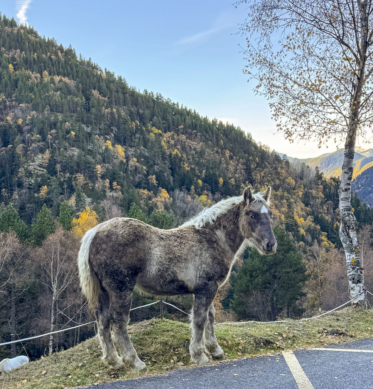
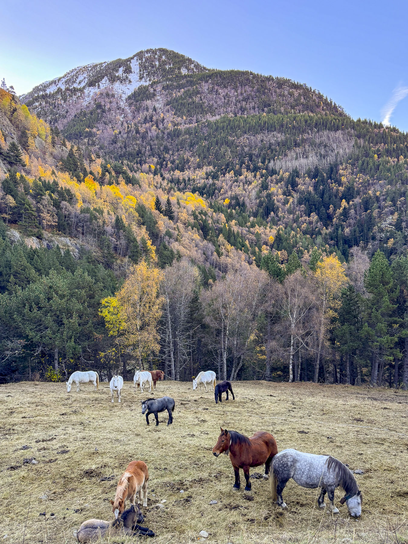
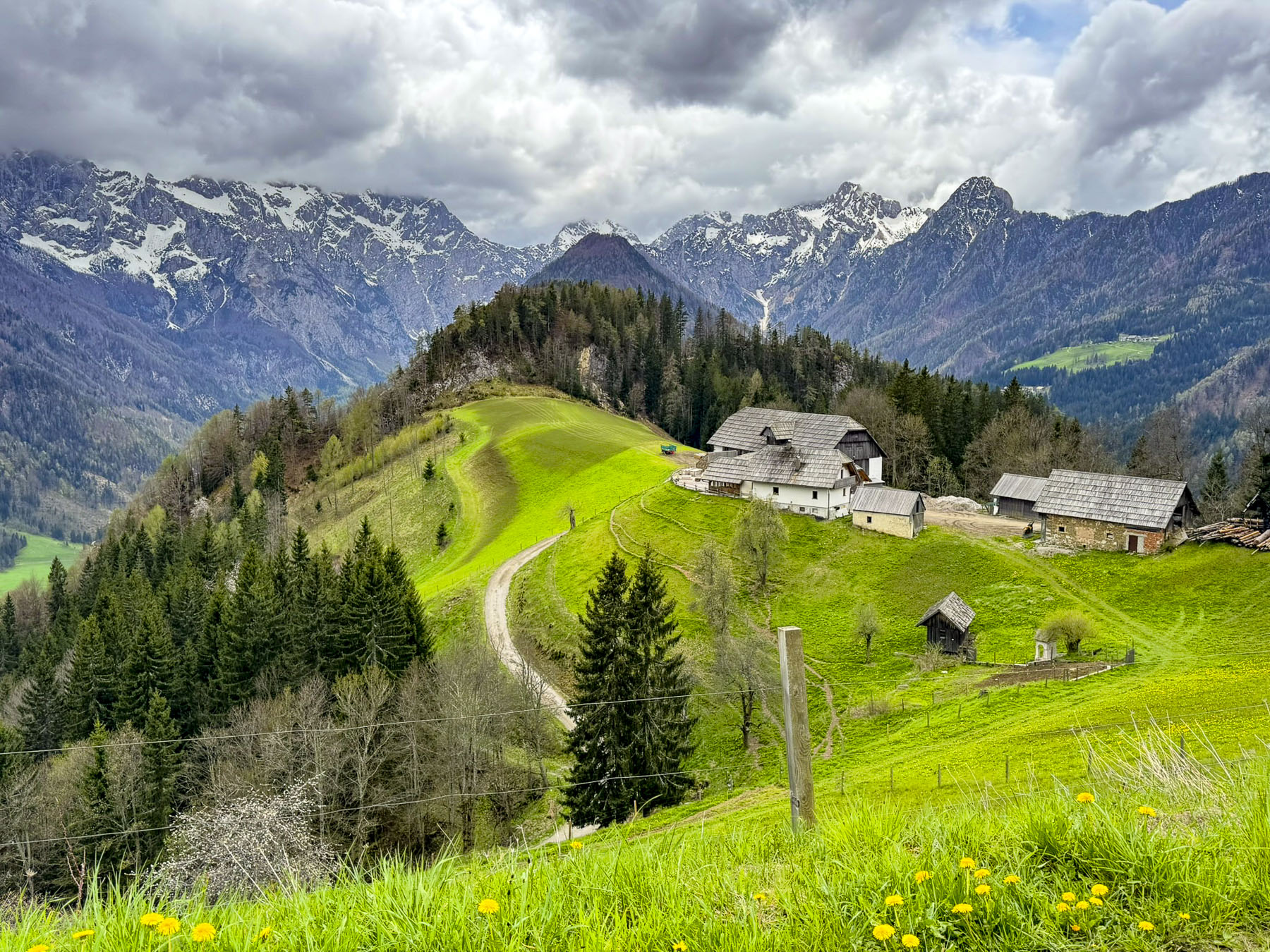
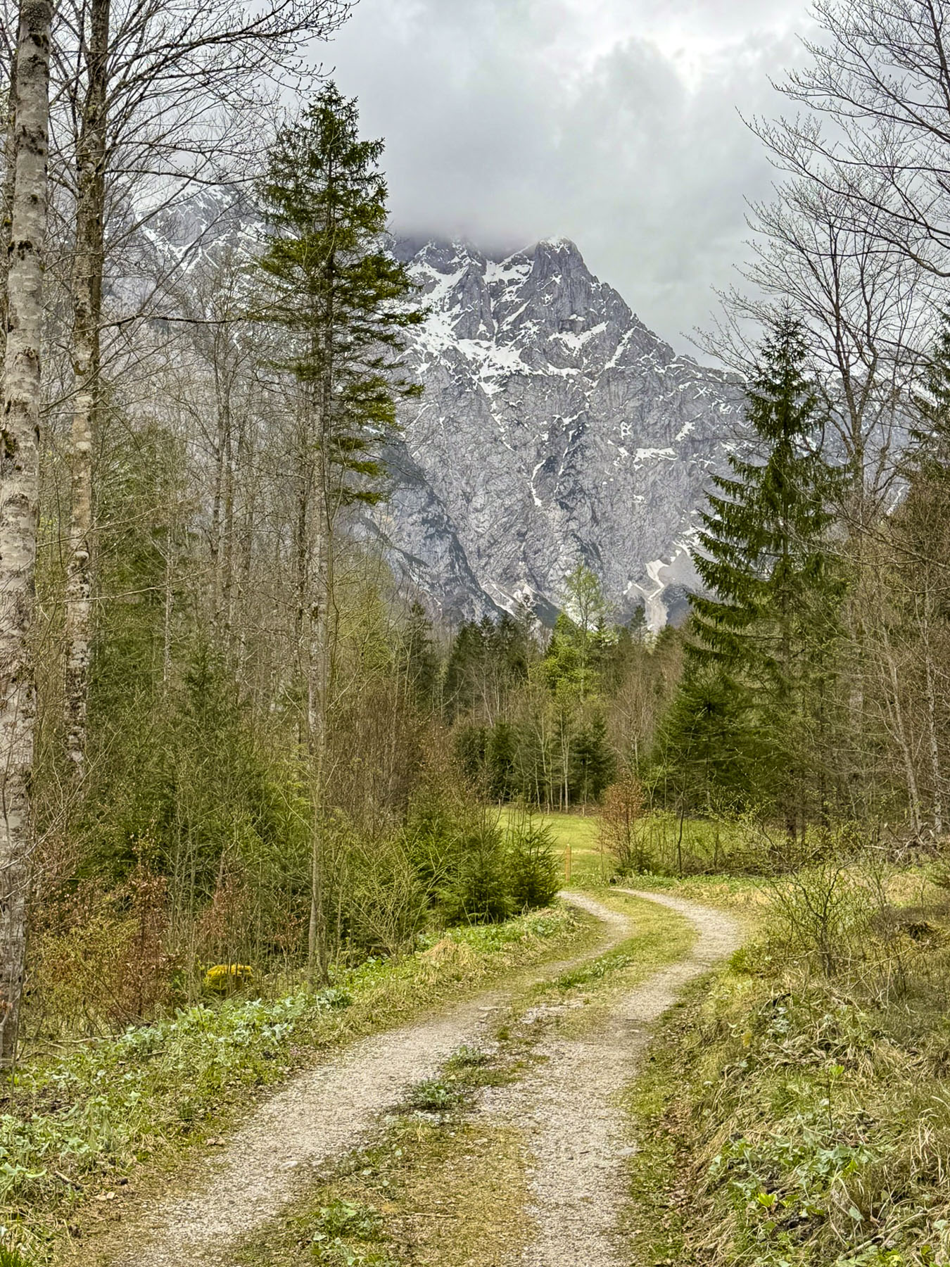
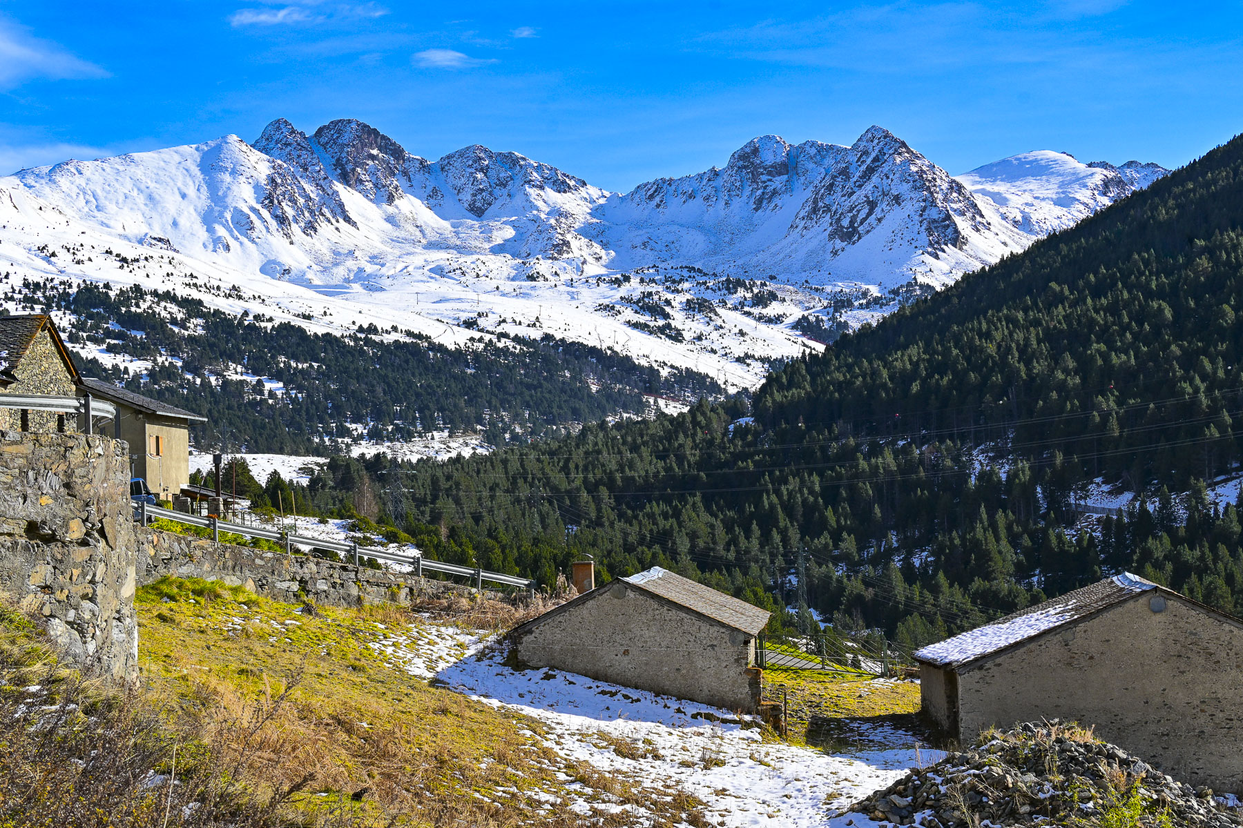
The next day we returned to Ordino and drove along the CG-3 until we took a spur road into the Parc Natural de la Vall de Sorteny. We had hoped to visit the Mini Jardí Botànic, an alpine garden that features over 300 species of Pyrenean flora, including medicinal, edible, and endangered endemic plants. Unfortunately, it was too late in the season and the road to it was gated. But nearby we could hear animal bells echoing in the crisp mountain air and we spotted horses grazing in a frost-covered meadow.
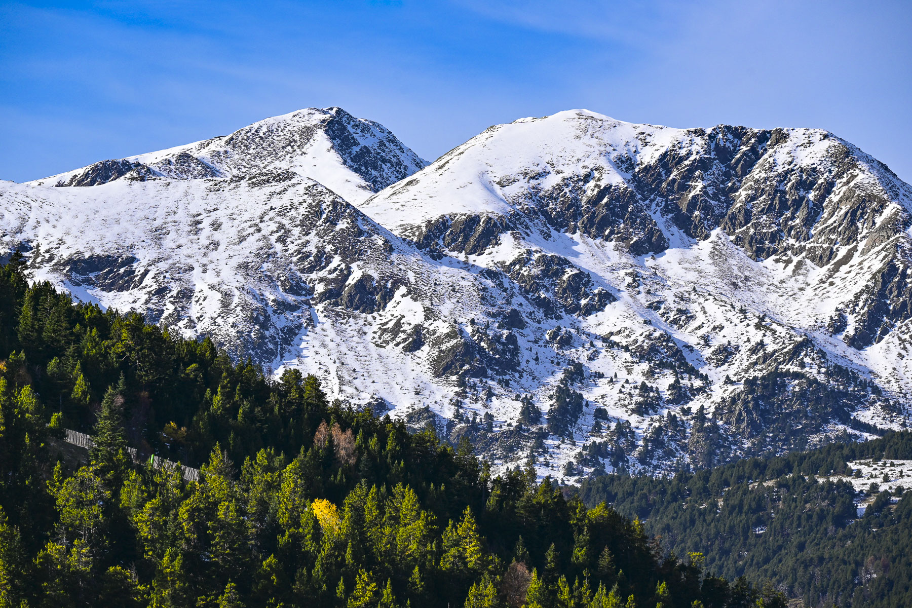
Returning to the main road we ventured past the small village of El Serrat to the Ordino Arcalís Ski Resort where preparations were under way to open the slopes later in the month. With its north facing slopes that peak at 2,625m (8,612 ft) the resort has the longest ski season in Andorra and is popular with freeriders – those who enjoy the adventure of skiing in the resort’s backcountry powder. The views from the resort were pretty impressive too.
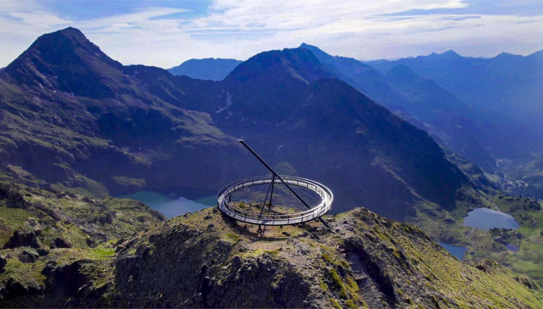
The big disadvantage of traveling in the shoulder season is many sites, restaurants and hotels are closed, as was the case with the high mountain road past the Ordino Arcalís Ski Resort that ends at the trail head to the Mirador Solar de Tristaina, a massive circular, suspended metal ring built atop the Peyreguils peak on Andorra’s border with France, that servers as a sundial. With an altitude of 2,701 meters (8,861 feet) the mirador offers panoramic views of the three Tristaina glacial lakes and the Ordino valley. During the warmer months it can be reached via the resort’s Tristaina Gondola.
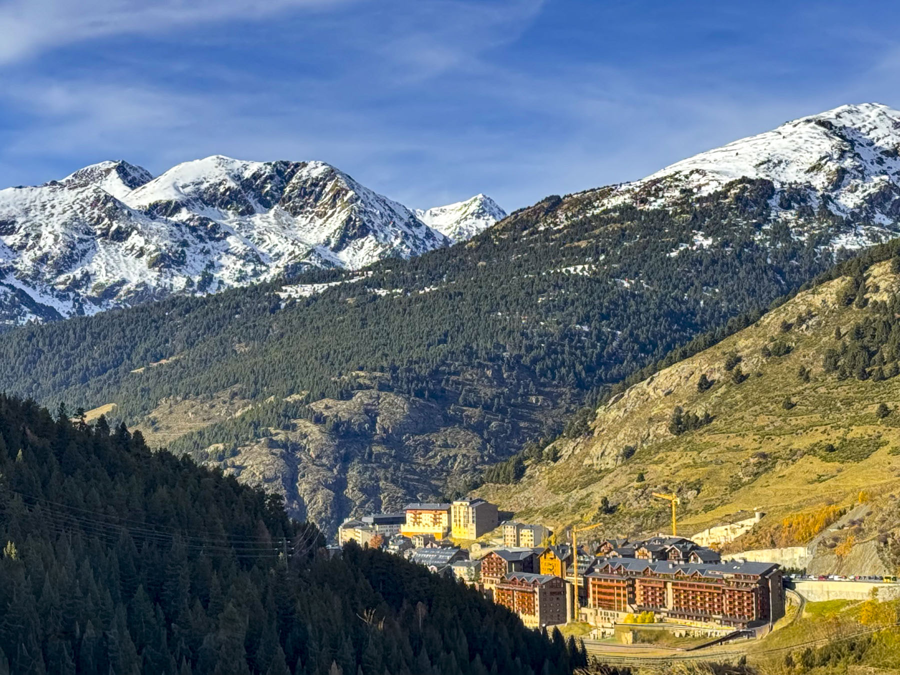
On our last full day in Andorra, we headed north along the CG-2 again. Past Canillo the road rose steadily above the valley floor through El Tarter, and the Grandvalira Ski Resortto Soldeu, the northernmost town on the CG-2 in the Valira d’Orient before the highway splits to the CG-2A, the entrance of the Túnel d’Envalira that leads to France, and the old serpentine CG-2 that winds through the mountains.
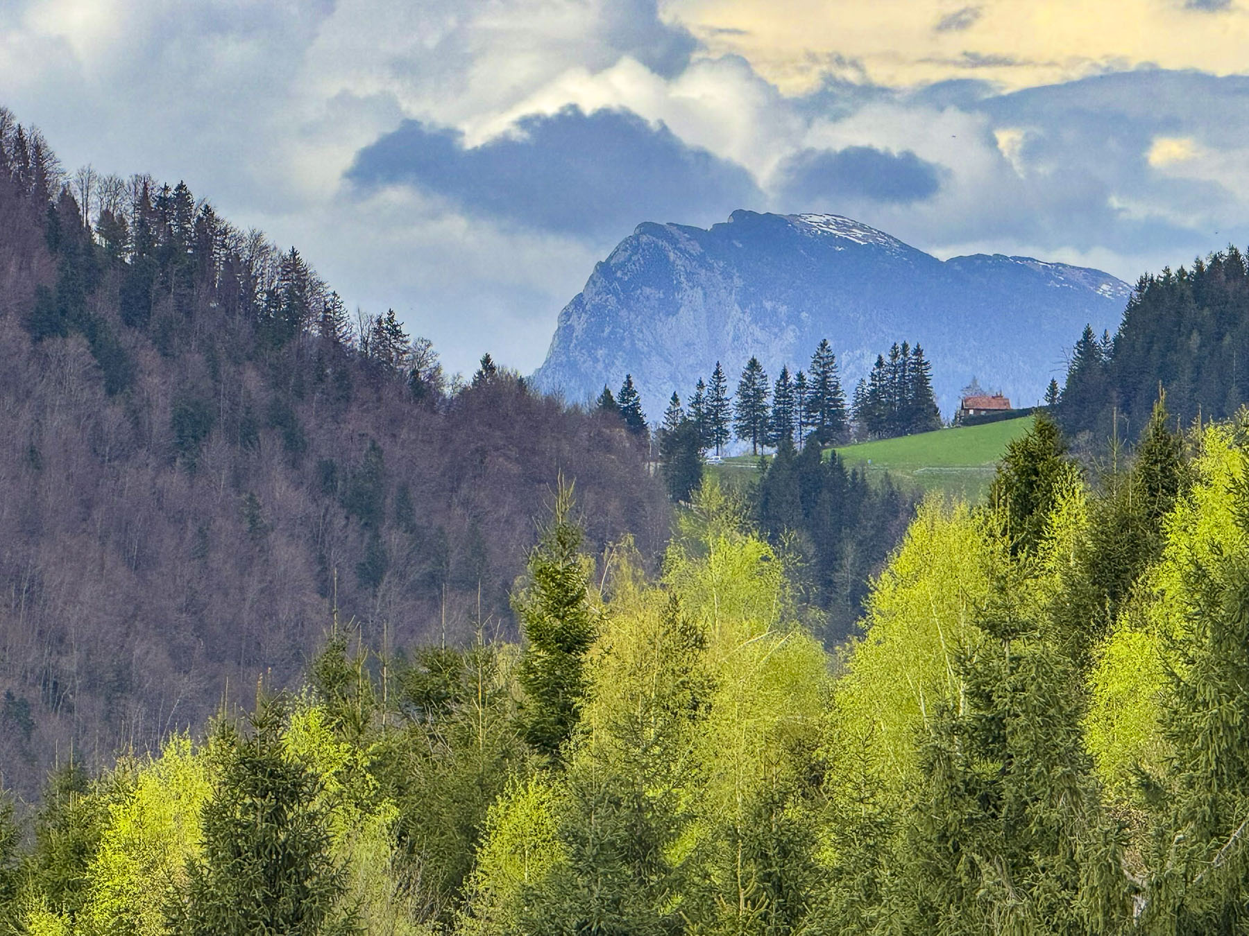
This route crests the highest road pass in the Pyreenes at 2.408m (7900ft) above sea level, a vertical ascent from Andorra la Vella of 1,294m (4245ft) in 25km (15mi) before reaching the small, isolated town of Port d’Envalira, on Andorra’s frontier, where the Pas de la Casa, part of the Grandvalira Ski Resortthat connects the mountains slopes from Canillo to Port d’Envalira with a huge interconnected network of ski lifts, The resort is popular with beginning and intermediate level skiers for its gentler slopes.
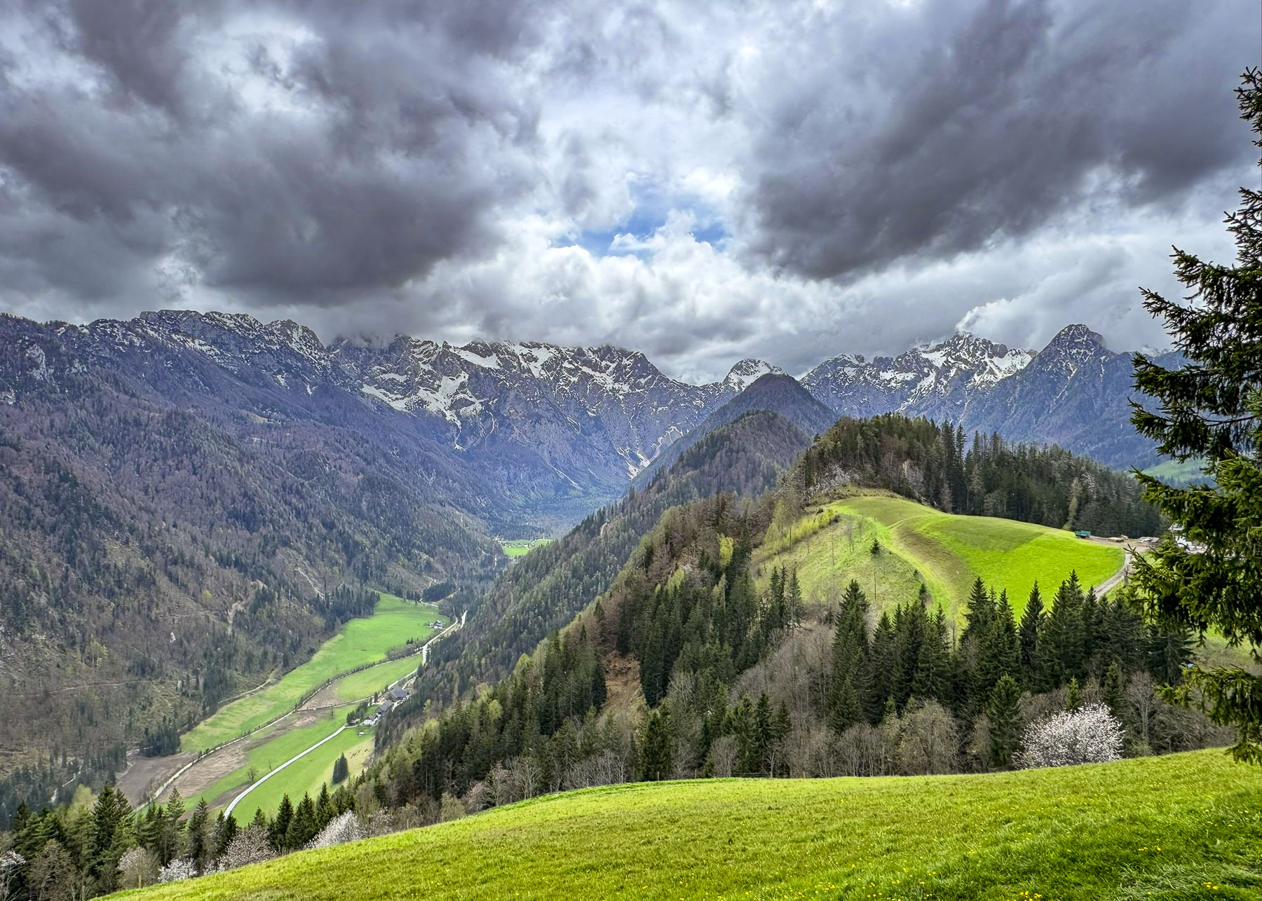
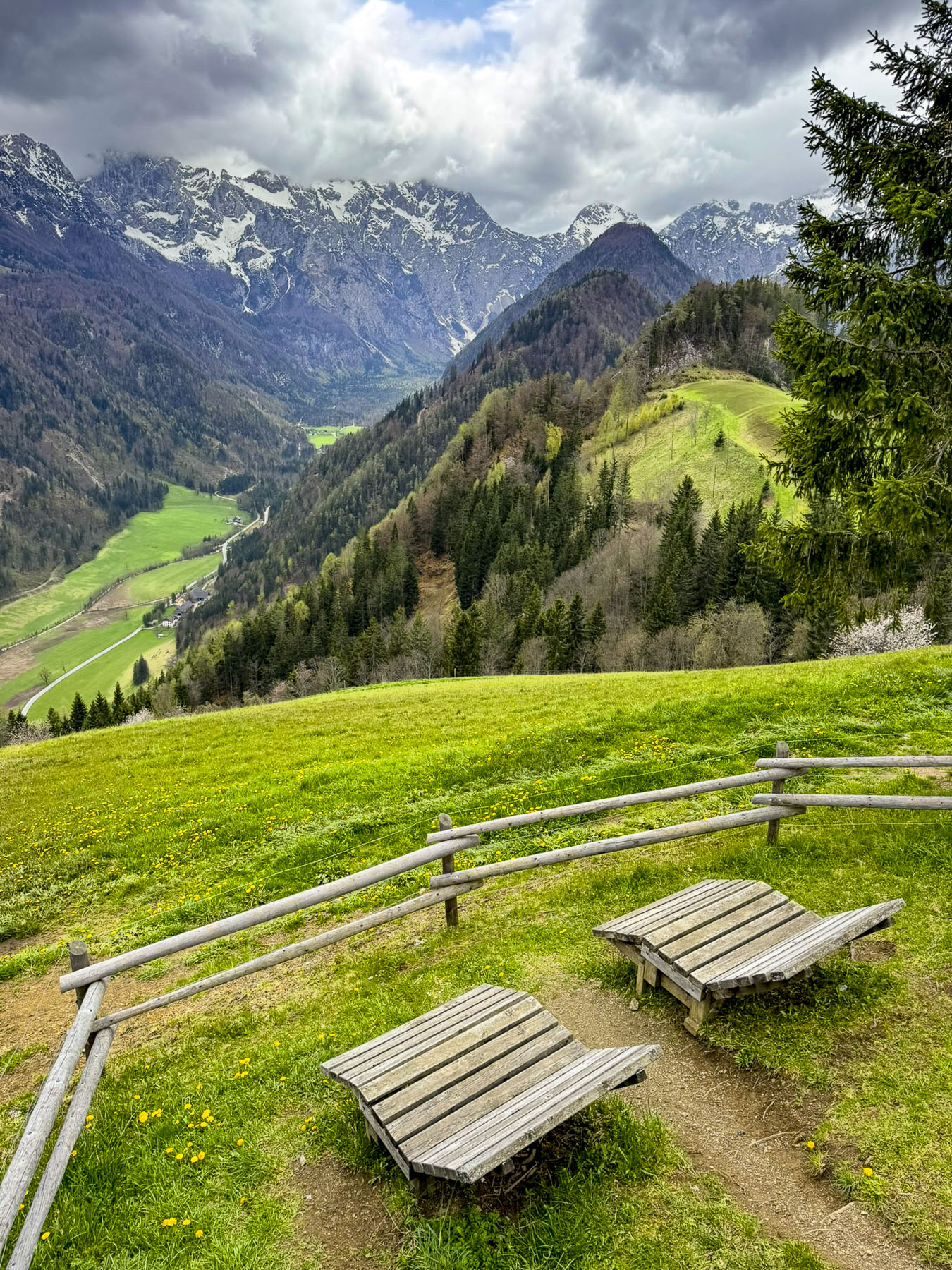
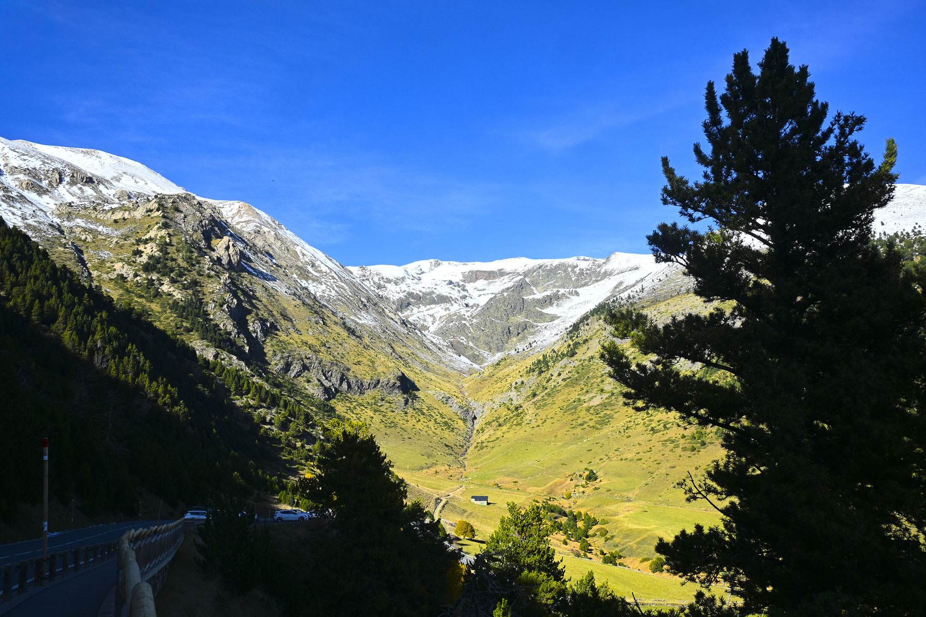
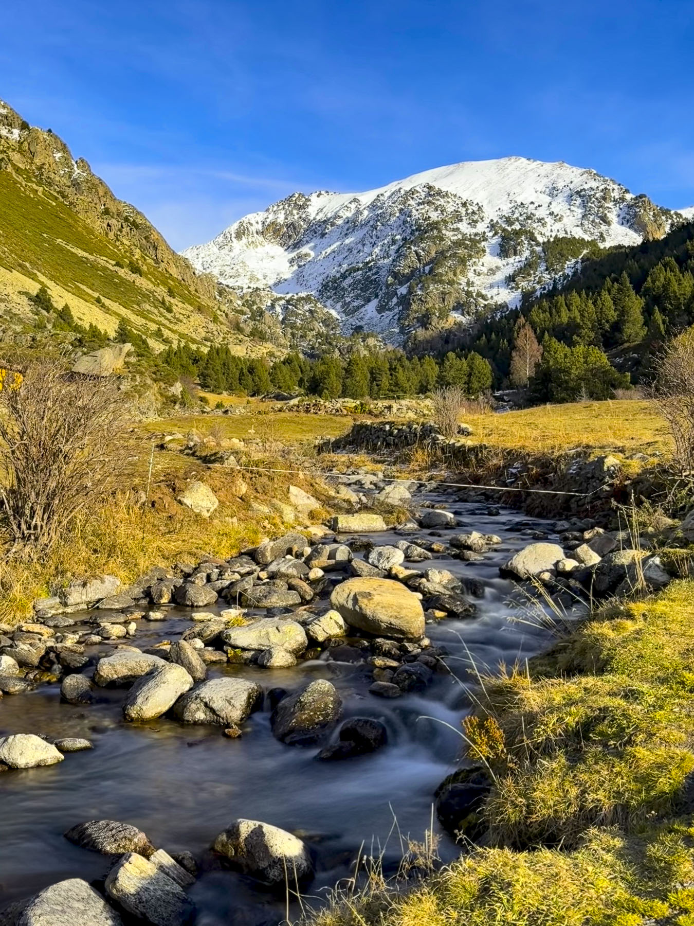
Heading back through Soldeu, the views looking down at the valley surrounded by steep mountains covered with a light snowfall were amazing and we stopped frequently to take photos as we headed to the Vall d’Incles, a tranquil valley with rolling meadows.
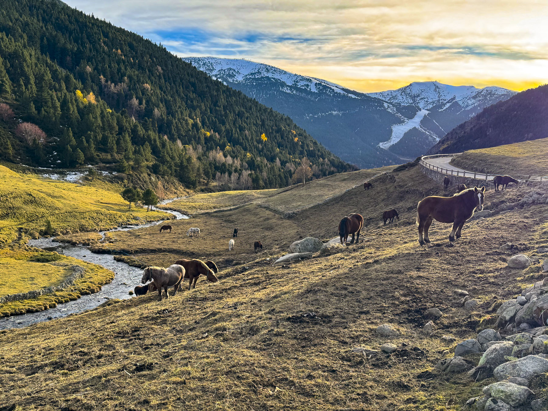
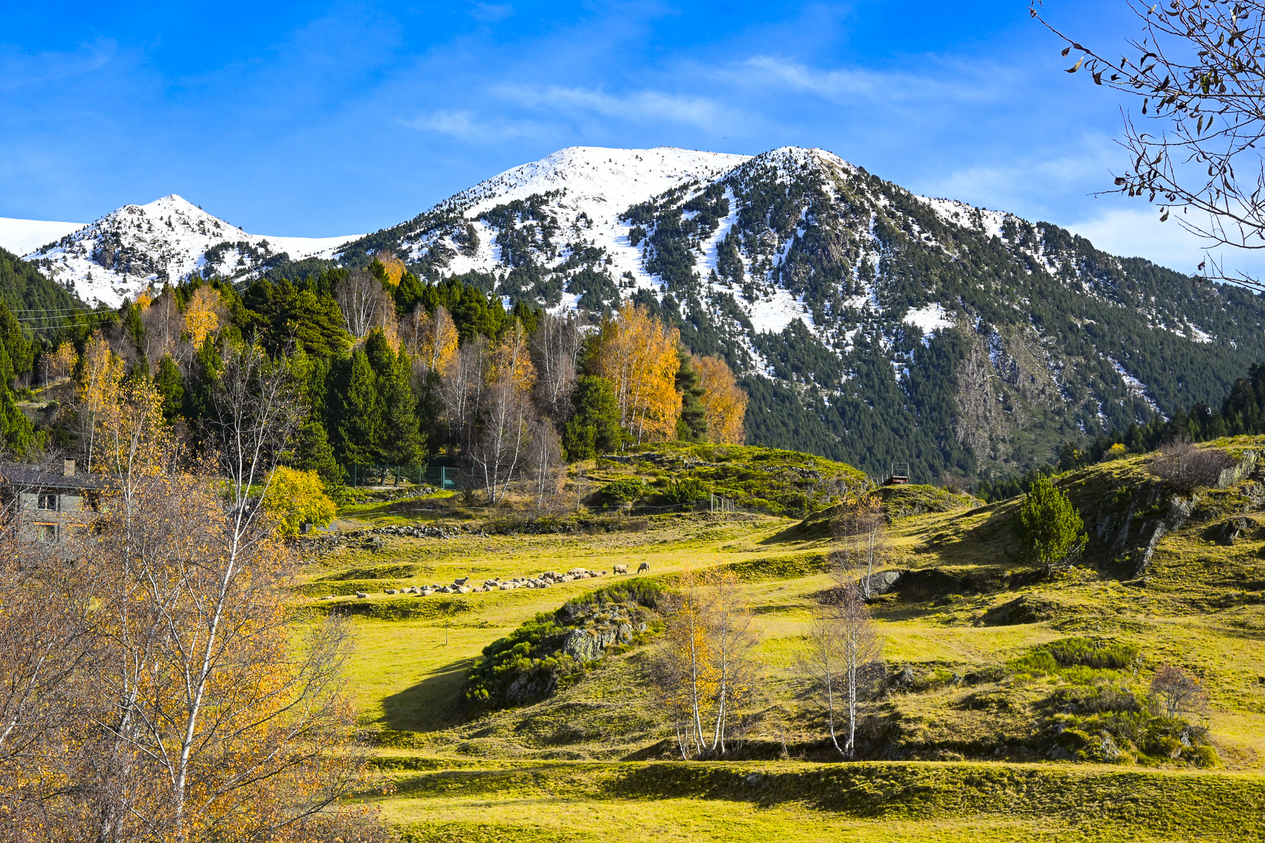
The valley is also the primary gateway for the Andorran Camí de la Transhumància, the traditional moving of livestock up into high-altitude mountain pastures in the spring and then back down to the valley floors in the autumn. The seasonal herding of livestock here is a UNESCO-recognized heritage practice that preserves mountain biodiversity and ancestral shepherding traditions. The valley was also an important transfer point for Andorran smugglers to offload the contraband they had carried from France across the Port d’Ingles mountain pass.
After parking the car at the far end of the valley, we had hoped to do a short hike a little farther up the valley to the Pont del Travenc, an old stone bridge across a mountain stream. Unfortunately, melting snow rendered the track a muddy mess and we contented ourselves with a picnic in the parking lot.
The next morning we were on the road, back to Barcelona before sunrise to catch our flight to Gran Canaria Island to relax in warmer temperatures that hovered around 22C (72F) during the day.
We had a wonderful time exploring Andorra in the November shoulder season. It was slightly colder than we expected, but we had sunny days, and there were surprisingly few cars on the road outside of Andorra la Vella. Though the country is only 2.5 hours from Barcelona, it often gets overlooked as a destination, but there is plenty to do, beyond shopping, if you like hiking and skiing. The concentration of so much gorgeous scenery in one small country is amazing, and inspiration enough to plan a visit.
Till next time,
Craig & Donna
P.S. Andorra has excellent international bus service to the airports and train stations in Barcelona, Spain and Toulouse, France. As well as a reliable local bus service with 7 routes that connect all the towns and ski resorts in the country.