
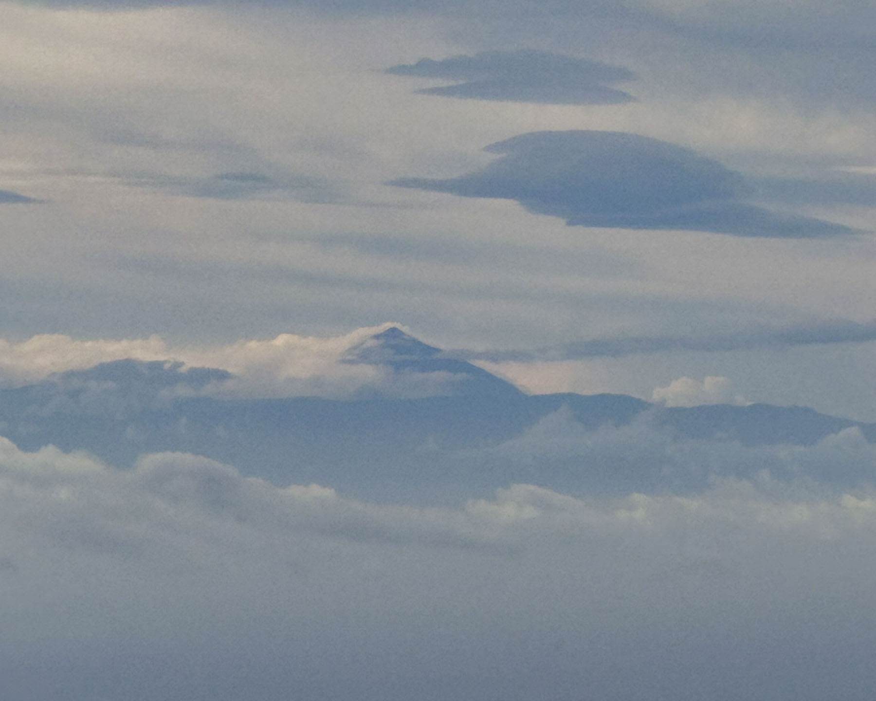
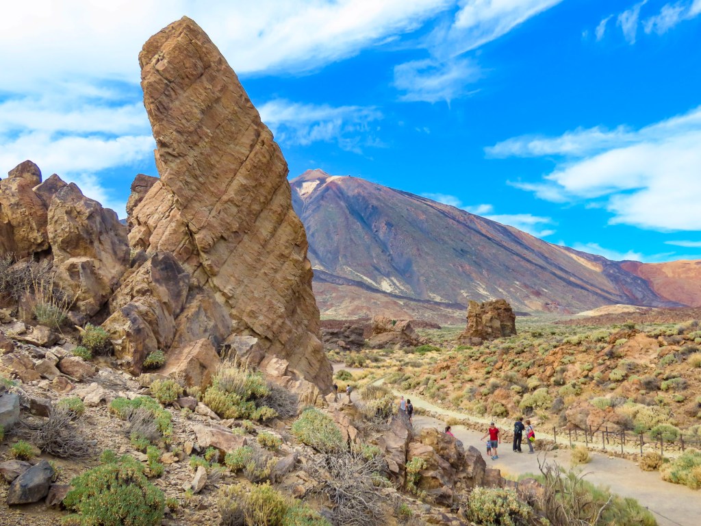
The cone-shaped summit of Mount Teide poked through hazy blue clouds. At 3,715m (12,000ft), it is Spain’s highest mountain, it’s not on the Iberian Peninsula, but on Tenerife in the Canary Islands. For centuries, the iconic landmark was the first sight of land for sailors returning from the newly discovered Americas. Now tourists get the pleasure of seeing this majestic peak after flying 2,170 km (1,350 mi) south over the Atlantic Ocean from Barcelona to Gran Canaria Island, 280 kilometers (175 mi) off the coast of southern Morocco.
Our desire to flee the hot and humid weather of the southern United States, which usually lasts until beginning of December, coupled with a reasonable airfare, was the catalyst for the trip. And escape we did, initially to Andorra, that beautiful small, isolated microstate in the Pyrenees Mountains between France and Spain. Our day had started hours earlier in the chilly mountain predawn as we fled the cold Andorran mountains, that the week before received an early November covering of snow, to Gran Canaria. The Canary Islands’ third largest landmass in the eight-island archipelago, is often referred to as the “land of eternal Spring.”
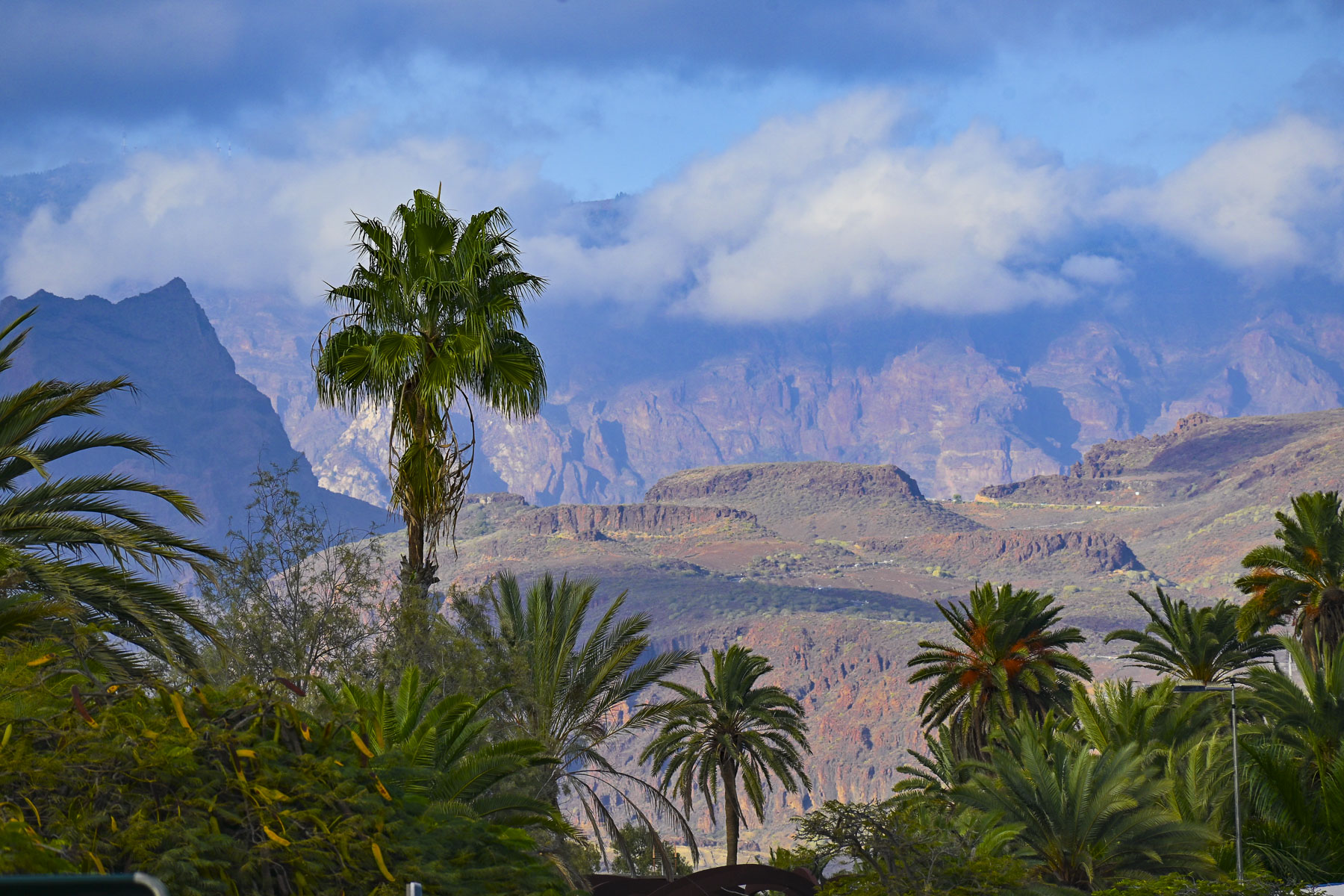
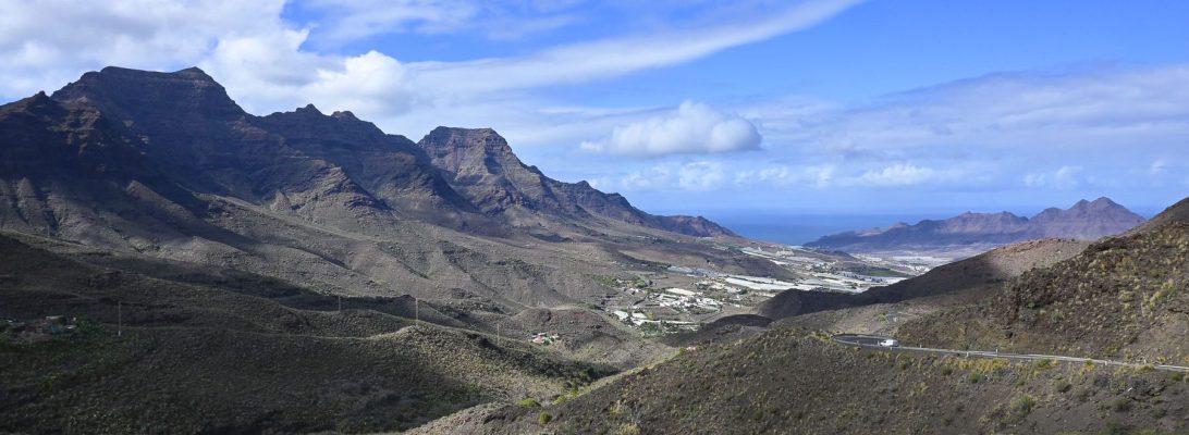
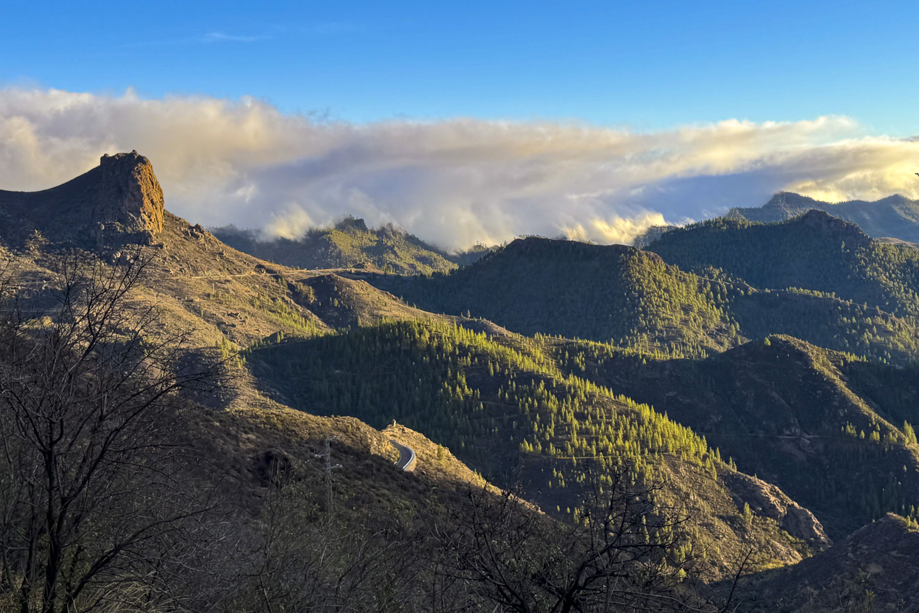
Driving south along the GC-1 from the airport toward Maspalomas, the island’s Montañas Sagradas mountain range dominated the inland view. Though Pico de las Nieves, the tallest peak in the range, is only half the height of Mount Teide, the mountain range’s sheer austere ruggedness was beautiful, and so close.
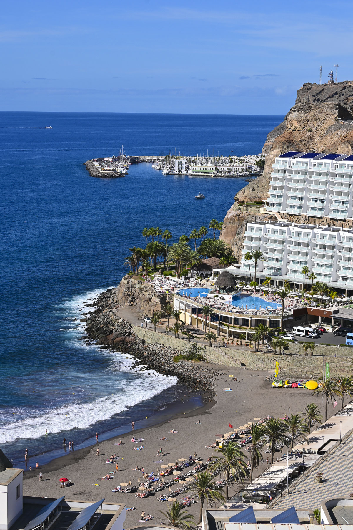
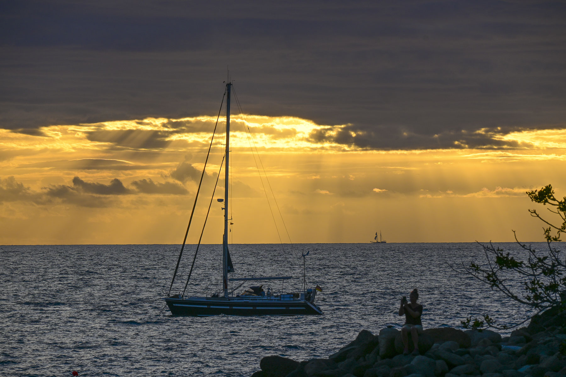
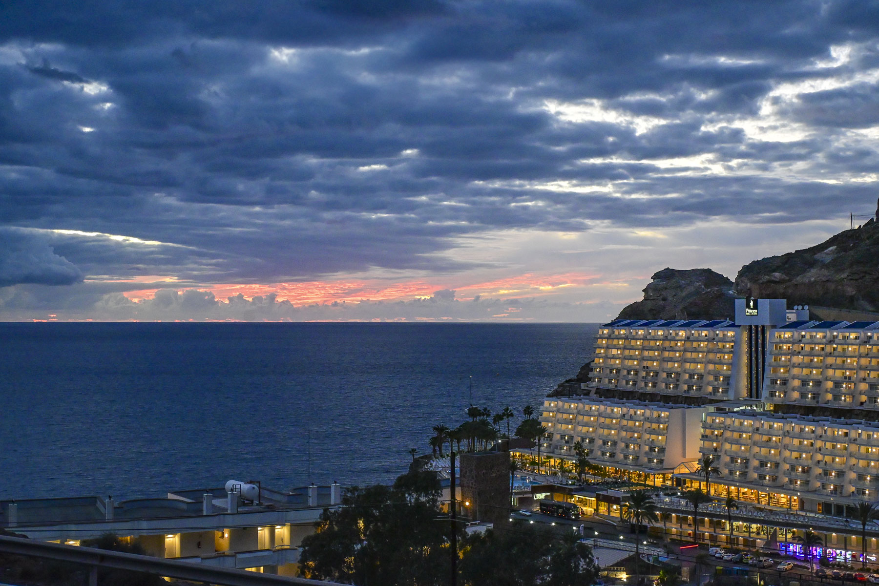
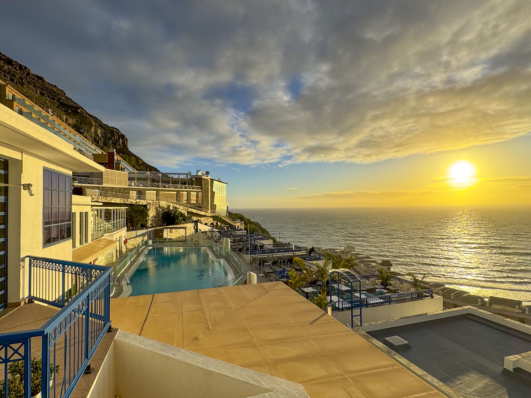
Our destination for nine days: Taurito, on the island’s southwest coast, one town over from Puerto de Mogán, and Club Cala Blanca, a stunning apartment-style hillside resort, with views of the ocean and a black sand beach, folks in the pool, and not a snowball in sight. This would be a very liberal interpretation of a staycation for us, something unheard of until now in our travel vocabulary. Usually, our lengthiest stay in any one place is four days, but we used this opportunity to also get some dental work done while enjoying a region blessed with over 320 sunny days per year, and weeks of cloudless skies. The island chain’s perfect year-round weather is the consequence of the aptly named Canary Current bringing cooler water from the North Atlantic Ocean south around the islands. This moderates the hot winds, known as the Calima, that blow west from the Saharah Desert. This perfect meteorological balance provides Gran Canaria spring-like conditions year-round, while refreshing trade winds that blow storms in from the Atlantic Ocean get blocked by the mountains and keep the northern part of the island wetter and greener with forests, than the southern part of the island.
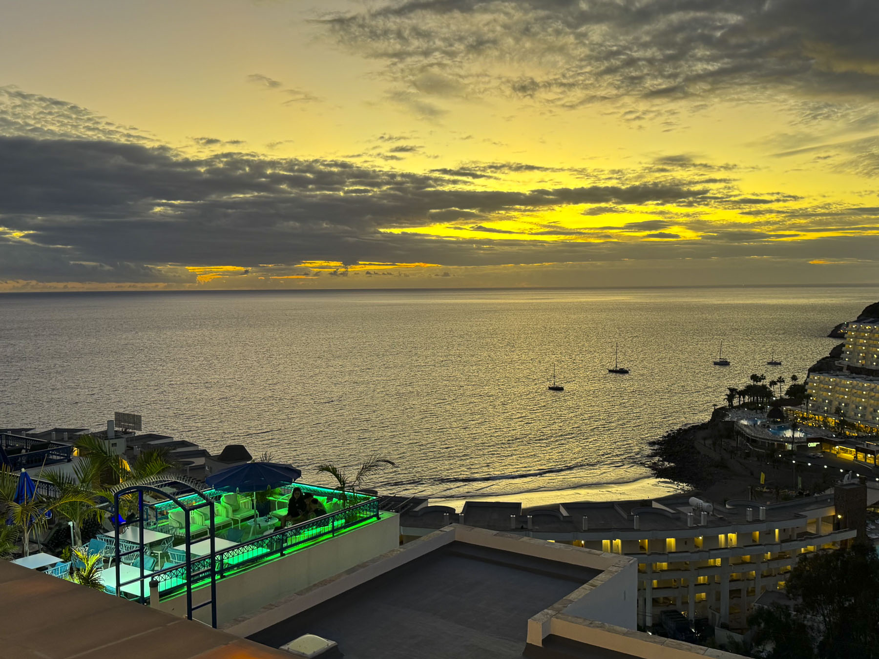
With favorable weather year-round, Gran Canaria’s high seasons are geared to Northern Europe’s holiday and school vacation schedules, rather than seasonal weather changes. The island’s shoulder seasons run in the Spring from March to May and in Autumnfrom September to November. We were delighted there were fewer tourists about during our visit, as it made finding parking much easier. The only drawback was that some of the restaurants were only open on weekends.
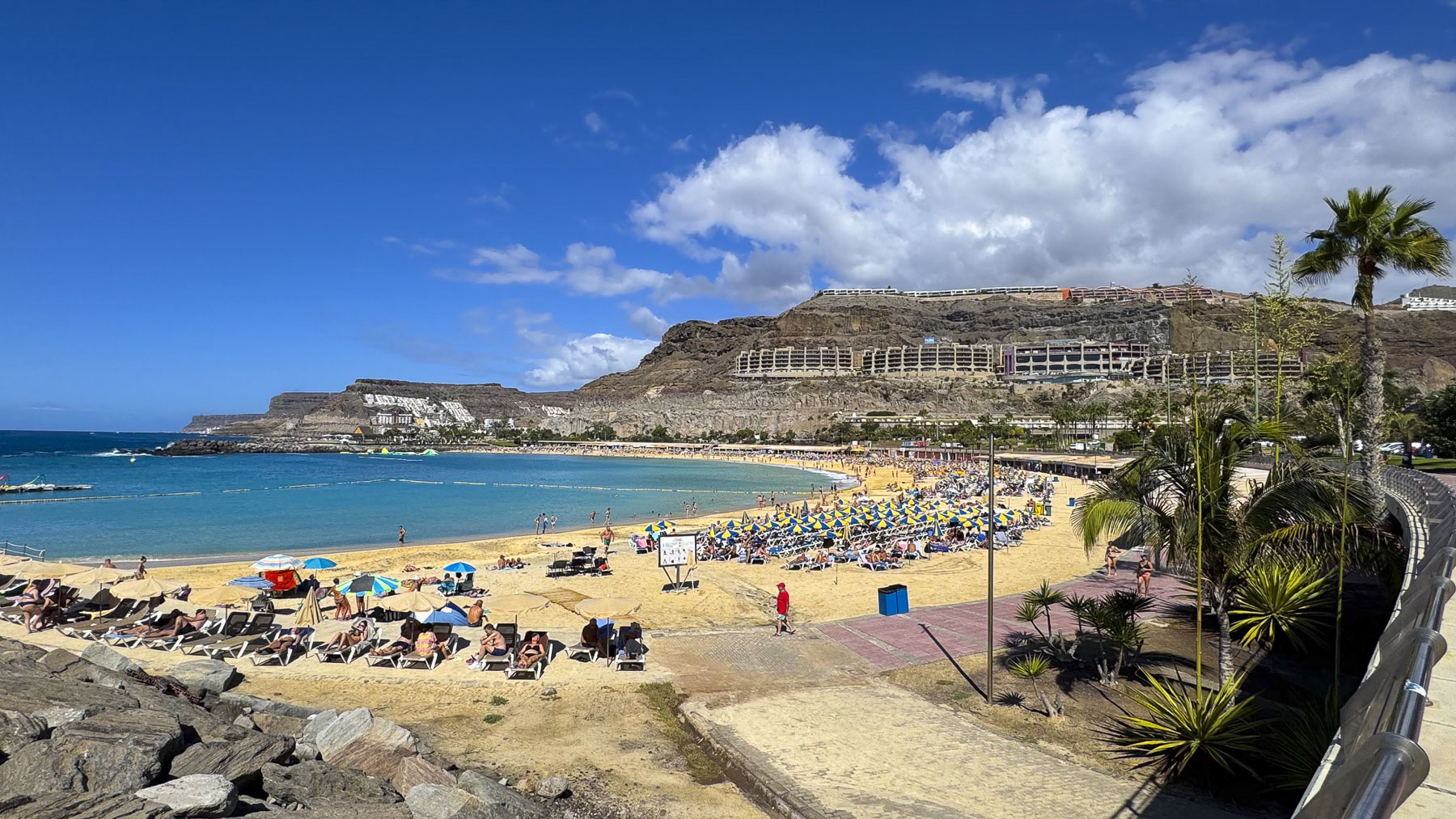
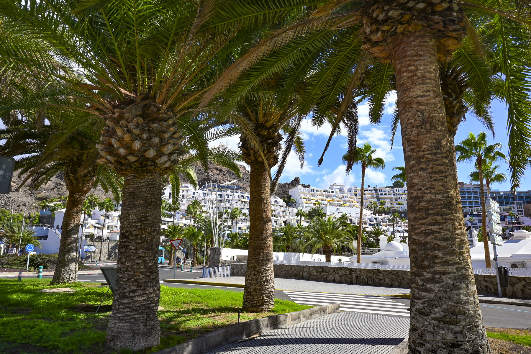
Ironically, on our first full day on the island we headed off early to see the dentists at the Clinica Margarita in Maspalomas, where, over the course of three visits during our stay on the island we had an extraction, fillings, and a crown replacement. We gave ourselves enough time that morning to enjoy part of the coastal road, Carr. Mogán, from Taurito to the Playa de Amadores in Puerto Rico. The Playa de Amadores was a beautiful white sand, crescent moon shaped beach that looked so inviting, with plenty of folks enjoying the sea temperatures that still averaged 22C (71.5f) in mid-November.
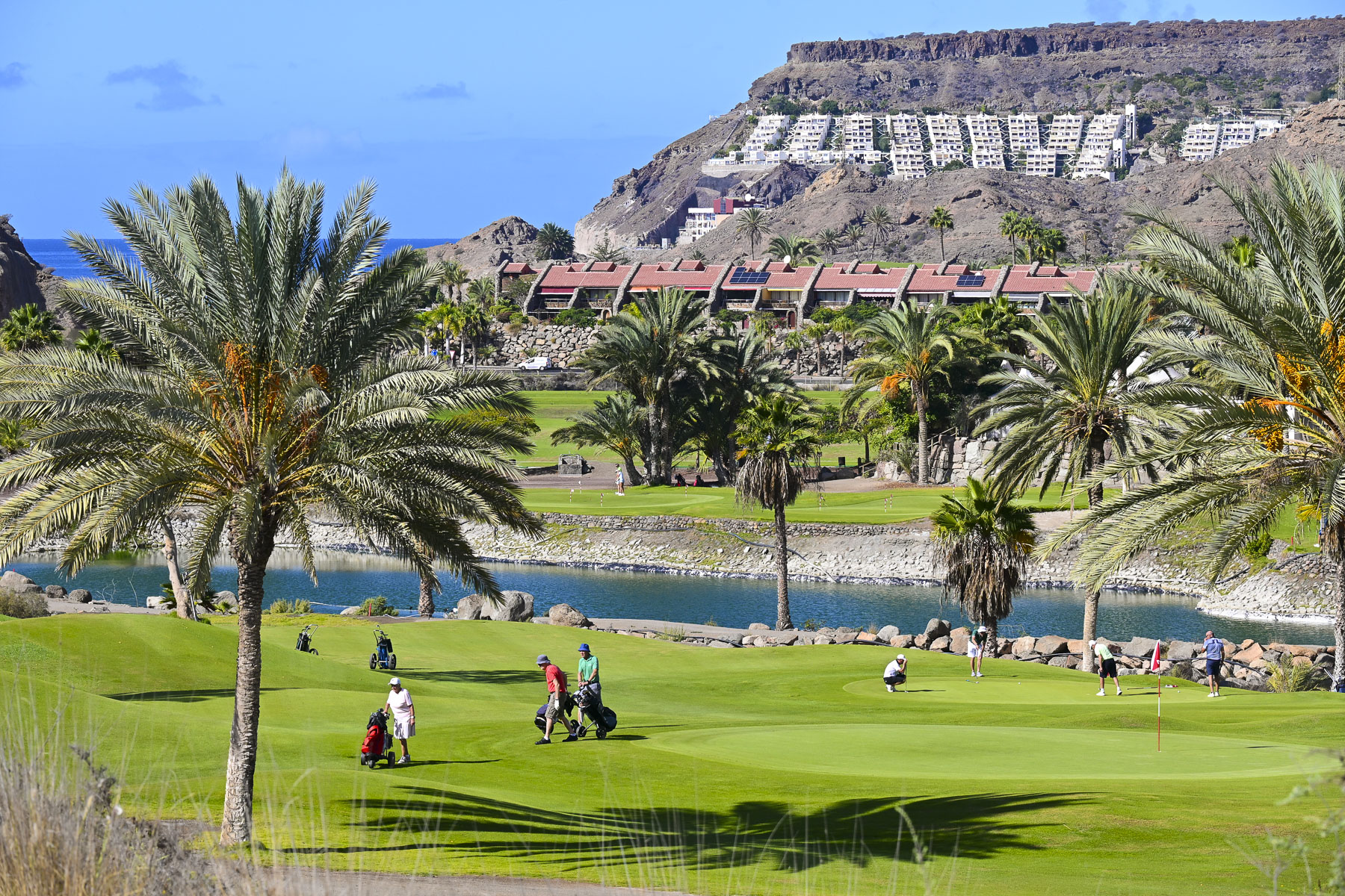
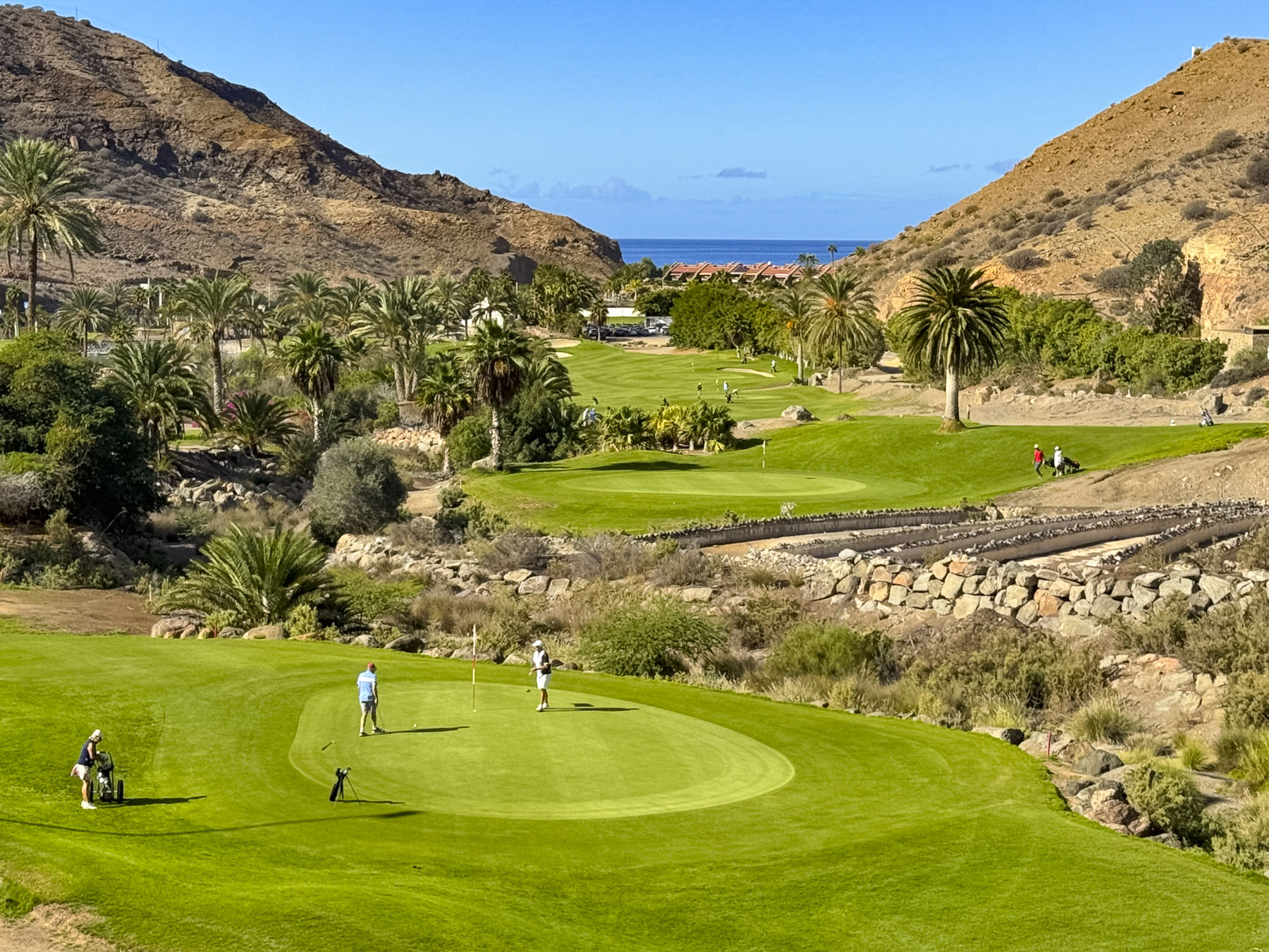
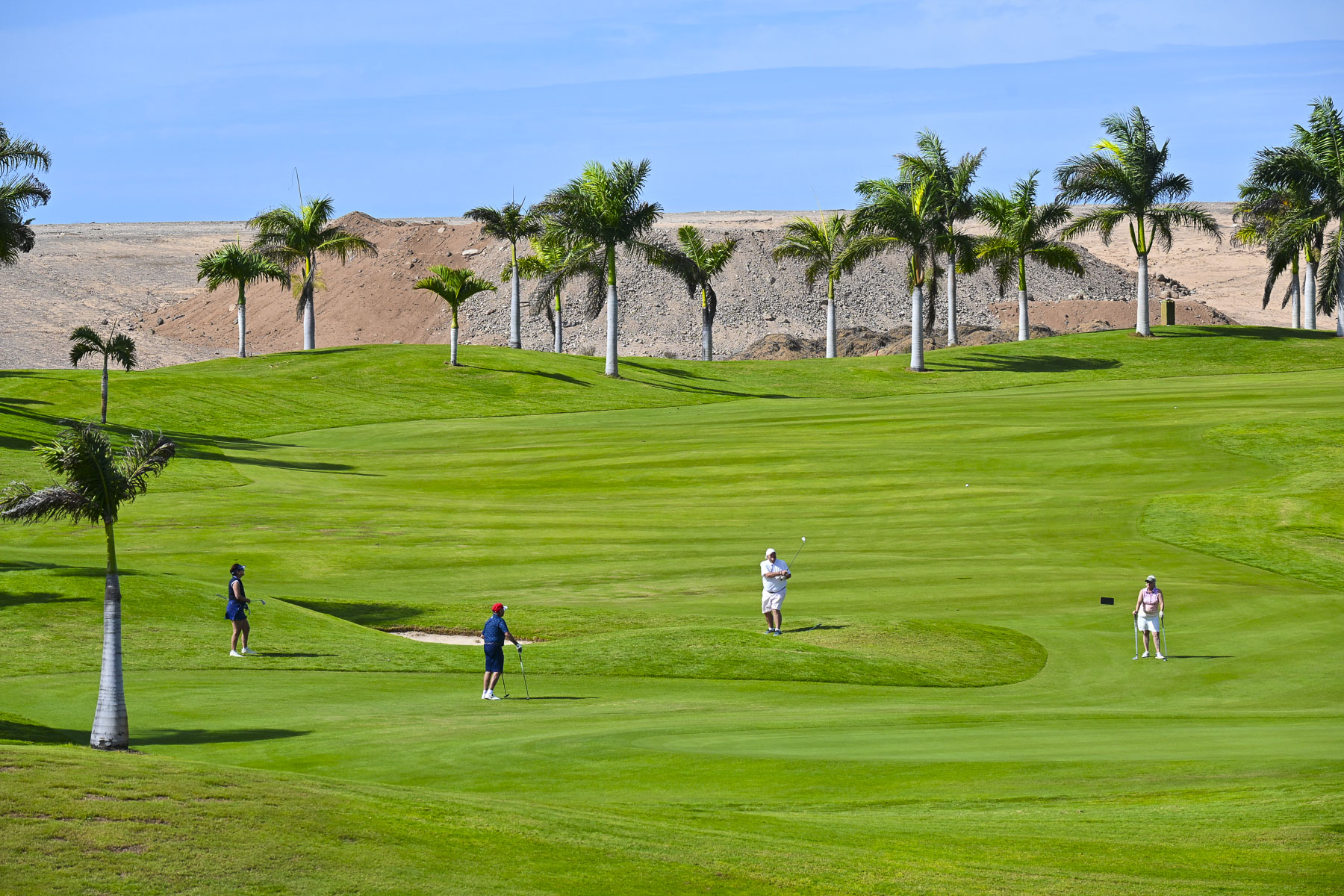
Heading to the GC-1 highway we passed the Anfi Tauro Golf, a strikingly lush green 18-hole golf course, surrounded by arid hills void of vegetation. It’s one of eight golf courses found across the island, but their presence is often protested by environmental groups because of the amount of irrigation water pulled from the local aquifers to keep the fairways verdant, on an island with limited water resources. The golf industry defends itself by noting that approximately 80% of courses in the Canary Islands use treated, reclaimed wastewater. Still environmentalists argue that producing this reclaimed water is energy-intensive and a better use would be to divert the water for agricultural use.
We embrace dental tourism because visiting the dentist in the United States is outrageously expensive, with dentists wanting to have their patients leave their offices with a set of Hollywood choppers, and the corresponding bill. I’ve often felt that when dentists in the states looked at my teeth, they calculated that they could retire early if I got all the procedures they suggested. We found Clinica Margarita online and were impressed from the start by the initial emails from Rebecca, the patient care specialist, to the services provided to us by Dr. Álvaro Martín Mingorance and Dr. Vibeke Lorentsen, in their state-of-the-art clinic. They have a very professional team, and the cost was much less expensive than having the dentistry done in the United States.
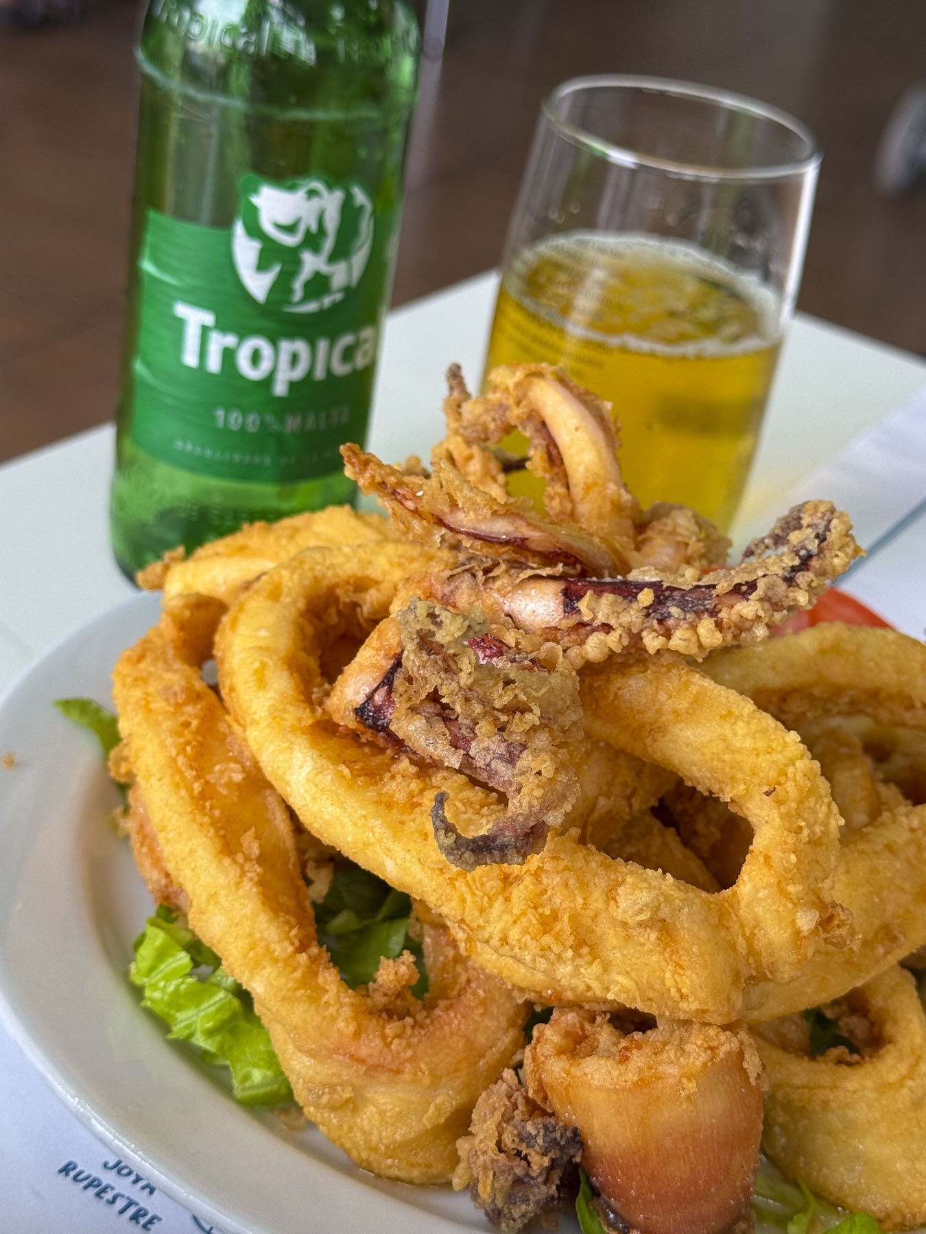
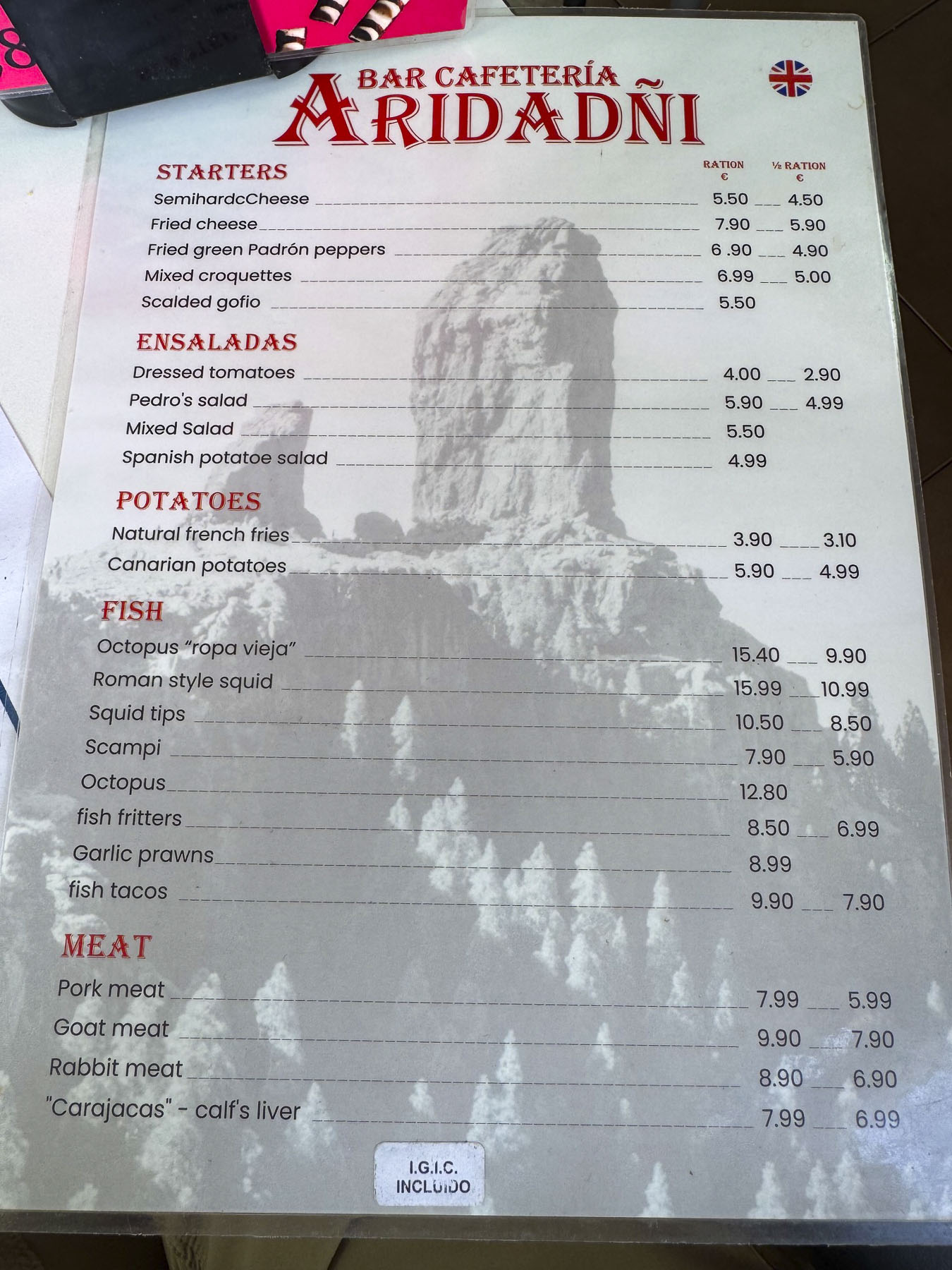
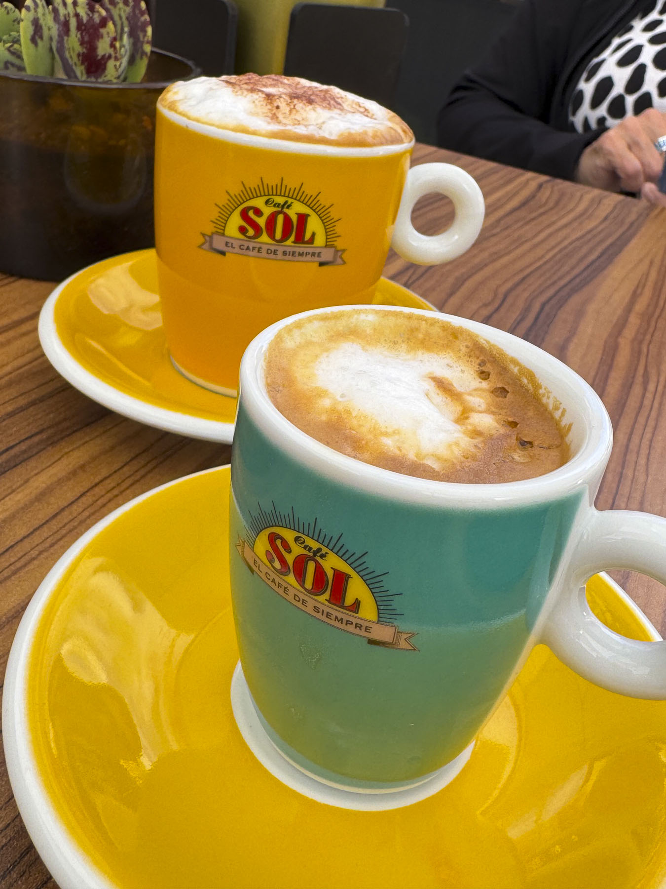
Rebecca was also quite nice in offering tips on local restaurants to try. The first, the Bar Aridañy Montaña Blanca, was right around the corner. It was a small neighborhood restaurant that was bustling with activity at lunchtime, with folks enjoying their meals. The décor was simple, but the waitress was welcoming, the atmosphere perfect, and our tender fried calamari paired with the locally brewed Tropical beer, fabulous!
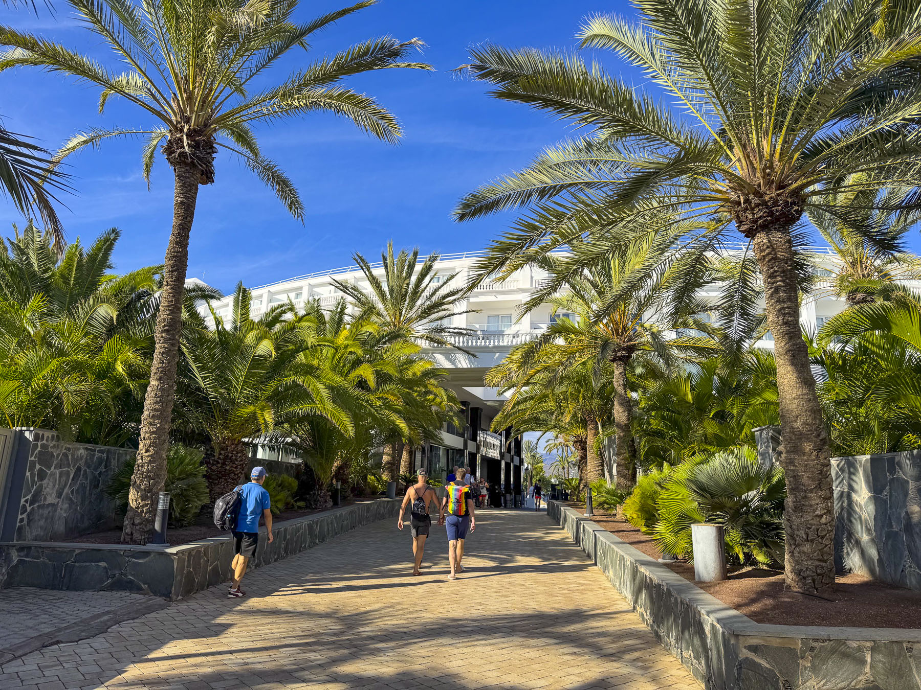
Afterwards, we headed to the promenade that overlooks the Dunas de Maspalomas, across town, several miles away on the coast. Walking down Av. de Tirajana, we noticed that news crews were setting up to cover an event, that we later learned was the Gay Pride Walk, part of weeklong activities of Winter Pride Maspalomas. It’s a yearly event and one of the major LGBTQ+ autumn festivals on the European calendar.
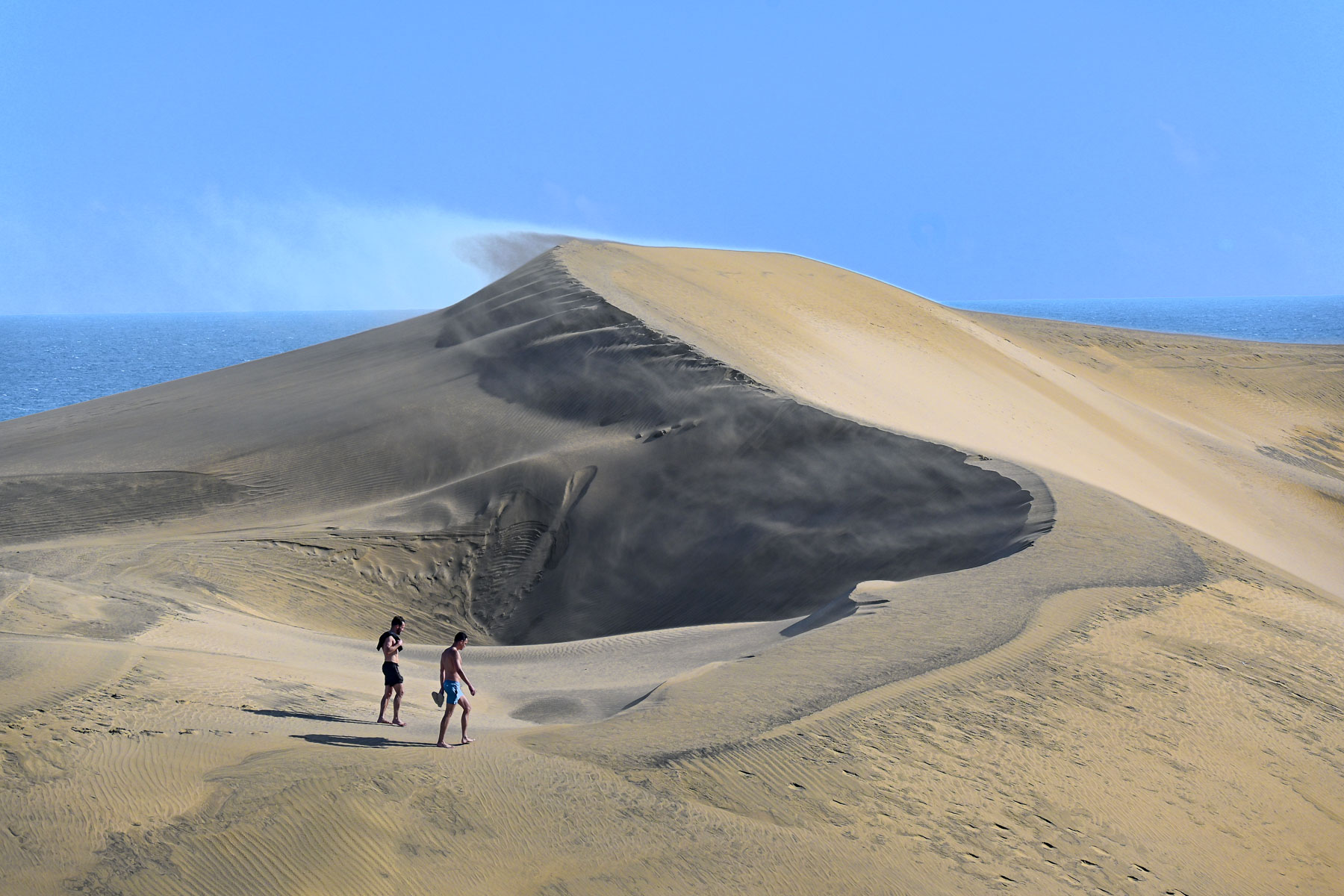
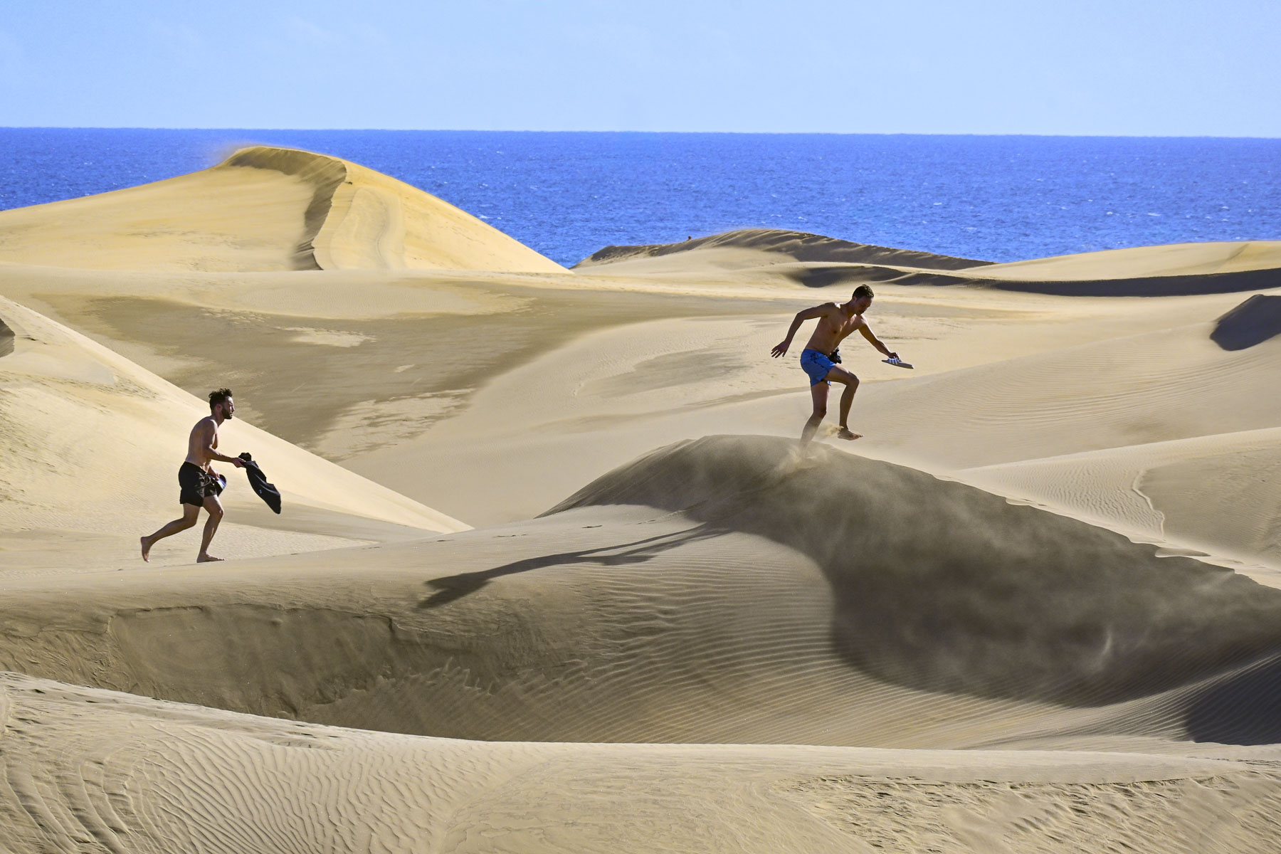
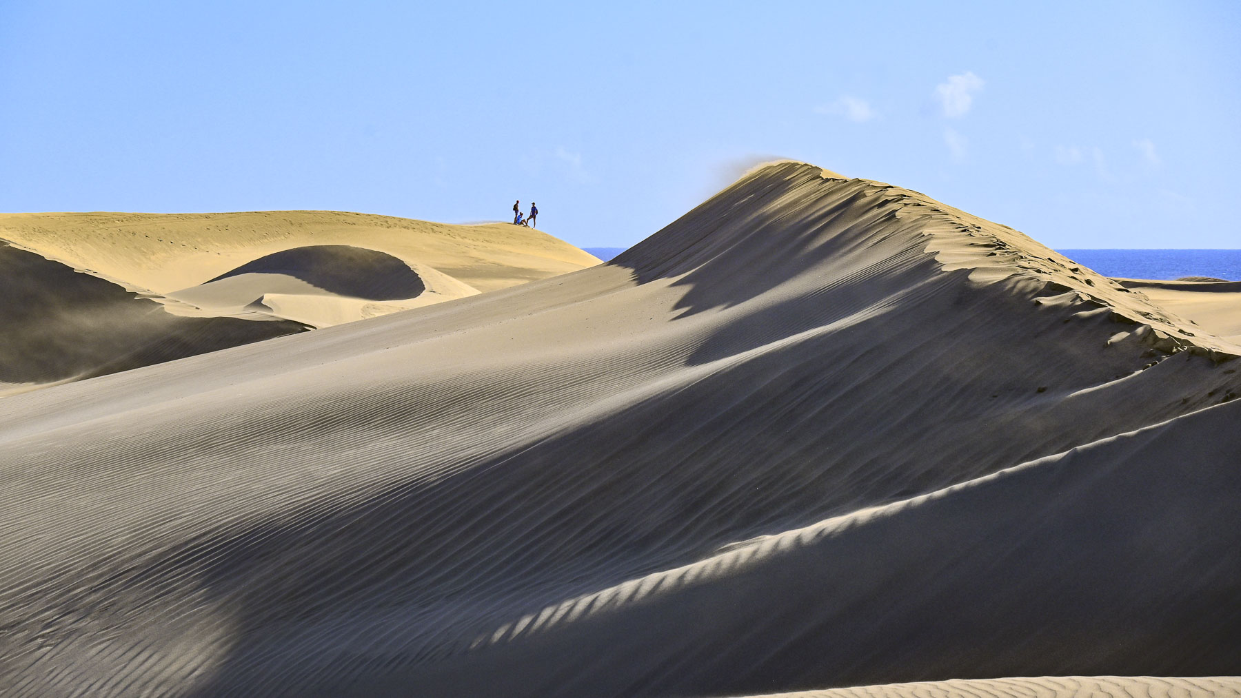
The dunes, with their origin in the Ice Age, are an amazing vast track of ever shifting sands, shaped by the trade winds, that cover over 404 hectares (1,000-acres), and separate the town from the sea. It was a photographer’s paradise with unlimited compositions. You can even plan your own Laurence of Arabia experience riding camels across the dunes with Camello Safari Duna Oasis.
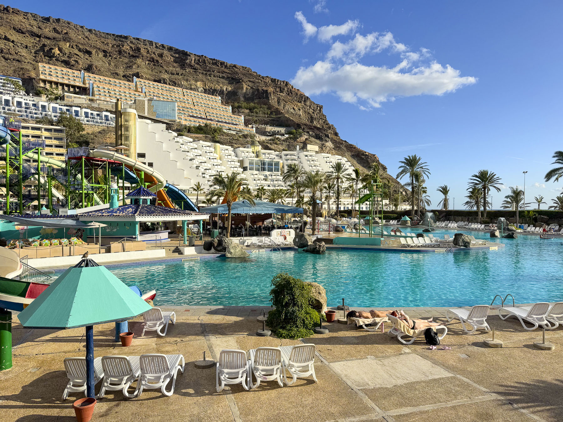
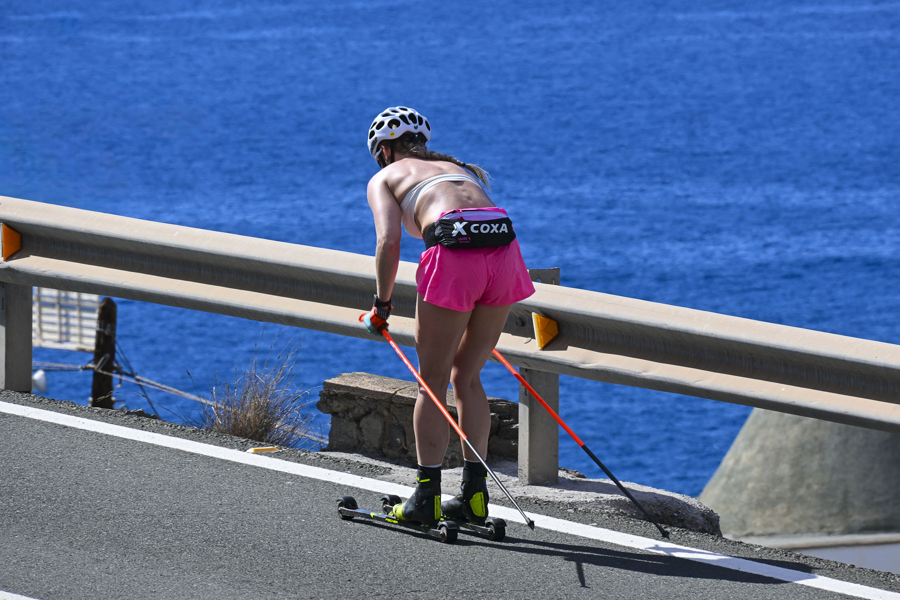
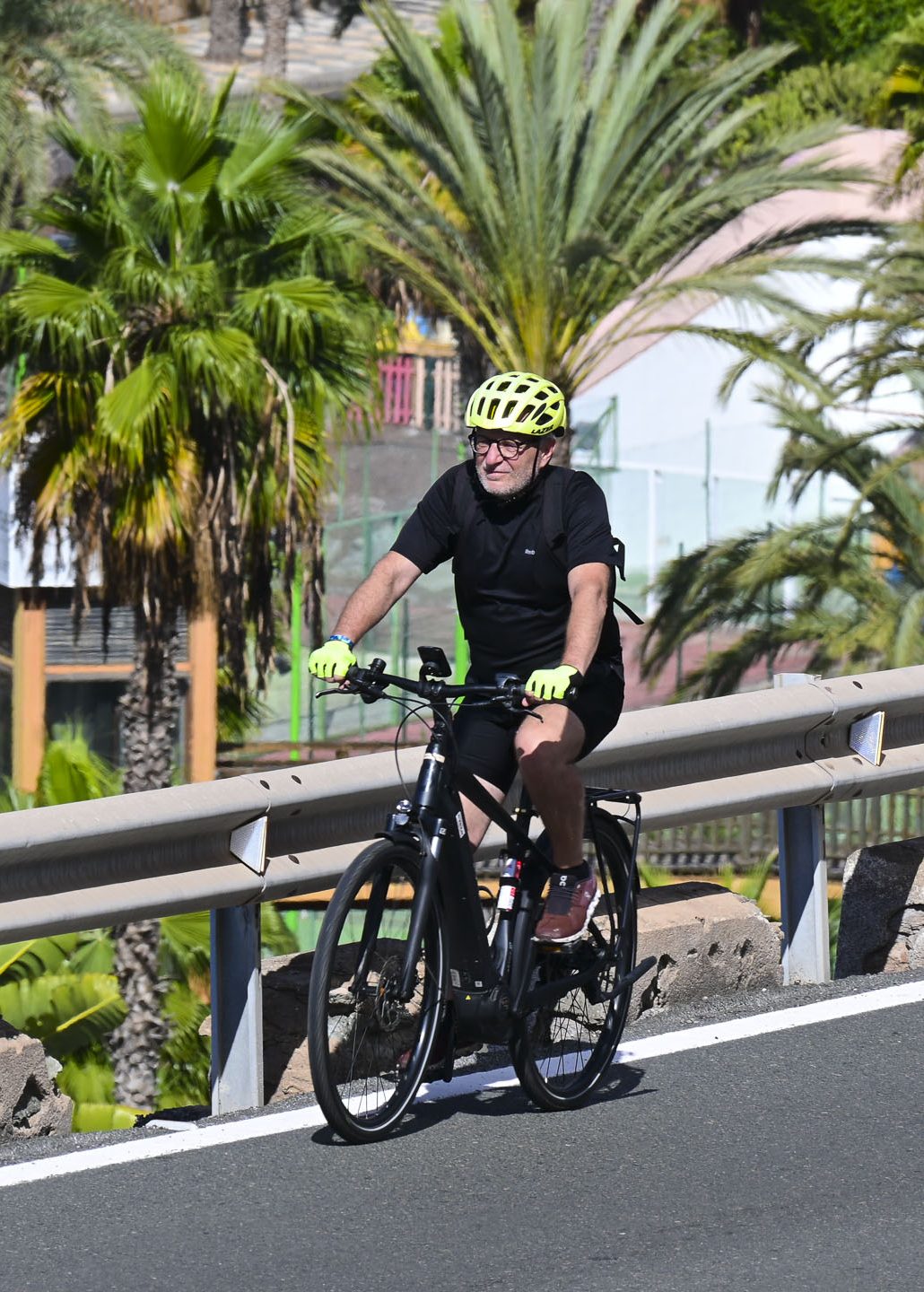
Staying home the next day, we lounged on our balcony, watching cyclists and rollerskiers pump up the long incline of the coastal road, before driving down into Taurito for lunch. Four large tourist hotels with clubs and a casino, along with the massive Lago Taurito Water Park,dominate the approach to the beach. Street parking was limited even in the quieter November shoulder season, though the waterpark was still open this time of year, and there was only a handful of tourists enjoying the amenities all to themselves. It looked like a wonderful place for families with children to spend an activity-filled day.
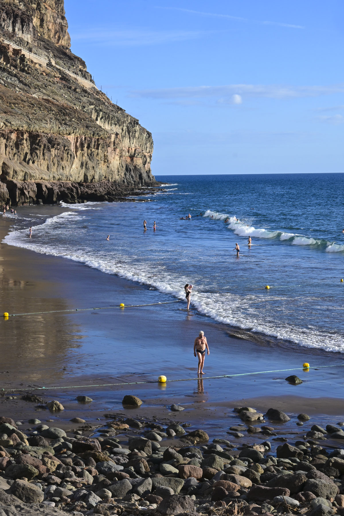
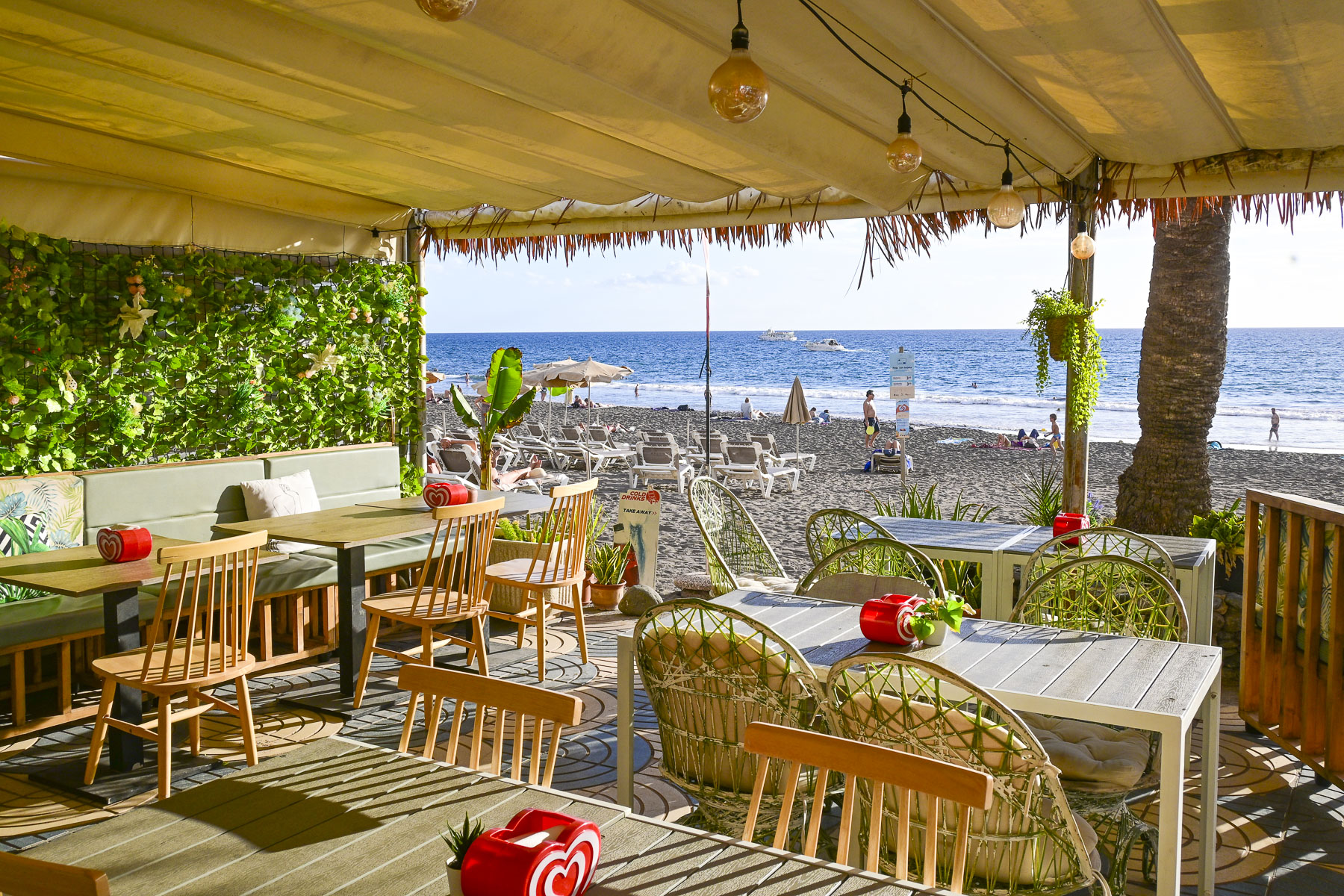
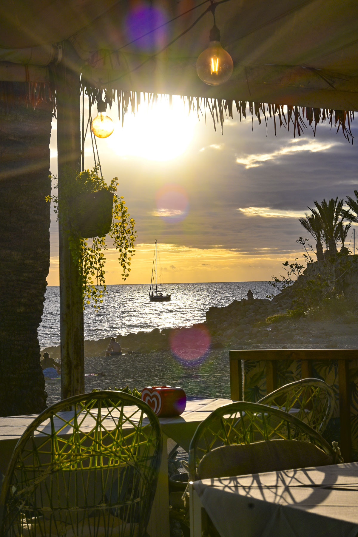
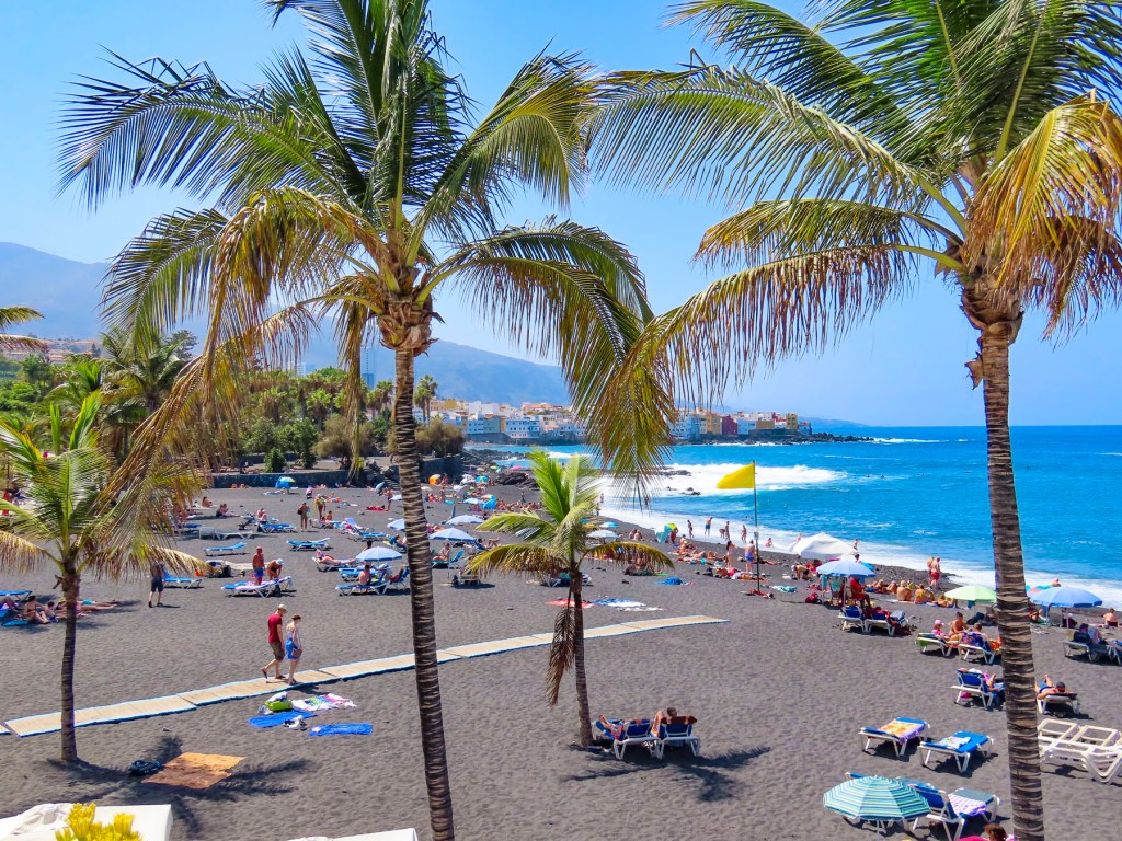
At the head of the beach was a short promenade lined with a few shops and restaurants that only had outdoor seating. We chose one with the most diners, always a good sign when in doubt. The black sand beach under towering cliffs was very beautiful.
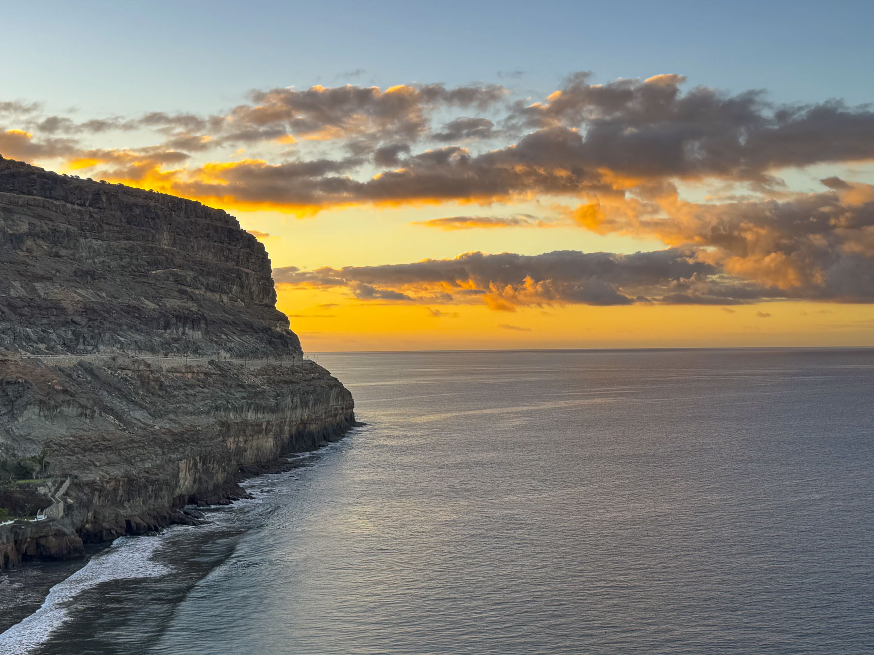
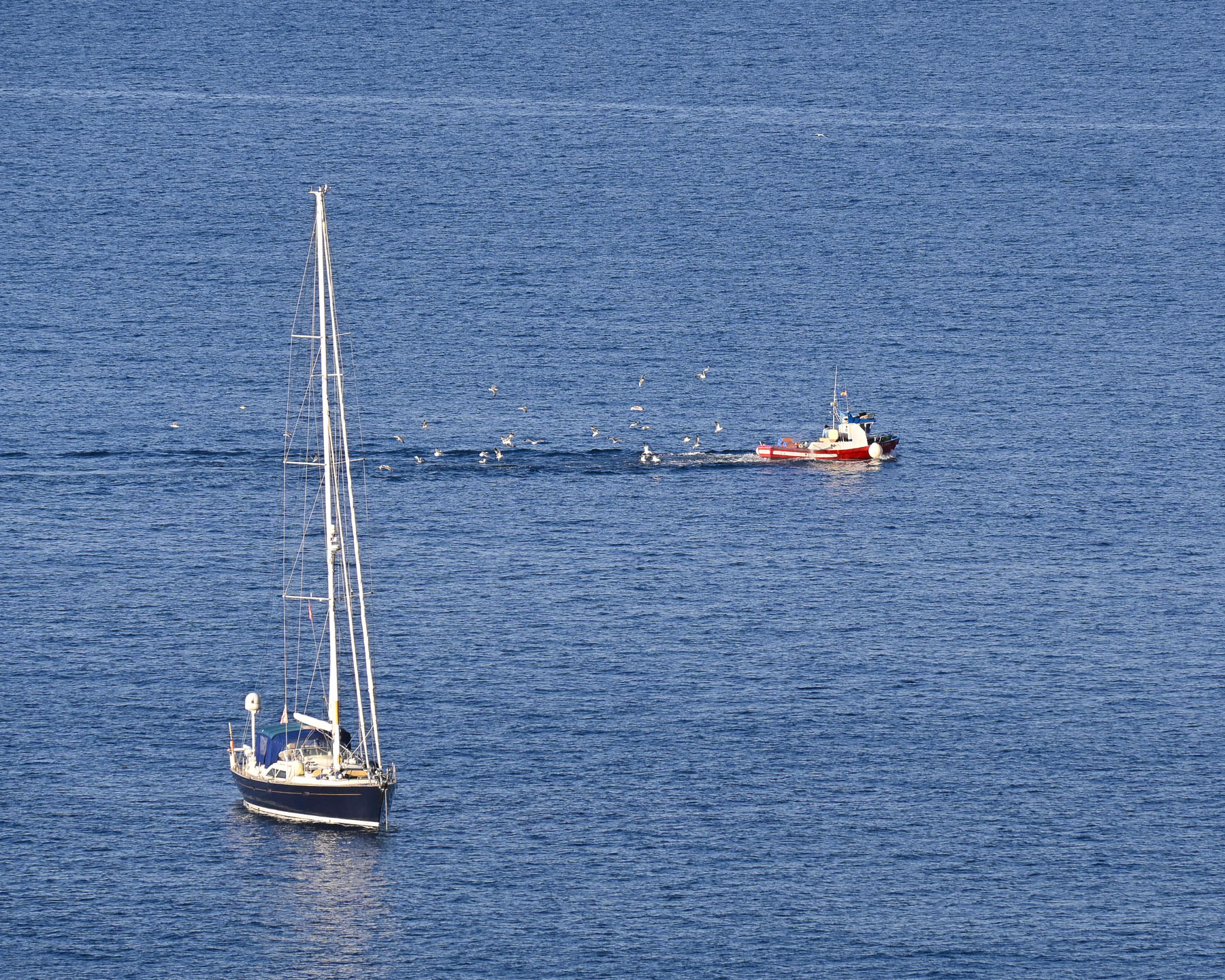
From our balcony the next morning we watched the sunrise cast the morning clouds a pastel pink against the soft blue sky. On the calm sea a flock of gulls trailed the wake of a fishing trawler heading back to Puerto de Mogán to offload its catch.
We are not really inclined to sit still for too long, so that Sunday we headed into the mountains to browse the weekly Mercadillo de Teror, 87km (54mi) away on the northern part of the island, slightly over an hour drive. The weather along the coast was very pleasant as we followed the GC-1 past the cosmopolitan city of Las Palmas. With a population of approximately 384,000, it is the largest city in the Canary Islands and is the co-capital (along with Santa Cruz de Tenerife) of the autonomous Spanish archipelago. Las Palmas’ importance dates back centuries to when its harbor, the Puerto de La Luz, was a vital resupply point for maritime expeditions during Spain’s Age of Discovery in late 15th to 17th centuries. Over the course of hundreds of years, the port has become an important shipping hub in the global economy, and today connects the island to 510 ports in 135 countries. This global connectivity has contributed to making modern Las Palmas a vibrant, energetic city with a diverse multicultural population that’s made up of folks from Spain’s former colonies across the globe, northern European expats, and long-established Asian merchants. The sailors, traders, and vacationers that came liked the weather, and stayed if they could. We originally made plans to stay in Las Palmas; however, this idea changed when we decided to devote more days to getting our dental work done. Disappointingly, we did not have time to visit the city properly. But what we’ve heard and read about the city sounds intriguing, and it’s just the right excuse to return to Gran Canaria one day.
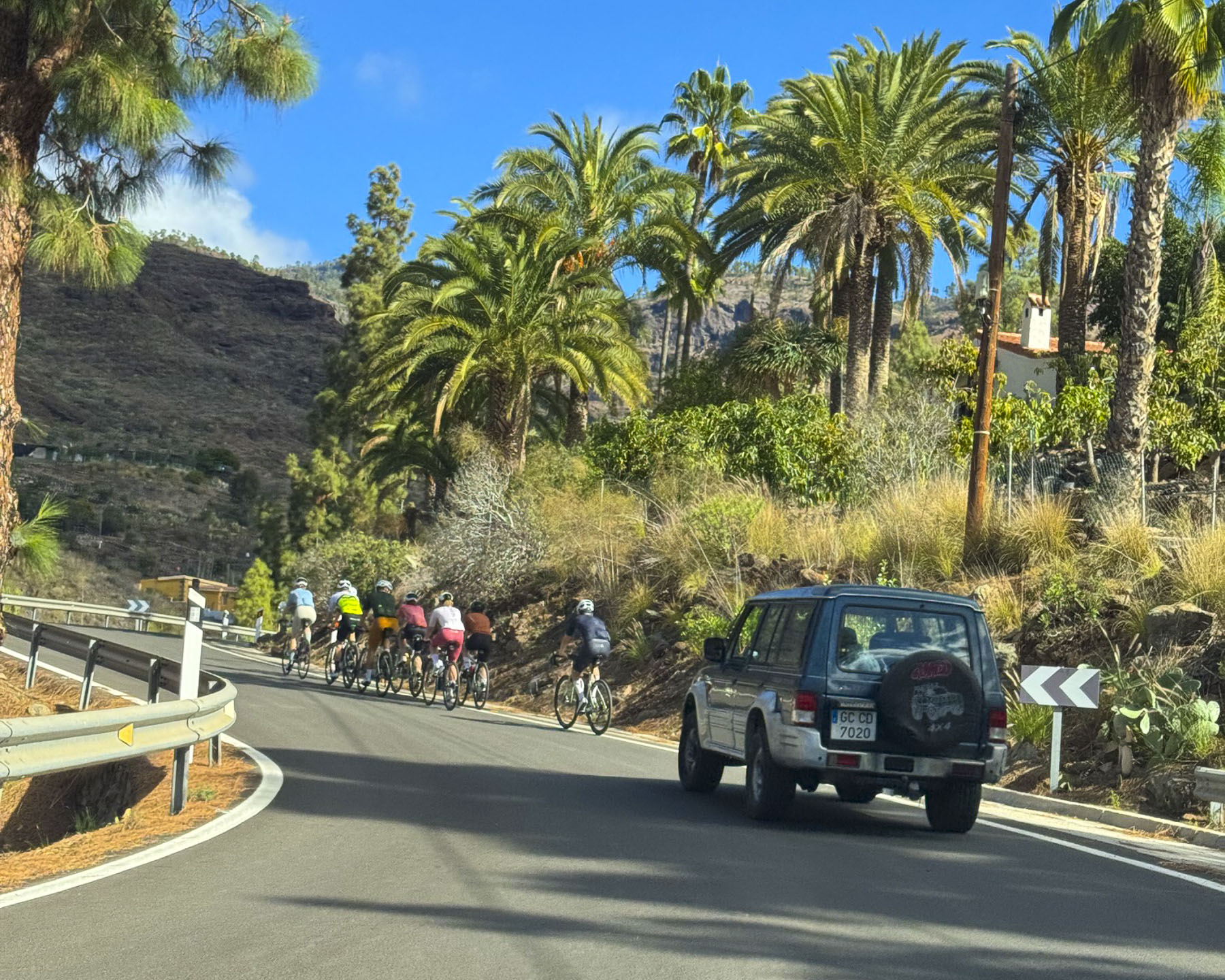
The GC-1 is an excellent 4-lane highway that connects towns along the coast, but once we turned off it to head into the island’s mountainous interior our journey slowed on the narrow serpentine roads, with limited opportunities for passing, and we crawled at a snail’s pace when stuck behind a campervan or worse, a pack of cyclist.
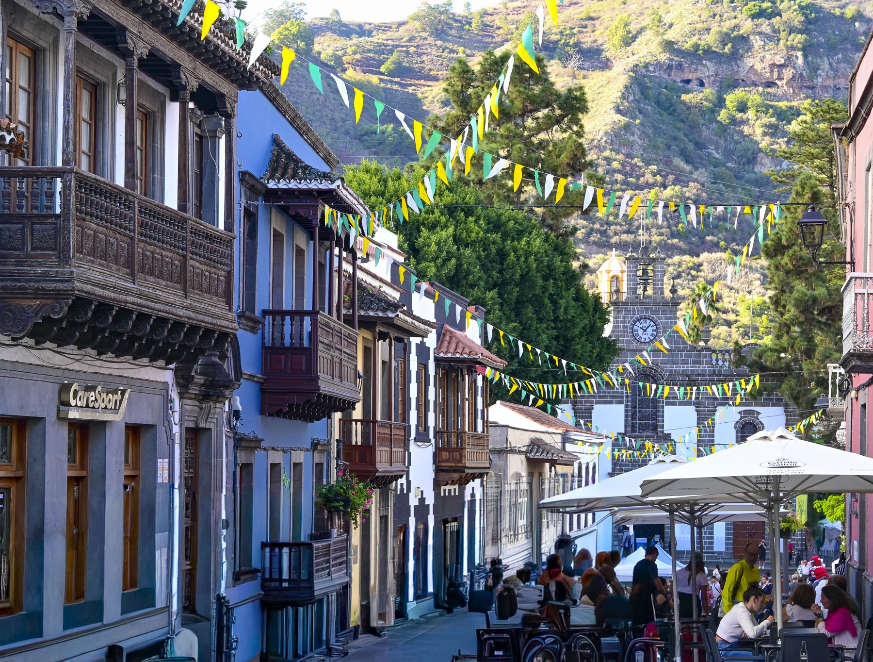
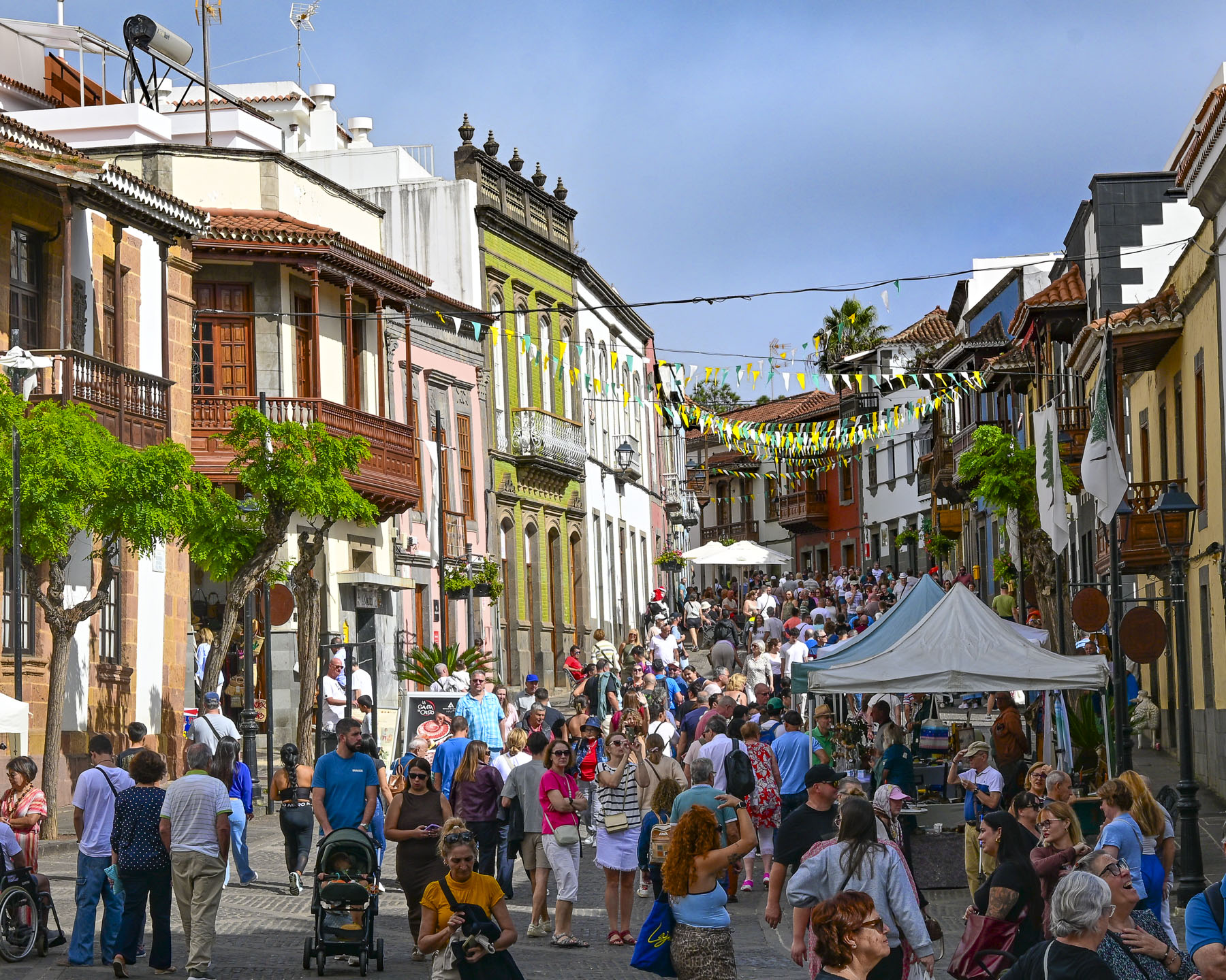
Arriving to Teror mid-morning, we were fortunate to find one of the last parking spaces in a grassy lot several blocks downhill from Calle Real de la Plaza. Calle Real is the main lane through the town’s historic center and is lined with traditional brightly colored Canarian homes, that have carved wooden balconies over the street. The calle ends at the plaza around the 18thcentury Basílica de Nuestra Señora del Pino, which was built on the site where tradition holds the Virgin Mary appeared in 1481 to a group of shepherds in a pine grove. The town quickly became an important religious site, with an Episcopal Palace, and the Cistercian Monastery to support pilgrimage activities. The octagonal yellow tower on the corner of the basilica represents the architectural style of an earlier church that was on the site.
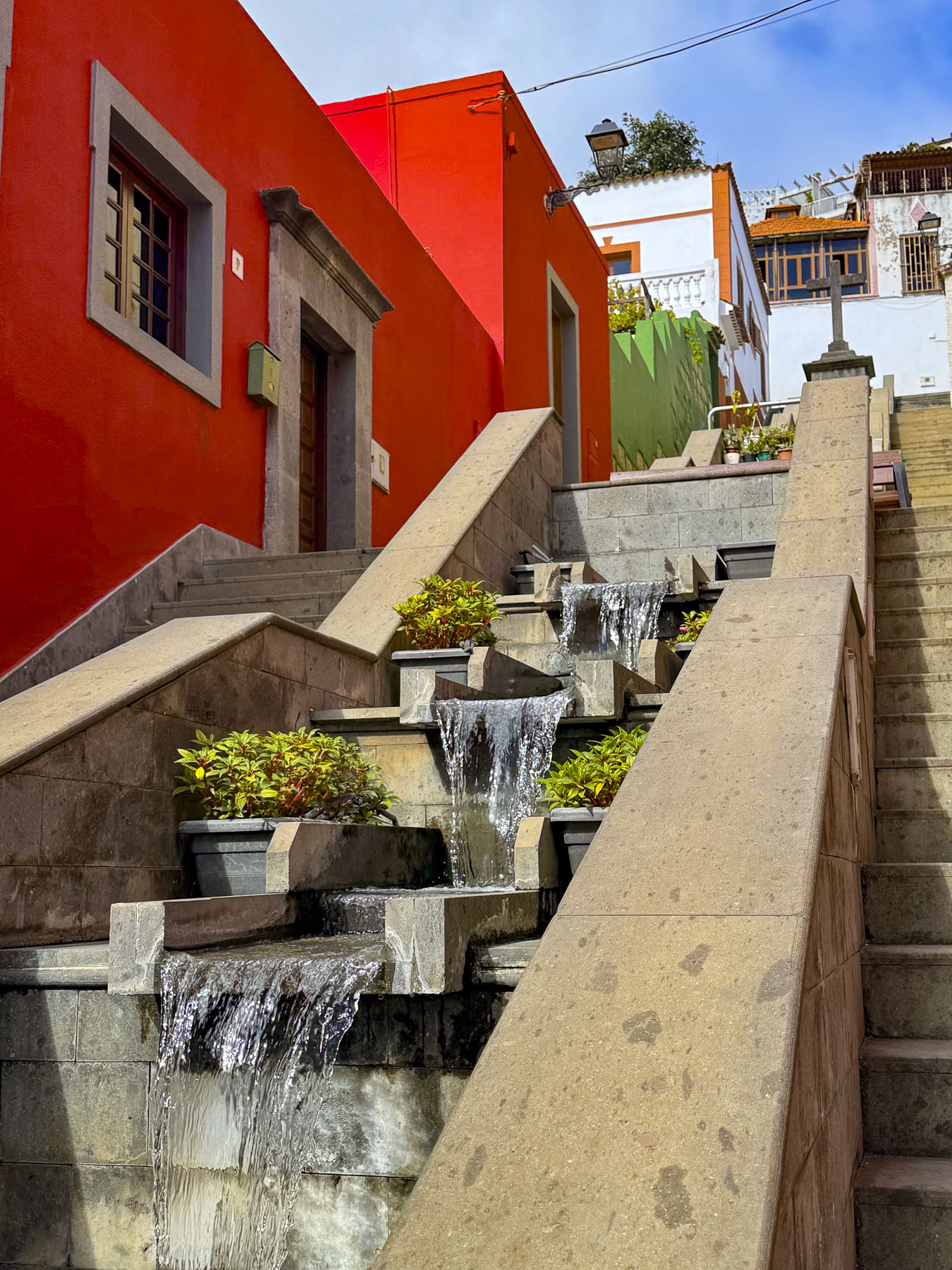
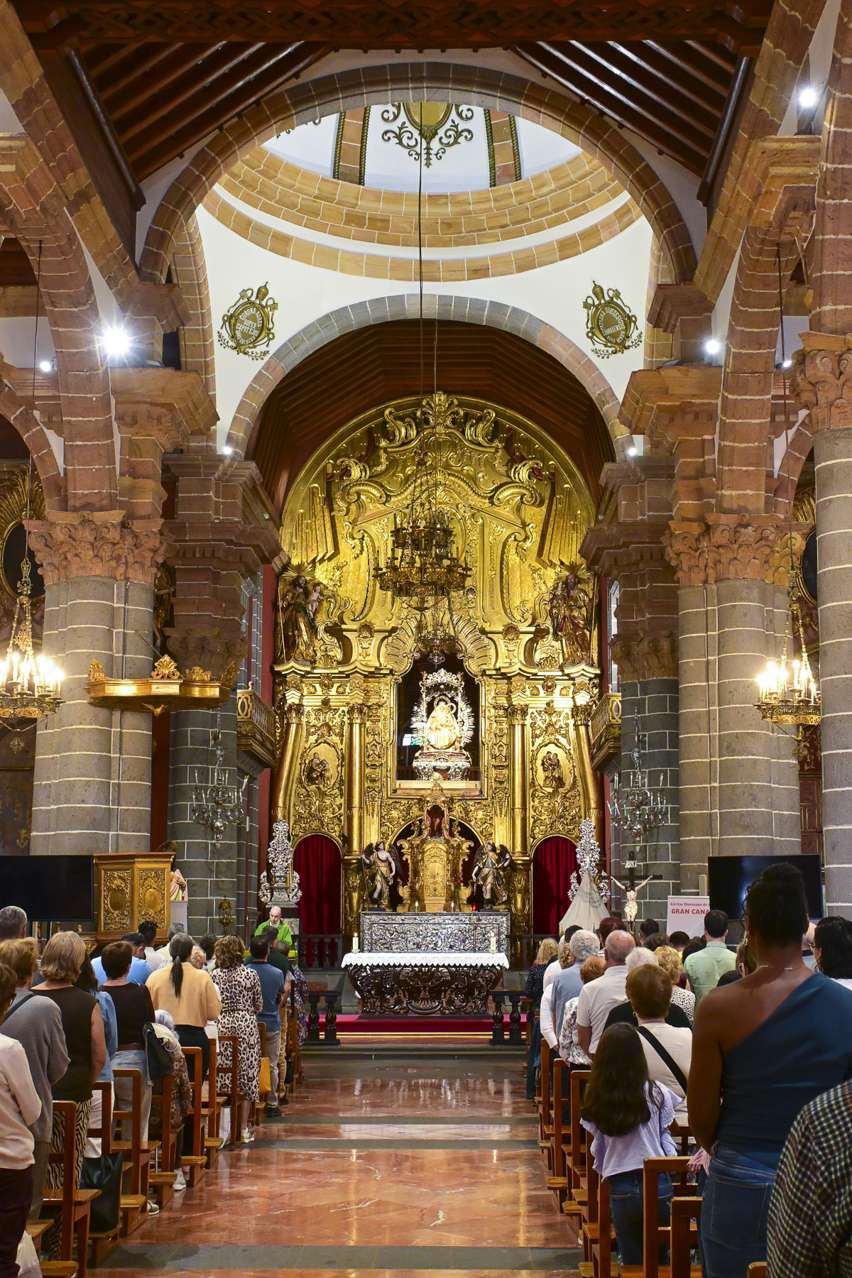
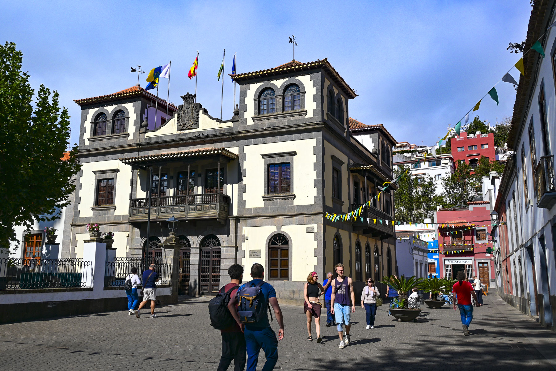
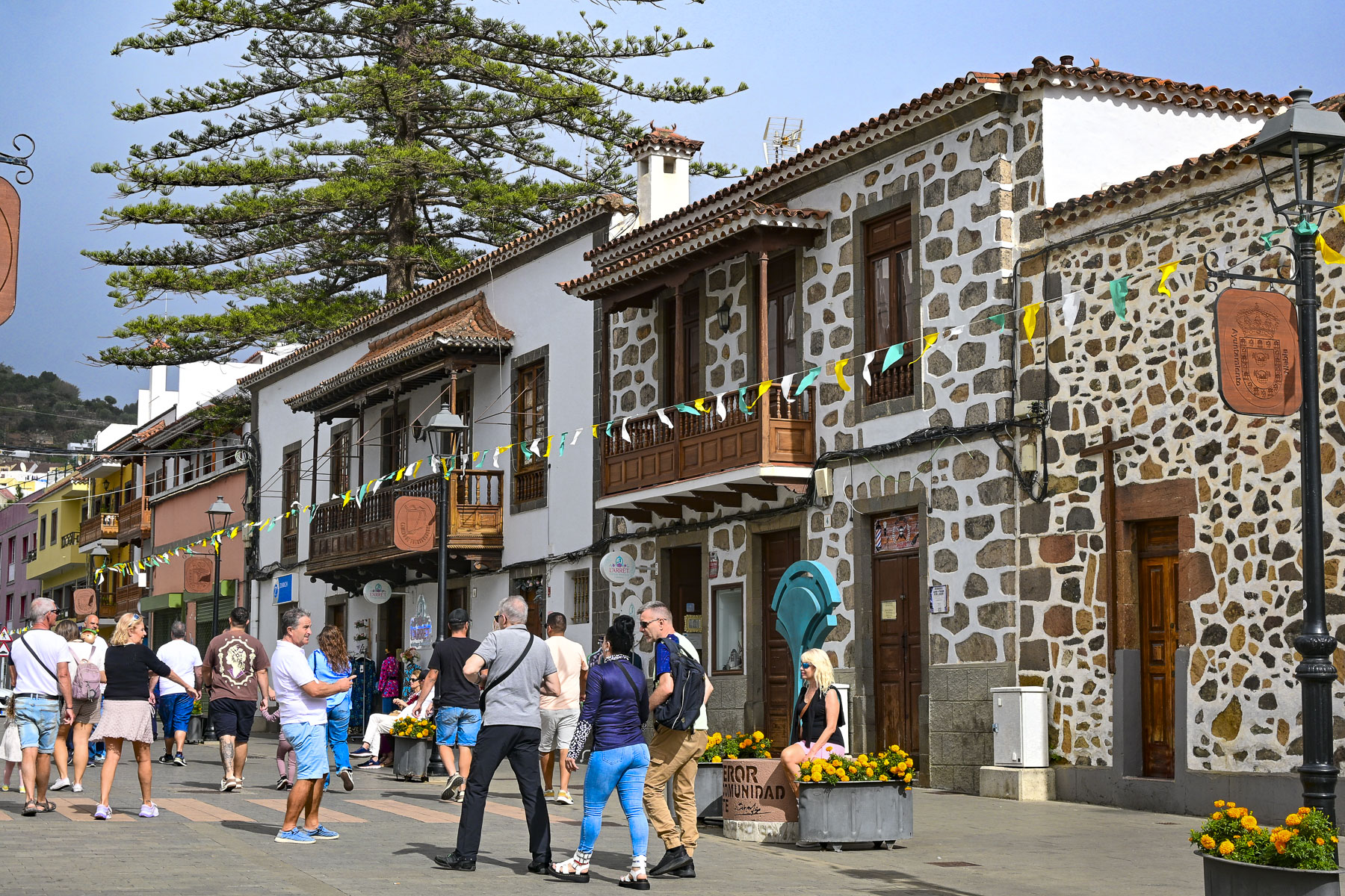
Across from the church at the far end of Calle de la Diputación, is a stepped cascading waterfall that’s lined with parallel stairways that connect the lower and upper historic quarters of the town. Most importantly they lead to the Cistercian Monastery, where the sequestered nuns sell convent-made truchas de batata (sweet potato pastries), bollos de anís (anise rolls), mazapanes (marzipan), and mantecados (shortbread) through a torno, a revolving wooden turntable built into a wall cabinet, with doors on both sides to keep the nuns hidden from view.
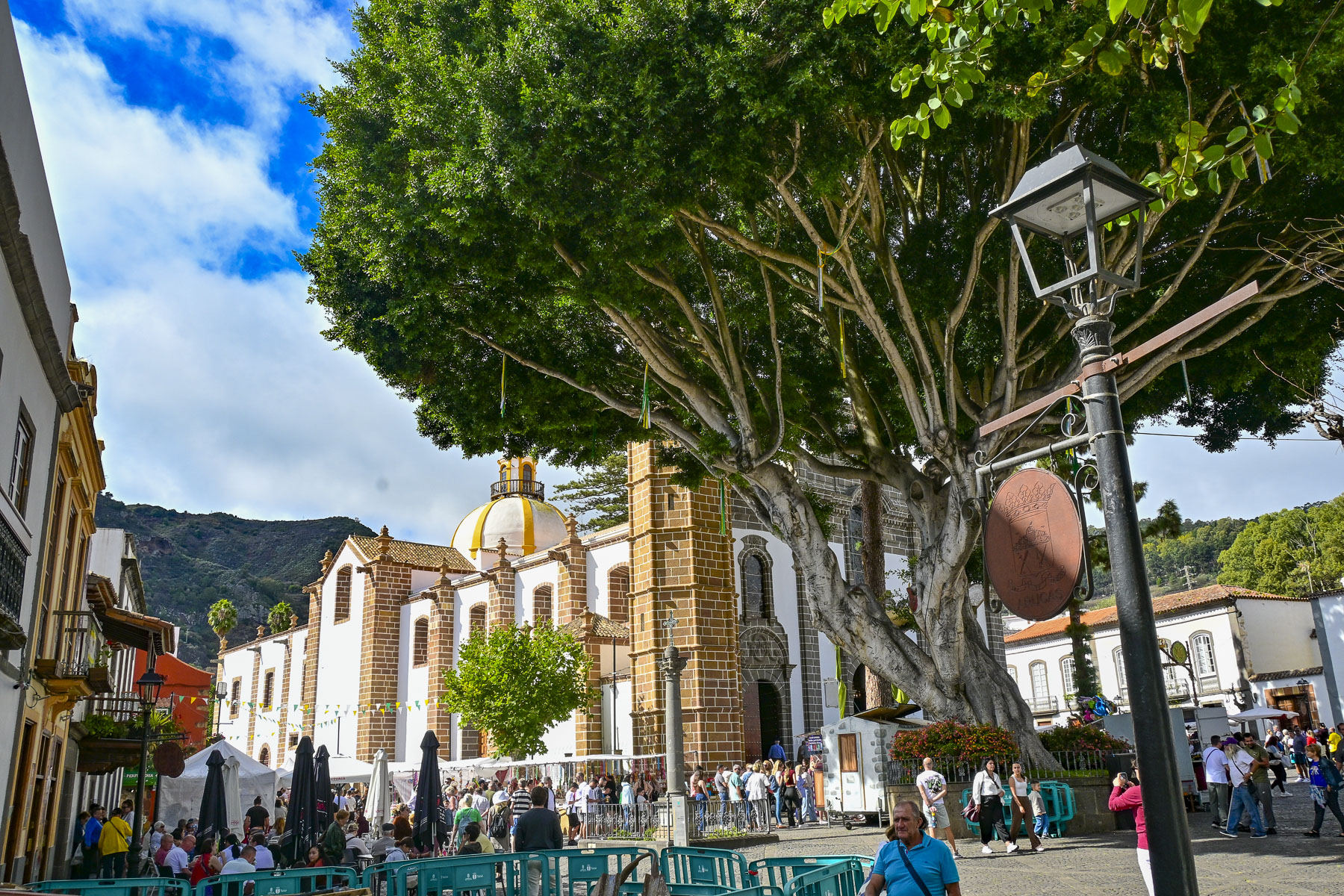
The street market totally encircled the church and was packed with shoppers strolling among cheese makers, food stalls, craft stands, and clothes racks. Cheese is our weakness, and being able to sample a variety of the artisanal cheeses Gran Canaria is famous for landed us in queso heaven. So interesting are the cheeses made on Gran Canaria there’s even an official Cheese Trail that folks can follow, to eleven cheesemakers located in three regions across the island. These artisans produce cheeses from the raw milk of goats and sheep. And to help folks pair a locally vinted wine with the cheeses, there’s an official Gran Canaria Wine Route, theRuta Del Vino de Gran Canaria, that explores the different terroirs of eleven vineyards hidden in the rugged volcanic landscape of the mountains across the wetter northern part of the island. Here the winemakers grow around forty different varieties of grapes, that have adapted well to the island’s 14 distinct microclimates. Twenty-five are local varietals such as the red grapes Listán Negro, Tintilla, Malvasía Rosada, and the white grapes Marmajuelo, and Malvasía Volcánica whose purity and longevity are unique in the world and recognized under the DO Gran Canaria designation. We could have bought a suitcase full of cheese, but we restrained ourselves and only bought a wedge each of goat and sheep cheese, and a bottle of red wine.
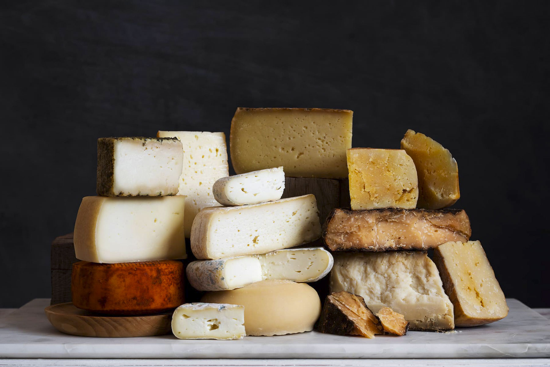
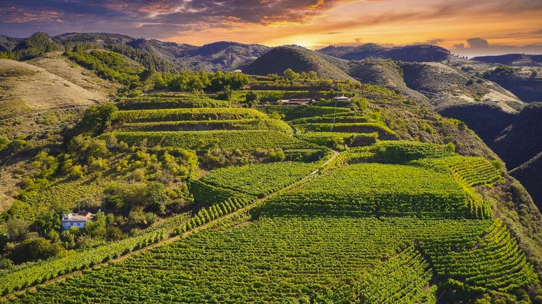
Photographs from official Gran Canaria Wine Route, and the Ruta Del Vino de Gran Canaria, courtesy of The Gran Canaria Tourist Board.
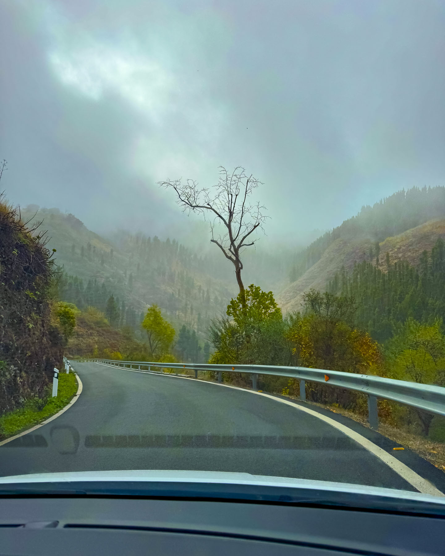
By the time we left Teror the sunny morning had vanished as we followed a road that zigged and zagged as we drove higher and farther into the mountains. We had originally planned to go to the mirador atop Pico de las Nieves, but the weather was fickle and changed with each curve around the mountainside. Altering our plans, we continued on to Artenara, an hour’s drive still deeper into the mountains, on a route that took us through the towns of Valleseco, and Lanzarote. Along the way we noticed many cars parked precariously along the side of the narrow road as it passed through woodlands. These cars, it turned out, belonged to families that were foraging in the forests for wild mushrooms and fallen chestnuts; it’s a traditional activity that has been passed down through Canarian generations for centuries. In one town the sale of a fine stallion was being finalized with a test saunter along the side of road. Unfortunately, that afternoon the clouds were low in the sky, and the views from the miradors we stopped at, while interesting, vanished into the misty horizon. We could only speculate how spectacular the panoramas would be on a sunny day.
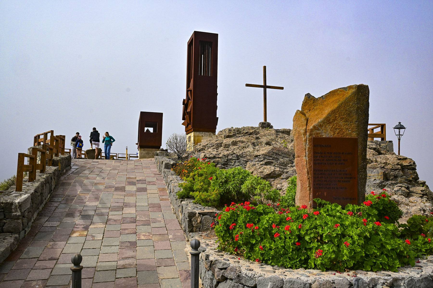
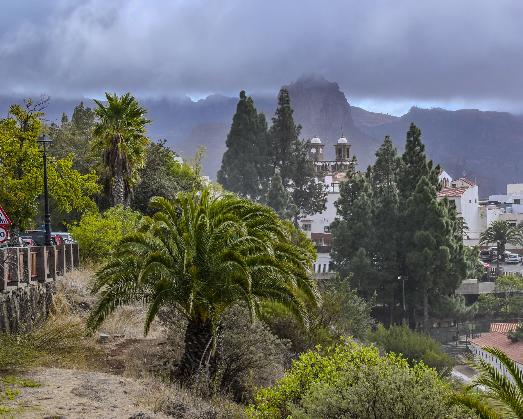
Reaching the outskirts of Artenara, the highest village on Gran Canaria at 1,270m (4,170ft) above sea level, we stopped at Mirador De La Atalaya which had a nice view of the old colonial town’s church framed with trees against a mountainous background.
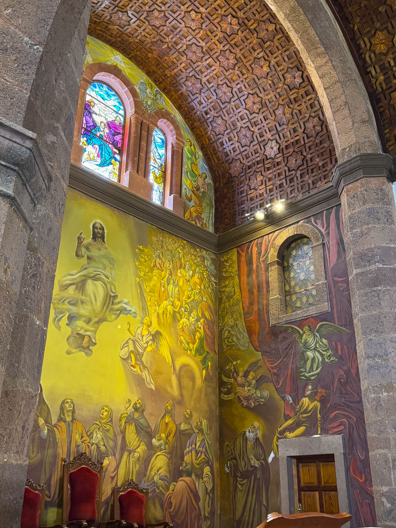
As we crossed the town square a sudden down pour sent us scurrying into the Iglesia de San Matías, where the warm light of the cathedral’s stained-glass window helped take the mountain chill off the day. Initially the temple was a small hermitage built in 1630, but after going through a long period of deterioration and ruin, the current three-nave temple was built in 1870, with the construction of the towers being completed in the mid-twentieth century. The beautiful murals in the church are the last works of the painter José Arencibia Gil, a Gran Canarian who, sadly, died before finishing them.
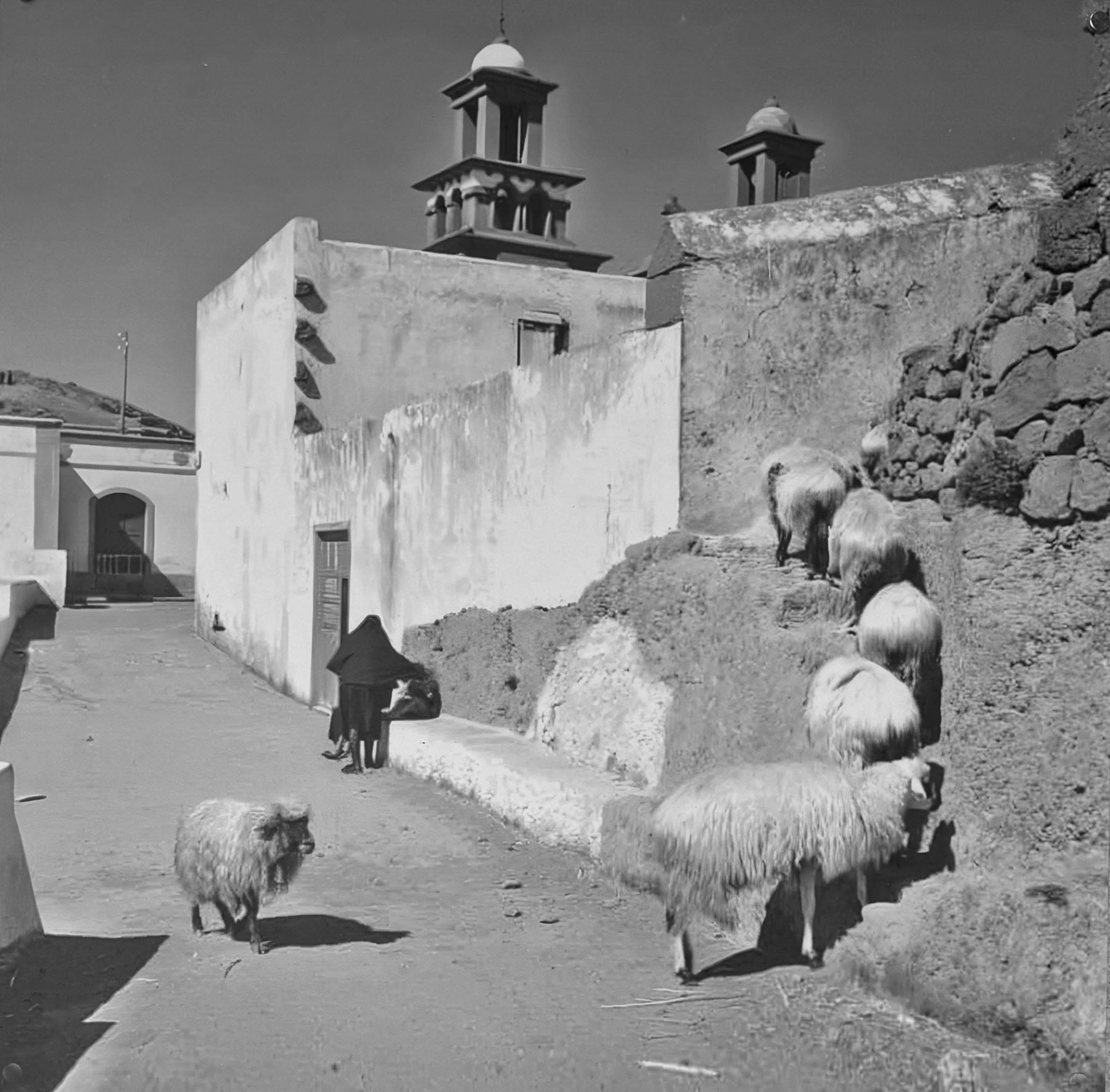
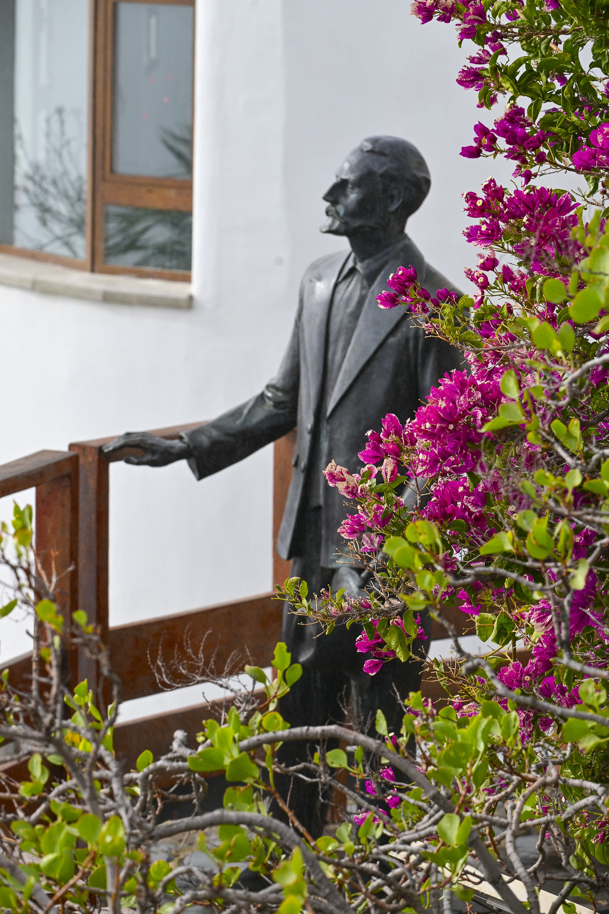
Up from the church was the Mirador de Unamuno that overlooked the deep volcanic Caldera de Tejeda, a massive basin stretching 28km by 18km (17mi by 11mi), that’s ringed with rugged peaks, steep gulleys, and several of the island’s iconic sacred rock formations, including Bentayga and Nublo Rocks. The mirador is named after the Spanish writer Miguel de Unamuno (1863-1936), who described the panorama as a “petrified storm of fire and lava”. If only the day had been sunny for us! There were, hopefully, signs the storm would clear.
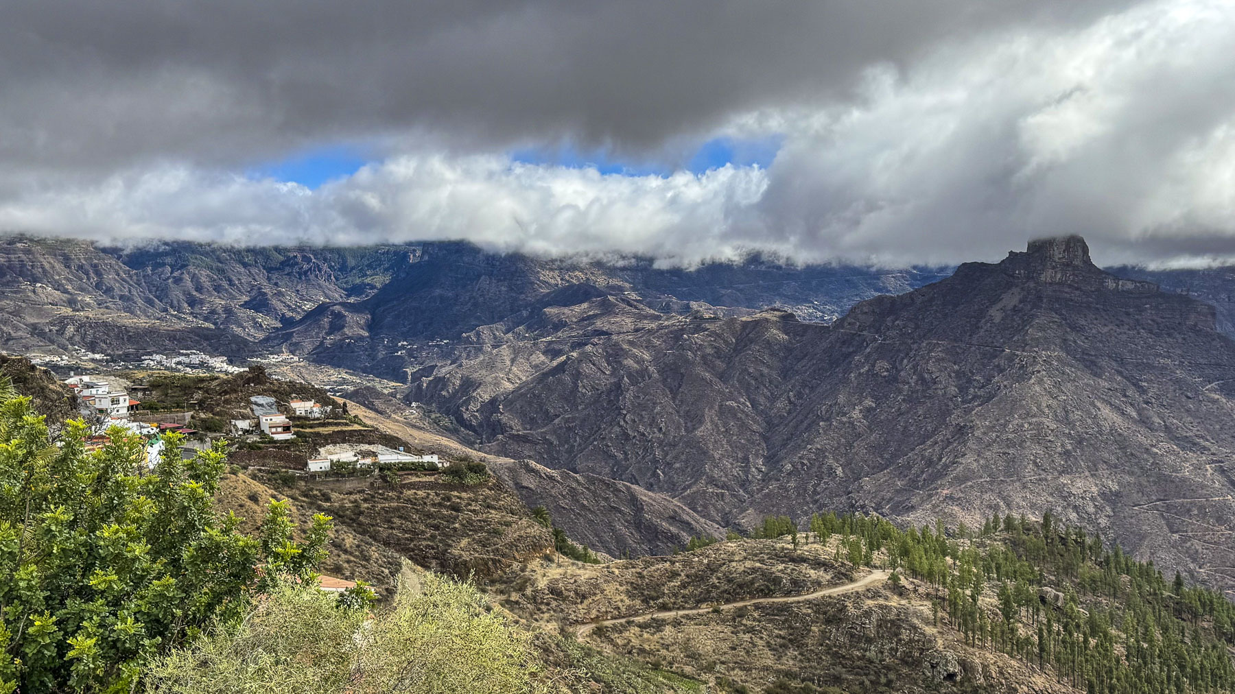
Volcanic eruptions that started 10 million years ago and lasted to 20BC created the island’s dramatic peak, ridges and ravines. Before the Spanish arrived in the 1400s the Montañas Sagradas were home to the cave dwelling indigenous Guanches, a Berber people, whose priests conducted seasonal solstice ceremonies in the majestic mountains. The mountains’ Spanish name refers to the importance of the snowcapped peaks as a life source of water on the arid island. This snowy resource was critically important to the island’s early settlers, who shoveled winter snowfall into pits and dams called neveras, an early island infrastructure project that started in 1694 by order of the Catholic Church. These small reservoirs were built on the northern, shady sides of the steep ravines that never got sunshine so the collected snow would melt slowly and be used for drinking and watering crops. “The snow was collected by laborers using wooden shovels and wicker baskets, making real mountains of snow. It was then put into rectangular boxes of wood or cork, stacked in rows in the neveras, then covered with layers of straw.” In Las Palmas ice was delivered in panniers wrapped in straw and covered with blankets, from the Pico de las Nieves snow pit by horseback, a six hour journey across the rugged mountains. The ice was used to lower the patient’s temperatures during epidemics of yellow fever and cholera, as well as “chill the beverages of the upper class.” The need to carry ice down from the mountains lasted until in the early 20th century, when electrical refrigerators were brought to the island.
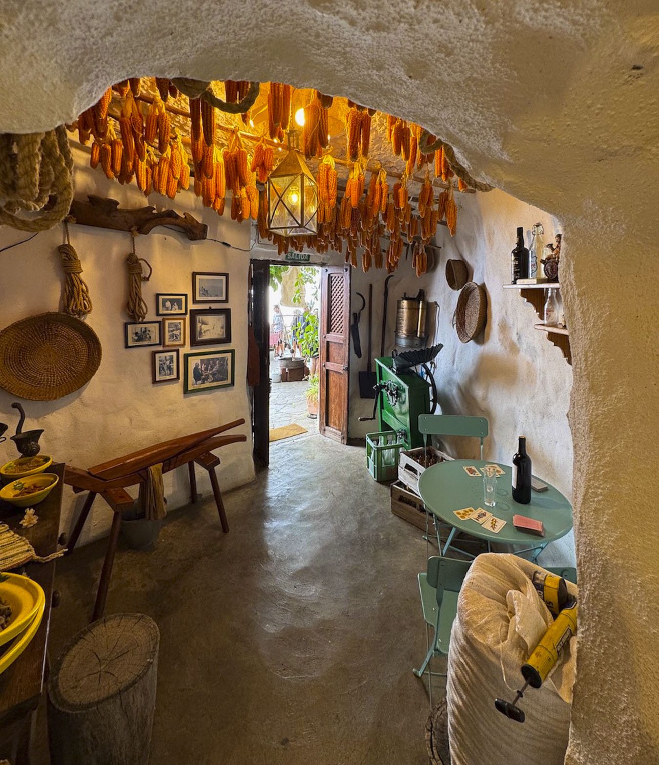
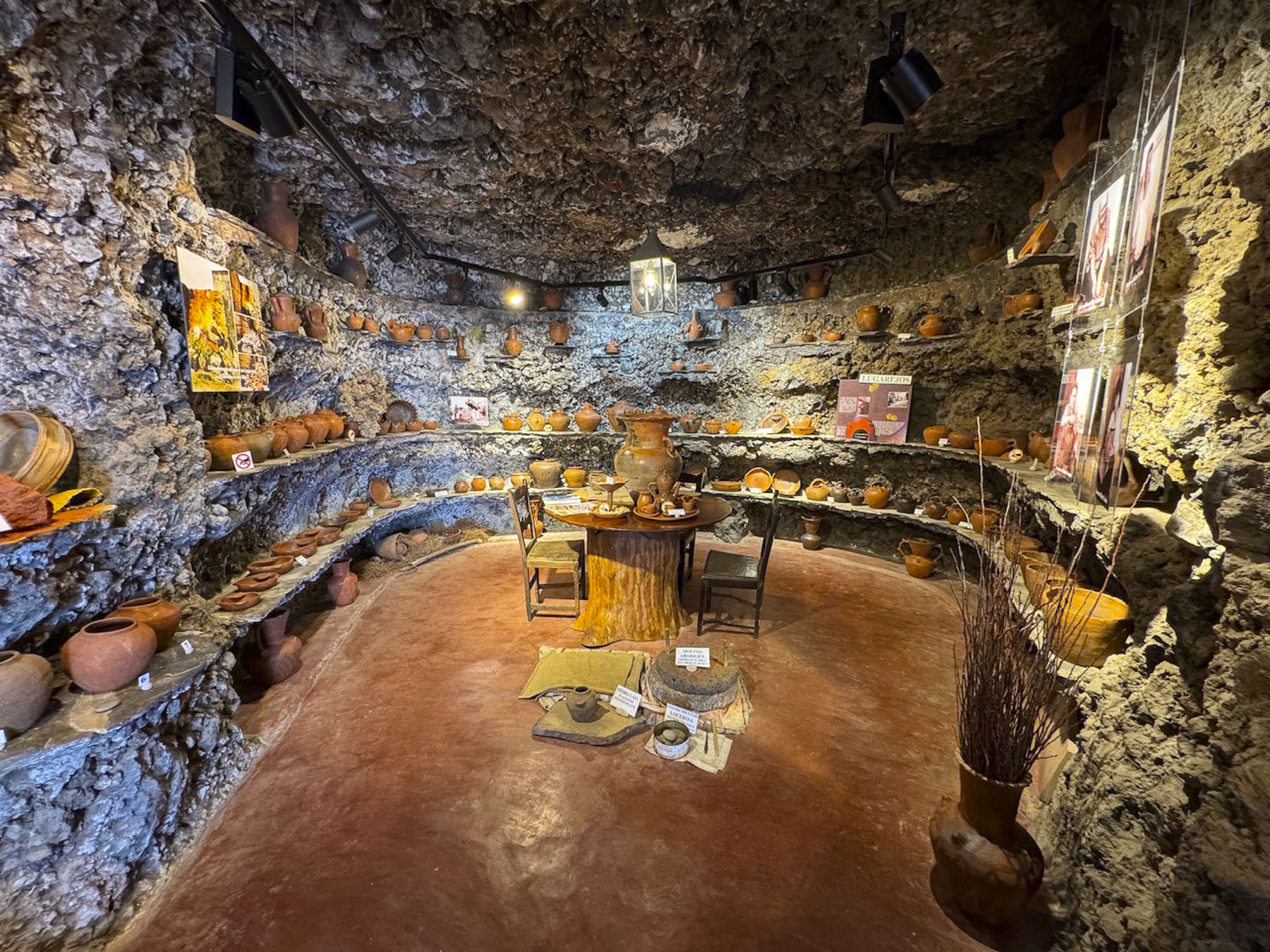
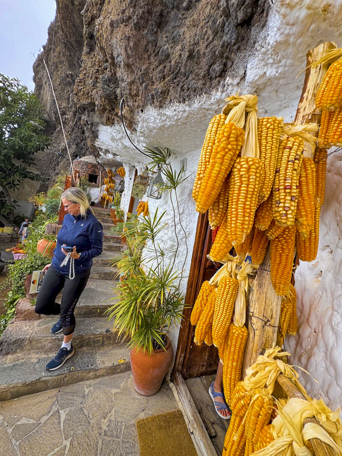
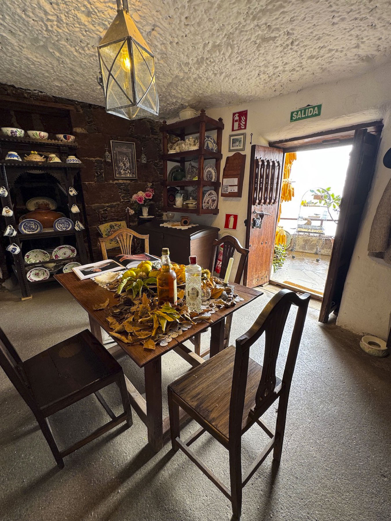
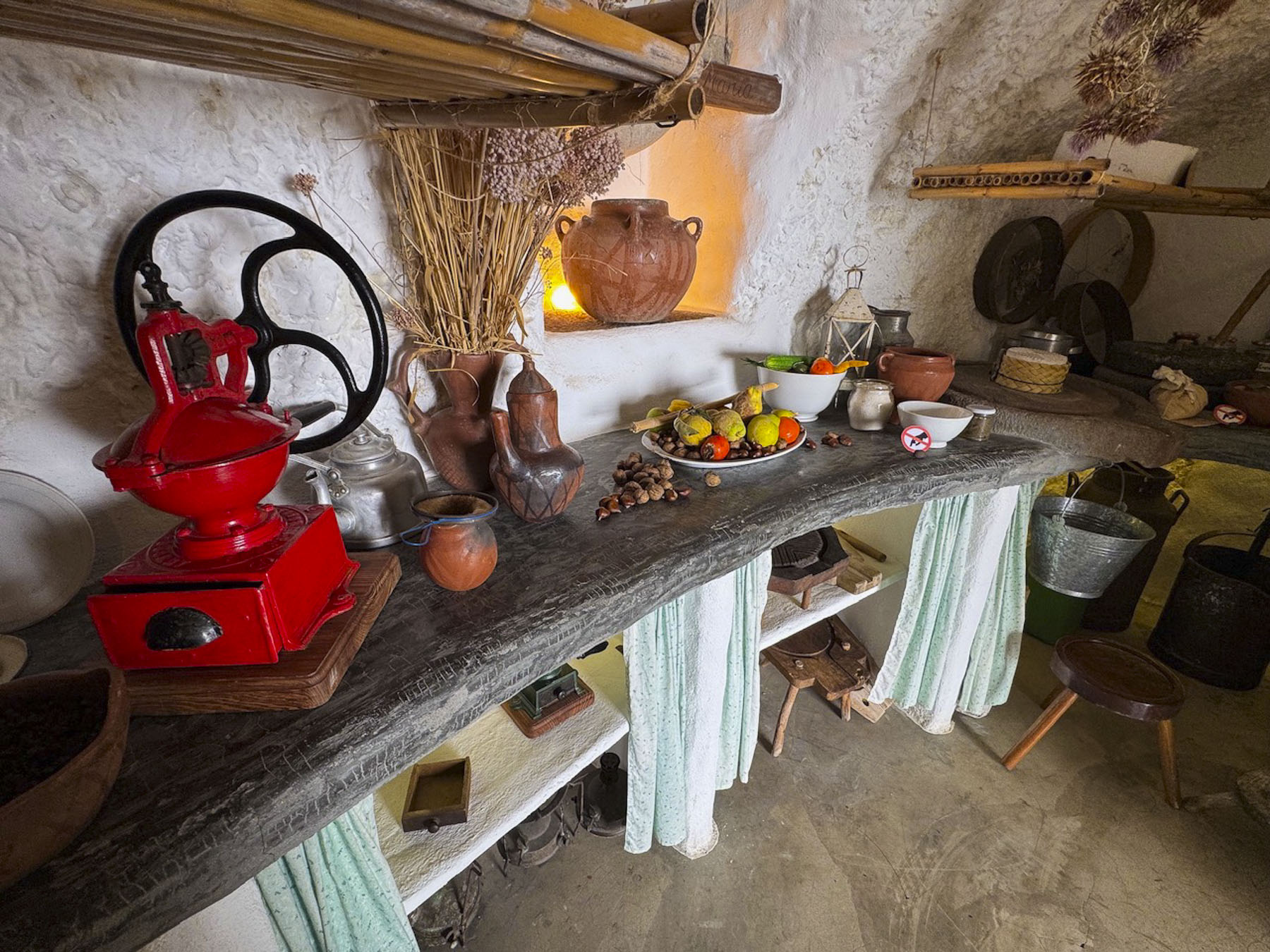
A short distance from the mirador was the Ethnographic Museum of the “Cave Houses” of Artenara, a cluster of three cave dwellings, that had their origin with the pre-Hispanic troglodytes that originally lived in the rough caves dug into the volcanic rock mountains. Over the centuries the caves were improved, and were occupied until the early 1990s, when they were bought by the town council to become a museum. All things considered these modern caves looked pretty comfortable, if you could ignore the lack of indoor plumbing. Nearer to Las Palmas there are several other troglodyte sites across the island, including Barranco de Guayadeque, Quatro Puertas, and Poblado de Acusa Seca, and Cuevas del Rey, all places to consider visiting if you’re into cave dwellings. Afterwards, we stopped next to the church for lunch at Arte-Gaia Restaurante BioTasca, a small rustic tavern with only a handful of inside tables, but on sunny days their seating spills out onto the plaza. They had a wonderful menu featuring local Canarian dishes and wines.
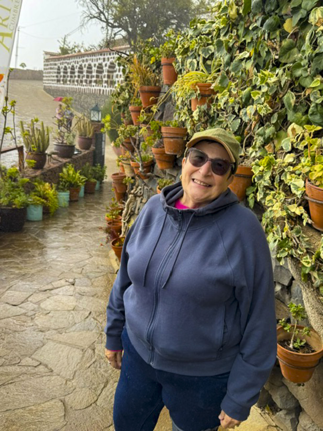
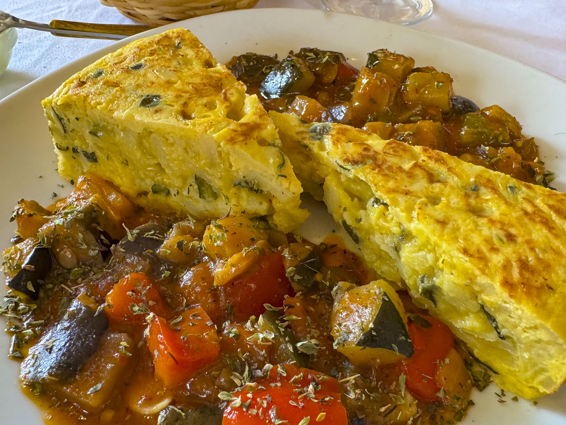
Past Artenara we started our loop back to the coast on GC-60 which took us by Tejeda, a whitewashed hamlet, that’s considered the prettiest village on Gran Canaria. It’s set dramatically near the towering pinnacle of Roque Bentayga, a 1,404-meter-high volcanic rock formation, that served as a sacred sacrificial site for the island’s ancient Guanche people.
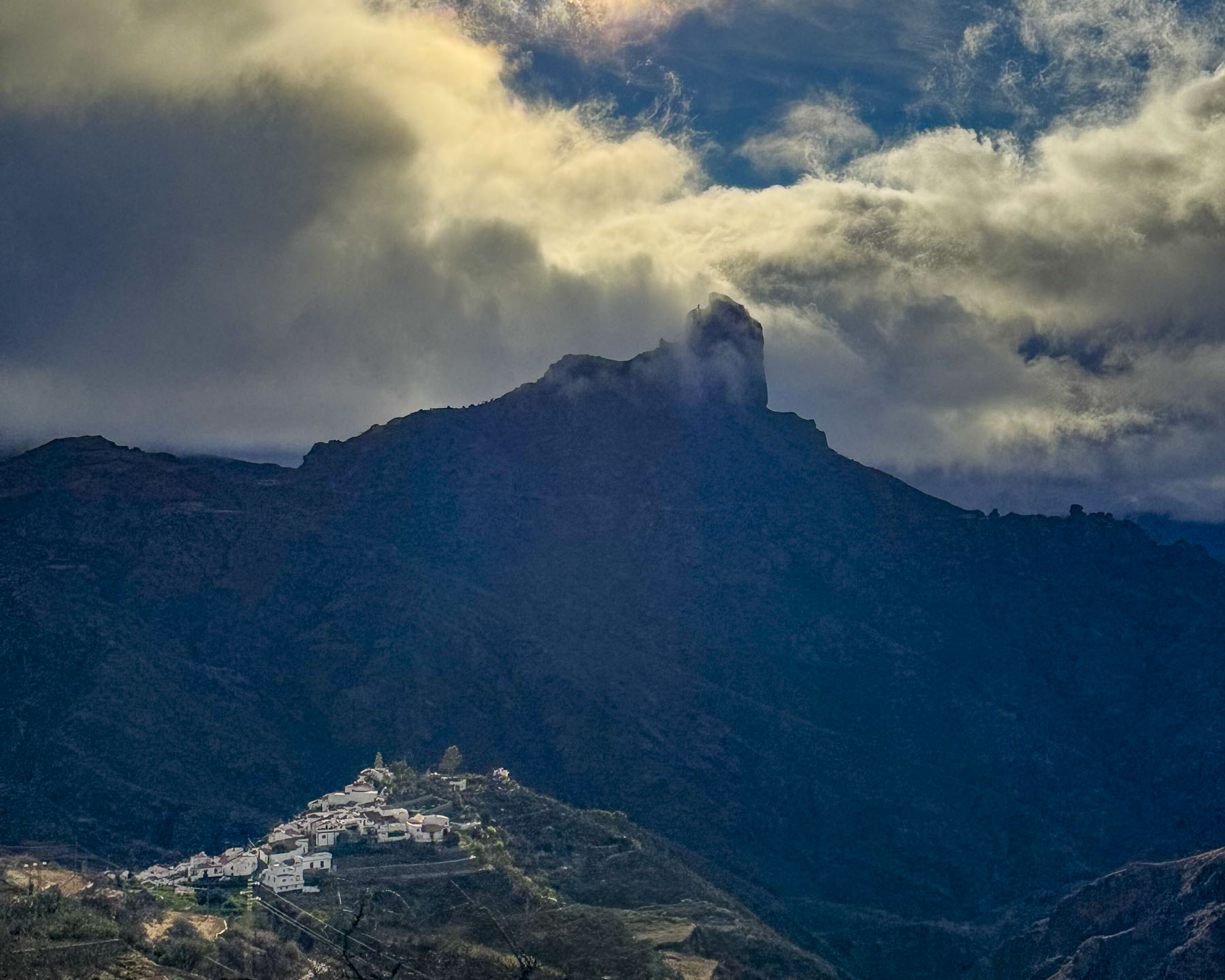
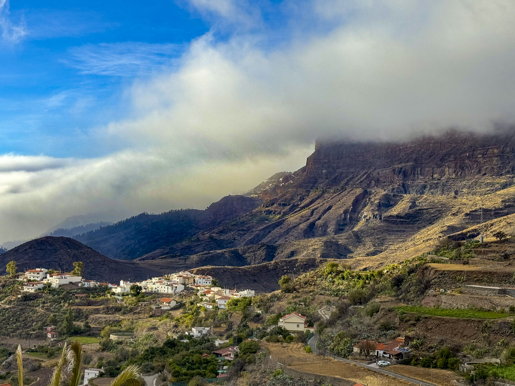
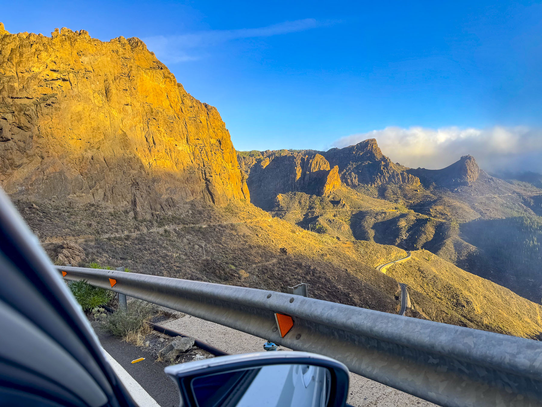
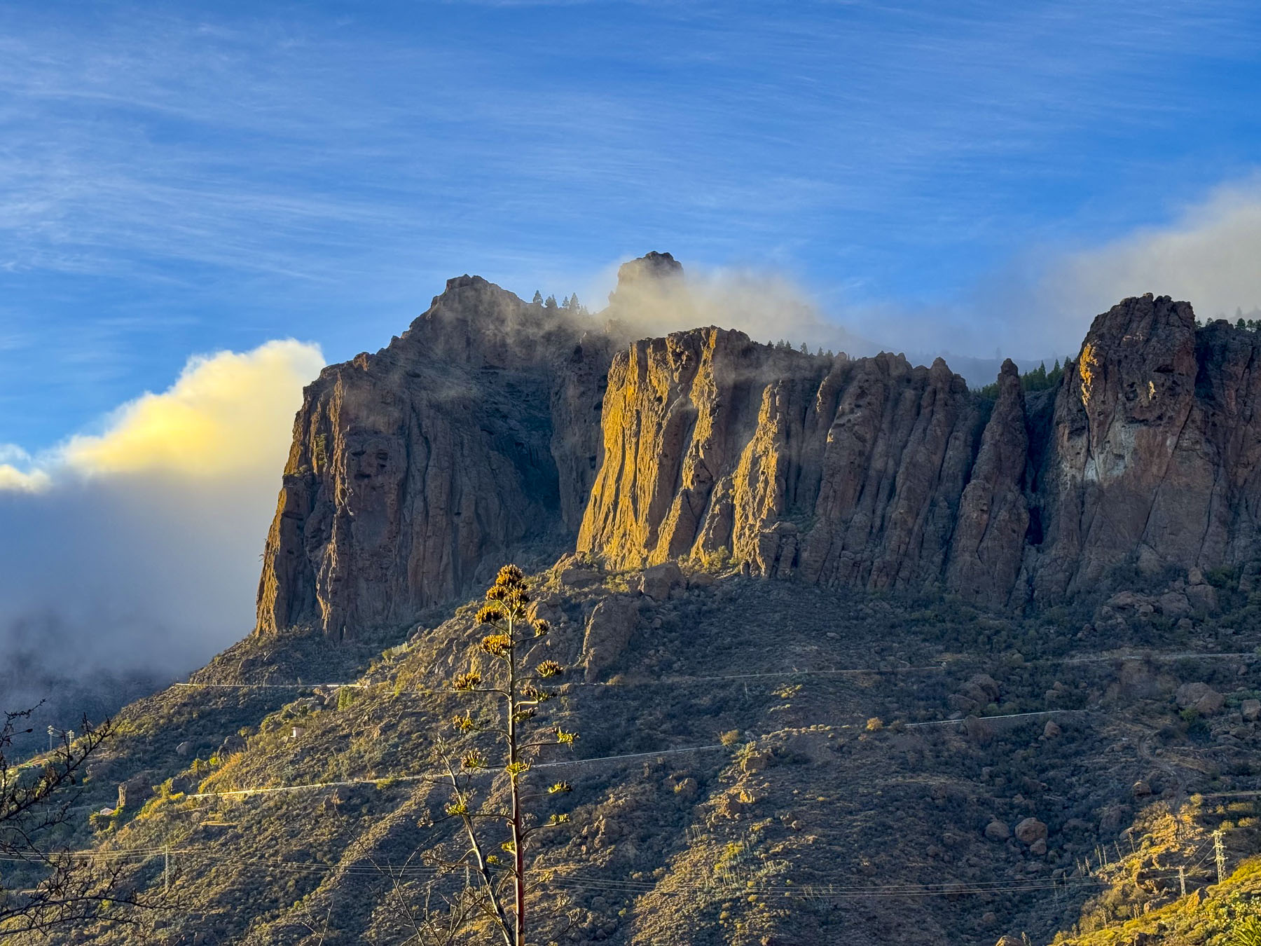
Finally, the clouds broke during our descent along a never-ending set of switch-back curves lined with soaring rockfaces on one side and plunging gorges on the other. The afternoon now offered the first views of how dramatic this violently hewed mountainscape actually was, after spending the earlier part of the day seeing its features softened in clouded light. There were not nearly enough miradors to stop at to soak in the tremendous views that transfixed us.
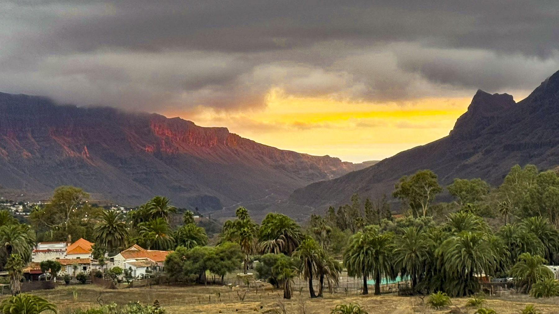
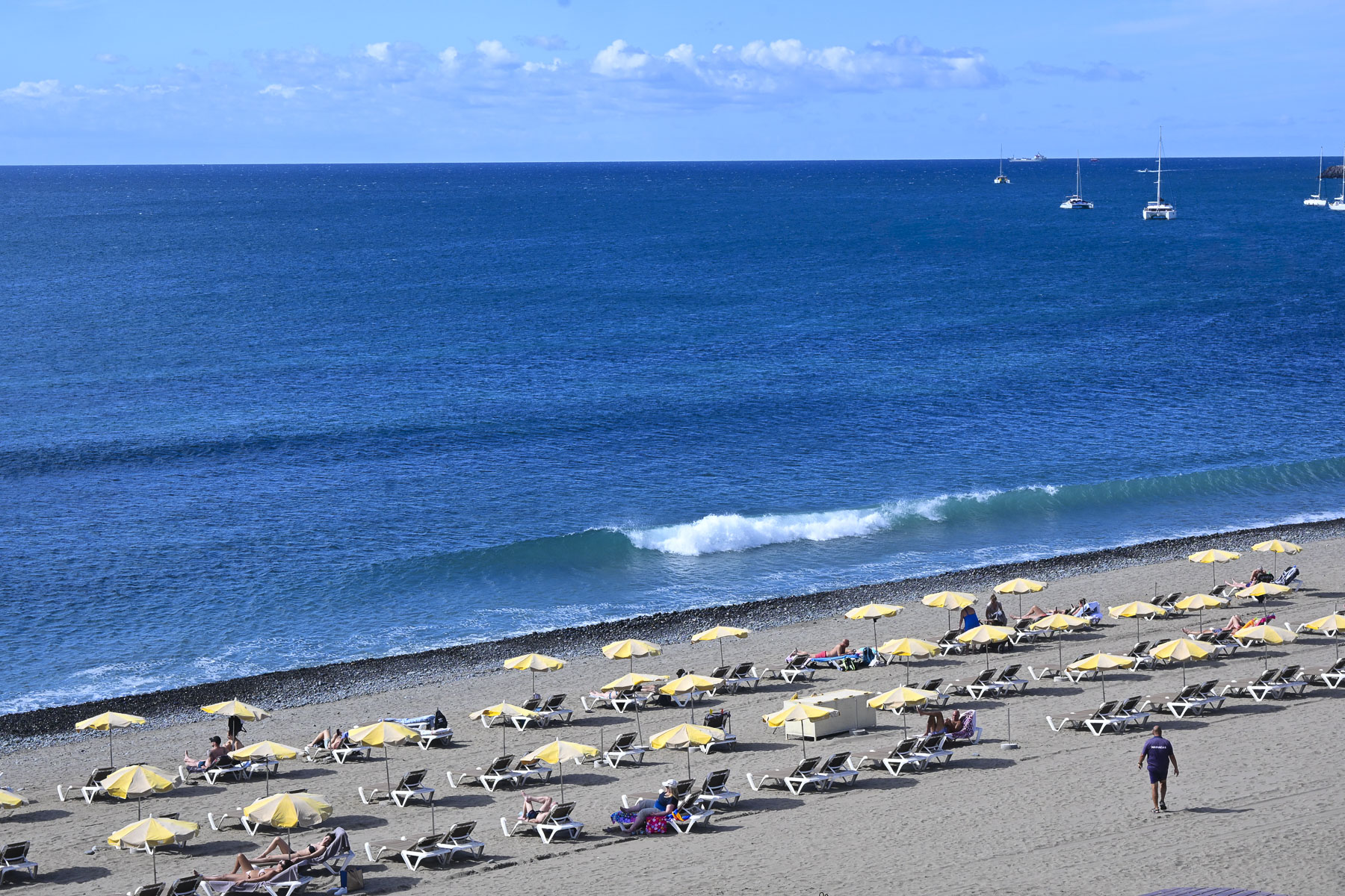
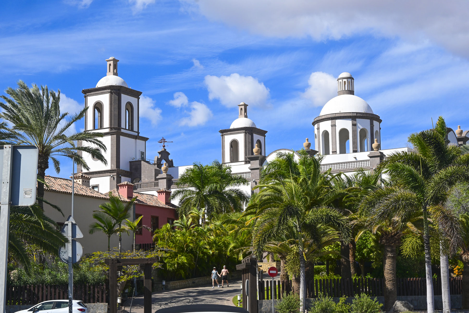
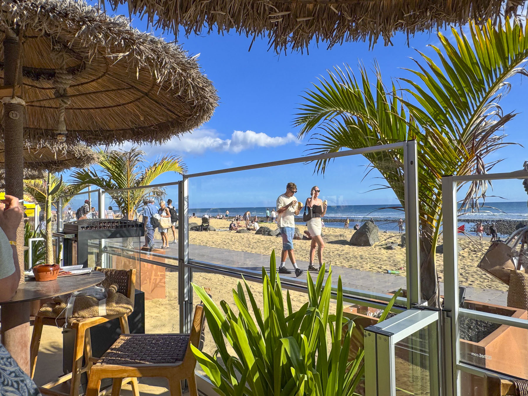
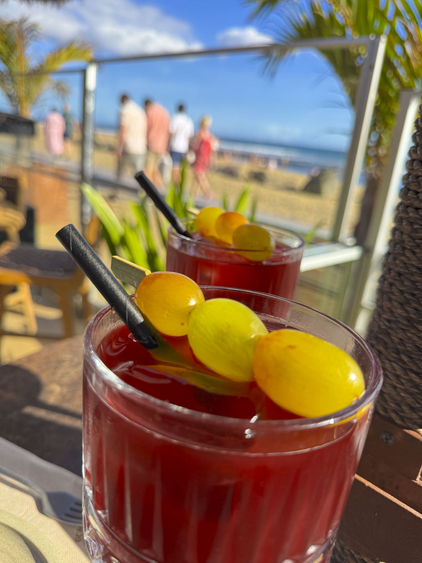
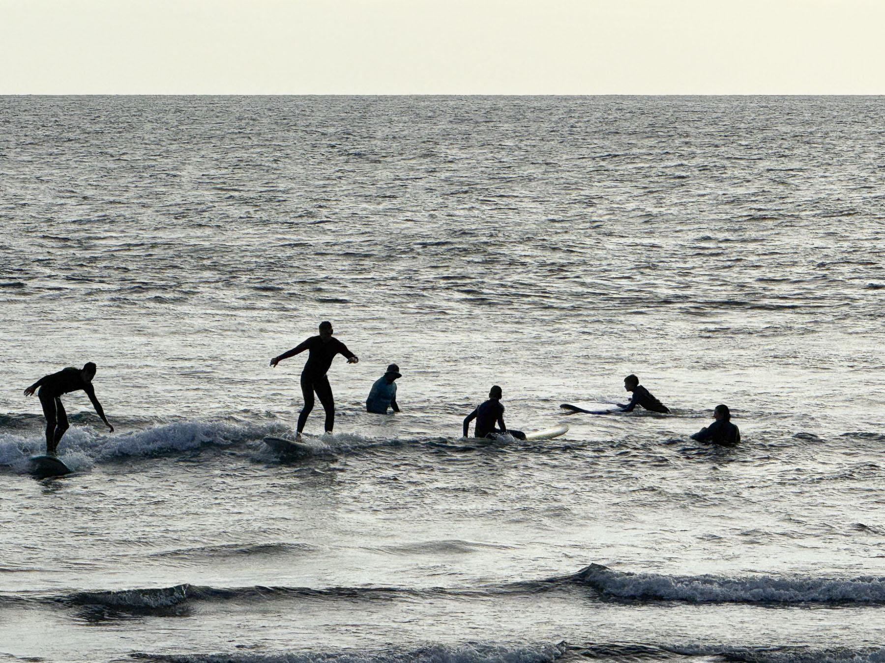
Rebecca’s tips for where the locals go took us past the luxury resort Lopesan Villa del Conde, that was purposely built to resemble a traditional Canarian village, complete with a façade of a church with belltowers. Farther on, the Meloneras Golf Club beautifully overlooked the ocean and the wide Playa de las Meloneras beach. Before we reached the El Senador Restaurant & Beach House on west end of the Dunas de Maspalomas promenade, near the Faro de Maspalomas lighthouse. Mid-afternoon tables with views of the beach were open, and we spent a delightful time just sipping our drinks and people watching.
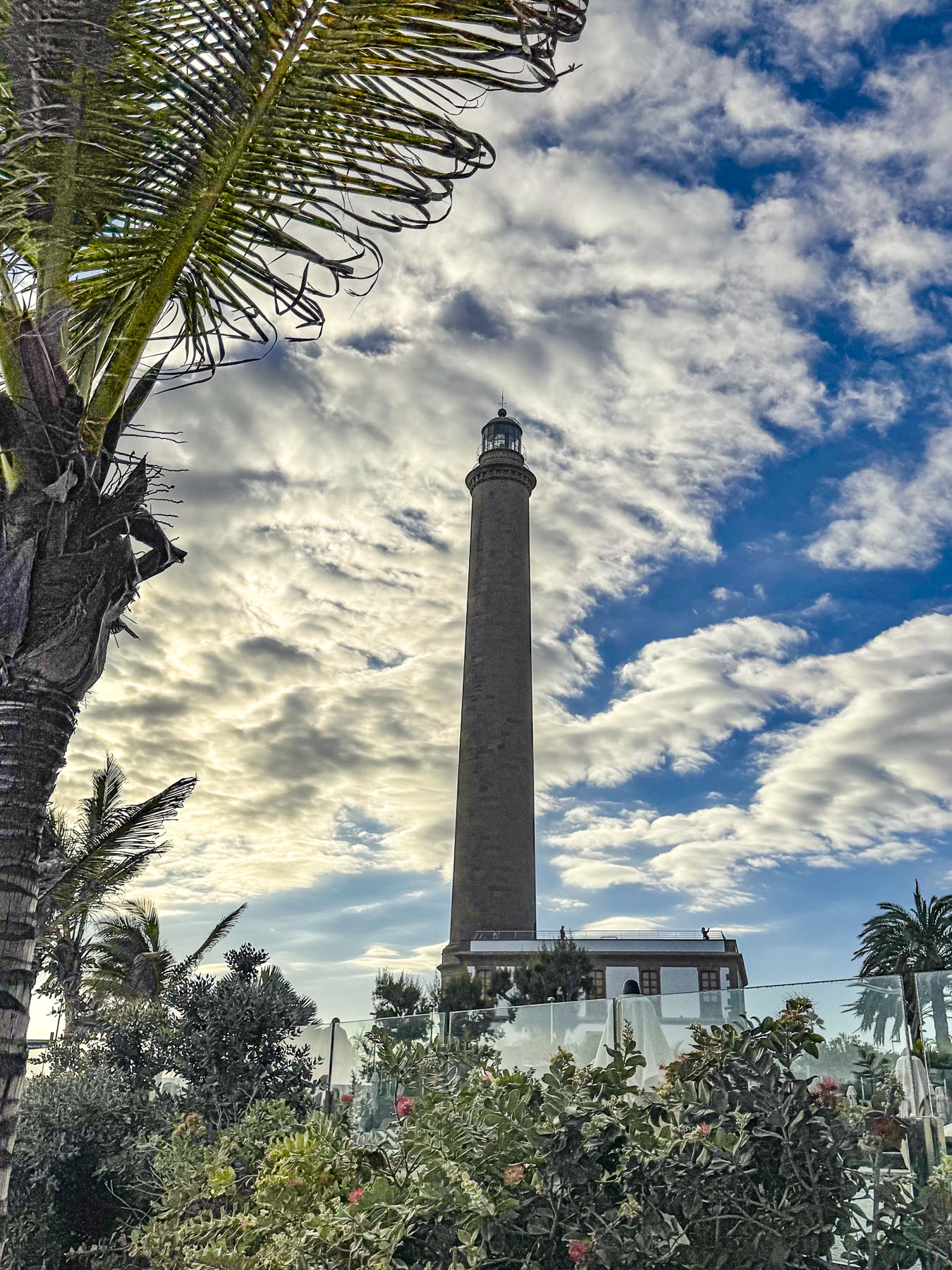
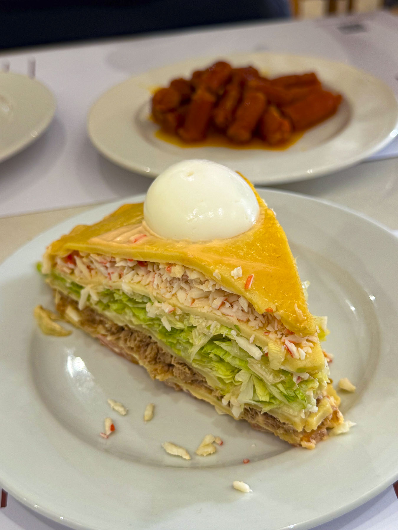
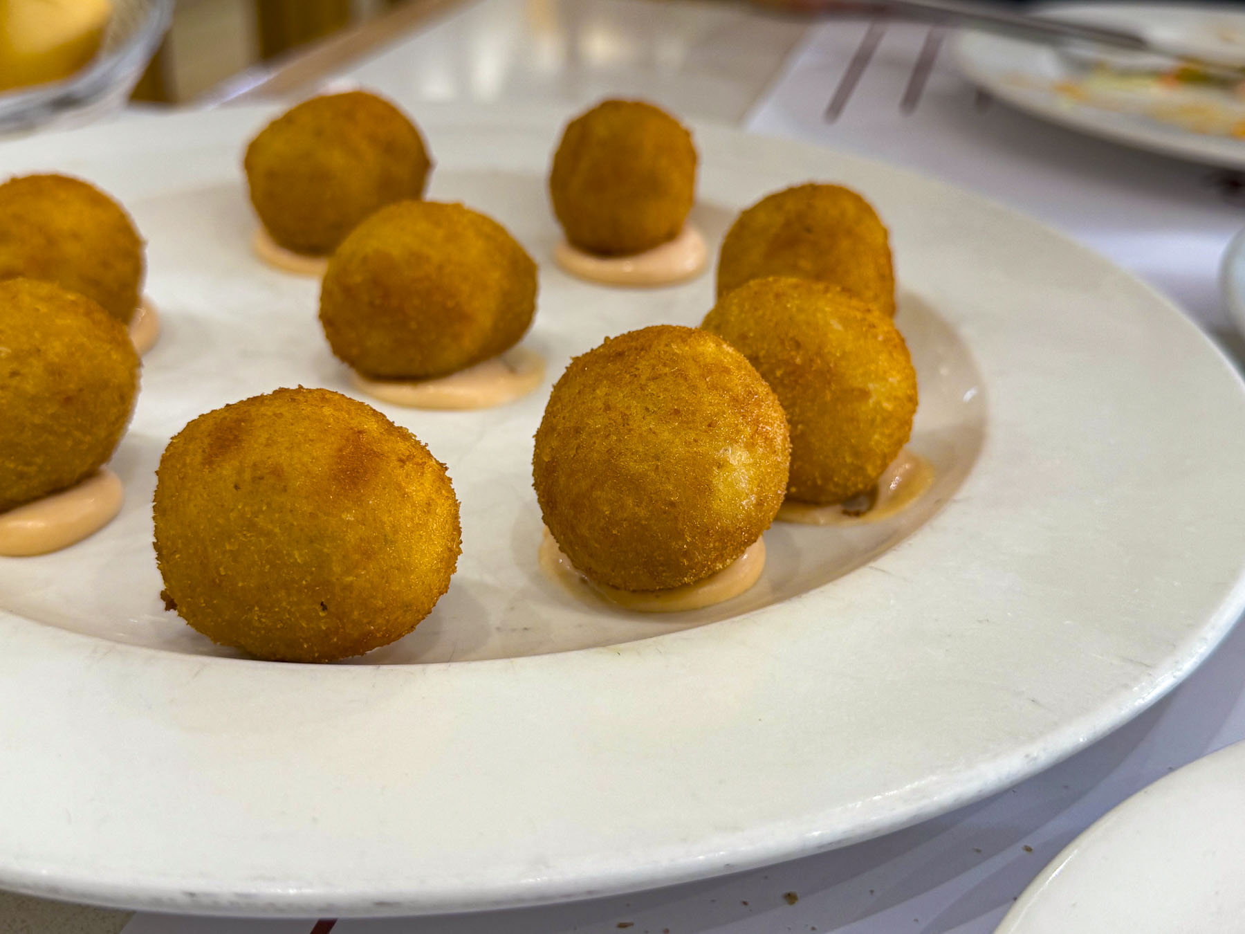
We ended our day with an early dinner at La Tapita Los Jose’s, an upscale neighborhood tapas bar far from the Meloneras beach areas. The food and local wine were very good, the vibe relaxing, another good recommendation.
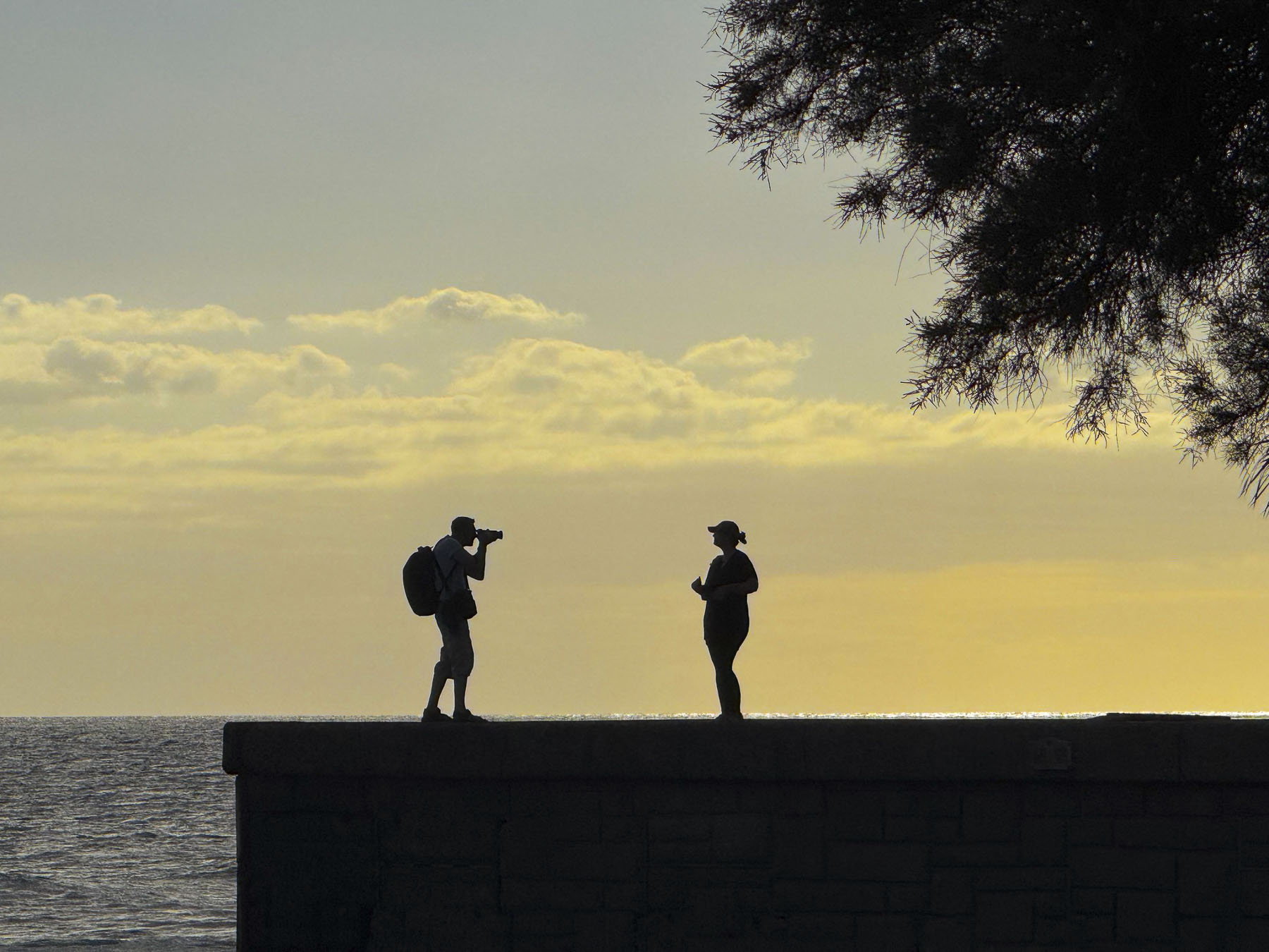
On the opposite hillside across from our hotel, we could see pedestrians walking along a road that curved up the hill, but we never saw a car. This was part of coastal road (GC-500), a quick route with wonderful views, that used to connect folks in Taurito to Puerto de Mogán, until 2017 when several dangerous rockfalls from the towering coastal cliffs above the road forced the local authorities to block the road permanently with a substantial wall that folks can walk to, but can’t climb over. Recently funds have been approved to excavate a tunnel between the two towns to speed transit.
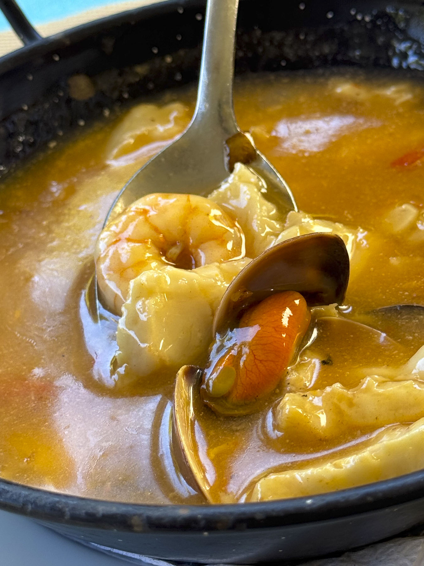
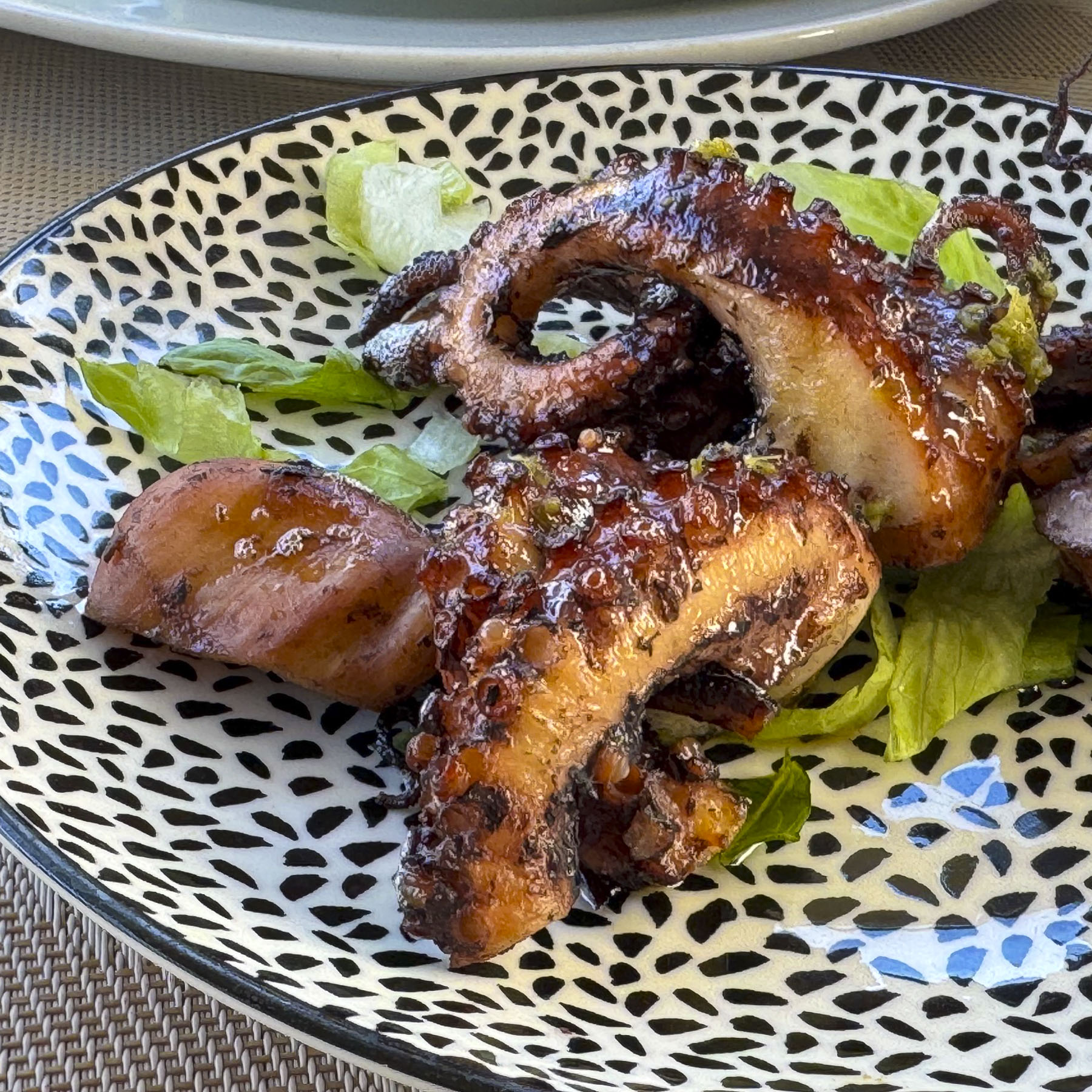
Deciding to have lunch in Puerto de Mogán we needed to get on the GC-1 for a convoluted route that required us to drive east for several miles before doing an U-turn, and then driving west again past Taurito to the exit for Puerto de Mogán. A trip of twenty minutes that will be reduced to seven with the new tunnel.
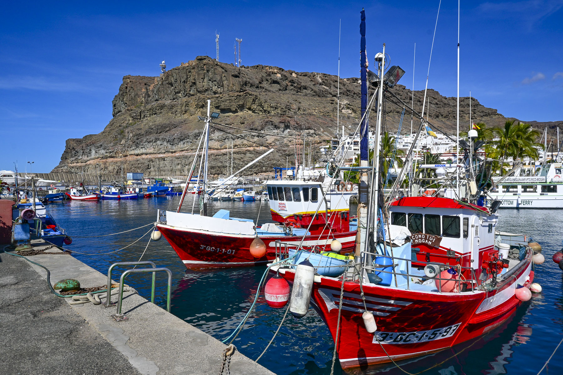
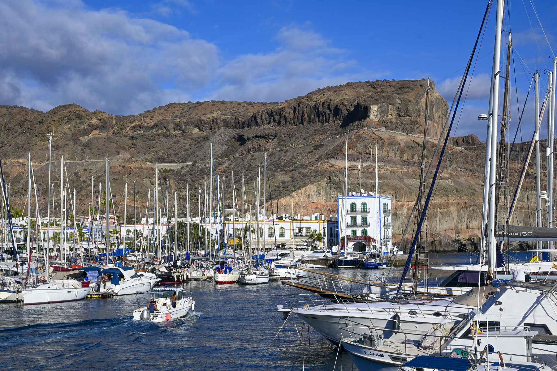
Puerto de Mogán started as a poor fishing village, where men pushed their small boats into the surf from a rocky shoreline, until a major redevelopment project in the 1980s constructed new apartment blocks designed to look authentically old, the breakwater, and a marina with over 200 berths.
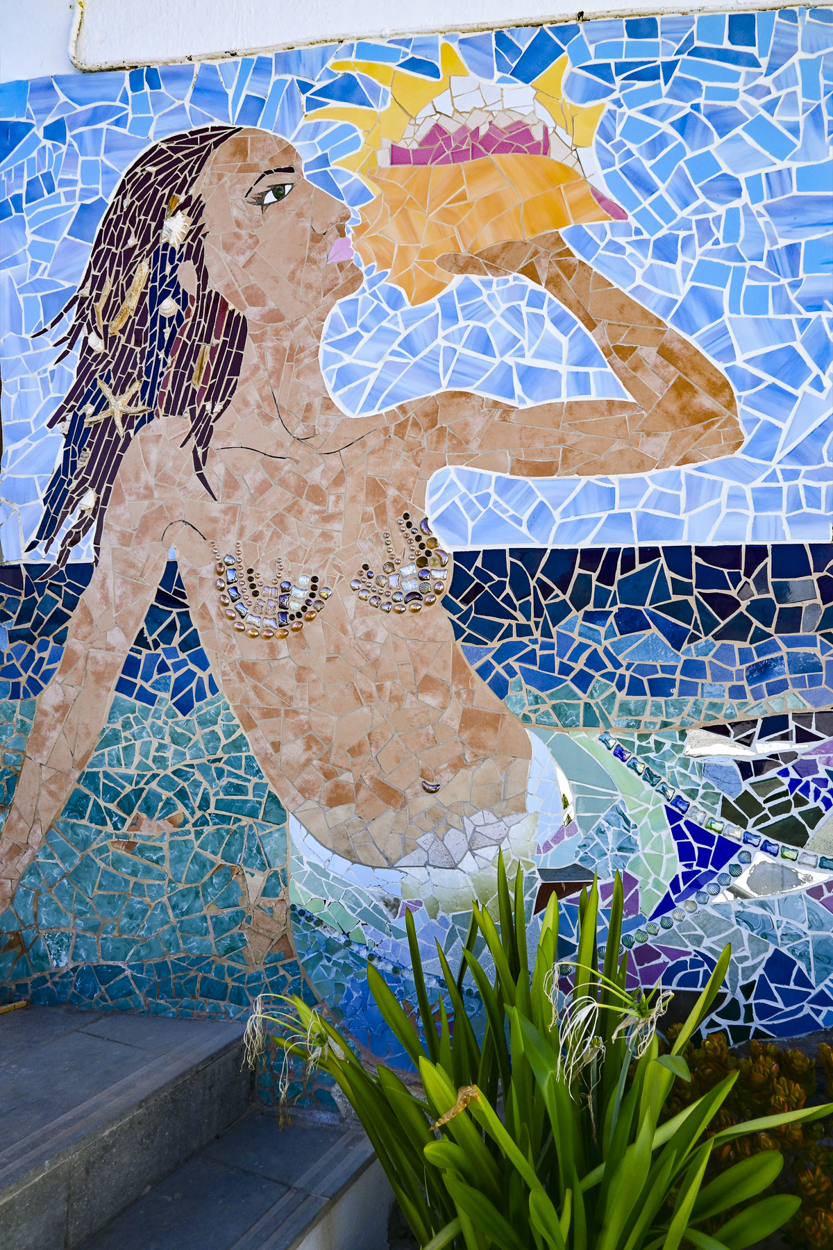
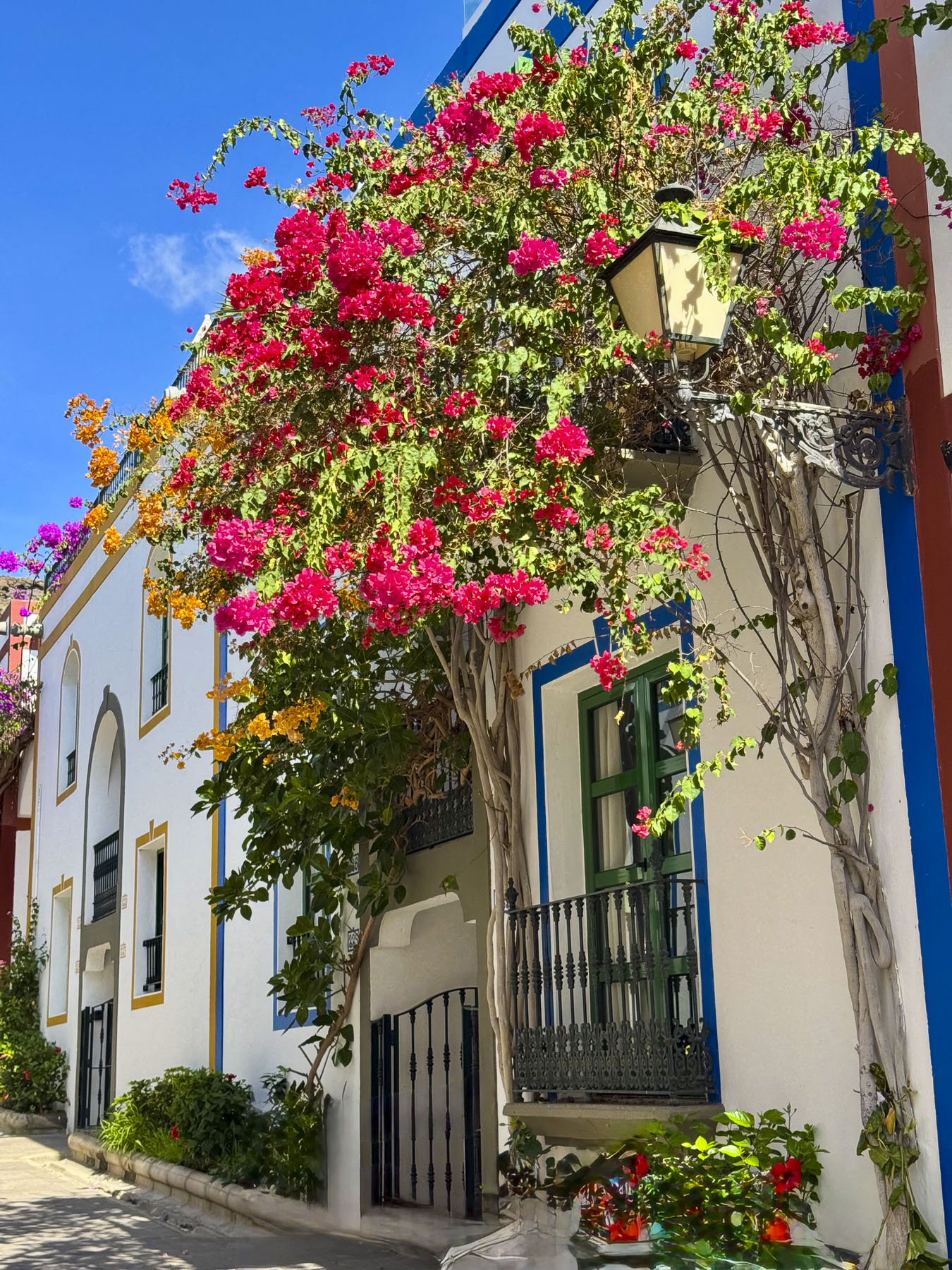
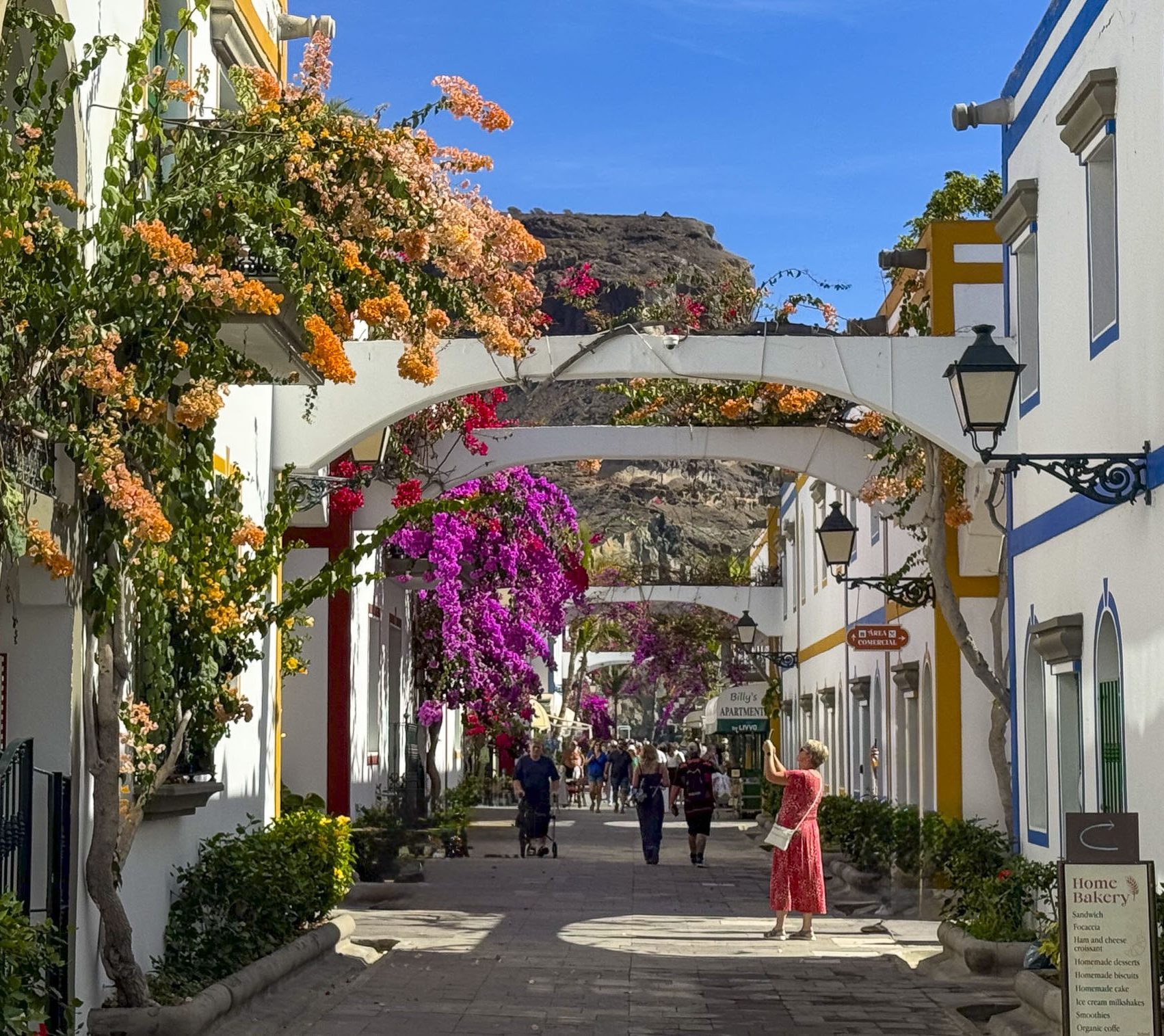
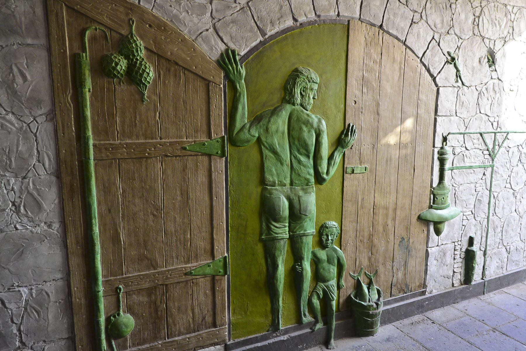
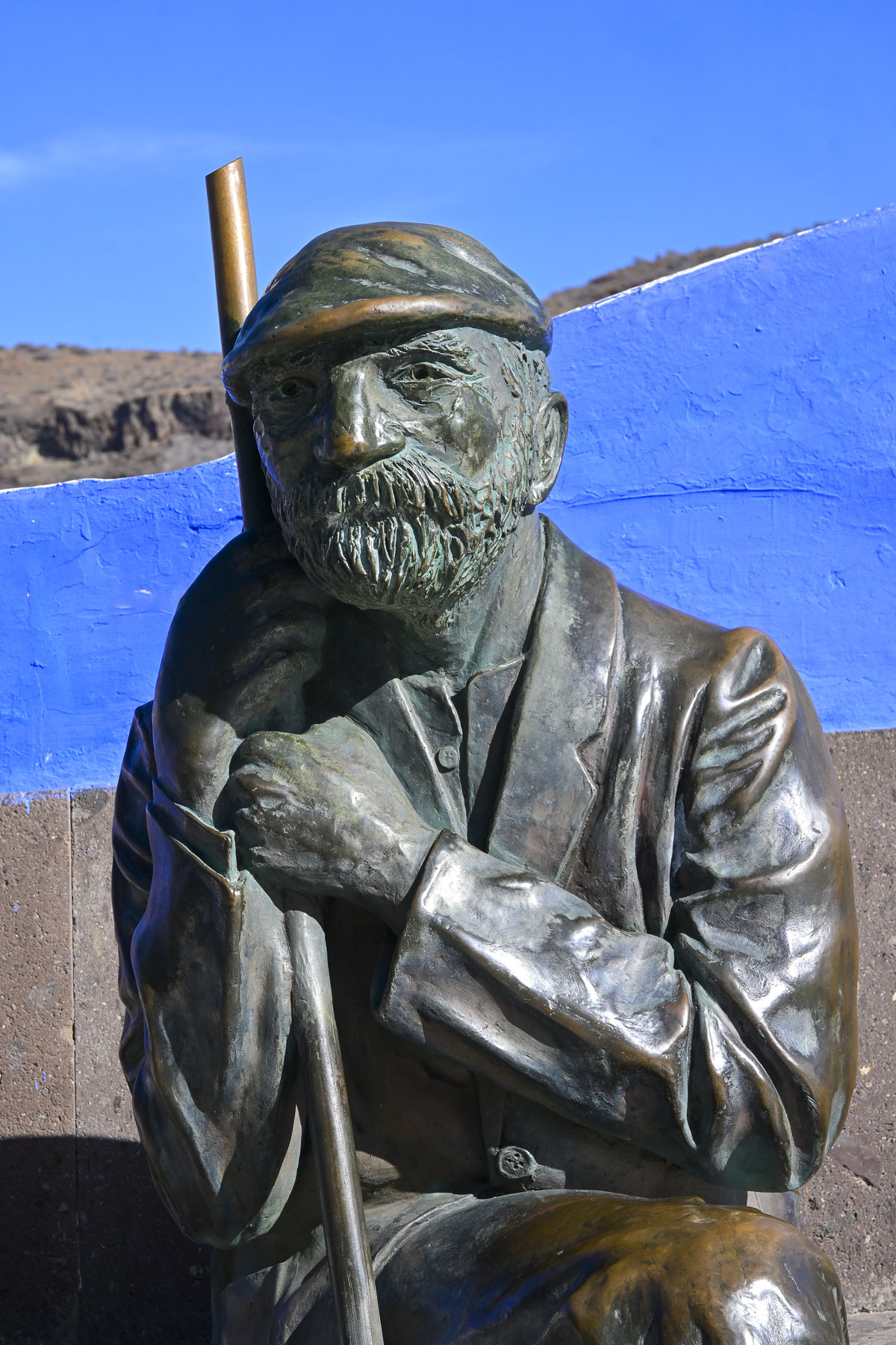
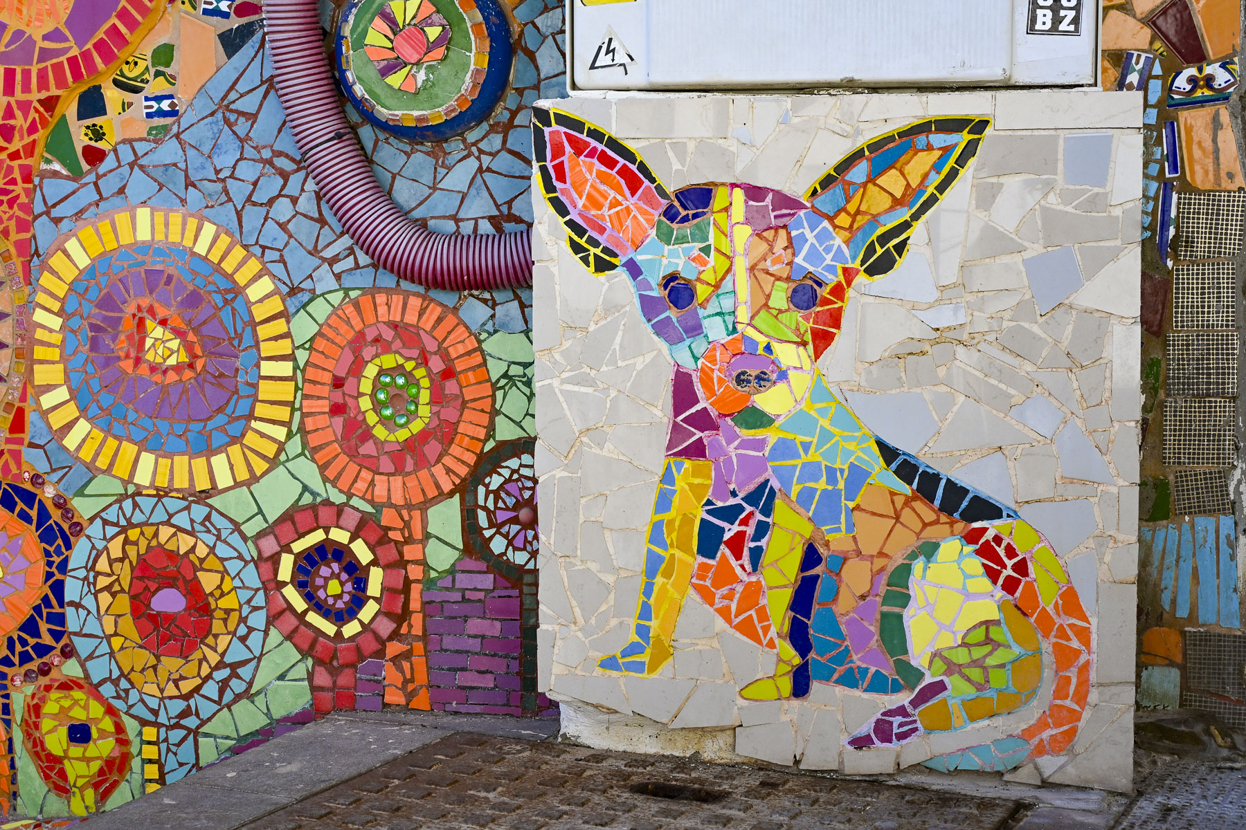
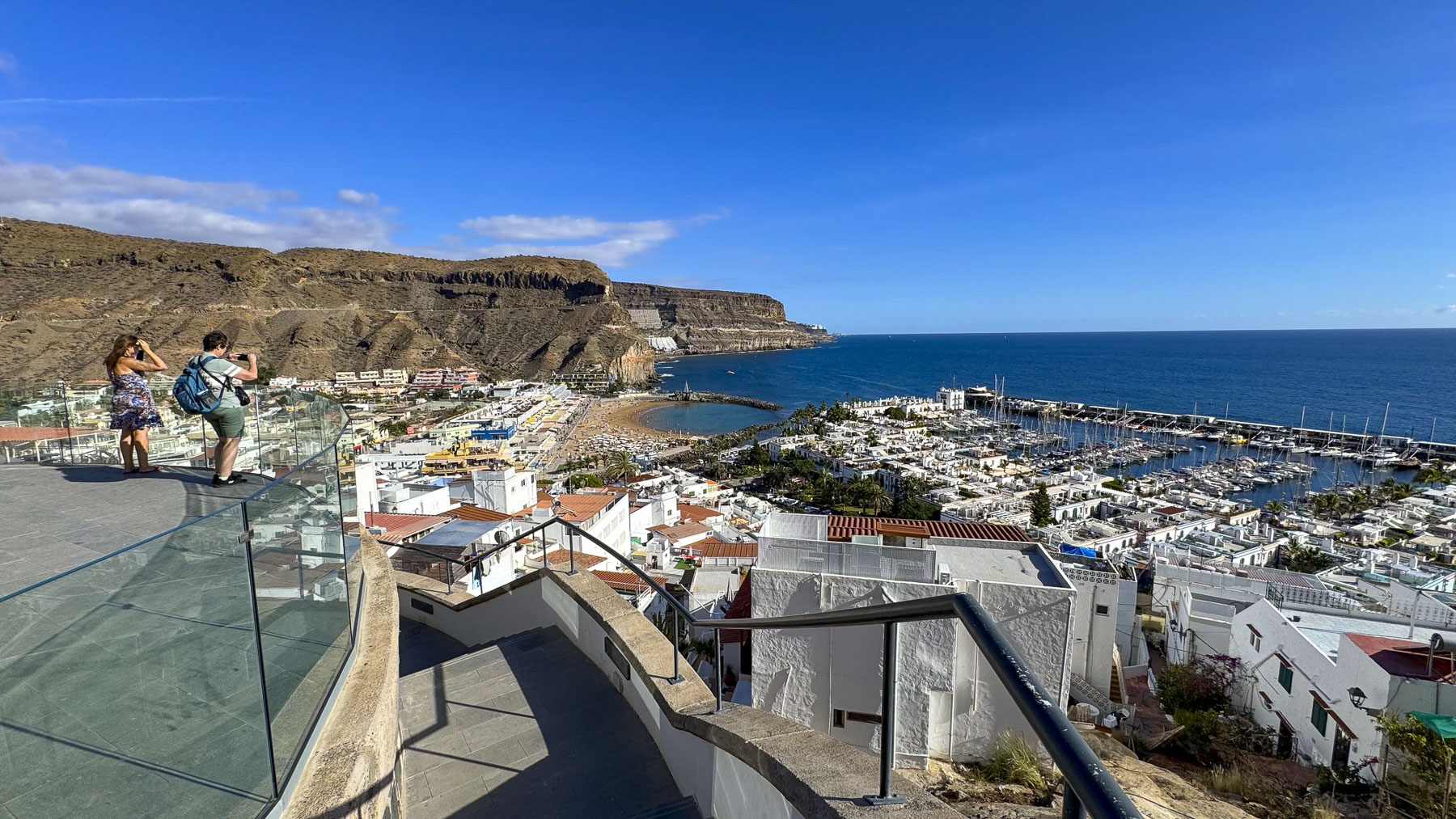
New hotels and the half-moon shaped Playa de Mogán, constructed with sand imported from the Sahara Desert, soon followed. Today Puerto de Mogán, with its whitewashed homes and lanes shrouded with blossoming bougainvillea, is considered Gran Canaria’s prettiest coastal village. Some folks call the town with its small bridges over several narrow canals, “Canaria’s little Venice,” but it’s more a phrase coined by an over-zealous travel agent, than based on reality. But still, we thoroughly enjoyed wandering along the harbor, and through narrow hillside alleys of the historic quarter to the Mirador de Puerto de Mogán for a fantastic view out over the town and sea. It would be a great spot to see the sunrise.
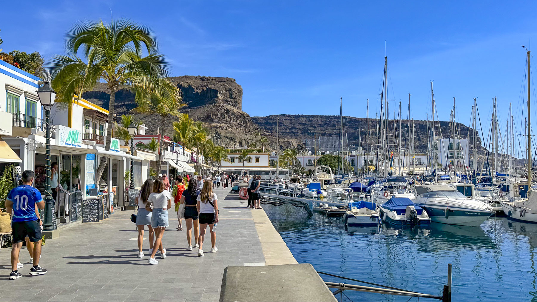
On Fridays the town hosts Gran Canaria’s largest weekly market, with roughly 250 vendors that sprawl out across the town to the marina, and along the harbor wall. Parking is challenging in the small town, but ferry services to Puerto de Mogán from the coastal towns Arguineguín, Anfi del Mar, and Puerto Rico, are a stress-free option that many tourists utilize.
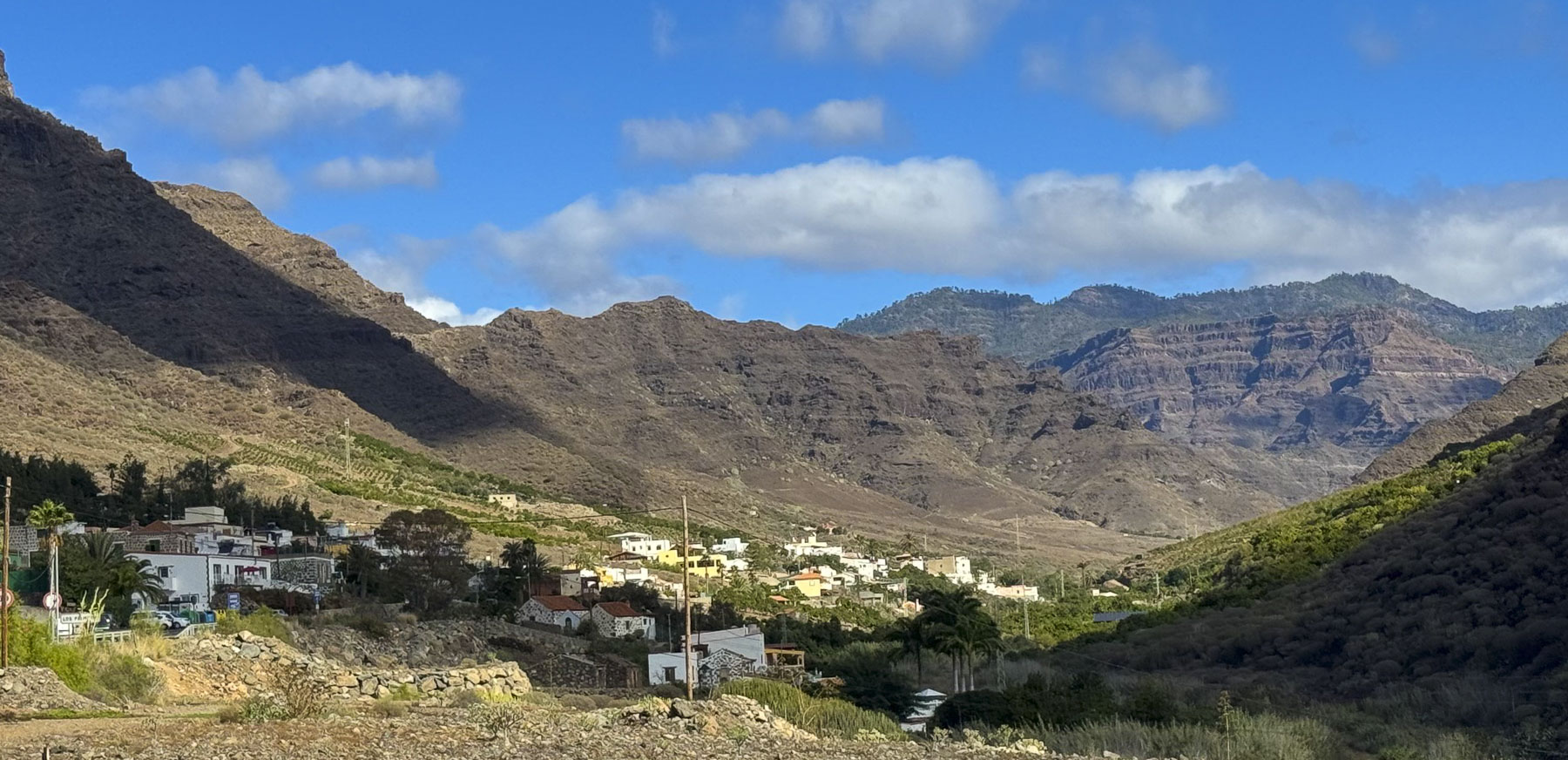
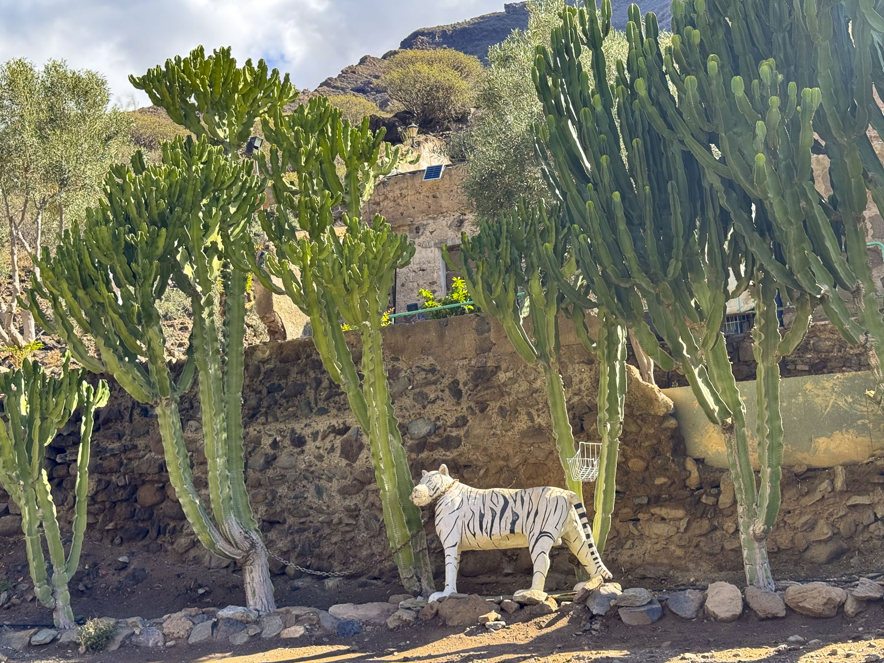
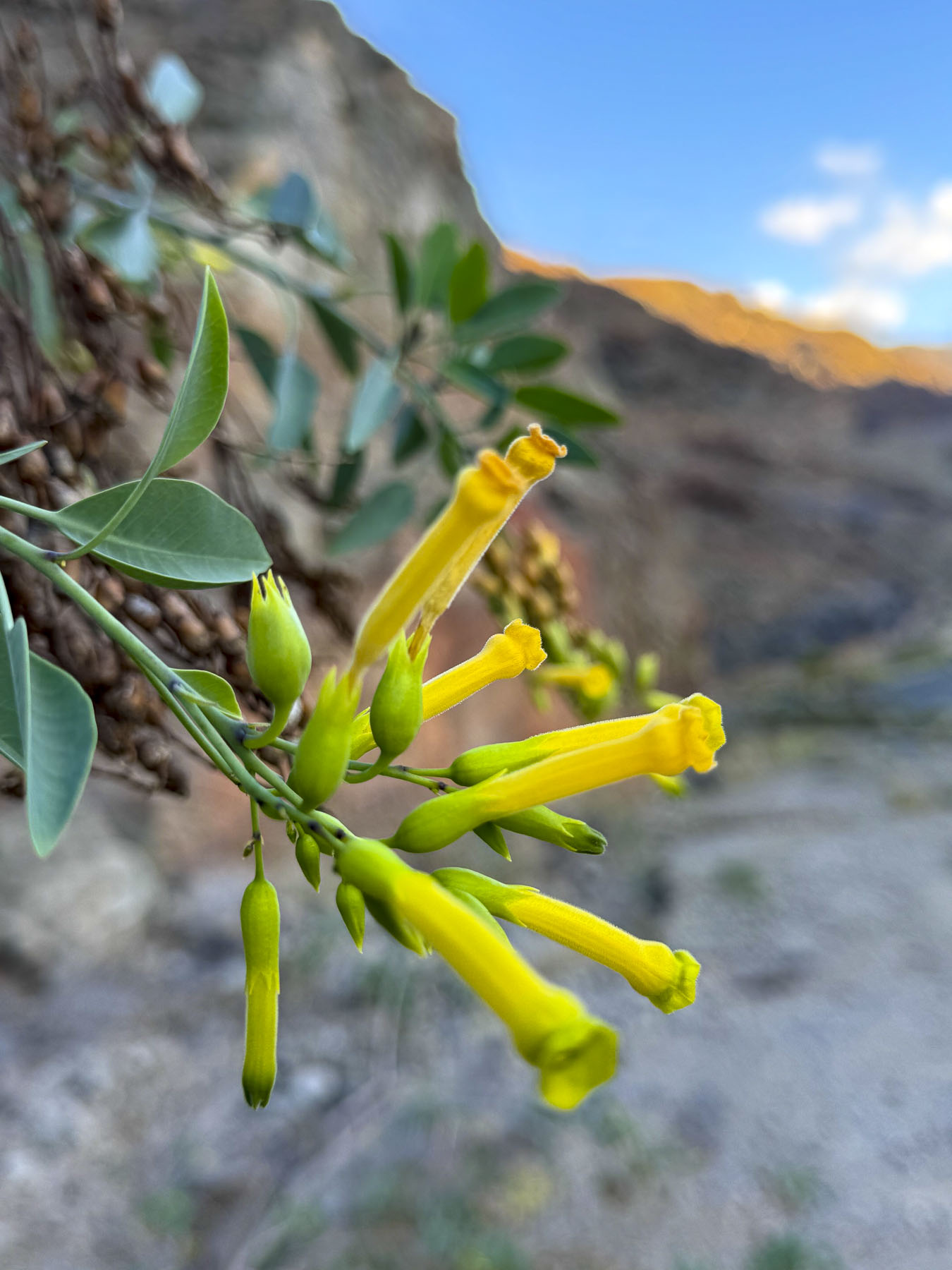
On the last day before leaving Gran Canaria we headed to the Mirador del Balcón, on the island’s western coast, 54km (34mi) away. An hour’s drive without stopping, but what is a day without a journey that’s just as nice as the destination? Our route took us west to the end of the GC-1 then north on the GC-200 through a wide dry valley covered with endemic Cardonal cacti and tabaibales shrubs, native plants that tolerate the semi-arid environment well. Clusters of yellow-trumpeted, wild Esperanza also dotted the landscape. Native to the Americas, it found its way to Gran Canaria centuries ago and is now naturalized across the island.
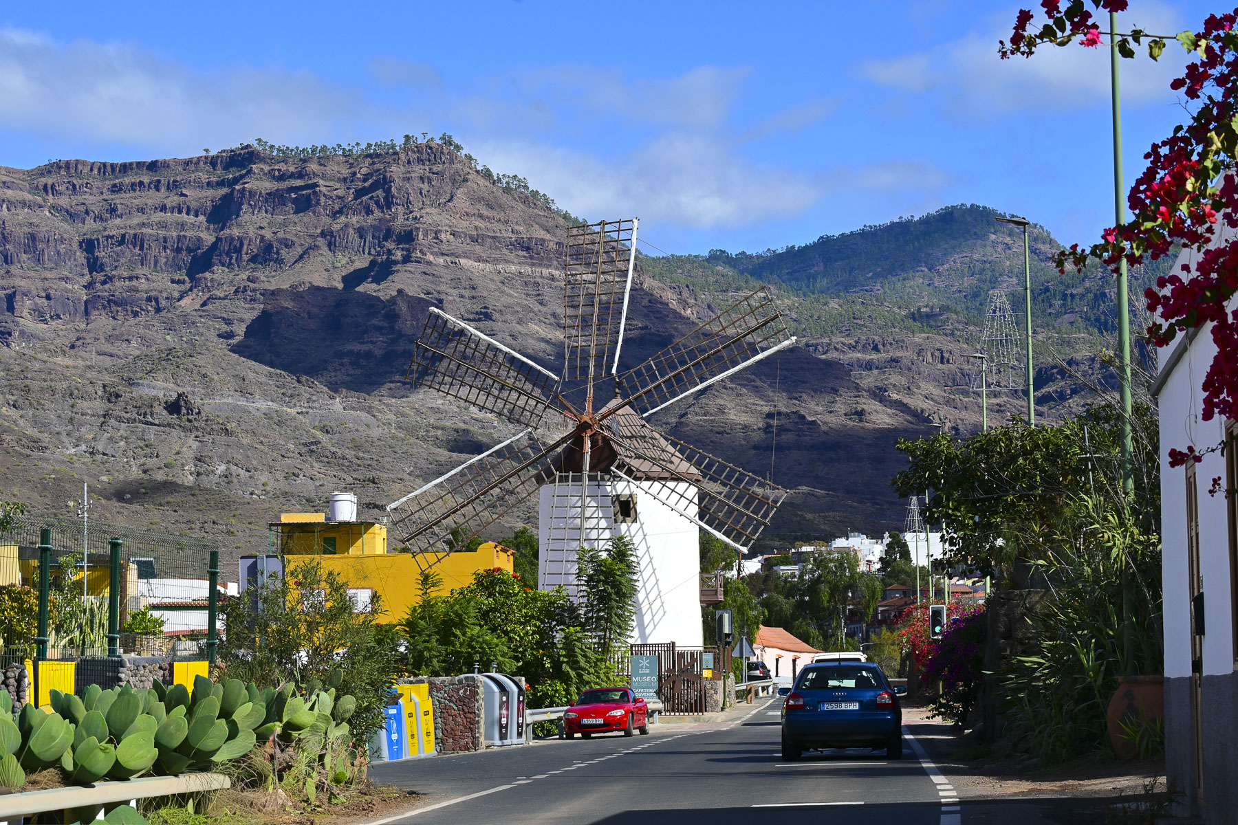
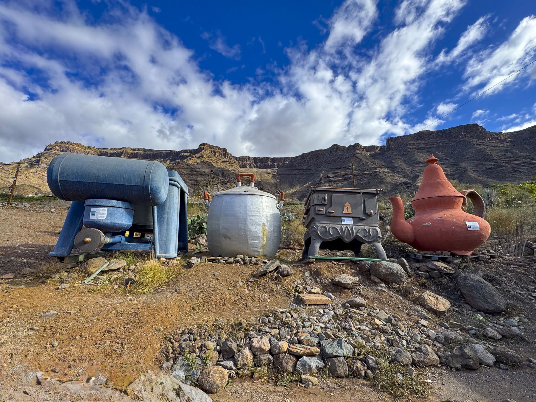
In Mogan, the Molino Quemado, Burnt Mill, a 19th century windmill towered above the road. There used to be nearly 100 windmills across the island that ground toasted grain into “gofio.” Often called the Canary Island’s “superfood,” gofio is a whole-grain, stone-ground product, with a nutty flavor, that retains the nutrients of the entire kernel: it is served like mashed potatoes, in soups as a thickener, or kneaded with honey and nuts into Pella, round dough balls. The mill is used now as a heritage museum, and has a nice café, surrounded by a quirky garden filled with Alice in Wonderland-sized everyday items.
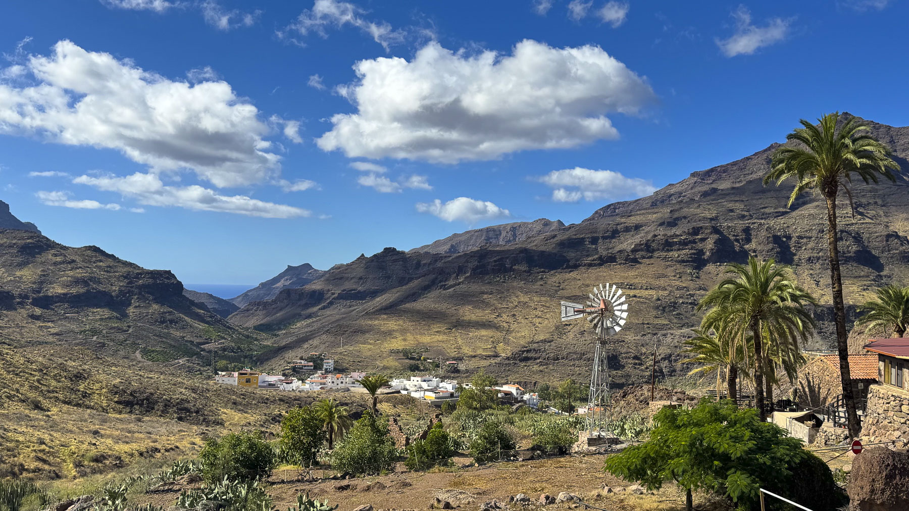
As we drove higher into the mountains a scene with a classic farm windmill reminded us of the American Southwest, and views down the steep ravines revealed oases of greenery, where farms straddled the streambeds.
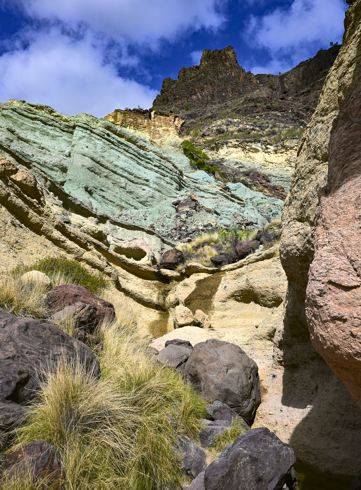
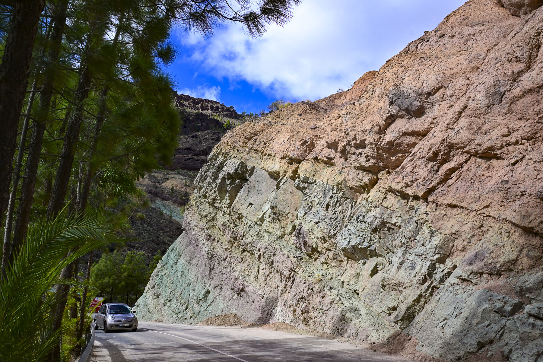
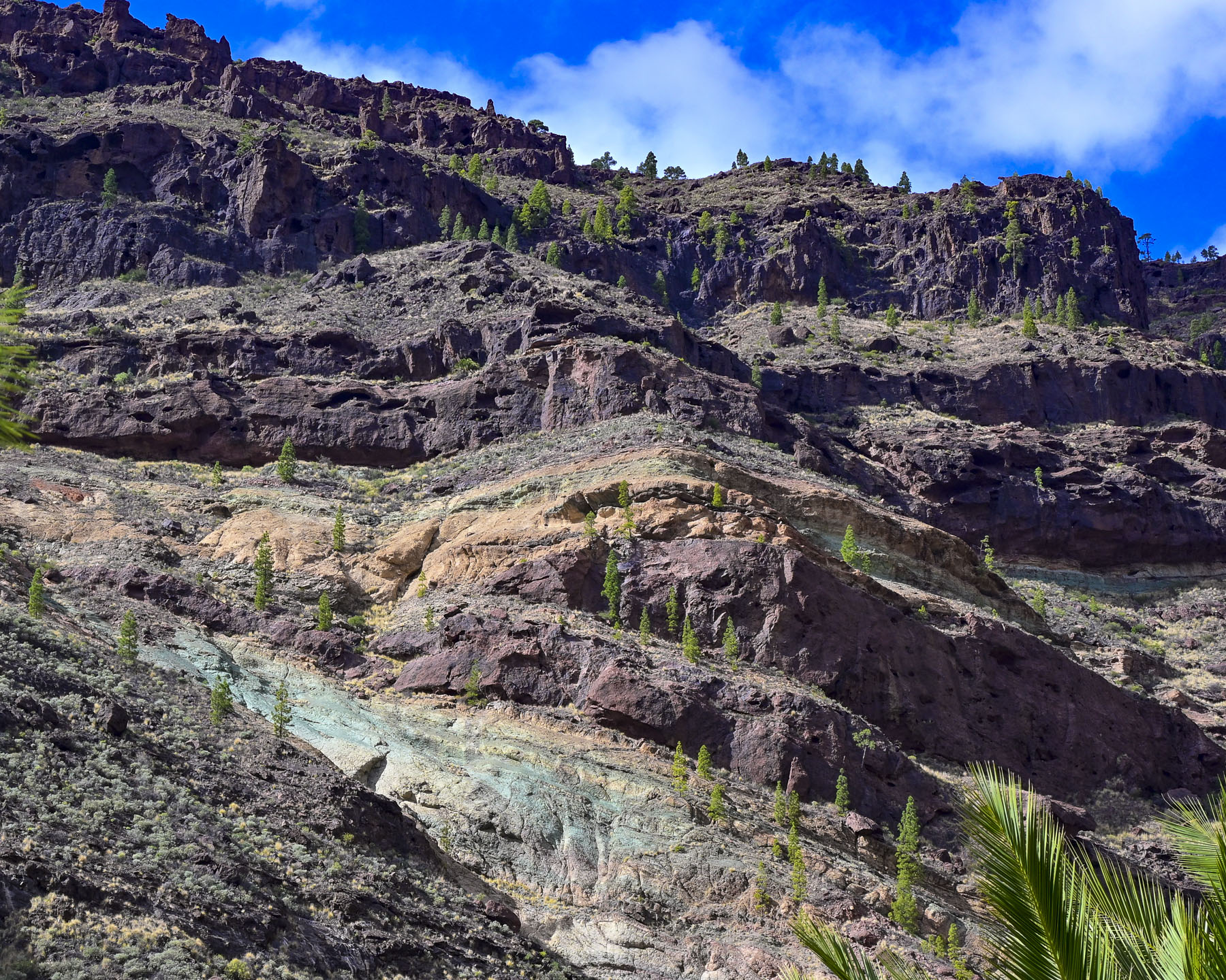
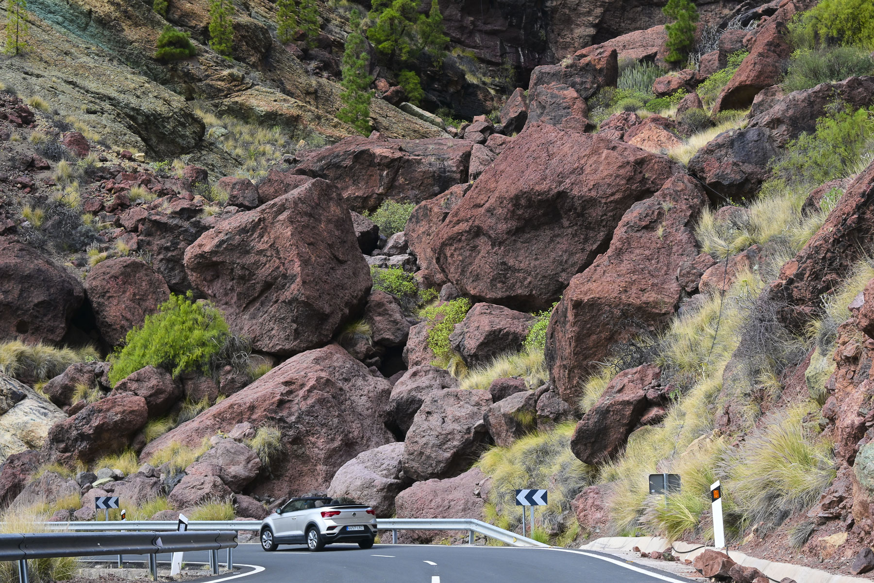
Farther along intriguing stratum of rainbow-colored rock at the Los Azulejos de Veneguera Nature Preserve called for further investigation and we scrambled a short way up a gully. The colors of the rock were the result of volcanic action millions of years ago when supercharged hot water and gases permeated and altered the minerals within the rocks.
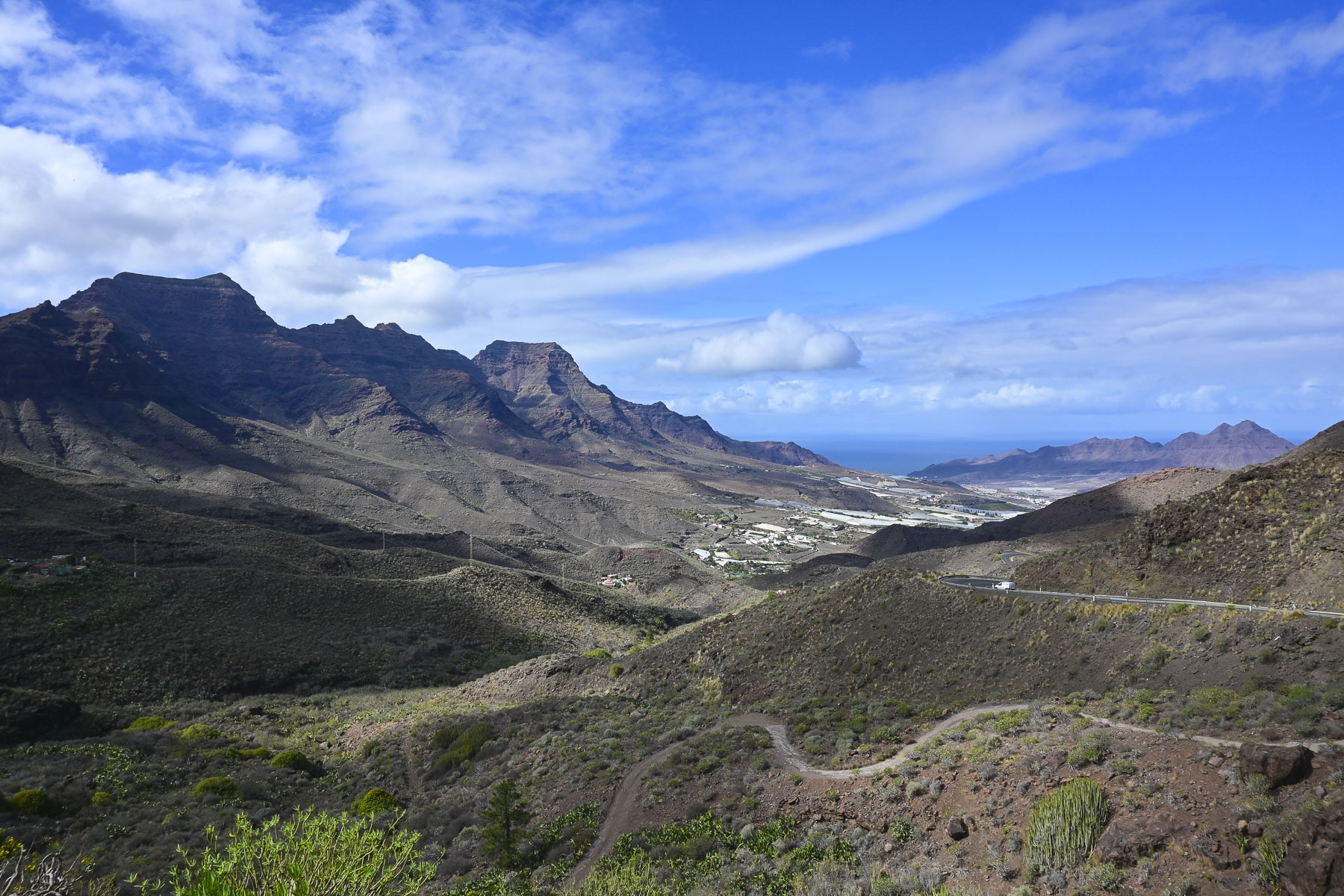
Stopping at the Mirador de San Nicolás provided us with a sweeping view of the La Aldea Valley all the way down to Los Caserones and the sea. Descending into the valley revealed its lower slopes were covered with white-tarped greenhouses. Farmers here mostly grow tomatoes in the rich volcanic soil, but cucumbers, bananas, zucchinis, and tropical fruits are also grown in the fertile valley.
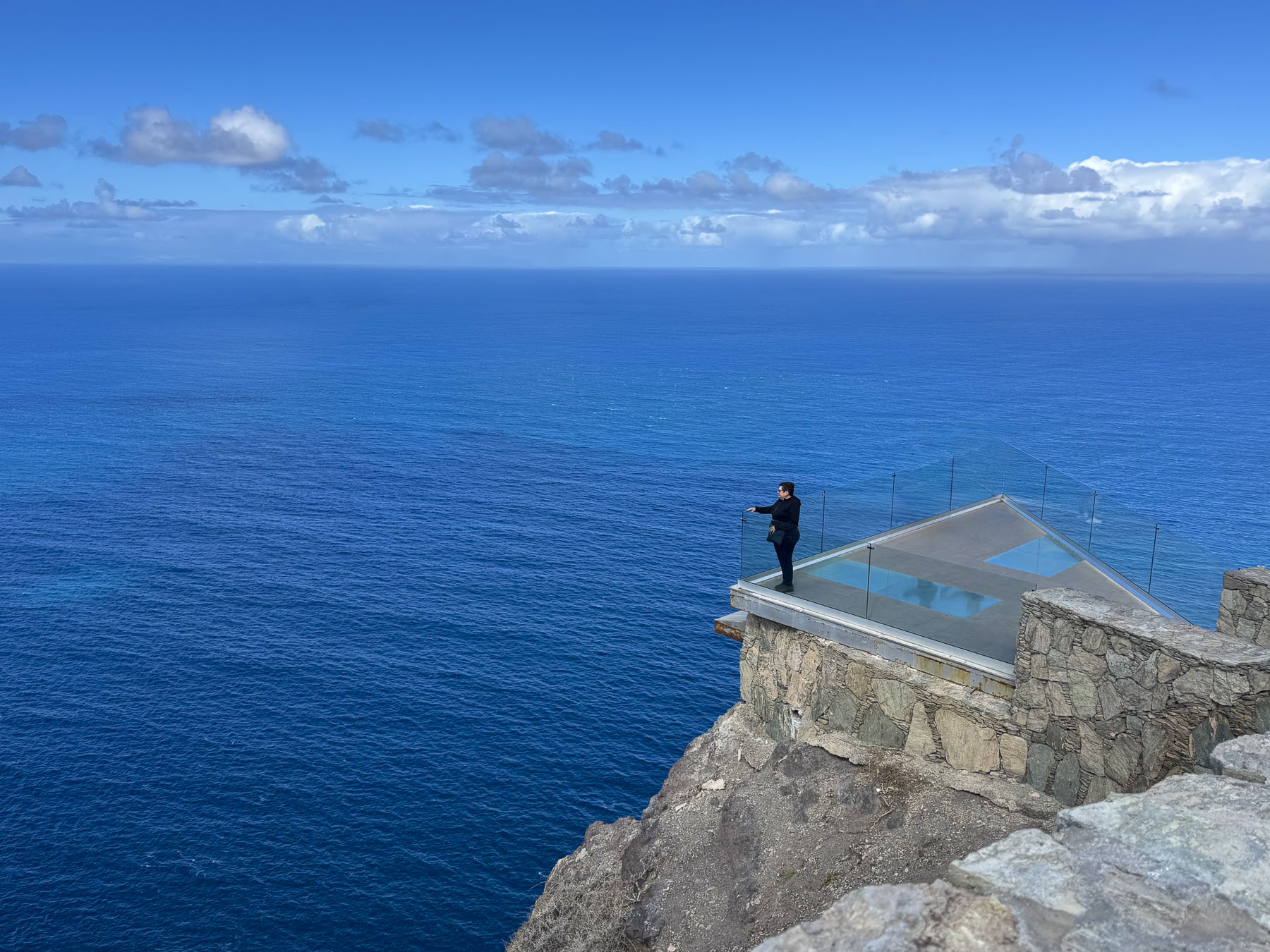
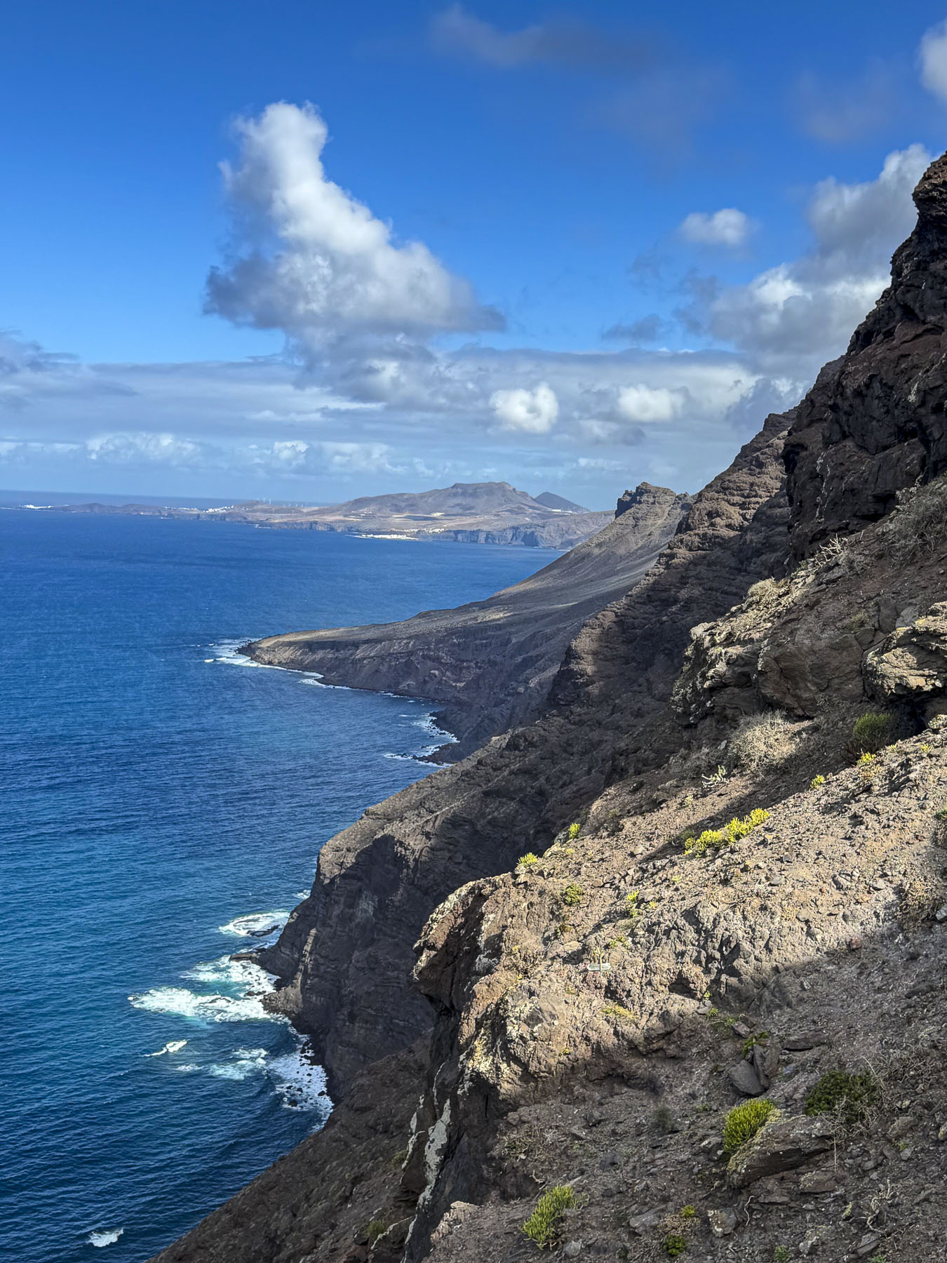
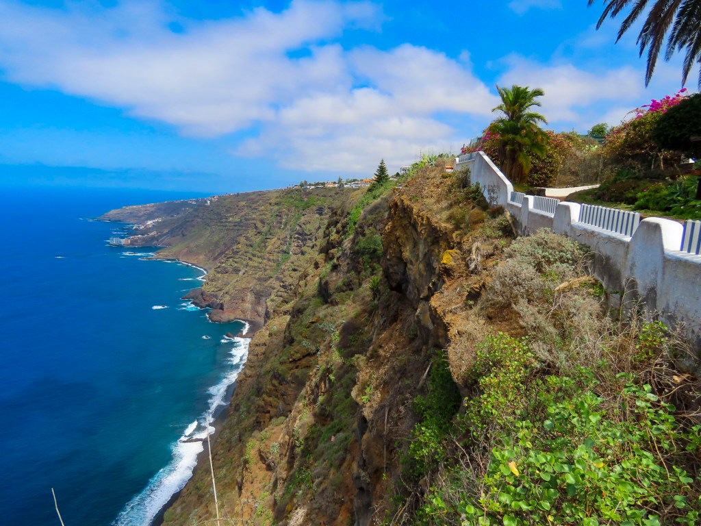
Parking was limited at the Mirador del Balcón, but we only had to wait a few minutes before a space opened up. The dramatic overlook is cantilevered out from the cliff face on a section of the coast with towering cliffs, and spiking peaks nicknamed the “Dragon’s Tail.” If you look over the glass railing, waves crashing against the rocks are a dizzying 350m (1148.29ft) straight down. The views up and down the coast were breathtaking. It was a good way to end our time on this wonderfully engaging island.
In hindsight we should have stayed on the island for a few more days, using Las Palmas as a base to explore the northern inland region and coast.
Till next time,
Craig & Donna

































 2 Suitcases for 2 years