A New Mexico Road Trip: Earth, Sky, & Art

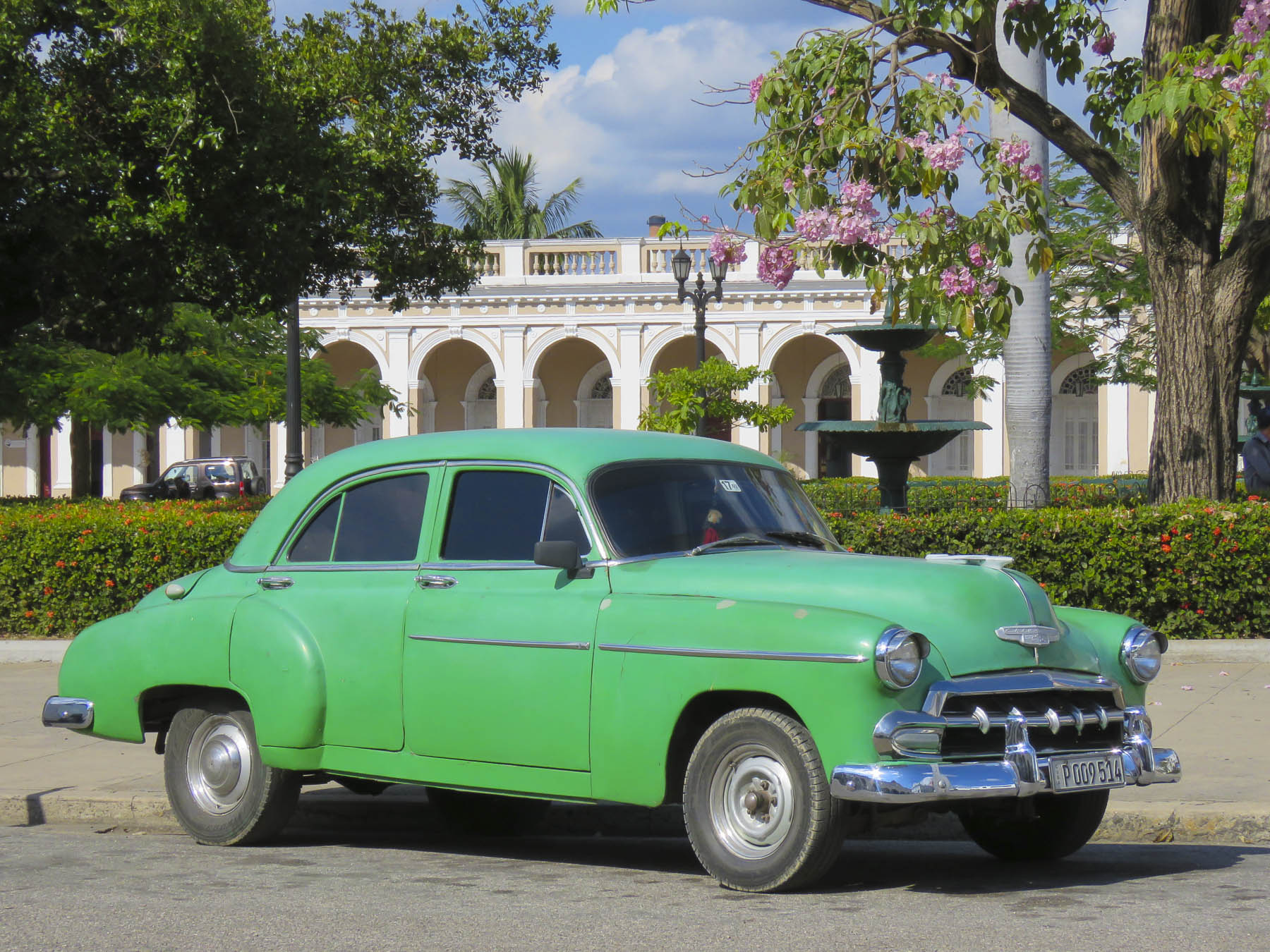
One of the things we enjoy most about traveling is picking the brains of folks we’ve had the pleasure of meeting throughout our journeys. Whether it’s a tip from a car rental agent about an isolated restaurant in the Azores or from a young Italian attorney who shared her love of Cadiz, Spain, with us, we try to follow through. Sometimes acting immediately, but mostly tucking the tips away into the deep recesses of our minds to consider in the future.

When the same question is asked of us about the best places to see in the United States, Albuquerque, Santa Fe and Toas in New Mexico immediately top our list as the most unique destination in the USA. Maybe I’m a little cynical with an over-simplified view that the United States is mostly a homogenized mass of sameness that spans 3000 miles from the Atlantic to Pacific, mostly sharing the same landscapes, urban architecture, and strip malls with the same ubiquitous retailers – Home Depot, Starbucks, Panera, Pizza Hut and McDonalds – from coast to coast. Yes, the same is true, though to a much smaller degree, of the urban sprawl that surrounds Albuquerque. Though here you’ll find Blake’s Lotaburger, frito pies, piñon coffee, frybread-style sopapillas, and pozole (a hominy dish) along with parking lots filled with roasters full of Hatch green chilies every September when the harvest comes in and that wonderful aroma fills the air. We hope these photos and this story pique your interest in New Mexico, an endlessly beautiful, culturally diverse, artistic, and quirky place that is truly the “Land of Enchantment.” And a destination we always enjoy exploring.

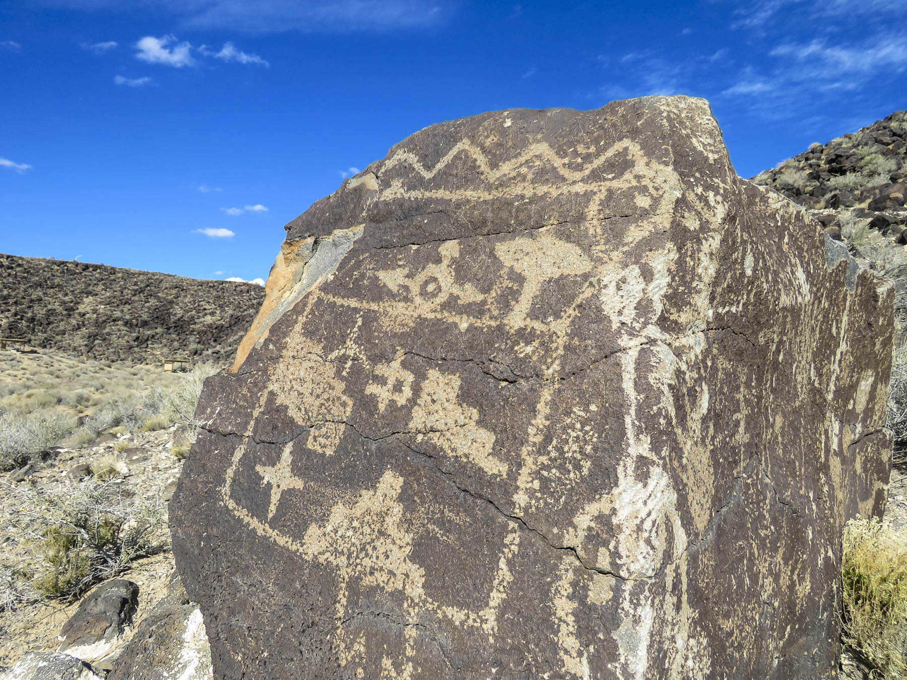
Start in the Petroglyph National Monument, then follow Central Ave (Old Rt66), from the original adobe buildings of Old Town, circa 1706, east across town up to the Knob Hill area around the University of New Mexico and beyond to the Tijeras Pueblo Archaeological Site and the beginning of The Turquoise Trail. You will have spanned several millennia from the oldest petroglyphs dating from 2000 BC to the present and a blending of cultures that is refreshing. It’s a remarkable stretch of history for a young country that typically dates itself to the English colonies of Jamestown – 1607, and Plymouth – 1620.

A 2013 archeological excavation in northern New Mexico unearthed stone tools used to butcher a mammoth, and radiocarbon testing dated them to be 36,000 years old. These tools are attributed to some of the first people that migrated across the Bering Sea from Asia, the ancestors of Native Americans. Jump forward 35,000 years and you have pueblo Indians living in settlements along the Rio Grande Valley and across northern New Mexico. Their first contact with Europeans comes with a back story and cast of characters worthy of the best fiction writers.

It starts with orders from the Holy Roman Emperor Charles V (Charles I of Spain) to Álvar Núñez Cabeza de Vaca (from Jerez de la Frontera, near Cadiz, from that great tip earlier) authorizing him to colonize the region between Río Soto la Marina, Mexico, and what is now Tampa, Florida, a distance of 1500 miles. Tragically believing the distance between the two was only 45 miles, Cabeza de Vaca landed north of Tampa in April 1528 with 300 men and forty horses. Unable to rendezvous with their ships, the expedition was doomed. Traveling west across the top of the gulf towards the nearest Spanish settlement of Tampico, Mexico they encountered alligators, venomous snakes, and hostile natives. They were captured, enslaved, beset by disease-bearing mosquitos; they crossed numerous creeks, swamps and rivers. By the time they reached the “Isle of Misfortune,” Galveston, Texas a year later, only 15 remained.  They crossed the Rio Grande near El Paso. With the help of friendly tribes, Cabeza de Vaca and three others, Alonso del Castillo, Andrés Dorantes de Carranza, and his slave Esteban the Moor survived an eight-year Homeric ordeal, that took them across the Mexican desert to the Pacific Ocean before being reunited in 1536 with their compatriots in Mexico City. The three Spaniards were rewarded with titles and land by the King. Cabeza de Vaca became the Viceroy of Paraguay, gained political enemies and was unjustly tried in Spain and imprisoned in North Africa. It is not known if Esteban the Moor was granted his freedom, but he was not forgotten.

De Vaca and his fellow survivors had returned with legends heard from the Indians they encountered of fabulous riches farther inland. These stories of insurmountable wealth were still fresh in everyone’s minds two years later when Friar Marcos de Niza (from Nice, France) arrived in Mexico City after leading the first groups of Franciscans into Peru with Spanish conquistadors to conquer the Inca civilization. In hope of finding the fabled “Seven Cities of Gold,” a treasure that allegedly rivaled that of the Aztecs and Incas civilizations, the Viceroy of Mexico planned an expedition headed by Friar Marcos de Niza, along with Esteban the Moor who had the most knowledge of the area’s tribes, and their customs. It seems from reading various accounts that Esteban led, and Friar Marcos followed. They both were the first foreigners, a North African slave and a European, to explore the area we now recognize as the American Southwest. This is 27 years before the founding of St. Augustine, in Florida in 1565. Friar Marcos claimed Esteban the Moor was killed near a Zuni pueblo when he reached one of the “cities of gold.” Marcos also claimed to have seen a city larger than Mexico City, with buildings nine stories high glittering on the horizon. Dream, mirage, a pueblo glowing like a sunset – a lie? Wanting to avoid Esteban’s fate, the Friar ventured no further and returned to share his exploits in Mexico City. The lust for gold was consuming and a year later, in 1540, Francisco Vázquez de Coronado led an expedition of 400 hundred soldiers with 1500 native porters and Friar Marcos north again to attain that treasure. And boy was he miffed when they reached the Zuni tribe and found nothing but a “poor pueblo.” Accusing Friar Marcos of lying, he sent him back to Mexico. Coronado’s expedition would stay in the region for two years, traveling in several smaller groups west as far as the Grand Canyon and east into Texas and Kansas. They never discovered gold though they did travel through areas where it would be discovered centuries later. They returned emptyhanded. It would be 53 years before Spaniards ventured north again.

In 1595 King Philip II of Spain chose Don Juan de Oñate to colonize the upper Rio Grande valley. In 1598 he led an expedition north that included 20 Franciscan missionaries, 400 settlers, 129 soldiers, 83 wagons, plus livestock, with the stated mission from the Pope to spread Catholicism. But there was still hope that the evasive “Seven Cities of Gold,” would finally be discovered. Fording the Rio Grande near present day El Paso, he proclaimed all the lands north of the river “for God, the Church, and the Crown.” Life in the new territory under Oñate was severe. Some settlers urged a return to Mexico when silver was not discovered, and Oñate executed the dissenters. Pueblos that refused to share winter food stocks needed for their own survival were brutally suppressed into submission. The Spanish imposed the encomendero on the pueblo tribes. This was a colonial business model that granted conquistadores or ordinary Spaniards the right to free labor and tribute from the indigenous population. In return Nuevo México encomiendas were obligated to “instruct the Indians in the Roman Catholic faith and the rudiments of Spanish civilization.” The free land and free Indian labor promised with the encomendero was also used as a recruiting tool to encourage settlers to venture north from Mexico. The pueblos did not submit willingly; any resistance was forcibly repressed until the Pueblo Revolution in 1680. Four-hundred Spaniards died, including 21 priests, but there were almost 2000 Spanish survivors. Warriors followed the fleeing refugees all the way to El Paso to ensure their expulsion from Indian territory. But by then there were three generations of intermarriage, along with shared ideas, technology and customs.

When the Spanish returned 12 years later, they did not try to reimpose the encomendero, and returning missionaries displayed more tolerance of indigenous religious beliefs. Spain instead sought to enlist the Pueblo tribes as allies to resist French and British empire expansion farther west. The vast area claimed by Coronado and Oñate became part of the United States with the Treaty of Guadalupe Hidalgo, which ended the Mexican-American War in 1848. It’s a fascinating multilayered history that continues to contribute to New Mexico’s uniqueness.

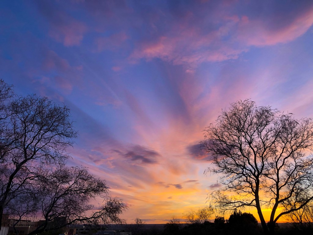
But enough about history. Land at the Albuquerque International Sunport, rent a car and hit the road. Head north on Rt25, with the Sandia Mountain Range glowing in the late afternoon light on your right and a spectacular sunset in the west. This sublime experience could be the beginning of a long love affair with the state, as it was for us. The expansive vistas and sky, along with incredible light and dramatic ever-changing weather out here are just awesome, especially if it’s your first time to the Southwest. Fair warning: the state can become addictive with endless ways to satisfy your wanderlust.

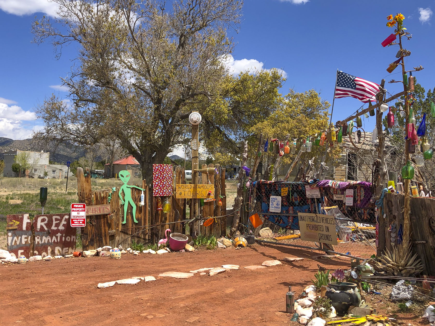
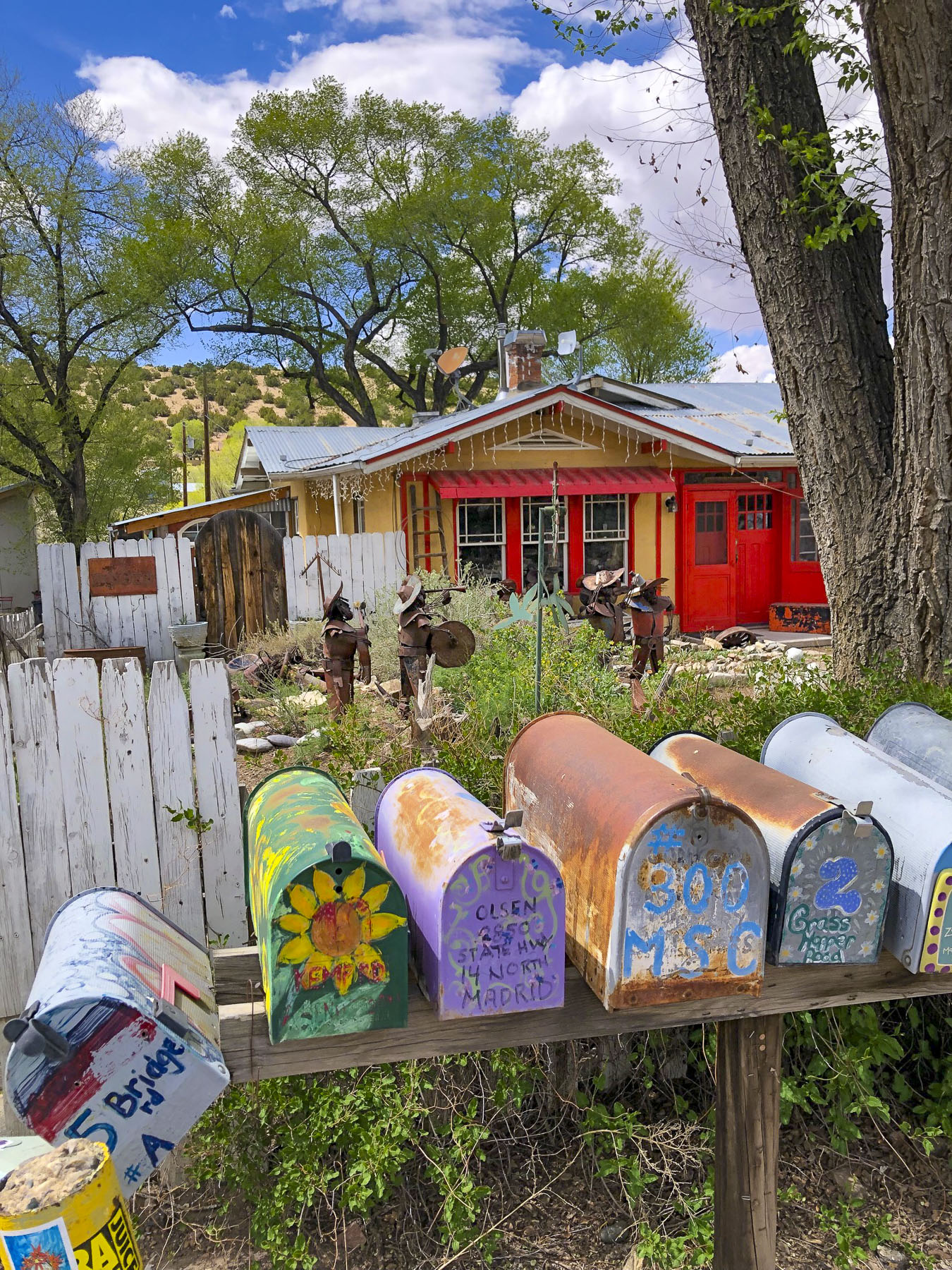
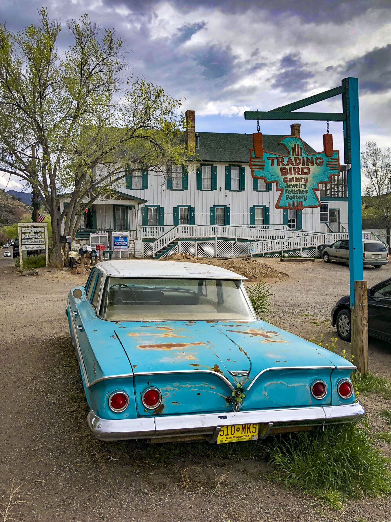
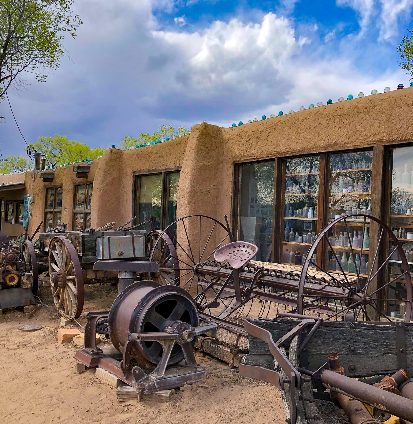
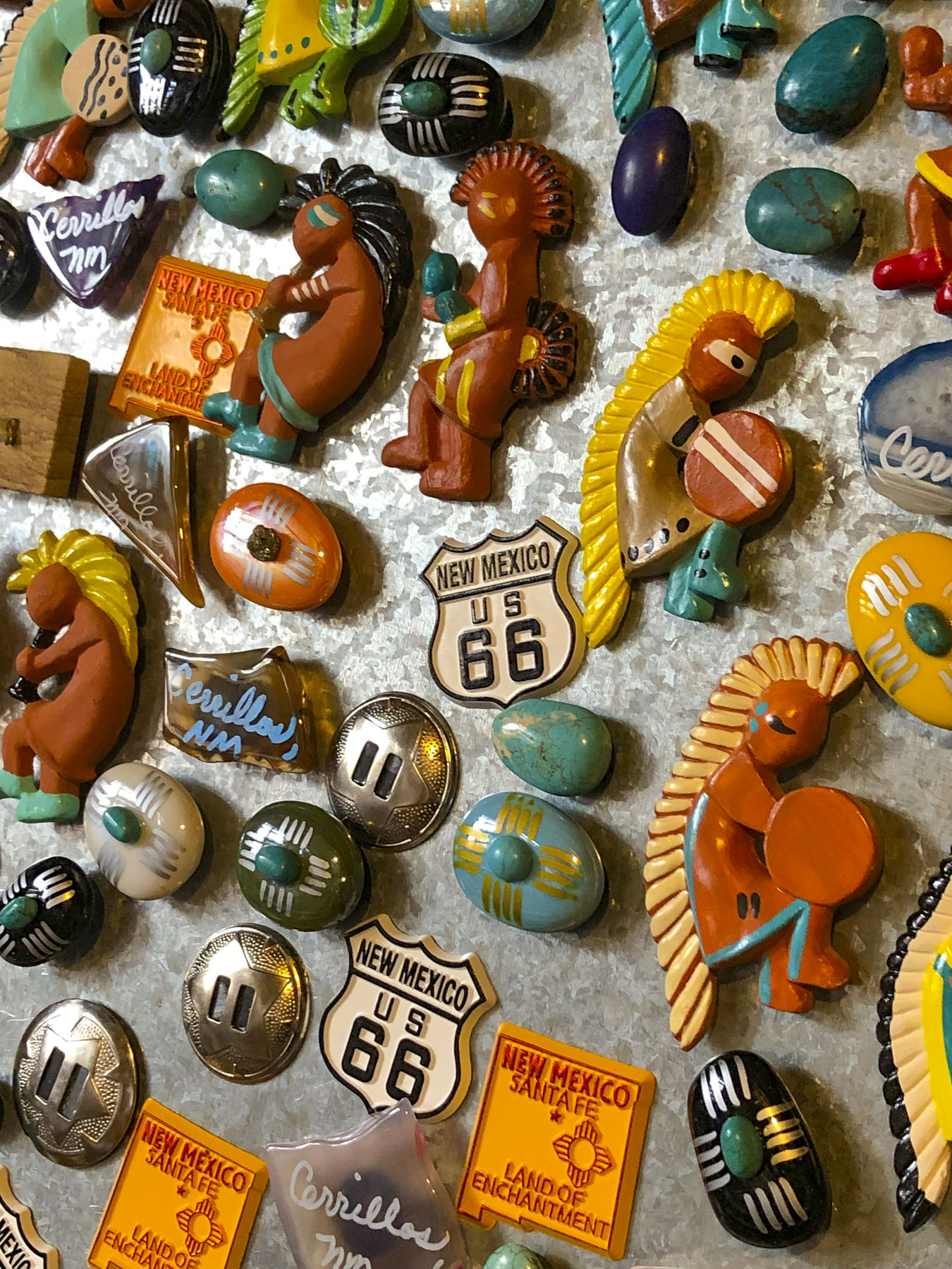
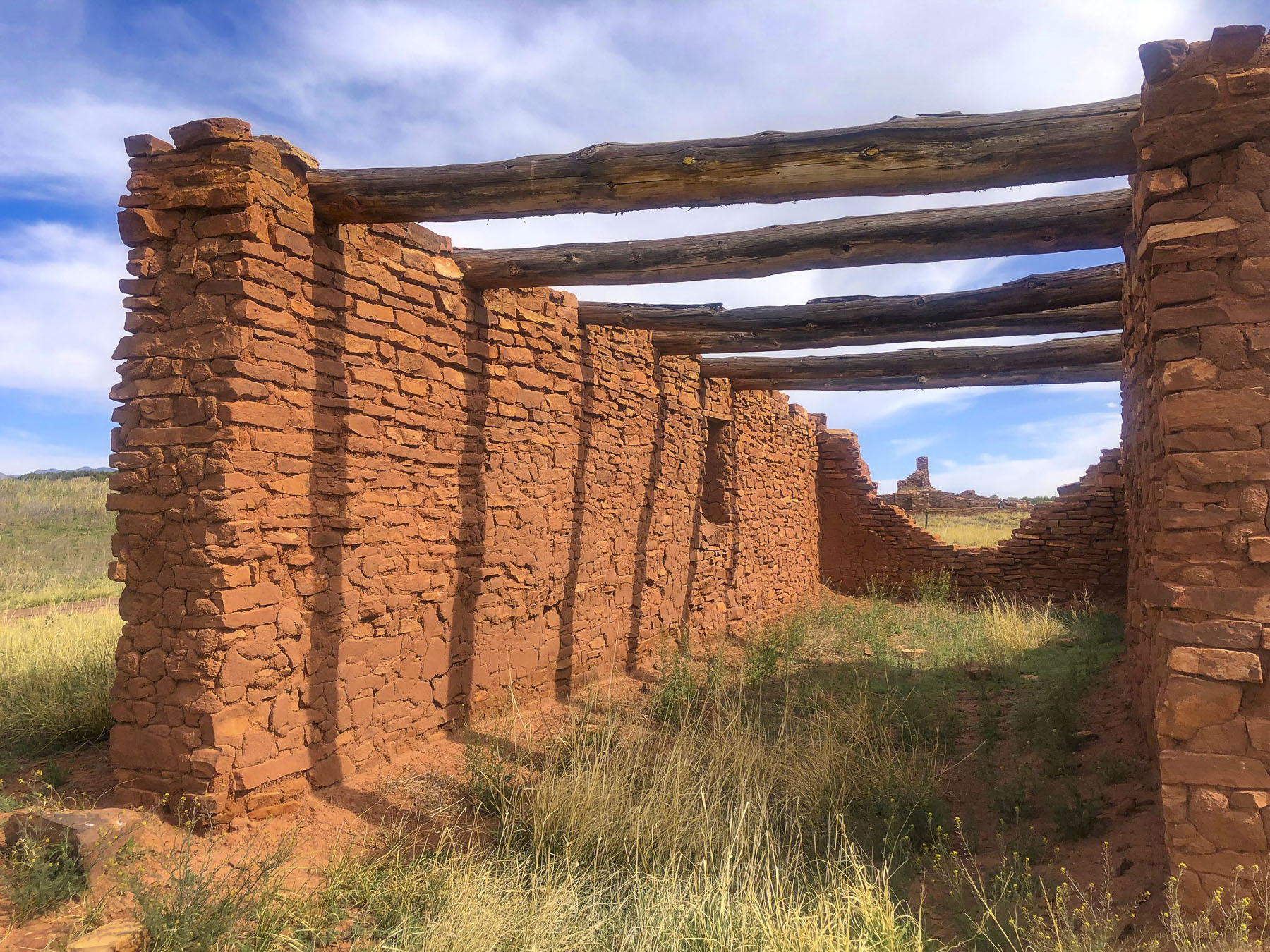
The ruins of the old Spanish missions in the Salinas Valley and Mountainair are south of Albuquerque. Route 40 East will take you to the beginning of the Turquoise Trail, a splendid backroad route that gracefully curves, rises and falls through the rugged foothills of the Sandia and Ortiz mountains as it follows NM14 north for 65 miles. Pass through the historic towns of Golden, Madrid, Cerrillos and San Marcos just south of Santa Fe. Follow Route 40 West to see the amazing rock drawings at the Petroglyph National Monument or continue farther to the Zuni Reservation, mentioned earlier.

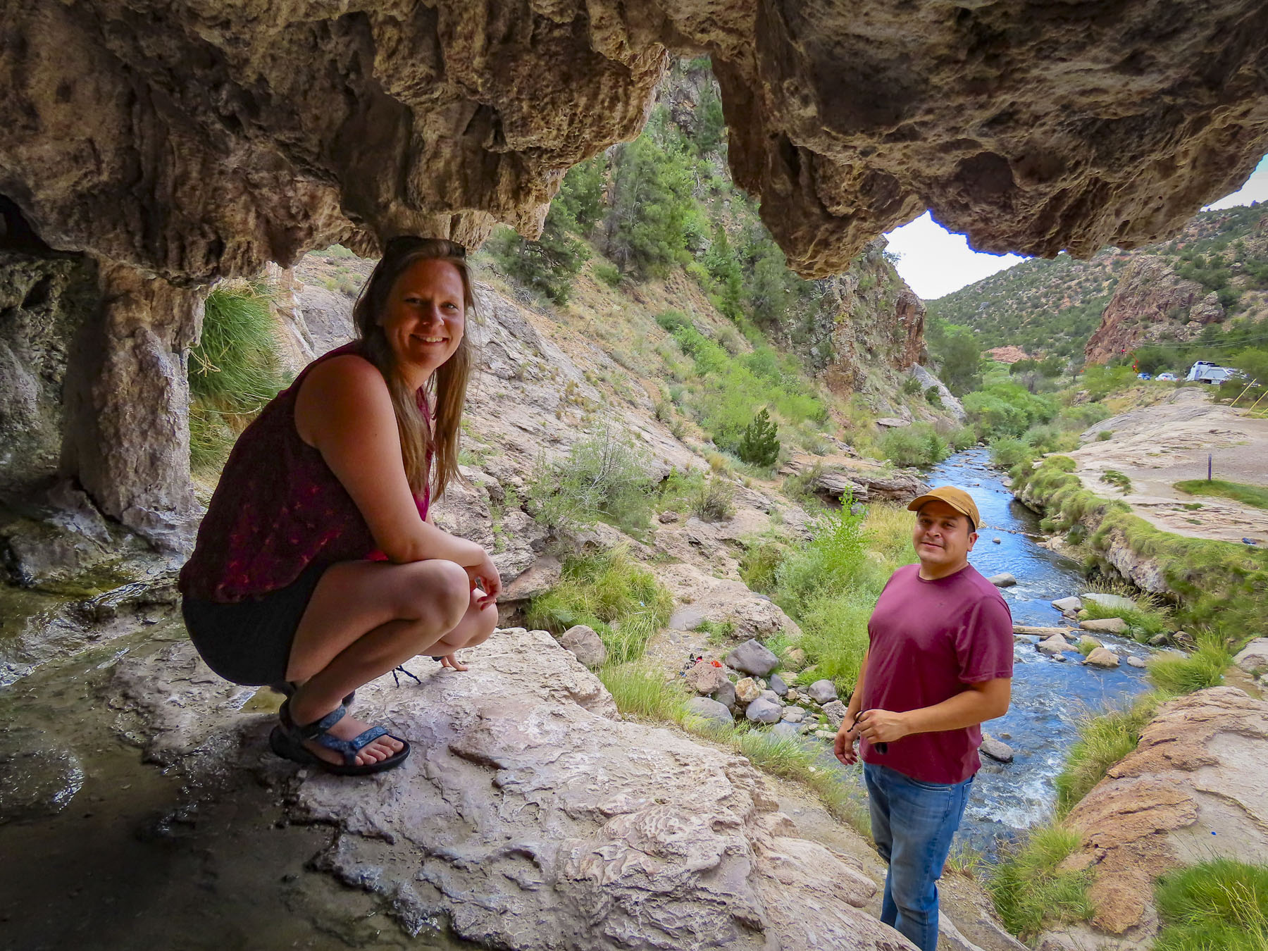
Veer off Rt25 and head to Jemez Springs where you’ll find, red rock canyons, old logging roads and hot springs. Farther along in the Valles Caldera National Preserve you can see herds of elk grazing in a 13-mile-wide meadow that is now all that remains of a collapsed volcano cone after a massive ancient eruption.

Nearby the 11,000-year-old cliff dwellings carved into the canyon walls of Bandelier National Monument are a must stop. There are plenty of interesting detours and quirky stops to make along the way.

Santa Fe and Toas lie in the mountains farther north of Albuquerque and have been popular destinations with artists and writers since the early 1900s – D.H. Lawrence, Georgia O’Keefe and Ansel Adams and many others enjoyed the vibrant Indian and Hispanic cultures. Today Hollywood stars like Julia Roberts, Val Kilmer, Ted Danson, and Oprah Winfrey have homes in the area.

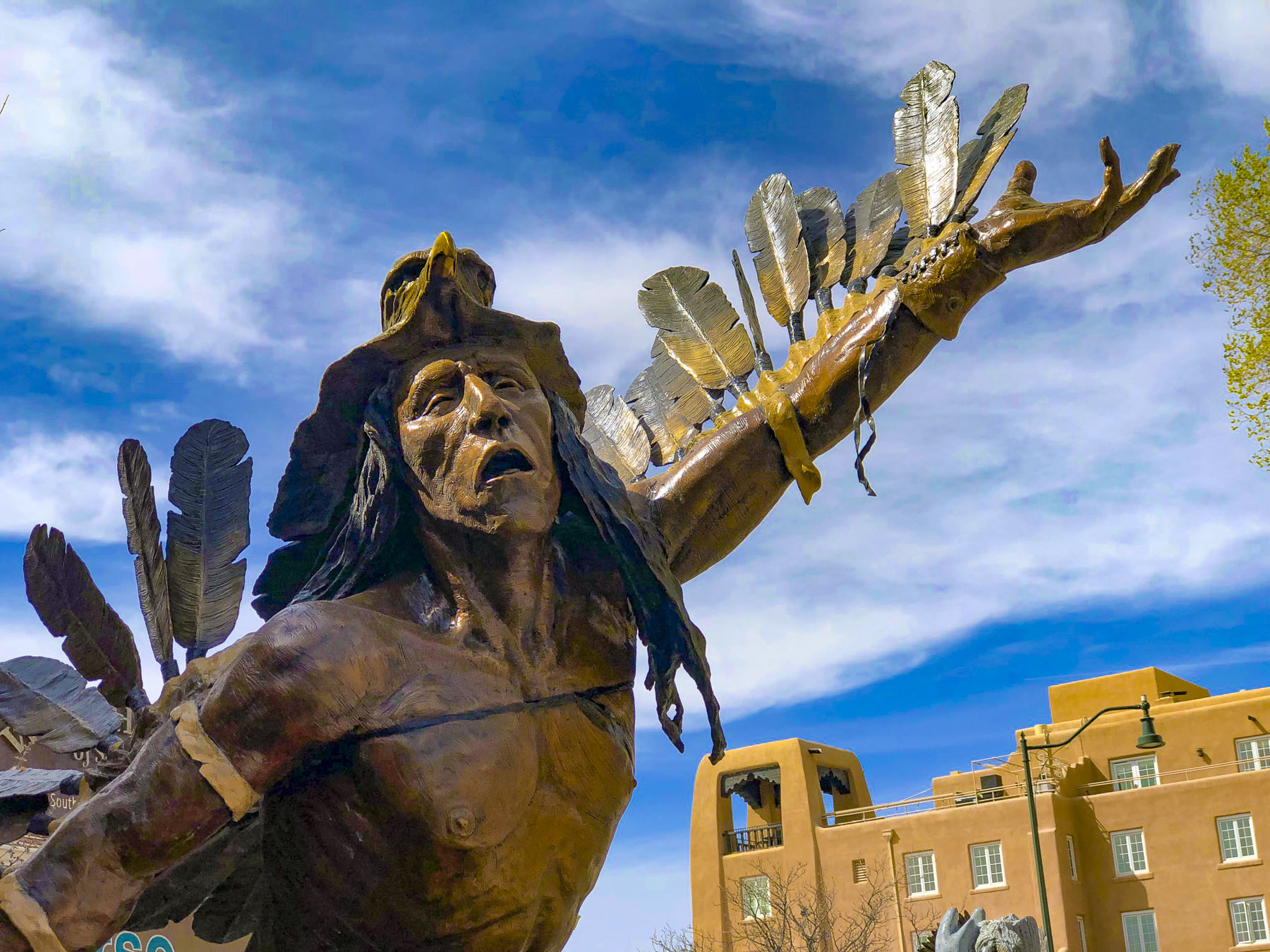
The city retains it early Spanish heritage with historic adobe buildings surrounding Santa Fe Plaza. The Indian market is still held under El Portal in front of the Palace of the Governors, the oldest continually occupied public building in the United States, since its construction in 1610.

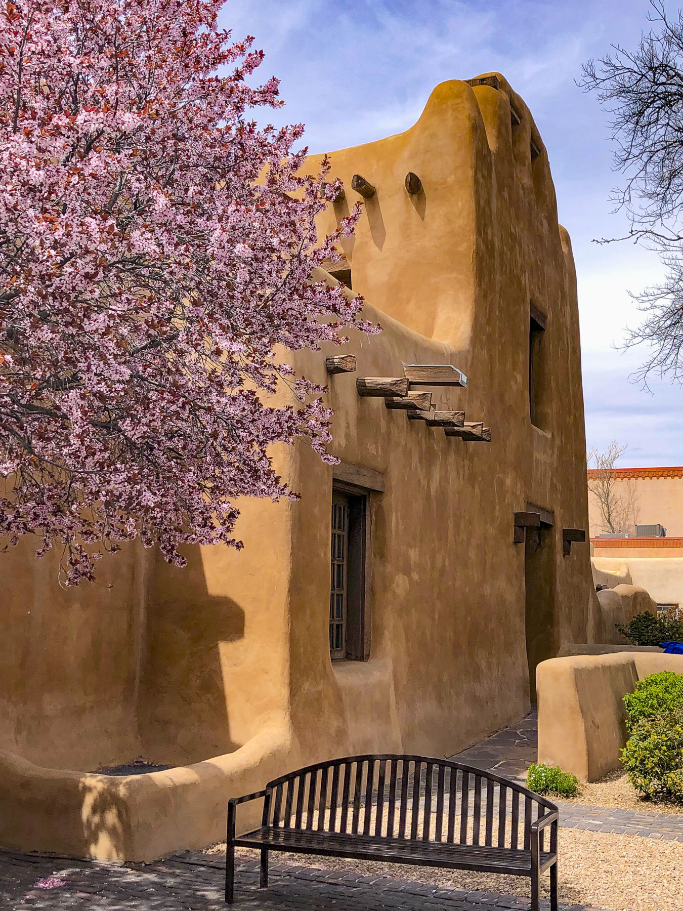
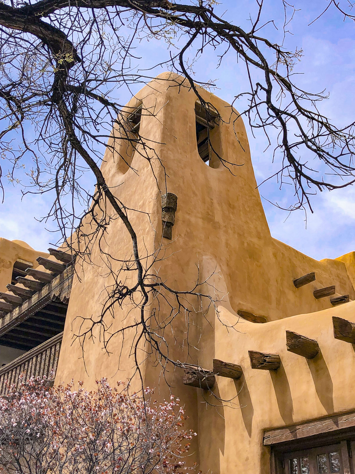
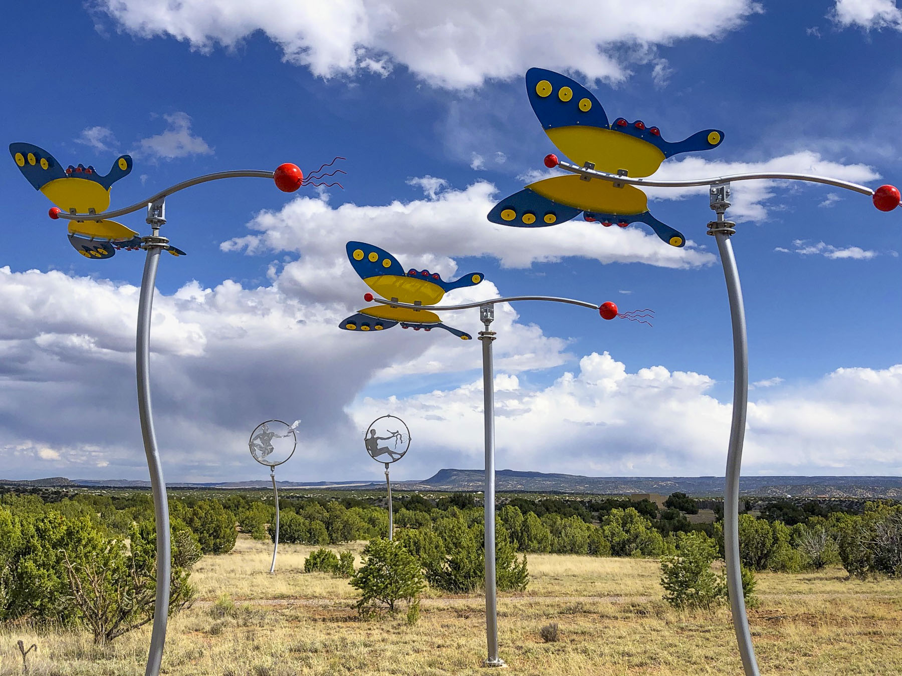
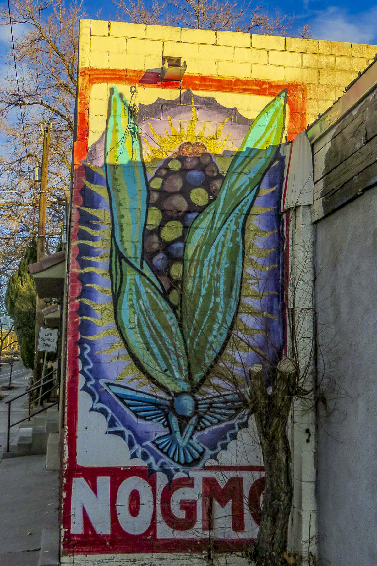
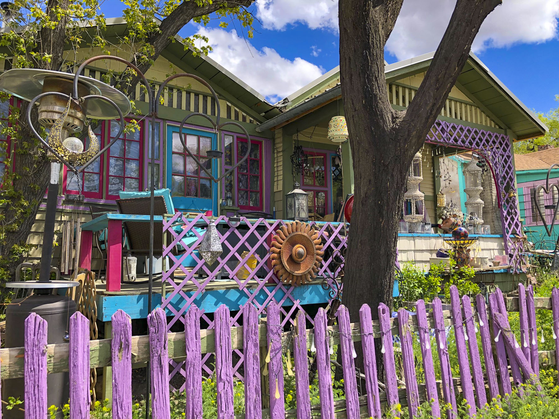
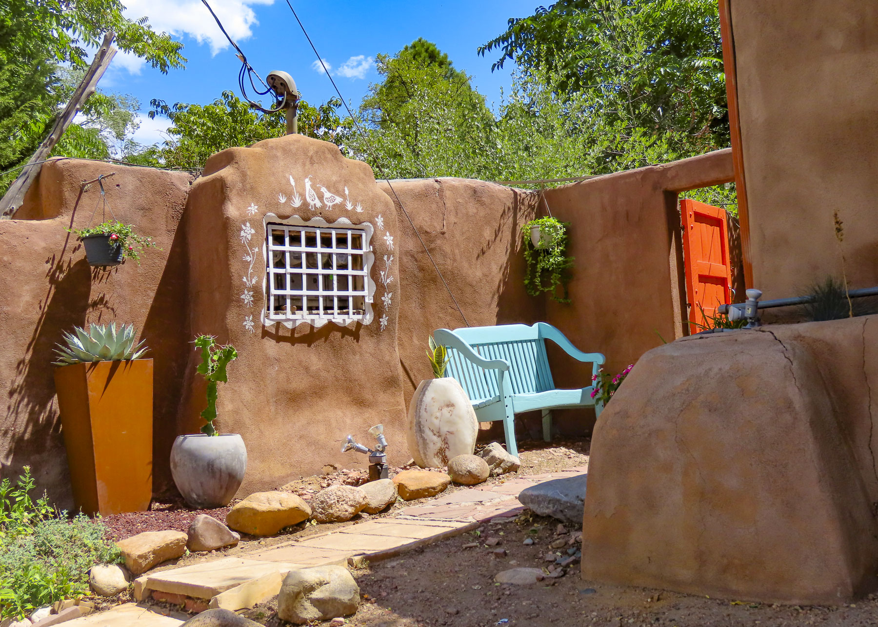
The region continues to support artists and craftspeople with numerous galleries, festivals, and fairs. A stretch of 80 art galleries in old adobe buildings along Canyon Road belies its ancient roots as part of El Camino Real, The Royal Road, that ran 1600 miles to Mexico City. Famously Spanish settlers from Mexico introduced chili peppers into the region via this ancient trade route.

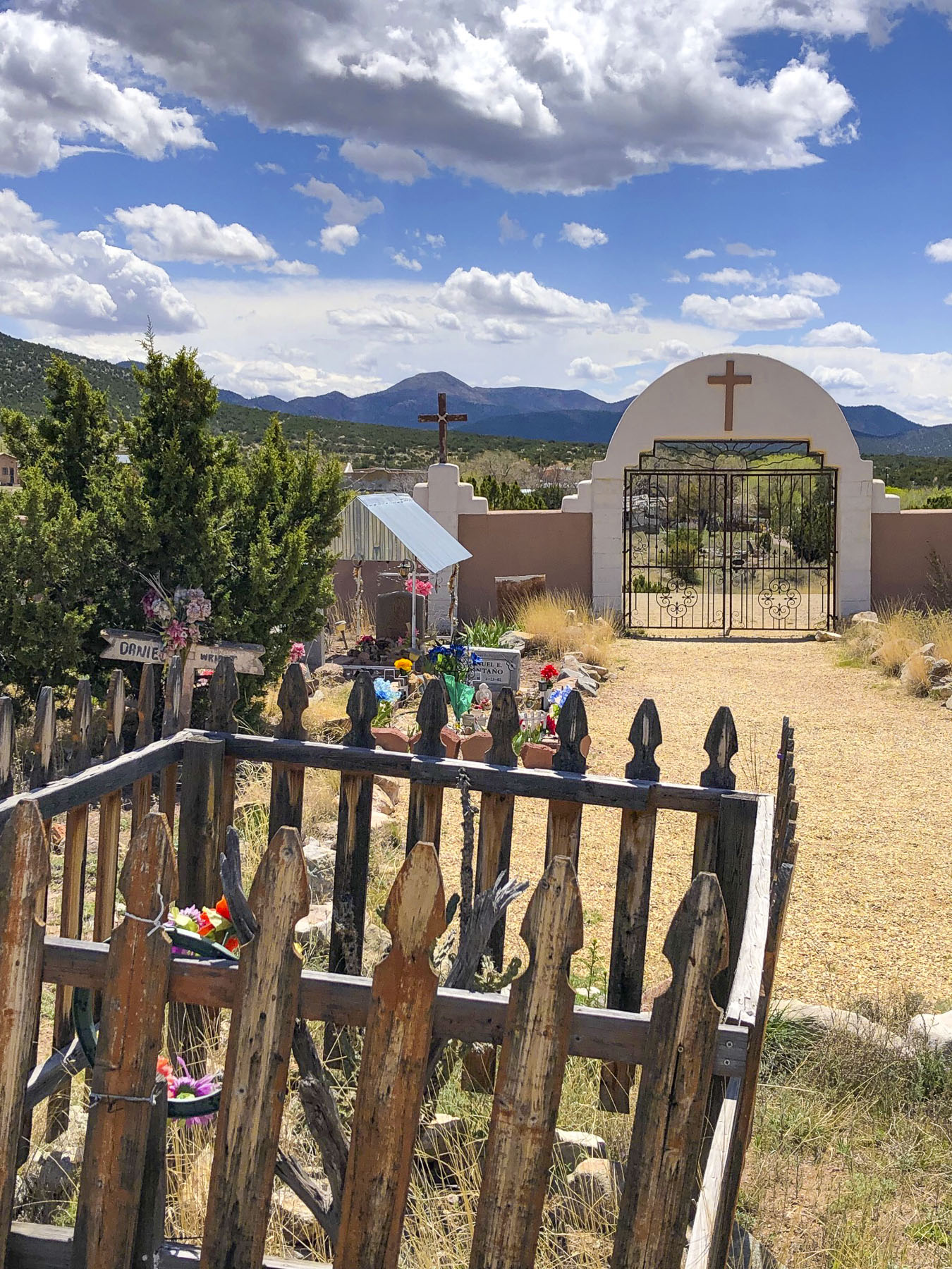
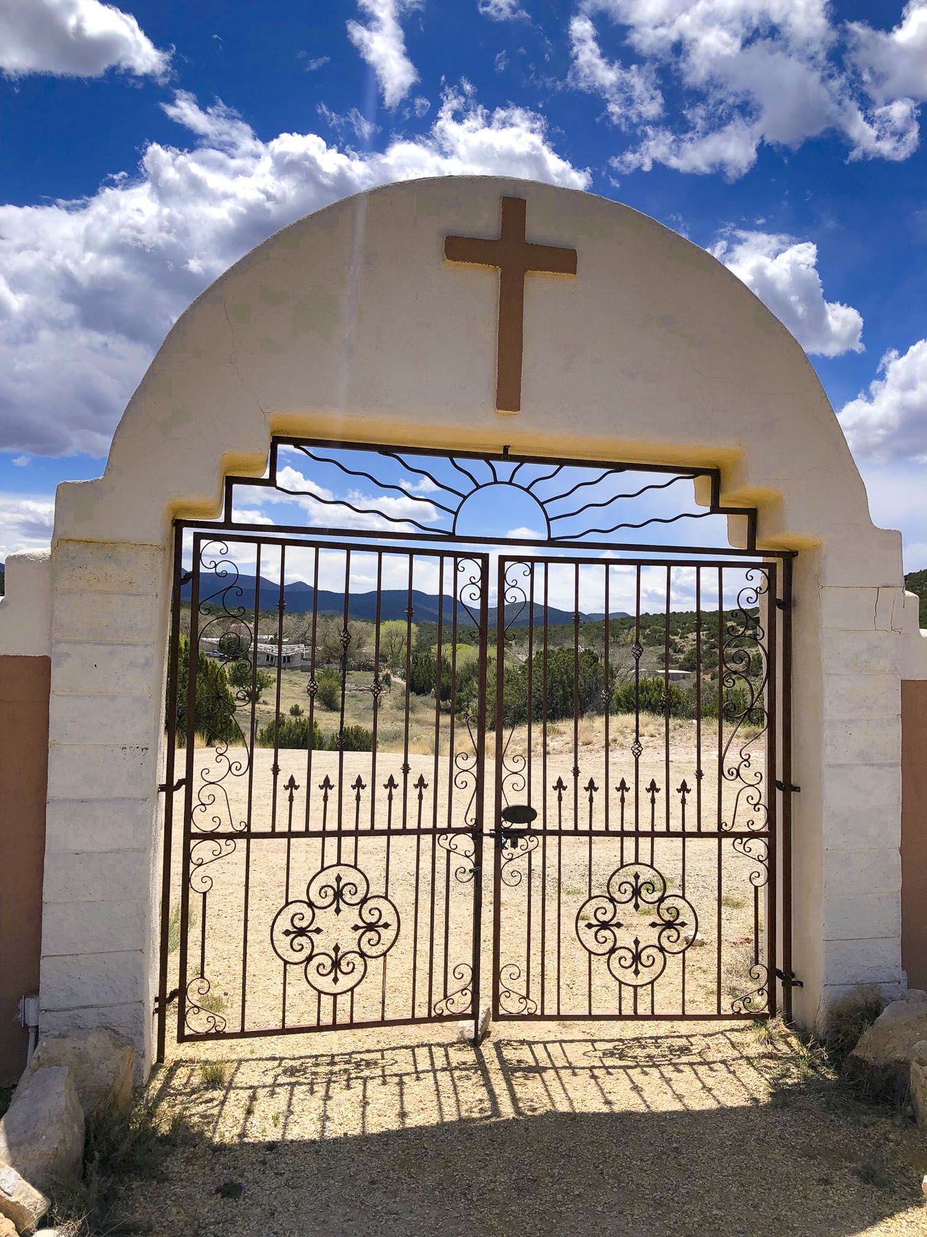
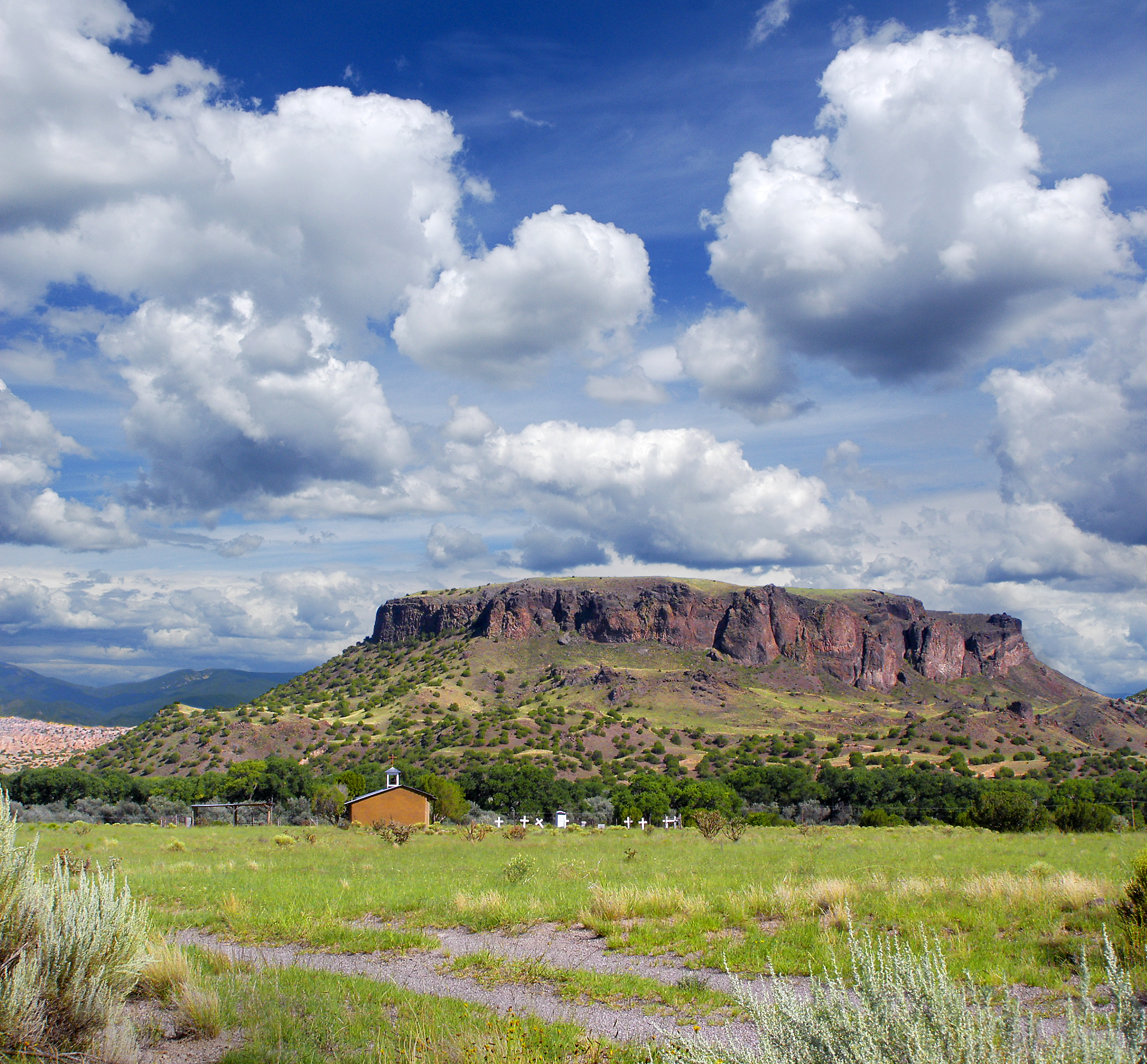
The landscapes north of Santa Fe continue to be intriguing, with Black Mesa, sacred to Native Americans, and the Puye Cliff Dwellings which run along the base of a mesa for over a mile. Stairs and paths cut into the cliff face led to adobe structures atop the mesa’s plateau. East of Espanola, the Santuario de Chimayo, built in 1816, still attracts pilgrims seeking miraculous cures from its “healing dirt.”

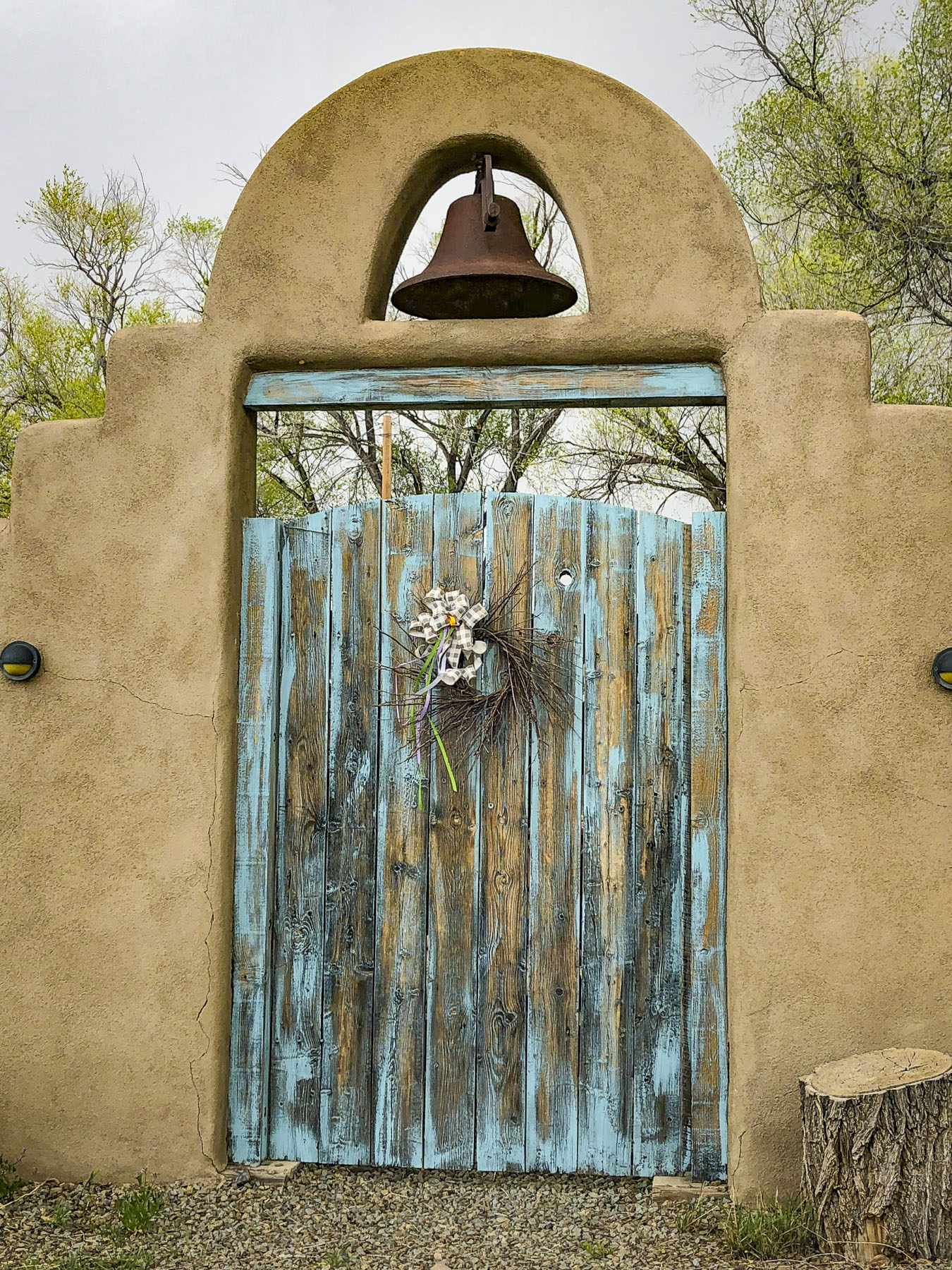
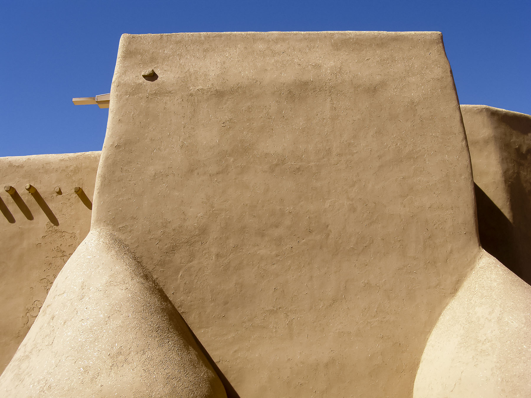
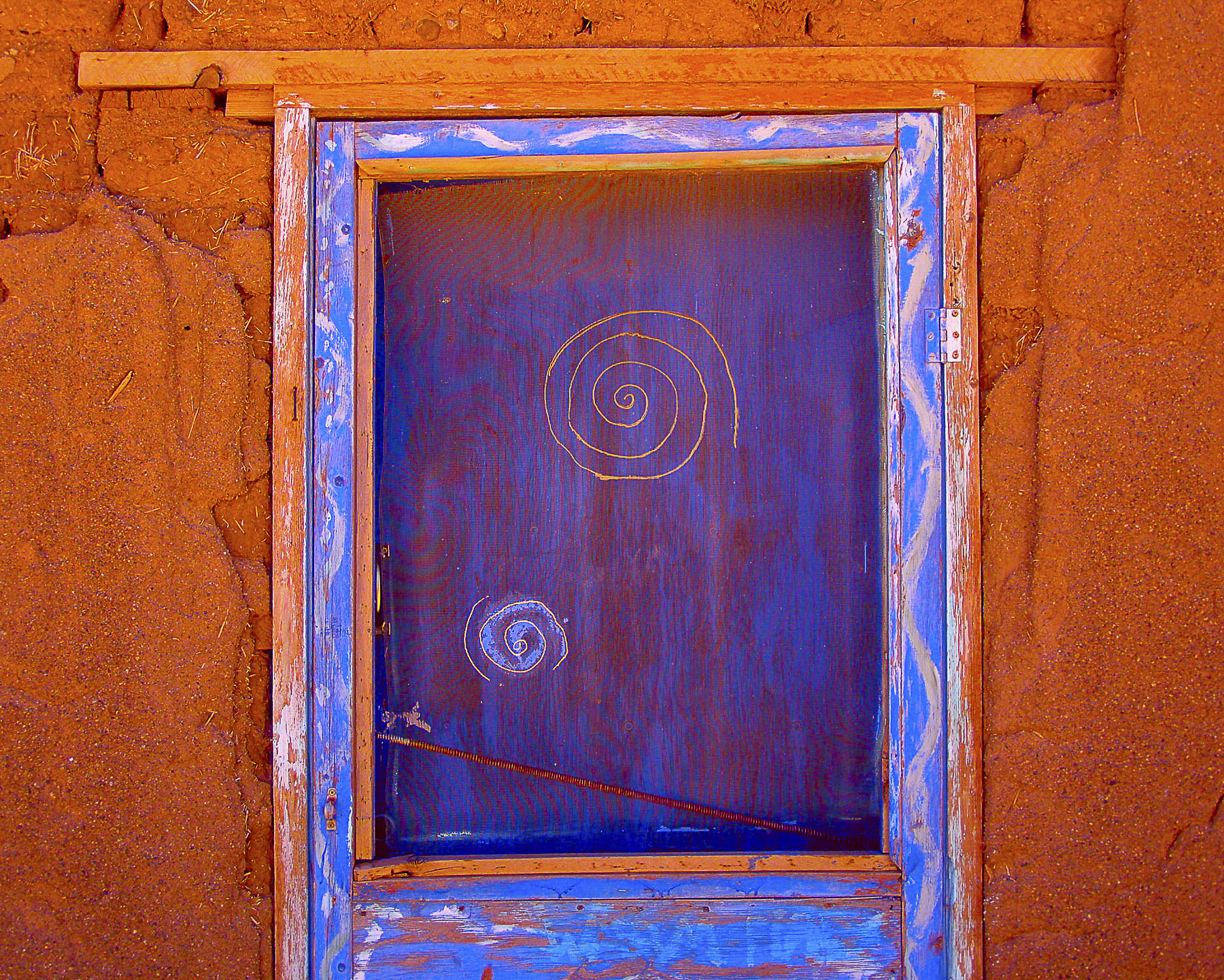
Heading into the mountains of northern New Mexico, the durability and sustainability of well-maintained adobe structures are evident in the elegant San Francisco de Asis Catholic Mission Church in Rancho de Taos, which dates from 1772.

Impressive Taos Pueblo, a multi-storied residential complex, has been continually occupied since its construction in the 1400s. Today nearly 150 people continue to live traditionally in the pueblo, as their ancestors did, without running water or electricity.

Nearby the Rio Grande River Gorge fractures the earth like a lightning bolt. The view from the center of the bridge looking down into the chasm is magnificent and terrifying. Farther north as the river rises from the gorge it has a totally different character as it meanders through the high desert.

While this far north, it’s worth the effort to visit the Great Sand Dunes National Park and Preserve, located just across the state line in southern Colorado.

Over many thousands of years, sands blown across the high desert plains accumulated at the base of the Rocky Mountains here to form the tallest dunes in North America.

Wave when you see us!

Till next time, Craig & Donna

The Turquoise Trail: Scenic, Artsy and Quirky

We always have a wonderful time in New Mexico, but often we’ve too easily fallen into the fastest route, the Albuquerque to Santa Fe rut. Heading north on Rt25, with the Sandia Mountain Range glowing in the late afternoon light on your right and a spectacular sunset in the west is a sublime experience, worthy of inclusion into the “wonders of the world.” The sky and light out here are just awesome, especially if it’s your first time to the Southwest. Aside from traveling north through Jemez Springs, Valles Caldera and Bandelier National Monument, all great destinations admittedly, there are not many alternative routes to Santa Fe, unless you are willing to circumnavigate northern New Mexico for days and hundreds of miles, which is a great alternative and may inspire future adventures.

Instead of following the “westward ho!” from cowboy movies of our youth, we headed east out of Albuquerque eighteen miles on Interstate 40/Route 66 to the Tijeras Pueblo Archaeological Site and the beginning of the Turquoise Trail National Scenic Byway. The trail is a splendid backroad route that gracefully curves, rises and falls through the rugged foothills of the Sandia and Ortiz mountains as it follows NM14 north for 65 miles. Passing through the historic towns of Golden, Madrid, Cerrillos and San Marcos just south of Santa Fe.

Archeological evidence found at multiple sites in Tijeras Canyon traces early habitation going back 9,000 years, near the end of the last Ice Age. The Pueblos people and their first permanent dwellings date to the 10th century AD.

It’s believed that Tijeras Pueblo was built in the early 1300s and had 200 rooms in terraced buildings arranged in a U-shape pattern around a central kiva.  The settlement only flourished for about 100 years before it was abandoned in the 1400s due to extended periods of drought and raids from nomadic Plains Indian tribes.  The Spanish tried to encourage settlement of the area in 1763 with the Carnuel land grant, but that failed after repeated raids by Comanche, Kiowa, and Plains Apache Indians forced settlers to flee. Permanent resettlement didn’t occur until 1819 when the Spanish made peace with the tribes.

Sadly, today all that is left of the Tijeras Pueblo is a terribly eroded mound of rubble with a self-guided trail that winds through the ruins. There is a small museum attached to the Park Ranger Station, which is only open on weekends.

If you haven’t taken the Sandia Peak Tramway, due to the fear of heights or its expense, you can still enjoy the view with your feet firmly planted on the ground. Follow NM14 north, turn left in the village of San Antonito onto Sandia Crest Road, and follow the signs to the 10,678-ft summit. Entrance to the park is free, but there is a small parking fee at the top. The views across Albuquerque are fantastic!

Past San Antonito the desolate, sparsely populated nature of the old west returns, with open vistas and greater distances between dirt tracks that spur occasionally left or right from the road and lead who knows where.

Legends of “Seven Cities of Gold,” and treasure that was rumored to rival the Aztec’s wealth brought Francisco Vazquez de Coronado with 2000 conquistadors north from Mexico City in 1540. On the Rio Grande north of present-day Albuquerque, Coronado commandeered a pueblo as headquarters for his expedition. His men spent two years searching an unknown region that spanned from Texas and Kansas to the Grand Canyon, searching for gold. He never found any because the Pueblo tribes attributed no value to it. Turquoise was the gold they mined for. Spiritual properties attributed to the stone are courage, good fortune and protection of the wearer in battles. The stone was a valuable trading commodity and pieces of Cerrillos Turquoise have been found by archeologists at indigenous sites in Canada and Aztec and Mayan tombs in Central America. Two years later Coronado returned to Mexico empty handed, though his camp was only 30 miles from the stream where this precious mineral glittered in the water.

In 1825, decades before the California Gold Rush, when New Mexico was still part of the Spanish Empire, the mineral placer gold was discovered in Tuerto Creek which ran down from the Ortiz Mountains. Two rough mining camps grew into small villages named El Real de San Francisco and Placer del Tuerto. Built with adobe bricks in 1830, the San Francisco de Asis Catholic Church congregation sought to soften the rough mining town’s edges.

This first discovery of gold west of the Mississippi brought prosperity to the villages for several decades. The Treaty of Guadalupe Hidalgo ended the Mexican-American War in 1848 and allowed the New Mexico territory to be annexed to the United States and the villages were combined and renamed Golden. At its zenith, the town supported many businesses, several saloons, a stock exchange, school, and post office. By the mid-1890s the luster of gold had worn away and ranching had become the dominant enterprise. Folks moved away for better opportunities; the last nail in its coffin and the beginning of its transition to a ghost town was the closure of its post office in 1928.

Not much has changed since then for Golden. If you blink you’ve driven through it. But the quirky Bottle House is worth a quick stop and sets the tone for the area that’s full of independent, eccentric, and colorful personalities. The towns along the Turquoise Trail all share similar once-prosperous histories followed by decades of decline, until a slow rediscovery began in the 1970s. It started to attract folks and artists drawn to the ruggedness and beauty of the terrain, those seeking an alternative lifestyle, wanting to live off-the-grid, or just wanting to be left alone. Evolution happens and of course there are now more homes, restaurants, RV parks, small museums, shops, and galleries. But fortunately, there seems to be some unspoken agreement between the old timers and newcomers to keep the area “historically quaint and Old West,” as if time has stopped. You’ll have to drive to Albuquerque to find a strip mall.

A short distance farther along, the San Francisco de Asis Catholic Church and cemetery still stand and command a small knoll above the road.  Its original adobe bricks were covered with a concrete veneer during a 1960’s restoration. But walk around the back of the church and it’s possible to see them where the veneer has broken away. The church supports a small congregation and holds mass on Saturdays at 4:00 pm.  Annually, every 1st Saturday of October, the church hosts the Fiesta de San Francisco de Assis which begins with a 11:00 am mass, followed with the blessing of the graves in the cemetery and a procession lead by Matachines dancers.

The vistas between the towns are epically endless and evoked thoughts of how folks centuries ago managed to survive on this wild frontier. Drive too fast and you’ll whiz by many interesting roadside attractions.

Compared to Golden, Madrid is a metropolis! Coal was discovered in the Ortiz Mountains during the mid-1800s, spurring a squatter’s camp called Coal Gulch. MAD-rid, not Ma-DRID, was founded in 1869. So much coal was being mined that the Santa Fe railroad constructed a spur down from Cerrillos into the town in 1892. We wet our whistles on the patio of the Madrid Brewing Company & Museum, in front of an ancient steam train with what we must say was one of the best craft beers we’ve tasted.

It’s difficult to believe that at its zenith the town once boasted a population greater than Albuquerque’s 3000 folks in 1906. All the small claims were eventually consolidated into the Albuquerque and Cerrillos Coal Company. It became a company town and the extraction of coal from the hills surrounding the town was king. The company provided the booming town and its employees with everything.

Houses were bought in Kanas, disassembled, and shipped on the railroad to Madrid to satisfy the demands of a growing population. The company built a community center, school, and hospital. Most importantly, after it burned down on Christmas Day in 1944, the company rebuilt the Mineshaft Tavern, with its famous 40′ long bar where miners could stretch out after a long shift hunched over underground. The first lighted baseball field west of the Mississippi was built for the town’s minor league baseball team, called the Madrid Miners. Electricity produced at the local coal fired power station ran the mines and was provided free to all the residents of the town. Free electricity encouraged extravagant Christmas light displays that drew in visitors from afar to see lights that covered every building and were strung up the mountainside.

The company brought 160,000 gallons of water daily by train tank cars into the town and legend says every home had a green lawn. The price of coal collapsed in the 1950s when natural gas was beginning to be piped into homes, and the company and town’s economy collapsed as well. In 1954 the entire town was offered for sale for $250,000.00 in the Wall Street Journal. There were not any buyers. Except for a few squatters, the town sat abandoned for twenty years until it was decided to sell the company homes one at a time. Studios, shops, museums, restaurants, and galleries now line the 20 mph main stretch. Packed with tourists on the weekends, it’s almost impossible to find a place to park. Like the rebuilt bar, the town today is a phoenix risen from the ashes.

Just north of Madrid, a huge contemporary metal sculpture similar to a Trojan Horse highlights the landscape. You can’t get very close to it, as there’s no visible gate and it’s behind a rancher’s barbed wire fencing. As of this writing I haven’t been able to identify the artist. The sculpture is intriguing, and its placement is mystifying. Other artists have also placed their creations along the drive.

The turn for Cerrillos lies just beyond the bridge that crosses the over the Arroyo Viejo, a seasonal creek. It’s the only town on the Turquoise Trail that you have to turn off NM 14 to reach. That half-mile journey takes you back 150 years to a village with dusty dirt roads, wide enough to turn around a team of horses and a wagon. Cerrillos retains its old west authenticity, with many original adobe structures and 1800s era rough-hewn lumbered storefronts. It is deemed so authentic, many western movies have used the town for their location shoots, most notably the 3:10 to Yuma (2007) starring Russell Crowe and Christian Bale, along with Young Guns (1988) which had a huge famous cast that starred Jack Palance, Kiefer Sutherland, Lou Diamond Phillips, Emilio Estevez, Charlie Sheen, and a cameo appearance by Tom Cruise as a soldier shot in the climatic scene. The action comedy with Clint Eastwood Every Which Way but Loose (1978) was also filmed here. A few miles away John Wayne filmed The Cowboys (1972) in San Marcos.

Pueblo Indians had been conducting small open pit mining with hatchets on Mount Chalchihuitl, which is now part of Cerrillos Hills State Park, since the 900s. The stone was gathered for its believed sacred properties, along with lead sulfide, which was the source of glaze paint used to decorate native pottery. Spanish settlers arrived in the 1600s and mined the same hills for silver. There was an uneasy coexistence, and silver mining ceased with the Pueblo Rebellion in 1680. Small mining efforts returned to the area after the Spanish renewed efforts to live peacefully with the Pueblo tribes. New Mexico was a United States territory when gold was discovered around Cerrillos in 1879.  The railroad arrived in 1880. The boom town supported thousands of miners with 4 hotels, 5 brothels, 21 saloons, and an opera house which once hosted a performance by the famous French stage actress and singer “the Divine Sarah,” Sarah Bernhardt.

Four thousand prospecting pits, mine shafts and holes were dug in the area by 1884. The town’s prosperity and recreation attracted outlaws like the Ketchum Gang, Silva’s White Caps and Billy the Kid. Cowboys from Cerrillos were recruited to join Teddy Roosevelt’s Rough Riders for their campaign through Cuba during the Spanish American War. The president of a gold and silver mining company began promoting turquoise and silver Jewelry to visitors arriving by train. Tiffany & Co. at one point even owned their own mine to provide the stone for their booming turquoise jewelry sales that lasted into the 1900s. The St Joseph Catholic Church standing today was built in 1922 and replaced an earlier 1884 structure. A Methodist Church graced the other end of town. It was never a ghost town, but slowly, one by one, the area’s mining operations played out and closed until only several hundred people remained in the area.

Mid-week in early spring, the only door that swung open was at the Casa Grande Trading Post and Cerrillos Turquoise Mining Museum which has a mind-boggling array of displays and trinkets. It is a large 28 room adobe hacienda that looks like it has been there for centuries. But in fact the owners, Todd and Patricia Brown, along with family and friends, started construction in the 1970s that eventually utilized 65,000 handmade adobe bricks.

Some Interesting highlights from the Cerrillos Historical Society include:

1888 – The dark stain on the floor of Dr. Palmer’s second-floor office, the relic of Black Jack Ketchum’s bullet wound, is the local must-see attraction. The first meeting of the Cerrillos Masonic Lodge is held at the Palace Hotel in their upstairs room.

February 19, 1890, 11am – Nelly Bly, the famous New York World reporter was racing back to New York on her round-the-world-in-80-days journey (she made it in 72 days, 6 hours, 11 minutes, 14 seconds). Her train stopped at Cerrillos only long enough to take on water. The 67 miles from Albuquerque to Lamy by rail was done at the breakneck speed of 46 miles an hour!

August 1892 – The new railroad spur to Coal Gulch is completed and the town of Madrid is born.

1899 – The Cochiti Gold Mining Company builds an Edison coal-fired dynamo at Madrid, which provides Cerrillos with its first electric lights. Those were the days!

Just past an interesting geological rock formation called Garden of the Gods, we reached our farthest point north and turned around on the Turquois Trail in San Marcos at the intersection with the road that leads east to Galisteo and eventual the pueblo ruins at Pecos National Historical Park. Along the road here are some whimsical wind sculptures created by David Hickman.

We could have continued north on NM14 to Santa Fe, but we chose to return to Albuquerque via Madrid and stop for a crisp cold beer at the Mine Shaft Tavern and stretch our legs.

Till next time,

Craig & Donna

Portugal Road Trip – Part 1: Searching for Templar Castles

“It’s okay, you can just ignore that caution light on the dashboard. It never goes off.” “Do you have another car?” “No.” All rental cars appear equally perfect when you are making comparisons and a final selection from a website. Staying within our budget, we chose an off-airport car rental agency with good reviews, that picked us up at the arrivals terminal and sped us away to our awaiting wheels, for €12.50 a day.  The Fiat Panda assigned to us had been driven hard and put away wet, you might say. Reviewing the preexisting body blemishes with the rental agent resulted in a cartoon of the car that looked like it had been ambushed in a gangster movie and sprayed with machine-gun fire, including the roof. Nevertheless, the engine sounded fine, and our twelve-day journey began, driving in a large figure-eight, north to south route, around Portugal. Our first destination – Castelo de Almourol, before arriving in Tomar. But by the afternoon of day three we were referring to our car as the Portuguese version of the American rent-a-wreck concept. When driving through the mountains, on the way to a schist village, every warning light on the dashboard started blinking violently in Portuguese. If we had been flying an airplane, we would have donned parachutes and bailed out.  The engine sounded fine, so we flew on.

Not being sure what is open during the week in the off season, we headed for the Miradouro do Almourol, an overlook above the island that the castle commands. Located on the south side of the Tagus River, it’s not particularly easy to get to. But my wife and I enjoy the off the beaten track routes that take us through less traveled countryside. Crossing the Tagus River, we followed the N118 north into the Alentejo (beyond the Tagus) Region through flat farmlands and wine estates dating back to the 1700’s. The red wines of the area vinted with the Portuguese varietals Castelão, Trincadeira, and Touriga Nacional are acquiring international recognition now, as are the regions white wines made with Antão Vaz, Arinto, and Fernão Pires grapes.

The drive was slowed occasionally by tremendously large John Deere combines, the width of the entire road, as farmers drove them between different fields waiting to be harvested. Seasonal spring floods that replenish the soil have made this river plain an important area for cereal crops and wheat since the Roman times. Our walk a little then café philosophy quickly transformed into drive a little then café when we did our first U-turn of the trip as we passed a small place that had a tractor parked in front. Our espressos only €.70 each. It was nice to be back in Portugal.

The wetlands of the Tagus River valley are ideal for bird watchers looking for black-winged stilt, marsh harrier, purple heron, pratincole and Kentish plover. Occasionally we spotted storks atop centuries-old chimneys of abandoned homes, resting in new nests that were stacked like pancakes atop older ones before continuing their winter migration south to Africa. Quiet lanes, faded sun-bleached pastels, and centuries old weather-worn buildings dotted the landscape. Bullrings, Praça de Touros, still stand in Chamusca and Salvaterra de Magos, and the latter’s traffic circle has a large sculpture of a cavaleiro and bull to celebrate the tradition. Though interest in bullfighting has been waning since Queen Maria II of Portugal banned the spectacle in 1836 with the argument that it was “unbefitting for a civilised nation,” it regained popularity in the Alentejo region after the fights were reinstated in 1921, and the climatic killing of the bull was outlawed in 1928.

Before we reached the castle, we stopped for lunch along the riverfront in Arripiado at the ABC Bar Café. It was a tranquil spot with a boardwalk that had a view of the Tagus River and the small village of Tancos across the water. Small boats offer rides to Almourol Castle from the Arripiado riverbank here.

With its striking island location, just below the junction of the Zezere and Tagus rivers at Constância, Almourol Castle is one of the most picturesque medieval fortresses in Portugal.

Constância was once an important fishing village during the Middle Ages where it was said the rivers there were “two-thirds fish and one-third water.”

As with most things ancient on the Iberia Peninsula, the castle’s history started with an early tribe. The Lusitanians built a small fortress on the island as protection against the Romans in the first century B.C.E. Visgoths, Vandals, Alans and Moors followed until it was captured by the Portuguese during the Reconquista in 1129 and subsequently entrusted to the Knights Templar to rebuild for defense of the frontier border at the time.  It eventually lost its strategic relevance and was consequently abandoned. Various phases of reconstruction began in the mid-1900s. 

Train service to Tancos, Castelo de Almourol and the hilltop village of Constância is available from the Santa Apolónia Station in Lisbon. The trip takes about an hour and a half.   

We arrived in Tomar just as the late autumn sun was low in the sky and beginning to cast lengthening shadows on the forested slope that led to the jewel that crowns this quaint village.  We followed the winding cobbled lane to Castelo de Tomar and only got a brief glimpse of the castle through its outer gate as the heavy wooden door was closed for the day with an echoing clang. The castle combined seamlessly with the Convento de Cristo next to it and creates an immense structure that’s best observed from a distance to appreciate its scale. Admiring the expansive view from the miradouro in front of the castle, we made plans to return the next day via a tuk-tuk taxi, from the town square.

This beguiling medieval village with its narrow lanes and tranquil riverside location discreetly hides its outsized contribution to the history of Portugal.

It starts with those mysterious Knights Templar when in 1159 the first King of Portugal, D. Afonso Henriques, granted land to Gualdim Pais, the fourth Grand Master of the Knights Templar in Portugal as reward for their military prowess and religious zeal during the Portuguese wars for independence and the subsequent Reconquista. When the town was first founded, the population was so minuscule, most of the villagers lived behind the castle’s defensive walls.

In 1160 Gualdim Pais order the construction of a monastery and fortified citadel that would be known as the Convent of Christ, a combination of a fortress and a monastery, that is sometimes referred to as the Convent of Christ Castle. The convent’s most interesting feature is a round sanctuary with an ornate ceiling soaring over a central altar, its design said to be influenced by the Church of the Holy Sepulcher in Jerusalem.  Legend states that the knights attended mass on horseback here, the open circular design facilitating the horse’s easy entrance and exit. Famously in 1190, outnumbered Templars defeated a larger Muslim army after their six day siege of Castelo Tomar failed.

Founded in 1118 and slowly gaining recognition from their vowed mission to protect pilgrims journeying to the Holy Lands, the Knights received Papal endorsement in 1139. Pope Innocent II’s Papal Bull sanctioned the Templars as “an army of God,” and provided them special rights that included exemption from paying taxes, allowed them to build their own oratories, immunity from local laws, freedom to cross borders, and obedience only to the Pope. With this blessing Pope Innocent ll made the first papal monetary gift to the Templars. Now a church-endorsed charity, they began receiving land, money, businesses and young nobles from wealthy families who were enthusiastic to find glory in the crusades and willingly donated their assets in order to take the vows of poverty, chastity, piety, and obedience.

Today the Templars most likely would have been charged with running a racketeering enterprise which forced pilgrims and others to pay for protection services they have not requested. This protection was usually from the very people who were demanding the money in the first place.

Things were going well for the Templars across Europe until 1307 when King Philip lV, heavily indebted to the Templars from a war against England, lobbied the Holy Church to disband the Knights Templar as it was a state within a state with its own military, preached heresy and practiced idolatry.

The Templars’ fatal day (eerie music, please) was Friday, the 13th of October 1307. Early that morning all the Templars in France were arrested as enemies of God. Upon torture many falsely confessed and were burned at the stake.  A month later Pope Clement V, a relative of King Philip, decreed that the rest of the Catholic kingdoms in Europe should arrest the remaining Templars and seize their properties. All complied except Portugal!

King Dinis of Portugal did not believe the charges leveled against the Templars, remembering instead their service to a fledging country, and offered sanctuary to knights that had escaped capture.  He then persuaded Pope Clement to support the creation of a new organization, the Order of Christ, into which he transferred all the Templars’ wealth and holdings. The new Order’s mission was now the liberation of the Iberian Peninsular from the Moors and wars against Islam in Africa.

Same group with a new name, but to ensure that the deception of the Pope succeeded, the headquarters of the new order were established, almost in exile, 210 miles away in Castro Marim, a frontier town on the Guadiana River, that serves as the border with Spain.

One hundred years later Dom Henrique of Portugal, Duke of Viseu, better known as Prince Henry the Navigator, allowed the Templars/Order of Christ to return to their former seat of influence in Tomar.  Here they now helped Prince Henry the Navigator establish a medieval think tank: a research institute dedicated to developing navigational tools for a ship to determine its accurate position at sea, relying on the Arabic studies of astronomy, mathematics, trigonometry, which were farther advanced than European knowledge at the time.

The Order of Christ succeeded the Knights Templars as the country’s banker and financed building the fleets of ships needed at the beginning of Portugal’s nautical age of discovery. As rewards, fleets of caravels with white billowing sails boldly embellished with the distinctive red cross of the Order (perhaps the first attempt at global branding) carried explorers down the west coast of Africa and around the Cape of Good Hope into the Indian Ocean in 1487. Portugal’s age as an expanding empire had begun!

Wandering the cobbled lanes of the old town in mid-October, we seemed to have the whole village to ourselves. Later, as the day was perfect, we walked along the Nabao River, crossing a small footbridge in Parque do Mouchão. The view back toward the village was sublime with ducks slowly trailing ripples through the mirrored reflections of the buildings in the water.

Till next time, Craig & Donna

Lodging: Casa dos Ofícios Hotel

Dining: Restaurant Beira Rio and Sabores ao Rubro

Cienfuegos, Cuba – A Caribbean Time Capsule 

The sun was still below the horizon as men rowed small wooden fishing boats, laden with nets and poles, against the waves as we entered the narrow channel that would eventually widen into the Bahia de Cienfuegos, Cienfuegos Bay. Not much appears to have changed since the old man battled his Marlin in Hemingway’s 1951 novella. Farther along, listing boats were tied to beaten docks in front of weathered homes, their pastel colors muted in the predawn. They faced the inlet under the battlements of Castillo de Jagua, a stone fortress that has guarded this stretch of water leading to the bay since 1745.

The bay was encountered by Christopher Columbus while on his second voyage to the new world in 1494 and noted as a spectacular natural harbor, located at the end of a long narrow inlet, a perfect sheltered anchorage to weather the gales and hurricanes that blow across the Caribbean. However, closer to the gold of the new world, Havanna, on Cuba’s north coast, became the island’s dominant harbor and city. Mostly, Cienfuegos Bay was a forgotten backwater, without a permanent settlement, on the south coast of Cuba, a perfect location for the notorious British pirates Francis Drake and Henry Morgan to launch their raids on the Spanish Main and plunder the treasure fleets that voyaged from Havanna back to Seville, until the fortress ruined a good pirating gig.

The area grew slowly until the early 1800’s when an influx of French migrants fleeing the slave revolt in Haiti founded the city in 1819. Flattened during an 1825 hurricane, the city was rebuilt with a modern cosmopolitan grid pattern. The fertile region surrounding Cienfuegos supported prosperous tobacco, coffee and sugar plantations and continued to attract French immigrants from Louisiana, Bordeaux and Quebec. By the mid-1800s, a railway funneled goods from across the region to the port for export, and a steamship line connected Cienfuegos to Charleston and New York City. The city’s prosperity was reflected in its stately mansions, elegant civic architecture, wide boulevards and parks reminiscent of New Orleans and Paris, earning it the nickname “La Perla del Sur,” the Pearl of the South.

The Cuba of the 2020s still looks very much like it did during Hemingway’s life, as if it was stuck in time, a perpetual movie set. This is a result of the political decisions made during the 50-year reign of the country’s communist dictator, Fidel Castro, who ruled from the revolution in 1959 until 2008, and other communist leaders since then.  Consequently, the United States imposed and still maintains a trade embargo against the Cuban government that visually appears to have frozen the country in the 1960s.

Europeans and Canadians have long traveled to the government-run tourist resorts along the pristine coast. Previously, an inland tourism infrastructure didn’t exist, but with the introduction of the internet to the country and encouraging private enterprise reforms things are slowly beginning to change. We were visiting Cuba on a cruise during that first window of opportunity that was open to Americans between 2016 – 2019, before access was unfortunately tightened again.  Recently the travel restrictions to Cuba have been loosened again.

Across from the pier a horse drawn cart with several wooden benches, car tires for wheels and a sun bleached canopy stood idle. It wasn’t meant for the tourist trade, but instead was the cheapest mode of transportation for local folks to use to move about town. And it was our introduction to how self-reliant Cubans are and how slowly change happens in Cuba. Then we noticed the cars.

Earlier an email confirmed our rendezvous, “Ten is good. Meet at the statue of Benny Moré, a beloved Cuban singer, songwriter and band leader, at the intersection of Paseo El Prado and the pedestrian only San Fernando. Ciao.”

We had decided to skip any ship organized tours of Cienfuegos and instead opted for a tour of the city with a Guruwalk guide we found online.

With introductions made, our small group of four followed our guide through Cienfuegos as they pointed out various sites and their significance. Other stops included the government shoe store where the limited styles were only available in black, and a government bodega.

Here food is acquired with the use of La Libreta, a government issued ration book used to tally your monthly allocation. allowance or allotment Typically the monthly allowance per person is 5 eggs, 1 liter of cooking oil, 1 pound of spaghetti, 3 pounds of refined or white sugar, 3 pounds of unrefined or dark sugar, 6 pounds of white rice, 20 ounces of black beans, 2 packets of “mixed coffee”, daily bread (dinner rolls). Fresh produce not available at the government bodegas is sold at state sponsored farmers markets.

Stopping at a large print shop, we watched the printer set lead type by hand as he assembled each word and sentence for the document he was preparing from a large tray of metal vowels, consonants and punctuation marks. There were not any computers, laser printers or copy machines in sight, only the shop’s heavy German Heidelberg printing presses, which have been meticulously maintained since 1959.

From the top of Hotel La Union, the highest point in the city’s center, we surveyed Cienfuegos, today a sprawling city of 150,000. 

“So, you’ve noticed the old cars on the street?” Our guide turned the talk at lunch away from any political questions we were eager to ask about life in a communist country.

There are about 60,000 old American cars still on the road in Cuba. Most date from the 1950s, but there are still Consuls, Packards, Cadillacs, Dodges, Chevys, Studebakers and Fords from the 1940s and 30s that are still road worthy.  This is an amazing testament to the talent of Cuban mechanics that have been “MacGyvering” the repairs with makeshift parts since the revolution ended in 1959, when the U.S. trade embargo began, and Cuba banned the import of American products. While some cars look to be in mint condition, often the interiors are taped together, door handles are missing, and the windows don’t roll up.

Engines don’t last forever and its not uncommon to swap engines between the American makes and models. Sometimes even the motors from Russian Volgas and Ladas work their way under the hood of Fords and Chevys. Fiats and Peugeots were imported after the revolution but proved to be not as durable as the American models.  With the nationalization of property in 1959 the nicer cars of the wealthy who fled were assigned to government officials, doctors, renown celebrities and famous athletes. Regulations prohibiting the ownership of cars was eventually changed to allow Cubans to freely purchase older cars brought to the island before the revolution. Since then, often cars are family heirlooms that have been handed down from generation to generation. Fathers teaching sons the intricacies of keeping the cars running. It’s extremely rare to find late model cars on the roads as the government imposes very high taxes on new car imports, making them highly unaffordable for the majority of Cubans.

“There are no junkyards in Cuba, everything is still driven.” The ingenuity of Cuban mechanics can surely teach us a thing or two about sustainability. Wonderfully many of these resourceful home mechanics have kept these automotive treasures alive and have created an income for their family by offering rides in their classic cars to tourists.

After lunch we watched dancers rehearse in an old colonial building now used as a community center, and we stopped in several art galleries along the park that featured many talented Cuban artists.  With the government tightly controlling the economy along with the print and electronic media in the country, creative self-expression through art, dance and music are treasured venues as long as the views expressed don’t “run counter to the objectives of the socialist society.”

While the center of the city is well maintained, and many of the old mansions and civic edifices recently renovated. The homes and buildings along the side streets show decades of neglect from a failed socialist system.

Pride in ownership is a difficult concept in Cuba, and since wages are so very low, buying paint is the last thing anyone is thinking about. Low wages necessitate most families to spend any extra funds at the free markets to buy the goods that aren’t covered with the La Libreta rations card.

This quote I found sums up concisely the housing situation. “In Cuba, everything belongs to everyone and no-one at the same time and if a building is “collectively-owned”, it’s understood that the State is the one responsible, but the goverment can’t afford the maintenance.”

Down the side streets, past glories are now sadly intriguing in their neglect, the homes and buildings wearing a texture carved from storms and hot unrelenting sunshine, revealing ancient layers of paint that gives the neighborhoods a weathered patina, a faded elegance.

Till next time,

Craig & Donna