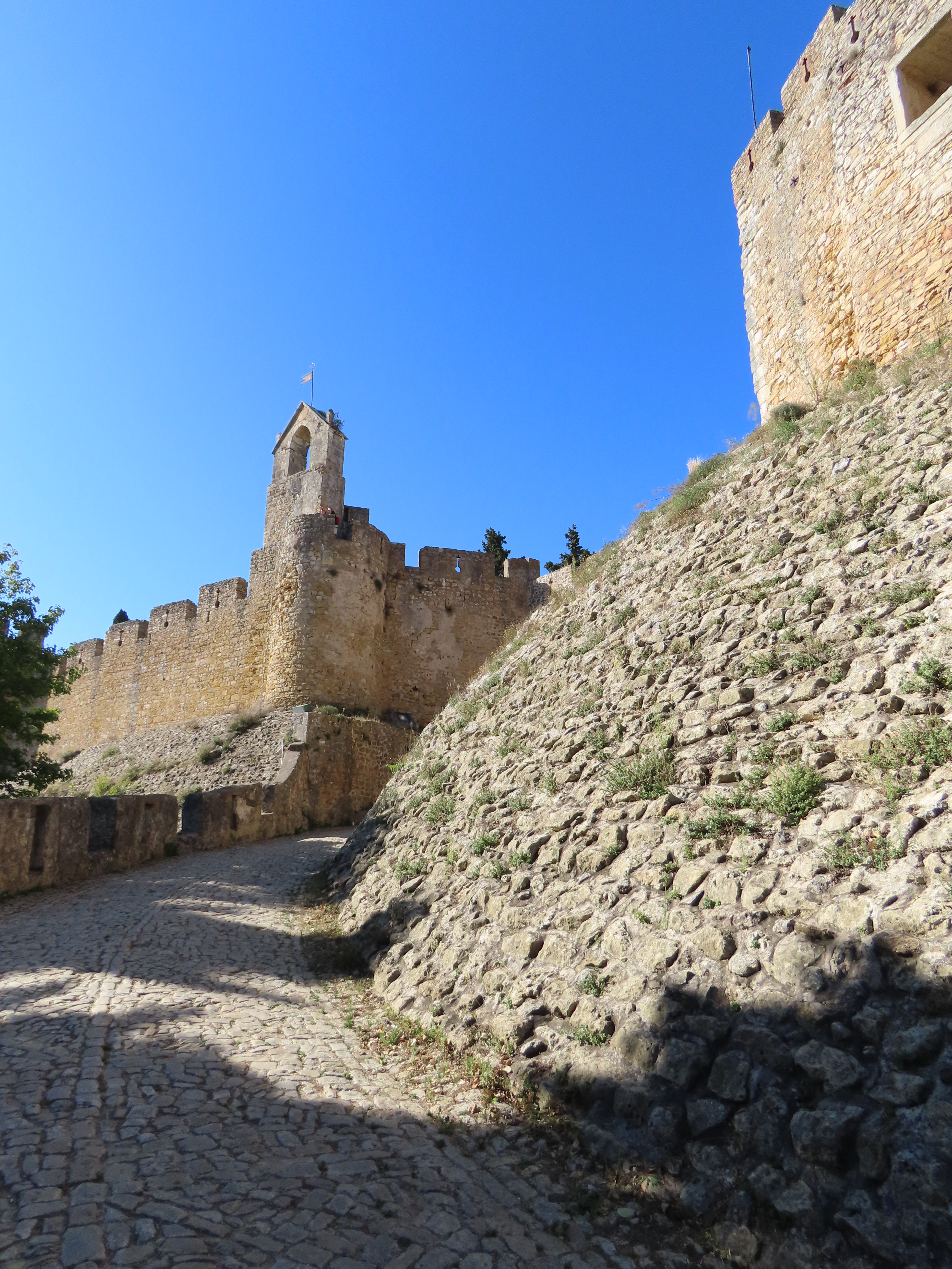
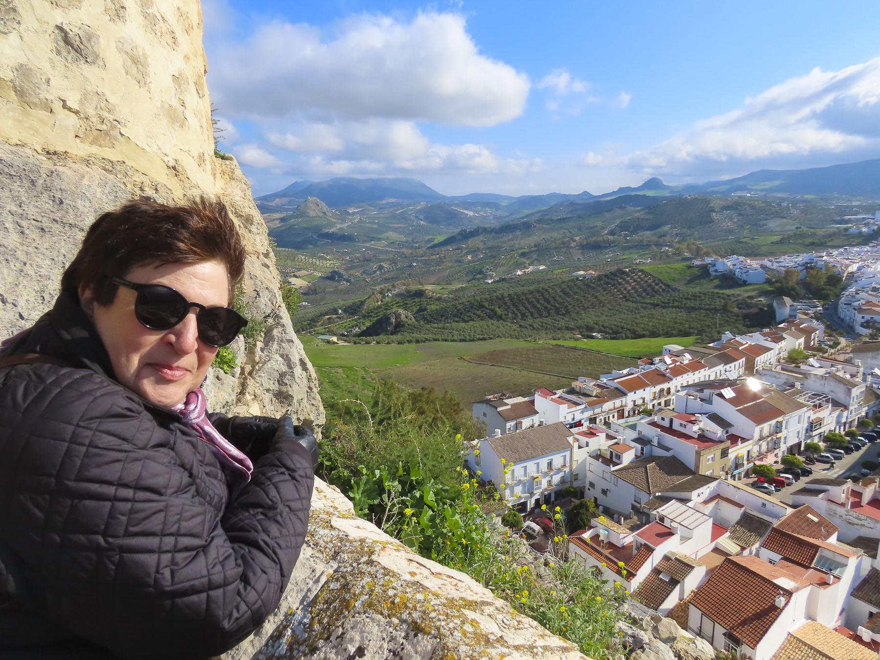
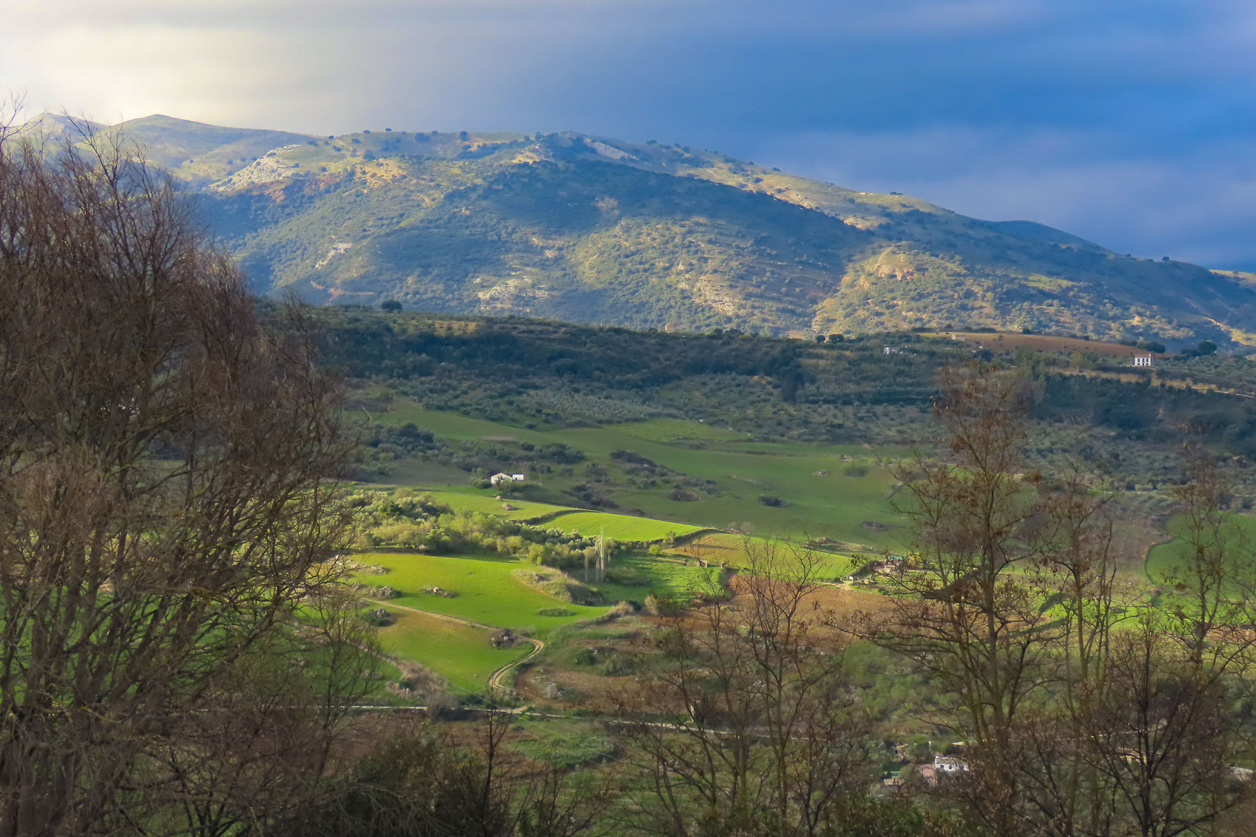
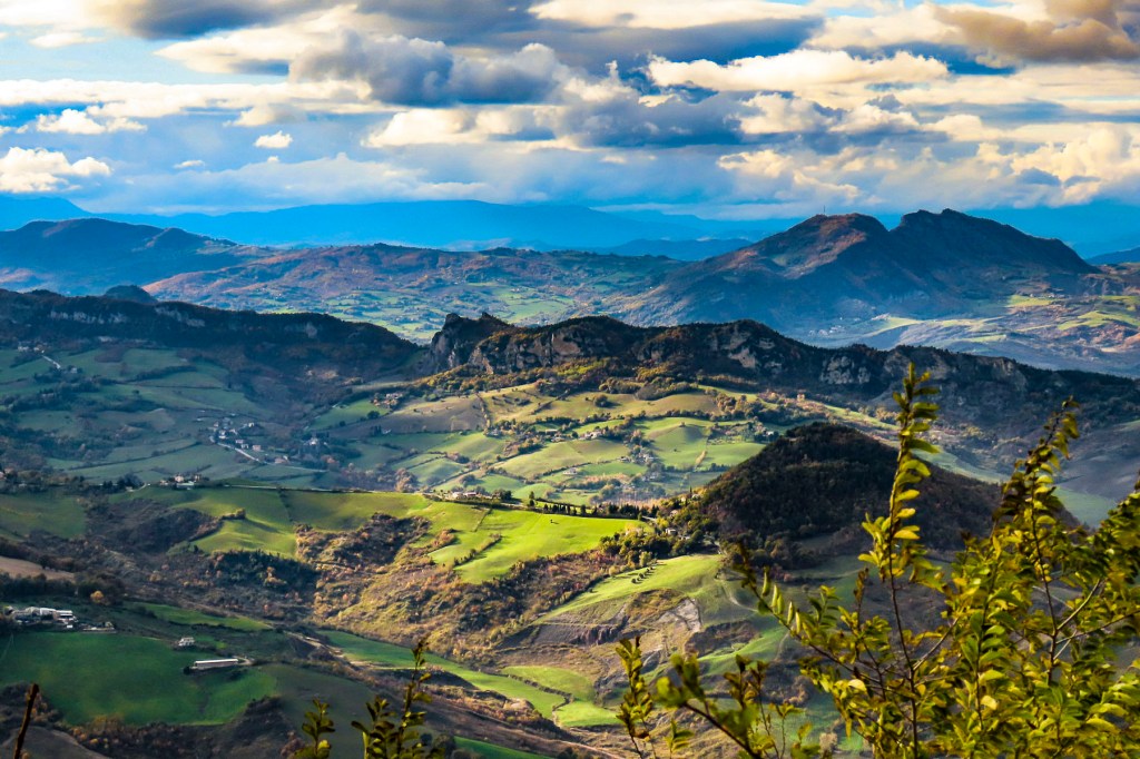
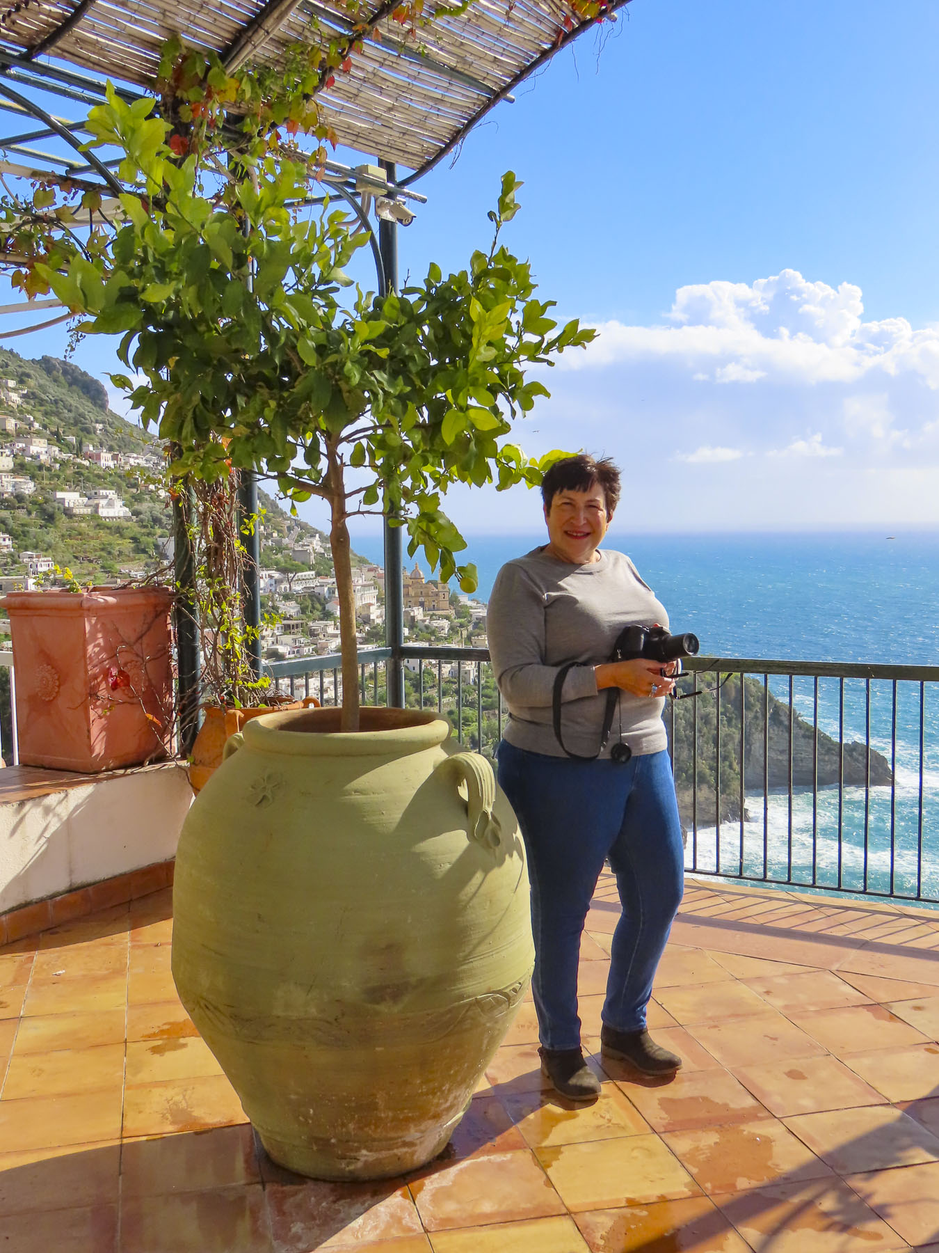
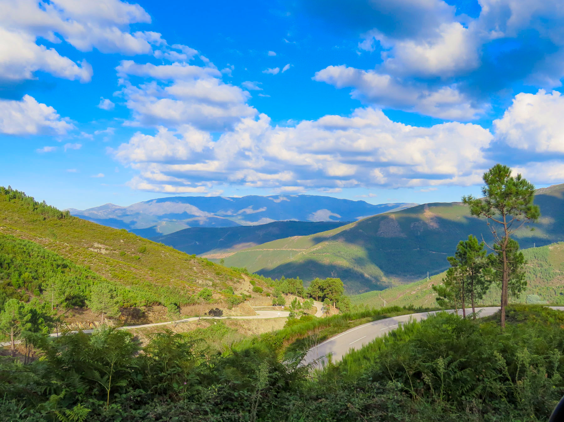
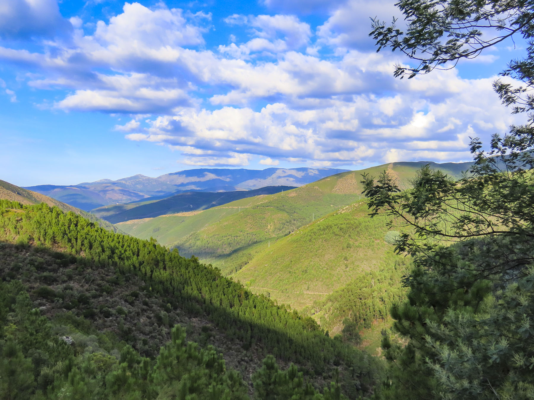
To misquote RWE, “It’s the journey, but an interesting destination helps.” We left Tomar, destined for Piodão, one of the 27 Aldeias do Xisto, Schist villages, in the mountainous central part of Portugal. Only two and a half hours from Tomar, we rarely passed another car as we drove. Our route quickly transitioned to serpentine roads traversing rolling hills covered in eucalyptus and pine forest. Then the higher above the tree line we drove, an expansive vista of shrublands fielding heather, broom, carqueja and rosemary were revealed. Hair raising, twisting and turning roads would truthfully be a better description, made all the more unsettling because there seemed to have been a transportation department budget crisis, as in, they forgot to install guardrails on most of those mountainous roads! My wife’s knuckles were white from tightly grasping the “Oh Jesus” handle above her door. With all the gorgeous panoramas, they could have planned more miradouros for folks to safely enjoy the views from.

We are not novice mountain drivers, having taken many switchback roads to remote places on several continents, which has reinforced or belief in and appreciation for a nice sturdy guardrail when we see one.
This was also the day our moody rent-a-wreck of a car went psychotic, every warning light on the dashboard blinking violently in Portuguese, requiring us to pull over to check the vehicle. Reluctant to turn off the engine in such a remote area, we listened closely for any sounds of motor distress. The car sounded fine. We drove on. With a quick, blind left turn and an “Oh God!” we descended a steep single lane road on the far side of the village that eventually led us across terraced slopes to Casa da Padaria for the night.

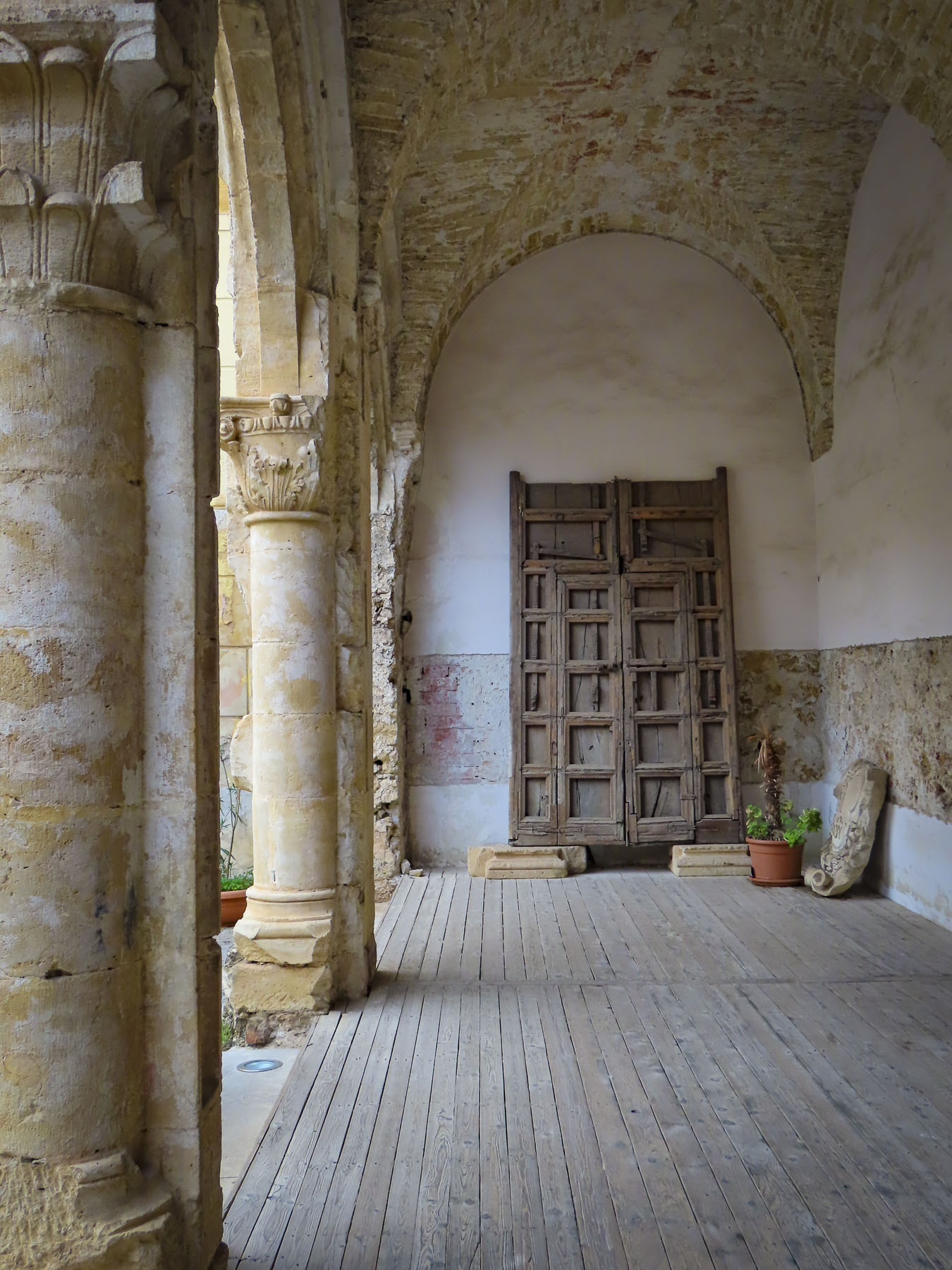
With warm greetings and help with our bags Gorete, the innkeeper, showed us to our room. For many years, decades before its renovation, the inn served as the town’s bakery run by Gorete’s father in-law. She and her husband returned to the village and remodeled the original building into a small four-bedroom guesthouse. The bakery’s large brick oven still takes up one whole wall of the breakfast room, which also displays a huge dough trough and long wooden bread peels used to take the loaves out of the wood fired oven.


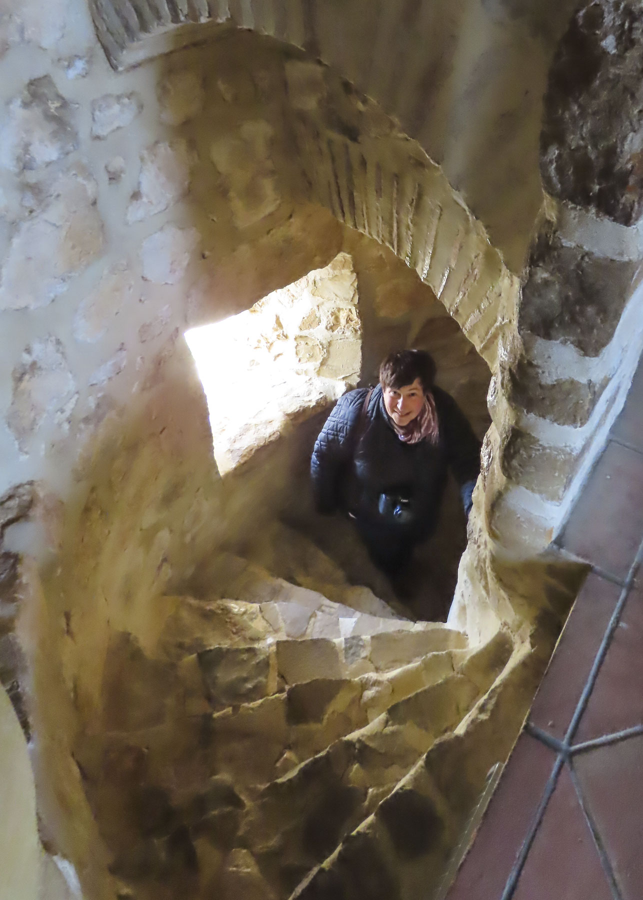
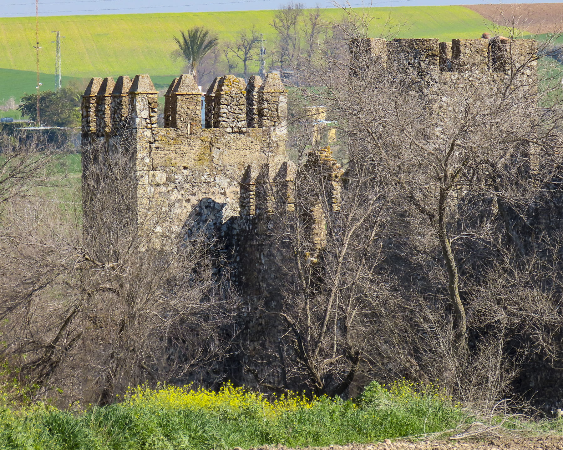
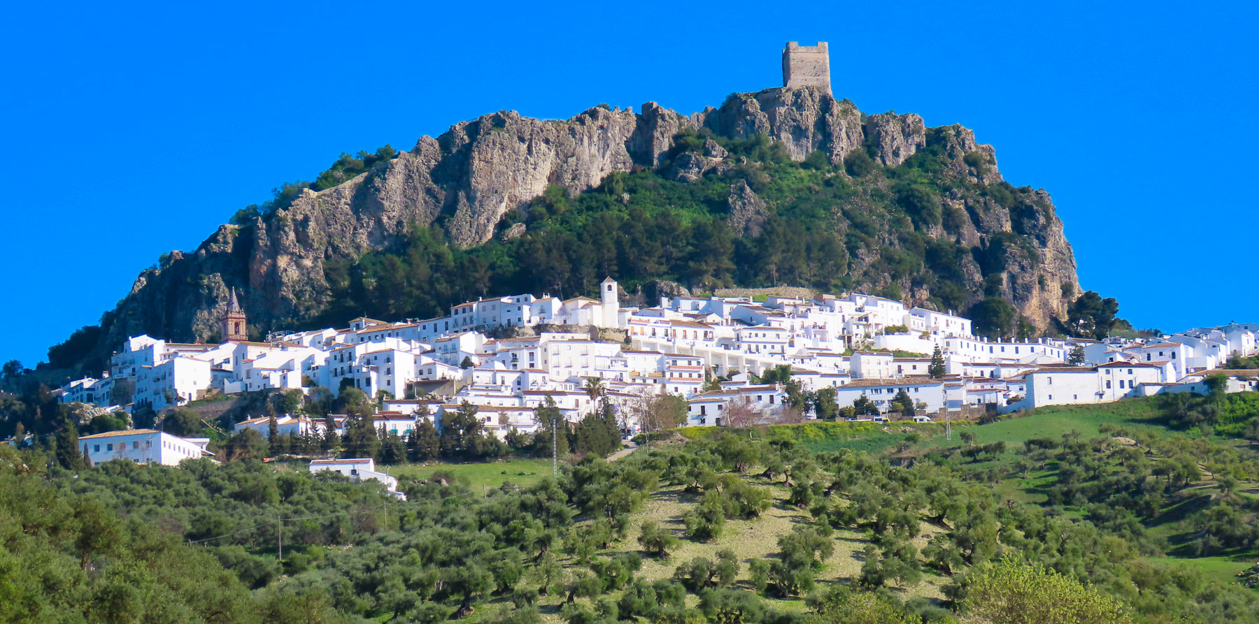
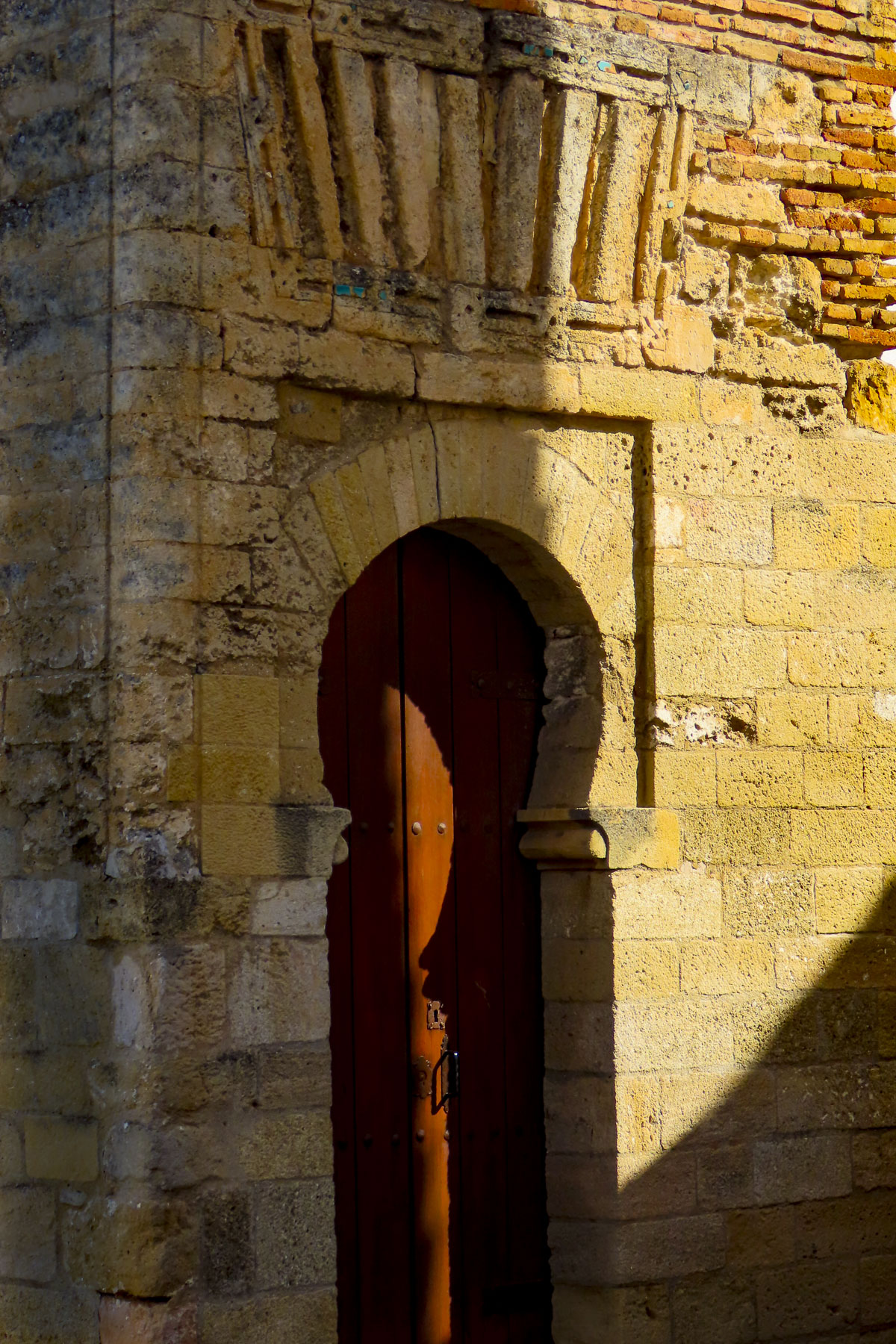
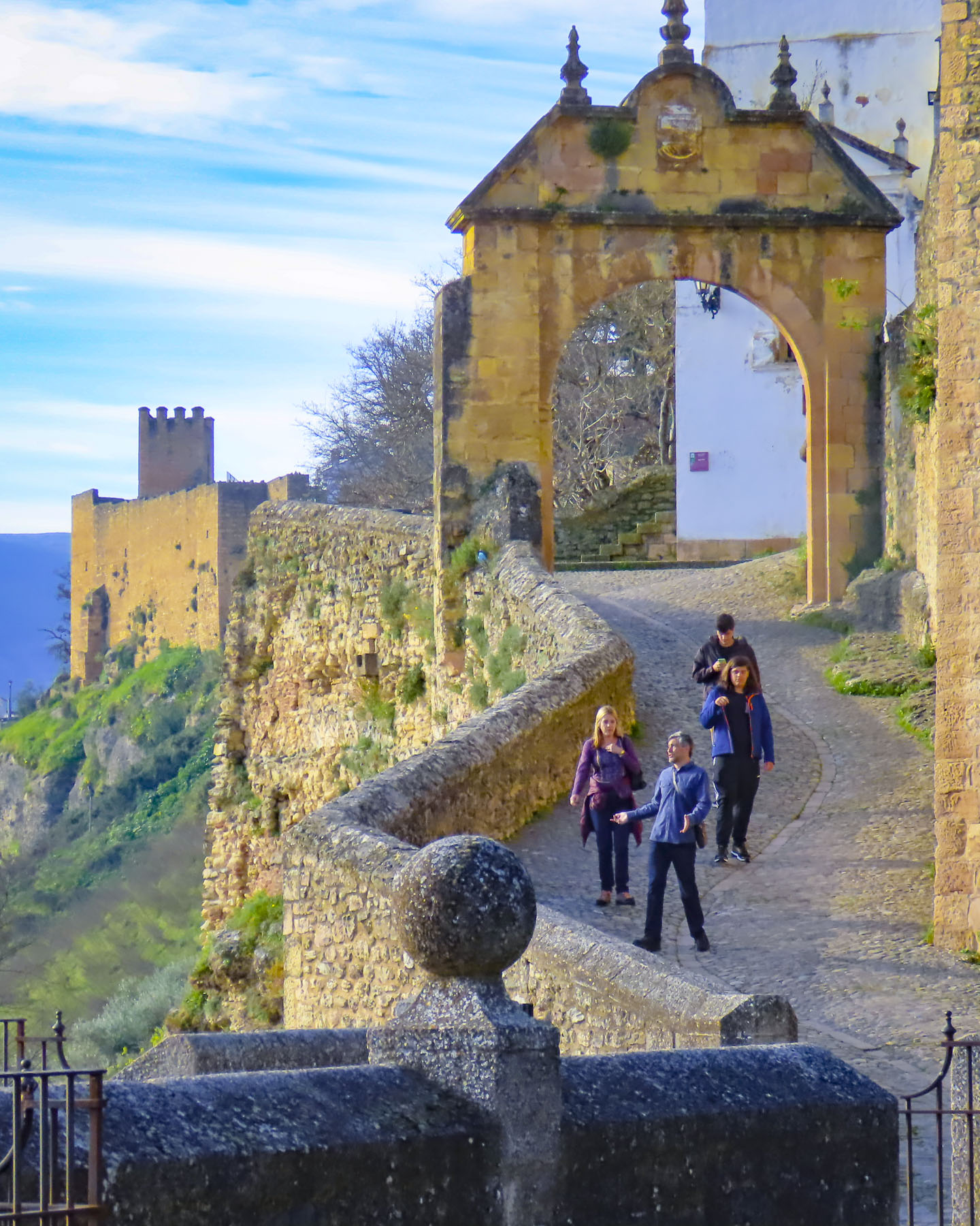
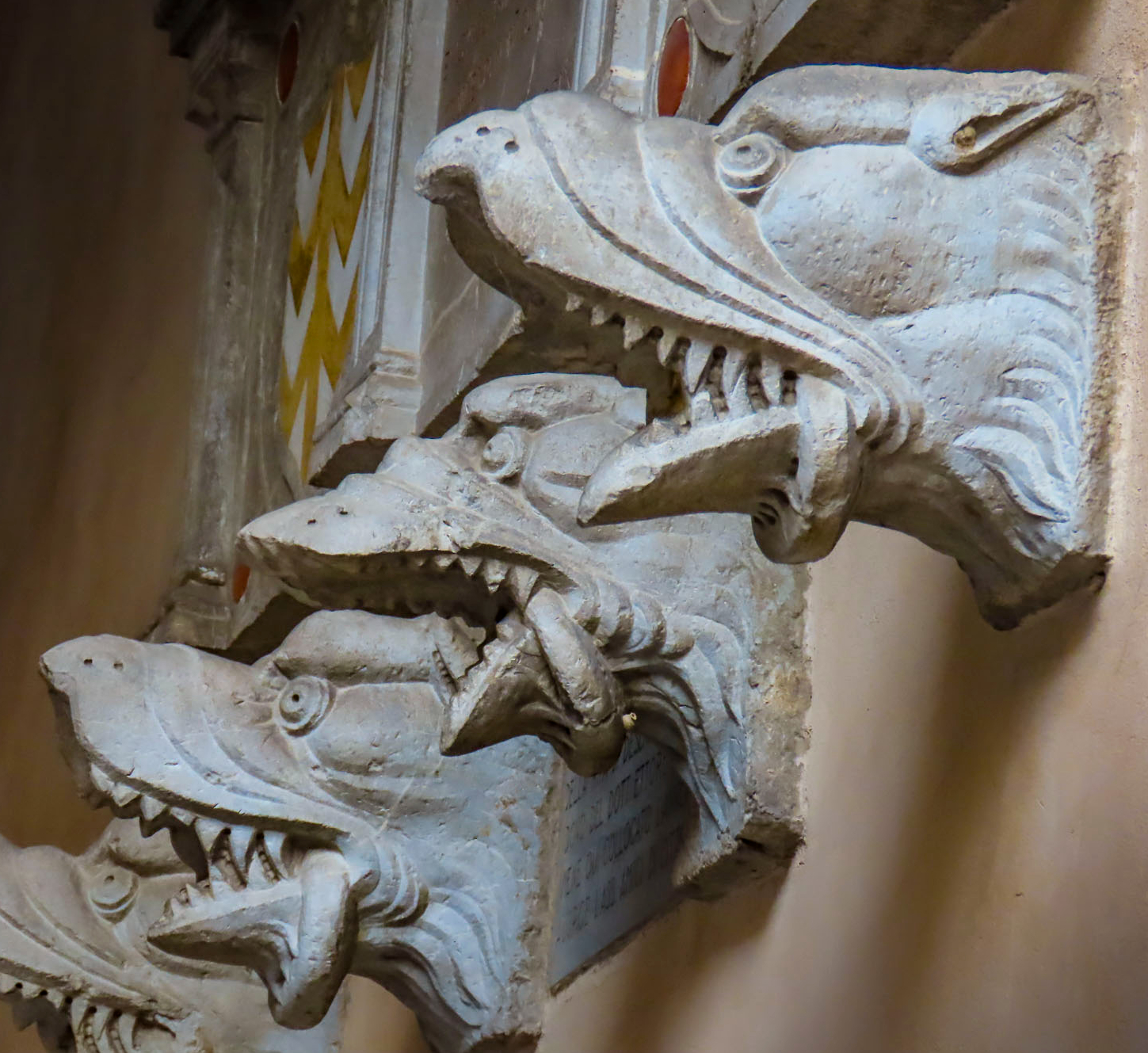
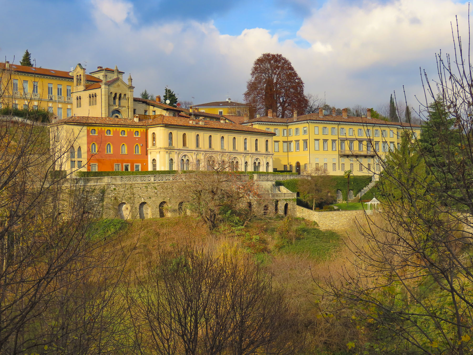
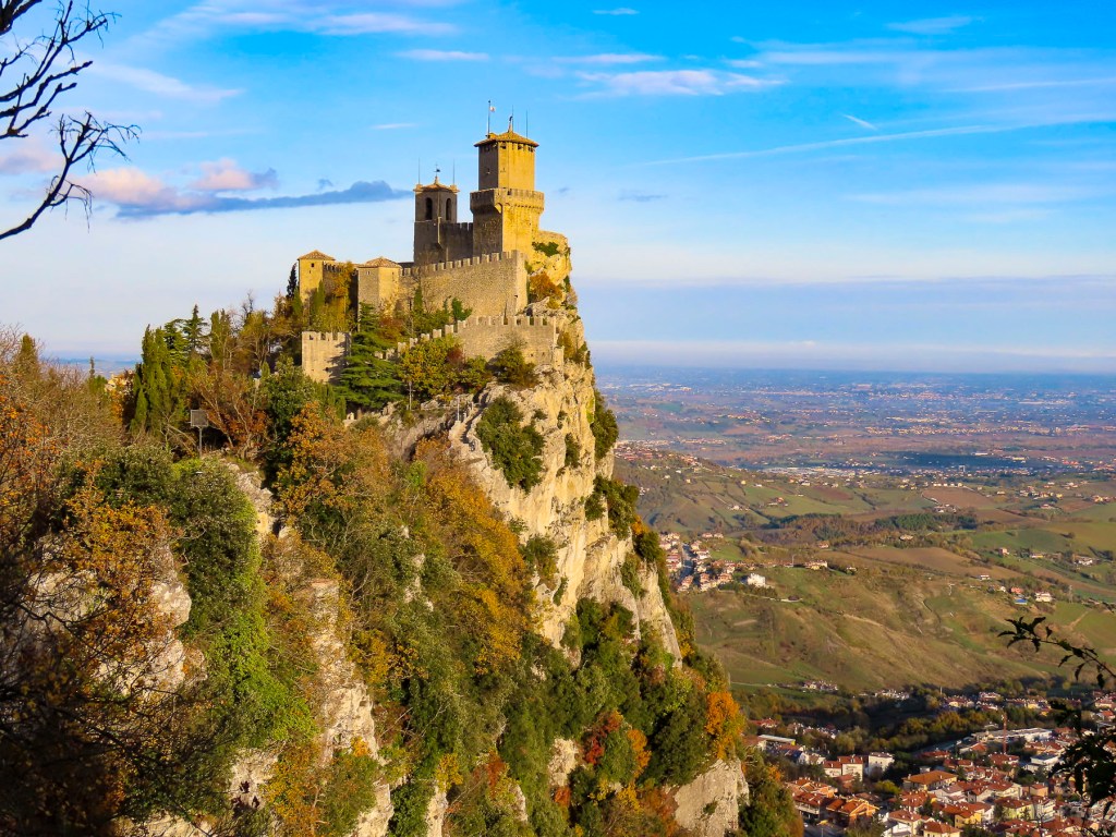
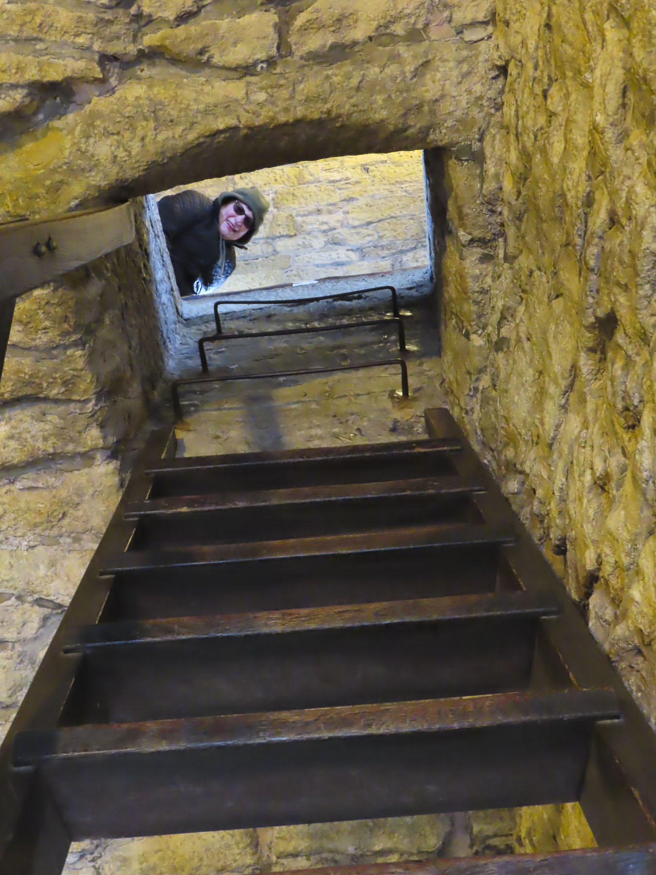
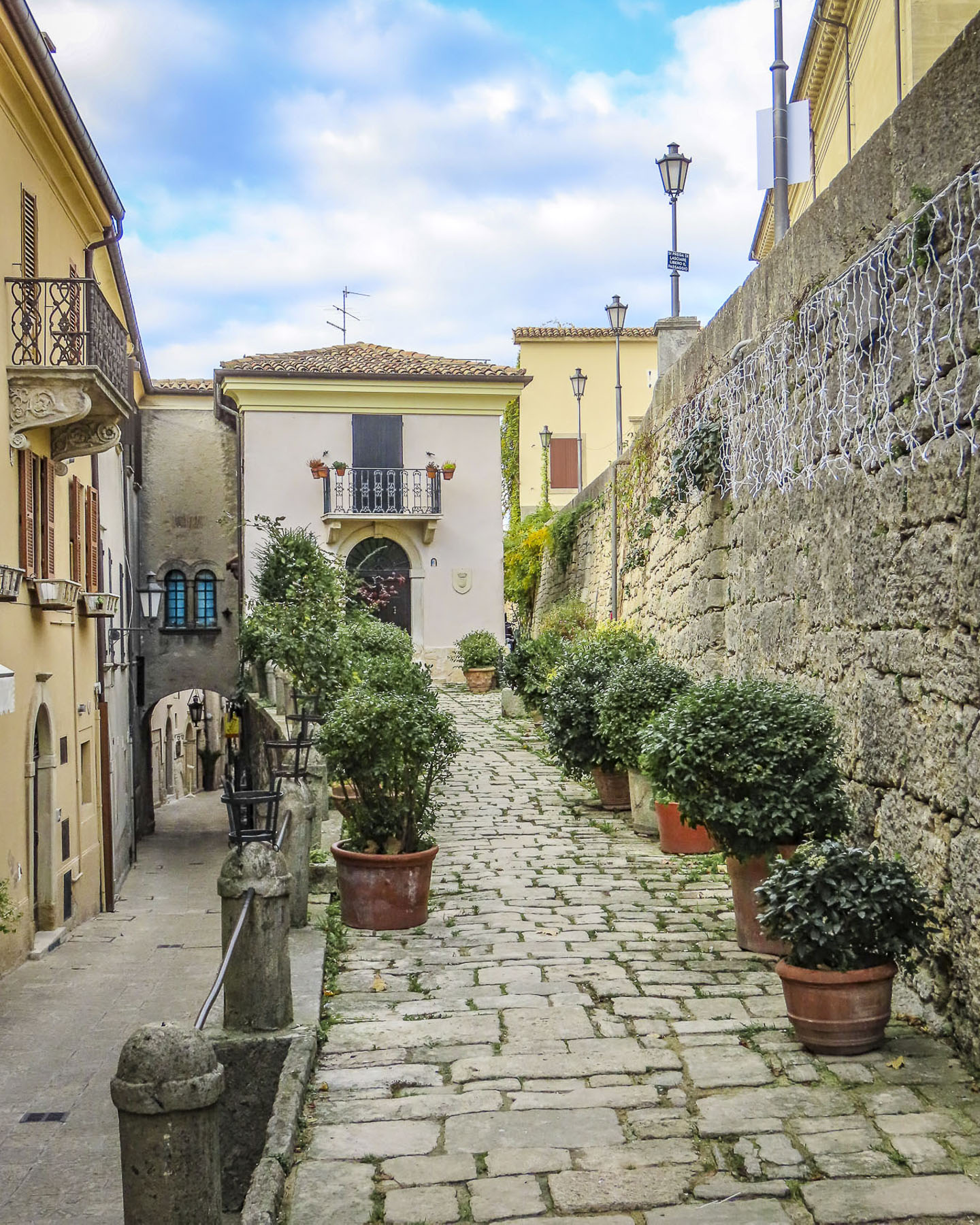
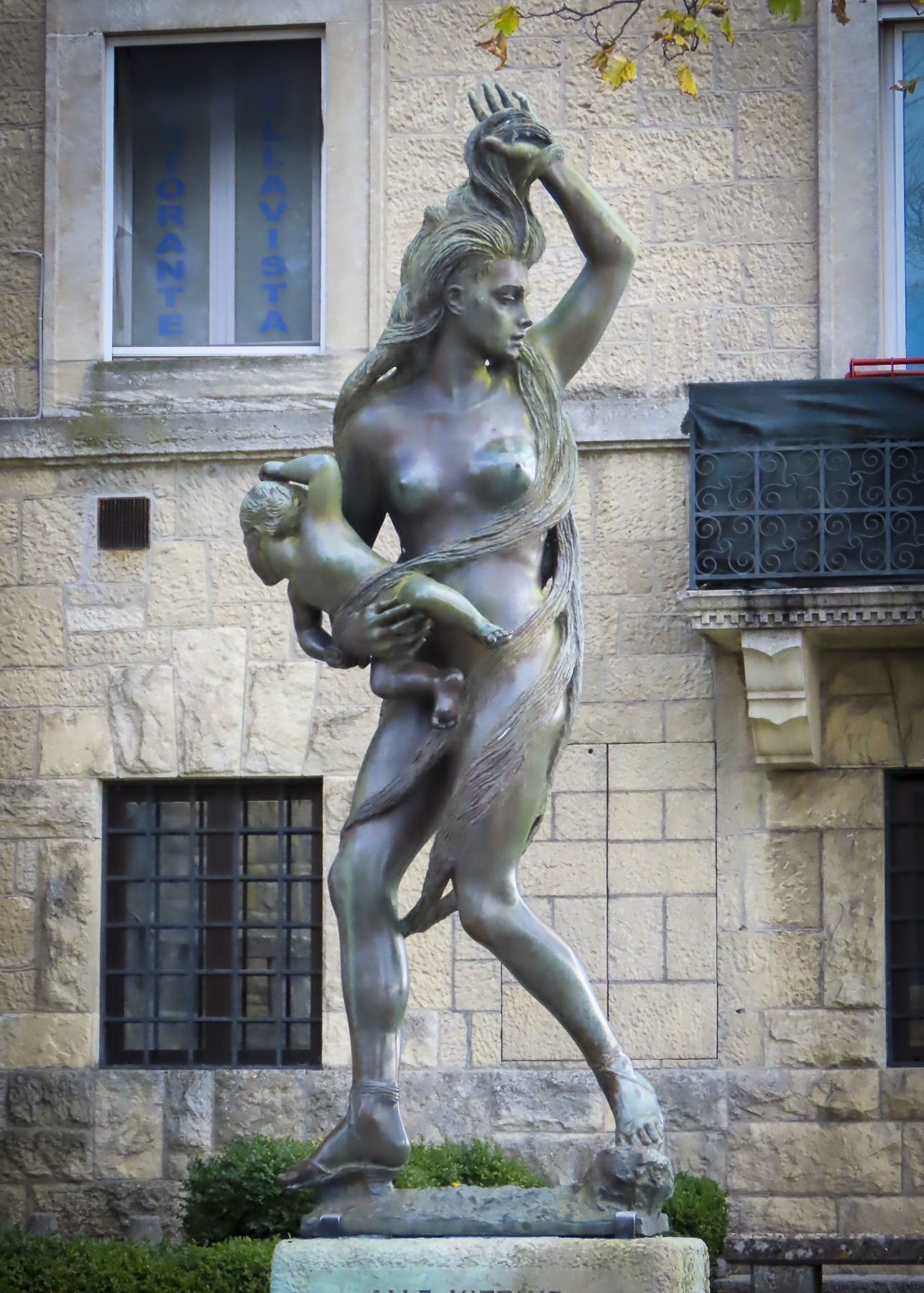
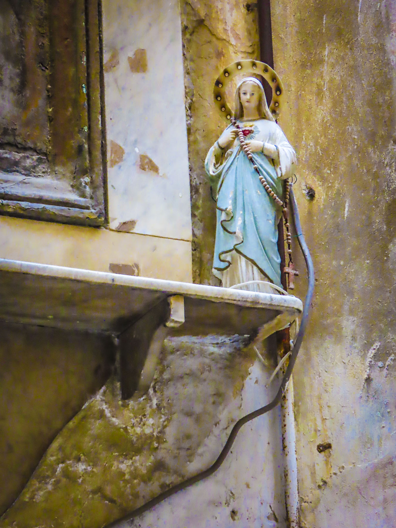
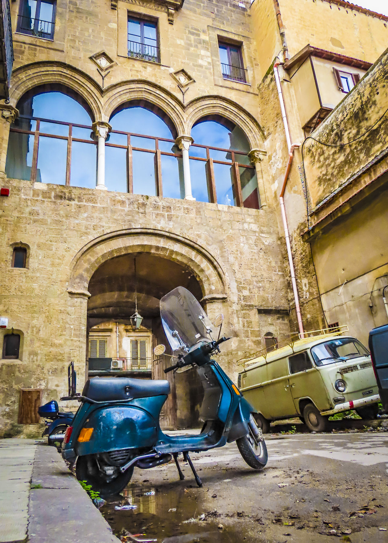
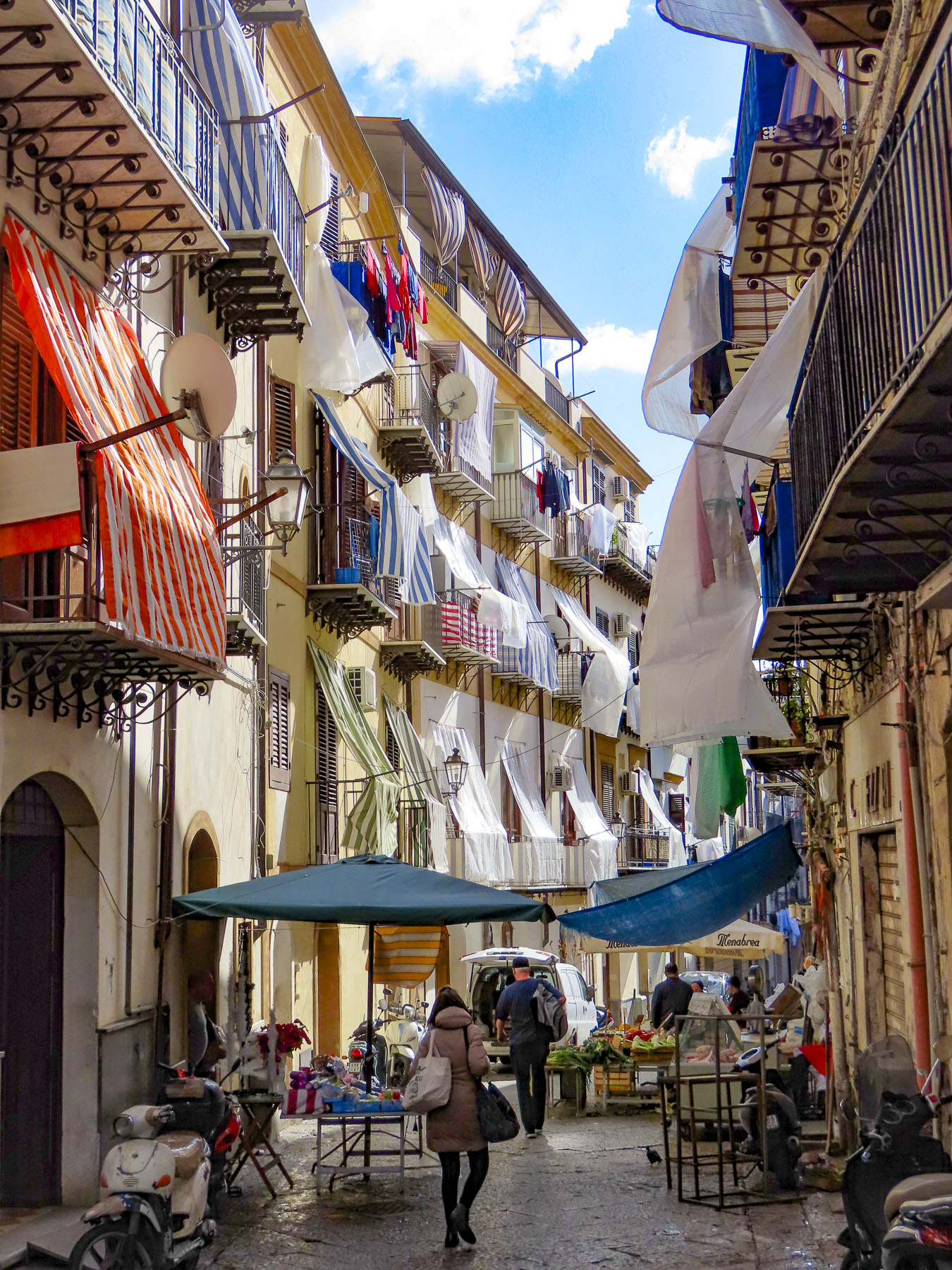
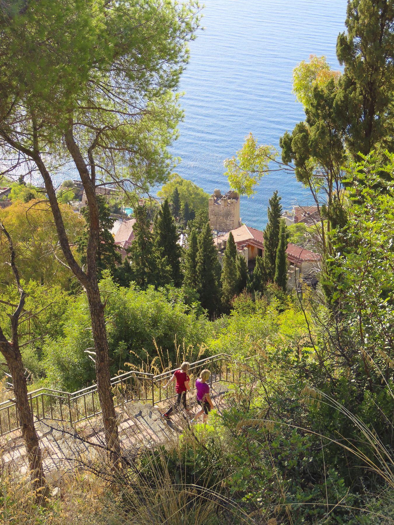
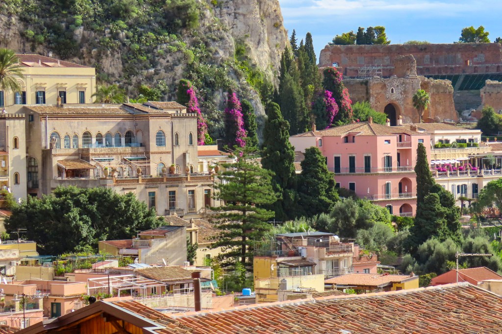
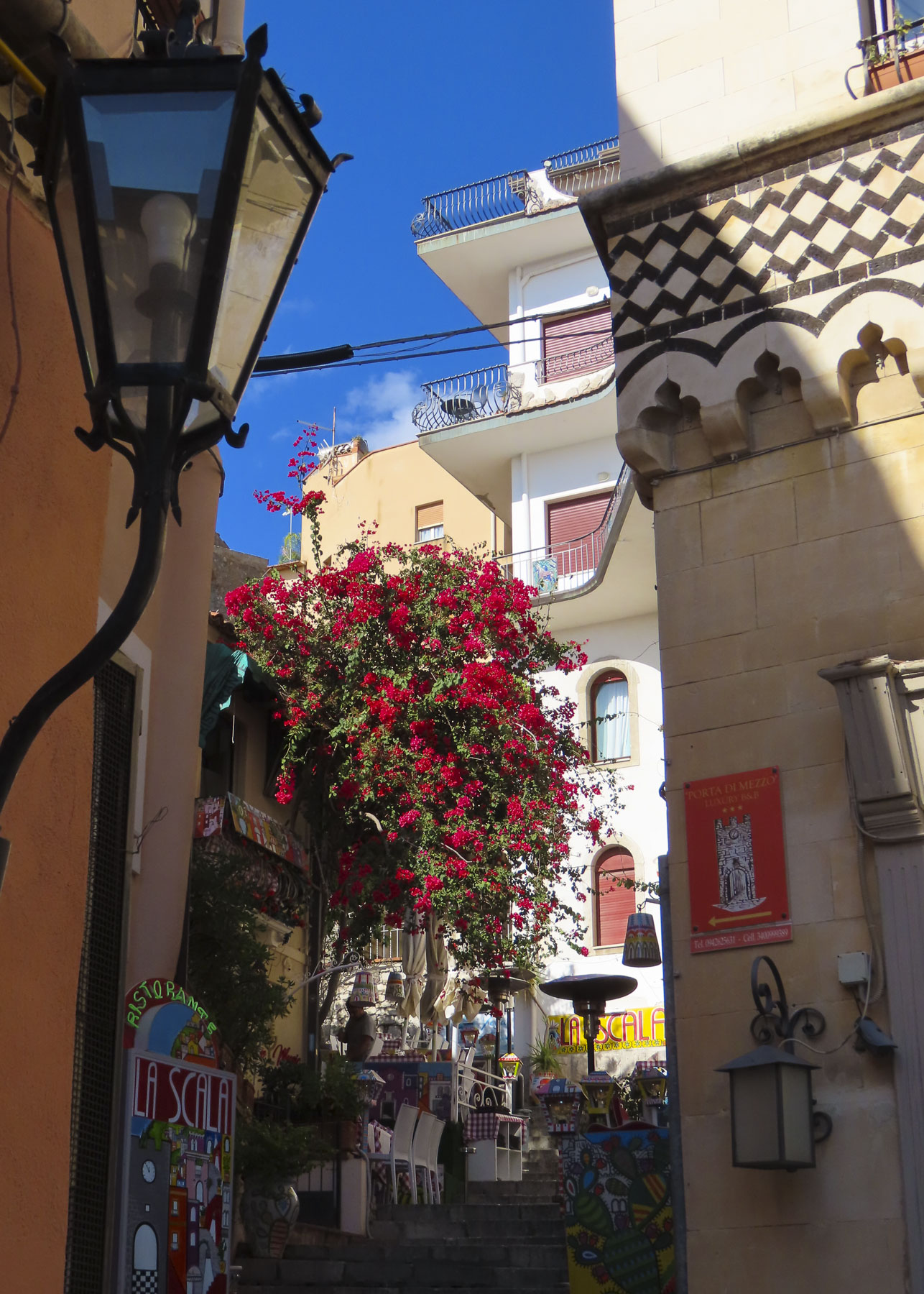
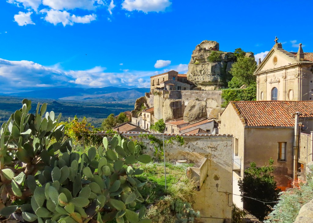
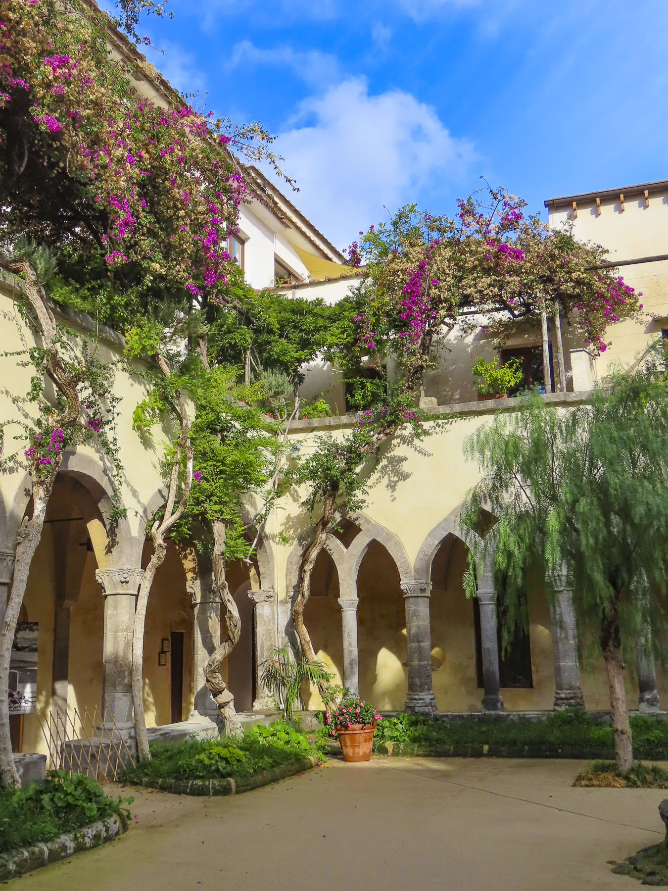
Schist, schist, schist, everywhere schist! Walls, roofs, cobbled lanes, terraces, everything in the village is built with this durable brown and grayish stone, from a distance giving it the appearance that it has grown organically from the earth of the box canyon that shelters cradles it. Everyone’s blue doors and window frames are not the result of superstition to ward off demons or to bring good fortune, but a shop keeper buying many years’ worth of paint in only one color. It became tradition.


Channeled narrow rivulets of cold mountain water run quickly between homes, under doorsteps and along the edges of walkways before cascading downhill into irrigation trenches for the terraced crops below the village. Small fountains throughout the hamlet offer spring water for drinking and washing for some of the older homes that still might not have plumbing.


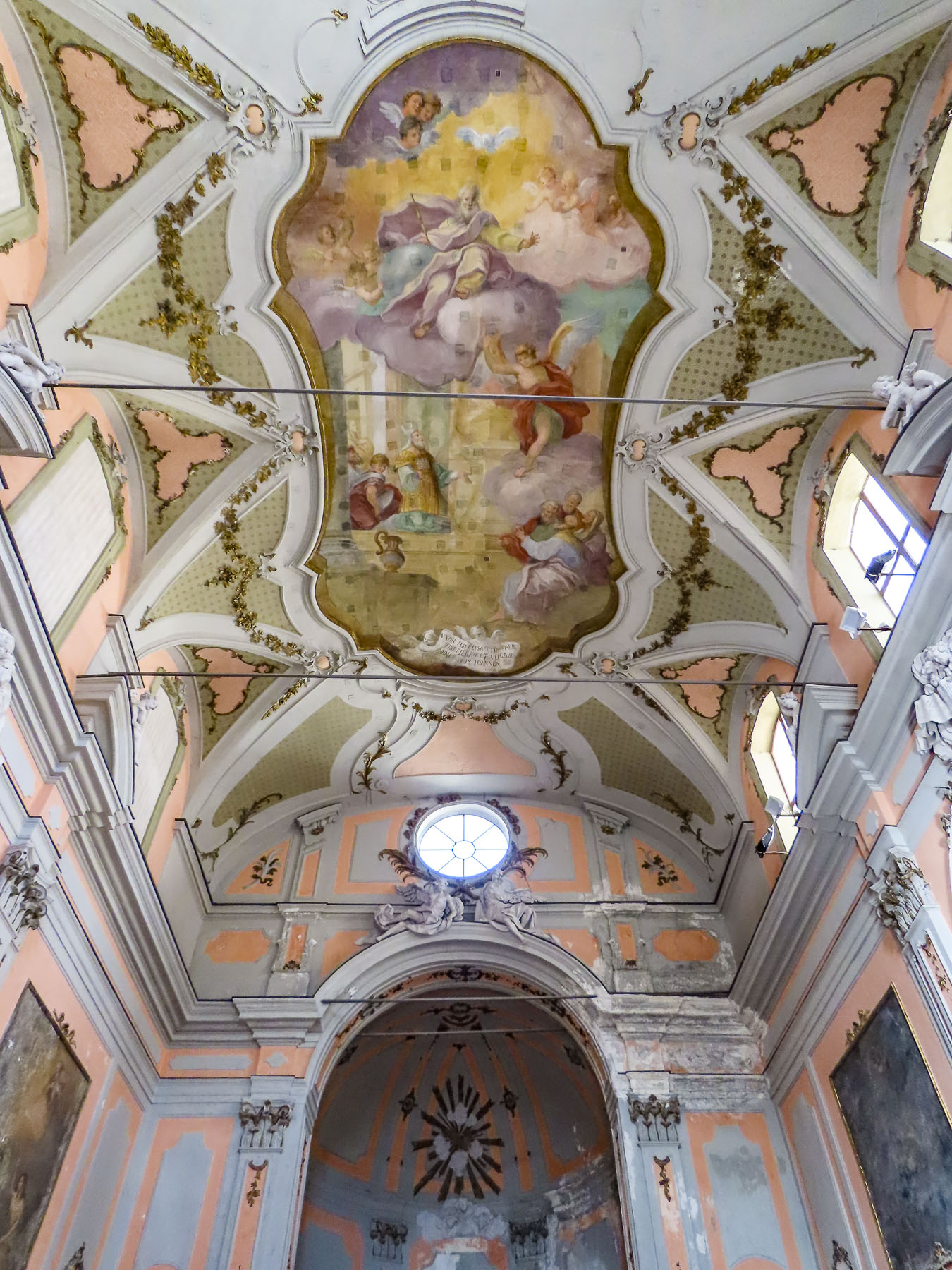
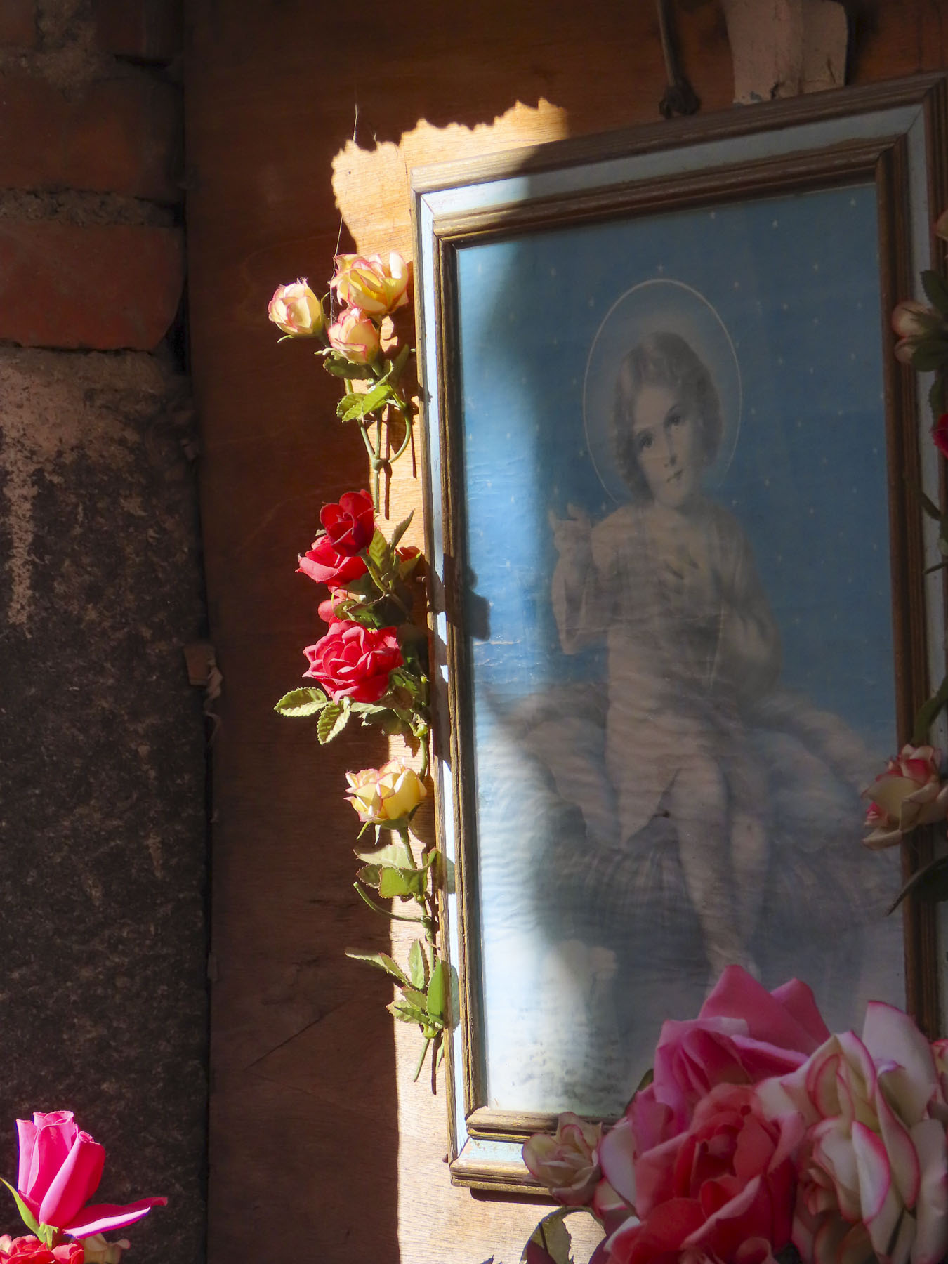
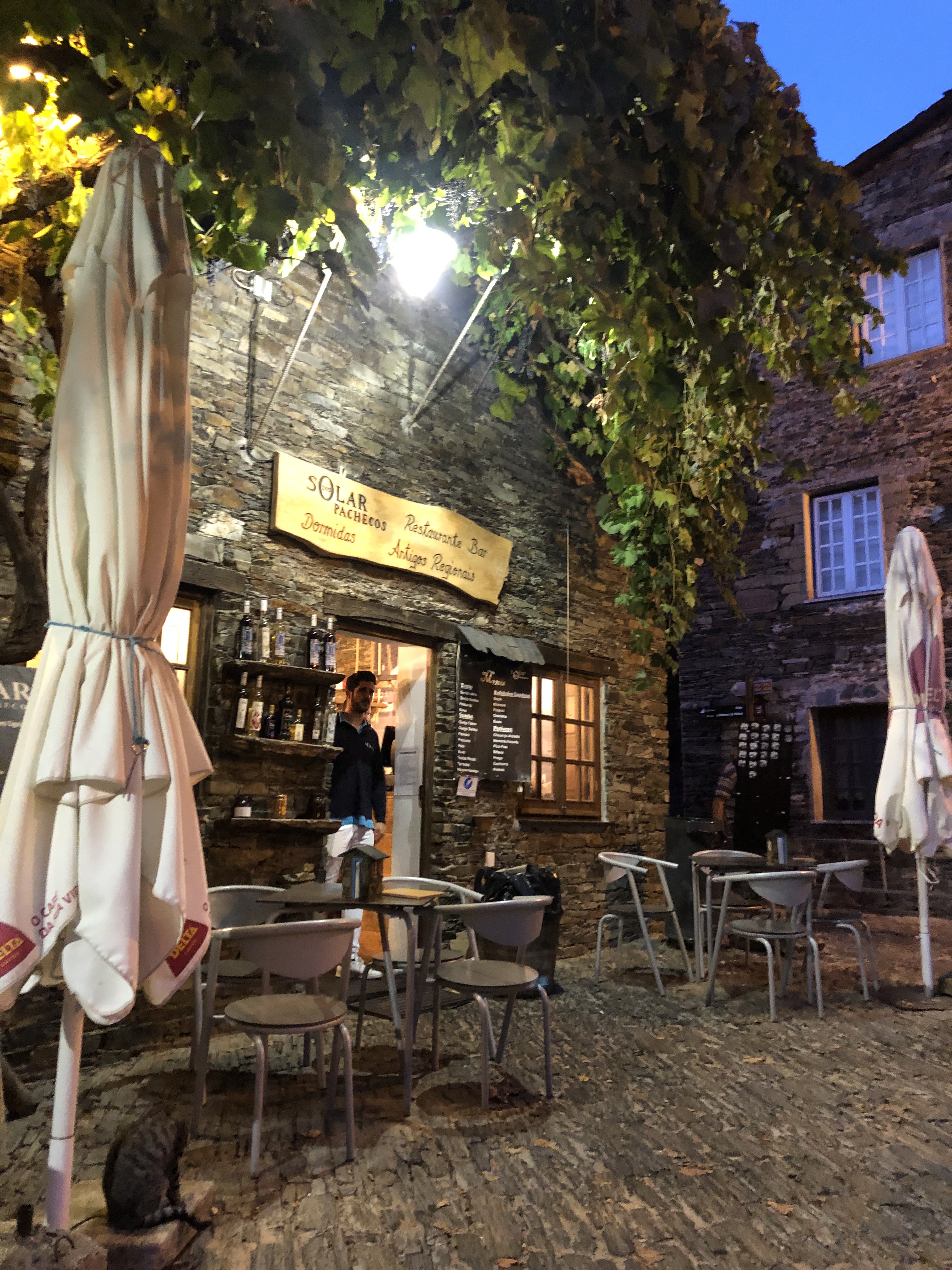
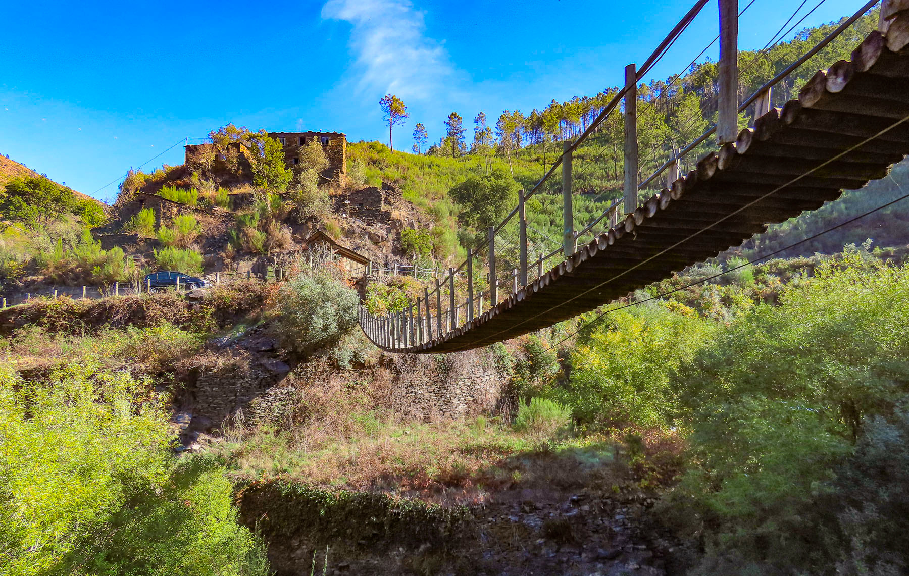
Slowly exploring the village, we made our way to its central plaza for dinner at O Solar dos Pachecos and enjoyed delicious bowls of Moelas Guisadas a Portuguesa, stewed chicken gizzards. This dish might not be for everyone, but it is truly one of Portugal’s culinary treasures. The owner enthusiastically shared tidbits of information and pointed across the way to the only mailbox in this unique village for the 120 full-time residents left here. Pity the poor postman otherwise trying to figure out the twist, turns and stairways of the hamlet’s ancient lanes. Surely everyone gets to know one another this way with the mailbox strapped to a tree on the main square in front of the village’s only white-washed building, the church. Before leaving he suggested we enjoy some of the hiking trails the area is known for with a short trek through the valley to Praia Fluvial de Foz d’Égua, a scenic spot with a suspension bridge over a stream that widens into a natural swimming hole. Later for coffee and dessert we watched part of a soccer game on the TV above the bar at O Fontinha.

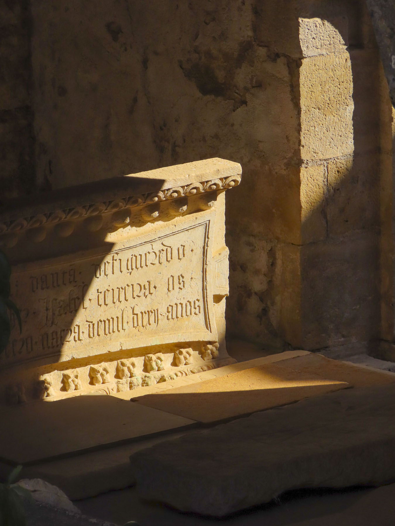
Piodão owes its unadulterated charm to the fact that it was pretty much forgotten and slowly abandoned until the 1970’s when the donkey and horse trails leading to the village were replaced with roads carved into the isolating mountains of the Serra do Açor that surround it. It is located not far from Parque Natural da Serra da Estrela and continental Portugal’s highest peak, Torre at 6,539ft. Difficult terrain lured fugitives, seeking to escape justice, to the isolated villages of the area. Allegedly one of the assassins of D. Inês de Castro, the mistress of Pedro l, sought refuge here in the late 1300s. Other than that interesting historical footnote and mention in a 1529 census, folks got by on a subsistence economy of farming, grazing sheep and goats, along with wood and stone cutting for centuries.


Its rediscovery and revitalization in the 1980’s brought the isolated village built with the abundant local schist stone recognition as one of the “most Portuguese villages of Portugal,” with a Galo de Prata “silver rooster” award.
Waking during the night to close the window against the mountain chill, I observed a full moon illuminating a single arched stone bridge over a babbling brook at the bottom of the valley. The mountain songbirds were loud enough to encourage an early wakening as the sun rose over the ridge behind the village. The next morning Gorete’s homemade jams, pastries and a neighbor’s artisanal cheese nourished us before we explored the village and moved on.

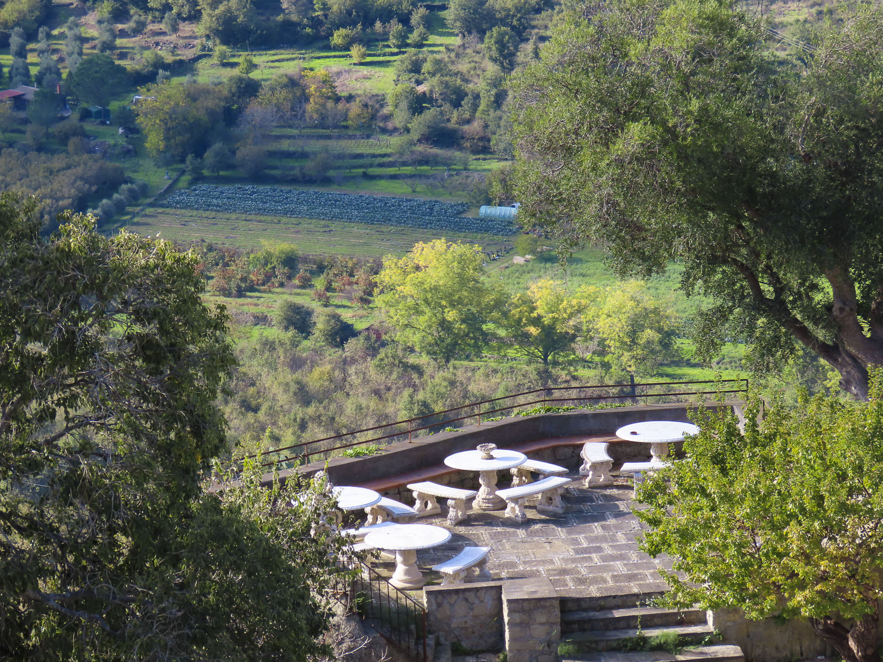
The drive to Praia Fluvial de Foz d’Égua was through forest thick with oak, chestnut and laurel cherry and arbutus trees. Arriving, we understood immediately why this beautiful area is such an out of the way tourist magnet. Traveling during the fall shoulder season, we were fortunate to experience the tranquility of this serene spot in solitude.


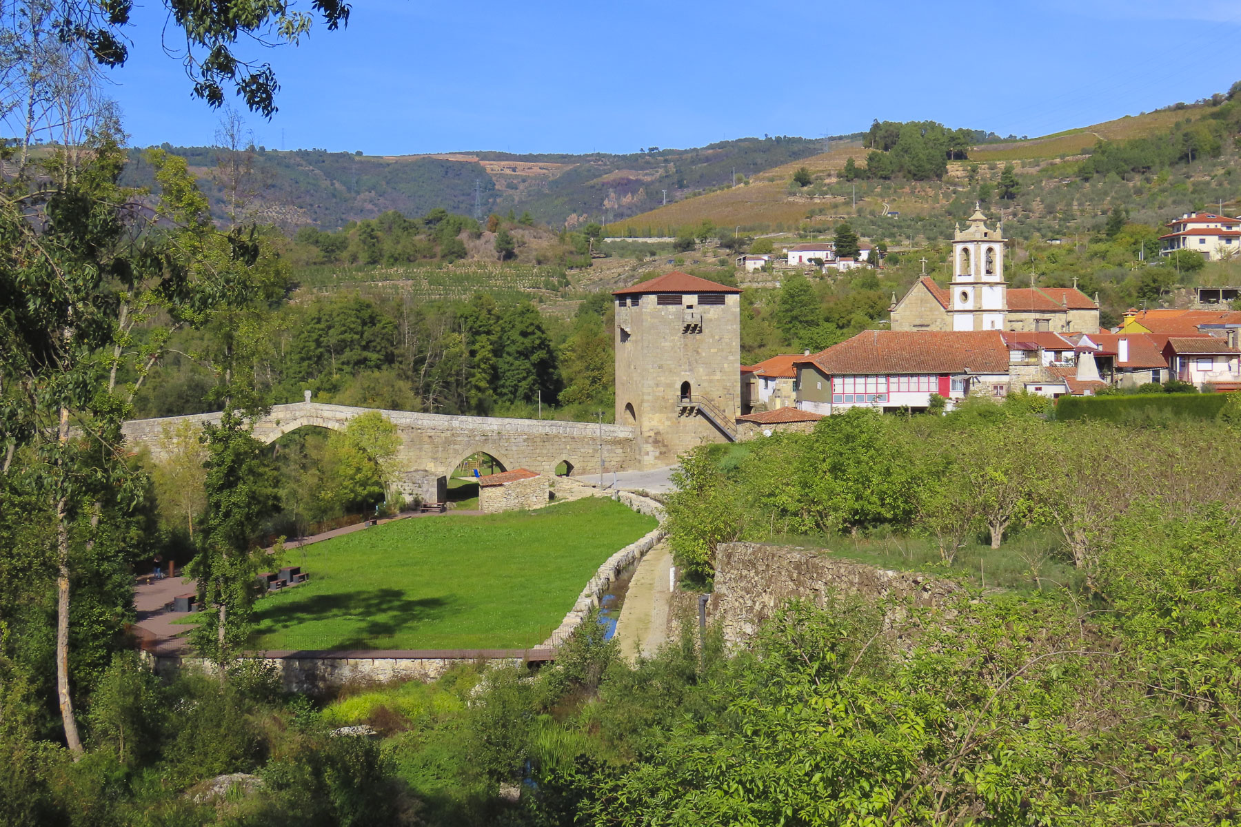
Continuing the next day, we headed north to Ucanha for its old Roman bridge with fortified tower that spans the Rio Varosa. In the off-season not as many restaurants are open, but we were fortunate to find Casa da Eira near the bridge still welcoming folks for a splendid meal.
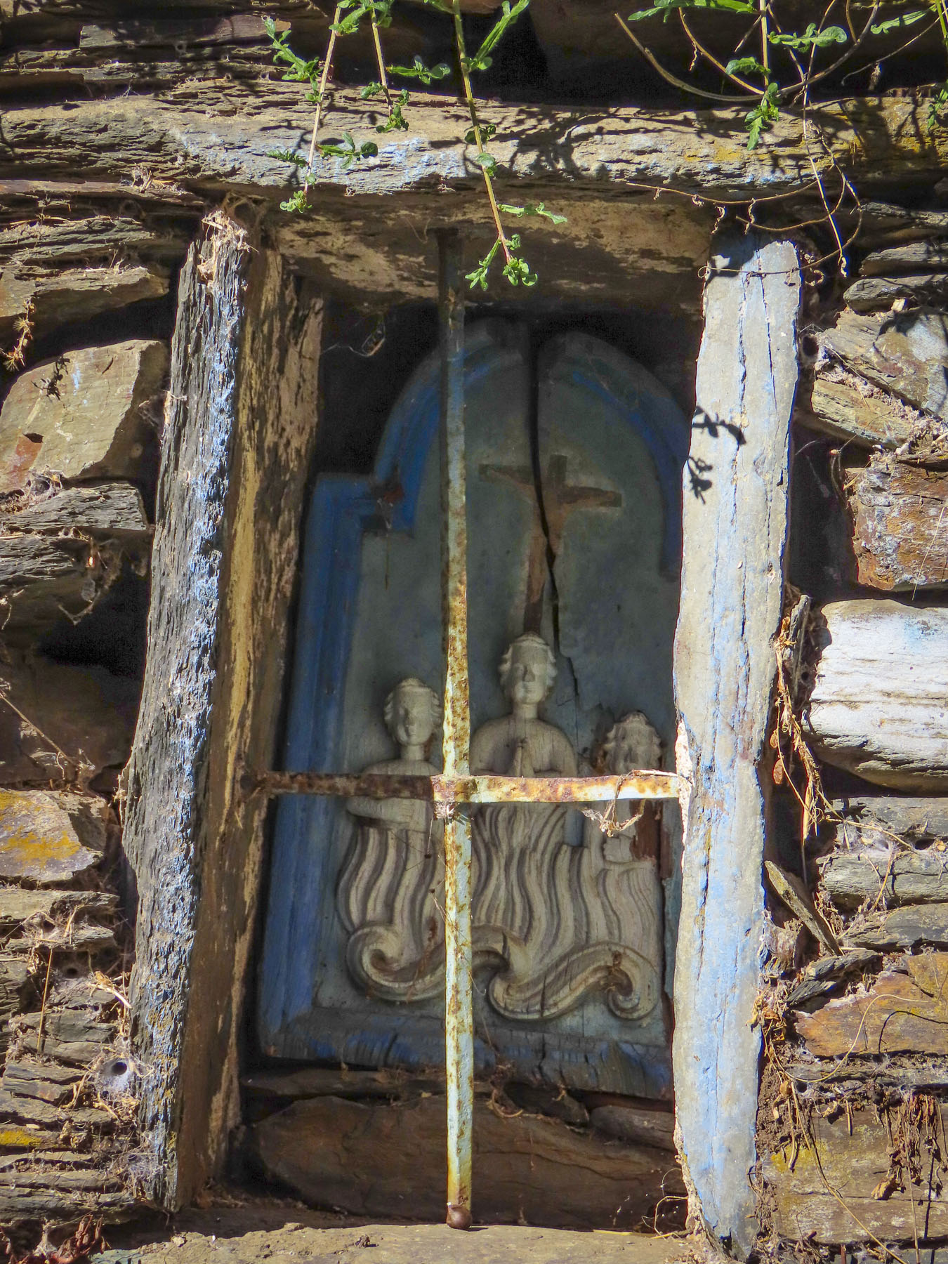
The walk to it was down a lane bounded with high walls draped with bunches of grapes dangling beneath, the vines sporting brilliant fall foliage. Just before reaching the restaurant, we peeked through the broken shutters of a long-abandoned church, its wedding cake altar and walls stripped of any religious embellishments.


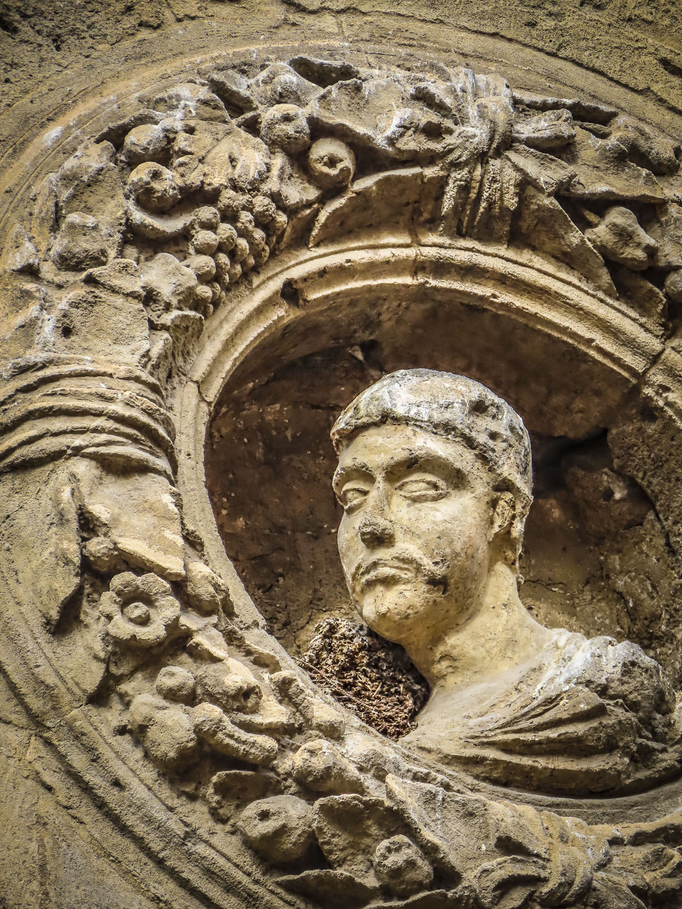
After lunch we strolled across the bridge and under its tower which served as a toll booth for travelers crossing the river and gateway to the vast land holdings of the Mosteiro de Santa Maria de Salzedas in the 1400s, and further on to the Portuguese frontier.

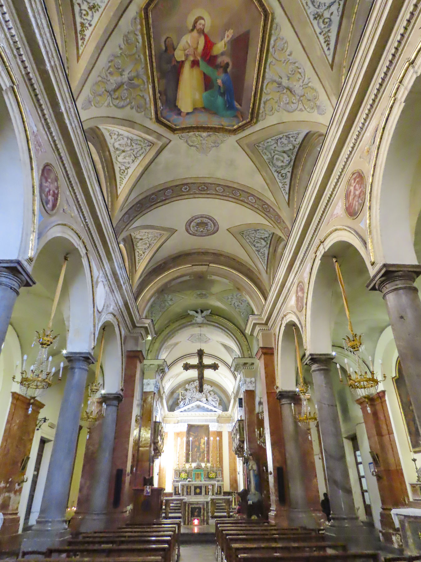
The bridge we crossed is thought to have replaced an earlier Roman structure from the first century AD. Through the tower’s archway we followed the lane up to the village’s parish church, Igreja de S. João Evangelist, that dates from 17th century.


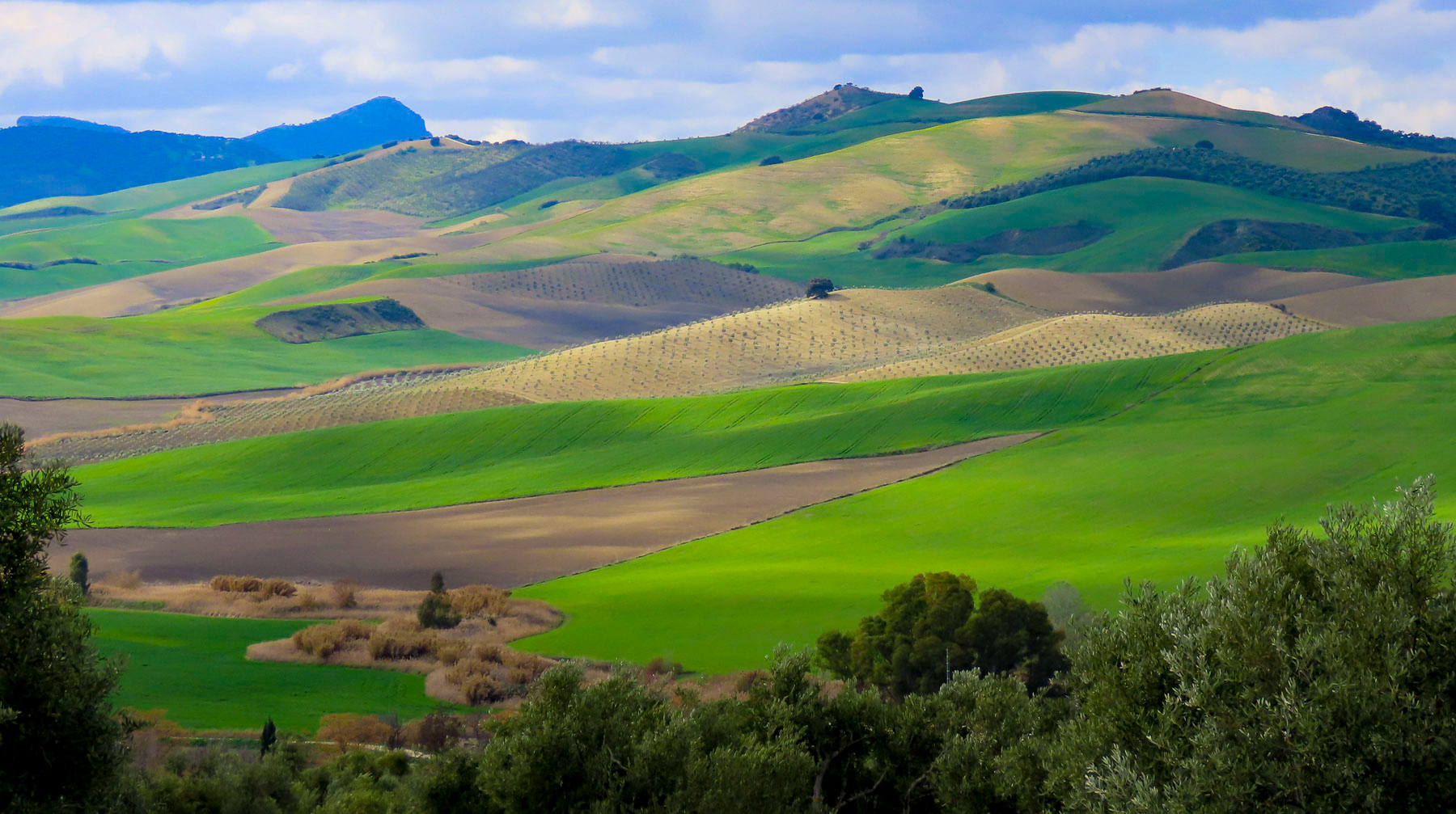
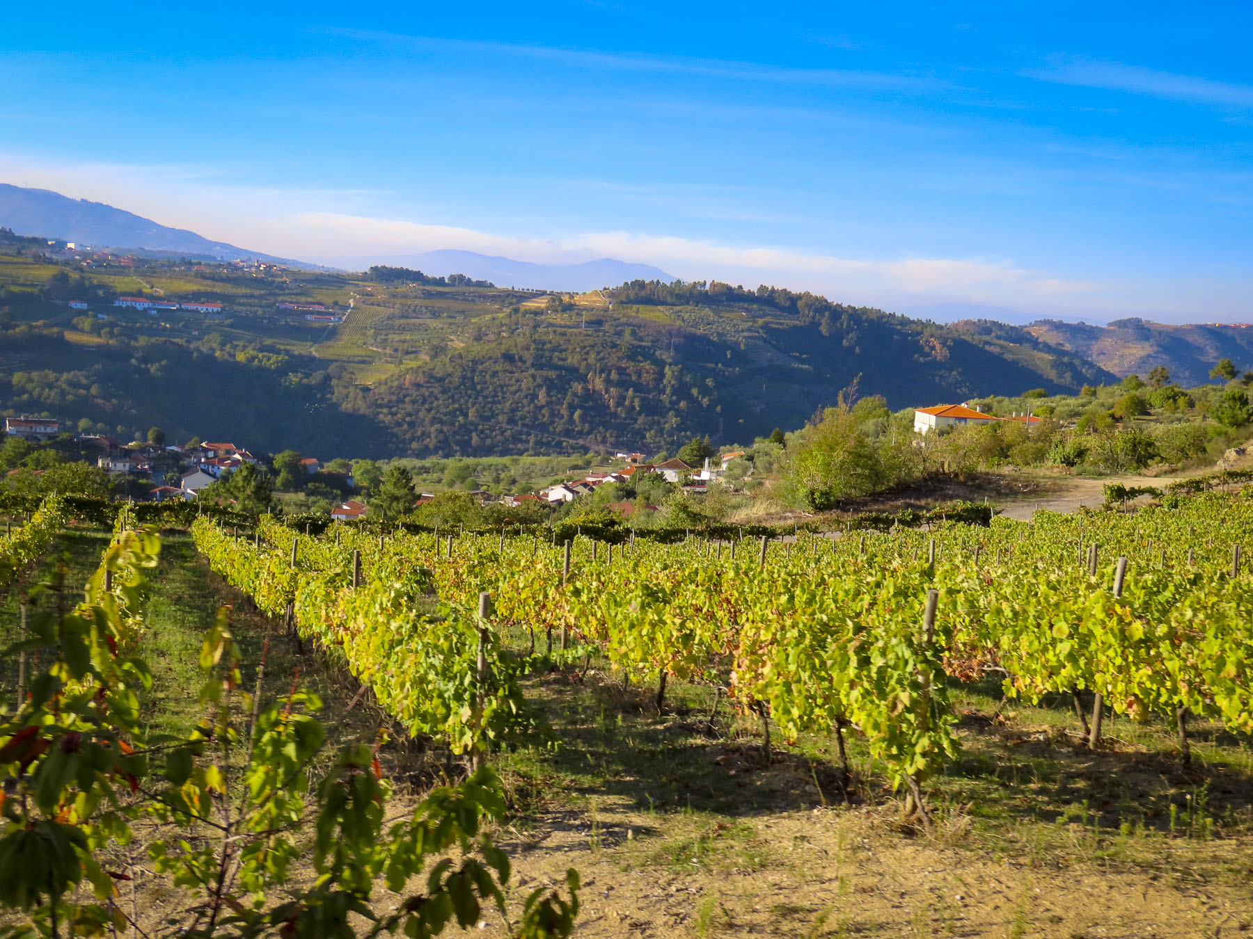
It was surprising to learn about the ancient Roman presence here in central Portugal, but we had already noticed signs for the old Roman route as we drove through the area and tried to find two ancient bridges nearby, the Ponte Românica de Vila Pouca de Salzedas and Ponte Romana without any success while on our way to Salzedas. In searching for them, we did however thoroughly enjoy an afternoon ride through tiny hamlets, vineyards, olive groves, and apple orchards, where the tastiest apples were plucked from a tree within reach of our car window.


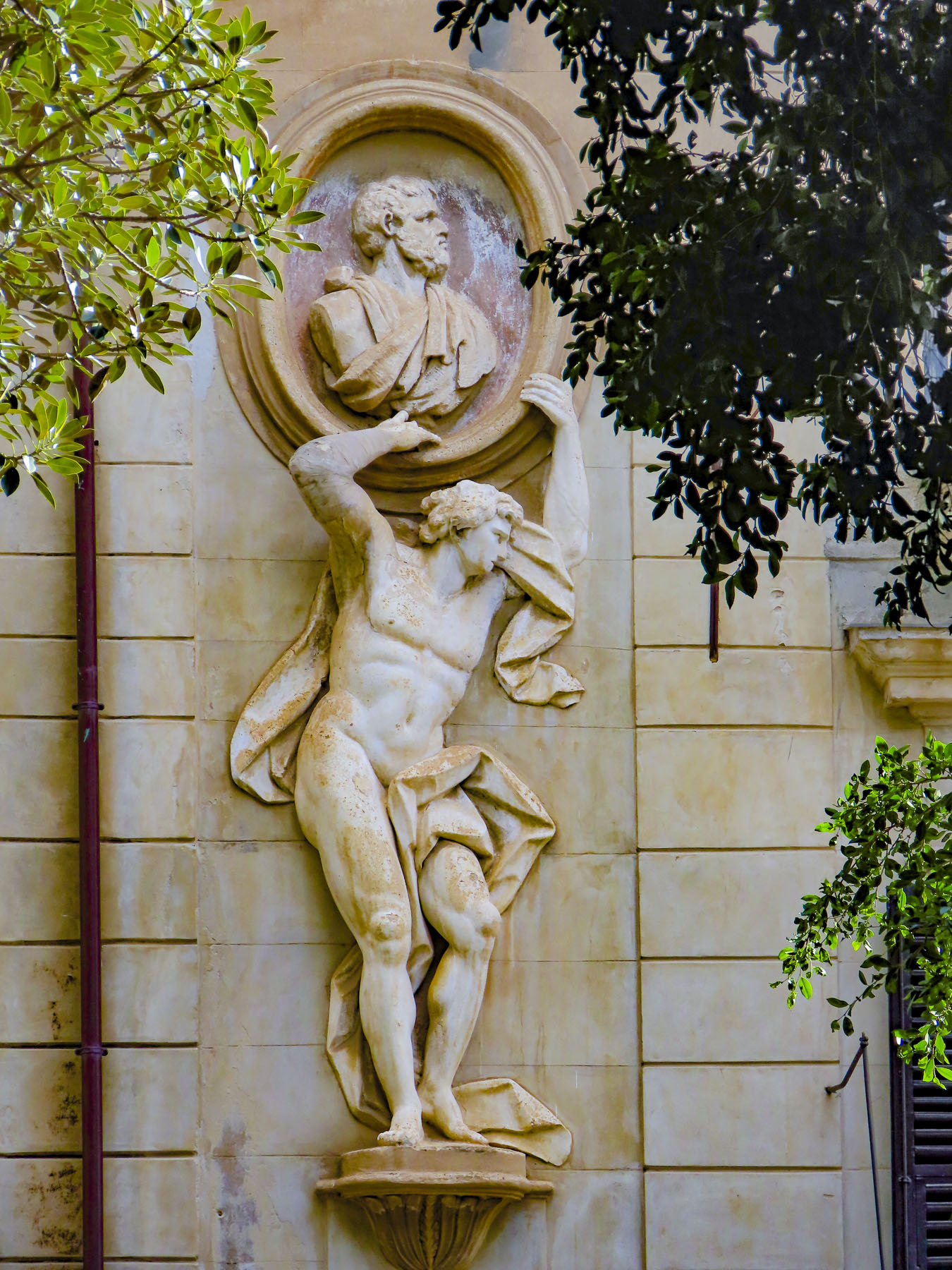
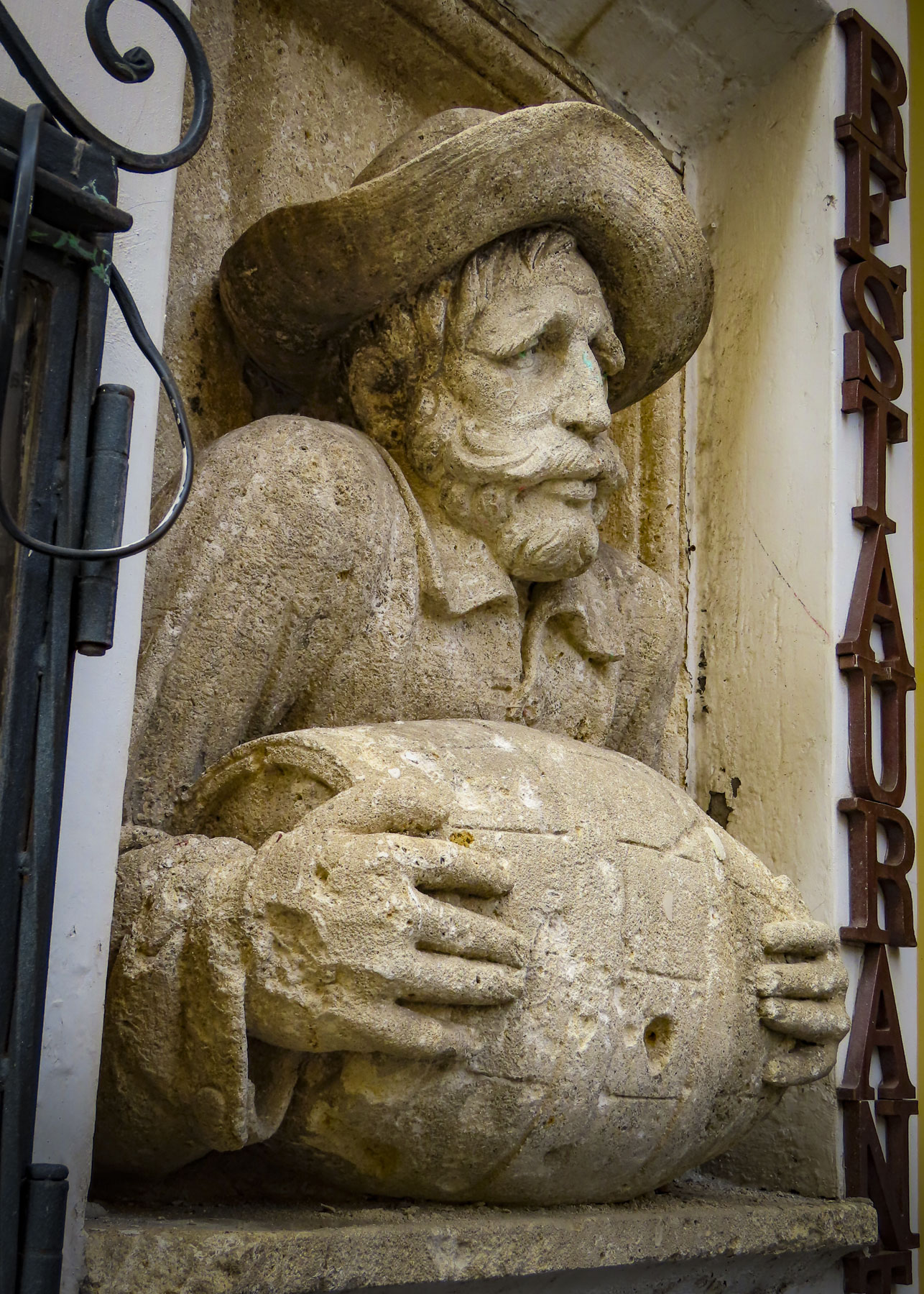
Reaching Salzedas we parked and walked towards the monastery across a small bridge over a dry riverbed. Stopping across from the monastery to take a photo, we spotted the most unusual statue along the watercourse’s retaining wall: a carved stone sculpture of a naked man sitting with a huge serpent-head phallus bursting forth from between his legs. Its location across from the monastery was all the more bewildering, but we had to laugh. Odd, just really odd, some of the things you discover when you travel.


Shorter opening hours are one of the disadvantages of travel during the shoulder season as by the time we were done exploring the Mosteiro de Santa Maria de Salzedas the small cathedral next to it was closed. Having paid fully for our entry tickets, we were startled by the guard’s request request for coins. “Do you have any foreign coins? I don’t travel, it’s my hobby and I ask all the foreign visitors if they don’t mind sharing.” Having collected foreign money ourselves we could relate to this desire to touch something of the outside world. “We have some somewhere in our suitcase. I’ll check before we go,” I replied. The attendant replied with a subtly disappointed, “okay.” We were sure he thought we were just giving an excuse as we climbed the stairs to the exhibition.


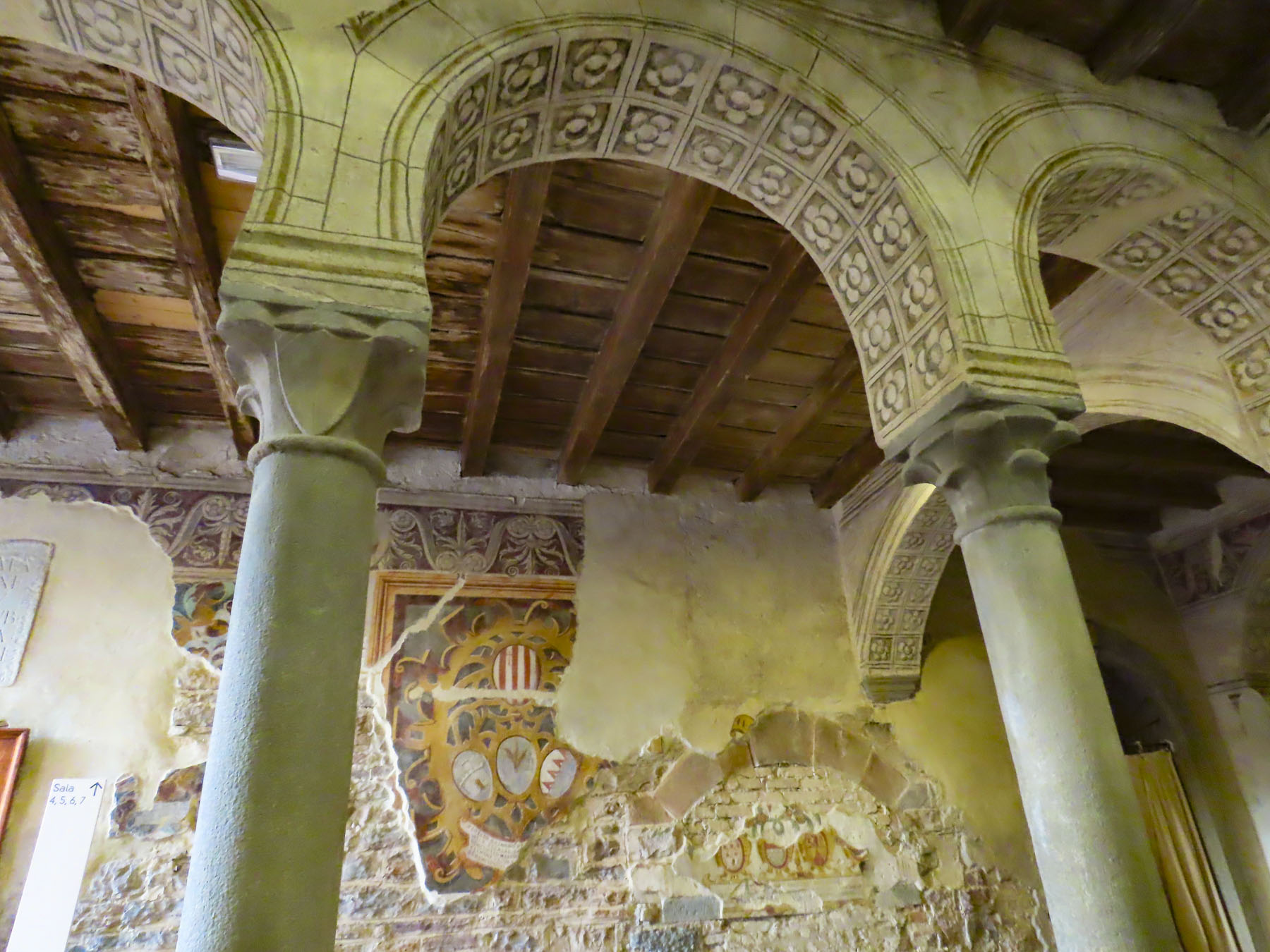
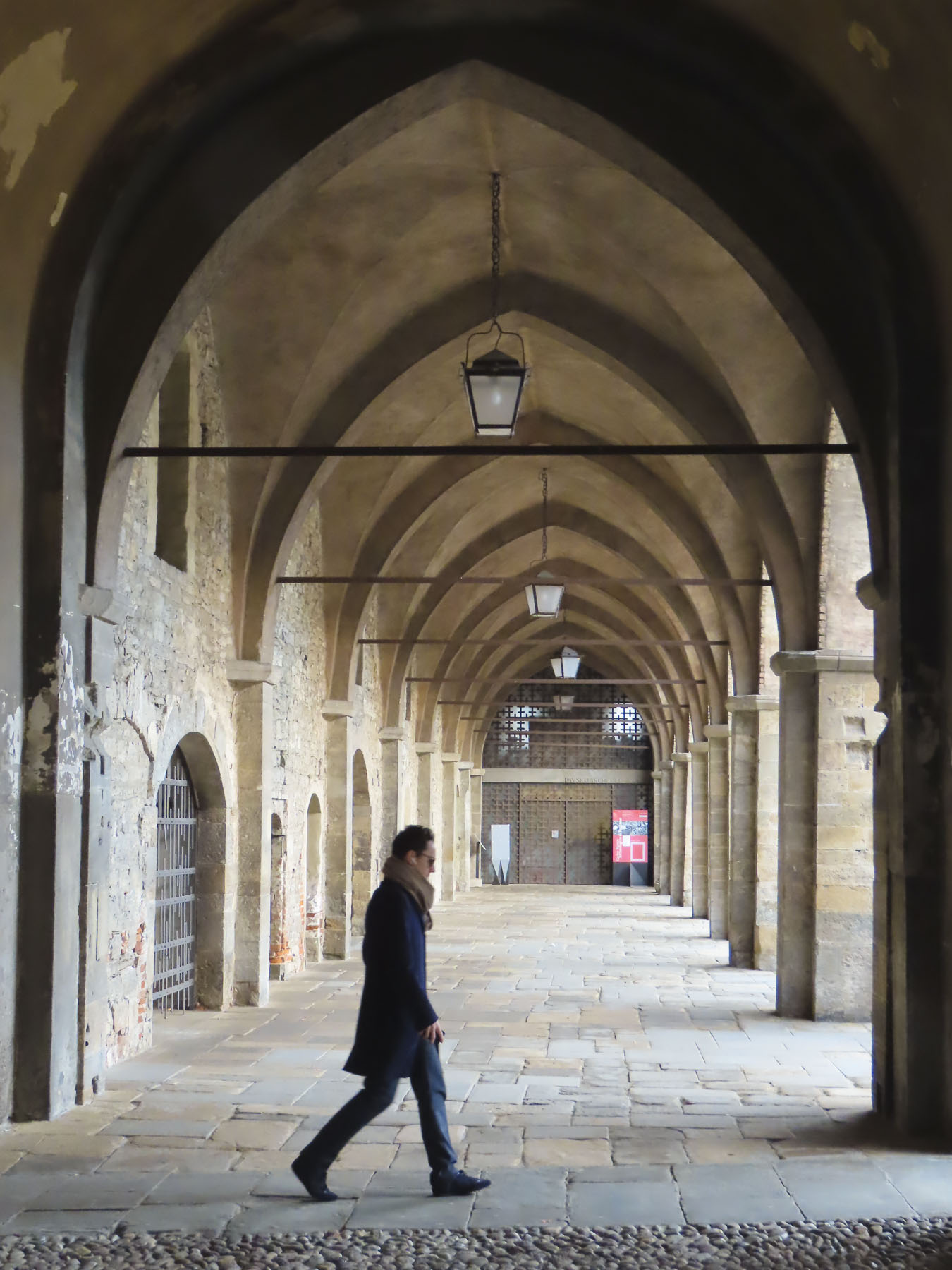
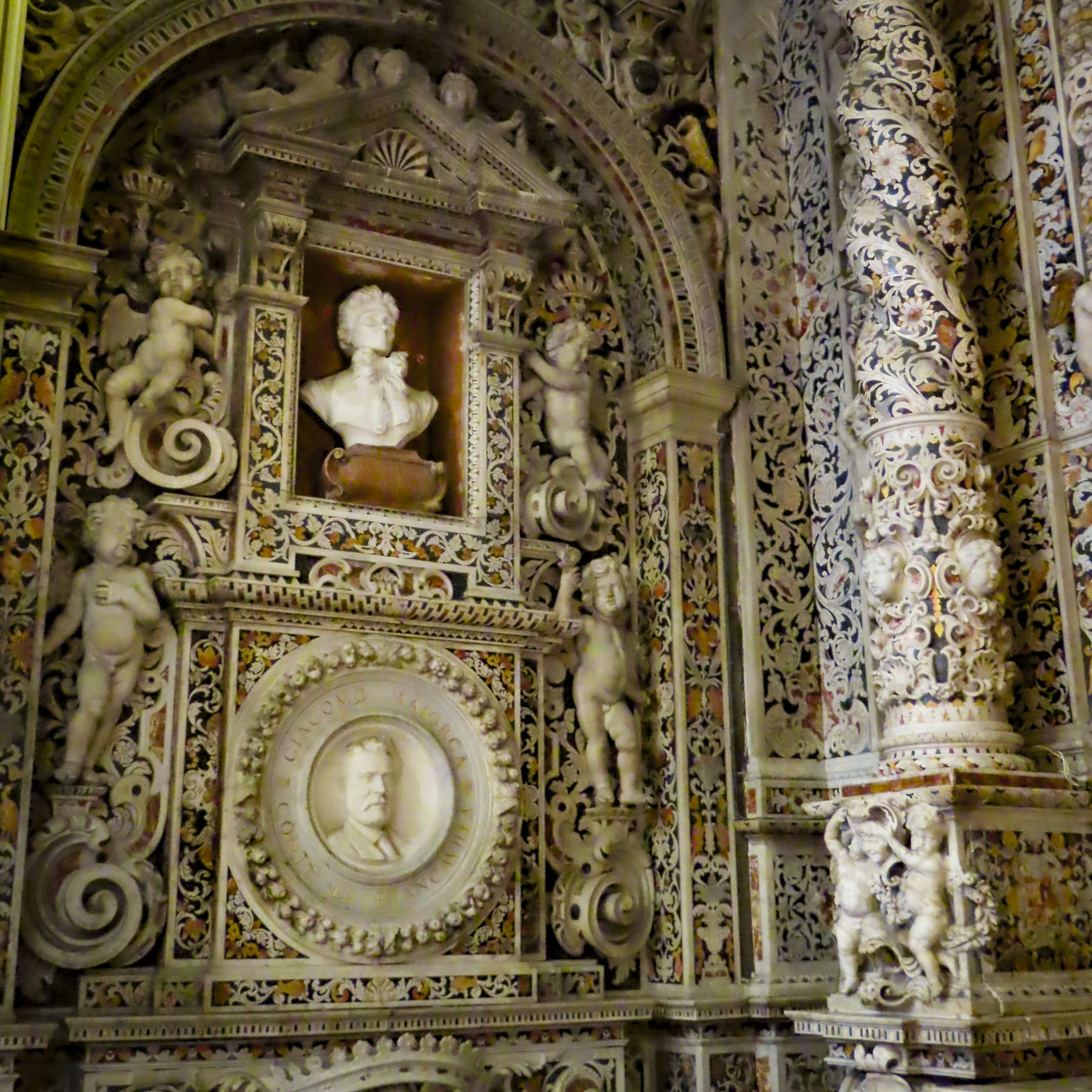
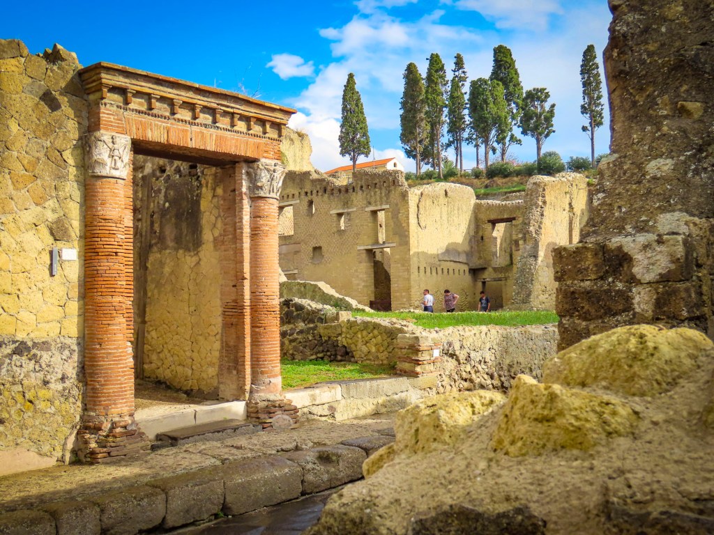
From its placement in 1155 near the Torno River, in keeping with the sect’s requirements that its buildings be near watercourses, this was one of the largest and wealthiest Cistercian monasteries in Portugal, having been gifted extensive land holdings, by a royal patron, with the express duty of exploiting the land for profit. A century later it was consecrated after the monastic complex was finished. Over the centuries it continued to be financed by various members of succeeding royal dynasties, perhaps seeking divine intervention or to influence the politics of the almighty Catholic church. Like all things old, it underwent several significant renovations during the 16th and 17th centuries. The addition of a second larger cloister in the 18th century left the façade of the monastery we saw today.


“Enough is enough, we’ve had enough,” could have been the chant of the Liberal government after their victory over the Absolutists at the end of the Portuguese Civil War, 1828 -1834, a war fought for basic human rights and to reverse centuries of disenfranchisement from autocratic monarchies and their allies, namely the Catholic church. Reforms started by the enlightened Marquês de Pombal in the mid-1700s to restrict the powers of old aristocratic families and the church with the expulsion of the Jesuits from the Portuguese Empire had stalled. In 1834 the new minister of justice, Joaquim António de Aguiar, enacted a law, The Extinction of the Religious Orders, requiring the dissolution of “all monasteries, convents, colleges, hospices and any other houses of the regular religious orders.” Their properties and moveable assets were to be nationalized and sold, the profits to be entered into the National Exchequer. Convents were allowed to stay open until the last nun died. Joaquim António de Aguiar earned the nickname, O Mata-Frades, “The Friar-Killer,” because of the anti-ecclesiastical spirit of this law. Over 500 monasteries were closed. Urban buildings were easily sold and repurposed, but many monasteries and convents in the rural areas were abandoned. Their religious art and iconography was redistributed to local parish churches, sold into private collections or “lost.” The Santa Maria de Salezadas Monastery sat abandoned and left to ruin for over 160 years until renovation work started in 2002 and culminated in the reopening of the cloisters in 2011 as a museum with displays of the monastery’s medieval and renaissance religious art and treasures recollected from afar.
With a wave and “thank you,” we left the monastery and headed to our car. “Wait, I’ve got to find those coins for you to take him.” Returning to the car with a smile on her face, Donna relayed that he was delighted that we remembered. A small connection.
It’s the journey. We headed to the Douro Valley.
Till next time, Craig & Donna