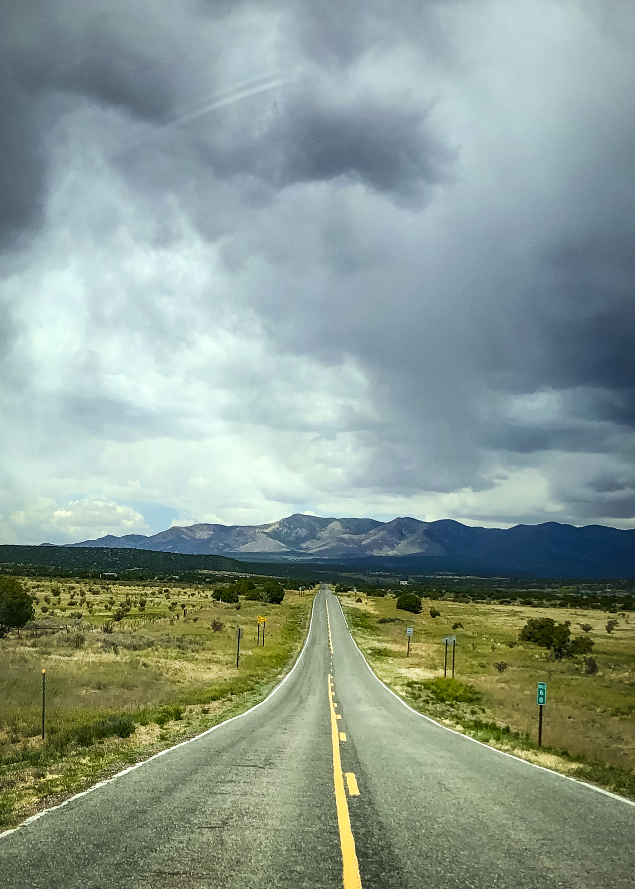
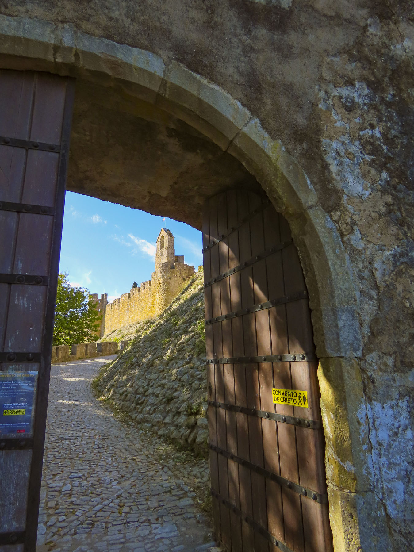
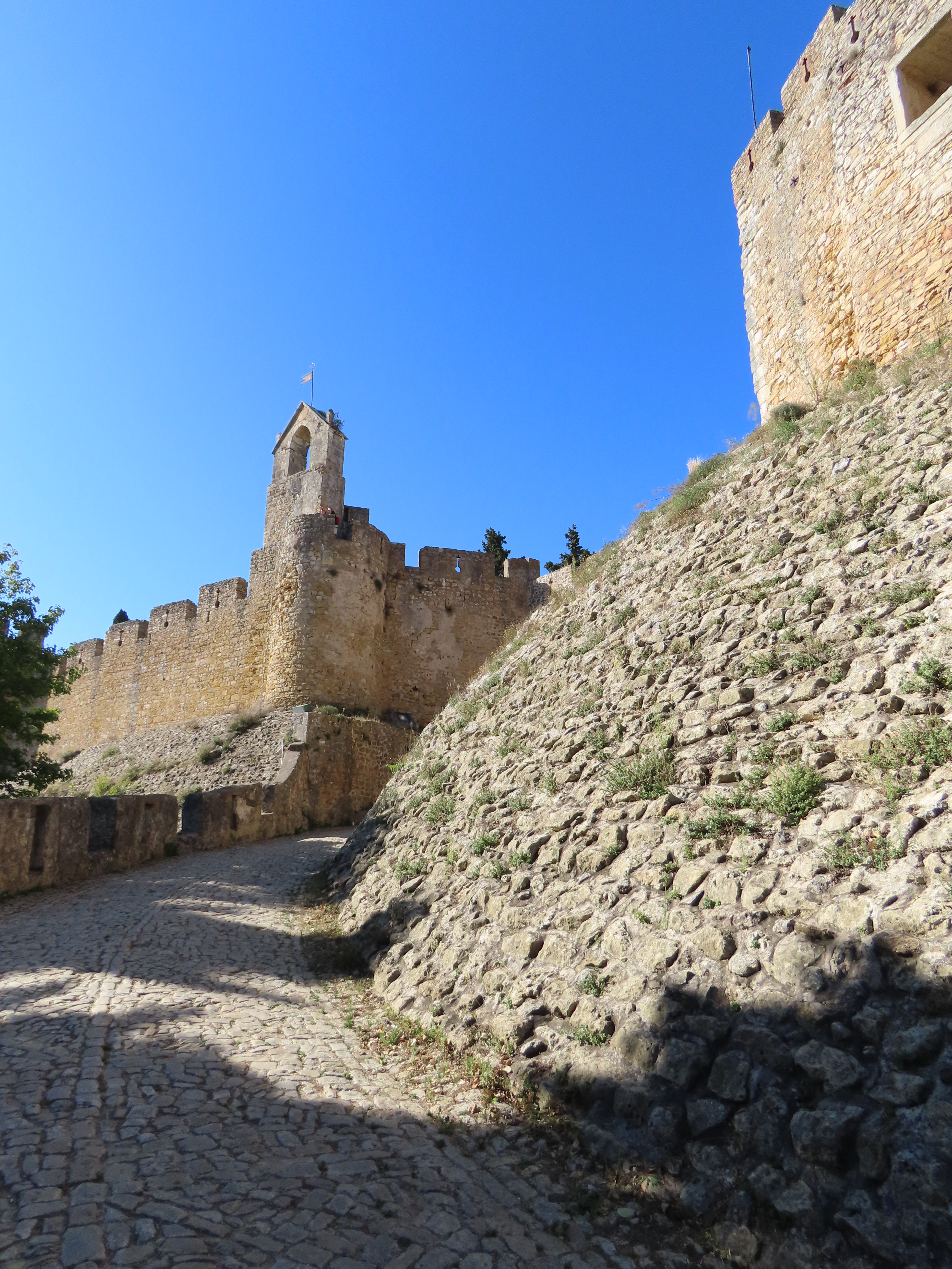
We slowed to let a shepherd guide his flock across the road to Apollonia. An hour earlier the sky was brighter as we left Berat. Our intention for the day was to visit the Archaeological Museum of Apollonia before heading to Vlora, on the coast, and then continuing south to the Llogara Pass, for epic views of the Adriatic Coast before reaching our accommodation in Upper Qeparo, a semi-abandoned, old Albanian village, for the night. But the deepening grey sky was concerning. The sheep were now grazing on tufts of grass, growing in between parked cars, in the dirt parking lot at the foot of the hill below the archaeological park. A short uphill walk got our circulation going and brightened our mood. A large group from a bus tour followed their pennant waving guide uphill, towards ruins still hidden from view.
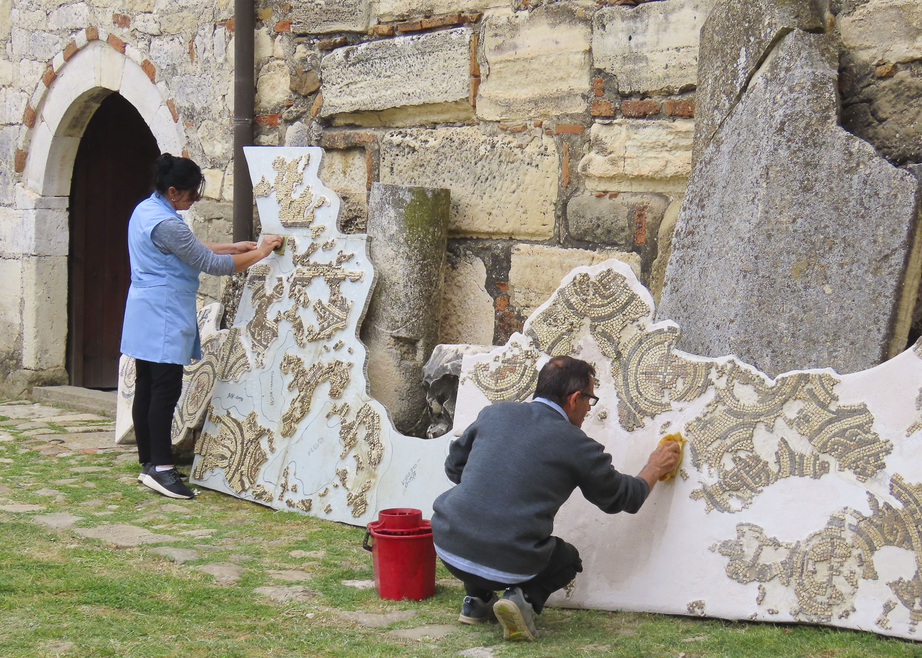
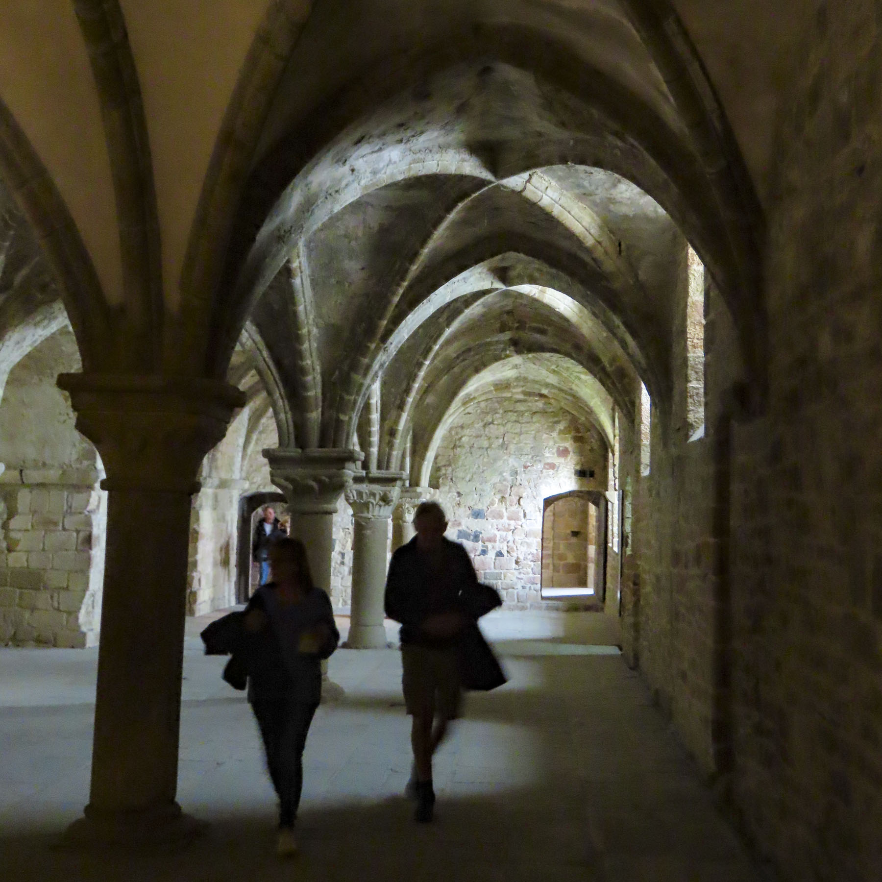
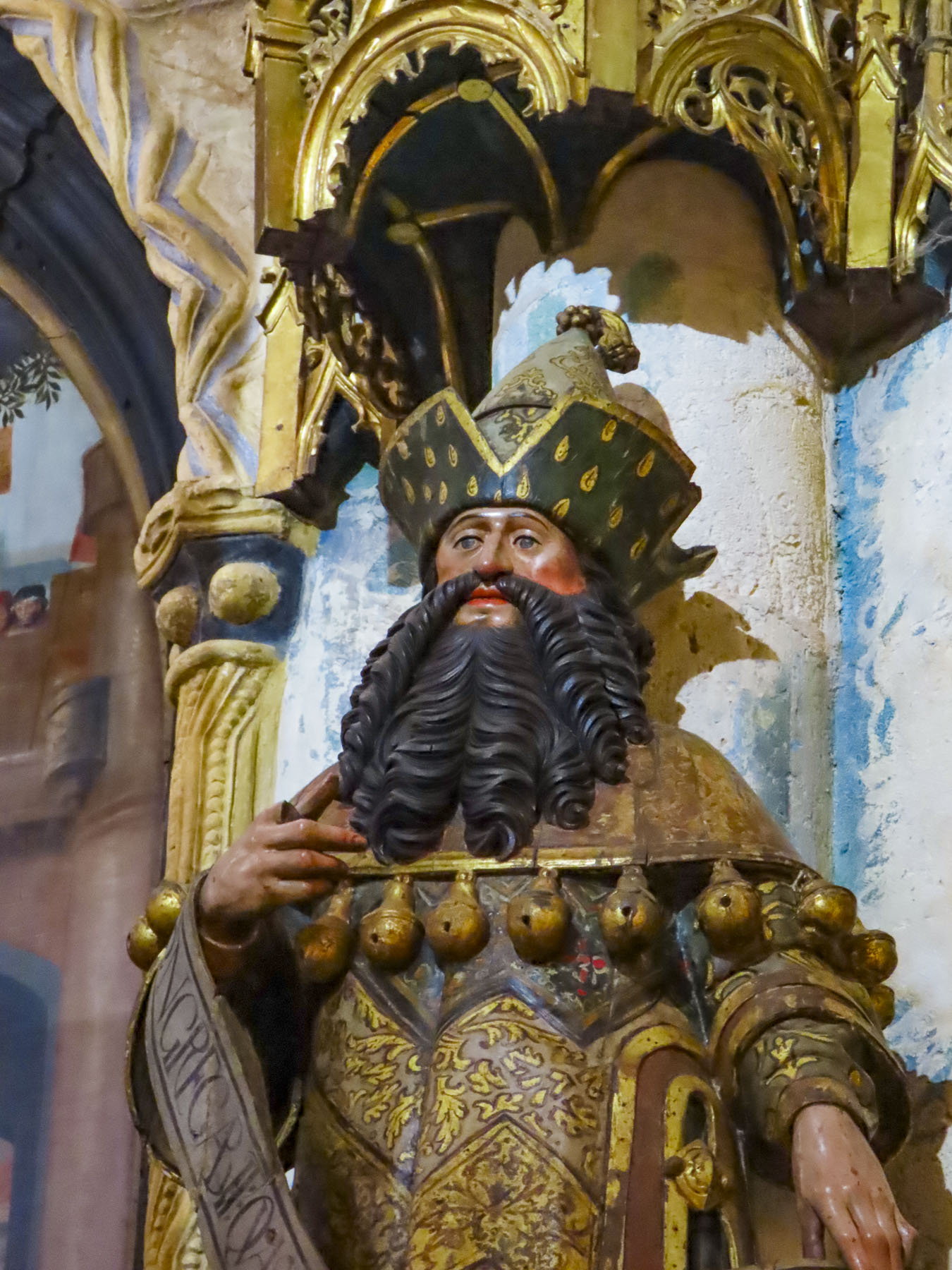
We turned in the opposite direction to investigate the Sleeping Saint Mary Church and its Ardenica Monastery, and entered its courtyard through an arched gateway with a heavy wooden door. Outside the refectory museum, staff had propped up large sections of a mosaic floor and were cleaning them with soapy water and a scrub brush.

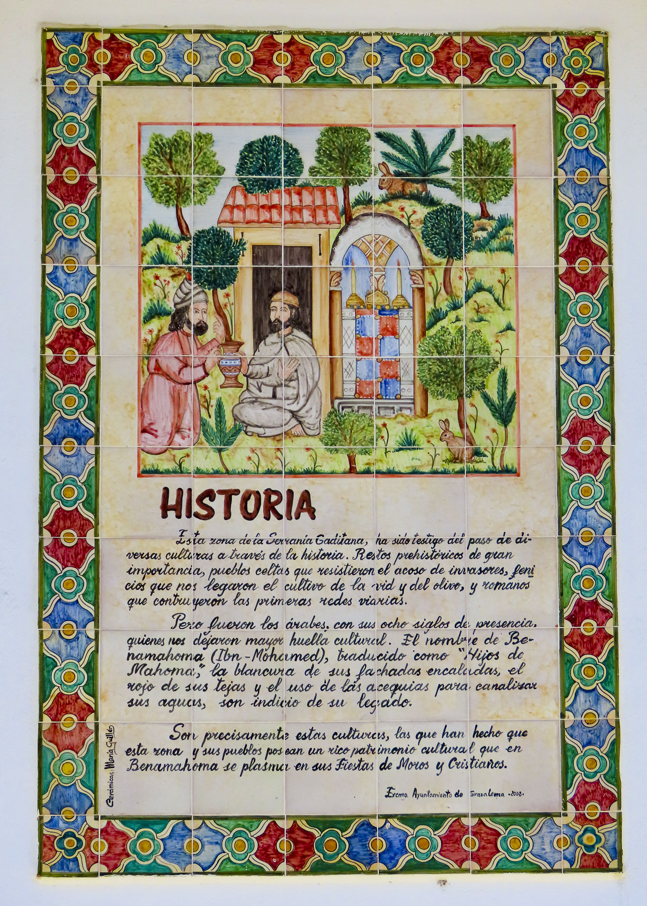
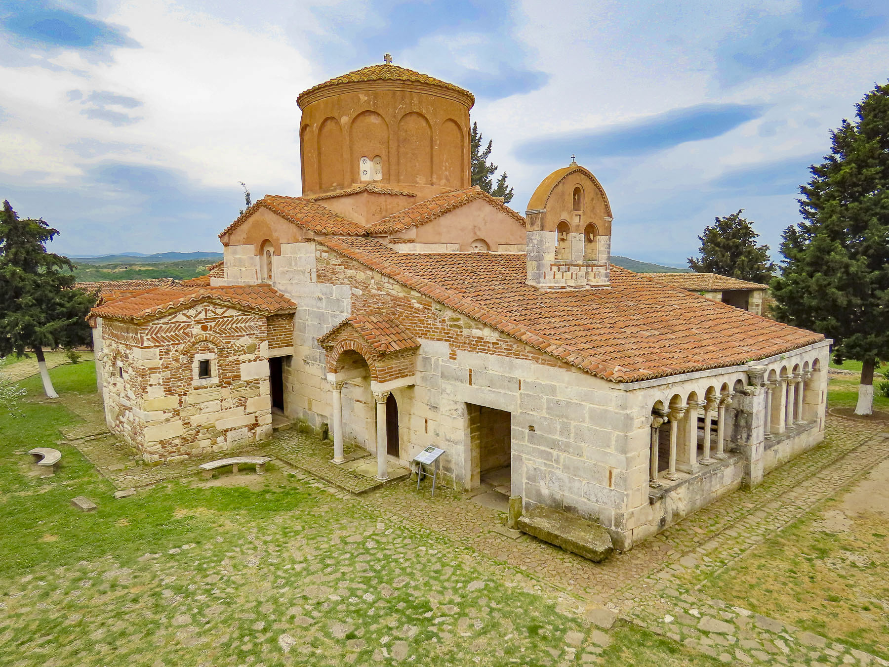
The church and monastery date to 1282 when the Byzantine Emperor, Andronikos II Palaiologos, ordered their construction to celebrate his army’s victory over the Angevins during the defense of Berat a year earlier. Stones for the church, monastery and the other buildings that form a large defensive courtyard were quarried from the ruins of ancient Apollina.


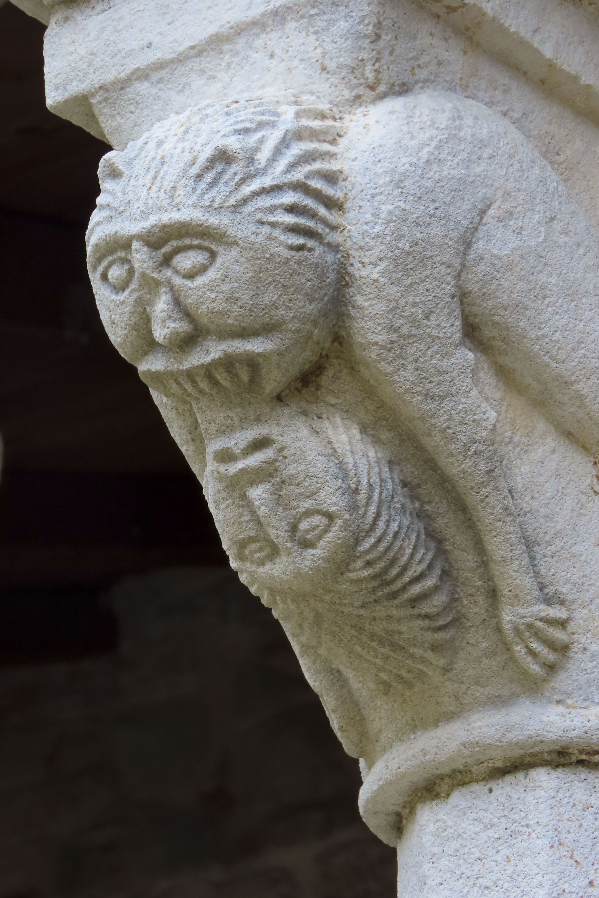
As we walked around, it was interesting to see parts of old pillars, capitals and decorative elements randomly used amongst stone blocks to build the exterior walls. The Albanian national hero Skanderbeg and his bride Andronika Arianiti celebrated their marriage vows here in 1451.

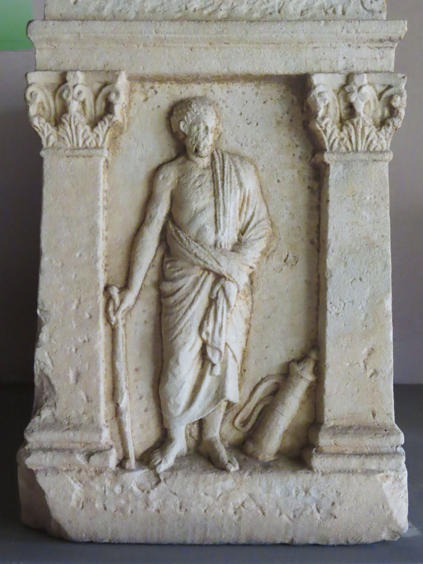
It was this historical fact, and a fast-thinking priest, in 1967, that saved the church from the communist wrecking ball of Enver Hoxha’s atheist campaign to destroy churches across the country. The monastery building now houses a fascinating collection of antiquities from Illyrian, Greek, and Roman occupants of the city.


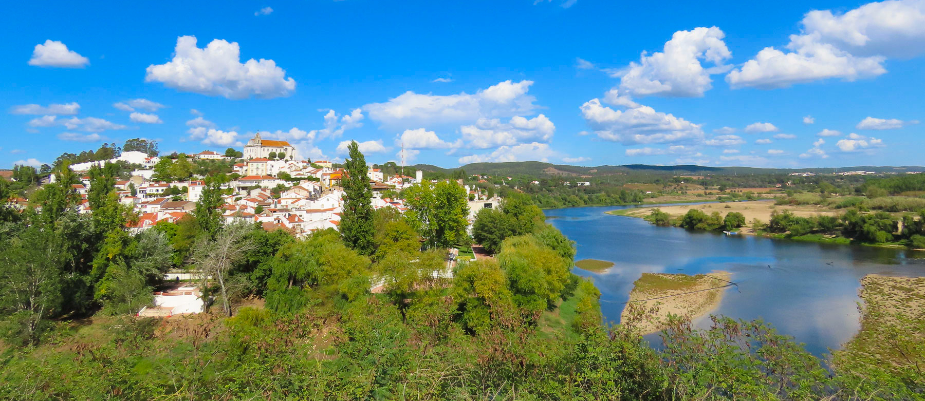
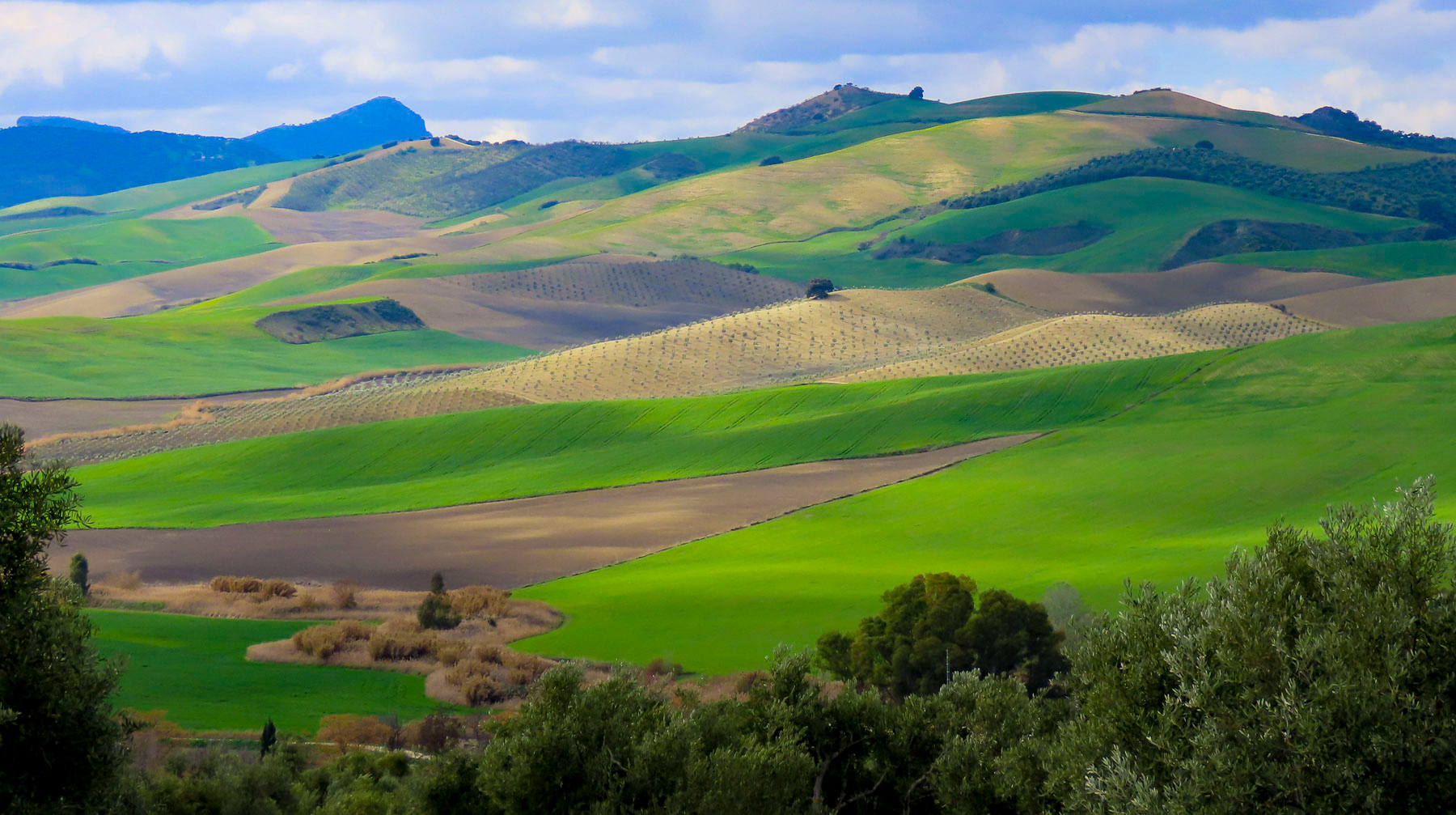
Founded in the 6th century BC, Apollonia was a prosperous seaport on the Adriatic Sea at the mouth of Vjosa River, and a strategic link on the Via Egnatia, a Roman road constructed in the 2nd century BC that connected the seaport to Constantinople, through what are now the modern countries of Albania, North Macedonia, Greece, and Turkey. The ancient city also grew wealthy from a trade route that followed the Vjosa River valley south and ended in Thessaloniki, Greece, on the Aegean Sea. At its height Apollonia was surrounded by two miles of defensive walls that protected a population of 60,000. The importance of the city slowly faded after a 243 AD earthquake altered the course of the Vjosa River and Apollina’s large harbor, which could hold 100 ships at a time, began to fill with silt. The city was eventually abandoned in the 4th century.

The archeological park is a vast site spread across rolling hills, but today the Temple of Apollo, with only its front façade intact, is the most complete ruin. Walking up the slope behind the temple, a panoramic view revealed fertile farmland separated from the Adriatic Sea by low hills, some of which had a series of doors carved into their hillside.

These are some of Hoxha’s estimated 750,000 military bunkers that the paranoid dictator built across Albania. At the top of the hill there was a very tranquil looking outdoor café/restaurant, that we pegged as the perfect spot for a break, but unfortunately it was still closed in mid-April when we visited. Fortunately, there was a second restaurant closer to the church that served excellent coffee, and was much appreciated on this chilly, damp day.

The weather refused to cooperate with our plans to explore the waterfront in Vlora, Albania’s third largest city, and we opted instead to have a quick lunch before driving on. Parking in this beach town can be particularly challenging, even in the shoulder season, and we opted for a cash-only, pay as you enter, parking lot. Surprisingly, the attendant was unable to break the bill we gave him, and he told us to wait as he disappeared around the corner at the end of the block in search of change. There were many expensive lunch options on the elegant, palm lined Rruga Aleksandër Moisiu, which hugged the beachfront in front of towering apartments. But this was lunch and it was just too dreary to sit outside. Fortunately, we stumbled across Taverna Dangëllia, a delightful place with an open grill, that was reassuringly busy on a weekday afternoon. We ordered a variety of traditional Albanian dishes, all delicious and inexpensive. Charmingly though, the one quirky thing about the place was the DJ, who fell asleep in his chair, as his music selections played on. Maybe Raki is the new melatonin.
While we were looking forward to some great views of the Adriatic from the route through the Llogara Pass, the grey day was challenging for landscape photography, and we decided to take a faster, more inland drive to Upper Qeparo along SH76. It was a more interesting drive than we had anticipated through the Shushices River Valley before crossing over the mountains to the Adriatic coast near Himarë.

We were zipping along when we suddenly passed a colossal arched memorial set back from the road. A quick U-turn brought us back to the Drashovica Monument. Erected in 1980, the monument was designed in the soviet art style that celebrates the collective effort and commemorates the Albanian resistance fighters who in 1920 liberated Vlora from the WW1 Italian occupiers who refused to leave, thereby defeating Italy’s plans to annex the country. The monument also commemorated the Battle of Drashovica in 1943, where communists and nationalist guerilla fighters united to defeat a larger German force, during a battle that lasted 20 days. Albania has a long history of fighting for its freedom, starting with Skanderbeg’s resistance to the Ottoman invasions in the 15th century and culminated with Albania liberating itself, without the help of the Allied armies, from Nazi occupation during WWII. Behind us an elderly man led a donkey down the embankment of the river toward the water.

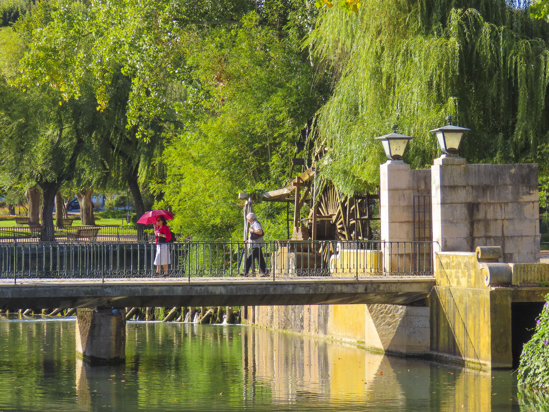
Farther along we stopped at a narrow, suspended footbridge that hung over the river. It was a rickety lifeline to small hamlets tucked into the mountains across the river, the footbridge being their only route to the outside world. Though by the sheer number of sheep droppings at the beginning of the walkway it’s a fair assumption that shepherds move their flocks of sheep across it when they switch grazing pastures. That would have been quite a sight to see.

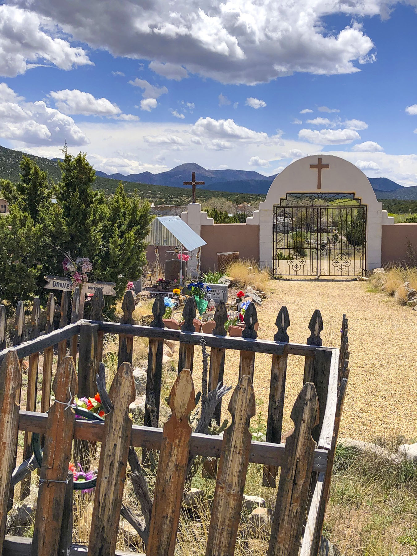
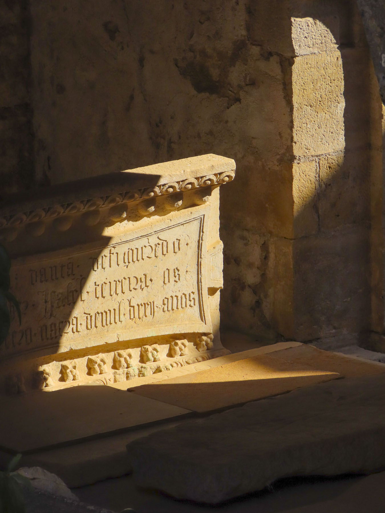
Just down from the bridge, set against a mountainous background, was a small cemetery with interesting headstones. Carved or etched into the granite blocks were photographic quality portraits of the deceased. Some were just tight headshots, while others were full length pictures that captured the individual in their traditional wardrobe. We found these stone tributes very moving.

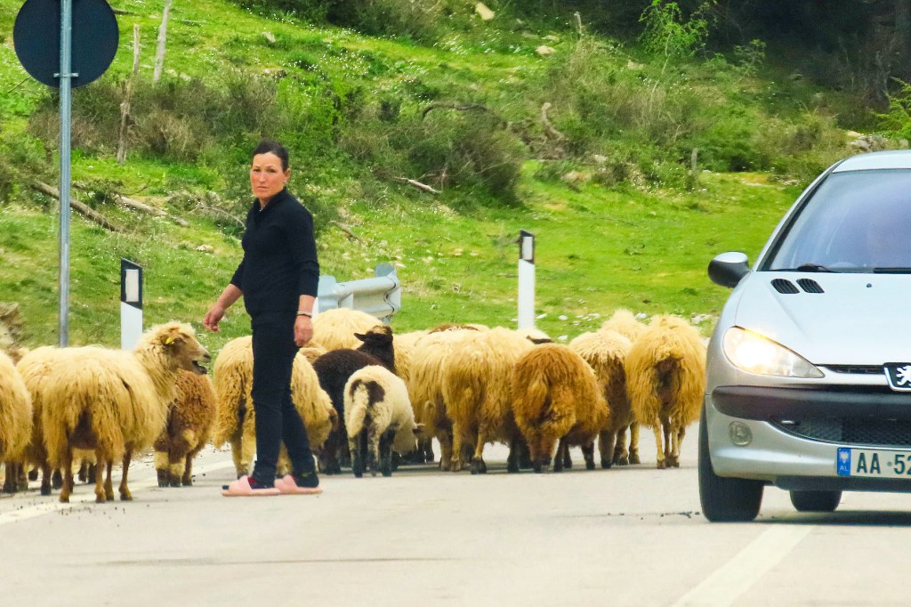
We passed several other footbridges in various stages of collapse, as if they had been caught in destructive floodwaters. There was also an ancient stone bridge in the village of Brataj that I wish we had investigated, but the footpath down to it looked a little too rough for us to navigate. Shepherds ushering their livestock across the road were frequent occurrences. Though the most memorable herder was the gal in pink slippers urging her sheep into a different pasture.
An Albanian standoff happened in the middle of a bridge as a herd of cattle stopped traffic in both directions and refused to budge from the double yellow line, their owner nowhere in sight to encourage them to mosey along.

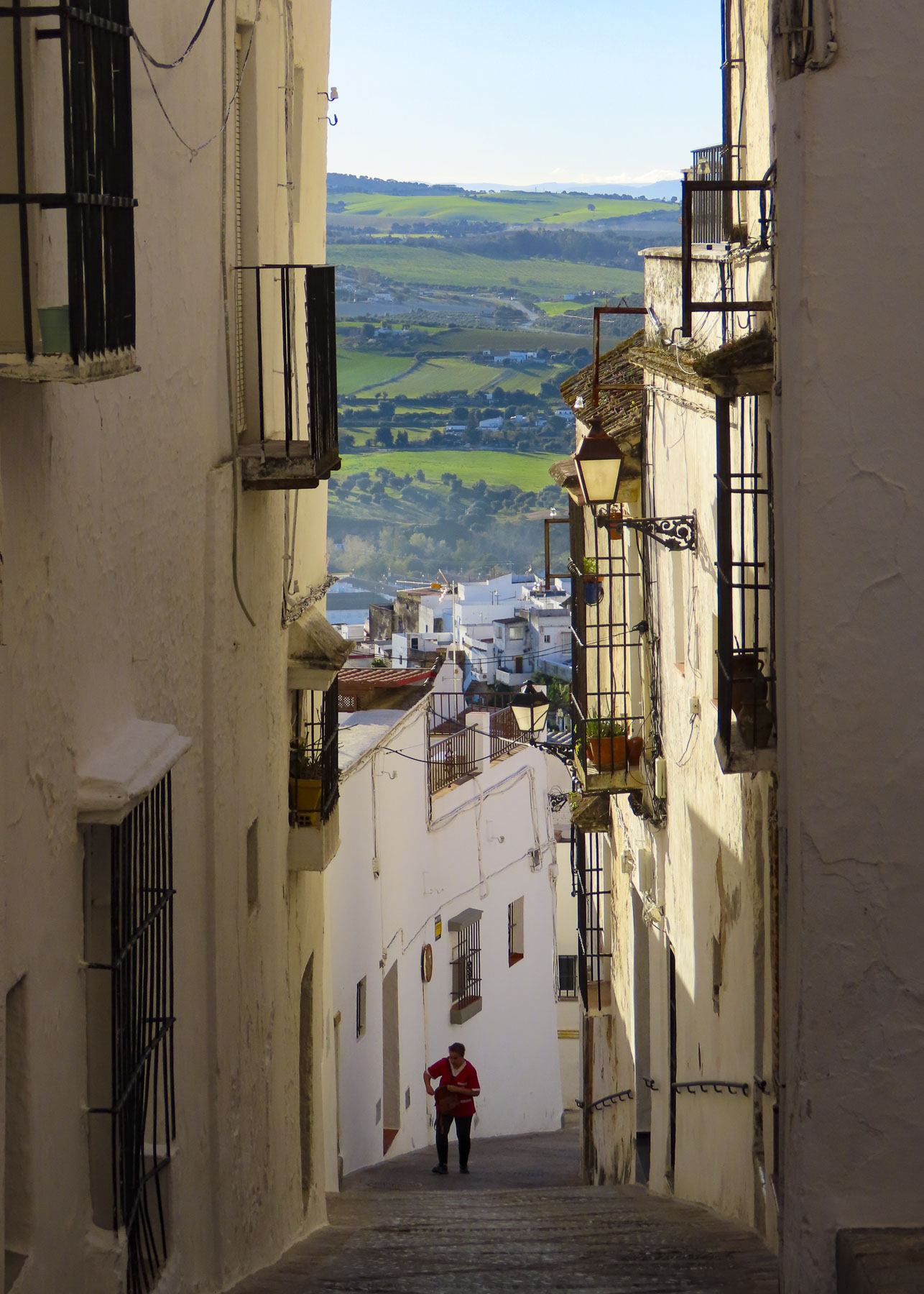
On the coastal road a small directional sign warned of the approaching turn to Upper Qeparo. We hesitated to commit as the lane looked more like a driveway between two buildings than a road suitable to follow up into the mountains. We cautiously followed the narrow sinuous road, dotted with homes built into the steep hillside covered with ancient olive trees, uphill around blind curves. We began tooting our horn occasionally now to warn any oncoming cars of our presence, after barely avoiding a fender-bender moments earlier. It was difficult enough on this roughly paved track to reach the village and we speculated about the villagers’ hardships when they only had donkeys or horses to traverse the mountain.
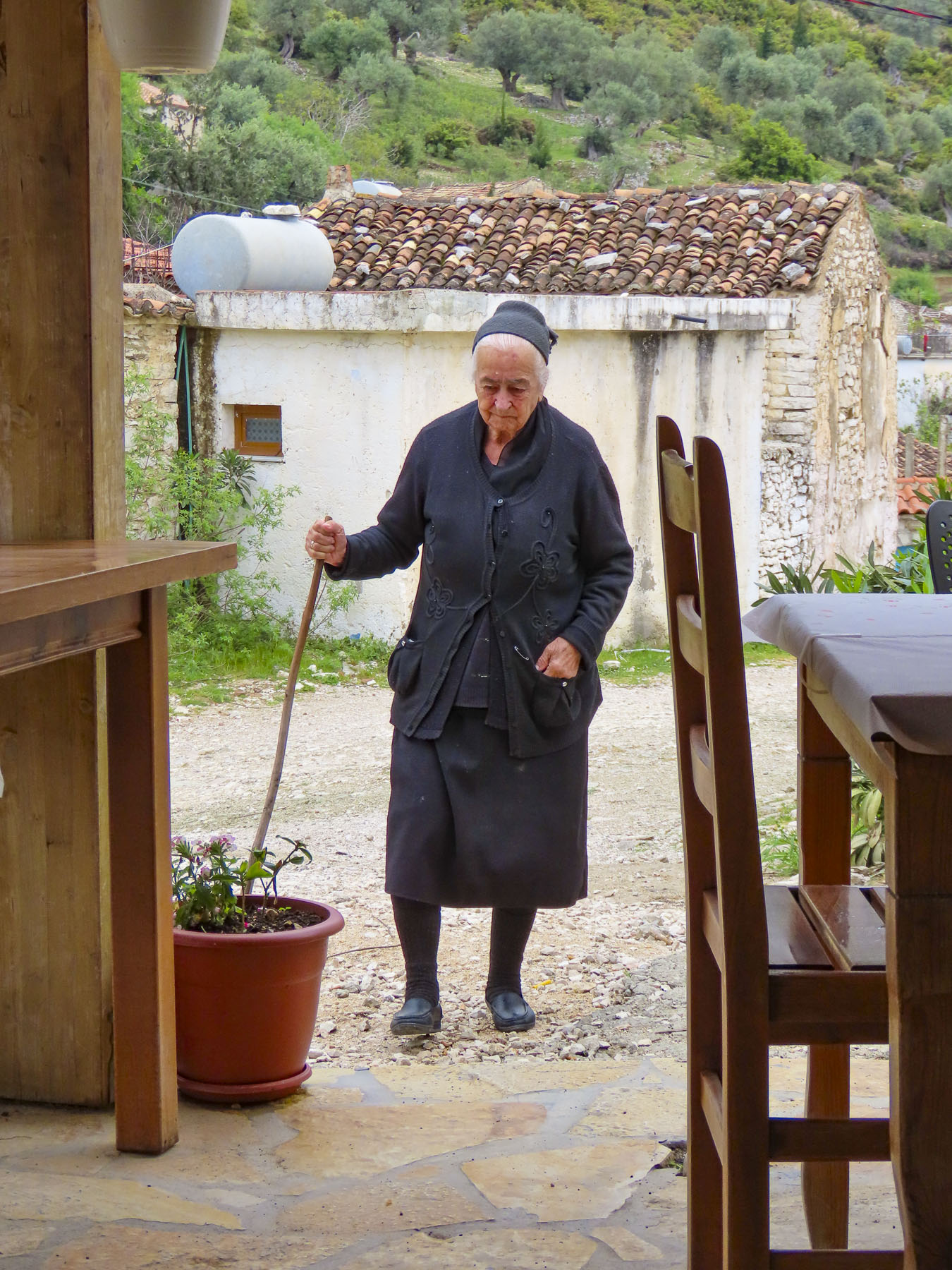
Somehow the host of the small guest house we had made a reservation with overbooked, and by the time we arrived all the rooms were taken. Luckily for us, her neighbor Veronika, the owner of Te Rrapi I Veronikes restaurant across the street, also rents rooms above the tavern, and had one available for the night. The room, although basic, was immaculate, and the gleaming floors were so clean we couldn’t bear to walk on them in our dusty shoes. We left our dirty footwear at the front door, and our hostess seemed to appreciate our nod to her high standards of cleanliness.


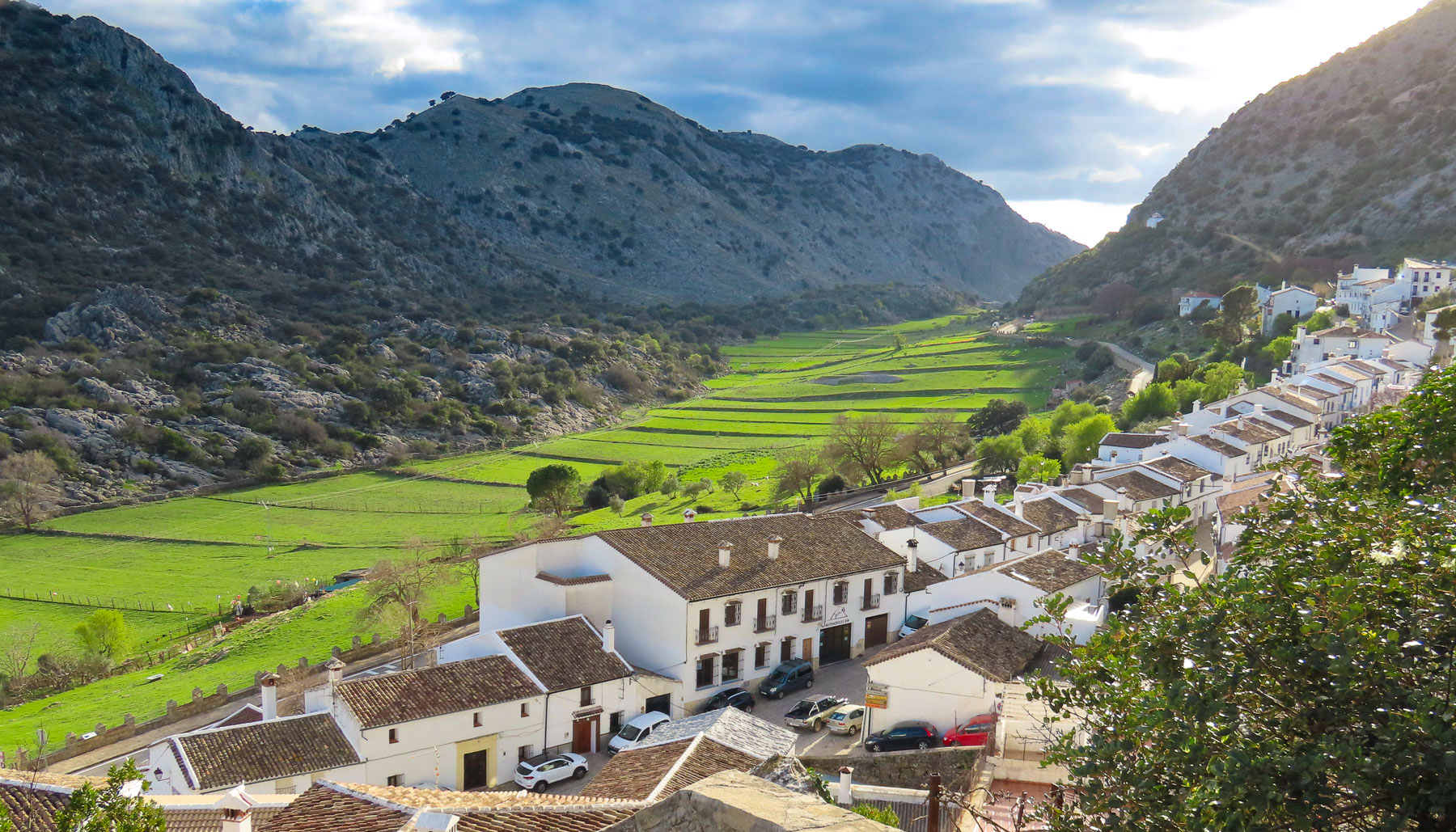
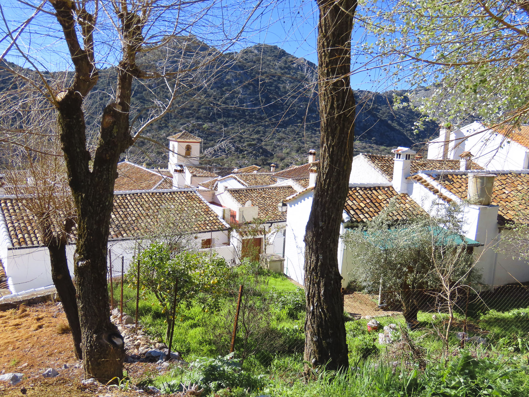
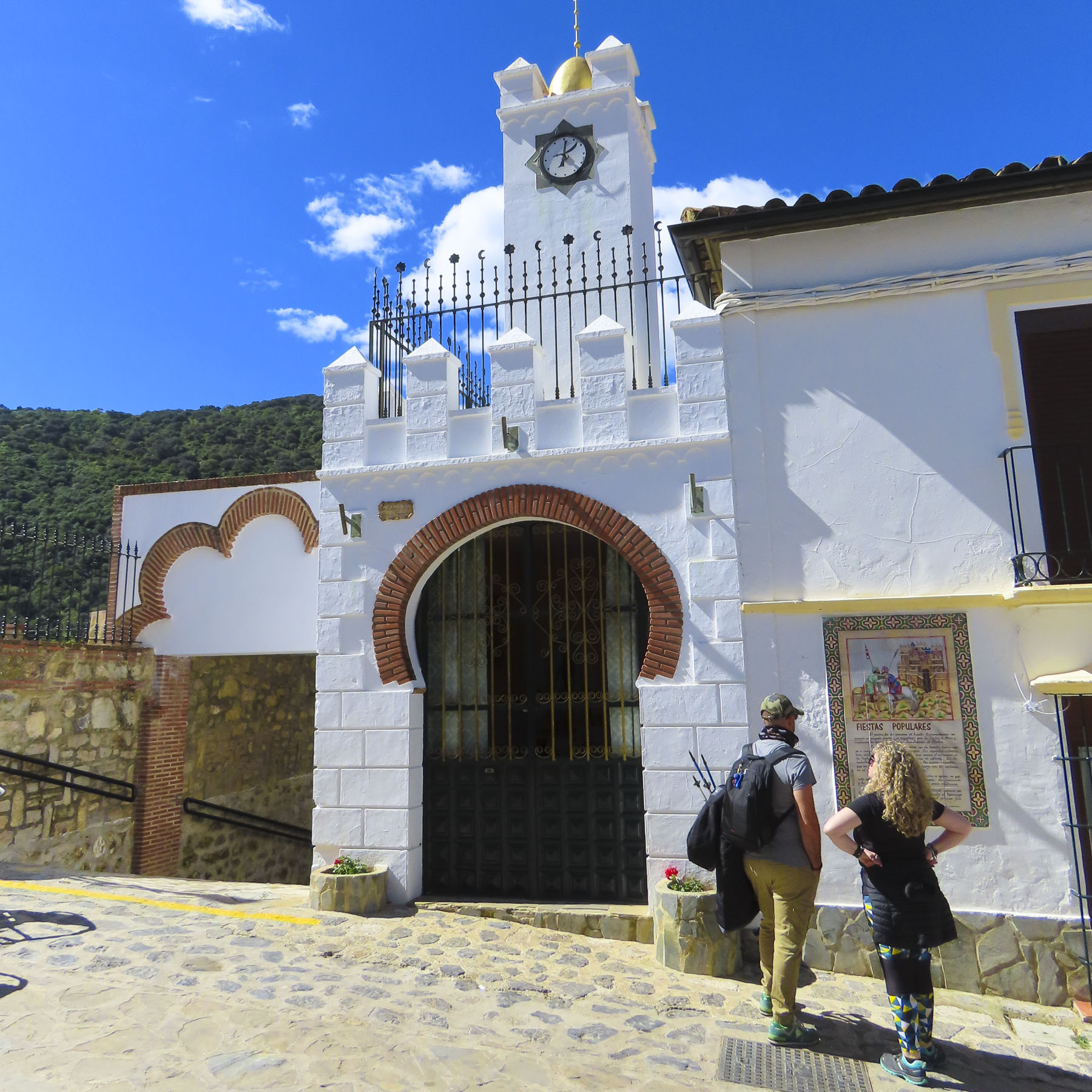
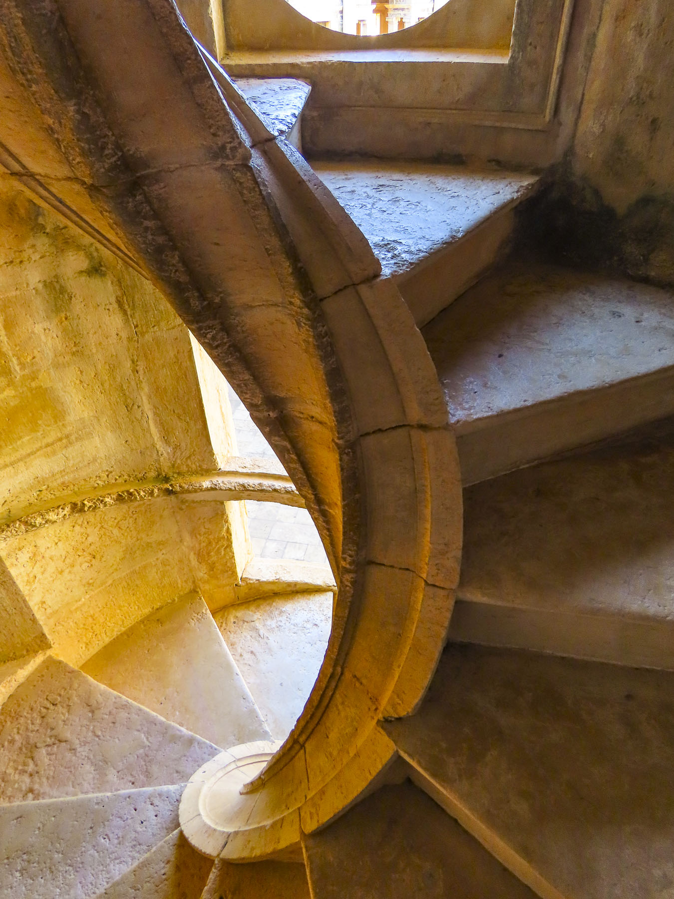
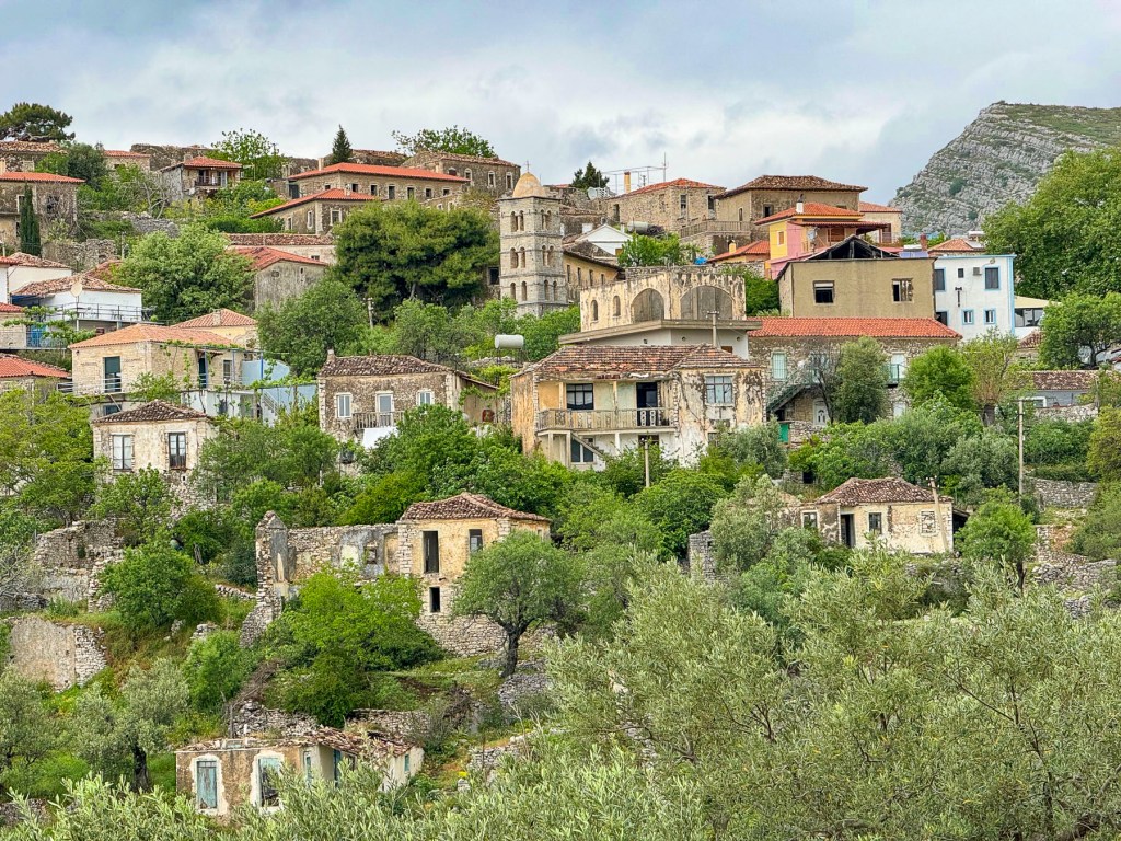
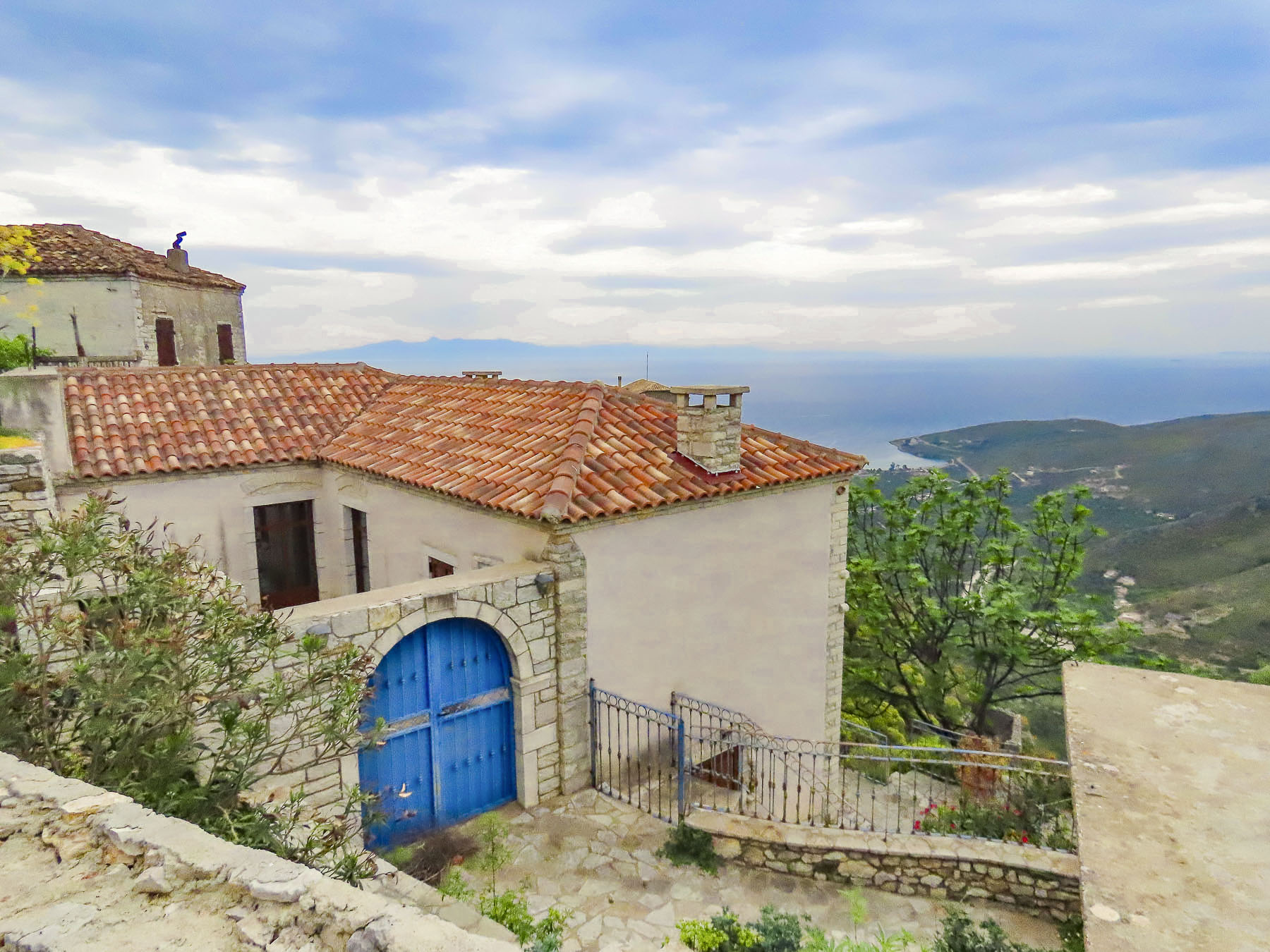
There was still plenty of time before dinner to explore, and we set off. The ancient village is set atop a 1500’ high haystack-shaped hill surrounded by steep mountains covered in scree, like an isolated volcanic island surrounded by ocean. Across the ravine on the outskirts of the village, the stone ruins of a small outpost called the Ali Pasha’s Tower, and the town’s cemetery above it, almost dissolved into the landscape in the late afternoon light. Mention of the ancient village first appears in Ottoman records of 1431, and then 1583 when it’s noted the village had 50 homes. Though archeological evidence unearthed at Karos Castle, just a short distance beyond the tower, suggests that the area has been inhabited since the Iron Age.
Sadly, the village has endured an exodus since the late 1950’s when the Albanian government built the road along the coast, thereby providing services and infrastructure to a new village, lower Qeparo, which boosted its residents’ economic prospects. The aftermath of Albania’s economic collapse in 1997 forced most of the remaining townspeople of Upper Qeparo to emigrate to countries in Europe or overseas for better economic opportunities. The old folks who stayed relied mostly on remittances from abroad to survive. The future prospects for Upper Qeparo are improving, with more tourists now frequently visiting this charming village, and former residents returning after years working abroad and reinvesting in it.

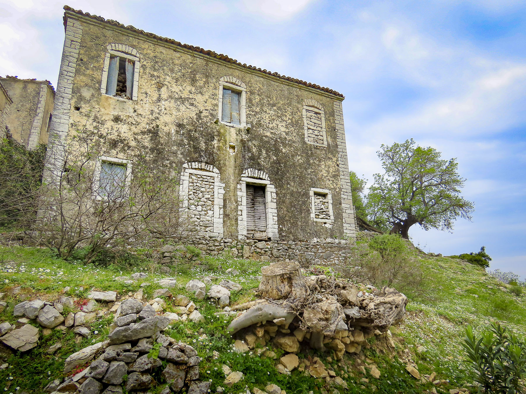
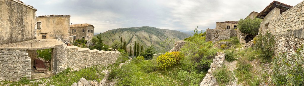
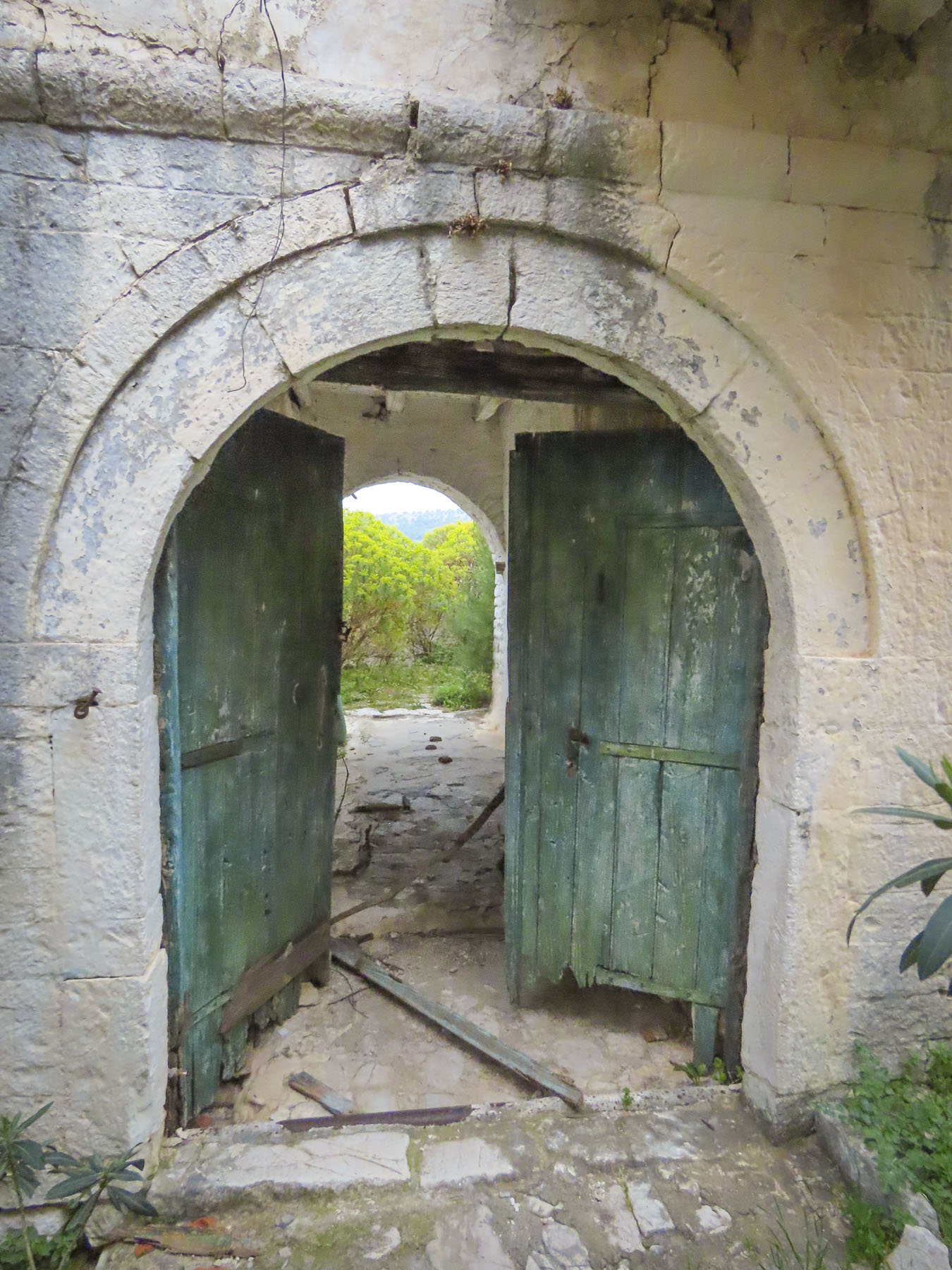
A large Billy goat commanded a boulder above us when we turned to wander the labyrinth of alleys that comprise the old town. Like a sentry, he eyed us but let us pass unchallenged. Occasionally we cut a path through abandoned homes with their roofless rooms opened to the elements, carefully placing our steps to avoid falling through any deteriorated floor beams. Sometimes we passed a freshly painted door boasting new brass hardware. A look up revealed new windows and a renovation proudly underway.

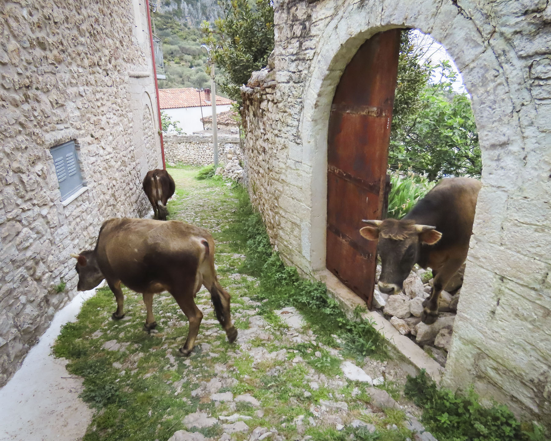

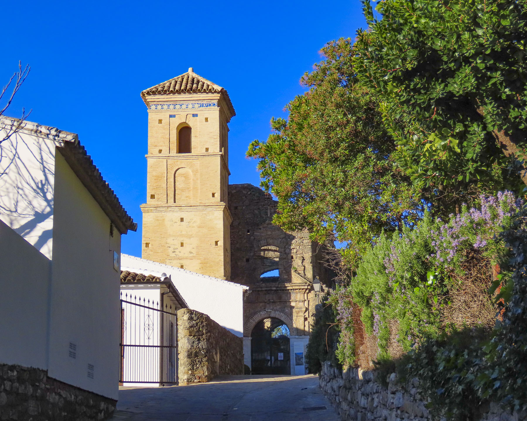
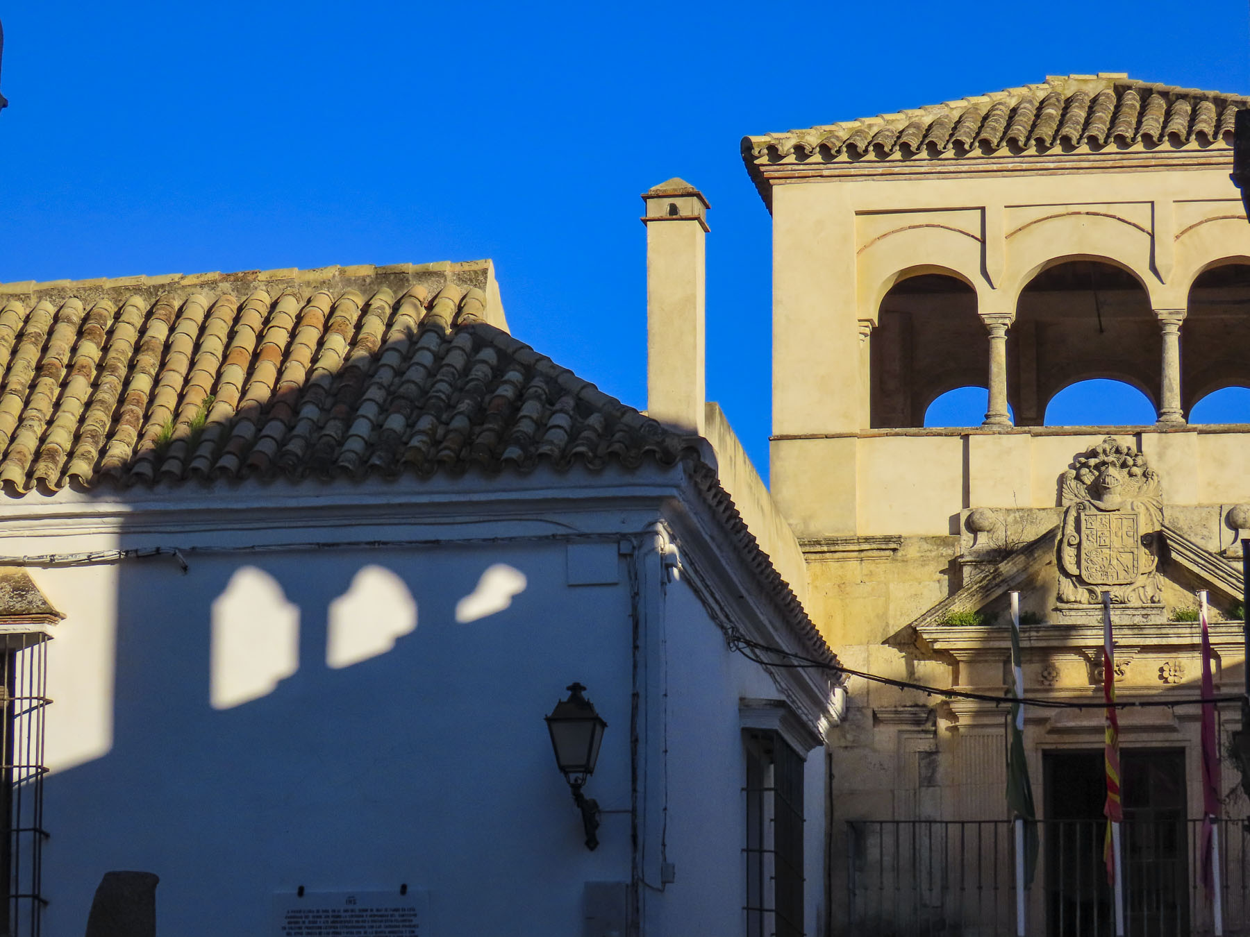
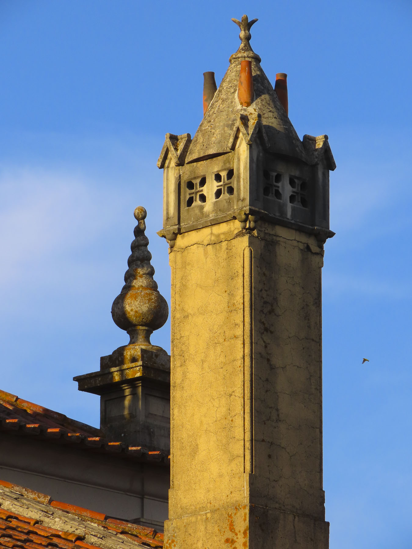
Farther along a cow, chased by her owner, entered the alleyway through the door of a long vacant home. The interior opened to the sky, and grass as thick as pasture grew where the floor used to be. Every now and then, between the buildings, we glimpsed distant views of the Adriatic Sea far below. Fig trees opportunistically grew through open windows, and untended olive trees arched over our heads. A few teenagers lazily kicked a soccer ball against the belltower base of St Mary’s Church, constructed in 1796.


Veronika didn’t offer a menu, but she enthusiastically invited us back into her kitchen where she explained the traditional dishes that she had created that day for dinner, and we were not dissappointed. Later, on the restaurant’s veranda, we capped a great day with a splendid dinner and glasses of Veronika’s husband’s homemade raki. We slept well.
Till next time, Craig & Donna