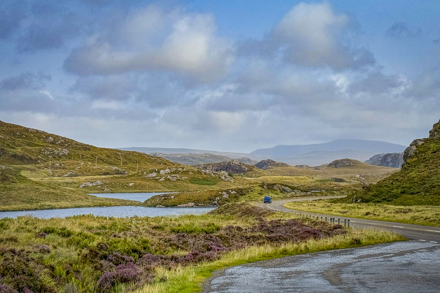
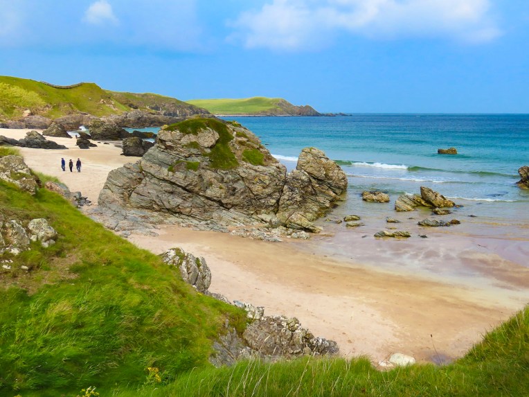
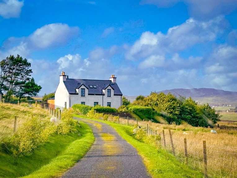
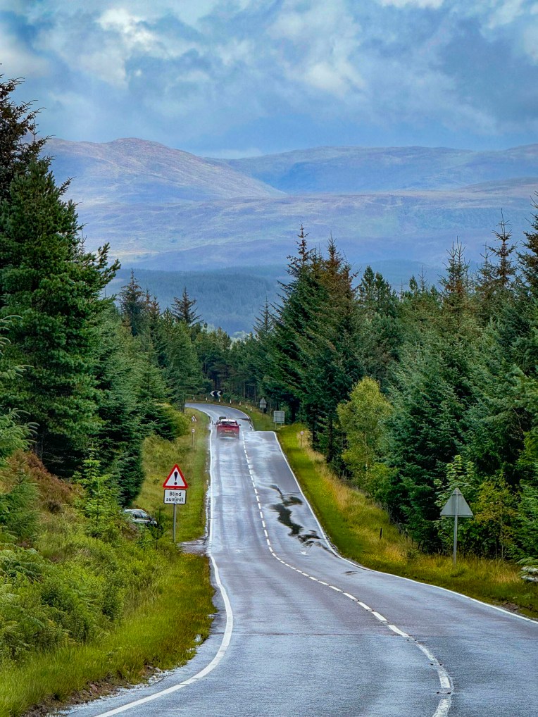
We had spent the previous day enjoying the fantastic landscapes of the Highlands along the NC500 from Ullapool to Durness before calling it a night at the John o’ Groats Guest House, just outside the village of the same name, at the land’s end of northern Scotland. With any trip it’s a matter of choices: how long, how much to spend, what to see, and where to go. Being this close to the Orkney Islands, how could we resist a visit? Sorry Inverness, but you were scratched off the itinerary.

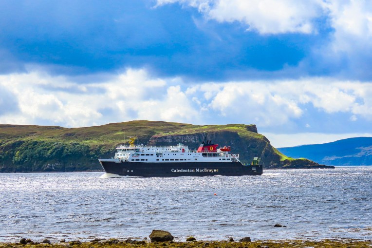
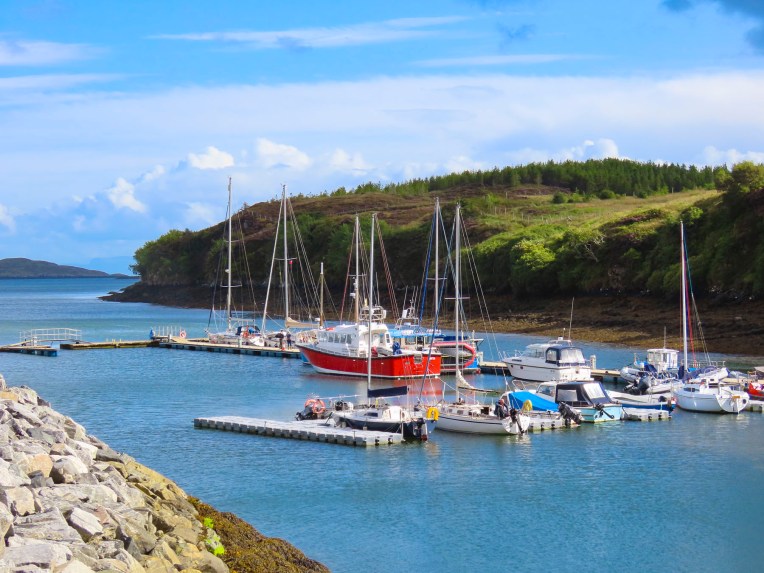
After a hearty full Scottish breakfast, we were off early to catch the Pentland Ferry, only 8 minutes away in Gills Bay. Reading about how busy the Highlands are during the summer months, especially the car ferries, we made our reservations back in February as soon as their new yearly schedule was posted online. While it wasn’t inexpensive (RT 2 ppl, 1 car for £170) to get the car to Orkney, it was 40% less than doing a coach tour for the day, and it retained our freedom to dally and dither. After scanning our e-ticket, the attendant directed us to the proper queue. Within a few minutes the ferry from St Margaret’s Hope, on Orkney, docked and disembarked its cars and passengers, and we drove aboard.
As we rounded Hoxa Head, long abandoned coastal gun batteries were a reminder of the important role Orkney and its large natural harbor Scapa Flow played during WWI & WWII. During these conflicts it served as the main naval base for the British Home Fleet and a strategic location for patrolling the North Sea and Atlantic Ocean. As remote as the island was, it did not prevent Nazi war planes from bombing it in 1940. The short crossing of 19 miles took an hour. We pulled aside in the parking area to let the tour buses and delivery trucks race ahead, along with all the other drivers who knew where they were going. St. Margaret’s Hope is actually on a separate island and is connected to Orkney by the A961 which crosses several islets and causeways to reach the mainland.
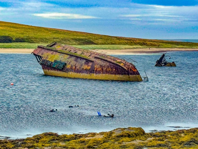
We planned to stop first at the Italian Chapel on the small island of Lamb Holm, but the tour buses were there so we moved on. We did stop at the foot of the last causeway, to photograph divers exploring the half-exposed hull of a rusted shipwreck. The wreck wasn’t the result of a tragic storm, but an intentional sinking of a block ship to prevent German U-boats from entering Scapa Flow again after an earlier U-boat attack sank the battleship HMS Royal Oak in 1939.
We figured we would race ahead of the tour buses now and headed across the Orkney mainland, a distance of 24 miles, to the Broch of Gurness.

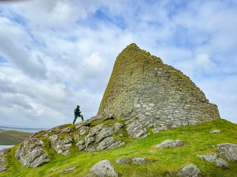
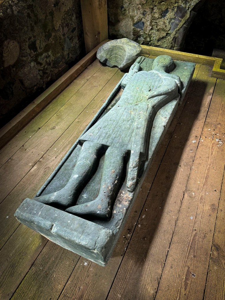
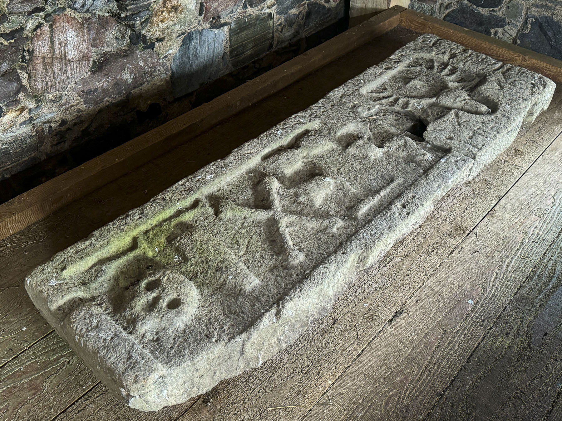
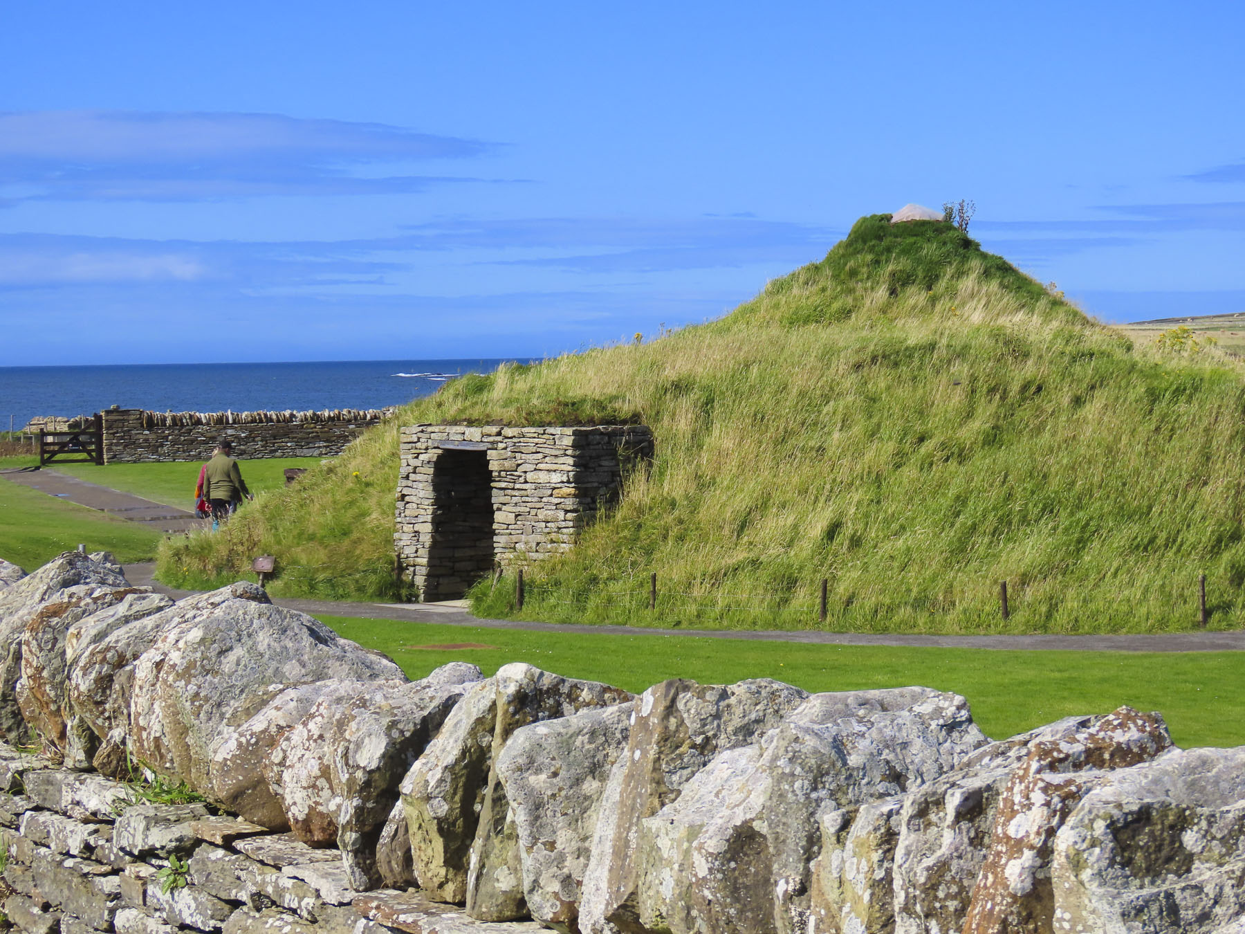
Located on the shoreline of Eynhallow Sound, the Broch is one of Scotland’s most complete and best-preserved Iron Age settlements. The historic settlement dates to around 500BC and featured a large stone tower, the broch, surrounded by smaller stone houses and animal sheds, all of which were protected by an encircling earthen rampart.

Broches are drystone hollow-walled structures unique to Scotland, and were usually the large home of the village chief, which also served as a place of refuge for villagers during times of conflict. The site was used for about 600 years before it was abandoned around 100AD. Slowly the abandoned ruins were covered, and the site was a Pictish farmstead until the Vikings landed on Orkneys in 8th century and established farming communities while also using the islands as a base for seafaring raids to Scotland, England and France.

The site slowly vanished into obscurity until 1929, when the leg of stool which a local artist was sitting on to sketch sank unusually deep into the earth. A little digging revealed a staircase into the broch. With news of this discover the Society of Antiquaries of Scotland bought the land and started a full excavation which revealed Iron Age settlement, along with artifacts and the medieval era grave of a Viking woman buried with a sickle blade and a pair of tortoise brooches.

We are constantly amazed by the desire of older civilizations to explore the horizon. On Orkney and the other islands of the archipelago the curiosity of Mesolithic hunter gatherers 8,000 years ago was rewarded with the discovery of a fertile landscape, and the abundant resources of the surrounding seas, as they followed the retreating glaciers of the Ice Age north. The Broch of Gurness is not the earliest settlement on Orkney, that distinction goes to Skara Brae, a 5000-year-old Neolithic era village that was also on our itinerary.
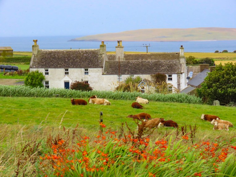
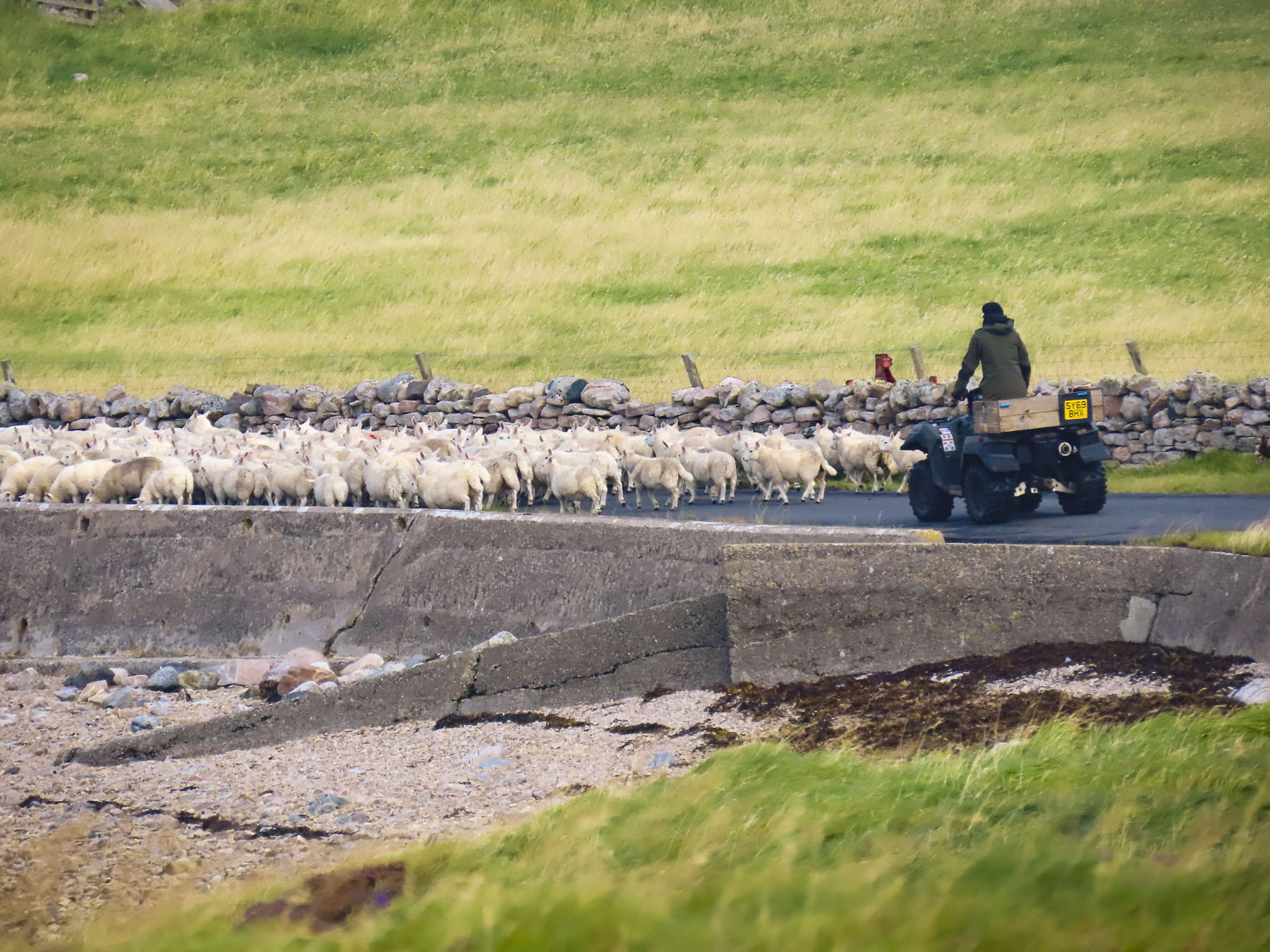
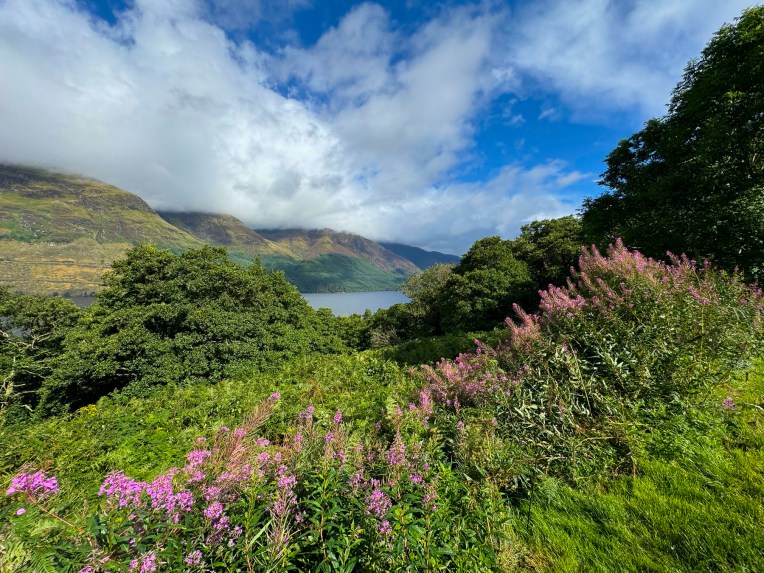
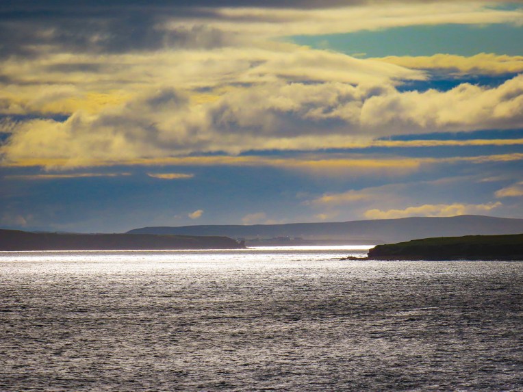
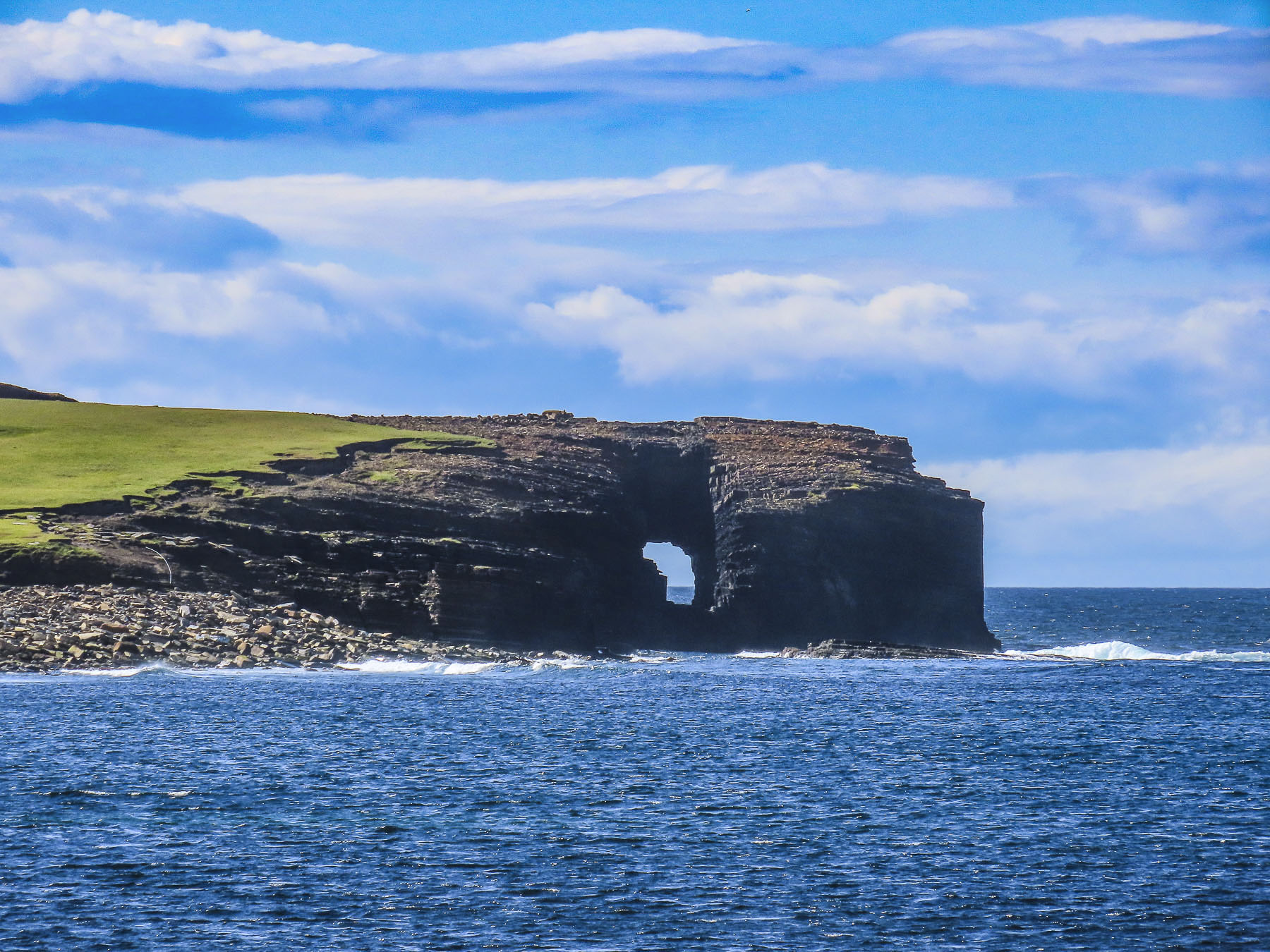
Often the journey between destinations is half the fun, and the vast landscapes of the windswept Orkney farmlands and brilliant seascapes delighted us as we headed toward Skara Brae.

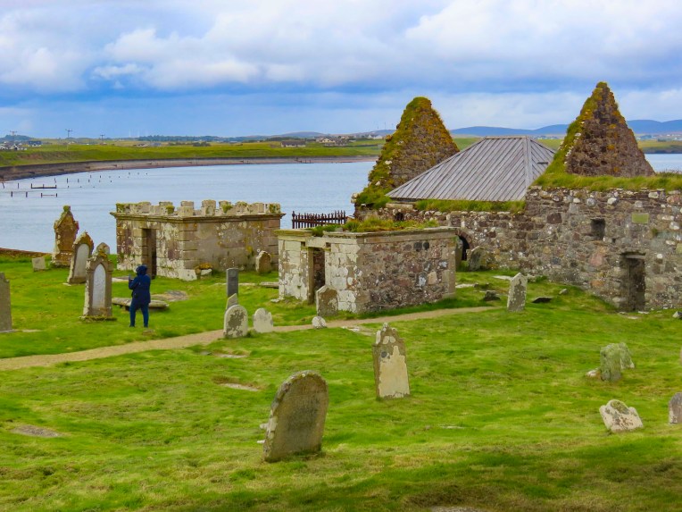
The historic ruins of the Earl’s Palace in the tiny seaside hamlet of Birsay was on the route and of course we stopped. The vistas of the coast, and the Brough of Birsay Lighthouse from the hamlet were beguiling, and it was easy to see why the, “I want to be king,” Lord Robert Stewart, the illegitimate son of King James V of Scotland, choose the spectacular spot to build his fortress palace. It was probably the only instance of good taste he displayed while on Orkney.

In 1564 Mary, Queen of Scots, his half-sister, dispatched Robert, as the sheriff and justiciar of Orkney and Shetland, to the remote recently acquired islands, (the resolution of an unpaid dowry for the King of Norway’s daughter Margaret’s marriage to James III of Scotland,) to get him out of Edinburgh. A few years later he was made the Lord of Shetland and Orkney, but took advantage of the island’s isolation and ruled over them as a tyrant with an iron fist, making the area his own private fiefdom.

His time was marked by severe taxation, the seizure and redistribution of land to his allies, a gang of henchmen who violently enforced his rule, and conscripted labor to build his palace. The palace was a large two-story structure, with three-story towers on the corners, and a central courtyard. The upper level had two halls, a gallery, and the Earl’s private chambers. The ground floor was for servant’s quarters and workrooms for the support of the estate. The exterior walls on this level had gunports for defense. Above the entrance to the palace was inscribed the Latin phrase, “Dominus Robertus Stewartus, filius Jacobi Quinti, Rex Scotorum, hoc opus instruxit.” The controversial use of “Rex” in the phrase was interpreted by some as Robert calling himself King, a traitorous act.

He died in 1593, but his legacy of ruthlessly treating the Orcadians as serfs was continued by the successive rule of his son and grandson. Their subjugation of the islanders ended with their execution during an armed rebellion in 1615.

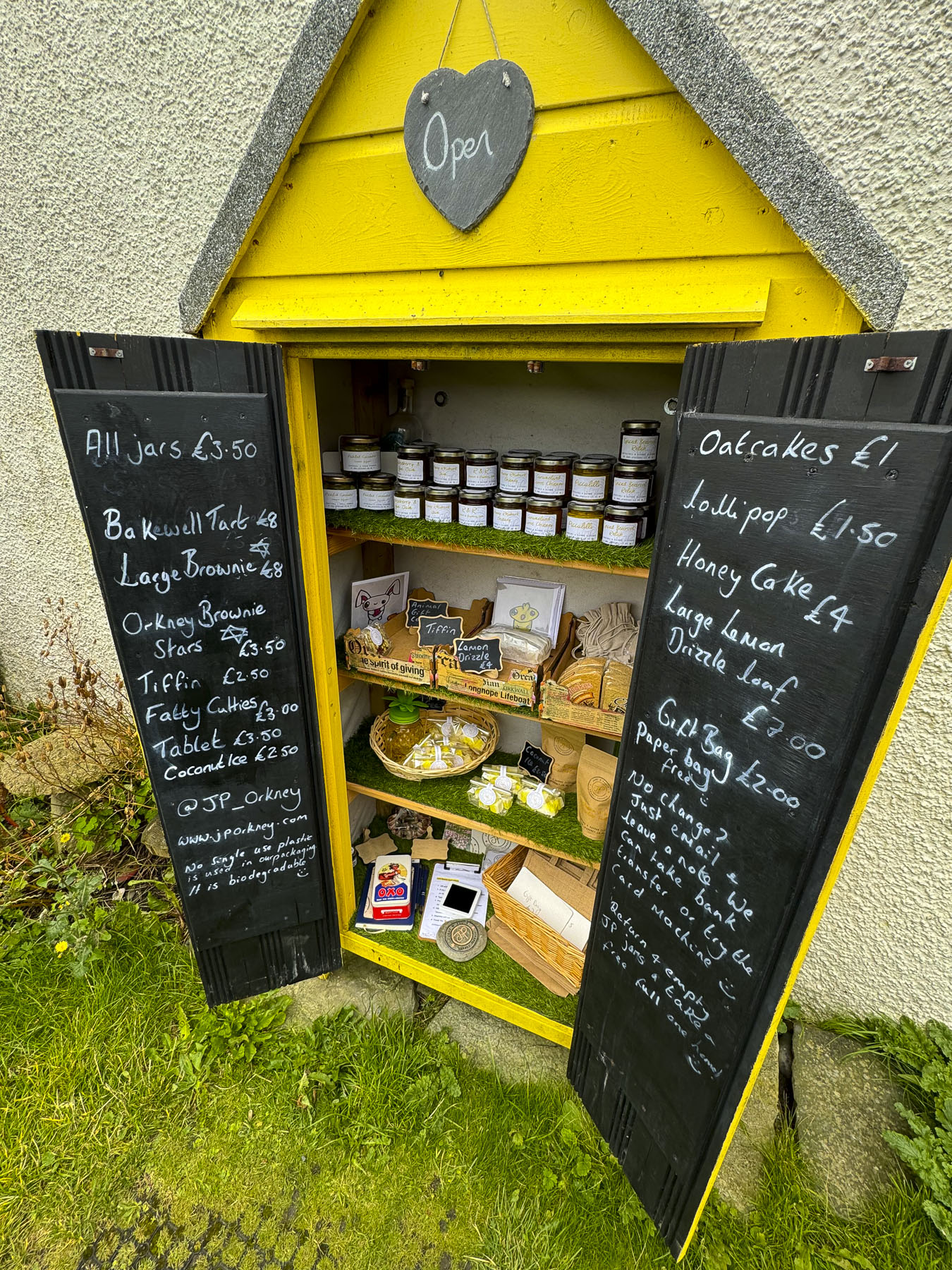
Beyond the ruins sheep graze peacefully in the surrounding pasturelands. Across the street we spotted our first Honesty Box stocked with the tasty creations made by Jane & Paul’s Orkney Produce, and there we procured the makings for a picnic lunch. The Honesty Boxes are a wonderful concept of selling homemade treats, and relying on the honesty of the purchasers to deposit money in the box. Unfortunately, this doesn’t exist in the states anymore.


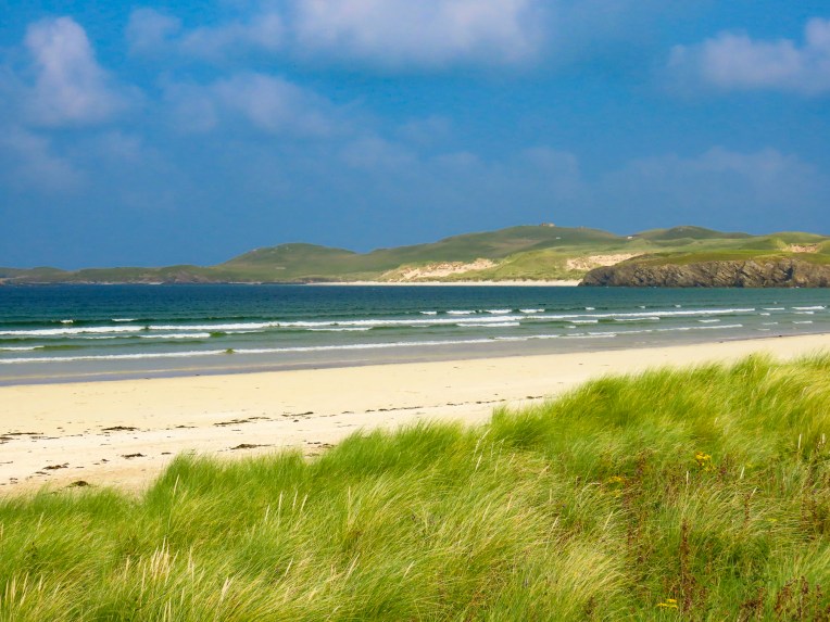
Knowledge of Skara Brae remained hidden until a severe North Atlantic storm in 1850 washed away the dunes that were covering the small cluster of eight dwellings on the shore of the idyllic Skaill Bay, though the site was only 700ft away from the Skaill House, a 17thcentury mansion, and the estate of the Lairds of Skaill. The first partial excavation of the site was conducted by 7th Laird of Skaill, William Watt.
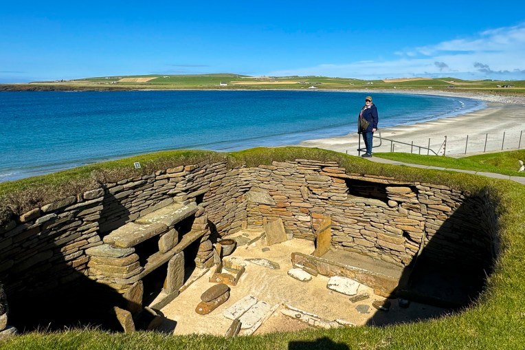
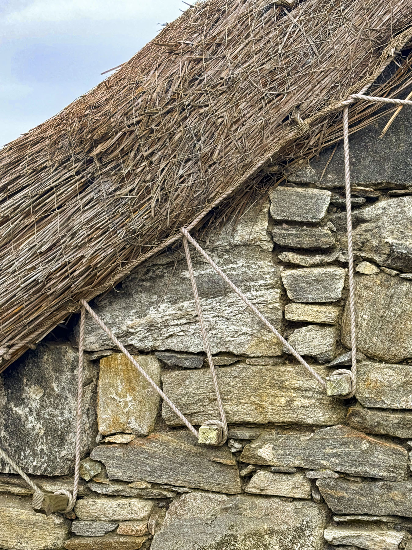
After another storm in 1926, extensive excavations were undertaken by the Ancient Monuments branch of the British Ministry of Works, which revealed the dwellings had earthen or thatch covered roofs supported by a structure made from driftwood and whalebones, with stone sleeping platforms and in the center of each house was a water pit which drained onto the beach.

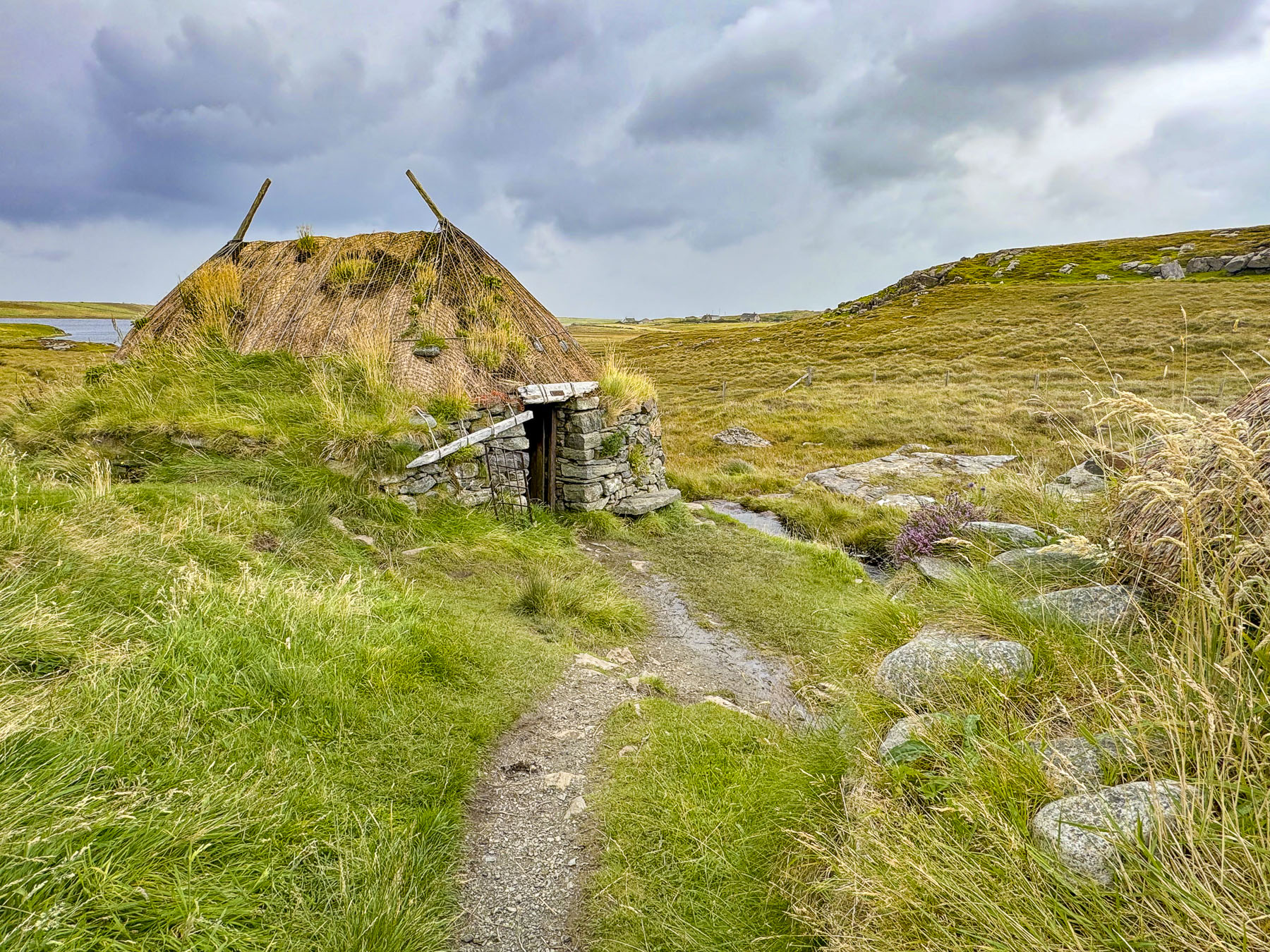
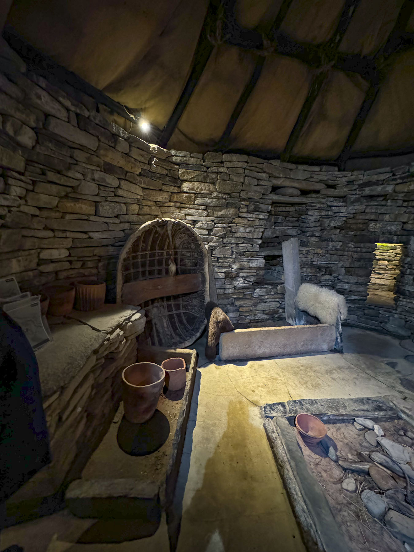
Stone slabs covered narrow sunken passageways between the houses. But the age of the site wasn’t established until the 1970s when radiocarbon dating of the artifacts discovered at the site dated them to the Neolithic era around 3200BC. While you can’t walk amid the archeological ruins here as you can at the Broch of Gurness site, there was a recreated Neolithic dwelling next to the Skara Brae Visitor Center that we walked through and found very interesting.

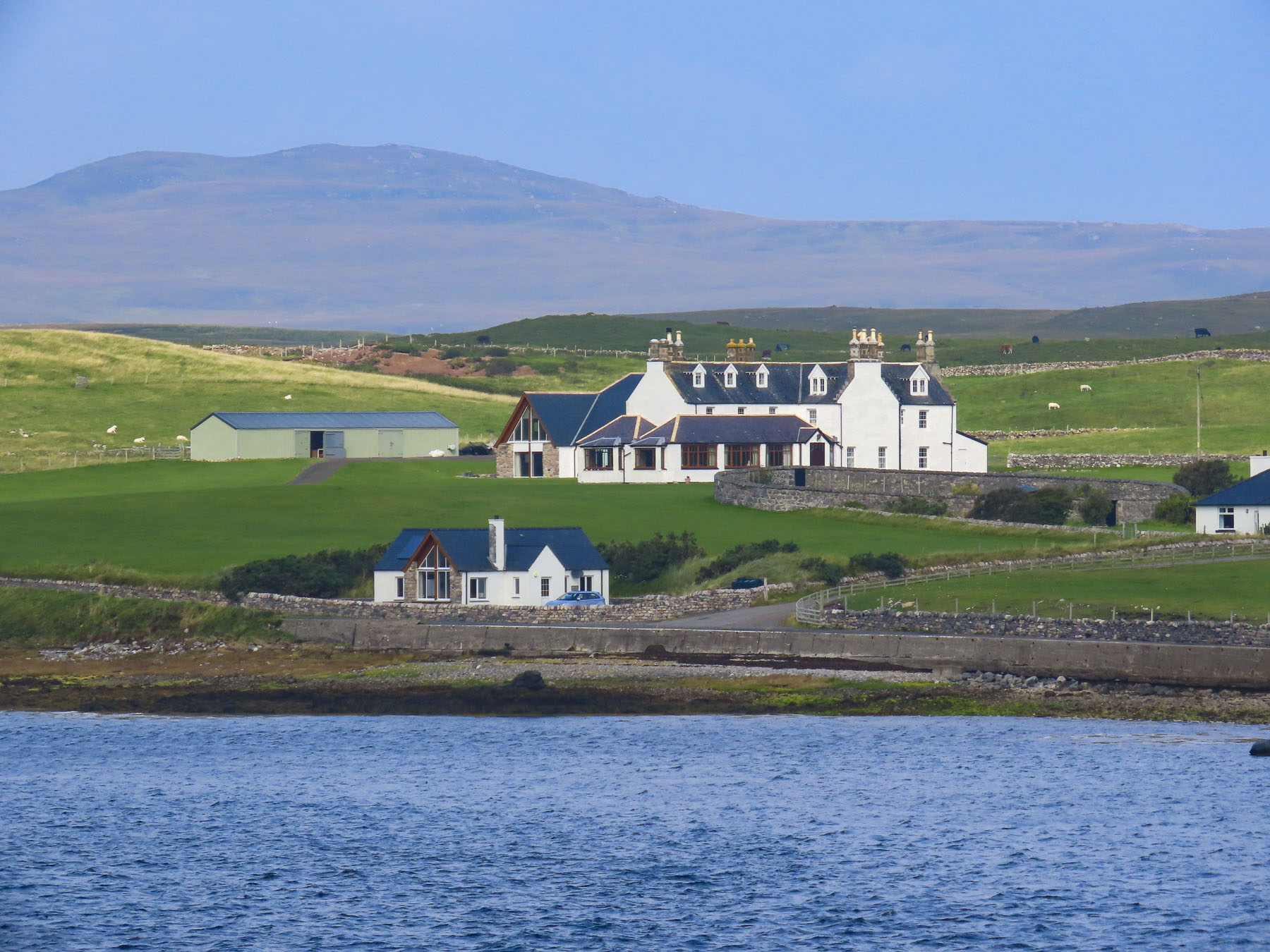
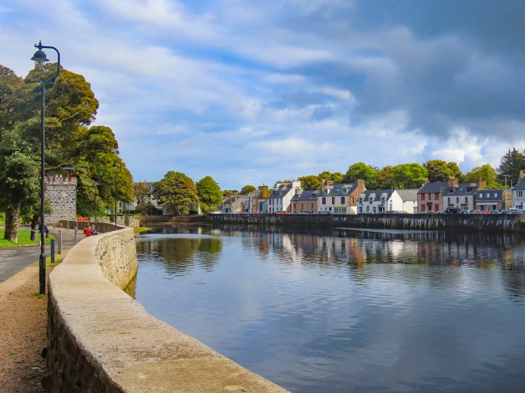
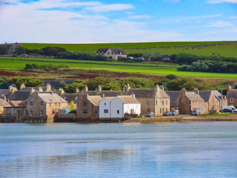
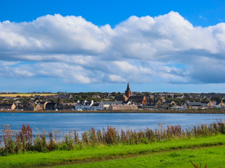
It was late in the afternoon when we headed back to the ferry along a route that took us through Kirkwall. It’s the largest town in the Orkney archipelago and a ferry hub onto the other islands and the Shetlands. The town looked intriguing and we wished that we had time to explore it. Hopefully, there’s a next time to Orkney.
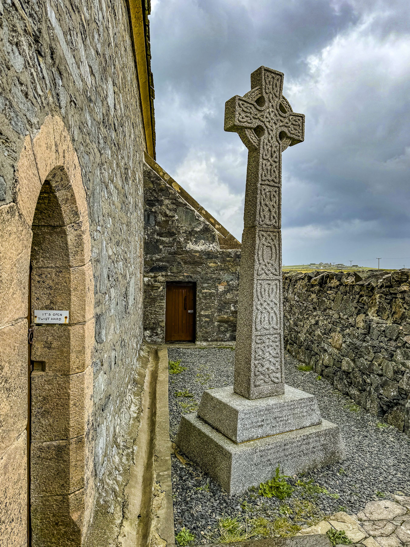
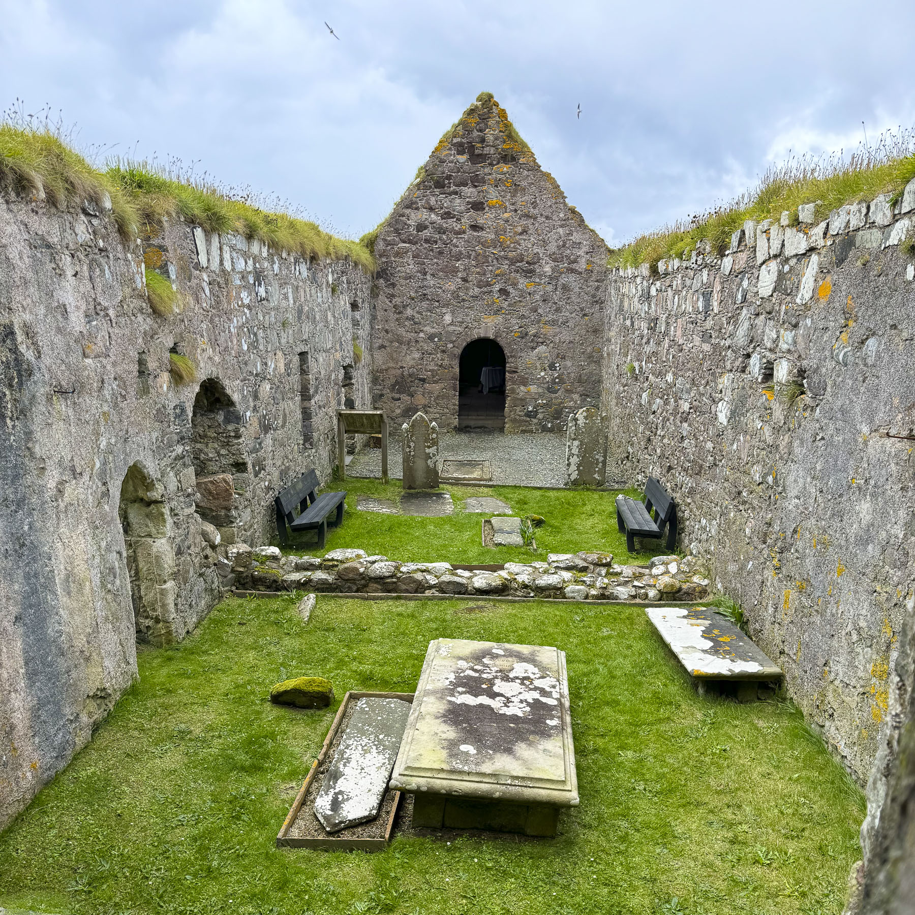
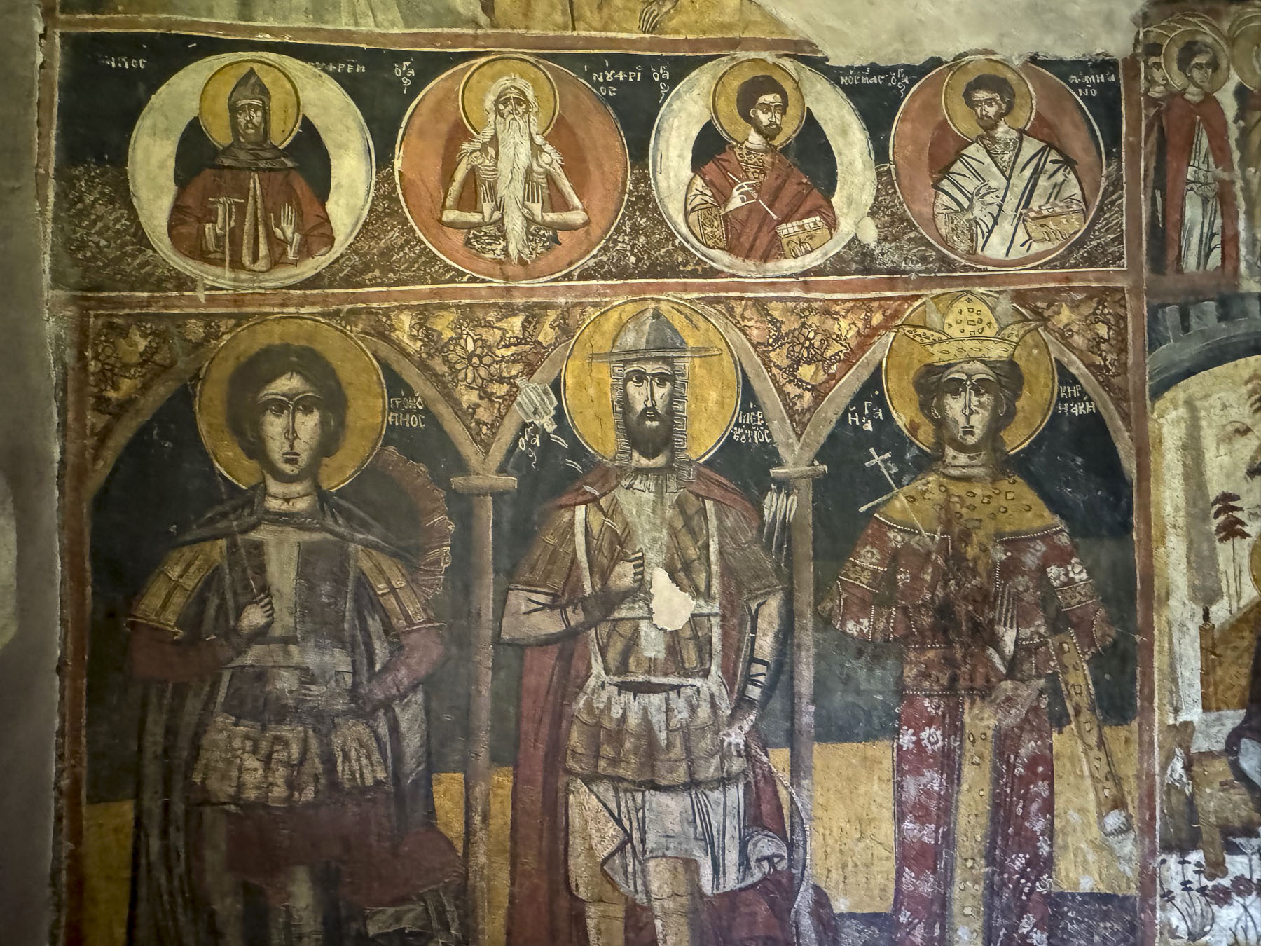
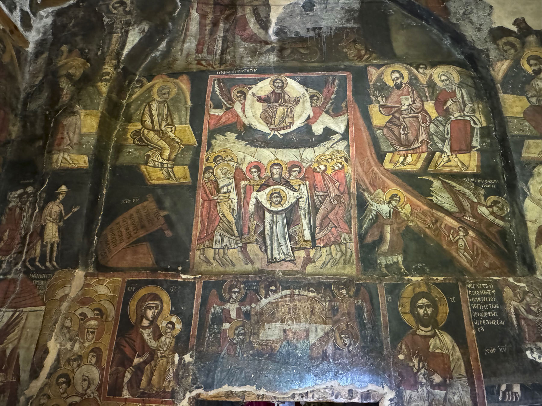
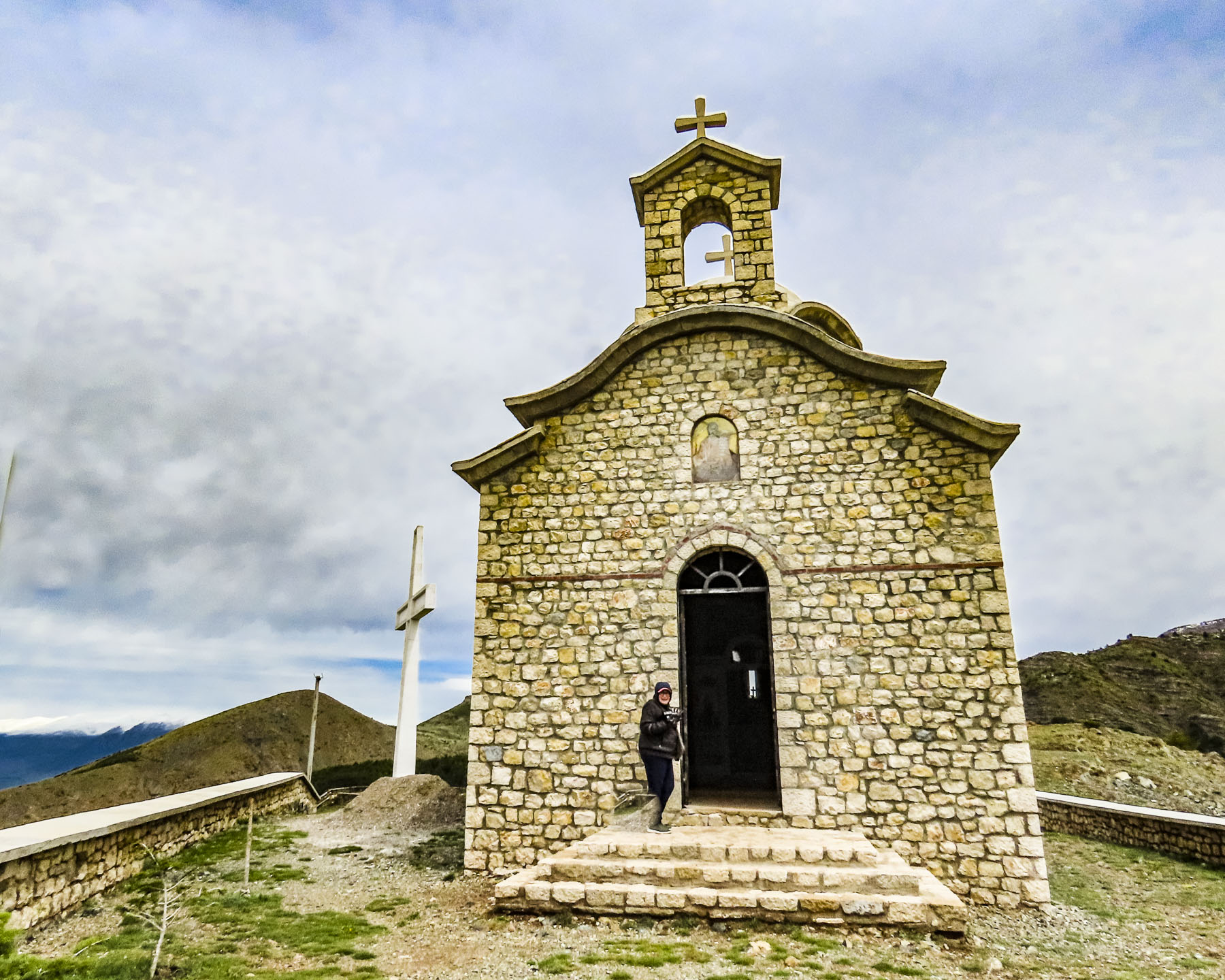
Now there was only one other car in the parking lot at the Italian Chapel, a beautiful small country church built by Italian POWs captured in North Africa. Five-hundred Italian soldiers were incarcerated in Camp 60 on the uninhabited islet of Lamb Holm during WWII to construct the causeways that connected St Margaret’s Hope to the Orkney mainland. The causeways were also called the Churchill Barriers, as he ordered their construction to prevent Nazi U-boats from entering Scapa Flow, where the British Home Fleet was based, from the North Sea.

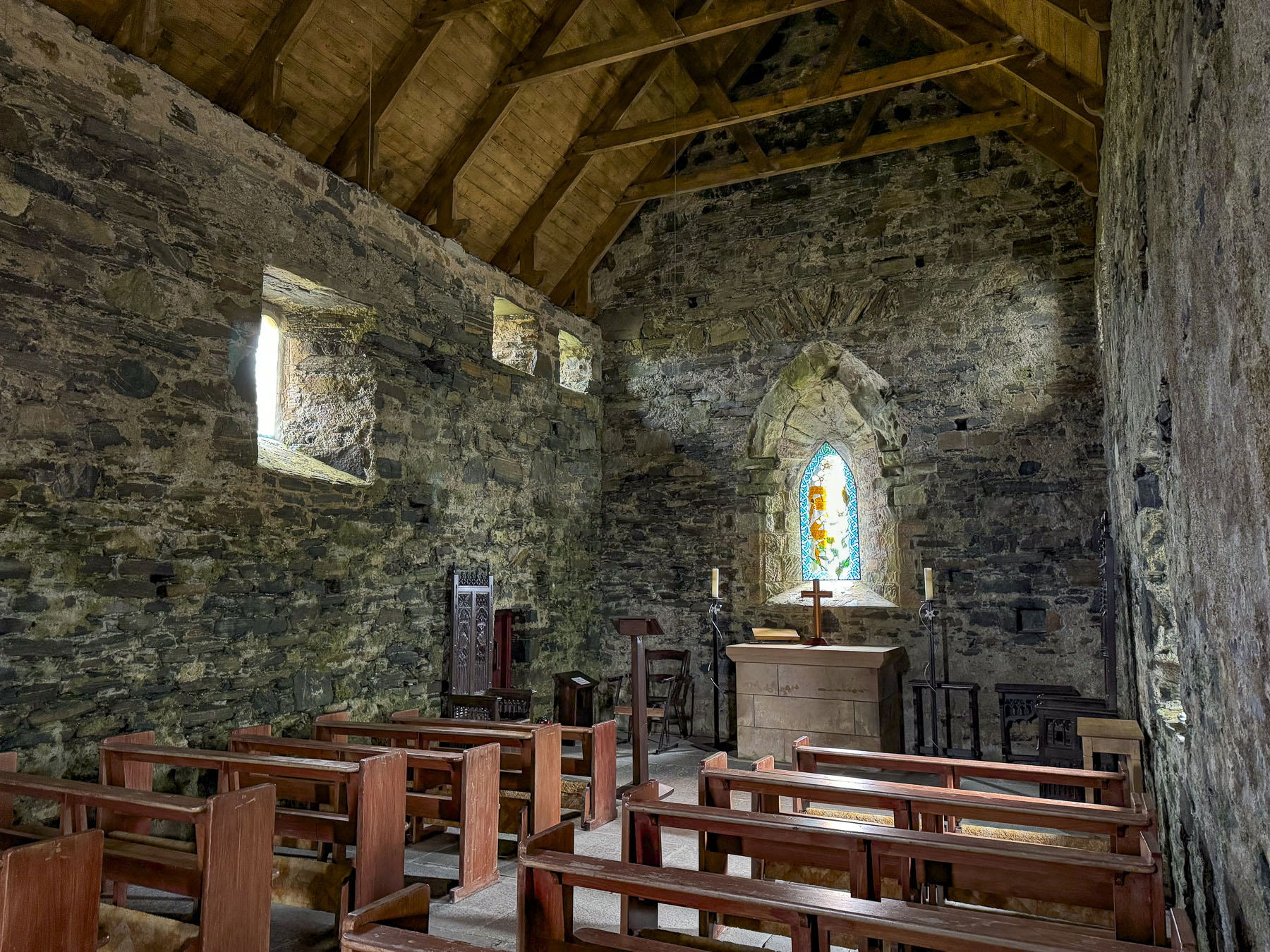
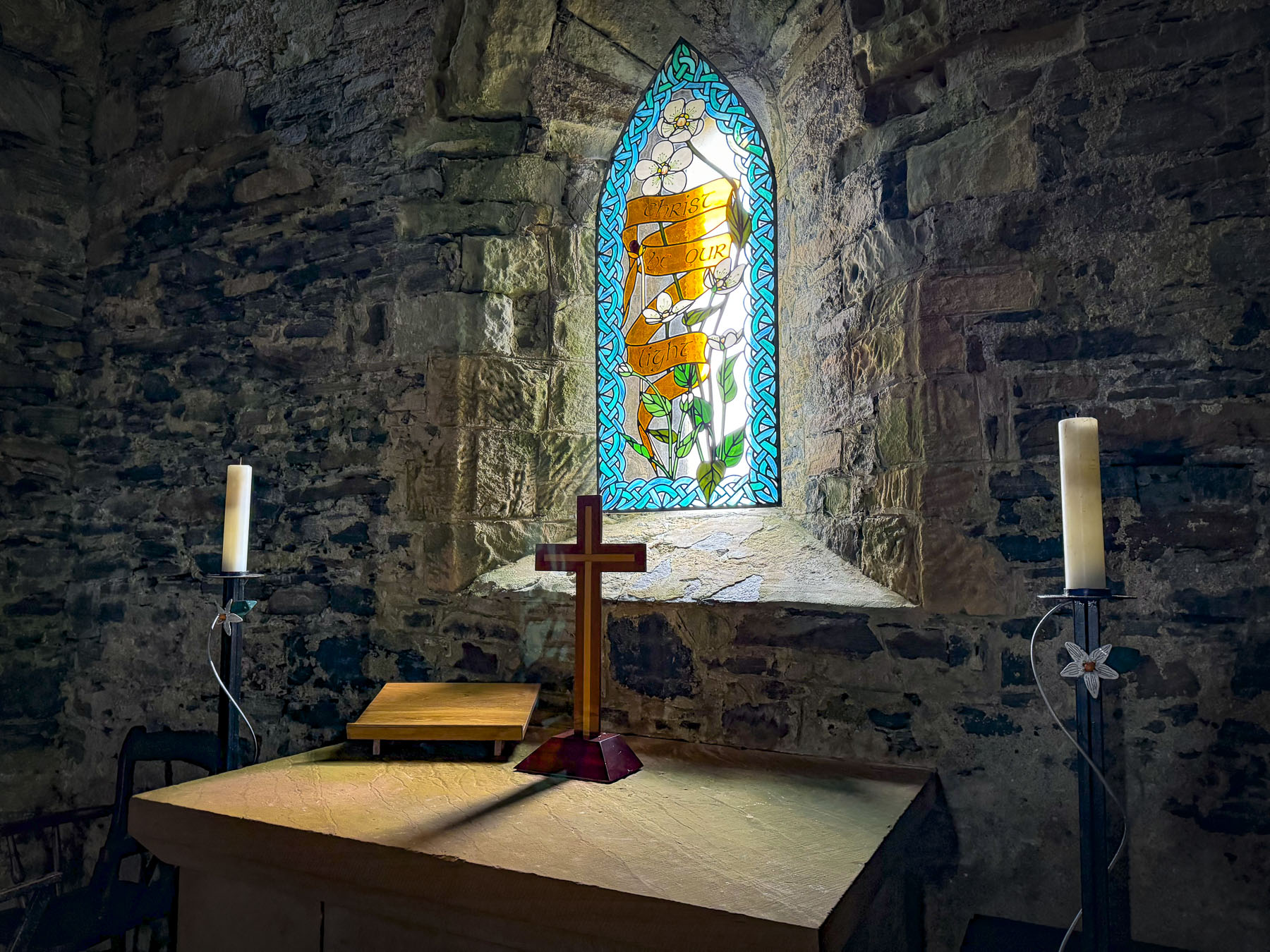
After petitioning the prison camp’s commandant that they needed a place of worship, the Italians were allowed to repurpose two Quonset huts and craft the interior and exterior of the chapel with concrete material leftover from the construction of the causeways. It was definitely an inspired labor of love, and the chapel is beautiful.
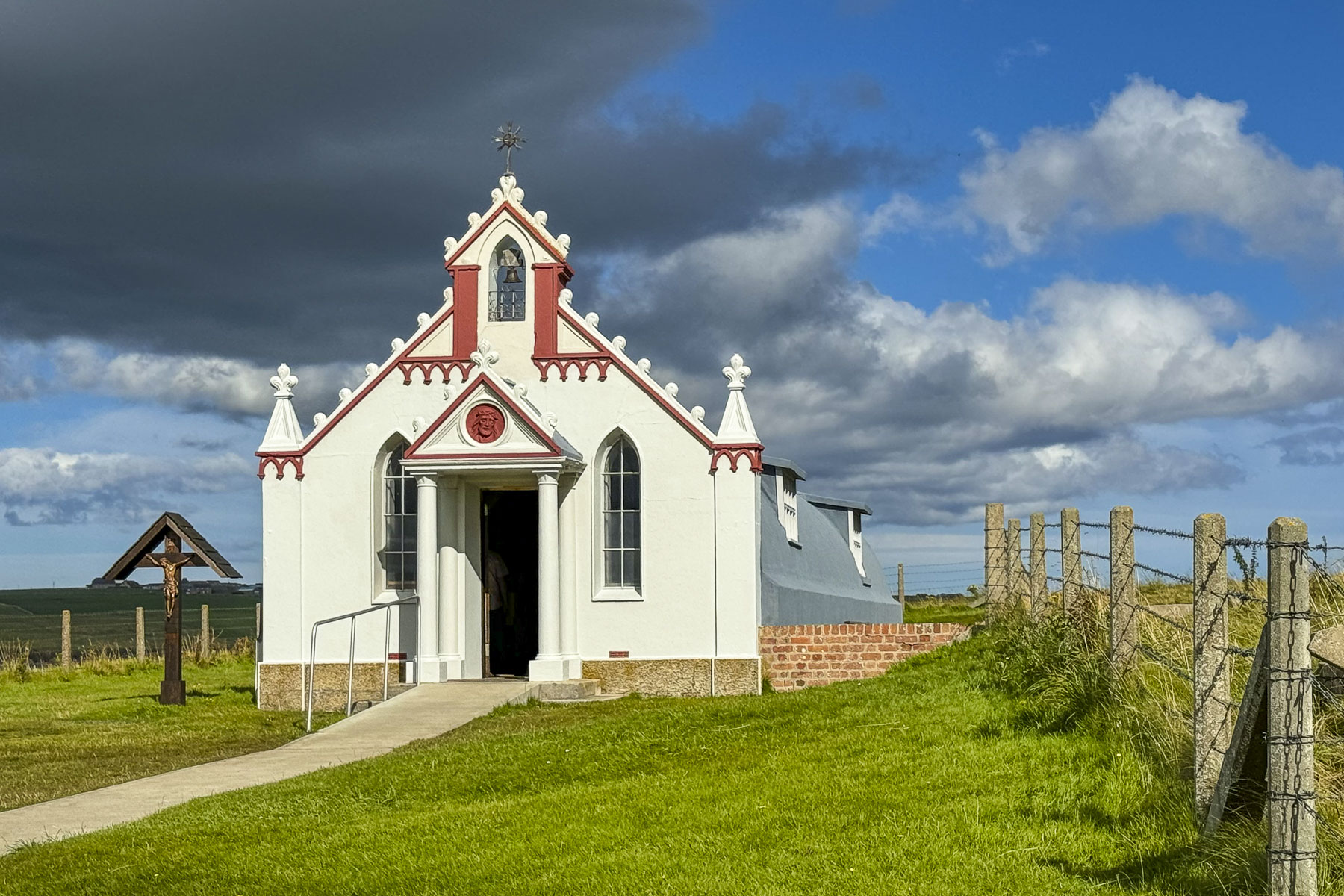
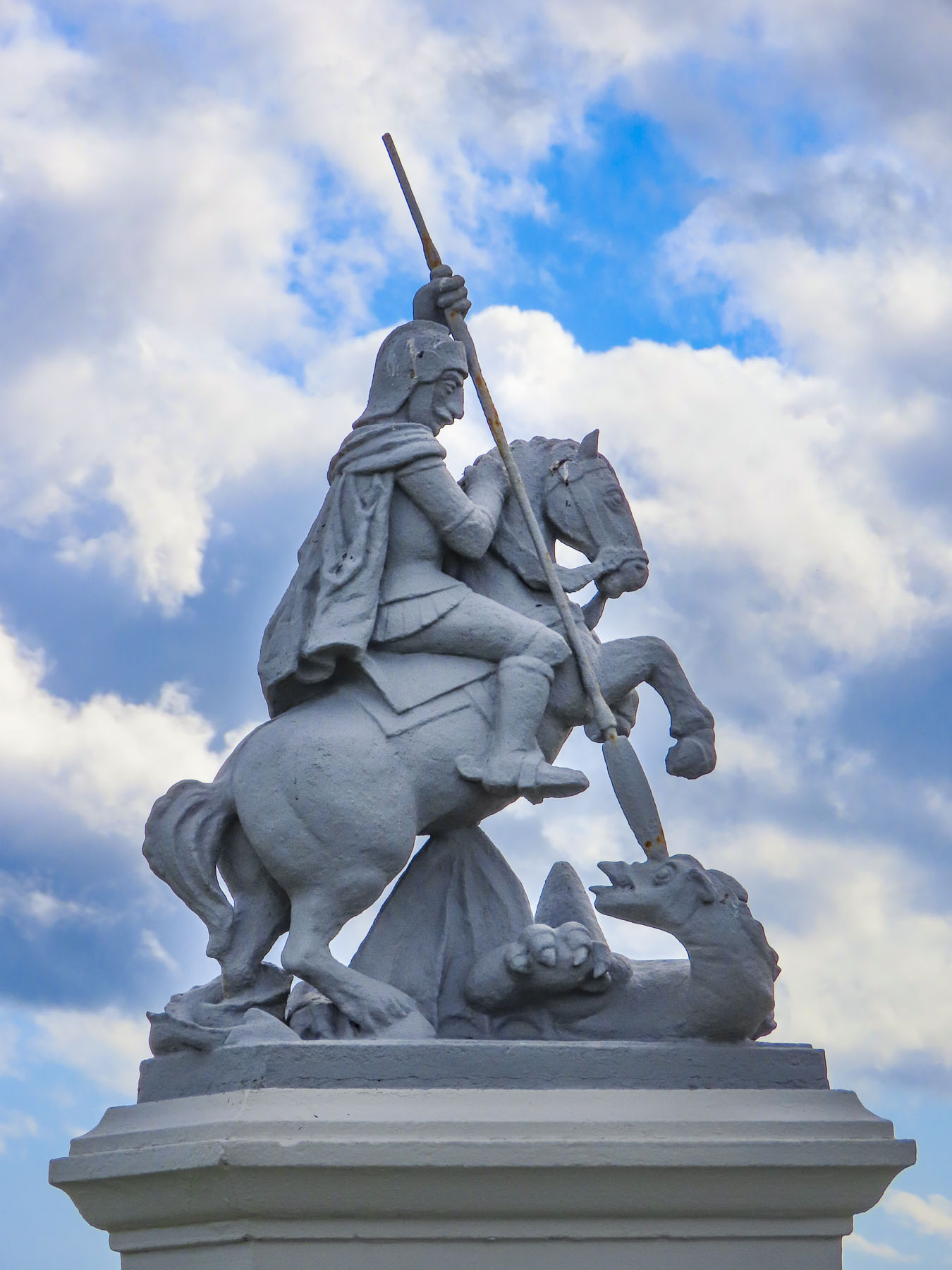
The statue of Saint George, the patron saint of soldiers, in front of the chapel was sculpted by the POW Domenico Chiocchetti, an artist from Moena, Italy. A 1970s restoration revealed it was sculpted with concrete over a tower of glass milk bottles and barbed wire frame. The milk bottles contained names of all the prisoners, Italian notes and coins, along with prayers.
We made it back to the ferry with only a few minutes to spare before boarding began. Ideally, we wish we had an extra day on Orkney to explore it in more depth.

Back on the Scottish mainland we still had time to catch the sunset, and we headed to the Duncansby Head Lighthouse which overlooks the North Sea. It’s a tranquil, beautifully expansive spot on the headland. It was a nice way to end a busy day.
Till next time, Craig & Donna