

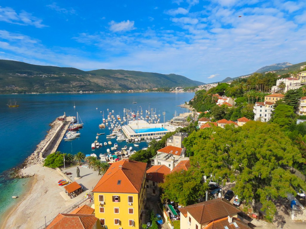
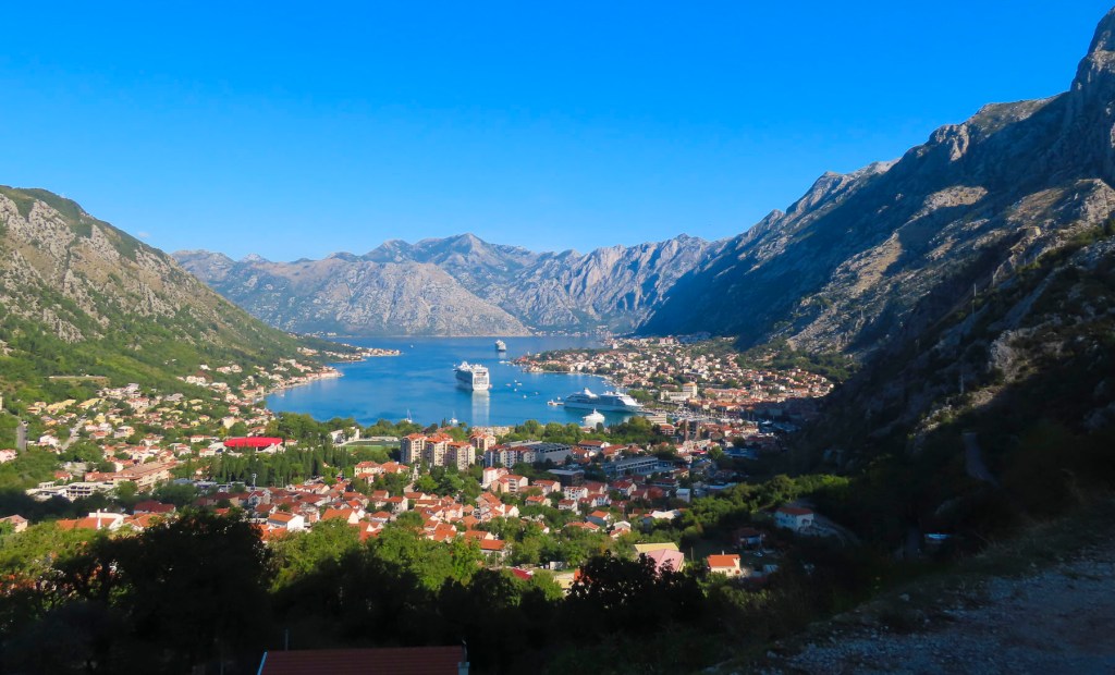
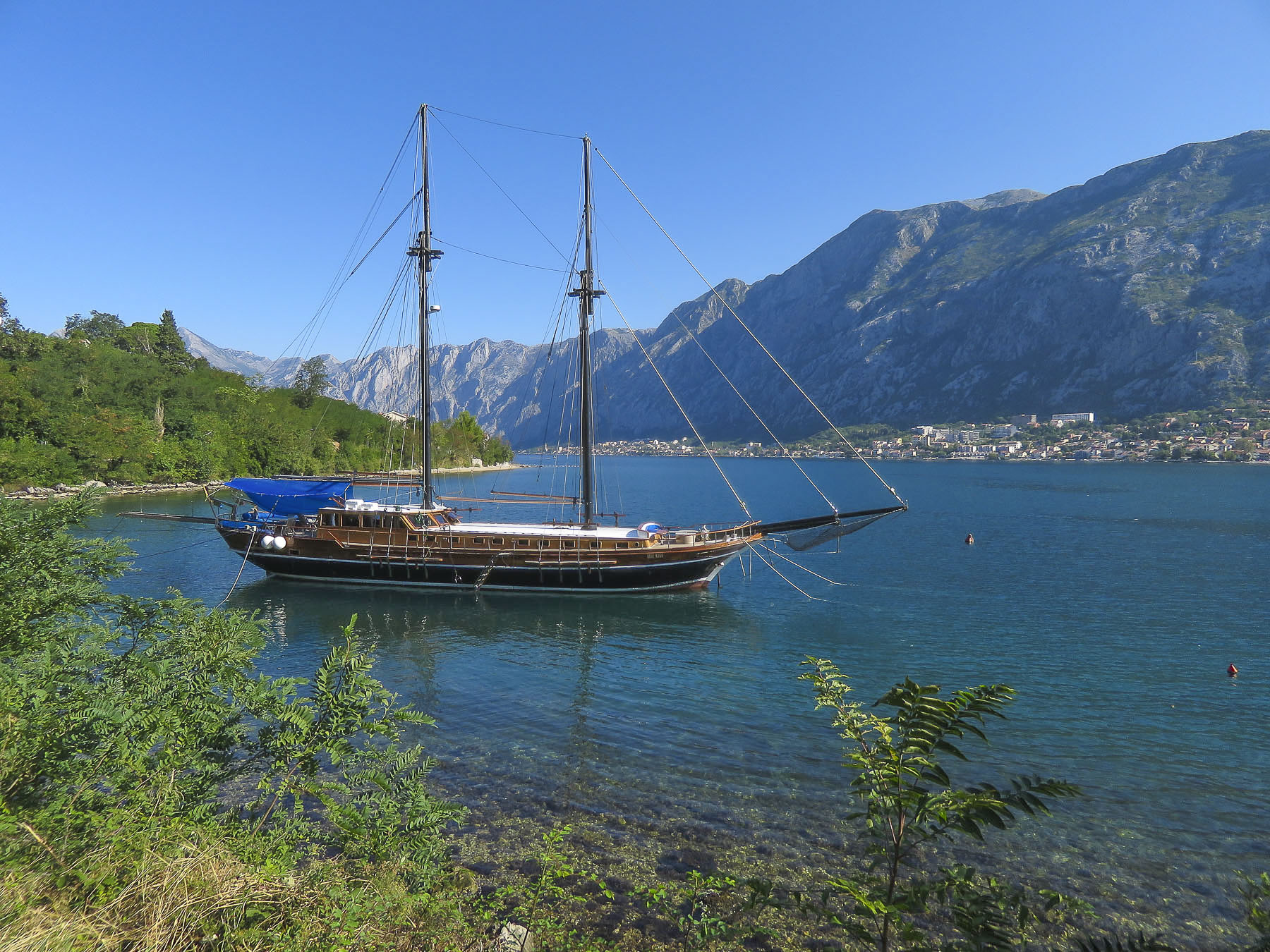
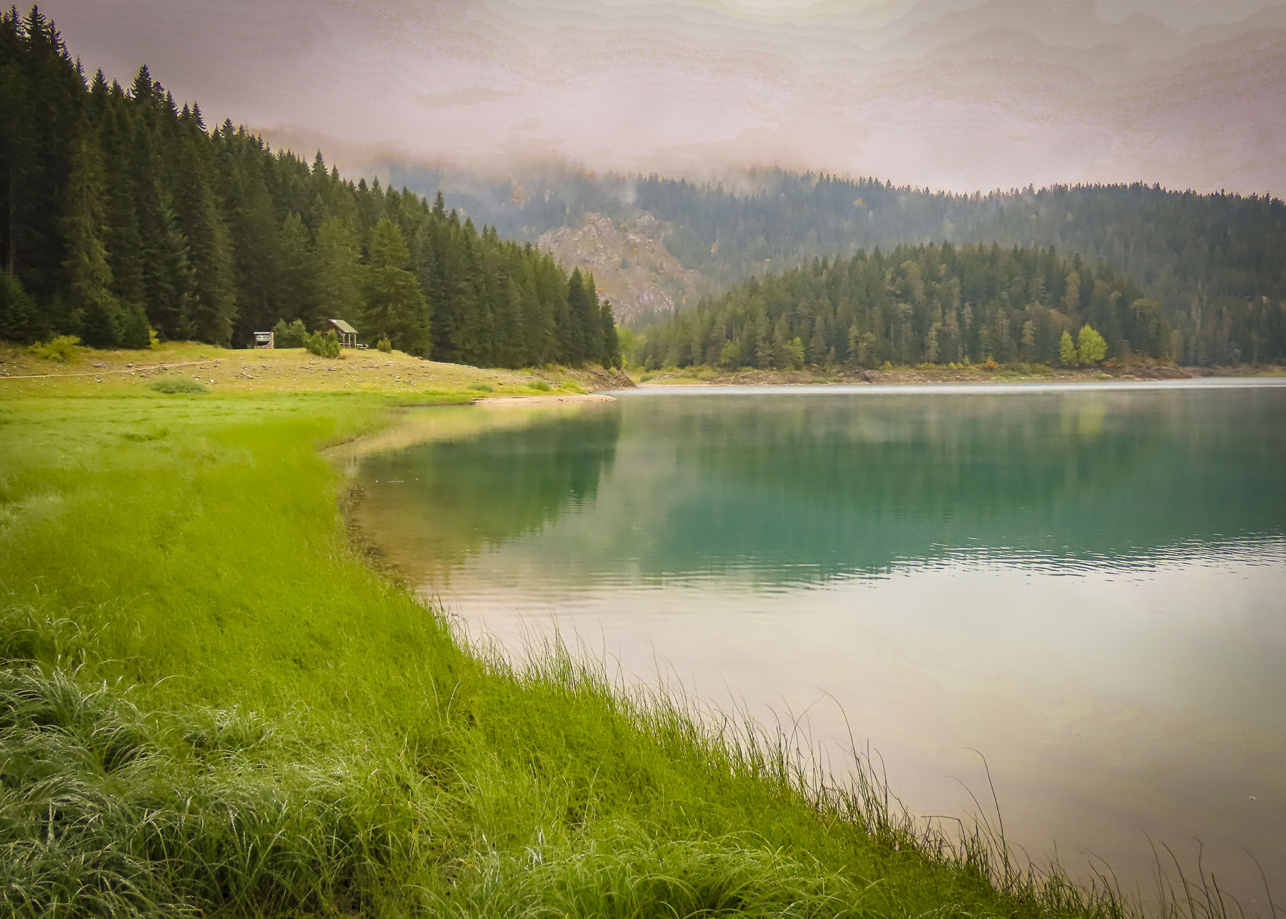
The water barely ripples on the inner reaches of Boka Bay when a storm rages across the Adriatic Sea. The steep walls of the fjord created the perfect harbor to shelter ancient fleets of merchant sailing vessels. Three-thousand years ago starting with Greek triremes and later Roman galleys, the vessels carrying goods through the Adriatic to ports along the Mediterranean were mainly rowed. The ancient Greeks mostly relied on free men as paid rowers while the Romans used slave labor to expand their empire and propel their merchant fleets.

The city of Kotor was essentially a land locked island until an ancient foot path was widened by the Romans in the 1st century into a cobbled road, six to eight feet wide in many places, with stone retaining walls that zigzagged up the mountain four miles and climbed 3100 ft in altitude, about a five- hour trek. Going downhill was much faster and more difficult for the camel trains. The danger here was if the camels were going too fast and couldn’t round the tight switchbacks, lost their balance and fell off the trail to their deaths. The camel wranglers definitely had a difficult task on this route. The caravan trail remained the only land route into Kotor until 1897, when the Austrians built the road that now leads from Kotor to Cetinje.

This early example of infrastructure improvement resulted from Rome’s war against the Illyrian Kingdom after it refused to stop their piracy of Roman merchant ships. The empire determined that an overland trade route connecting to Constantinople/Istanbul and the Silk Road from China was needed as a safe alternative. Eventually a spiderweb of caravan trails and Roman roads spread across the Balkans. Cilician pirates in the eastern Mediterranean were also creating havoc, at one point kidnapping a young Julius Caesar on a voyage to Rhodes. Piracy continued to be a problem for the Venetians with Omis pirates in the 11th to 13th centuries and later Uskok buccaneers from Croatia pillaged along the Adriatic until the 1600s. Barbarossa, the notorious Ottoman pirate, commanded a fleet of swashbucklers that were the scourge of the Mediterranean at this time, raiding Spanish and Venetians merchant vessels and selling Christians into slavery. European empires also tolerated and endorsed pirates as long as they were “our pirates.” Piracy persisted on the waters of the Adriatic and Mediterranean for so long because the rugged coastline had many small islands and hidden inlets to shelter the pirates.

Romanticized views of pirates persist today with the popular adventure movie franchise Pirates of the Caribbean, featuring a beguiling Captain Jack Sparrow, and the TV series Black Sails. Interestingly there is a Japanese anime film about fictitious air piracy on the Adriatic Sea called Porco Rosso which is based on a 1992 short graphic novel called Hikōtei Jidai (飛行艇時代, The Age of the Flying Boat). It’s entertaining and worth checking the Porco Rosso film trailer.


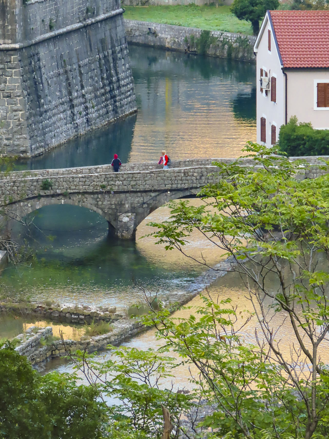
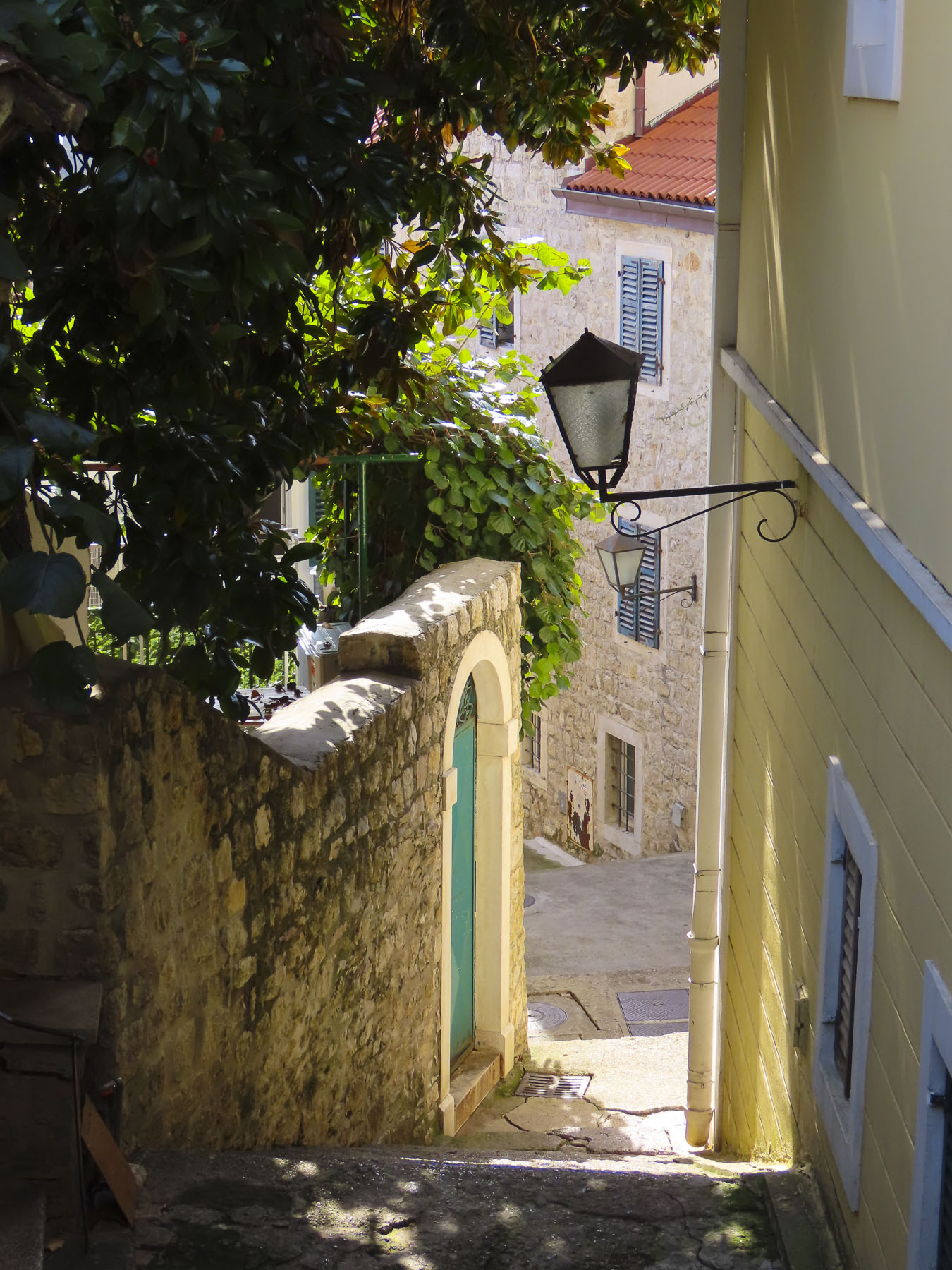
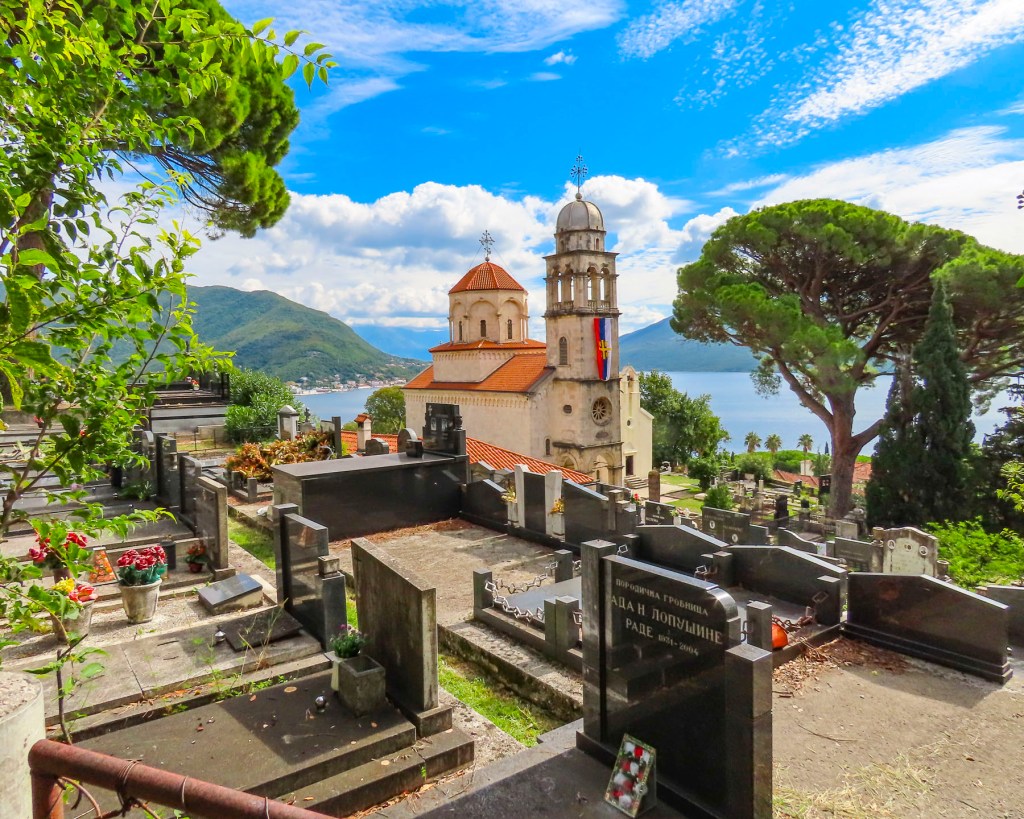
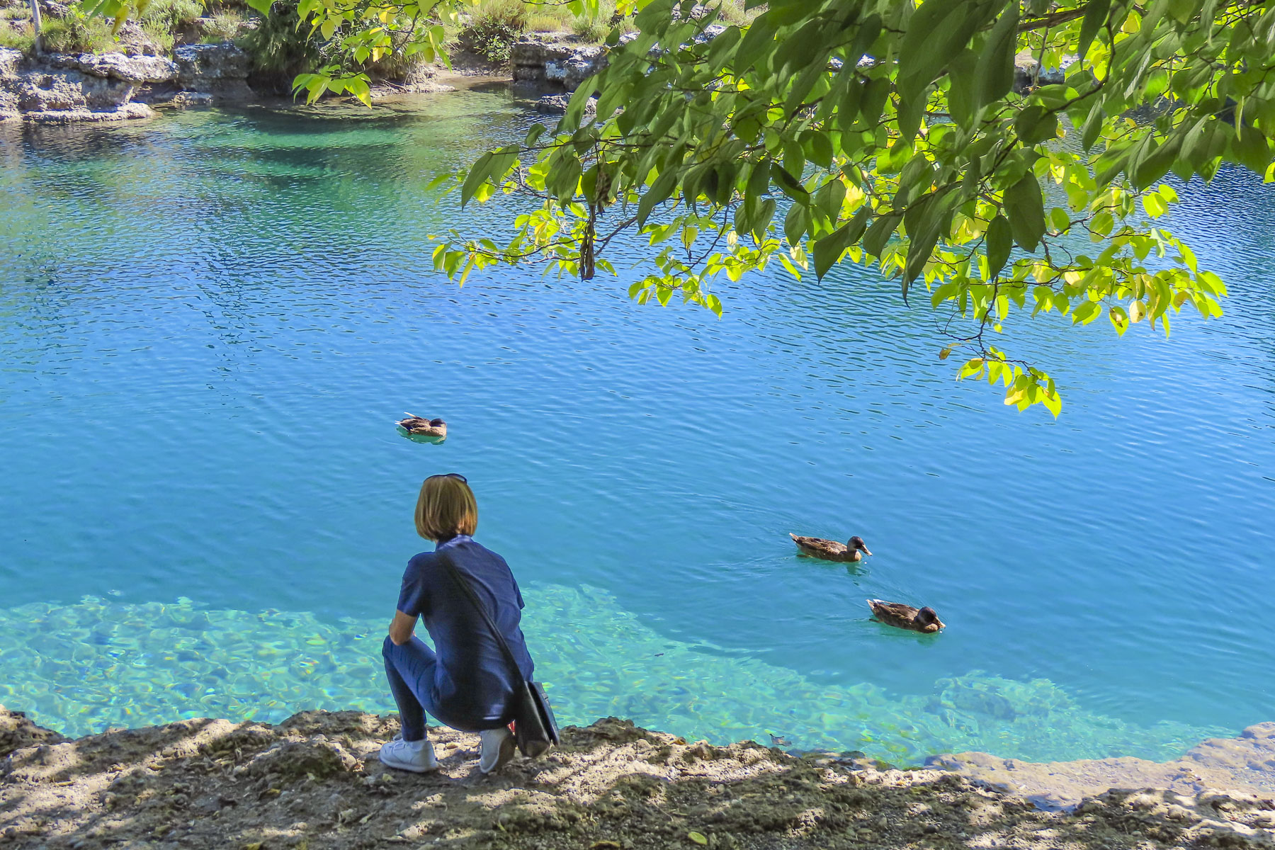
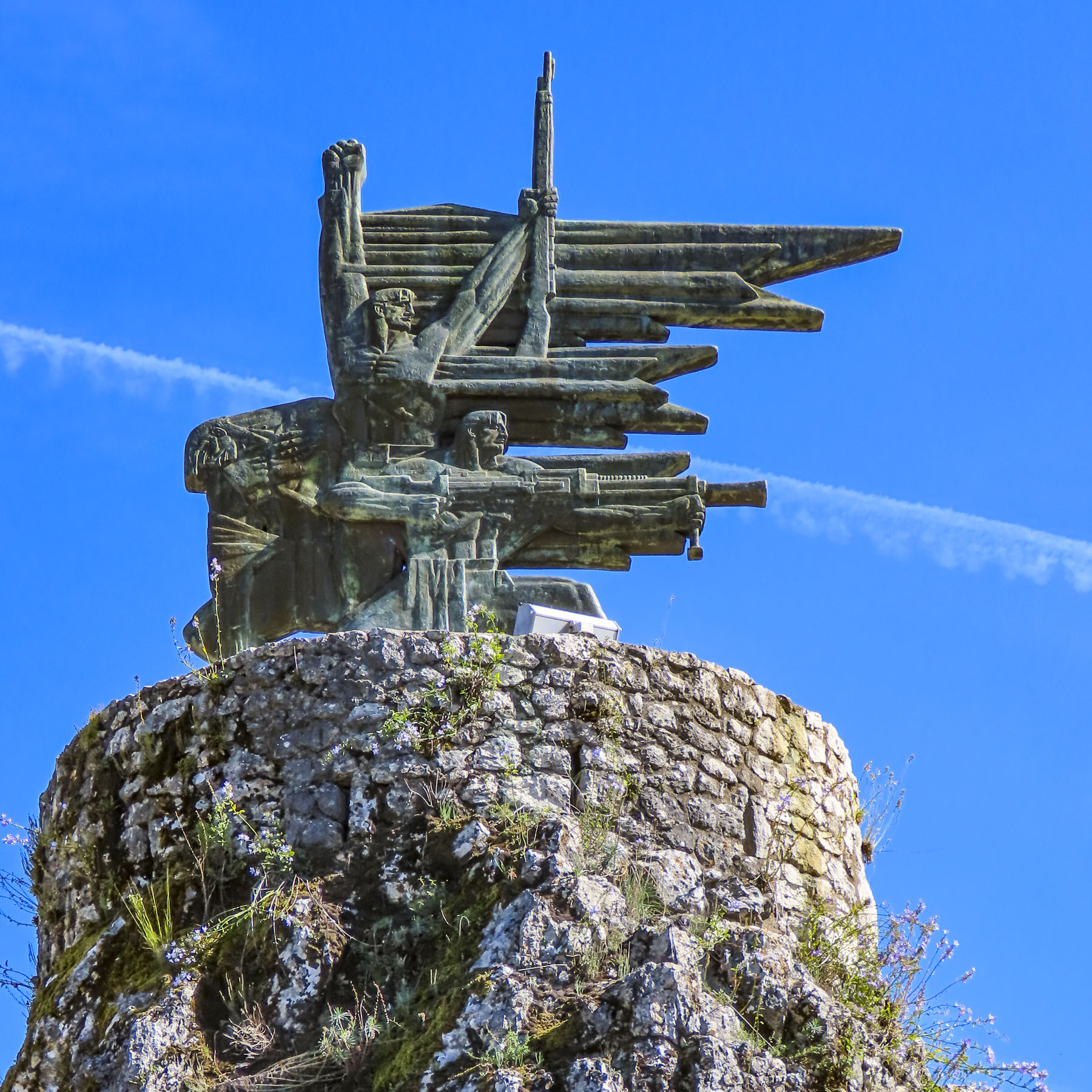
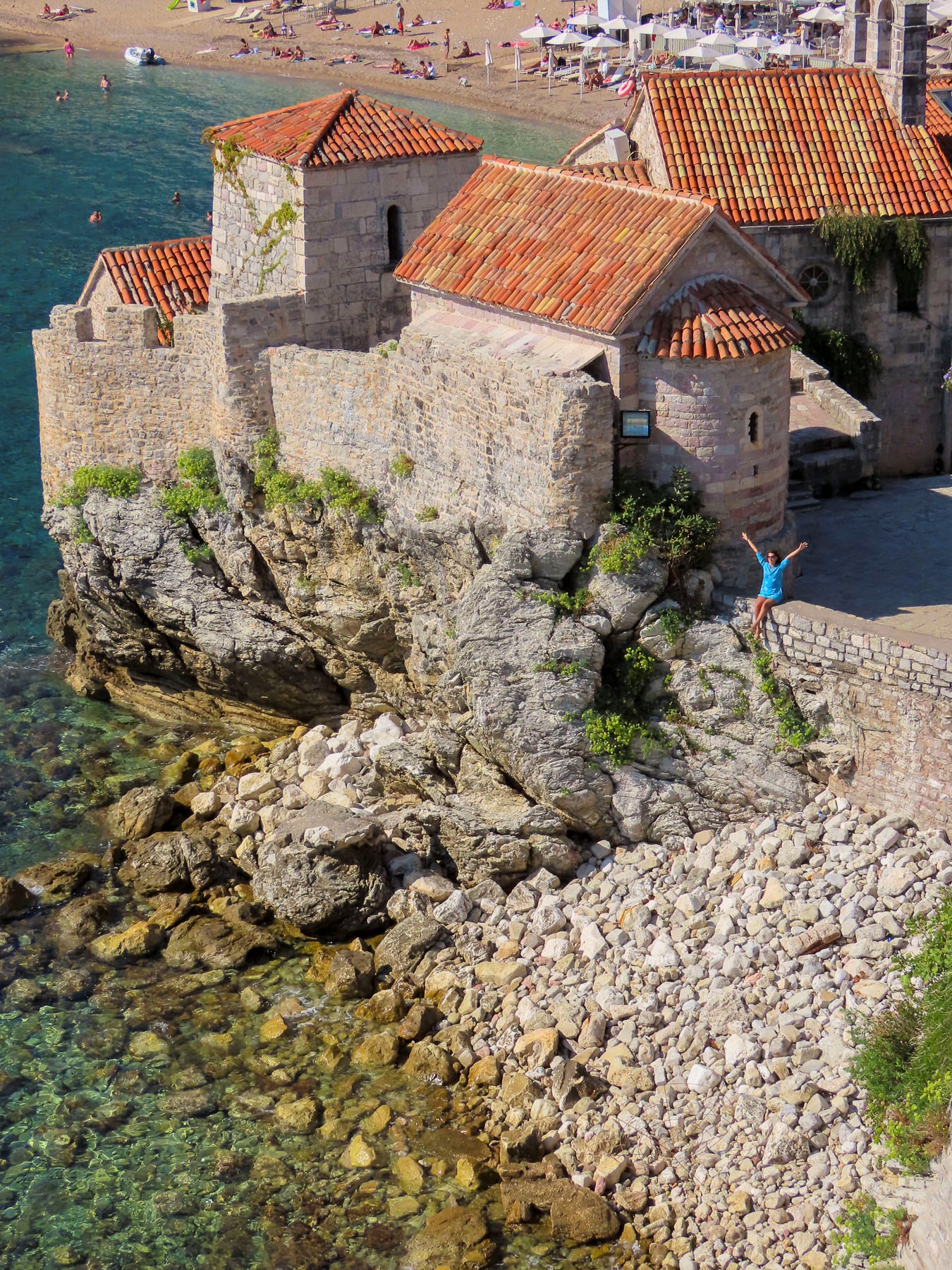
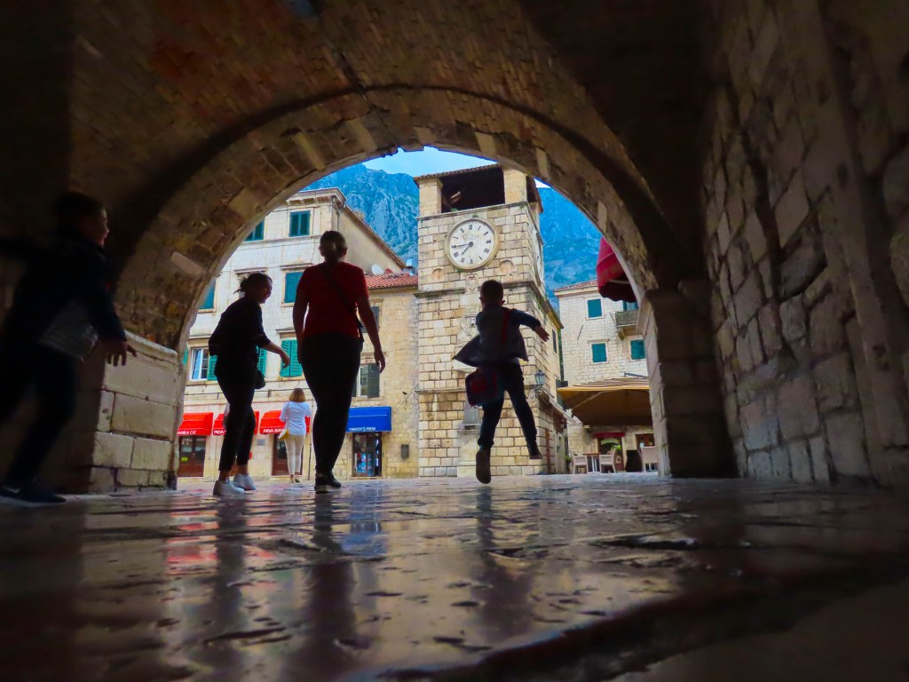
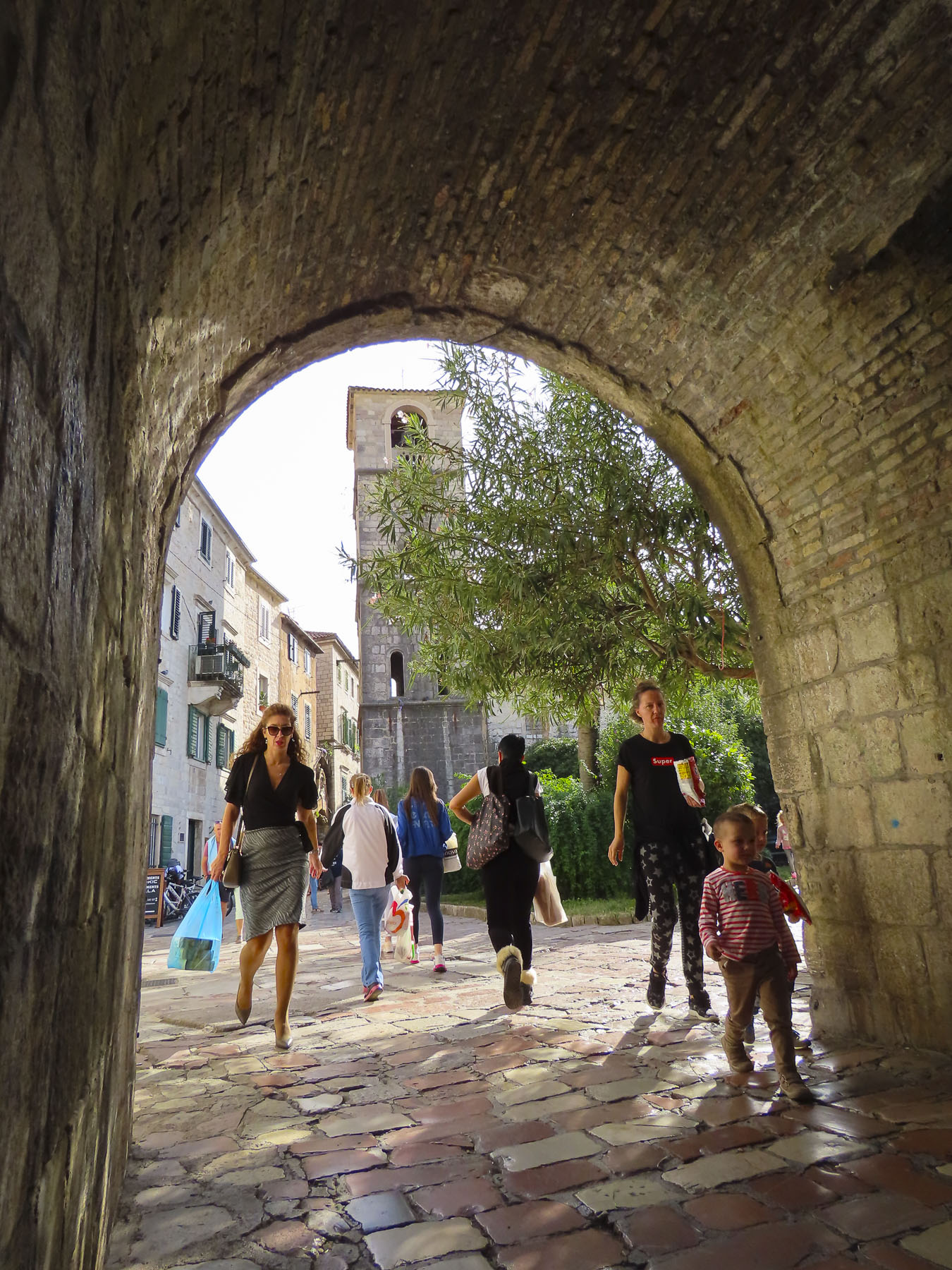
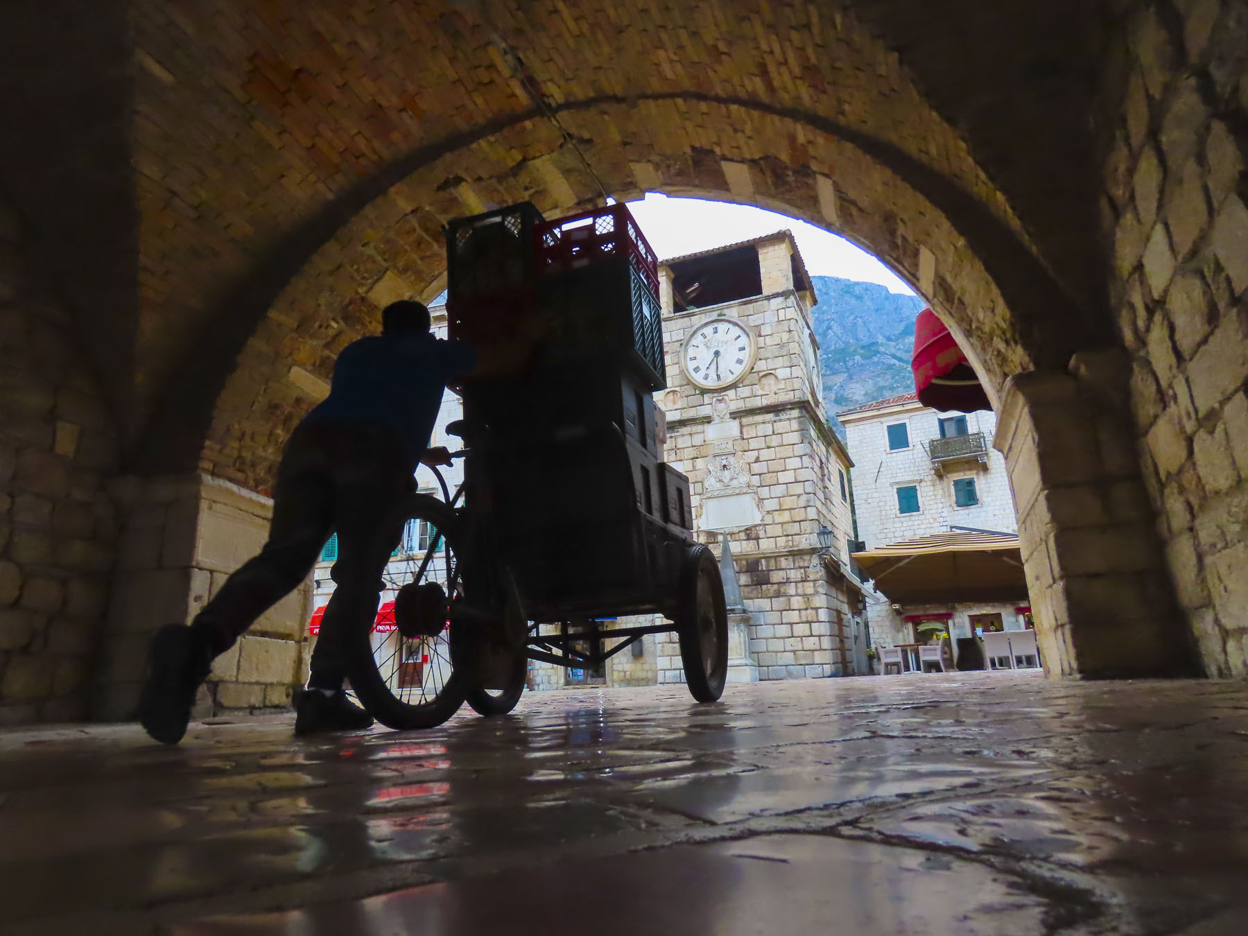
The afternoons in mid-October were still quite hot so we planned for an early start from our apartment in the center the historic district. This coincided with the young parents of old town escorting their children through the still shadowed alleys to the Vrata od Škurde, the River Gate, which was constructed in 1539 to celebrate a naval victory over Barbarossa, now an Ottoman admiral. We found ourselves behind an orthodox priest holding the hand of his daughter as we crossed the first and then second bridge that spanned the Scurda. The Scurda is a wide, shallow stream that bubbles to the surface from beneath the tall rock escarpment that the Ladder of Kotor climbs and flows into Boka Bay. This area on the far side of the bridge was for centuries the market for all the goods brought down the trail from afar or from farms in the mountains to be sold or bartered for.

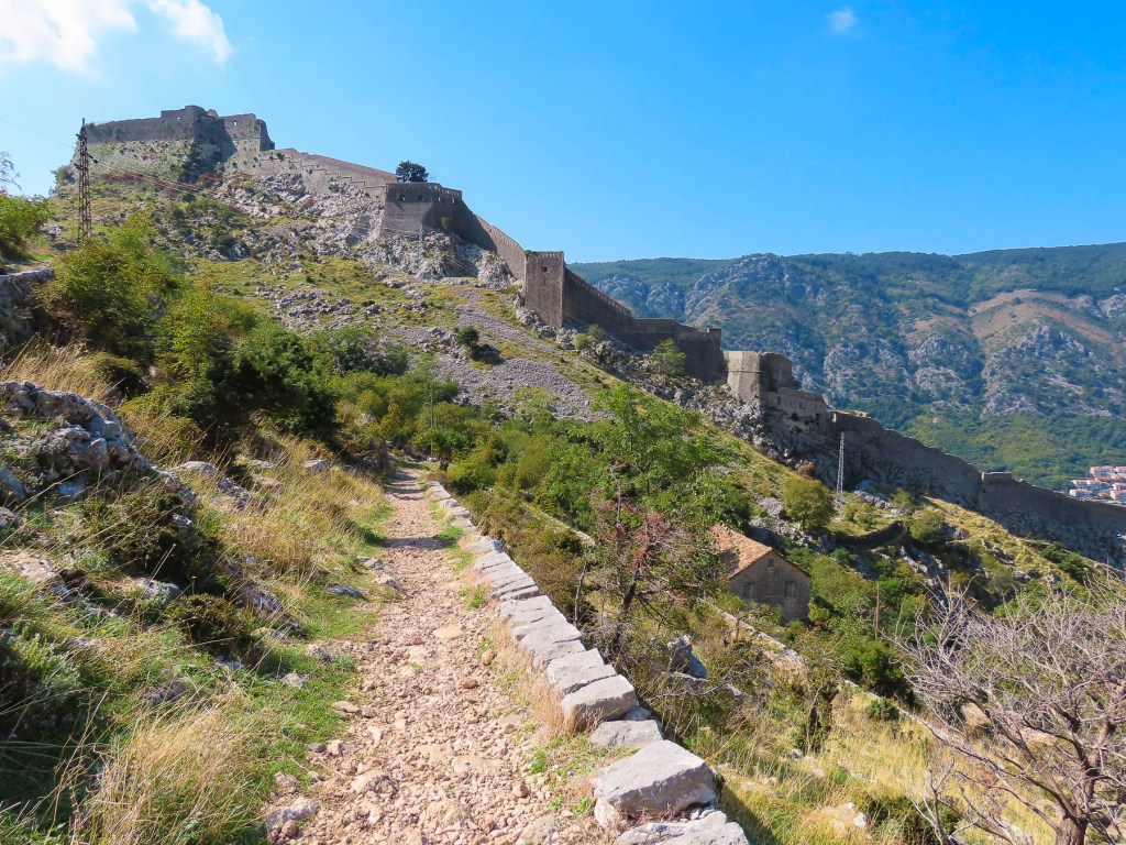
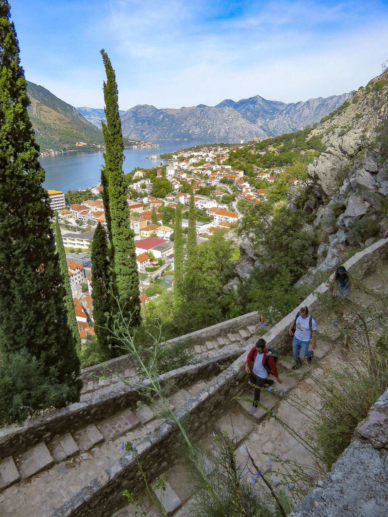
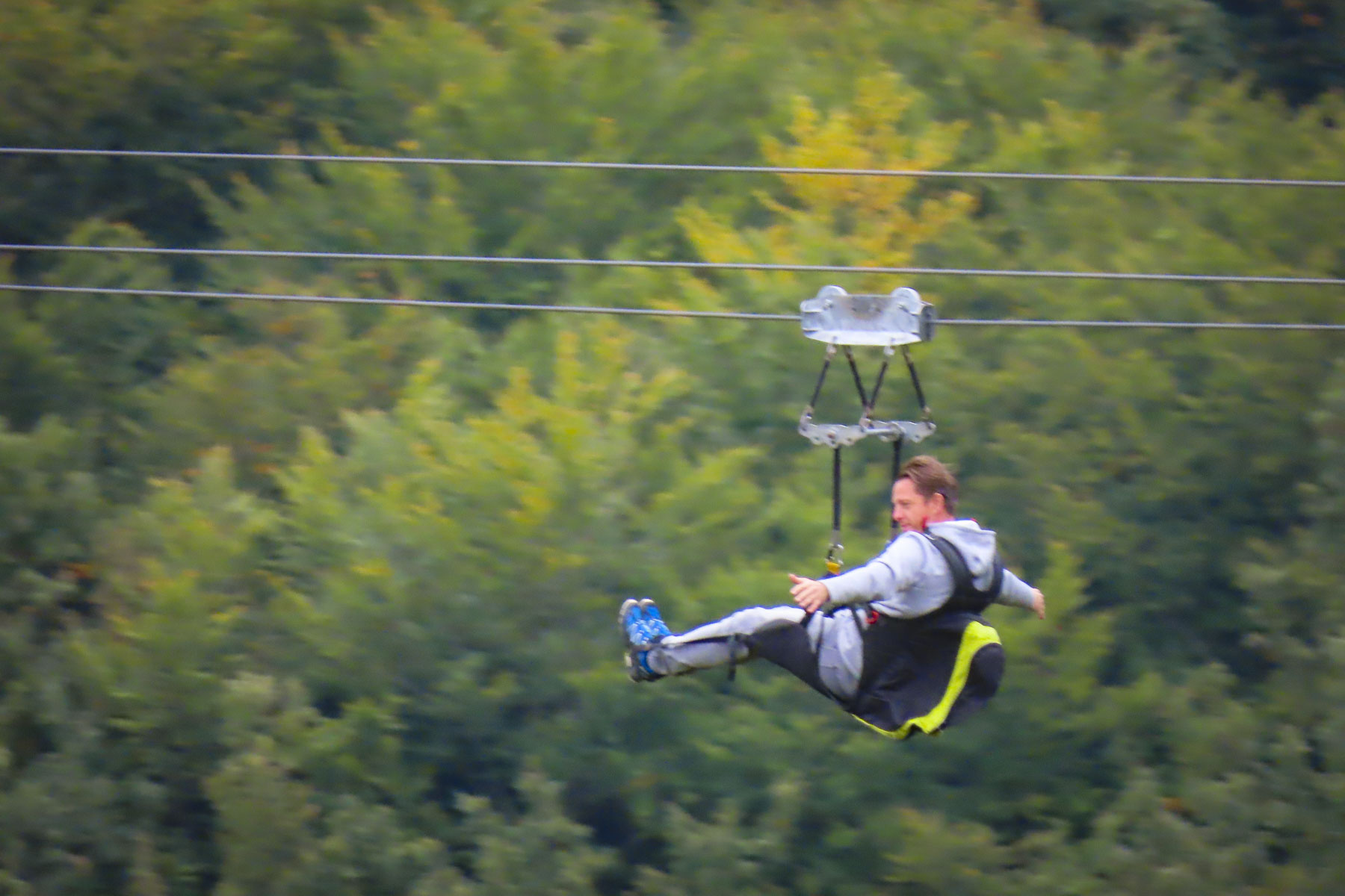
The old caravan trail starts behind the waterworks where the underground spring emerges and zigzags often in the tight confining space at the bottom of the gorge. The trail continued in the shadow of once towering fortress walls now humbled by earthquakes before the ravine widened out and the distance between the switchbacks increased. There are seventy switchbacks in total if you chose to trek all the way to Krstac pass where the trail ends near Restaurant Nevjesta Jadrana. Here you can zipline over part of the trail you just hiked up, or catch a taxi or local bus back to Kotor or onto Cetinje. Hiking back to Kotor is also an option for the hardy.


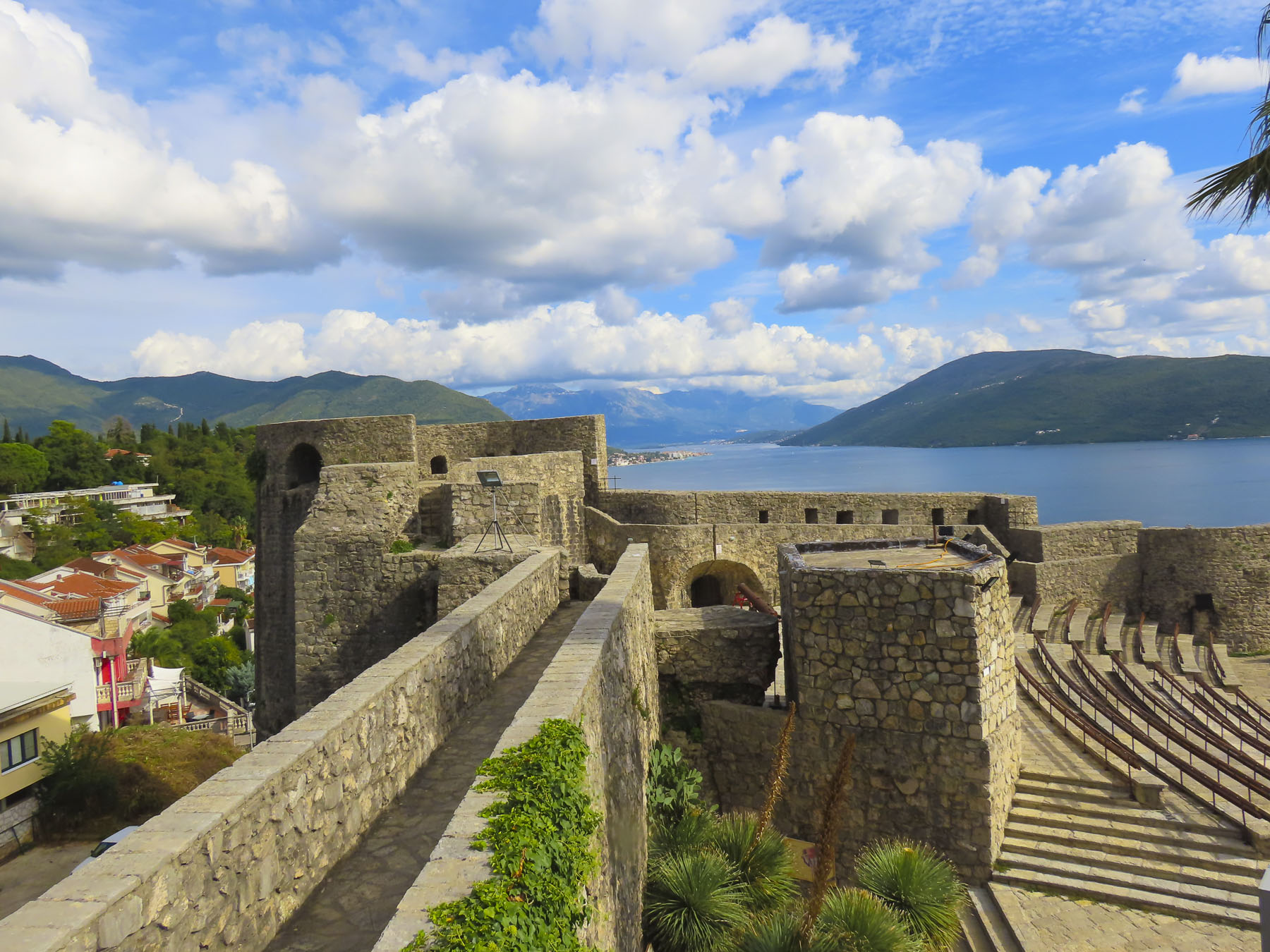
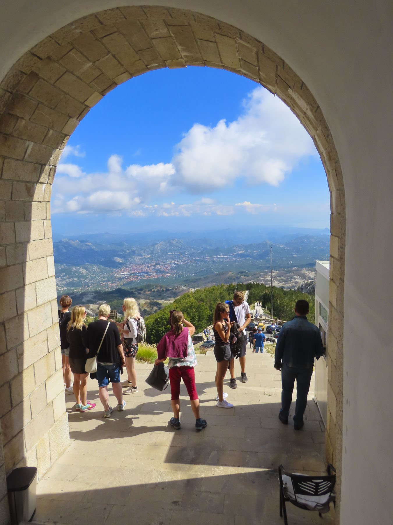
Our plans were more modest, just wanting to hike to a vantage point above the Castle of San Giovanni, Kotor Fortress, for views over the bay. The cobbled road and retaining walls have seen better days having been damaged in the 1979 earthquake. While the fortress has been repaired, maintenance of the caravan trail has been forgotten. Though many sections of it are in better shape than the stairs to the Castle of San Giovanni and not as bad as some city sidewalks across Europe. Still you need to be aware of your footing and wear sturdy shoes.
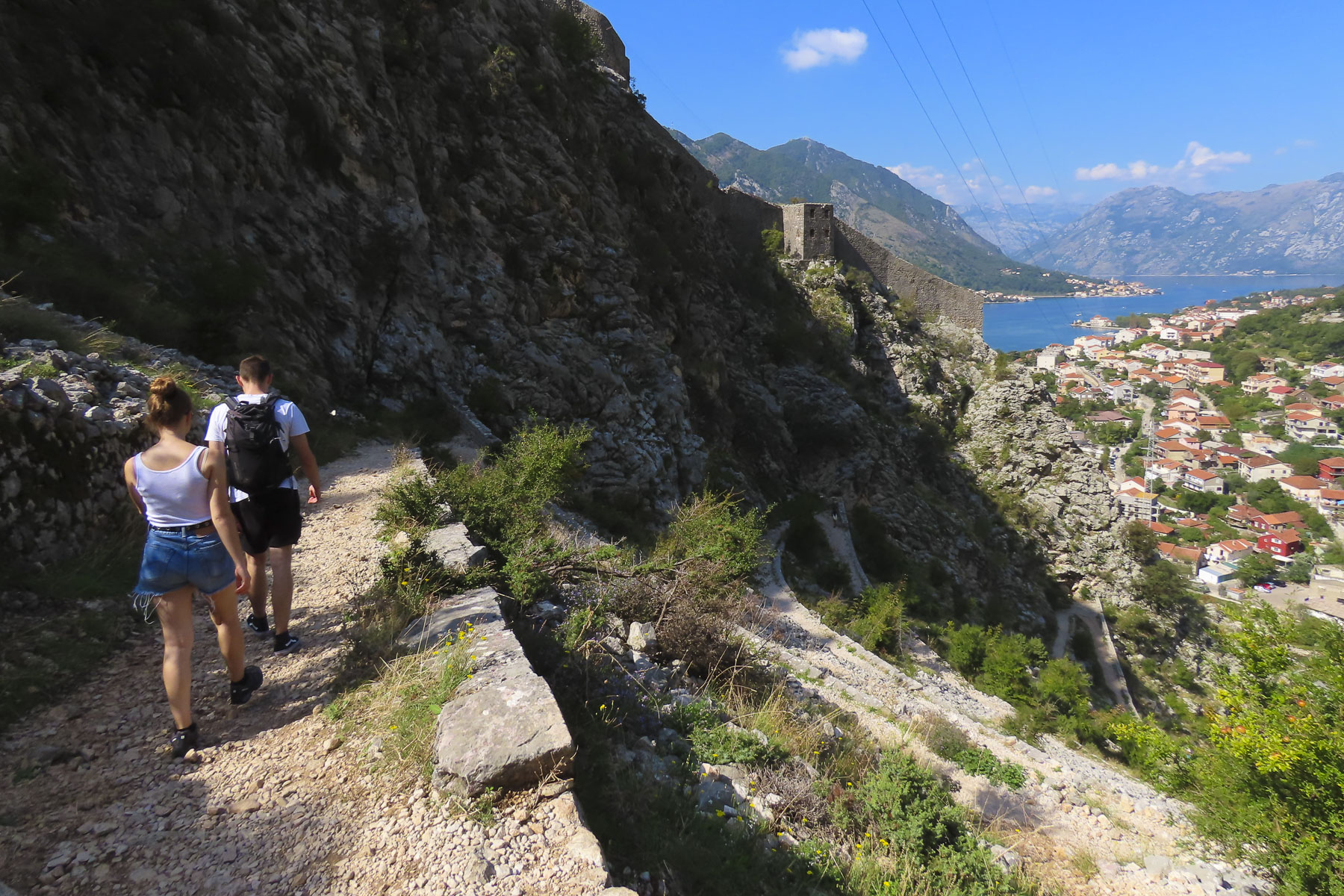

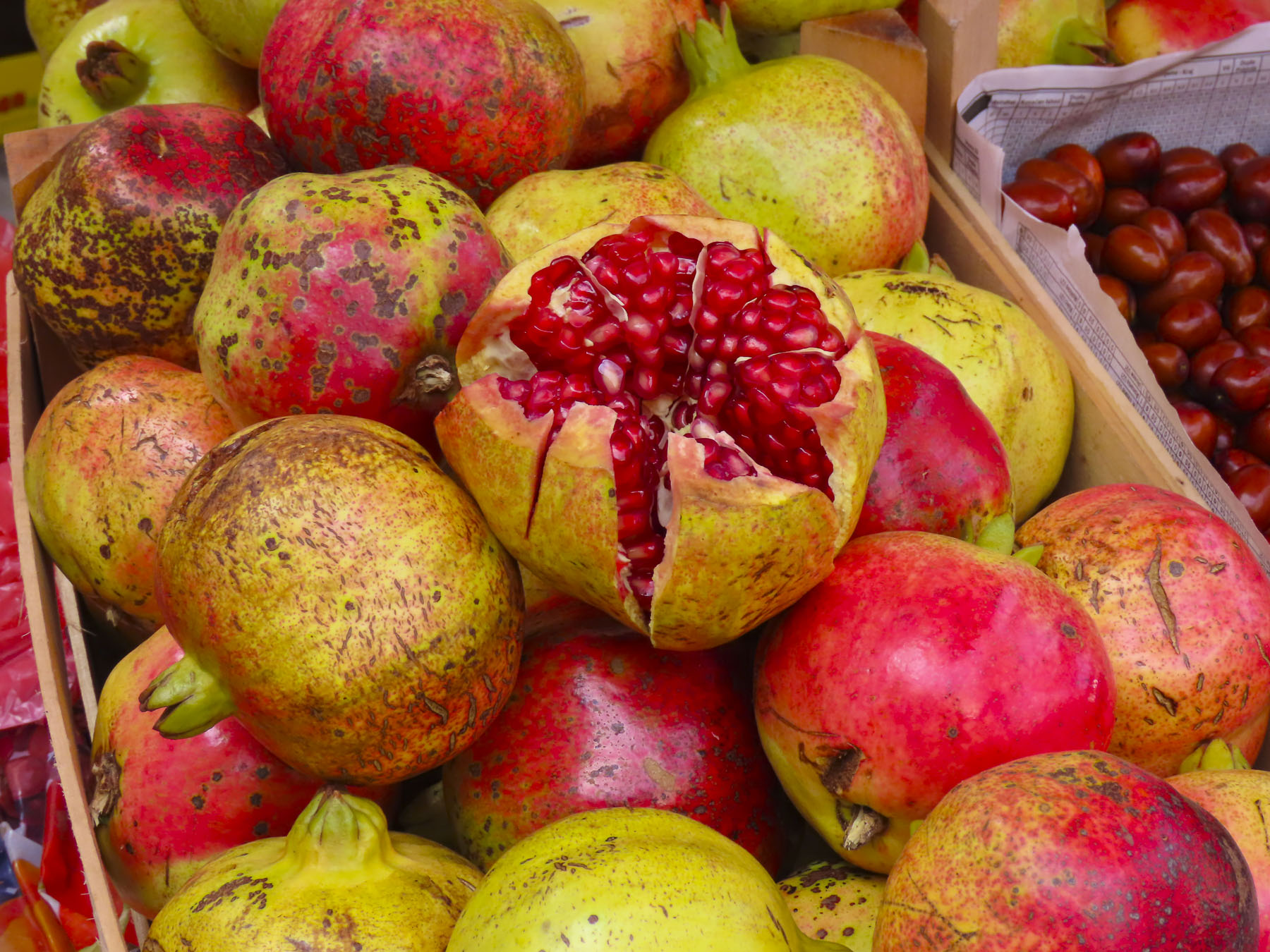
It was a gentle hike through a rock-strewn hillside dotted with grasses, small shrubs, occasional pomegranate trees and wild thyme. Off in the distance unseen donkeys could be heard braying. The pomegranates were just ripening, but were all teasingly just inches out of reach, too far from the trail’s edge. The views were fantastic from many spots and there were two rustic taverns to stop at along the way to rest. The lower one was closed for the season, but the higher one referred to as the Cheese Shop, on Google maps, is located where the trail veers off towards the deserted village of Spiljari, which is located under the back ramparts of San Giovanni Fortress.

I think we were the innkeeper’s first customers of the day, and we ordered two espressos while we rested on the shaded porch. After serving us he crossed to a refrigerator on the other side of the room to get himself a shot of chilled rakija. Being a good host, he offered us some. It was ten in the morning. We politely declined. Though I’m sure it would have had wonderful medicinal qualities in case of any mishaps.

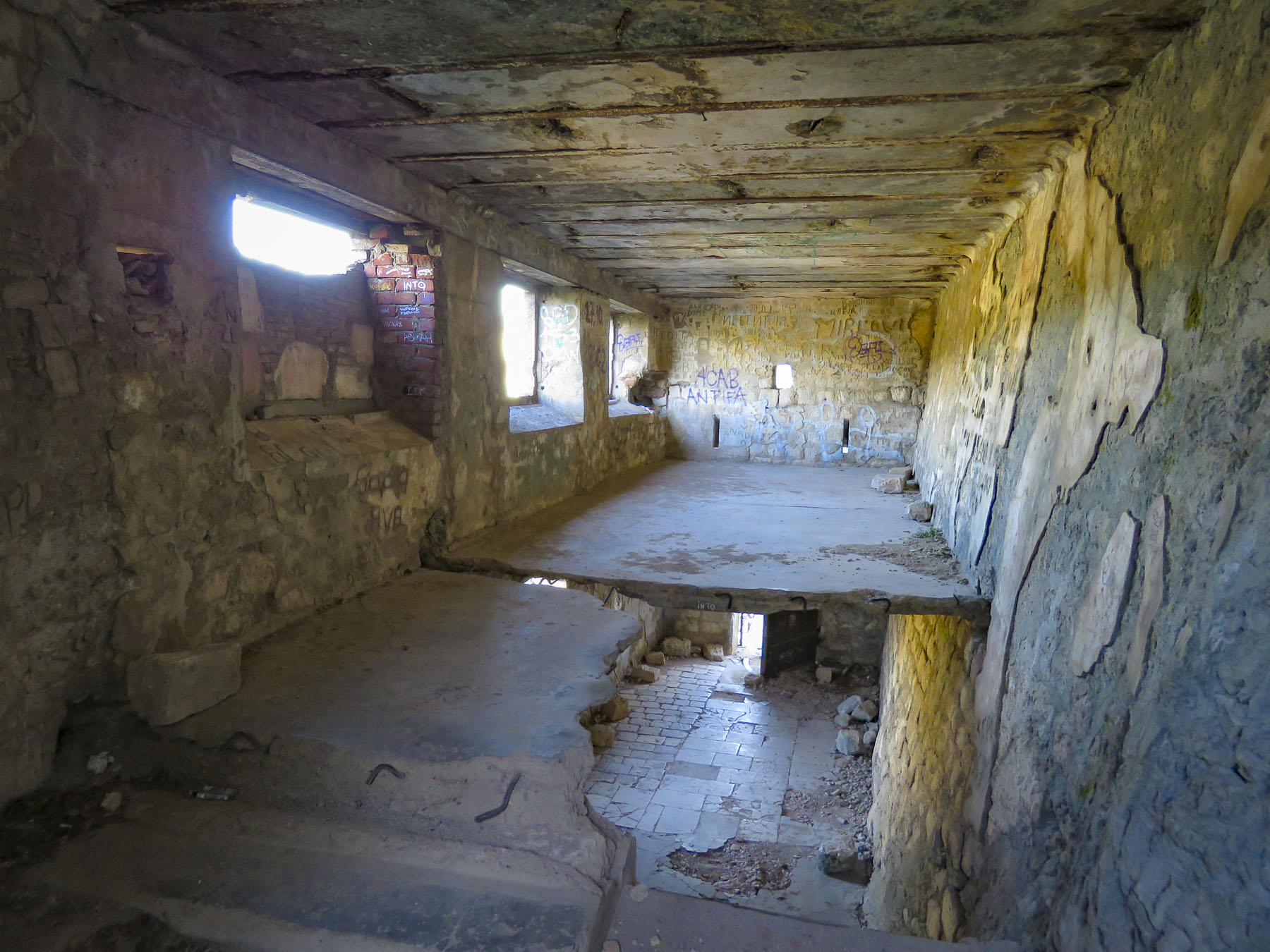
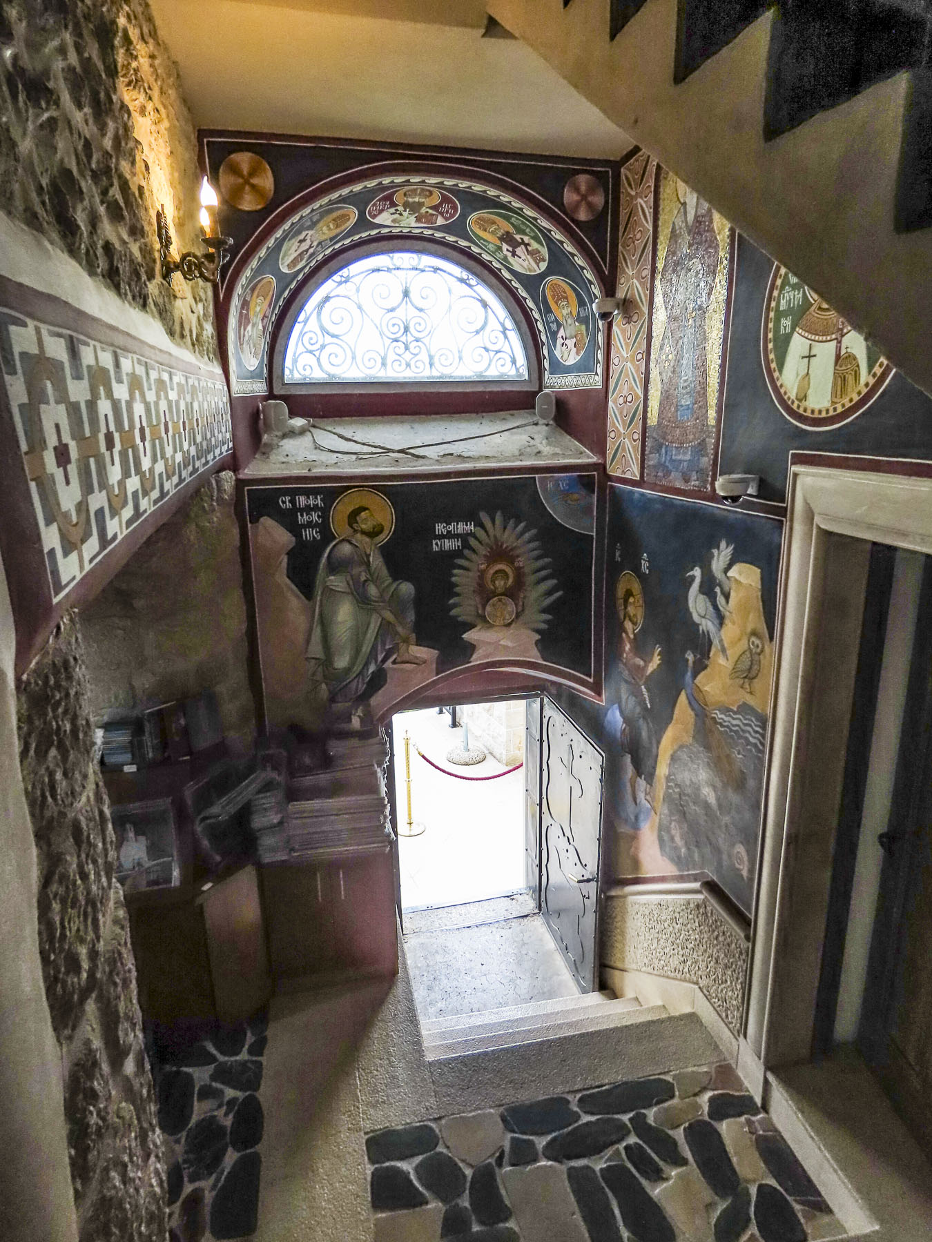
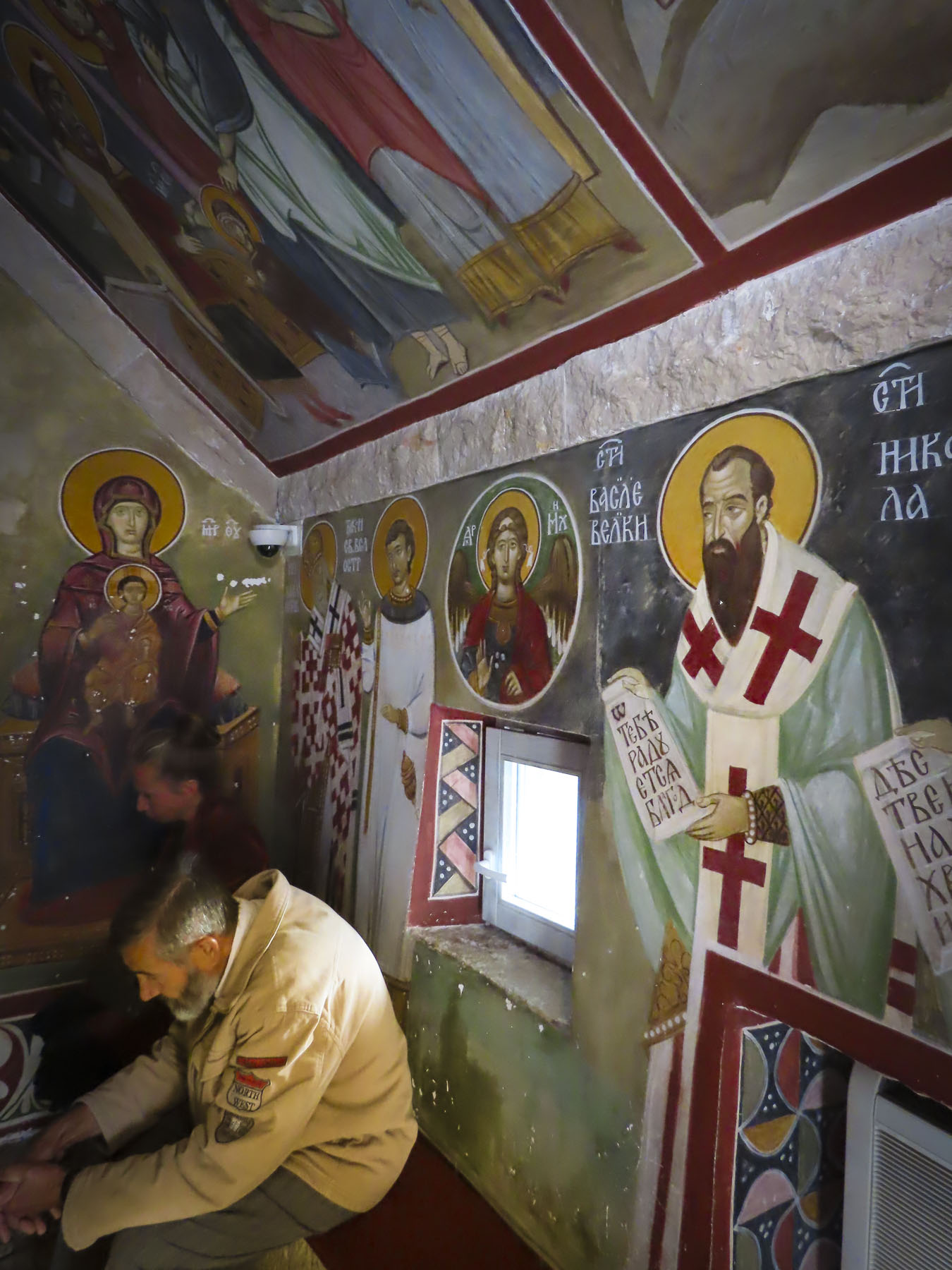
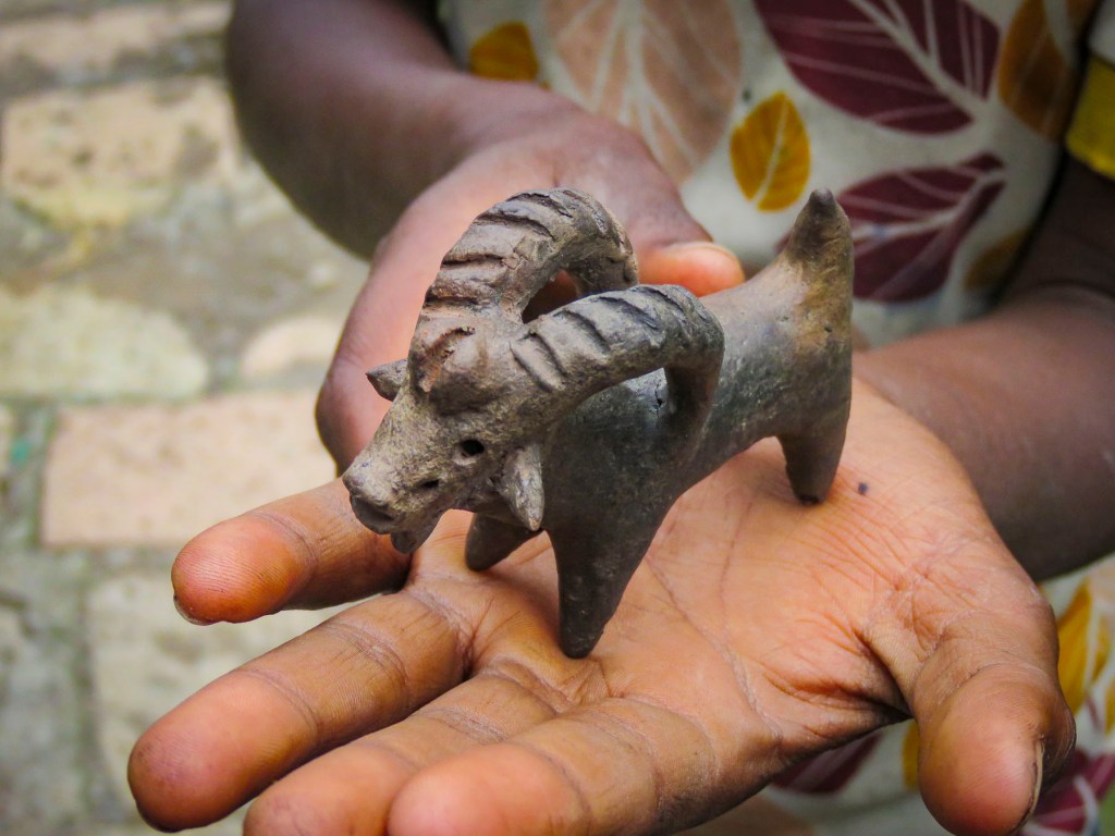
The village of Spiljari is over 1,000 years old and was abandoned when its water source went dry. Now trees grow between the half walls of a dozen buildings and the ruins of the Church of St John remain standing. The ruins of the church alone are worth the detour.

Slowly decaying, colorful remnants of what one only could imagine were beautiful frescoes remain on walls open to the weather.


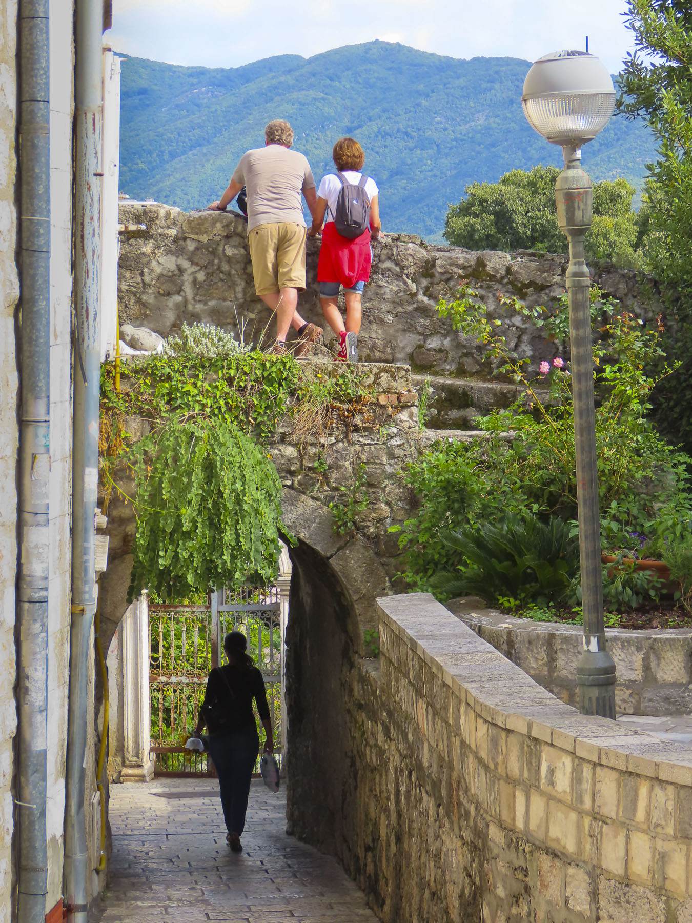
From here you can see a ladder to a small portal in the side wall of the fortress. The Ladder of Kotor? We are not sure if the name refers specifically to this or to the climb in general. Years ago, this was an alternative entrance into the fortress. Now it is strictly an exit point for those who have paid the €8 entrance fee to the fortress and walked up the stairs from old town and wish to return to Kotor by the caravan trail. Though you might be able to purchase a cold drink from an ice cooler manned by the ladder attendant.


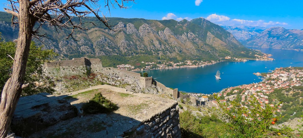
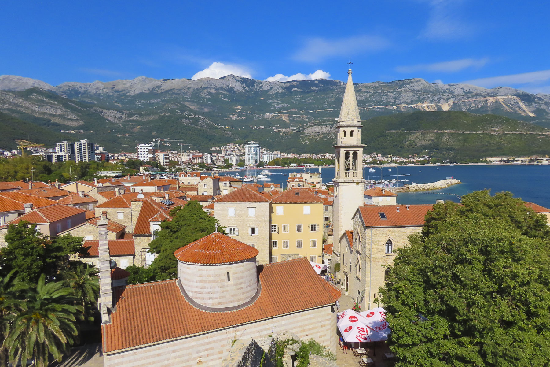
The sun was high in the sky when we made it above the castle and the view was spectacular. We sat for a while and imagined the history of the trail: how it conveyed ideas, merchandise, pilgrims and invaders over the centuries.
Notably in the 1830s a team of fifty men carried an Italian billiard table up this track to the rightfully named Biljarda House, home to the beloved prince bishop and poet Petar II Petrovic. (Just imagine the amount of cursing involved in that endeavor.) Years later when Petar II Petrovic was on his deathbed a procession carried him up this same track to the historic old capital, Cetinje. A few months later Montenegrins would carry his successor and nephew Danilo II Petrović-Njegoš to Cetinje to rule.
And although we took many photographs on the trek up, we took even more of the ever changing view as we descended back into town.
Till next time, Craig & Donna


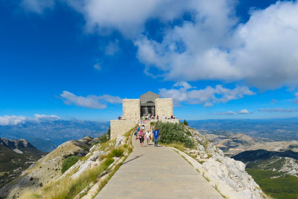


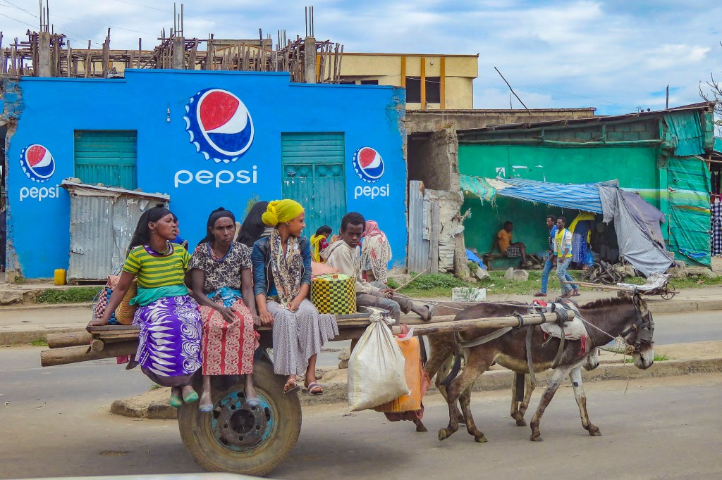


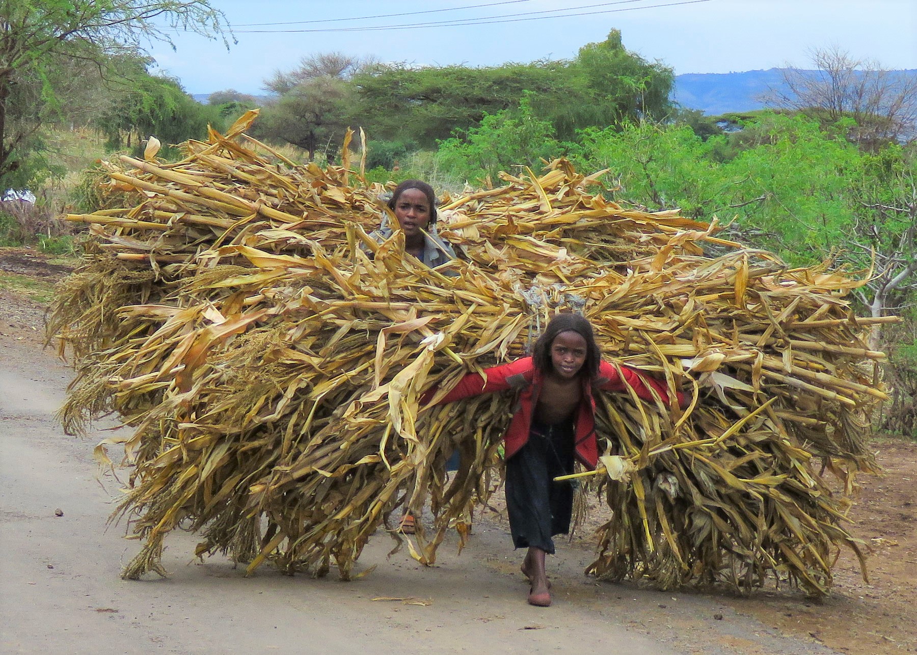


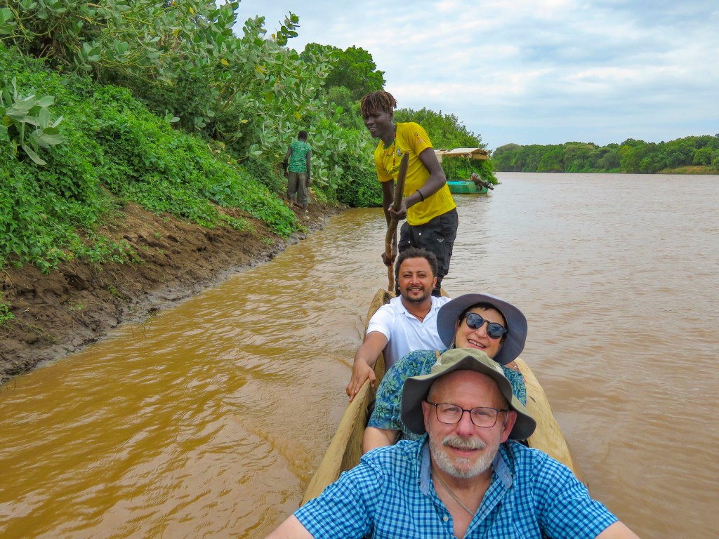


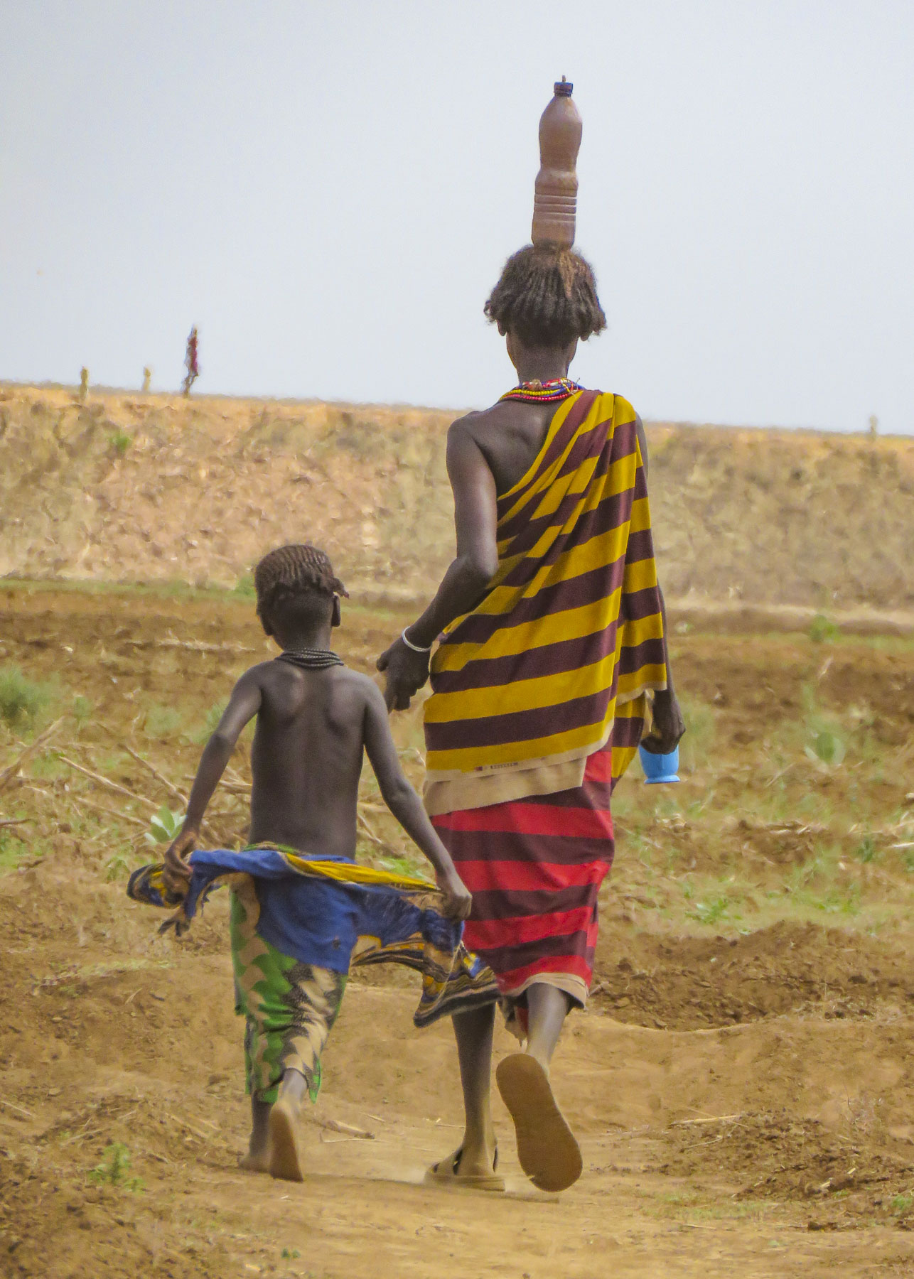


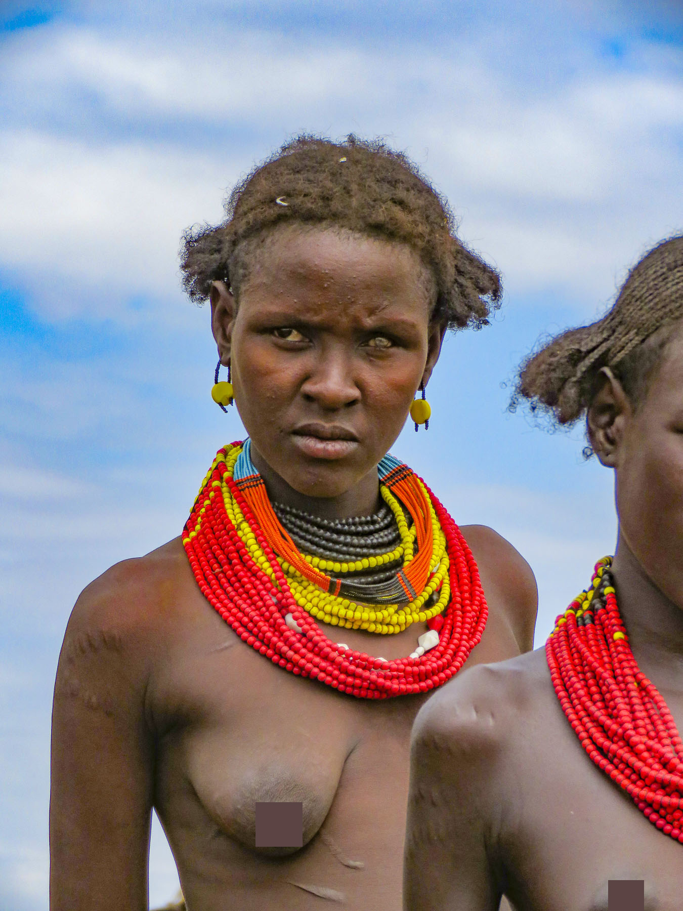


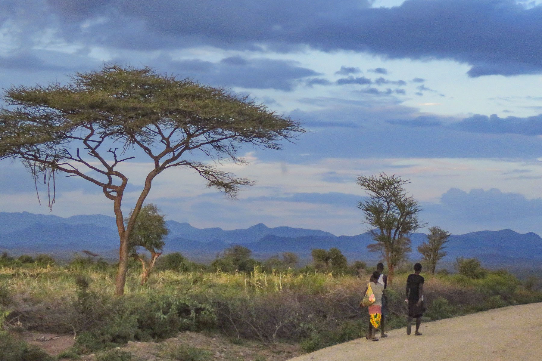


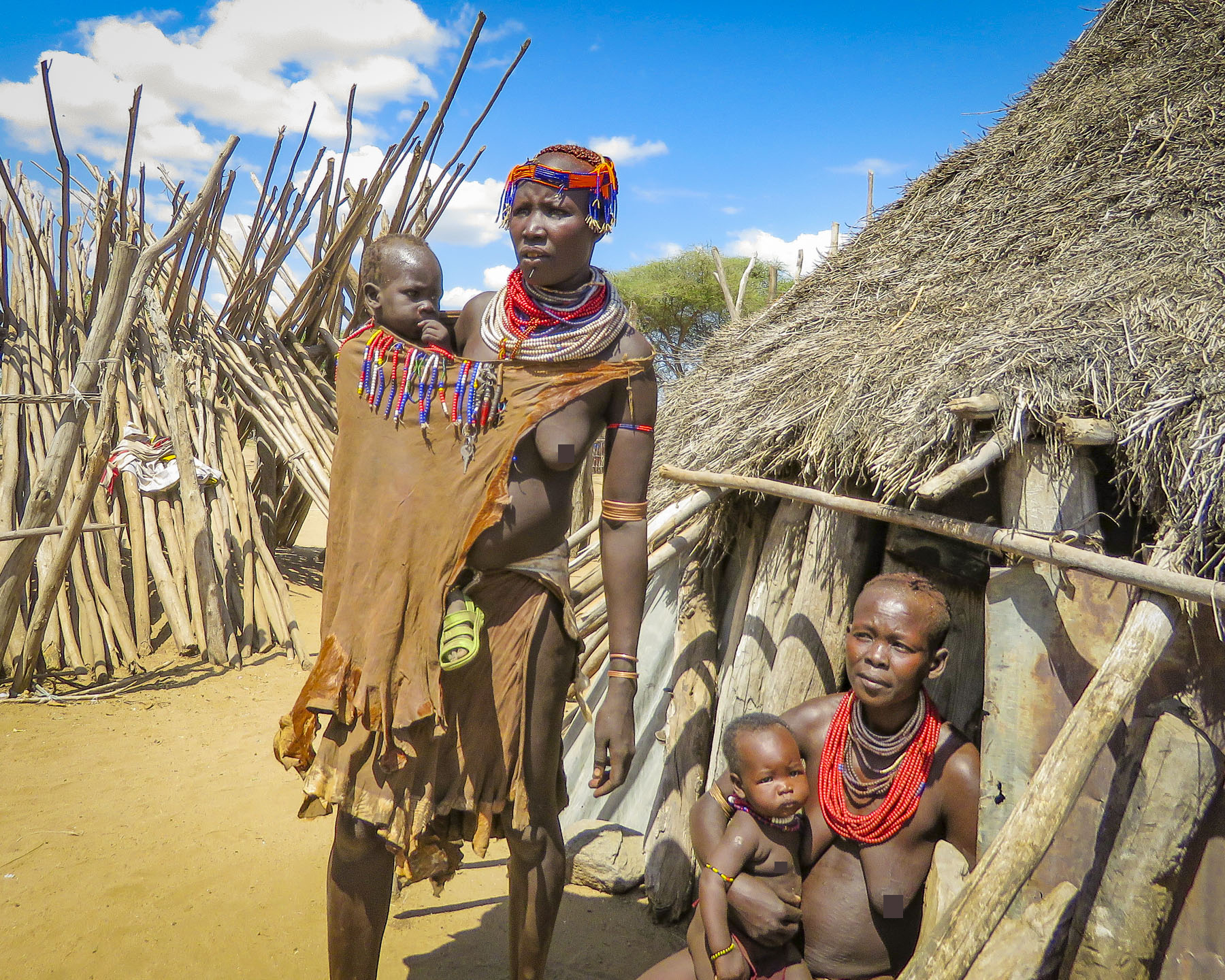
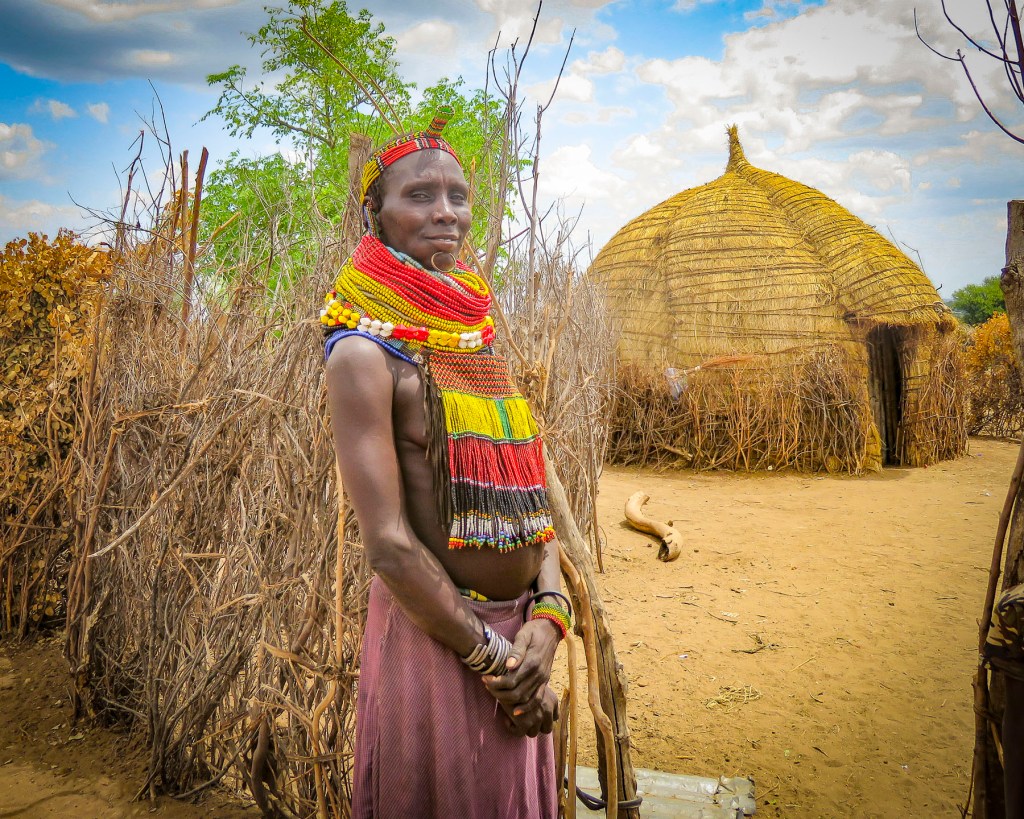
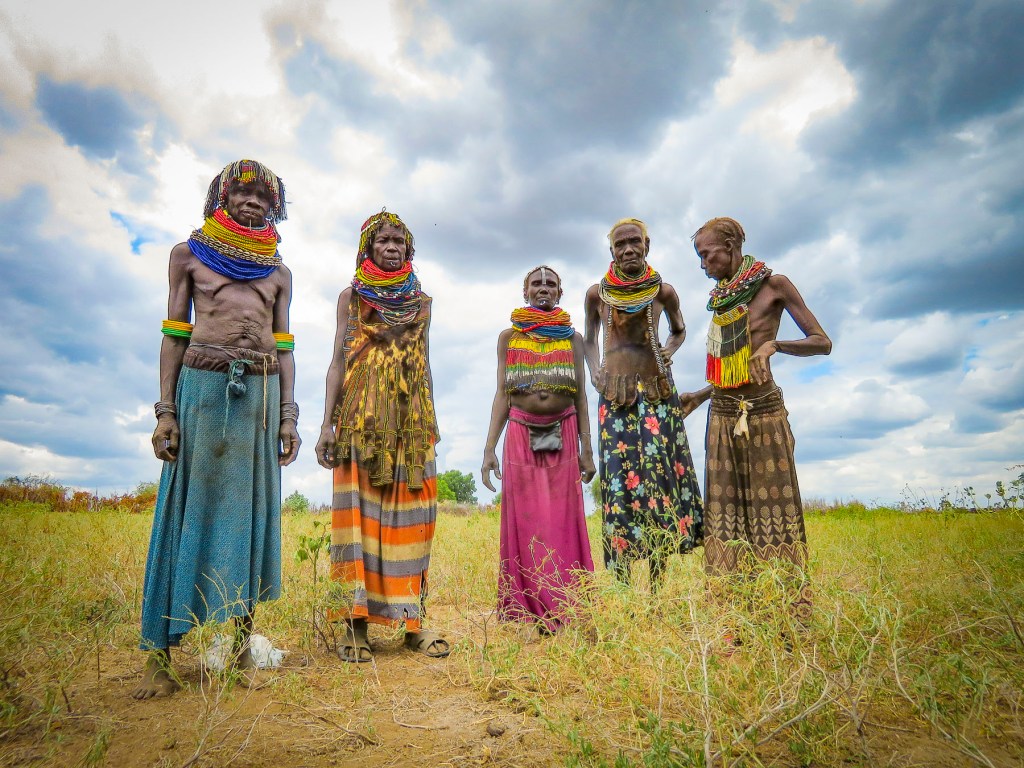

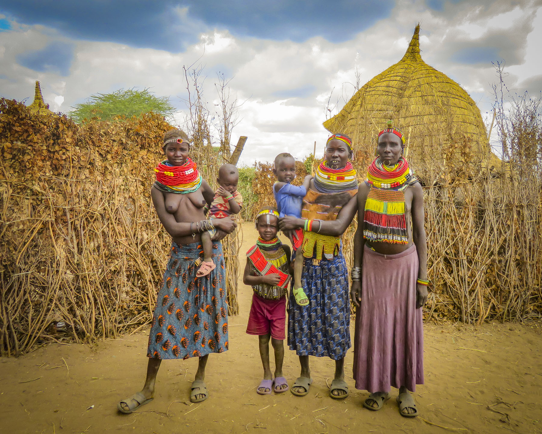


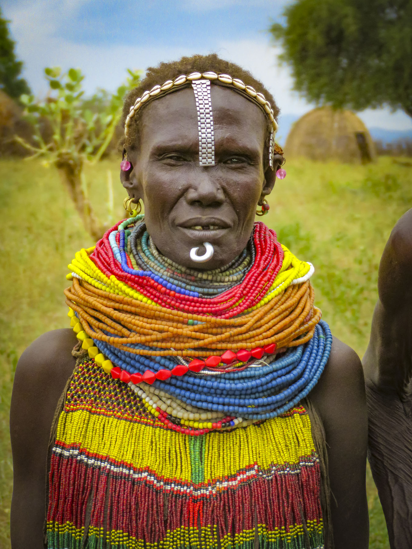


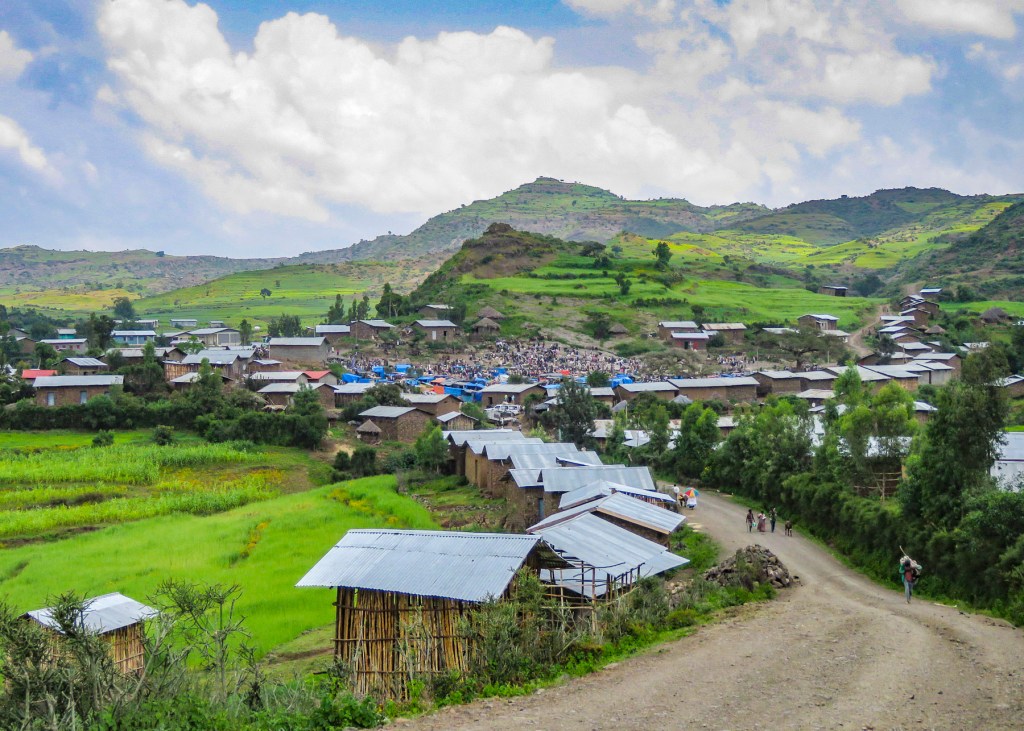
 Walking, walking, walking! The countryside is full of folks out and about on their feet. There is a rural minibus network connecting larger villages once a day, and Lalibela has tuk-tuks, of course. But mostly, whether it’s due to lack of affordability or availability, people walk to and from everywhere. Sometimes it is necessary to travel great distances to accomplish simple, everyday tasks like gathering water, heading out to tend a remote field, going to market, or even farther to visit a doctor.
 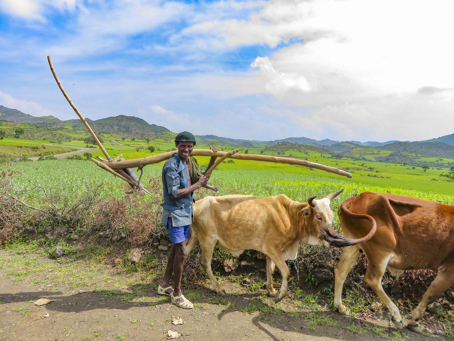 In the rugged agrarian highlands surrounding Lalibela, all the fields are tilled by farmers walking behind teams of oxen, as it has been done for centuries, on farmland passed down through a communal hereditary system called rist.
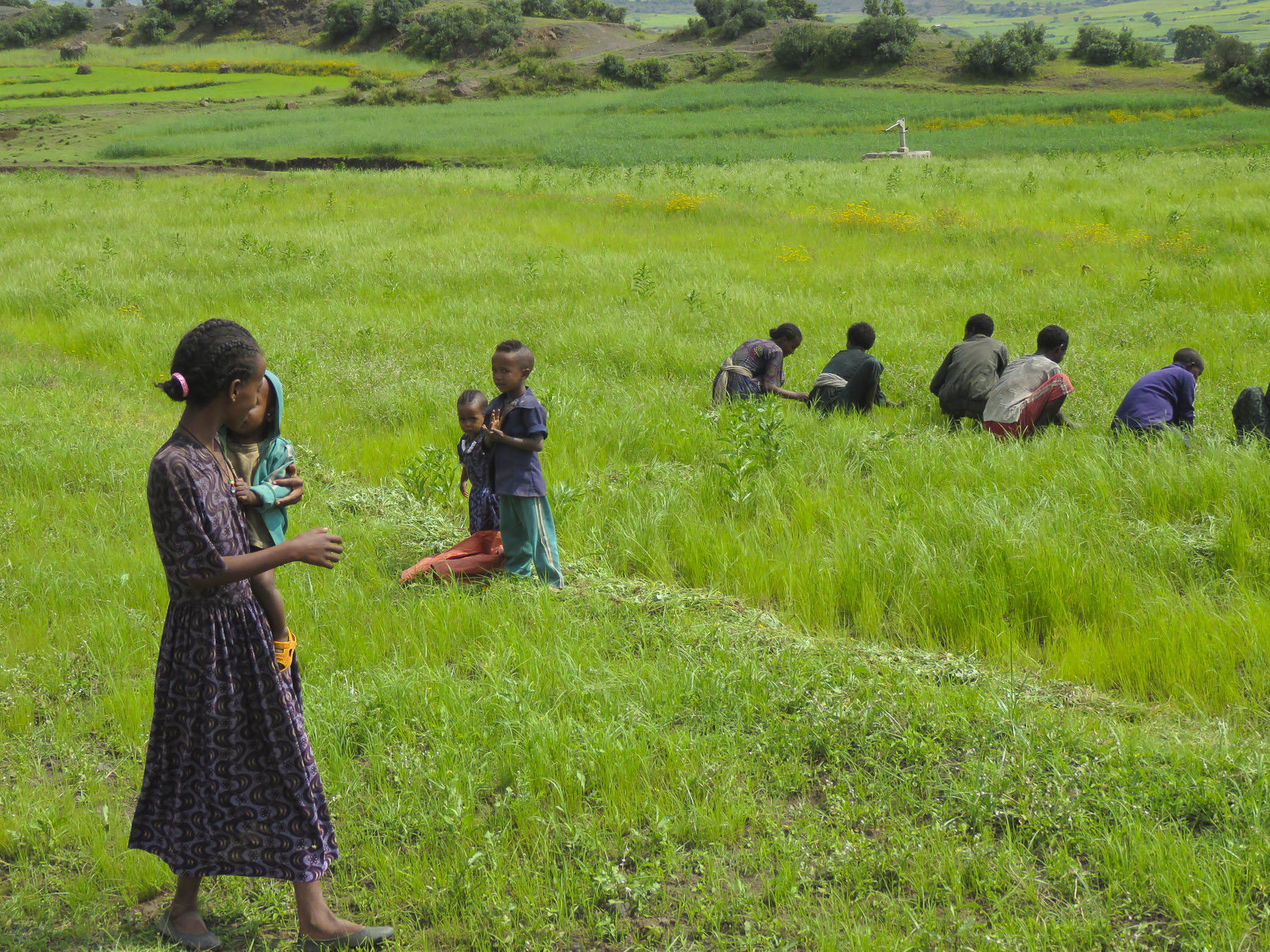


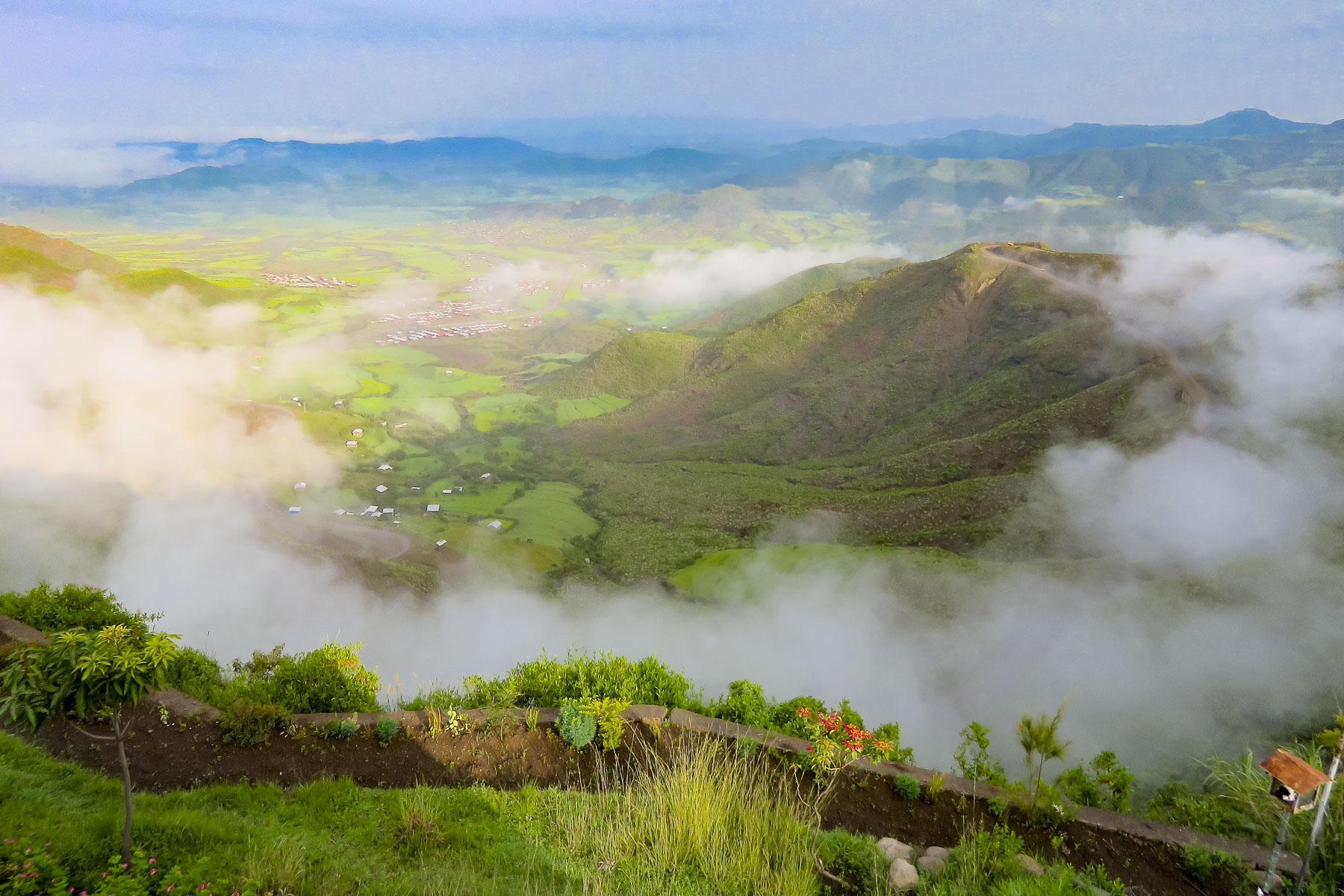 We started our day listening to bird calls and watching the morning clouds burn off from the valley below our hotel as the sun rose higher into the sky. The


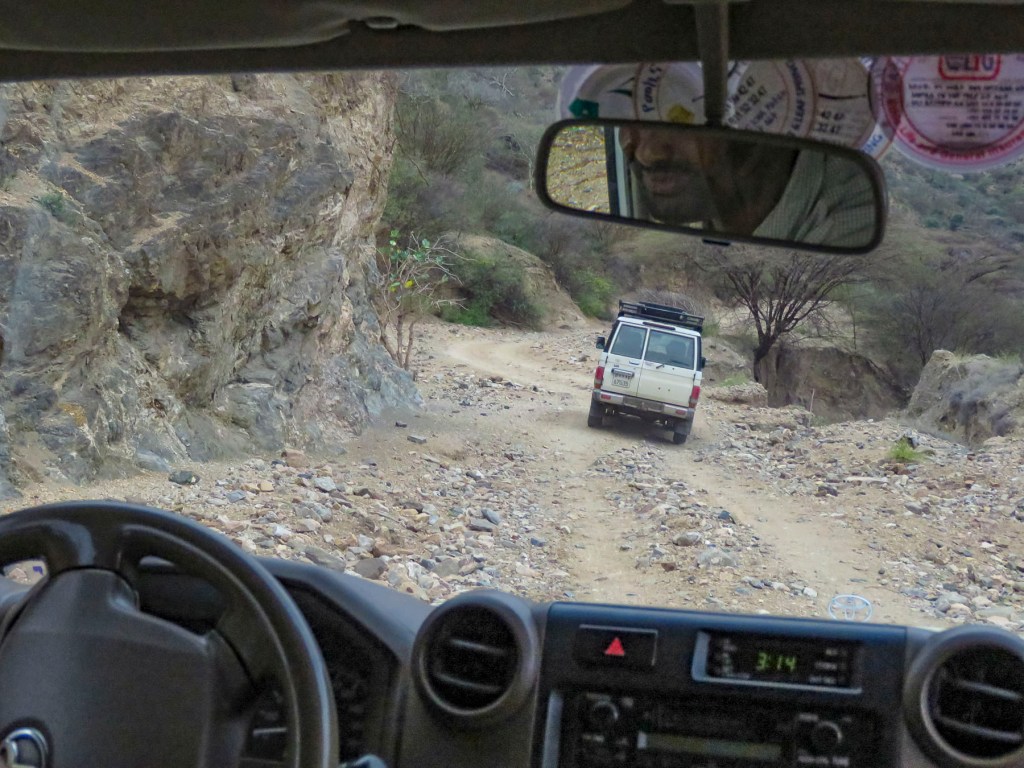
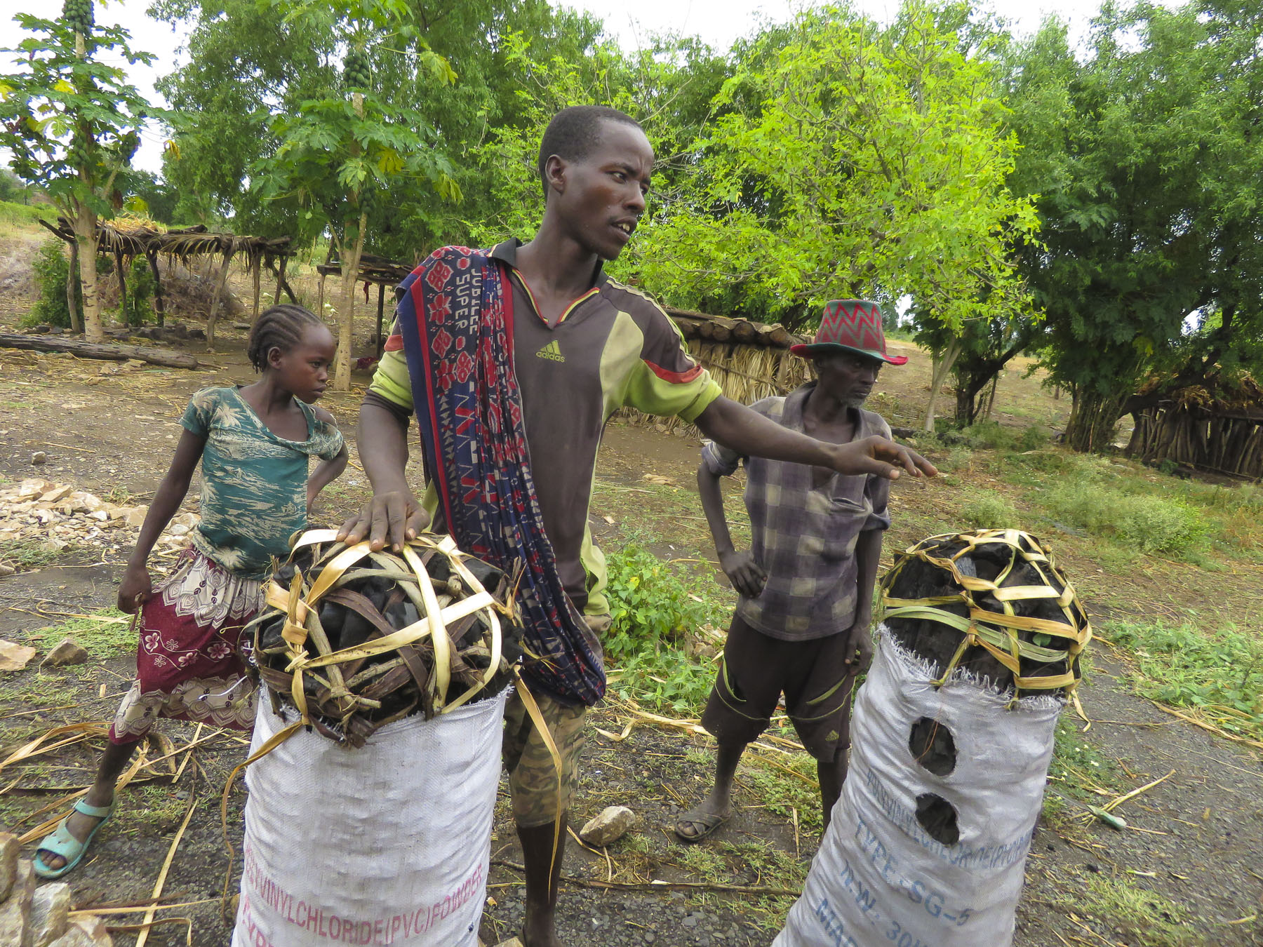
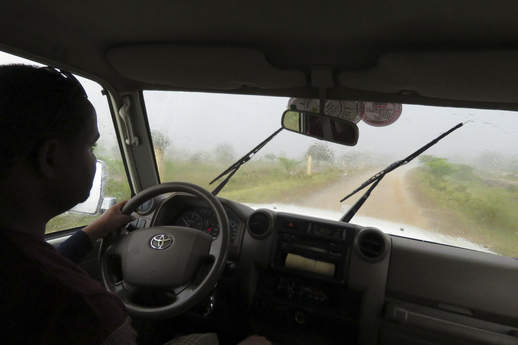
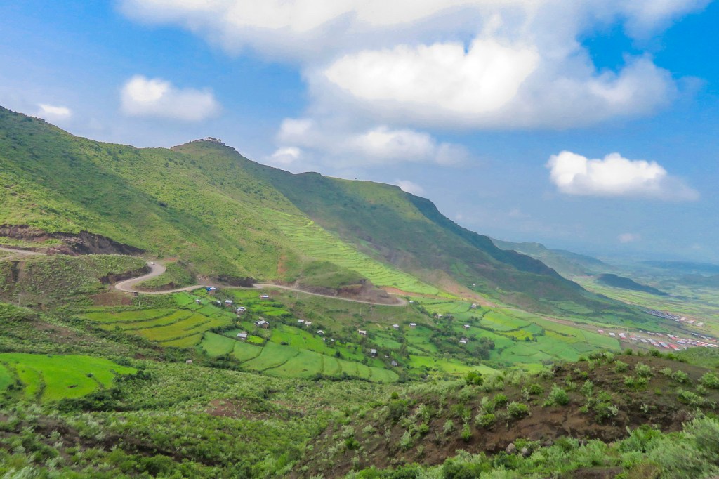
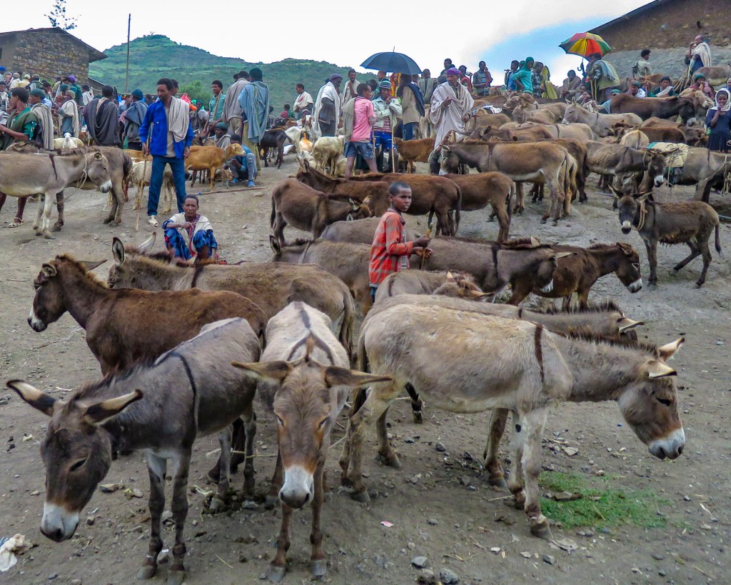
 The shops were busy, and the roadside Ping-Pong games were in full swing as we departed Lalibela. The road into the mountains rose quickly from Lalibela into a semi-forested landscape. Too steep for crops, the land was used for cattle, which grazed on clumps of wild grasses on the hillside. We stopped at one clearing for the view and noticed a herder gently nudging his cows away from recently planted tree seedlings. “This is part of our government’s commitment to reverse deforestation and help mitigate climate change. It’s called the
  “On July 29th Ethiopians planted 350 million trees in a single day, a world record!” he proudly shared. “The farmers know how important this is and help shoo the cattle away, but the government has also chosen a tree seedling that doesn’t taste good.” This annual Ethiopian project is part of the African Union’s
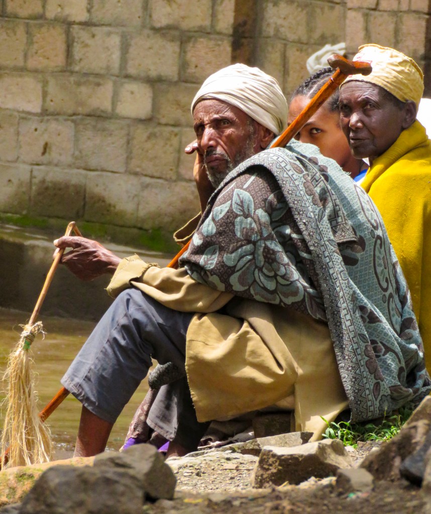
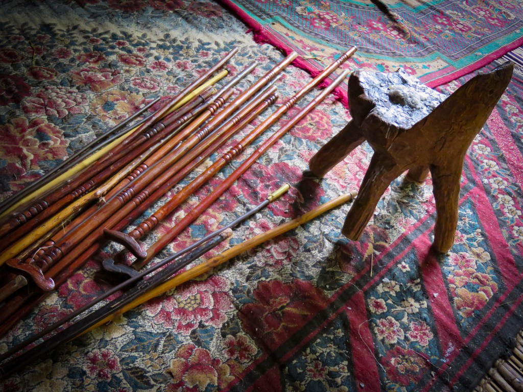
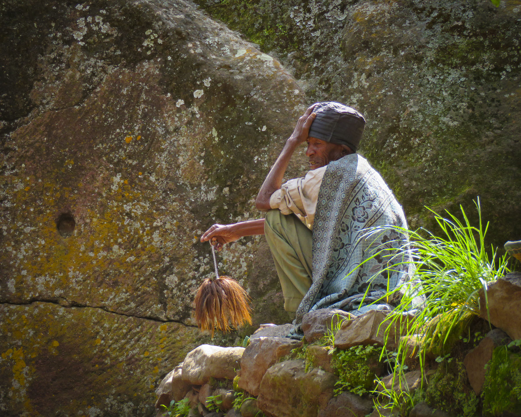
 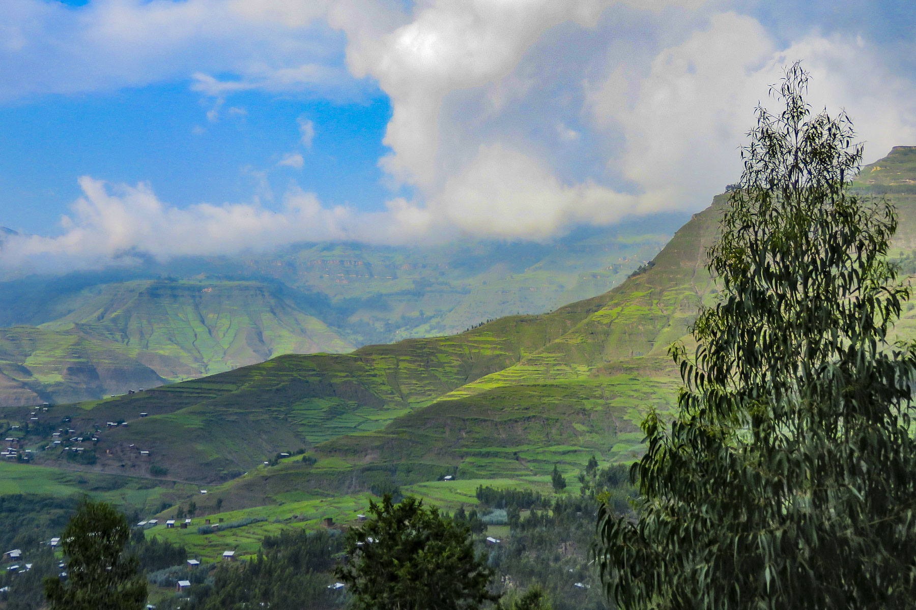 The road deteriorated after this, with deep mudded ruts tossing us from side to side regardless of how slowly we navigated through, over or around them. Our “rattled tourist syndrome” is the most appropriate way to describe the ride, while optimists might refer to it as an an “African deep tissue massage.” We were the only truck to park at the trailhead to the Asheten Mariam Monastery and were greeted with children selling handicrafts, and young men renting walking sticks and offering to accompany us on the hike.
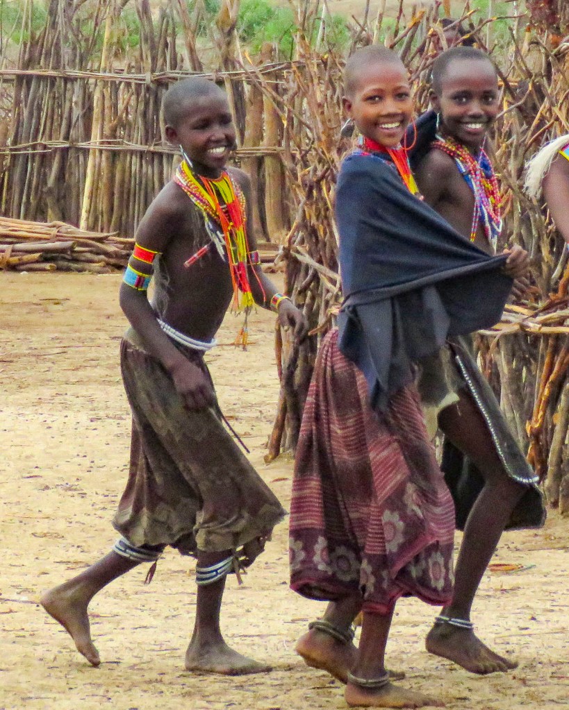
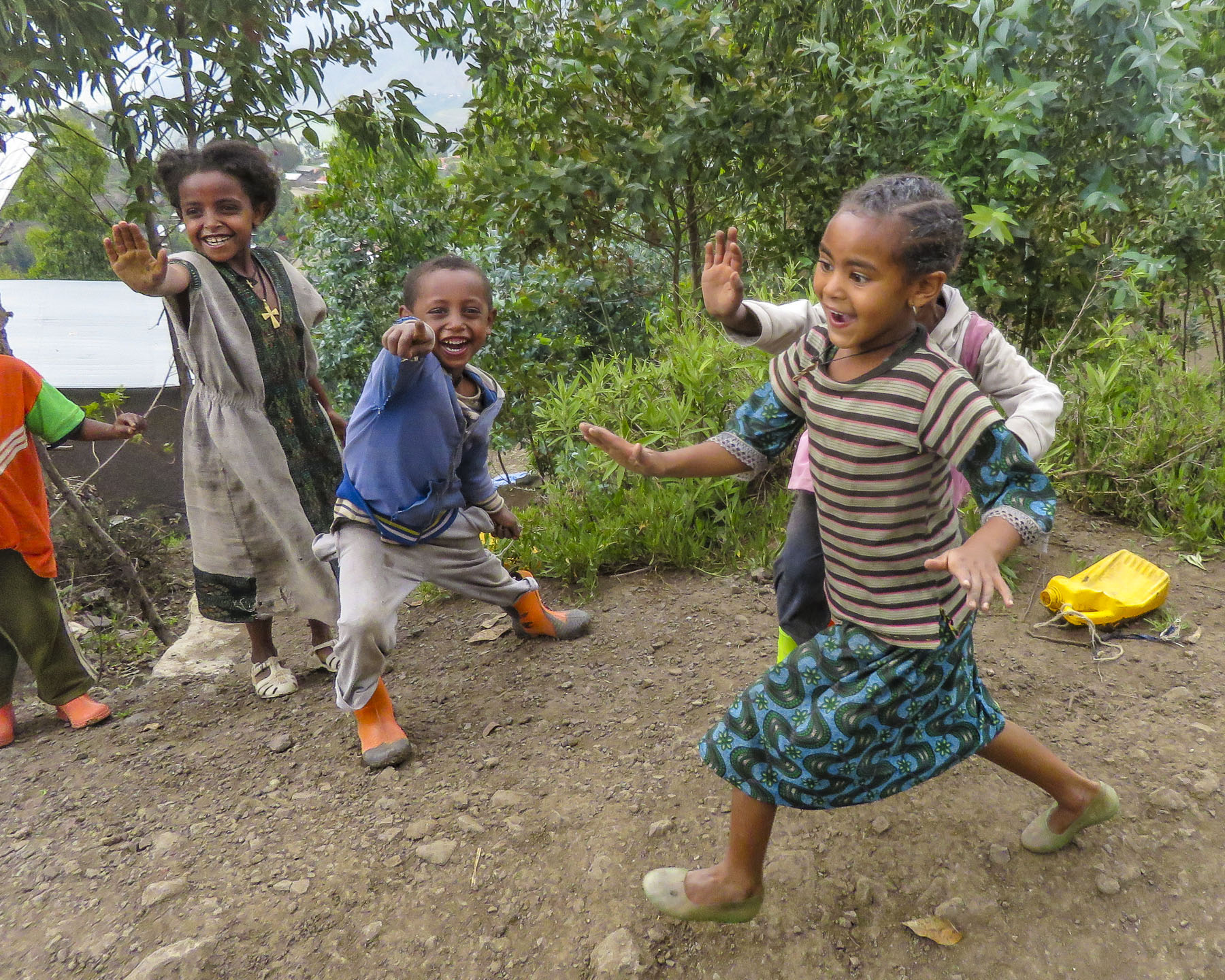 Confident in our abilities we declined, but they tagged along anyway. This was a good thing. What our guide had forgotten to mention was that there was a short steep section at the beginning of the hike, before it leveled off. Within minutes, between the altitude and the terrain, our hearts were pumping and my wife, who struggles with asthma, was gasping for breath. We are unfortunately not the 7 second 0-60mph vroom, vroom of a 1964 Corvette anymore, but more like the putt-putt of a classic Citroën 2CV. We get there, eventually. So, our guide, forgetting his youth and our age, led the way from a distance, as if he was channeling
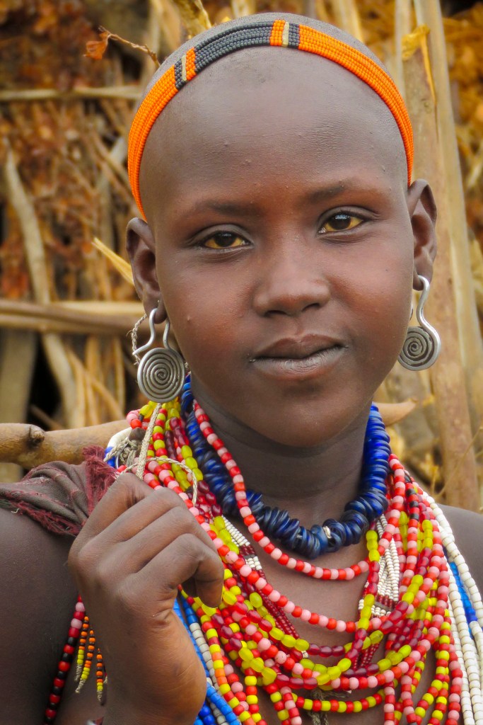
  It was at this point that my wife spoke up. “Girma, you must think of me as the same age as your mother.” Instantly, his attitude became very solicitous, and he smilingly offered her a hand or other assistance at every opportunity. We marveled at the agility of the local kids. They nimbly scampered up and down the trail, easily outdistancing us, in order to set up their little trailside displays of carvings and beadednecklaces. When we didn’t purchase at first, they simply packed up and reappeared further up the trail. We had to reward such perseverance with a couple of purchases.
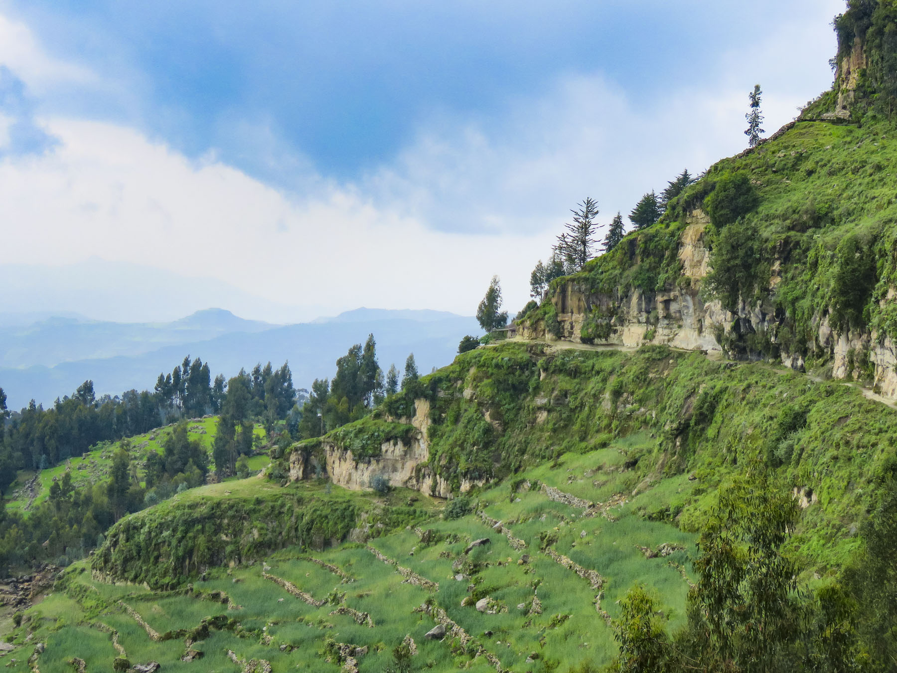 Meanwhile, we regained our pace as the trail leveled off and tracked along the base of a cliff face that fell away to terraced farmland far below. The incline of the trail continued to rise; the walking sticks were now invaluable in helping us steady our footing on the rough path. Around a curve the trail abruptly narrowed at a sheer rock wall broken by a vertical chasm, slightly wider than our shoulders.


 Imprinted at the bottom of a page in one ancient text were the thumbprints of the ten scribes who helped copy the book. Legend has it that it was the first church ordered built by King Lalibela during his reign in the twelfth century and that his successor, Na’akueto La’ab, who only ruled for a short time, is buried there.


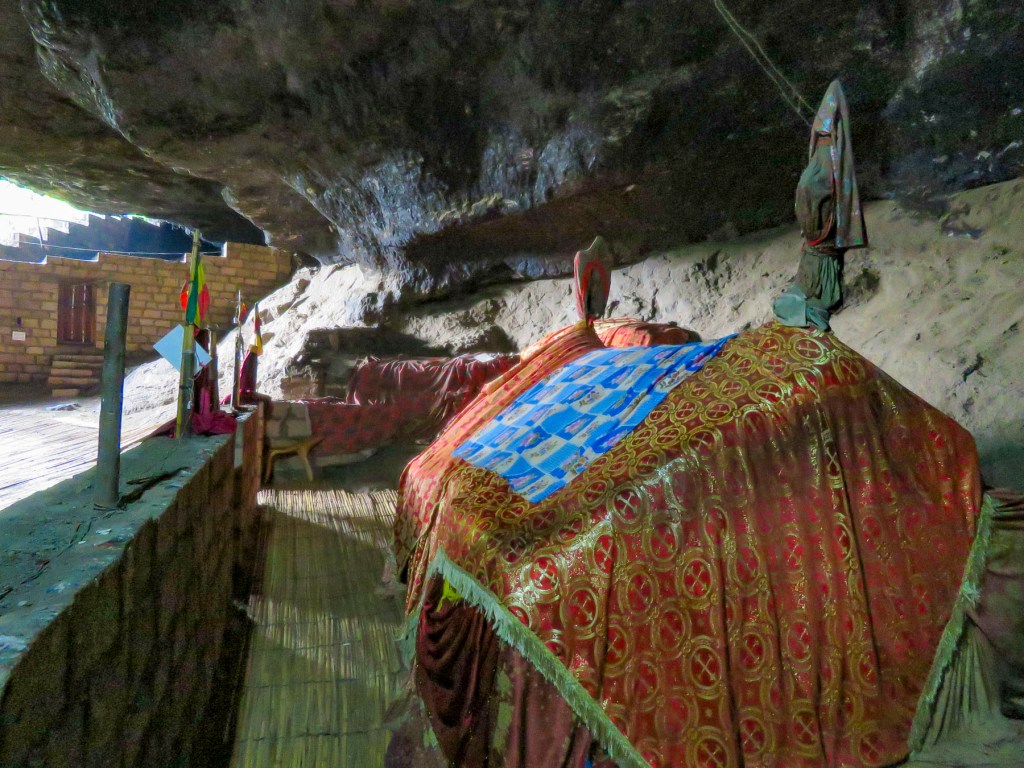
 Coming to the end of the road, we could see the monastery dramatically situated behind a small waterfall, in a long shallow cave at the bottom of a cliff.

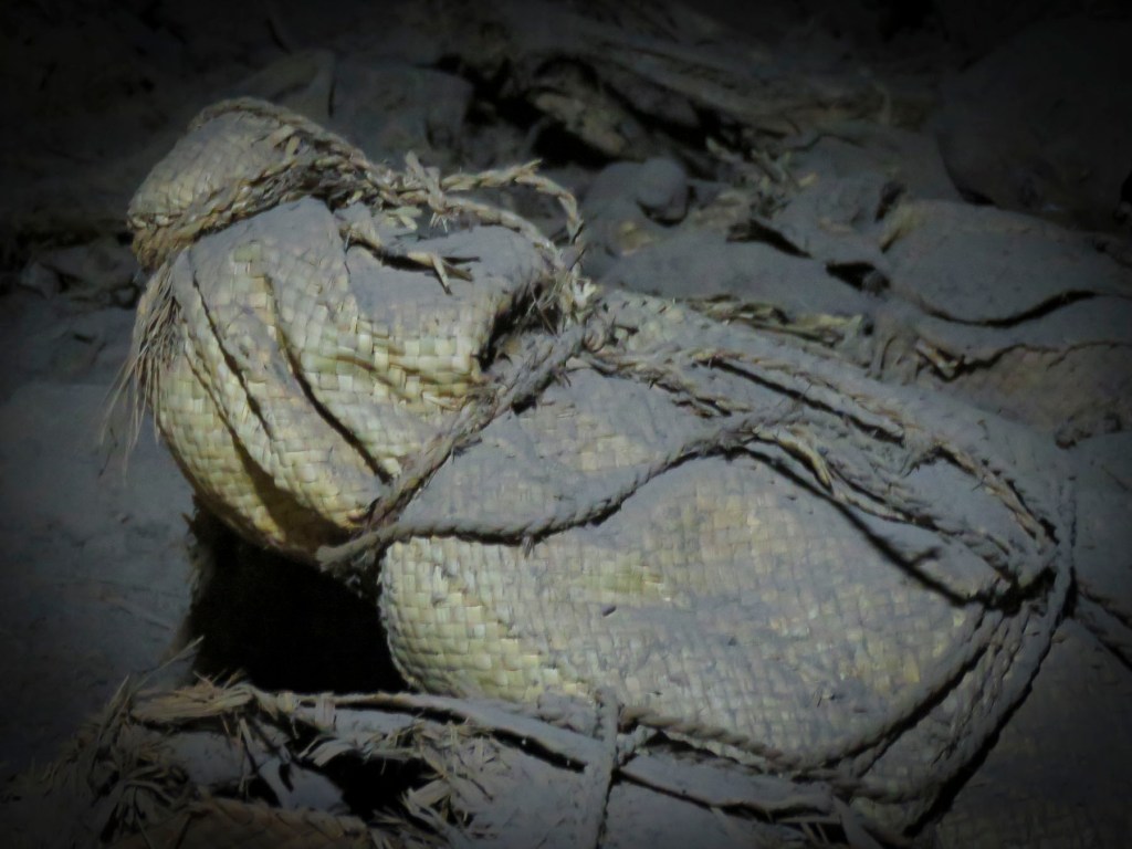
 Stone bowls smoothed from centuries of use sat in various places on the rough floor to collect the water seeping from the cave’s ceiling one drip at a time. It gets blessed by the priest and used as Holy water, continuing a tradition from the 12th century when King La’ab ordered the monastery’s creation.


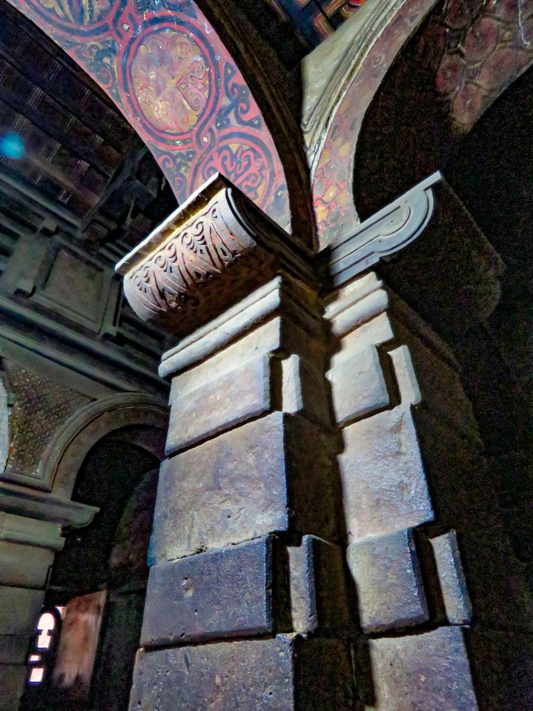
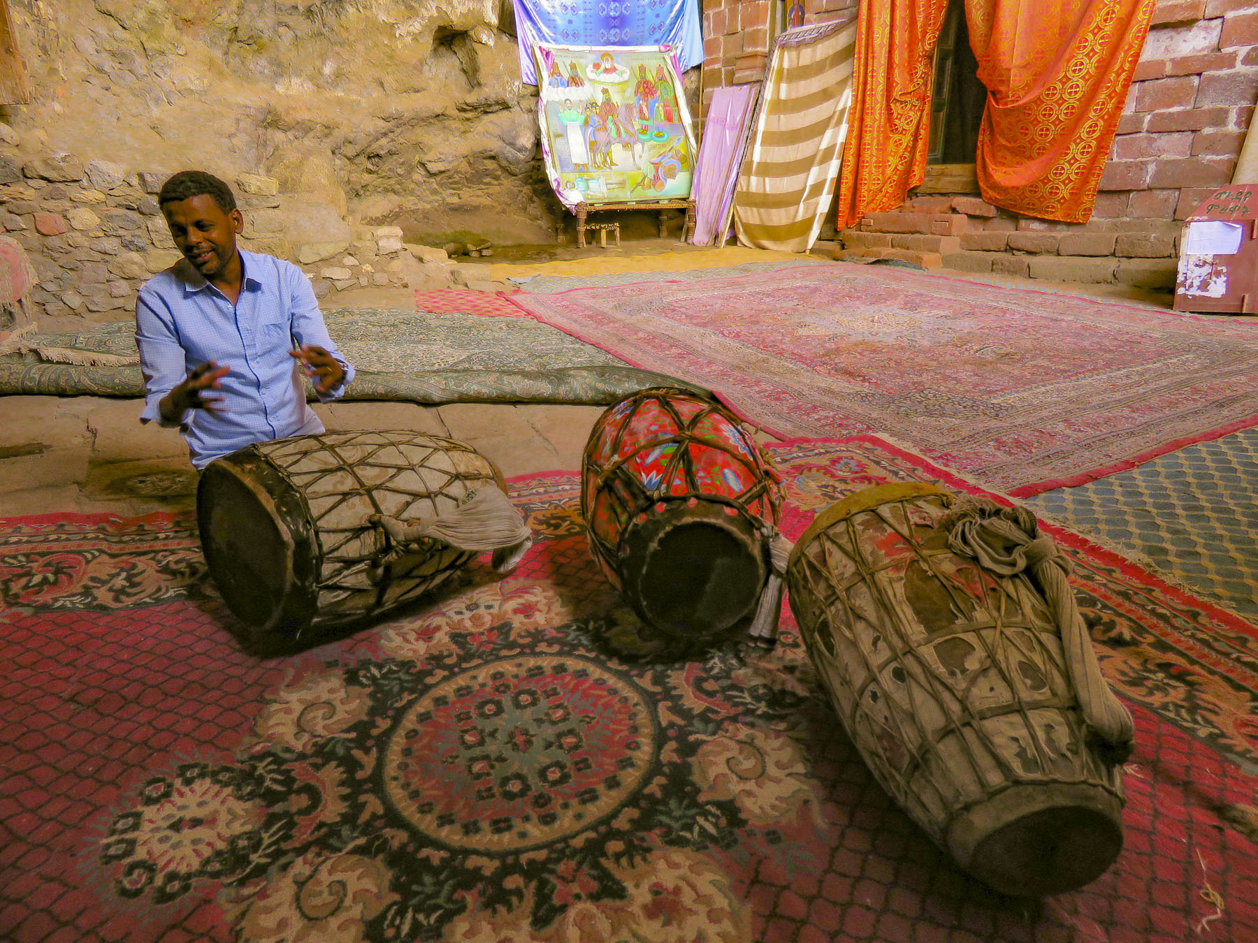 In the learning area, layers of carpet attempted to smooth an uneven, rocky floor where the novitiates sit to learn the ways of the orthodox church. In the corner rested several large ceremonial drums used during worship services. Picking one up our guide beat out a rhythm that would normally accompany liturgical chanting, or Zema, by the young monks. We’ve noticed that the treasures of the Ethiopian churches are not determined by their monetary value and locked securely away, only to be used on religious holidays, but by their spiritual connection. Precious, irreplaceable, ancient bibles and manuscripts, lovingly worn and torn as they are, continue to be used every day, as they have been for the last nine-hundred-years.
 It is well worth the effort to visit these remote churches and monasteries. The physical strength required and hardships endured to build these remote churches as a testament of faith continues to be inspiring.
