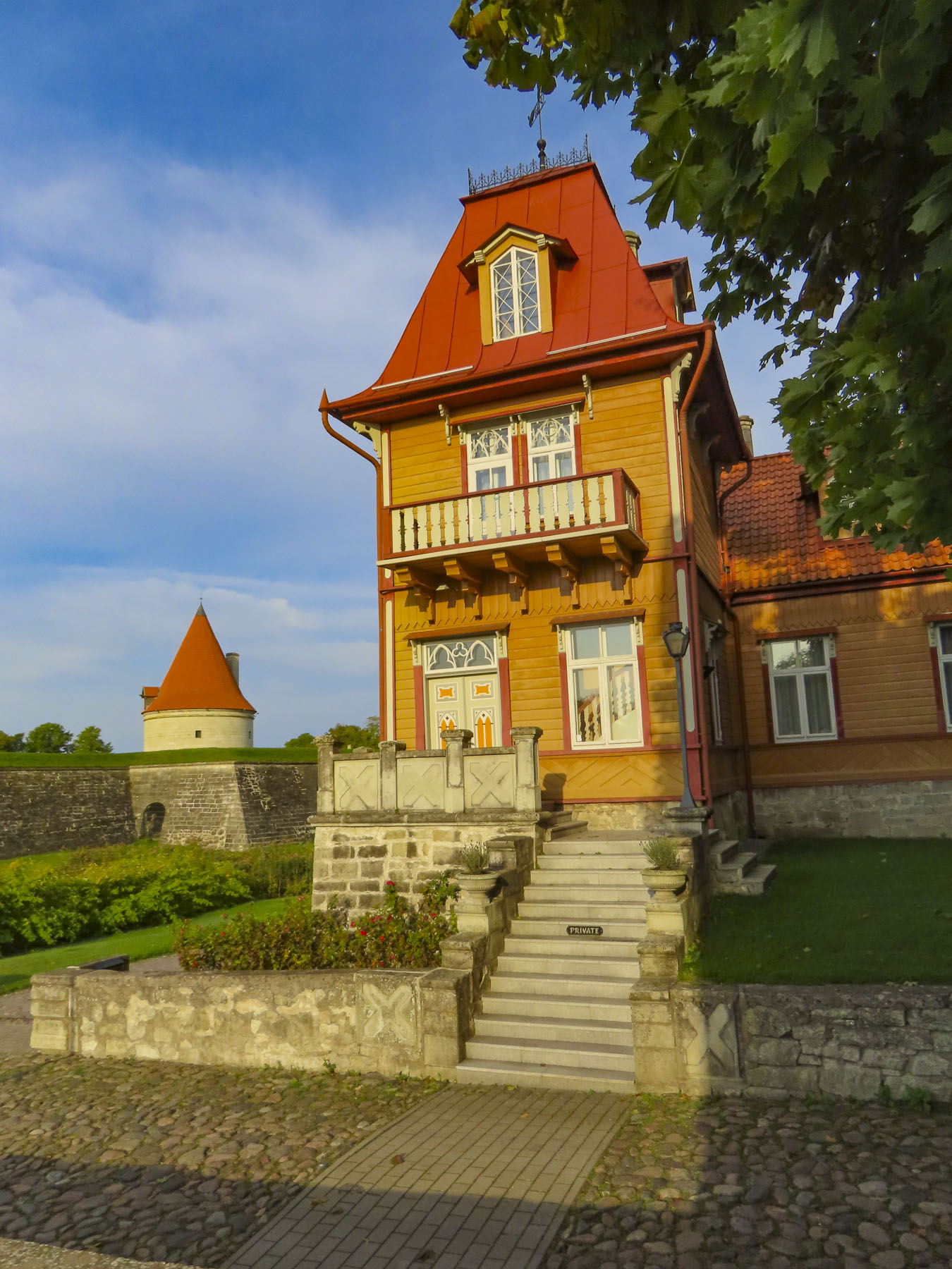
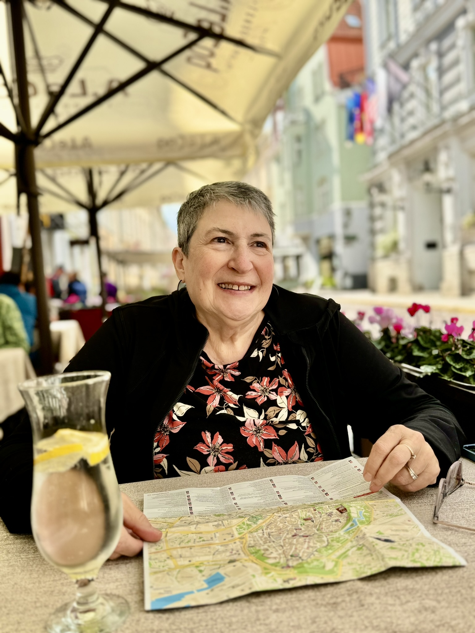
Mornings with overcast skies, which cleared by noon, had prevailed for the past two days. We hoped that this weather pattern would continue as we headed north from Sigulda to Tartu under a gunmetal gray sky. It would be less than a three-hour drive if we drove directly there, but that’s not our modus operandi. Over wine the night before we had scoured the map along our tentative route and highlighted some picturesque and fascinating stops for further exploration in the region.

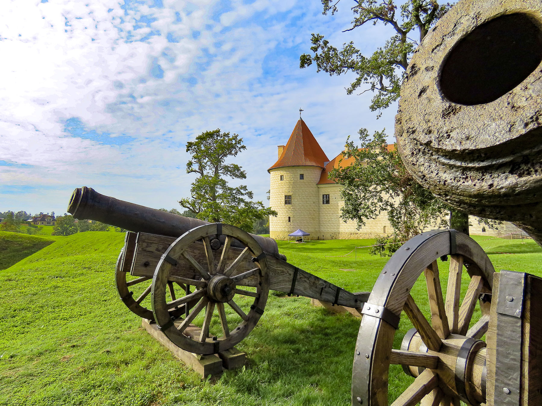
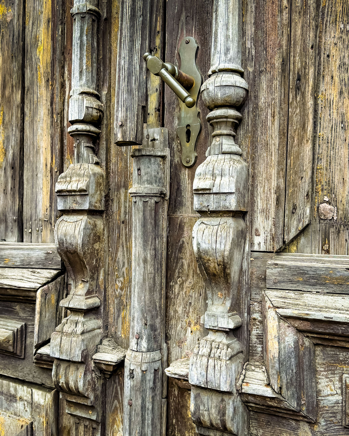
After a short 20-minute drive from Sigulda we stopped at Lielstraupe Castle. It was originally constructed in the later part of the 13th century as a crusader fortress by Voldemar von Rosen, a Teutonic knight and vassal to the Archbishop of Riga, who had initiated a crusade into the region to forcibly convert the area’s pagan tribes to Christianity. The thriving medieval village of Straupe grew around the castle and was a merchant town within the Hanseatic League. It was totally destroyed during the Polish – Swedish wars in the early 1600s and never rebuilt. The castle, now a substantial manor home after being rebuilt from ruins after the wars of the 17th century, remained sporadically in the possession of the von Rosen family, through centuries of the region’s conflicts, until 1939. During the Soviet era the manor was used as the Lielstraupe Tractor Station, with its rooms and stables being used for classrooms, workshops, and dormitories. In the 1960s the estate was used as a psychiatric hospital. Since 2023 the castle has been owned by the Municipality of Cēsis, which has opened it to tourists as it undergoes renovations. Unfortunately, we were unable to tour the interior of the manor, since we stopped by before its opening time.
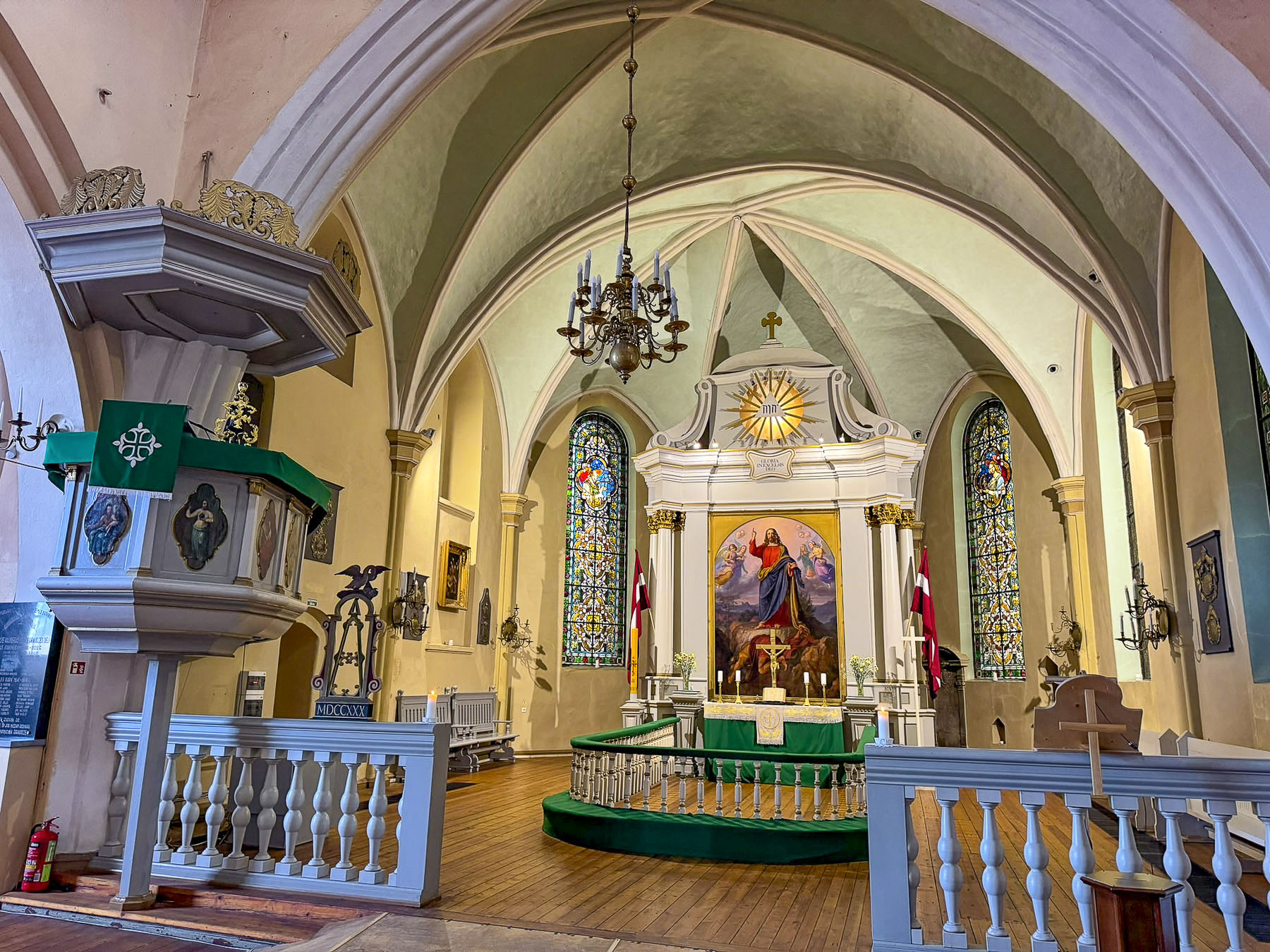
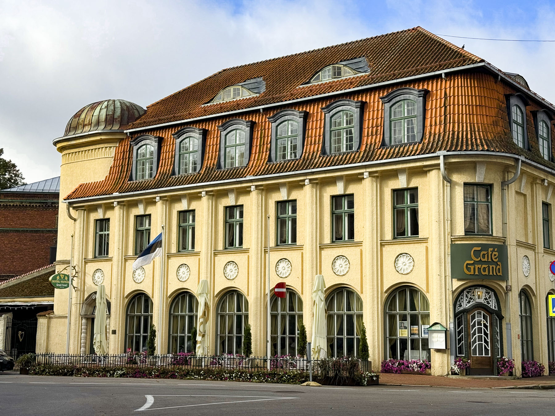
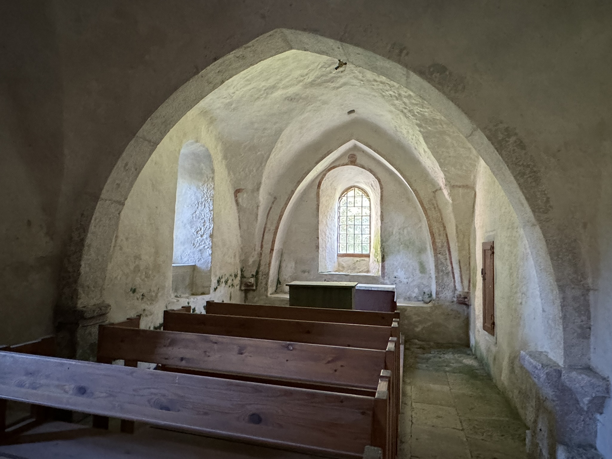
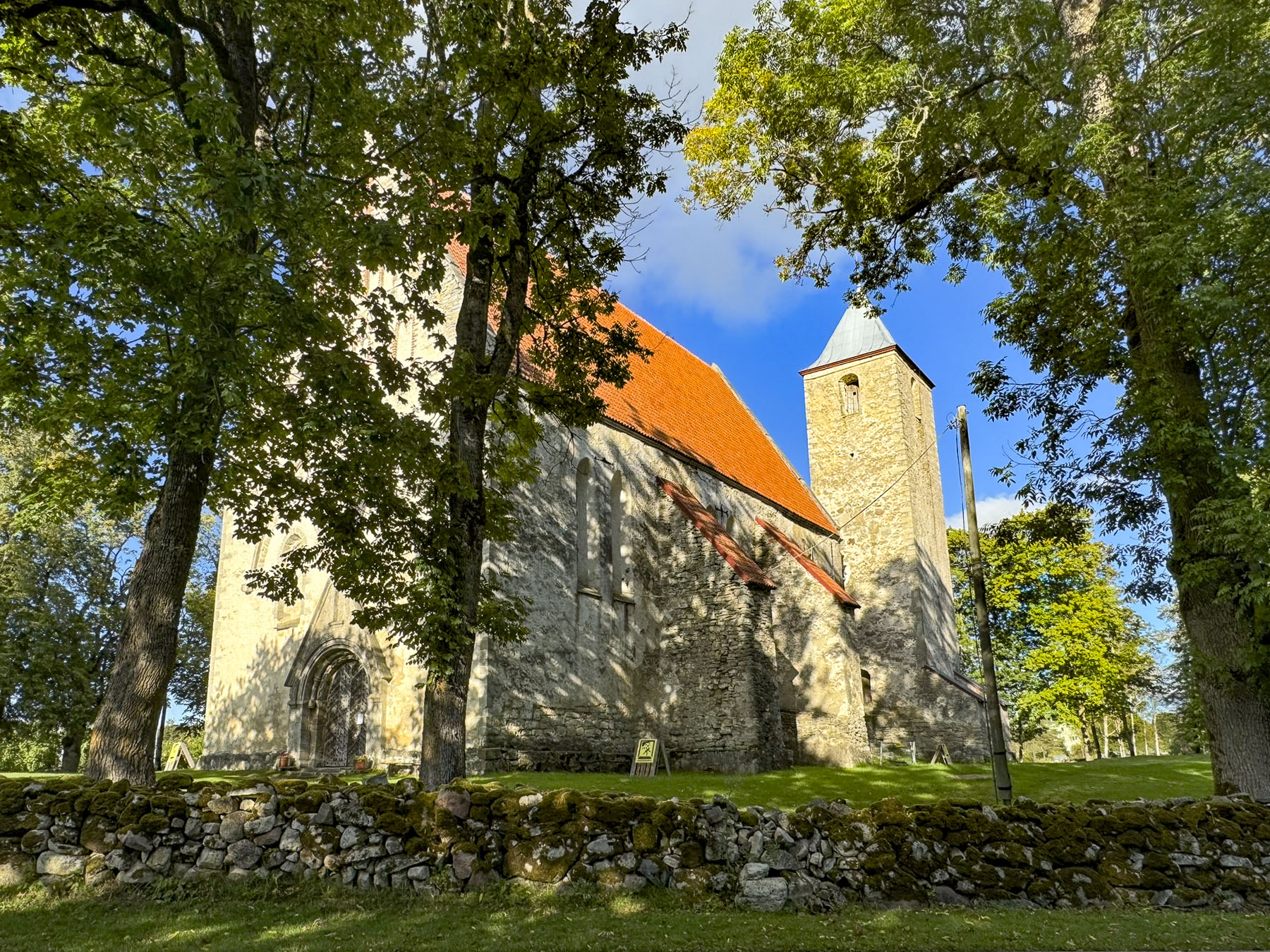
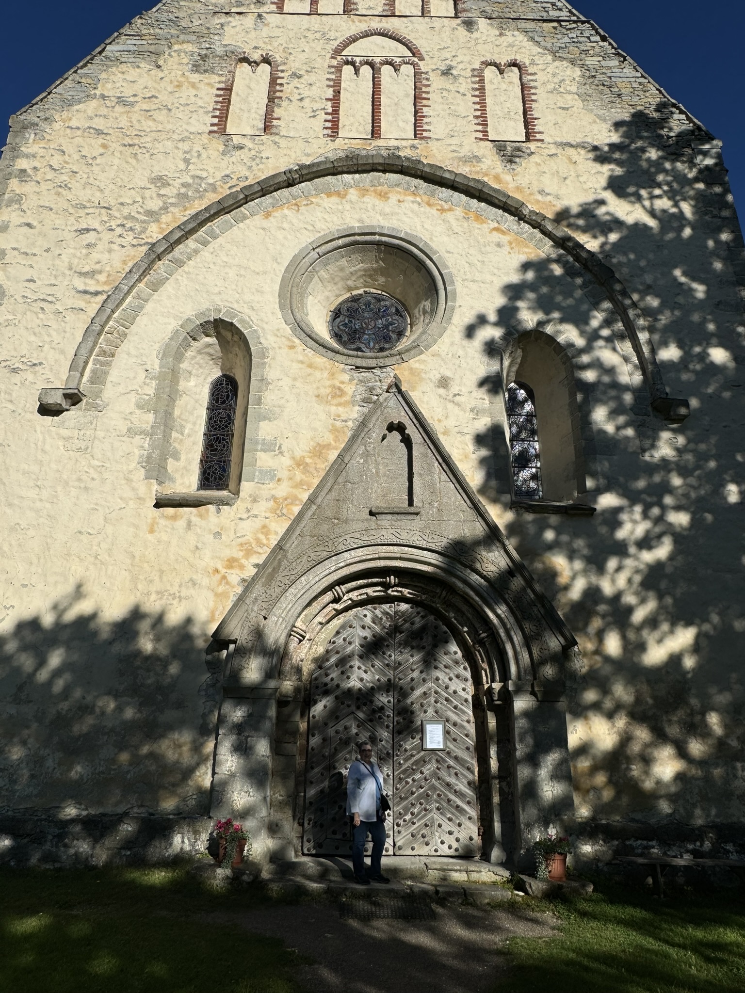
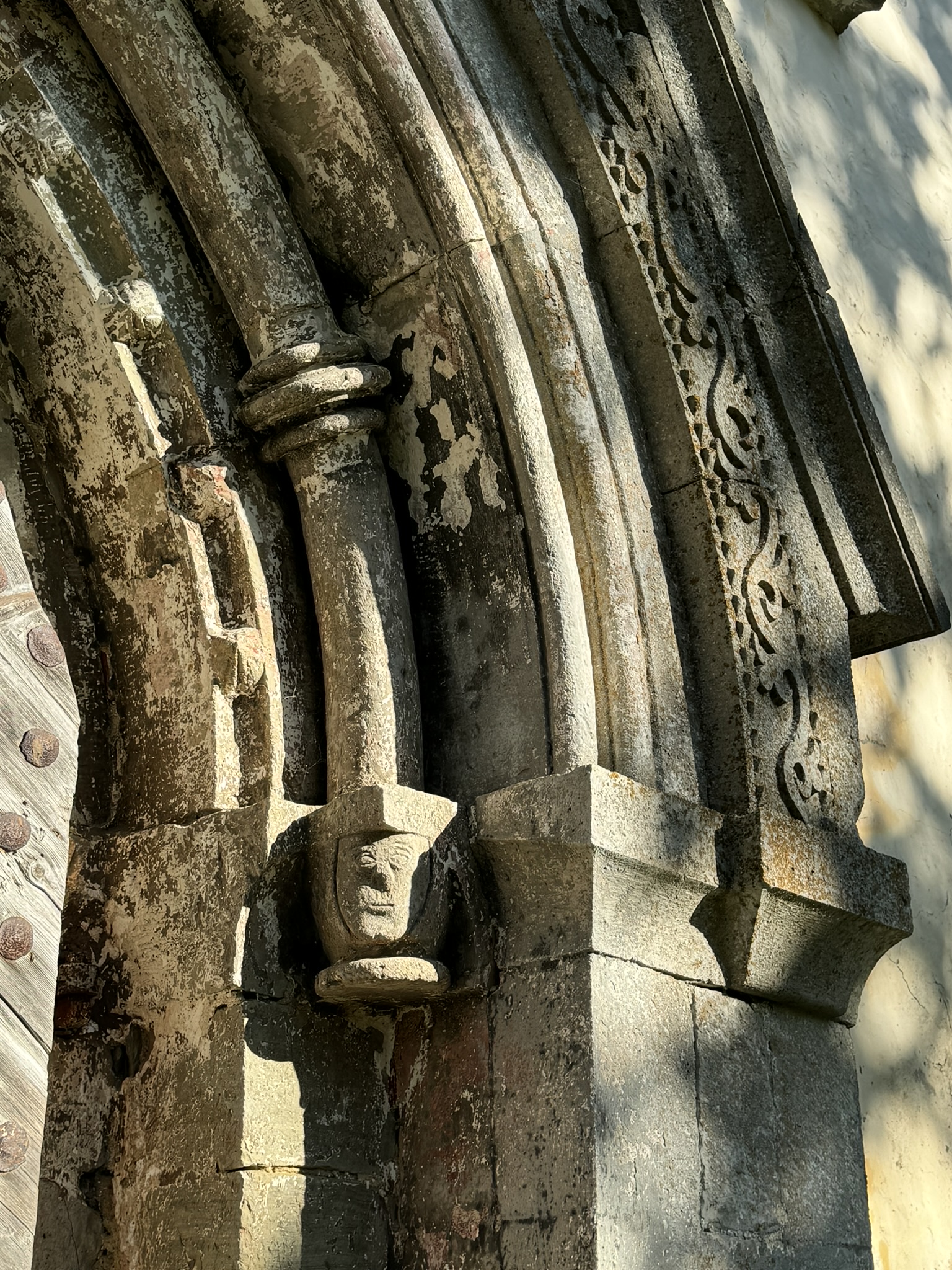
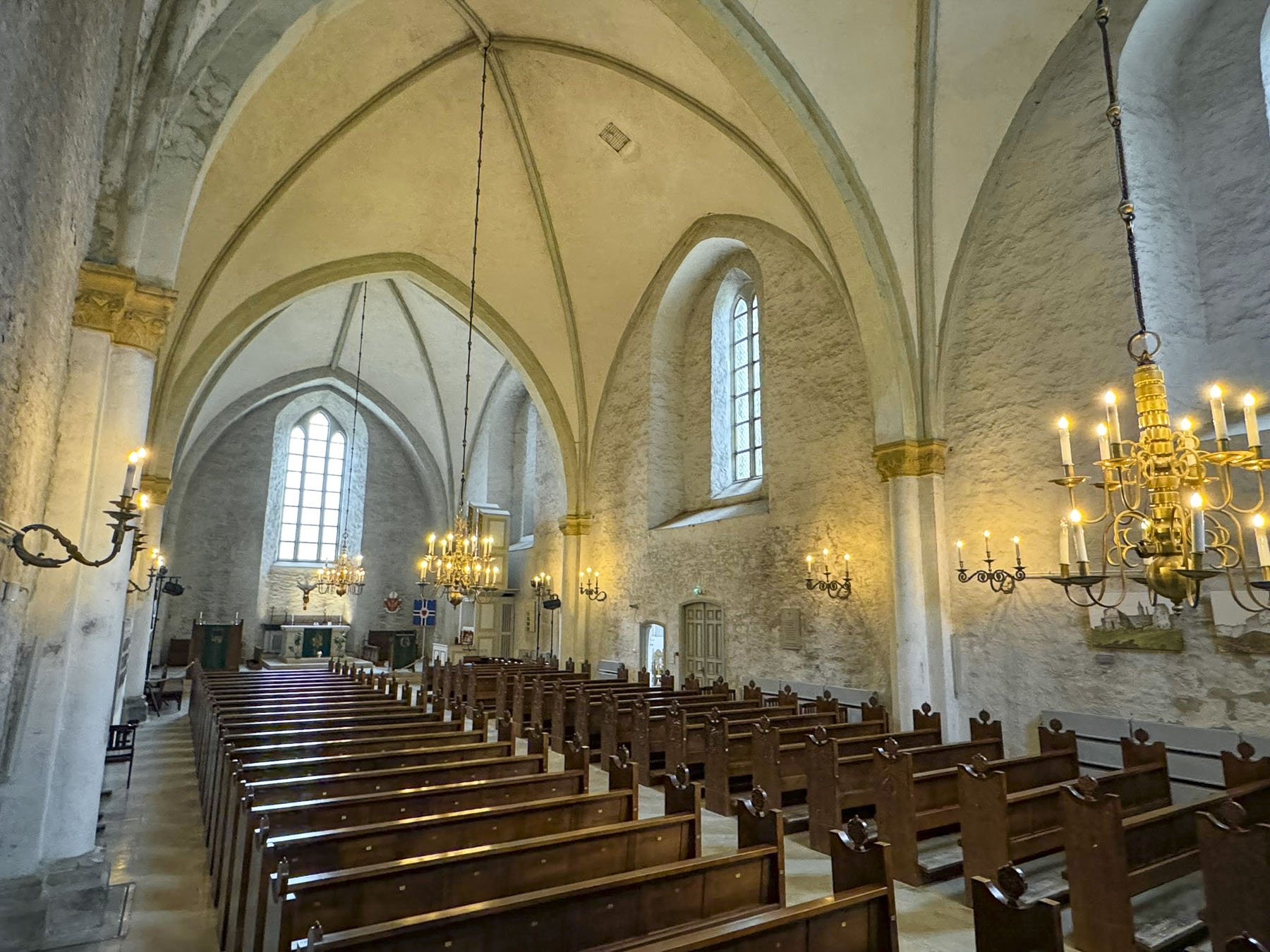
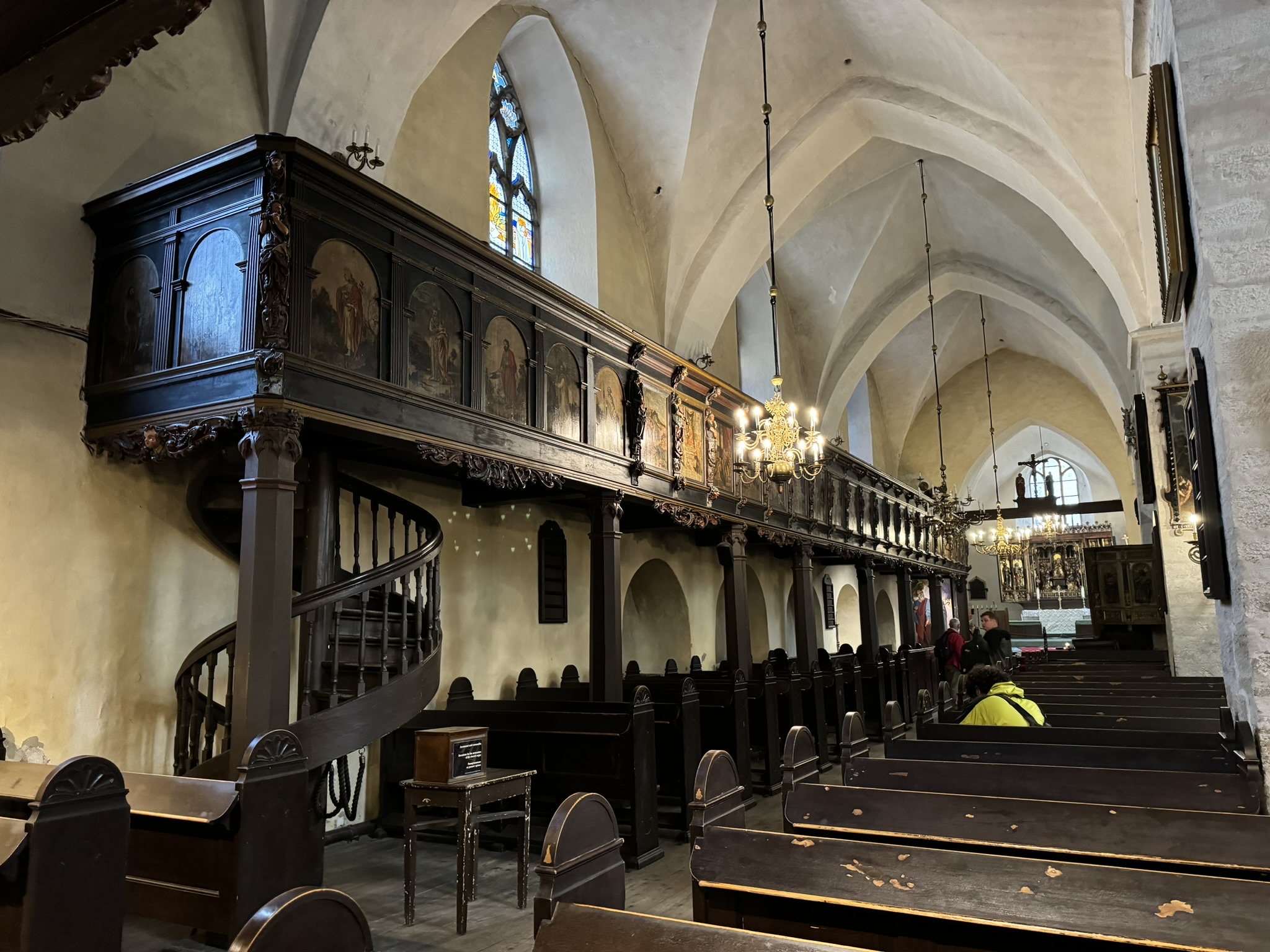
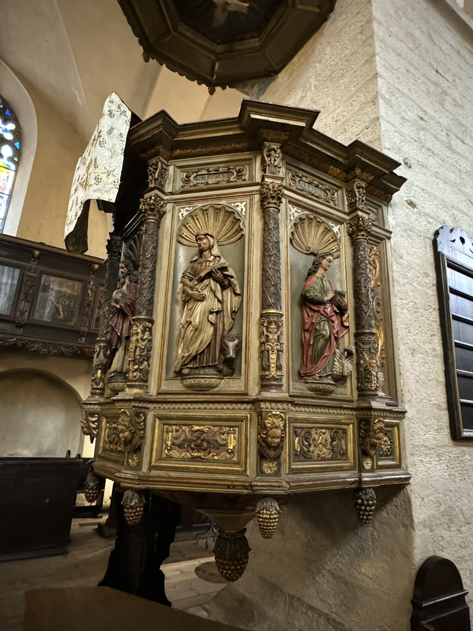
Our “drive a little then café” instincts took us to Valmiera, the largest town in the Vidzeme region with a population of about 51,000. Like Cēsis and Sigulda, its founding is tied to the Northern Crusade in the 13th century. Parking was conveniently located across from Valmiera’s St. Simon Church. Amazingly, the medieval building, which dates to 1283, is believed to have survived the centuries without any major alterations. Russian Czar Ivan the Terrible ruled during the Livonian War (1558-1583), a conflict which included the medieval superpowers Sweden, Denmark, and the Polish-Lithuanian Commonwealth fighting for control of Latvia. Several cannon balls fired by Russian troops into the church’s walls are on display in the church’s narthex as testimony to the strength of its construction. It was a Catholic church until Martin Luther’s Protestant Reformation was brought to Latvia with the signing of the Truce of Altmark in 1629, which ended the Polish-Swedish War (1600-1629).


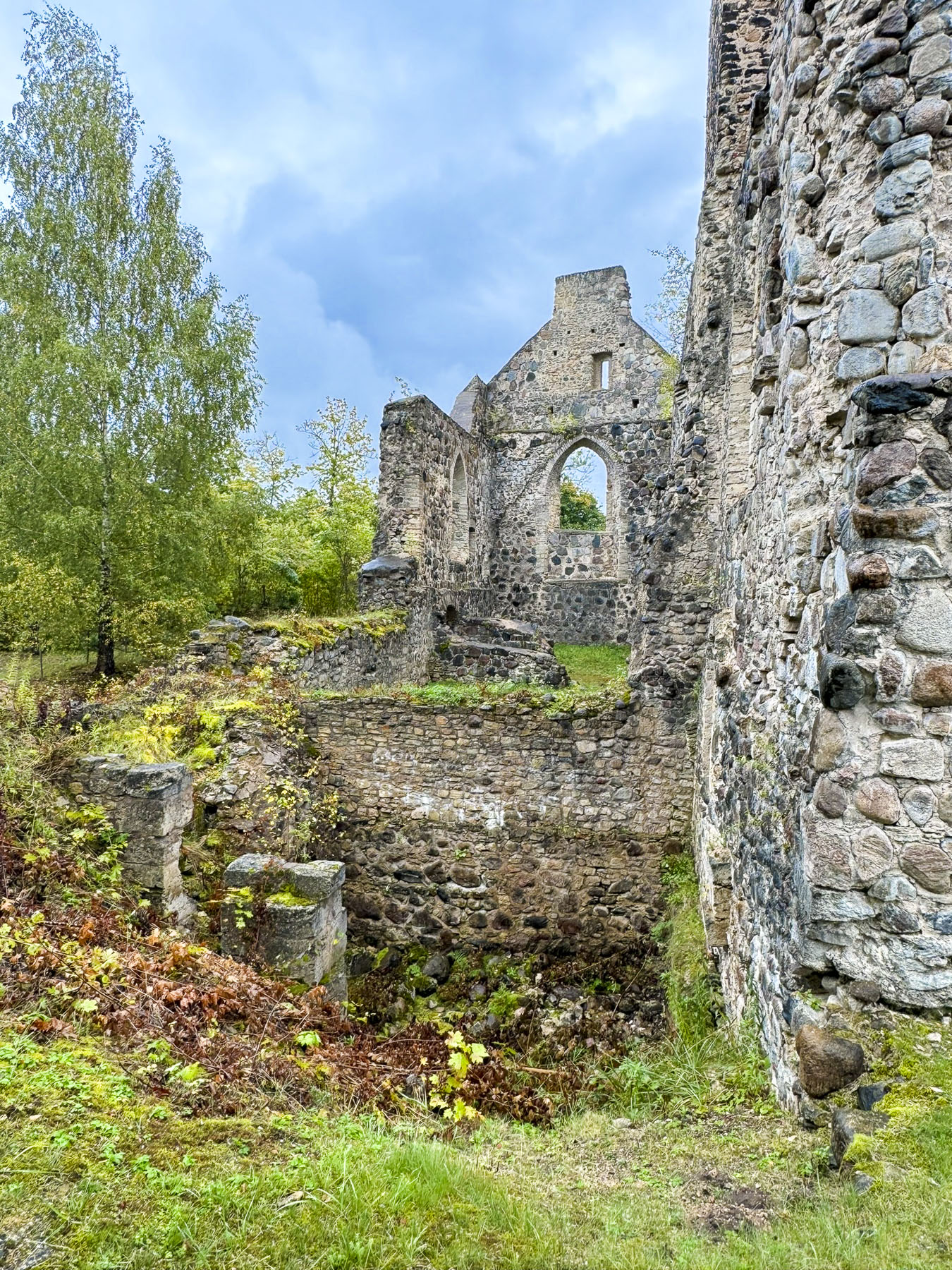
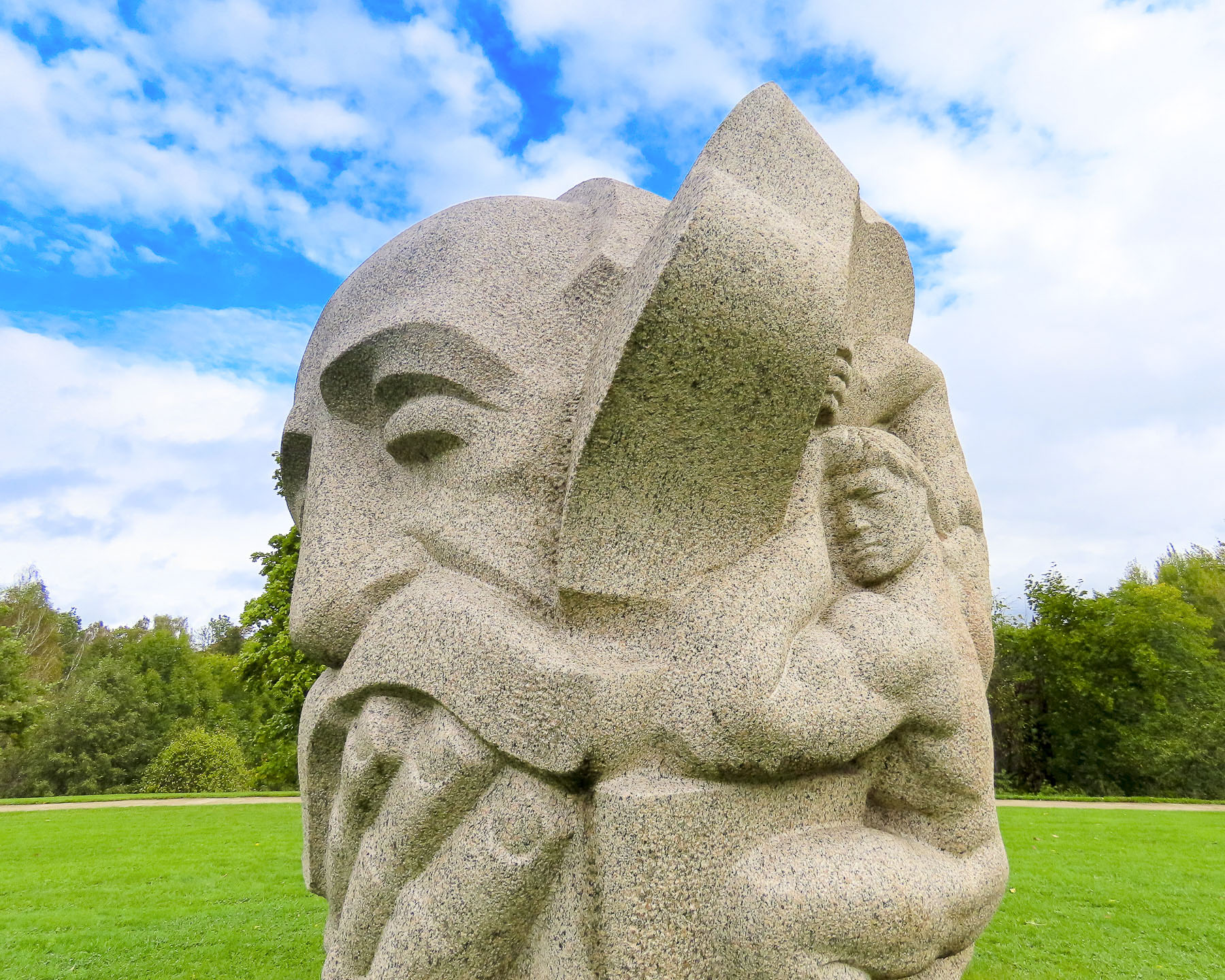
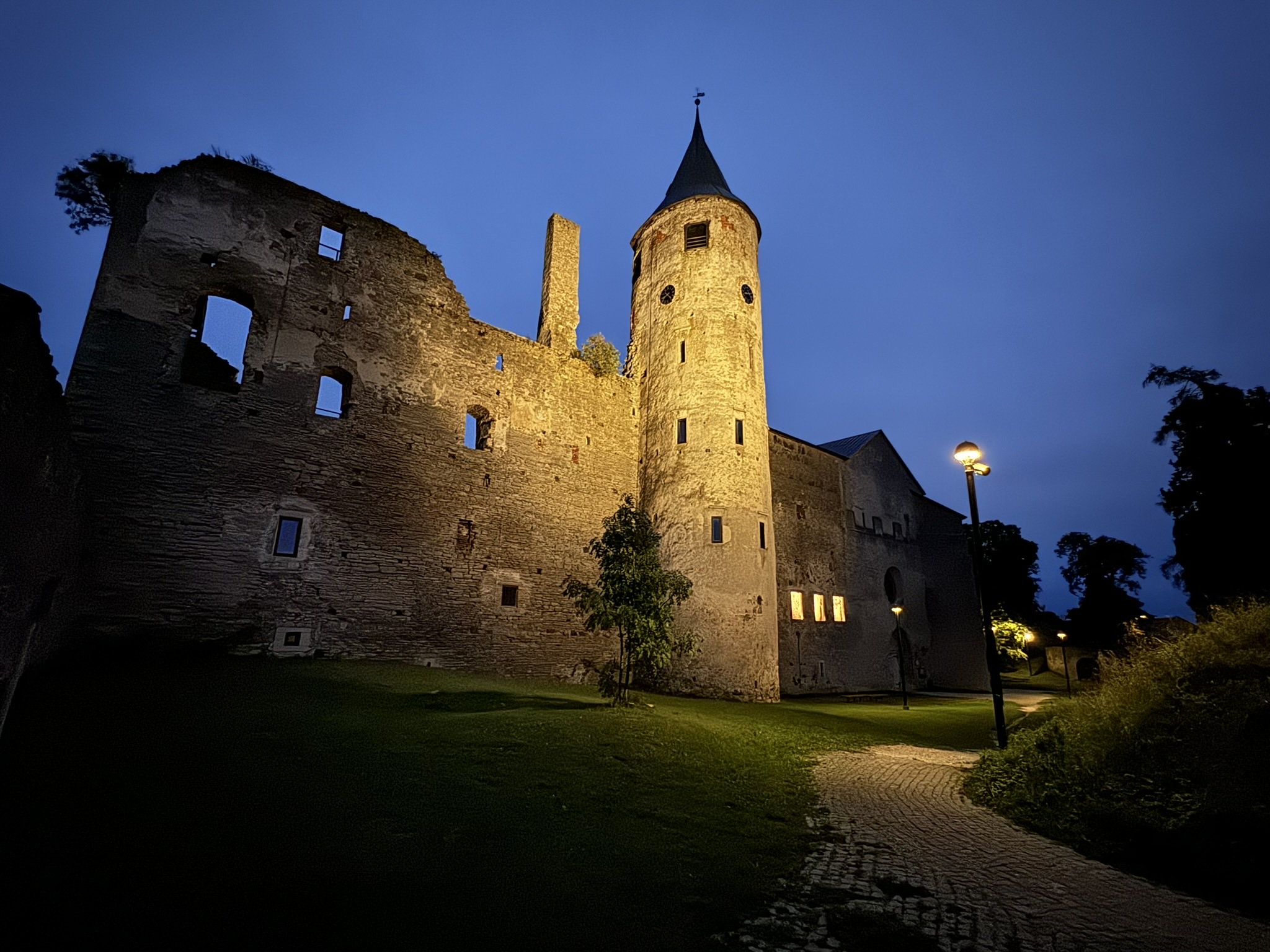
A short walk from the church were the 13th century ruins of a Livonian Order Castle. As ruins go, these were not very impressive, with only a small L-shaped wall section still standing. However, there was a very interesting 3D relief map of old Valmiera in the courtyard in front of the Museum of Valmiera which showed that the town was ringed with defensive fortifications, which signified the town’s importance within the Hanseatic League, second only to the town of Cēsis in the Vidzeme region. The ramparts stood until they were destroyed in the Russian Empire’s shelling of the city during the Great Northern War in 1702. After the war the castle’s ruins were used as a quarry to rebuild the villagers’ homes destroyed during the conflict. The church was easily located on the map and was a good reference point for understanding how the old town was laid out.


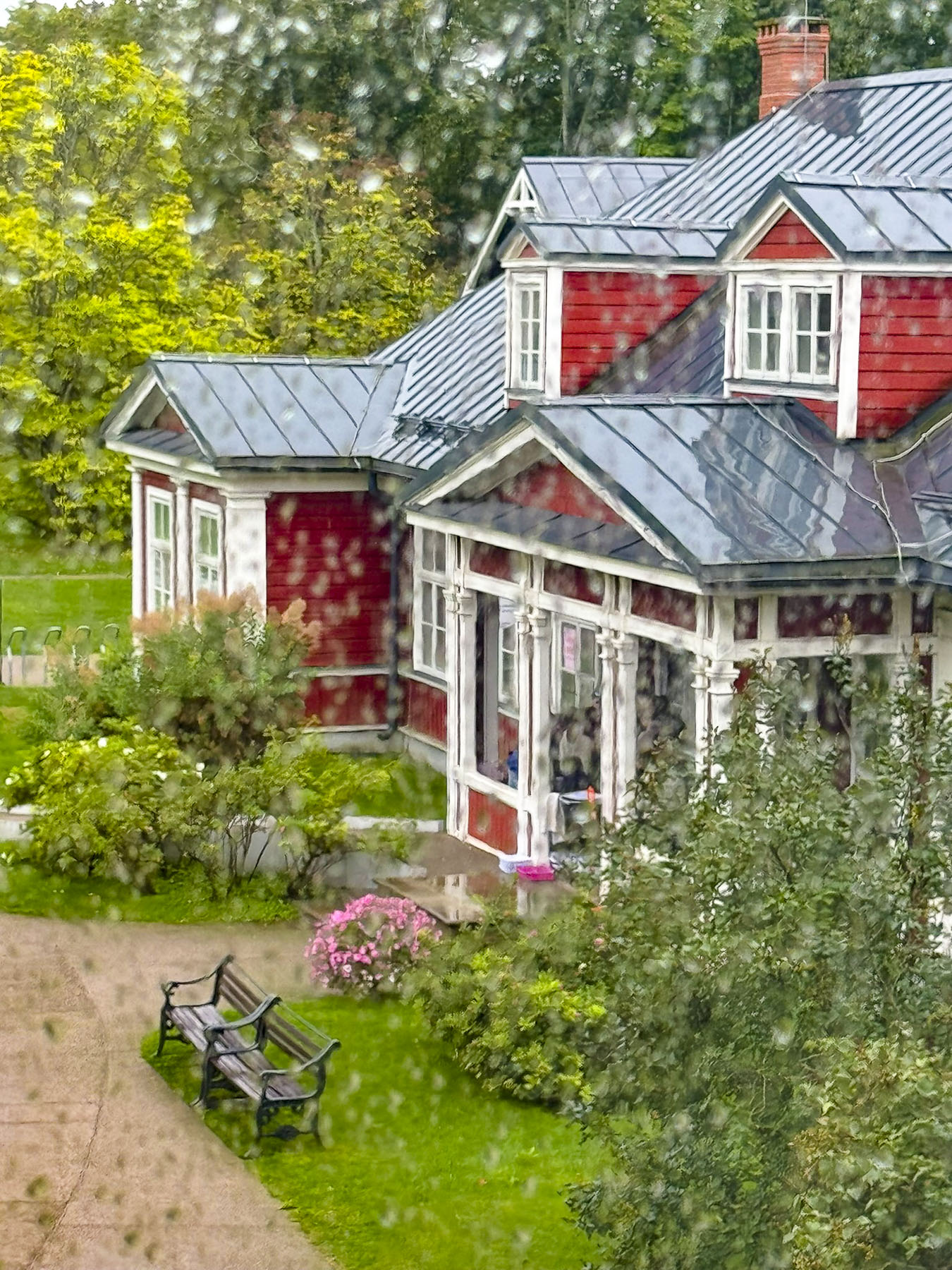
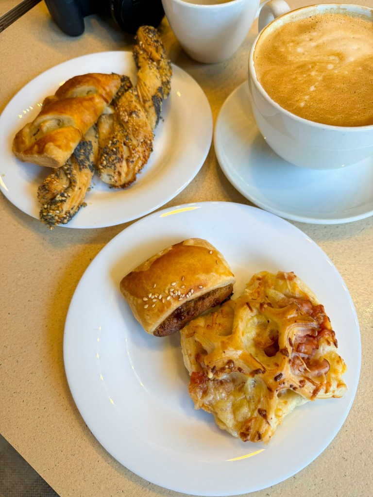
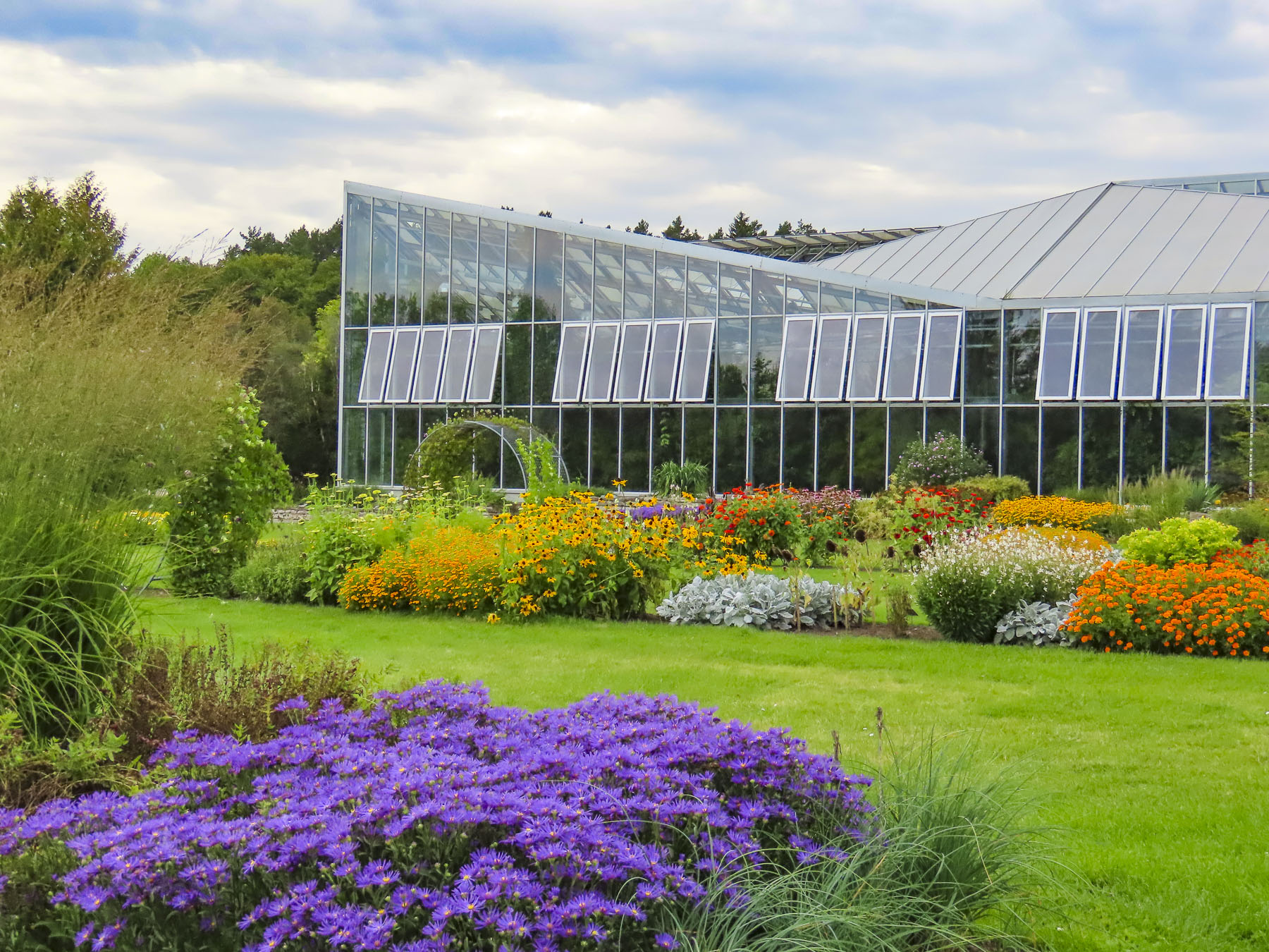
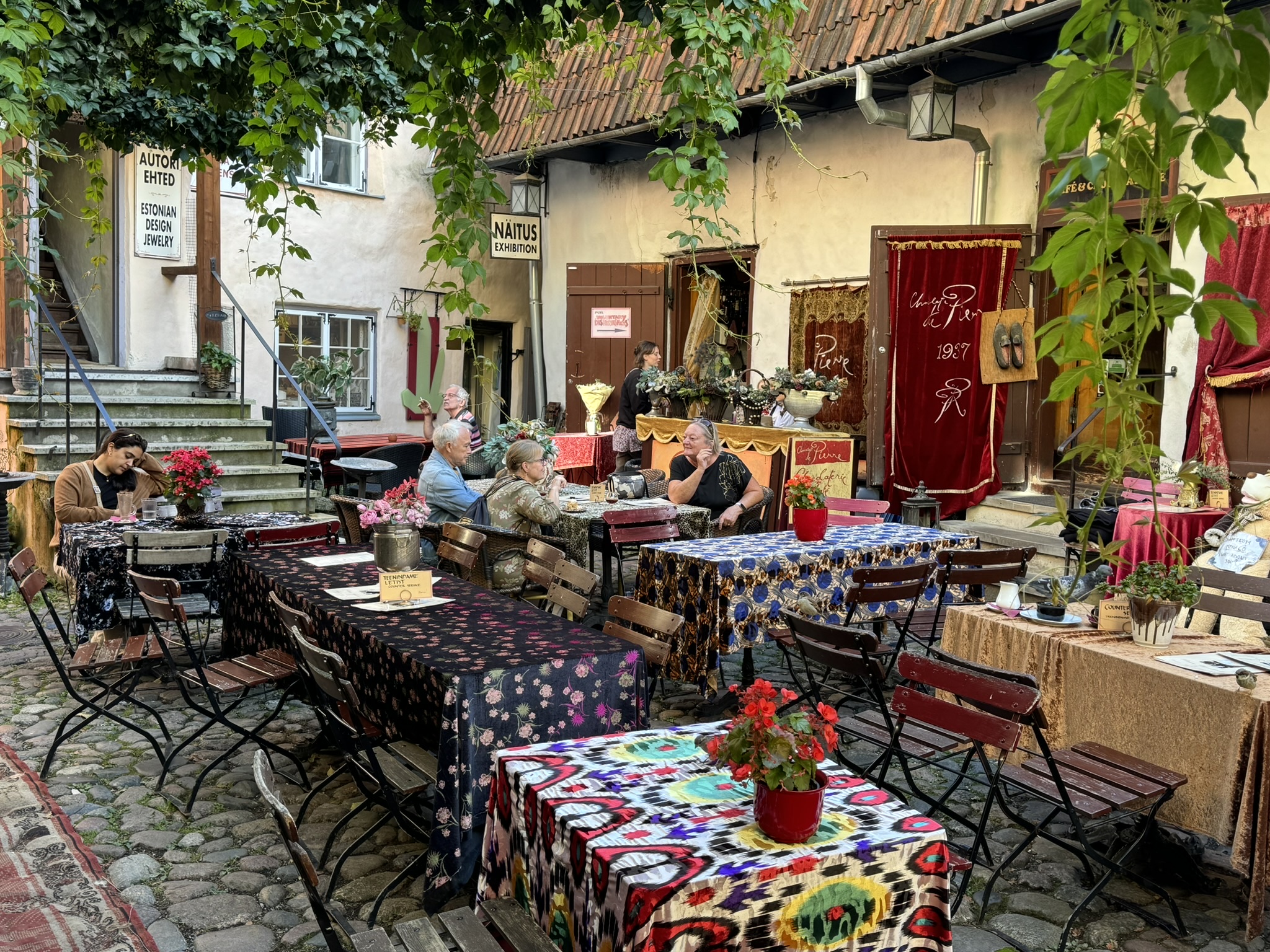
From the castle grounds we then followed a pretty path downhill to the bank of the Gaujas River before succumbing to our call for coffee. We stumbled upon Café Kekss totally by accident. They have several unique small greenhouses, with tables and chairs for 4 people in each enclosure, outside their small cafe. It was a chilly and windy day when we visited, but sitting in one of the glass houses was perfect. The staff was very nice and the barista who took our order delivered everything to our table.


We really enjoyed our experience there, and the greenhouses are a great way to extend the season. Before returning to the car we spent a little bit of time strolling along the Dzirnavu ezeriņa promenade in the park downhill from the café.

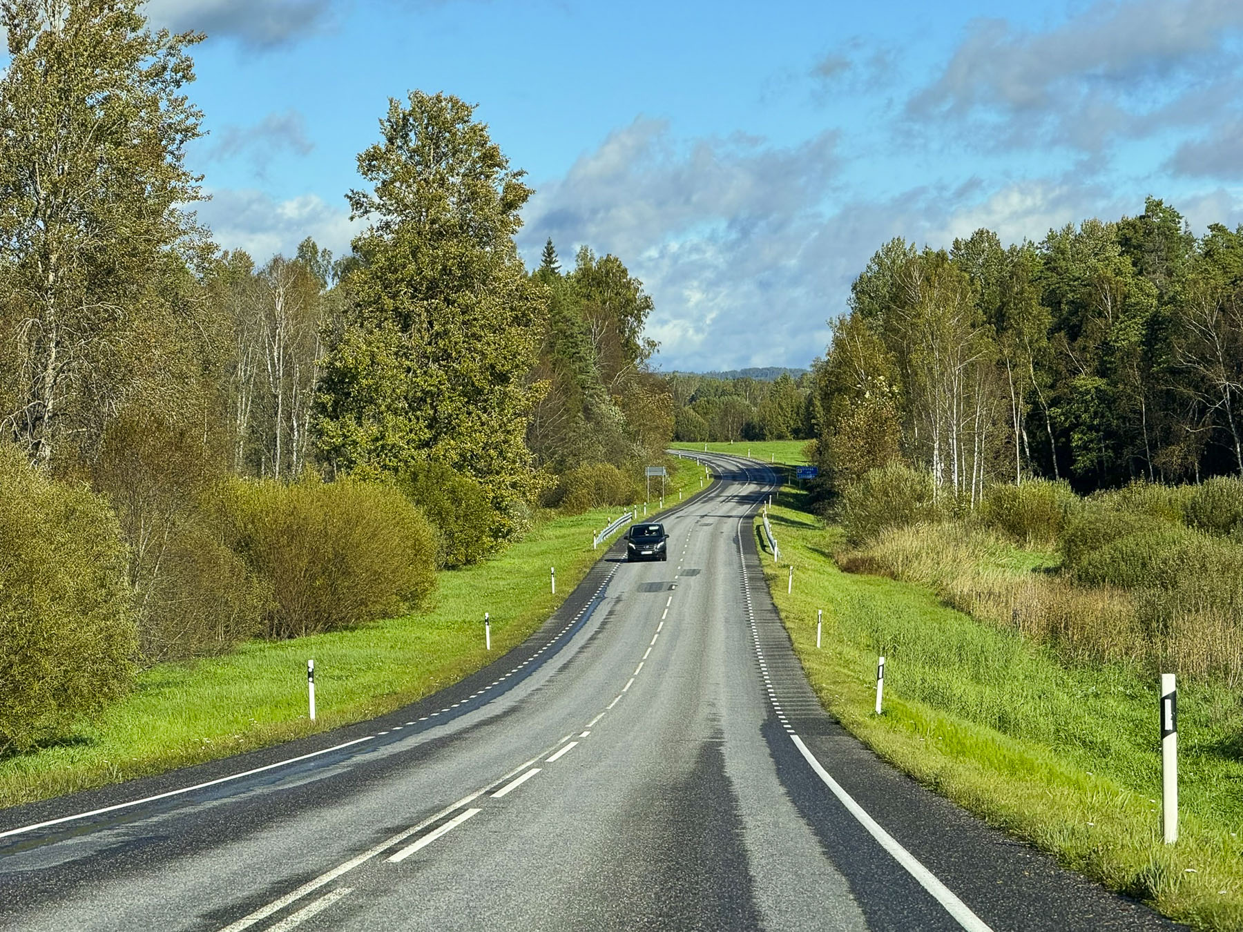
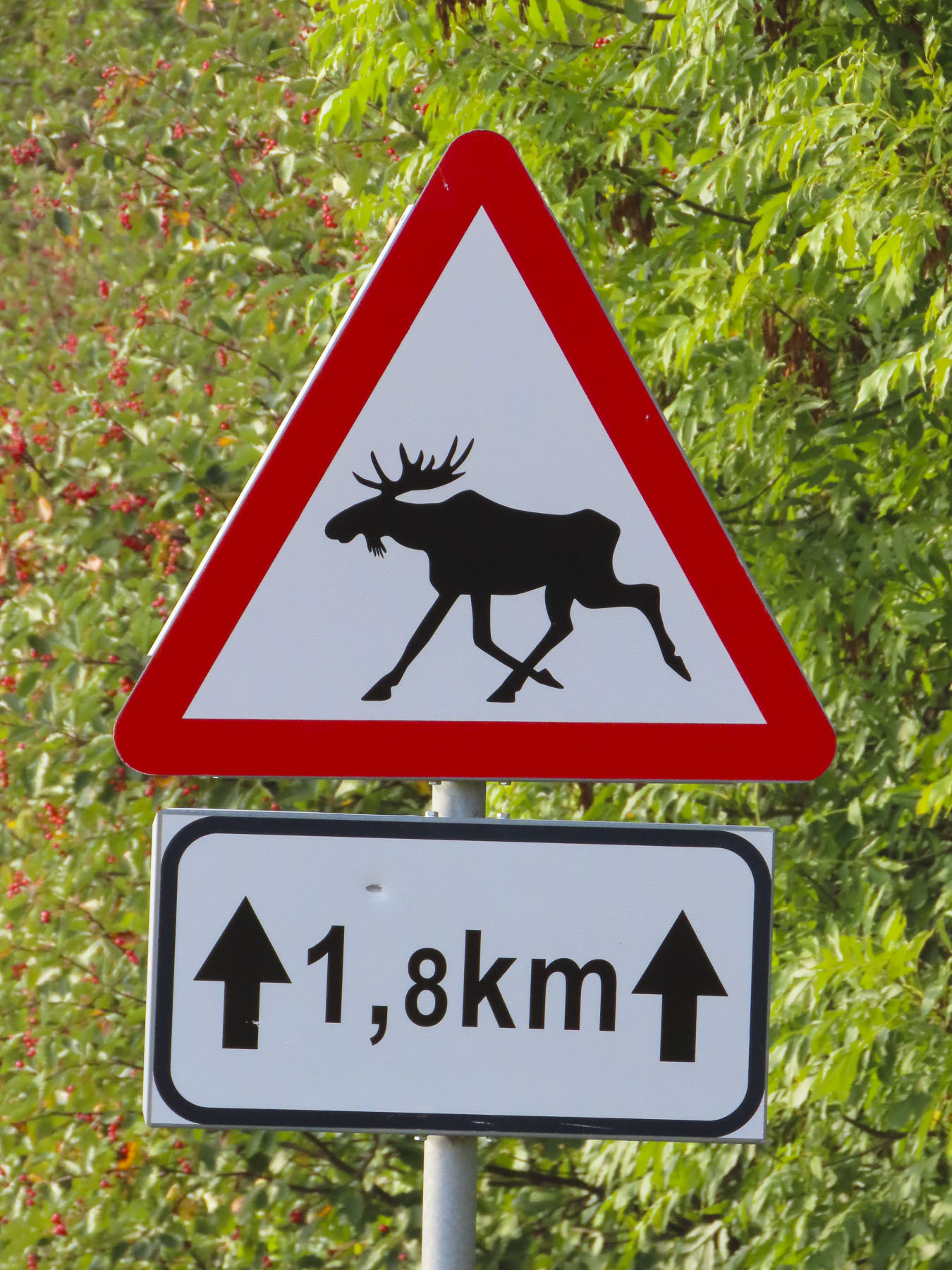
It was the last Saturday in September, and unexpectedly we had the road to ourselves, only occasionally seeing another car whiz by. As hoped for, the sun brightened the sky later that morning as we continued our drive through a mostly semi-rural landscape, dotted with farms, towards the Latvia/Estonia border.

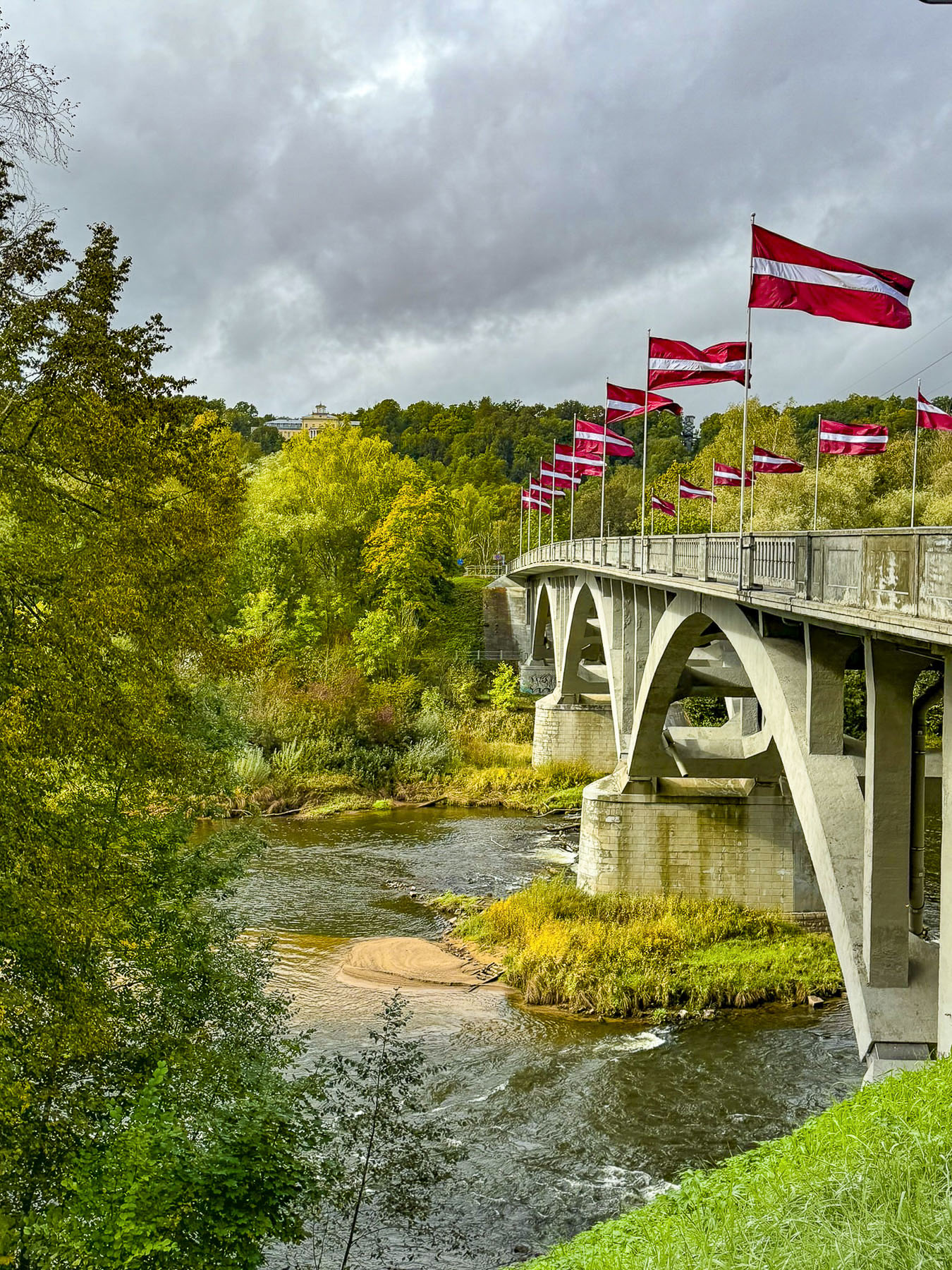
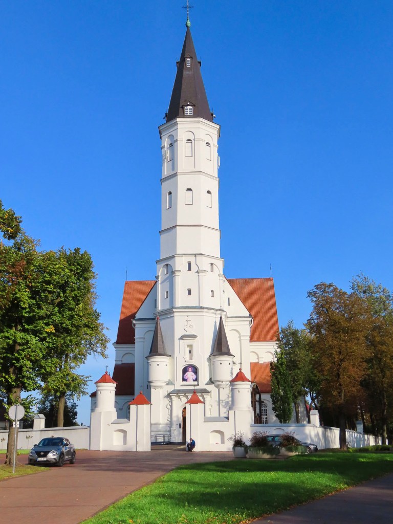
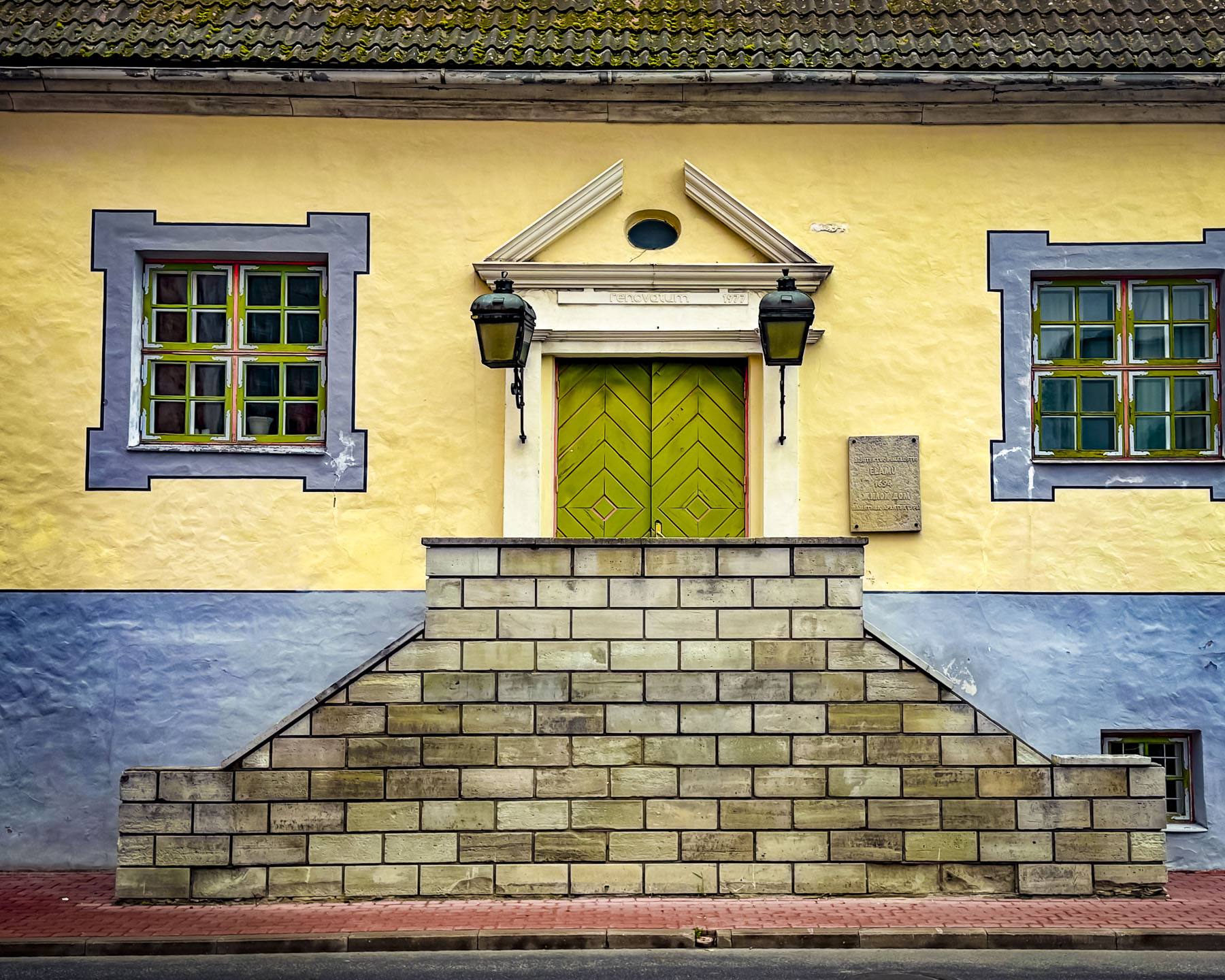
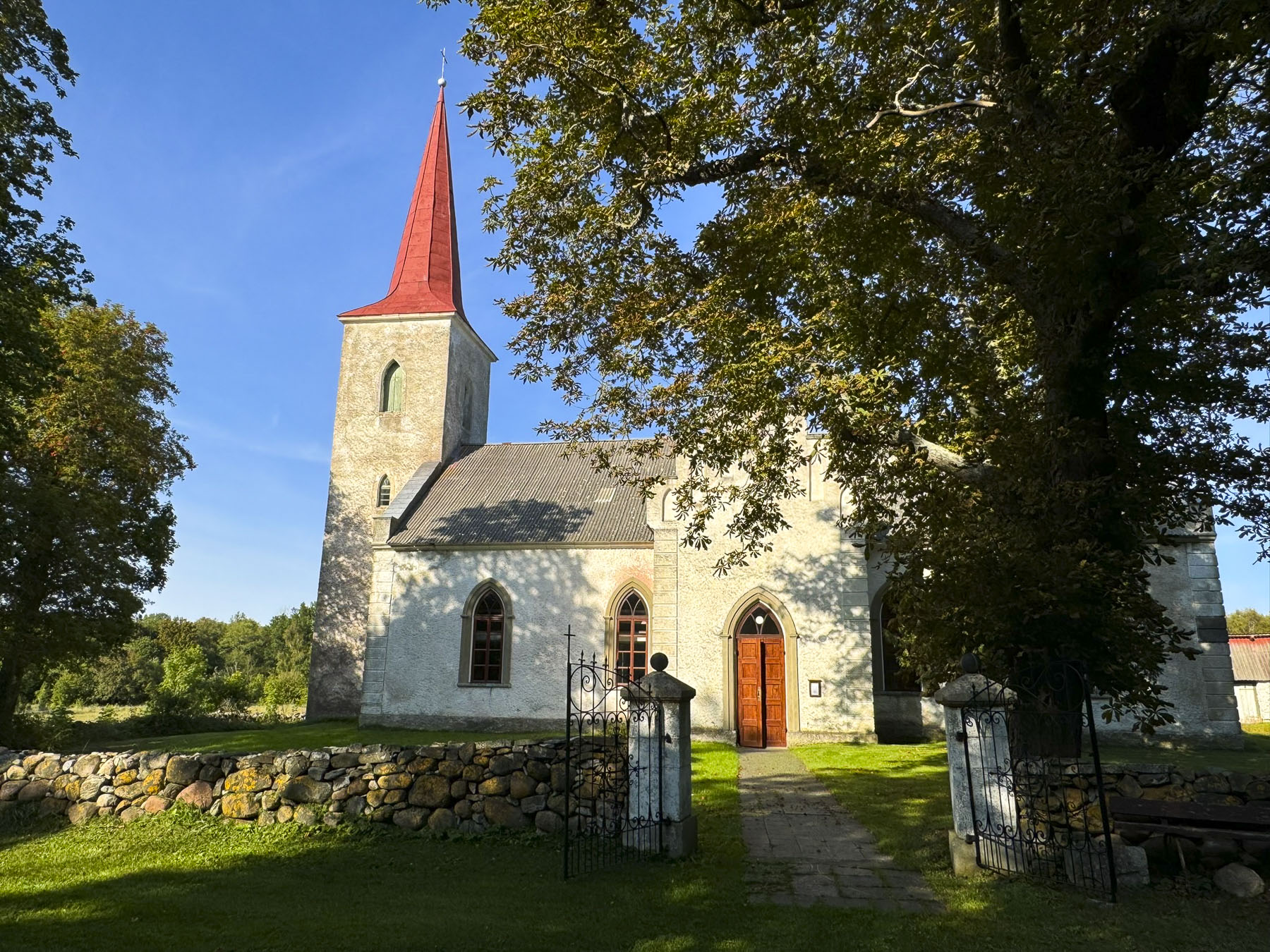
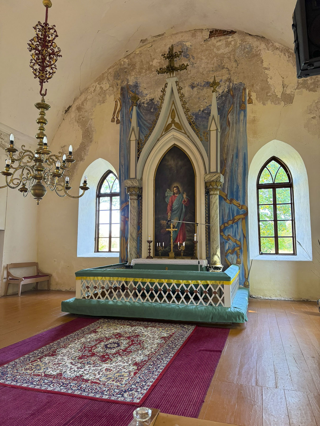
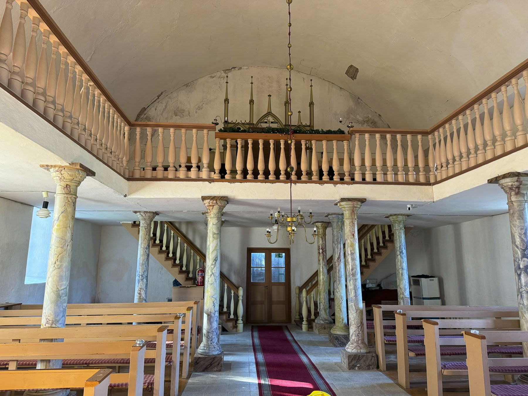
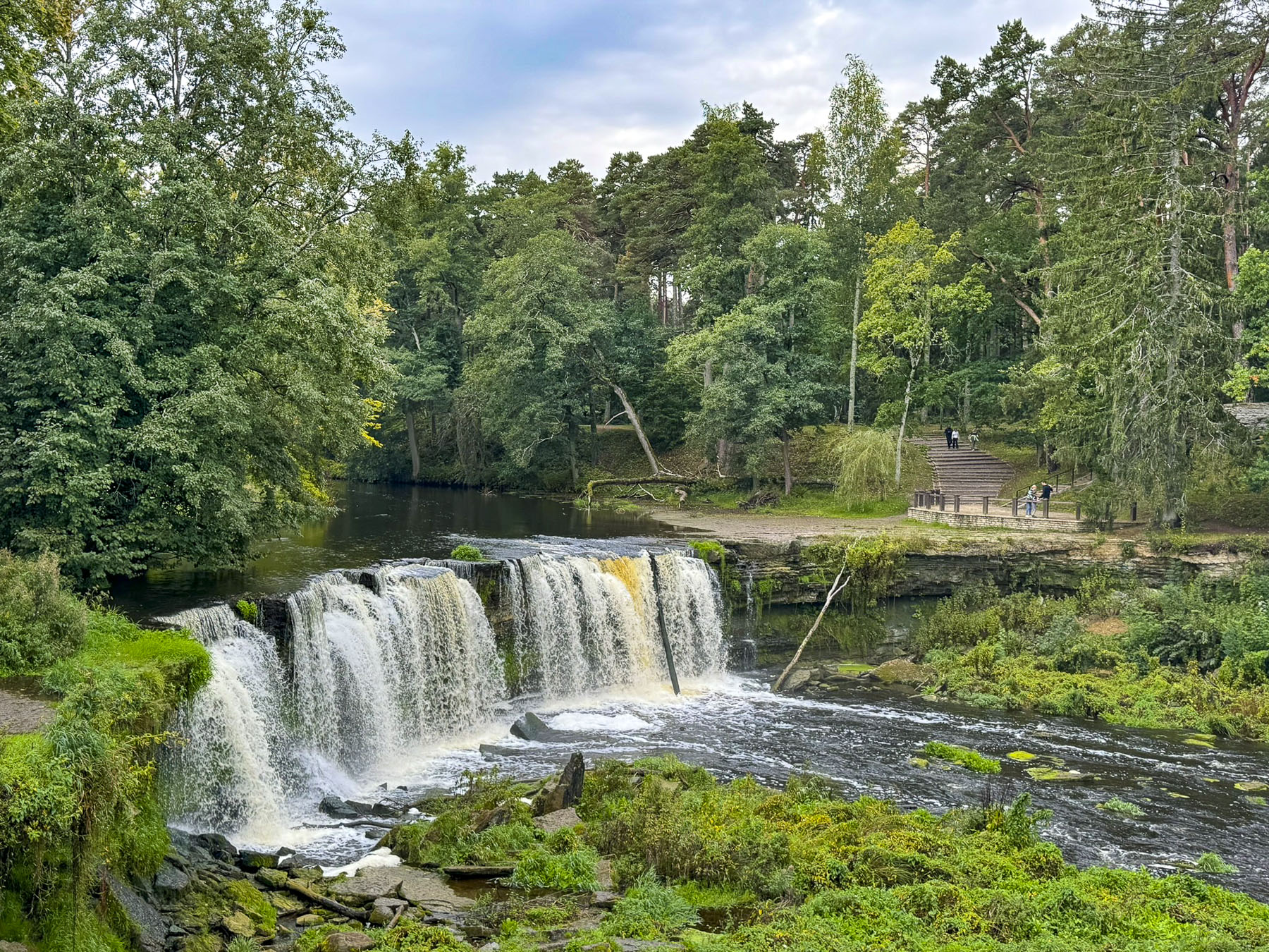
Only a short distance away from the border we paused to stretch our legs at Valka-Lugaži’s Evangelical Lutheran Church, our last stop in Latvia. The church’s name first appears in medieval documents of 1477. Prominent nobles were patrons of the church since much of the congregation were the poor serfs who farmed the land of their lords during the feudal era, which unfortunately lasted in Latvia and Estonia well into the late 19th century. Church history notes that the Baron von Wrangell family rebuilt the church many times over four calamitous centuries which saw the region engulfed in wars. The last descendant offered to repair the church in 1910 when a fire collapsed the belltower into the church. With the Lord’s good graces and the steady hand of a bomb disposal expert, an unexploded WW2 bomb, ignored by the communist regime for fifty years, was finally removed from the belltower after Latvia regained its independence in 1991. We crossed over the waters of the Pedeli River into Valga, Estonia. Interestingly Valka and Valga were one town until their separation at the end of World War I. With the collapse of Imperial Russia, Estonia and Latvia declared their independence and a new border was determined which split the town in half down the center of the river. A spirit of unity still remains between the two towns, as extended families now travel freely across the border since the countries joined the Schengen Area, and even share a professional basketball team, the BC Valga-Valka/Maks & Moorits, along with the slogan “One Town, Two Countries.”

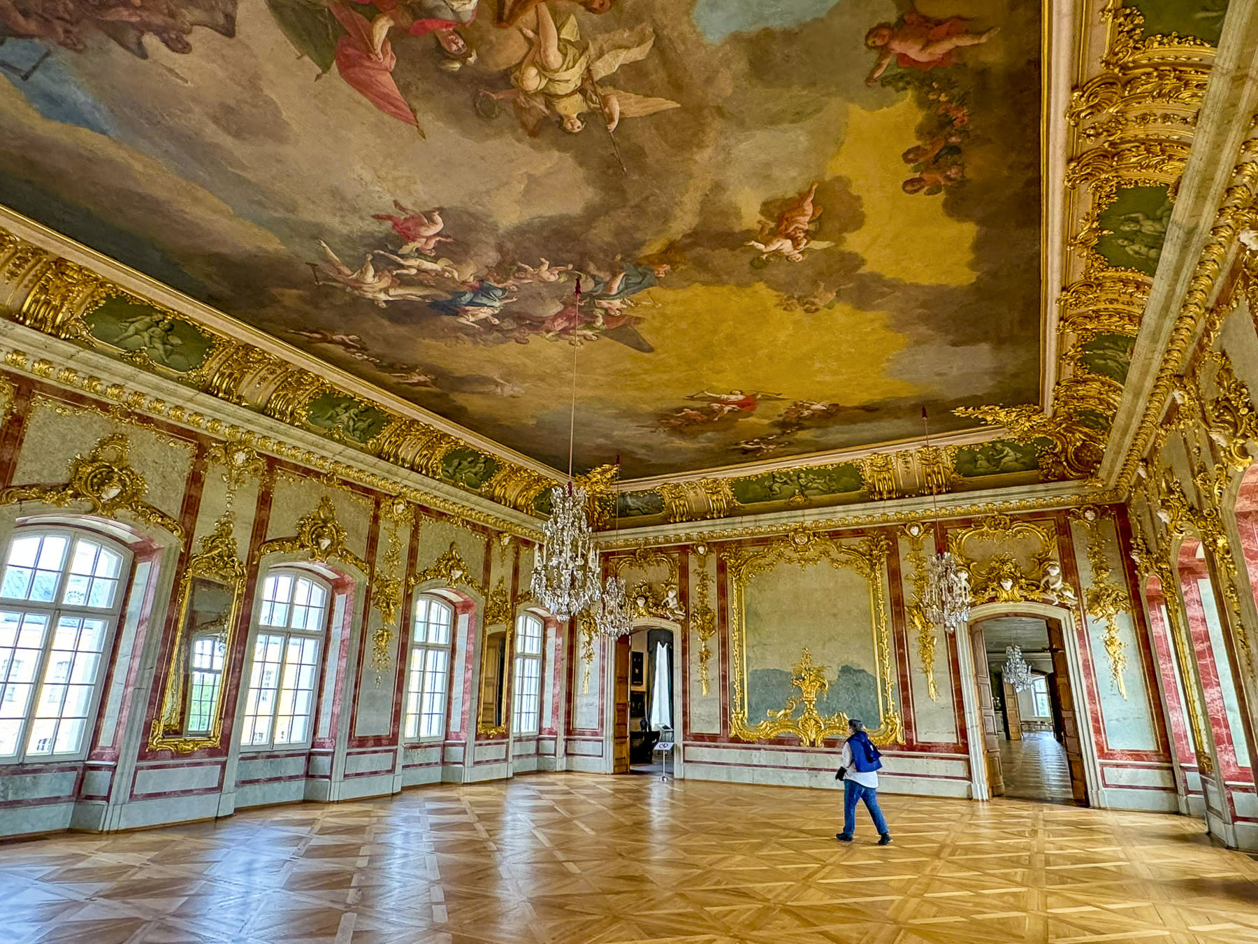
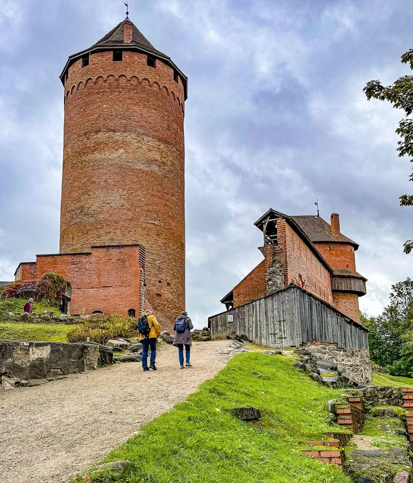
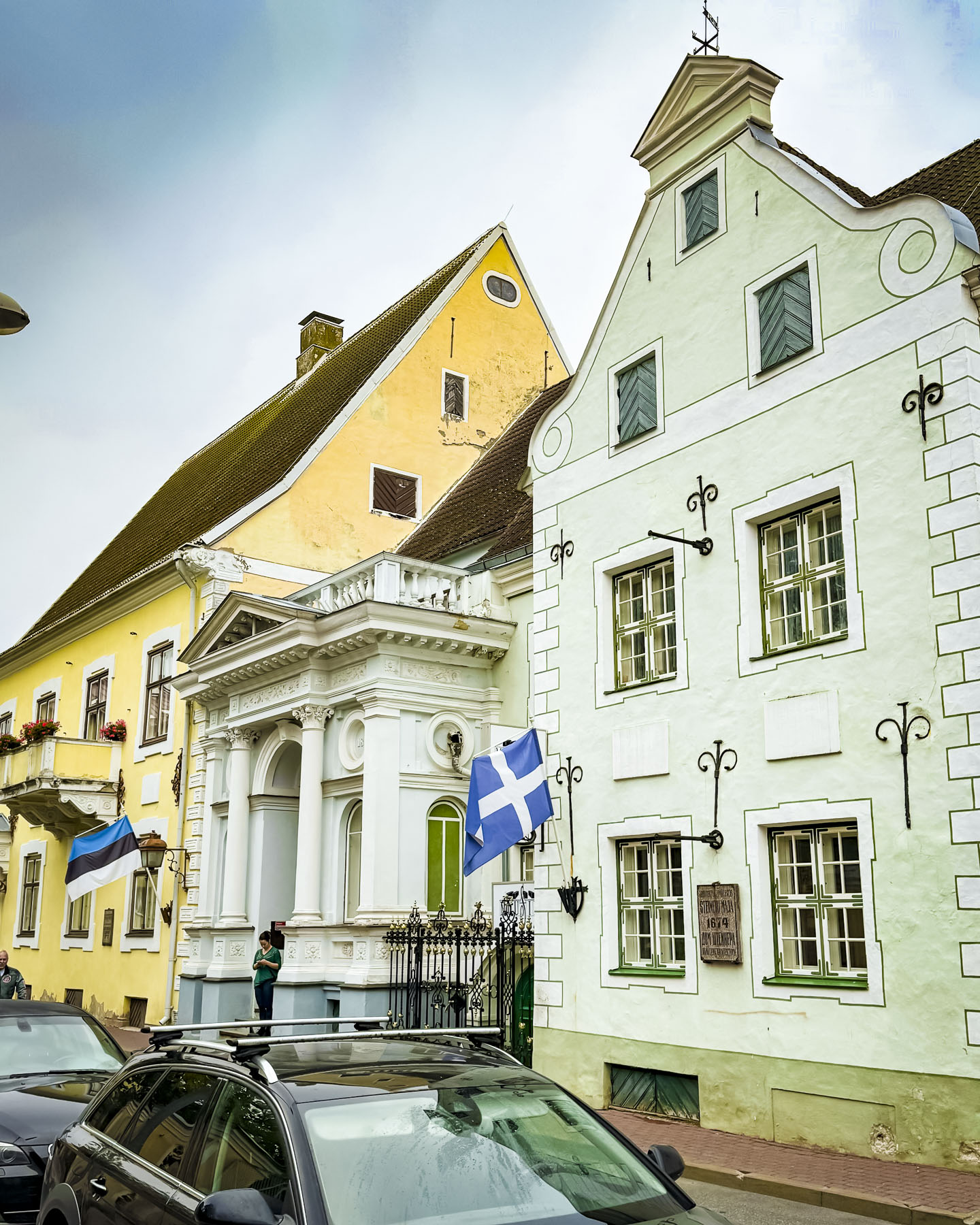
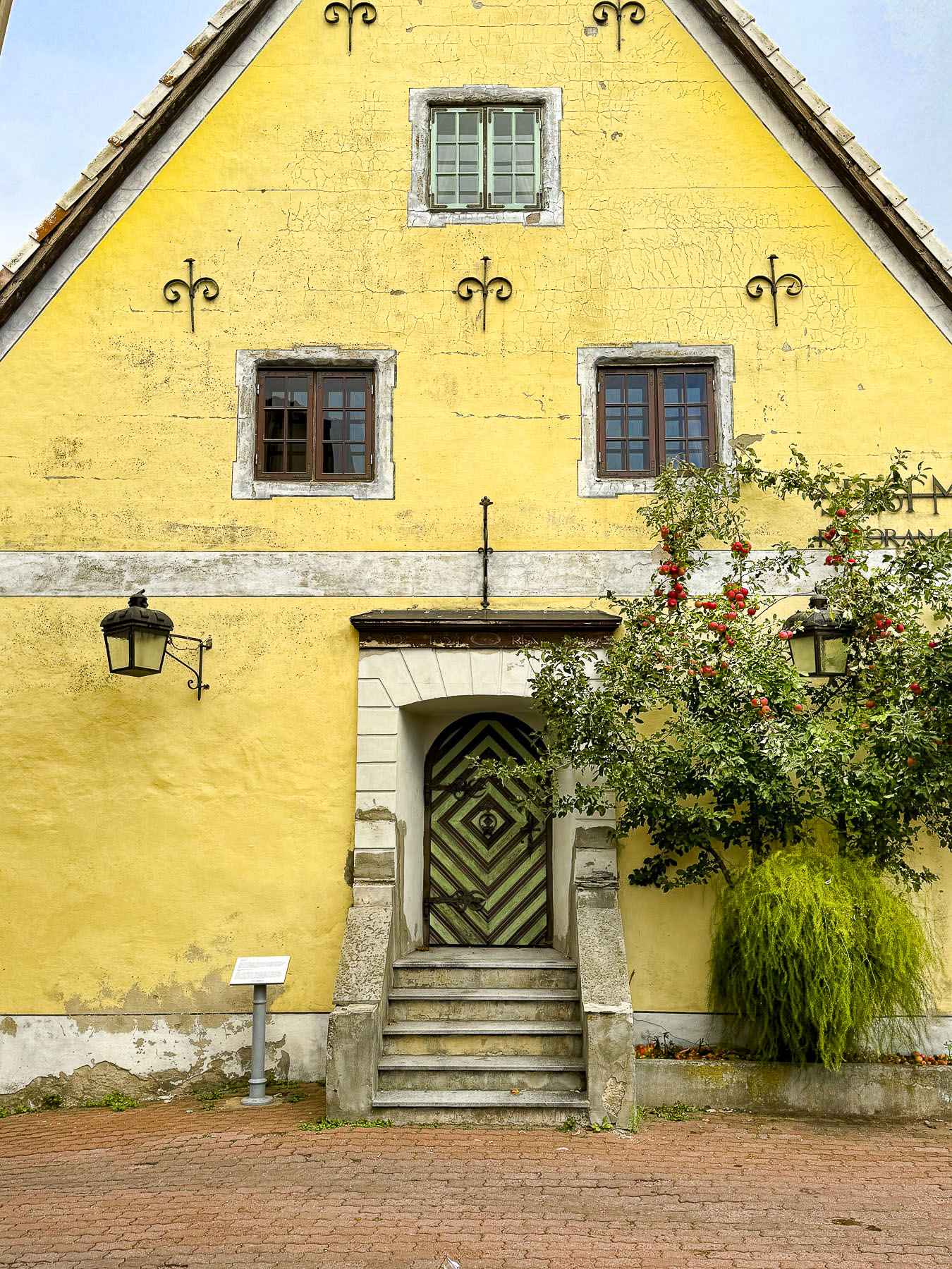
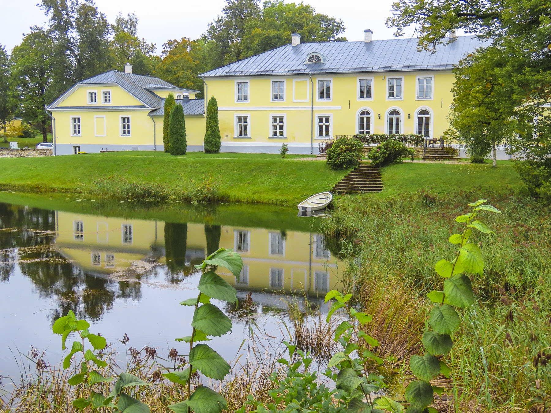
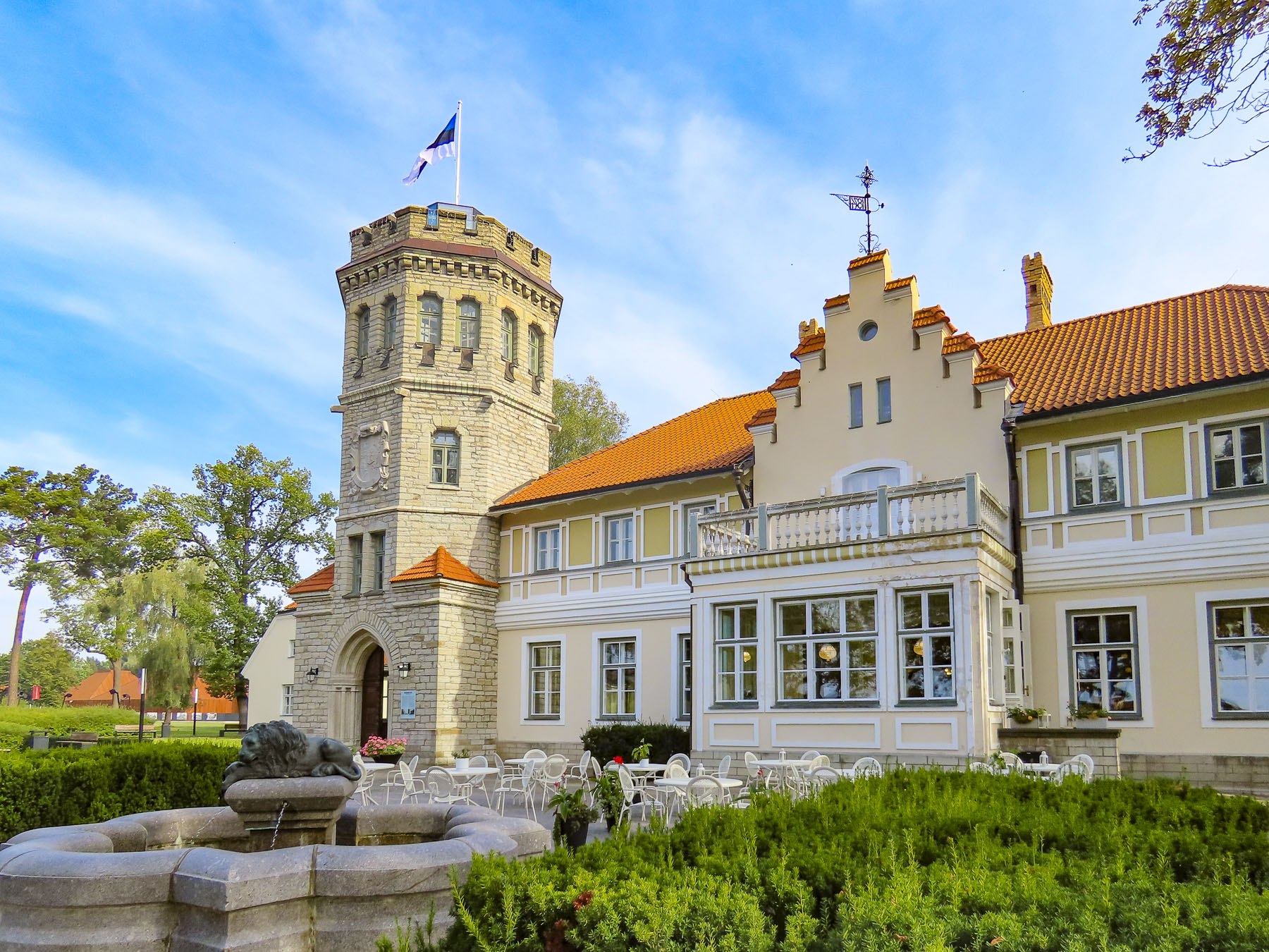
A few minutes outside of Valga we turned and followed a secondary road to Sangaste Castle in rural Otepää Parish. More manor home than castle, the estate’s history began in 1866 when F. G. M. von Berg (1845–1938), the last Lord of Sangaste, inherited the property from his uncle Count von Berg, a decorated Russian Field Marshal, and dreaming big decided to build his family a 99-room English style mansion. Its size was only curtailed by an imperial rule that permitted no homes with over 100 rooms unless they were built for the Czar. Von Berg was a successful agriculturalist, having developed a new rye variety, along with establishing a prized dairy herd with milk “so good that it was sold in the markets of St Petersburg.” Though located deep in the rural countryside, the manor had all the modern conveniences available at the beginning of the 20th century, with a telephone line installed in 1896 and electric lights in 1907.
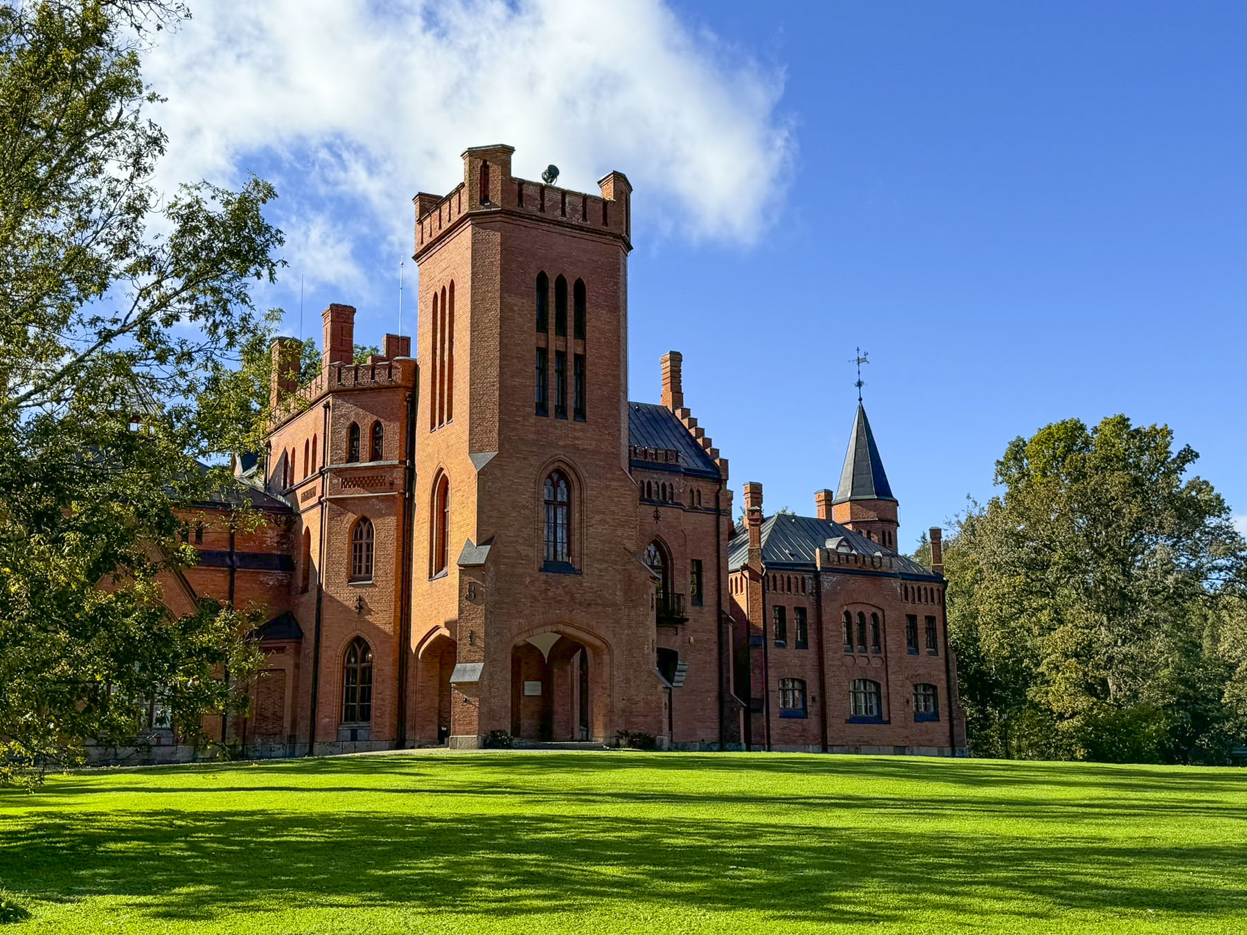
With Estonia’s independence from Russia at the end of the First World War the new government started to seize the lands and manor houses of Baltic Germans. The government however acknowledged von Berg’s contributions to Estonian agriculture and allowed the aging Baron to stay in his home until his death in 1938. During the communist occupation of Estonia, the castle was used as a Young Pioneer Camp and its interior was altered to have 146 rooms. Somewhere along the line someone determined that the manor was composed of 1.45 million red bricks, or one brick for every Estonian.


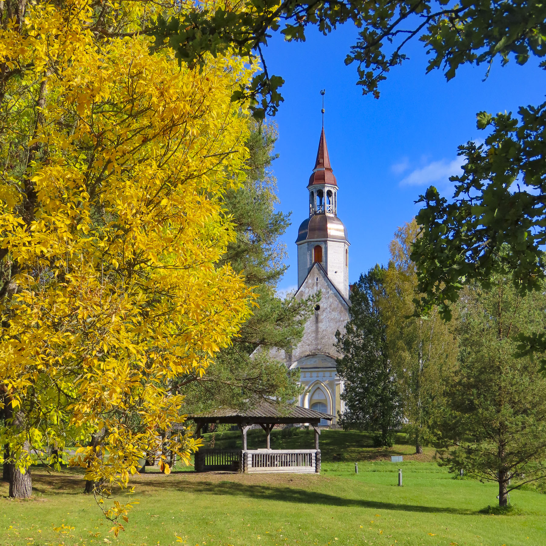
In the crossroads village of Sangaste, in front of its church, a lone tree showed off its spectacular yellow leaves, signaling Autumn was finally here.
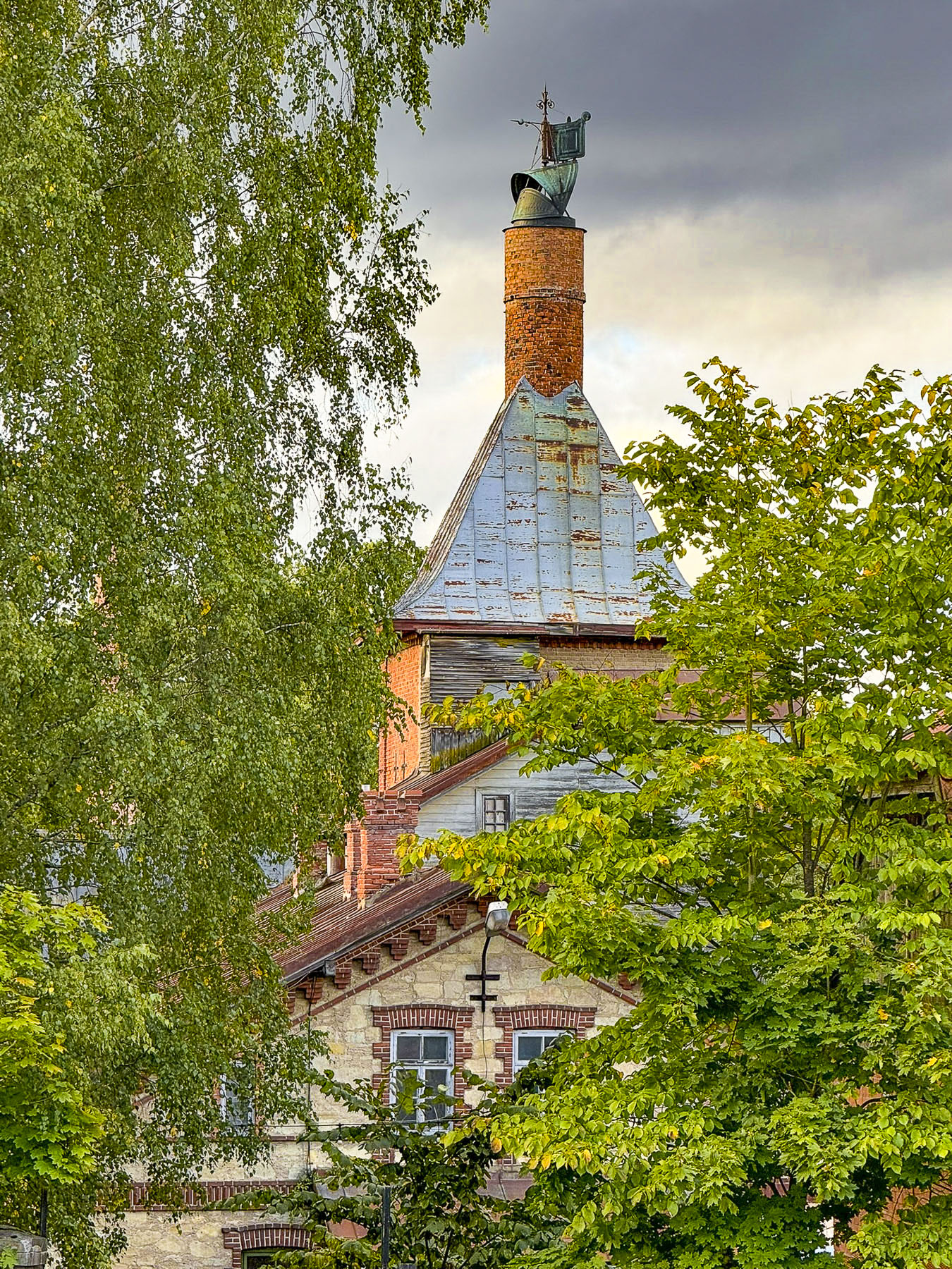
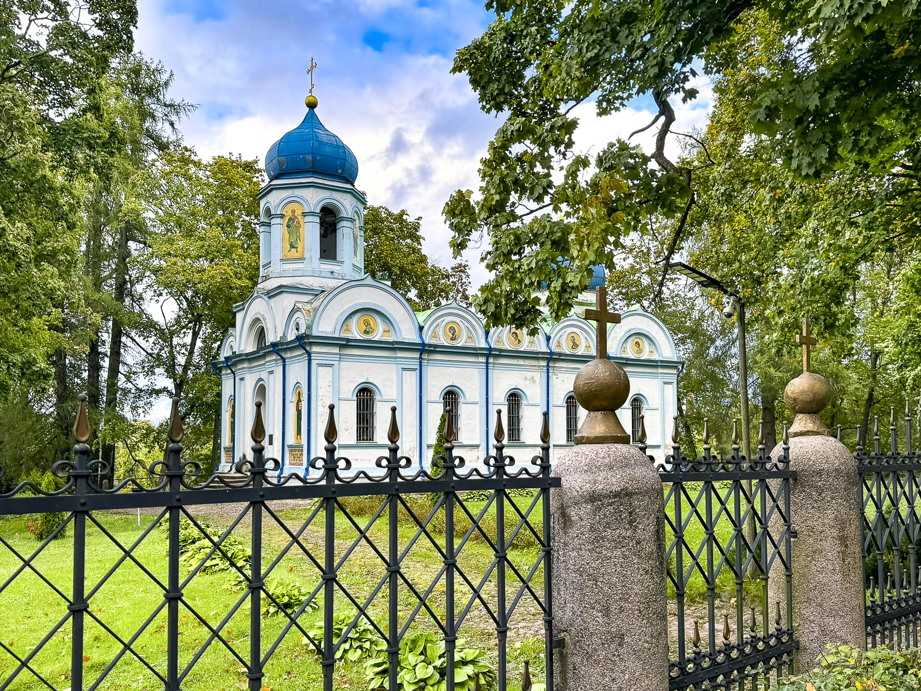
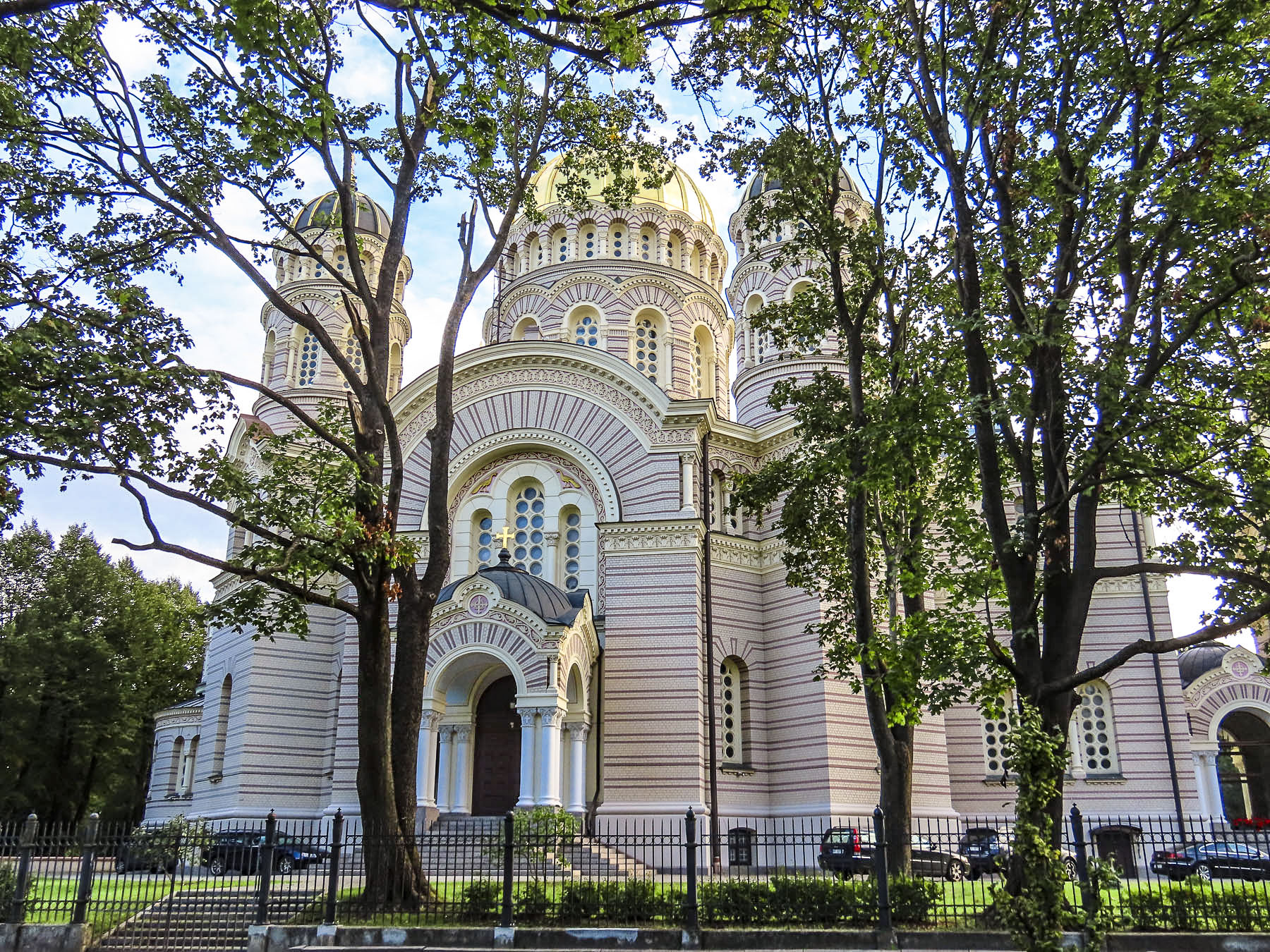
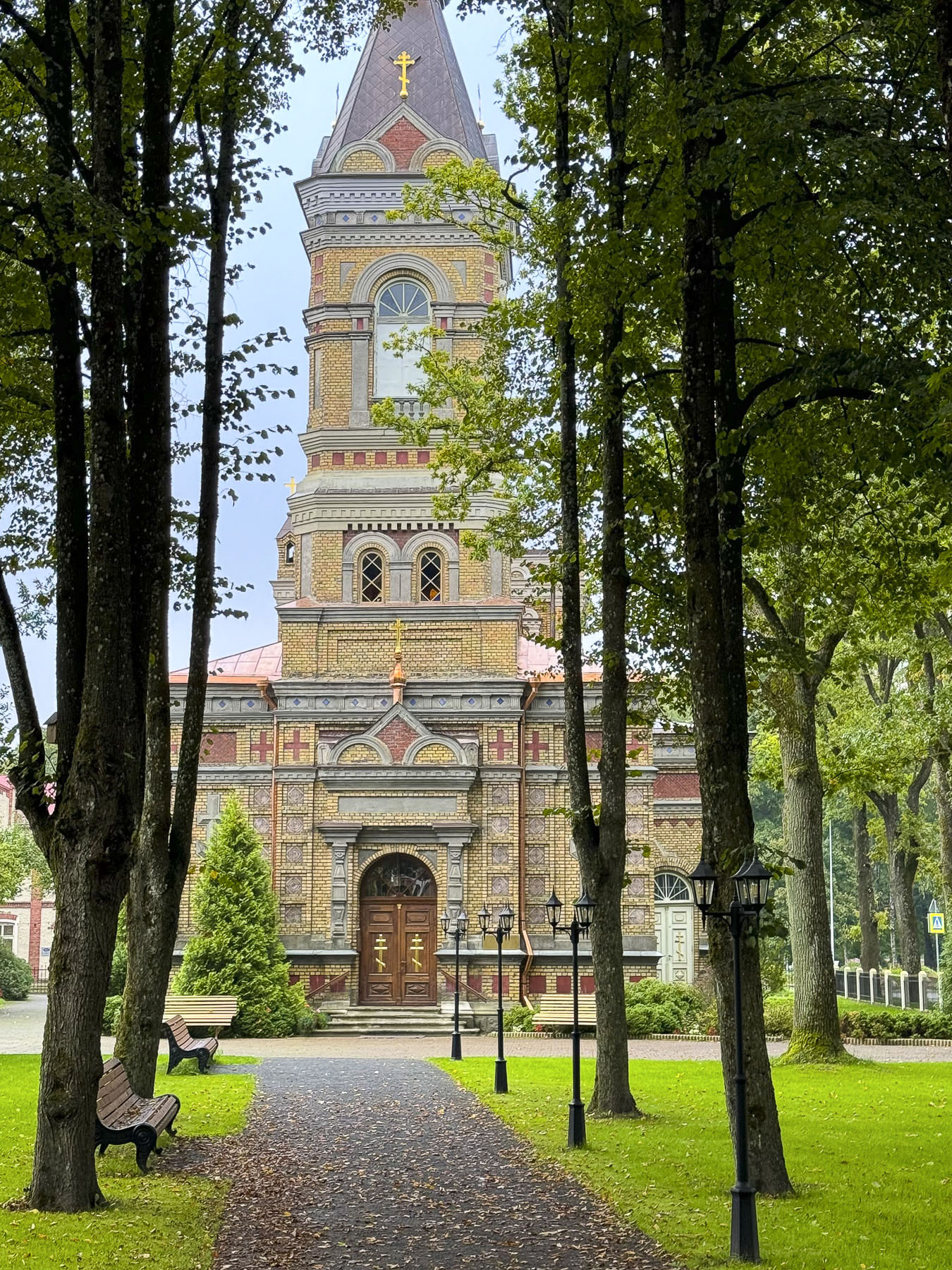
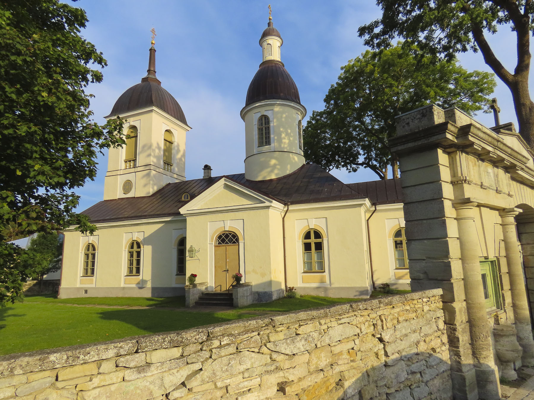
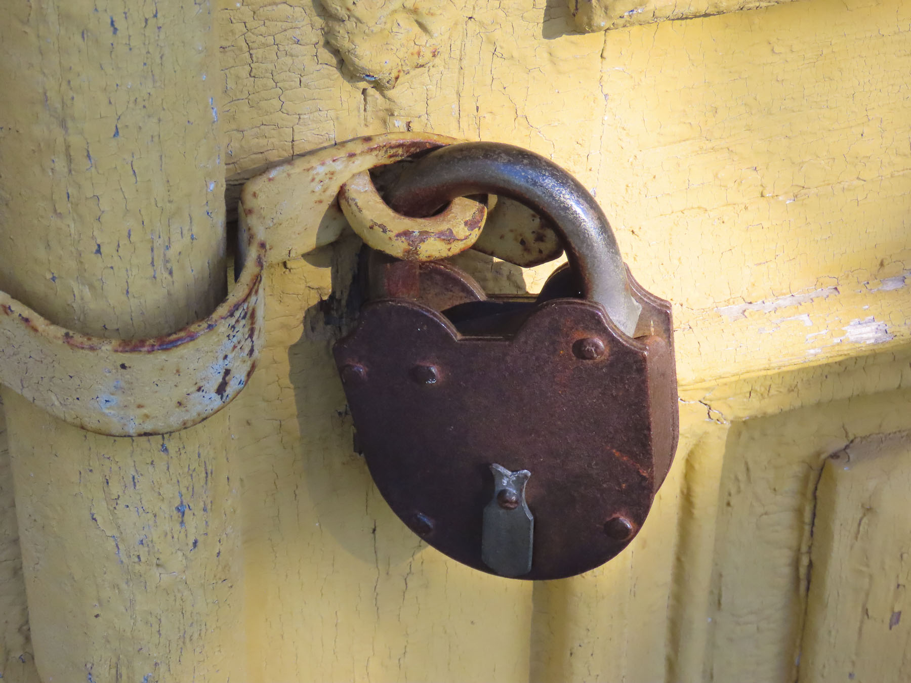
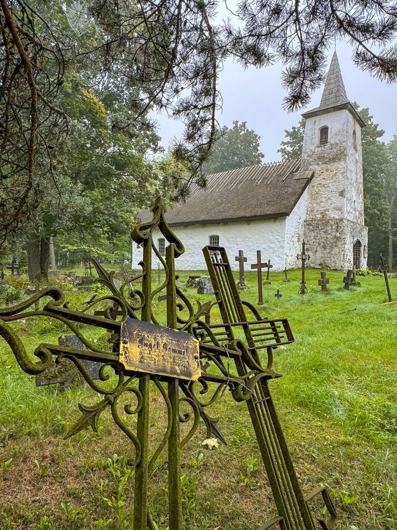
Four miles beyond Sangaste we glimpsed the onion shaped domes of (EAÕK) Ilmjärve Jumalailmumise, an Estonian Apostolic Orthodox Church, amidst a clearing. The red brick and stone facade of the 1873 church was brilliant in the afternoon sun. Unfortunately, the church was closed, though we were able to peek at the interior through an old-fashioned skeleton lock, and even take a picture. A placard in front of the building noted that the church’s two large bells were donated by the Russian Czar Alexander II. The church suffered during WW2, but its spirit was wounded the most when thieves in 1979 stole the church’s silver treasures used for communion.


We hadn’t expected restaurants in the area to be so scarce and far apart. Many were already closed for the season, though the weather, now cooler in late September, was still very comfortable. Our hope rose when we approached a restaurant across from the ski lift, that was now carrying mountain bike riders to the summit for a thrilling downhill ride, at the Munamägi Ski Center, outside of Otepää, the “winter capital of Estonia.”

But as we neared an employee flipped the sign hanging in the door to CLOSED! It was only mid-afternoon, had we missed the lunch hours? With our stomachs now rumbling we breezed quickly through the town and regretfully bypassed the opportunity to visit the ruins of Otepää’s ancient hill fort from the Viking era, and the remains of a Bishop’s castle where the oldest known firearm in Europe was discovered. We also missed Otepää kirik, the town’s historic church, which in modern times is historically connected to the country’s flag, when in 1884 the blue, black and white flag of the Estonian Student Union was consecrated there during “Estonia’s Awakening.” The Student Union’s design became the flag of Estonia in 1991.

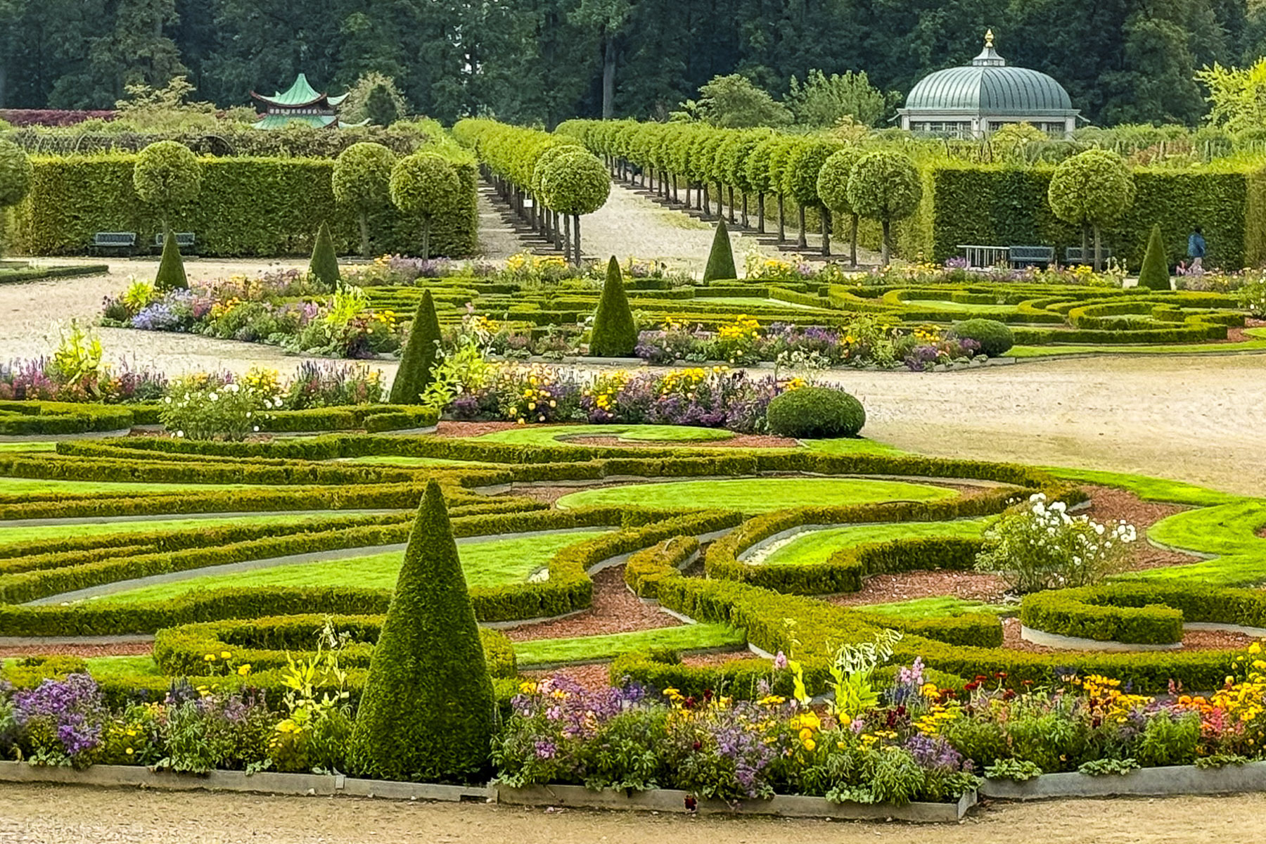
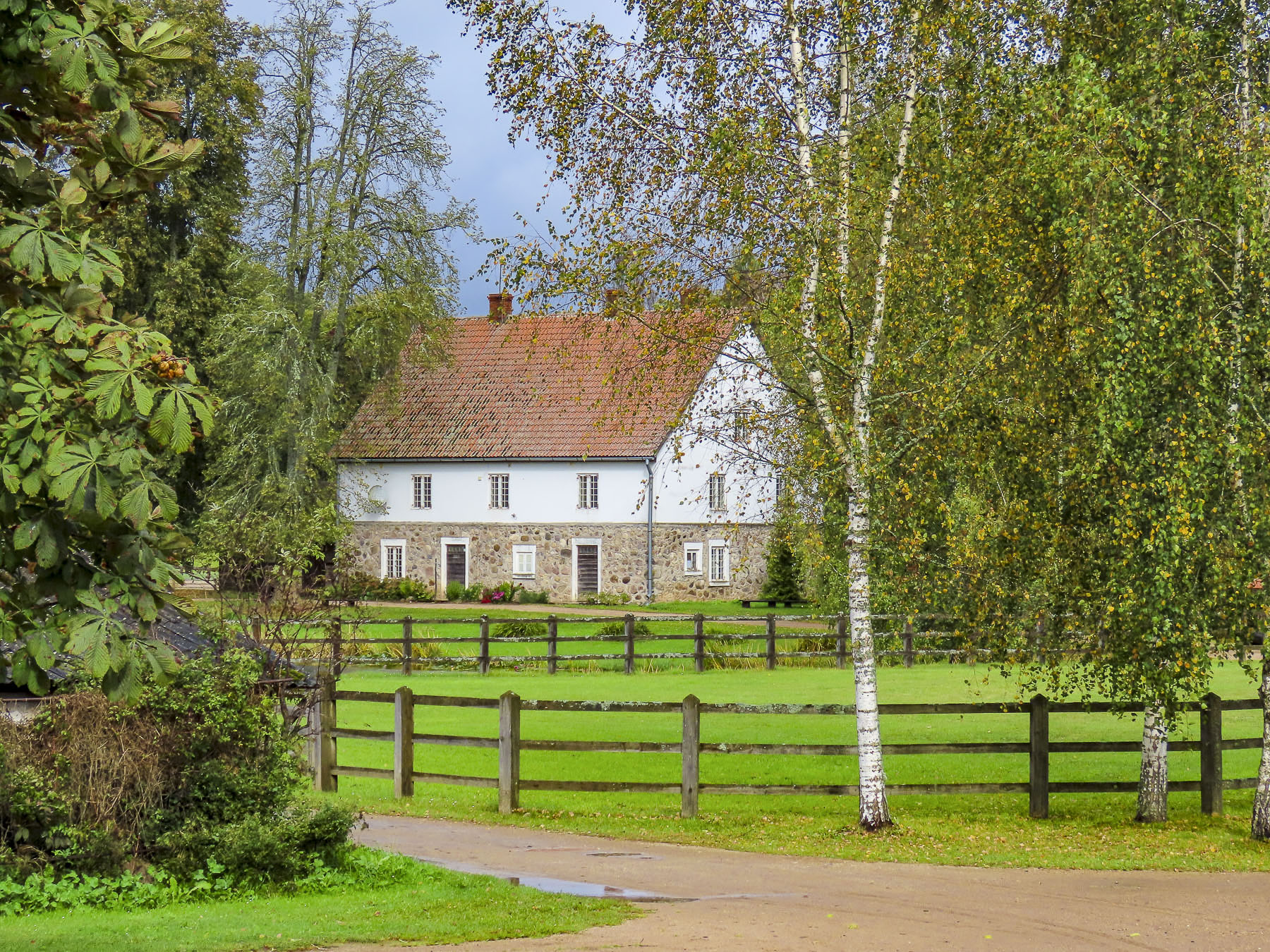
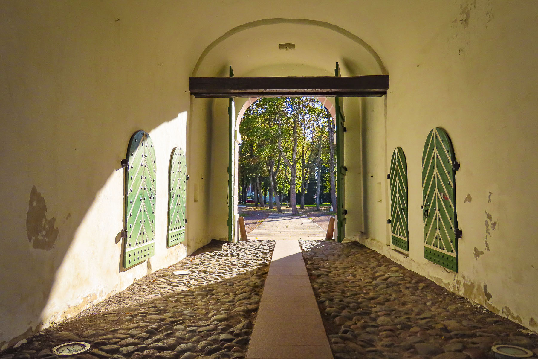
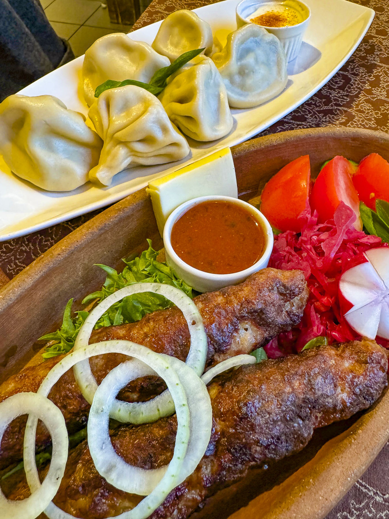
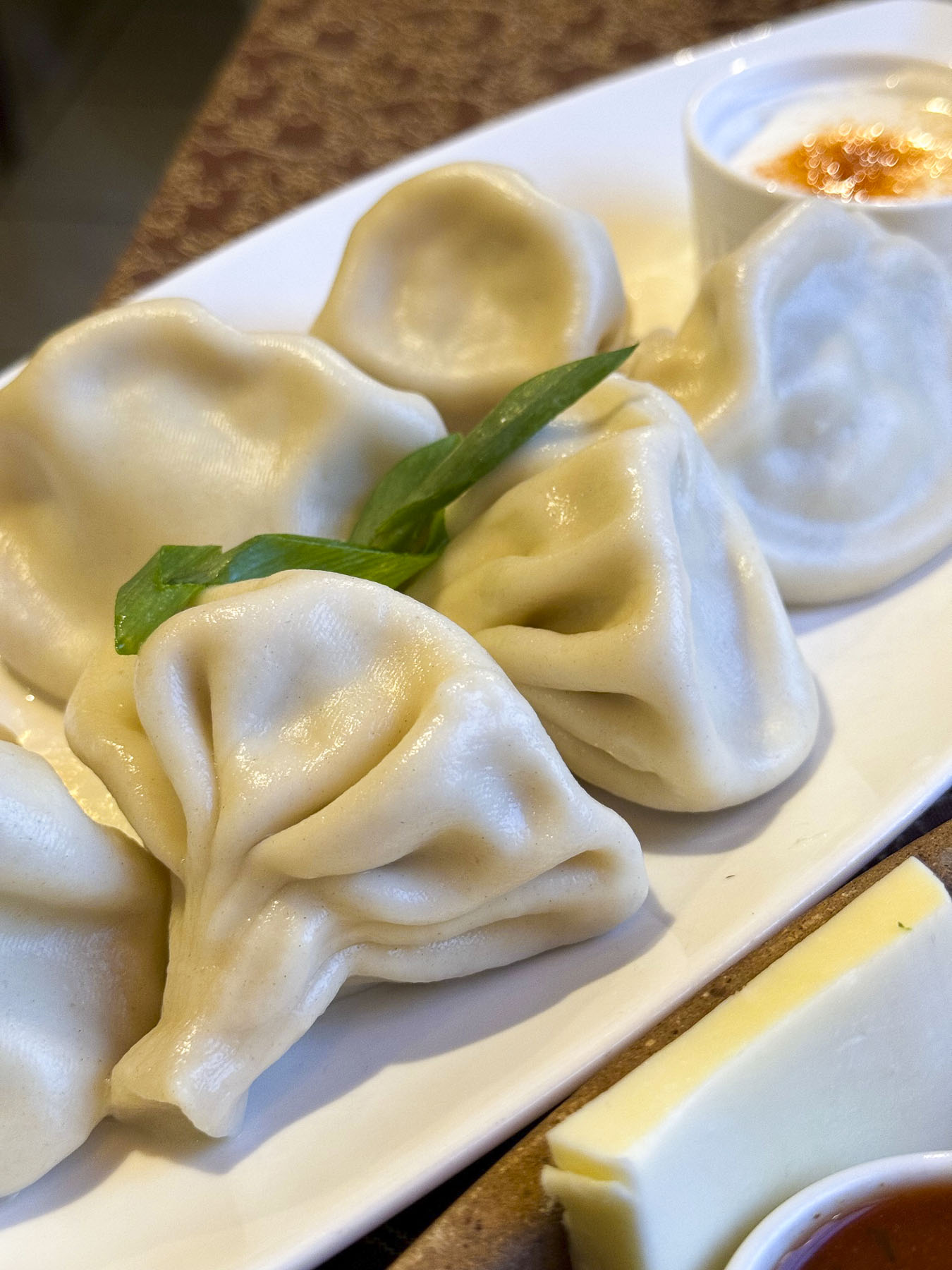
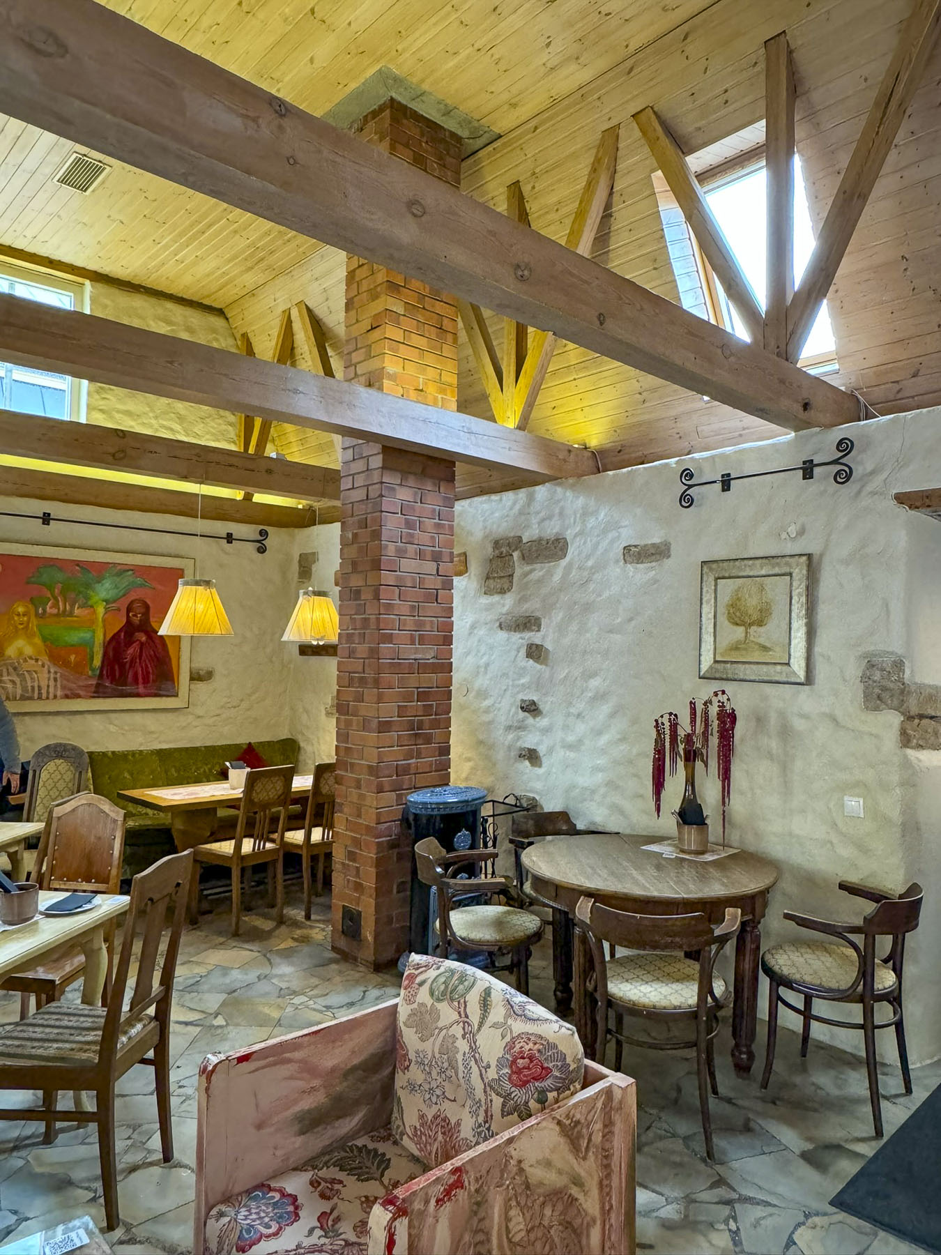
We eventually had a very nice late lunch at Pangodi kalarestoran, a fish restaurant, before our last excursion to Luke Mõis, an ancient feudal estate that dates from the 13th century. The manor house is an unassuming building that now hosts events and weddings. But the real interests here were the cascading ponds and the Gardener’s Cottage. The estate’s head horticulturalist must have been highly regarded judging by the beauty of his ornately trimmed petite home, in a lovely bucolic setting along one of the ponds. If we had planned better this would have been the perfect spot for an afternoon picnic. It’s a very pretty spot that’s worth detouring to if you are driving from Riga to Tartu.
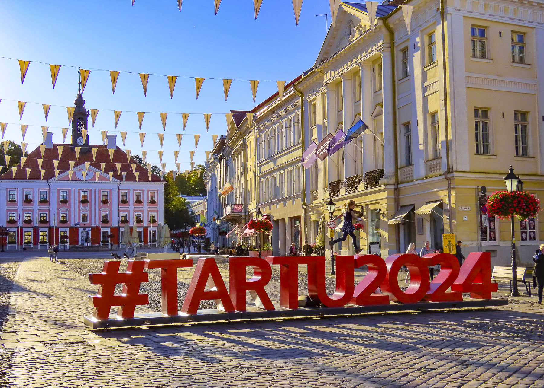
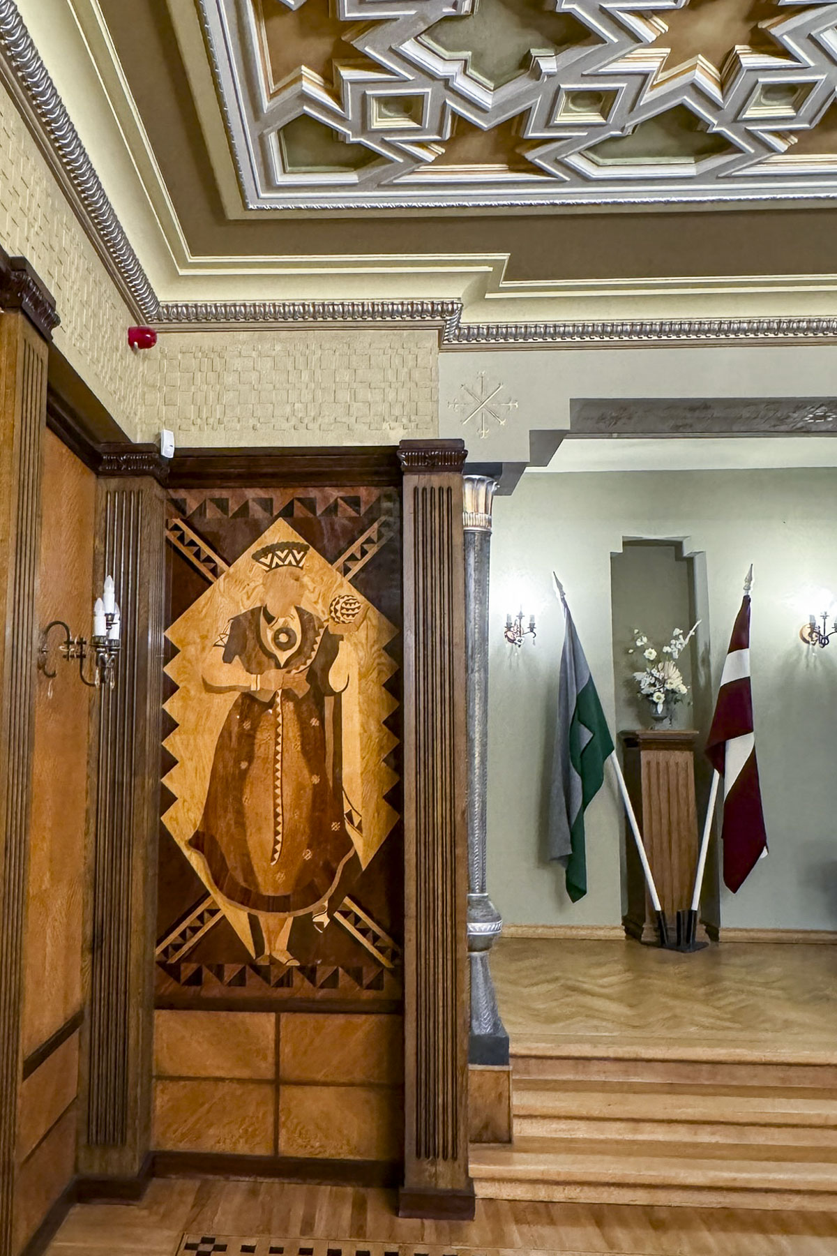
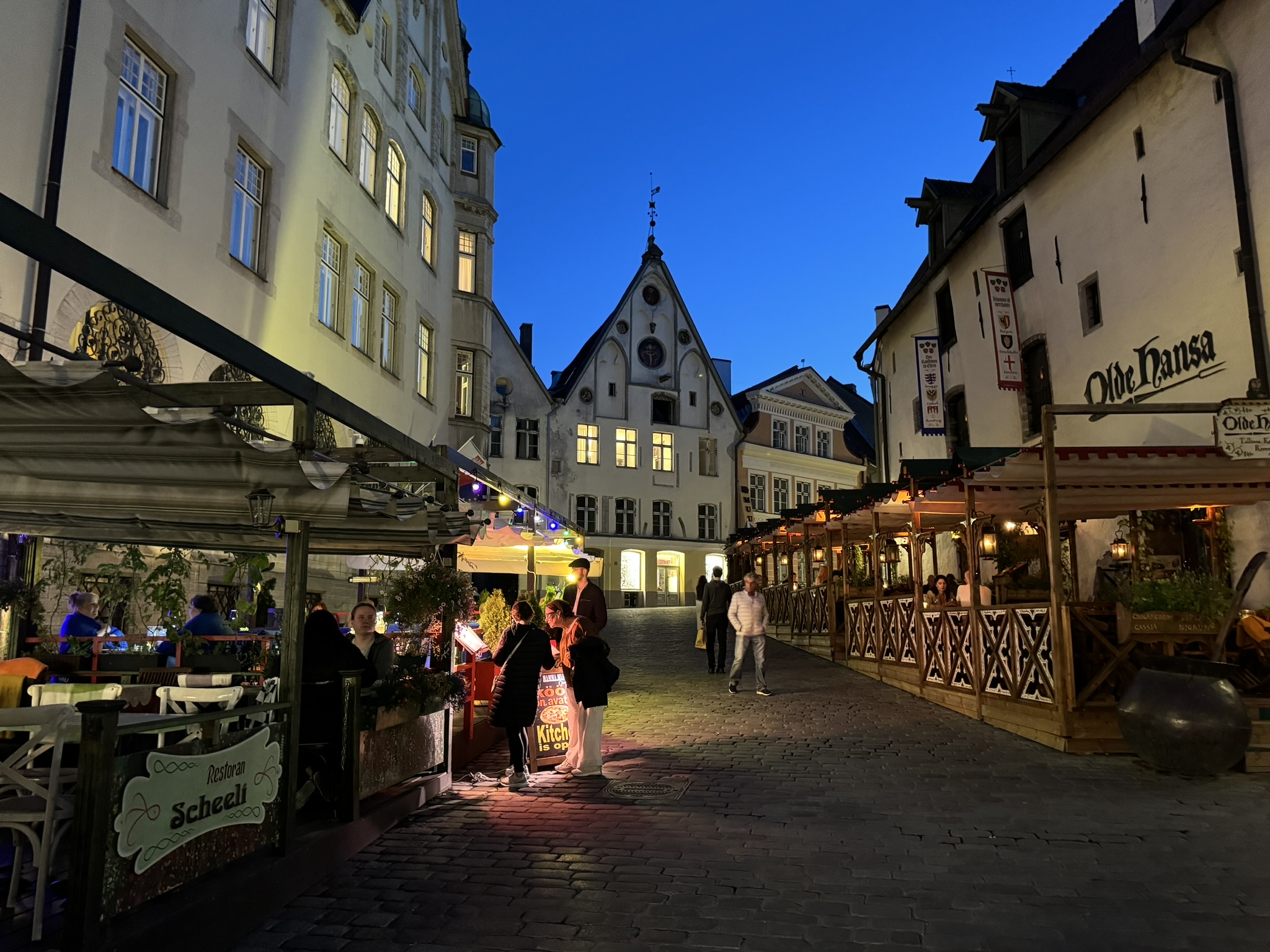
Tartu was only 30 minutes from Luke Mõis and we arrived to find Estonia’s 2024 Capital of Culture alive with activity as we checked into the Art Hotel Pallas, a creatively decorated boutique hotel, ideally located on a pedestrian mall that led into the town’s historic center.


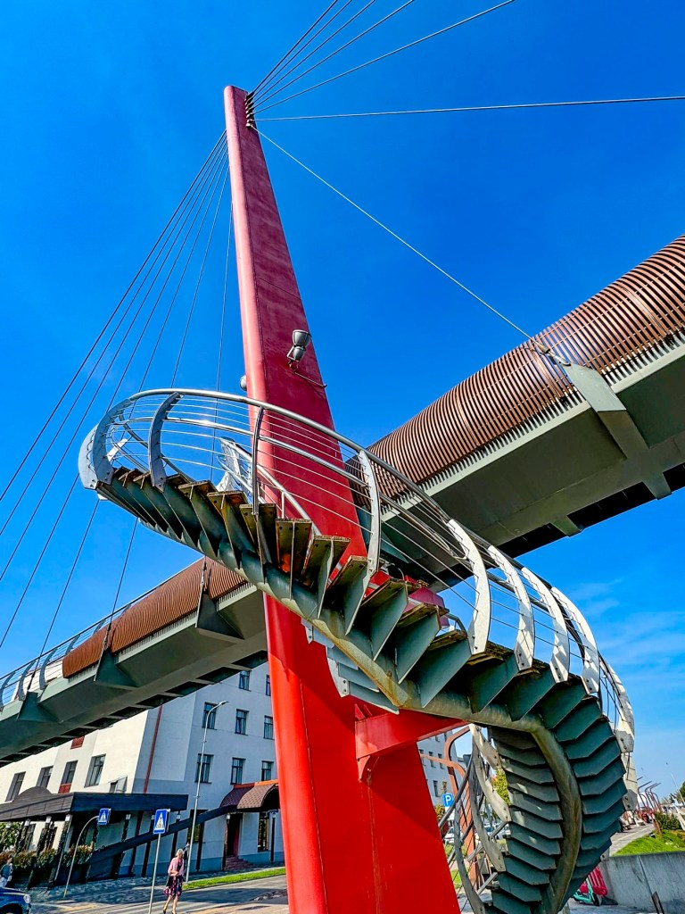
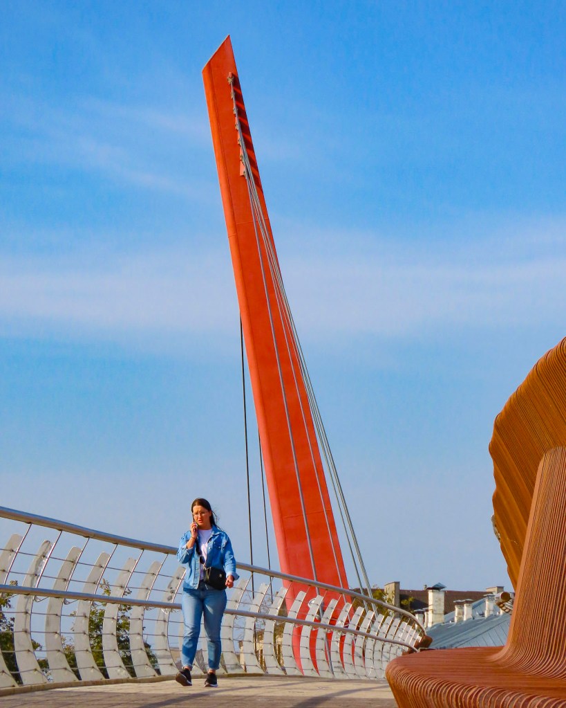
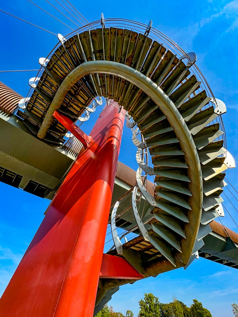
After dinner we enjoyed a leisurely stroll over the Kaarsild, an arched bridge that spans the Emajõgi River, an important trade route since the Viking era that connects Lake Võrtsjärv to Lake Peipus and is still navigable all the way to the Baltic Sea. We wondered if a Viking ever imagined the bright lights of the bridge and Tartu’s growing skyline reflecting upon the river’s water.
Till next time,
Craig & Donna