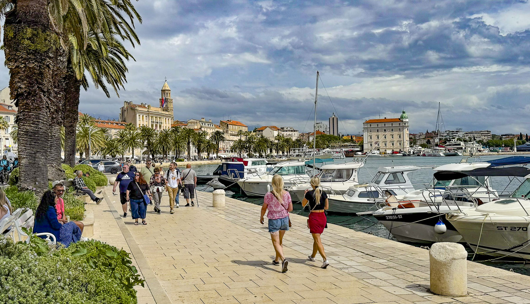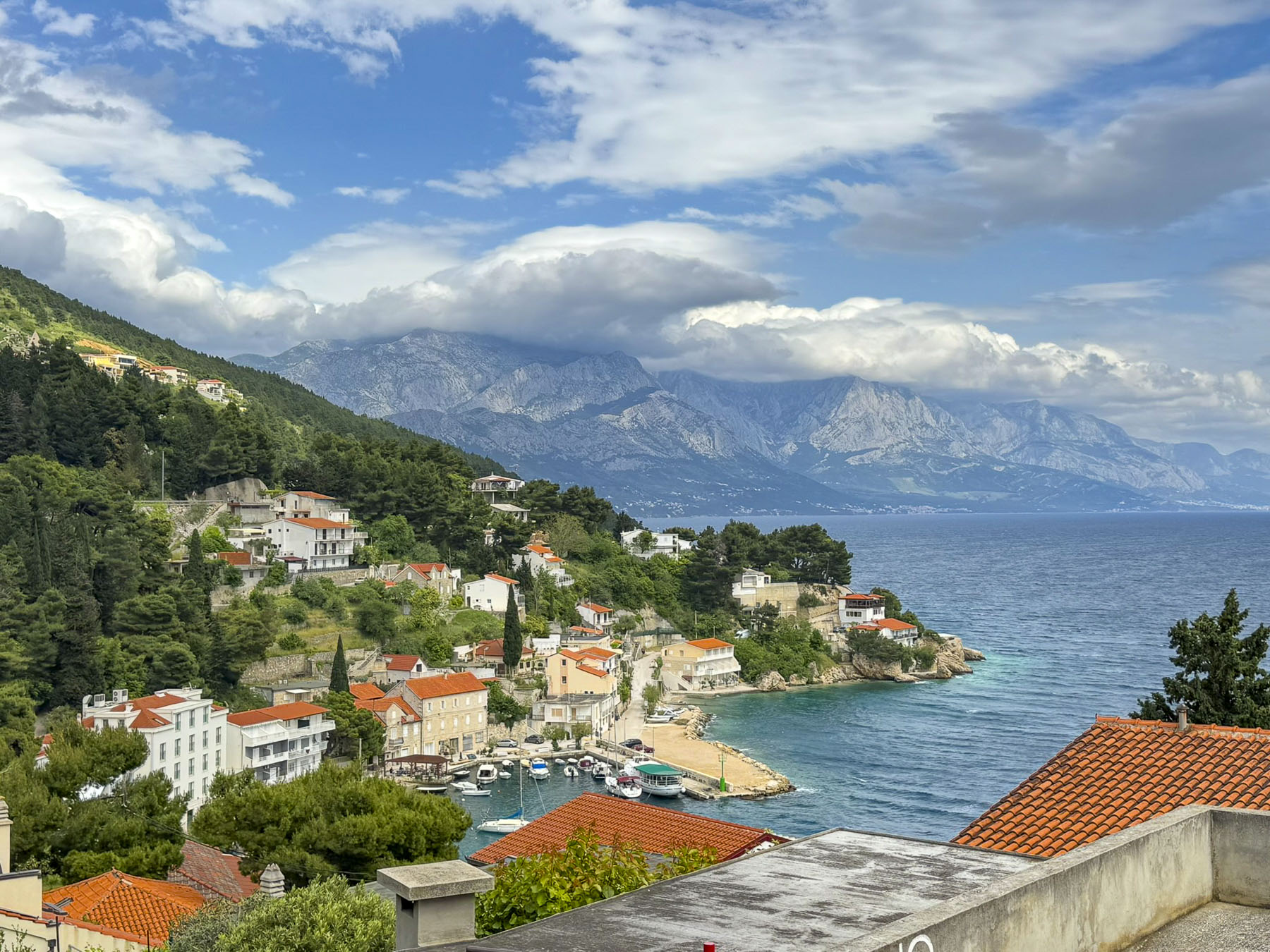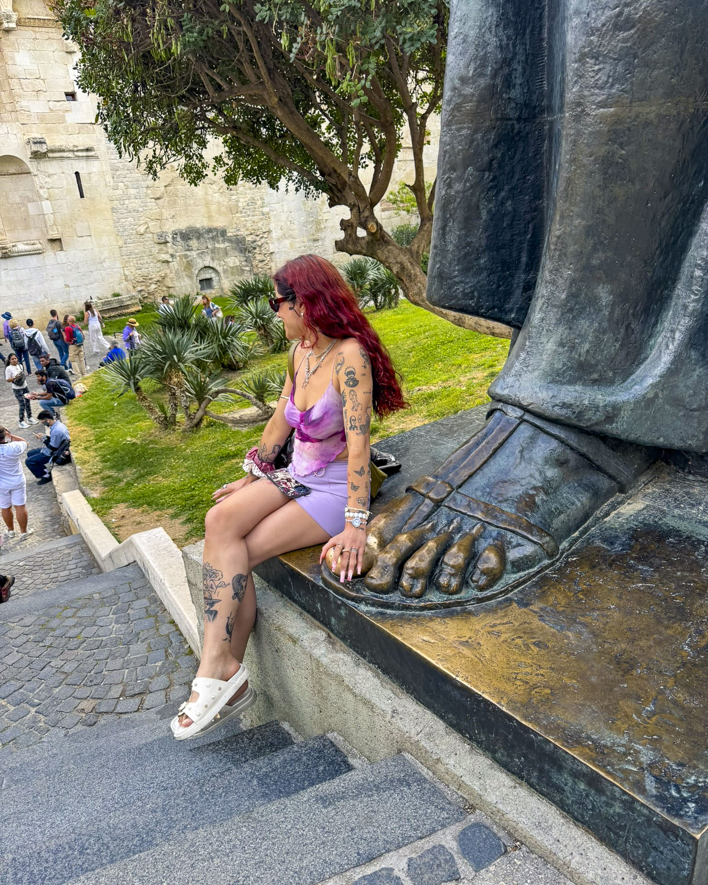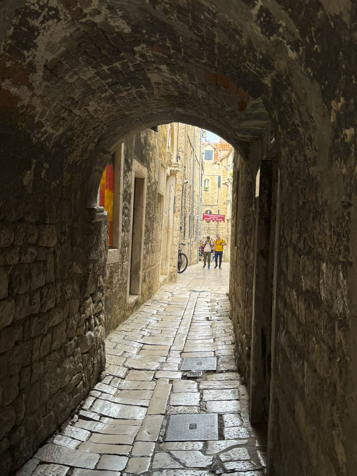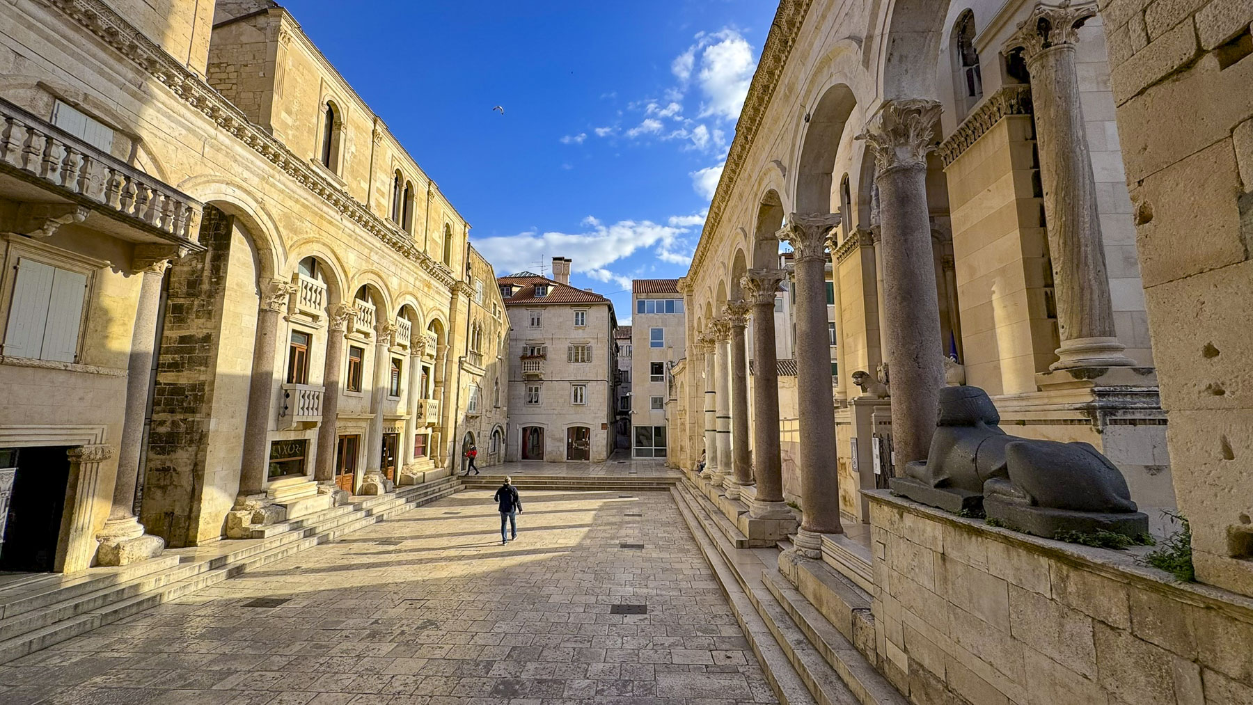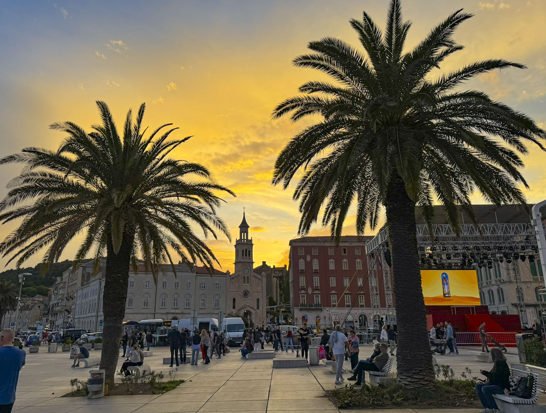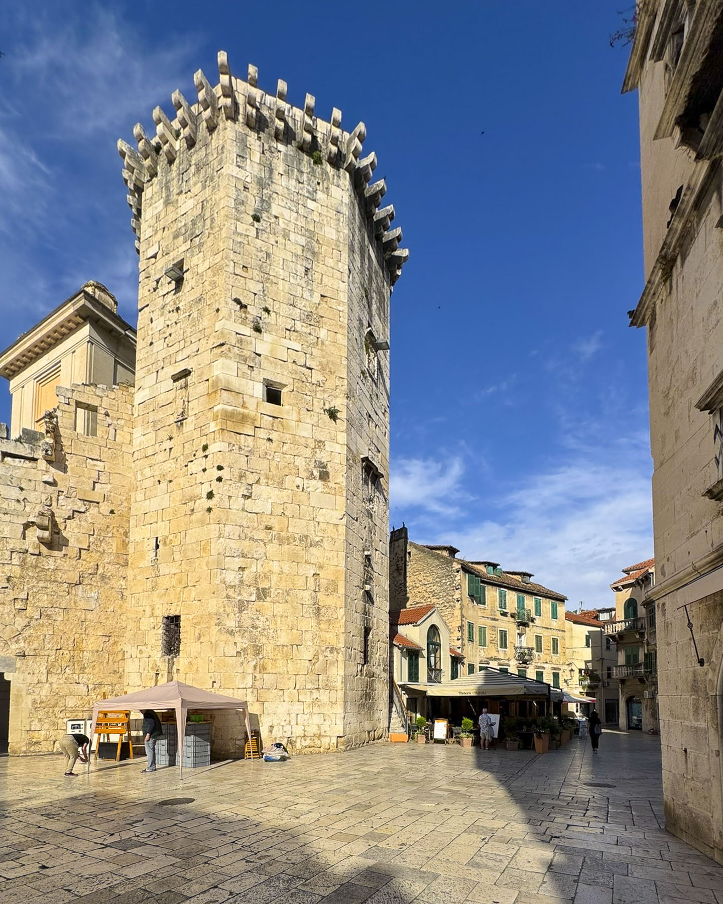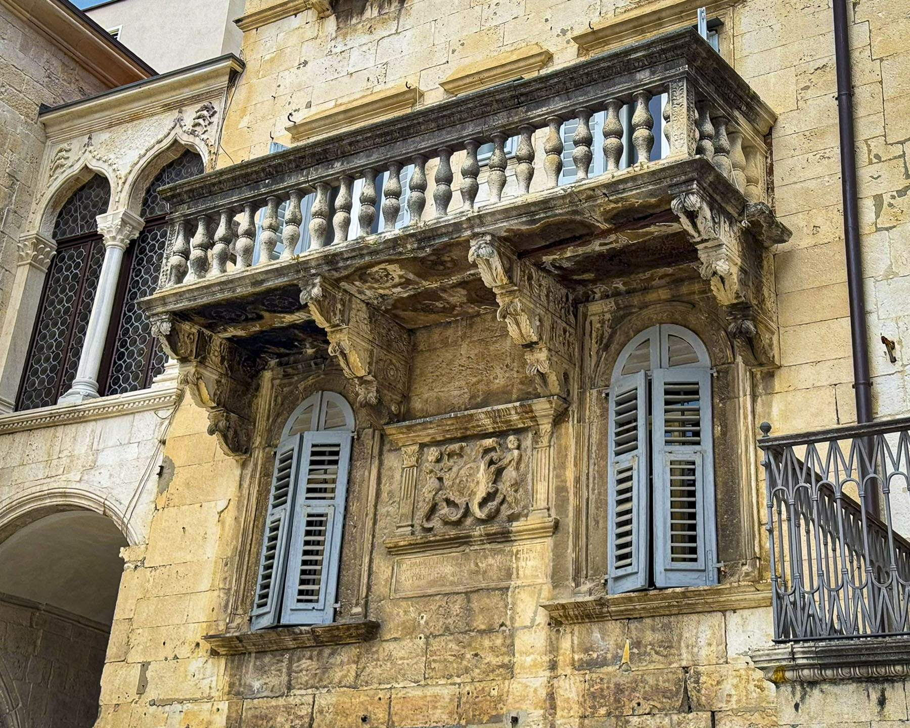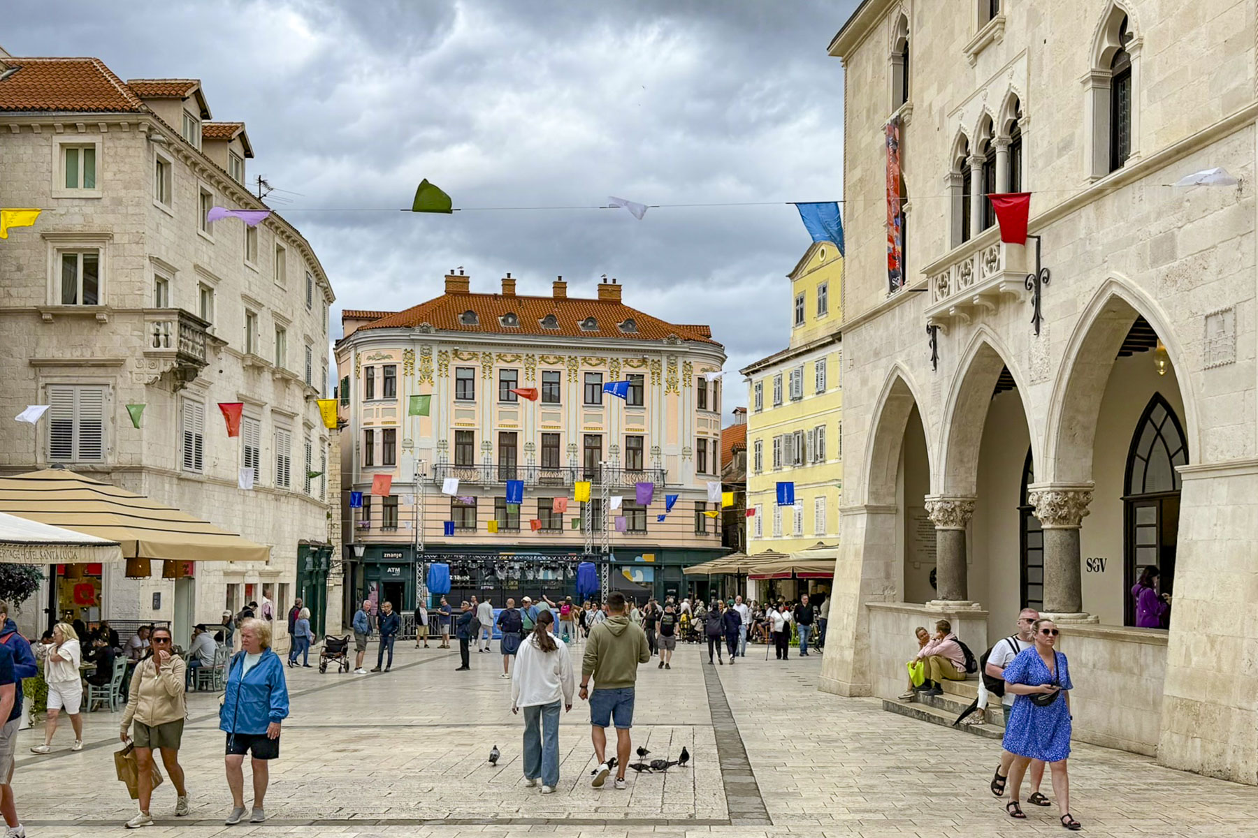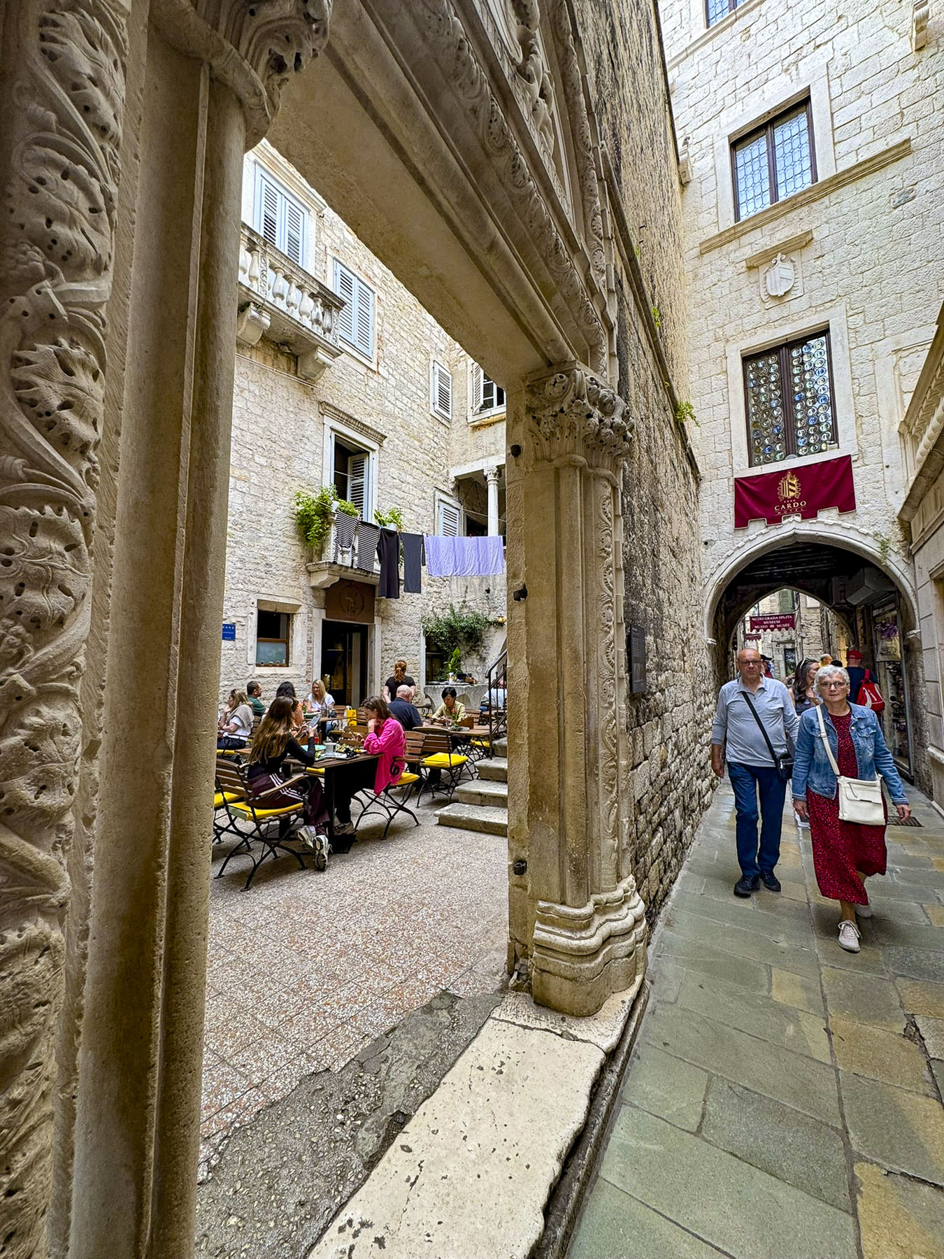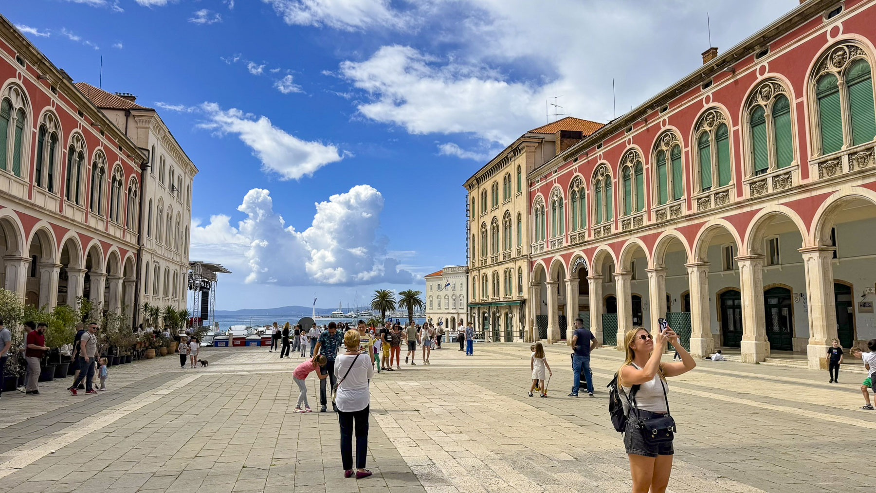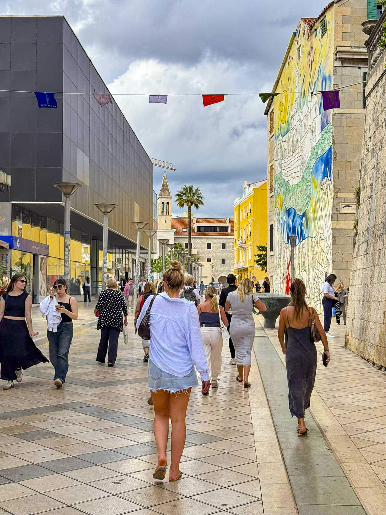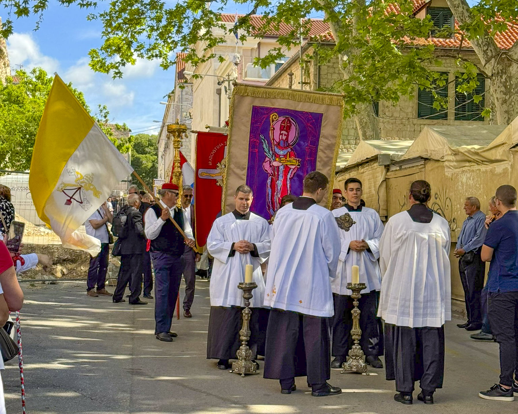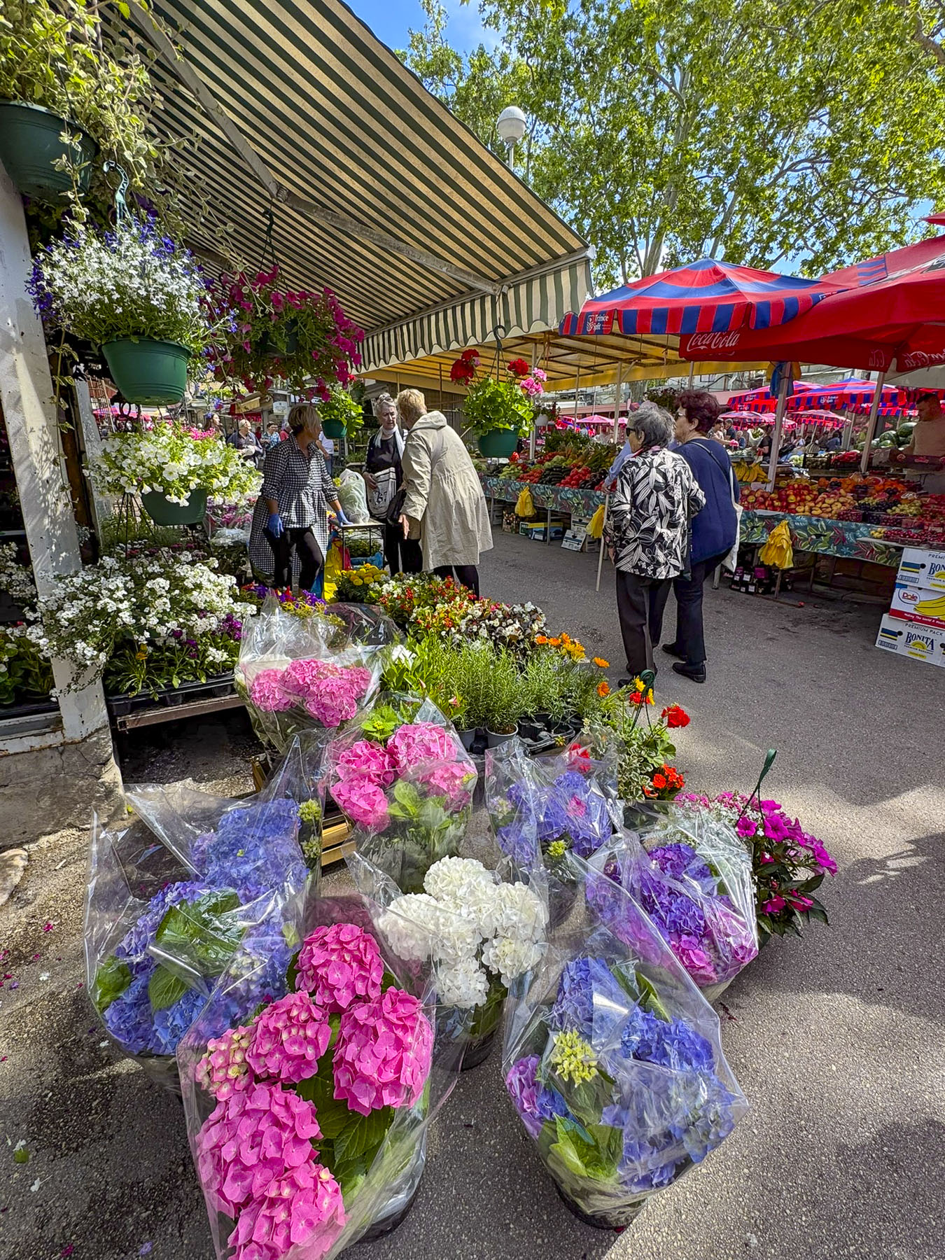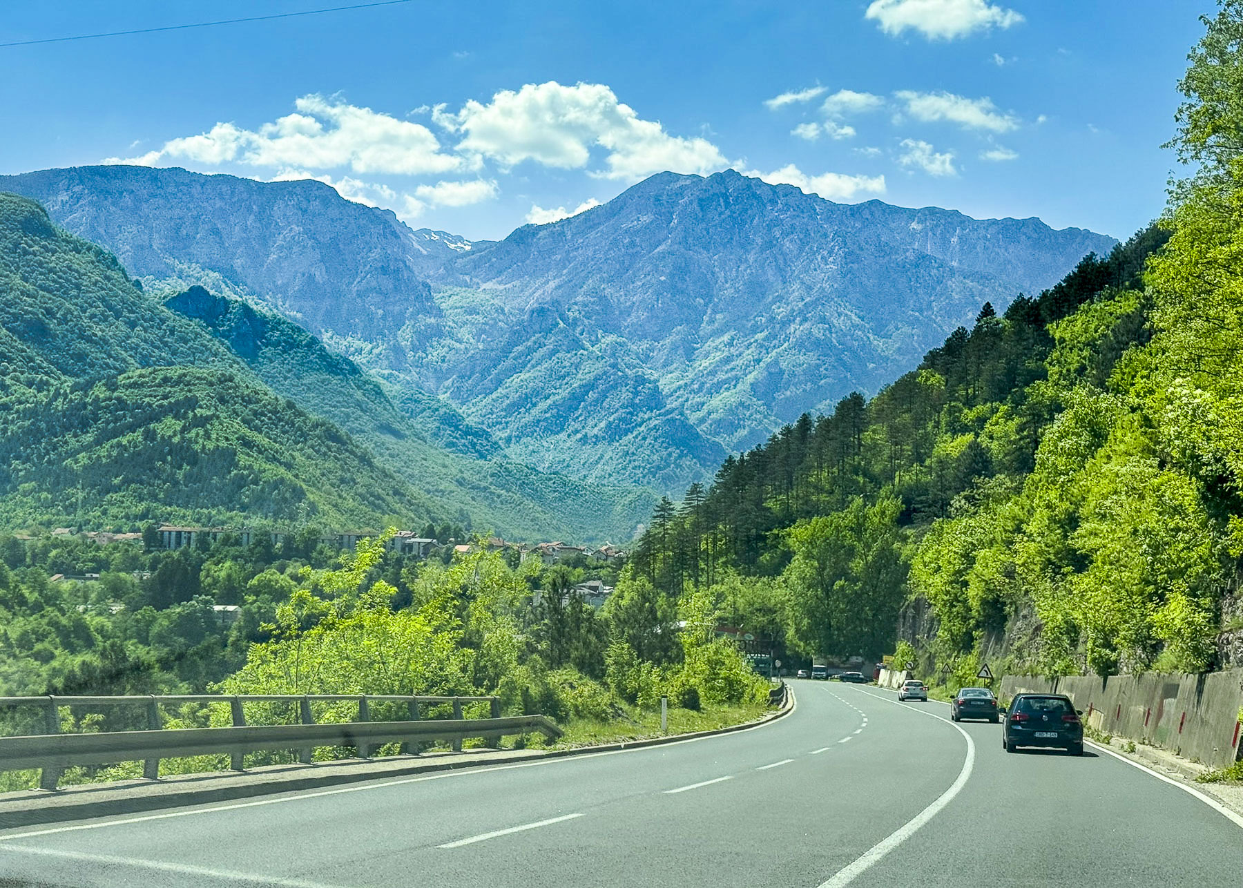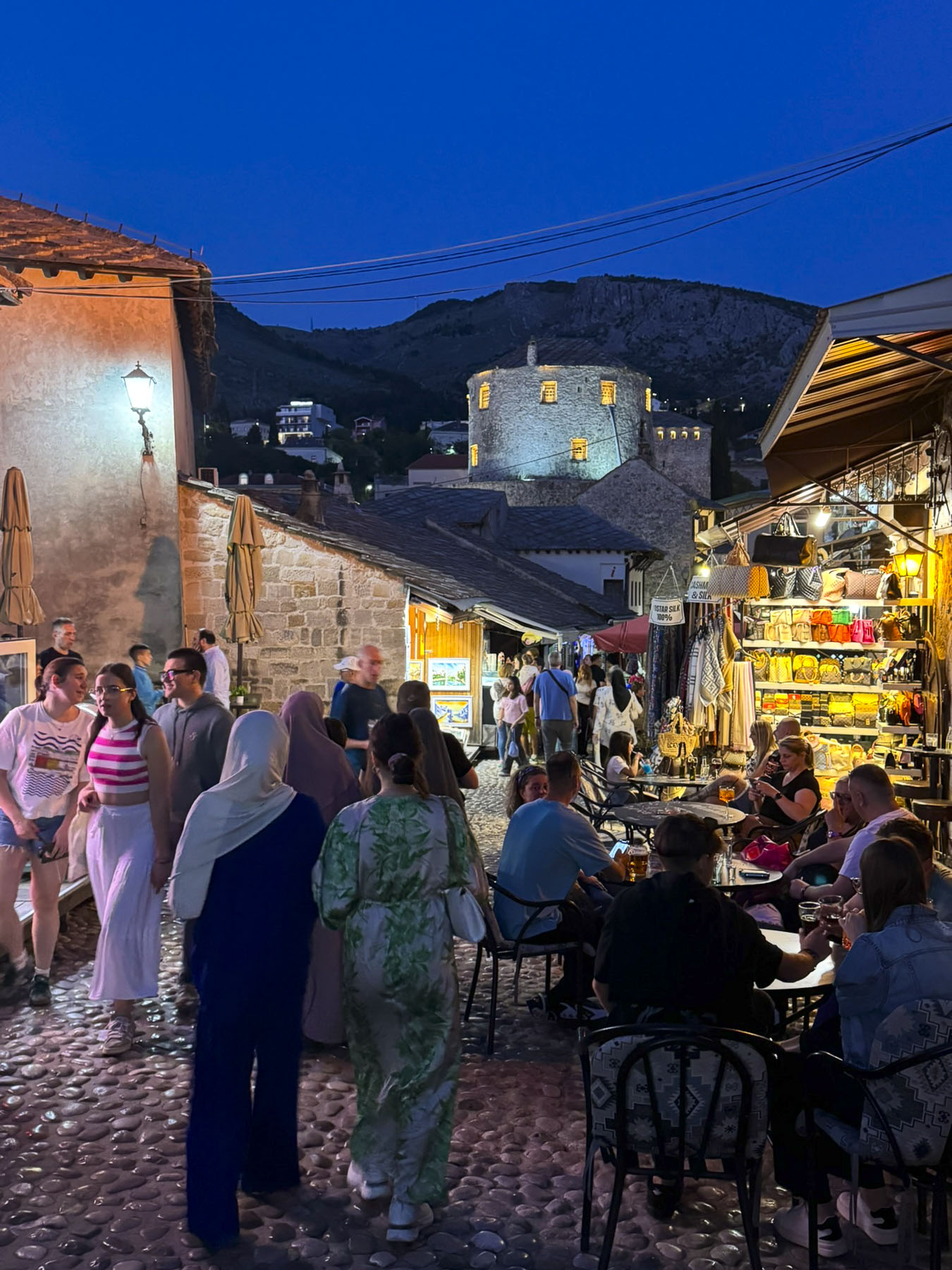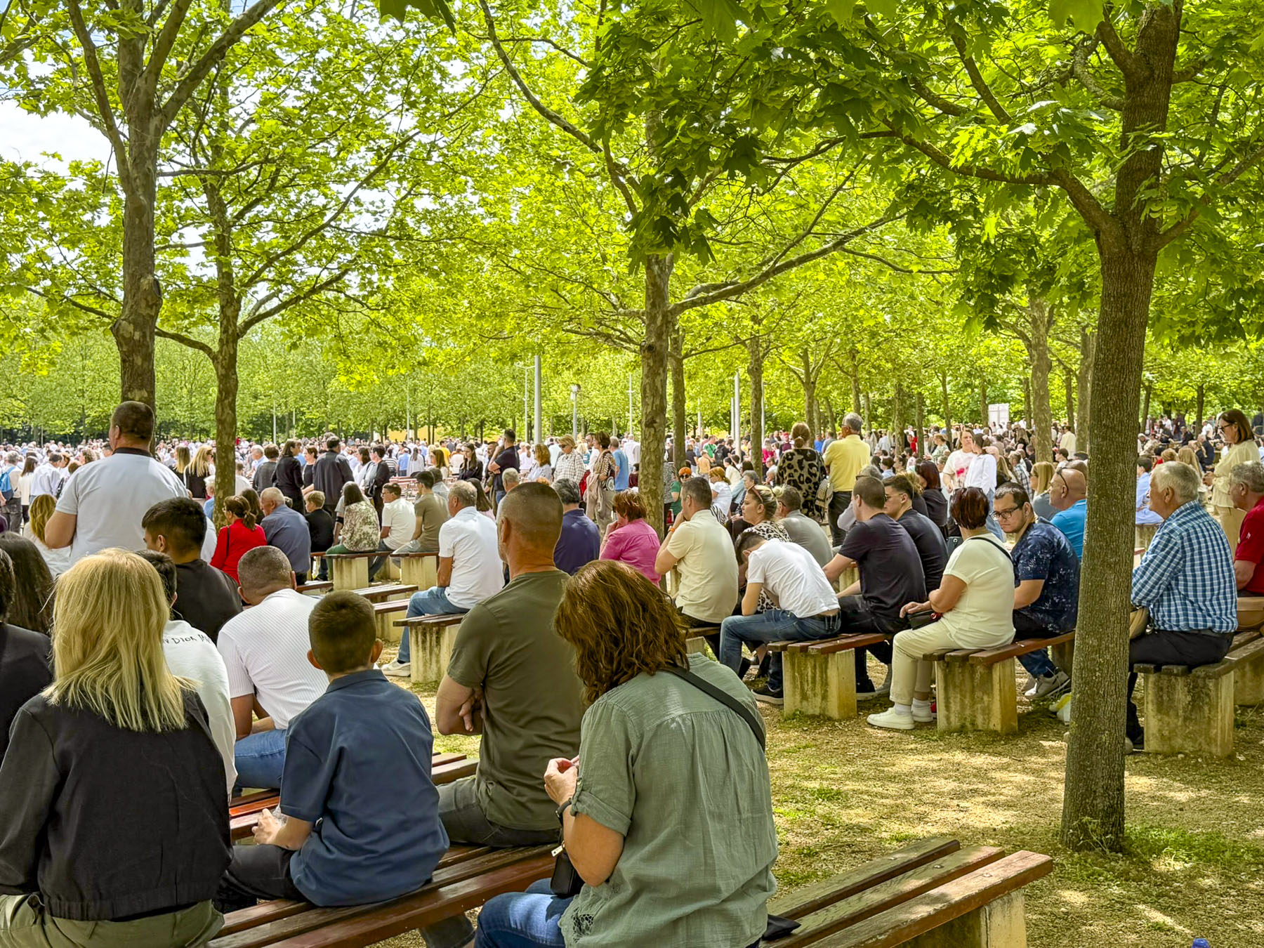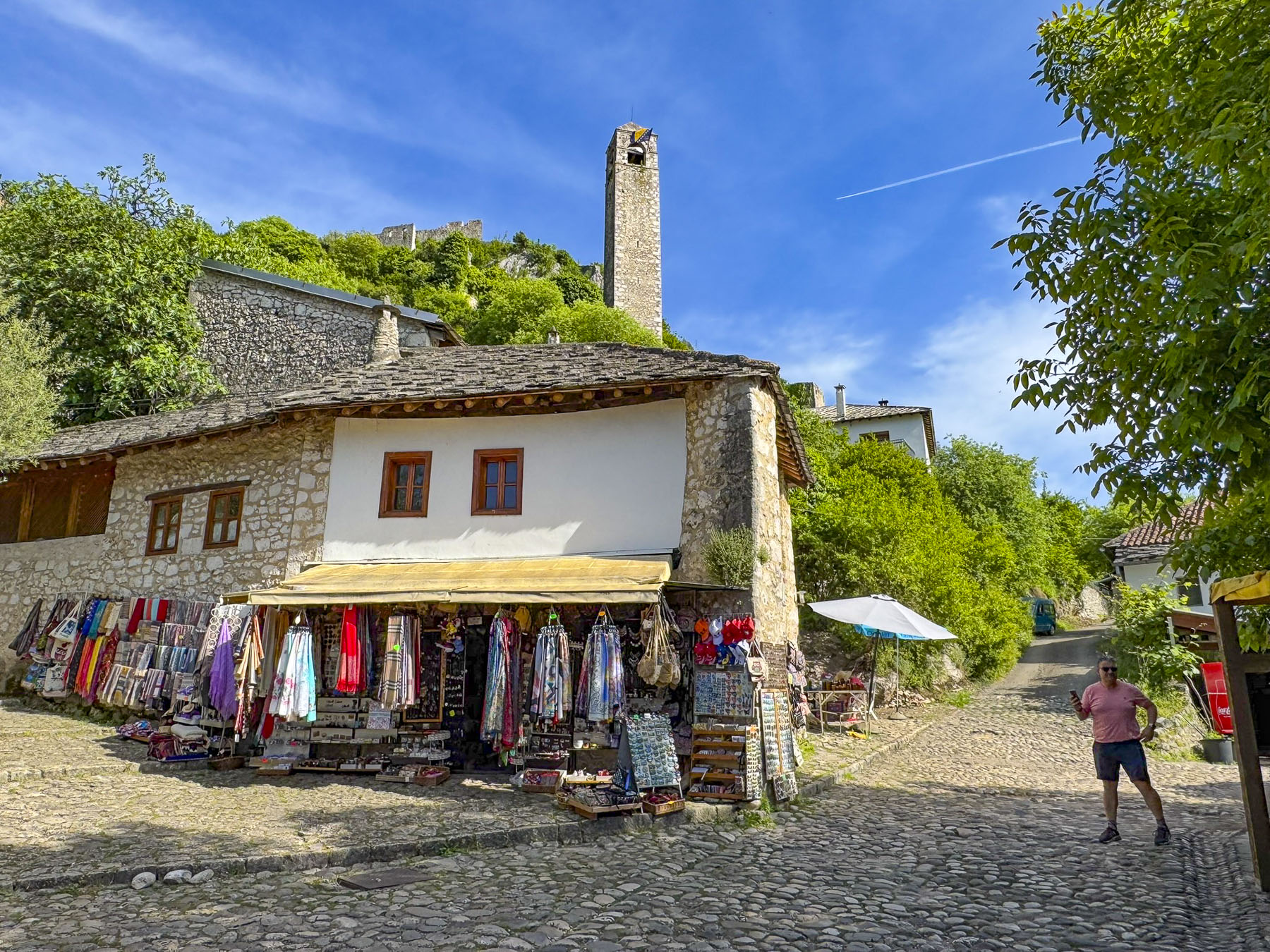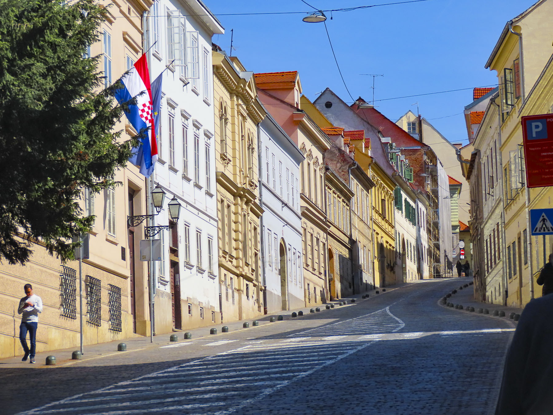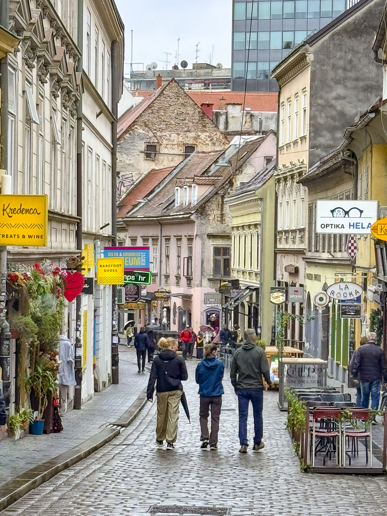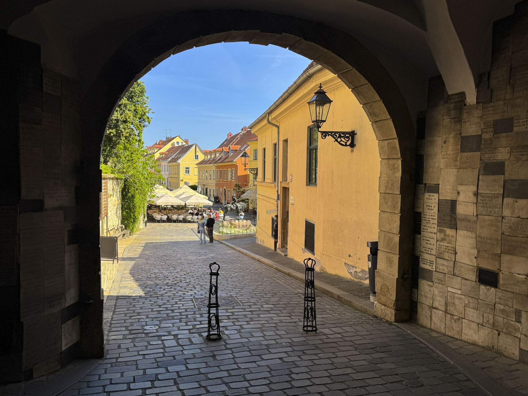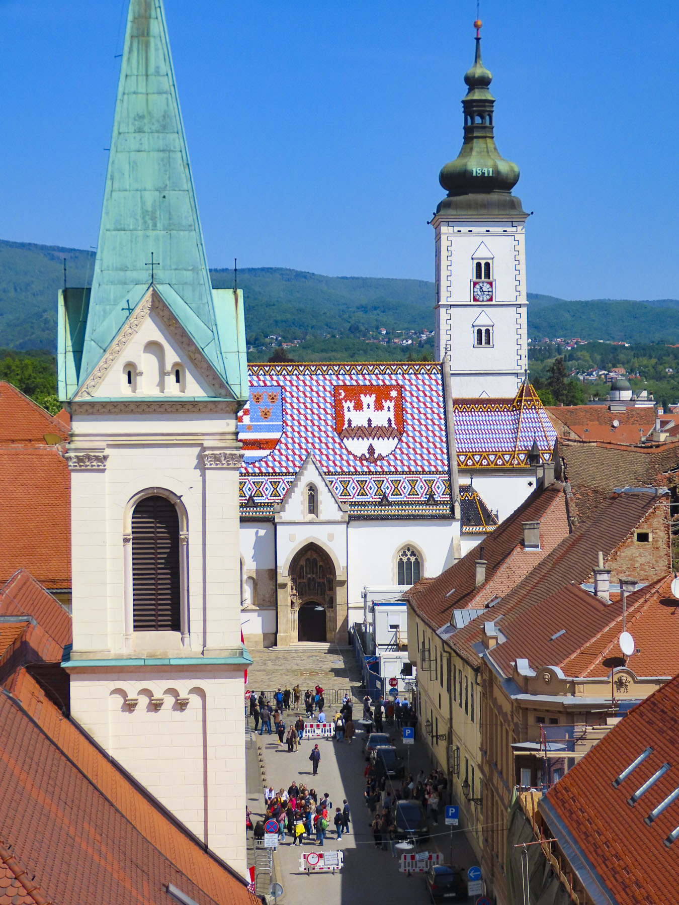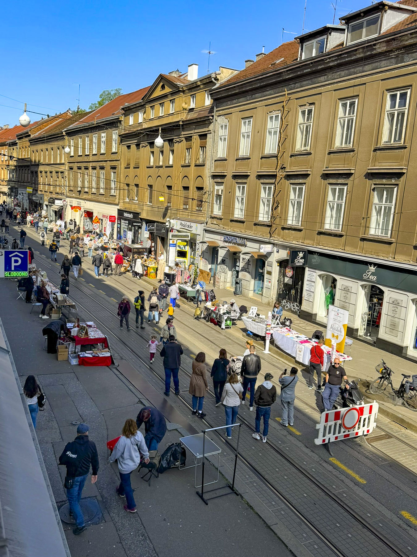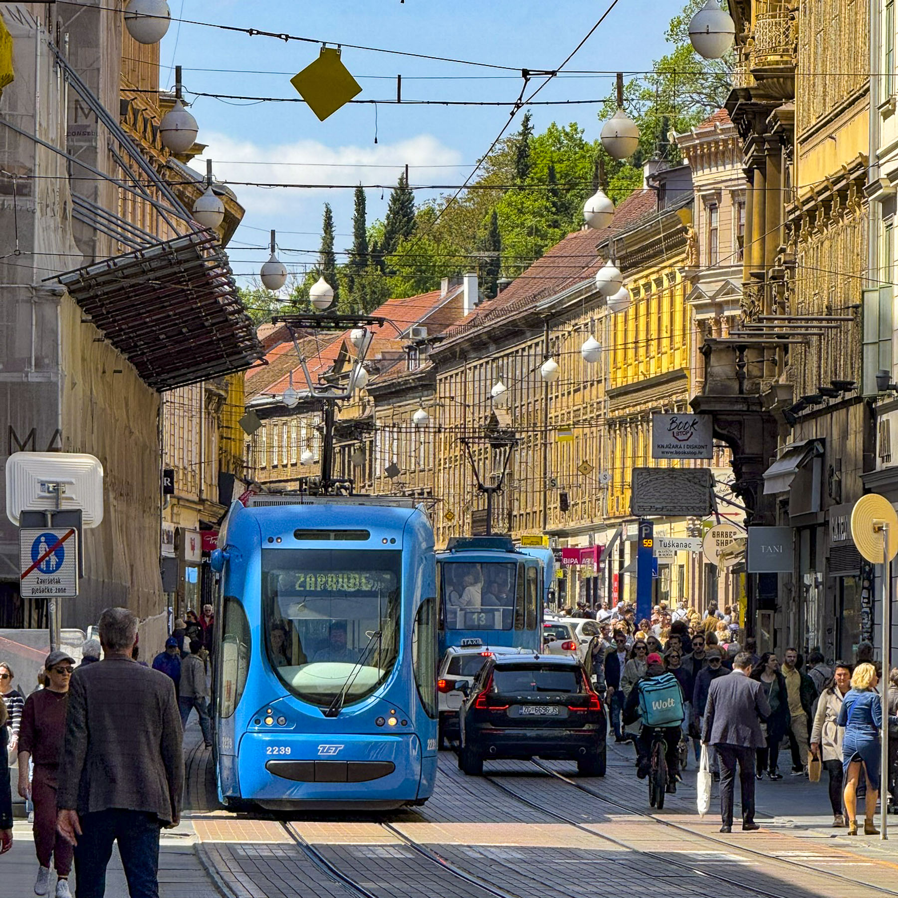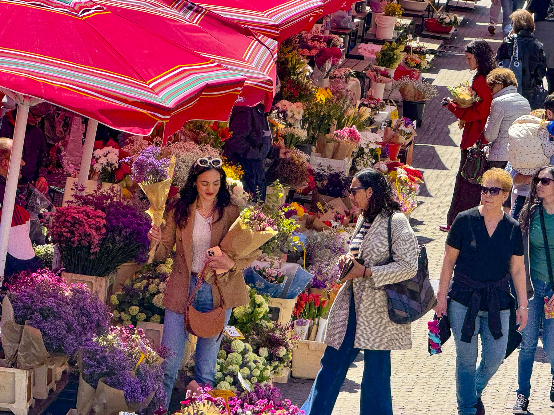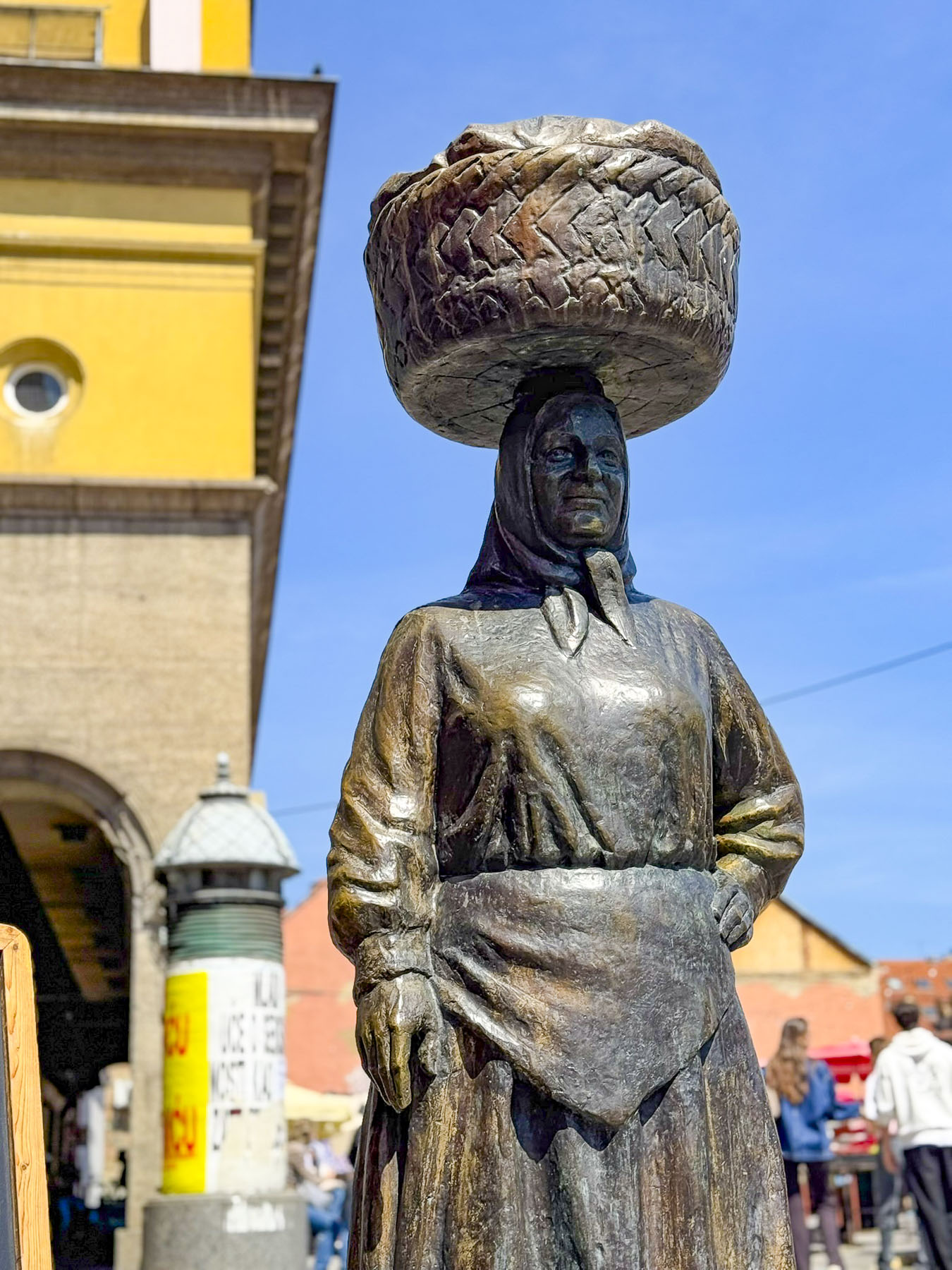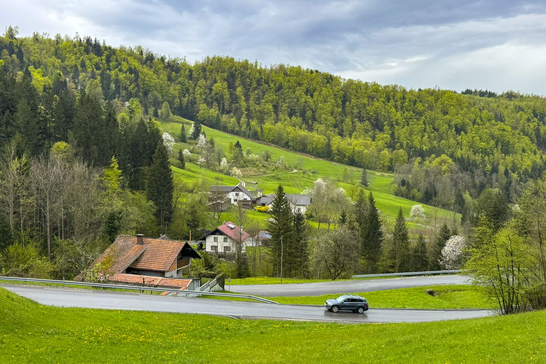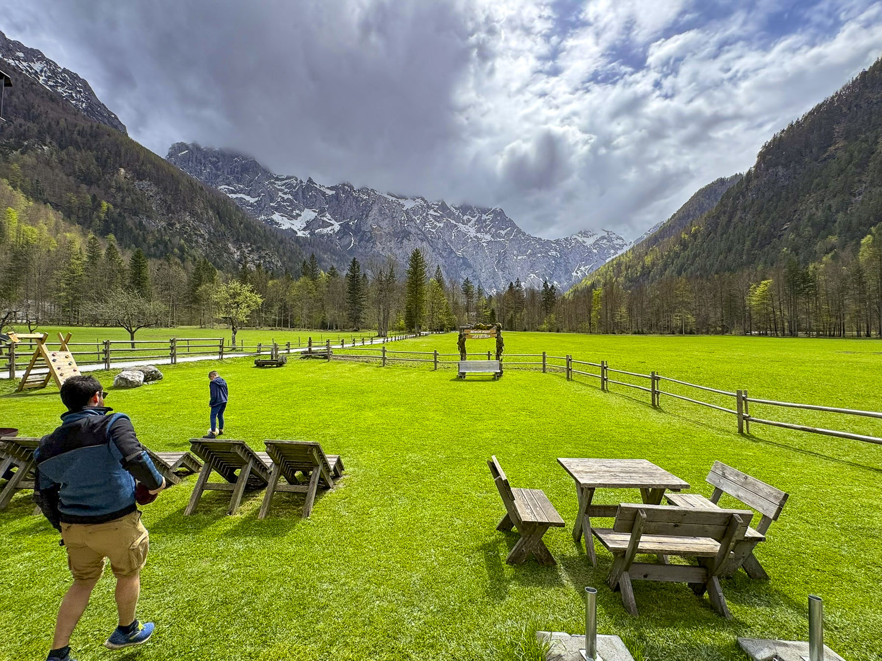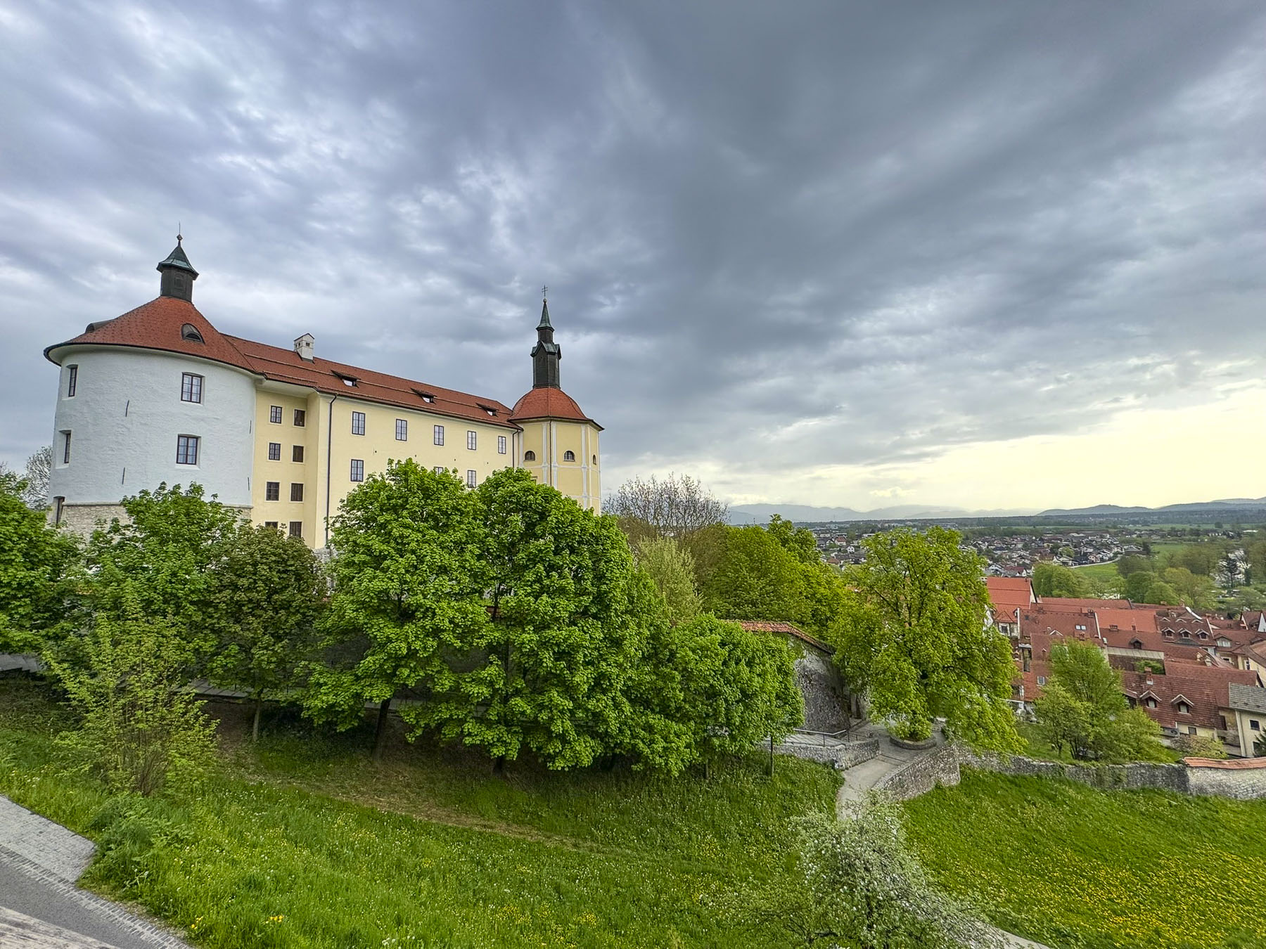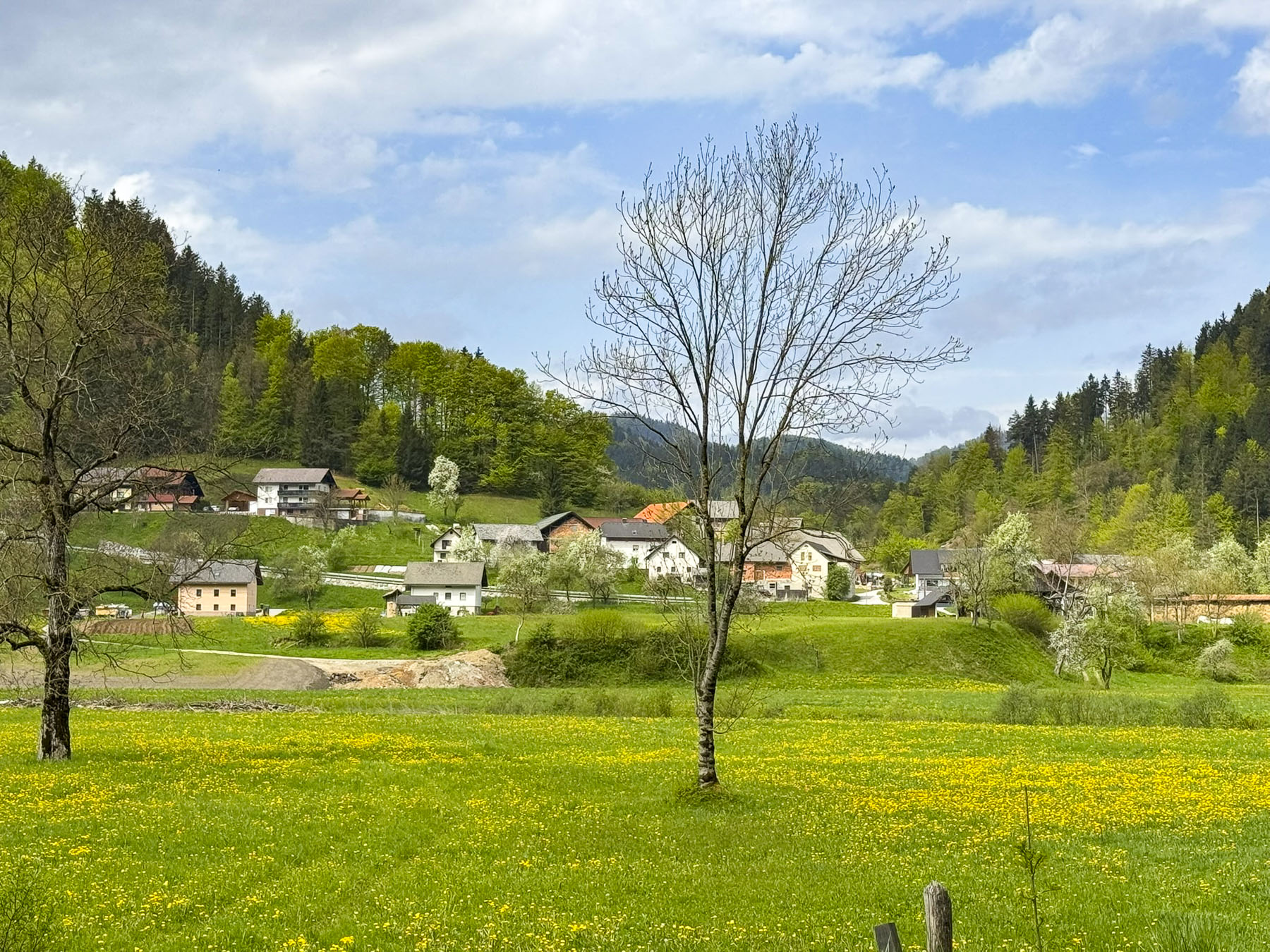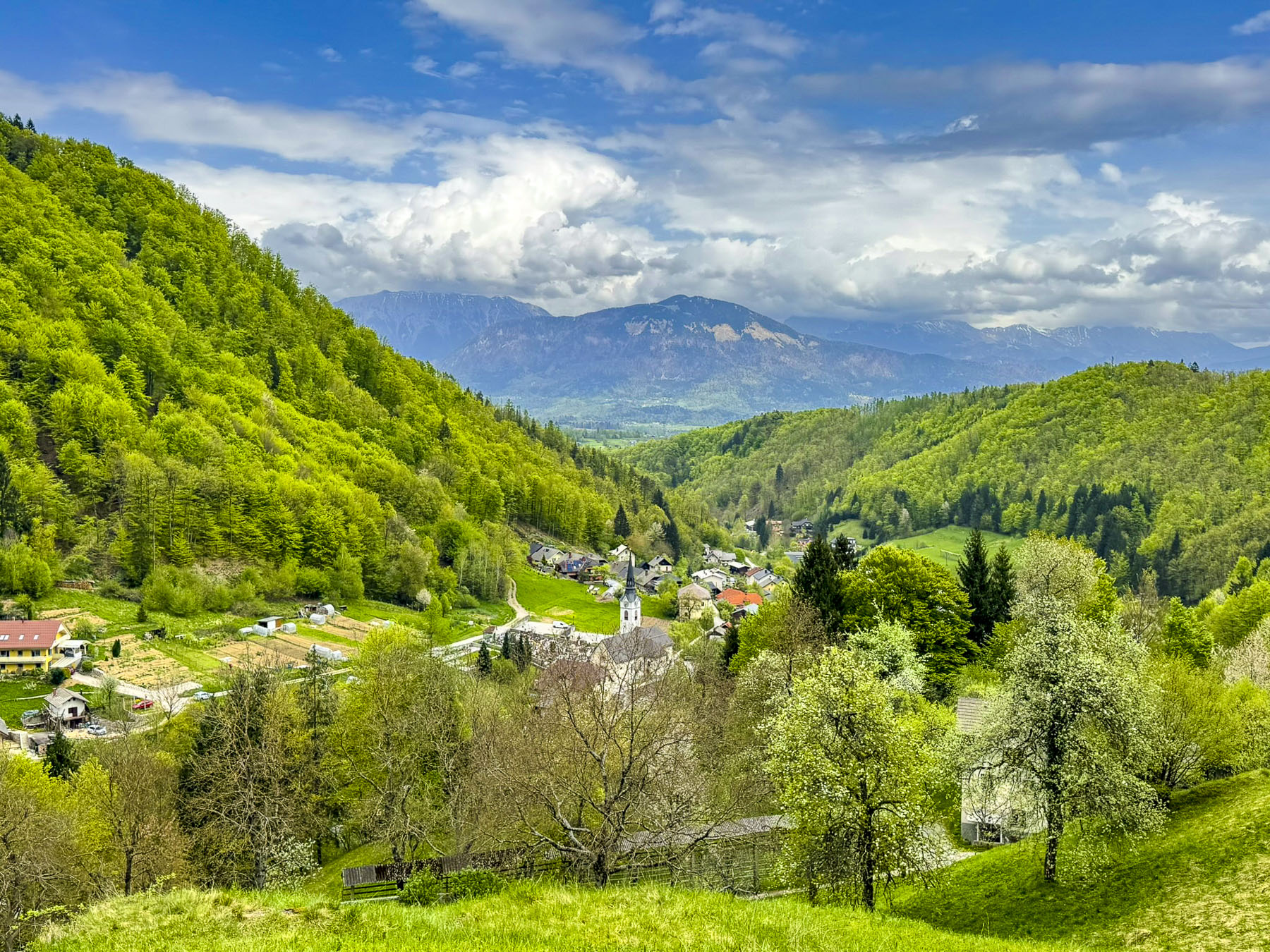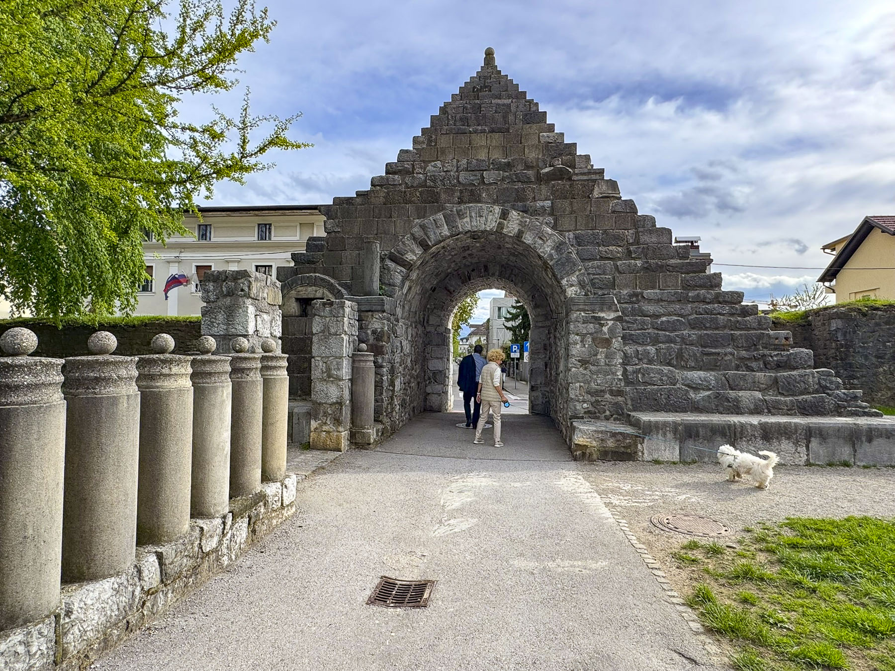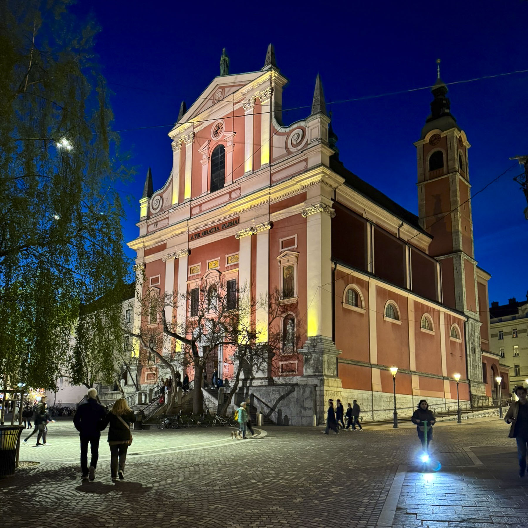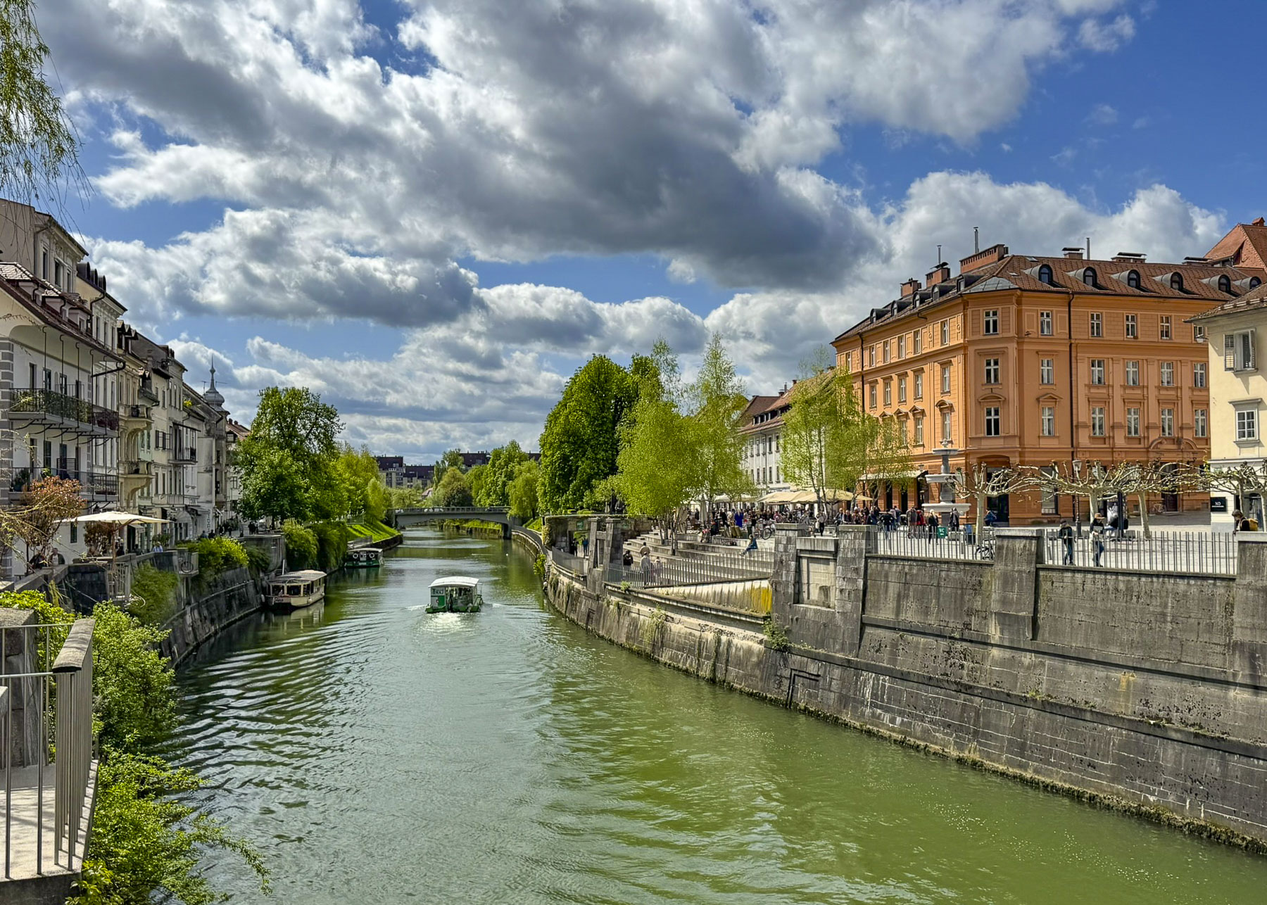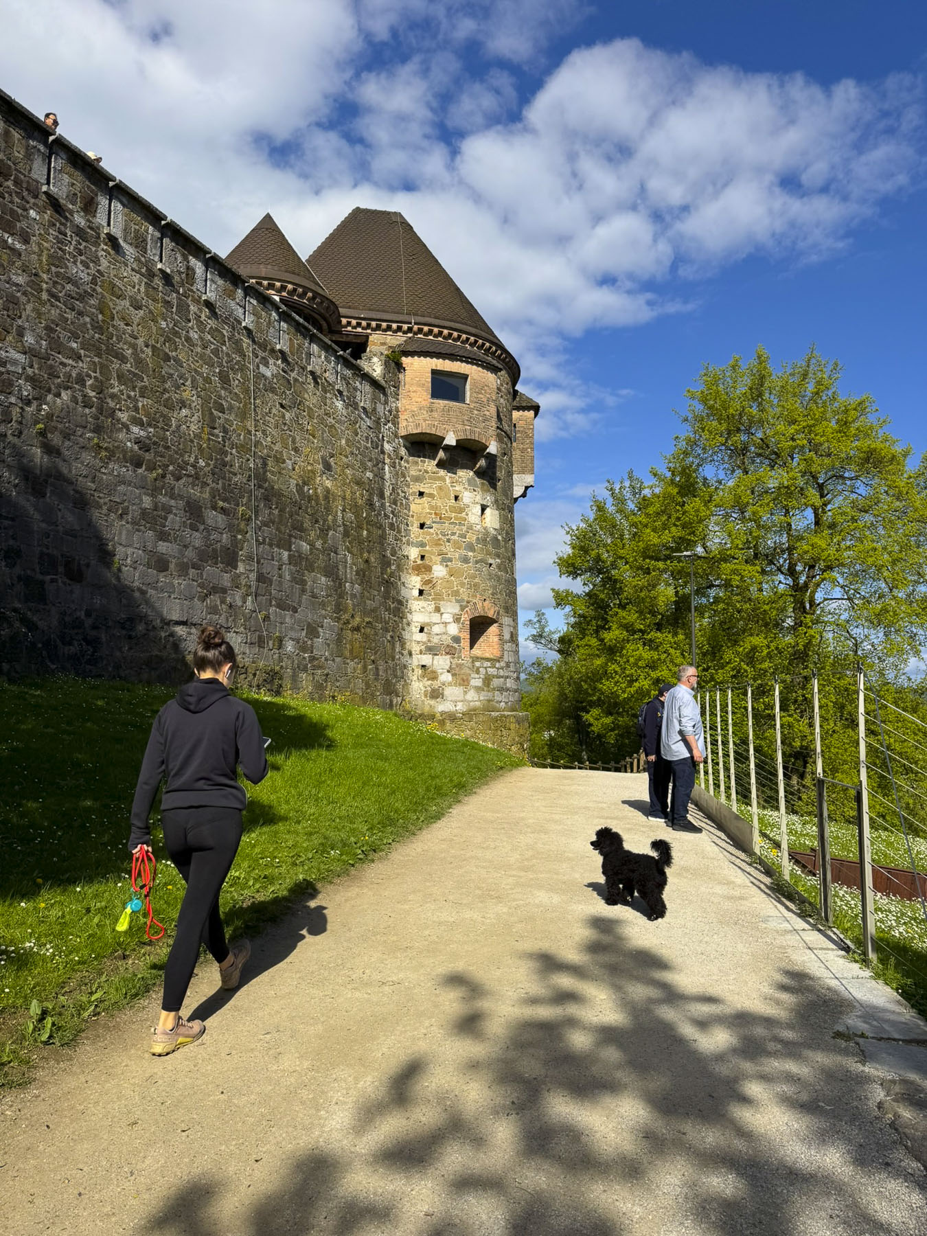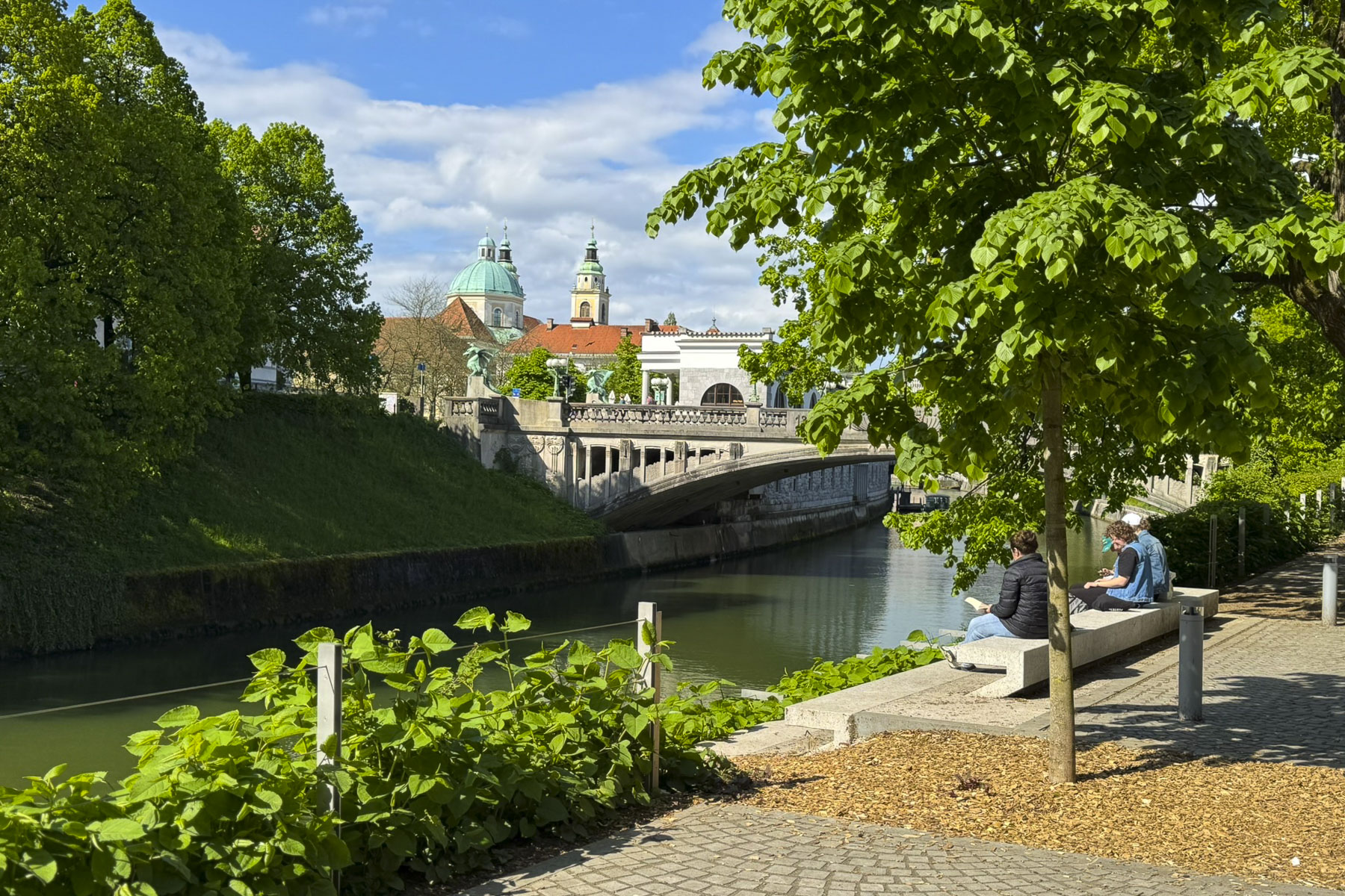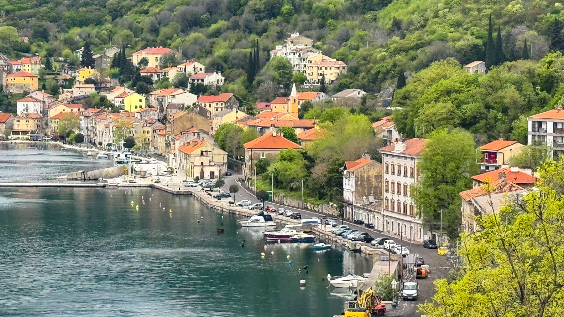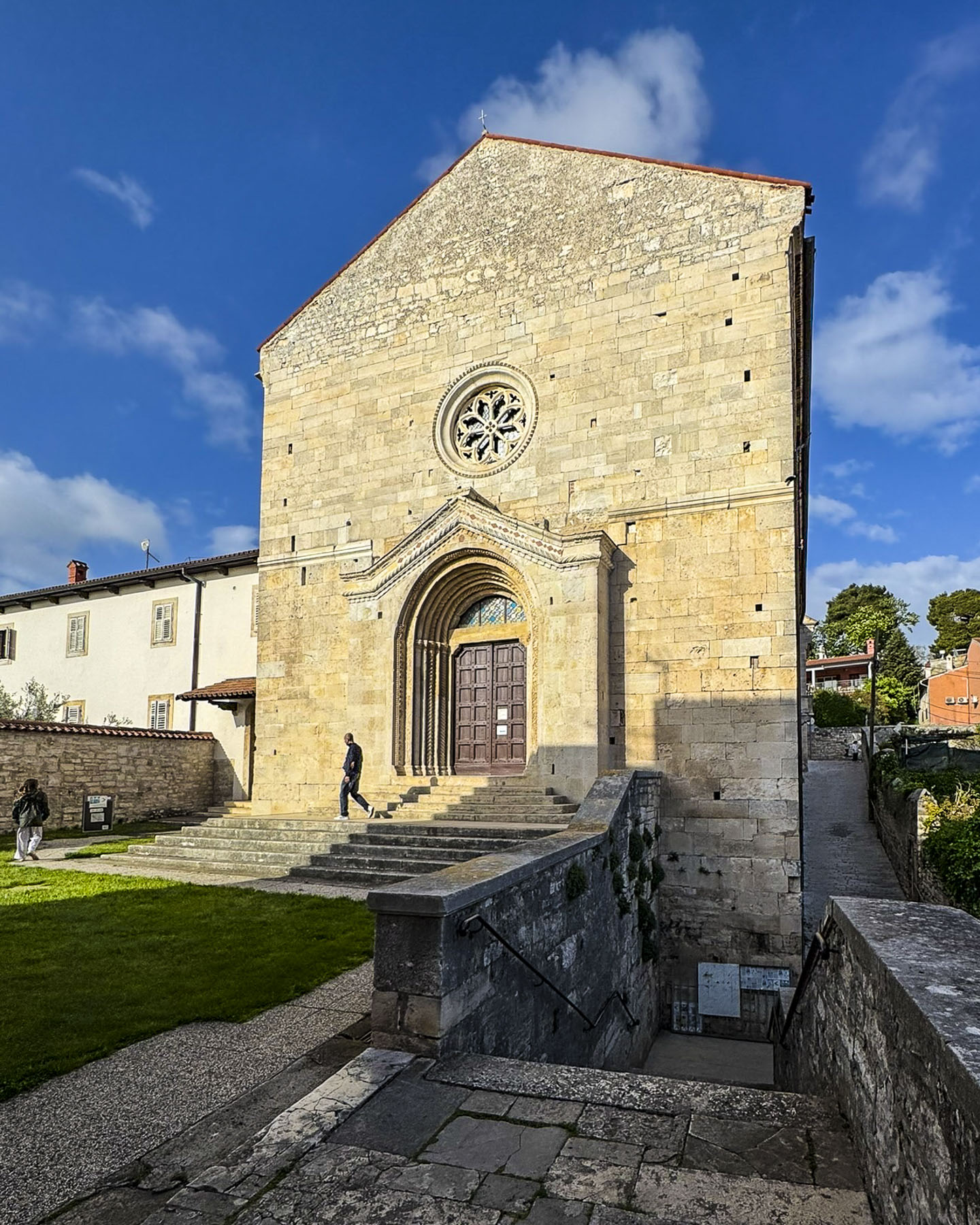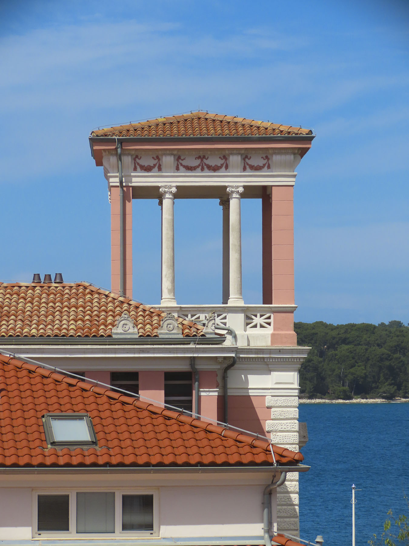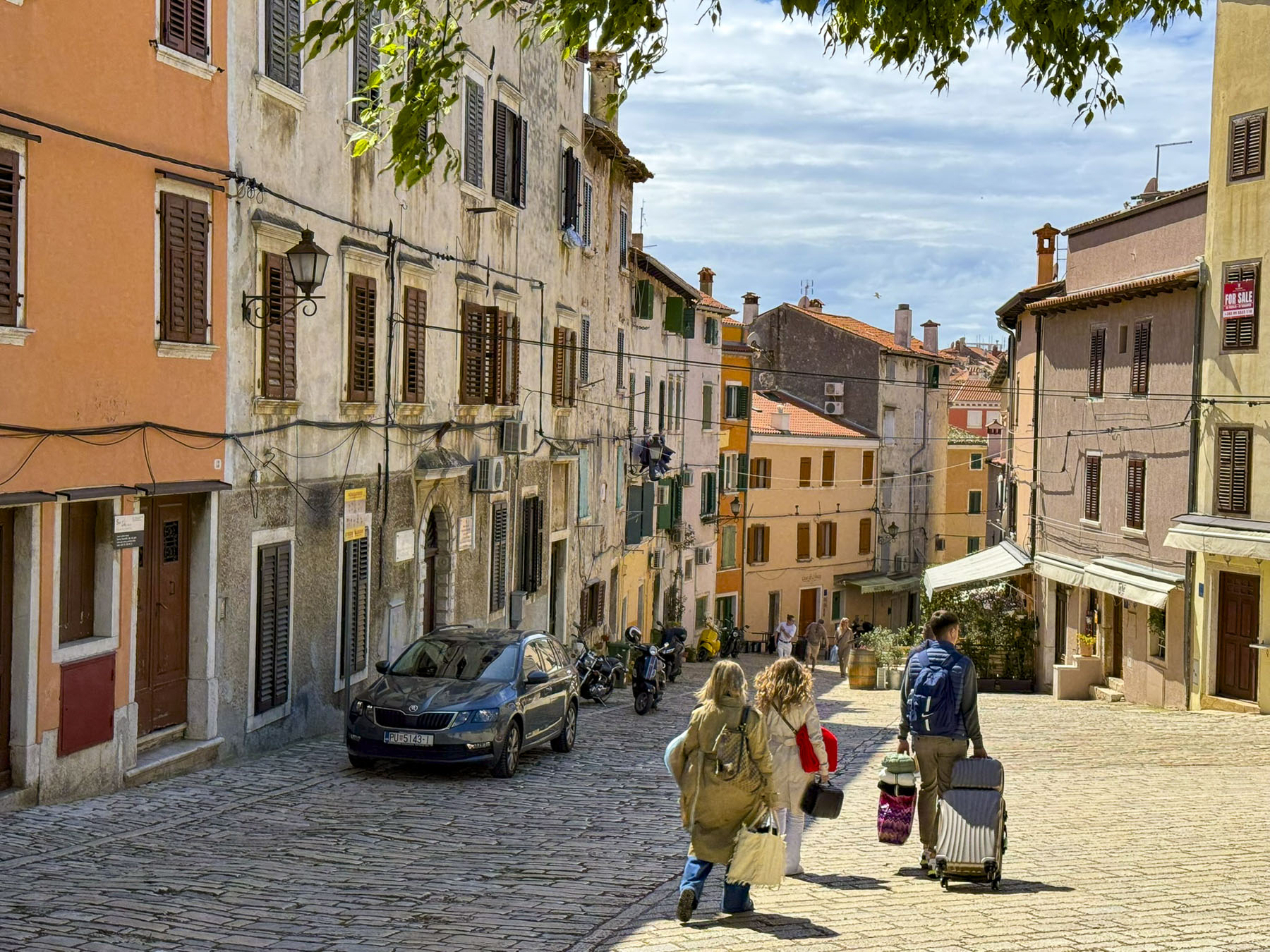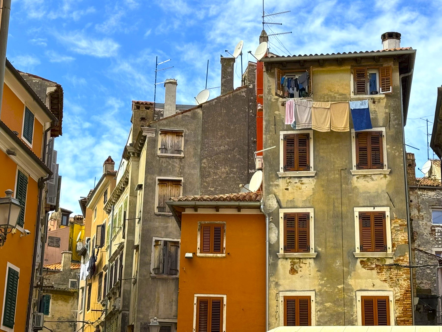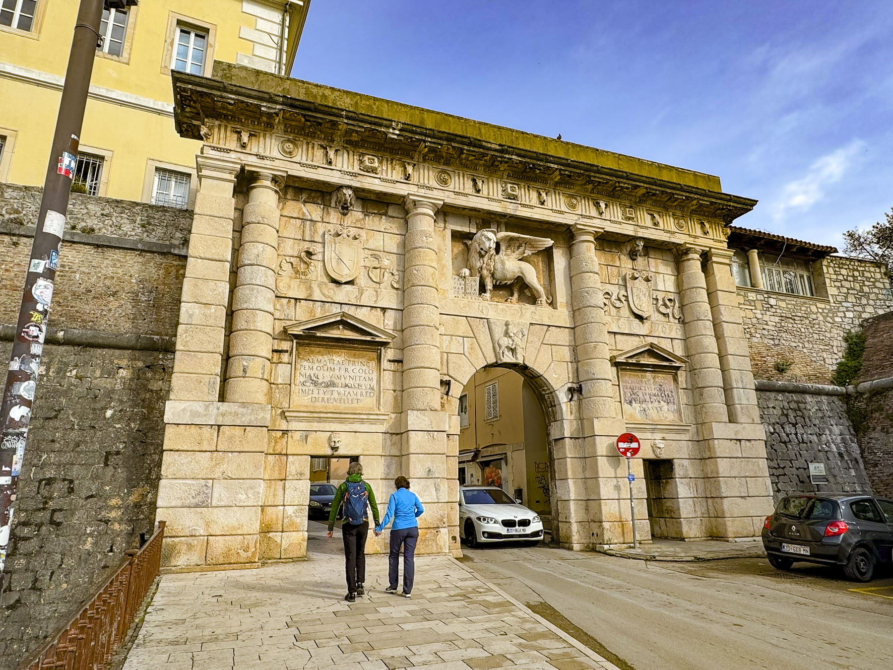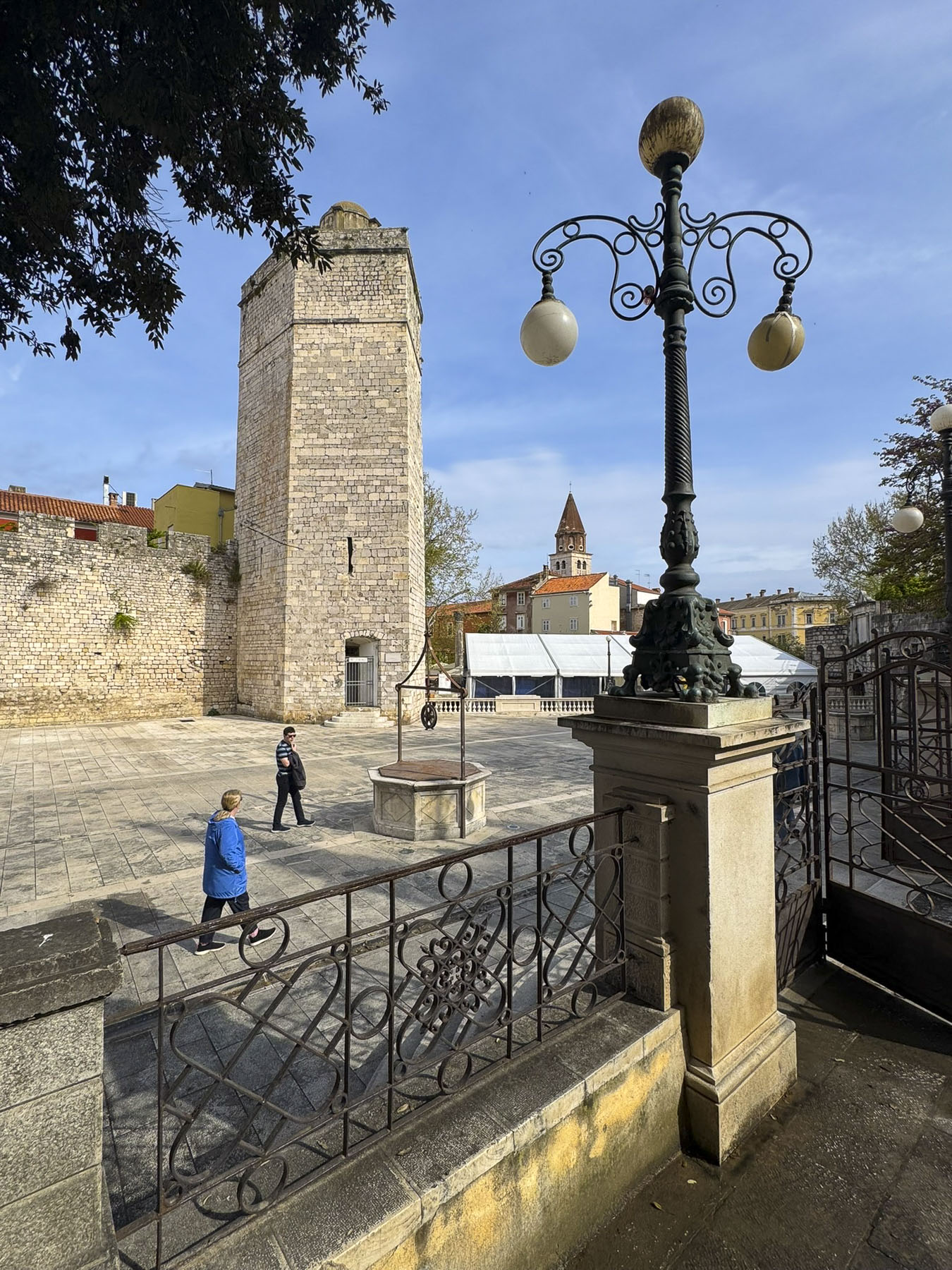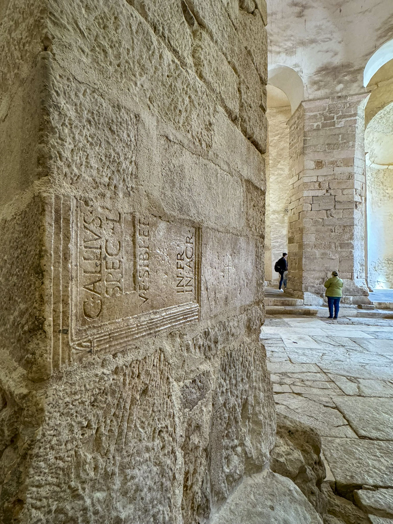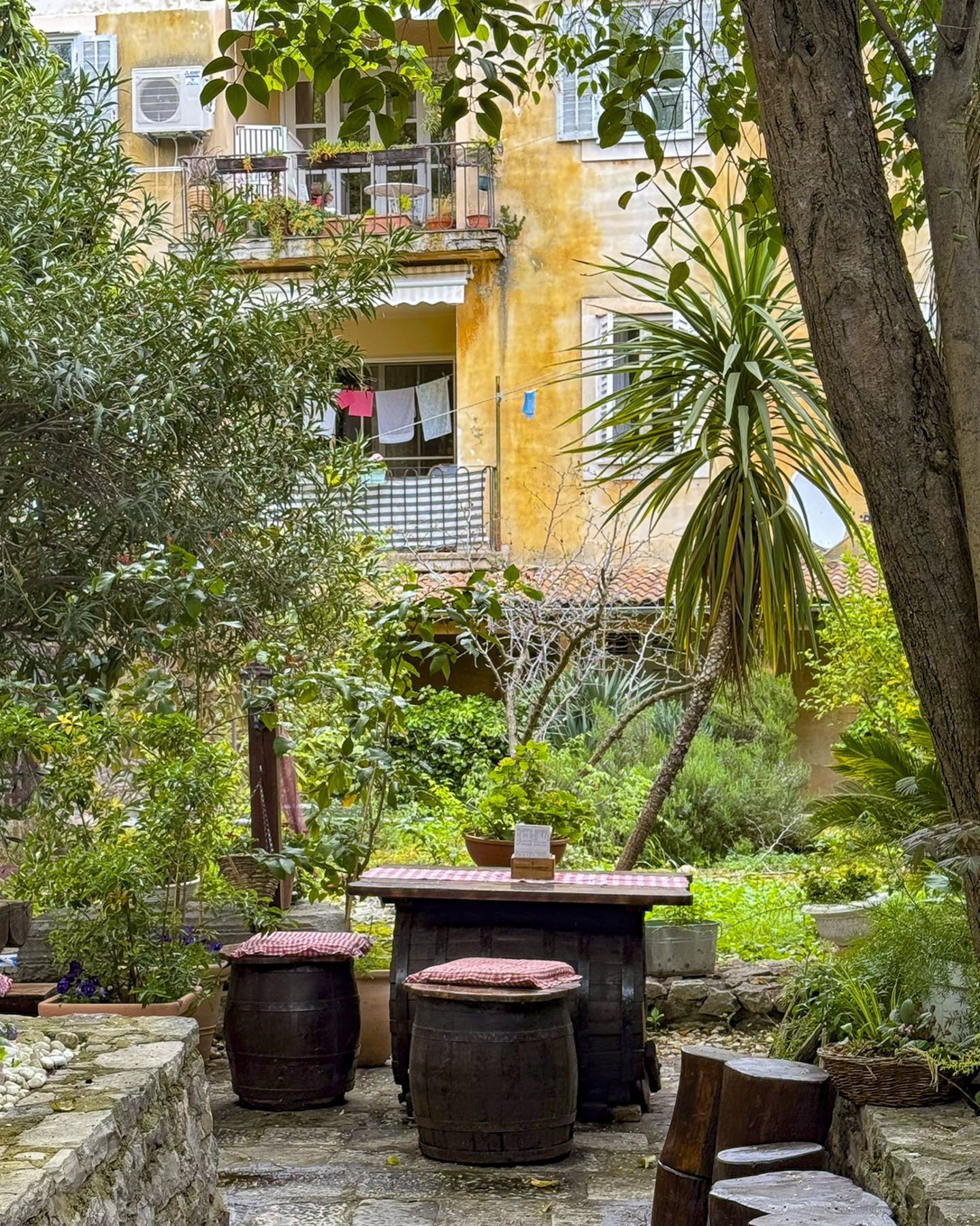
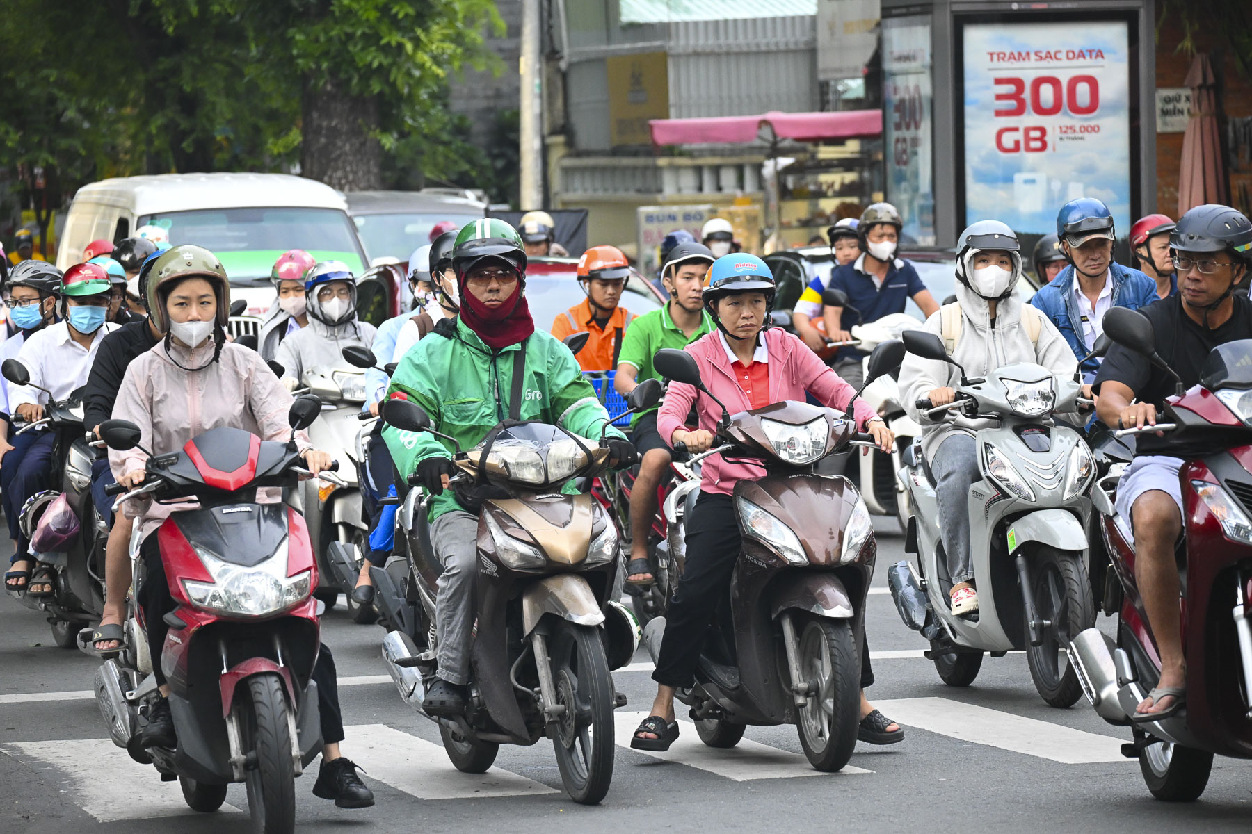
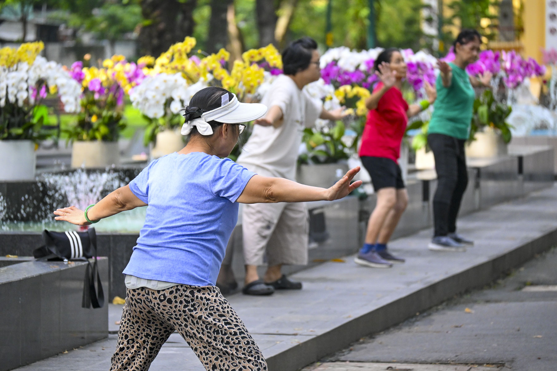
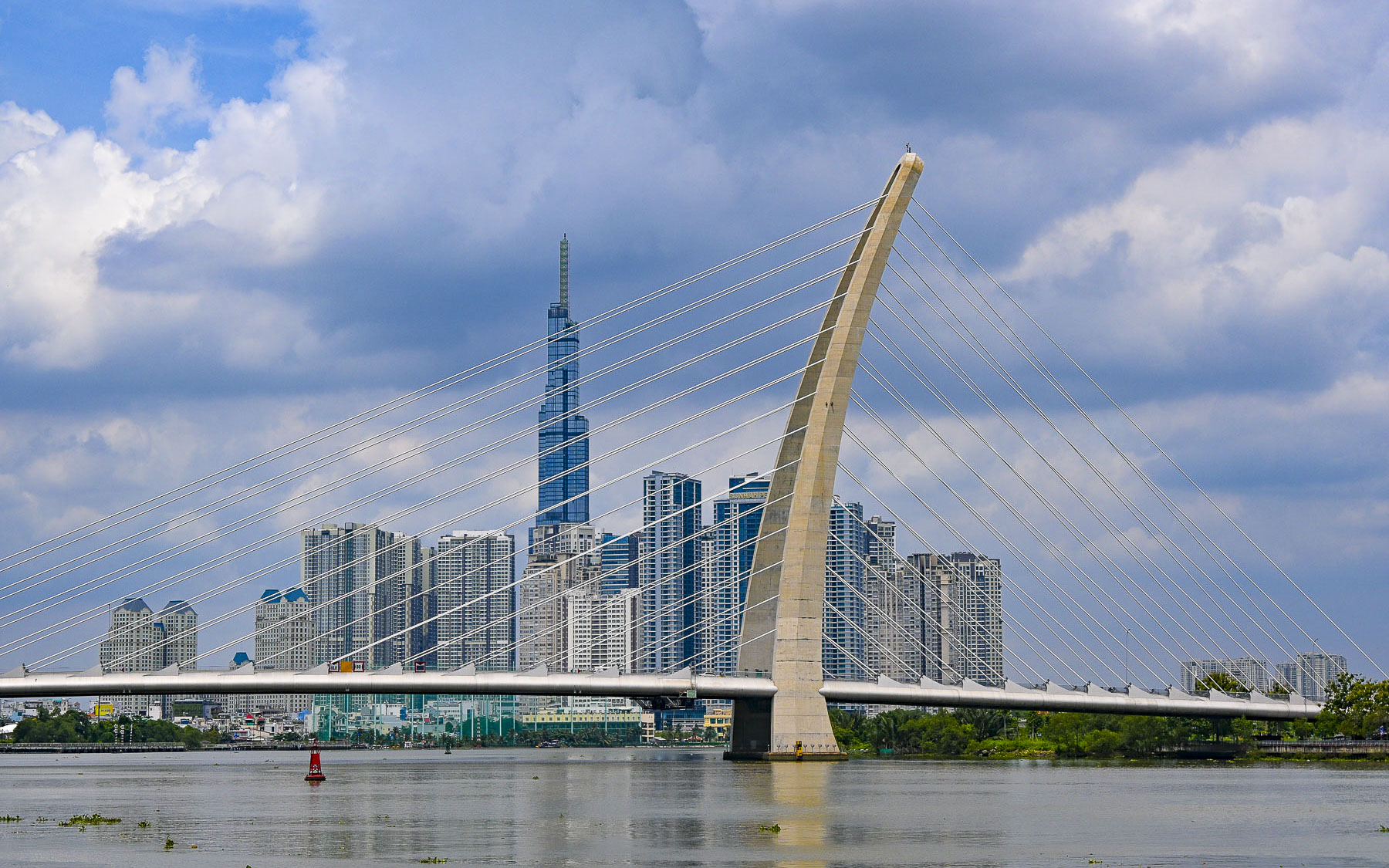
Ho Chi Minh City surprised us with its vitality and prosperity, from the daily mass migrations of scooters throughout the city during the morning and evening rush hours to verdant parks filled with folks doing their morning calisthenics. The city’s success was reflected in its quickly evolving skyline where construction cranes almost outnumbered the buildings in this old French colonial town metamorphizing into a modern metropolis.
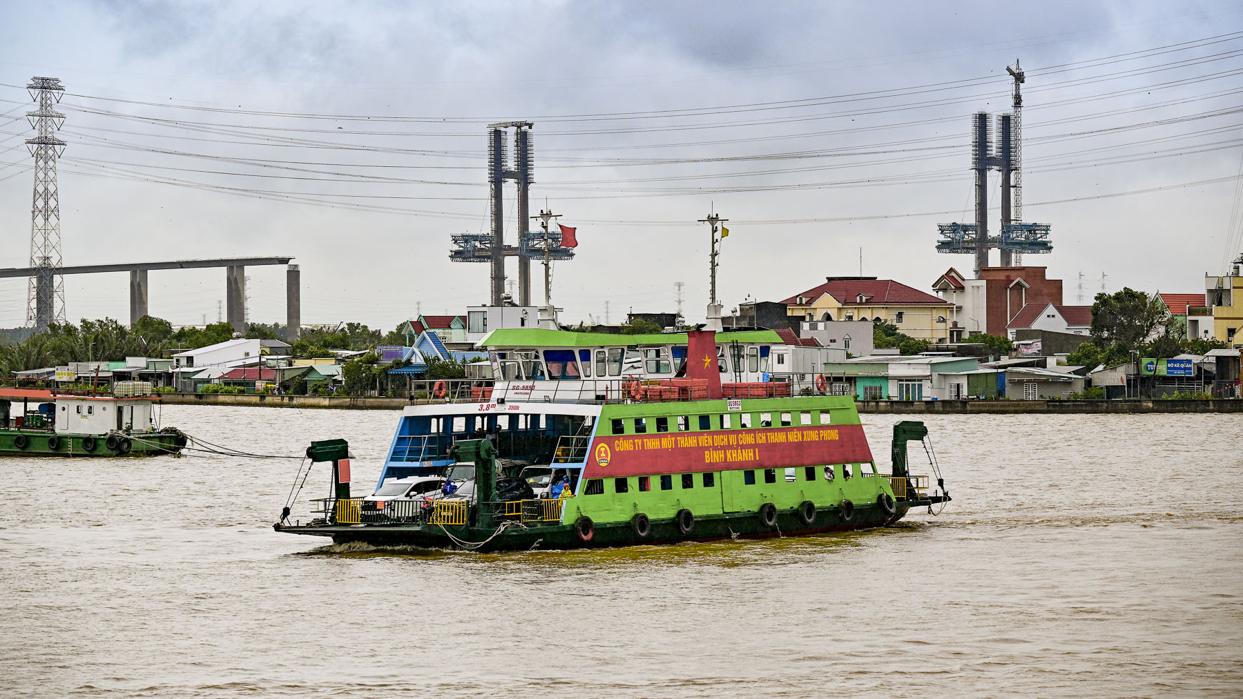
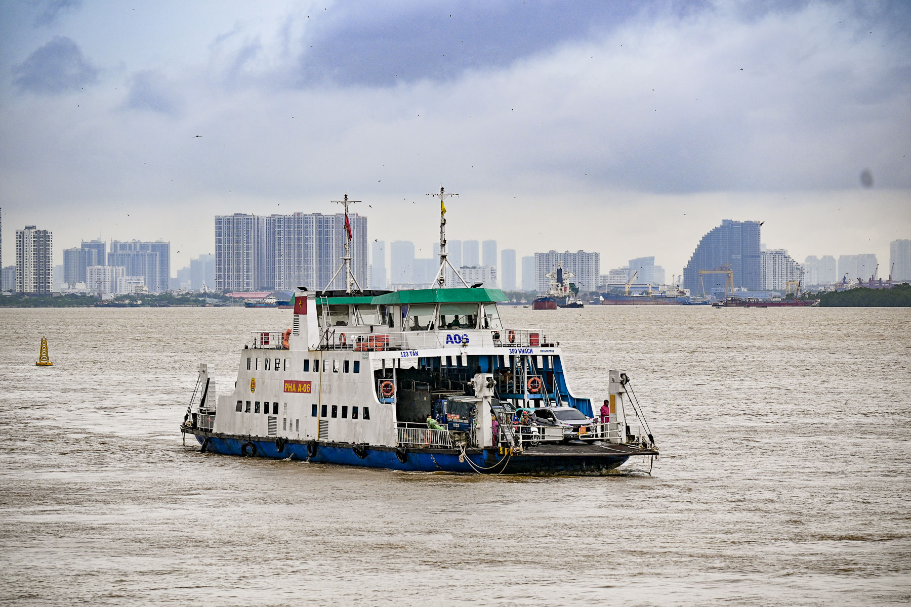
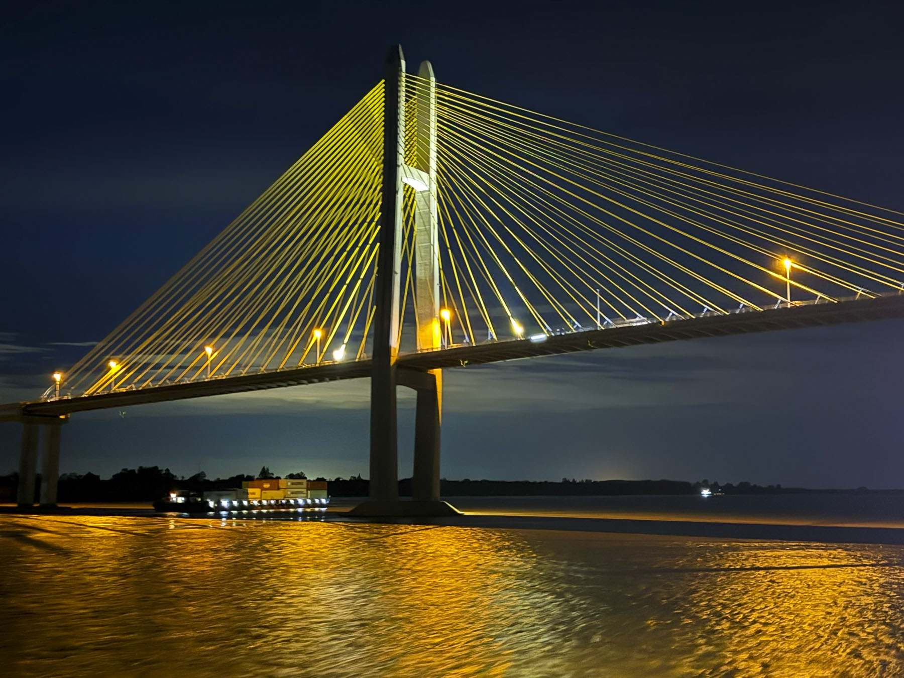
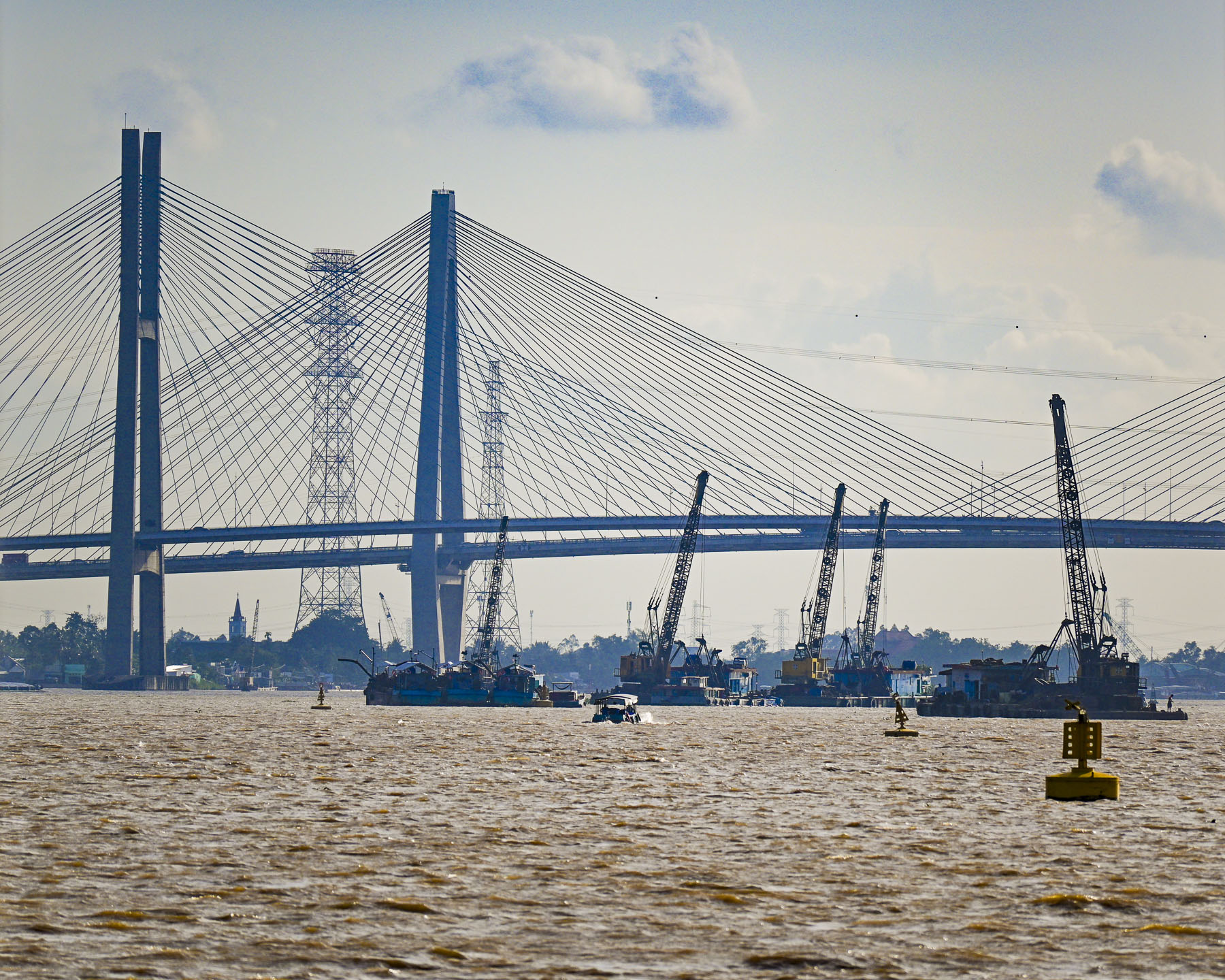
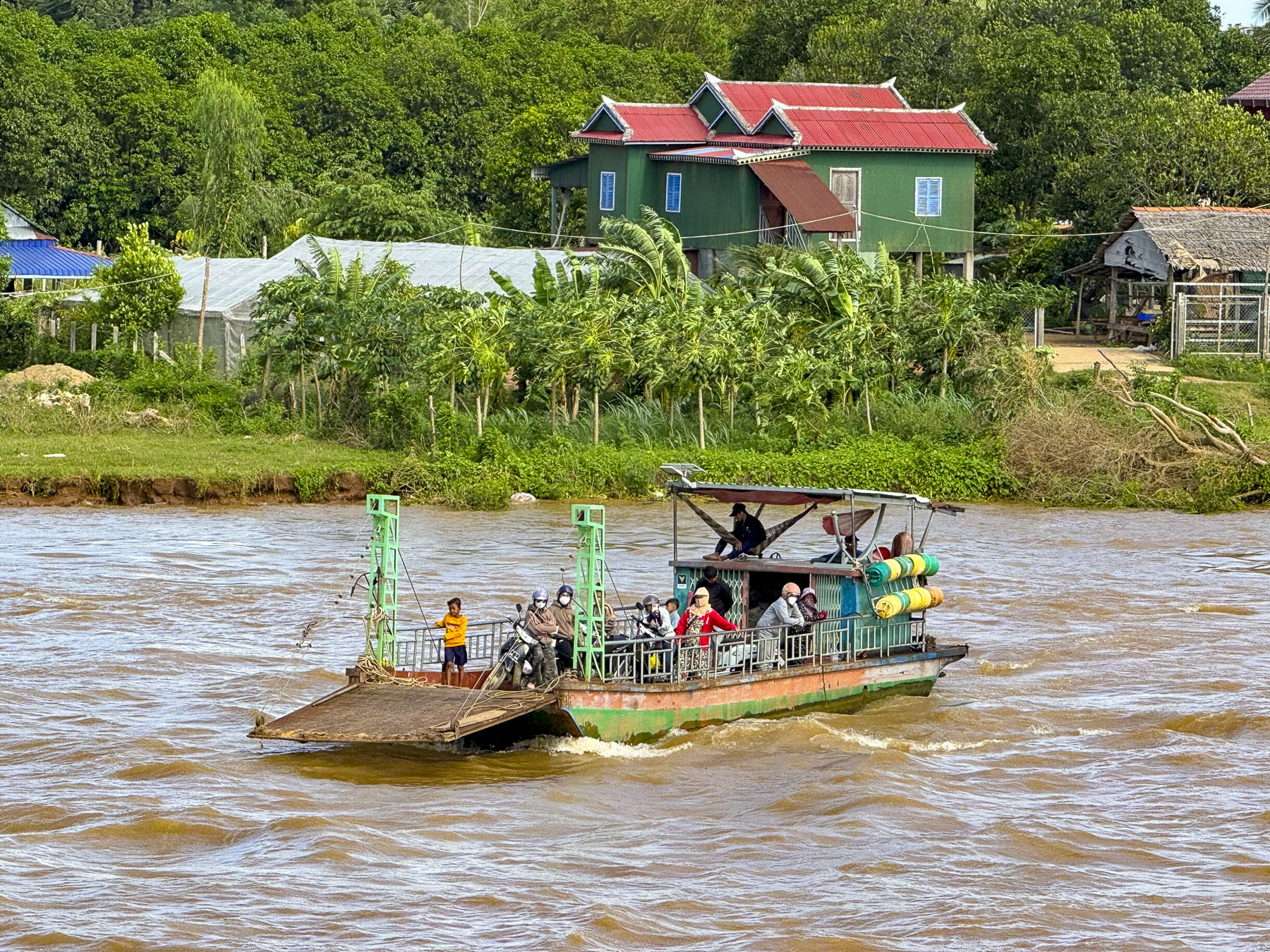
Slow commuter and transport ferries which used to be the only way across the country’s inland waterways are now being systematically replaced at an intense pace with modern suspension bridges to support an economy on steroids and a society that’s increasingly mobile. Since the year 2000 six major bridges have been constructed across the Mekong River Delta in an infrastructure push to improve the region’s connectivity. During our cruise we sailed beneath four new bridges under construction.
Torrential rain and high humidity define the monsoon season that ends during late September in southern Vietnam. The week prior we had lucked out on the weather with it being mostly sunny during the day, but with monsoon showers overnight into the early mornings. The humidity was intense, even for two folks living in the southern United States. What we didn’t expect was the extraordinary amount of time it took for our camera lenses to defog every morning, as we left our airconditioned cabin. Surprisingly it usually took about twenty minutes for our cameras to acclimate to the temperature differential.
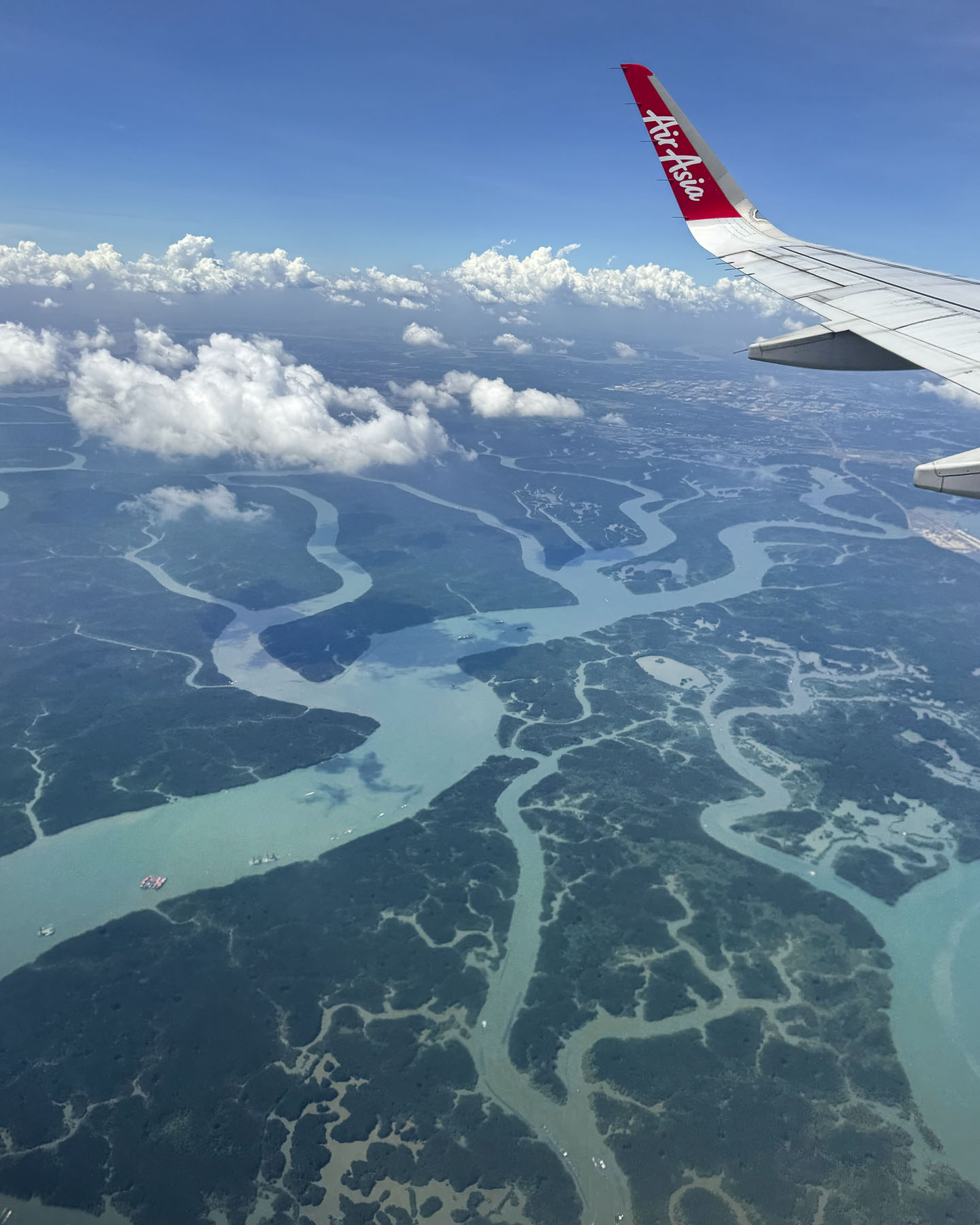
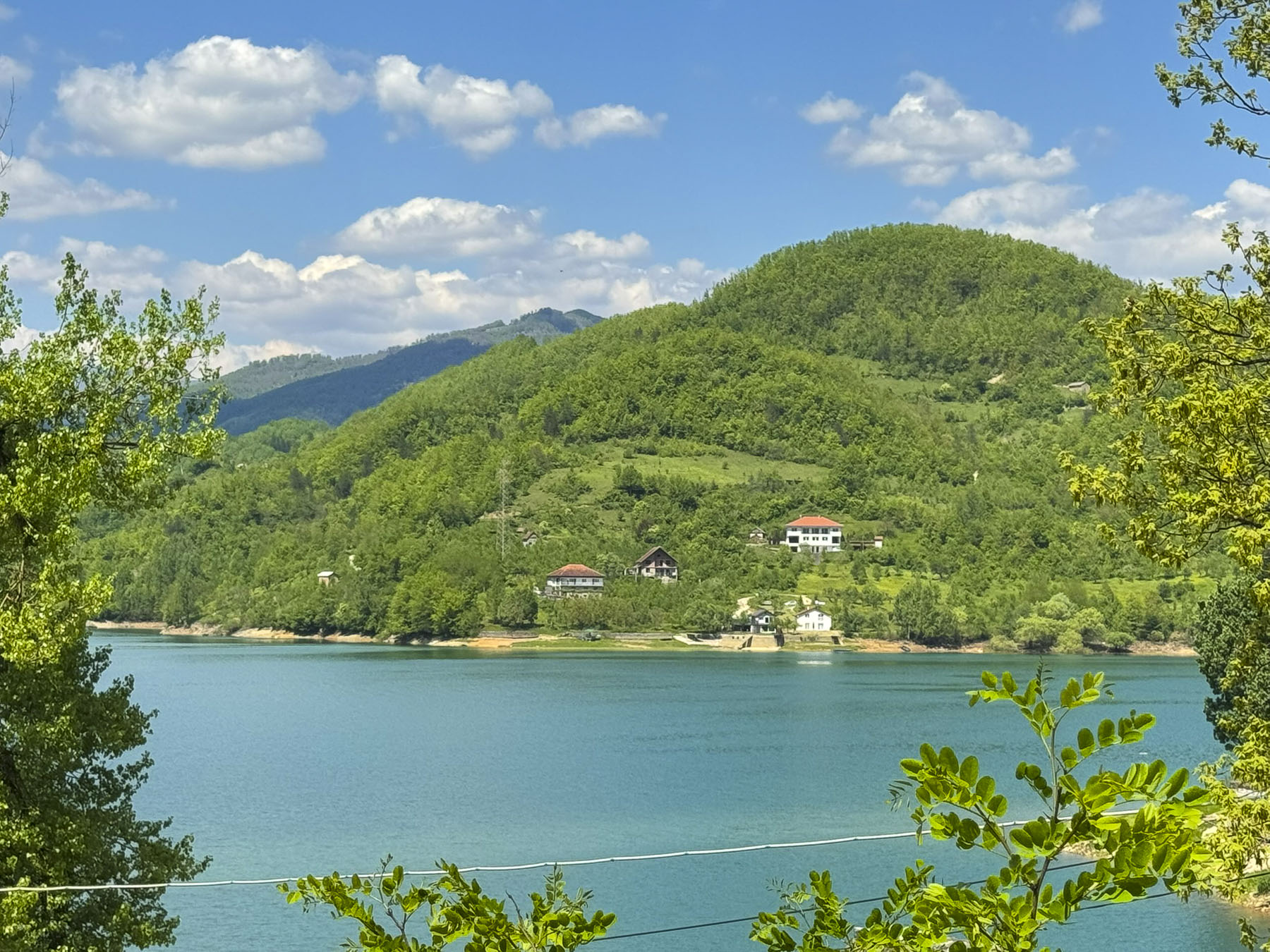
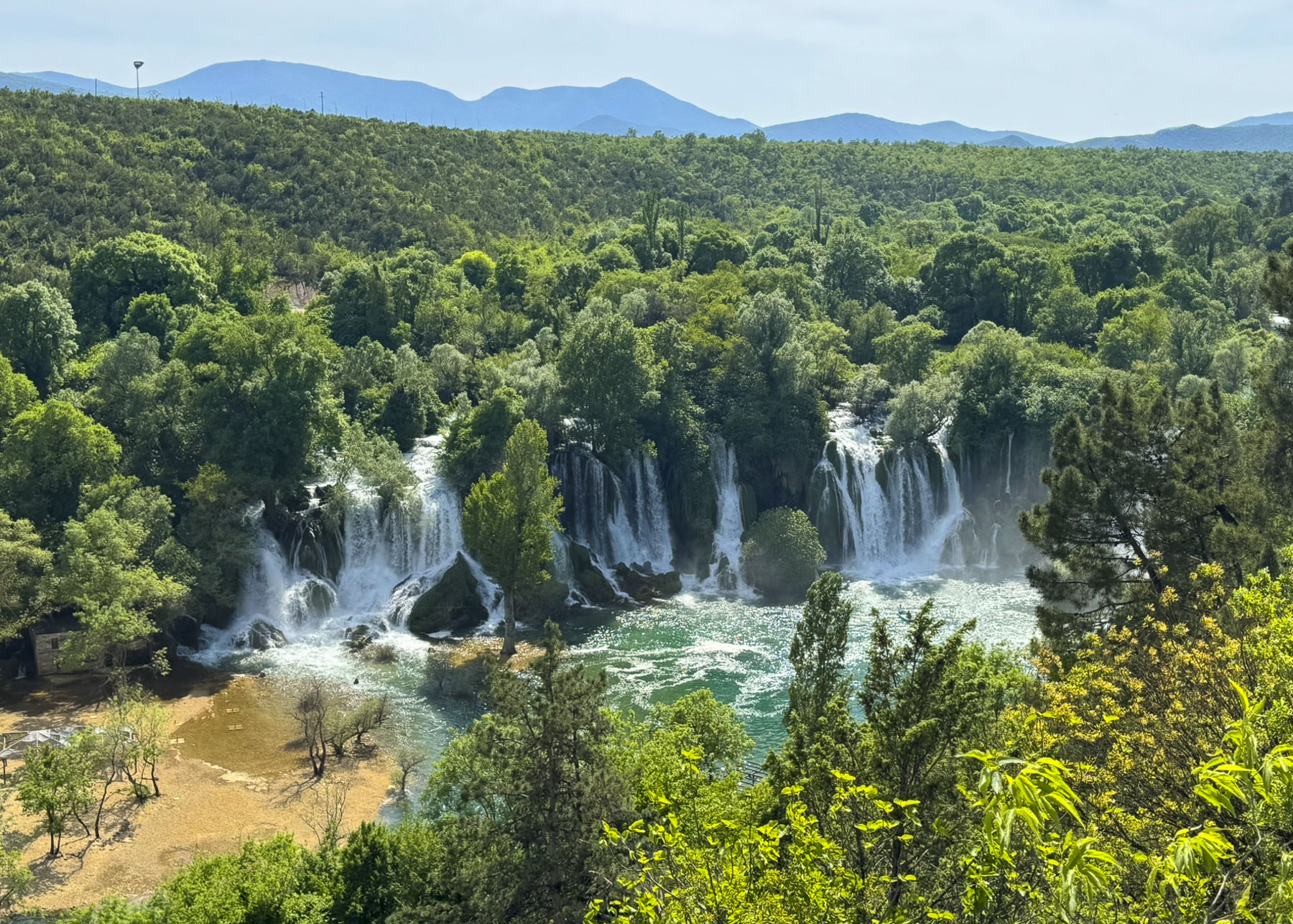
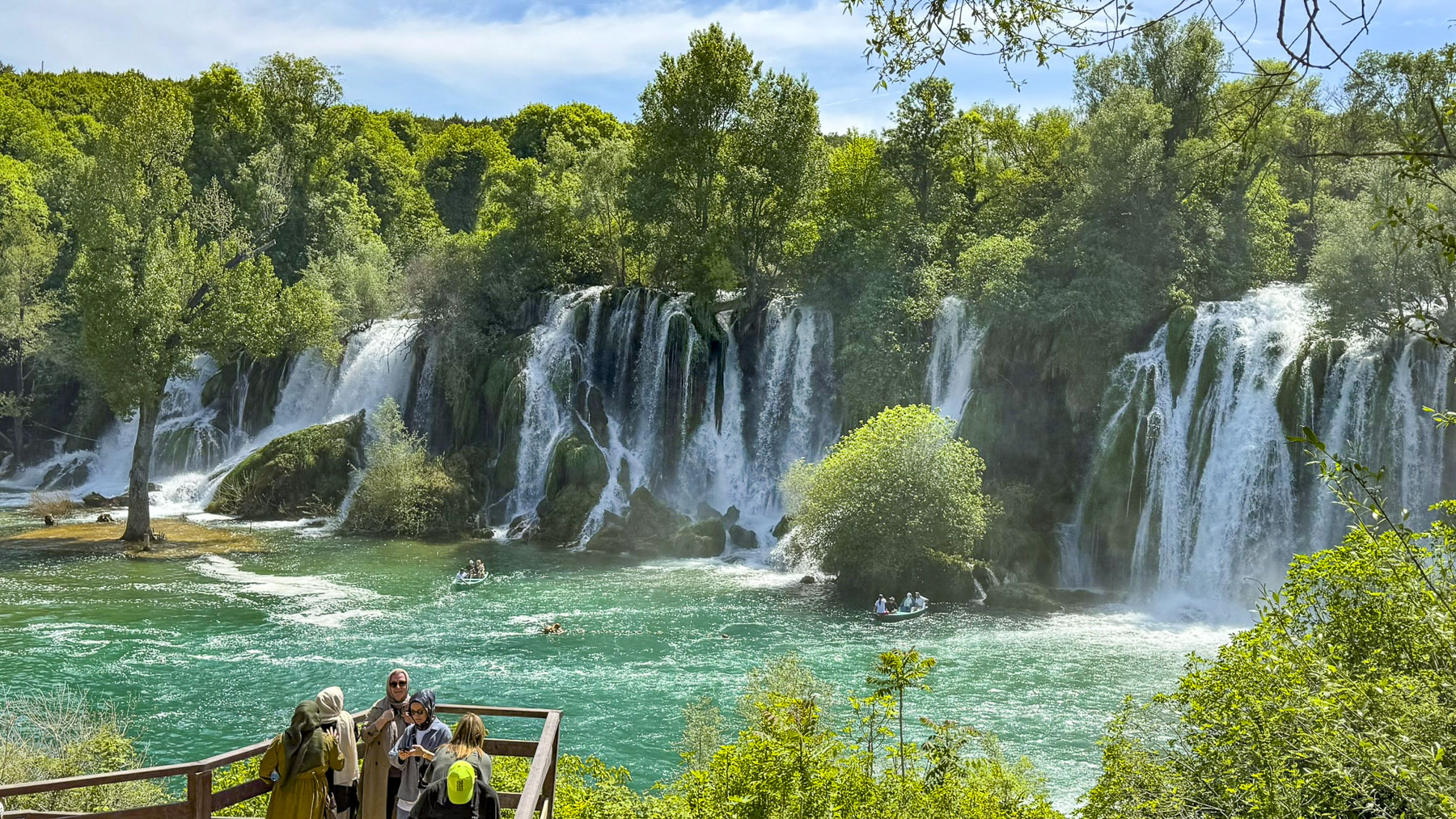
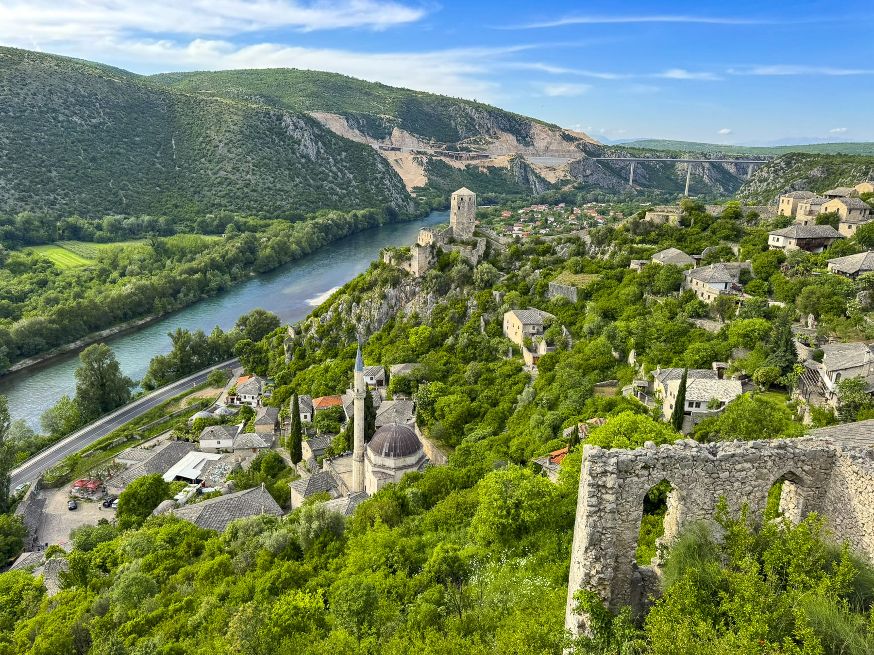
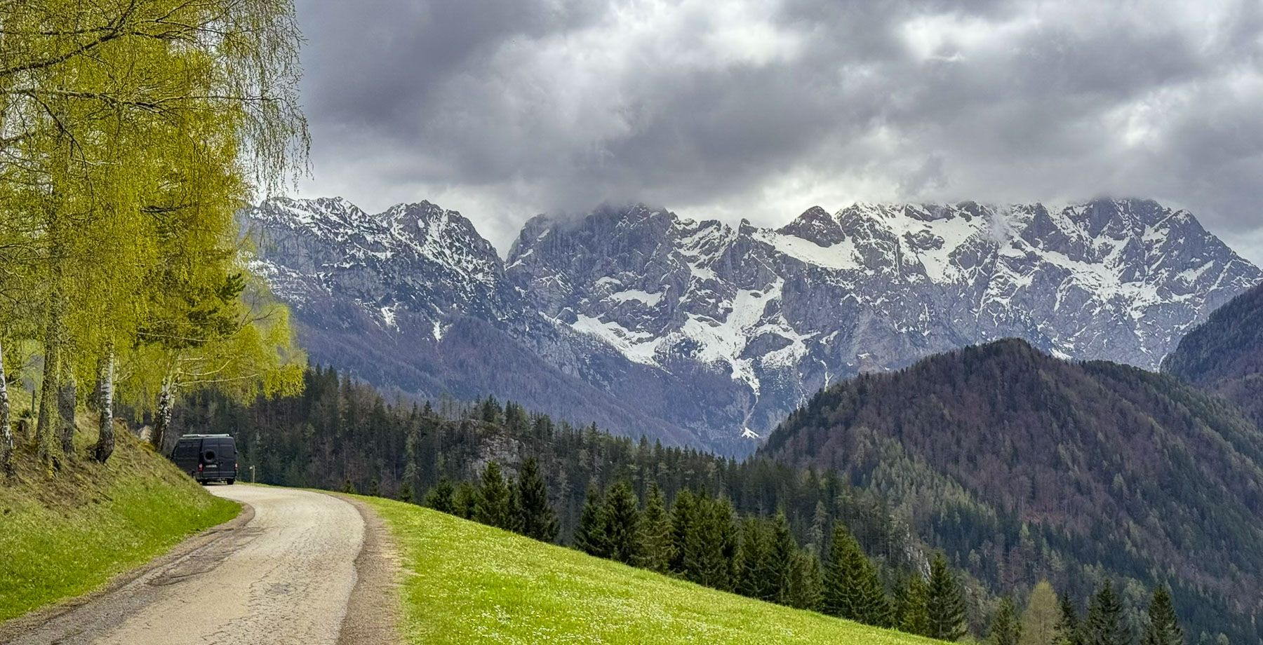
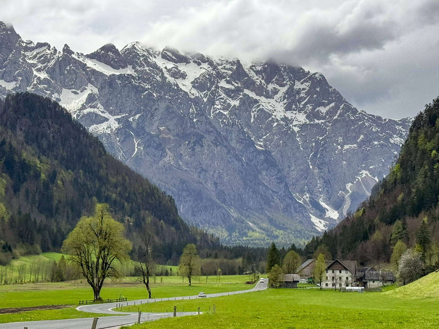
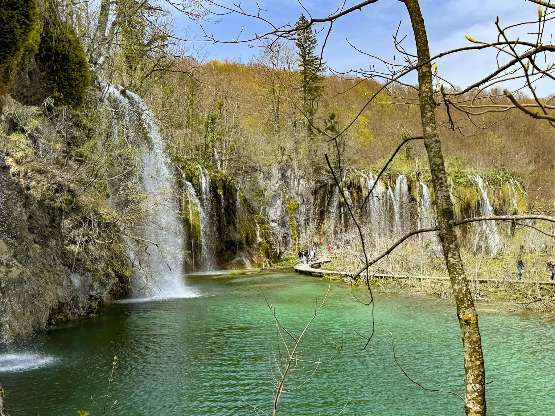
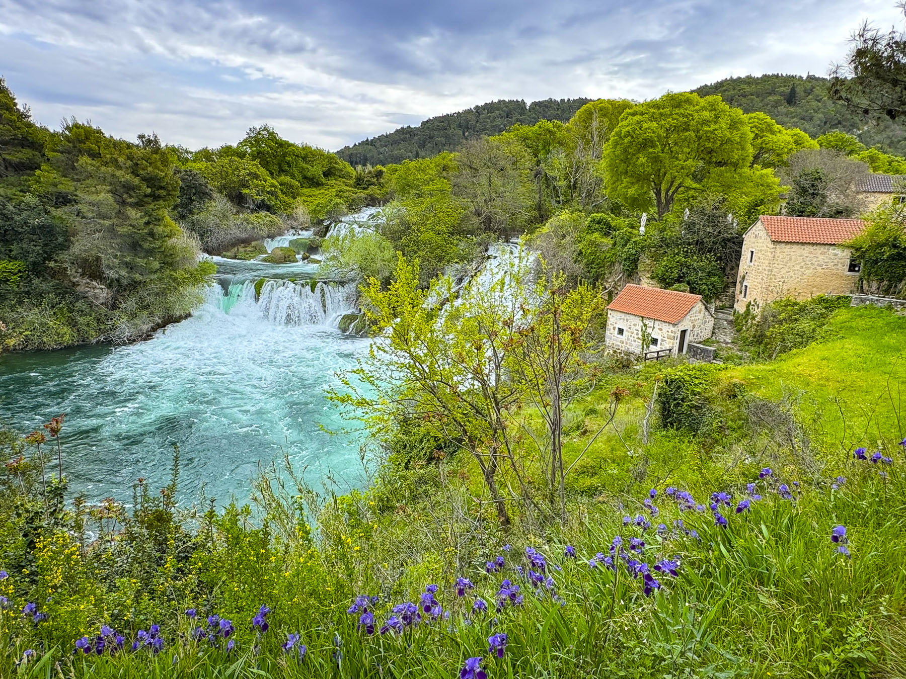
Starting in the Tibetan highlands, the Mekong River flows 4,900km (3,000mi) through China, Myanmar, Laos, Thailand, Cambodia, and Vietnam, before widening into a web of multiple channels that comprise the Mekong Delta as the river empties into the South China Sea. The delta is a huge area that covers thirteen provinces in southern Vietnam, a region that is often referred to as “Vietnam’s biggest rice bowl.” The river has been a life force in Southeast Asia since the first people settled along its riverbanks in the delta around 2000BC.
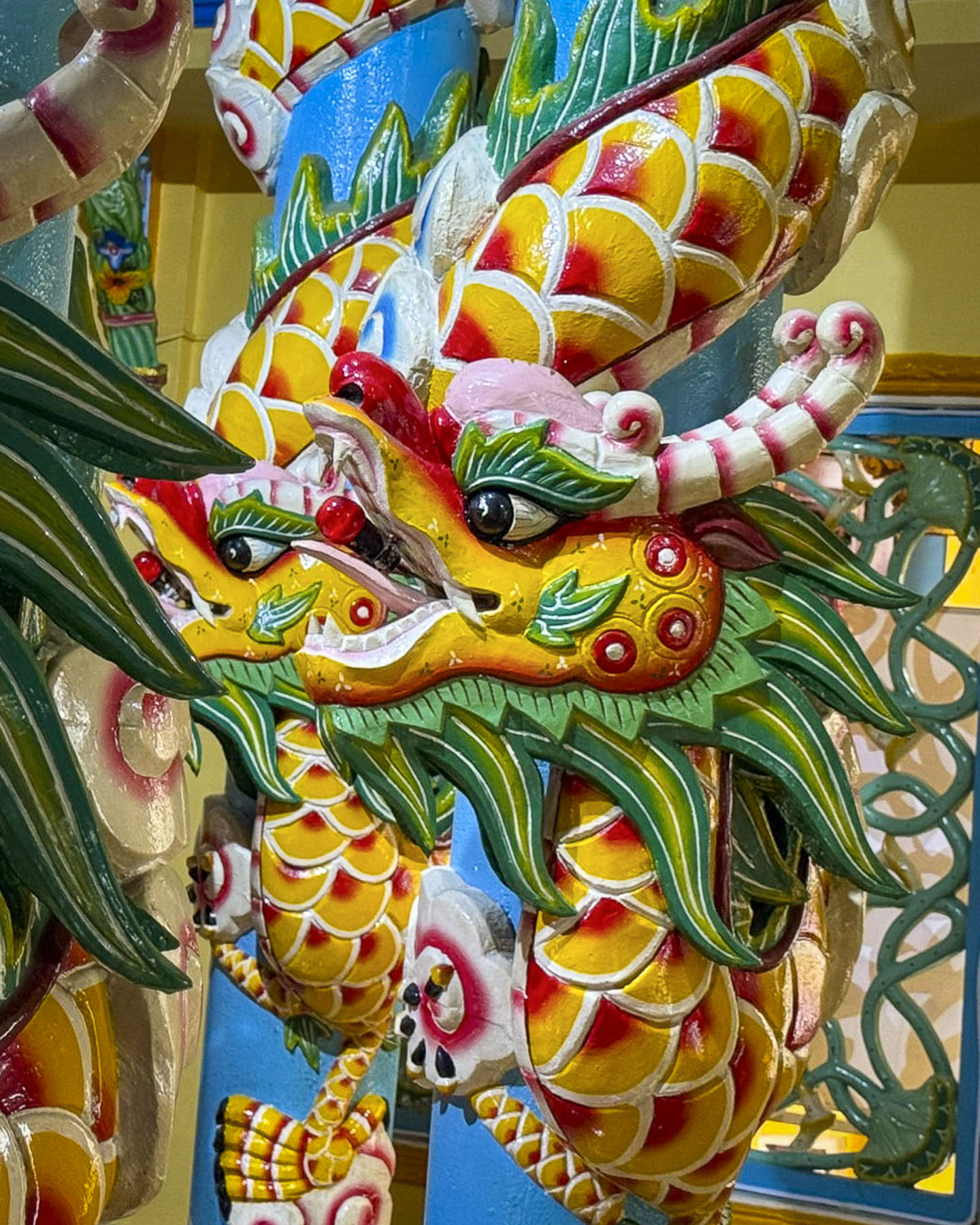
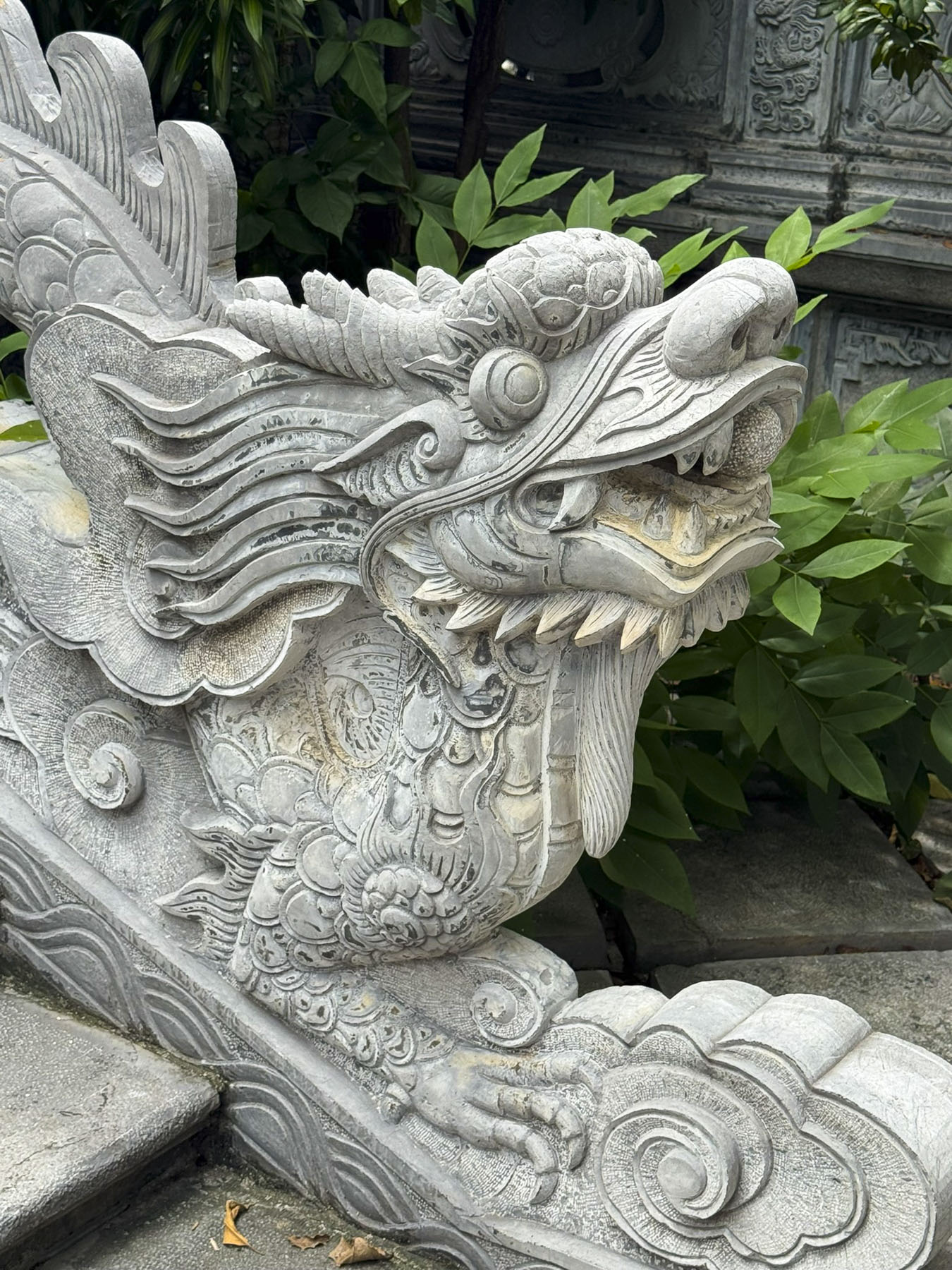
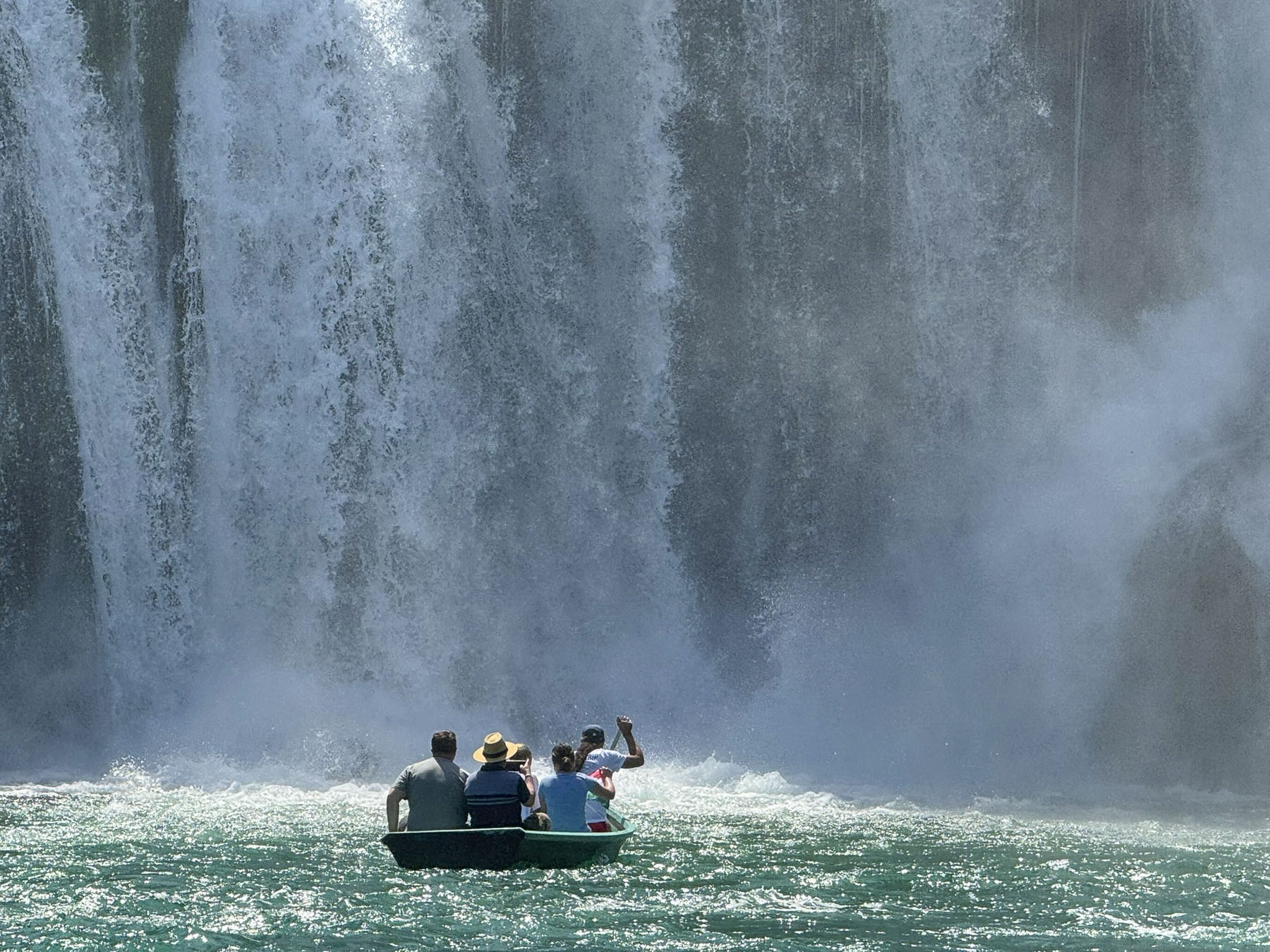
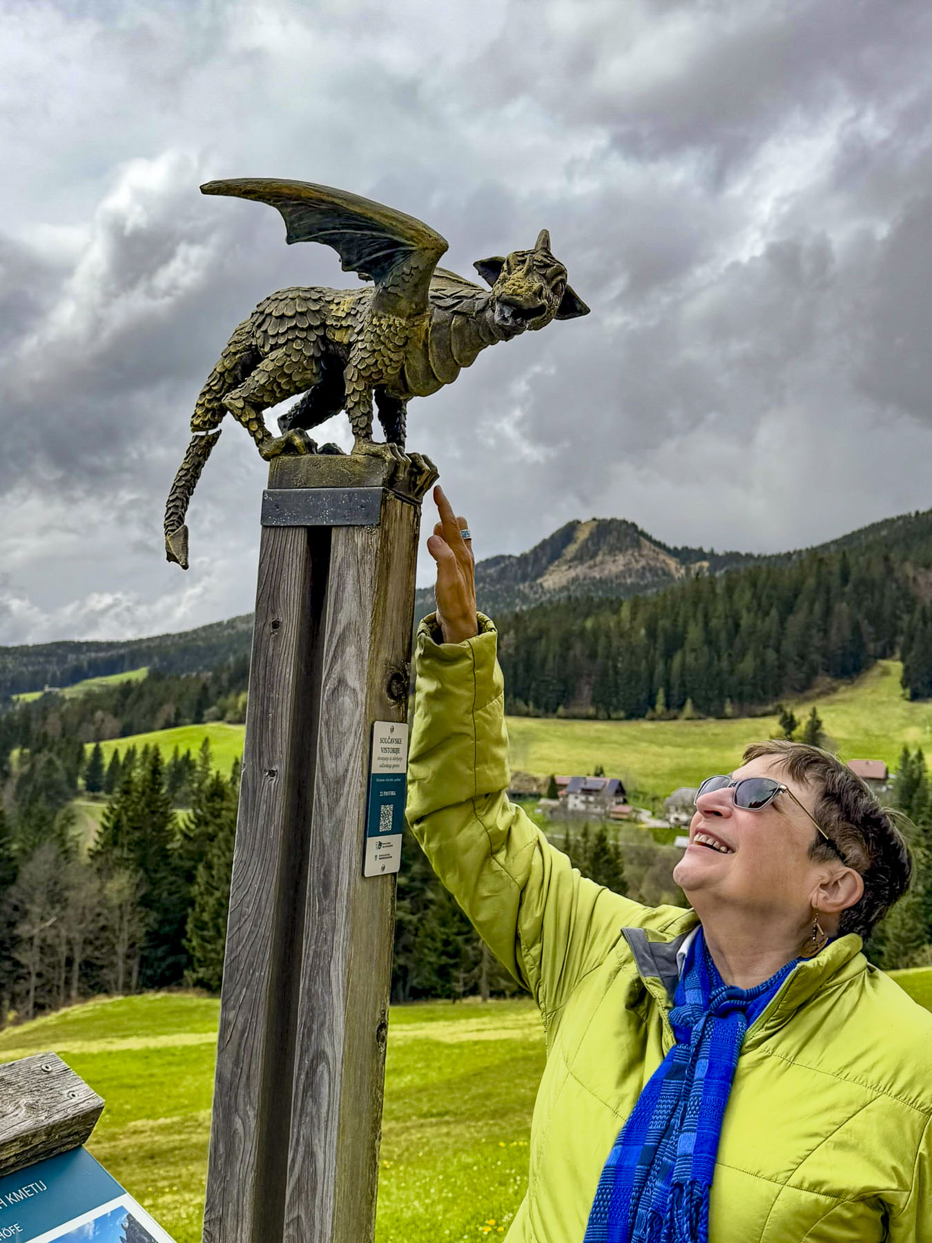
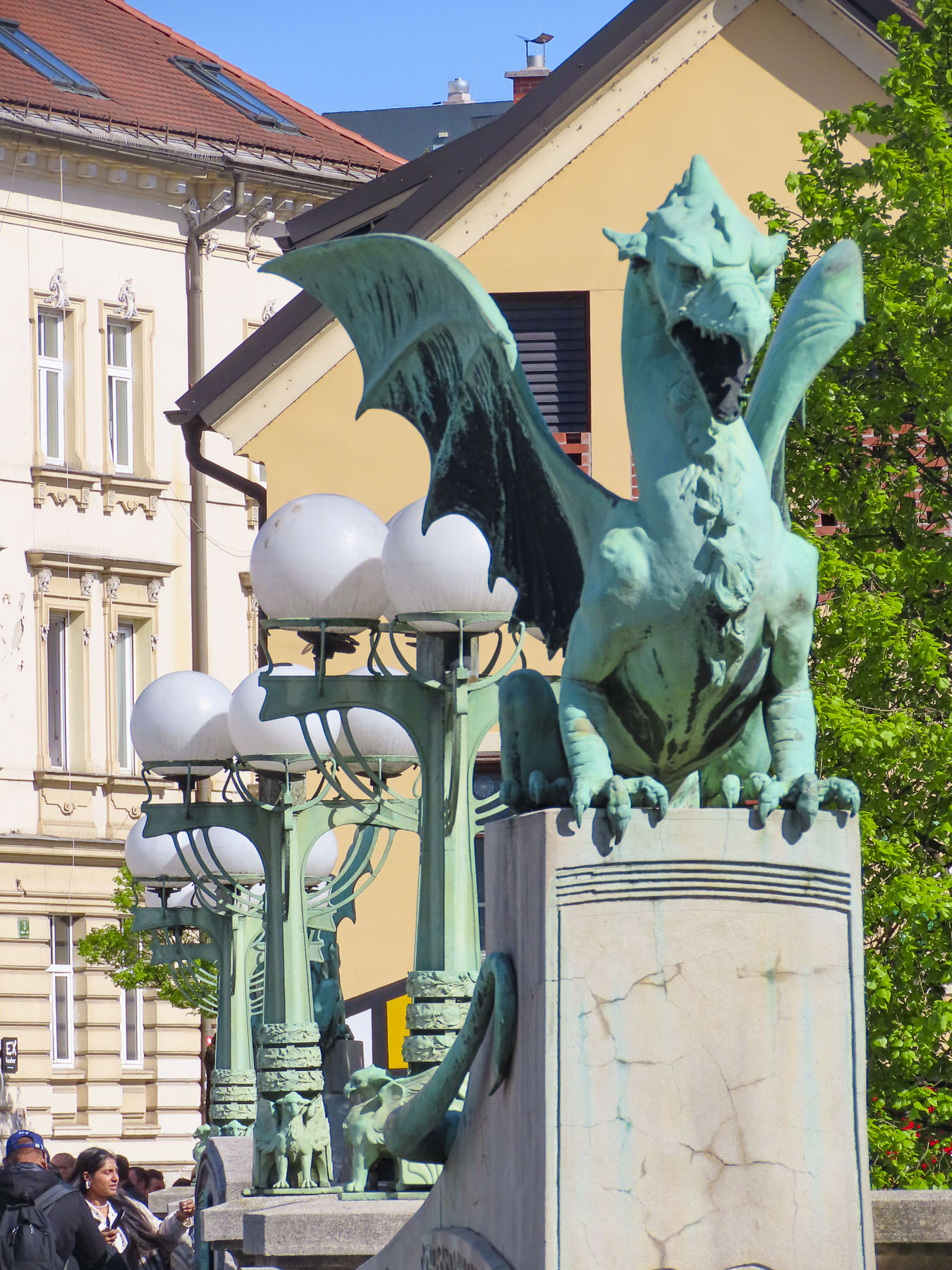
According to Vietnam’s ancient mythology, the dragon, as a symbol of the monsoon, is revered as a rain deity that rises from the sea to the heavens with the spring equinox, bringing rain, wind, and flooding along the country’s rivers. The flooding fertilizes the fields with a fresh layer of silt, before the monsoons cease and the dragon slides back into the sea at the autumn equinox, to wait for the cycle to start again the following spring.
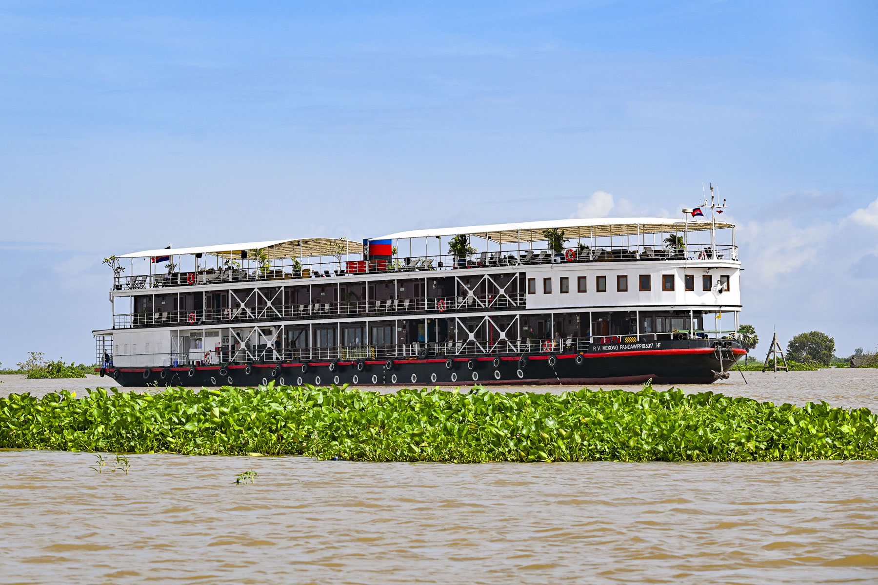
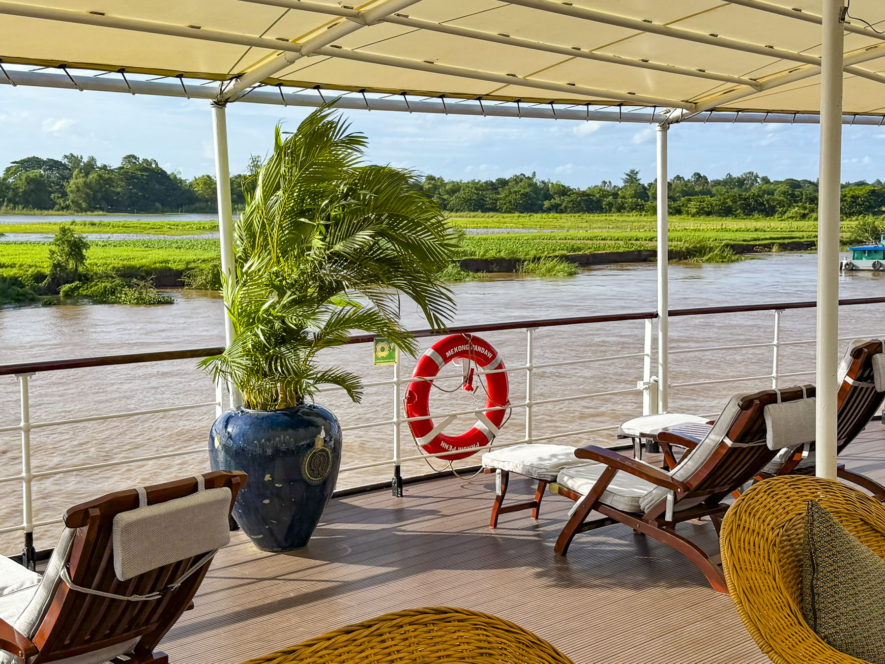
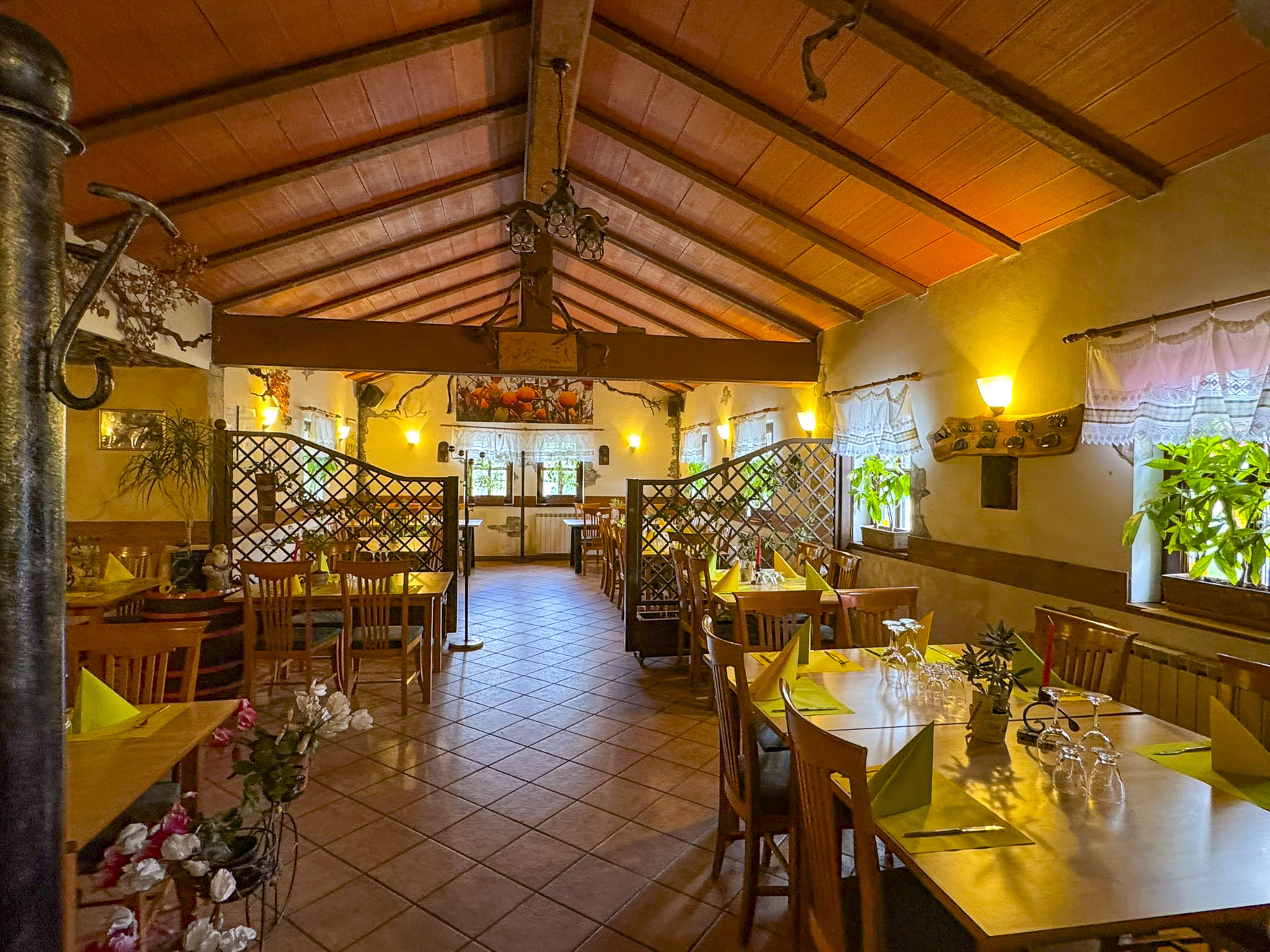
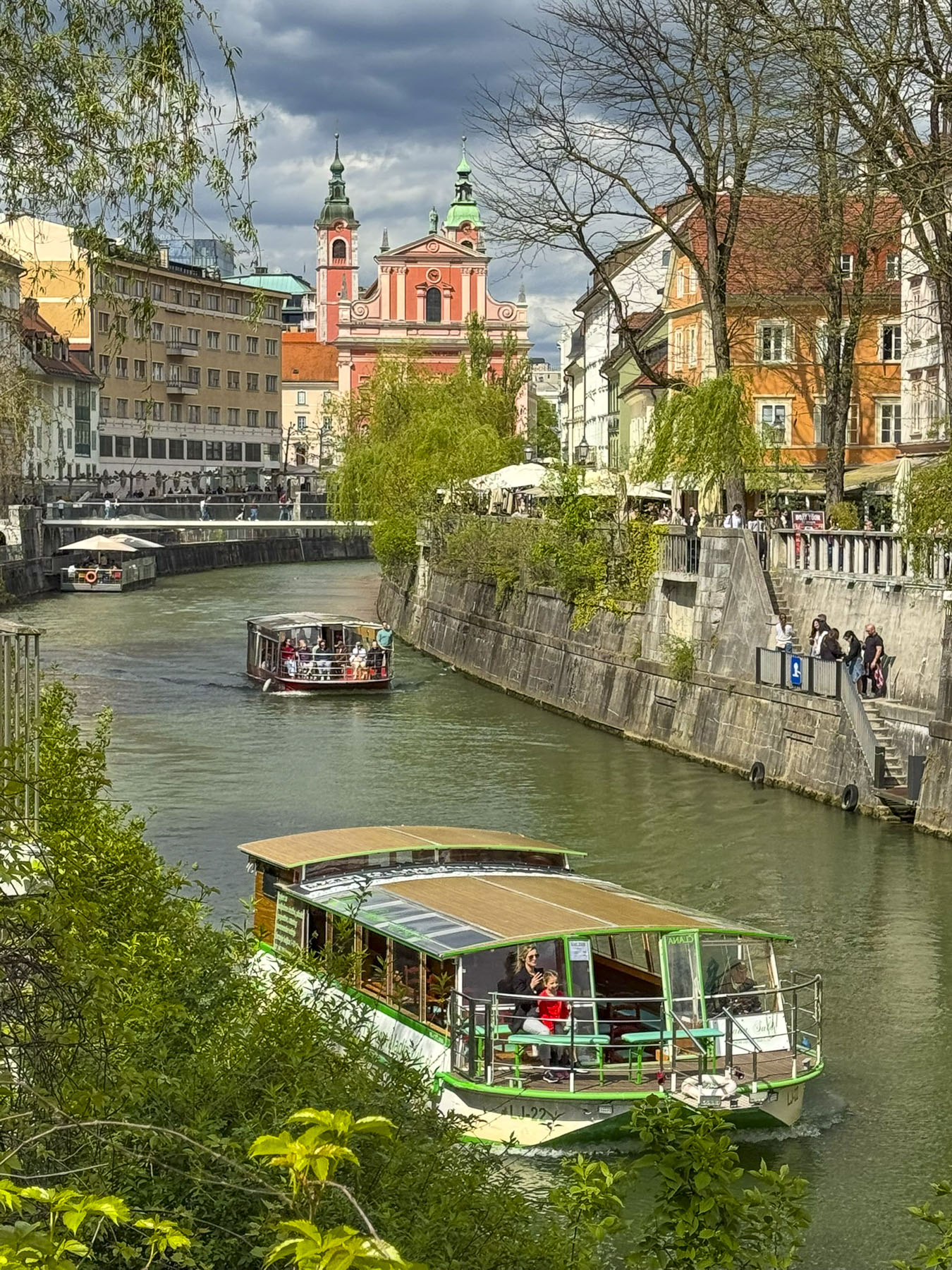
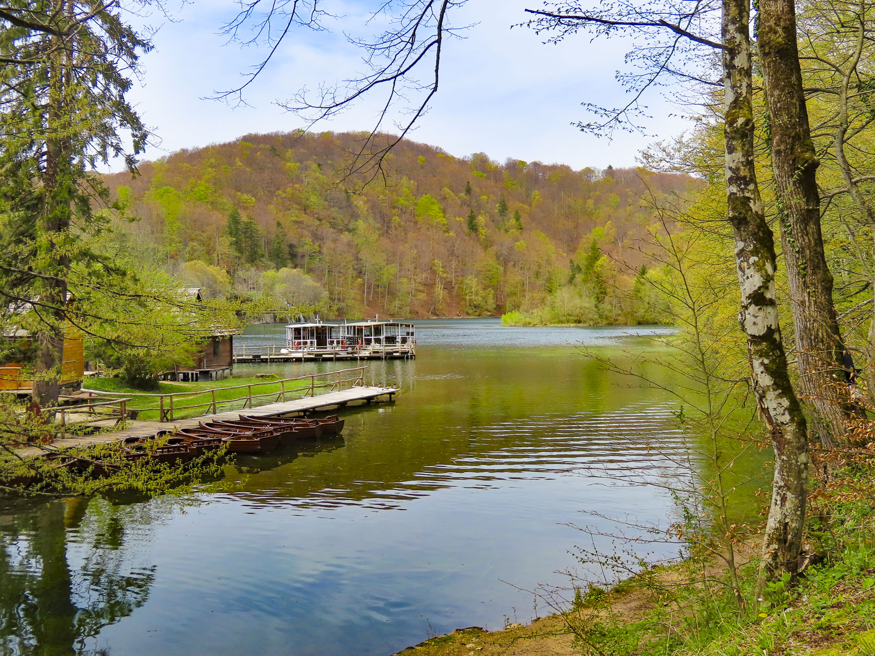
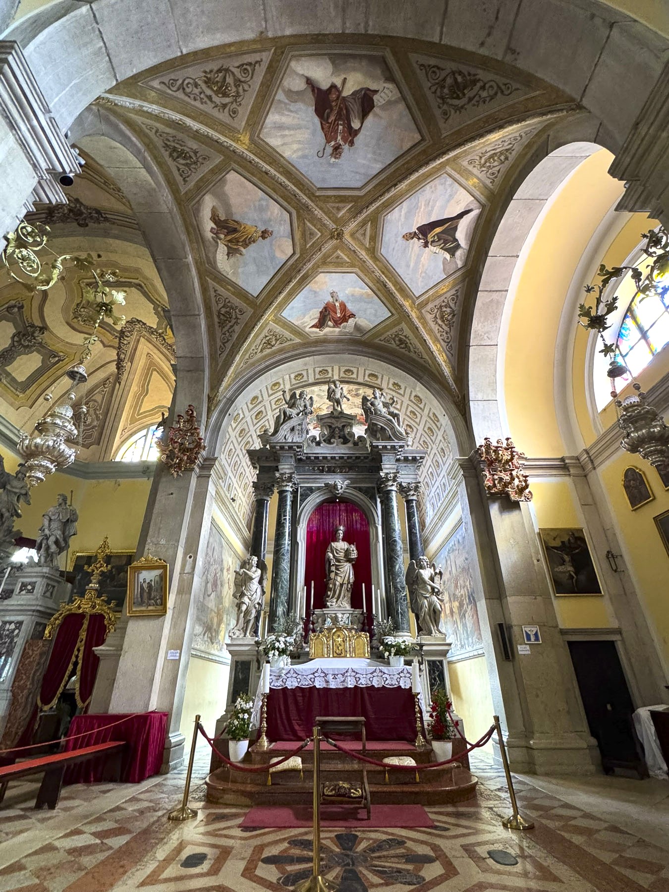
As if wanting to remind us of his power before fading away until next year, the dragon whipped up a torrential rainstorm from which we and most of our fellow travelers couldn’t escape getting soaked, on the first day of our Mekong River cruise aboard the Pandaw RV Mekong as we departed Ho Chi Minh City. Built and operated by the luxury river cruise provider Pandaw, the Mekong is a classic shallow draft, teak and brass finished riverboat, based on historical designs of colonial era river ships that once plied the waters of the Mekong Delta and southeast Asia from the late-1800s to the 1930s. We had signed on for their Four Country 21 Night Combo Cruise, which would take us up river into Cambodia, then connect us with flights to Thailand and the resumption of the cruise, on the Pandaw RV Laos downriver from the golden triangle, where the borders of Myanmar, Thailand, and Laos meet along the Mekong River, in Chiang Khong, Thailand.
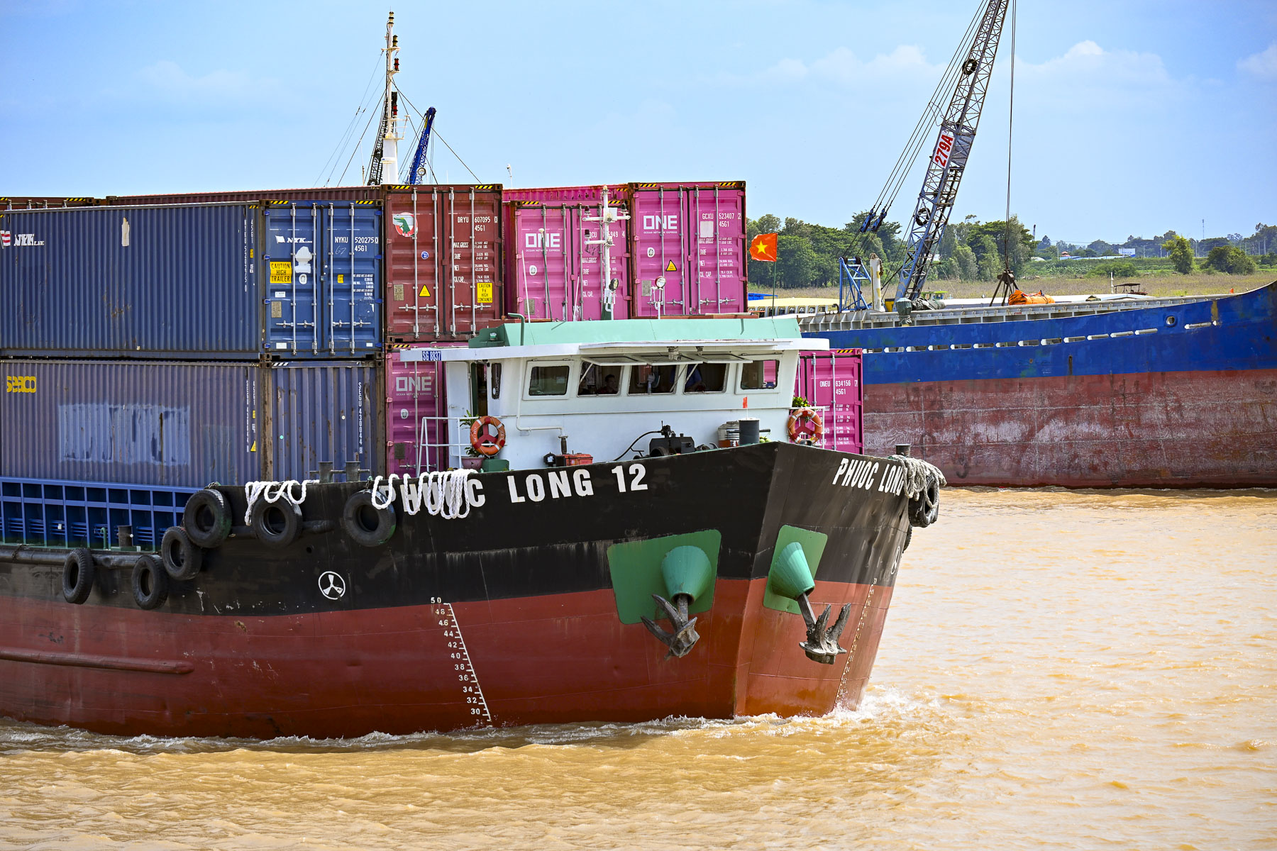
Located 50 miles upstream from the South China Sea at the confluence of the Dong Nai River and Sông Sài Gòn, Saigon River, Ho Chi Minh City is a major container seaport in Southeast Asia. Shipping containers offloaded at the port are then transferred to various size barges which then deliver their cargo to other areas further inland in Vietnam or to Phnom Penh, Cambodia.
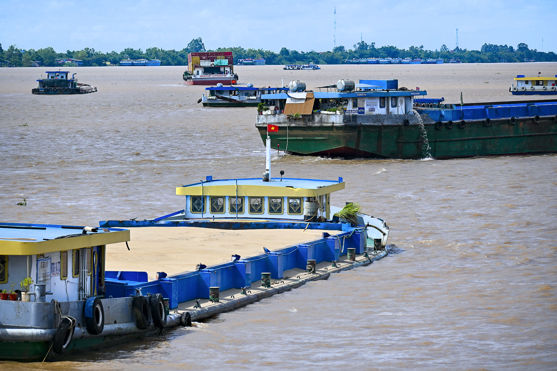
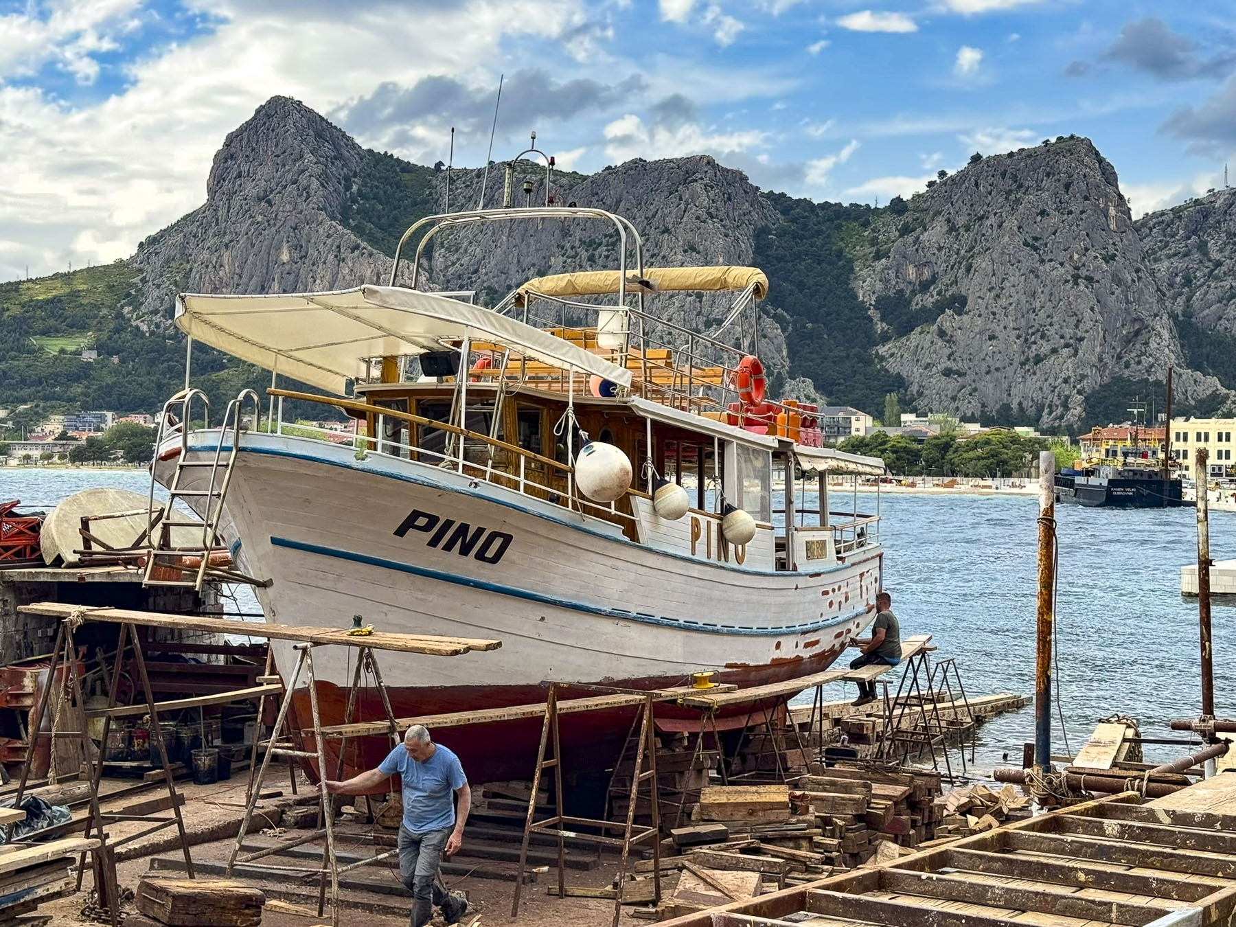
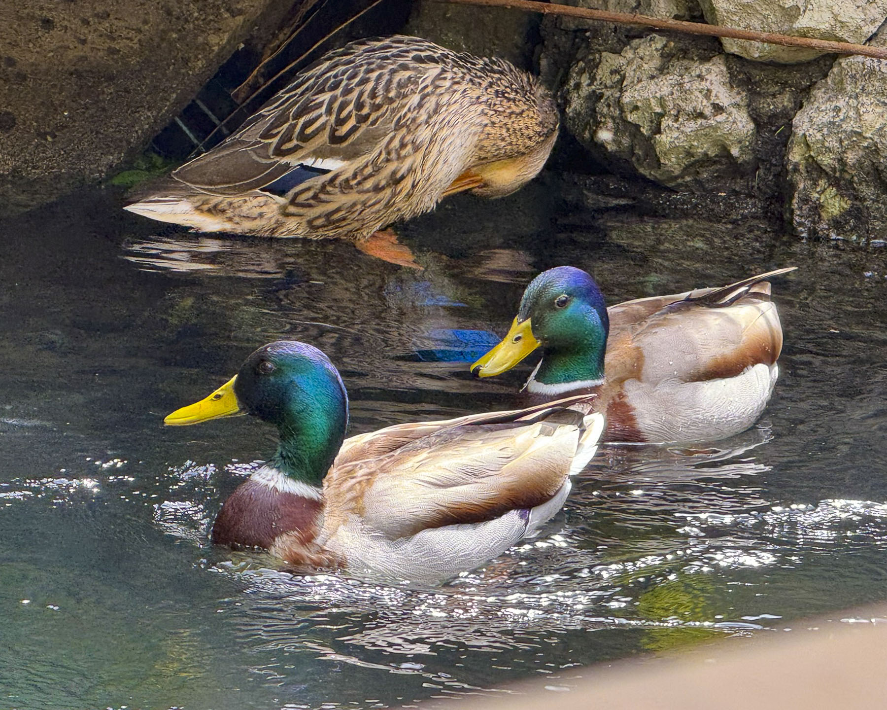
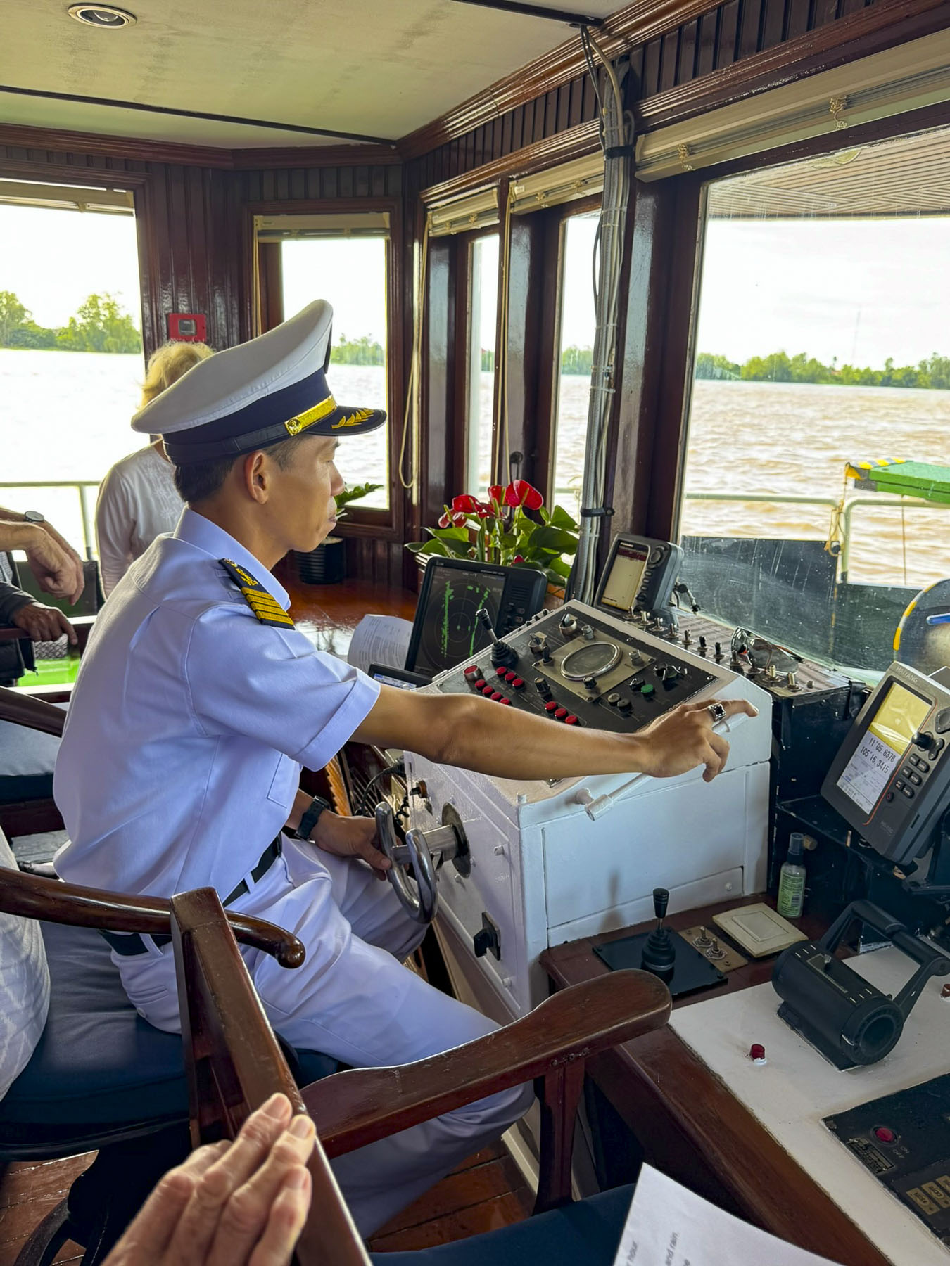
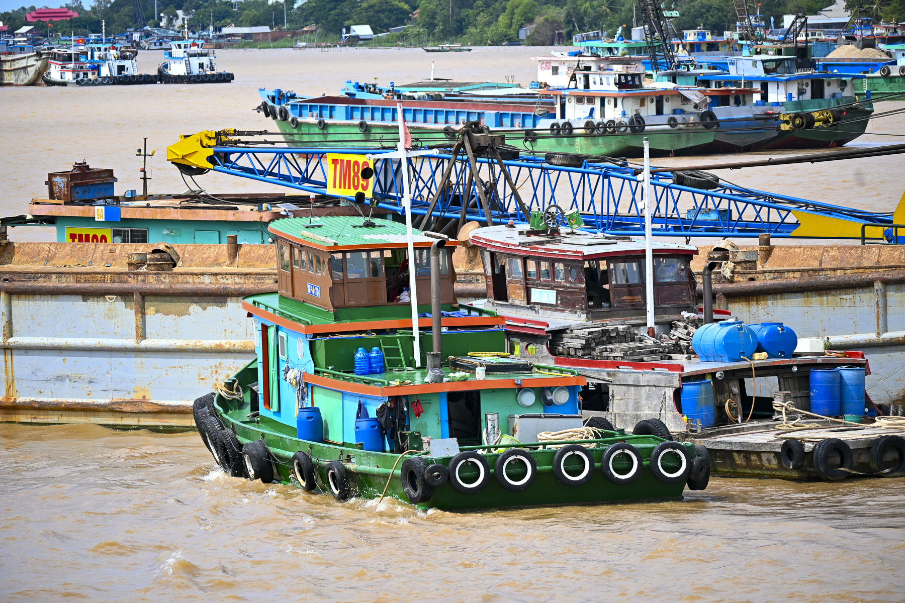
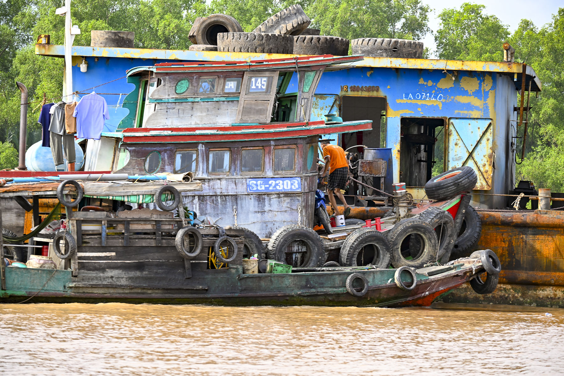
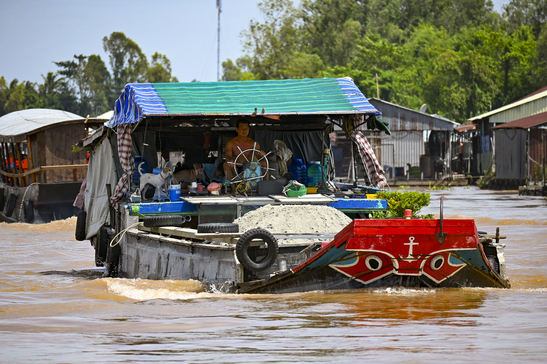
The coffee-brown rivers in Vietnam were like highways, and the main channel of the Mekong River which is very wide and approximately 20m (65 ft) deep was robustly busy with container barges of every size. What was unexpected though was the hundreds of dredging barges loading construction grade sand into large barges with 4m (13ft) drafts to the point that their decks were almost awash as they navigated the waterway, to supply the country’s building boom.
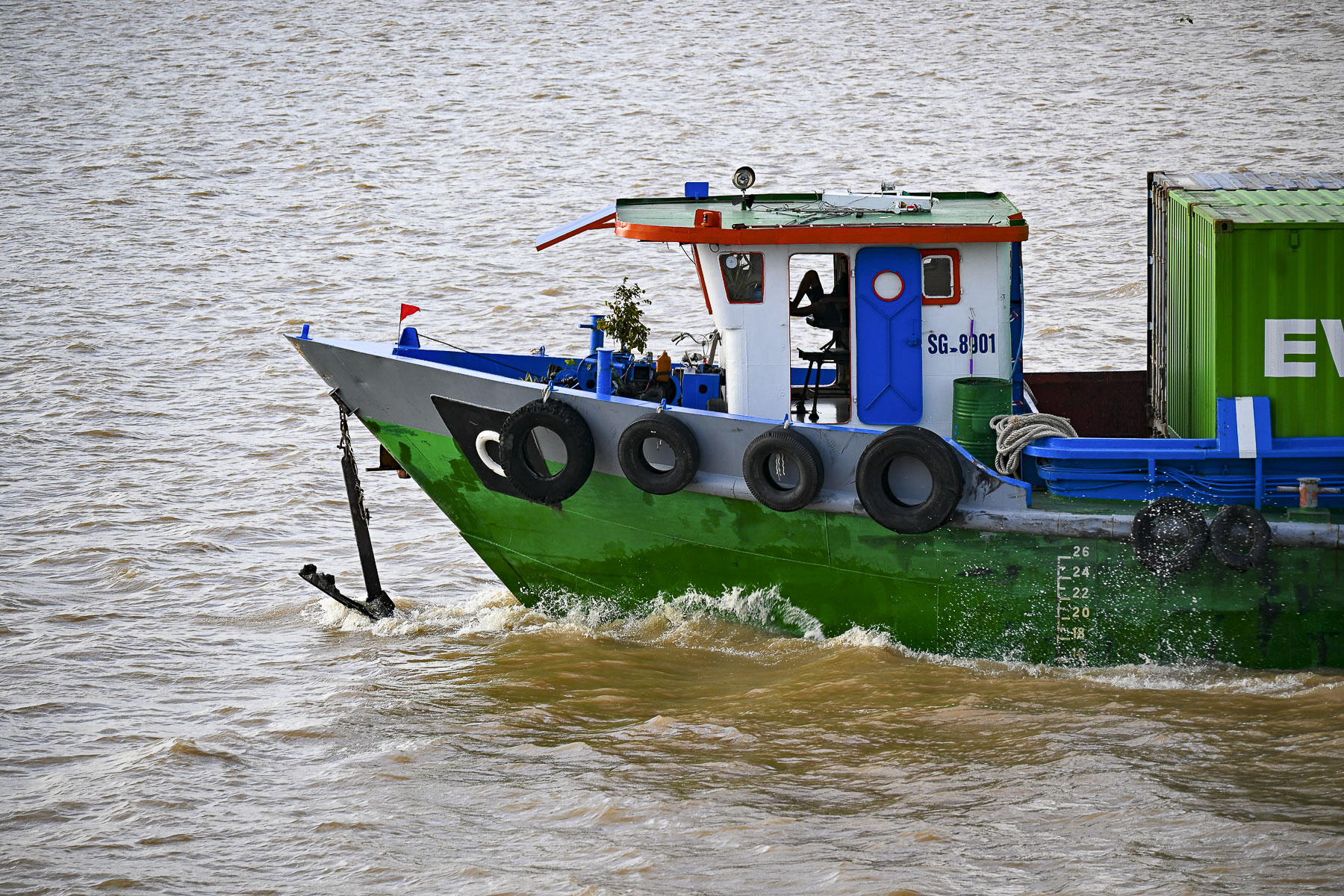
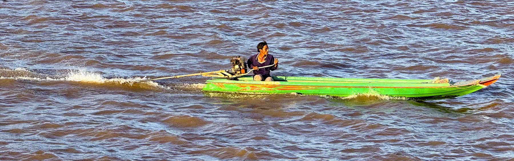
As hectic as the water traffic on the river was, the pilots of the barges we passed all seemed nonchalant. As they steered their vessels with their bare feet, leaning back in their captain’s chair and watching the river’s ubiquitous long-tail boats, the waterman’s equivalent to a motor scooter, whiz by.
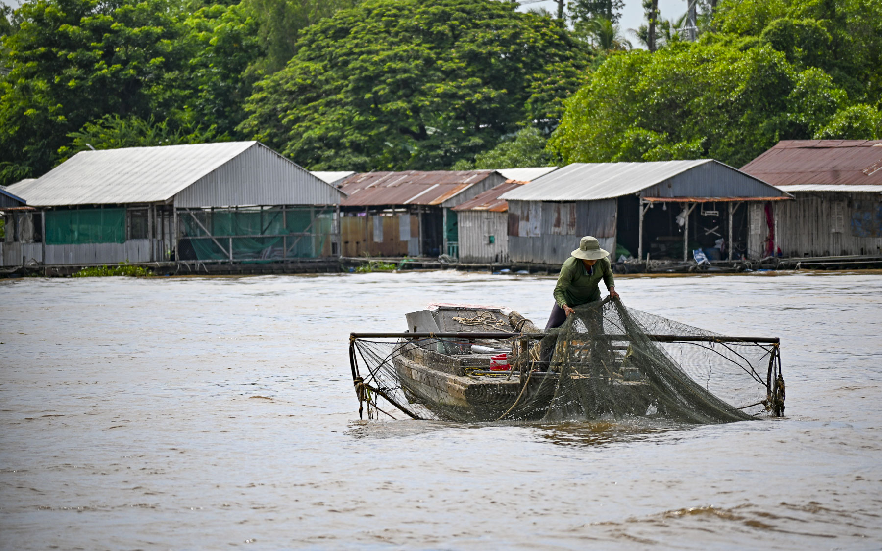
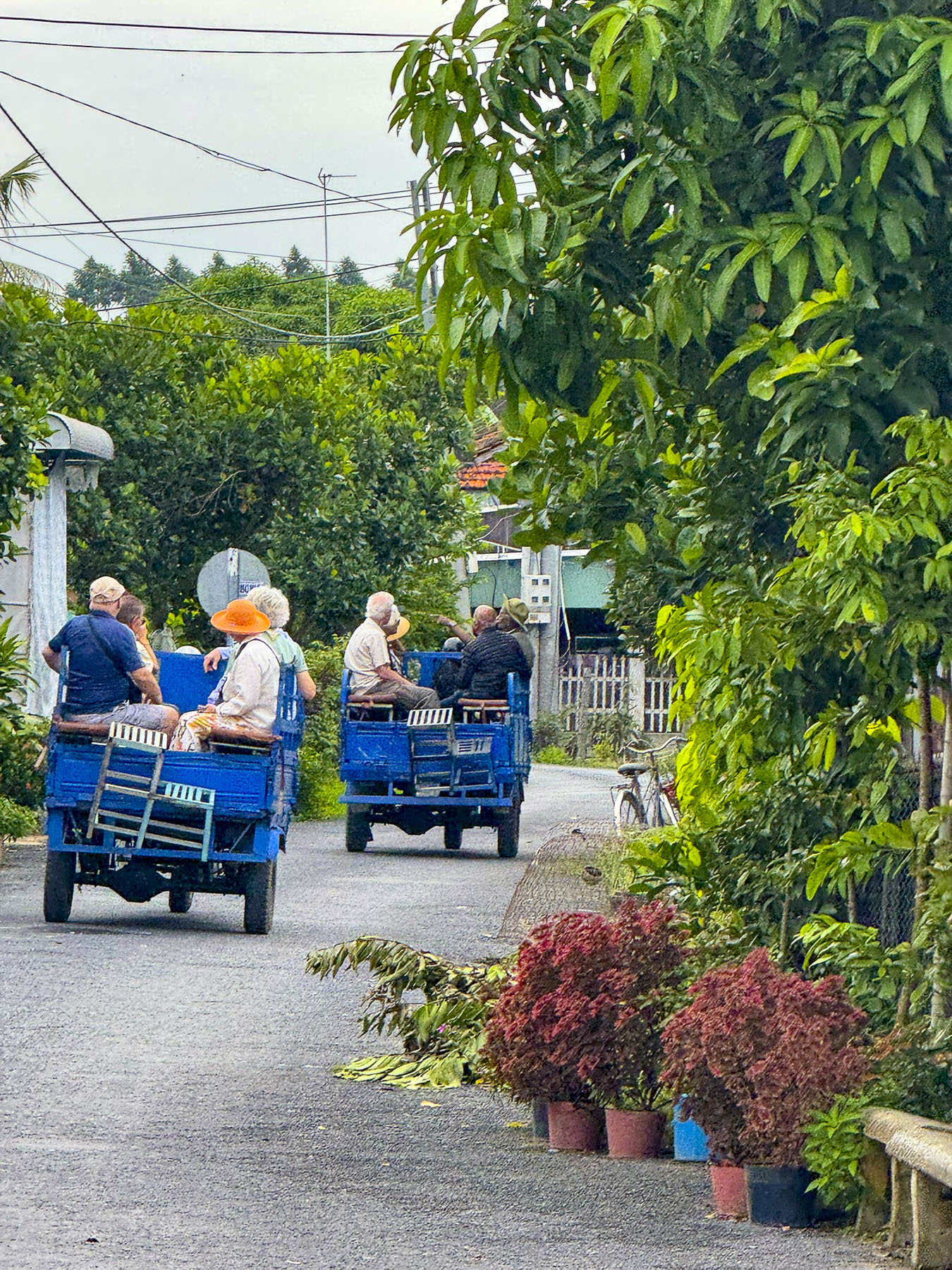
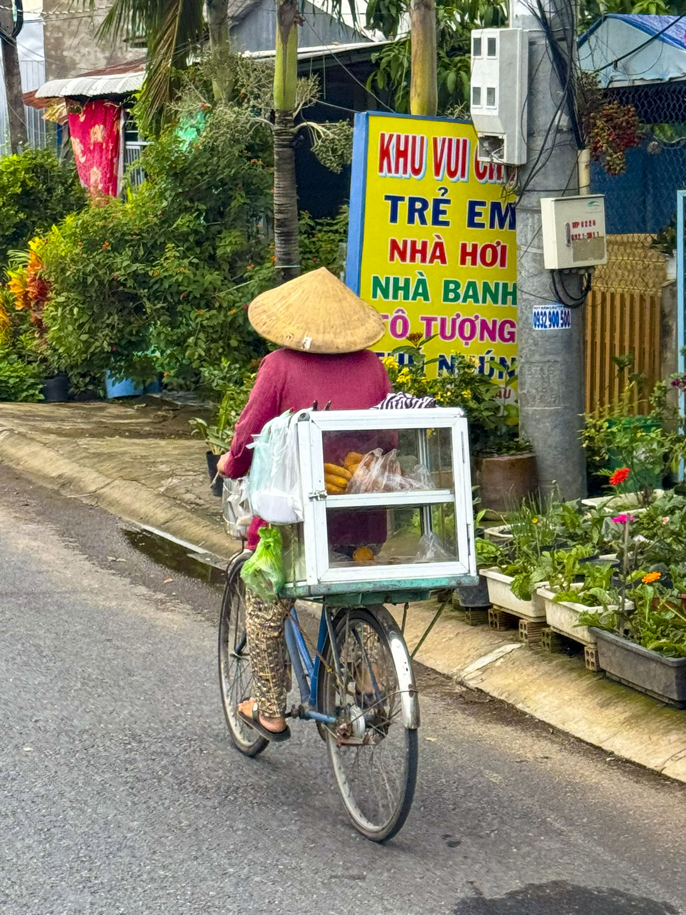
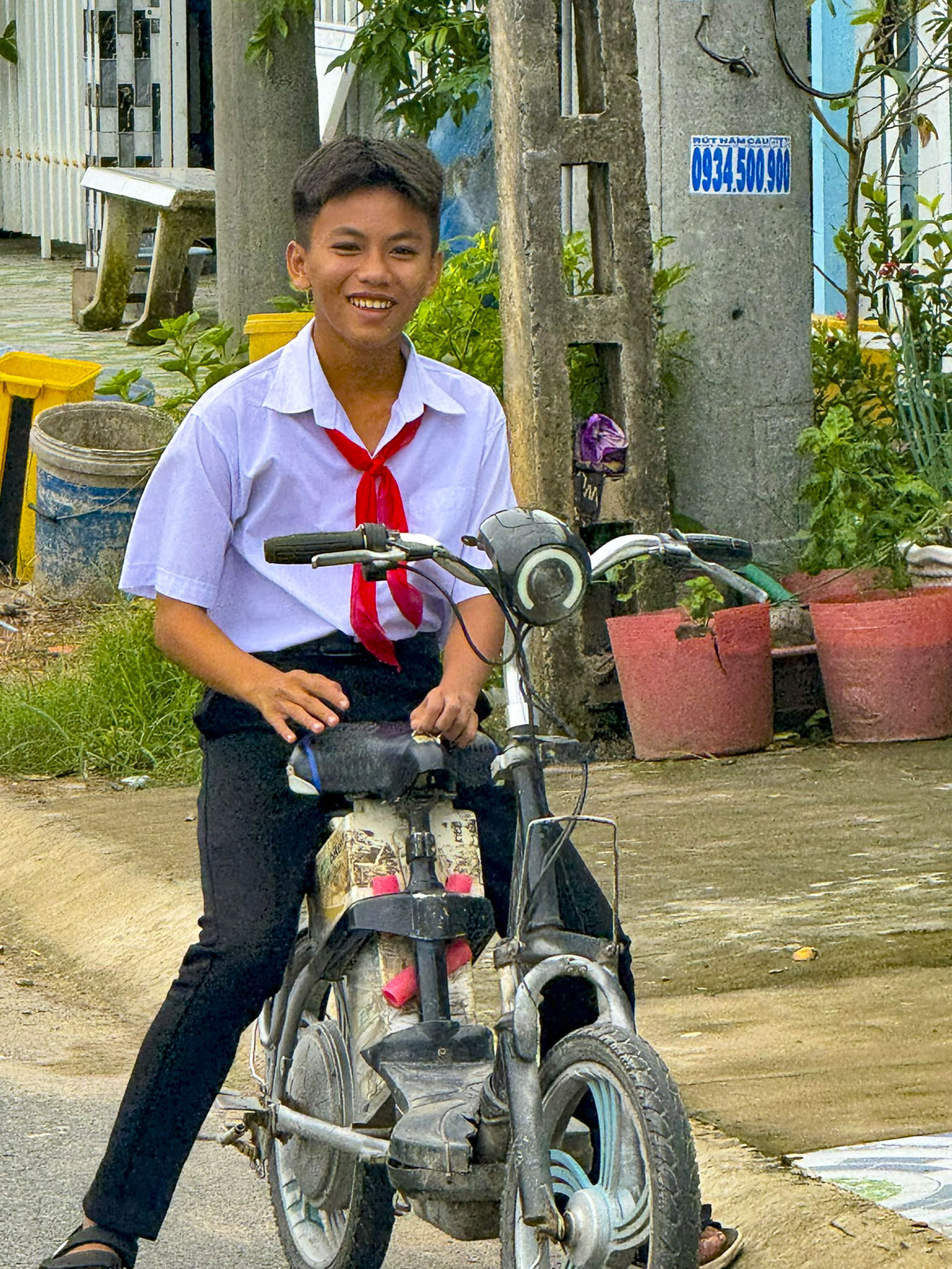
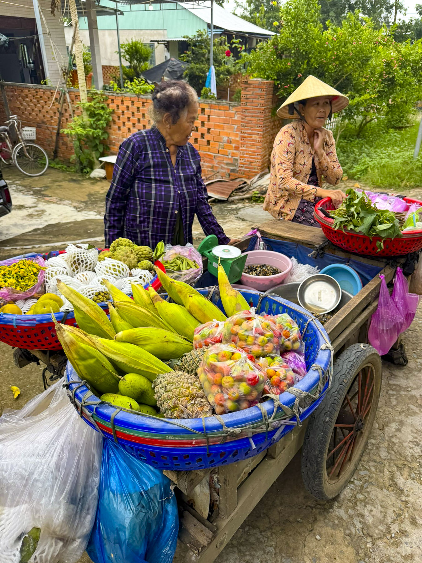
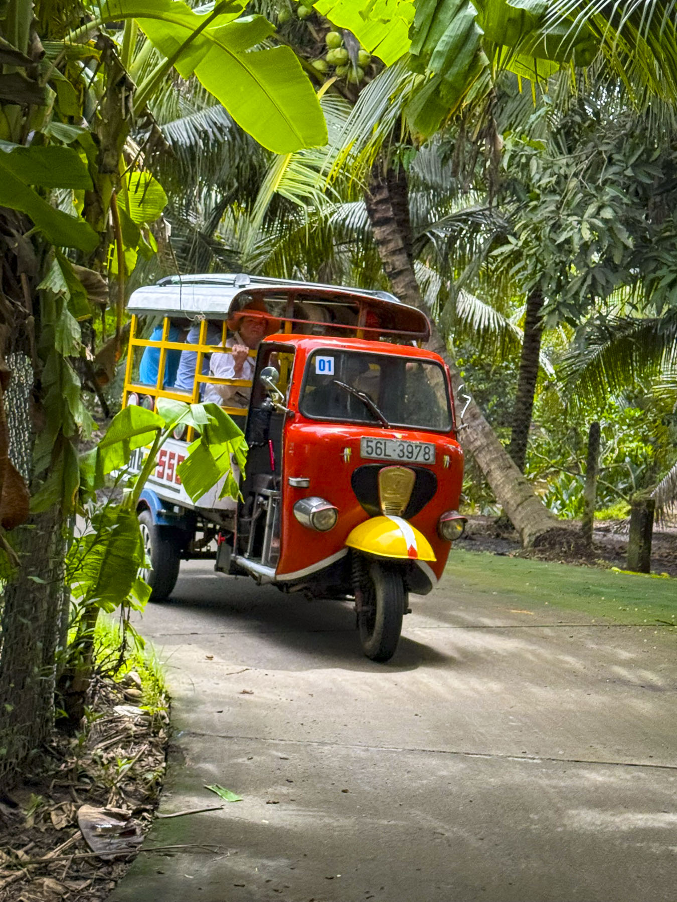
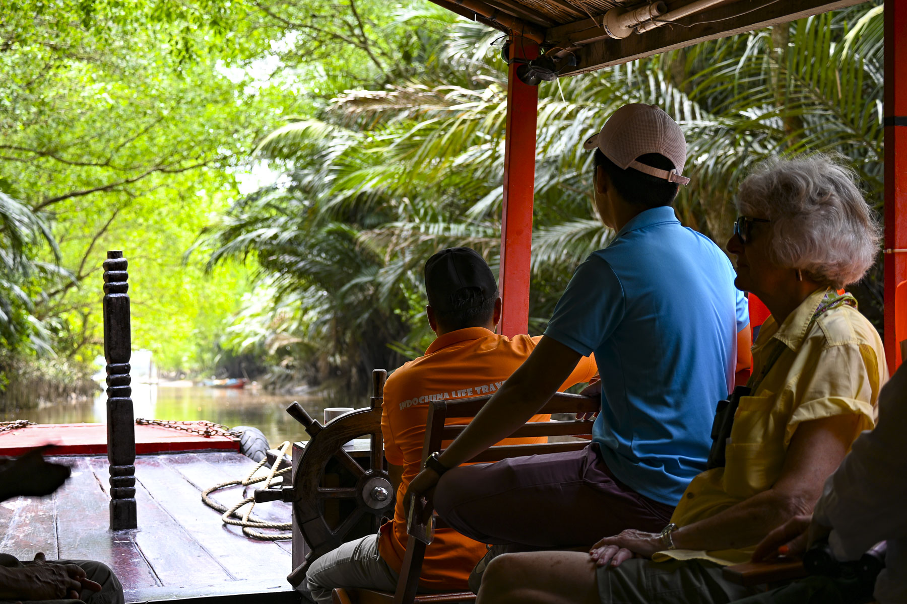
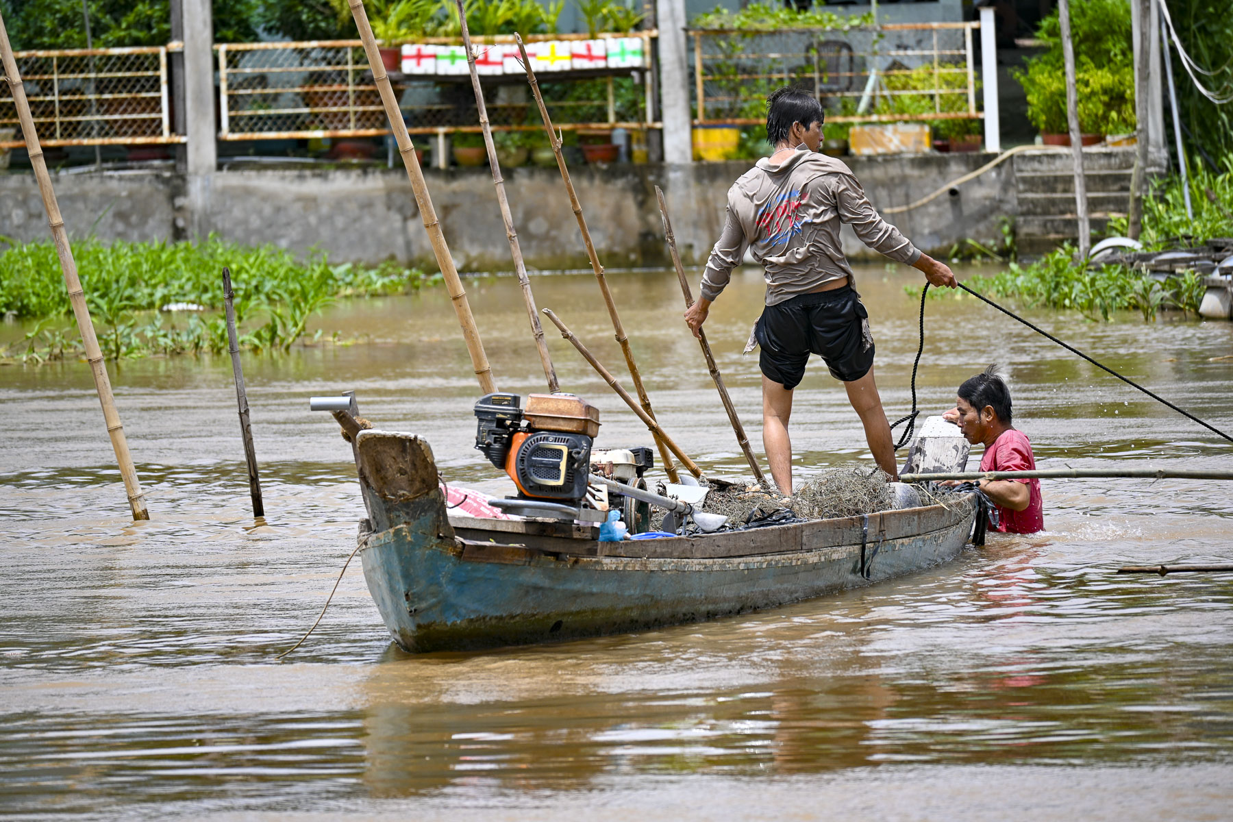
Viewing life along the river was intriguing. We watched fishers pulling nets from the river as we motored in a smaller boat to a landing near Bến Tre. We then traveled in a small convoy of openair tuk-tuks through a small town where students in their school uniforms and a bread vendor were bicycling along the road.
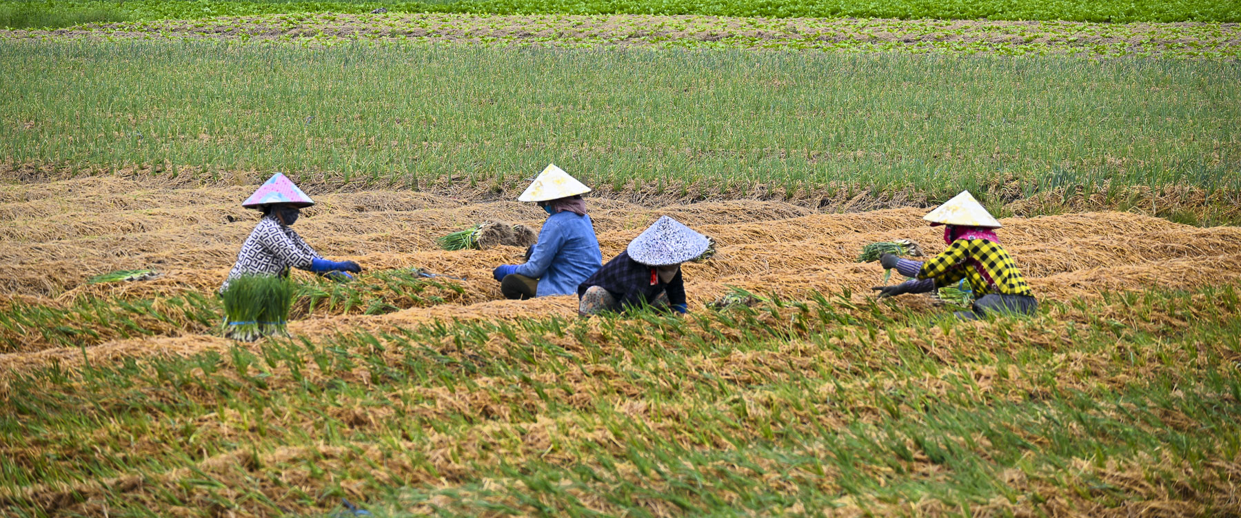
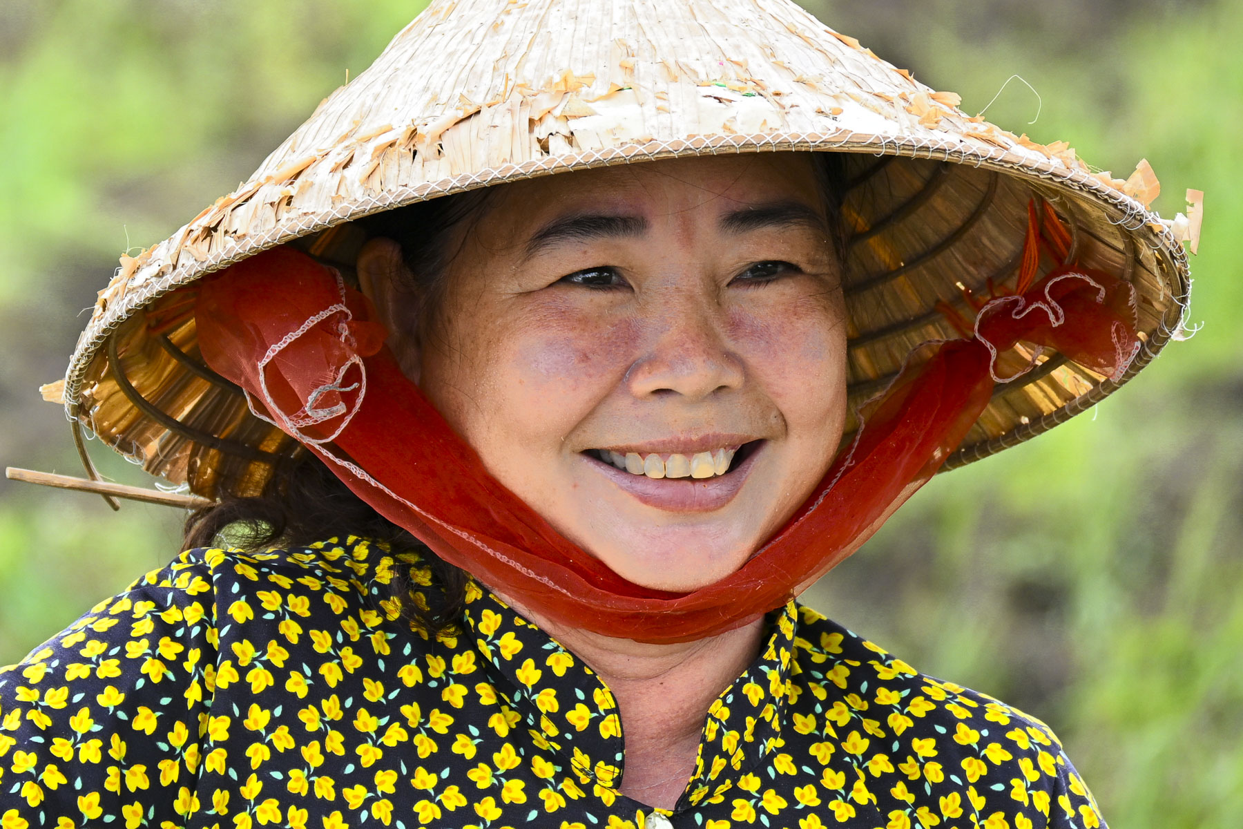
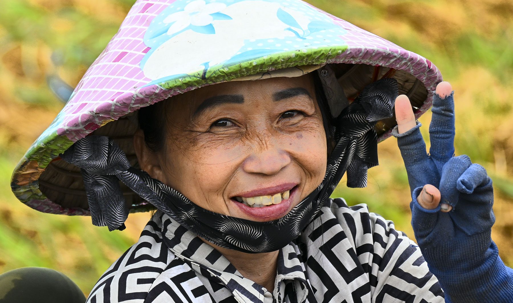
In the fields nearby we watched the back breaking activities of farm women, wearing the traditional cone shaped hat woven from palm or bamboo leaves called a “Non La,” as they planted onion sets by hand in raised beds near a riverbank. Occasionally laughter drifted from the field where the women worked rhythmically together in teams of two.
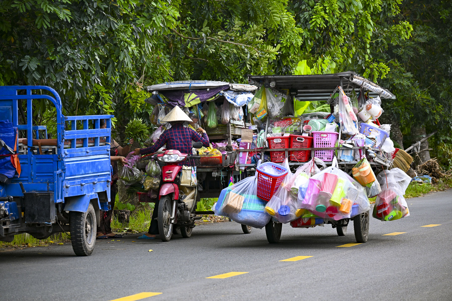
Afterwards as we walked to a nearby outdoor community center, we passed a vendor with a motorcycle-cart laden with everyday hardware and general merchandise conducting business along the roadway with folks that waved for him to stop.
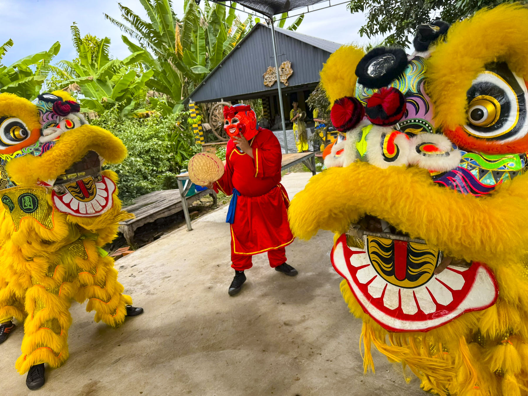
At the center we watched a colorful and acrobatic Lion dance, accompanied by loud, fast-paced drumming and cymbals. It’s traditionally performed during the Tet Trung Thu, Vietnam’s mid-Autumn Festival, that’s held after the busy rice harvesting season for families to reconnect, thank the gods for a good harvest, and wish for prosperity and good luck.
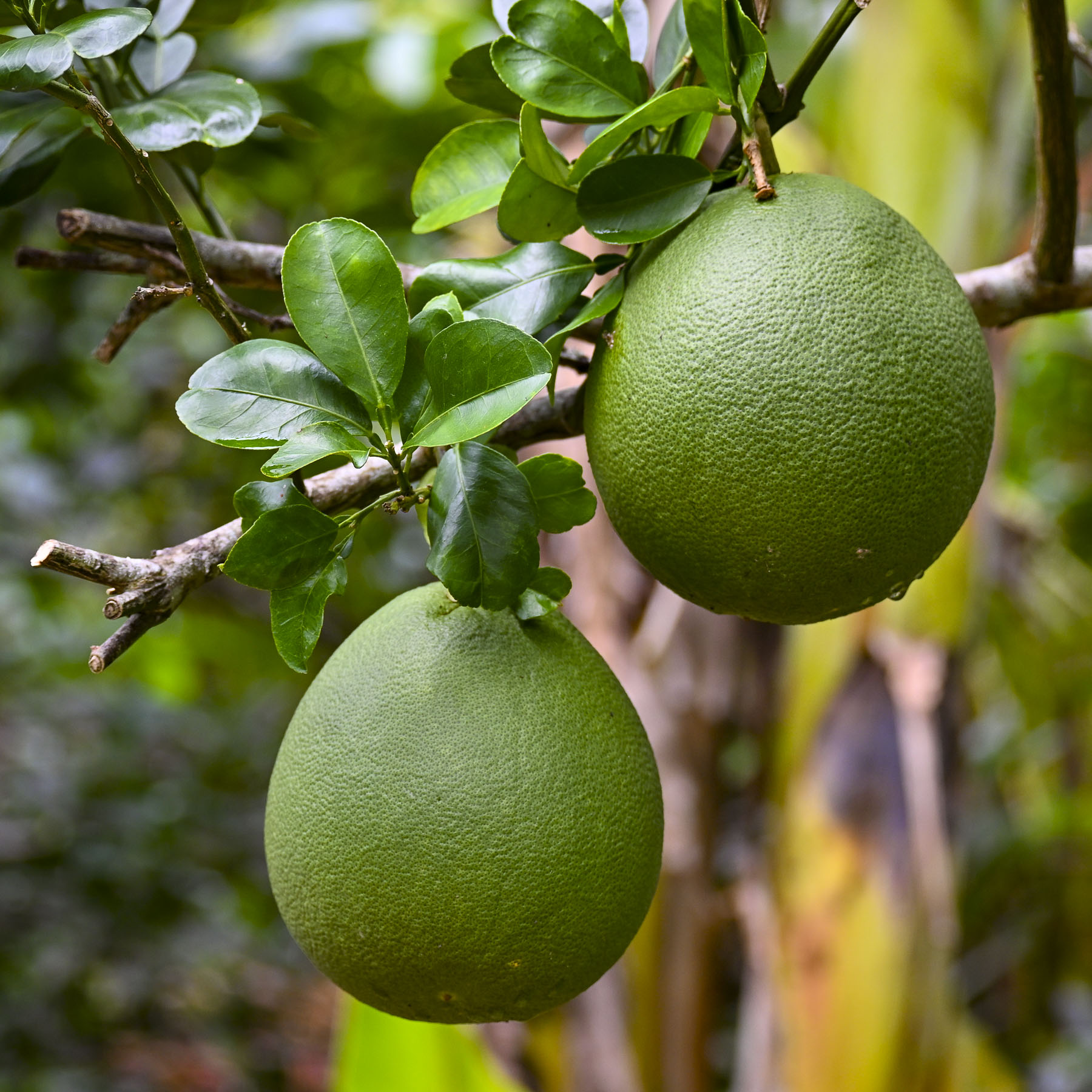
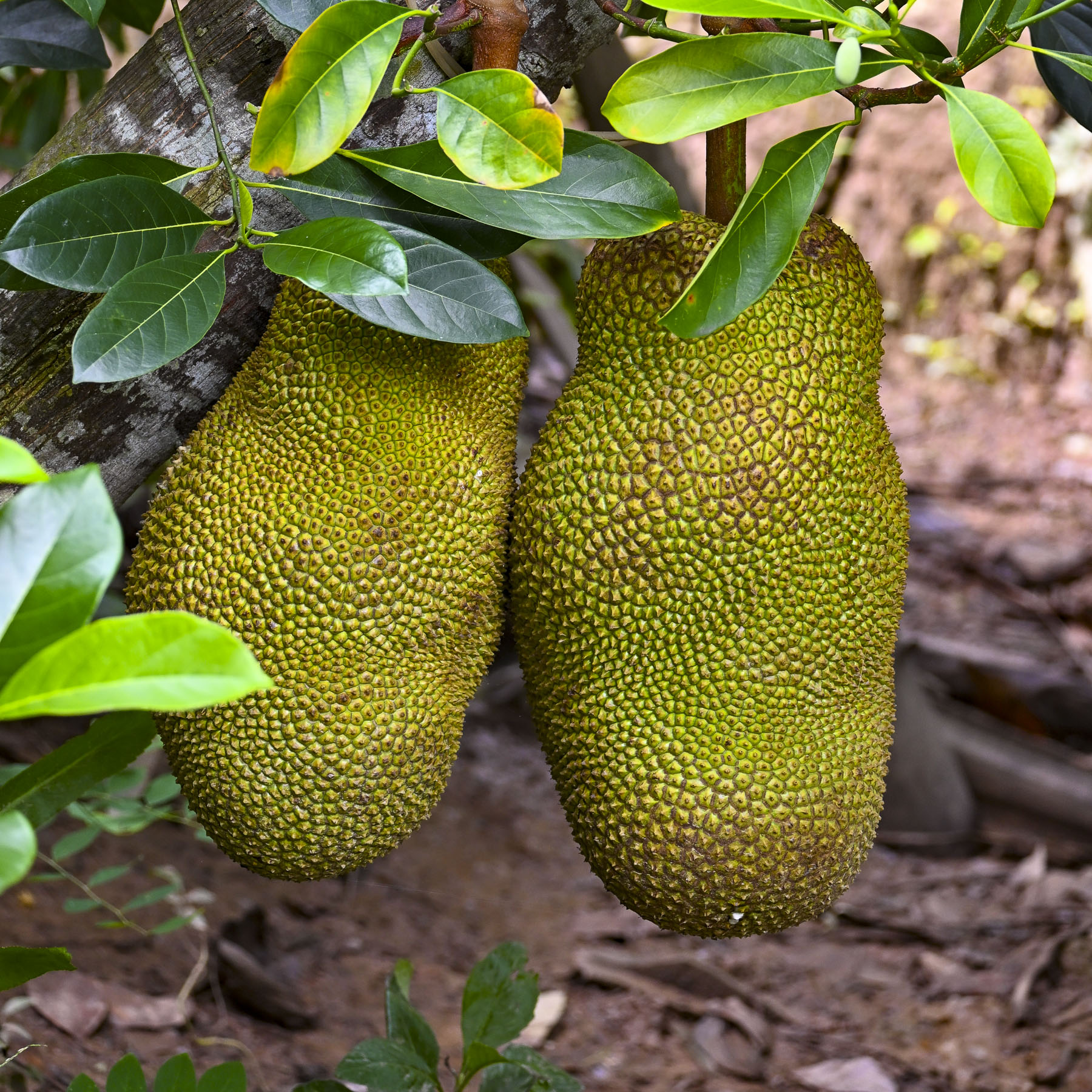
Back on our tuk-tuks we continued through a village surrounded by soursop, jackfruit, and durian orchards to a small dock along a narrow canal in a mangrove swamp of nipa palms, water coconut trees. In narrow wooden sampans, boatmen poled our group along a stream through a jungle of towering trees, where the nipa palms’ roots extended into the water, like fingertips into a shallow bowl. The trees’ canopy cloaked the canal in silence, broken only by the gentle swoosh of the sampans slicing through the water and the occasional bird call.
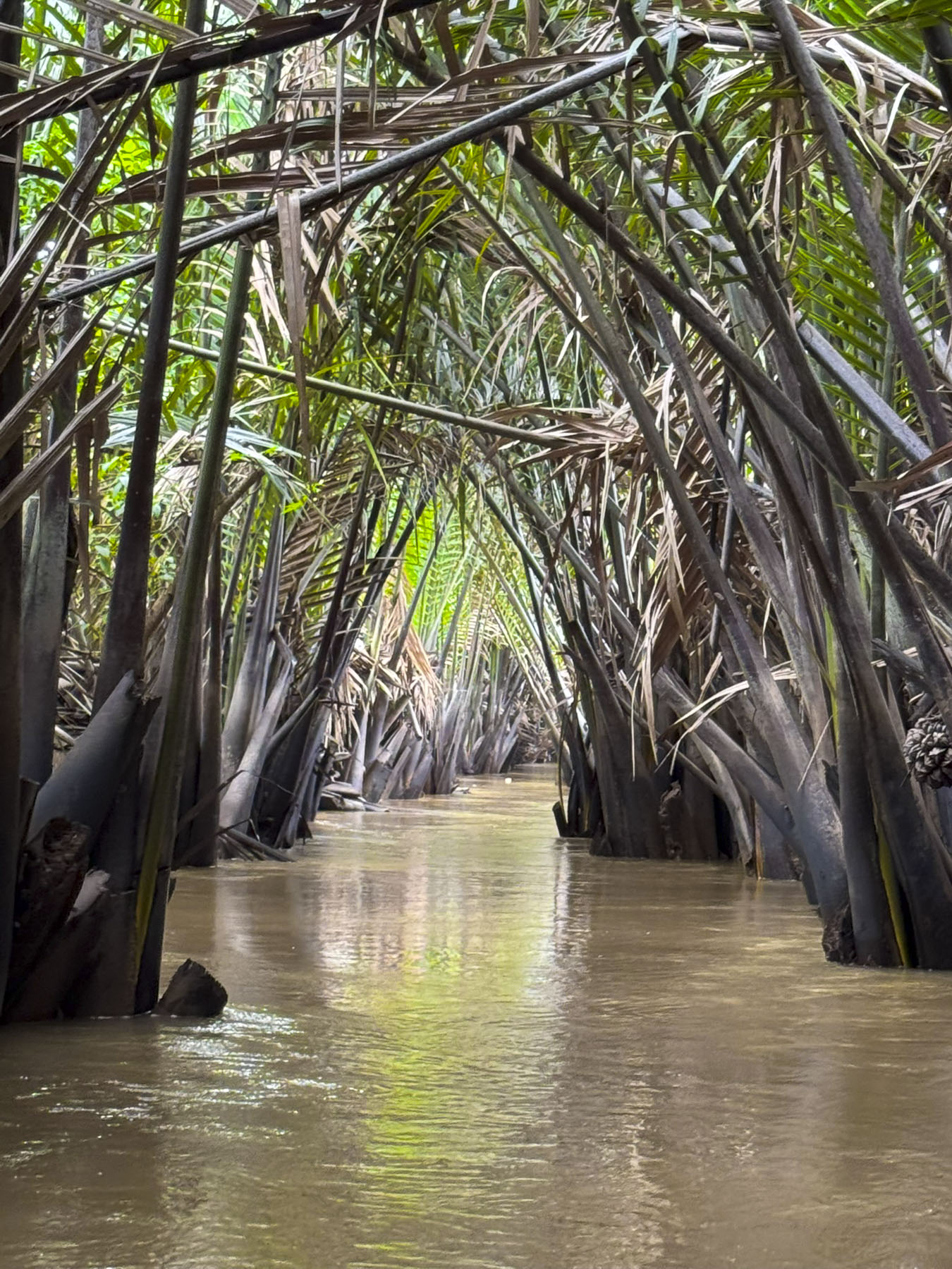
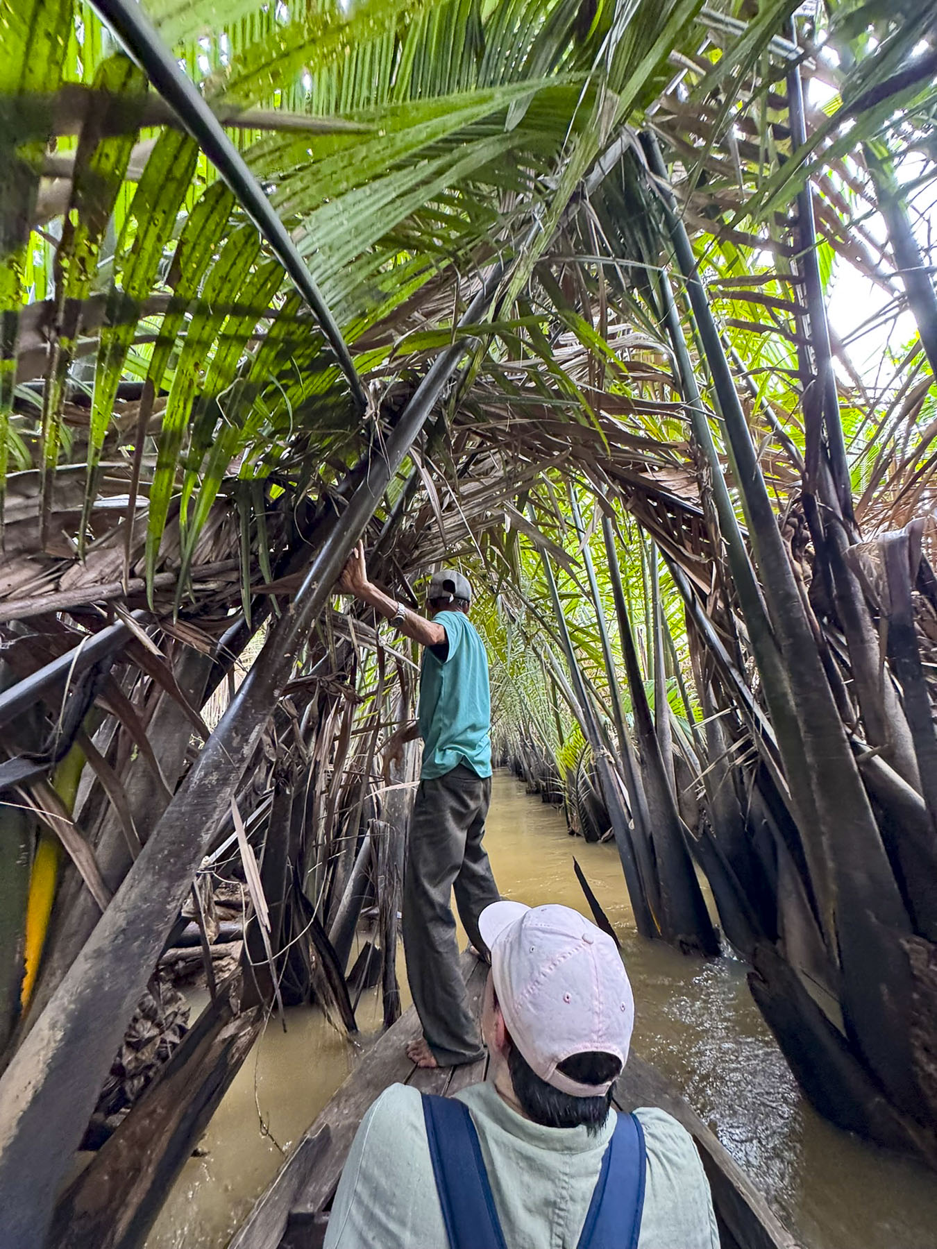
At one point the canal was so narrow our boatman switched from poling and walked along the edge of the sampan from the stern to the bow and pulled us farther along by grabbing the trees next to our boat. The sampan ride ended at a rustic open air candy workshop where we sampled sweets made with locally harvested coconuts, and durian, that famously stinky fruit that surprisingly tastes delicious.
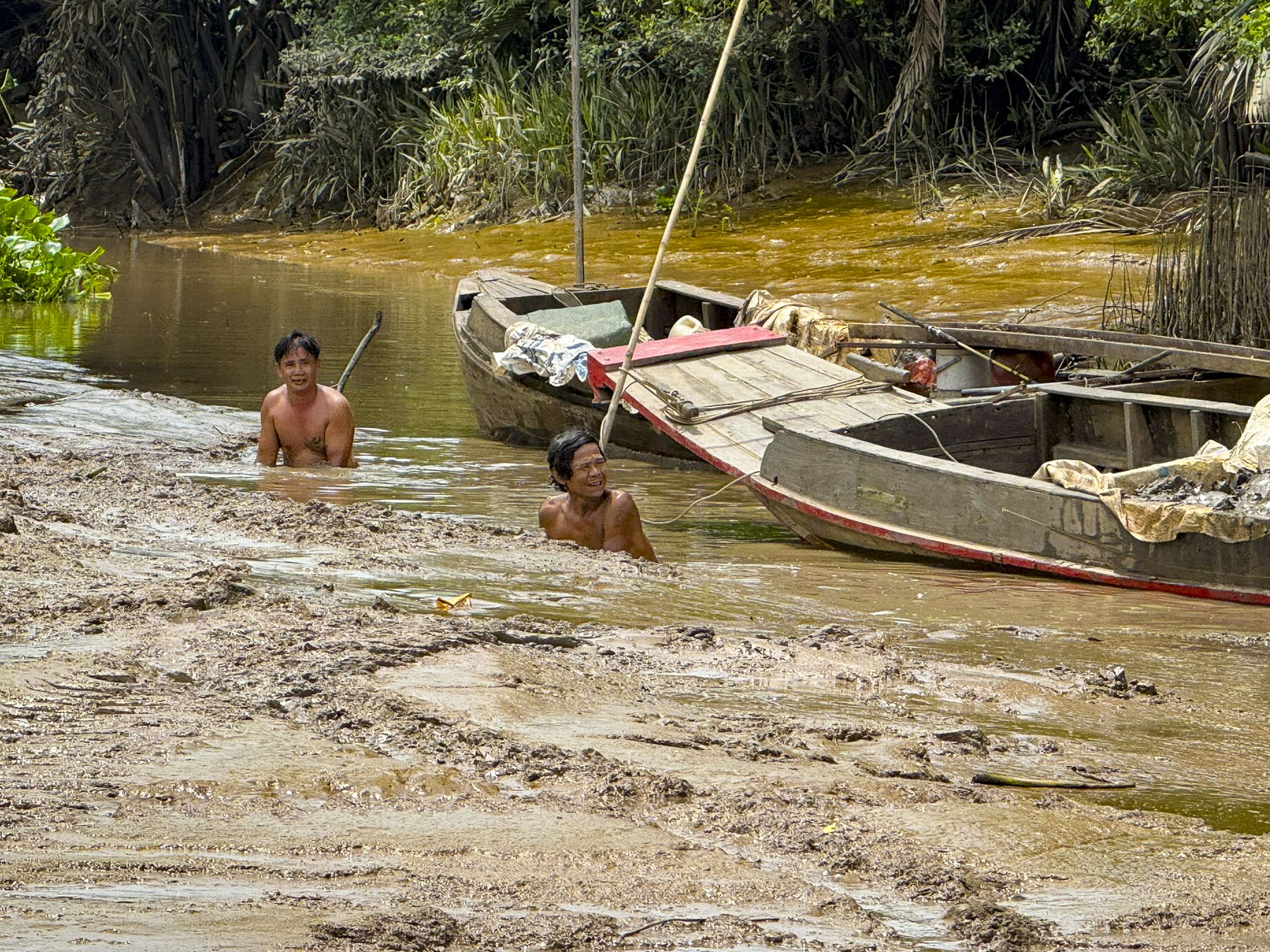
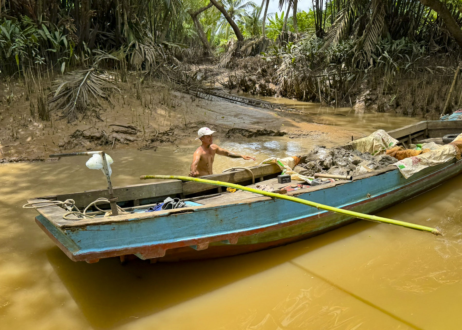
Returning to the Pandaw RV Mekong via a larger waterway we passed men chest deep in the river, using their bare hands to scoop up mud from the river bottom into sampans. The purpose: to backfill their farmland that’s been eroded away by the monsoon flooding. A little farther along a woman was waiting for passengers to ferry across the river in her sampan.
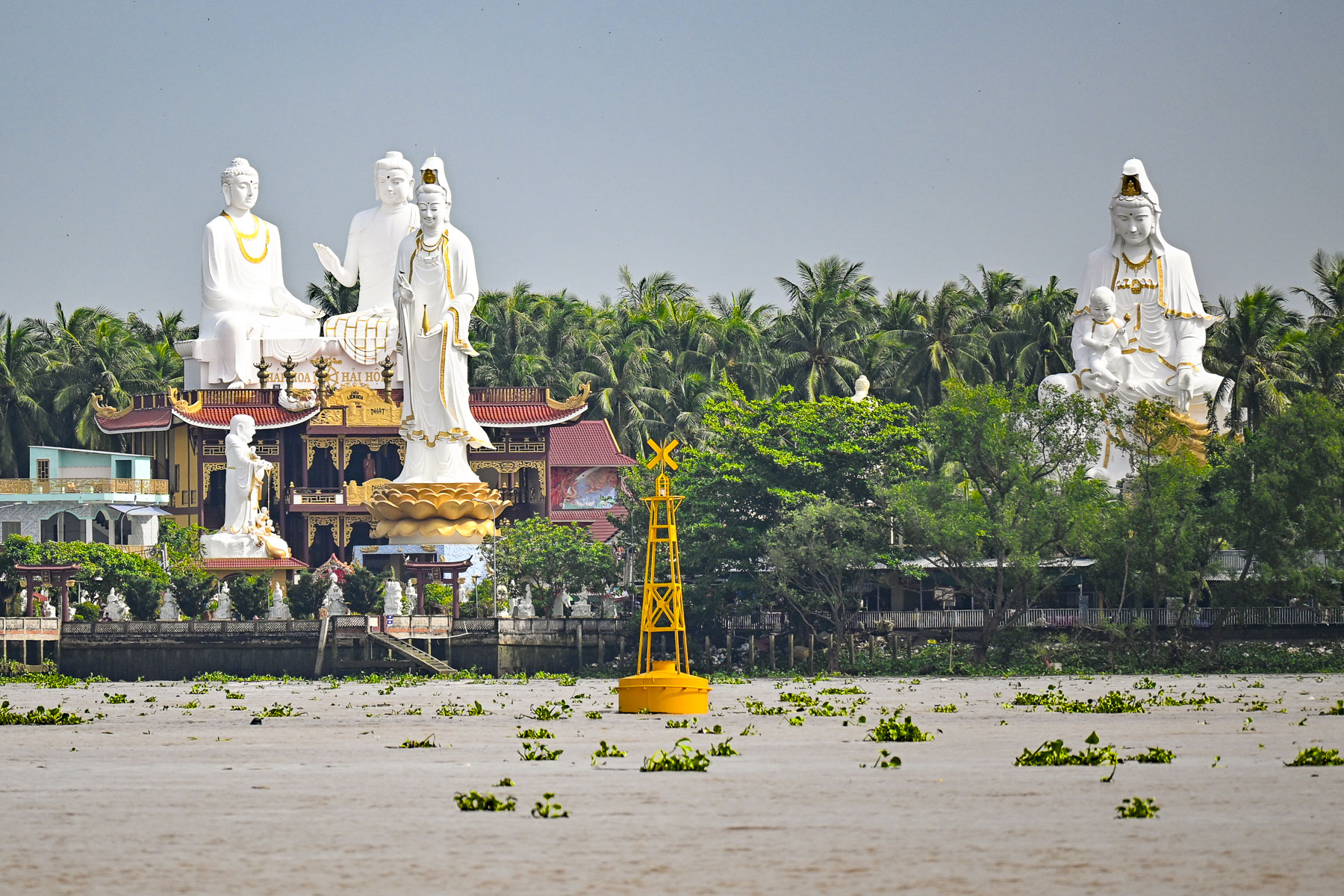
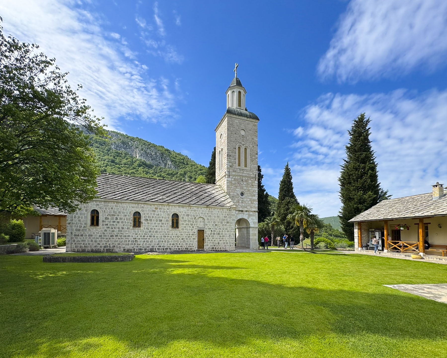
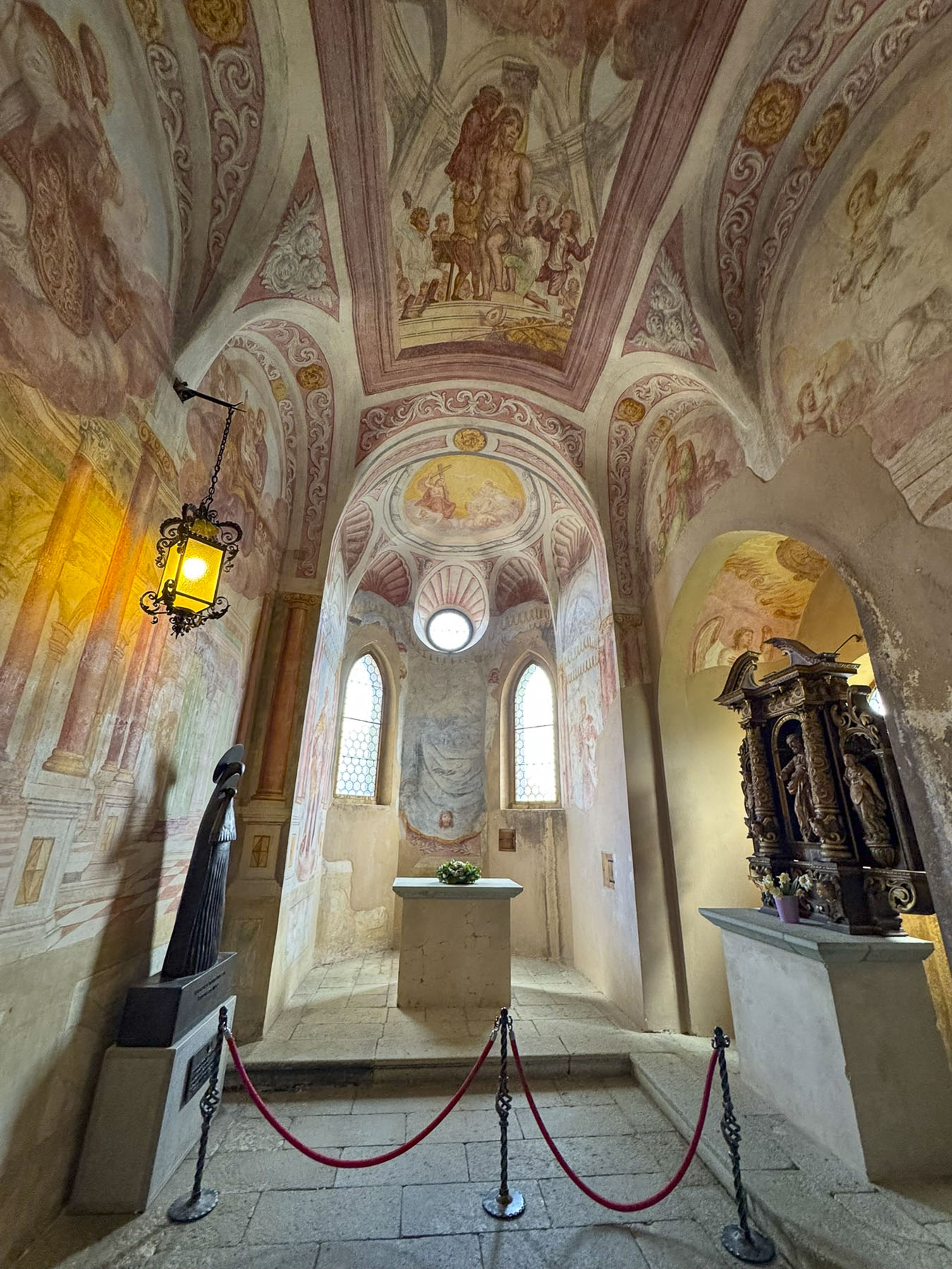
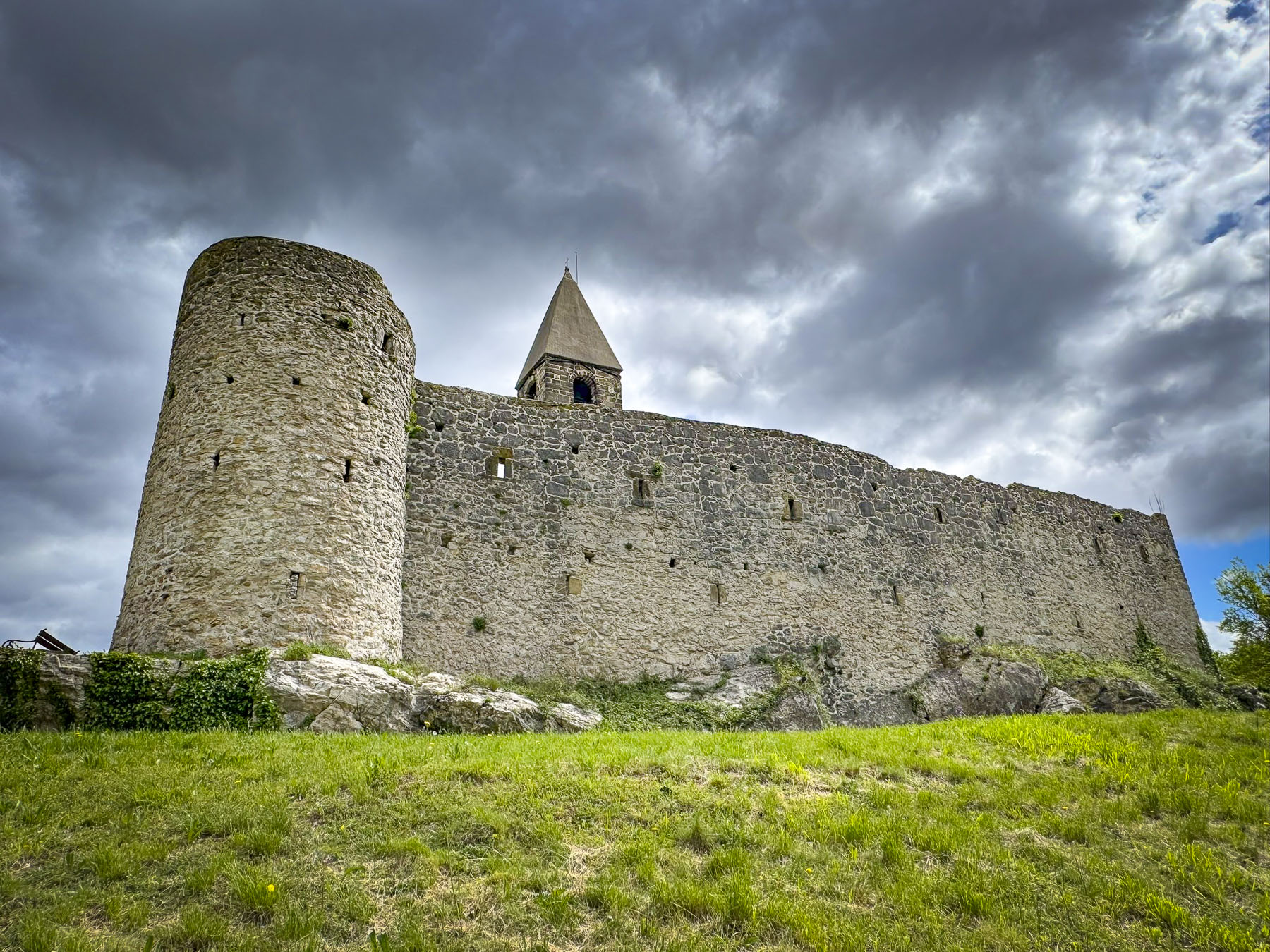
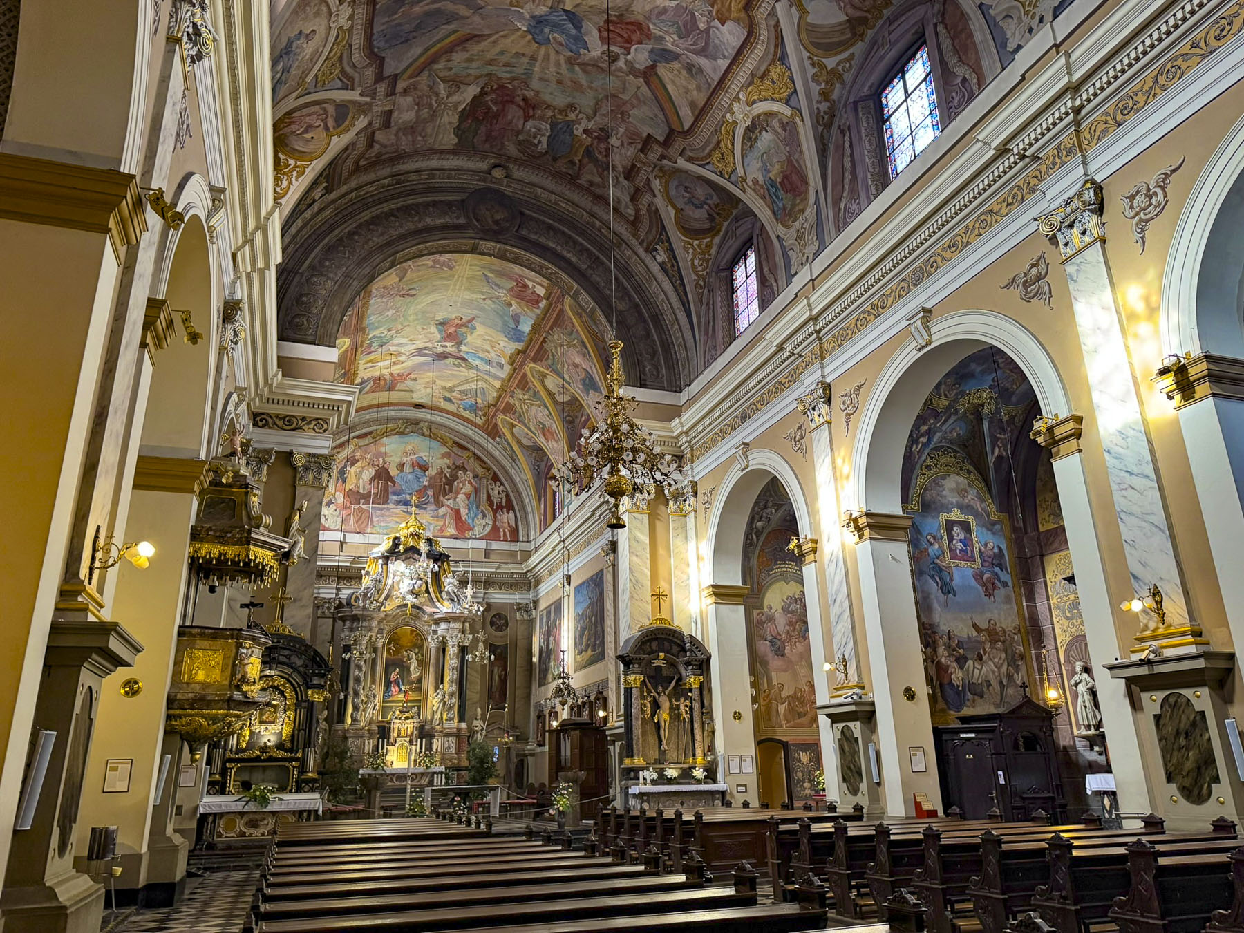
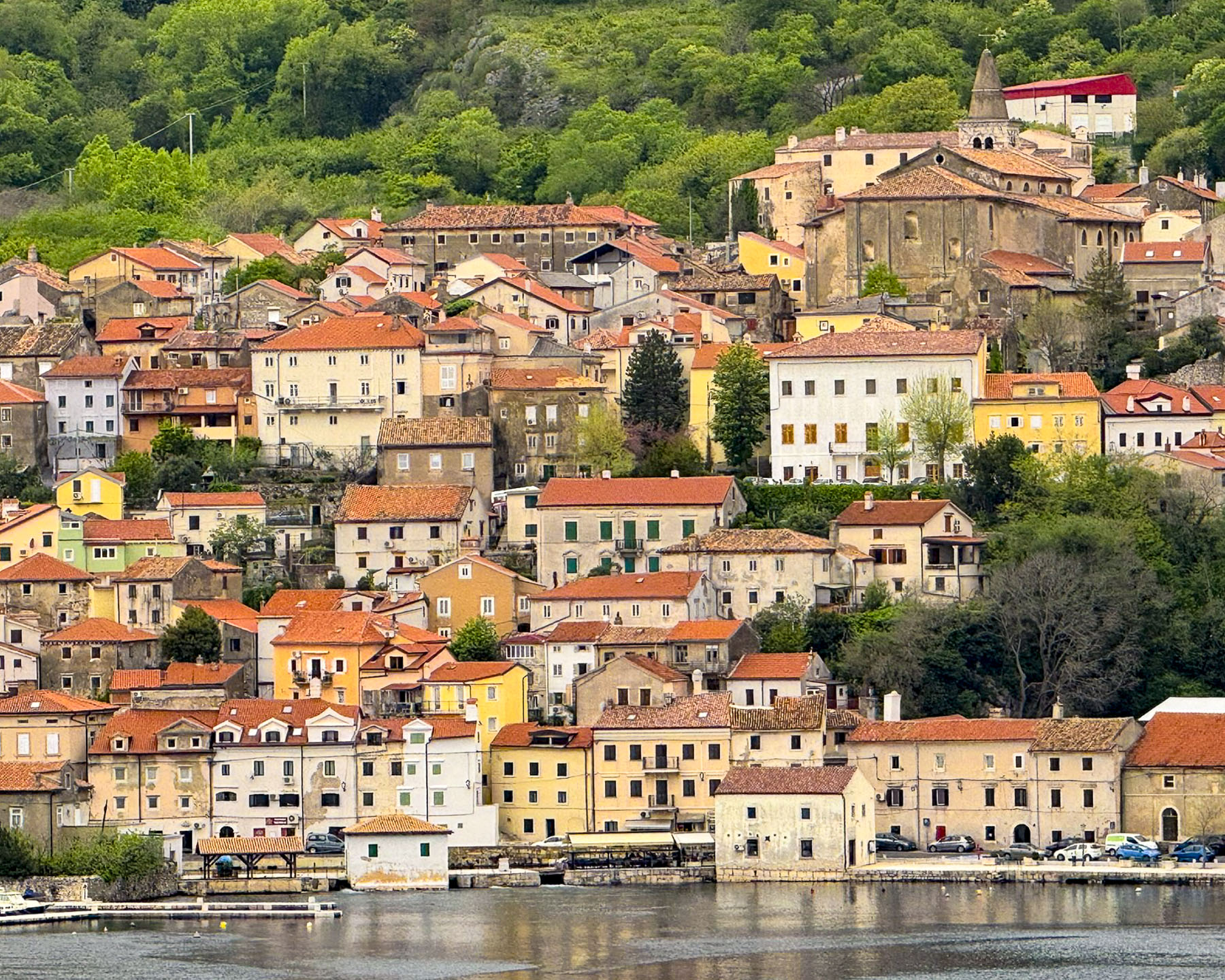
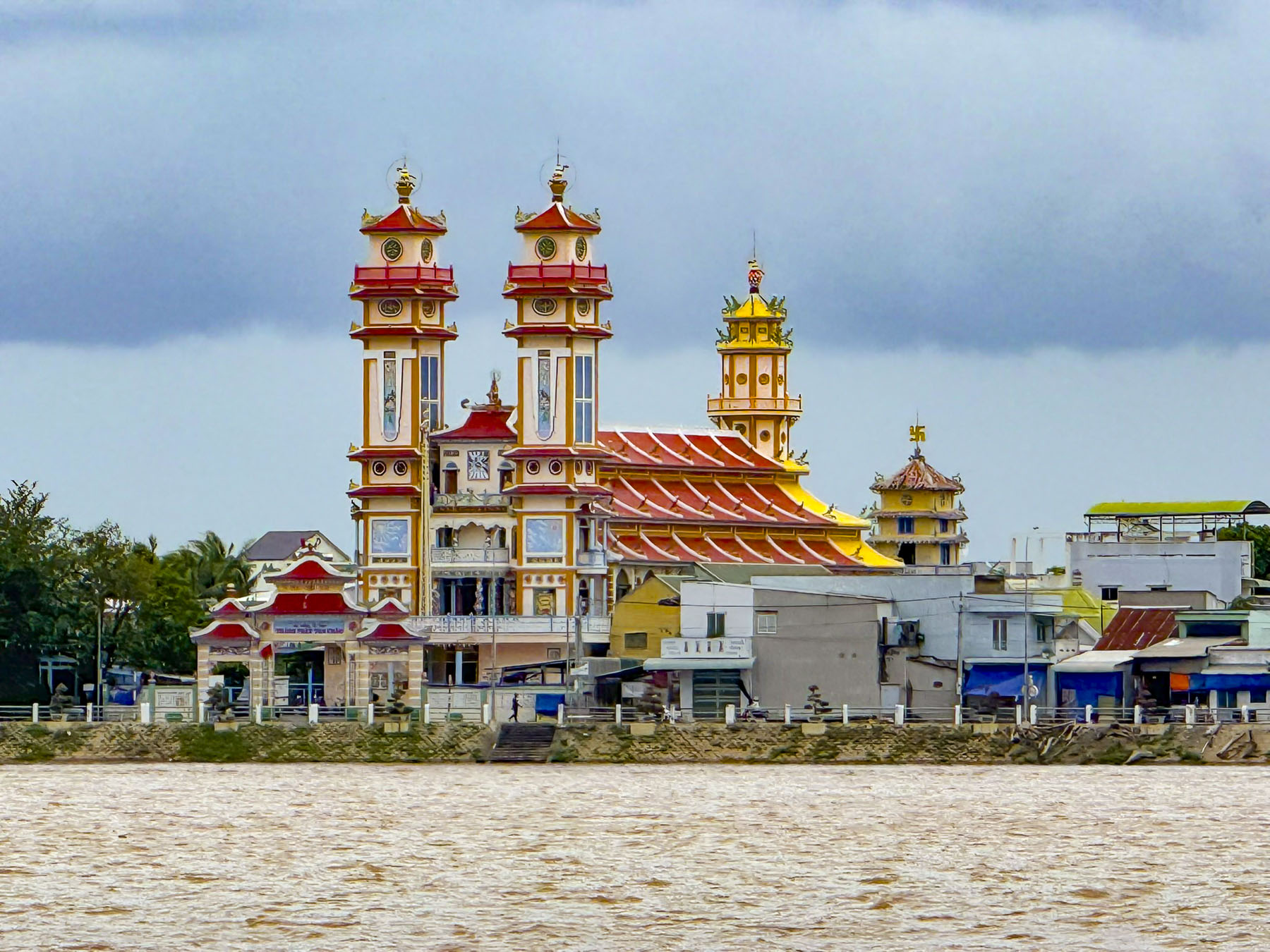
Across the Mekong the giant glistening white statues at the Chùa Liên Hoa – Mẹ Nam Hải Tiền Giang rose enticingly above the riverfront, but unfortunately the Buddhist pagoda was not part of the tour.
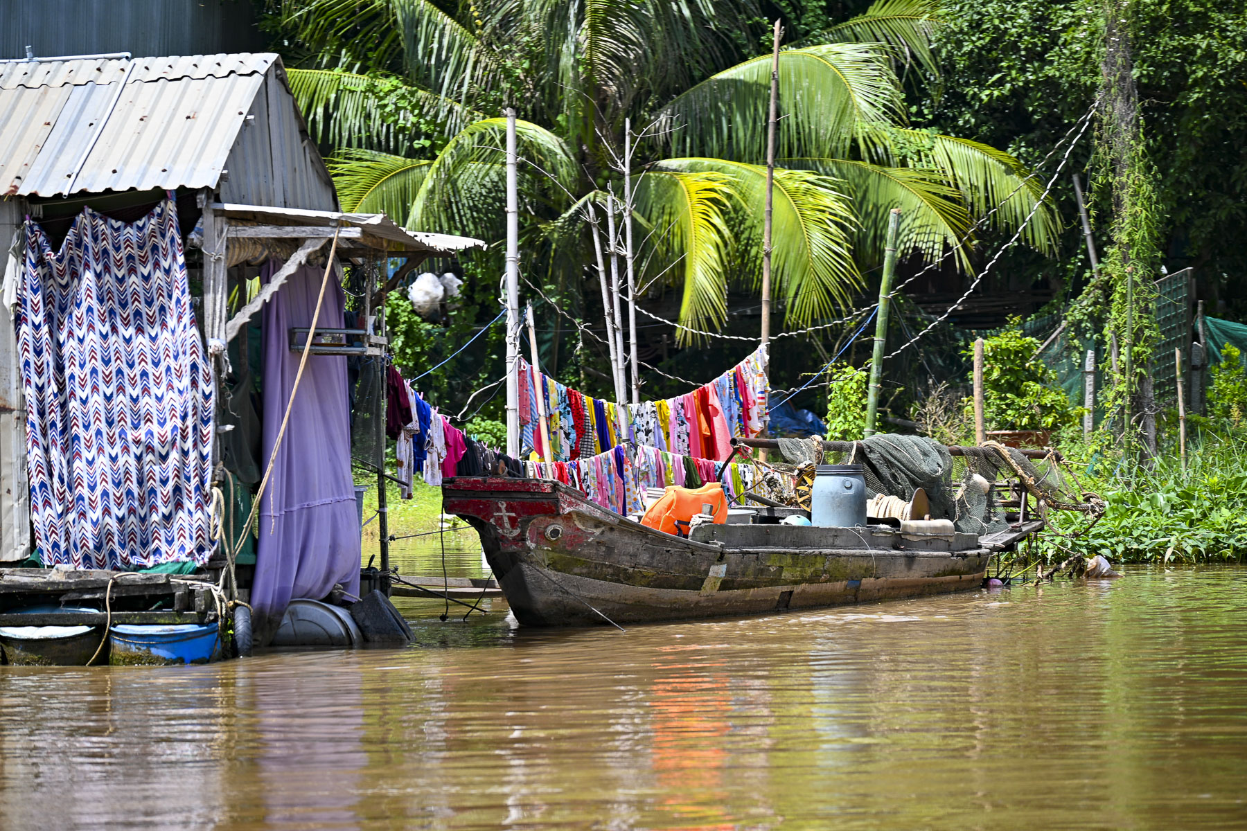
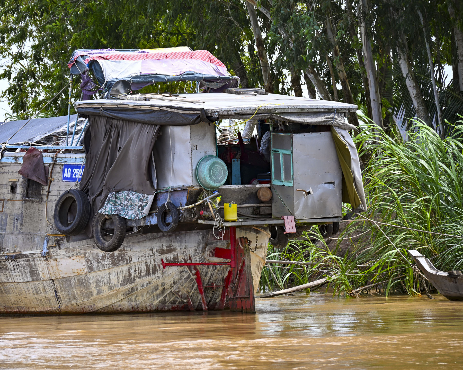
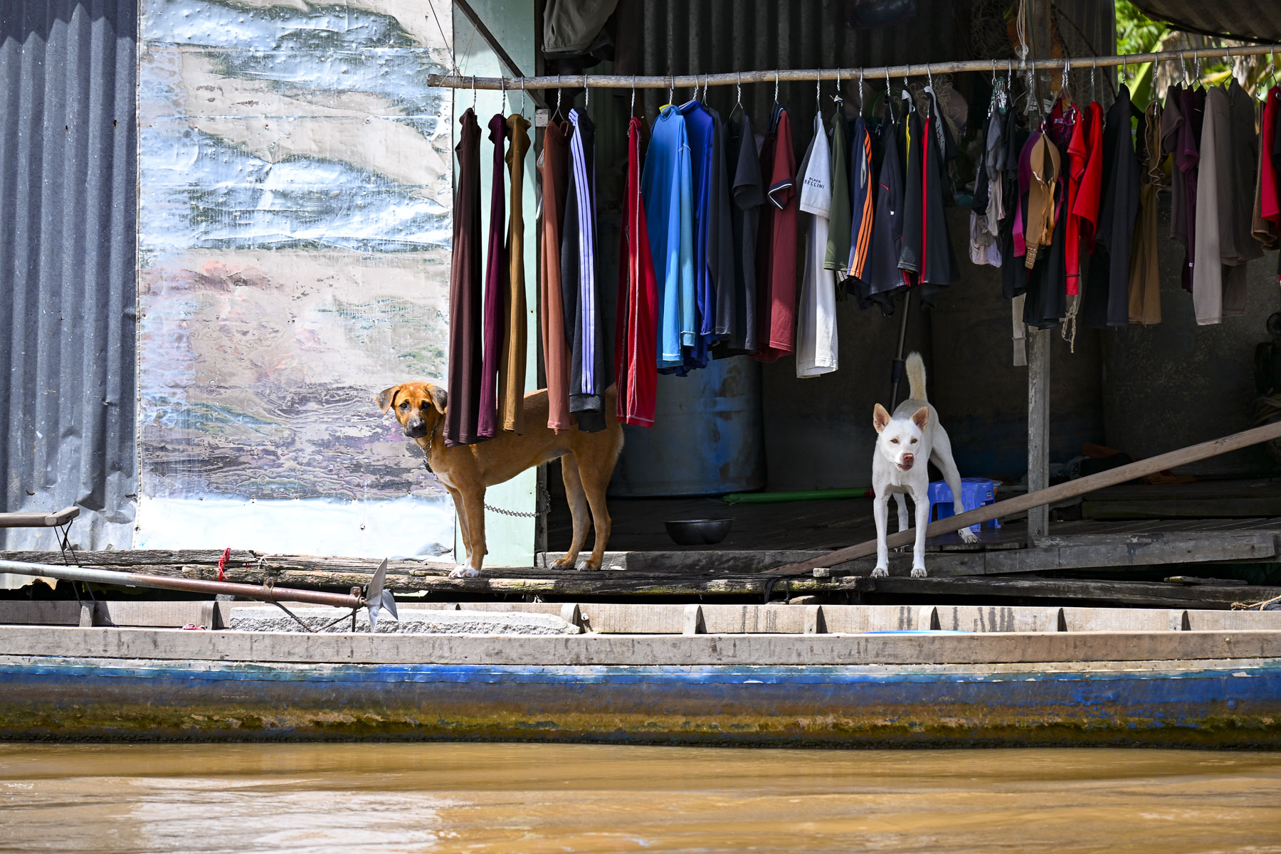
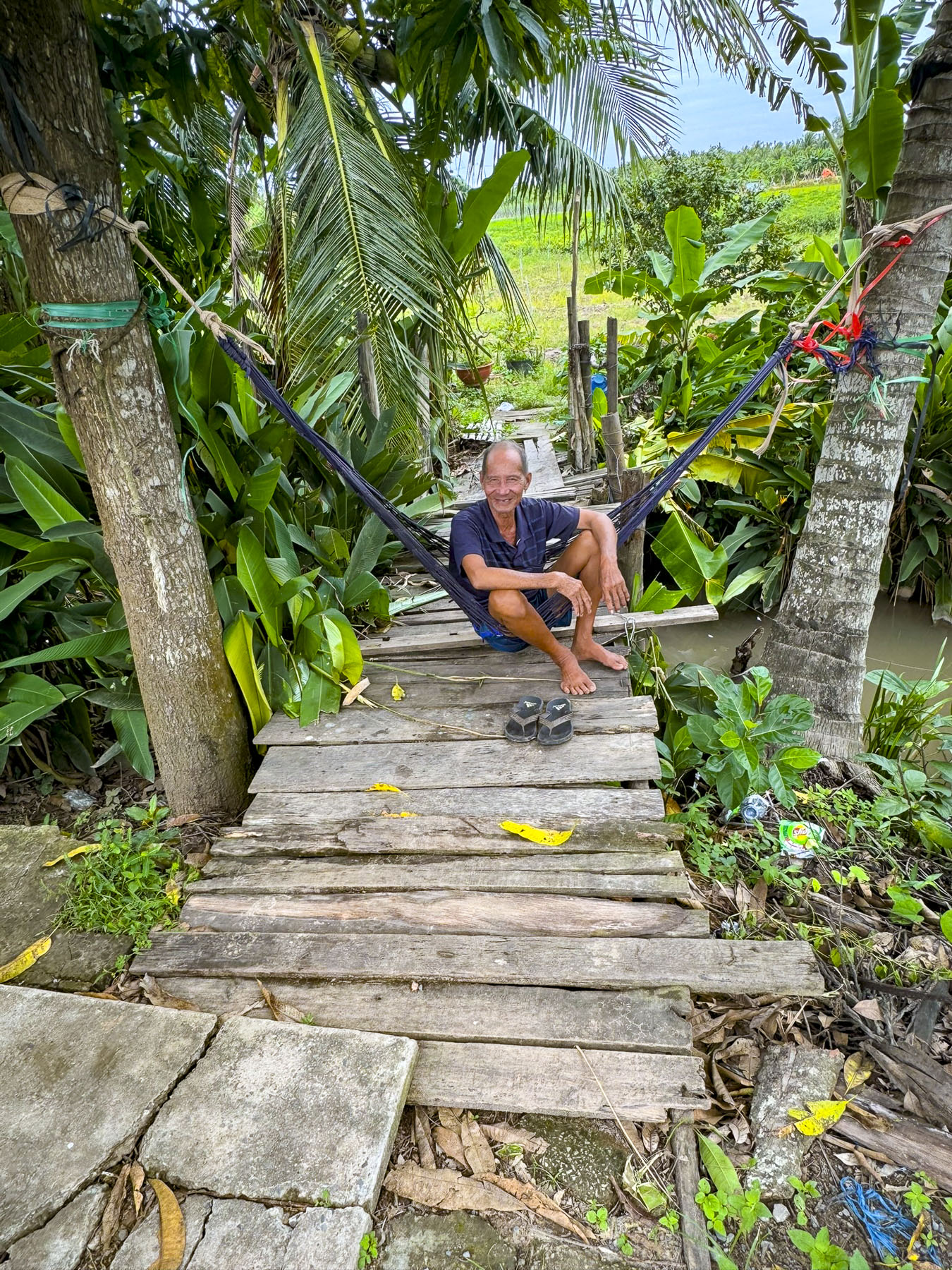
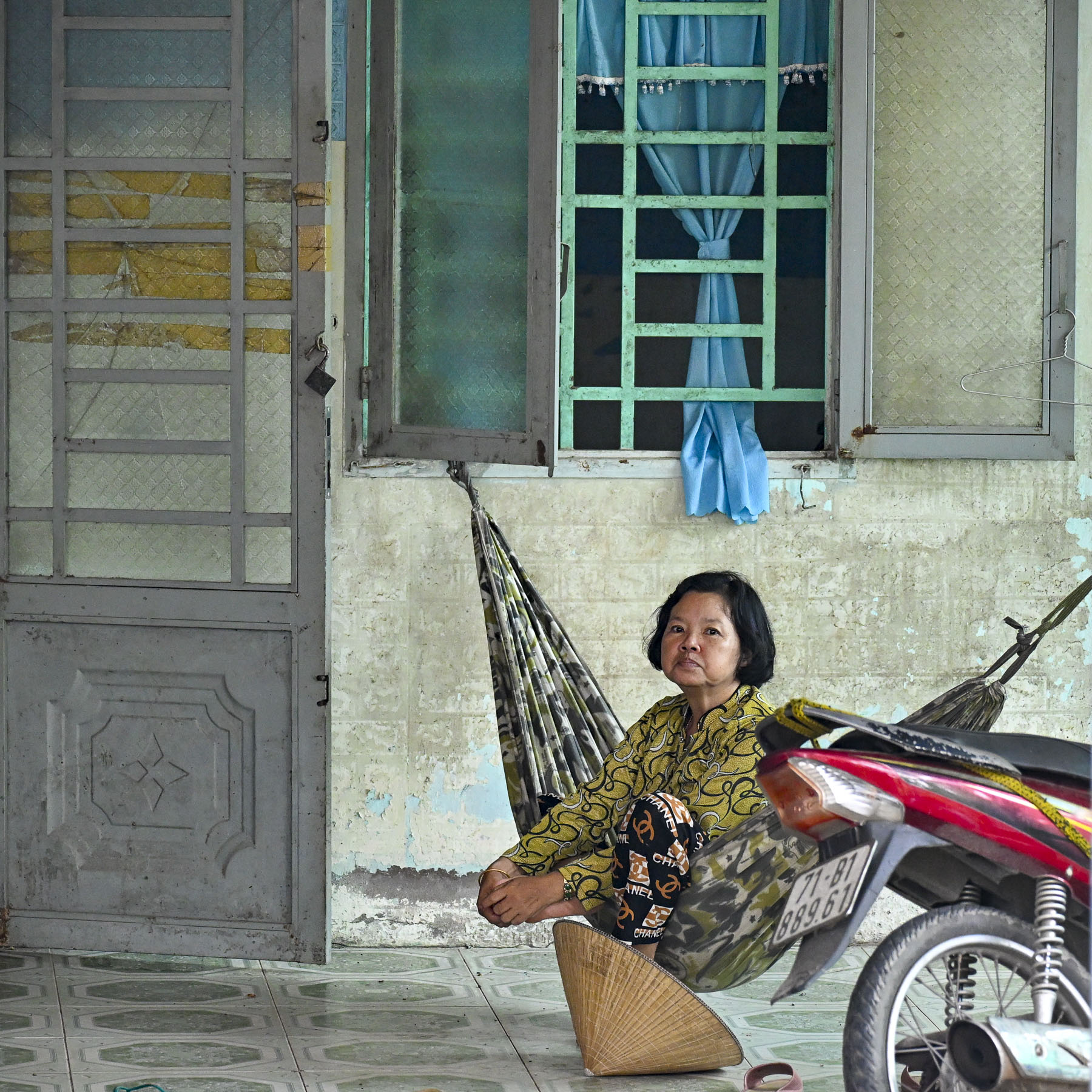
The next day our exploration of life along the Mekong continued as we headed in a larger sampan up a tributary of the Mekong River lined with monsoon-worn, simple tin-roofed shacks on stilts, slung with hammocks, and floating homes on a variety of rivercraft that seemed permanently moored. Boat dogs barked as we floated past.
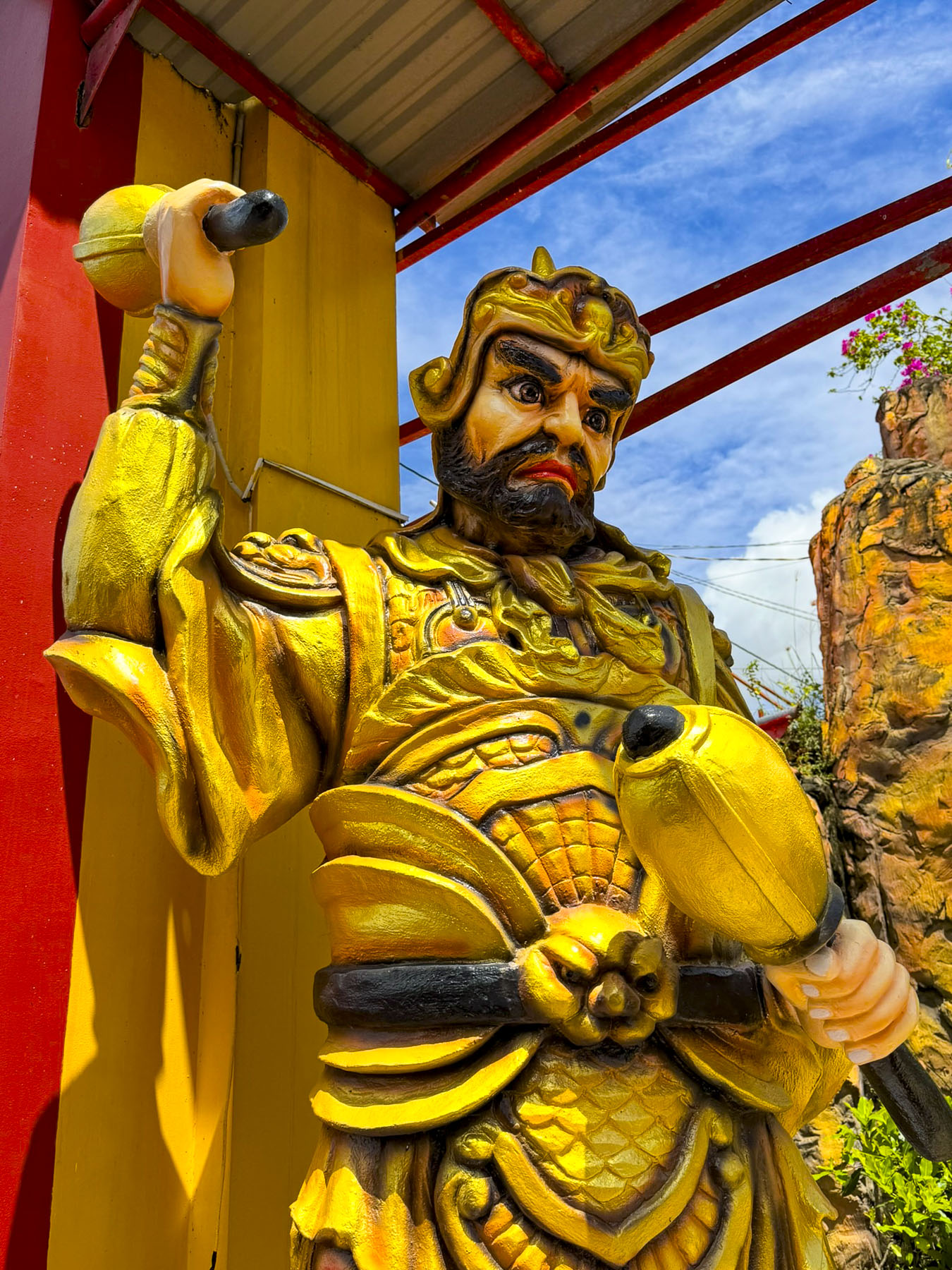
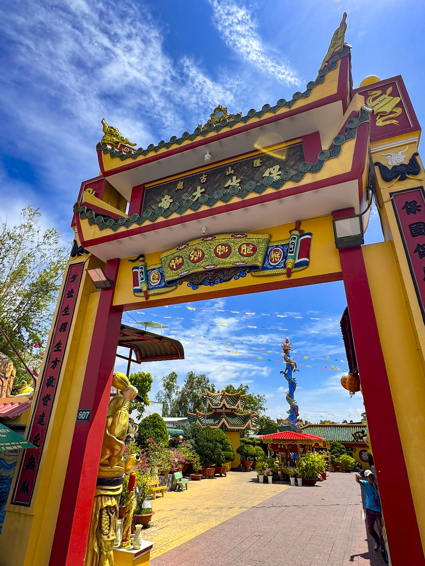
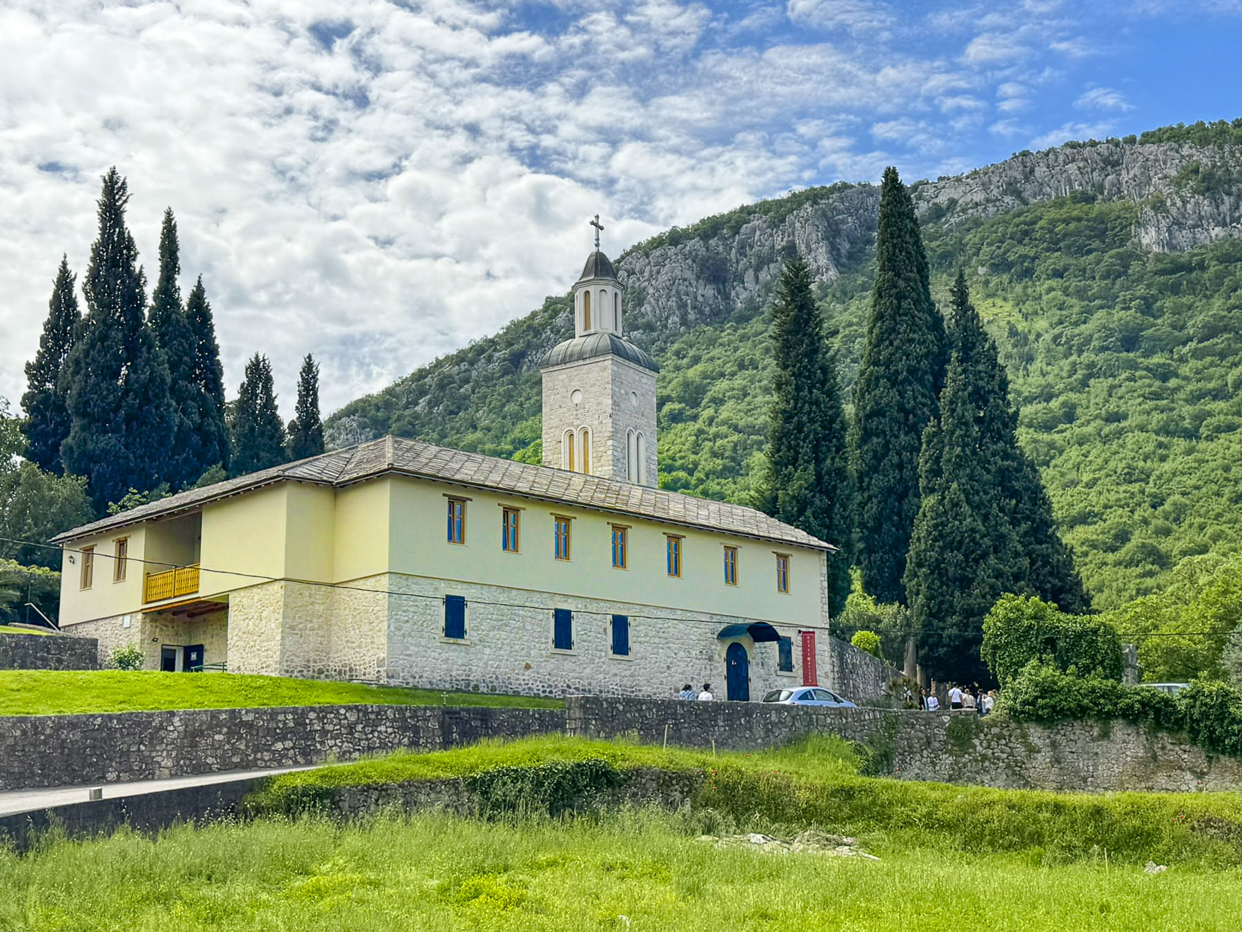
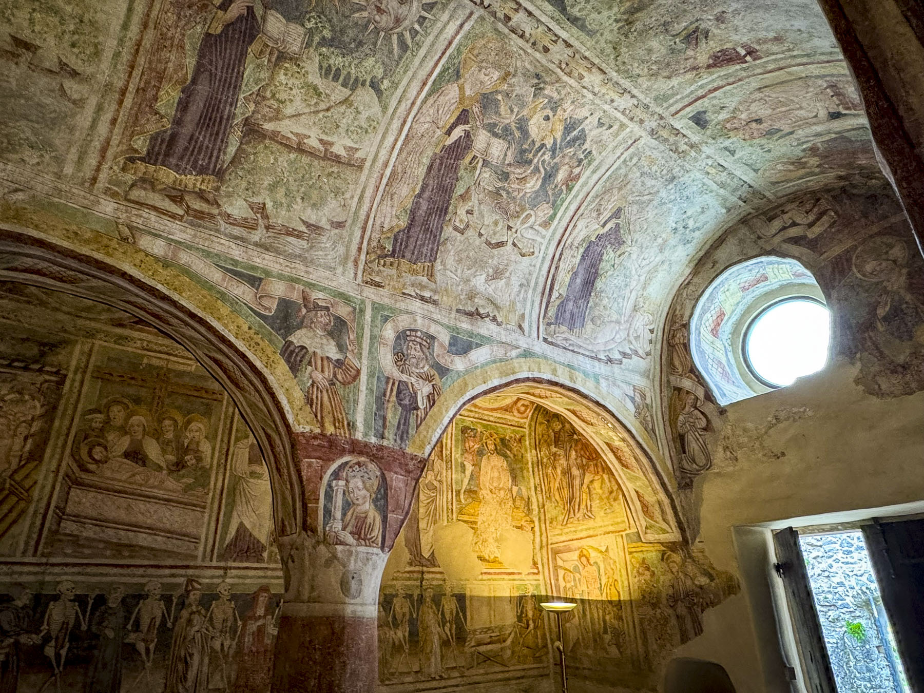
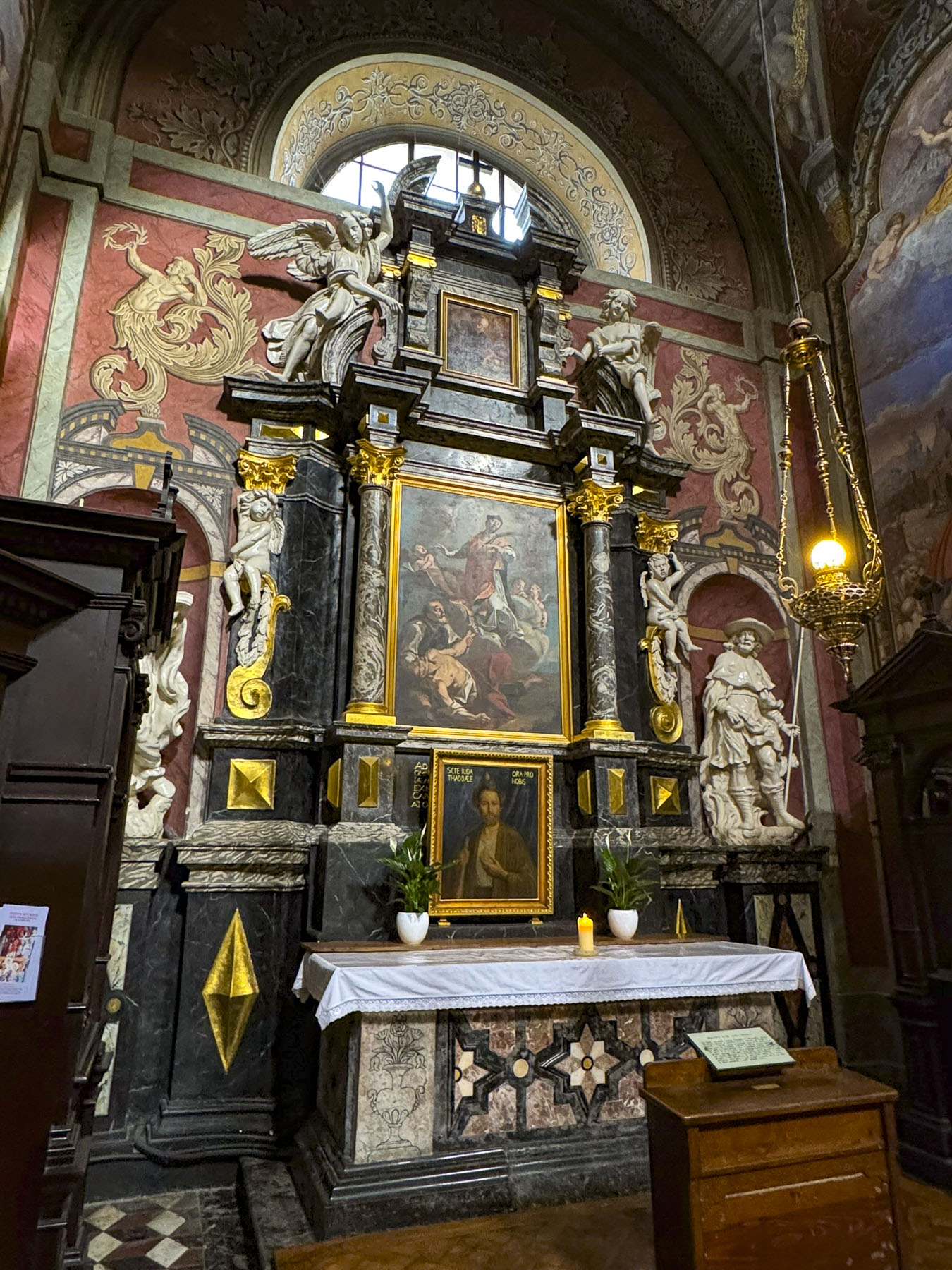
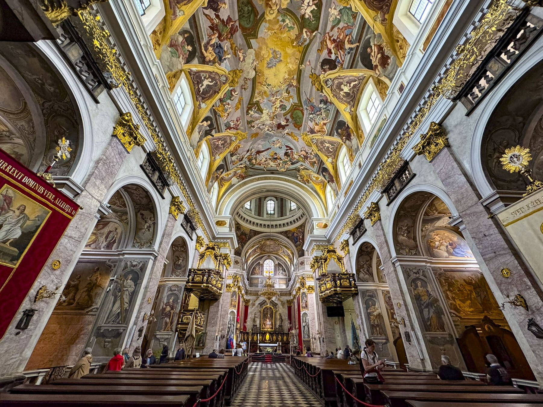
Our destination was the Miếu Ông Bảo Sanh Đại Đế temple built in the late 1800s by Chinese immigrants to Vietnam. The temple is dedicated to Bảo Sanh, an ancient physician widely worshipped for treating the sick. Today his followers can receive his advice by using “fortune sticks,” where you shake a container of numbered bamboo sticks until one falls out, revealing a number that corresponds to a specific fortune card located on a wall rack that is then taken to the temple’s fortune teller for interpretation.
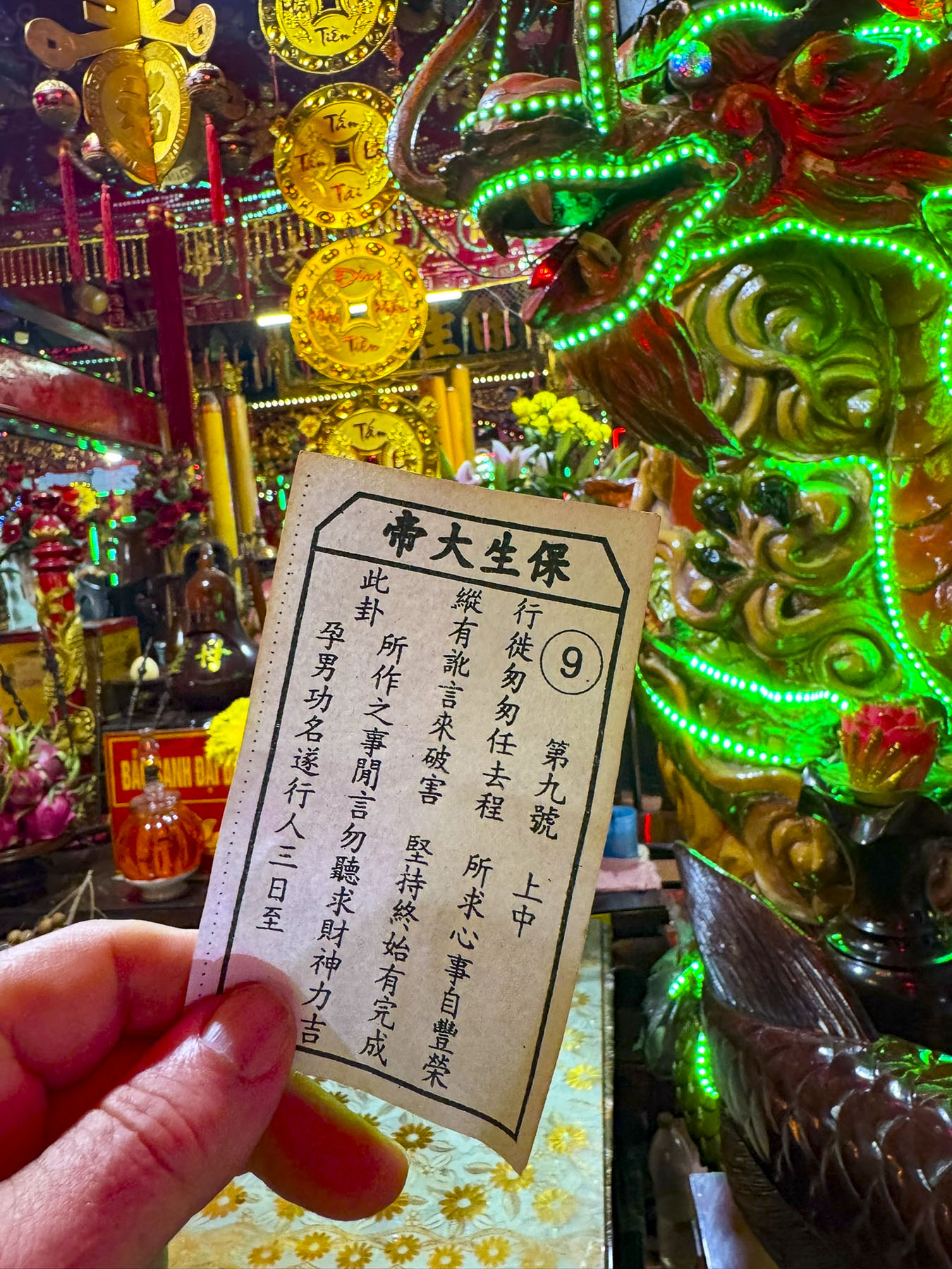
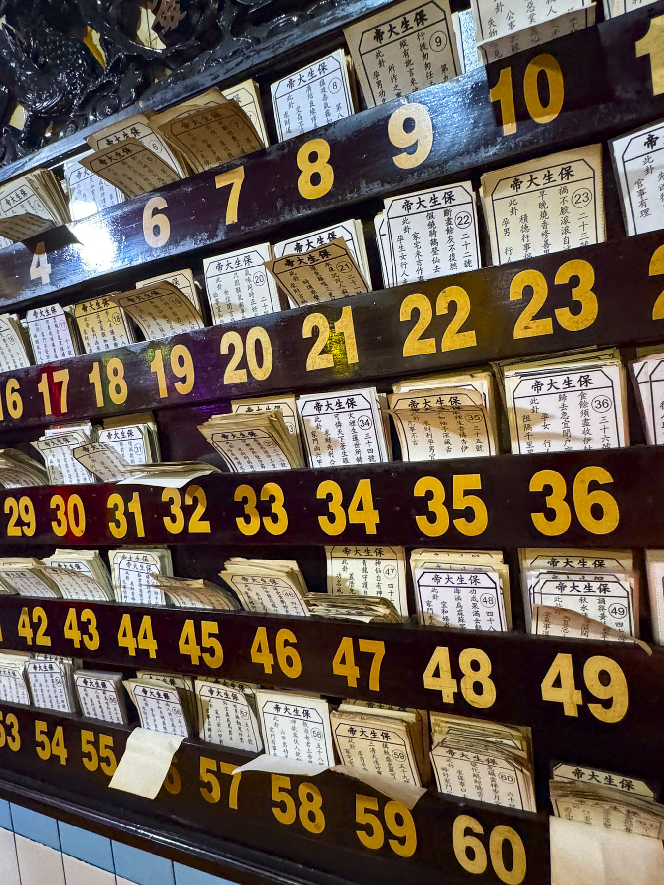
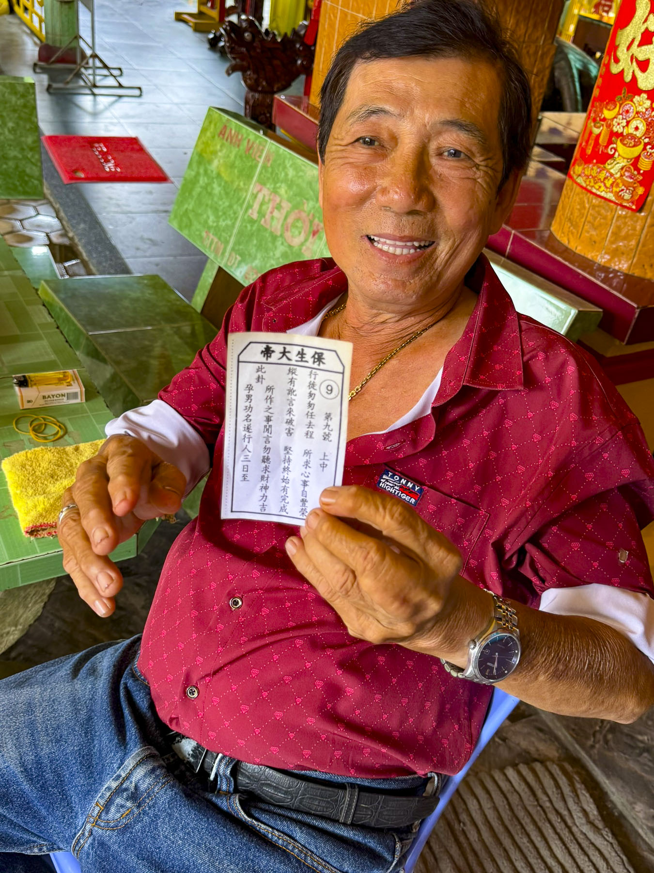
The numbers 3, 6, 8, and 9 are quite auspicious, being linked to wisdom, luck, prosperity, and longevity. It was very busy with local folks and a family that brought a newborn child to the temple for a blessing.
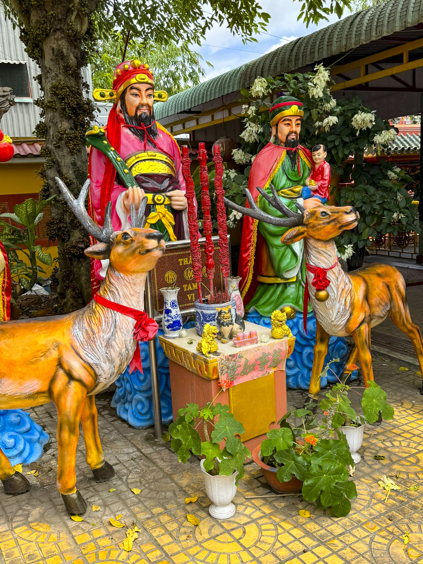
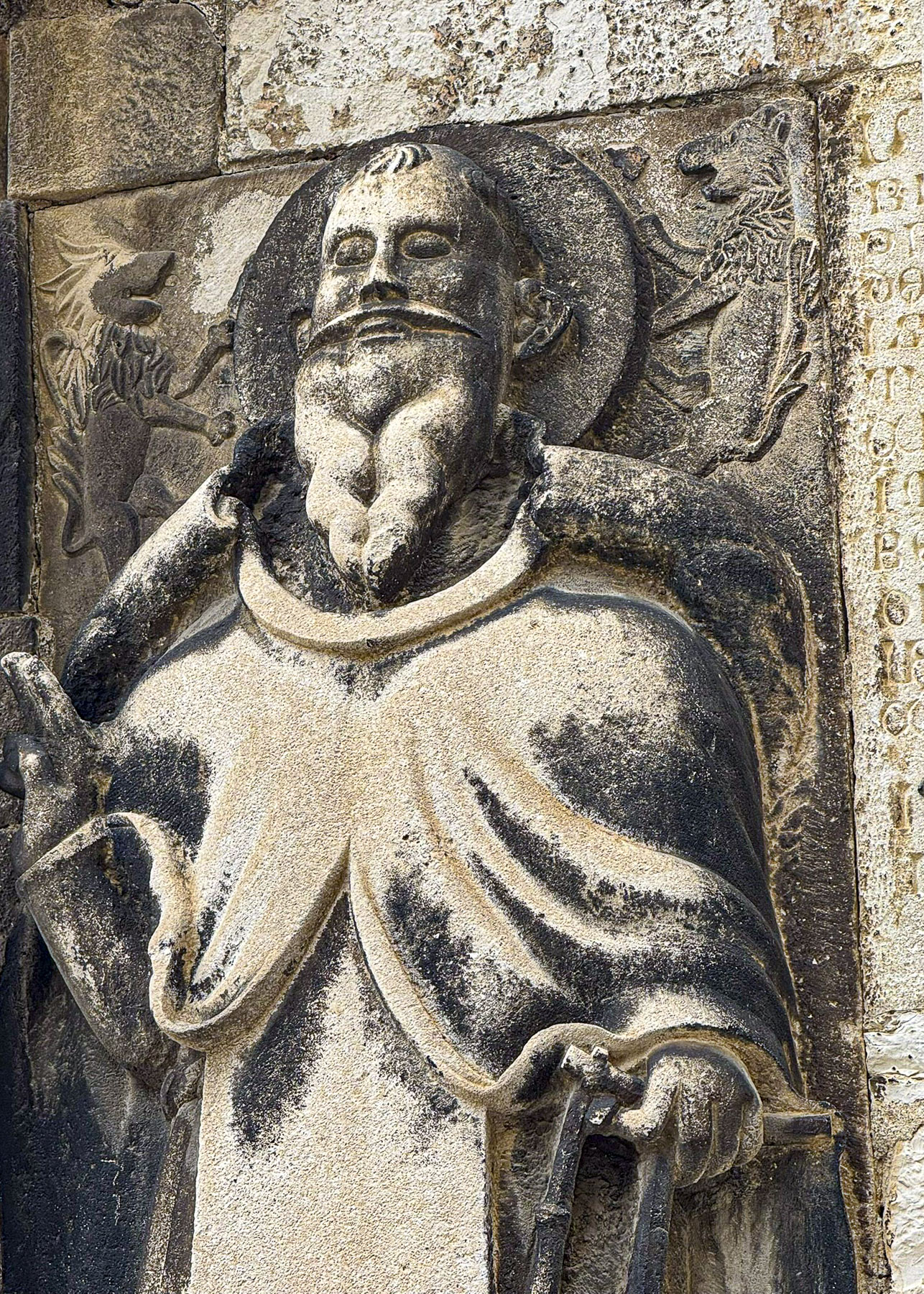
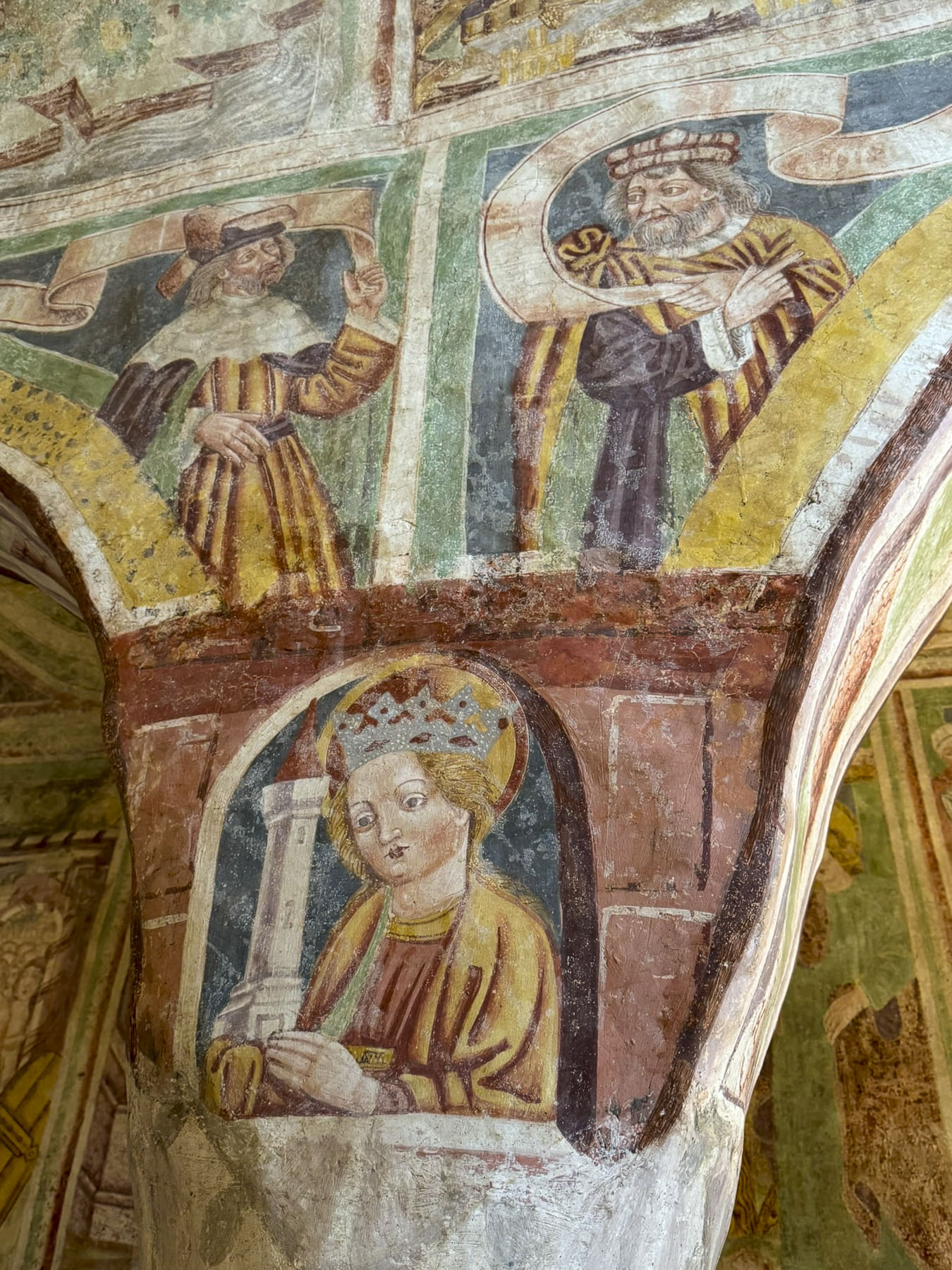
The temple was colorfully decorated with figures from Chinese epic novels and mythology to create a tranquil space for contemplation.
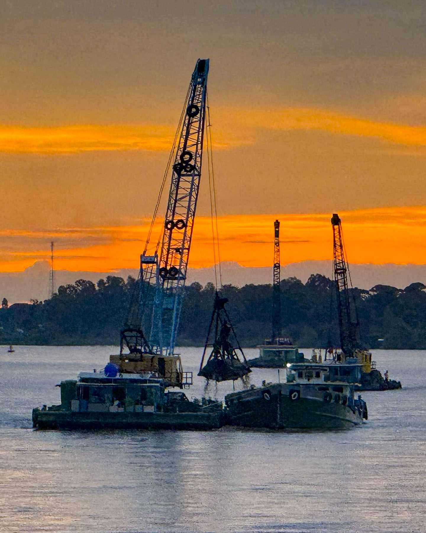
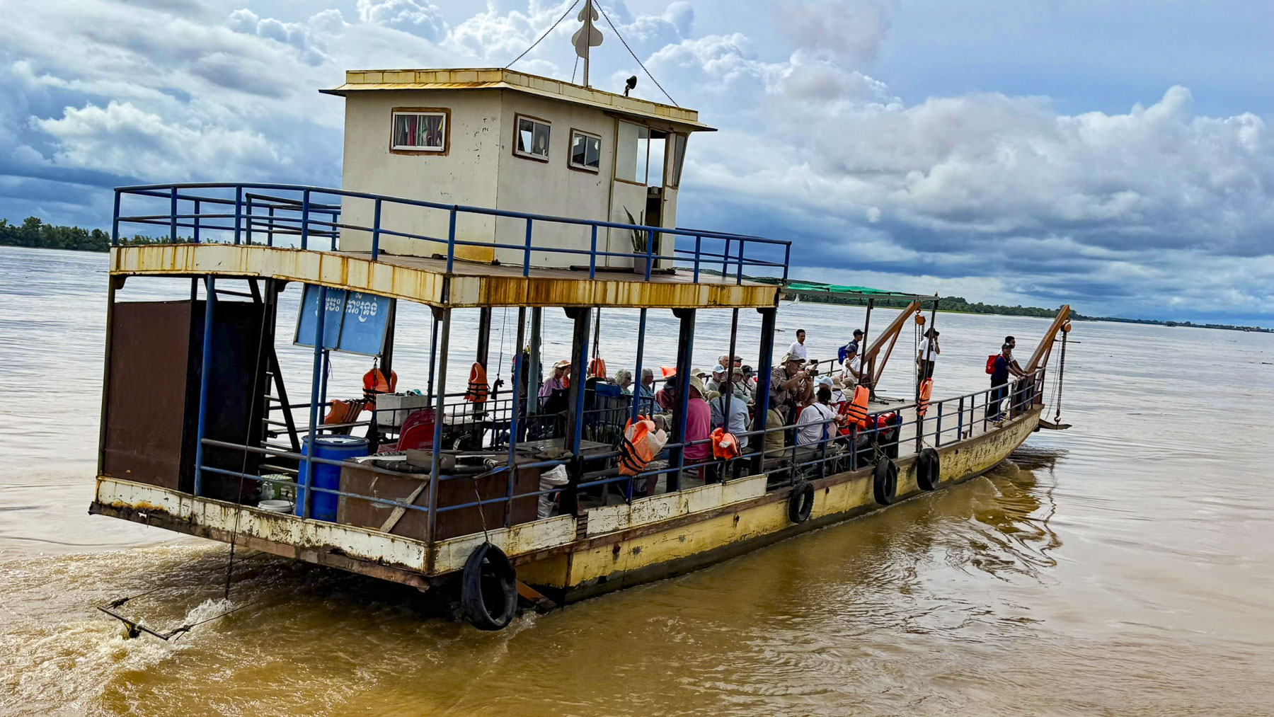
Occasionally we passed the belltowers of Catholic churches as we continued upriver to Cambodia that afternoon. Nearer the border the sand dredging activity was significantly higher and we were amazed by the number of barges traveling up and down the river, as well as ferry boats traversing the river from one bank to the other.
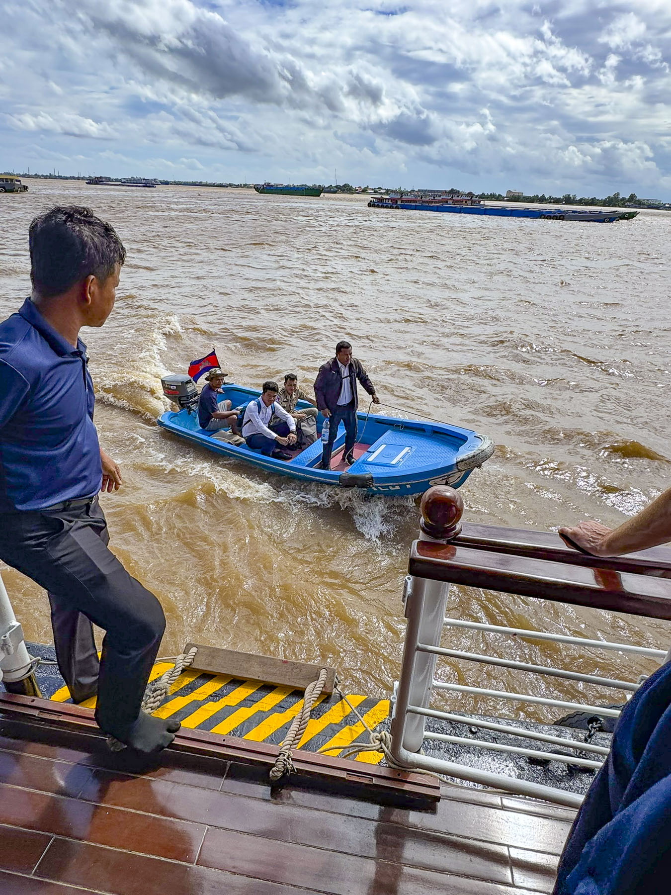
Crossing the border, officials from Cambodia’s Department of Border Control were welcomed aboard as they jumped from a small motor launch onto the deck of the RV Mekong, to check everyone’s passports. It was a simple process and they were quickly finished.
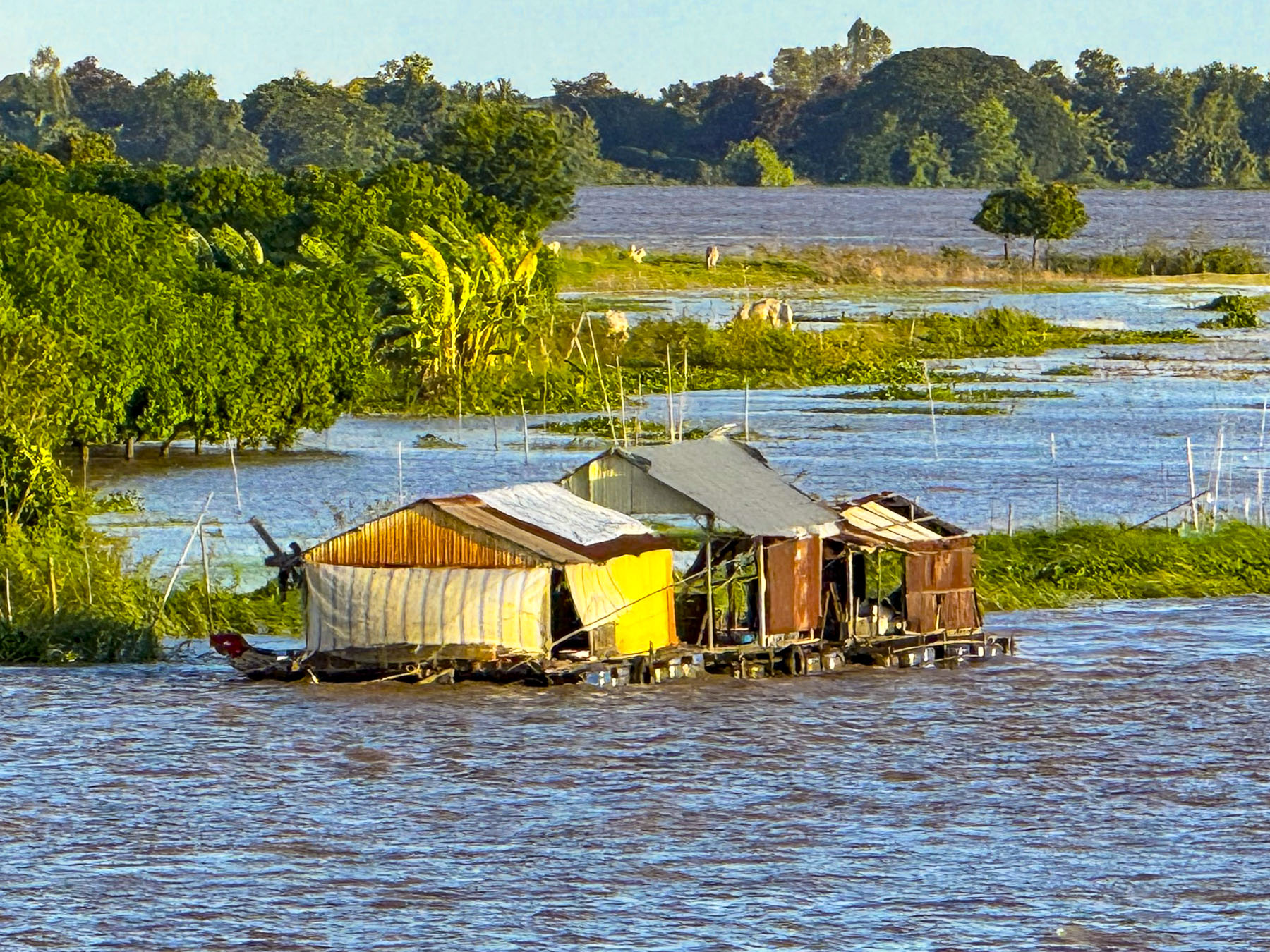
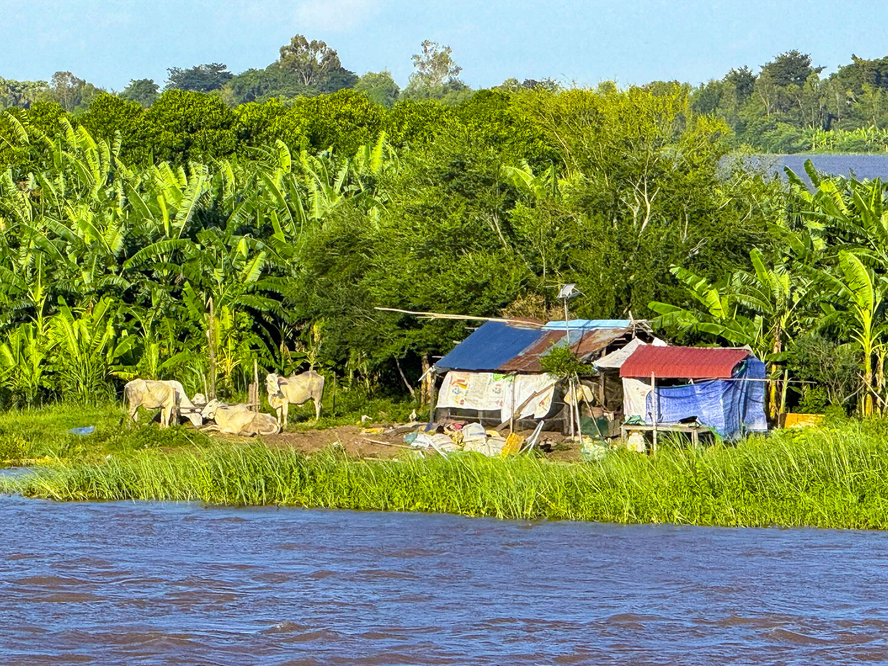
We continued sailing. More floating homes lined the riverbank, and the river’s islands now hosted banana farms and clusters of simple homes. Farther along cattle stood in the water up to their knees to drink from the river.
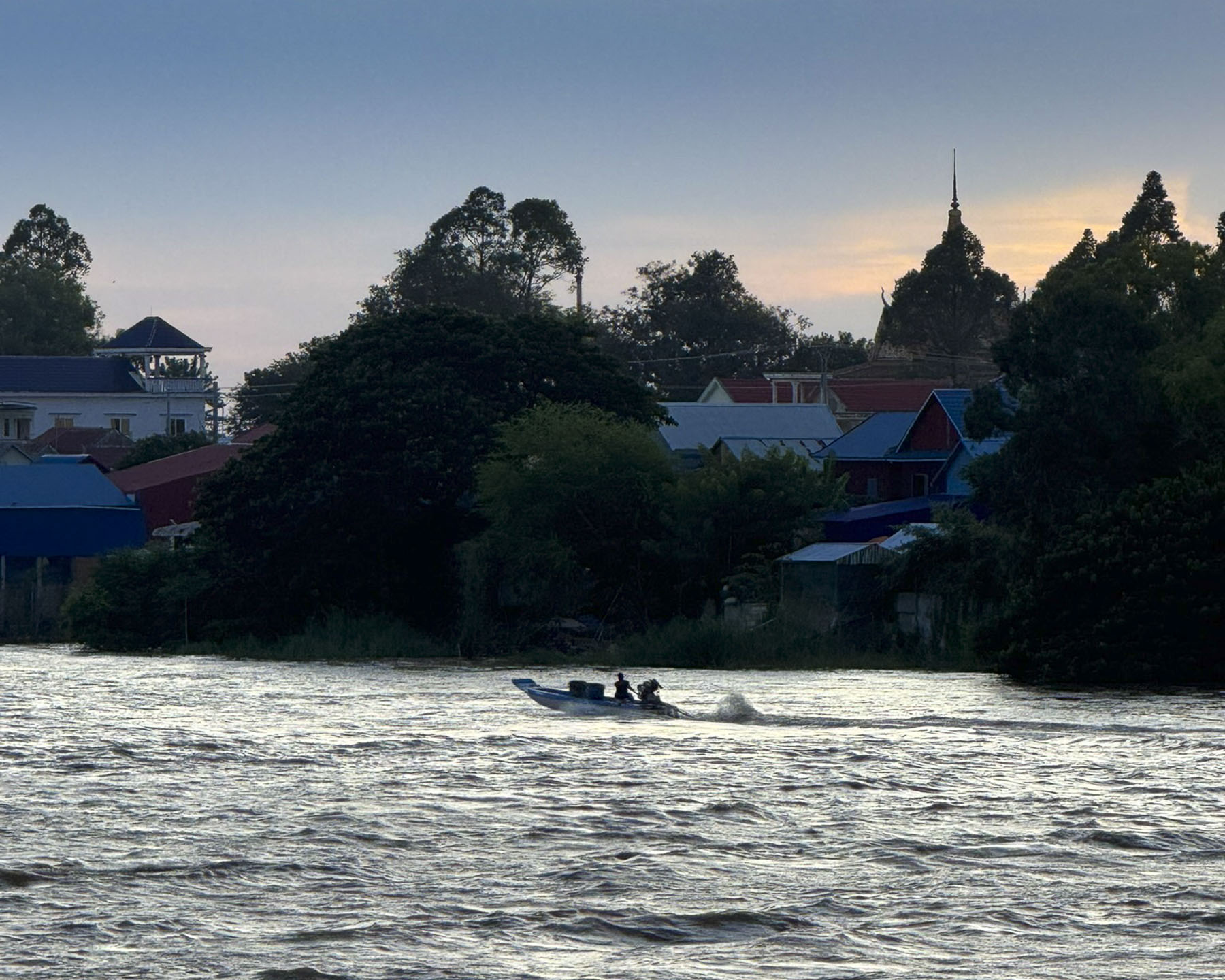
The last roar of long-tail boats racing by faded with the twilight as their drivers tried to reach home before total darkness fell, as the darkening river slowly blended with the tree line.

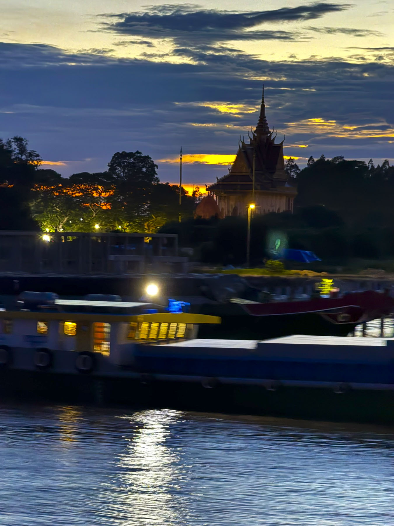
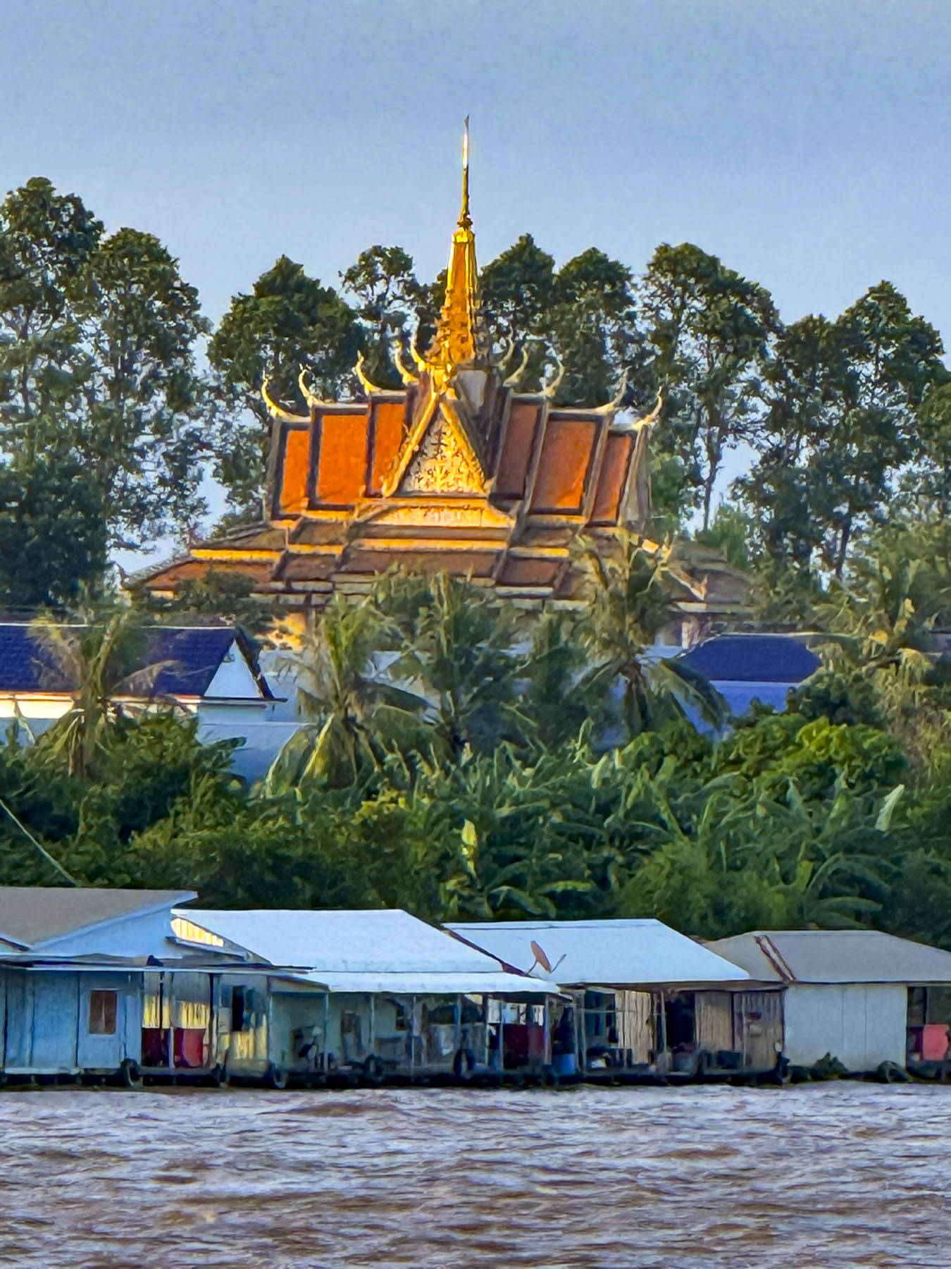
A silhouette of a Buddhist pagoda, highlighted by a swath of orange on the western horizon, slowly vanished with the setting sun. By dawn we would be approaching Phnom Penh.
Till next time,
Craig & Donna