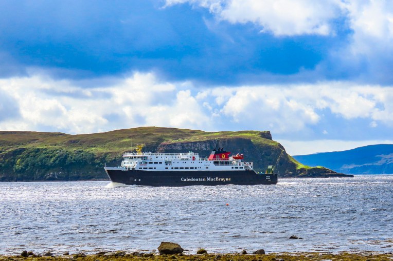
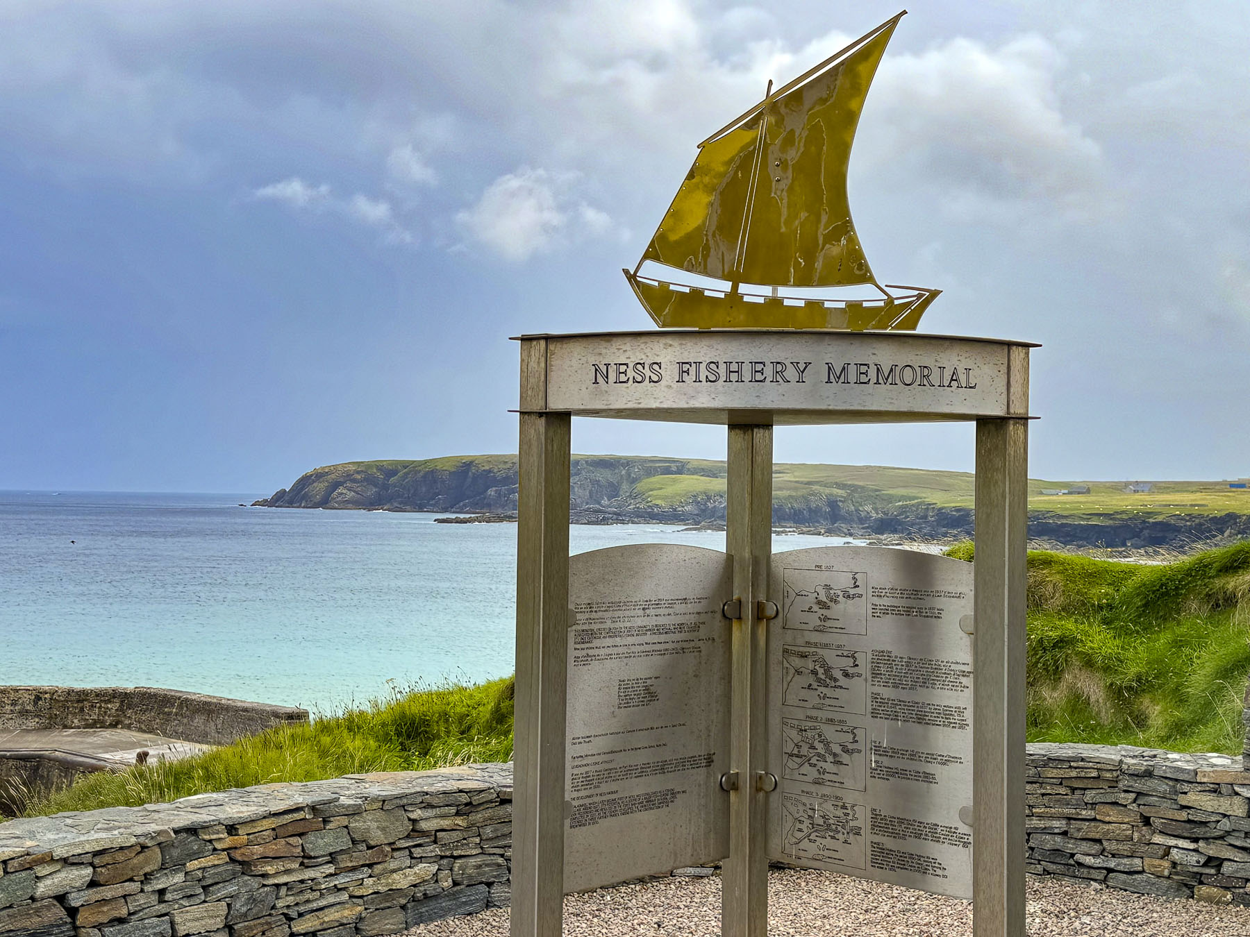
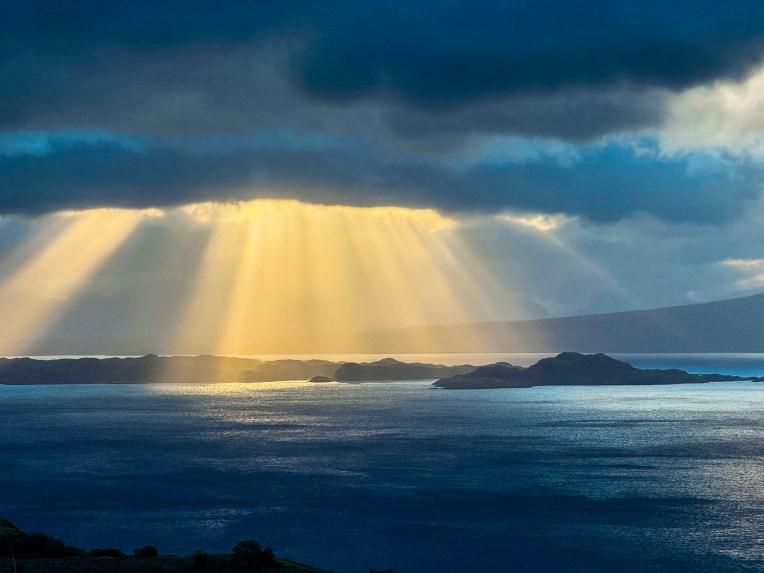
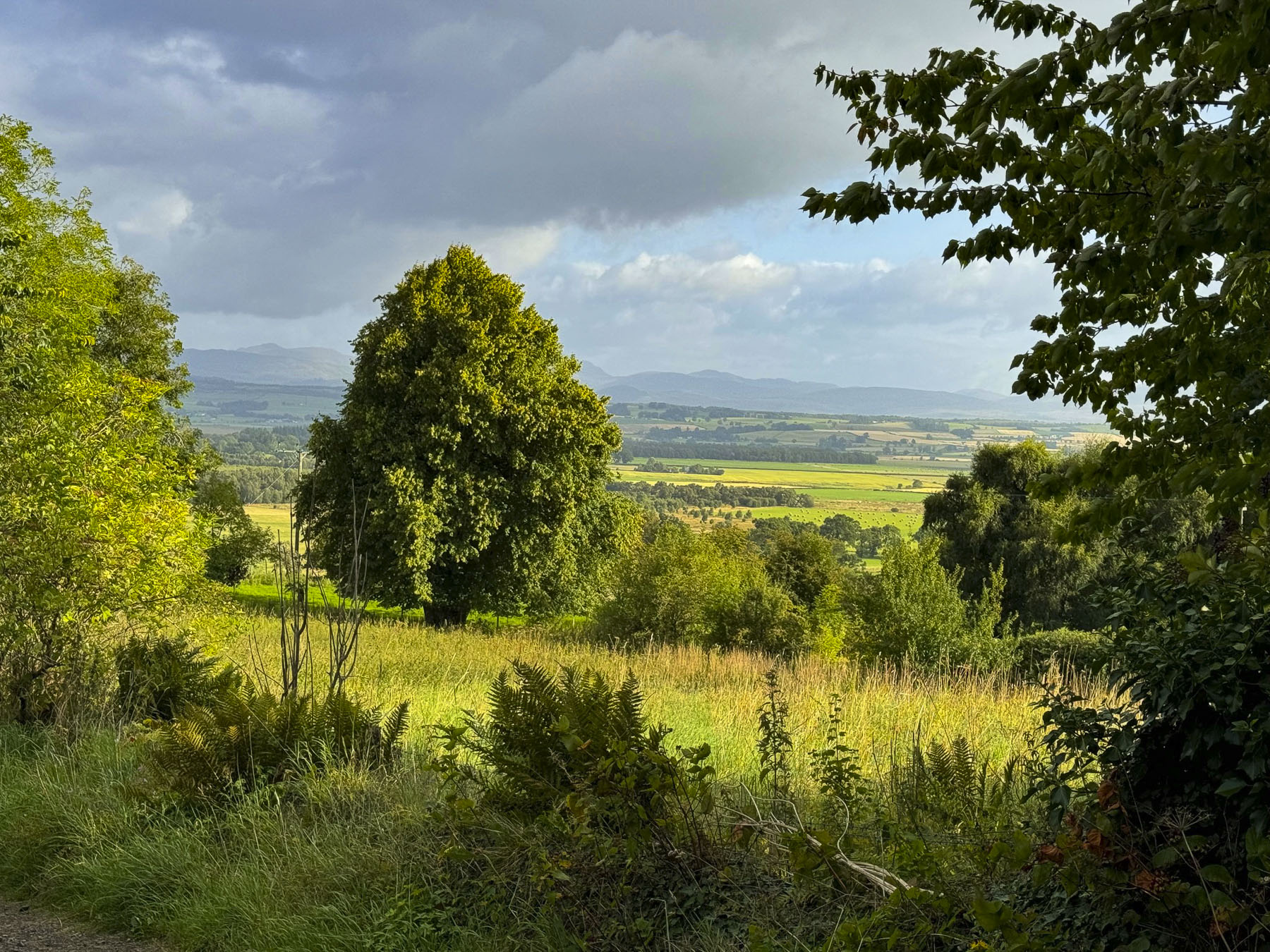
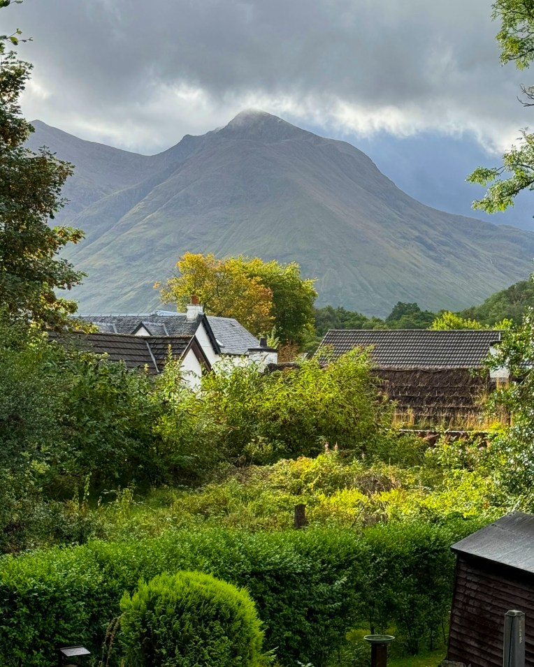
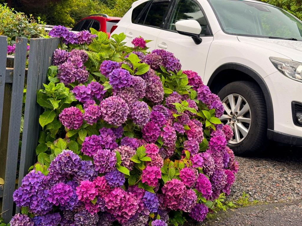
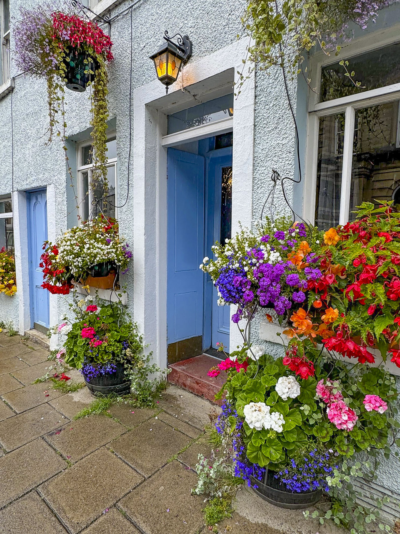
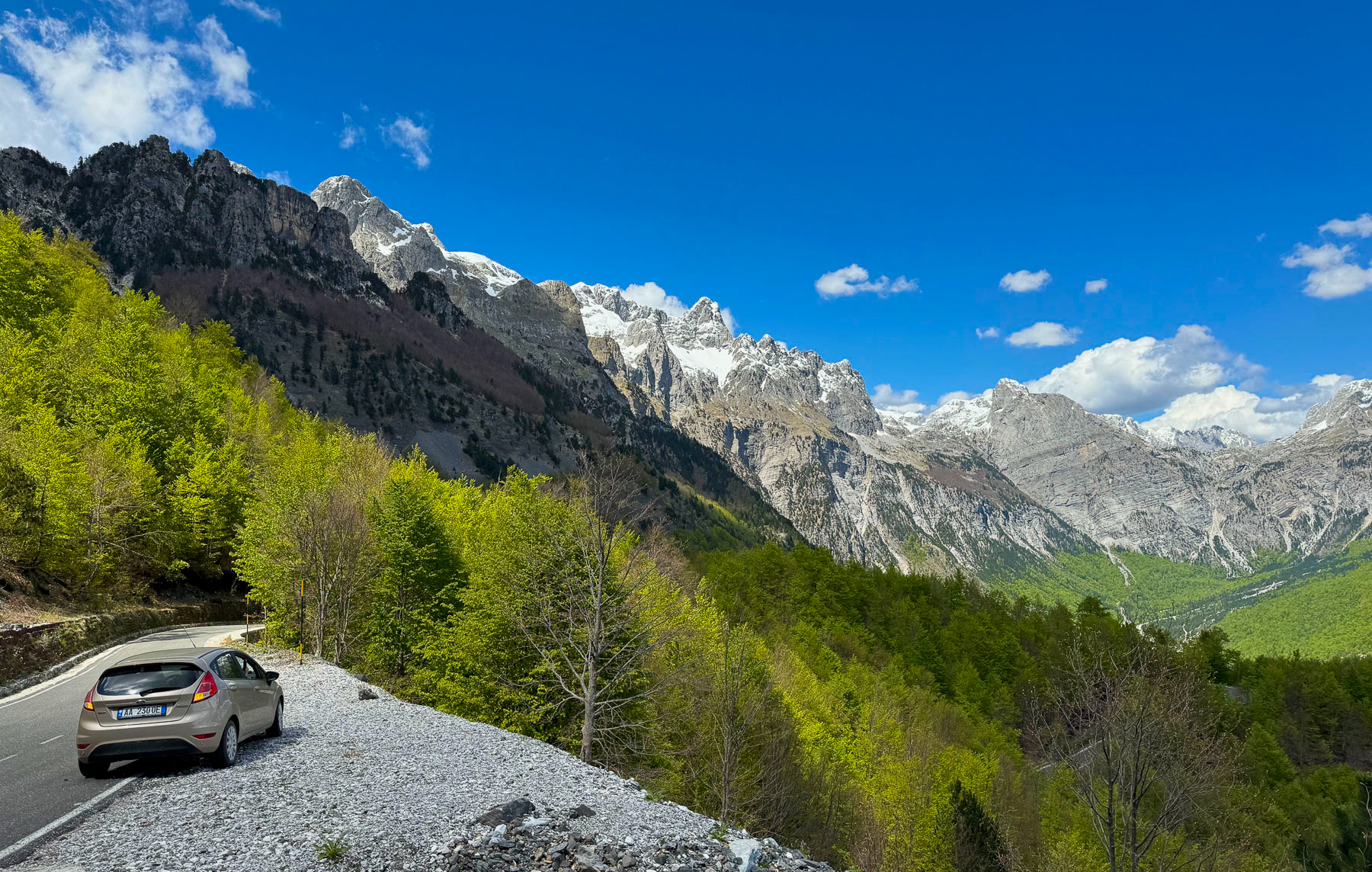
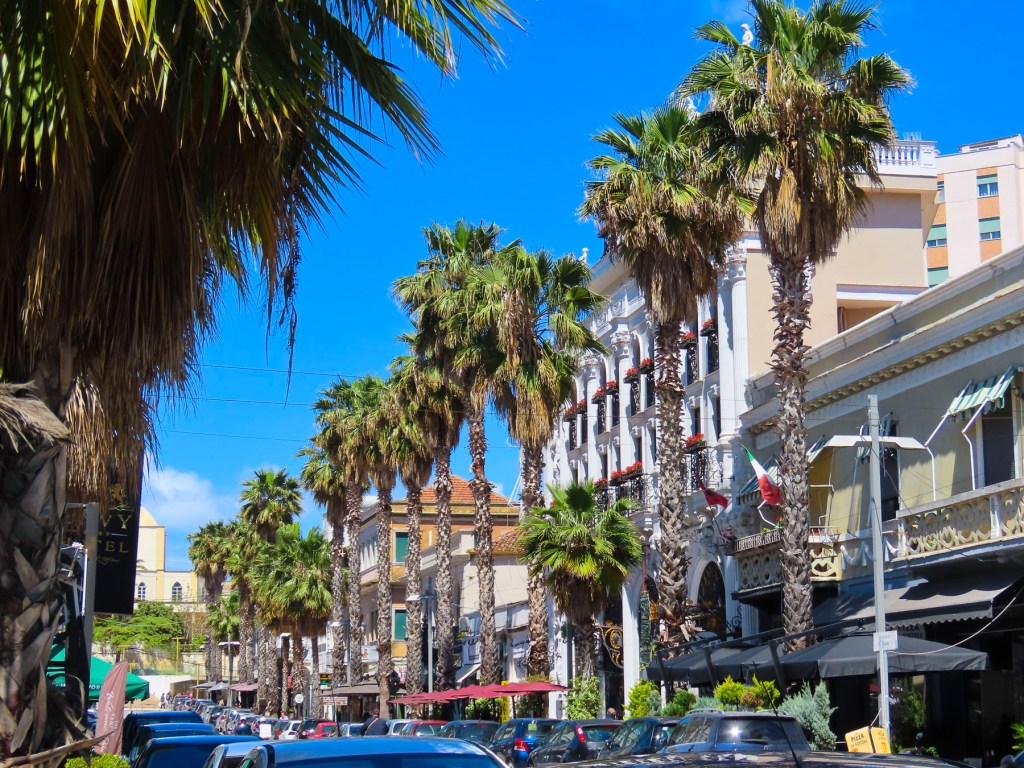
Dense forest lined the road, occasionally thinning to provide a glimpse of Tallinn Bay. It seemed as if we had only left Tallinn minutes earlier, quickly passing through its outer boroughs to enter a semi-wilderness beyond the city limits. To paraphrase; We weren’t in Tallinn anymore. Lively, and charming, one third (461,000) of Estonia’s 1,370,00 citizens call this “gem of the Baltic,” home.


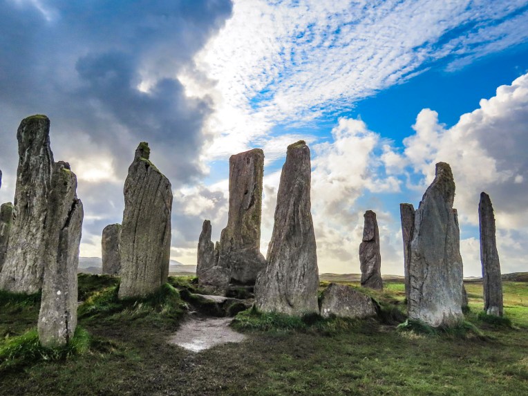
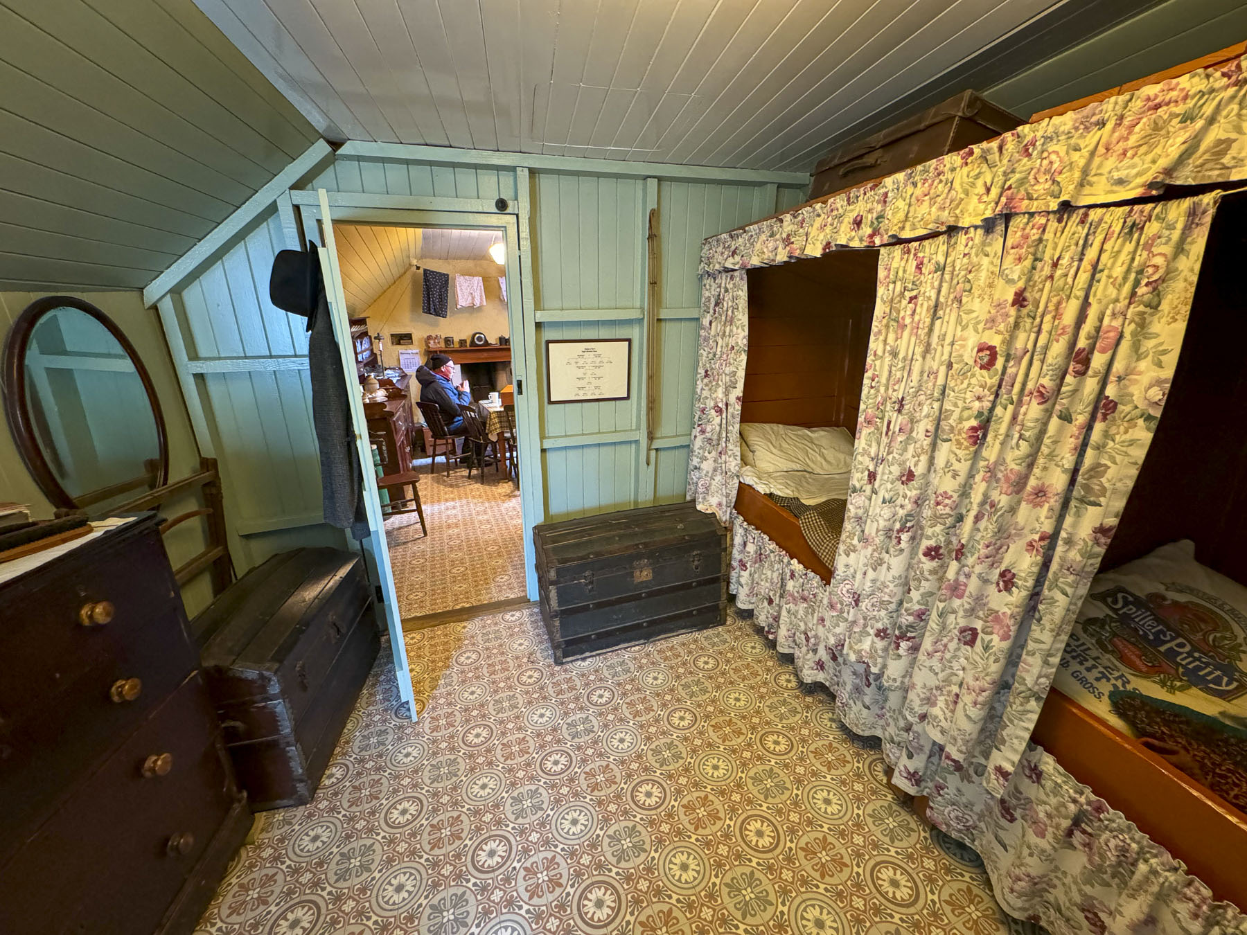
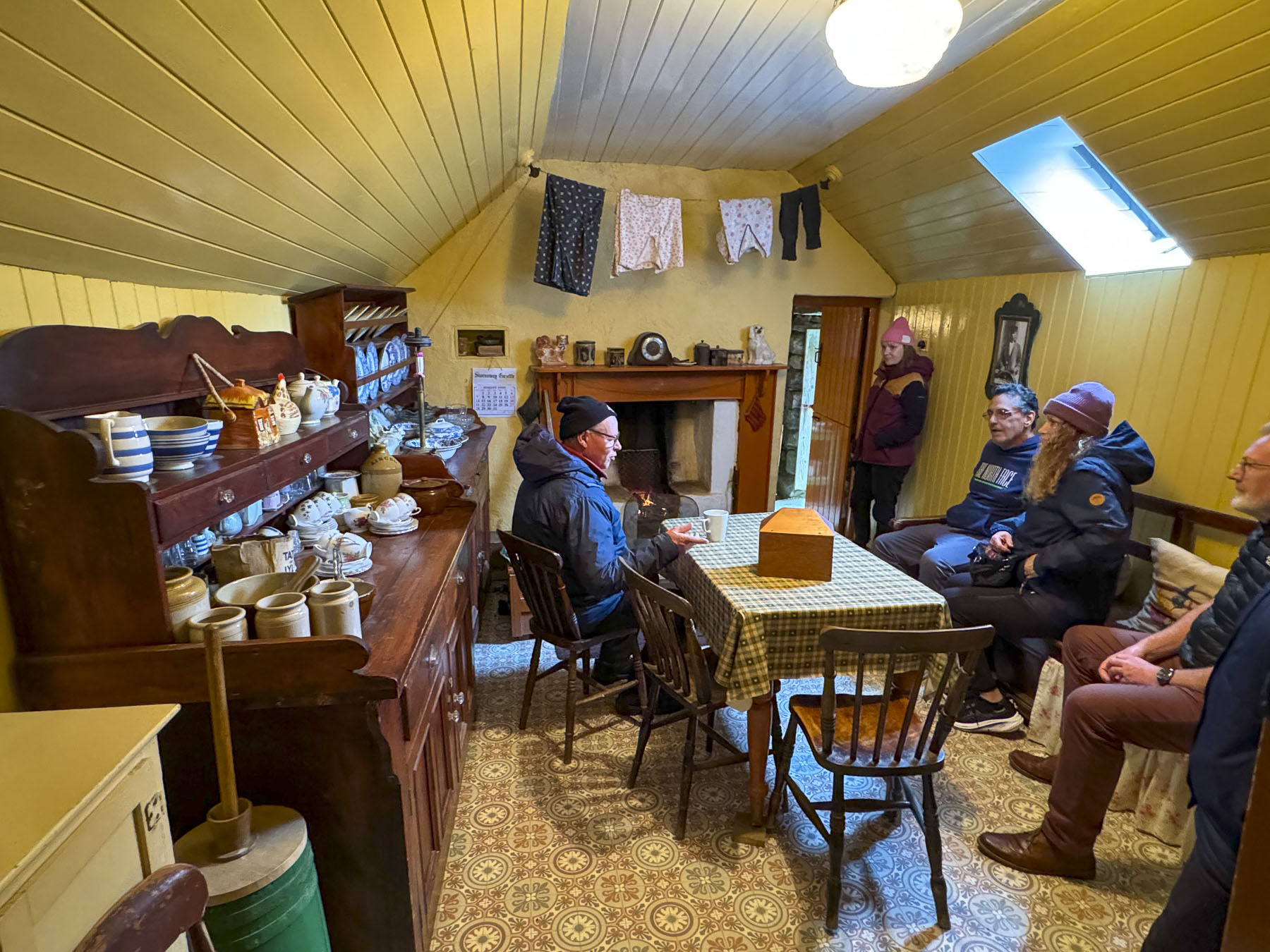
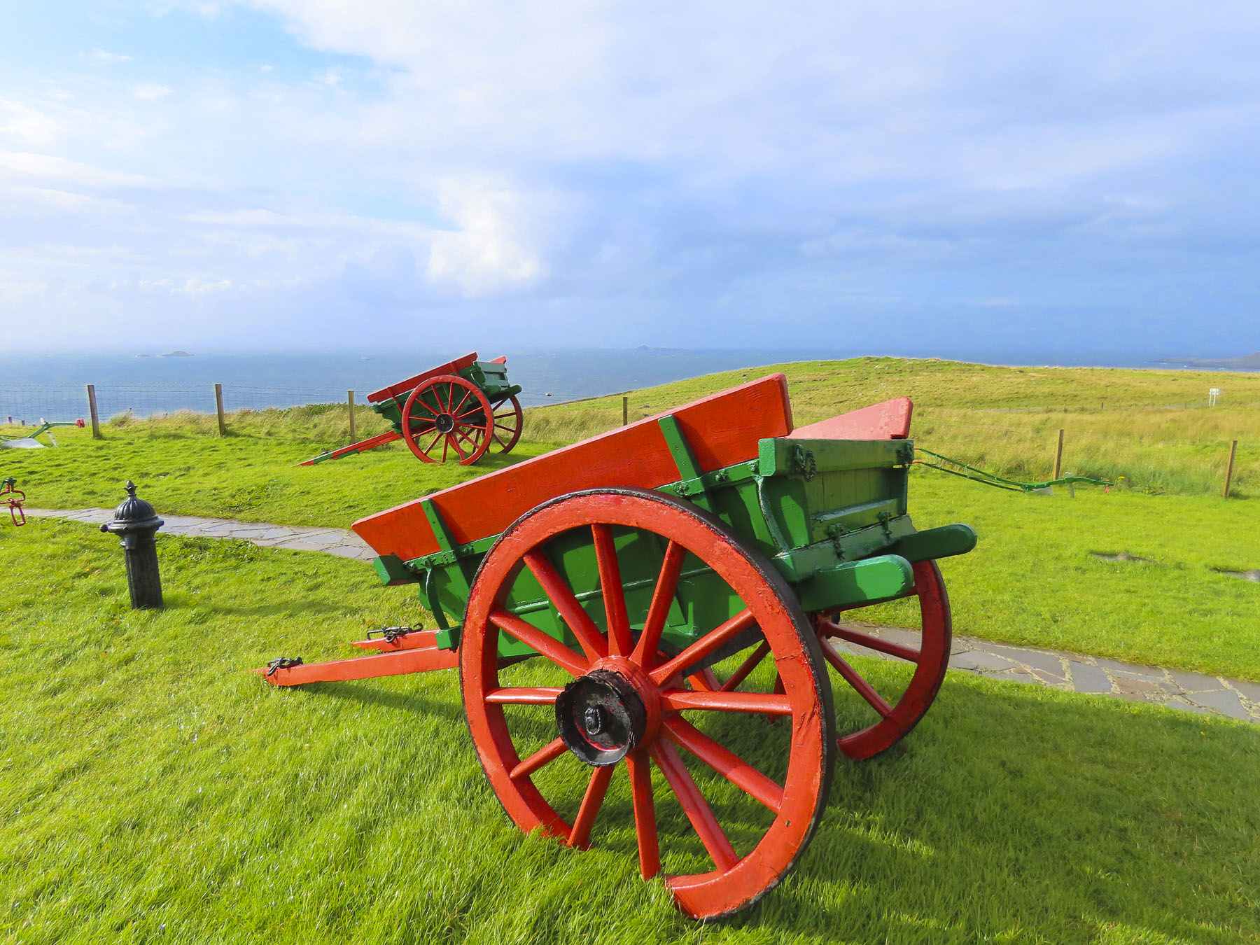
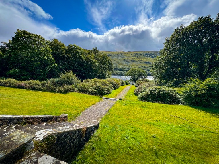
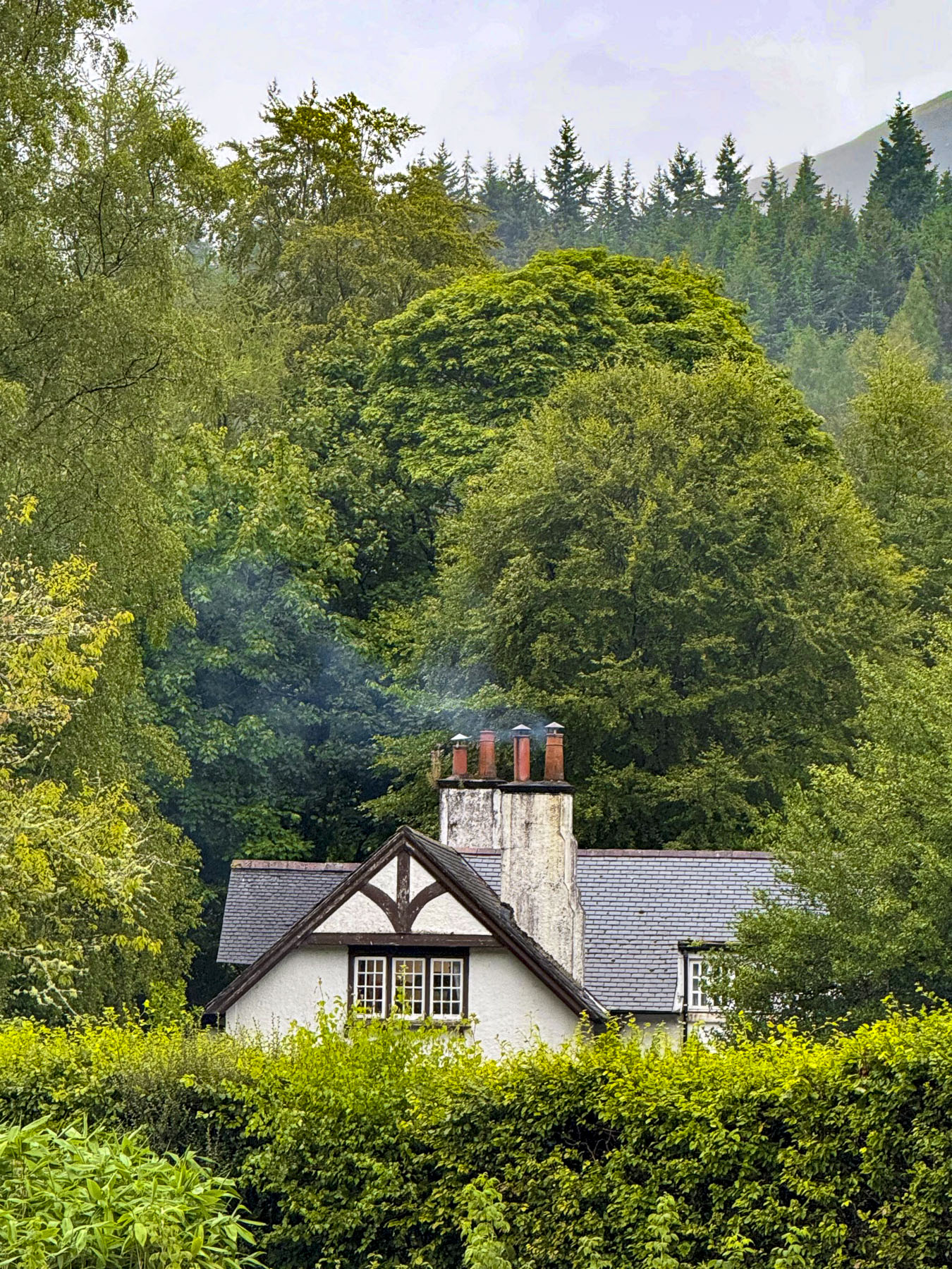
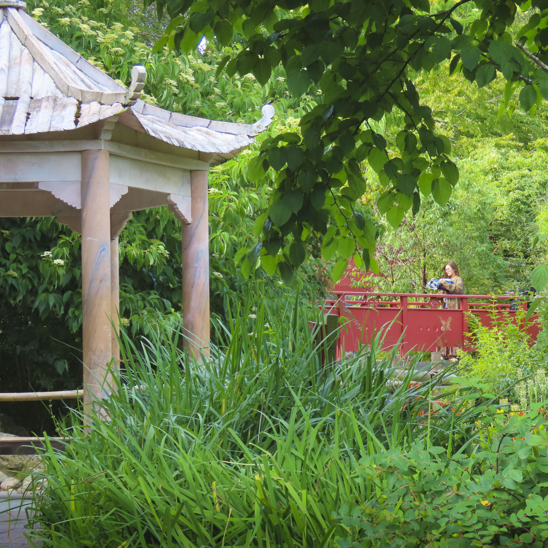
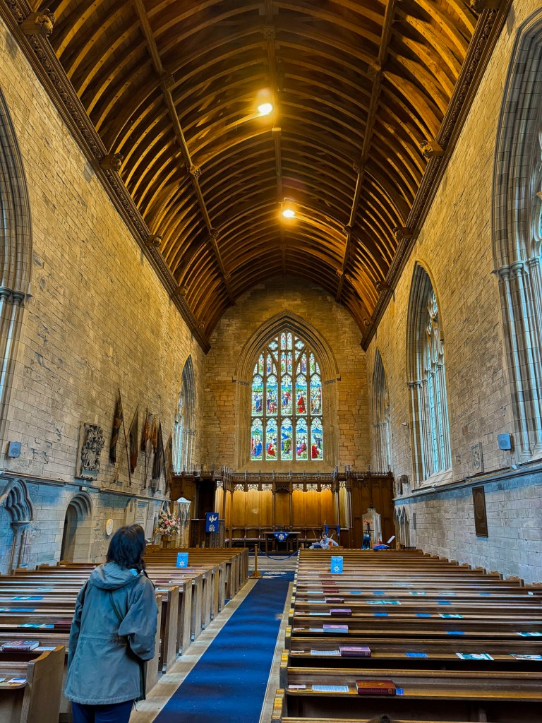
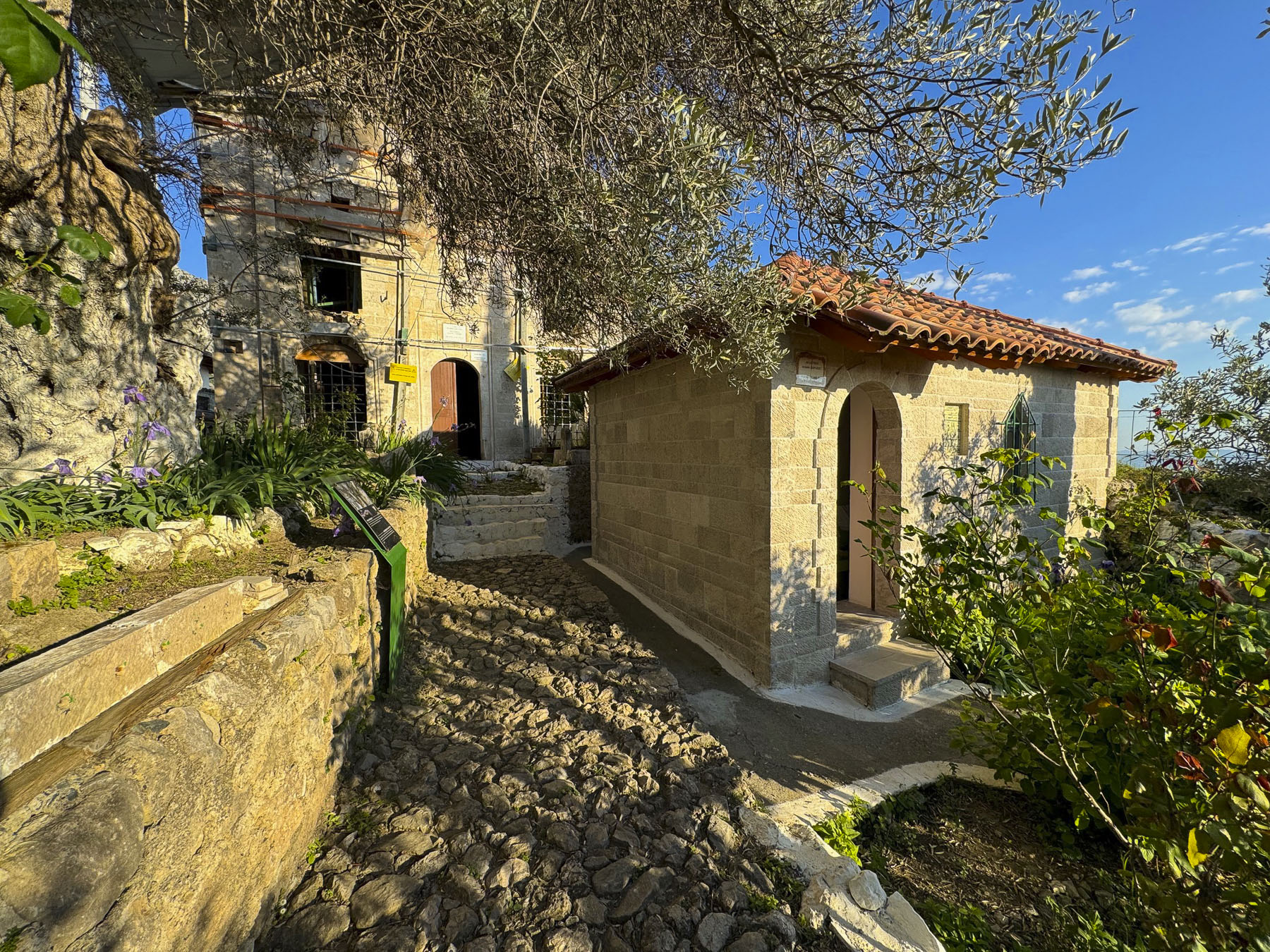
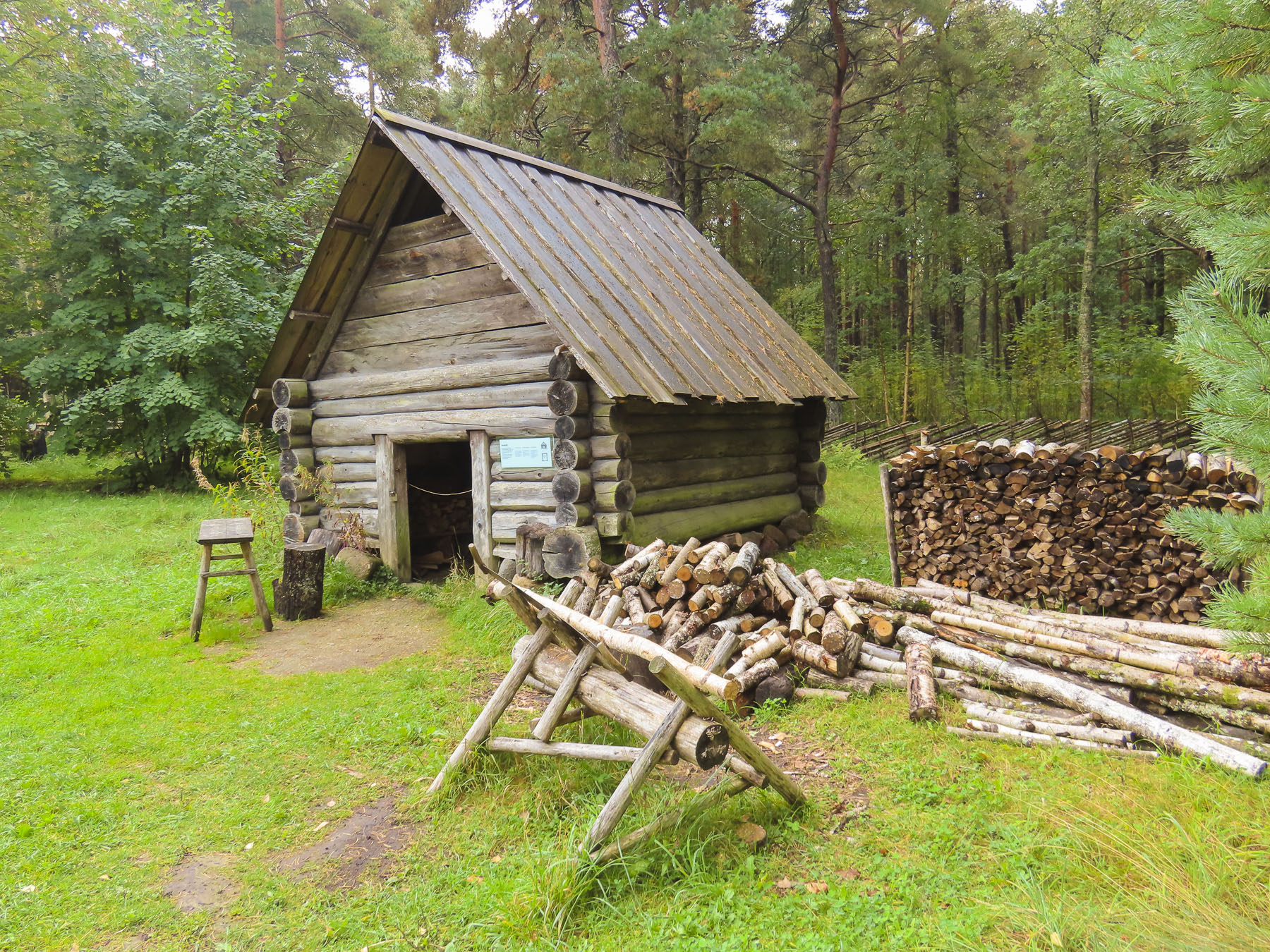
Only 15 minutes from the center of Old Town, we were in the surprisingly different forested landscape of Eesti Vabaõhumuuseum, the Estonian Open Air Museum, an ethnological recreation of a historic fishing village on the shore of Tallinn Bay, with the wonderful mission of showcasing the country’s rural architecture and way of life during the 18–20th centuries.


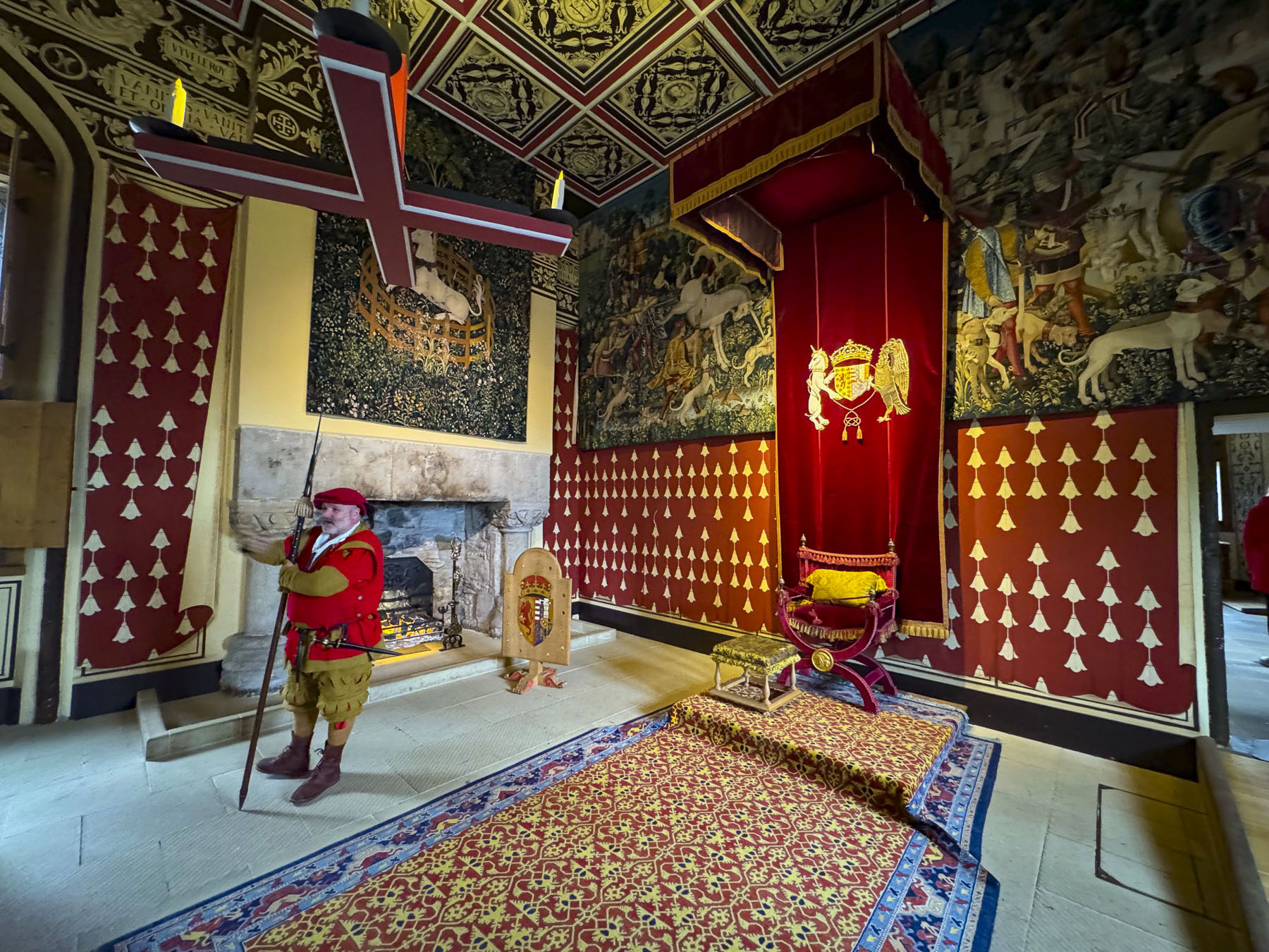
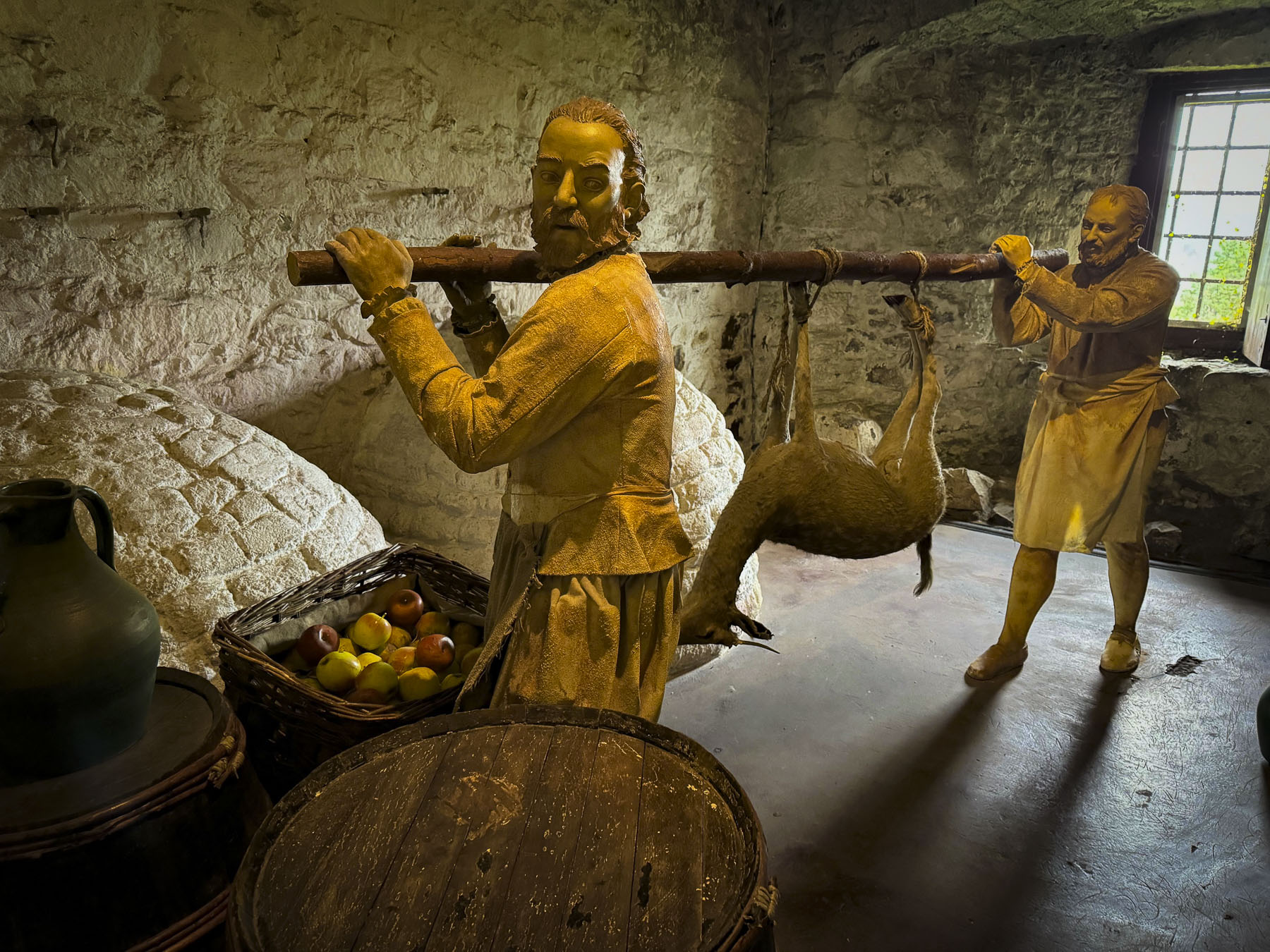
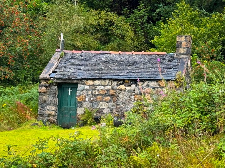
A pleasant set of trails through the woodland connected 14 separate areas that featured different buildings. Some of the buildings have docents dressed in traditional clothing to help explain how residents lived centuries ago. The wooden windmills were particularly interesting and the large sturdy log cabins surely would have made Daniel Boone envious.


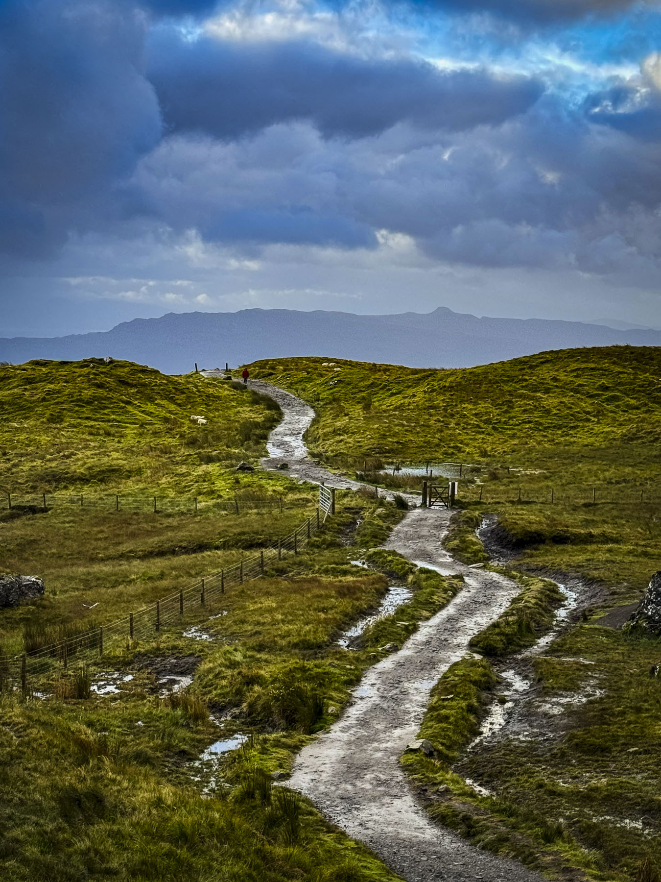
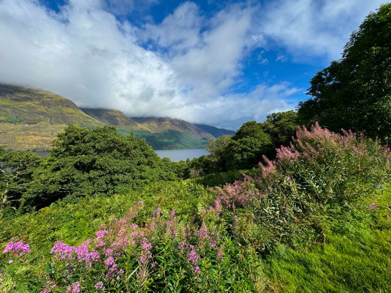
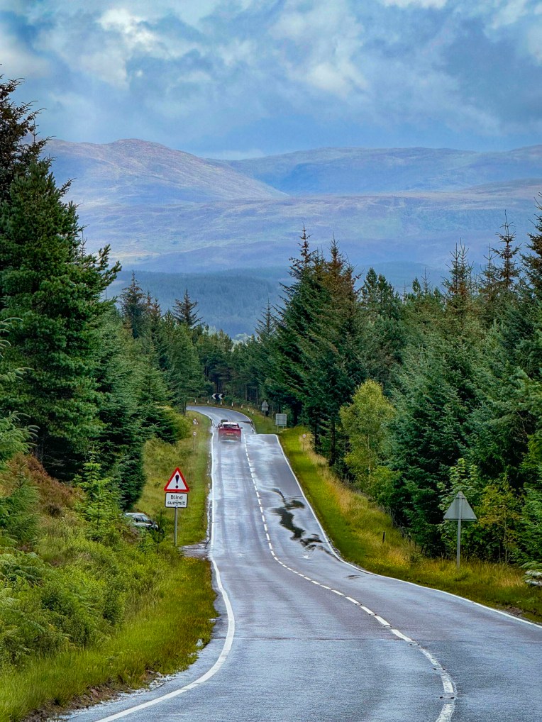
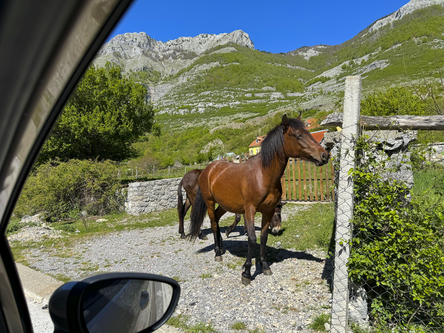
Leaving Tallinn behind: this was the first stop of our 21-day road trip through Estonia, Latvia, and Lithuania. There was hardly any traffic on the roads through the sparsely populated countryside that traversed stretches of open fields, bogs, pine forests and swaths of beautiful birch trees. Vast tracks of forest still cover over fifty percent of Estonia’s territory. Set away from the roadway a bike path, just one of 7,230 cycling routes and bike trails in Estonia, loosely followed our route from the Open Air Museum to Keila in search of a mid-morning coffee break.


It was a surprisingly frustrating endeavor. Takeaway coffee from a gas station? No no. This was nearing a crisis situation for us. Those in the know understand that without that a coffee fix, life in the universe is imperfectly balanced. Fortunately, we found a very nice gourmet café, Cake Atelier, on the main road through Keila. Chatting with the owner about our trip through Estonia, she shared that we were in luck today, as it was one of the town’s twice-yearly craft and food festival days and pointed down the road.


We both like exploring local markets and this one in Keila, while very small, was a perfect local event to have stumbled across. Set up in the parking lot of a small strip mall, it wasn’t geared toward tourists. It was simply regional food purveyors sharing what they love to do. Samples were abundant. There were extraordinary amounts of smoked fish, pickles, sauerkraut, and baked goods, along with foraged lingonberries and wild mushrooms.
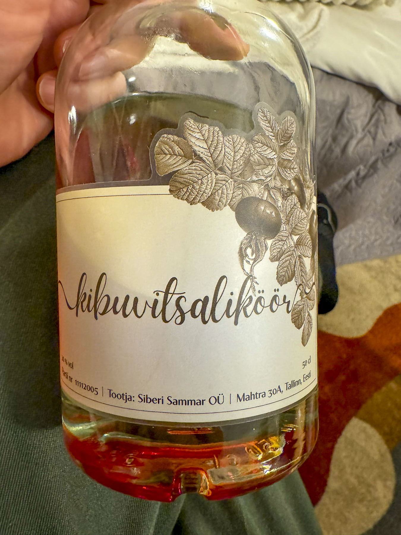

From July to October foraging for berries and other wild edibles is a popular activity in Estonia and explains why we saw so many cars parked at various spots along the road in the middle of nowhere. We ended up purchasing a bottle of artisanal Rose Hip liqueur from a middle-aged woman who had been an exchange student in Florida in the early 2000s. Her cordial, lovingly crafted from her grandmother’s ancient family recipe, was very tasty. We purchased a bottle and enjoyed it as a nightcap during the rest of our trip.
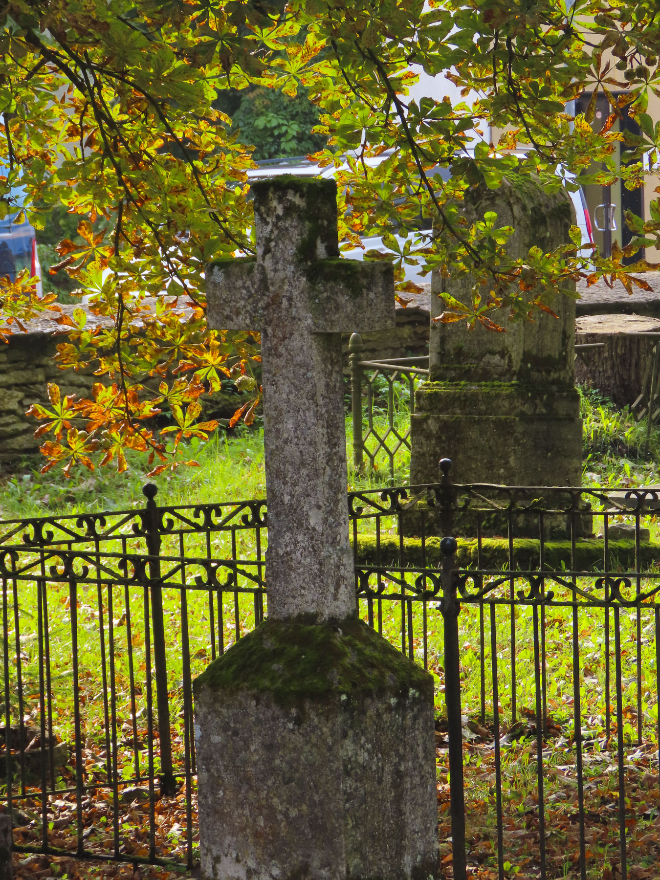

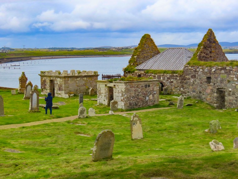
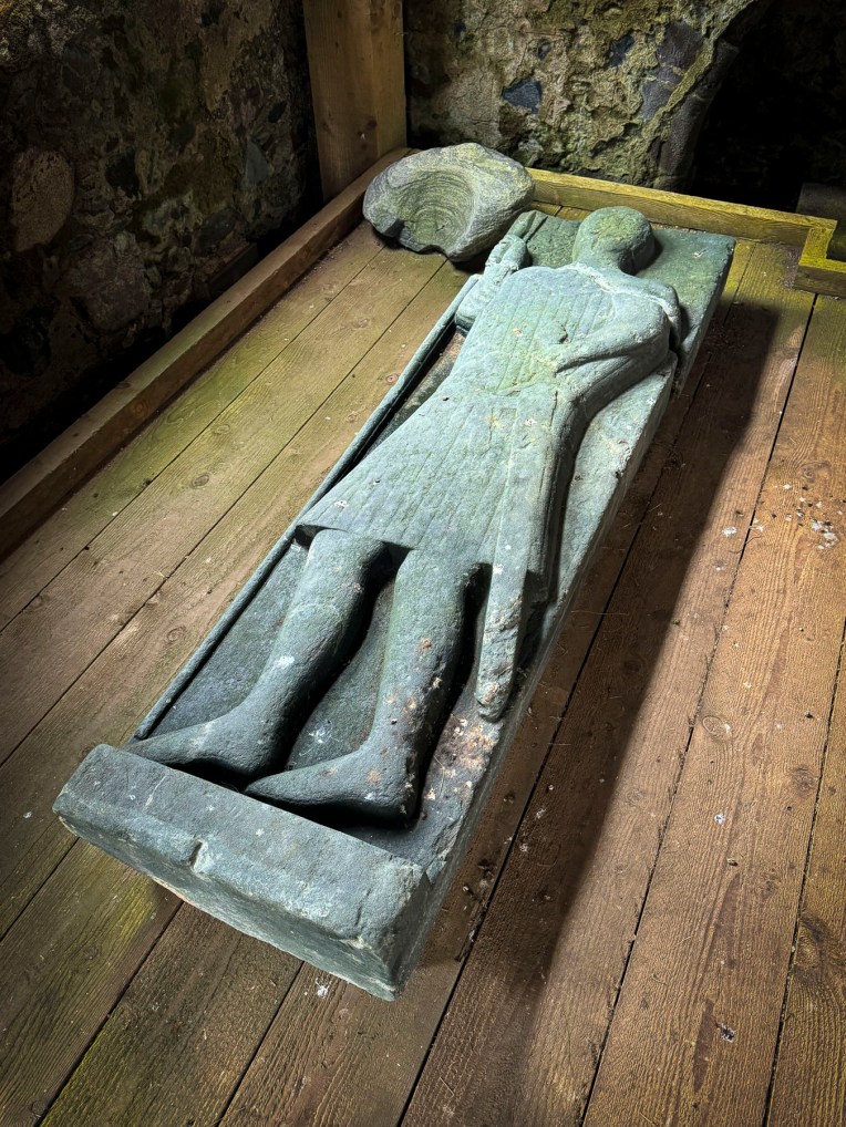
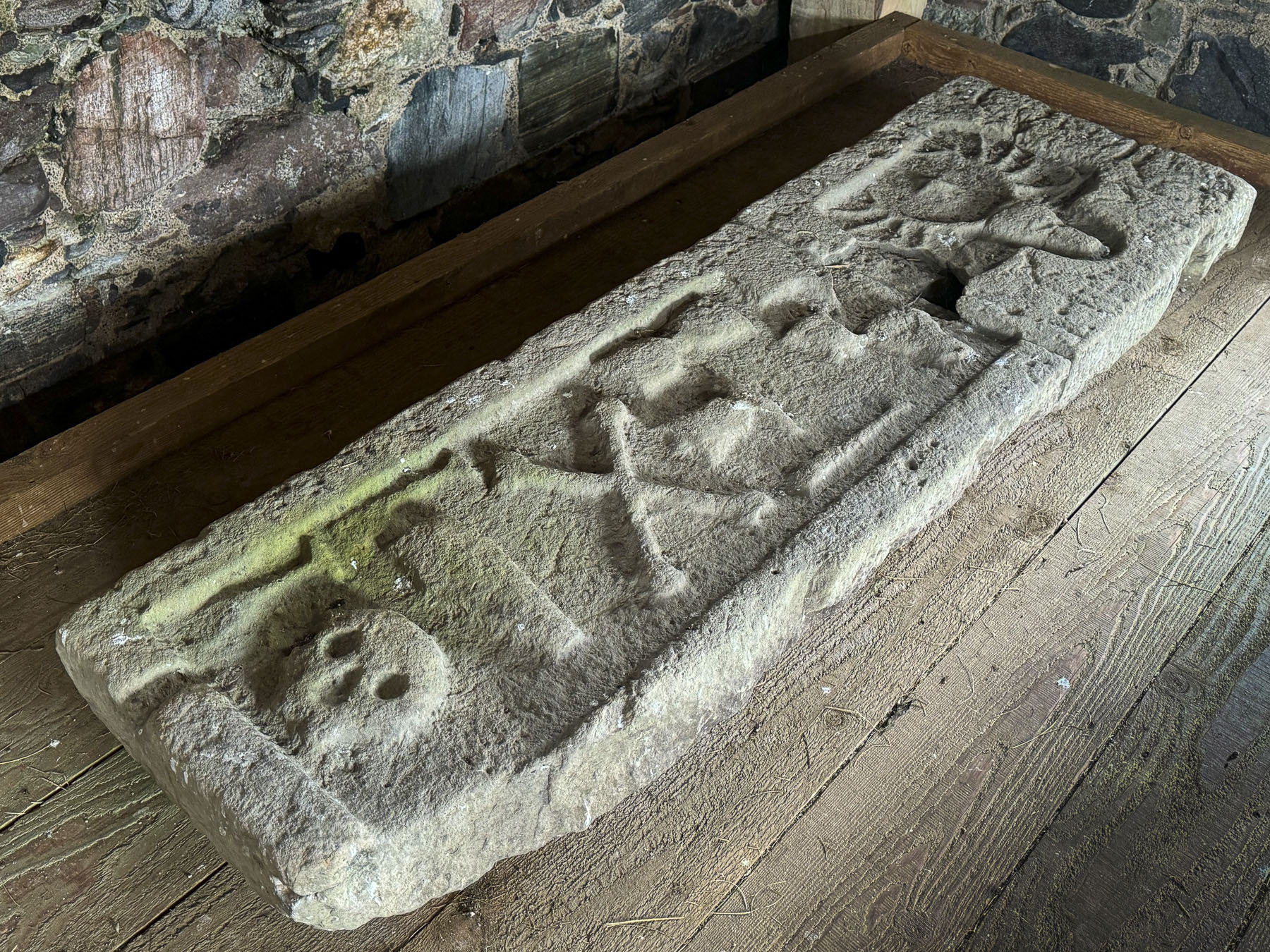
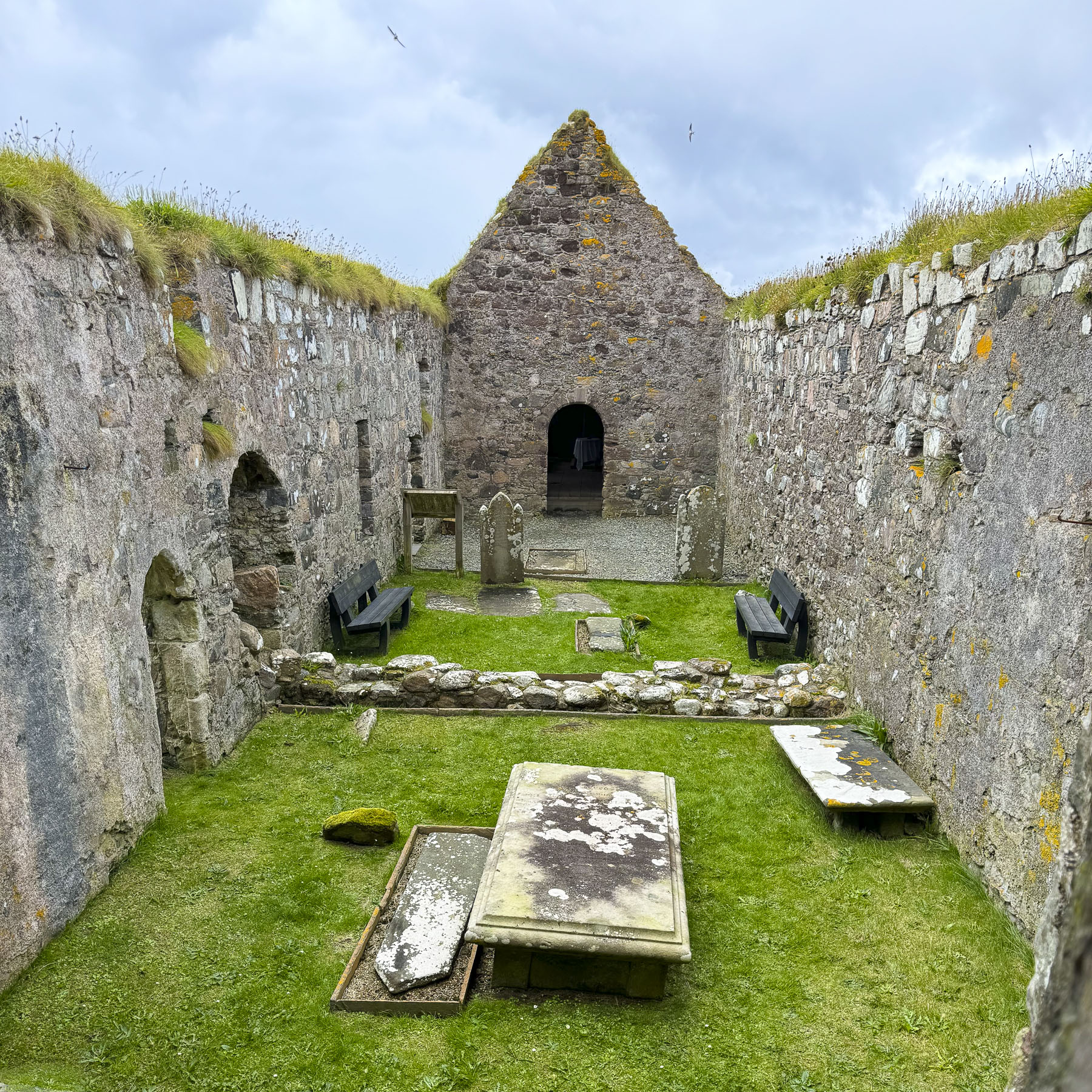
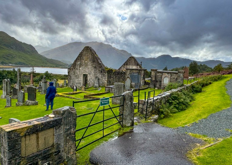
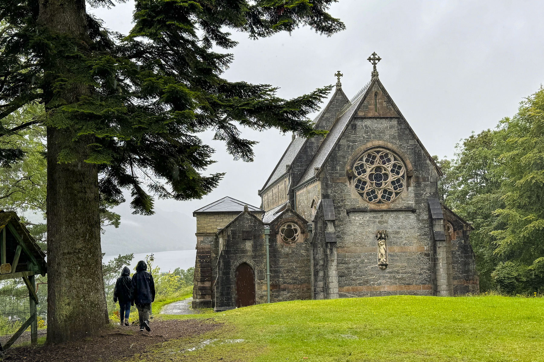
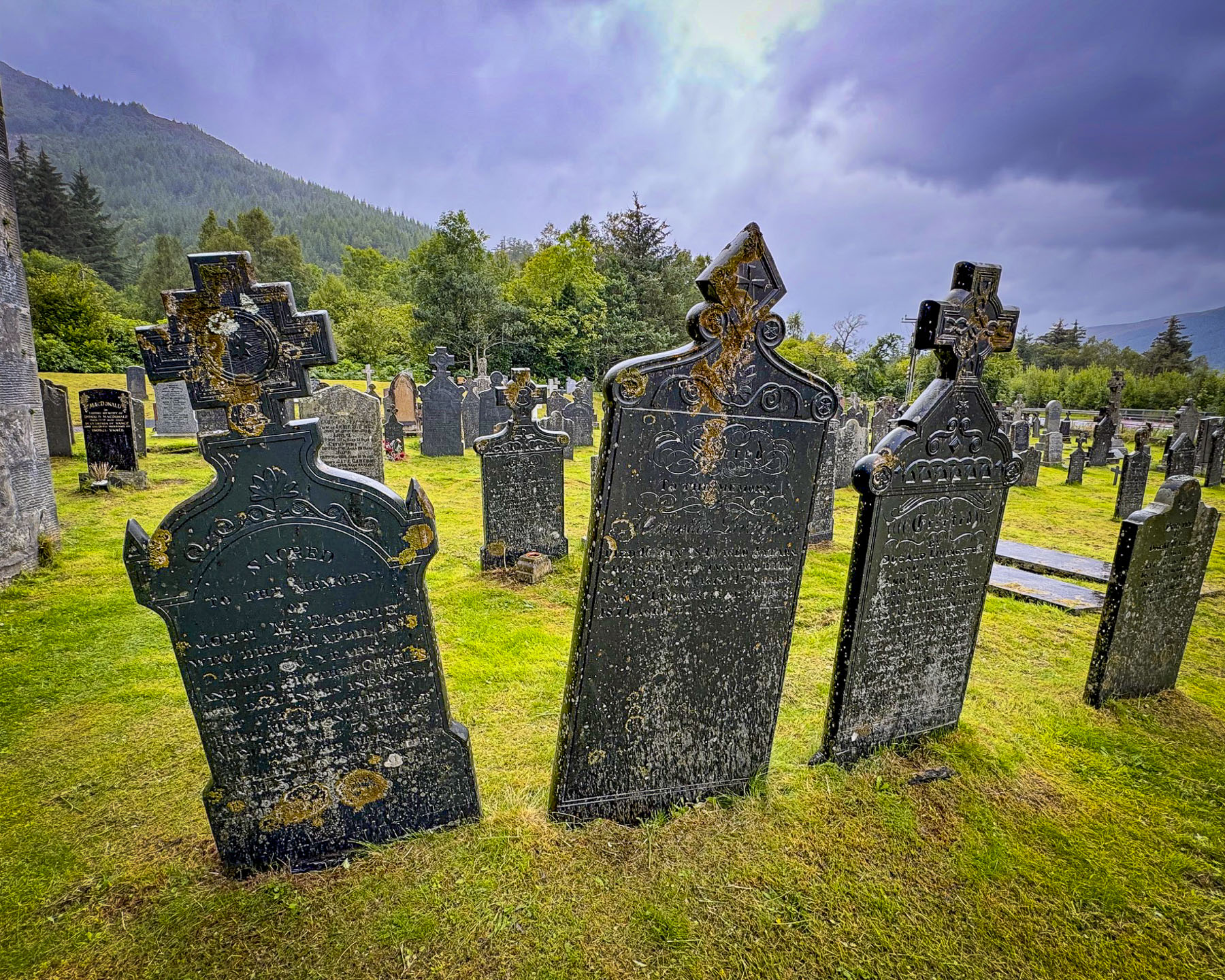
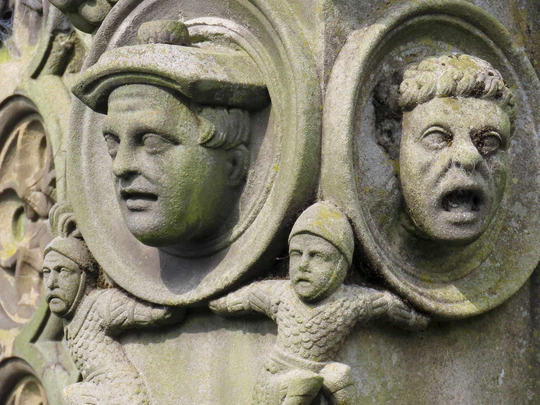
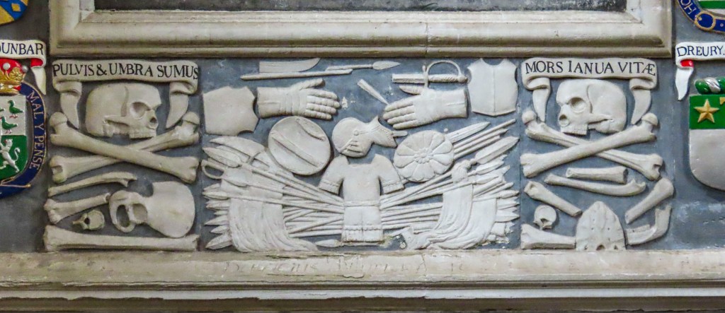
Next to the parking lot was a pretty church, Mihkli kirik, Keila’s St. Michael’s Church. This wooden church was first erected here shortly after the Danes conquered northern Estonia in 1219. A century later a larger stone church was constructed to accommodate the worshippers living in the growing village. The present church replaced an older one destroyed during the Livonian War of the 16th century. There were some interesting stone carvings around the door to the church, and an intriguing cemetery that called for further investigation.
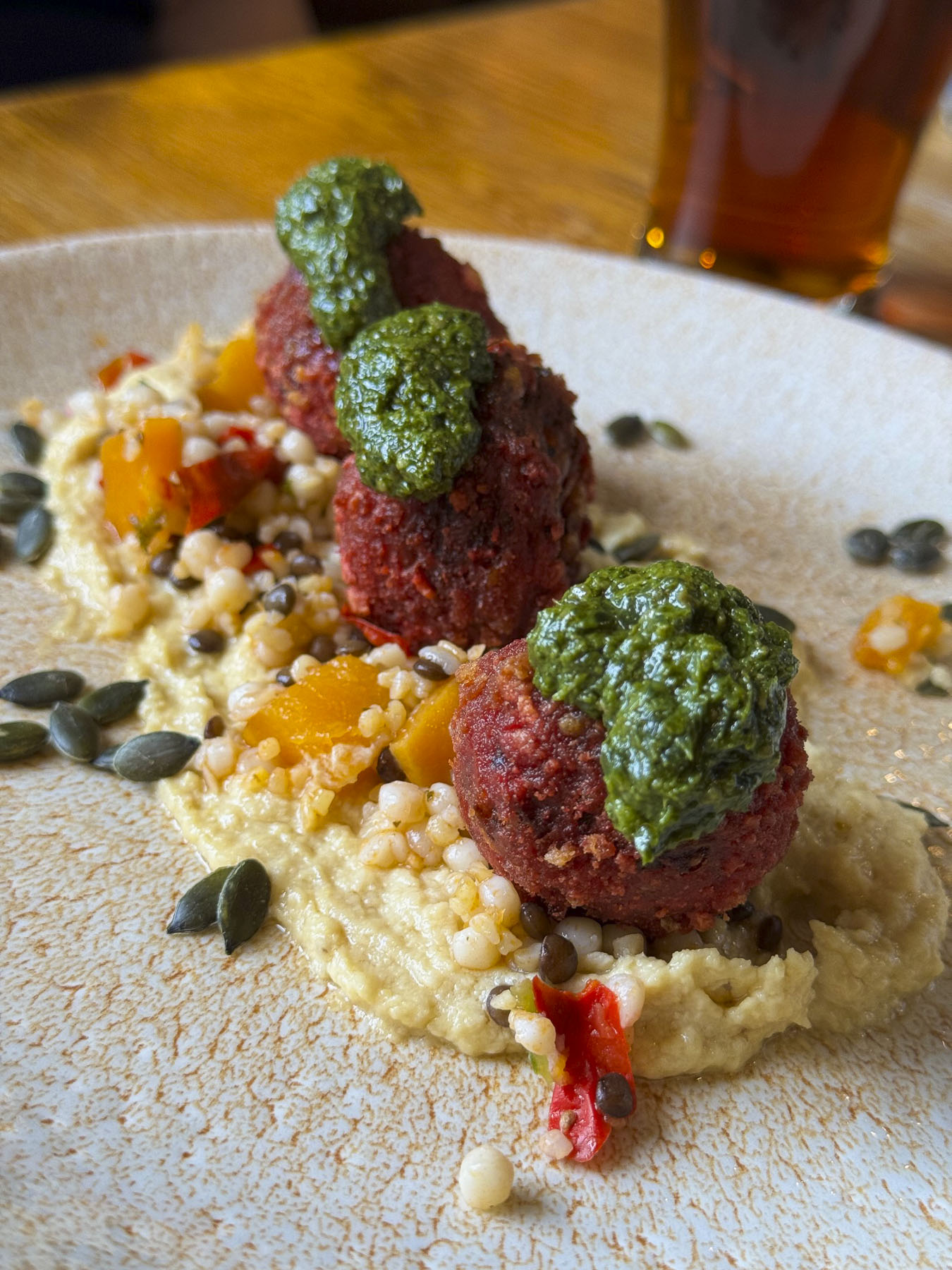
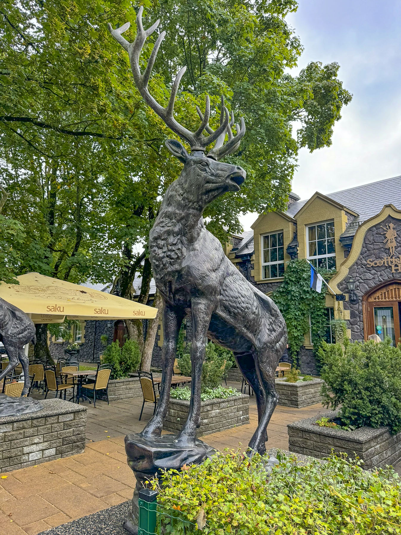
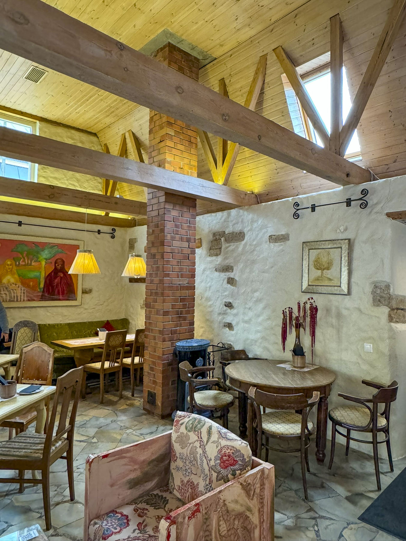
Across the way the Scottish House, with its majestic sculptures of highland stags in its courtyard, seemed incongruously placed. But we enjoyed resting, enveloped in its warm wood interior, and lunch was very good.

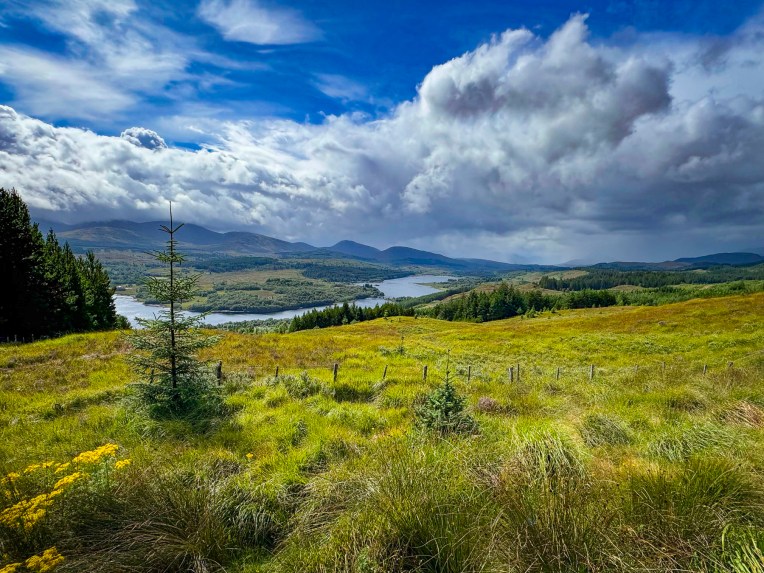
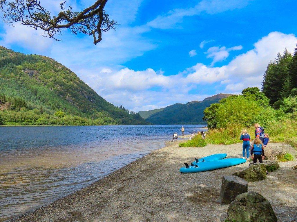
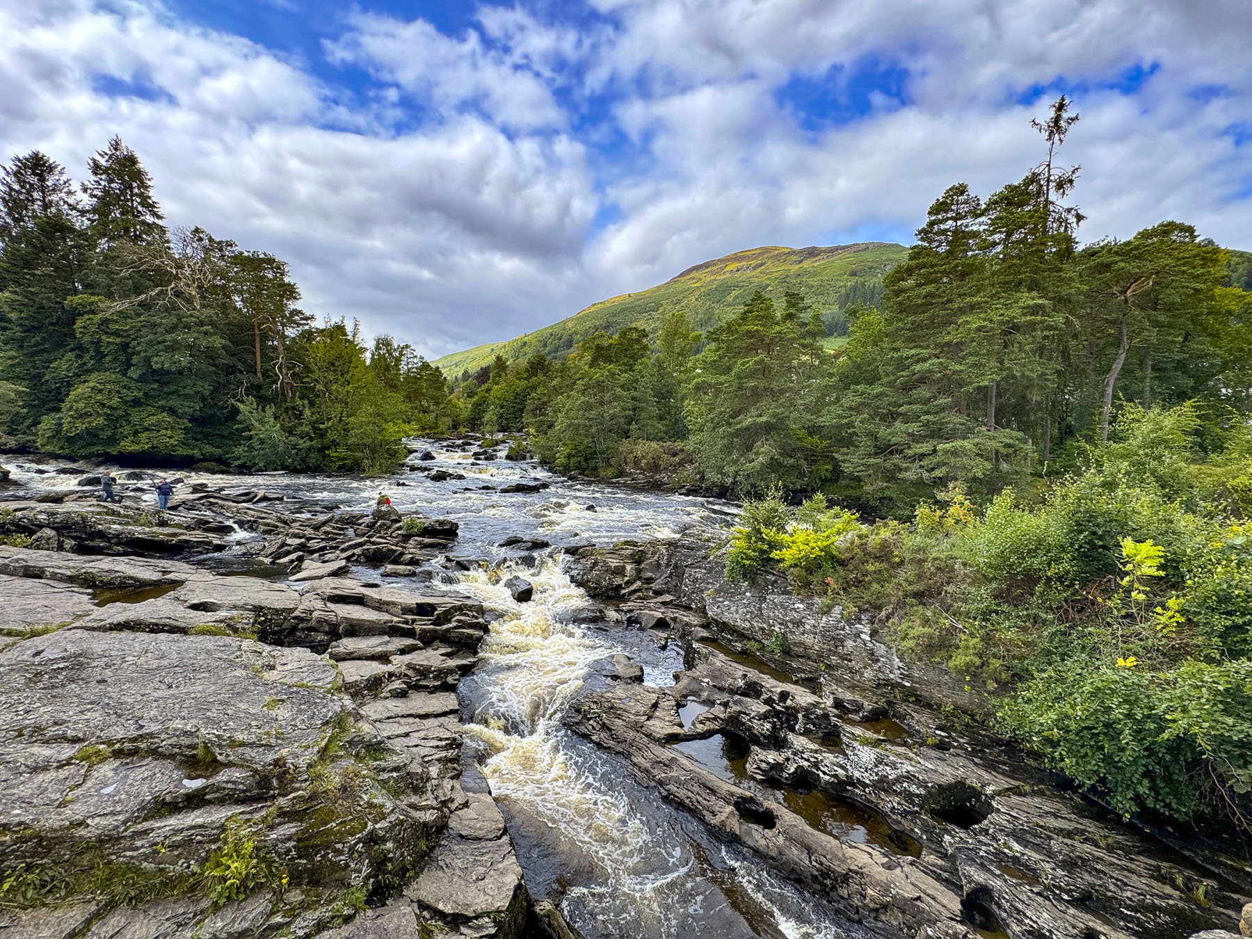
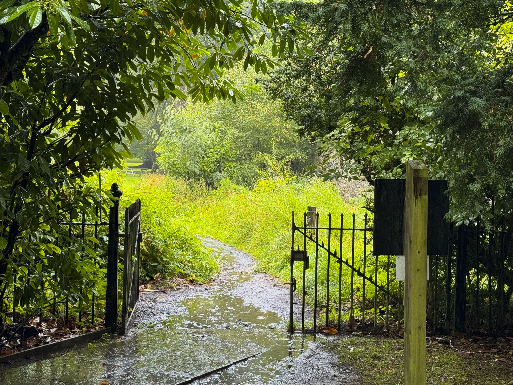
Our destination at the end of the day would be the guesthouse Pakri Baron, at the foot of the lighthouse, at the top of Pakri Peninsula. But we rarely drive the fastest and most direct route. Our road trips usually connect the dots, and resemble Ws or Zs to points of interest along the way. With that in mind we headed to the Keila Waterfall in Lõokese tee, Meremõisa – gotta love that name – 13km (8 miles) away.
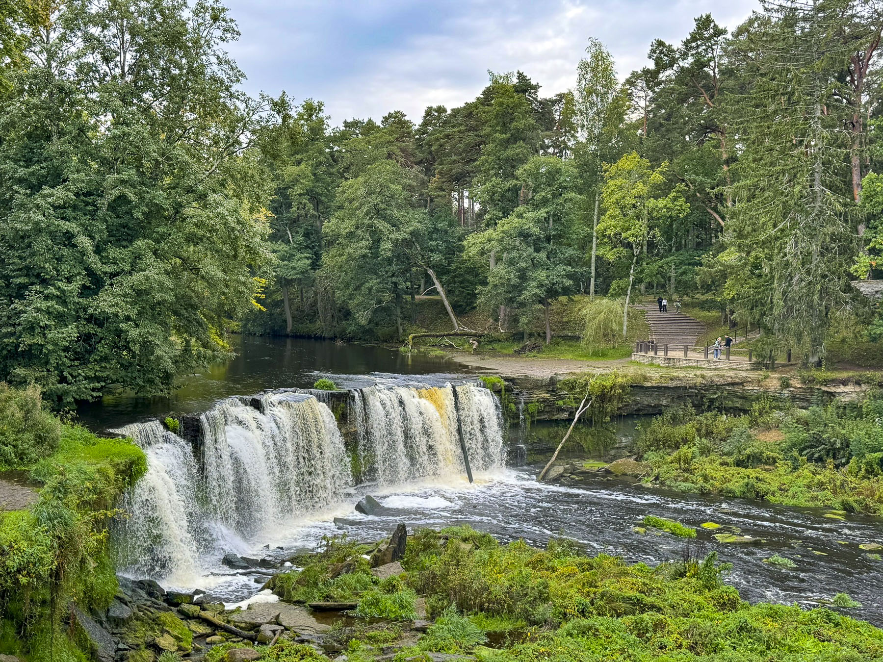
Without any tall mountain ranges, Estonia really isn’t noted for its waterfalls. But the Keila Falls, the third largest in the country, were relatively close. The falls are in a pretty river park that has a trail over a wooden suspension bridge that crosses to the opposite side of the falls. There is a small renovated hydroelectric power plant at the Keila waterfall that first started to produce electricity in 1928; the river park was originally part of the extensive grounds of the Keila-Joa manor. The neo-gothic style building was built in 1833 and is one of Estonia’s best surviving examples of the popular 19th-century architectural style. Unfortunately, the grounds of the manor house/museum were closed the day we were there.


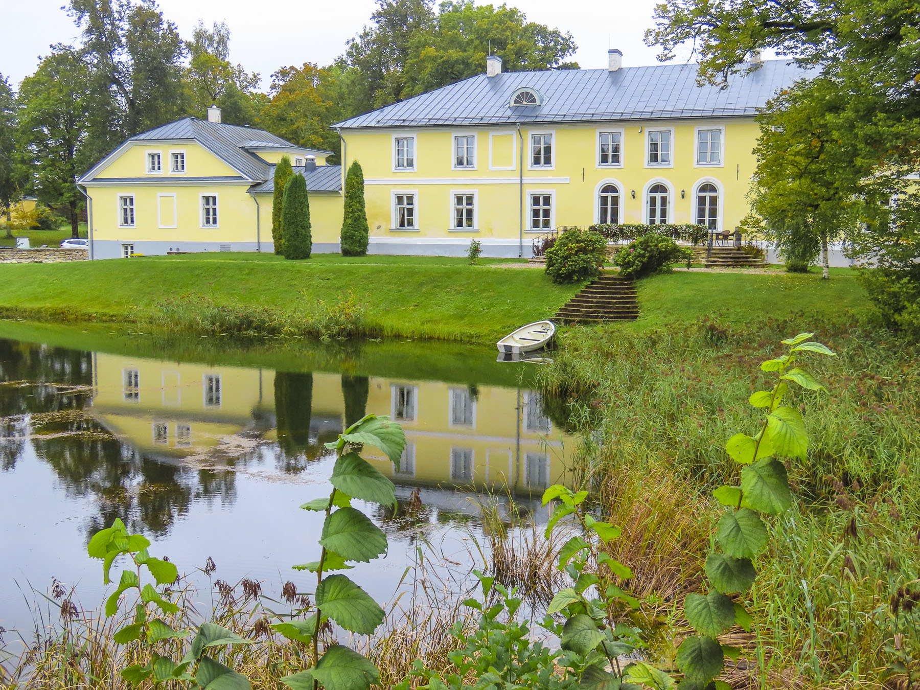
Nearby, the all-wood Kõltsu Manor built in the late 1800s was another fine example of Estonian architecture. The large home was commissioned by a baroness to be used as her summer residence. After World War II, the house and grounds were used by the communist Russians as one of their Pioneer Camps. The name sounds so benign, but in reality, while they did offer camp activities, they were Soviet re-education camps that indoctrinated Estonian youth with communist ideology. Today the manor hosts events, weddings, and outdoor concerts during the summer months.

The forests in Estonia have their own stories to tell. We did not stop at the memorial to the 2000 Jewish victims of the Nazi massacre in 1944 at the forced labor Klooga concentration camp. Closer to our destination we stopped in Paldiski to purchase the makings of a picnic dinner and breakfast the next morning at the guesthouse. Apple trees grew wild along the edge of the road. We picked a few for munching later. White with a pink center, they were probably an heirloom variety called “Eva Kuld,” similar to the Pink Pearl variety. The apples were delicious.


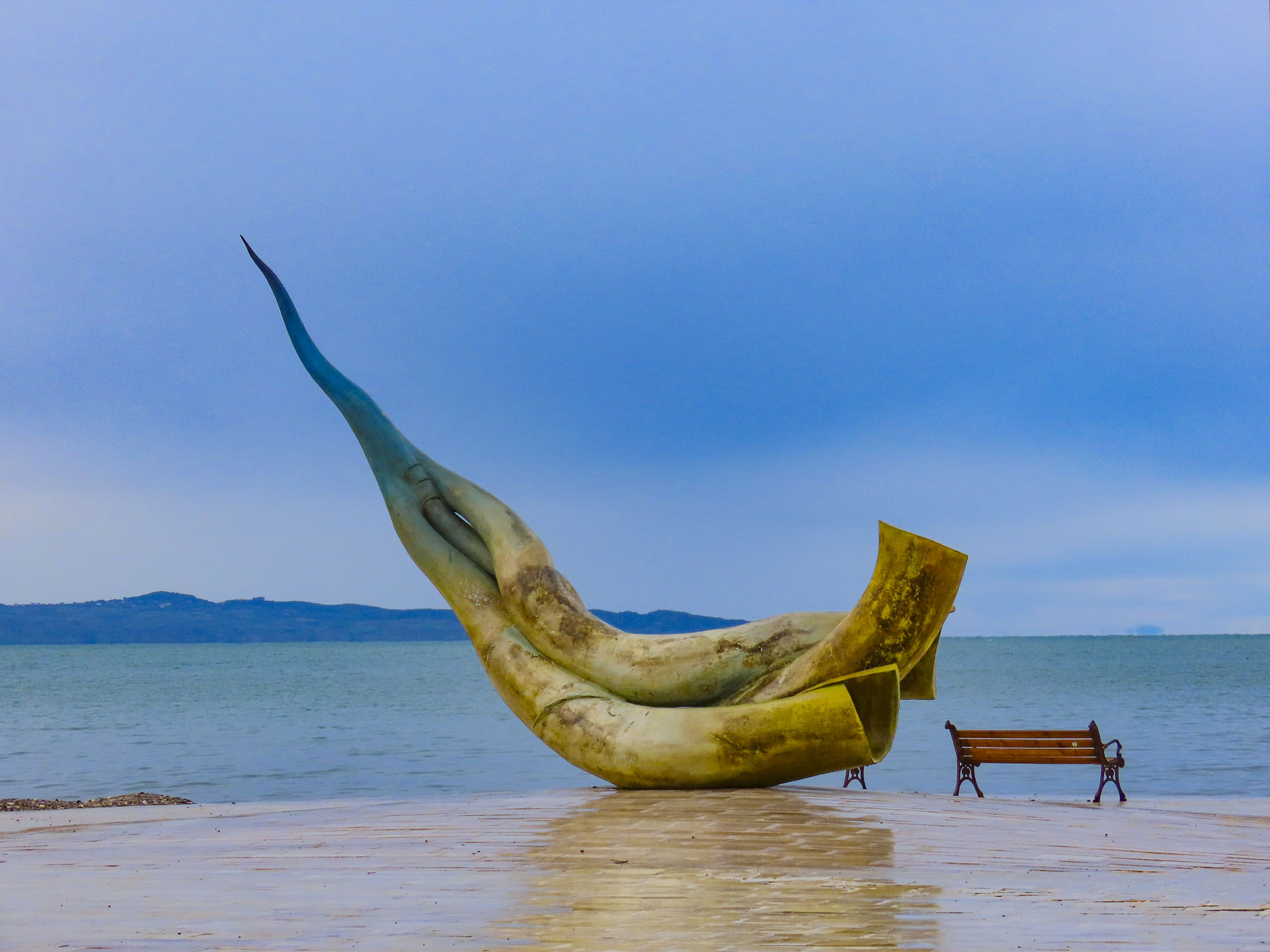
We had timed our arrival at Pakri Baron to coincide with the sunset in hope of getting some nice photographs of the lighthouse and the coast as the sun dropped. However, the weather was fickle. But the guesthouse was wonderfully situated next to the lighthouse, which towered over us, and was a stone’s throw from the Baltic Sea. The still active lighthouse was built in 1889, and during the summer months it’s possible to climb its 275 steps to the top. Unfortunately, it was closed during our visit in mid-September. In front of the lighthouse is a copy of sculpture called The Ship’s Last Sigh (1899) by the Estonian artist Amandus Adamson (1855–1929), who grew up near Paldiski. The sculpture was chosen by vote from 5 of Adamson’s works by the residents of the community in 2008 to commemorate their native son. The guesthouse even had a traditional Estonian sauna in a separate building, just one of the 100,000 saunas in a country of 1.3 million. It’s definitely a cultural thing.

It was still dreary the next morning as we started our drive to the resort town of Haapsalu on the west coast of Estonia. But there were places to explore along the way. We don’t recall how we actually came across the existence of the Ämari Pilots’ Cemetery, but most likely it was a result of scouring Google Maps to find points of interest along our route. More accurately it could be referred to as the Russian Pilots’ Cemetery.

What piqued our interest was the use of tail fins from crashed Soviets planes as headstones to mark the graves of the pilots that died in accidents while flying from the former Russian airbase, Suurküla Aerodrome, during the Cold War era. The cemetery’s discreet location, in a forest almost obscuring it from the road, was so that reminders of the peacetime deaths, from a high accident rate, would not affect the morale of the military base.

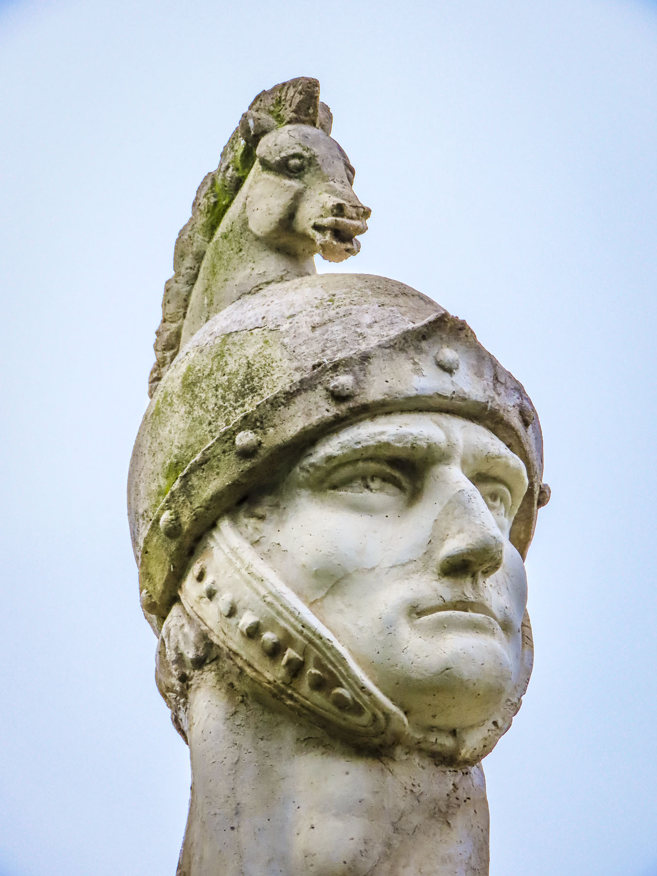
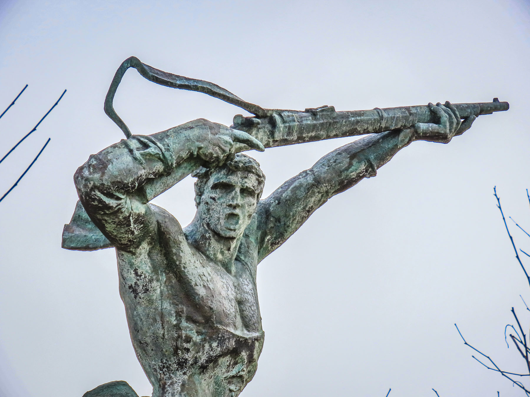
The cemetery appeared to be well cared for, but it’s a reminder of a painful and repressive 46 yearlong occupation by communist Russia, unlike the monumental Soviet propaganda sculptures that were in public spaces across the country, which were destroyed or sent to the Soviet Statue Graveyard in Tallinn. This reminder of a dreaded past, like an uncle no one wants to talk about, was left to rest in peace.

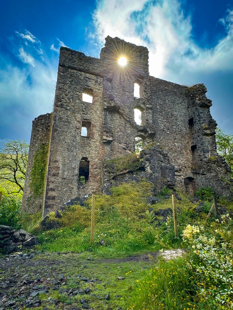
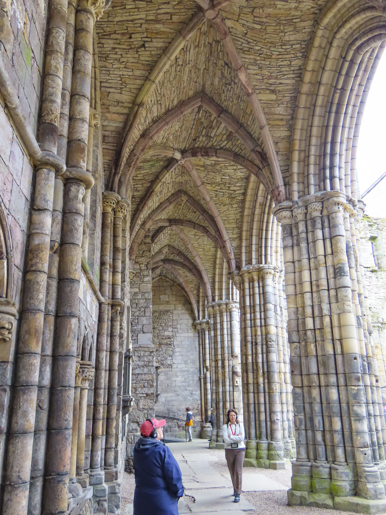
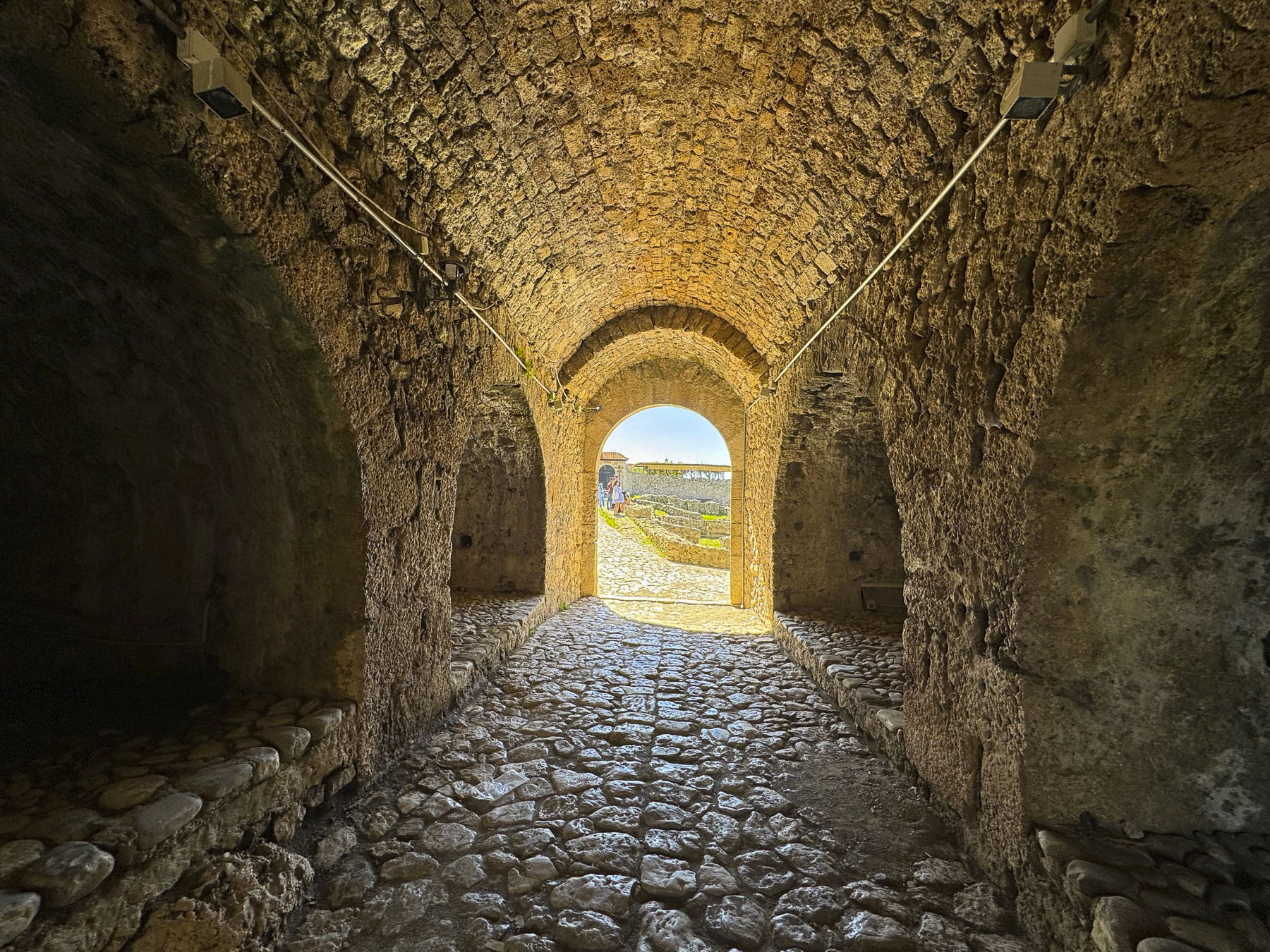
Nearby was another reminder of Soviet rule: Murru vangla was a Soviet forced labor camp and re-education center where prisoners were sent to work in a limestone quarry for the duration of their sentences. After Estonia’s independence the prison and quarry were closed and abandoned. Water eventually filled the quarry and partially submerged some of old mining structures and prison buildings. Set against tall, eroded dunes created from slag left over from processing the limestone, the water of the quarry shimmers like a Caribbean beach. The uniquely beautiful manmade setting has slowly become a popular destination for divers and swimming. What’s left of the prison was turned into a museum. There is an admission fee to access the quarry area, but since the day was still heavily overcast, we kept driving a short distance down the road to the Padise Monastery. Founded in the early 14th Century by monks displaced from a monastery in Latvia, it flourished until the St. George’s Night Uprising, when Estonians rebelled against Danish rule and the imposition of Christianity upon them and killed 28 monks. The building was later turned into a fortress, but by the early 1700s the stones of the deteriorating fortification were used to build an adjacent manor house. What’s left of the monastery’s ruins has been preserved and now operates as a museum, and the manor house is now a boutique hotel and spa.

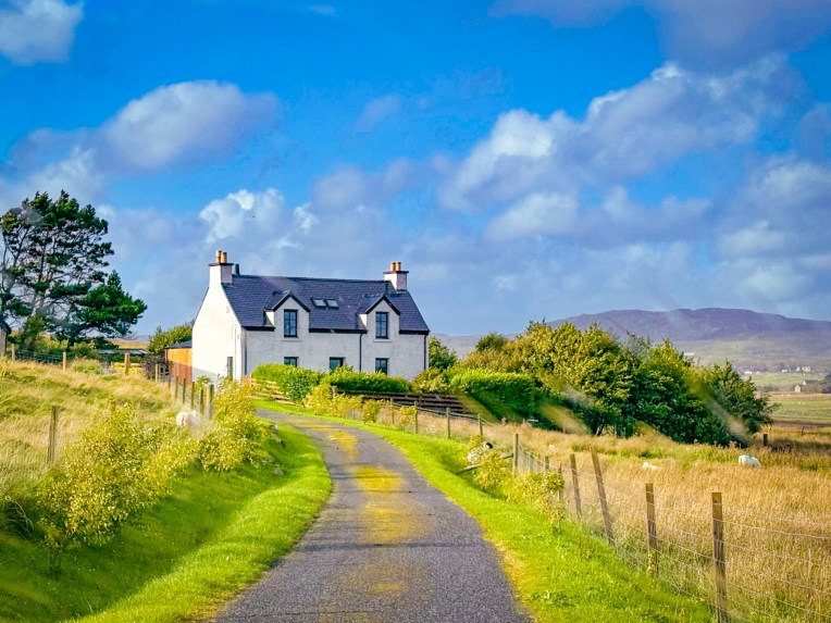
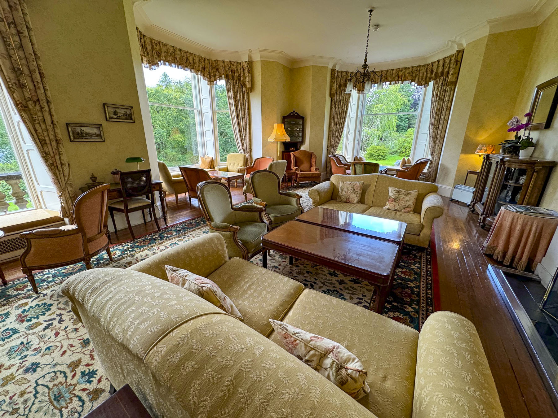
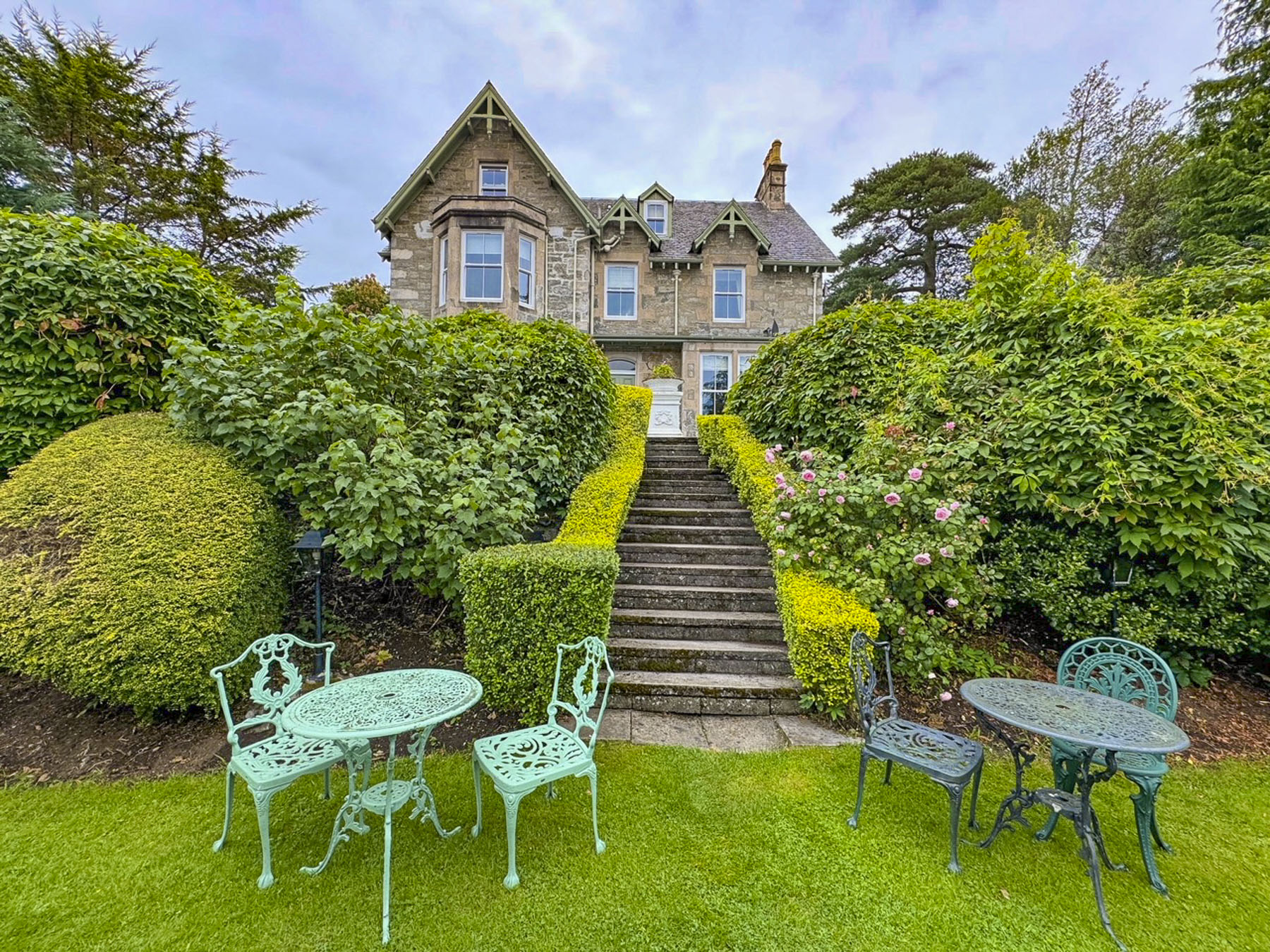
One of the many things we enjoy about traveling during the shoulder season, aside from fewer tourists like us out and about, is the affordability of really nice hotel rooms. Our case in point was our midweek 2-night stay at Hermannuse Maja, which backed up to the ramparts surrounding Haapsalu Castle, cost only €97.00, and included breakfast. Parking was easily available on the street.

Around the corner from our hotel the Müüriääre café, with an attractive interior and tempting food display, was the perfect spot for lunch before exploring the unusually named Haapsalu Episcopal Castle on a cloudy afternoon.
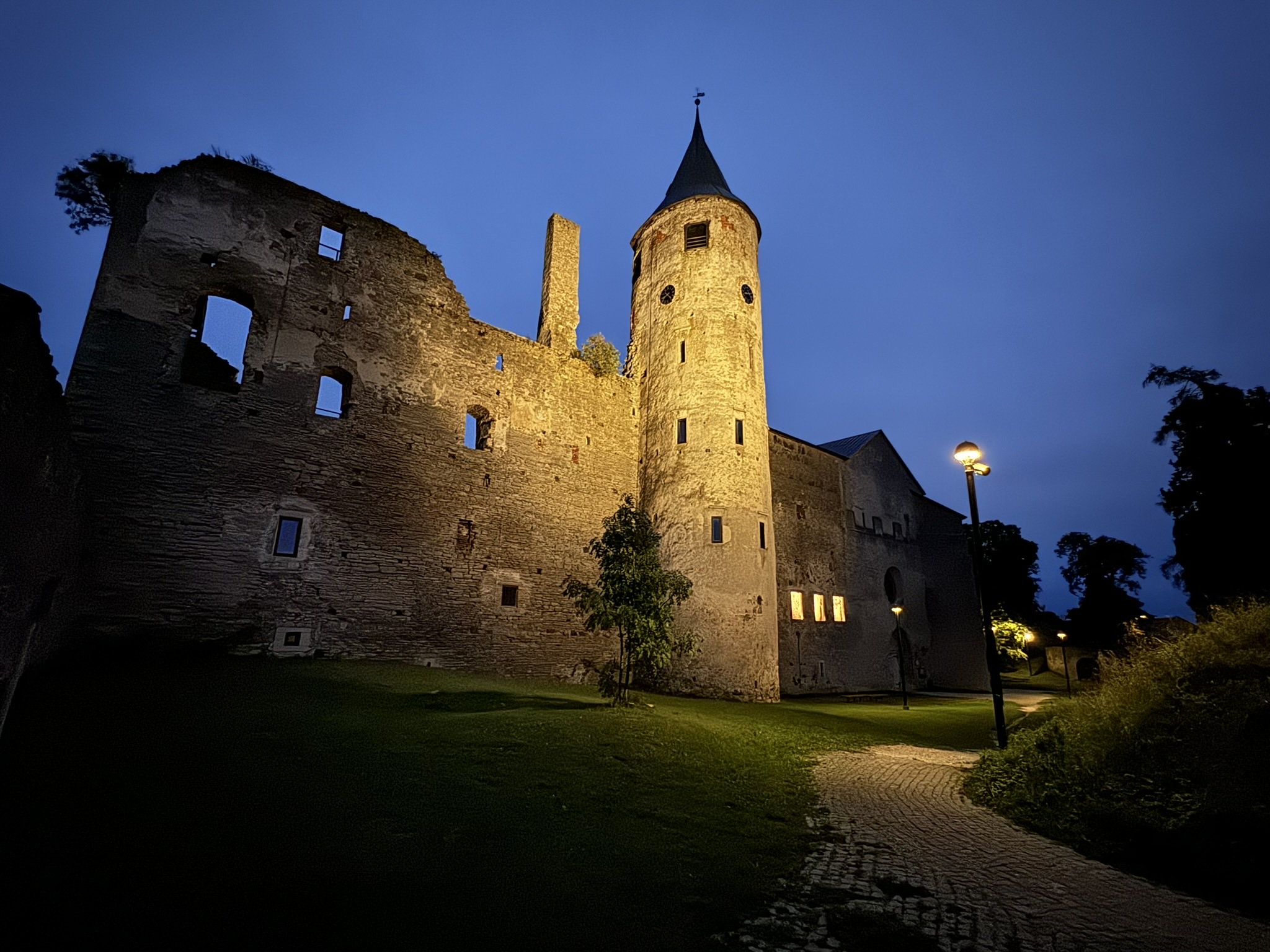
In the late 1100s Christian missionaries followed German merchants along old Viking trade routes into the region known as Livonia, that is today Estonia, Latvia, and Lithuania. The land was originally populated by pagan tribes, but unfortunately located between Orthodox Russia and Catholic Western Europe. Never happy with the status quo, religious zealots called for a Northern Crusade against the Baltic pagans, and with the blessing of Pope Celestine III, persecution began in 1195. The efforts to recruit an army was assisted by a papal bull which declared that “fighting against the Baltic heathens was of the same rank as participating in a crusade to the Holy Land.” The medieval era was fierce, and bishops not only accompanied the crusaders spiritually into battle, but wielded swords alongside their troops fighting those heathen tribes. Haapsalu Episcopal Castle was built to project the power of the church during the thirty years it took to subjugate the region. In 1583 during the War of Reformation the Catholic stronghold fell to Protestant Sweden and the cathedral became a Lutheran church.


A tall defensive wall still encircles the nearly 1000-year-old castle. And the church has been nicely restored after surviving fires in 1668 and 1726 and neglect during the Soviet occupation when it was used as a granary. Though only the outer walls of the monastery, which was later converted to a palace, remain after the 1668 fire.
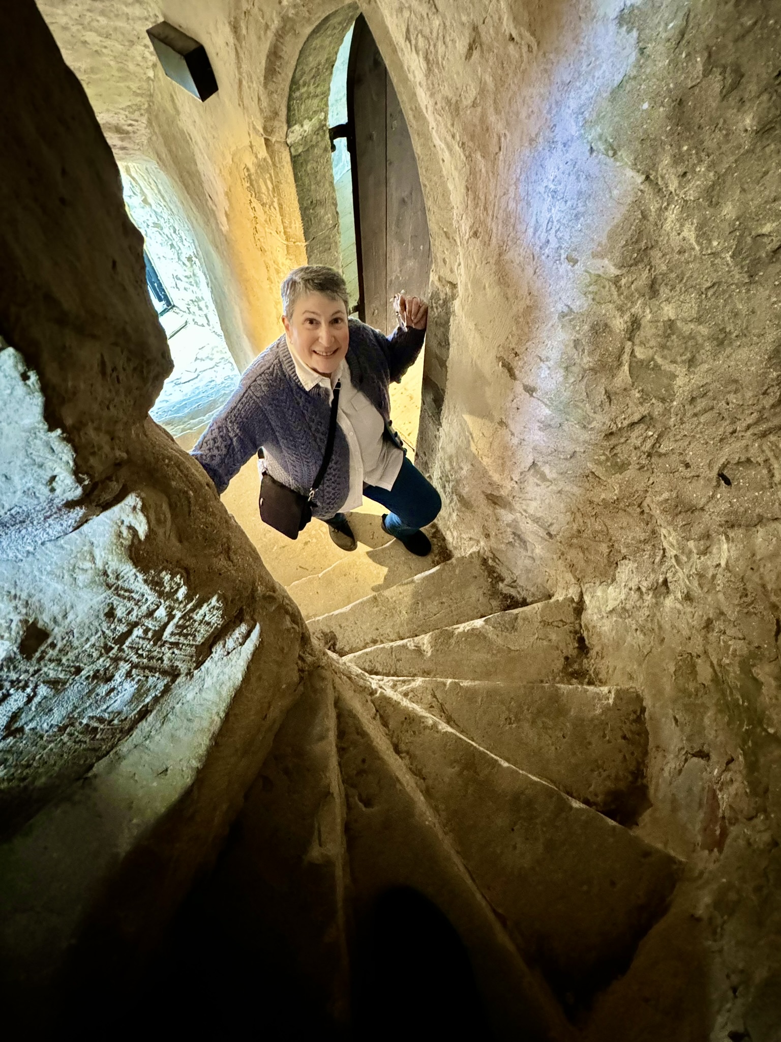

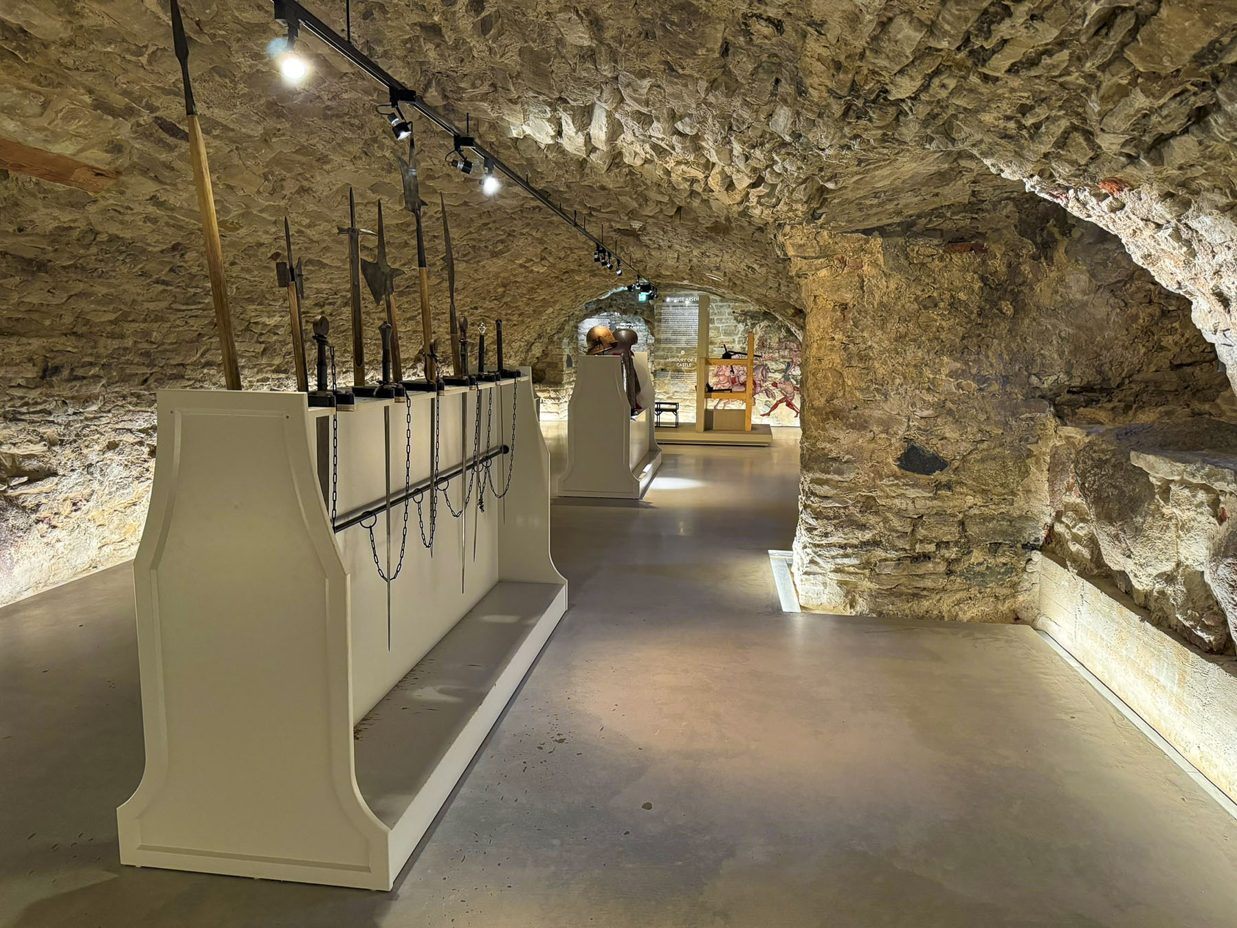

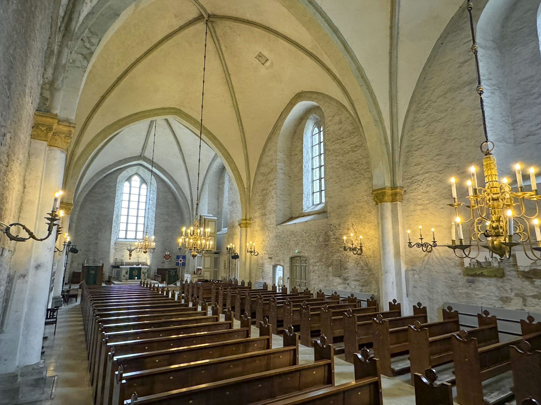
We enjoyed walking along the ramparts and climbing the castle’s tower. Surprisingly in mid-September we practically had the site to ourselves. Wandering through the ancient, vaulted dungeon-like rooms of the castle’s museum that showcased life in Medieval era was particularly interesting. The grounds of the castle are quite extensive, and one section in a now dry moat has a medieval themed playground with all sorts of structures for kids to climb on. During the summer the castle hosts a series of concerts, and the town welcomes tourists with a busy schedule of events.


Dinner that evening was across the street at the rustic Talumehe kõrts, which specialized in traditional Estonian dishes.

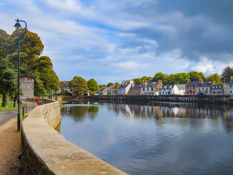
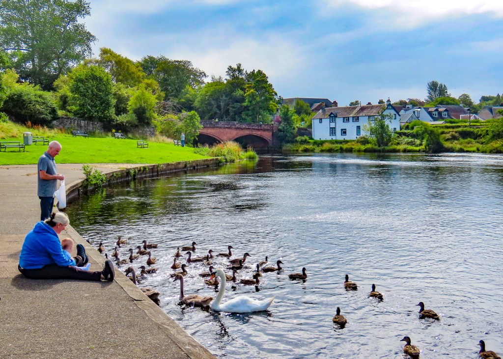
The next morning, we woke to a perfectly clear sky. The sunny weather was a welcome reprieve from several gloomy days, and we took full advantage of it to explore the picturesque town and walk along the Haapsalu’s bayside promenade. The walkway extends for quite a distance along the waterfront, and is flanked with a variety of architecturally interesting buildings along its length.

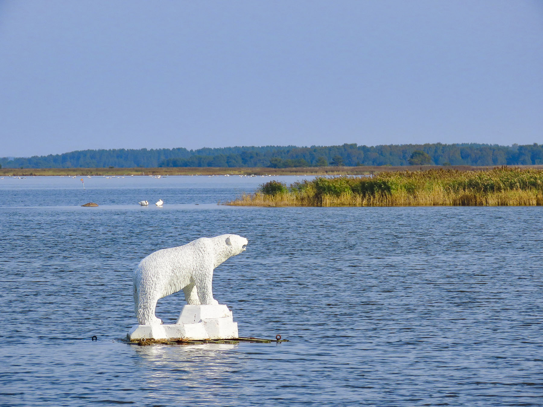


At one point we spotted a polar bear standing on an ice flow. A statue! It was one of several exotic animal sculptures, recreated from old photographs of the wooden figures made in the 1920s, for a section of the boardwalk called Africa Beach, a beloved small park from the 1800s. During the Soviet occupation the original wooden sculptures were used as firewood by Russian soldiers. With the Russians finally gone in 1991 the park was revamped as a children’s playground.

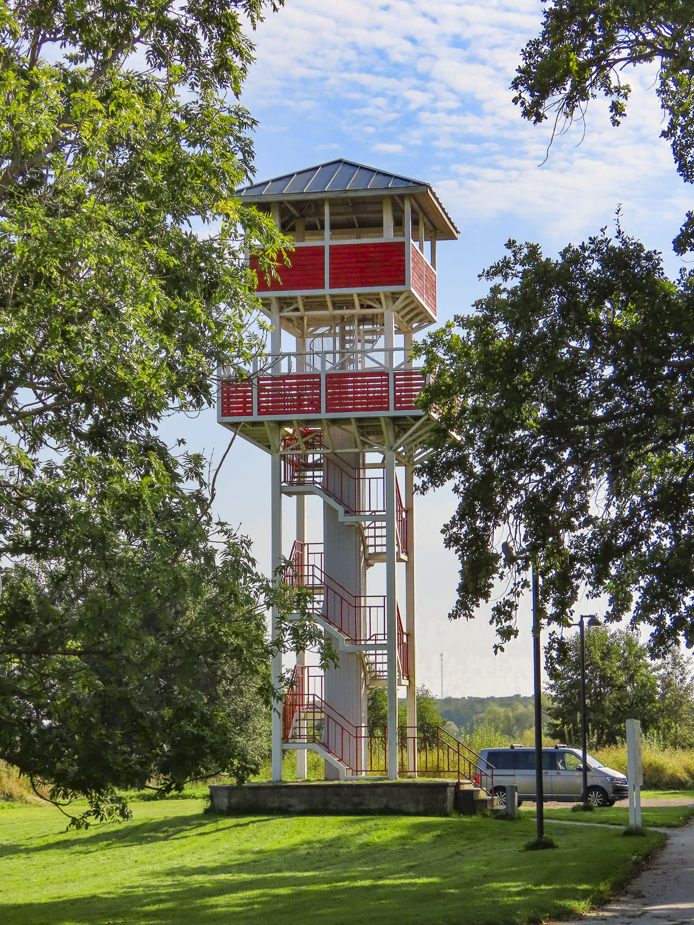
A short distance beyond the playground the walkway ends at the 5-story tall Tagalaht birdwatching tower. Climbing the tower offers views over the saltwater marshes of Haapsalu Bay, which is an important stopover for artic birds during their Spring and Fall migrations. Swans, cranes, and a variety of ducks can also be spotted.


The small town existed on the region’s fishing and agricultural base until a visiting physician observed that the local folk used sea mud to treat a number of ailments. He opened Haapsalu’s first therapeutic mud treatment resort in 1825. It soon became a popular destination for several generations of Russia’s czars and aristocracy. A bench along the path commemorates the spot from which the composer Tchaikovsky watched the sunrise when he summered there.


Walking back to town we passed the distinctive green onion shaped dome of Haapsalu’s Maria-Magdaleena kirik, a Russian Orthodox church. The church was consecrated on July 21, 1852. In the audience was the son of Czar Nikolai I, Alexander (later Czar Alexander II, Emperor of Russia, King of Poland and Grand Duke of Finland.)


We worked our way across town to Lake Väikese and savored a delicious lunch overlooking the water from the enclosed patio at Wiigi Kohvik, before following a walking path along the water that circled the lake. Along the pathway we noticed that nearly every home on the lake had a traditional Estonian sauna in their back yard. They were all different sizes and shapes, with some constructed with wood and others totally covered with earth. We wondered if folks jumped into the lake as part of their sauna ritual. Brrr! Just thinking of it made me shiver.

Overall, we had a very nice tme in Haapsalu. The next morning, we checked out early and drove to the harbor at Rohuküla to catch the first ferry of the day to Heltermaa on Hiiumaa Island.
Till next time, Craig & Donna