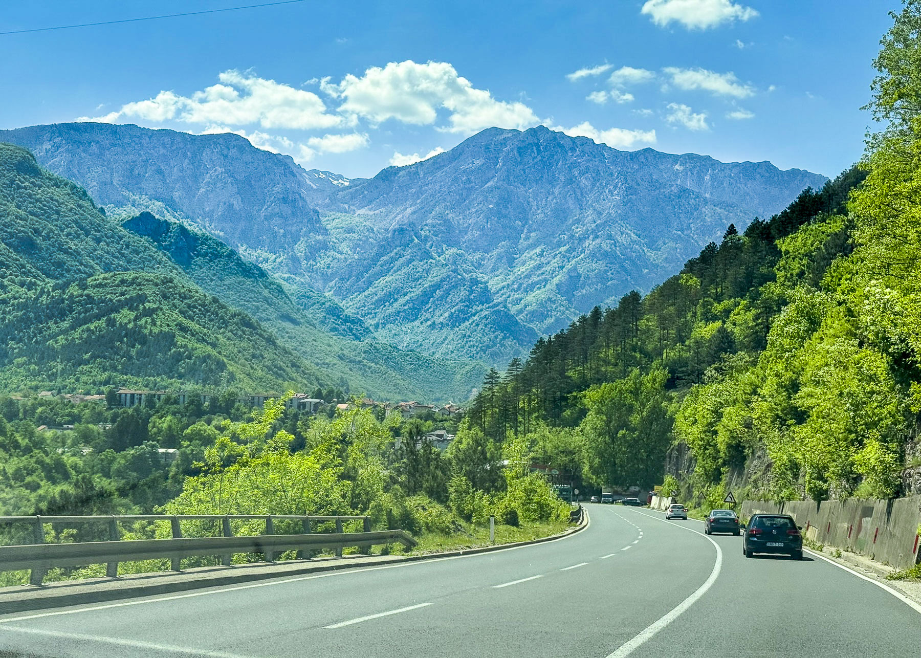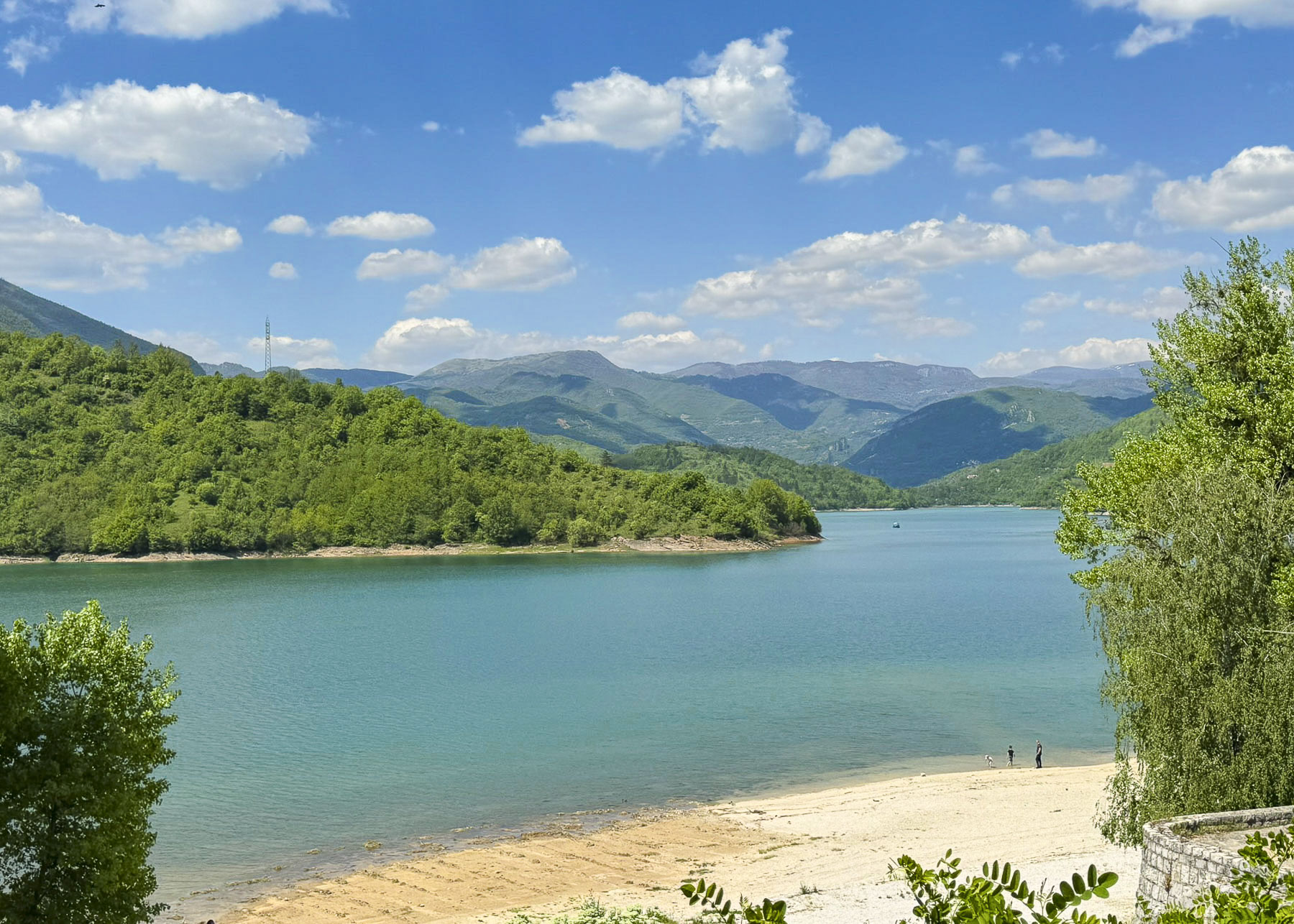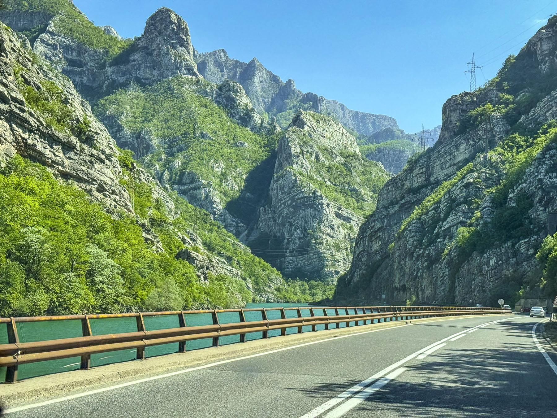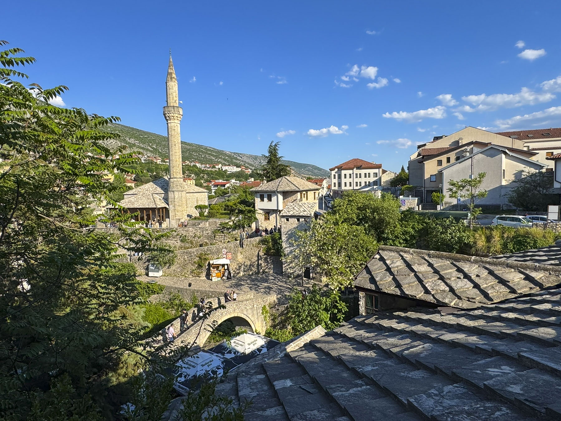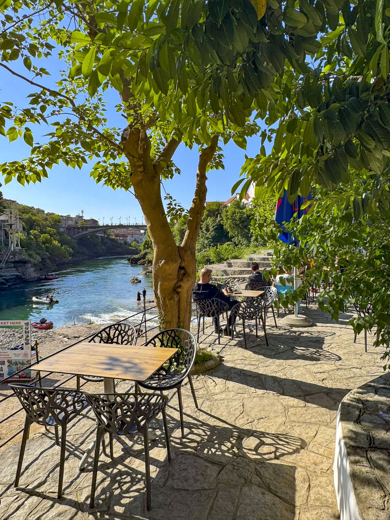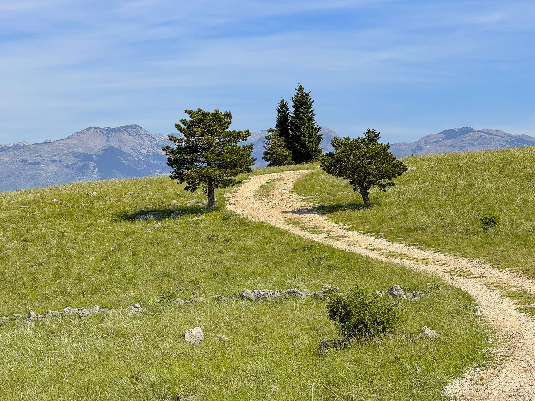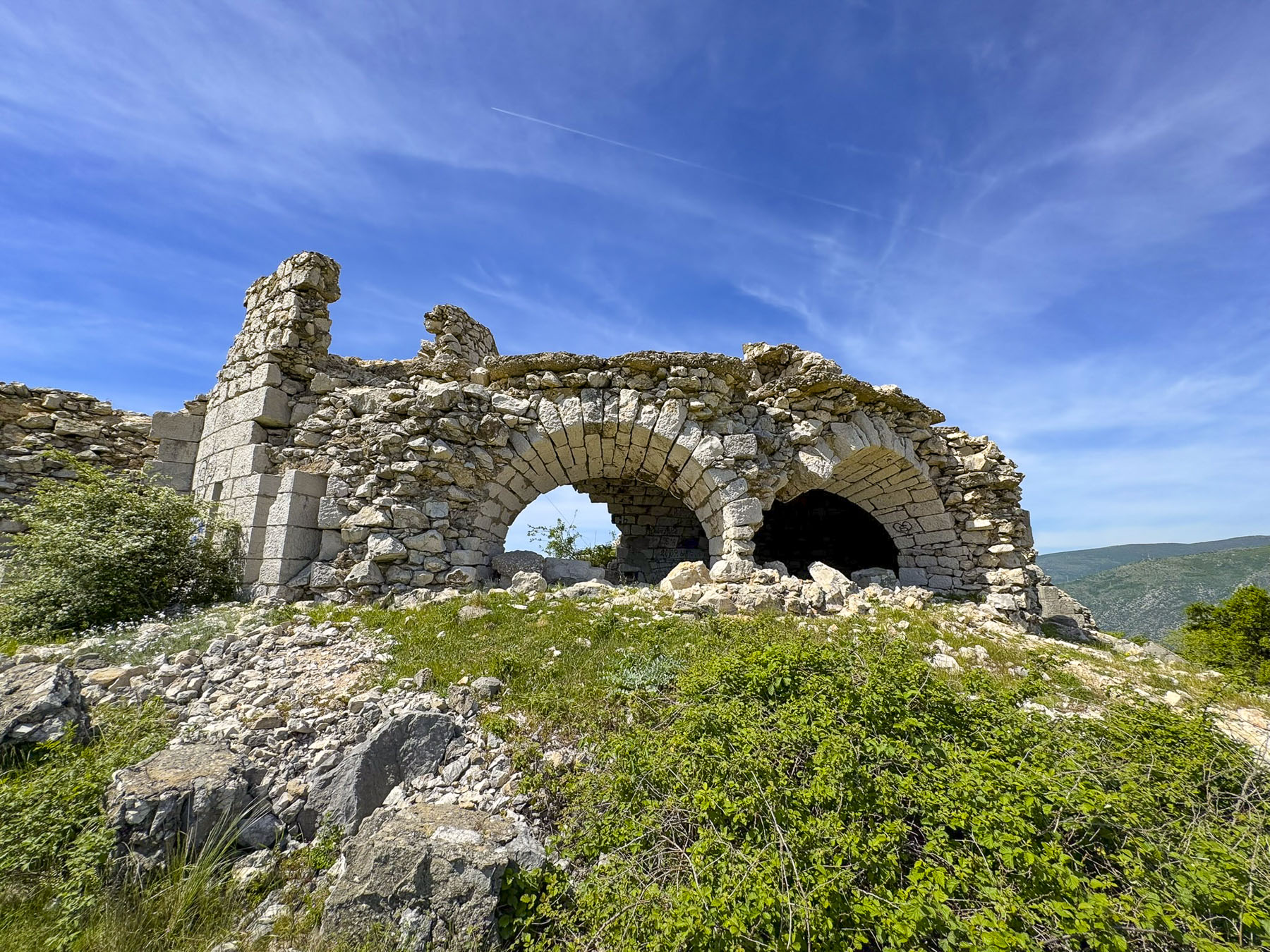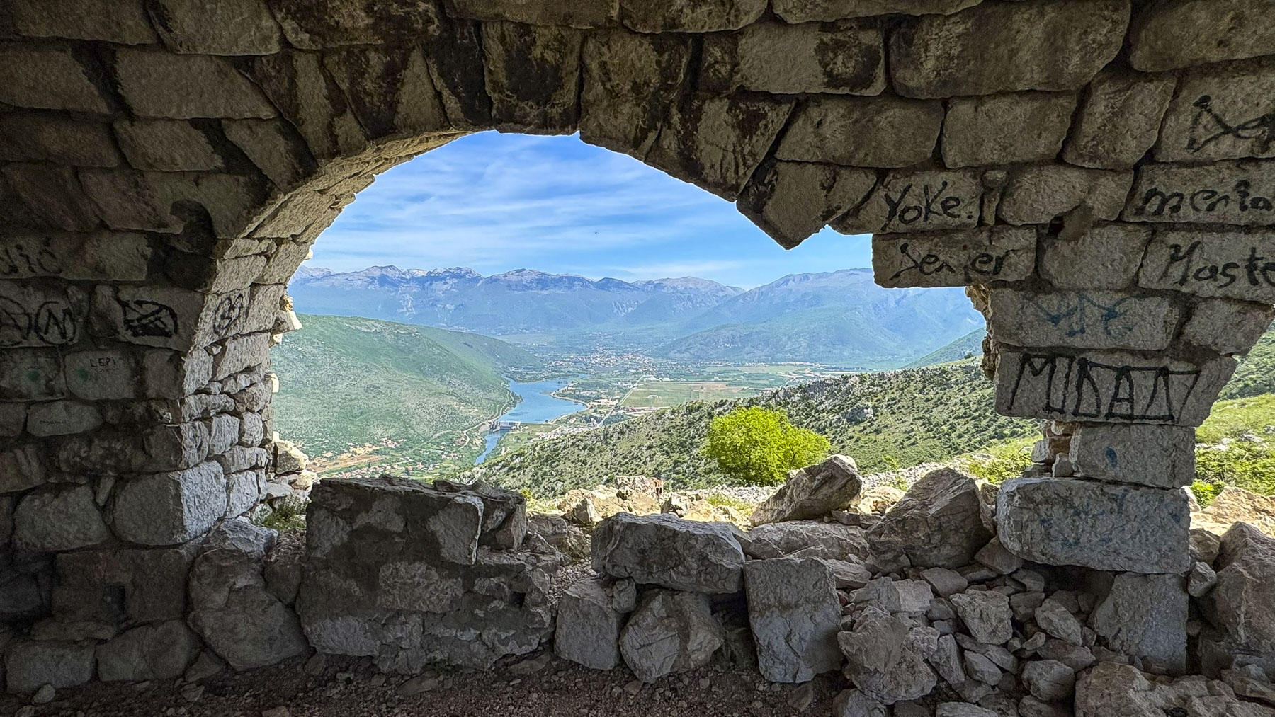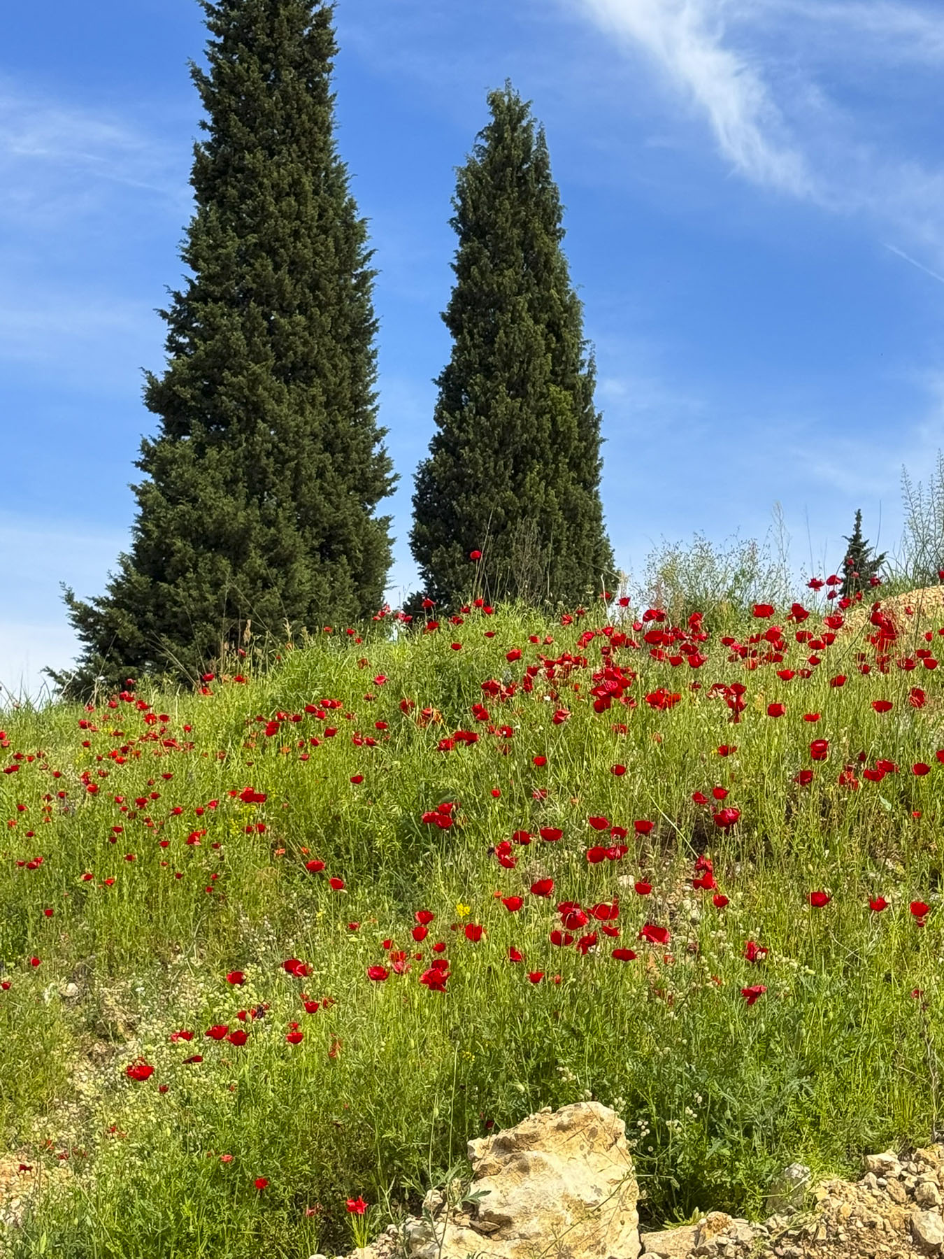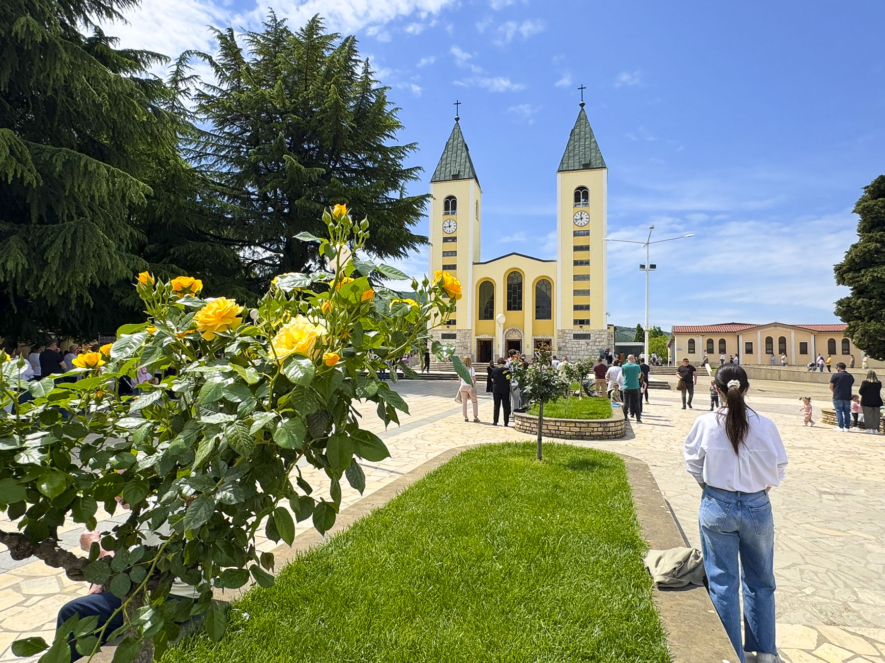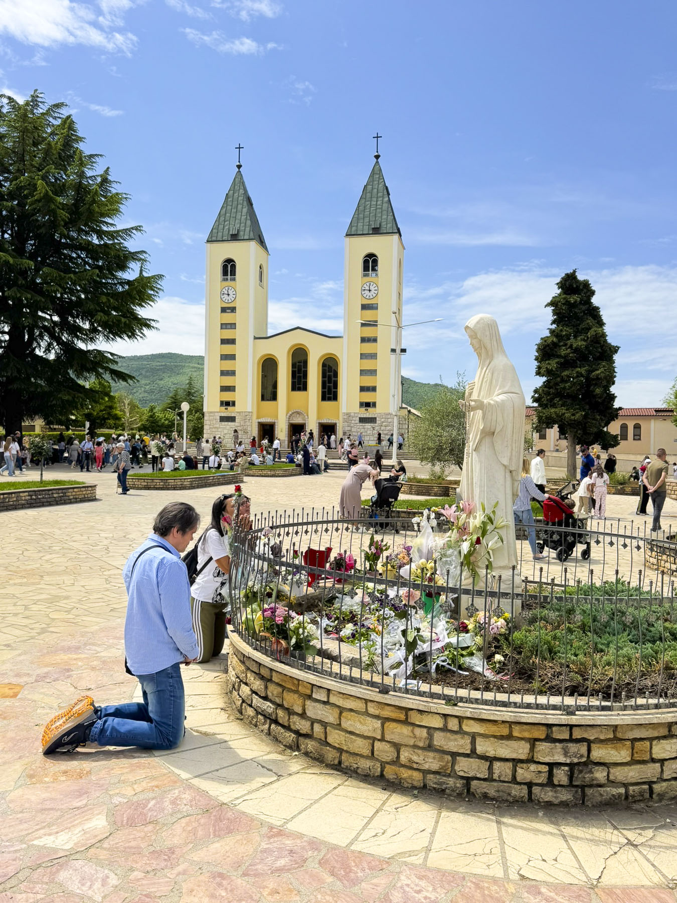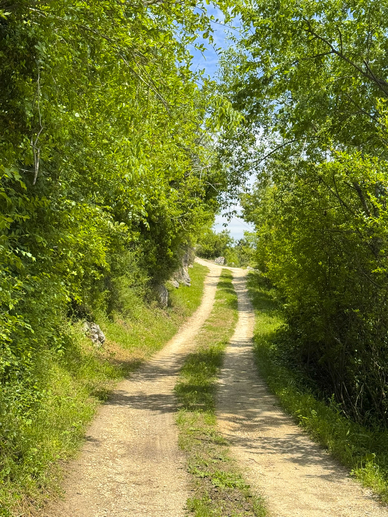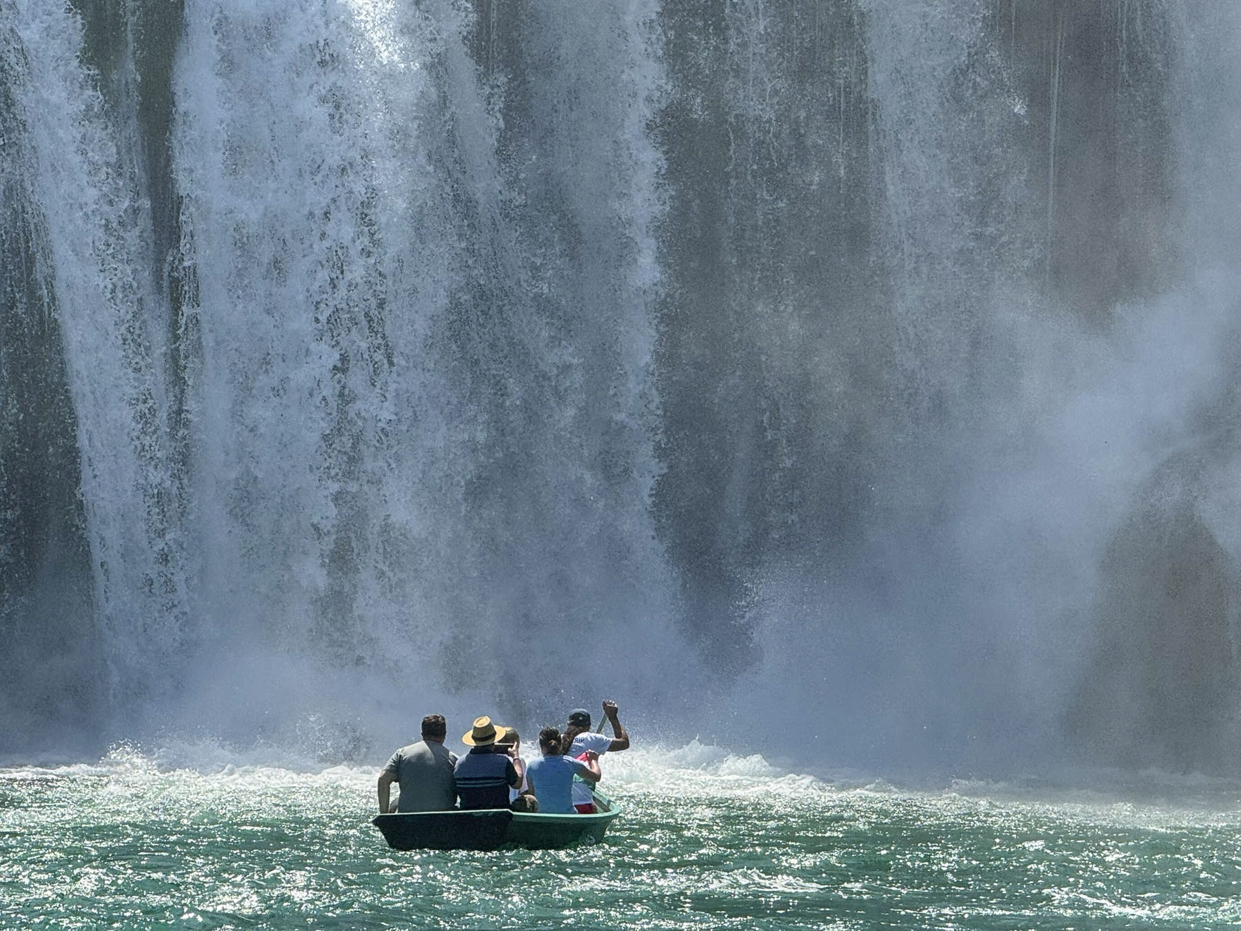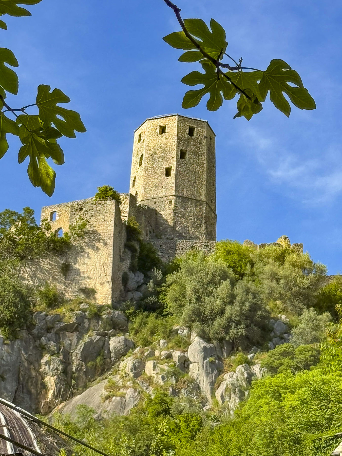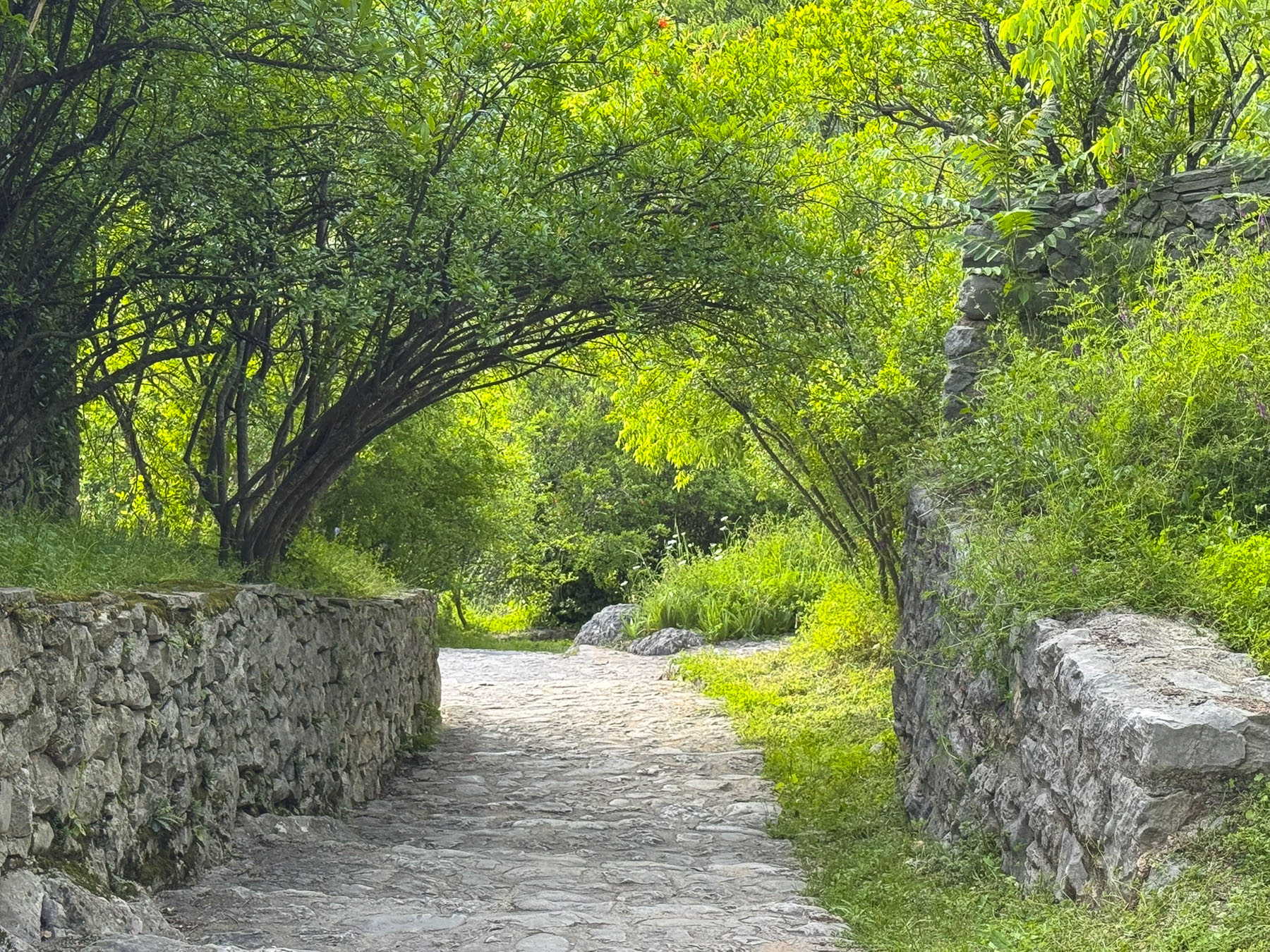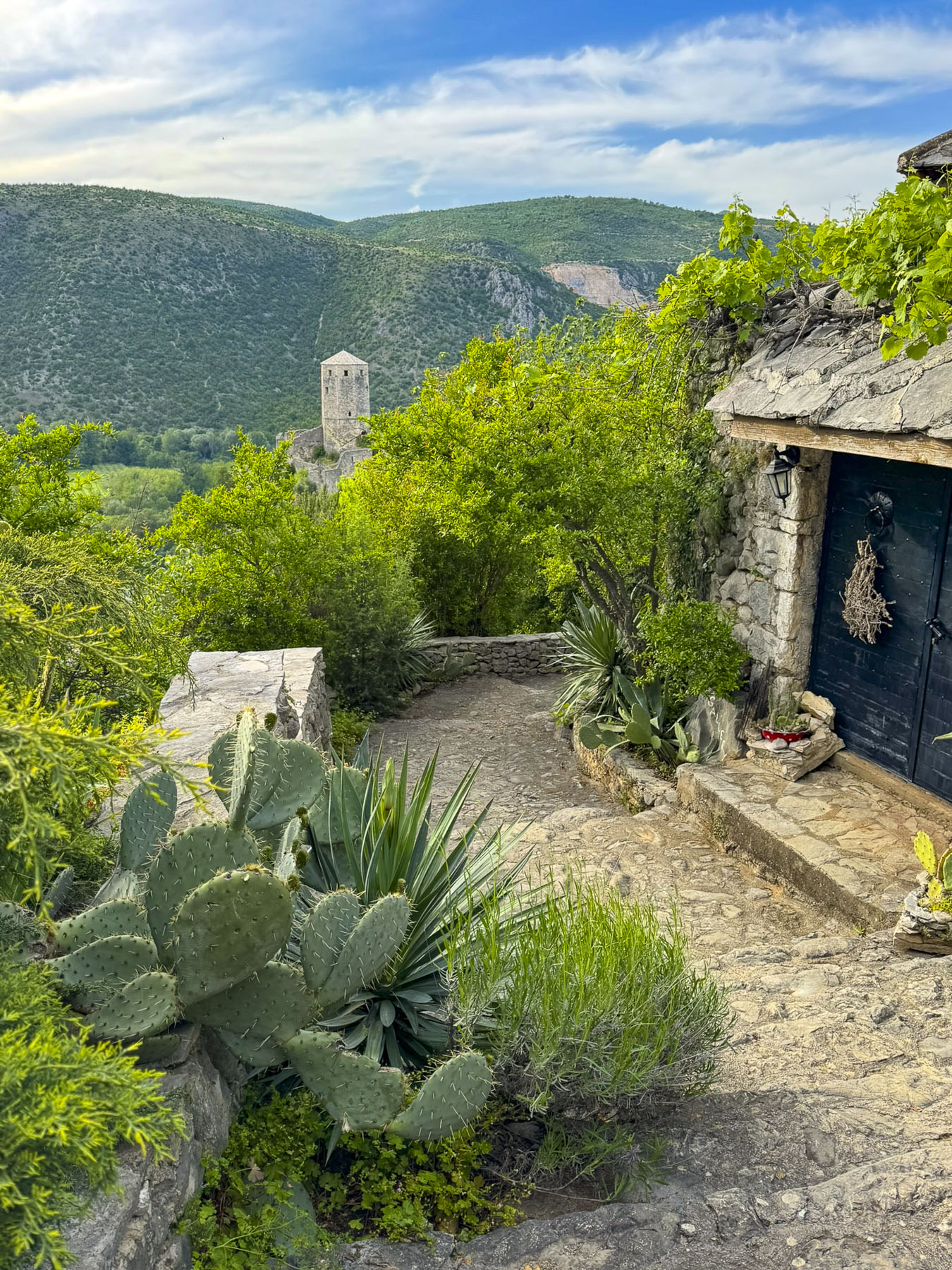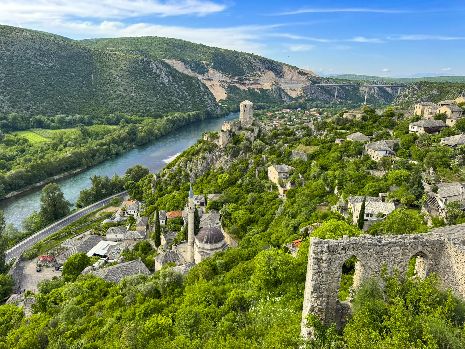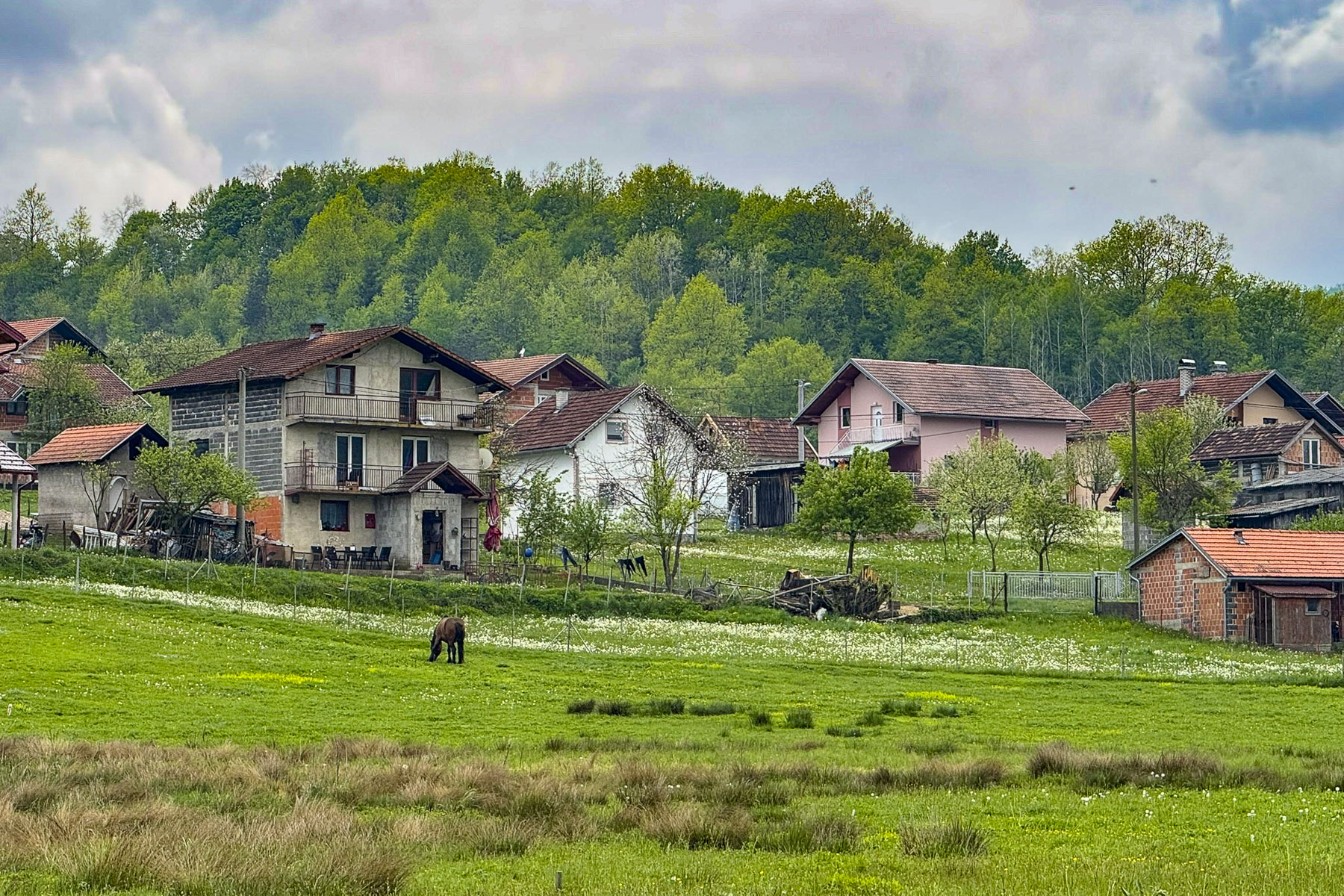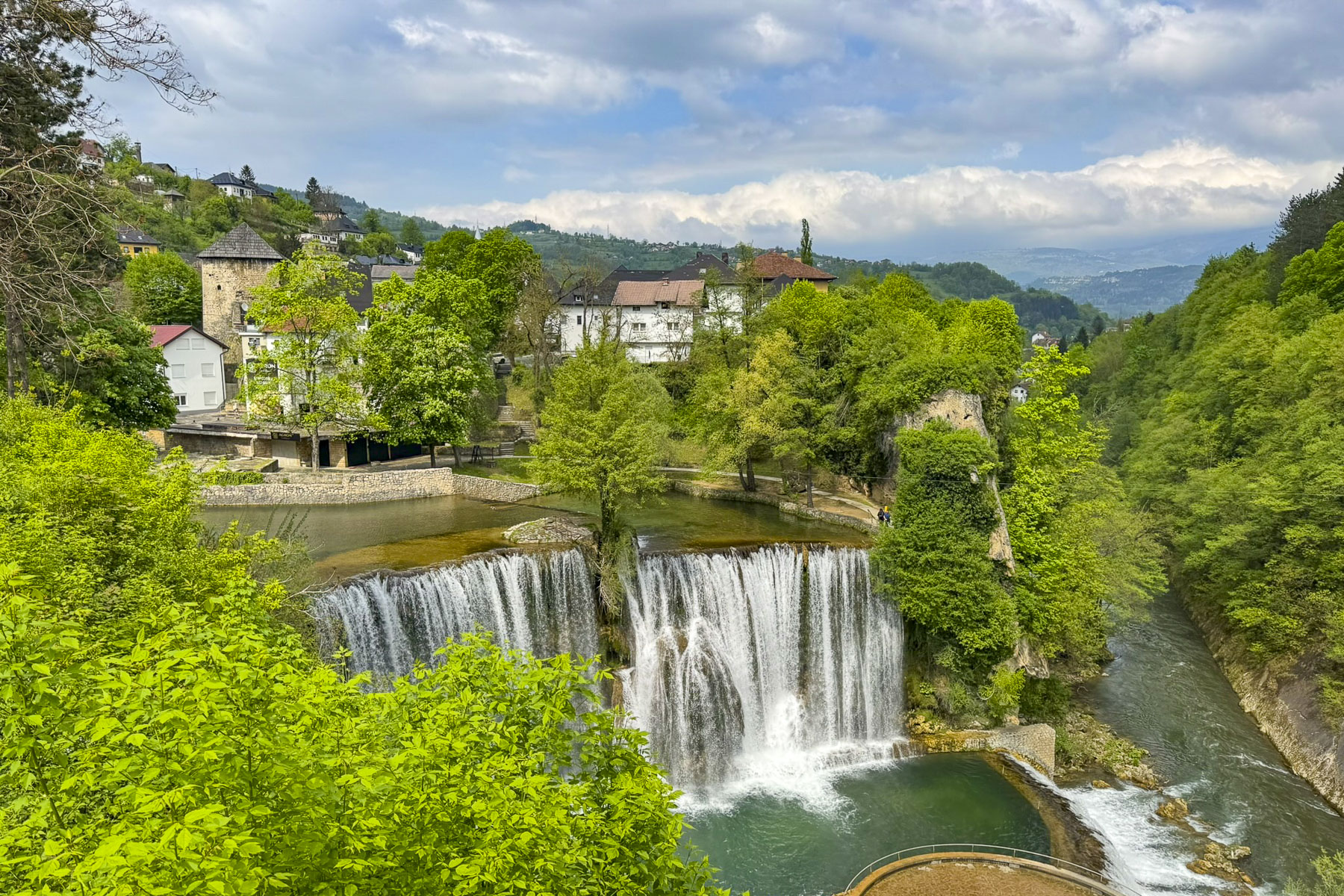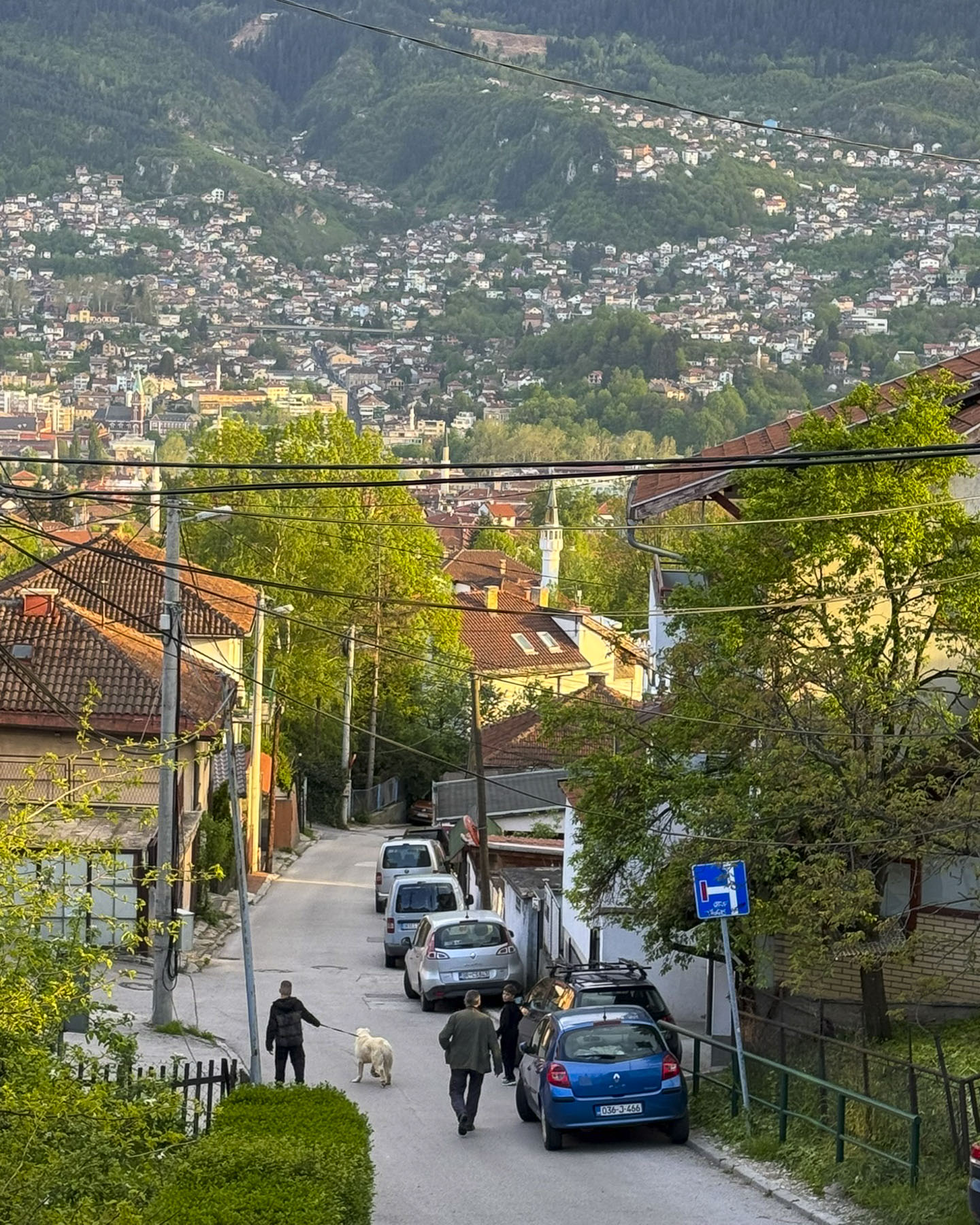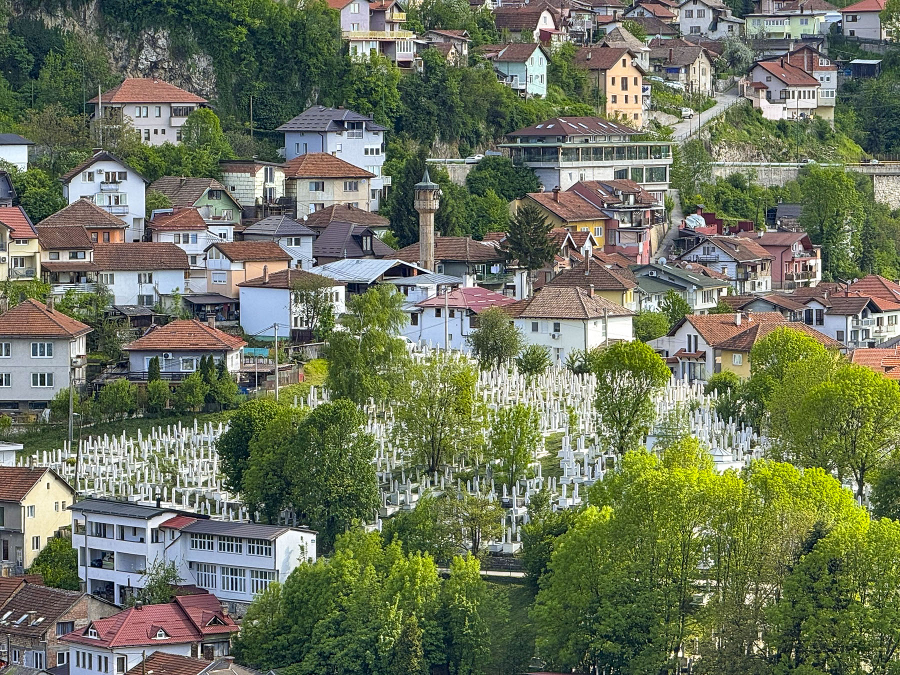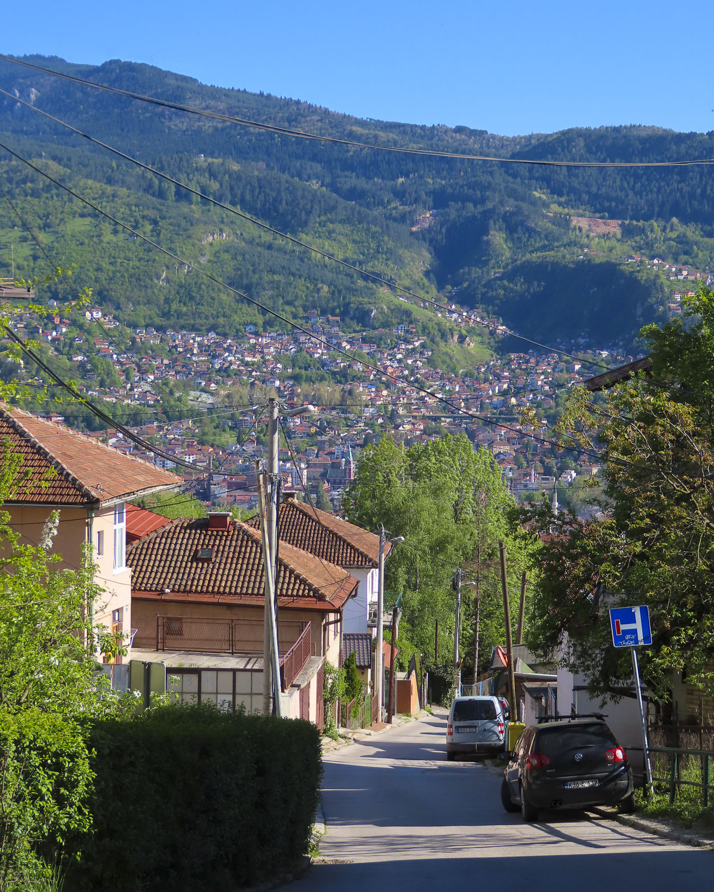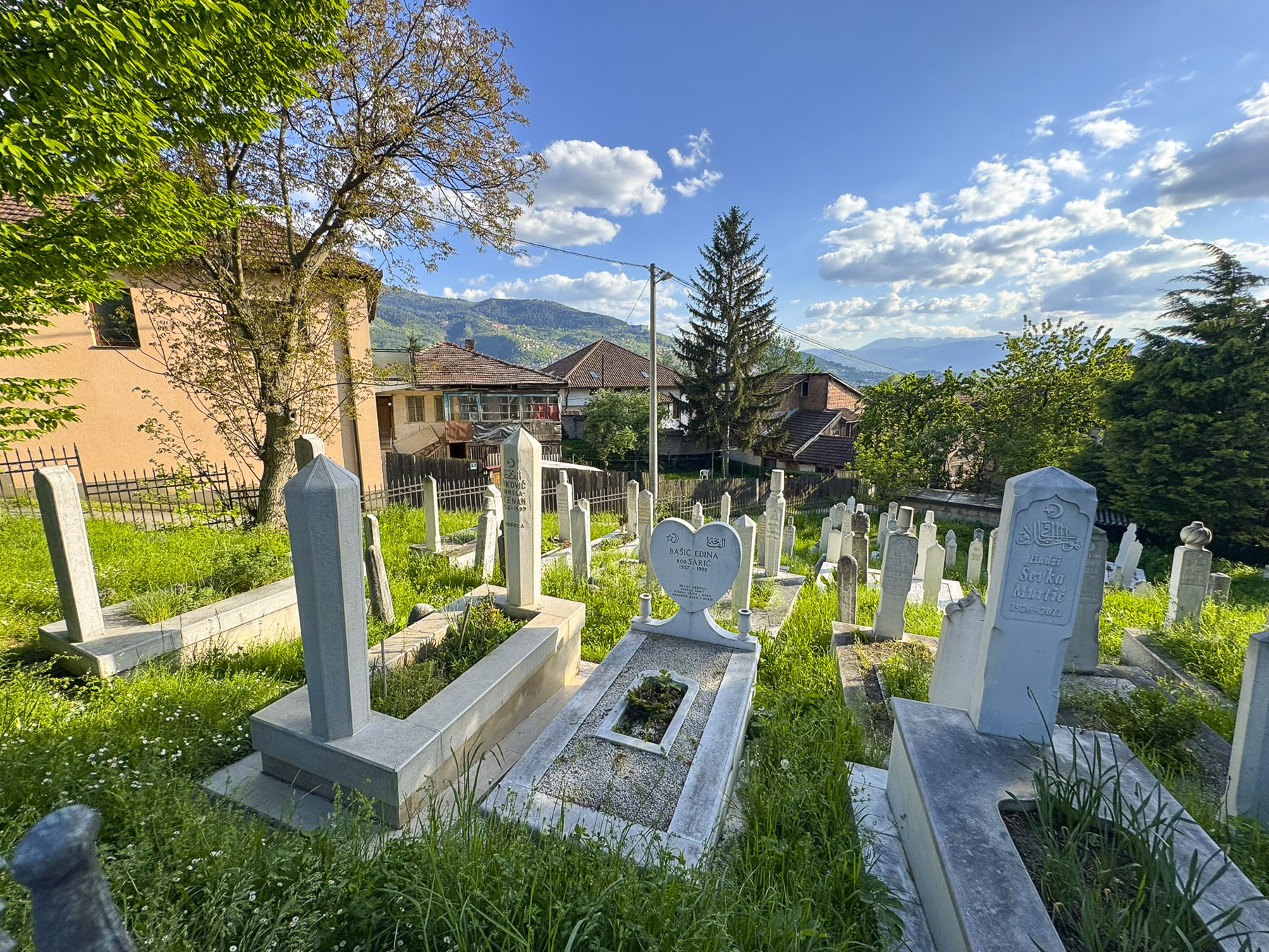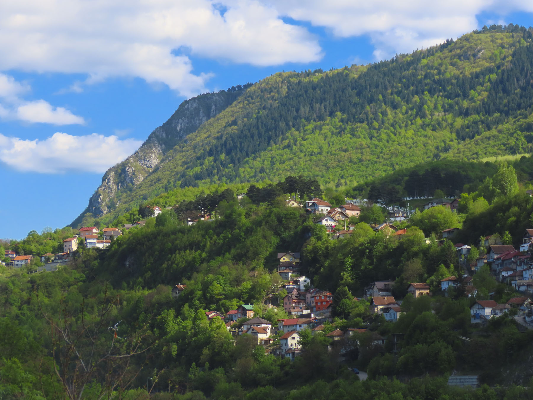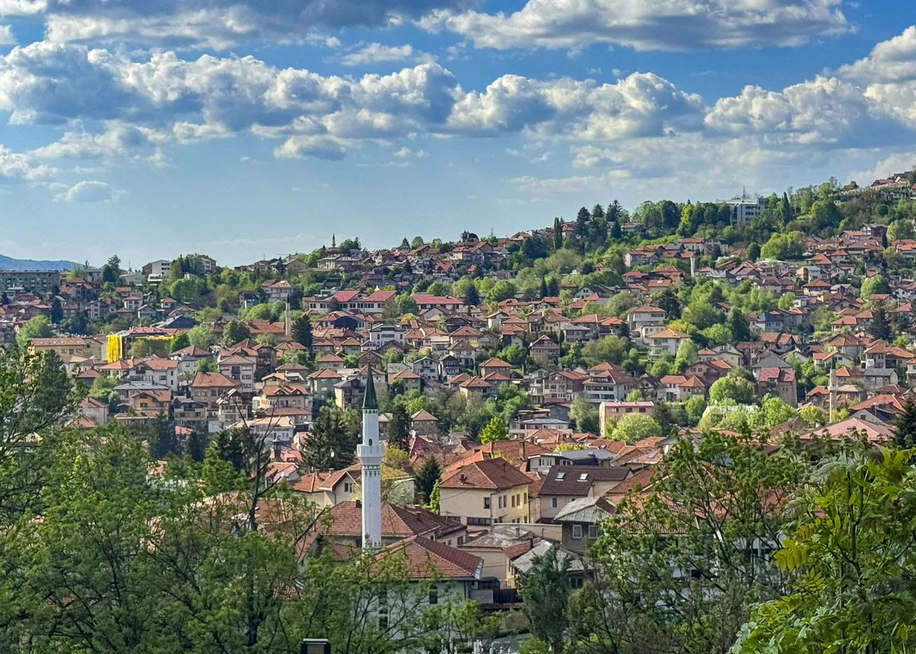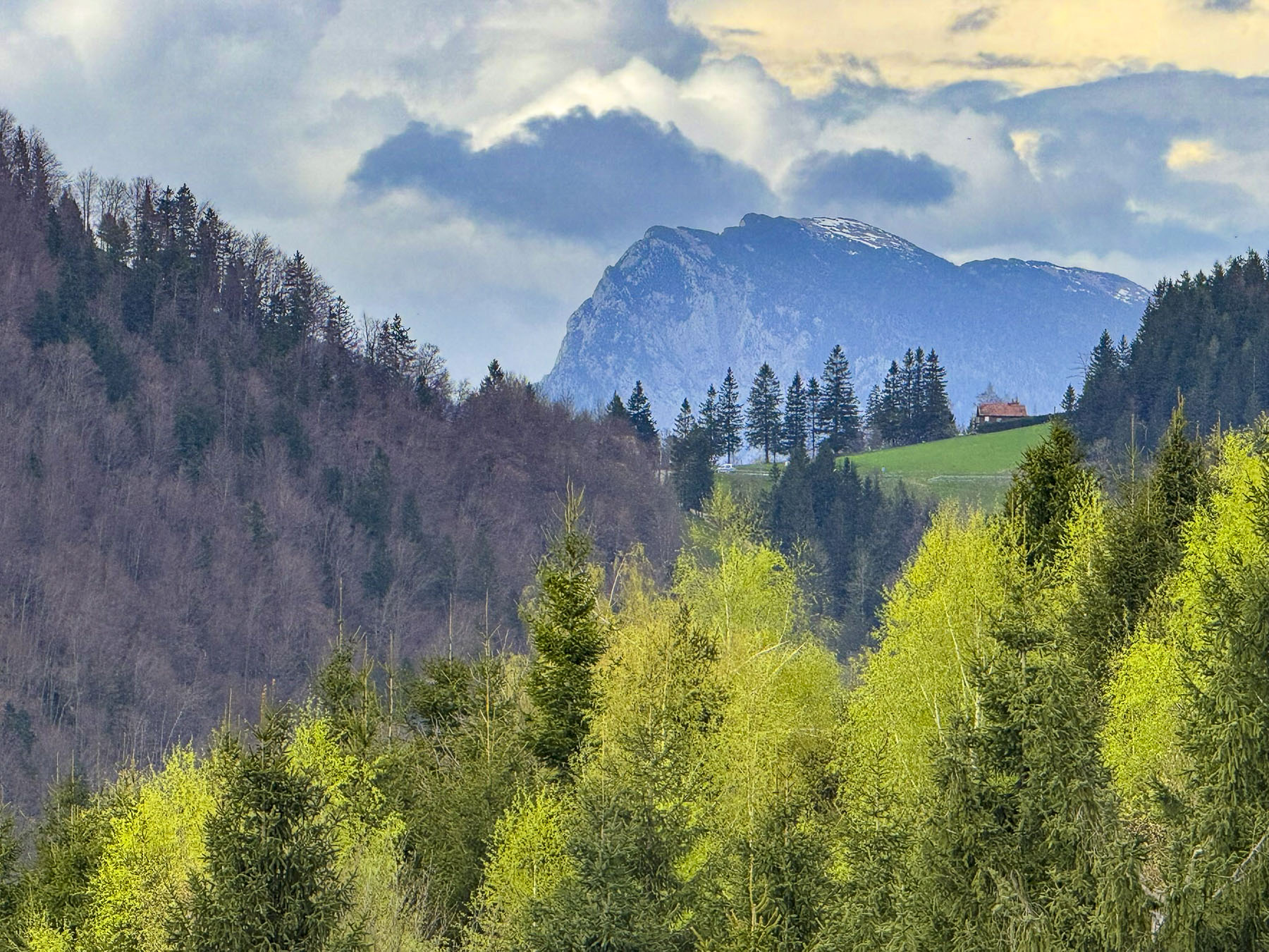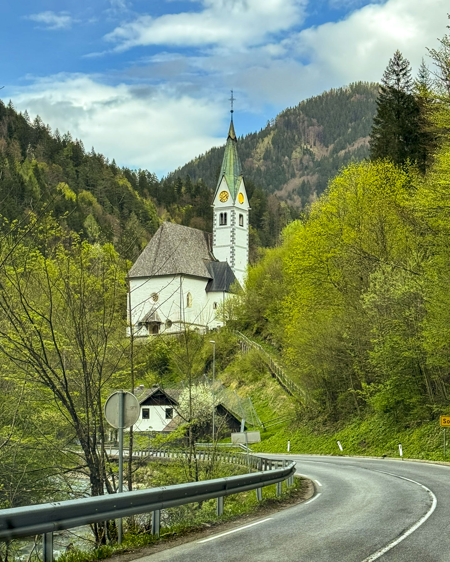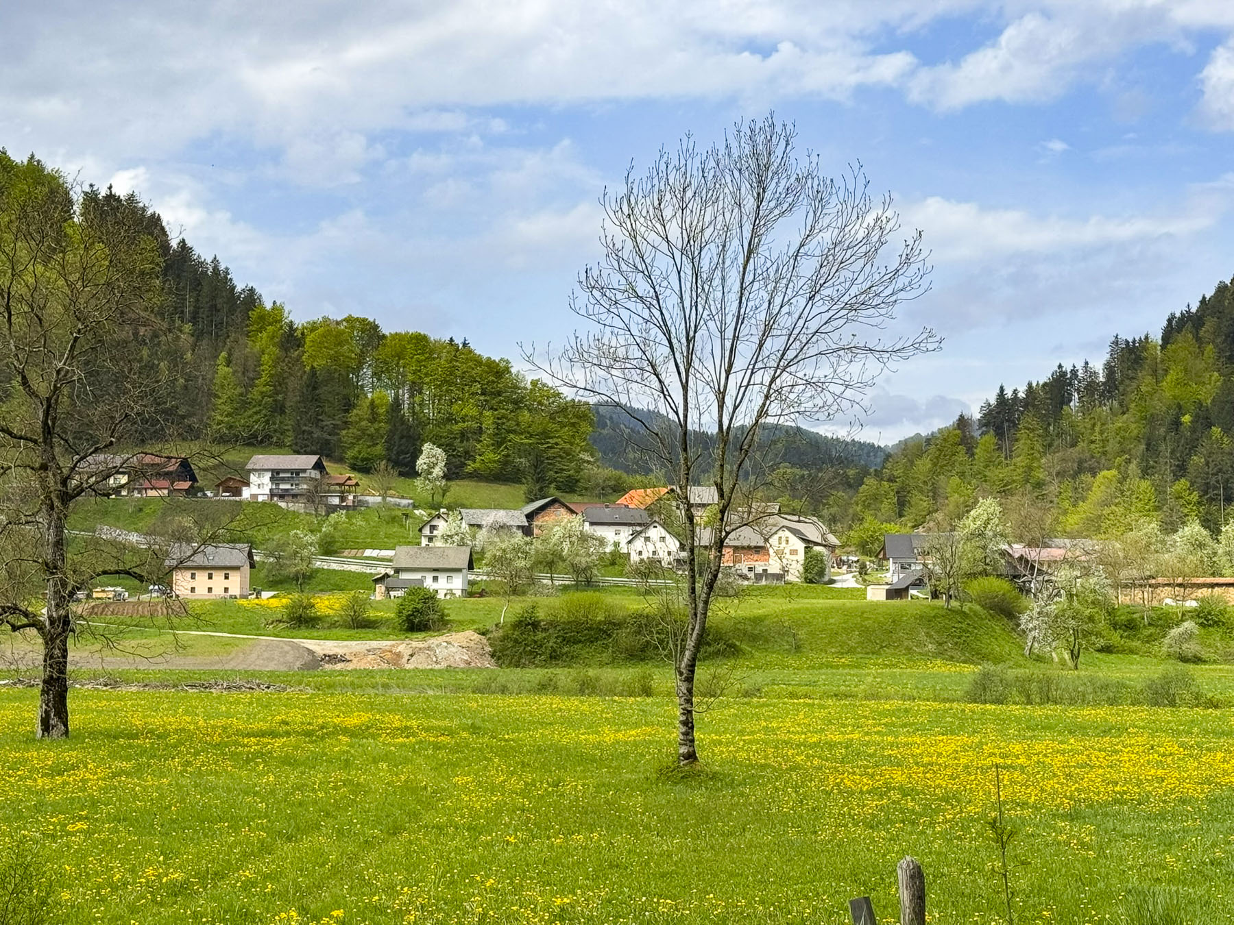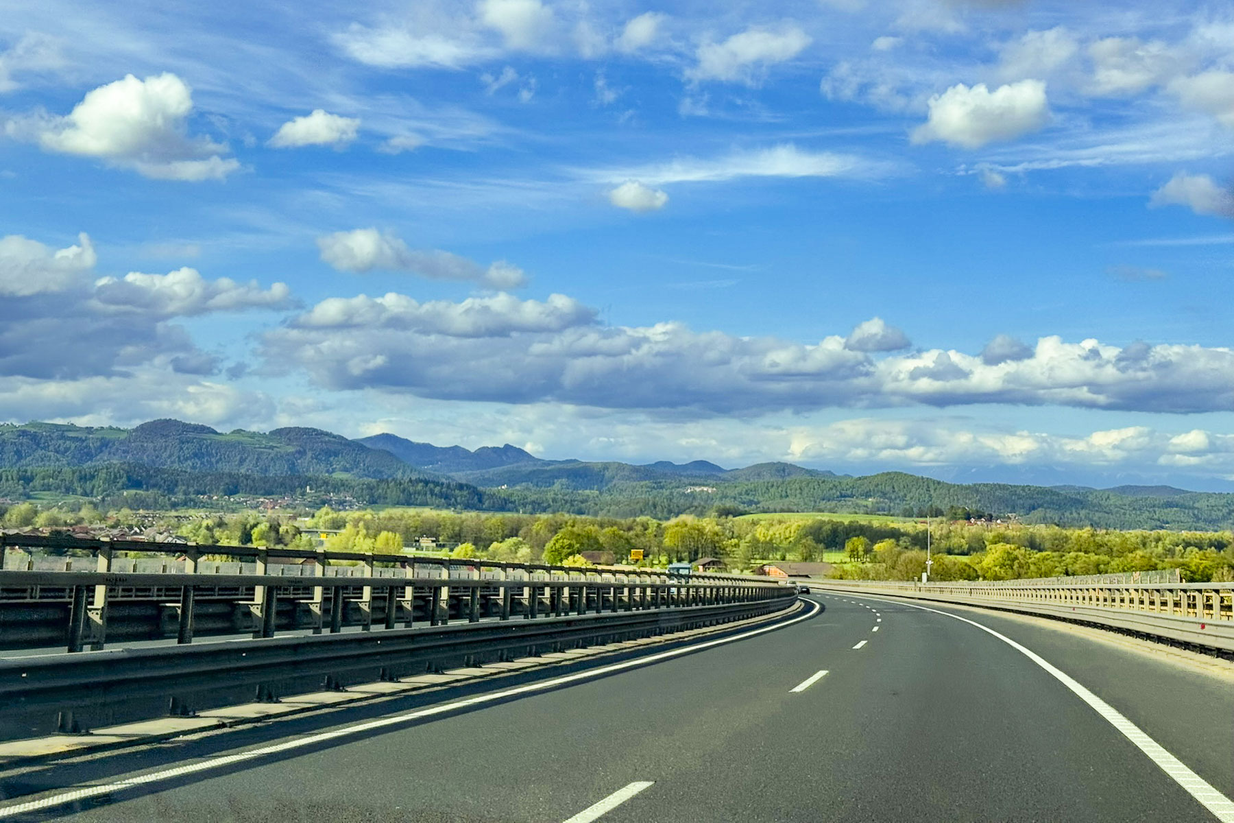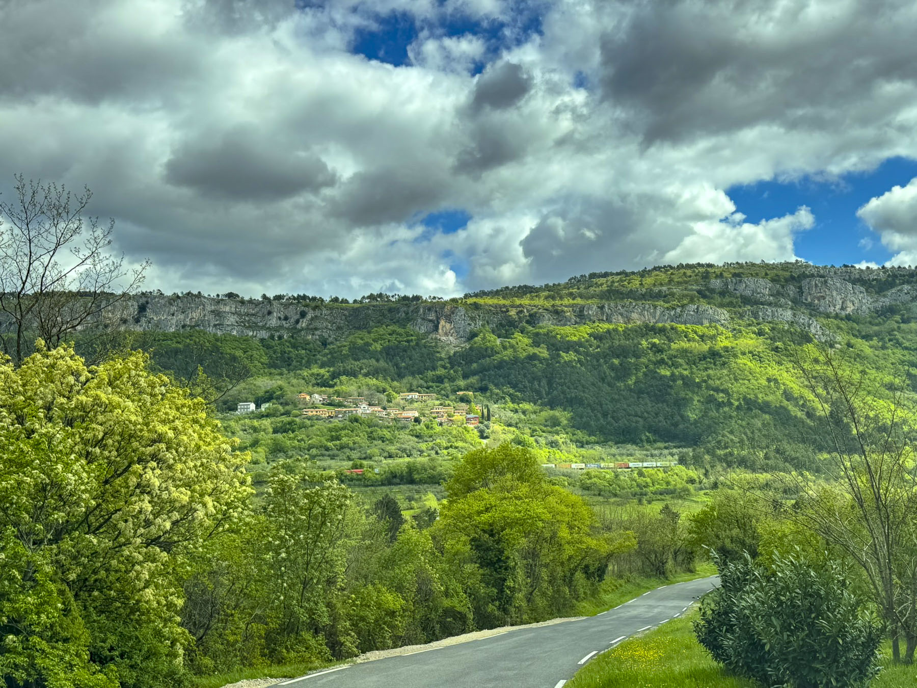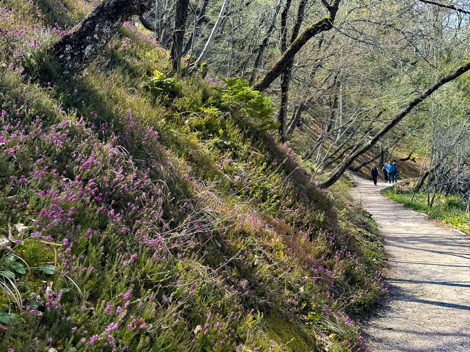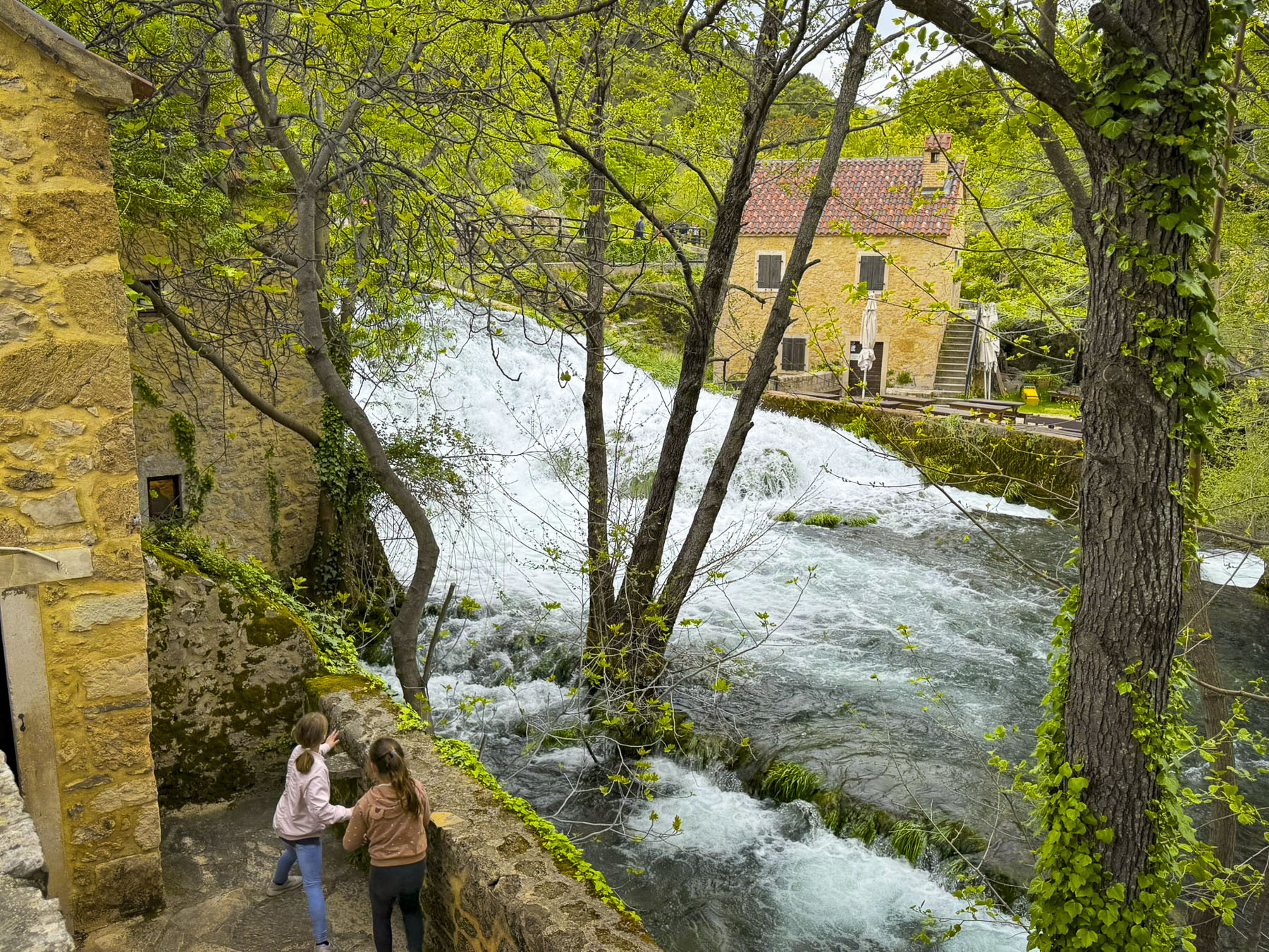
From Mostar our route along the M6.1 climbed above Stari Grad into karst mountains covered in a garrigue landscape freshly green with the colors of spring. Along the high road, sweeping views of farmlands, vineyards and orchards spread west to the horizon where the Biokovo Mountain range rose and separated Bosnia and Herzegovina from Croatia’s Dalmatian coast and the Adriatic Sea.
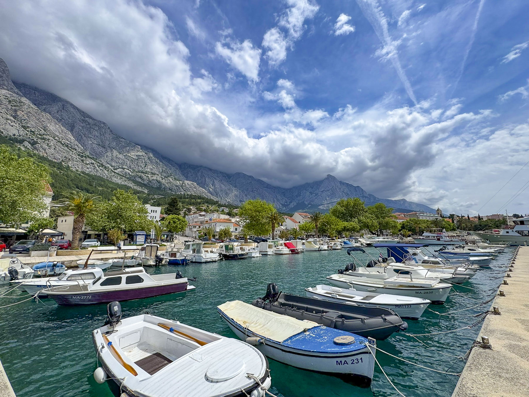
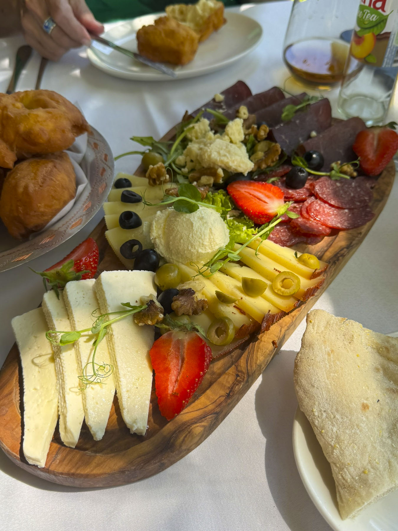
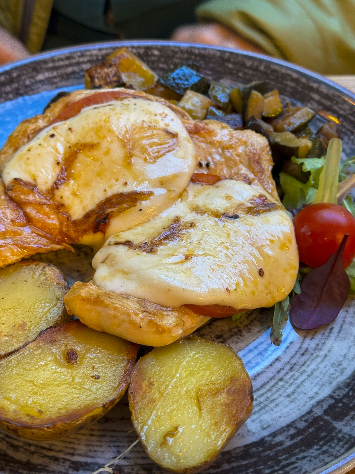
It wasn’t the fastest route to the ancient city of Split, but it avoided backtracking along roads that we had driven on during some day trips from Mostar, and allowed us to see a different part of the region. Getting our exit and entrance stamps at the Vinjani Gornji/ Osoje Border Crossing went smoothly and we were soon driving through the Sveti Ilija tunnel to the Makarska Riviera and Baška Voda. The town is dramatically set at the foot of the western slope of the Biokovo Mountains which tower above it and provide a dramatic backdrop to the beaches and harbor along the town’s waterfront. We parked and enjoyed lunch at a restaurant across from the harbor, one of the few eateries open midweek early in the May shoulder season.
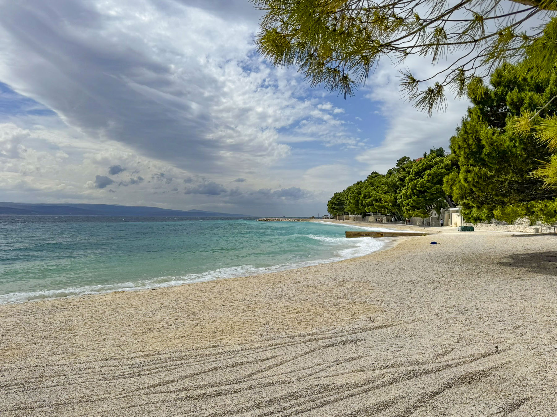
After lunch we strolled a little way along the Lungomare Promenade, a 60km (37mi) coastal walkway that starts north in Brela and runs south passing through pine forests, alongside pebble beaches, and seaside villages to Makarska, before ending in Gradac. During the summer high season Baška Voda’s crystal-clear Nikolina Beach is a popular destination along the promenade. It’s been a Blue Flag beach since 2006 and is often listed as one of the nicest beaches in the Mediterranean. The town is also a favorite spot to splurge on a boat hire to explore the nearby islands of Brač and Hvar.
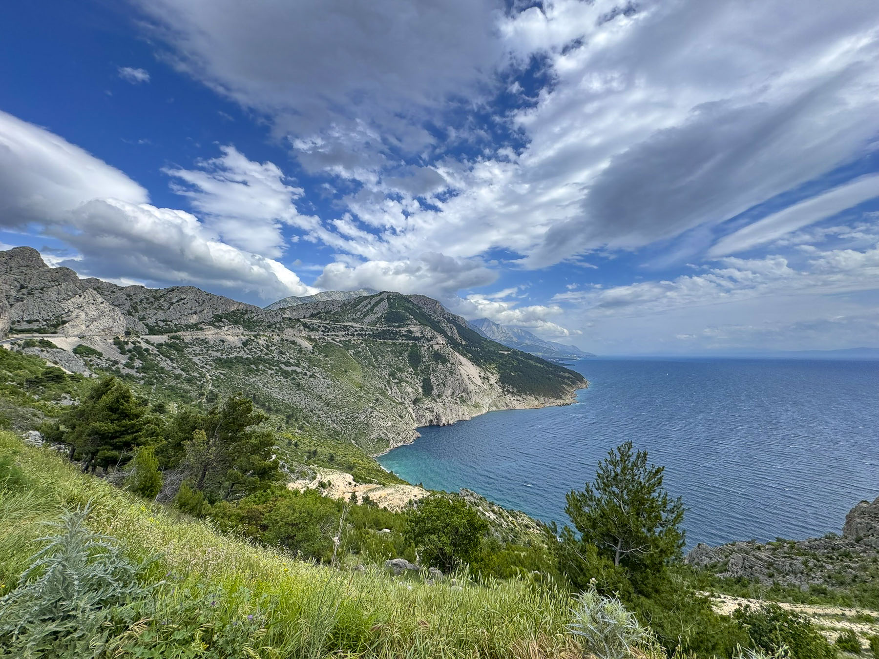
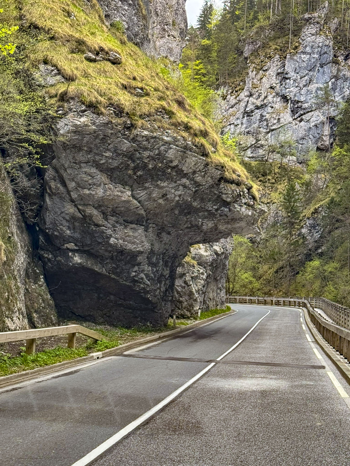
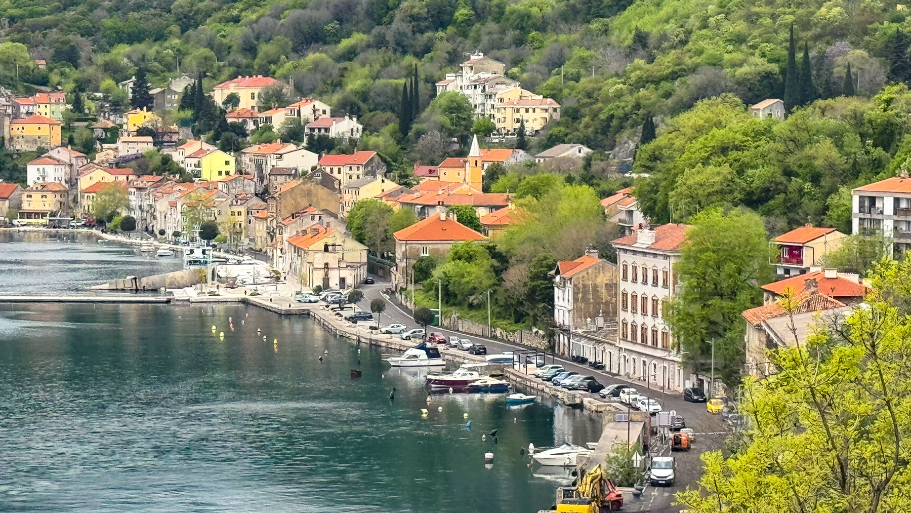
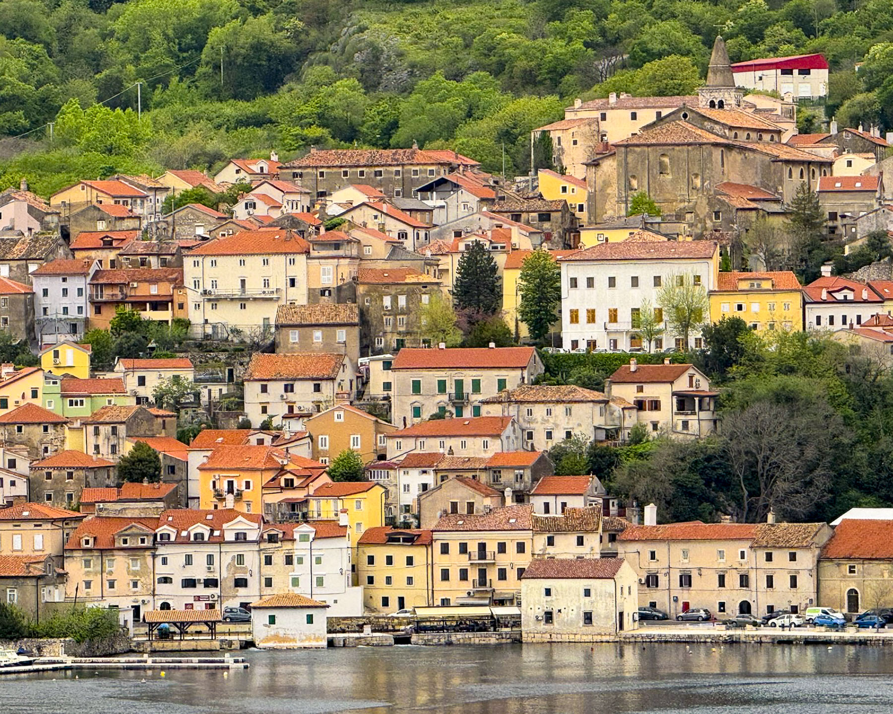
The ride north along coastal Rt8 was gorgeous, and we stopped at nearly every scenic overlook along the way. Outside of Dubci the Stella Maris lookout provided a fabulous vista to the south of the rugged Makarska Riviera.
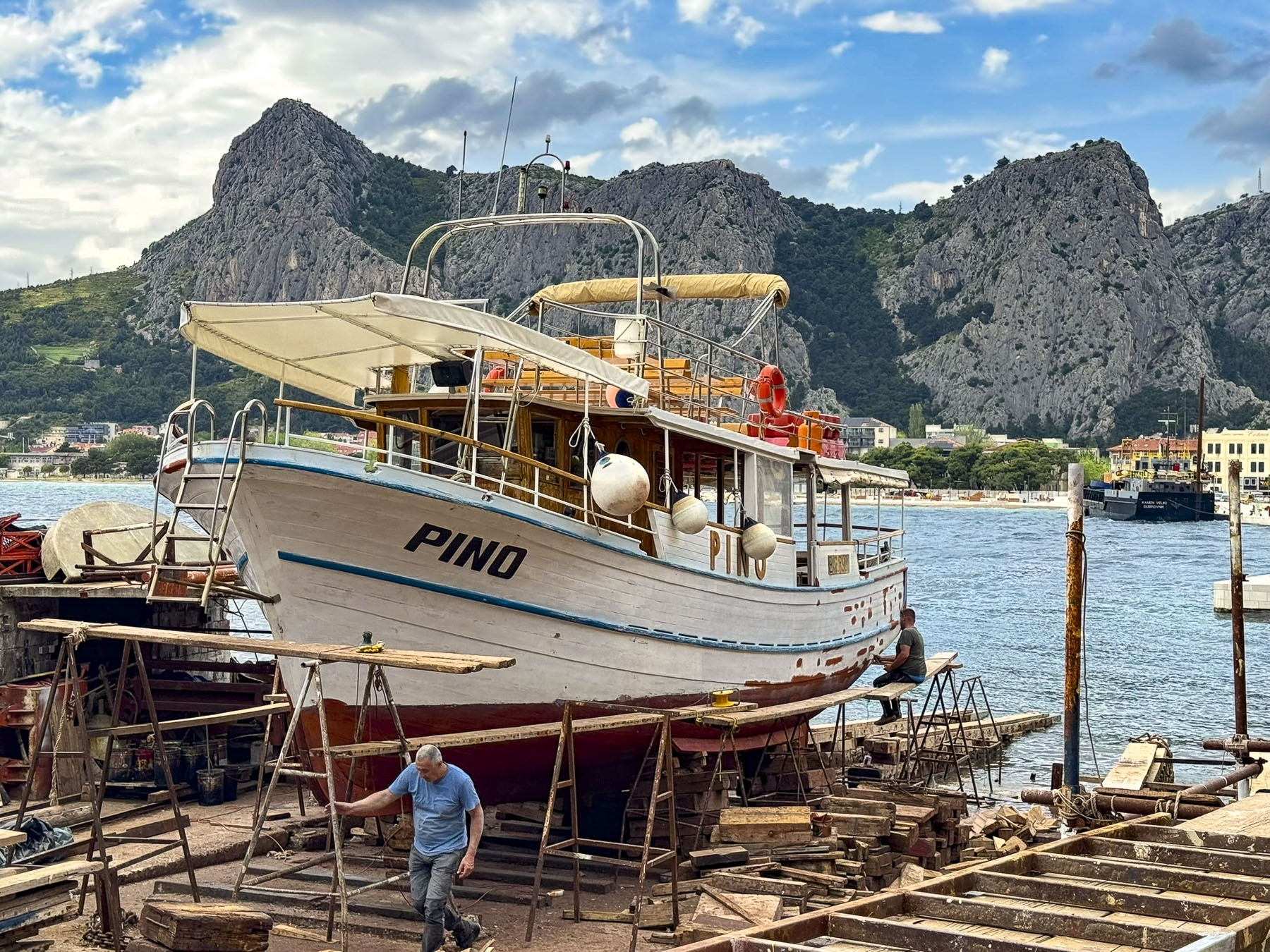
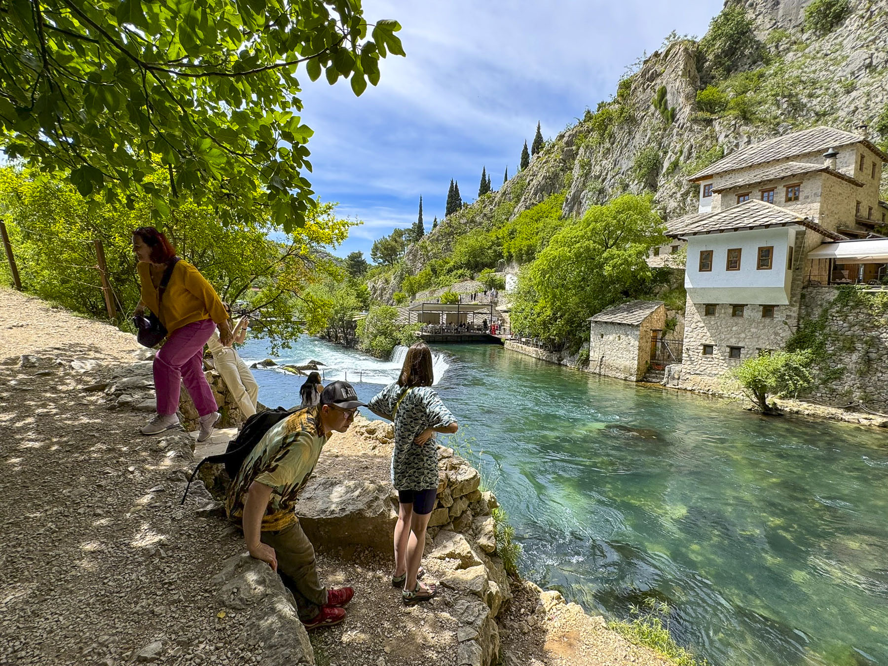
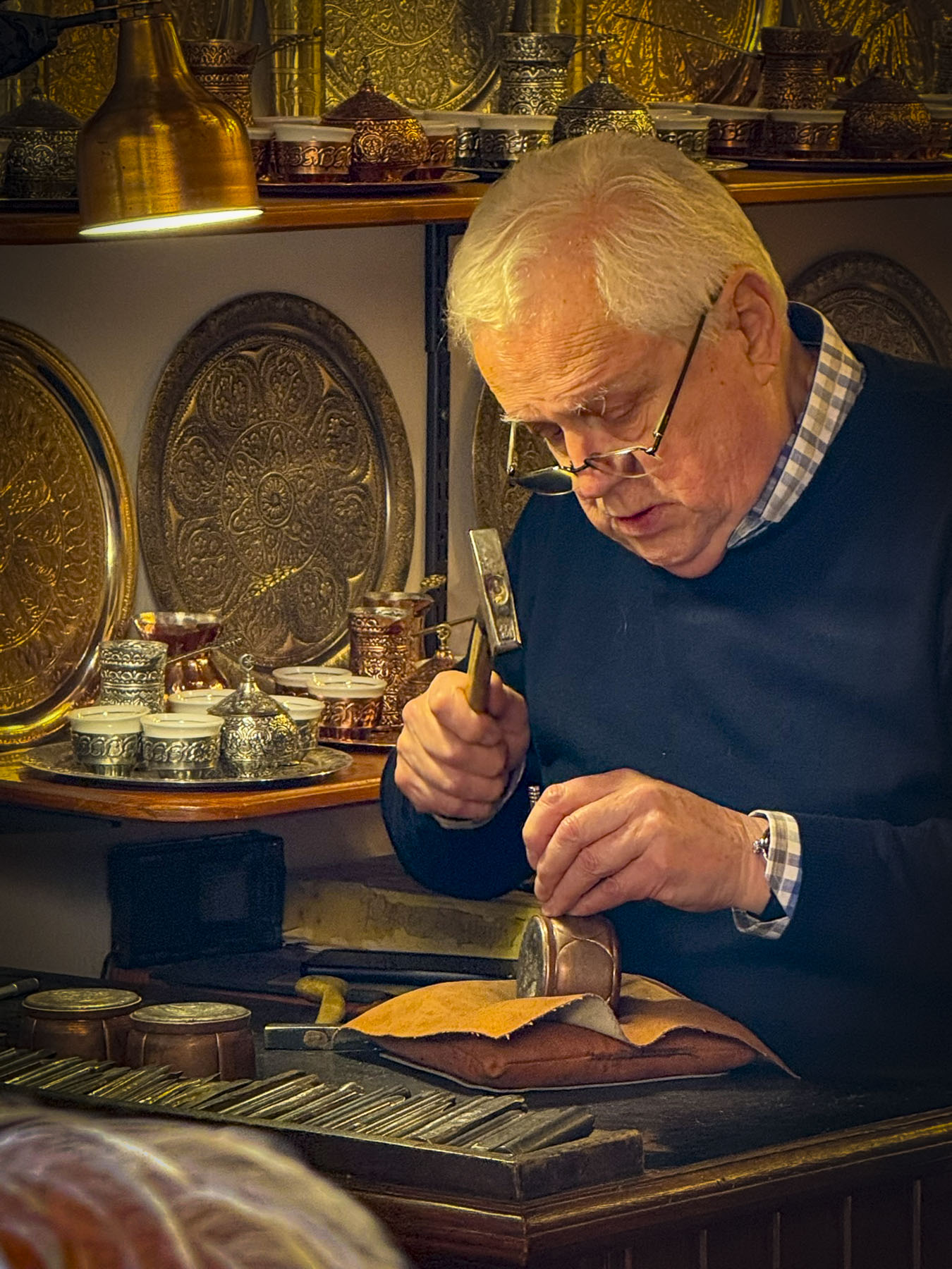
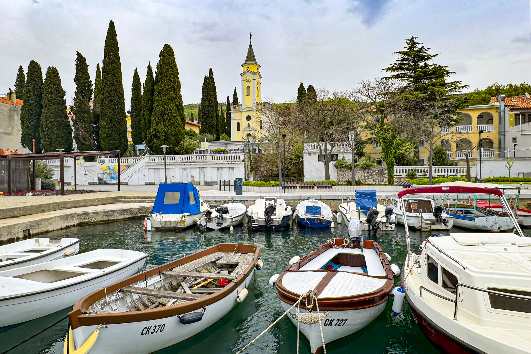
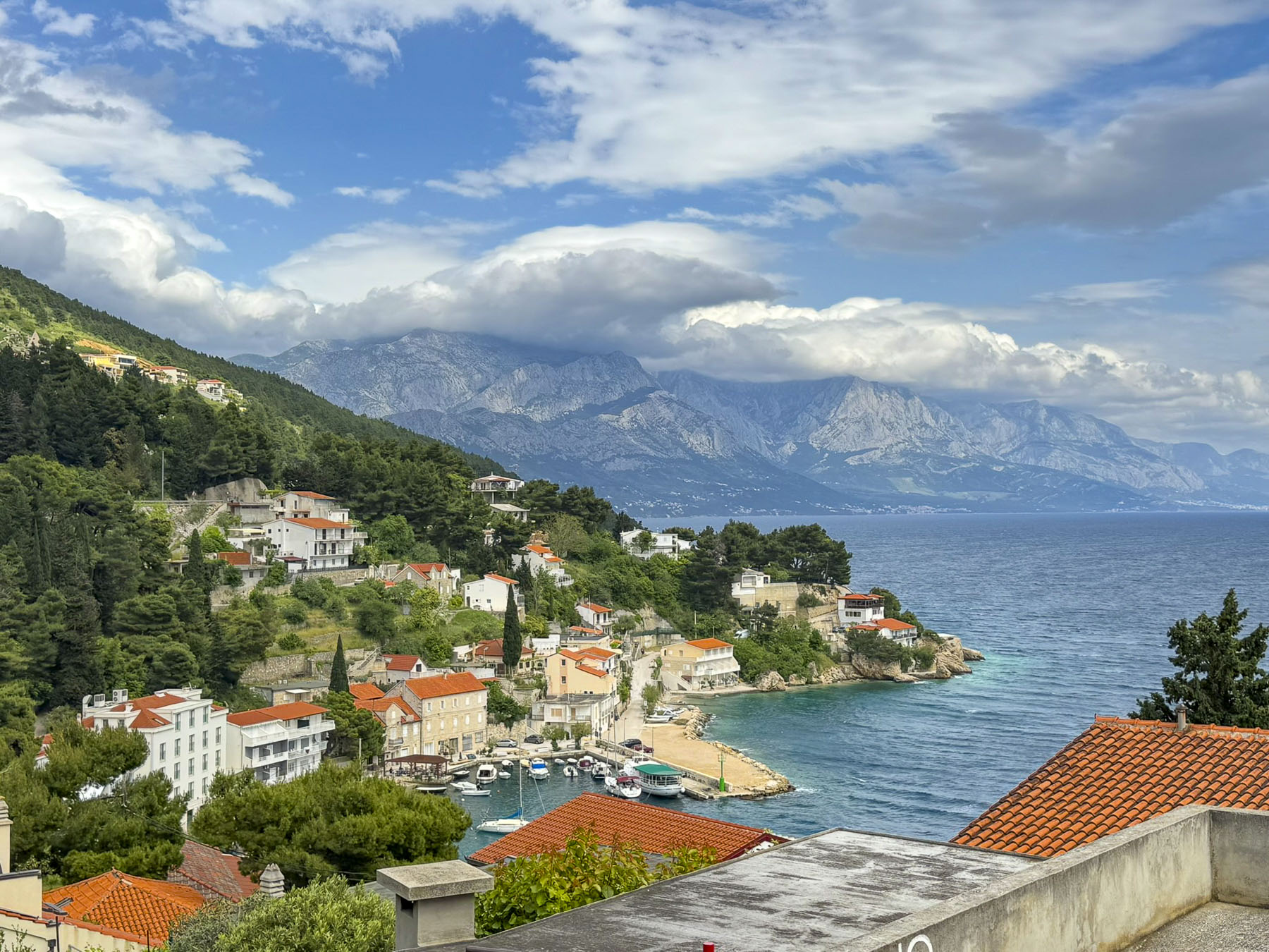
Some of the towns along the way hosted large marinas filled with massive superyachts and sailboats of every size, where boatyard workers were busy readying the vessels for the start of the warm weather boating season. Our favorite sight though was the shipwright, who was extending the life of one, old wooden tour boat for a few more years, in a small boatyard along the side road in Omiš.
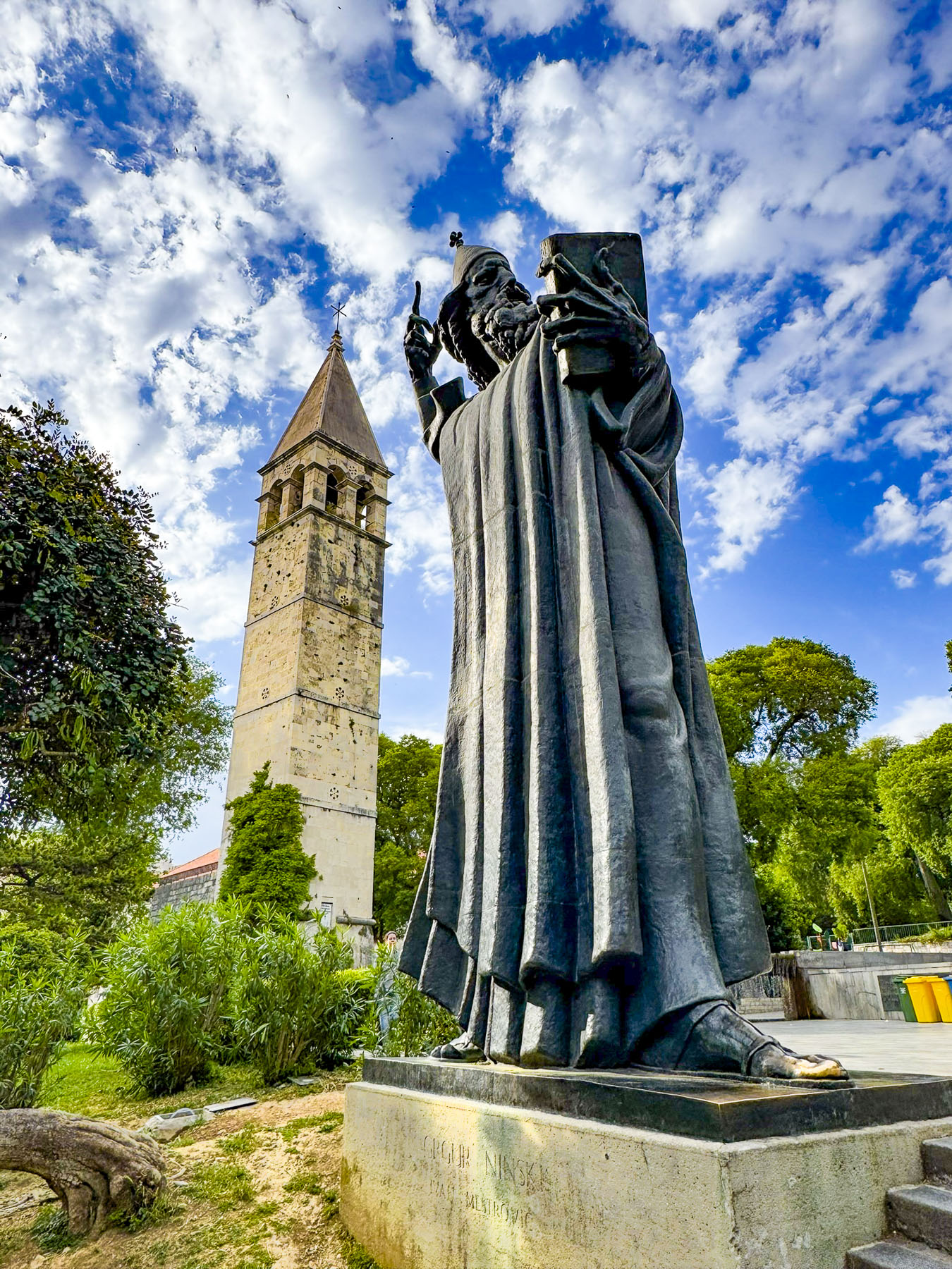
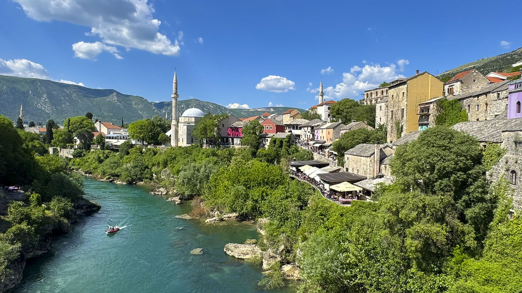
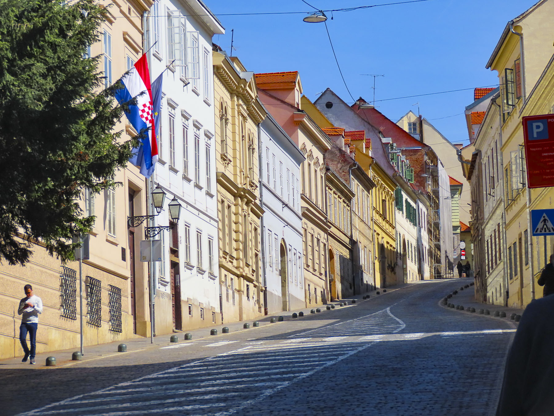
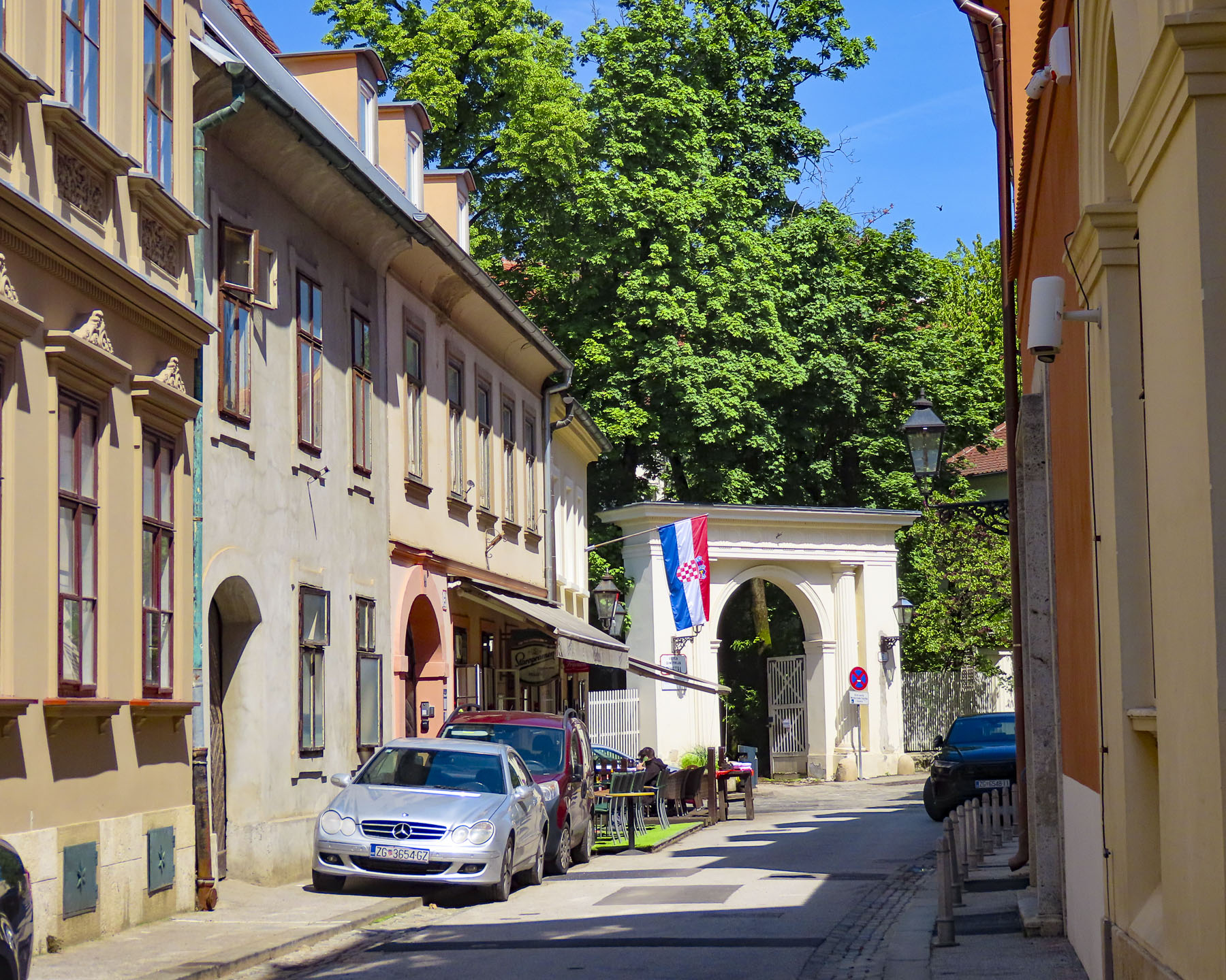
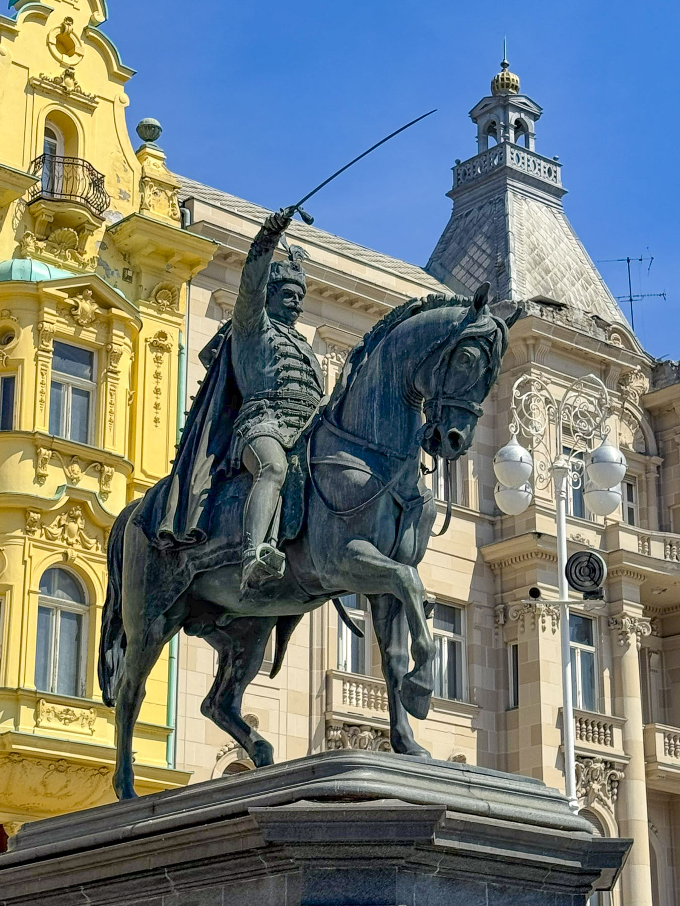
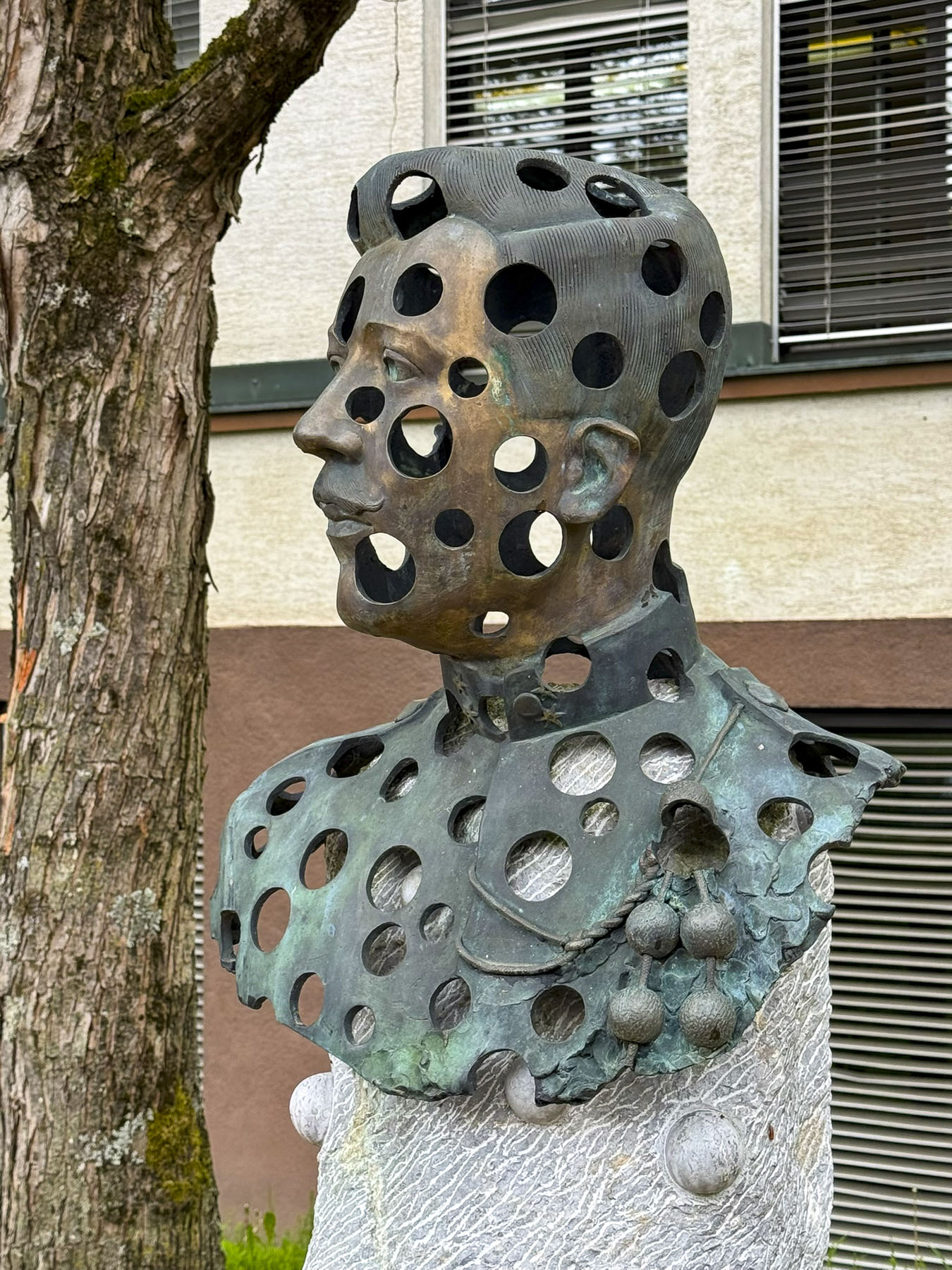
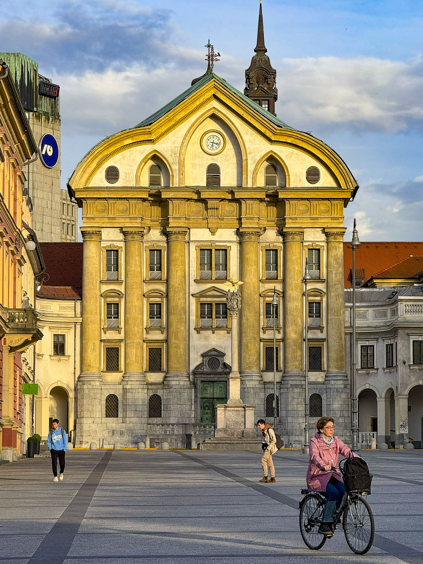
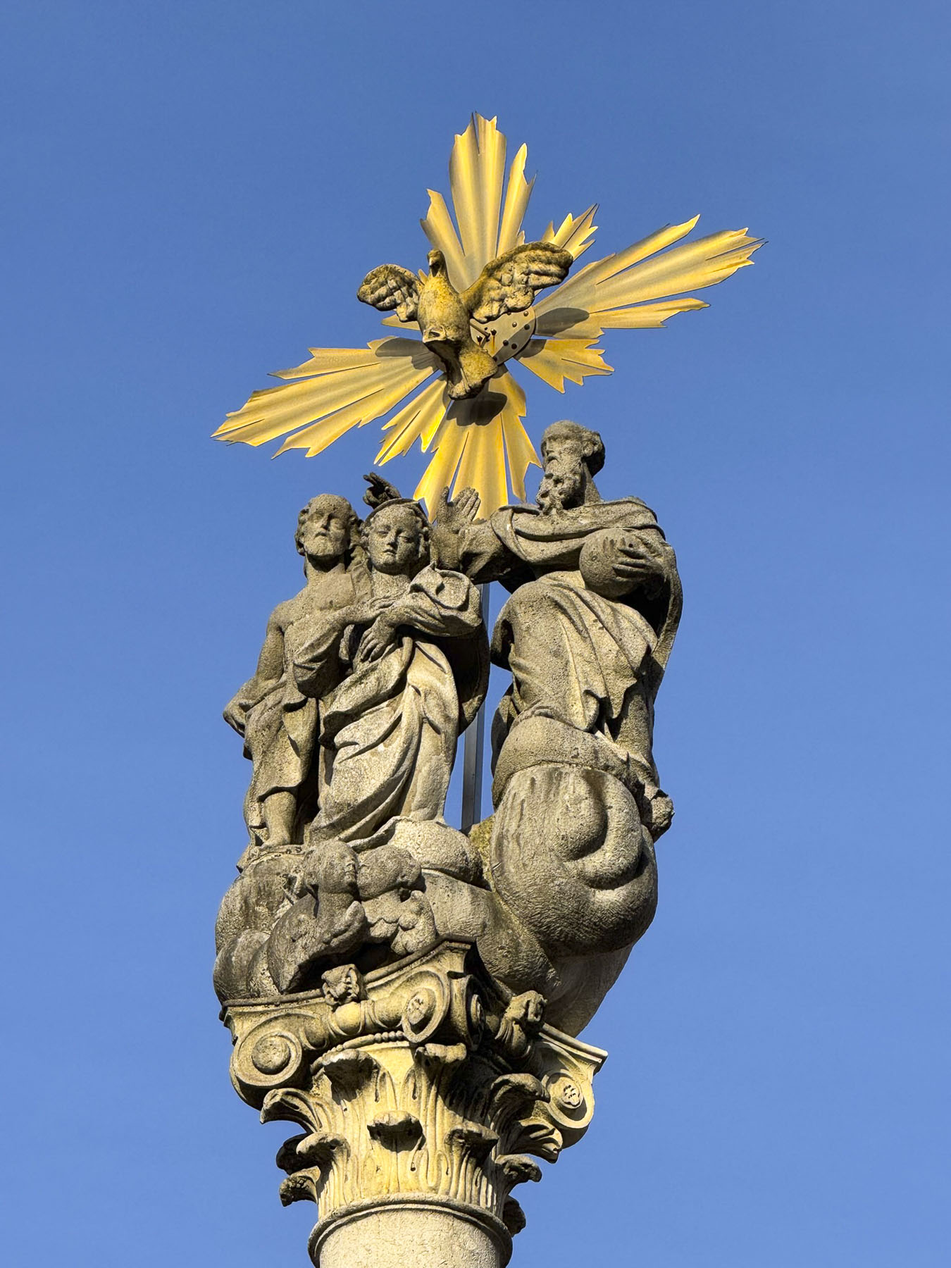
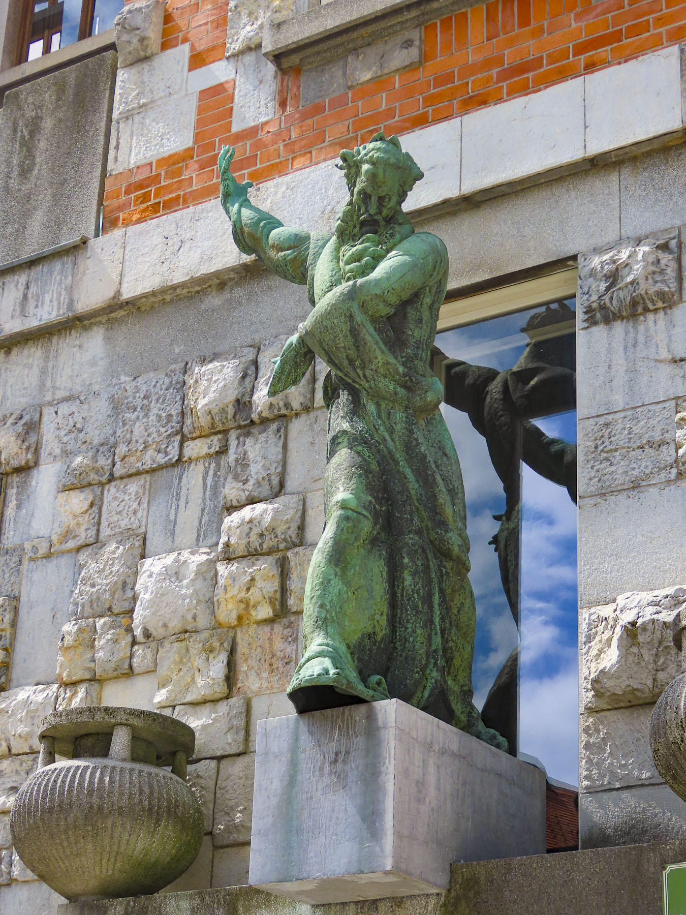
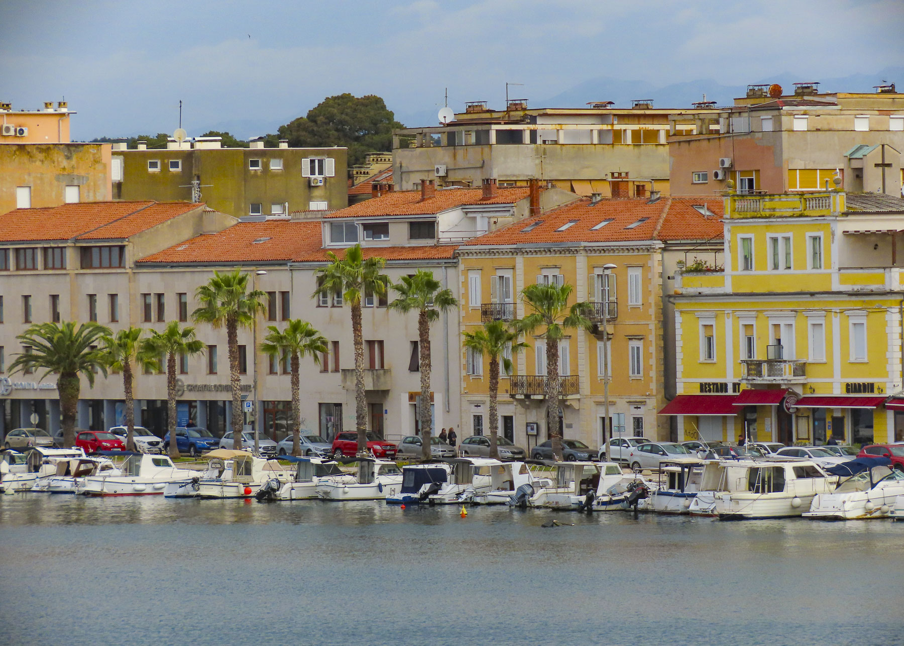
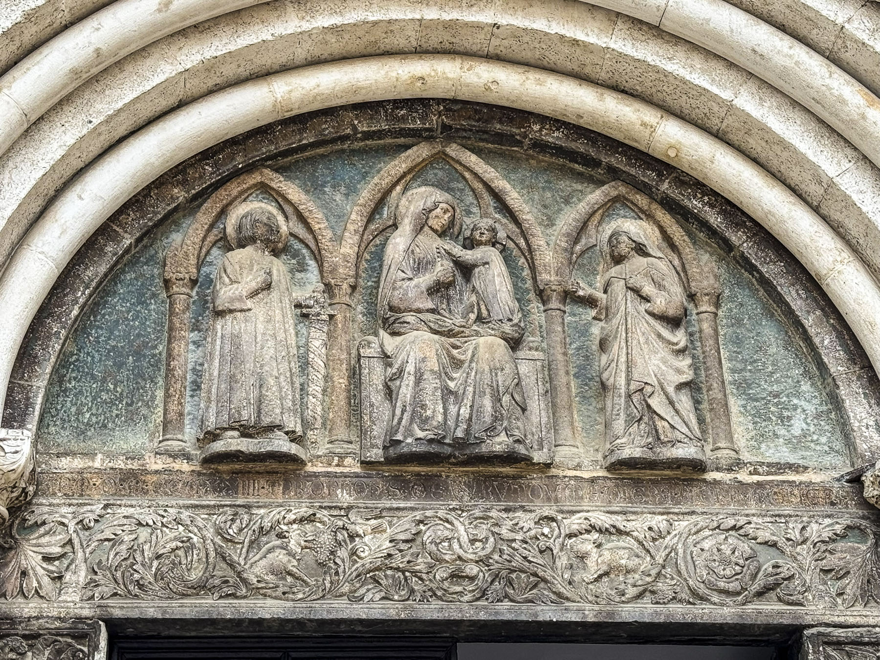
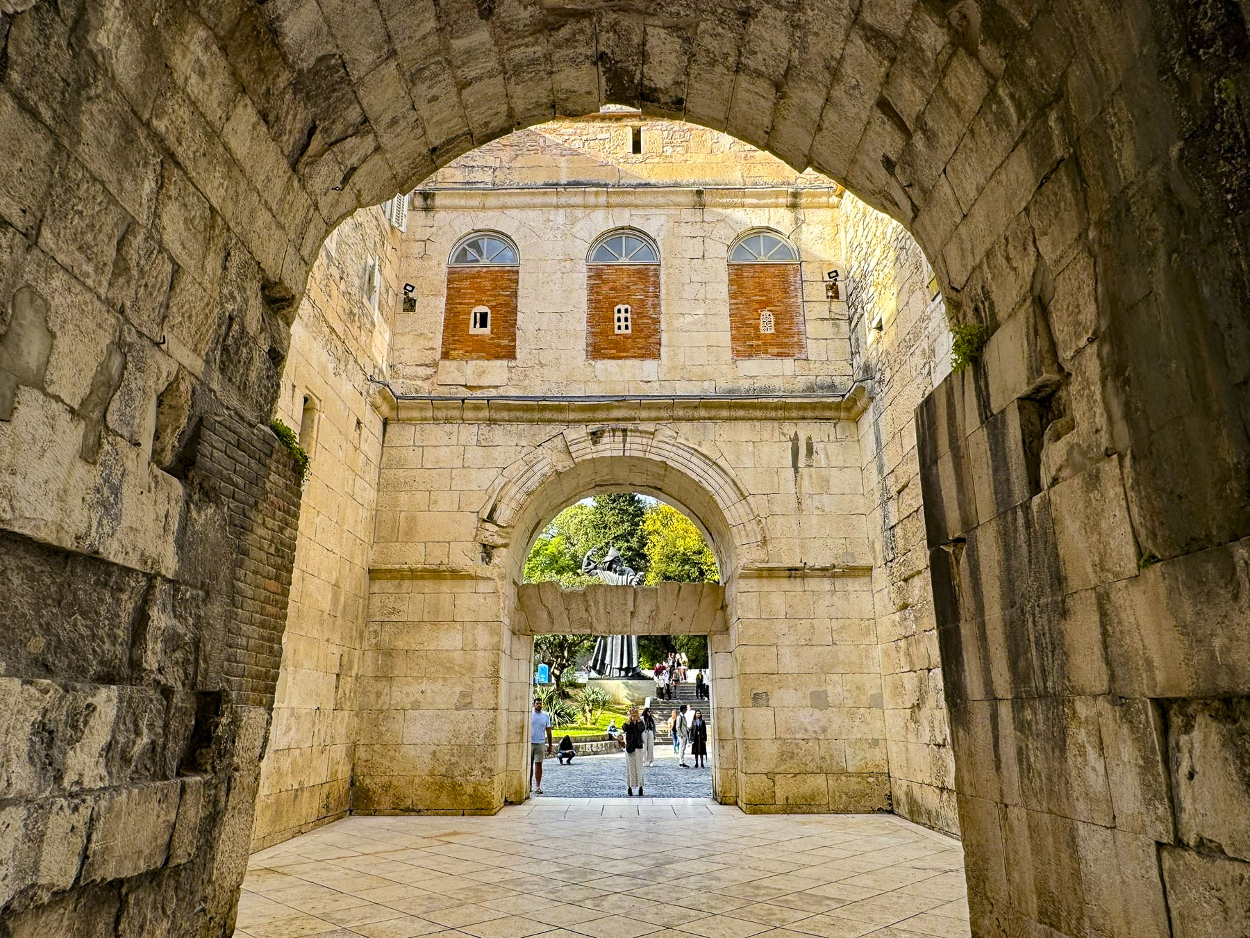
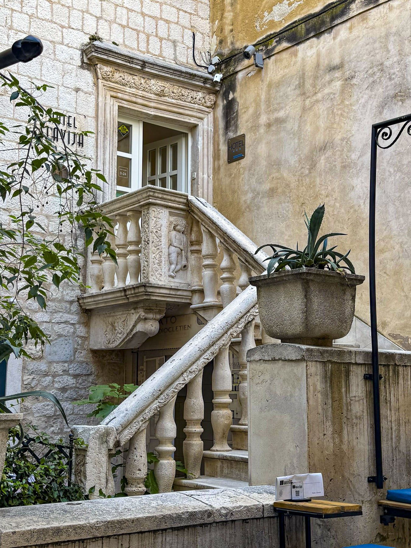
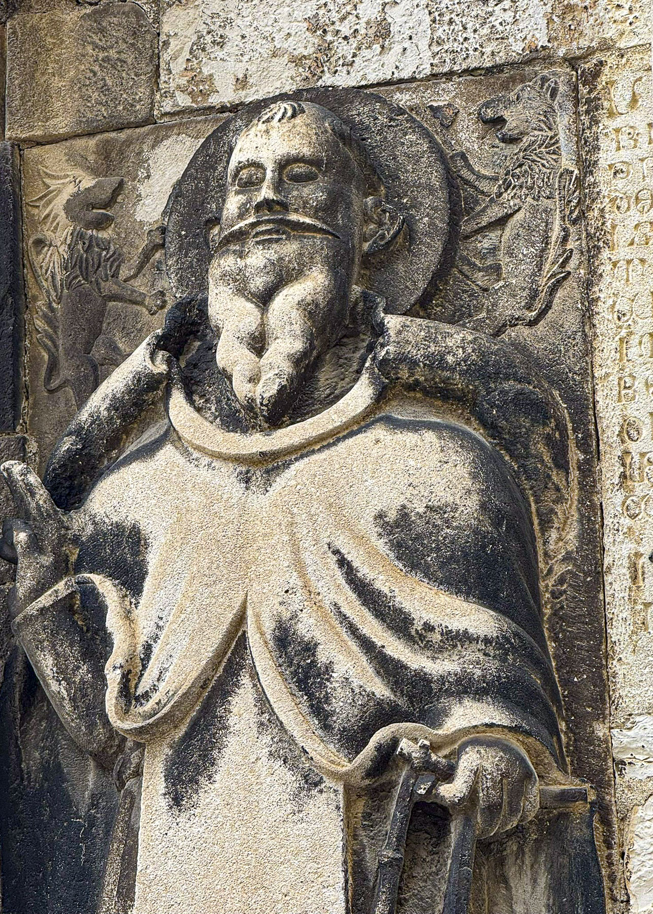
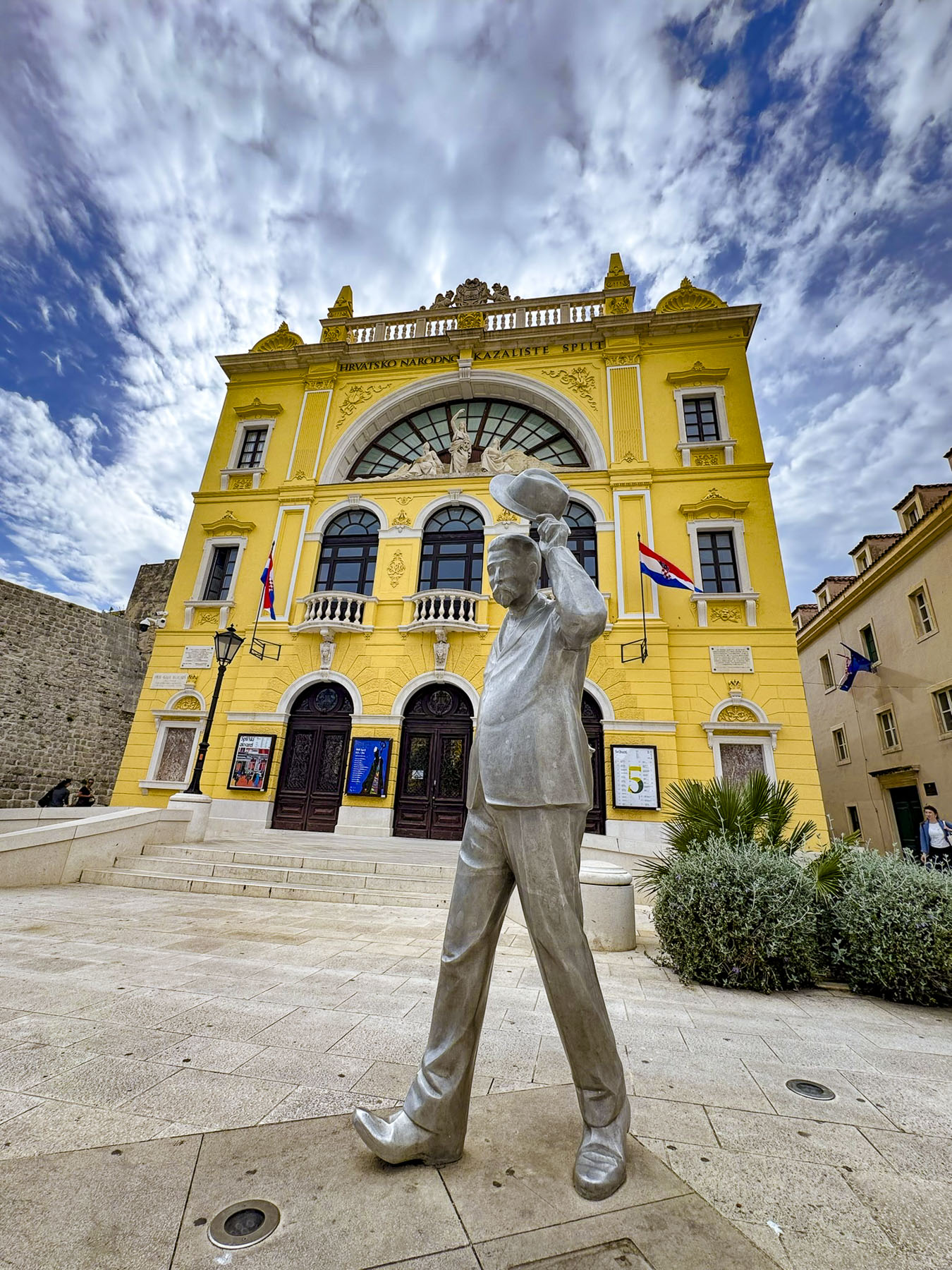
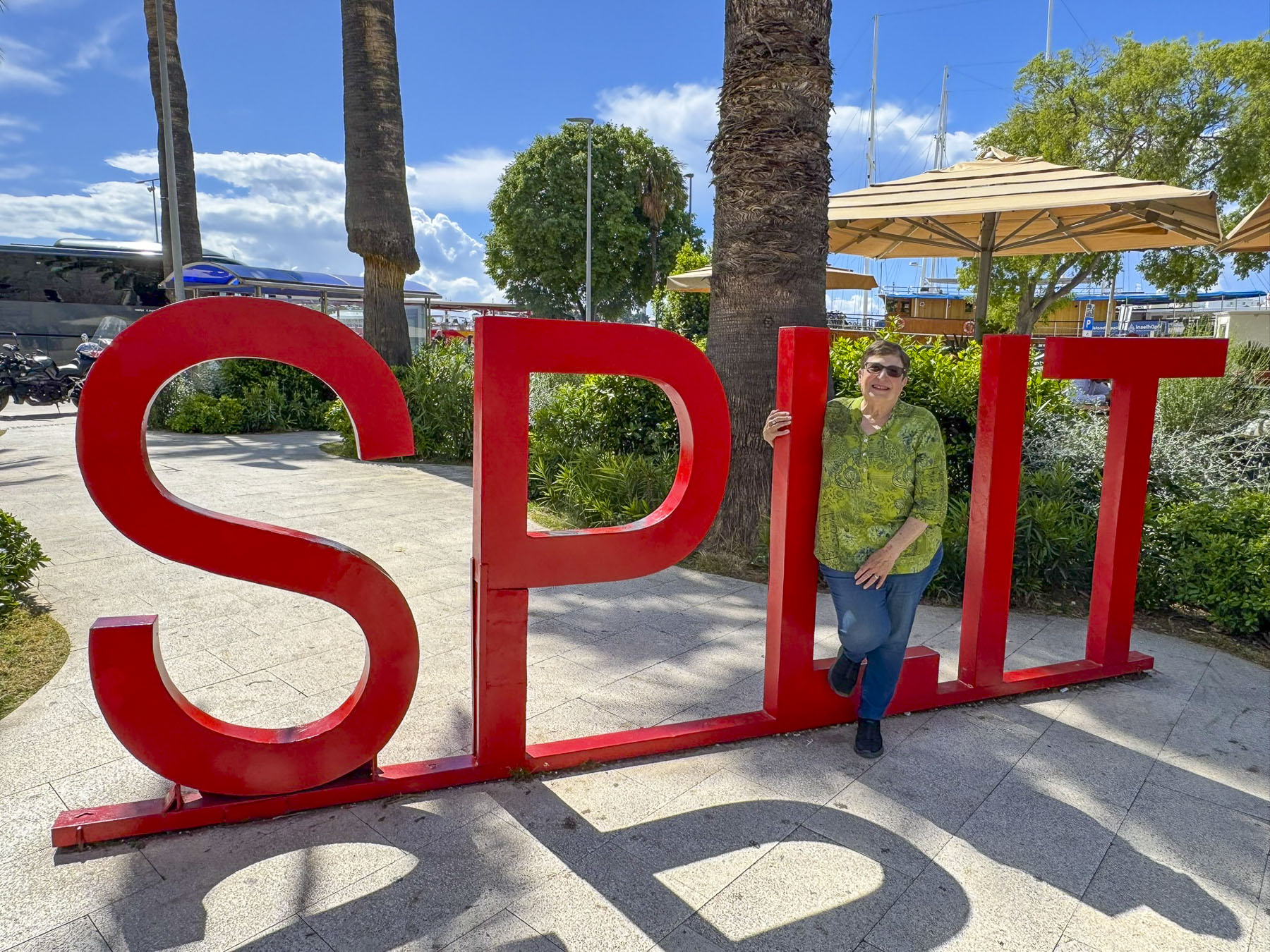
The narrow roads around Diocletian’s Palace in Split’s historic center are normally congested at any time, though even more so in the days preceding the annual May 7th Feast of Saint Domnius. Martyred in 304 AD by the Roman Emperor Diocletian, he is also the city’s patron saint. Fortunately, our hosts at Pellegrini Luxury Rooms recommended several parking areas and we were able to find a convenient lot within easy walking distance from the small boutique guest-house converted from a 200-year-old historic stone building, that was once the home of a wealthy merchant. The inn was just 60m (200ft) from the palace’s Zlatna Vrata, the golden gate, and the giant statue of Gregory of Nin, which we would pass many times during our in Split.
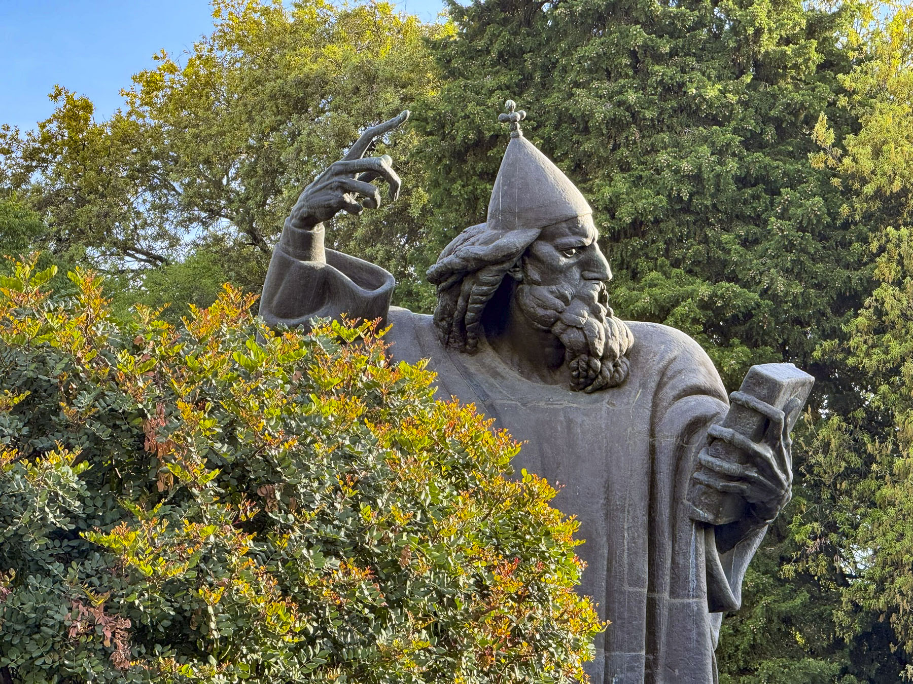
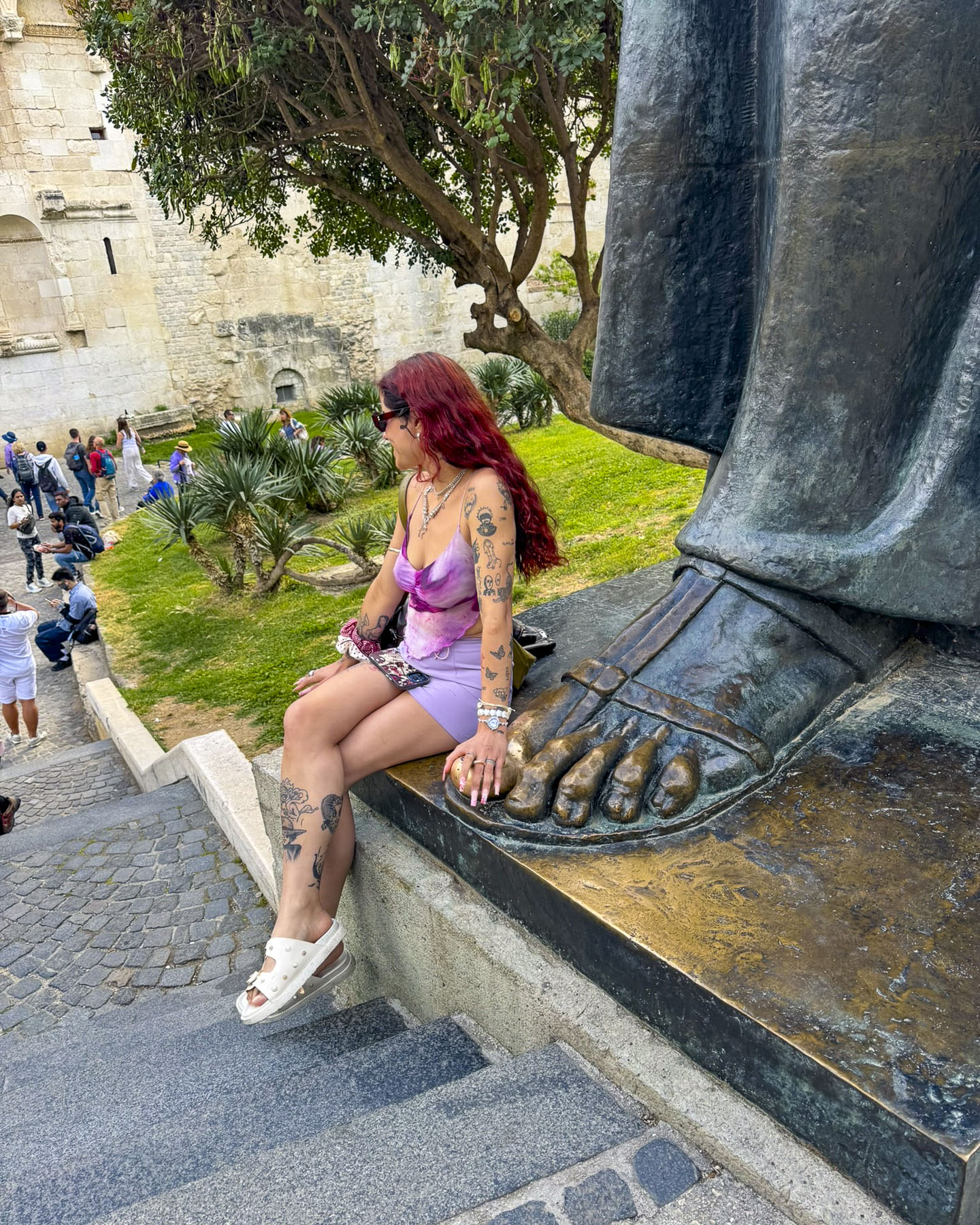
Nin was a bold medieval bishop in the 10th century who advocated strongly for the use of the Croatian language in religious services so that Croats could understand the liturgy, a move which Pope John X outlawed in 925. It’s common practice in Split to rub the golden big toe of Nin’s 8.5-meter (28 ft) tall statue, because legend believes it brings good fortune and the fulfillment of wishes.
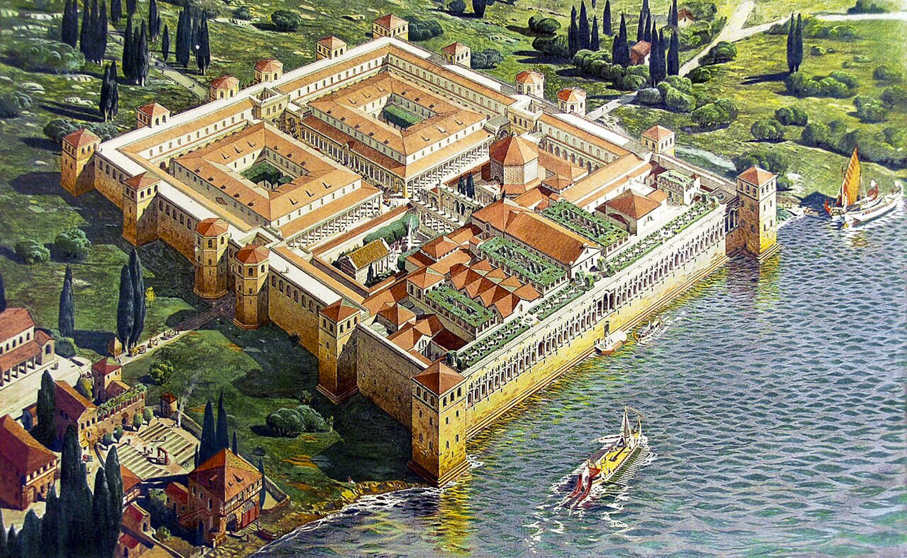
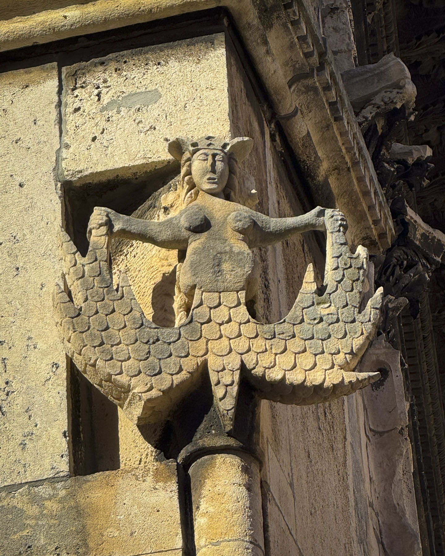
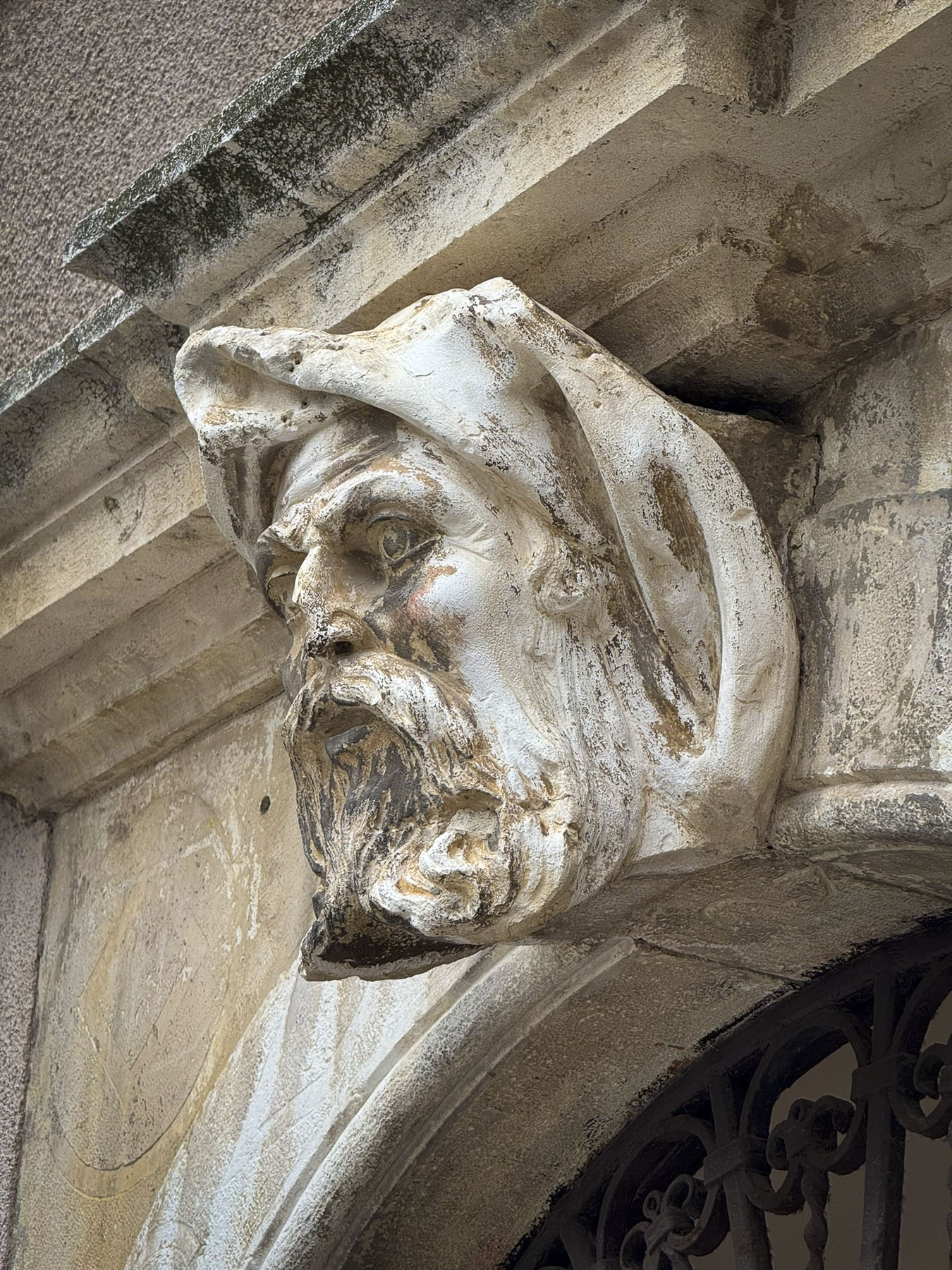
After settling into our room, we headed into Diocletian’s Palace, a huge fortified grand estate the size of a city block in Manhattan. It took ten years to build before the Roman Emperor voluntarily retired to it in 305AD to tend his gardens, where he was particularly fond of “growing cabbages,” preferring peace over the “storms of a never-satisfied greed.” Though his retirement city is a far cry from a pensioner’s cottage in the countryside.
Diocletian was a hometown boy, born in Croatia around 244 AD, who rose through the Roman army’s ranks to become a prominent calvary commander during the rule of Emperor Carus. After Carus and his son Numerian died while returning from a successful campaign in Persia, Diocletian, who was commander of Carus’s elite imperial bodyguard, was proclaimed emperor by the troops. This was contested by Caru’s surviving son, Carinus, whom Diocletian defeated in 285 AD at the Battle of the Margus in Serbia to retain the throne. His reign was known for stabilizing the frontiers of the Roman Empire and dividing the empire into Eastern and Western halves for administrative purposes, the precursor to what eventually became two separate empires. He also initiated the last, most severe and systematic persecution of Christians before the empire slowly began to adopt Christianity under Emperor Constantine in 312AD.
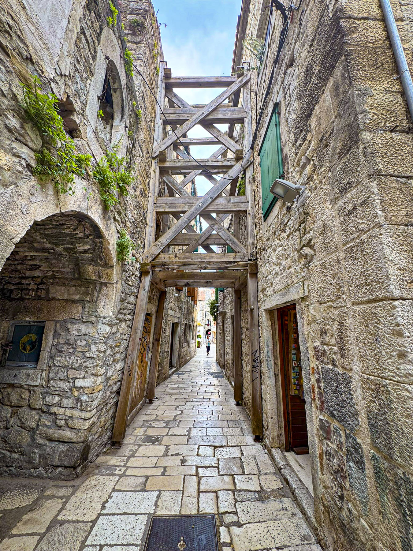
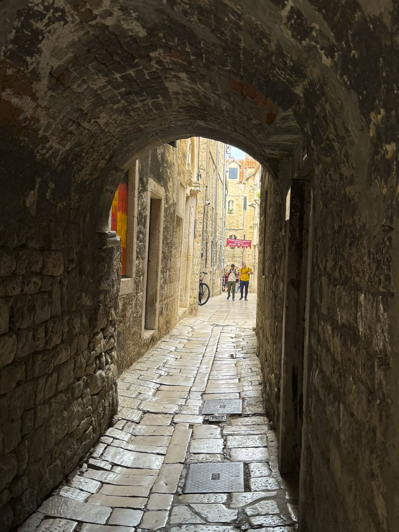
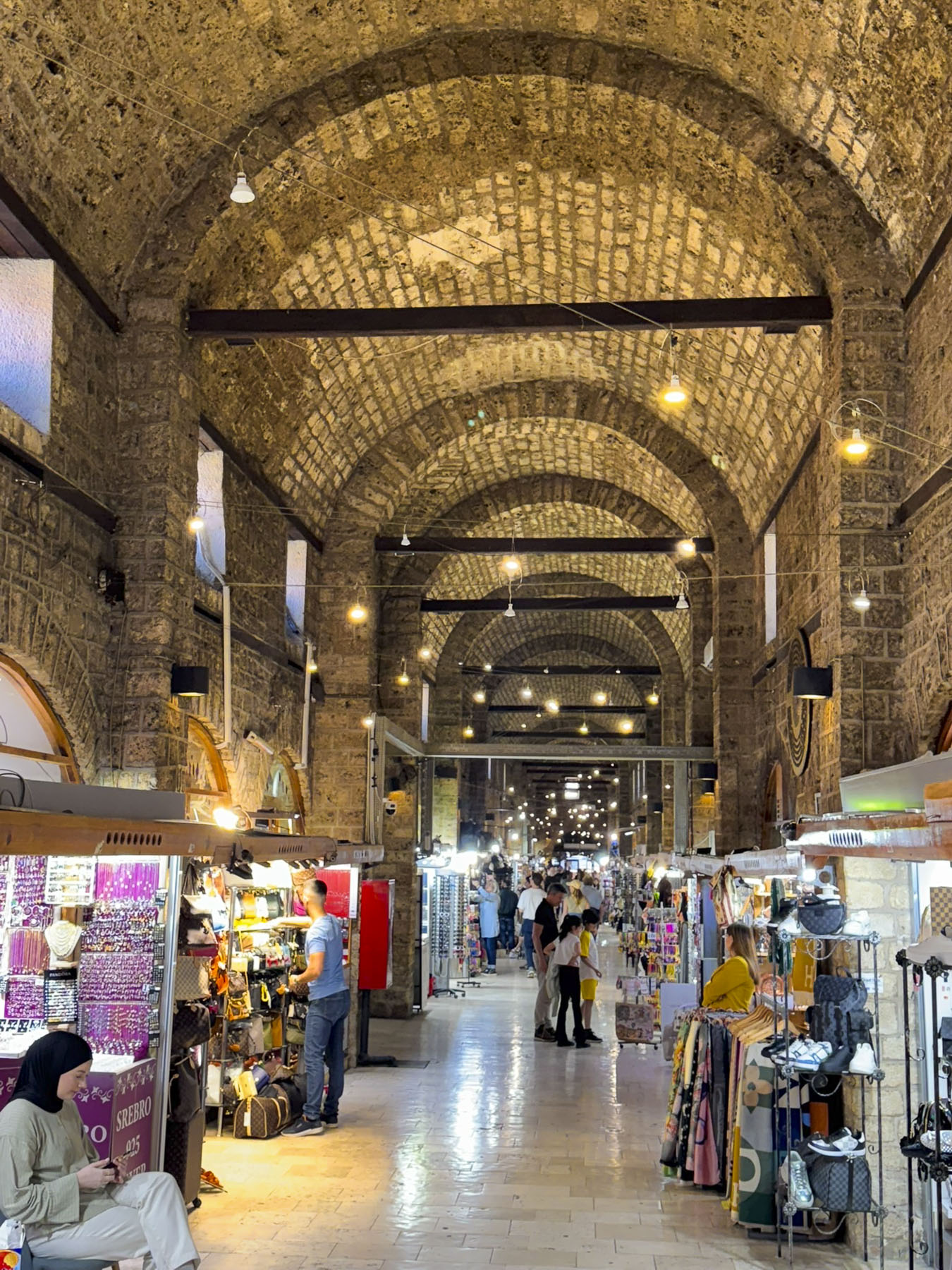
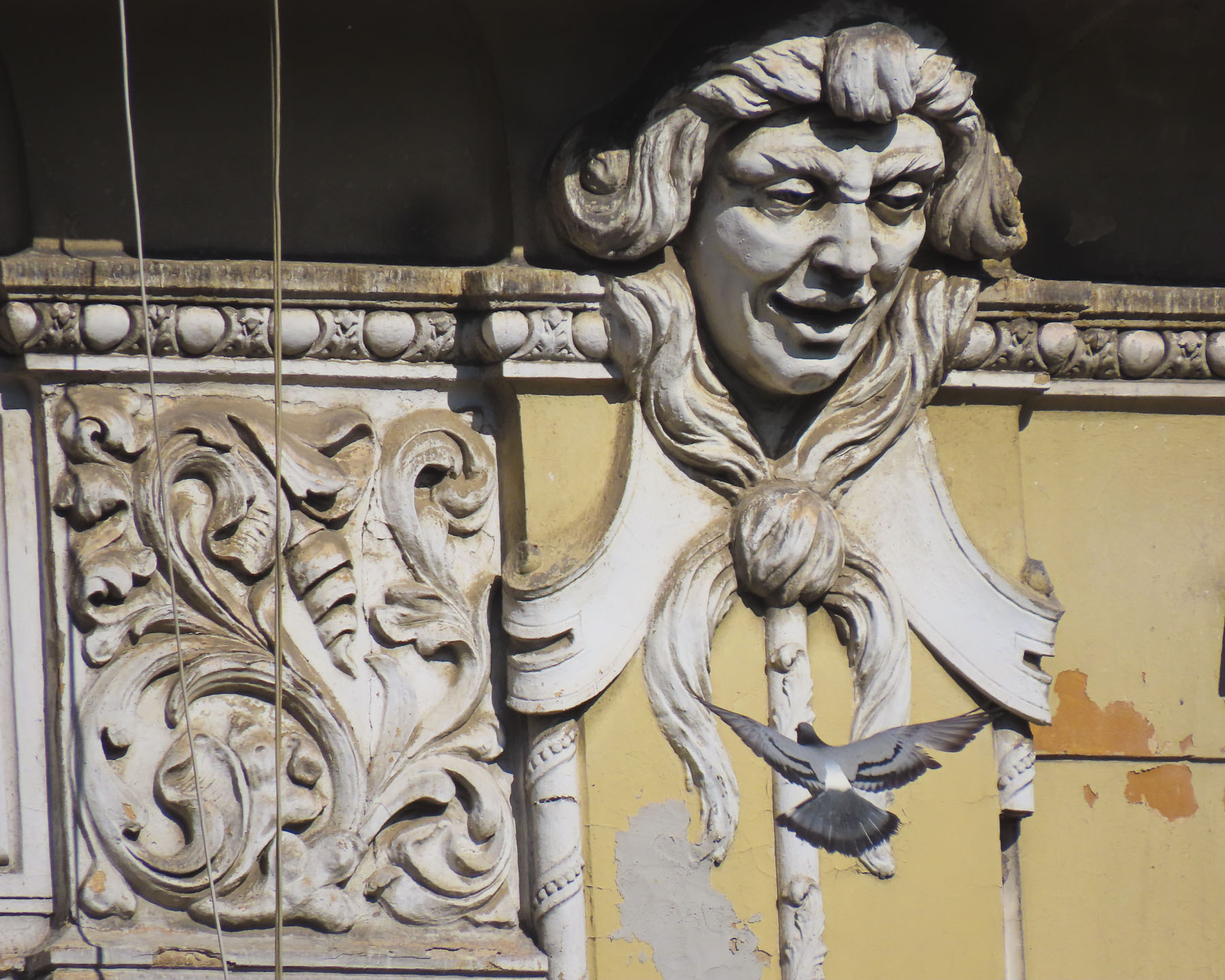
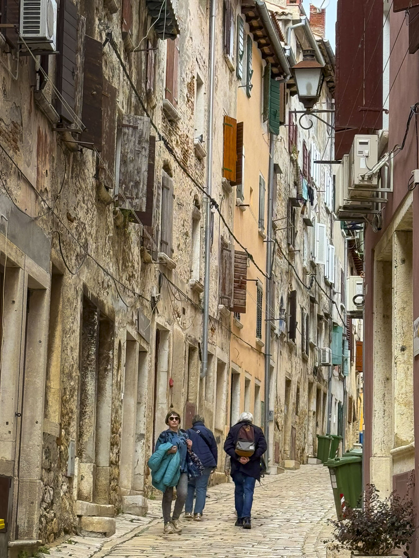
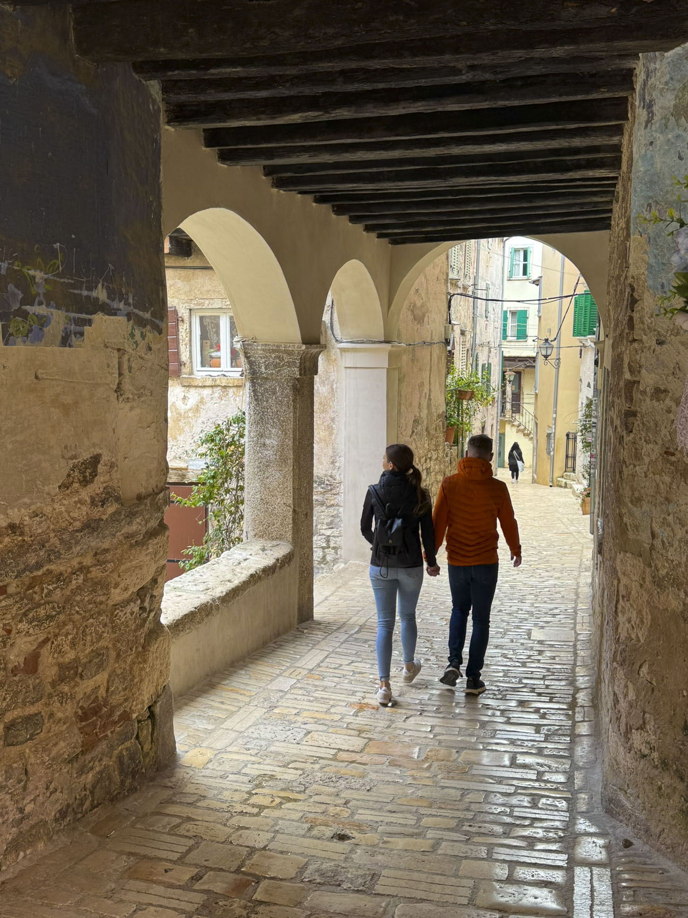
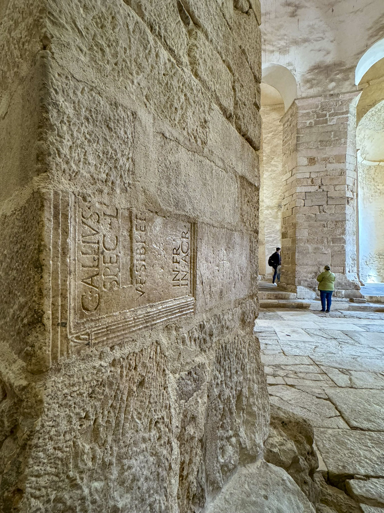
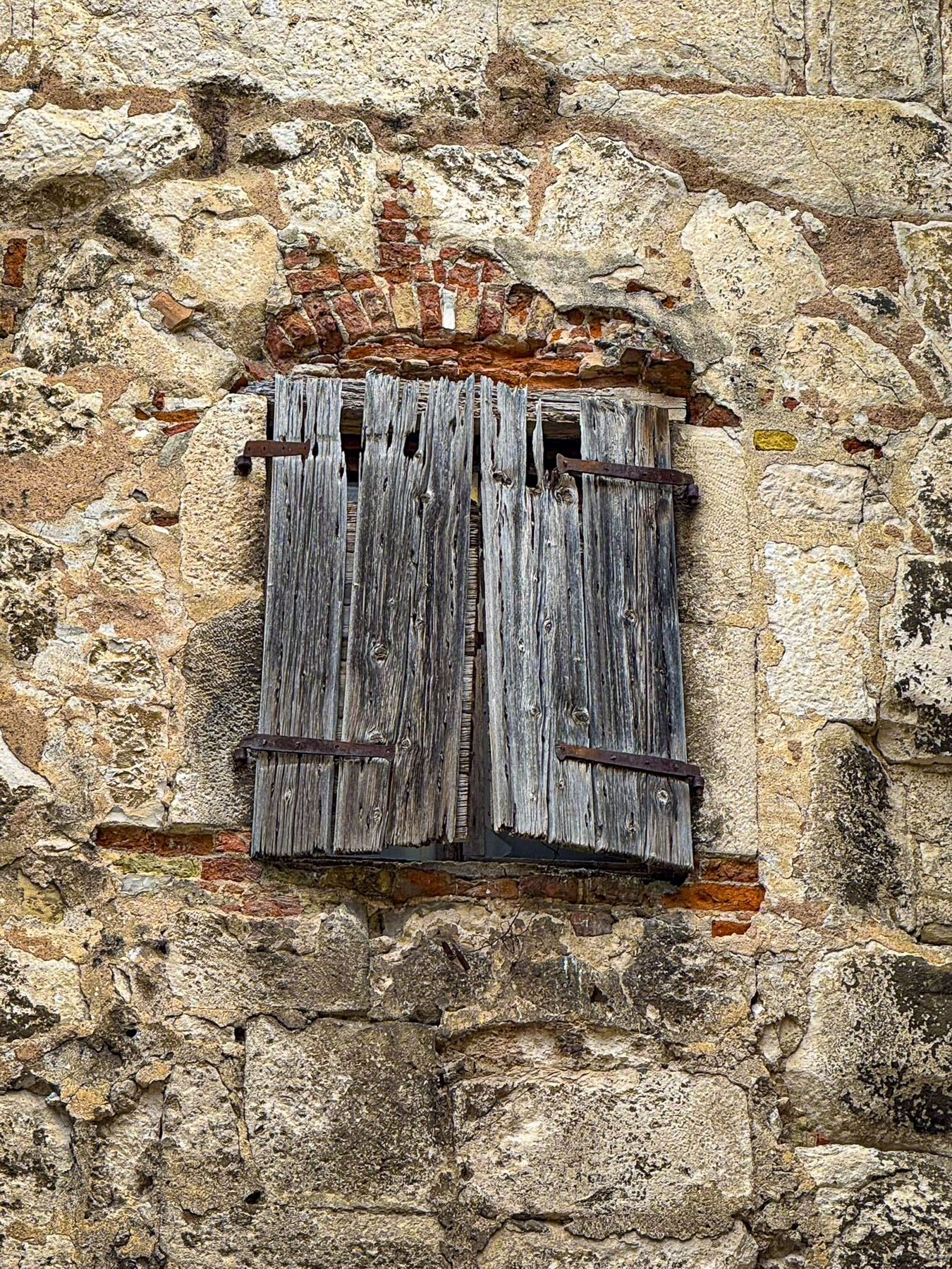
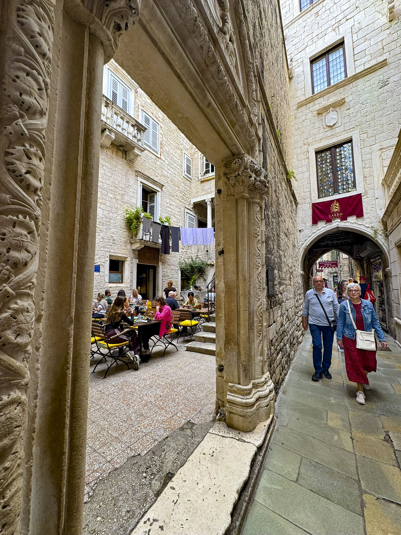
Following narrow alleys, some of which needed retaining braces across them to prevent the centuries’ old buildings from collapsing onto the cobblestones, we reached the Peristyle, the imperial plaza.
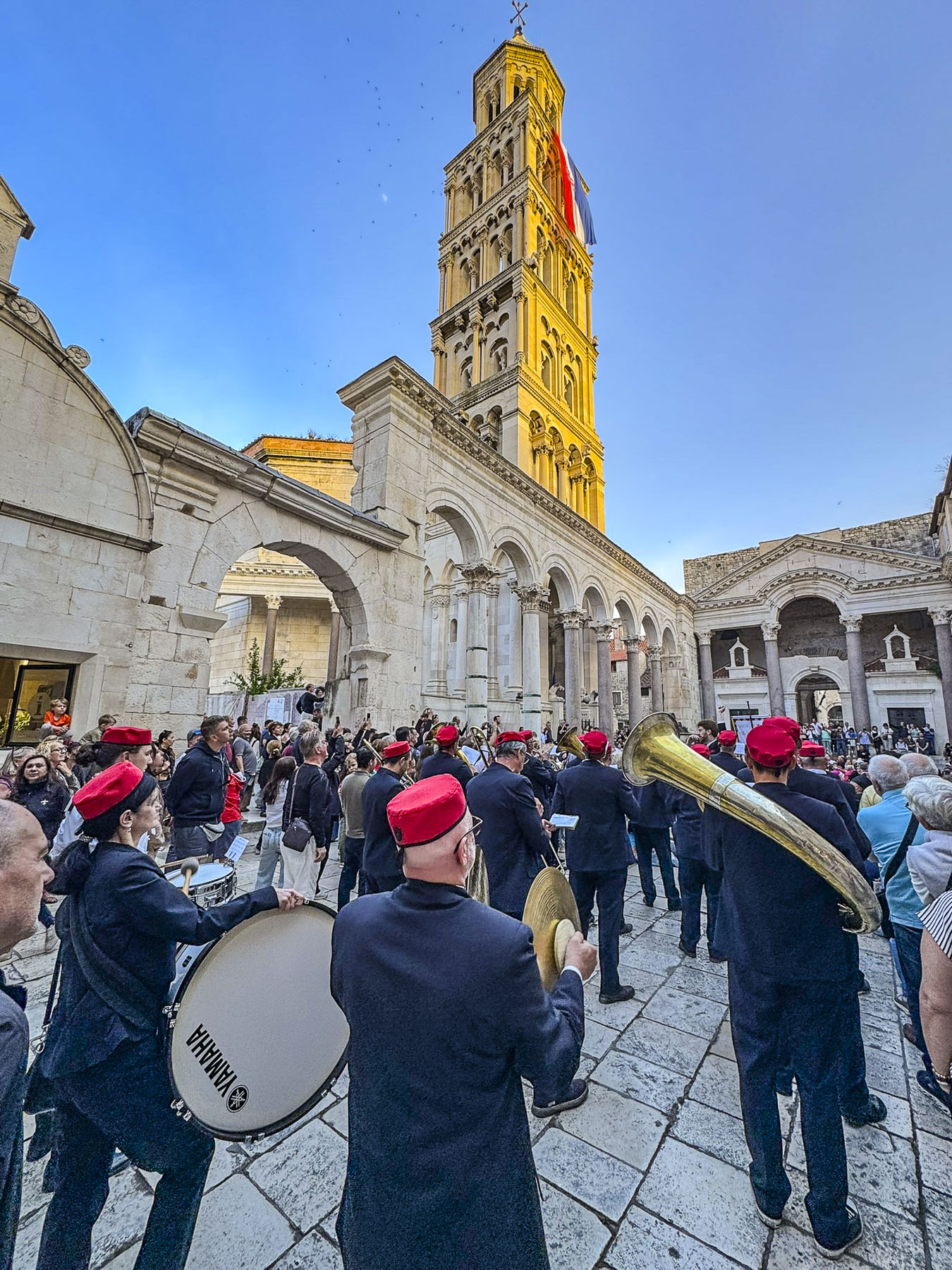
A marching band was playing as part of the prelude to the celebrations for the Feast of Saint Domnius. Fans of the Game of Thrones television series will recognize the Peristyle as the filming location for the city of Meereen, during seasons three to six.
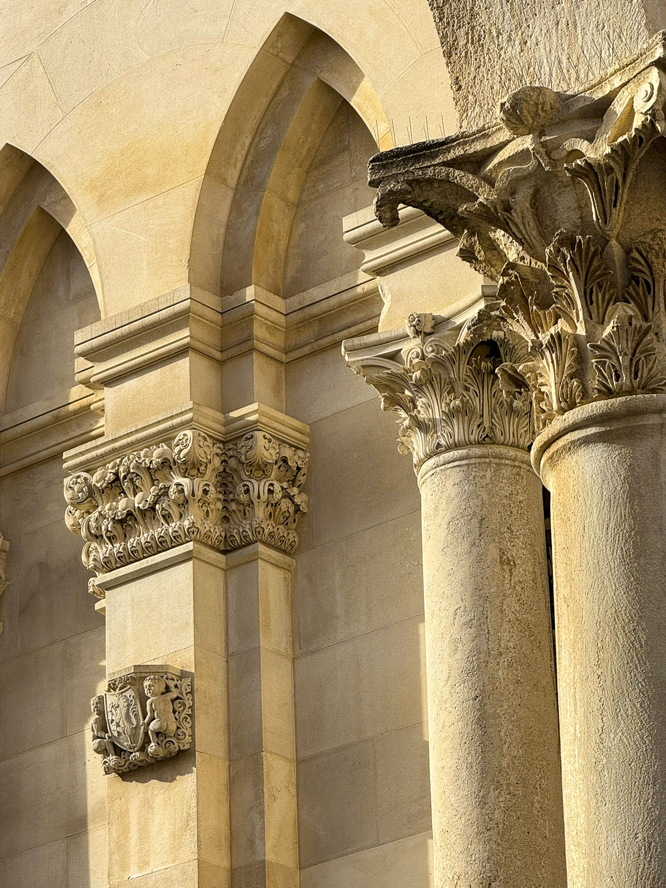
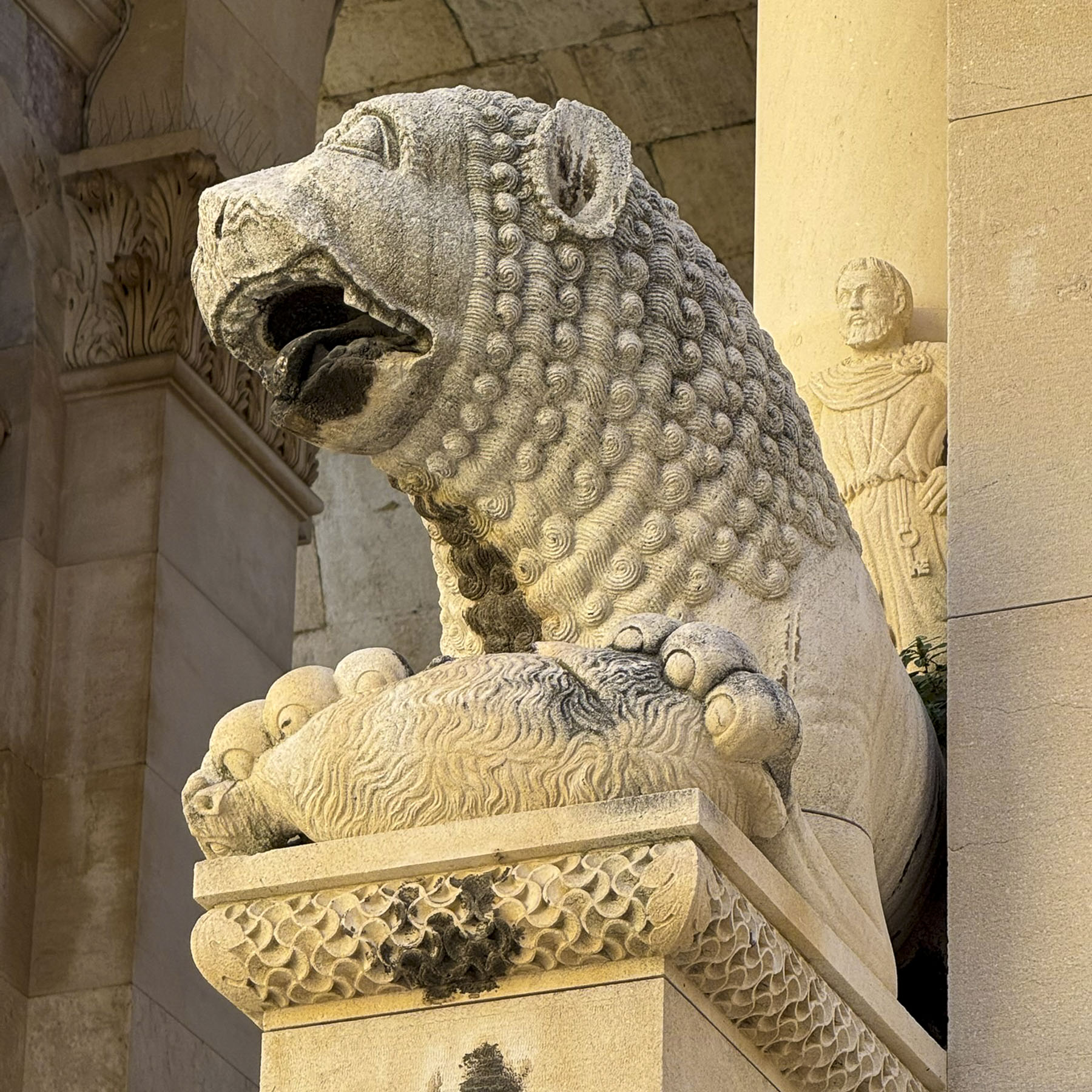
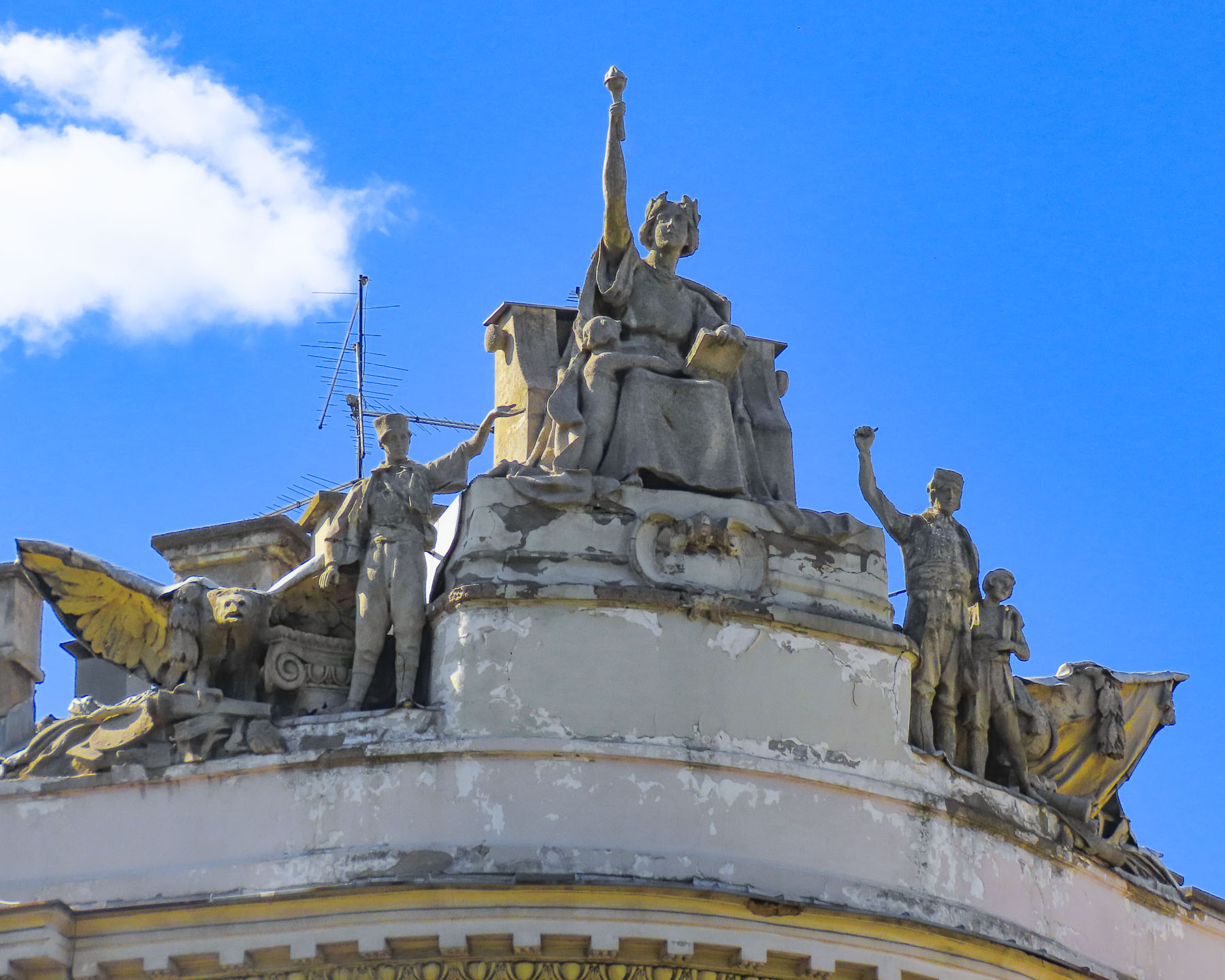
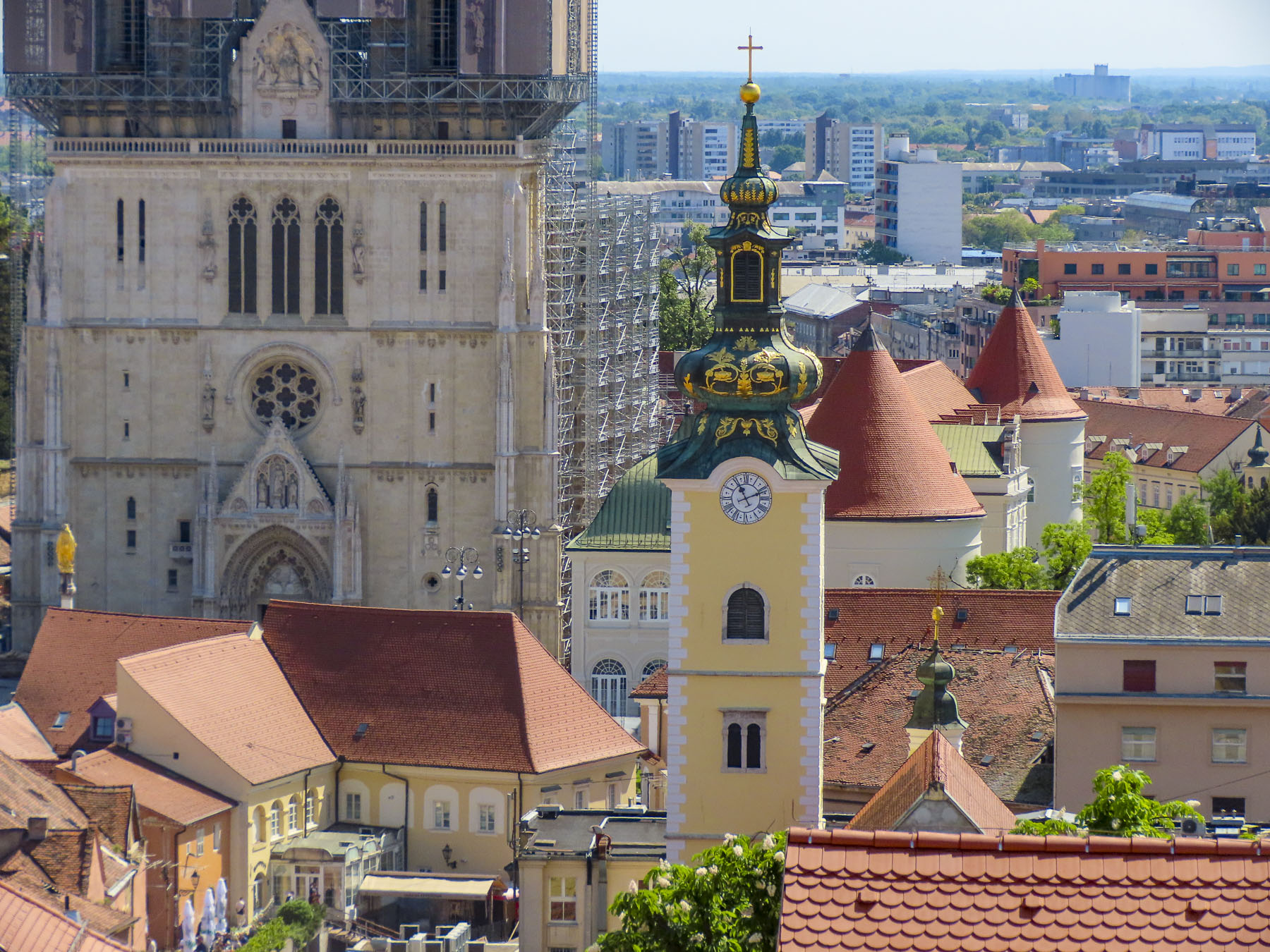
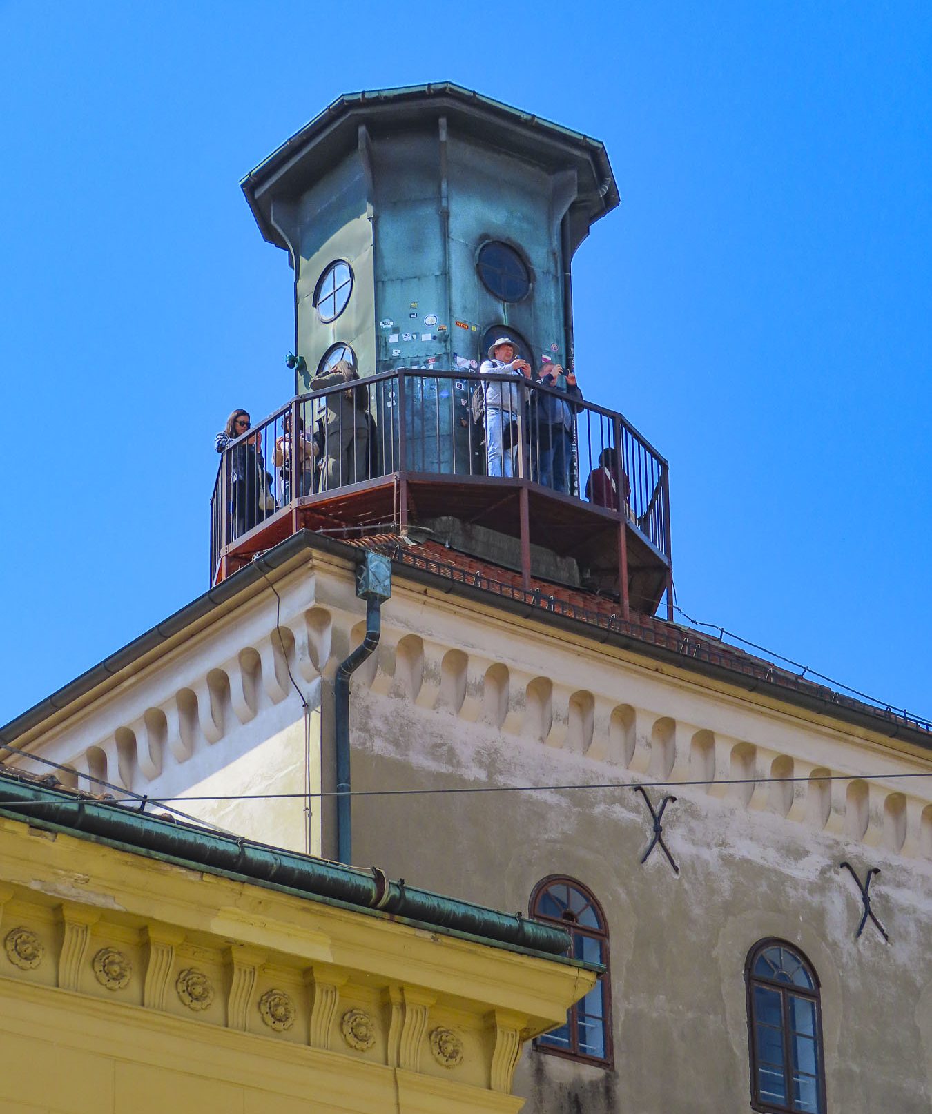
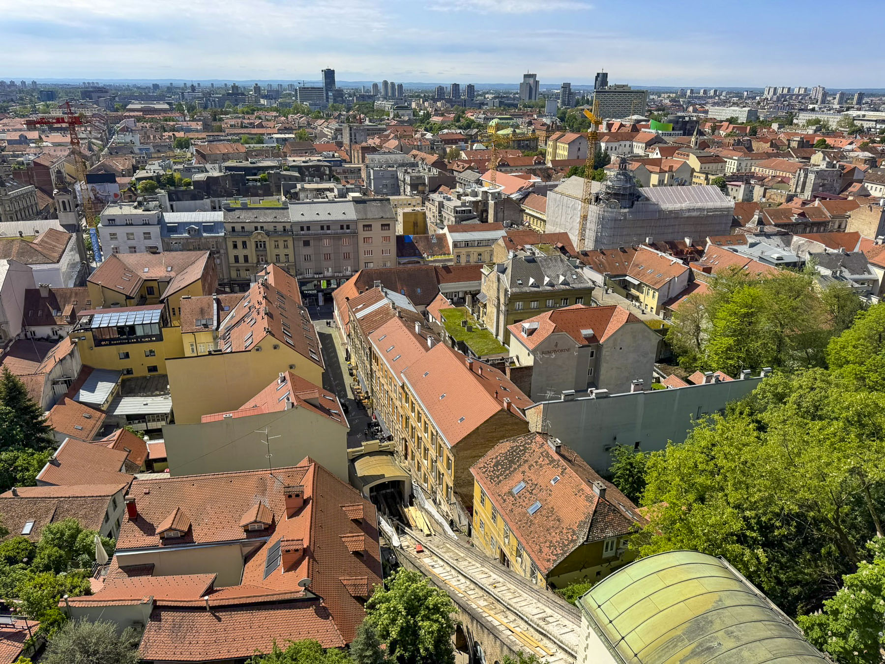
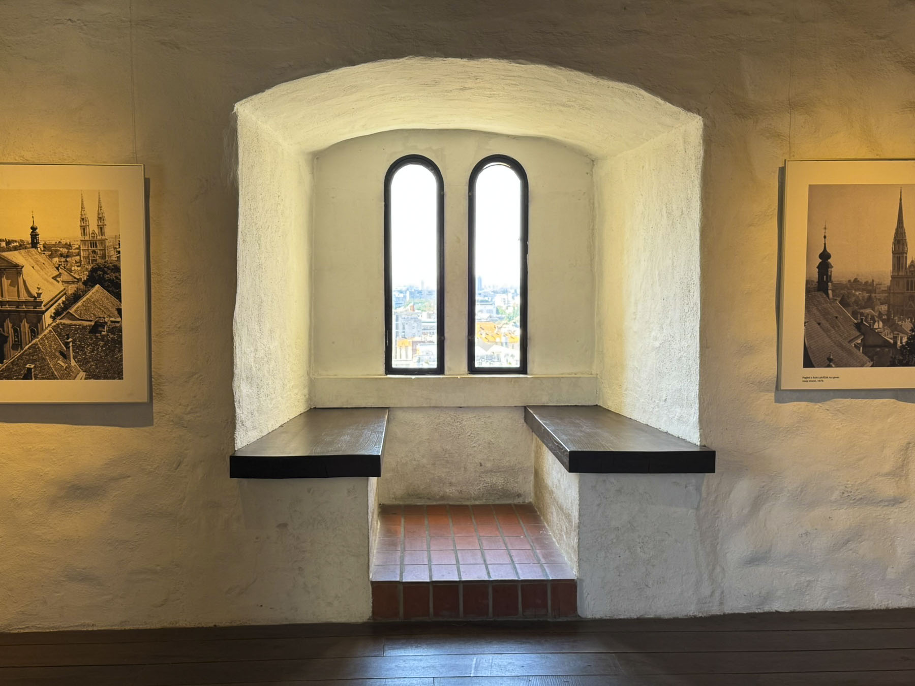
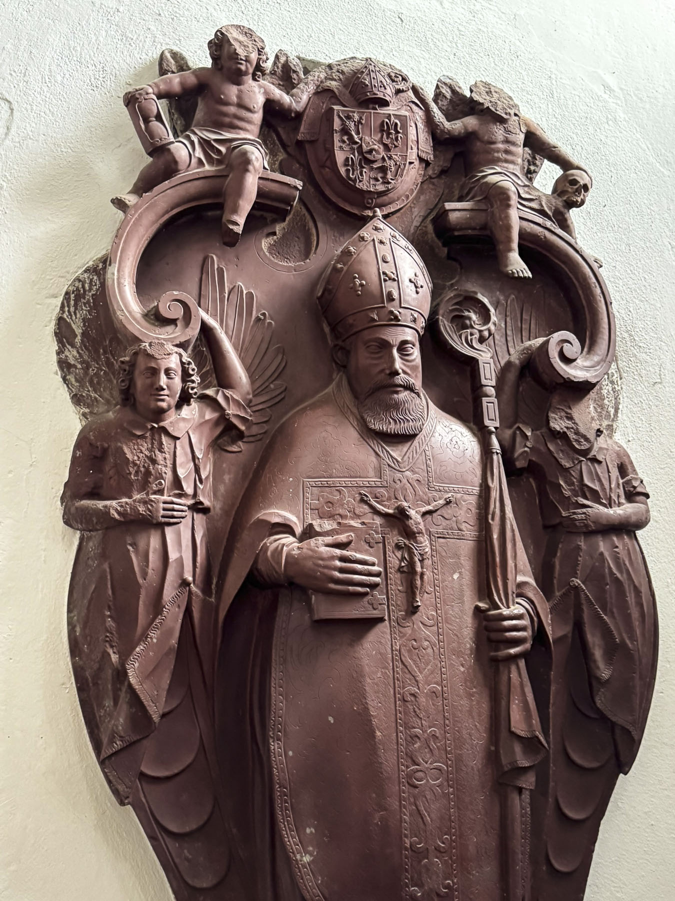
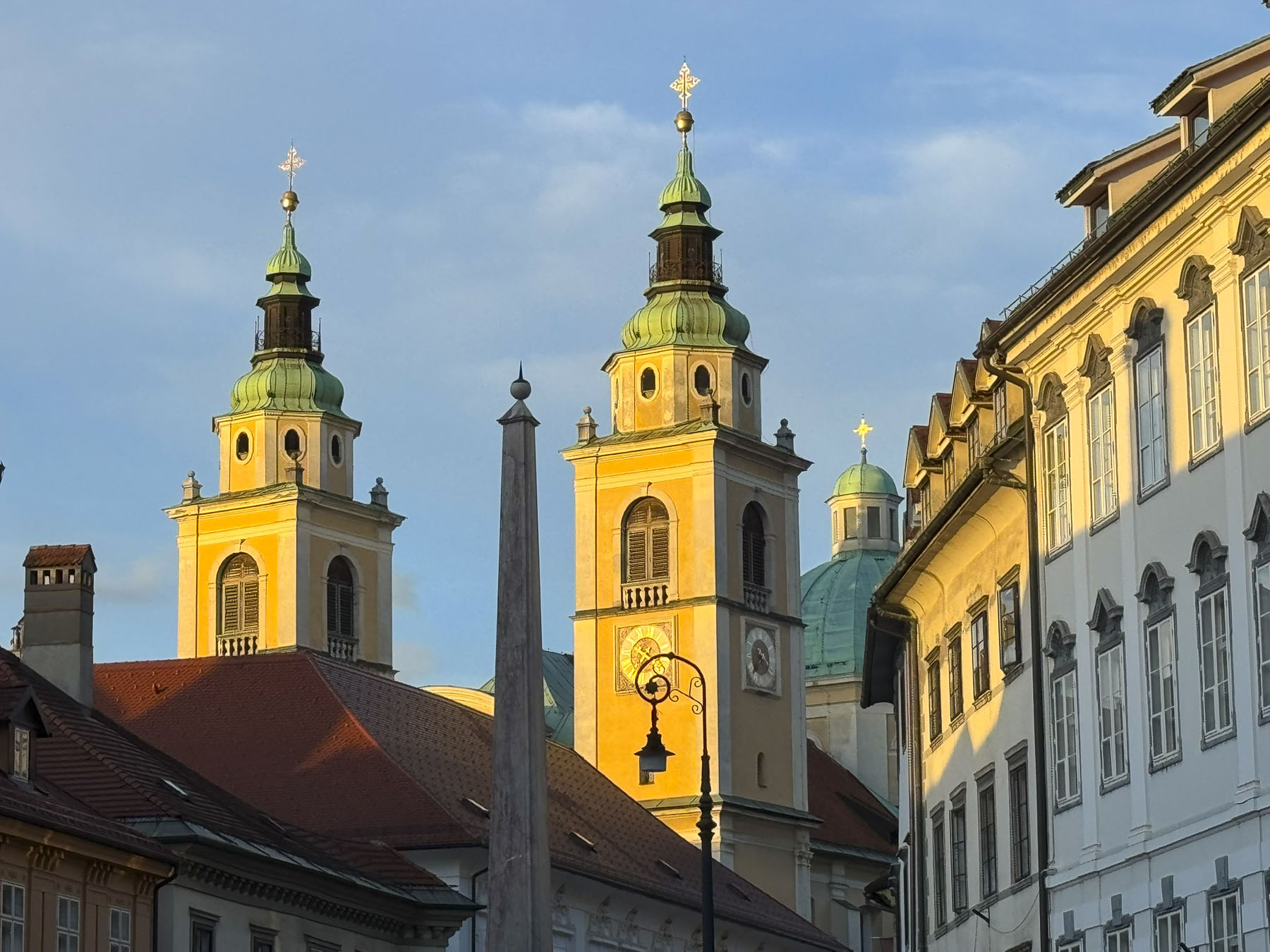
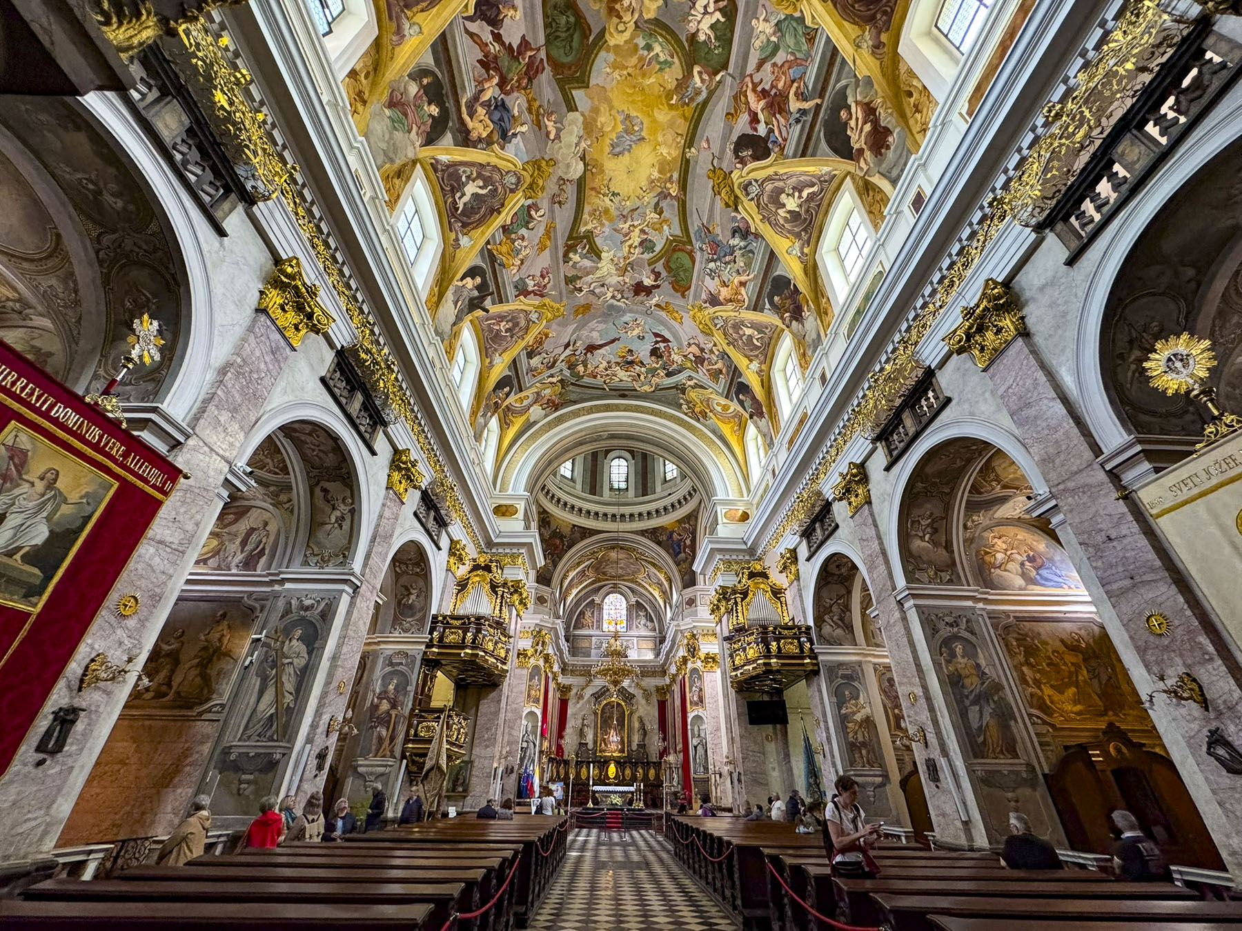
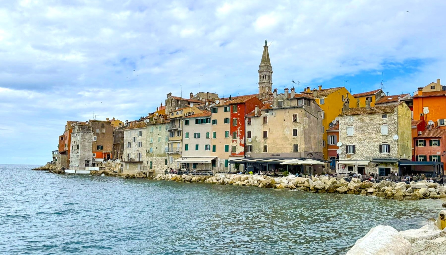
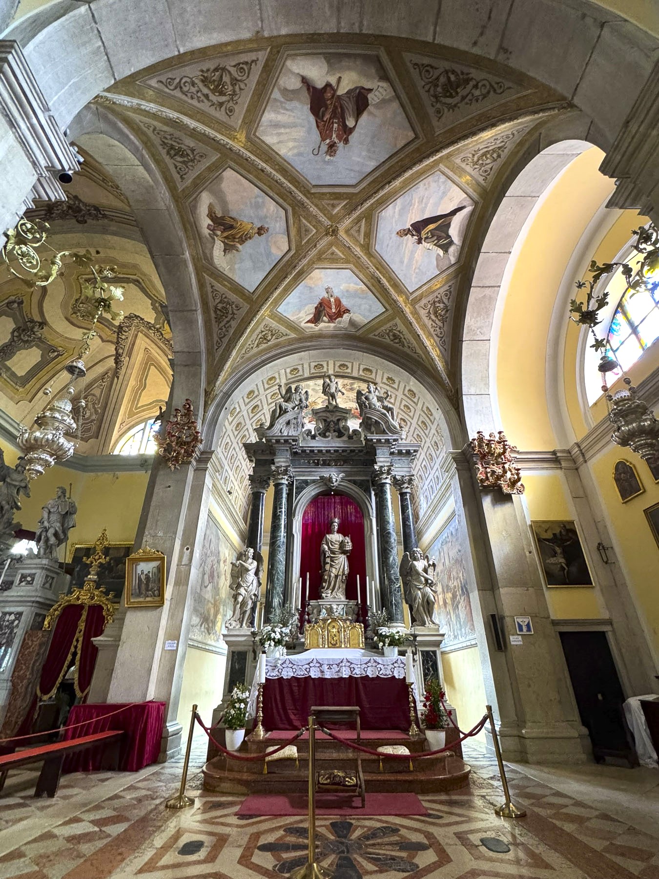
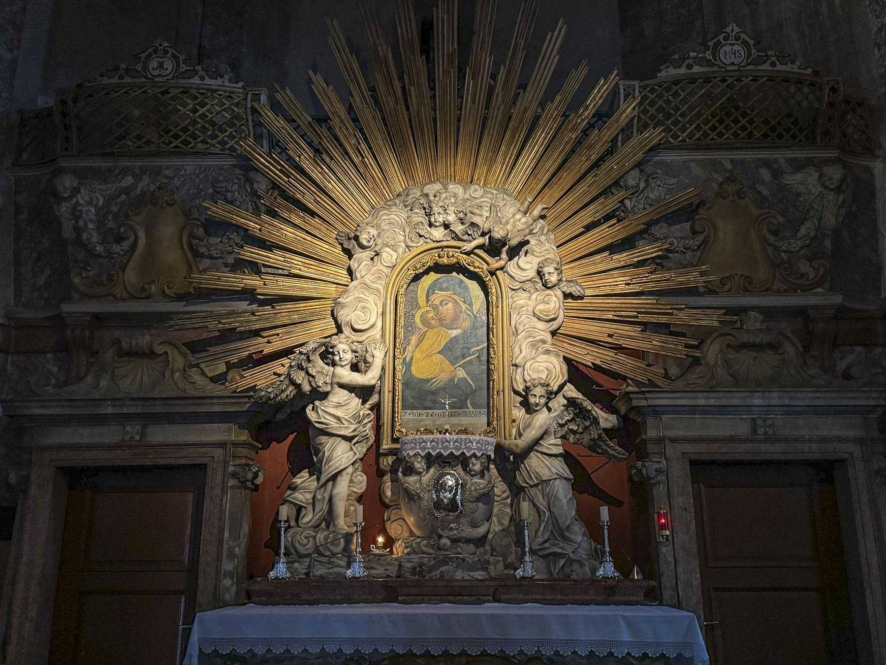
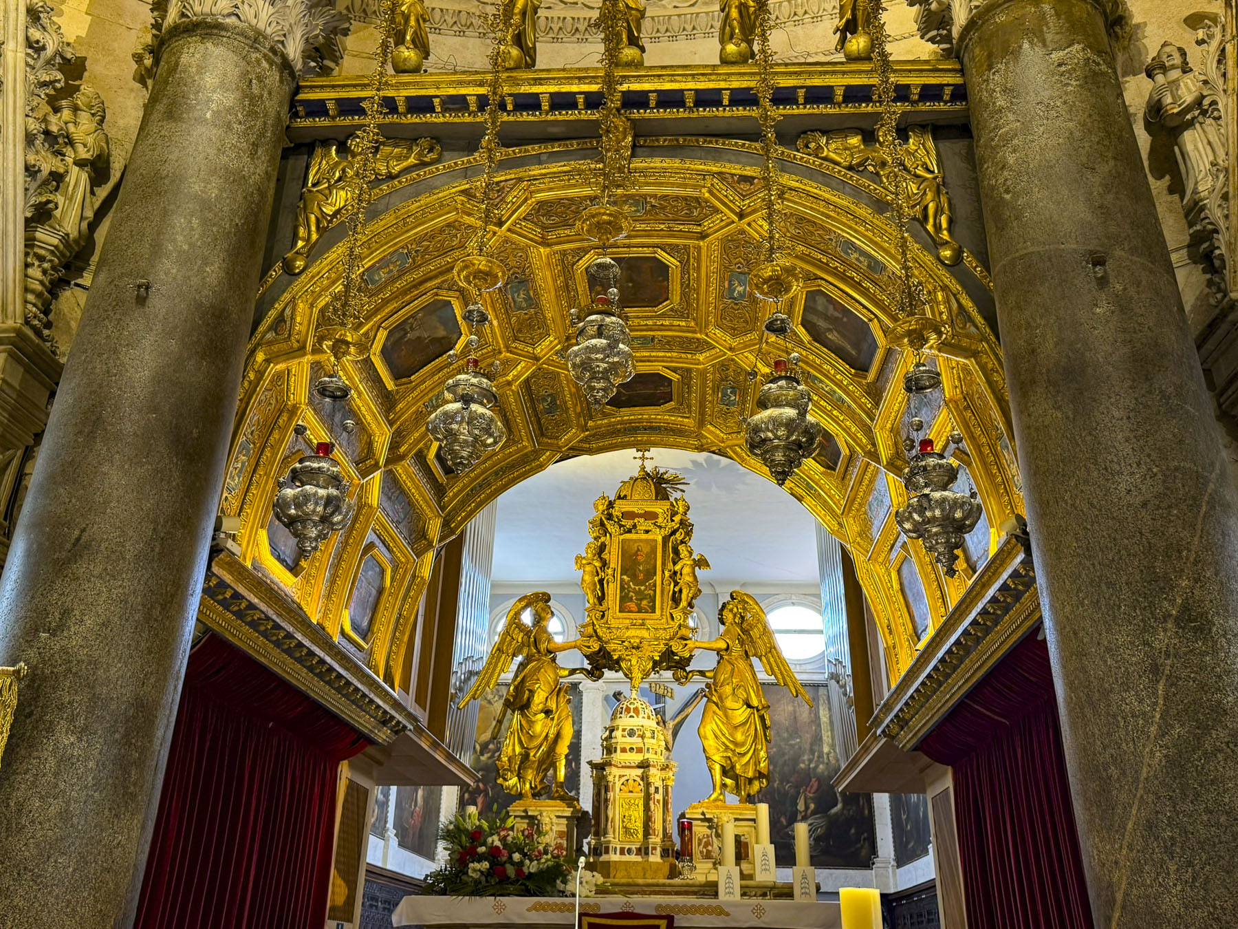
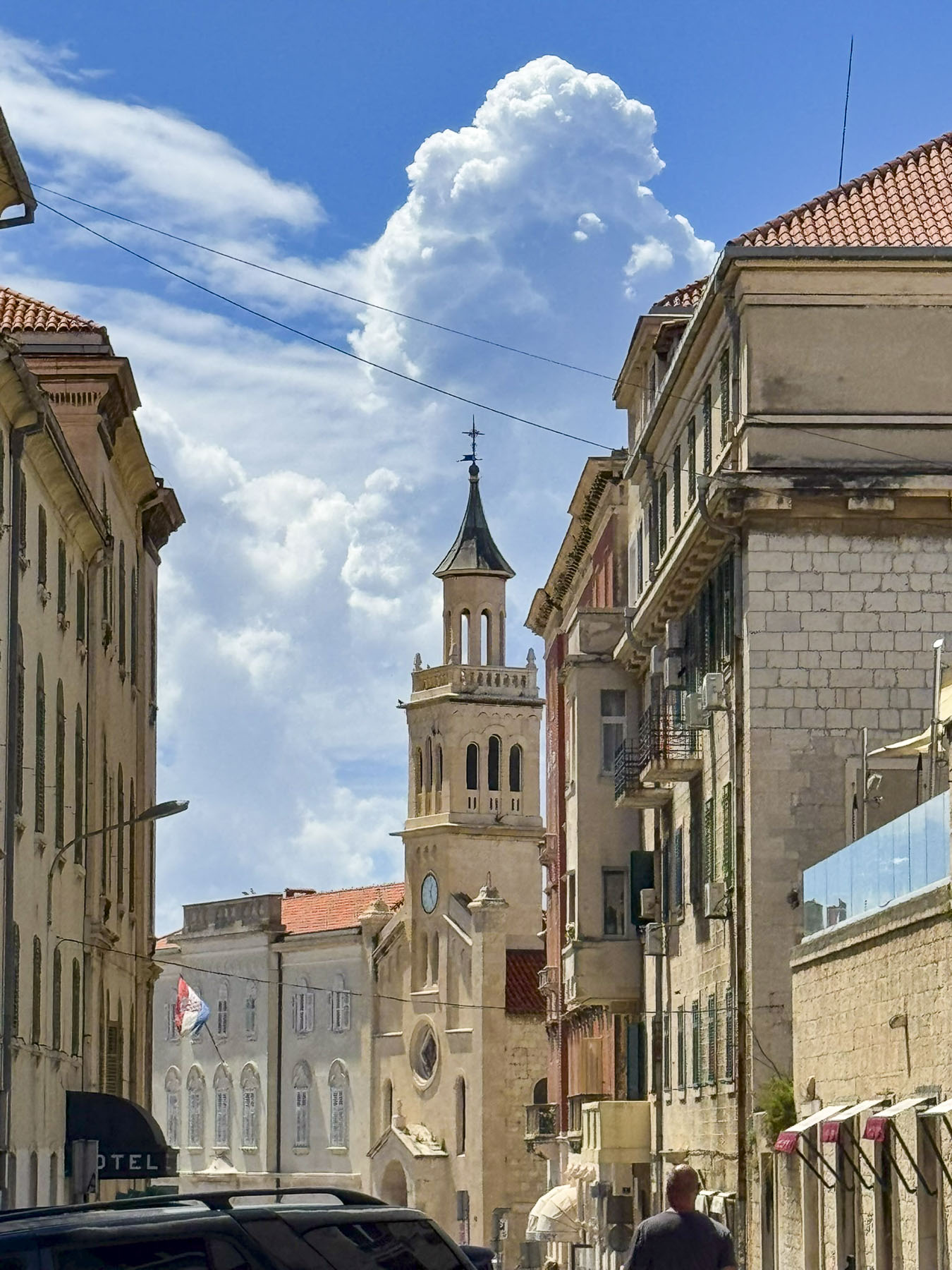
Surrounded by a colonnade of Corinthian columns, this was the ceremonial heart of the palace, with the Temple of Jupiter, as well as Diocletian’s mausoleum, now the Cathedral of St. Domnius. The cathedral’s belltower, which blends Romanesque and Gothic styles, is the tallest along the Dalmatian coast at 57m (187 ft) in height and took over 300 years to build from when its cornerstone was laid in the 13th century. If you have the stamina, the belltower is open for folks to climb 183 steps to the top, for a beautiful view over the city.
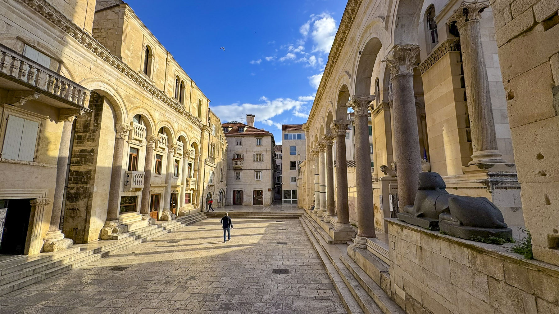
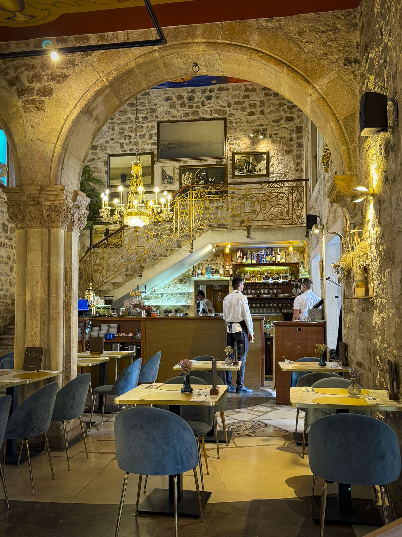
On the other side of the Peristyle a Roman Temple of Venus once stood, though only a circular marble medallion denoting the position of the temple remains on the floor of the Lvxor Café. The café’s site has gone through multiple reconstructions across the centuries before receiving its ornamented columned façade in the Middle Ages, when it was used as Split’s City Lodge, an administration center. Later it was repurposed as an elaborate home for various Split noble families until 1941, when the Lvxor Café opened. It’s now a popular place for coffee and dinner, and to people-watch while sitting on the steps out front on cushions they provide.
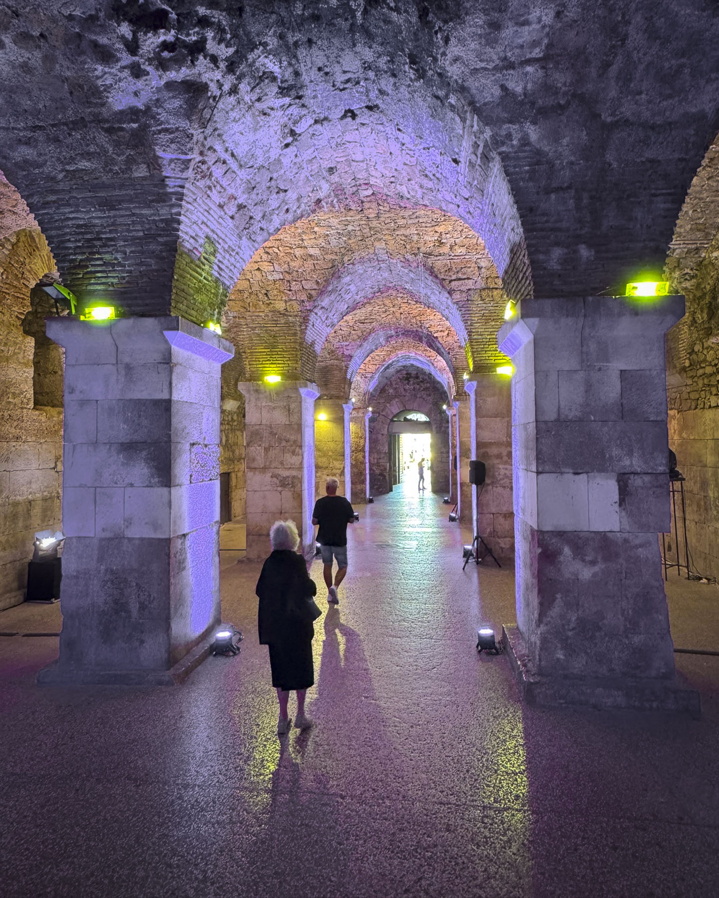
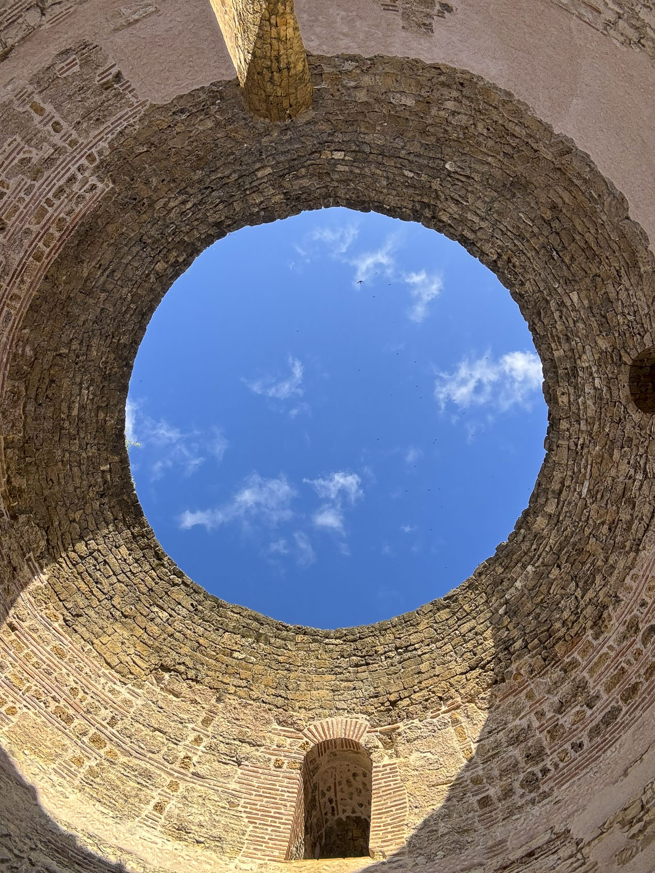
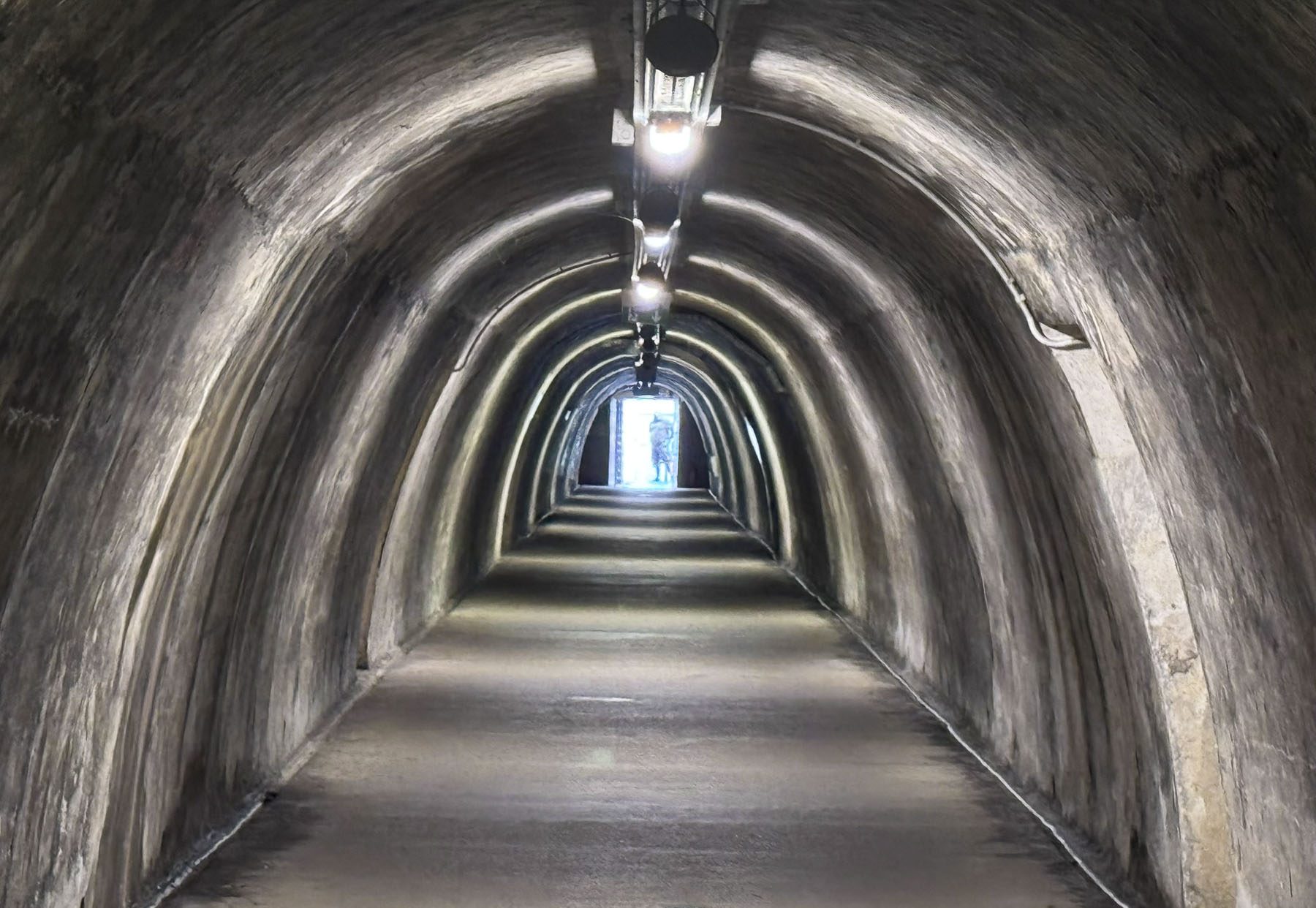
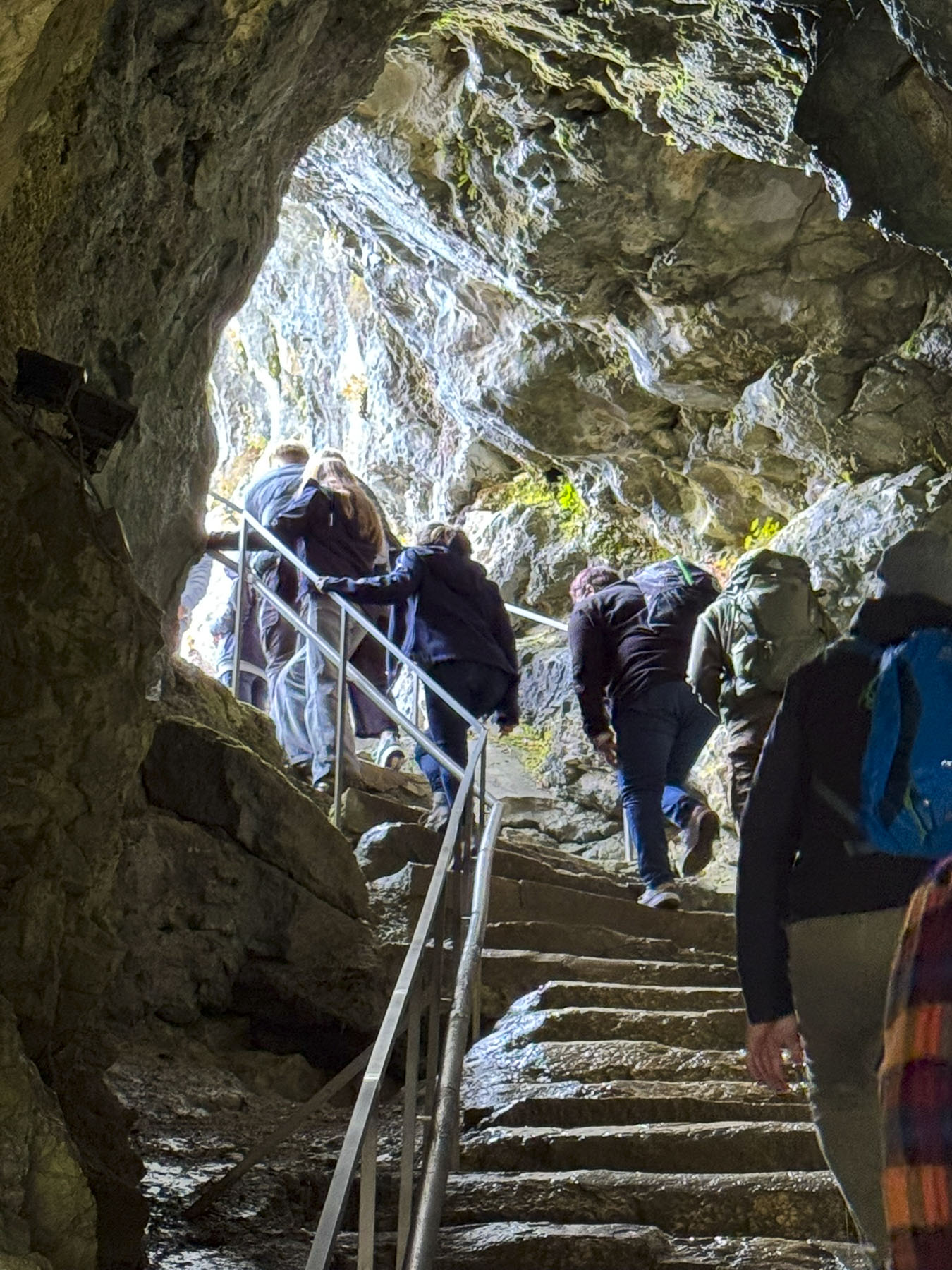
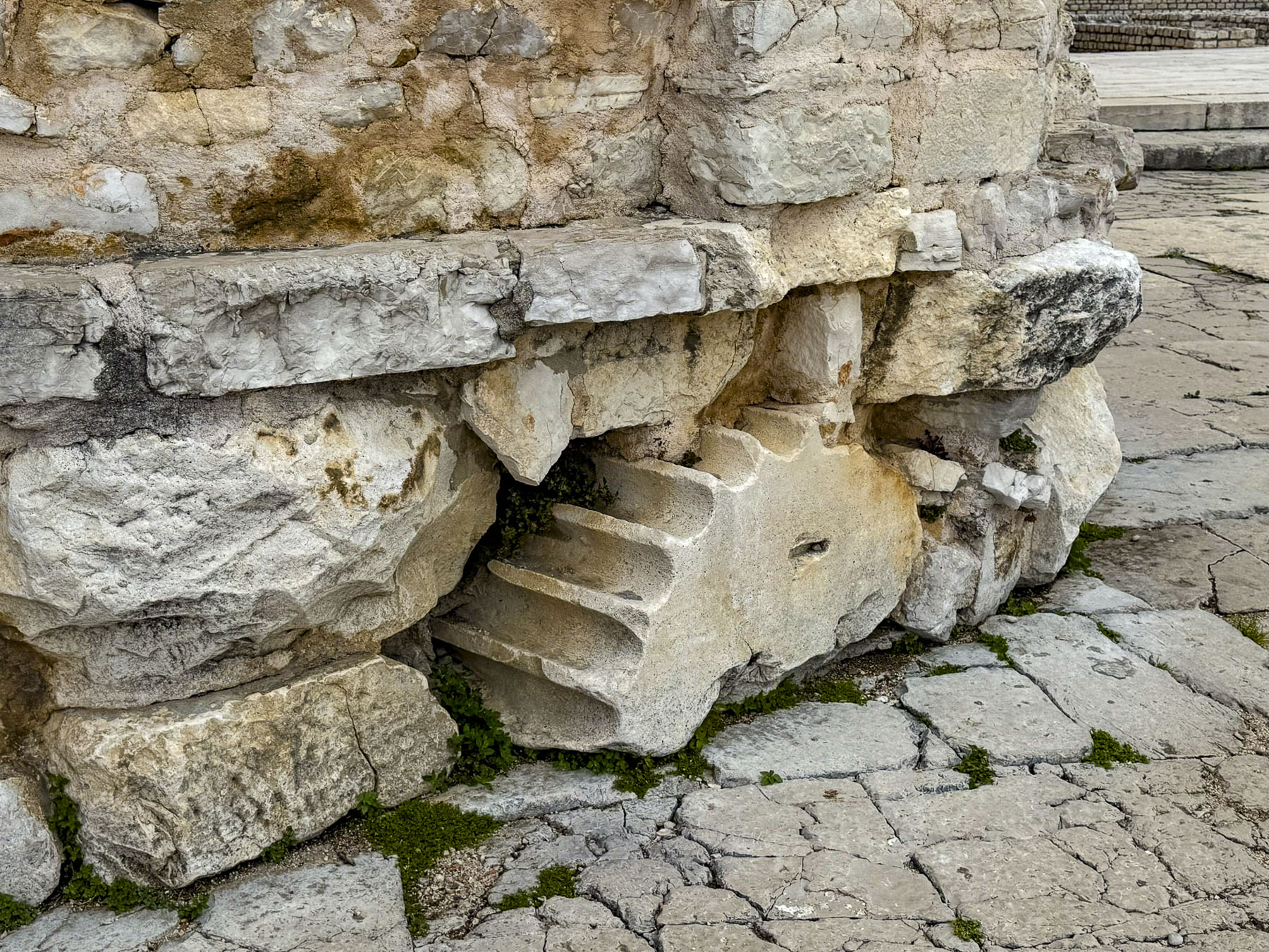
At the far end of the plaza were the stairs to Dioklecijanovi Podrumi, the palace cellars, which were also used as the location for a dragon’s dungeon in Game of Thrones. At the other end of the cellars was the Porta Maris, or Sea Gate, where imperial galleons rowed by slaves once docked along the palace’s seaward wall. Stairs going up also led to the Vestibul of the royal quarters. It’s a tall cylinder-shaped tower with a dramatic ocular opening at the top which illuminates the interior wall with a round beam of light on a sunny day. From here various passages, now walled off, led to different living areas within the palace.
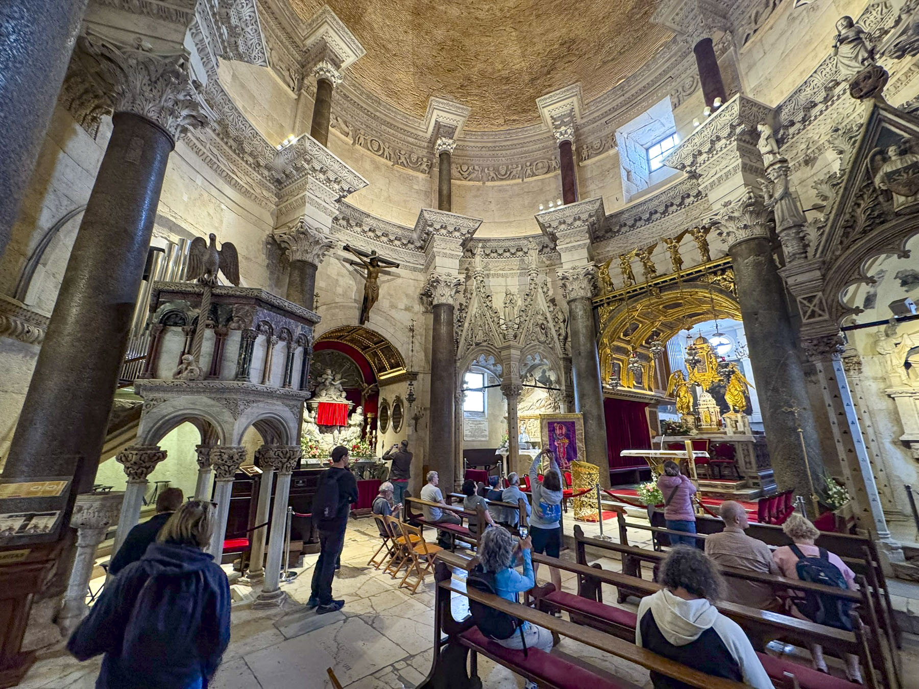
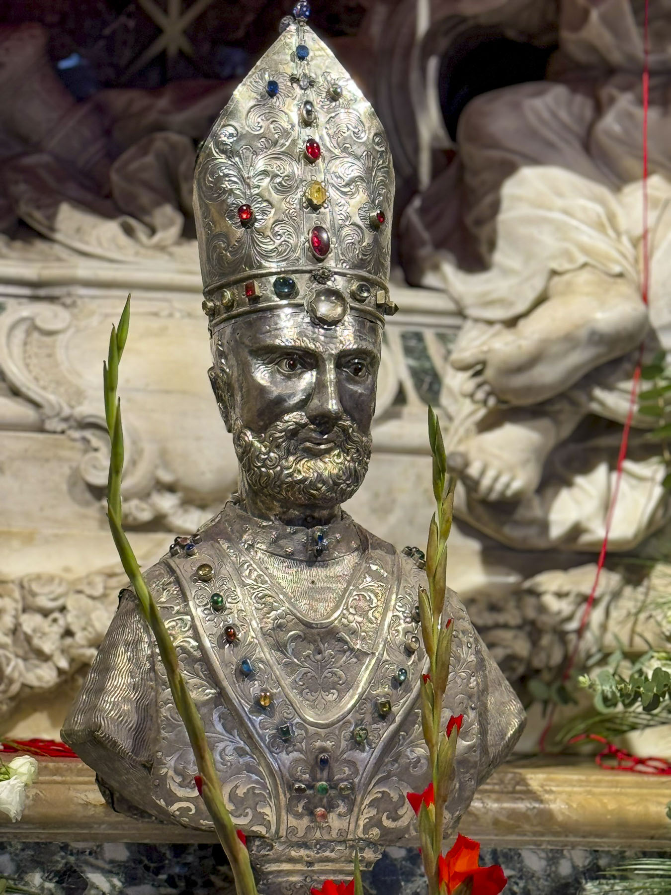
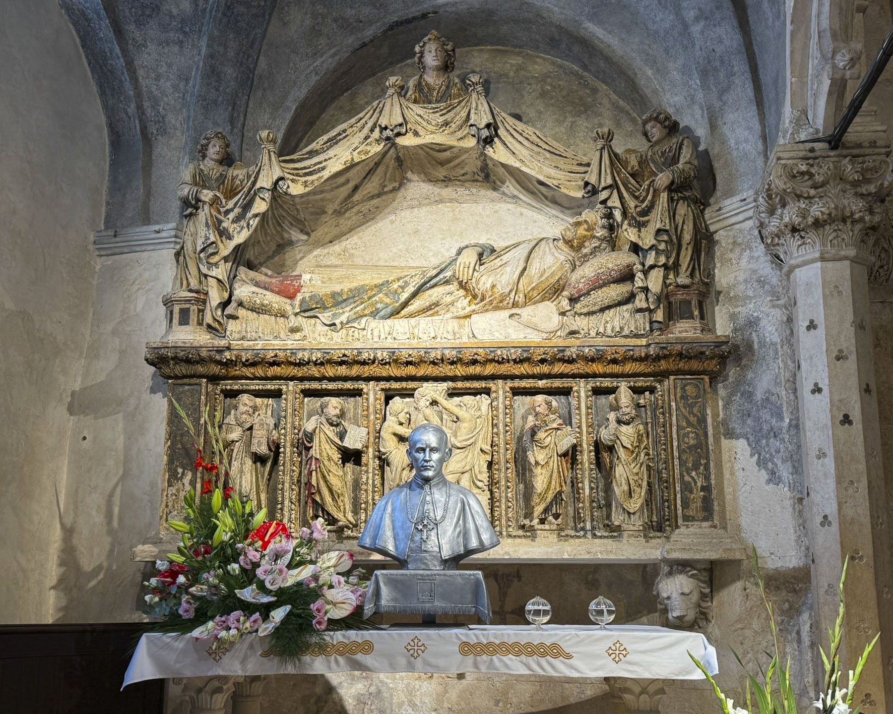
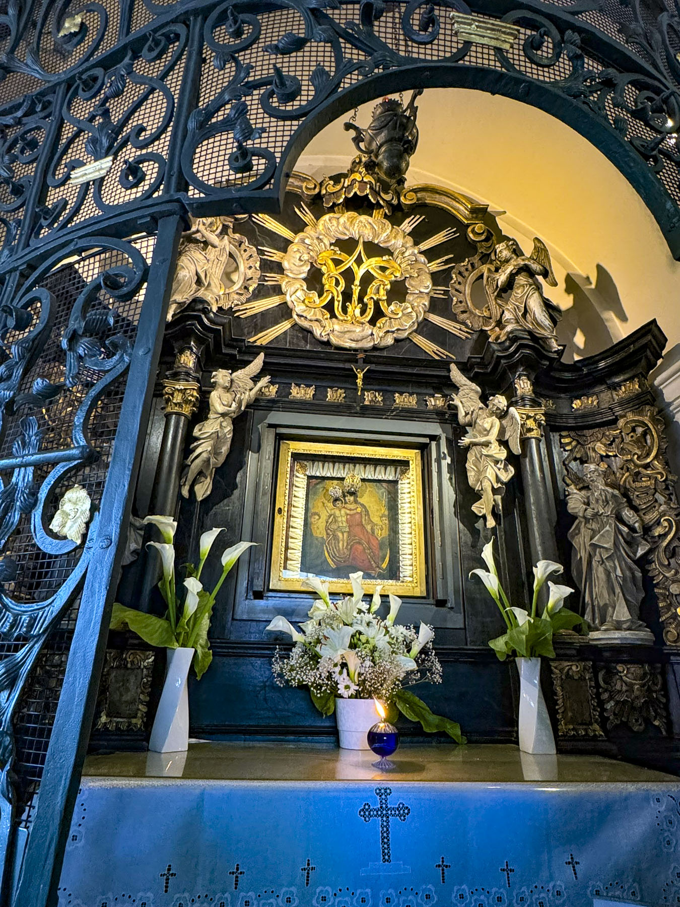
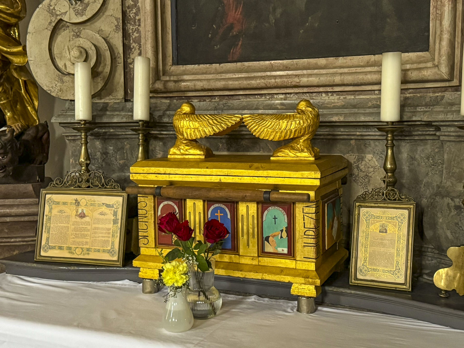
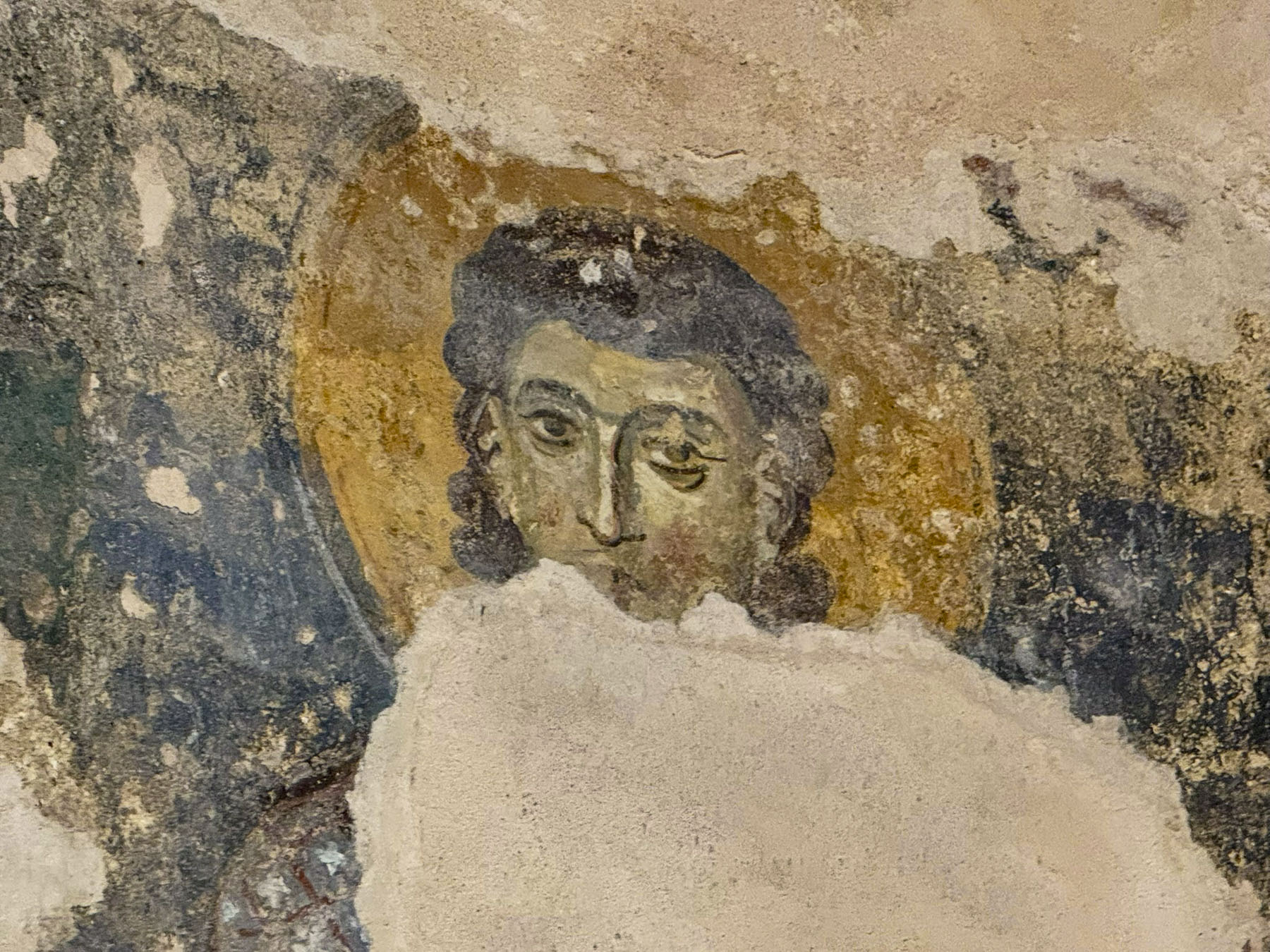
With the decline of the Western Roman Empire, Avar and Slavic tribes began attacking the region in the early 7th century, and large numbers of folks living in the area fled to safety behind the palace’s defenses. Over the centuries these refugees turned the palace into a small bustling medieval city where homes and trade shops were built within, around, and on top of the palace walls and halls. It was during this time that Diocletian’s mausoleum was converted into the Cathedral of St. Domnius, and the relics of the saint were encased in a silver bejeweled bust and displayed in a side chapel of the church, while the Temple of Jupiter was repurposed as the church’s baptistry.
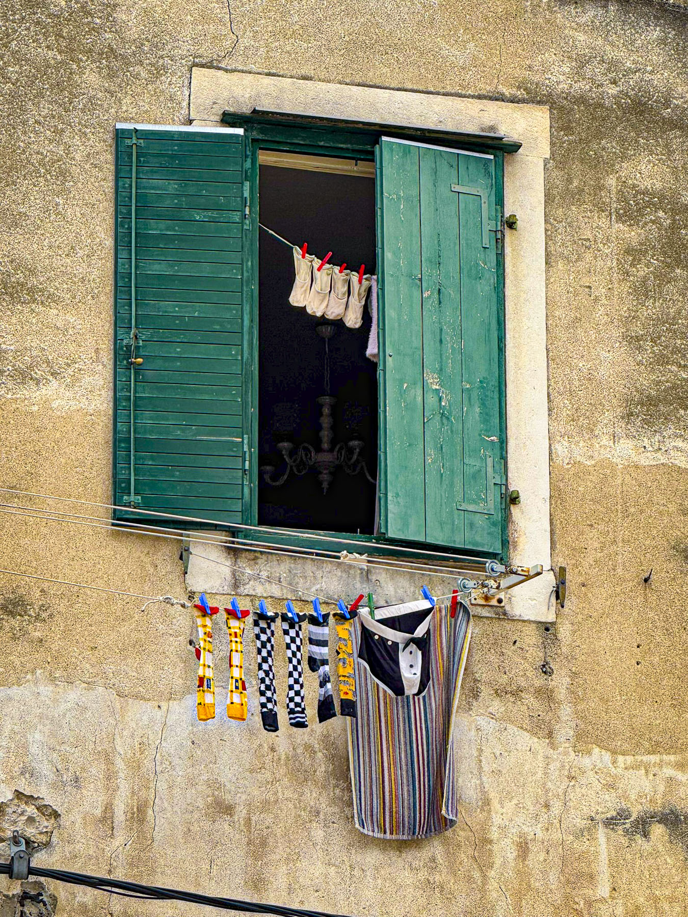
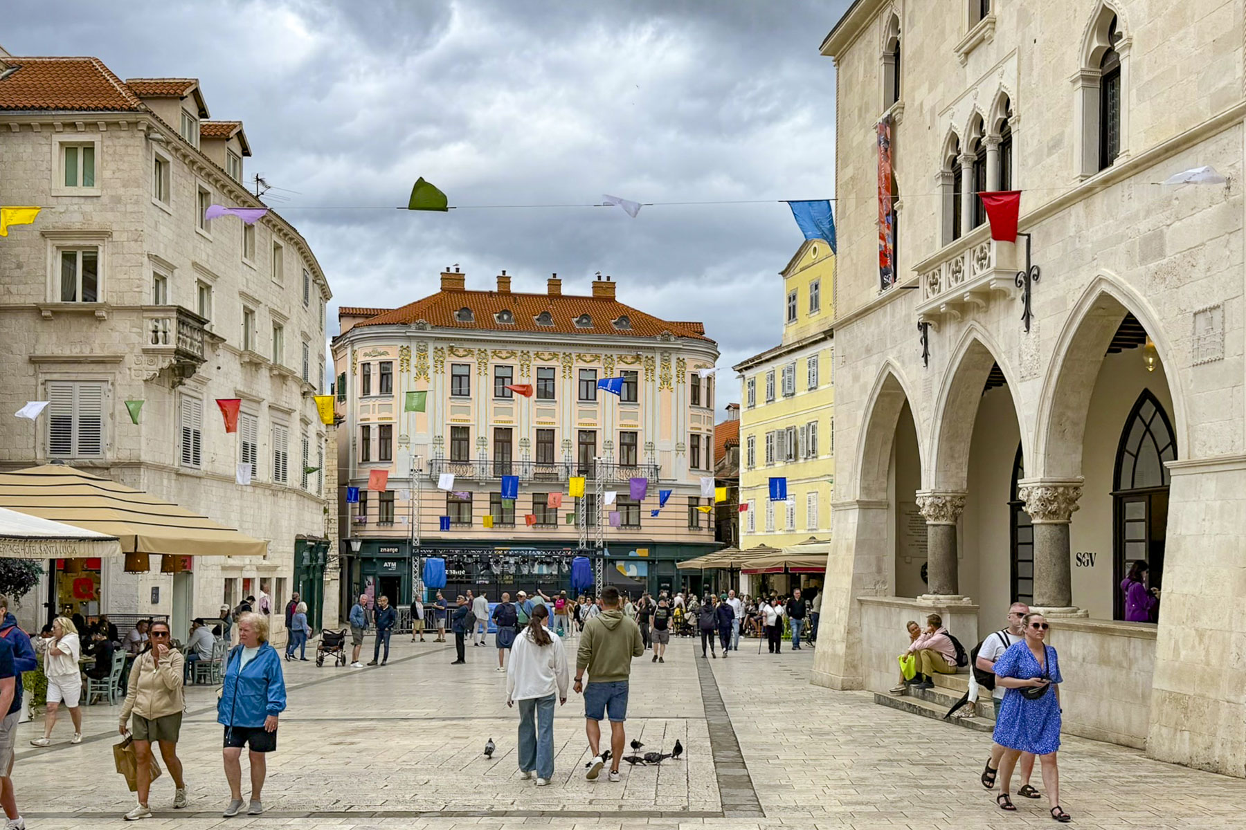
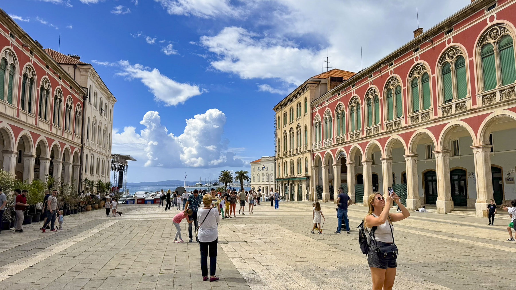
The city became an important Roman port after the region was reconquered by the Byzantine Empire, the former Eastern Roman Empire. Today, Diocletian’s Palace is a vibrant UNESCO World Heritage Site, and a living city with 3,000 residents that live behind its walls, blending history and daily life. Locals and tourists enjoy coffee in cobbled courtyards, and shops and restaurants invite visitors into buildings that have stood for nearly two millennia.
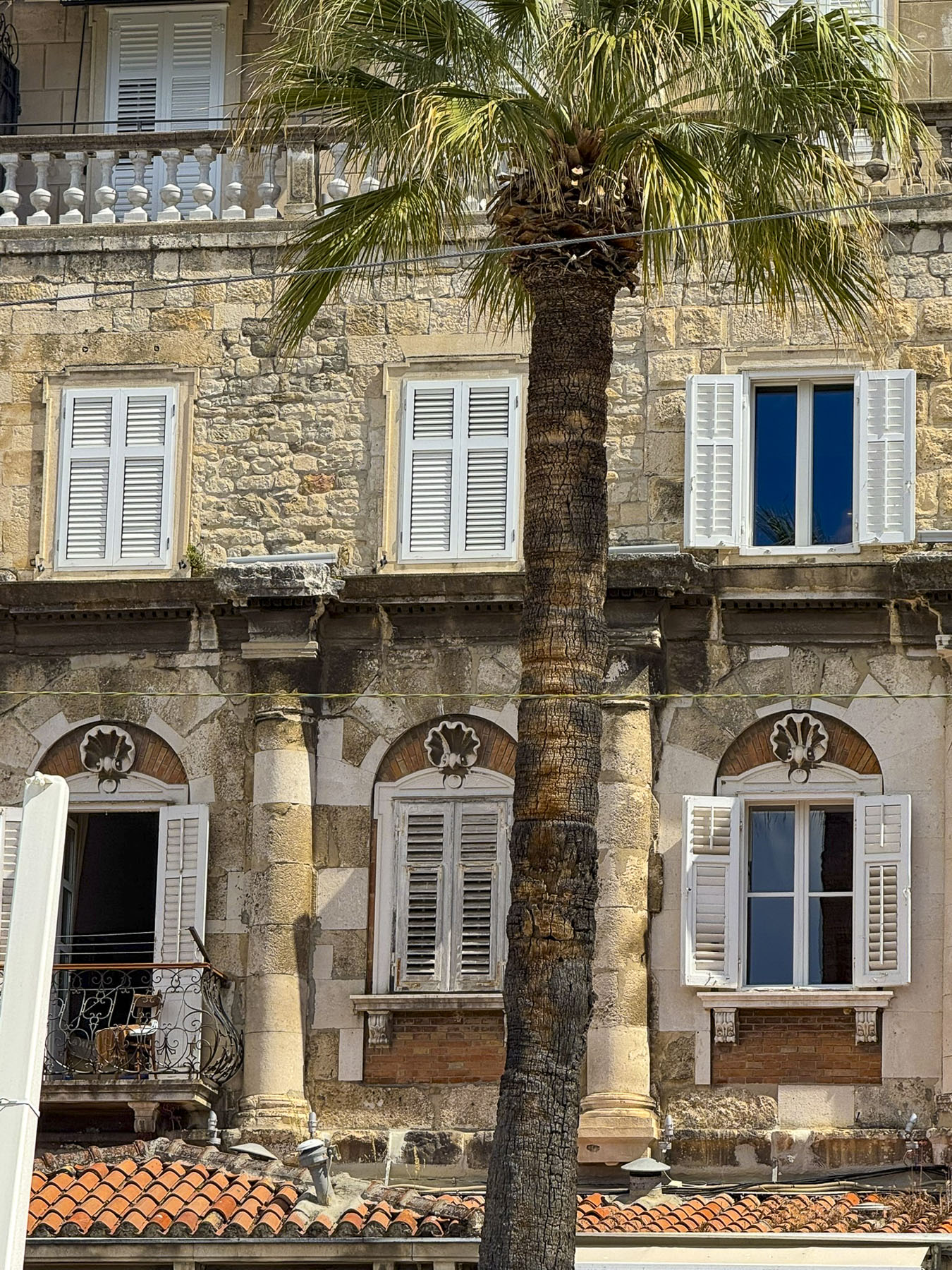
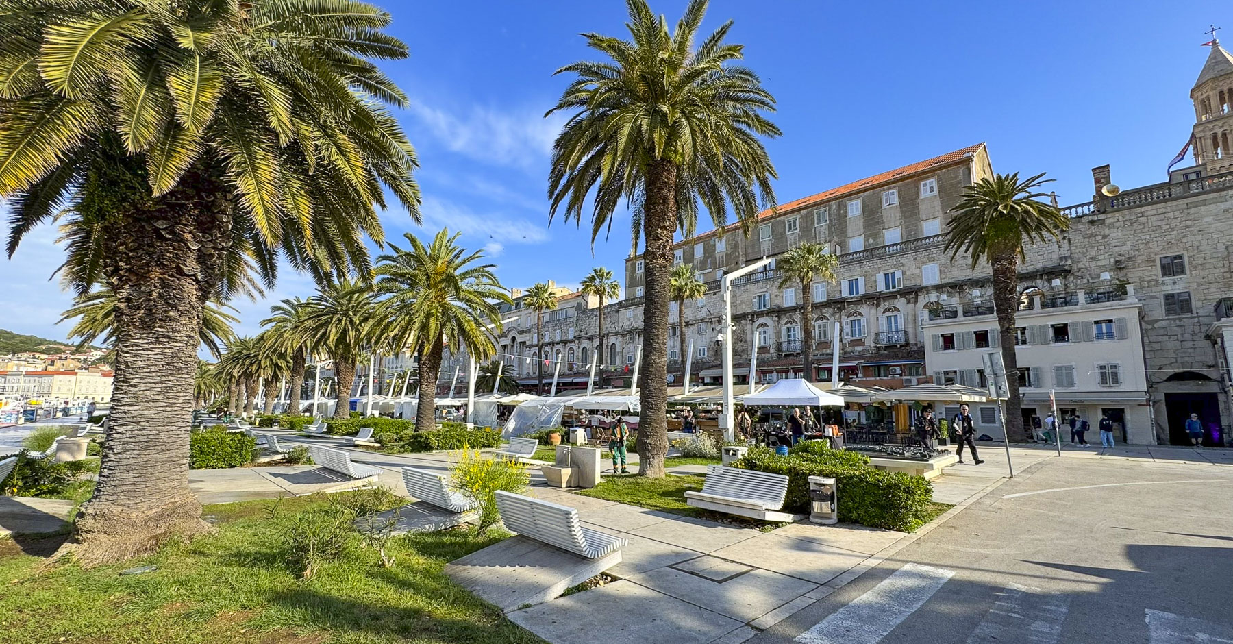
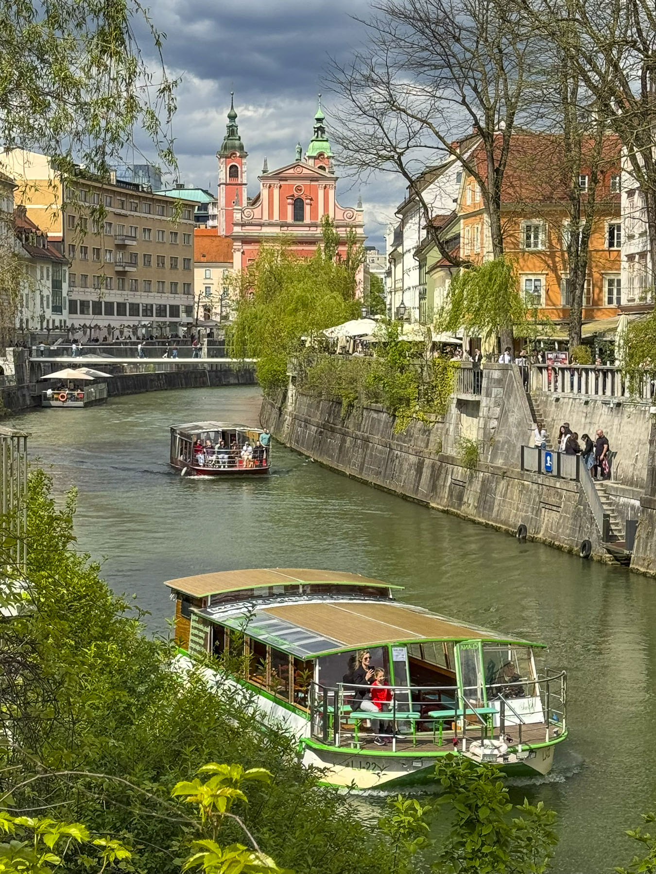
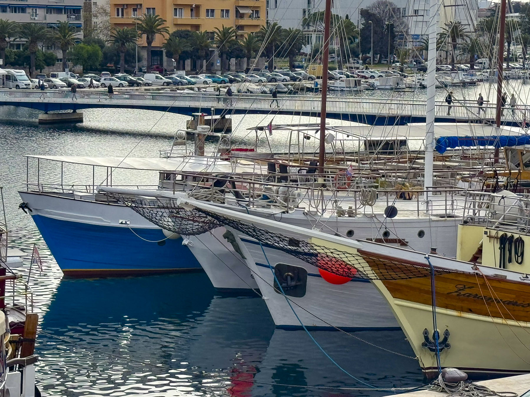
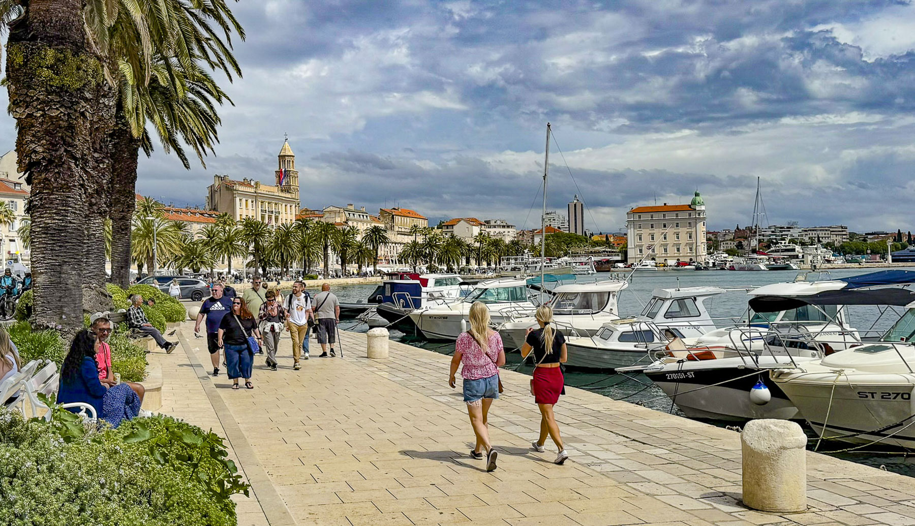
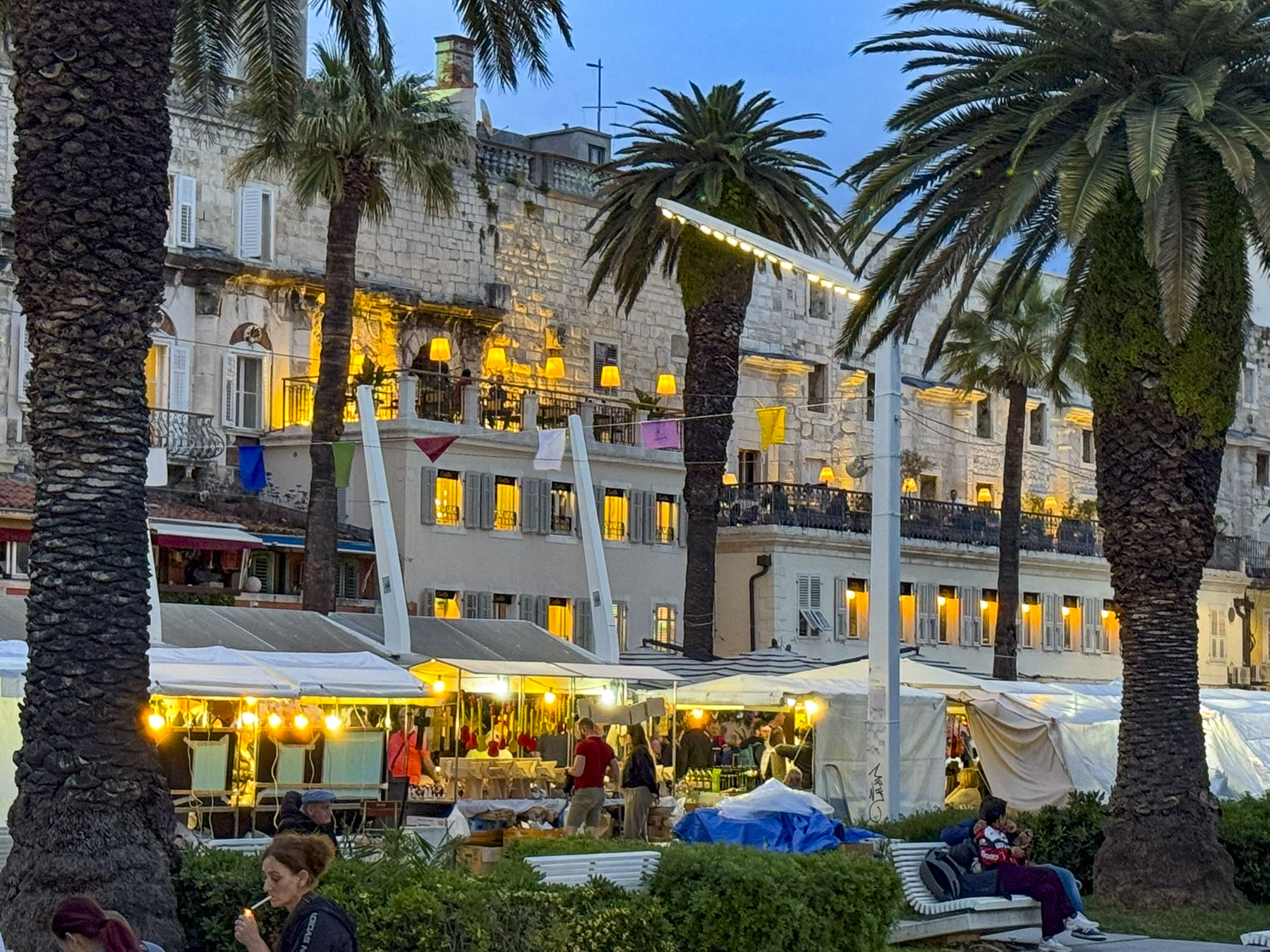
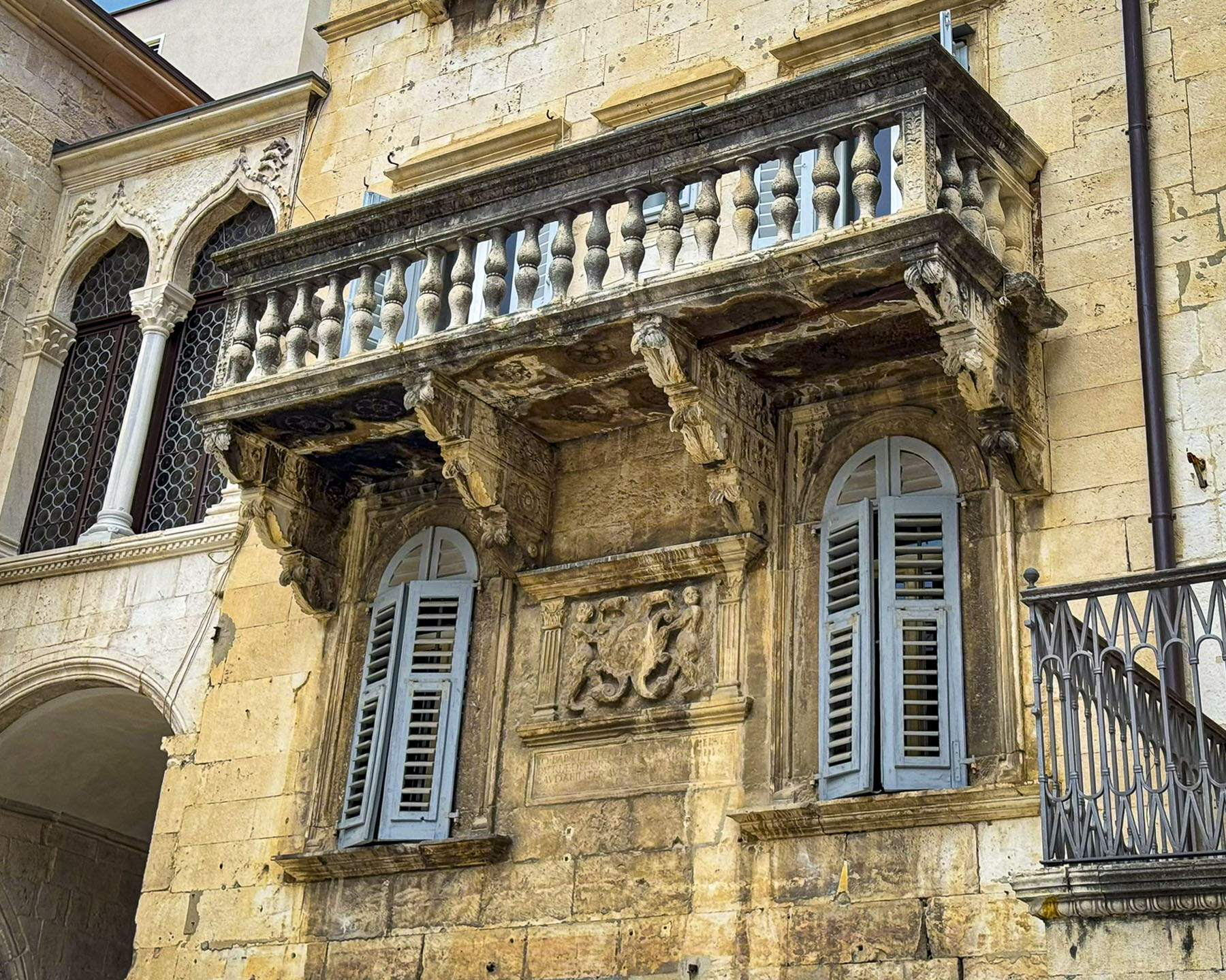
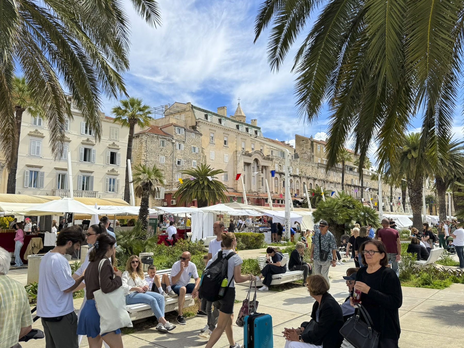
We exited the Sea Gate, now 60m (200ft) from the sea onto the Splitska Riva, a wide palm tree lined promenade along Split’s harbor. Looking back at the palace, we saw the last vestiges of Diocletian’s private cryptoporticus, a columned and arched balcony that extended along the entire waterfront façade of the palace. The columns and arches still stand, but the spaces between them were walled up with windows ages ago and turned into apartments, and boutique hotels like the Heritage Hotel CardoandPalace Suites Heritage Hotel. Lined with umbrellaed tables restaurants and bars, the Riva is a popular spot to dine outdoors and enjoy some Croation wines or the ubiquitous Aperol spritz.
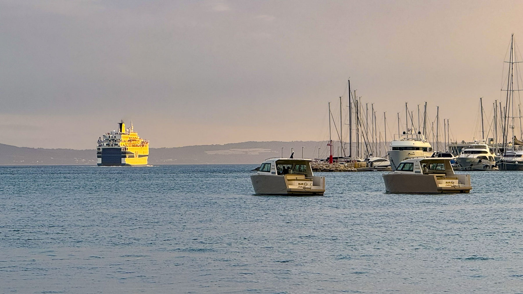
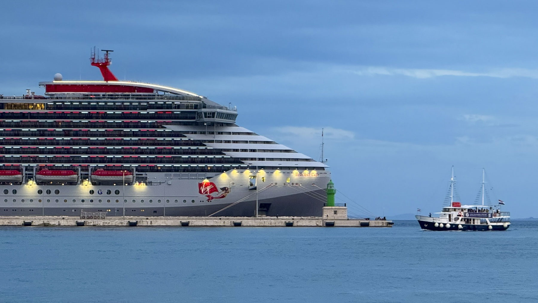
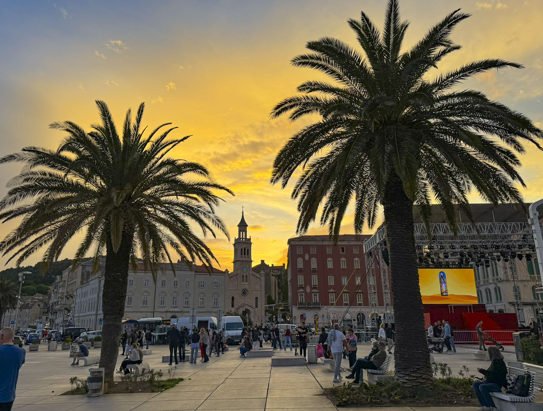
As the day’s shadows lengthened we strolled along the waterfront and watched various cruise ships arrive, and ferries depart for Hvar or other nearby islands. There is also a twice a week ferry service to Ancona, Italy. At the end of the Riva, workers were busy assembling a large stage for the May 7th festivities.
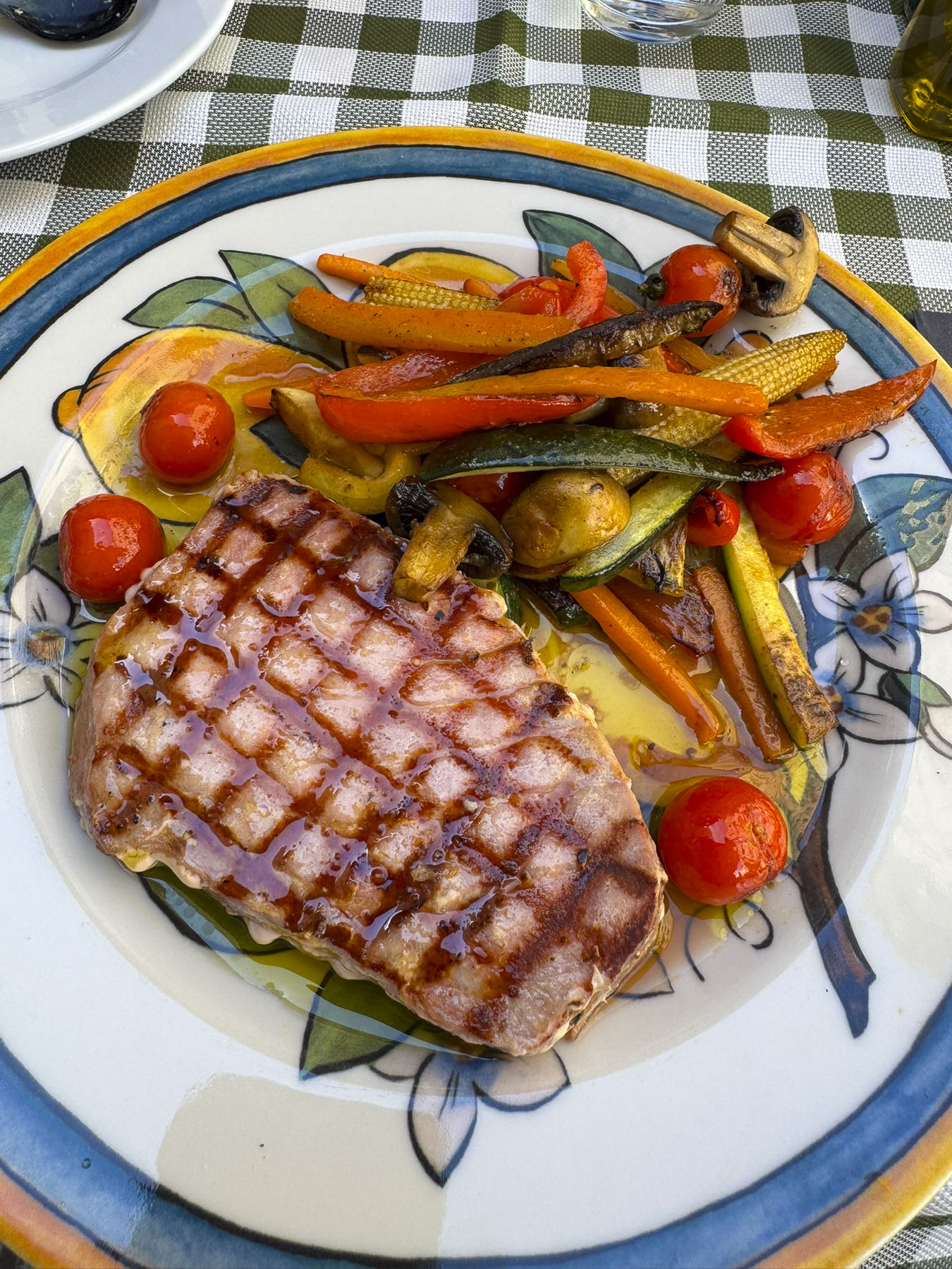
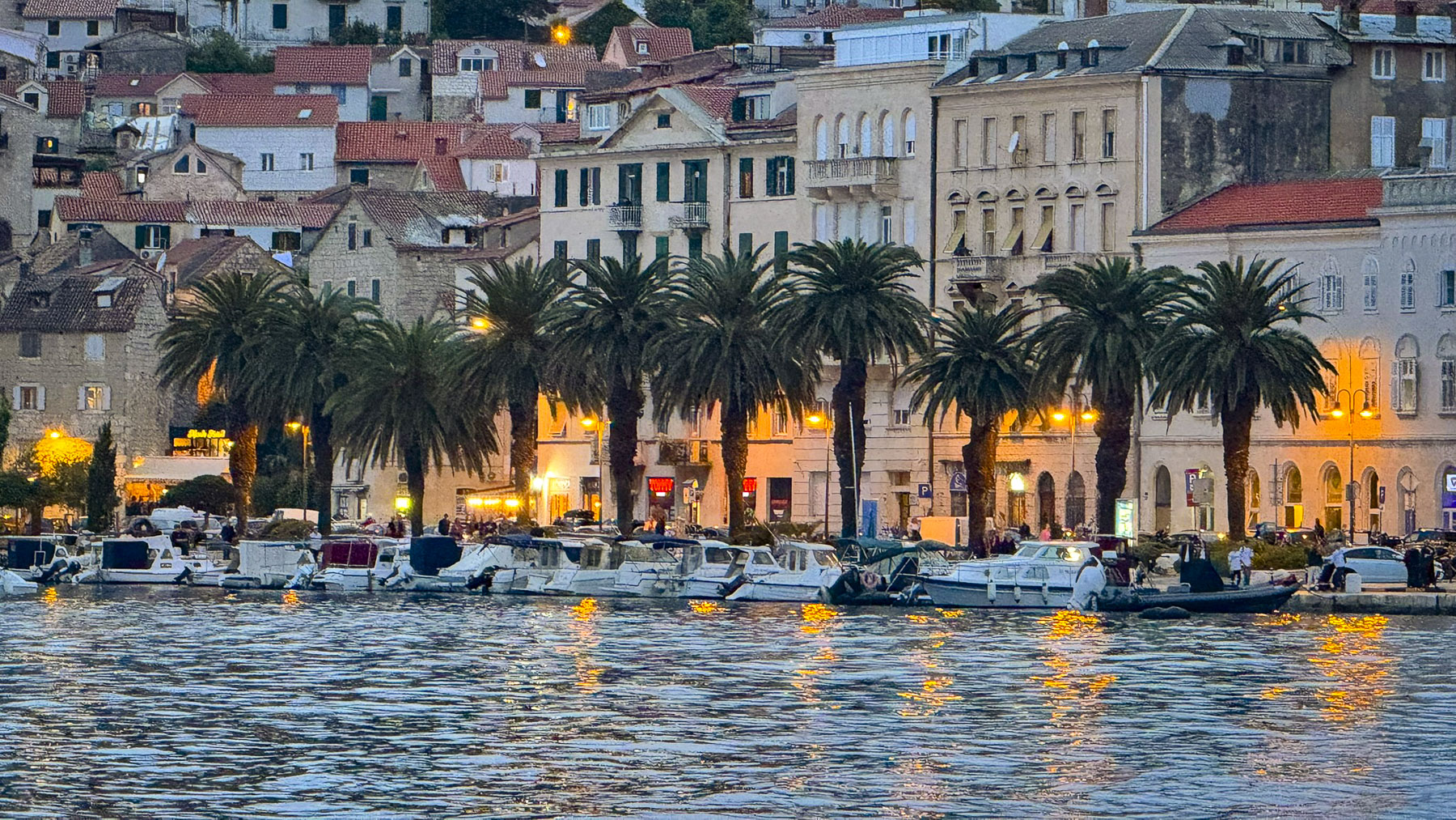
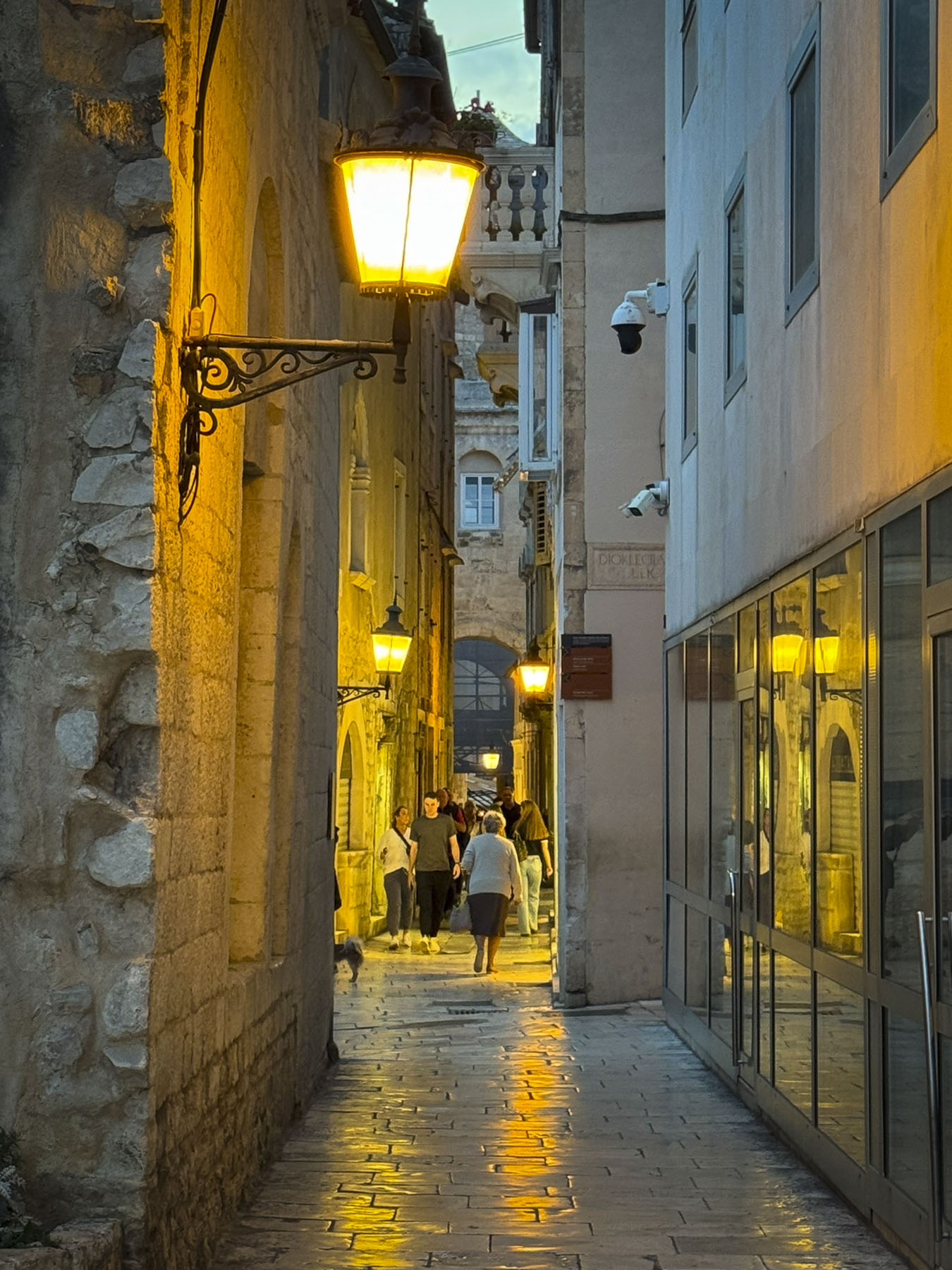
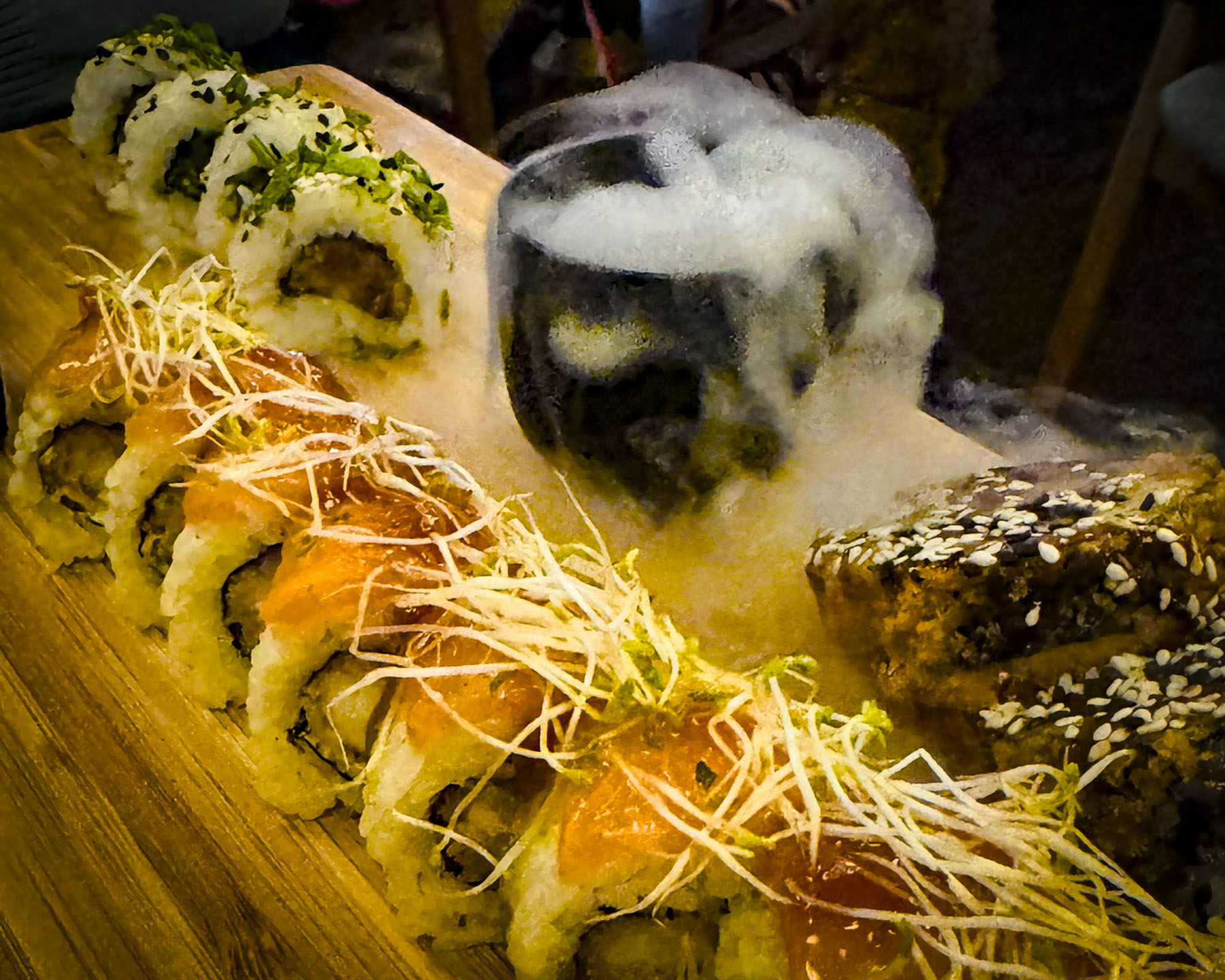
Past the Riva at the end of the quay, we enjoyed dinner seated outside on a terrace that overlooked the harbor at Konoba Fratelli. Their specialty, of course, was seafood. The quality of the seafood was splendid, and it was so fresh. Locally caught, the morning catch moved quickly from the fishing boats to restaurants the same day, and we couldn’t get enough of it. Afterwards the sunset silhouetted the palm trees along the Riva as we headed back to our hotel. The marble surface of the Peristyle’s plaza and the cobblestones of the old palace, polished smooth by centuries of foot traffic, warmly reflected the old town’s night lights.

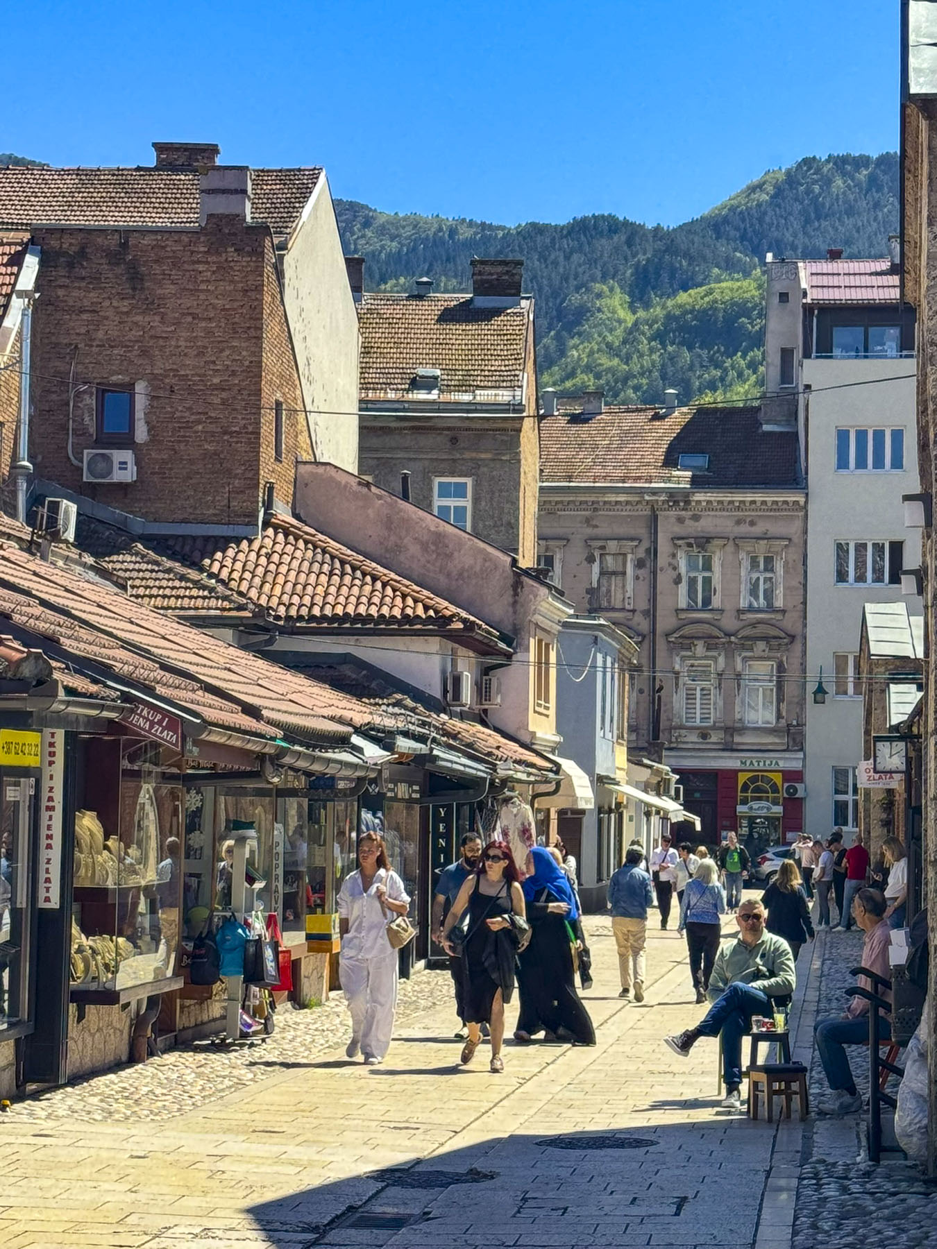
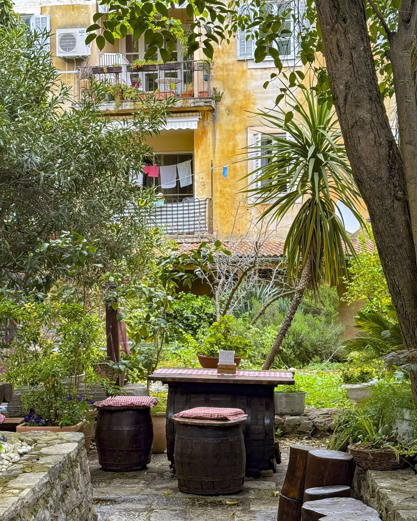
Split was delightful to explore, and we spent our days soaking in the ambiance of its weathered walls, interesting vignettes and small plazas with numerous places to stop for a leisurely café.
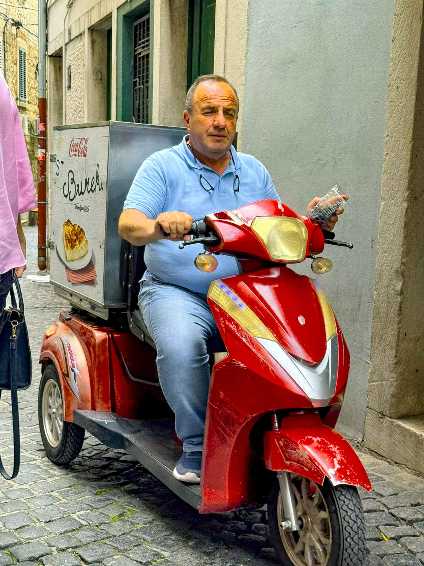
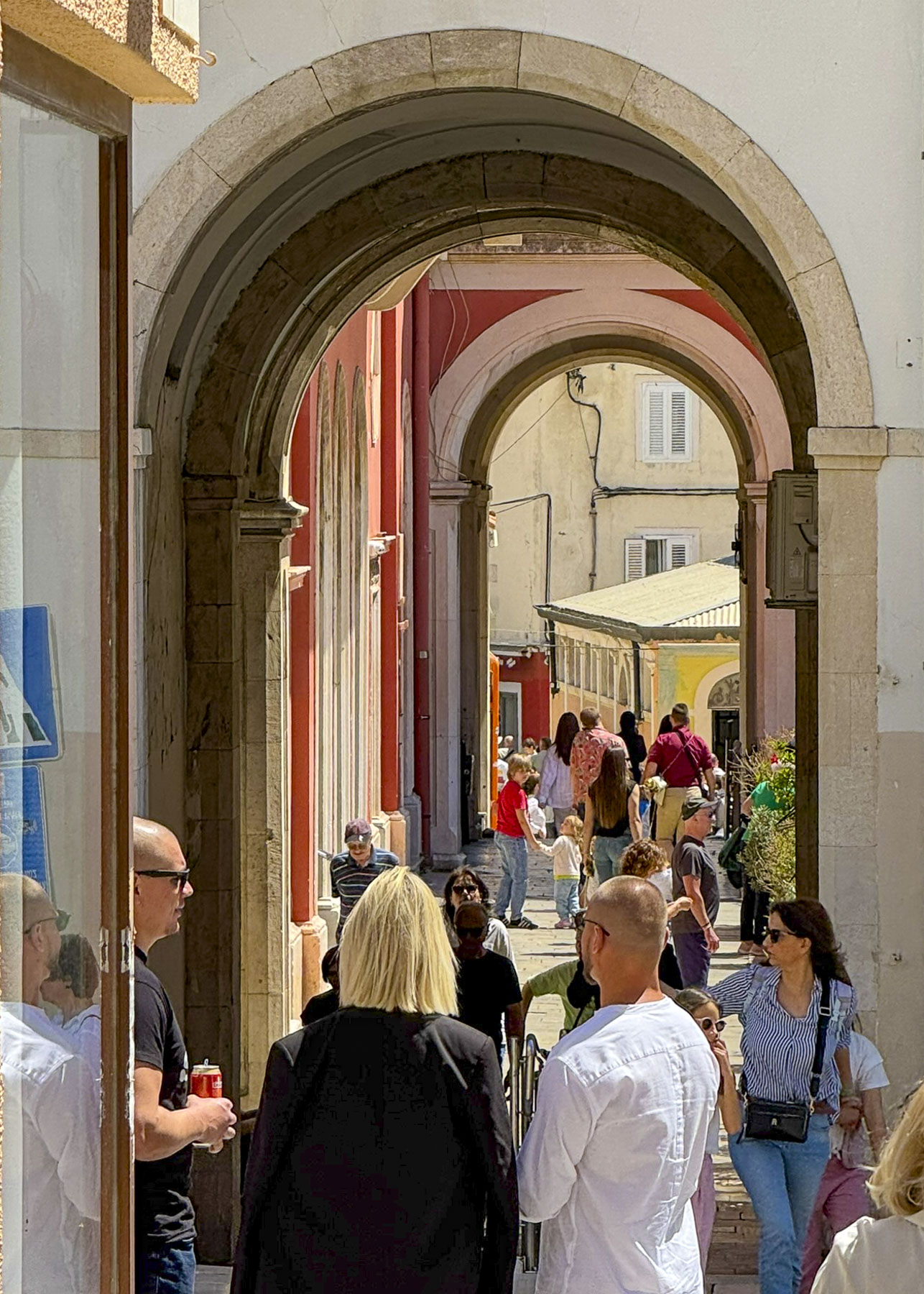
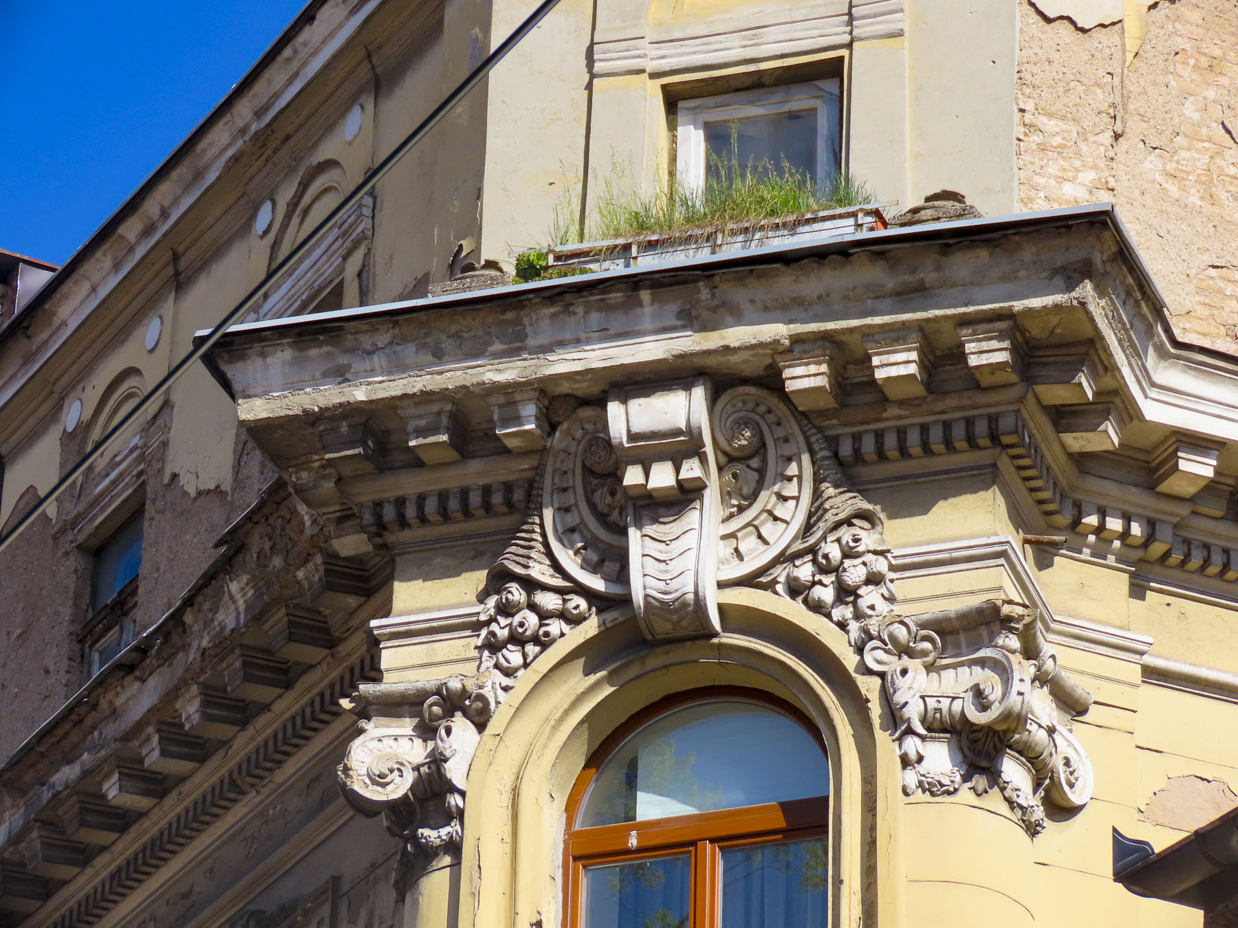
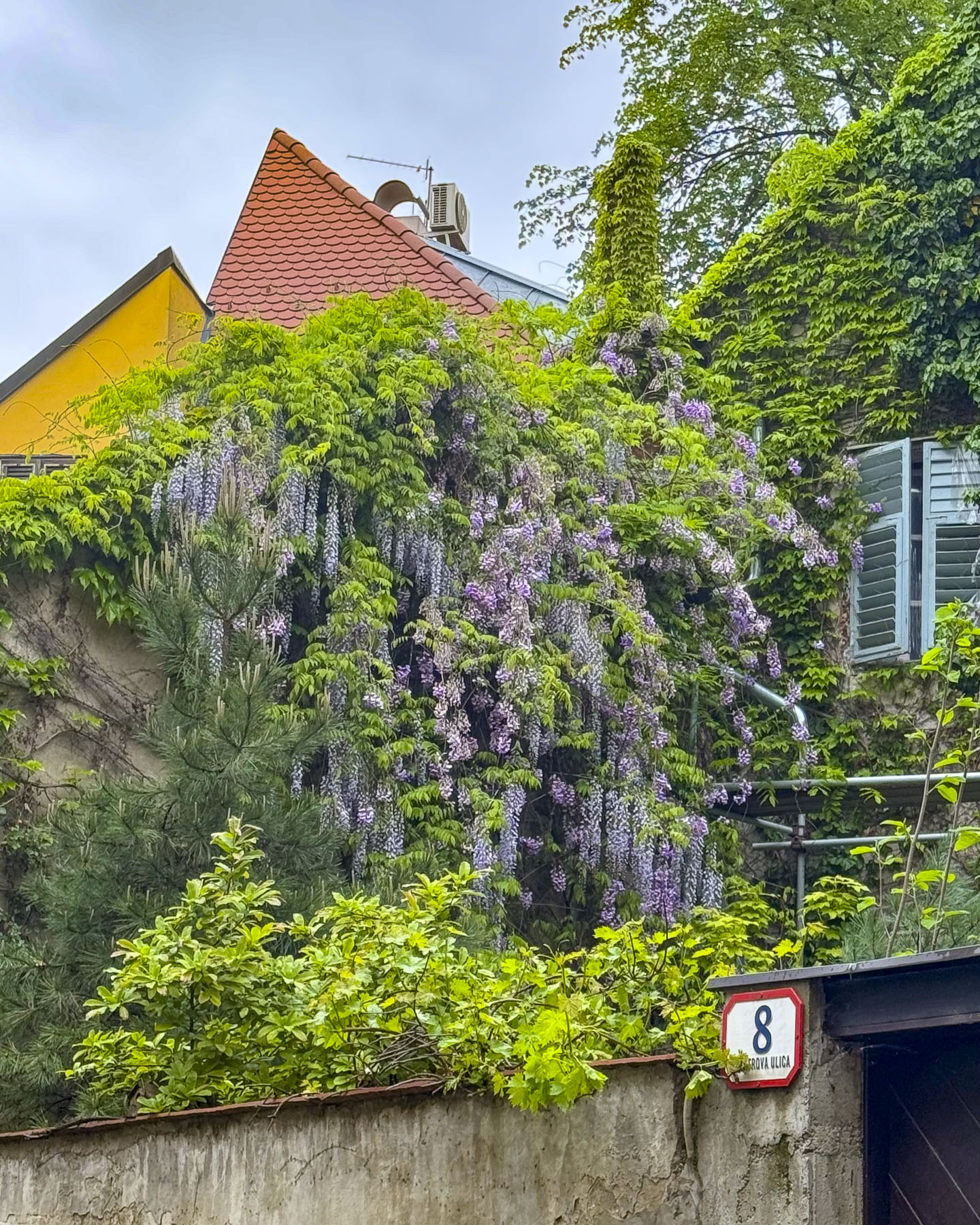
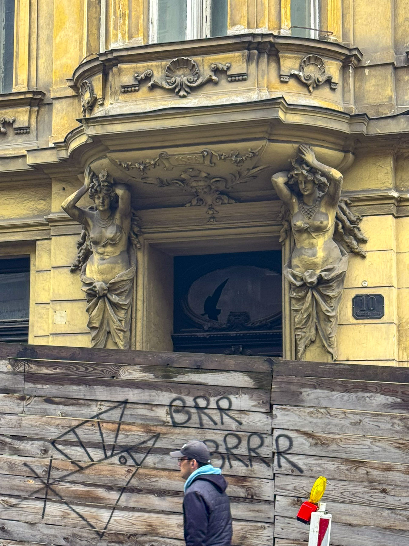
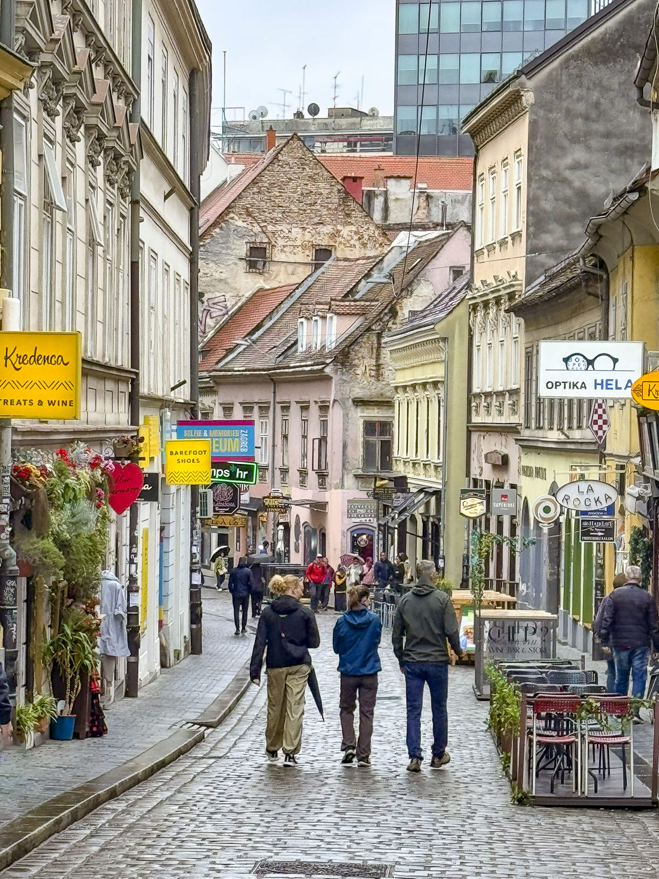
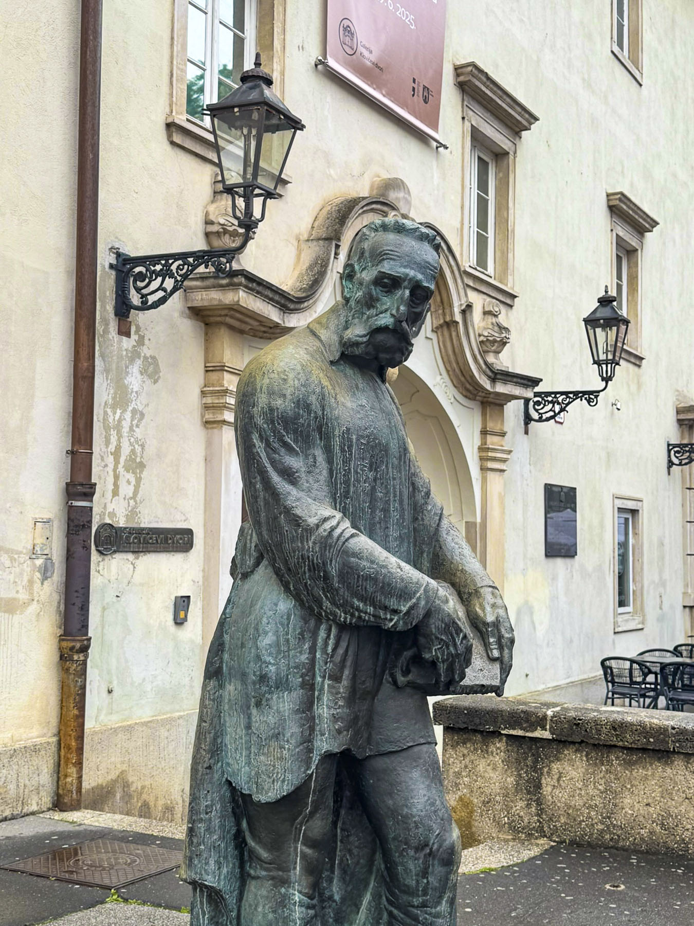
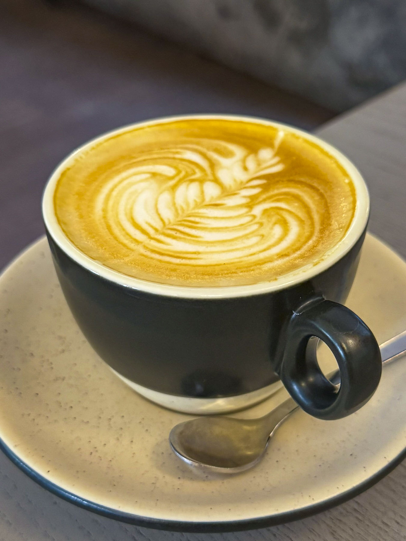
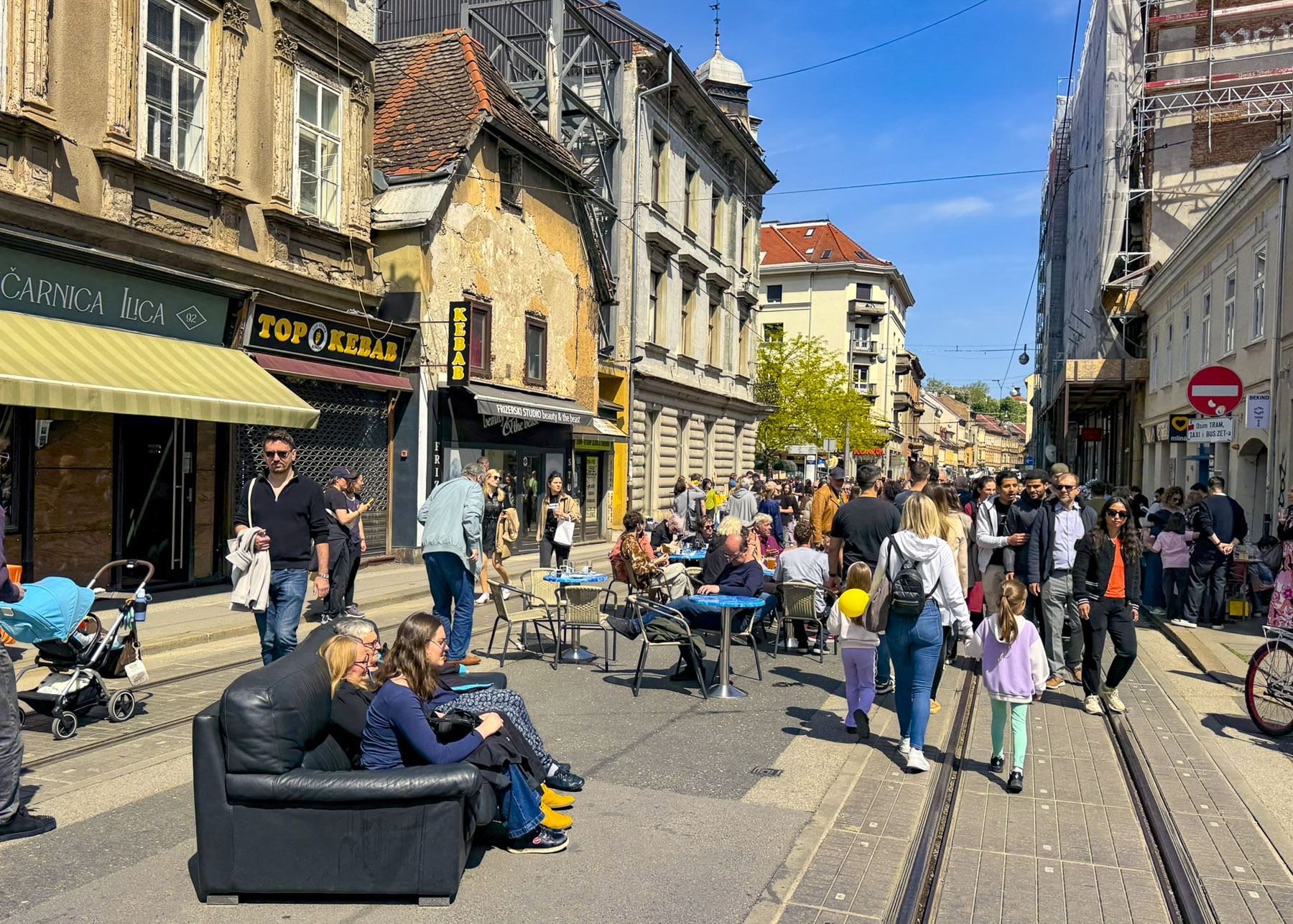
Outside the walls of Diocletian’s Palace, the surrounding streets and neighborhoods that grew up around the citadel were equally interesting with historic squares and sculptures. The stone lanes were wider, but only enough to allow an innovative burek deliveryman with his three-wheel scooter to scoot by when we pulled in our chairs on the lane at the Tinel Specialty Coffee Shop, a nice place for a variety of coffees and small bites.
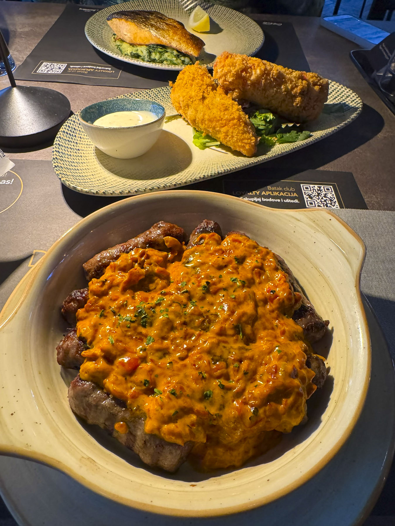
Down from Trg Republike, Republic Square, on Matošića ul, a long line had formed at Kantun Paulina, Paulina’s Corner, a small tavern that allegedly has been serving the best ćevapčići, in Split for close to fifty years. Cevapčići is a heavenly combination of grilled kababs served in a somun flatbread, similar to a pita, and garnished with diced red onion, creamy kajmak, and ajvar, a relish of red peppers and eggplant. At Paulina’s it’s a popular takeaway food.
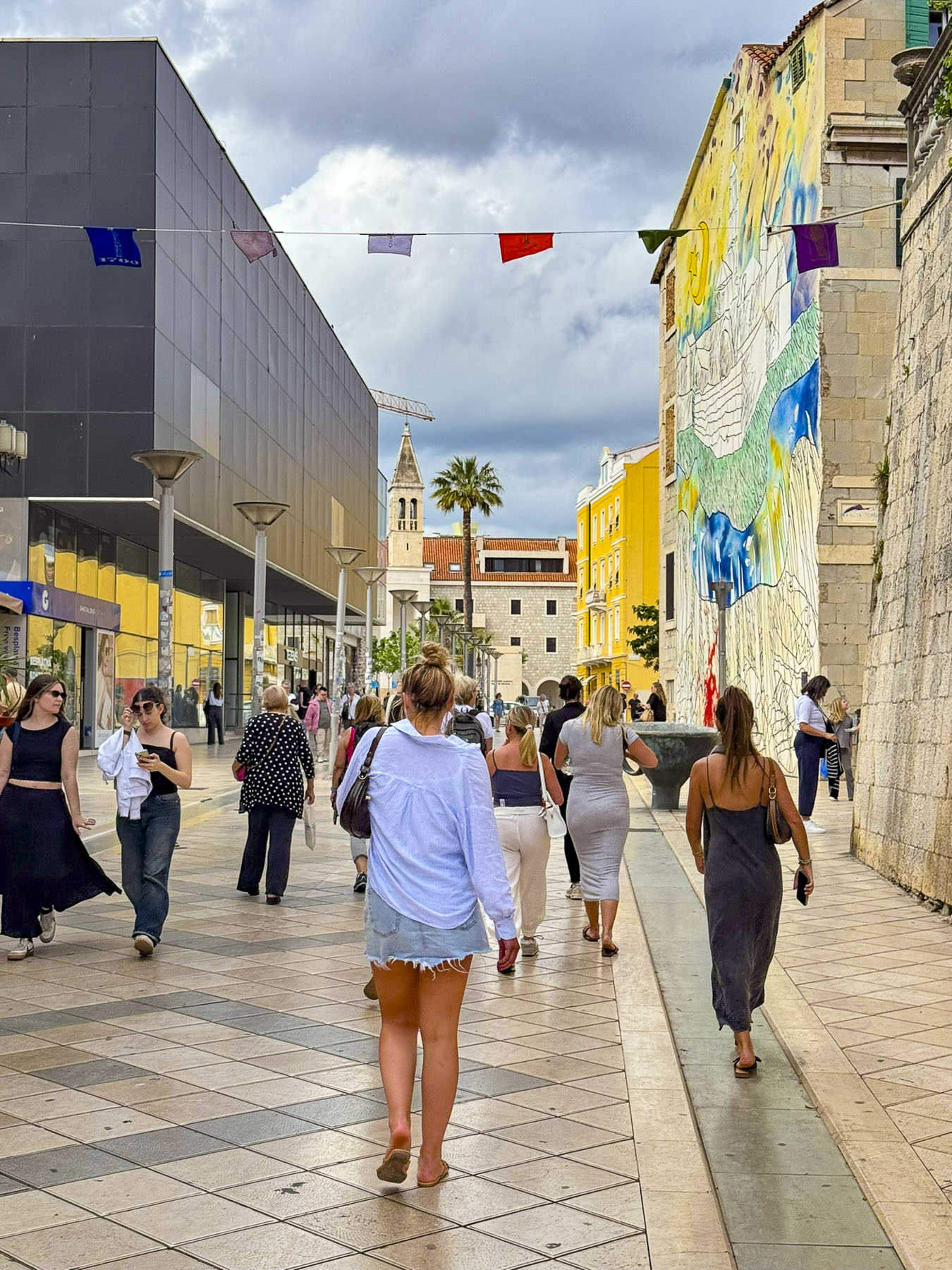
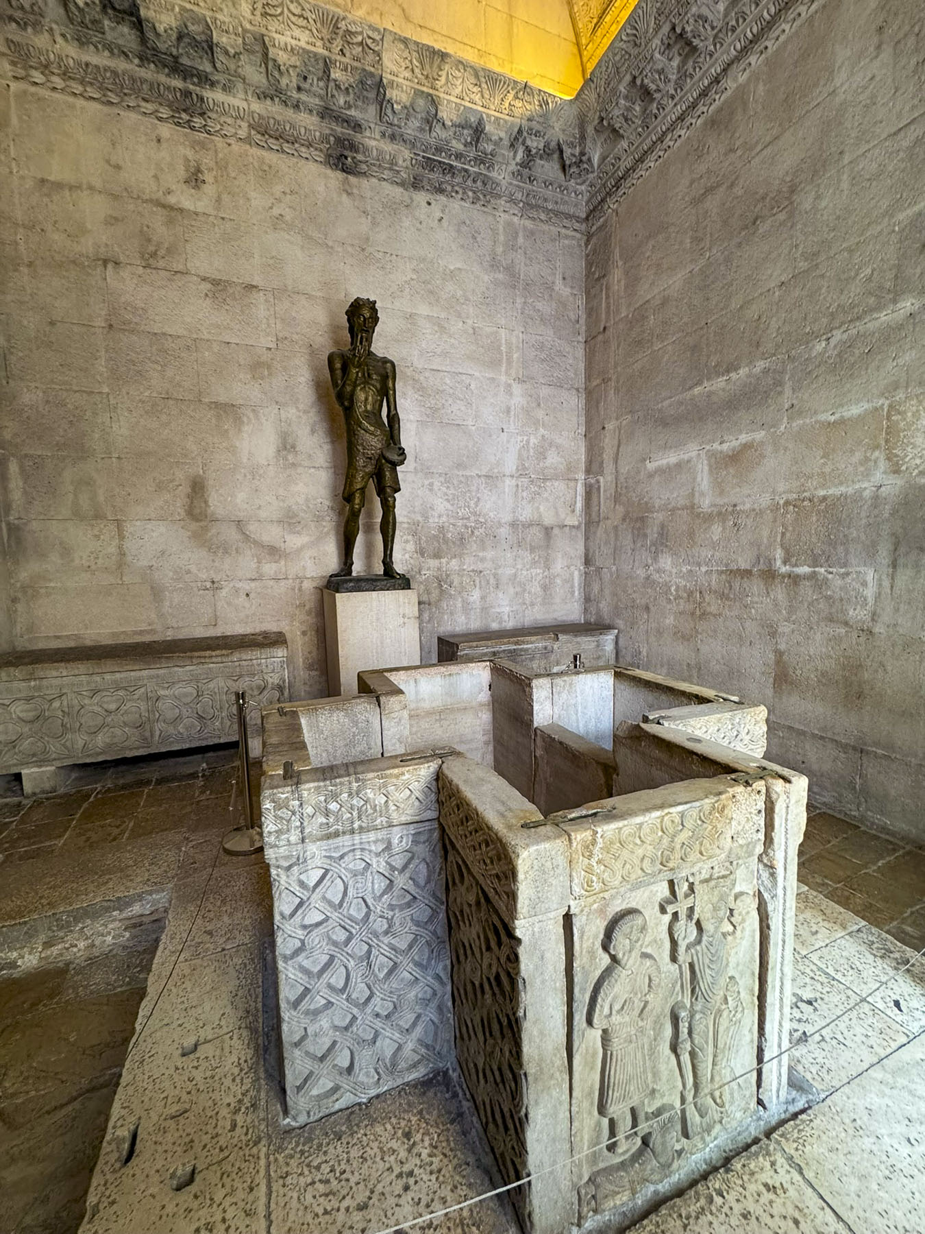
The old town gave way to newer high rise apartment blocks as we walked along Ul. Zrinsko Frankopanska, a tree-lined shady street, to the Split Archaeological Museum.
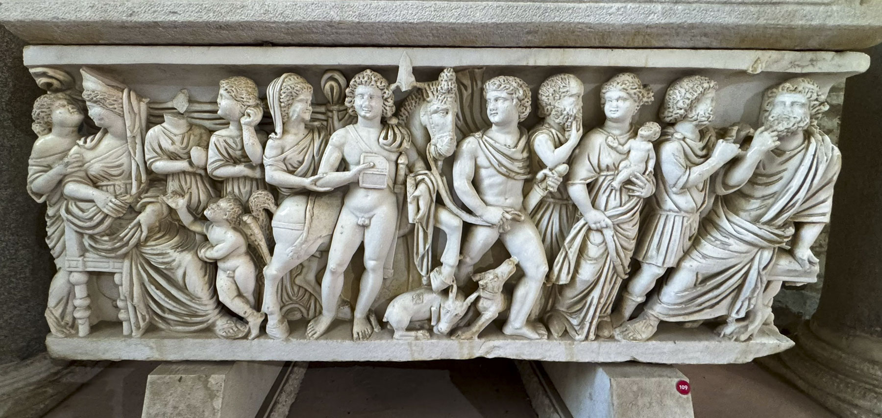
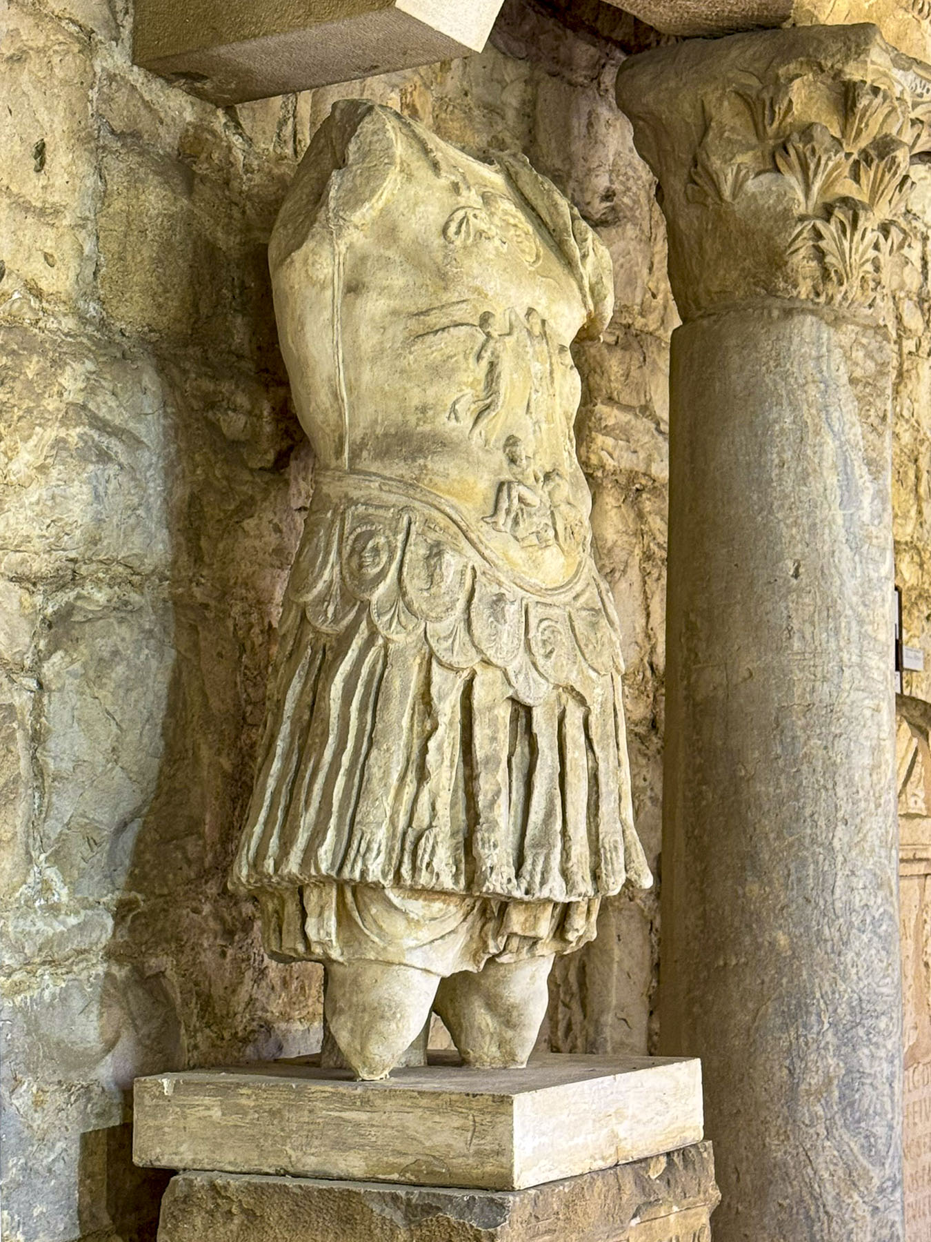
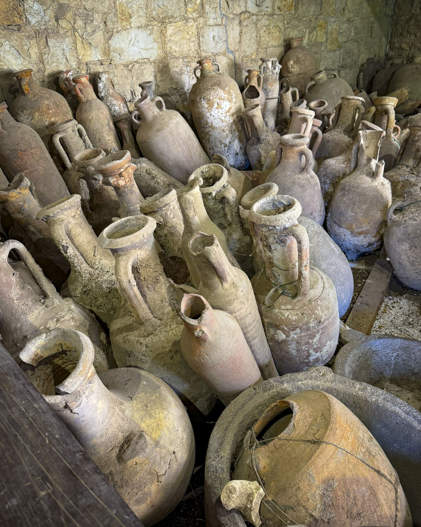
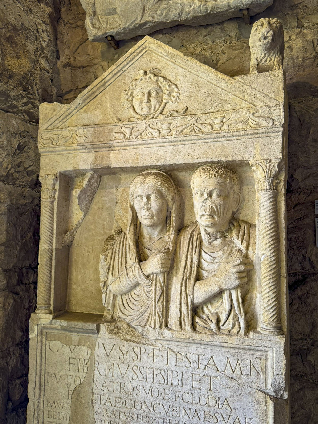
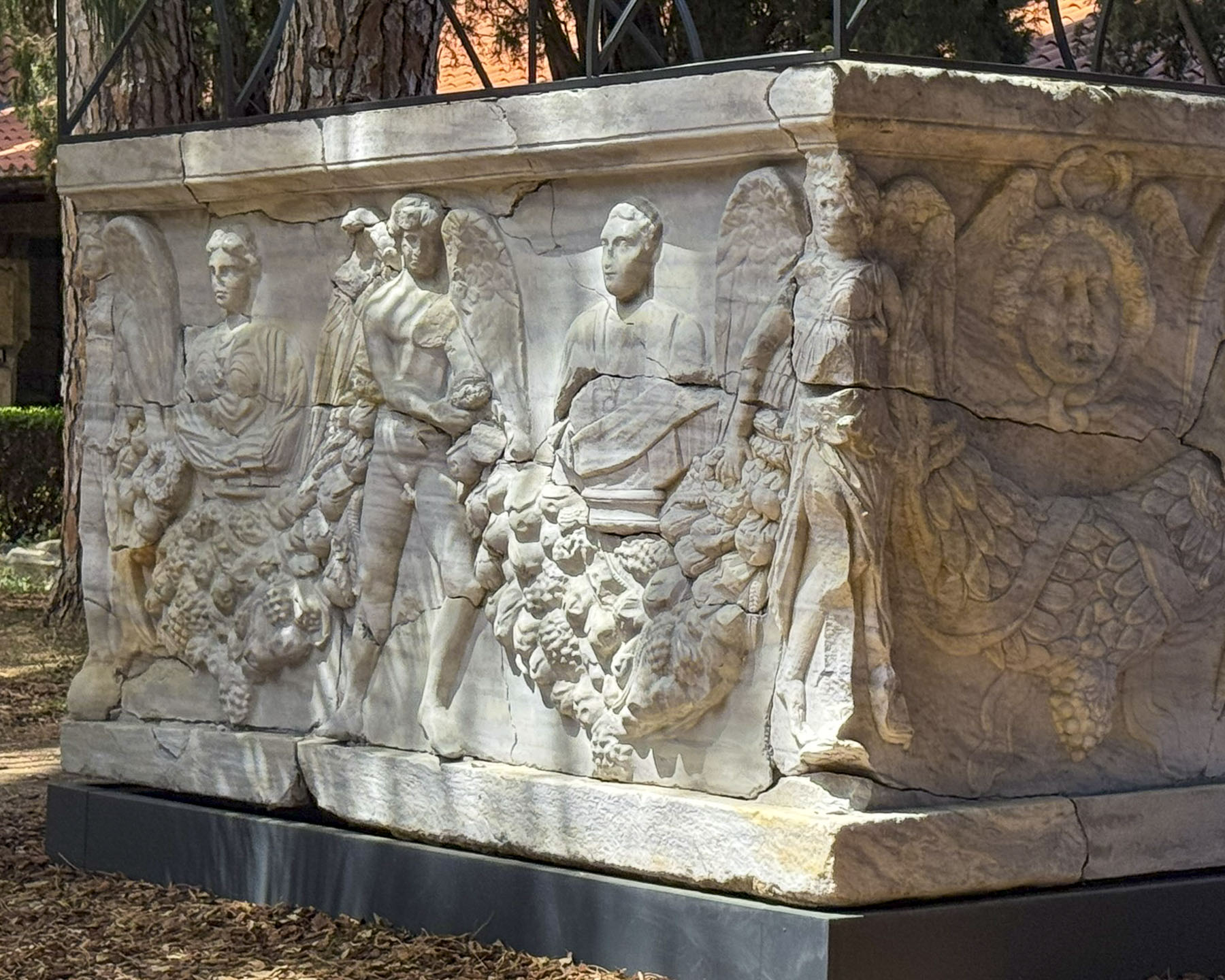
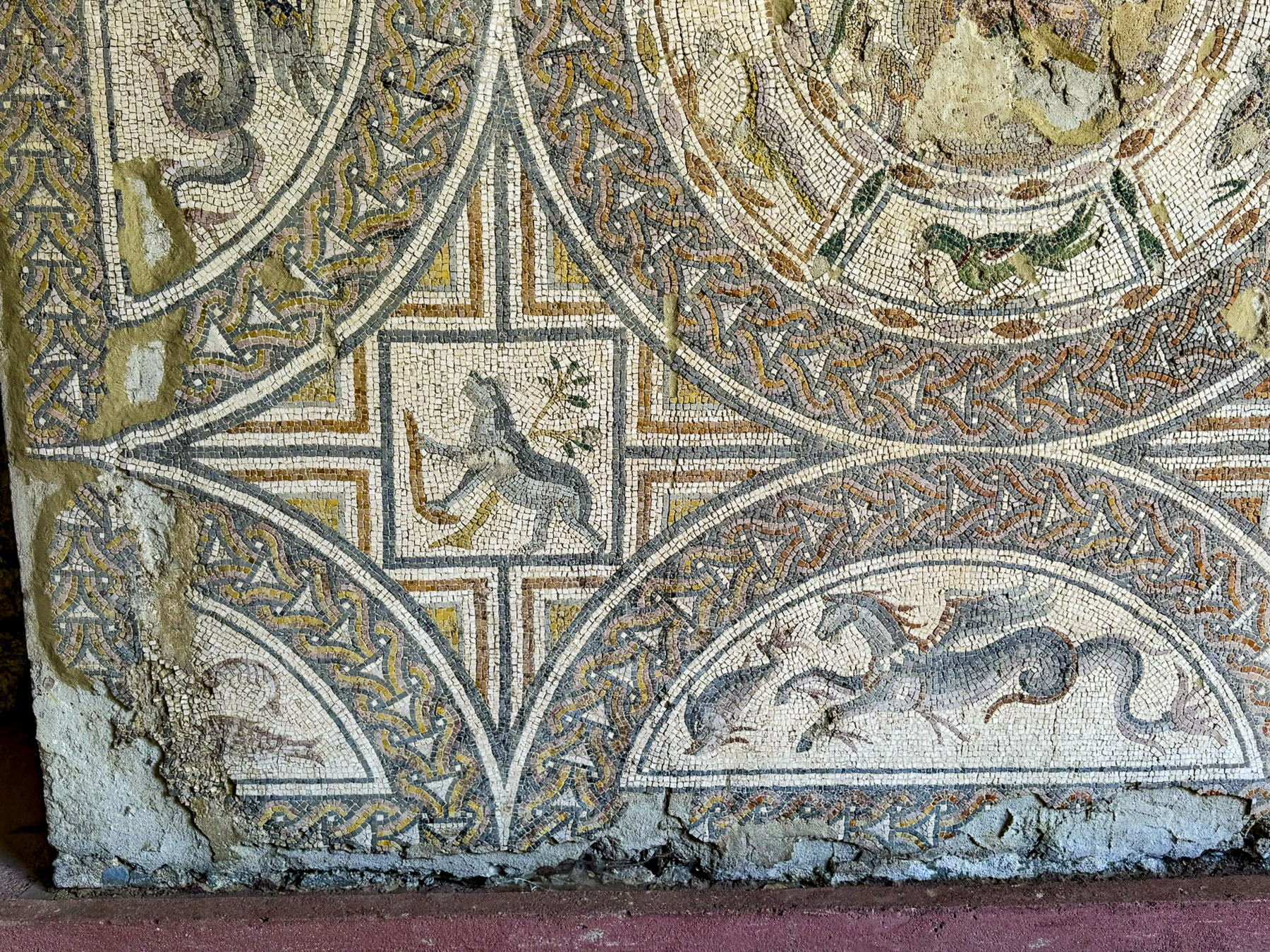
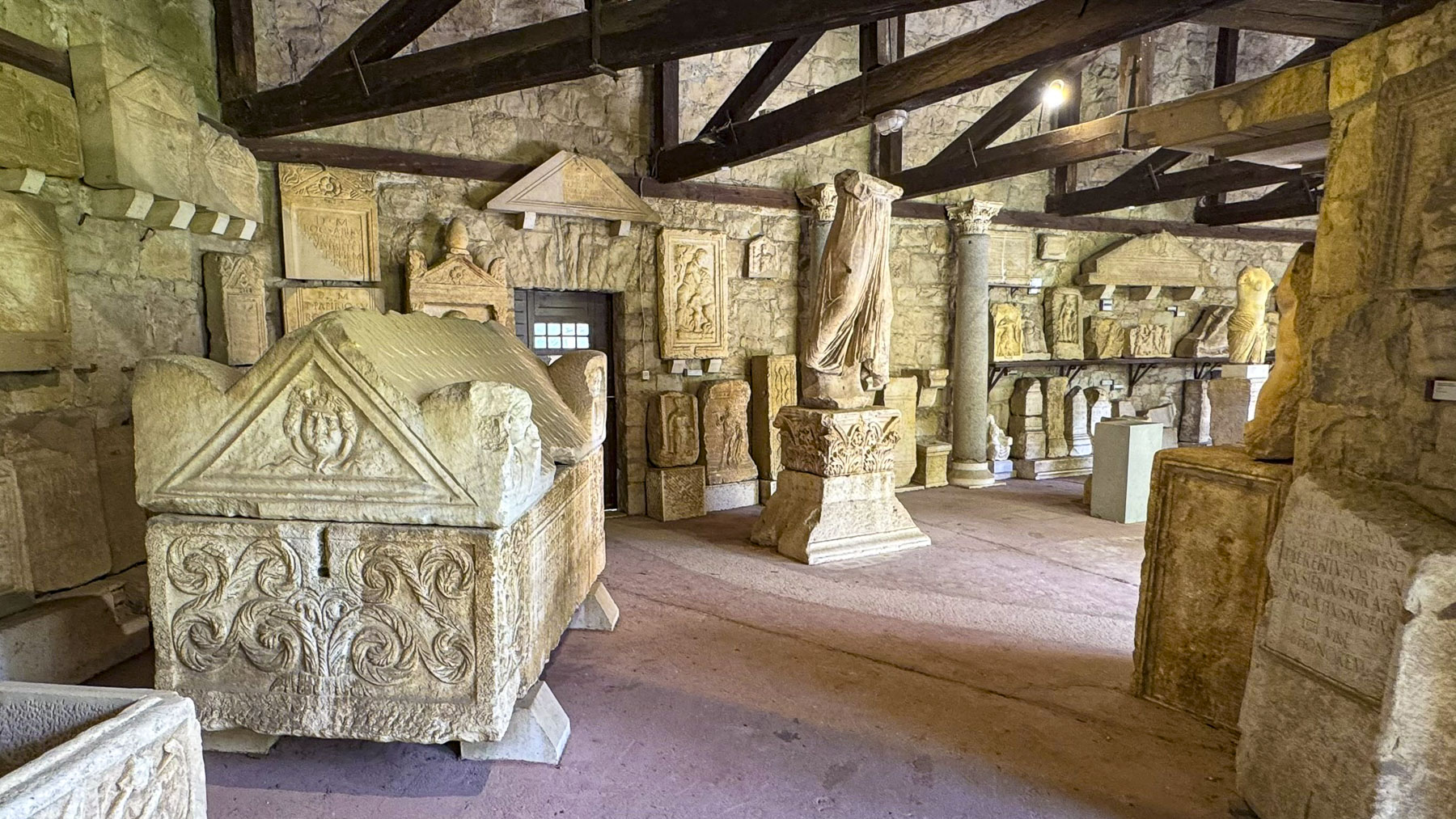
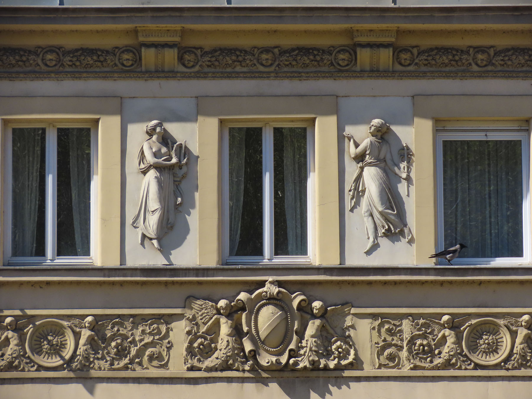
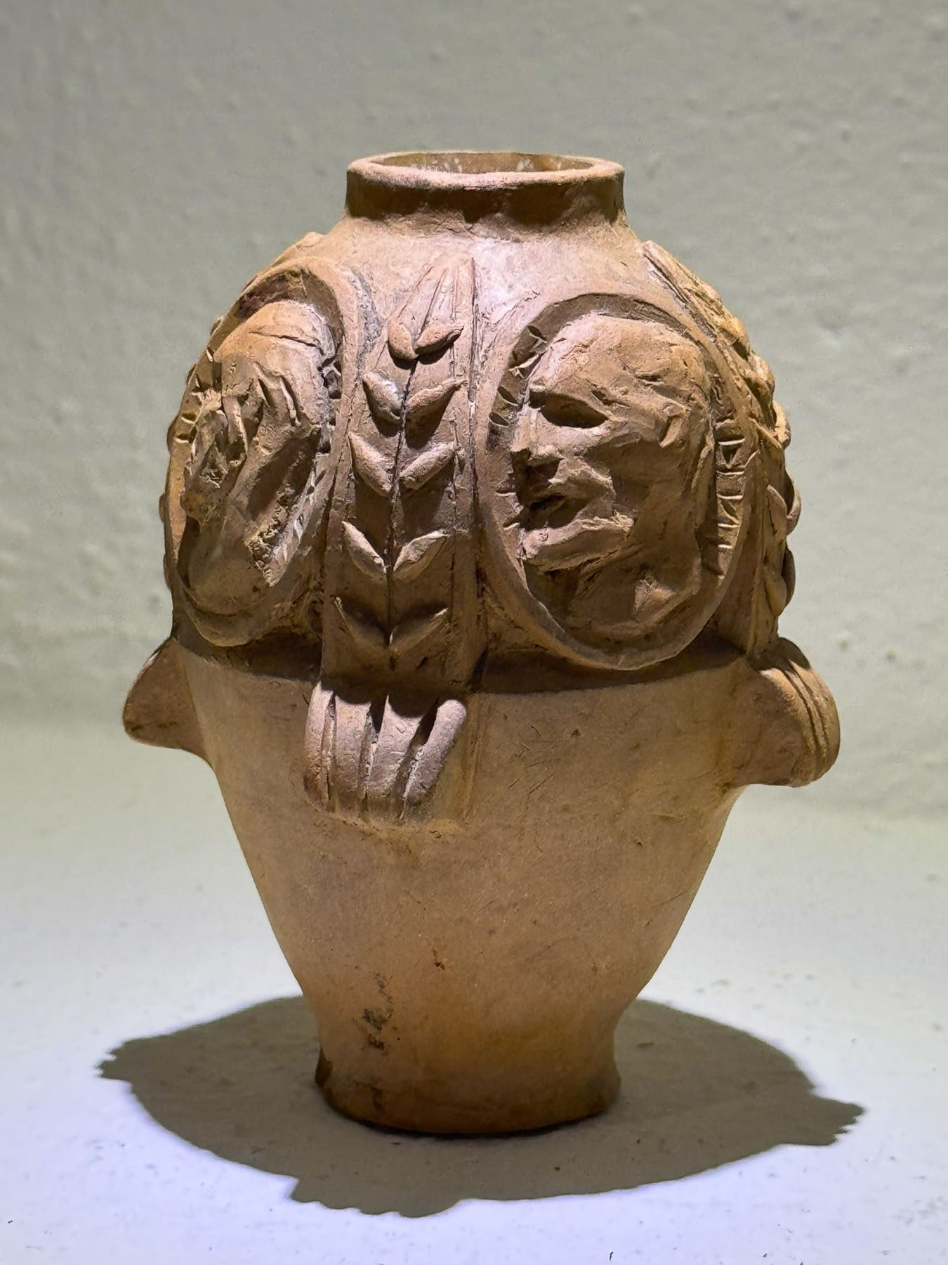
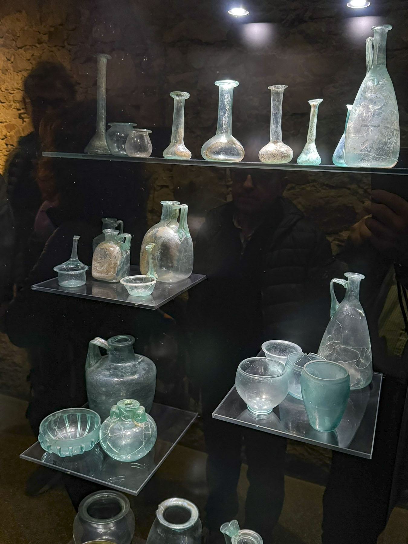
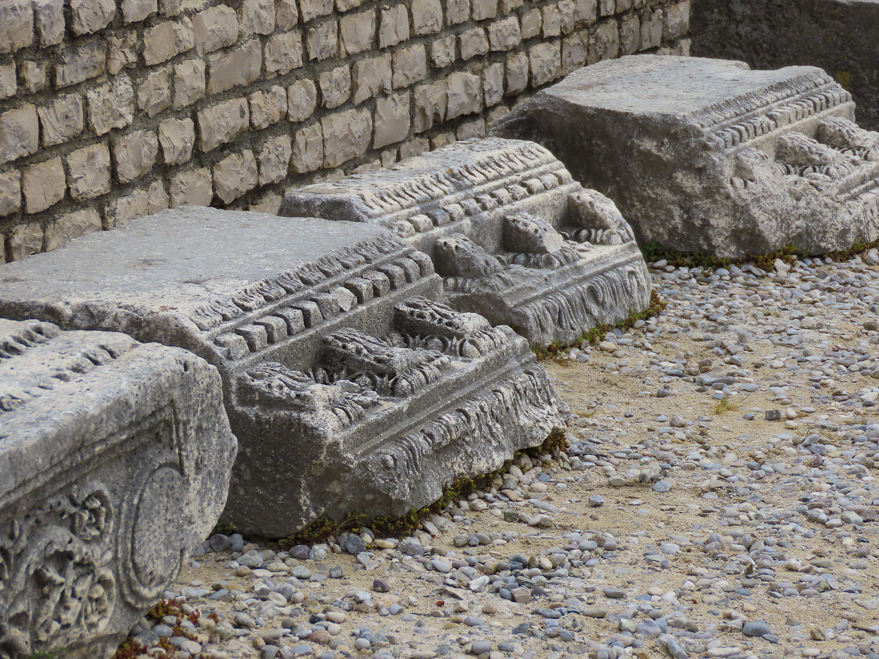
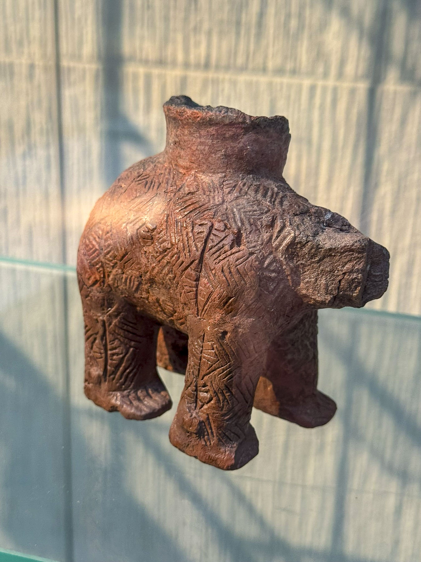
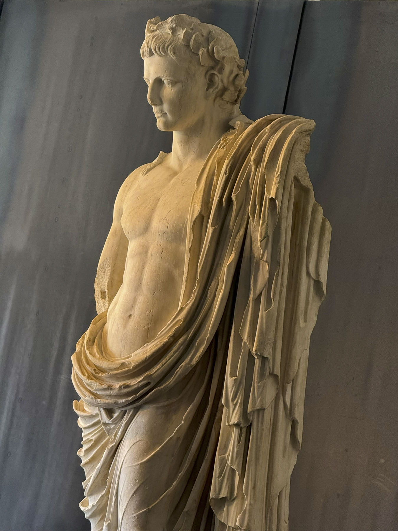
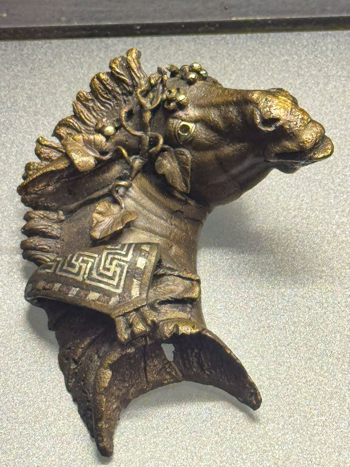
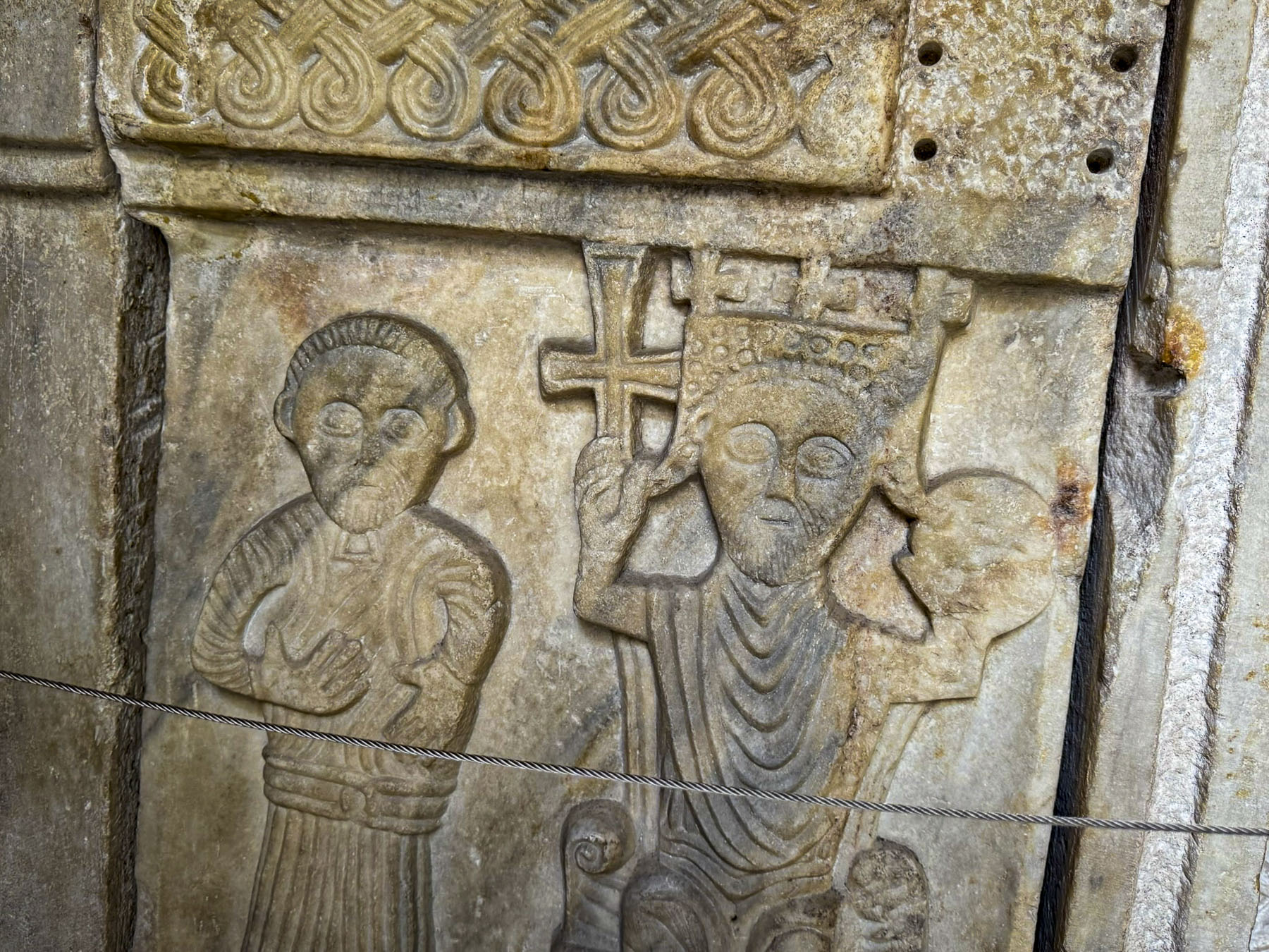
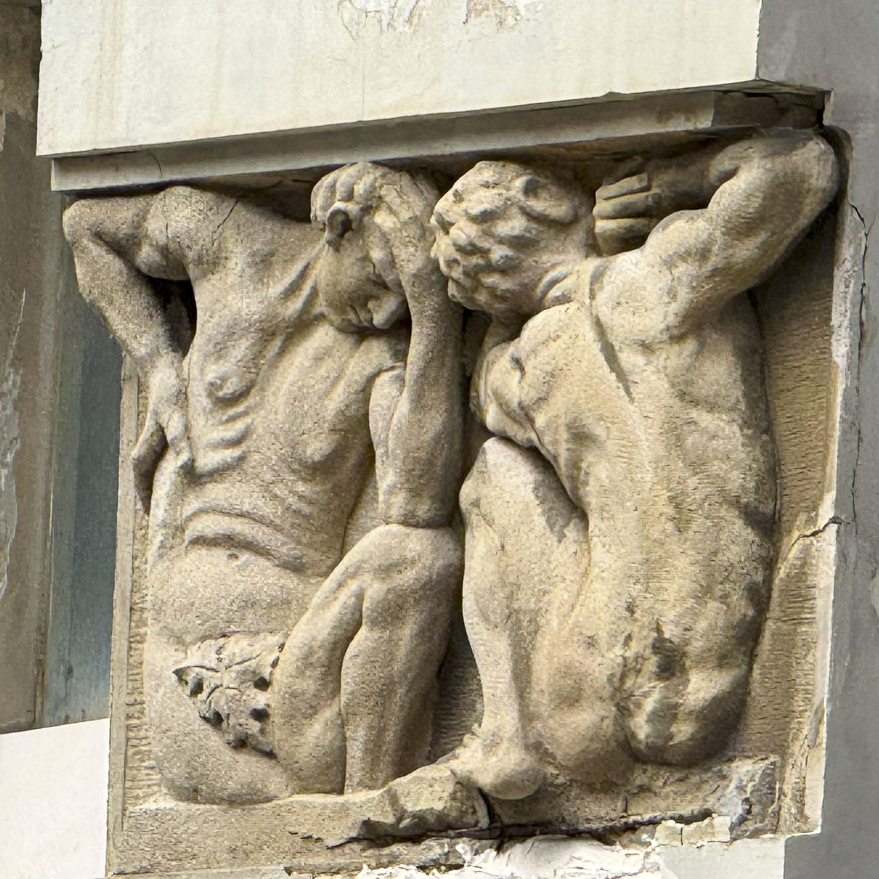
This was a fascinating museum with a large courtyard and surrounding portico which sheltered an extensive collection of Roman architectural elements, statues and exquisitely carved sarcophagi unearthed in Split and the surrounding region. Inside there are exhibits of coins and jewelry, as well as artefacts from earlier ages.
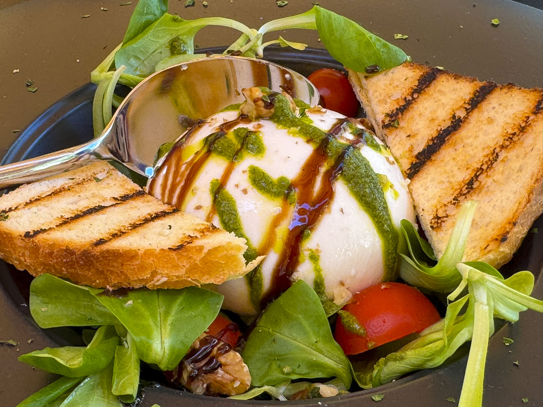
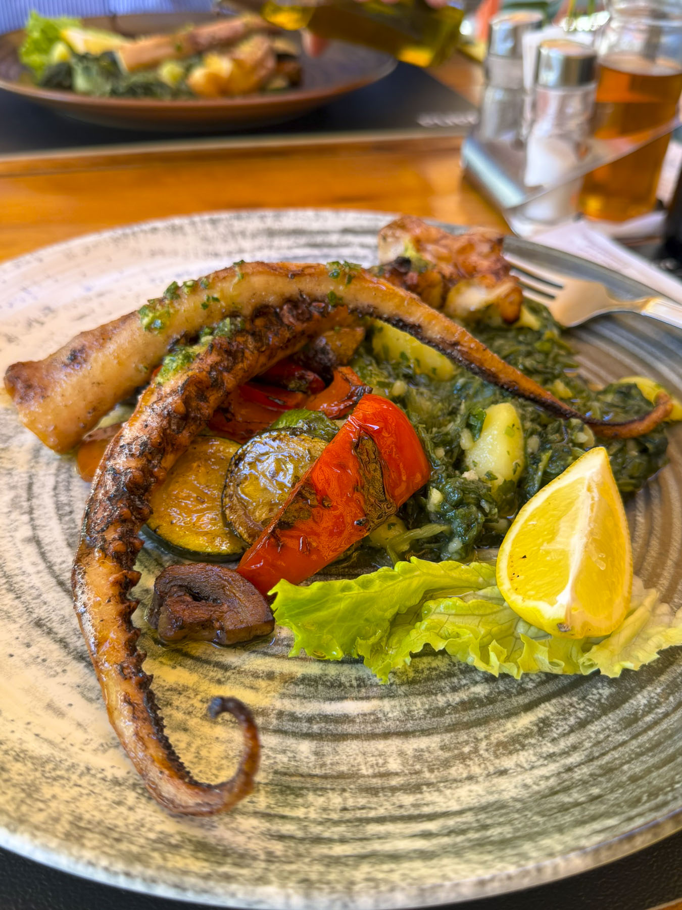
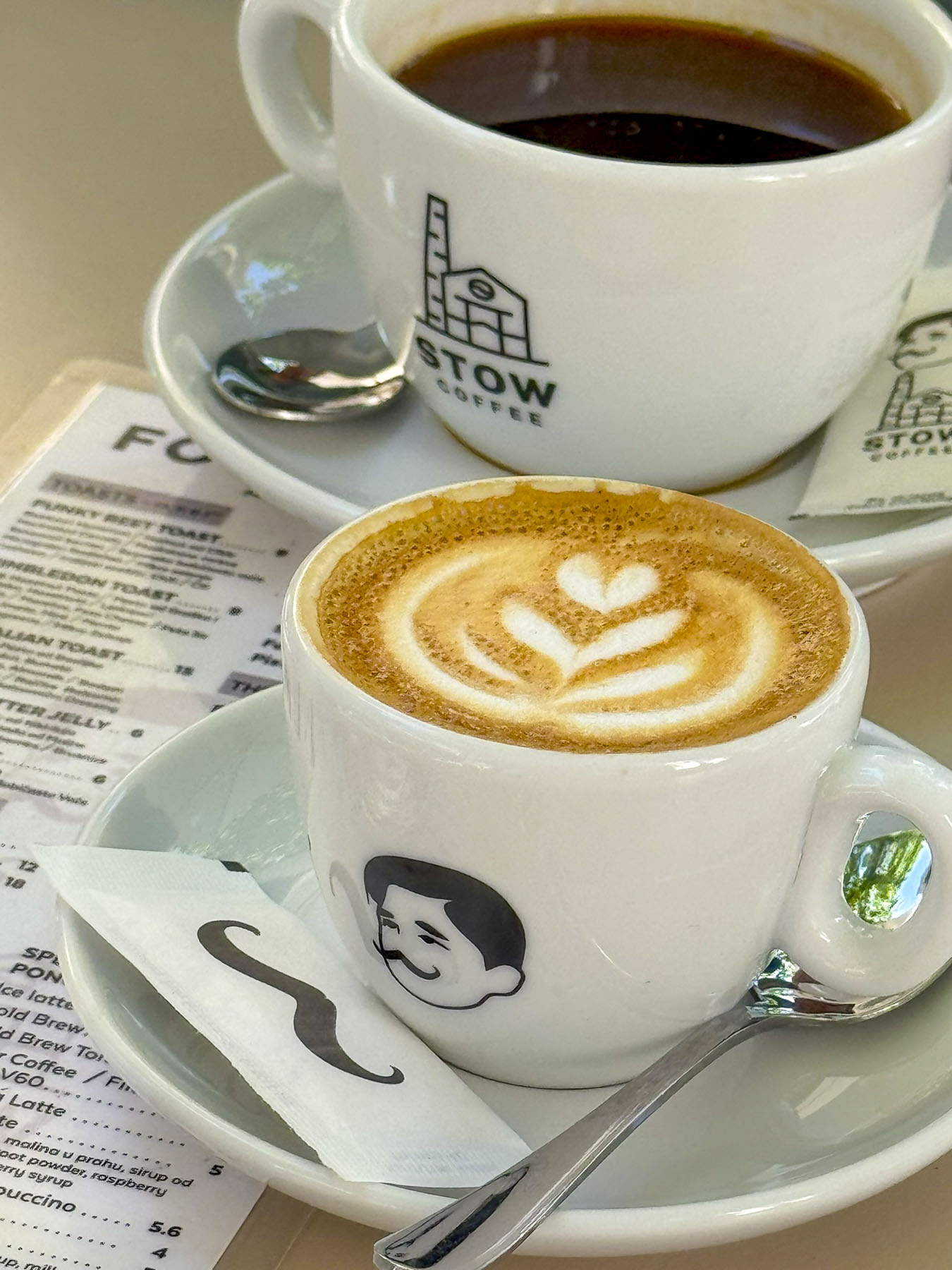
Backtracking we had dinner at the Downtown Grill Split where their freshly made burrata was delectably soft and creamy on the inside and the grilled octopus marvelously tender. Through our travels we’ve gotten into the habit of having our dessert and coffee in another establishment after dinner. We’ve found it to be a nice way to experience a greater variety of eateries in a limited amount of time. Split takes its coffee scene, an integral part of the social fabric of the city, very seriously. With that in mind we only had to walk a few feet across the small plaza to Stow Coffee Roasters Split, a local favorite and one of several new specialty coffee shops that include Kava2, D16 Coffee, and 4Coffee Soul Food that have opened across Split in the last couple of years.
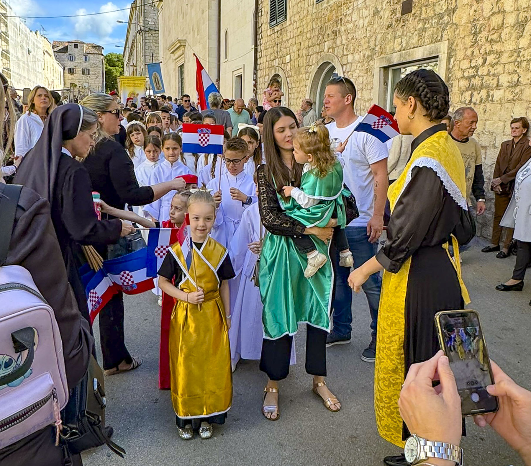
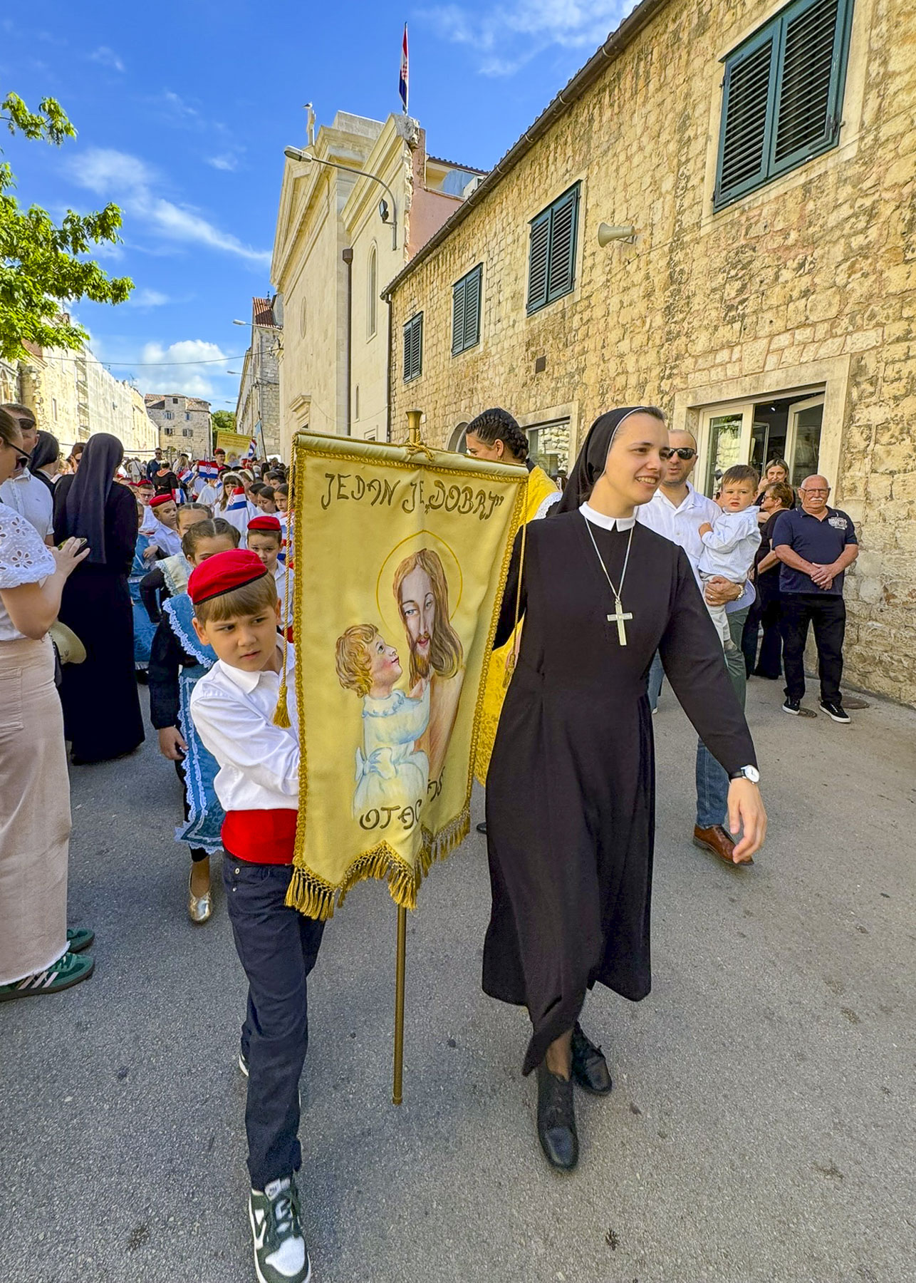
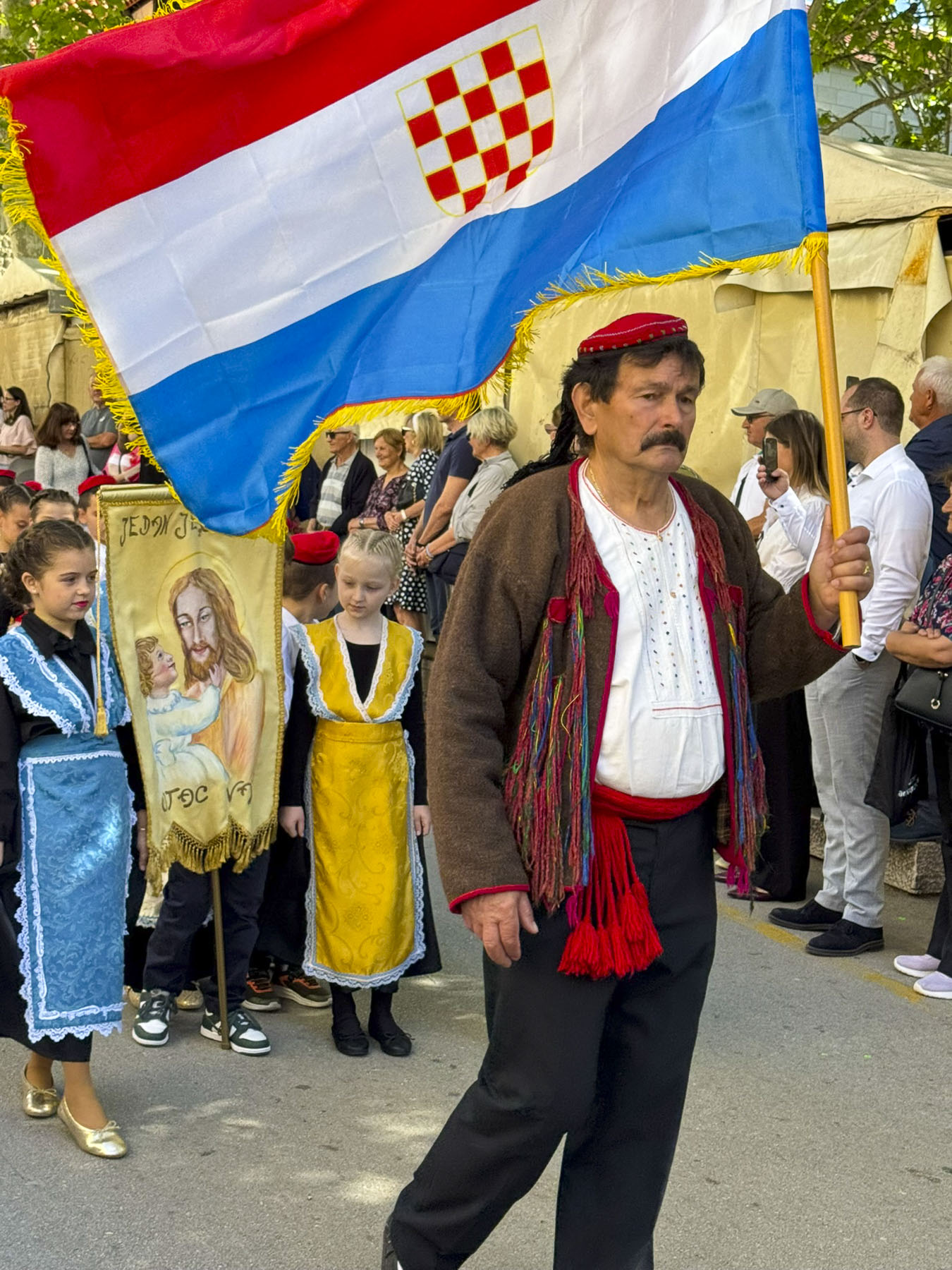
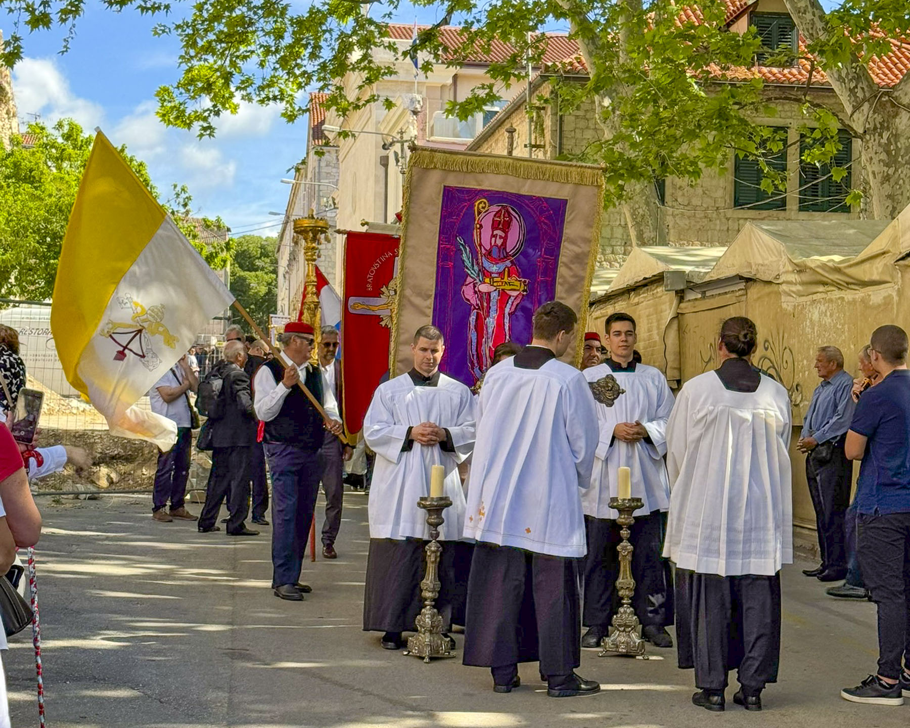
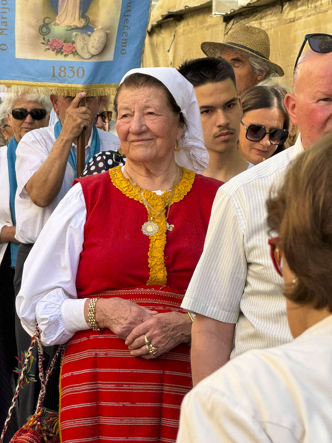
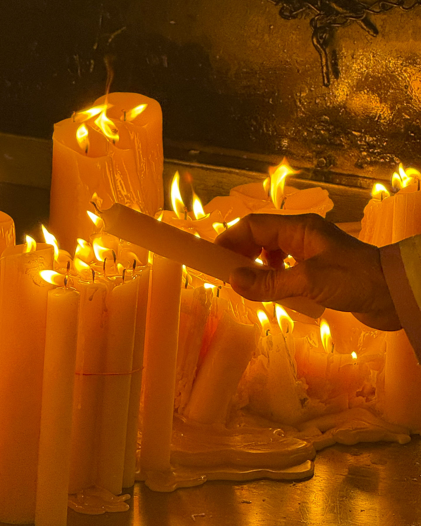
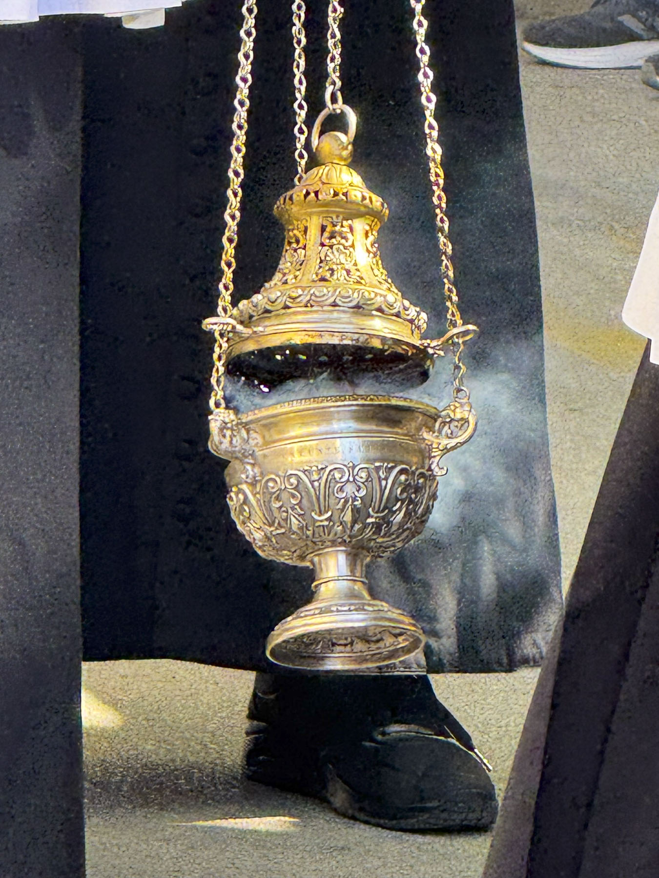
The next morning was May 7th, Saint Domnius’ feast day. Outside the palace’s East or Silver Gate, preparations were underway for a colorful religious banner-led procession with scores of people and school children dressed in traditional costumes. The participants were preparing to accompany the silver-encased relic of Saint Domnius, which had been brought from the cathedral for the occasion.
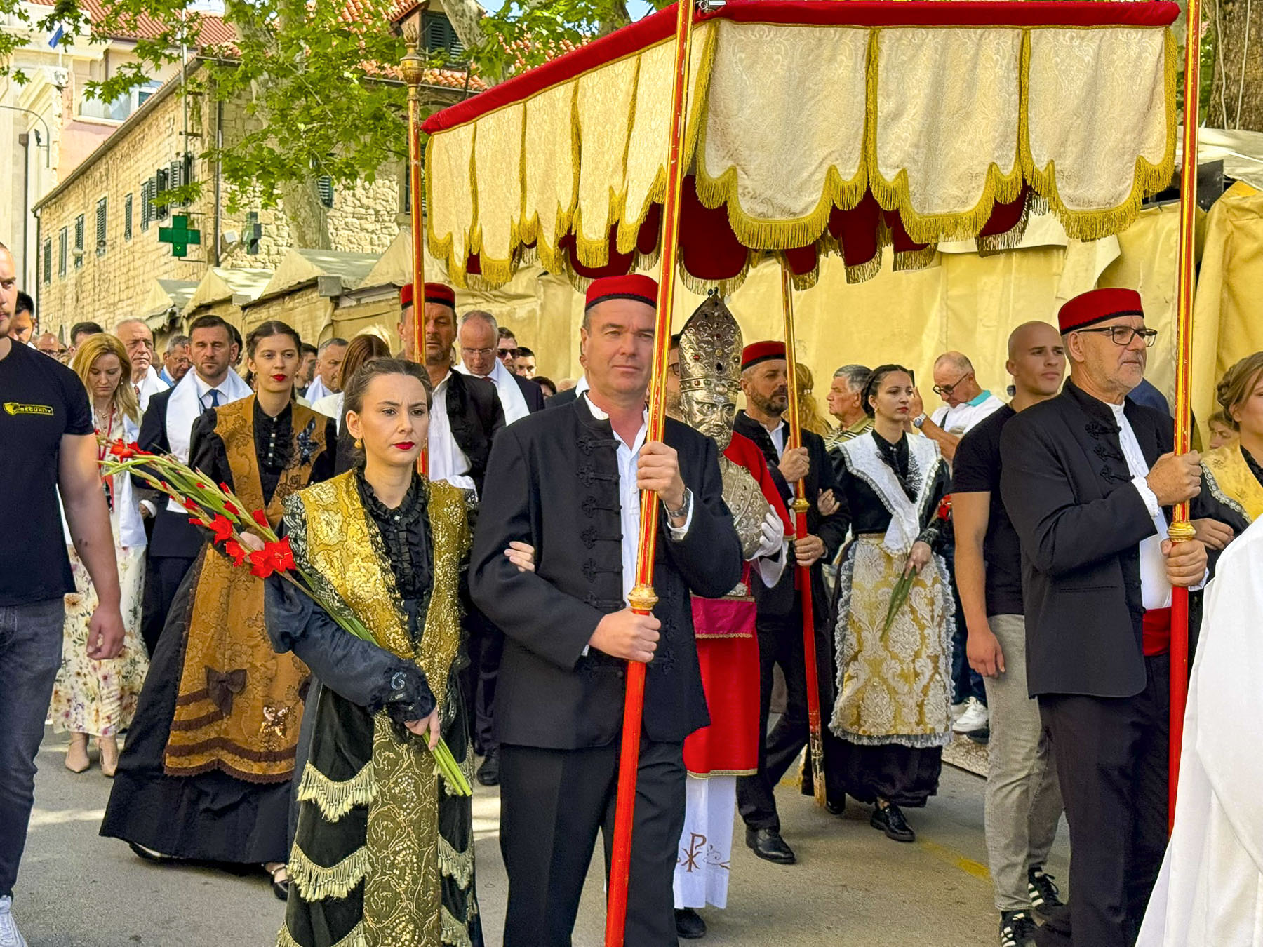
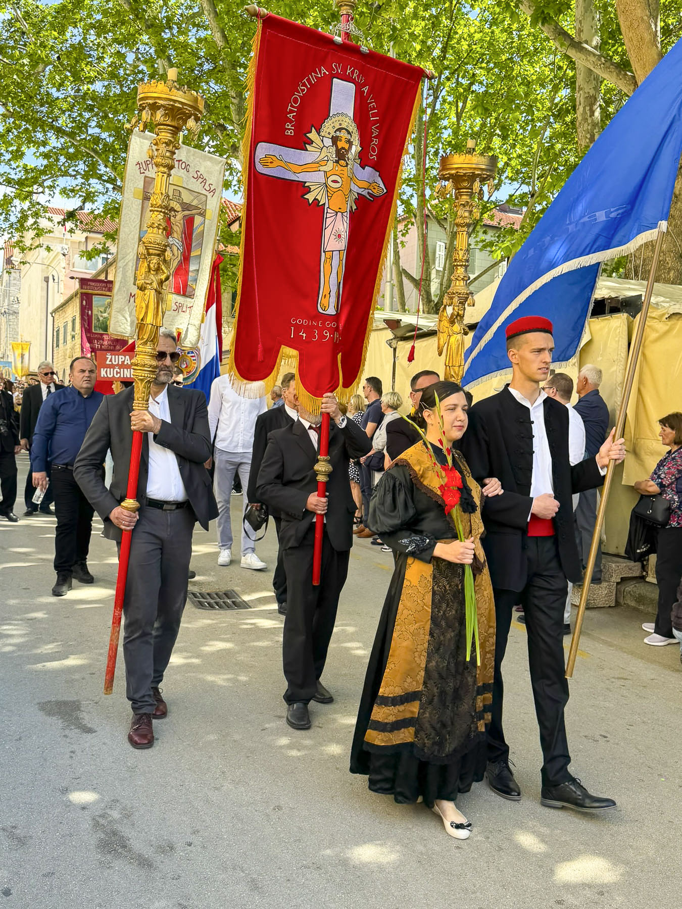
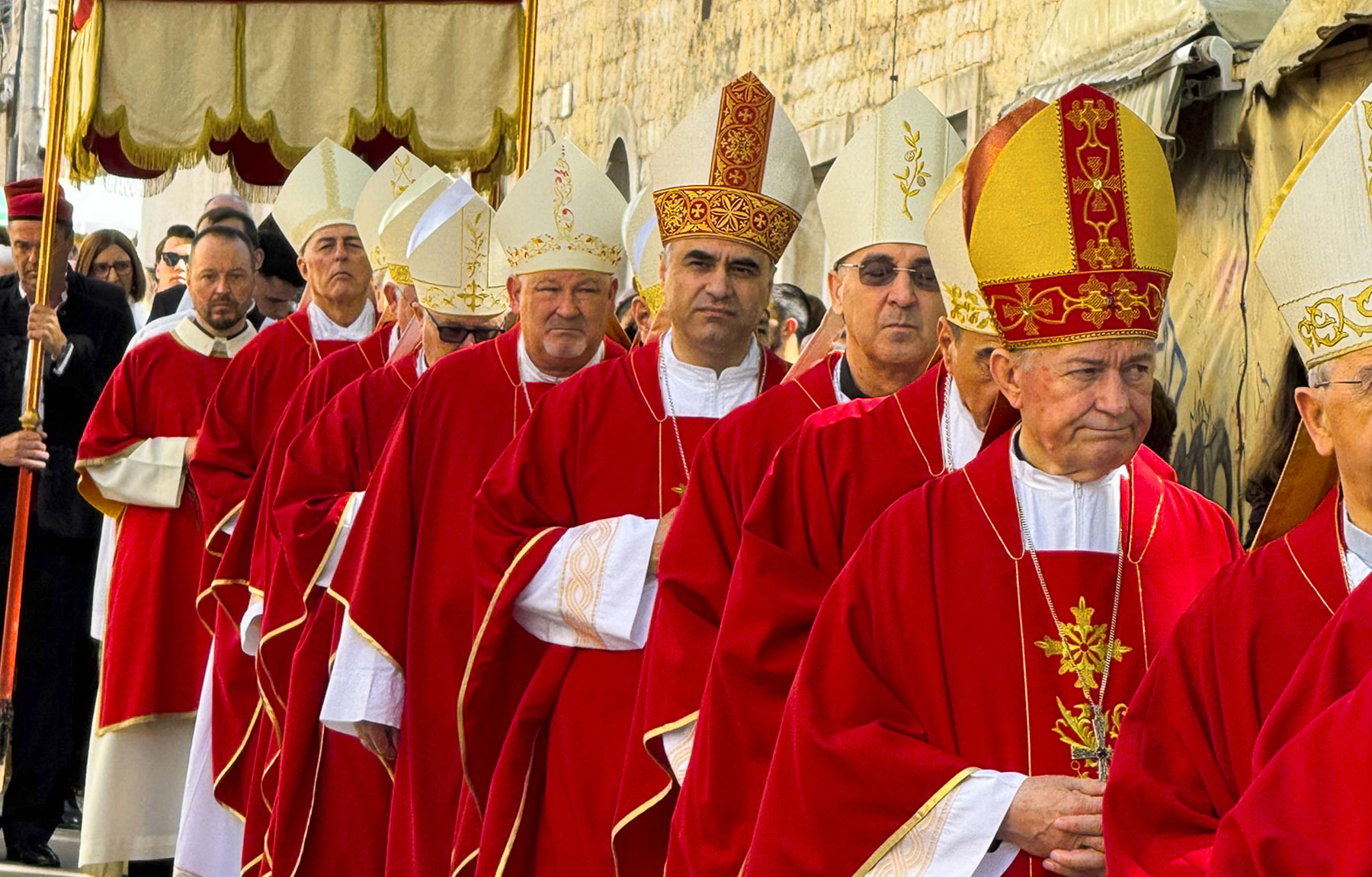
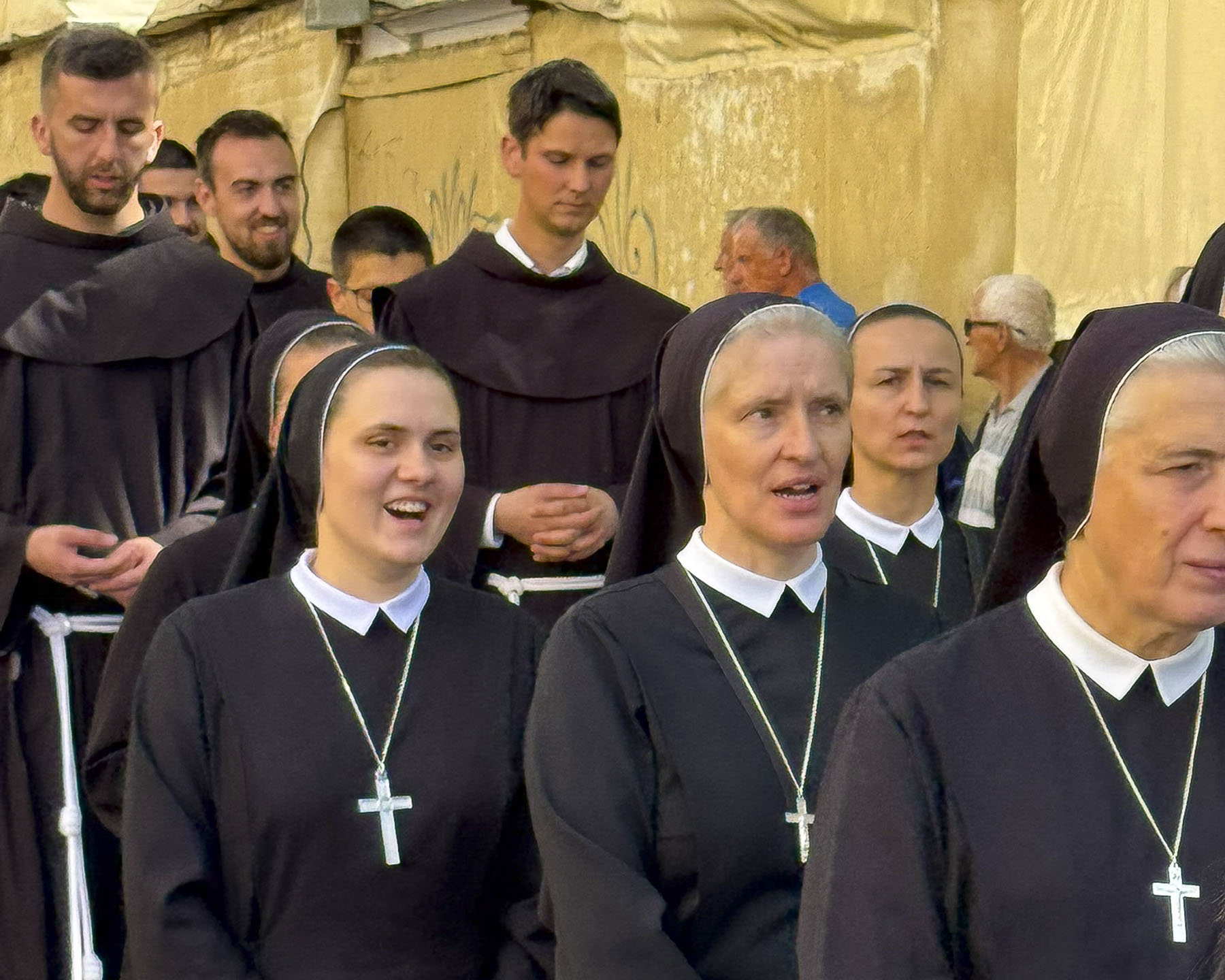
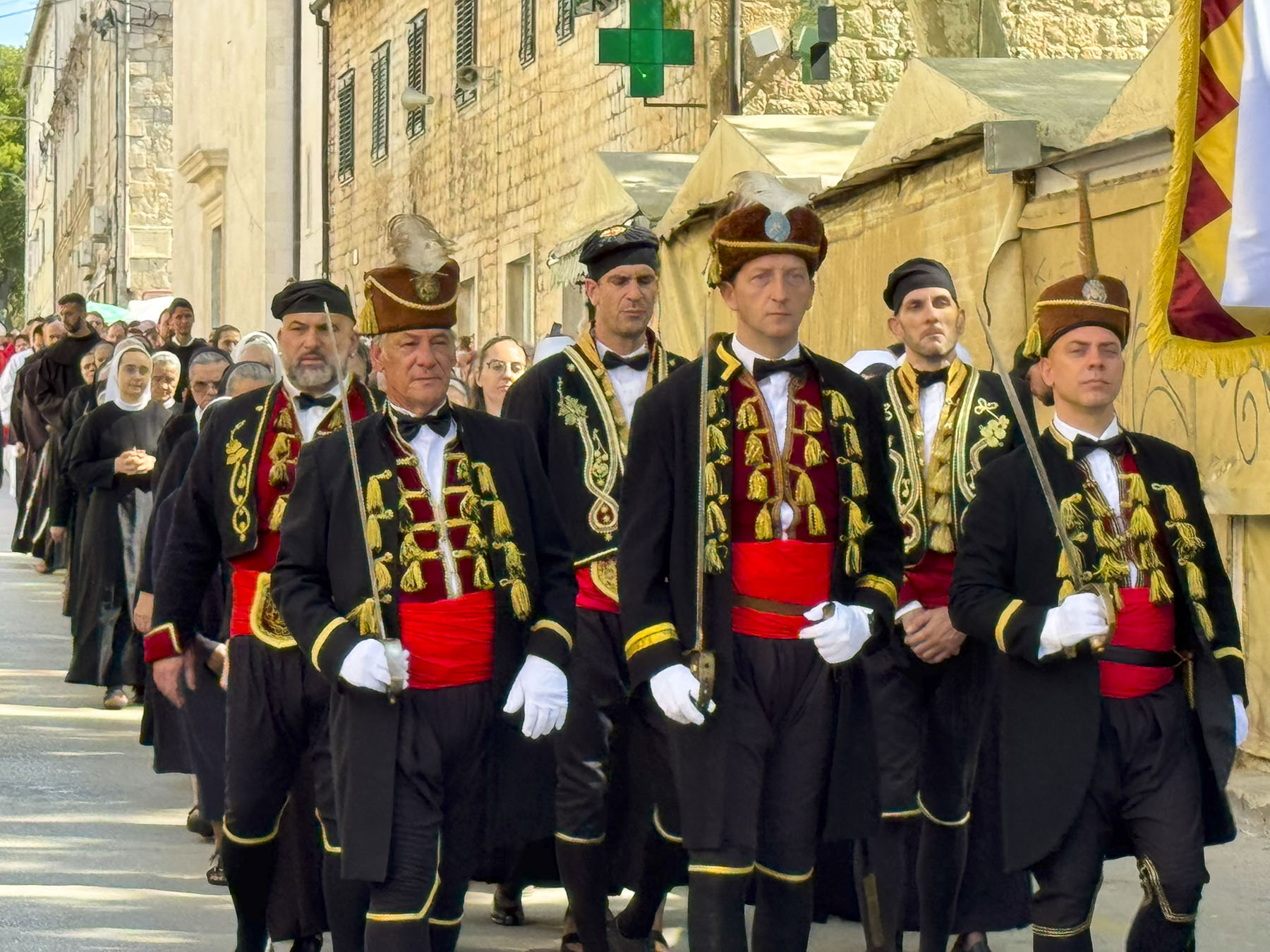
It was a well-attended pageant with thousands of spectators lined up along the route to watch the procession make its way down the Riva to the stage that had been constructed earlier in the week, where a mass was then held before returning the relic to the church. Later that day the festival ended with an evening concert featuring local musicians, but thunderstorms canceled plans for a fireworks display over the harbor.
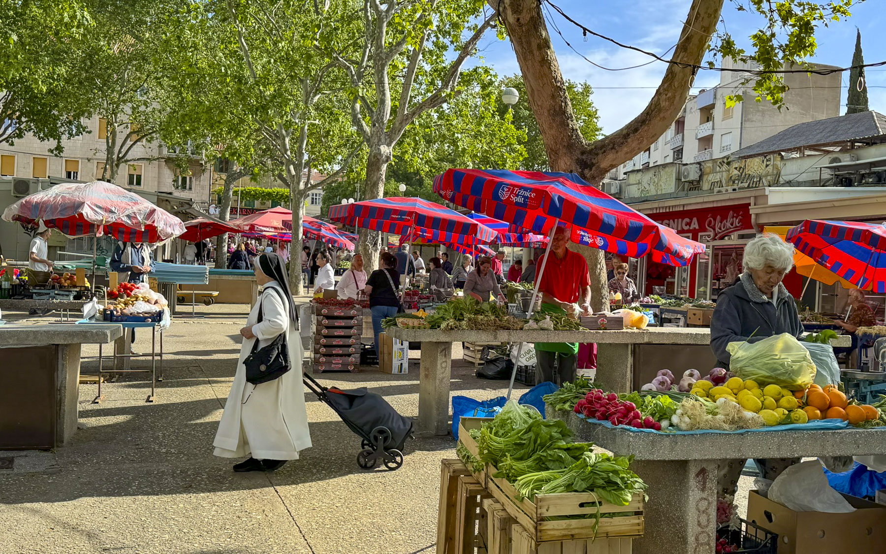
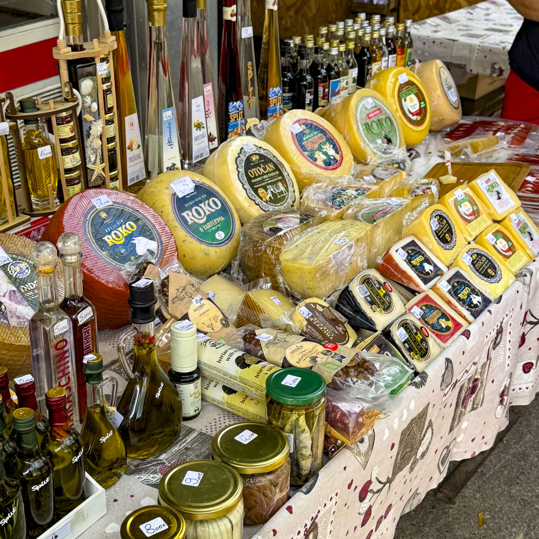
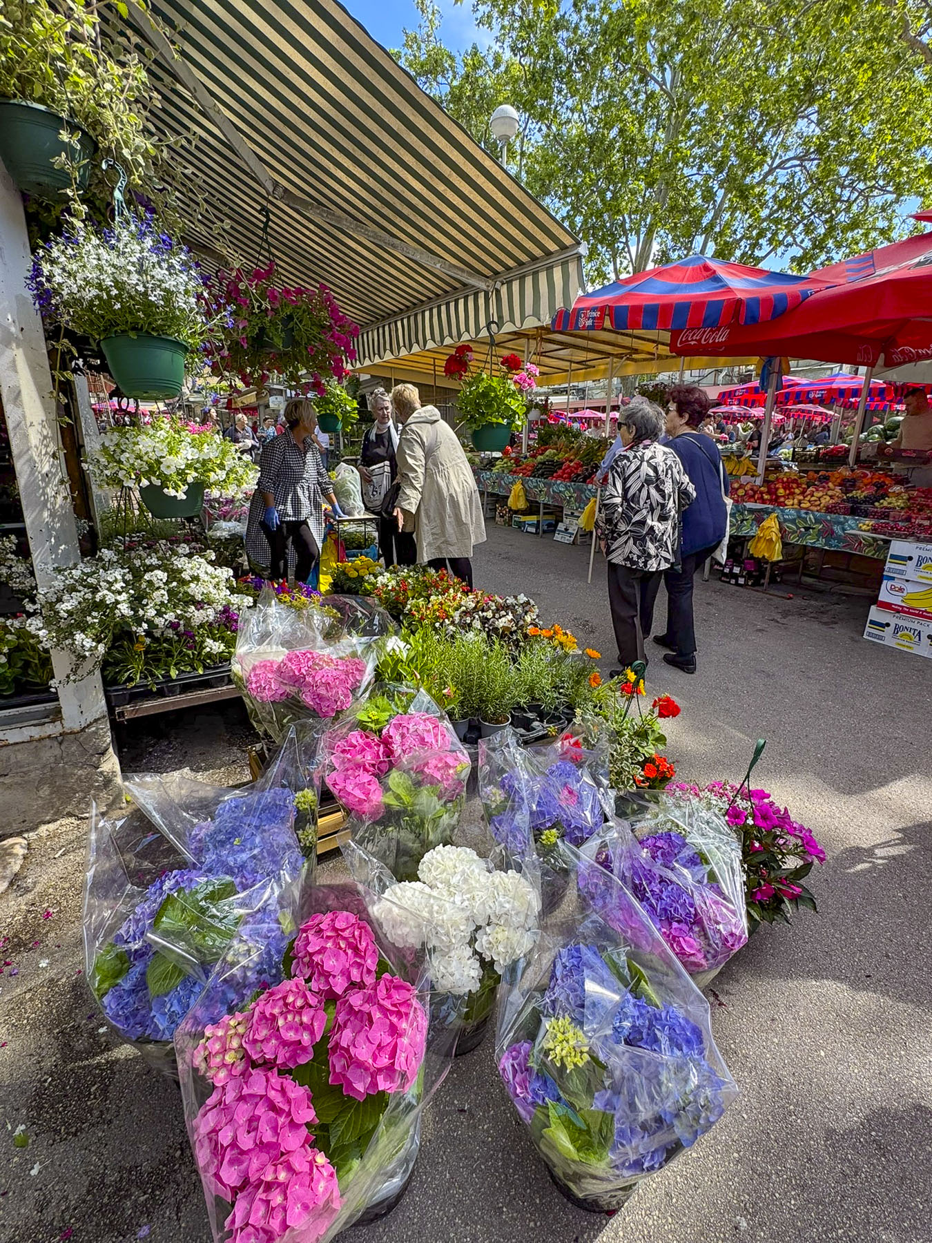
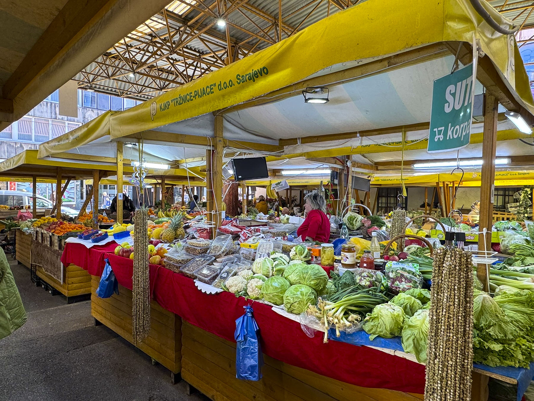
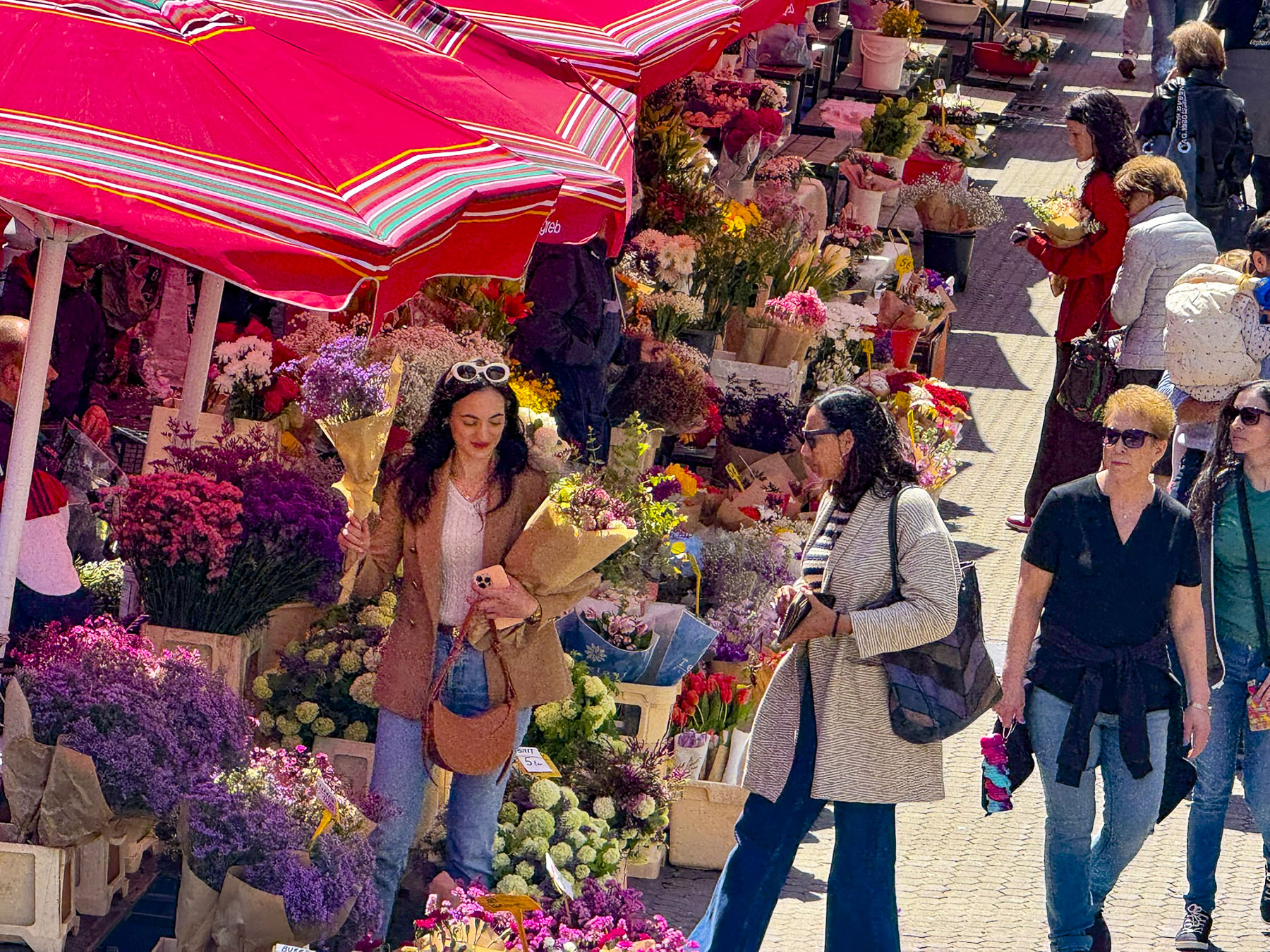
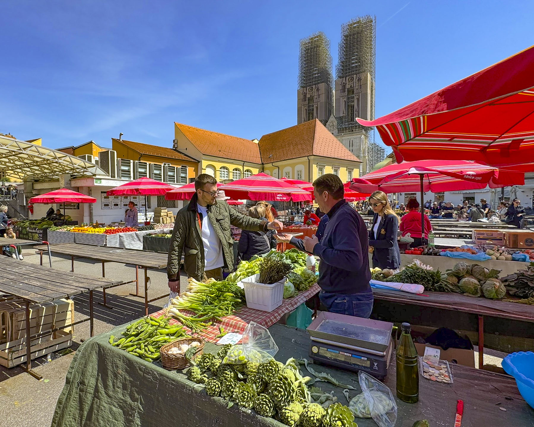
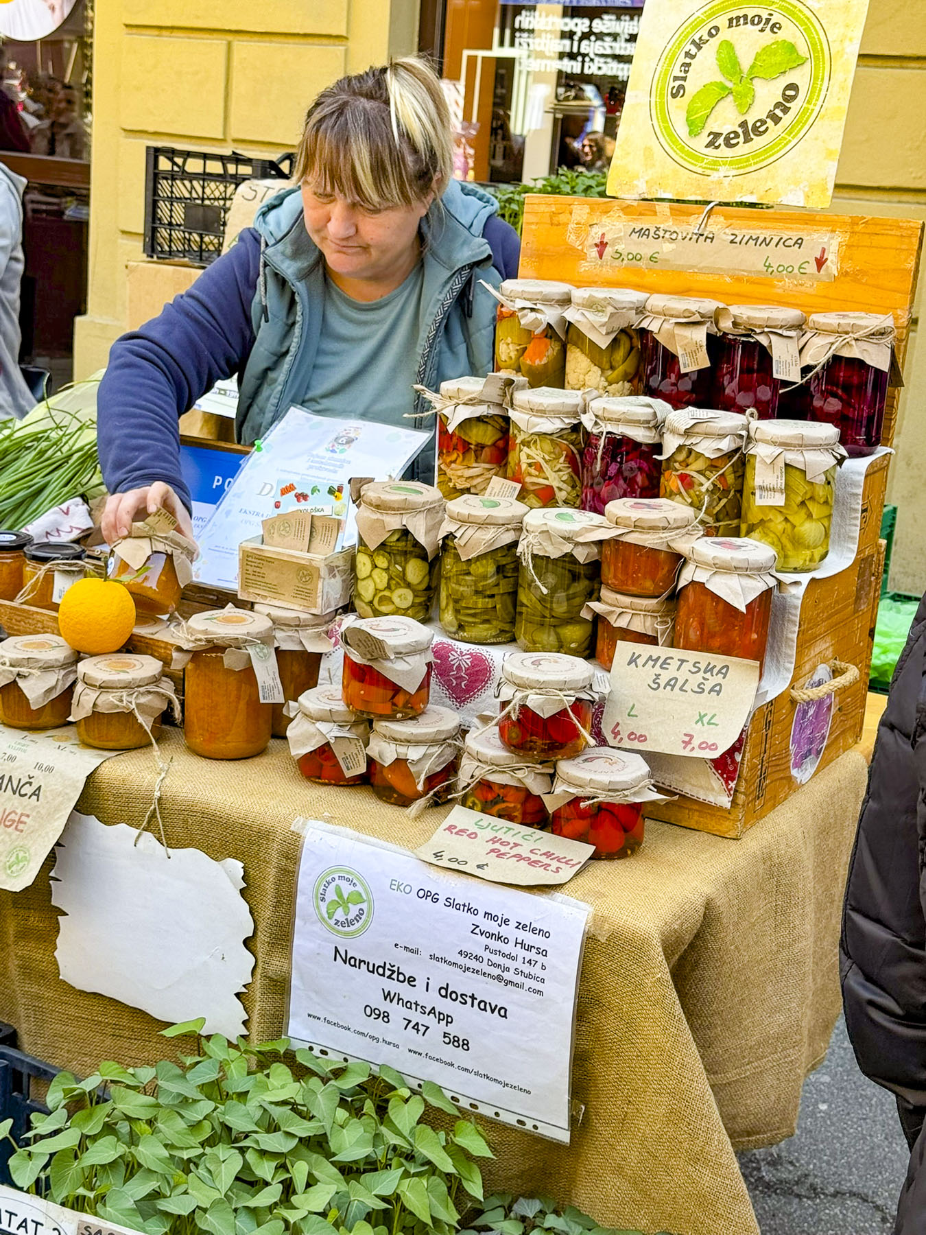
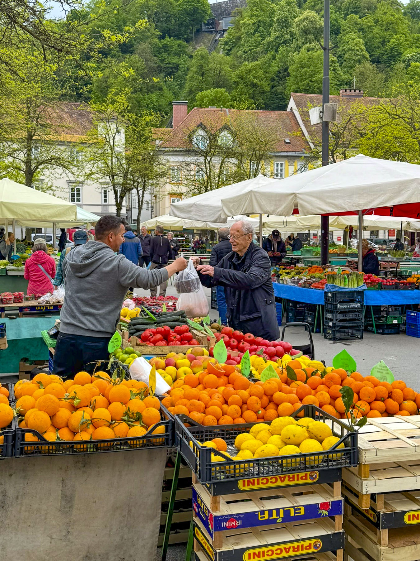
The morning and afternoon weather was perfect, and we spent the day investigating the Gradska Tržnica, Split’s daily outdoor morning market, that featured some early spring vegetables, cut flowers, tasty Croatian cheeses and wine, along with permanent small butcheries and fishmongers. We love cheese and purchased some vacuum packed goat cheese made by the award winning Gligora Dairy on the nearby island of Pag and a Dalmatian kozji sir roko goat cheese to savor when we returned to the states.
Afterwards we strolled along crafts booths on the Riva where it’s been a tradition to buy something wooden from the crafters of Solana, modern Solin, where Domnius was once bishop. The tradition is so old no one is sure exactly why or how it originated, but it has been in existence for centuries. One of our little traditions is to purchase a handmade wooden spoon from a local business, and we were hard put to choose just one from the immense selection. The craftsmen’s tents were also full of wooden spoons, cutting boards and klepetalo or ptice klepetuše. These are wooden toys with birds or butterflies at the end of a long stick with wheels. When pushed along the wings of the flying creatures flap and they clack as they go. Literally hundreds of kids were playing with them, and wooden spoons protruded from numerous shopping bags. It’s a very festive occasion.
We had a grand time exploring Spilt. It was especially nice being there during the Feast of Saint Domnius, which gave the city a wholly different cultural dimension. It was the perfect place to end our travels through Slovenia, Bosnia & Herzegovina, and Croatia, a roundtrip journey that started and ended at the airport in Zadar.
Till next time,
Craig & Donna