Our planned route for a 3-week trip around Albania looked like a large numeral 6. After starting in Tirana, we’d head south to Berat, and Sarande, before cutting across the southeastern part of the country to Gjirokaster, Leskovik, Korçë, and Lin, on Lake Ohrid. Of course, there were numerous other stops and detours along the way, which we wrote about in our earlier blogs. But the road from Korce to Lin passed through the small city of Pogradec on the southern shore of Lake Ohrid, only 9 miles from the border with North Macedonia. From there the 10th century Monastery of Saint Naum was only minutes away. “It’s so close, and we have the car. It’s an opportunity we’ll regret not taking.” Let’s go, we both agreed. Many day trips to the monastery originate in Tirana, but if you have a rental car, it’s less expensive than taking an organized tour. Albania and North Macedonia are not part of the European Union Schengen program, which permits unrestricted passage through member nations’ borders without stopping at a border checkpoint for a passport stamp. Traveling between Albanian and North Macedonia is done the old fashion way. Not all car rental companies in Albania allow their cars to be driven into North Macedonia. Notify the car rental company when making the reservation that you want to drive to into North Macedonia, as there are some documents needed from the car rental company: a Green Card, which is proof of international car insurance; permission from the car rental country that they are allowing the car to be driven in North Macedonia; and an International Driver’s License in Latin characters in case it is requested. At the border be prepared to show all travelers’ passports and pay a Border Crossing Fee.
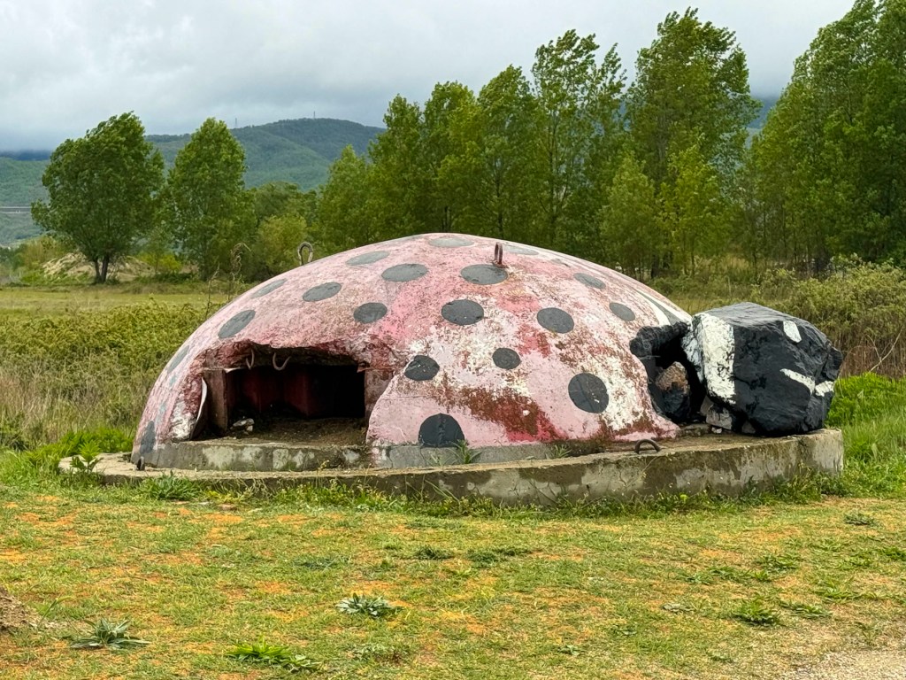
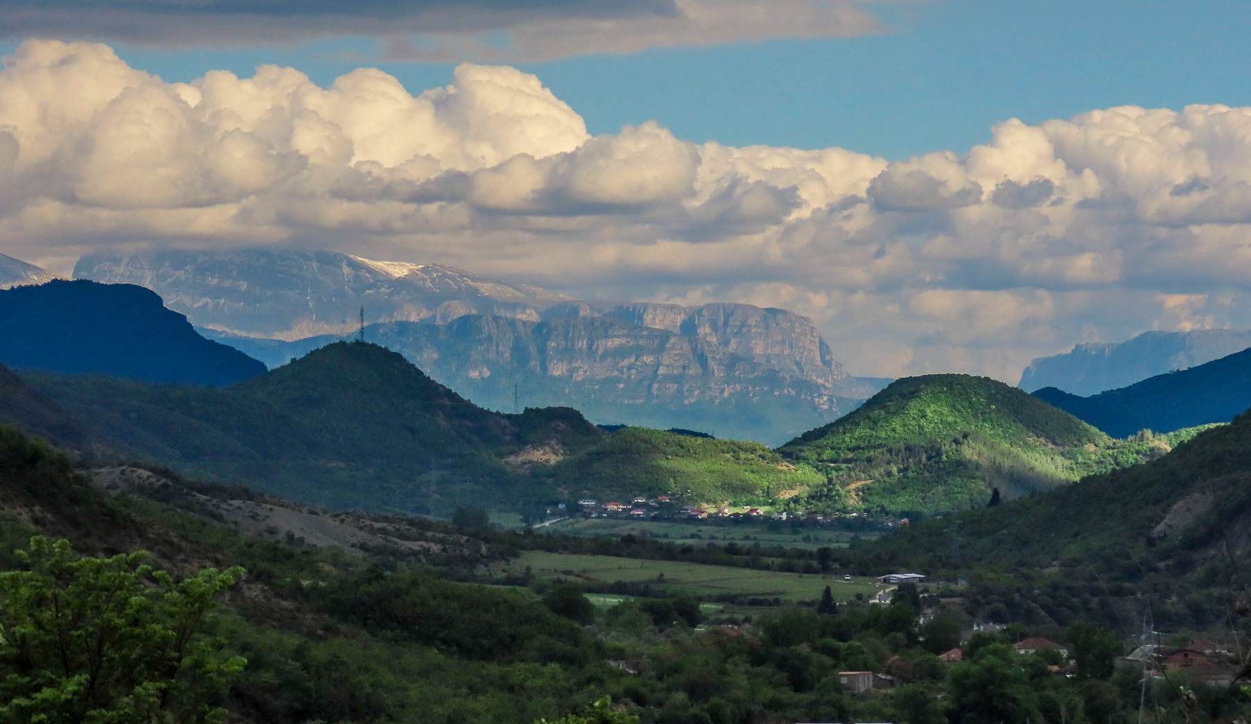
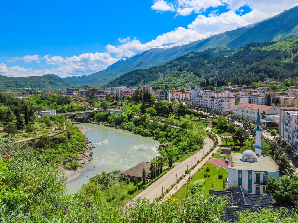
Grey skies hung low over Pogradec as we headed east along SH64. Occasionally we passed abandoned Cold War era concrete bunkers along the lakefront. These were remnants of Albania’s communist dictator Enver Hoxha’s paranoia, which convinced him that Albania was surrounded by enemies, and that Pogradec would be prepared to resist an amphibious attack.
The border crossing at Tushemisht – St. Naum went very quickly, with only a few questions about our intended destinations and length of stay in North Macedonia. Minutes later we entered the manicured grounds of Saint Naum’s Monastery. Our first impressions were that we had arrived at a resort or theme park the way the souvenir shops and restaurants lined the midway as we headed to the ancient monastery.
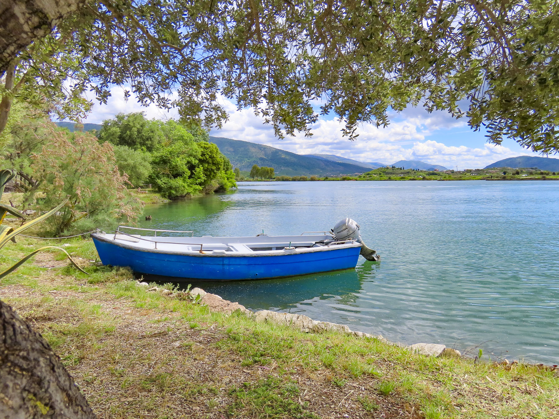
It was built by Saint Naum, in 905, during the later part of his life, after he had spent decades spreading Orthodox Christianity and literacy throughout the Balkans as a follower of Saints Cyril and Methodius. Past the souvenir shops, boat rentals were available for rowing on the amazingly clear waters of the Black Drin spring. Its waters emerge through an underground stream from Lake Prespa, located higher in the mountains, before they flow into Lake Ohrid.


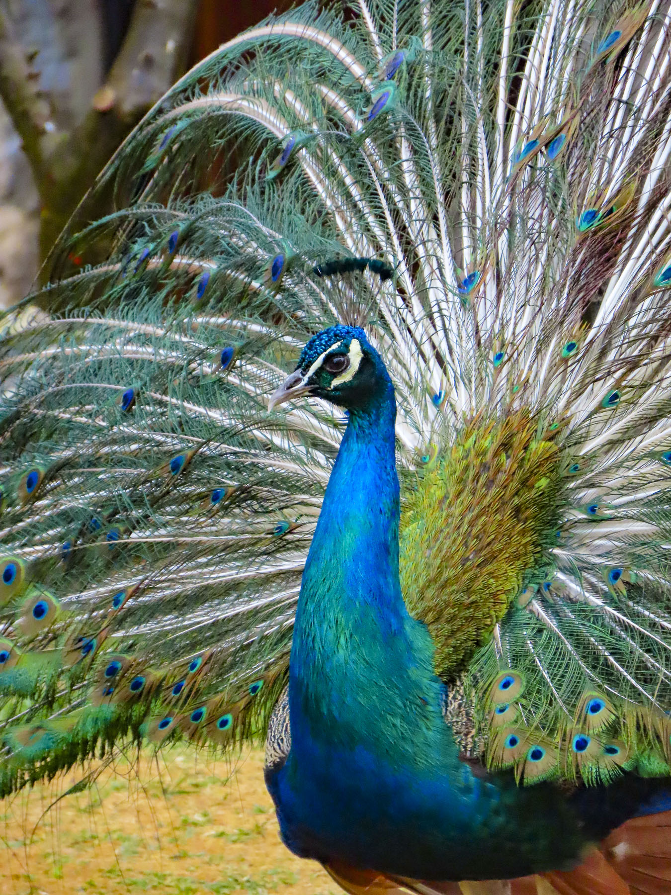
Getting closer, we crossed a footbridge and encountered our first of several splendid peacocks, roaming freely about the complex. Then there were only directional signs pointing the way around the multistory, three-star Hotel Saint Naum, which encircles the monastery on three sides, and obscured any distant view of the monastery, which commands a small knoll on the lake edge. Saint Naum is recognized as a miracle worker and healer who cured the sick as soon as they looked him in the eye. This belief in his ability to heal has inspired Christian and Bektashis Muslim pilgrims to visit the site since his death in 910. The veneration of the saint’s relics is believed to help those suffering from psychological and fertility issues.
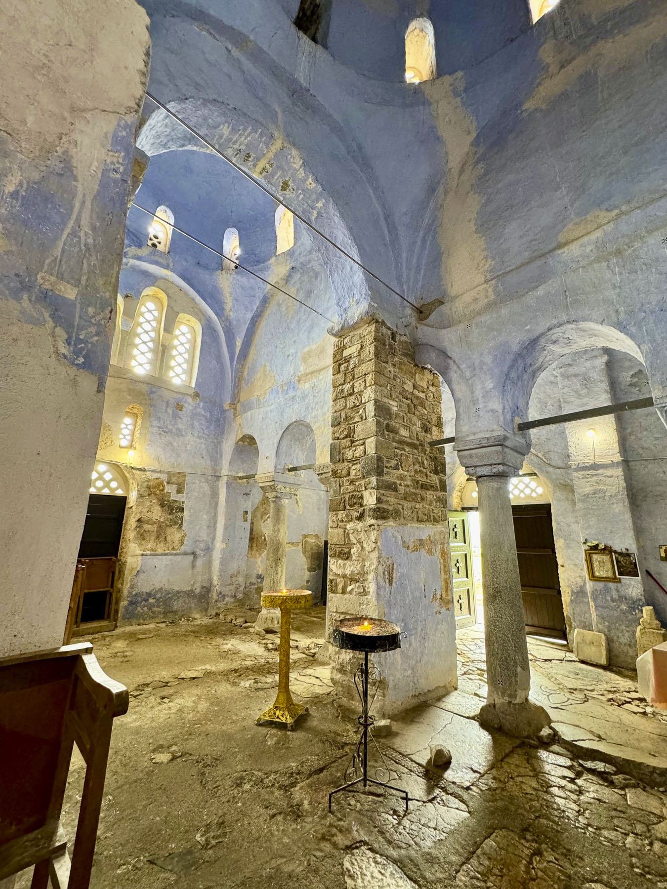
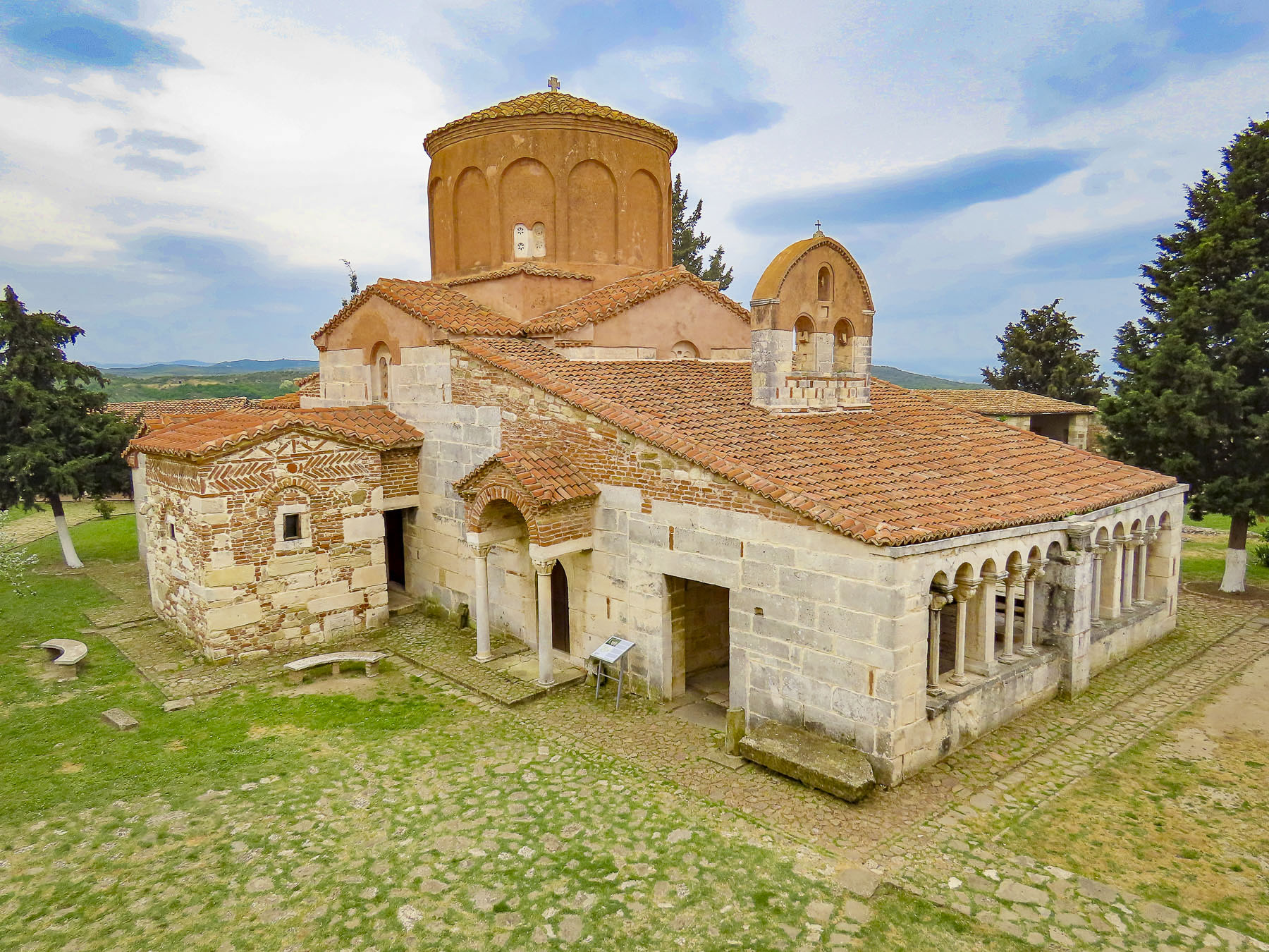
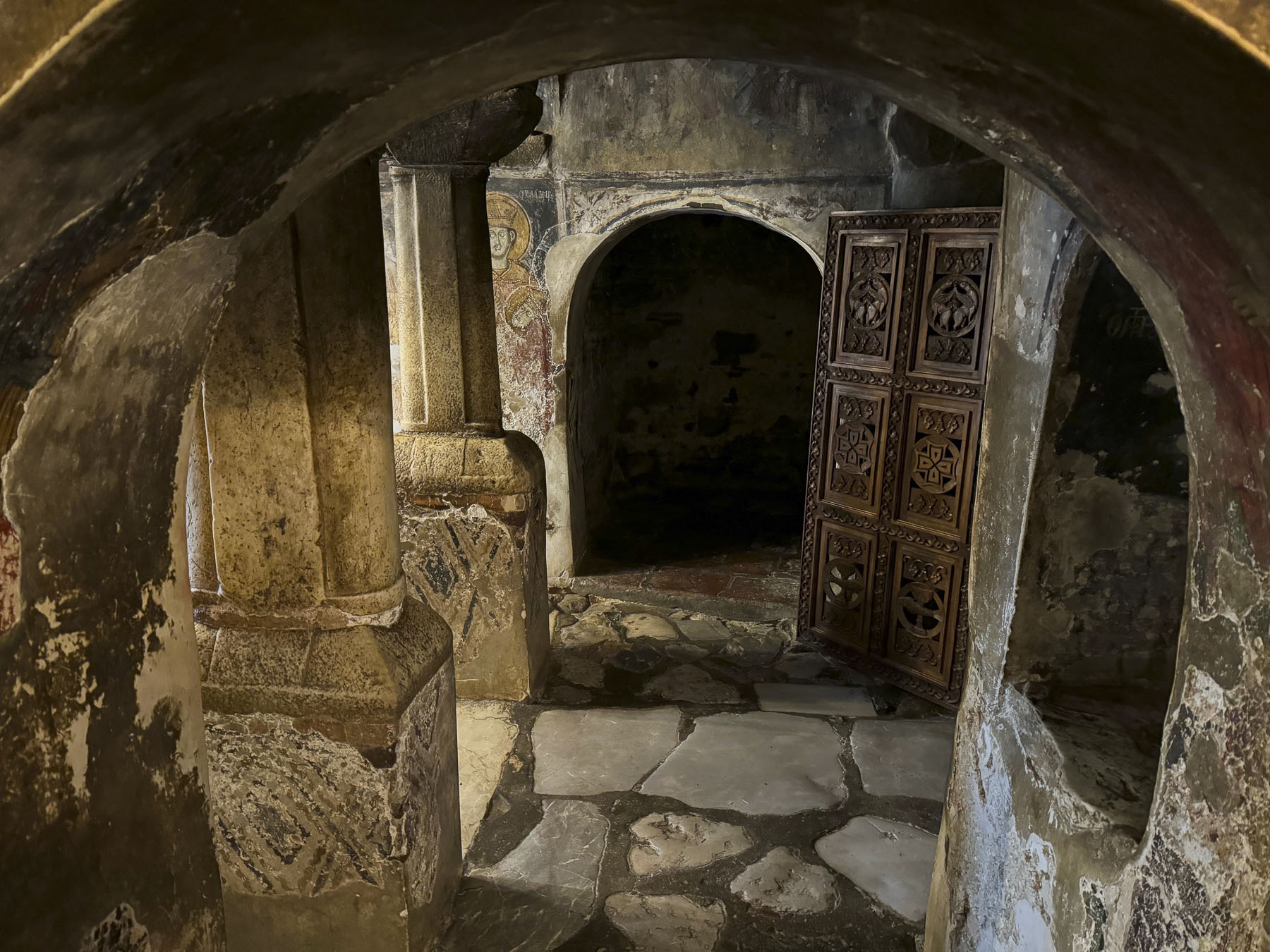
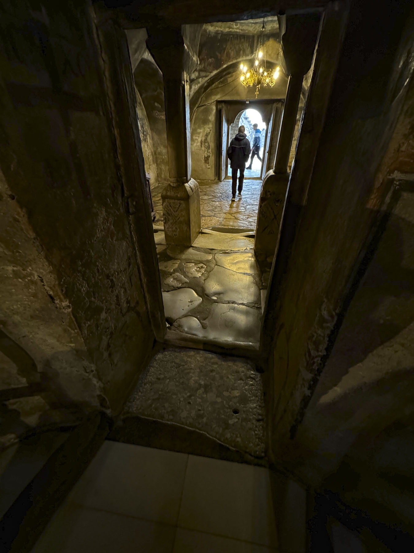
Eventually, we found a very ancient door into the courtyard where the monastery stands overlooking Lake Ohrid. Little remains left of the original monastery. After five centuries, the current church was built atop the old monastery’s original foundation.

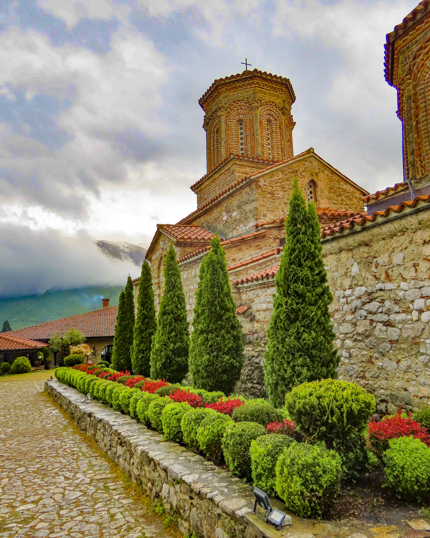
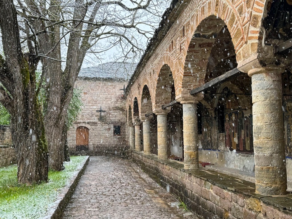
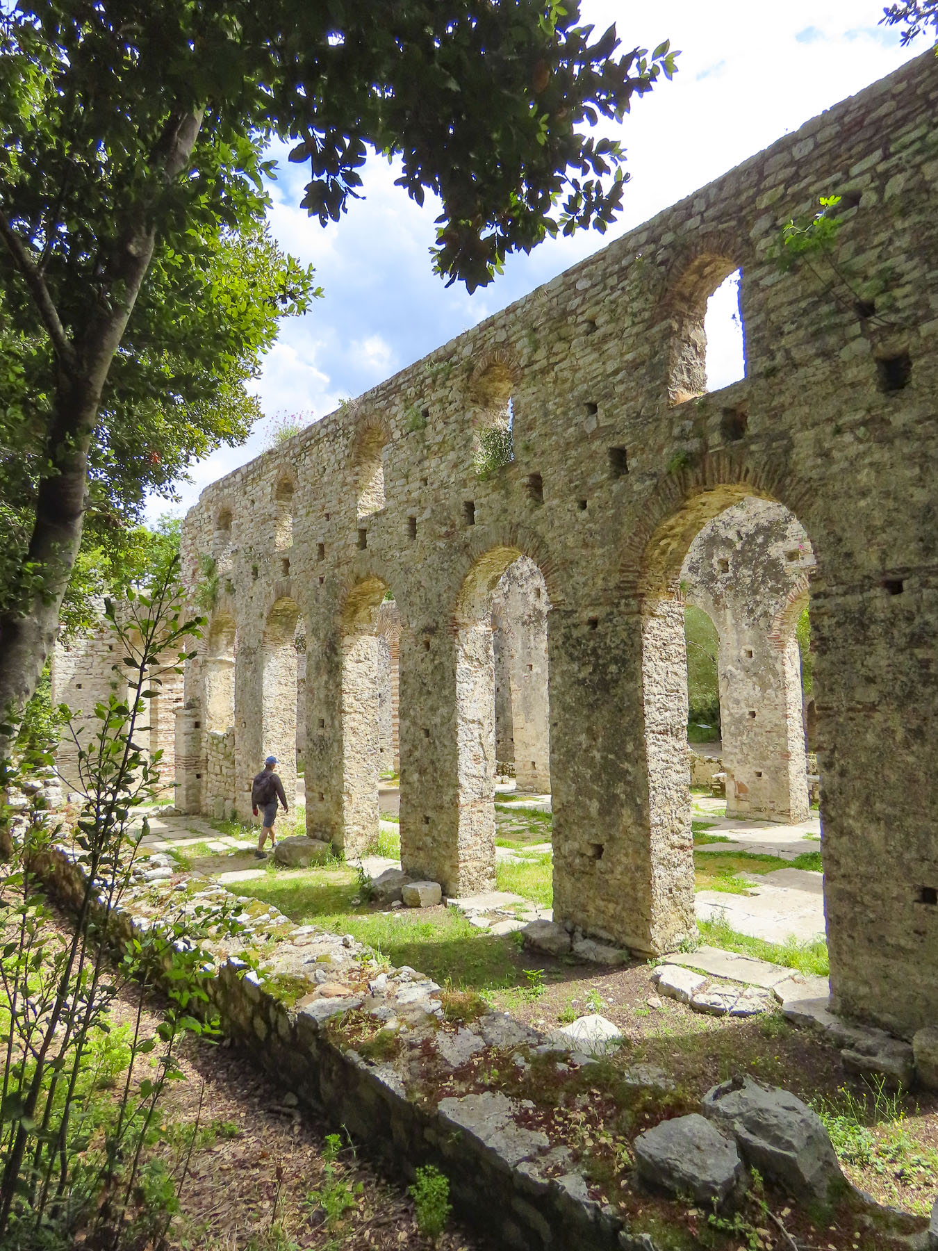
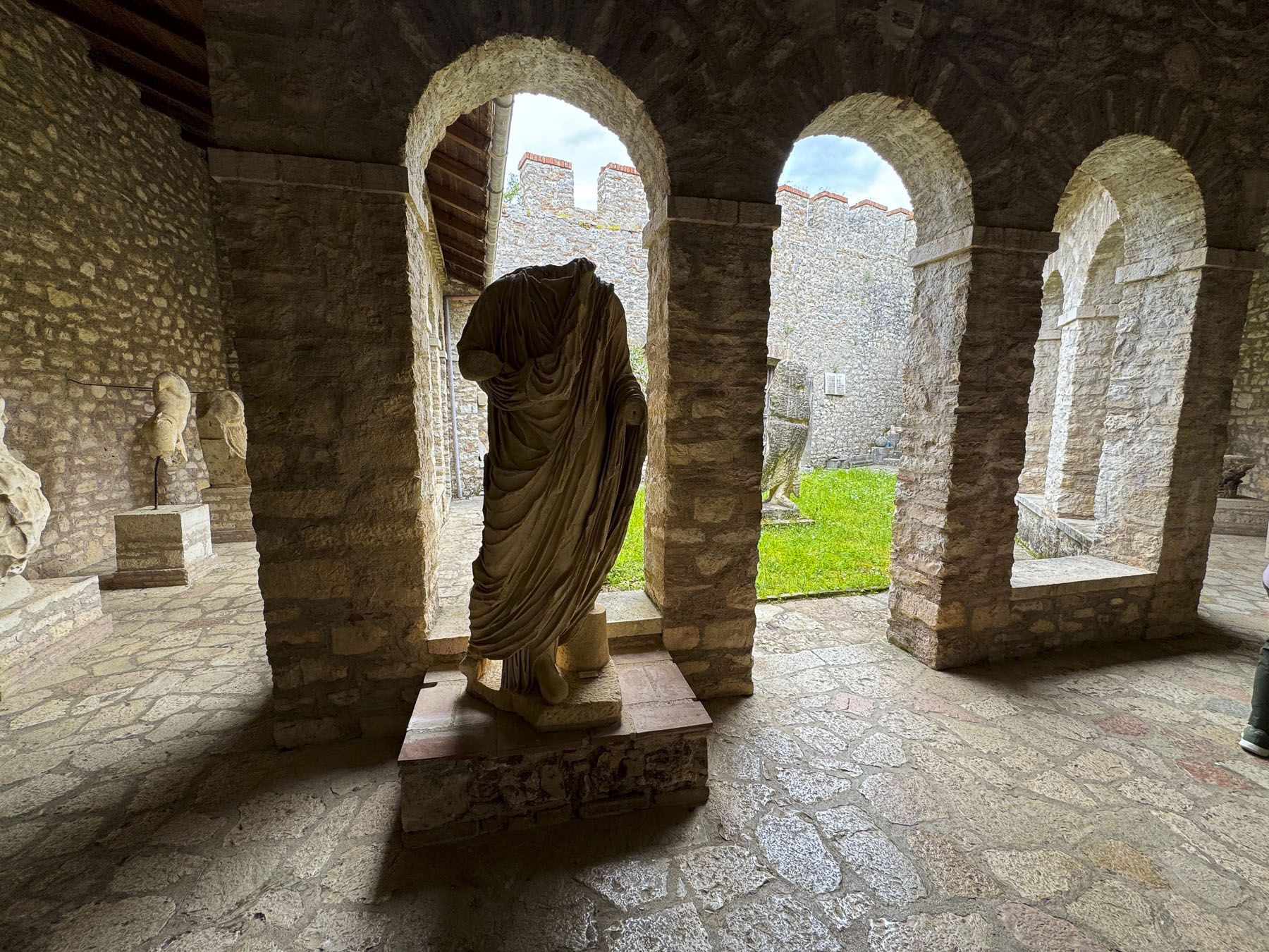
The interior of that 16th century church survives, but the exterior design and brickwork has been renovated numerous times over the years, and hardly shows its age. Unlike the ancient churches nearby in Voskopojë, Albania, which still carry every wound inflicted upon them over the centuries.
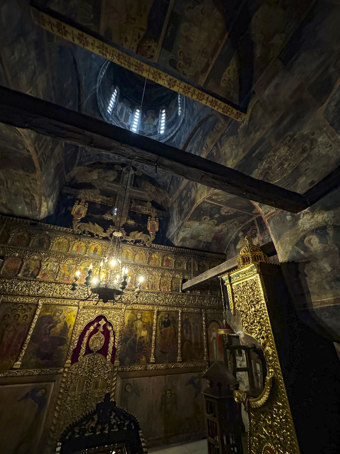
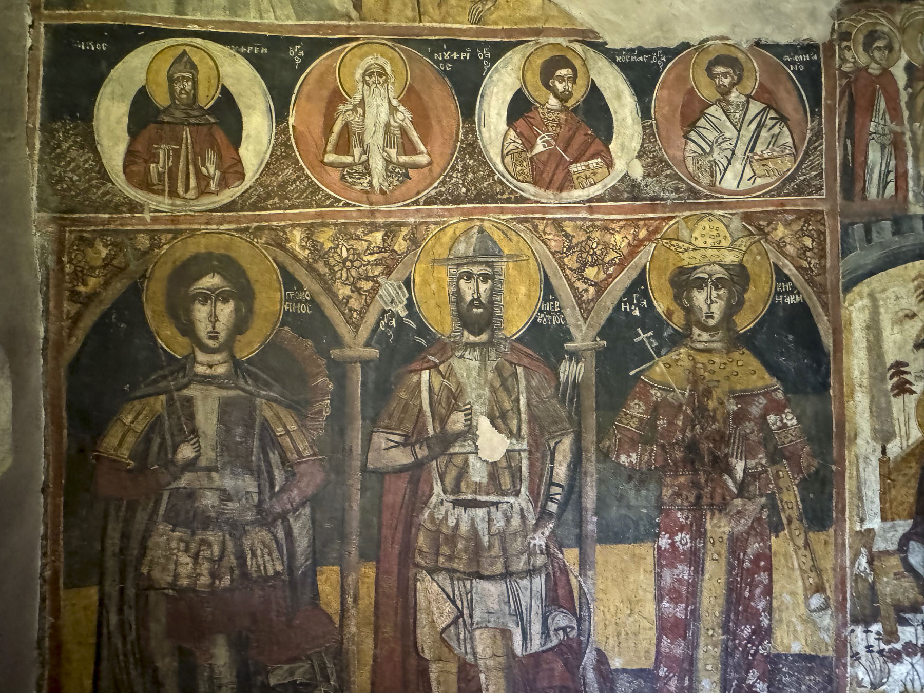
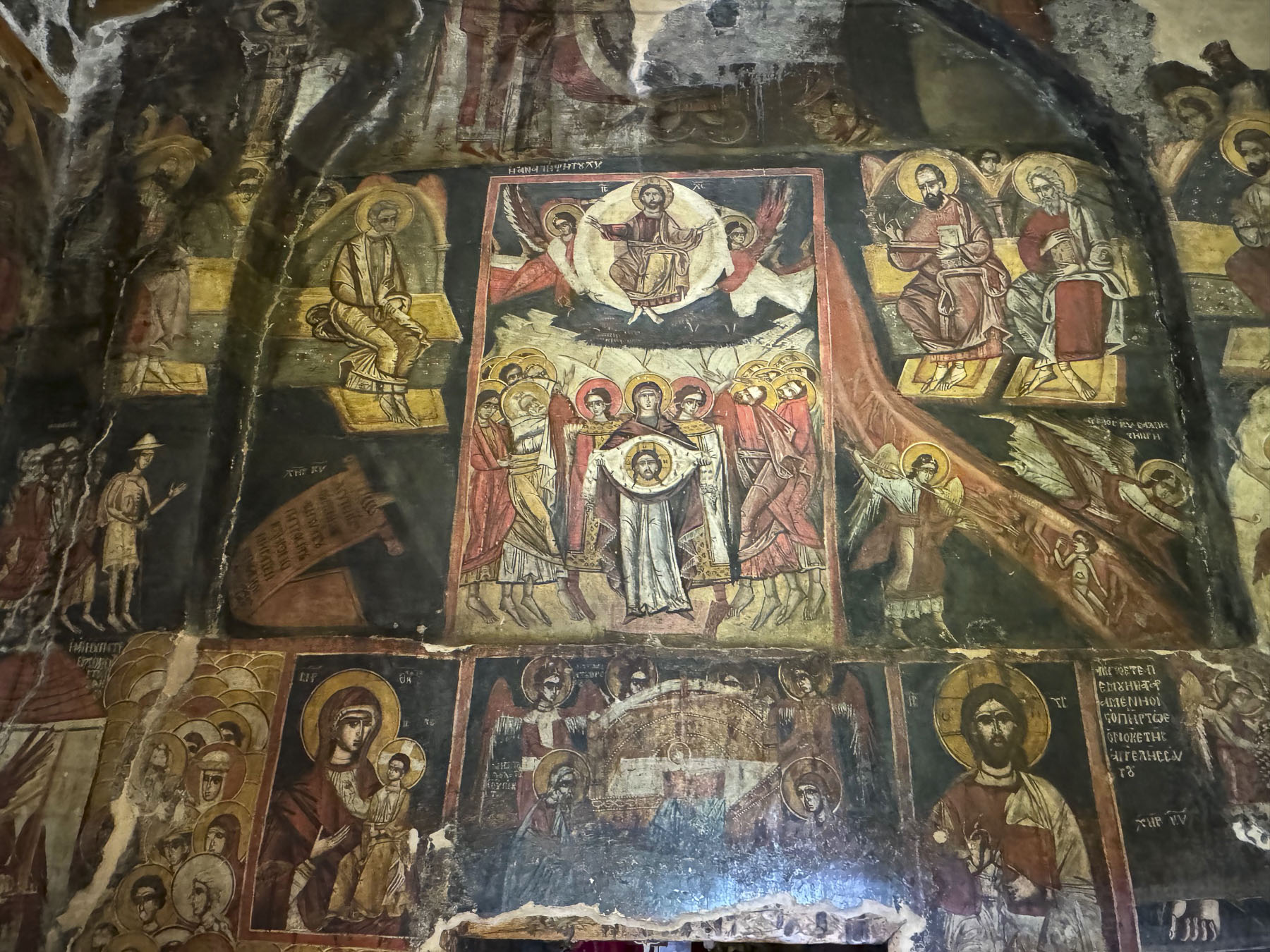
Inside the chapel is quite small, but richly decorated with warmly polished, intricately carved woodwork, and a gilded iconostasis created by local Macedonian craftsmen in the early 18th century. The religious frescoes that adorn the walls of the chapel were painted in 1806 by Trpo Zograf of Korçë. Many of the lower parts of the murals have been worn away by the touches of the faithful seeking blessings.


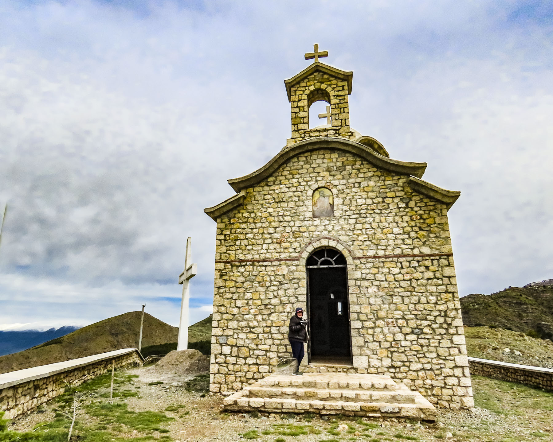
Leaving the site, we descended the knoll in a different direction and happened upon the Church of Saint Petka at the base of the hill. It’s a charming petite chapel that serves as the monastery’s baptistry. Brilliantly colored Orthodox iconography covers every inch of the walls from floor to ceiling in a celebration of faith. A comparison between the two churches was inevitable, and led us to reflect upon what the interior of the older church might have looked like ages ago.


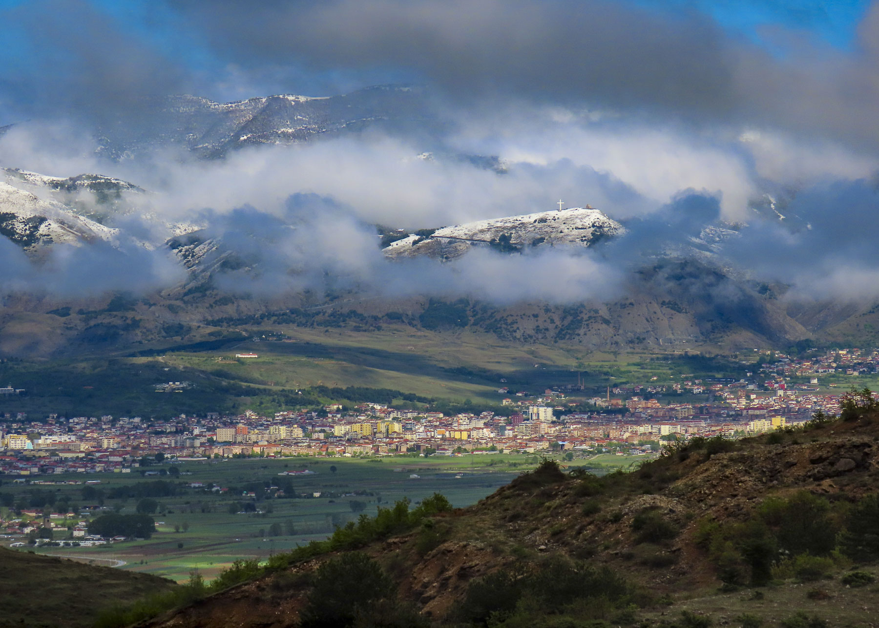
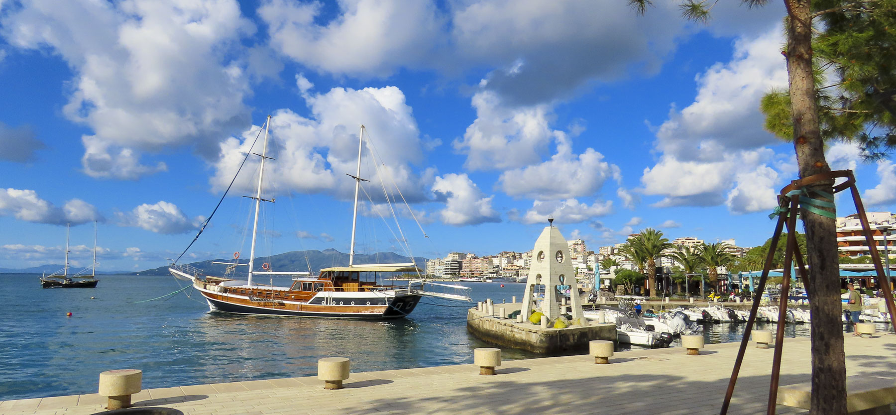
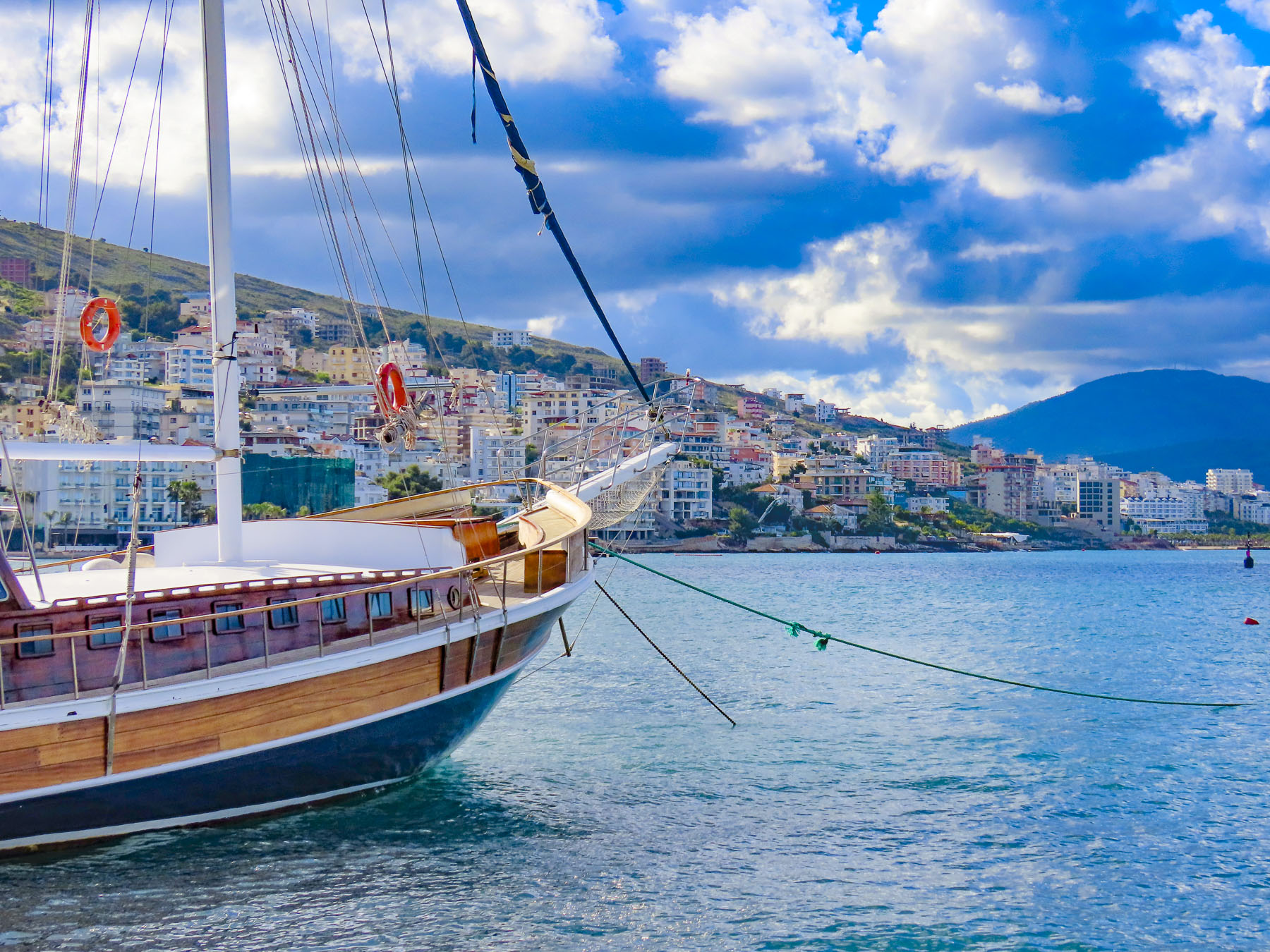
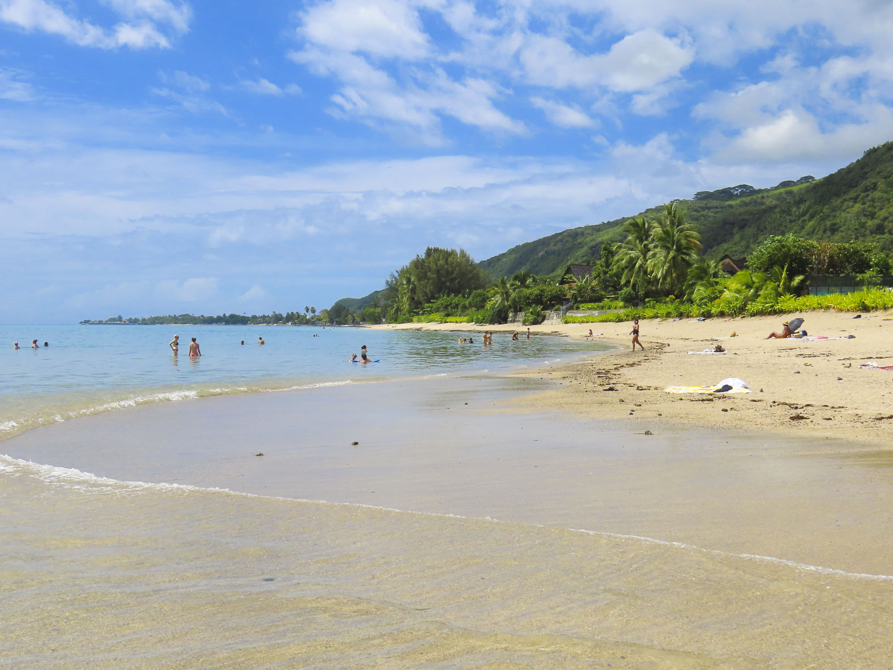
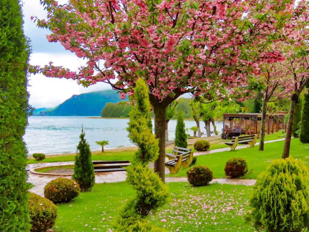
The restaurants at the monastery complex were too overpriced for what they served, so we headed back to Pogradec for lunch. During the high season, mostly Albanian vacationers are drawn to the city’s long sandy beach along Lake Ohrid, the largest on the lake, and support a thriving hotel, and restaurant scene.

But in late April many were still closed, and some of the ones which were open didn’t have any customers. So, we opted for lunch at Pizza Restorant Artist, on Rruga Reshit Çollaku, across from the waterfront. The place was fairly busy, and to our great joy they offered an amazing variety of Italian dishes and pizza. It was some of the best Italian food we’ve had outside of Italy, and very budget friendly. Parking on the street was a little unusual as there was an authorized parking attendant that watched several blocks and ran up to us to secure payment when we pulled into a space. He gave us in return a receipt for display on the dashboard. After lunch a window display in a shop next to the restaurant caught our attention. It was the workshop of Pirro Icka, a fourth-generation woodcarver, according to the plaque in the window. Unfortunately, the shop was closed, but the window display featured some wonderfully intricate carved pieces, which would have been the perfect Albanian souvenir.


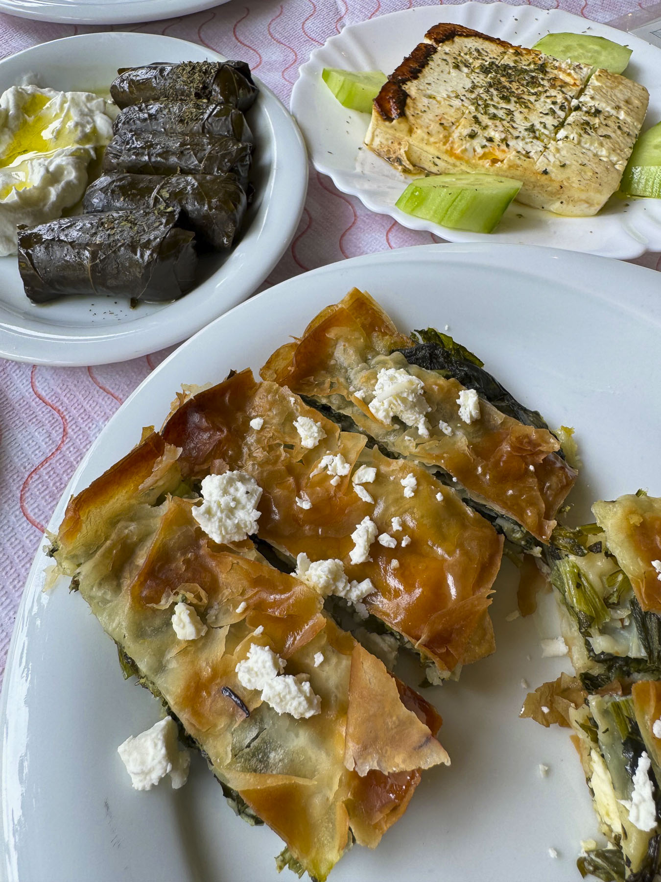
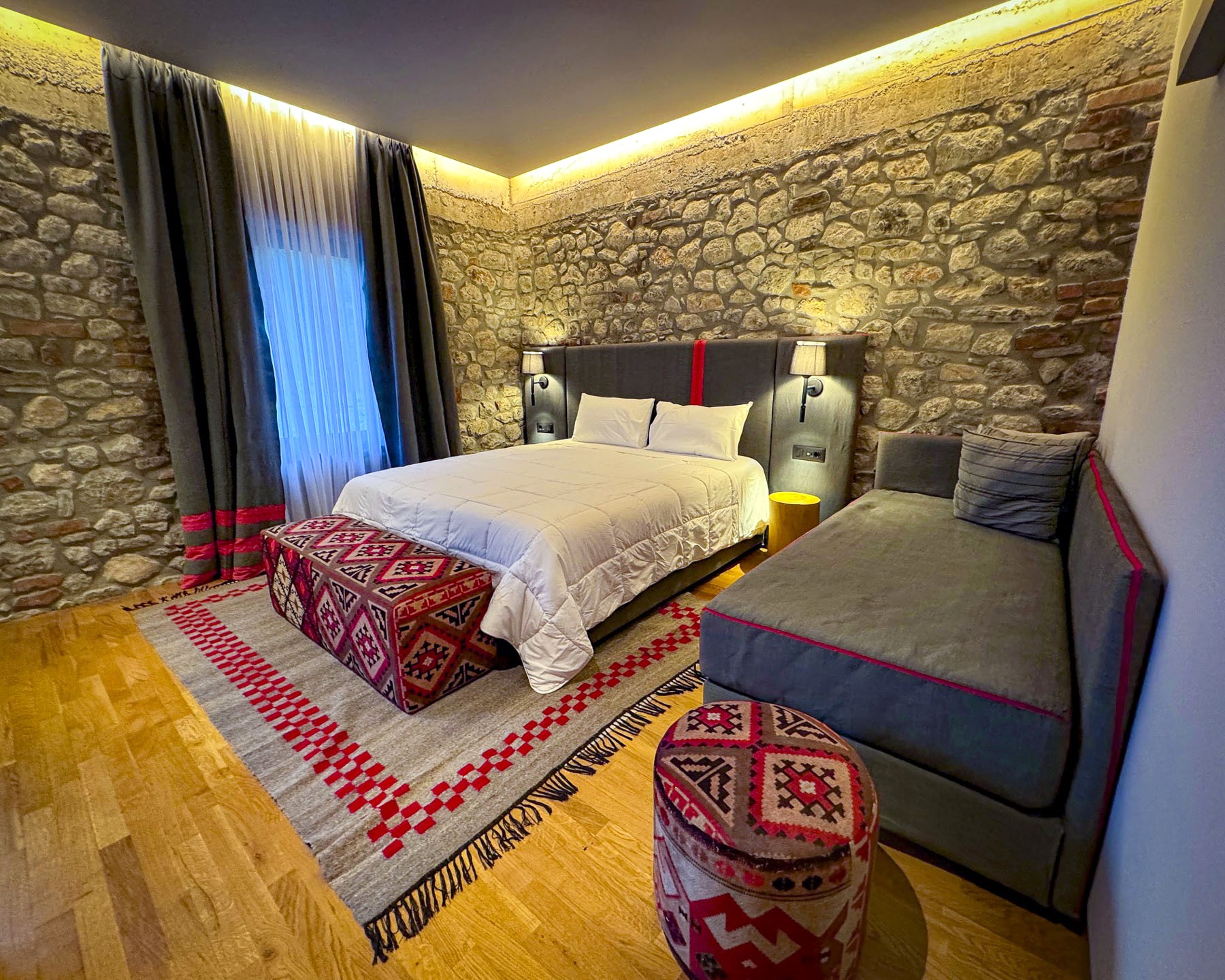
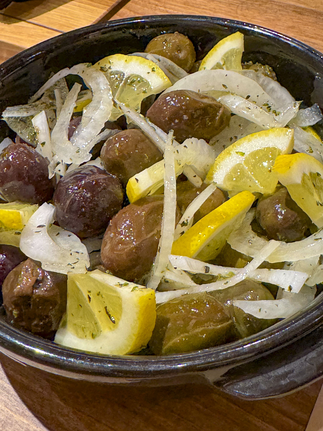
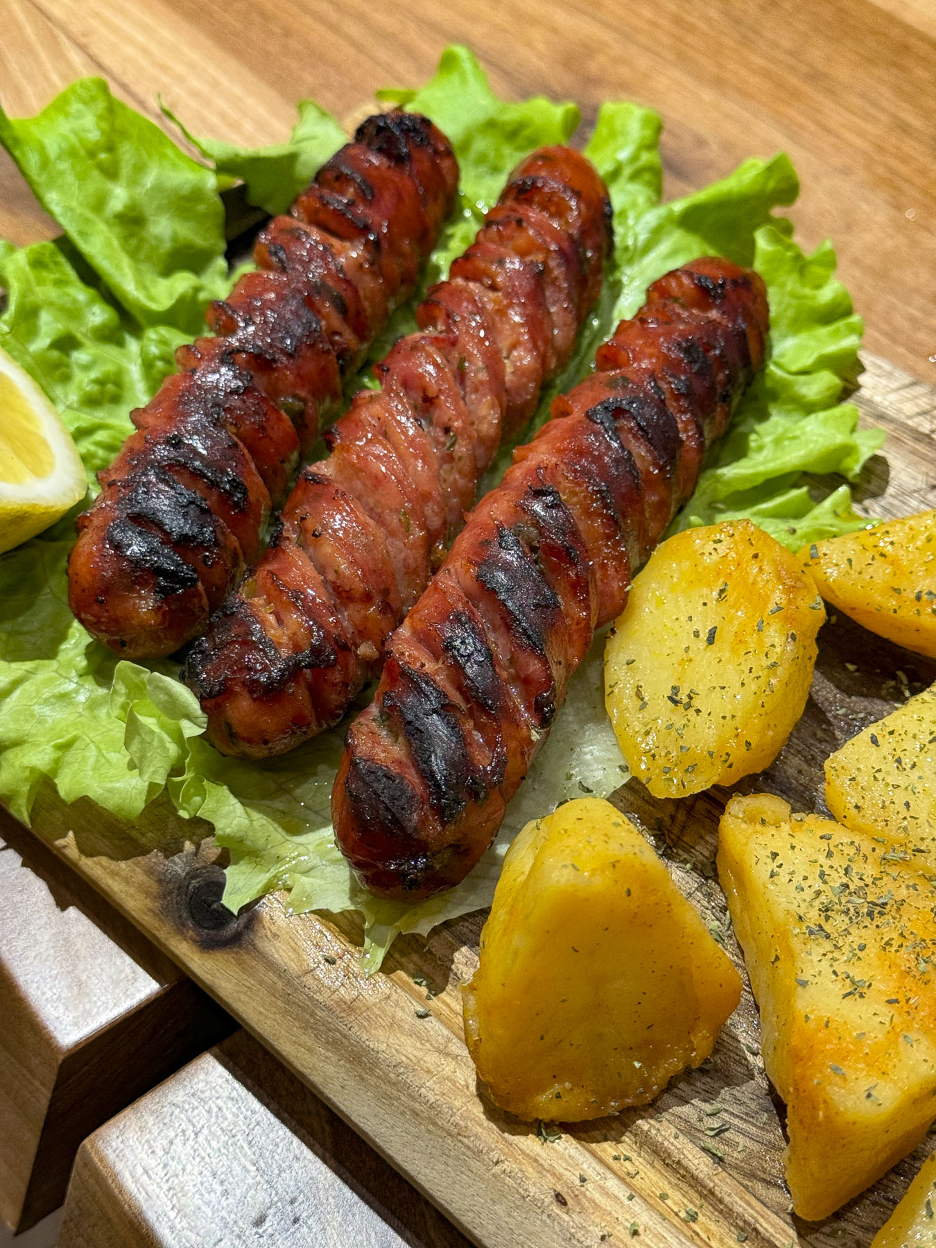
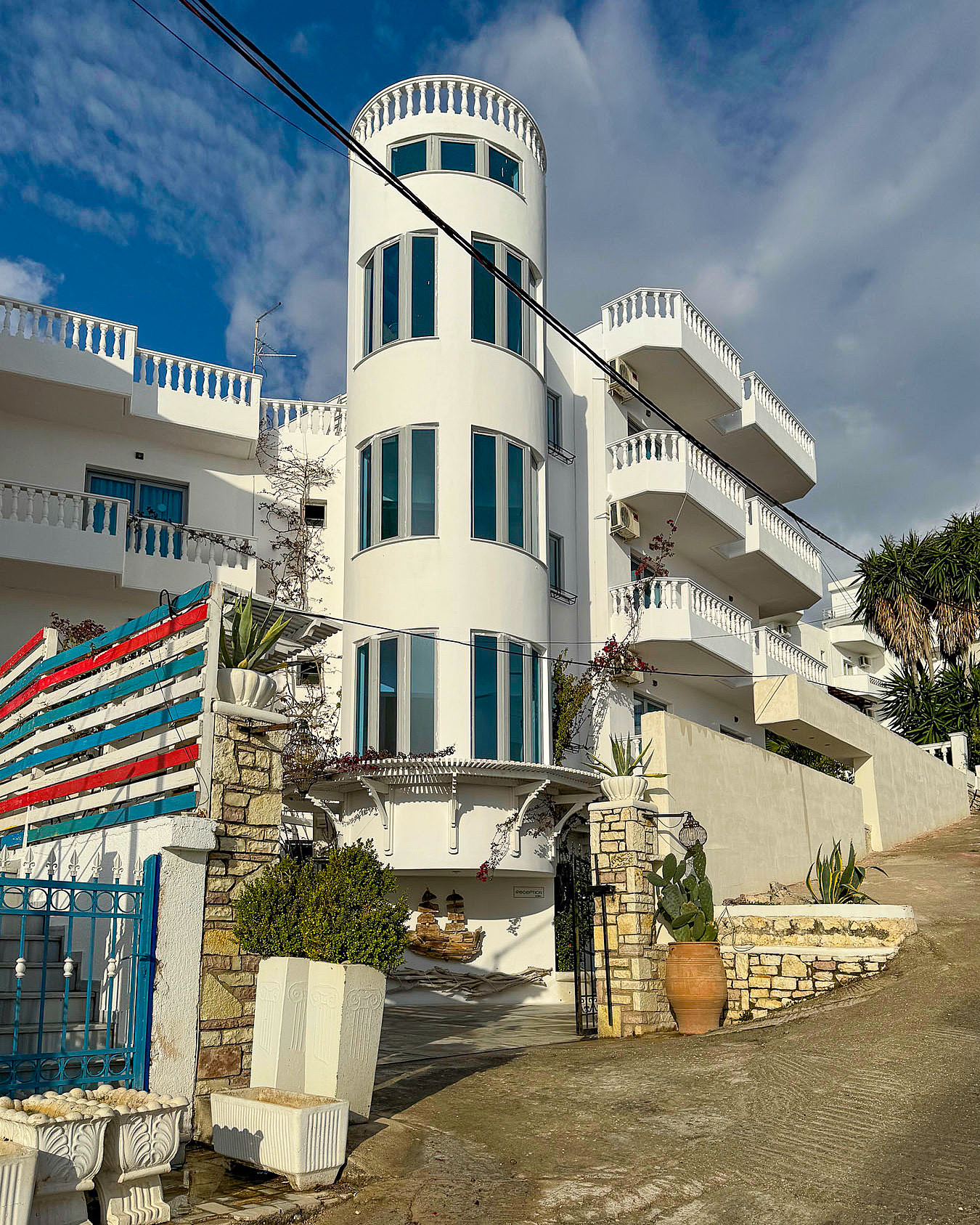
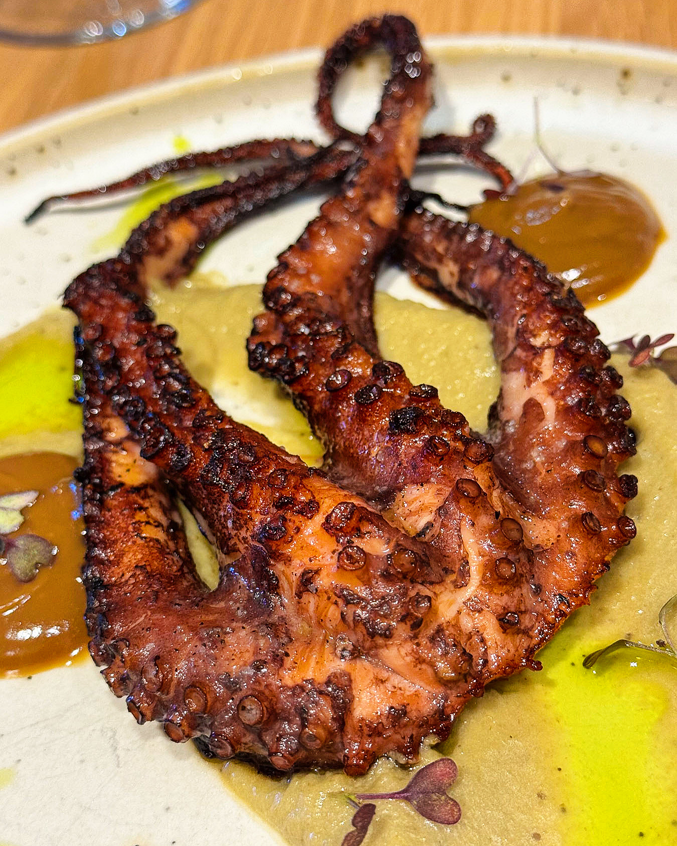
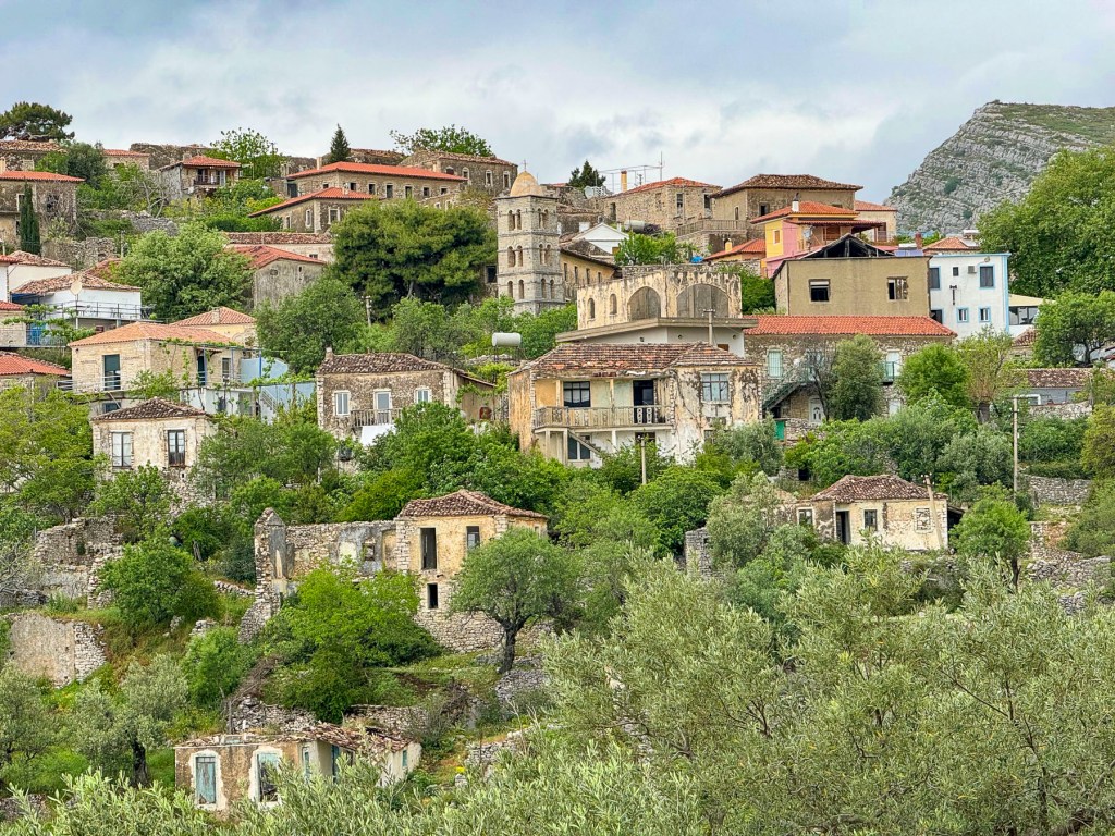
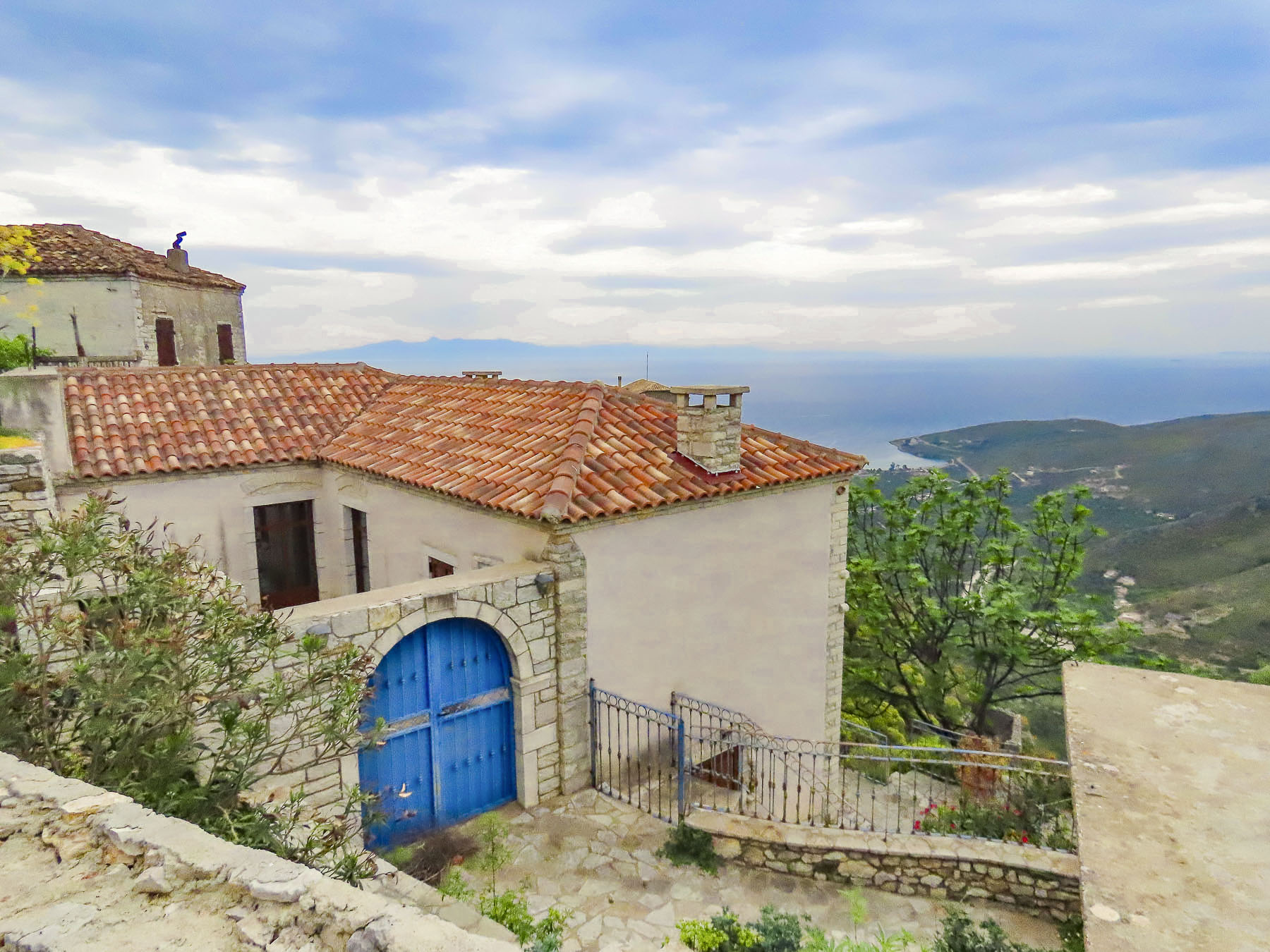
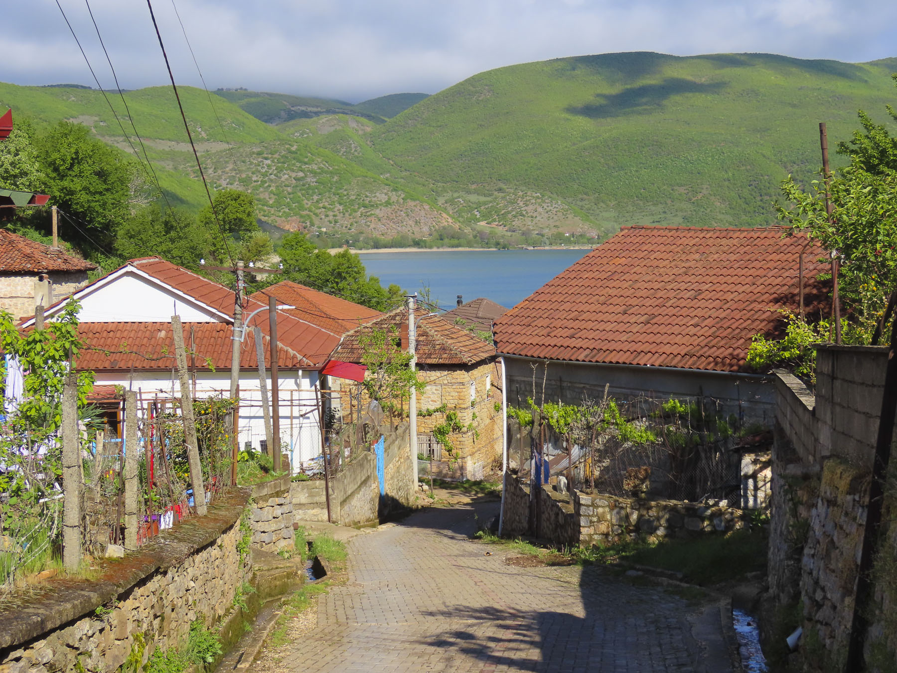
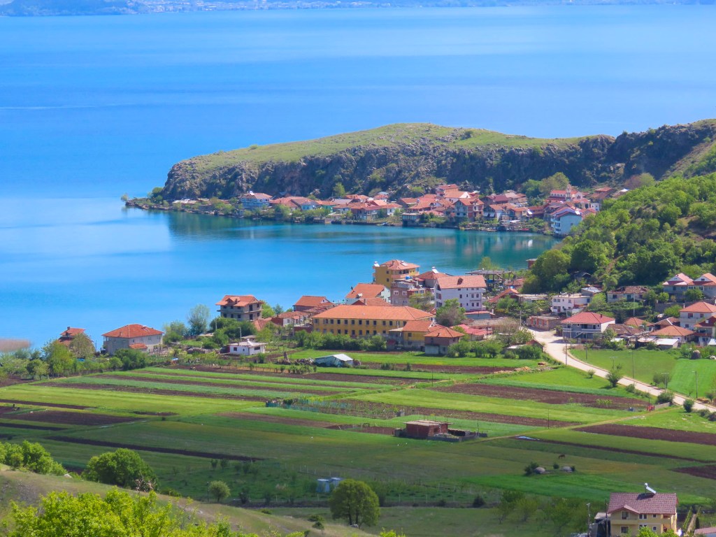
Late in the afternoon we arrived at Lin. It’s a small, isolated village on a headland that protrudes into Lake Ohrid, like a thumb up on a closed fist. We took a few minutes to scout along the narrow lane that runs the length of the village and passes a mosque and church, before it dead ends between homes near the tip of the headland. We had passed the arrow pointing to House 1960, our lodging for the night, but did not know where to park. The village seemed empty, and we had not encountered any other cars along the lane. So, I waited while Donna followed a walkway between homes and returned a few minutes later with one of our hosts, Emory. His wife, Merita, was waiting for us when we arrived at their home, an older village house, that the couple had renovated with help of their adult sons. The inn was very nice and our room stunning with a high cathedral ceiling. Accented with gorgeous blond wood trim, it was bright and airy. In late April all the small restaurants were still closed, but Merita offered to cook meat or lake fish, caught that morning, for our dinner. The Lake Ohrid brown trout accompanied with homemade pickled vegetables was delicous.


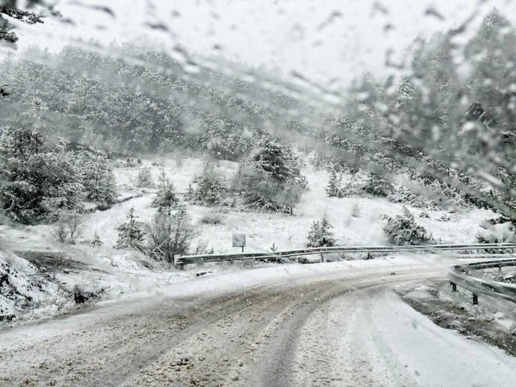
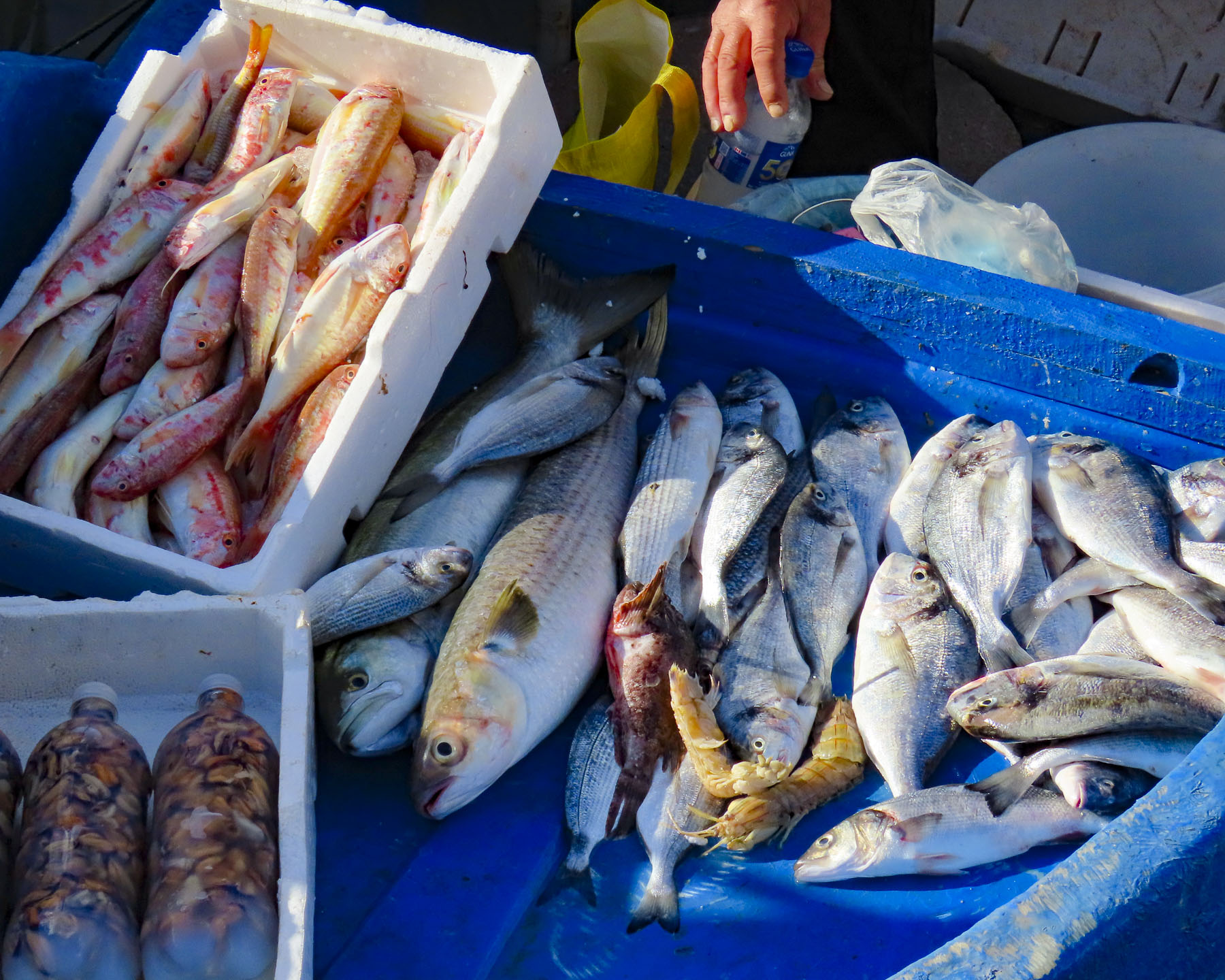
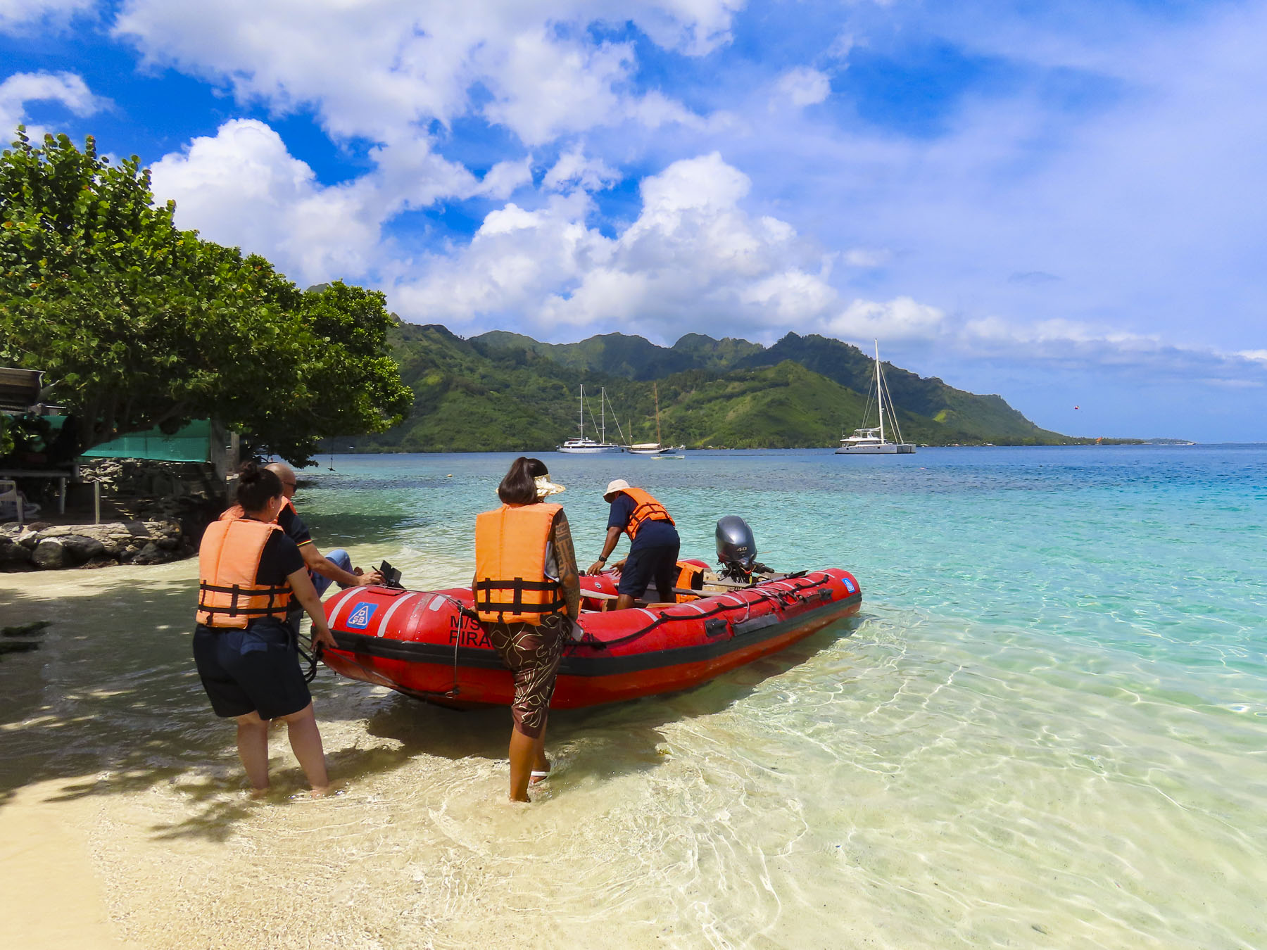
Fishermen from Lin and other villages in Albania and North Macedonia, which surround the lake, set out early every morning in small boats to catch trout, which has been considered a delicacy, and a staple in the local communities since ancient times. Recently discovered submerged archeological evidence of a community that lived in stilt houses above the lake dates to 6500 BC, and confirms Lin as one of the oldest communities in Europe. The weather still hadn’t cleared as we went to bed, but we kept our fingers crossed for better conditions in the morning.
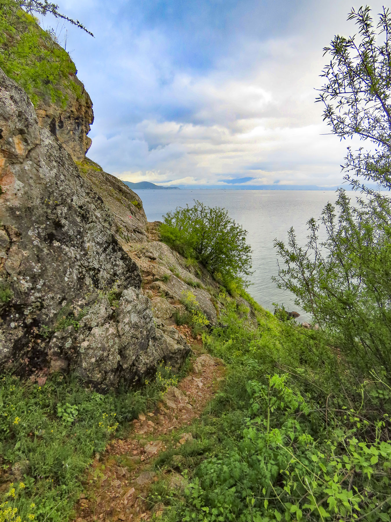

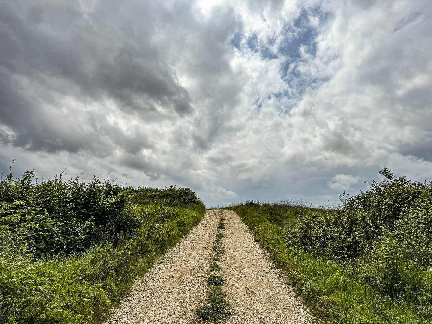
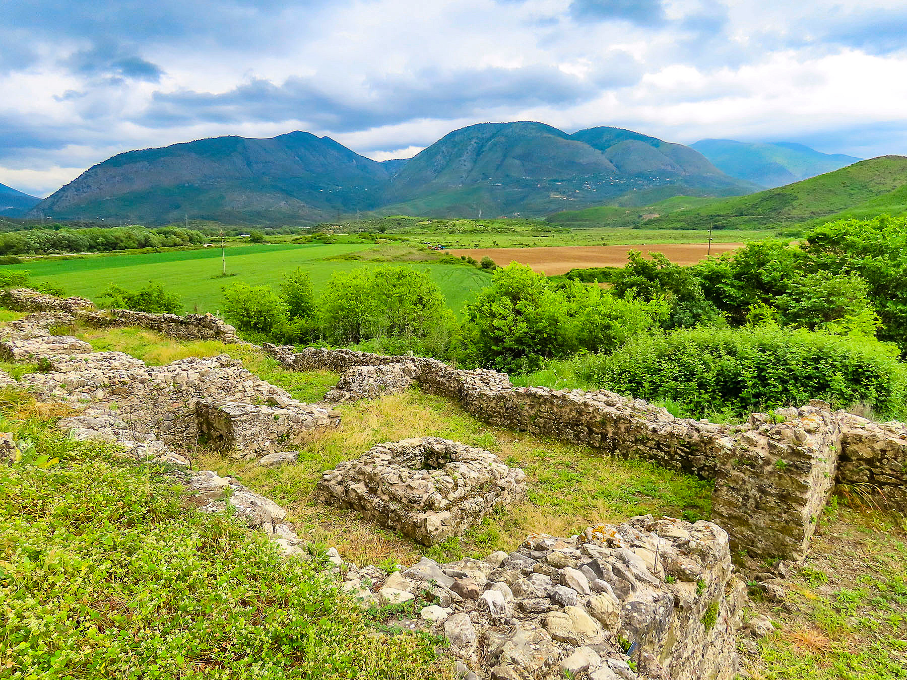
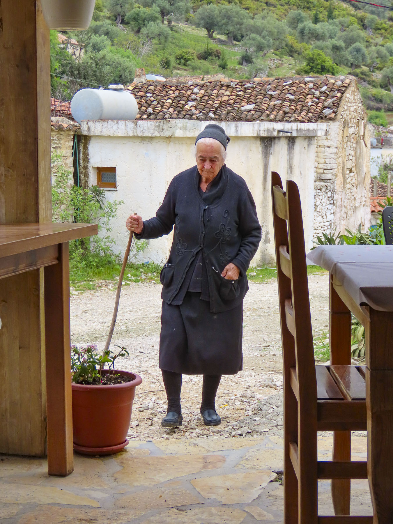
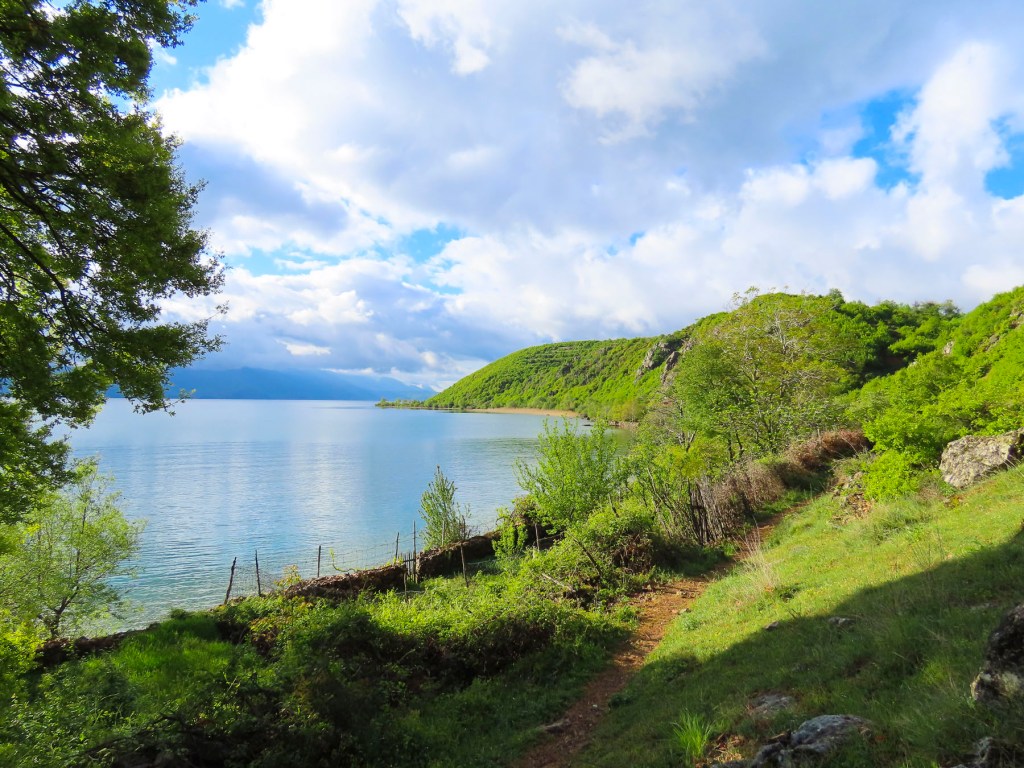
A brilliant blue sky greeted us and prompted a quick decision to trek to the far side of the headland before breakfast. The trail started where the lane dead ended and wove between several homes before we were out of the village. Walking along the lakeshore, the blues of the lake blended seamlessly into the sky. On the landward side the headland towered over us as we rounded the shoreline. The path was only as wide as our feet and somewhat treacherous at certain points, when a section required a rock scramble across it. The shoreline between the lake and the headland eventually widened to reveal farm plots, separated by rows of rough stone walls. Our host had mentioned the evening before that the folks of Lin pride themselves on being nearly self-sufficient. That it was an ethic and skill passed down over the generations, because of the village’s remote location. It’s a beautiful but not a particularly easy trek to the farm plots on the lakeshore, and yet we saw several older villagers carrying their tools on their daily trek to their garden plots.

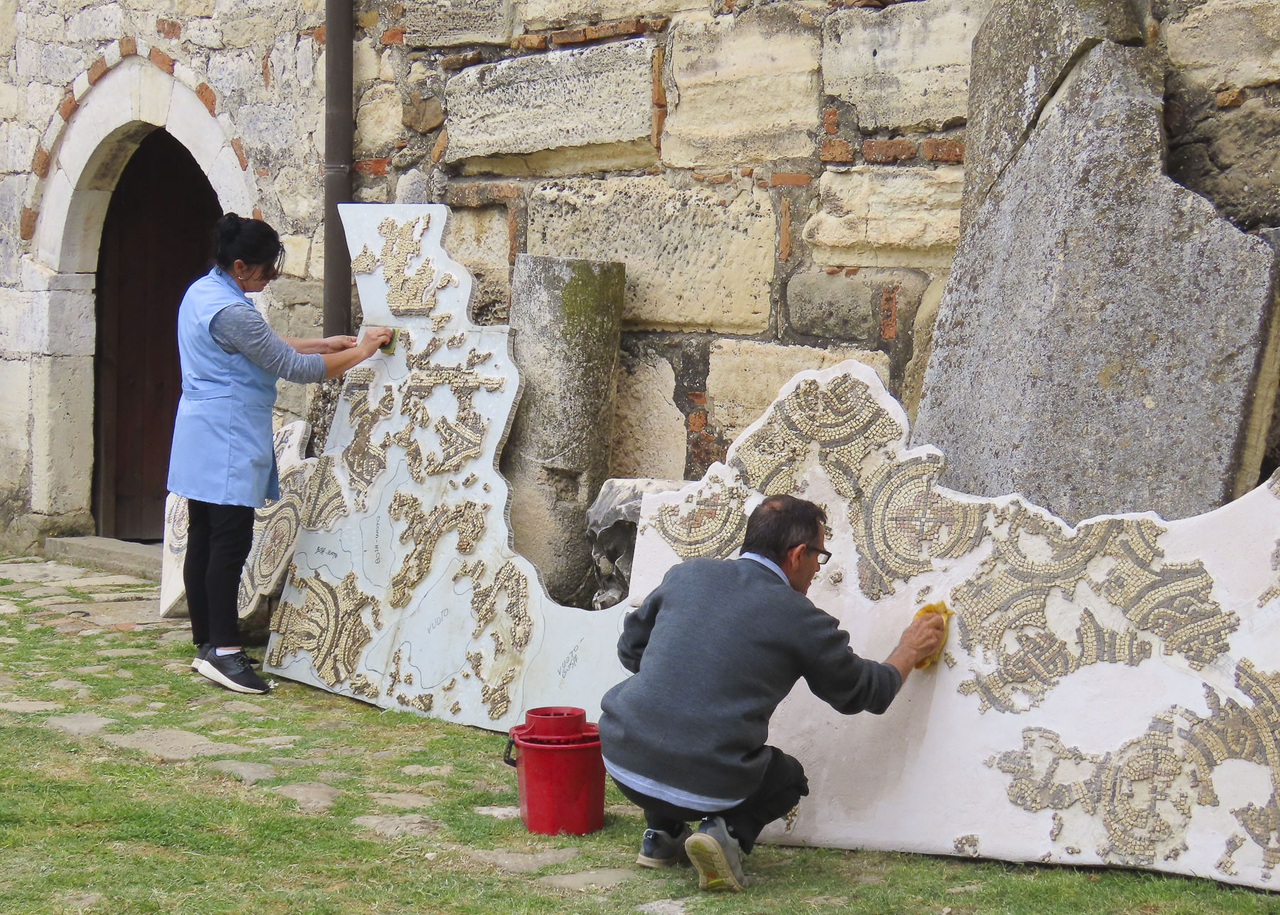
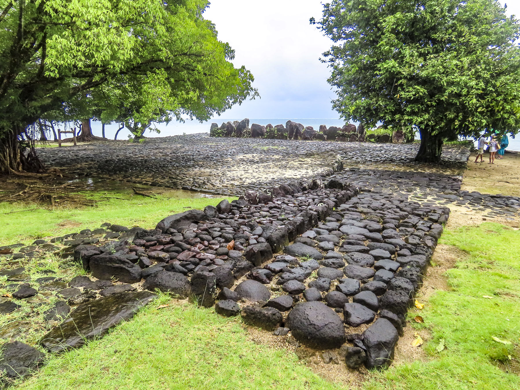
Continuing back to the village we worked our way to the apex of the headland, where the ruins of a 6th century Byzantine church are cordoned off to protect a very large and well preserved intricate floor mosaic from an earlier Roman temple. Signage on the fence details the site and mentioned that the mosaics, which are unprotected from the elements, are currently covered with sand to protect them from further deterioration. The information plaque also mentioned that the mosaics are uncovered twice a year for public viewing and included the phone number of the local caretaker.

The panoramic views out over the lake from the top of the peninsula were amazing. The lake’s clear water sparkled, and dozens of small fishing boats rocked gently on small waves that rolled across its surface. No wonder Lin and its surroundings are part of the Natural and Cultural Heritage of the Ohrid Region, an UNESCO site, which recognizes the importance of the unique aquatic ecosystems surrounding the clearest and deepest lake, reaching depths of 945 ft, in the Balkans. Lake Ohrid is thought to be one of the oldest bodies of fresh water in the world, and supports a diverse variety of 1200 different plant and animal species, 200 of which are endemic to the lake.
Walking downhill back through the village we stopped to photograph a scene. It was only when we started walking again that I caught some motion in my peripheral vision and saw the freshly slaughtered cow hanging from a sturdy tripod stand, with three villagers attending to it, in front of a store that had a coffee shop sign above its door. They waved. A little farther down the lane, we passed an older woman walking up the hill carry small buckets of milk. She must have been 15 years older than us, but she was a hearty soul and ended up lapping us three times. When we returned to the inn Merita had some freshly baked bread and muffins waiting for us, along with a fig jam, made with the fruit from the tree in the front yard, feta cheese, butter, yogurt, and eggs sourced from various neighbors. We enjoyed our short time in Lin and wished that we had made plans to stay longer.
Back on the highway, the road rose into the mountains and we pulled over for one last look. In the fields outside the village a row of Hoxha’s bunkers sporadically emerged from the soil like mushroom caps, near where the marine archeologists discovered the submerged village on pilings. Perhaps Hoxha’s paranoia was justified, but he was several millennia late.
Till next time, Craig & Donna