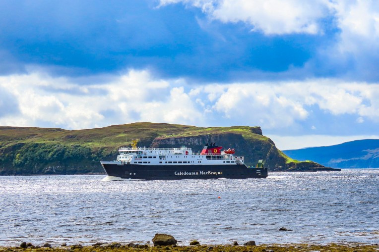
True to form, blustery afternoon winds were ripping the clouds apart as the CalMac ferry steamed past the Rhue Lighthouse, heading into Loch Broom and the ferry dock at Ullapool. Being one of the last cars to board the ferry, we were one of the first off in Ullapool, and decided to pull over out of everyone else’s way to get our bearings before taking a spin around the village. Ullapool isn’t a particularly large village, only a couple of blocks, but within ten minutes of folks disembarking from the ferry, there was no sign of life on the streets. Granted, it was a Sunday, but in August, which is the tourist high season, and it felt like a ghost town. Fortunately, we did find the local Tesco supermarket open, and we bought some provisions for breakfast the next morning, as where we were staying for the night, the Altnacealgach Motel on Loch Borrolan only offered dinner.

We were back on mainland Scotland and on the NC500 again, after modifying our NC500 route to include the Isles of Skye, and Lewis & Harris, for seven days of exploring those interesting islands.

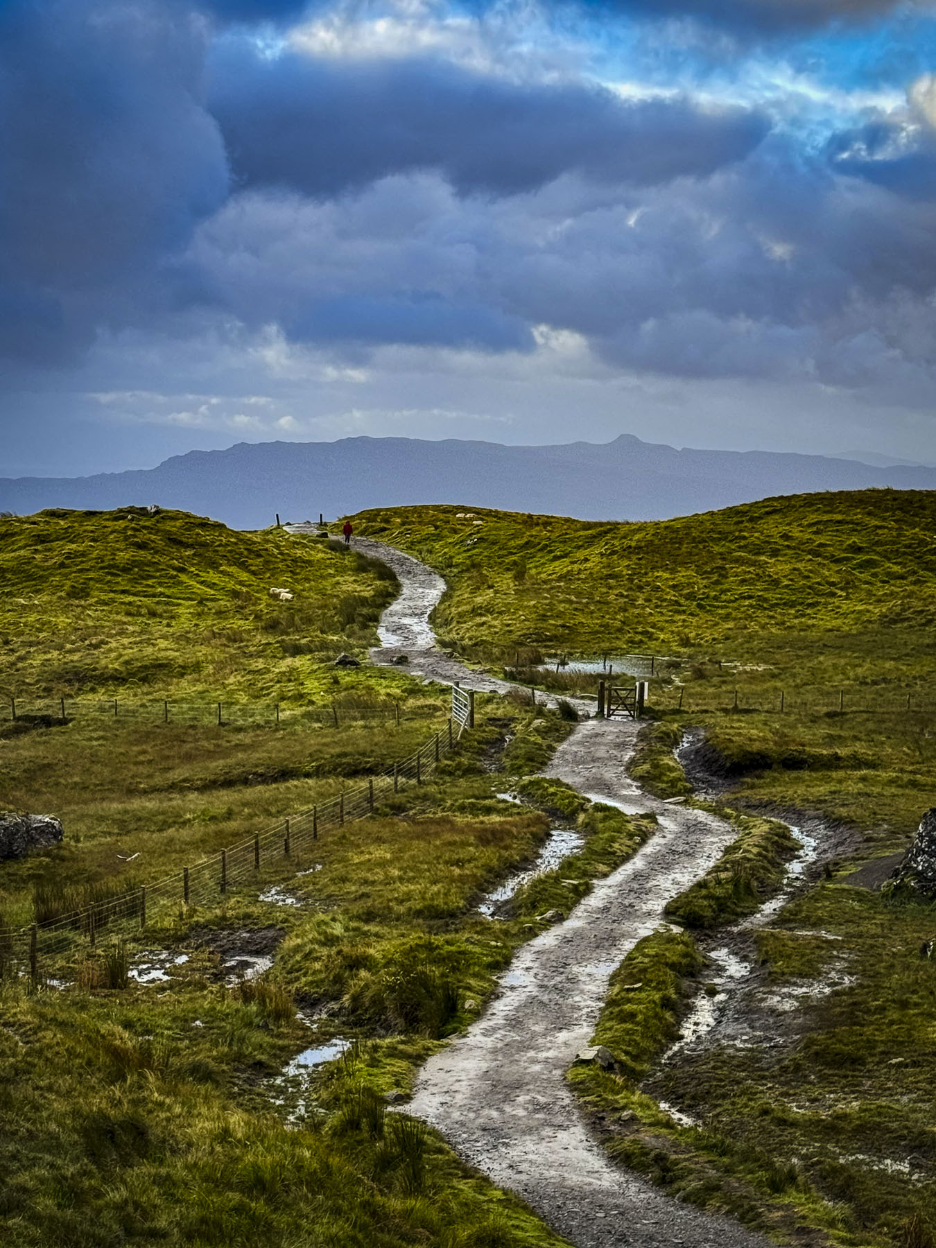
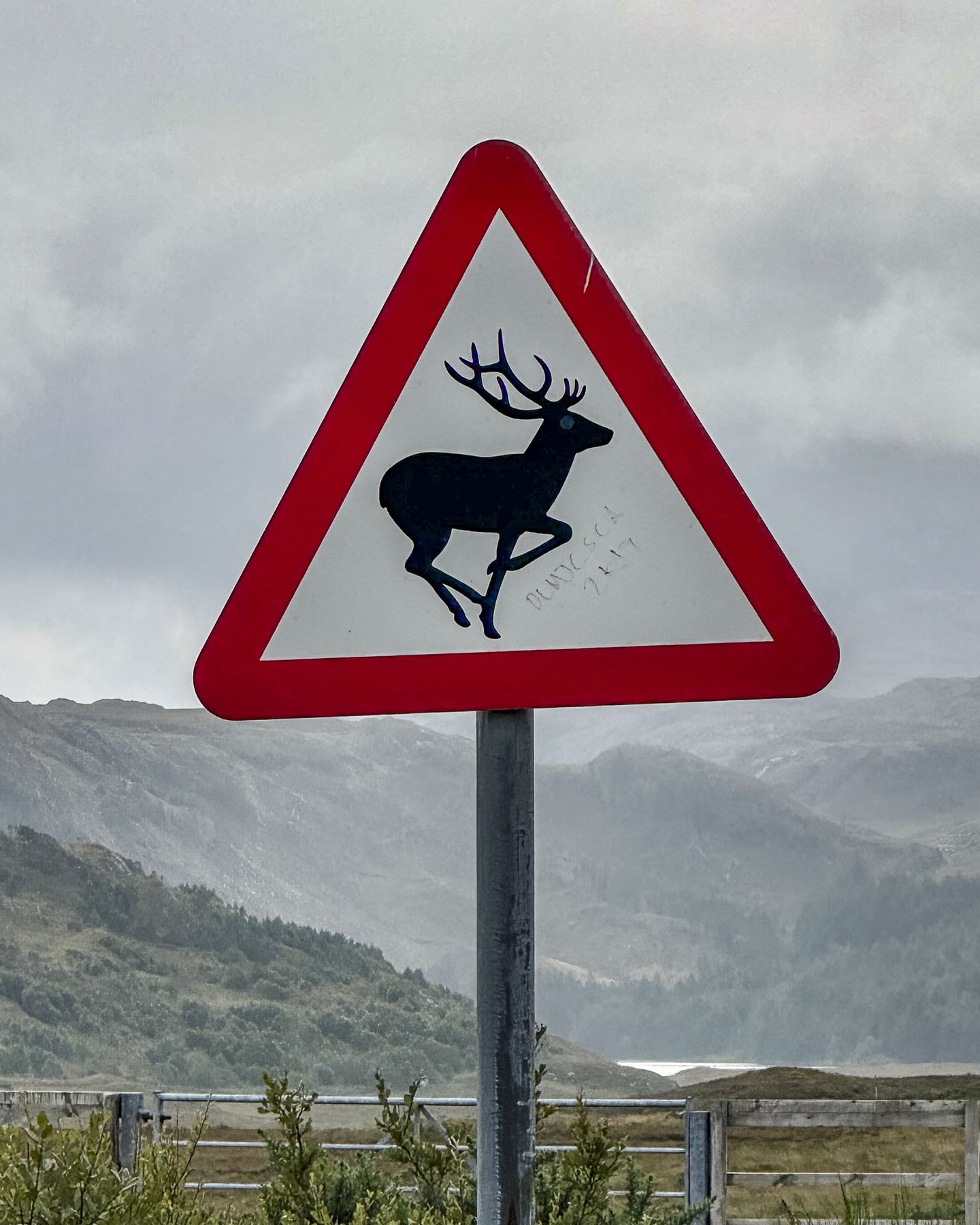
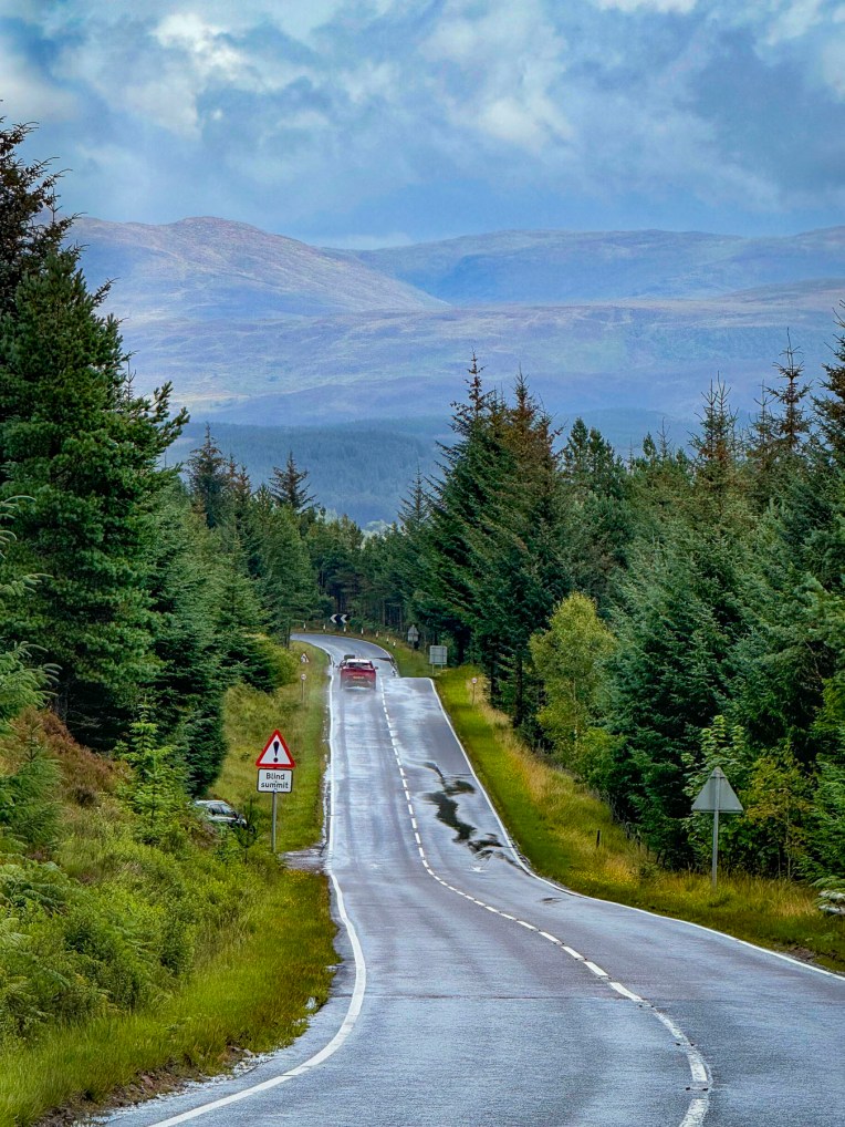
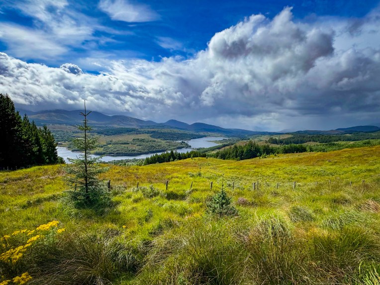
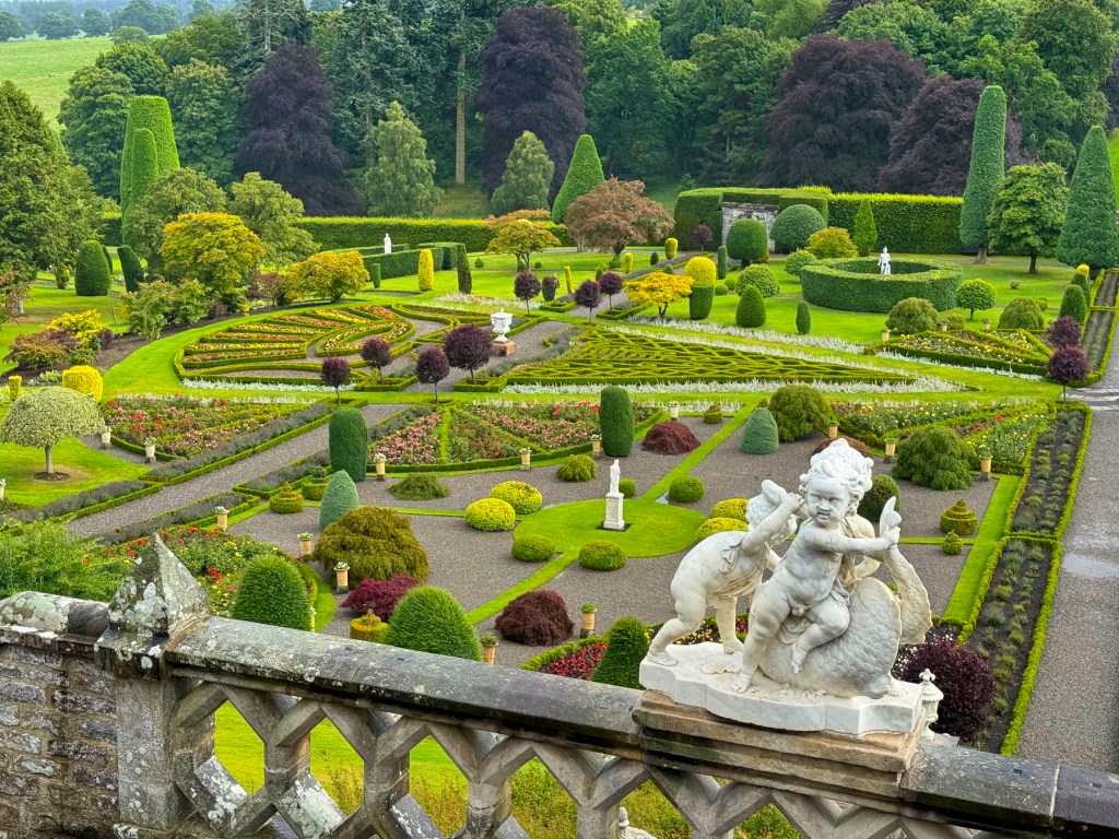
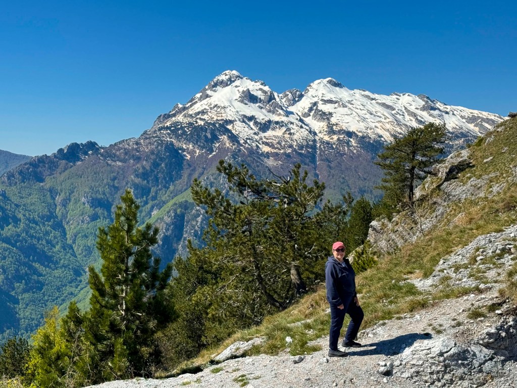
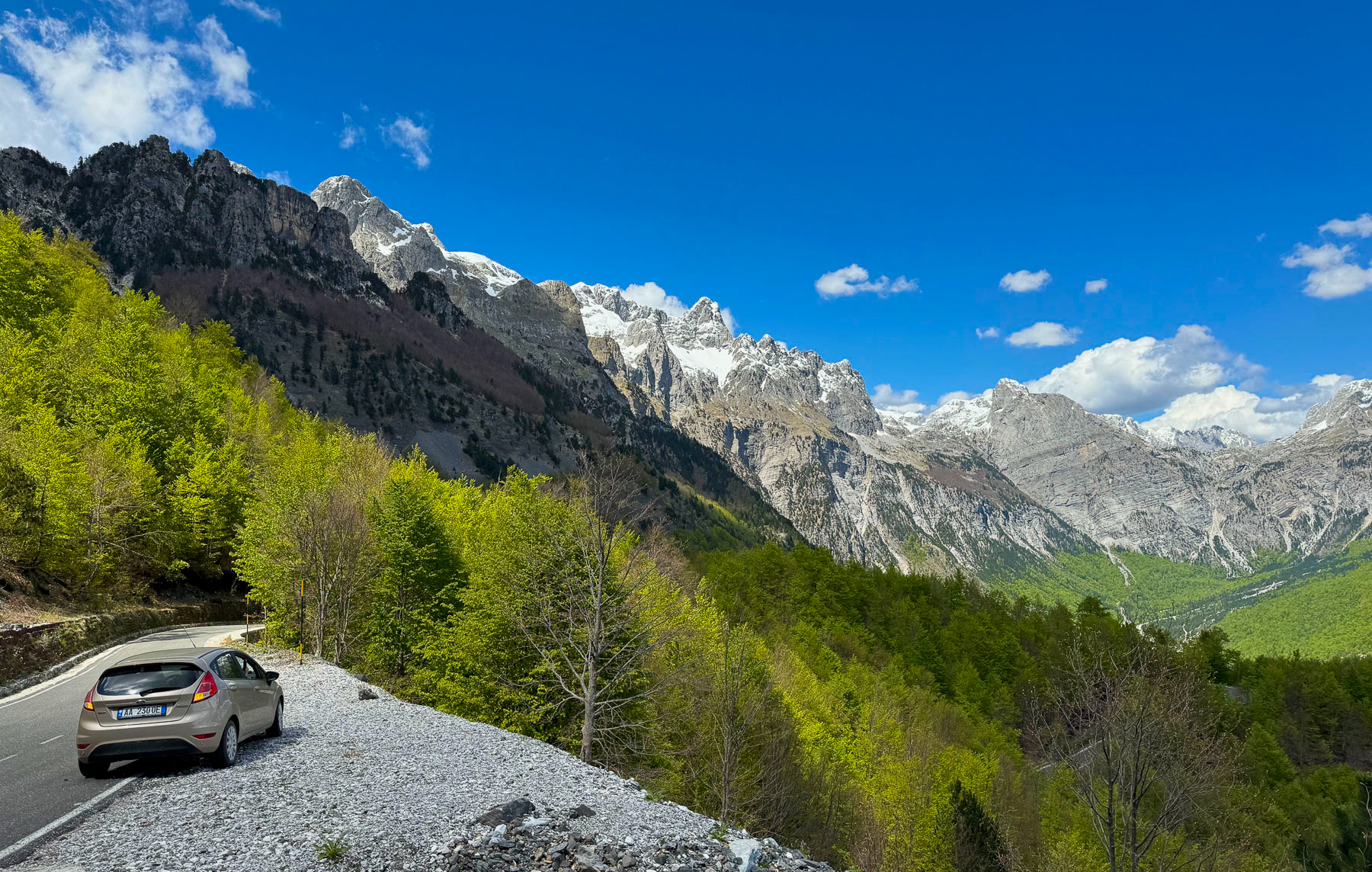
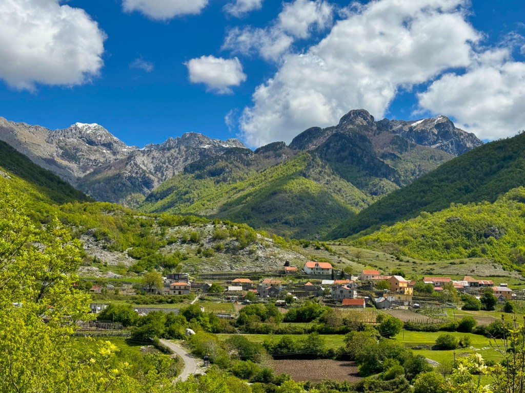
Scotland is so outstandingly beautiful, and with every twist and bend in the road there always seemed to be another vista worthy of photographing. While the roads around the Highlands are in excellent condition, our one pet peeve is there are not enough designated vantage points to pull over and take pictures from. Often, we u-turned and pulled into a gated entrance to a field. Pulling over onto the hard shoulder wasn’t an option as The NC500 throughout the Highlands is mostly a two-lane road without shoulders. The narrower country roads off the NC500 have pullovers called Passing Places for when you encounter oncoming cars, but they are not to be used for parking.
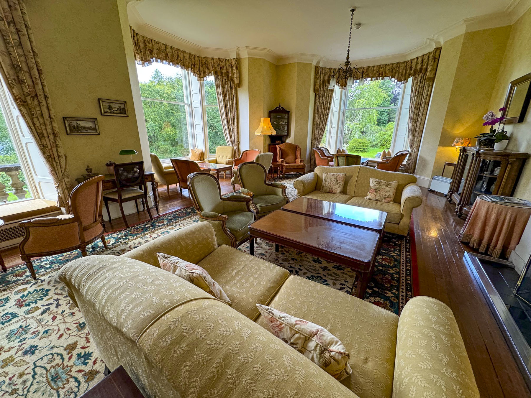
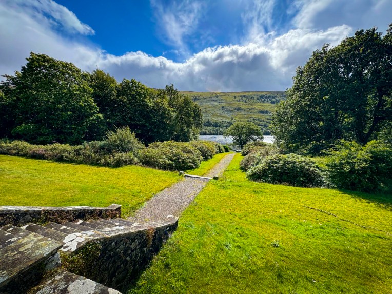
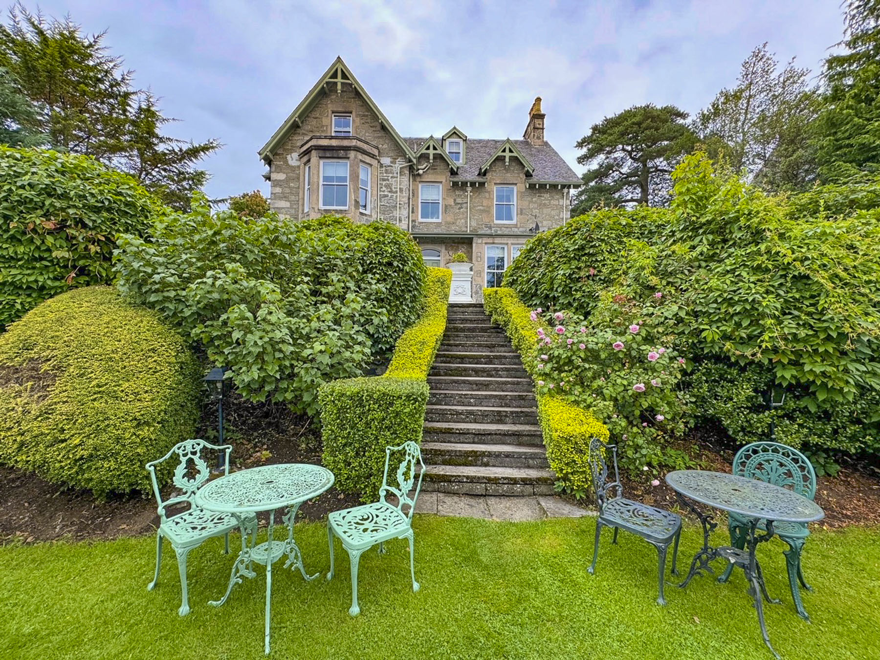
Our recently refurbished room at the Altnacealgach Motel was nice and large. Most importantly it had a kettle for our early morning coffee. The motel is a modest place with 8 rooms, but it’s beautifully situated, a pebble’s toss across the road from Loch Borrolan. Dinner was simply pizza and chili, but quite good. https://www.altnacealgachmotel.co.uk/


Our 144-mile route along the NC500 to Balnakeil Beach then onward to John o’ Groats the next day was our longest drive in the Highlands. We figured as always, we’d make many other stops along the way, so planned for an early departure the next morning.

For a third day in a row, it seemed we couldn’t shake the overcast sky from the heavens and have a sunny morning. It was unusually dreary weather for a Highland August, so much so that many of the folks we encountered felt it necessary to apologize for the unusually dreary weather.
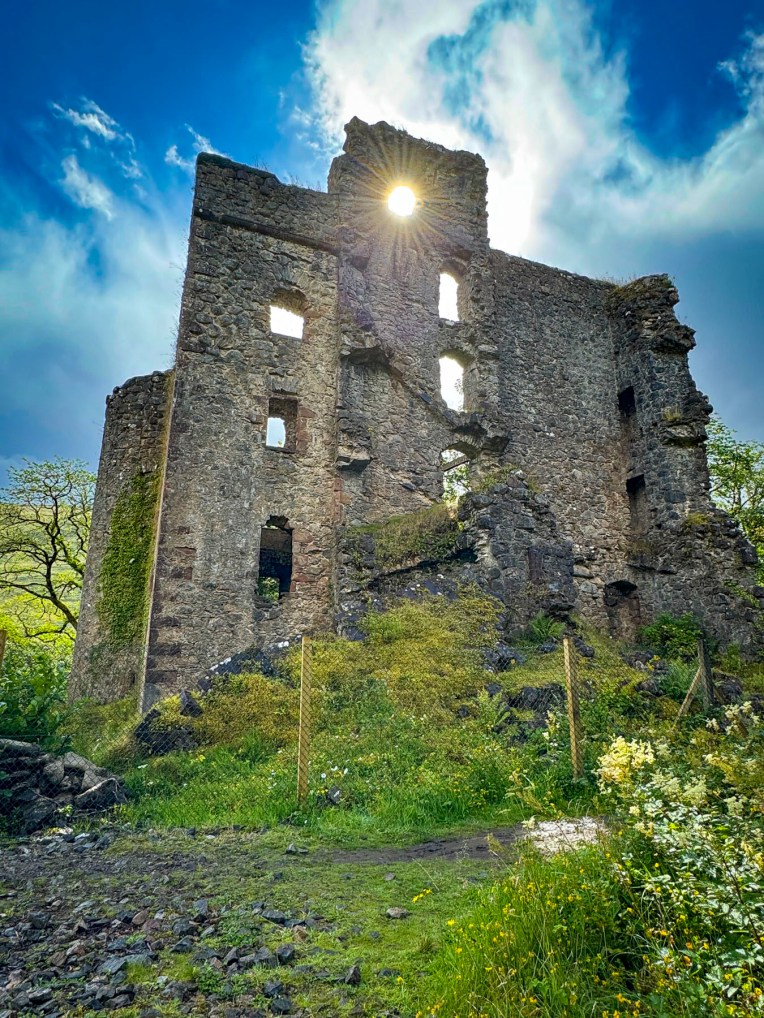
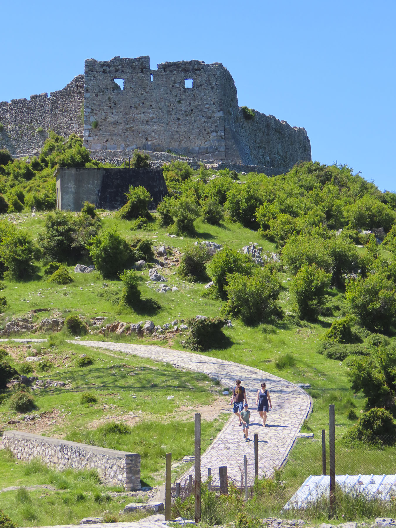
We followed the A837 north and stopped at Ardvreck Castle, once the seat of the MacLeods of Assynt, and Calda House, now ruins. The ancient 3-4 story fortified tower house dates to the late 15thcentury and is set on an island in Loch Assynt. It’s a dramatic setting, with the loch surrounded by the magnificent mountains Quinag, Ben More Assynt, and Canisp. A narrow, sandy isthmus connects the island to the mainland. Accusations of a sinister betrayal made by the MacKenzies of Wester Ross ruined the reputation of the MacLeods of Assynt and was believed to be the cause for the rapid decline of the MacLeods’ fortunes. A final battle between the clans in1672 forced the MacLeods to surrender their rule of the Assynt region to the MacKenzies. The Calda House was built in 1726 by Kenneth MacKenzie II of Assynt for his new bride who found the old fortress dreary and uncomfortable, and “much to her dislike.” Built with imported sandstone, her new mansion stood three stories high and had 14 bedrooms. As legend tells it, the joy of a new home only lasted until 1737 when a late-night celebration continued past midnight into the sabbath, and the house was struck by lightning. Only a bagpiper who refused to play on the sabbath survived. The castle stood strong until 1795 when a lightning strike also destroyed it. It wouldn’t be proper castle ruins without a ghost and local lore obliged with the story of the daughter of the MacLeod chief, who threw herself from the tower of Ardvreck Castle when she realized her father had betrothed her to the Devil, as payment for the Devil’s help in building it.

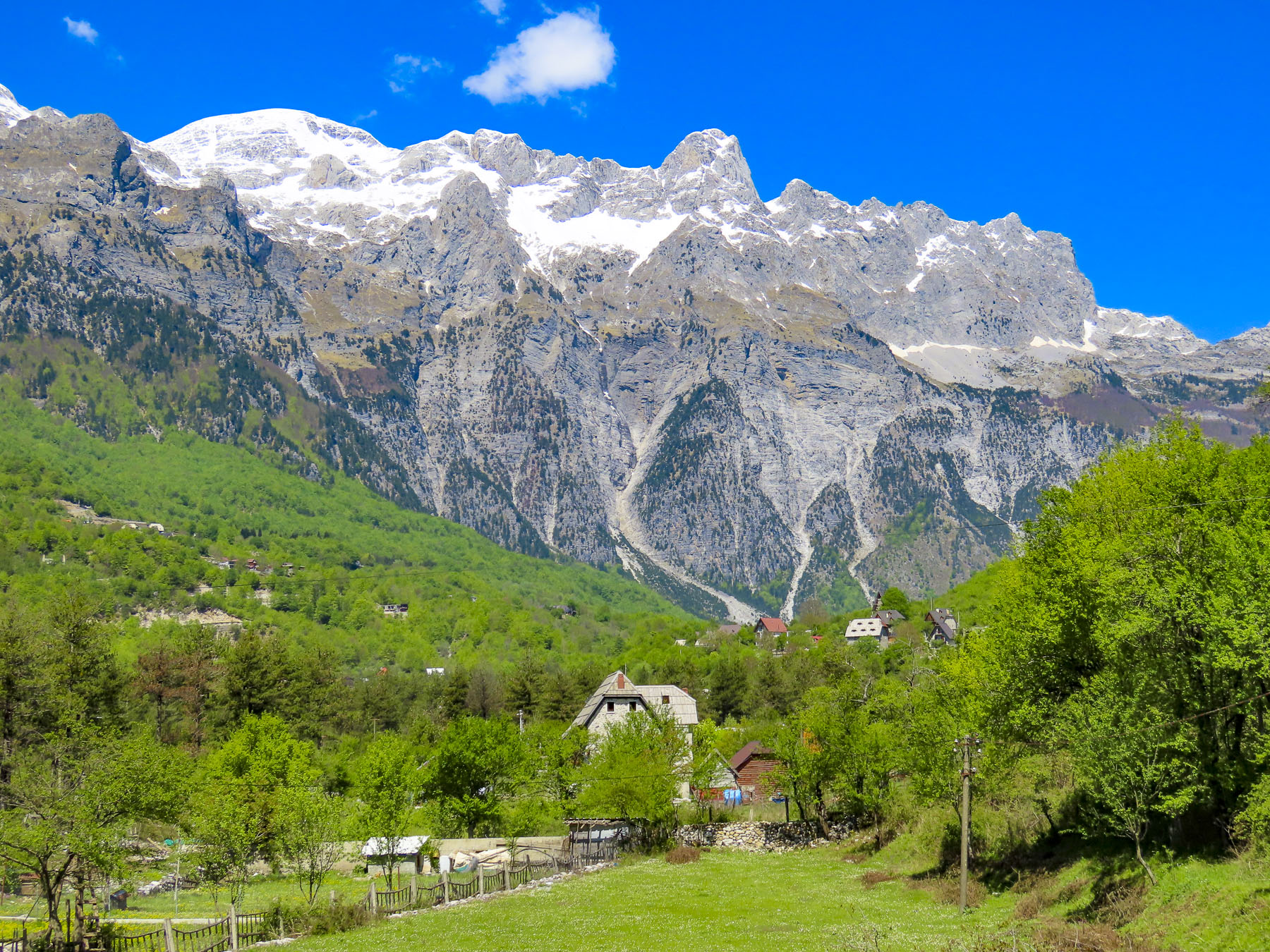
We pulled over at several spots along the A894 in Unapool to take pictures of Loch Gleann Dubh. The views of the loch were gorgeous, and we were a little envious of the folks who owned homes above the loch and could enjoy this panoramic vista every day.

The road swerved through a mountainous landscape sprinkled with lochs. Clouds raced across the sky. Surprisingly this popular route did not have many restaurants open on a Monday. This was a near crisis situation for two under-caffeinated coffee aficionados. Our pursuit of coffee was almost a forgotten memory when we spotted a Spar grocery store in Scourie, adjacent to a caravan campsite overlooking Scourie Bay and a beautiful beach. Back in the car we enjoyed two cups of coffee and the view.
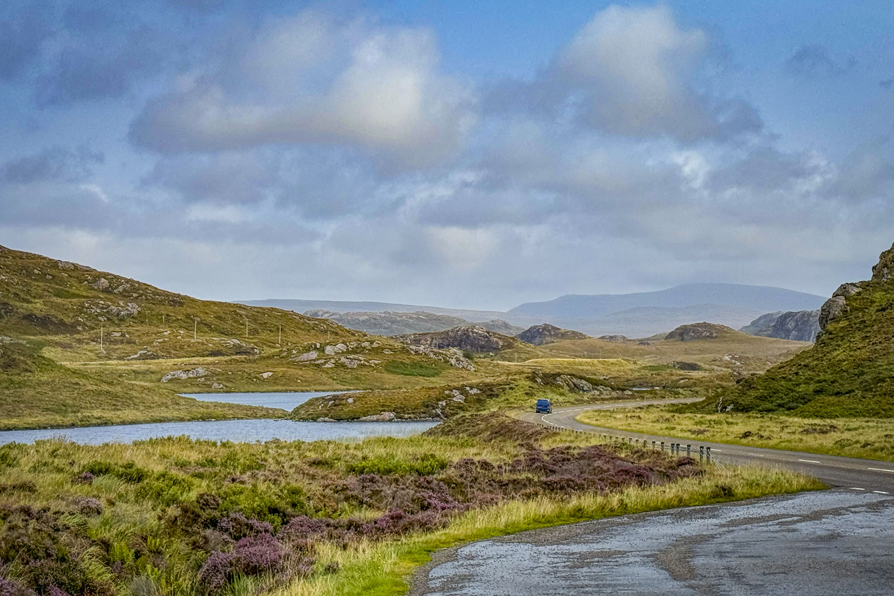
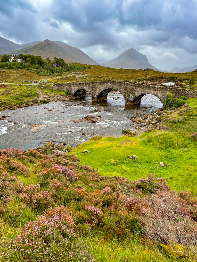
We eventually turned onto the A838 at Laxford Bridge and followed it to Rhiconich. Past the hamlet this section of the A838 narrows to a single lane track as it winds through a desolate landscape of rolling hills and heather land. It was on this stretch that we encountered oncoming “traffic,” the occasional grouping of 3 or 4 cars or caravan. The narrow road allowed two-way traffic, but in order to pass an oncoming car one vehicle has to pullover into a small bump-out called a Passing Place. These are well marked and spaced along the country roads, but you need to be on the lookout for approaching cars, as the protocol is for drivers to pull into the closest Passing Place on their side of the lane and wait for the other vehicles to pass. It took some getting used to. Surprisingly, the speed limit on these single-track roads is 60 mph, but we were only comfortable driving at half that speed. Donna says that’s because I drive like an old man.

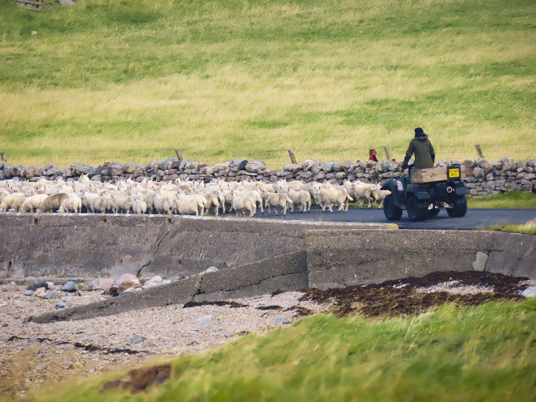
We pulled over at the Geological Information Point along the bank of Kyle of Durness, a sea loch, to read the placard and stretch our legs. Here we were fortunate to spot a shepherd on an ATV, as he and his sheep dog herded a large flock of the wooly beasts down the side road to a new pasture. The A838 continued as a single lane road all the way to the crossroad in Durness. It was suddenly a sunny day!

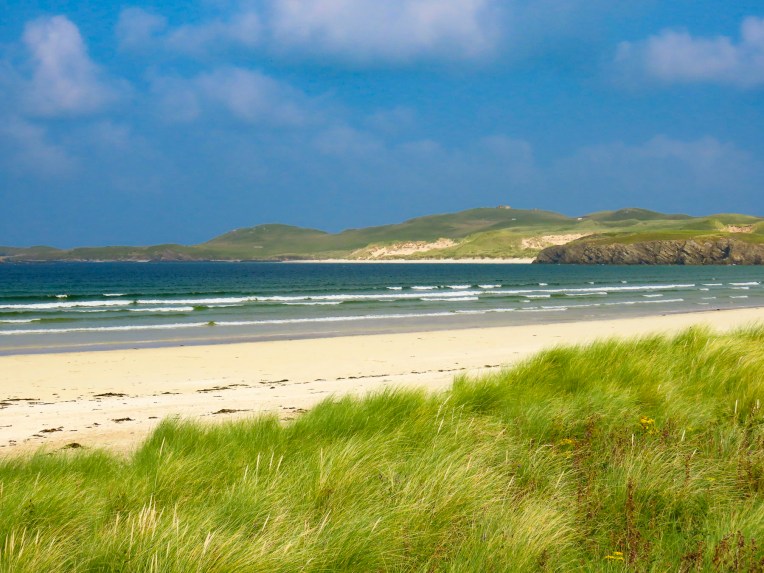
The beaches along the coast of Durness were our main destination for the day. Compared to the barren earth toned landscapes we traversed earlier in the morning, the striking Caribbean blues of the ocean off Balnakeil Beach were exotic, and for a moment we thought we might have been transported to the British Virgin Islands. The wide white sandy beach stretches for nearly a mile and is flanked by dunes covered with beach grass. Following the curve of the beach to the Faraid headland and stacks is a popular walking activity. There was a strong breeze which discouraged sunbathers, but there were a few hardy folks willing to take off their shoes and dip their toes in the chilly water of the North Atlantic, which hovers around 56F/13.5C in late August.
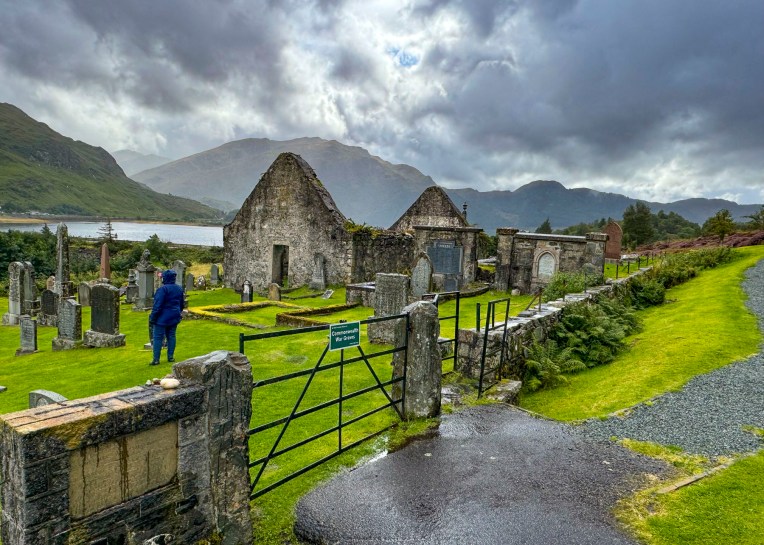
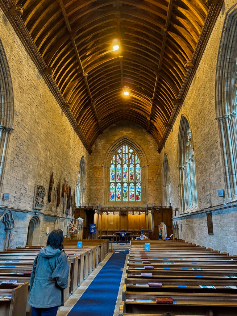
The location of the Balnakeil Church overlooking the beach and bay must have been very inspirational back in the early 1600s when it was constructed atop the ruins of an earlier 6th century Celtic monastery. Services were held in the church for about 200 years before a new place of worship was built on the southern side of the hamlet.
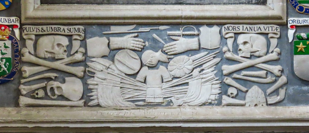
Today, headstones in the graveyard surrounding the ivy-covered ruins are slowly being swallowed into the peaty earth. Some interesting folks are buried in the cemetery. Notably Domhnull MacMhurchaidh, a hitman for the Clan MacKay. He is believed to have murdered 18 people and dumped their bodies into the waterfall that runs down into the caves at Smoo. “Apparently, he believed the folklore tale that the Devil lived below the falls and thence his crimes would never be discovered.” Fearing his grave would be desecrated after his death he paid a princely sum beforehand to be interned in a tomb inside the church.

A monument to the Durness born poet Rob Donn, aka, the Robbie Burns of Gaelic poetry, also stands in the churchyard. He never learned to speak English and composed in Scots Gaelic. His poems sometimes contained bawdy verse and satirical social commentary, but they were faithfully memorized and orally repeated around Scotland for 50 years before the first printed versions were available after his death.

Elizabeth Parkes, the aunt of John Lennon, is also buried in the churchyard, and he is said to have visited Durness frequently. It’s believed locally that his song In My Life, “There are places I remember,” reflects his experiences in the area.

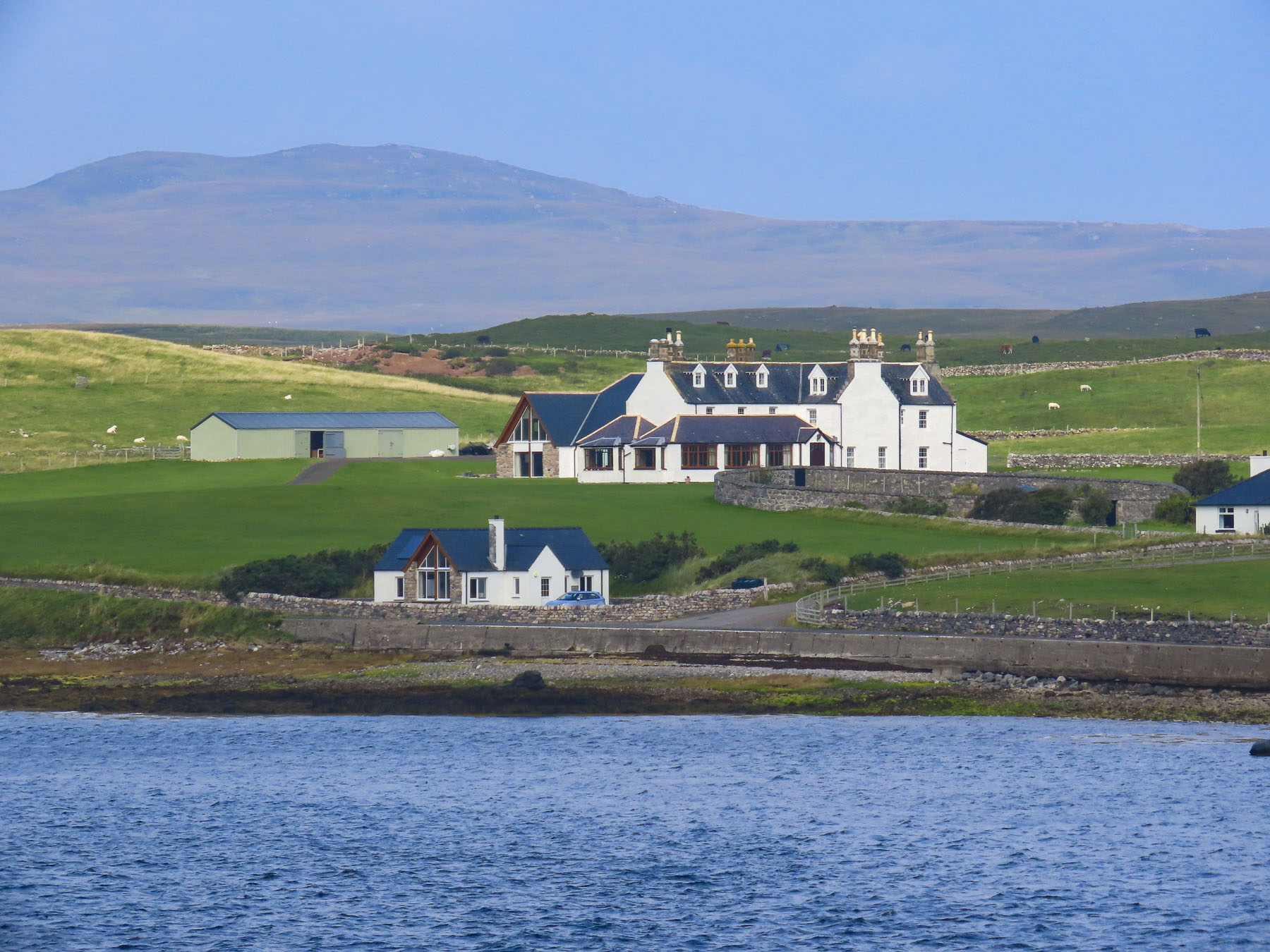
Since the 1500s, one of the historic residences of the chiefs of Clan MacKay, Balnakeil House has commanded a prominent spot across from the ancient church, with a sweeping view of the beach. The current, bright yellow dwelling on the site dates to 1744.
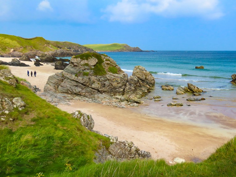
Continuing our travels east on the A838, a two-lane road again, we stopped at Durness Beach. Though much smaller than Balnakeil, its waters were still a pristine blue and the beach, which backed to a steep slope, had dramatic rock outcroppings.

Farther along from the overlook above Ceannabeinne Beach we watched paddle boarders in wetsuits set out onto the calm waters.

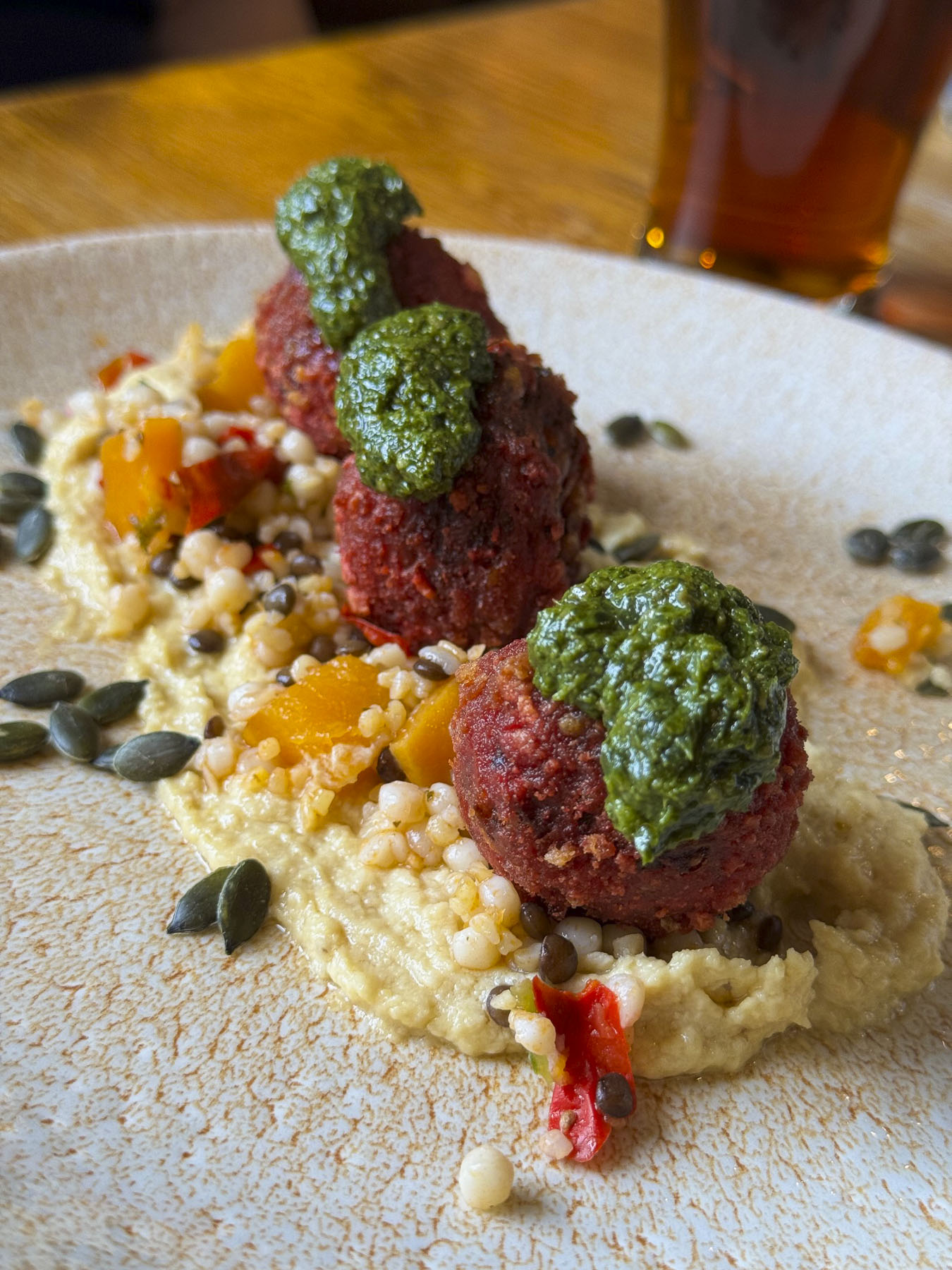
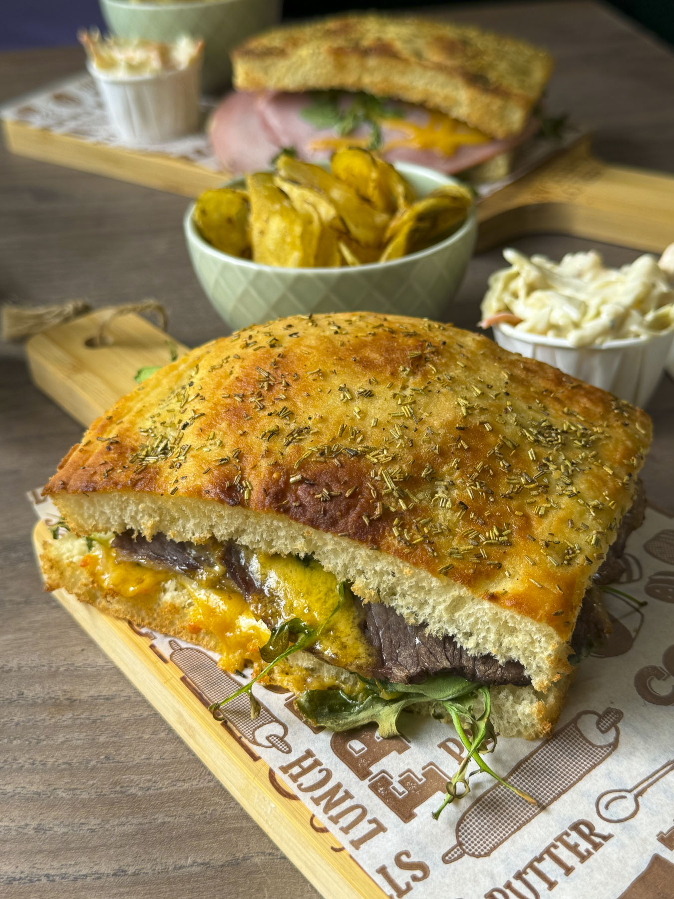
With our stomachs growling, we were beginning to envision all that lamb on the hoof turned in to chops; lunch was finally procured at the Norse Bakehouse in Rhitongue. This is a fine family-owned establishment that has probably saved the lives of many tourists driving the NC 500 on a Monday. It was an excellent casual restaurant, with indoor and outdoor seating that serves sandwiches, soup and pizza. Their coffee was wonderful and the food was fairly priced. https://norsebakehouse.wixsite.com/my-site/dinner-menu


“From Land’s End to John o’Groats.” We made it! Though the expression usually relates to traveling from the tip of southern England. We had cheated and started in Inverness and headed south to Edinburgh before going west across the Highlands to the Isles of Skye and Lewis and Harris. Then returning to the mainland and driving north along the west coast to John o’Groats, traditionally considered the northernmost point on the English mainland, though the designation actually belongs to Dunnet Head, about 13 miles west. Our own expanded version of the iconic NC500!

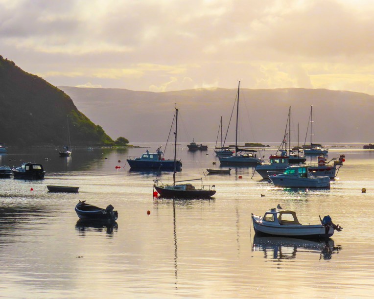
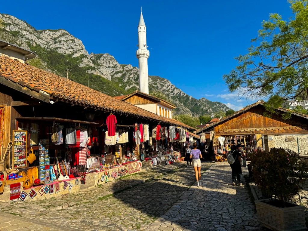
The clouds had thickened again by the time we arrived at the famous signpost overlooking a small harbor, and the sea. That’s pretty much the main drawing card to the village, which otherwise feels like an outlet shopping center. But it’s considered a must stop for most tourists before they continue on to explore the immense beauty of the northern Highlands. That seems to be the case since 1496, when King James IV granted a license to Jan de Groot, a Dutchman, to operate a ferry between this northern-most port in Scotland to the Orkney Islands, which had recently been acquired from Norway in 1472, as the resolution of an unpaid dowry for the King of Norway’s daughter Margaret’s marriage to James III of Scotland.

Business boomed for the enterprising de Groot and he was eventually able to build a large octagonal house with eight doors, in the center of which was an eight-sided table, designed so his seven sons seated at the table would be recognized as equals, as there was not a head of the table. Over time Jan de Groot was anglicized to John o’Groats. A modern art installation, in front of the John o’ Groats Hotel, now occupies the spot where the family home once stood. But a nod to his legacy was incorporated into the Victorian era John o’Groats Hotel built in 1875 with the inclusion of an octagonal tower in its design. The hotel now called the ‘The Inn at John o’Groats’ underwent an extensive renovation, which included a modern Norse style extension in 2013, and now features individually unique, self-catering apartments with 1, 2 or 4 bedrooms. https://www.togethertravel.co.uk/destinations/scotland/john-ogroats?guests=1&nights=1&bedrooms=0

Outside of town Leonna and Adam, the innkeepers of the John o’ Groats Guest House, warmly greeted us when we arrived very late that afternoon, but still with enough time for a short rest before dinner. While the inn looks a little spartan from the road, our accommodation was quite large and comfortable. https://www.johnogroatsguesthouse.com/

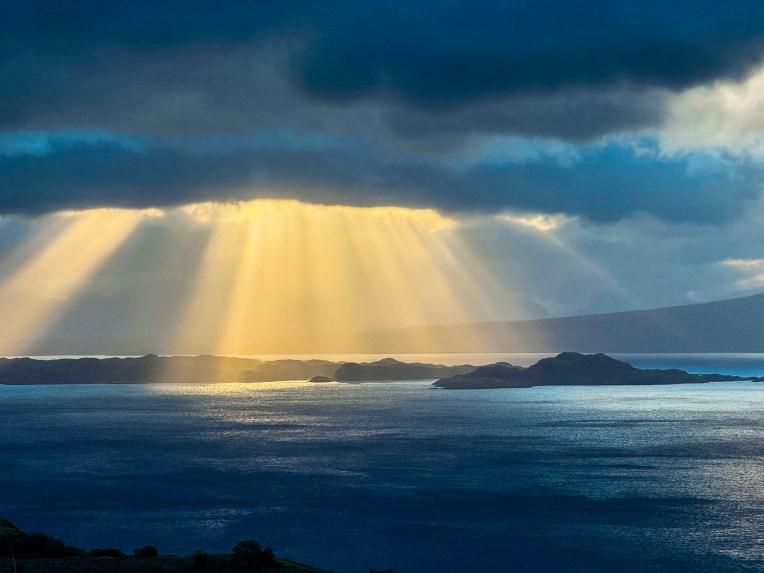
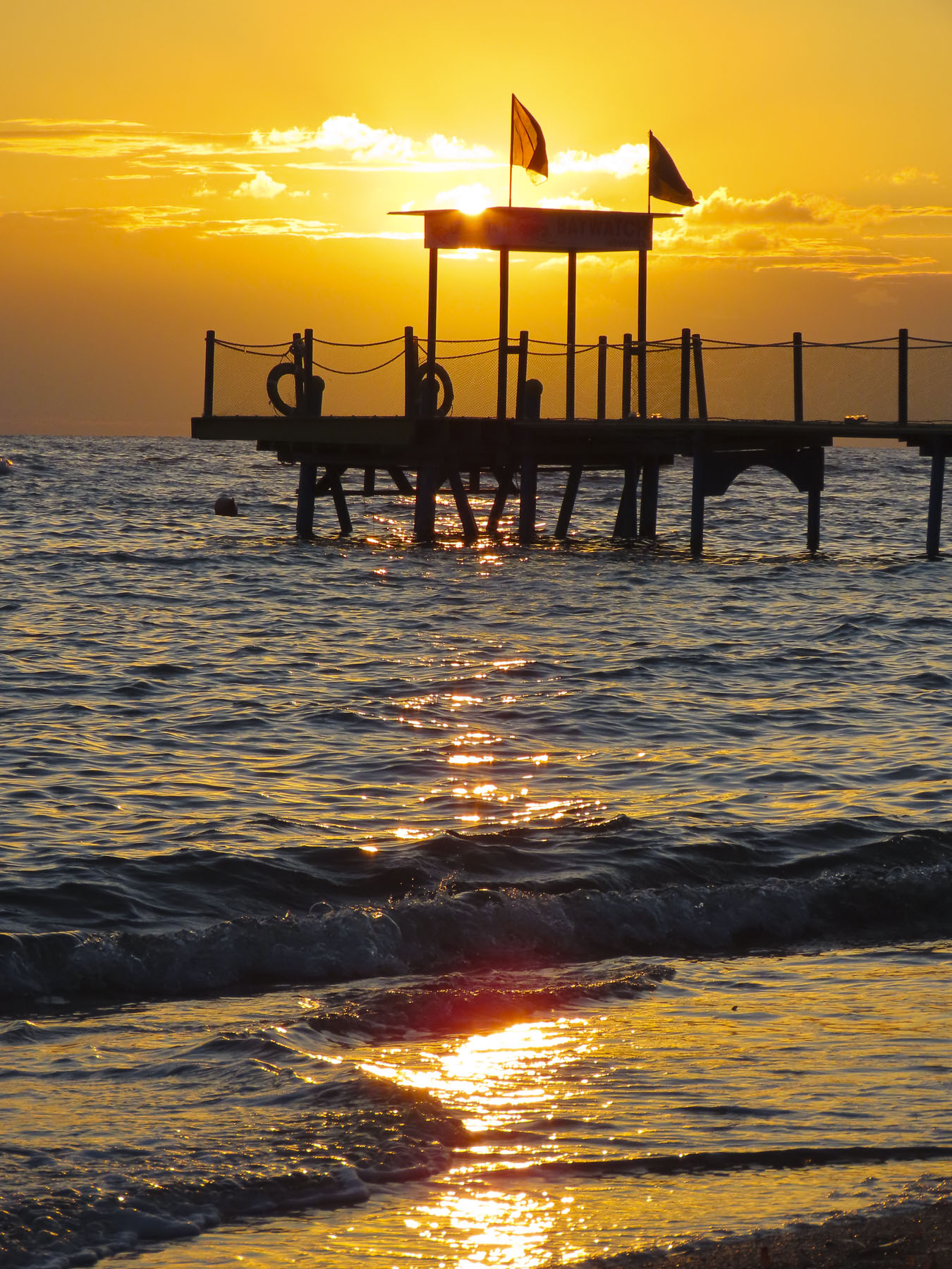
We were enjoying a whisky before dinner when Adam came into the lounge to mention that the sunset that evening, after several cloudy days, looked like it could be quite spectacular. Now, we had read about the intensity of midges during the summer months and came fully equipped to ward off the tiny nuisances with all sorts of repellents: bug sprays, lotions, insecticide wipes, and head netting. We were prepared! But in our almost two-week long trip through the highlands, we hadn’t encountered any – none, nada, zero, zip – until I spontaneously grabbed my camera and rushed outside to the corner of the building. Suddenly I was engulfed in a swarm of nearly invisible Culicoides impunctatus, the Highland Midge, Scotland’s most ferocious foe, and reportedly the reason why the Highlands remain so underpopulated. I was woefully unprepared! If anyone was watching me, I must have looked like a dancing fool with one arm frantically waving about my head as I tried to level the horizon through the viewfinder of my camera to capture the sunset. Thankfully there were still a couple of sips of whisky left to settle my nerves.


The dinners and breakfasts that Leonna and Adam created over the next two days, which showcased locally sourced provisions, were especially delicious. Their inn was one of the nicer places we stayed during our travels through Scotland. We would definitely return.
The next morning, we caught the ferry to Orkney.
Till next time, Craig & Donna