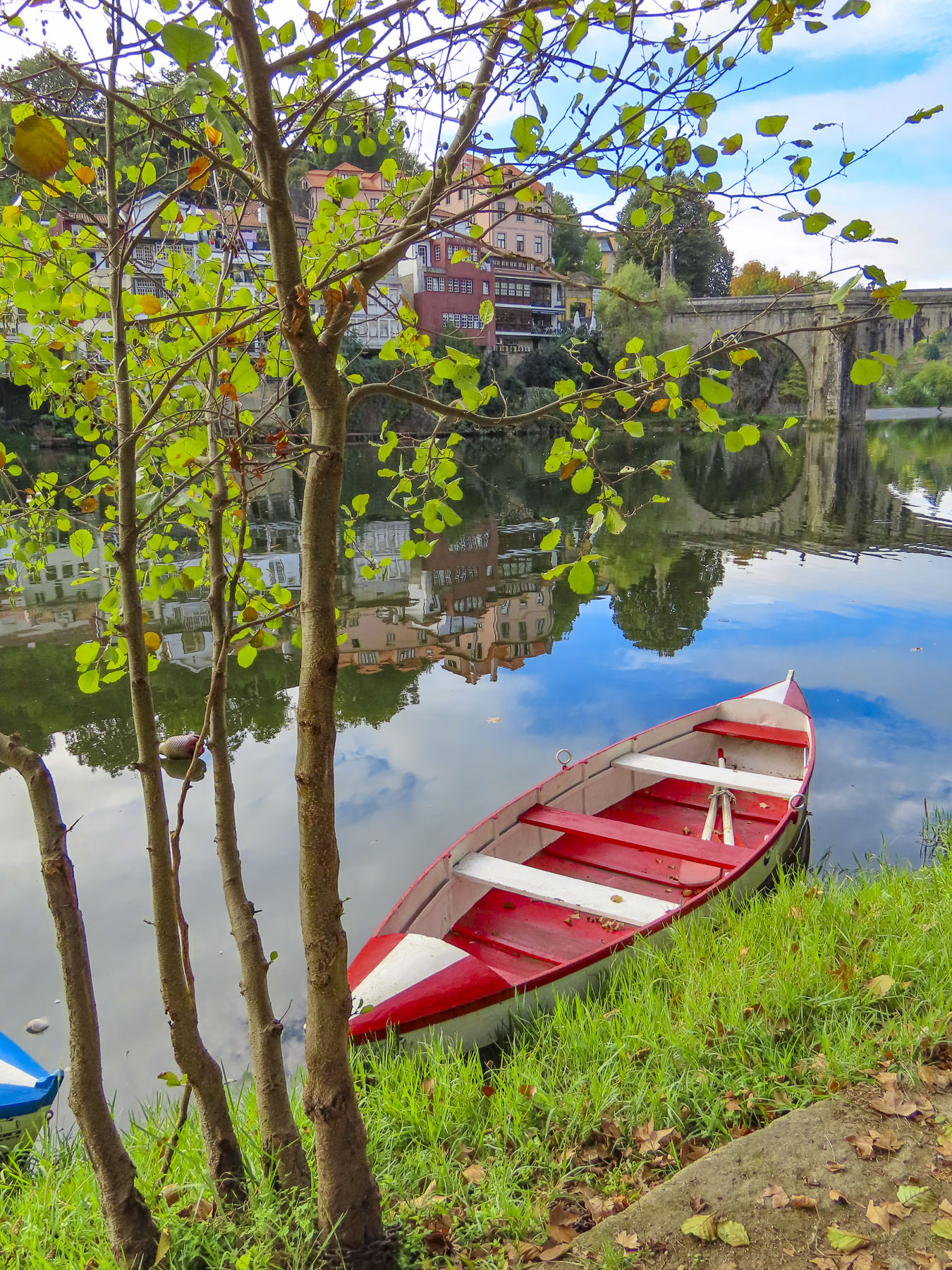
We had narrowly escaped Paris’s evening rush hour as we sped away from Orly through the French countryside. Our destination is Rouen, an ancient port town on the river Seine with a pivotal role in France’s history since the Romans first settled along the graceful bend of the river there. It would be a restart to a trip cut short by covid in 2020.

The last light of the darkening sky reflected off the Seine, like a brush stroke of silver paint across a dark canvas, as we turned away from the river and entered Rouen. We are not fans of night driving, especially in a new locale, and our maps app had difficulty with the narrow one-way streets in the historic center of the city. Frustrated, we decided to park at the first opportunity. Miraculously the planets were aligned in our favor as we entered the Q-Park Palais de Justice Musée des Beaux-Arts, a massive unground parking garage that encompasses several subterranean blocks beneath a park in Rouen’s historic district. Not sure exactly where to park, something urged us to continue through the cavernous space until we found a garage attendant moments before he locked his booth for the night. Friendly and extremely helpful, he explained how their multiday ticket would be the best value for us. Yes, we were so lucky he spoke English. Our good fortune continued at street level when we realized we were only two blocks from our hotel. But we had arrived later than planned and the gate to Le Vieux Carré was locked. Fortunately, another guest was returning to the hotel at that time and let us in. “I saw several keys on the reception desk when I went out, and figured you were one of the late arrivals.” Indeed, a room key with our name on it was there waiting for us.


Early the next morning the unusual, but pleasant aroma of caramelized onions drifted in through our open window. With our tastebuds awakened and appetites whetted we headed out. “Walk a little, then café,” is how we like to describe our wanderings. Our first stop – coffee and pastries. It is France, after all! But where to stop? There’s an abundance of eateries in Rouen, thanks to the city hosting two universities and thousands of students. There were so many places that looked inviting, but the criteria for us first thing of a morning was a café with a table in the sun, a must in mid-October to help alleviate the day’s early chill. Once sufficiently caffeinated, we set out.

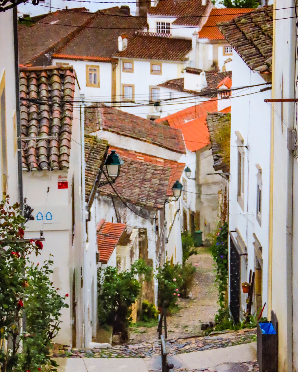
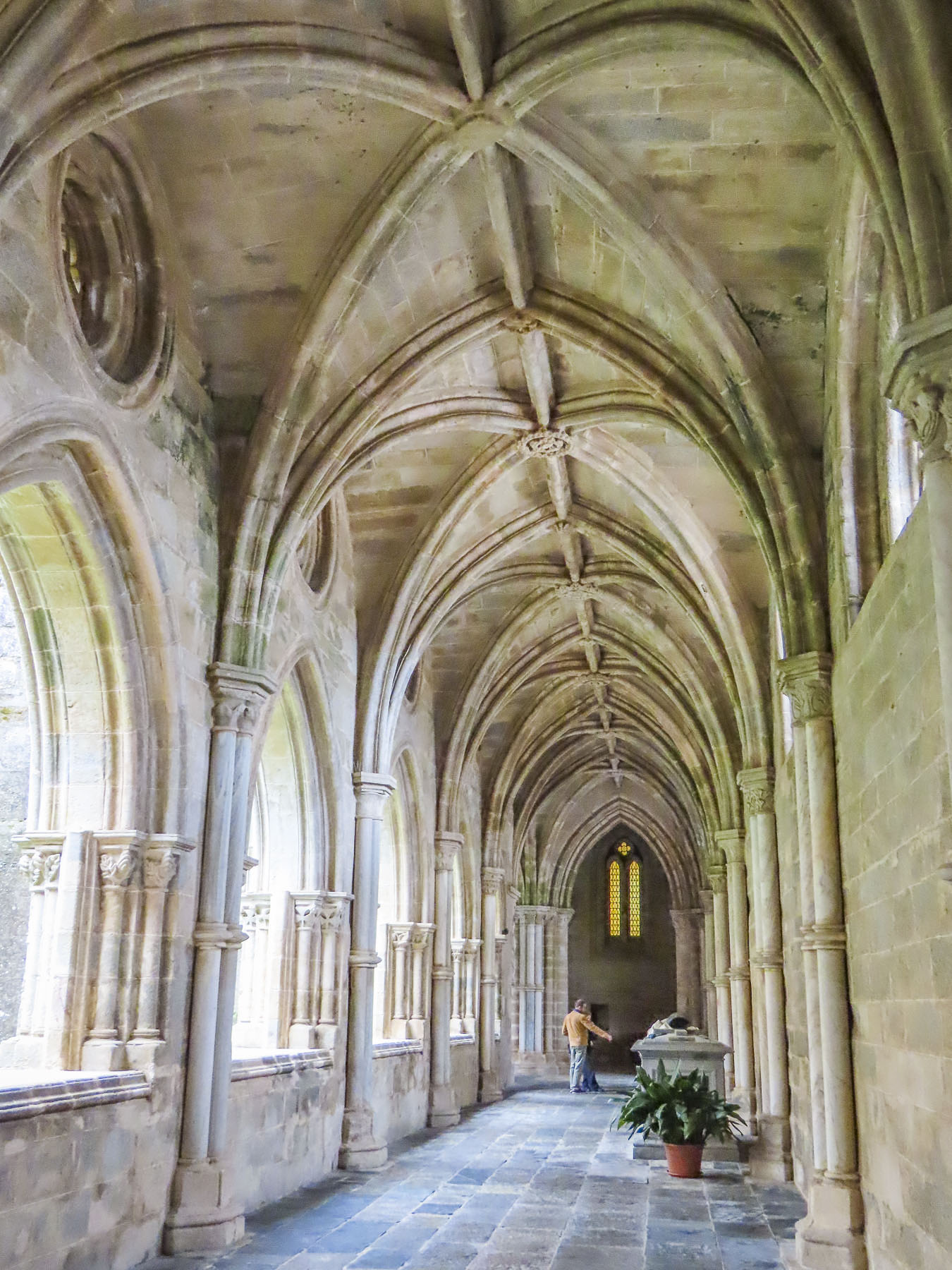
Flat as a crepe, Rouen was a walker’s delight and savory with explorations that pulled us in every direction. During the 9th century, Vikings pillaged and then stayed to become the first Normans, and the prosperous town of became the capital of Normandy in the 10th century. During the Middle Ages, conflicts in the region were nearly continuous, but the city somehow evolved into one of France’s gems, with its distinctive medieval half-timbered buildings and three towering, majestic churches which still grace the city’s skyline.

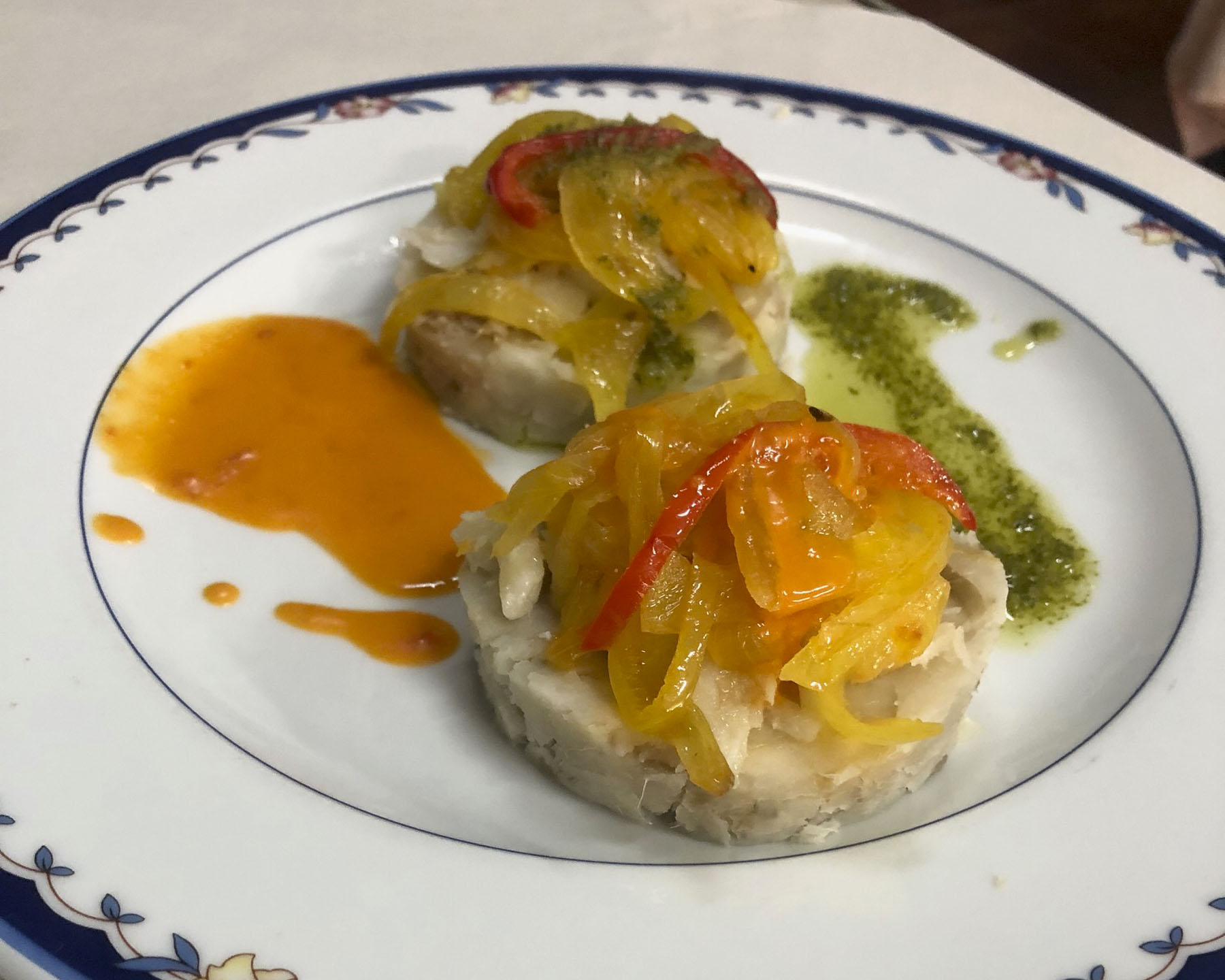
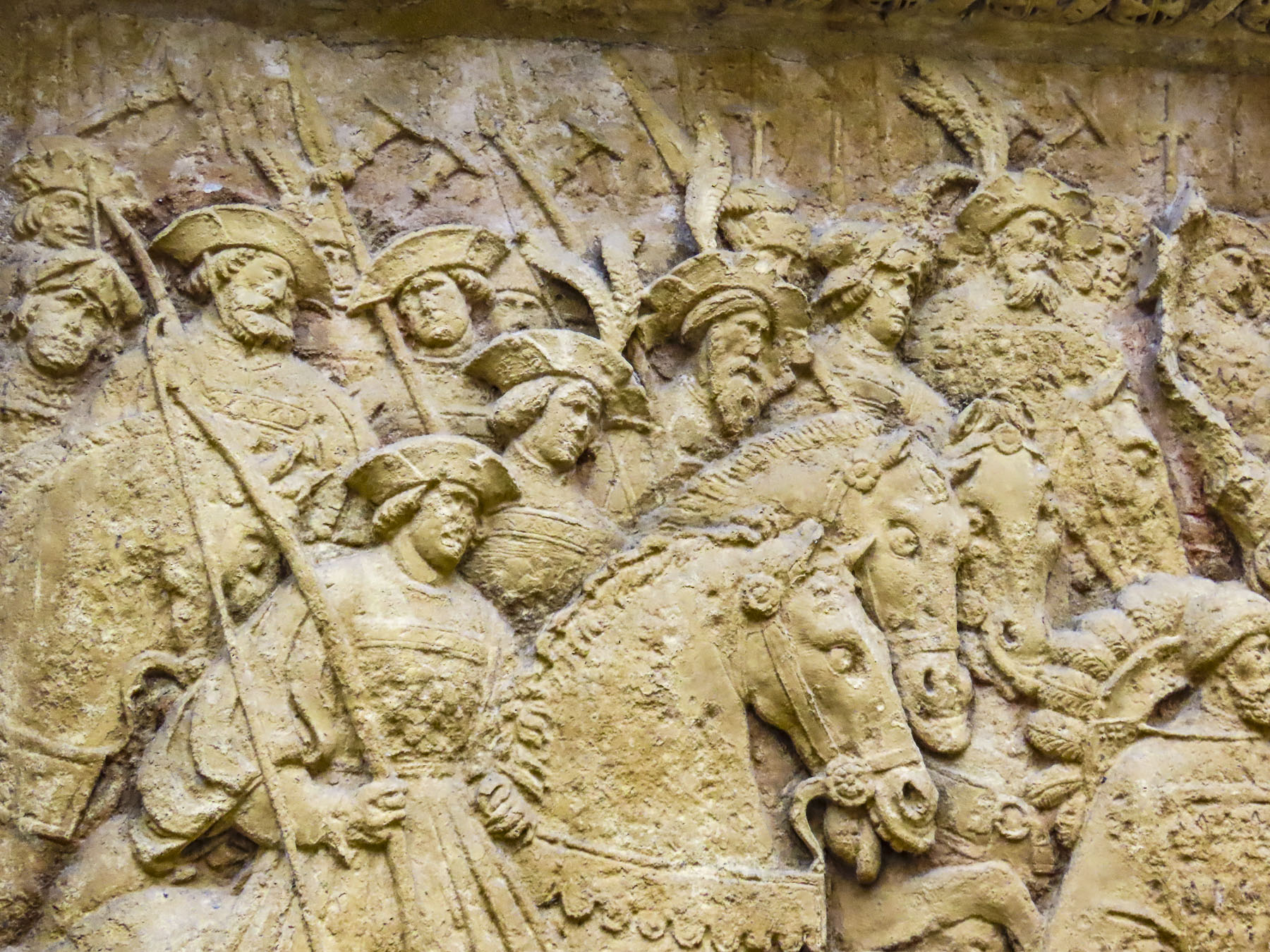
A who’s who of historical figures have crisscrossed Rouen’s cobbled lanes for centuries. The Anglo-French kings, William the Conqueror, a succession of King Henrys, Eleanor of Aquitaine and Richard the Lionheart viewed the city as their home away from home. In 1431, after inspiring her countrymen to rally against English expansionism, Joan of Arc was captured, tried, and burnt at the stake in Rouen’s Old Market Square. It wasn’t until the Siege of Rouen in 1449 when forces commanded by King Charles of France finally defeated the English. Later the French impressionist painter Claude Monet found inspiration in the city, featuring the Rouen Cathedral over thirty times as he put paint to canvas to catch its essence perfectly. With conflicts never seeming to end in Europe, somehow, this beautiful renaissance city, though deeply wounded, miraculously survived World War II. Most importantly perhaps, in March 1948, Julia Child had her first taste of French cuisine at Restaurant La Couronne, on Rouen’s central square, the Place du Vieux-Marché.

Open since 1345, La Couronne is France’s oldest inn. Savoring her Sole Meuniere, a lightly breaded fish dish flavored with fresh butter, lemon, parsley and capers, it was an experience she described “as the most exciting meal of my life.” Local oysters and a bottle of Pouilly-Fumé were also enjoyed. She was hooked and a Francophile was born!


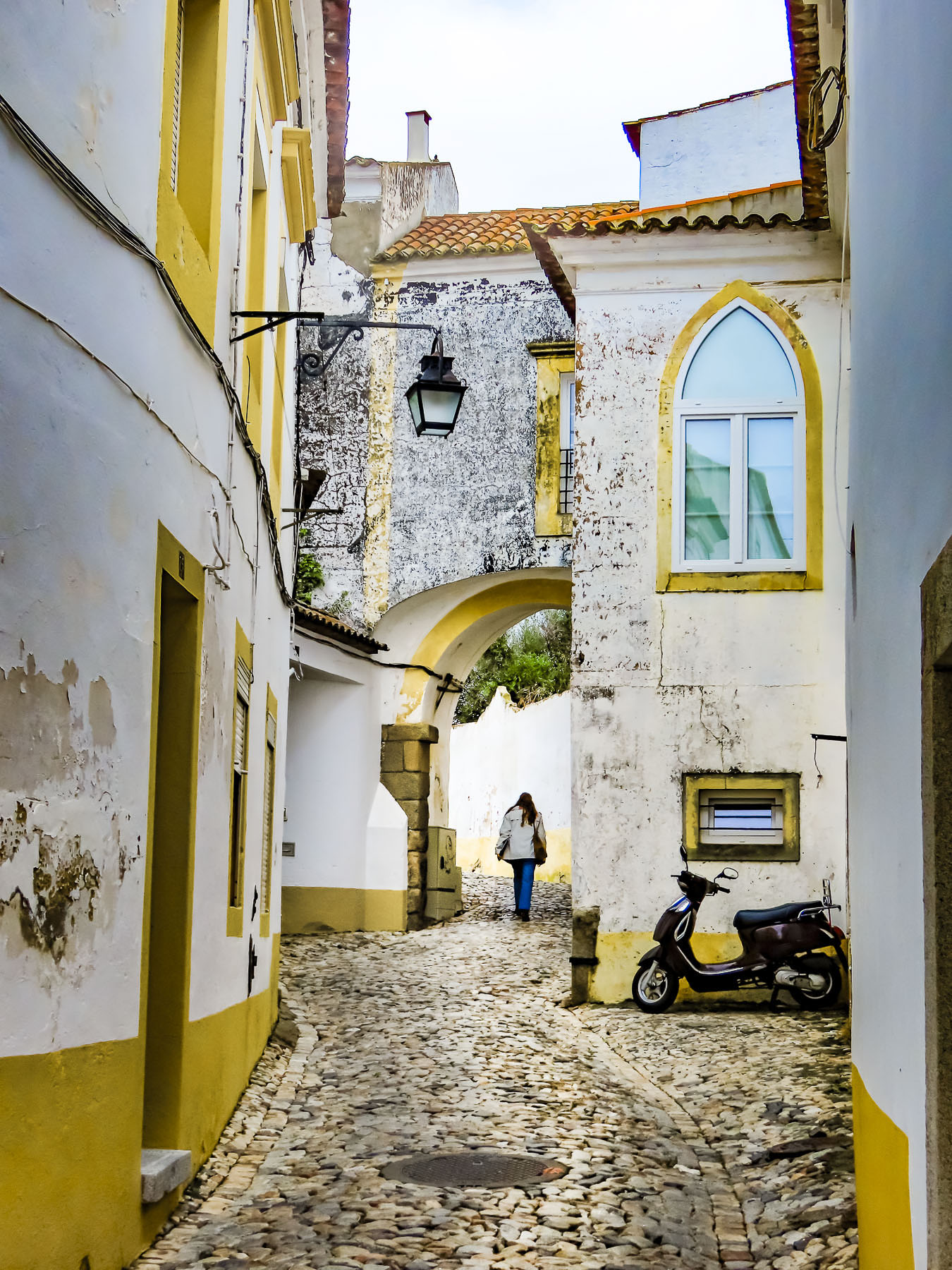
The Rouen Lean is not a dance, nor the result of drinking too much wine, but the very obvious tilt exhibited by many of the city’s ancient half-timbered buildings constructed during the Middle Ages. Our hotel was a prime example of this with scarcely a wall or floor that was square, plumb, and level. But that was the charming character and ambiance we were looking for. The half-timbered building’s superstructures were constructed with huge square oak timbers held together only with mortises, tenons, and wooden pegs, while the nonstructural area between the supporting timbers was filled with bricks or stones and covered with plaster. Over the centuries it has proven to be an aesthetically pleasing and durable construction method used to build five to six story houses. Many of the buildings still retain a centuries old, carved wooden sculpture on the front of the building that represented a service or craft that was once conducted there.


Approximately two thousand half-timbered structures from the Middle Ages still stand in Rouen. The abundance of wooden buildings surprised us as most of our travels have been through the countries of Southern Europe, Portugal, Spain, and Italy, where stone was historically used to construct everything. In Rouen, scarce stone was saved for the churches and castles.

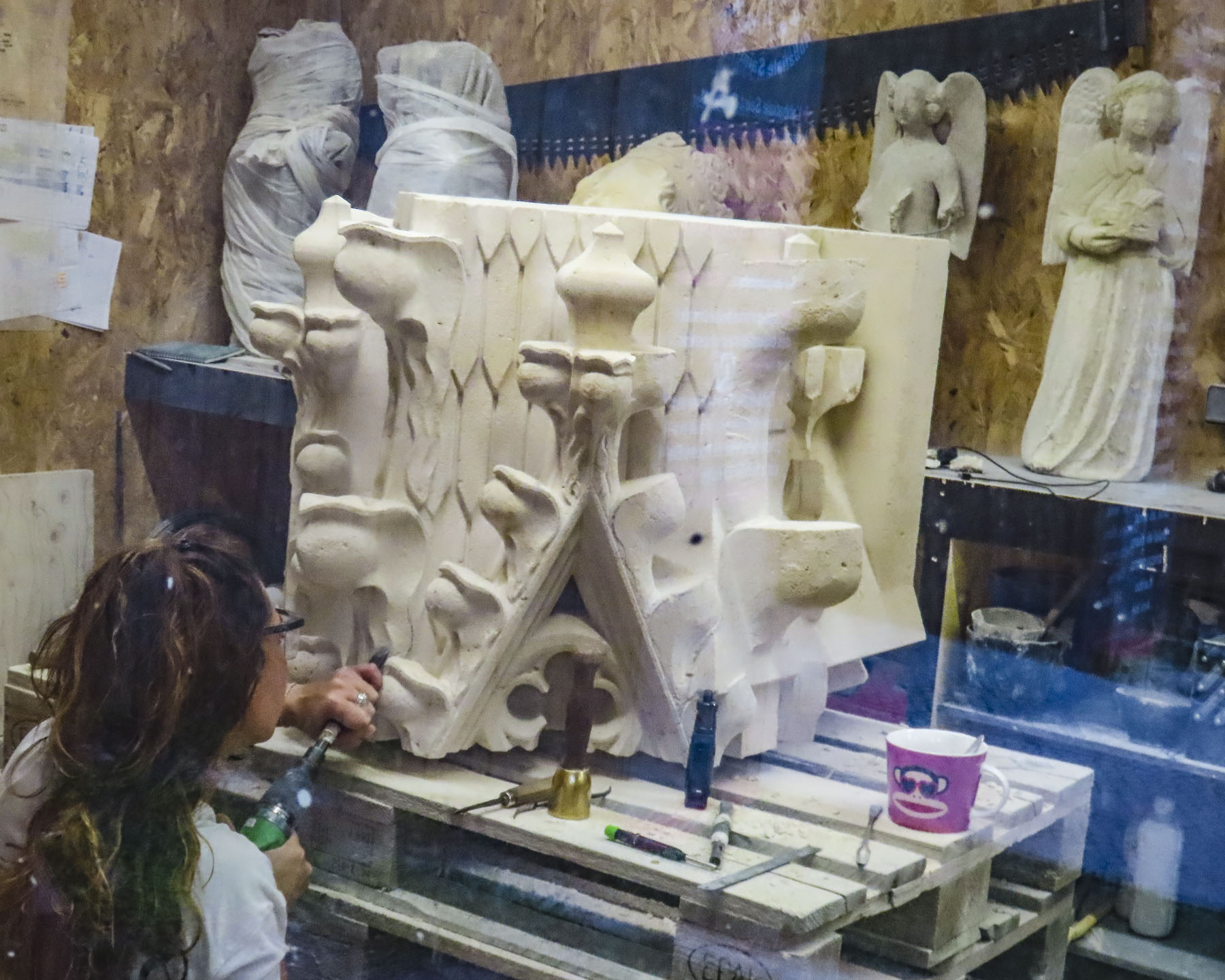
Even stone erodes over time and occasionally old churches need a facelift every few centuries, as was evident by all the scaffolding surrounding the15th century, Gothic style, Saint-Ouen Abbey Church, though with a selective camera angle I was able to eliminate most of the temporary platforms from our photo. But the difference between the areas covered by grime and the newly cleaned sections was phenomenal. The multiyear project is scheduled to be completed later in 2024. Though the interior of the church was closed the day we visited, we were able to watch a stone carver as she worked to create a new gargoyle to replace one beyond repair.

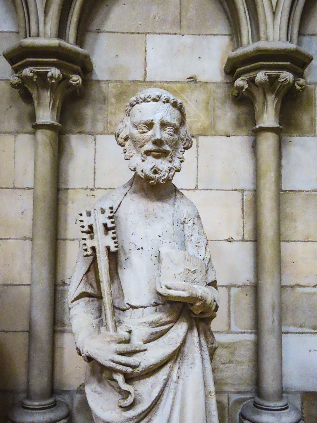
Rouen’s three main churches, Saint-Ouen Abbey Church, Église Catholique Saint-Maclou, and the Cathédrale Notre-Dame de Rouen are all located a short distance from each other on the eastern edge of the historic district, but the journey through the narrow lanes connecting them and exploring many other splendid points of interest along the way made for a wonderful day.
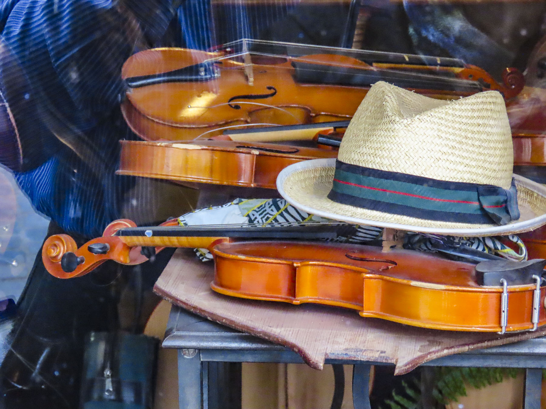


After the abbey we window-shopped down Rue Damiette, admiring the handcrafted violins created by master luthier Sarhan Jean-Marc. Farther on, interesting antique stores lined the narrow lane. Behind us the abbey’s belltower rose over the street. A view that hasn’t changed significantly in centuries. One of the best examples of the “Rouen Lean” is at the end of the street across from Saint-Maclou and caused us to stop for a double take. How, we wondered, can these buildings still be standing?

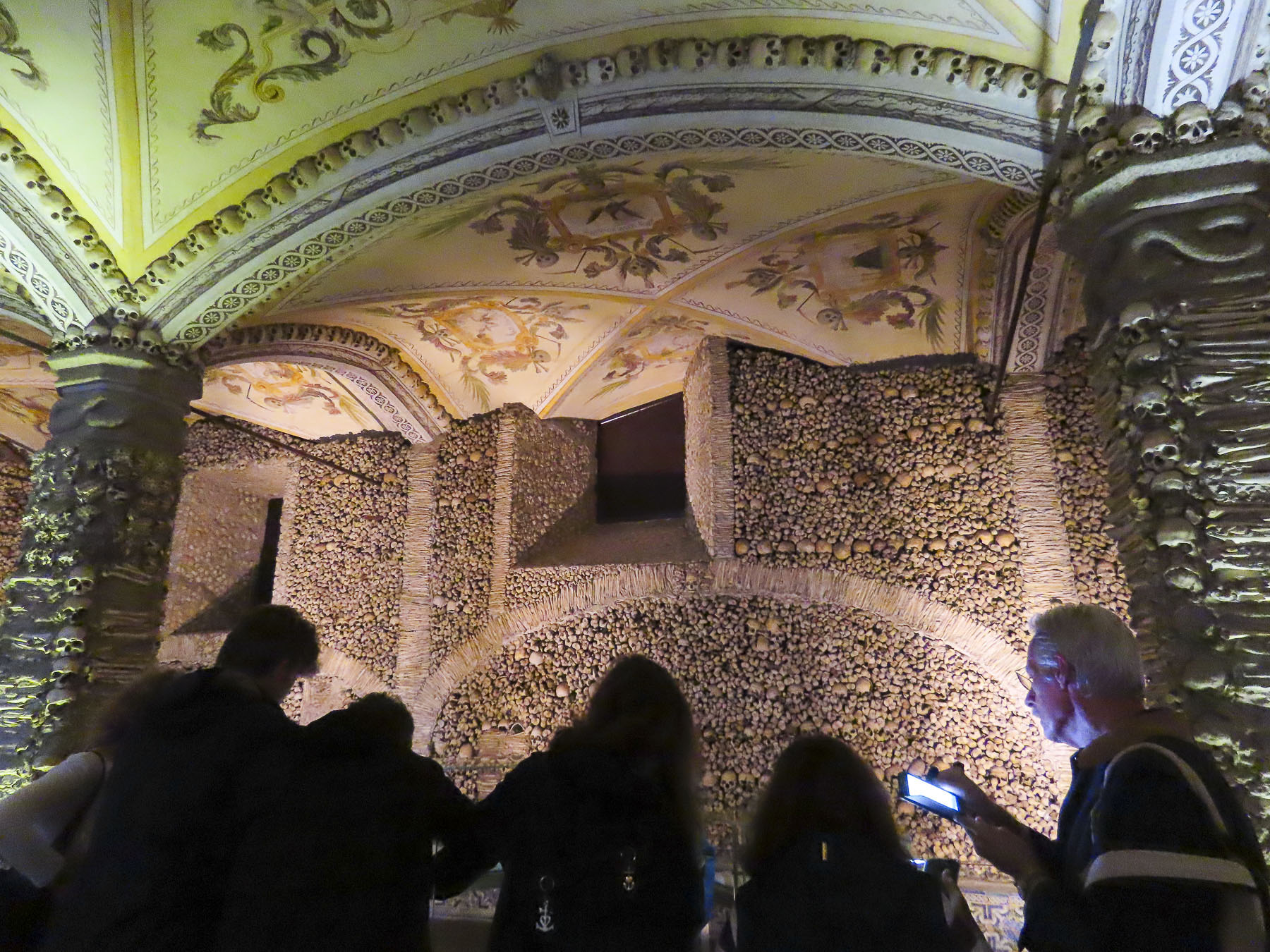
There was a shortage of cemetery space in Rouen during the Middle Ages when the plague revisited the city repeatedly and 75% of its citizens died. At the time it was the custom to bury the dead only until their bodies decomposed.


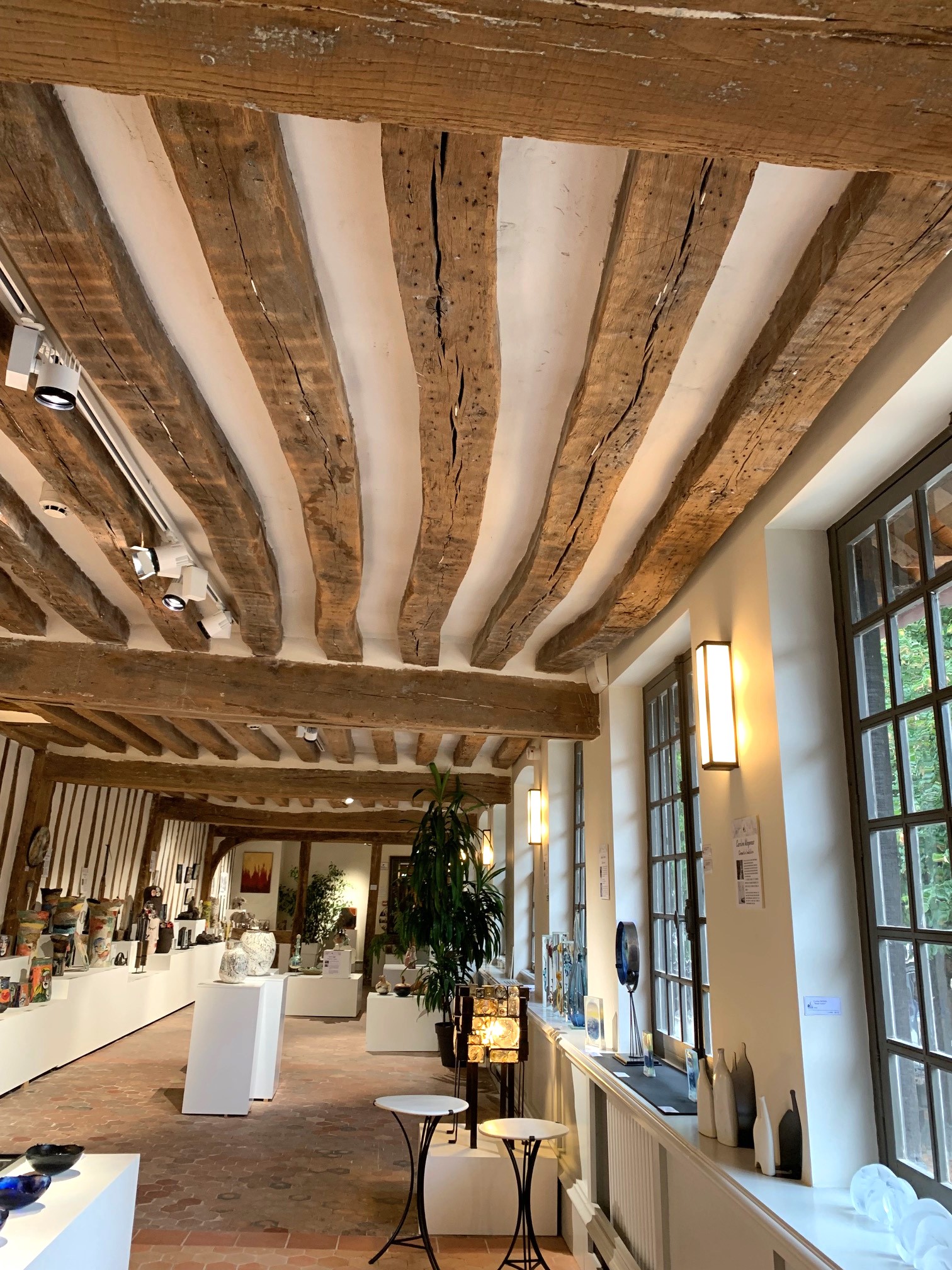
Then the bones were exhumed and reinterned above ground in the ossuary Aitre Saint Maclou and the grave reused for the newly departed. Hidden away down a discreet side alley, the ossuary complex was expanded several times and functioned as a secondary cemetery until the early 1700s when the remains were removed, and the buildings were repurposed as a school for poor boys. Today the space houses a fine arts academy and exhibition space. Though it’s still a macabre place with skull and crossbones carved into its exterior timbers.

We rested with coffees at a café on Place Barthélémy in front of Saint Maclou. While a lovely spot, the coffees were overpriced to the point that we could have purchased lunch for two if we’d chosen a less touristy spot. Just a reminder, a block or two off the usual tourist routes and prices drop dramatically.

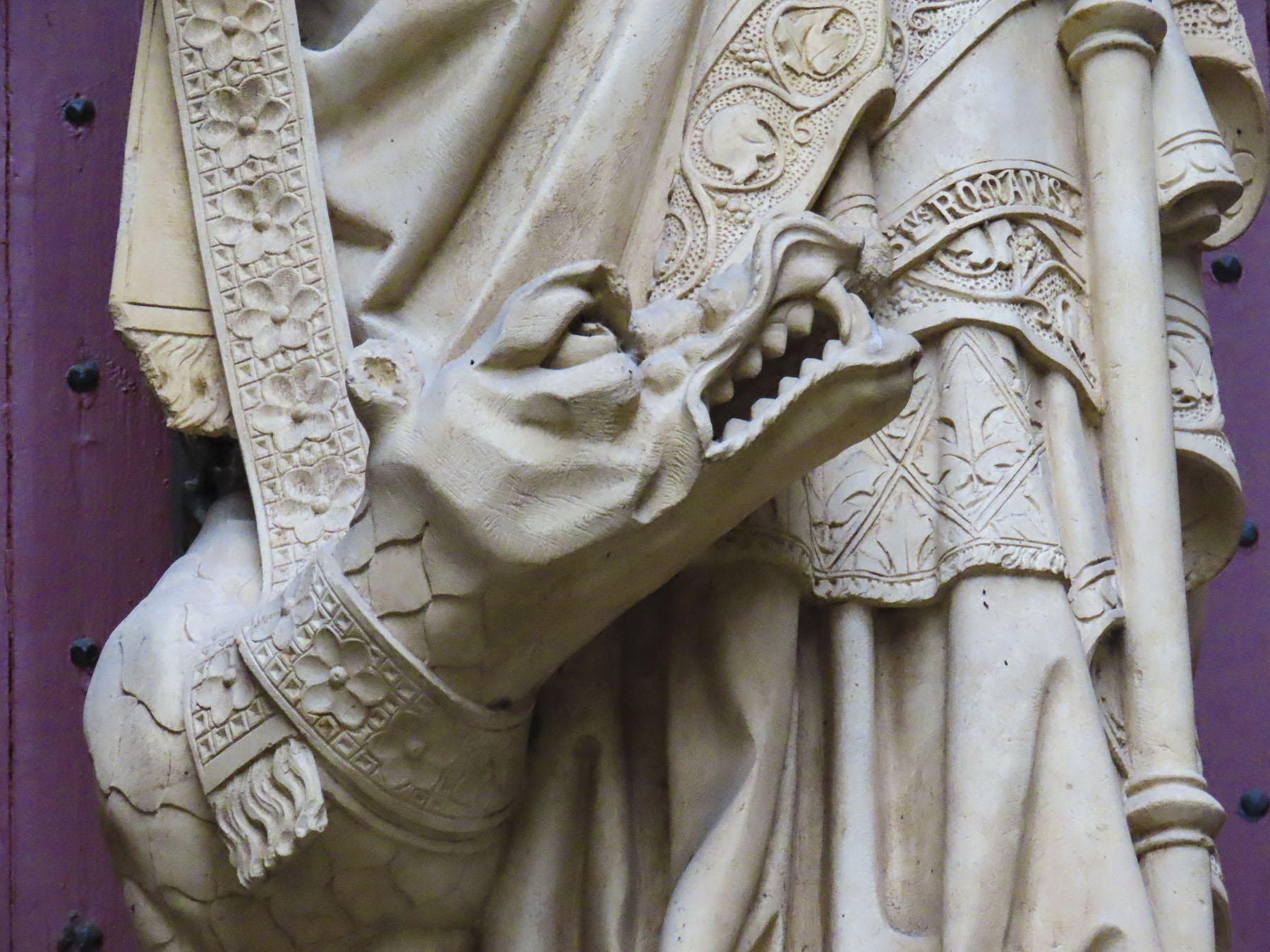
Rouen’s Cathédrale Notre-Dame has been the center of focus since the first early Christian converts built a temple in 395 AD, on the spot where the current church now stands. And, like the city, the church has a turbulent history. Charlemagne visited in 769, but those pesky Vikings couldn’t decide if they hated or loved the place, sacking it repeatedly in the 9th century, only to later claim the Duchy of Normandy as theirs and embrace Christianity after the Viking leader Rollo was baptized in the church and later buried there as well. Nearby, Richard the Lionheart’s tomb only contains his heart.

Romanesque architecture was the rage during the 11th century and William the Conqueror attended the consecration for the first of many expansions and renovations that would follow over the centuries.

More chiseling and hammering continued during the 12th century when successive Archbishops embraced the new Gothic style. In 1204, Philip II of France celebrated Normandy’s merging with his kingdom amidst the new Gothic renovations.
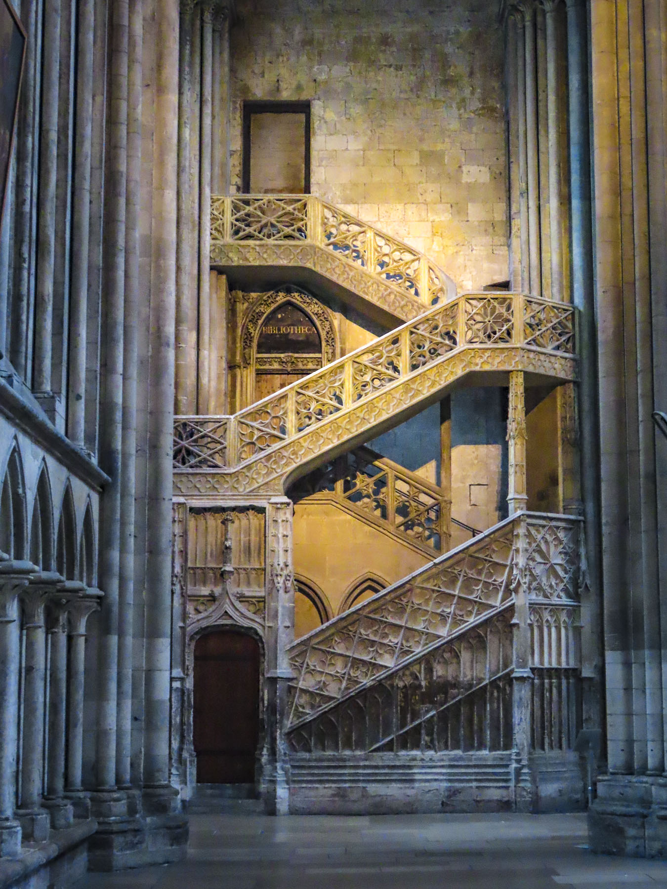
During the 16th century, a second tower in the Renaissance style was built and ornate stonework and hundreds of statues were added to the front of the church, creating the visage that remains today.

Later lightning strikes, hurricanes and Calvinists would wreak havoc on the church. During the French Revolution any metal objects, not hidden away, were seized and melted down to create cannon balls. During WWII the cathedral was heavily damaged by Allied bombs. The damage was so extensive that final restoration wasn’t completed until 2016, when all the scaffolding was finally removed. Built and rebuilt, inside and out, for over eight hundred years, the cathedral is a fascinating place to explore.

The next morning we headed down Rue de Gros-Horloge, Rouen’s main pedestrian-only thorough fare that runs east to west from the cathedral to the Place du Vieux-Marche, a historic market square. This is the street where the city’s famous 14th century astronomical clock, Le Gros-Horloge, seems to transport you backwards through time to the Renaissance. Early in the morning is the best time to experience this landmark without crowds, as later in the day the narrow lane is as busy as Paris’ Champs-Élysées. During our short time in Rouen, we passed under its gilded façade many times and always, like Monet and his multiple paintings of the cathedral, tried to capture this beautiful clock just right in our photographs.


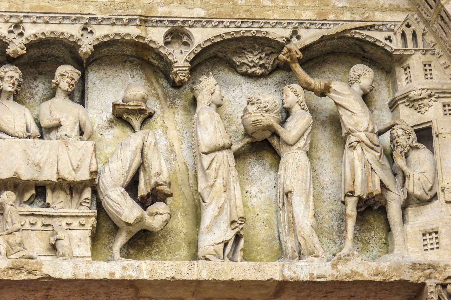
Indulging our wanderlust, we veered left and right off the lane to satisfy our curiosity. We found ancient gargoyles on the Tribunal Judiciaire de Rouen, and whimsical unicorns, a porcupine, and a reference to L’Ordre de l’Hermine, the Order of the Ermine, a medieval chivalric order on the exterior walls of the Hotel de Bourgtheroulde, a former 1500s mansion, built in what is kindly referred to as the Flamboyant Gothic style popular at the time.


Seriously – the Order of the Ermine is not from a Monty Python skit. A small but ferocious animal, during the Middle Ages the ermine was believed to to fight to its death if attacked rather than “sully the purity of its white fur,” and was used by many medieval chivalric orders to symbolize their uncompromising integrity and honor.


There was also the Ordre du Porc-Épic, porcupine, for prickly knights, and the Order of the Golden Fleece, for royal embezzlers. These were actual chivalric orders, though I am taking liberty with their membership.


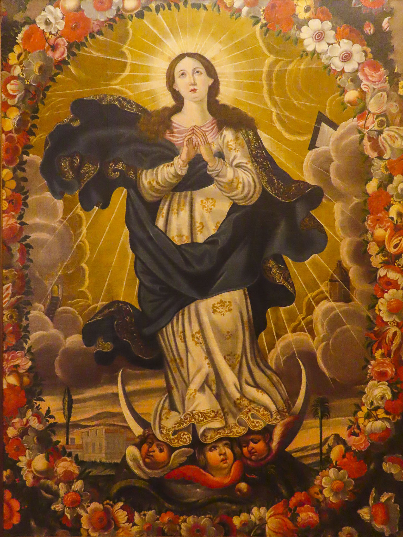
Today the Place du Vieux-Marché is surrounded with restaurants and cafes with outside tables, which were very lively at Happy Hour when students and folks just off work congregated on the square. Quite a different scene now as opposed to the day in 1431 when Joan of Arc was burned alive at the stake, in the center of the square, though her heart remained untouched by the flames. A beautiful, modern wooden church built in 1979, the Église Sainte-Jeanne-d’Arc now memorializes the spot where her pyre stood. A plaque nearby reads “Oh Joan, you who knew that the tomb of heroes is in the hearts of the living.”

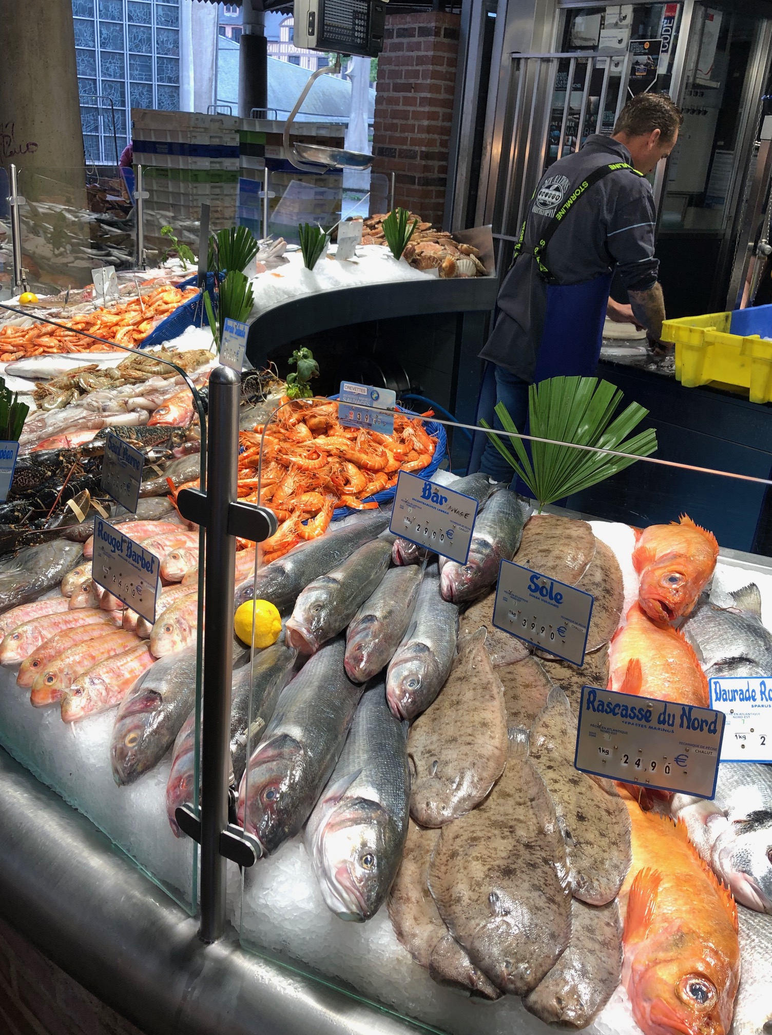
Inside the food market we savored our first fresh oysters from the Brittany coast and purchased some fruit, and of course cheese! A difficult process considering the tremendous variety we could choose from.


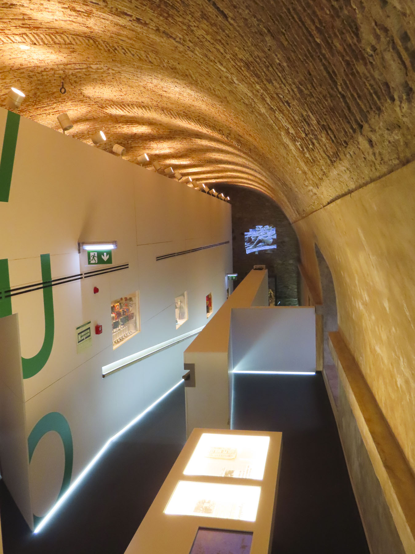
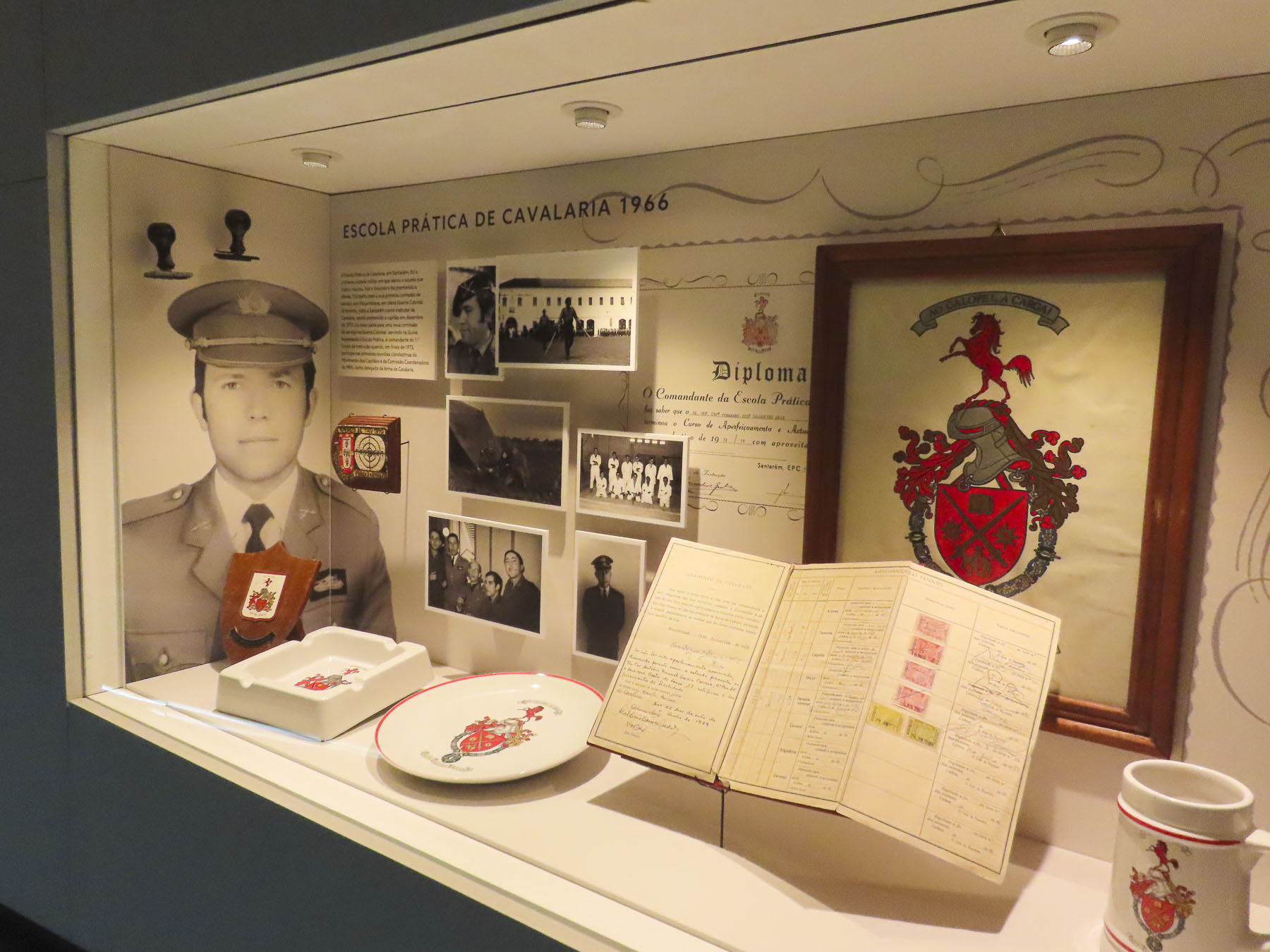
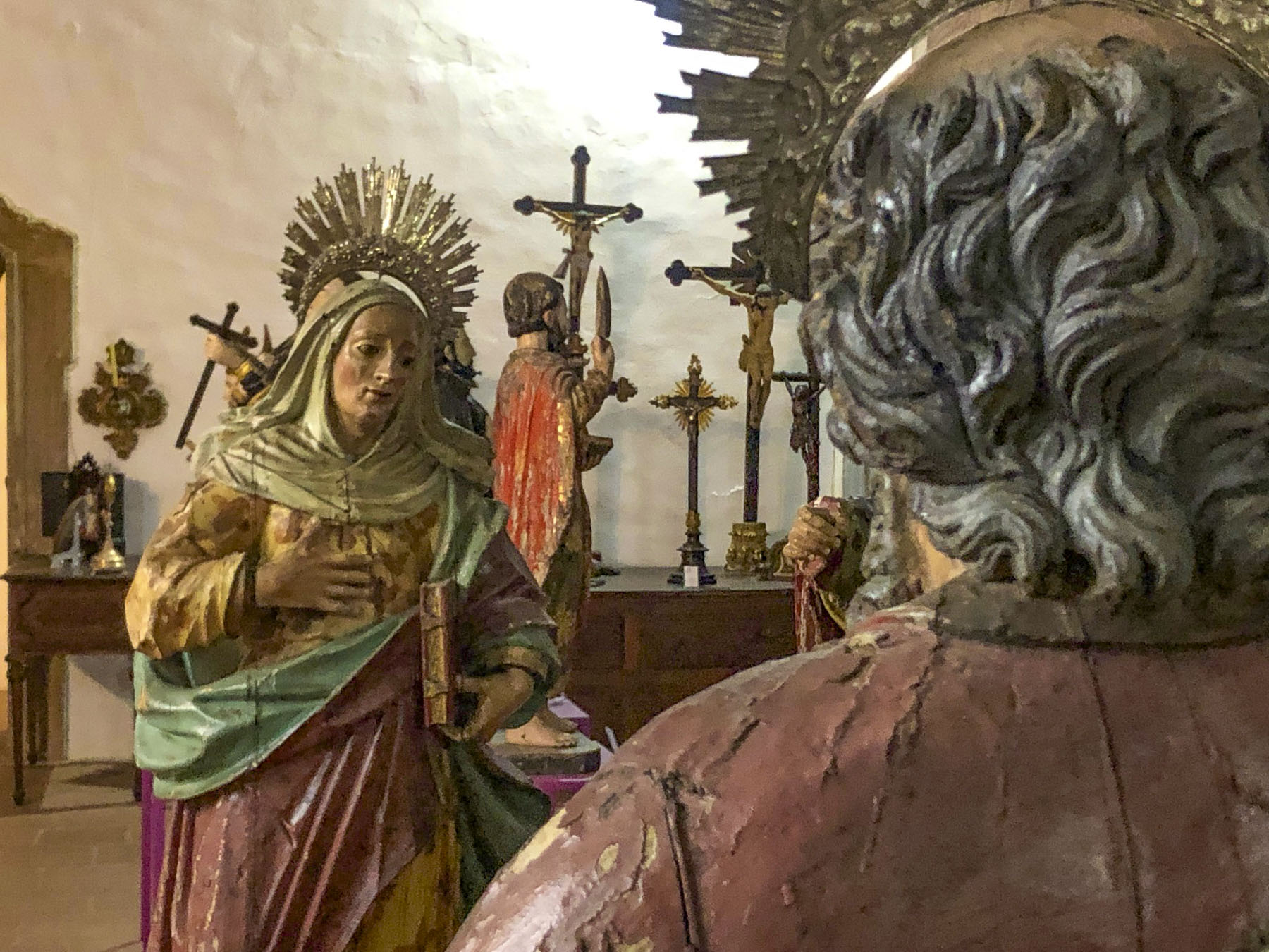
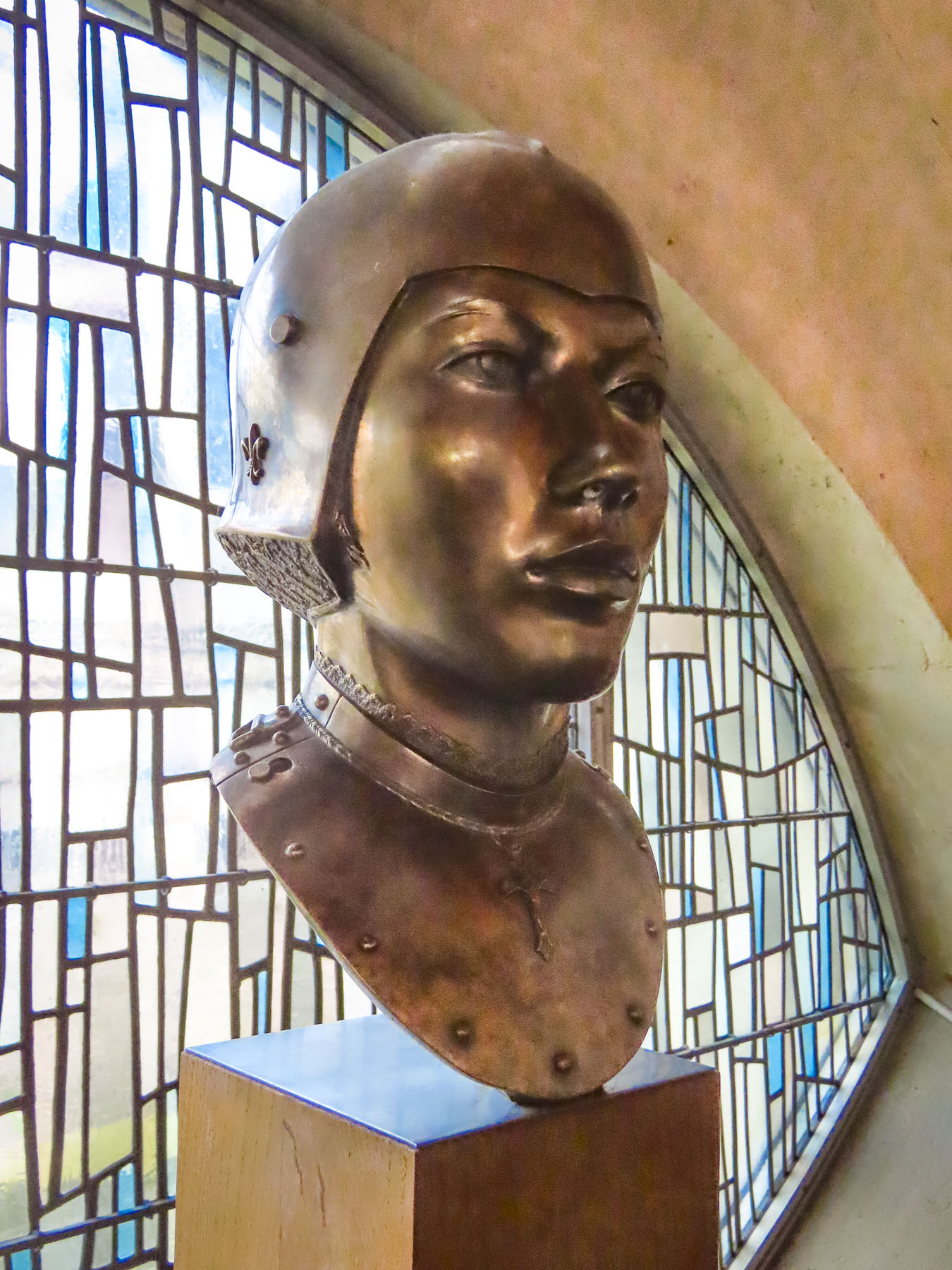
Intrigued by Joan of Arc’s story, the next day we headed to the Historial Jeanne d’Arc, which is housed in a wing of the ancient Archbishop’s Palace where part of her trial was held. We were skeptical at first while buying our tickets, thinking we’d just be watching a movie. But we both ended up being enthralled with the interactive digital technologies used to project Joan’s saga onto the old stone walls, floors, and domed arches.


Her history was exceptionally well portrayed and presented as chapters, with each chapter presented in a different room of the architecturally interesting space. We climbed one of the palace’s towers and were rewarded with a timeless view down Rue Saint Romain to the church of St. Maclou; a view that would look familiar to Joan of Arc were she to stand in this spot today, so little changed from her time.

A symbol of defiance, heroine for the French, and a successful military adversary against the English, she claimed God supported Frances’s freedom, but this was a position the Rouen church could not support as they were allied to England and claimed God was on their side. She was tried and convicted for her heresy. Her male jury also had difficulty with her dressing in men’s clothing for battle. As if because she was a woman, she should have worn a skirt and sat side saddle as she rallied the French to fight. But this practicality was viewed as cross dressing and as such was held to be against God’s law. (Though the robes of the clergy were not considered feminine.) The French finally defeated the English and succeeded in uniting Normandy and Rouen with France. Twenty-five years after her execution, Joan’s family petitioned for the trial records to be reviewed. The court determined she had been tried “under false articles of accusation,” and posthumously declared her innocent and annulled her sentence in 1456.
Our time in Rouen was a beautiful look back into Medieval France.
Till next time, Craig & Donna