A Balkans Road Trip Part 6: Zagreb, Croatia – A Charming Walkable Weekend or Witches, Fires & Earthquakes

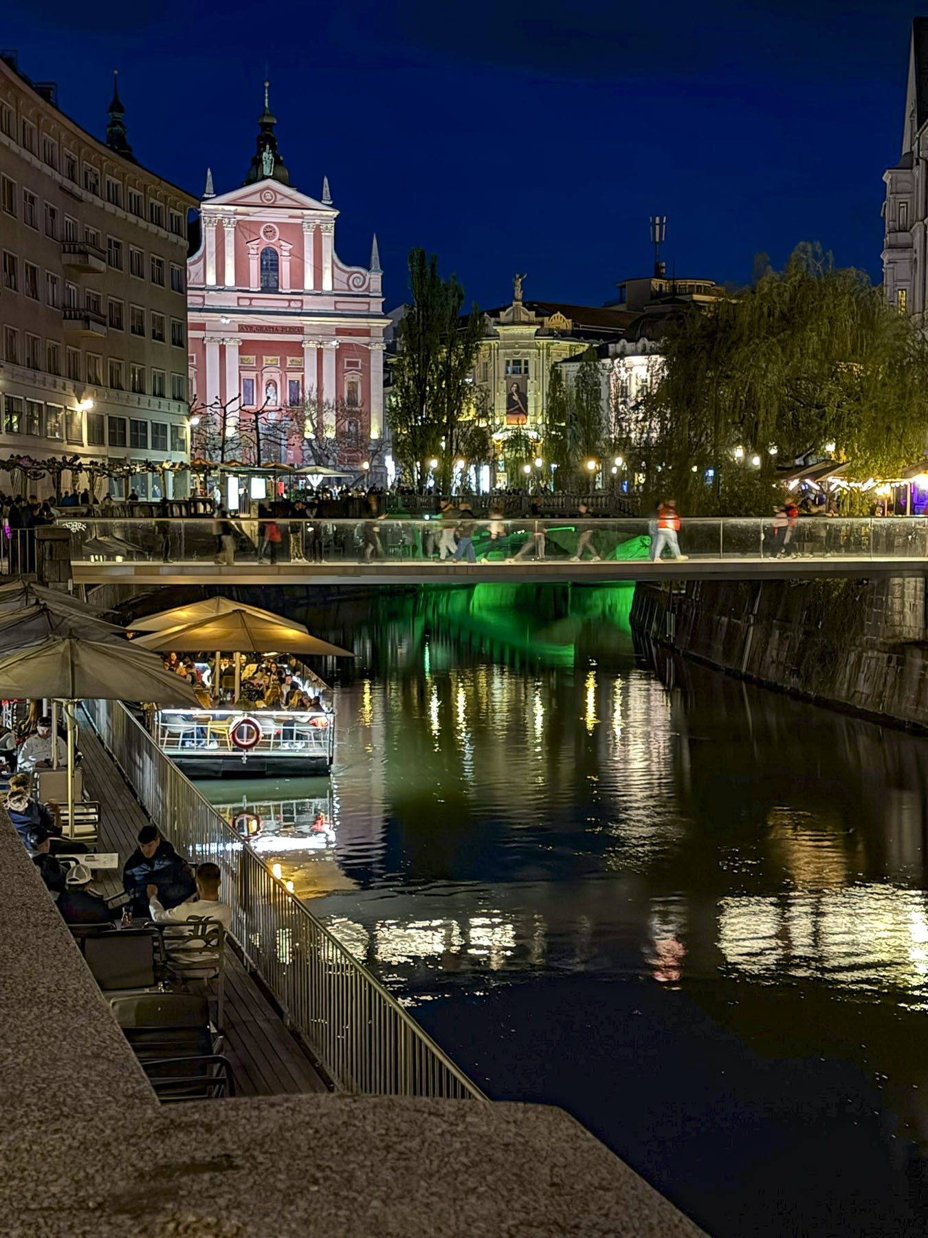
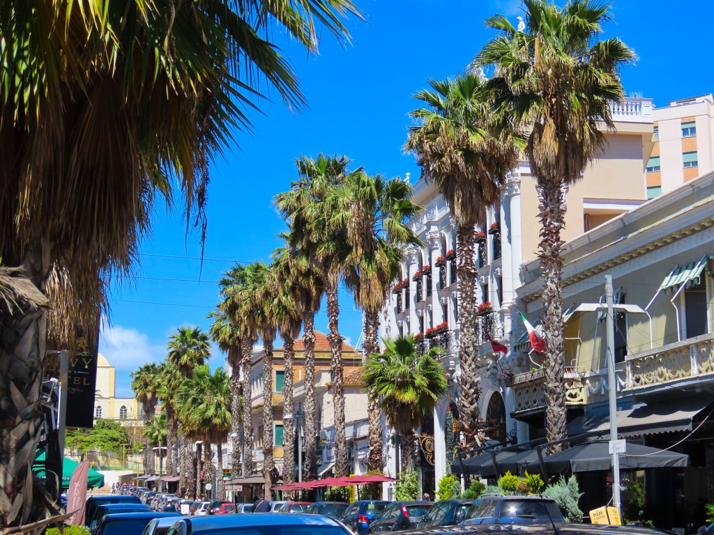
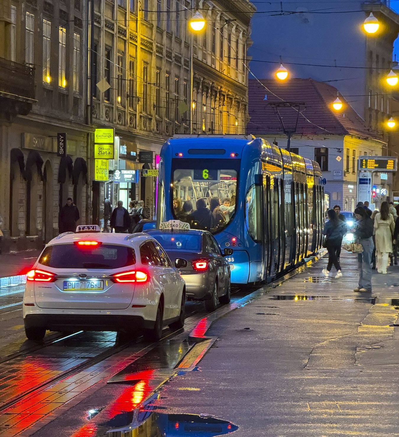
Taillights glistened on the rain-slicked roadway as we followed a tram through the Friday evening rush-hour in Zagreb, the capital of Croatia. It’s a large metropolis with newer neighborhoods spiderwebbing for miles from its ancient medieval core atop Gornji Grad, the Upper Town. We were heading to Hotel Park 45, conveniently located near the old town, with the availability of reserved paid parking. It was the base for our three-night stay in the Croatian capital.

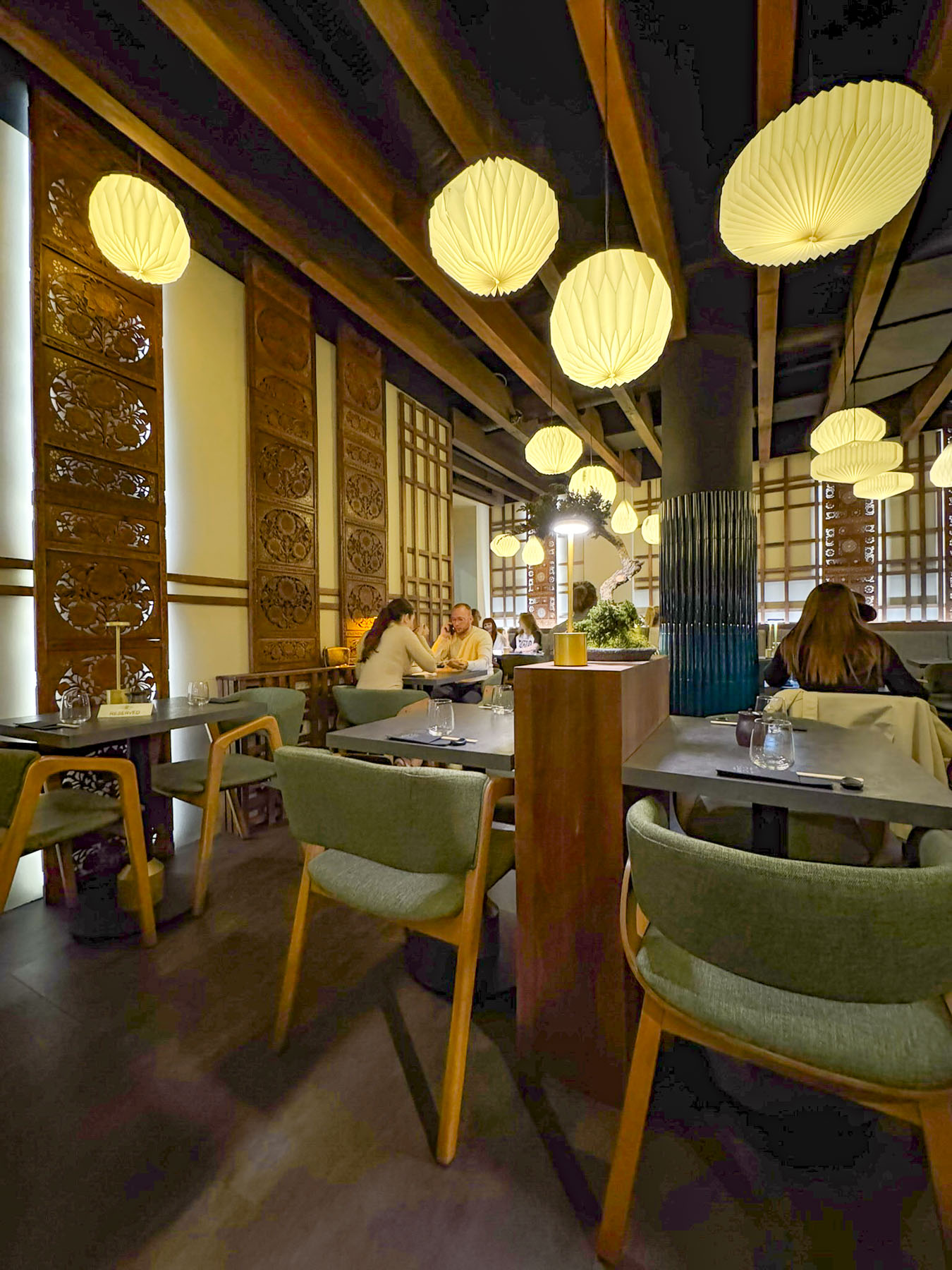
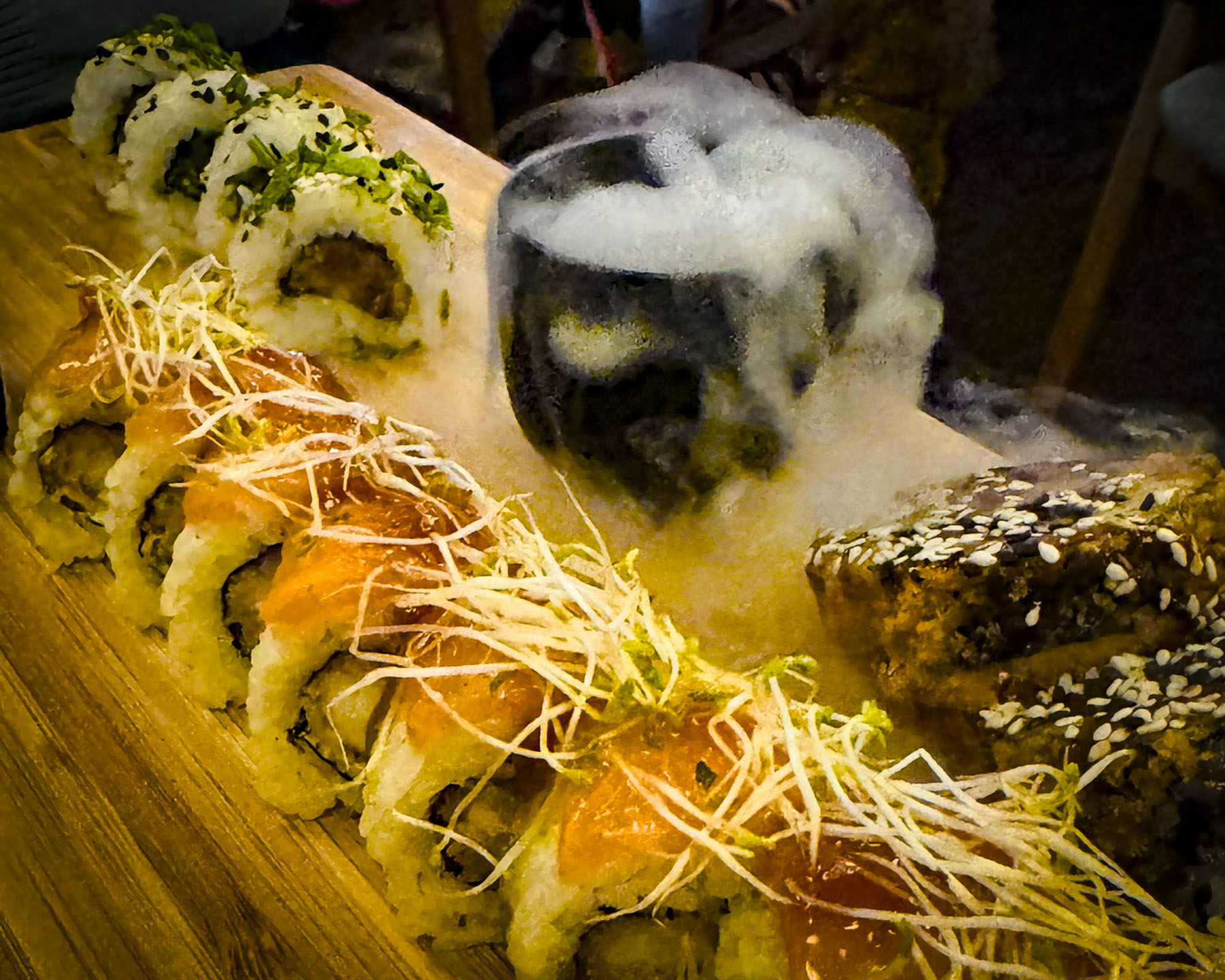
Deterred by the rain from venturing too far from the hotel that night, we found the Evergreen Sushi Bar, several doors down. The restaurant was nicely designed in a casual modern Asian theme. The sushi we ordered was very good and the evening was enhanced with the theatrical presentation of some of the dinners which flowed from the kitchen.  It was a nice change from the traditional Balkan fare which we had been indulging in.

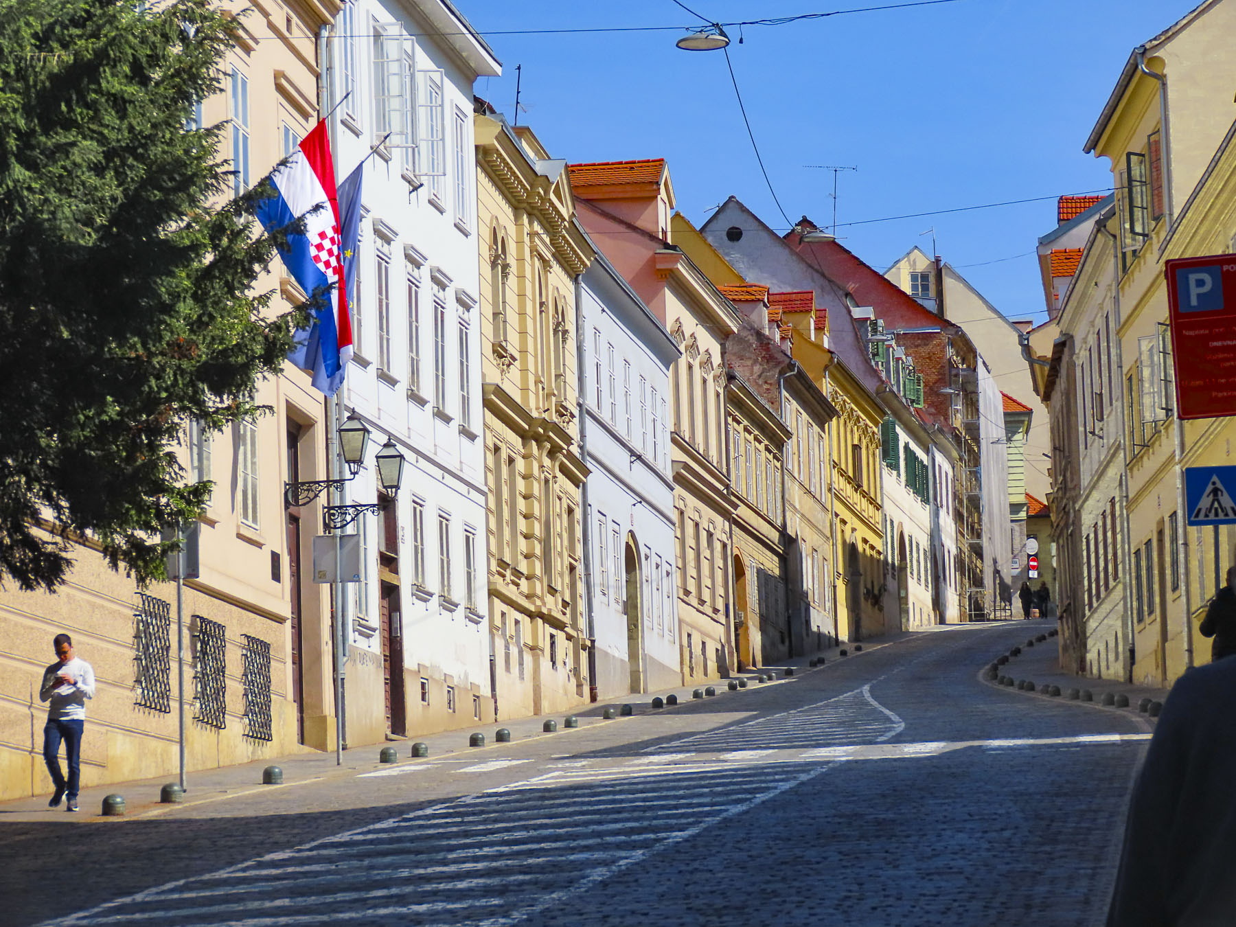
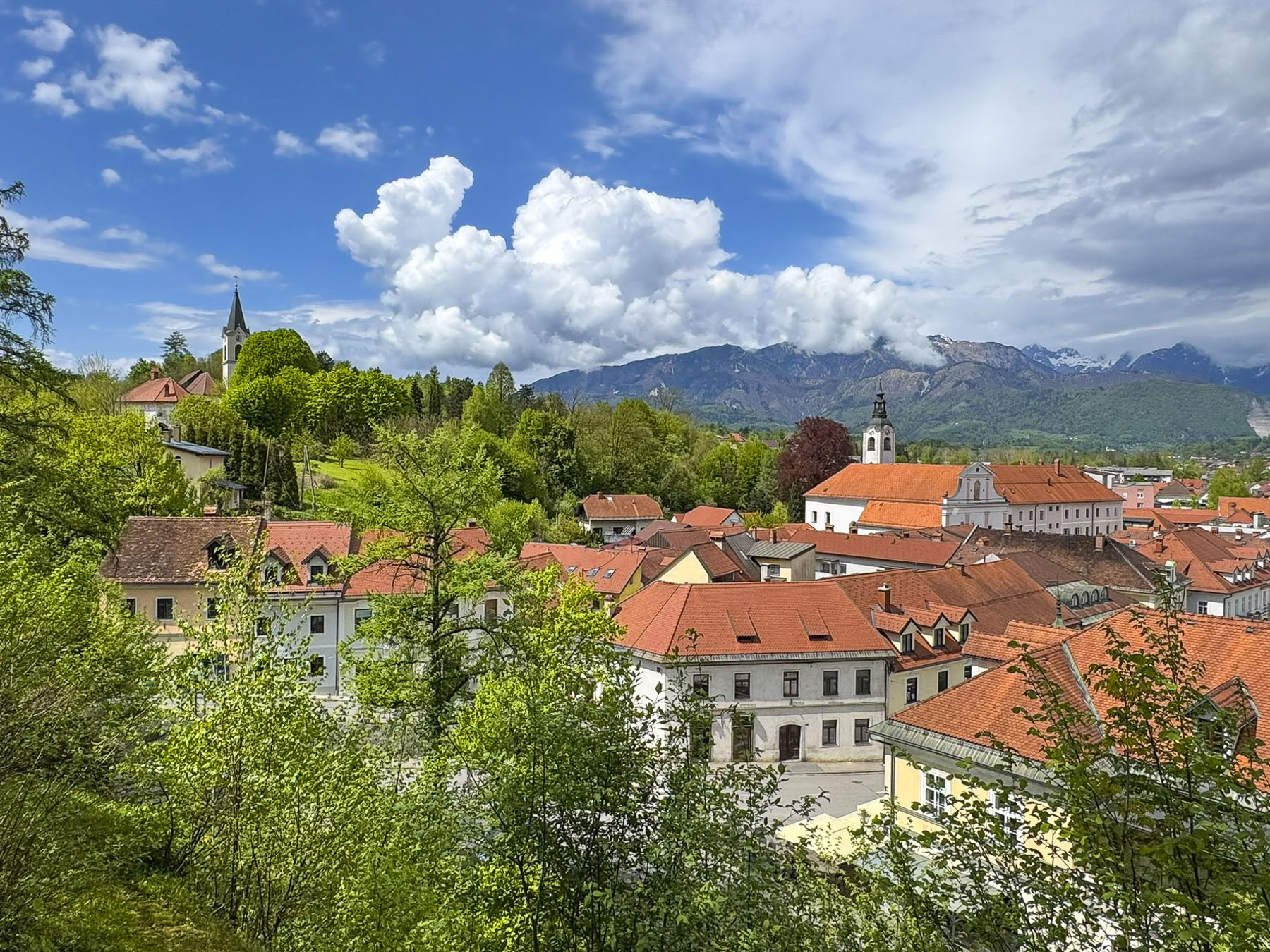
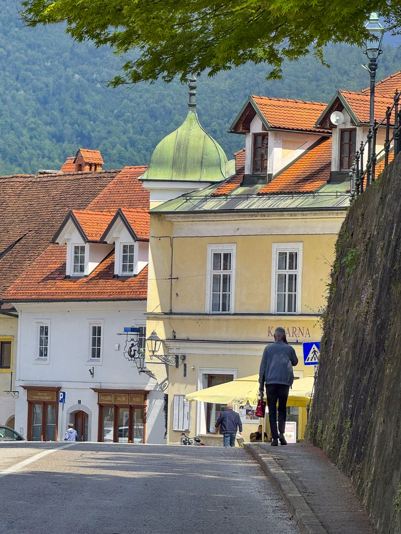
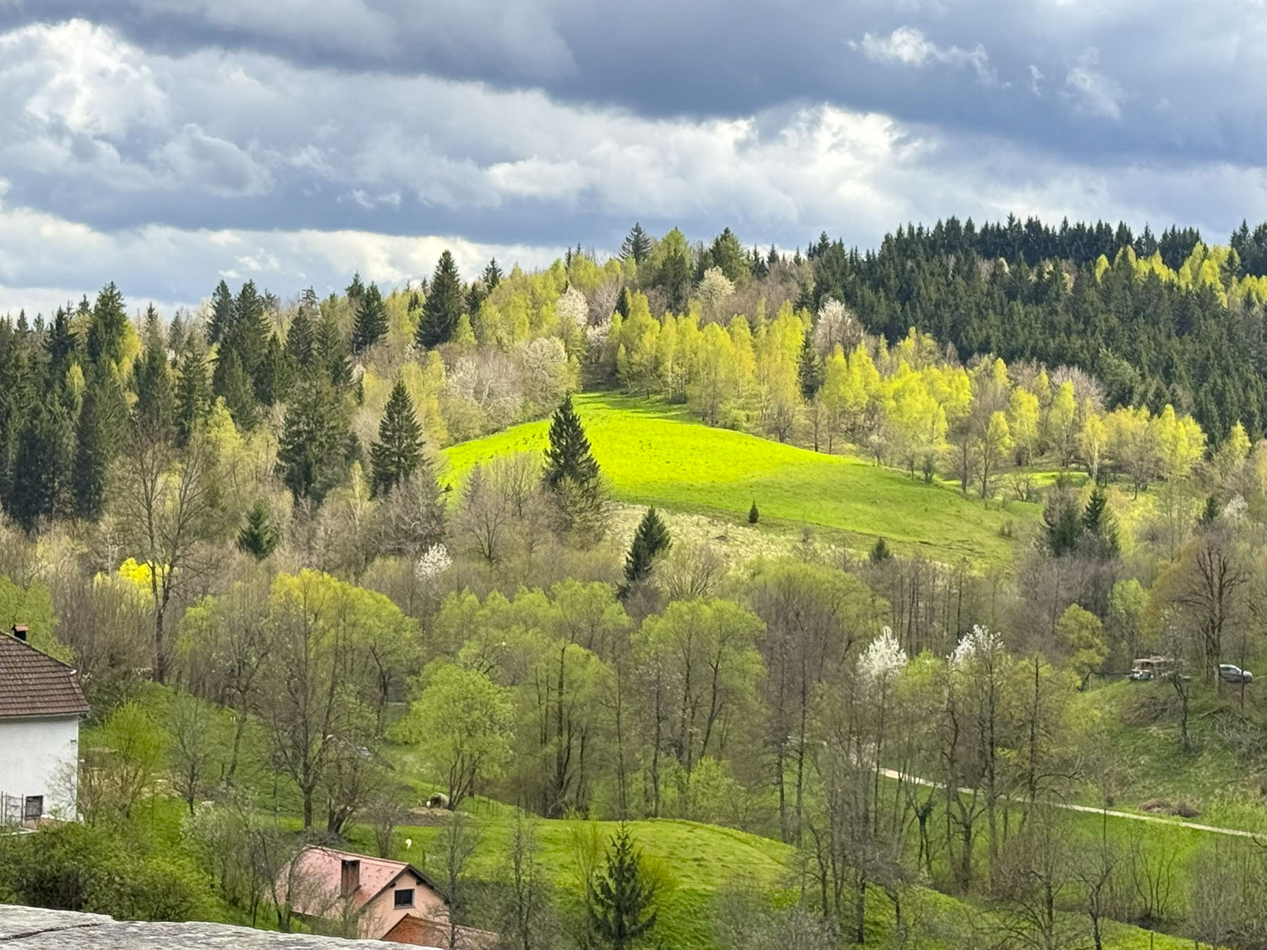
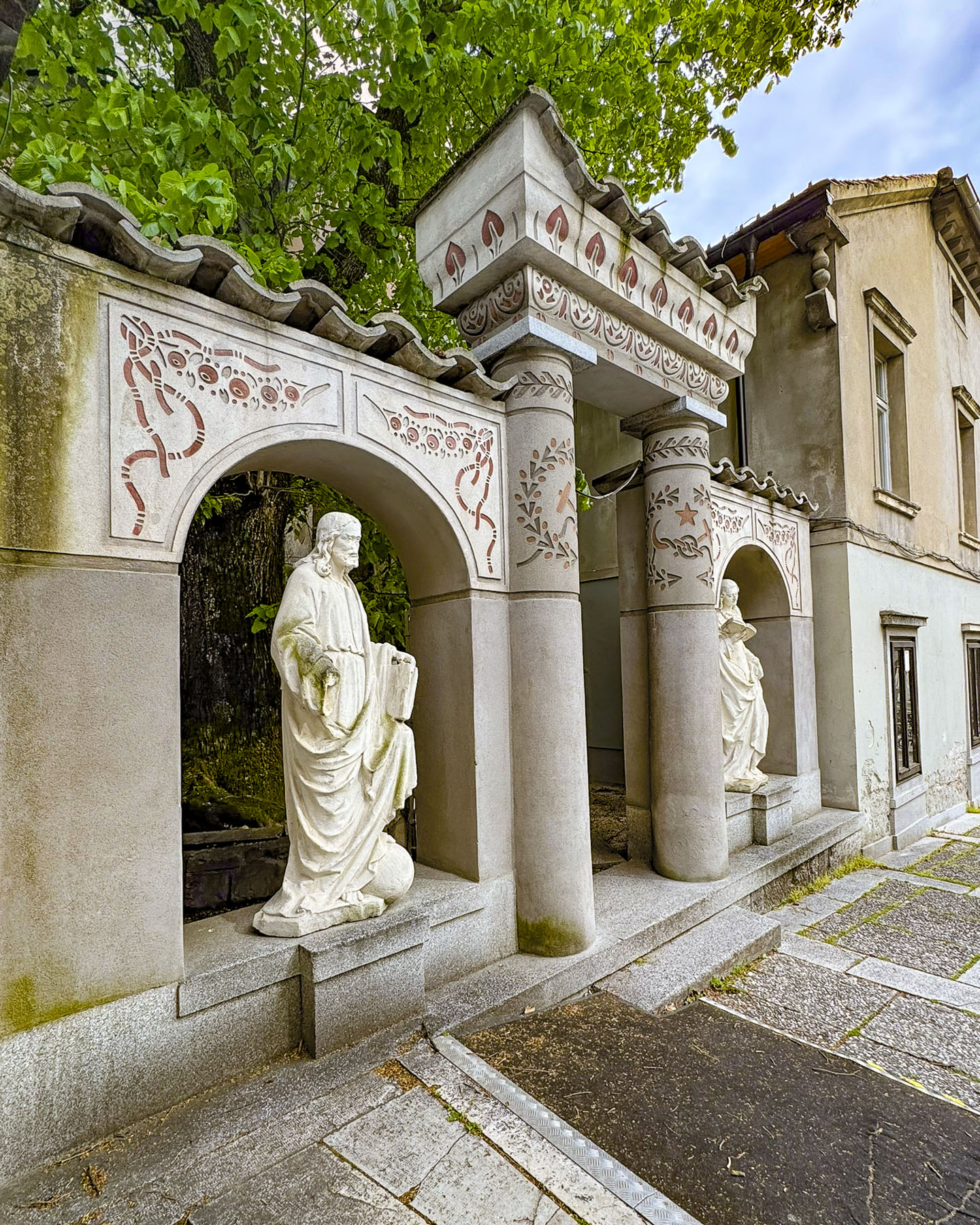
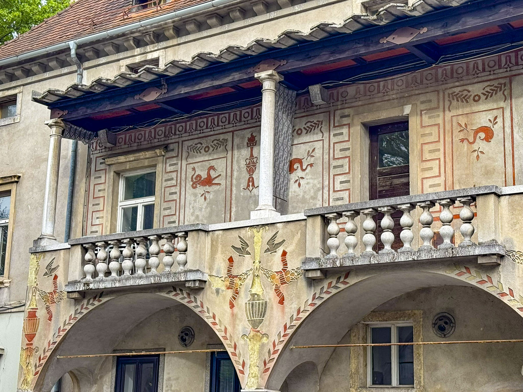
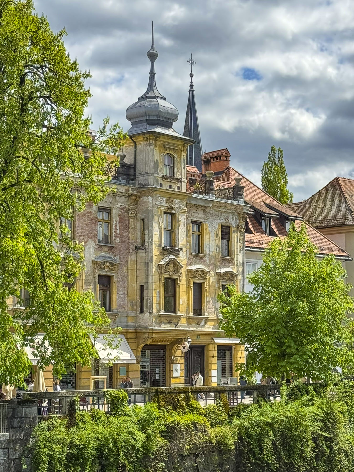
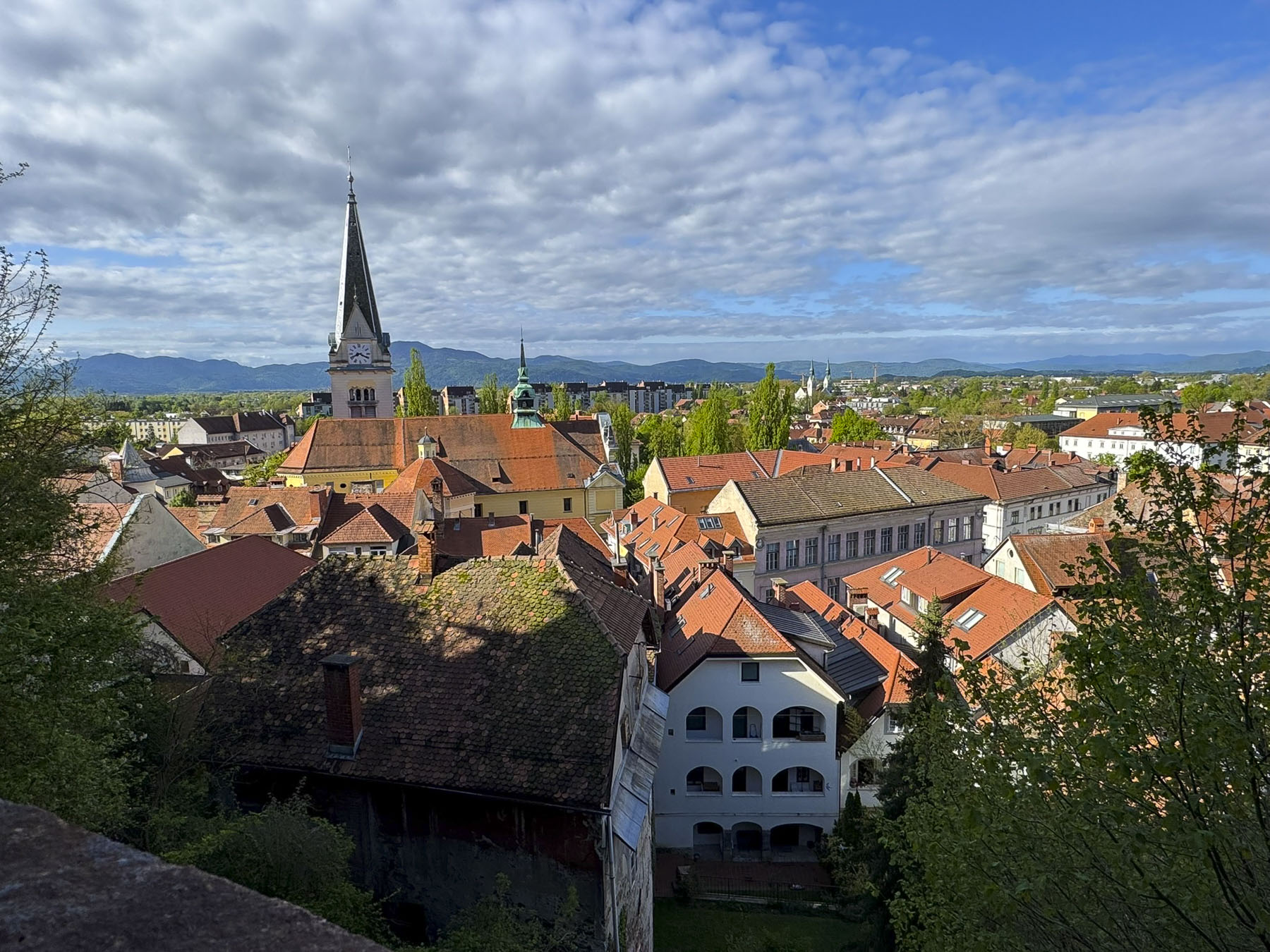
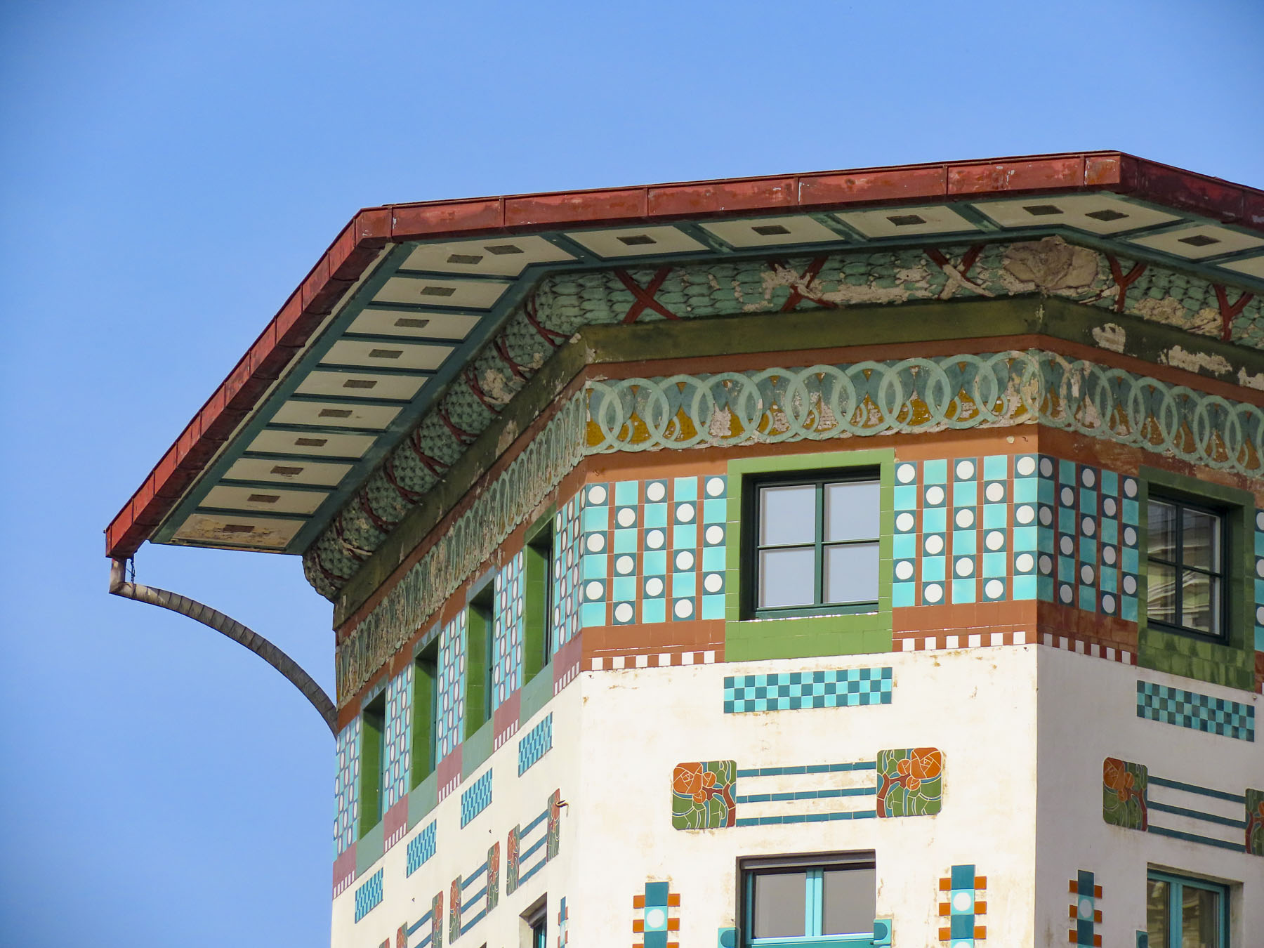
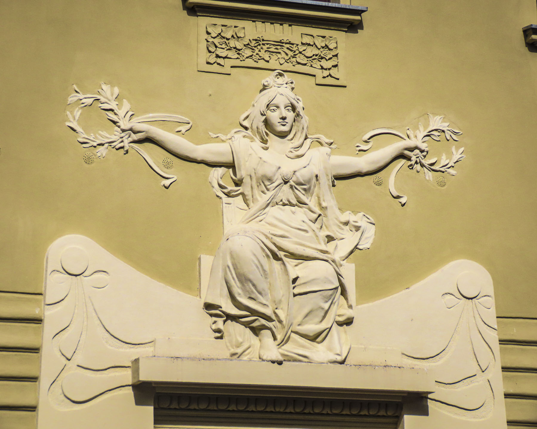
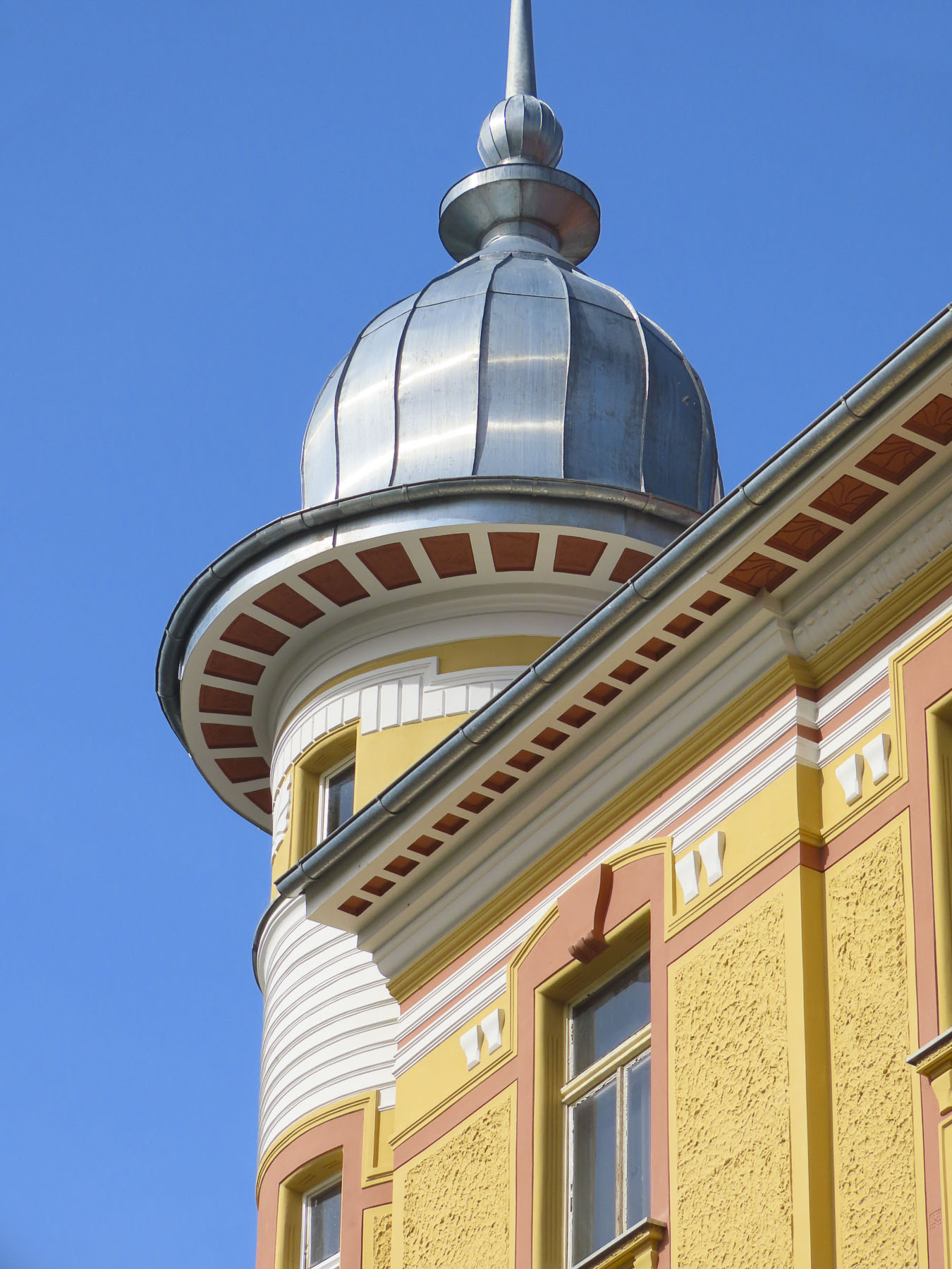
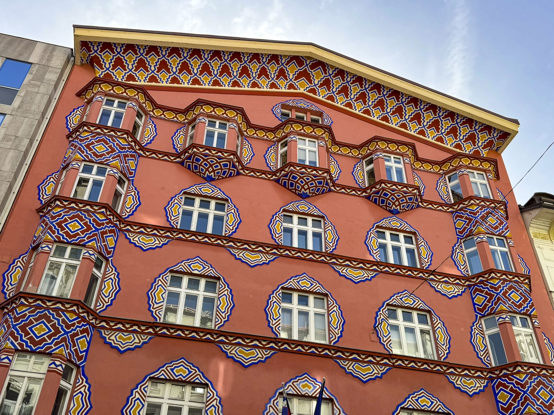
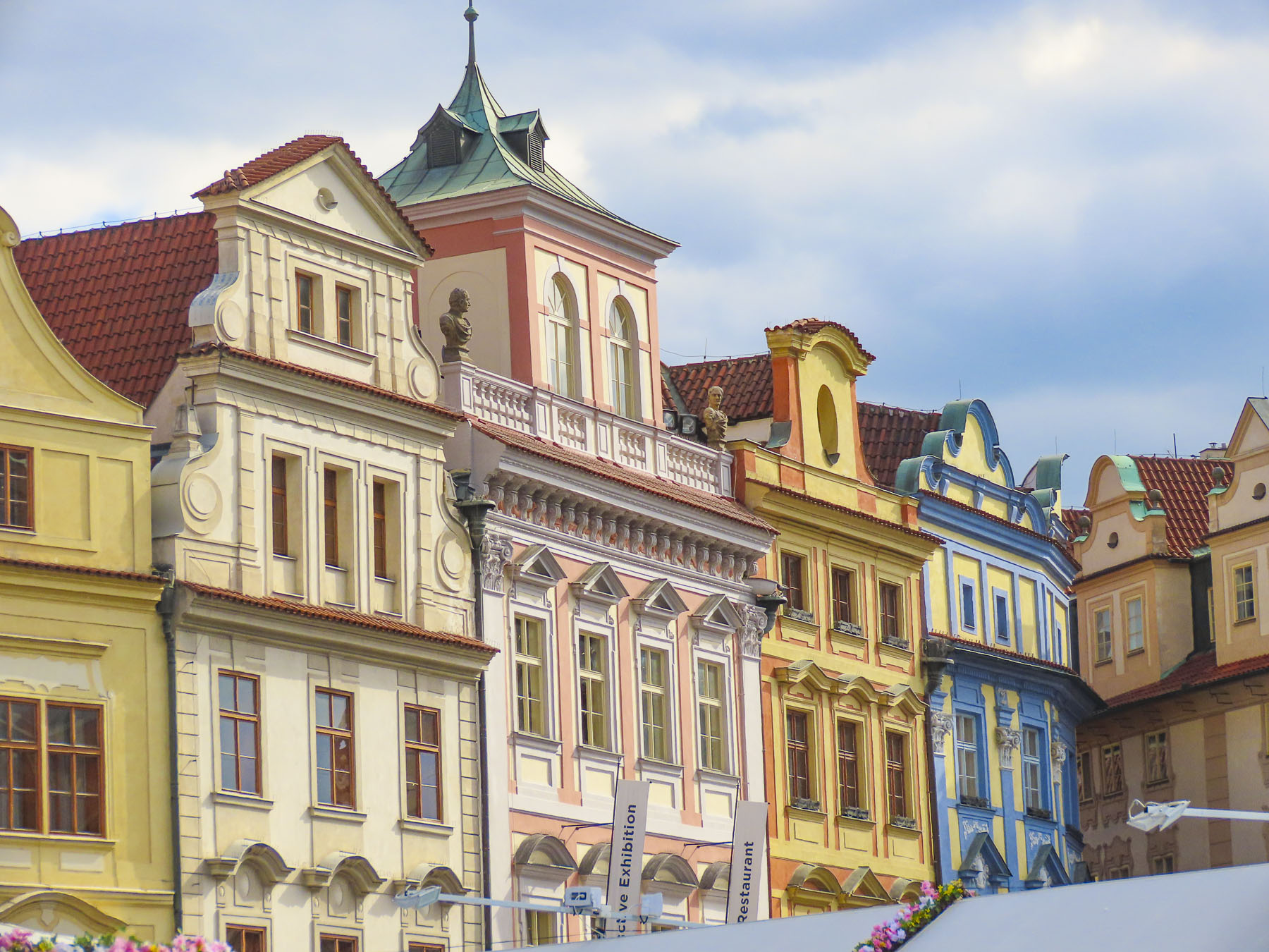
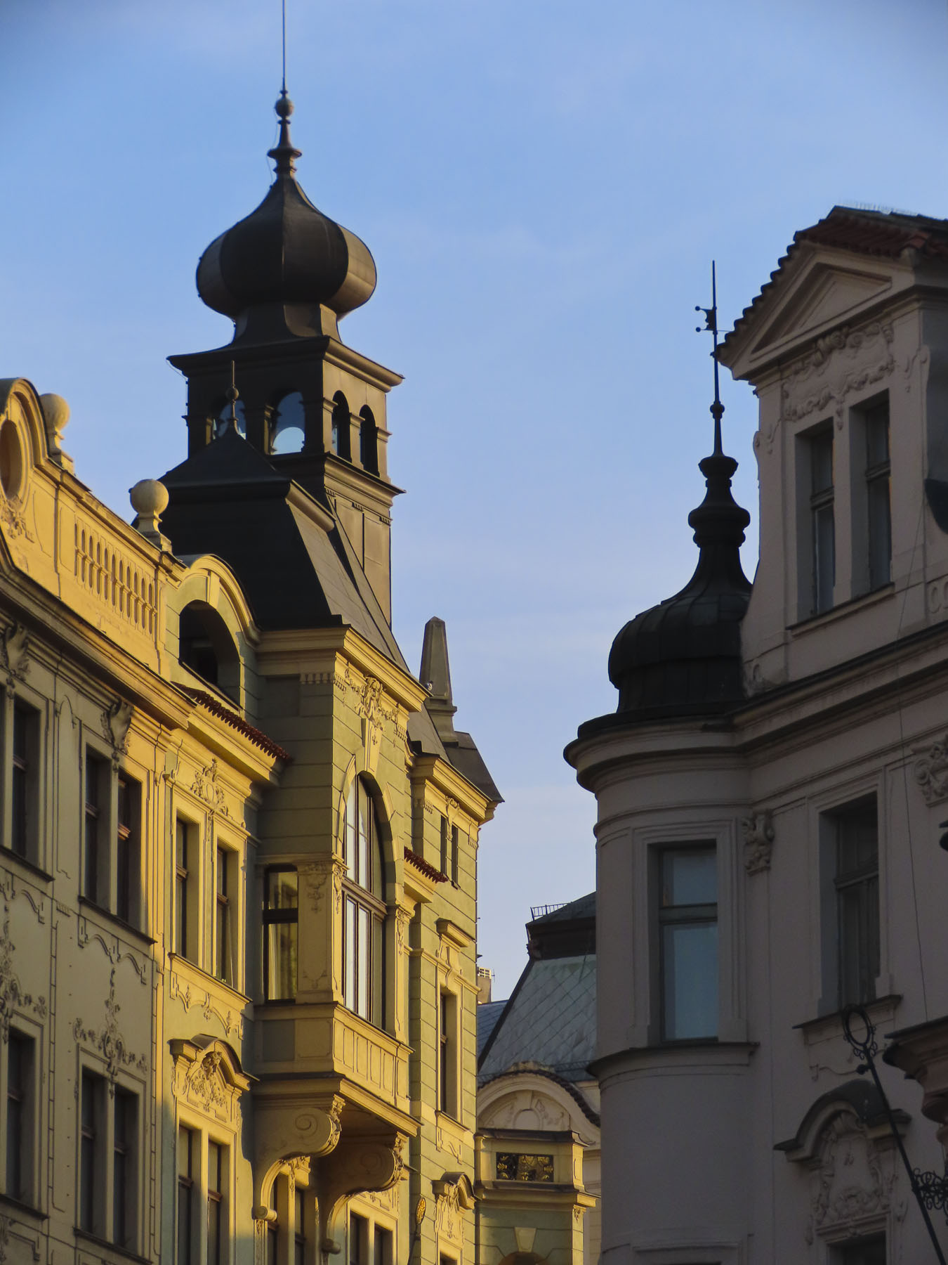
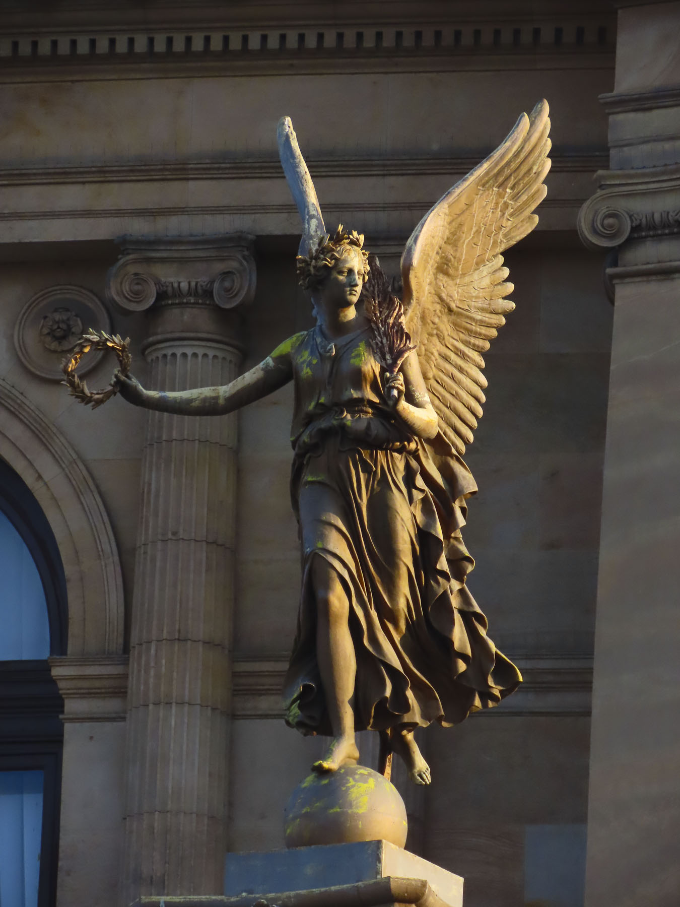
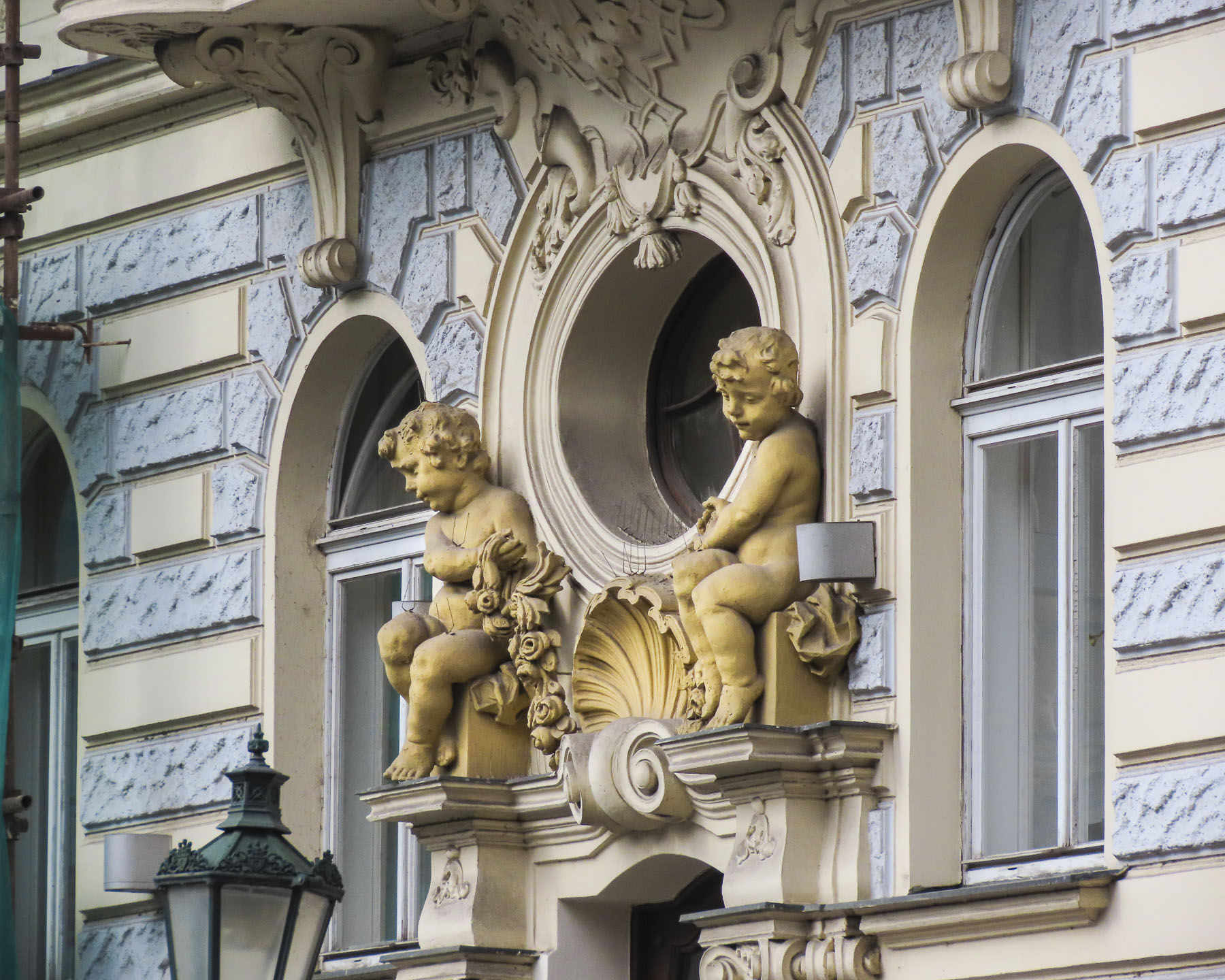
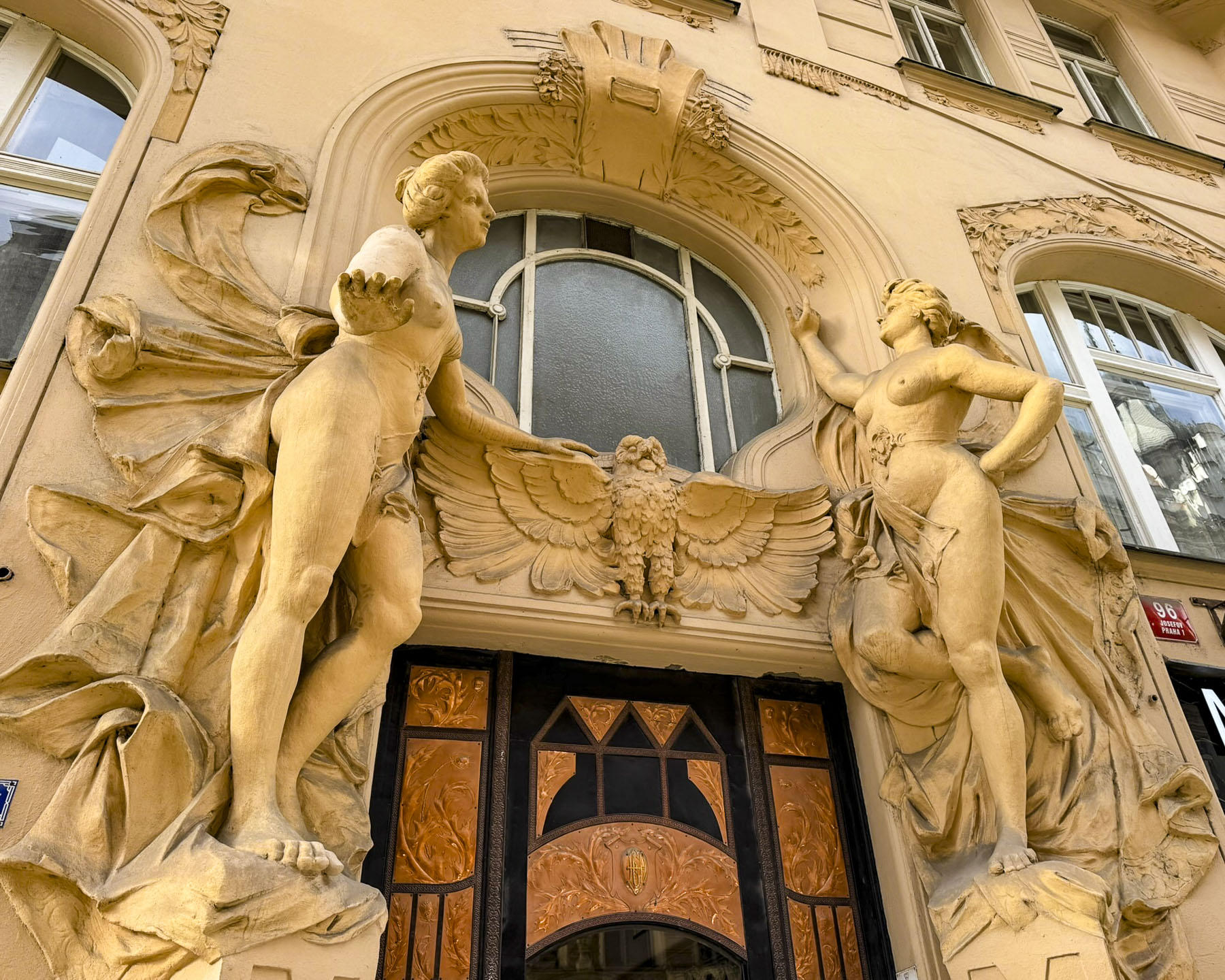
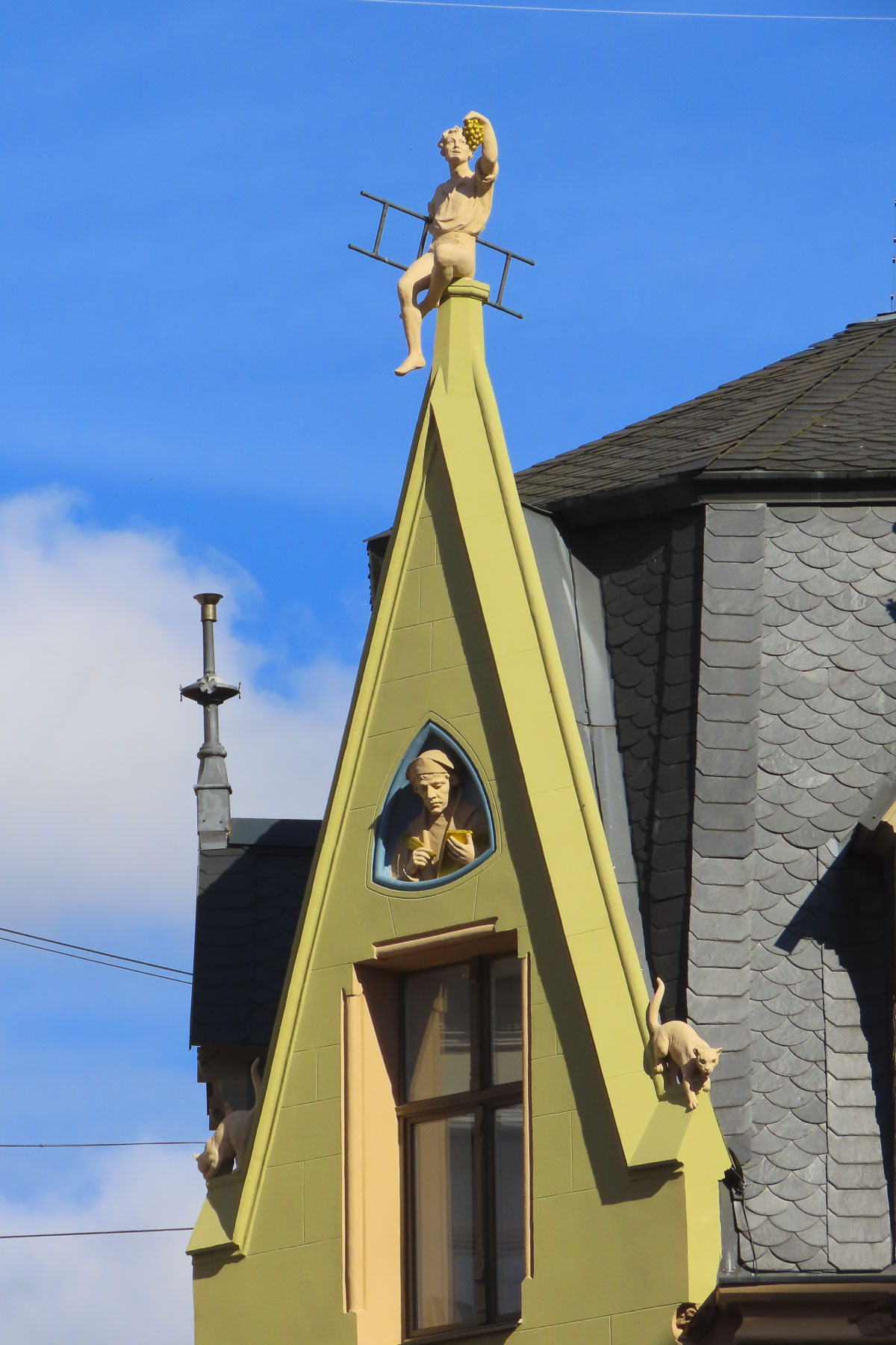
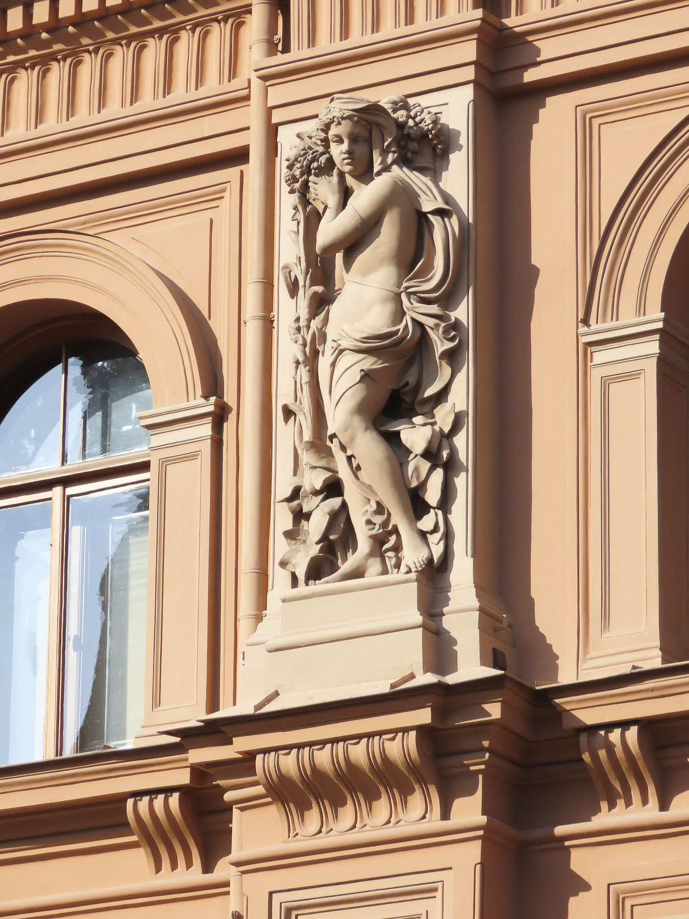
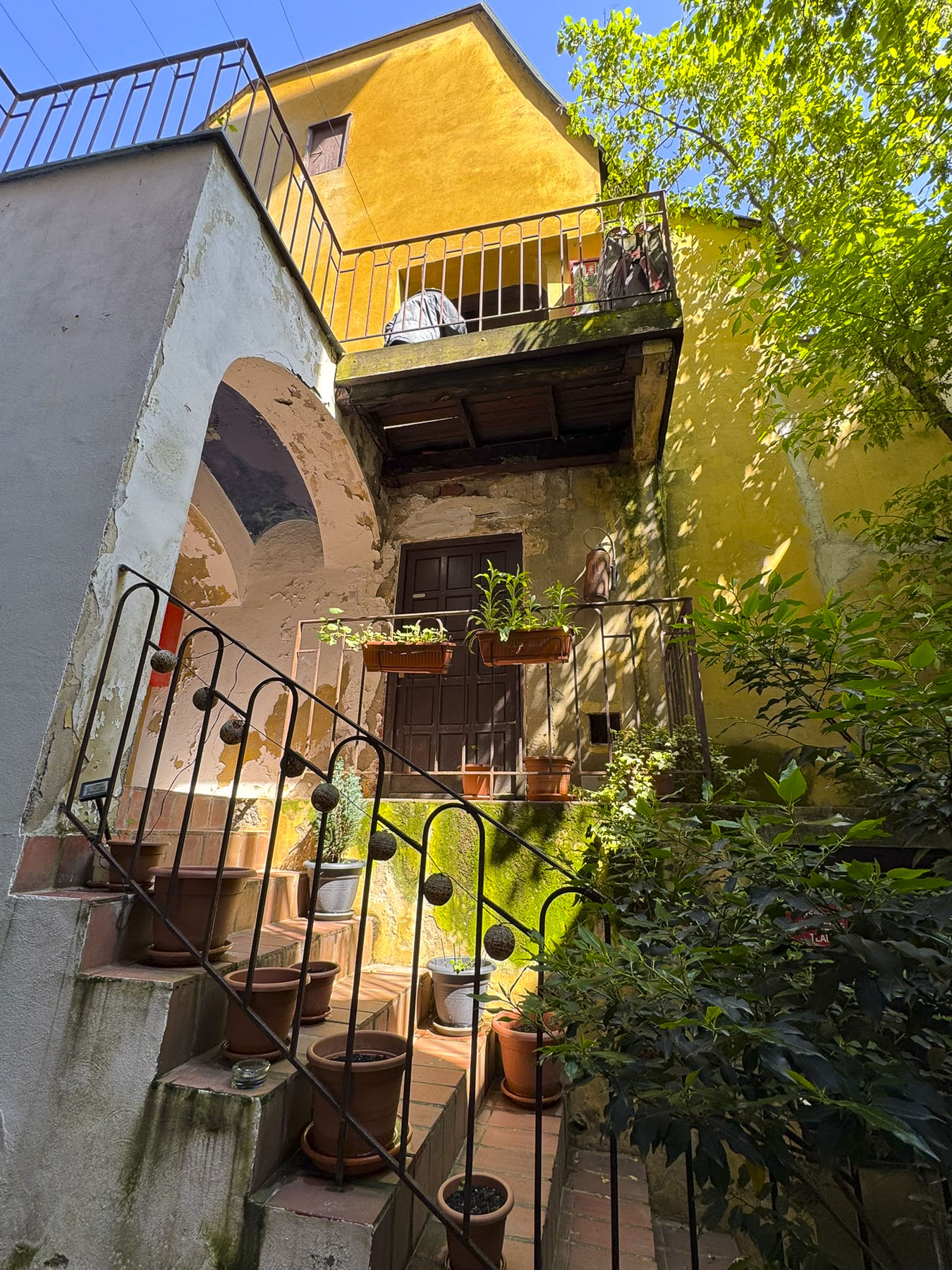
The next morning, we enjoyed the ambiance of the Lower Town’s old buildings as we slowly strolled past the earthen tones of 19th-century Austro-Hungarian architecture. Some had interesting embellishments but had been allowed to deteriorate, and we were pleased to see renovations beginning on these beautiful structures. Our destination was Gornji Grad, and we turned to follow Mesnička ul, a long xsteep street to the Old Town.

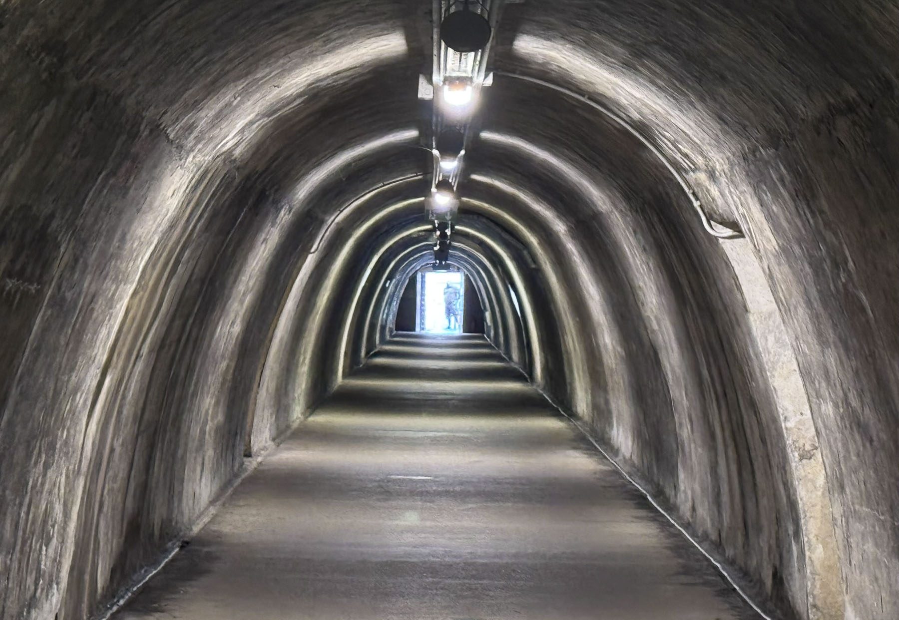
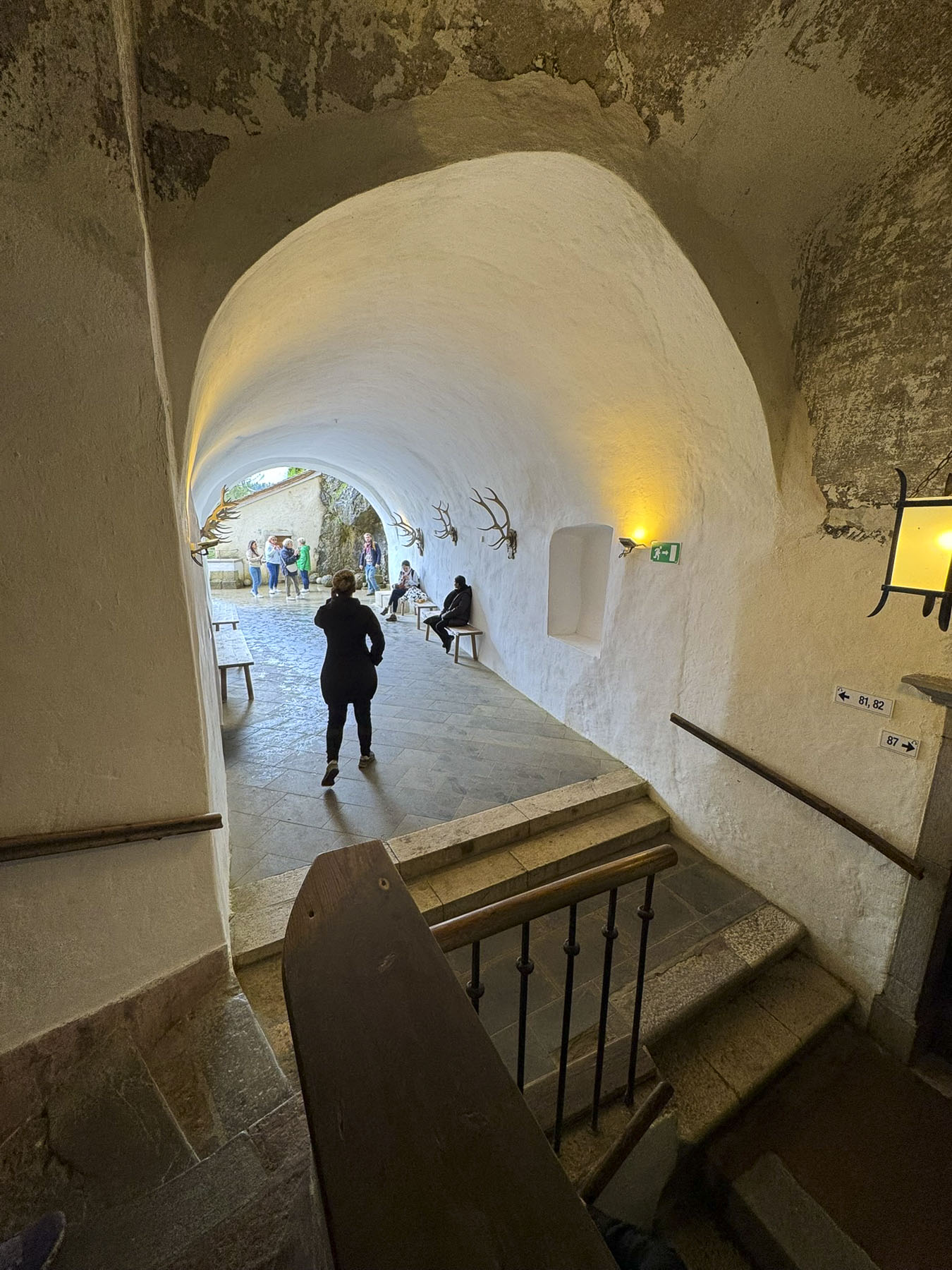
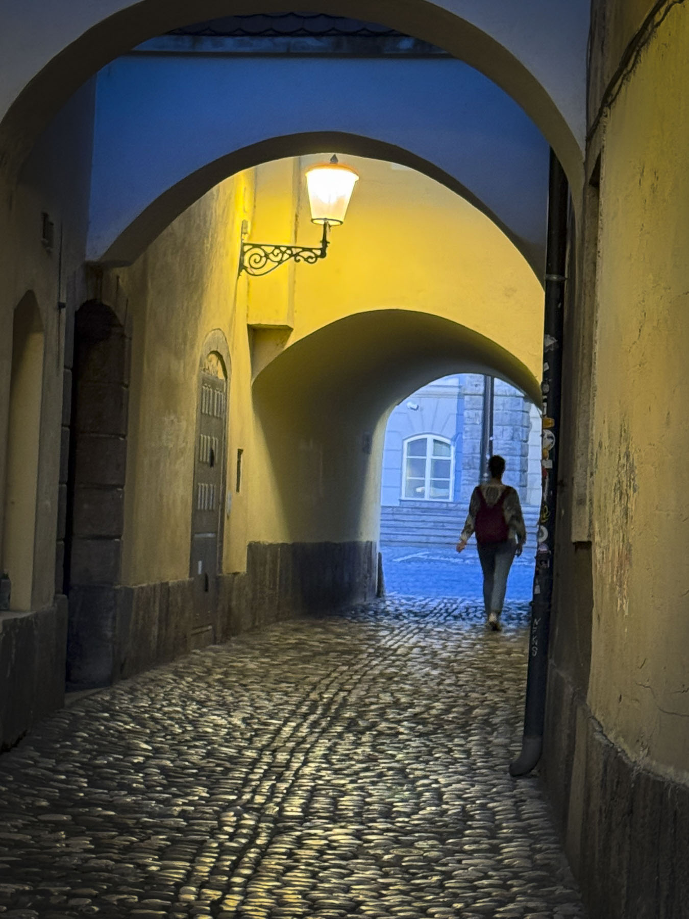
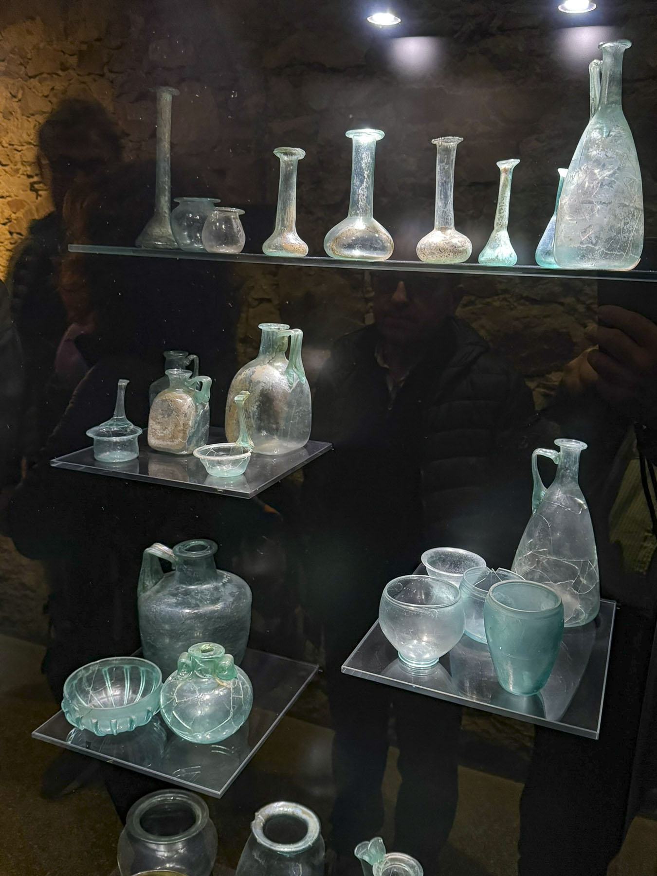
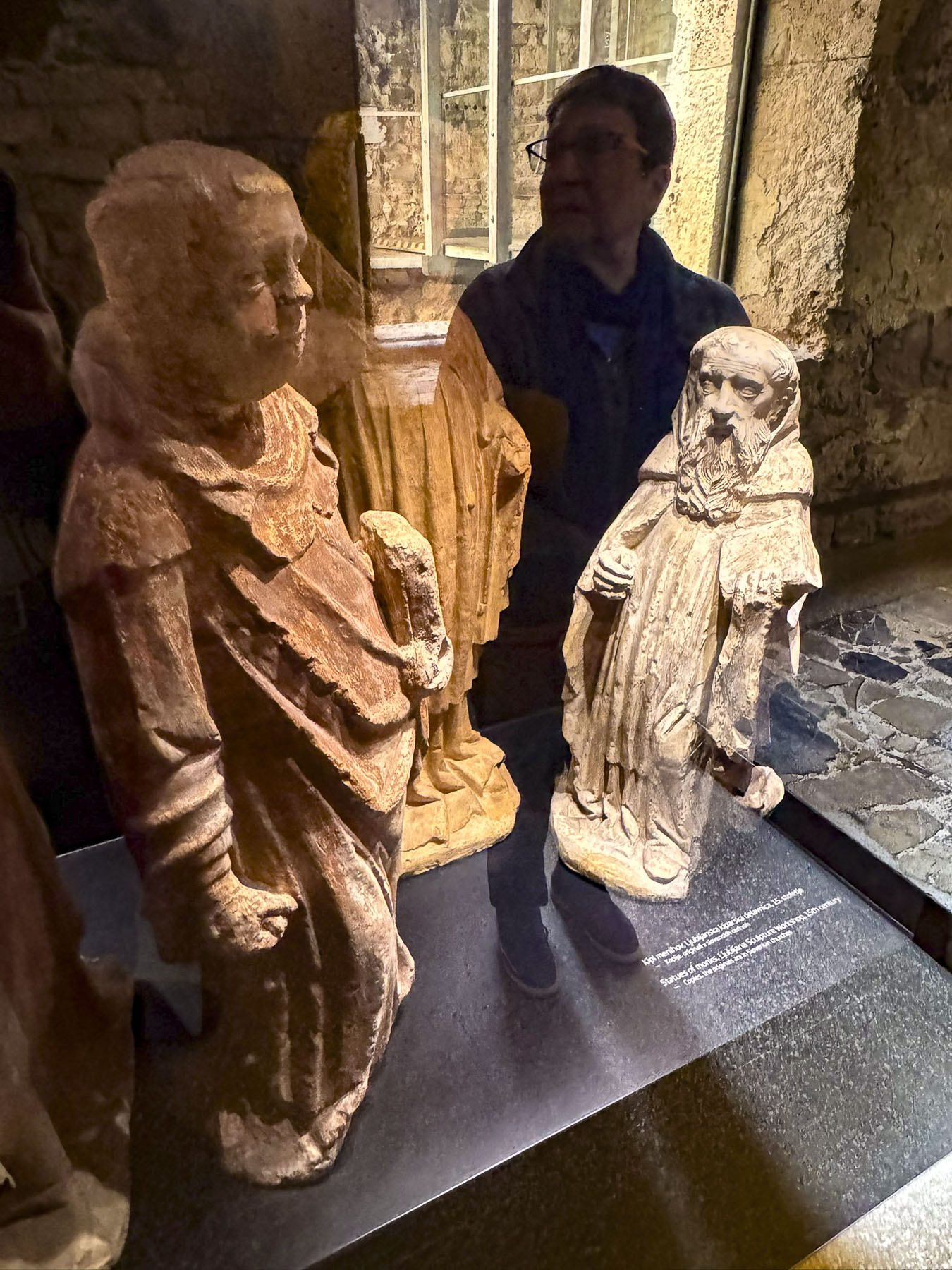
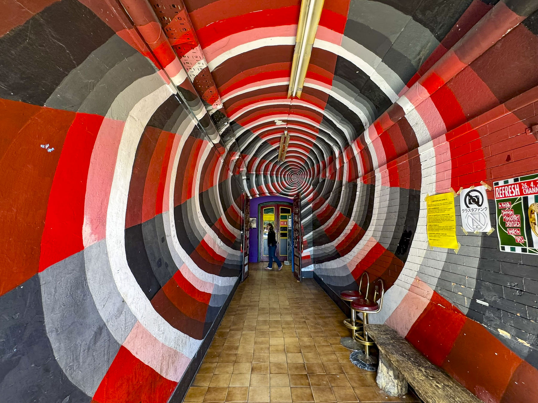
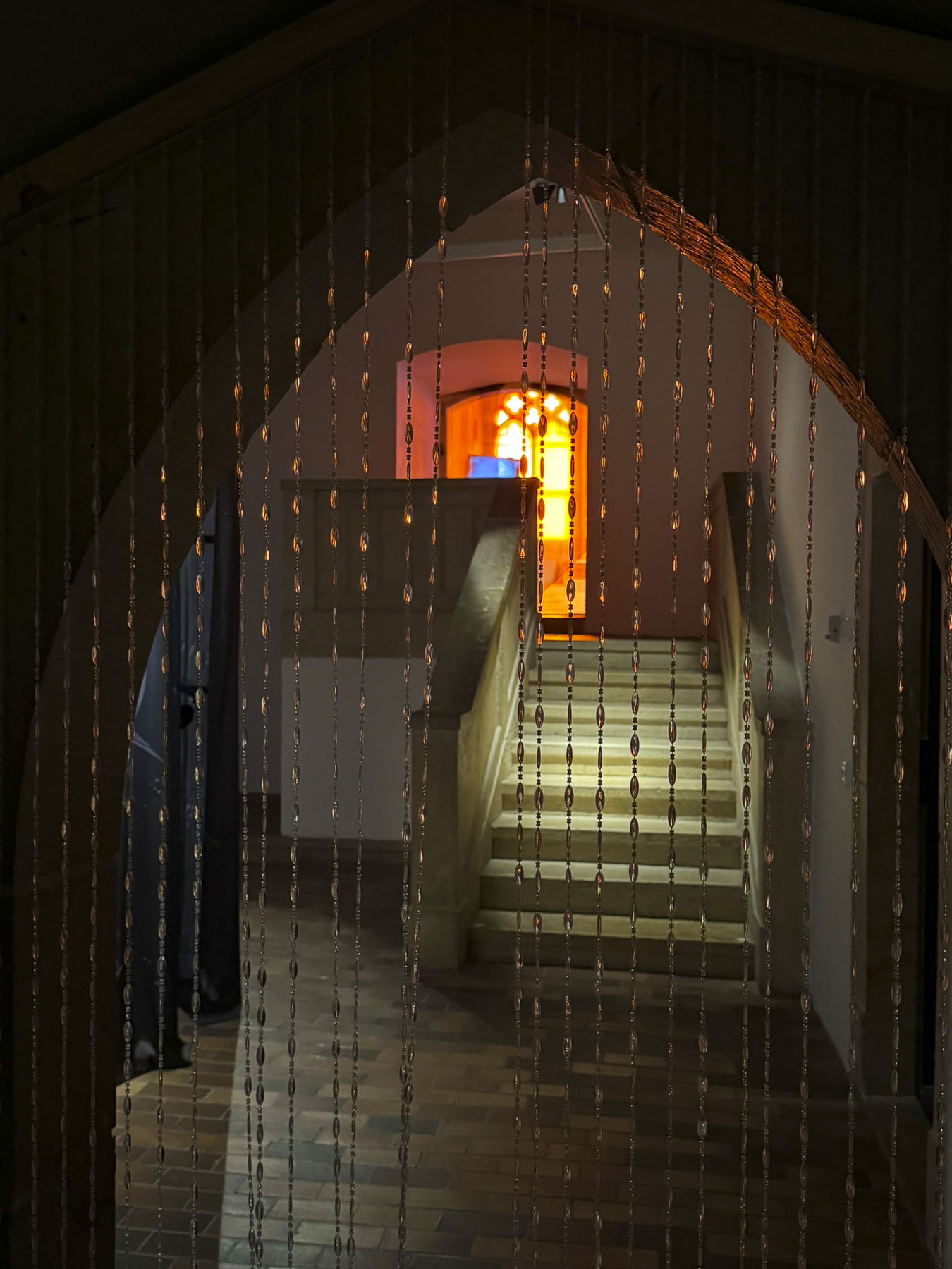
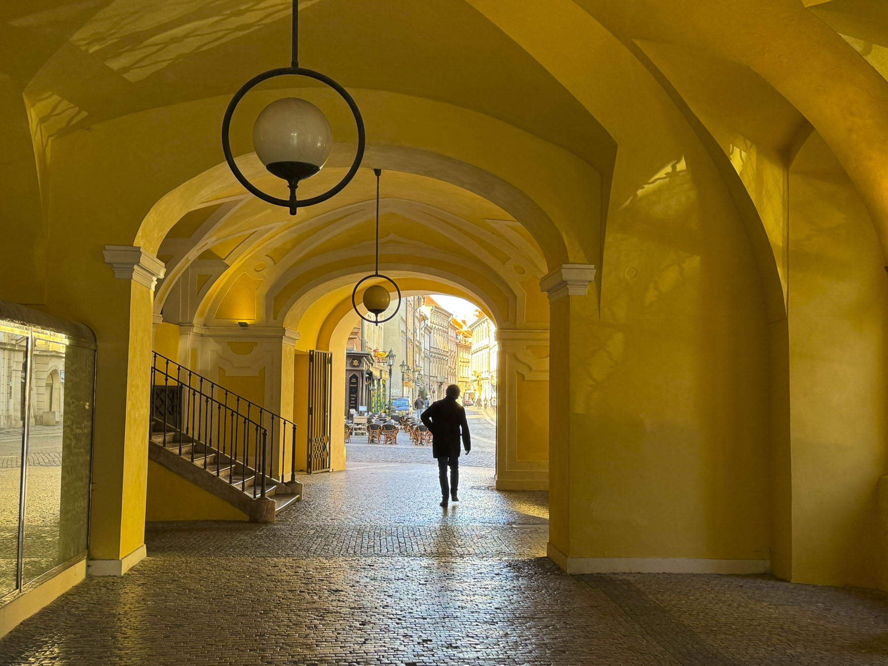
Eighty decades earlier, halfway up the hill, the Croatian government at the time excavated the Tunel Grič during World War II, as a bomb shelter for its citizens. The war ended shortly after its completion and the tunnel was used as a warehouse for many years before being closed and forgotten until it was needed once again to shelter the populace during the Croatian War of Independence in the 1990s. Fortunately for us, after extensive renovations the 350m (1,150ft) long tunnel was reopened in 2016 as a pedestrian passageway and shortcut between the upper and lower town, which saved us from an otherwise strenuous uphill trek to Gornji Grad. Throughout the year the tunnel is also used to host events and art installations. Its most notable transfiguration is during the Christmas holiday season when the tunnel is turned into an enchanting winter wonderland.

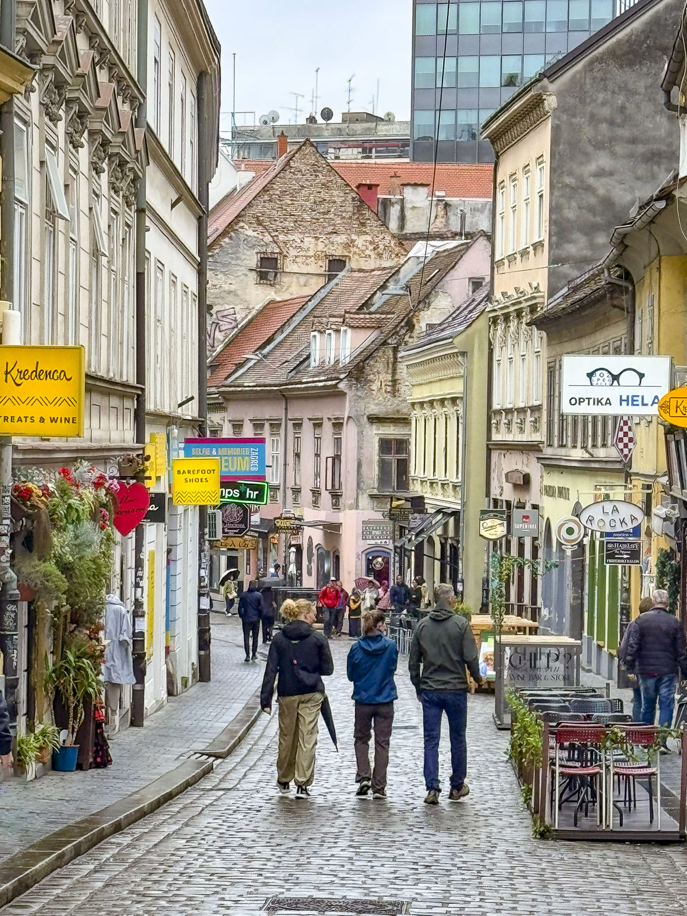
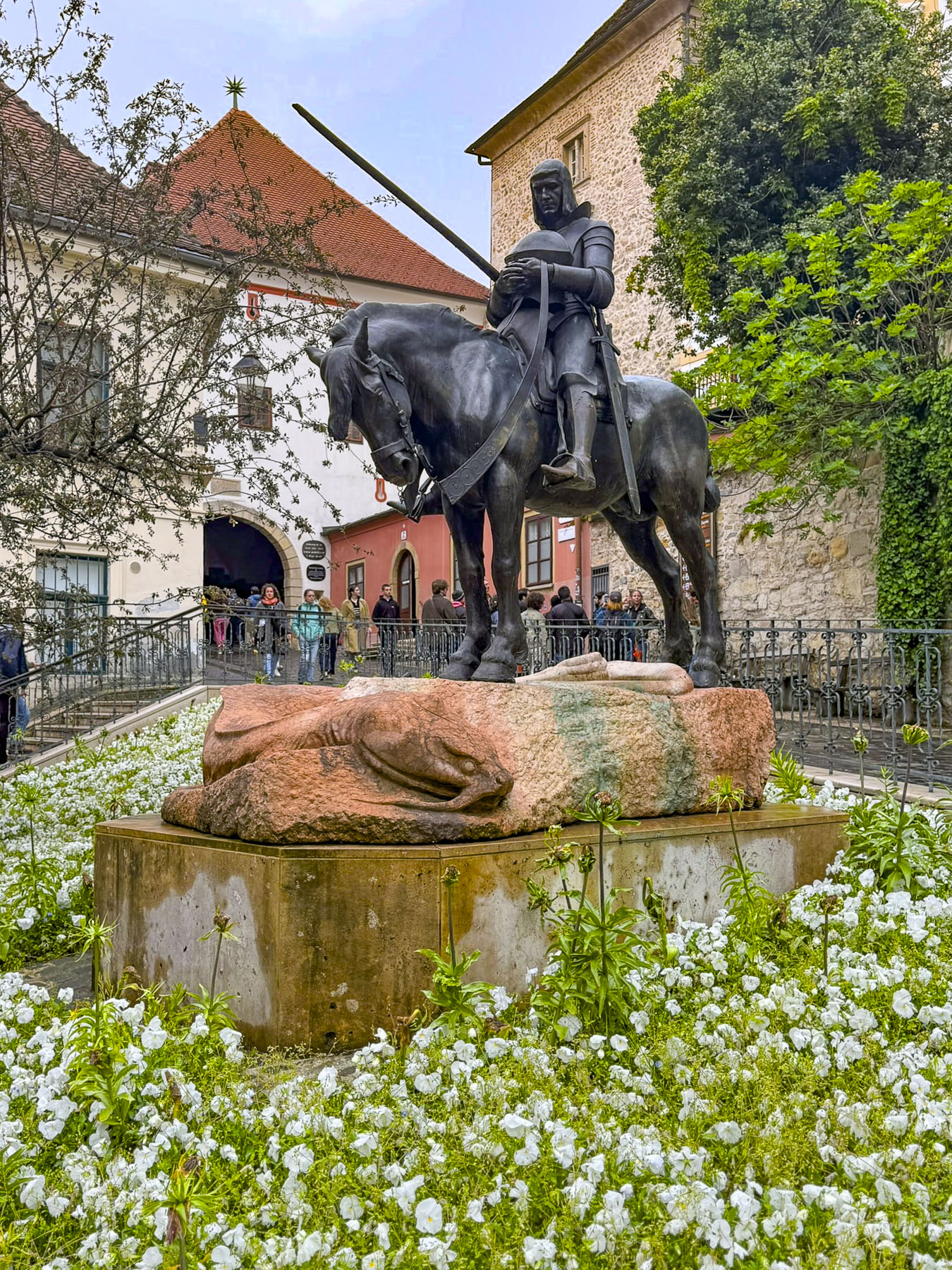
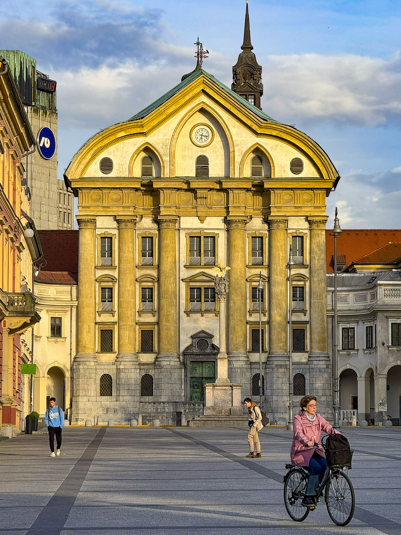
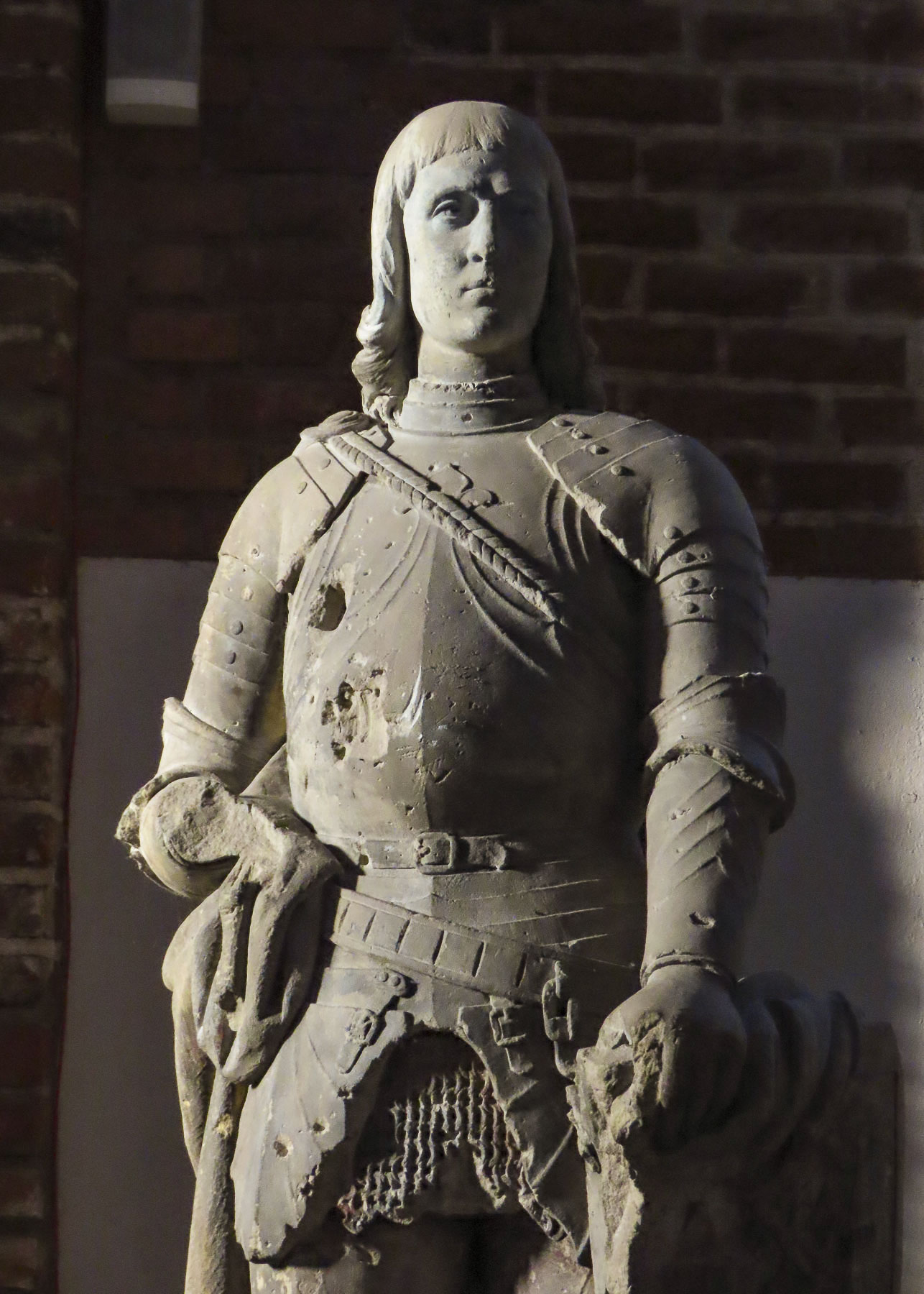
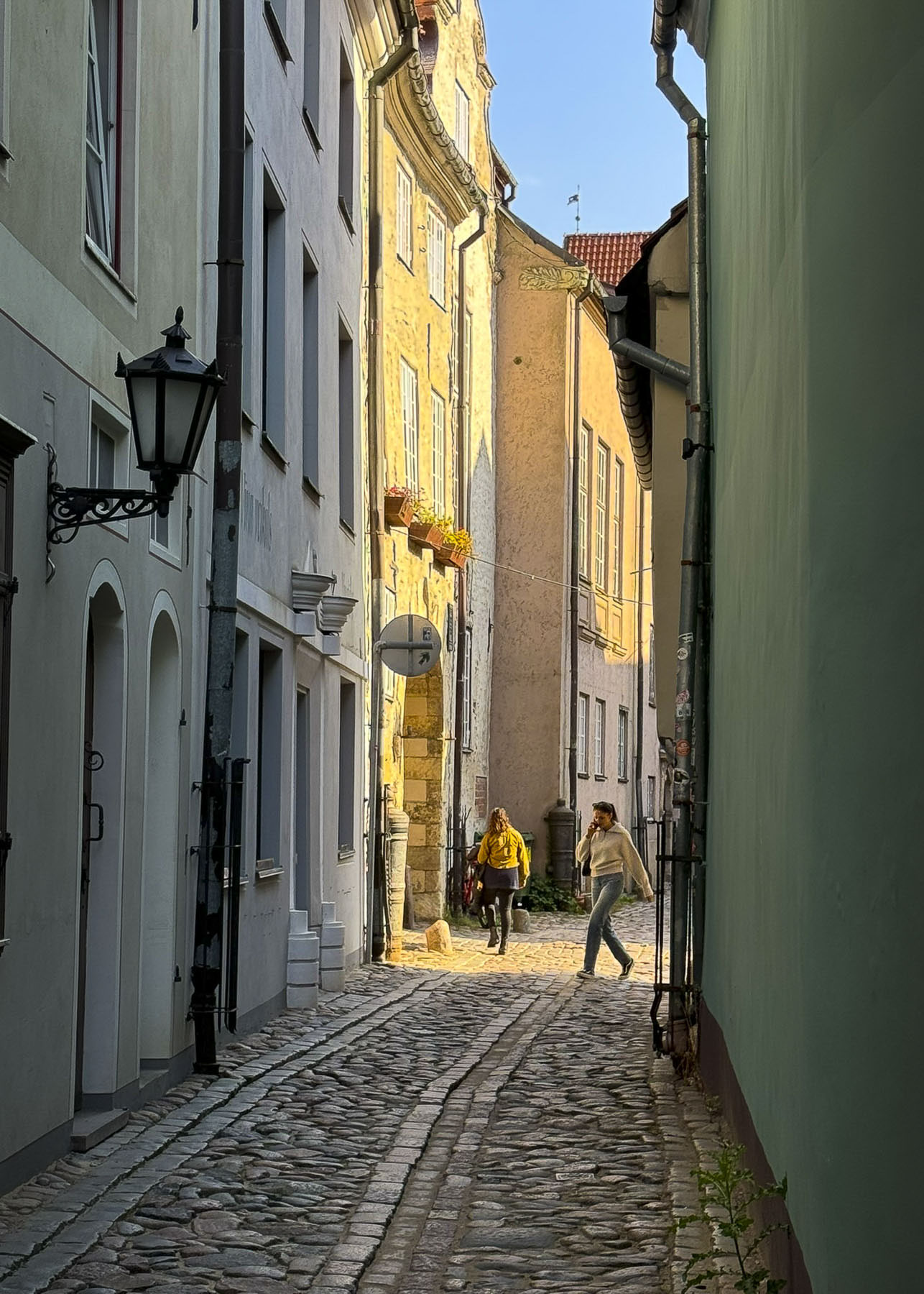
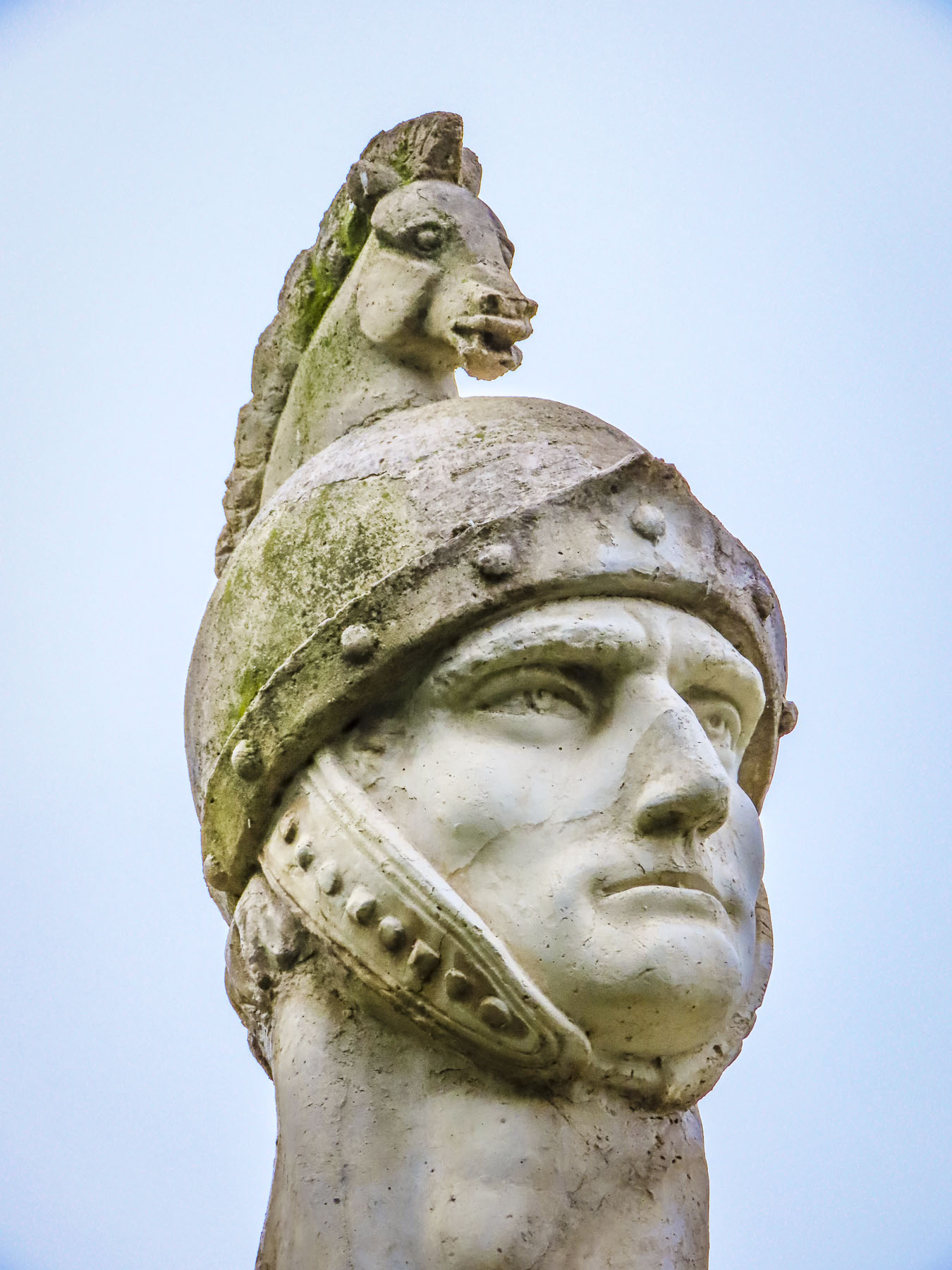
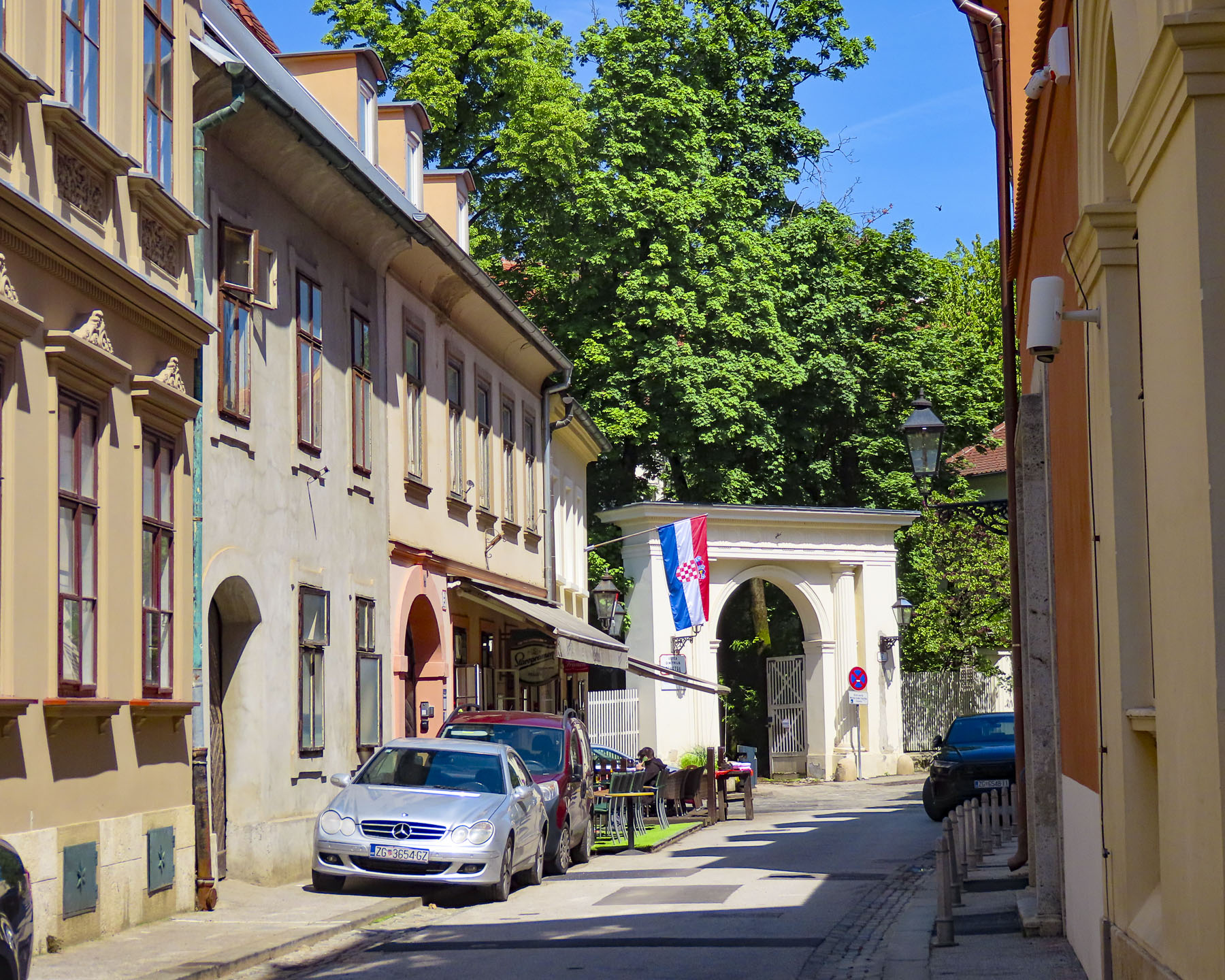
At the far end the tunnel opened to Ul. Pavla Radića, a charming, historic cobblestone lane that was for centuries the primary connection between the lower and upper towns. Today it’s lined with shops, cafes and galleries as it runs downhill to Trg bana Josipa Jelačića, Zagreb’s central square or uphill, the direction we were going, to Kamenita Vrata, Gornji Grad’s old stone gate. An equestrian statue of Saint George guarded the entrance to the Upper Town, across from pastel toned buildings, which were a nice change from the ubiquitous sandstone facades.

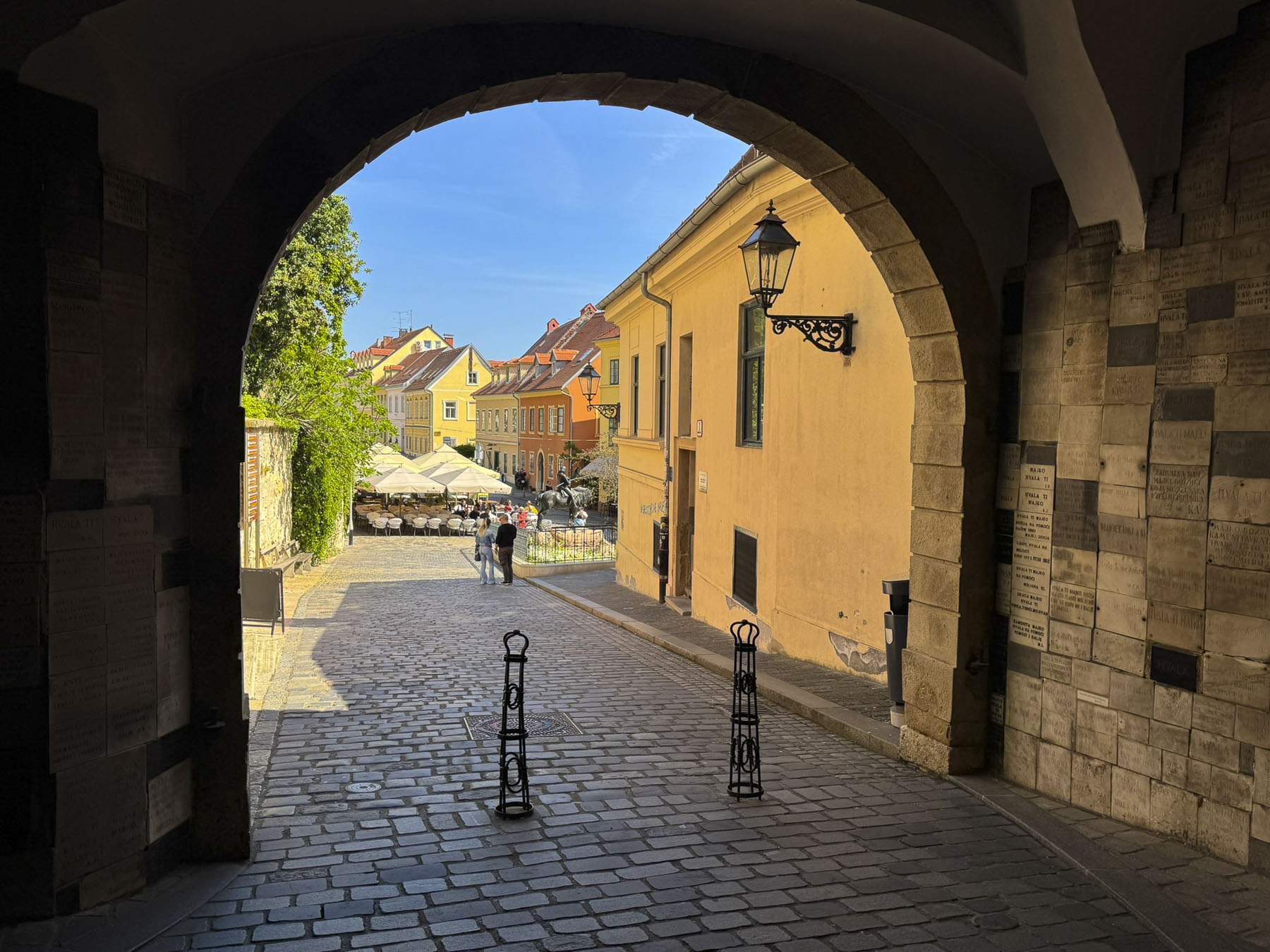
Kamenita Vrata is Zagreb’s last surviving Medieval stone gate. Its construction was started in the mid-1240s after the first Mongol invasion by the army of Great Khan Ögedei, the third son of Genghis Khan; his campaign left a swath of destruction across the Balkans, and Zagreb in ruins.

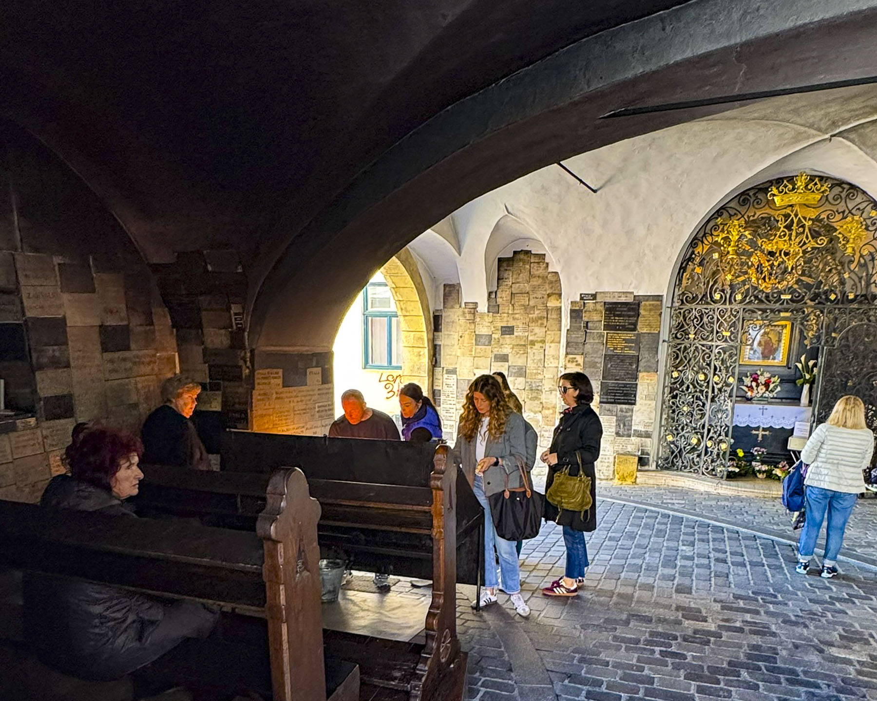
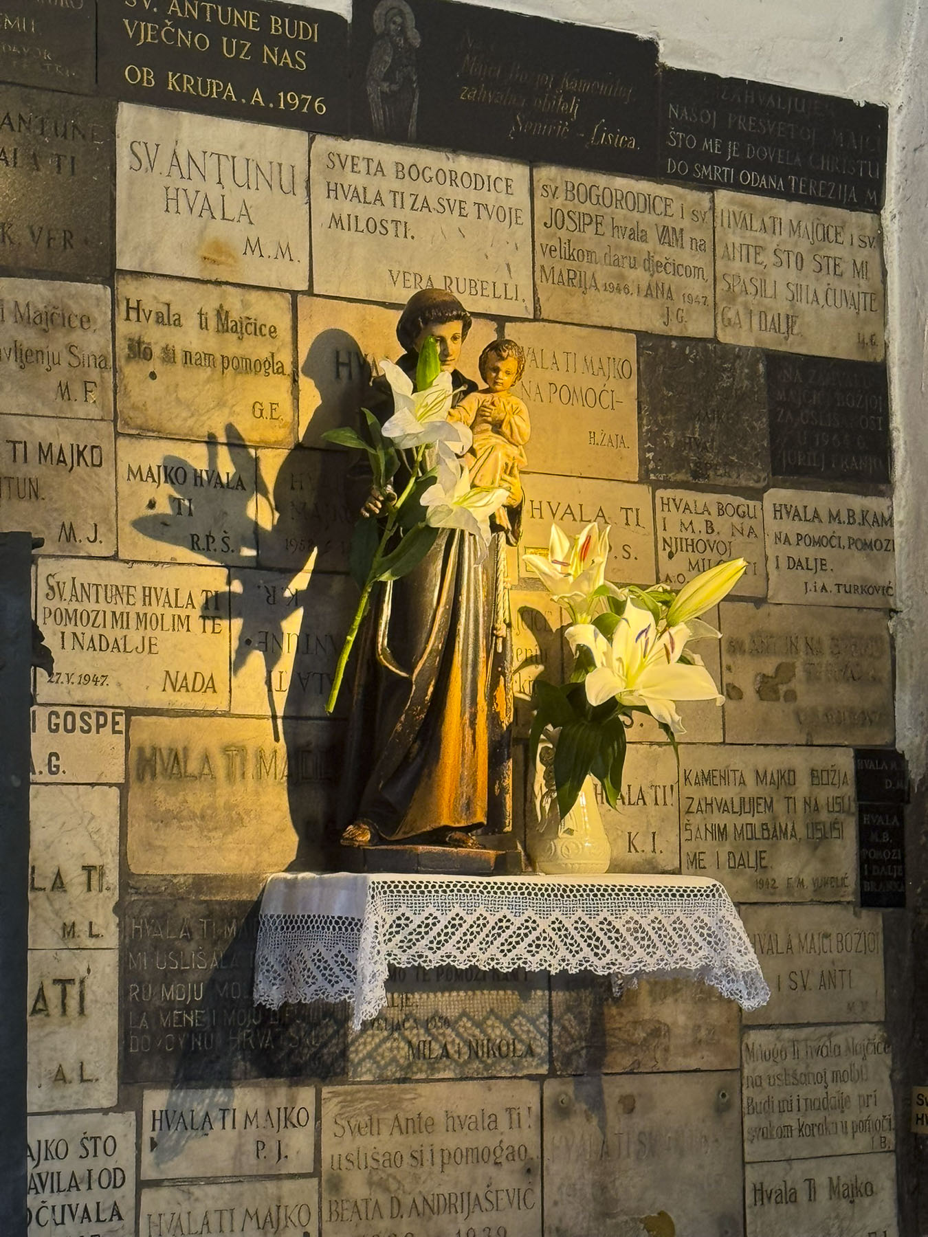
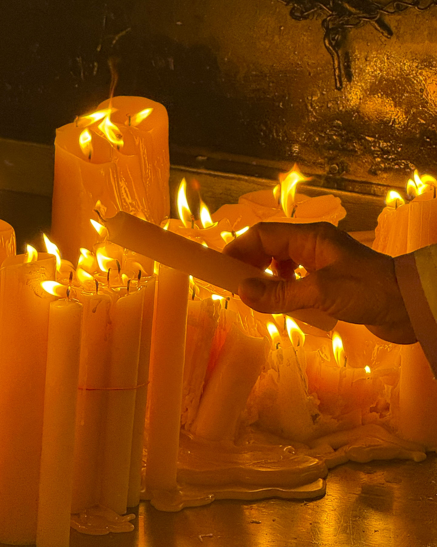
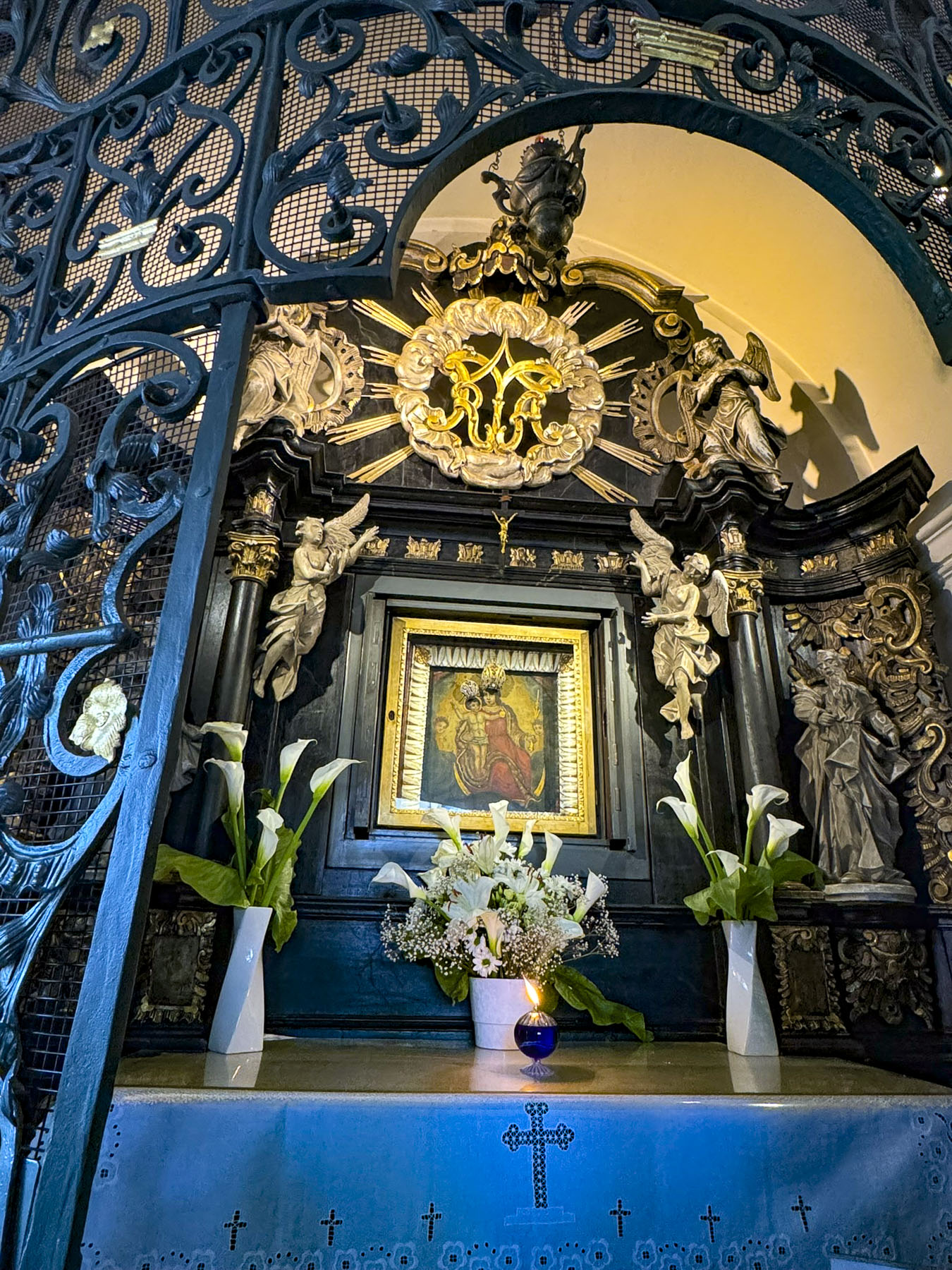
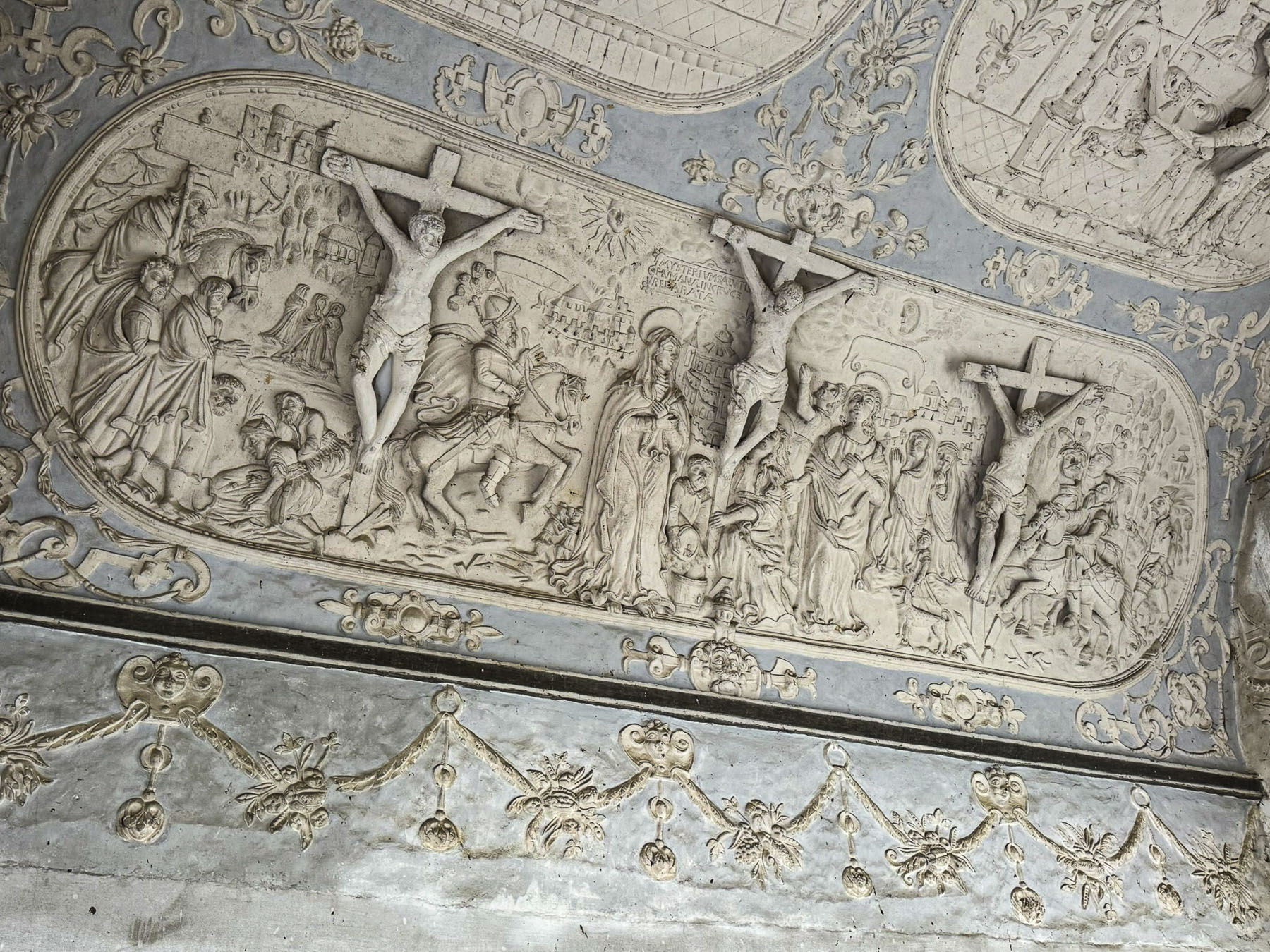
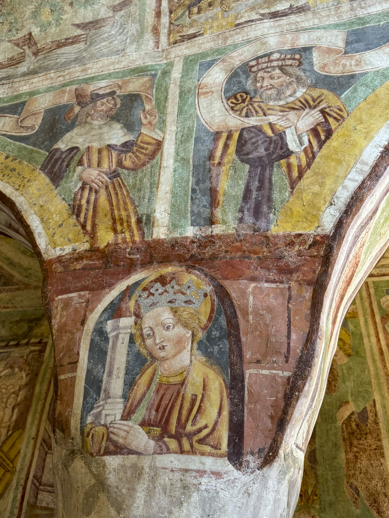
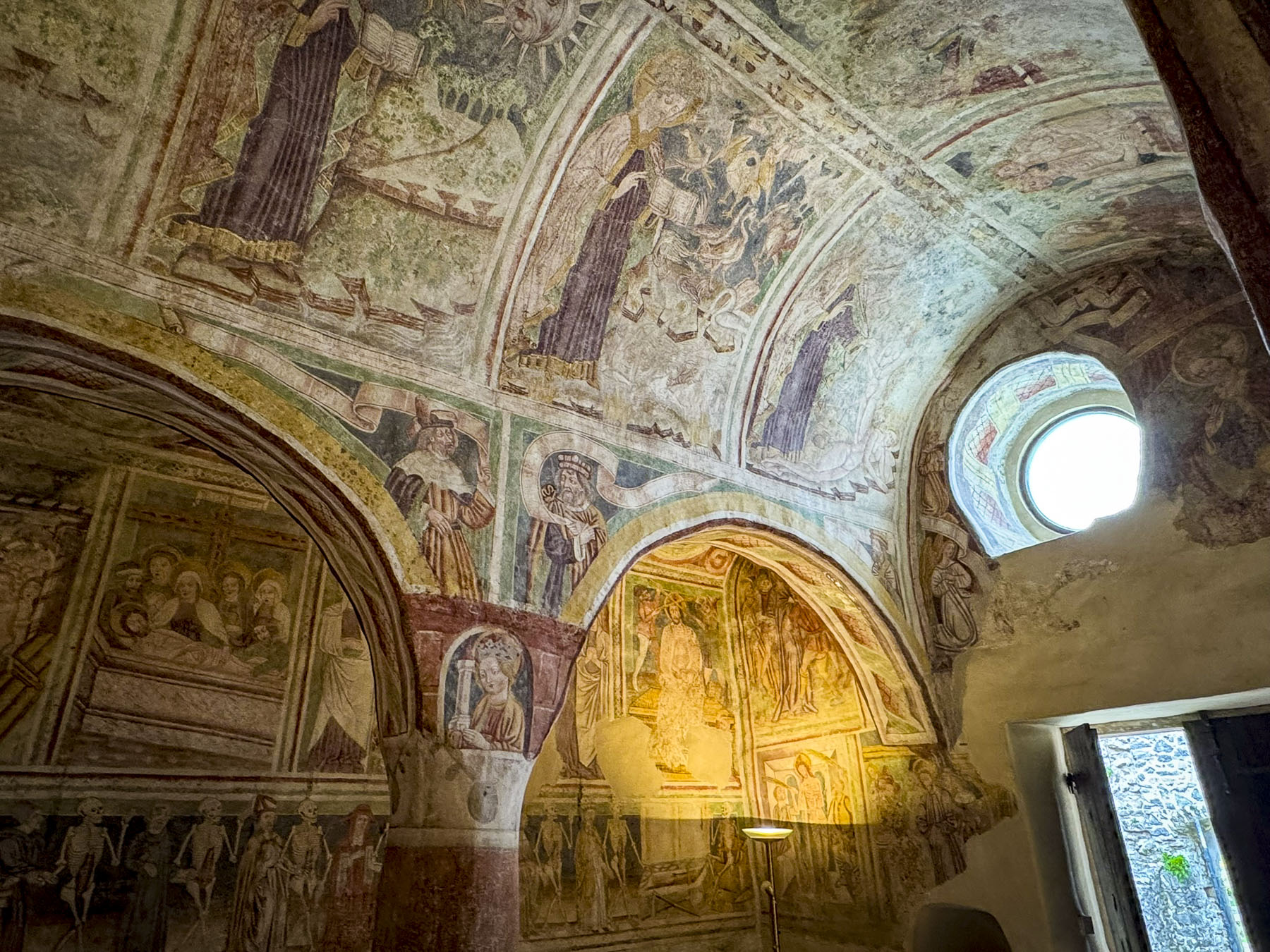
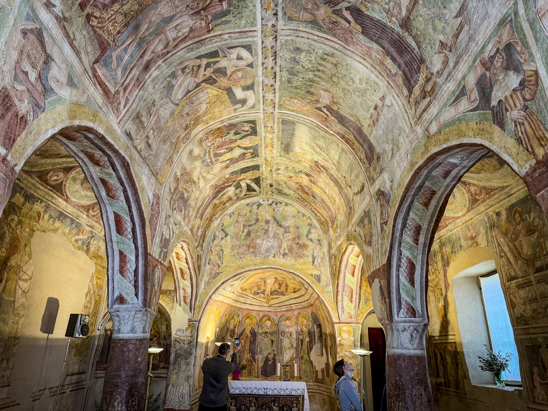
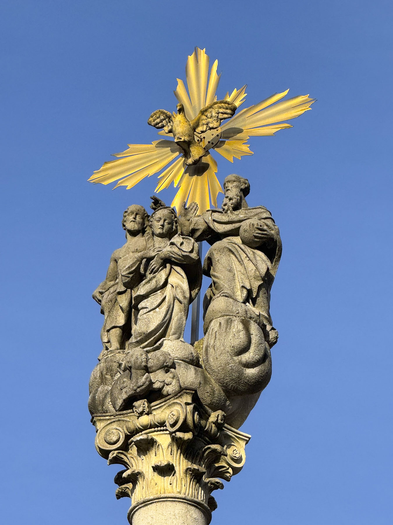
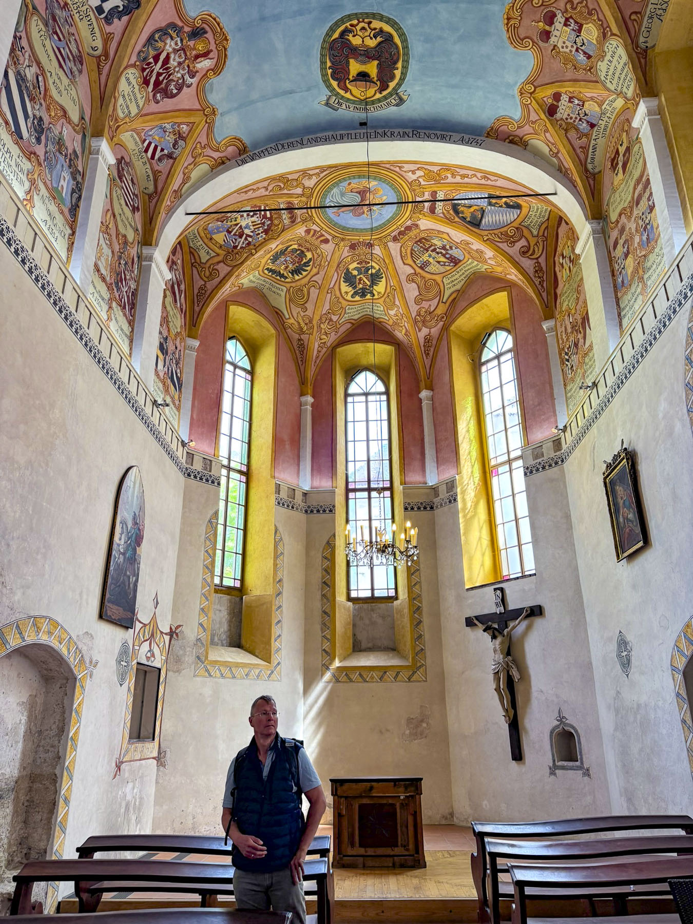
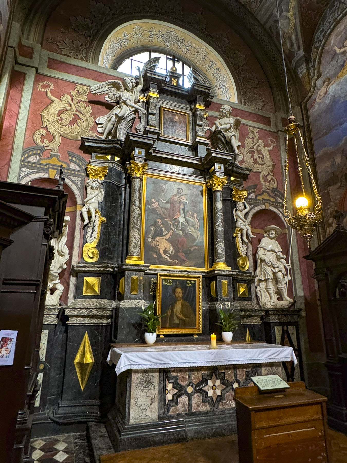
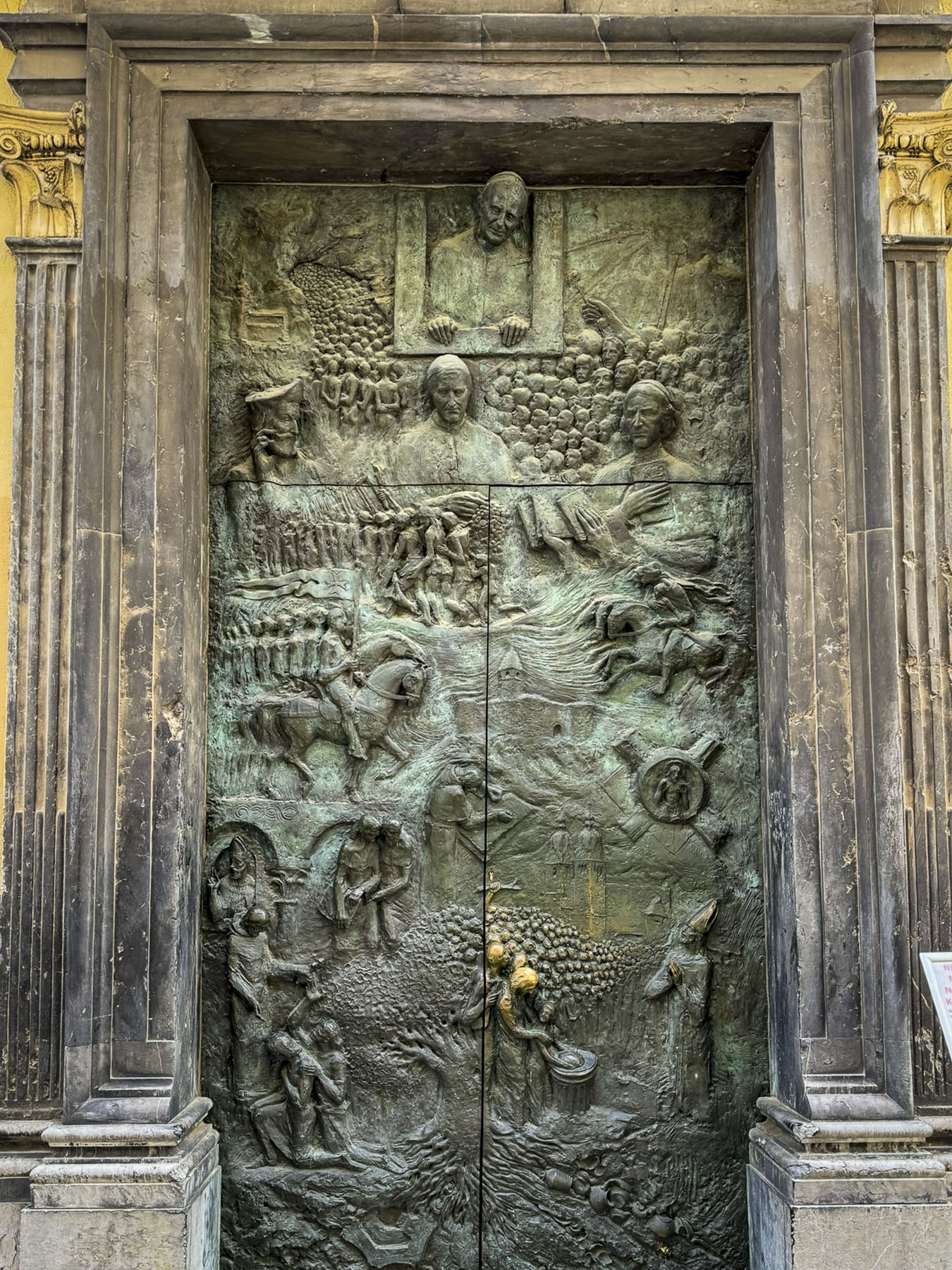
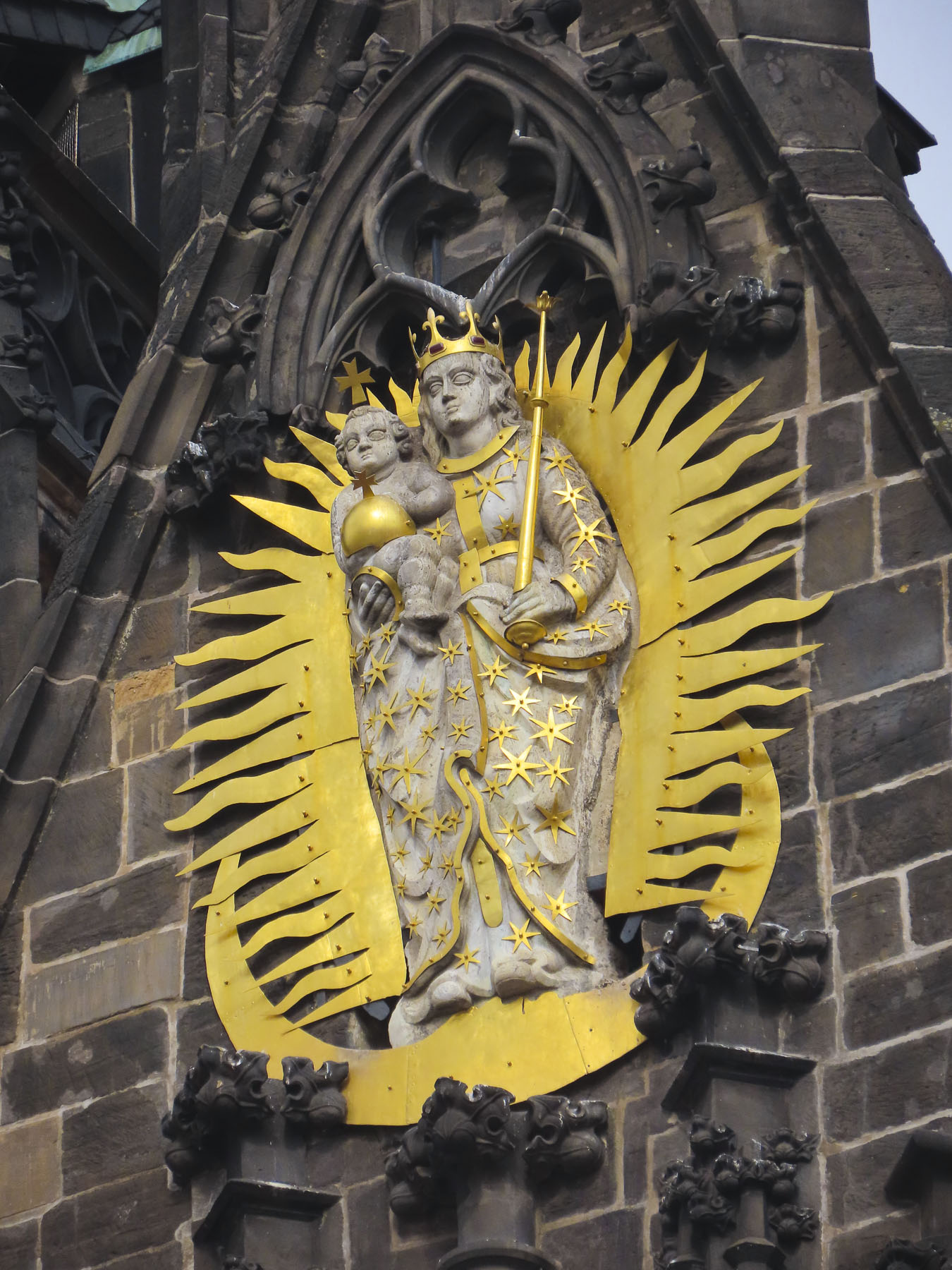
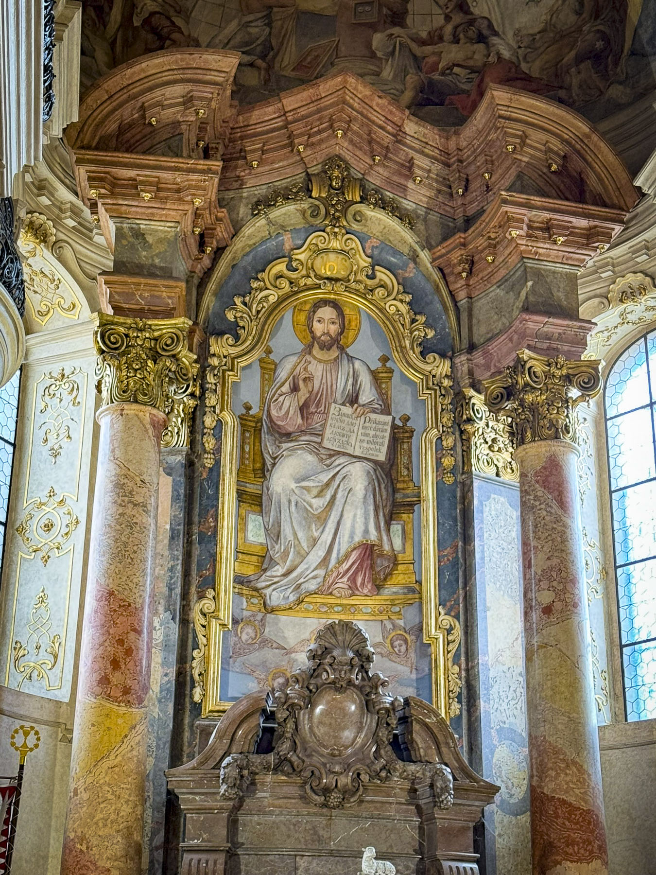
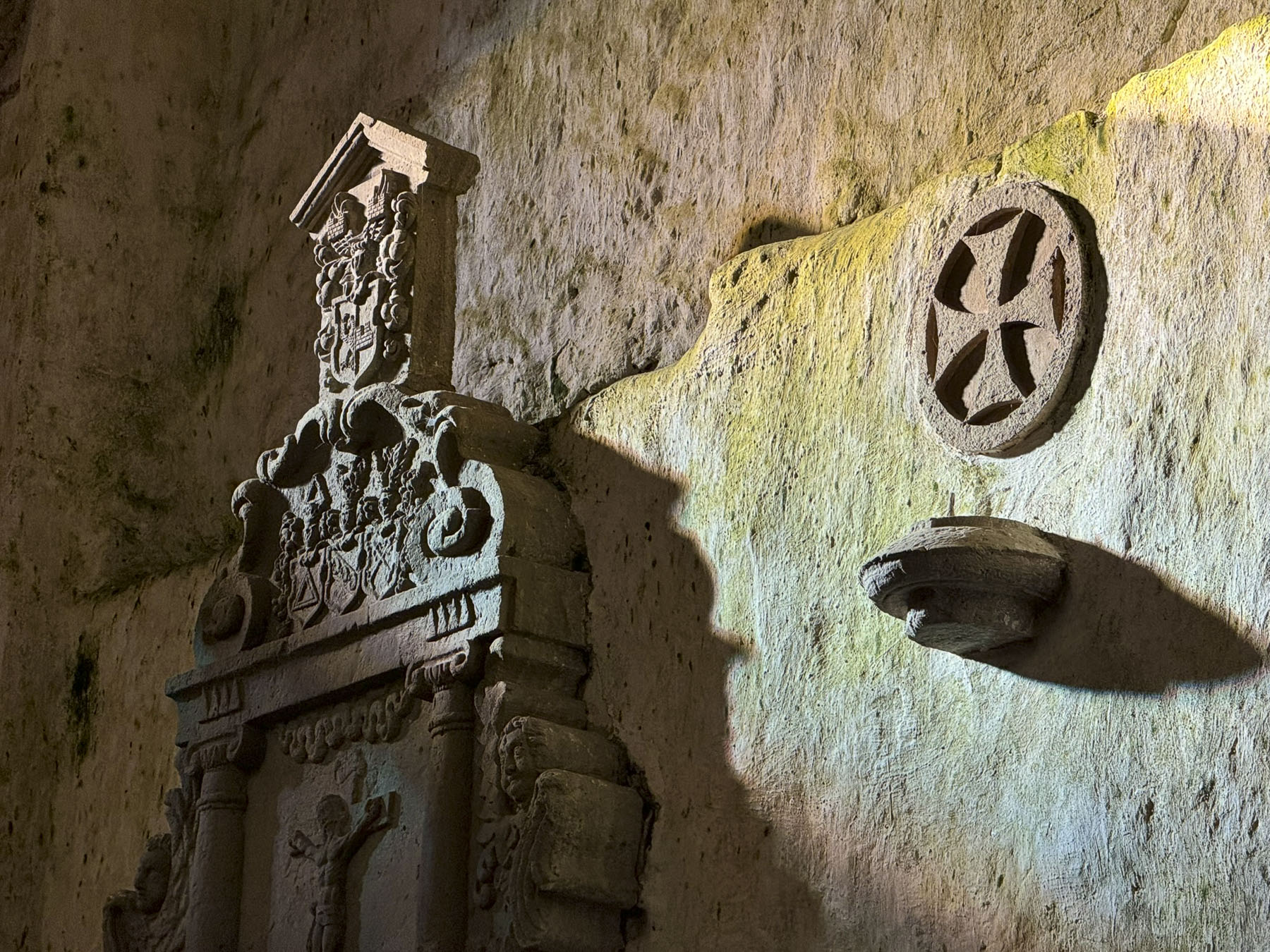
Within the gateway is an actively used shrine to the Virgin Mary. Legend believes the shrine’s painting was found miraculously untouched in the tower’s ashes after Zagreb’s Great Fire of 1731. The icon has become a symbol of the city’s resilience, and a popular spot for contemplation and candle lighting, surrounded by marble plaques hanging on the walls offering thanksgiving to Mary for answering folks’ prayers.

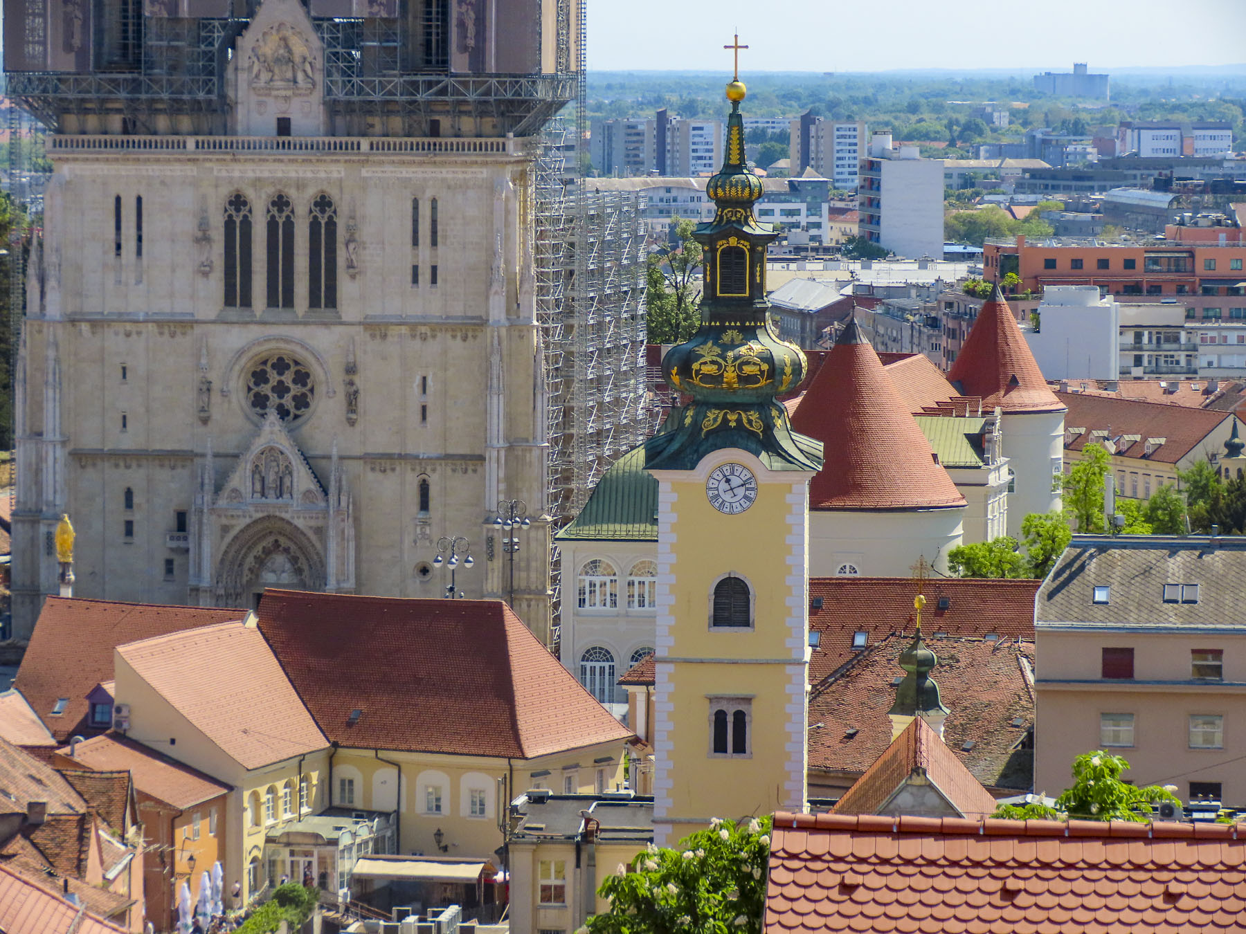
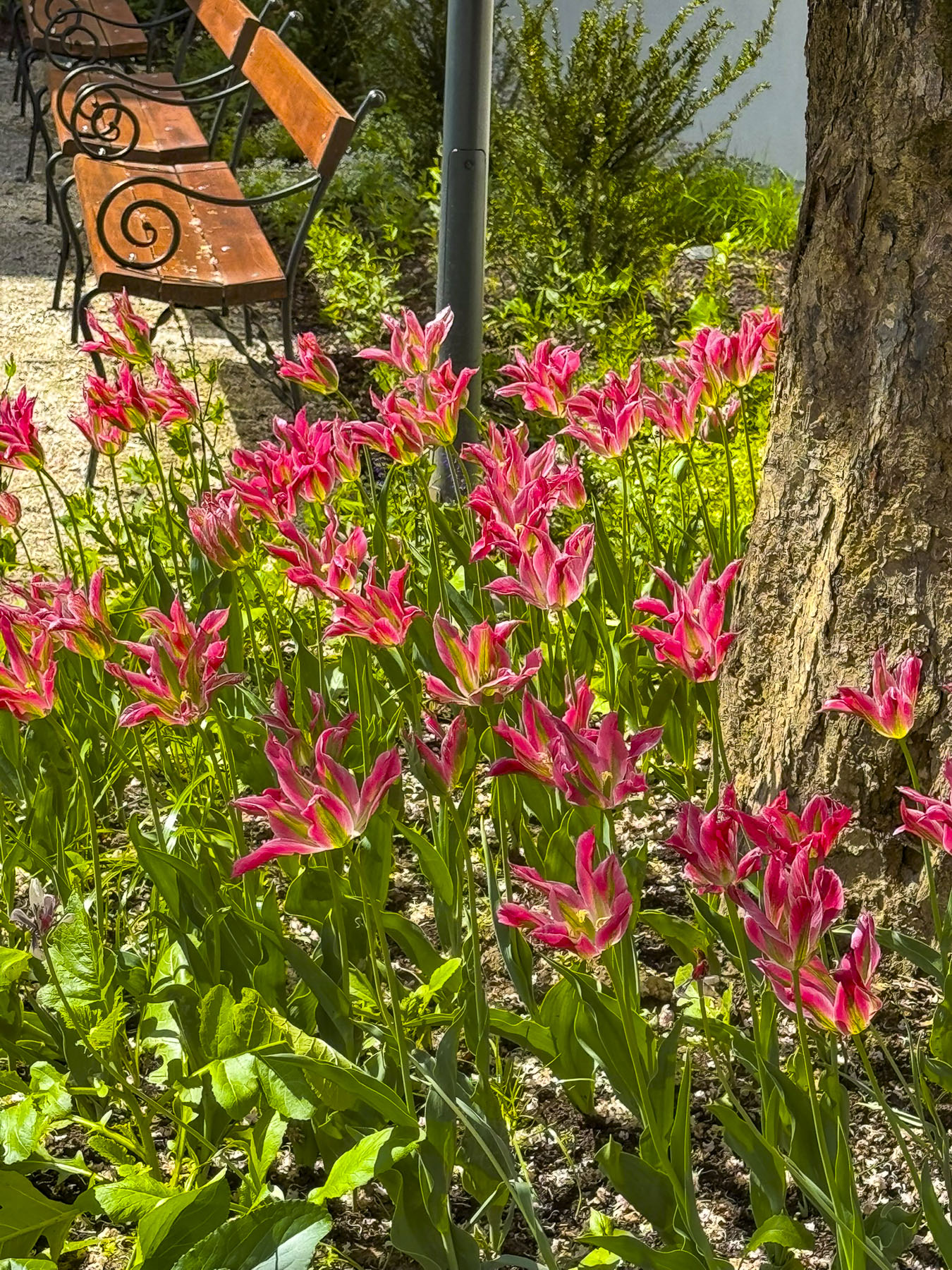
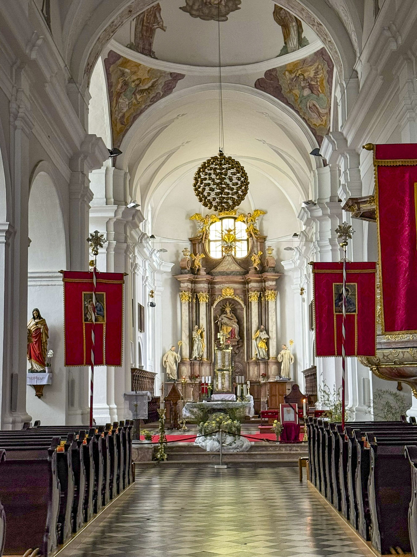
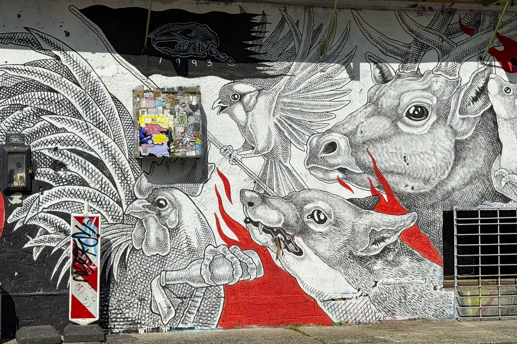
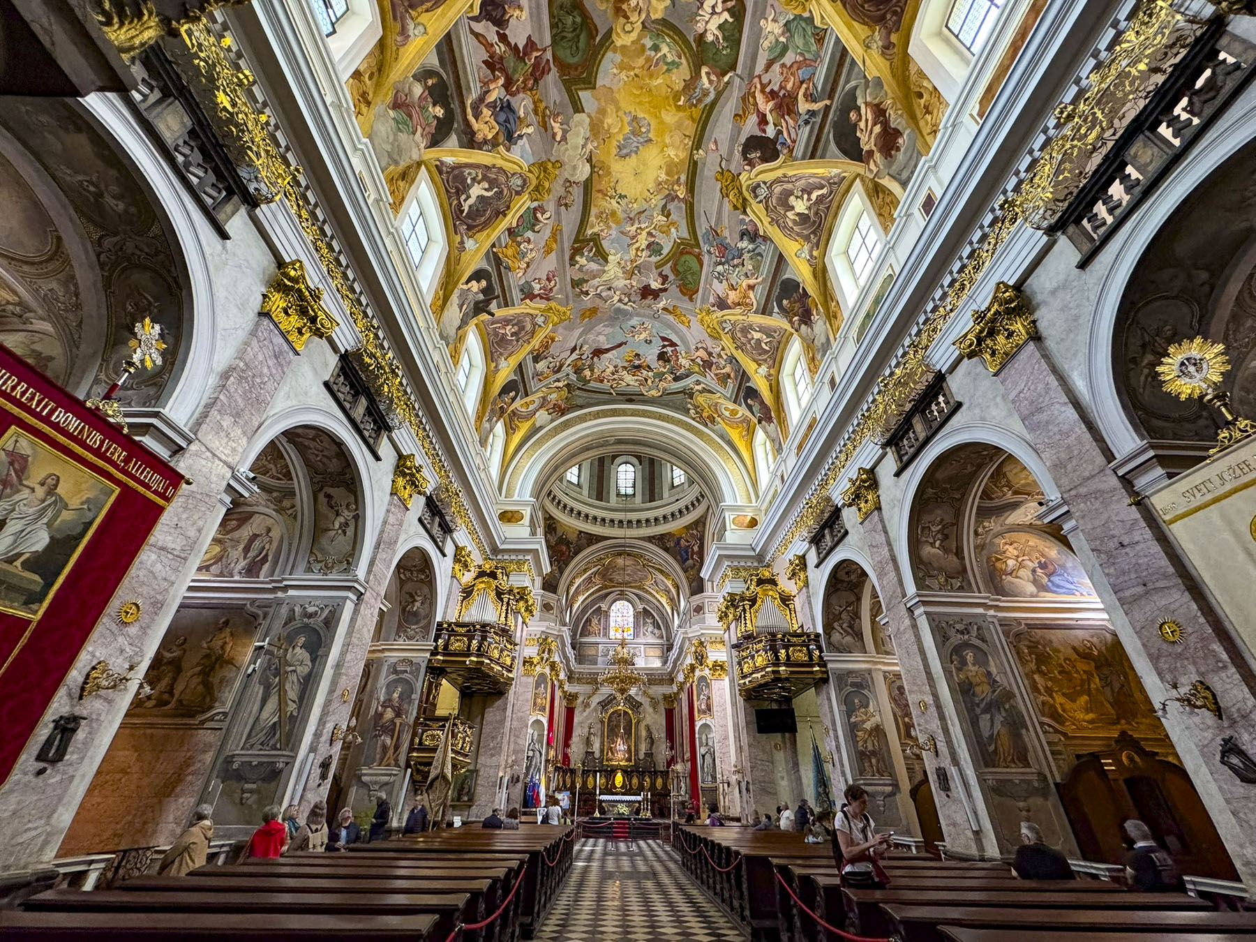
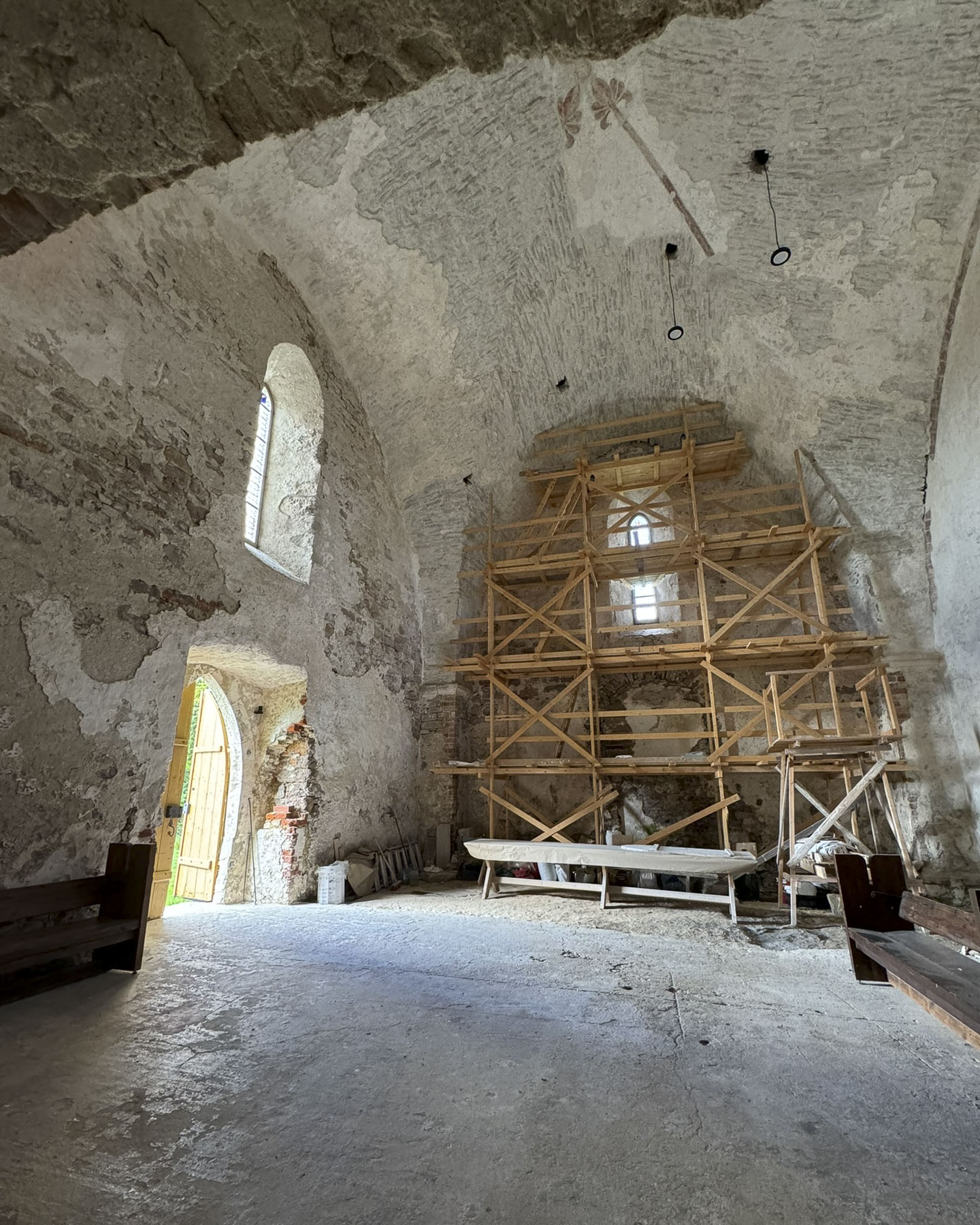
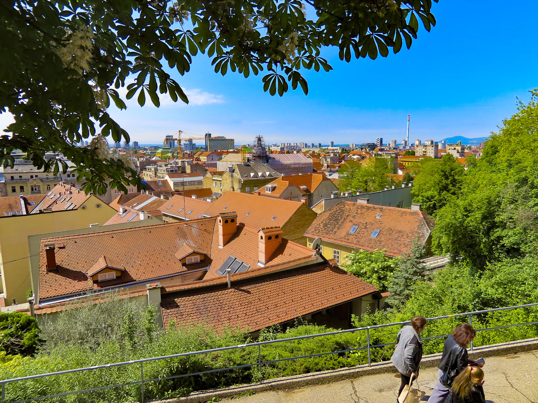
Through the gate we wondered along to Plato Gradec, a small plaza with murals and a view of 14th century Zagrebačka Katedrala, Cathedral of Zagreb, which was wrapped in construction scaffolding as it undergoes a multi-year renovation to repair structural damage it suffered during the 2020 5.5-magnitude earthquake that struck the region 140 years after an 1880 quake damaged it significantly. The first flowers of spring were blooming in a sheltered patch of sunlight.

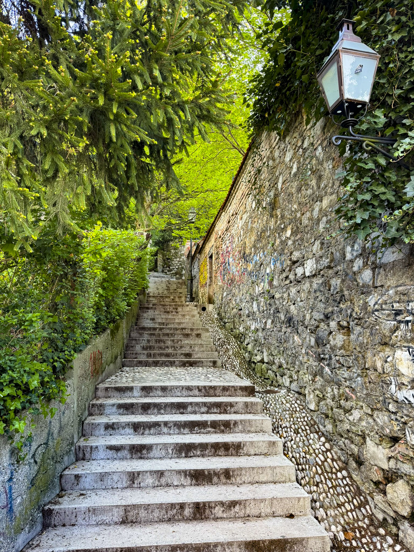
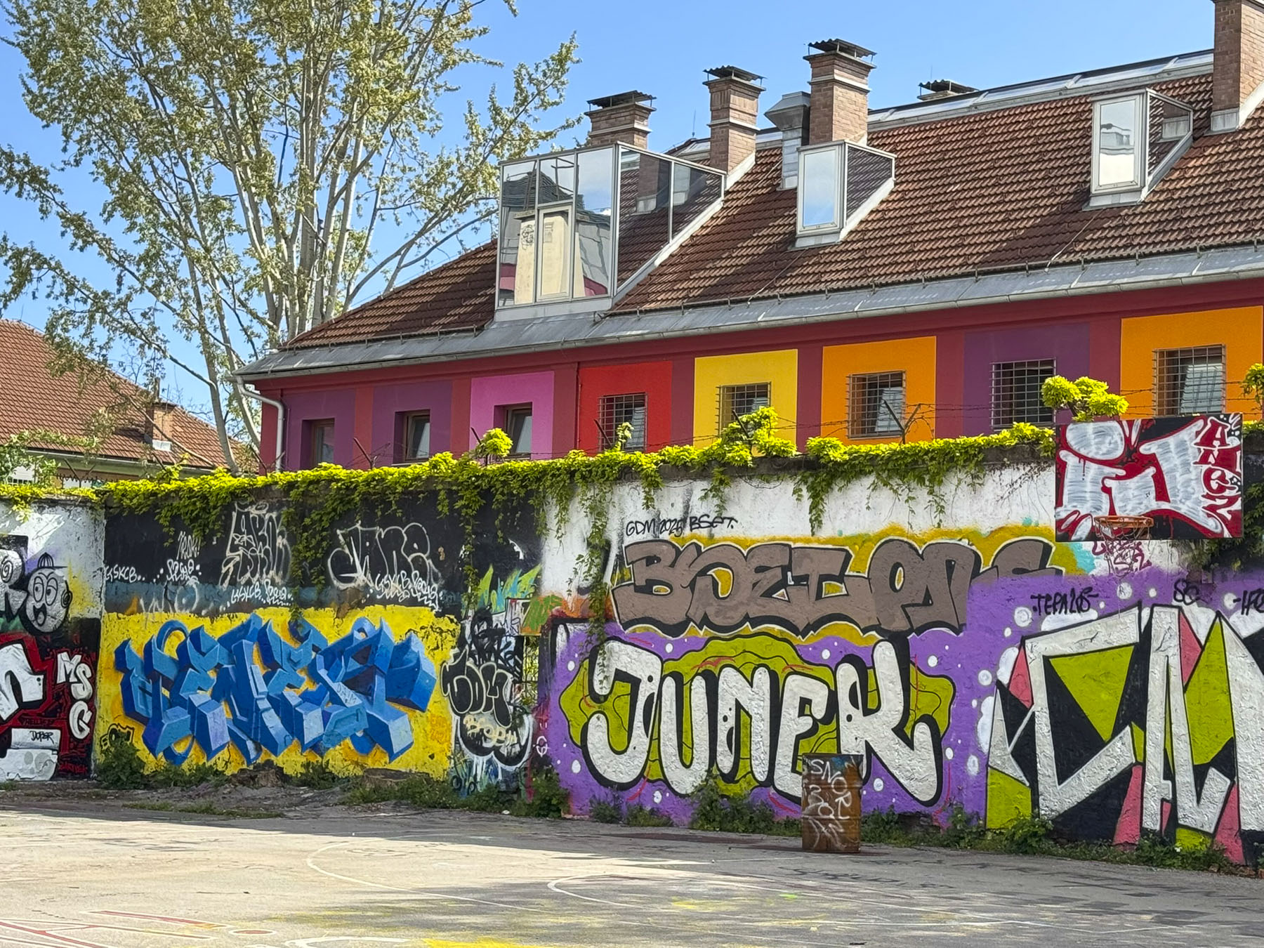
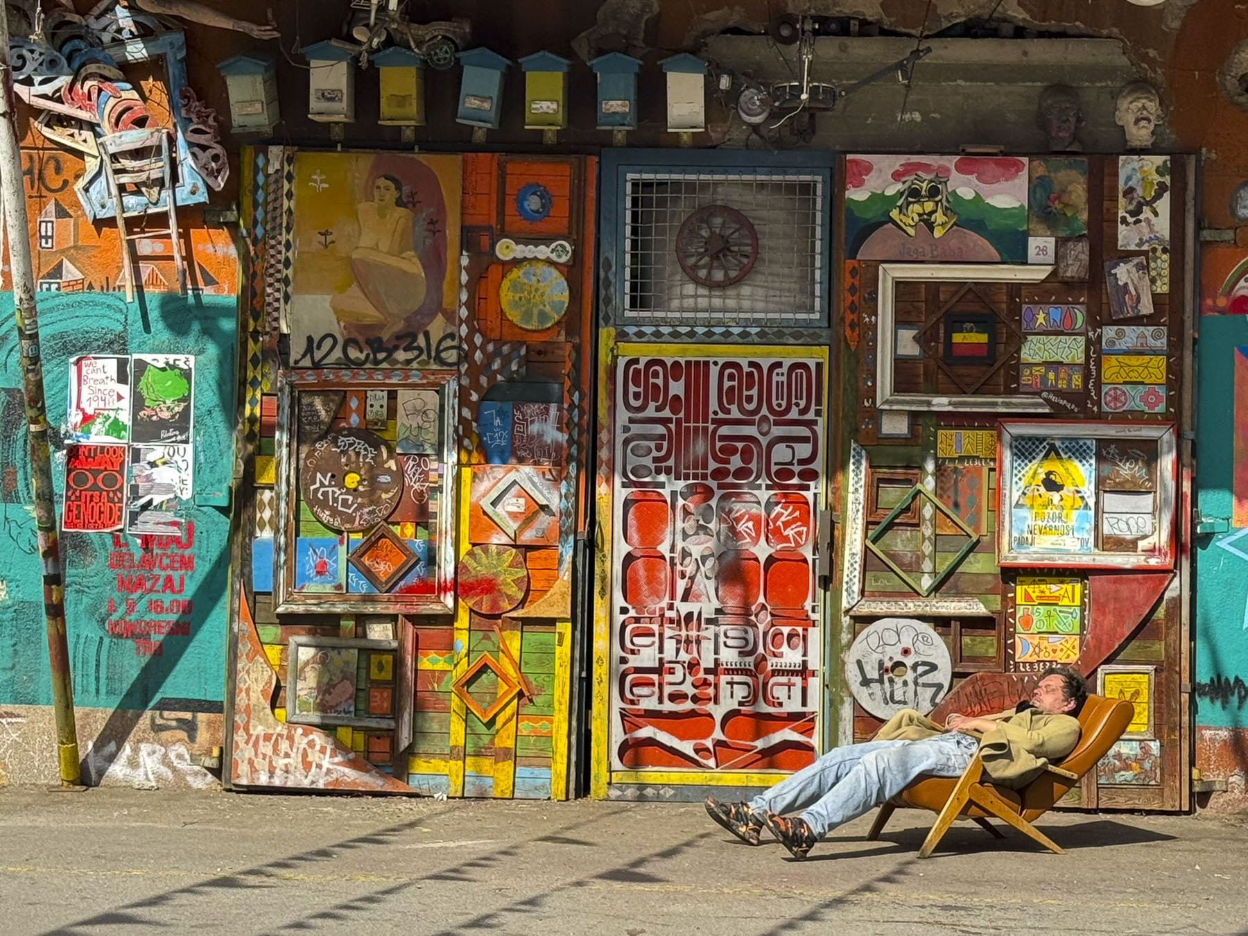
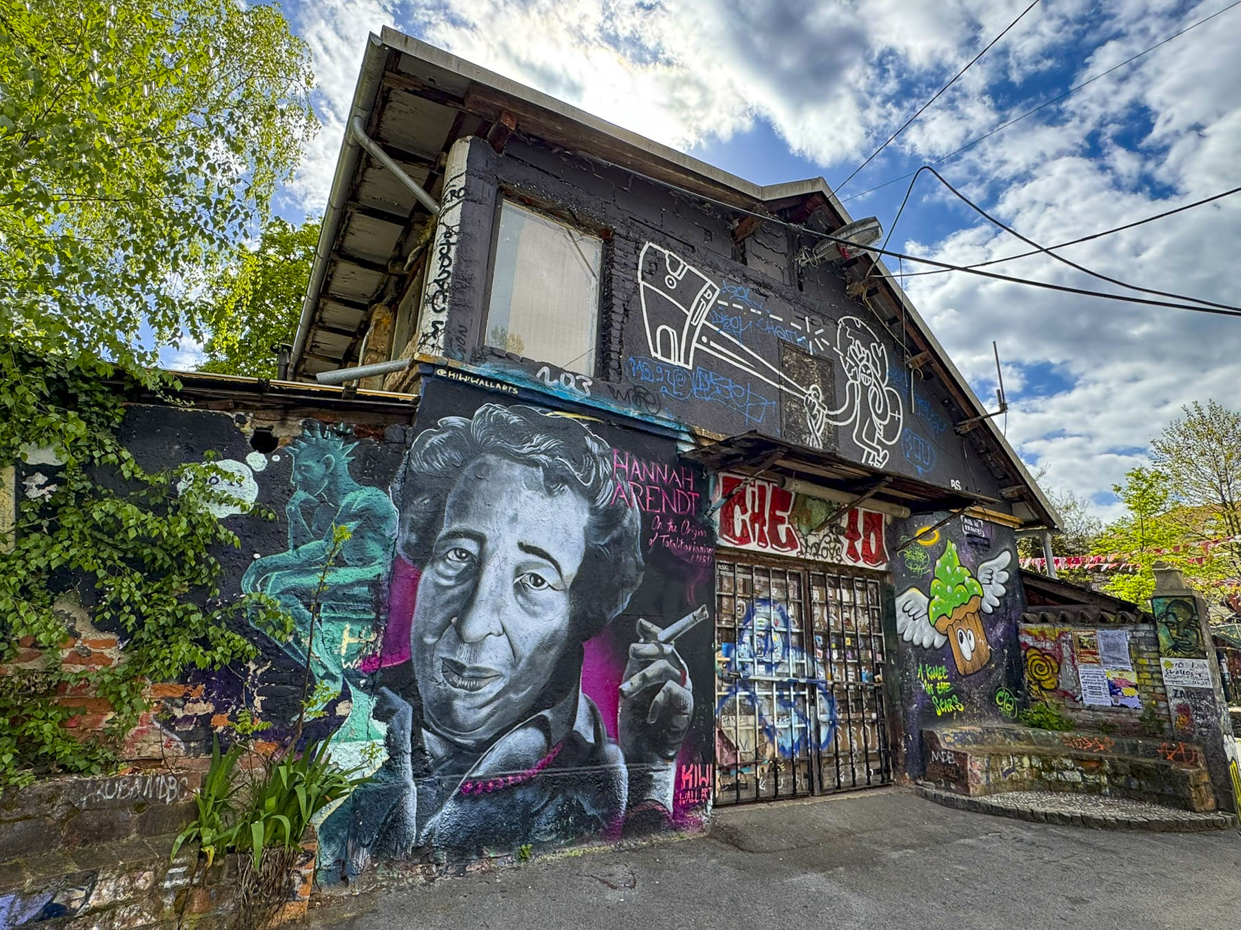
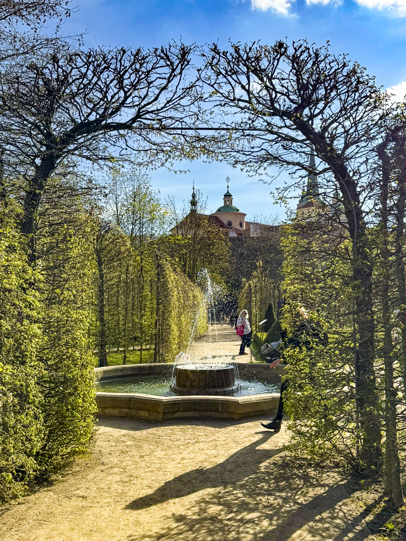
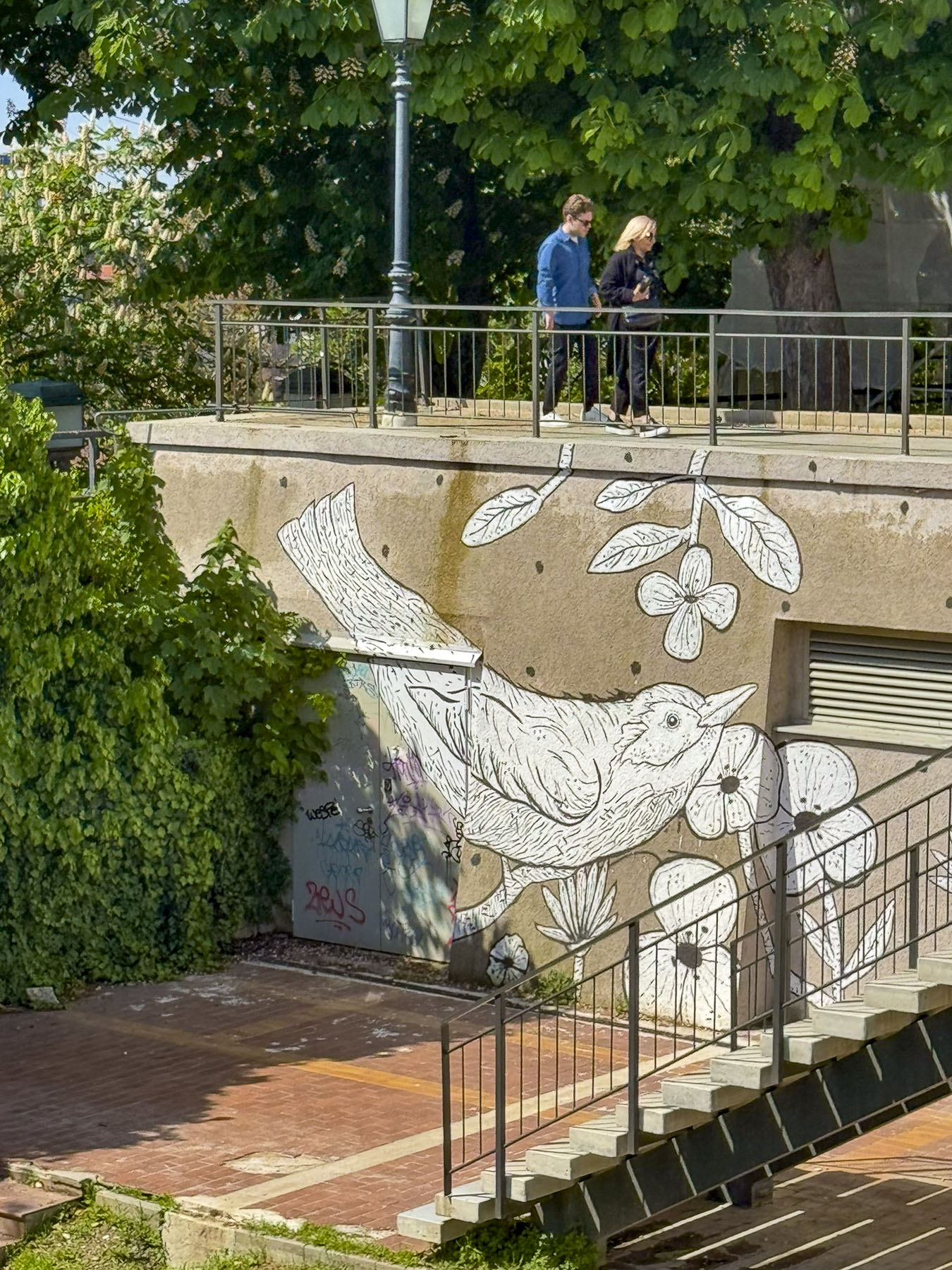
From here we walked to the Love Rails, a romantic spot that overlooks the Lower Town, and where couples symbolize their commitment to each other by attaching love locks. Lower on the hillside are the Zakmardi Steps, a colorful graffiti-lined narrow alley, that leads to Ul. Pavla Radića street or the funicular station. Instead, we chose to follow the tree shaded Strossmayer Promenade, a charming historic walkway, built with public donations, atop the foundations of the Upper Town’s old defensive ramparts in the mid19th-century. It is named for the influential Bishop Josip Juraj Strossmayer, who served the people of Croatia for 55 years, and was admired for “the unwavering loyalty and affection he demonstrated for his people despite encountering significant opposition from both the Pope and the Austrian Emperor.”

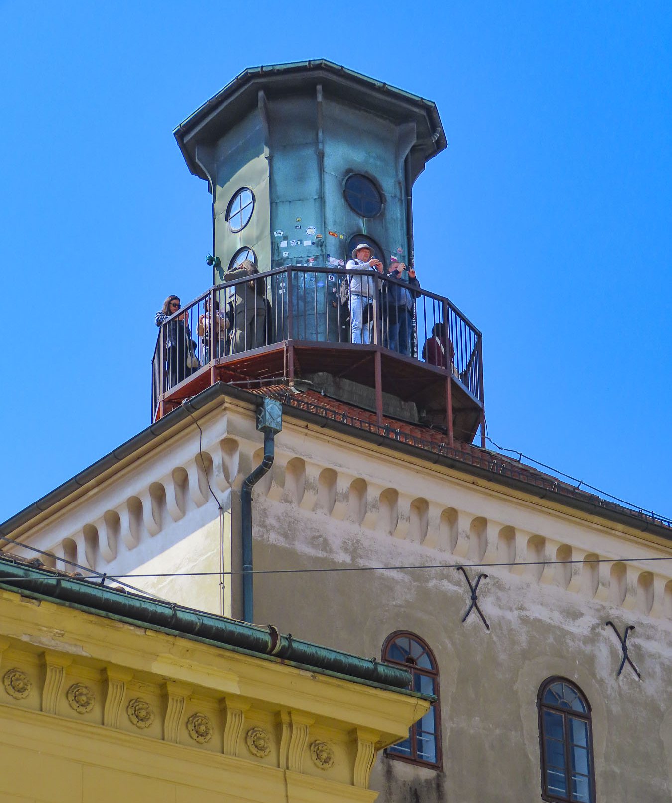
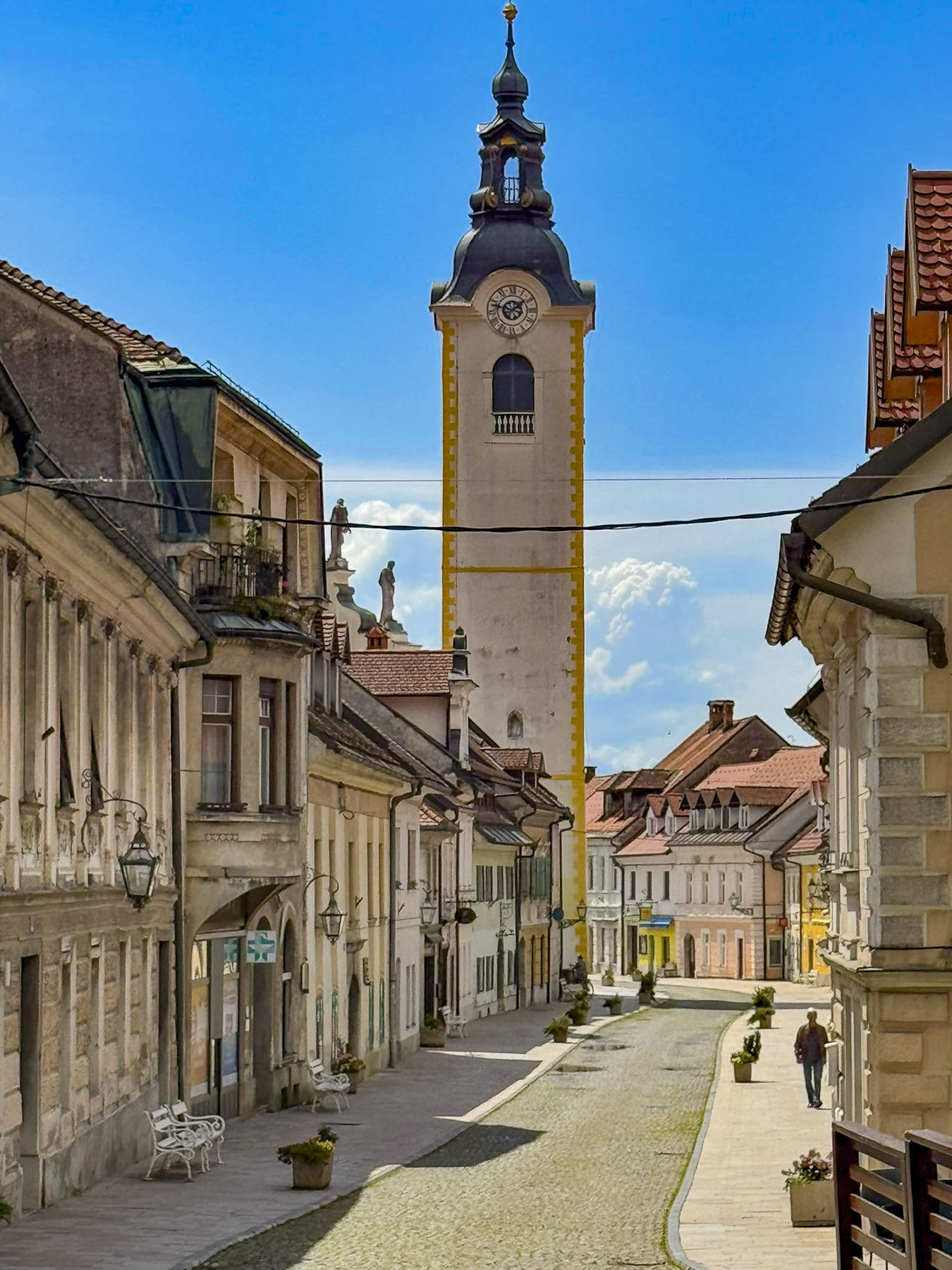
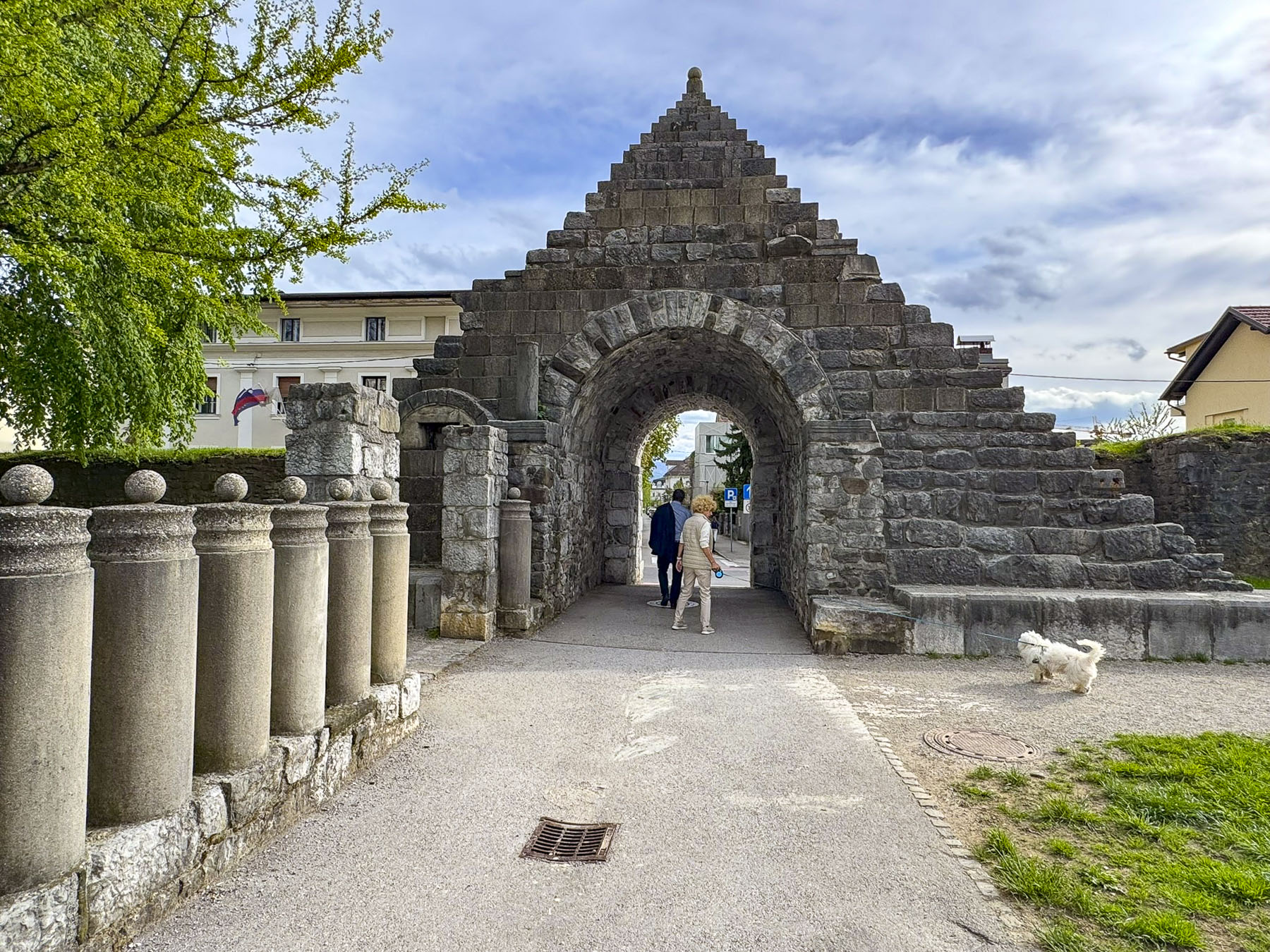
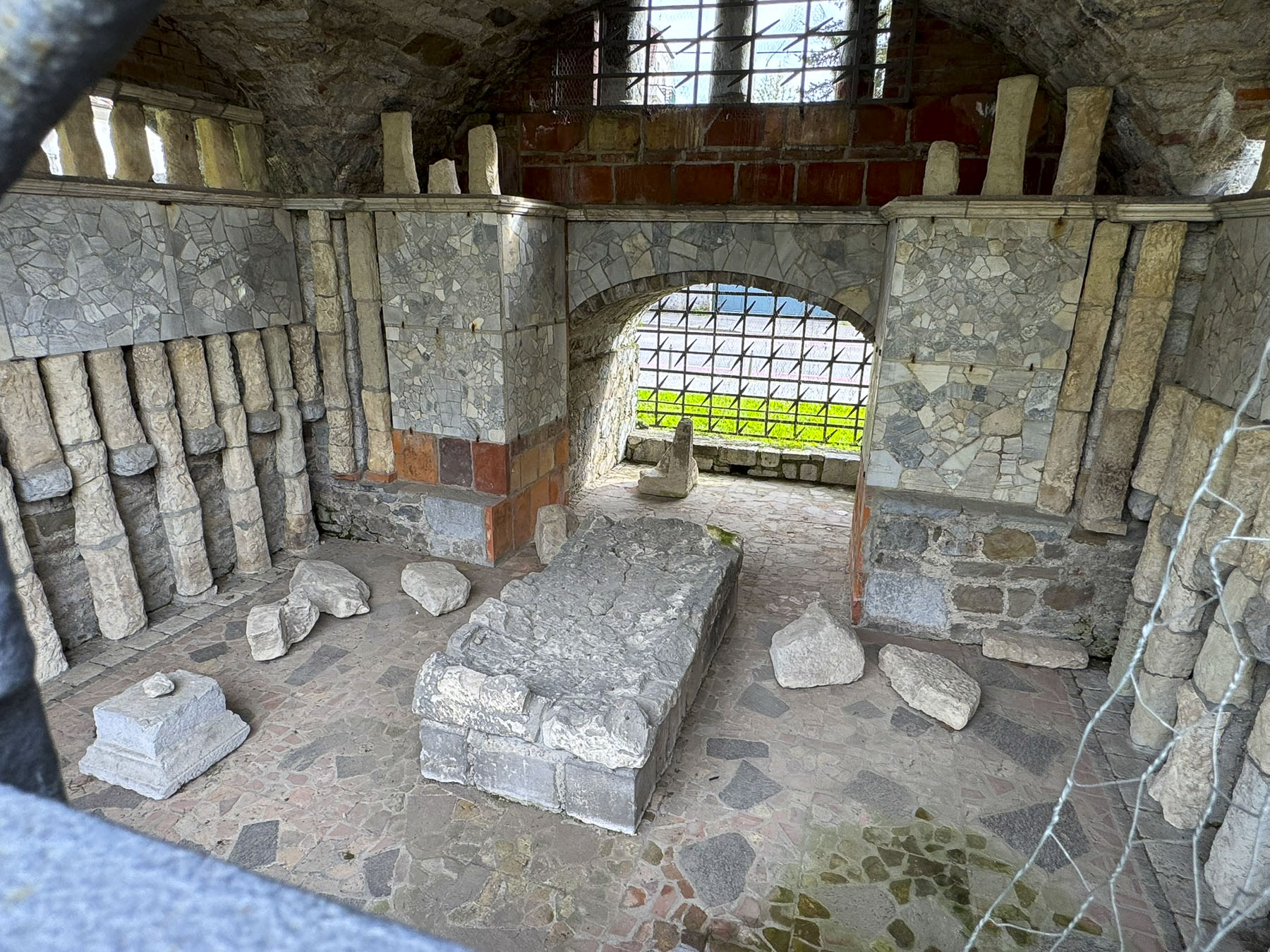
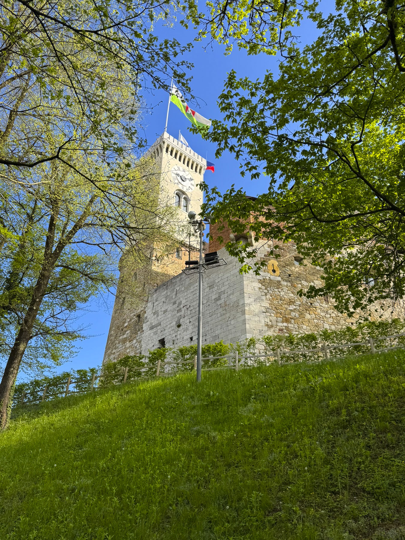
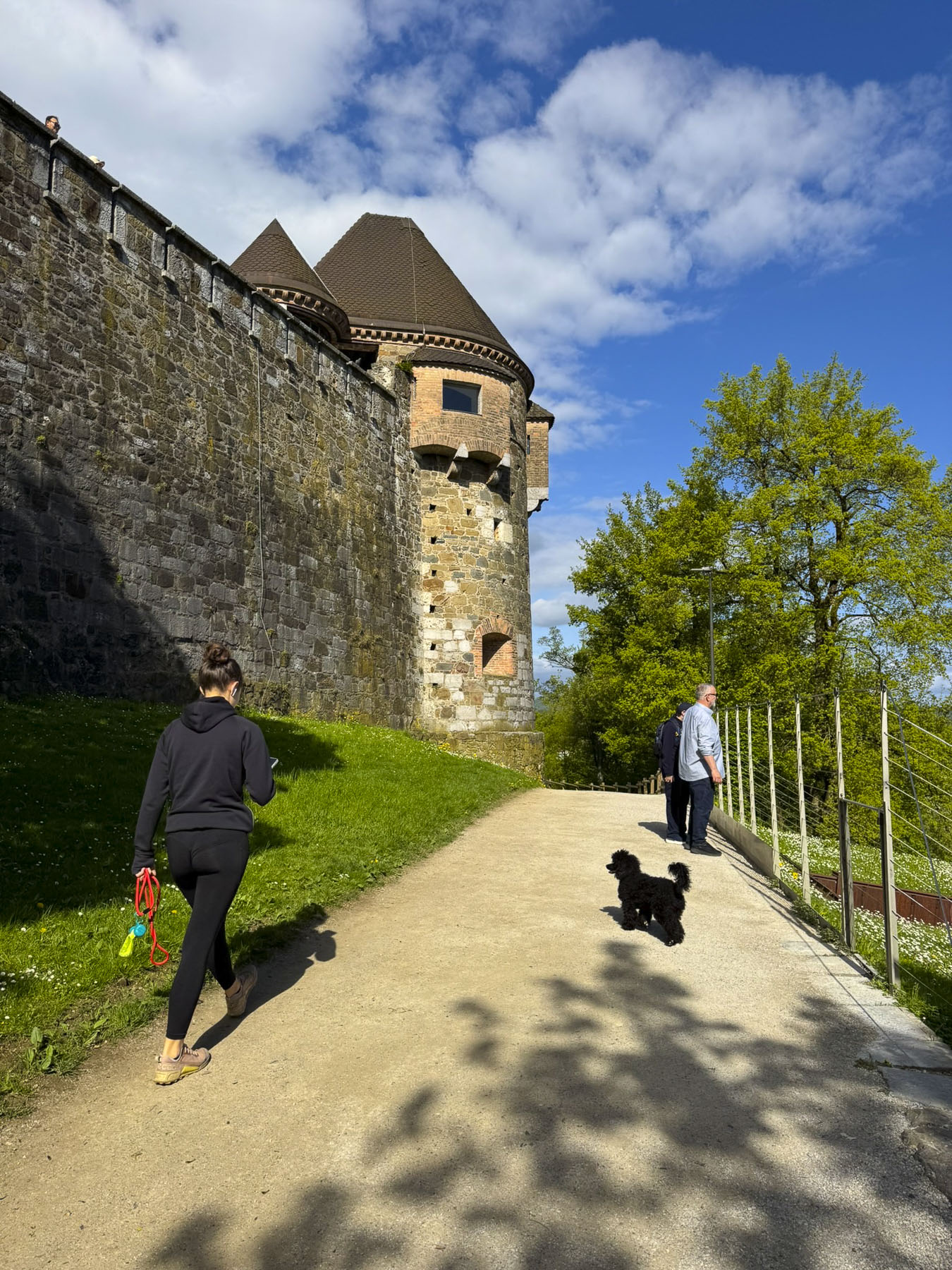
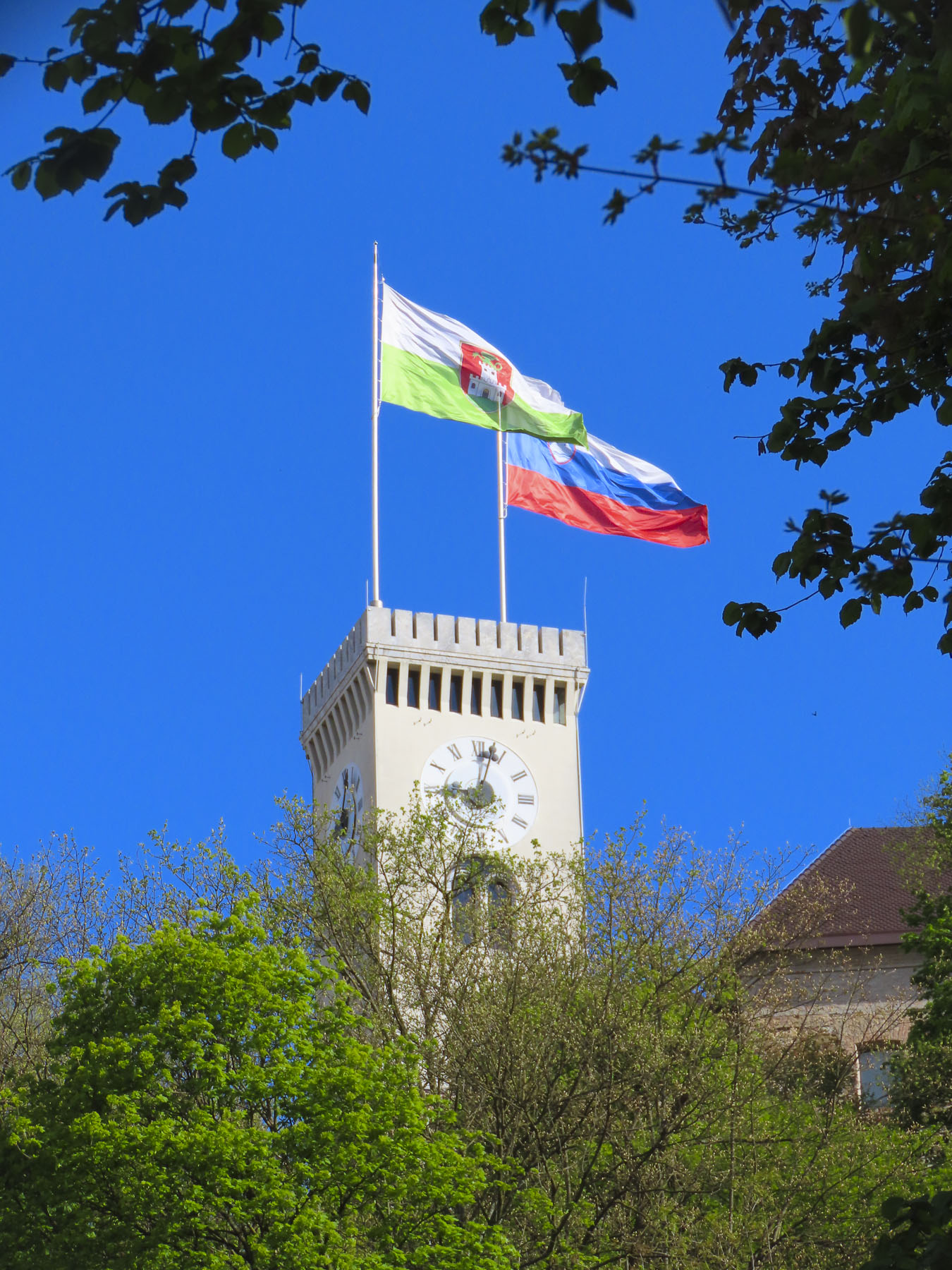
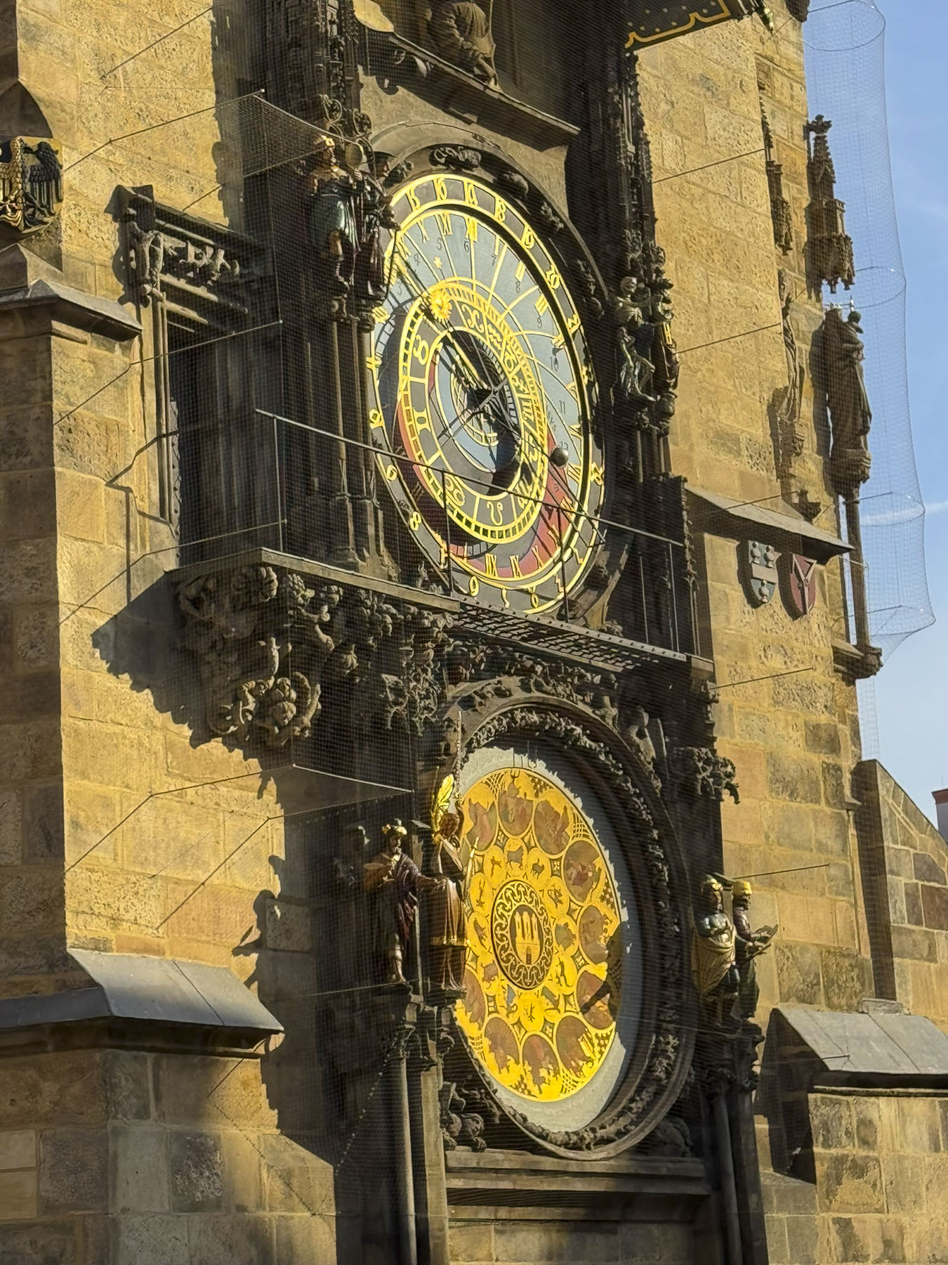
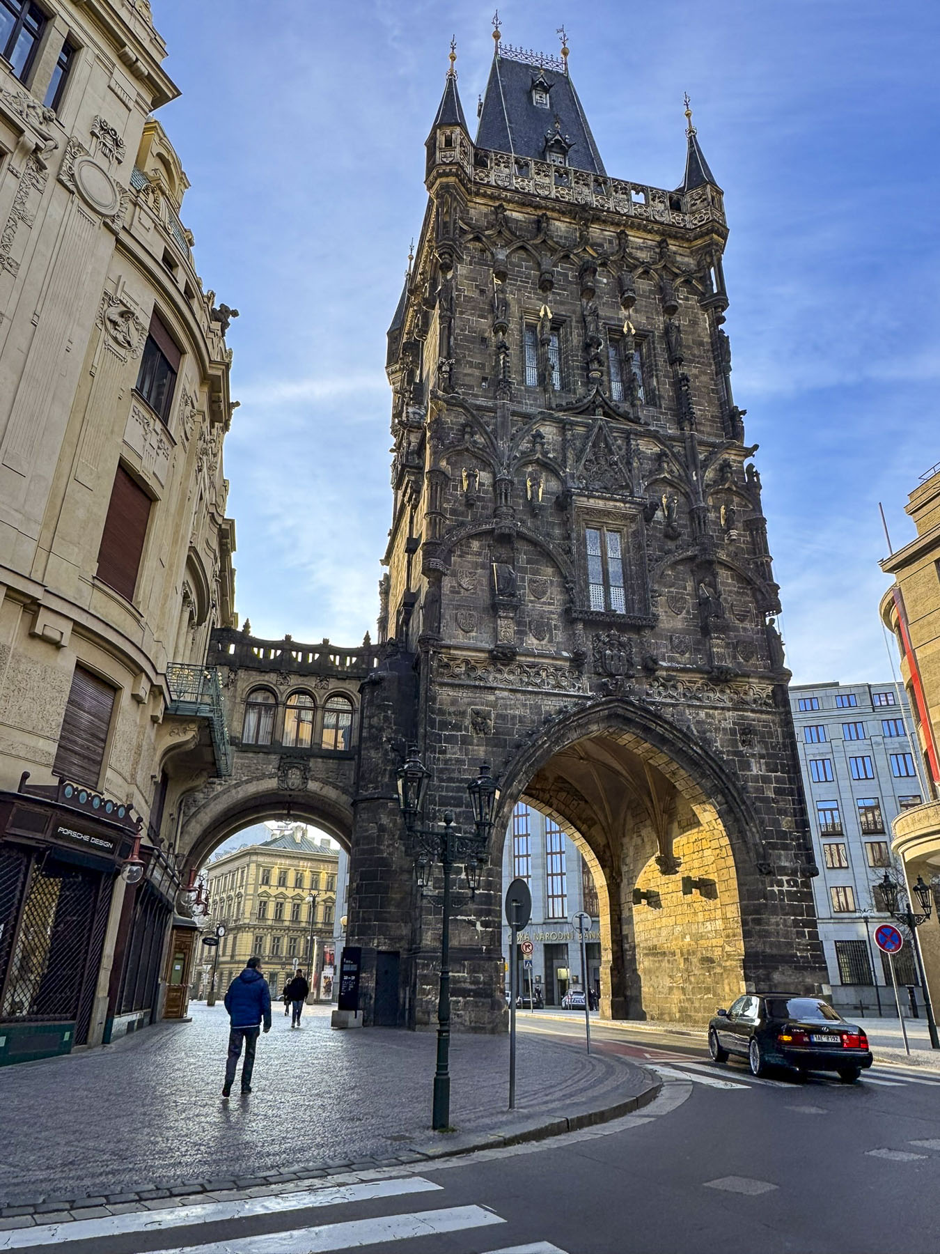
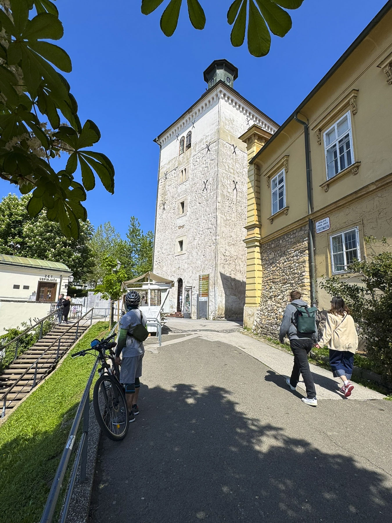
Nearby was Lotrščak Tower, as old as the Stone Gate; it gets its name from its medieval “thieves’ bell,” which rang every night to announce its closing until sunrise the next day. The tower was spared during the demolition of the citadel’s ramparts in the 18th and 19th centuries, as the town expanded. Originally shorter, additional floors were added to the tower in the late 1800s. In 1877, the Grič Cannon, a signal cannon, was fired from the tower for the first time to mark high noon. The city’s bellringers synchronized with the cannon in order to ring the church chimes at the proper moment later in the day. It’s a long-standing tradition that still continues.

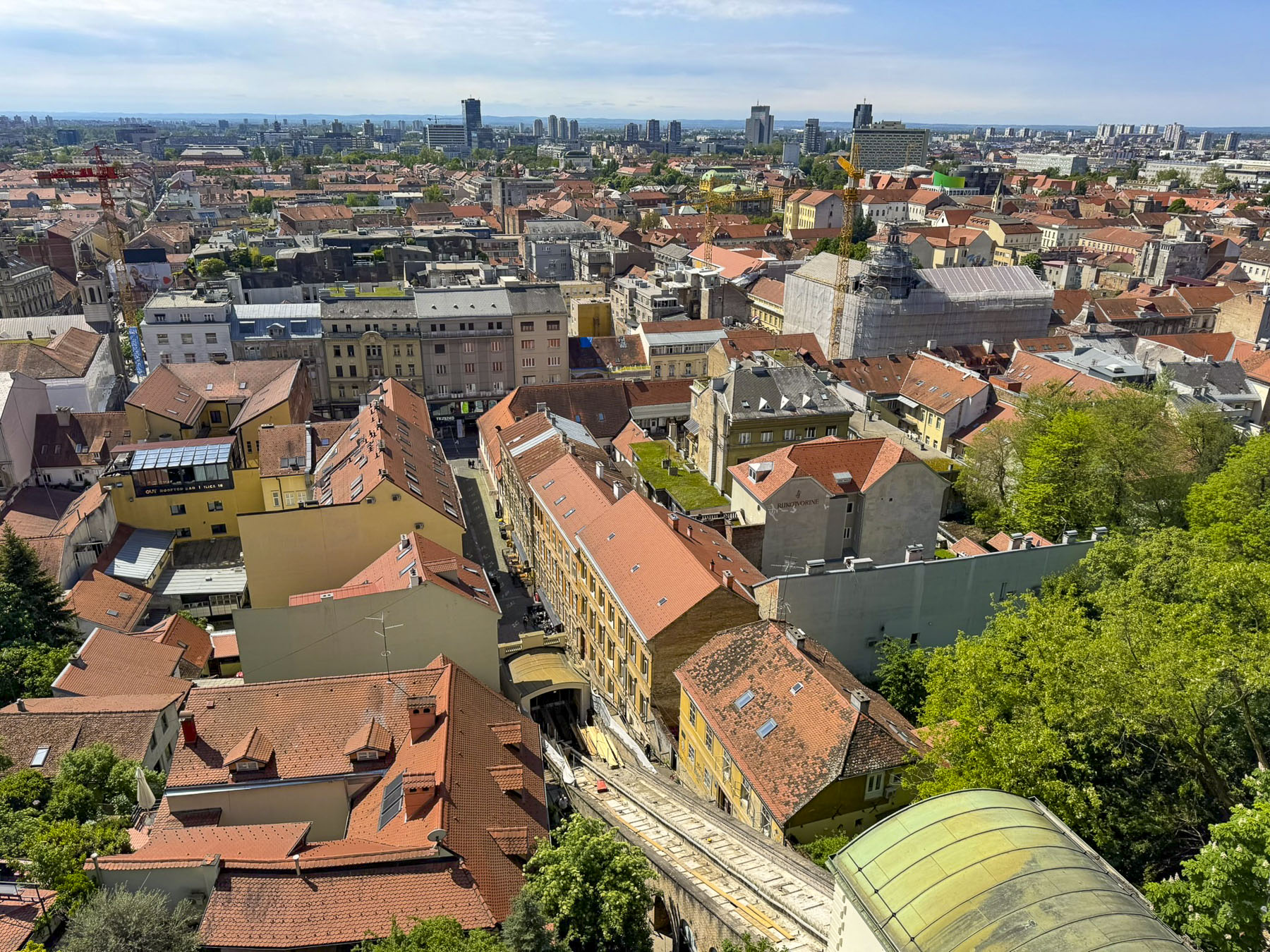
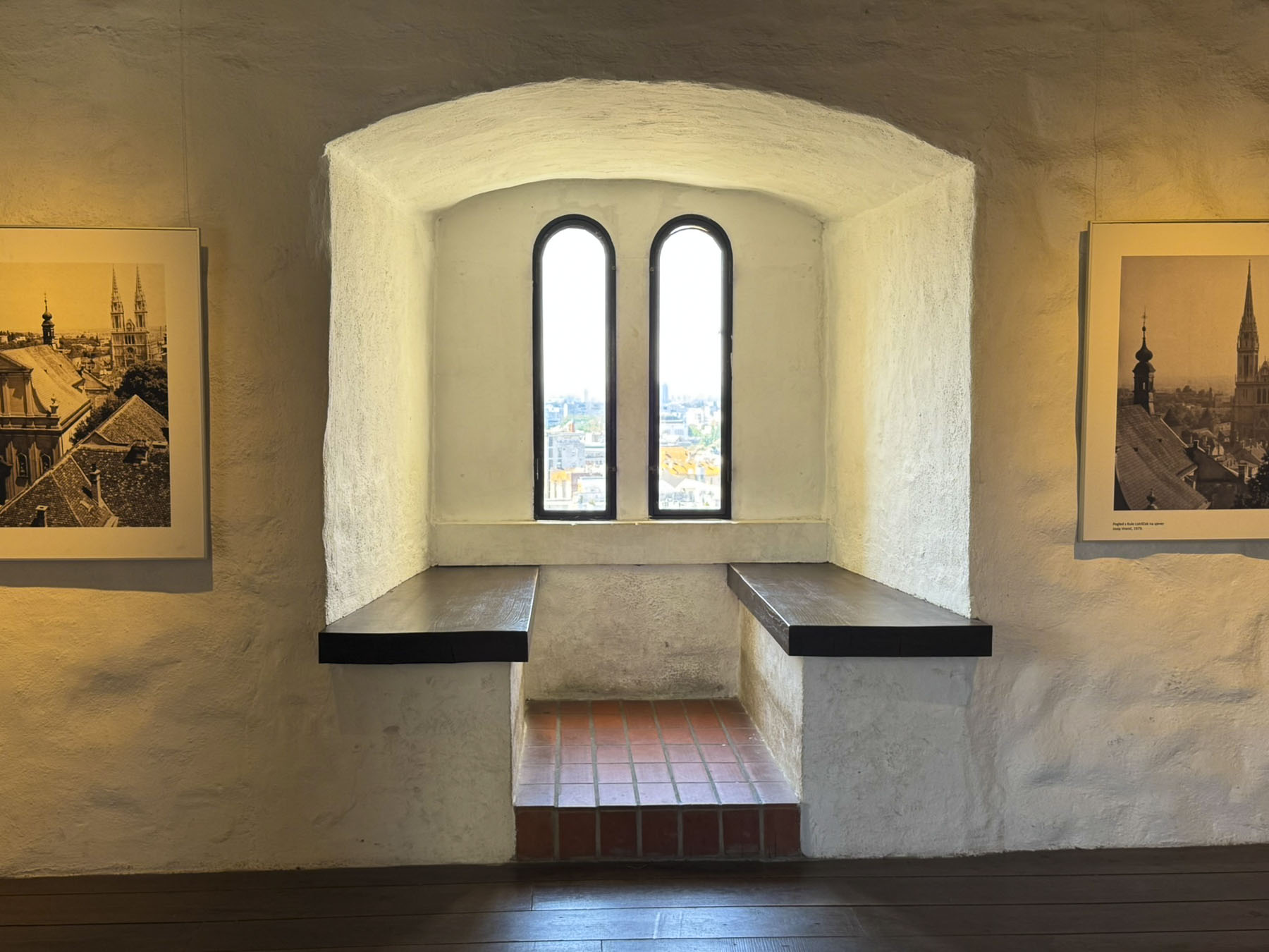
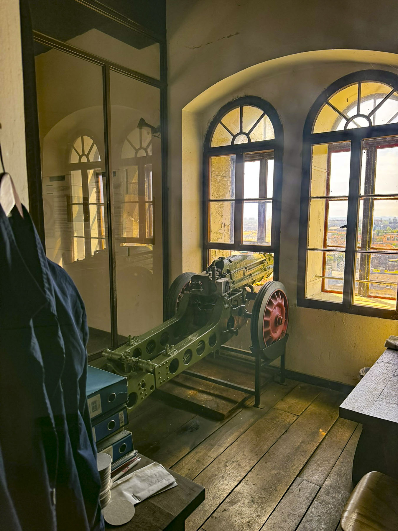
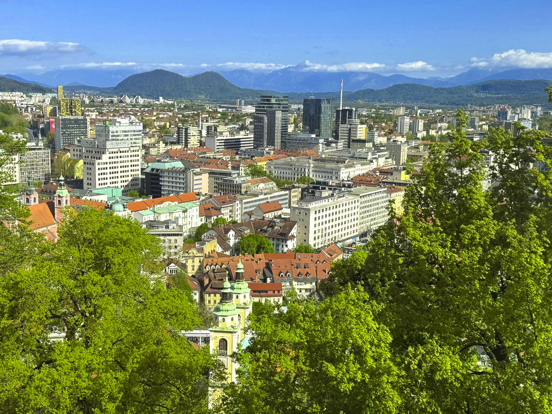
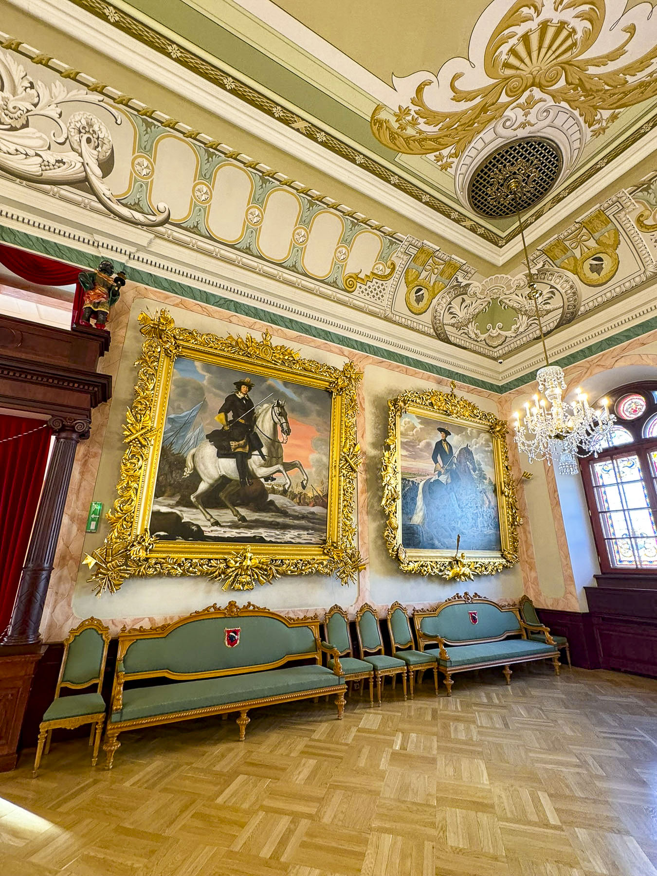
The climb to the top started across from an exterior residential staircase, artfully lined with colored pots, before entering the third and fourth floors which showcase historical photographs of the city, hung on the tower’s nearly 1.2m (4ft) thick walls and the Grič Cannon. If you are scared of heights, windows on these levels offer safe vantage points for views over the city instead of continuing the climb up the old spiral staircase to the polygonal shaped fire observation tower and its catwalk. The catwalk was quite jammed when we visited, but the panoramic views over old Zagreb and its modern skyline dotted with construction cranes were fantastic.

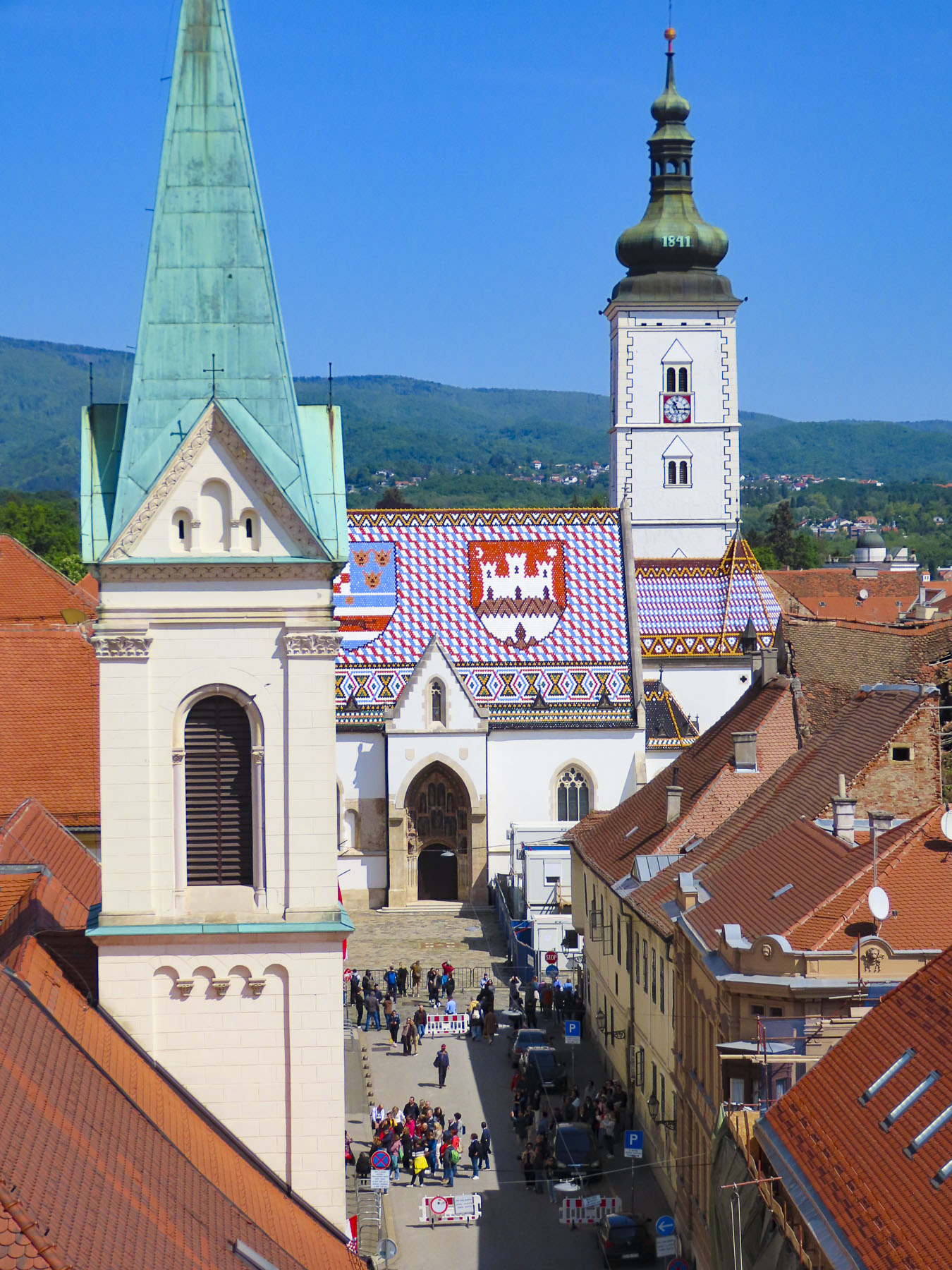
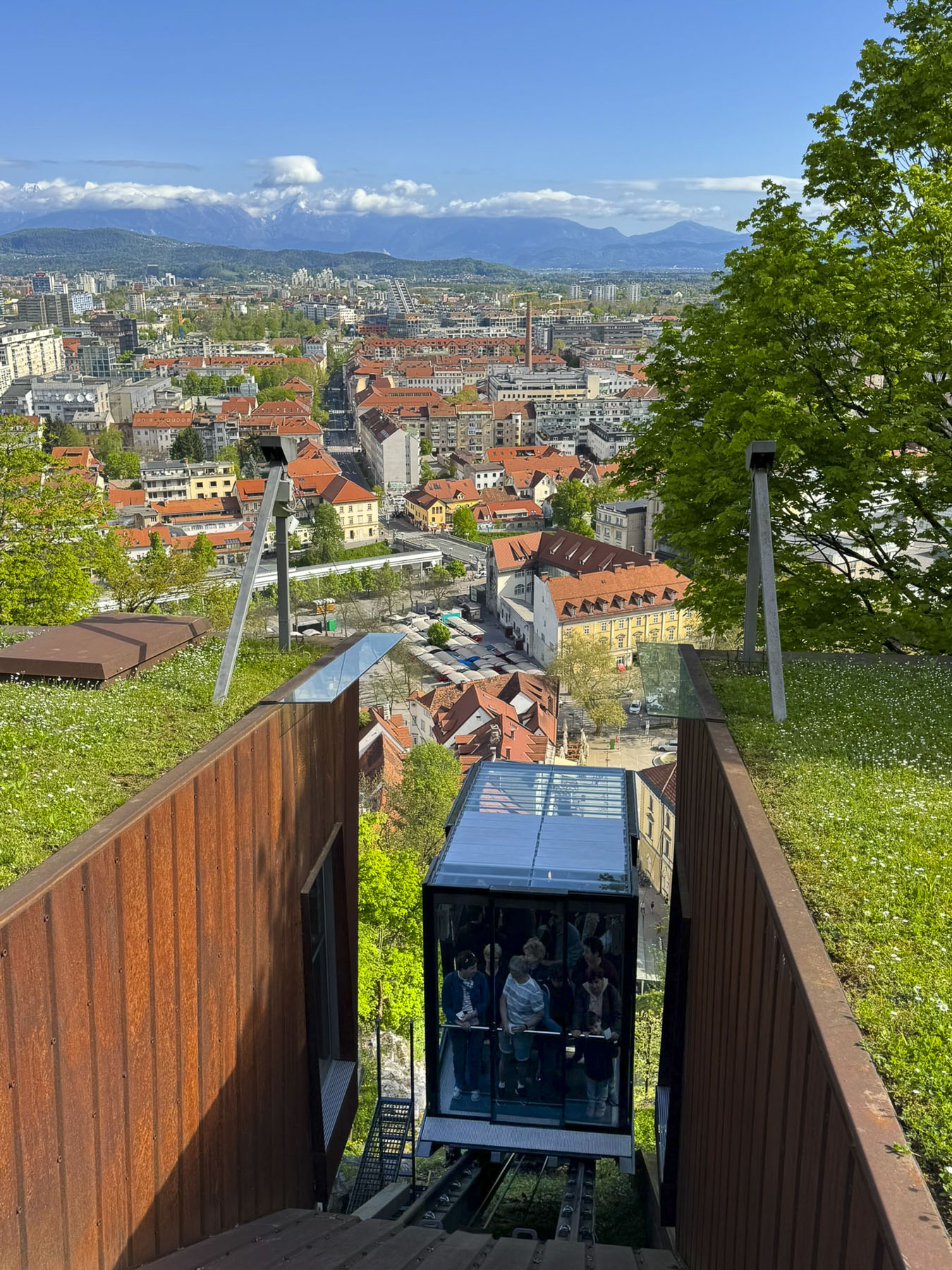
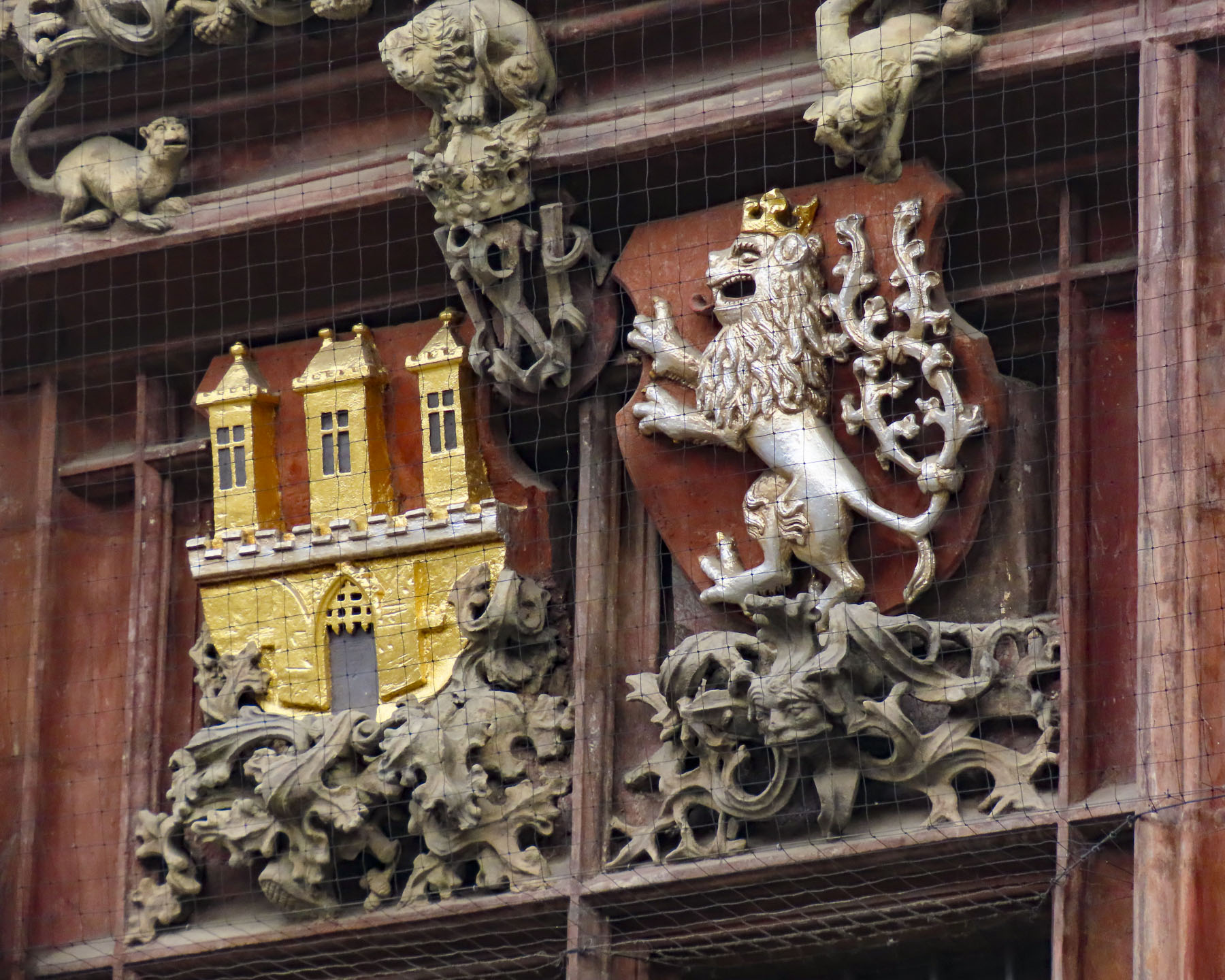
It’s from here that the iconic photos of St. Mark’s Church’s tiled roof are taken, with the medieval coat of arms of the Triune Kingdom of Croatia, Dalmatia, and Slavonia and the City of Zagreb. Though the Gothic styled church dates from the 13th-century, it did not get its colorful tile roof until a major renovation in the 1880s. We had hoped to photograph Zagreb’s funicular, the world’s shortest public funicular, connecting the Lower and Upper Towns in a quick 64-second, 66m (217ft) ride, that has been operating since 1890, but it was undergoing repairs.

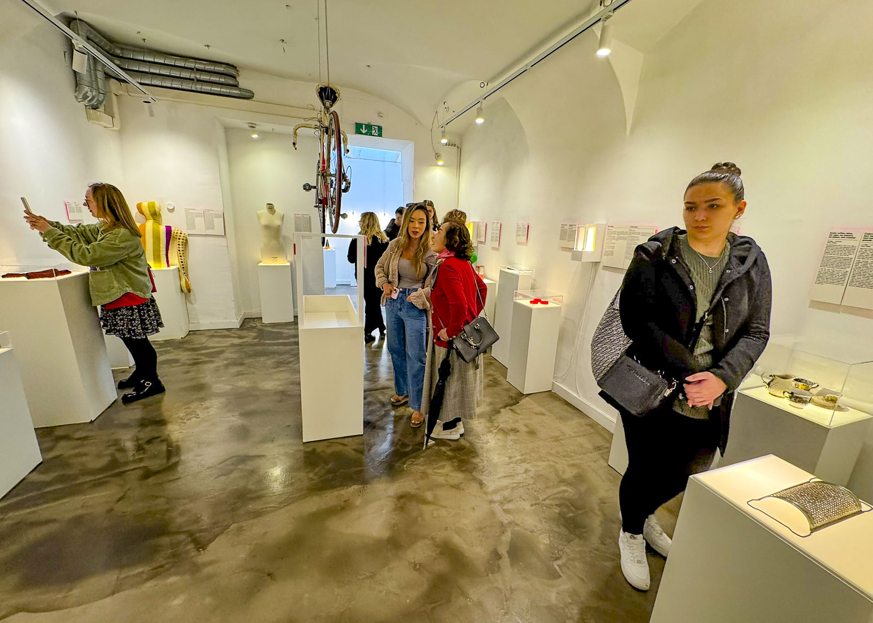
On opposite sides of the street as we headed to the church were two interesting museums, the Museum of Broken Relationships, and Croatian Museum of Naïve Art. Both have small exhibition spaces, but the former has a quirky collection of heartbreak stories and symbolic possessions from past loves that people from around the world have donated to the museum. A lot of reading is required to navigate through this literary journey of lost love, where many of the stories echo true. The museum also has an excellent café on site.

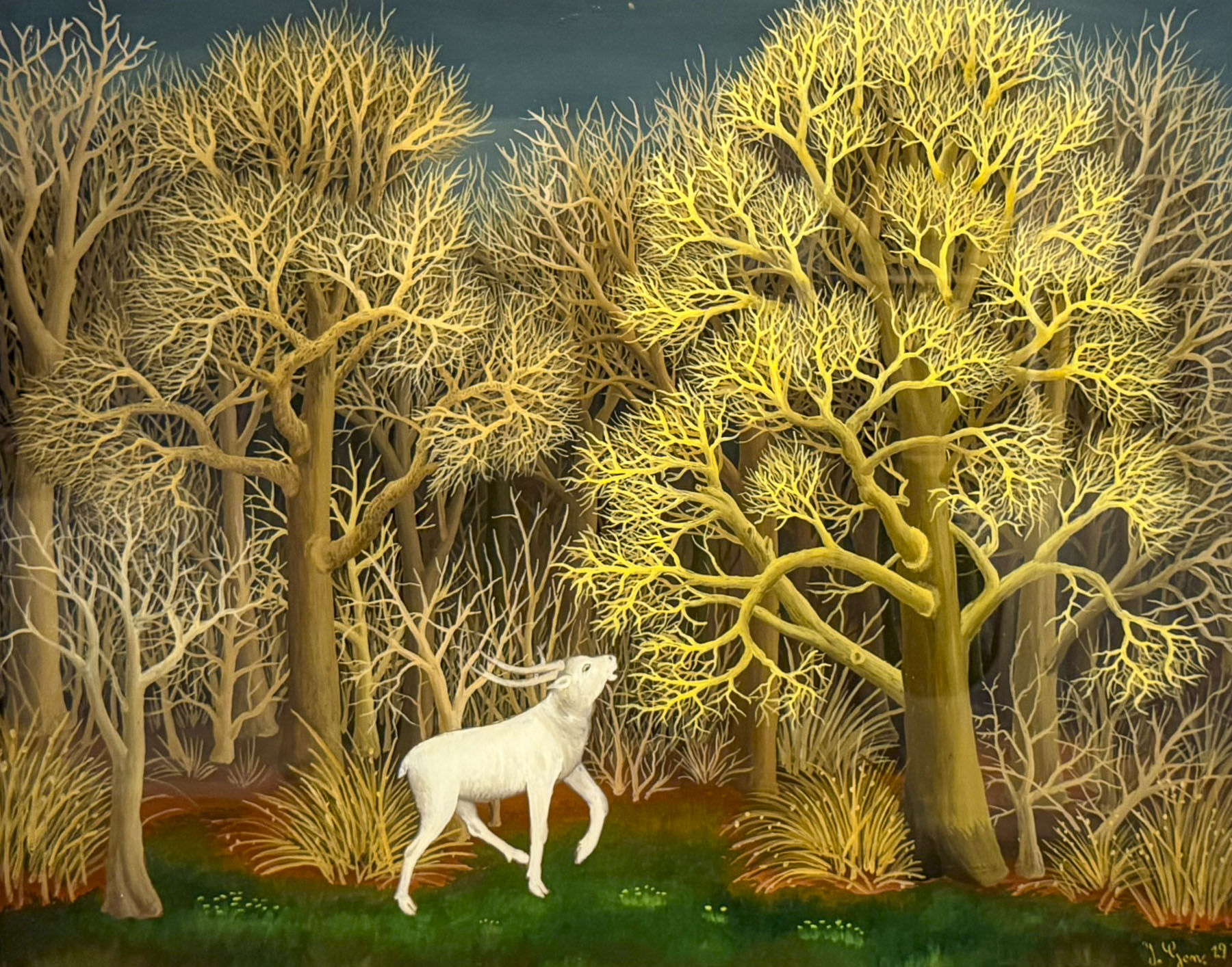
The latter museum has a unique collection of art from self-taught painters from the rural village of Hlebine. The villagers were inspired by Krsto Hegedušić, a native son who was academically trained as a painter, illustrator and theatrical designer, but returned to his family’s village every year and inspired several villagers in the 1930s to paint “what they see and feel.”

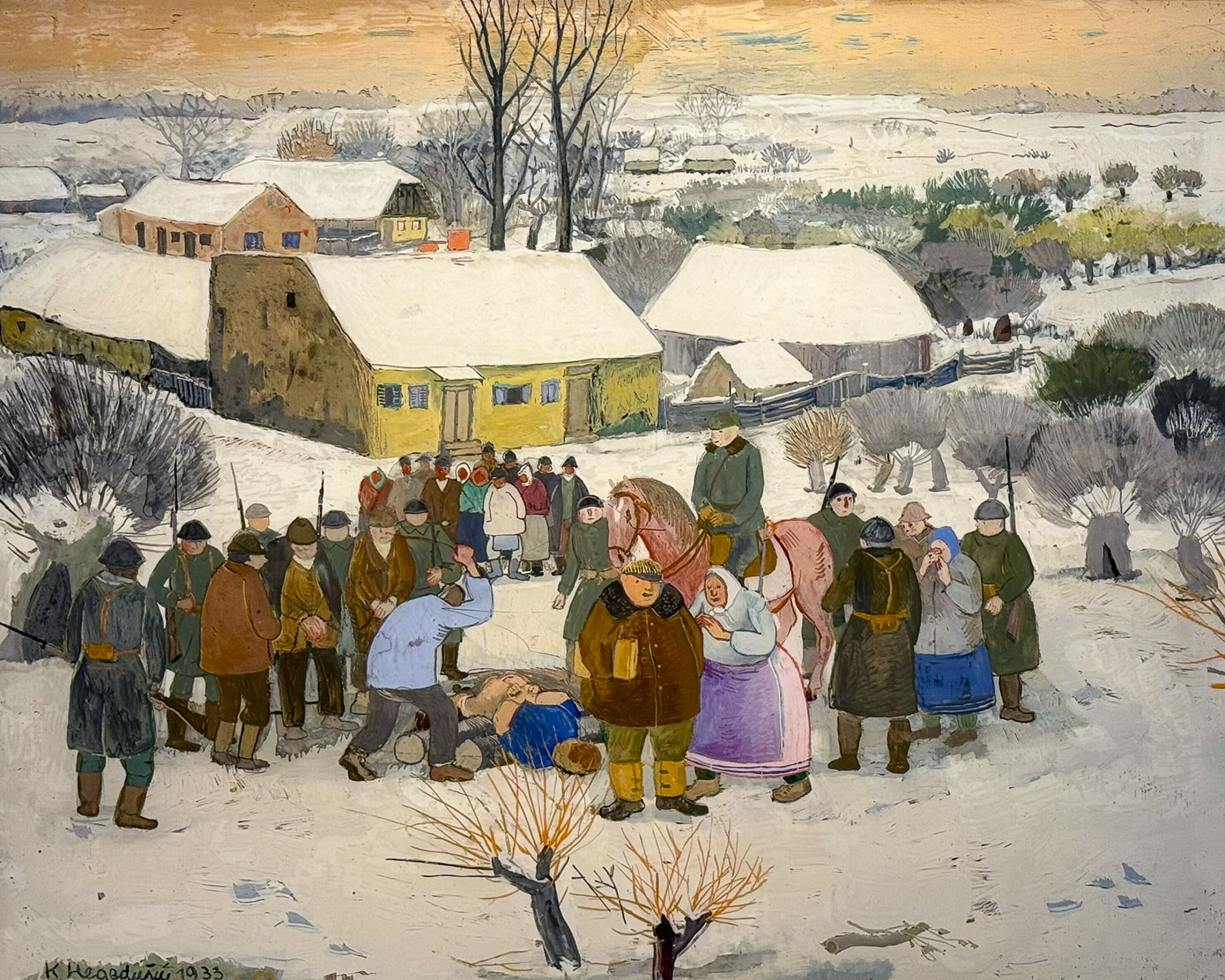
They went on to create a body of work that depicted rural life, portraying the hardships of labor and social injustice, along with often mystical landscapes. Many of the oil paintings are reverse painted on glass, a fragile but inexpensive medium at the time. The technique gives the illustrations a wonderful translucent quality. The museum has a collection of 1900s artworks, though only 80 are rotated through the exhibition space at a time. Don’t let the name Naïve Art dissuade you from visiting the museum as it has some great pieces on display.

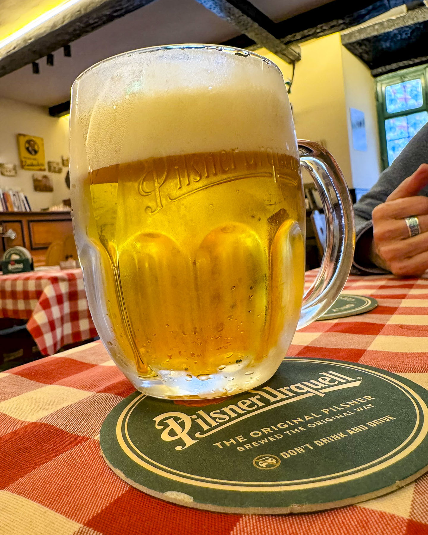
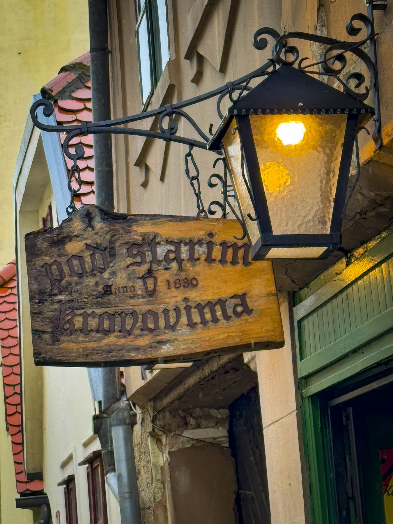
Nearby was Pod Starim Krovovima, Under the Old Rooftops, the oldest tavern in Zagreb which poured its first beers in 1830. It’s a small quietly charming place that used to be the favorite haunt of Zagreb’s poets and writers, and we had hoped to eat there. However, it doesn’t serve food anymore, but it does offer a nice selection of Croation wines, beers and cordials.

Instead we had dinner at Tavern Didov San, around the corner on Mletačka ul, a quaint street that would look more at home in a country village than the city. The restaurant specializes in authentic, regional Croatian cuisine; besides the traditional hearty beef dishes there are recipes that feature frog legs, eels and snails. The restaurant’s very nice staff, its ambience, and the delicious food all contributed to a memorable evening in Zagreb.

Opening the window of our hotel room the next morning revealed the street was blocked, and preparations were busily underway for a street fair. The seductive aroma of fresh baked chocolate croissants wafted up from the pâtisserie a few doors down, and called to us to come and indulge. 

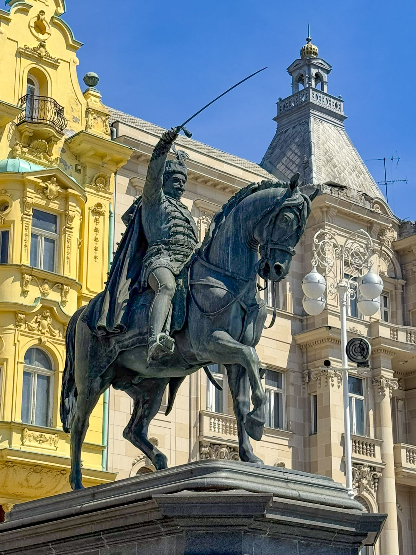
It would be hours before the festival was in full swing, so we headed to Ban Jelačić Square. The equestrian statue of Josip Jelačić Bužinski (1801-1859), a Croatian military hero and politician who abolished serfdom in Croatia, is backed by some beautiful examples of Austro-Hungarian buildings built after the earthquake of 1880. The attractive square earned the city the nickname as “the gateway to the Balkans.” On the far end of the plaza was Manduševac fountain. It’s all that remains of a natural spring that is mentioned in 1700s court records as “the main night gathering place of witches and warlocks in Zagreb.” The punishment for a conviction of witchcraft was to being burned at the stake at the infamous execution spot called Zvedišće, near the entrance to Tunel Grič on Mesnička ul, too eerily close to our hotel. Witchcraft trials ended in 1756 when empress Maria Theresa condemned the practice.

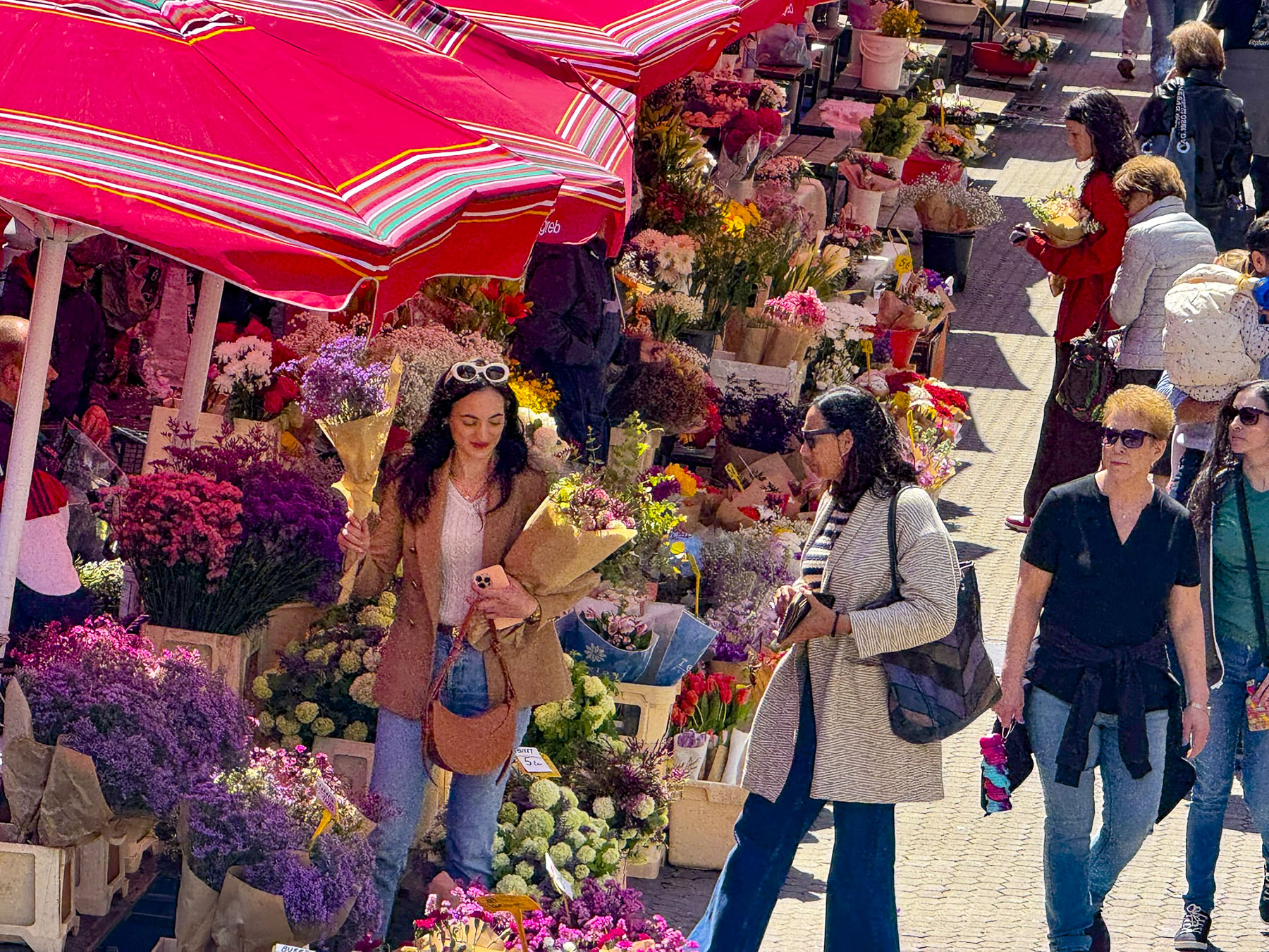
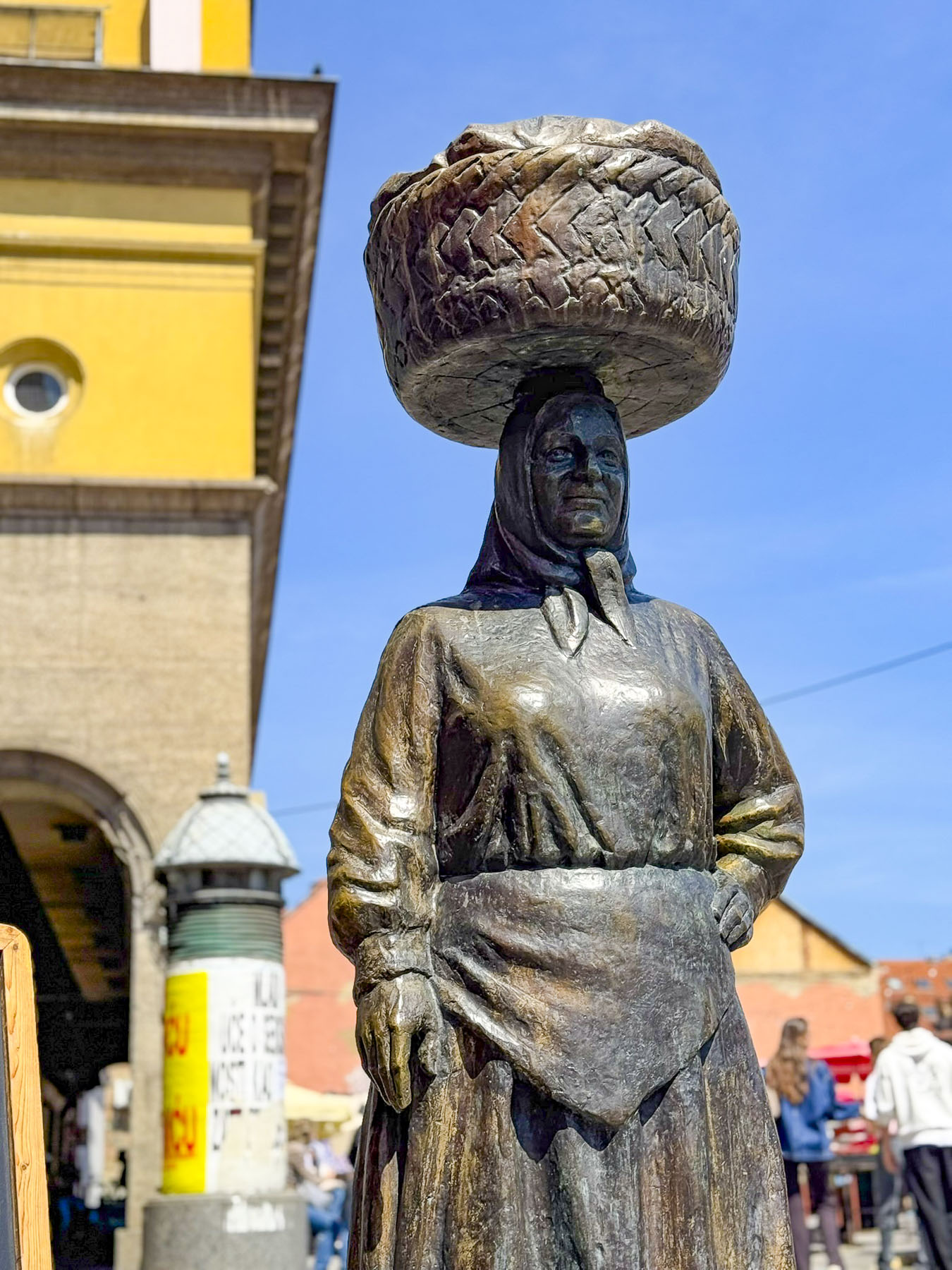
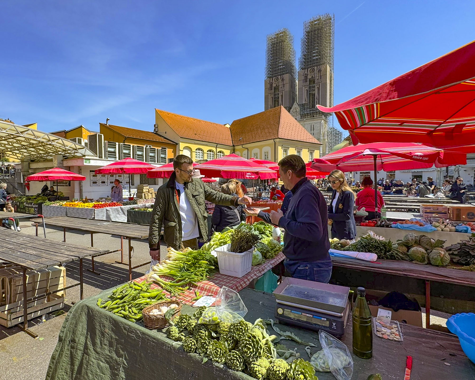
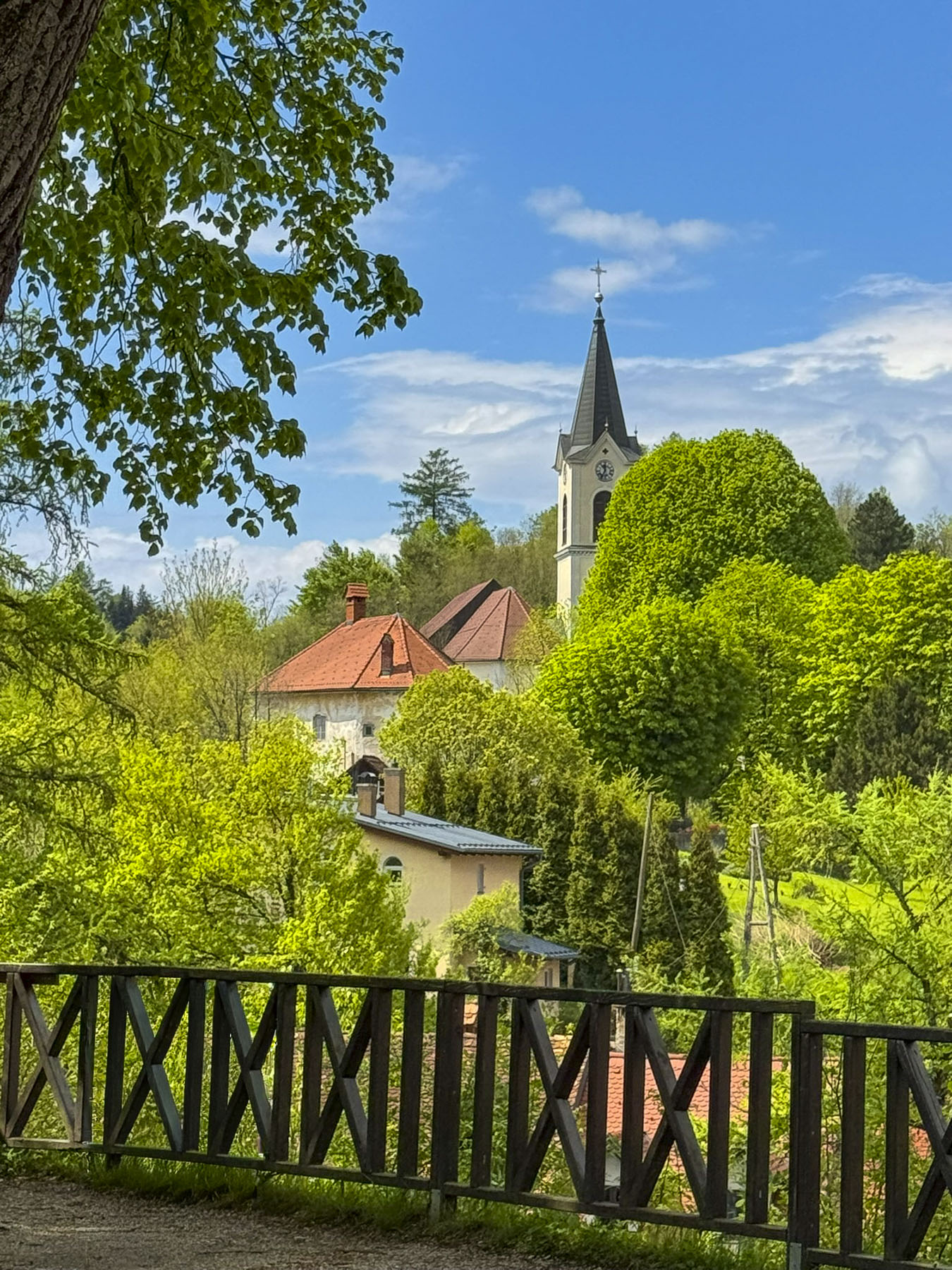
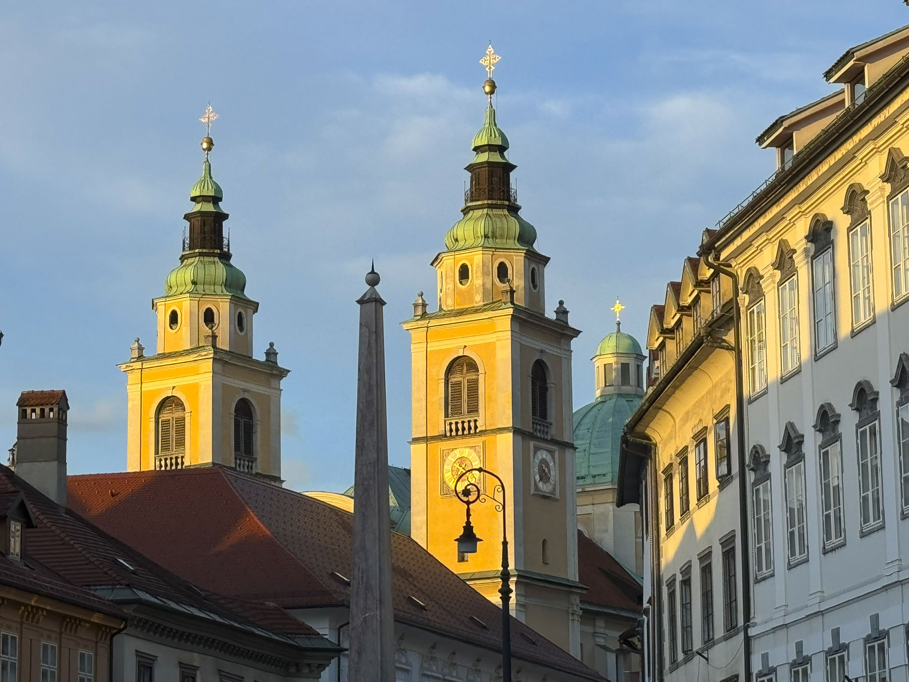
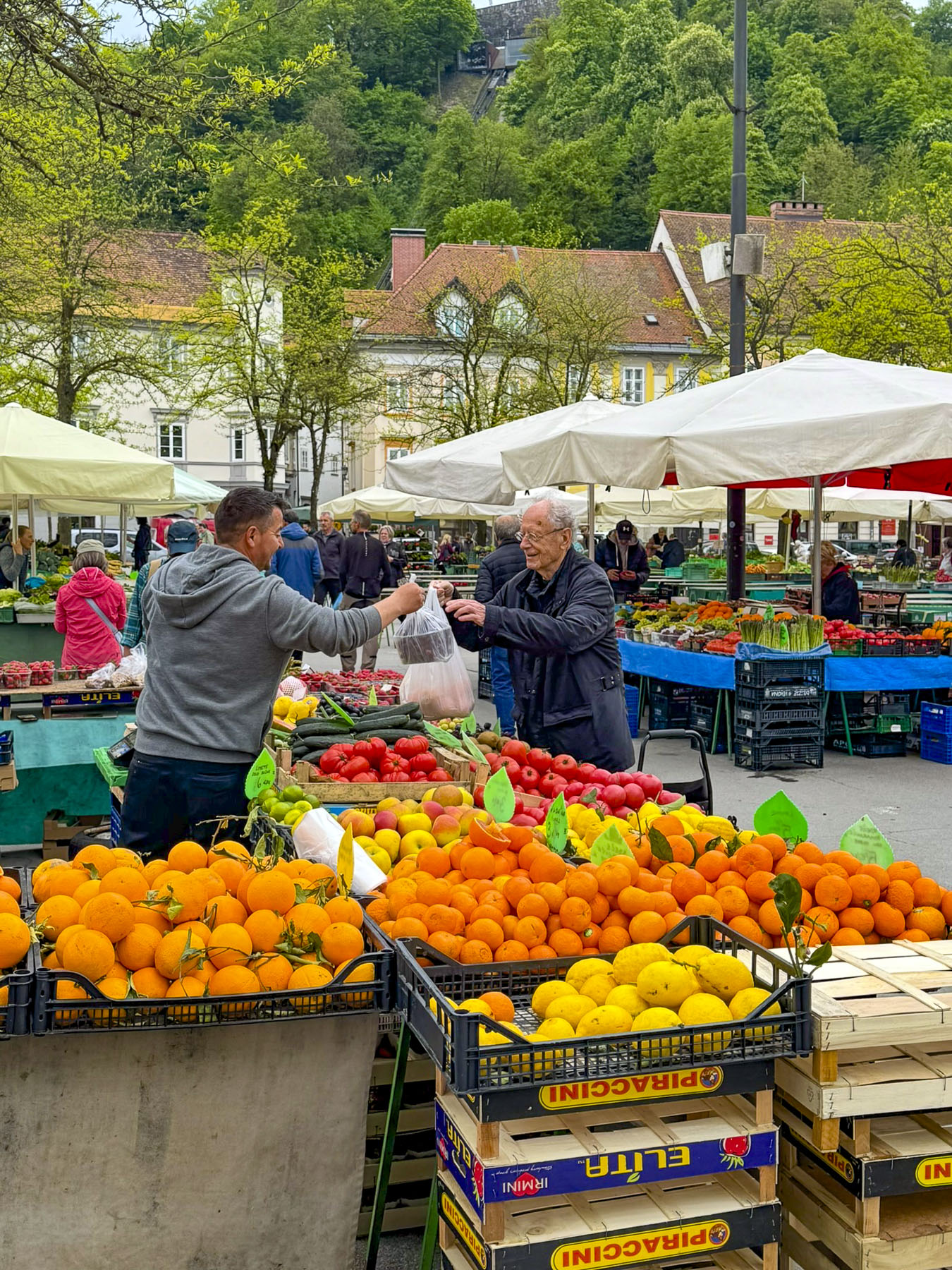
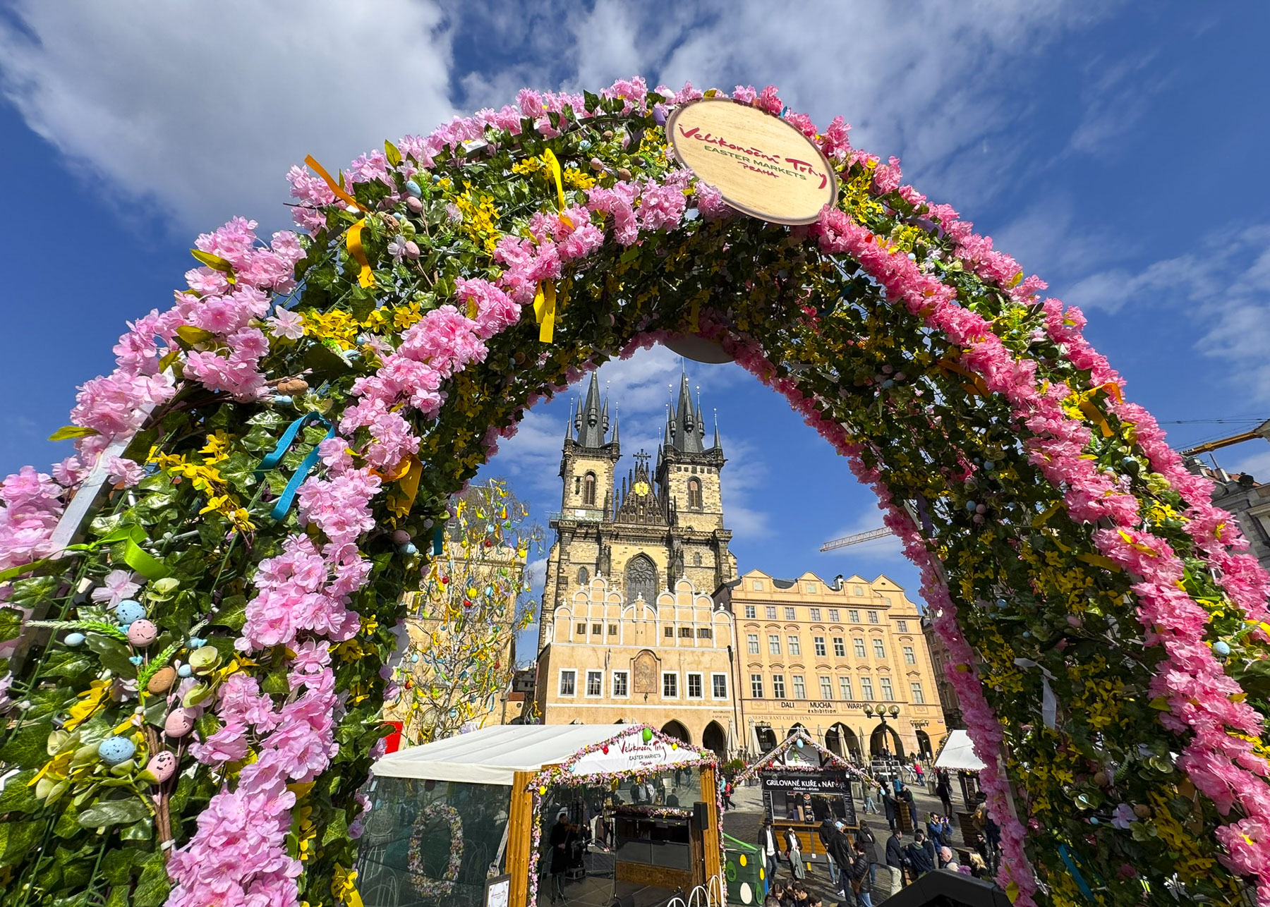
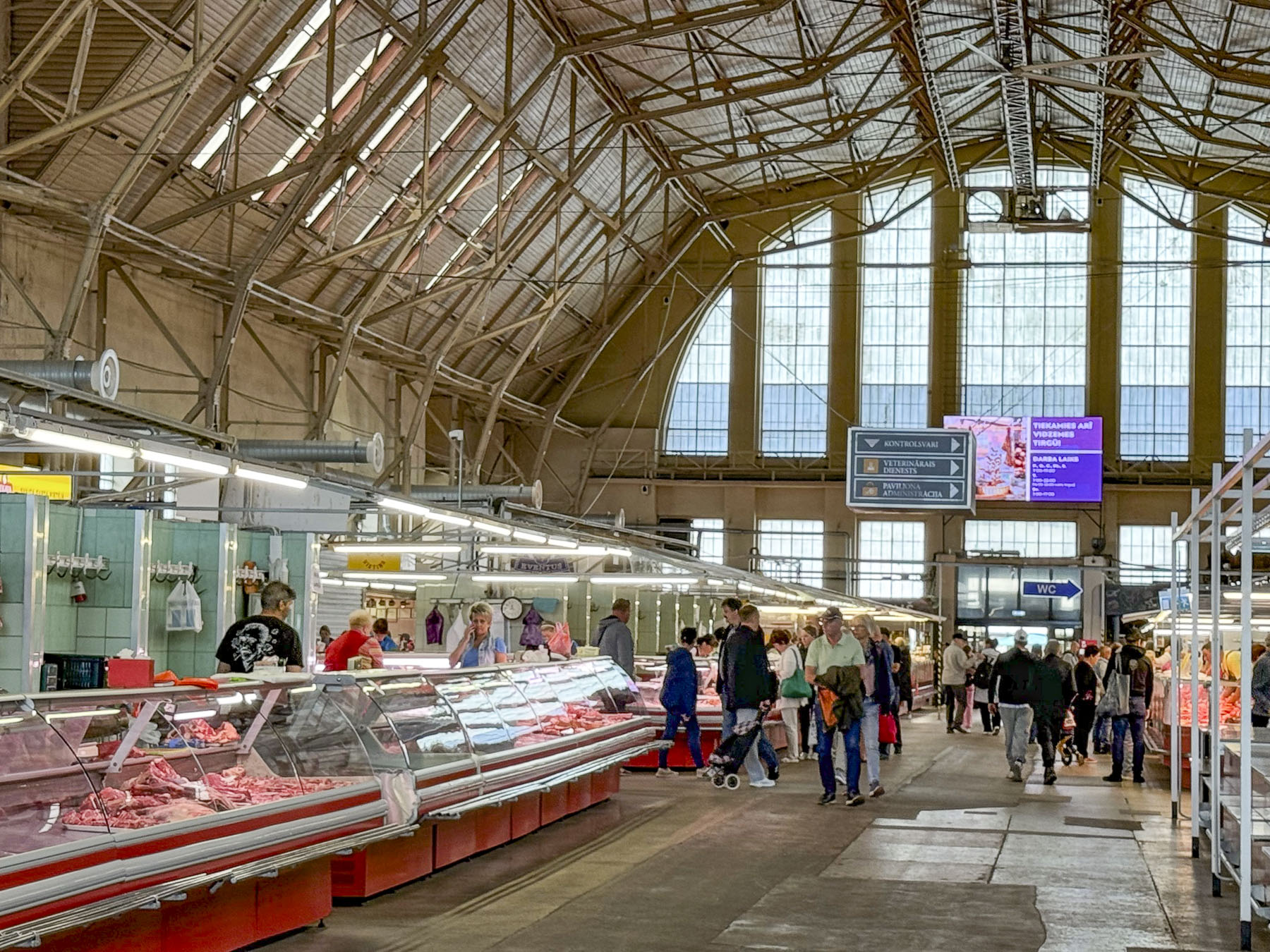
Stairs lined with flower stalls led from the plaza to Tržnica Dolac, Zagreb’s daily market. It’s a large square ringed by shops selling meats, poultry and fish, while the center is covered with seasonal vegetable vendors set up under a vast sea of red umbrellas. On opposite sides of the square the belltowers of the 18th century Church of the Visitation of the Blessed Virgin Mary and the Cathedral of Zagreb rose above the market’s low buildings.

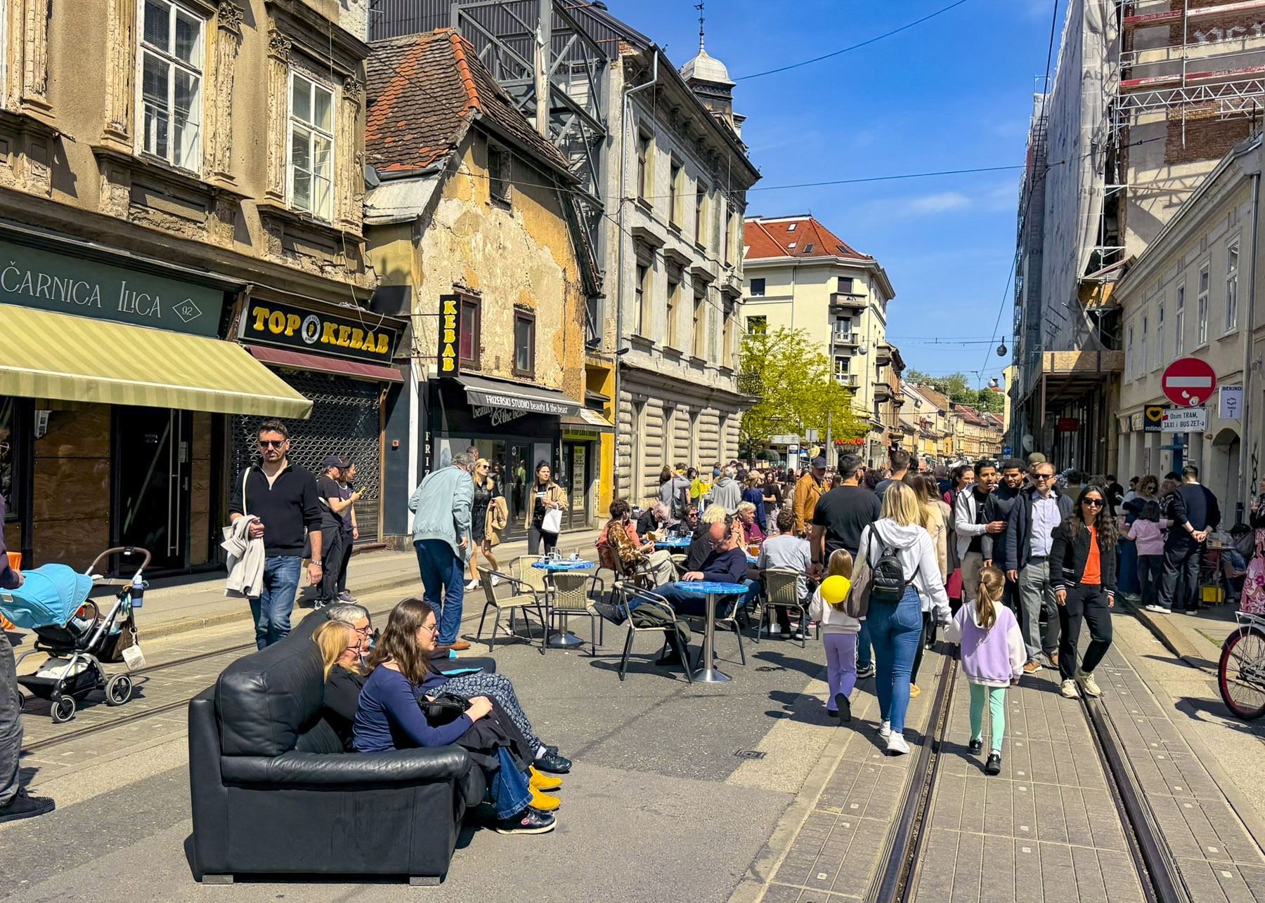
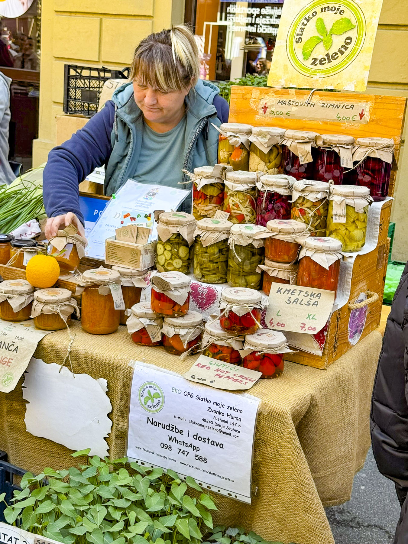
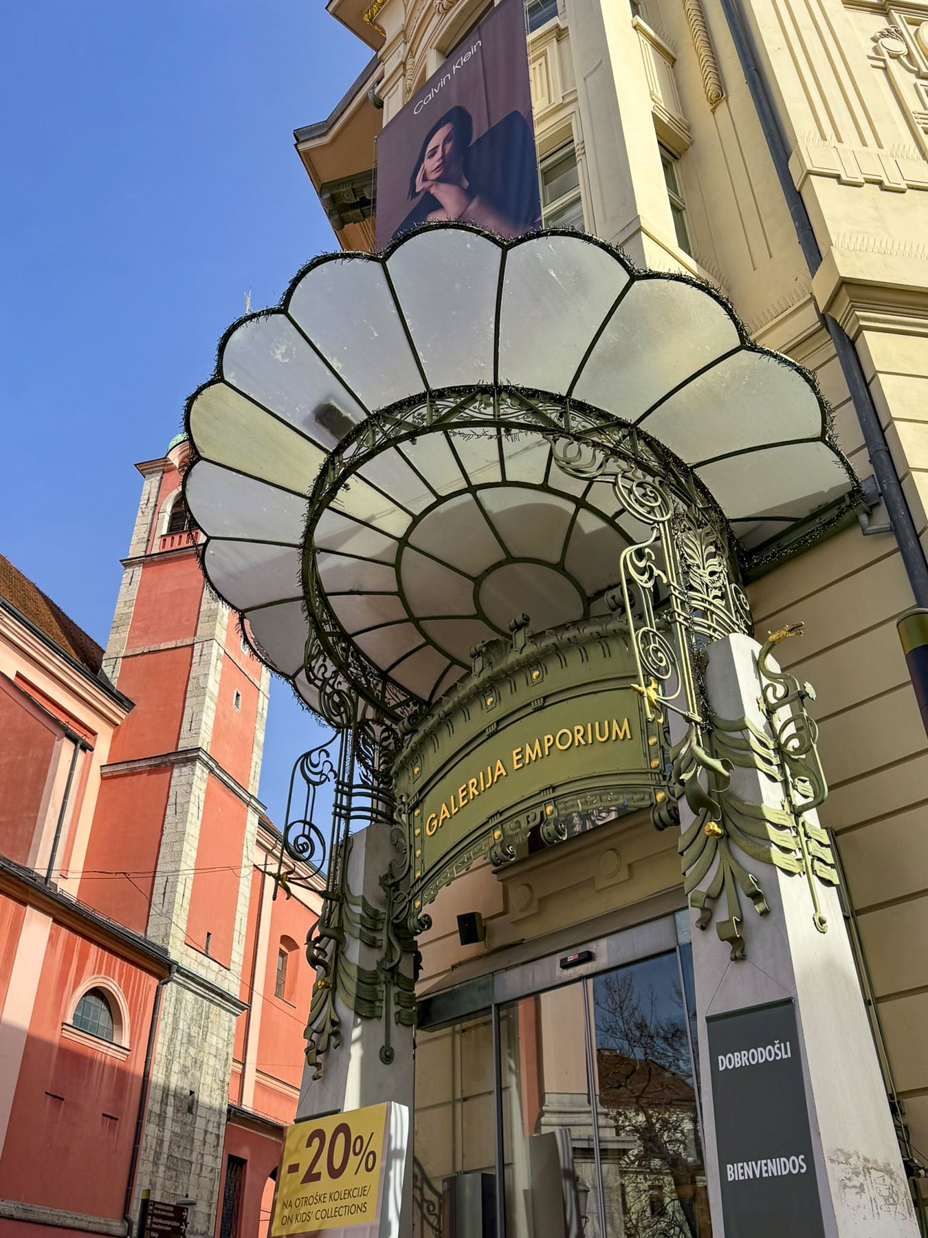
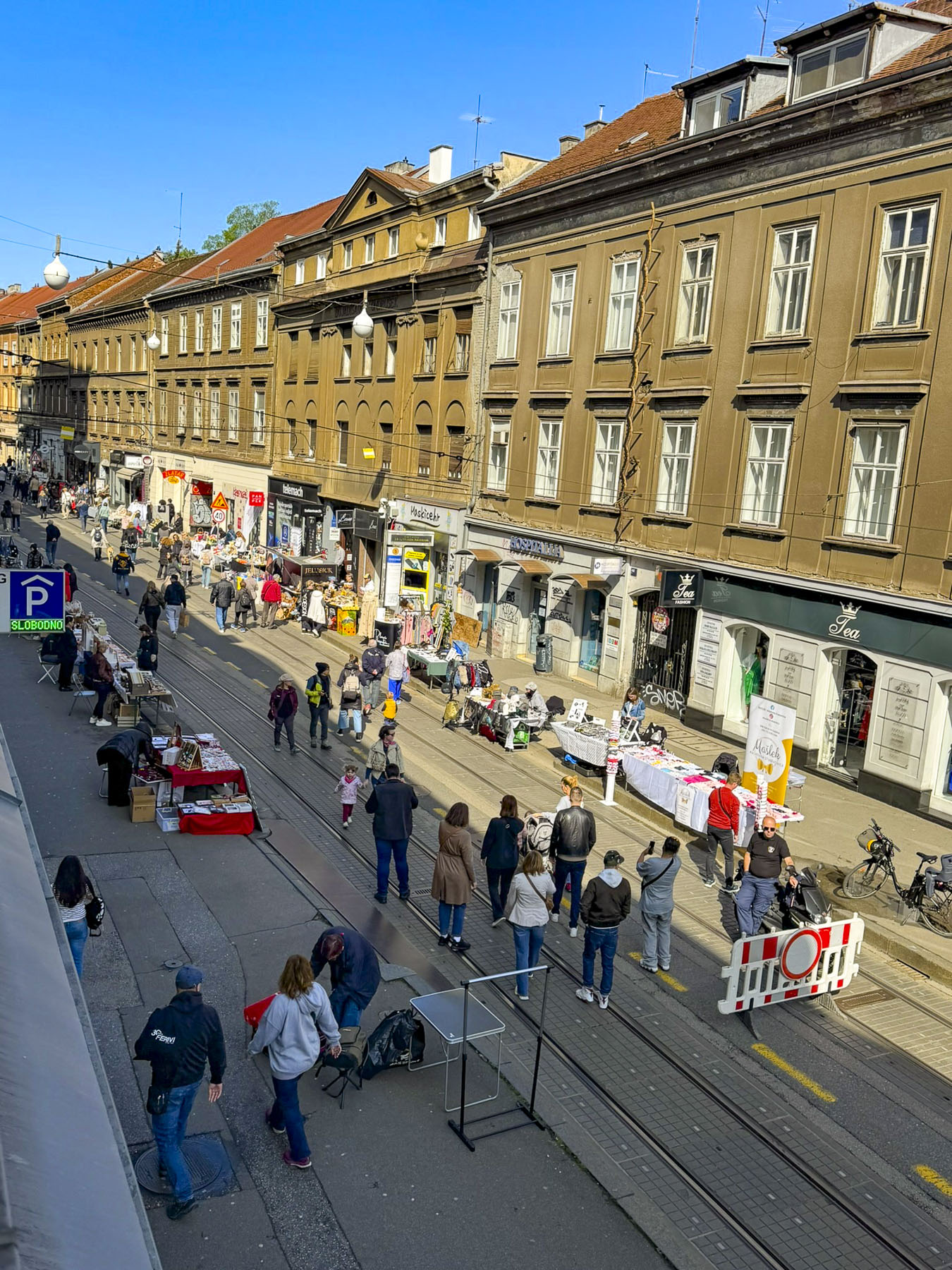
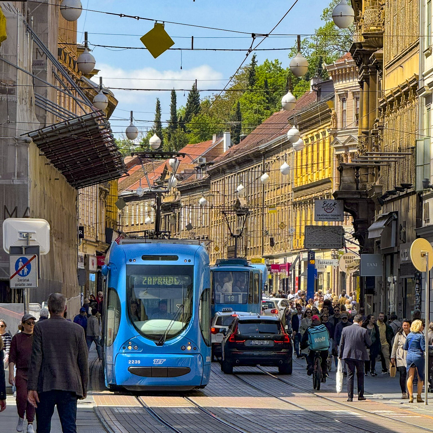
Several blocks of Ilica street were vibrant with activity. In places folks had pulled couches and chairs from their apartments into the street, in order to comfortably relax while listening to buskers entertaining the crowd. Artisanal craft vendors set up tables selling handmade pottery, soaps, jewelry, toys and homemade food. We purchased a pop-up puppet on a stick whose maker assured us it would withstand the abuse of any six year old. Another vendor offered slices of her baba’s scrumptious Bregovska Pita, an 8-layer filo dough layered pie, filled with apples, raisins, and walnuts.

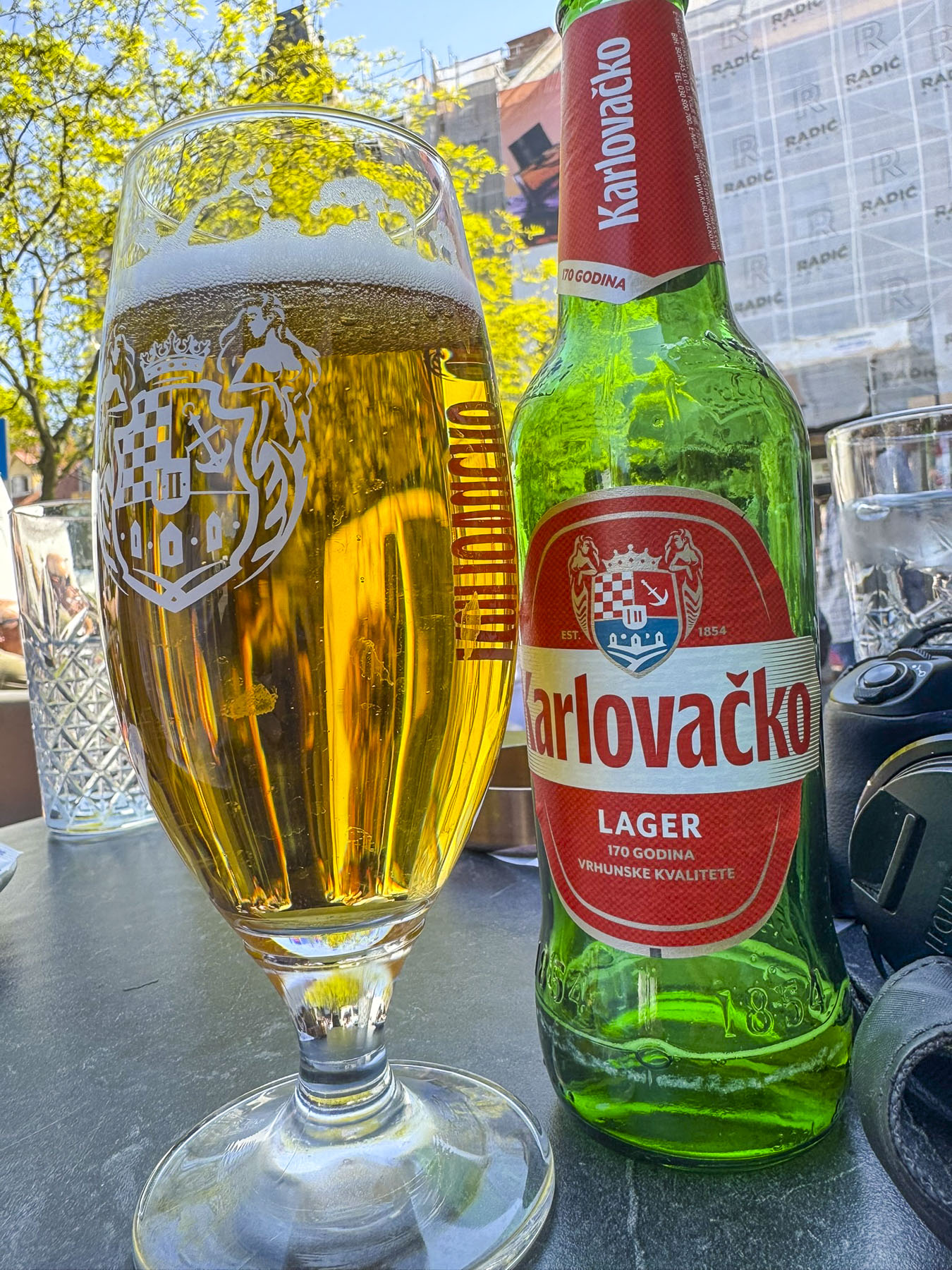
It was a gorgeously warm sunny April day as we sat outside at the Wave Bar. Across the way we watched folks wander through the Sunday antiques market that was underway in Britanski Square, searching for that undiscovered gem that lay hidden in the market’s cornucopia of brass, wood and glass bric-a-brac.

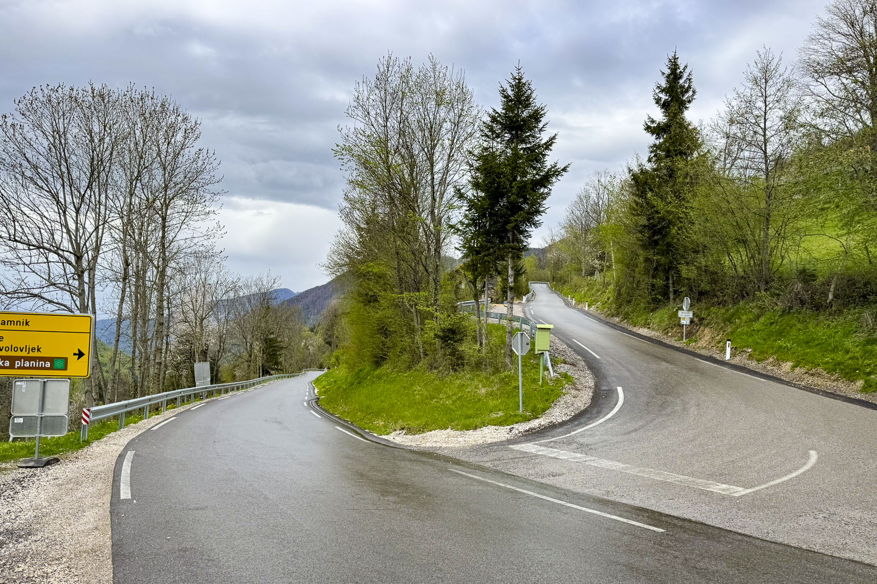
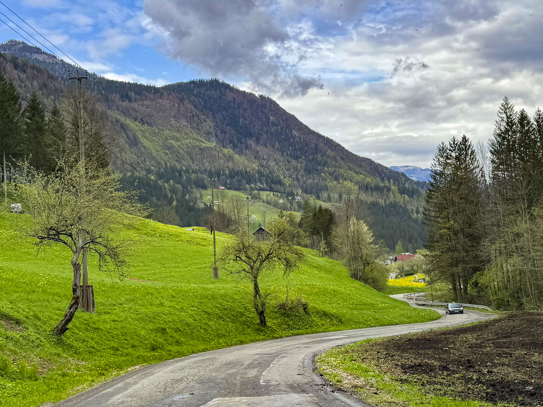
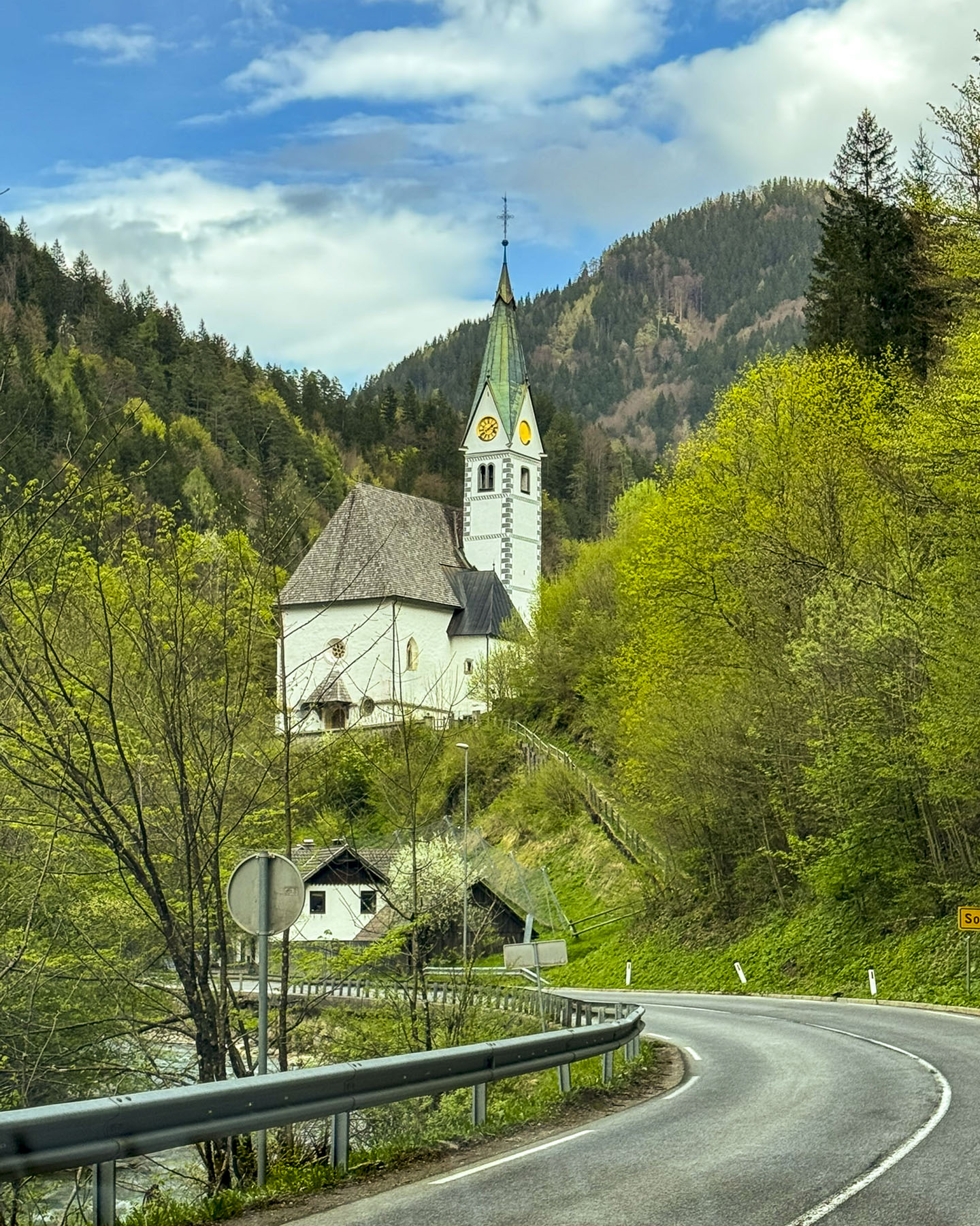
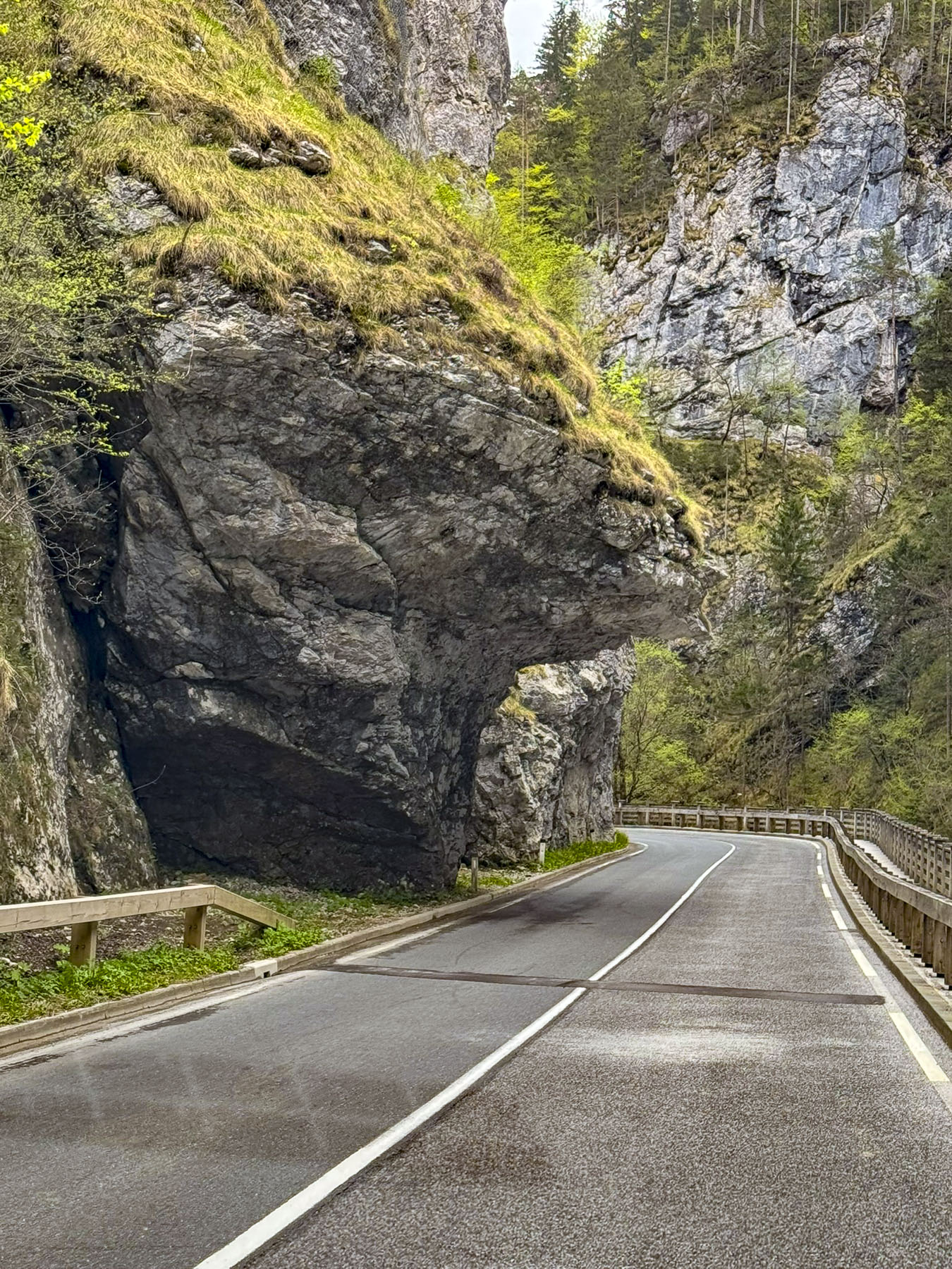
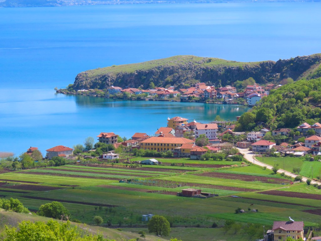
It was a great afternoon experiencing the energy of Zagreb, and the perfect way to end our stay in this charming city. Two full days in Zagreb were only enough to scratch the surface of this intriguing city, and in hindsight we should have planned a third day, but hopefully we’ll get a chance to return. Tomorrow, we will cross the border into Bosnia & Herzegovina.

Till next time,

Craig & Donna

A Balkans Road Trip Part 5: Slovenia – Into the Kamnik-Savinja Alps to the Logar Valley

Days earlier, atop the ramparts at Ljubljana Castle, we got our first glimpse of the Kamnik-Savinja Alps, a rugged sawtooth mountain chain that lies north of the city, along the Slovenia – Austrian border in the Solčava region. The range’s three highest peaks, Mt. Grintovec (2,532m), Mt. Jezerska Kočna (2,539m), and Mt. Skuta, (8,307m) still glimmered with snow in early April.

Within the mountain range is Logar Valley, a 7 kilometer (4.3 mile) long alpine glacial valley, surrounded by equally tall sheer summits. Inside the picturesque valley there are trails between Rinka Waterfall (90m – 295ft), the tallest falls in Slovenia, and three other ones that cascade from the mountainsides. It is 1.5 hours from Ljubljana, and we planned to visit the valley during a travel day. Later, backtracking from the mountains, we stayed in Kamnik for two nights before continuing on to Zagreb.

Along our route into the mountains, we stopped to visit the Volčji Potok Arboretum, a large formal garden, only 30 minutes from the city. The park’s tulips beds were in full bloom, and we were just about to purchase our entrance tickets when we were caught in a sudden downpour. Unfortunately, it didn’t look like the weather was going to improve quickly. Crossing our fingers, we hoped the mountains would be storm free, and we continued on.

Past Kamnik, the road slowly rose from the plain into the foothills as it followed the Kamniška Bistrica river, swollen with snow melt. The fresh greenery of spring covered the hillsides. Fruit trees flowered in roadside orchards. Twisting and turning along switchback roads, we drove higher, only to descend into small valleys sheltering tiny hamlets with only a handful of homes and always a church, before ascending again.  

A sign pointed the way to Velika Planina, a vast alpine plateau in Slovenia’s Kamnik-Savinja Alps, where traditional transhumance herders  continue to graze cattle and sheep seasonally on the high-elevation pastureland from June to September. In planning our trip to Logar, we had considered going to Velika Planina, but to do it justice required a longer visit to the area. It’s one of the dilemmas of planning a trip: what to include, what to pass, what’s research for the future or a simply a teaser, needing a sequel to complete your odyssey.

Eventually the road leveled and followed the Savinja River as it coursed through a narrow gorge, where in certain sections rock ledges loomed ominously low over the road, and we wondered if any campervans had ever lost their roofs along the way.

Signs pointed to the Austrian border, but we turned and sharply climbed to Razgledna Točka pri Klemenči Domačiji, the Lookout Point at the Klemenča Homestead, our destination before entering the valley below. The vantage point overlooking the working farm and mountains is 1,208 meters (3,963 feet) above sea level and is along the Solčava Panoramic Road, a 37km (23mi) scenic route that weaves through spectacular alpine views and past tracs that lead to self-sustaining high mountain farms. The view over the valley surrounded by multiple 2300m (7500ft) mountains, their peaks still hidden by clouds, was stunning.

Like an old-fashioned trading post, the last chance for supplies at the edge of the frontier, was its modern equivalent, a vending machine with dried sausages, cheese rounds, and sandwiches made at the Klemenča Homestead.

Next to it was a whimsical statue of Lintver, a Slovenian folklore dragon associated with the Logar Valley and the Solčava region. Centuries-old legends tell of his role in shaping the area’s valleys and landmarks. Nowadays in Slovenia, the dragon symbolizes the powerful and beautiful forces of nature.

We coasted slowly through the beautiful wide grassy valley to its terminus, the trailhead for the Rinka Waterfall. Though it was only a twenty-minute trek from the parking area, we passed on the opportunity and had a late lunch at Penzion Kmečka Hiša Ojstrica. Their  outside deck was open, and we enjoyed a tasty meal while warming in the afternoon sun, if only for a brief moment, before heading to Kamnik for the night. Really, exploring the area in depth requires several days, especially if you want to do any hiking. The park’s website is a good resource for accommodation in the valley and surrounding area.  

It was pouring again as we reached Kamnik. Totally unprepared for this deluge, we parked as close to the entrance of Guest House Pri Cesarju as we could. Kindly, the proprietor of the hotel and pizzeria where we were staying ran to assist us with umbrellas as we unloaded our luggage. After a chilly day, it was nice to relax in the comfortably warm restaurant with a glass of local red wine and delicious pizza. The weather the next morning was perfect with a sunny blue sky. A nice change from the cloudy weather pattern that had been over the area for several days.

We drove to Kaminska Pekarna, a hidden gem of a bakery and confectionery, on the side of town nearer Ljubljana. We had discovered it the day before while seeking to satisfy our “drive a little then café’, caffeine cravings. It’s a very simple shop, with only a dozen tables inside, and few outside, under the building’s overhang for the smokers, but it was very busy with local folk, and their sweet and savory pastries were scrumptious. Over our two days in Kamnik we stopped there three times. It was that good, and extremely budget friendly. Parking near the old town is very limited, but it was the shoulder season, and we thought we found a good centrally located spot down a quiet side street. More on that later.

Kamnik is a historic town, one of Slovenia’s earliest, first mentioned in historical records in 1061. By the early 13th century, it had grown into a bustling crafts and market center on the trade route between Hungary and the Adriatic, and it was granted formal town status.

For a time, its importance in Slovenia rivaled that of Ljubljana’s and the town boasted two castles, minted its own coins and was granted a Franciscan monastery, which is still in use. Now in ruins, Stari grad, the old castle, commanded the tall hill across the Kamniška Bistrica river from the village. The tongue of a modern cantilevered viewing deck at the site can been seen from town, but the site was not open in early April when we visited Kamnik. In the center of town Mali grad, the little castle, stands on a small knoll that overlooks what would have been the main routes through the medieval town.

Though this castle was also closed, the path to it led through a nice, shaded park and offered several great views of the red-roofed town with the beautiful Kamnik-Savinja Alps in the distance. A teenage girl, playing hooky from school and enjoying the tranquility of the location, lounged on the castle’s steps, absorbed by her reading.

The warm sunny day called for a gelato, and we stopped at a small café’ with outdoor tables, at the top of Šutna Street. Once the town’s main thoroughfare, it is now a colorful pedestrian lane lined with an assortment of well-preserved homes and guild buildings, dating as far back as the 14th century.

Along the way was the Immaculate Conception Parish Church, a Gothic structure with later Baroque additions, notable for its freestanding bell tower.

At the bottom of the Šutna treet was a life-size silhouetted profile of a distinguished man. The commemorative inscription next to it told the story of Rudolf Maister, a nationalist hero, who was born in a house on this street in 1874. Choosing a military career, he rose to the rank of Major in the Austro-Hungarian Empire, in which Slovenia was a province at the time, while serving on the front near Graz, Austria. At the end of World War One, when the “Great Powers” were redrawing the maps of Europe, on his own initiative he disobeyed orders to turn the town over to German-Austria troops. Rallying 4000 loyal Slovene troops to support him he secured Styria, the region south of Graz to be Slovenia’s northern border and part of the newly formed State of Slovenes, Croats and Serbs, which united with the Kingdom of Serbia into the Kingdom of Serbs, Croats and Slovenes, which eventually became Yugoslavia. He was an interesting individual who was also recognized for writing two volumes of poetry and starting a military orchestra.

A short distance away in a plaza across from the bus station was Kip Mamuta, a life size bronze sculpture of a woolly mammoth. It commemorates the 1938 discovery of a nearly complete mammoth skeleton, unearthed by workers expanding a bridge, in nearby Nevlje. The site upon further archaeological excavation was determined to be a Paleolithic hunting settlement dated to be around 20,000 years old. The skeleton is on exhibit in the Natural History Museum of Slovenia in Ljubljana. Returning to the car hours later, we realized we had parked down a restricted residential road, which just happened to have its gate up when we drove through earlier that day. Now the automated gate was closed and we were trapped. Waiting patiently until a local resident exited, we followed close behind. Kamnik is a charming small town which we had mostly to ourselves in early April, and we found it very easy to explore fully in a single day. Every September the town hosts the Days of National Costumes and Clothing Heritage, Slovenia’s largest ethnological festival, featuring a grand parade, historical costumes, reenactments, traditional music, dance, regional crafts, and local food.

Finicky weather resumed the next morning as we headed to Cistercijanska Opatija Stična, the Cistercian Abbey of Stična, a 12th century walled monastery along the A2 which we were following to Zagreb, Croatia. It is Slovenia’s oldest operating monastery, though only 14 monks remain, a vast difference from the hundreds that lived there during the Middle Ages and supported the abbey’s vast land holdings and 300 churches in the region. The Cistercian Order is an offshoot of the Benedictine Order, that follows a return to a stricter, simpler monastic life based upon a self-sufficient agrarian orientation, emphasizing austerity, manual labor, solitude, and a balance of prayer and work. During the early years of the monastery, it acted like an agricultural college, where the hard-working monks shared their advanced ideas of crop rotation, irrigation systems, better iron ploughs, selective breeding, and new crop varieties. “They revolutionized the local agriculture,” and contributed to the prosperity of the area by not requiring the local peasants on their granges to pay the annual tithe.

The order’s influence grew with time and the monastery evolved to support a traditional school as well as a music school, herbal pharmacy, and a library where manuscripts were copied. The Stiški Rokopisi, Stična Manuscripts, a famous series of illuminated medieval manuscripts, were written in the mid-1400s by the abbey’s monks, not in Latin as was the tradition, but in the Slovenian language, one of the first such books of the time.  

During the Middle Ages the monastery was located on the Slovenia frontier, an area that separated the Christian northern Balkans from the Ottoman Empire. Turkish raids in the area were a common occurrence, and even though the abbey was enclosed within a defensive wall it suffered severe damage during attacks in 1475 and 1529. The abbey continued to prosper until 1784 when Joseph II, the Holy Roman Emperor and ruler of the Habsburg Monarchy, confiscated the lands of monasteries in his realm, and forced monks and nuns into “useful” state-approved roles. The abbey was returned to the Cistercian Order 1898.

According to the abbey’s records there has been an herbal pharmacy in the monastery since the 15th century, which gathered and used the region’s 400 medicinal plants. This tradition was revived again after 1898 and grew in importance under the direction of Father Simon Ašič (1906-1992). The pharmacy was especially useful during World War II, when many sick refugees sought help from Father Simon. Because of the war, medicines were in short supply, but he was able to help many people with his herbal preparations. Always recording the recipes and results, he published his knowledge in three books. The abbey honored his legacy in 1992 with the founding of SITIK, an herbal products company that sells items prepared according to the original recipes of Father Ašič.

We visitied the abbey’s church, the Our Lady of Sorrows Basilica, once one of the largest in Slovenia. The sanctuary and its cloister were very interesting to explore. Something that we never noticed before in a church was that the confessionals all had small red and green lights on them to indicate which ones were in use.

Regrettably, we missed the tour of the herbal pharmacy, but we did get a small brochure, with some of Father Ašič’s herbal recipes.

Zagreb beckoned. On we went.

Till next time,

Craig & Donna

P.S. Each year in the fall, the village of Stična hosts an arts festival known as Festival Stična

A Balkans Road Trip Part 3: Slovenia – The Dance of Death, Castles, & Ljubljana

With a sharp dog-leg turn to the left we followed the E751 across the bridge above the Dragonja River and crossed into Slovenia from Croatia, leaving the cerulean blues of the Adriatic behind us as we headed into the mountainous “Green Heart of Europe.” Across from each other at an intersection, competing ladies had cartons of fresh picked Spring strawberries piled high on roadside tables.

Ljubljana, Slovenia is only 202 km (126 mi) from the harbor town of Pula, Croatia, a fast 2.5-hour trip, on excellent roads, if you drive straight through. But we had chosen several spots to explore along the way, and we’d be happy if we arrived in Ljubljana before sunset.

With a population of just over two million people, Slovenia’s countryside is wonderfully underdeveloped, and rich with pristine landscapes of forests and farmlands. A fresco of dancing skeletons in Cerkev sv. Trojice, the Church of the Holy Trinity, in the rural village of Hrastovlje was our first destination. Along the way a cluster of homes in the hamlet of Podpeč, seemed to cling for dear life on a steep slope below a karst cliff face, on top of which stood Obrambni Stolp Podpeč, a tall 11th century Venetian watch tower, which is said to have outstanding views across Slovenian Istria region all the way to the Bay of Koper and the Gulf of Trieste.

A few minutes later, after driving between buildings along a very narrow farm lane, where we were sure we would have lost the side mirrors on the car if we hadn’t pulled them in, we were standing in front of the locked iron gate of Cerkev sv. Trojice. A placard picturing the fresco we hoped to see listed a telephone number to call. We dialed, no answer. It was a beautiful Spring Saturday; surely, we thought, the site must be open. Fortunately, there was a small taverna, the Gostilna Švab, nearby that was in the process of opening for lunch. Inquiring about the church, the proprietress was very helpful in calling the gentleman, who she assured us would be there shortly. Pouring two coffees she shared, “he’ll be there by the time you finish these.” The coffee was very good, alleviating the chill of the morning as we sat outside on the tavern’s terrace, and it perfectly satisfied our “drive a little, then café, ritual.

By the time we entered the courtyard of the fortress church several other visitors had arrived, and we spent a few minutes admiring the small church and its belltower. The ancient church, built on a rise above rolling fields, is believed to have been built between the 12th and 14th centuries, with the ramparts and corner towers added later in the 16th century to repel Turkish attacks along this frontier region as the Ottoman Empire fought to expand its control across the Balkan region farther into the territory of the Habsburg Empire, but didn’t succeed. It’s not remembered when the clock was added to the belltower.

Inside the small chapel every wall and ceiling is spectacularly covered with biblical teachings. At some time over the centuries the frescoes were covered with layers of plaster and remained hidden until 1949 when the Slovenian painter and art teacher Jože Pohlen, who was born in Hrastovlje, noticed that areas of flaking plaster suggested earlier paintings underneath and thought a hidden gem might be waiting for discovery. Surprisingly, although historians don’t have an accurate history of the church, they do know thanks to the restoration of the frescoes by Pohlen, and the discovery of a signature that they were painted by Janez van Kastav, John of Kastav, from Croatia, in 1490.

All the religious illustrations were intriguing, but the most unique was the Dance of Death fresco, which depicts 11 skeletons leading a parade of everyday souls that includes a prince, a priest and a pauper to the grave. A stark reminder that, regardless of our stations in life, the same fate awaits us, though a Royal does lead the group to their final destination. Leaving the courtyard, we noticed a sign for local Isteria wines for sale on a door to one of the watchtowers. “Red or White?” “One of each, please,” and with that he unlocked the ancient wood door that was almost falling off its hinges and revealed his impromptu wine cellar.

A farmer’s enclosure across from the church had rusted relics from WWI and WW2 nailed to the top of the fenceposts. A silent and ironic testimony to the centuries of conflict that have fallen upon this bucolic area. We had hoped to stop at Lipica Stud Farm, an almost 500 hundred year old horse breeding facility that was started in 1581 with 24 broodmares and six stud horses brought from Spain originally to create a herd of the magnificent white horses for the royals of the Hapsburg Empire. Today the breeding farm remains dedicated to raising Lipizzaner horses for equestrians around the world.

Unfortunately, the equestrian center was closed the day we were in the area, and we continued on to Predjama Castle. The 13th century fortified chateau was dramatically built halfway into a large cave on a towering cliff face, by the rebellious knight Erazem, whom legend believes was Slovenia’s Robin Hood; he pillaged wealthy towns and protected the local peasants. Betrayed by a castle servant who signaled the enemy with a candle, Erazem met an unceremonious death when a cannon ball fired by troops of the Holy Roman Empire caught him with his pants down as he was using the castle privy.

An audio tour of the castle took us through secret tunnels, a dungeon, and several restored living areas, where only the lord of the castle enjoyed fireplaces, while his staff froze in their quarters. We felt the best element of the castle was its picturesque setting, which can be viewed for free, and thought that unless you have never toured a castle before, the entrance fee wasn’t worth the experience they offered. We enjoyed a very nice lunch at Gostilna Požar, which has a patio with views of the castle.

Ljubljana’s extensive old town along the Ljubljanica River is a beautiful pedestrian only area that spans both sides of the river as it flows through the capital city of Slovenia. Our taxi, on arrival and final departure, from the Parking Tivoli II lot to the French Revolution Square was included in our 5 night stay at the Barbo Palace Apartments. The short ride followed a convoluted route due to pedestrian-only and one-way streets. But it was a nice  introduction to the architectural diversity of Ljubljanica, and we took note of which buildings we wanted to return to later in the week to photograph.

First, we passed the National Assembly Building of Slovenia, a modernist building with a contrasting entranceway surrounded by an immense bronze sculpture created by the work of the Ljubljanica artists Zdenko Kalin and Karel Putrih in the 1950s. The artwork is called the Working People and reflects the collective philosophy of communism and “symbolizes the progress of civilization.”

Adjacent to Park Zvezda was the beautiful, architecturally distinct hull-shaped roof and six column fascia of Ursuline Church of the Holy Trinity, a 1700s Baroque style church with an attached monastery. Across the street was the striking Pillar of the Holy Trinity.

On Mirje Street we passed the remains of the defensive wall and gates of one of Ljubljanica’s earliest settlements called Emona, a Roman colony founded in 14 AD on a pre-existing Illyrian village. Located on an important trading route that linked the Adriatic to the Danube River and the northern Balkans, the town with an estimated population of 6,000 flourished until the 5th century when Visigoths and later Huns invaded the area. Afterward the town slowly declined as folks moved away to other areas for their safety.

The short walk to the Barbo down tree-covered lanes passed the conservatory rooms of University of Ljubljana’s Academy of Music, where melodies drifted on the air, and through the recital rooms windows the heads of students intent on playing their instruments could be seen as they swayed with their music.

Around the corner from the Barbo Palace, the 18th-century residence of Count Jost Vajkard von Barbo, was a splendid view of Ljubljana Castle, across the river with its flags flickering in the wind. Our one-bedroom apartment on the fourth floor was spacious, with a small kitchen and sitting area. Though rather simple in its décor, it overlooked the interior courtyard and the ancient red tile roofs of the buildings across the way, and it was in a convenient location, the staff was quite helpful, and we enjoyed our stay.

At dusk that evening we strolled along the riverbank promenade to Tromostovje, Ljubljana’s famous Triple Bridge, the center of this historic town, which was designed by Slovenian’s famous architect Jože Plečnik (1872 – 1957). His vision transformed Ljubljana from a provincial town of the Austrian Empire into a modern European city and a regional capital within The Kingdom of Yugoslavia in the period between the two World Wars. Under his direction, while respecting the integrity of landmark buildings, the city center was reinterpreted with new bridges, promenades, streets, squares, and parks. New public buildings which uniquely combined classical and modern designs, which blended the city’s ancient Roman heritage with Slovenia’s traditional character, were added to the cityscape.

We walked variations of this route multiple times to explore this fascinating, very livable city where folks biked to work, enjoying the vibe of the university students, and the numerous restaurants and cafes in old town.  

Sunlight brightening our bedroom window revealed a glorious day perfect for hiking to the top of Grajski Grič, Castle Hill. Detoured by a small antiques street fair, we browsed awhile before crossing the river to find the Reber, a narrow-cobbled path, which rises gradually until it transitions to a steep set of allegedly 115 stairs (I can’t believe they counted accurately!), before winding through the wooded hillside and reaching the castle. Along the pathway there was a spot with a nice view over the old town. The paved walkway was another initiative of Plečnik’s and replaced a dirt path that soldiers from the castle once used as a shortcut into town. Interestingly, the location is prominently featured in Vesna, a classic 1953 Slovenian romantic comedy.

Reaching the castle, we walked around its perimeter, where we watched the funicular from the central market ascend the hillside, and found some interesting historical sculptures before heading to the entrance.

The ticket booth to Ljubljana Castleis situated well in front of the castle, and you’ll need to purchase a pass if you want to visit the history museum and climb to the top of its tower. However, you can enter the courtyard of the castle for free to take advantage of a café there, and climb to the top of the ramparts which have a spectacular view of Ljubljana and the Kamnik-Savinja Alps beyond the city.

We used the funicular to descend to Ljubljana’s central market square, where in April only a few vegetable and clothing vendors were set up early in the shoulder season. Though we did find a vending machine that dispenses fresh milk into a bottle you provide or buy at the machine. Adjacent to the central market are two block long colonnaded arcades, that house several restaurants and a variety of shops. Year-round on Friday evenings the area transforms into Odprta Kuhna, the Open Kitchen Market, a popular festive hub for food connoisseurs to try traditional Slovenian dishes and international cuisines, from the numerous food stalls along the street. Unfortunately, we were not in Ljubljana on a Friday, to experience this for ourselves. But we did find some tasty burek at Okrepčevalnica Bureka short distance away on Poljanska Cesta.

We did enjoy some excellent traditional dinners in Ljubljana, the most memorable being at Ljubljančanka near Prešernov Circle, which is located the base of the Triple Bridge. The plaza is the terminus for multiple streets and is surrounded by beautiful buildings that feature a variety of interesting architectural styles.

Architectural diversity is visible on most of the lanes running through Old Town Ljubljana, and contributes significantly to the city’s livability.

One morning we walked across town to AKC Metelkova Mesto, a center of alternative culture that started in 1993 from a squat in a former military barracks. The one block area is covered in continuously evolving street art and is ground zero for nightlife in Ljubljana, with several music clubs and eateries.

Returning to the old town we crossed the Dragon Bridge, an early 1900s structure decorated with Art Nouveau dragon statues. It was not the first time we encountered dragon symbols in Slovenia. Interestingly, Ljubljana’s love of dragon imagery stems from the city’s creation story and the Greek legend of Jason and the Argonauts, in which Jason slayed a tremendous dragon terrorizing the area, after which some of the Argonauts settled along the river. Today the dragon is a prominent symbol on Ljubljana’scoat of arms, representing power, courage, and wisdom.

We found the two churches in old town interesting. Visiting first Franciscan Church of the Annunciation on Prešernov Circle, one of Ljubljana’s most recognizable landmarks, which is painted pink, a color chosen to symbolize joy and hope.

This Baroque church built in the mid-1600s replaced an earlier 13th-century Gothic church. The richly decorated interior is stunningly adorned with gilded altars, delicate stucco work, frescoes, a magnificent organ, and ornate side altars.

Across the river near the central market was the larger Saint Nicholas’ Cathedral. It is the third in a succession of churches on the site which dates from 1262 when a Romanesque style church was built. A 1361 fire severely damaged the structure and saw it refurbished in the Gothic style. But the church was altered again when the Diocese of Ljubljana was established in 1461 and the church became a cathedral. Notoriously, a suspected case of arson damaged the cathedral in 1469. Two hundred fifty years later construction of the Baroque church that exists today was started. One of the church’s most impressive features were the bronze doors created by Mirsad Begić in 1996 to celebrate Pope John Paul II’s visit to the cathedral to mark the 1250th anniversary of Christianity in Slovenia.

While Ljubljana is very easy to walk around in, the distances between points can be quite far. Helpfully, the city provides a free, on-demand electric shuttle service called Kavalir (Gentle Helper) that tourists can use in the pedestrian zone, and which is easy to arrange through your hotel. The drivers are not tour guides but will share information about the city as they whisk you quietly to your destination.

Ljubljana’s size was just right for us, its ambience charming and as a university town it was a nice mix of young and older. We found the city to be one of the nicest European capitals we have visited, and think it would be the perfect spot for an extended stay.

Till next time,

Craig & Donna

P.S. The Ljubljana Card lets you discover more than 30 Ljubljana sights

Prague – What’s all the fuss about? Confessions, Castles and Černý

That was the question put forth on a Reddit travel thread. A rather jaded inquiry, we thought, that questioned the city’s continued popularity with tourists, who in their opinion have ripped the local fabric of life from the city’s historic center and Disneyfied it. We don’t share that opinion, and found it to be an intriguing destination for a four-night stay before continuing on to Croatia, but we can understand why it might be perceived that way, especially if you are visiting the city during the high season. Prague has been on our radar since the fall of the Berlin Wall in 1989. Unexpectedly, it took us nearly 40 years to make visiting this enchanting city a reality, but like a good wine it has aged well. And while some folks lament that it’s not as inexpensive as it used to be, it’s still one of the most budget-friendly cities in Europe.

As we descended through the clouds on the approach, Prague revealed thousands of acres of brilliantly yellow rapeseed blossoms carpeting the landscape that was slowly greening. The scene literally brightened our day after a cloudy grey connecting flight from Paris during the first week of April. It was a quick 30 minute Bolt drive from the Václav Havel Airport through Prague’s outer suburbs and parks before catching a glimpse of the Petrin Tower,a 59m (194ft) tall building constructed in 1891 for Prague’s Jubilee Exhibition, that loosely follows the design of the Eiffel Tower. A climb of two-hundred-ninety-nine steps to its to apex offers views out over Prague, and on a clear day it’s said “you can see nearly all of Bohemia.”  

A short time later the silhouette of Starý královský Palác, the old Prague Castle, and the spire of St. Vitus Cathedral, which centers the bastion, came into view. The cathedral’s completion in the early 1300s established the city’s iconic skyline which hasn’t changed much over the centuries.

A long descent towards the Vltava River provided views of some of the eighteen bridges that link the historic Malá Strana, Lesser Town, situated on the western riverbank below Prague Castle to Staré Město, the Old Town, and New Town on the eastern bank, as well as our first glimpse of the famous Charles Bridge, which has survived numerous floods and wars for nearly 700 years.    

Many of the narrow streets in the historic quarter of the city are pedestrian only, but our hotel the Luxusní hotel Černý slon, the Black Elephant Hotel, was right on the edge of the restricted vehicle zone and our Bolt driver was able to navigate it easily. We passed Staroměstské Náměstí, the Old Town Square, which was already festooned with Easter decorations and food stalls, and we arrived at the corner of a cobbled alley across from the 14th century Chrám Matky Boží před Týnem, Church of Our Lady before Týn, and its twin 80m (262ft) tall bell towers which dominate the square.

This charming hotel wonderfully retains its 13th century heritage, with a small and intimate polished wood bar, and a dining room with a Gothic vaulted ceiling, located across from the reception desk. Many of the rooms have painted wood ceilings, while the attic rooms incorporate the old wooden roof trusses into their atmospheric design. How it received its name remains an enigma.

Legend believes Holy Roman Emperor Charles IV was born in the neighboring house in 1316. An intricately designed arched doorway to a side apse of the church faced the hotel on the narrow alley that led to town square. The covered walkway across the ally once connected the church to its cloister, now the Stone Bell House, a contemporary art exhibition space.

It was a perfect spring day, and we were amazed by the amount of activity on the plaza, where folks were queueing for a spot under an arbor decorated with a beautiful floral arrangement, atop a raised platform in front of the church. It was a perfect location for a portrait.

Food stalls grilled aromatic sausages and meats while others offered dumplings and donuts. Thousands of colorful tulips bloomed, ringing the base of a monument commemorating Jana Husa, in the center of the plaza. One hundred years before Martin Luther, there was Jana Husa, a theologian at Charles University in Prague who “criticized the religious moral decay of the Catholic Church,” and advocated that Mass be conducted in the local language instead of Latin. His calls for reformation branded him as a heretic and he was burnt alive on the square in front of the church in 1415. His martyrdom led to the creation of a Pre-Protestant religious movement by his followers who called themselves Hussites. The statue honoring him was erected in 1915, 500 years after his death. During the county’s communist era, sitting on the wall surrounding the statue was a way for folks to quietly protest against the oppressive rule of communism.

St. Nicholas Church, a Hussite place of worship, stands across from the monument and has an interesting historical display about the Hussite religion.

The architectural integrity of the city has remarkably survived relatively unscathed through centuries of wars that have engulfed the region. Old Town Square is definitely the epicenter of Prague’s rich architectural history, with fabulous examples of the different architectural styles that the city has embraced, which prominently surround the plaza; the earliest examples of Romanesque style dating from the 12th century are followed by Gothic, Renaissance, Baroque, Rococo, Classicist/Neoclassical, and Neogothic designs through the centuries.

Prague’s Medieval Astronomical Clock dates from its installation on the side of city hall in 1410. Famously, it is the oldest still-operating astronomical clock in the world, with moving wooden apostles that appear on the hour as a skeleton, representing death, marks time with a bell.  

Walking was a delightful way to discover the city; it is relatively flat, and each morning we set off in a different direction to explore.  First, we walked along the riverbank to the Charles Bridge, a destination we returned to several times: to experience dawn breaking over the city as folks began to head to work, and later when it was jammed like the sidewalks along 5th Ave in New York City or Istiklal Caddesi in Istanbul, at the end of the day.

That morning a swan seemed to appear magically on the bridge, as if he was the reincarnation of a night watchman, intent on questioning our purpose for crossing the bridge.

Thirty statues commemorating the city’s significant religious leaders through the centuries line the balustrade of the bridge that was completed in 1402. At the center of the span there’s a 17th century bronze statue memorializing St John of Nepomuk. He was a beloved and heroic 14th century priest who was thrown to his death from the bridge, for not revealing the confession secrets of Queen Sophia to her husband King Wenceslaus IV. Though some believe the Archbishop of Prague at the time thought it was the most expeditious way to end a political dispute with the priest and had his henchmen carry out the deed. His recovered body was enshrined at St. Vitus Cathedral with an elaborate two-ton silver tomb, where it serves as a quiet reminder of moral integrity in the face of tyranny.

Centuries of patina have been rubbed away by folks who believe touching the relief plaques at the base of the monument will bring good luck, good fortune, and a future return to Prague. 

As we continued across the bridge, we stopped at another small bronze relief that actually marks the spot where the priest’s body was discovered floating in the water. Both memorials to St John of Nepomuk on the bridge are considered pilgrimage sites.

Reaching the other side, Malá Strana, the Lesser Town, we entered the old quarter through the Malostranská Bridge Tower, and happened upon a weekly market underway on the plaza, in the shadow of the tall walls of a former Jesuit college and St. Nicholas Church. Good coffee and tasty pastries helped alleviate the morning chill as we worked our way around the stands before heading into the church.

A Gothic church had been on this site from 1283 until 1743 when 100 years of construction started to create St. Nicholas, a Baroque masterpiece that was the vision of three generations of architects in the Dientzenhofer family. The interior is voluminous, and embellished with frescoes, gilded saints and cherubs. Mozart famously played the church’s organ, which has over 4,000 pipes, up to 6m (20ft) long, when he visited Prague in 1787.

Afterwards we wandered the cobbled lanes to the Franz Kafka Museum, mostly because it was on the way to two city parks we wanted to visit. A courtyard in front of the museum featured an offbeat, quirky, whimsical mechanical sculpture created in 2004 by Czech artist David Černý. It’s called Čůrající Postavy and features two robotic men shaking their things in what could best be described as a “pissing contest.” Born in Prague, some of the artist’s larger sculptures, we would later learn, are featured in several places across the city.

Vojanovy Sady, the park nearby, was a verdant oasis, in a city of sandstone and granite. The park’s blooming magnolia trees were the perfect backdrop for a photographer taking pictures of a newly engaged couple as they strolled along pathways lined with early spring flowers. 

The Senate of the Parliament of the Czech Republic gathers at the Waldstein Palace, a 17th century structure, which along with the formal gardens underwent extensive restoration in the late 1990s. 

The gardens are quite extensive and feature a large reflecting pool, sculpture garden, roaming peacocks, and a dripstone wall from the 1600s that hides the likeness of faces in its construction. It’s a popular spot for its view of Prague Castle which towers above it on a hill.

After heading back towards the church we had a very satisfying late lunch at Dvorek pod Hradem on Nerudova Street before recrossing the bridge to the Charles Bridge Museum. It had some very interesting exhibits on how the bridge was constructed, and copies of some of the sculptures on the bridge, as well as the history of floods and conflicts which have required its repair.

We are still amazed by the ingenuity of the stone masons who built the bridge and cathedrals in the city. The museum also has a window with one of the best views of Prague Castle across the river.

From the museum we took a Prague Venice Boat Trip, which originates from under one of the bridge’s arches at the foot of the bridge, out onto the Vltava River. It was a very nice experience and gave us a different perspective from which to view the city. During the boat ride the captain steered us close to a house on the west bank and pointed to a high-water mark on the side of a building. It was the result of a devasting 500-year flood that raised the level of the Vltava River 8m (26ft) above normal. The devastation was tremendous and forced 50,000 people to evacuate their homes.

Walking back to the hotel we noticed numerous buildings with ornamentalist Art Nouveau facades featuring intricate details, natural forms and figures. The elaborate exterior decorations were popular during the late 1890s until the 1920s, when there was an effort to bring art into everyday life.

The streets between Mansson’s Bakery, a great spot for coffee and pastry, and Old Town Square are full of interesting buildings and atmospheric street scenes.

The next morning, we headed to the Municipal House, a 1905 concert hall, and the Powder Tower, an old Renaissance era gate to the city. The visual contrast between the two buildings was striking. Unfortunately, we missed visiting the Jubilee Synagogue, one of Prague’s finest examples of art nouveau design with a Moorish influence.

The architectural styles we encountered changed quickly from block to block and we were soon walking under an arcade which led to one of our best discoveries, Černá Madona, an amazing café where desserts and pastries are created as visually stunning pieces of art.

Nearby was the Basilica of St. James the Greater, that seemed inconspicuous at first, but when we rounded the corner to its entrance, we were captivated by a large stone relief sculpture above the door that depicted a fluid scene of saints, angels and cherubs ascending higher.  It drew us in and we were enthralled by the church’s lavish 18th century Baroque interior, which was so busy with murals and sculptures we were not sure where to look first.

We returned to our hotel through the quaint Týn courtyard, which originally started as a fortified merchant’s warehouse, with workshops, and lodges, like a caravanserai, in the 11th century when Prague was part of the Holy Roman Empire. It was predominantly used by German traders who were required to pay their ungelt, a customs tax there.

This growing and prosperous German trading community eventually funded the construction of Church of Our Lady before Týn in the 14thcentury. By the early 1900s the courtyard’s glory days had passed and the buildings were neglected until a 1990s renovation of the area reestablished it as a tourist destination. One of the best dinners we had in the city was just down the street from the courtyard at the vegetarian/vegan restaurant Maitrea, where we enjoyed an absolutely delightful evening.

Many folks choose to walk up Zámecké Schody, the castle stairs, which start near St. Nicholas Church in Malá Strana to visit Prague Castle. But our knees are not what they used to be, and we used a Bolt ride to drop us off above the castle at Loreta Praha, a beautiful pilgrimage site built around a replica of the Holy House of Nazareth, which is believed to be the house where the Virgin Mary lived and received the Annunciation.

It is a fascinating complex with cloisters, the 18th century Church of the Nativity of Our Lord with a marvelous Roccoco interior, and the Loreto Treasury that safekeeps the shrine’s ecclesiastical treasures; the centerpiece of its collection is the Prague Sun, an ornate 17th century monstrance with 6,222 diamonds, which was crafted in Vienna.

In 2011 a long forgotten 1600s crypt was rediscovered at Loreto. Opening it unexpectedly revealed a tomb covered in gruesome yet heavenly black and white frescoes, the artwork copies of works by Dutch artists that included Rembrandt, Govert Flinck, David Vinckboons, and Hendrick Goltzius. The artist who created them was assumed to be an unknown monk. A full-size recreation of the crypt is now on display in the Loreto museum.

It was a pleasant downhill walk from the shrine to Prague Castle, passing fascinating examples of period architecture along the way, particularly Schwarzenberský Palace, a Renaissance era building that is now a museum featuring a collection of historic Czech art and medieval weaponry.

A crowd was gathering in front of the Castle in expectation of the changing of the guard ceremony which occurs every hour at the ornamental gate in front of the palace’s first courtyard. The gate features a monumental sculpture called the Clash of the Titans-Standbeeld which towers over the zebra striped guardhouses.

The castle is a sprawling array of majestically scaled buildings, the most impressive of which was St. Vitus Cathedral, with its beautiful interior, and the elaborate silver crypt of St John of Nepomuk, which dominates a side aisle of the church.

Construction of the Gothic cathedral started in 1344, but wasn’t fully completed until 1929. The delay was caused by devasting plagues and centuries of wars. The scale of the grand banquet hall in the royal place was also impressive.

It should really be part of the overall ticket to the castle, but unfortunately there is a separate entrance fee to Zlatá ulička u Daliborky, the “Golden Lane,” a row of buildings first used as barracks for the castle guards, but later the home of numerous goldsmiths that setup shops along it. The street was somewhat interesting, but can surely be missed if you are budgeting.

They are a number of spots within the castle grounds that have scenic views of Prague, but the best was at the mirador at the top of Zámecké Schody, the castle stairs, that lead back down to the Lesser Town.

On our last day in Prague we set out on a long walk to see the Dancing House, built in 1992, a deconstructivist project by Croatian-Czech architect Vlado Milunić and Canadian-American architect Frank Gehry that emphasizes a fluid asymmetrical design in the New Town section of the city. The undulating shape of the building has earned it the nickname Fred and Ginger (after the famous dancers Fred Astaire and Ginger Rogers). It stands out strikingly from the 19th century buildings which surround it.

Afterwards we set out on a route that zigged and zagged across New Town to see several interesting sculptures, which unbeknownst to us at the time, were more works of Prague’s favorite hometown artist David Černý. We first came across his large aircraft shaped butterflies with moveable wings that hang on the façade of the Levels building, an ultra-modern gaming facility. “The butterflies symbolize peace, while the Spitfire aircraft represents war,” and are a tribute to the 359 Czechoslovak fighter pilots, who served in RAF squadrons during World War II.

We enjoyed wandering in part of the city we hadn’t previously explored. There seemed to be something that interested us down every lane.

Eventually we arrived at Černý’s Franz Kafka head, a 11m (36ft) tall stainless steel kinetic sculpture of the writer’s head that is composed of 42 layers that shift on a regular schedule to alter the head’s shape.  It draws quite a crowd that patiently waits for the subtle changes to happen.

Our next stop was the Lucerna Palace, an early 1900s Art Nouveau shopping and entertainment venue that was the precursor of the modern mall. From its ceiling hangs Černý’s Saint Wenceslas Riding a Dead Horse. The 1999 piece is said to represent the artist’s opinion on the “political situation in the Czech Republic at the time and his views on the state of society.”

Though there are 22 tram lines that criss-cross the city, the best way to absorb the ambiance of Prague it is to wander its cobbled lanes and soak in the amazing architecture and streetscapes of one of Europe’s most beautiful timeless cities.

We had originally planned to spend 5 nights in Prague, but the airline we used canceled their flight on the day of our original departure. If we had that extra day, we would have used the time to explore the area around the National Museum and the Jerusalem Synagogue, both of which are in the New Town section of Prague. 

We had a grand time in the city and hopefully will get the chance to return one day, and maybe find the other 20 sculptures of Černý that are installed around the city.

Till next time,

Craig & Donna

Road Tripping Through the Baltics: Part 6 – Riga, Latvia, or Where Old World Charm Meets Art Nouveau

We didn’t know what to expect when we first drove into Riga after following the E67 south from Pärnu, Estonia. It was a beautiful drive through evergreen forests that paralleled the Baltic Sea. But as we neared Latvia’s capital and largest city, with a population nearing 600,000, scattered nondescript low-rise apartment buildings sprouted from the landscape. The density of the housing and buildings grew along our route, which was now a six-lane tree-lined boulevard with a tramline. Closer to the city center the road narrowed at Brīvības iela (Freedom Street), and its older character began to shine through with many 19th and early 20th century buildings embracing Neoclassical elements.

Painted bright yellow, the Russian Orthodox St. Alexander Nevsky Church was eye-catching. The Palladian style building with columned facade and domed sanctuary looked solidly constructed of stone, but it is actually a wooden structure erected in the 1820s. An unusual feature was its freestanding belltower that was added in 1863. A building farther down the block was our first introduction to Riga’s early 1900s Art Nouveau architecture.

Continuing into the city center on Brīvības iela we parked along a side street next to the Esplanade Park and walked back through its well-manicured grounds, past statues and a delightfully whimsical birdhouse tree to Riga’s Nativity of Christ Orthodox Cathedral. It’s a beautiful stately building capped with a golden dome. Constructed in a Neo-Byzantine style during the late 19th-century, while Latvia was still part of the Russian Empire ruled by Russian Tsar Alexander II, it is the largest Orthodox church in the Baltic countries. When Riga was under the Soviet Union’s communist control the cathedral was used as a planetarium.

A short distance from the cathedral was the Latvian capital’s Freedom Monument. It’s a 42m (138 ft) tall obelisk that commemorates the soldiers killed during its War of Independence, which raged for two years between 1918-1920, when Latvia declared its sovereignty from a collapsing Russian Empire, but then had to fight off the newly formed communist Red Army of the Soviet Union, which didn’t want Latvia to secede. It was symbolically erected in the same spot that a statue of Russian Czar Peter the Great once stood. Latvia’s hard-fought liberty lasted only twenty years before the Soviet Union’s re- invasion and annexation in 1940. During the Soviet era, communist authorities considered demolishing the female figure of Liberty lifting three gilded stars, that represent the three original cultural regions of Latvia: Kurzeme, Vidzeme and Latgale, but dismissed the idea because they feared it would have pushed the citizenry of Riga to fill the streets in protest.

We secured overnight parking at Autostāvvieta and dragged ourbags noisily behind us, down cobbled lanes for several blocks to the Hotel Monte Kristo, which was located on the edge of the historic district, and had very budget friendly room rates.

We found the pedestrian-only Old Town the next morning a delight to wander through as we worked our way to Livu Square, which many consider the heart of the Riga’s Historic District with its numerous restaurants and umbrellaed cafes surrounding a picturesque square. Feeder streets were speckled with the facades of many Hanseatic League merchant houses from 13th to the 15th centuries that survived the destruction of the Second World War. It felt as if we were in a small village instead of metropolitan Riga.

Just off the square is one of Riga’s famous landmarks, the Cat House. It was built in 1909 and combines Art Nouveau decorations with medieval turrets and two angry cats. Local folklore tells of a wealthy merchant who, when snubbed by members of Riga’s Great Guild and denied inclusion, in response commissioned two cat sculptures. The felines were sculpted with arched backs and raised tails, and positioned on the top of the turrets with their butts insultingly facing the guild. When the merchant eventually received membership into the guild, the offending sculptures remained but were turned to show the guild their better side.

While some folks can persuasively argue that the larger more cosmopolitan Dome Square with the Cathedral of Riga, and its cloister, plus magnificent Baroque pipe organ – one of the largest in the world – and ornately carved 17th-century pulpit, anchoring the plaza, is ground zero for activities in Riga.

Dating from the early 1200s, the cathedral has undergone many alterations over the centuries that include a mishmash of Romanesque, Gothic and Baroque architectural styles that miraculously blend together beautifully. During the communist era the church was closed as a place of worship and used as a concert hall. It reopened for religious services in 1991, after Latvia regained its independence.

The plaza hosts a variety of events throughout the year, including an annual Christmas market, a Midsummer Fair in celebration of the Summer Solstice on June 23rd and 24th every year, and the Miķeļdiena Fair, a harvest festival held at the end of September. There is also a constant rotation of art installations on the plaza. When we visited an inviting open sided room called the Dome Next Door intrigued passersbys to investigate it further.

Then there is Rīgas Rātslaukums, the city’s spacious old 13th-century town hall/market square containing the House of the Black Heads, an extraordinary Gothic-style building originally built in 1334 by the Brotherhood of the Black Heads, a guild for unmarried merchants, shipowners and foreigners, that was for many decades the largest public building in the city. The Brotherhood takes its name from its patron saint, Saint Maurice, a Christian martyr traditionally depicted as a black man. Sadly, the iconic structure was destroyed in 1941 by Nazi bombing during World War II.

Only the building’s original foundation remained and the guild hall’s reconstruction, based on old drawings and early 20th-century photographs was, unfortunately not started until 1996, but then joyfully completed in time to be part of Riga’s 800th year anniversary celebration in 2001.

The plaza in front of the guild hall has excellent acoustics and is a popular spot for folks to gather and listen to classical music buskers. It also hosts a large RIGA sculpture in 6ft tall letters that’s a favorite spot for visitors to take Instagram-worthy selfies.

Across the square is the controversial Latvian Red Riflemen statue, a colossal red stone monument erected in 1971 by the Soviets commemorating a Latvian military unit that was formed as part of Russia’s Imperial army during World War I to defend the country from German invasion. It switched its allegiance to the communist cause after the Bolshevik revolution, with some units fighting against Latvia during its War of Independence. Many think that keeping the statue is an affront to Latvia’s history and want it removed, while others say it should stay to acknowledge a complicated past that the country is still coming to terms with.

Others still will point to the observation deck in the towering 123m (404ft) steeple of the 15th-century St. Peter’s Church that offers an unobstructed 360-degree panoramic view of the historic district and the metropolis that has spiderwebbed out from the center of Riga.

From this vantage point it was easy to understand why Albert of Buxhoevden chose this spot in 1199 to land 23 ships of Crusaders, the Brothers of the Sword, determined to convert the pagan tribes of Livonia to Christianity at the beginning of the Northern Crusade.

While the church is attractive, the streets around it are tight and there’s barely enough room to compose a photograph of the whole church. The church lost it spire and roof during the German Army’s shelling of the city in 1941. (But it was the Soviet Union’s scorched earth advance across Latvia in 1944 that left nearly fifty percent of Riga in rubble.) The resulting fire gutted the building, and it was left in ruins until a 20-year long renovation started in 1954. Fortunately, there were funds in the budget for an elevator, which now makes journeying to the viewing gallery quick and painless. The views out over the city were amazing. And from the tower’s vantage point it was easy to see how the Daugava River was so important to Riga’s prosperity as a naturally protected inland port city, in the early 1900s when Riga was the Russian Empire’s third largest city. We saw the city’s new prosperity emerging in a towering modern skyline across the river. Other points of interest around the church include the Chimney Sweep House and the whimsical Town Musicians of Bremen sculpture that’s based on a Brothers Grimm fairy tale.

We enjoyed all four of these destinations as they were each unique in their own way, but we also loved wandering down the smaller lanes between these sights to savor the ambiance of the Old Town.

Riga’s massive Central Market occupies three cavernous former Zeppelin hangars only a 10 minute walk from the old district. There must have been over 100 food stalls selling fruits, vegetables, cheese, honey, meats & tons of smoked fish. A foodie’s heaven, it was one of the best mind-boggling food markets we have ever been to. Embrace the smoked fish, it’s delicous! There was a remarkable selection available with a variety of flavor nuances depending on the type of fish and the wood or pinecones used to provide the smoke cure.

During its prosperous heydays in the late 19th and early 20th centuries, the city’s merchants and industrialists reinvested their wealth into a building boom that embraced the highly decorative frontispieces of Art Nouveau architecture.

Many fine examples of these buildings are scattered all across Riga, but there is a concentration of them designed by the architect Mikhail Eisenstein on Alberta, Strēlnieku, and Elizabetes Streets in “the Quiet Center,” a treelined residential neighborhood near the Latvian National Museum of Art, that has contributed to Riga being regarded as the “Baltic Pearl,” and the “Paris of the North.” 

To reach the neighborhood we crossed a footbridge over the Pilsetas canal in Bastejkalna, a sculpture filled park. The canal was once part of the defensive moat that encircled medieval Riga, but it was reworked into a scenic park when most of the town’s ancient ramparts were demolished in the 1860s to facilitate the expansion of a growing city. Small tour boats now offer rides along the tranquil scenic waterway. 

Our walk returning to the historic center passed a variety of buildings and protest murals before reaching the Latvian National Theatre, an eclectically designed cultural arts center where Latvia’s independence was declared from its stage on November 18, 1918.

Strolling along Krišjāņa Valdemāra iela in front of the theatre towards the Daugava River offered a nice view of the modern Vansu Tilts bridge and the skyscrapers of Riga’s new commerce center across the river.

The last remaining section of Riga’s ancient defensive wall stands along Torna iela and we re-entered the old town through its Swedish Gate, that dates to the 1600s.

It was an interesting neighborhood with charming narrow cobbled lanes that led to the Saint Mary Magdalene Church (13th-century), St. Jacob’s Catholic Cathedral which was built in 1225 and passed back and forth between Catholic and Lutheran denominations several times over the centuries, and the petite Blessed Sacrament Chapel, all located within a block of each other.

We had many pleasant meals all across Riga during our three days’ stay, as the local restauranters produce delicious, culinary experiences, for tourists and neighbors alike. Our dinner at Ala Pagrabs, an atmospheric subterranean speakeasy that serves classic Latvian fare, great beer, and offers live music, was outstanding. Riga is a lovely city that we thought we could enjoy living in, though the winters might be too cold for us.

Till next time,

 Craig & Donna

An Estonian Road Trip: Part 4 – Three Autumn Days on Saaremaa Island or A Castle, Conflicts, & Churches

A row of windmills silhouetted against the early autumn twilight lined the road as we sped toward Kuressaare, the largest town on Saaremaa Island. A heavy plumbeous cloud cover was darkening the sky earlier than usual, but we hoped to reach our lodging, Vinoteegi Residents, before nightfall.

From past experiences of driving in Europe, parking our rental car was always an issue, and sometimes very costly. We were pleasantly relieved during our three-week road trip through Estonia, Latvia, and Lithuania that we only had to pay for parking once when staying in Riga, Latvia. The rest of the time, convenient and safe parking was available on the street. After settling into the charming boutique hotel, we walked several blocks through a residential area and the historic town center to dinner.

On the town square the lively activity at Söstar köök & baar caught our attention, and we enjoyed several tasty selections from their eclectic menu.

The next morning, we were up early to take advantage of the photographer’s “golden hour,” at Kuressaare Castle, a twenty-minute walk from our hotel. Our stroll down the quiet neighborhood lanes was a nice introduction to the town’s charming diverse architecture.

In the dawn light the bastion fortress, Saaremaa Island’s most iconic landmark, looked particularly beautiful and intriguing. So much so that we found ourselves returning to the citadel several times during our stay to snap photos of it in different light.   

Construction of the fortress’s earthen ramparts started after the Teutonic Order defeated the pagan Saaremaa islanders during the Great Northern Crusade in the early 1200s. A century later the fortress was transferred to the Bishopric of Ösel–Wiek, based on the mainland in Haapsalu, and the building of the three story, stone Bishop’s castle began. Interestingly, the first written record of the castle appears in 1380 concerning the murder of Bishop Heinrich III Biscop. Elected by church officials in 1374, Heinrich III turned out to be very corrupt and was, among other abuses, accused of selling church land and assets to support his mistress’s lavish lifestyle. Ignoring the charges, he left Haapsalu and fled to Kuressaare Fortress’s newly finished Bishop’s castle, with only the loyal members of his staff. A while later the bishop was reported missing. After an exhaustive search of the castle Bishop Heinrich III was found dead in the fortress sewage system, with the garrote still around his neck.

During the 16th century the Bishopric sold the castle to the Danish Empire, which promptly began to improve the castle’s fortifications with the addition of the encircling moat, which established the citadel that exists today.  

Early in the 17th century the Danes ceded Saaremaa Island to Sweden. Lutheran preaching which began during the Reformation was now the formal religion of the land and the Swedish government exercised strict control over religious life with regular inspections by church officials to all the congregations across the island called “visitations.” These visits were to “inspect the religious beliefs of peasants and to root out the remnants of paganism and Catholicism.”

With the signing of the Treaty of Nystad at the end of the Great Northern War (1700 – 1721), Sweden ceded all of mainland Estonia and its islands to Russia. Estonia attained a brief independence at the end of WW1 which lasted for 22 years before Russia, as the Soviet Union, returned.

One of the towers of Kuressaare Castle had been used for centuries as a prison. But with the communist Red Army occupying the island in 1940, unheard-of horrors befell the castle, and its courtyard was used as the execution ground for ninety islanders. During WWII, Estonians were forcibly conscripted to fight in both the Russian and German armies. The Nazi Army occupied Estonia from 1941 to 1944. But with the Soviet Red Army advancing again, roughly 27,000 Estonians started a journey to freedom in Sweden from the islands of Saaremaa and Hiiumaa in the fall of 1944, an exodus from their homeland that would become known as “The Great Flight.”

After the Soviet Union annexed Estonia at the end of WWII, the communist regime forcibly deported 30,000 Estonians from every region of the country to Siberia. Few returned. Estonians caught trying to escape Saaremaa Island now were considered “enemies of the state,” and shot by the communist border guards who patrolled the island’s beaches.

In 1994, the fiftieth anniversary of the event, a monument called The Freedom Gate, acknowledging Sweden’s help and Estonia’s gratitude, was erected in Stockholm.  The inscription on it reads, “We came in small boats over the sea to escape from terror and dictatorship. Thousands of men, women and children reached the shore, among them workers, fishermen, farmers, intellectuals. We received a warm welcome, we were able to find work and to safely establish homes and families. We did never forget the country from which we were forced to leave and we strove for its freedom. Let the Freedom Gate testify to the humanity and tolerance of the Swedish people towards those who were looking for shelter in evil times and let it commemorate a tiny nation who found here a new home for itself.”  By Estonians and Estonian Swedes in Sweden – 1944-1994

The castle’s palace now hosts an interesting museum with exhibits dedicated to explaining the island’s complex history over the centuries. One of the exhibits honors the “Forest Brothers,” a loosely knit group of resistance fighters who opposed the Russian occupation and its security forces. They used their knowledge of the island’s forests and bogs to evade capture by hiding supplies underground in sealed milk cans. They disrupted the Soviet Union’s occupation efforts until most of them were hunted down and killed in the early 1950s. The most famous Forest Brother, August Sabbe, continued the fight, well into his seventies, until he died in a gun battle with KGB agents in 1978.

There is also an intriguing ethnological wing with a large collection of centuries-old island artifacts.

The next day we headed to the lighthouse at the tip of the Sõrve peninsula, only a 45-minute drive from Kuressaare. It was a beautiful drive and along the way we noticed the island’s eclectic bus stops. Some were quite ordinary, while one was lined with bookshelves, and served as a lending library. Another was enclosed with windows and filled with hanging plants. Many were colorfully painted.

We detoured to the ruins of the Church of the Nativity of Christ in the village of Tiirimetsa, population 50. (A small aside here: a village in Estonia doesn’t necessarily refer to a central collection of buildings. It is often just an area.)  It was the first of several historic churches on Saaremaa we planned to see over the next couple of days, but we nearly drove past it, as the ruin was nearly hidden in the shade of a tree line. Built in the 1870s, the once grand Russian Orthodox church was looted and vandalized by soldiers in the Soviet Red Army during WWII. Afterwards during the occupation, the church was used as a barn until the roof collapsed. Tall trees now reach for the sky from its sanctuary.

On the peninsula now, we drove down a serene country lane to the Jämaja kirik, and interrupted a husband and wife team mowing the grounds and vacuuming the sanctuary. Although not expecting visitors, they graciously let us enter. Something led me to believe the woman was the pastor of the church, but there was a language barrier. Donna, herself a pastor, thought I was mistaken. Her reasoning was that no congregation would ask their preacher to also clean. But I couldn’t imagine the congregation of the church being that large anymore, and multitasking might be needed. Built in the mid-1800s over the ruins of an early 13th century church, the historicist style building was very pretty in its pastoral surroundings.

Inside, the church was very bright and since the windows were open you could hear the sound of the sea rolling onto the beach, not far away. The blue tones of the sea are reflected in the church’s altar painting. The church’s cemetery is farther down the lane, on the water edge. 

A short distance away we hoped to have our ritual “drive a little then café,” morning coffee at the Family Café at Ohesaare bank, a rocky beach area reached by descending a shallow embankment.  It’s a popular spot where folks come to build small cairns, and there are literally thousands of these wobbly stone towers along the water’s edge. There is also a nice example of an Estonian windmill near the café. To our disappointment the restaurant was not open mid-week during the September shoulder season, even though checking its hours on Google Maps indicated otherwise.  In the larger towns this wasn’t an issue, but restaurants and cafes reducing their mid-week hours was something we had not anticipated.

When we reached the tip of the peninsula the Sõrve lighthouse towered over us. We didn’t climb it, but instead walked the meditative stone circle near its base.  At the water’s edge the sea was perfectly flat with the ebbing of the tide, and the view across the Baltic was endless.

Heading back to Kuressaare we stopped at a park in the village of Salme to investigate some wooden sculptures of people that we had noticed earlier as we drove by. Our closer inspection revealed they were depictions of Vikings. The sculptures link to the accidental discovery, during road construction in 2008 and 2010, of two large Viking burial ships, one 38ft long and the other 56ft in length and dating back to 700 AD. They contained the skeletal remains of 42 warriors plus artifacts, that included swords, spears, arrowheads, and dice in the grave sites. Historians speculate that the Vikings were defeated by the Saaremaa islanders, and that the survivors were allowed to pull the longships ashore to ritually bury their brethren.

Back in Kuressaare we strolled along the harbor’s promenade to the large whimsical sculpture of Suur Tõll ja Piret, a mythic Estonian couple, happily dancing in their birthday suits. The Folkloric heroes are especially beloved on Saaremaa, where legends portray the helpful giant as defenders of the islanders.

The castle was across the harbor, and we couldn’t resist taking some more photos of it in the late afternoon light.

Centuries of religious turmoil have embroiled Saaremaa, starting with the Northern Crusade’s imposition of Catholic Christianity on the islanders in the 13th century and ending with Martin Luther’s Protestant Reformation in the 16th century. But it’s left an enduring mark on the island with seven historic medieval churches that still stand, amazingly enough, and are actively used, albeit by a smaller number of worshippers than during their heyday.

We didn’t visit all of them, but we did use them as destinations to work our way across the island to explore other areas. After a tasty breakfast the next morning at Pagariäri | Vanalinna kohvik, a bakery and café in old town Kuressaare, we headed to Kaarma Church. Originally dedicated as The Peter and Paul Church, it dates to the late 1200s, making it one of the oldest churches on the island. The church was originally built without a steeple, as was the style at the time. But any structure this old was bound to have withstood numerous alterations and additions over the centuries. The church underwent its first major alteration in the 15th century, when the bell tower – the first on the island – was added to its façade. Later heavy buttresses were added on either side of the church entrance to prevent the front wall from collapsing. The inside was quite intriguing with a pulpit from 1645 and wonderful carved wood sculpture of St. Simon of Cyrene, along with other interesting pieces and primitive stone carvings.

Afterwards we headed to see the windmills we had zoomed past the day we arrived on the island. In use on Saaremaa since the 14th century, there were nearly 900 of the iconic windmills, or one for every two farms on the island by the early 1900s. In 1925 Angla was a prosperous village with 9 privately owned windmills built across its highest point to catch the wind for the mills to grind the grains harvested from the hamlet’s 13 farms. Most of the windmills across the island did not survive WWII, and many of the ones that did were left abandoned after “The Great Flight,” which saw the depopulation of the island. After Estonia’s 1991 independence, Alver Sagur acquired the property with the village’s remaining 5 windmills, and spent years restoring them with parts salvaged from other ruined mills from across the island. They are now the centerpiece of the Angla Windmill Hill and Heritage Cultural Center which Sagur envisioned to preserve Saaremaa’s unique agrarian culture. 

Four of them, the oldest dating to the early 1880s, are post mills typical to Saaremaa, where the whole windmill turns around a central post to bring the sails into the wind by physically moving the long arm projecting from its side. While the other one, built in 1927, is a Dutch mill, where only the top which houses the sail’s gear shaft rotates around the stationary base.

Only one windmill has been totally restored to working order and still is used occasionally to grind grain, and you are allowed to climb the ladders between floors to examine its inner workings. The museum also had an interesting collection of historic agricultural equipment. The center’s restaurant was also good, and we really enjoyed their coffee.

We did a quick detour to the old Russian Orthodox Church in Leisi, which was built in 1873, and has those distinctive orthodox crosses atop its domes, before backtracking to the medieval Karja church, only minutes away from the windmills.

Noticeably the church, from 1254, was built without a steeple, which was a common style for fortress sanctuaries in the 13th century. There was another car in the driveway, though we didn’t see anyone, and the church was locked. Next to the door was a wonderful carved stone relief sculpture with rustic figures. Posted on the door was the caretaker’s phone number, but no one answered when we called. But luck was with us, and as we were just turning to leave two people appeared walking down the driveway. One was waving a set of keys.

Inside, more relief carvings decorated some of the interior’s architectural elements.

Along with an elegant altar there were some partial remnants of medieval era decorative paintings, faded but still visible on the walls.

On the way back to Kuressaare we turned off the main road to visit the church in Valjala, the oldest preserved stone sanctuary in Estonia.  Construction of the church started in 1227 after the Livonia Crusades of the 13th century, which forced Christianity on the pagan indigenous populations of Saaremaa Island and the northern Estonian mainland. The islanders didn’t convert willingly and their resistance was fierce, requiring the church to be expanded and fortified by the end of the century.

The entrance to the church looked more like a door to a medieval castle, ready to repel any attempted siege, and of course it was locked, a dilemma that was fortuitously resolved with the arrival of a middle-aged woman coasting to a stop on her bicycle. With a friendly greeting, she unlocked the door and vanished as quickly as she had arrived. The sanctuary was dimly lit with ambient light from its tall narrow windows, which dramatically highlighted the sculptural wall decorations. There was also a highly carved Romanesque baptismal font that is believed to be original to the church and is thought to be one of the oldest pieces of carved stonework in Estonia. In the 17th century the church’s tower was added. Three centuries later lightning struck the tower and destroyed its steeple.

We locked the door behind us when we left and when we reached our car, parked across the street, turned to look back at the church. Our mysterious bike rider had returned to check the lock, “Thank you,” she called. We waved.

That evening, our last night in the village, we wandered about with no particular restaurant in mind, simply enjoying the town’s warm ambience on a nice fall day. We checked Saaremaa Veski, a restaurant located in a beautiful historic 1899 Dutch-style stone windmill. However, it was only open on the weekends during the shoulder season. Further on we came across the sculpture of a giant hand called “Suure Tõllu käsi,” the Hand of Suur Tõll, which playfully references the beloved folkloric hero always giving the islanders a helping hand. The artistic work with its abstract background subtly reminded us, after several days of exploring medieval churches and a castle, that we were still in the 21st century.

“Oysters,” prominently displayed on the placard in front of Vinoteek Prelude drew us inside. Rustically finished with stone walls and roughhewn ceiling beams, the restaurant had a wonderful warmth enhanced by candles lit on the tables. The menu featured locally sourced produce, fish and game meats, along with an extensive wine list. The oysters were fantastic, though they were imported from Brittany, as the shallow waters of the Baltic Sea stay too warm and are not salty enough to grow them.

The next morning, we were up early to explore the eastern part of the island before catching a late afternoon ferry back to the Estonian mainland and continuing on to Pärnu for the night.

Miraculously, the door to the Pöide church was open! Some renovation work on the tower end of the church was underway, and workers were erecting scaffolding. The early history of the first churches on Saaremaa tends to be quite confusing with overlapping dates. But it seems the ancient church in Pöide vies with the Valjala Church as the oldest Christian place of worship on the island, each being quickly built shortly after the conclusion of the Livonian Crusade, in 1227. The original Pöide chapel was the only surviving part of a Livonian castle destroyed during the St. George’s Night Uprising of 1343, which saw the indigenous islanders kill their German and Danish overlords, and “drown the priests in the sea.” The folks seeking refuge at the Pöide castle withstood a siege for eight days before surrendering their weapons, with the assurance they would not be used against them. They were lied to and when they exited the castle the islanders stoned them to death. By the end of the 13th century the Livonian Order had reconquered Saaremaa and the small original chapel was expanded to the east and west. At this time the roof was raised and vaulted. When the fortified tower was added it became the largest medieval church on the island.

The inside is cavernous and at one time had enough pews to seat 320 parishioners.

In 1940, on the day that Estonia was forced to become a member state of the Soviet Union, lightning struck the church’s tall spire that was erected in 1734. Some considered it an omen of future difficulties. The church did not fare well during WWII with Soviet troops looting anything of value, and burning the pews for firewood, before it was used for decades as a hay barn. Only some sections of early painted wall ornamentation and the heaviest stone architectural artifacts were left untouched. One of the pieces to survive is the ledger stone of a local Saaremaa knight entombed by the altar, its carving now partially worn away by centuries of footsteps over it. Today the church holds services twice a month and hosts religious music concerts.

There was no missing the onion top domes of the Russian Orthodox Neitsi Maarja Kaitsmise in the small crossroads village of Tornimäe. The 1873 church’s setting on a small rise above the village wonderfully highlights its beauty. With the signing of the Treaty of Nystad to end the Great Northern War in 1721, Sweden surrendered Estonia to Peter the Great’s Russian Empire. Originally the Orthodox church had an insignificant footprint on Saaremaa, but that changed in the mid-1800s with the unfounded rumors that the church would give land to the islanders, mostly Protestant serfs, if they converted to the Orthodox church. Consequently, nearly 65 percent of the island’s Protestant rural peasantry fell victim to this deception, and converted to the orthodox religion, in the false hope of attaining their own land.

Down the hill from the church, we parked at Meierei Kohvik, a small café, one of the only two businesses in the village, for lunch. I was driving and had just turned off the ignition when Donna asked if I heard the car horn blaring. I’ll admit that I am slowly going deaf, and even with the help of hearing aids still have difficulty. “No. It must be from that truck over there.” “It’s from our car and it’s very loud,” she responded. By this point on our trip we had been driving the car, without any trouble, for over a week, so this was new issue. It turns out that that I inadvertently pressed something on the key fob, but no combination of pressing buttons would undo it. Unfortunately, to our dismay, the car’s manual was totally in Estonian too. So, there we were sitting in the car in the middle of Saaremaa island with the horn blasting away. I was totally useless in this situation. Fortunately, Donna resolved the problem by doing a quick internet search. Peace and quiet reigned once again. The café was simply furnished, but the food, pastries and coffees were very good. They also had a nice selection of apple juice and cider produced on Saaremaa available for purchase.

We arrived to Illiku Laid, a small thumb of land protruding into the Vaike Strait which separates Saaremaa from its smaller eastern neighbor, Muhu Island, with hopes of seeing From the Sea, an environmentally conscious sculpture, depicting human-like creatures emerging from the water. It was created by the Estonian artist Ines Villido using lost fishermen’s nets and other garbage retrieved from the sea. It was created several years earlier for the annual 4 day I Land Sound festival that’s held on Illiku Laid every July. The festival is the event that turns this sleepy backwater into Estonia’s version of Burning Man and “brings together artists, musicians, and creatives from around the world, fostering cultural exchange and collaboration, with a strong emphasis on environmental sustainability and community engagement.” Disappointingly, the sculpture was not there, but on tour as part of an environmental awareness campaign. Though we did realize we had seen one of Villido’s other works, Trust the Whale during our wanderings in Kuressaare. Her Cigarette Butt – Stand Up Board, made with 29,000 butts collected during the 2019 festival, was on display along the waterfront.

Saaremaa Island receded in the rear-view mirror as we followed the road across the Väinatamm, a long narrow causeway and bridge that connects Saaremaa to Muhu, before ending at the Praamid ferry terminal in Kuivastu. The day had passed quickly, and we arrived in time to take an earlier ferry to Virtsu, on the Estonian mainland. We had purchased our tickets for a later crossing, but there were enough open cars spaces that we were allowed to drive aboard. There was barely enough time to climb to the observation deck before the ferry’s 30-minute crossing concluded. We headed to the coastal city of Pärnu for an overnight stay before continuing our travels to Riga, Latvia.

Till next time,

Craig & Donna

The North Coast 500, kind of – Part 1: Edinburgh to Glencoe

Traditionally the North Coast 500 is a 516-mile tourist route that hugs the vast coastline of northern Scotland, and in its serpentine course includes some of the most scenic seascapes and landscapes on the planet, and in the Scottish Highlands as well. Maps show it as a large roughly circular route that starts and ends in Inverness, as our trip did, but bypasses Edinburgh and Glencoe since they are farther south. In planning our trip, we used the traditional NC500 as inspiration for preparing our own itinerary that included Edinburgh, Skye, the Isle of Lewis and Harris, and the Orkney Islands. Ultimately, we drove 1,430 miles over 15 days. Roughly 95 miles per day, which was a very manageable pace and offered plenty of opportunities to visit sites and explore. We used Arnold Clark for our car hire and were quite pleased with their pricing and service. Visit Scotland has a great website that outlines 15 other scenic driving routes that will get your wheels spinning. We hope you enjoy this first part of trip that we fondly call the D&C1430.

By this point in our trip, we had already been in Scotland for four days, but really considered this the first day of our Highlands adventure. Leaving Edinburgh and the Fringe Festival behind us, we zipped past the Kelpies. You have to be mindful of the speed limits while driving on the roads in the United Kingdom, as there are speed cameras everywhere. But it seems to be a lenient system where your speed is averaged between two points, so if you enter the camera zone above the speed limit you have a chance to compensate for the error by slowing down. Five months on and we have not yet received any notices of fines, but it did take some getting used to.

The morning was gray. The plan for the day was to visit several intriguing sculptures around Cumbernauld, head to Stirling Castle, and spend the night in the small village of Kippen. Luckily, we had stopped at the Kelpies several days earlier, on a beautiful afternoon, as we drove into Edinburgh. The 100ft tall equestrian statues are located in Helix Park at the confluence of the Clyde Canal and the River Carron. The steel horseheads are the largest in the world, and were created by the internationally acclaimed Scottish sculptor, Andy Scott. They are based on Scottish folklore;  a kelpie is a dangerous shape-shifting water spirit that appears on land as a horse, who entices its unsuspecting victim to ride on its back, only to be sped away to a watery grave. 

We used to purchase guidebooks to research our travels, but now rely mostly on internet research and Instagram. We have found Google Maps to be a great tool and use it to find many points of interest that seem to fly under the radar. We highlight them as favorites on the app and then connect the dots for our itinerary.

That’s how we planned our first stop of the day at another artwork conceived by Andy Scott – Arria, the Angel of the ‘Nauld,’ or the Steel Mermaid. The sculpture appeared quickly above the tree line along the M80 then vanished from view like a mirage. There was not any signage to the sculpture, but we eventually found ourselves at the back corner of the Eastfield Cemetery in Cumbernauld, where a path led through the woods to the 33ft tall steel figure.        

The graceful sweep of the split tail combining as one is meant to represent the original meaning of Cumbernauld. In Gaelic ‘Comar nan Allt’, means the merging of water, which represents the town’s two rivers flowing into the Forth and Clyde.  The figure offers, with outstretched arms, the rivers as her gift of life to the earth. Encircling the base of the sculpture is the poem by ‘Watershed’ by Jim Carruth.

The first sounds spoken, from the spring’s core, are of a new beginning, of people and place,

a poetry that bubbles and gargles to the surface, to leave this watershed, flow east and west,

in a rush of words, that tumble and fall, to join the conversations, of two great rivers,

a voice calling out, I belong I belong, adding to the language of sea and ocean.

The name was chosen from a local school competition. Arria was the mother of the Roman Emperor Antoninus Pius, who in AD 142 built a series of forts along the Antonine Wall which crossed Scotland from the River Forth to the River Clyde and marked the Roman Empire’s most northern frontier. The Romans only held it for thirty years before Scottish tribes forced them to flee to safety farther south behind Hadrian’s Wall.

A short distance farther on we pulled down a narrow country track bordered by fields and horse pastures to a trailhead for Croy Hill, where soldiers were once stationed in a fort along the Antonine Wall. The only remainder of that era is an 18ft tall steel sculpture of a Roman centurion, created by the Edinburgh artist, Svetlana Kondakova, in 2021. Today 78 miles of trails along the wall welcome distance hikers, dog walkers and equestrians to explore the ancient history of the area.

Hunger called and we found refuge along a quiet pedestrian lane in Kilsyth, at Scarecrow Bar & Grill. It had friendly staff, good food, and was a nice place to relax before heading to Stirling Castle.

The Saturday crowd was tapering off by the time we arrived, around 3:00 pm, and we were able to park conveniently at the top of the hill next to the entrance. The ancient castle was entwined throughout Scotland’s epic history. Situated dramatically on a volcanic outcrop, the castle was built in the early 1100’s to guard the shallowest fording point across the River Forth, which divides the lowlands from the highlands. Over the centuries nearly ever Scottish monarch has paced the halls and ramparts of this mighty castle. Alexander I, Mary Queen of Scots, James IV, V & VI, William Wallace, Robert the Bruce, Margaret Tudor, and Bonnie Prince Charlie are just a few of the dozens of Kings and Queens who have called the castle home and most likely cursed the food, from the dungeon like kitchen, along with the wet weather and wind, while warming their bones next to one of the castle’s numerous fireplaces.

Many reconfigurations and additions have happened to the castle over the centuries. One of the most significant was the building of the Great Hall by James IV in 1501. This cavernous structure measuring, 138ft by 47ft, has five walk-in fireplaces, and a unique hammer beam roof, which resembles the inside of a wooden boat hull,. It was used to host royal banquets, weddings, christenings and meetings of state. One lavish event featured a specially built wooden boat with 40ft tall masts, and 36 brass canons, which were fired in celebration. After the smoke cleared and the guests stopped coughing, a seafood banquet was served from it. And, I’m assuming, the party planner lost his head the next day. Centuries later it was used as a stable before being renovated and used as a military barracks until the 1960’s.

Touring the rooms of the palace was the highlight of our visit to Stirling Castle. They were noticeably better furnished than Edinburgh Castle and the Palace of Holyroodhouse. Gorgeous tapestries were displayed throughout and the ceiling of one main rooms featured replicas of the famous 37 “Stirling Heads.” They were quite an unusual embellishment for a royal residence, depicting mythical heroes, historical Scots, and everyday people.

The original three-foot wide portrait medallions, often referred to as “Scotland’s other Crown Jewels,” were carved from solid oak in the 16th century, and are on exhibit in the castle’s gallery. The new medallions, installed on the ceiling in 2011, were painstakingly recreated over a six-year period by the master wood sculptor John Donaldson and then painted in a renaissance style, appropriate to the era, by artist Graciela Ainsworth.

It’s always debatable how far out we should make our hotel bookings. Six months out for hotel reservations is what we normally do, and it usually works very well, but surprisingly to our dismay most of our first-choice hotels in prime locations were already fully booked by then. 

Which is how we arrived at The Inn at Kippen in time for dinner. Kippen is a quaint crossroads village west of Stirling and was a wonderful off-the-beaten track discovery. The first public record of Kippen appears in the 1300’s when the village church is mentioned. But its heyday was in the 18th century when it was stagecoach stop along a military road between Stirling and Balloch.

The Kippen is a historic coaching Inn and continues the friendly tradition of welcoming travelers, with a dog-friendly bar and restaurant on the first floor and five well-appointed rooms on the second. The hosts pride themselves on sourcing all meats, fish and produce locally and the menu changes accordingly with the seasons. Our dinner, as well as breakfast the next morning, was delicous.

A bright early sunrise encouraged us to quickly dress and amble around the quiet village, and enjoy views pf the countryside before breakfast. We then continued our drive west into the Highlands.

Glencoe was the day’s ultimate destination, but with us it’s never a straight drive. We are always zigging, zagging, detouring and stopping for photos along the way. The view as we crossed a bridge over the Eas Gobhain, a river that flows from Loch Venachar into Callander, was beautiful, so we U-turned and parked. Our timing was perfect, as we caught photos of kayakers out for a Sunday paddle.

Afterwards, we stopped at a riverside park called the Meadows that was a popular spot for feeding the ducks and for fishing from the riverbank.

The A84 is the main route into the Highlands from Stirling and passes through Callander. We followed it west through a rolling landscape that gently changed to mountains covered by pine forests. Brilliant sunlight reflected off the water and glistened through the trees as we stopped at Loch Lubnaig. Our first Highland loch! We were captivated by the crystal blue lake shimmering in the sun, before a background of verdant mountain and clear sky.

We had read about the Highlands being unbearably full of tourists during the summer months, but hadn’t really noticed it until trying to find a parking space. This became a recurring issue during our trip. While the roads were not congested, the small parking areas were, and there was often a queue for a spot if you arrived later in the day.

We veered off the route to see the Falls of Dochart, and the Clan Macnab Burial Grounds on an island in the river at the village of Killin. While many local folks apologized for the unusually rainy August weather, it was surely beneficial to the rivers, which were running high, and the spectacular waterfalls.

The earliest note of the Clan Macnab goes back to 1124 during the reign of David I, the 9th King of Scotland. It was a rather violent clan known for beheading its defeated enemies, which is rather surprising considering the clan descended from an Abbot of Strathfillan. But occasionally they backed the wrong cause and famously fought against Robert the Bruce in 1306, and subsequently forfeited most of their extensive territory, which encompassed land between the village of Tyndrum and the south-west corner of Loch Tay, until their property rights were reinstated by King David II in 1336.

Across the Highlands, the clans notoriously pillaged villages and stole livestock from each other in a vicious cycle of attack and revenge. One episode is best illustrated in a description, by the Clan Macnab Society, of the Battle of Glenboultachan in 1522 between the Macnab and the Neish clans, after the Neishes initiated a major raid on the Macnab herds. “As the Macnabs rushed downhill they threw away their plaids and, naked apart from their brogues, flung themselves upon the Neishes. The Neishes threw off their plaids as well, and soon the glen was packed with naked, screaming warriors locked in mortal combat.” I can only image they wished to keep their clothes from being shredded. Ninety years later, only two young Neishes survived the swords of the Macnab’s after a retaliatory attack for a Christmas season ambush. The A85 now passes the site at Little Port Farm where the epic fight took place. 

As we continued west the pine covered slopes faded from green to hills and moorlands covered in the pink, purple, and lavender colors of flowering heather shrubs in full bloom, and the yellow and amber of late summer grasses. Vast areas were a treeless wilderness without signs of habitation. The clouds slightly thickened and their shadows raced across the panorama. Patiently we waited with our cameras ready at the Buachaille Etive Mòr car park for the sun to break through and were rewarded with dramatic shots of endless landscape. We stopped along the way so many times that it seemed we were not making any progress toward Glencoe. 

At the National Trust for Scotland – Glencoe Visitor Centre we encountered our first highland cows, or hairy coos as the Scots like to say. With how heavily these wonderful animals are used in advertising to promote Scottish tourism, we thought there would be abundant herds of the coos everywhere. But that was not the case, and based on our experience, I swear these two hairy coos were the only ones in the Highlands. We did see some from a great distance in the northern Highlands later in the trip, although they were so far away that they could have been plywood silhouettes of the beasts. And I can just imagine an elderly pensioner exclaiming to his wife, “those silly tourists stopped again to take photos of our fake coos. If I had a Two pence for every time someone stopped, we’d be vacationing on the Rock of Gibraltar this winter.”

Beyond the coos stood a re-creation of an ancient highlander turf and creel house. Sturdy log framing was built atop thick walls of insulating turf and then covered on the inside with a basket-like weaving of freshly cut and still pliable ‘green’ wood. The steep roof framing was then covered with a thinner layer of turf and thatched with heather. The dwellings had high peaked interiors and were built without windows or a chimney. The only ventilation for the cooking fire, in an open stone hearth, was through one or two low entries that would be covered with skins to protect the inside from the fierce wind, snow and rain of the highlands, along with attempting to contain the heat thrown off by the fire inside. In an 1822 letter to a friend, a Londoner traveling through the region snarkily described a creel house, “smoke came pouring out through the ribs and roof all over; but chiefly out at the door, which was not four feet high, so that the whole made the appearance of a fuming dunghill.”

It was in homes like this creel house that one of the greatest atrocities against the Scots was committed by the English. On February 13, 1692, in Glencoe, Clan MacDonald extended their hospitality and opened their homes to 120 Redcoats. On orders sent from John Dalrymple, the Earl of Argyll, the night before, the soldiers were ordered to “kill all,” and “not to trouble the government with prisoners,” at 5 the next morning. The Earl of Argyll suspected the chief of the clan opposed the new monarch William III, and the MacDonald Chief was not prompt in pledging allegiance to the new king, after James II was deposed during the Glorious Revolution of 1688, for supporting the Catholic religion. It was also an opportunity for the Earl, a Campbell, to settle a long-standing clan feud with the MacDonalds.

Thirty-eight innocent men, women, and children were massacred as dawn broke. Another forty died in the snow as they fled into mountains trying to escape. After the tragedy, several British army officers were court martialed for refusing to follow the heinous order. The poor Earl, who was also the Secretary of State for Scotland at the time, was only told to resign. It’s difficult to imagine that this tranquil valley holds such tragedy. This verse from the poem Glencoe by Douglas Alexander Stewart, says it well. 

Sigh, wind in the pine,
Cover it with snow;
But terrible things were done
Long, long ago.

A memorial to the MacDonald Clan stands on the Upper Carnoch road in the village.

After we settled in at the Beechwood Cottage B&B for a two-night stay, and admired the view of Sgorr na Ciche mountain from our window, our host offered to make early dinner reservations for us, relating that during the high season, the restaurants fill quickly and it’s not like Edinburgh where things stay open late. In Glencoe everything closes early and without dinner reservations, there is usually an impossible queue. Following her recommendation, we enjoyed the view of Lock Leven from the restaurant at the Isles of Glencoe Hotel, while having a wonderful dinner and a decadent dessert.

We should have listened more closely to our host’s tip about parking at the Glenfinnan Viaduct to photograph the old Jacobite Steam Train, often referred to as Harry Potter’s Hogwarts Express. Our host suggested it would be wise to arrive an hour before the train is scheduled to cross the bridge, as there are usually hundreds of folks wanting to do the same thing, and it takes a while to hike up the hill to find the right observation point. Well, we were the last car in line before they closed the gate to the Glenfinnan Car Park. Folks who were willing to walk a greater distance back resorted to all sorts of creative and illegal parking along the shoulder of the road. We searched for a while, but the historic area never envisioned the mass tourism that the Harry Potter train brings to the region when the line was constructed in the 1880’s. It began to rain.

For Plan B we backtracked to the Corpach Caol shipwreck on the shore of Loch Linnhe, near the Caledonian Canal Locks, just west of Fort William. The rain lessened as we walked across the locks and along a stoney beach to the evocative wreck silhouetted against Ben Nevis, the tallest mountain in the United Kingdom. The wreck of the old fishing trawler has rested on the beach since 2011, when a fierce storm broke the boat from its mooring, miles away, farther down the loch in Camusnagaul Bay, where a new owner was renovating it to liveaboard.

Afterwards we headed back, across the canal, to a small café for coffee and a reprieve from the rain that had started again and decided to try our luck one more time at the Glenfinnan Viaduct. We planned to be there very early for the afternoon crossing of the train. We secured a parking space easily enough, even though it was beginning to rain harder, and followed the other mad fools as intent as we down a long heavily mudded track. It rained harder. And harder. We thanked our lucky stars that we had invested heavily in completely waterproof jackets for this trip. The rain finally deterred us from continuing up the slope to those spots from which all the iconic photos of the steam train puffing across the curve of the viaduct are taken. Instead, we claimed a spot, under a tree, along the stream that runs through a valley, and stood there stoically like hairy coos in a drenching downpour. That in Gaelic is called a Goselet. One of the infinite number of words that the Scots use to describe their finicky weather.  It was a bust! The train stopped mid span for a minute, for us paparazzi-like tourists to snap away, but the sky was so grey and low that the steam from the engine was indiscernible from the gloom. Our young grandson, having just finished reading all the Harry Potter books, was delighted to see our photos that we texted to him later that day.

By the time we finished a late lunch at The Lochy, a nice unpretentious pub, with some very good value daily specials, the morning storm had cleared, and we headed back to Glencoe. We didn’t get far before we came to a halt at the lowered gates of a railroad crossing. Imagine our surprise when  the Jacobite Steam Train passed in front of us in all its steaming glory in the bright afternoon sun.

We capped the day wandering about closer to Glencoe, exploring various shorelines and St. John’s Scottish Episcopalian Church in Ballachulish. The original church on the site is actually the smaller stone building to the left. It was a storage shed before it was donated to the church and consecrated for use as a sanctuary in 1770. The larger old stone church was built in 1842 and is surrounded by an interesting cemetery.

Till next time, Craig & Donna

Timetable for the Jacobite Steam Train

The Scotland Explorer Pass helped with the price of admission to many sites across the country.

Visit ScotlandWhere to see Highland cows in Scotland

On the Road to Durrës, Albania: or Lady Bugs, Metallic Men and a Beautiful Seaside City

Loose gravel gently slid down from the top of the earthen embankment along the road. It was the “heads up!” prelude to a small herd of goats scurrying down the slope to cross the road ahead of us. The last to cross was a young yearling goat, unsure of his footing. It was a transition day for us. We had left Lin, on the shore of Lake Ohrid, near the border with North Macedonia, earlier that morning to drive to Durrës, on the Adriatic Sea. The journey of only 90 miles, 142 km, was our longest single drive in Albania, and can be accomplished in three hours, if so desired. But with us there is always something that piques our interest and requires a detour or U-turn.

Much of the SH3 highway that connects Lin, through Elbasan, to Durrës traverses a sparsely populated remote region of Albania. Occasionally, in what seemed the middle of nowhere, we passed enterprising farmers who had set up temporary produce stands perched atop the road’s guardrails, their donkeys tied nearby. Sadly, factories abandoned after the fall of communism littered the countryside. In Prrenjas though, the artist Eljan Tanini whimsically covered the towers of a defunct nickel mine with 1,380 charming ladybugs, a symbol of good fortune and hope for the future.

On the outskirts of Elbasan we stopped for a snack at the Elita Grill, a newly opened restaurant. It was a very attractive, contemporary space, which stood as a nice counterbalance to the rustic region we had just driven through. The pastries and coffees were very good, and the prices budget friendly. Across the street, the dome of a larger-than-average Cold War era concrete bunker inched above a mechanics shop.

Entering Elbasan we passed the Xhamia e Nazireshës mosque. Across the street from it, a dreamy street mural of a child playfully dancing amidst clouds graced the side of an apartment building. Unfortunately, the traffic was too congested in this spot, and we didn’t stop. An abandoned train track paralleled most of our route from Prrenjas to Elbasan. The rail line once carried nickel ore to the Kombinati Metalurgjik, a huge industrial complex that was built with cooperation from Chairman Mao’s Chinese Communist Party in the 1970’s. The site, easily seen from the highway, now lies in ruins and is a popular spot for amateur industrial archeologists. But at its height it employed 12,000 people and produced the iron, steel and cement for Albania’s 173,000 military bunkers ordered built by the paranoid communist dictator Enver Hoxha, who feared invasion from everyone. We were getting hungry as we reached Tirana. While there were numerous lunch options available, we wanted something with easy on and off access, close to our route. With a quick google search we chose the restaurant Xhafa, which had an outside patio on a hillside that overlooked Tirana. From our experiences across Albania we found that the food was delicious no matter where we stopped. As it was here. Leaving the restaurant, we noticed a large futuristic metallic head in front of an office building next door. We are not sure, but we think the sculpture can be accredited to the Albanian sculptor, Ilirjan Xhixha.

We continued our westerly drive along SH3 until signs for Durrës directed us onto SH2. We wished we had been prepared with our cameras for what emerged next. Across the highway, the most unusual building crowned a small hill. It was seven stories tall, with a neoclassical birthday cake-like façade. On the multi-level corners of the building larger than life statues of the Illyrian Kings stood, as if they were surveying the landscape. Centered atop the colossal building was a mammoth sculpture of the great warrior Skanderbeg, the famous 15th century commander who united Albanians to rebel against the Ottoman Empire. This grand building, with its Las Vegas-type schmaltz, was the Amadeus Palace Hotel. If you enjoy quirky, off-beat things, this might be a place to check out.

We arrived in Durrës late in the afternoon, just in time to see a passenger ferry from Italy enter the harbor, as we drove along the waterfront. Parking with a rental car is always a concern, but we had asked the hotel, Ventus Harbor, where to park. “During the April shoulder season there is plenty of free parking available close to the hotel,” was the response. We are always skeptical of these easy answers, and there was street parking a short distance from the hotel. Though there was an informal parking assistant waving to drivers coming down the street, pointing as to where to park or wait as a cement truck driver readied a delivery to a construction site. We tipped him and hoped for the best. At the reception desk we told them where we left the car, and they said it would be okay, but we could also park on the pier which led to the floating hotel if we preferred. While that option was closer, it required driving through a small, pedestrian-filled shopping mall. The car stayed where we left it and was fine for two days.

Though the futuristically designed Ventus Harbor appears to float above the Adriatic Sea like a spaceship, it is in fact built securely atop pilings pounded into the seabed and connected to shore via a narrow, 300ft long suspension bridge. The hotel’s refreshing uniqueness, which contrasts so distinctively with the stone castles and villages of rural Albania, was our main reason for choosing to stay there.

Towards sunset we headed to the promenade along the seafront and were engulfed by families and friends enjoying the xhiro, the Albanian tradition of an evening stroll to relax and socialize. Fishermen cast the last lines of the day into gentle waves as we walked towards the setting sun and the Sfinksi, a small concrete step pyramid where folks gathered to watch the sun dip below the horizon as the sky faded from a fiery orange to the blue of the evening.

The city’s night skyline slowly awakened with lights, before the stars shined. It was a warm April evening and we slept well with the door to the balcony open, listening to the water lap against the pilings below us.

After breakfast we walked along the promenade into Durrës’ historic old town, which has been centered around the harbor since time immemorial. It has been Albania’s economic engine and vital link connecting Europe to Asia Minor since Greece established a trading colony there in 7th century BC. An Illyrian Kingdom followed in the 4th century BC. But it was the Roman Empire which left the most significant impact. The Romans turned the ancient town, now Illyricum, into a vital trade and military hub with the creation of the Via Egnatia, a cobbled road that crossed 700 miles through the rugged Balkan mountains to Thessaloníki, Greece, and Constantinople. Troops, merchants and religion flowed across its path. The Apostle Paul traveled this route to Durrës in the 1st century, a time when Christians were still thrown to the lions for entertainment in the coliseum across the Roman Empire. Upon the Western Roman Empire’s collapse in 476, the Byzantine Empire filled the void until the tumultuous Dark and Middle Ages brought a succession of invaders to the region. Visigoths, Huns, Bulgarians, Slavs, Normans, and Venetians conquered and fled until the armies of the Ottoman Empire arrived in the 15th century. Austria ruled for a time during WWI. Mussolini’s Fascist troops landed in the port at the start of WWII. The Albanian’s communist partisans defeated their opponents after WWII. In 1967, as if needing to put a sword into the heart of any remaining hope the people of Albania had, the communist dictator, Enver Hoxha, banned all religions, and proclaimed, in the city where the Apostle Paul preached, that Albania is “the first atheistic state in the world.” The city and country has had a turbulent history to say the least.

“Walk a little, and the café,” is a philosophy we like to indulge in, and after our stroll along the promenade past statues of gladiators, liberation fighters, and modern art we needed a break to savor a fine Spring day before reaching the ruins of the city’s ancient Roman amphitheater. The amphitheater was the largest in the Balkans and capable of holding 20,000 spectators.

We passed through a gate in the last remaining section of a defensive wall that once encircled the city. The city’s first ramparts, which stood 40ft tall and stretched for three miles around the core of Durrës, were built by the Byzantine Emperor Anastasius I, a native son, in the 5th century AD. The walls were later expanded and improved upon by the Venetians with stones repurposed from the amphitheater after it suffered irreparable damage from a devastating earthquake in 1267. During the Ottoman era homes were built over the site. Surprisingly, they were rediscovered in 1966 by archeologists surveying the area to identify sites that might be of interest to western tourists. Based on the size of its ruins, the amphitheater must have been magnificent. Sadly, the site has not been improved, and sits surrounded by apartment buildings, but it is on the short list of sites for future inclusion in the UNESCO World Heritage program. Oddly, archeology and building concrete bunkers across Albania were two of Enver Hoxha’s passions.

From the amphitheater it was only a short stroll to the Bulevardi Epidamn, Durrës’ prettiest avenue. It’s not a particularly long street, but its pleasant five blocks are lined with stately palm trees, that give it a splendid Costa del Sol vibe.

We followed it until we reached a well-preserved Venetian Tower, that was once part of the defensive wall that encircled the city, across from the harbor. It was an interesting plaza with more statutes commemorating partisan heroes and a gleaming metal sculpture of Redon, the Illyrian god of the sea, which was strikingly similar to the statue in Tirana. This statue, which nicely blends modern technology with the historical past through its use of materials, was also created by the Durrës-born artist, Ilirjan Xhixha.

Before returning to the waterfront, we detoured back towards the amphitheater, where earlier we had passed a tiny window-in-the-wall bakery, confidently named Bule’s Best Byrek in Town, and single handedly run by the formidable Bule. We bought several byrek and enjoyed them as we picnicked along the coast. The cheese and spinach ones were our favorites, and indeed were delicious, and so inexpensive. Go early, as they sell out quickly.

It was still the Spring shoulder season, and many restaurants stayed closed until the warmer weather in May arrives. We had crisscrossed Albania for two weeks by this time and were familiar with prices, but the night before we choose to dine at slightly upscale establishment, for a nice seafood dinner, that received good reviews. While our dinners were tasty, the portions were smaller than what’s typically Albanian. And it was the first time that we felt there was some tourist price-gouging happening.

For our last night in Durrës we decided to go no-frills. After much hemming and hawing we entered the Hepta Grill, a Greek fast-food restaurant, located at the base of the walkway that led to our hotel. The place was lively, the staff was nice, and the food was perfect. We left thinking we could enjoy living in Durrës.

Till next time, Craig & Donna

An Albanian Road Trip: Lin, Lake Ohrid & the Monastery of Saint Naum

Our planned route for a 3-week trip around Albania looked like a large numeral 6. After starting in Tirana, we’d head south to Berat, and Sarande, before cutting across the southeastern part of the country to Gjirokaster, Leskovik, Korçë, and Lin, on Lake Ohrid. Of course, there were numerous other stops and detours along the way, which we wrote about in our earlier blogs. But the road from Korce to Lin passed through the small city of Pogradec on the southern shore of Lake Ohrid, only 9 miles from the border with North Macedonia. From there the 10th century Monastery of Saint Naum was only minutes away. “It’s so close, and we have the car. It’s an opportunity we’ll regret not taking.”  Let’s go, we both agreed. Many day trips to the monastery originate in Tirana, but if you have a rental car, it’s less expensive than taking an organized tour. Albania and North Macedonia are not part of the European Union Schengen program, which permits unrestricted passage through member nations’ borders without stopping at a border checkpoint for a passport stamp. Traveling between Albanian and North Macedonia is done the old fashion way. Not all car rental companies in Albania allow their cars to be driven into North Macedonia. Notify the car rental company when making the reservation that you want to drive to into North Macedonia, as there are some documents needed from the car rental company: a Green Card, which is proof of international car insurance; permission from the car rental country that they are allowing the car to be driven in North Macedonia; and an International Driver’s License in Latin characters in case it is requested. At the border be prepared to show all travelers’ passports and pay a Border Crossing Fee.

Grey skies hung low over Pogradec as we headed east along SH64. Occasionally we passed abandoned Cold War era concrete bunkers along the lakefront. These were remnants of Albania’s communist dictator Enver Hoxha’s paranoia, which convinced him that Albania was surrounded by enemies, and that Pogradec would be prepared to resist an amphibious attack.

The border crossing at Tushemisht – St. Naum went very quickly, with only a few questions about our intended destinations and length of stay in North Macedonia. Minutes later we entered the manicured grounds of Saint Naum’s Monastery. Our first impressions were that we had arrived at a resort or theme park the way the souvenir shops and restaurants lined the midway as we headed to the ancient monastery.

It was built by Saint Naum, in 905, during the later part of his life, after he had spent decades spreading Orthodox Christianity and literacy throughout the Balkans as a follower of Saints Cyril and Methodius. Past the souvenir shops, boat rentals were available for rowing on the amazingly clear waters of the Black Drin spring. Its waters emerge through an underground stream from Lake Prespa, located higher in the mountains, before they flow into Lake Ohrid.

Getting closer, we crossed a footbridge and encountered our first of several splendid peacocks, roaming freely about the complex. Then there were only directional signs pointing the way around the multistory, three-star Hotel Saint Naum, which encircles the monastery on three sides, and obscured any distant view of the monastery, which commands a small knoll on the lake edge. Saint Naum is recognized as a miracle worker and healer who cured the sick as soon as they looked him in the eye. This belief in his ability to heal has inspired Christian and Bektashis Muslim pilgrims to visit the site since his death in 910. The veneration of the saint’s relics is believed to help those suffering from psychological and fertility issues.

Eventually, we found a very ancient door into the courtyard where the monastery stands overlooking Lake Ohrid. Little remains left of the original monastery. After five centuries, the current church was built atop the old monastery’s original foundation.

The interior of that 16th century church survives, but the exterior design and brickwork has been renovated numerous times over the years, and hardly shows its age. Unlike the ancient churches nearby in Voskopojë, Albania, which still carry every wound inflicted upon them over the centuries.

Inside the chapel is quite small, but richly decorated with warmly polished, intricately carved woodwork, and a gilded iconostasis created by local Macedonian craftsmen in the early 18th century. The religious frescoes that adorn the walls of the chapel were painted in 1806 by Trpo Zograf of Korçë. Many of the lower parts of the murals have been worn away by the touches of the faithful seeking blessings.

Leaving the site, we descended the knoll in a different direction and happened upon the Church of Saint Petka at the base of the hill. It’s a charming petite chapel that serves as the monastery’s baptistry. Brilliantly colored Orthodox iconography covers every inch of the walls from floor to ceiling in a celebration of faith. A comparison between the two churches was inevitable, and led us to reflect upon what the interior of the older church might have looked like ages ago.

The restaurants at the monastery complex were too overpriced for what they served, so we headed back to Pogradec for lunch. During the high season, mostly Albanian vacationers are drawn to the city’s long sandy beach along Lake Ohrid, the largest on the lake, and support a thriving hotel, and restaurant scene.

But in late April many were still closed, and some of the ones which were open didn’t have any customers. So, we opted for lunch at Pizza Restorant Artist, on Rruga Reshit Çollaku, across from the waterfront. The place was fairly busy, and to our great joy they offered an amazing variety of Italian dishes and pizza. It was some of the best Italian food we’ve had outside of Italy, and very budget friendly. Parking on the street was a little unusual as there was an authorized parking attendant that watched several blocks and ran up to us to secure payment when we pulled into a space. He gave us in return a receipt for display on the dashboard. After lunch a window display in a shop next to the restaurant caught our attention. It was the workshop of Pirro Icka, a fourth-generation woodcarver, according to the plaque in the window. Unfortunately, the shop was closed, but the window display featured some wonderfully intricate carved pieces, which would have been the perfect Albanian souvenir.

Late in the afternoon we arrived at Lin. It’s a small, isolated village on a headland that protrudes into Lake Ohrid, like a thumb up on a closed fist. We took a few minutes to scout along the narrow lane that runs the length of the village and passes a mosque and church, before it dead ends between homes near the tip of the headland. We had passed the arrow pointing to House 1960, our lodging for the night, but did not know where to park. The village seemed empty, and we had not encountered any other cars along the lane. So, I waited while Donna followed a walkway between homes and returned a few minutes later with one of our hosts, Emory. His wife, Merita, was waiting for us when we arrived at their home, an older village house, that the couple had renovated with help of their adult sons. The inn was very nice and our room stunning with a high cathedral ceiling.  Accented with gorgeous blond wood trim, it was bright and airy. In late April all the small restaurants were still closed, but Merita offered to cook meat or lake fish, caught that morning, for our dinner. The Lake Ohrid brown trout accompanied with homemade pickled vegetables was delicous.

Fishermen from Lin and other villages in Albania and North Macedonia, which surround the lake, set out early every morning in small boats to catch trout, which has been considered a delicacy, and a staple in the local communities since ancient times. Recently discovered submerged archeological evidence of a community that lived in stilt houses above the lake dates to 6500 BC, and confirms Lin as one of the oldest communities in Europe. The weather still hadn’t cleared as we went to bed, but we kept our fingers crossed for better conditions in the morning.

A brilliant blue sky greeted us and prompted a quick decision to trek to the far side of the headland before breakfast. The trail started where the lane dead ended and wove between several homes before we were out of the village. Walking along the lakeshore, the blues of the lake blended seamlessly into the sky. On the landward side the headland towered over us as we rounded the shoreline. The path was only as wide as our feet and somewhat treacherous at certain points, when a section required a rock scramble across it. The shoreline between the lake and the headland eventually widened to reveal farm plots, separated by rows of rough stone walls. Our host had mentioned the evening before that the folks of Lin pride themselves on being nearly self-sufficient. That it was an ethic and skill passed down over the generations, because of the village’s remote location. It’s a beautiful but not a particularly easy trek to the farm plots on the lakeshore, and yet we saw several older villagers carrying their tools on their daily trek to their garden plots.

Continuing back to the village we worked our way to the apex of the headland, where the ruins of a 6th century Byzantine church are cordoned off to protect a very large and well preserved intricate floor mosaic from an earlier Roman temple. Signage on the fence details the site and mentioned that the mosaics, which are unprotected from the elements, are currently covered with sand to protect them from further deterioration. The information plaque also mentioned that the mosaics are uncovered twice a year for public viewing and included the phone number of the local caretaker.

The panoramic views out over the lake from the top of the peninsula were amazing. The lake’s clear water sparkled, and dozens of small fishing boats rocked gently on small waves that rolled across its surface. No wonder Lin and its surroundings are part of the Natural and Cultural Heritage of the Ohrid Region, an UNESCO site, which recognizes the importance of the unique aquatic ecosystems surrounding the clearest and deepest lake, reaching depths of 945 ft, in the Balkans. Lake Ohrid is thought to be one of the oldest bodies of fresh water in the world, and supports a diverse variety of 1200 different plant and animal species, 200 of which are endemic to the lake.

Walking downhill back through the village we stopped to photograph a scene. It was only when we started walking again that I caught some motion in my peripheral vision and saw the freshly slaughtered cow hanging from a sturdy tripod stand, with three villagers attending to it, in front of a store that had a coffee shop sign above its door. They waved. A little farther down the lane, we passed an older woman walking up the hill carry small buckets of milk.  She must have been 15 years older than us, but she was a hearty soul and ended up lapping us three times.  When we returned to the inn Merita had some freshly baked bread and muffins waiting for us, along with a fig jam, made with the fruit from the tree in the front yard, feta cheese, butter, yogurt, and eggs sourced from various neighbors. We enjoyed our short time in Lin and wished that we had made plans to stay longer.

Back on the highway, the road rose into the mountains and we pulled over for one last look. In the fields outside the village a row of Hoxha’s bunkers sporadically emerged from the soil like mushroom caps, near where the marine archeologists discovered the submerged village on pilings.  Perhaps Hoxha’s paranoia was justified, but he was several millennia late.

Till next time, Craig & Donna