Traveling south from Zagreb on the E70 we headed to the Gradiška border crossing into Bosnia and Herzegovina. With the European Union’s open border policy there is a seamless transition driving from one country to the next, but until Bosnia & Herzegovina acquires full EU membership, which is expected to happen by 2030, the old fashioned ‘show your papers,’ is required. With two loud thumps our passports were marked with a Croatia Exit stamp and returned to us along with the vehicle registration, and the insurance “Green Card,” from the rental agency allowing us to take the car into a non-EU country. Crossing the Sara River, we repeated the formalities with the border guards and received our Bosnia and Herzegovina entry stamps. We are rather fond of passport stamps considering most countries now rely on electronic records and don’t stamp at all.
We had an extra early start from Zagreb that morning, as the drive on the toll road to Saravejo takes about six hours, but we wanted to take a longer route through the countryside first to see several sites. And still hoped to make it to the “City of Spirit and Hope” before nightfall.
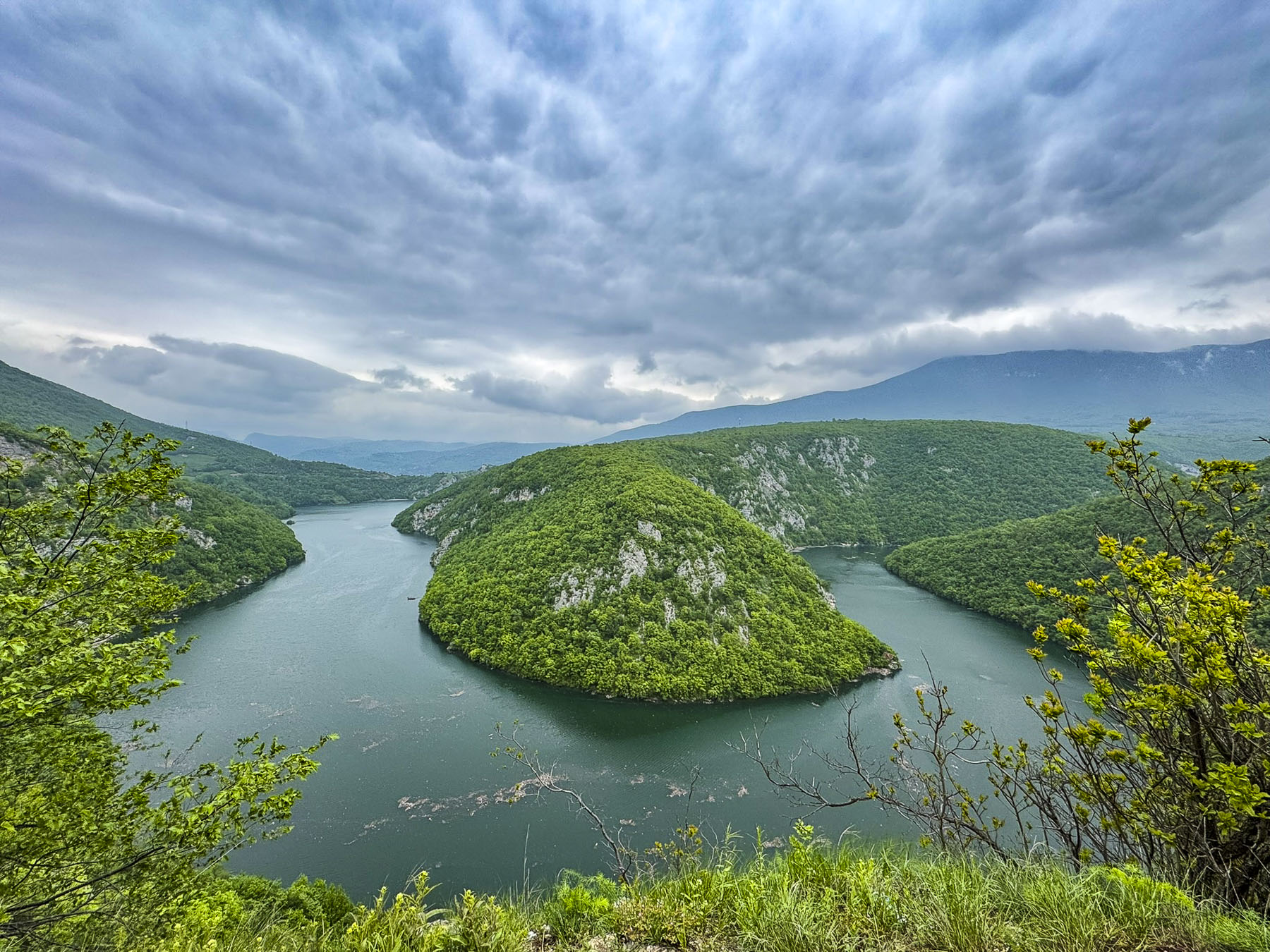
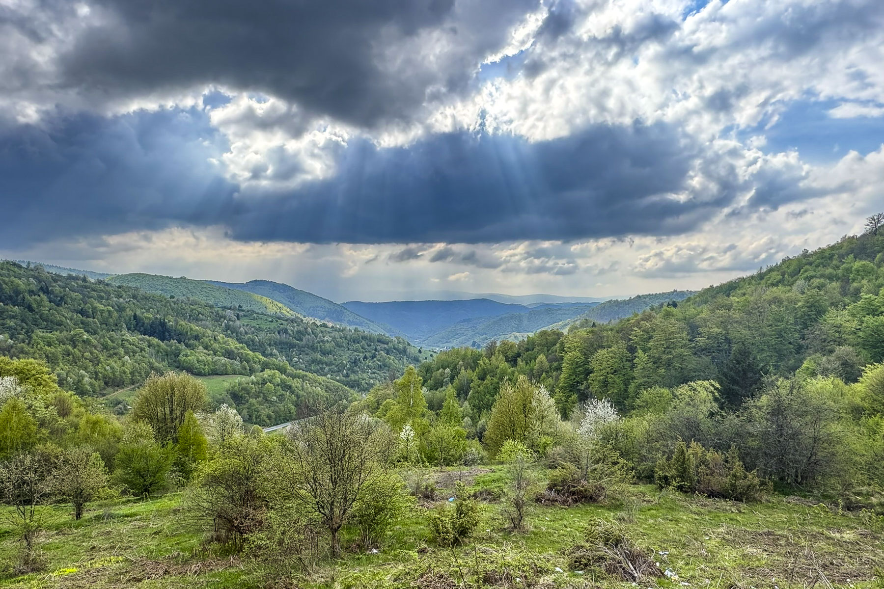
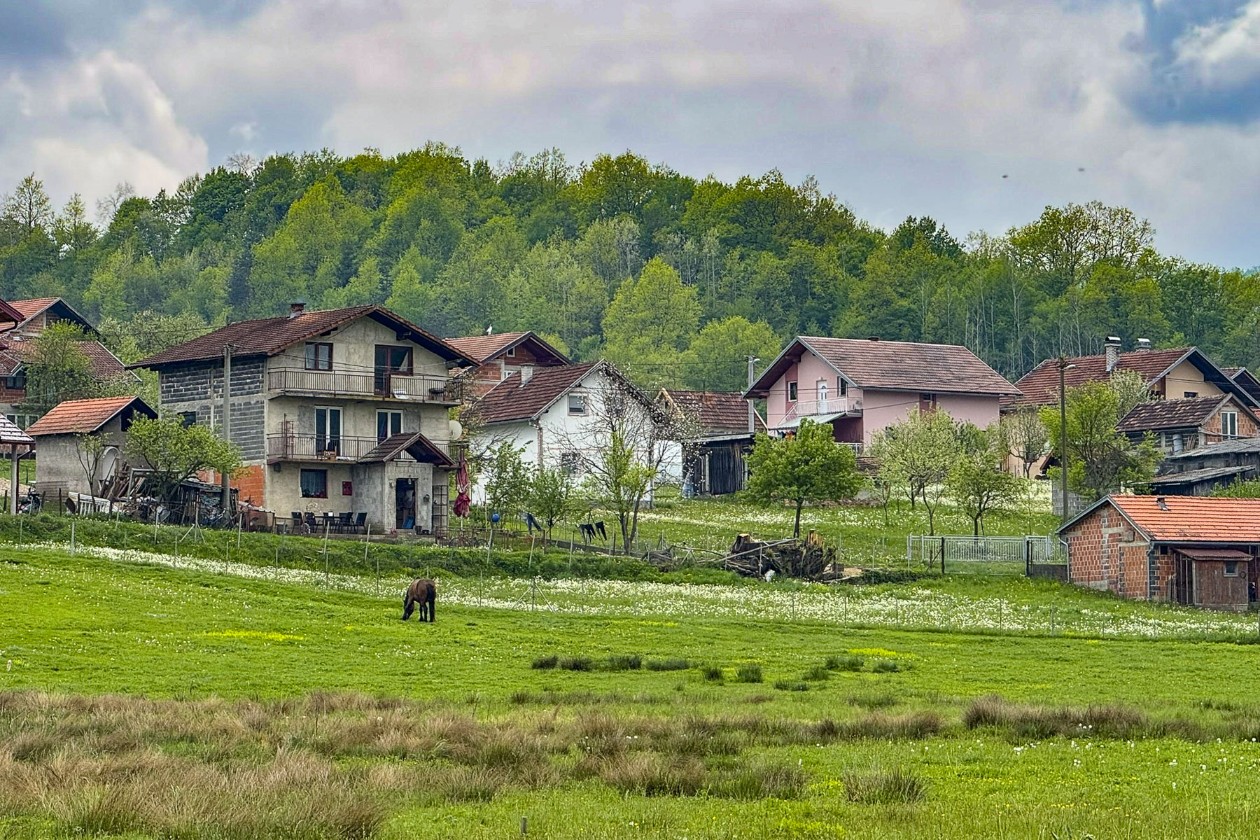
Small villages and farmland surrounded us quickly as we left the congestion of the border crossing behind. Our route the M16/E661 beyond Banja Luka hugged the narrow road beneath a steep cliff that paralleled the Vrbas River. Fields and rolling hills on the other side of the river were fresh with spring greenery. It wasn’t until we reached the Vrbas River Mountain View that the road widened enough to stop for a scenic overview. On the map this looks like an official overlook, but in reality, it’s a small, rough unpaved section of widened shoulder without a guardrail. You can’t actually see the river from the road at this point, but we drove past and did a U-turn so we could pull into it safely. Walking as close to the edge as we dared revealed a spectacular panorama of a horseshoe shape bend in the river.
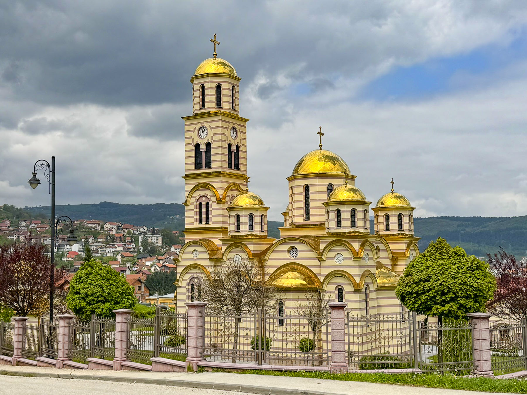
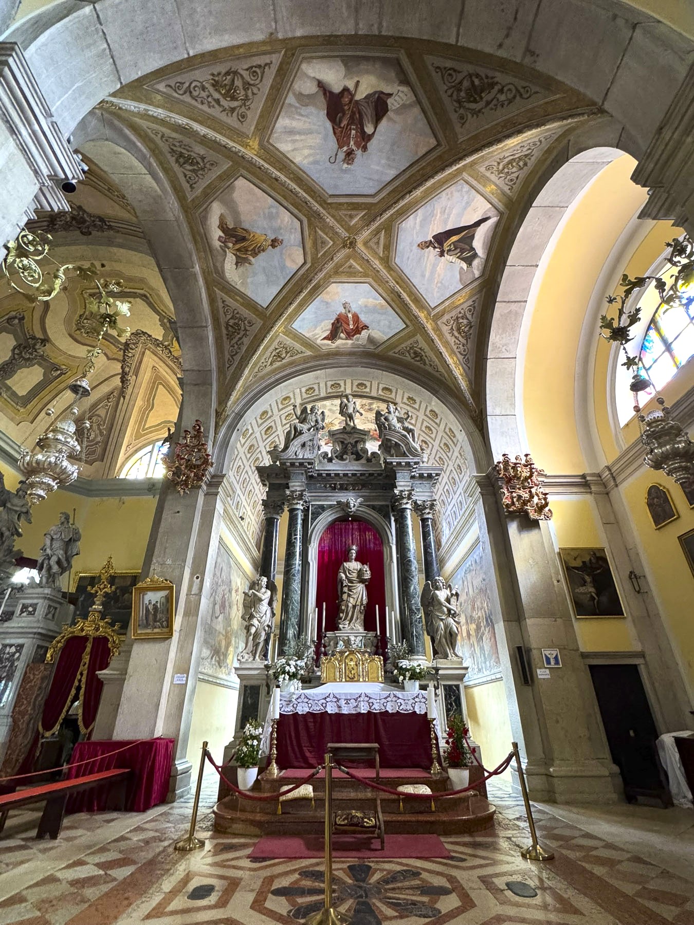
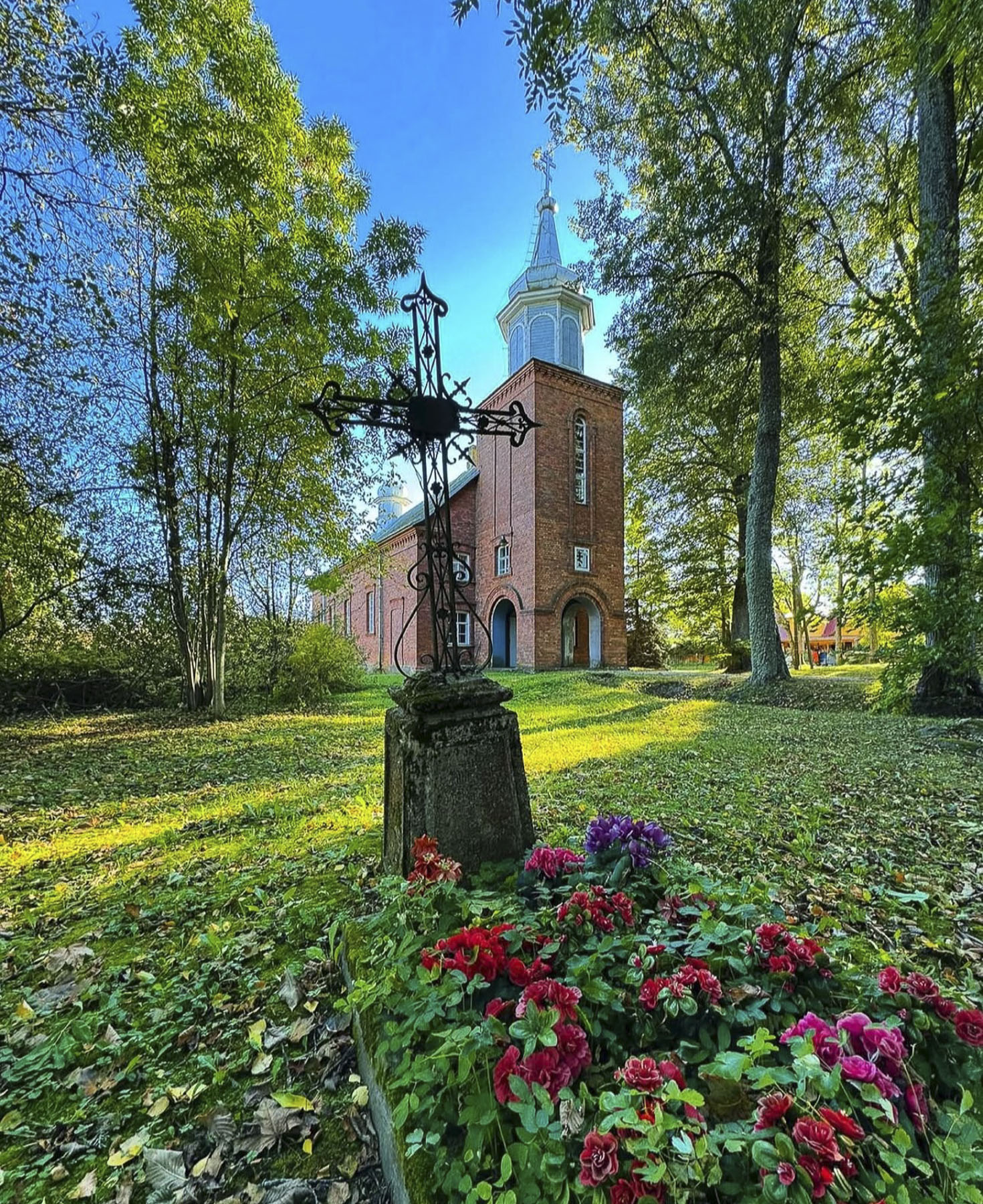
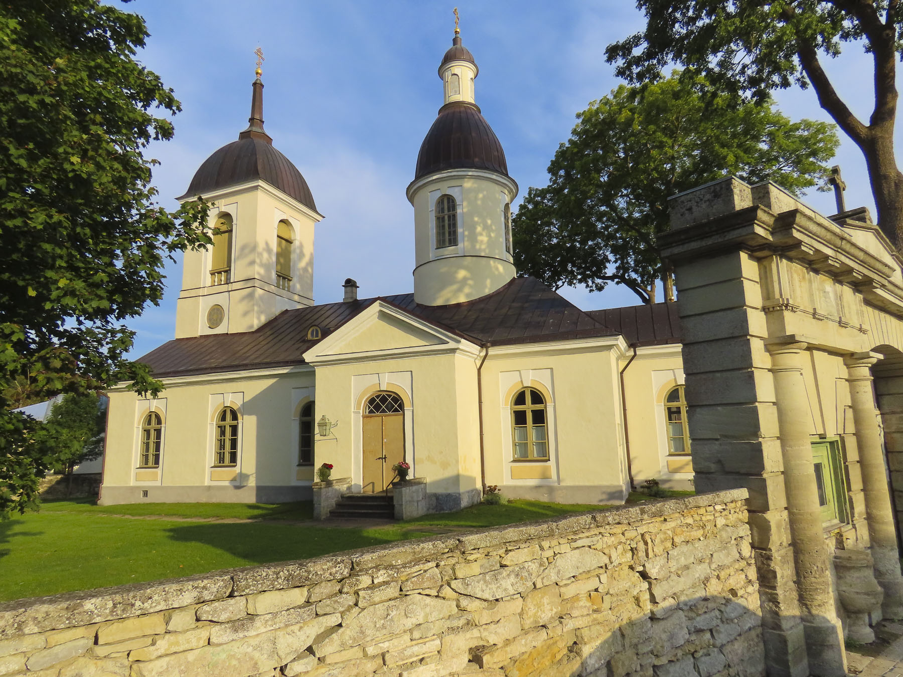
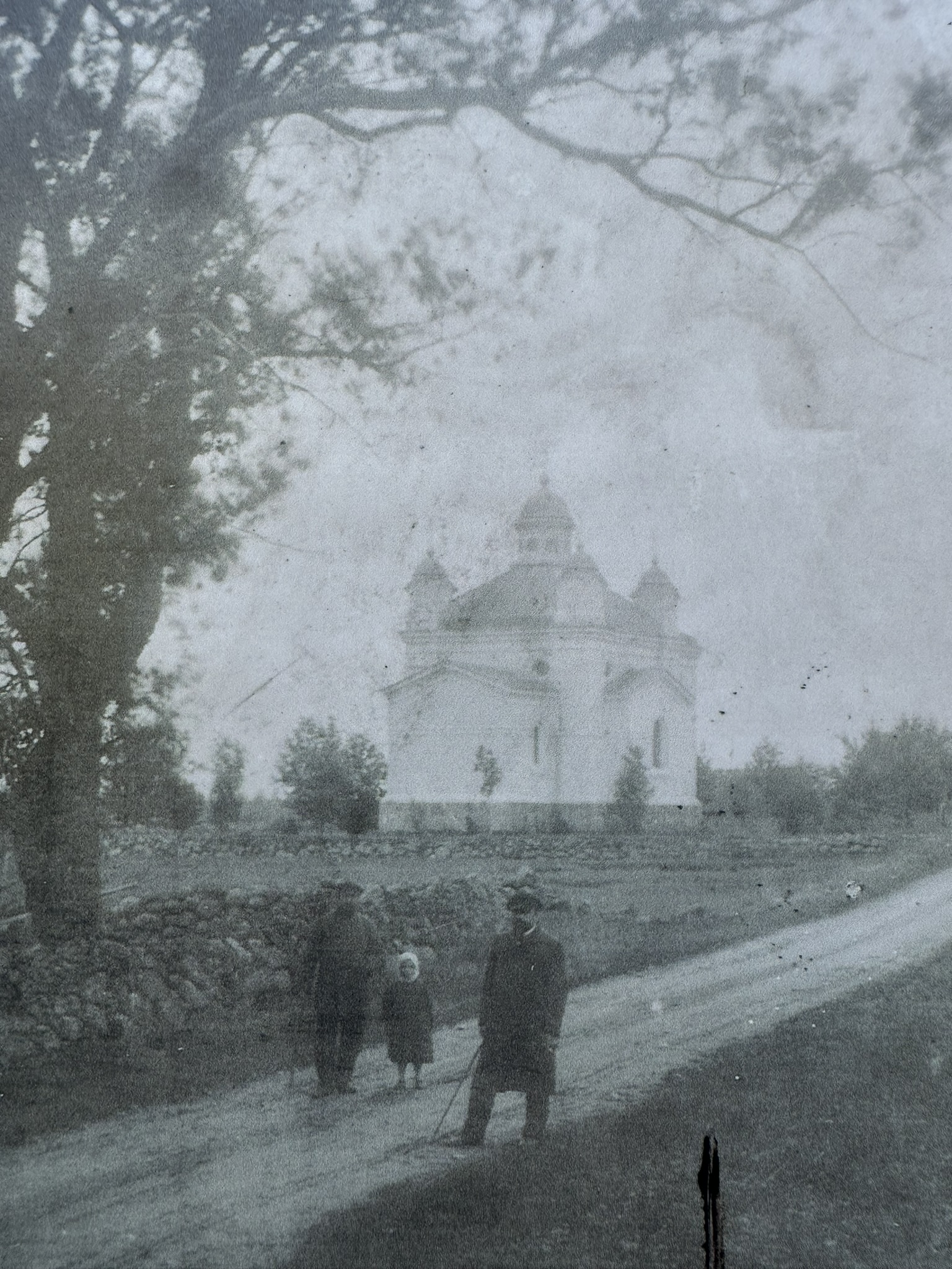
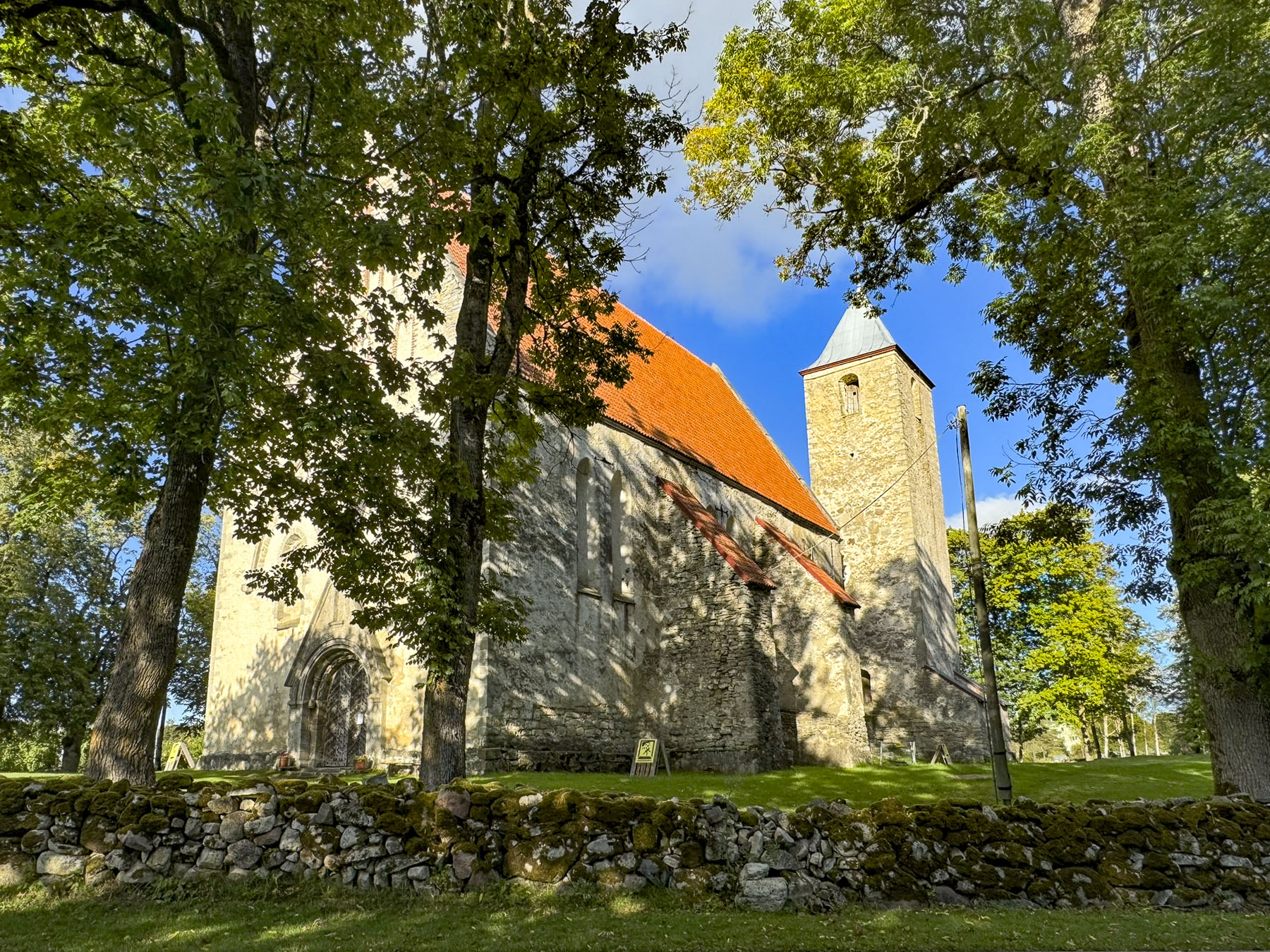
Turning, we rose into the mountains and reached Mrkonjić Grad, a fairly good size town in this semi-rural area, and stopped for a moment at Храм Светог Саве Мркоњић град, the orthodox Temple of Saint Sava. Construction of this stunning gold domed church started in the mid-1930s, but was interrupted by World War Two, communist rule, and the Balkans war in the 1990s. Post-war reconstruction efforts finished the church in the early 2000s.
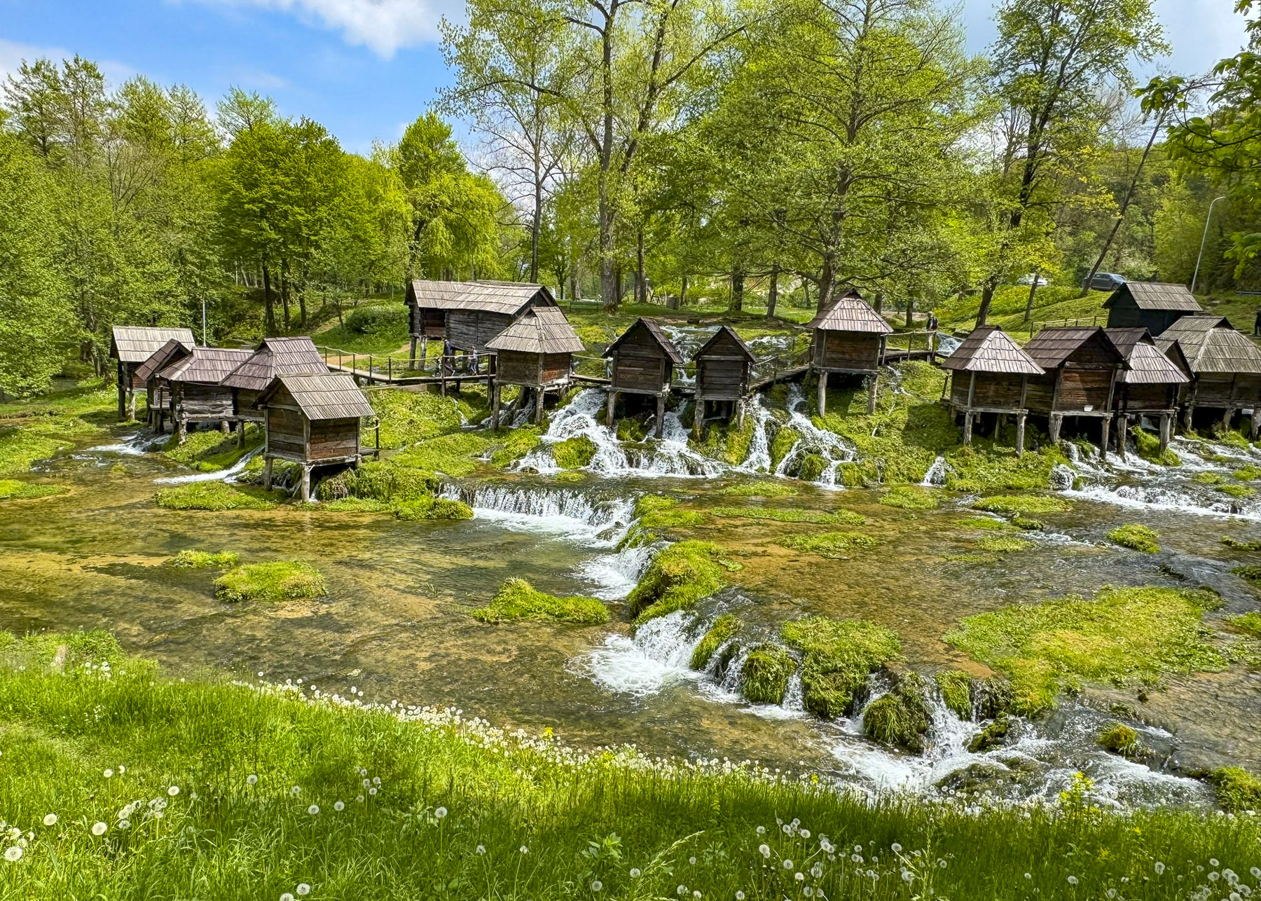
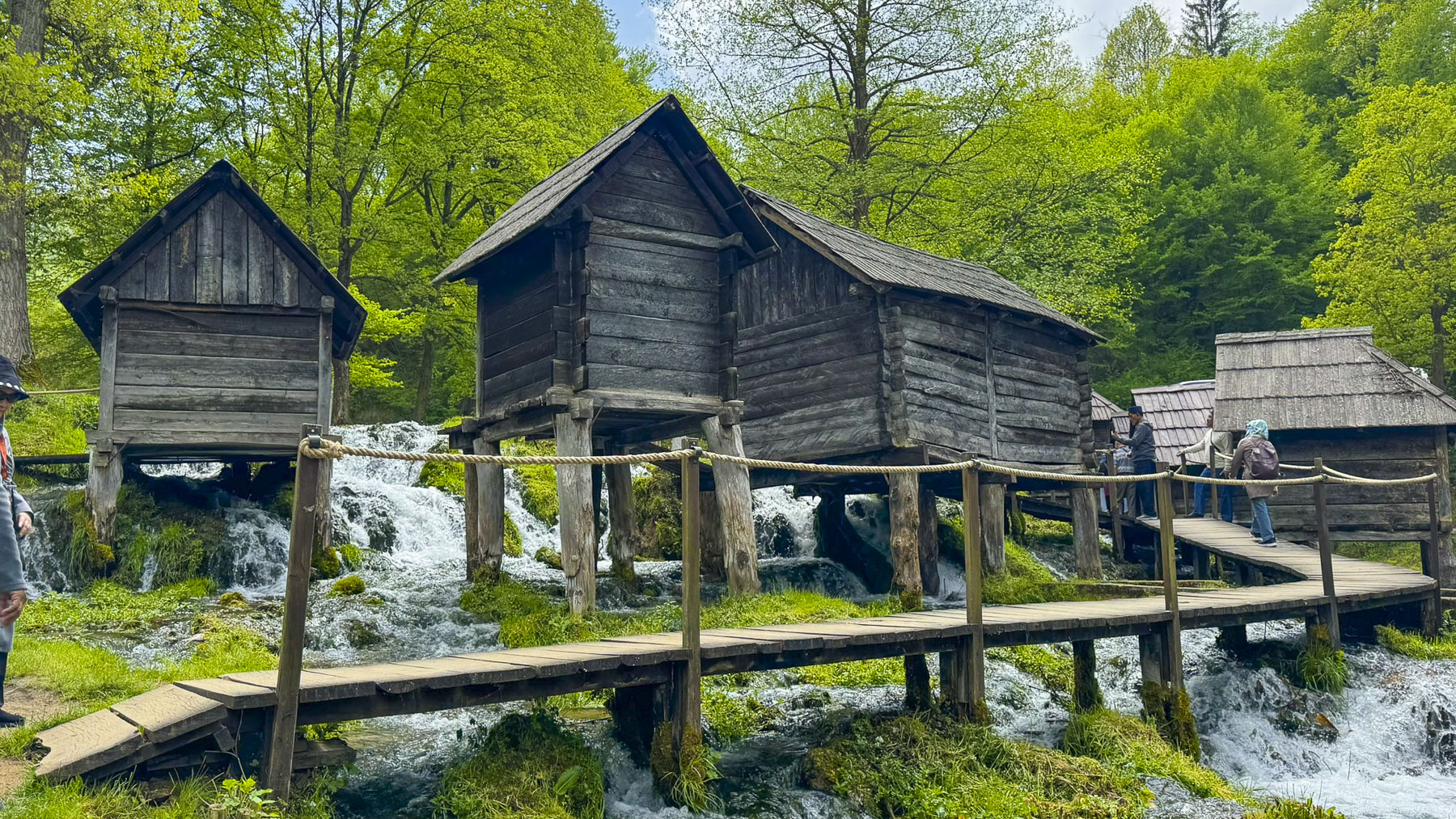
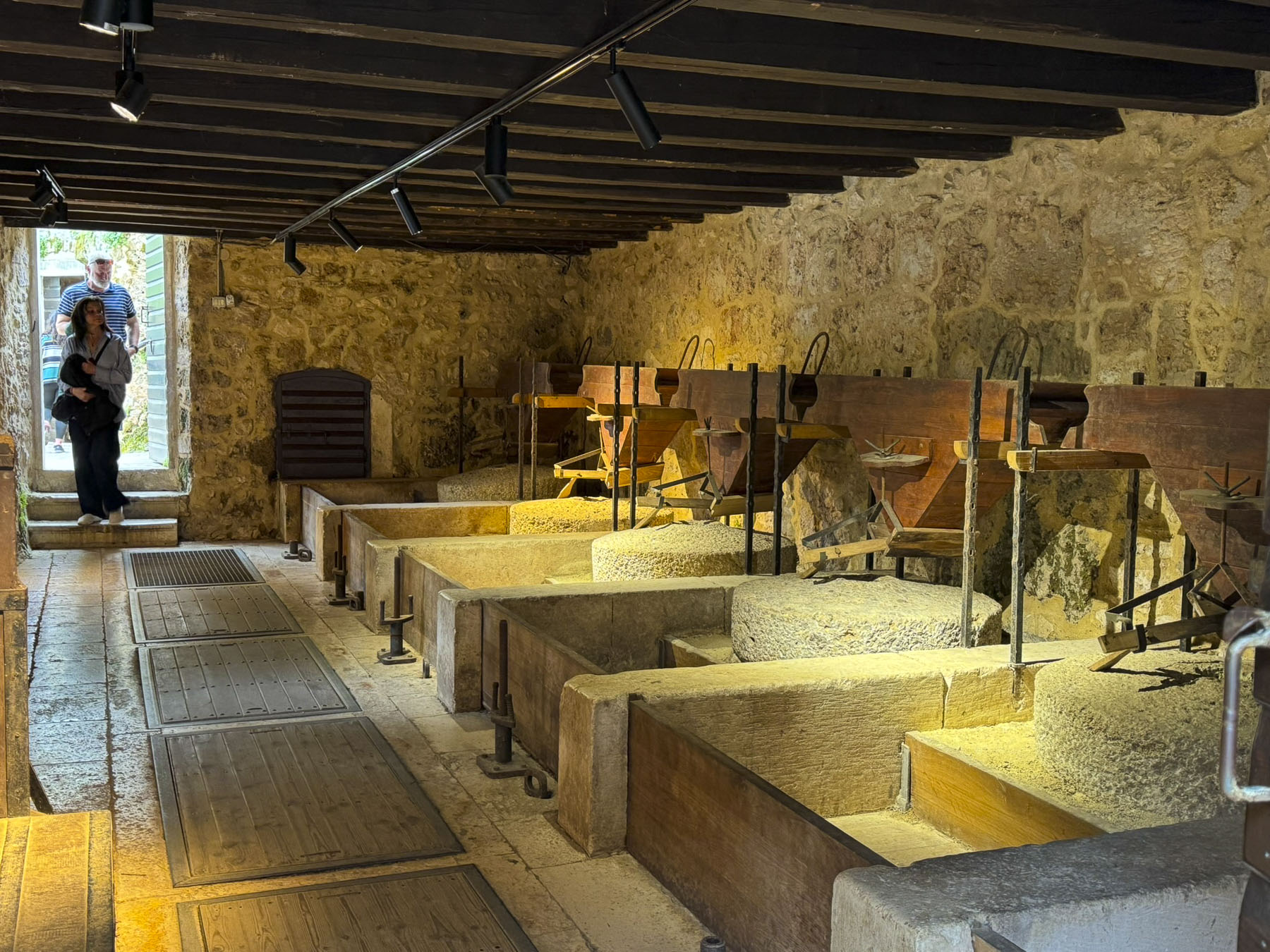
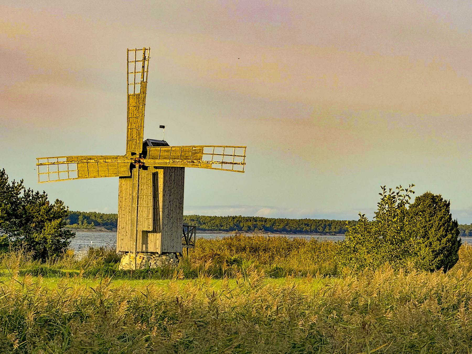
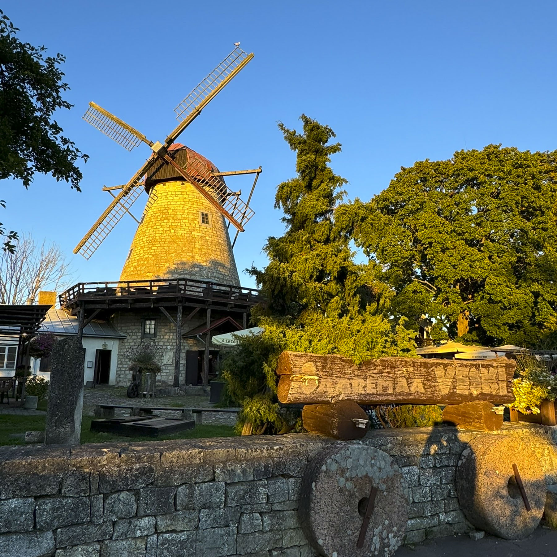
Luckily our timing was perfect as a large tour bus was just pulling away from Mlinčići, a collection of historic windowless wooden watermills, on the rapids below lake Plivsko Jezero. They date from the 16th century Ottoman Empire during which they were communally owned by extended family clans for their personal use, though they were occasionally rented out to other farmers for the payment of a ‘grain tax.’ With industrialization they fell into disuse and were abandoned, almost lost to history, until they were declared a national monument, and restored in 2009.
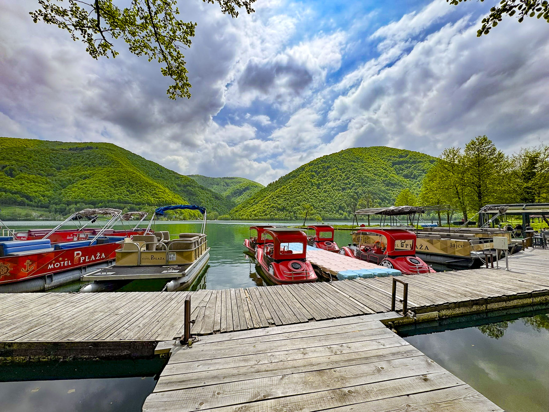
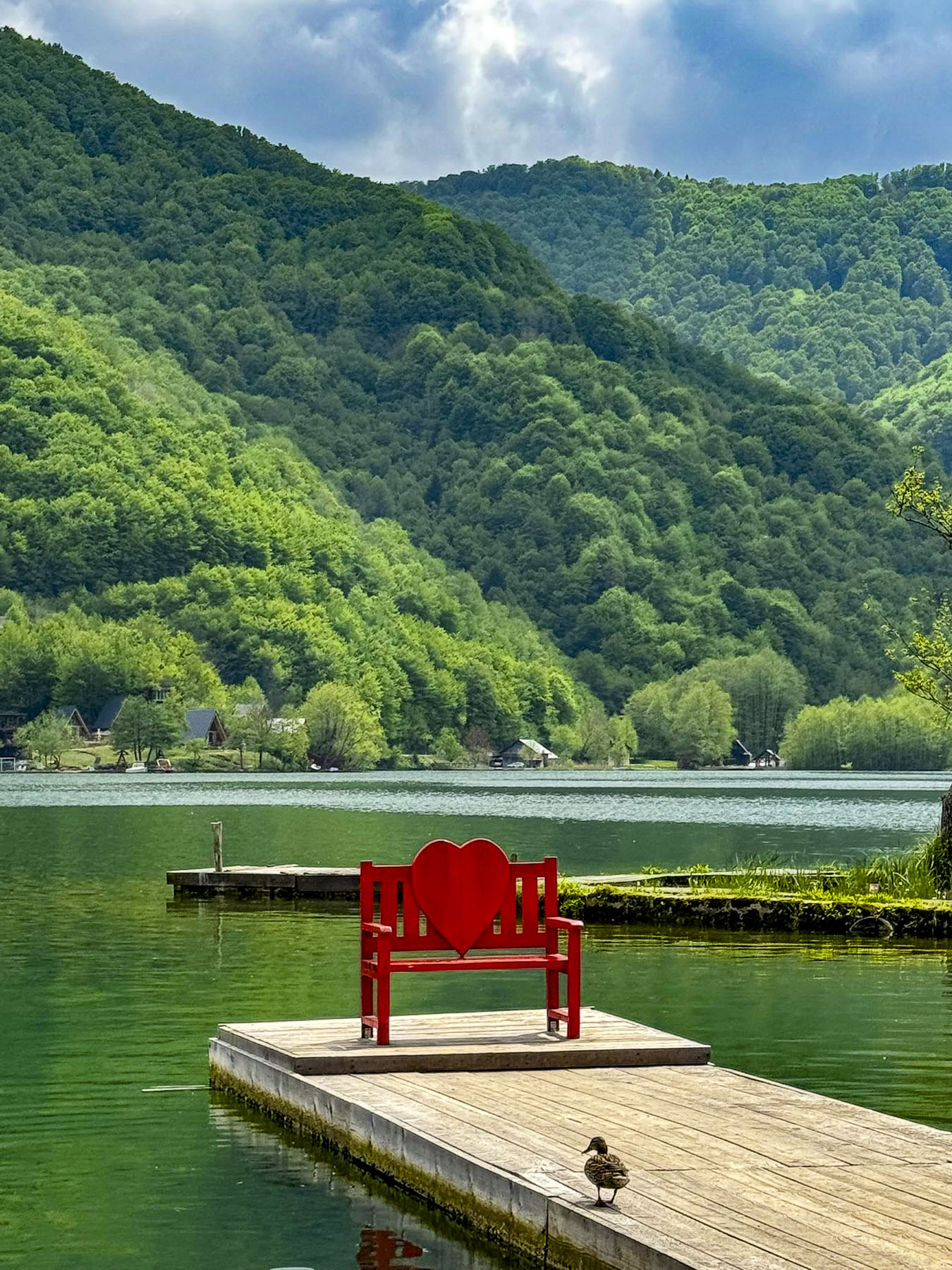
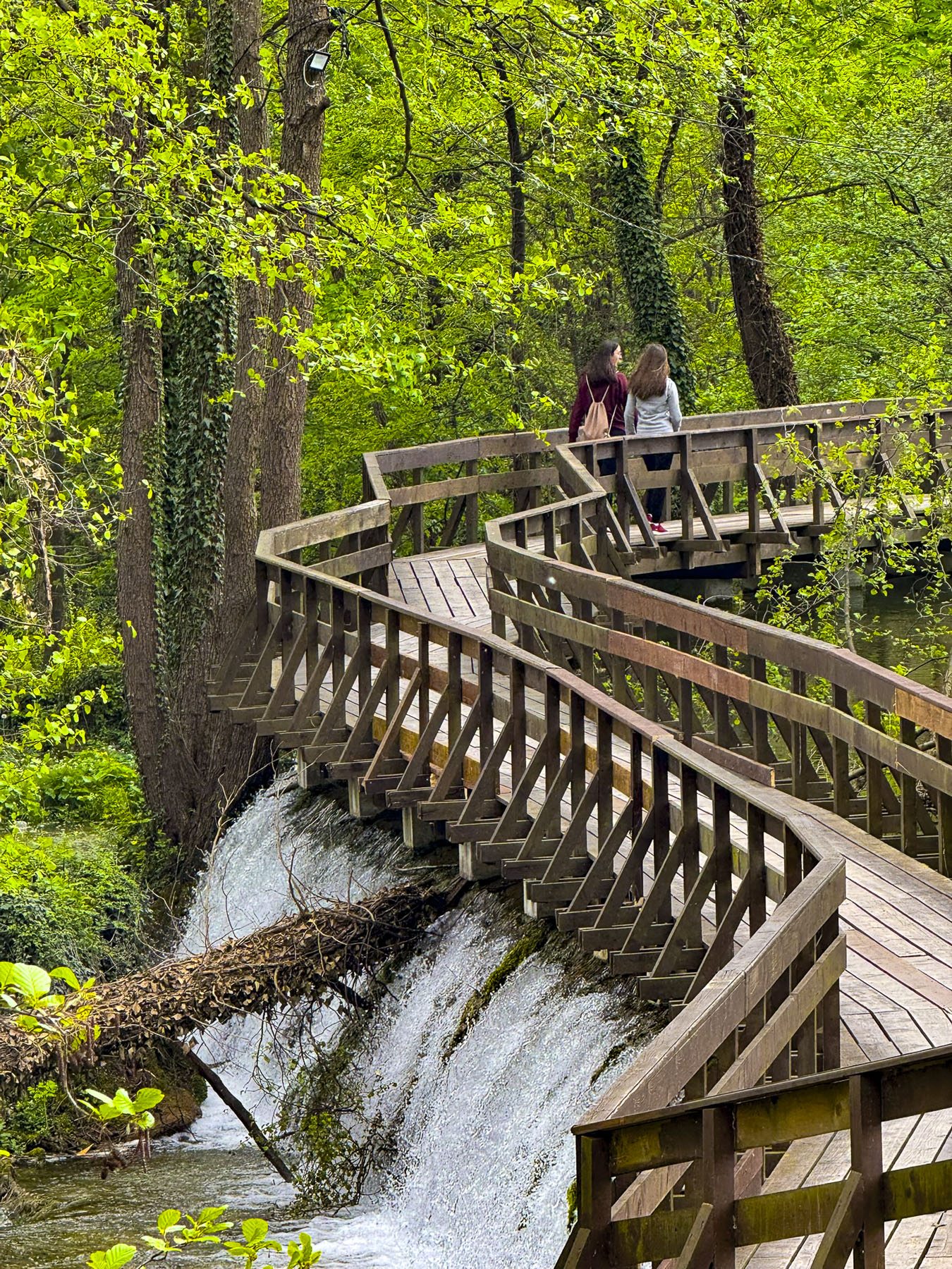
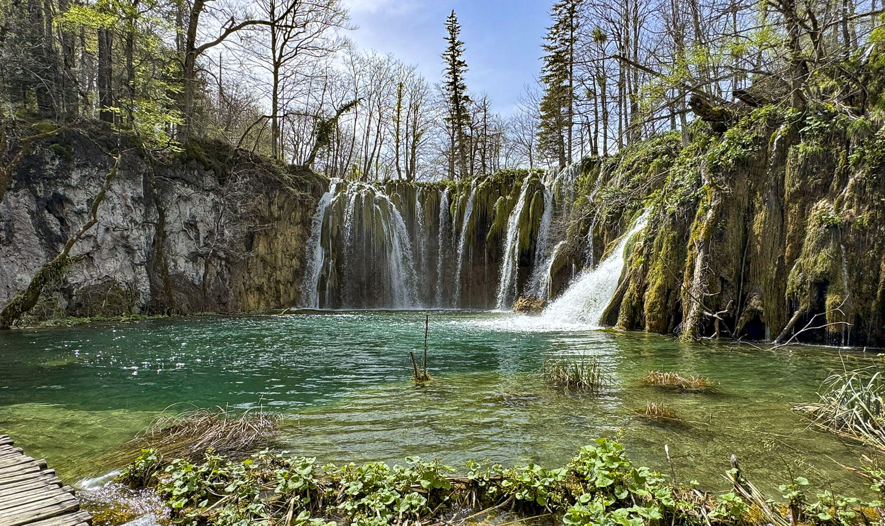
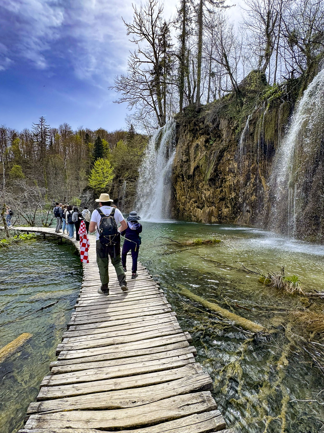
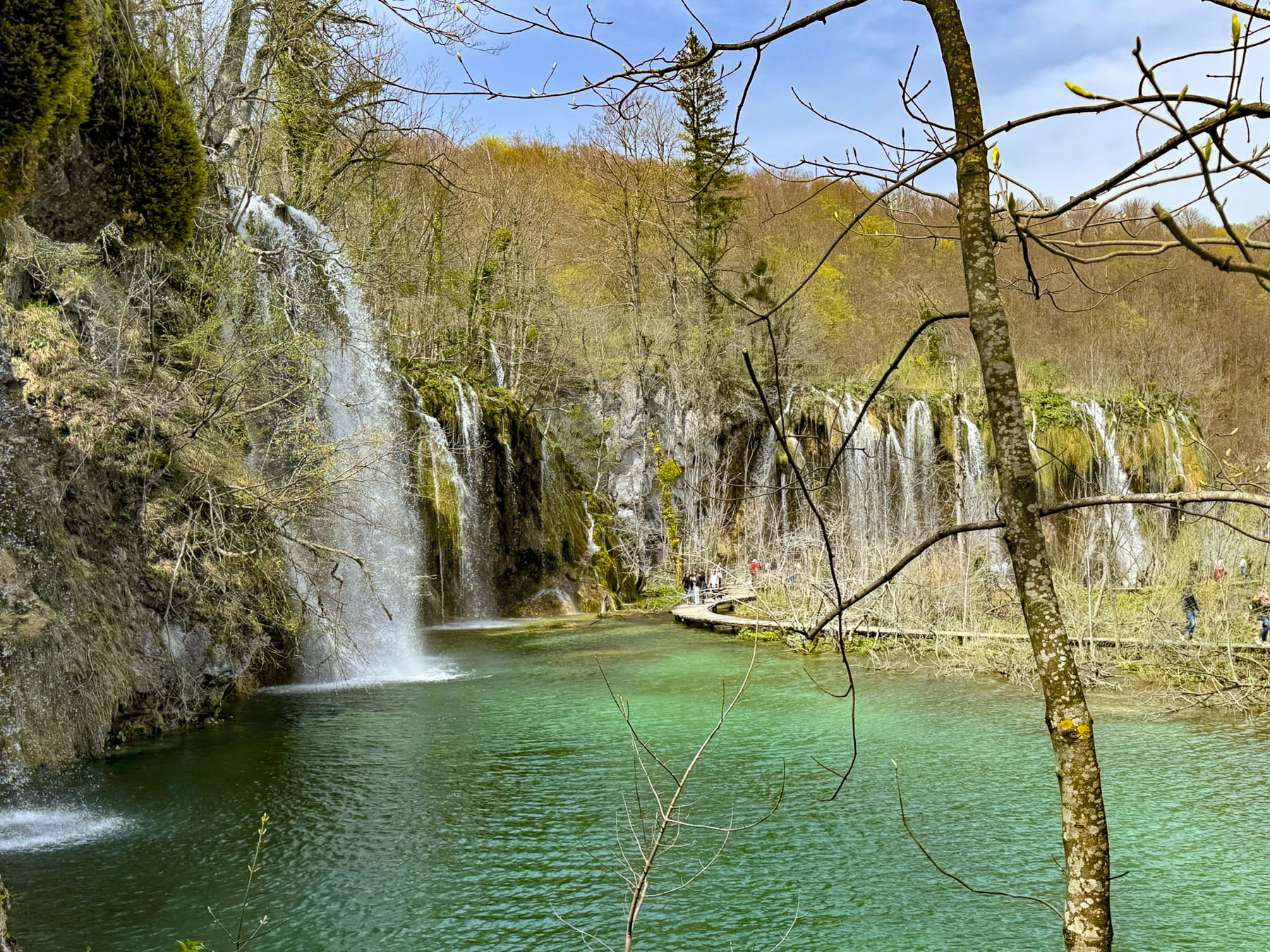
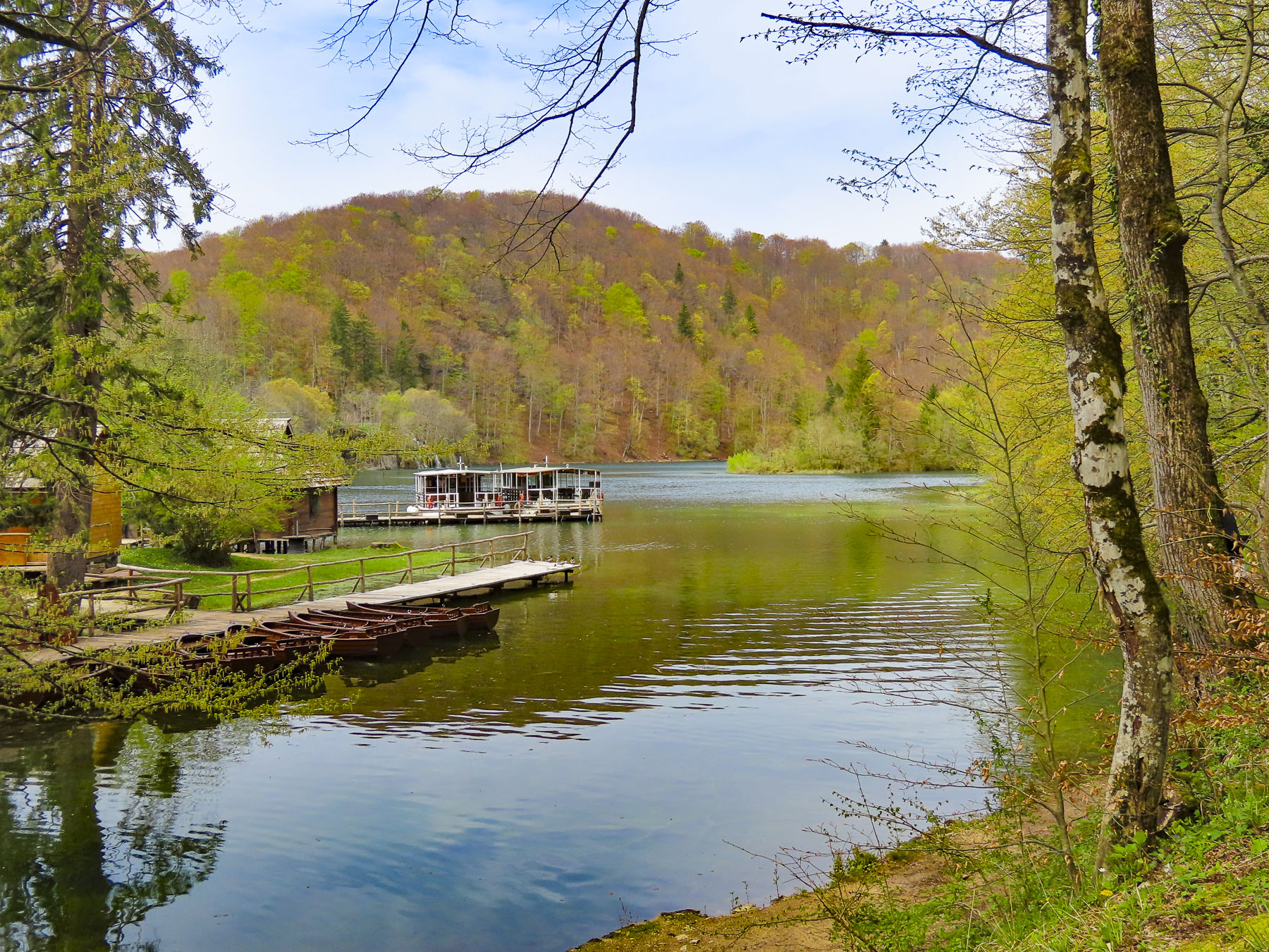
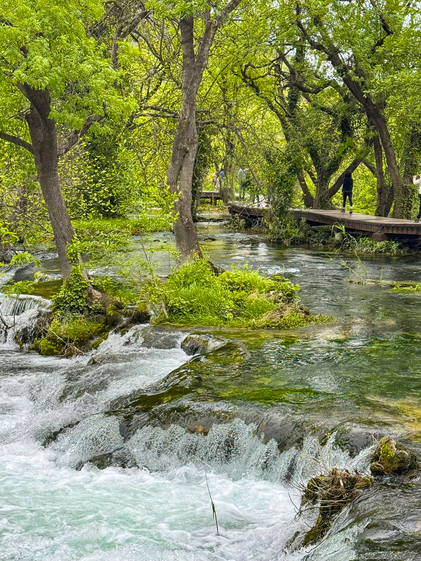
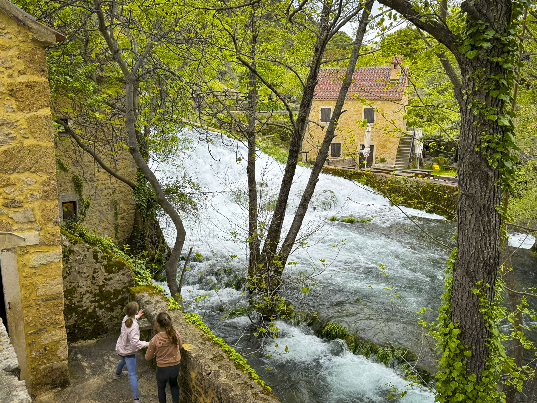
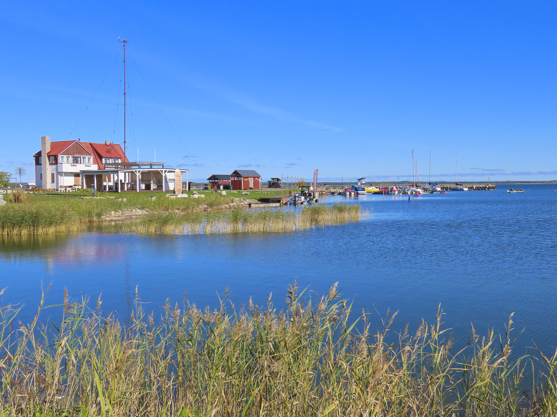
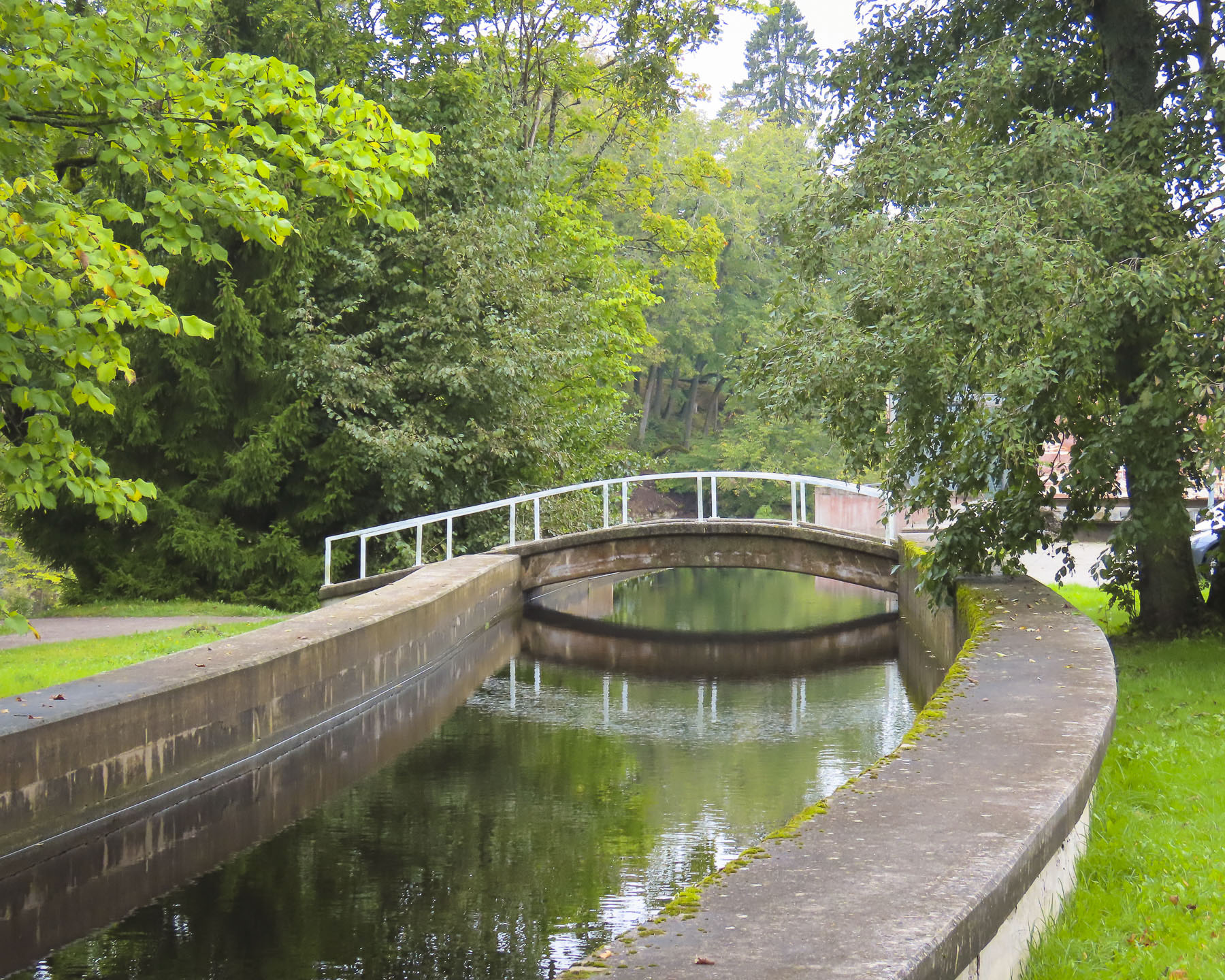
Earlier, as we drove to the Mlinčići we passed the lakefront restaurant Plaža, which looked like a perfect place for lunch. It was surprisingly busy for a Monday, but for many folks it was a vacation week between the Catholic and Orthodox celebrations of Easter. It was a pleasantly sunny day and warm enough to dine outside on the restaurant’s patio. Afterwards we strolled along the lake’s promenade where rental boats remained firmly tied to the dock, awaiting the tourist high season to begin later in the spring. Onward we stopped at Most Jubavi, the town of Jajce’s bridge of love, built across the top of a wide waterfall. It’s a beautiful setting with the boardwalk curving through a lush landscape of trees and rushing water.
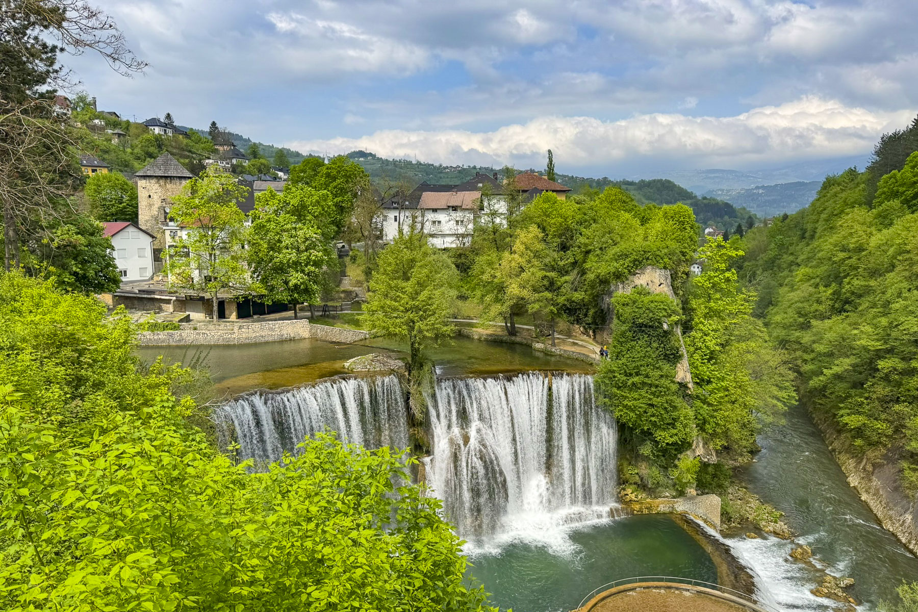
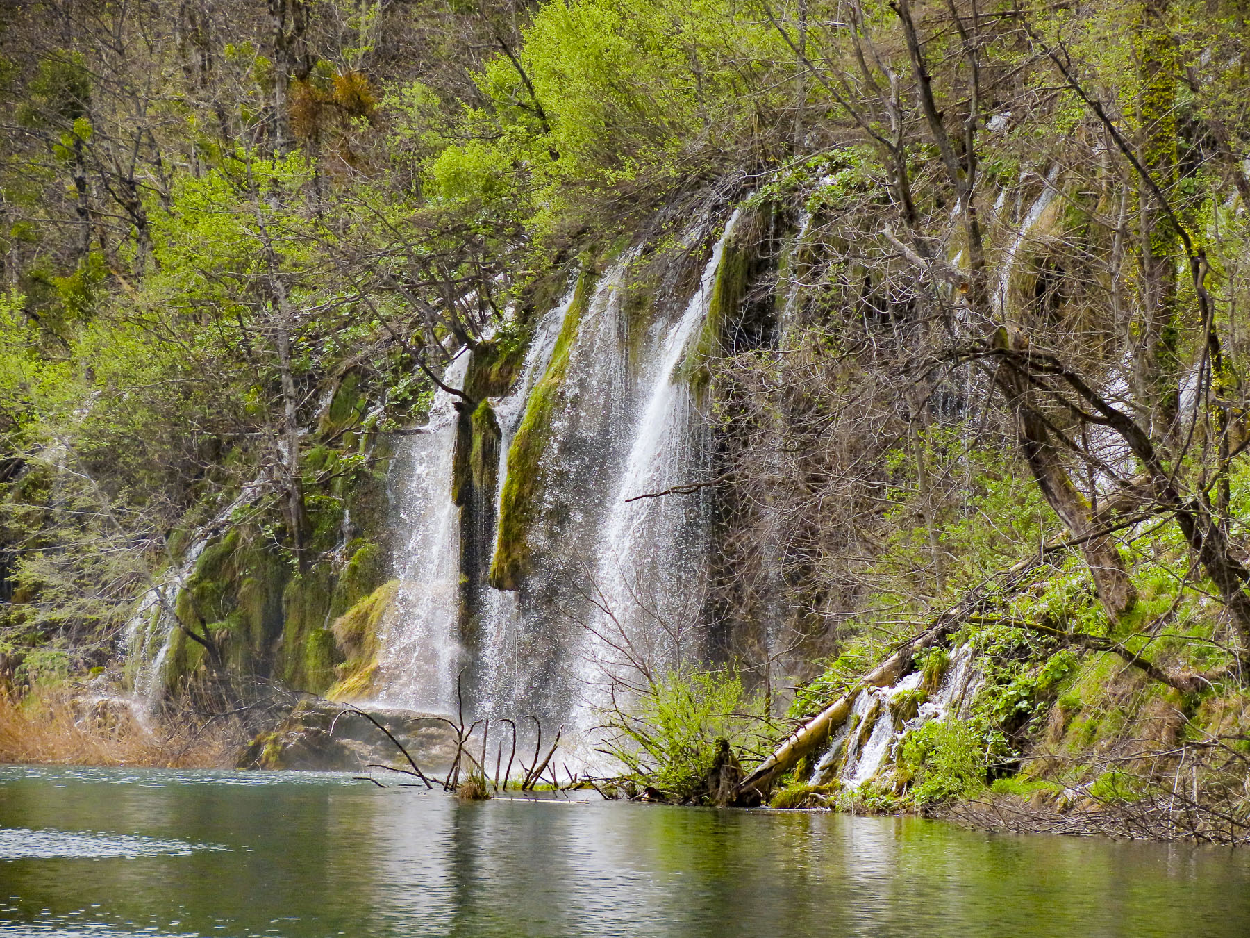
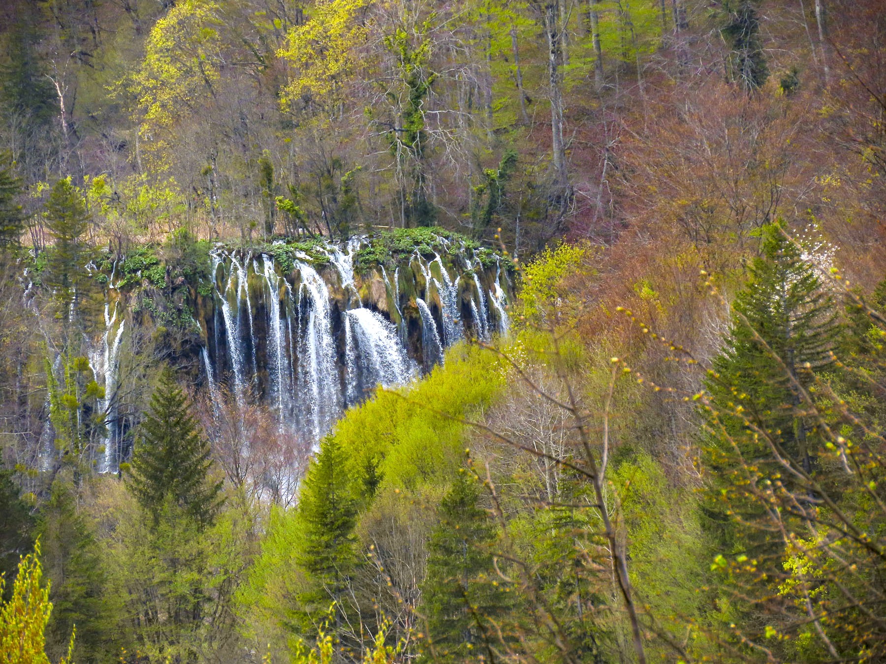
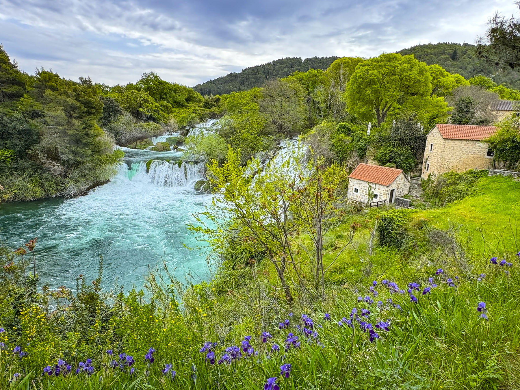
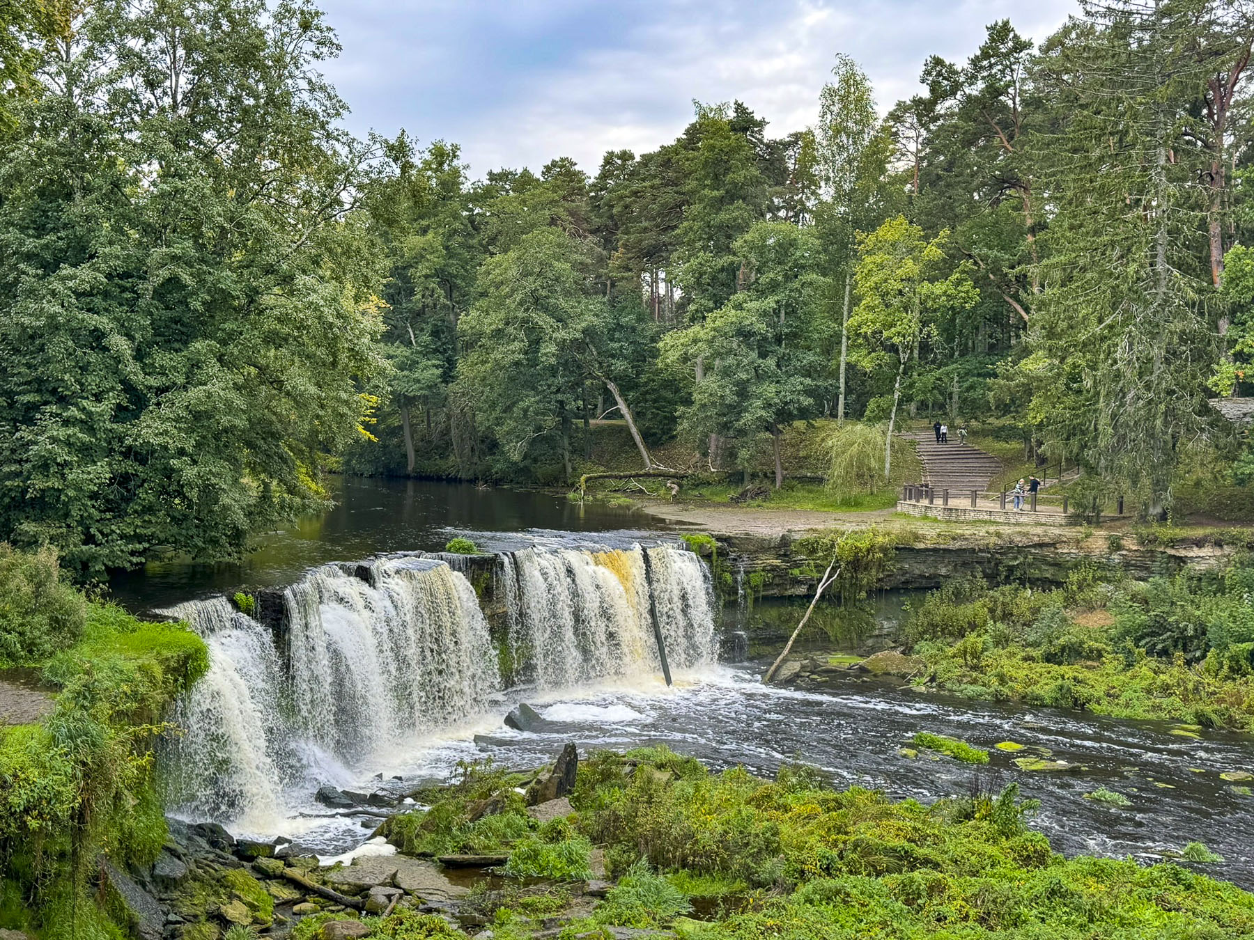
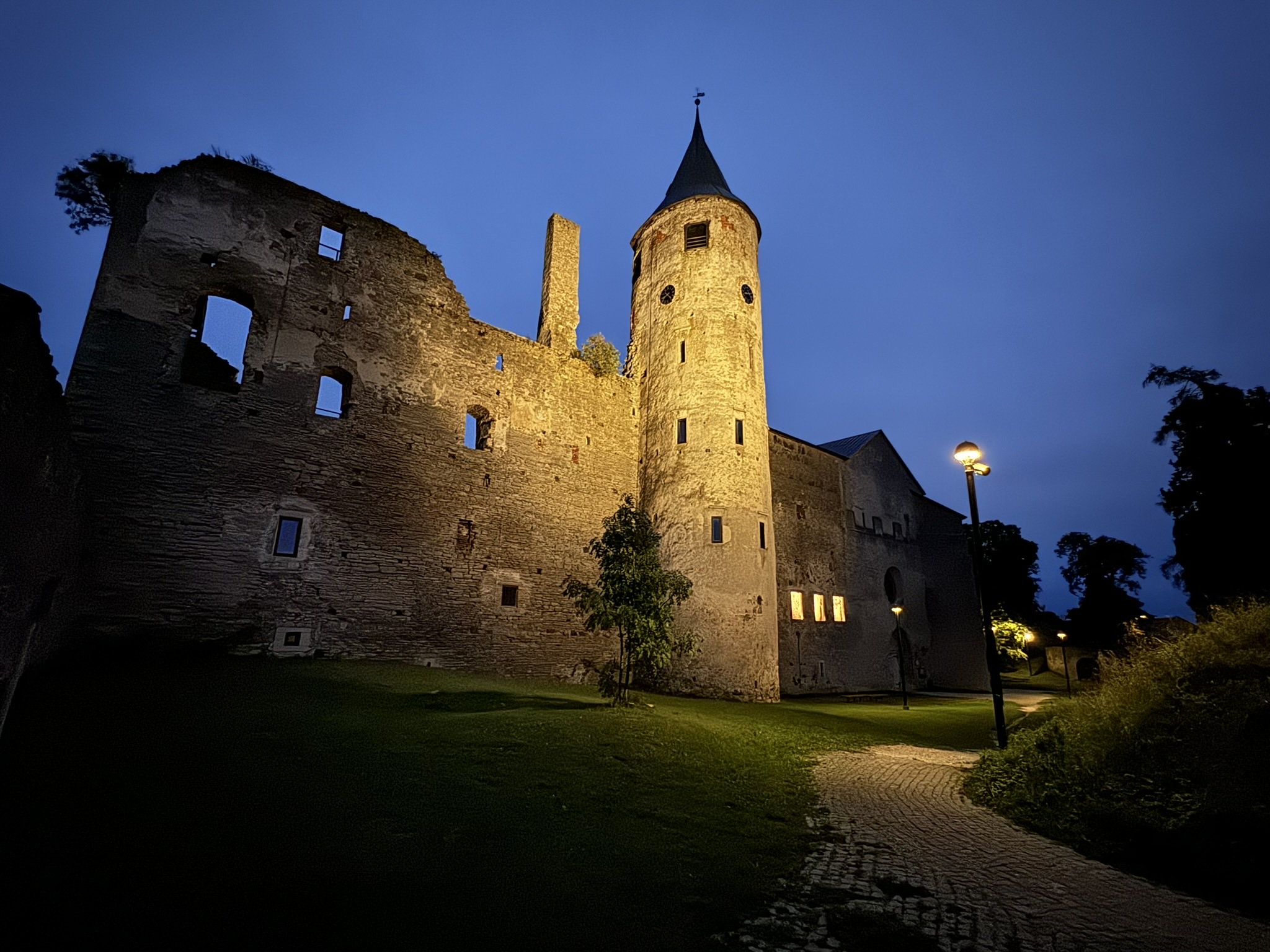
The water from Plivsko Jezero flows downstream to Jajce, where it cascades thunderously 22m (72ft) from the 50m (164ft) wide Plivski Waterfall, at the confluence of the Pliva and Vrbas rivers. On the hill above the falls was the town’s citadel. It was constructed in the 14th century when Jajce was the capital of the Bosnian Kingdom. The fortress fell to the Ottomans in 1463, but was retaken by Hungarian King Matthias Corvinus in the following year. Jajce famously resisted for another 63 years before becoming the last town in Bosnia to fall to the Ottoman Empire 1527.
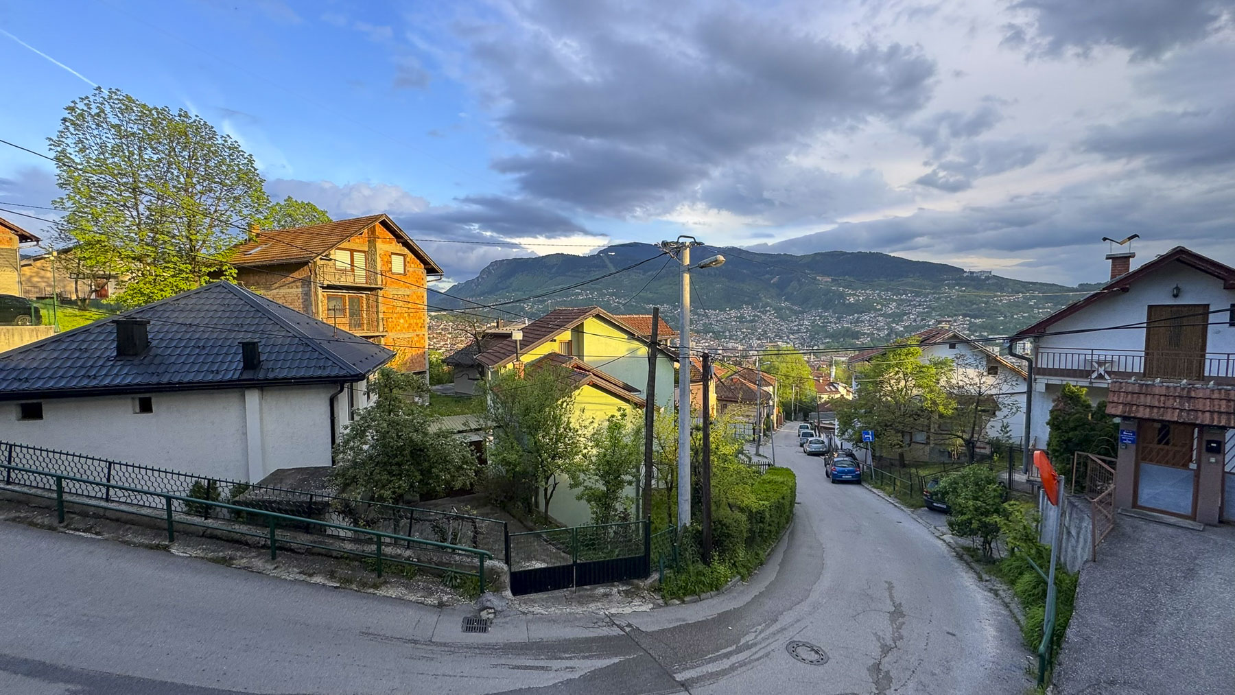
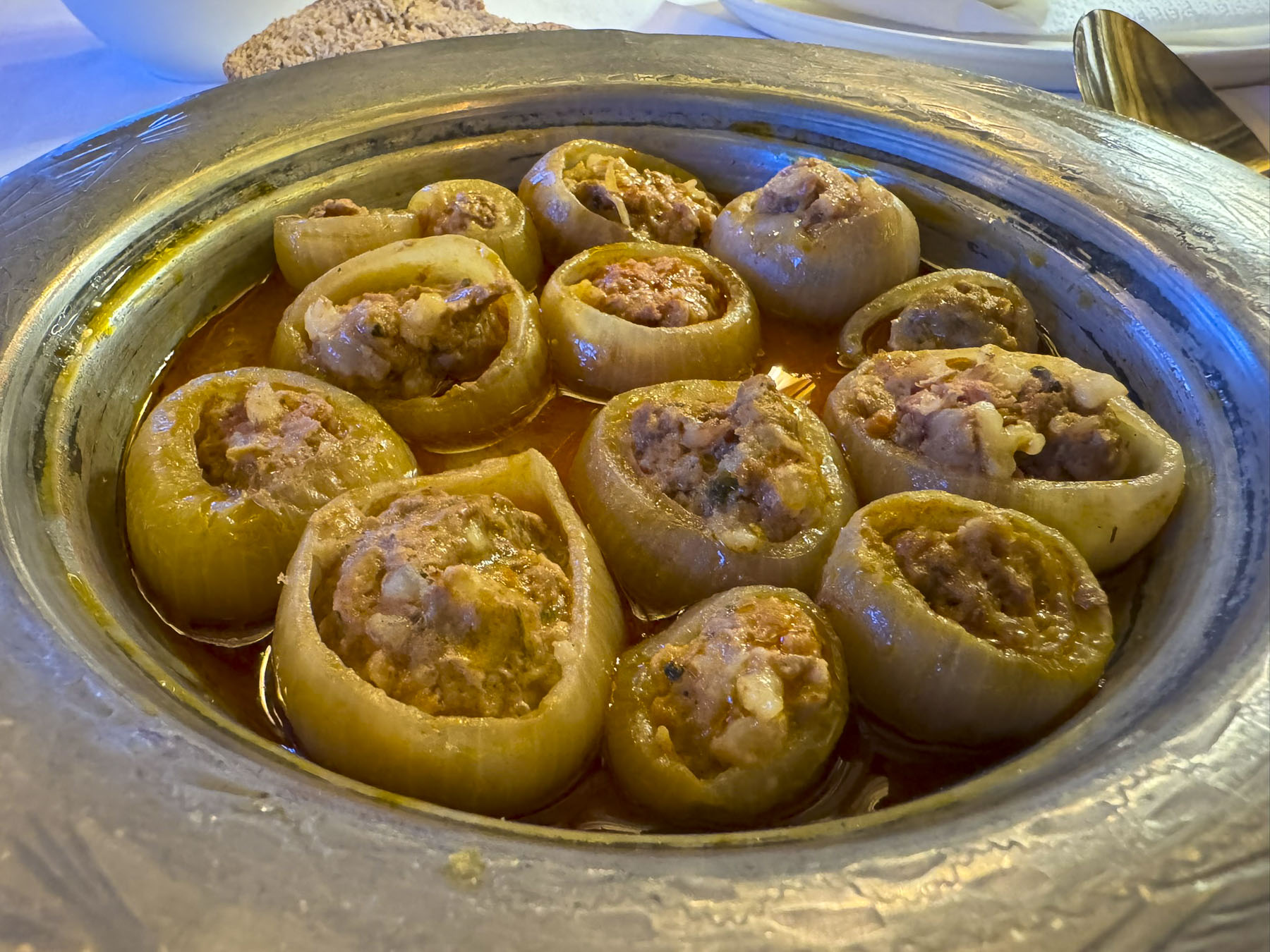
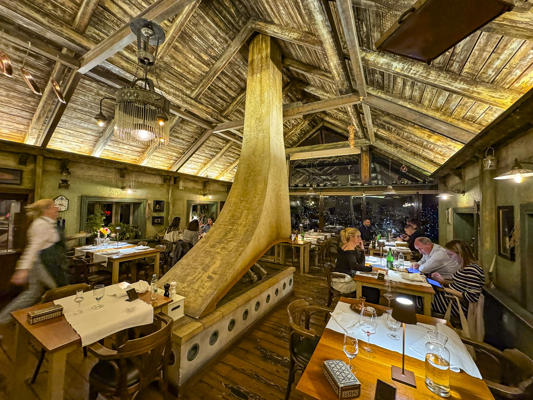
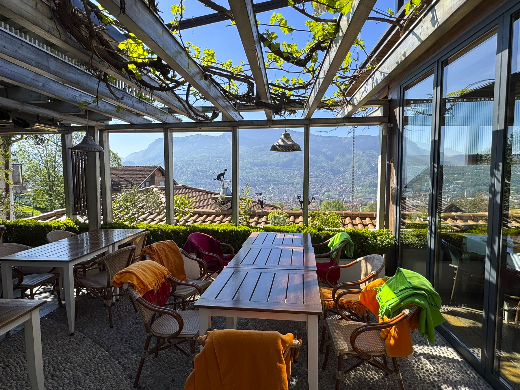

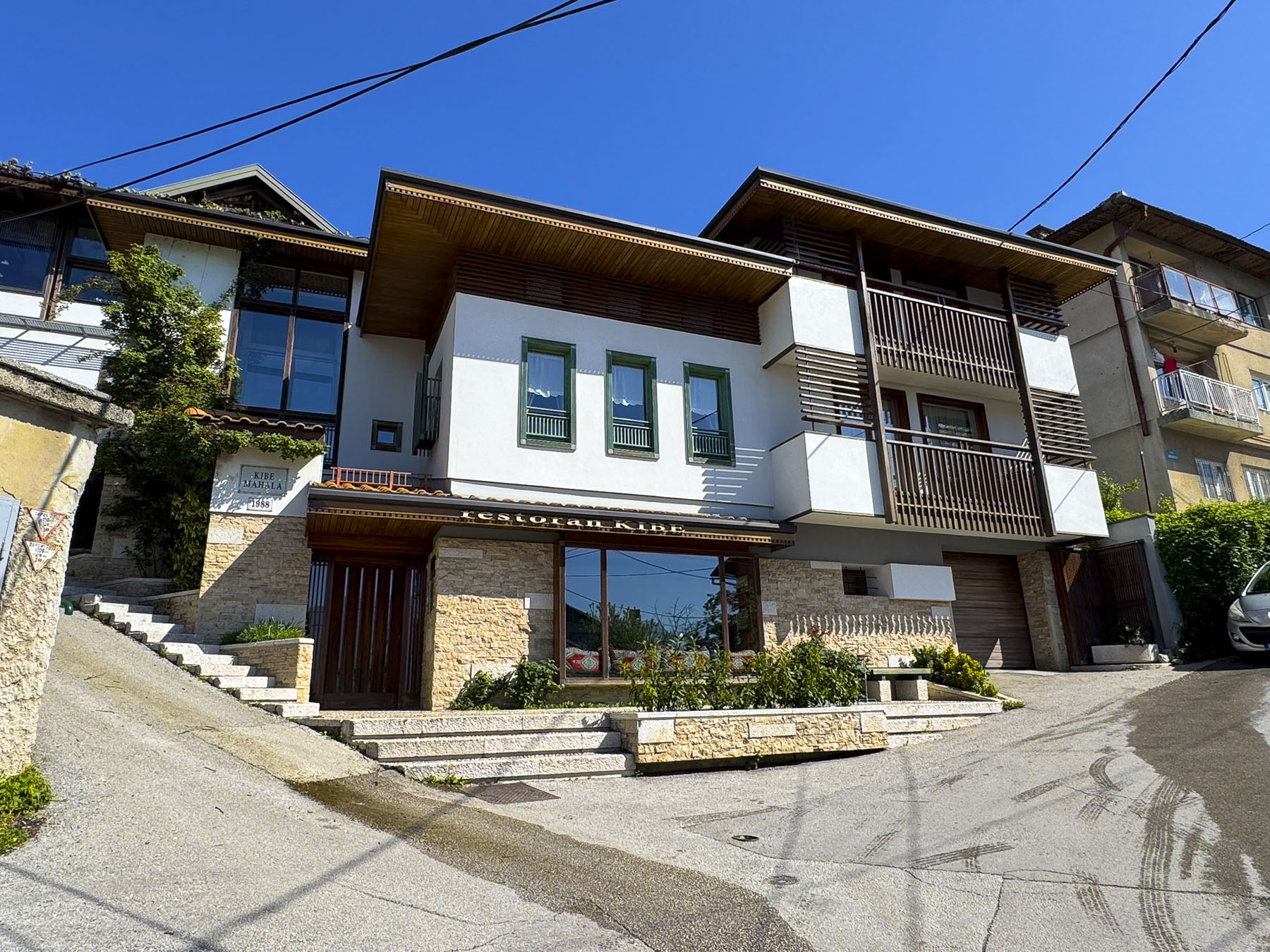
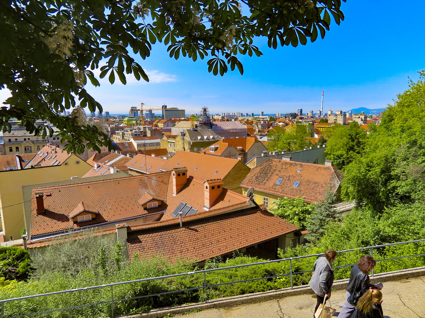
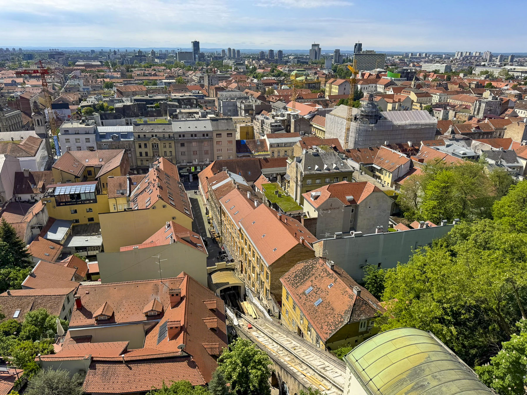
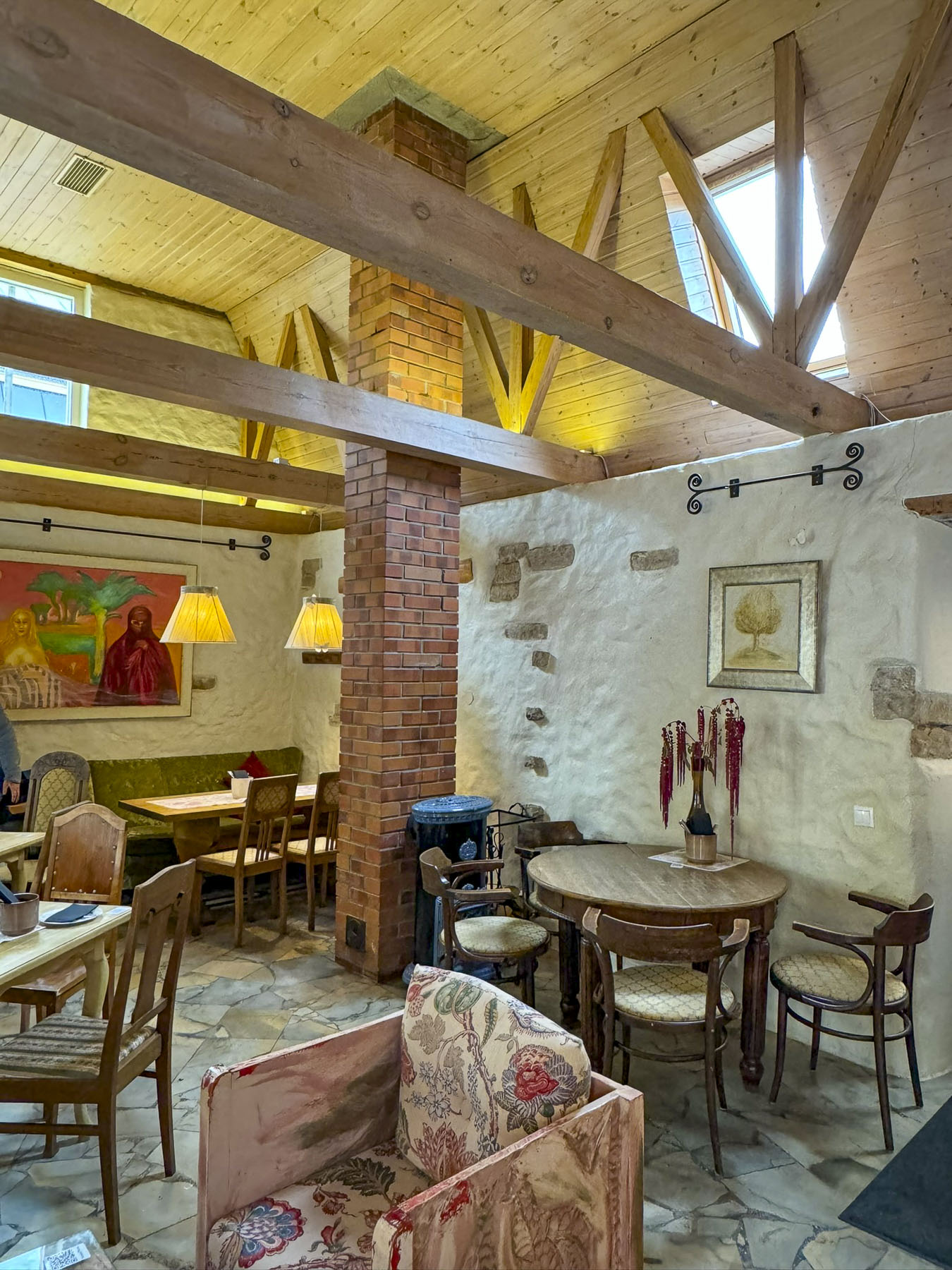
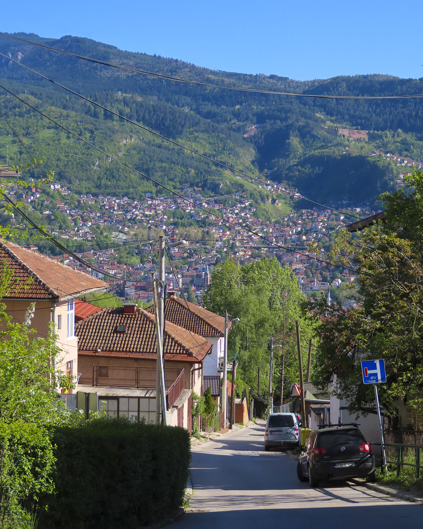
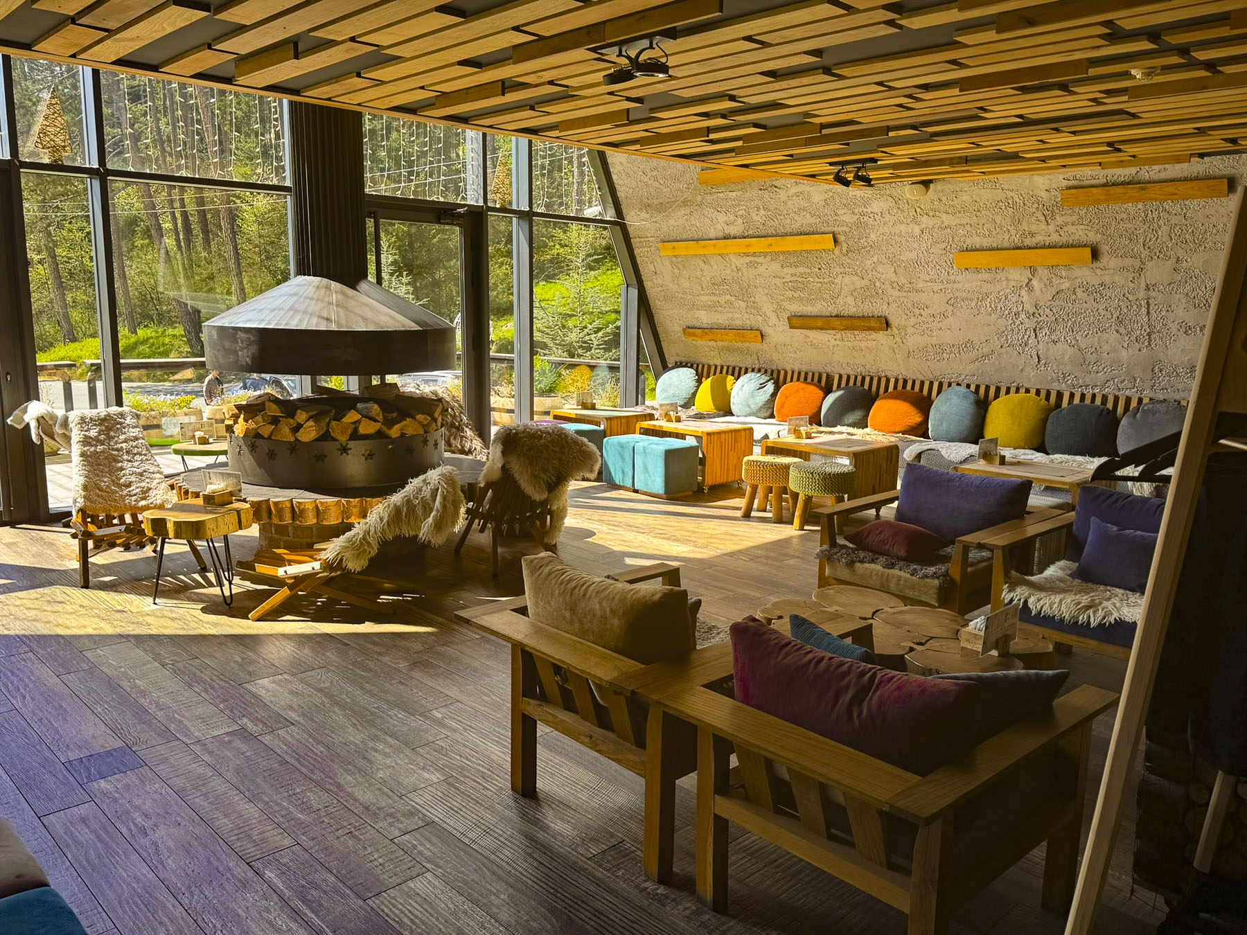
Golden light warmed the late afternoon view of Sarajevo from our room at Kibe Mahala as shadows lengthened with the setting sun. It is primarily known for its well-regarded restaurant that features a selection of Bosnian dishes and lamb roasted on a spit, but it is also a smartly designed three-room boutique hotel with a modern aesthetic appeal that reflects Sarajevo’s culture. Free parking was a tremendous bonus, but because the hillside roads above the city were so narrow we relied on the expertise of taxi drivers to slalom us downhill to Baščaršijski trg, the historic heart of old Sarajevo.
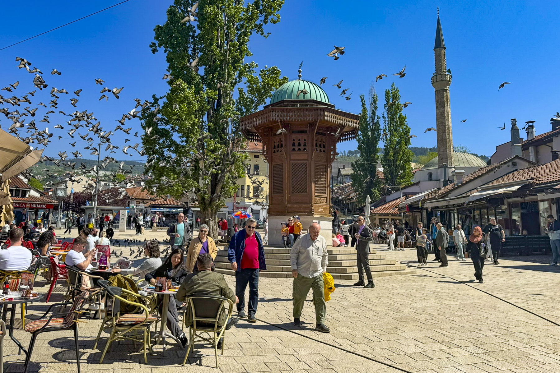
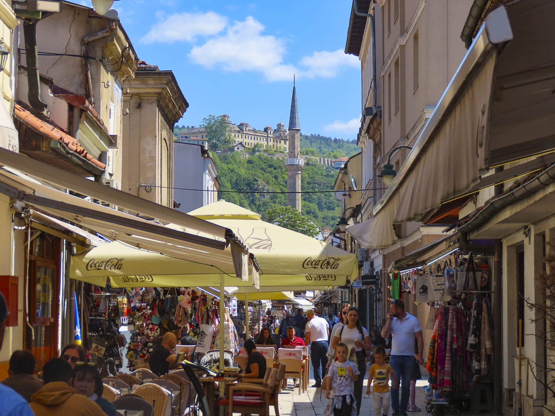
Baščaršijski trg is a long narrow V shaped plaza, once the old daily market. At its center was a Sebilj fountain, a wooden kiosk covered well, where during the country’s Ottoman era was manned by Sebiljdžija, workers who received wages from the Voivode, mayor, to dispense free water to thirsty passersby.
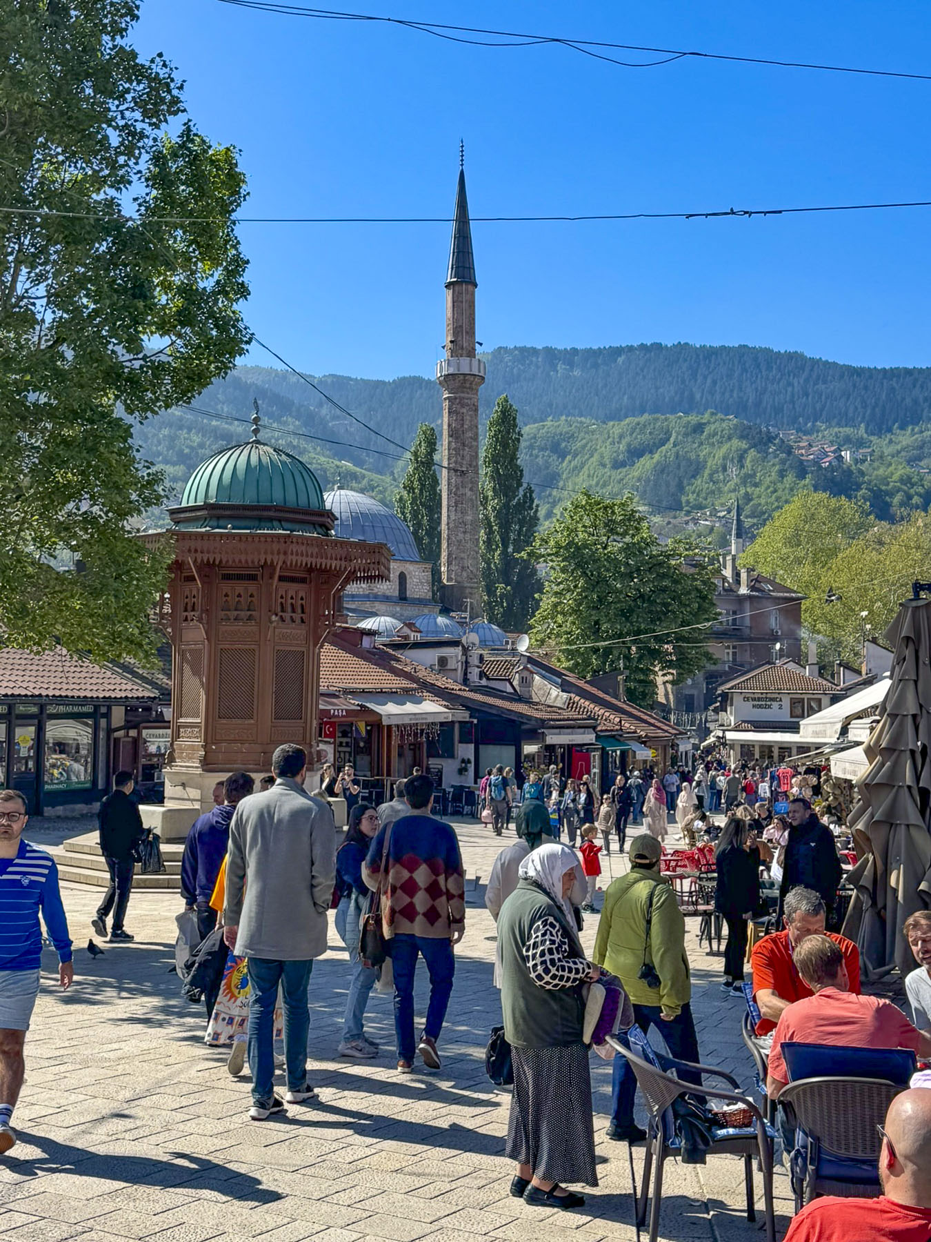
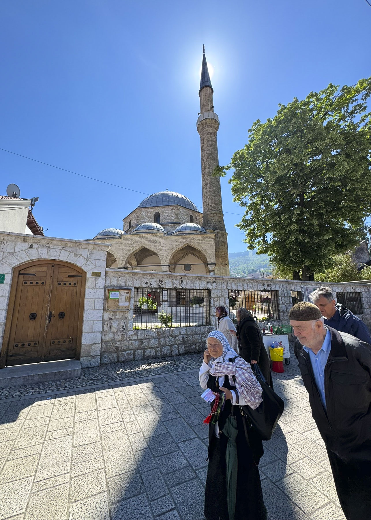
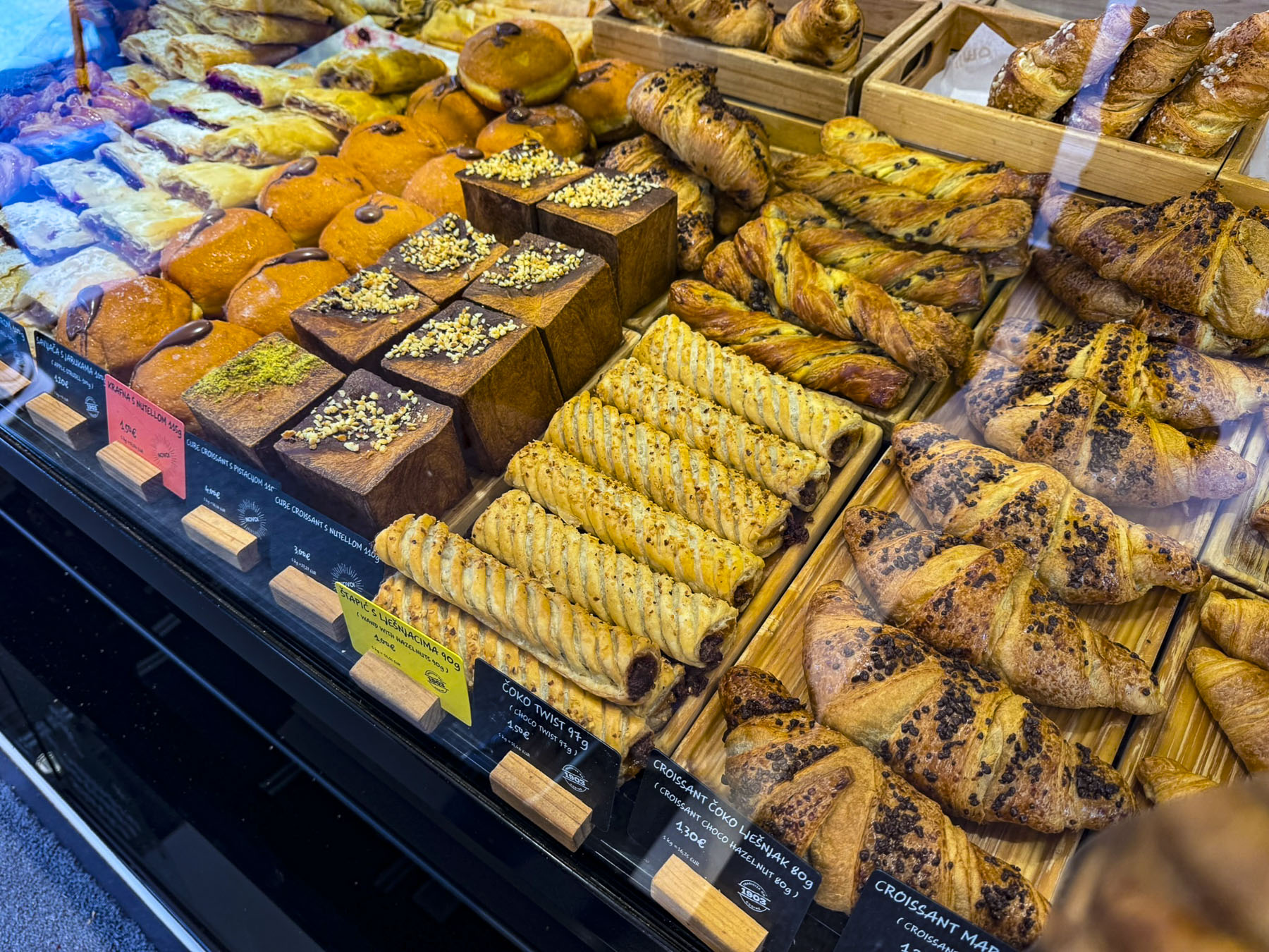
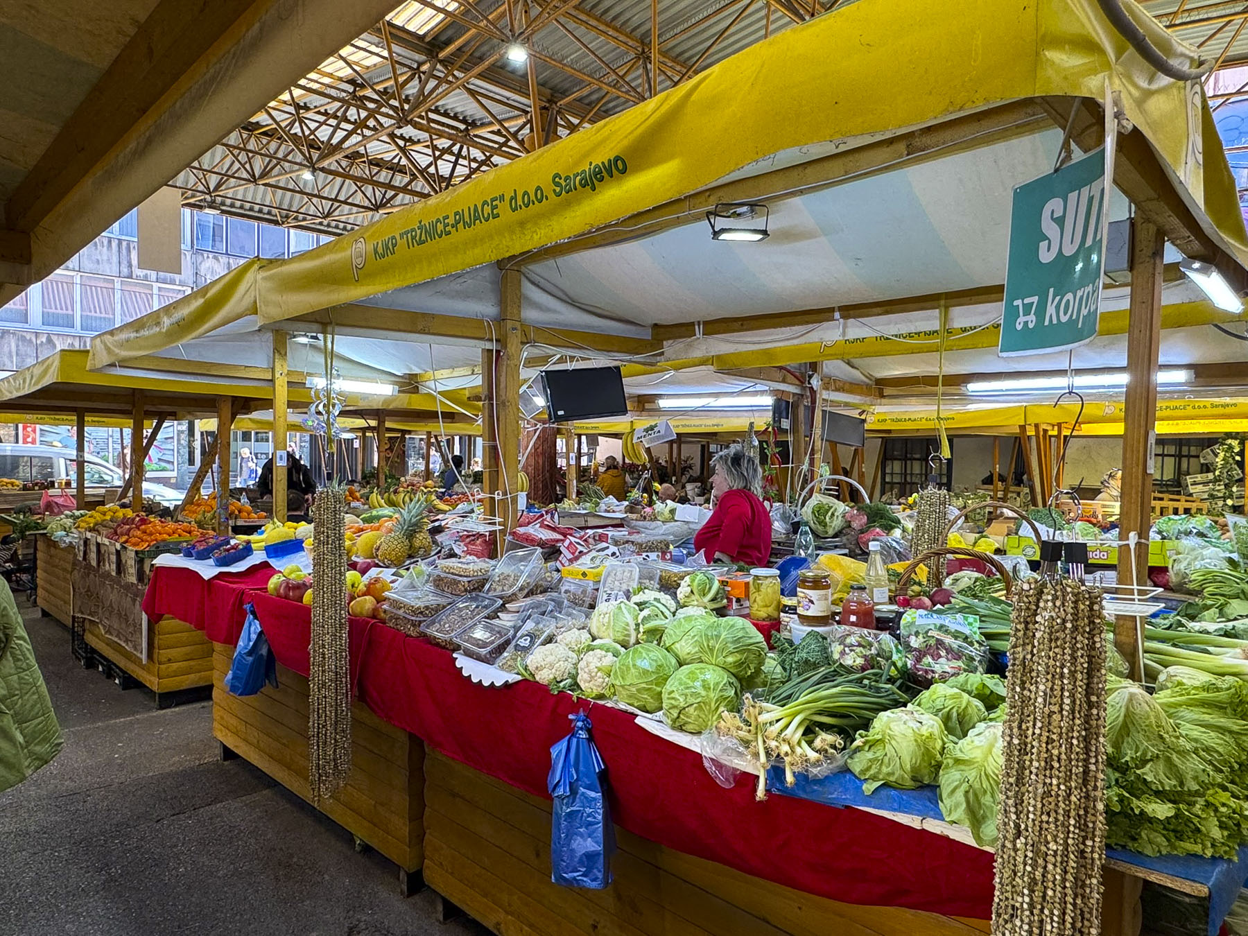
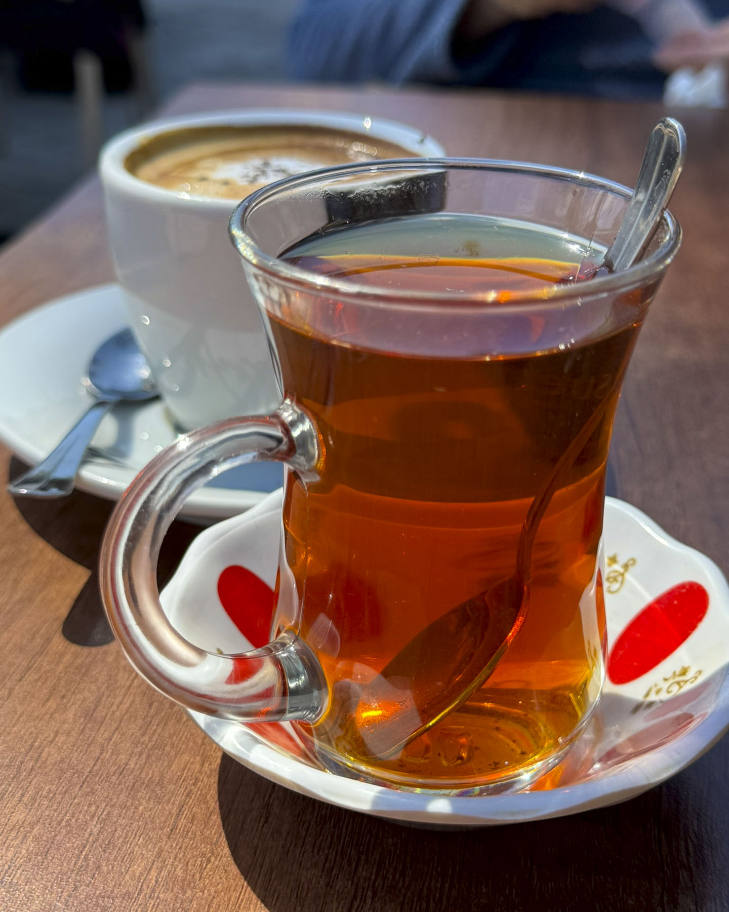
Today Baščaršijski trg is lined with cafés and tourist shops, but still retains an exotic aura of east meets west, the merging of cultures, like Istanbul. The square was quite busy when we arrived, and we sat outside at a café, only to learn they served nothing but coffee or tea. The owner pointed to the bakery across the street and told us it would be okay to bring our purchase back and enjoy it at their table. We both crossed to the Bakehouse Edin, as the responsibility of choosing tasty delights for the first time in a new country is too much to bear for one individual. Really, we both can’t resist bakeries, and take every opportunity we get to investigate one. Hence, “our walk a little then café” philosophy. The café owner was delighted to see us when we returned.
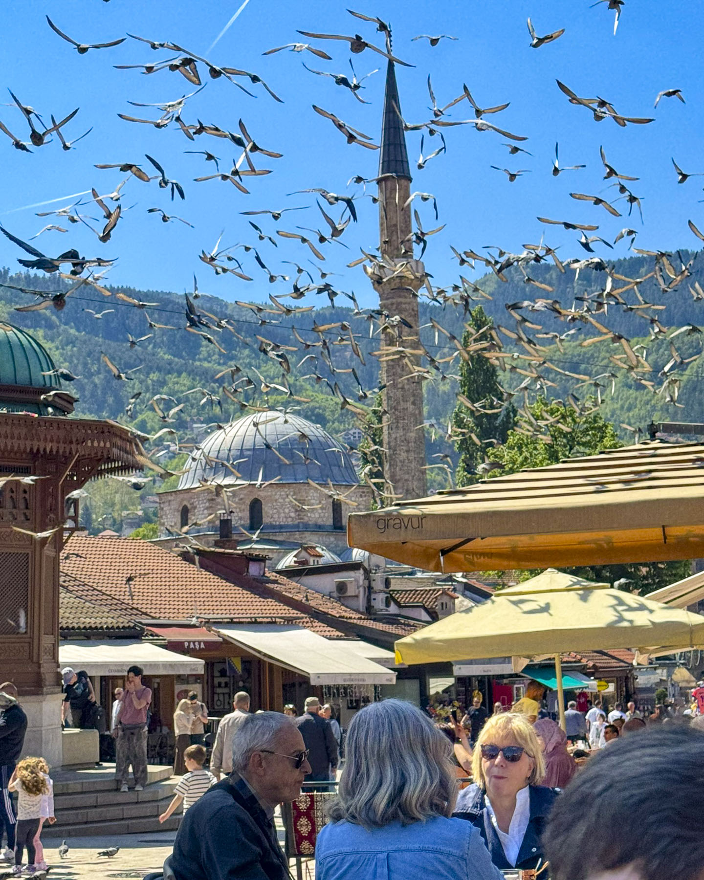
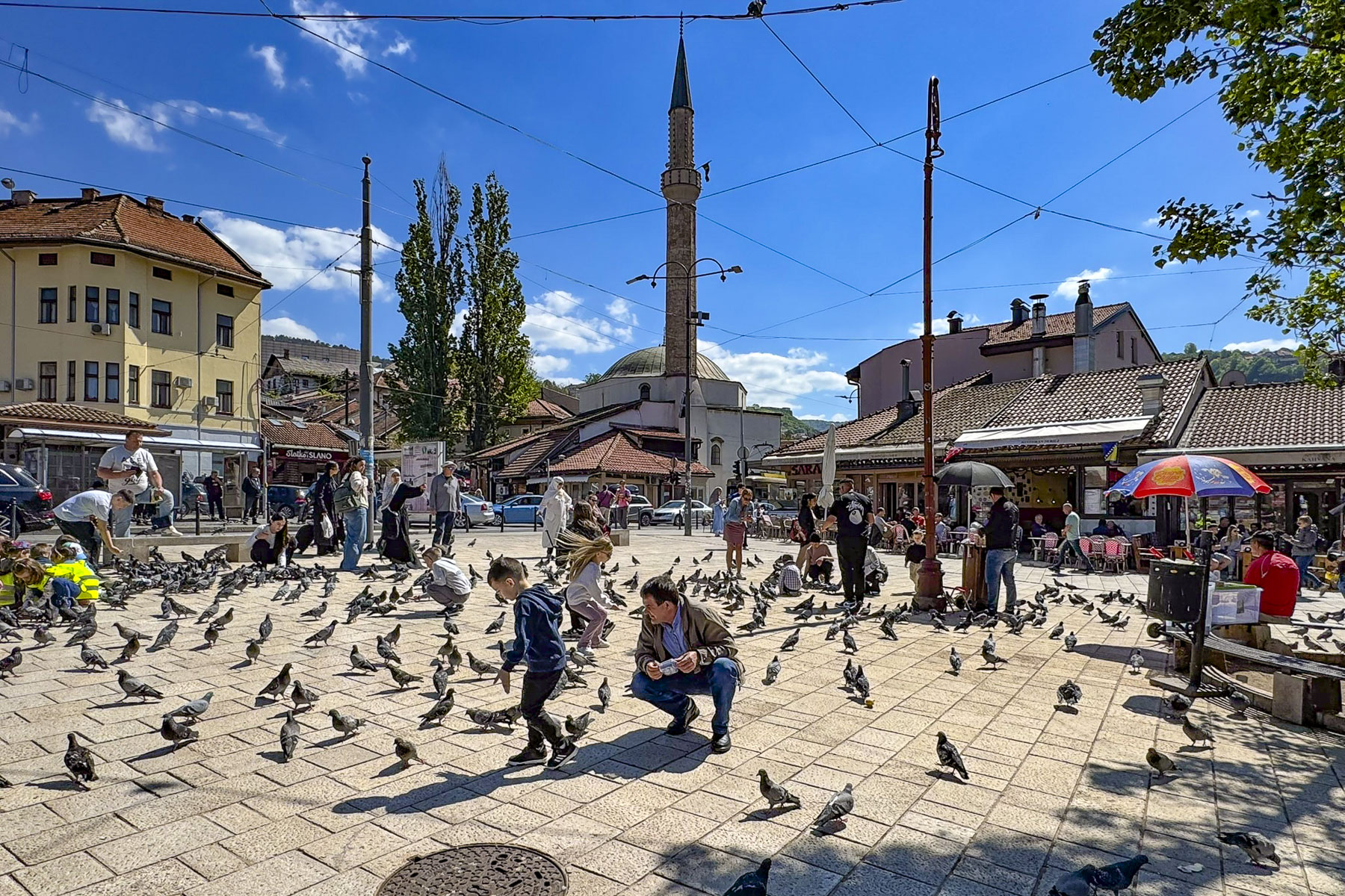
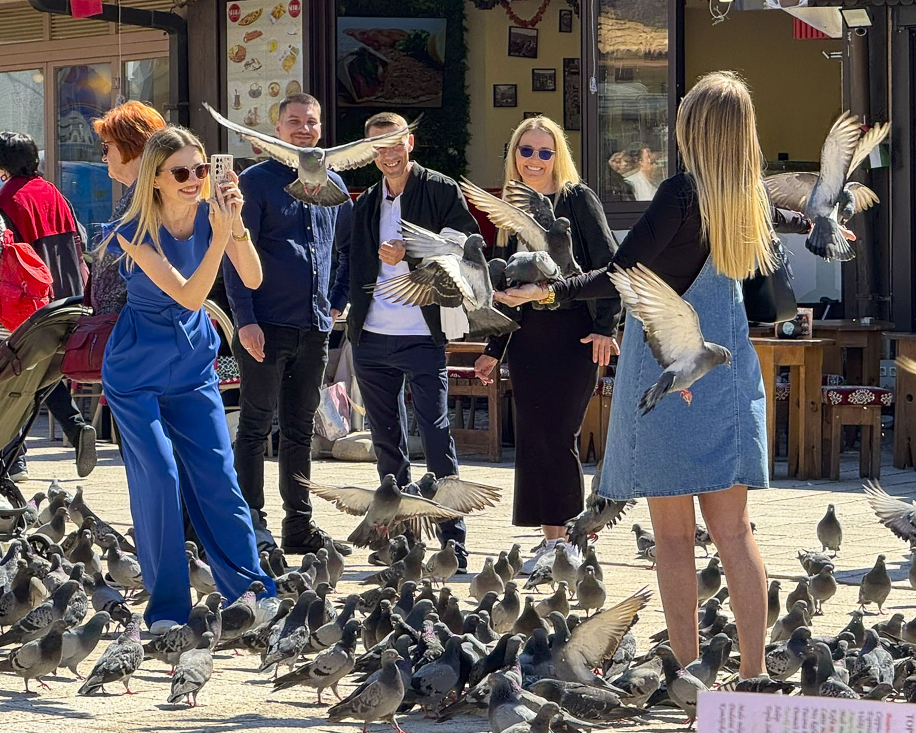
It was a leisurely morning, and we enjoyed watching life go by on the square. Across the way families fed a large flock of pigeons and posed enthusiastically with the birds fluttering to perch on their arms and heads. Occasionally, something would spook the flock, and they would rise in unison to circle above the minaret of Baščaršijska Mosque, prompting some folks to cover their heads in anticipation of a bird bombing, though we didn’t hear any screeching to indicate disaster had struck.
Romans, Goths and finally the Slavs with the establishment of the Kingdom of Bosnia in the 7th century have influenced the region, but it wasn’t until 1415 that Sarajevo is first mentioned in historical records as Vrhbosna. It was only later in that century after the Turks conquered the region that the town’s name was changed to Sarajevo and it grew into an important trading center on the caravan route from Istanbul to the Adriatic coast. The town hosted numerous caravanserais, inns where merchants slept and stabled their horses, but only the Morića han (1551) survives and now shelters shop, restaurants and Caffe Divan. Here we enjoyed the Ottoman-style ambiance and the tradition of ćejf, the art of lingering over coffee to savor life with friends, and the Rahat Lokum, Turkish Delight, which is always eaten before sipping Bosnian coffee. We also tried Ziam’s coffee, a large coffee with milk that is sprinkled with Nesquik, which is a popular order.
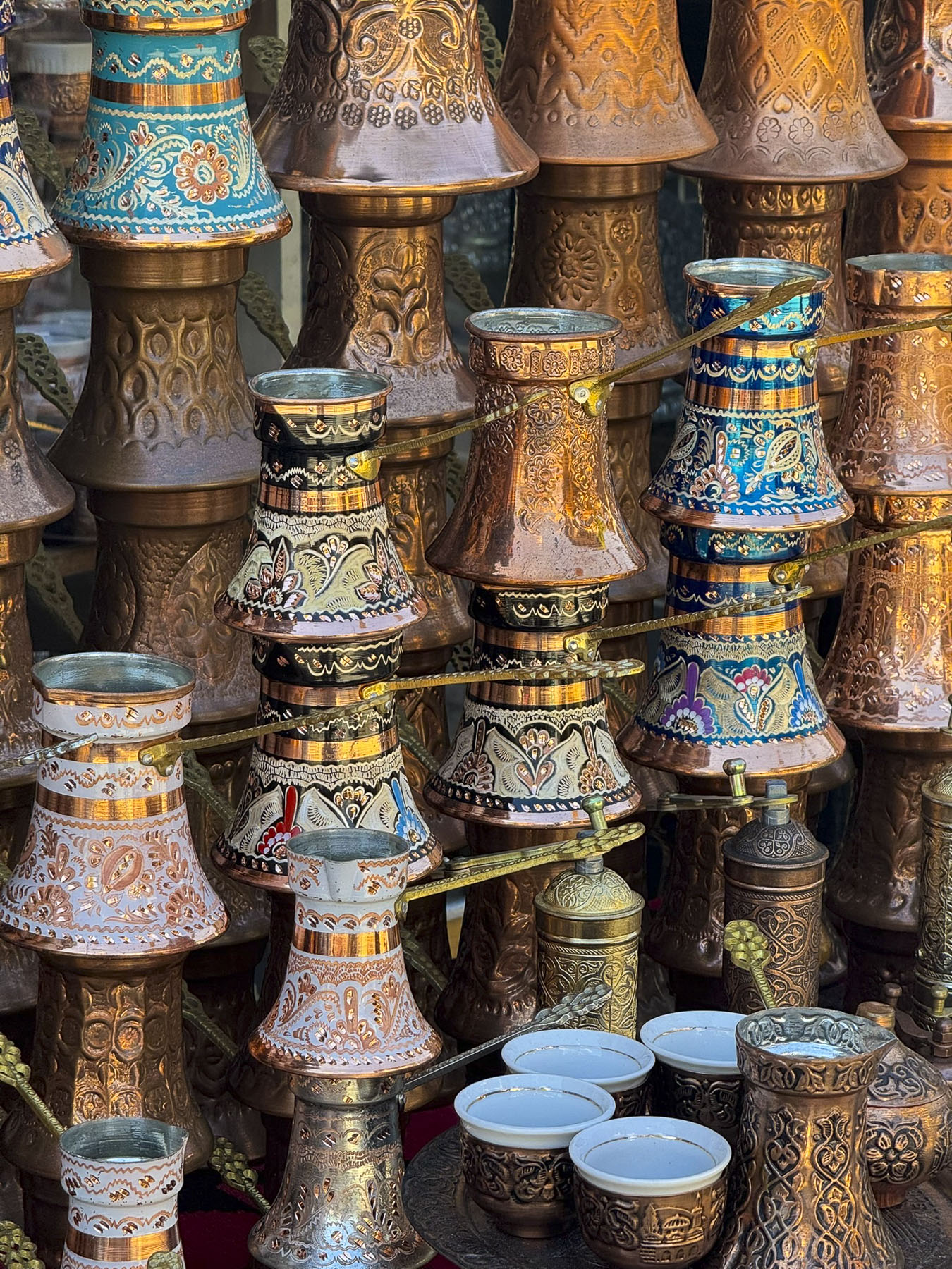
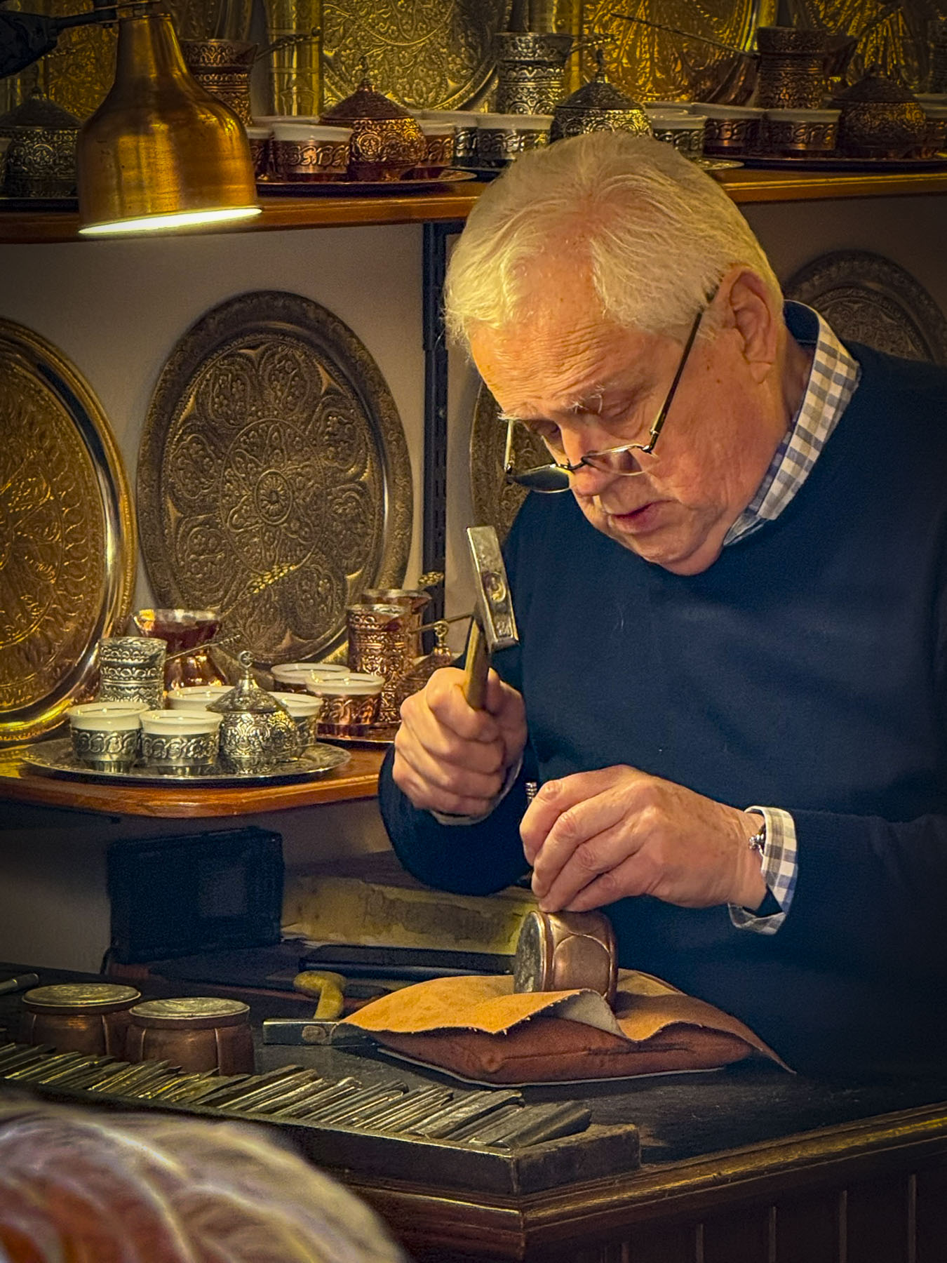
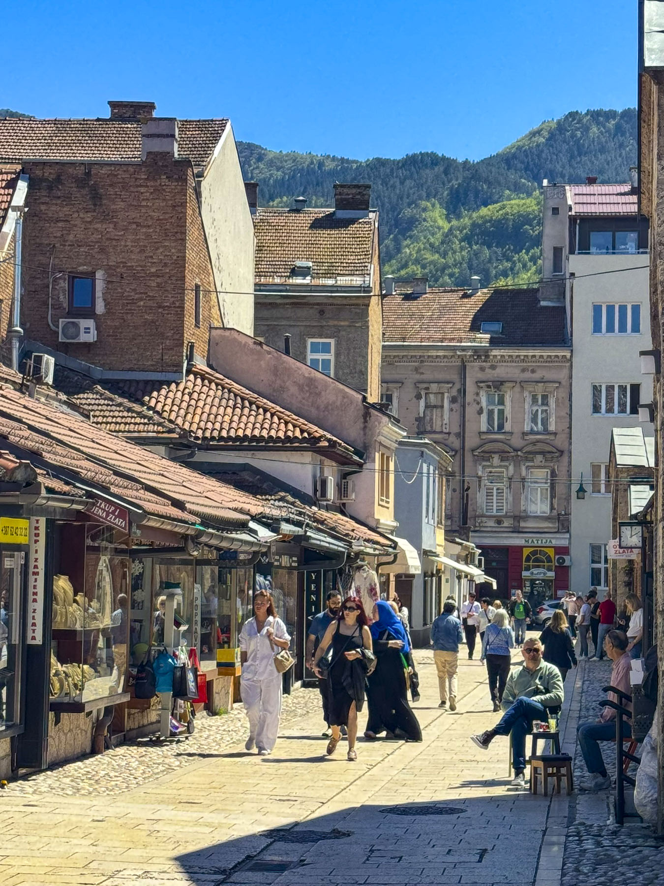
Many of the old lanes in the city are named for craftsmen who practiced their skills in workshops along the street. Just off Baščaršijski trg was Kazandžviluk, the old coppersmiths’ alley, where fine Bosnian džezva, traditional long handle coffee pots, cups and plates are still hammered with intricate designs.
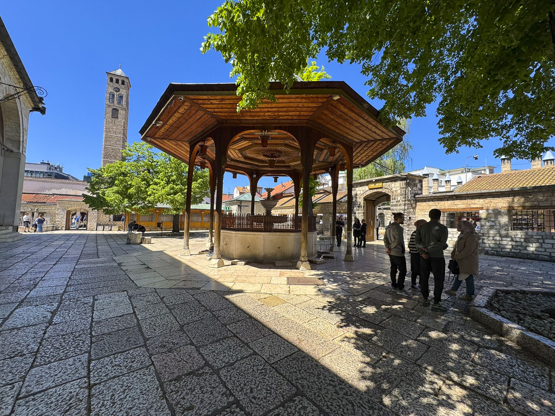
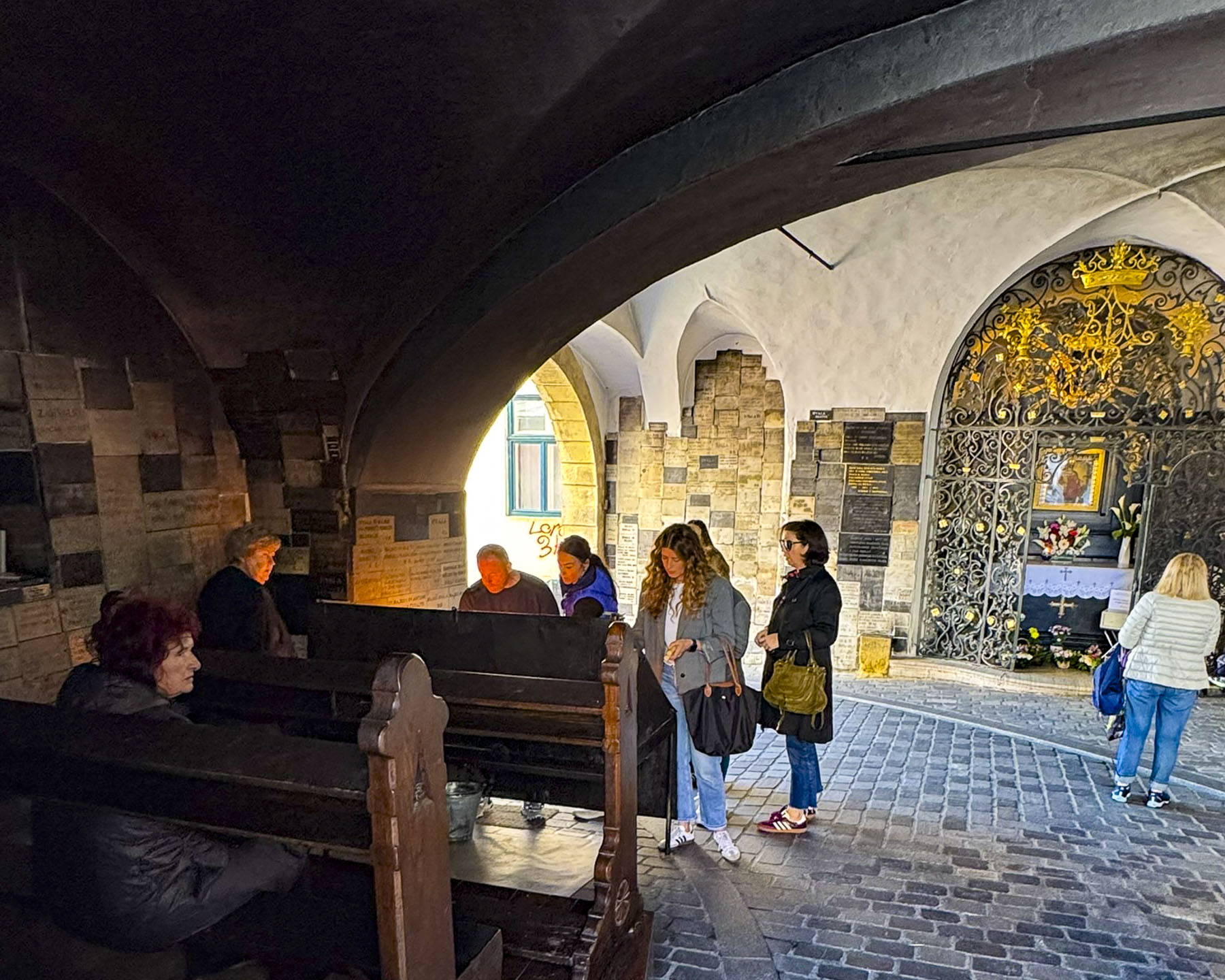
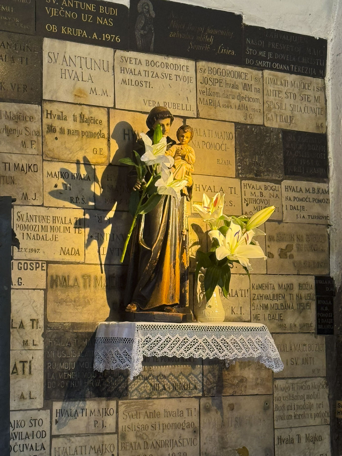
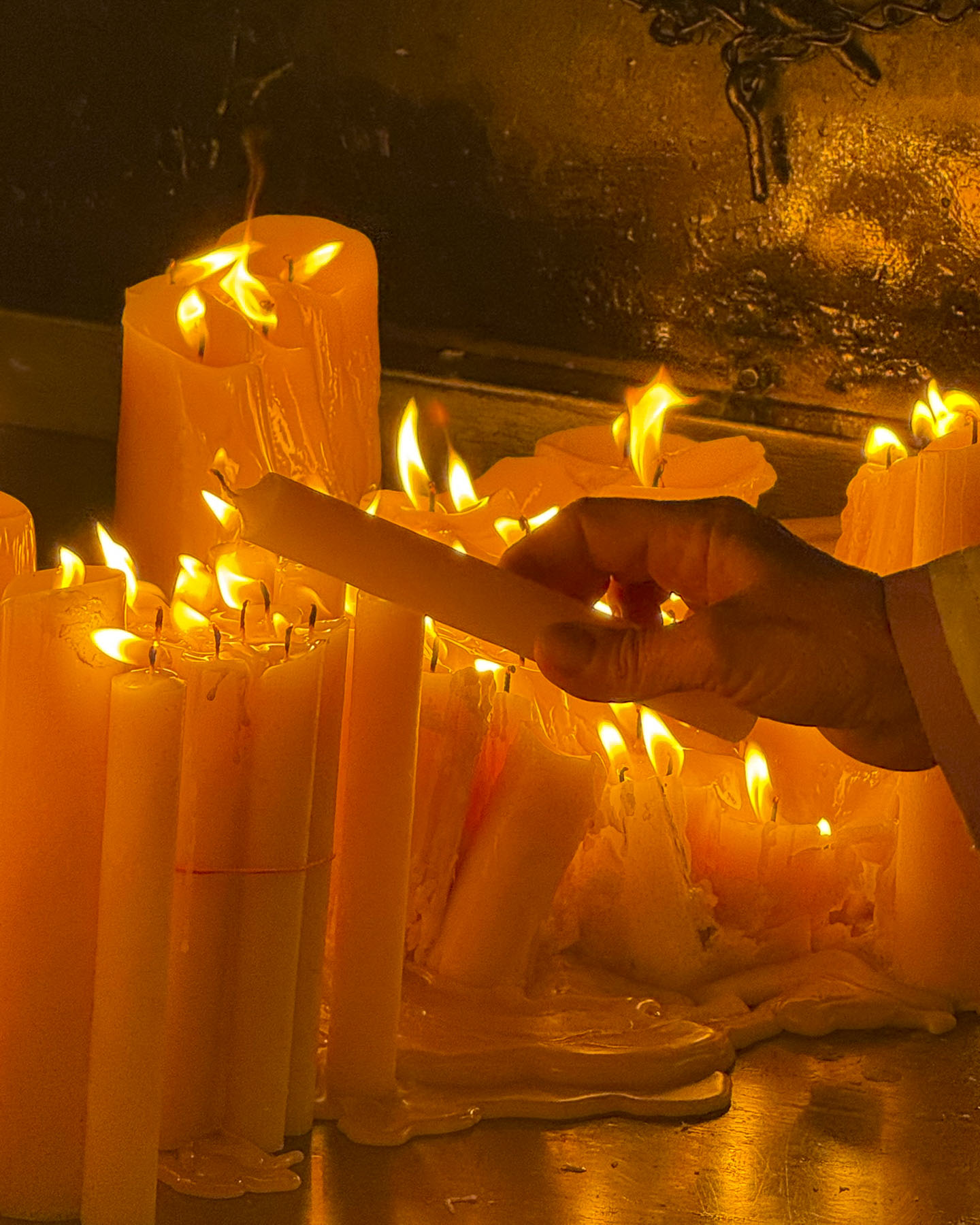
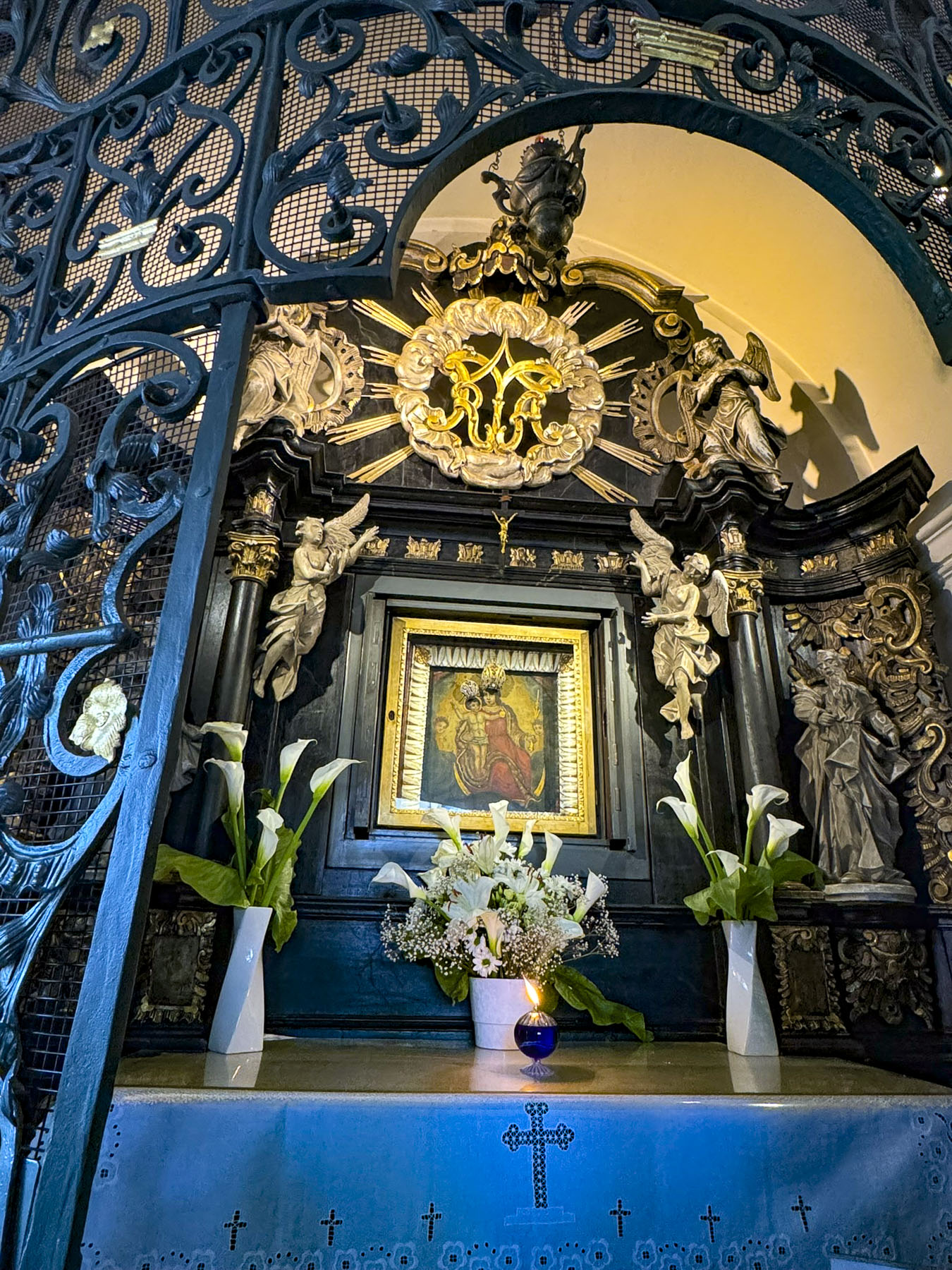
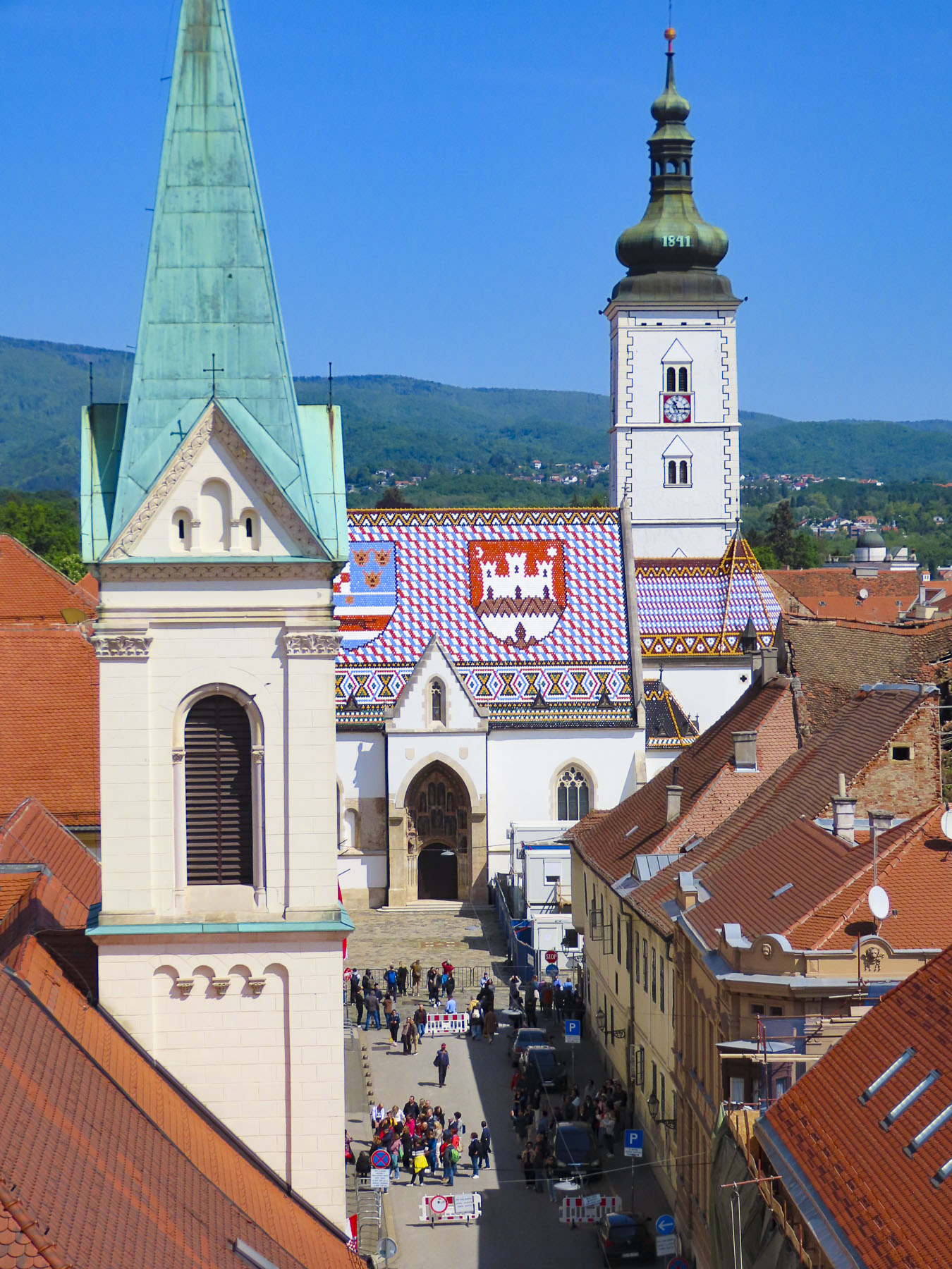
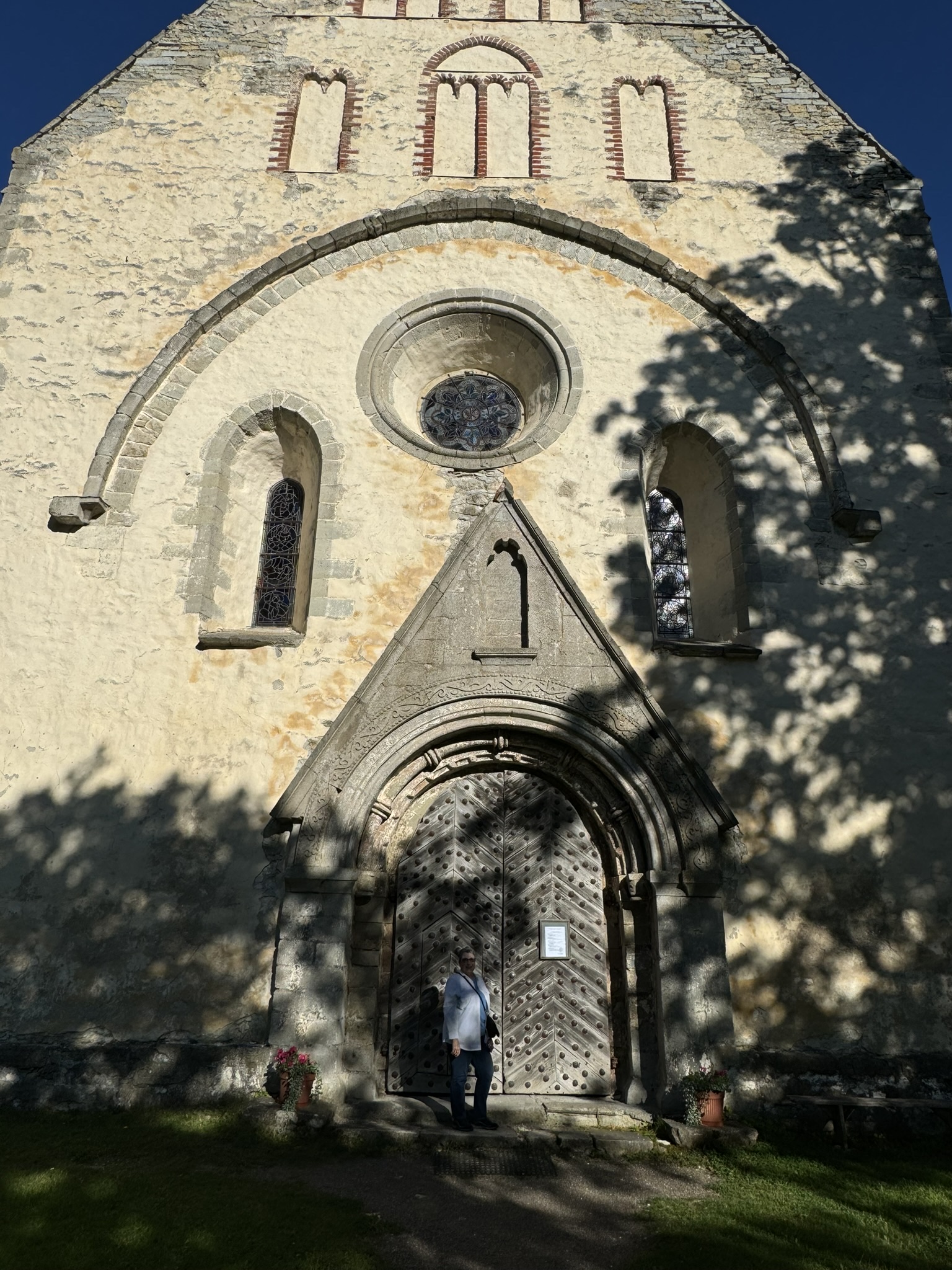
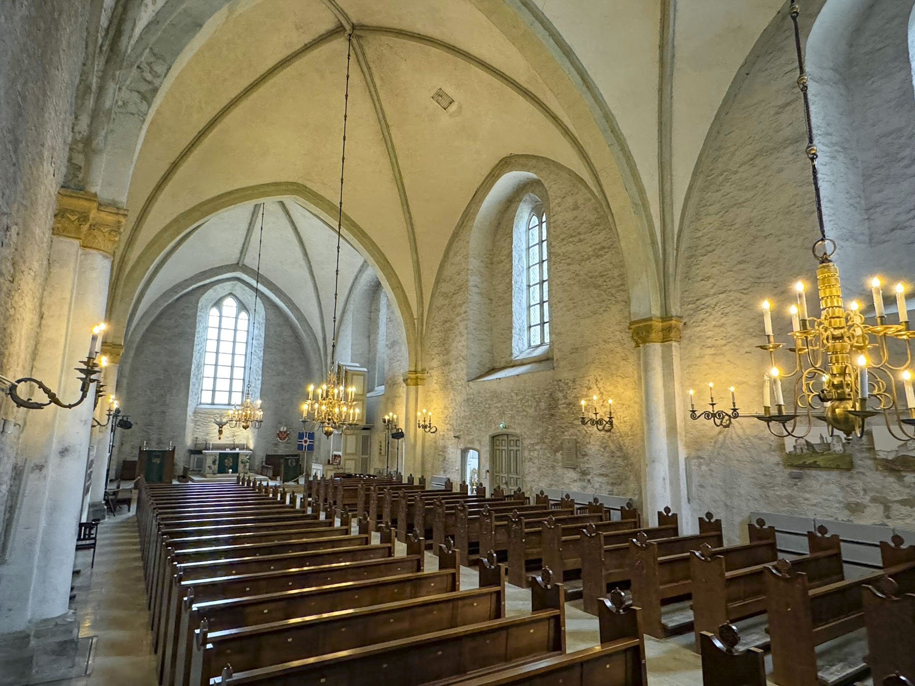
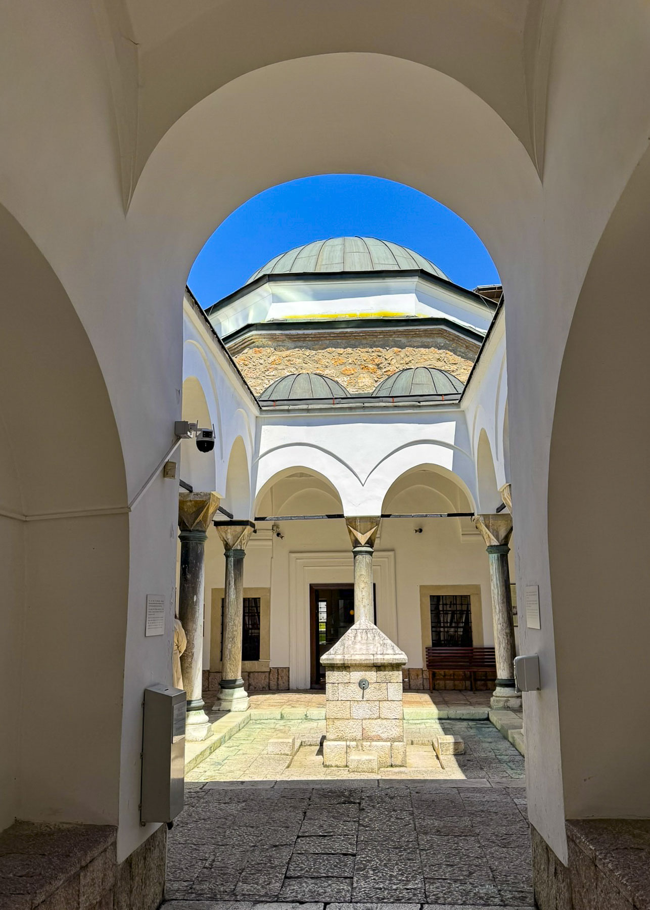
The pedestrian only historic old town is made for wandering, one intriguing lane opening to another. Sarači seemed to be Sarajevo’s main lane and we followed it along to the shady courtyard of Gazi Husrev-beg, a 16th century mosque. In the center of the courtyard was the Šadrvan, a marble washing fountain used by worshippers for ritual ablutions before prayer. It was covered with an elaborate wooden octagonal pergola. In the background beyond the mosque’s wall was Sarjevo’s 17th century clock tower. It features gilded clock faces, on all four sides, synchronized to lunar time, in which the hands indicate 12 o’clock at the moment of sunset, the time of the Muslim Maghrib prayer.
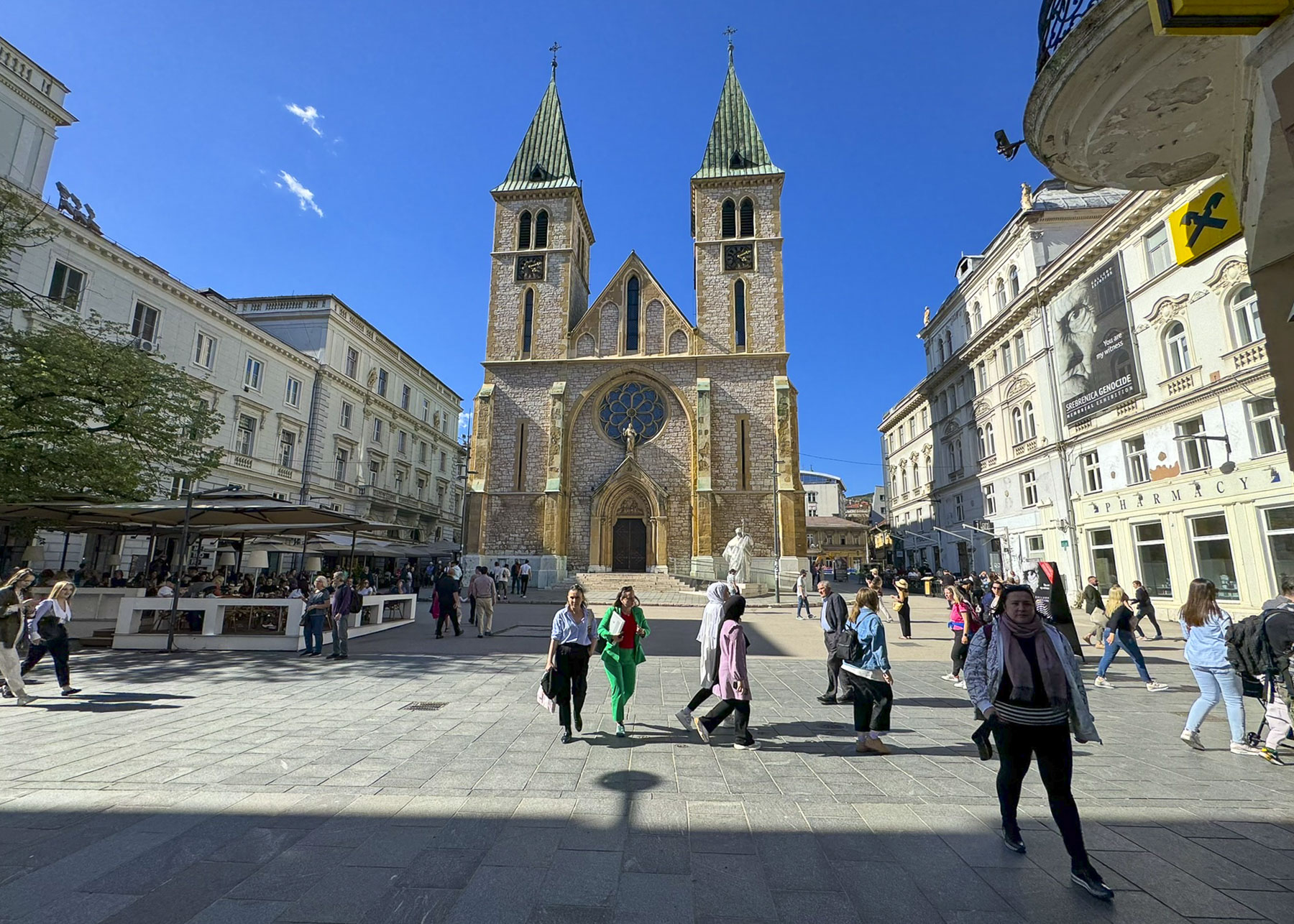
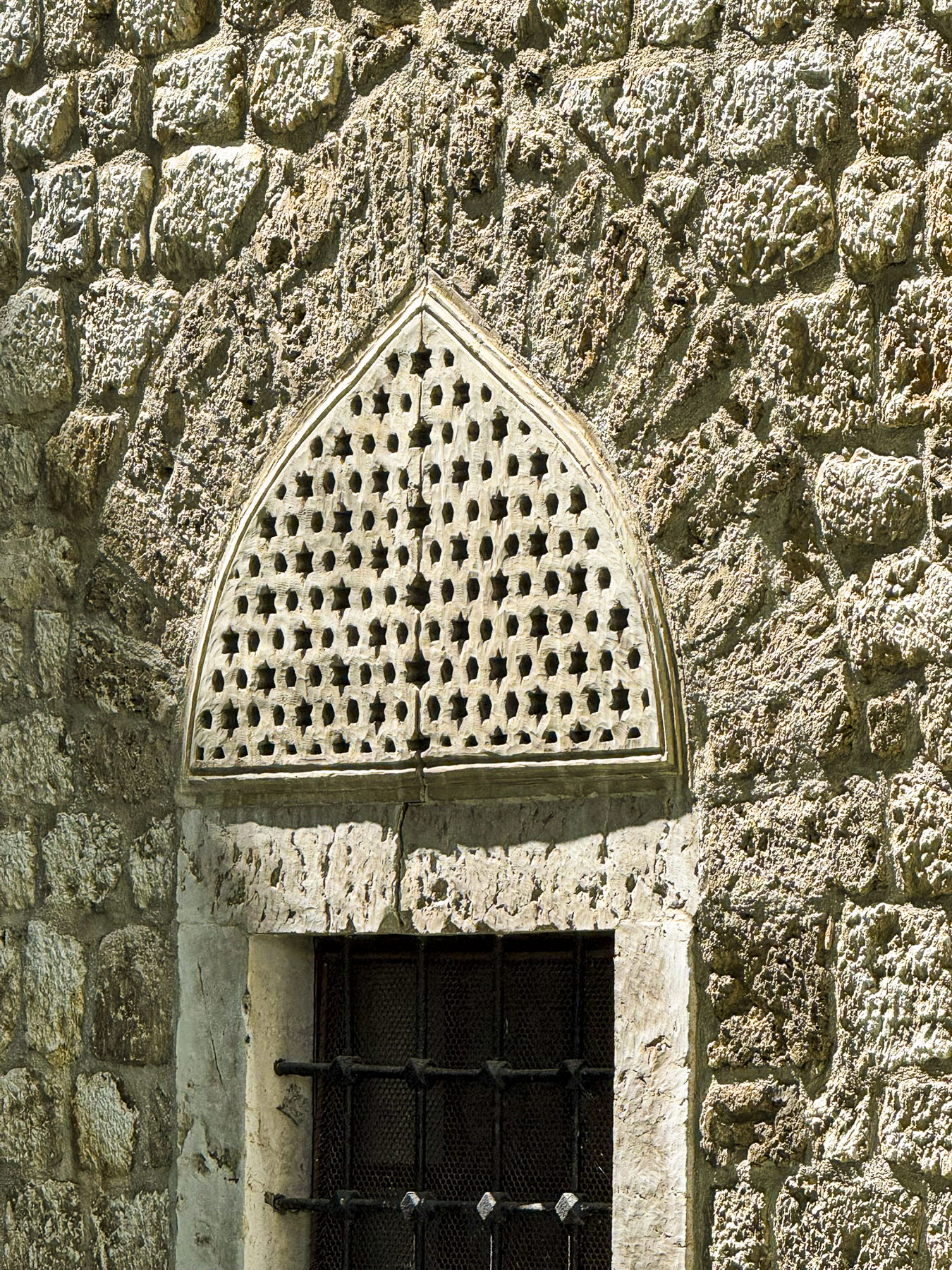
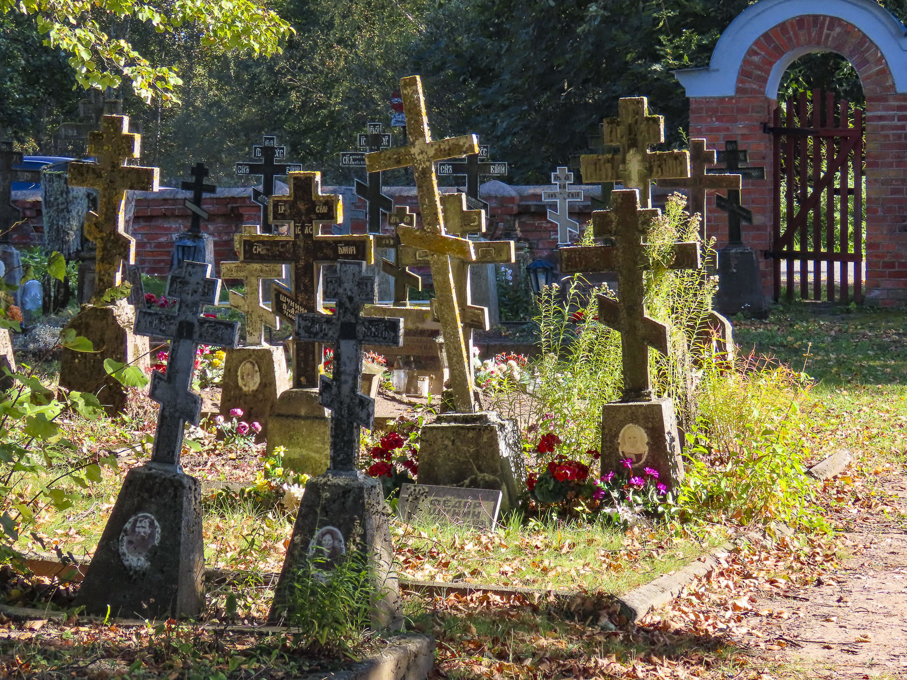
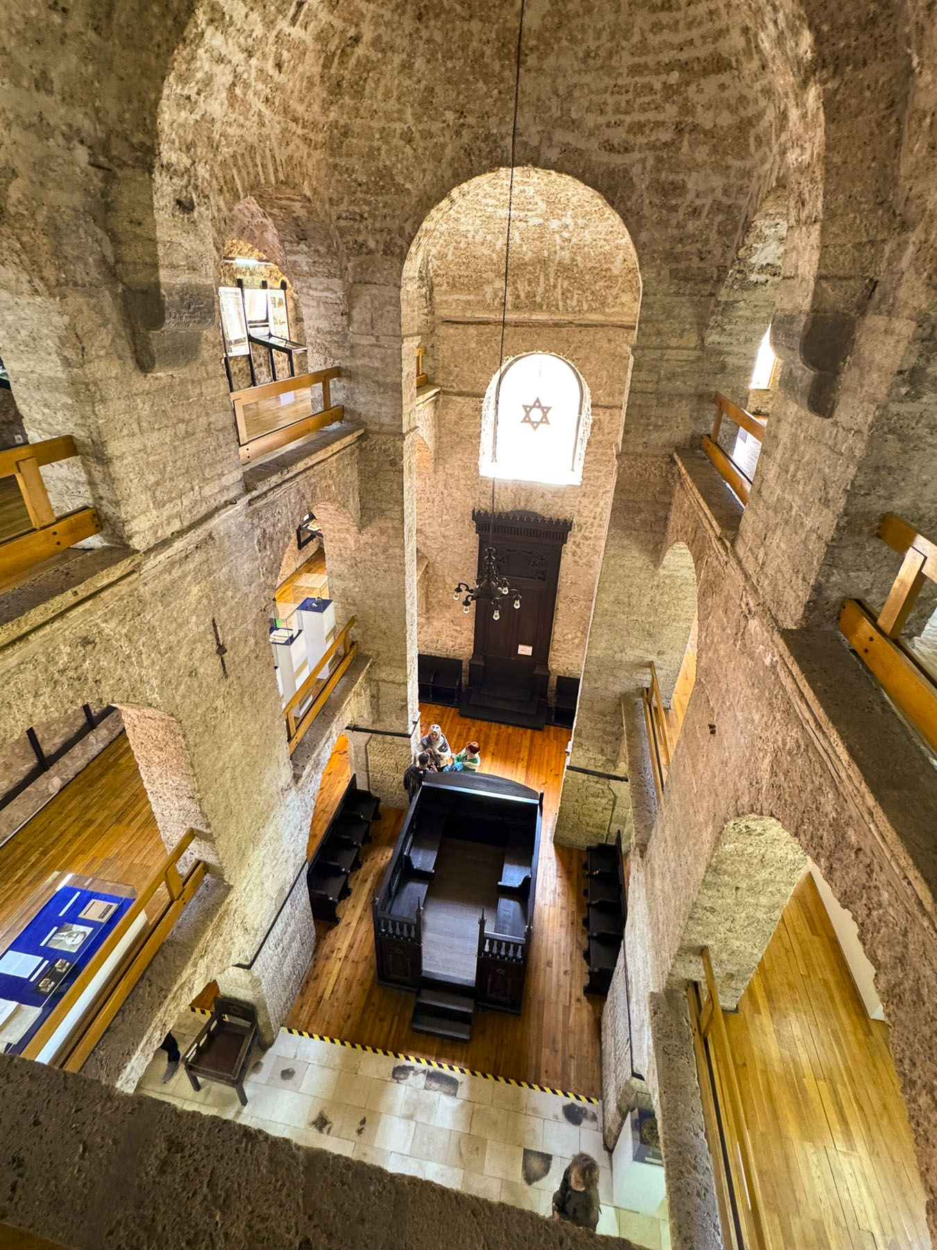
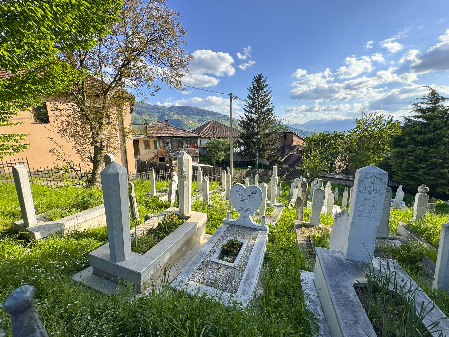
This was a very interesting part of the old town, with many significant historical sites close to each other which include; Gazi Husrev-Beg’s Library (1537), the 16th century barrel-vaulted grand bazaar, the ancient Mezarje u haremu džamije Ferhadija cemetery & mosque, the Morića han caravanserais, the 1860s Serbian Orthodox Church of the Nativity of the Theotokos, the Museum of the Jews of Bosnia and Herzegovina, the Srebrenica Genocide Memorial, and Katedrala Srca Isusova, the Sacred Heart Cathedral, a 19th-century Gothic-style church which Pope John Paul II visited in 1997, to promote reconciliation after the Bosnian War.
During the Ottoman rule of Bosnia, Sarajevo attracted a diverse community of Orthodox Christians, Catholics and Jews. They were, however, treated as second class citizens and faced social restrictions forbidding them from carrying weapons, riding horses in public, or building houses and churches taller than those of Muslims. Men were additional required to pay theJizyataxin lieu of military service. Only Christian families were subjected to the Devshirme, a “Blood Tax,” where children were taken from their families, forcibly converted to Islam, and trained to become elite Janissaries, soldiers, or high-ranking government officials. These additional burdens to families encouraged many to convert to Islam.
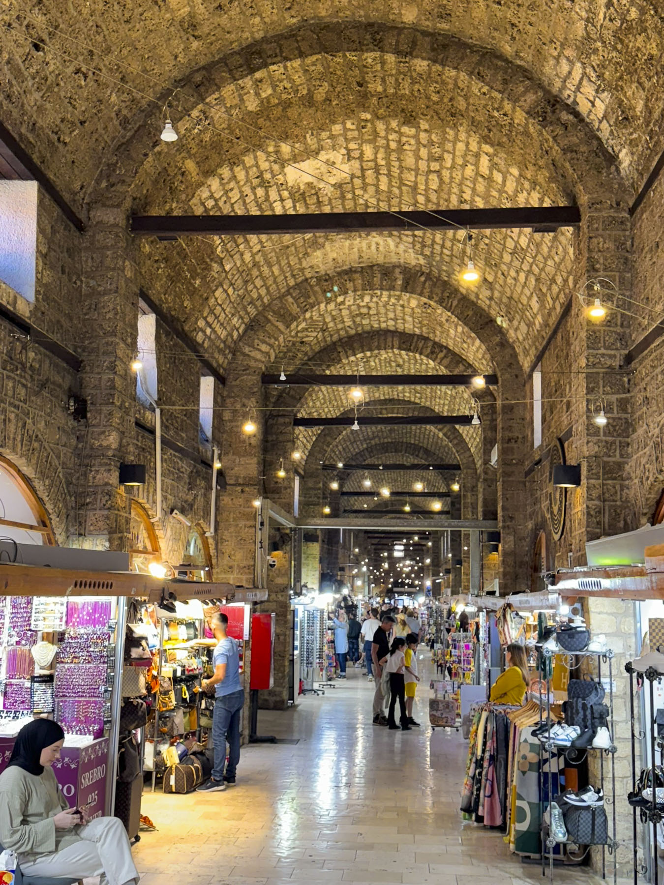
Passing through the old bazaar, we admired some of the work of the silversmiths. This trade has been thriving since the Middle Ages in Bosnia when silver mines were a major source of income for Bosnian kings. A piece of fine filigree jewelry made the perfect souvenir.
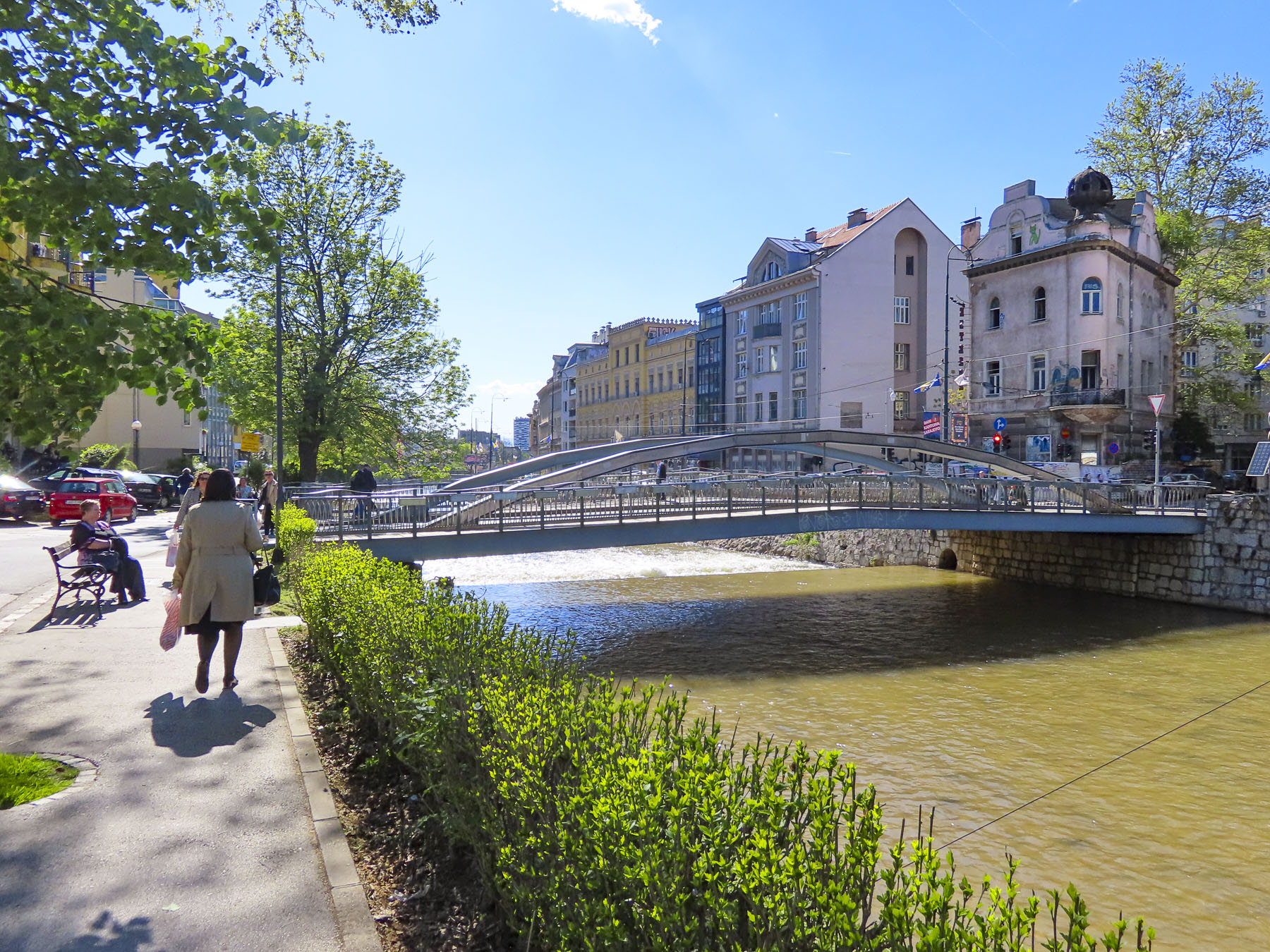
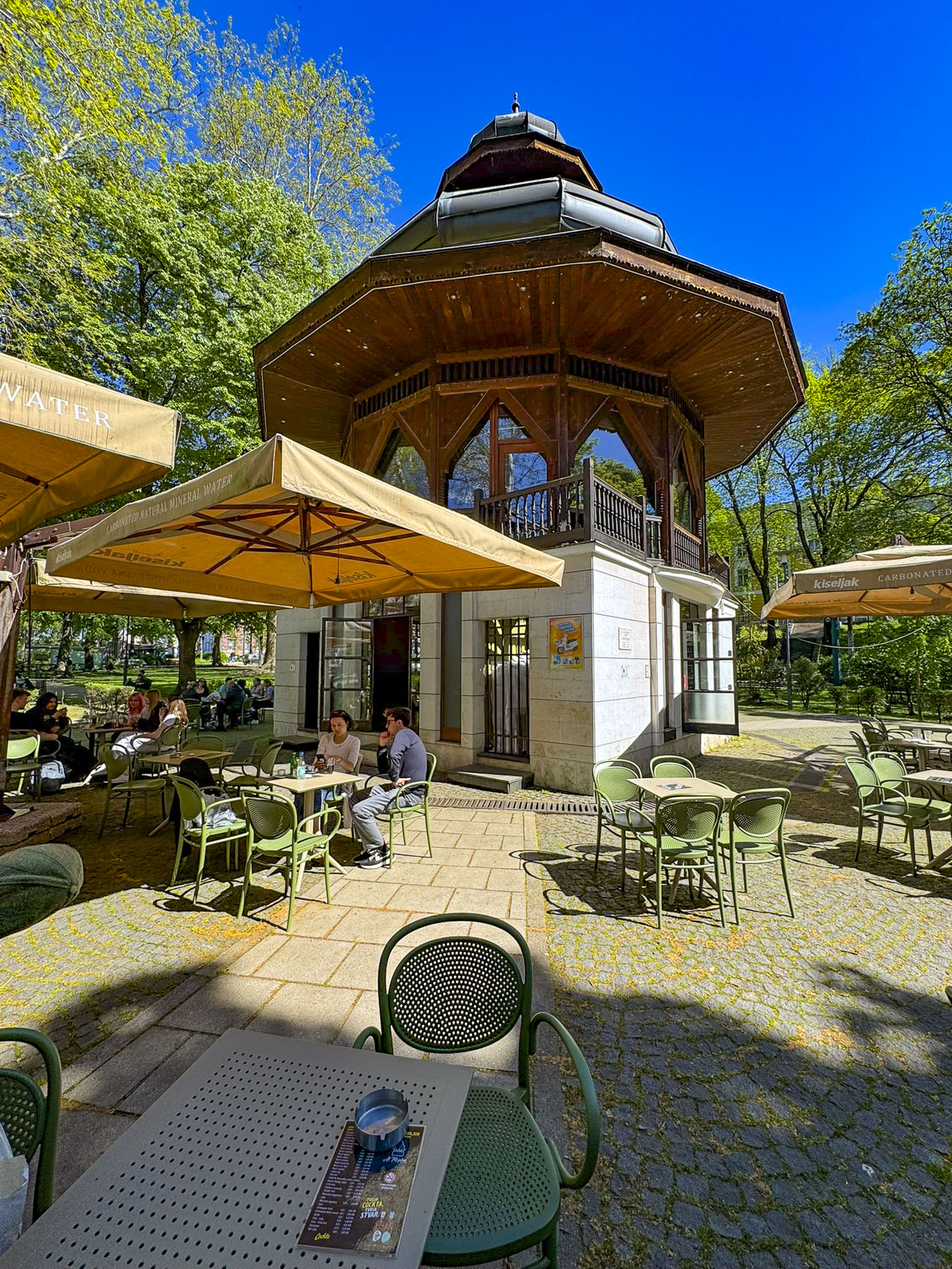
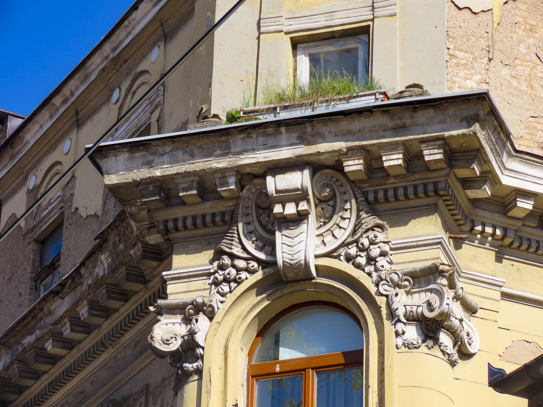
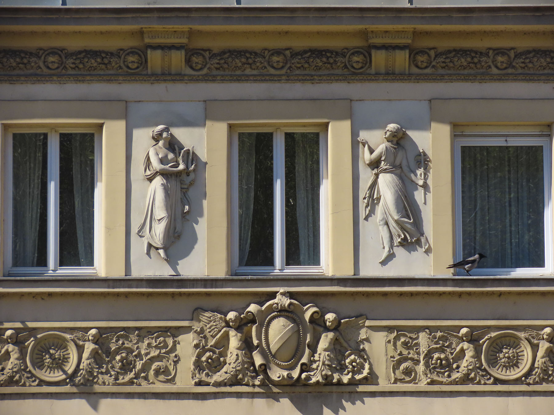
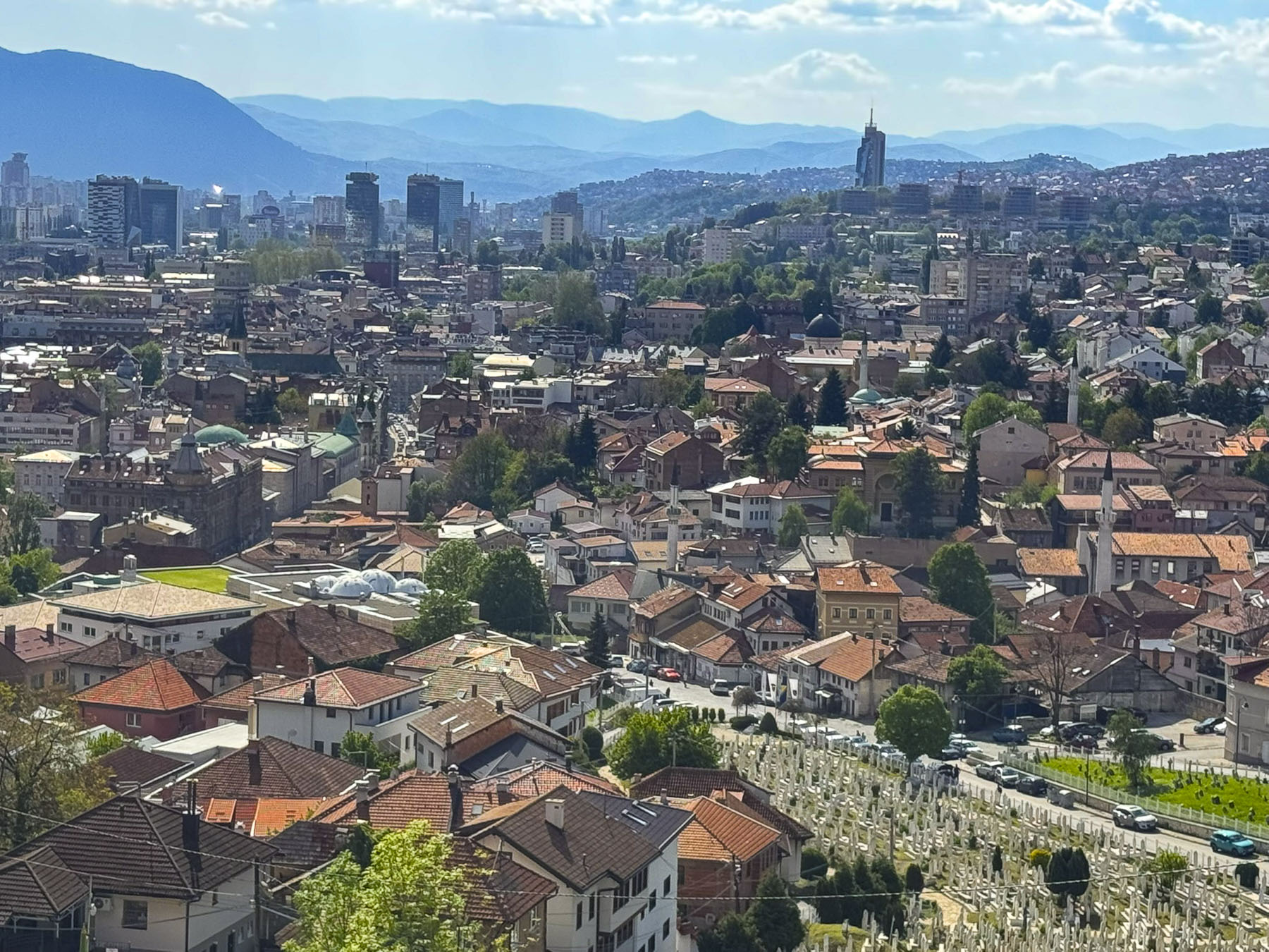
We crossed the Miljacka River and walked along the shaded riverside promenade to a café at the Music Pavilion in At Mejdan park, which dates from 1913. The park was a quiet oasis where families strolled with children, couples relaxed in each other’s arms and pensioners played chess at tables under the trees. Views back across the river showcased a blend of the city’s architecture that spanned the centuries from the Ottoman era to modern times, though the most predominant are the ones constructed in the 19thcentury European style during the Austro-Hungarian era.
From the promenade we could also see the Latin Bridge, the site where Austro-Hungarian Archduke Franz Ferdinand was assassinated on June 28, 1914, by Gavrilo Princip, a member of the revolutionary group Young Bosnia, whose members were mostly Serbs, Croats, and Bosniak students who sought to end Austro-Hungarian rule and unite Bosnia with Serbia and Yugoslavia. The event triggered World War I, the dissolution of the Austro-Hungarian Empire, the creation of the Kingdom of Yugoslavia, which included Serbia, Bosnia, Croatia, Montenegro, Slovenia and North Macedonia. While Sarajevo was part of Yugoslavia, Gavrilo Princip was celebrated as a hero and the Latin Bridge was renamed in his honor. With Bosnia’s independence the bridge has regained its original name.
Subsequently, the origins of nearly a hundred years of almost continuous wars, occupations and suppression across Europe, can be traced back to this event. The region’s death and destruction finally ended after the Balkan Wars were resolved with the signing of the Dayton Accords in 1995, an agreement which established a complex government with equal representation for Bosniaks, Serbs, and Croats in Federation of Bosnia and Herzegovina.
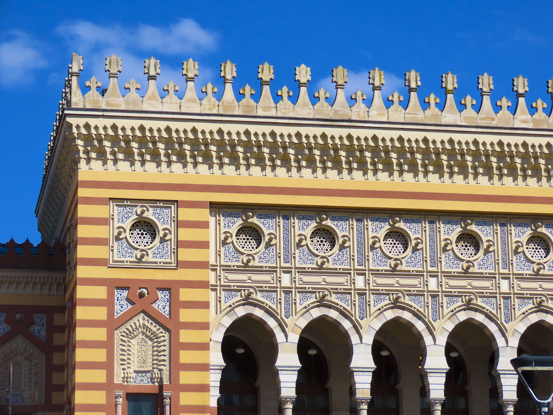
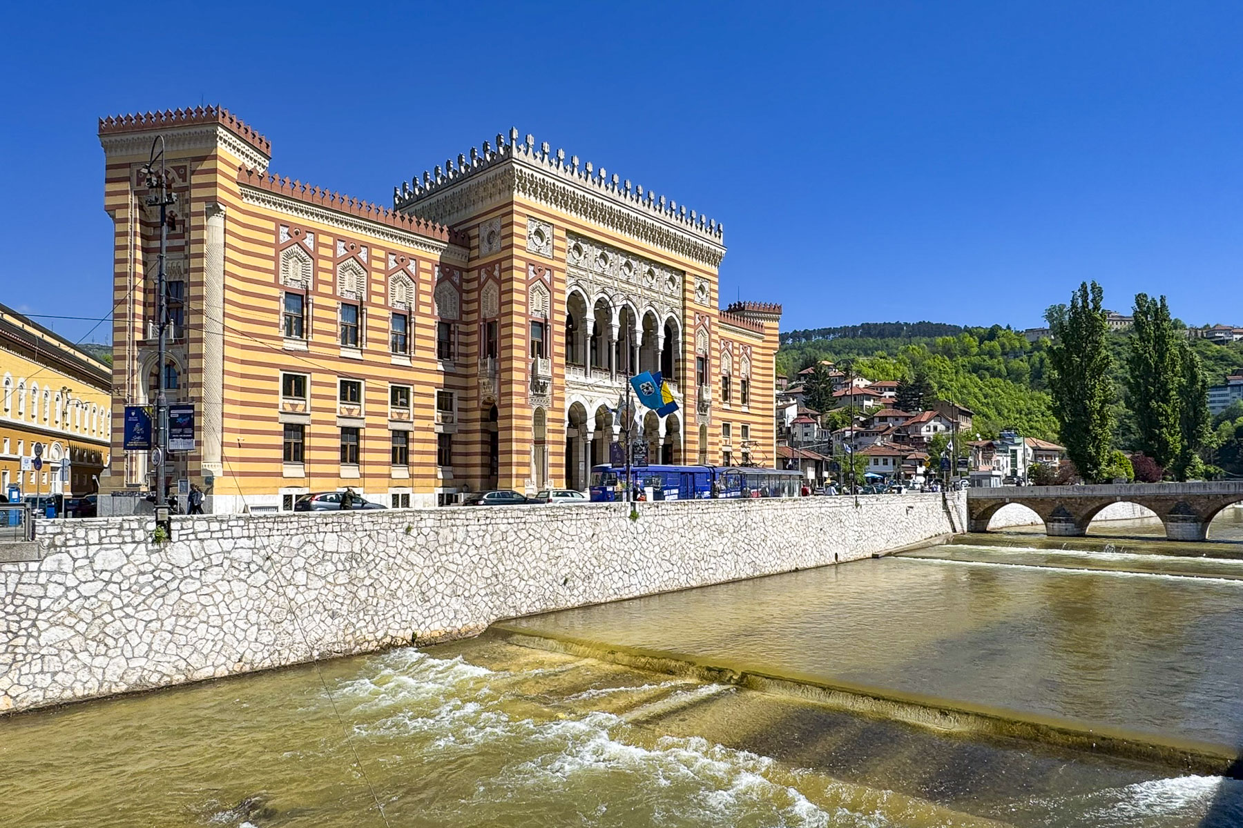
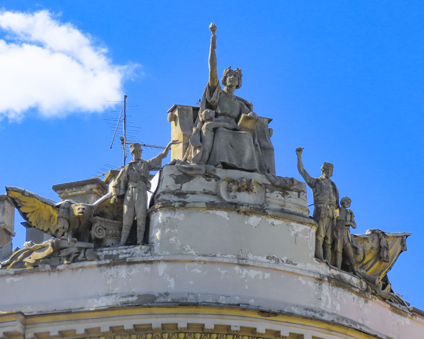
Farther along the riverside was Sarajevo’s City Hall, a late 19th century Moorish Revival style building with ornate geometric patterns and horseshoe arches. It was built during the Austro-Hungarian era to reflect Sarajevo’s importance as a cultural crossroads in the Balkans.
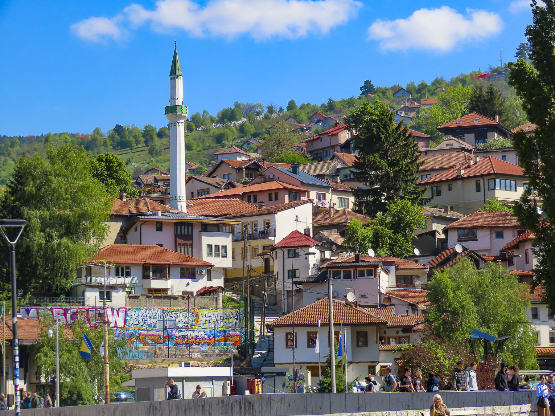
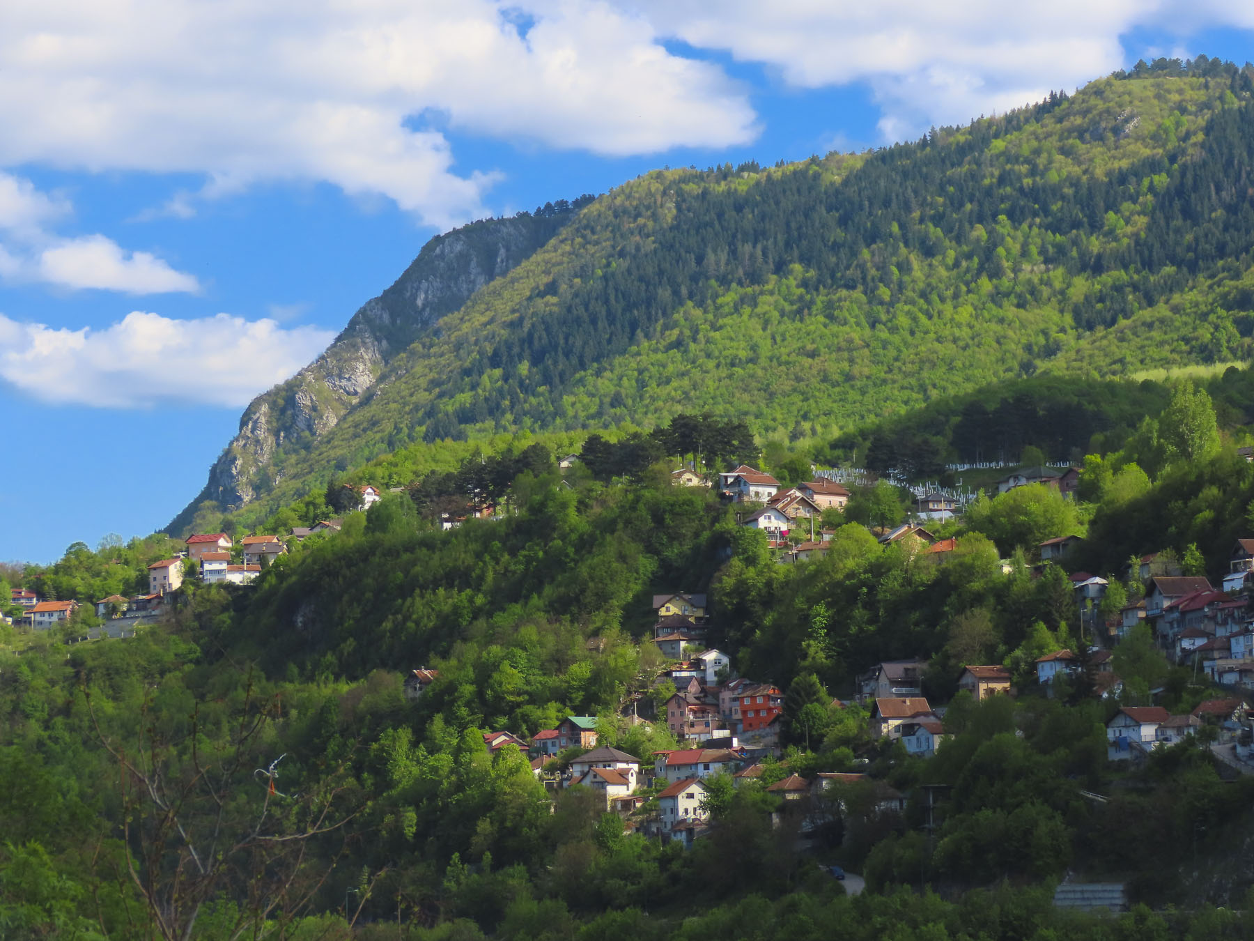
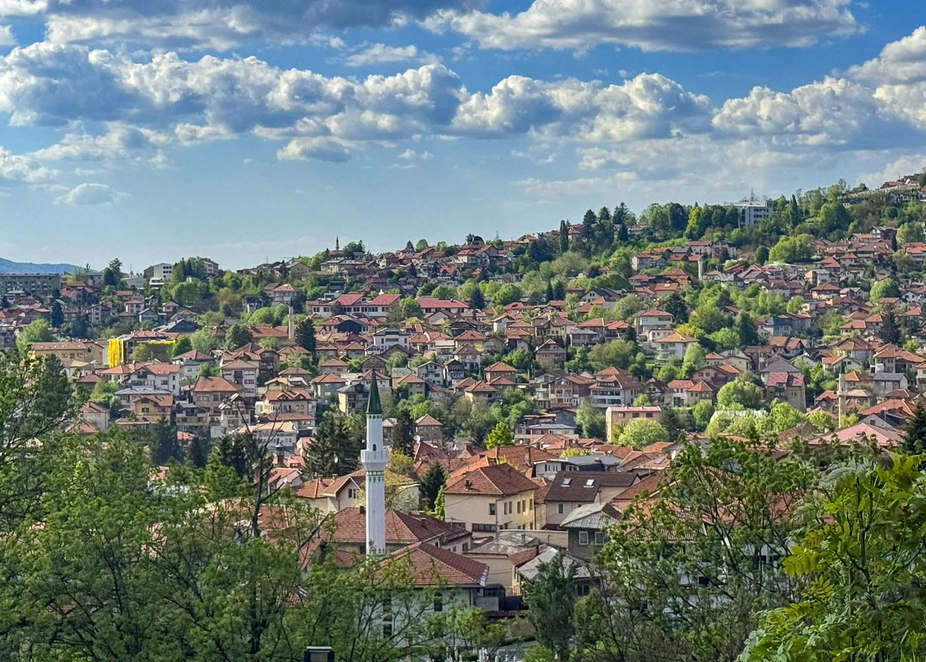
Later back in our hotel room we could hear the evening prayer, as the muezzin called from the city’s minarets, and it echoed across the valley. There is believed to be close to 100 mosques across Sarajevo, and from our hillside location we were amazed by the number of minarets we could see dotting the surrounding landscape.
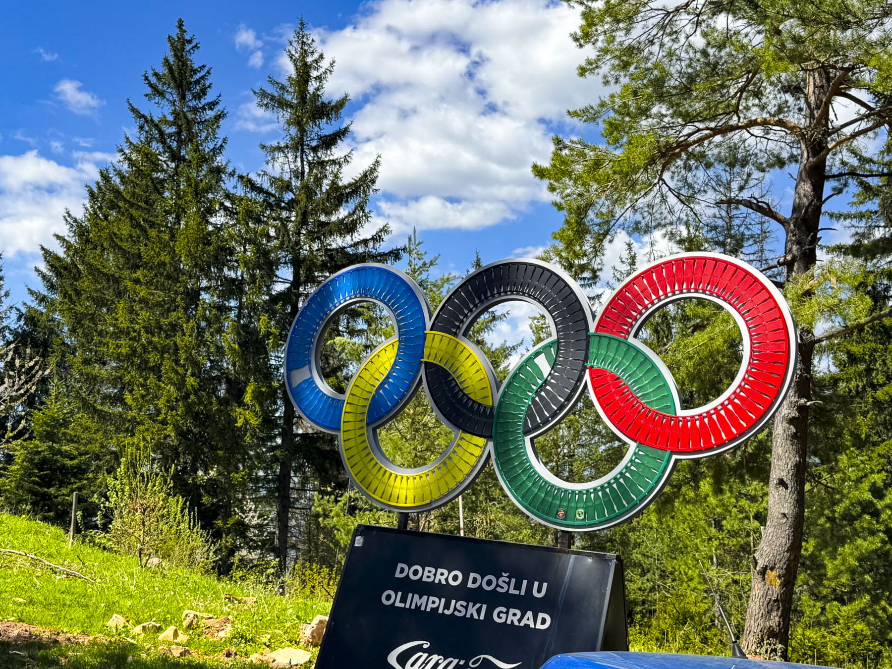
The next morning we decided to drive up Mt. Trebević, 1,629m (5,345ft) which we could see from our hotel room, to visit the site of 1984 Winter Olympic Game’s luge and bobsleigh competitions. It was an exciting event and the first time a Communist Bloc country hosted the Winter Olympics, which Donna and I remember watching on TV (that seriously dates us). Exciting not just for the tremendous speed of the sledders, but also for the background color commentary about a part of the world behind the “Iron Curtain,” that had mosques and minarets that we associated with deserts of Arabia, not snow-covered mountains. It was a part of the world unknown to us at the time, and it looked enthralling. Sadly, this location and the other mountaintop Olympic venues around Sarajevo were seized by Bosnian Serb forces during the 1990s war and used as artillery positions to bombard Sarajevo during the Serbs’ four-year siege of the city.
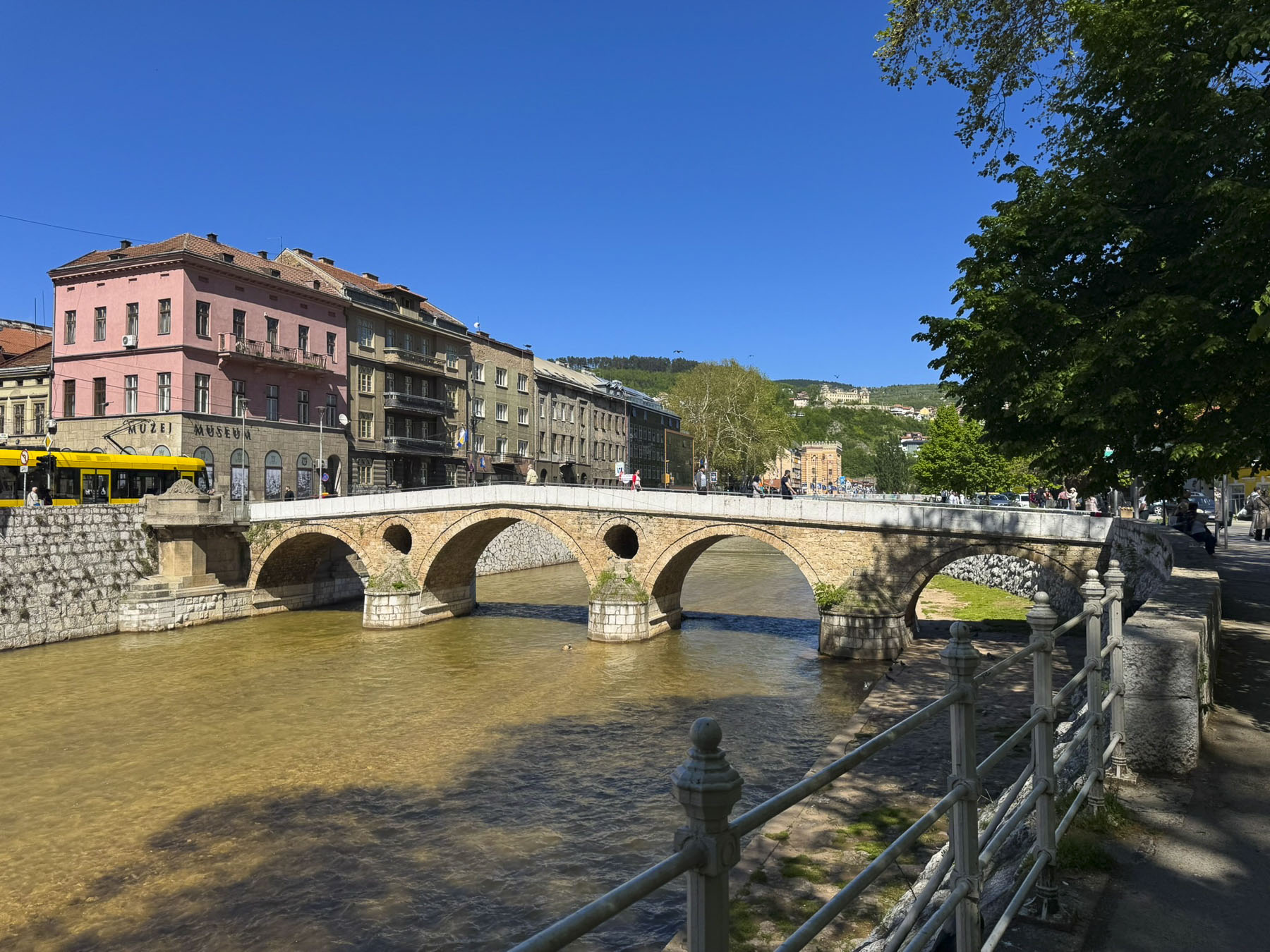
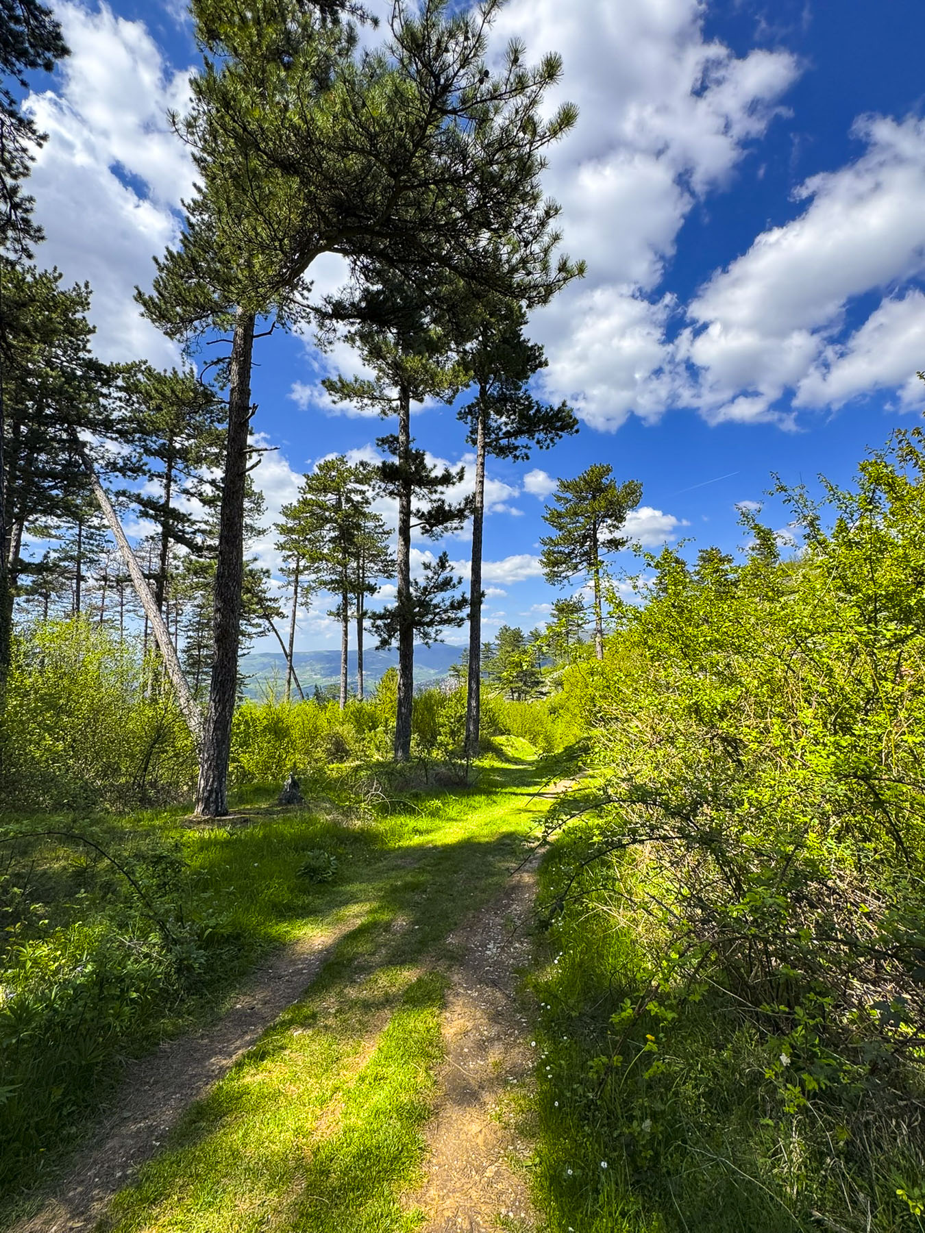
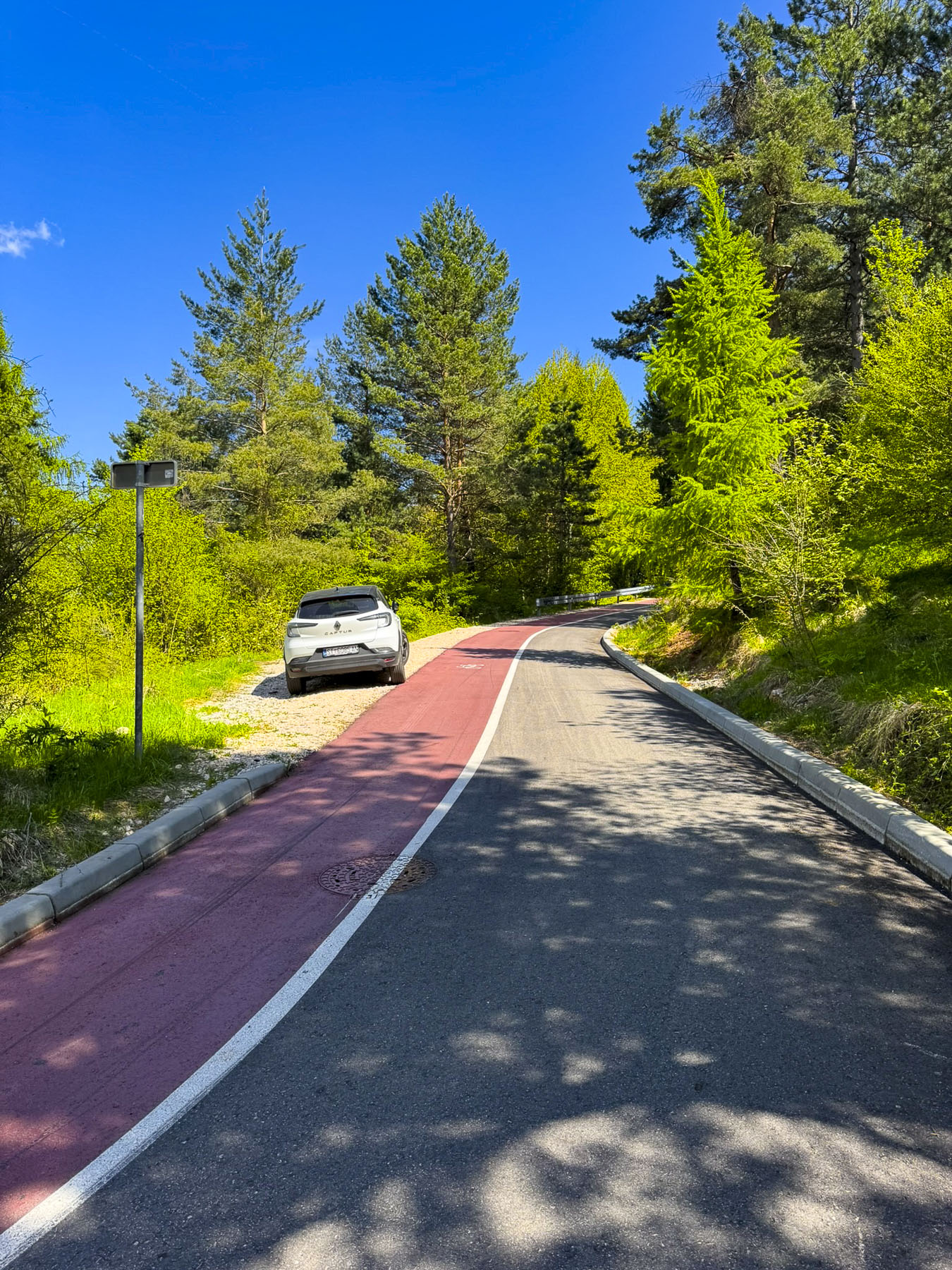
First, we had hoped to see an old 16th century Ottoman era high-arched stone span across the Miljacka River on the outskirts of the city, but the traffic in that direction came to a total standstill, and folks were turning around to find alternative routes. We decided to do the same and followed our Maps app’s directions up the steep mountainside along roads that twisted through small neighborhoods where round traffic mirrors were mounted on the side of homes to see oncoming cars around blind corners. The road continued to narrow and steepen to the point that we thought if we ever had to stop, we’d never get going uphill again, until the grade lessened and we passed the last house to drive through the forested hillside.
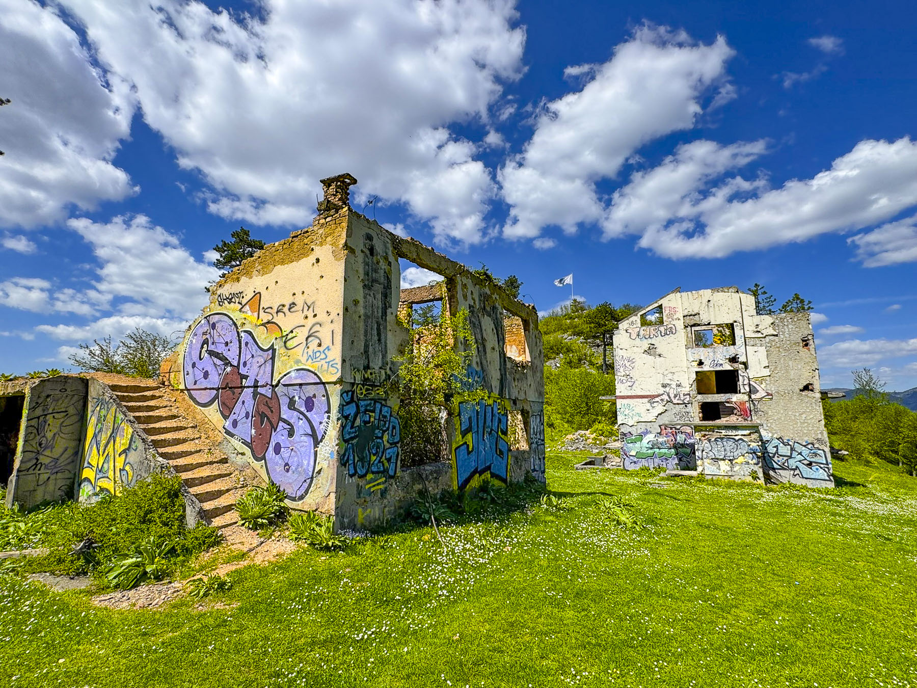
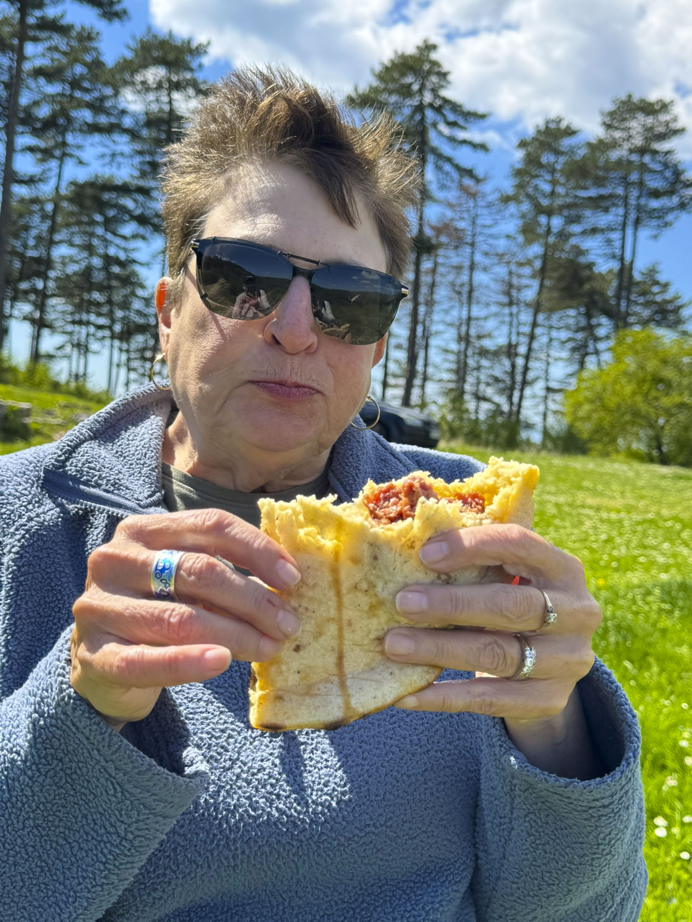
We stopped halfway up the mountainside to check out two battle-scarred buildings in a lush green meadow and happened upon a family of four having a picnic. The kids sprawled on the blanket, intent upon their electronic gamepads, while their mom set everything in order and their dad grilled in the shadow of one of the war-torn buildings. Everyone waved as we walked by. A few minutes later as we were walking in the lower part of the field the woman called to us as she crested the hillside, and she happily handed us a large Ćevapi, – small, skinless, charcoal grilled minced meat sausages, stuffed into a large Somun, a soft bread similar to pita, and garnished with finely chopped raw onions, ajvar (roasted red pepper sauce) or kajmak (a clotted cream spread). It’s the national dish of Bosnia and a specialty in Sarajevo. Though we didn’t share a common language multiple thank-yous were said and smiles shared all around. Her Ćevapi was so good! Coincidentally, only the day before we had promised ourselves we would have to taste one of those wonderful local dishes. The reason – the enticing aroma of grilled meats wafting from Ćevabdžinica Petica Ferhatović, considered to be the best Ćevabdžinica in Sarajevo, as we walked along Bravadžiluk. It caused us to pause and check out what everyone was enjoying. If we hadn’t eaten a half hour earlier, we would have stopped, and we told ourselves we’d have to definitely try Ćevapi later.
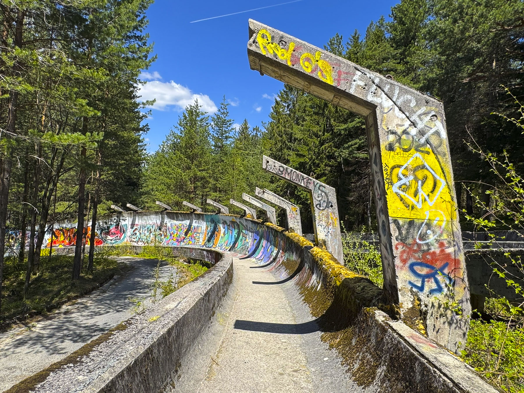
Covered with bullet holes and graffiti, the bobsleigh tracks, former symbols of international goodwill, are now grisly reminders of the brutal conflict that killed 11,000 people living in Sarajevo during the four-year siege of the city.
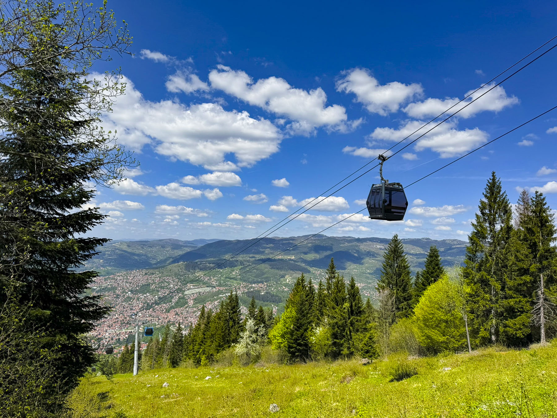
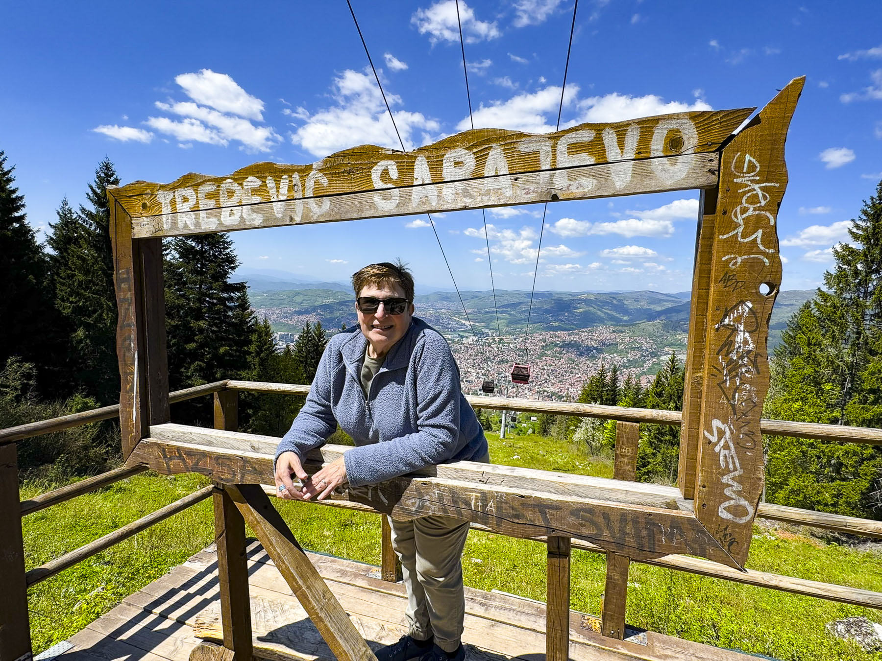
We continued on to the summit terminal of the Mt. Trebević ski lift where there were some spectacular views. The ski lift operates year-round and its lower terminal, Sarajevska žičara, is only a 9-minute walk from Sarajevo’s City Hall.
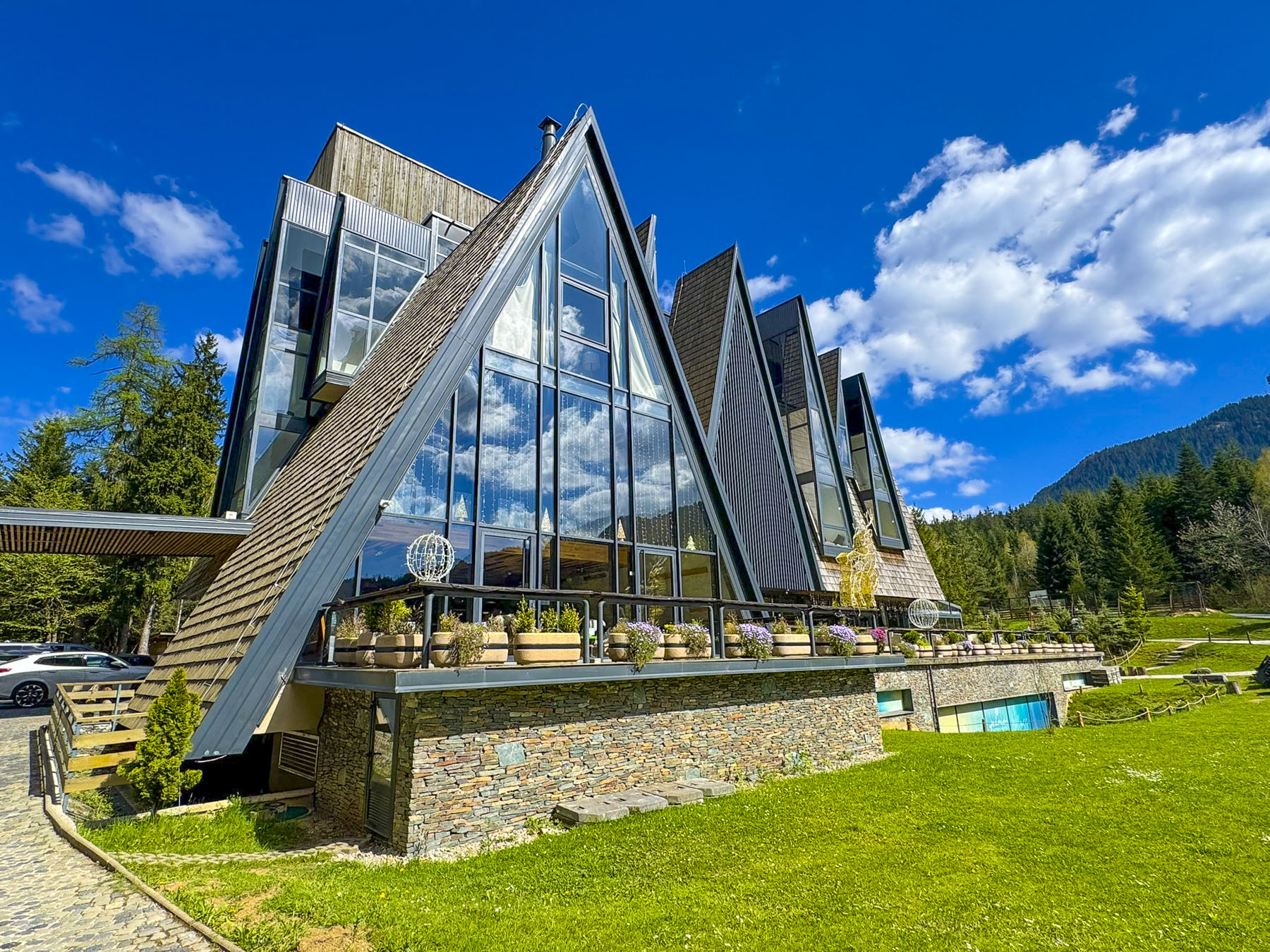
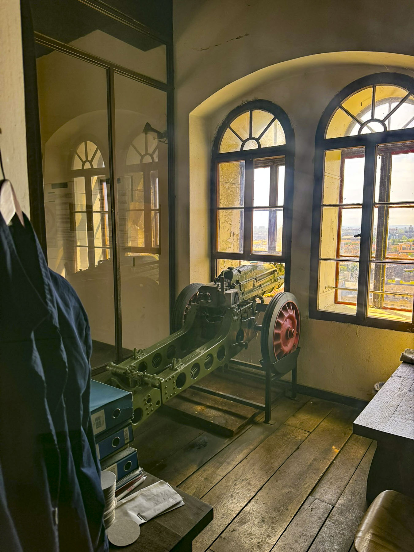
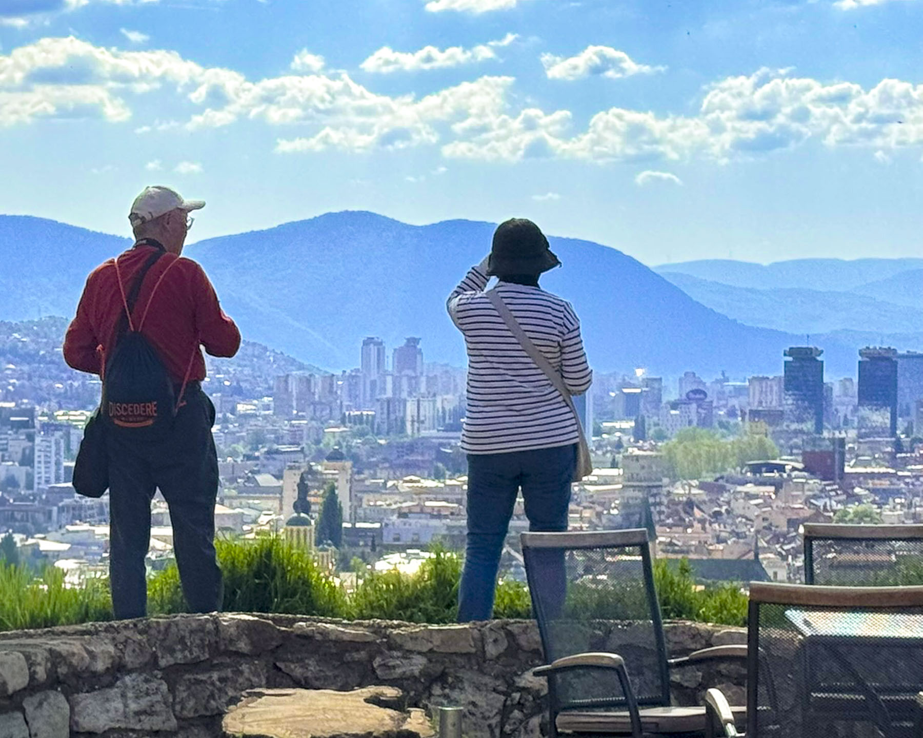
Later we had lunch atop the mountain at Hotel Pino, an attractive contemporarily designed 22 room lodging set in a forest clearing, before heading back down into Sarajevo to the Yellow Fortress, an Ottoman era cannon embattlement on Jekovac hill.

The panoramic views out over Sarajevo were beautiful in the late afternoon light and encompassed six centuries of the city’s history, from its earliest mosques on Baščaršija square to its modern skyline growing on the western horizon. A small café atop the roundel encouraged us to linger as we attempted to count the number of minarets scattered across the valley and hillsides and waited for the sun to set.
We thoroughly enjoyed visiting this resilient exotic city where everyone we encountered was so nice to us. We highly recommend visiting Sarajevo, as it is an engaging and very budget-friendly destination.
Till next time,
Craig & Donna
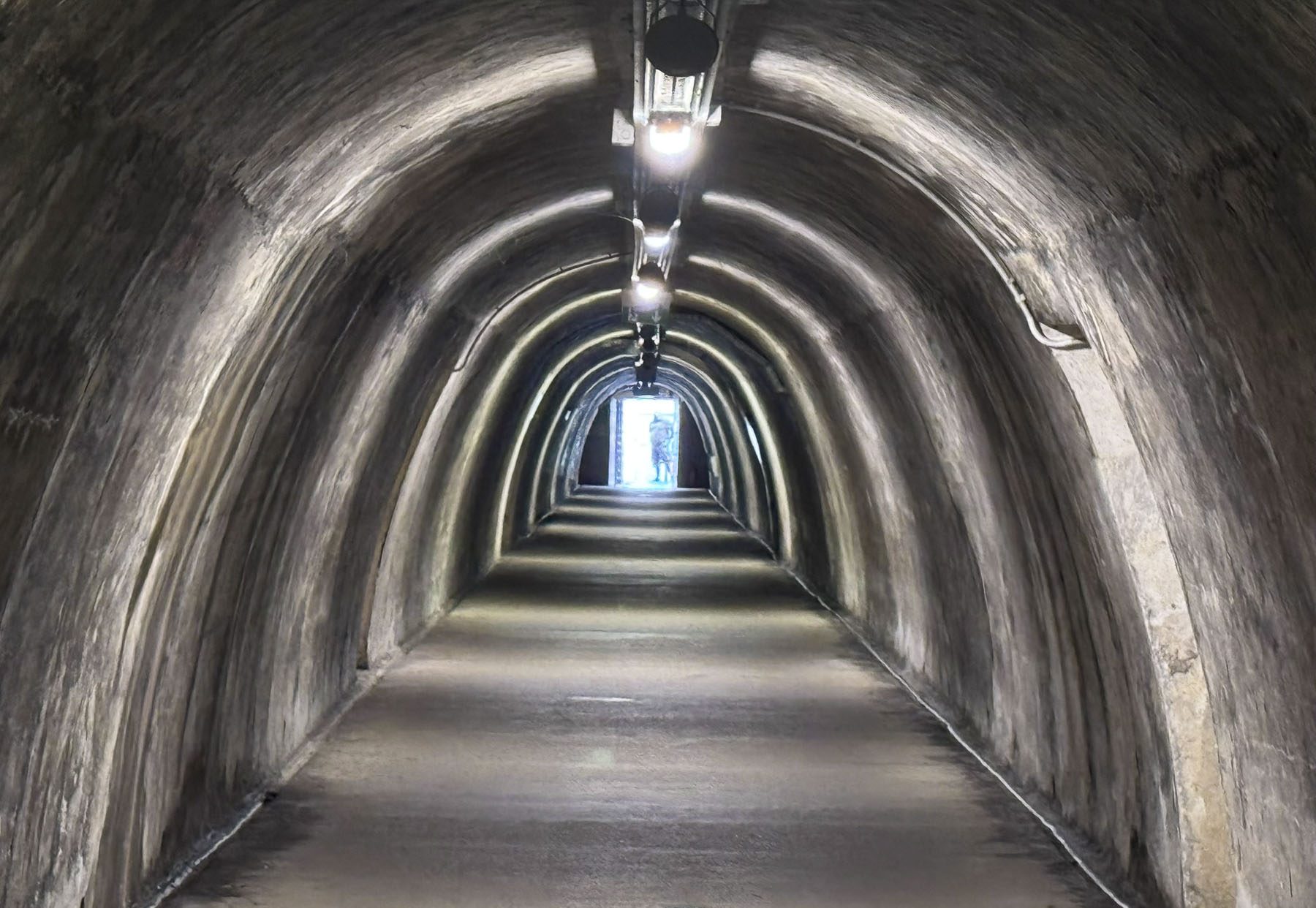
P.S. There are more than 20 museums in Sarajevo, with over 12 of them acknowledging the suffering which occurred during the Bosnia War. A few of them are: the Siege of Sarajevo Museum, Sarajevo Tunnel of Hope (Tunel Spasa), Museum of Crimes Against Humanity and Genocide, War Childhood Museum, and Galerija 11/07/95, a gallery-museum dedicated to the victims of the Srebrenica genocide.