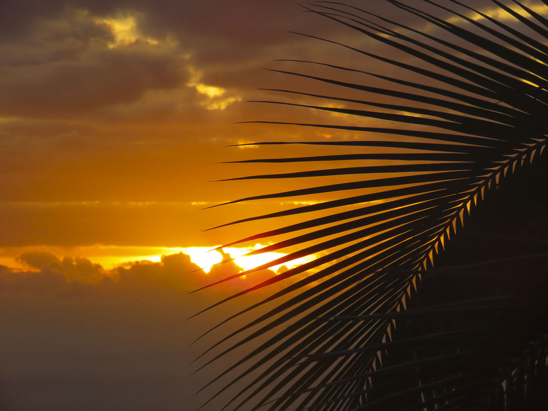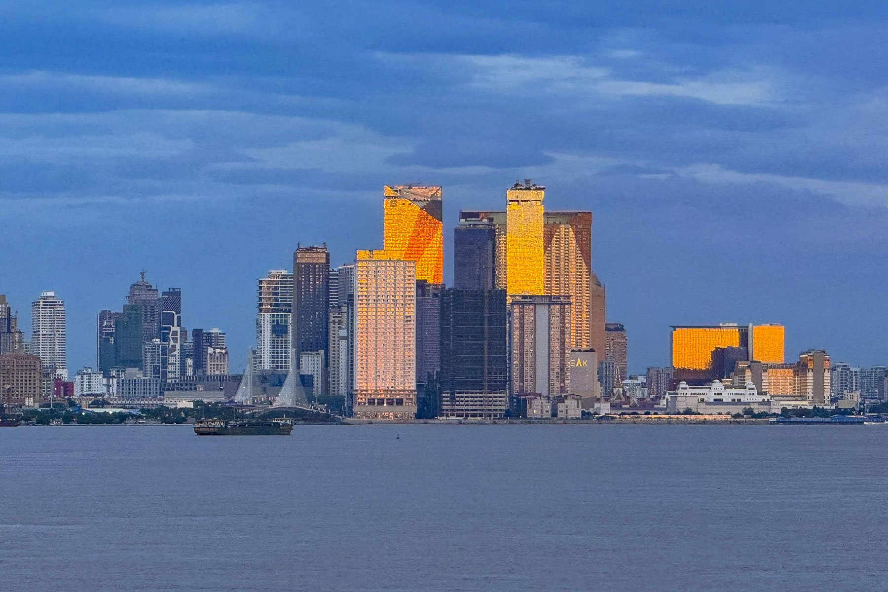
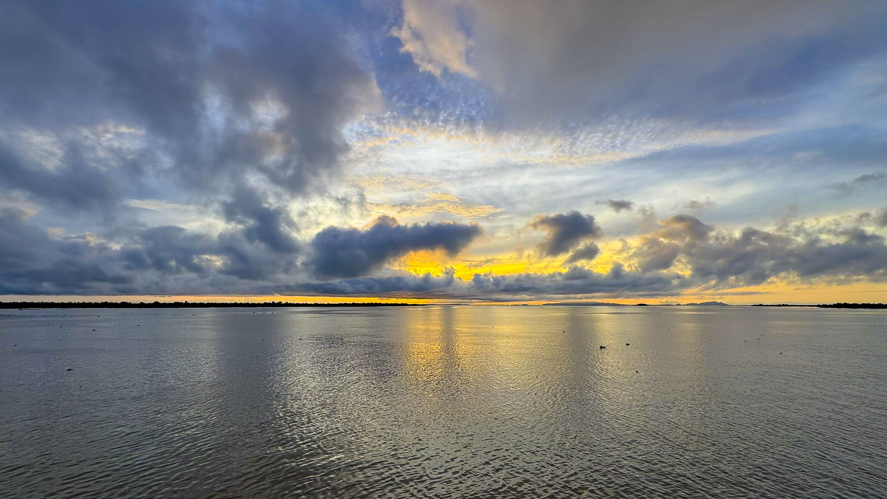
In the golden morning twilight, the skyscrapers of Phnom Penh gleamed like a set of gold capped teeth revealed by the broad smile of a person awakening to a spectacular new day. It was the consequence of a torrential monsoon storm, with I swear horizontal rain, the evening, before that abruptly shortened an otherwise delightful happy hour on the sun deck of the RV Mekong Pandaw. Overnight as we sailed to Phnom Penh the storm cleared the sky for a beautiful sunrise. Our cruise had departed Ho Chi Minh City three days earlier during the last week of September, which was nearing the end of Southeast Asia’s monsoon season, and the mornings were heavily overcast until today.
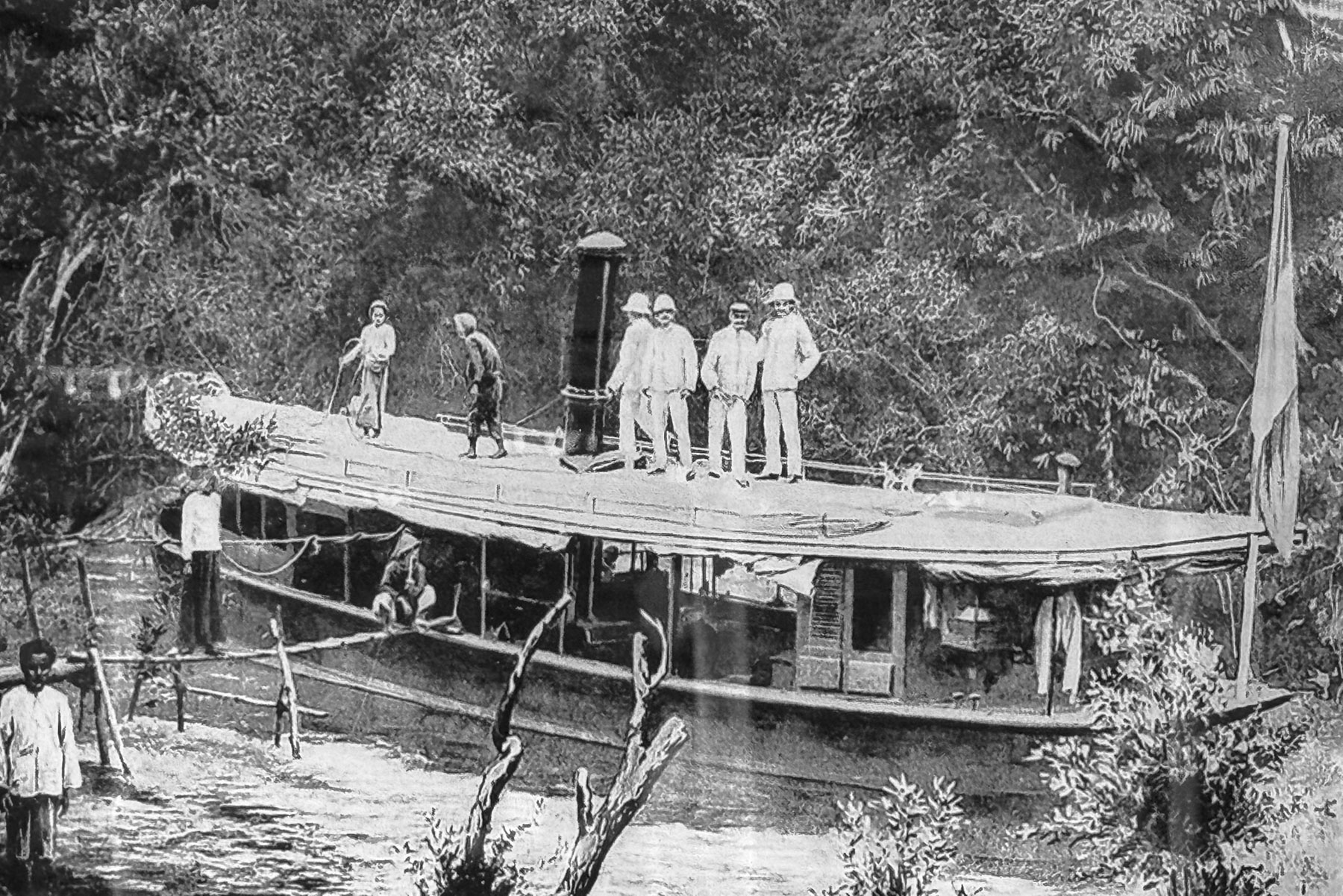
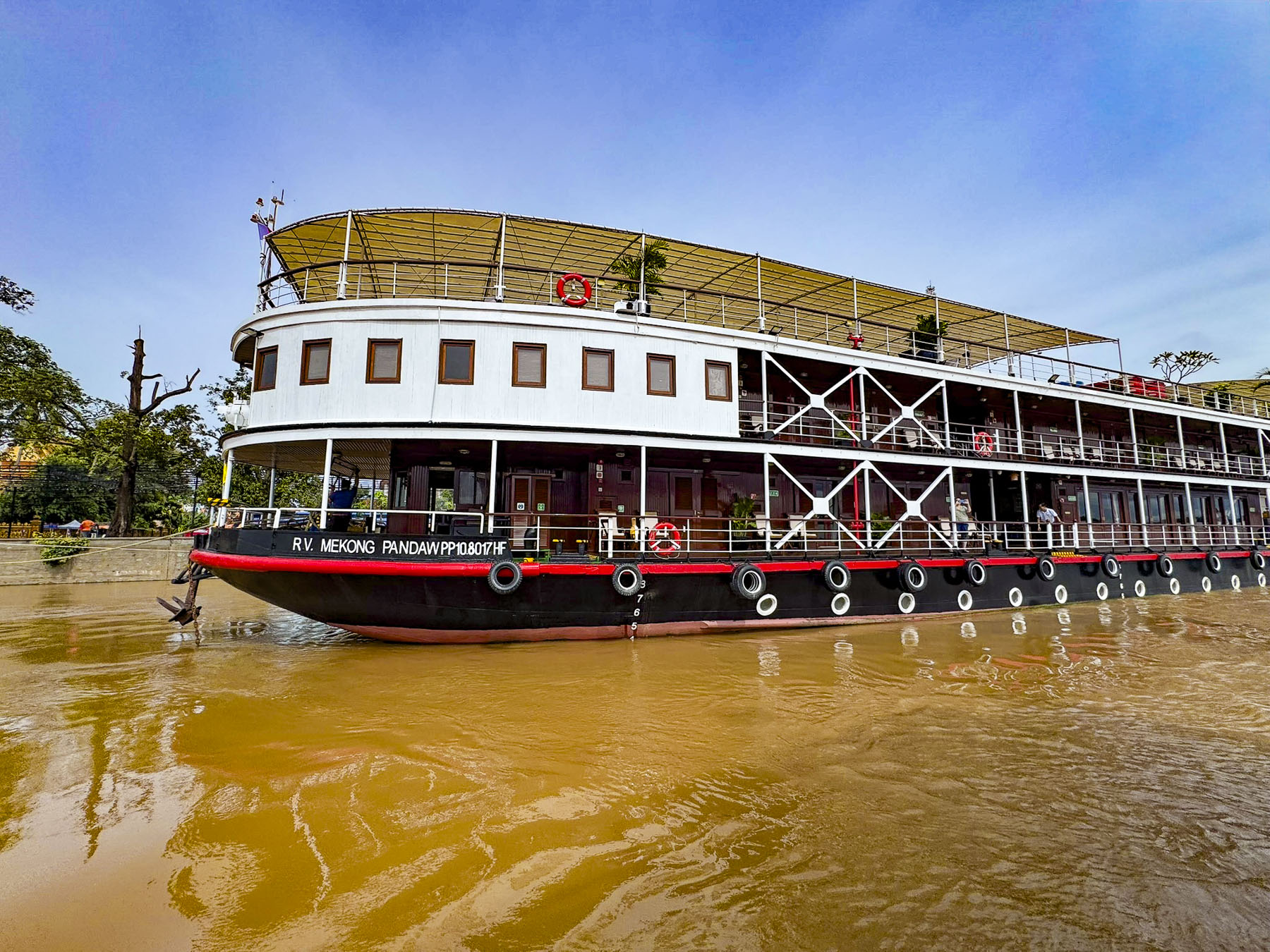
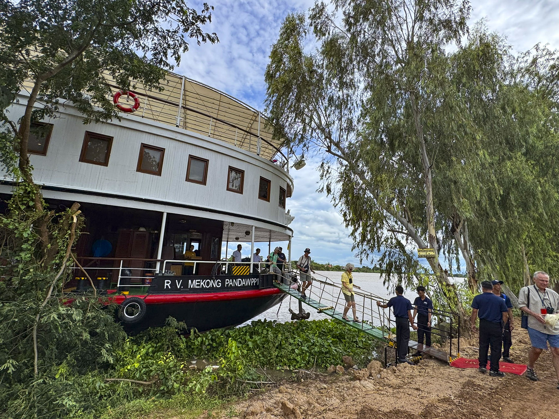
The forty-eight passenger river vessel is a classic shallow draft, teak and brass finished riverboat, based on historical designs of colonial era river ships that once plied the waters of the Mekong Delta and southeast Asia from the late-1800s to the 1930s, and was built specifically for the luxury river cruise provider Pandaw. We had signed on for their Four Country 21 Night Combo Cruise, which would take us up river into Cambodia, then connect us with flights to Thailand and the resumption of the cruise, on the smaller Pandaw RV Laos downriver from the golden triangle, where the borders of Myanmar, Thailand, and Laos meet along the Mekong River, in Chiang Khong, Thailand.
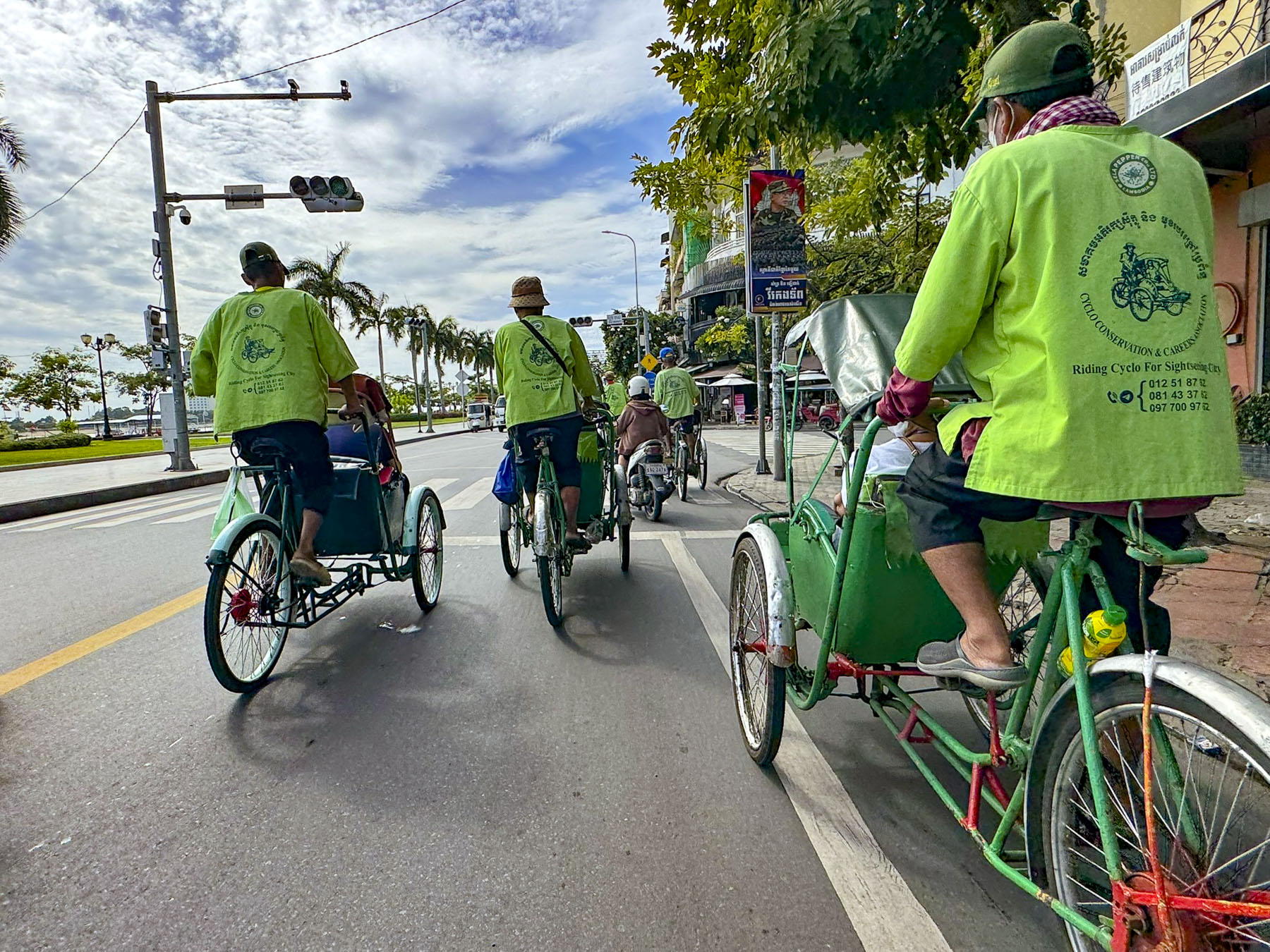
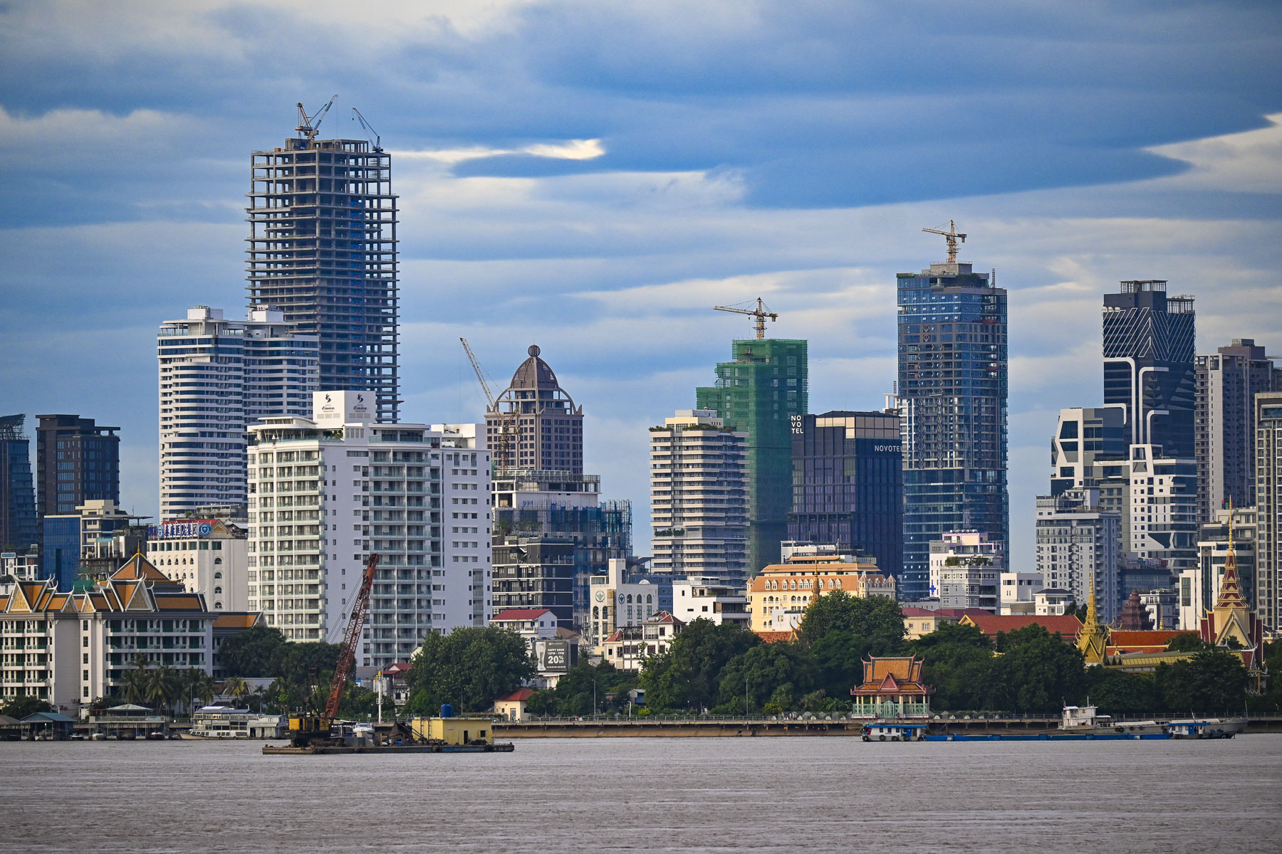
Waiting for us as the boat docked along the city’s quay on the Tonle Sap River, just upstream from its confluence with the Mekong River, was a row of rickshaw tricycle taxis or cyclos, set against Phnom Penh’s rapidly expanding skyline dotted with construction cranes. In times past, the cyclo was the predominant mode of transportation around the city but now are mostly used by tourists for scenic tours that weave through its streets.
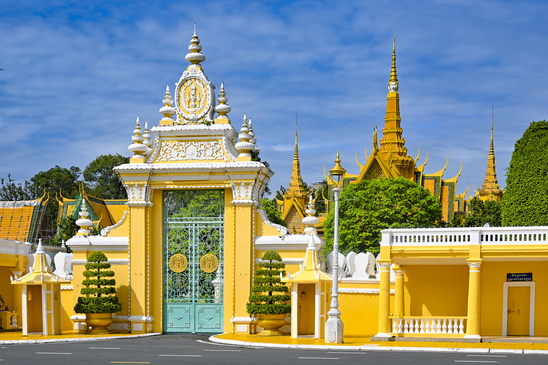
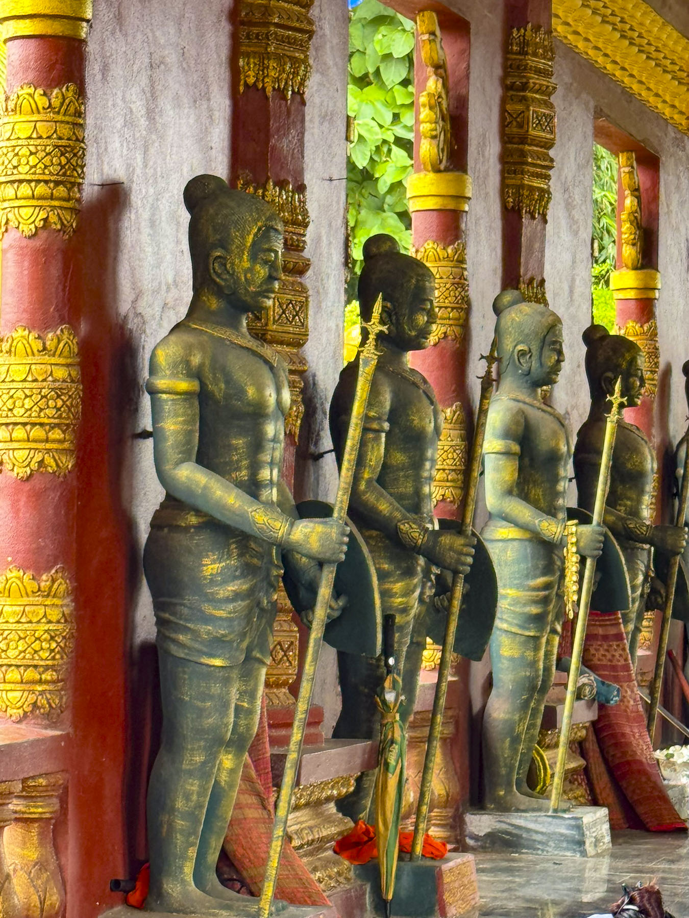
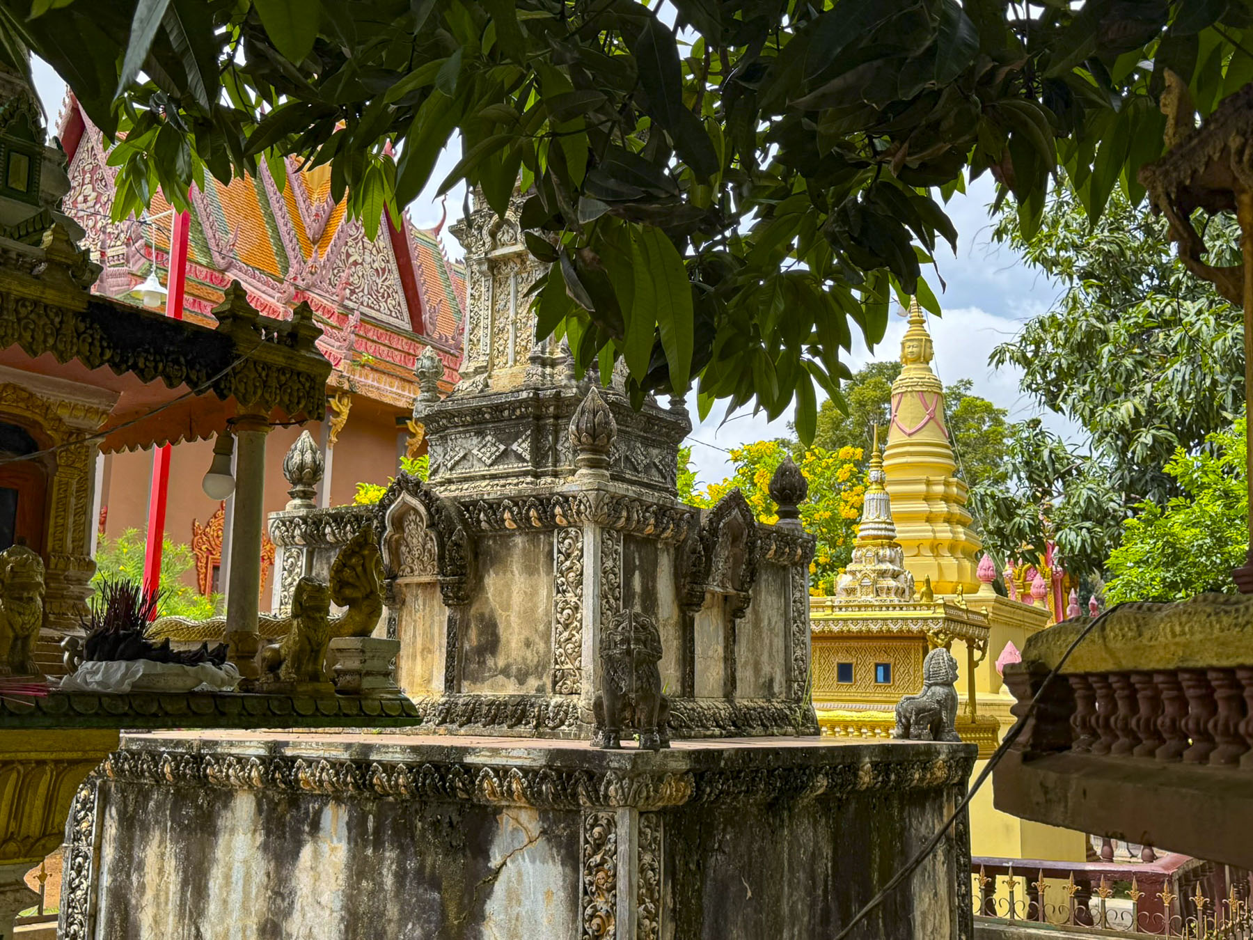
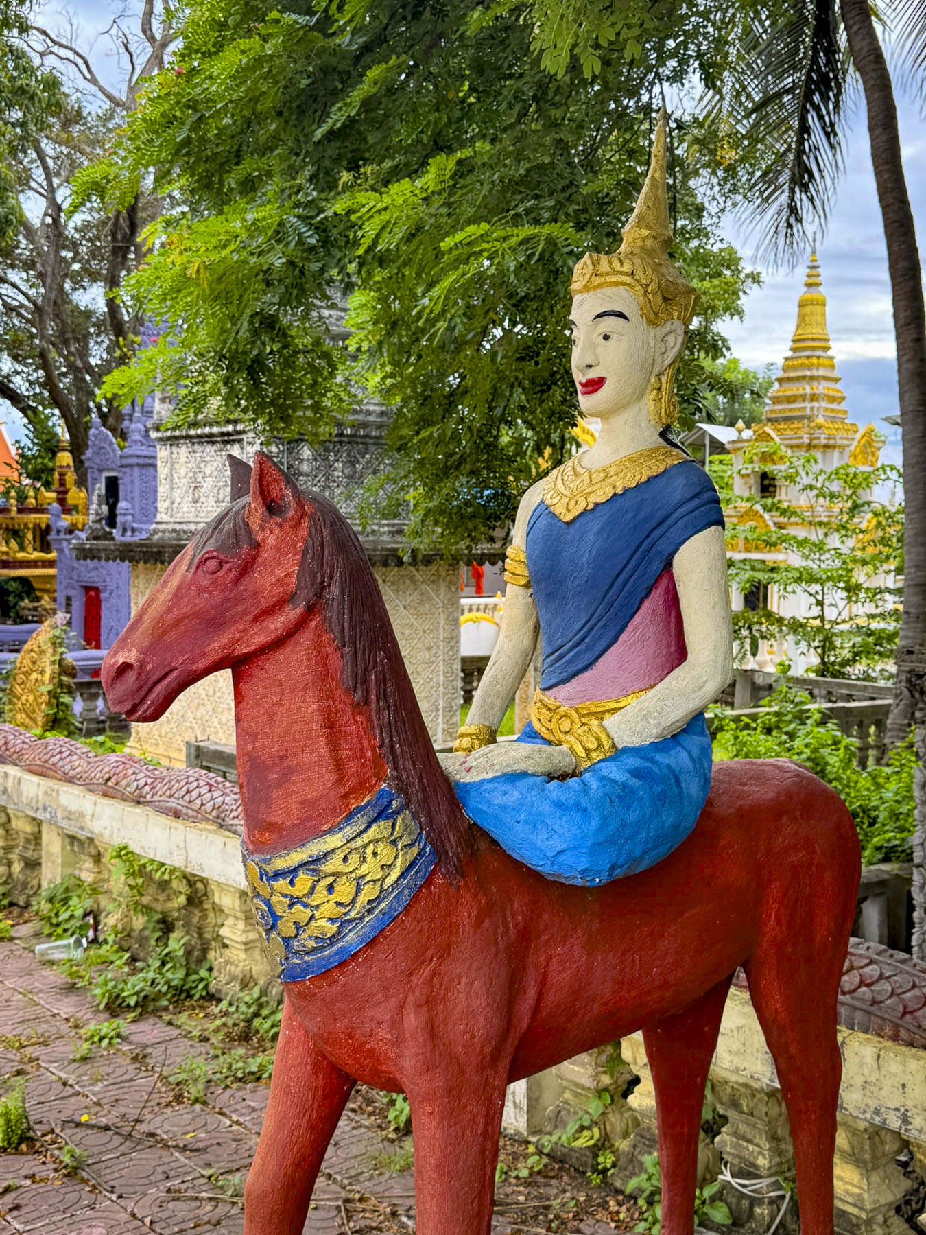
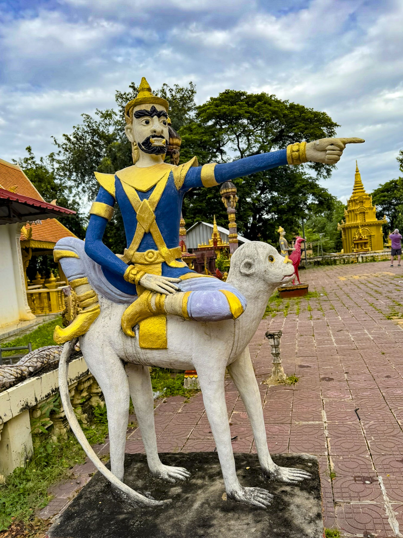
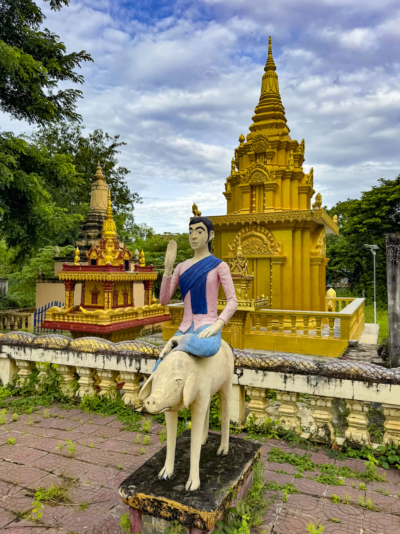
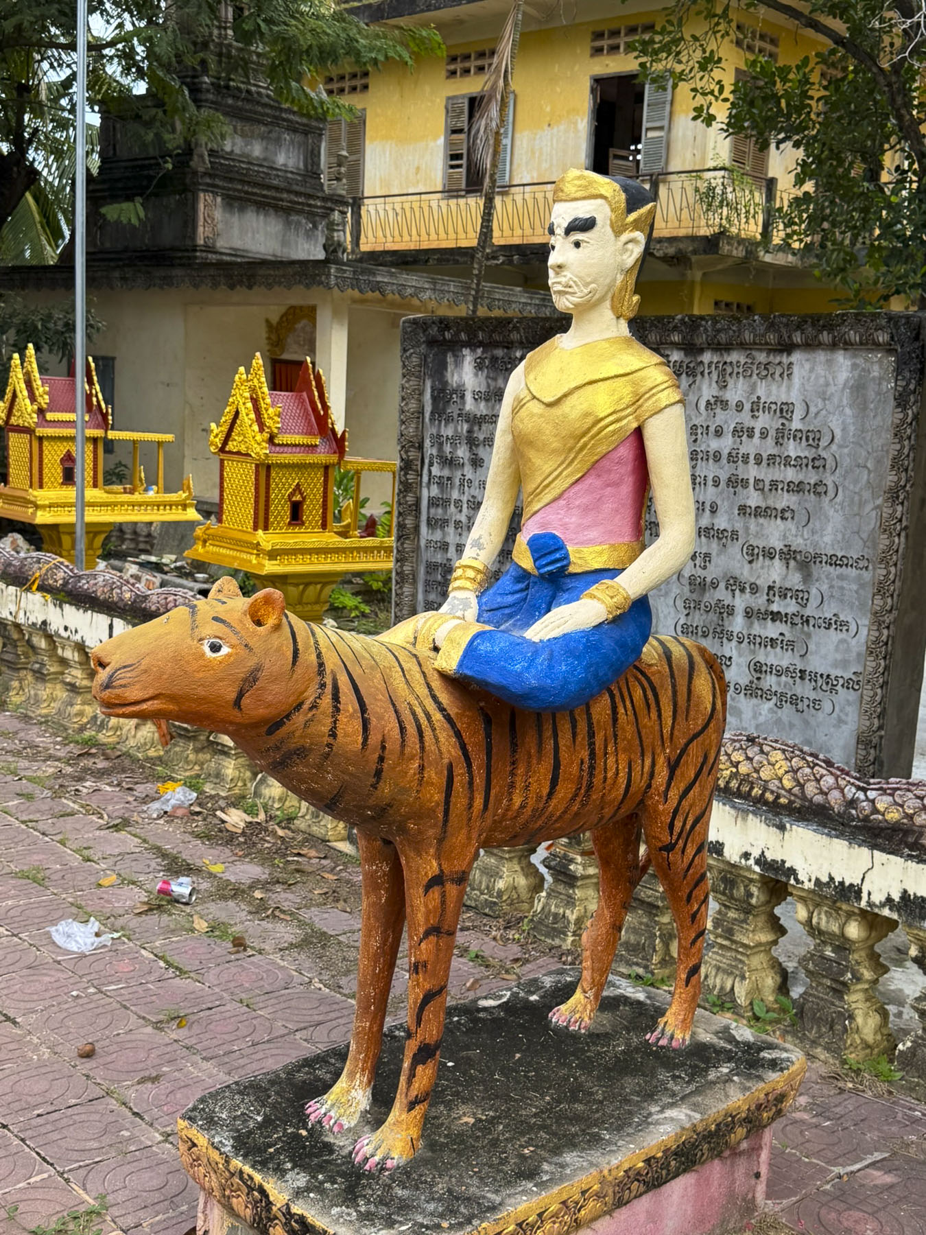
We whizzed through traffic past the National Museum to the Royal Palace of Cambodia, a richly ornamented grand palace complex built in the 1860s, on the site of an earlier citadel, for Cambodia’s royal families. The palace’s architecture leans heavily on influences from Ankor Wat, a massive 12th-century religious monument that is Cambodia’s most famous attraction.
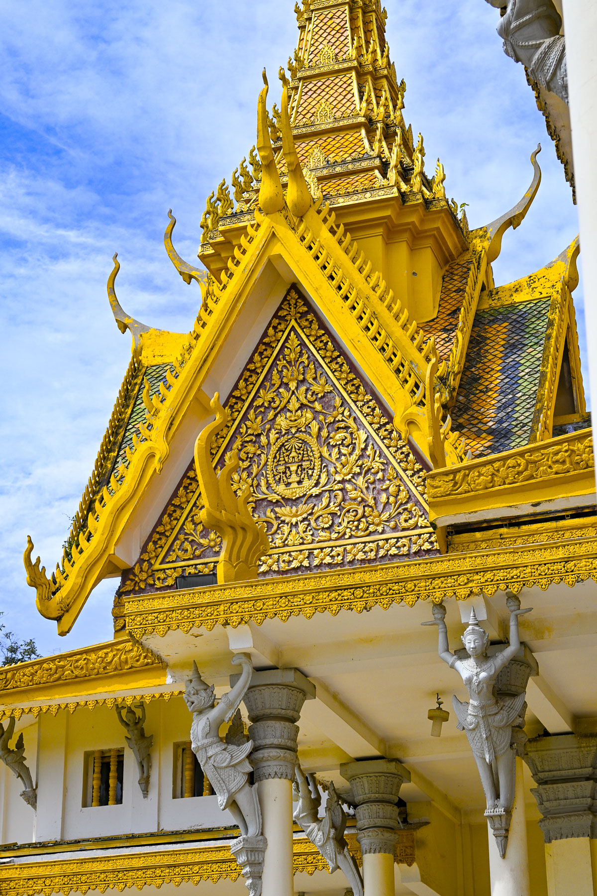
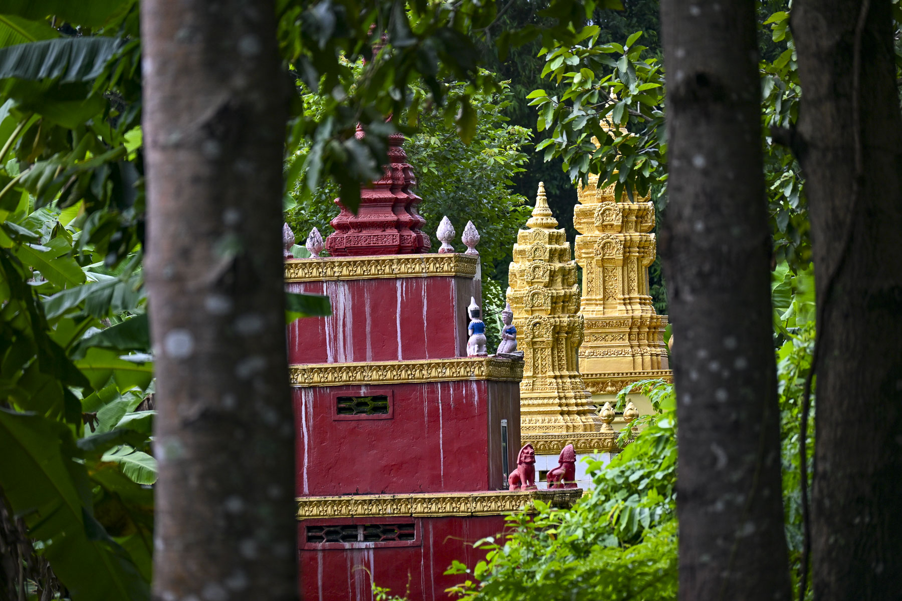
The palace’s formal and ceremonial buildings feature golden spires atop steeply pitched stacked roofs, orange in color to symbolize prosperity, with highly decorated upturned finials and gables that characterize Khmer architecture. The spires on the rooftops represent Mount Meru, the sacred center of the universe in Hindu and Buddhist cosmology.
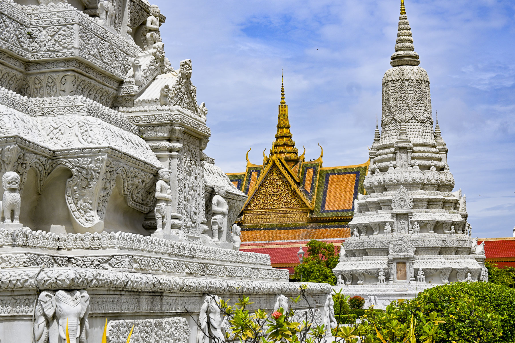
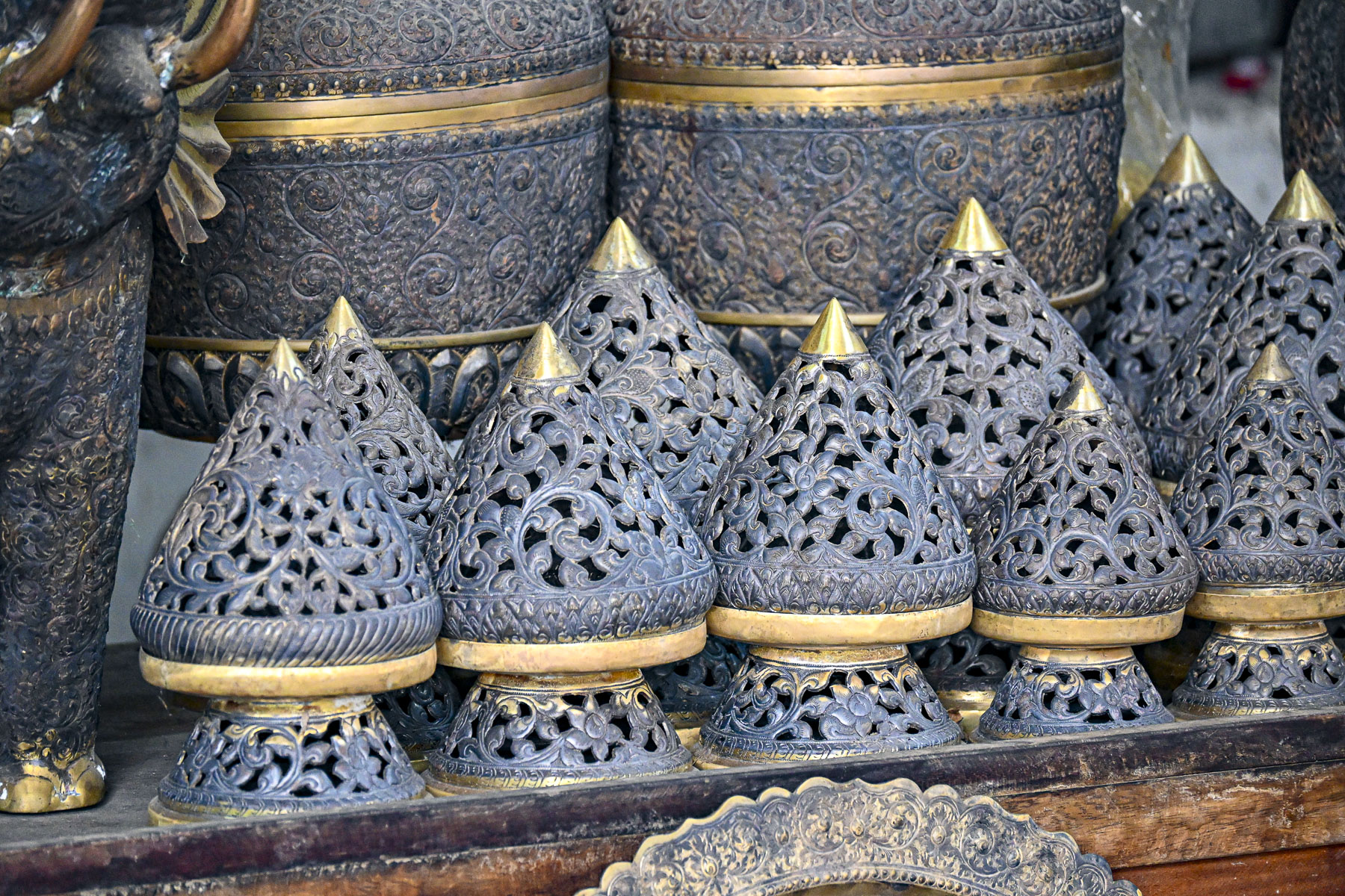
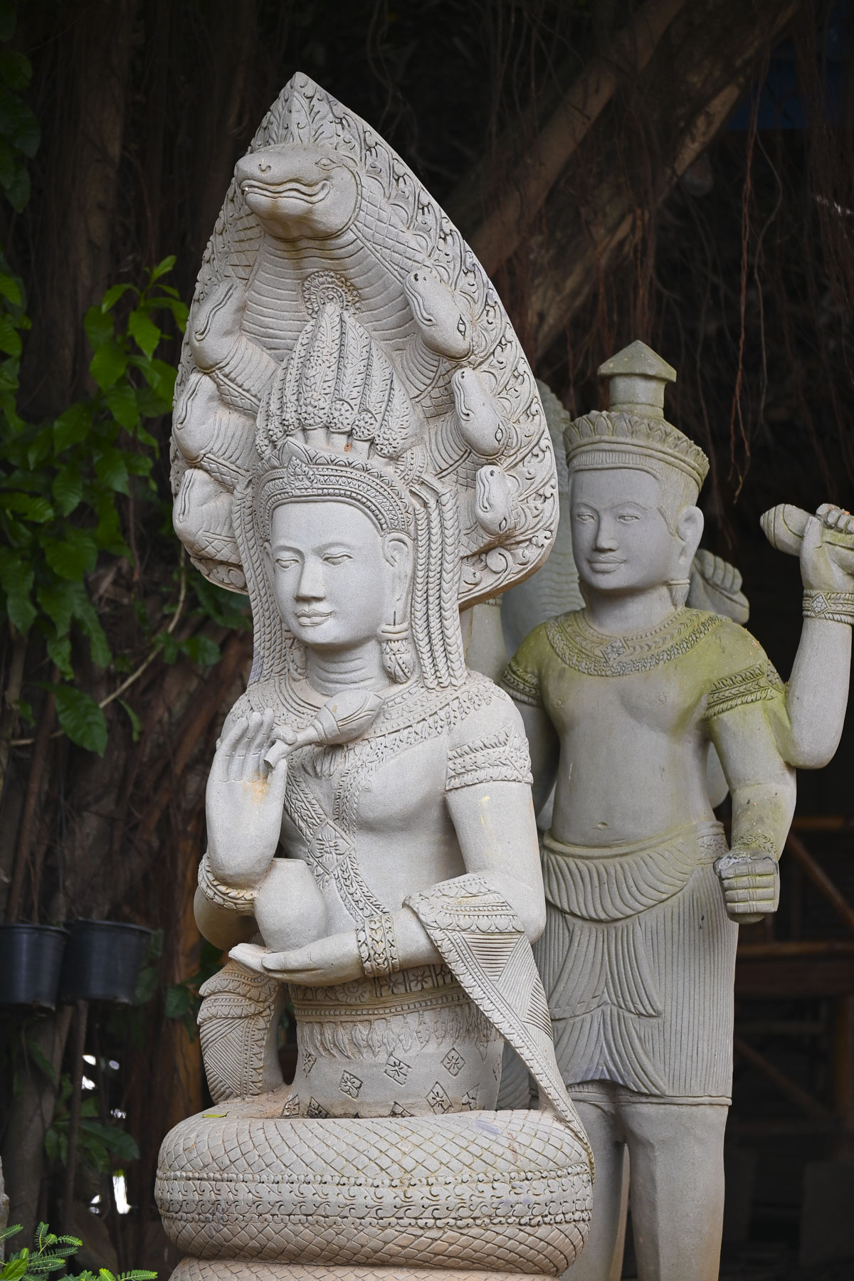
The grounds also have several large pyramid and cone shaped sandstone stupas carved with elaborate high-relief sculptures of gods, floral patterns, and legendary creatures.
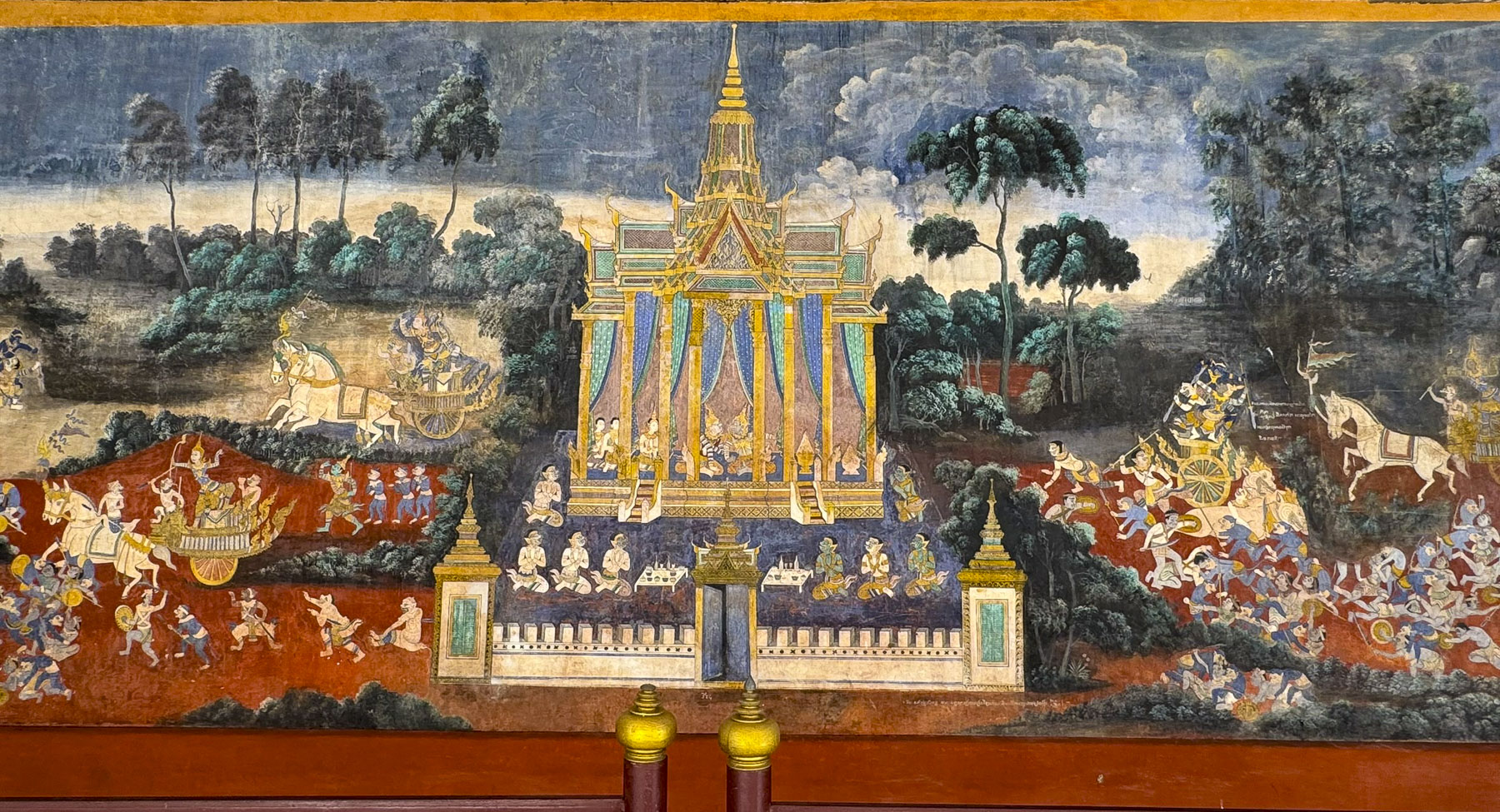
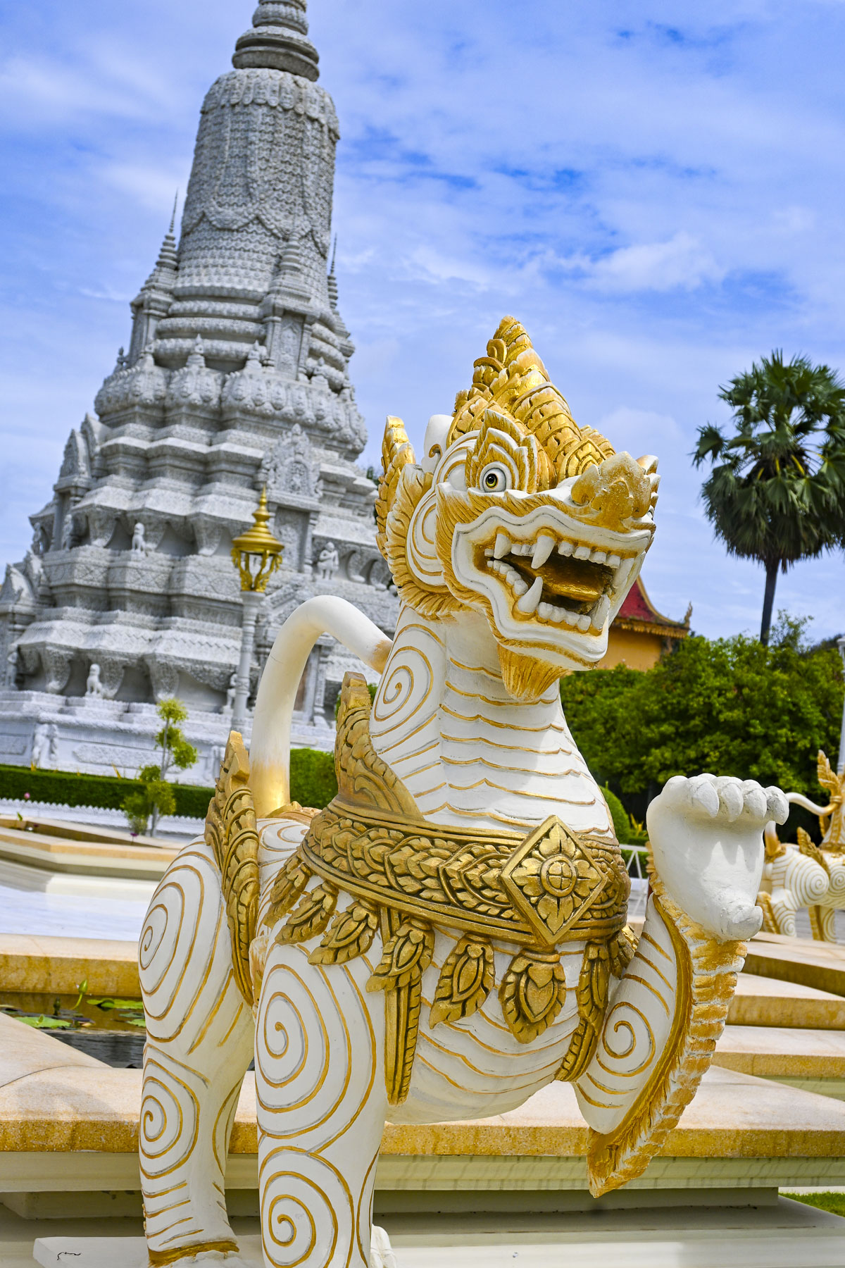
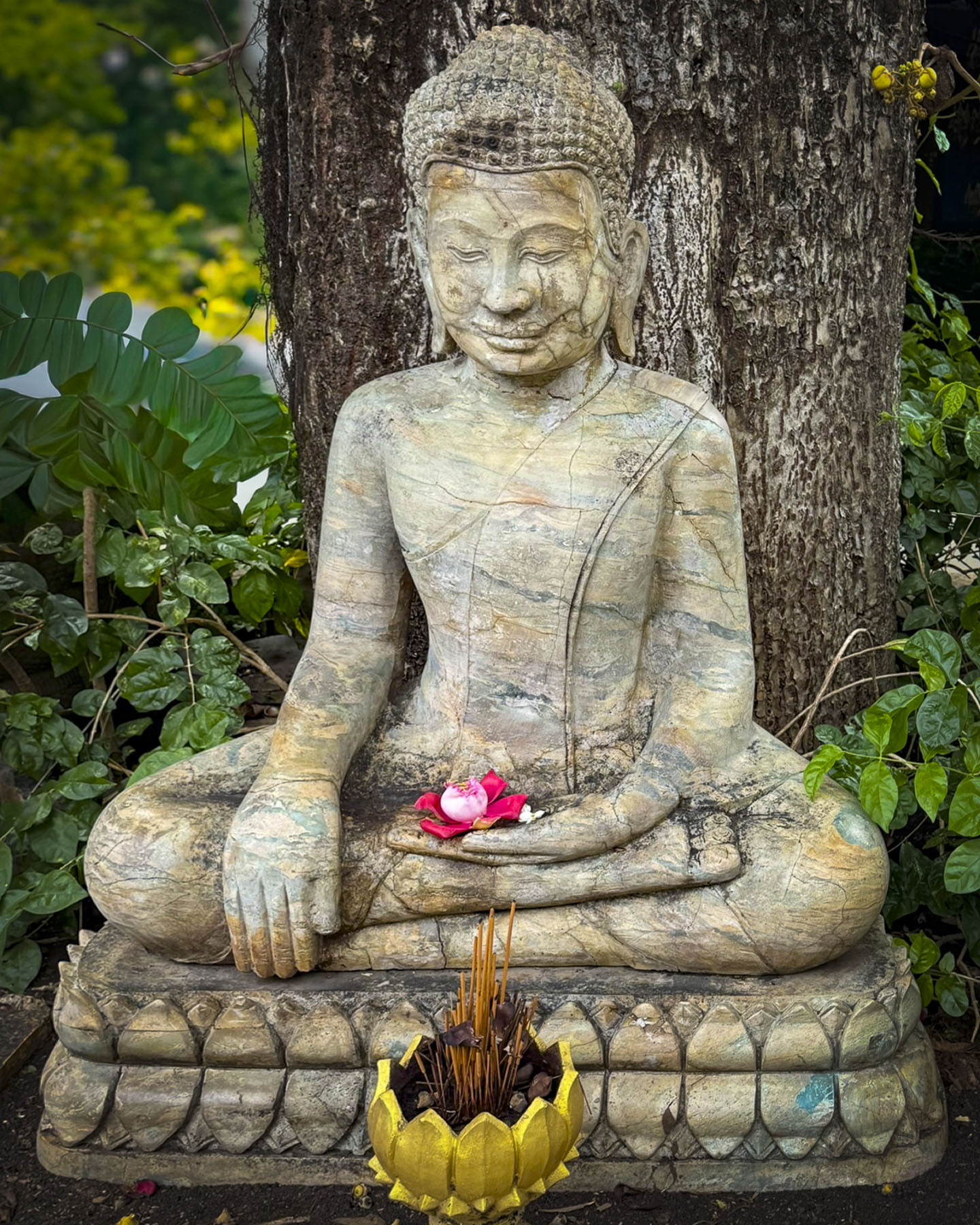
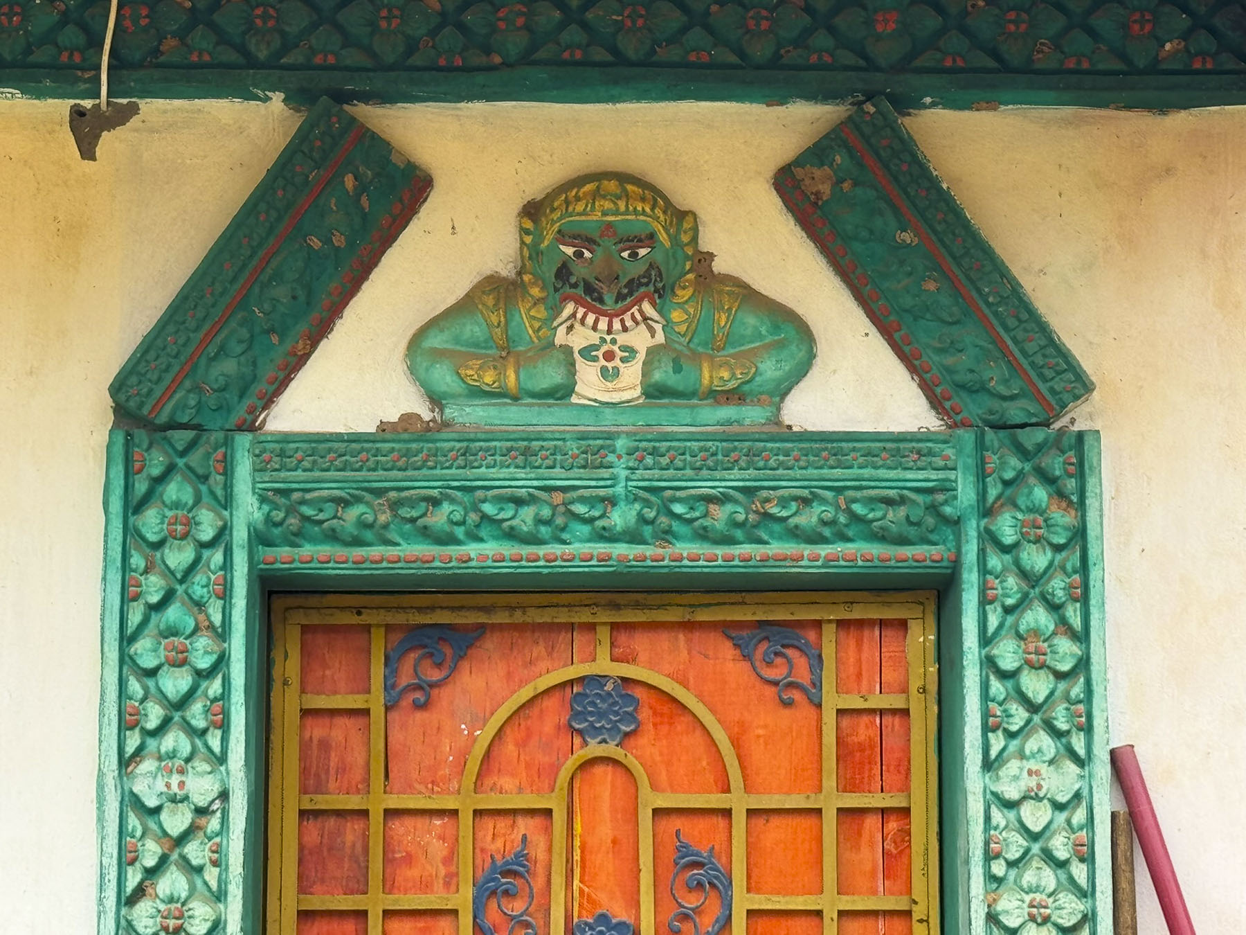
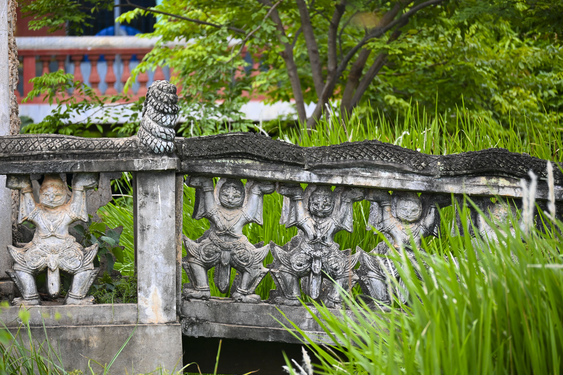
Across the site are sculptures of fearsome mythological animals depicting Naga (seven-headed serpents), Singha (guardian lions), and Kala (fearsome faces), which symbolize protection, power, and the bridge between human and divine realms. There were also some interesting ancient murals depicting significant events in the country’s history. And surprisingly several tranquil spots to rest and contemplate.
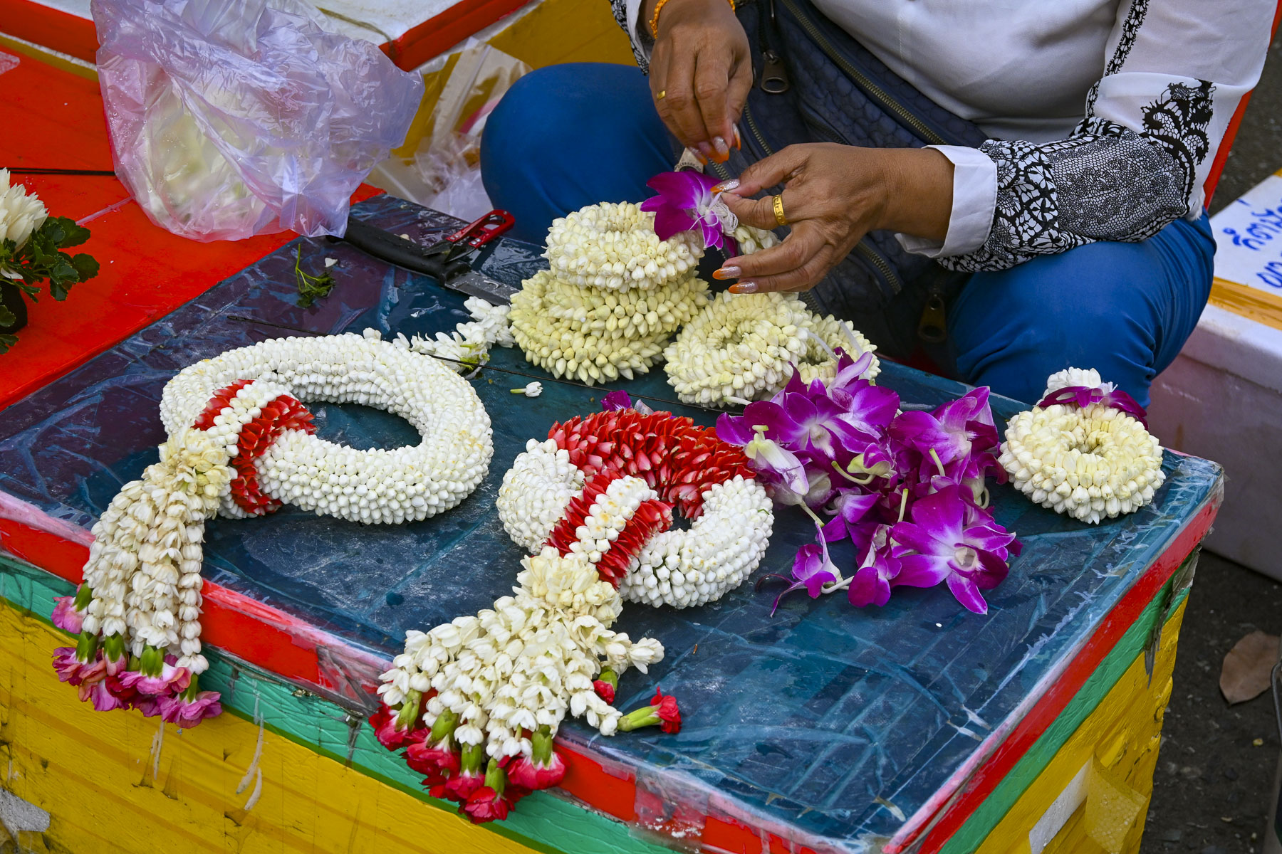
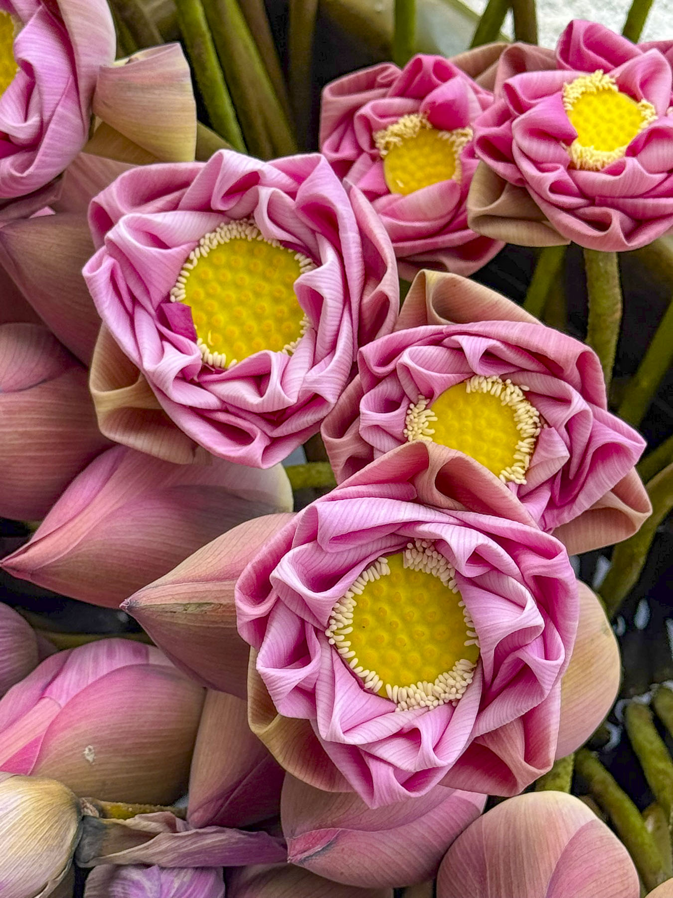

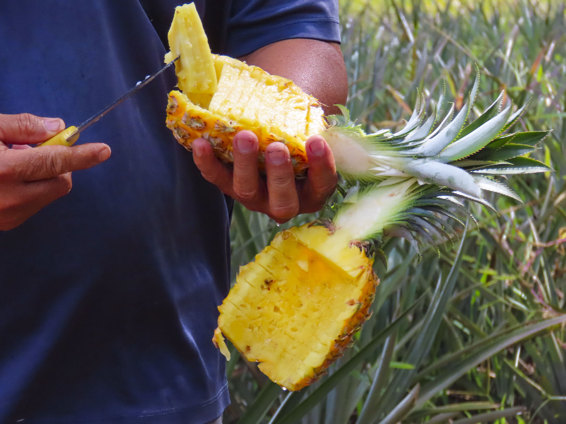
By midmorning that day in late September the temperature was in the mid – nineties, 35C, and the humidity was terrible. Some relief was found in the shade of the central market where some folks sought out the post office and a pharmacy while others wandered through the tightly packed clothing stalls. We didn’t find the shopping particularly interesting, but the flower market with its vendors making floral temple offerings of maali (garlands), and Kantong (small bowls made of banana leaves containing flowers, incense, and candles) was colorful, and intriguing. The Cambodian art of Lotus flower folding is a cherished, ancient art form where the green outer petals of a lotus bud are meticulously peeled back and folded, creating intricate, rose-like shapes that symbolize purity, devotion, and enlightenment. The market was beautifully full with these floral displays that represent a spiritual offering to Buddha. The ritual of daily offerings placed in home shrines and pagodas to honors ancestors, bring blessings, and symbolizes enlightenment, and is ingrained in the culture of Southeast Asia.
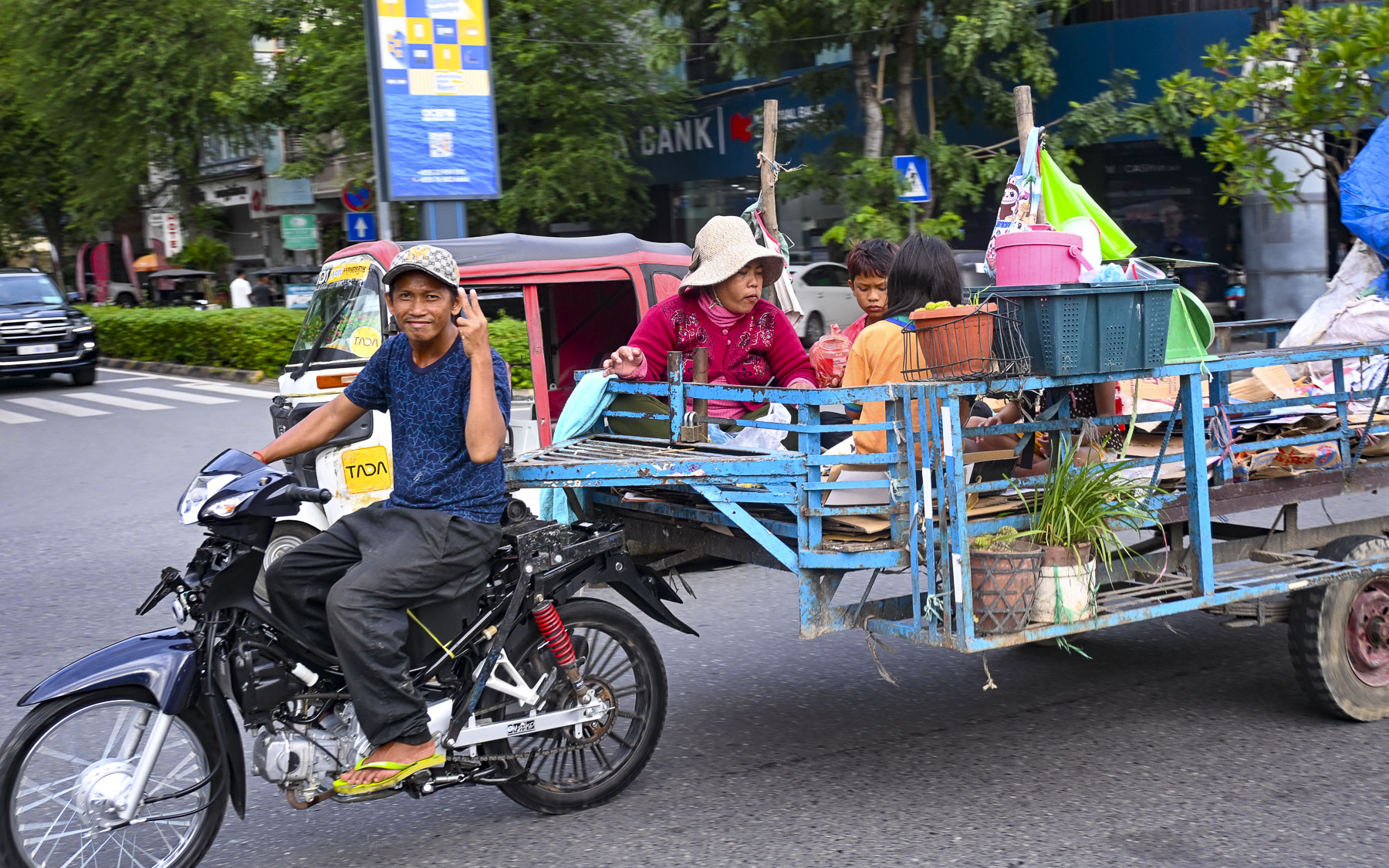
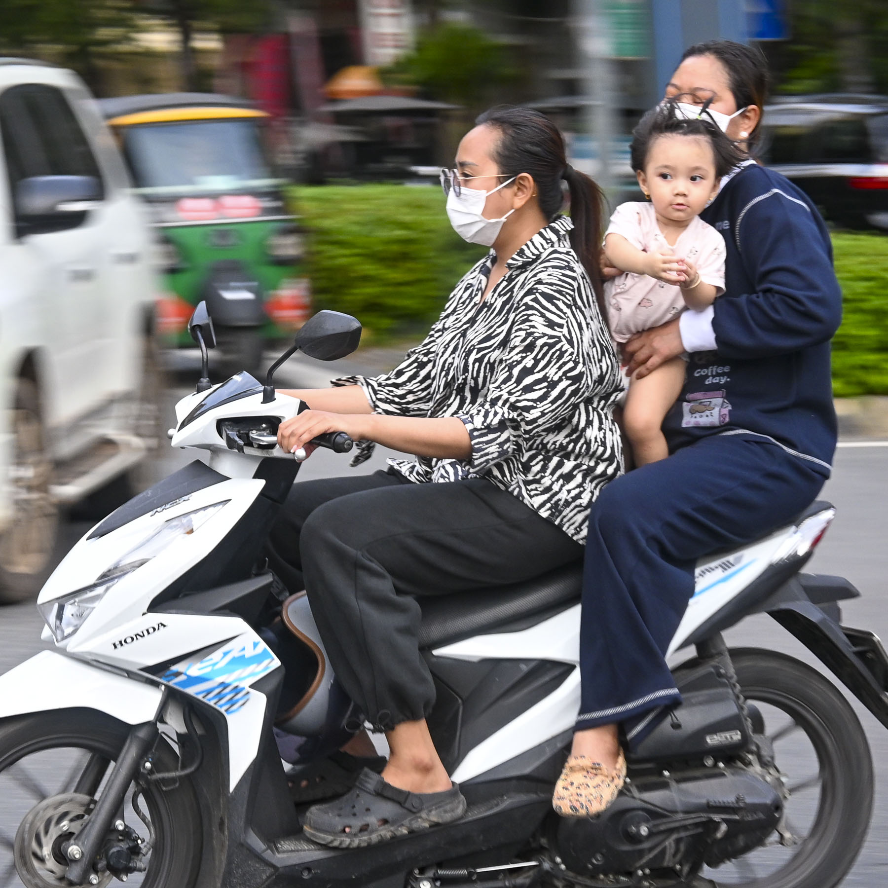
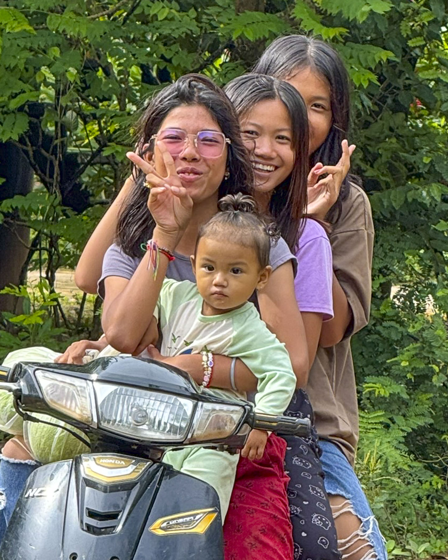
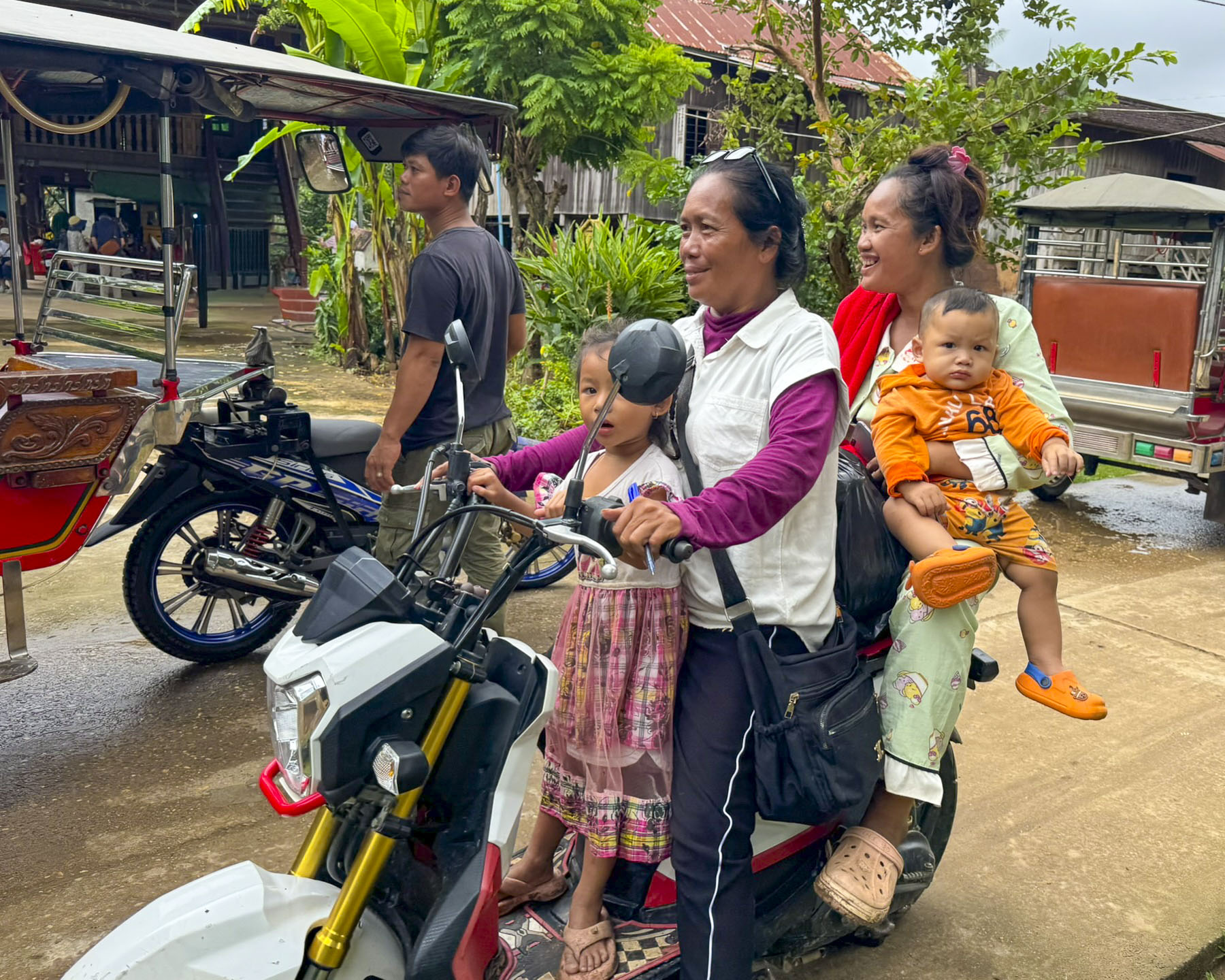
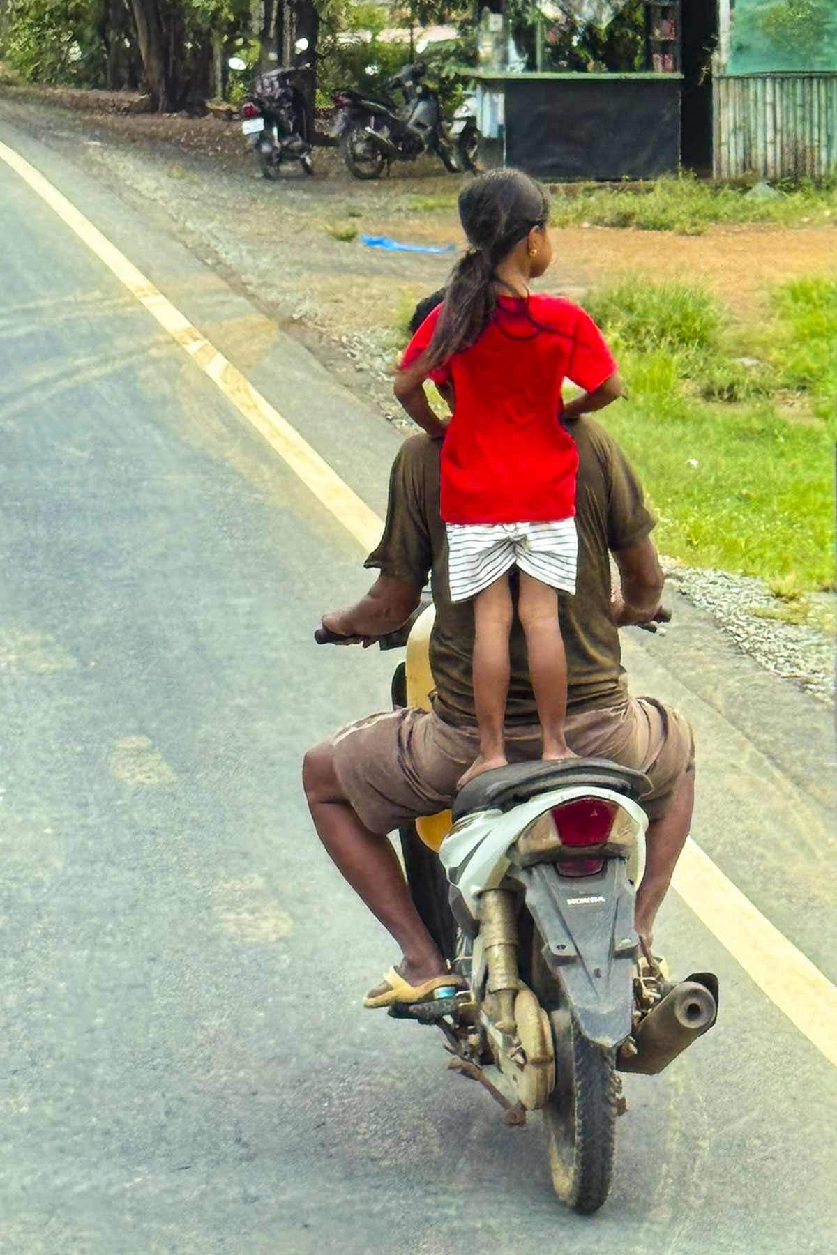
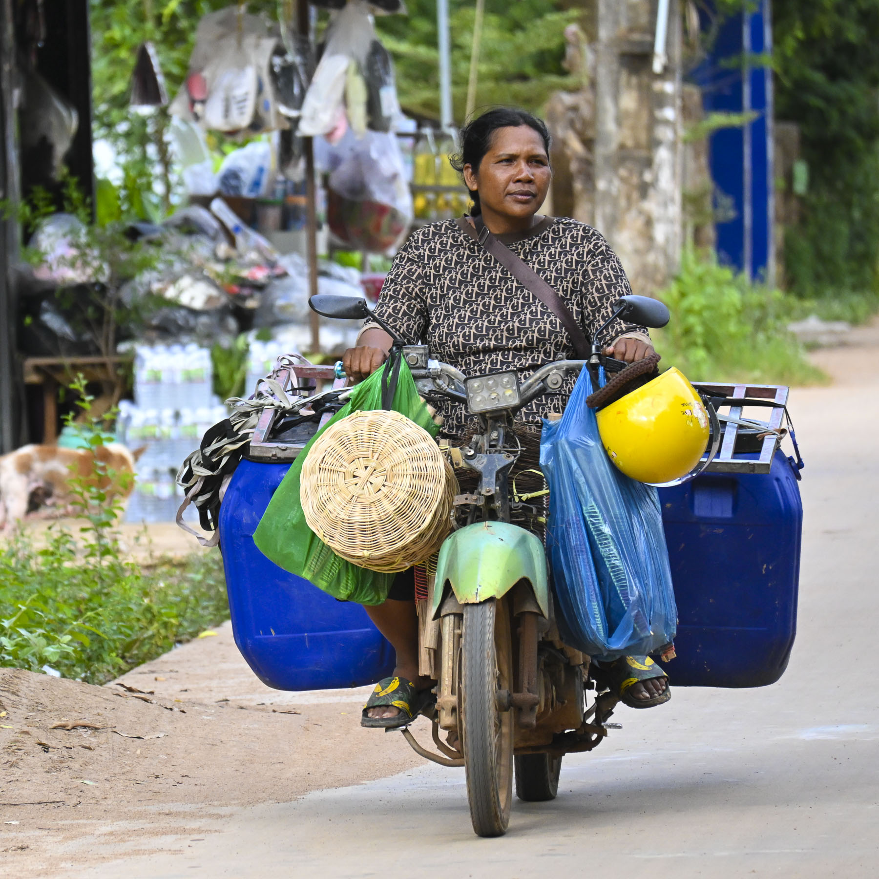
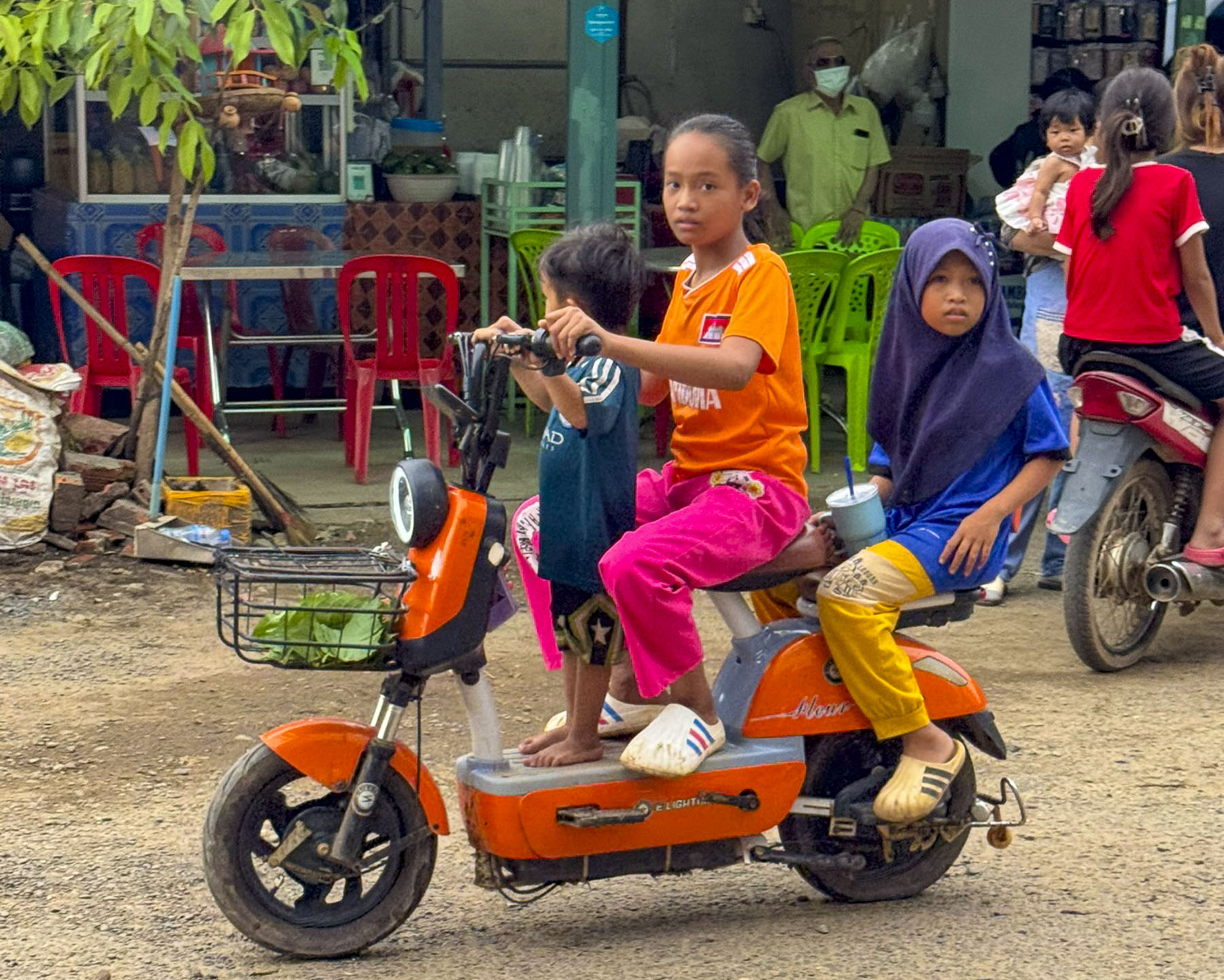
The market was also a good place to watch life go by on the street, especially the scooters and the configuration of families they seemed to effortlessly carry.
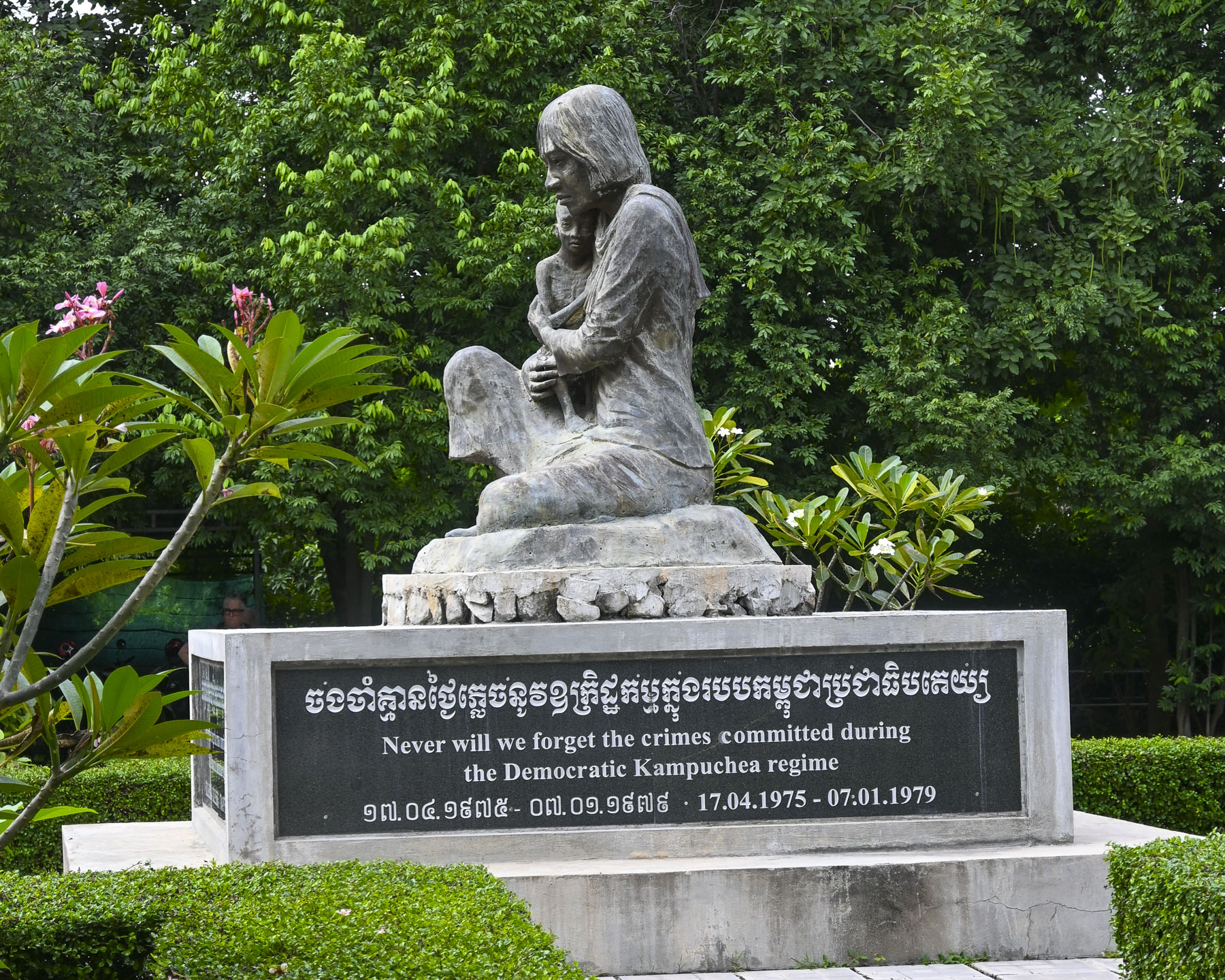

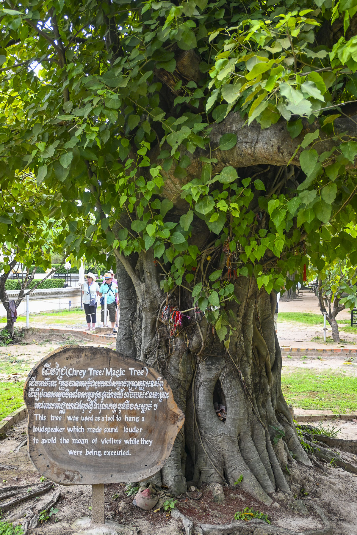
It’s always great to escape to an exotic new destination and see only the good stuff, but there’s always history. Cambodia’s recent history is difficult to ignore, and we encountered it later that afternoon we went to the Choeung Ek, “Killing Fields,” memorial near Phnom Phen. Horrifyingly, these areas and their mass graves were all across the country between 1975 and 1979 when the Khmer Rouge regime under the leadership of Pol Pot killed nearly 2 million people, roughly 25% of Cambodia’s population, through forced labor, starvation, and execution. At the height of this nightmare, folks living in the country’s large towns and cities were forcibly relocated to rural labor camps to work in the fields. There the regime targeted the country’s city dwellers, professionals and intelligencia. The cruelty of the regime was relentless, with children brainwashed to execute their own parents. All in a delusional vision to create an agrarian utopia.
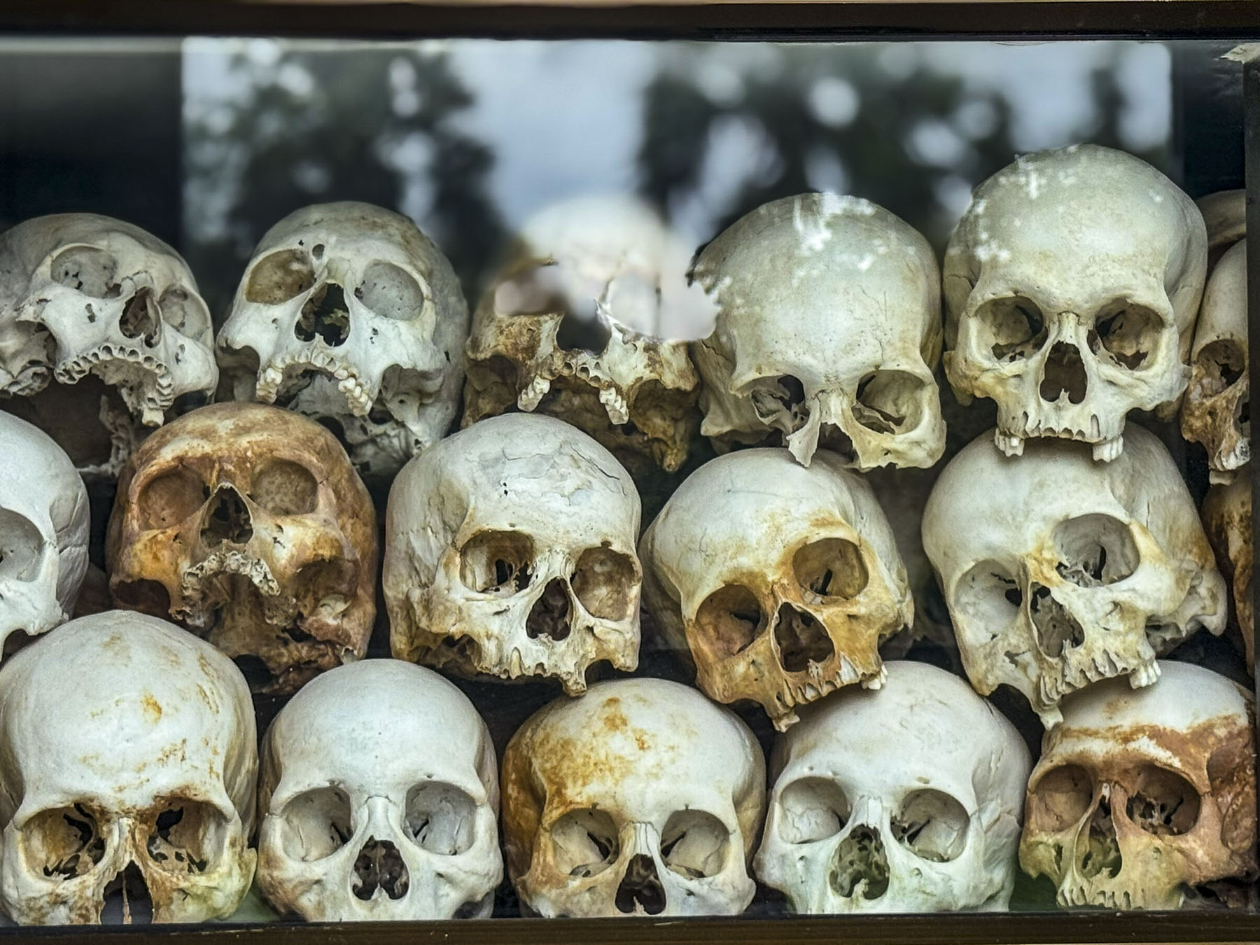
The terror didn’t end until Vietnam invaded the country and installed a pro Vietnamese government, after brutal Khmer cross border attacks. Following the collapse, many former Khmer Rouge leaders were eventually brought to justice, with major leaders being jailed in 2014 by a United Nations-backed tribunal. The murder of the county’s teachers, engineers, and doctors fundamentally halted Cambodia’s development for decades as other countries in the region prospered. The trauma of those years has marked a generation of survivors with untreated PTSD. Today, over 60% of Cambodia’s population is under 30, with no direct memory of the atrocities committed against their families. After all that, it is amazing to see how far the country has come and how welcoming the folks are.
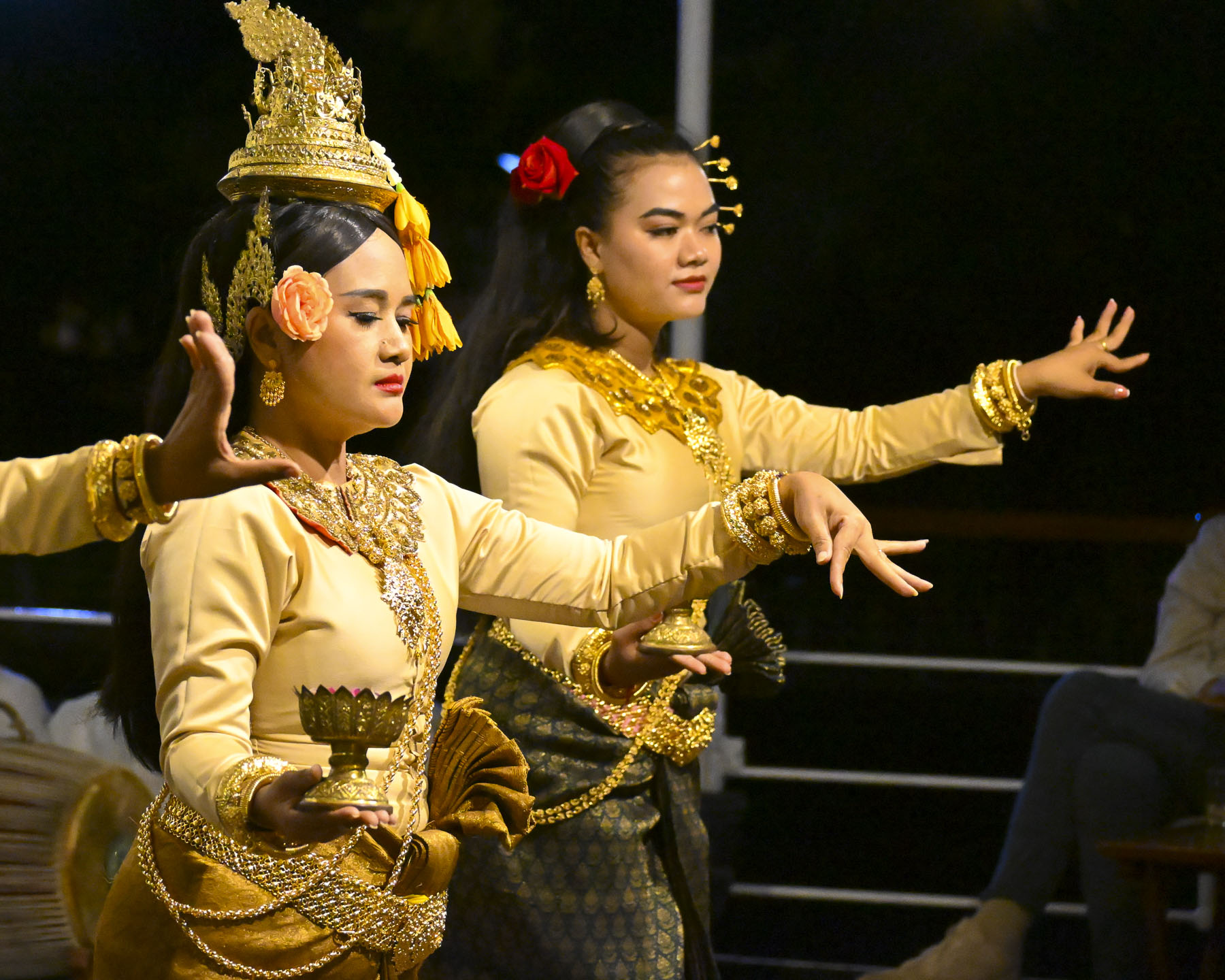
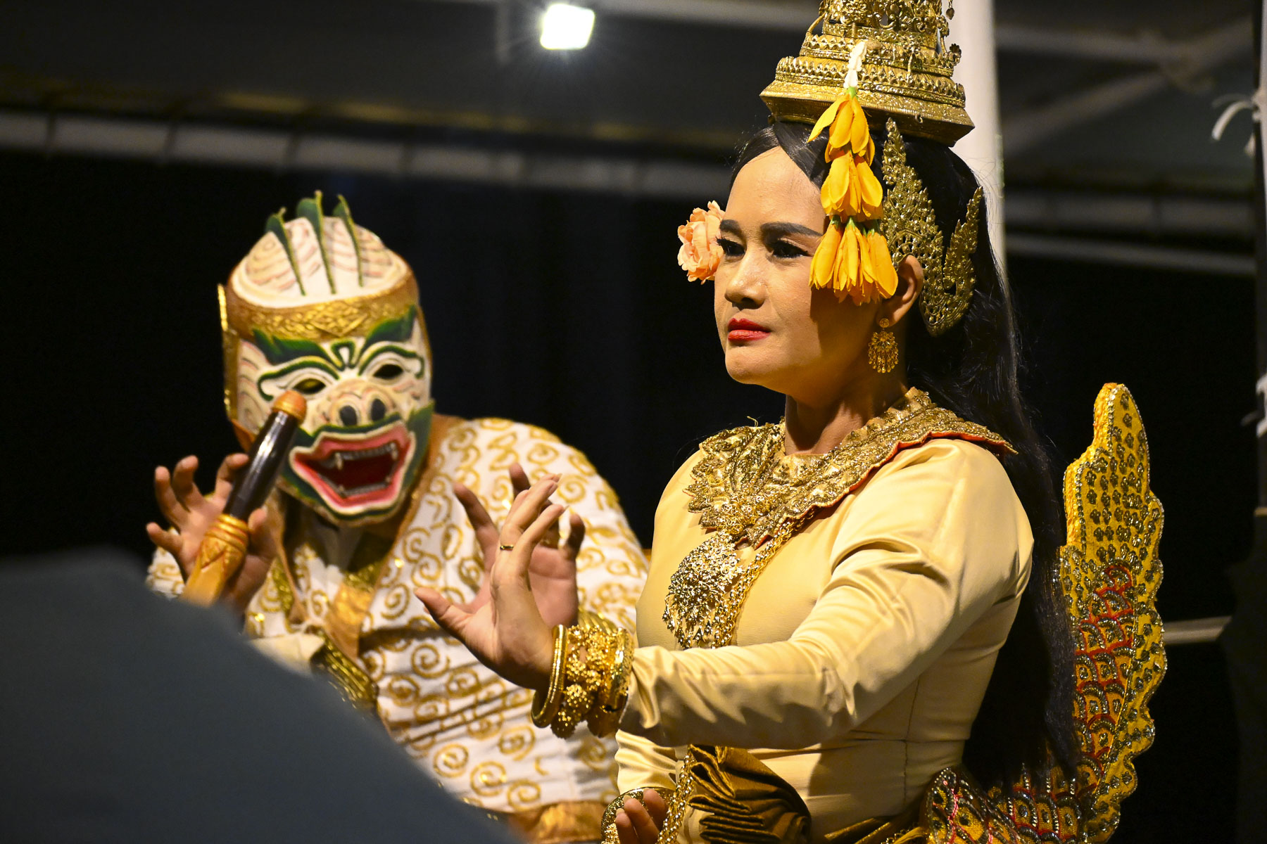
That evening on board a troupe of traditional Khmer dancers and musicians performed. It was an intriguing evening watching several Apsara dances, a style known for its slow, graceful, and highly symbolic hand gestures, that through motion depicts spiritual devotion, as well as to illustrate the Reamker (Glory of Rama), a 16th-17th century Cambodian epic poem that is an adaptation of the Indian Ramayana, that blends “Hindu cosmology with Buddhist themes of karma and dharma. It follows Prince Preah Ream (Rama) and his loyal brother Preah Leak (Lakshmana) as they battle the demon king Krong Reap (Ravana), who kidnapped Preah Ream’s wife, Neang Seda (Sita).
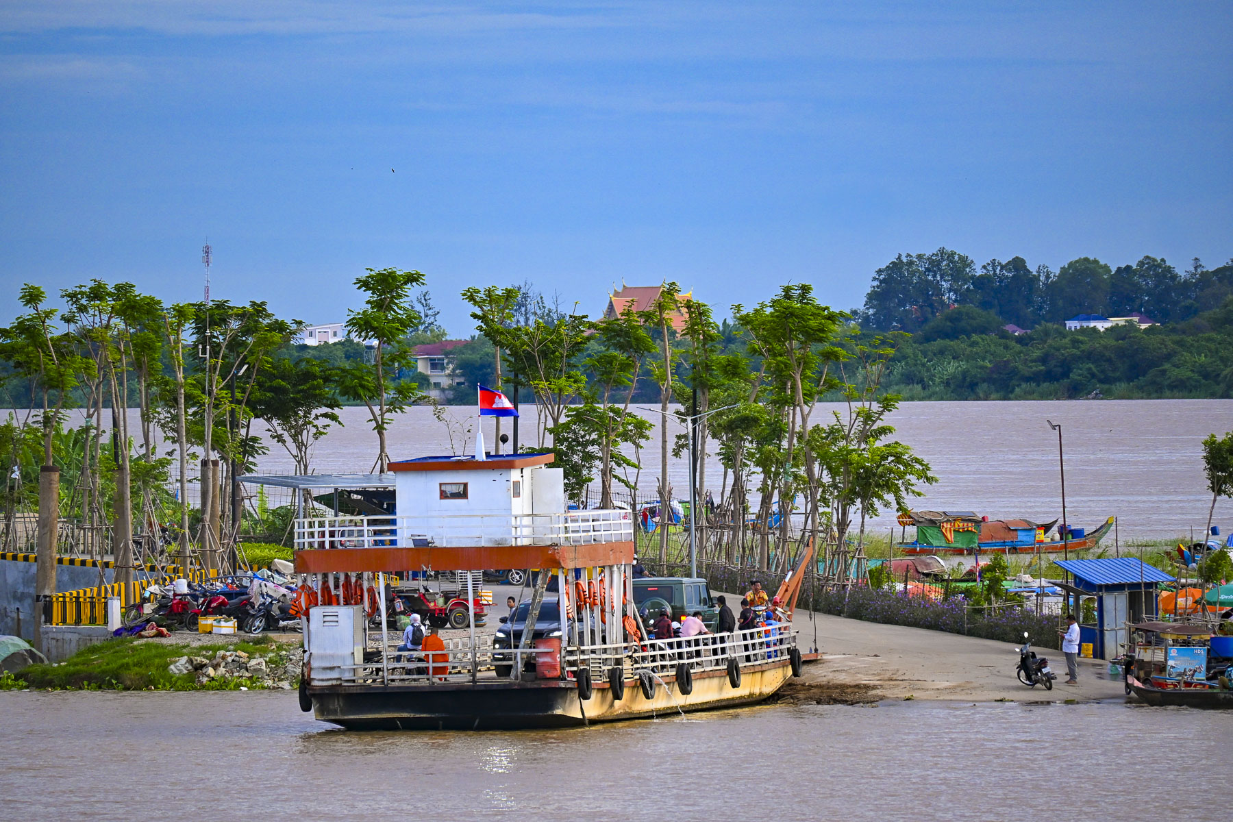
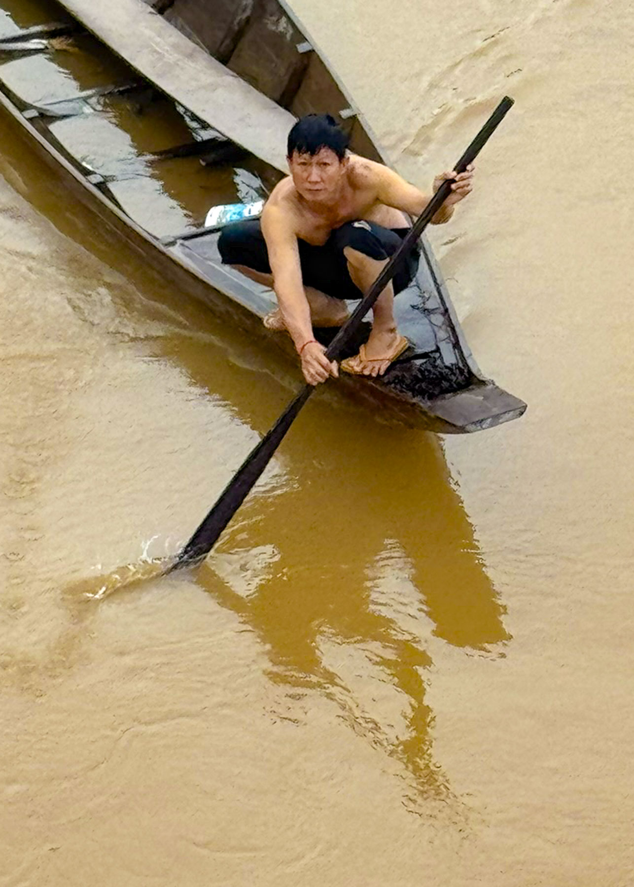
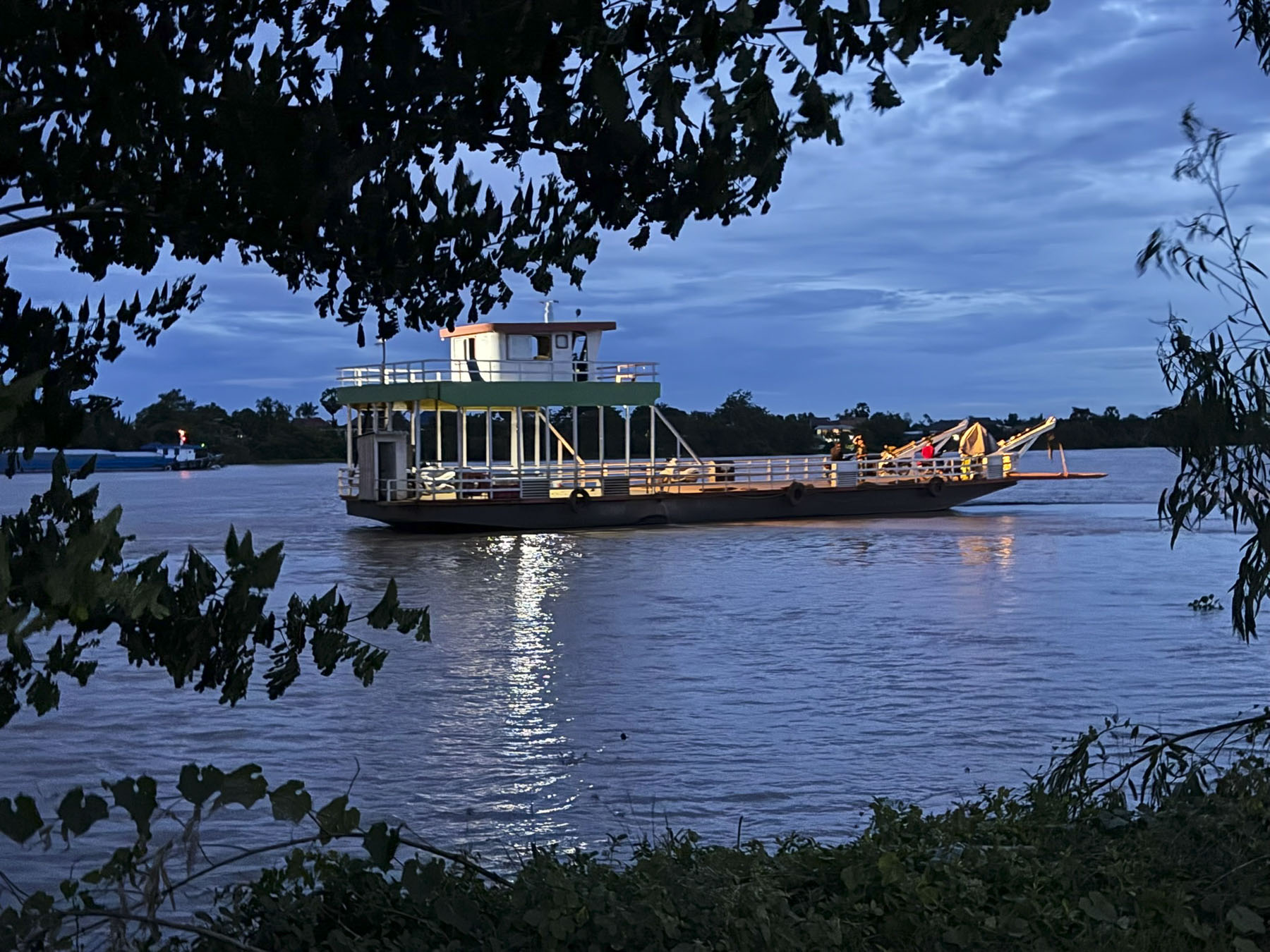
The next morning at sunrise our boat left the quay and headed upstream on the Mekong, the start of a journey to explore rural Cambodia, to the riverport town of Peam Chi Korng where we traveled by tuk tuk to an outlying pottery village. That early in the morning the river was busy with small ferries taking folks to work in the city, as long-tail boats raced by colorful shanties that reached down to the river edge.
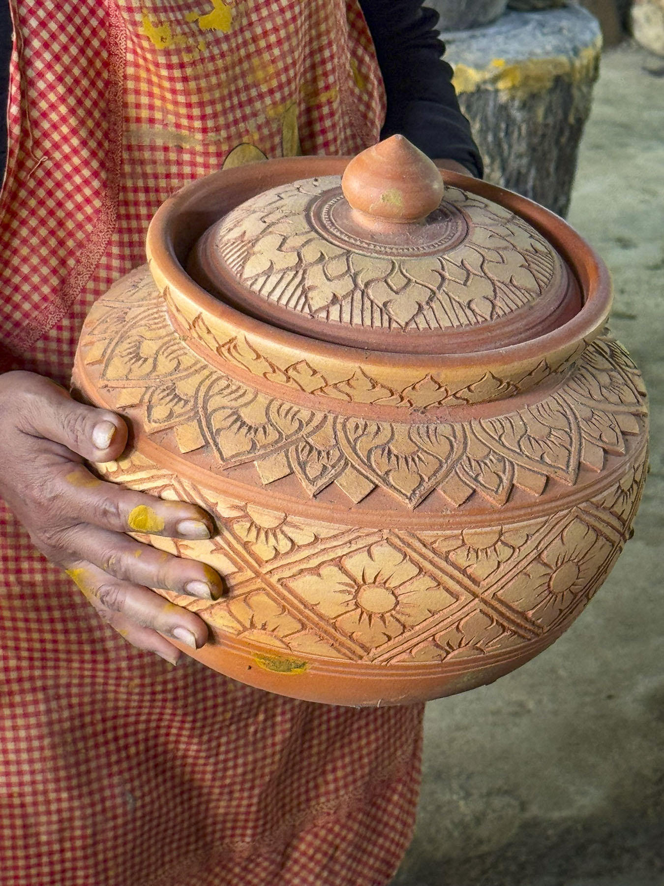
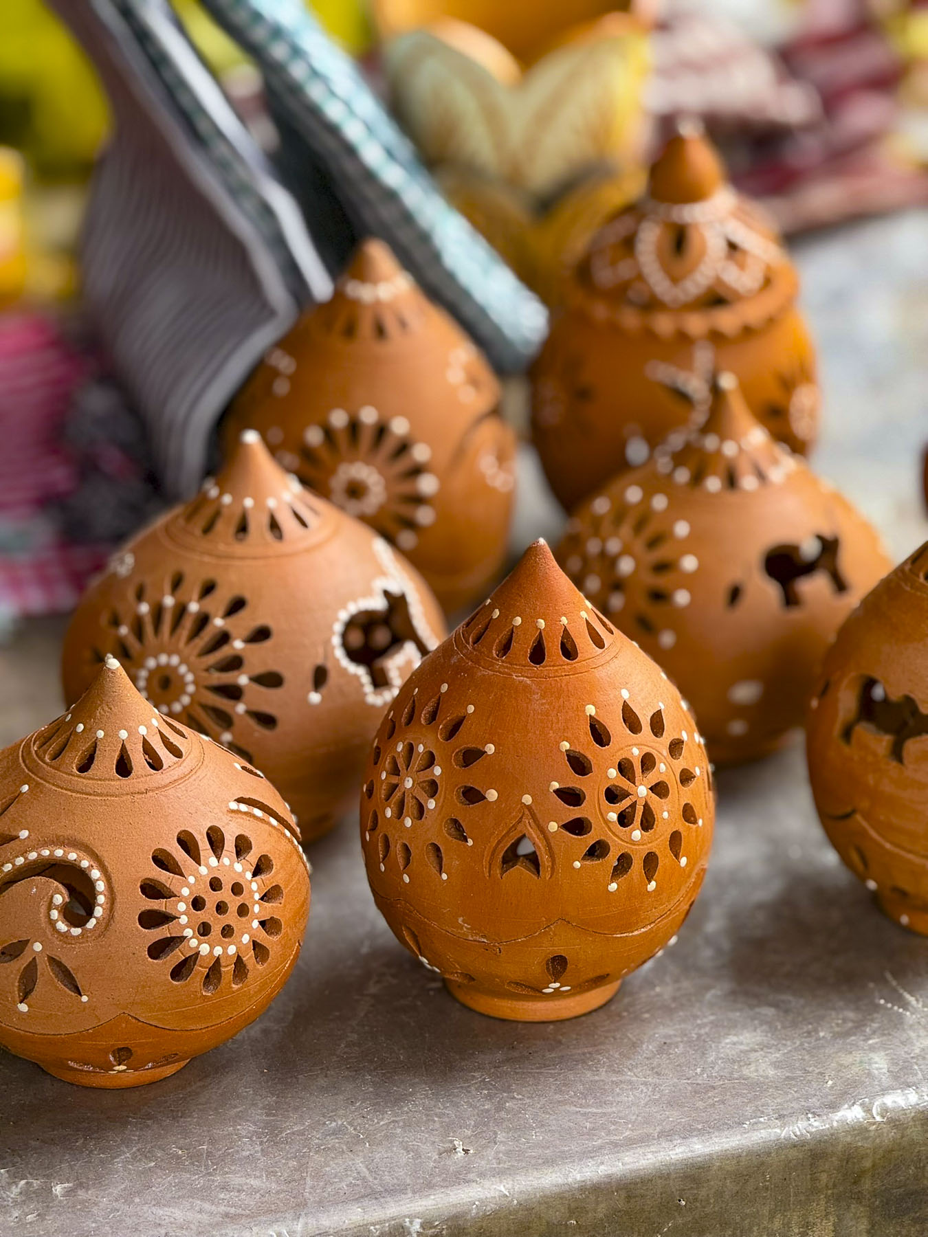
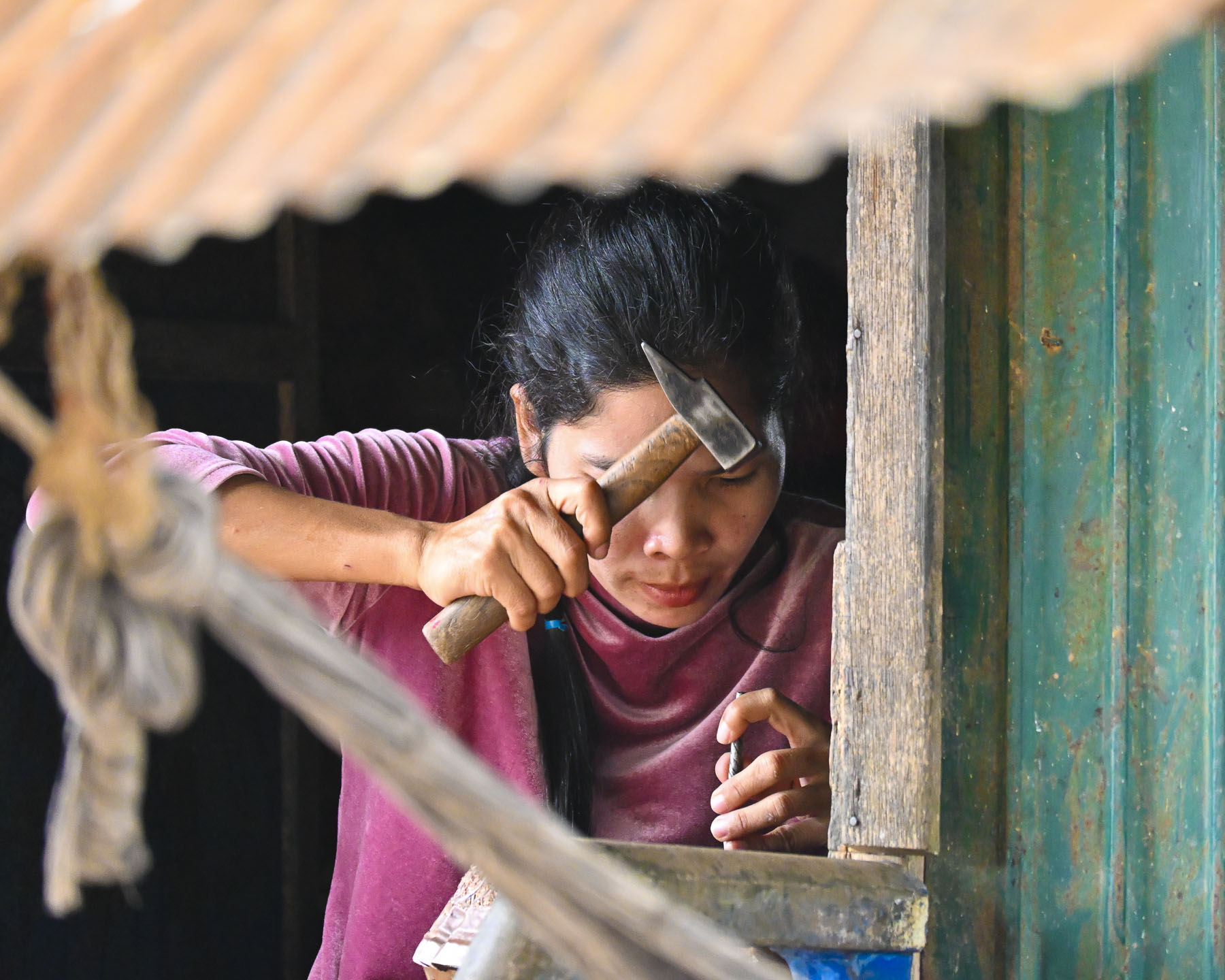
Here we visited a family that made large decorative pots and vessels as well as ceramic souvenirs that are sold in Phnom Phen, and a traditional charcoal burning ceramic stove called a Changkhran Lao that’s wrapped in metal to help it keep its structural integrity. Our guide was doing a wonderful job eliciting smiles from the families’ elders as we sat on long wooden benches and listened to a translated presentation.
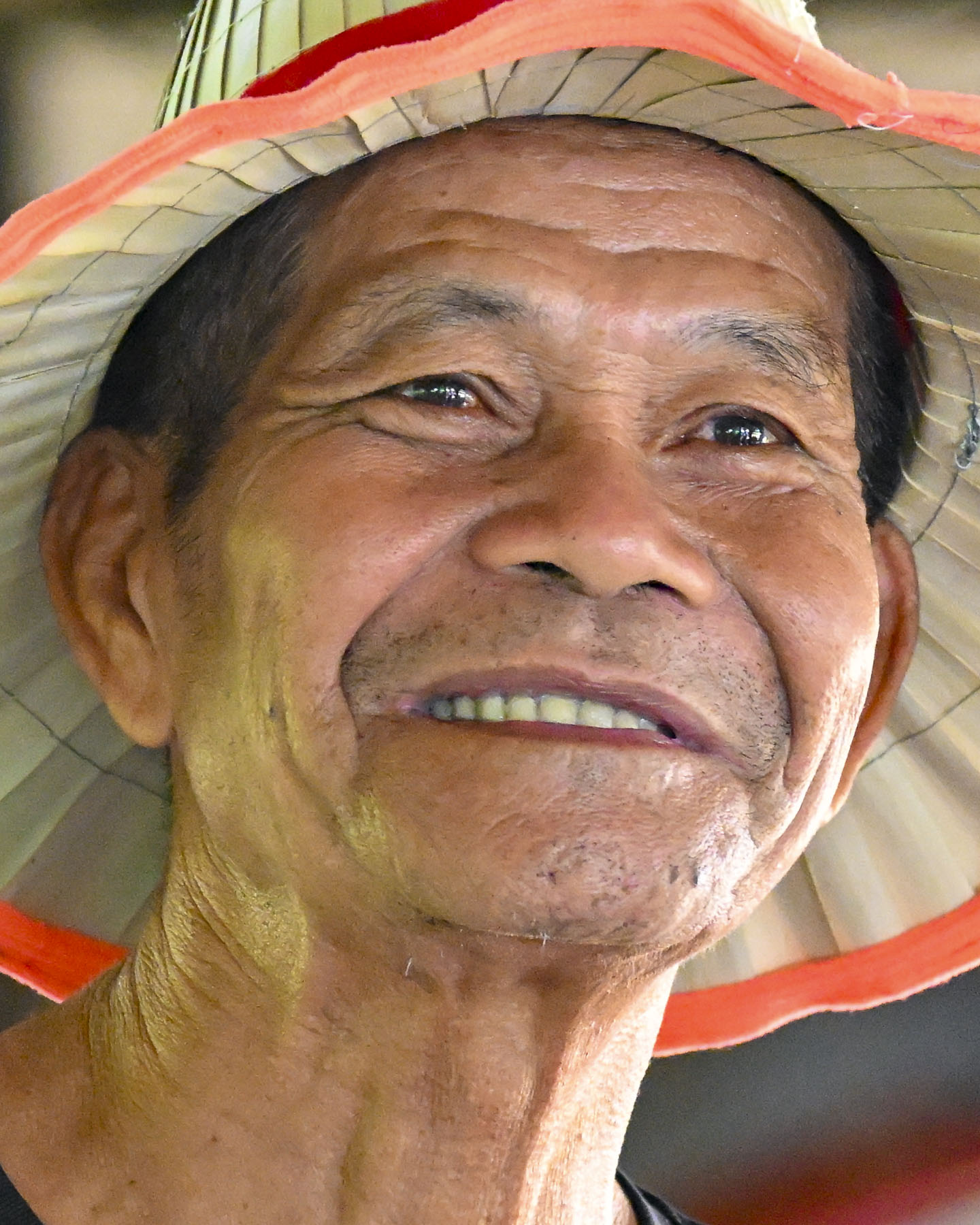
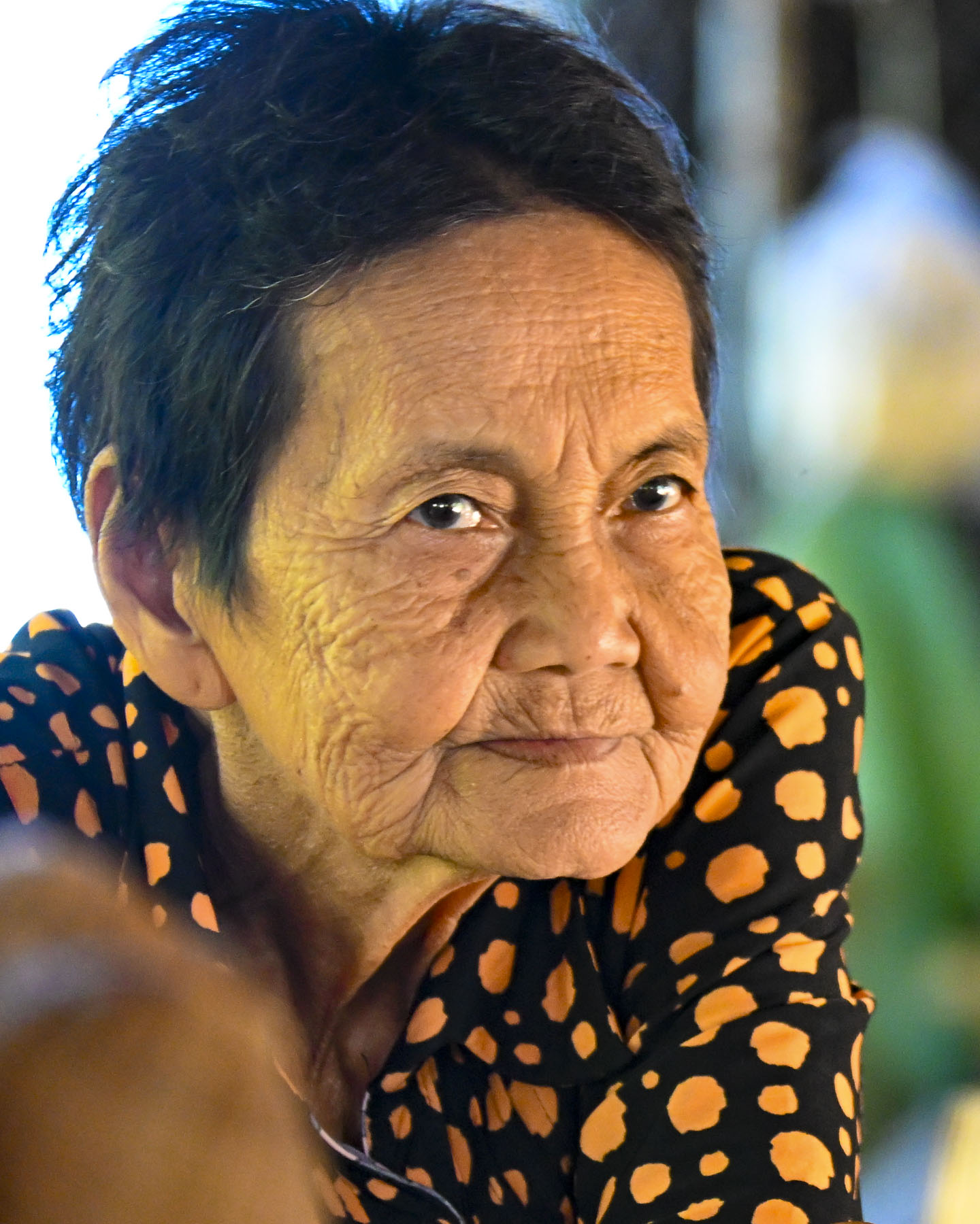
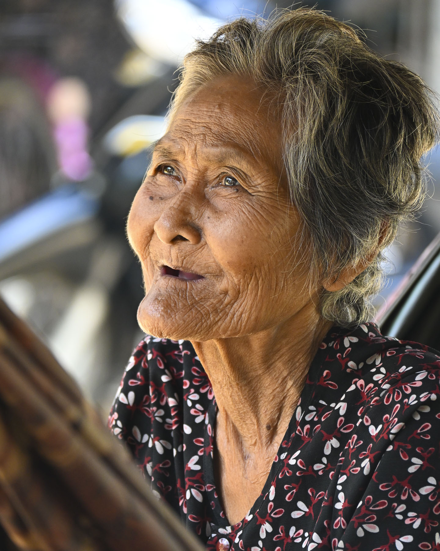
Behind, younger children had also gathered to watch their visitors, and giggle as kids do, only to be silenced by the wave of the speaker’s hand. Later he demonstrated how quickly a pot could be created by hand coiling, and his son demonstrated climbing a palm tree for our group.
A small local passenger ferry pulled up alongside the RV Mekong Pandaw the next morning after we docked in Kratie to transport us to Koh Trong Island across the river. It’s a small tear-shaped island in Cambodia’s Kratie province that is the home to fishermen and farmers who tend rice paddies and pomelo citrus orchards.
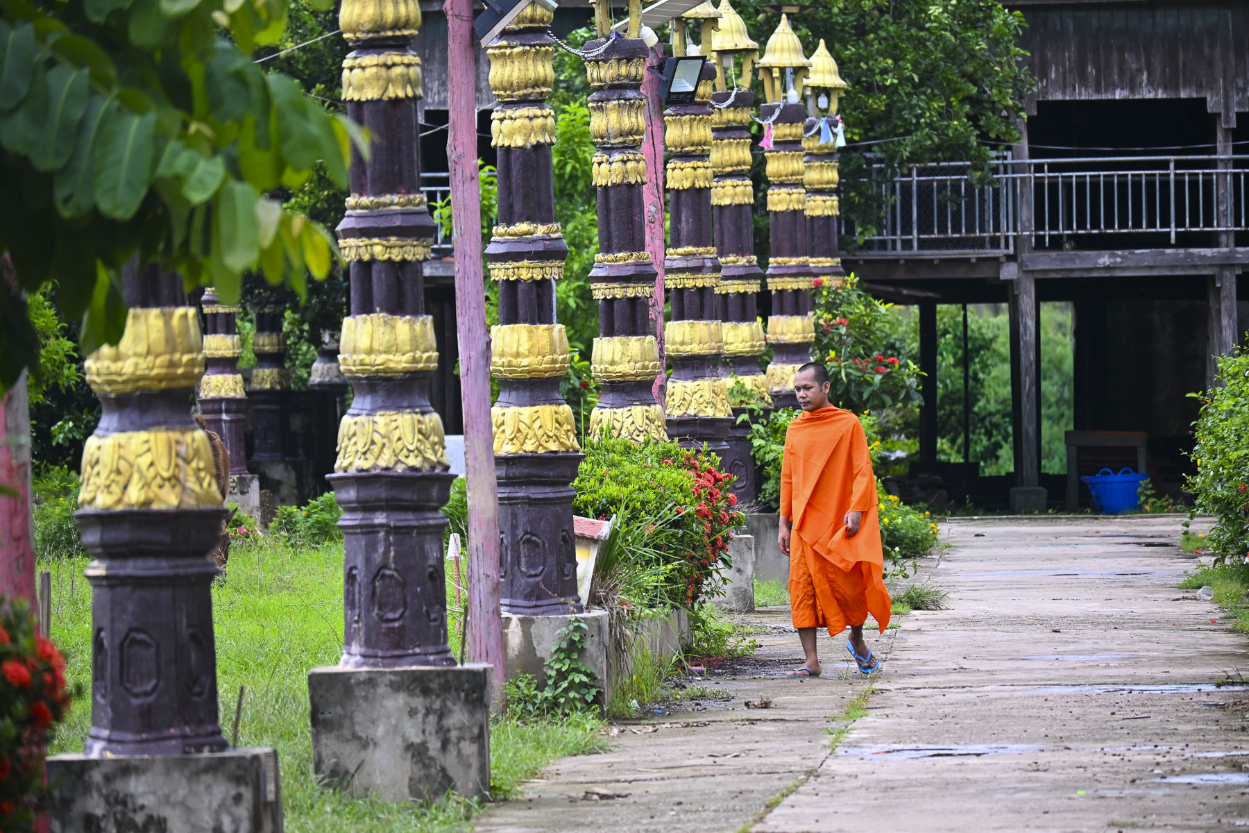
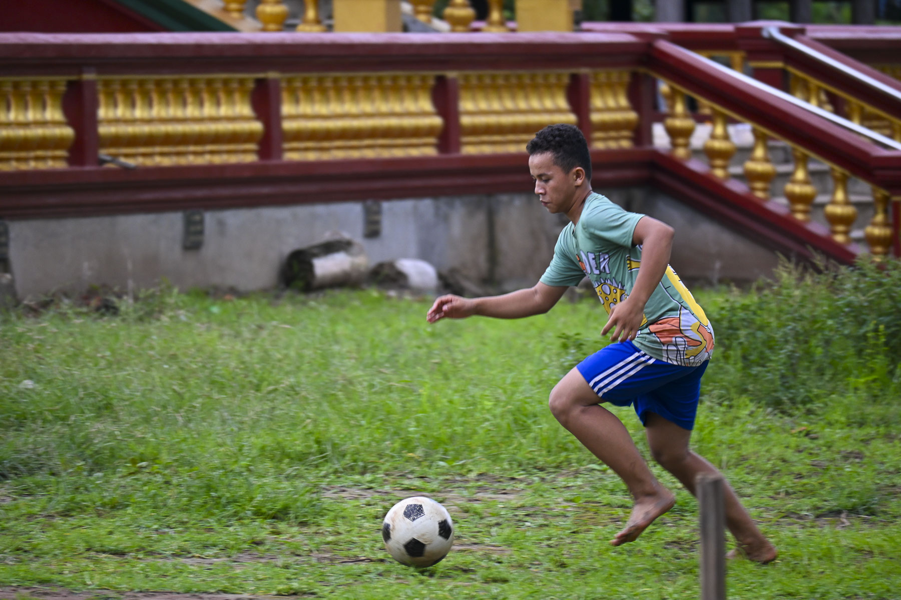
The islanders also promote an authentic community-based tourism initiative that offers homestays and bicycle rentals. The monsoon flood waters on the lower part of the Mekong River had begun to recede weeks earlier so our ferry dropped its boarding ramp onto a steep embankment in front of the island’s elephant guarded Santheati Baram Pagoda, and a cluster of small basic shops. Outside the temple a small group of kids were kicking a soccer ball around as an orange robed monk walked nearby.
Villagers warmly greeted us as we walked along the island’s only lane for a short distance to view the community’s unique stilt homes that are purposefully built to be lifted by the men of the village, and moved when needed to avoid flood waters.
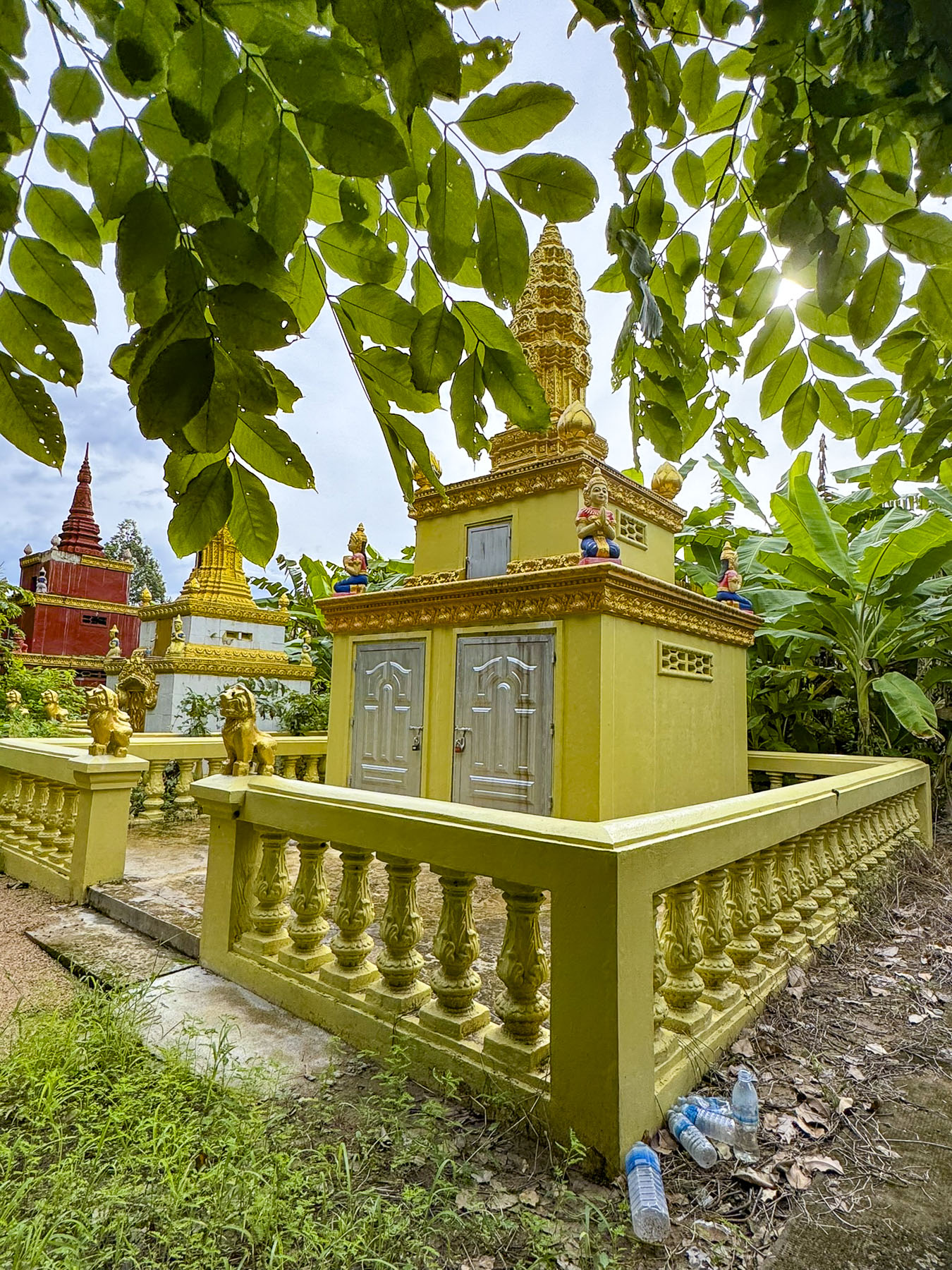
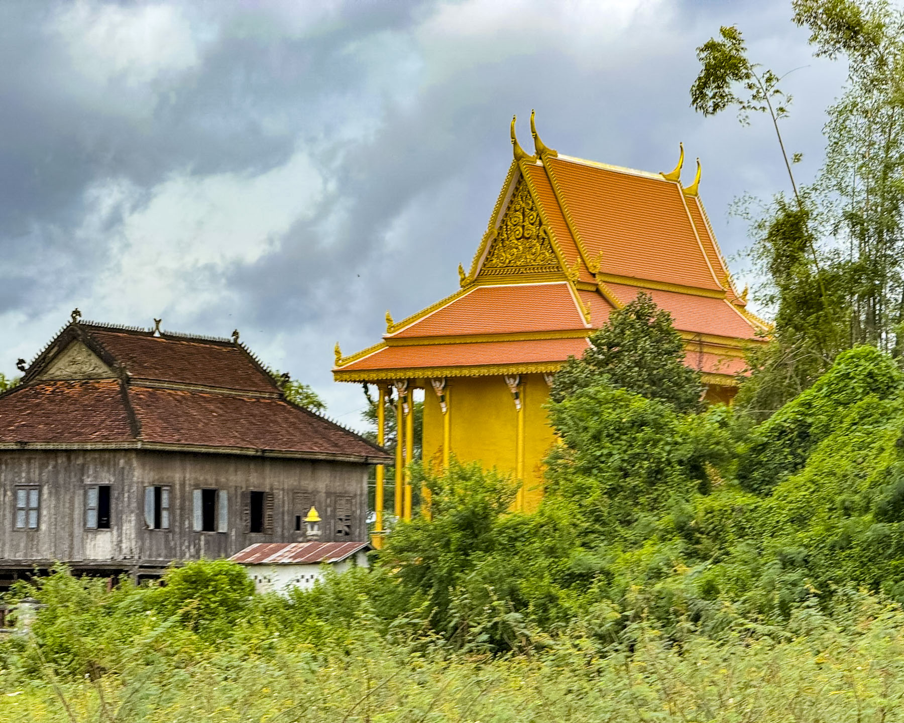
A small caravan of tuk tuks took us to the Kbal Koh Pagoda on the north end of the island, the first on the 10km (6mi) loop which circles the island. Built in the early 1800s, the historic pagoda is surrounded by banana trees and is located across from the verdant rice paddies that run down the center of the island. The simply adorned pagoda gracefully showed its age with a weathered patina courtesy of the numerous monsoons it has withstood. Behind the temple, nearly obscured from view by banana trees, was a row of brightly colored steeple-shaped burial stupas, mausoleums, called chedi.
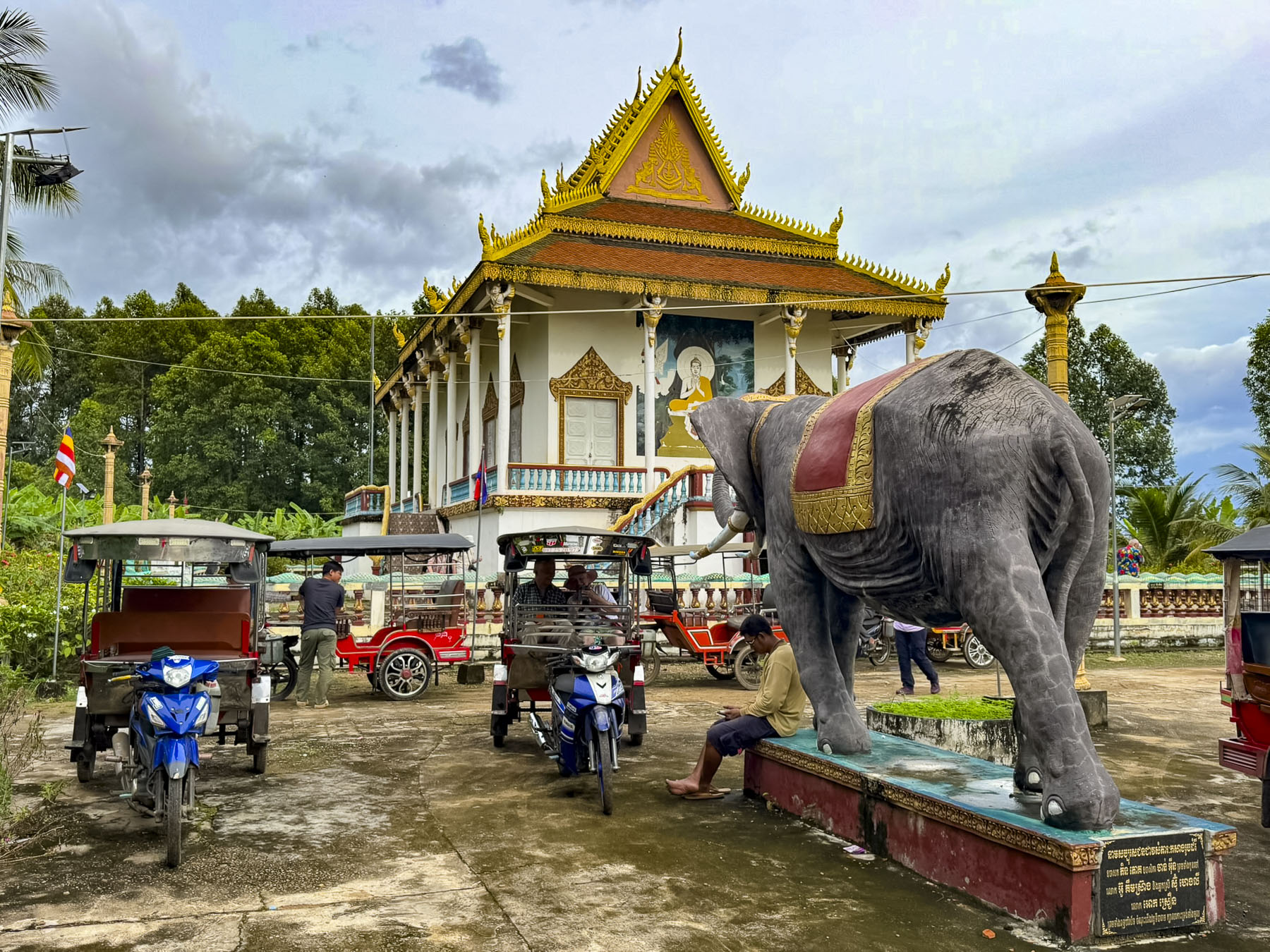
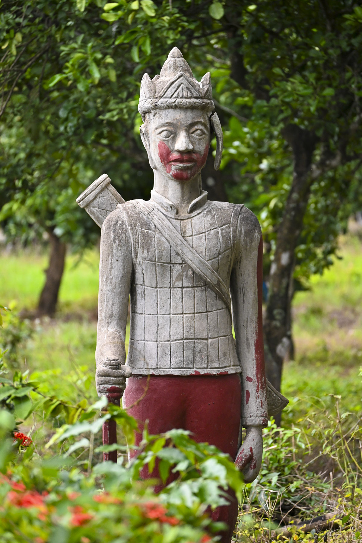
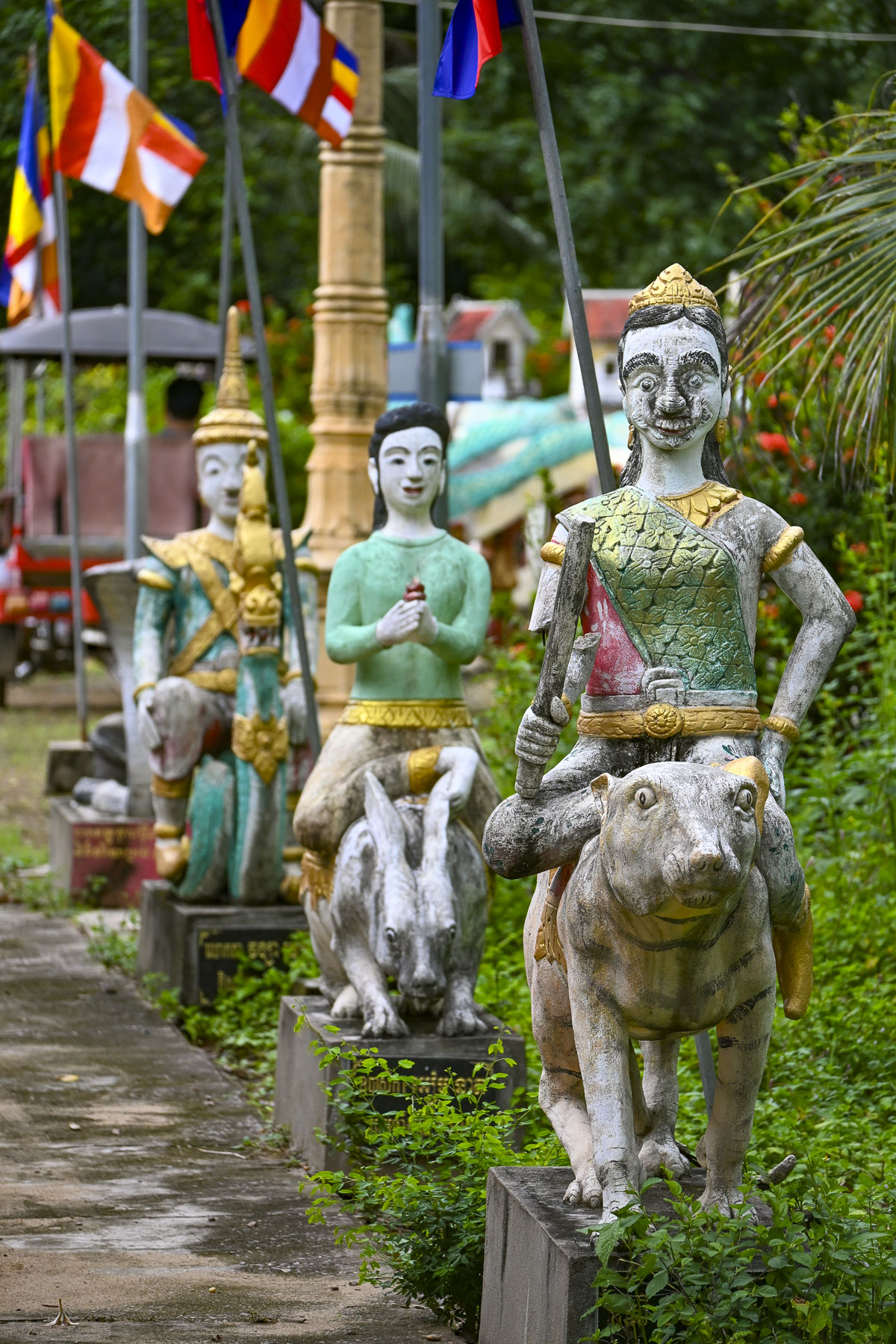
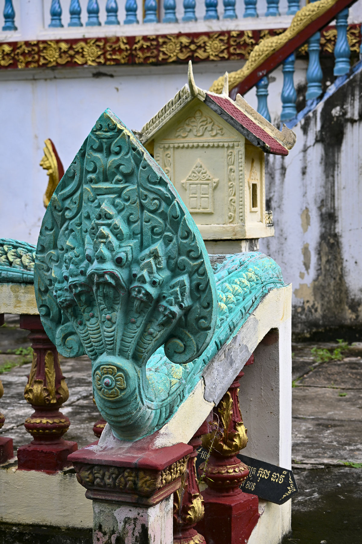
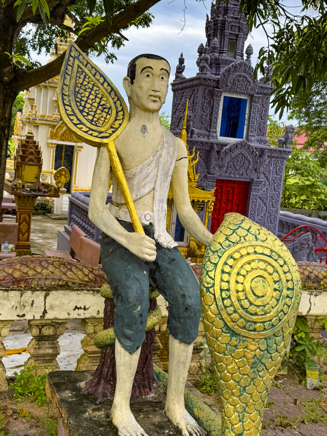
On the grounds in front of the temple were two statues of sacred white elephants and various Bodhisattvas, compassionate helpers, on the path to enlightenment who stay in the world to assist others. Along with other sculptures depicting Buddhist Protectors and Guardians whose fierce looks deters negative powers. A multiheaded Snake Being called a Naga King guarded the stairway to the pagoda to protect the Dharma, the Budha’s sacred teachings.
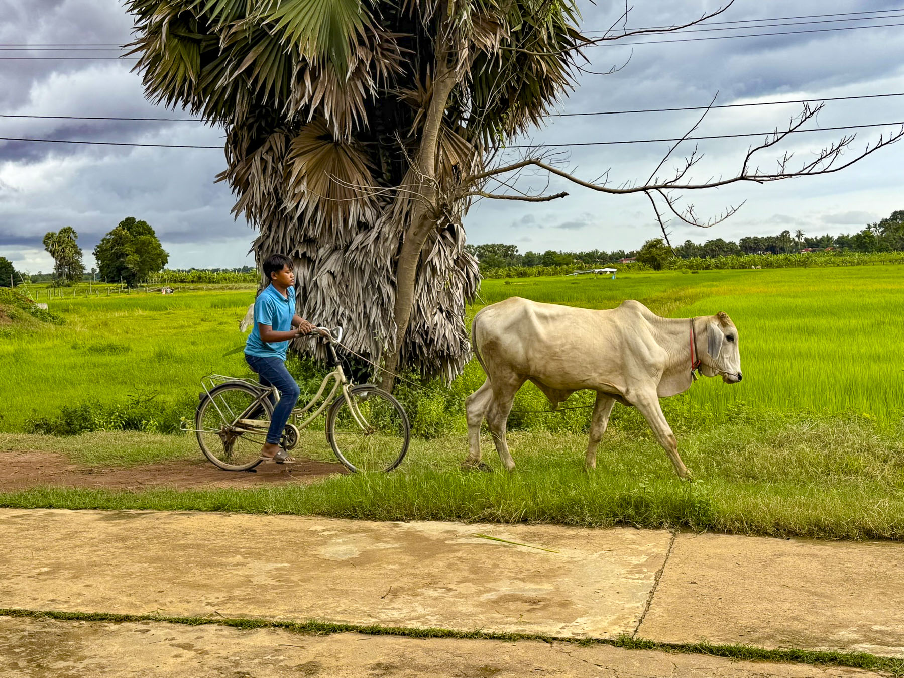
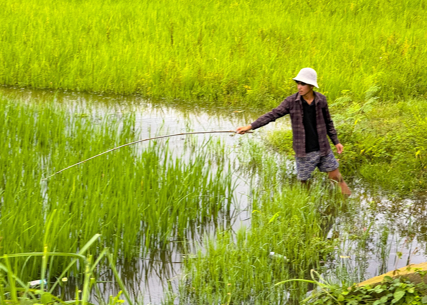
Nearby a young man guided a cow along the path, and teenagers played volleyball on a hard packed dirt court. Farther along a man fished from a low bridge over a stream that flowed through the rice fields. These vignettes of rural life were the charm of Koh Trong Island and Kratie province.
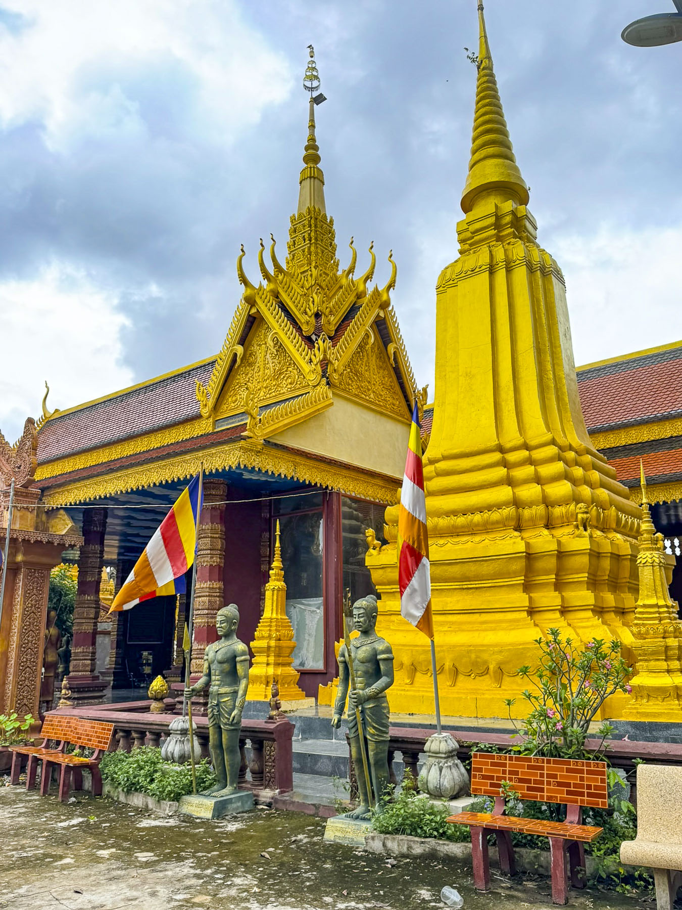
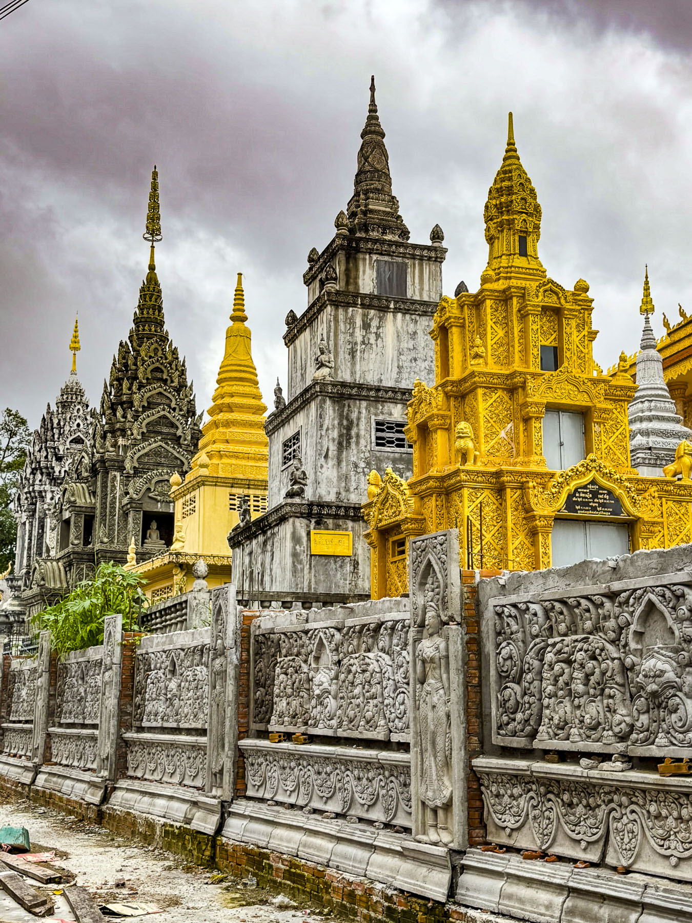
That afternoon back in Kratie we explored the town on our own. Just down from our docking was the Krong Kracheh Pagoda, an important community center where the town’s lay people can study Buddhism. It’s quite a pretty temple known for its pink walls and is surrounded by several grand stupas that are the final resting place for several generations of post-Angkorian royalty.
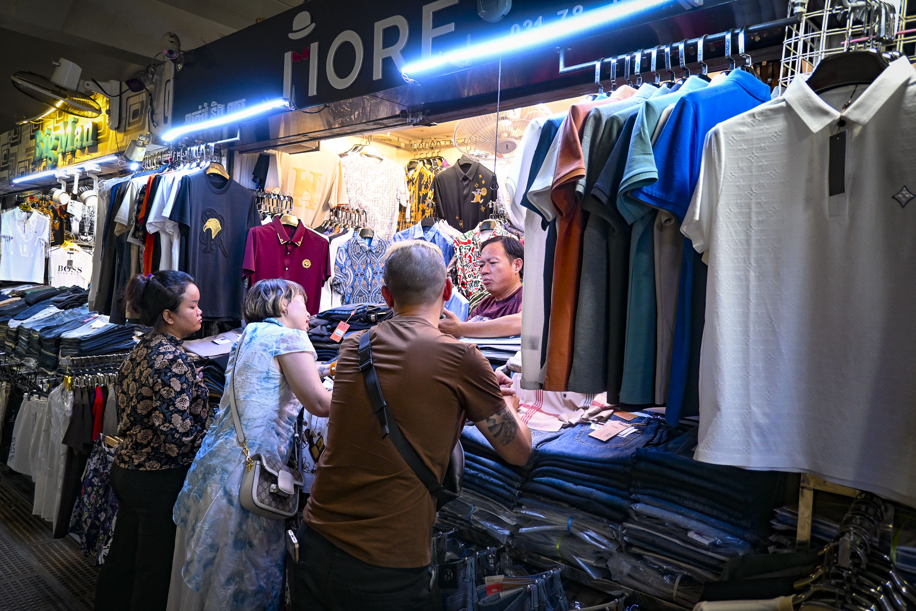
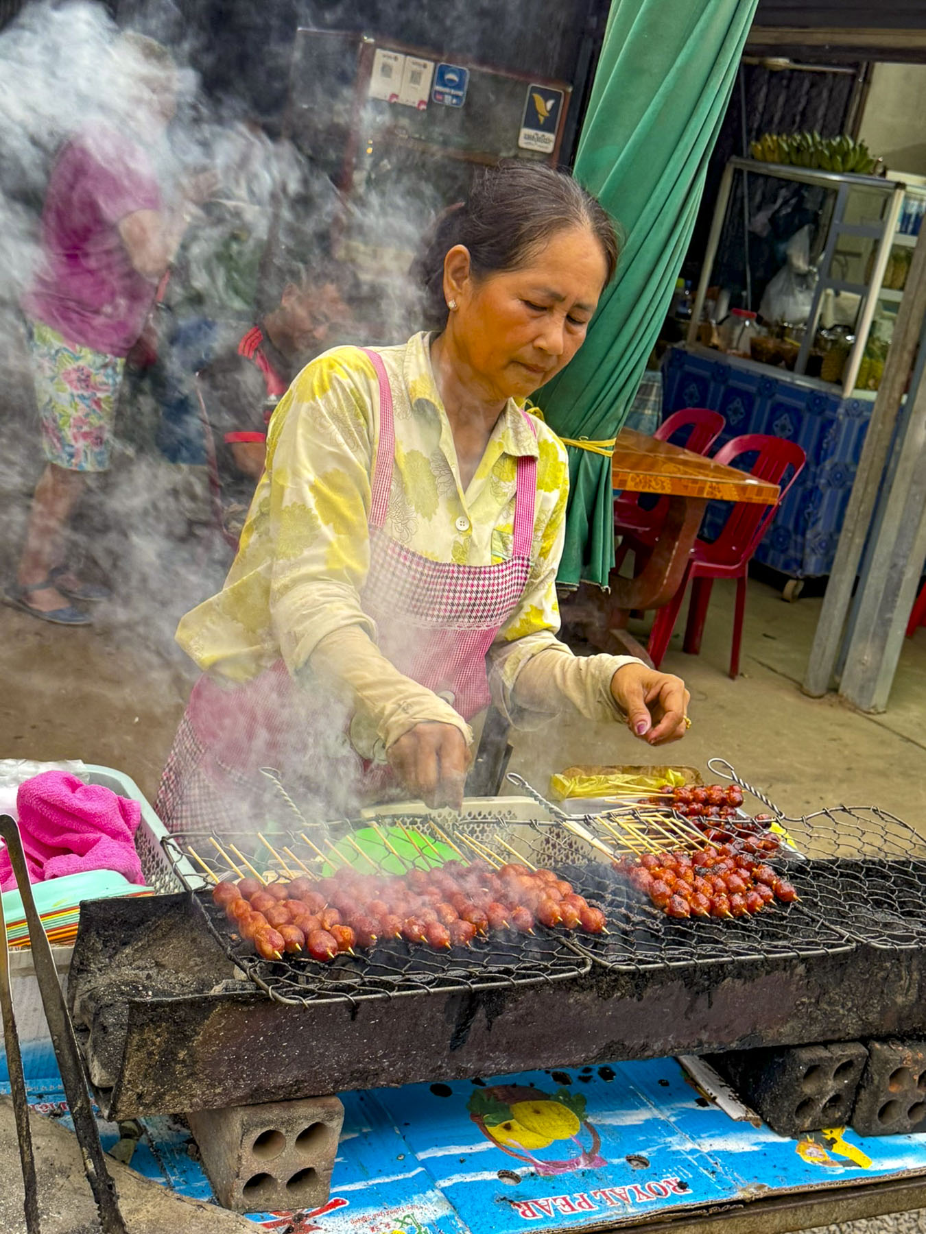

Two blocks away from the temple was Kratie’s central market, a huge, covered pavilion that occupies an entire city block. Think of a Costco super store on steroids, with merchandise of every sort stacked floor to ceiling along aisles as wide as a single shopping cart, operated by nearly 100 different vendors. This is an authentic, vibrant local market, there’s nothing touristy about it. If you can’t find what you need here it probably doesn’t exist. The outside of the building is surrounded by numerous fruit and vegetable stands piled high with produce. Truly a vegetarian’s paradise. Fresh fish and seafood is also abundant as well as fresh poultry and meat. Some of the vendors kept these things cool under ice, while others swatted flies away from the exposed offerings. The smoky grill stands along the street stay open late into the evenings.
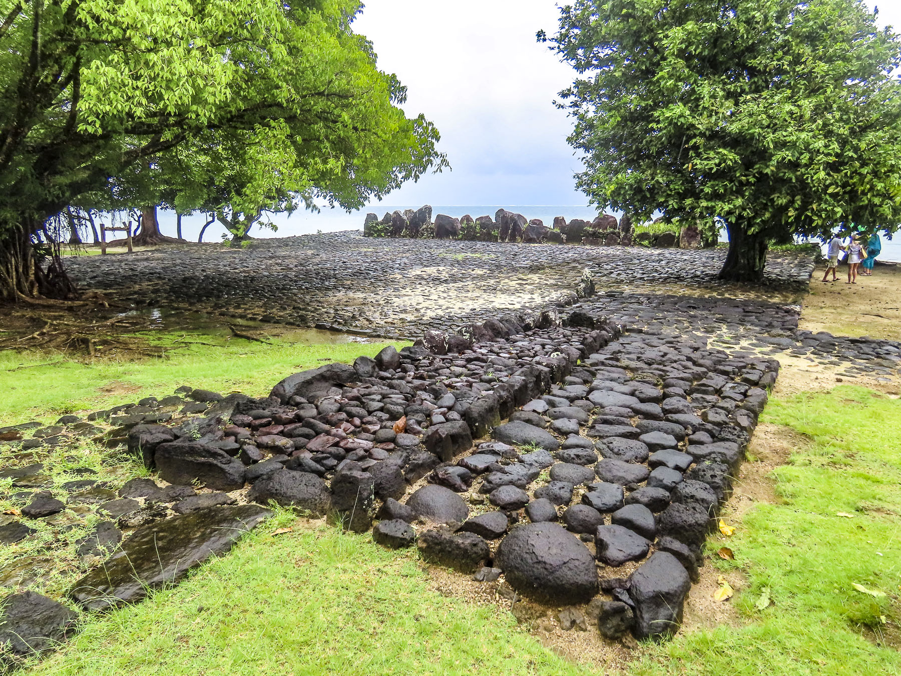
The narrow beam and shallow draft of Pandaw’s river vessels make visiting many remote areas along the Mekong River feasible, but north of Kratie the river becomes unnavigable to cruise boats all the way to Vientiane, Laos, adistance of roughly 850km (530mi) due to shallow waters, ever changing sandbars, numerous rock hazards, and the massive Khone Waterfalls, located near the Cambodia-Laos border.
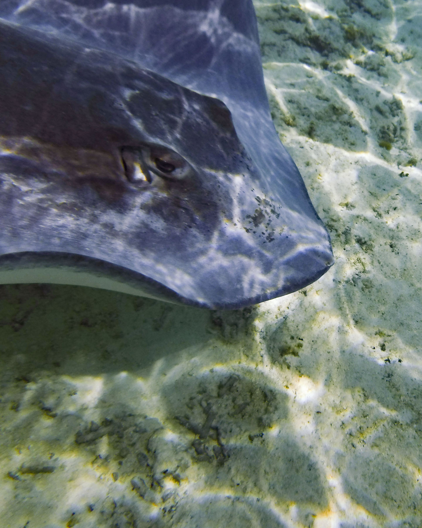
While unsuitable for larger boats, this section of the river is the perfect habitat and a protected zone for the Irrawaddy freshwater dolphin, an endangered species. With a big bulbous head and short dorsal fin, they look significantly different from saltwater dolphins. Sadly, there are only an estimated 117 Irrawaddy dolphins left in Cambodia, but the population has been rebounding in recent years due to enhanced conservation efforts. Fortunately for us a large group of dolphins live in several deepwater pools near the town of Kampi, just north of Kratie.

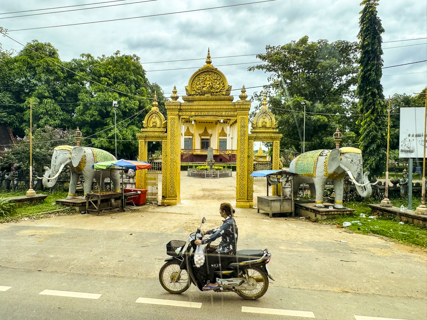
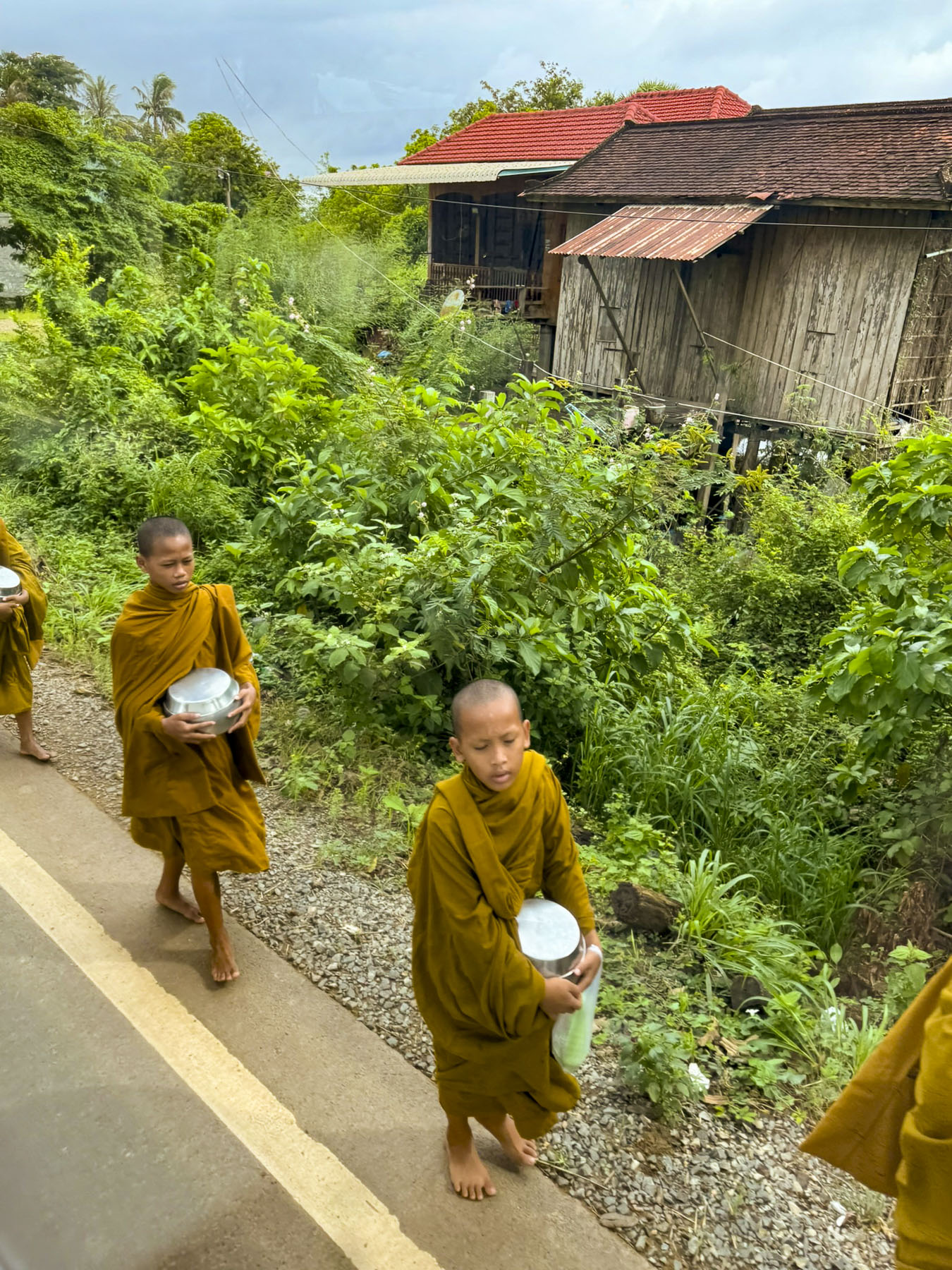

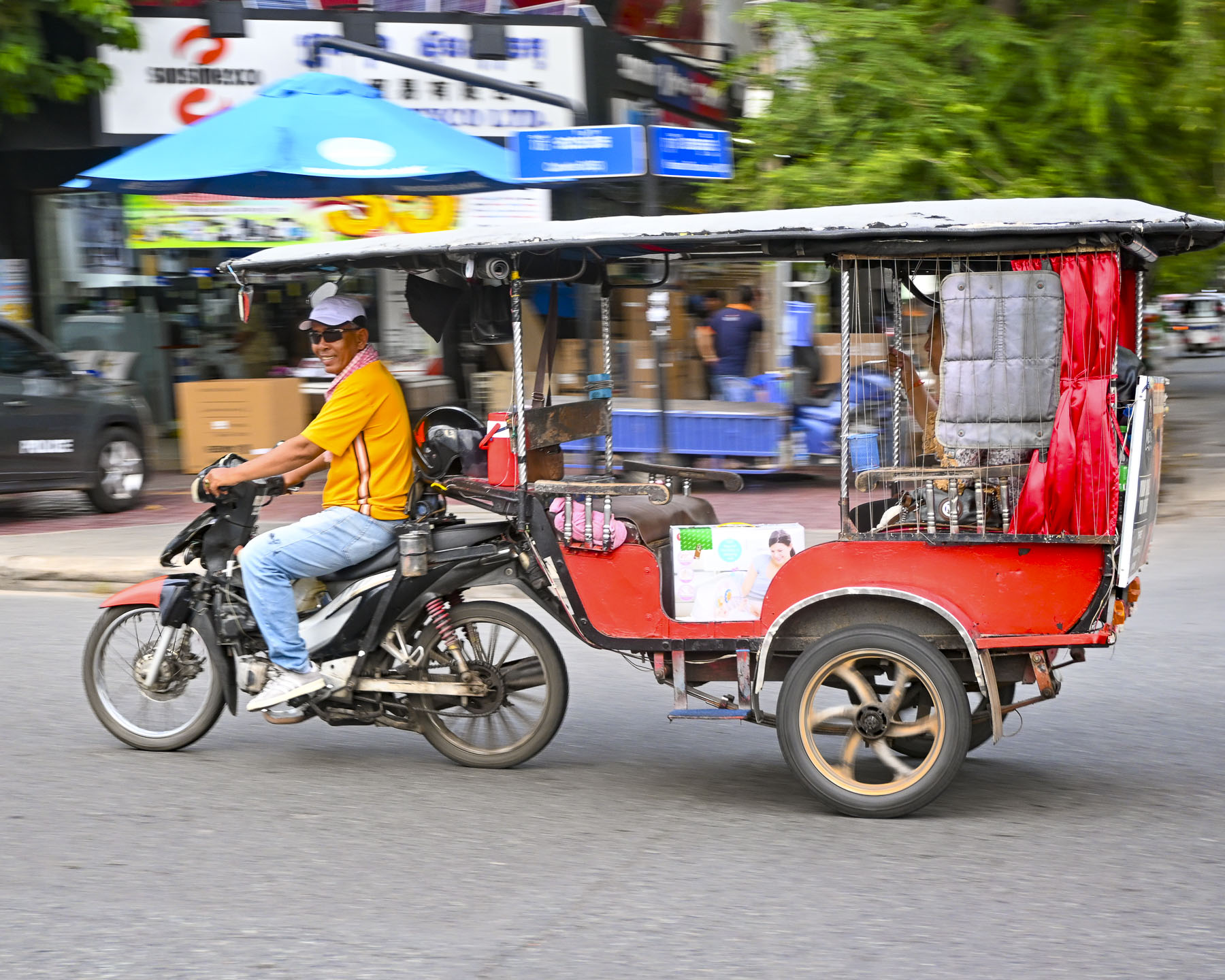
Viewing rural life along river has its advantages, but traveling by bus to Kampi did provide us with a different perspective. We passed motorcycle vendors laden beyond belief with merchandise, young monks walking along the shoulder of the road as they returned to their monastery, homes on stilts, and all sorts of traffic violations that would incur huge fines in the states.
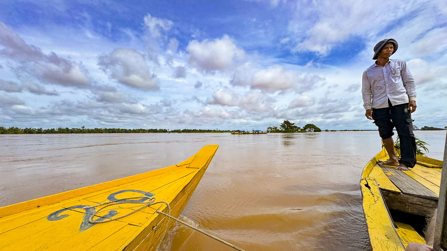
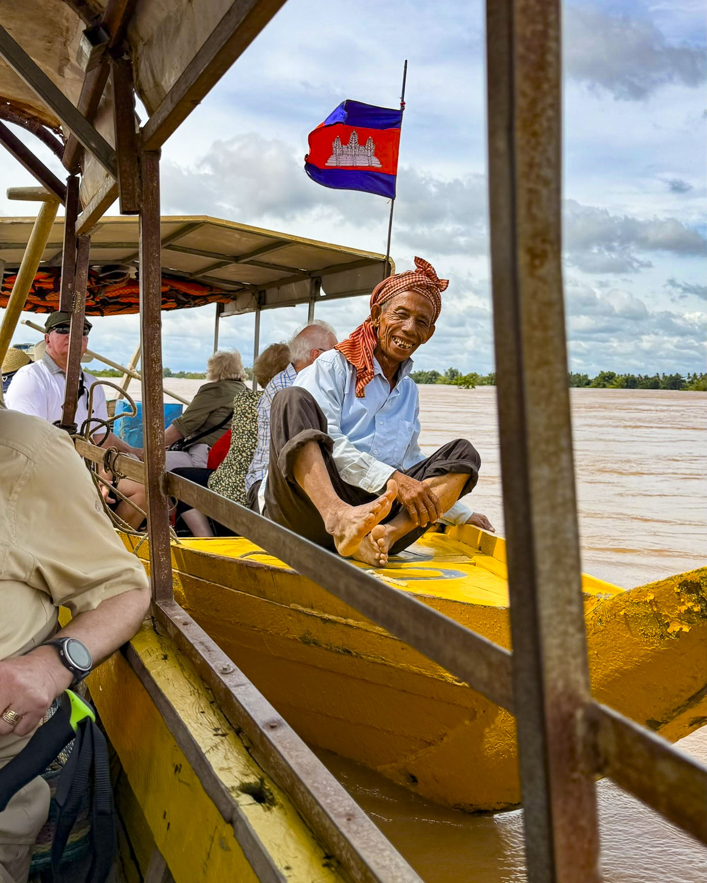
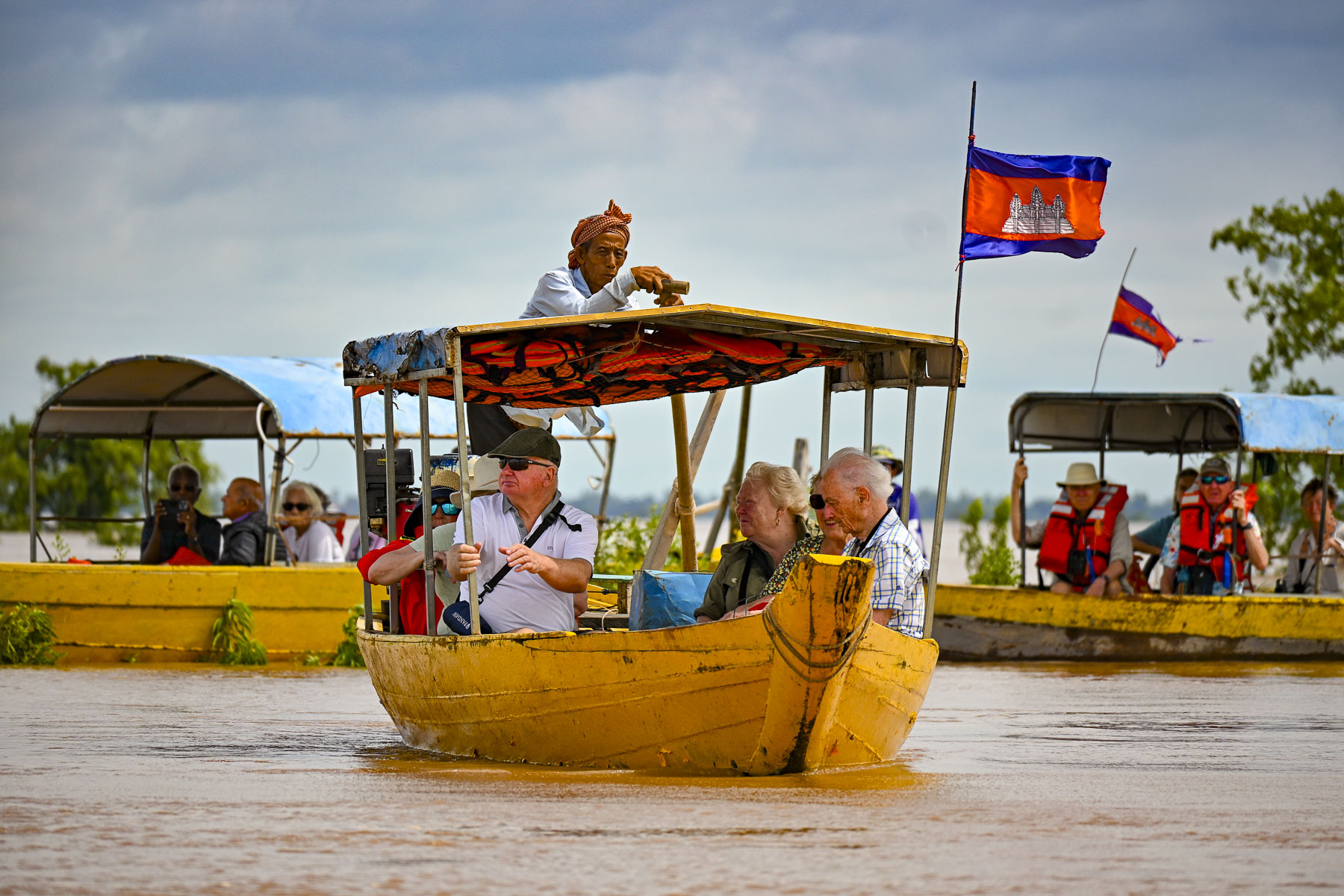
Reaching the dock in Kampi we were divided into several groups to board small boats. Our boatman was very friendly and made sure we all wore the required life vests, but he wasn’t particularly diligent about balancing the weight on the boat for an even keel and we got underway in a rather tipsy fashion before our group of eight took the initiative to redistribute the load ourselves.
As we traveled to the dolphin pools the Mekong widened, and houses along the river edge disappeared. It was a lengthy boat ride and wonderfully tranquil, as we trailed our fingers into the cool river, passing kayakers paddling, and getting closer to nature as we reached the dolphin pools which are adjacent to the Prey Lang Wildlife Sanctuary. The reserve is Cambodia’s largest national forest, and with roughly 500,000 hectares (1,235,527 acres) it’s Southeast Asia’s largest lowland evergreen forest, and the home to 400 different animal species, that includes Pileated Gibbon, a herd of wild Asian Elephants, Malayan Sun Bear, wild cattle, Sunda Clouded Leopard, and Great Hornbills to name only a few.

The dolphins were very elusive, and we sat quietly in the boat for quite some time before a pair of dolphins gently broke the surface of the water a distance away for a brief moment. We are not sure how many different dolphins we saw, but their surfacing became more frequent, though they were extremely difficult, almost impossible to photograph. Still the experience was very entertaining. Across Southeast Asia and Cambodia the dolphins are considered symbols of good fortune and prosperity. Many folks living along this stretch of the Mekong River also believe that the Irrawaddy dolphins are sacred, protective spirits, and reincarnations of their ancestors.
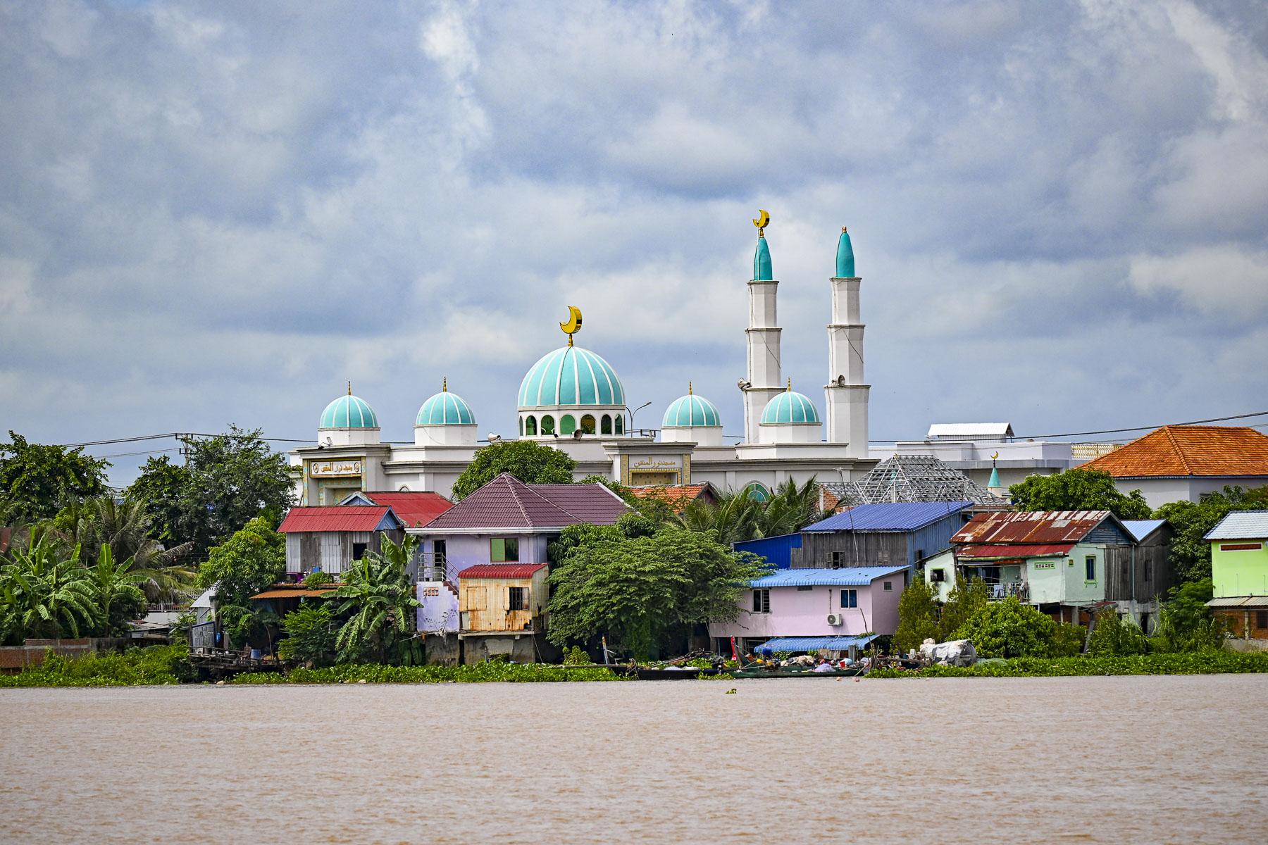
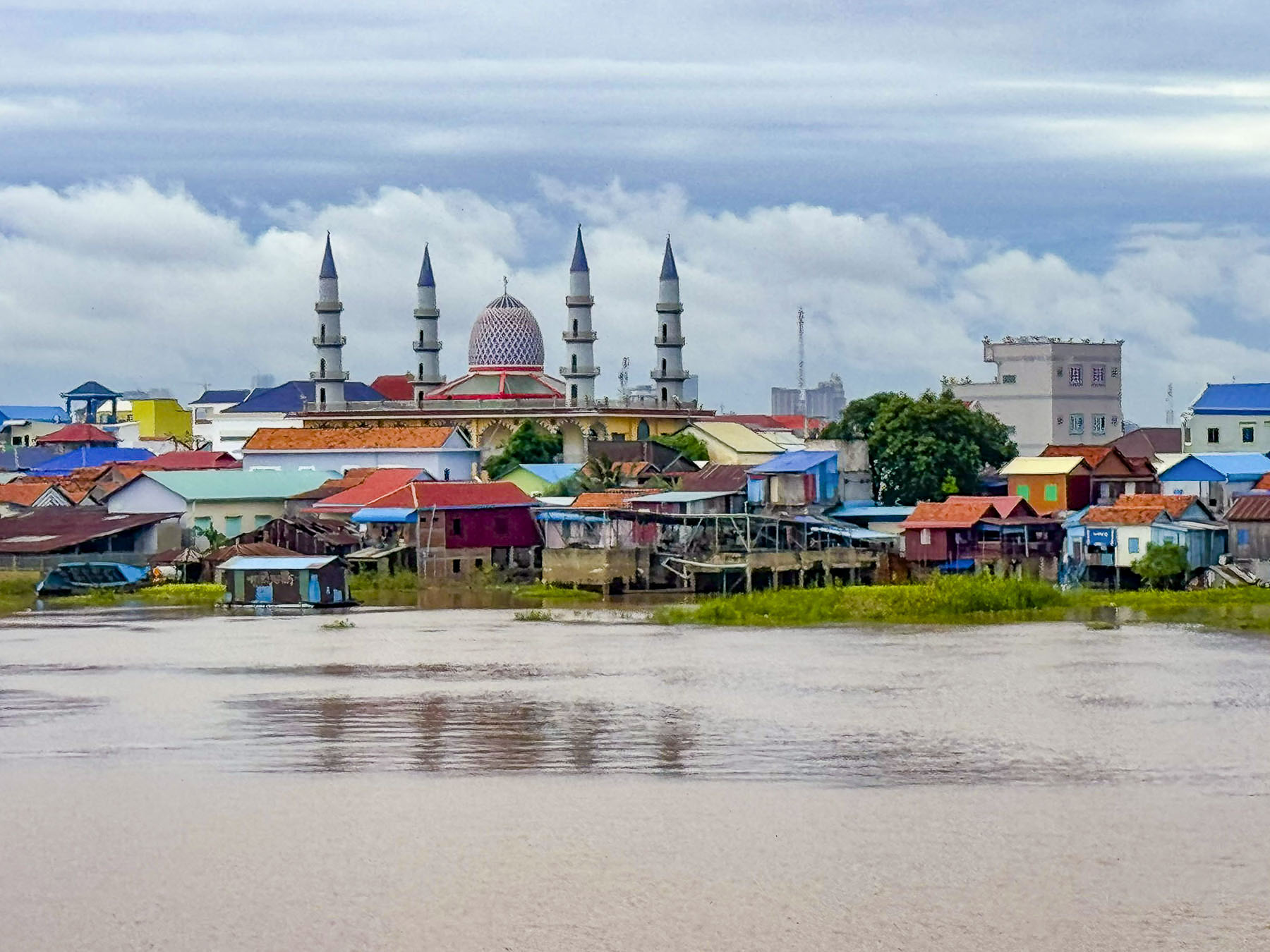
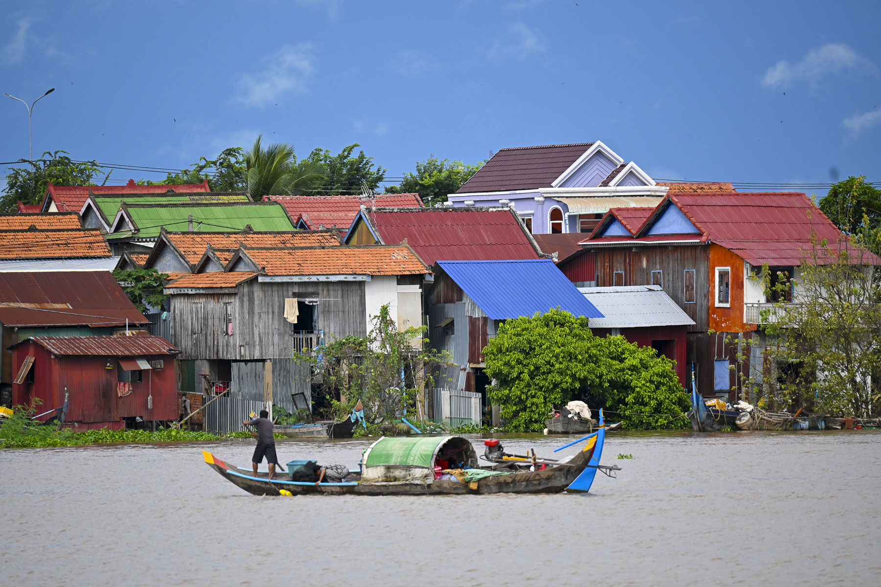
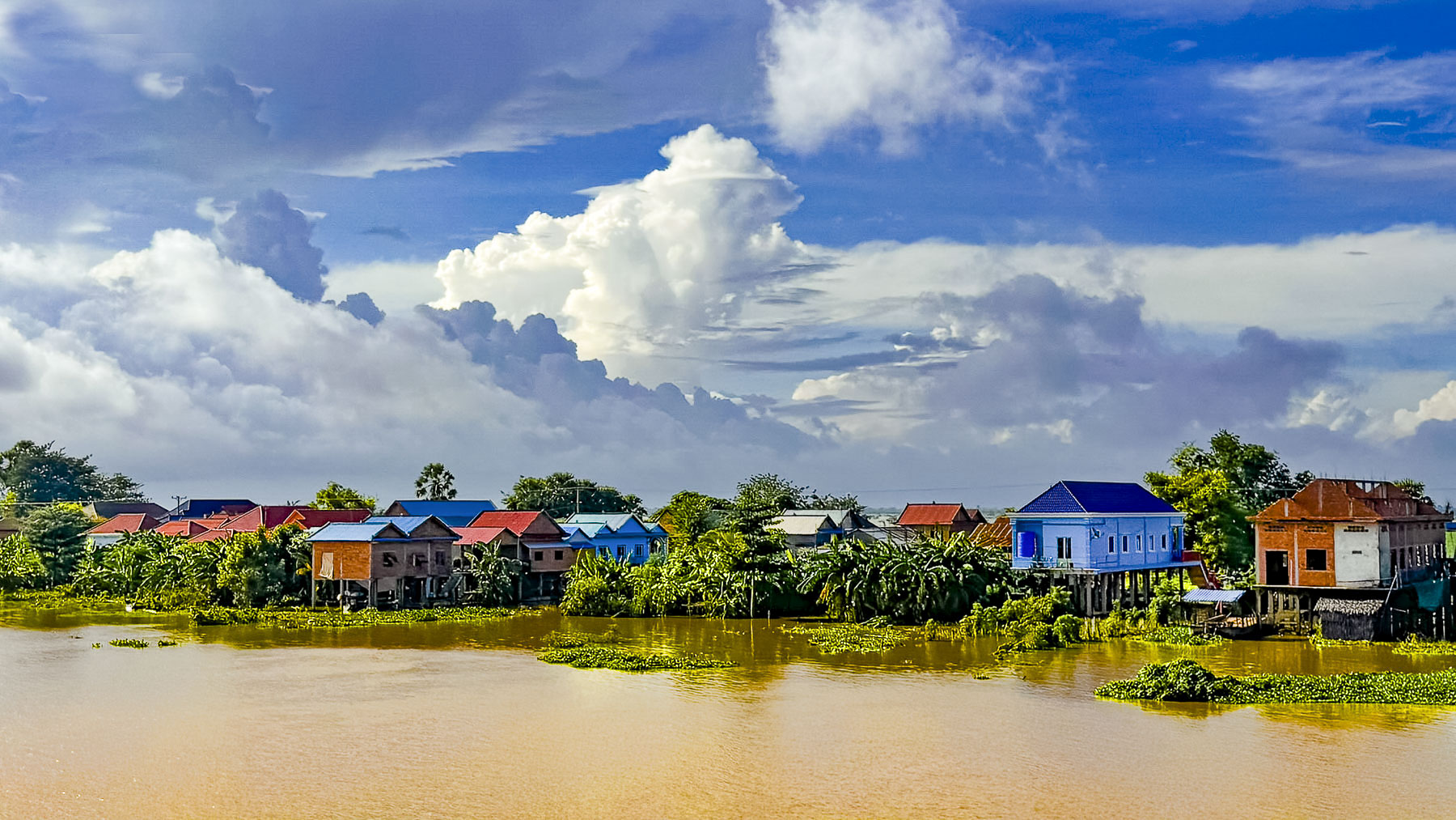
Later that afternoon, we set sail downstream back along the Mekong toward Phnom Penh to moor overnight and then continue upstream the next morning on the Tonle Sap River to visit the silversmith workshops and Buddhist pagoda in Chey Odam. This section of river was lined with colorful shanty houses, and occasionally the minarets of a mosque or a church steeple protruded from the riverscape.
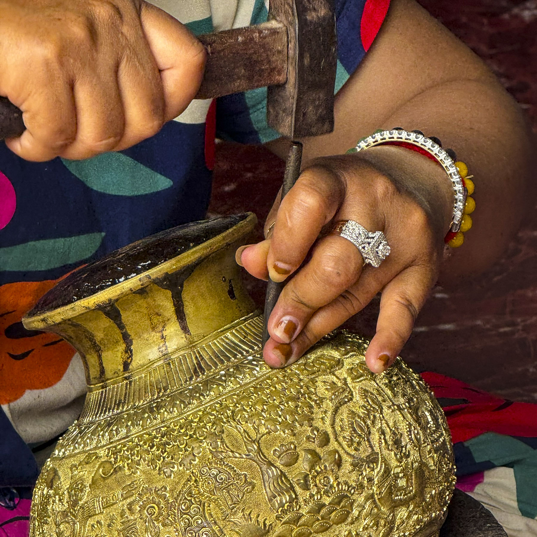
The ping of a cacophony of unsynchronized hammers surrounded us as we walked along Chey Odam’s main street which paralleled the river and is lined with metal workshops of various sizes. Across the river on a distant hill, we could see the stupas of Phnom Phreah Reach Throap, a sacred mountain that was home to Cambodia’s royal capital for nearly 250 years until 1866.
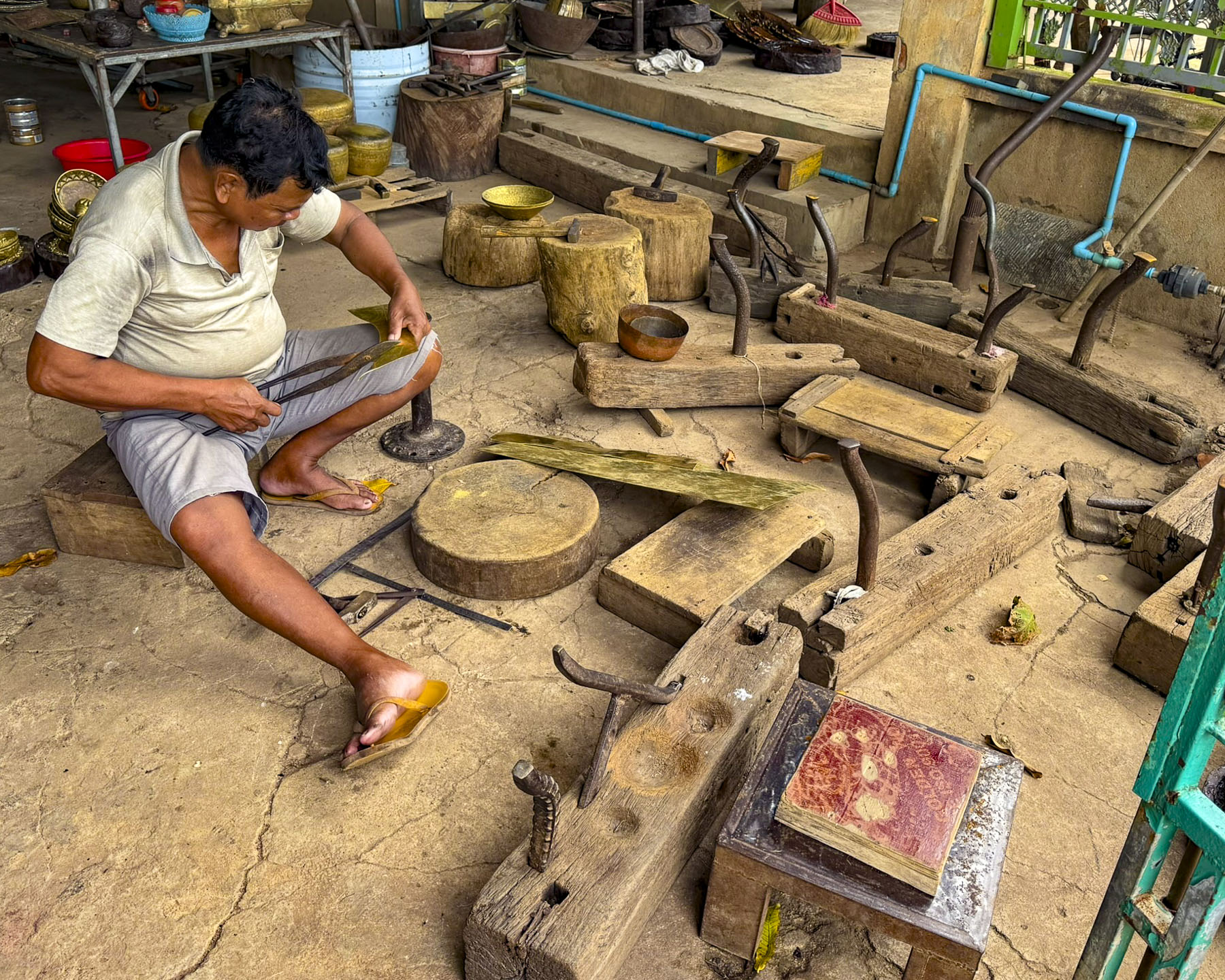
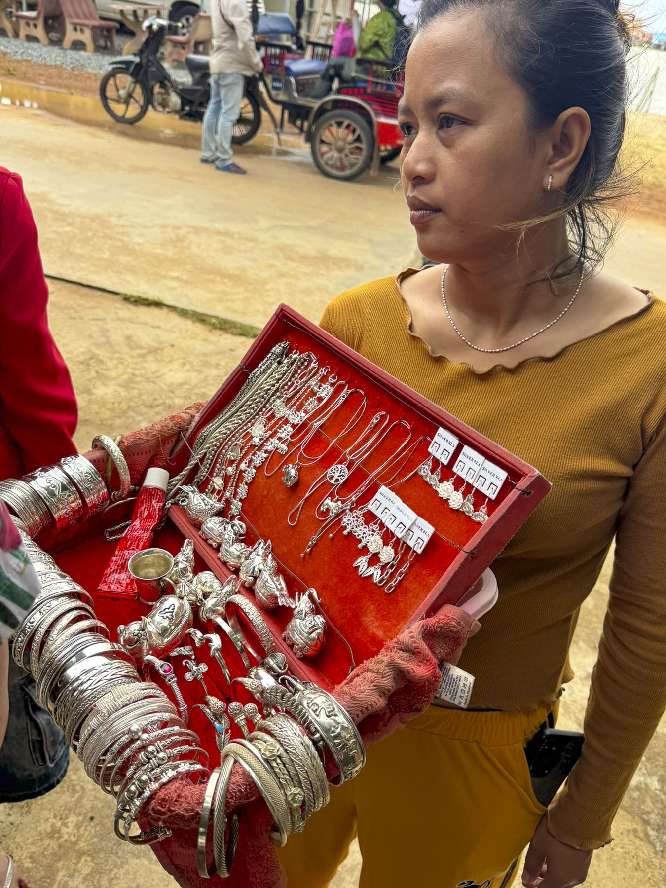
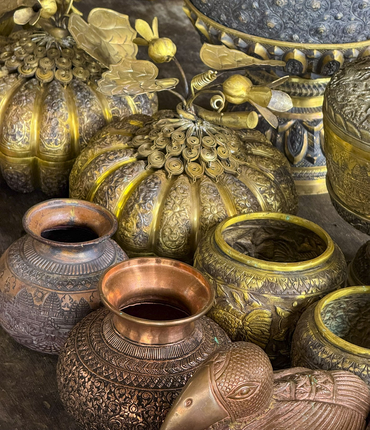
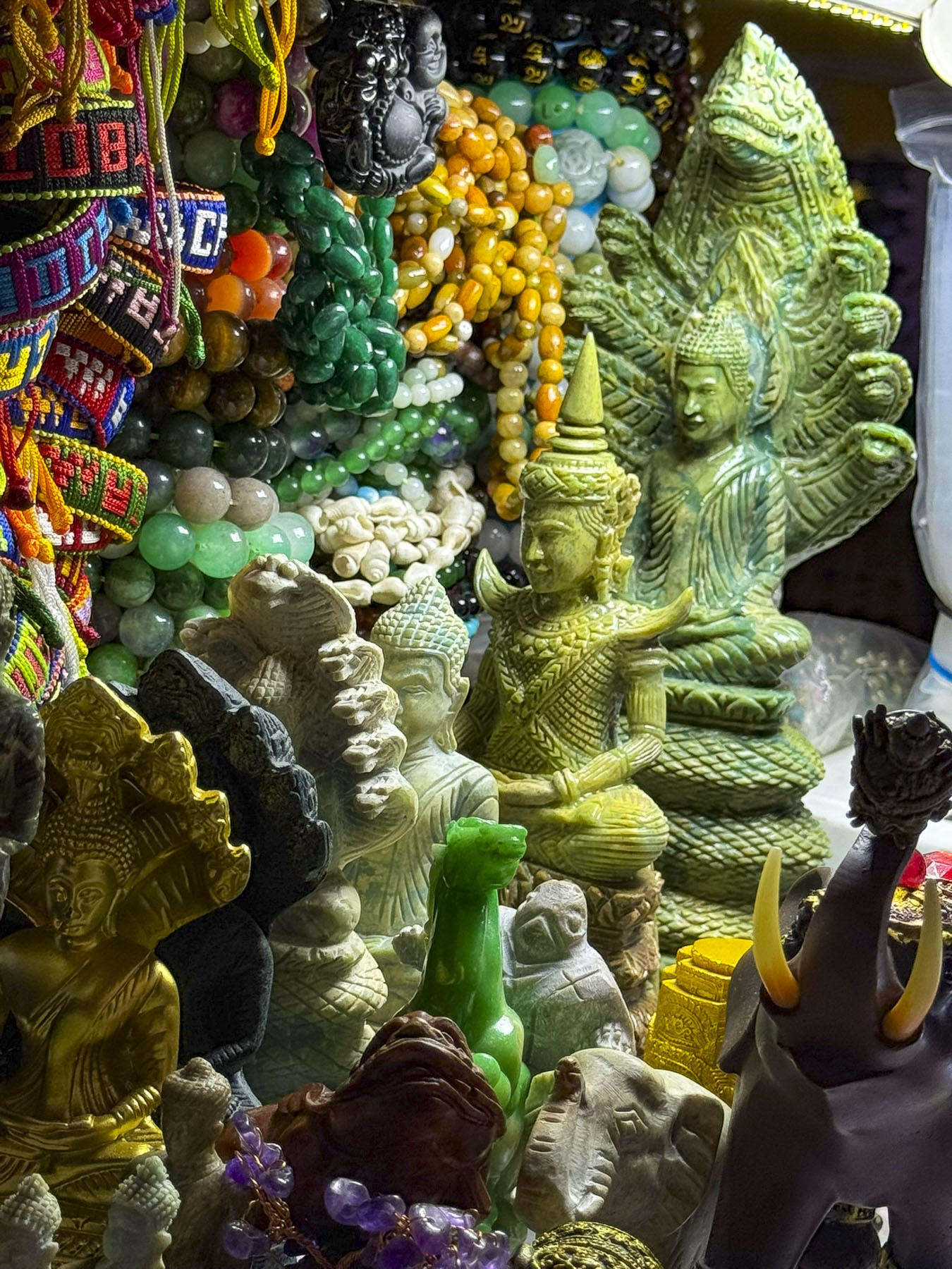
This was the most touristy of places we visited with each workshop having displays of their craft for sale. But it was still interesting as the skilled artisans create everything by hand using hand-hammered repoussé and chasing techniques, crafting intricately decorated brass or copper plates and bowls to Betel sets, and silver jewelry. We thought the prices were fair, so we shopped for our young granddaughters. Of course, credit cards were accepted.
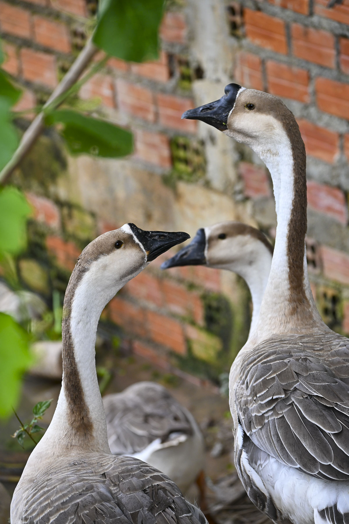
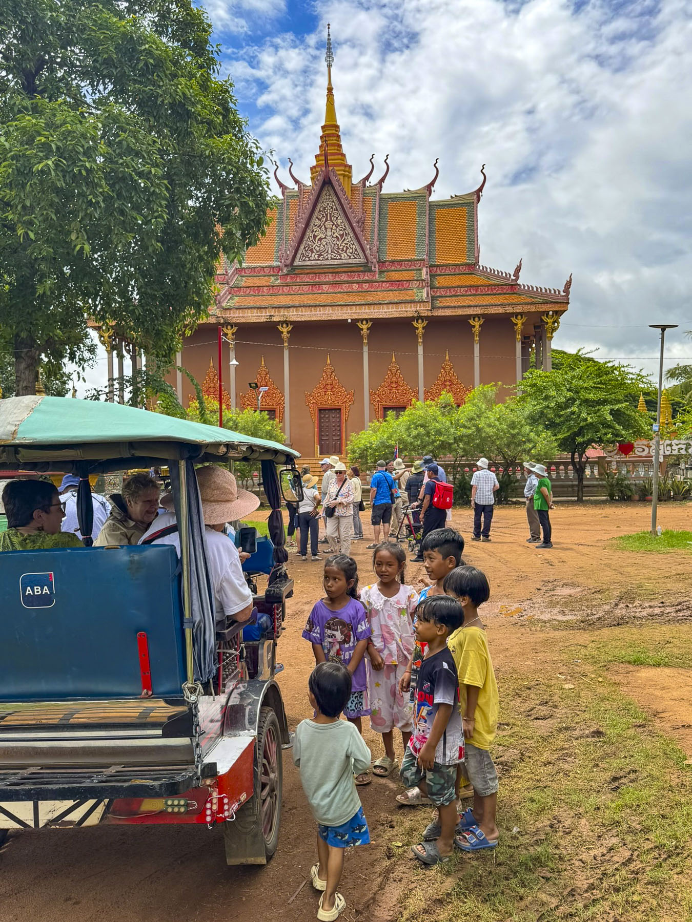
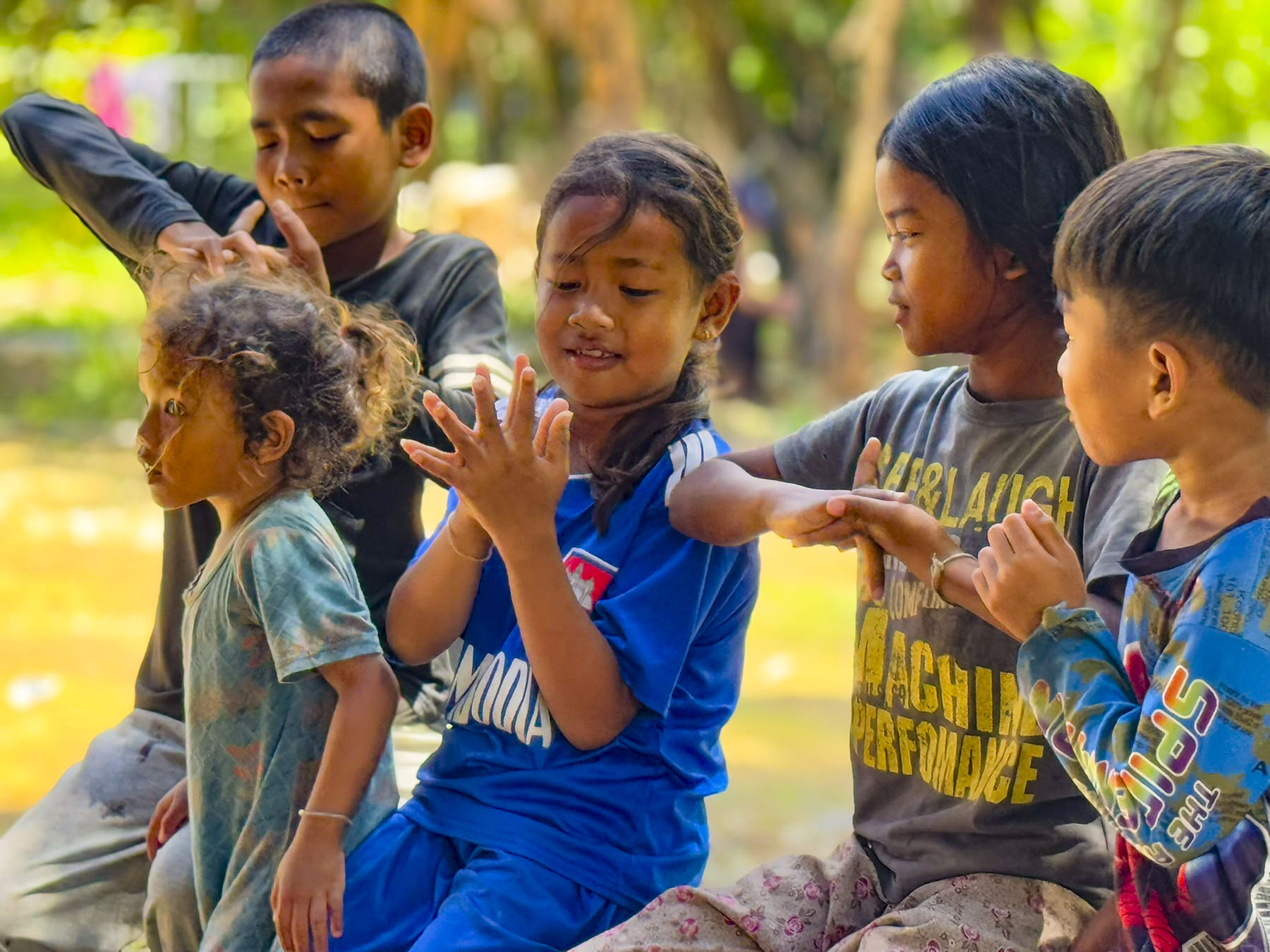
Geese waddled freely along the road as our group walked to the outskirts of town. We seemed to become a group of pied pipers as we swept up a band of children that followed us to the Moni Sakor temple. Reaching the pagoda, and with smiles all around, the kids suddenly lined up and sang the Cambodian national anthem.
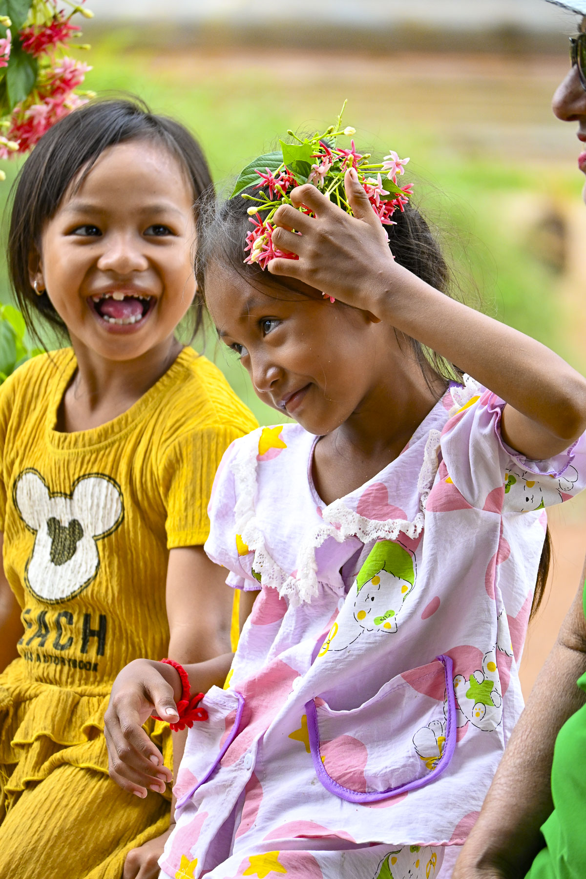
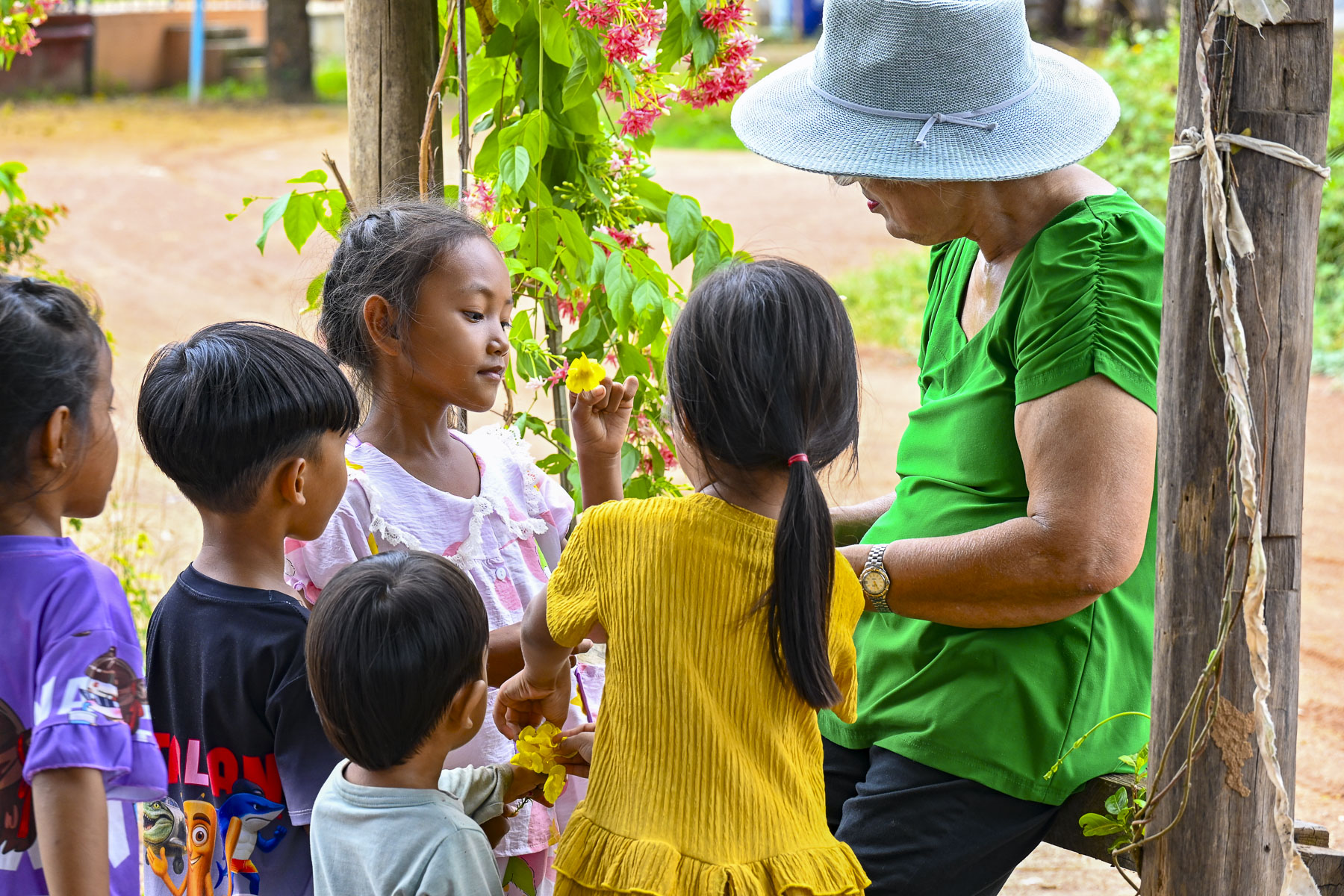
It was a rustic temple with a collection of Buddhist sculptures and colorful stupas on its grounds. While we rested under a shade tree one of the small girls in the group entertained us and her friends by making cat woman like claws on her fingers with yellow trumpet flowers. Across the road a three-wheeled flatbed motorcycle vendor went door to door selling fresh produce, and un-iced fish and meat in the morning sun.
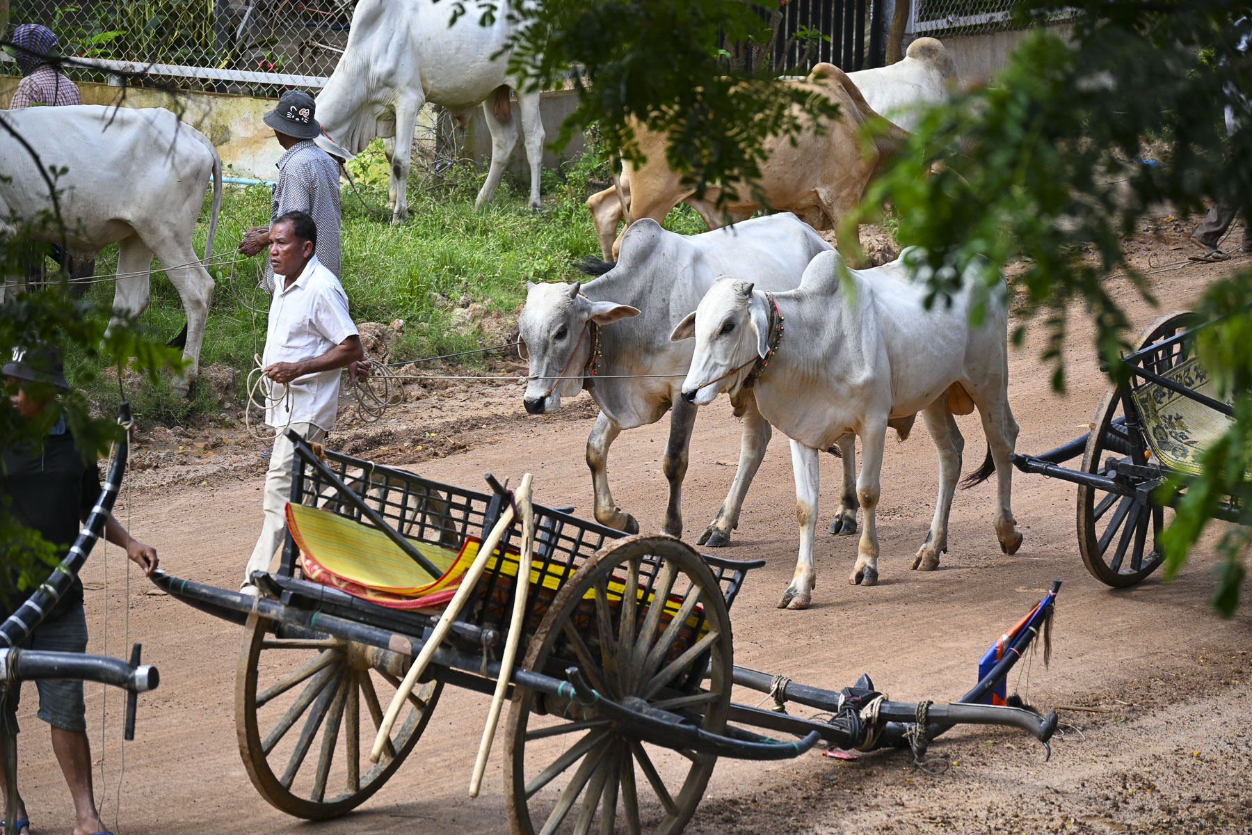
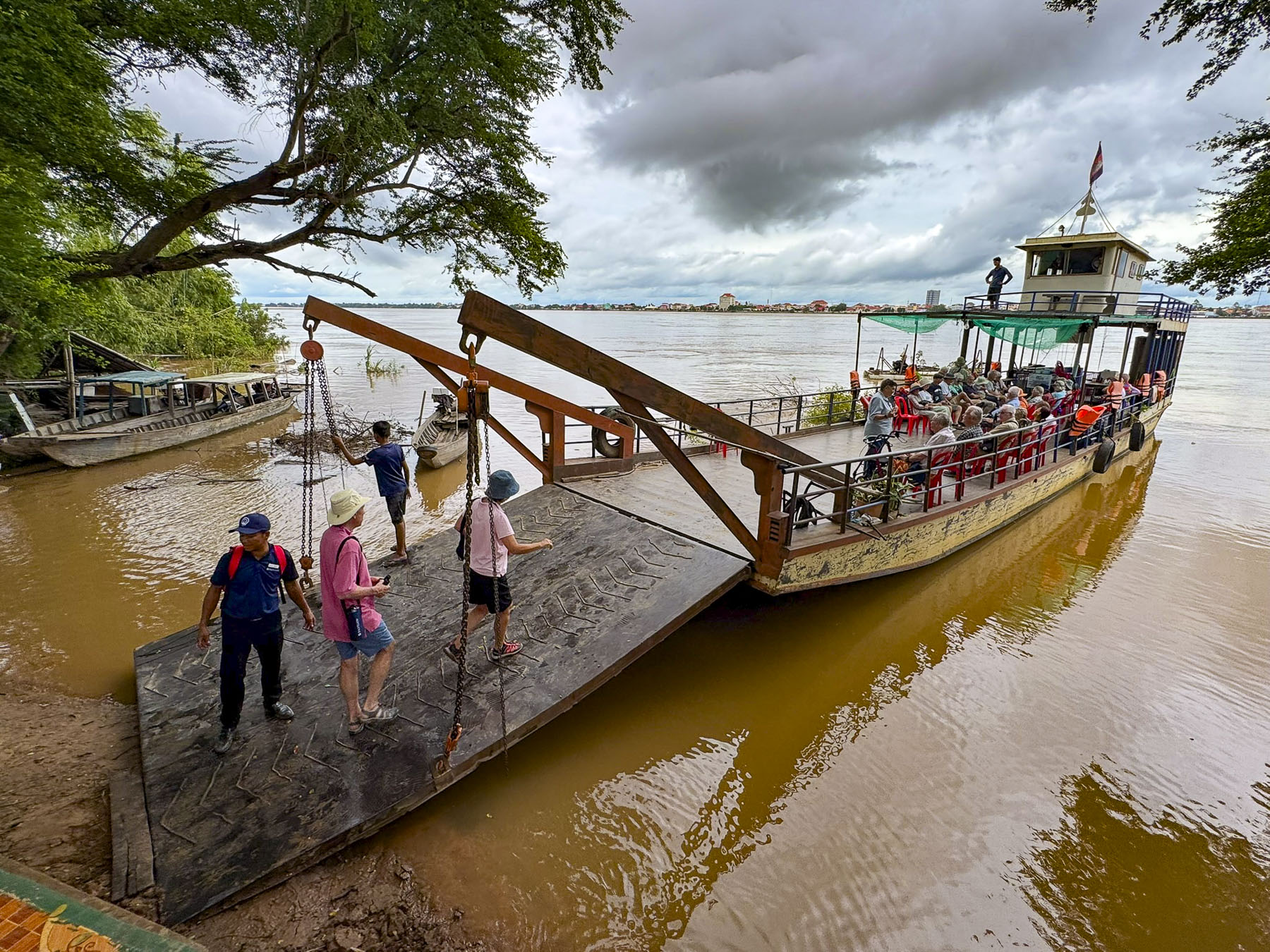
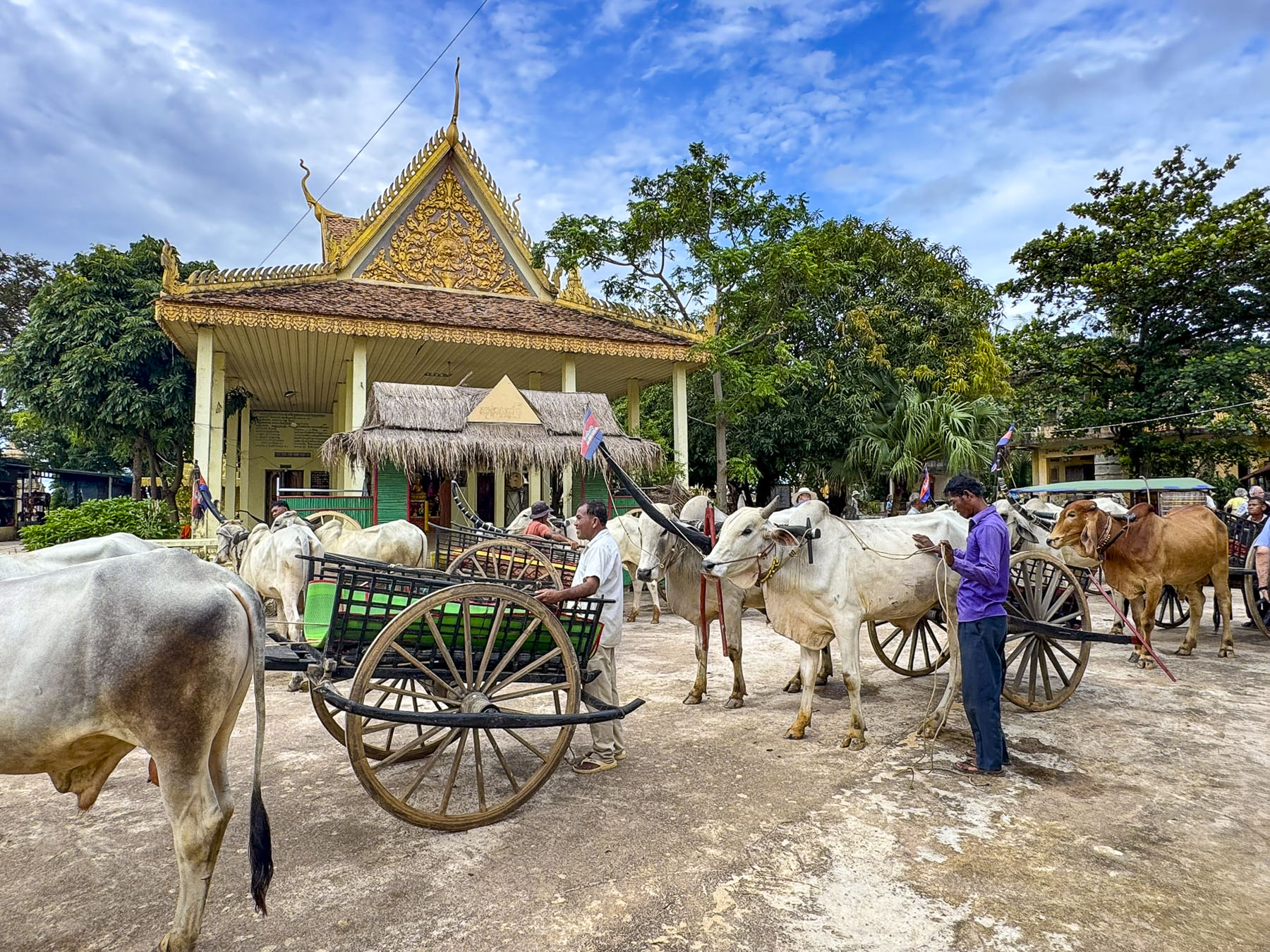
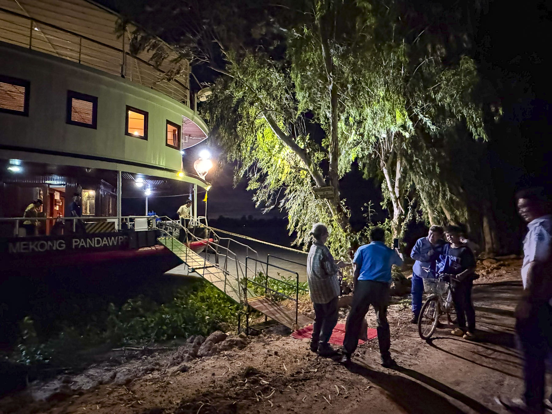
Later that afternoon after sailing upriver the crew tied the boat to trees along the riverbank outside the small town of Kampong Tralach and lowered the gangplank to a line of waiting oxcarts. Our traditional mode of transportation through the town to the Kampong Tralach Kraom Pagoda that was a local tourist initiative, that helped the drivers buy their own ox and cart.
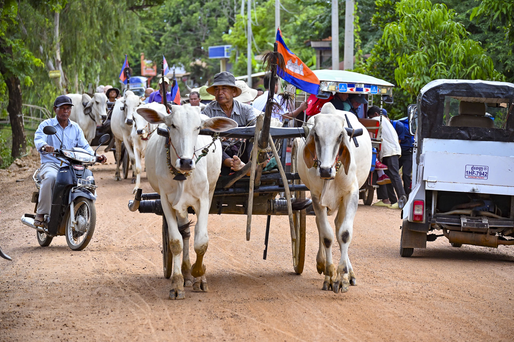
I walked ahead to take some photos of the line of oxcarts. Several had passed by already, but there was one stubborn beast that refused to move until one of the carts behind him tried to pass by. Suddenly it seemed to be a chariot race, with whooping and hollering as the two oxcarts lurched forward. As fun as it was, the folks in the back of the carts held on tightly, worried that they would be shaken out of the speeding cart like fortune sticks.

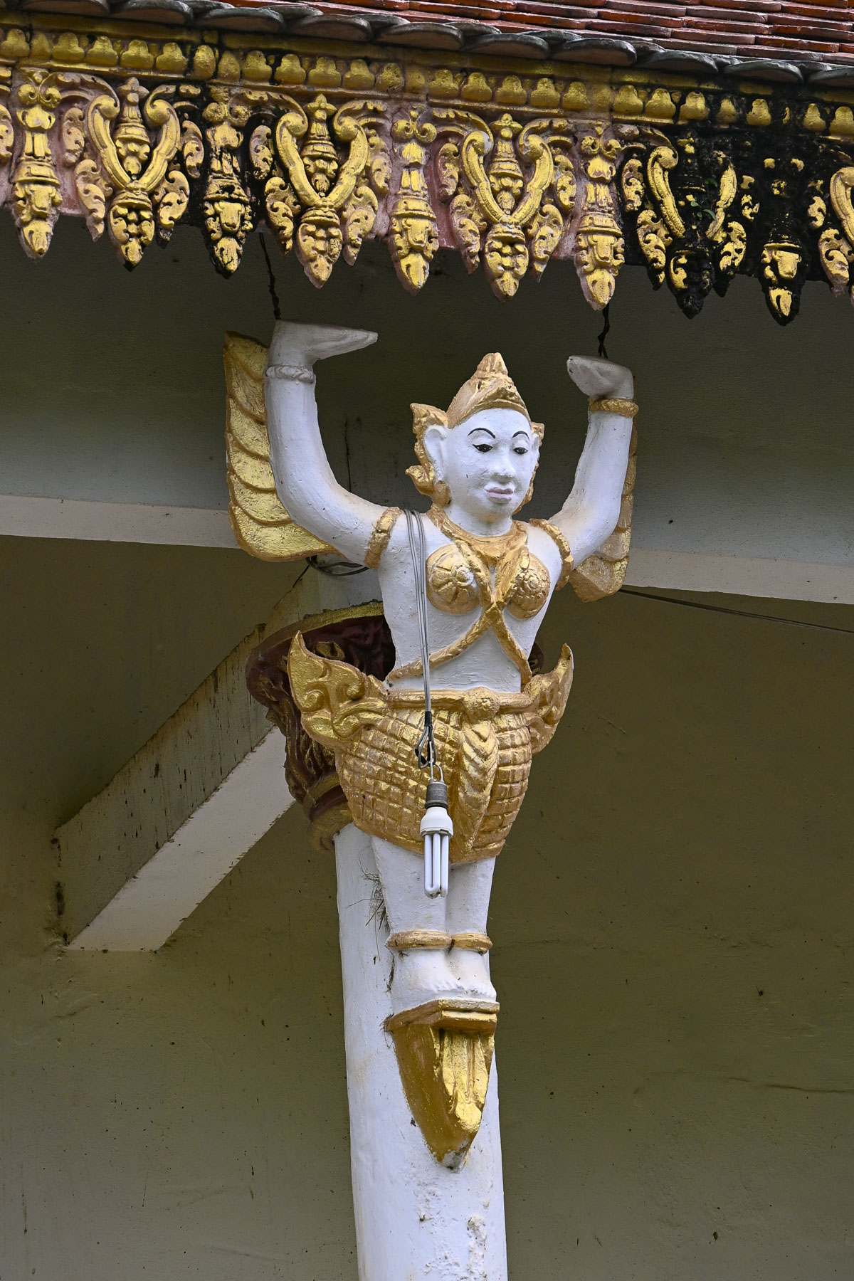
The jolting ride ended with a circling of the carts, in front of the beautiful monks’ dwelling, in the courtyard of the Kampong Tralach Kraom Pagoda. Though the real attraction of the site was the old Buddhist temple located behind it, that wasn’t particularly well-maintained. Like the two other temples we visited days earlier the exterior of the pagoda showed the challenges of building maintenance in the heat, humidity and monsoons of Southeast Asia. On the raised terrace surrounding the pagoda were a collection of folk-art style sculptures depicting Buddhist protectors and guardians that gave no hint of the treasure that awaited us inside.
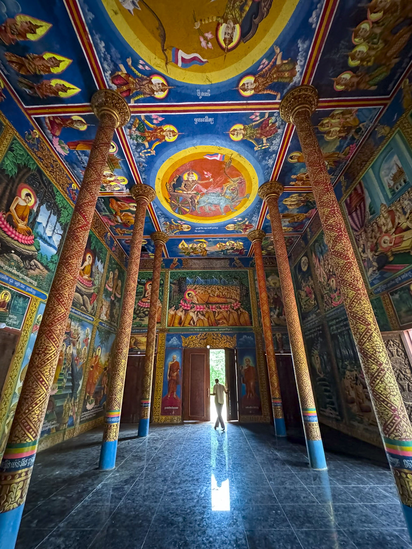
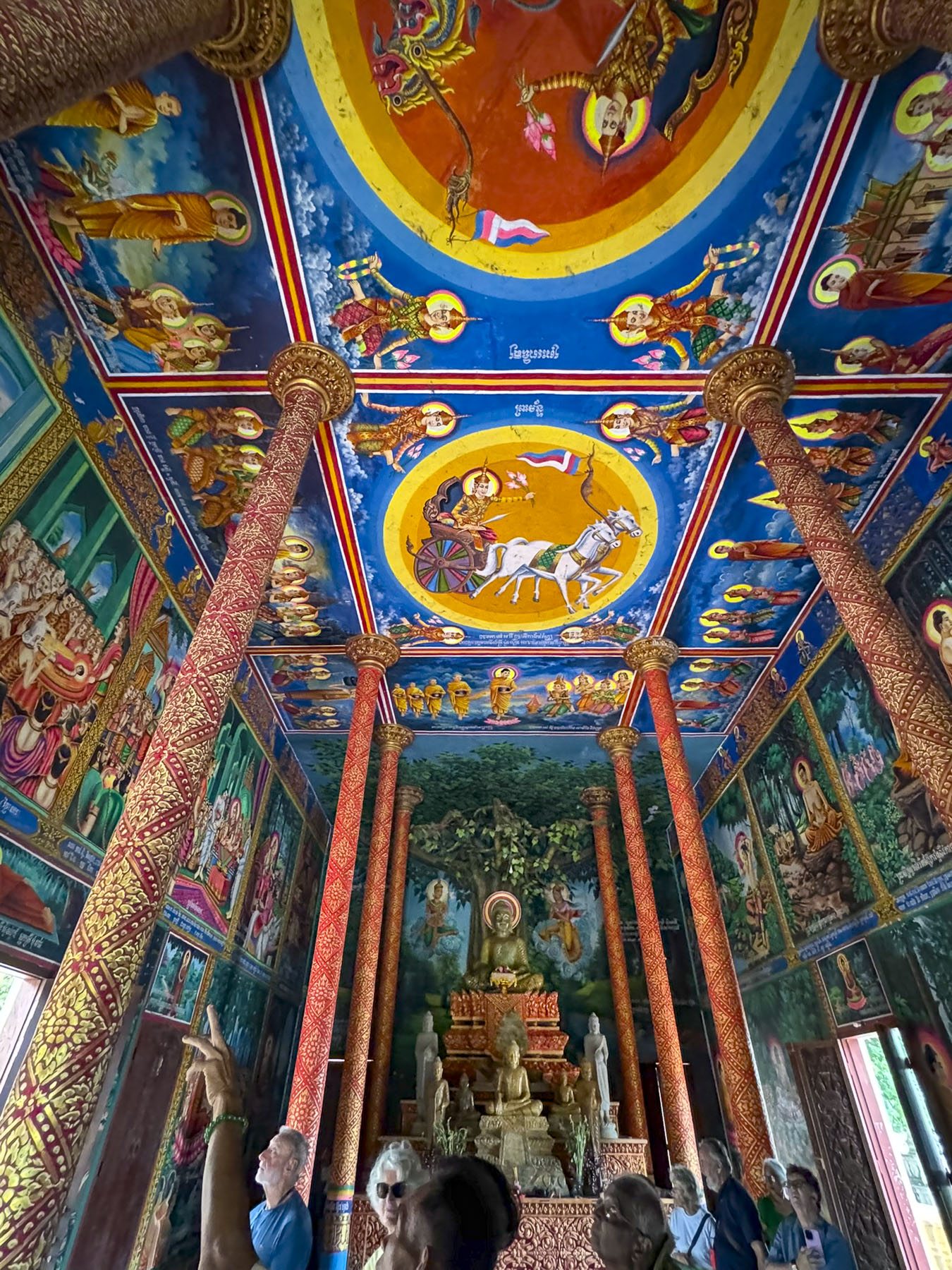
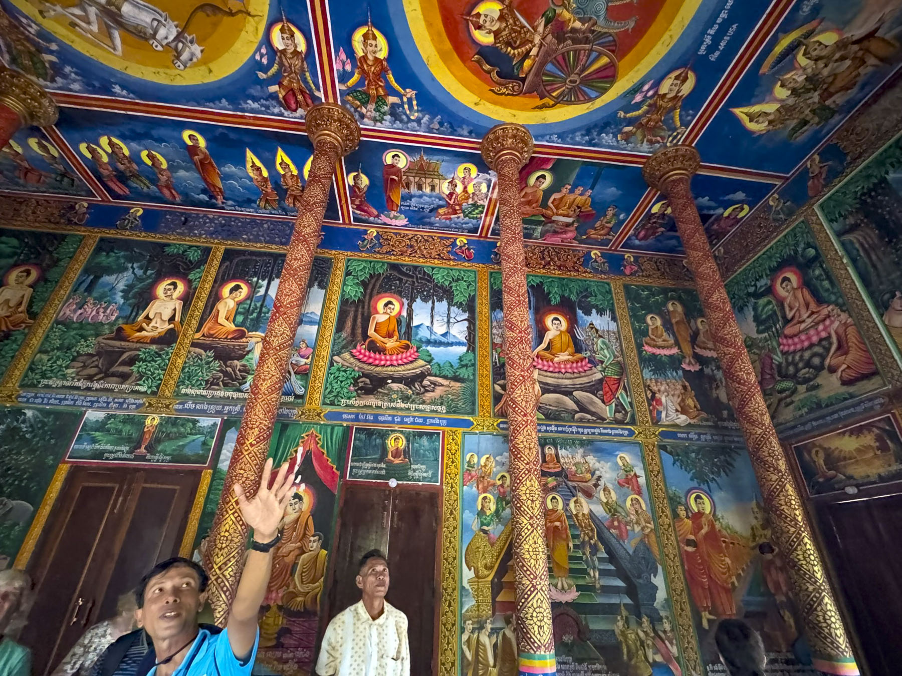
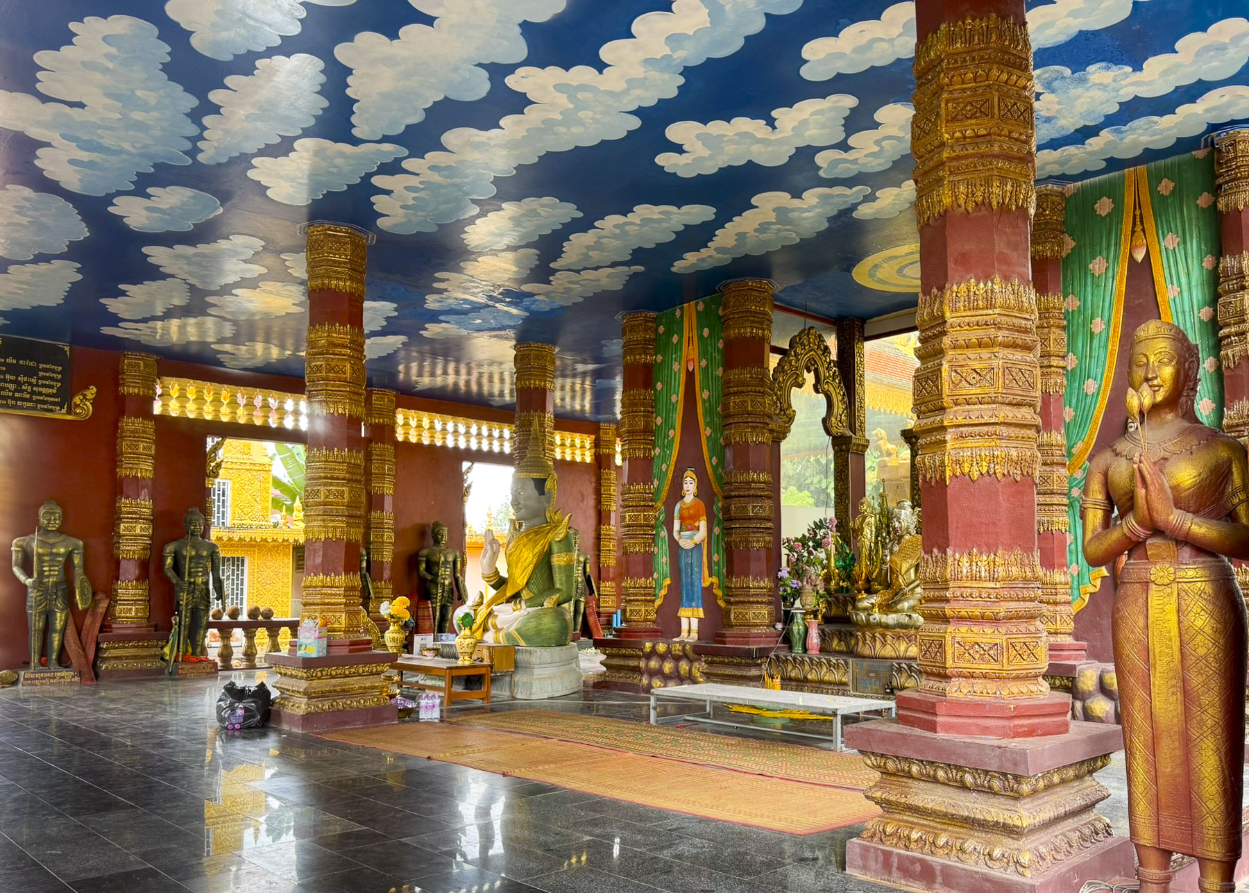
The temple’s interior was astonishing, with every surface of the walls and ceiling covered in beautiful murals depicting the life and teachings of Buddha. This hidden gem struck us as being the Cambodian equivalent to the Sistine Chapel! Fortunately, this temple was open when we visited, but it made us wonder what we missed at the other two which were not.
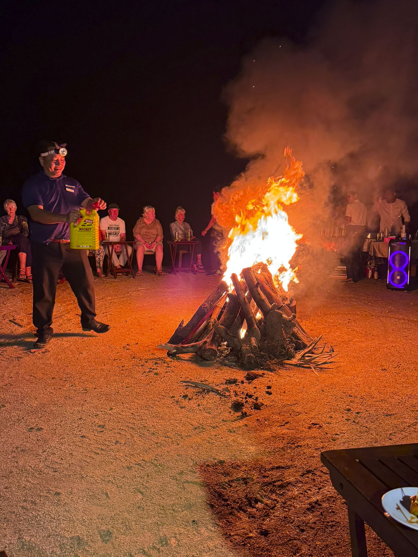
That evening our boat stayed tied to the riverbank, and we had a bonfire in a vacant lot nearby where the crew had invited a few of the townsfolk to join us. With wet kindling from an earlier rain, it was a smoky affair, but folks’ spirits weren’t dampened and there was a lot of joyful dancing.
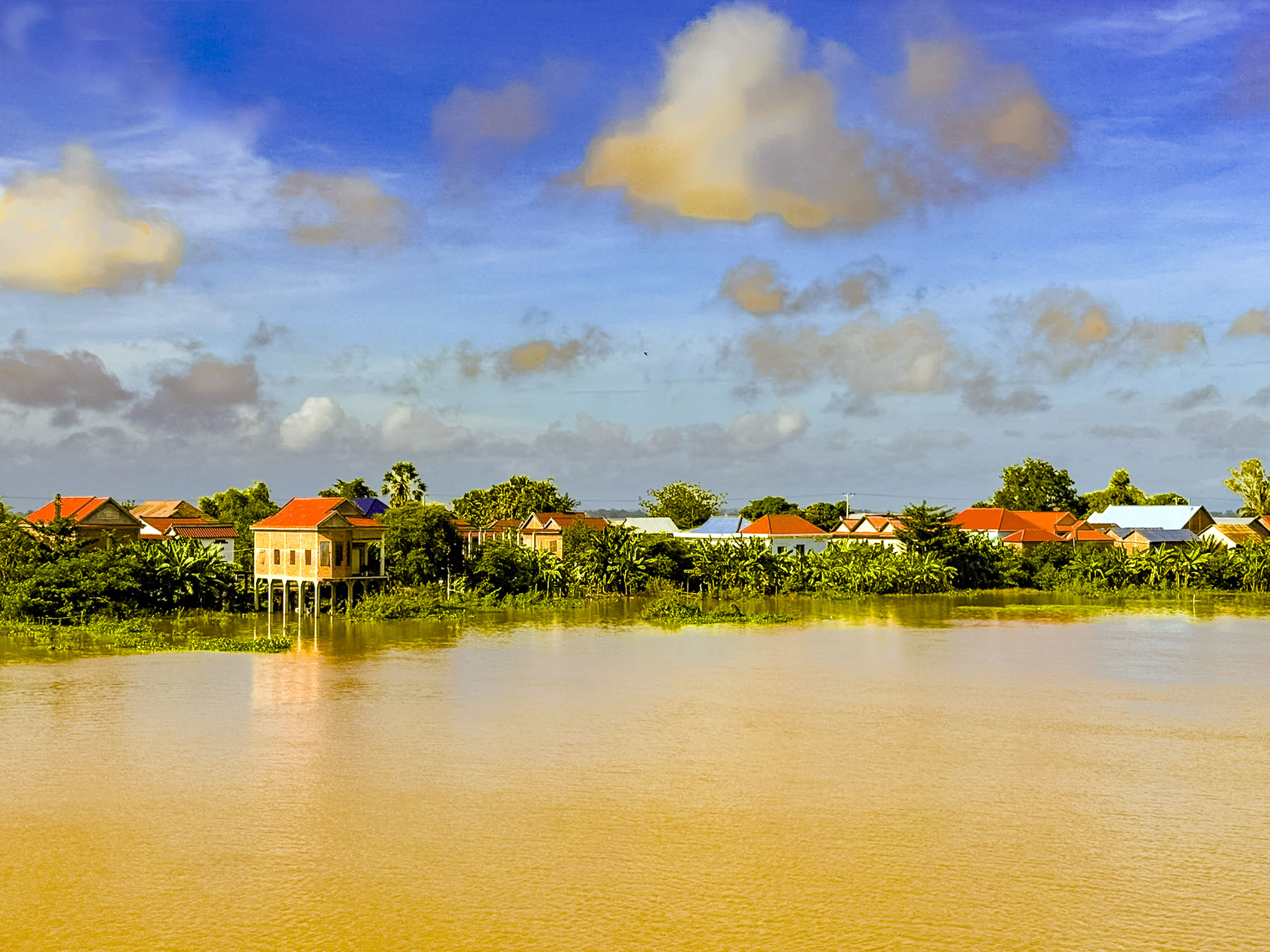
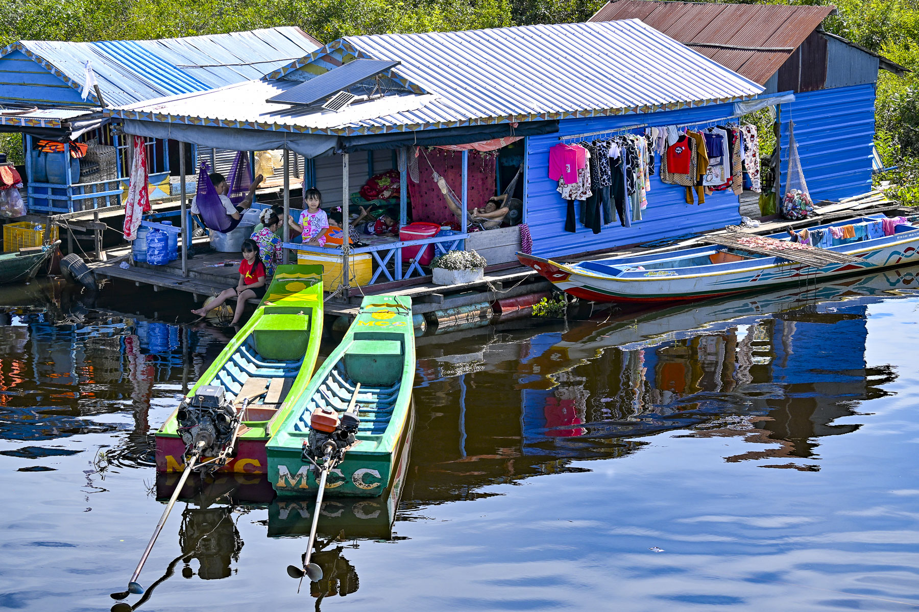
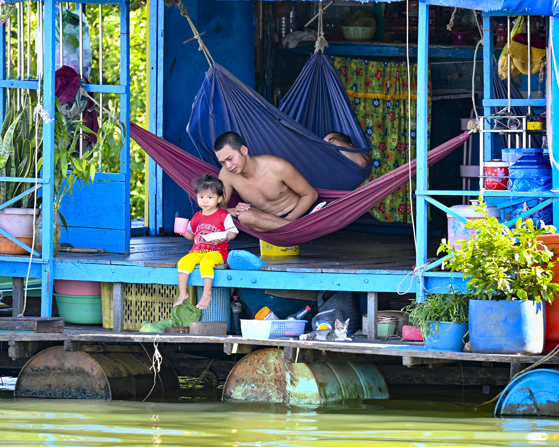
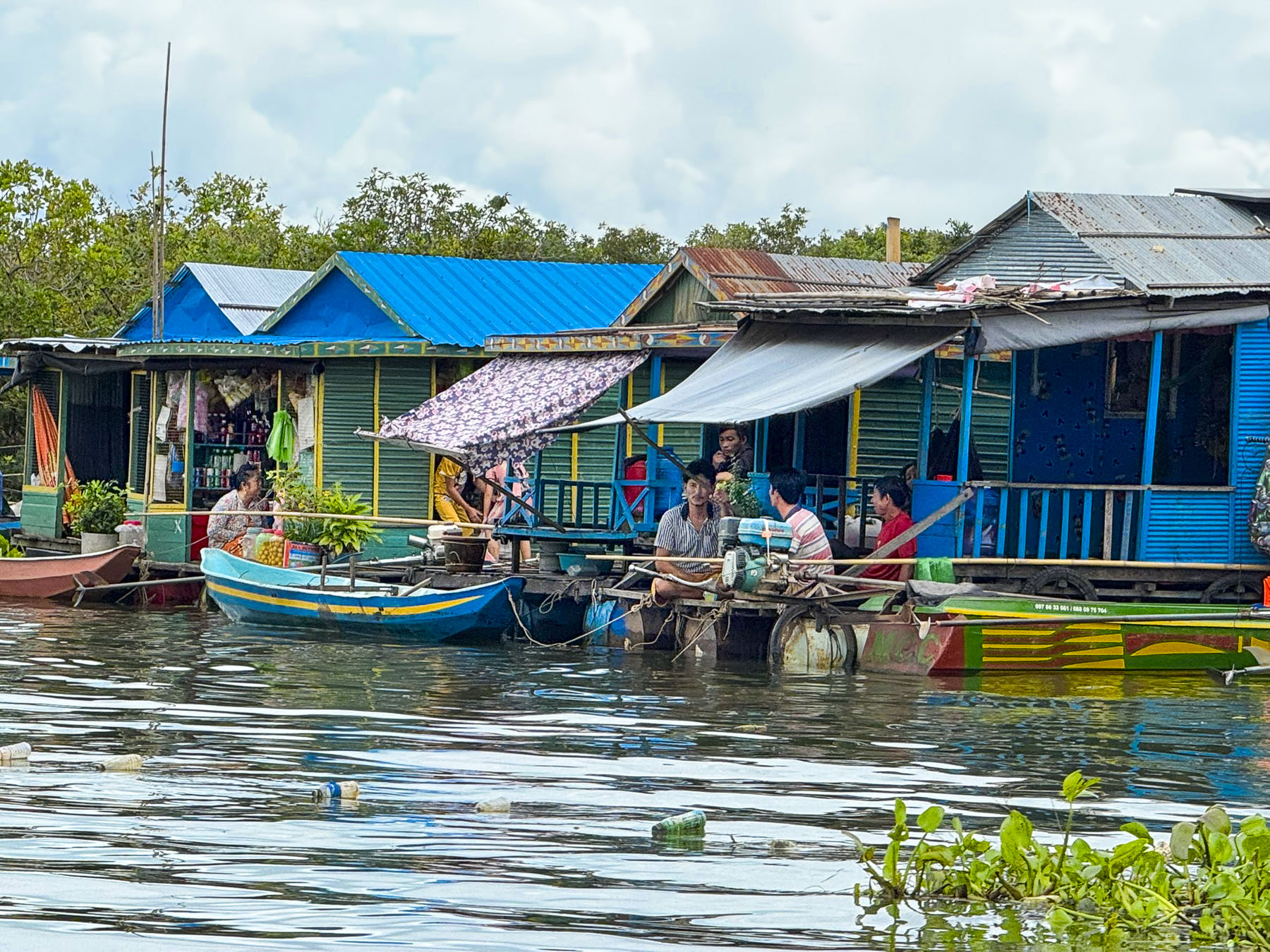
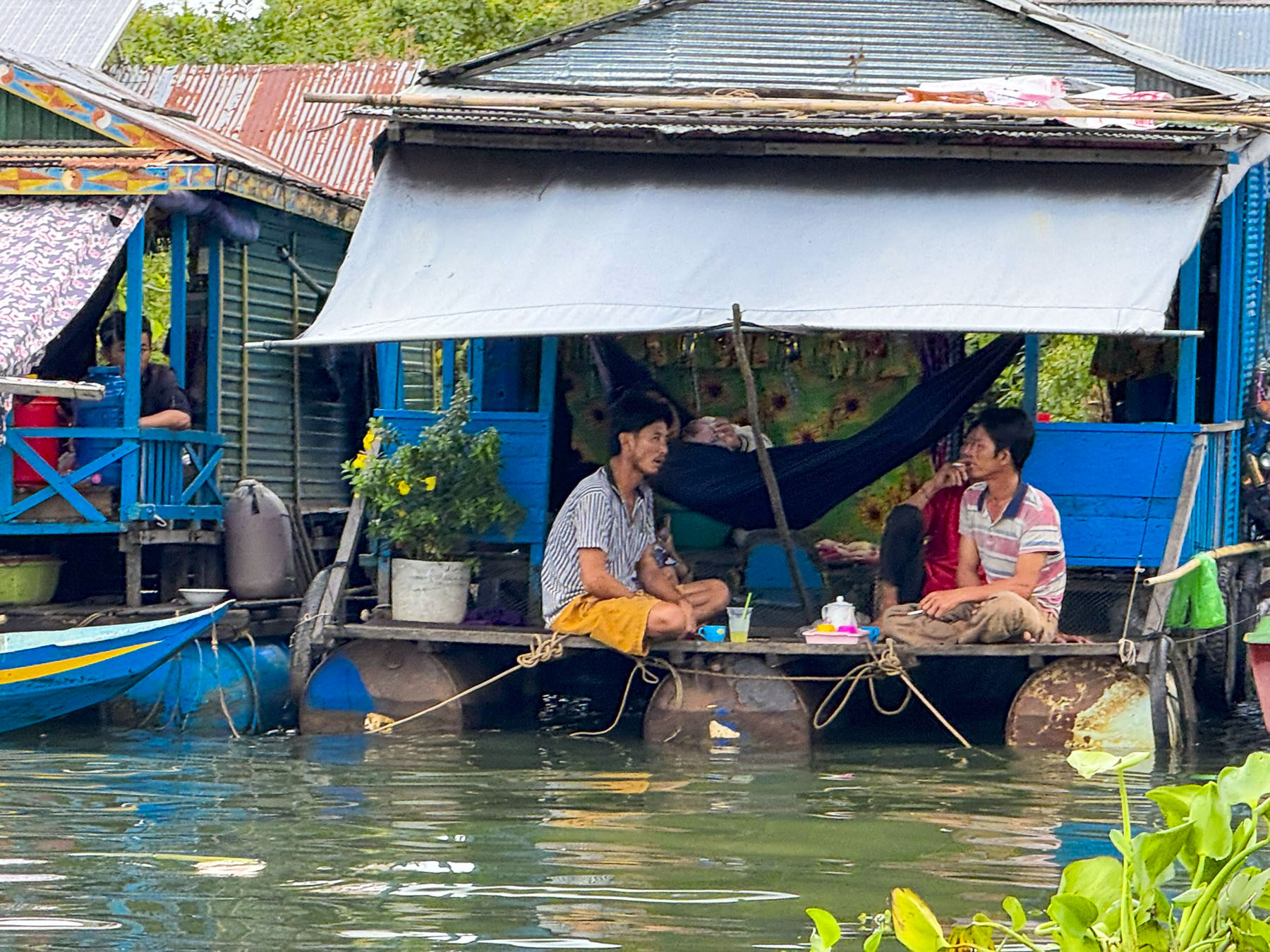
The next morning, we continued cruising north on the Tonle Sap River. The high riverbanks from the earlier part of our trip now disappeared as the river broadened into a wide floodplain that covered the roads. Only the telephone poles along their edge offered guidance to where they were. Fast long-tail boats were more prevalent now as scooters were stored away on higher ground until the dry season.
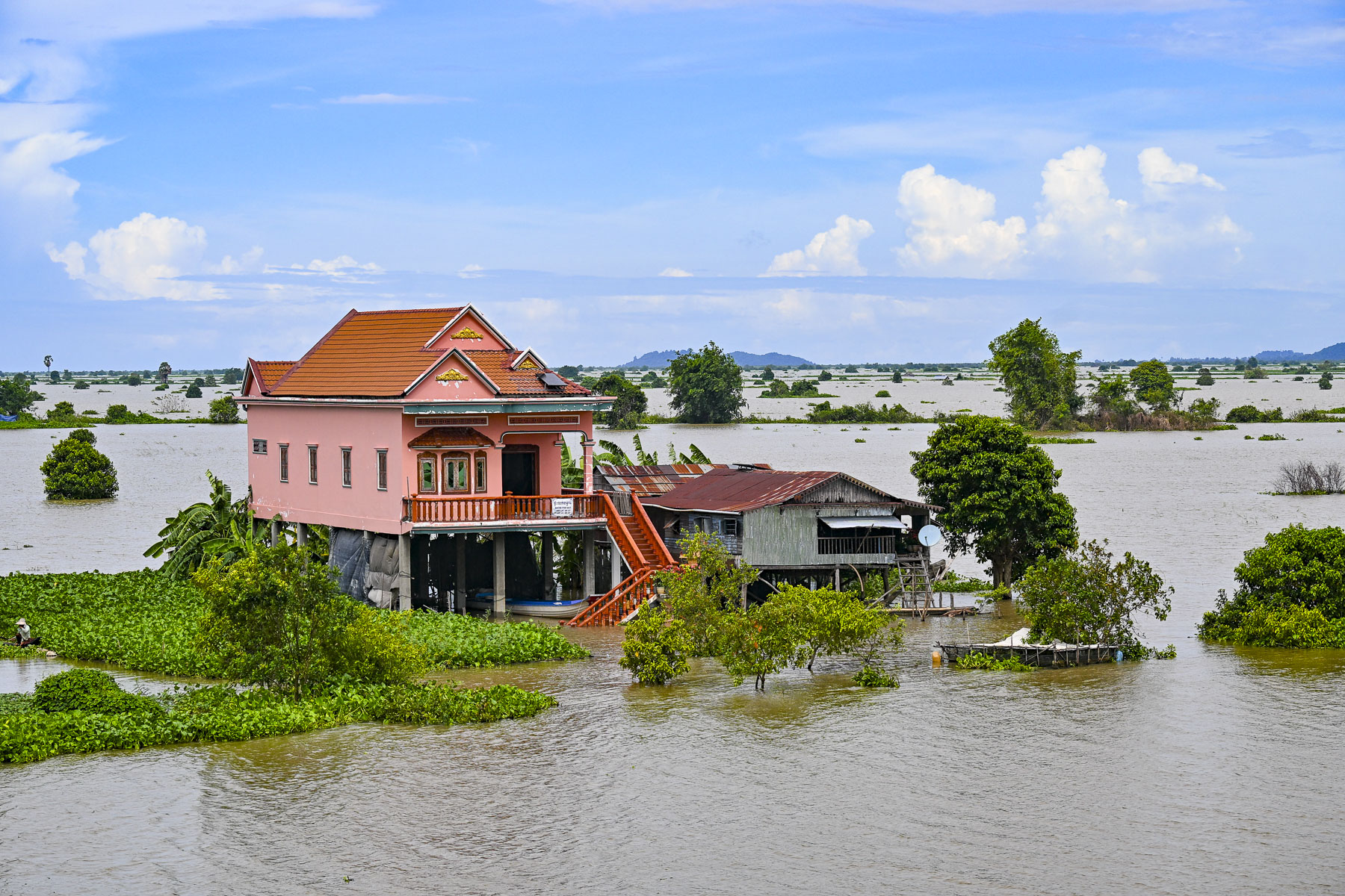
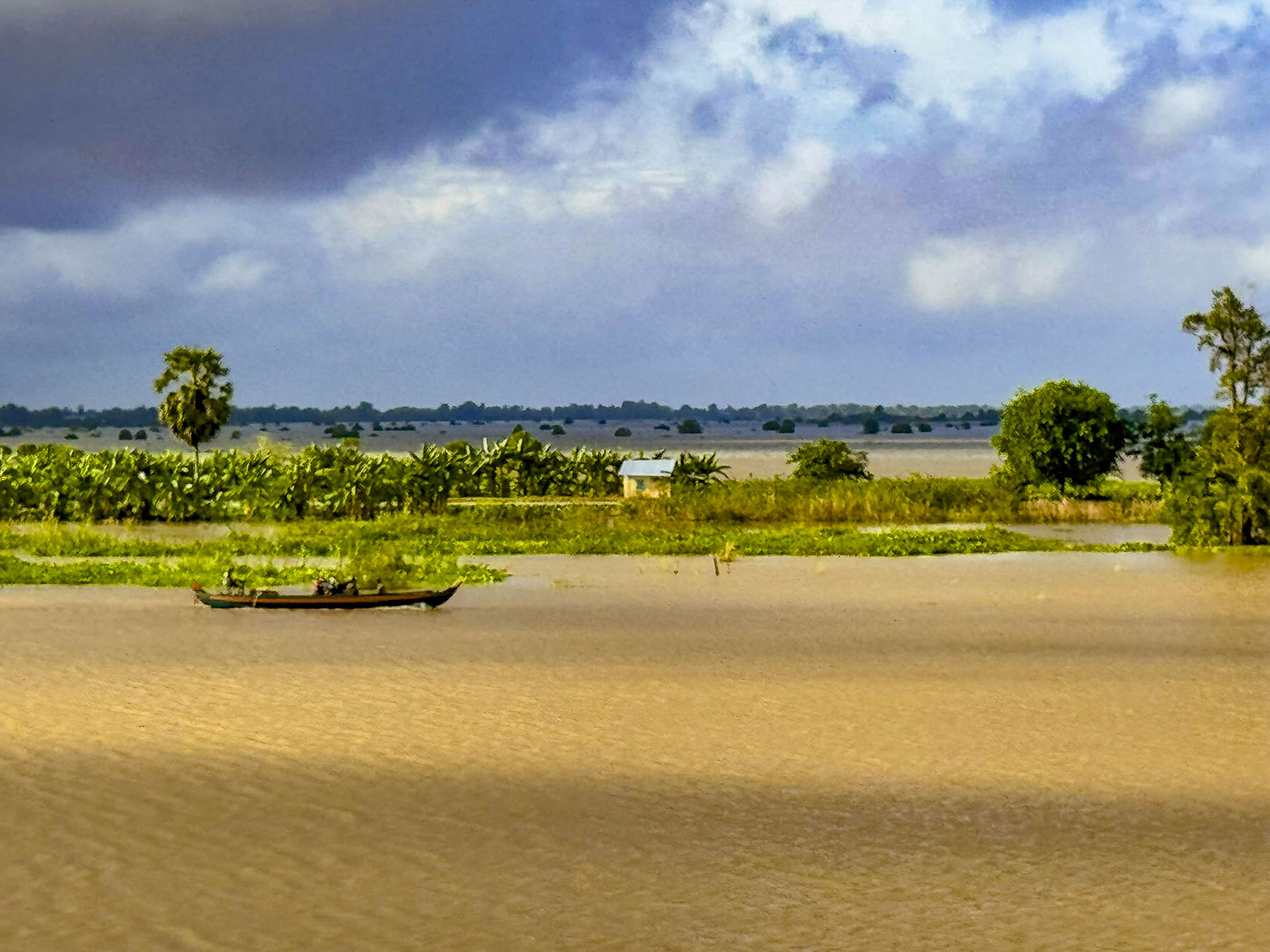
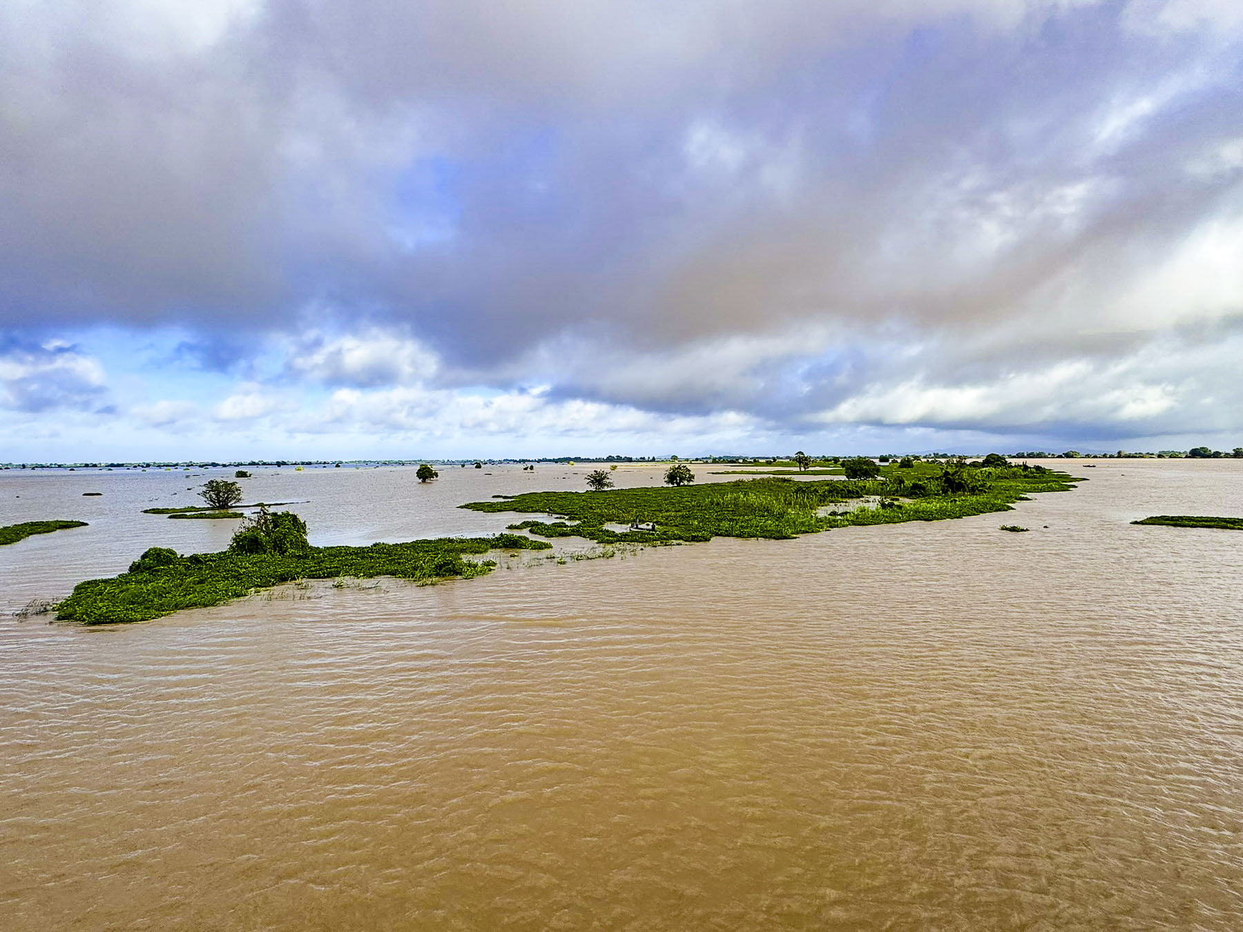
Here homes on stilts are surrounded by monsoon floodwaters for six months, from June to November when the Mekong River expands 45-fold, overflows and forces the waters of the Tonle Sap to back-flow into its lake. This in turn forces it to expand in size 4x from its dry season size of 3,000 square kilometers (1,200 square miles) to 15,000 square kilometers (5800 square miles) and cover the surrounding countryside with flood waters to the depth of 9m (30ft) or greater.
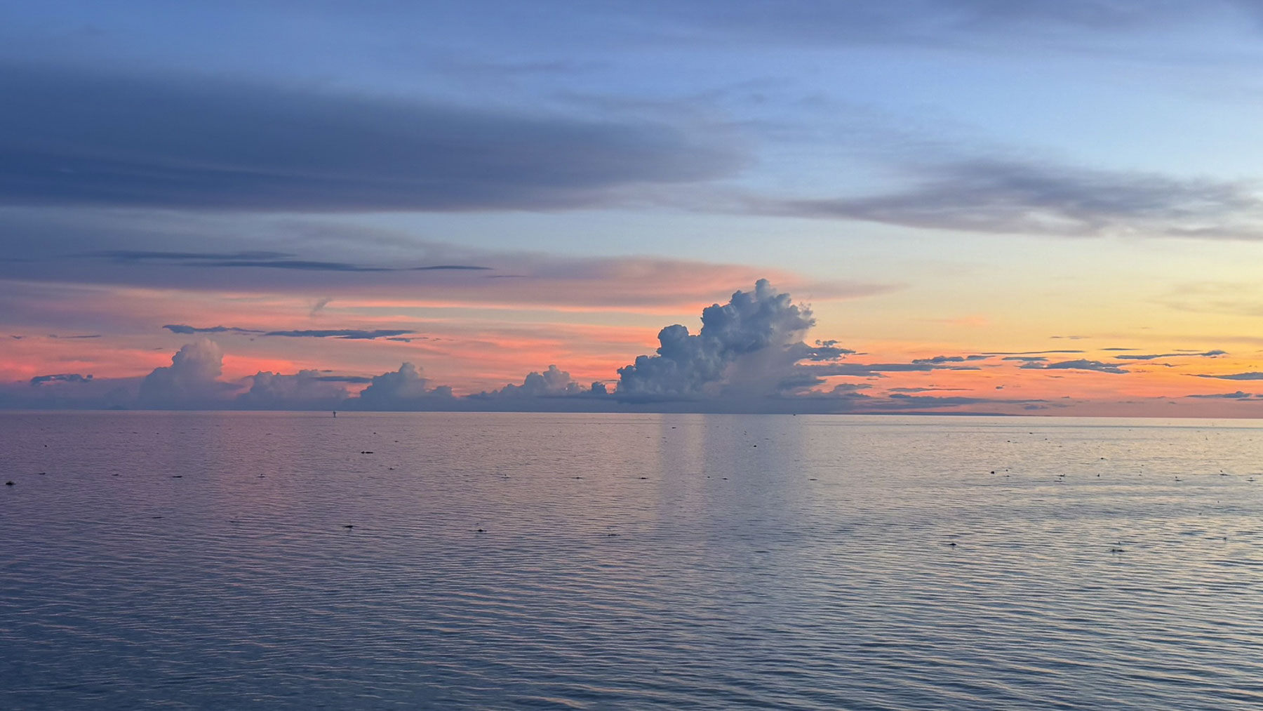
The weather since our departure from Phom Phen had been rather unpredictable, with overnight rains and heavy morning mists and cloudy afternoons, but today the weather was brilliant and the river was café au lait colored, and extended to the horizon all around us. The tranquility of watching this broad waterscape and sky change throughout the next two days was one of the trip’s serene pleasures.
We sailed past villages with temples and mosques. The number of mosques surprised us, but there has been an Islamic presence in Cambodia since the 10th century and today Muslims compose three percent of the country’s population with the majority concentrated along the Tonle Sap and Mekong Rivers.
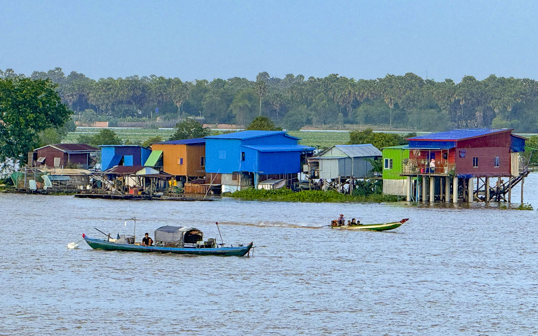
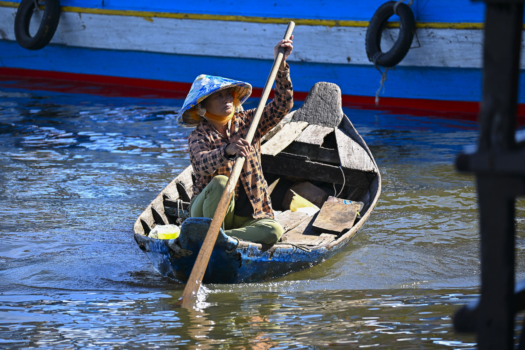
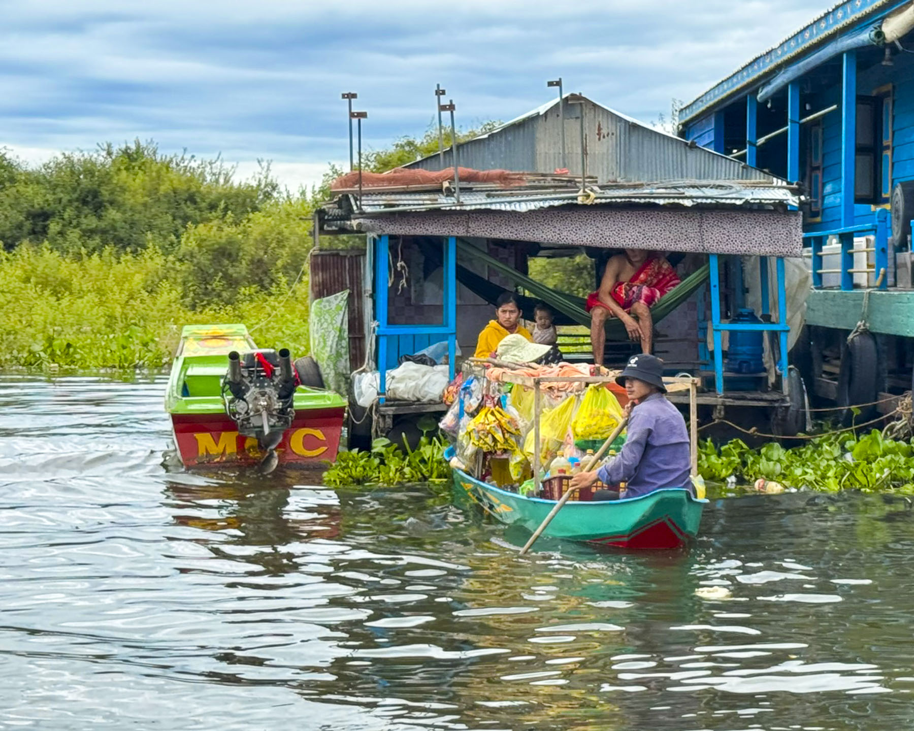
More of the small sampans we passed now were covered and appeared to be floating homes, with small children aboard and cooking platforms at the rear. Fishermen set their nets with the help of their wives.
We anchored in the lake offshore Chong Khneas, a Vietnamese refugee floating village near the mouth of the Siem Reap River. It’s a fully functioning community with a floating school, church and markets that get paddled between the homes. That supports itself from fishing on the lake and tourist tours. It started in the mid-1970s as a safe haven for migrants in Cambodia to avoid persecution from Pol Pot’s Khmer Rouge.

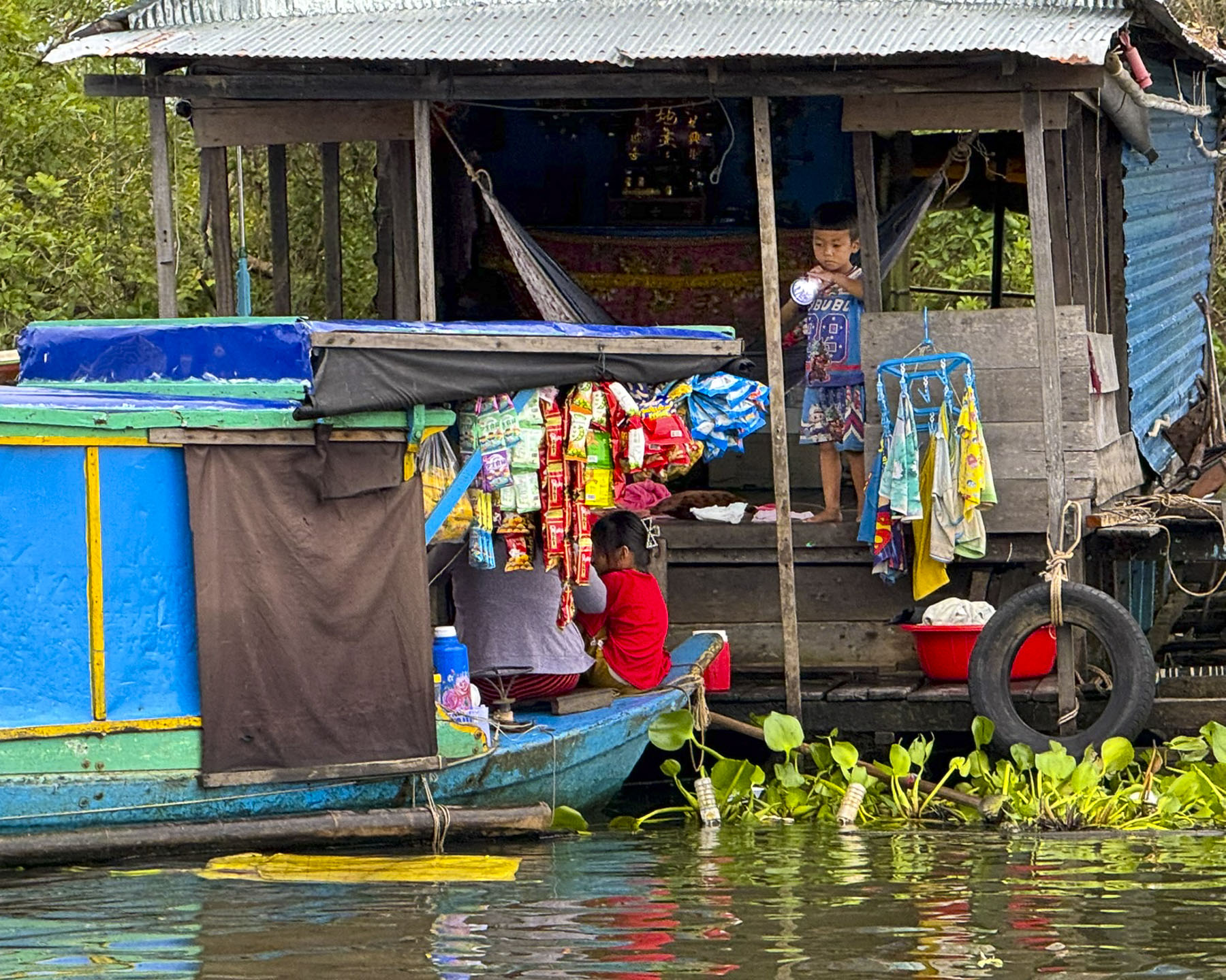
Though many of the refugees have been in Cambodia for two generations they have a precarious legal status that denies them citizenship and the right to own land, and cuts them off accessing any state sponsored social programs, forcing them to live in floating homes or marginalized, informal communities. This is due to a deep-seated historical prejudice between the two countries which have often been in conflict with each other. Sadly, the beauty of their floating village makes it too easy for visitors to overlook the complexity of their situation.
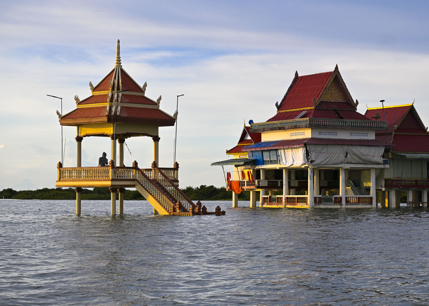

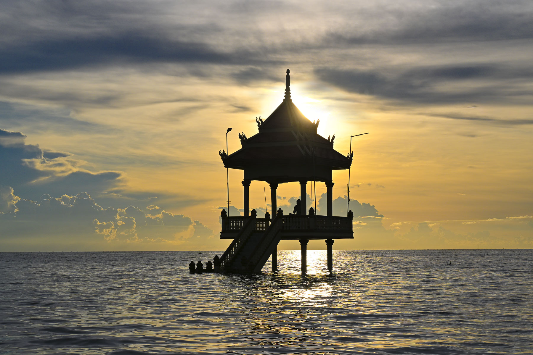
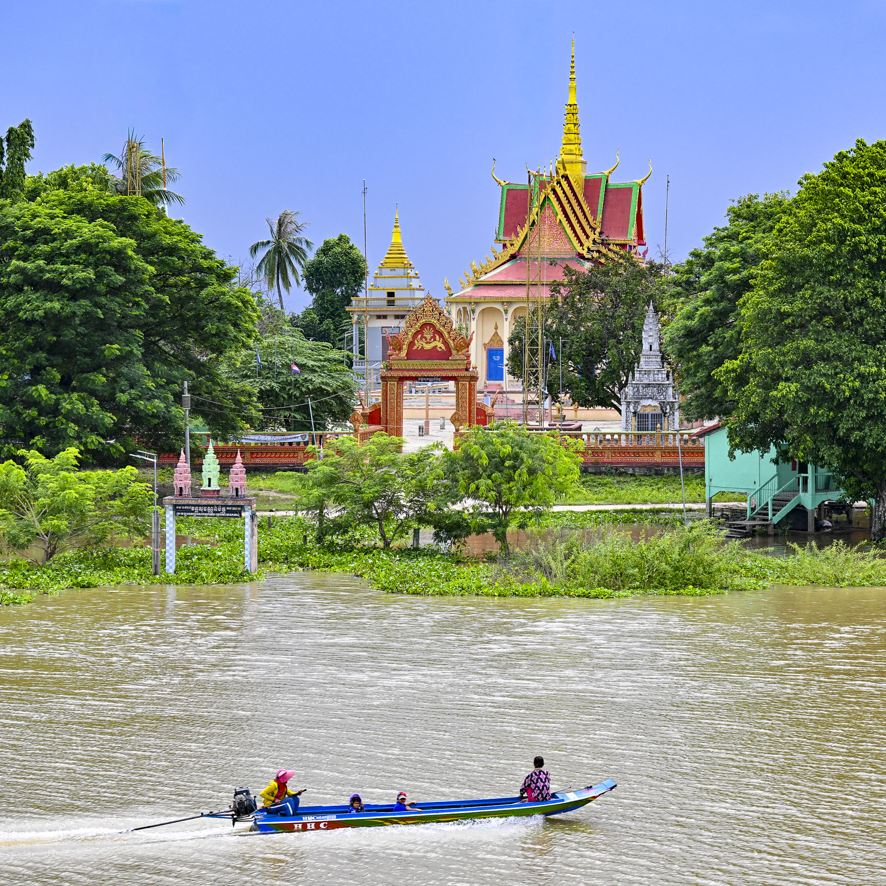
Nearby on stilts was a Buddhist temple surrounded by flood waters. During the dry season it is partially accessible by land when you follow Rt63 south from Siem Reap and then walk across a wide sand bar, but now we needed the local boatmen to ferry us over.
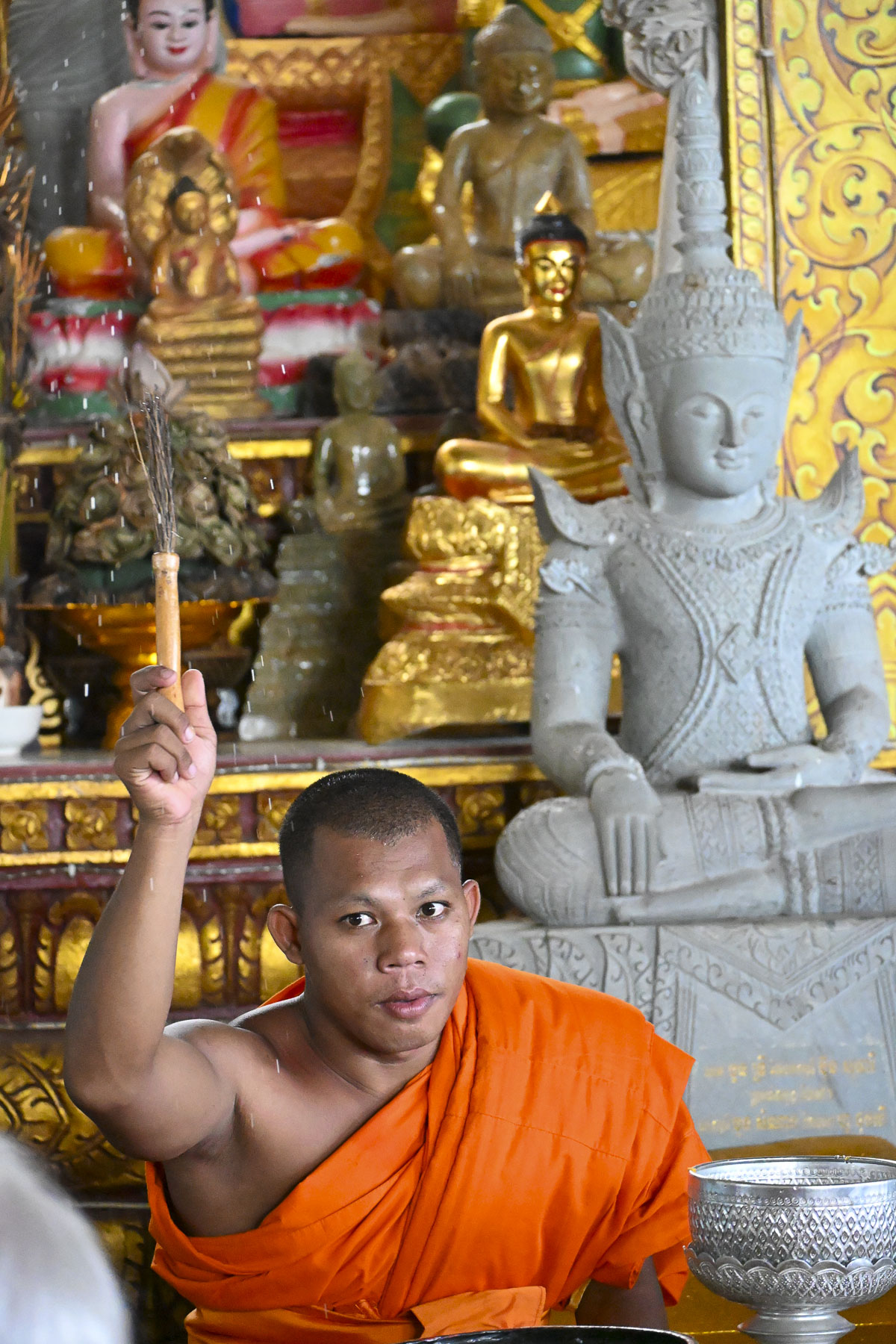
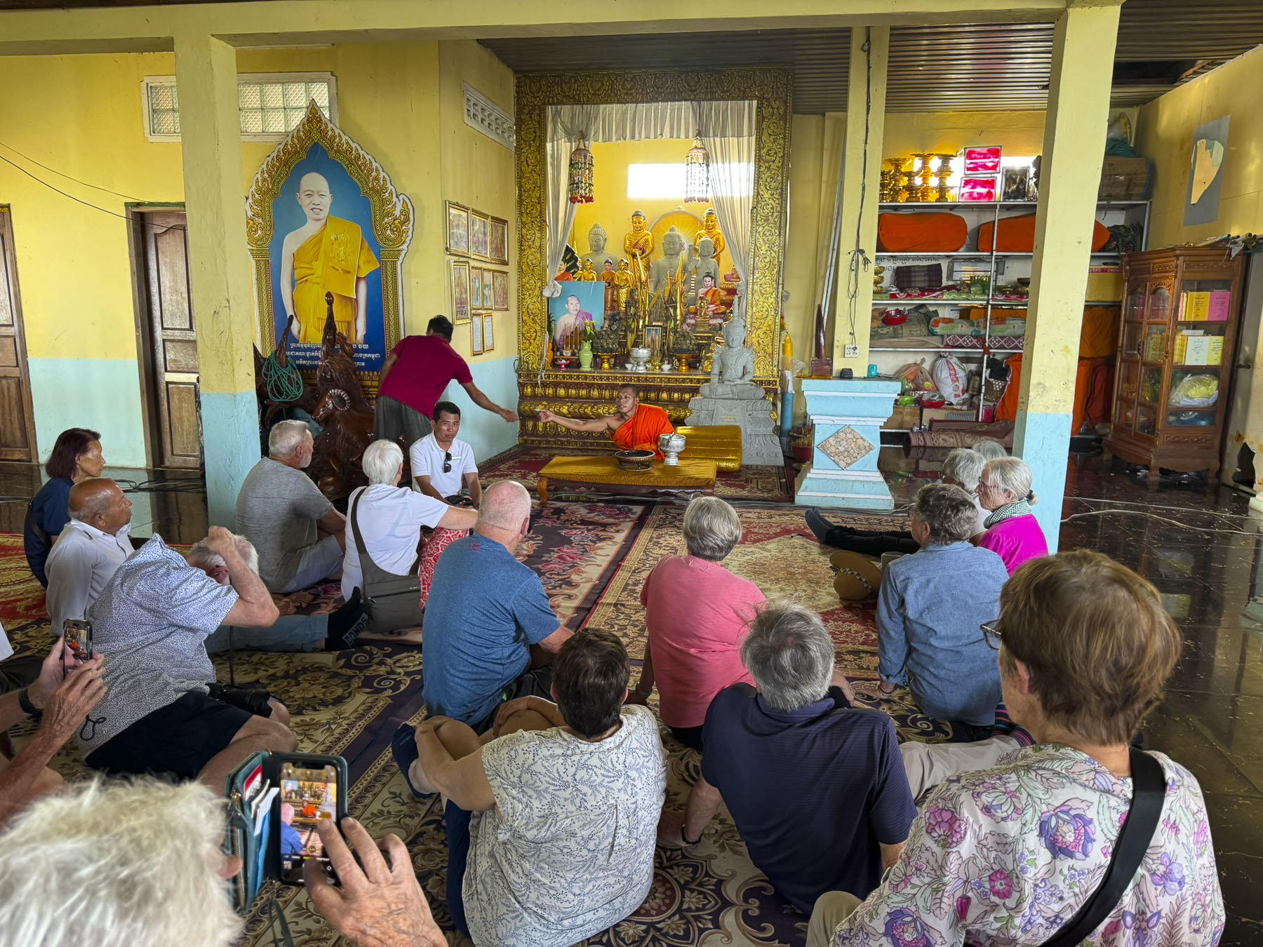
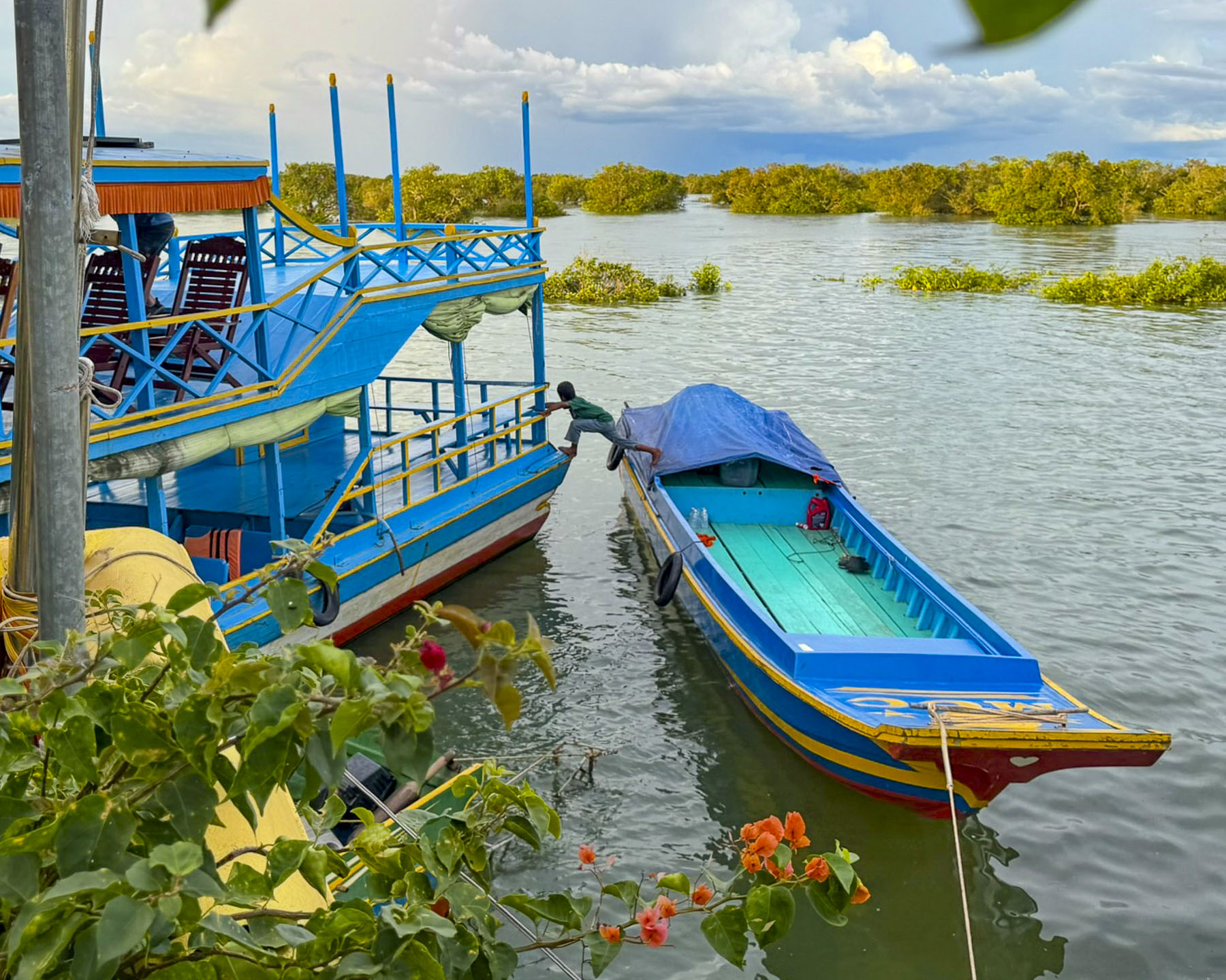
From what our tour guide explained, this was the first time a group of westerners had ever visited the temple where young monks are sequestered away to study the teachings of the Buddha. Through our guide’s translation the monk answered questions from our group and with the wave of his hand blessed us with sprinkles of water from a Kusha grass stick. Outside, the boatman’s young son entertained himself by jumping from one boat to another.
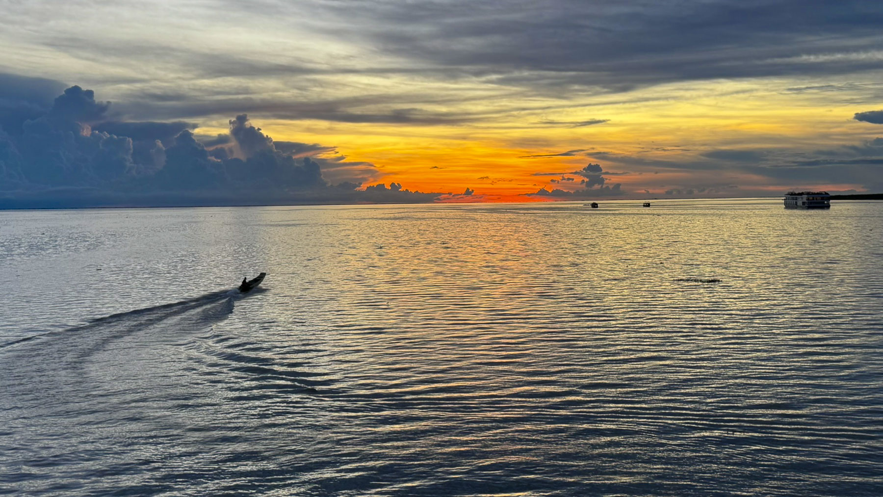
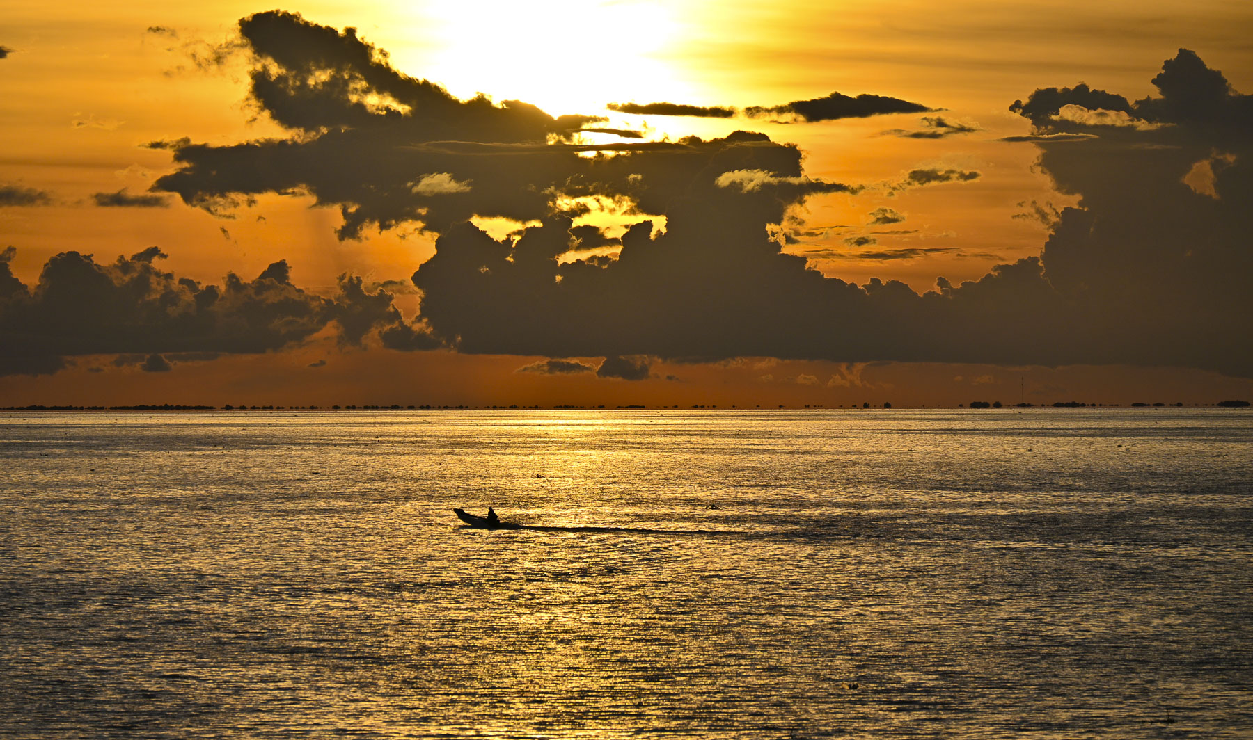
Earlier that morning our guide was admiring the day and the clouds floating over the lake and said, “there will be a nice sunset tonight.” His prediction was right on, and it was the perfect ending for our adventures in Cambodia.
Till next time,
Craig & Donna