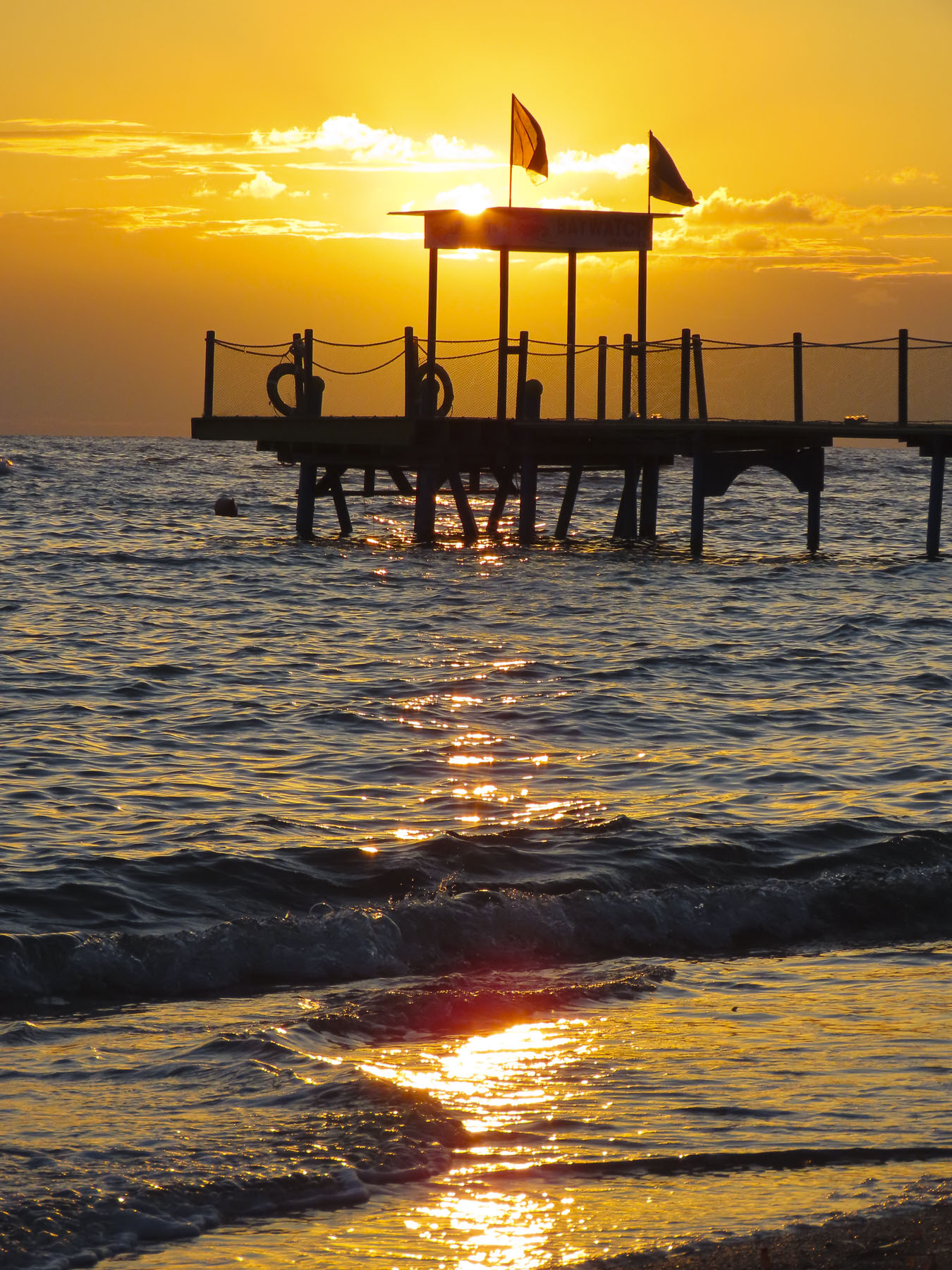
Good hosts, Shopkeepers, and restauranteurs constantly apologized for the unusually cold and fickle August weather that Scotland was experiencing. In the Outer Hebrides, on the Isle of Lewis and Harris, strong winds and high tides led to road flooding in the center of Stornoway, a destination on our itinerary. “Normally the weather is perfect this time of year,” was a frequent refrain. “Lively thunderstorms,” such a nice phrase, had delayed our flight from London to Inverness, several days earlier. Later in the month heavy rain and strong winds led to the naming of the 12th storm of the 2024 season, Storm Lilian.

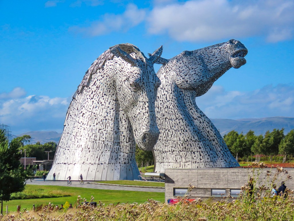
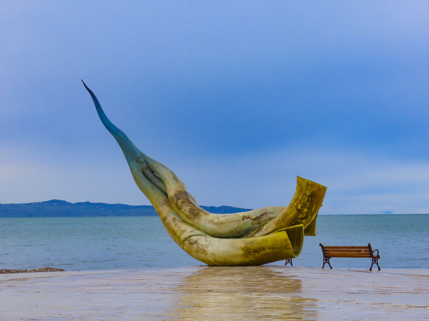
We had donned our Gore-tex rain gear for two days straight, and were thankful we made the investment in some reliable waterproof jackets. But yesterday afternoon as we visited The Kelpies while driving to Edinburgh, it was 65°F and the sun was shining. The weather was brilliant. Rain then clearing storms was the weather pattern that would repeat itself for the next three weeks, which provided many opportunities for some dramatic landscape photography.

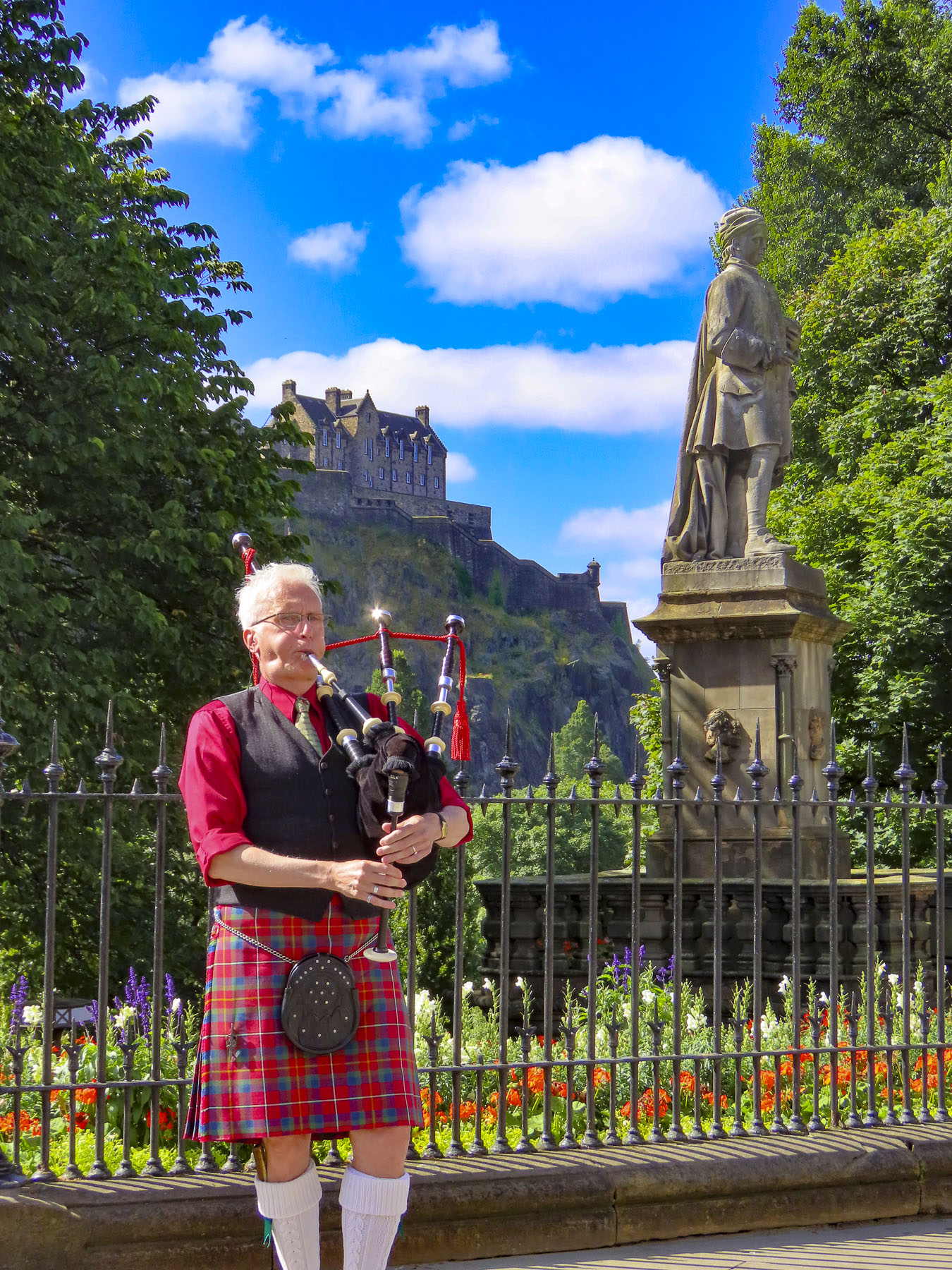
With the weather predicted to be nice for the next several days, we planned to head to the Dugald Stewart Monument on Calton Hill for that iconic view of Edinburgh at sunrise. It didn’t go exactly as planned, as we didn’t get up early enough, underestimated the length of time our tram journey from the Holiday Inn Express Edinburgh – Leith Waterfront would take, and we overshot our stop.
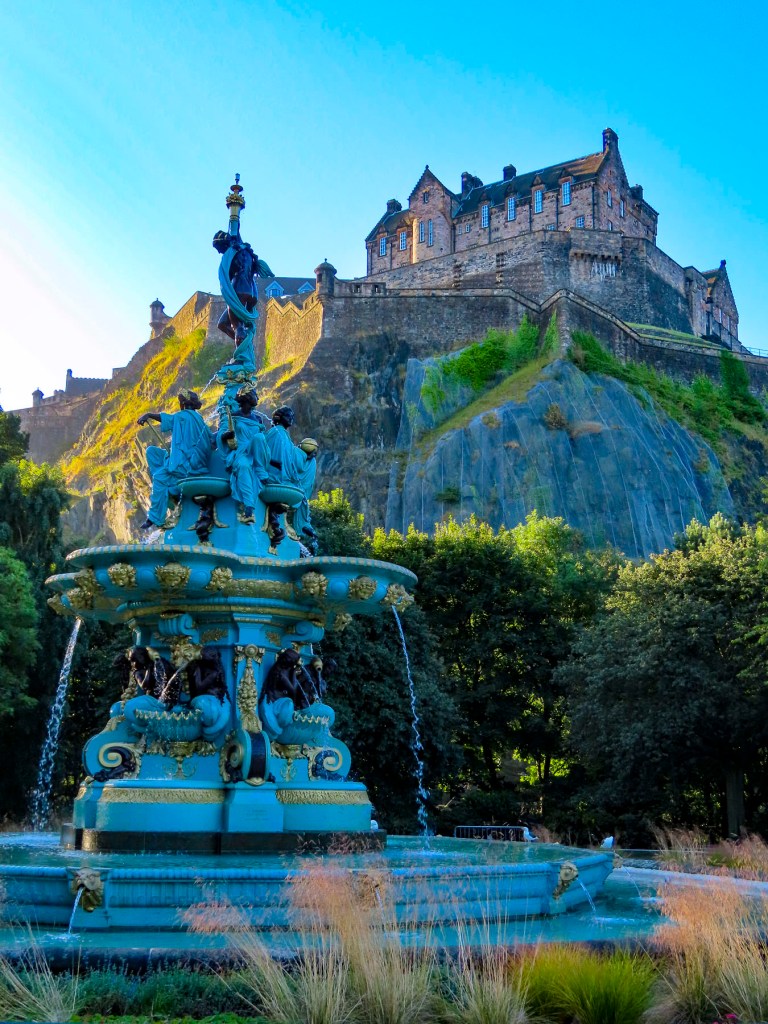
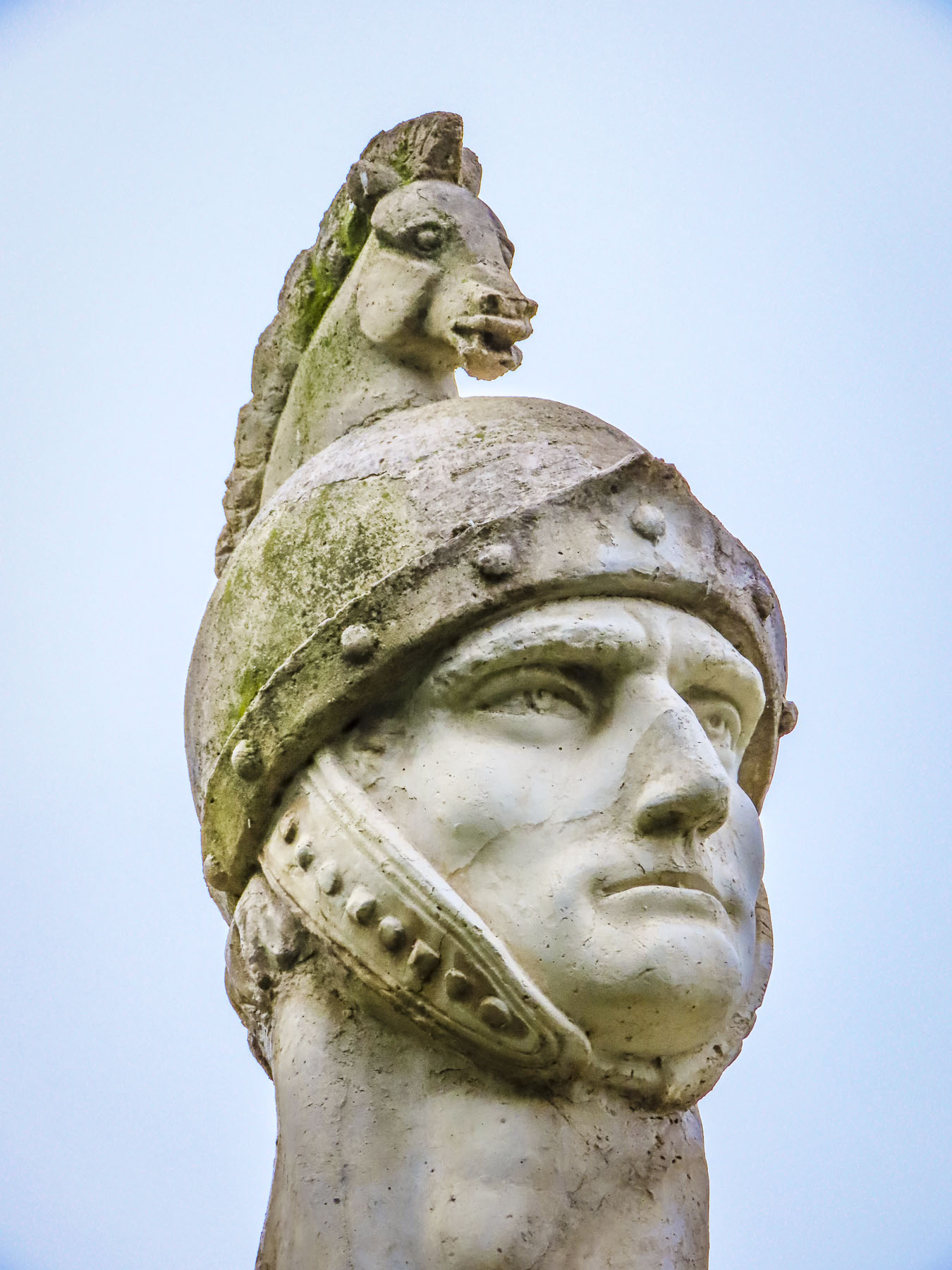
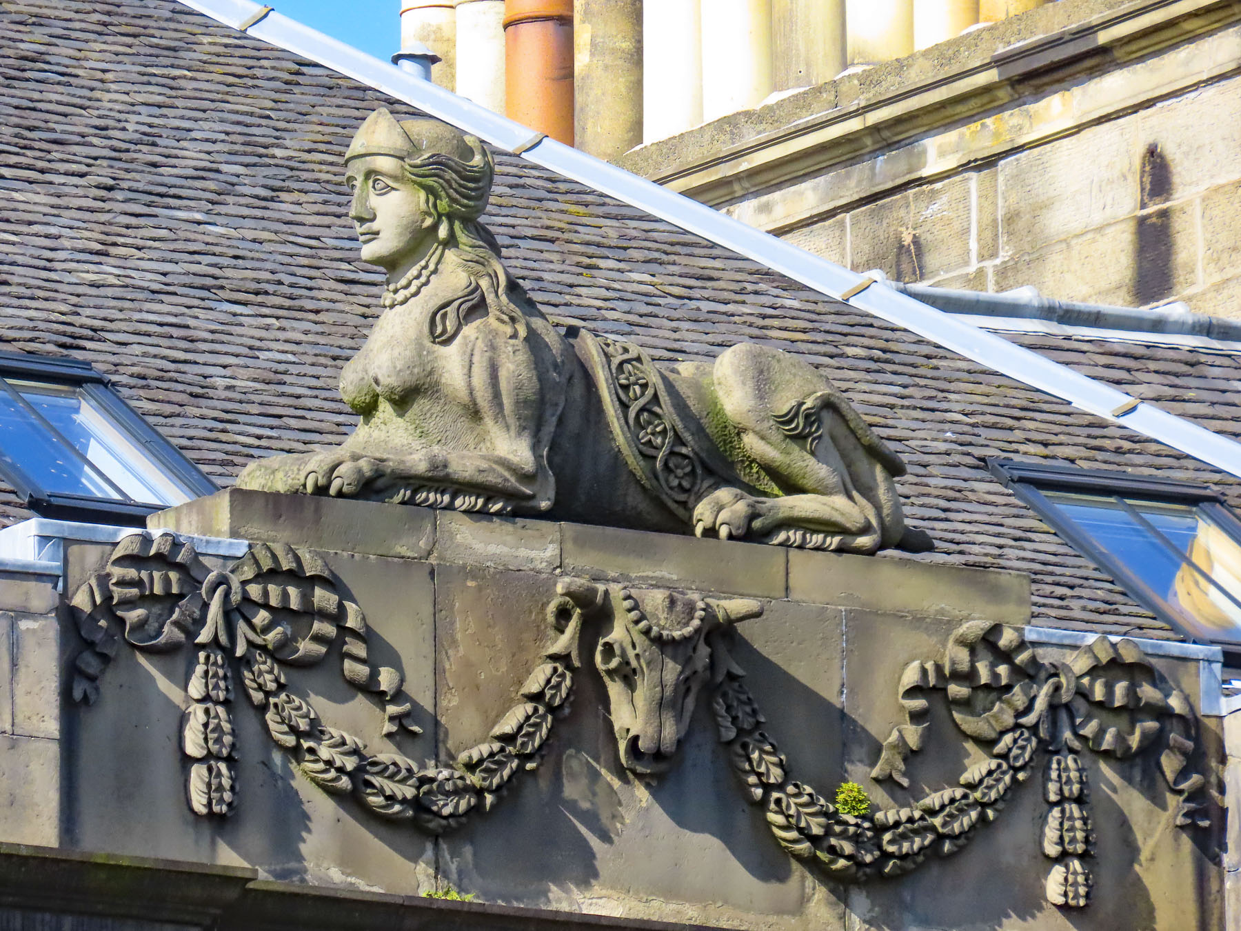
Nevertheless, we enjoyed a quiet early morning in the Princes Street Gardens, catching Edinburgh castle in early morning light from the Ross Fountain. Before walking back to Calton Hill, as the city’s streets slowly awakened, and sculptures atop buildings glowed in the morning sun.

Along our route were solid examples of buildings constructed with Craigleith sandstone. The locally quarried stone was the building material of choice for James Craig, the 18th century Scottish architect tasked with replacing the ancient city’s medieval Old Town’s unsanitary tenements and warren of alleys, with a grid of avenues, squares, and gardens. The results, James Craig’s New Town, are today treasured as a prime example of Georgian era town planning.


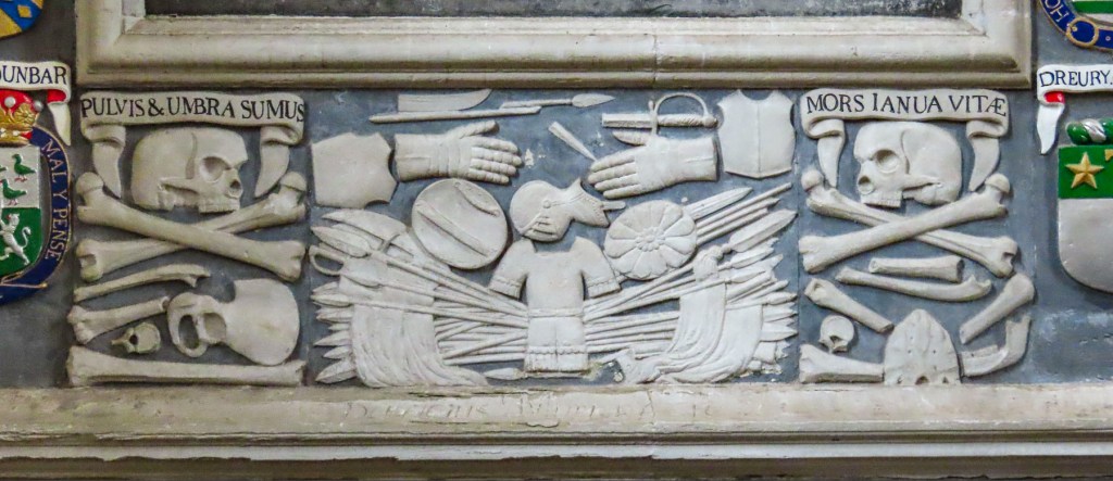
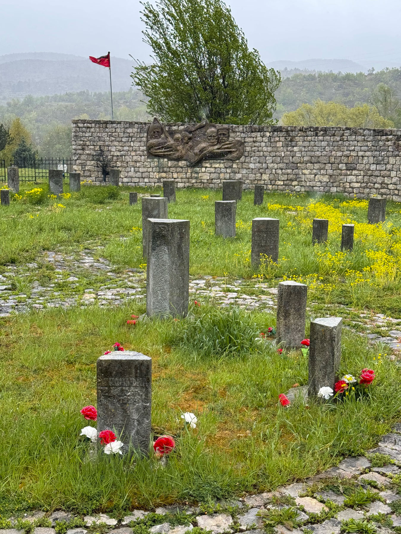
An obscure alley-like entrance across the road from the stairs to Calton Hill caught our attention and we followed a forgotten walkway into the Old Calton Cemetery. Long neglected tombs and teetering headstones dotted the graveyard. In the middle was a stately monument depicting a freed slave looking skyward to a statuesque Abraham Lincoln.

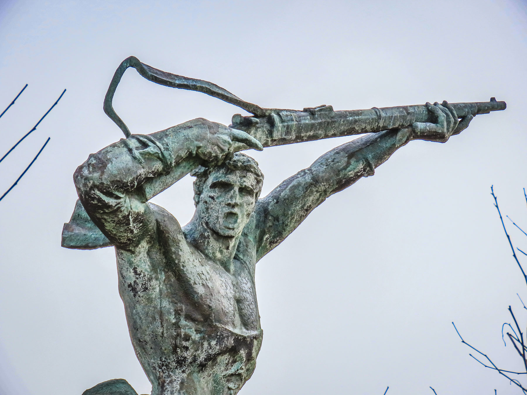
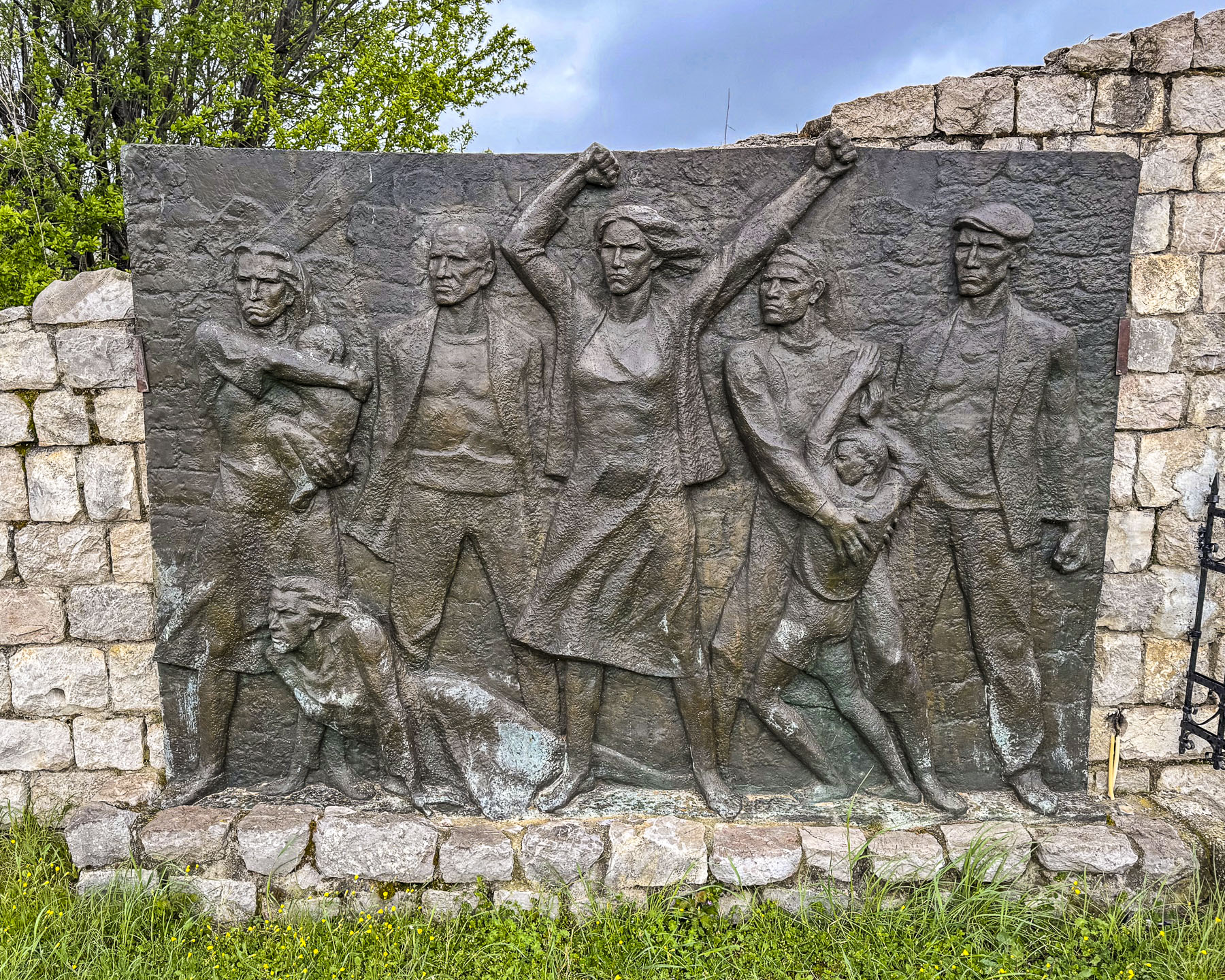
The Scottish-American Soldiers Monument, as it is called, commemorates the six Scotsmen who volunteered to fight against slavery during the American Civil War. Donations for its construction were solicited across the Scottish dispora in the United States with the American business magnates; Andrew Carnegie and John D. Rockefeller becoming major contributors. The memorial monument was erected in 1893, was the first statue of Abraham Lincoln outside of the United Sates, and continues to be the only American Civil War monument in Europe.

Even though our heart rates were up, after the walk from the center of Edinburgh, the long climb of stairs to the top of Calton hill was a challenge, though it was well worth the effort for that iconic view across The Athens of the North. The 19th century nickname references the Grecian architectural influences incorporated into some of the city’s most notable neoclassical buildings.

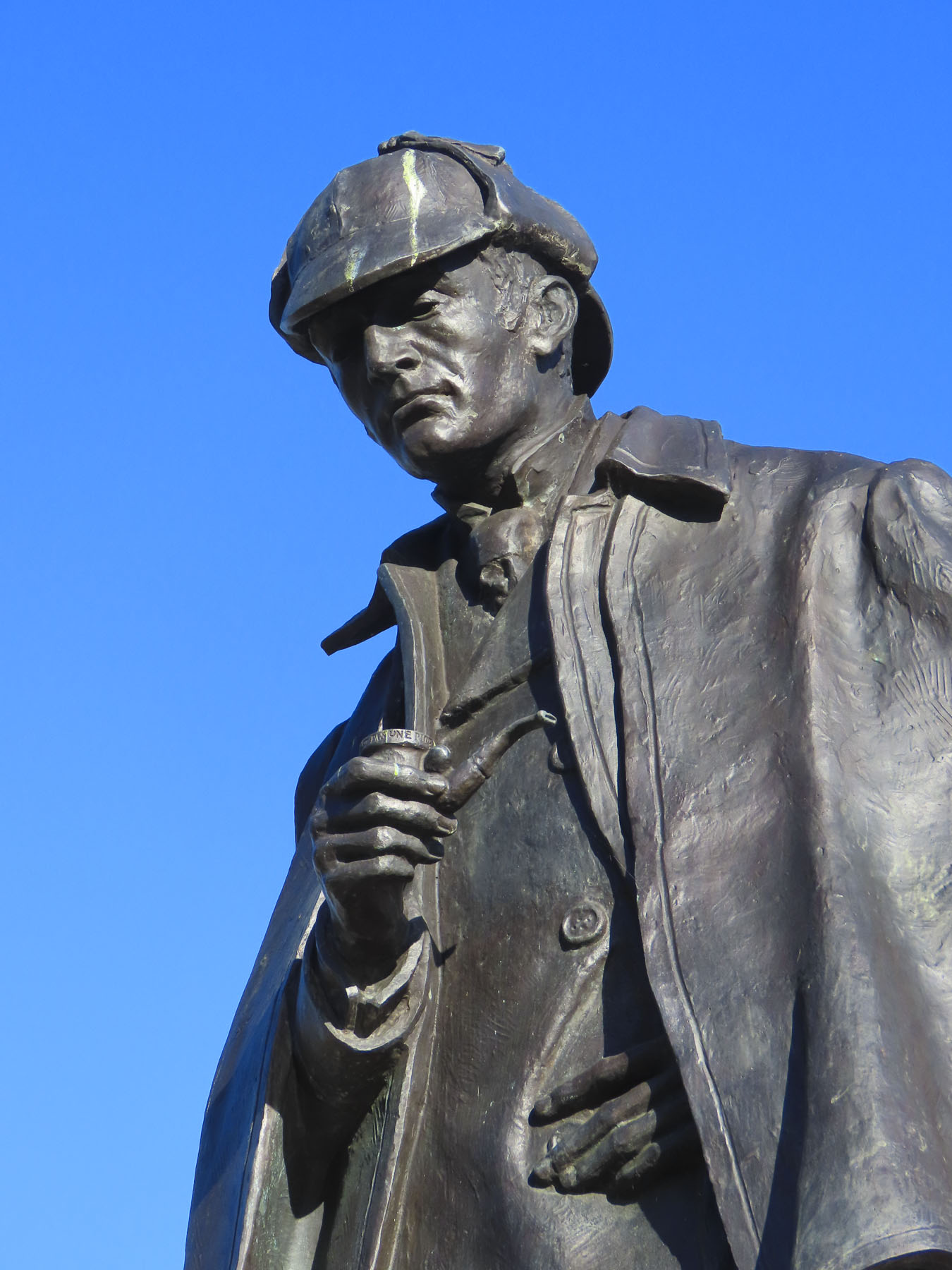
Atop the hill the style is most evident in the Dugald Stewart Monument, a memorial to the Scottish philosopher and mathematician; the old City Observatory; and the National Monument of Scotland, a Napoleonic Wars memorial built in remembrance of the soldiers and sailors who fought in those wars. Afterwards we walked down the opposite side of the hill towards the Omni building, a theater and entertainment center, across from the tram stop at Picardy Place. A tall statue of Scotland’s favorite detective, Sherlock Holmes, commands the plaza located a short distance away from the birthplace of the writer Sir Arthur Conan Doyle.
Our goal now was to walk towards the Port of Leith along the Leith Way to delve into some of Donna’s family history. Here’s Donna to explain:

Before I was Donna Hammell, I was Donna Leith. My mother-in-law was a sweet Italian woman who married a Scottish fellow named John Leith. In the 1970s, they traveled to Scotland to explore the family heritage. They knew that generations back, one of the Leith men had been a sailmaker with a shop along Water Street; another had been a ship builder. Mom and Dad wandered around Leith, trying to find the shop. They were about to give up the search, when they decided to ask at a pharmacy. Turns out that was the very building the sailmaker had occupied, and the people who ran the shop were cousins, once or twice removed. The two women corresponded for decades and exchanged recipes. I just baked a batch of Eyemouth Tarts – deliciously addictive little squares of candied fruit atop a buttery crust. My children are named Sandra Leith and Ian Leith, and I was determined to bring them a souvenir with the Leith name on it. Although for obvious reasons there is some antipathy between my former and current husbands, nevertheless Craig kindly indulged me on this search for my kids’ ancestry. I think he was as pleased as I was when we hit the jackpot at a lovely little store. I cleaned her out on all things Leith.
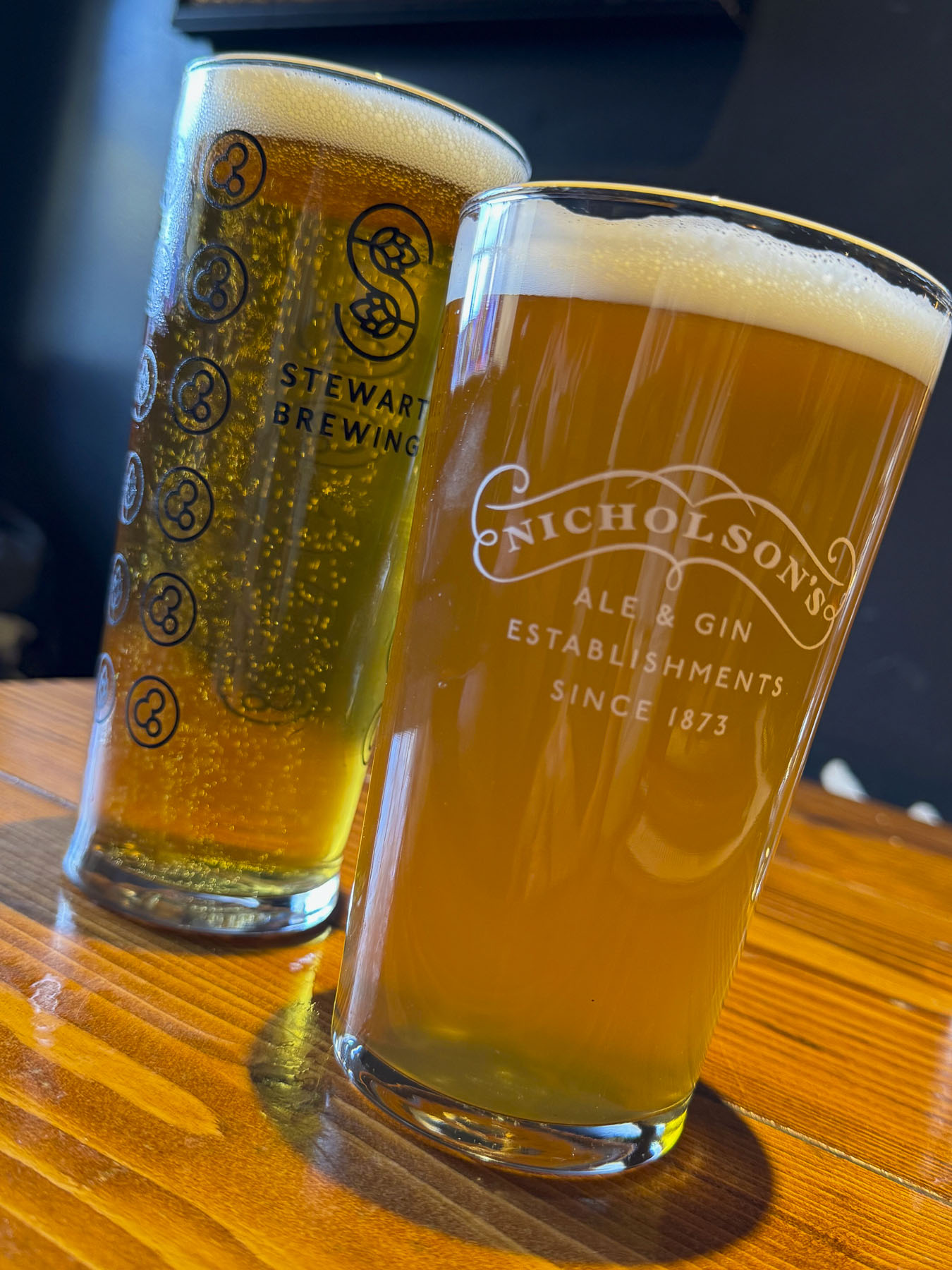

Leith Way, is one of Edinburgh’s oldest streets, that followed the line of a now long- gone earthen rampart built to defend Edinburgh from Oliver Cromwell’s army in 1650. On either side of the road, it seemed as if every storefront we passed incorporated Leith into the name of their business: Leith Shwarma, The Dog House Leith, Leith Artisan Coffee, Leith Walk Denture Studio, Leith Barber, and Tribe Leith, a yoga studio. Nearing sensory overload, we stopped for a pint of beer at the Boundary Bar. It’s an unpretentious neighborhood pub famously known for its line painted along the floor that marked the border between Leith and Edinburgh, and most importantly allowed customers who crossed to the Leith side of the bar to party an hour longer, when the pubs in Edinburgh closed at 9 PM. Leith’s advantage ended when the two cities merged in1920. Across the street we enjoyed an inexpensive lunch at the Kukina Turkish Bakery, just down from The Wee Leith Shop, which was only twice as wide as its door. Farther along we found a very nice shop, Destined for Home, with all things Leith souvenirs. Donna was thrilled!


Leith’s history was tied to the rise of Edinburgh as the seat of the Scottish crown. Archeological discoveries along the port’s waterfront suggest an extensive wharf area that dates to the 12th century. The port thrived for centuries upon shipbuilding, whaling, fishing, and glass making, along with warehouses storing whisky and wines imported from Europe. Leith was so prosperous that it had gas street lighting in 1822, and electrified its tram network in 1905, years before the town merged with Edinburgh in 1920. Severely hard times fell on Leith after WWII when ship building declined, and the advent of mega container ships required larger, modern port facilities. Notoriously, the city was unceremoniously depicted in the 1993 novel, Trainspotting. It was a much different perspective than that of the Proclaimer’s1988 hit song, Sunshine on Leith, which the BBC hailed as a “love song to the city and Scotland.” The song became an anthem of endurance for a city once down on its luck. But since then, the dock area has undergone a transformation with new office buildings and residential towers being built along the old canals and dock area of the port, reinvigorating the area and earning the designation as the “Venice of the North.”

Later that afternoon we returned to the center of Edinburgh via the tram and walked across town to theSpace @ Surgeons’ Hall, a performing arts theater, to see a play hosted by the Fringe Festival. I Love You, You’re Perfect, Now Change was written by award-winning playwright Joe DiPietro, who happens to be the little brother of Donna’s girlfriend from grade school. The four-person performance, the second longest-running off-Broadway play, was performed in a small intimate space with seating on three sides of the stage. The play was fantastic, and the tickets were extremely inexpensive.

At this point we need to confess that we didn’t know anything about the Edinburgh Fringe Festival, a large three-week entertainment event held every August in Edinburgh, for over 75 years. It was only after purchasing our airfare, when we tried to book a hotel, six months out, that room availability was severely limited, and we delved deeper as to why. The Fringe Festival started as an act of rebellion against the status quo in 1947 when eight theater companies, not invited to the Edinburgh International Festival, performed on the streets in Edinburgh. The event has mushroomed over the years and in 2024 “sold more than 2.6 million tickets and featured more than 51,446 scheduled performances of 3,746 different shows across 262 venues from 60 different countries.” The Edinburgh Fringe Festival website and catalog of shows was very helpful in planning what to see. Everything we read said Edinburgh would be insanely packed with tourists. But our barometer was a New York city rush hour, and Edinburgh’s streets were an oasis of calm in comparison. Not being able to find any reasonably priced hotels near the center of the city, the Holiday Inn Express Edinburgh – Leith Waterfront, located on the tram line, was the perfect alternative.
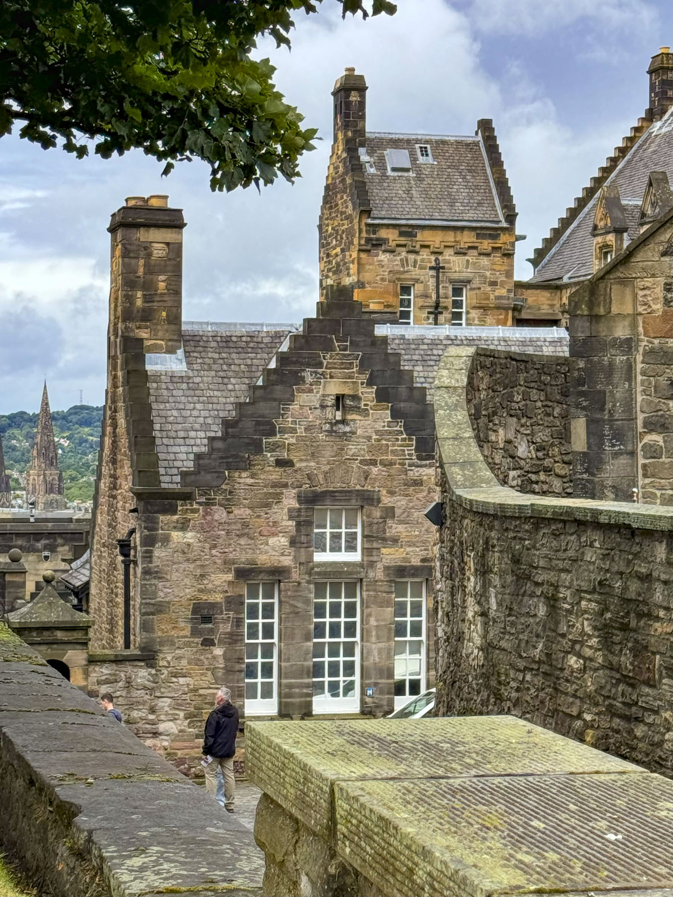
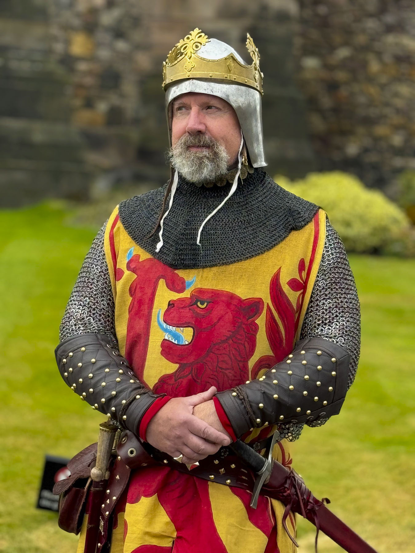

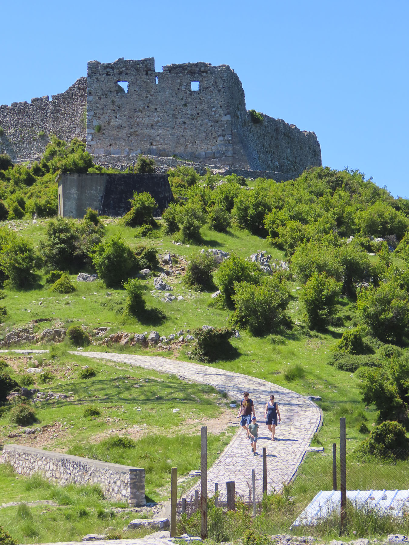
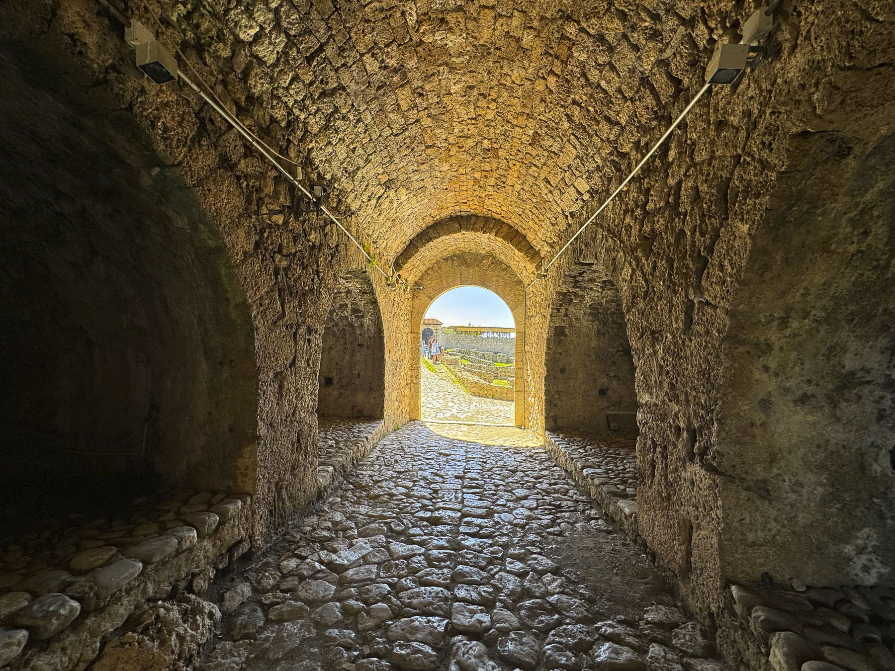
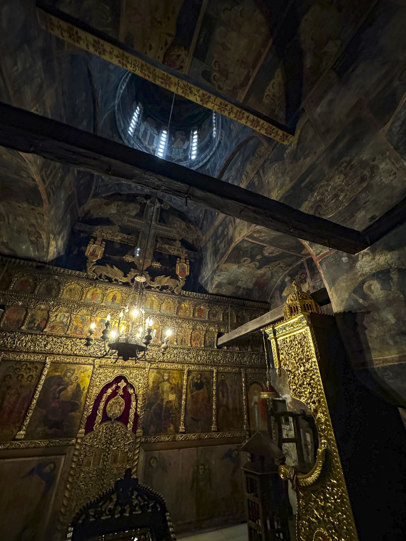
For the next morning Donna secured us tickets for the opening time at Edinburgh Castle, and we arrived to join the small queue already forming. The top of this massive rock has been a safe haven since the Iron Age when folks first sought refuge there. It was the seat of the Scottish crown for several centuries after Malcolm III Canmore, the first King of Scotland, set foot upon the Castle Rock in the 11th century, though the principal royal residence, since its construction in the 16th century has been Holyrood Palace.


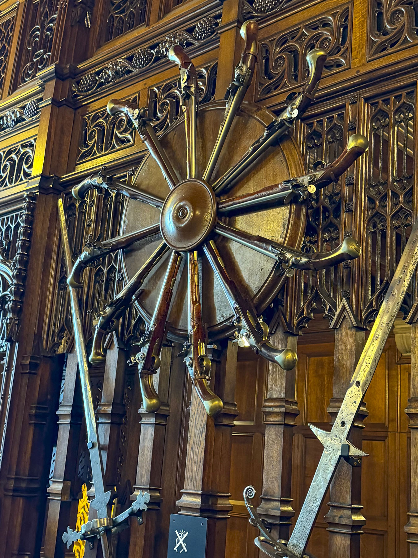

I imagine the wind carries the stories of Mary Queen of Scots, James VI, Oliver Cromwell, and soldiers barracked, and prisoners of wars in its dungeons, that walked upon the rock. Noteworthy historical oddities include: the first fireworks lit the sky above the castle in 1507 to celebrate a lavish jousting tournament hosted by James IV. In 1838, the 78th Highlanders, stationed at the castle, returned from serving in Sri Lanka with an elephant in tow. The parade ground before the castle entrance hosts a spectacular event every August evening called The Royal Edinburgh Military Tattoo.


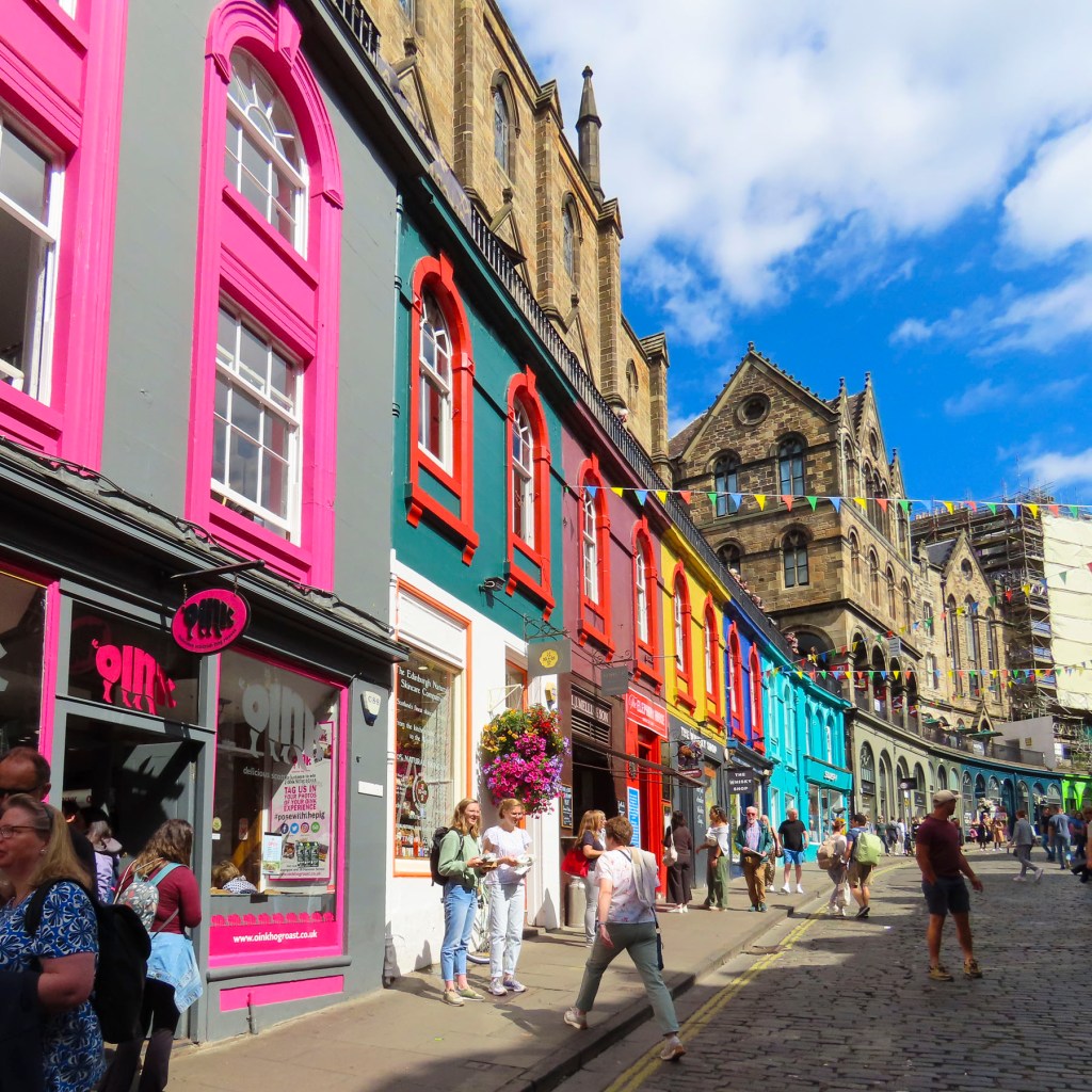
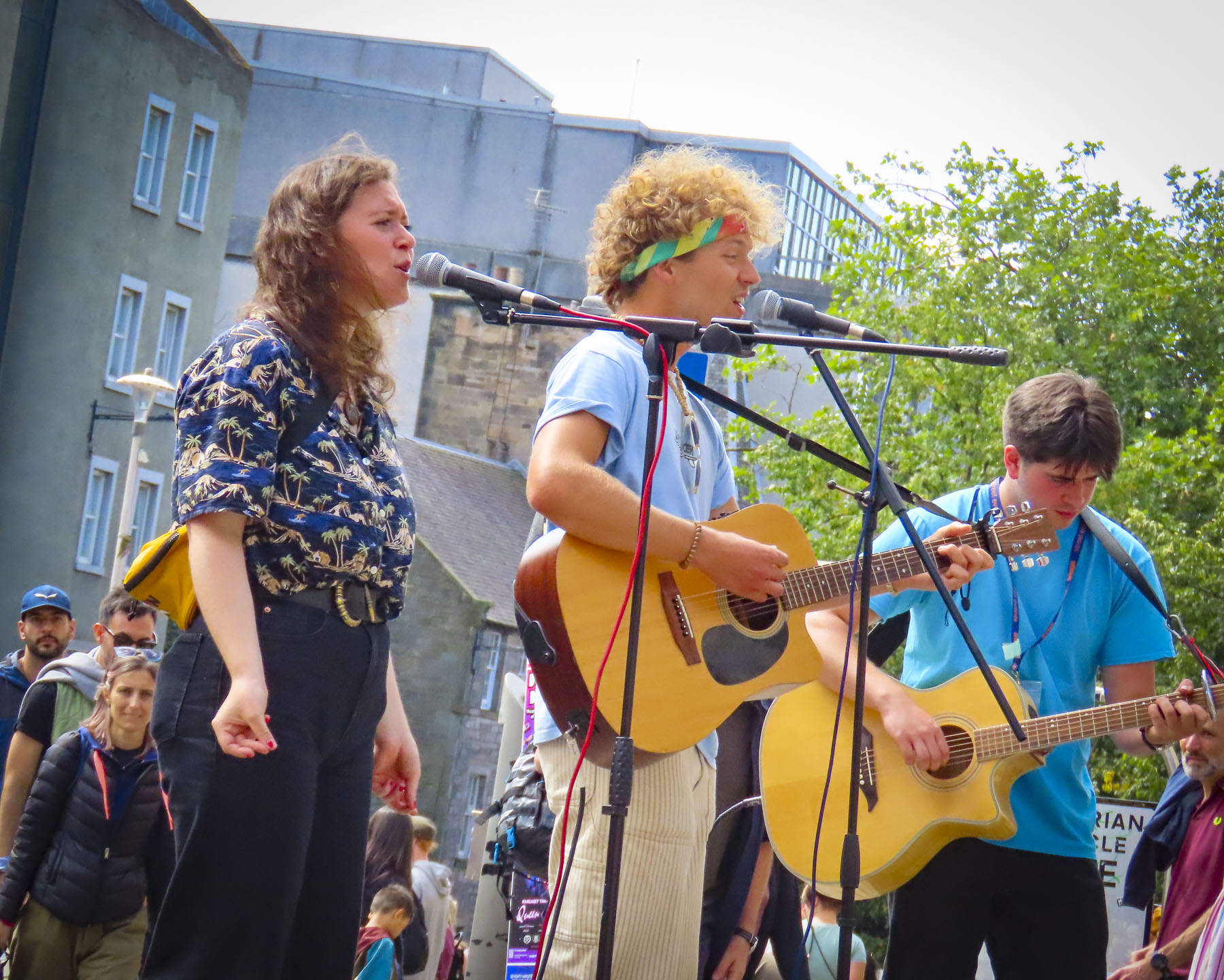
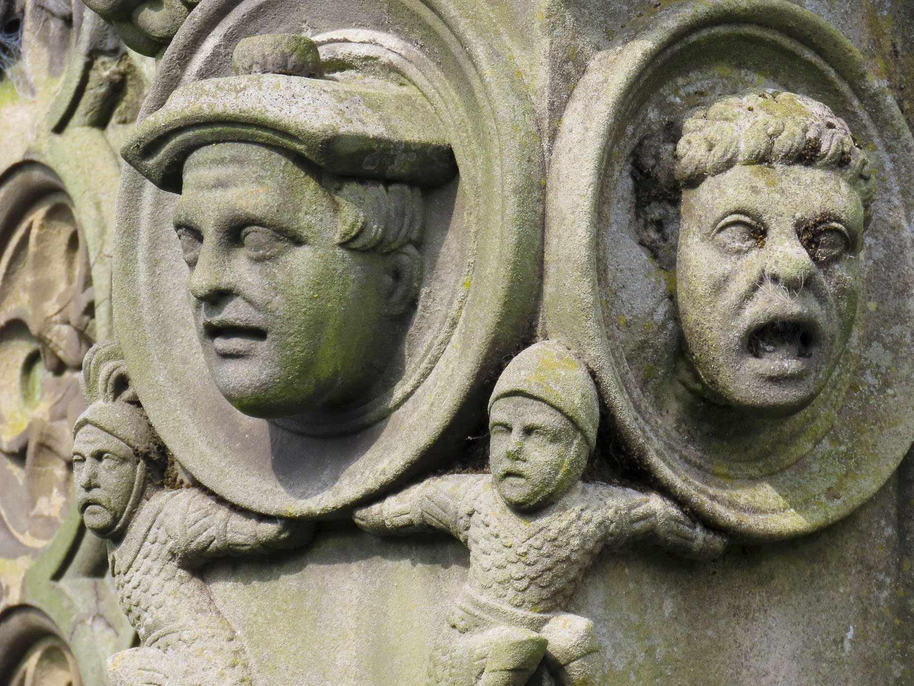
Afterwards we wandered the streets and alleys of Edinburgh’s ancient Old Town below the castle. The cheerfully painted storefronts along the bow of Victoria Street certainly brightened the day after a gloomy morning. The streets were busy with crowds gathered around entertainers performing in the squares. Eventually, we found our way to the Greyfriars Kirkyard Cemetery.

The land for the graveyard was granted to the city by Mary Queen of Scots in the mid-16th century. Soon the city started to use the graveyard for the mass burials of thousands that died during the multiple plagues that struck the city over a seventy-five year period. Though there are only several hundred headstones in the cemetery, it is thought nearly 100,000 people were buried there over a three-hundred-year period, and tour guides will have you believing it’s the most haunted cemetery in the world.


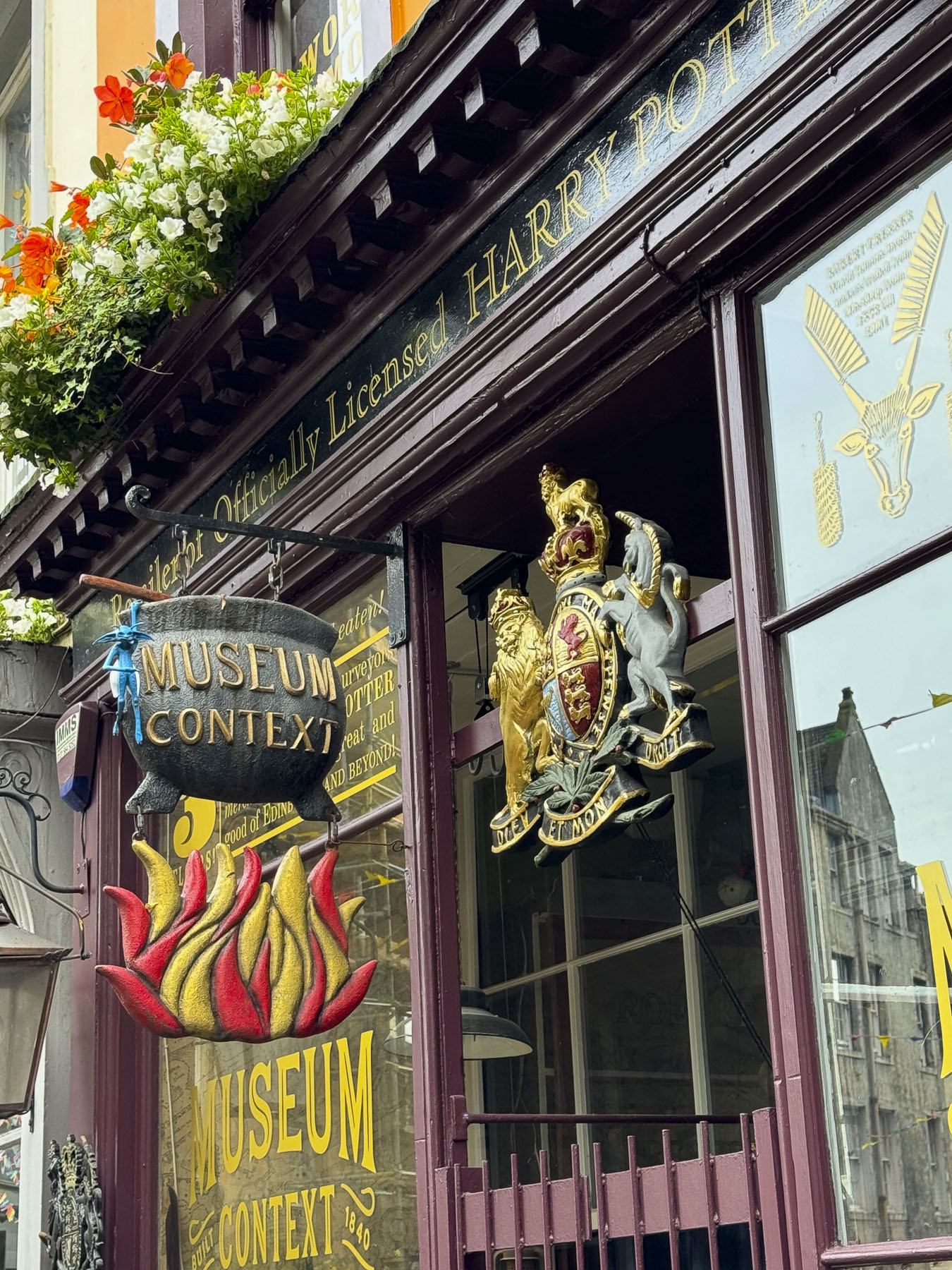
After the establishment of Edinburgh’s Medical College in the 1700s, graverobbers often exhumed the recently deceased and sold the cadavers to the school for use in their anatomy classes. The cemetery is also known for the story of Bobby, the beloved pet of John Grey. The Skye Terrier is remembered for dedicatedly guarding his owner’s grave for 14 years before his own death at age 16, in 1872. More recently, the success of JK Rowling’s Harry Potter books have drawn fans of the novels to the cemetery where the author borrowed the names of Robert Potter, Thomas Riddle (aka Lord Voldemort), William McGonagall (a famously bad poet), Elizabeth Moodie, and Margaret Louisa Scrymgeour Wedderburn off the gravestones for some of her important characters.

After lunch at the Greyfriars Bobby’s, a pub at the entrance to the cemetery, we walked across town. At the National Galleries of Scotland we stopped to watch a juggler tossing flaming torches from atop a tall teetering platform, held aloft by members of the audience.

At the Princes Street Gardens the skirl of bagpipes filled the air near the sculpture of Wojtek, an orphaned Syrian brown bear cub that Polish soldiers found in Iran, and adopted while they were serving with the British army in WWII. After the war Wojtek lived out his life in the Edinburgh Zoo.

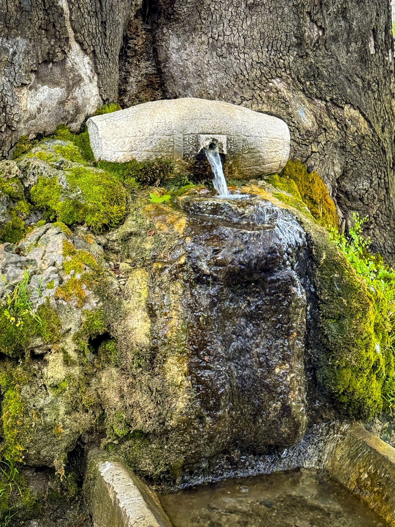
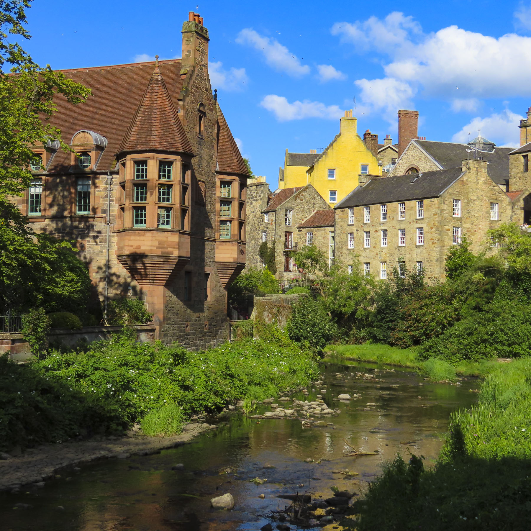
Our destination was Dean Village, an old, though now gentrified, milling community, that once had eleven mills along the Water of Leith. It’s a tranquil bucolic area with a foot and bike path that can be followed to the Port of Leith, four miles away. Saint Bernard’s Well is along the walkway, and during the Middle Ages the water from the natural spring was believed to have curative powers.


For dinner that evening we headed back into the new town and stopped at The Black Cat pub, which was recommended as having a great selection of whisky, friendly knowledgeable bartenders, and good fairly priced food. We tried a flight of three single malt coastal whiskies. Two were from islands off Scotland’s west coast; an Arran 10 year from the Isle of Arran, and a Ledaig 10 from the Isle of Mull. The third was a Glenglassaugh 12 year distilled near Sandend Bay in northern Scotland. The young barkeep was also a well versed whisky sommelier, and guided us through the subtle influences the Atlantic and North Sea air have on the aging process. Poetically using a cask full of adjectives to describe the Nose – floral seaside aromas, with gentle smokey palate – a malty creaminess, and finish – sublimely spicy, a kick of cloves, or an exquisite lingering saltiness, to variously describe the warm amber liquors we were enjoying. All were very nice to sip slowly, though the Ledaig 10 was a little too peaty for our taste, and we likened it to inhaling too deeply with your first cigar – it took some getting used to.

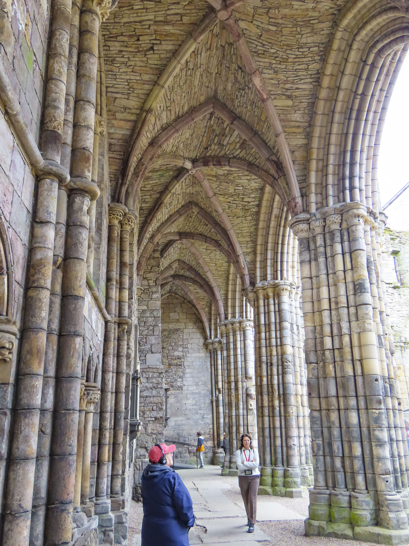
The following morning, we set off for the Palace of Holyroodhouse. It has been an official royal residence since James IV constructed the palace in1501, adjacent to the Holyrood Abbey’s cathedral that was completed in 1230. The original palace was destroyed in the 1650s when a fire consumed much of the building while it was being used as a barracks by Oliver Cromwell’s troops. Though there have been many interior alterations over the centuries, the façade of the palace today closely resembles its 1679 construction.


The Renaissance fountain in the forecourt was installed in 1850 to spiff the place up for a visit by Queen Victoria. Sadly, that seems to be the last attempt to improve the place, and our tour of the inside felt like we were walking through spartanly furnished, shabby aristocratic public housing. The Abbey’s cathedral is an ancient ruin, and the gardens surrounding the palace get much better PR than they deserve. For the exorbitant admission price, they didn’t deliver the expected enthralling experience. If you are watching your budget, we suggest skipping Holyroodhouse and visiting Stirling Castle or Dunrobin Castle with its spectacular interior and garden instead.

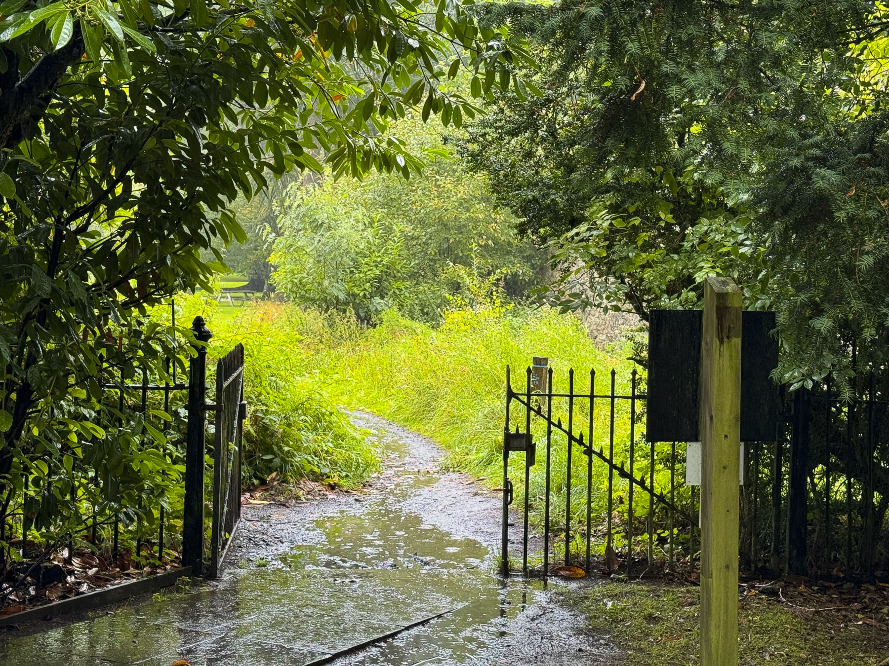
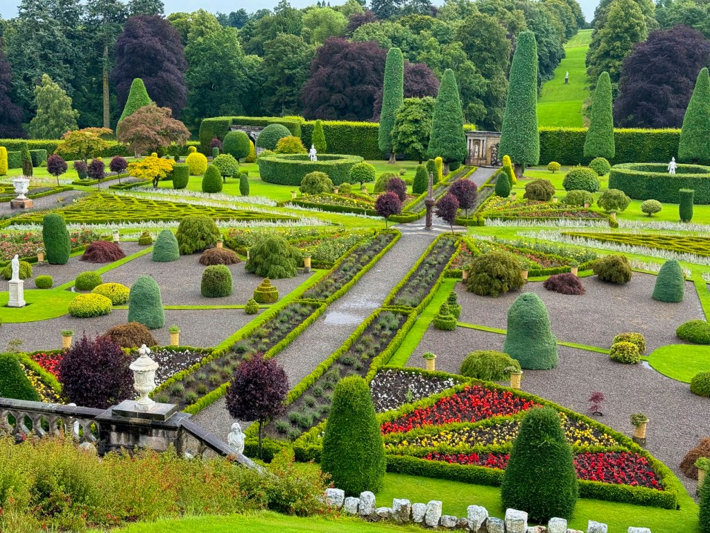
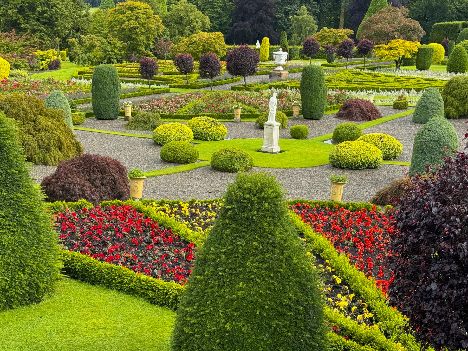
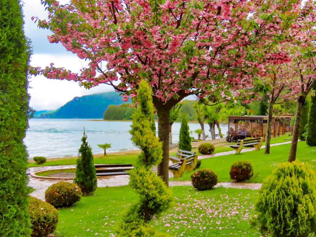
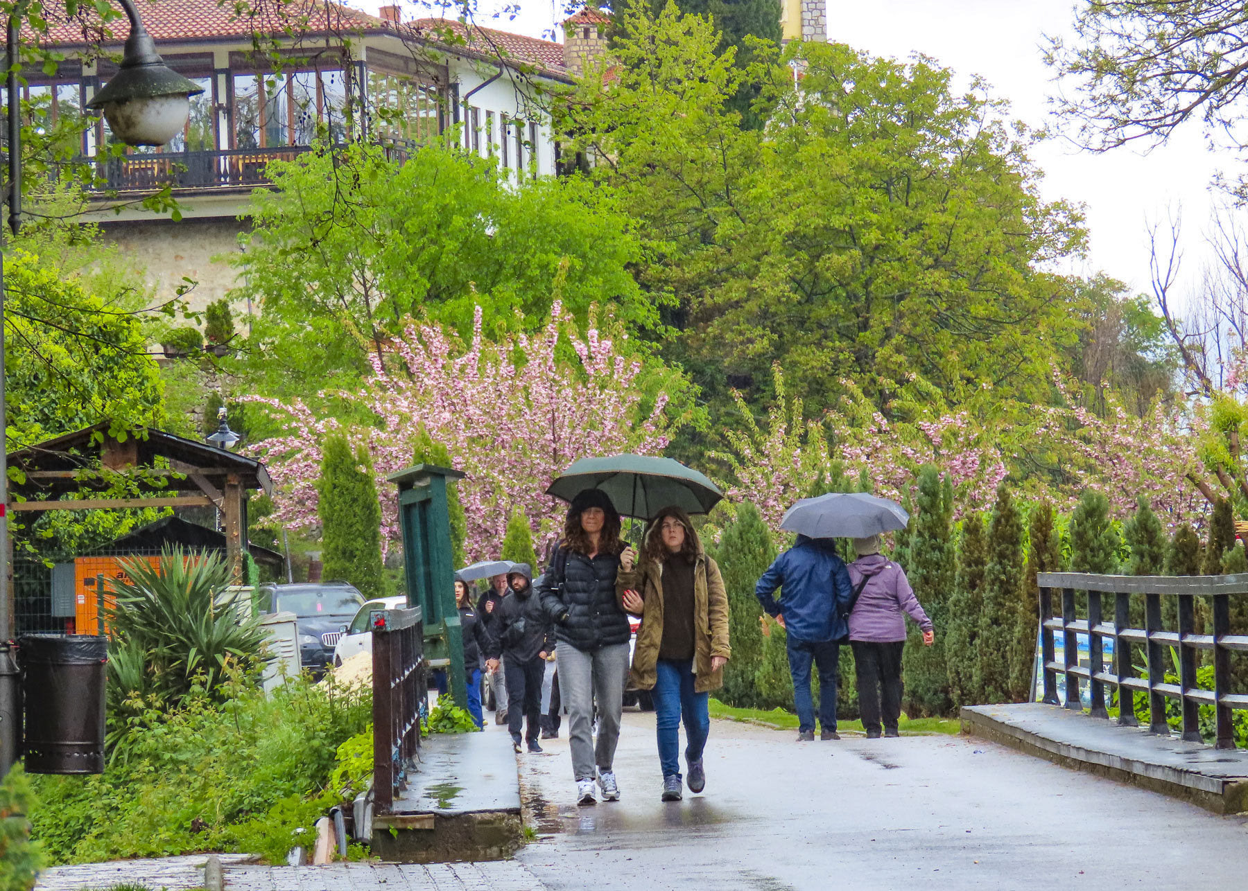
For our last afternoon in the city, we visited the Royal Botanic Garden, seventy acres of beautiful, manicured rolling woodland with formal gardens. We followed the signs through the park, passing under a 23ft tall hedge over 100 years old, to the Queen Mother’s Memorial Garden, that’s noted for its perennial flowers and collection of indigenous plants.

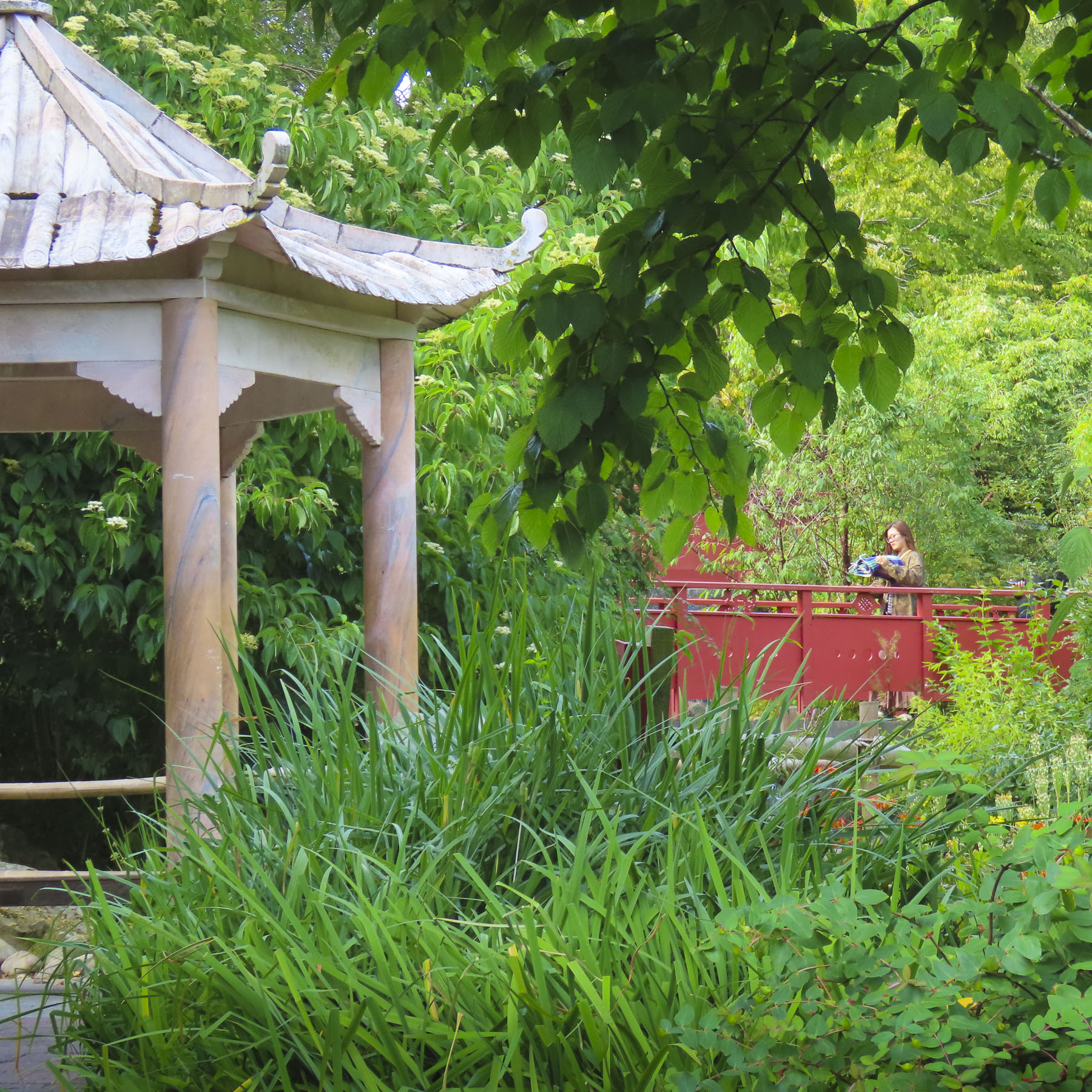
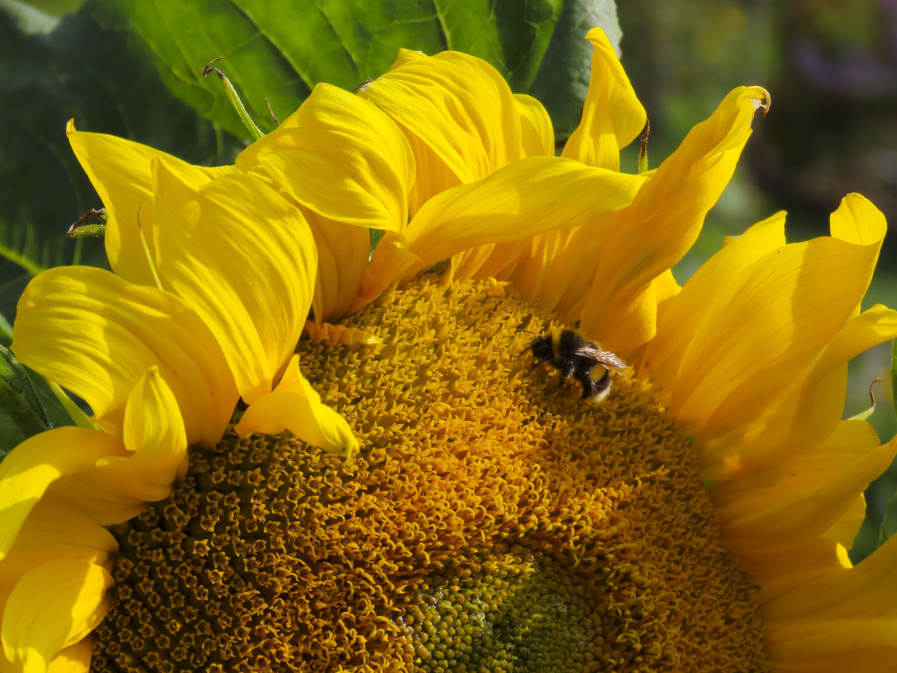

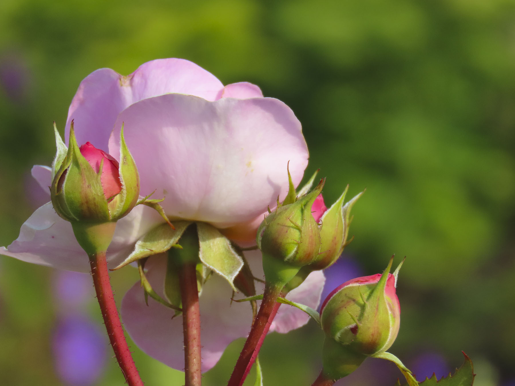
The gardens were thriving in the moist moderate weather of Scotland, and bursting with color. At the very end of the garden is a small building called The Memorial Pavilion. It’s very unique, with every square inch of the interior walls and ceiling covered with shells collected by school children all across Scotland.

Planted outside was a bed of thistle, Scotland’s national flower. Scottish folklore credits the thistle with saving an ancient village from a Viking raid, when the barefooted invaders stepped on the spiky plant. Their cries of agony alerted the sleeping warriors of the village who then defeated their enemy. It has since become an important symbol of Scottish heraldry, and being invested into the ancient chivalric order of the Most Ancient and Most Noble Order of the Thistle, is one of Scotland’s and England’s highest awards. The prickly flower was even celebrated in a 1926 poem, A Drunk Man Looks at the Thistle, by the famous Scottish poet by Hugh MacDiarmid. The epic, “stream-of-consciousness” poem touches on everything from the state of the nation and the mysteries of the universe to the joy of whisky.
Edinburgh was a fantastic destination, that requires multiple visits to fully explore.
Till next time, Craig & Donna
P.S. The Scotland Explores Pass helped with the price of admission to many sites across the country.